
Updated on February 26, 2020
Day 4 of Carolinas Vacation, Charleston Day 1
As we left Outer Banks last night it was about halfway of our road trip to the Carolinas. Today and tomorrow we would be enjoying the wonderful historic city of Charleston South Carolina.
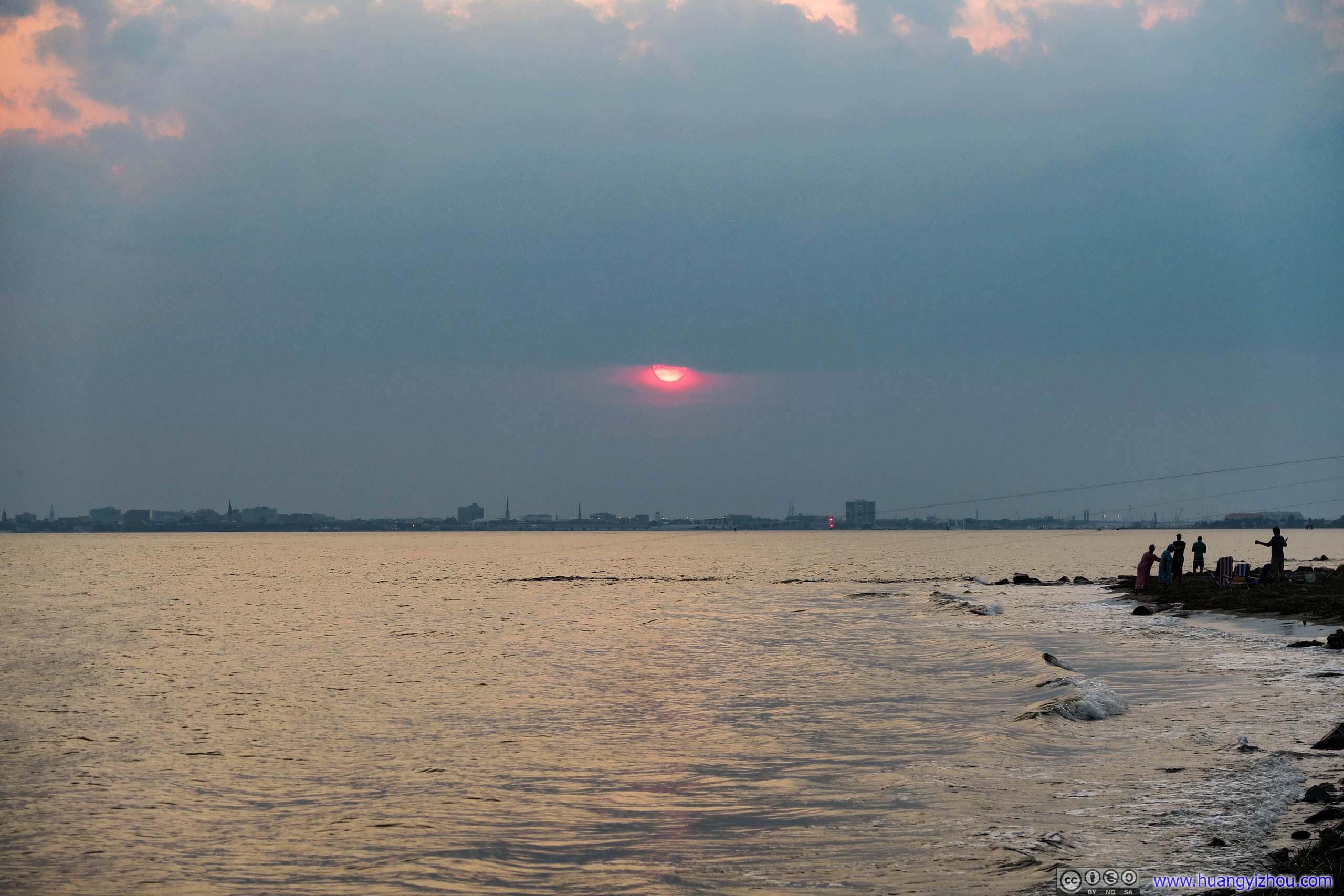
Setting Sun over City of Charleston
We had some difficulties making a last-minute Airbnb booking last night. As a result, our overnight lodge was farther south than what we would ideally like, so it was almost 10pm by the time we reached it on a small alley lined by southern trees. So today we got off to a late start by the time we reached Charleston it was past 2pm.
And here’s the route map of our road trip to Charleston:
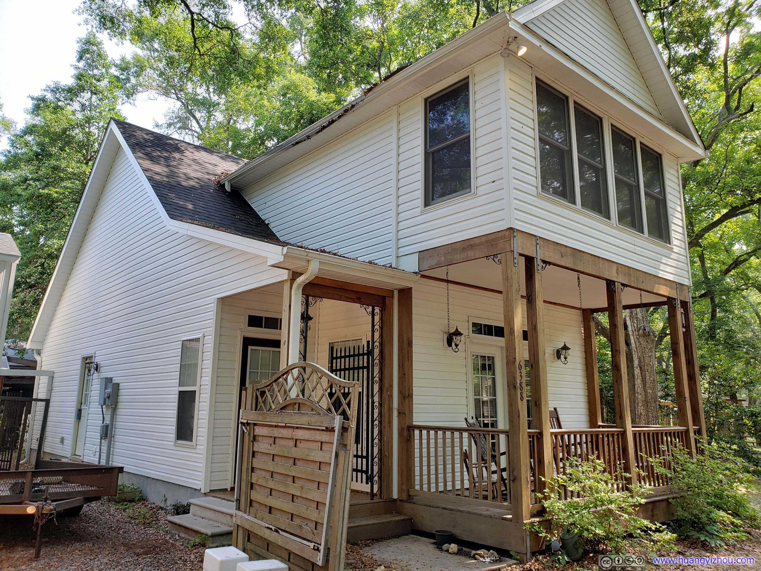
Overnight Airbnb HouseWhen the sun came out this house actually looked great.
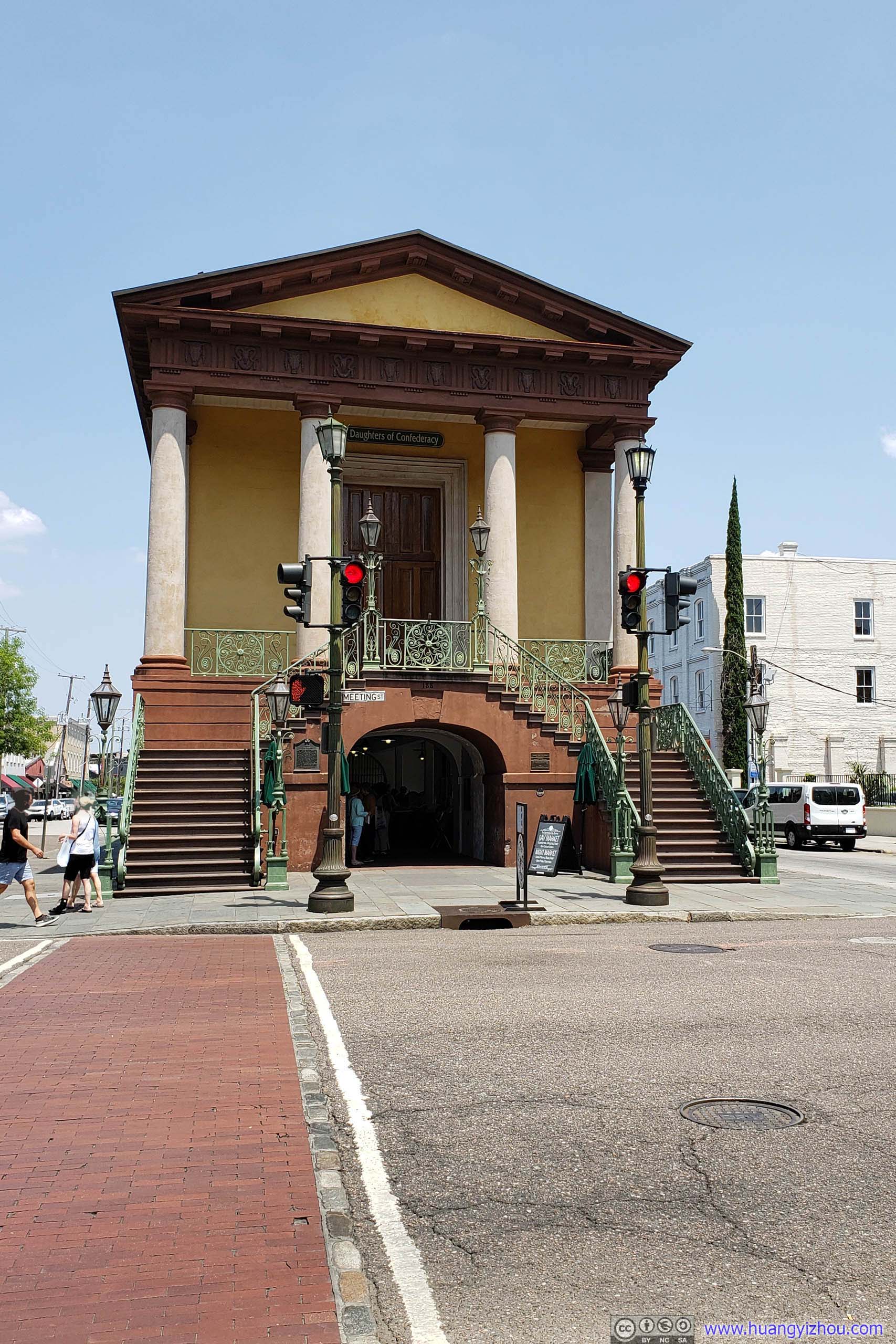
Charleston City Market
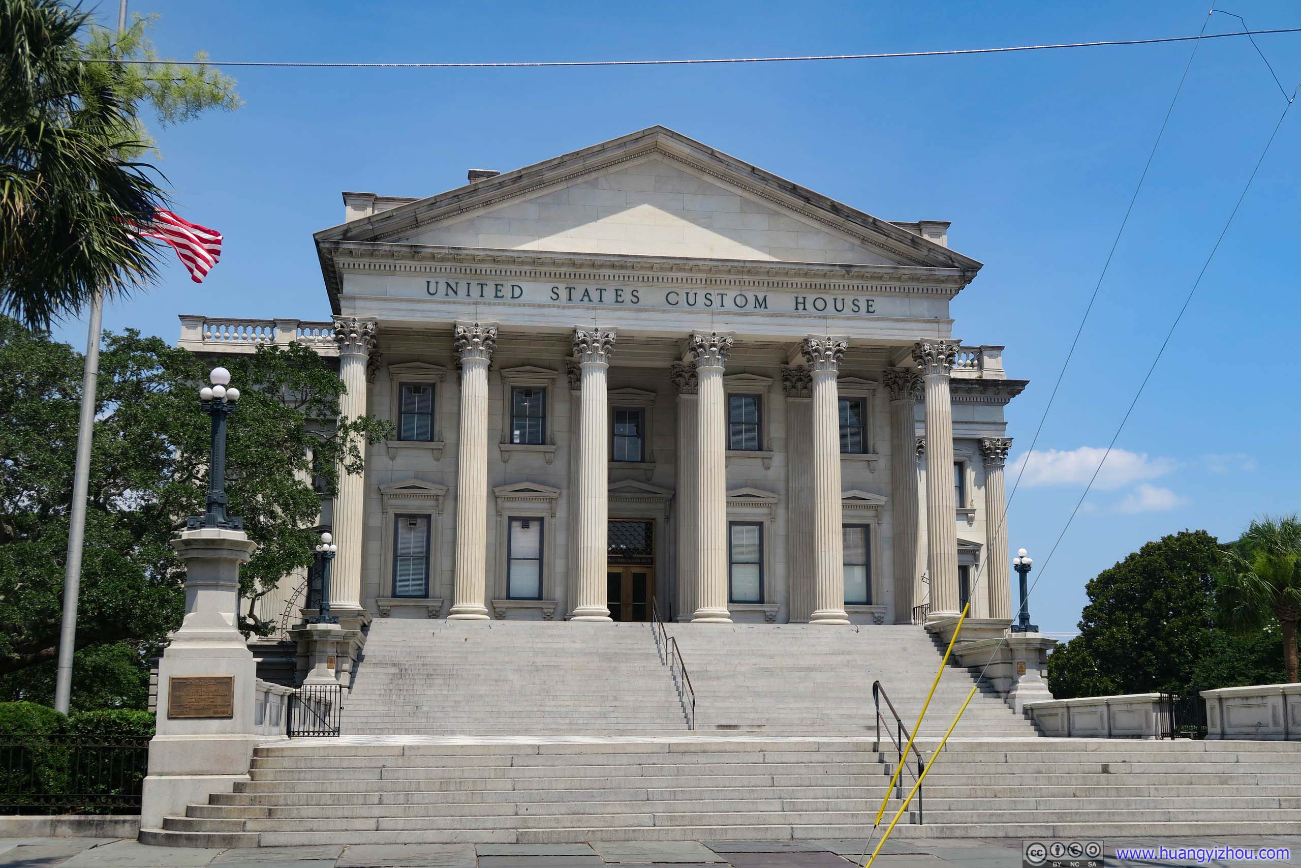
Custom HouseThe building looked pretty historic but it’s an operational US Customs site.
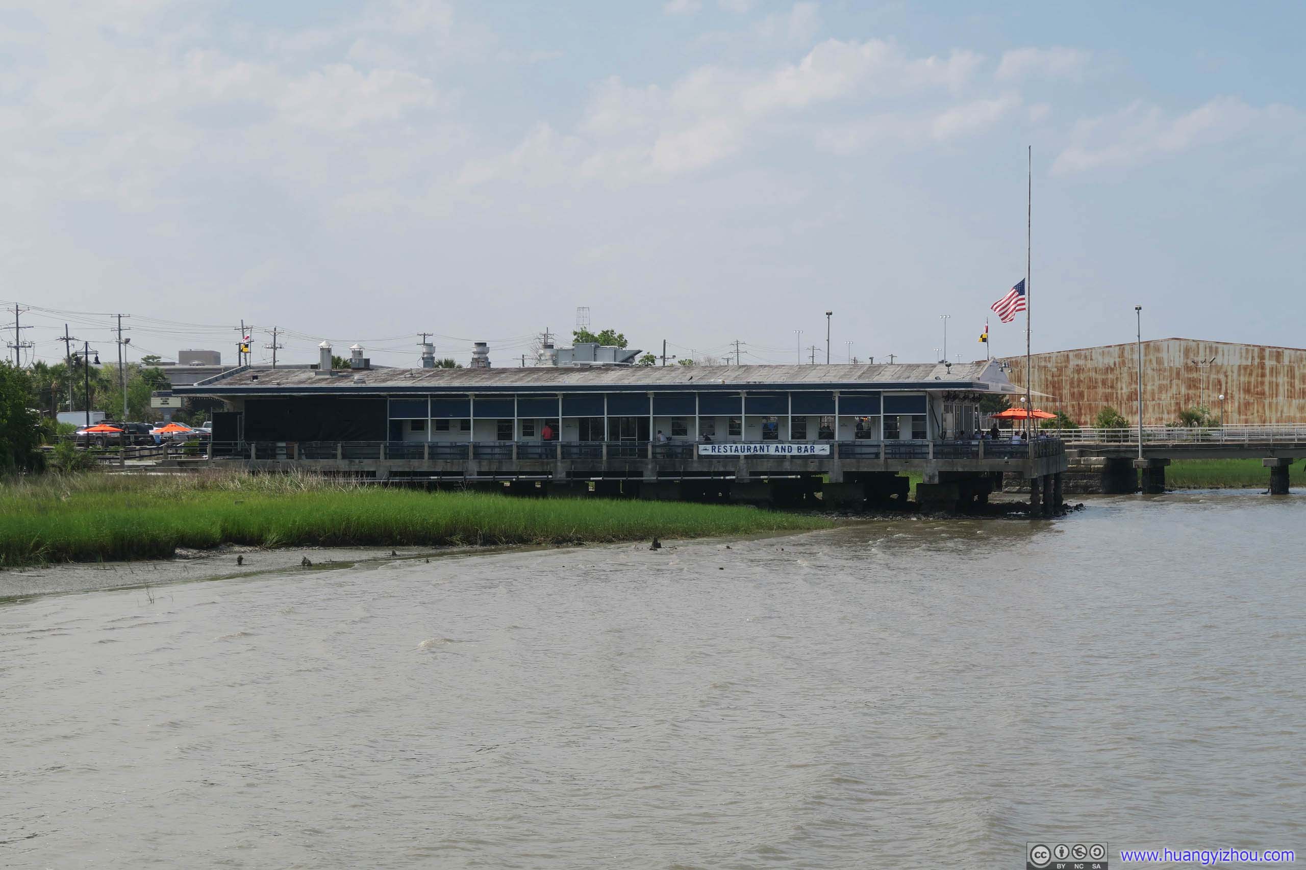
Fleet Landing Restaurant
After we landed in Charleston, my friend picked this Fleet Landing Restaurant by the water to celebrate an auspicious occasion.
The building used to be the home of the Cooper River Ferry that shuttled folks across the river to Mt. Pleasant and the neighboring barrier islands. A hurricane struck Charleston in 1940 and damaged the ferry building. US Navy then constructed the current building in 1942 and used it for various purposes until 1970. Then the building stood vacant until 2003 when current restaurant owners took over and renovated it into a dining facility. Source: Menu page of Fleet Landing Restaurant.
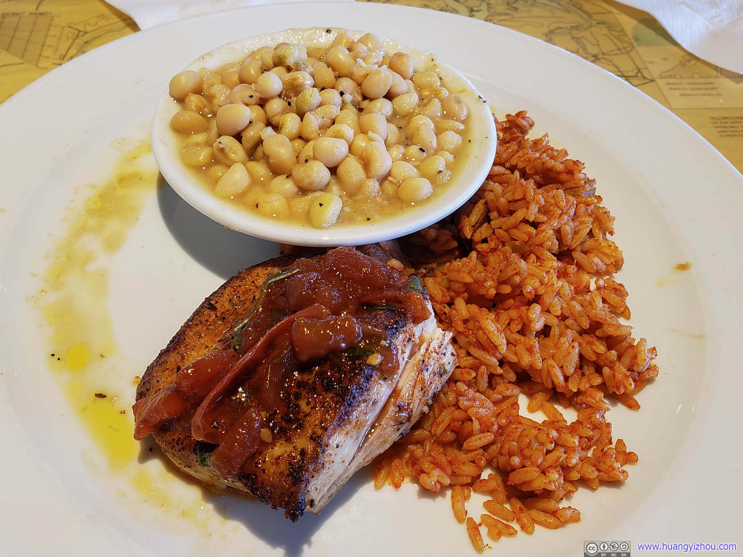
Lunch/Dinner
After that, we began our walking tour of downtown Charleston. Unfortunately, it was already 4pm so most buildings/attractions were either closed or closing. So, it was a rather casual walk.
Charleston Walking Tour
Here’s GPS tracking:
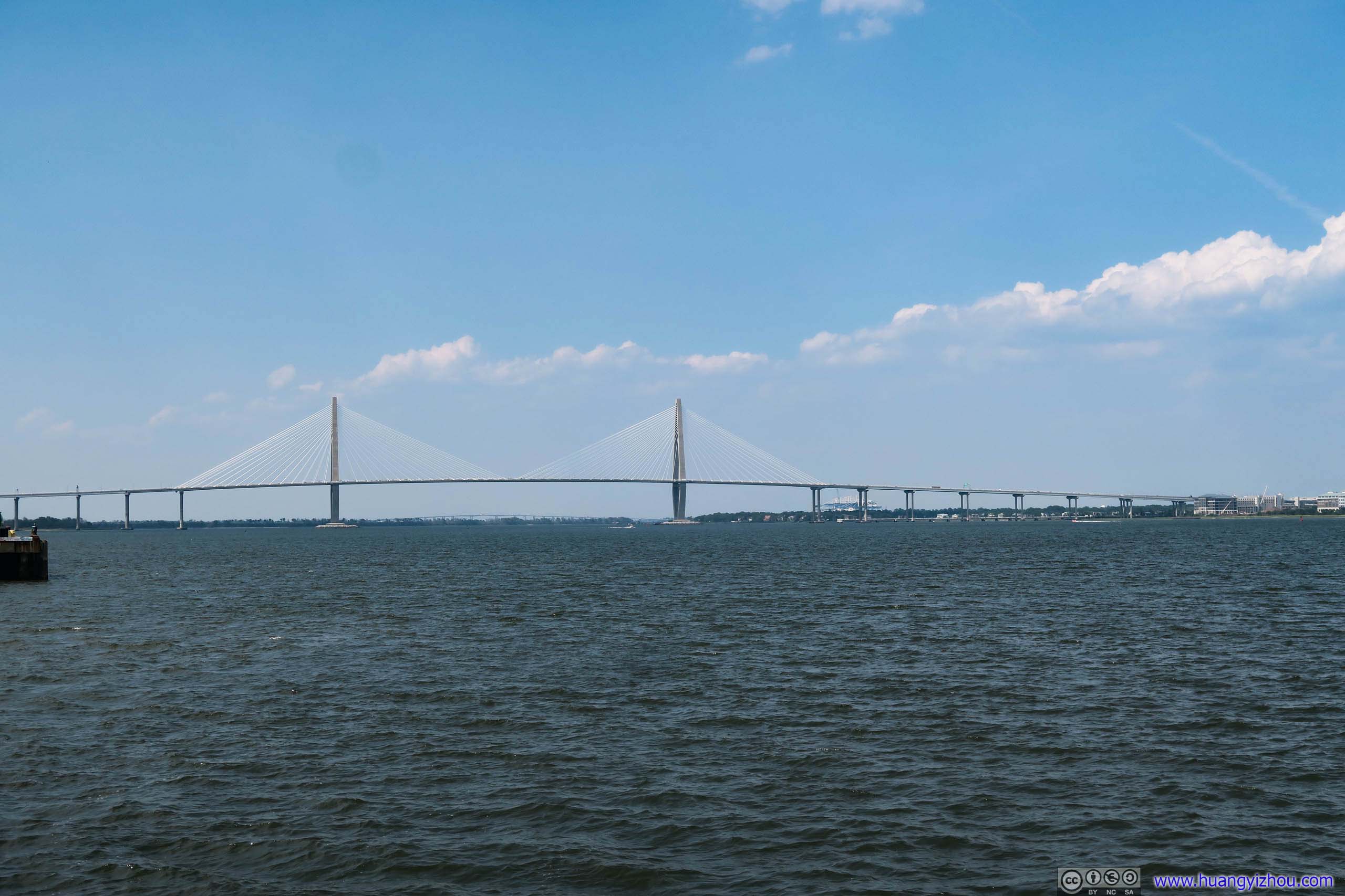
Arthur Ravenel Jr. Bridge

Castle Pinckney and Fort Sumter
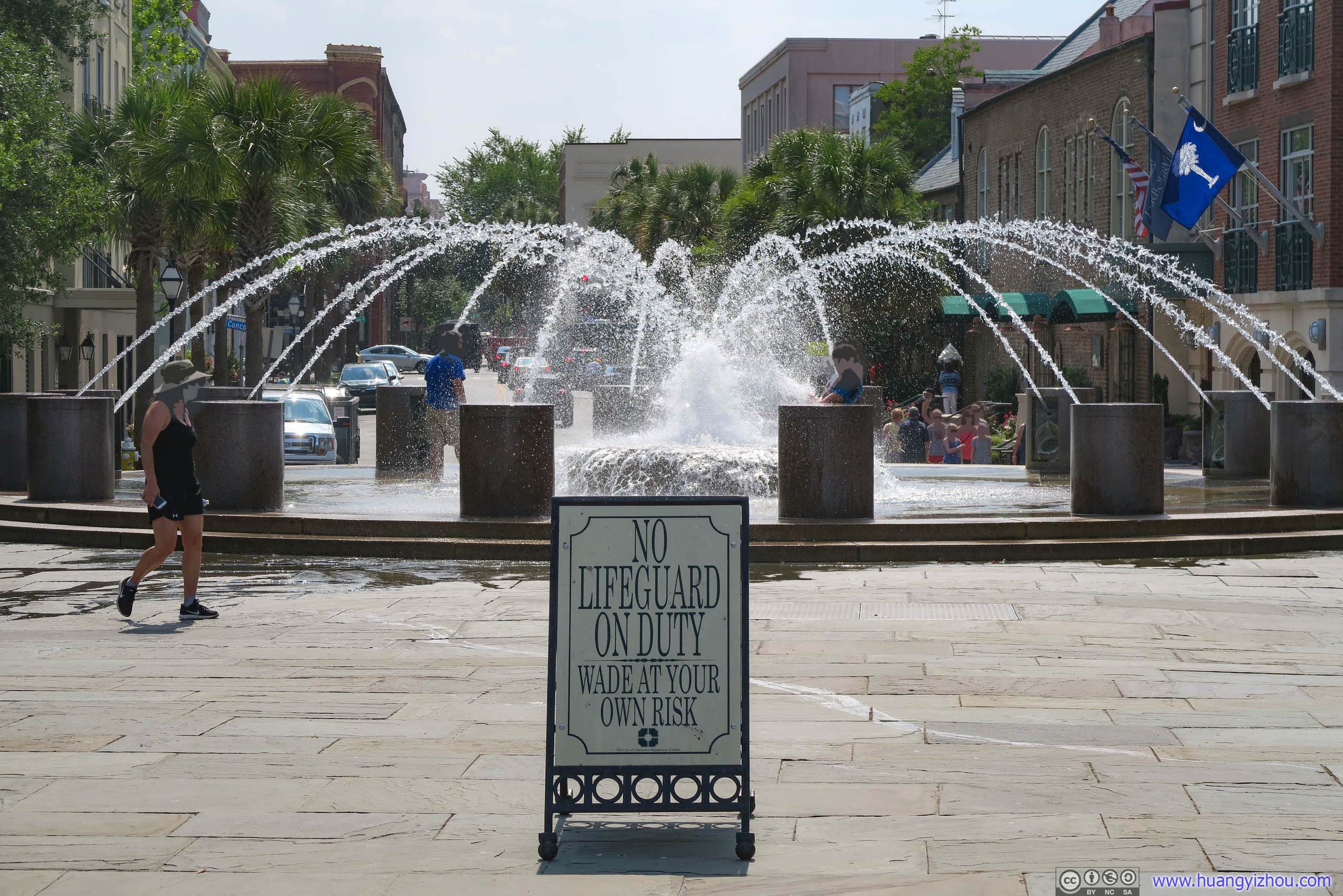
OverprotectionBefore this, the most absurd warning sign I saw was 0.3-meter-deep water. Until the city of Charleston told me wading in a fountain could also be dangerous.
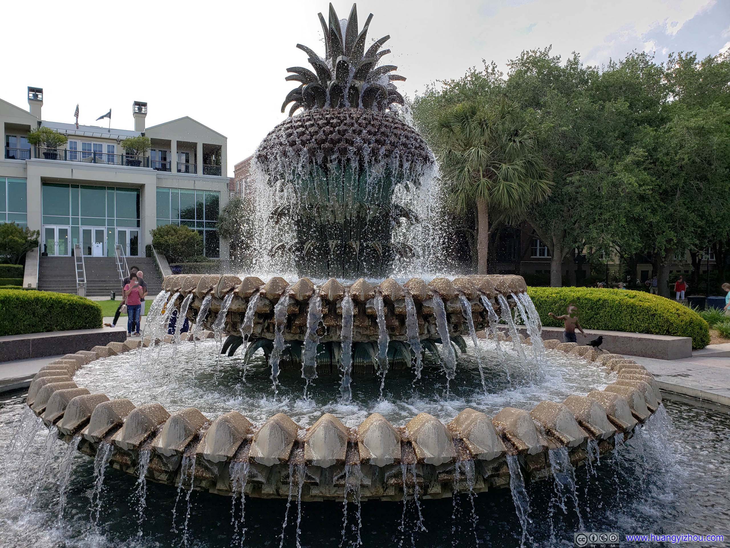
Pineapple Fountain
Marble StreetSigns of a city that has seen history.
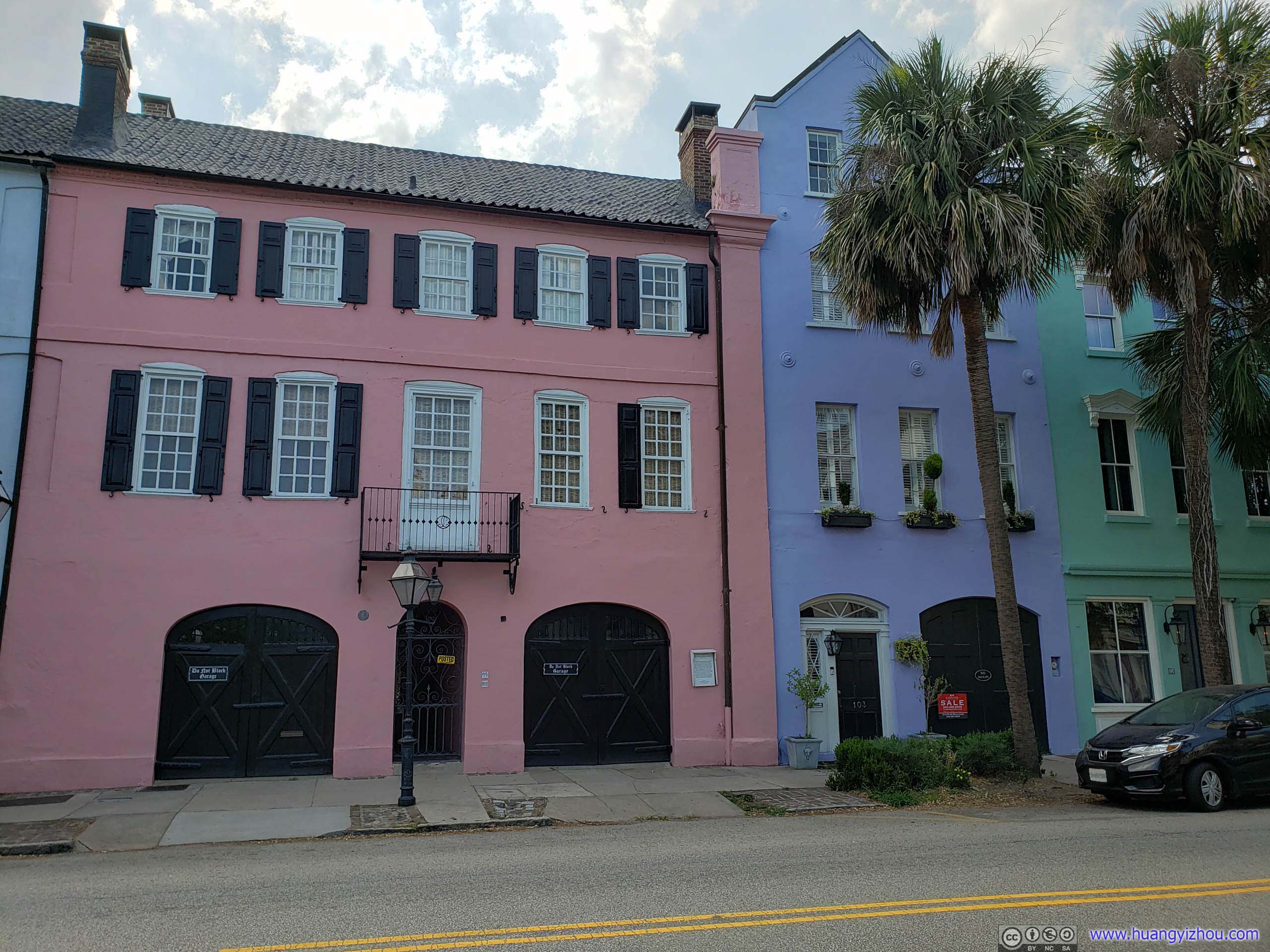
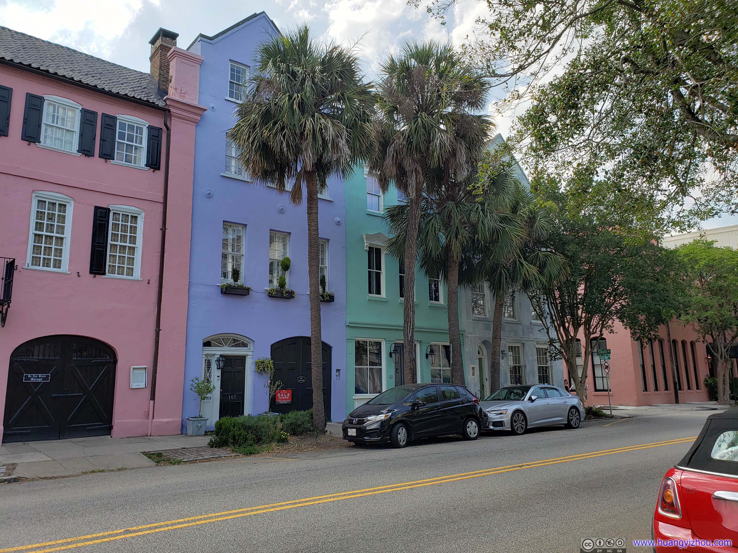
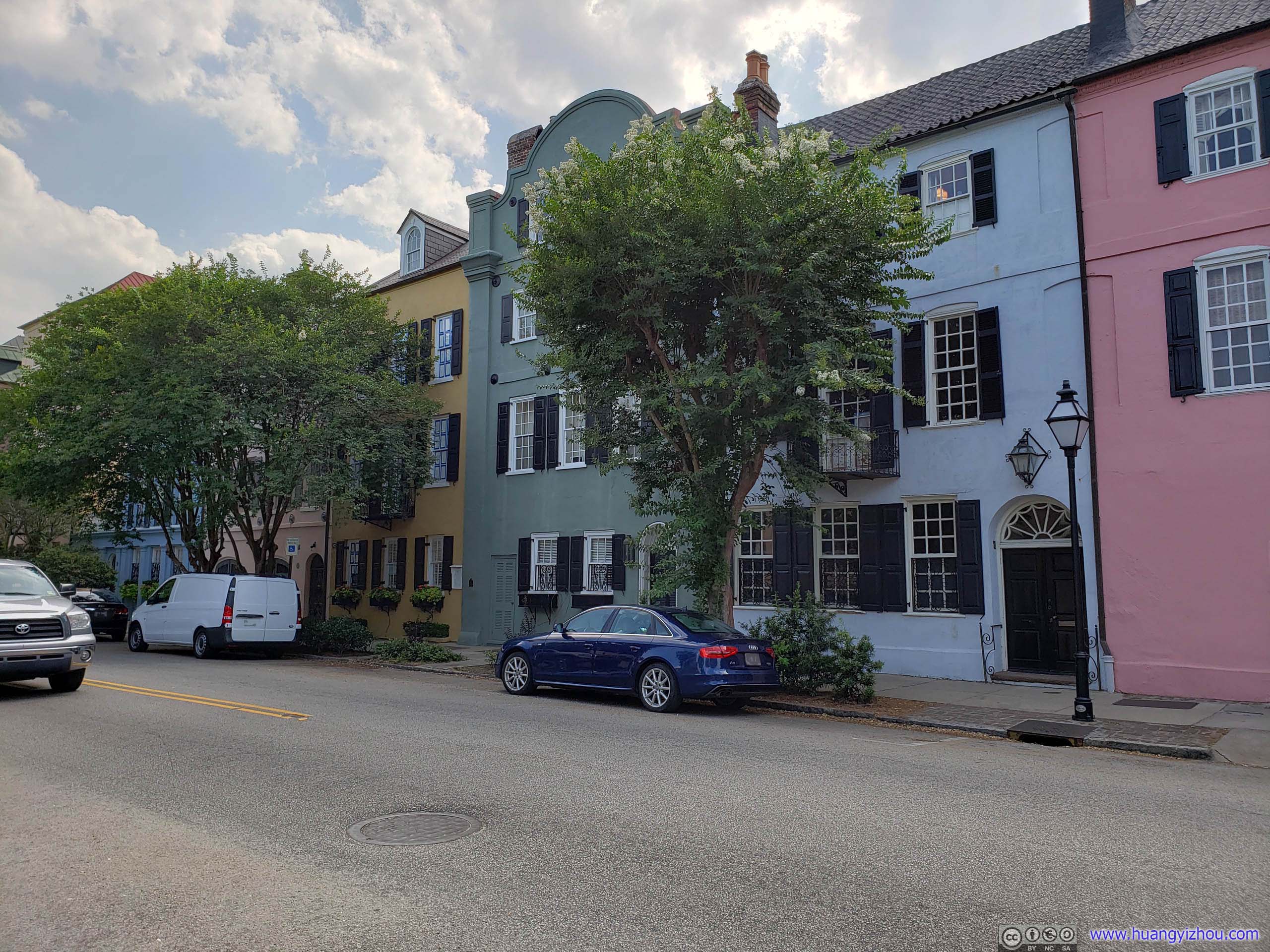
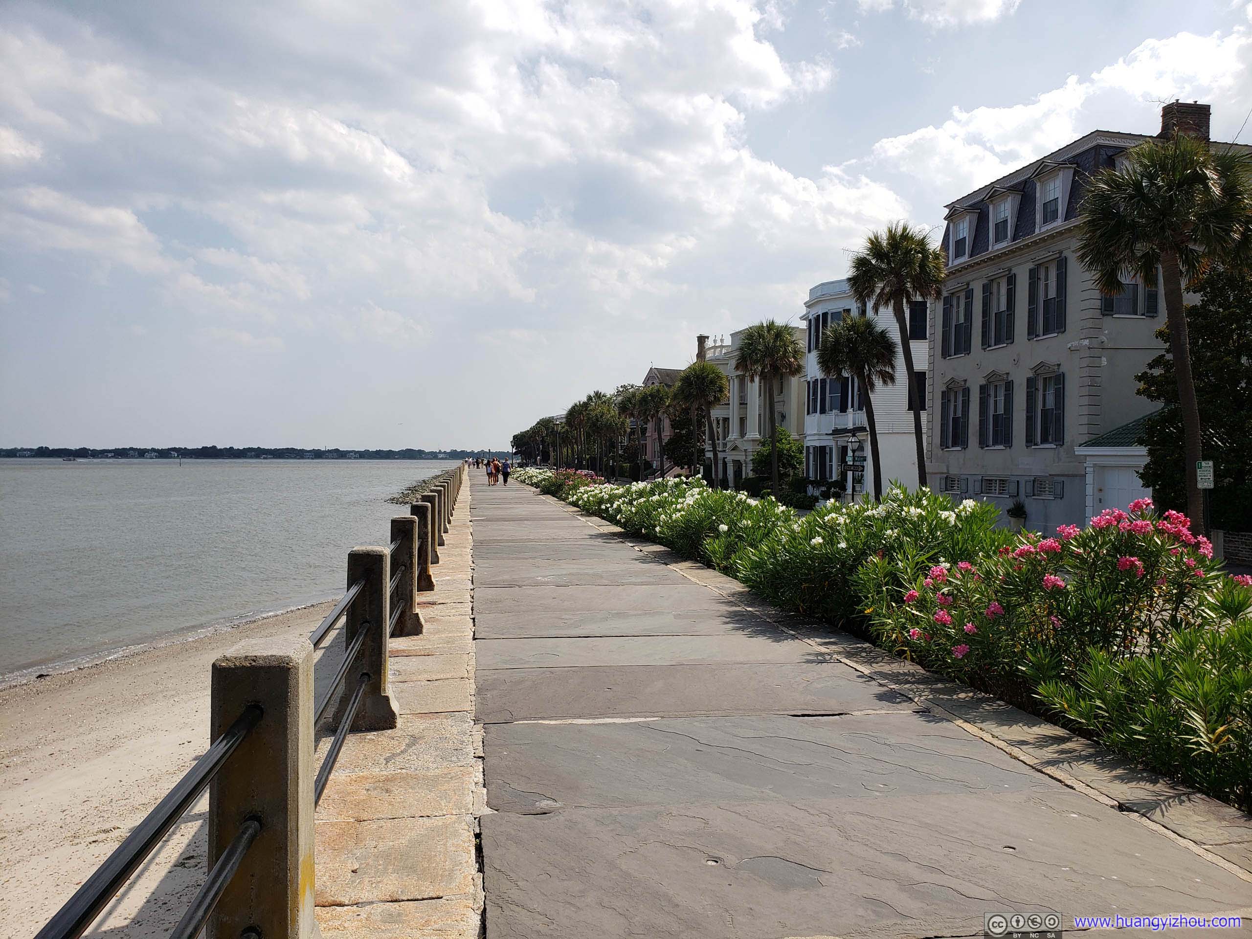
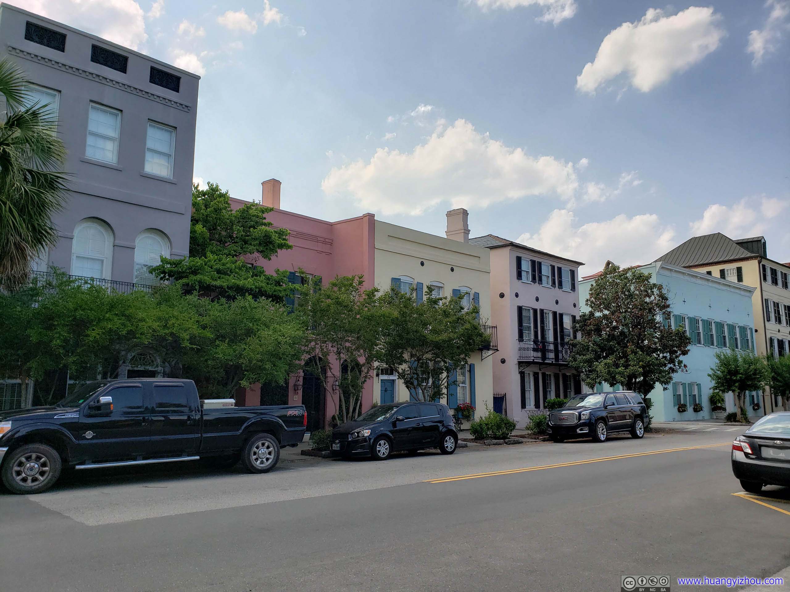
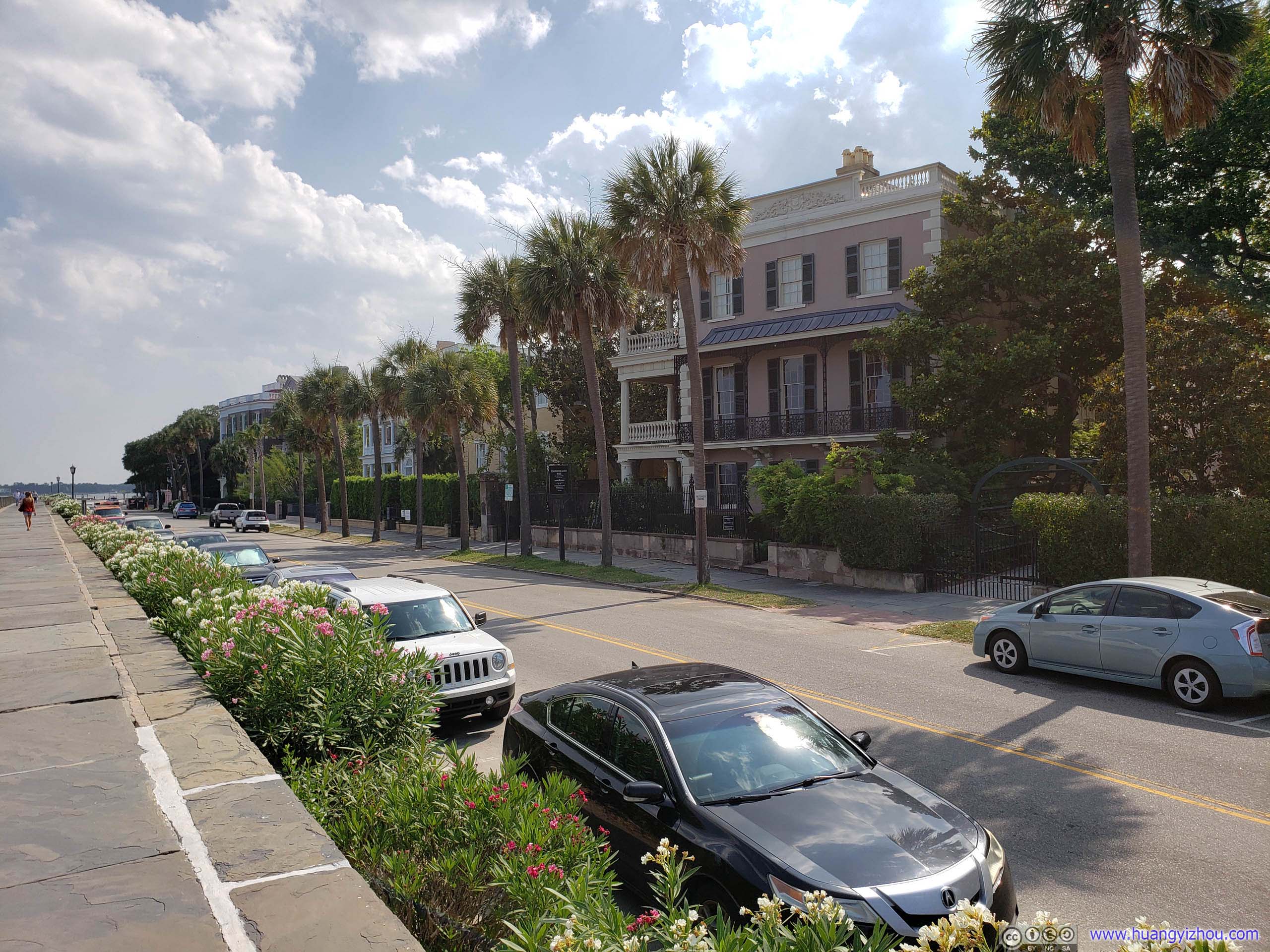
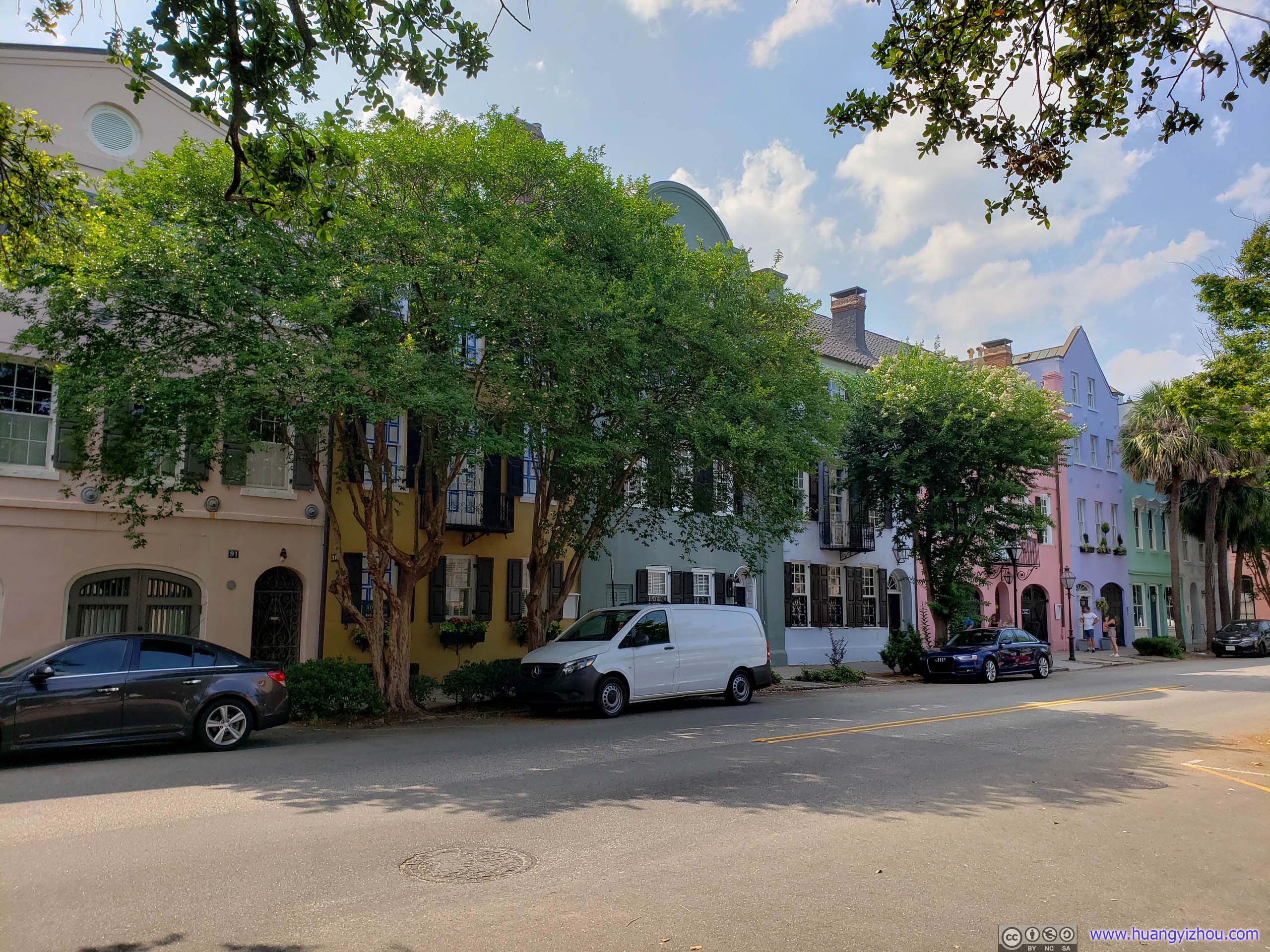 Rainbow RowThe longest cluster of Georgian row houses in the United States painted in pastel colors. For reference en.wikipedia.org/wiki/Rainbow_Row
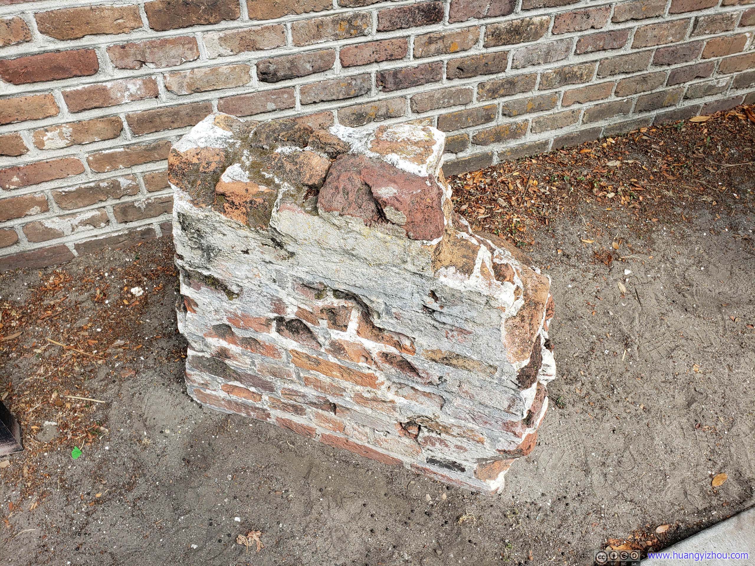
Then we came past South Adger’s Wharf where a section of Charleston’s original city wall was buried underground.
Click for detail about South Adger’s Wharf Archaeology
In 2008 and 2009 archaeologists dug through 10 layers of soil representing 300 years of Charleston’s history here at South Adger’s Wharf. They found the Tradd Street redan in nearly perfect condition! The brick redan was five feet wide and eight feet tall. The wall was supported by cypress piles. The parapet, which had been pushed over and buried with the redan, would have added at least three more feet to the structure. Seven-foot pales were driven into the mud in front of the redan to form a palisade. The area between the palisade and the redan was filled with ballast stones, oyster shells, and brick fragments. This helped stop seawater from undermining the redan.
From official information board.
Location of Redan
Click for detail about Walled City of Charles Town
In 1670 English men and women established the Carolina settlement at Albemarle Point on the Ashley River, the present day site of Charles Towne Landing State Park. Ten years later, the settlers moved their town to its location here on the peninsula. By the 1690s there was a formal plan to enclose 62 acres of the settlement within a brick and earthen fortification to protect its residents from the French, Spanish, and hostile Indians.
Anatomy of the Walled City
The engineering plans for the walls likely were based on European design principles for fortifications. The seawall or curtain wall that fronted the Cooper River, as well as the bastions, redans, and the Half Moon Battery, were built of hand-made bricks to protect the town against a sea assault. The seawall was six feet wide at the base and extended some 15 feet above the low tide line.
Historians and archaeologists have found few records that describe how the landward walls were constructed. They believe these fortifications were made by digging a ditch to create a moat and piling up the excavated earth to form walls that were strengthened with wood. They think these walls were 8 to 10 feet high.
Charles Town’s fortifications were completed by 1711. Bastions or small forts named for Lord Proprietors Granville, Craven, Colleton, and Carteret were constructed at each corner of the walled city. Three triangular redans were constructed in the wall along the Cooper River. A drawbridge guarded the land entrance at Meeting and Broad streets.
The Half Moon Battery stood at the foot of Broad Street to provide a formal entrance to the town from the water. Charles Town was the only British walled city built in North America.
From official information board.
Section of Parapet
Pavement by Ocean
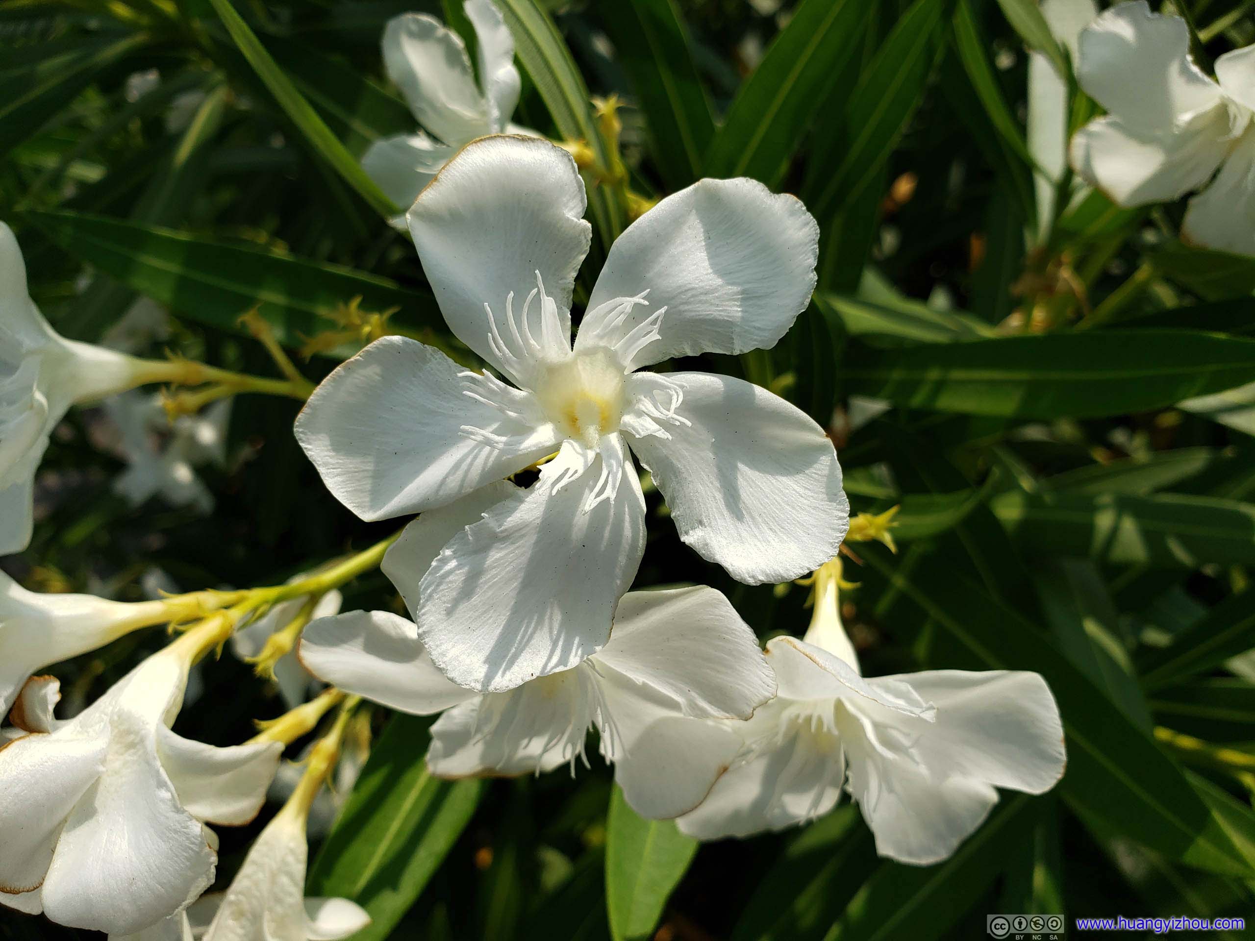
Flower
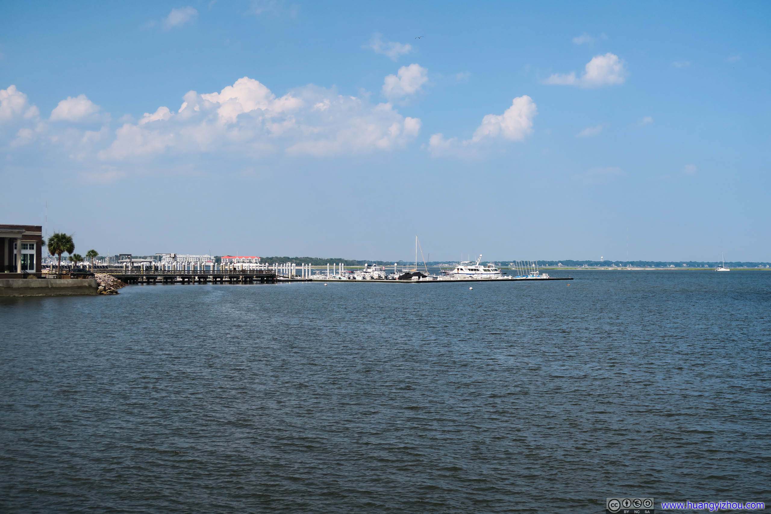
Carolina Yacht Club
Click for details about Seizure of the Planter
Early on May 13, 1862, Robert Smalls, an enslaved harbor pilot aboard the Planter, seized the 149-ft. Confederate transport from a wharf just east of here. He and six enslaved crew men took the vessel before dawn when its captain, pilot, and engineer were ashore. Smalls guided the ship through the channel, past Fort Sumter, and out to sea, delivering it to the Federal fleet which was blockading the harbor. Northern and Southern newspapers called this feat “bold” and “daring”. Smalls and his crew, a crewman on another ship, and eight other enslaved persons including Small’s wife, Hannah, and three children won their freedom by it. Smalls (1839-1915) was appointed captain of the Planter by a U.S. Army contract in 1863. A native of Beaufort, he was later a state legislator and then a five-term U.S. Congressman.Source: street information board
 Street
White Point Garden

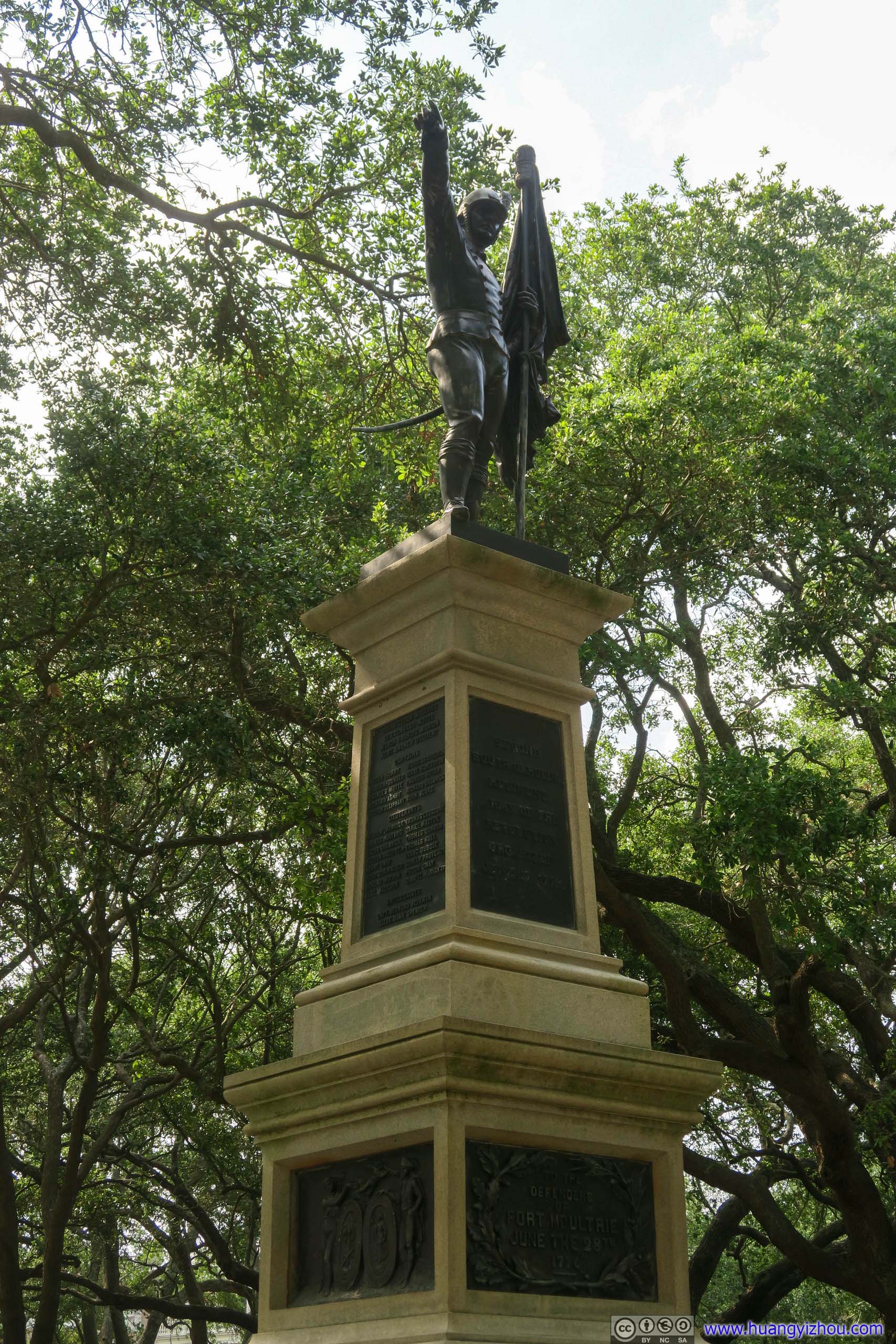
Statue of William Moultrie
Click for details
This Monument represents the high esteem in which all who love freedom hold Charleston’s native son, William Moultrie. Born November 23, 1730, Moultrie served in the Royal Assembly from 1752 until 1773. He was Aide-de-Camp to Governor William Lyttleton in the 1759 offensive on the southern frontier to suppress pillaging by the Cherokee Nation. In 1760, Moultrie was promoted to captain in Colonel Thomas Middleton’s Provincial Regiment and rose to further prominence after serving in the Cherokee Expedition of 1761. He was elected to the First Provincial Congress in 1774. On June 17, 1775, he earned the commission of Colonel in the Second South Carolina Regiment of Foot. ..In command of Fort Sullivan on June 28, 1776, Moultrie defeated a combined land and sea assault by the British under the command of Major General Henry Clinton and Commodore Peter Parker. Moultrie’s unexpected victory gave the American forces hope in their cause, and he became a national hero. It was during this command that he chose for his garrison a flag consisting of a crescent moon on a field of blue. Commissioned a Brigadier General in the Continental Army on September 16, 1776. Moultrie, second in command of Charleston’s defense, was captured on May 12, 1780, when the city fell. He remained imprisoned until exchanged for Major General John Burgoyne in February 1782. He was appointed a Major General on October 15, 1782. ..He was elected Lieutenant Governor of South Carolina in 1784 and served as Governor from 1785 until 1787. Under his leadership, the government divided the state into counties, created the County Court System, and moved the State Capital from Charleston to Columbia…He served a second term as Governor from 1792 to 1794, when he retired from public office…William Moultrie died in Charleston on September 27, 1805 and is buried on Sulivan’s Island near the site of his 1776 victory. The highest ranking military officer from South Carolina during the Revolution, he remains honored by his countrymen for his valor, patriotism and public service.Source: back of statue
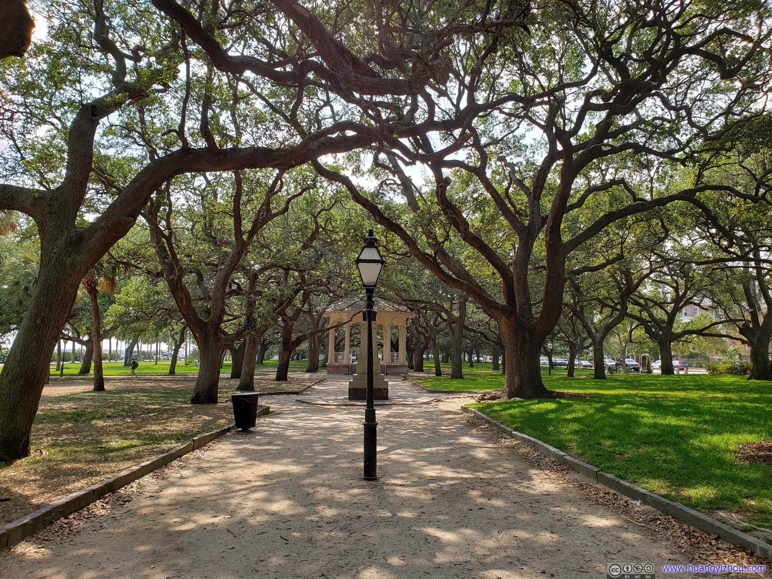
White Point Garden
After reaching White Point Garden, which was the southeastern point where downtown Charleston meets ocean, we headed back.

Birds and NestsNo, after seeing so many creatures overhead we didn’t want to take any rest here.
Second Regiment MonumentOf American Revolutionary War.
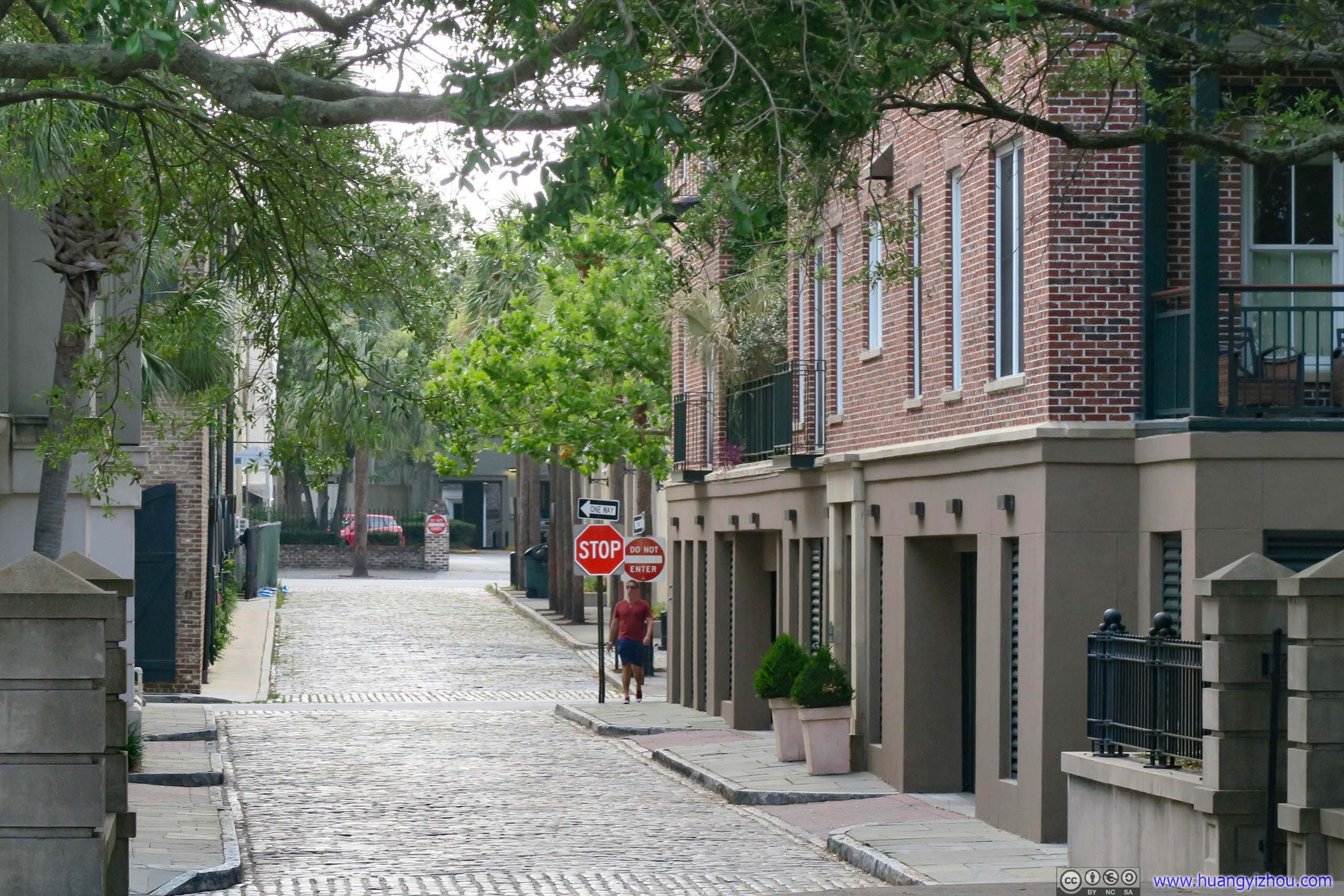
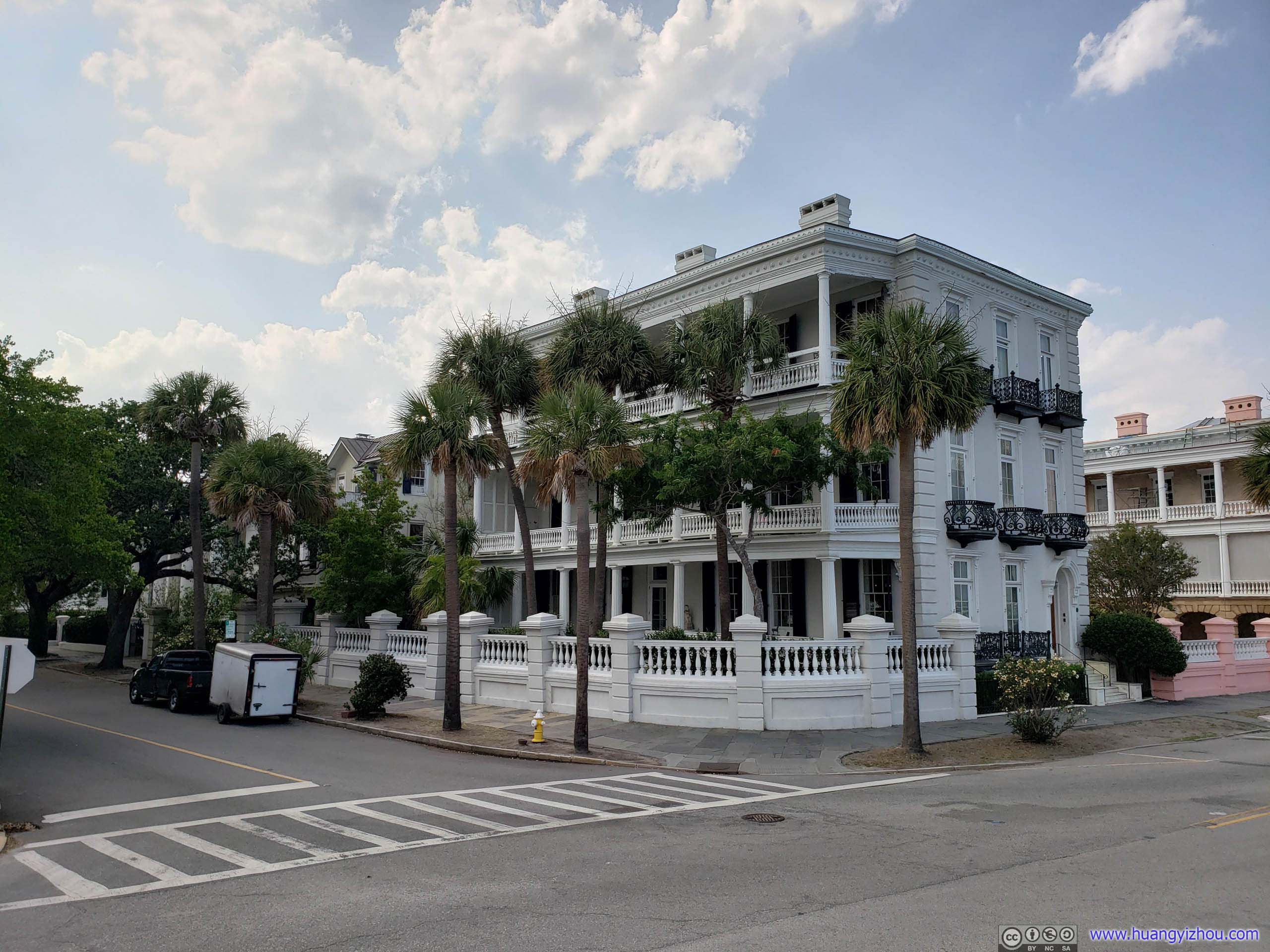
Once off the main streets, we found ourselves in back alleys among lovely villas that’s also well-maintained history. Among these were often mansions for important figures in history. Unfortunate, it’s past their closing time so we could only admired their exterior outside.
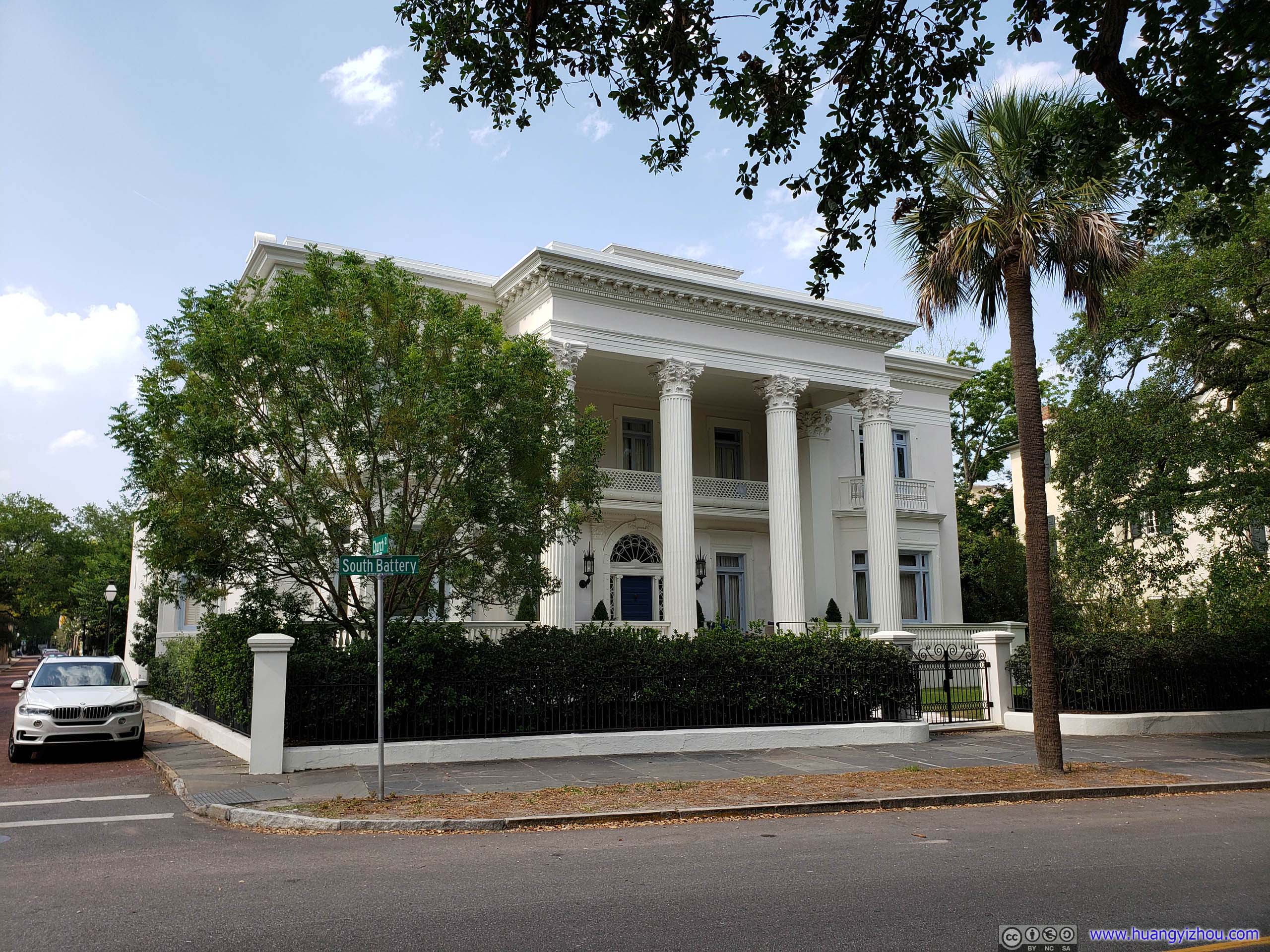 Villa
Villa
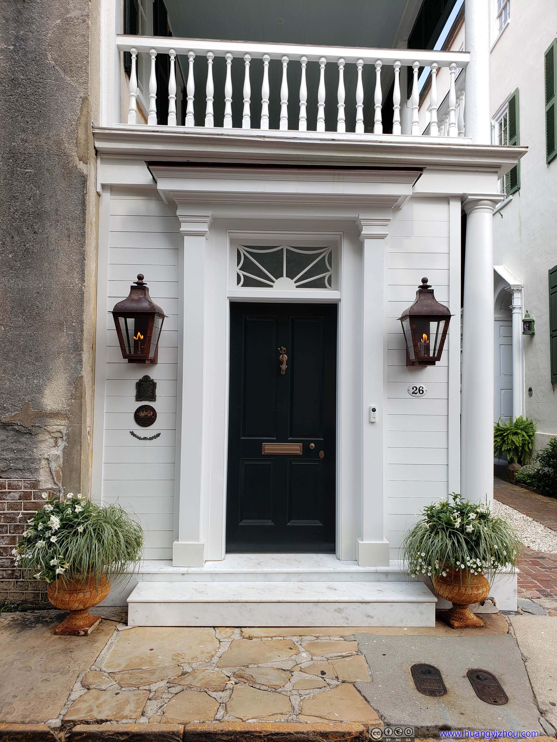
DoorwayGosh they got live flames.
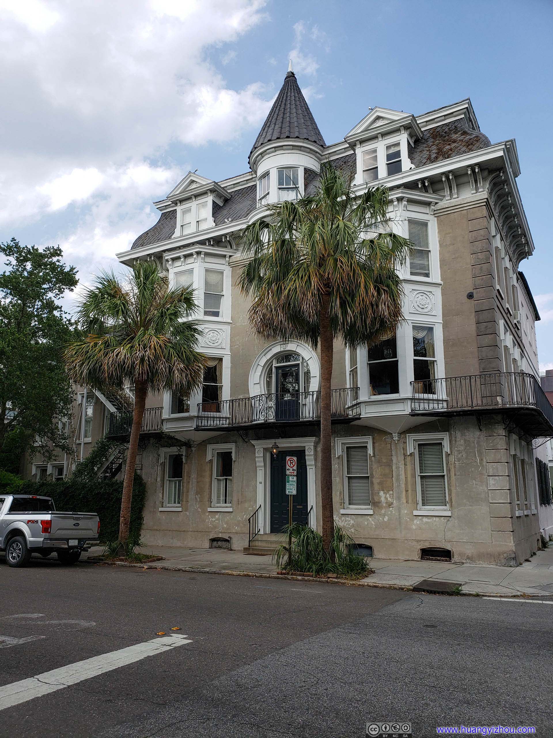
VillaI would call this castle in the city.
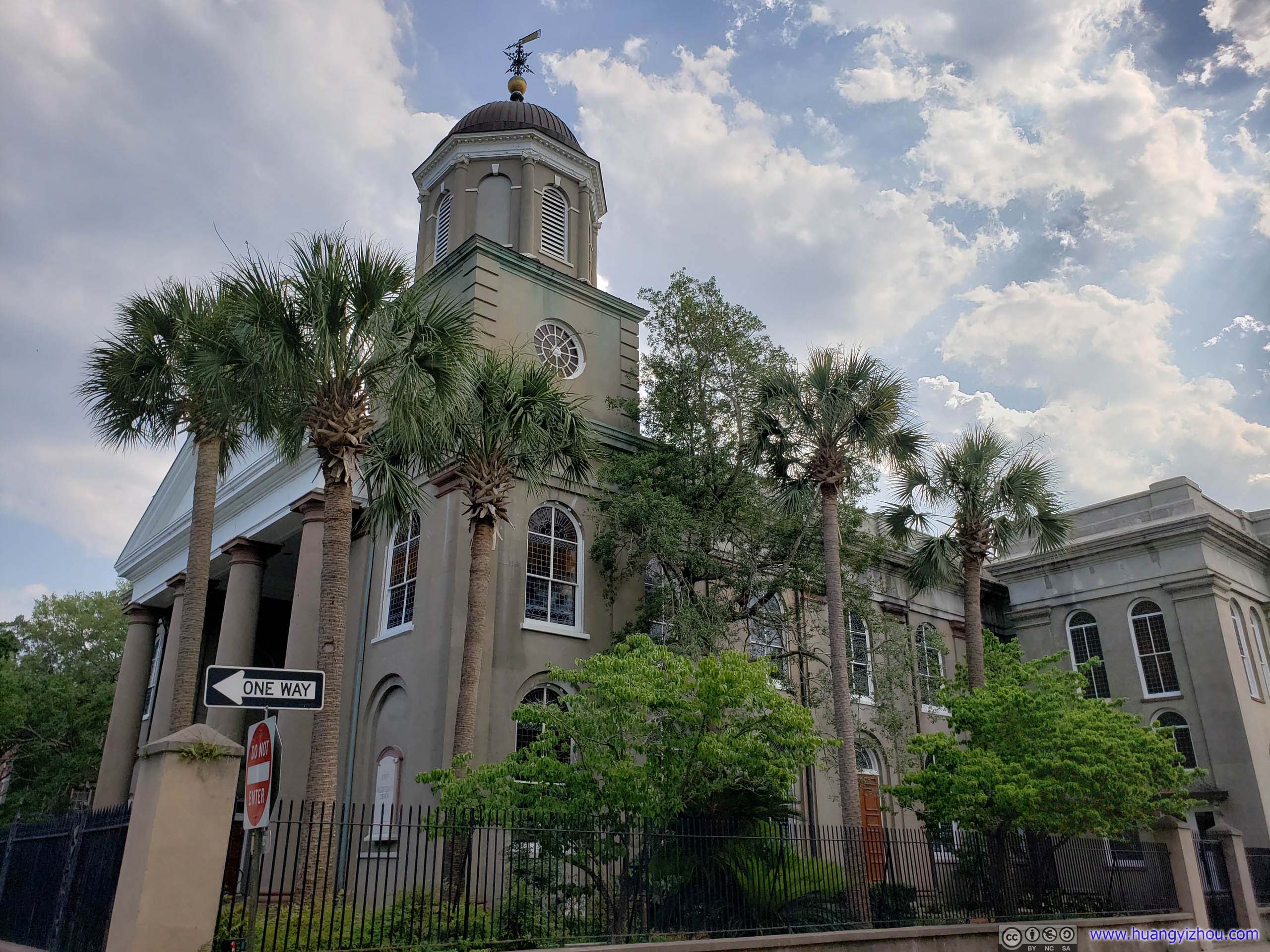
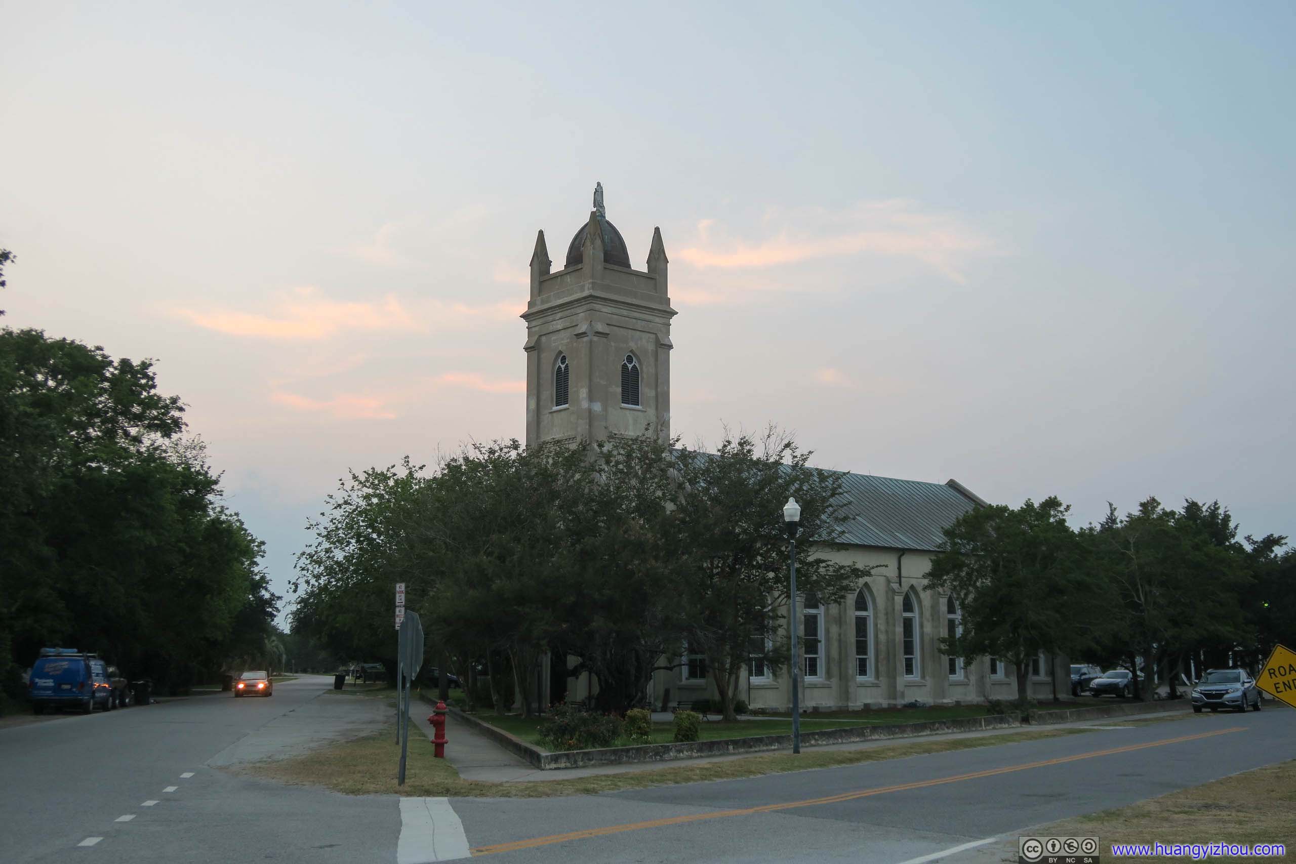
First Scots Presbyterian Church
Four Corners of Law
Not long after that we reached the intersection of Meeting and Broad Streets, which was called “Four Corners of Law” with the presence of institutions representing federal, state, local and ecclesiastical law on each corner of the intersection.
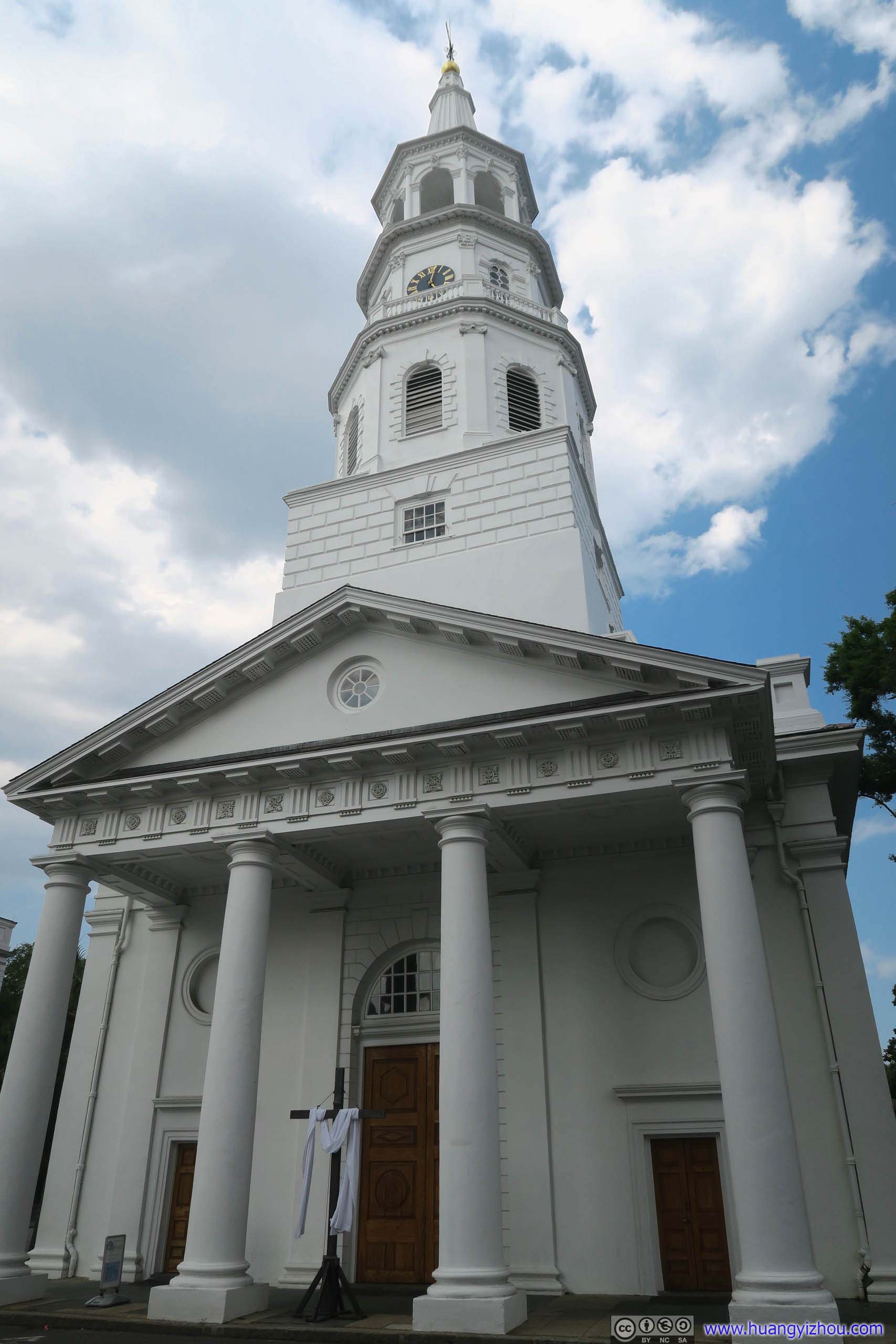
Saint Michael’s Church
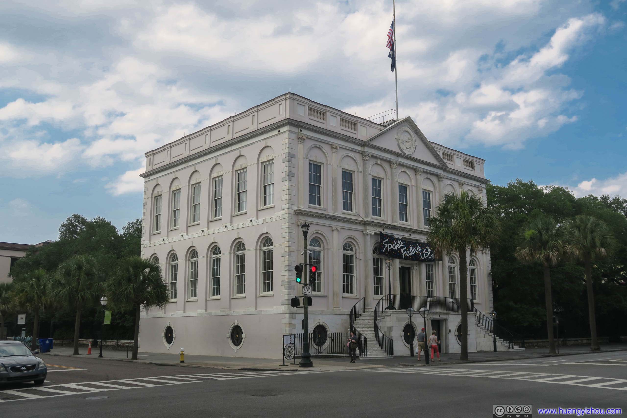
Charleston City HallThat banner made it look like some night bar.
On other two corners were Charleston County Courthouse and United States Post Office and Federal Courthouse, completing the four corners of law.
It seemed to my friend and I that South Carolina was so desperate to wash off its notoriety as the first state to secede from Union for slavery, that they set up two posts near the intersection, one praising South Carolina Constitutional Convention of 1868, another praising Judge J. Waties Waring that went against “separate but equal” in education. I doubt these posts would do much good given the bigger context.
Click for detail about Posts
Constitutional Convention of 1868
In January 1868 delegates met to rewrite the S.C. Constitution. They convened at the Charleston Club House, which once stood near here. Before the Civil War the Club House was reserved for Charleston’s planter elite, but a majority of the delegates in 1868 were African American, some of them former slaves. The election of delegates to the convention was the first time that African American men voted in S.C.
The 1868 Constitution was a remarkable document for its time. The Declaration of Rights made no distinctions based on race. It created the basis for the state’s first public school system, as proposed by Robert Smalls, and guaranteed black male suffrage two years ahead of the 15th Amendment. In 1895, a new constitution would mandate segregated schools, outlaw interracial marriages, and disenfranchise black men.
US Courthouse and Post Office
This Renaissance Revival building, opened in 1896, is notable for its association with U.S. District Judge J. Waties Waring (1880-1968). Waring, a Charleston native who served here 1942 to 1952, issued some of the most important civil rights rulings of the era. Briggs v. Elliott, the first suit to challenge public school segregation in the U.S., was heard here before three judges on May 28-29, 1951.
Thurgood Marshall and other NAACP Legal Defense Fund lawyers represented Harry and Eliza Briggs and 19 other courageous parents from Clarendon County. In a bold and vigorous dissent opposing the prevailing doctrine of separate but equal, Waring declared that segregation “must go and must go now. Segregation is per se inequality.” The U.S. Supreme Court followed his analysis as a central part of its unanimous decision in Brown v. Board of Education (1954).
From official information board.
Hibernian HallA historic meeting hall that housed 1860 Charleston Convention where the Democratic Party was split on the issue of slavery and failed to select a presidential nominee.
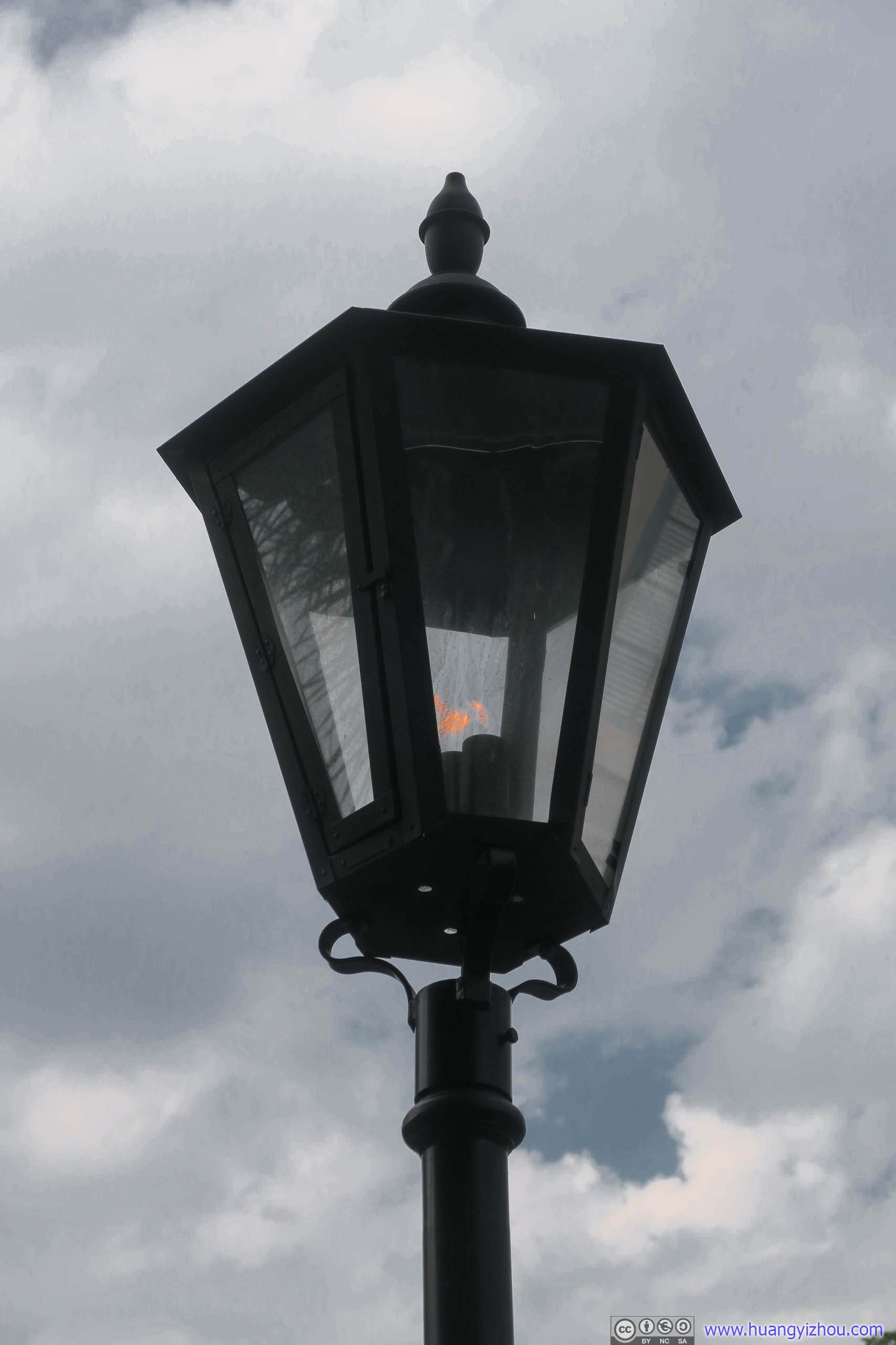
Street Light with Live Flames
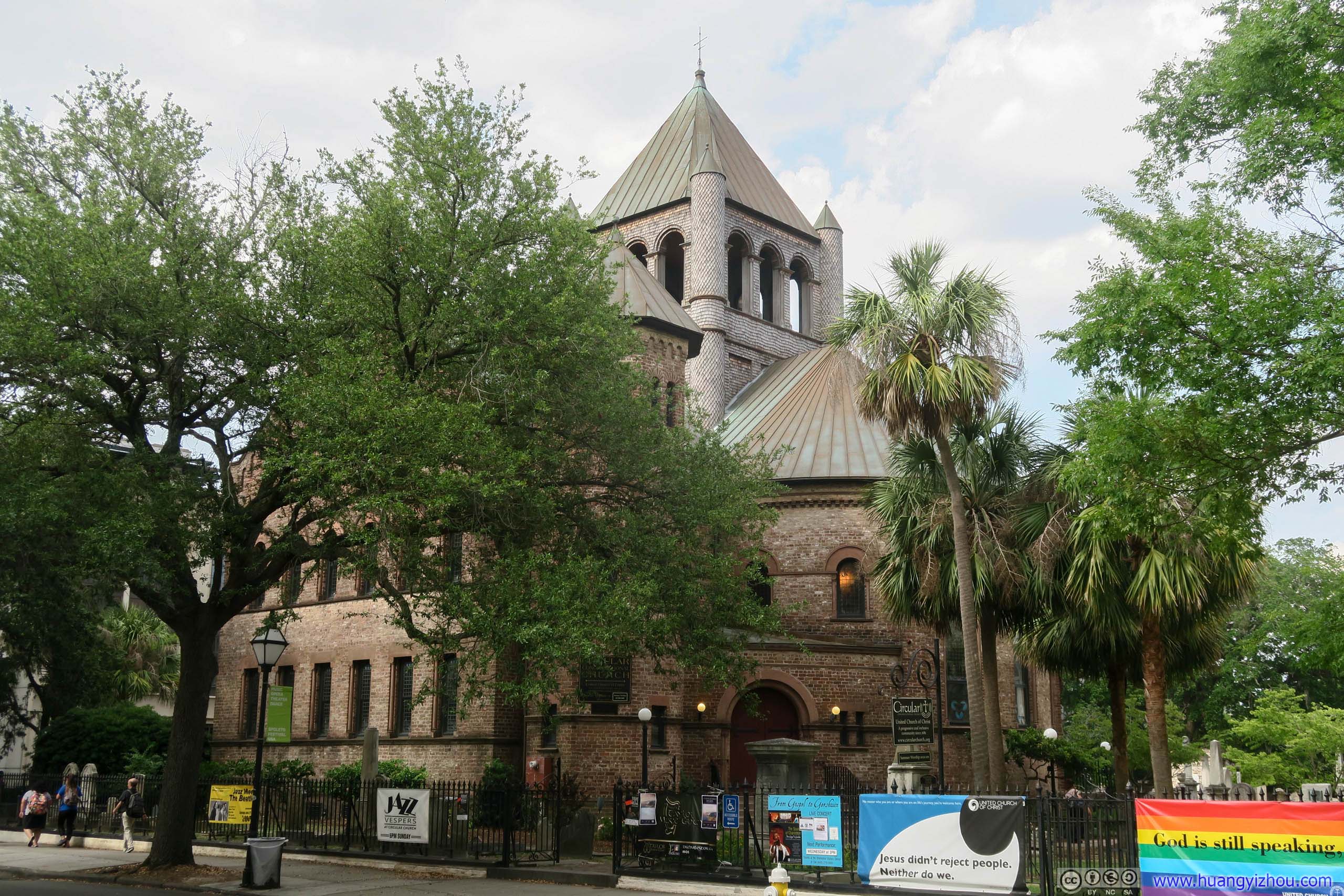
Circular Congregational Church

Gibbes Museum of Art Building
Circular Congregational Church building was closed, but its grounds were still open, that’s where I spotted this little creature in such an urban jungle.
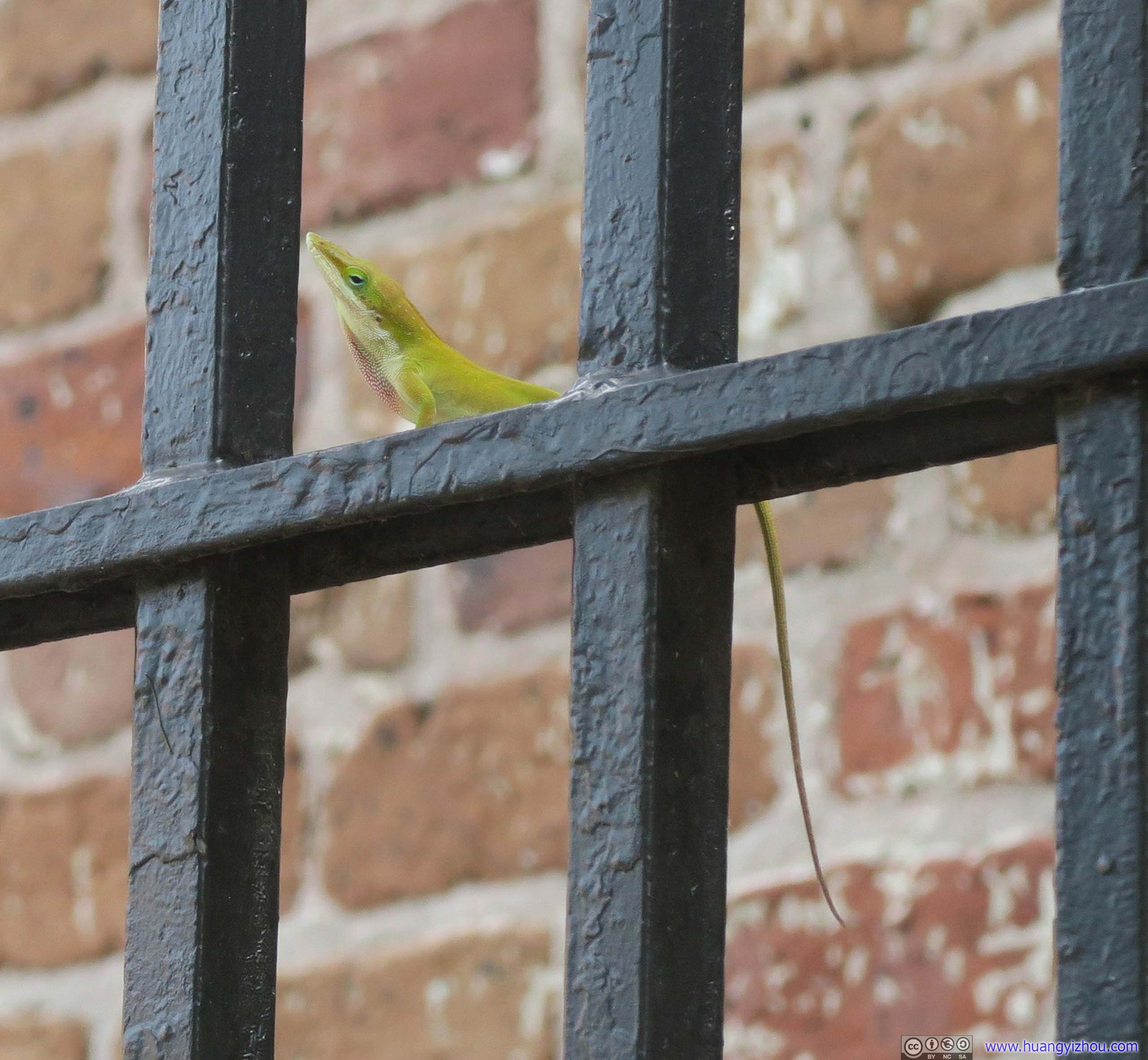
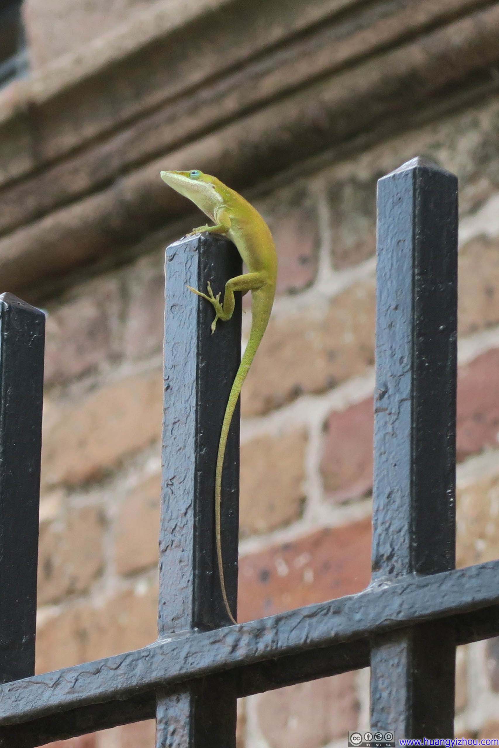 Lizard
Not long after that we wandered back to our hotel in downtown Charleston. After walking for two and a half hours in a blistering summer afternoon I wasn’t feeling the most comfortable, so we headed back to our air-conditioned rooms and relaxed for some time. Since all the important buildings in downtown Charleston were closed by this time, I decided to visit the nearby Isle of Palms Beach for some chilling in the waters.
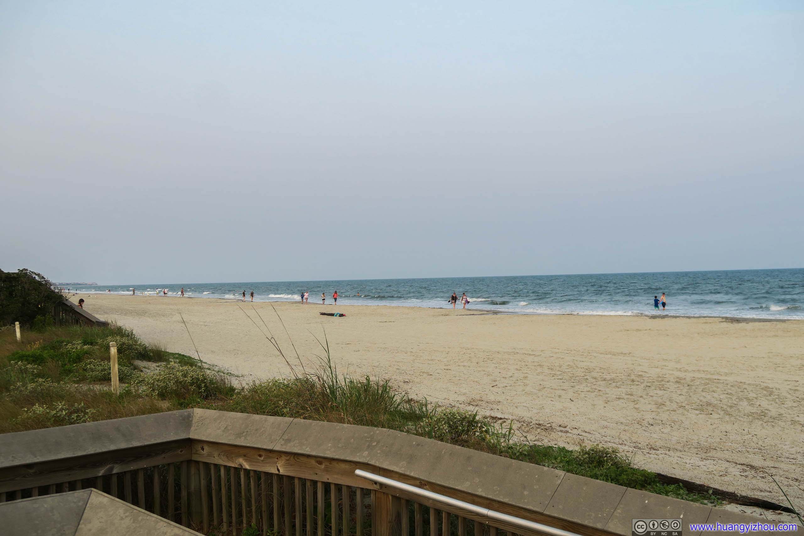
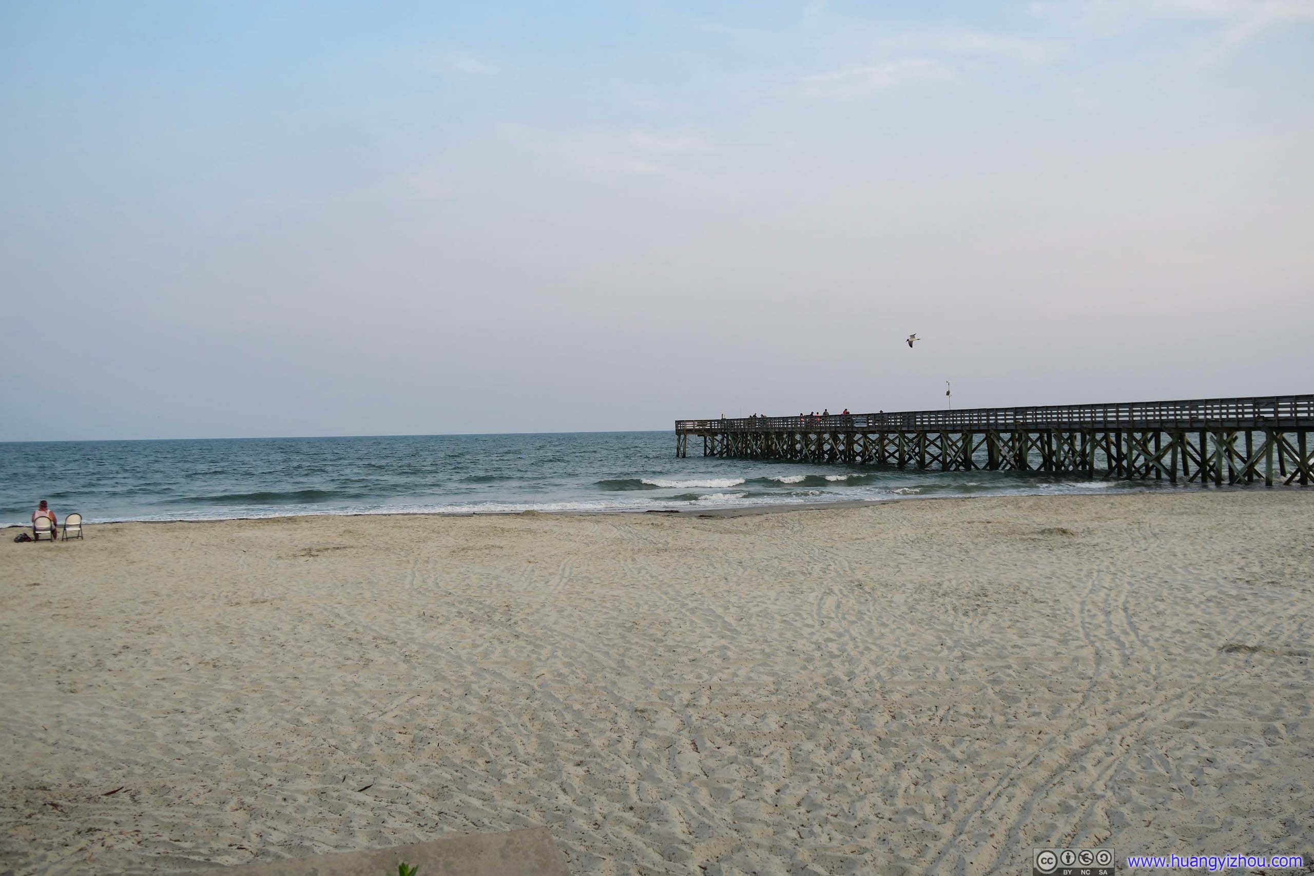 Isle of Palms Beach
We stayed at Isle of Palms Beach until half an hour before sunset. A google search online on places to watch sunset near Charleston yielded two results: beach by Fort Moultrie and Pitt Street Bridge.
Beach near Fort Moultrie
Unfortunately, the beach near Fort Moultrie was shallow and it was high tide by the time we arrived, leaving little room for us to wander around among all the trash that was washed ashore and swarms of bugs. And it was a rather cloudy day concealing the setting sun. The best of my photoshopping can only get my photos so far.
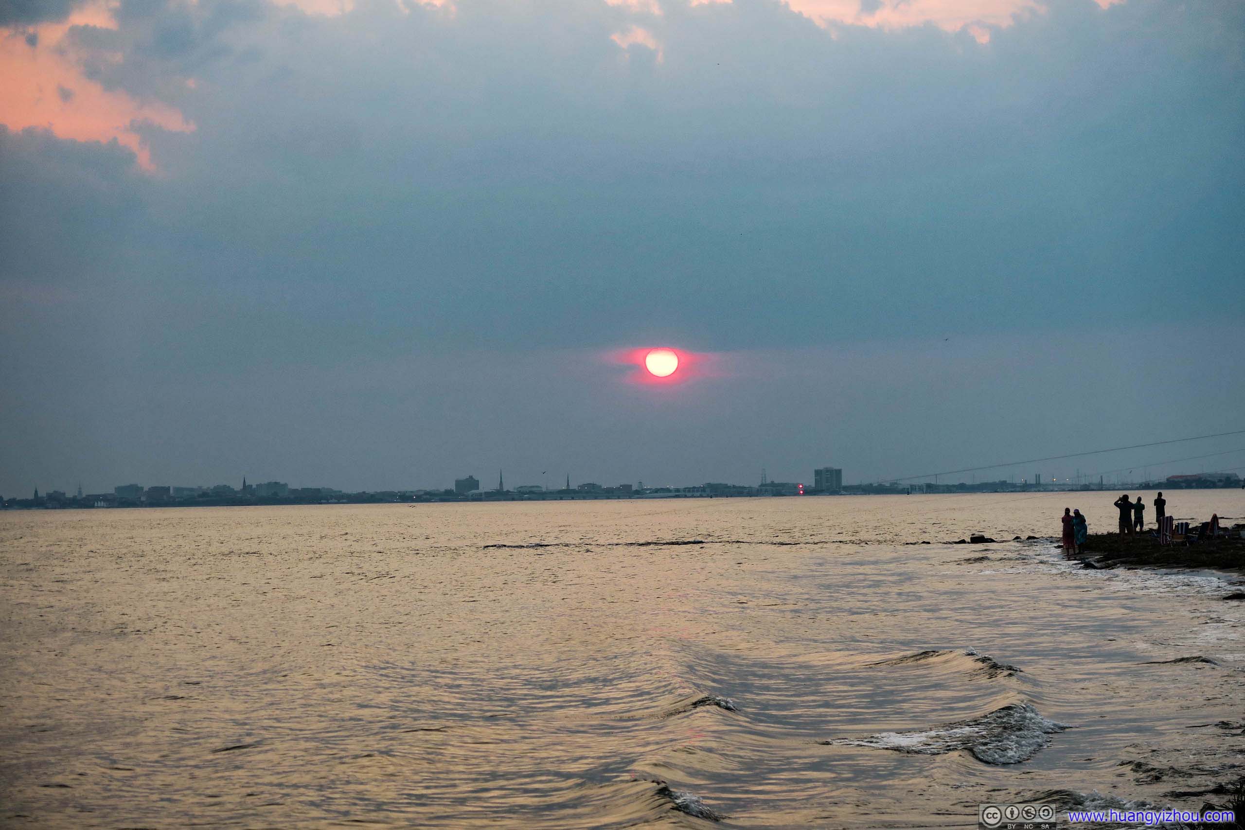
Setting Sun over City of Charleston
Fort Moultrie Beach
Stella Maris Catholic Church

Fort Moultrie
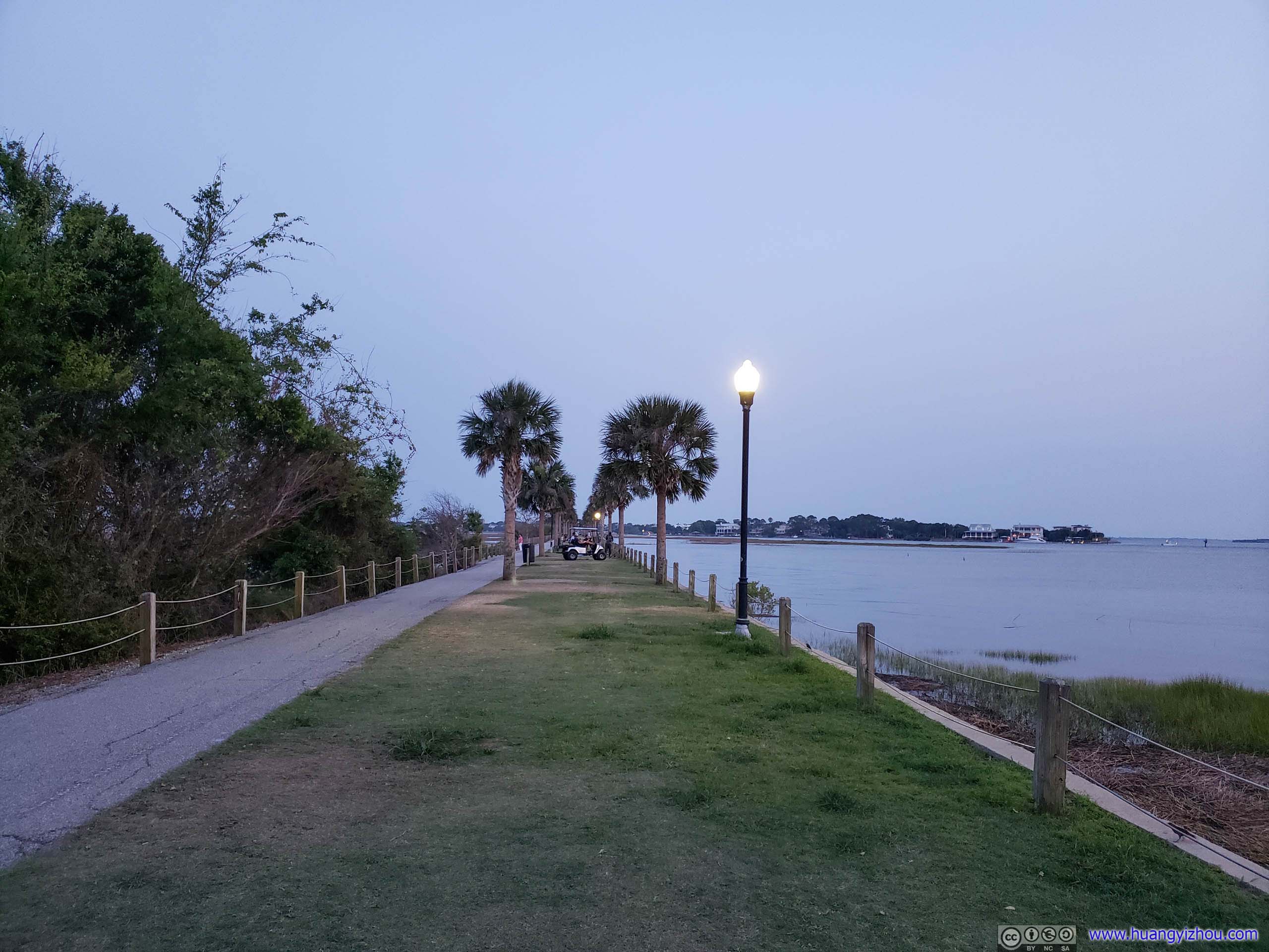
So we immediately headed over to Pitt Street Bridge.
Pitt Street Bridge
Once the only bridge connecting Sullivan’s Island to Mount Pleasant dating back to the Revolutionary War times, the bridge became obsolete after the completion of two nearby modern bridges. Parts of the bridge was burned down and parts being converted to fishing piers, now it was a recreational ground for the locals.
Source: www.scpictureproject.org/charleston-county/pitt-street-bridgehtml/
Pitt Street Bridge
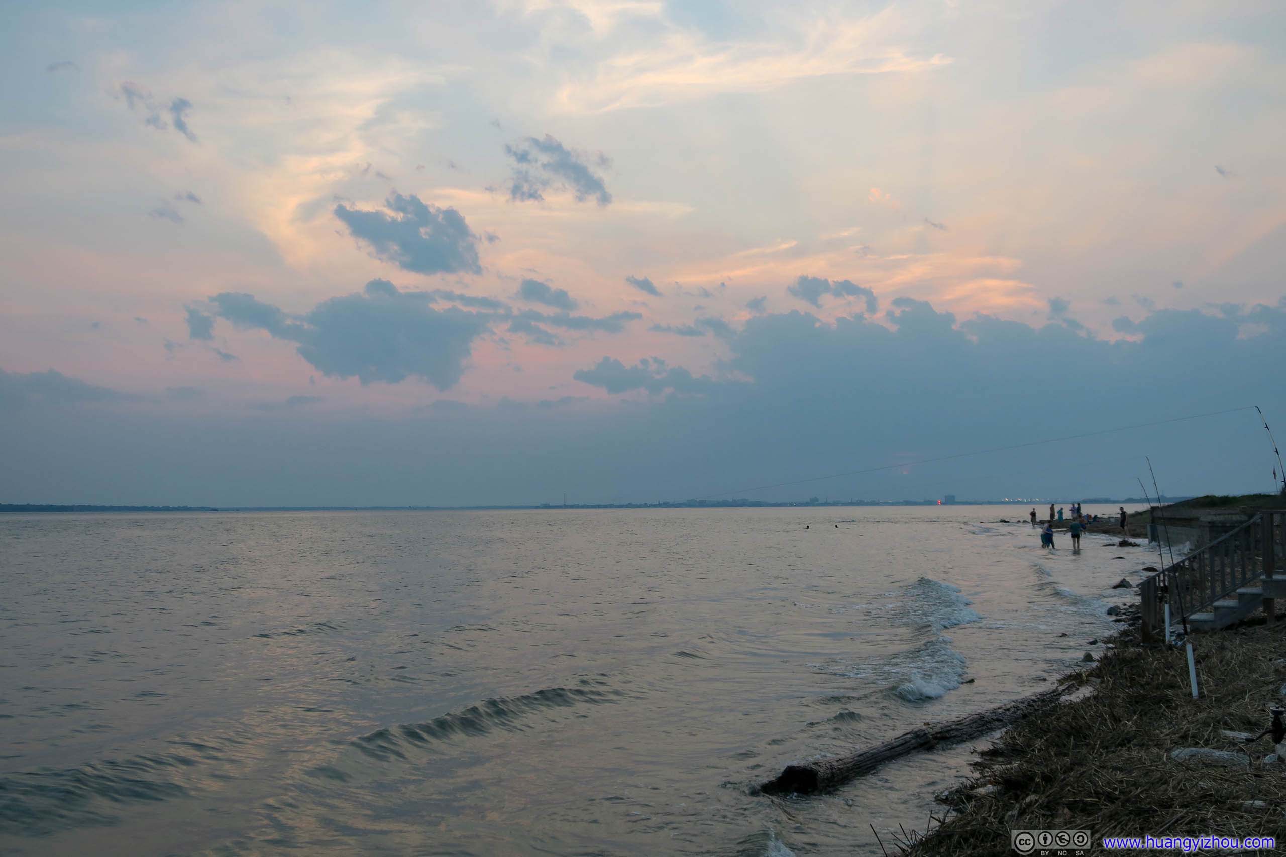
By the time we arrived, sun had already set. So we took a casual stroll in gentle breeze while watching lights from Charleston turned on across the river. That’s quite a nice way to conclude a day.
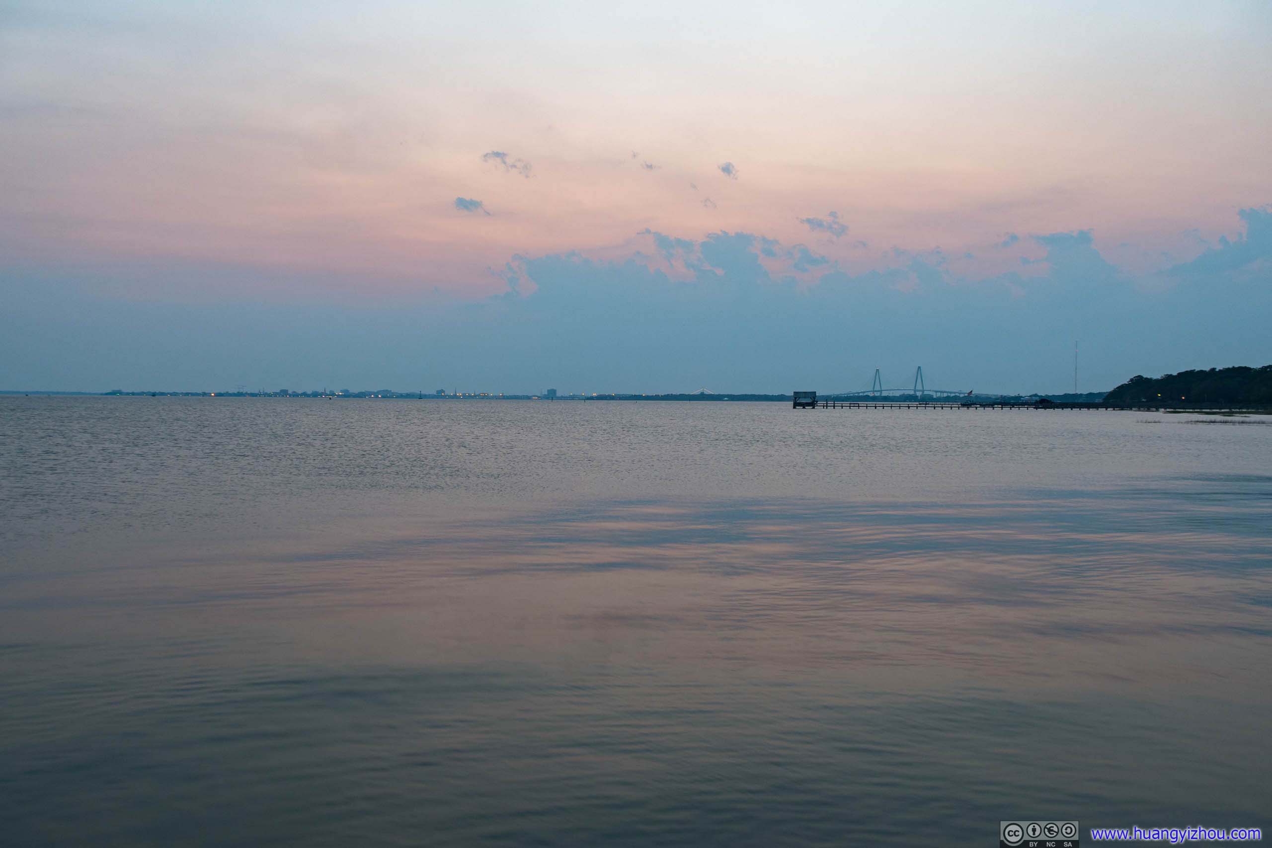
Charleston Harbor
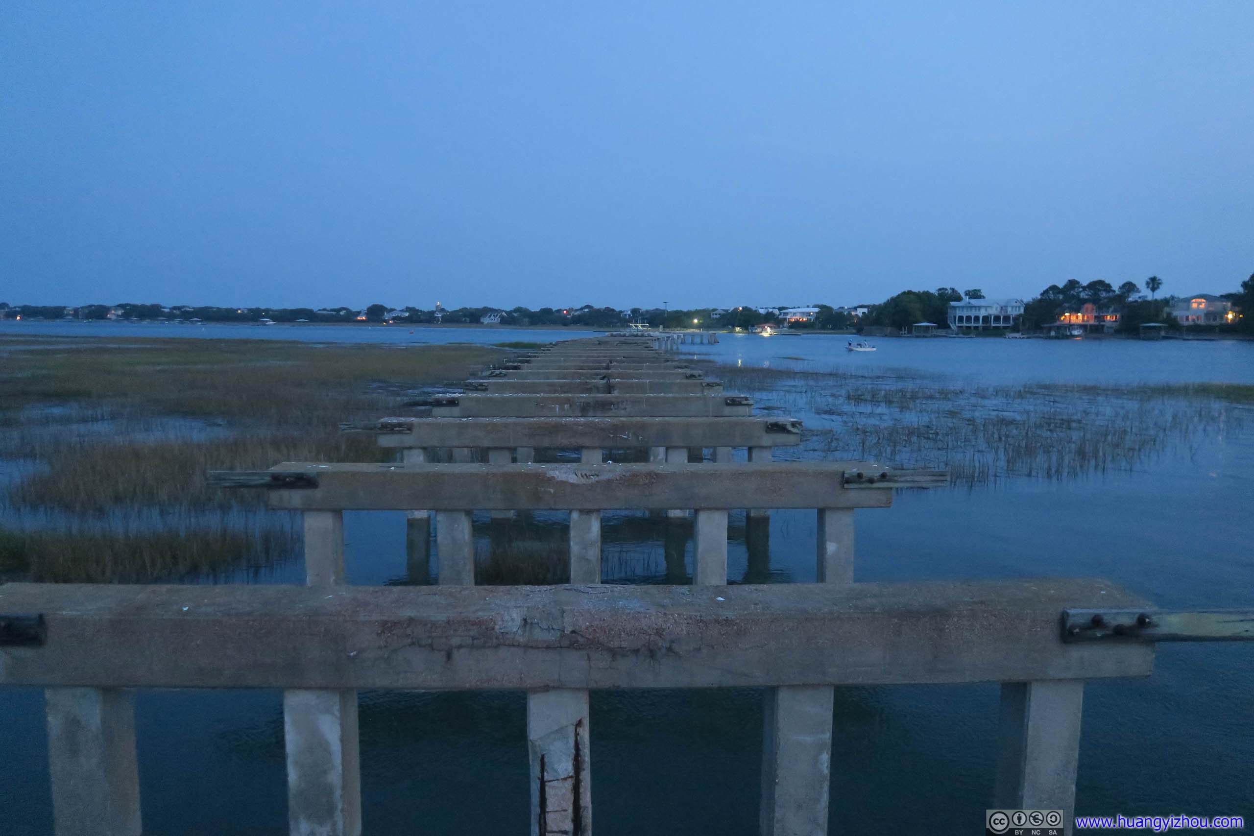
Remains of Pitt Street Bridge
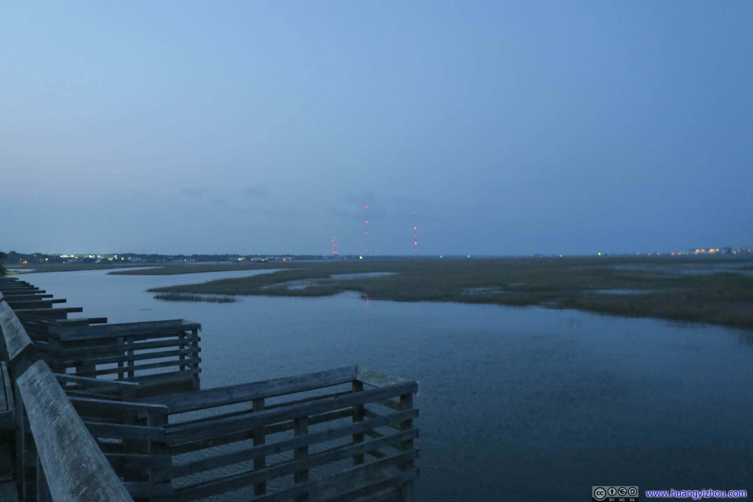
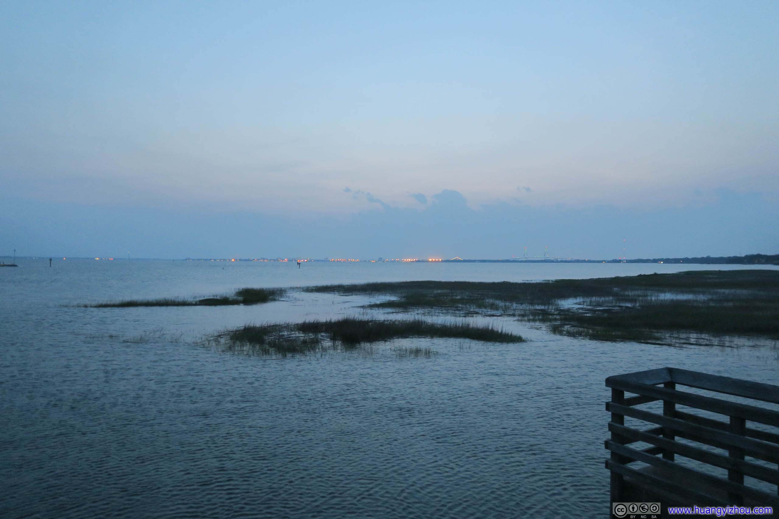 MarshIn the left, parts of the bridge was now fishing piers. In the right, distant lights of Charleston.
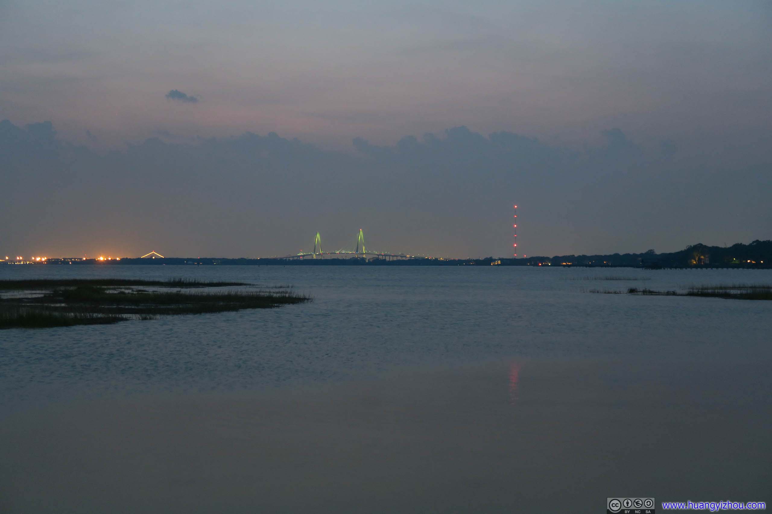
Charleston Harbor
END
![]() Day 4 of Carolinas Vacation, Charleston Day 1 by Huang's Site is licensed under a Creative Commons Attribution-NonCommercial-ShareAlike 4.0 International License.
Day 4 of Carolinas Vacation, Charleston Day 1 by Huang's Site is licensed under a Creative Commons Attribution-NonCommercial-ShareAlike 4.0 International License.