
Updated on April 15, 2020
Hiking in Prince Willilam Forest Park
It’s the first Saturday of September as my friend and I ventured into Prince William Forest Park, the largest pack of greenness near Washington DC measuring 17000 acres yet not known to many residents of the area.

Lawn
Amazingly, Prince William Forest Park was the site of America’s first spy agency, and even more amazingly, the park promoted this fact only in a rather inconspicuous webpage that’s four clicks from its main site. Perhaps because what baby CIA did in the park was so immature by today’s standard, that NPS didn’t even bother to erect an information board about that somewhere in the park.
As for our visit, we planned to take the loop of North Valley Trail – High Meadows Trail – South Valley Trail, but my friend was sort of feeling bored tired halfway and we did cut it a bit short. Here’s GPS tracking:
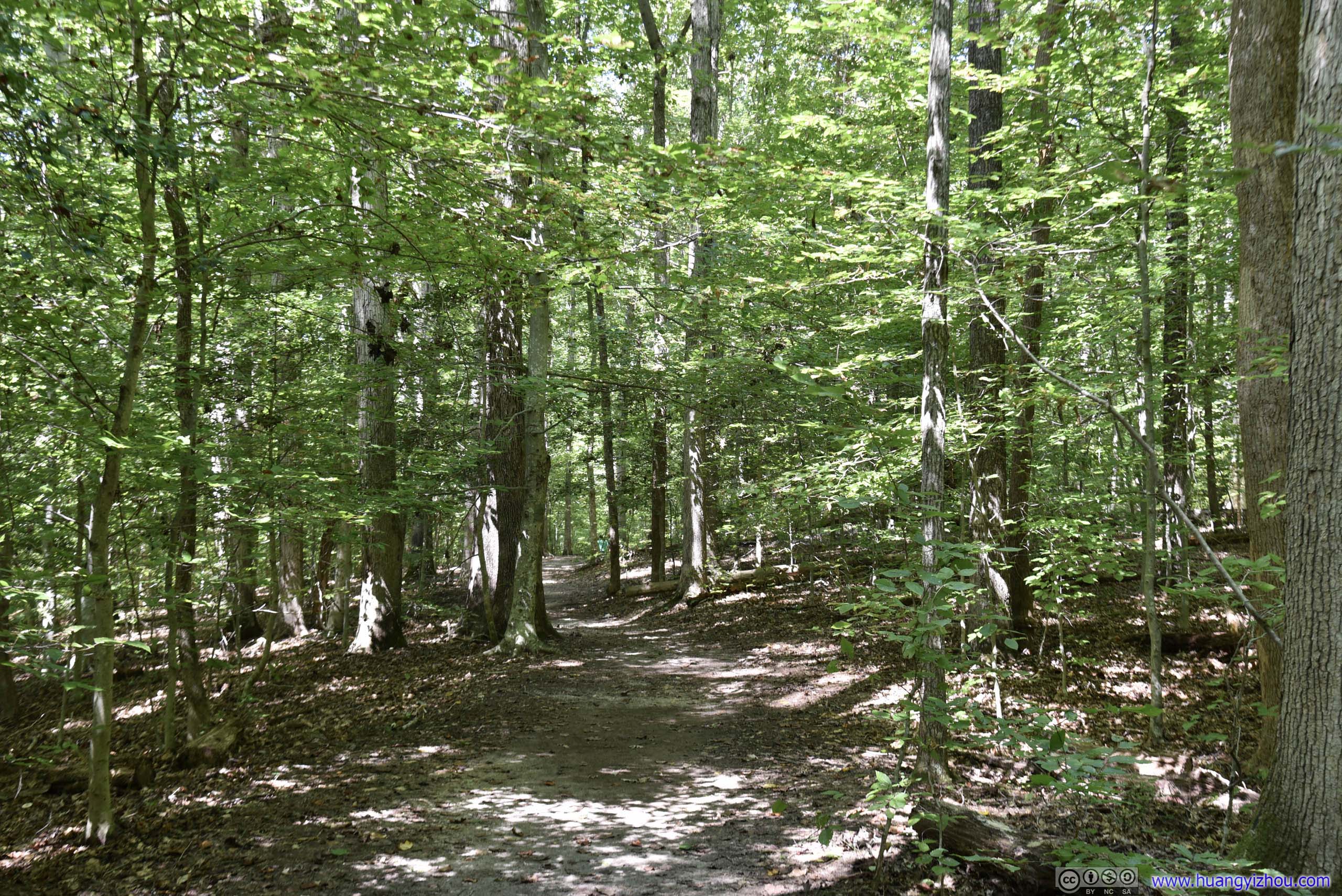
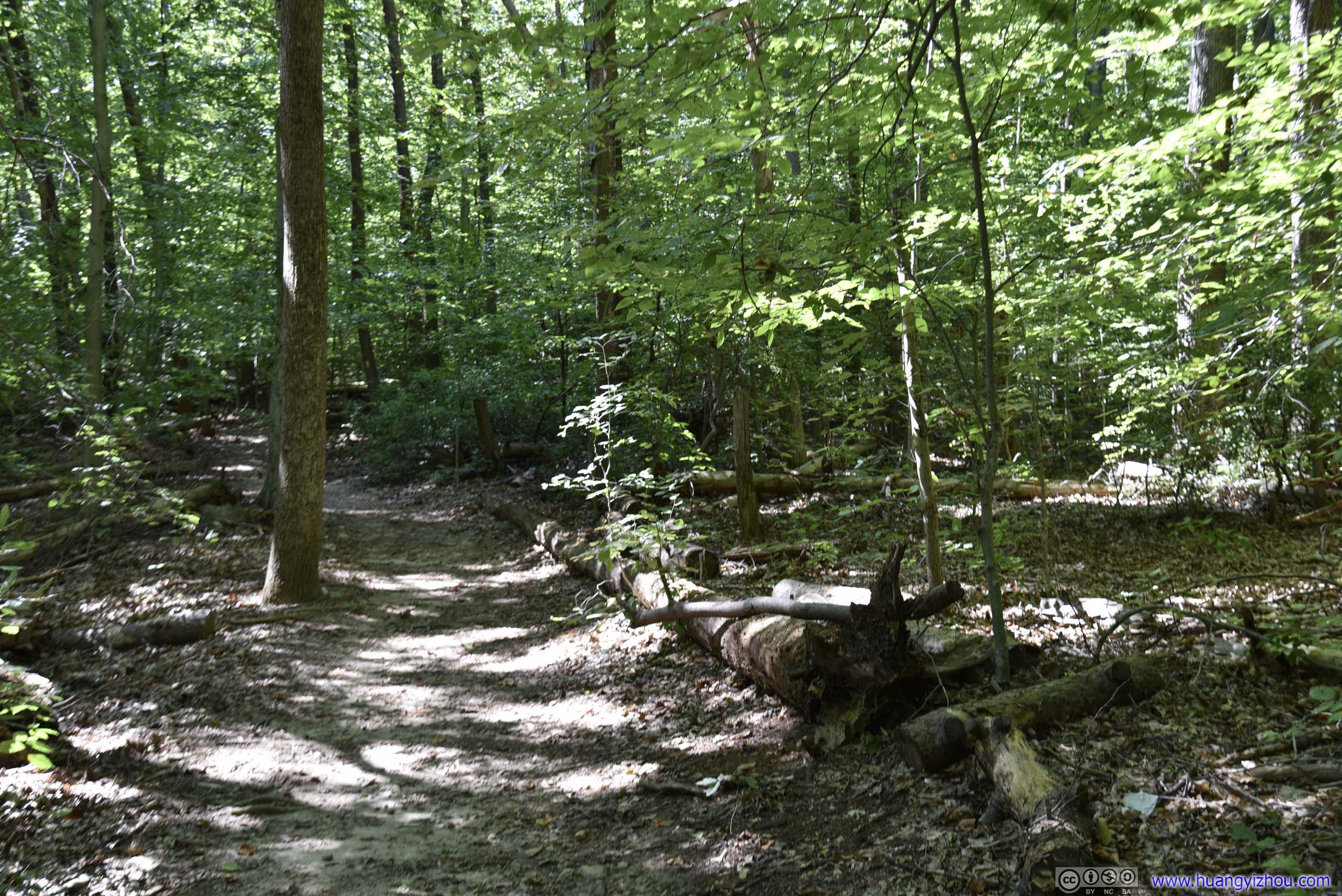
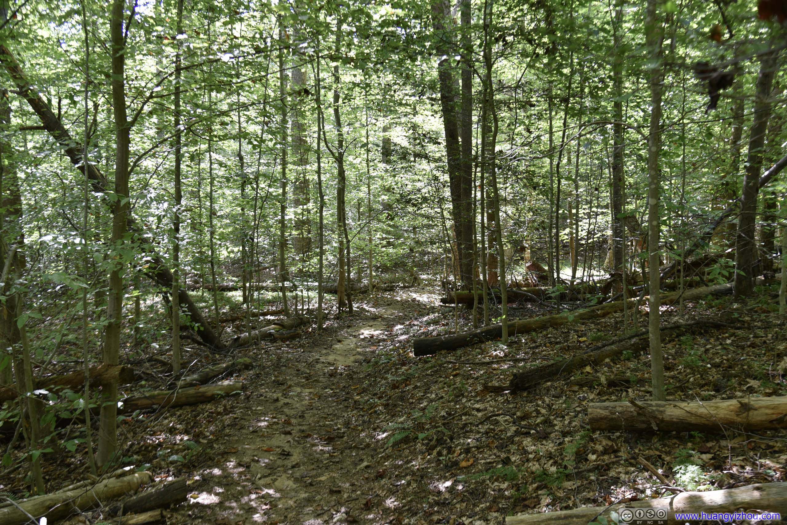
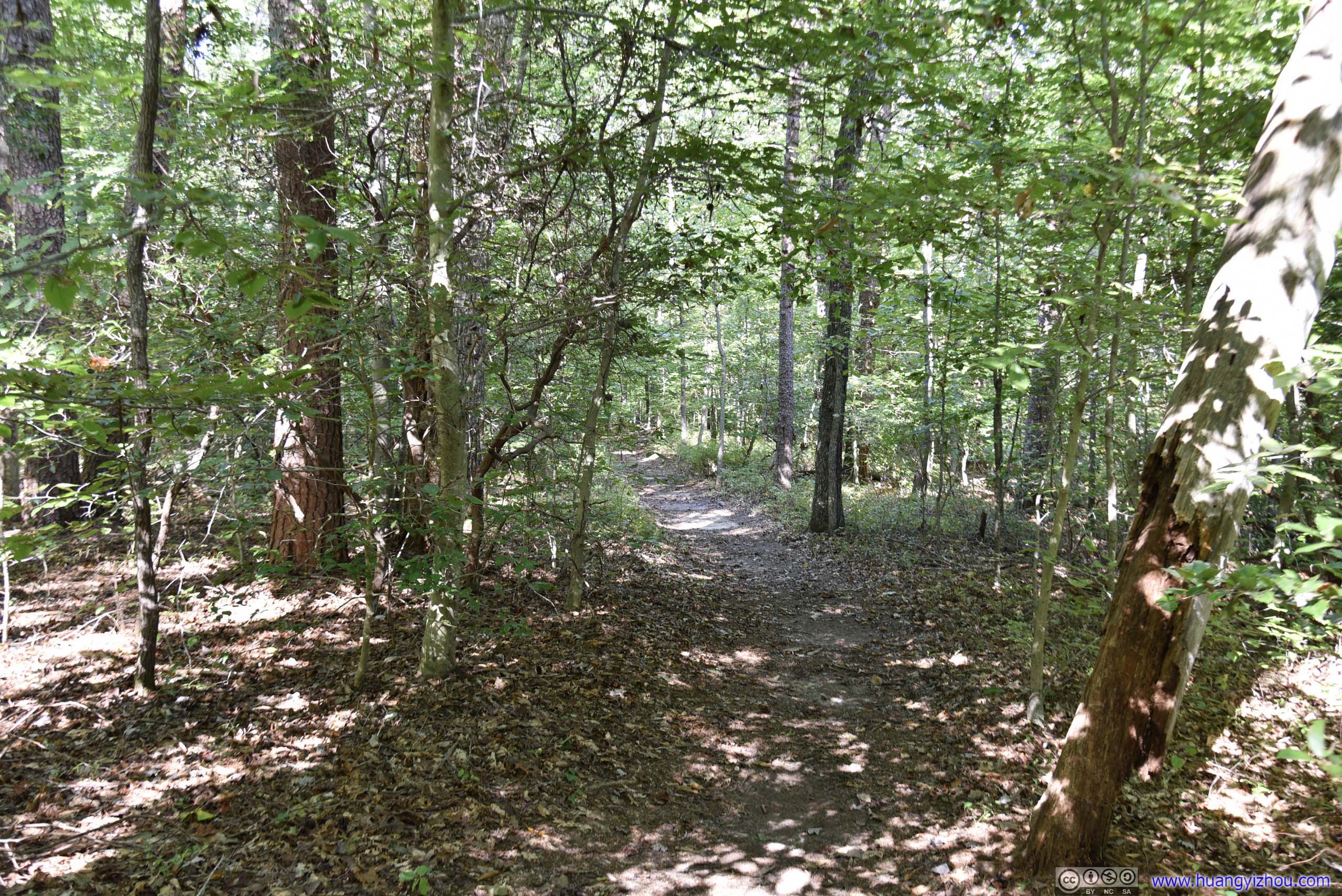
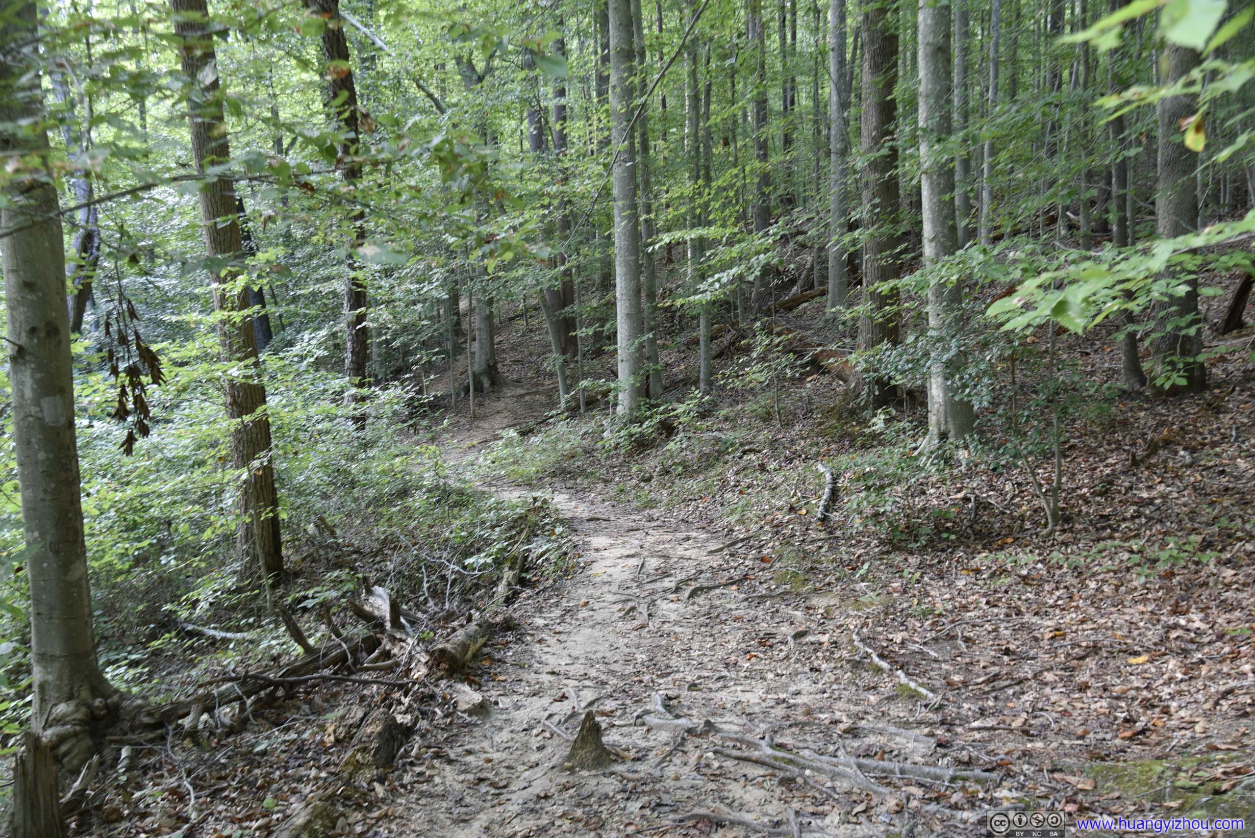
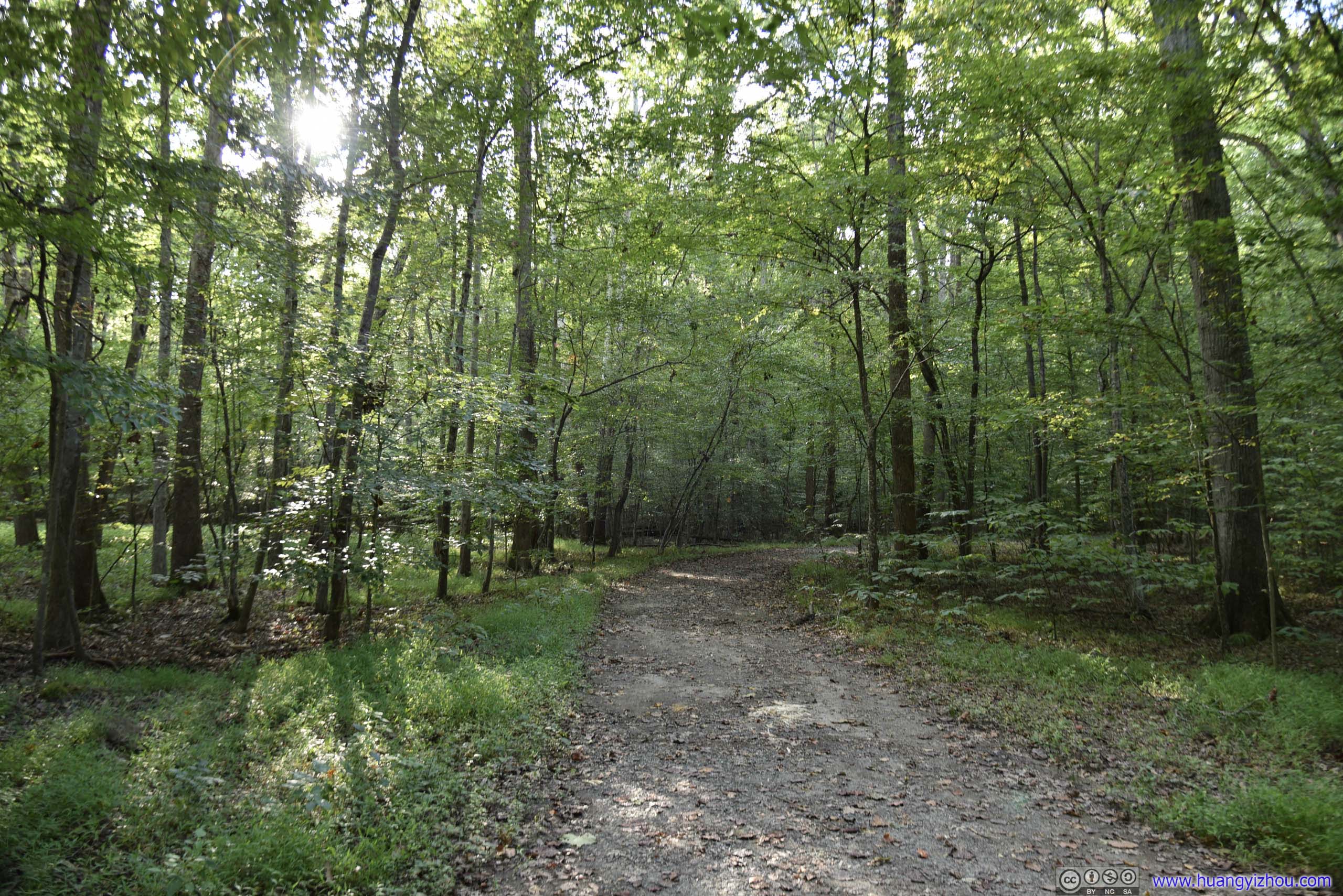
 TrailFrom parking lot to Quantico Creek, the trail was mostly wide and flat like this.

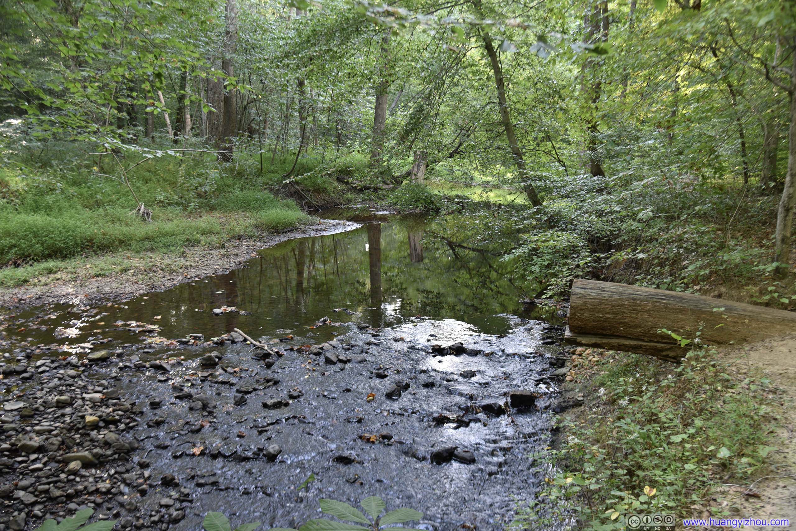
 Creek
Creek

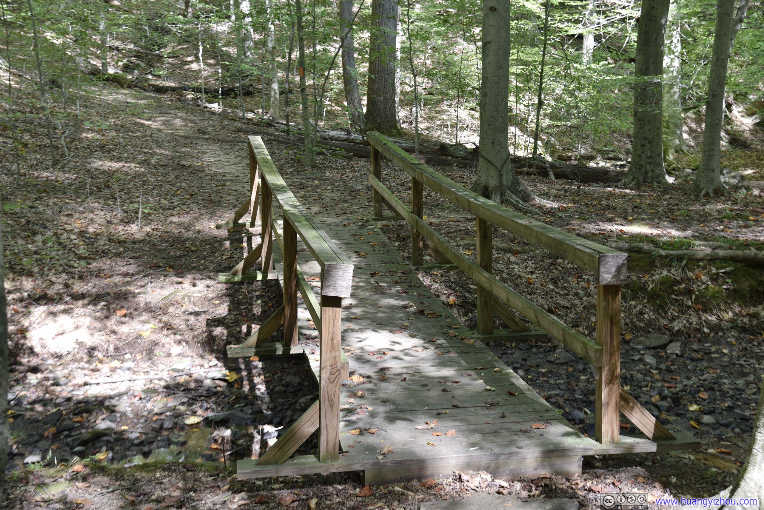
BridgeCrossing this bridge and we were on North Valley Trail.
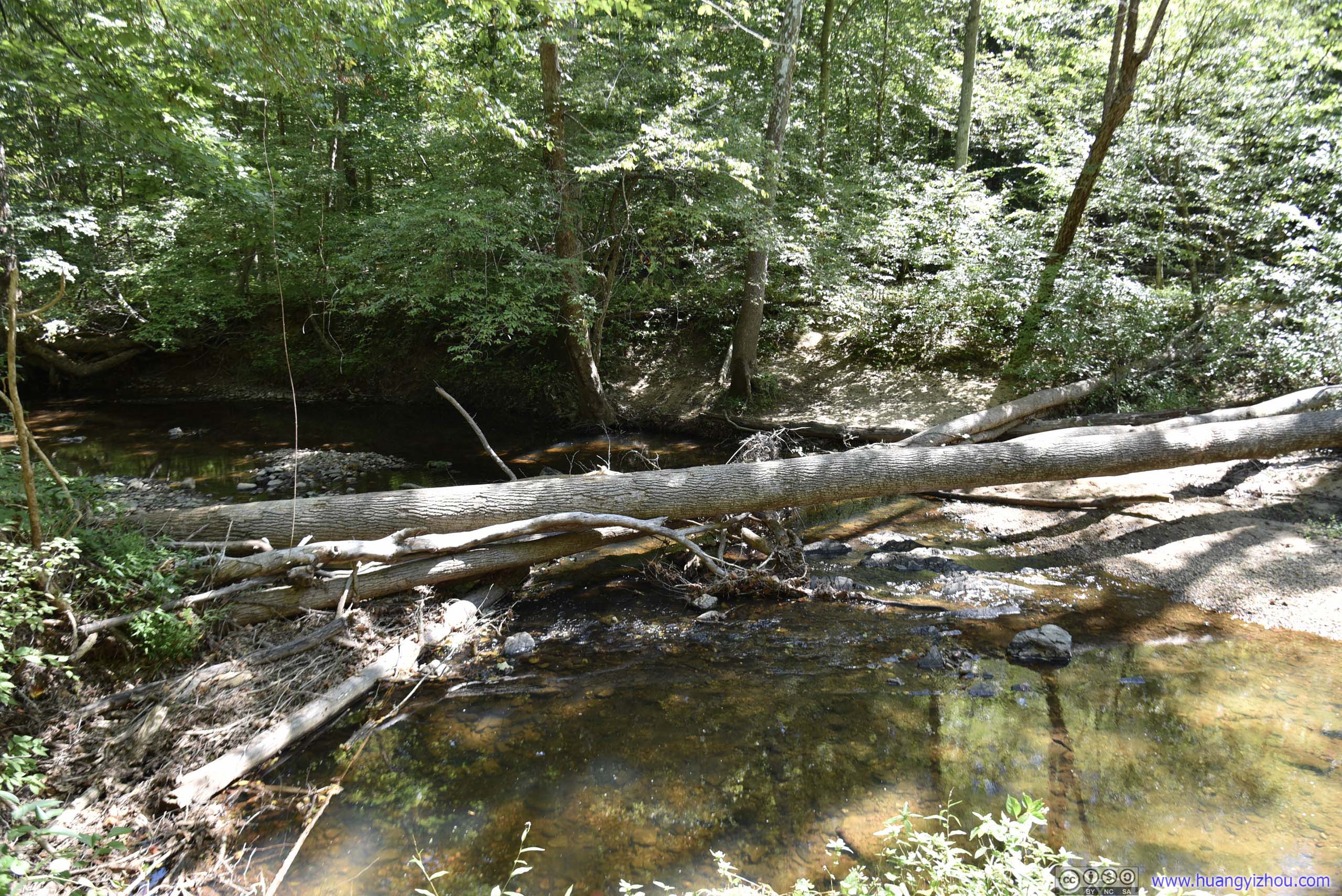
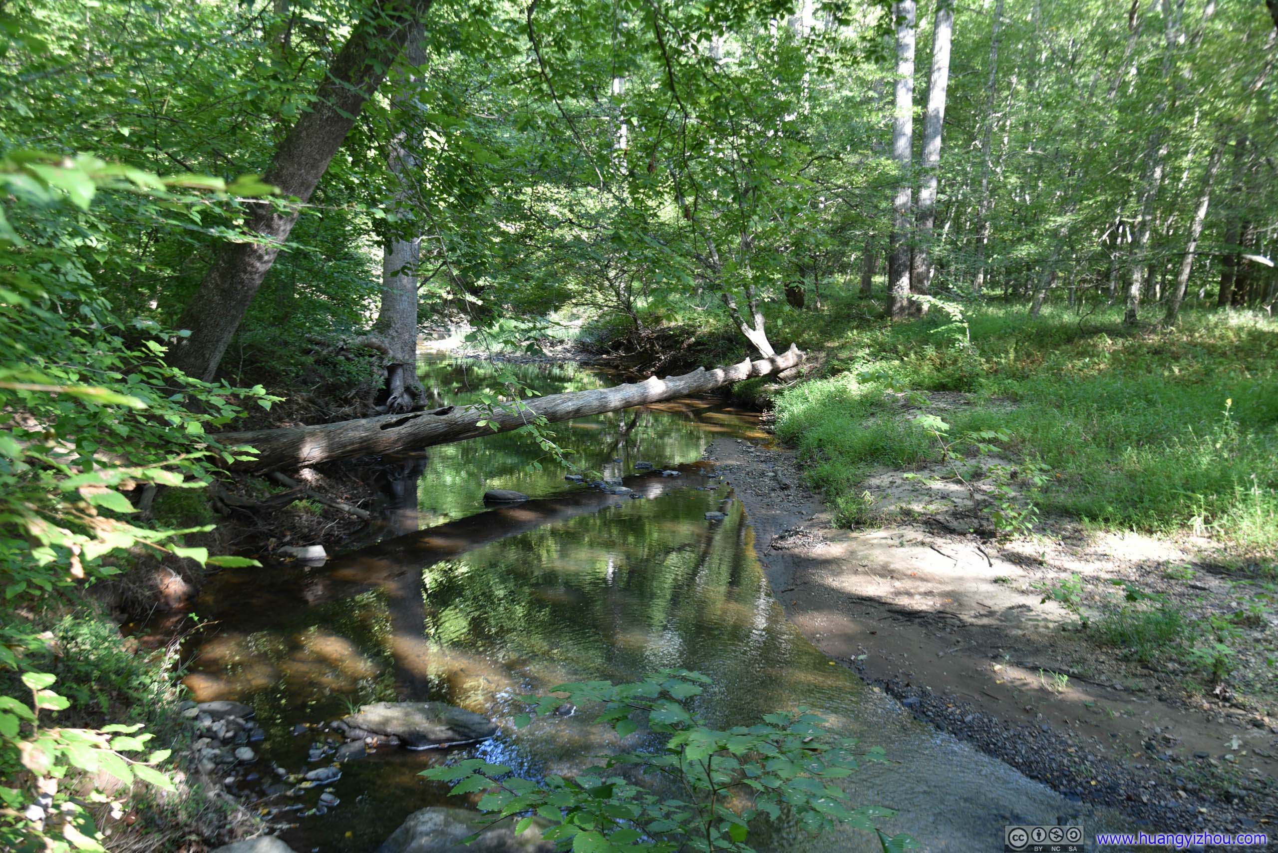
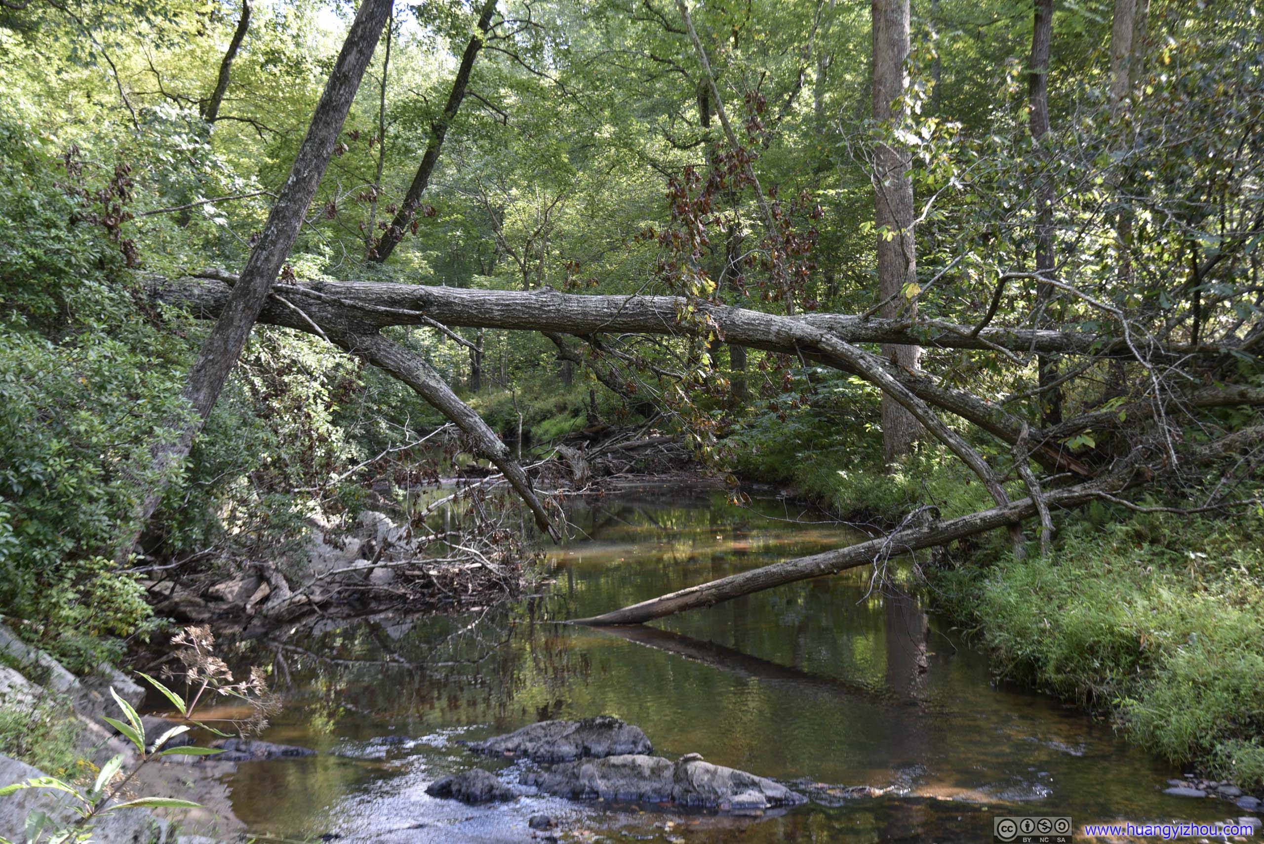
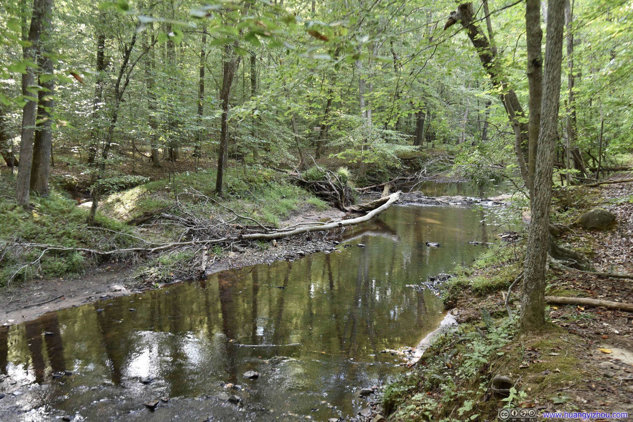
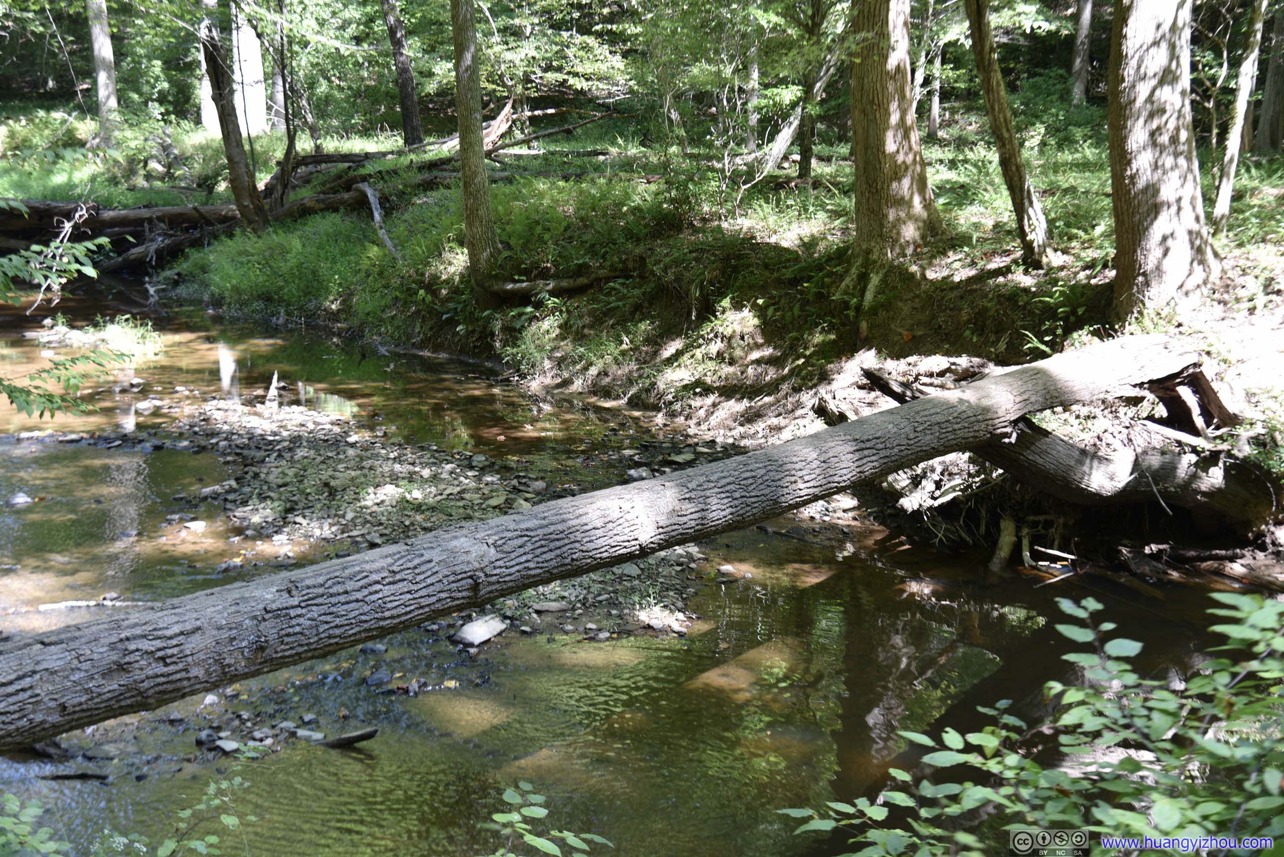 Fallen Tree over Creek
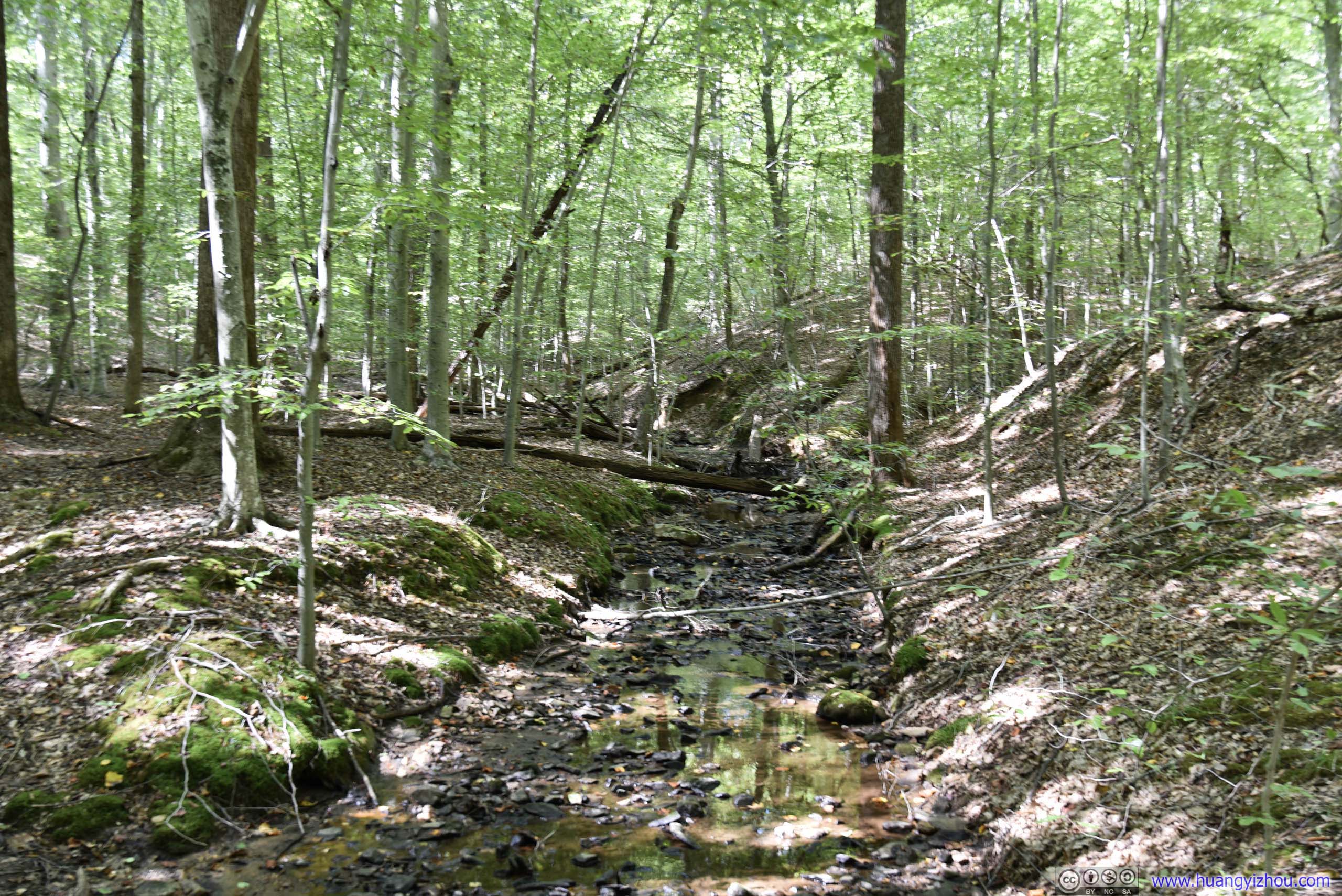
Throughout our hike we saw quite some trees like this fallen over Quantico Creek, which could be one of the few features of the park.
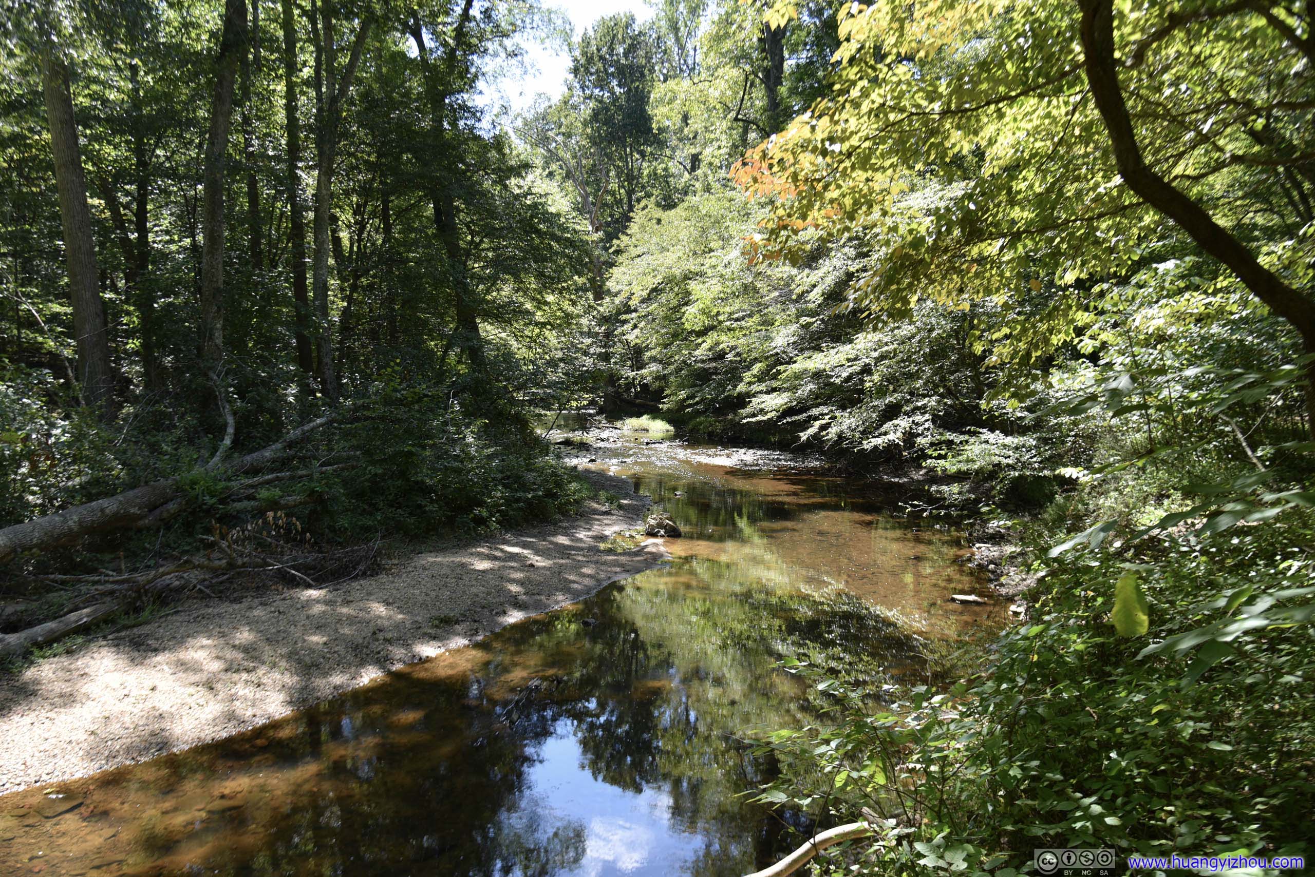
 Creek
Creek
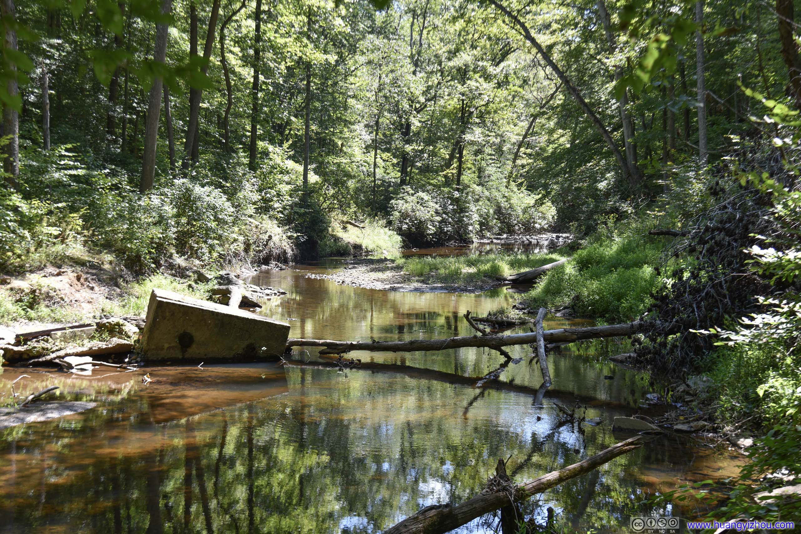
The park used to house a Pyrite Mine between 1889 and 1920, and nowadays there’s a platform overlooking hills that used to house mining cabins. Unfortunately, that platform seemed rather overgrown and we couldn’t see anything.
Down the road we found these remains of groundwork, which we guessed must be related to the mining activities.
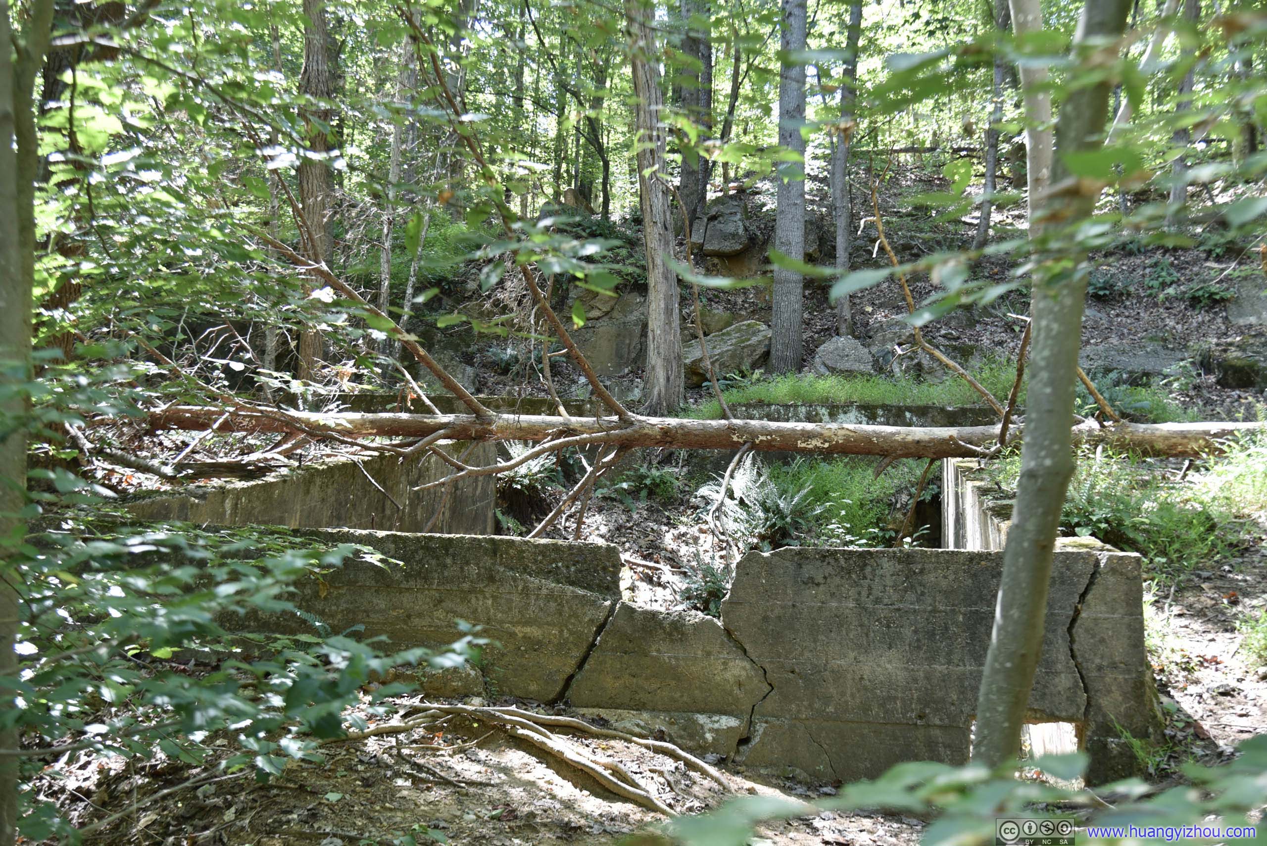
Remains of Mining Cabin
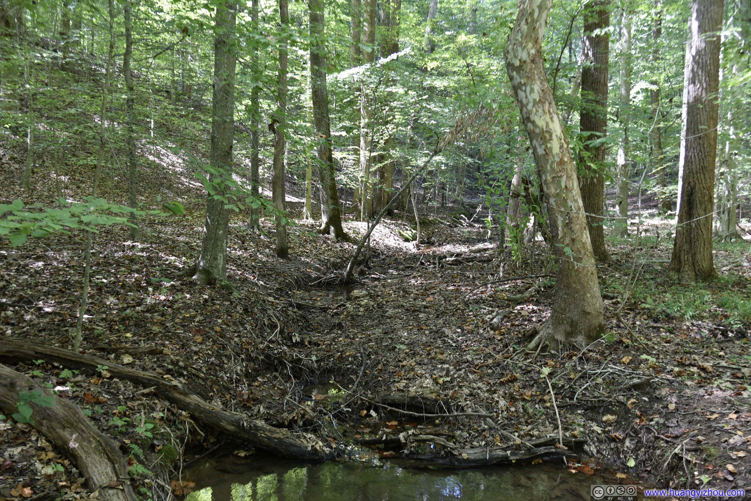
Dried Up CreekThis is a creek on the map, not much rain recently meant it’s basically dry.

 ForestWhile passing this forest there was a group of ravens bustling above us, with sounds of things hitting the ground making us quite uneasy. Later it turned out those “things” were nuts that they were feasting on, sigh of relief.
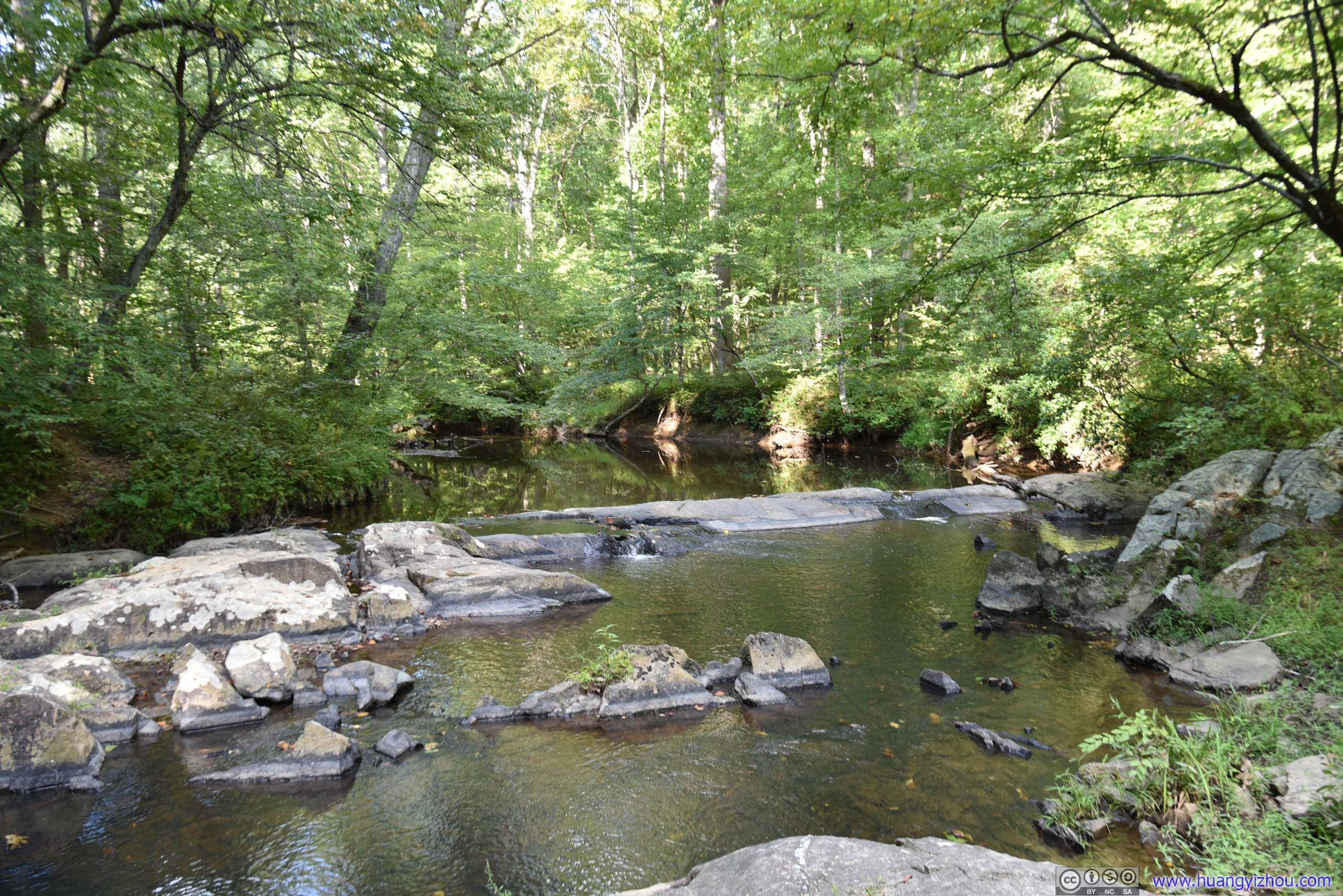
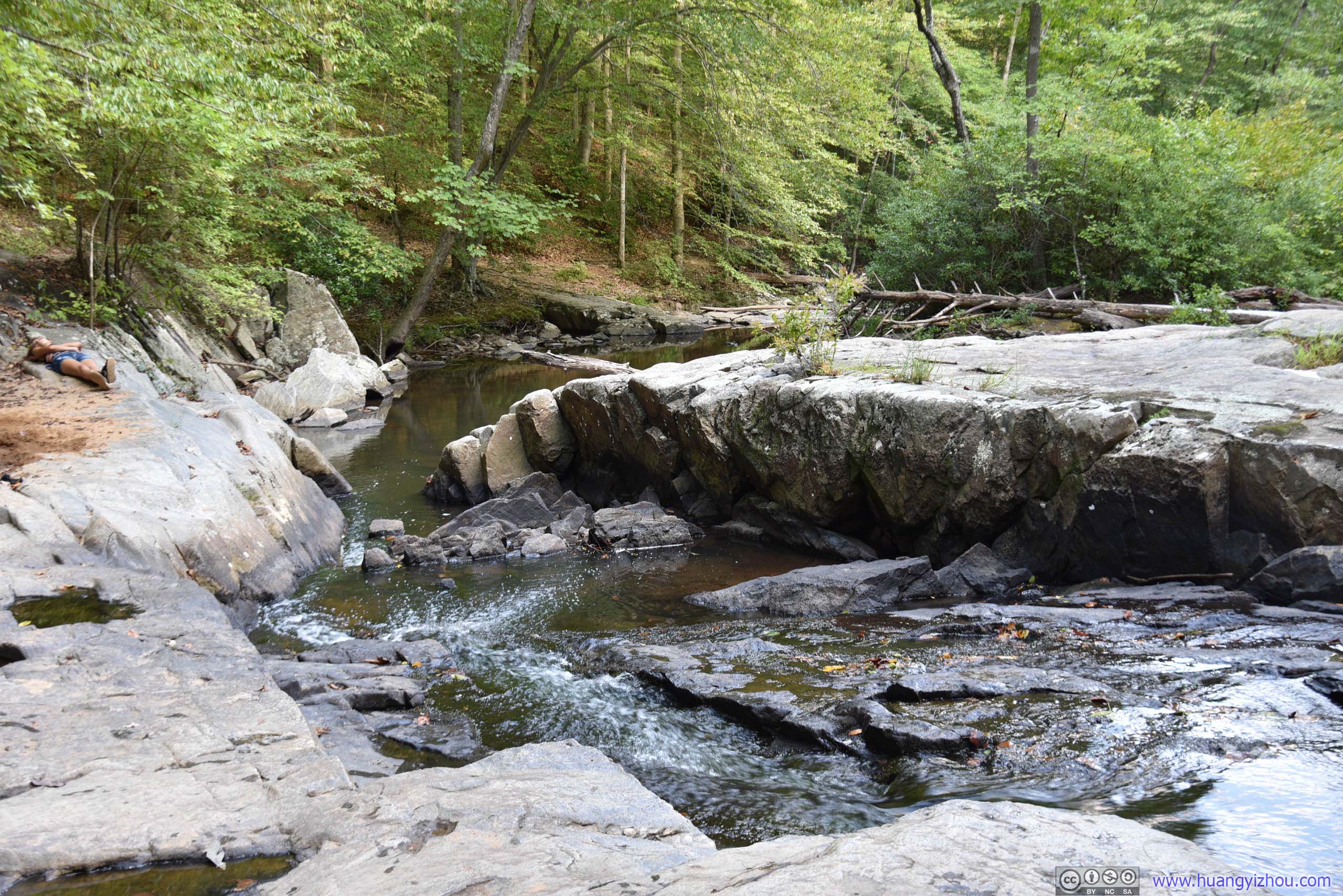
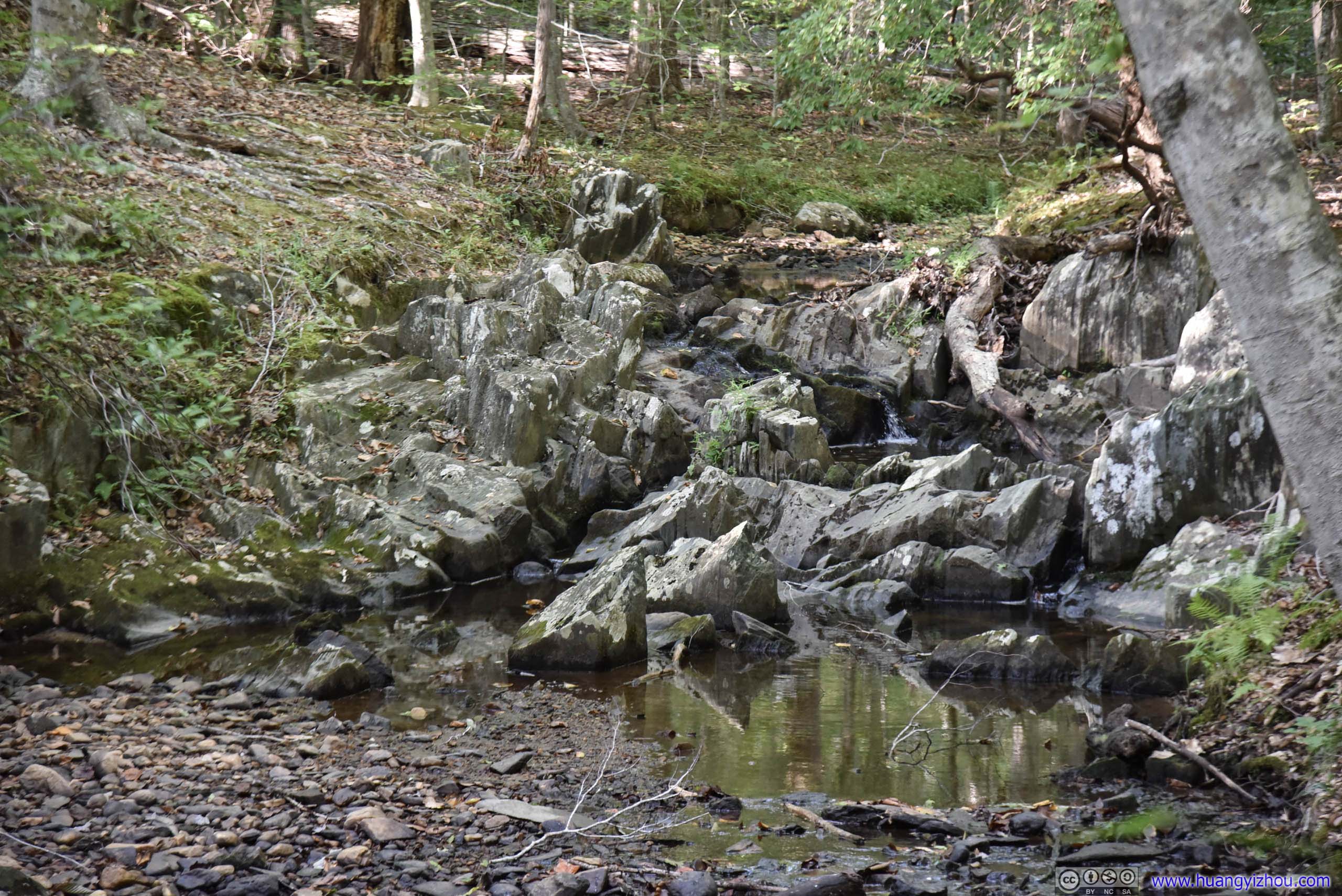
Then there’s the worst part of our hike as we reached the intersection of Quantico Cascades Trail and North Valley Trail, where both the name and the official park map(jpg) indicated that we were at a waterfall, which is this:
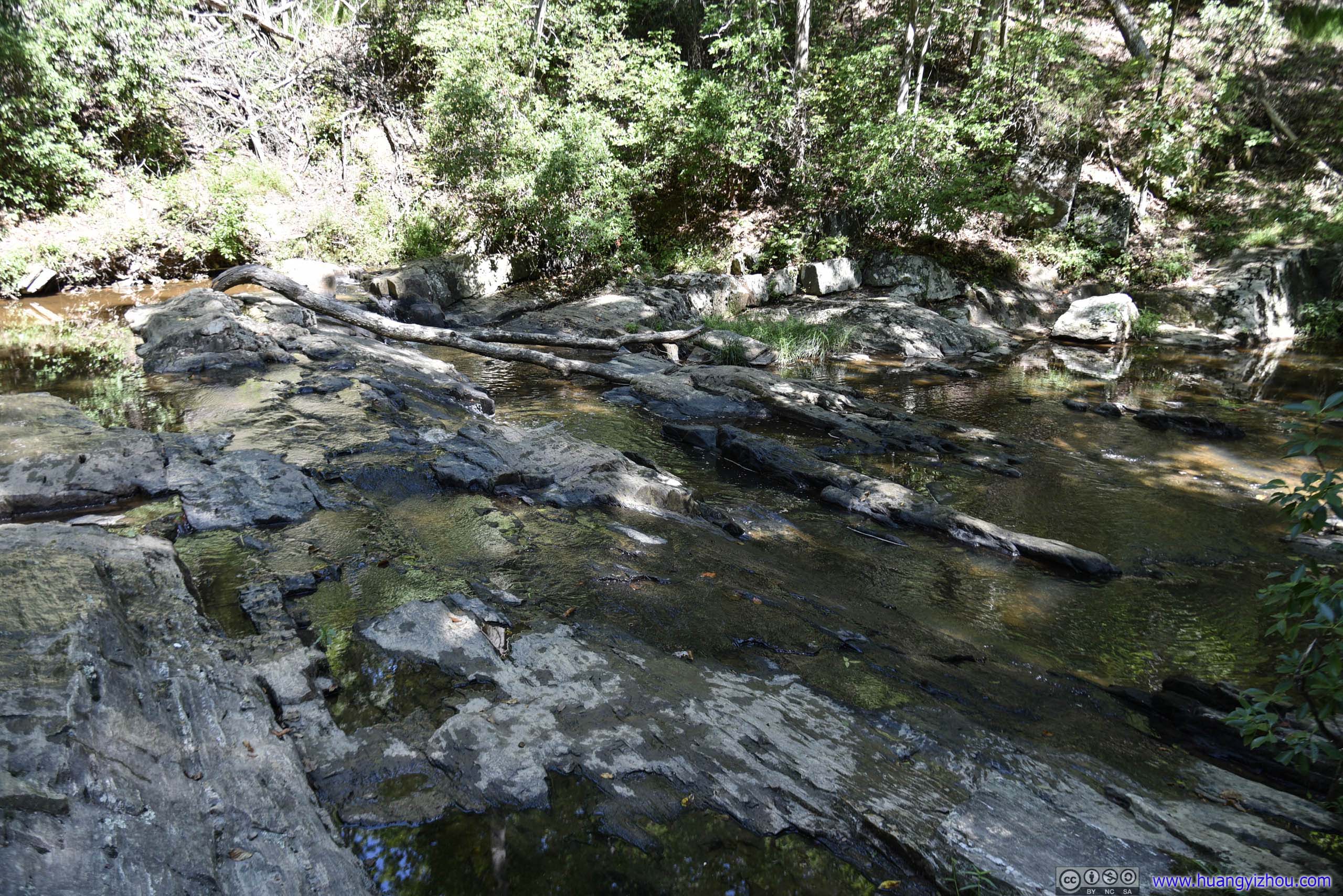
 Waterfall
For fairness, in the right season there was waterflow to generate just enough amount of whitewater to justify its name. But since it barely rained recently, we were just looking at some rocks, basically.
So after imagining some wonderful waterfalls in our mind and having lunch, we left North Valley Trail into Mary Bird Branch, passing Turkey Run Campground and Ranger Station where we replenished our water supply and took some rest before going on High Meadows Trail.
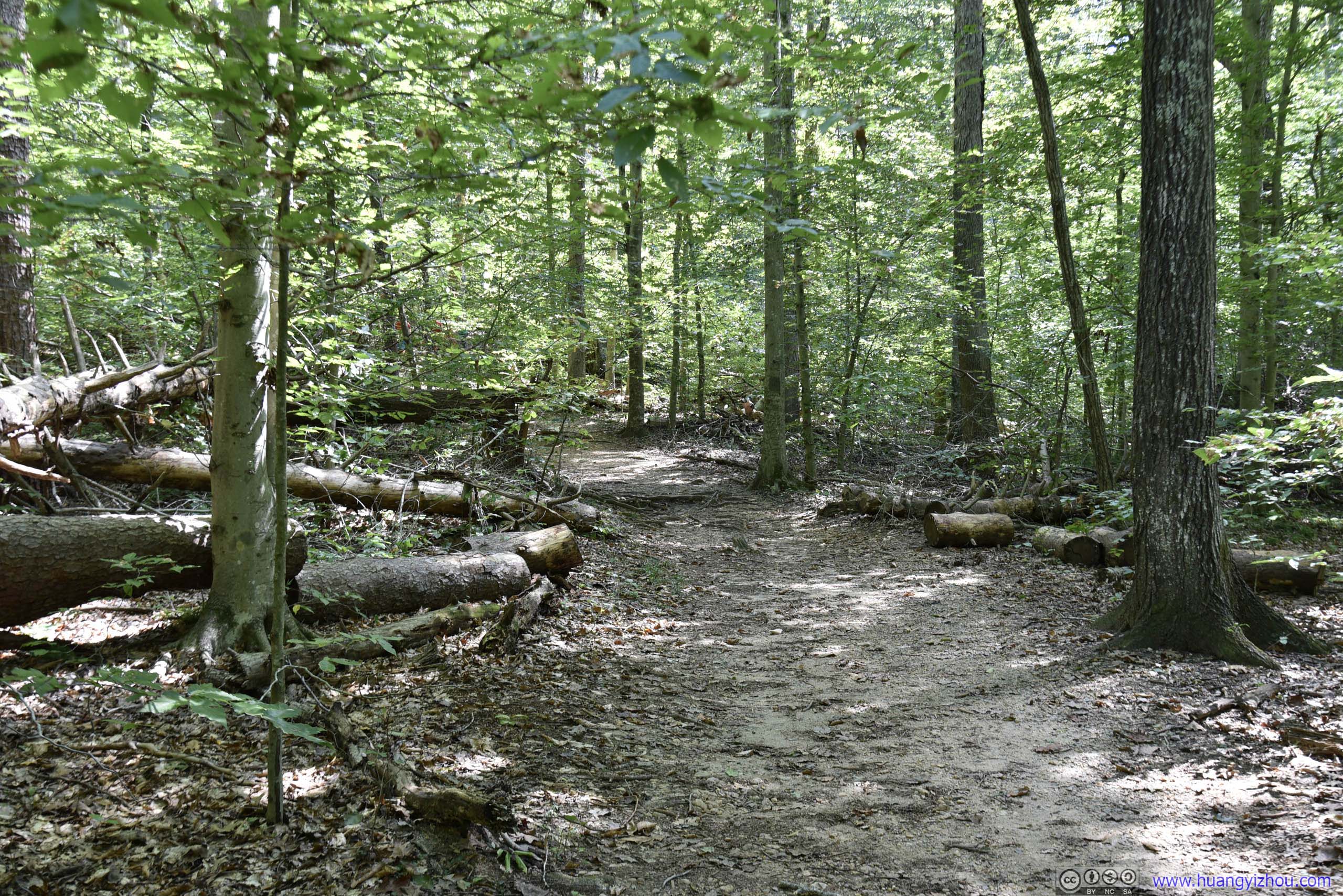
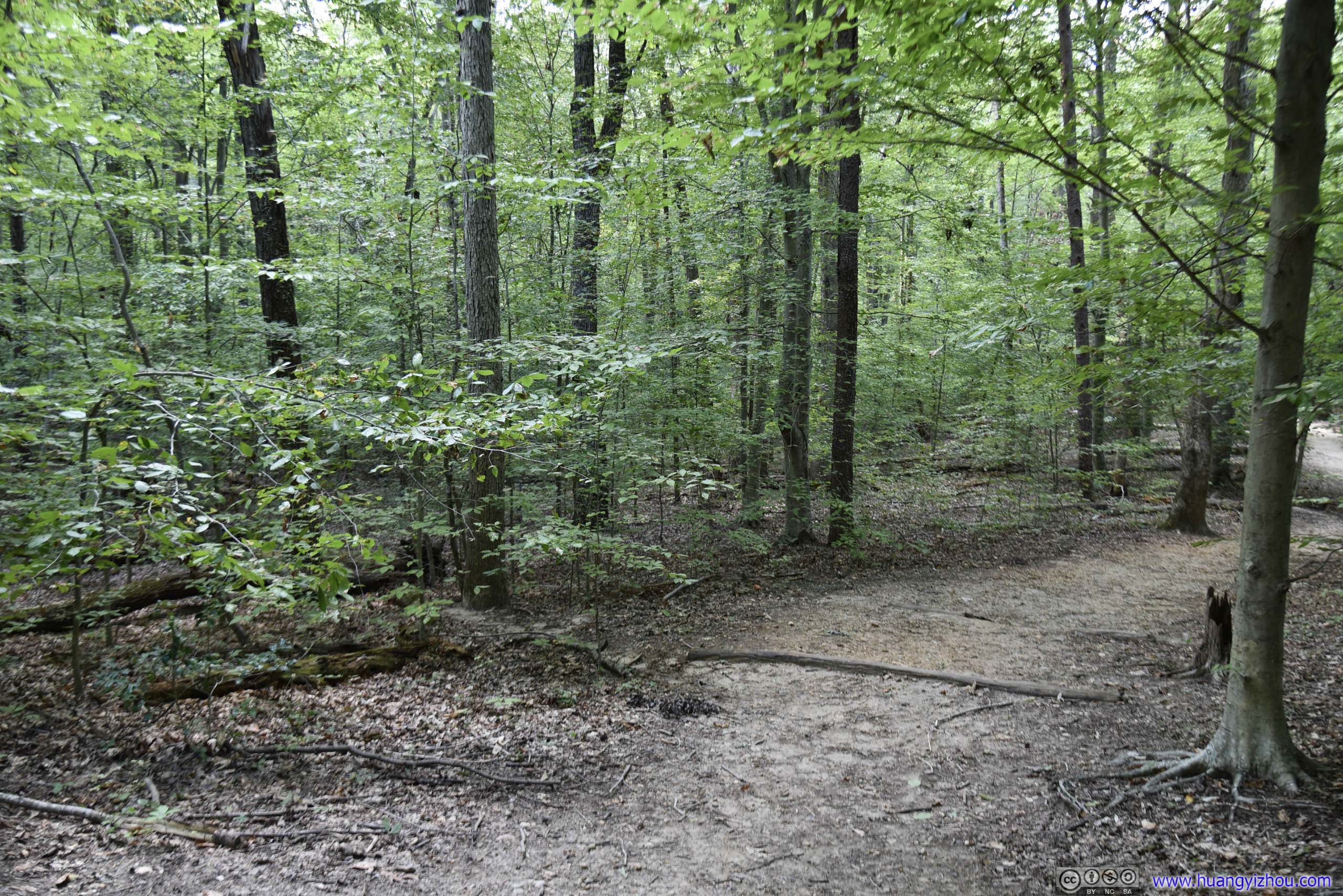
 Trail
Trail
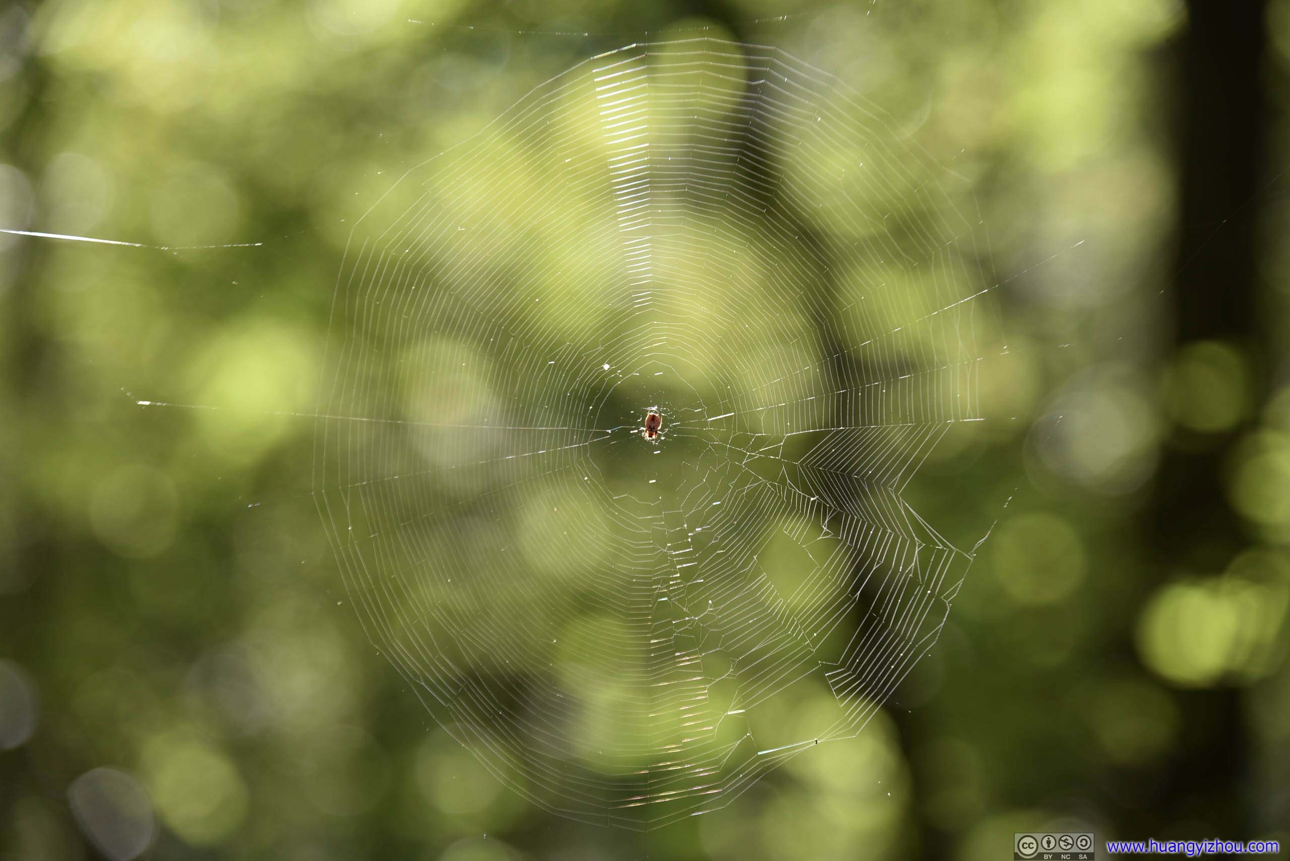
Spider Net
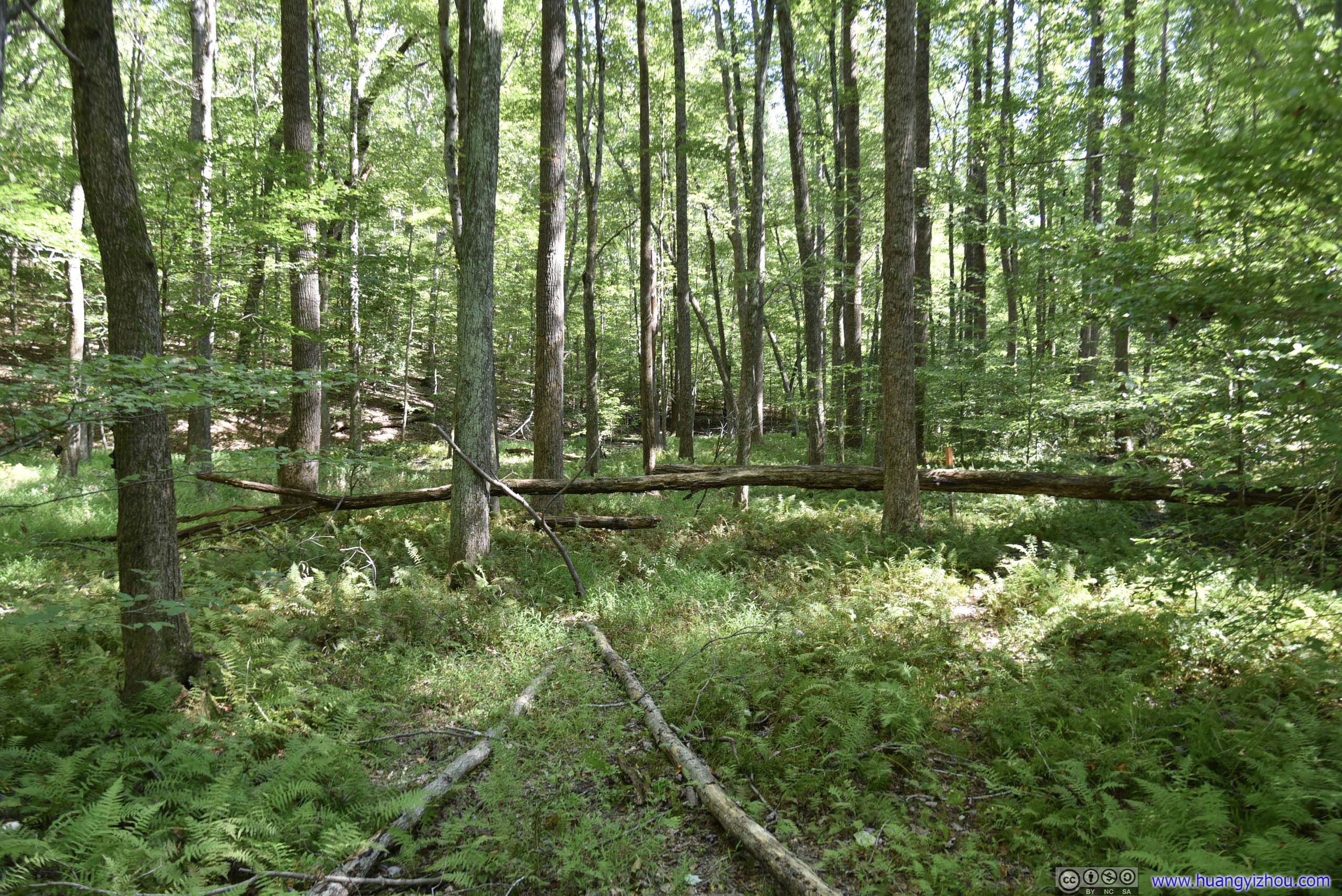
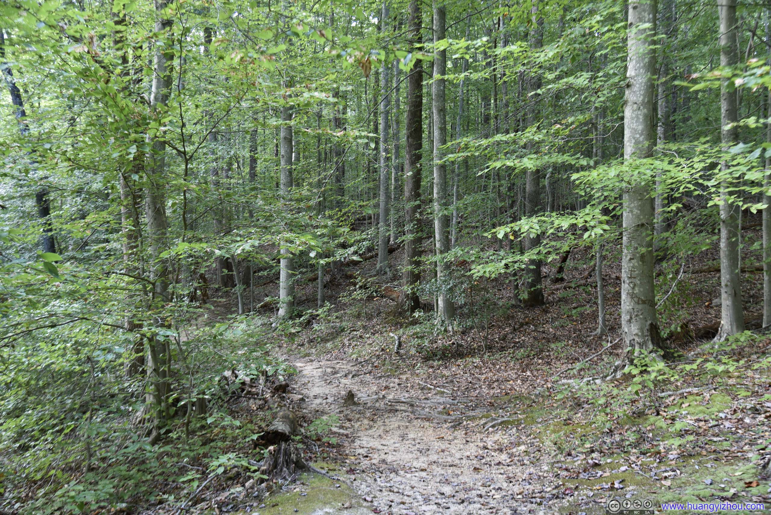
 Forest
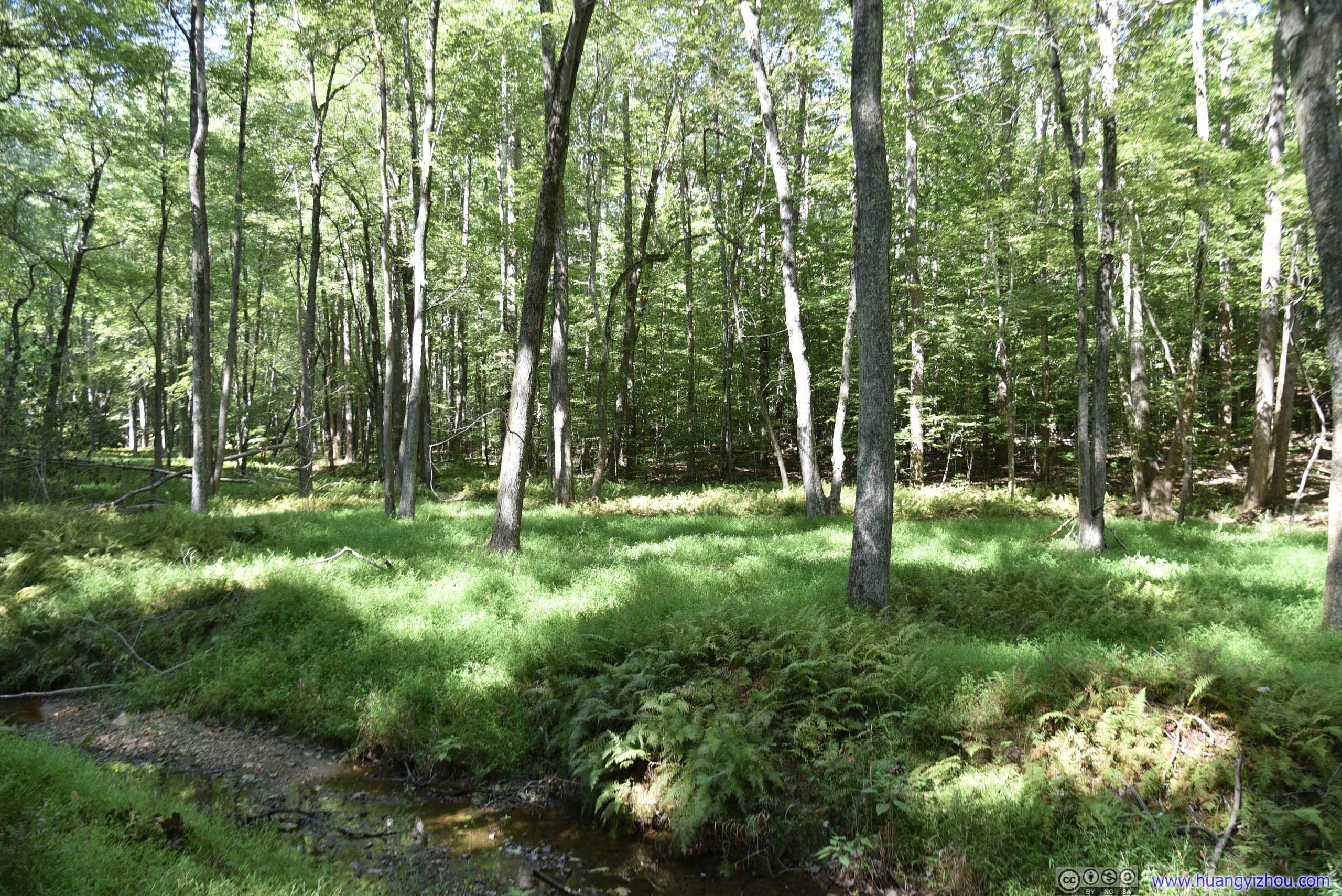
 Creek
Creek
Bridge
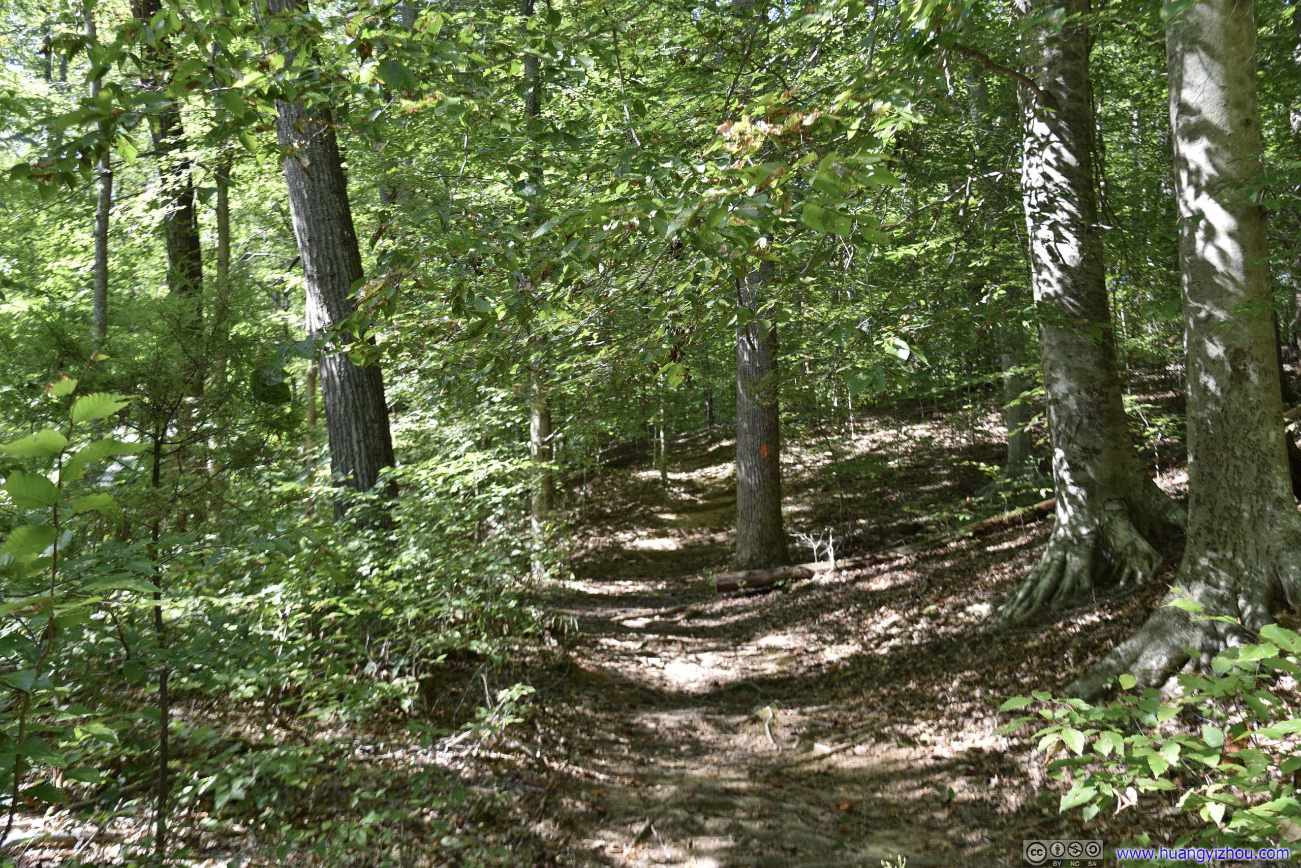

 TrailI was pretty sure this section of “High Meadows Trail” didn’t feel like meadows at all.
At this point it was just over halfway point of our planned hike, and my friend was feeling foreseeing tired. So he suggested we took a portion of park road (scenic drive) and cut about a mile off our hike.
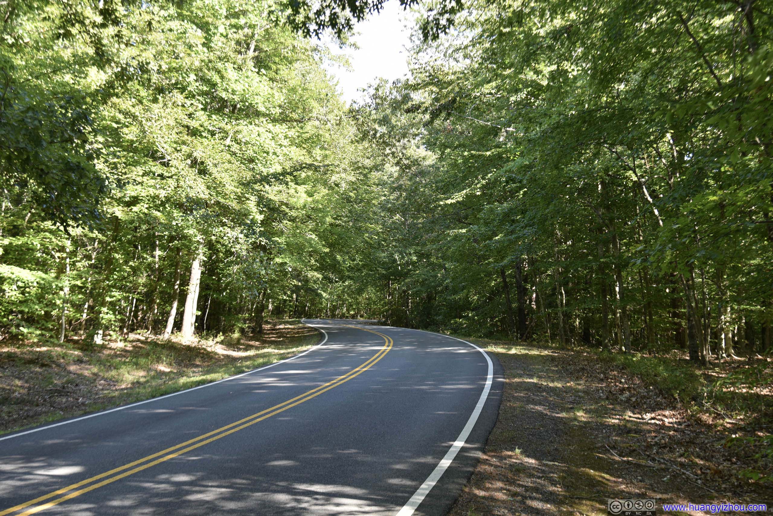
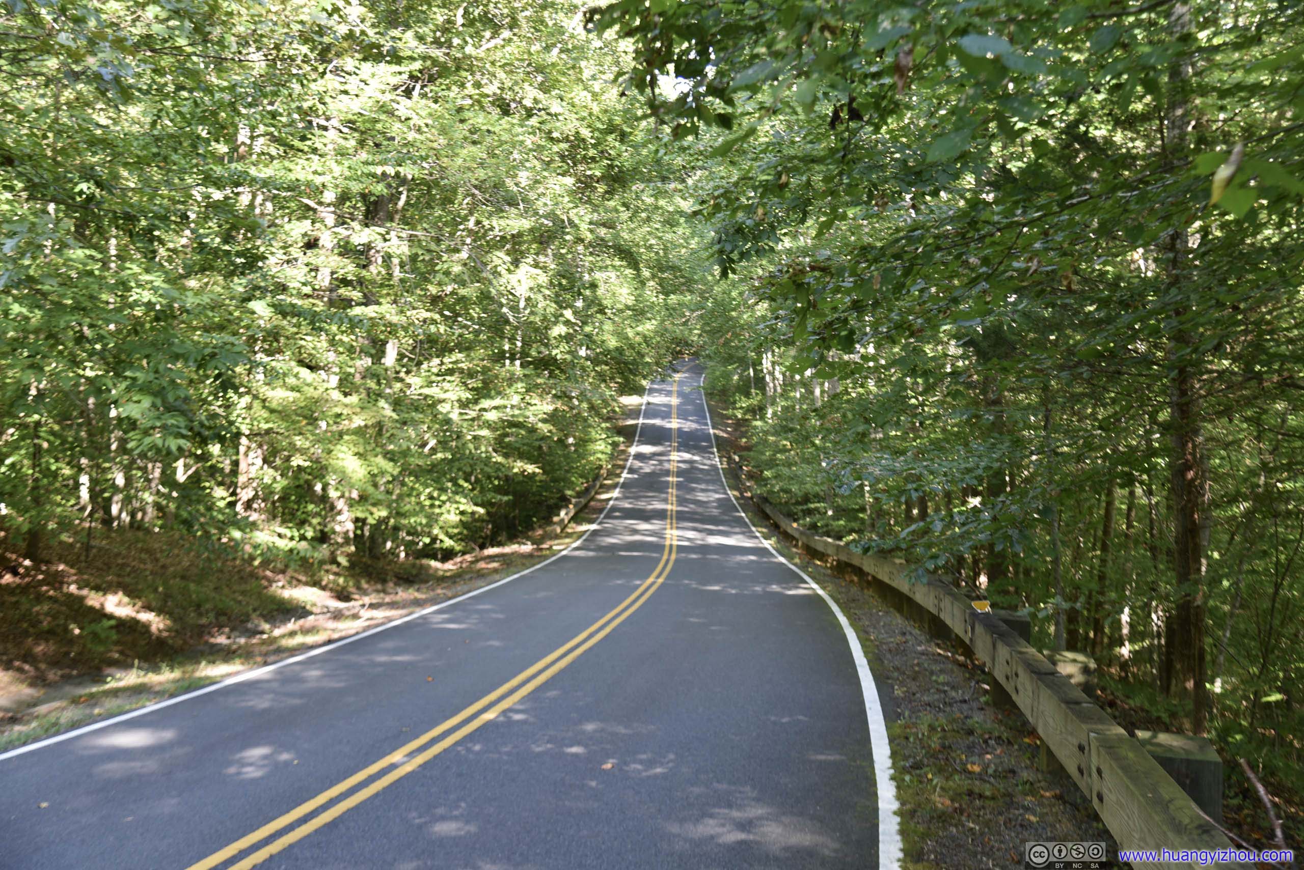 Park Road
And soon after that we were on South Valley Trail.

BoardwalkRather uncharacteristic of a natural park in the U.S.
 Fallen Tree over Creek
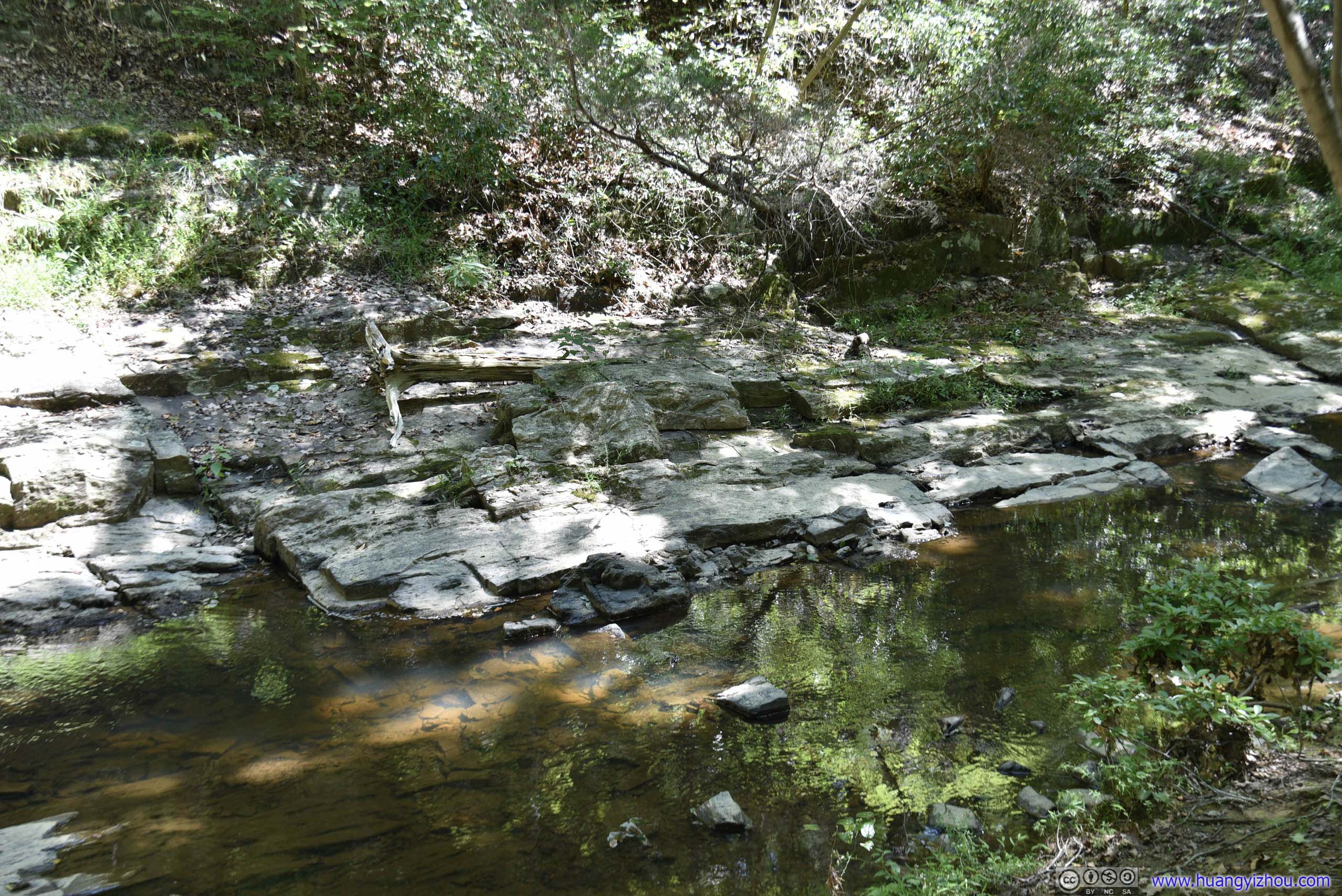
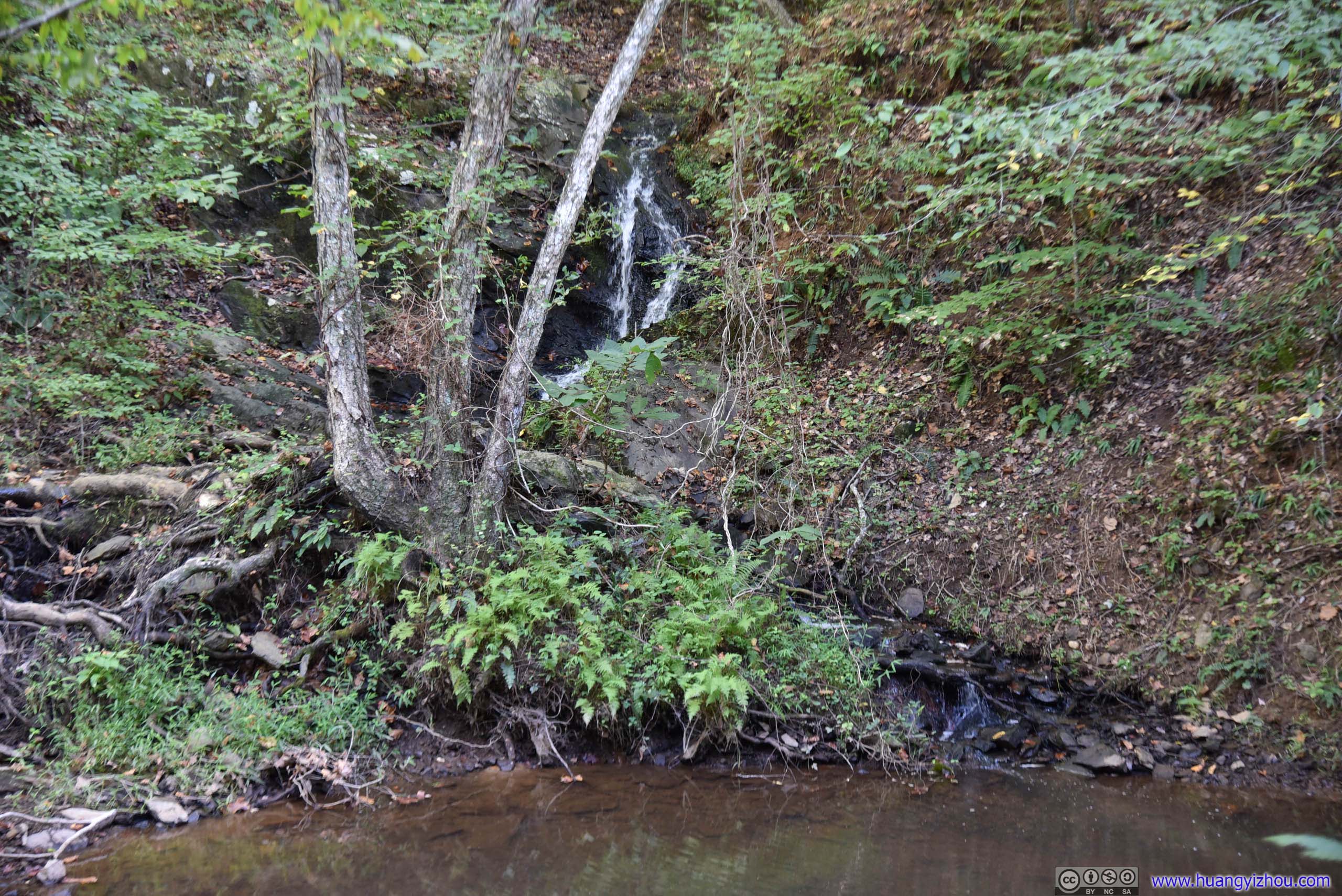
On the same official park map(jpg) there’s a waterfall marked along South Valley Trail, which to this point, unsurprisingly to us, was made of only rocks.
And the rocks turned out to be quite handy for my friend who was eager to take some rest, along with some other families.
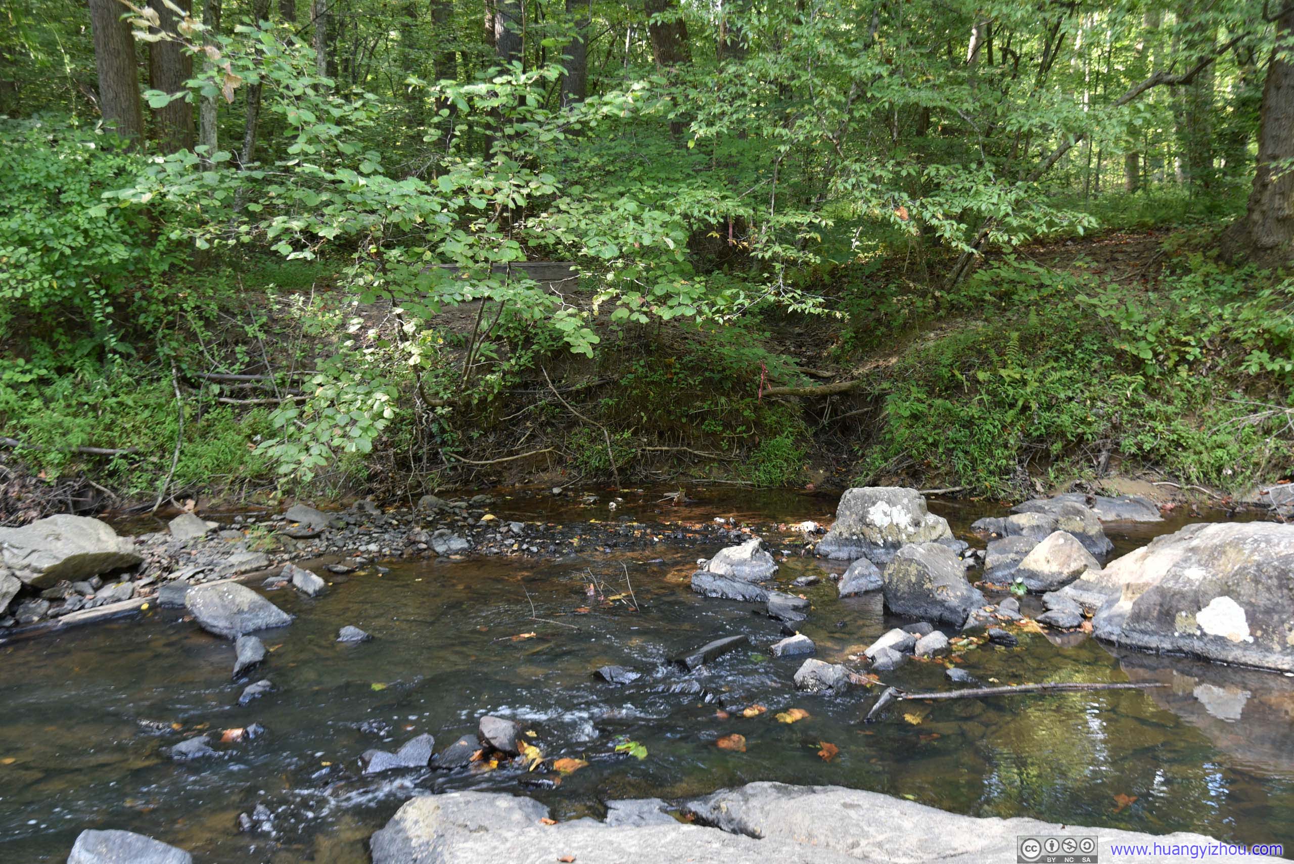

 Waterfall
After that, it’s another three miles before we were back at the parking lot near visitor center.

 Creek
Creek
 Trail
Trail
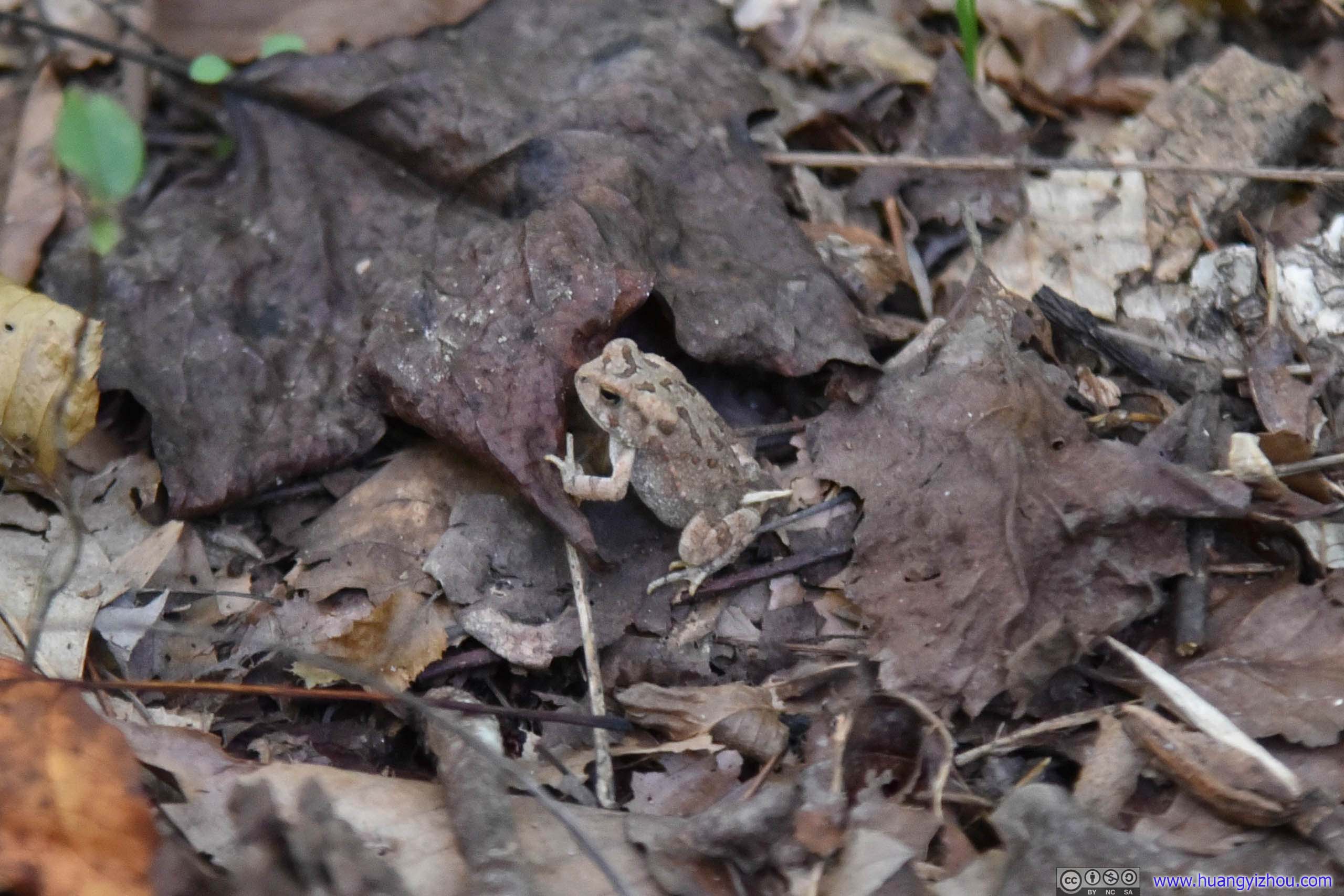
FrogMy friend spotted this tiny creature among fallen leaves.
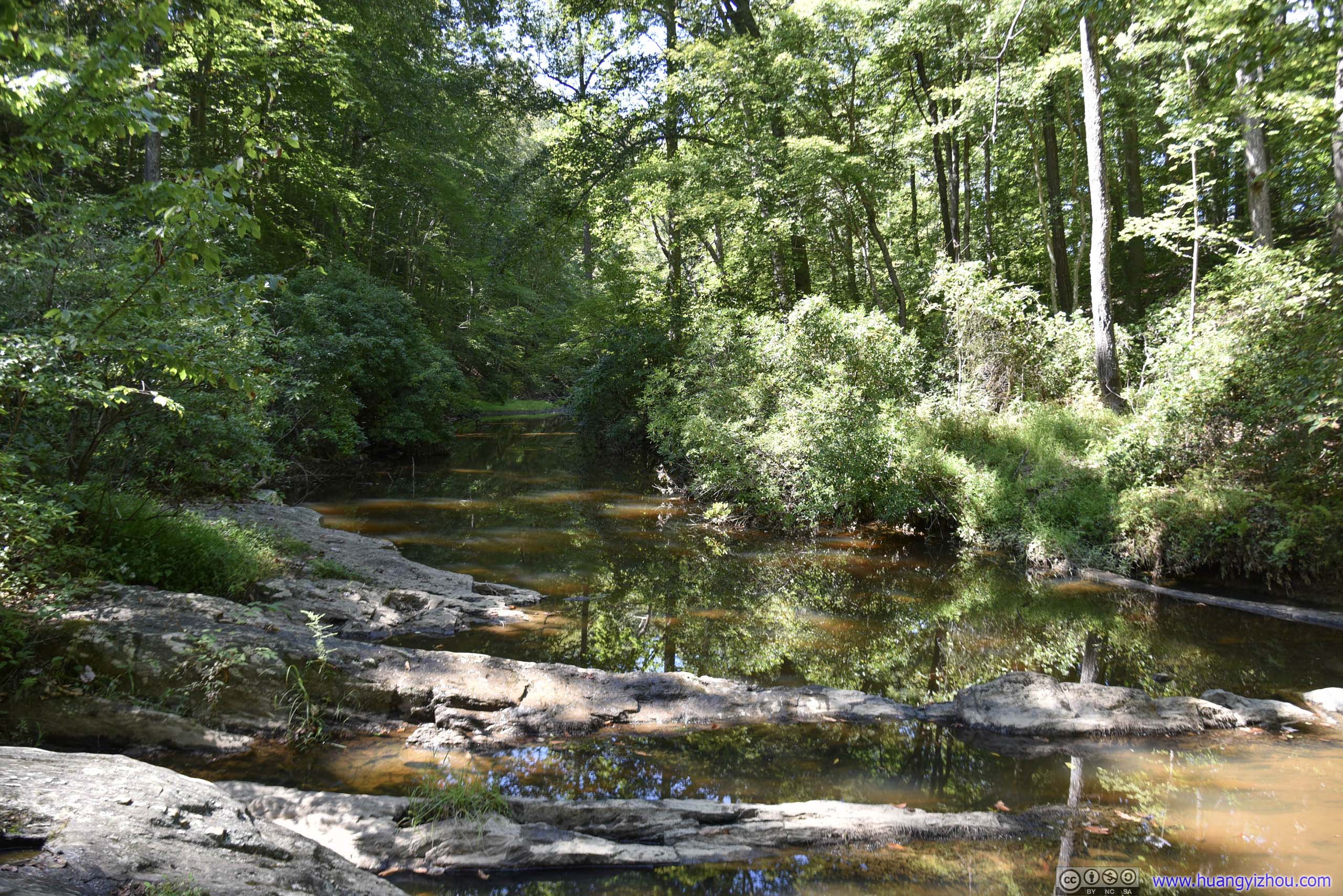
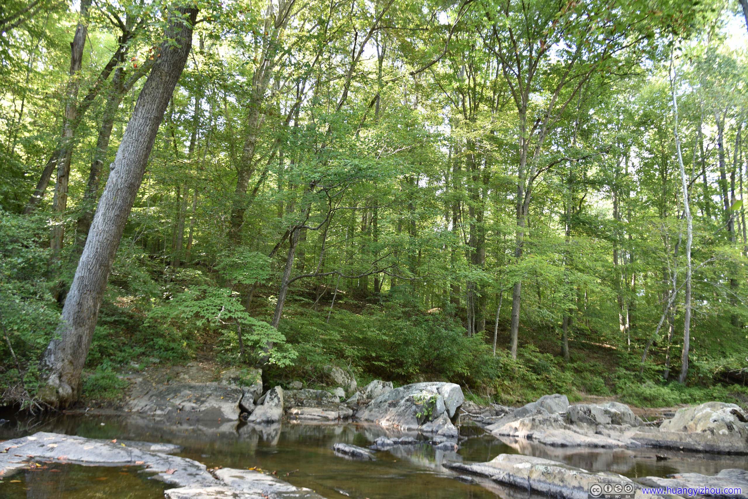
Rocky StreamThis insignificant creek even had the name “Mary Bird Branch” on maps.
 Creek
Creek
WaterfallThis could definitely be a waterfall by the park’s standards.
 Trail
Trail
Conclusion
With its 15 dollar per vehicle admission rate, I guess only two kinds of people would ever visit the park, NPS pass holders or nostalgic former CIA spy agents in their eighties. (No, families looking for cheap campgrounds to visit DC should choose Greenbelt Park instead.) The park’s trails were well marked and well maintained, there was little if any elevation changes at all. Things were to a point that, if not for the roots of trees, they could be wheelchair accessible. Unfortunately, there really weren’t much to see, except for the two pathetic “waterfalls” that in some seasons only existed on maps. I guess none of these would excite an NPS pass holder?
![]() Hiking in Prince Willilam Forest Park by Huang's Site is licensed under a Creative Commons Attribution-NonCommercial-ShareAlike 4.0 International License.
Hiking in Prince Willilam Forest Park by Huang's Site is licensed under a Creative Commons Attribution-NonCommercial-ShareAlike 4.0 International License.