
Updated on April 27, 2022
Day Trip to Pennsylvania and West Maryland
A star gazing trip to the woods of Pennsylvania, followed by some scenery on the way back.
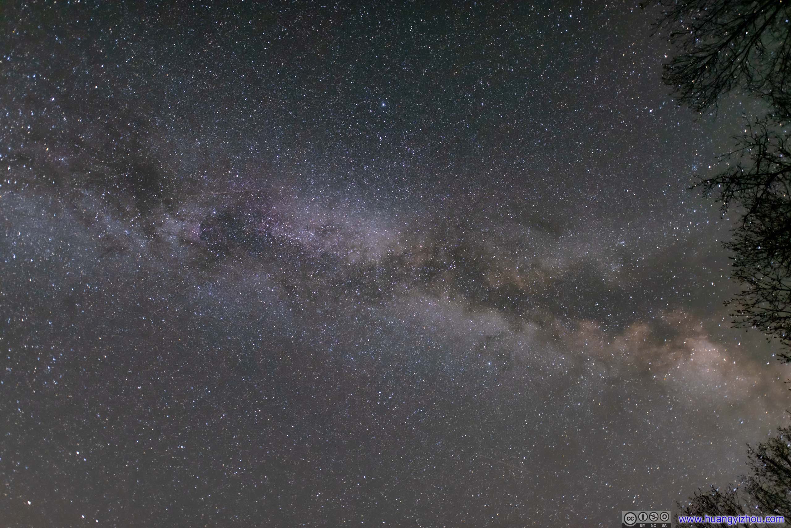
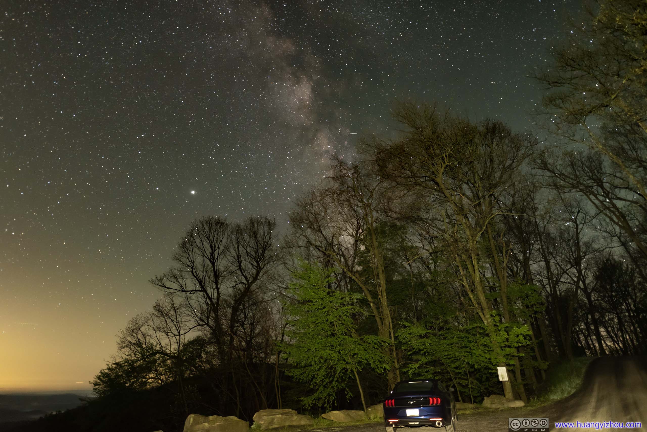
Galaxy
My big trip to Utah at the beginning of June was coming up, so I thought it’s a good idea for me to go star gazing somewhere near my home first, giving my new Sigma 20mmF1.4 lens some field test.
There weren’t many places near Washington DC without light pollution, Spruce Knob in West Virginia and Buchanan State Forest in Pennsylvania were probably the only two spots within reasonably driving distance. After a couple of cloudy days and with much anticipation, I finally got a clear night forecasted for May 25-26.
Although Spruce Knob had darker skies, it’s forecasted to have some cloud covers early morning May 26, so I picked Buchanan instead, packed up everything and left home at midnight.
Buchanan State Forest Star Gazing
Weather-wise, the forecast I relied on (Canadian Meteorological Centre) called for a clear, cold and very humid early morning, which was certainly worrisome as fog could easily form under these circumstances. So while Weather.com predicted clear skies, AccuWeather predicted a foggy morning with low cloud ceilings.
It’s certainly a test of faith as I raced along I68 into west Maryland, among shifting fog (and not a lot of stars above). Yet the sights of a star-decorated heaven at my destination came most rewarding, leading to some enjoyable time ahead.
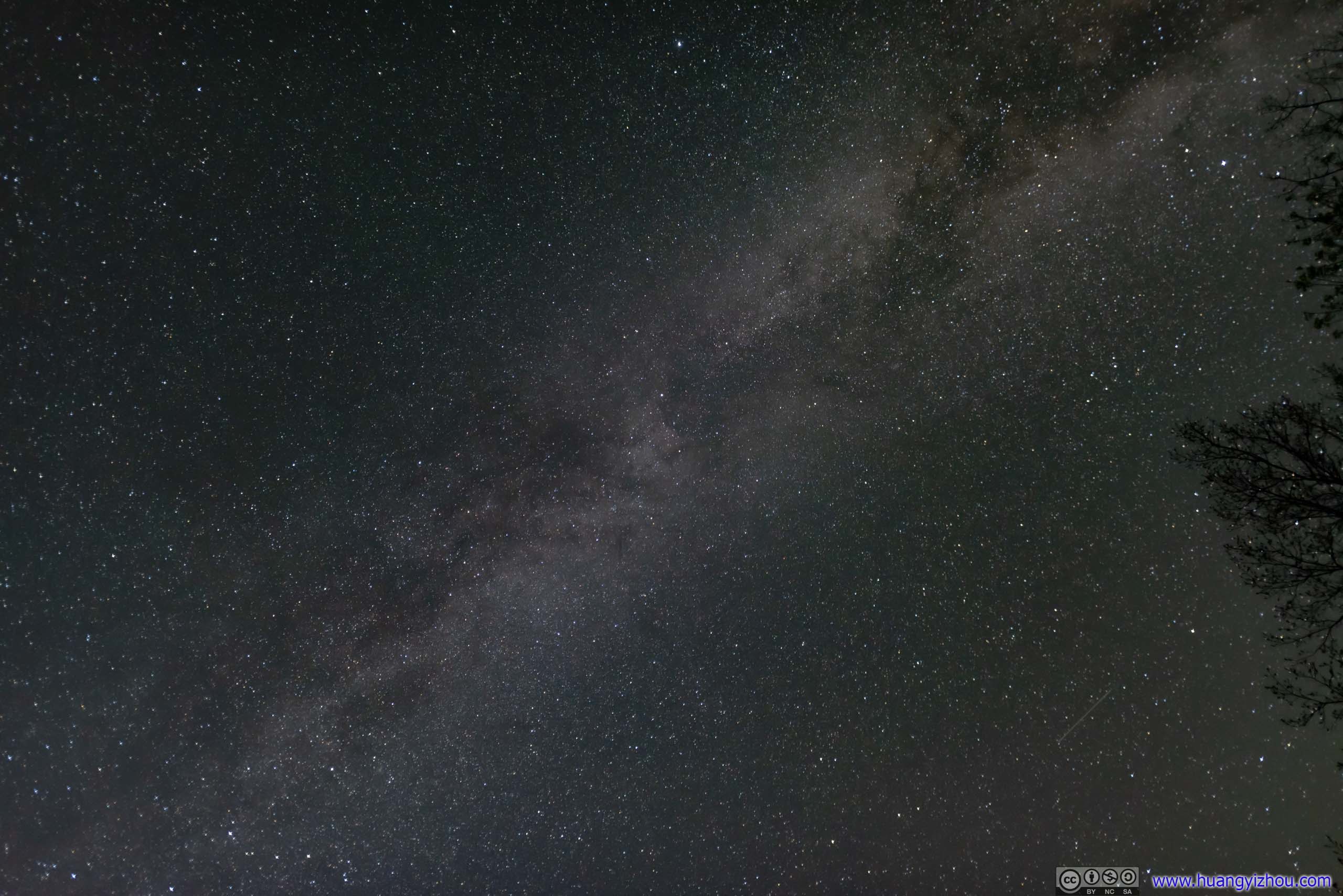
Galaxy
For the record, I took these photos in Buchanan State Forest of Pennsylvania, located along Route 326 south of the town of Rainsburg.
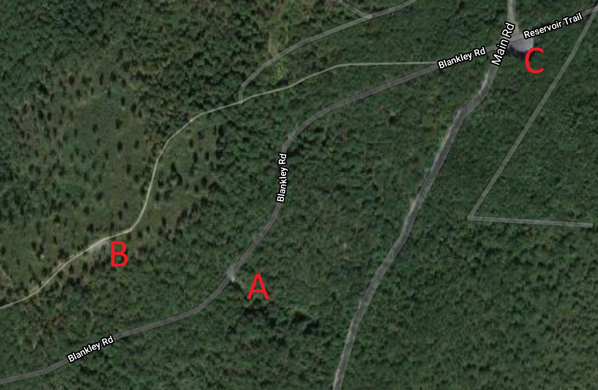
There was an overlook (A) located on “Blankley Road” (unpaved) not far from Route 326, where I took some of the photos. A trail running parallel to Blankley Road also afforded an overlook (B), presumably with less obstructions. But I found that hiking in the dark among all kinds of bugs weren’t very pleasant, even for a few hundred meters, so I didn’t venture there. Later, I found that views at the parking lot along Route 326 (C) weren’t any worse compared with the previous overlook.
These places were on a hill, with higher elevation than surrounding villages. It’s probably why my star gazing wasn’t bothered by fog/clouds that morning.
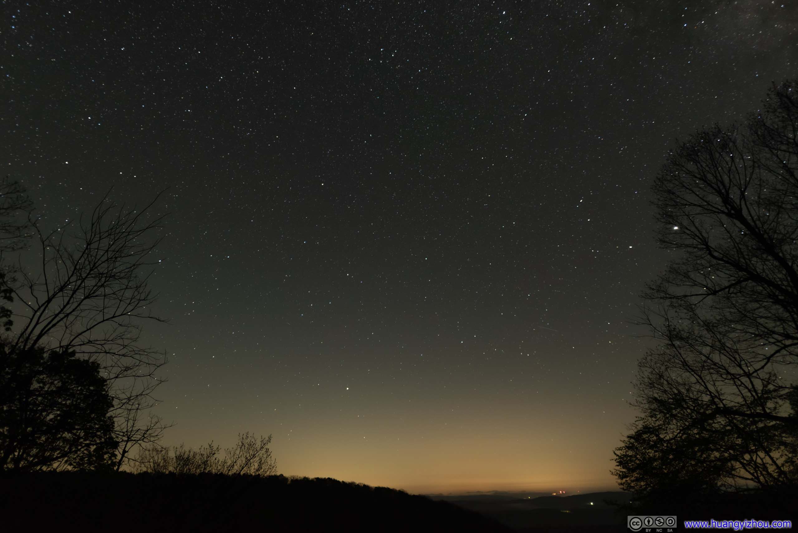
 Night Sky
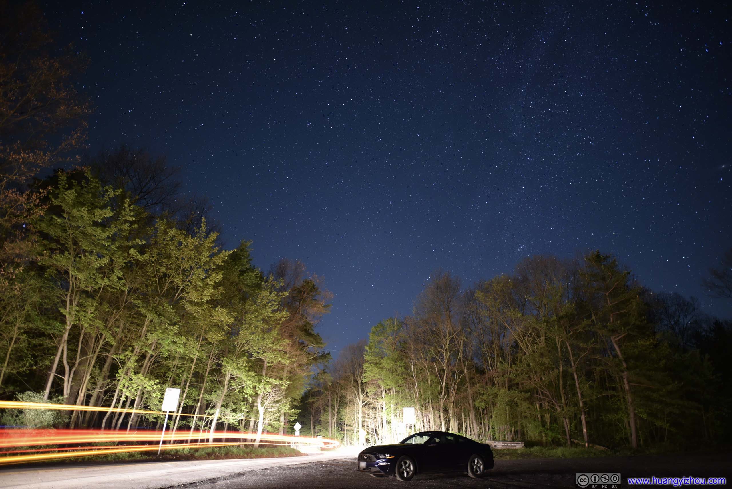
Night SkyA truck happened to pass by while I was taking this photo. That’s my only encounter of others during this morning of star gazing.
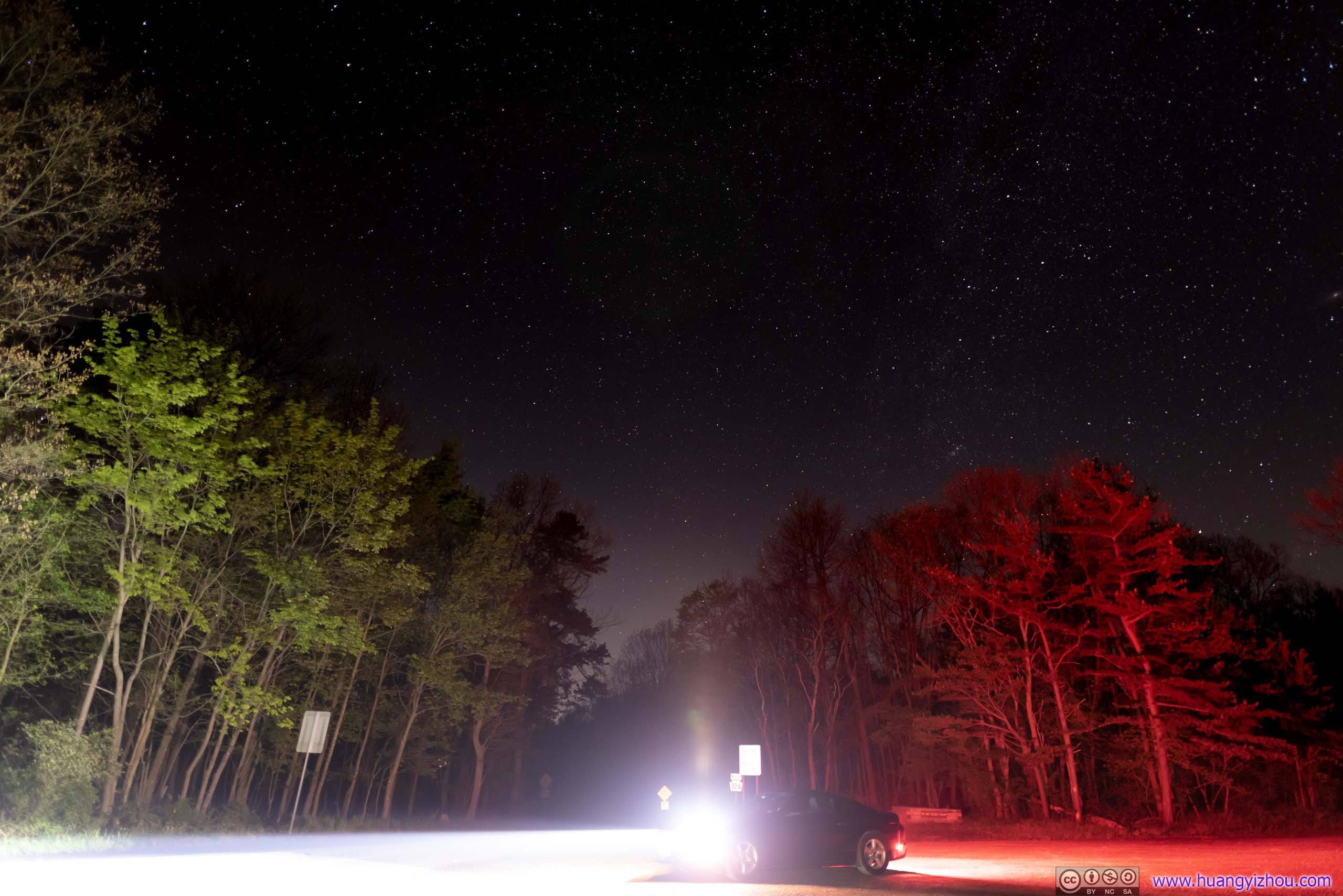
Night Sky
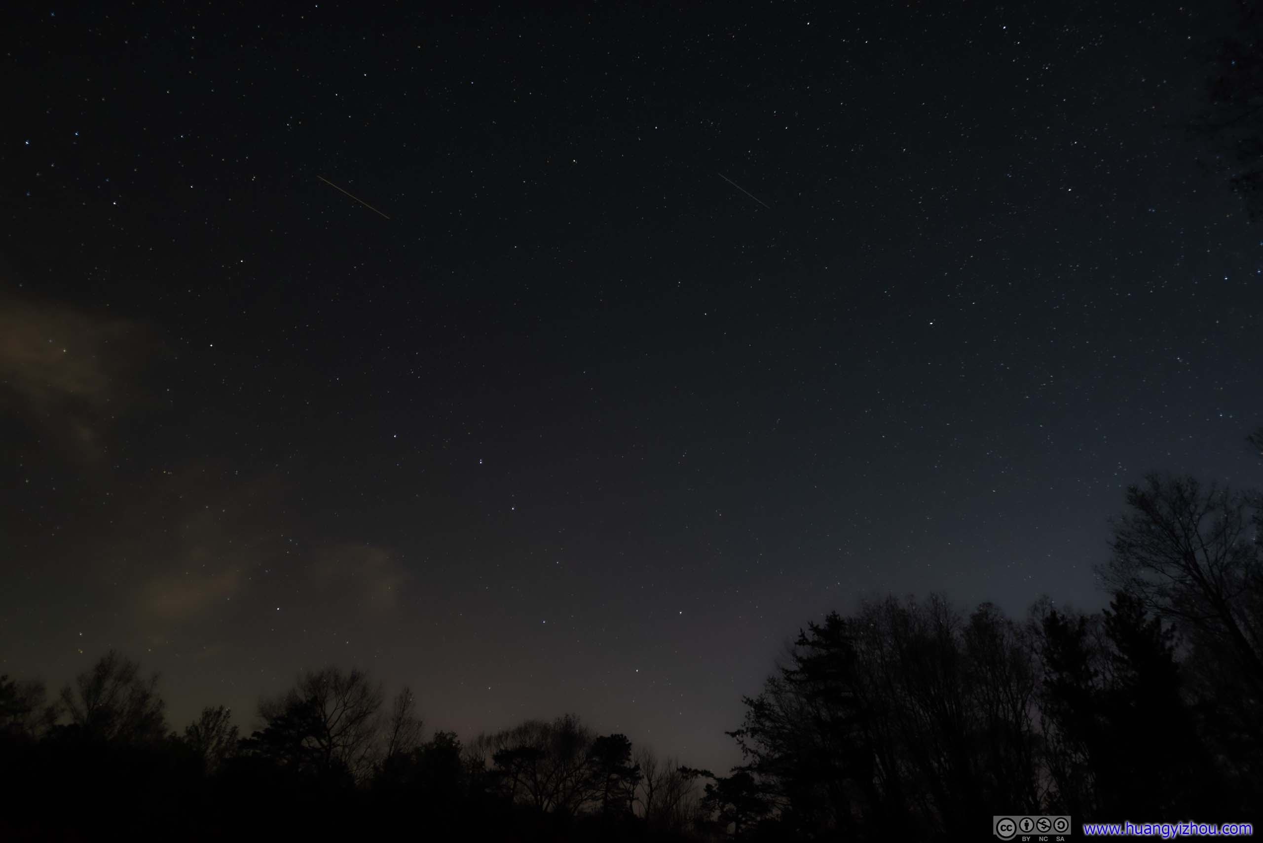
Big DipperIn hindsight, I should probably put this shoot slightly out of focus, so that the major stars would be more obvious in the background.
And when the horizons were lit up in preparation of a new day, I had a quick snack in my car, before driving to my next stop of the day, Dan’s Rock in Maryland, for sunrise.
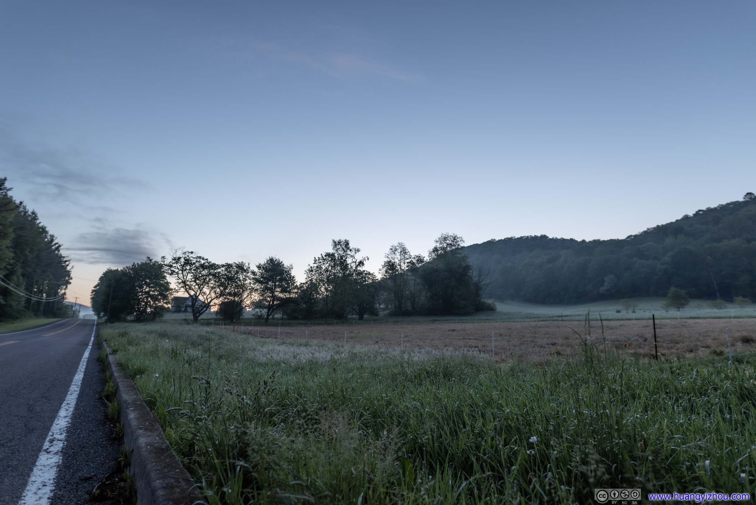
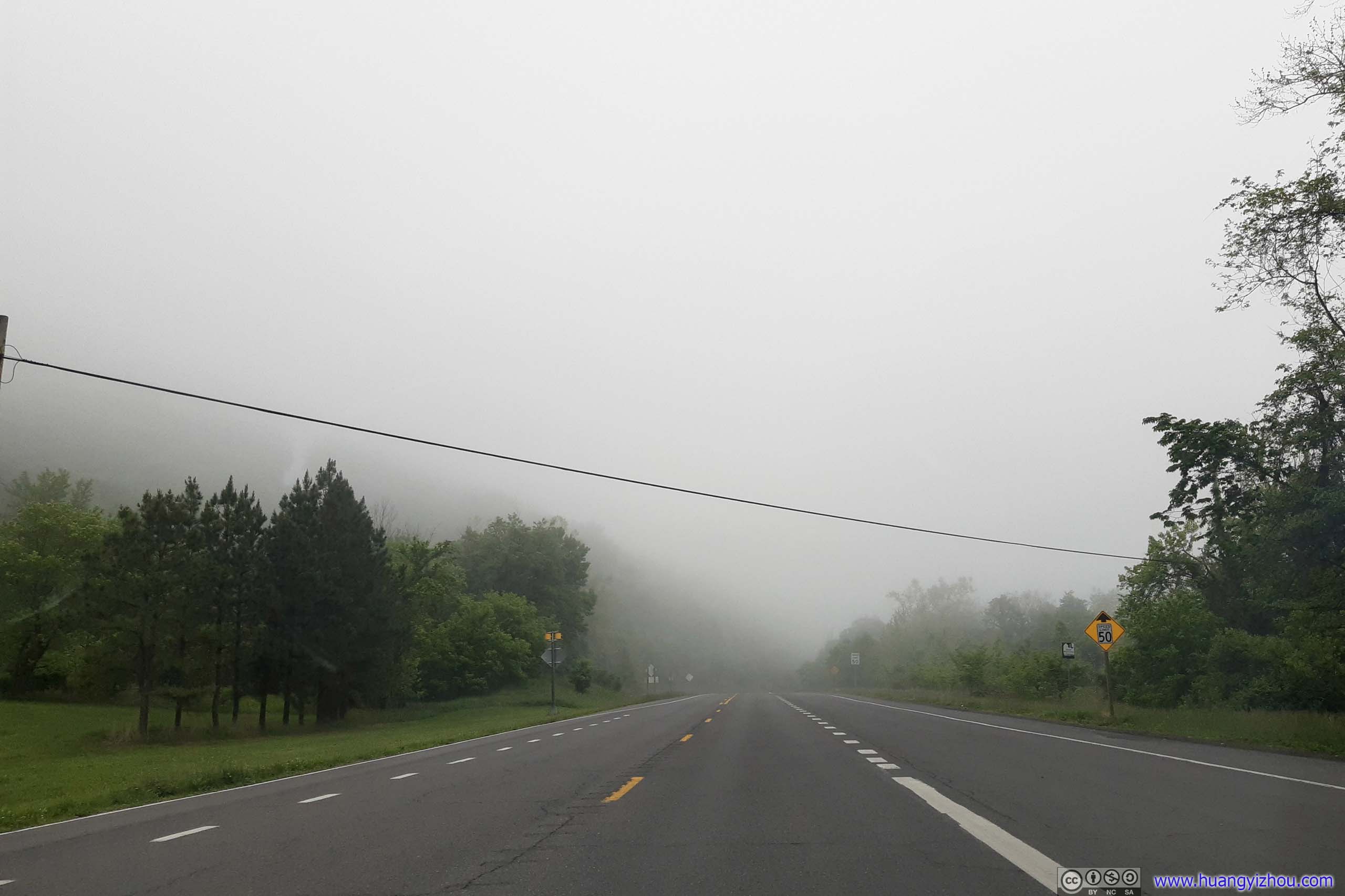
Farmland with Morning MistBefore reaching I68, the drive from Buchanan State Forest to Dan’s Rock was through patches of farmland like this, between two mountain ridges. Morning mist added senses of mystery to these lands.
Dan’s Rock
A group of rocks next to a cliff south-west of the city of Cumberland. The site was directly accessible from a road, not being part of any established nature zone like state park or wildlife management area. That’s probably why artists came and painted these rocks with various patterns, without finding themselves in trouble.
Since the cliffs were facing east, I thought it’s good spot to watch sunrise, after my star gazing morning. Unfortunately, probably because I went star gazing for too long I didn’t drive from Buchanan fast enough, by the time I reached the rocks the sun had already risen. I missed it probably by 1 to 2 minutes, tops.

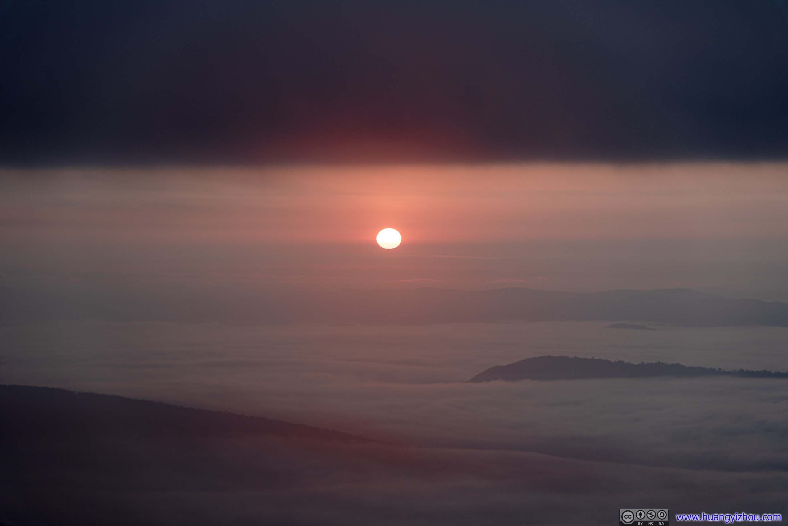 Rising Sun above Clouds
The sea of clouds were rising so fast, that just a few minutes later they covered the rising sun.
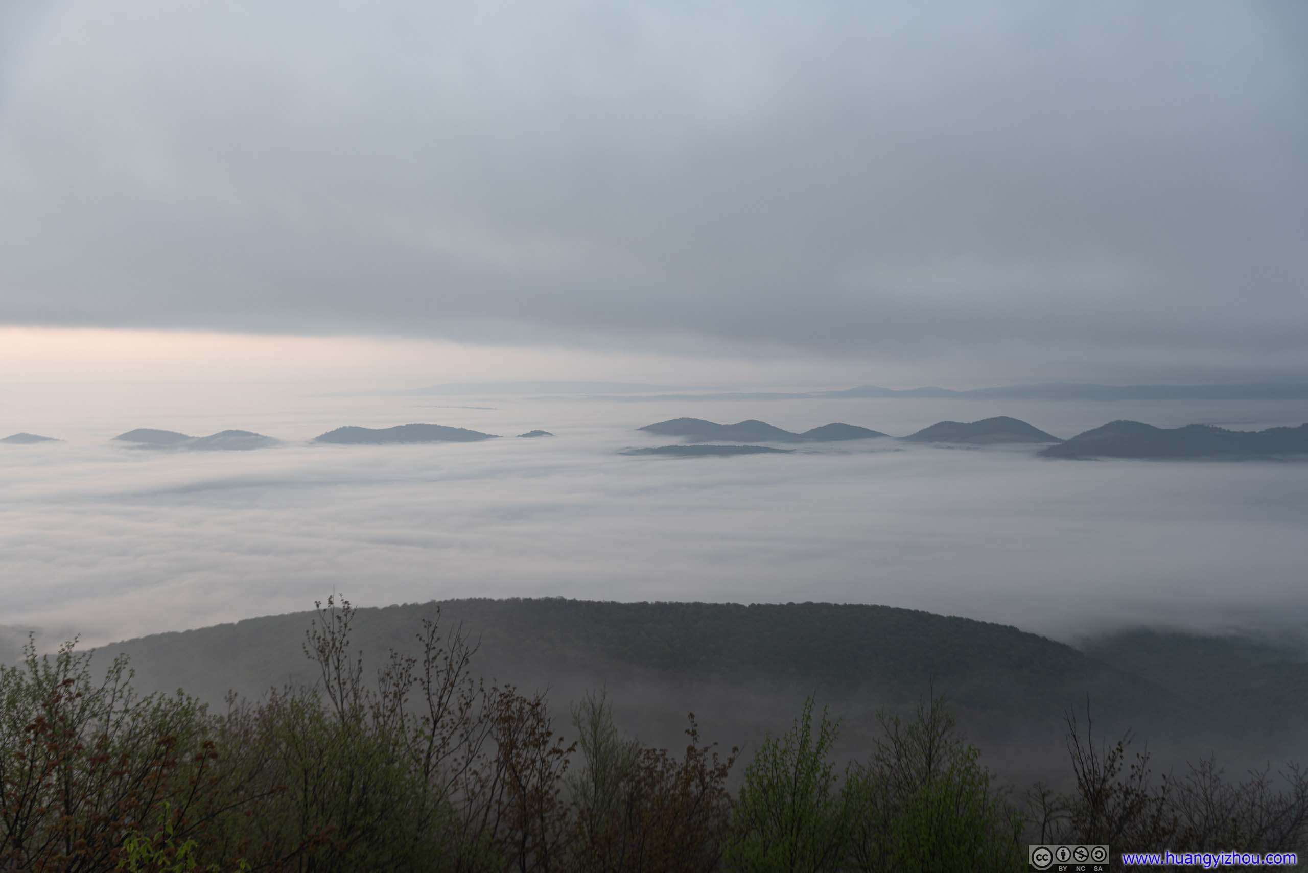
Sea of Clouds
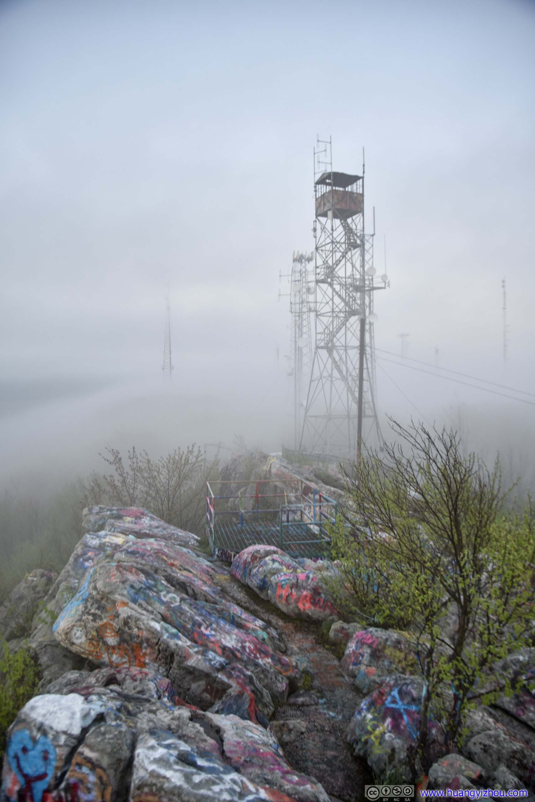
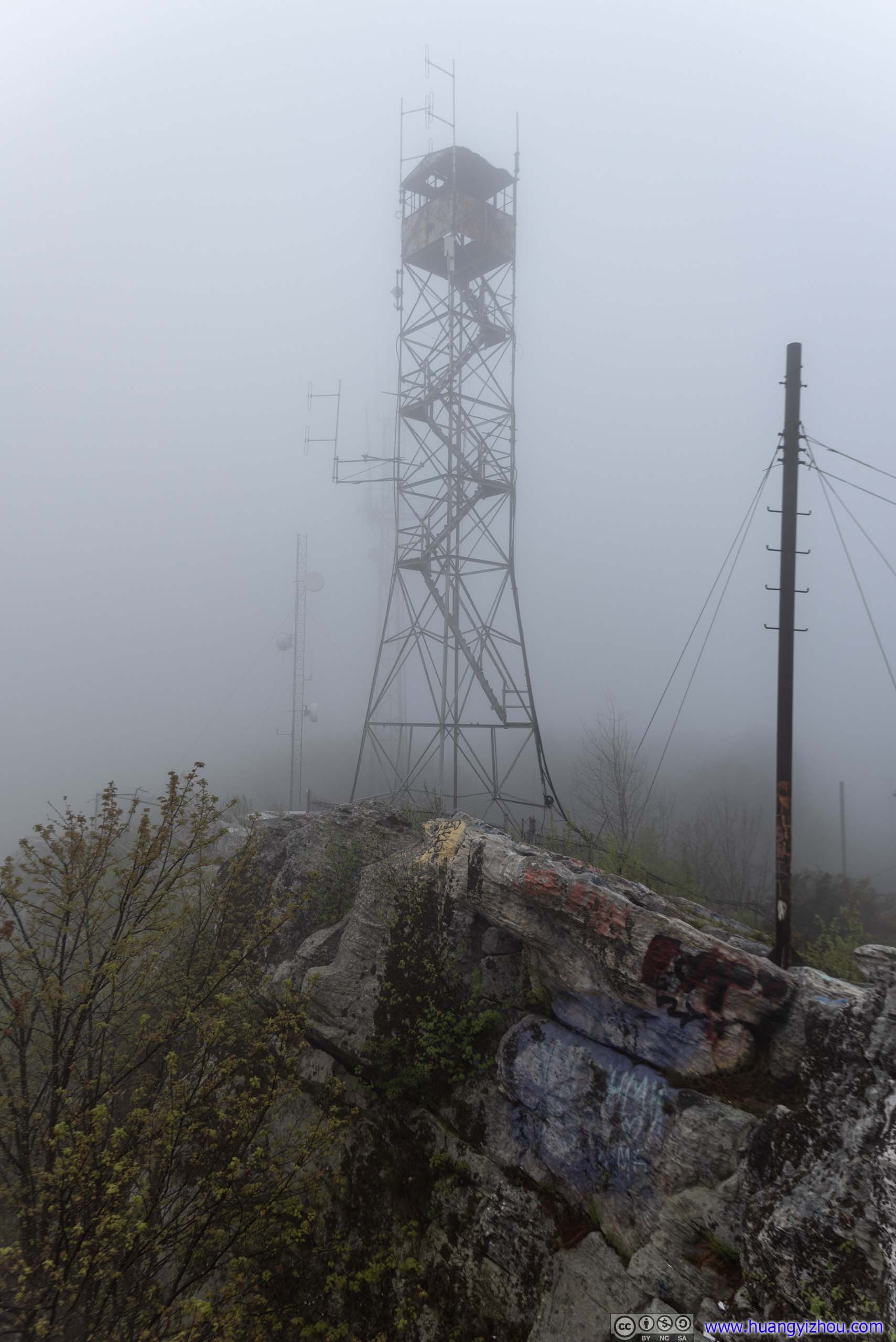 Signal TowerThere was a fire tower and many signal towers near Dan’s Rocks, most of the signal towers were FM. But judging by the fact that a T-Mobile user like me received cellular signal, one of them must be a cell phone tower.
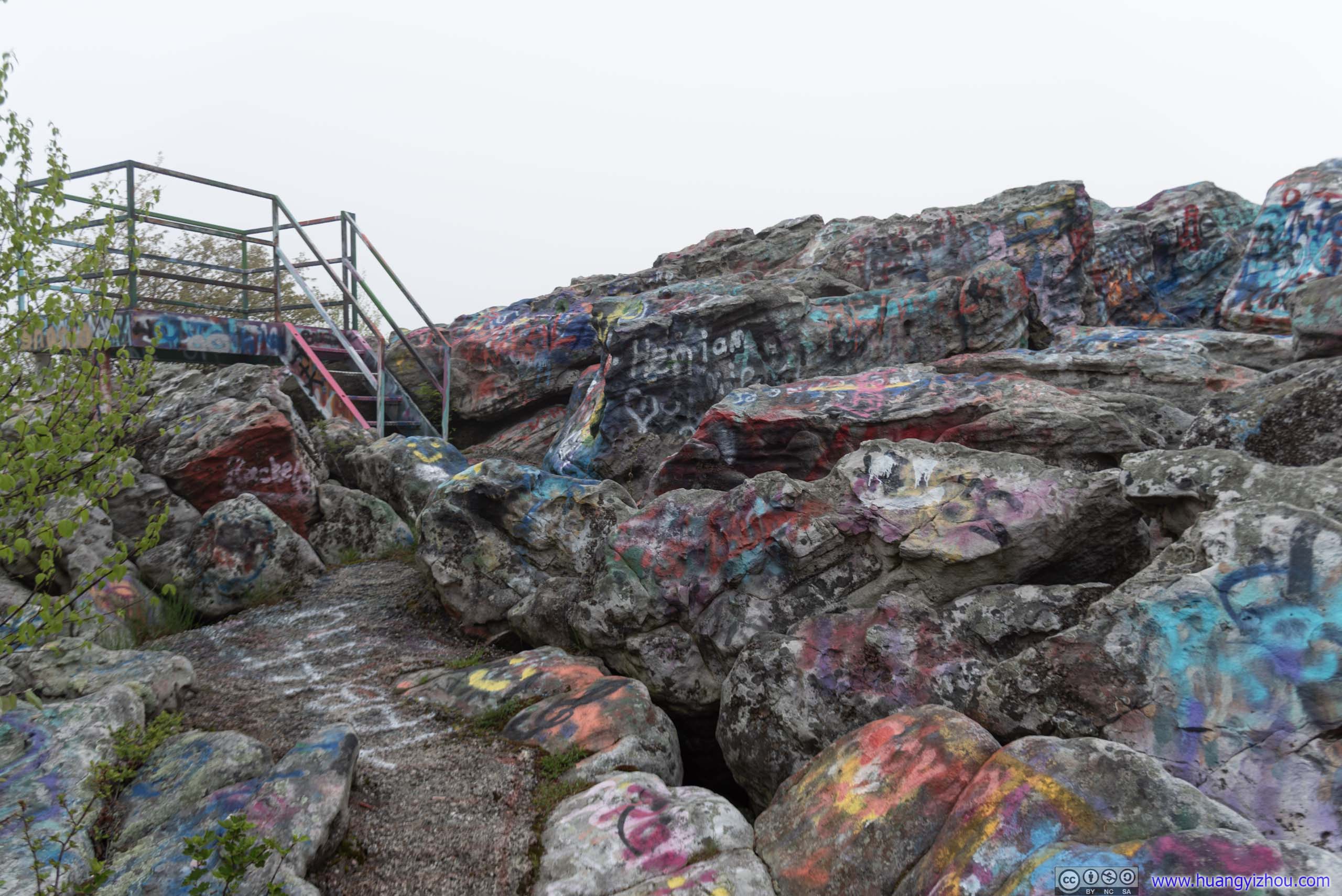
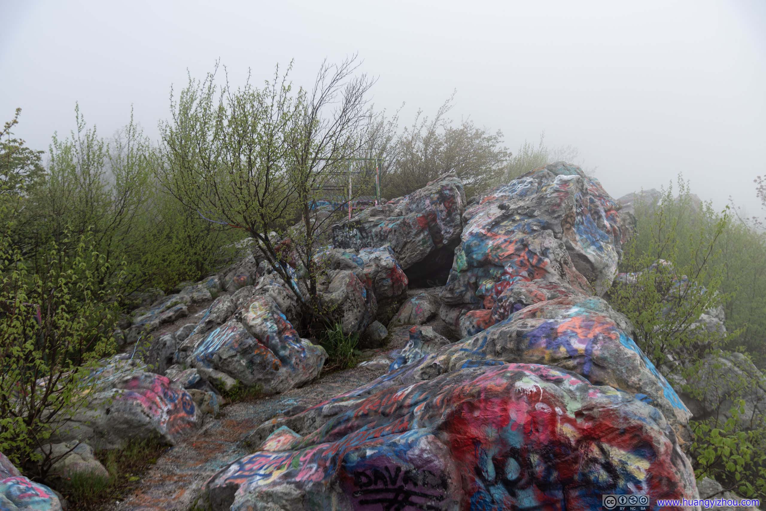
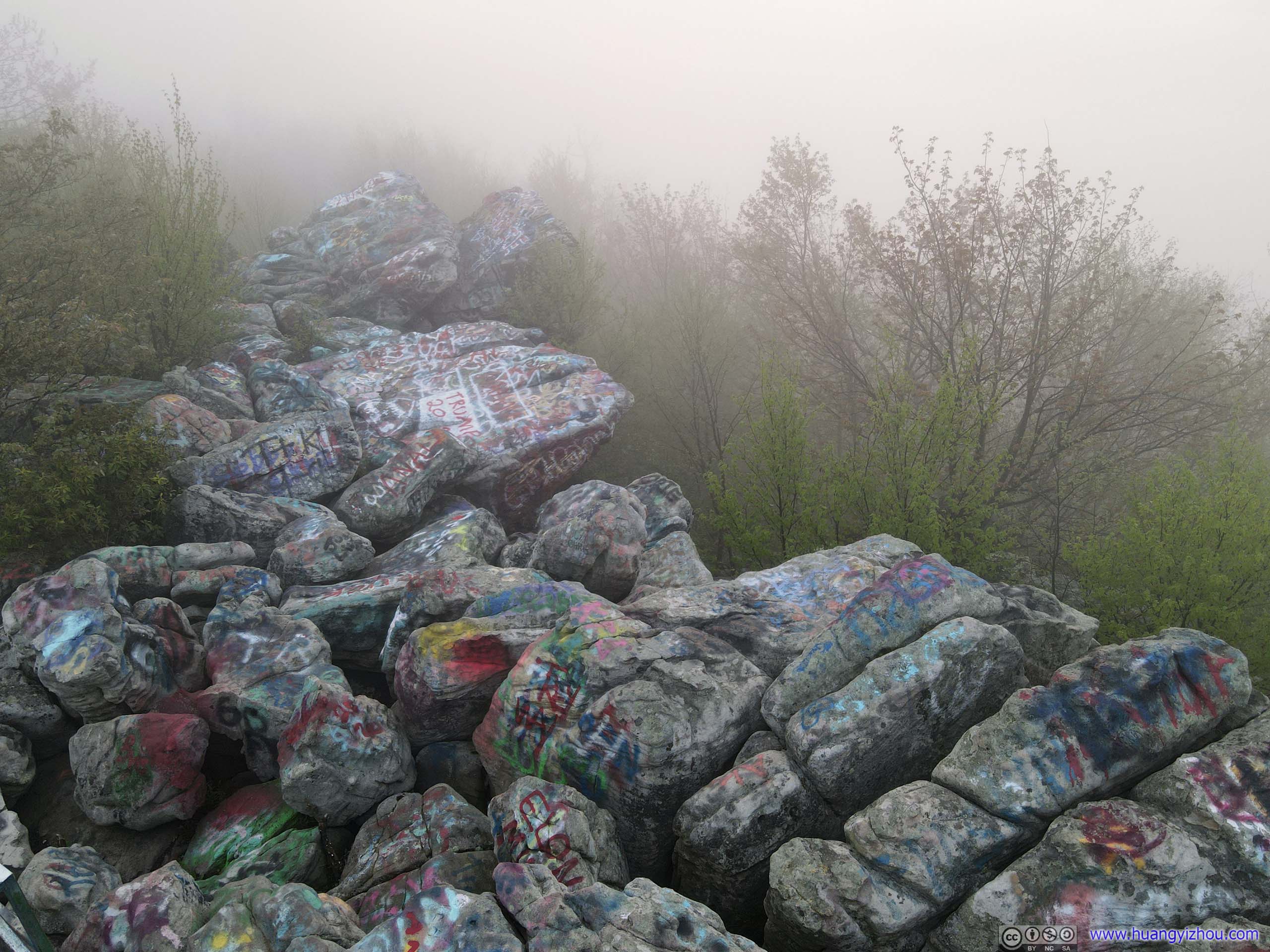 Dan’s RockA few people weren’t very happy with the “vandalism” of nature by street artists. I thought as long as the artists keep their boundaries, it didn’t hurt to add some colors to what would otherwise be a few mundane and boring rocks, especially on a foggy day like this when other views were heavily obscured.
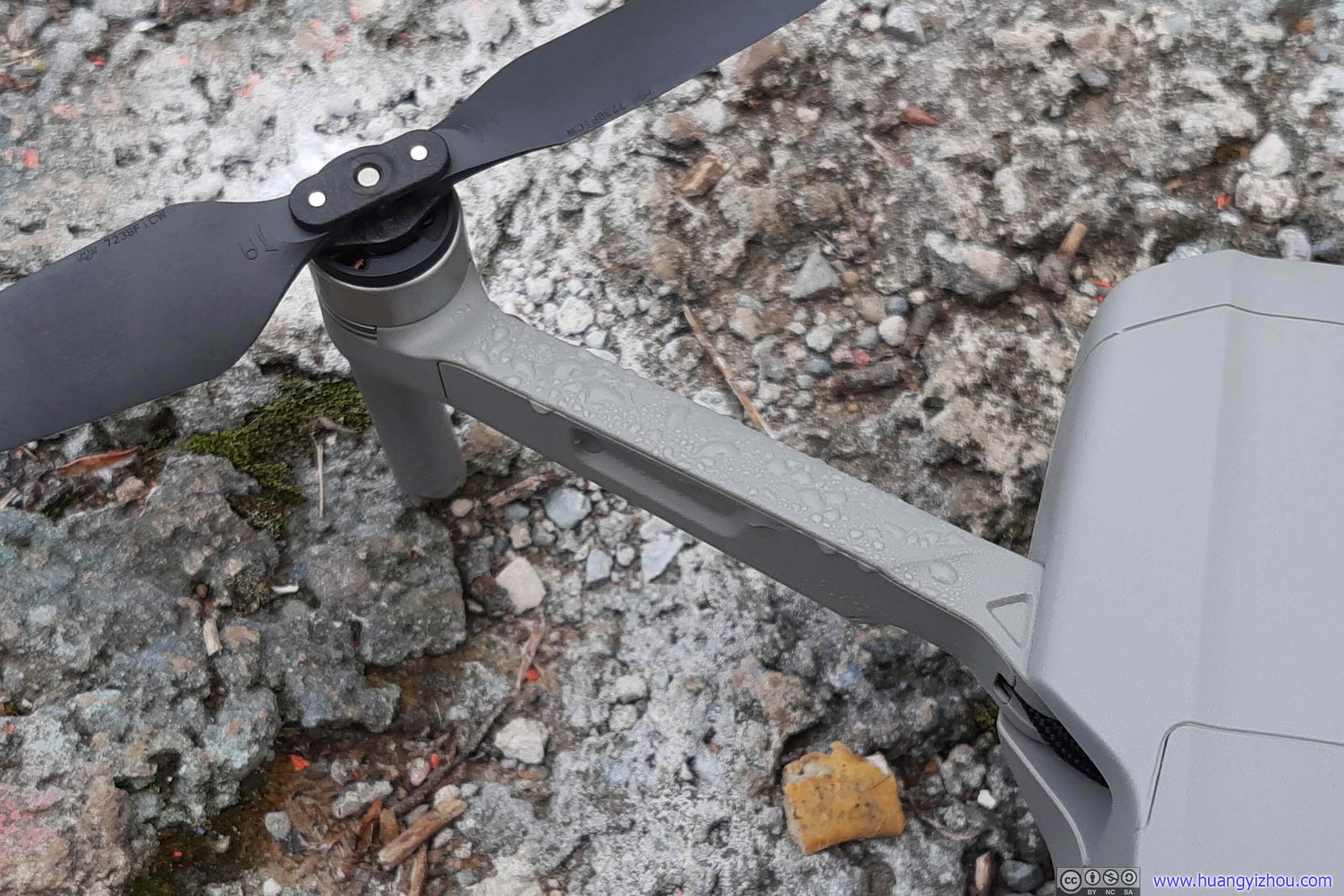
Dew on Drone ArmResult of flying in humid clouds.
After an hour or so by myself at Dan’s Rock, I found that the town of Paw Paw wasn’t too far away, with its famous tunnel on C&O canal. So on my return trip I decided to pay them a visit.
The country road leading from Cumberland to Paw Paw happened to be Chesapeake and Ohio Canal Scenic Byway. As its name suggested, it’s a delightful drive through the woods.

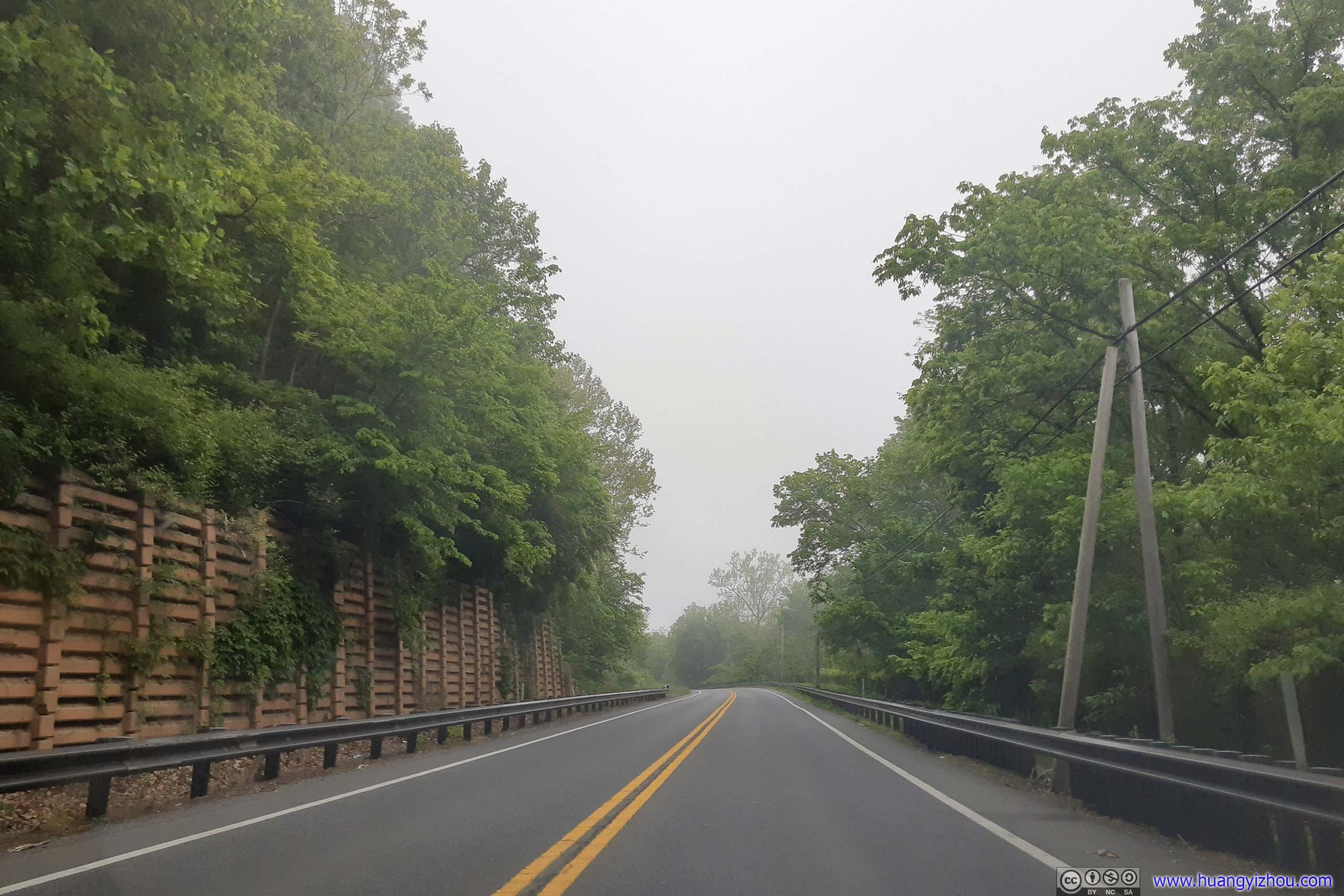
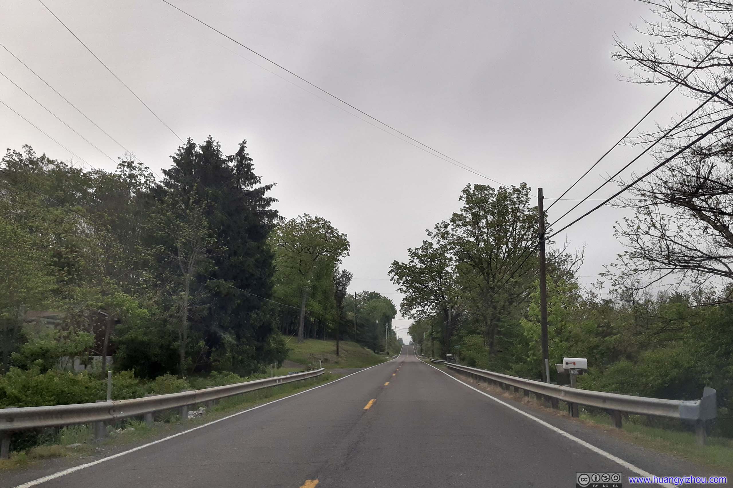
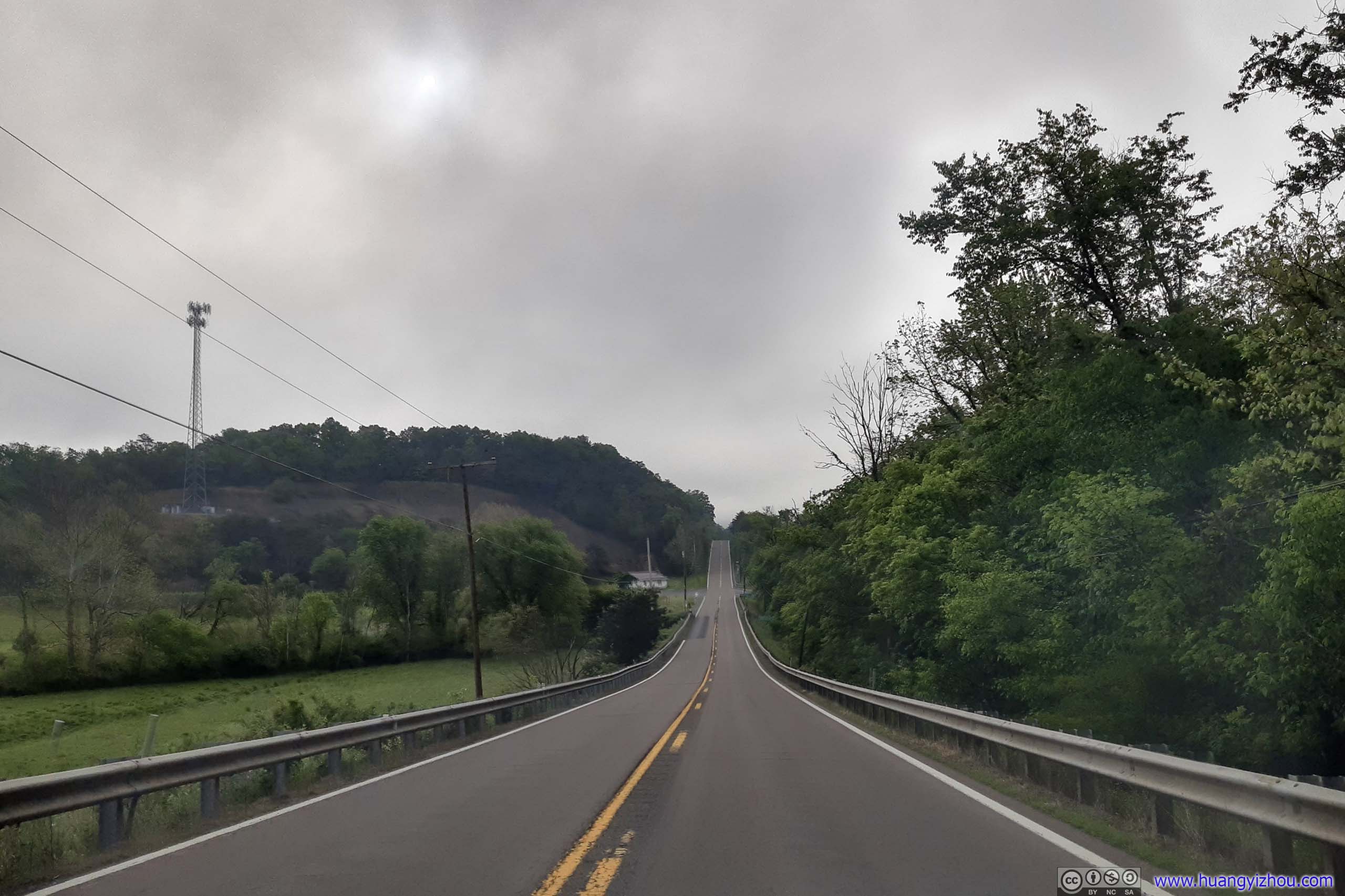

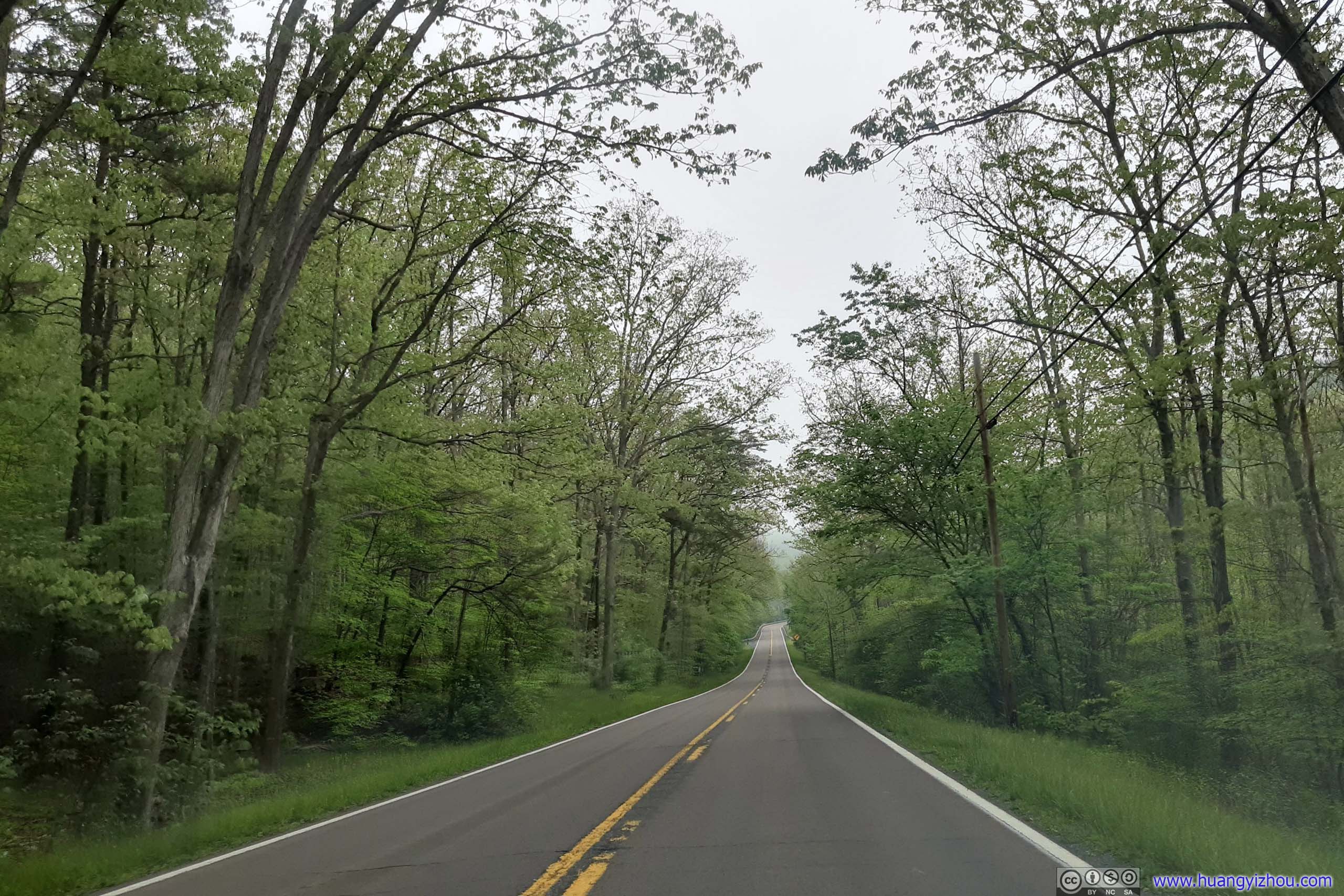 Country Road
Paw Paw
Tunnel
Trail to the tunnel started at “Paw Paw Tunnel Campground”. It was an 850-meter trail along the canal’s towpath. Again, I didn’t see anybody else on the trail.
The 950-meter long tunnel was built so that C&O Canal could avoid a six-mile stretch of Potomac River with bends and steep cliffs, not suitable for a ditch canal. Engineering difficulties and labor disputes among immigrant workers plagued the construction of the tunnel, making it hugely delayed (completed in 14 years instead of the estimated 2) over-budget ($600k instead of estimated $33.5k). As the last segment of the Canal to be built, its delay meant C&O Canal lost the race to reach Cumberland to B&O Railroad by 8 years.

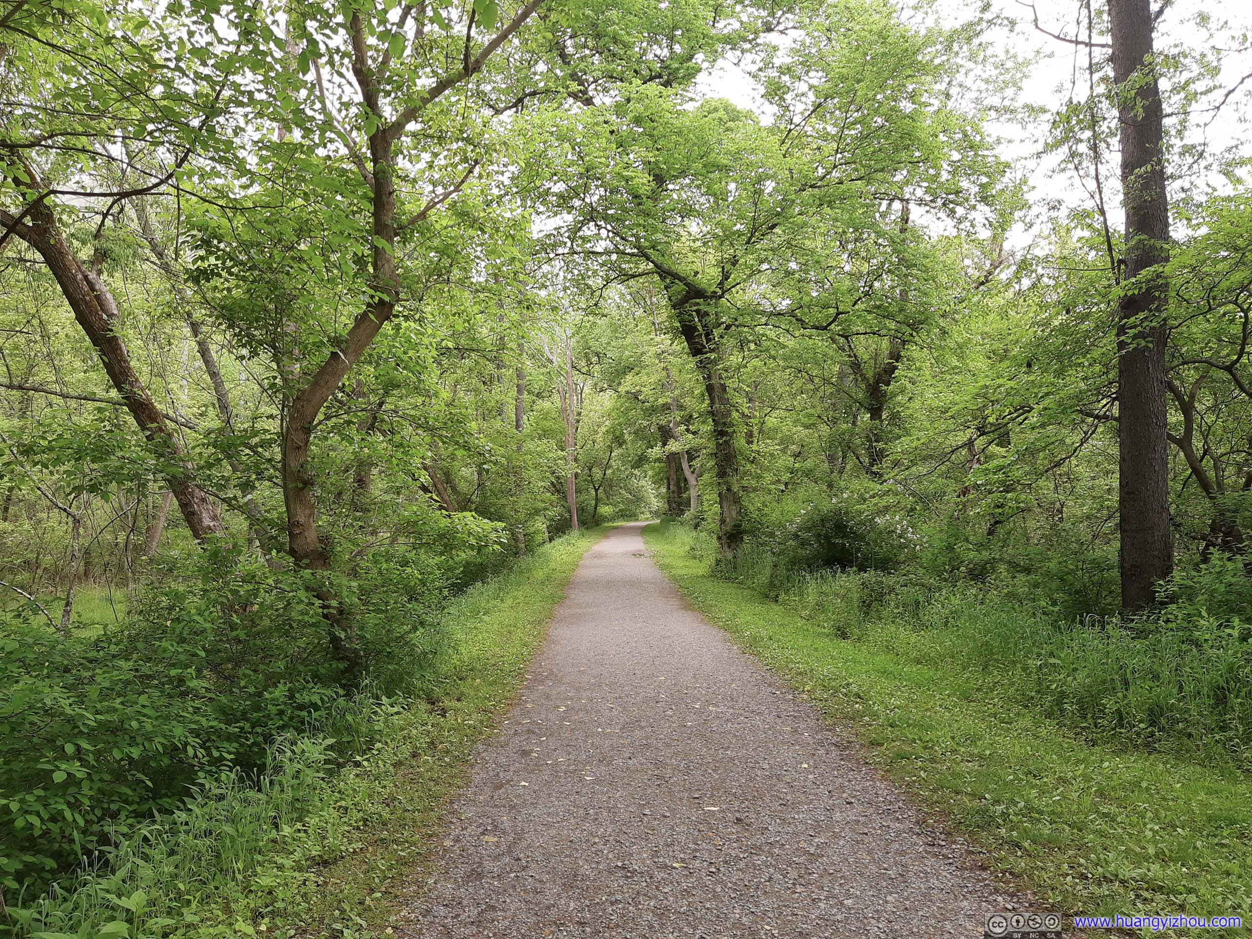 Towpath
At first, I decided to take the “Tunnel Hill Trail” over a hill to the other side of the tunnel, and then the tunnel back. Probably due to COVID, the hill trail didn’t seem much trod. The trail was still visible, but I wouldn’t enjoy blazing through spider nets, so I gave up after 50 meters in.

 Entrance to Paw Paw TunnelProbably for some maintenance project, the canal entrance was sealed.
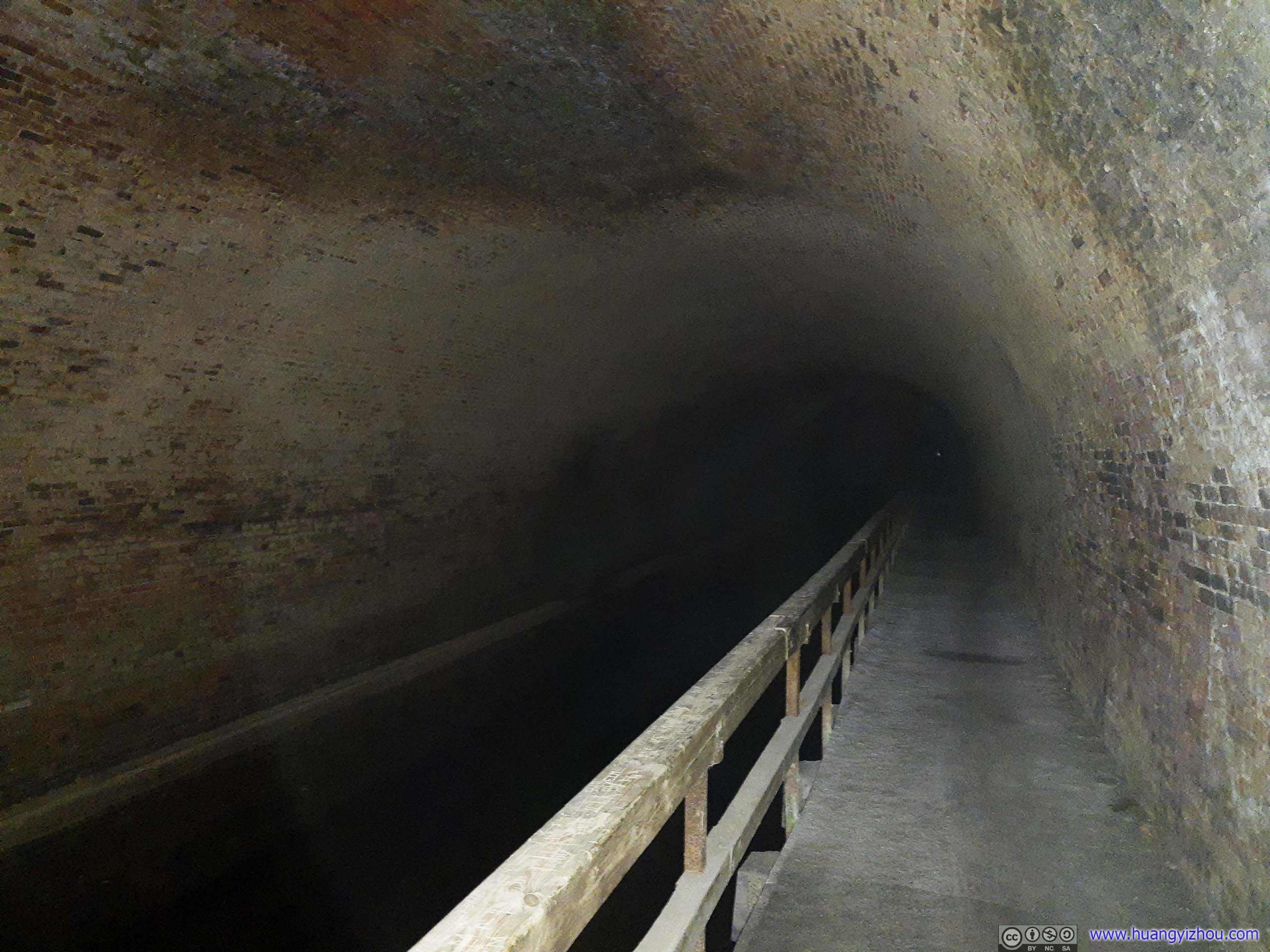
Paw Paw Tunnel InteriorSoggy grounds with dripping water, and above all, the tunnel had not lights. With the endless abyss all but devouring my meager cell phone light, and the smallest murmur resounding between its walls into full scores of terror, I decided I wasn’t in the mood of traversing the tunnel, and headed back to daylight.
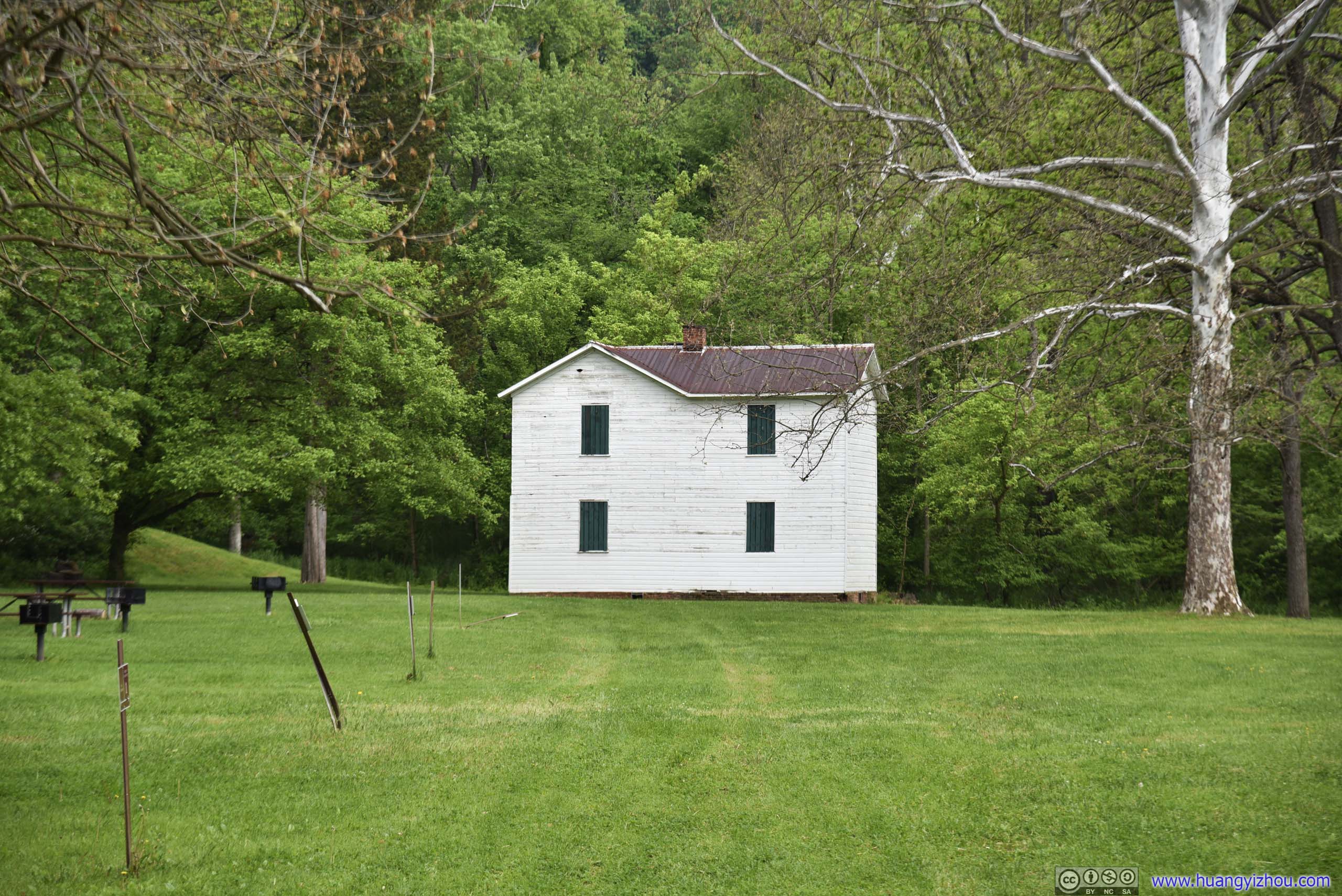
BuildingAt the far end of Paw Paw Campground, I didn’t know what it’s for. Probably some residence for NPS staff?
Town
The actual town of Paw Paw was across the Potomac River in the state of West Virginia. It’s a quiet and relaxing little town, like so many others hidden in America’s countryside. (I bet the tunnel was more famous than the town itself). I did a quick driving tour of the town, before taking a stop at its boat launch site where I launched my drone.
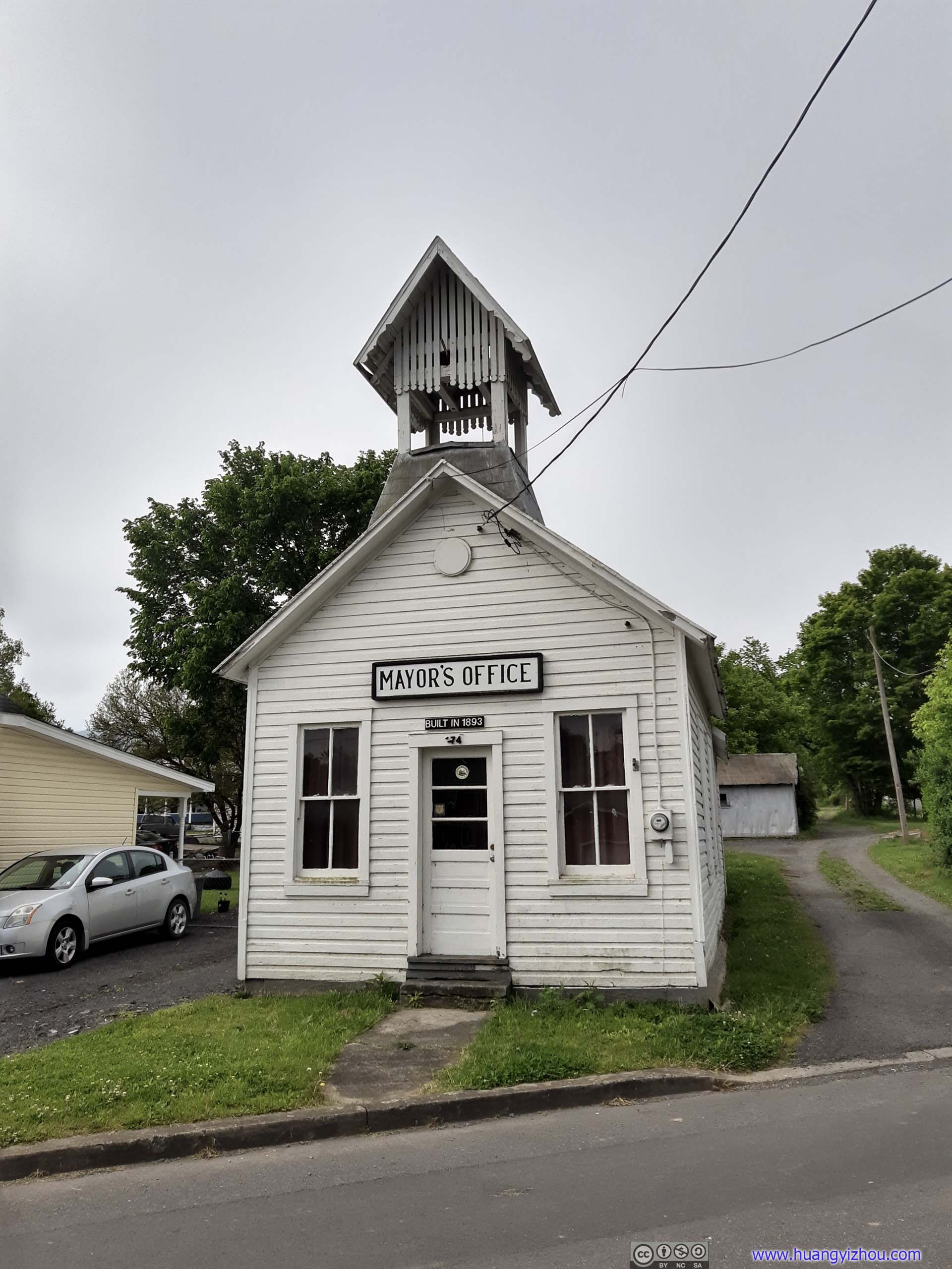
Mayor’s Office of Paw PawLooked rather humble and rustic to me.
I used my drone for a quick tour of the nearby Potomac River first, followed by the town of Paw Paw.
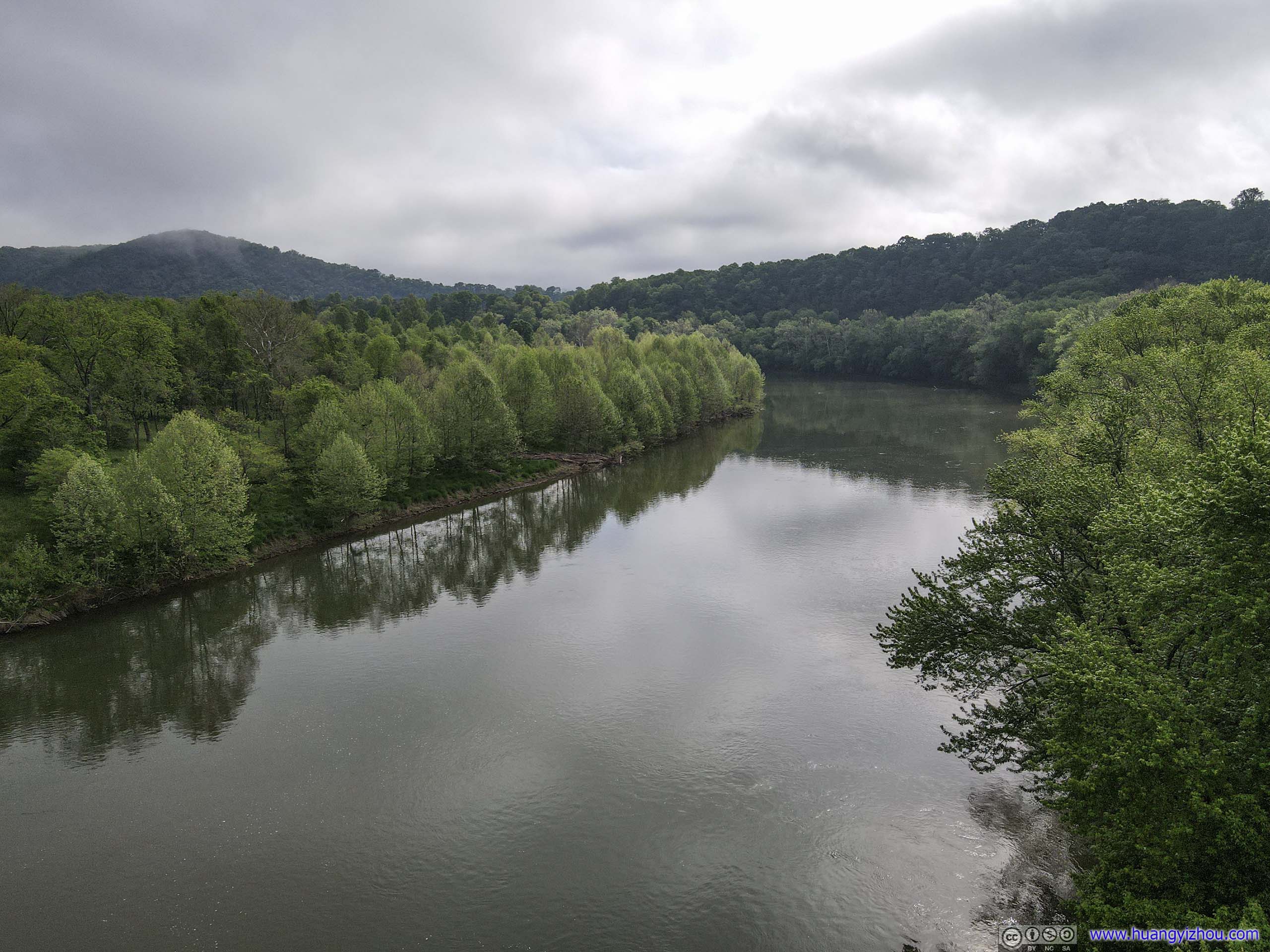
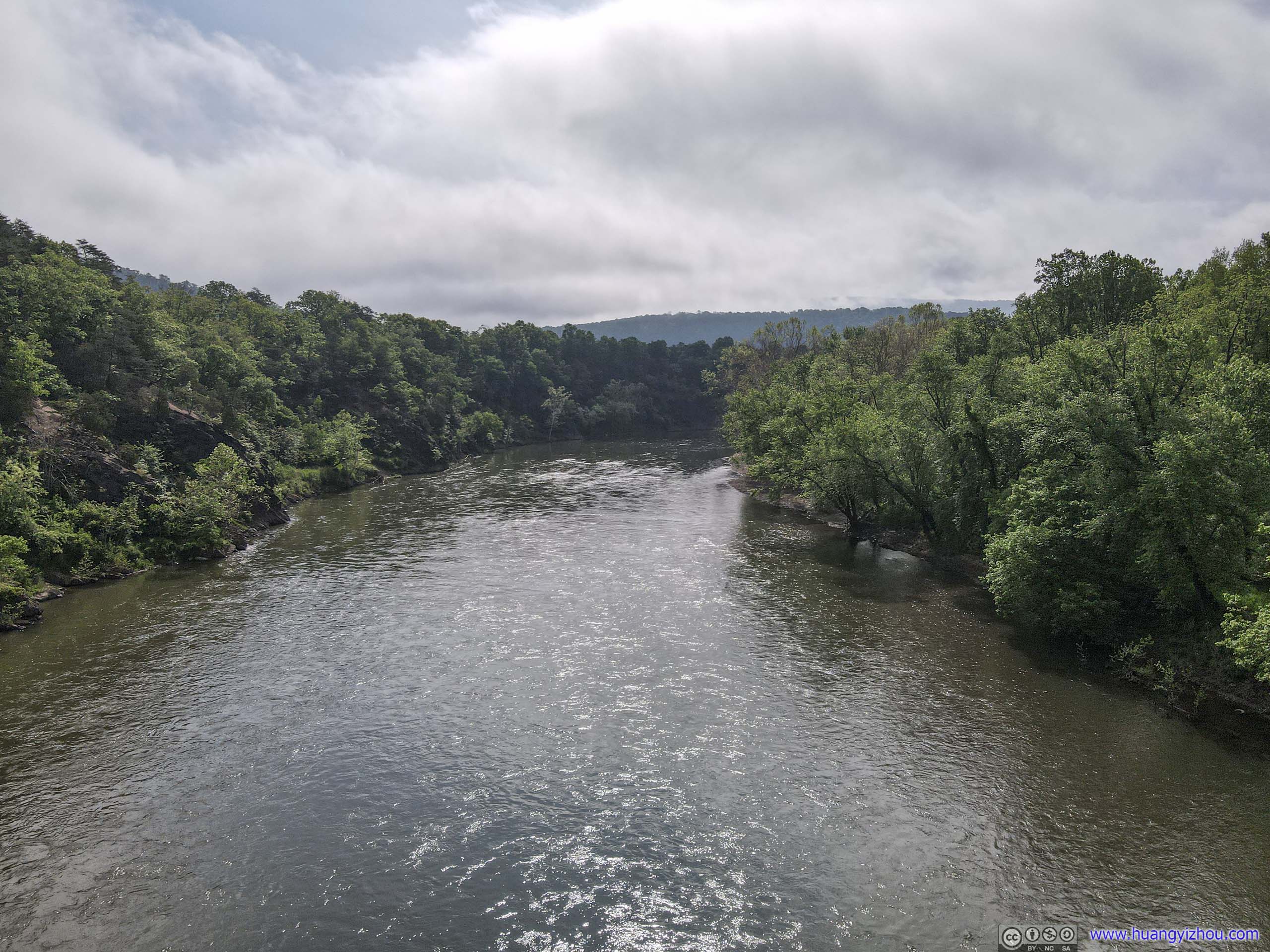 Potomac River
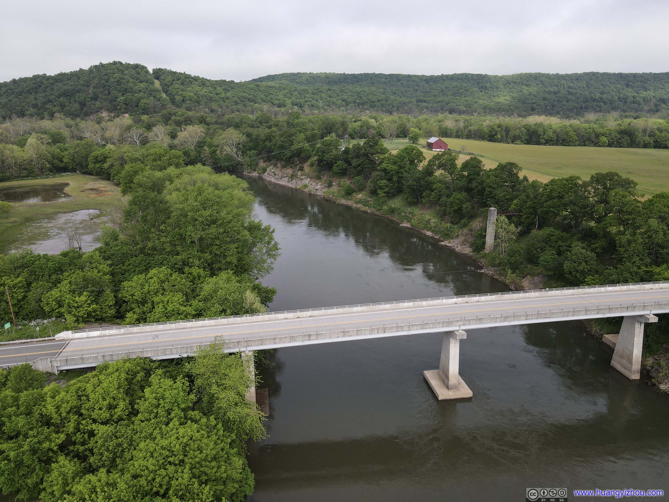
 Road BridgeConnecting Paw Paw, West Virginia to Maryland.
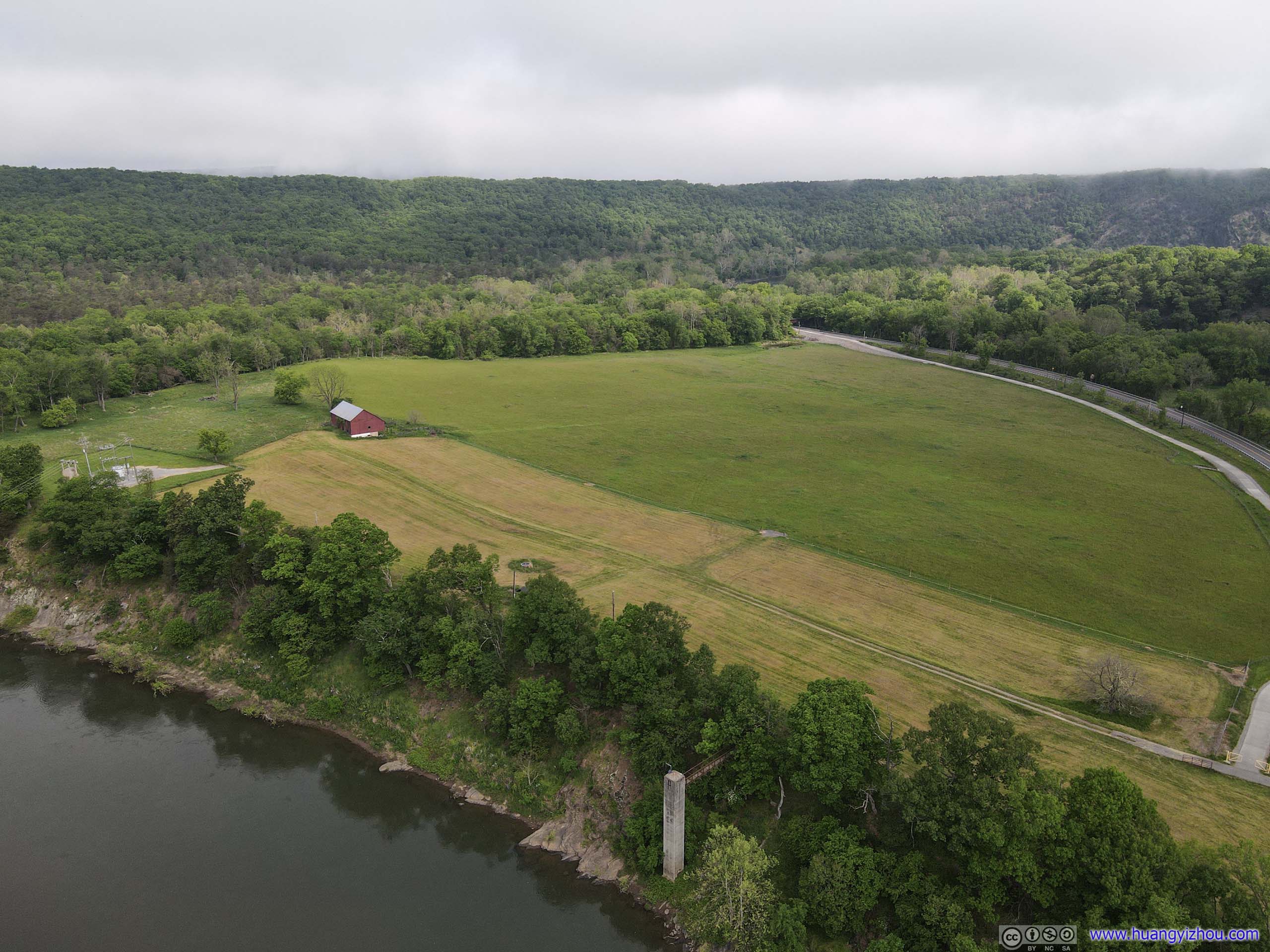
Field

PoolJust outside the town of Paw Paw, probably some water treatment plant.
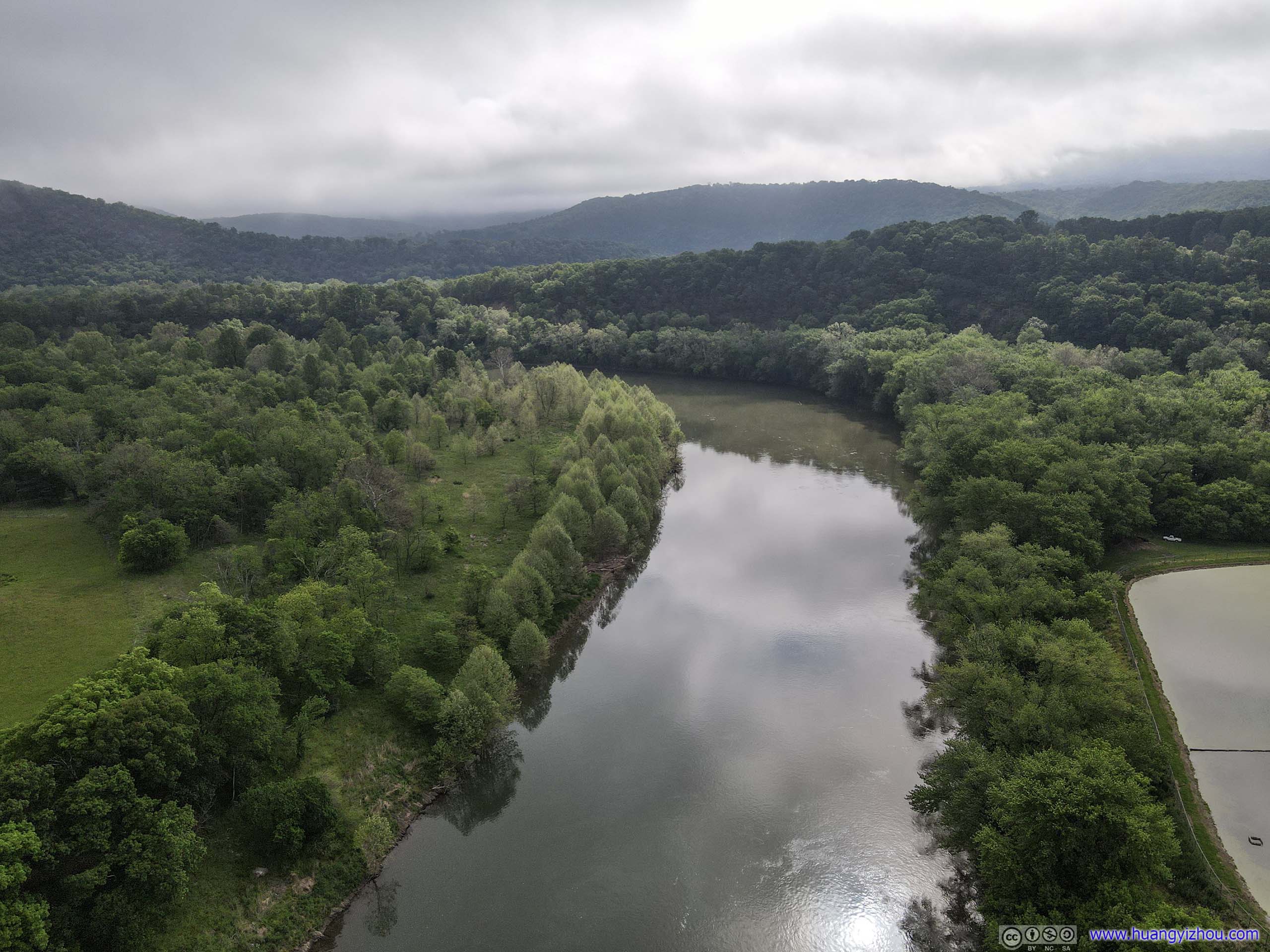
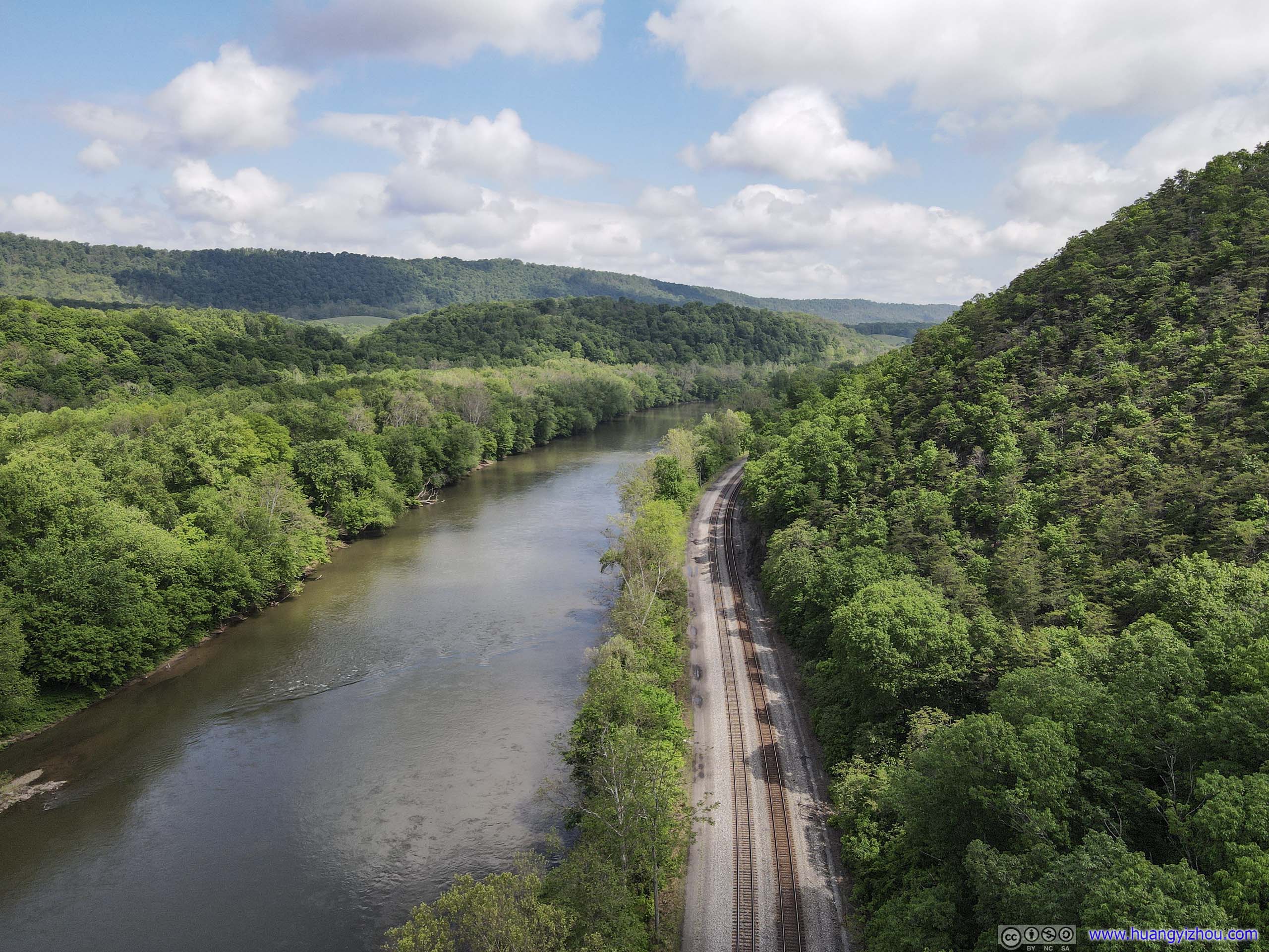
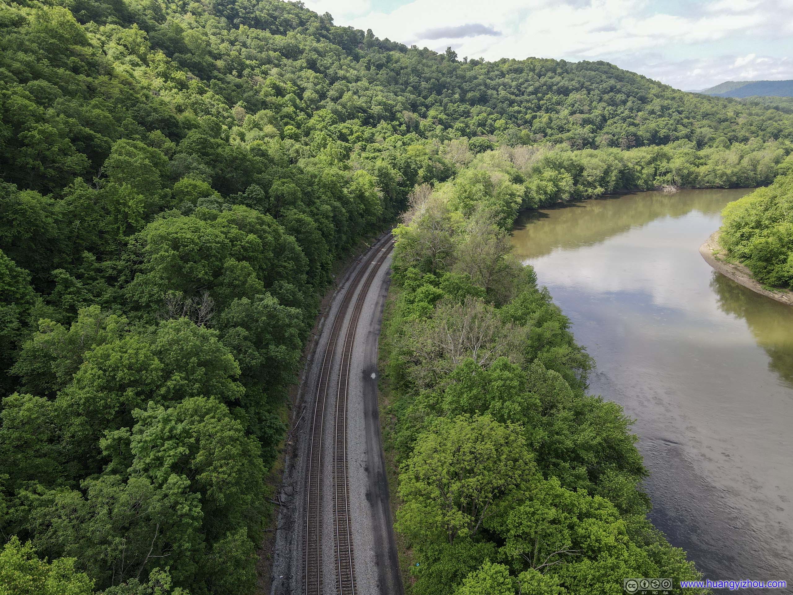
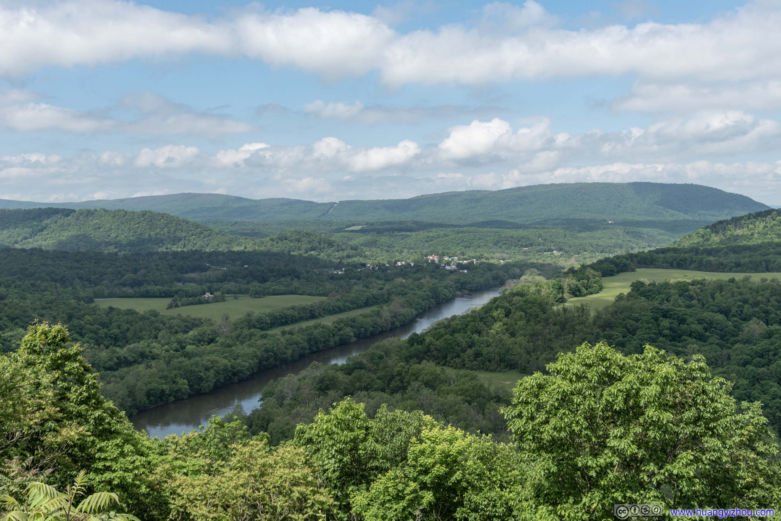
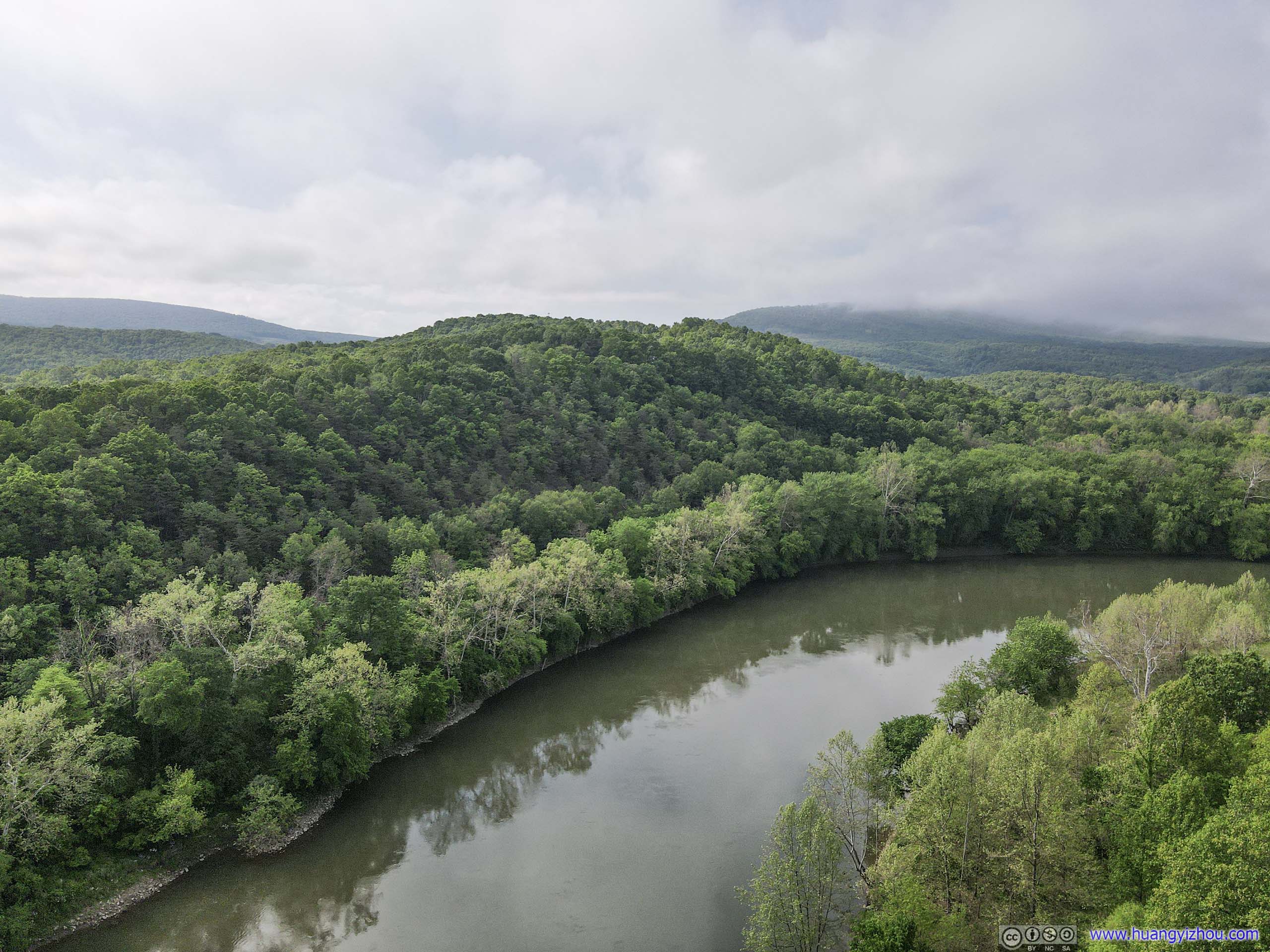 Potomac River and Mountains
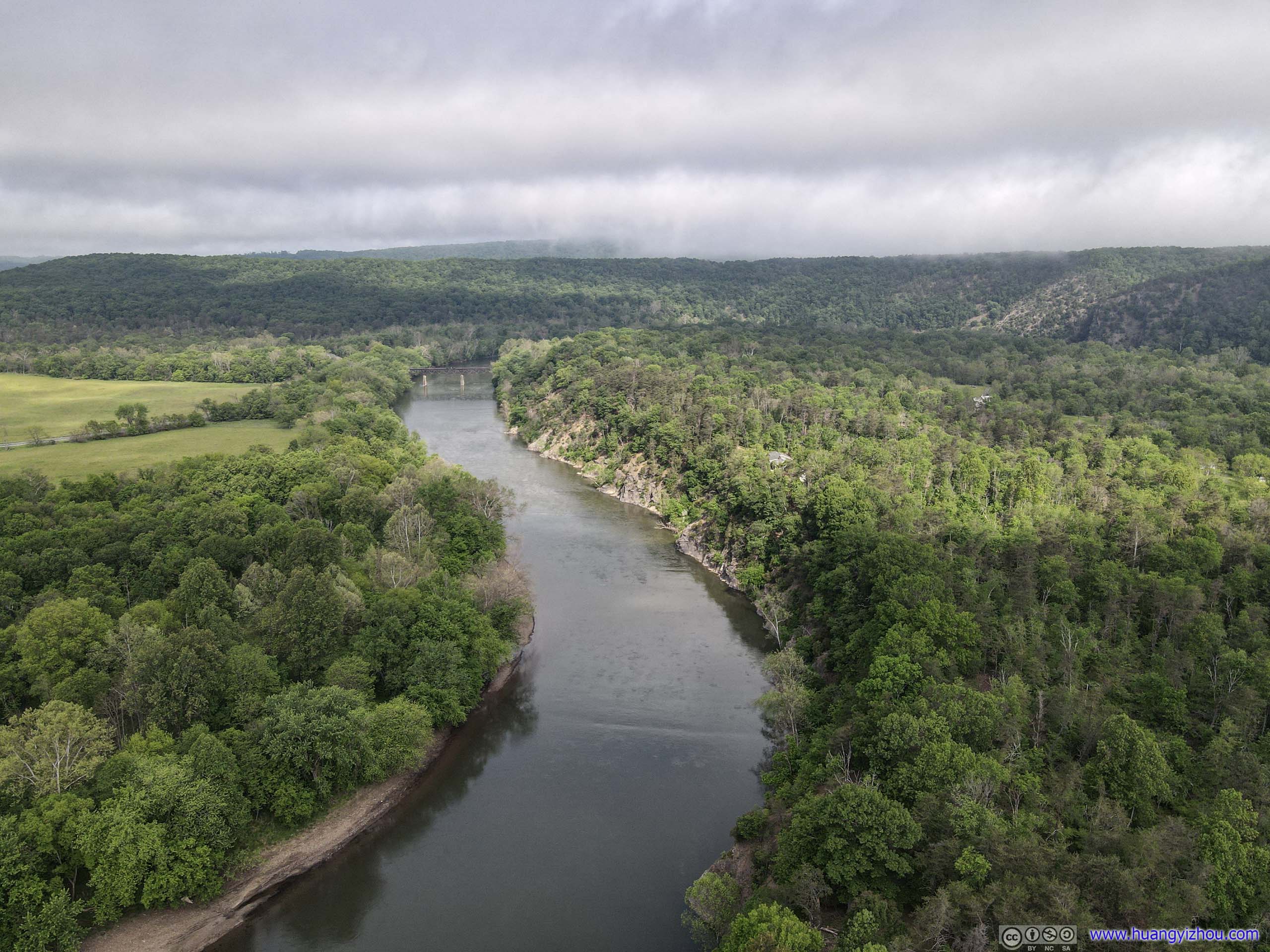
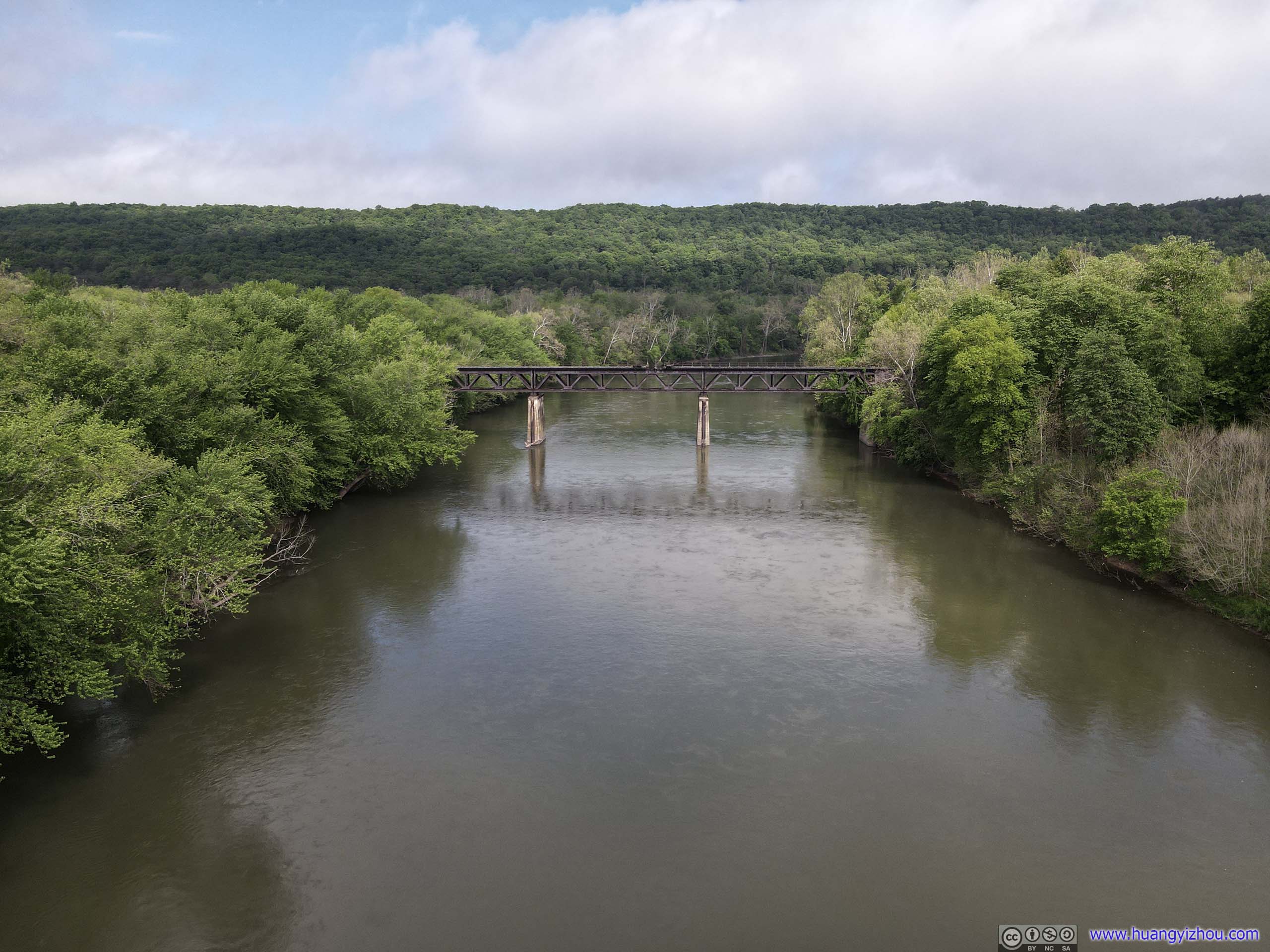 Potomac RiverThe abandoned railway bridge in these photos was part of B&O’s main line, that was in use until 1961, when they got replaced by “Magnolia Cutoff”.
And here are two drone footages hosted by YouTube. Some panning control wasn’t very smooth. I tried to post-process them, which I wasn’t sure made thing better or worse.
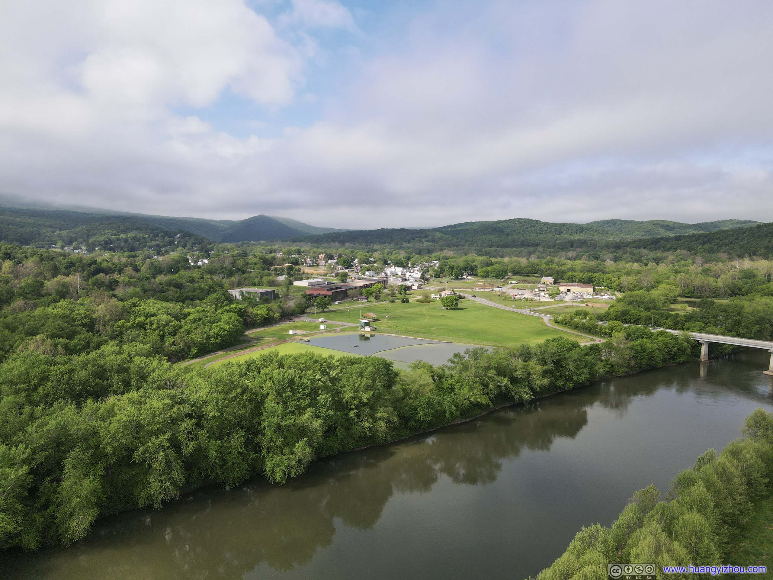
 Town of Paw PawDistant mountains looked gorgeous in mist.
Then I continued my trip back home.
Unfortunately, there wasn’t T-Mobile coverage in the town of Paw Paw, so using offline cache, I found that cutting through Green Ridge State Forest by Oldtown Orleans Road seemed to be the fastest way back to I68.
Yet 10 minutes in, I ran out of pavement. Since my car didn’t like gravel road, I headed back to Paw Paw, and decided to stay in West Virginia for longer by taking Route 9 to Berkeley Springs.
Condition of Route 9 wasn’t most ideal, with many uneven patches. But at least it’s paved.
And for the better part, after passing the town of Great Cacapon, there’s a turnout called “Prospect Peak”, overlooking Potomac River and surrounding valleys.
Prospect Peak
View above Prospect Peak
 Railway by Potomac River
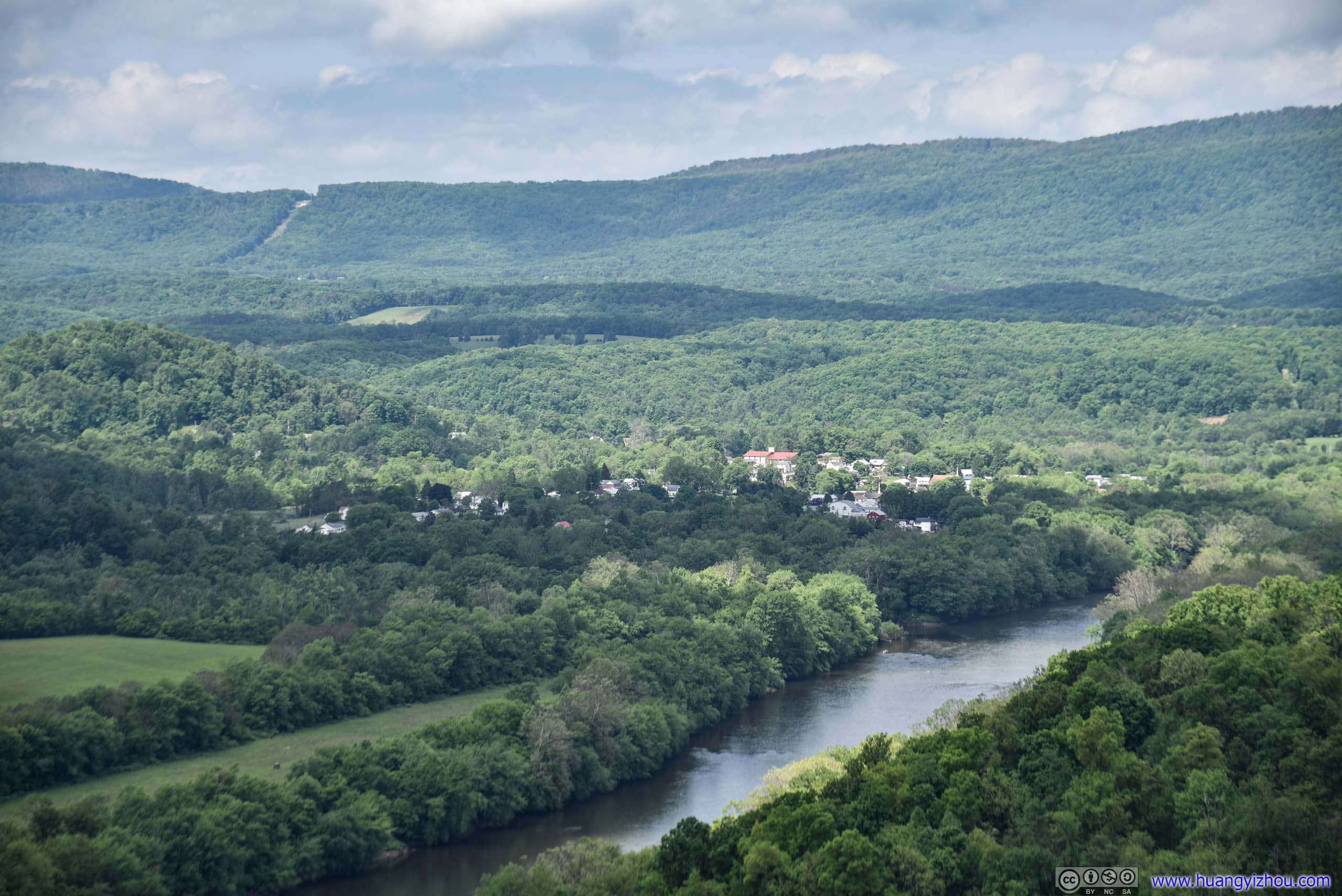
Town of Great Cacapon
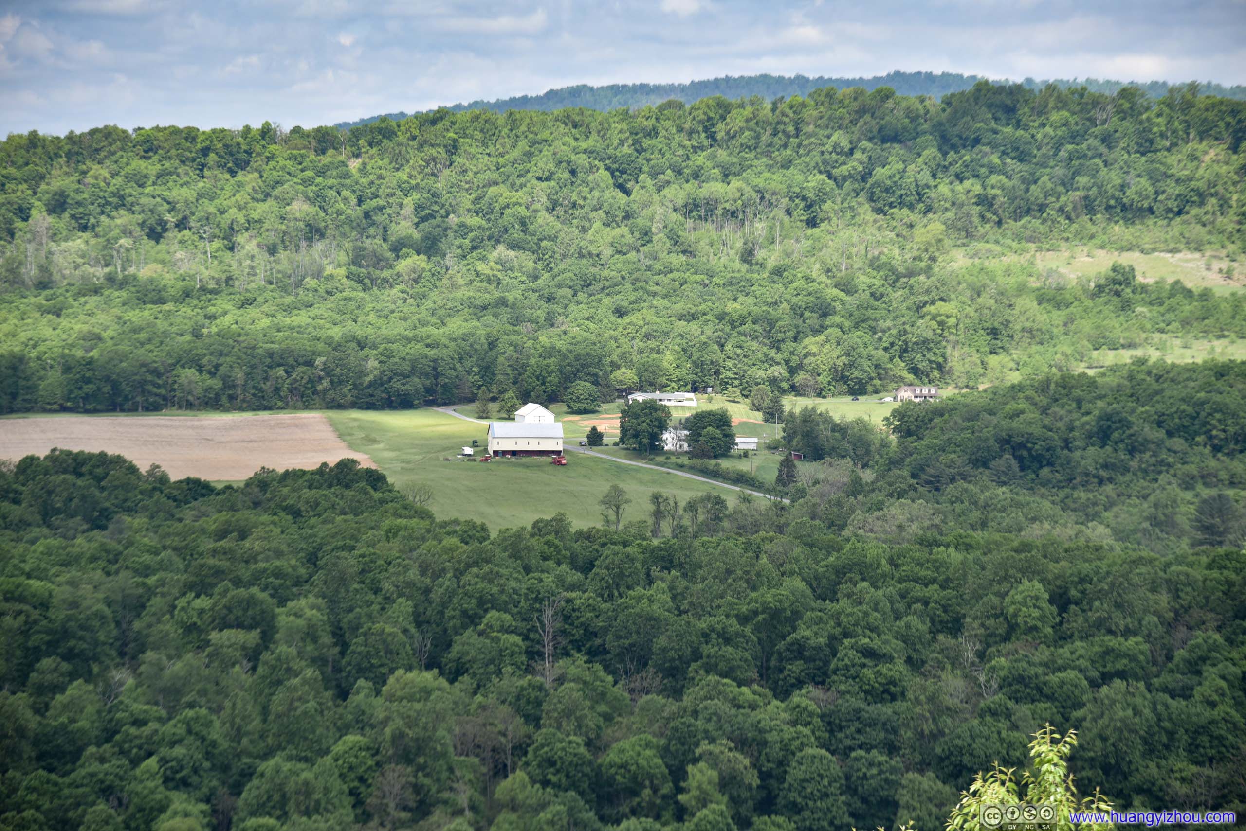
Farmland
Town of Great Cacapon along Potomac River
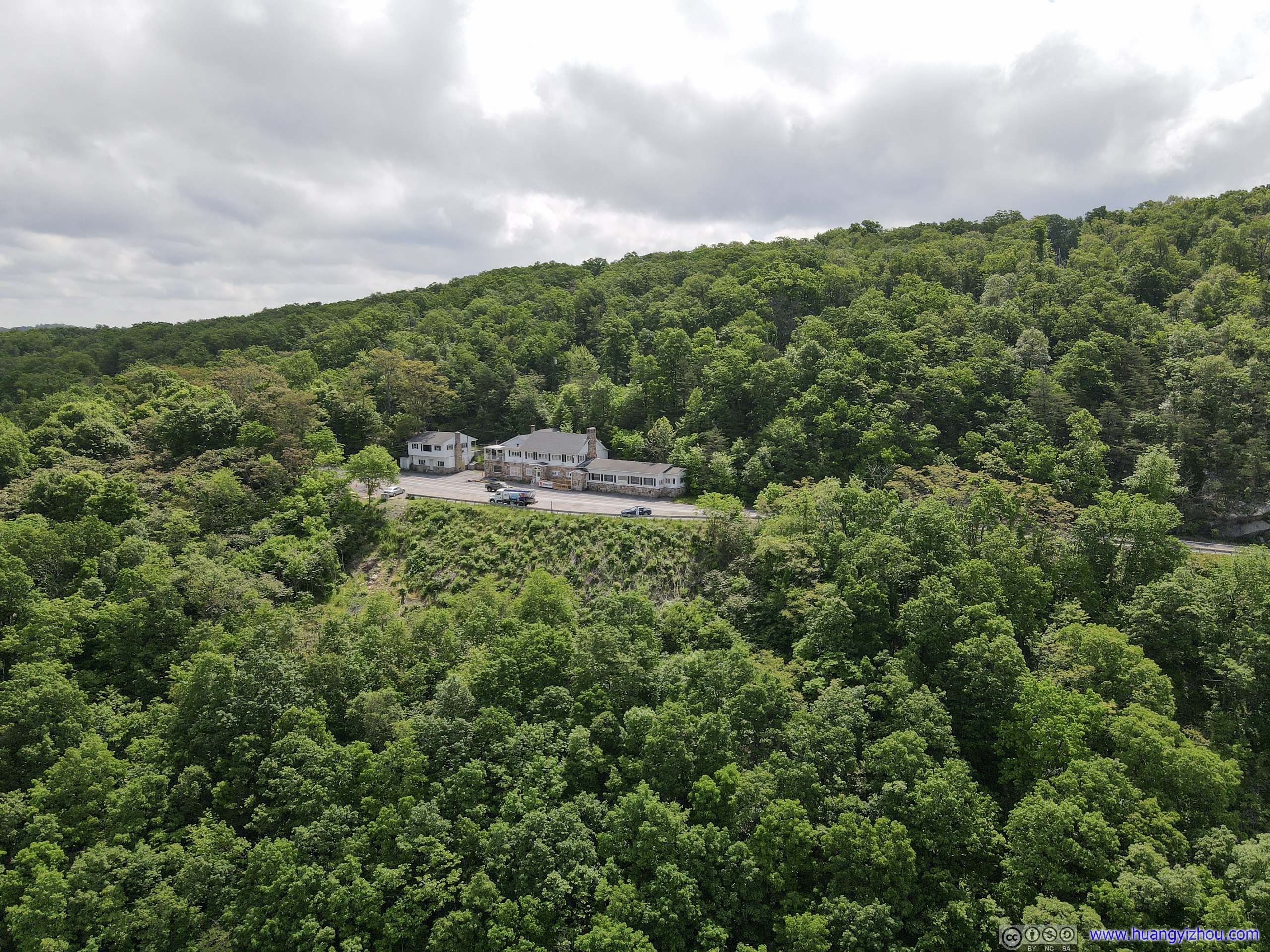
Prospect PeakThe turnout where I stopped for the view.
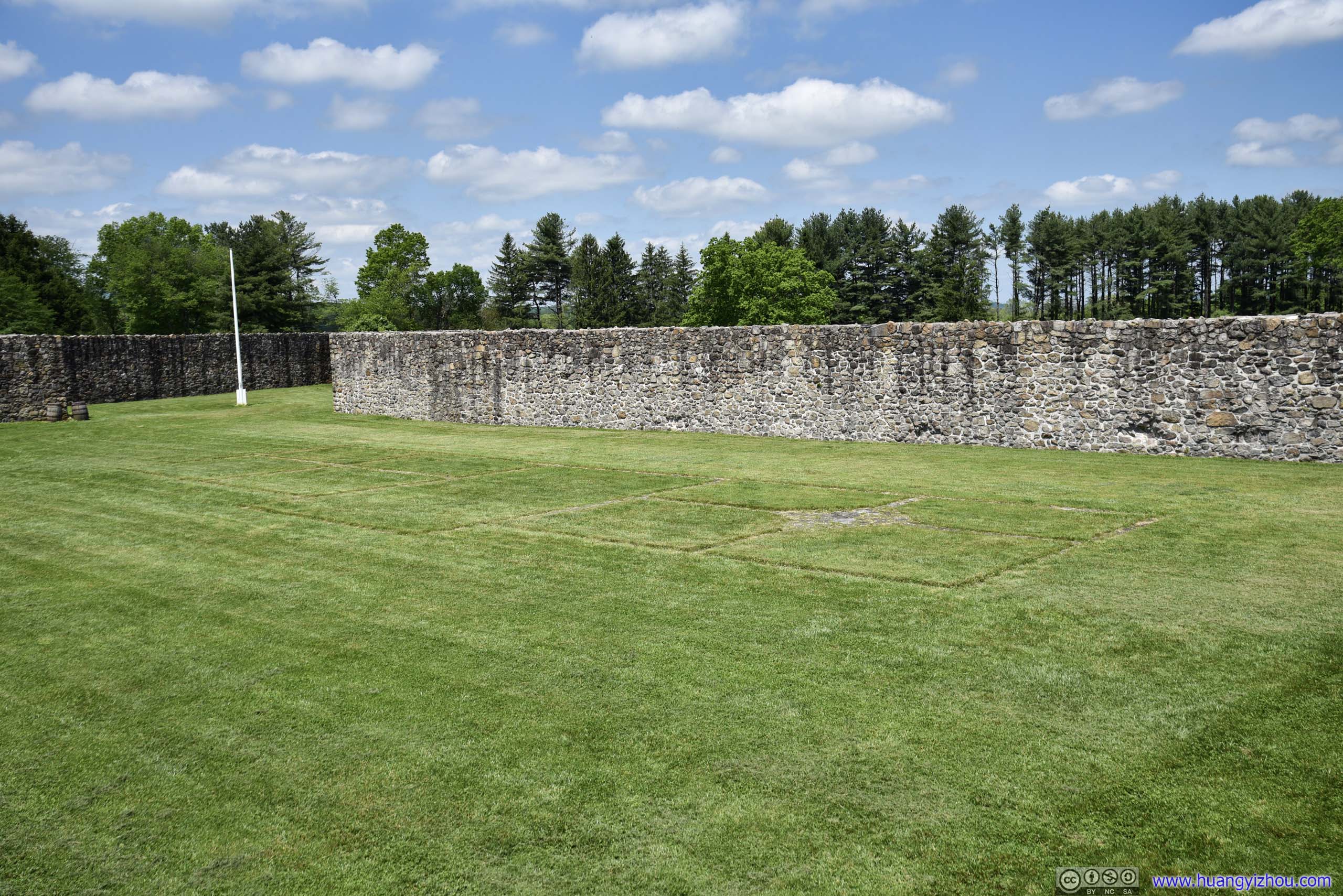
Fort Frederick
Since it’s right next to I68 on my way home, I decided to pay it a visit.

 Fort Frederick
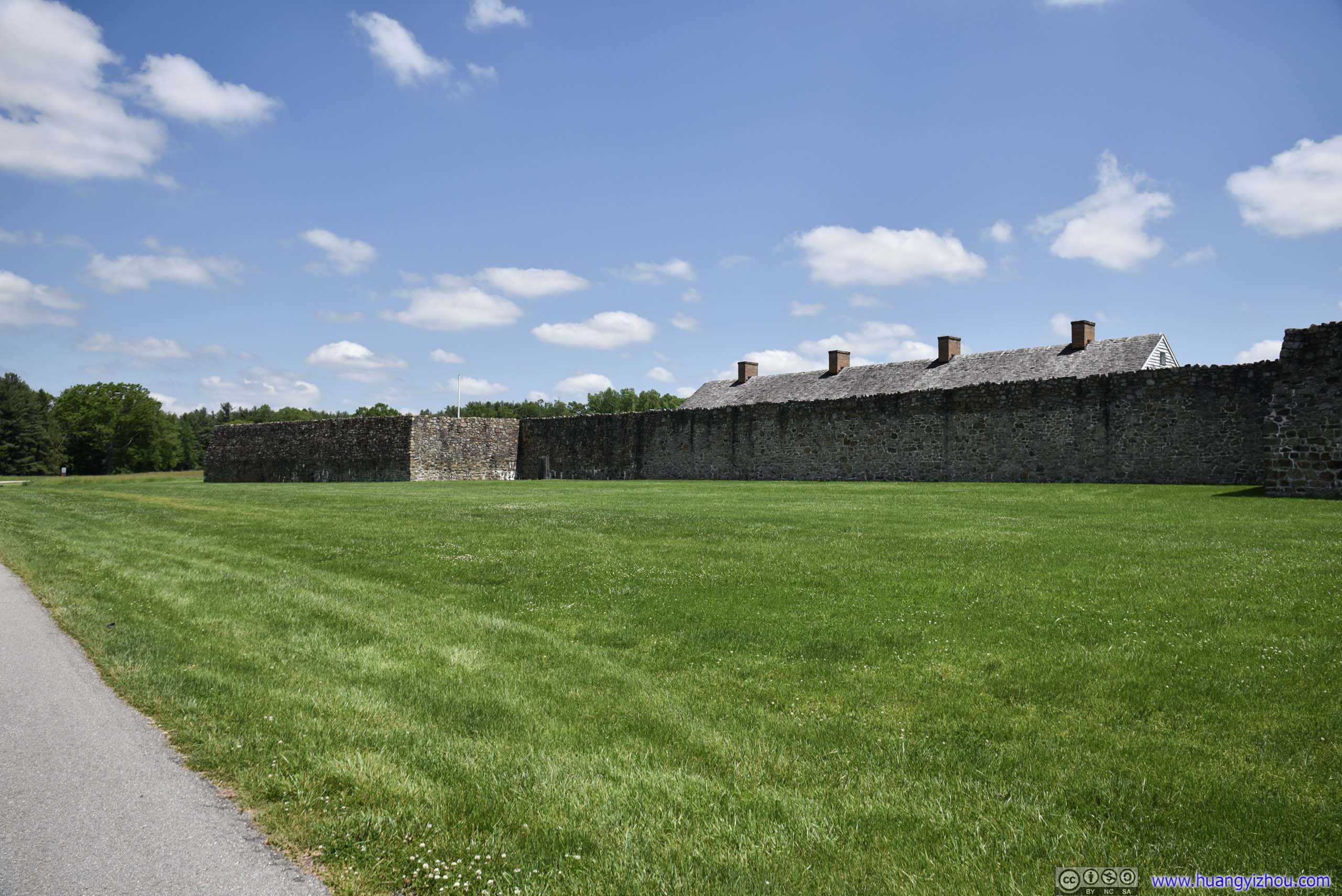
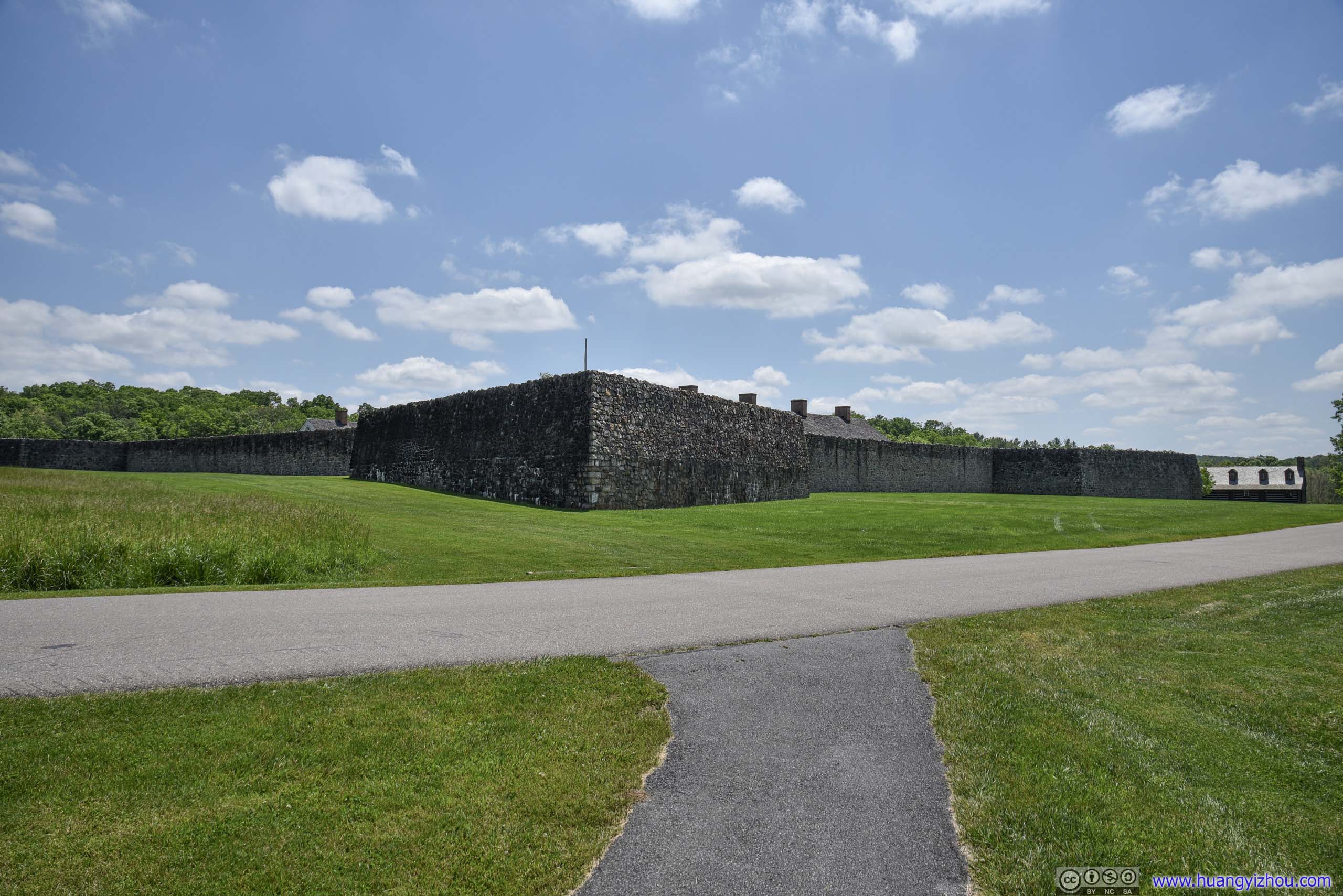
The fort was built in 1756-57 by the colony of Maryland during French and Indian War, as back then Indian raids were pushing Maryland settlers eastward.
 Fort Frederick
Probably because it’s the politically right thing to do, the park seemed to be aggressively promoting the role of Nathan Williams in the fort’s history. As a freed slave, he purchased the fort just before the Civil War, and later built barn and farmland in and around it.
It’s interesting that during the Civil War, Union troops garrisoned the fort while Confederate troops were stationed just across the Potomac River. Nathan sold produce to both sides, and his justified this with the Union side by passing information about the Confederates.
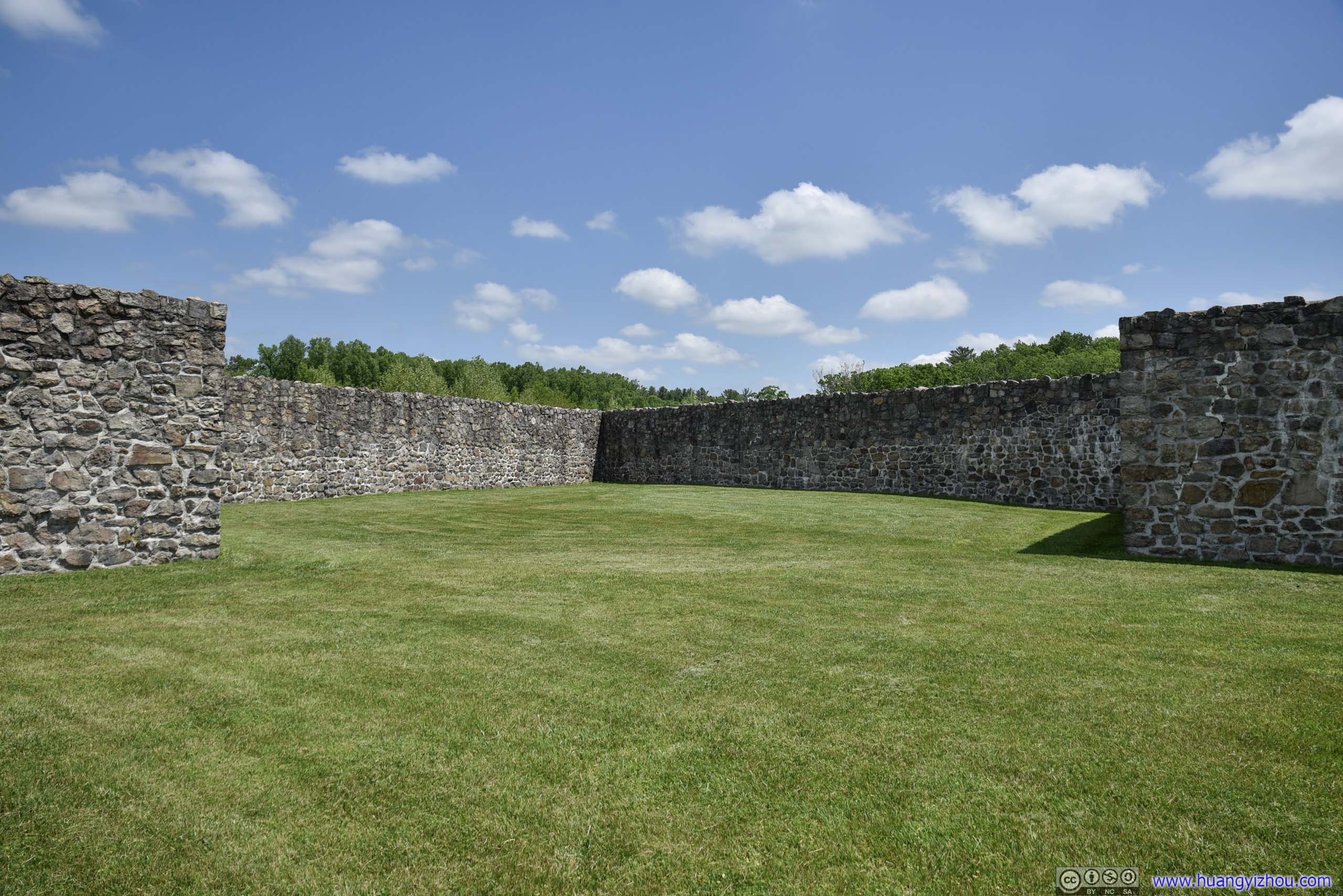
BastionThe fort’s primarily designed as a dwelling place for settlers, not to resist artillery. So its bastions were empty like this, without floors to mount cannons. For its primary defense against Indian raids, high stone walls mostly sufficed.

BarrackThe restored rooms had some exhibit in them, like displays of soldiers’ bunkers or uniforms. Probably because of COVID, the rooms were closed.
Foundation of North BarrackThat wasn’t restored.
And here’s some aerial footage. Panning motion in the following video wasn’t very smooth.
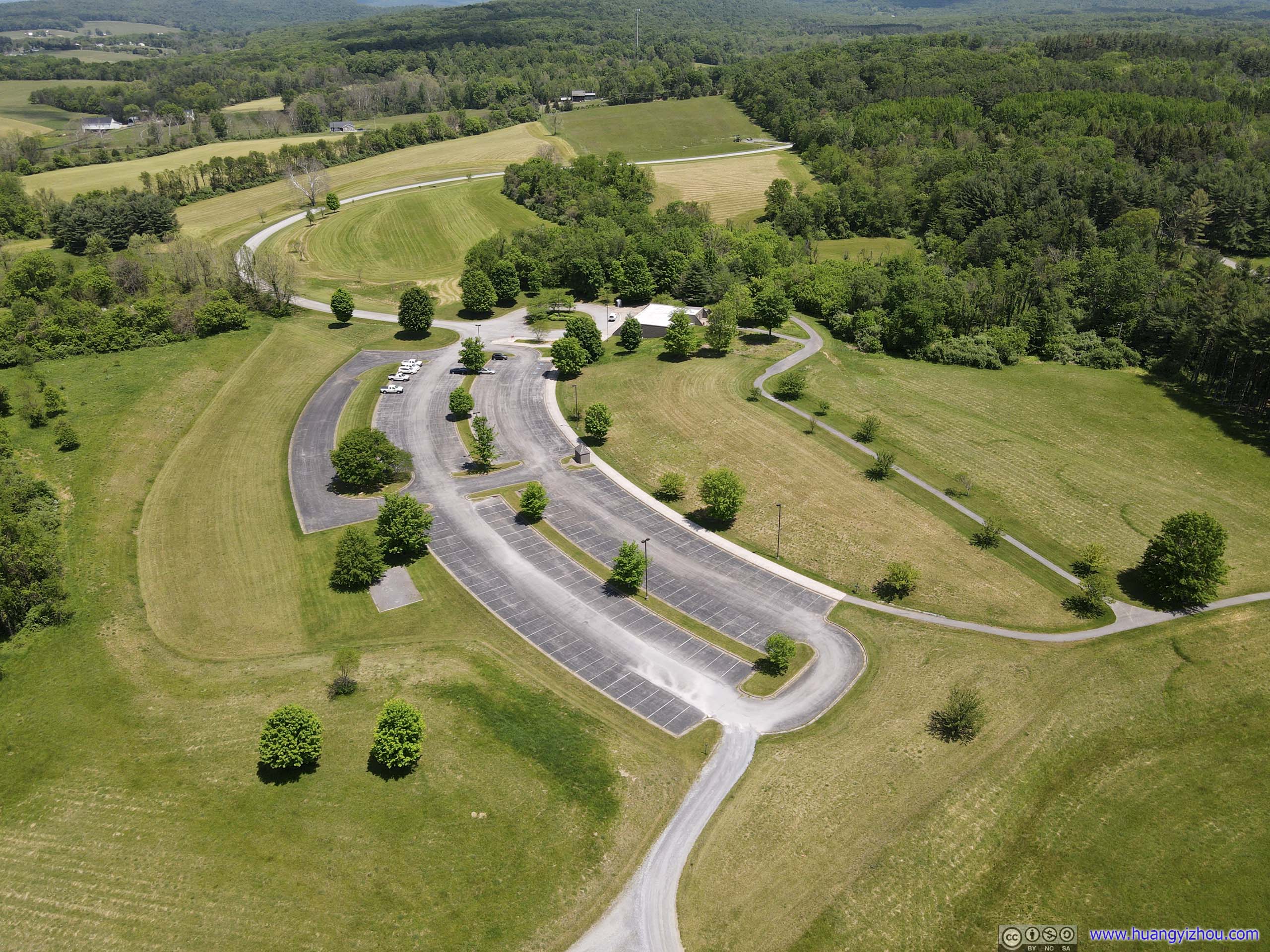
Visitor Center Parking LotThe larger parking lot, mostly empty during stay home orders. There was also a smaller parking lot right next to the fort, which would had saved me a few hundred meters of walking in summer heat.
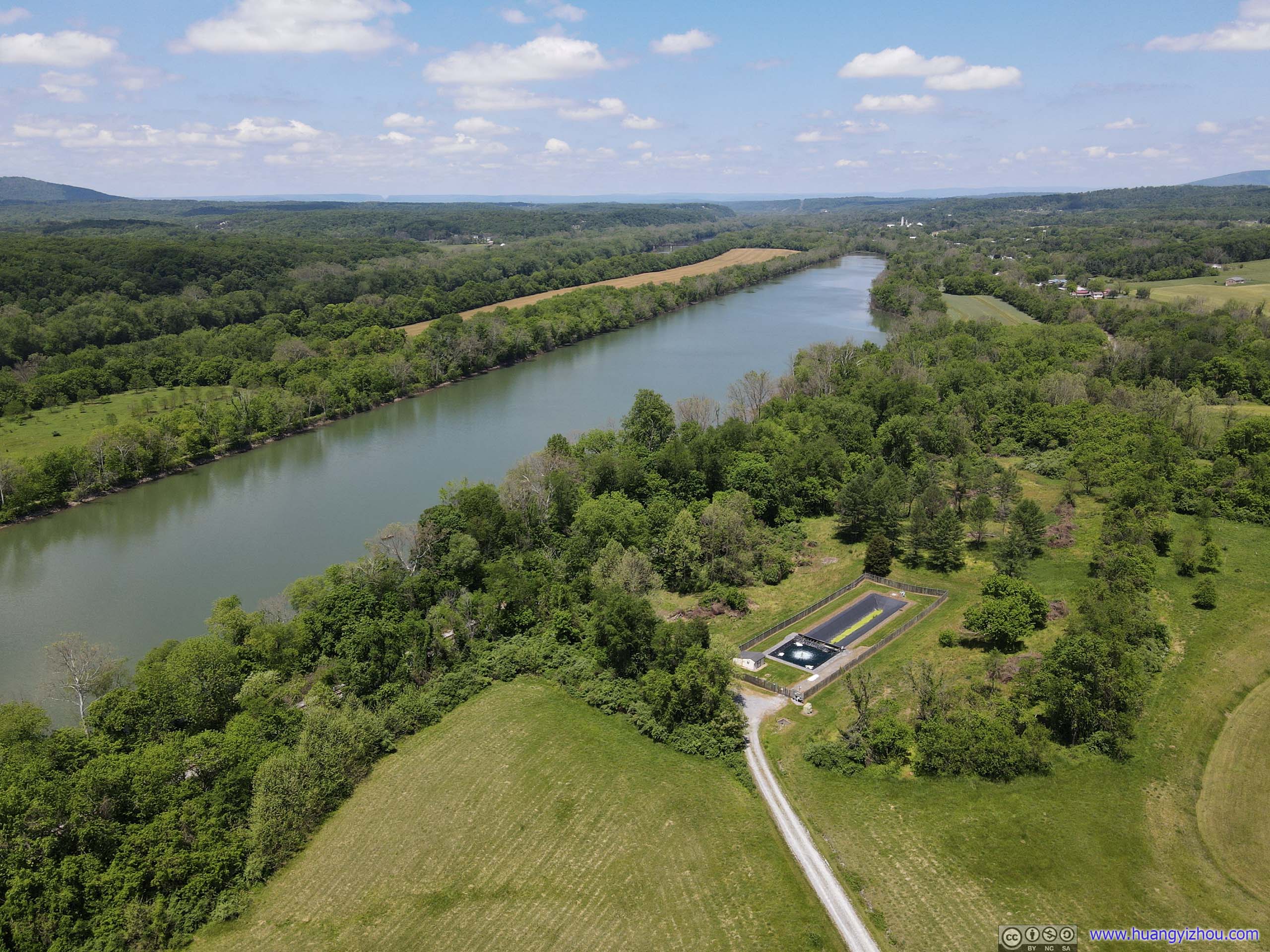
Big PoolAs its name suggested, it’s a big body of water, right next to Potomac River. I didn’t venture my drone farther as I mistook it for Potomac River, as C&O Canal was NPS land and off drone limits.
After that, I headed back home, concluding a yielding day.
END
![]() Day Trip to Pennsylvania and West Maryland by Huang's Site is licensed under a Creative Commons Attribution-NonCommercial-ShareAlike 4.0 International License.
Day Trip to Pennsylvania and West Maryland by Huang's Site is licensed under a Creative Commons Attribution-NonCommercial-ShareAlike 4.0 International License.