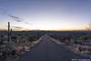
Day 1 of 2022 Arizona Trip, Saguaro National Park
First day of my 2022 Arizona trip. My friend and I would be visiting Saguaro National Park, home to soaring cacti as a symbol of the America west.
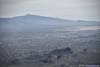
After reaching Tucson the previous night, my friend and I had an entire day to enjoy its warm climate before heading north towards Sedona the next day. For the day, we decided to visit Saguaro National Park, one of the three national parks in the state of Arizona, home to soaring saguaros that thrived in its desert landscape.
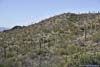
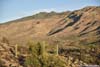
Tucson Mountain District
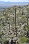
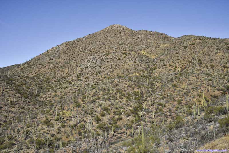
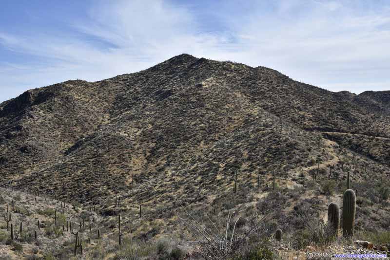
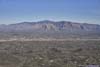
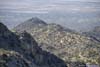
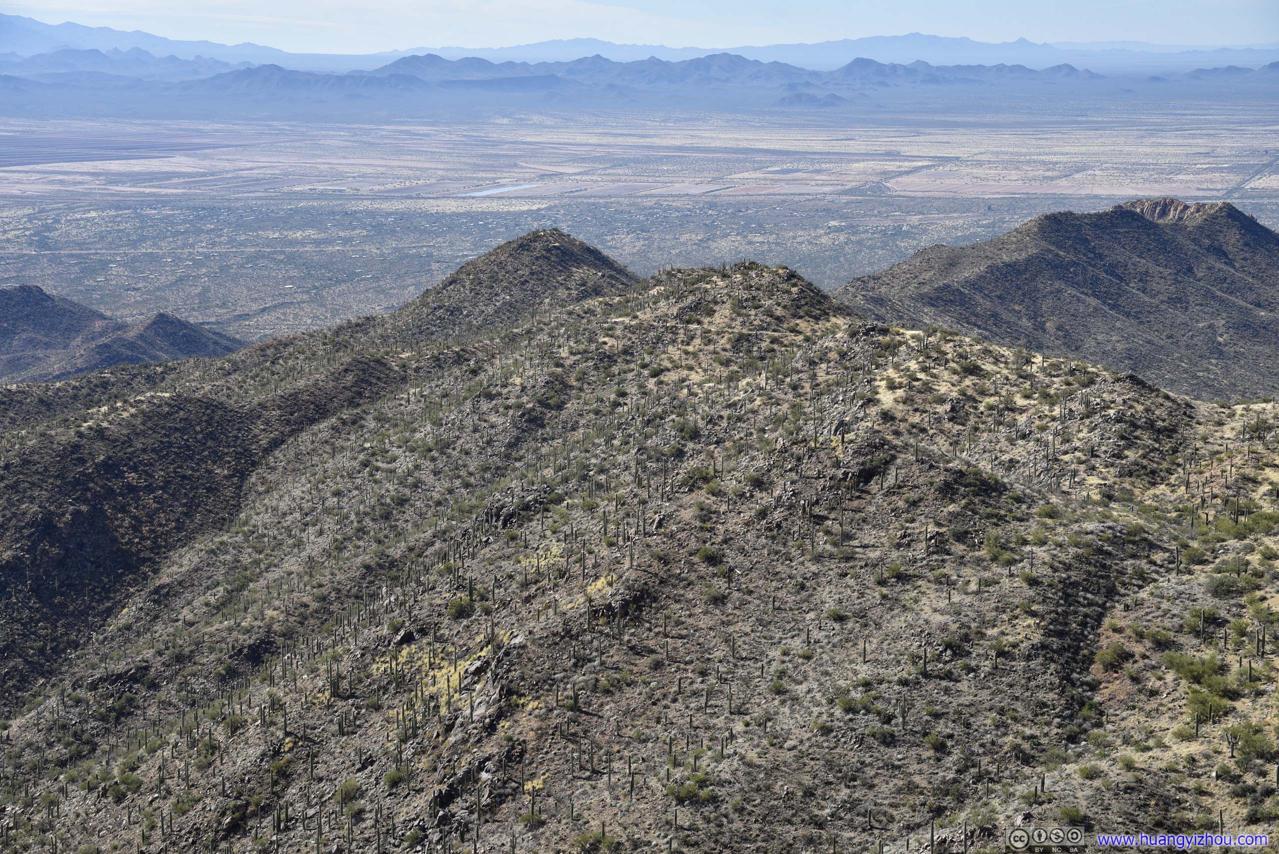
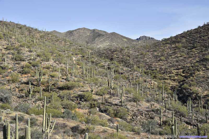
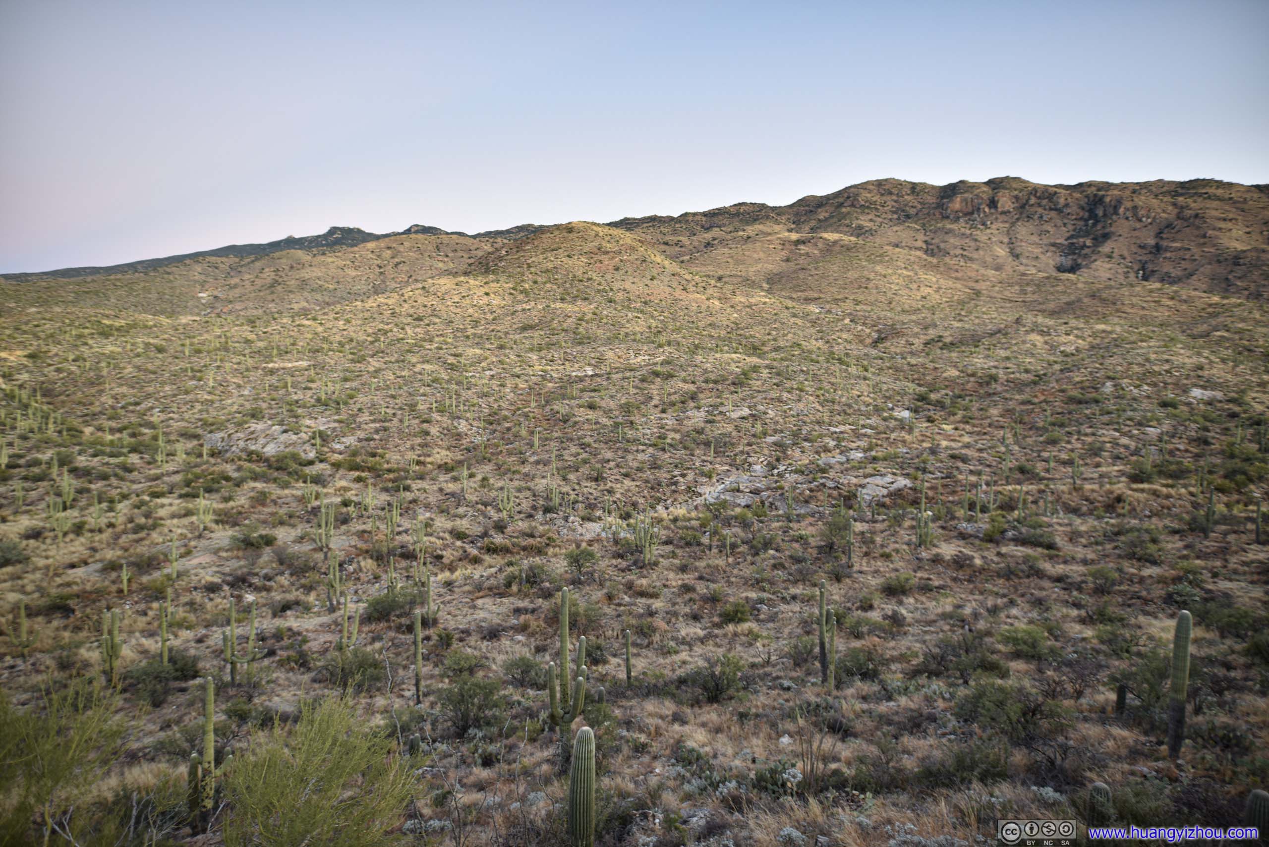
Saguaro National Park was divided by the city of Tucson into two districts, the western Tucson Mountain District and eastern Rincon Mountain District. We seemed to be more interested in the mountainous western part, so we decided to visit it first. It turned out that my rather-athletic friend was quite keen on Wasson Peak, the highest mountain in the vicinity overlooking fields of saguaros and the city of Tucson.
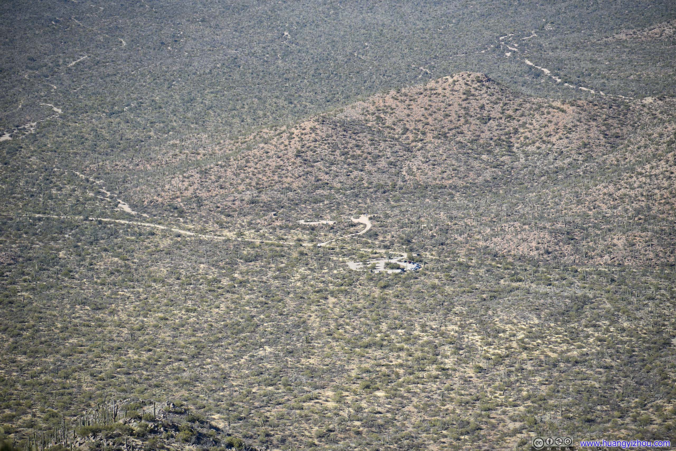
It’s close to midnight by the time we checked into the hotel last night, so we had a good night’s rest and set off at a relatively late 10:30am. The ride to the trailhead would take us through Tucson Mountain Park, made of a few rugged and picturesque mountains on the city’s outskirts. It’s 11am by the time we reached the trailhead of Wasson Peak, located at the border between Tucson Mountain Park and Saguaro National Park.
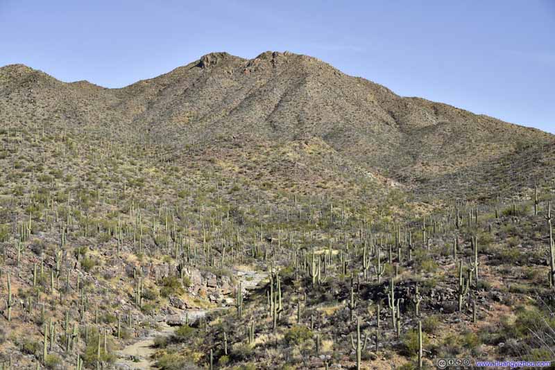
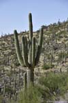
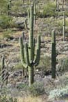
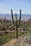
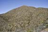
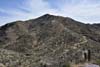
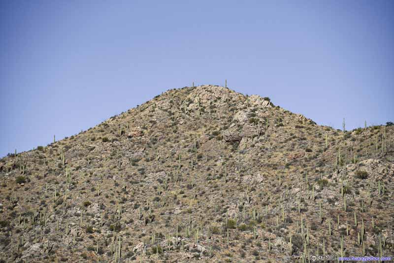
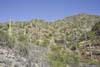
Wasson Peak
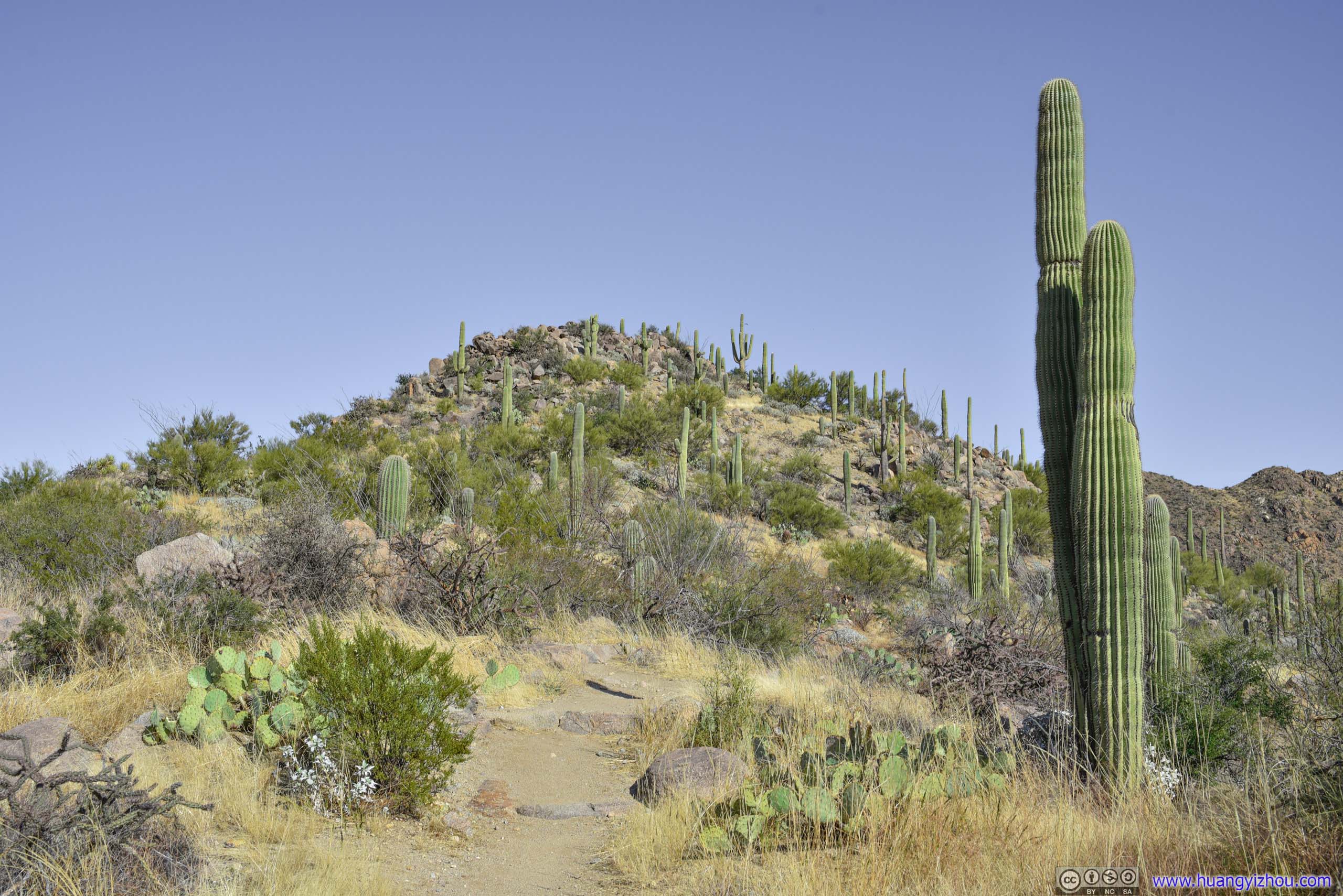
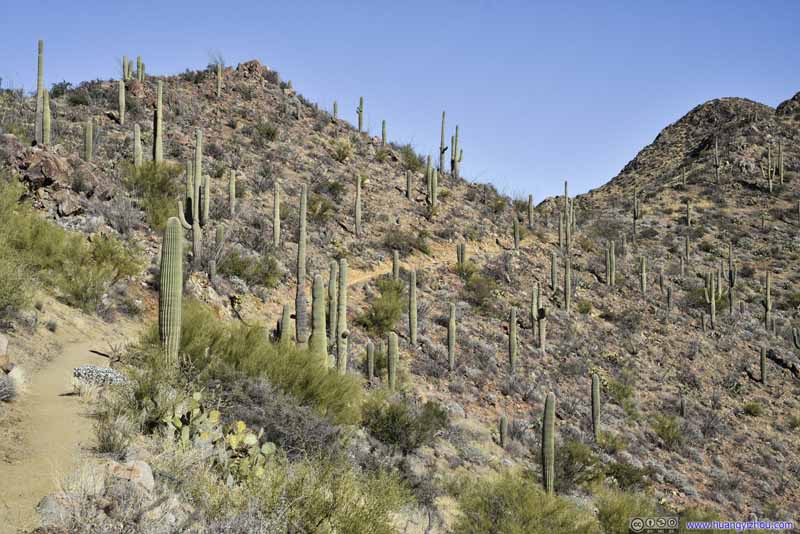
We decided to take King Canyon Trail up to Wasson Peak and Hugh Norris Trail down, making it a 12.6km loop with 568m elevation gain, the most popular trail of Wasson Peak. From GPS images, the trailhead seemed recently renovated with asphalt pavements.
Here's GPS tracking:
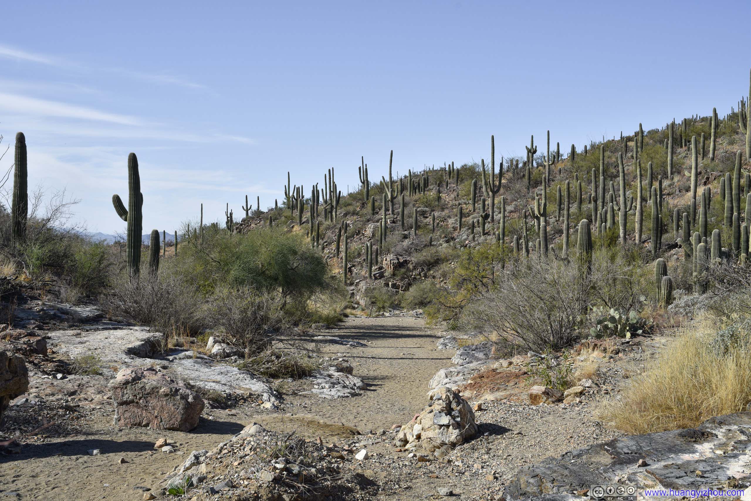
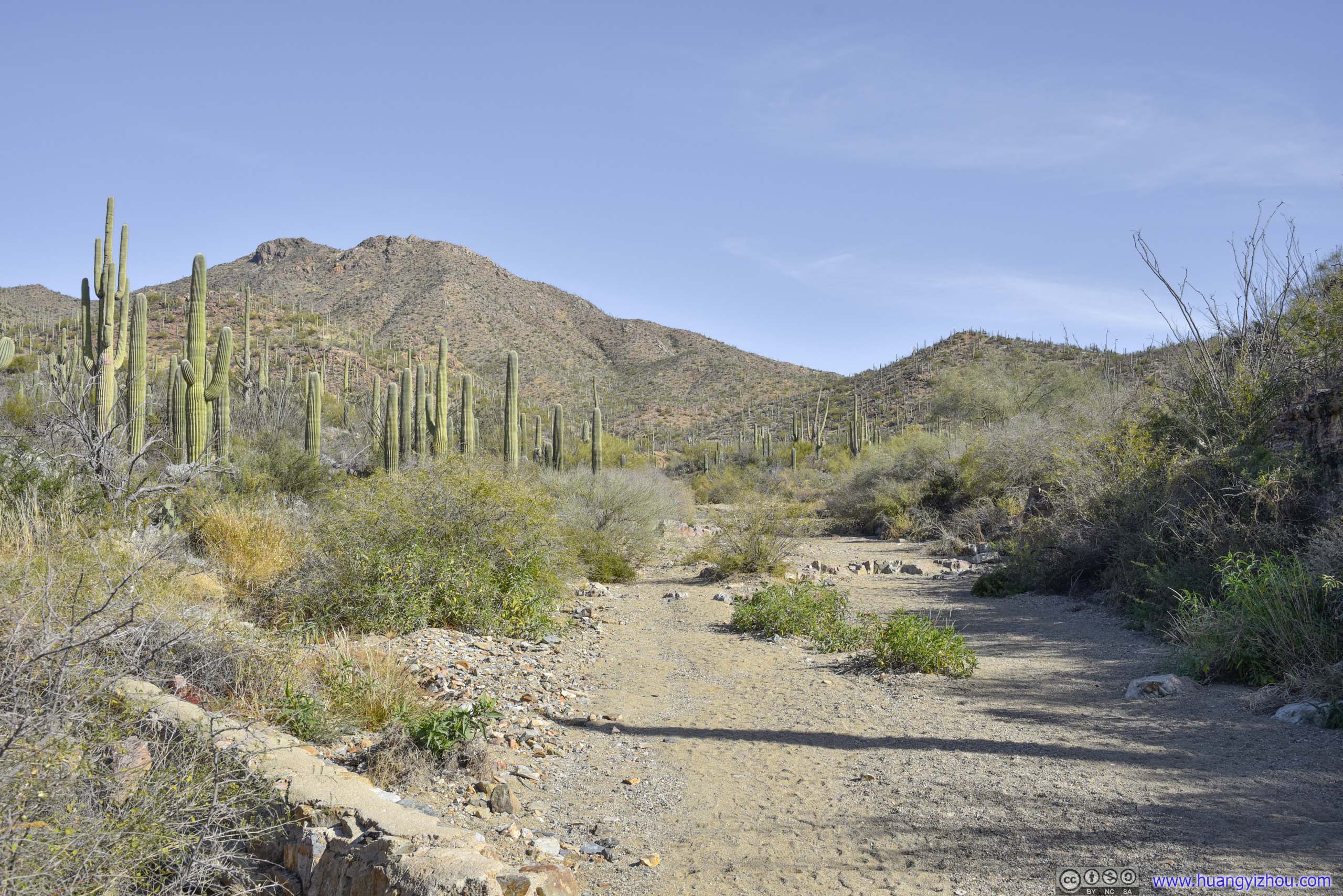
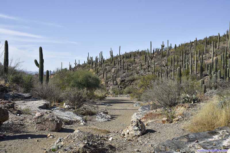
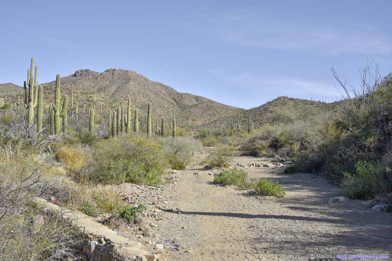
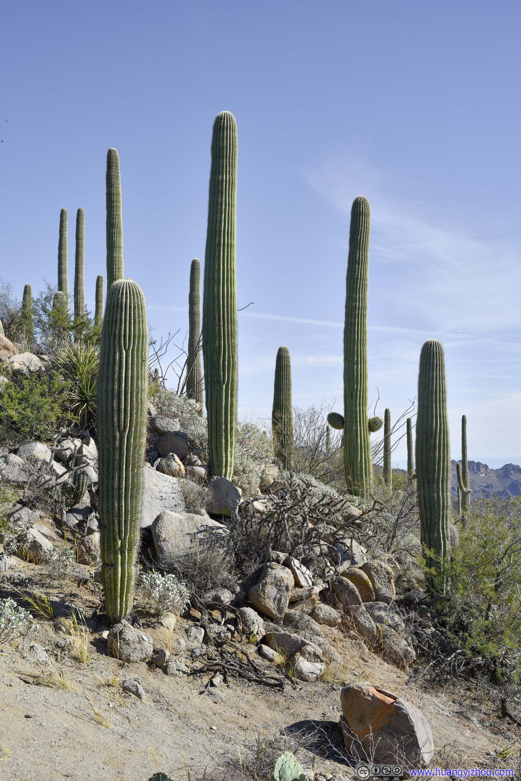
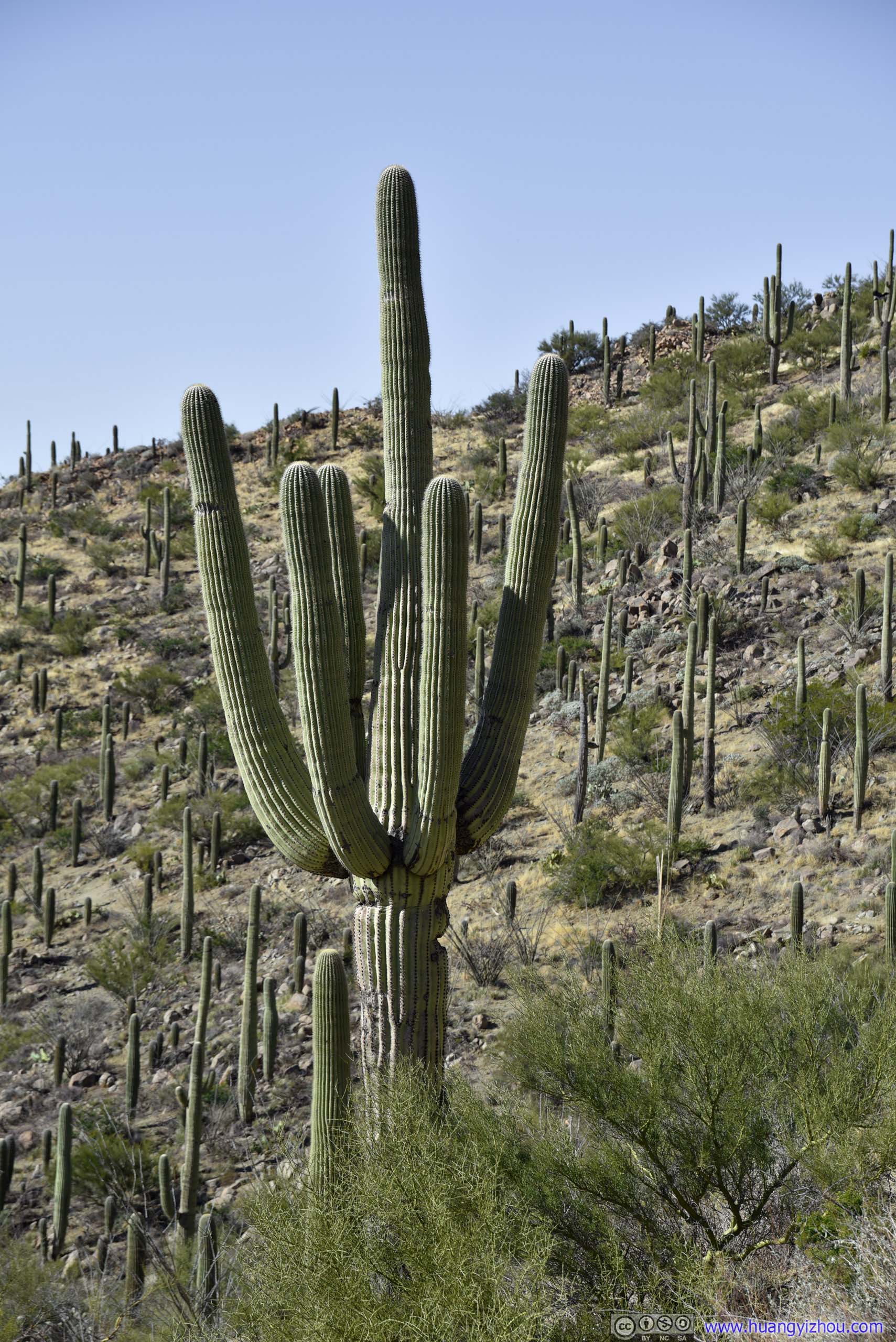
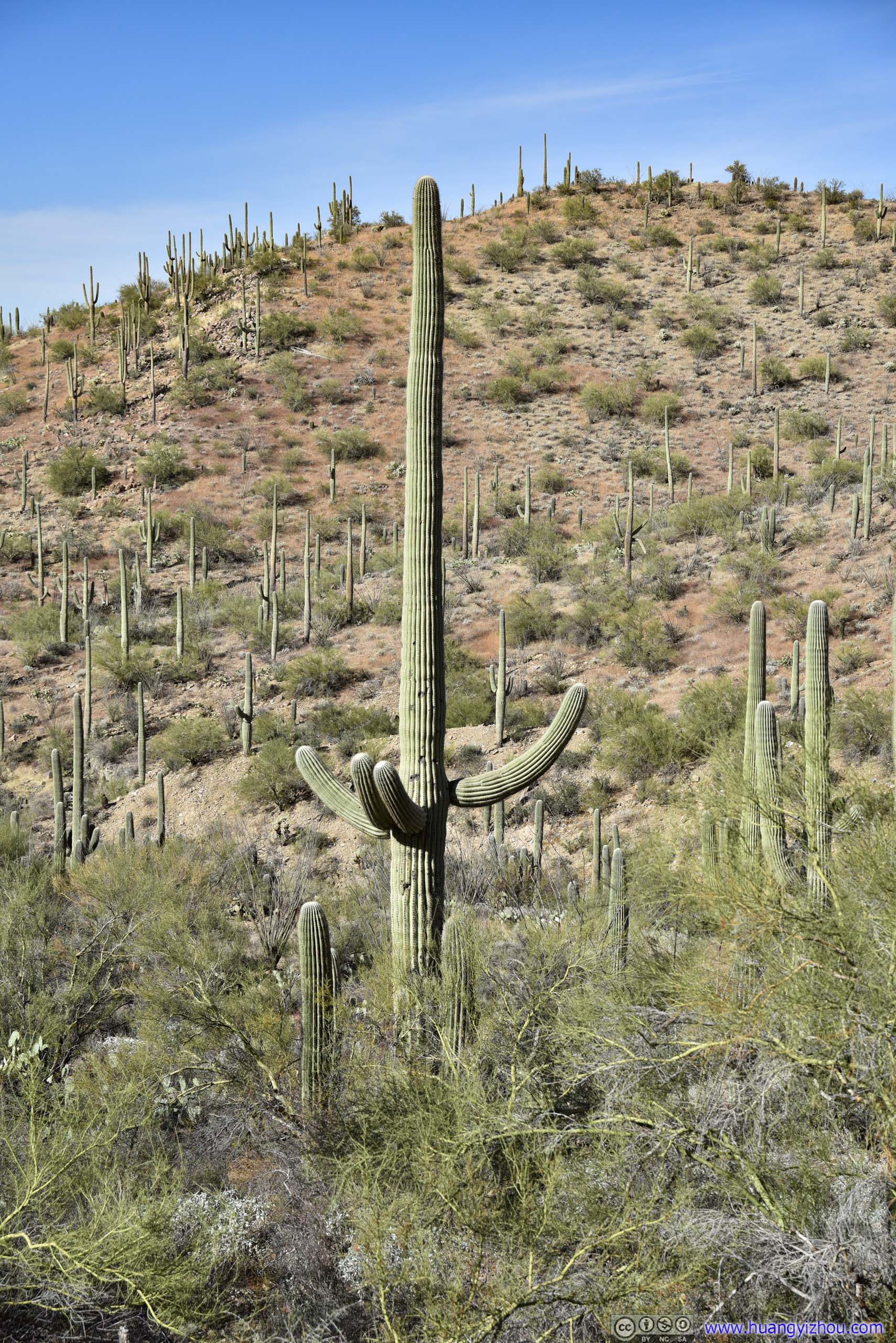
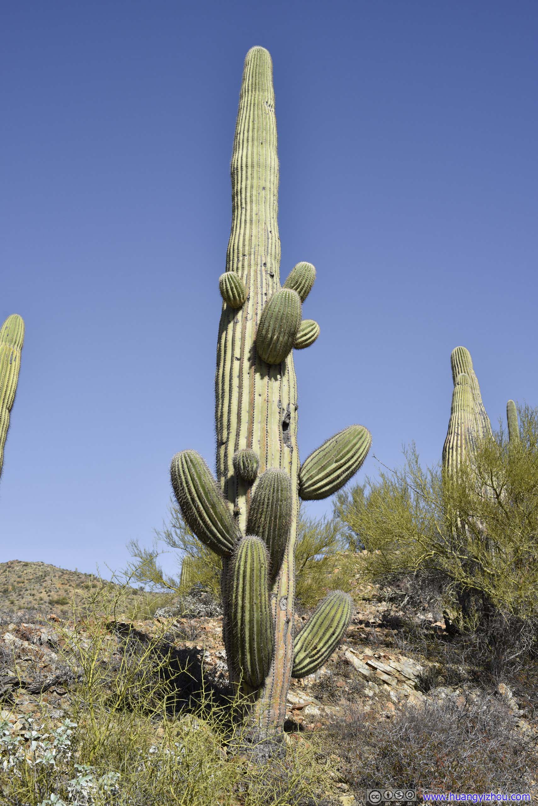
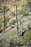
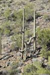
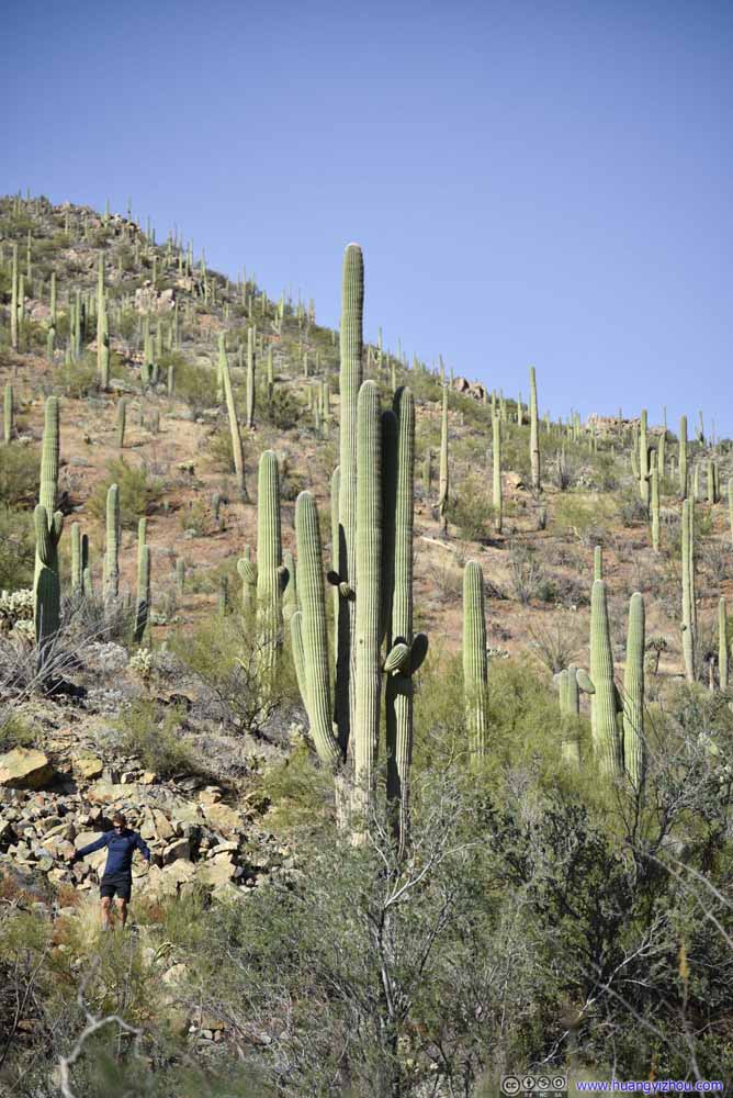
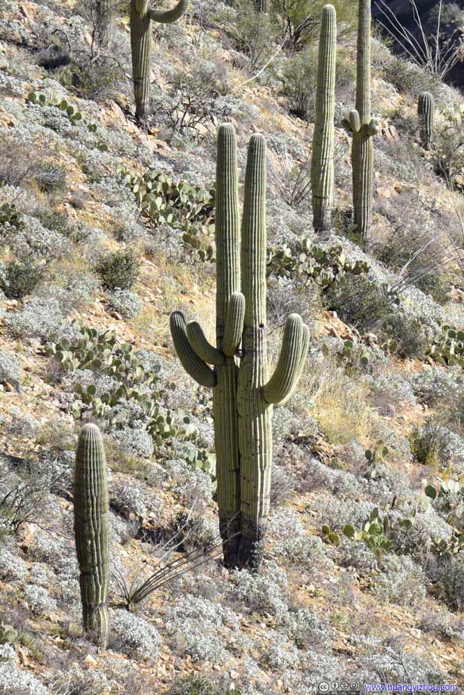
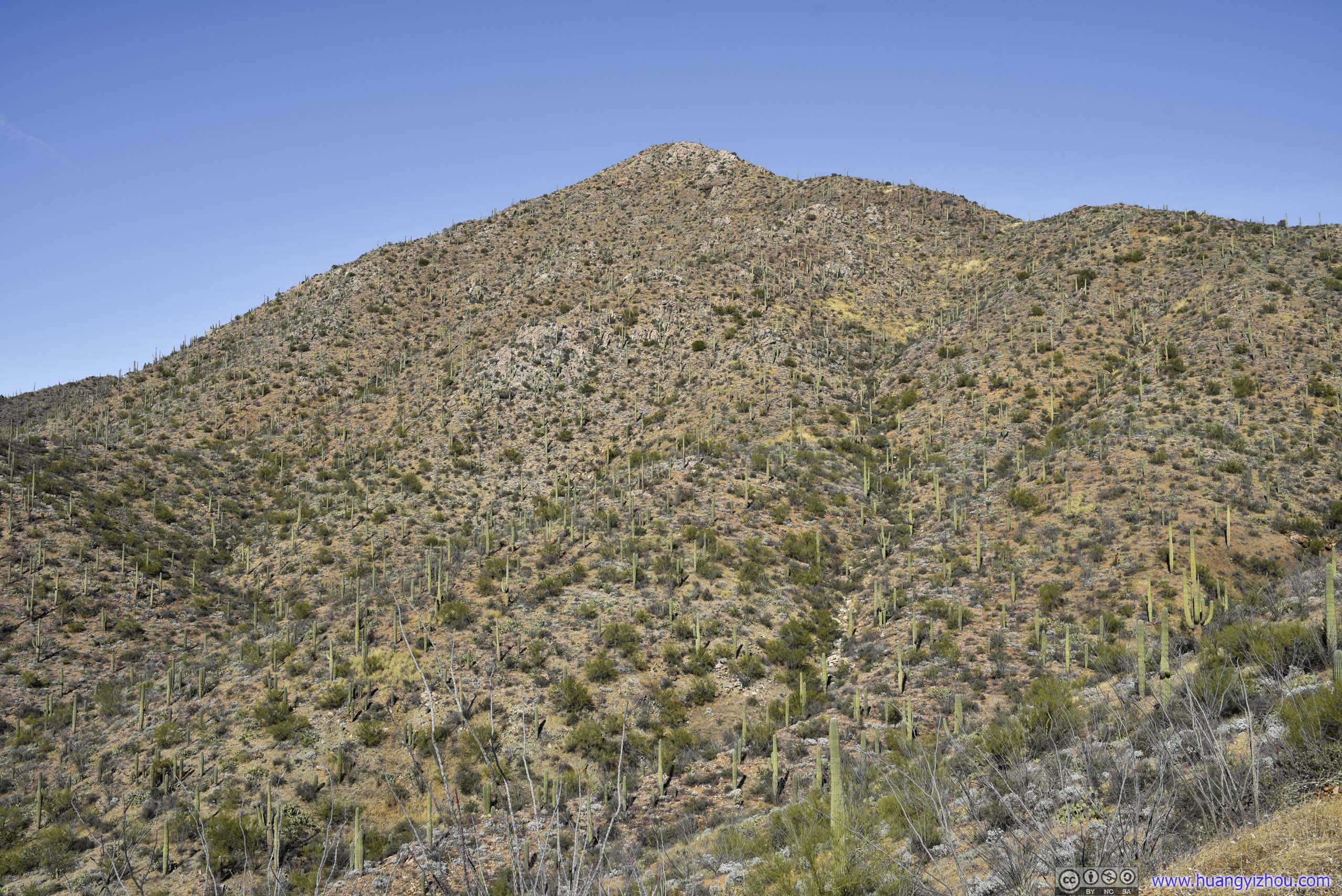
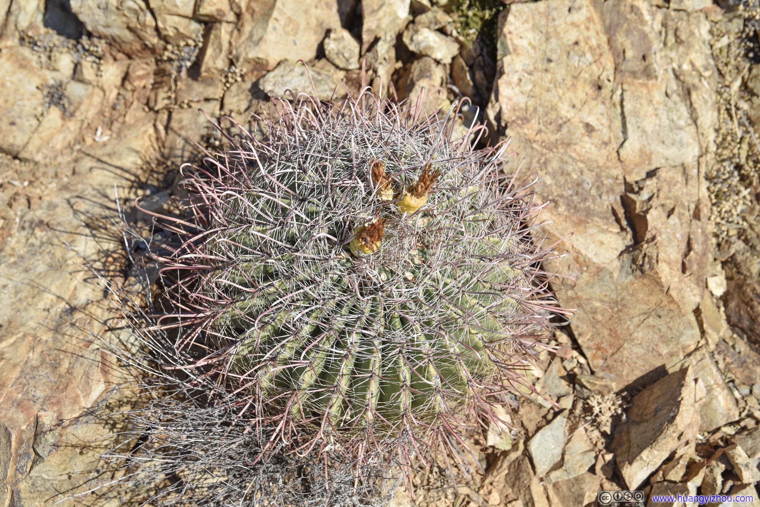
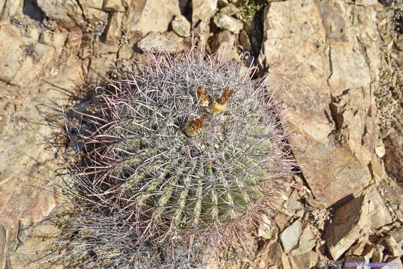
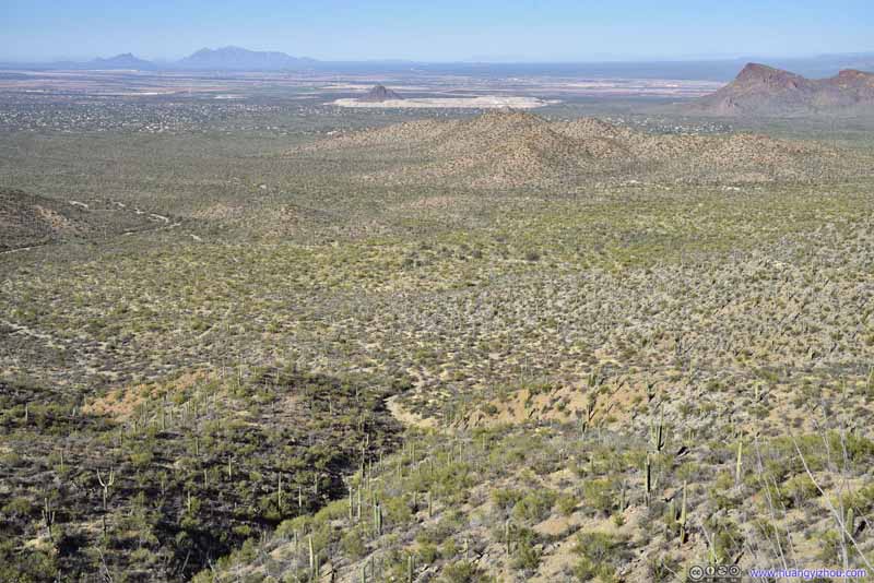
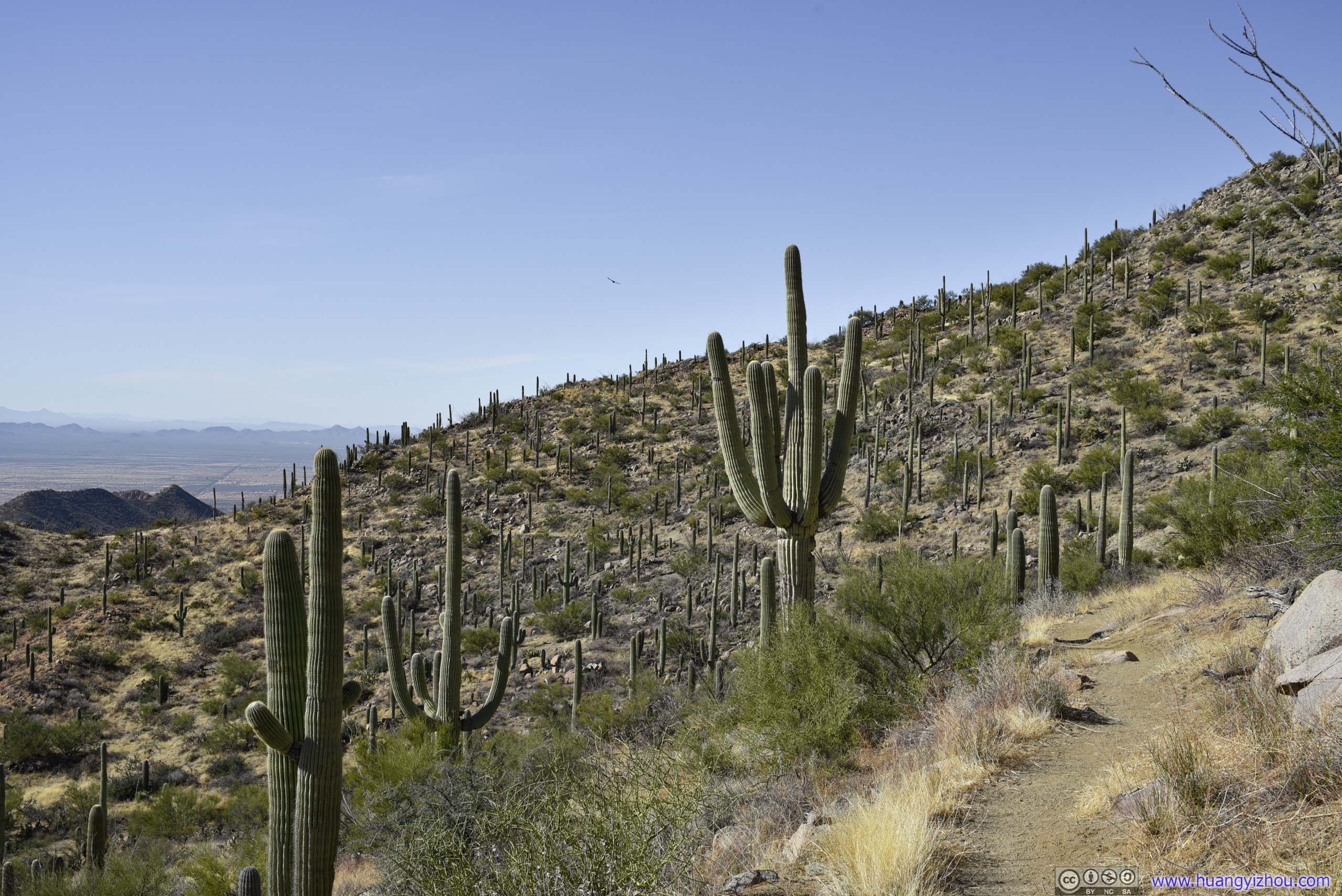
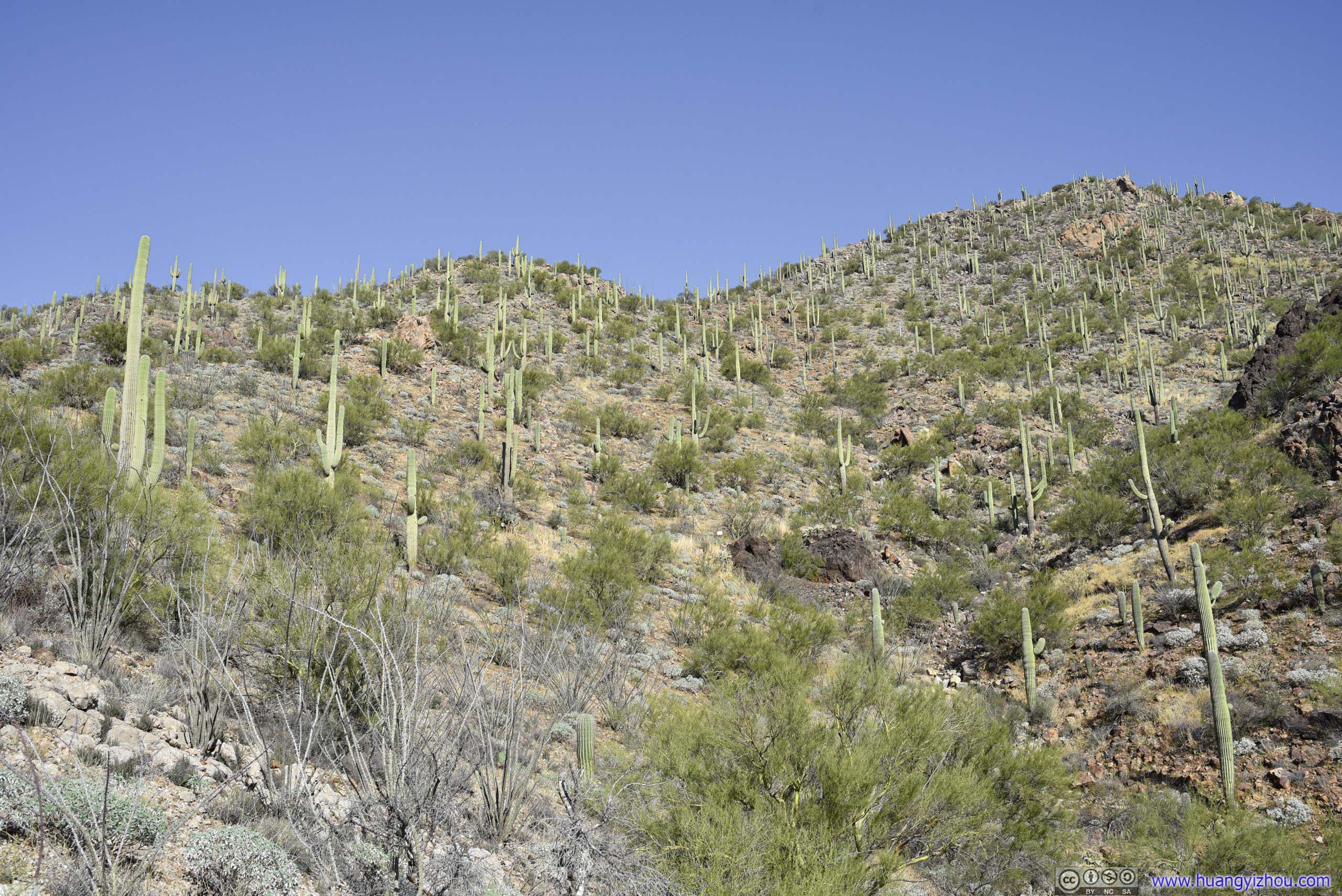
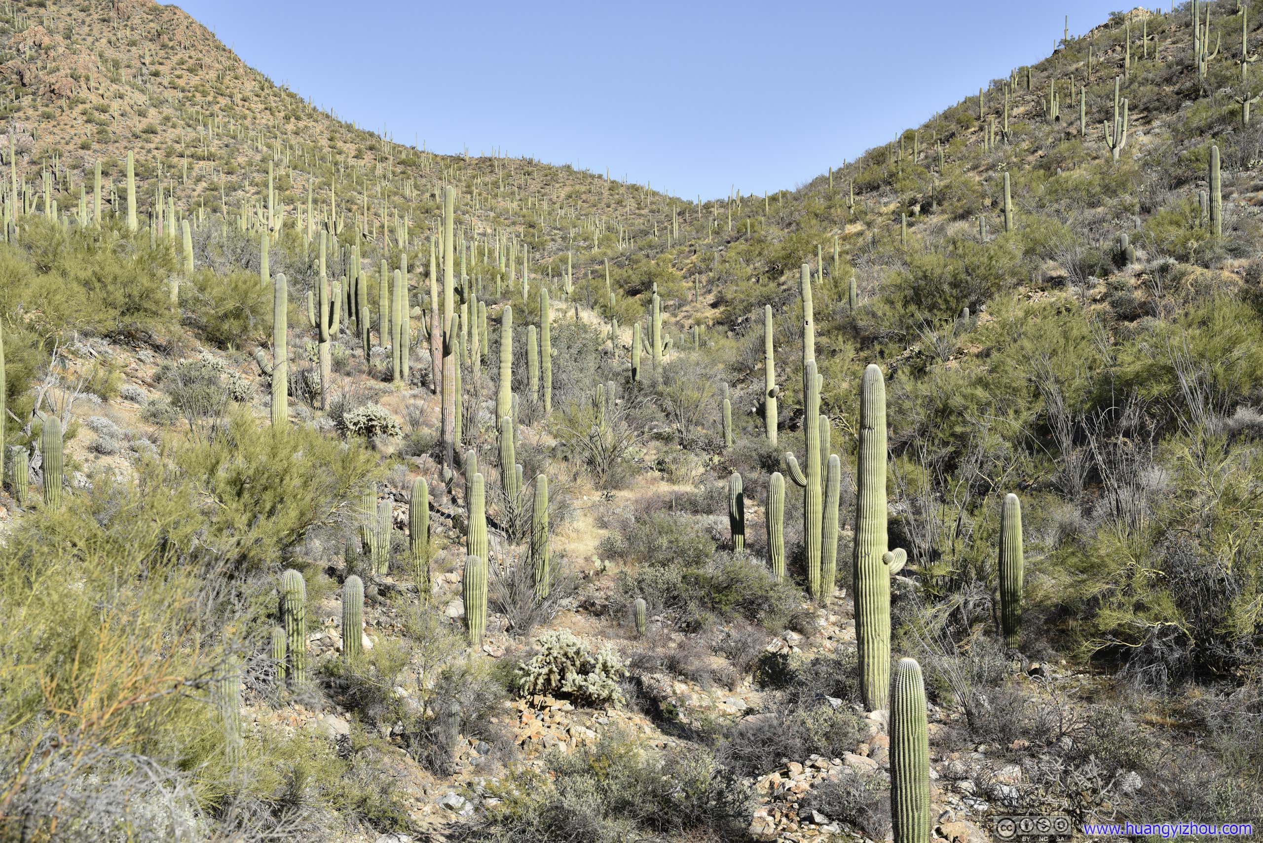
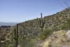
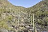
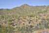
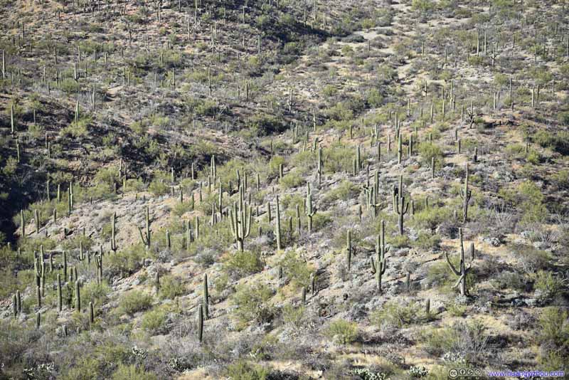
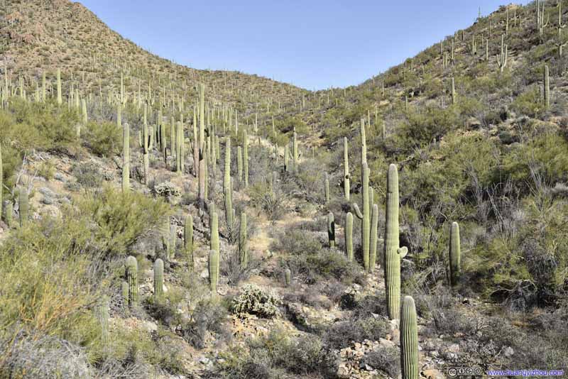
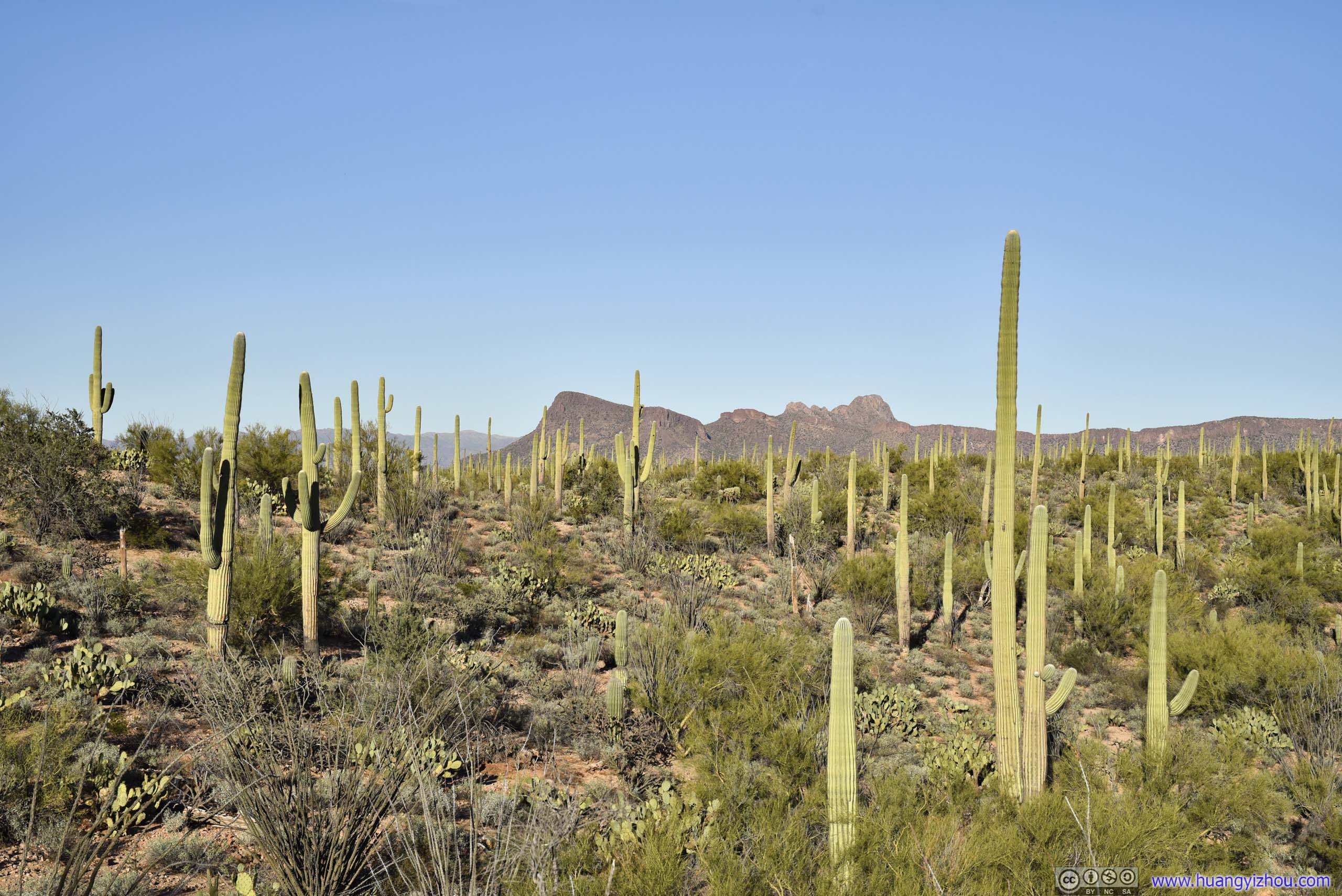
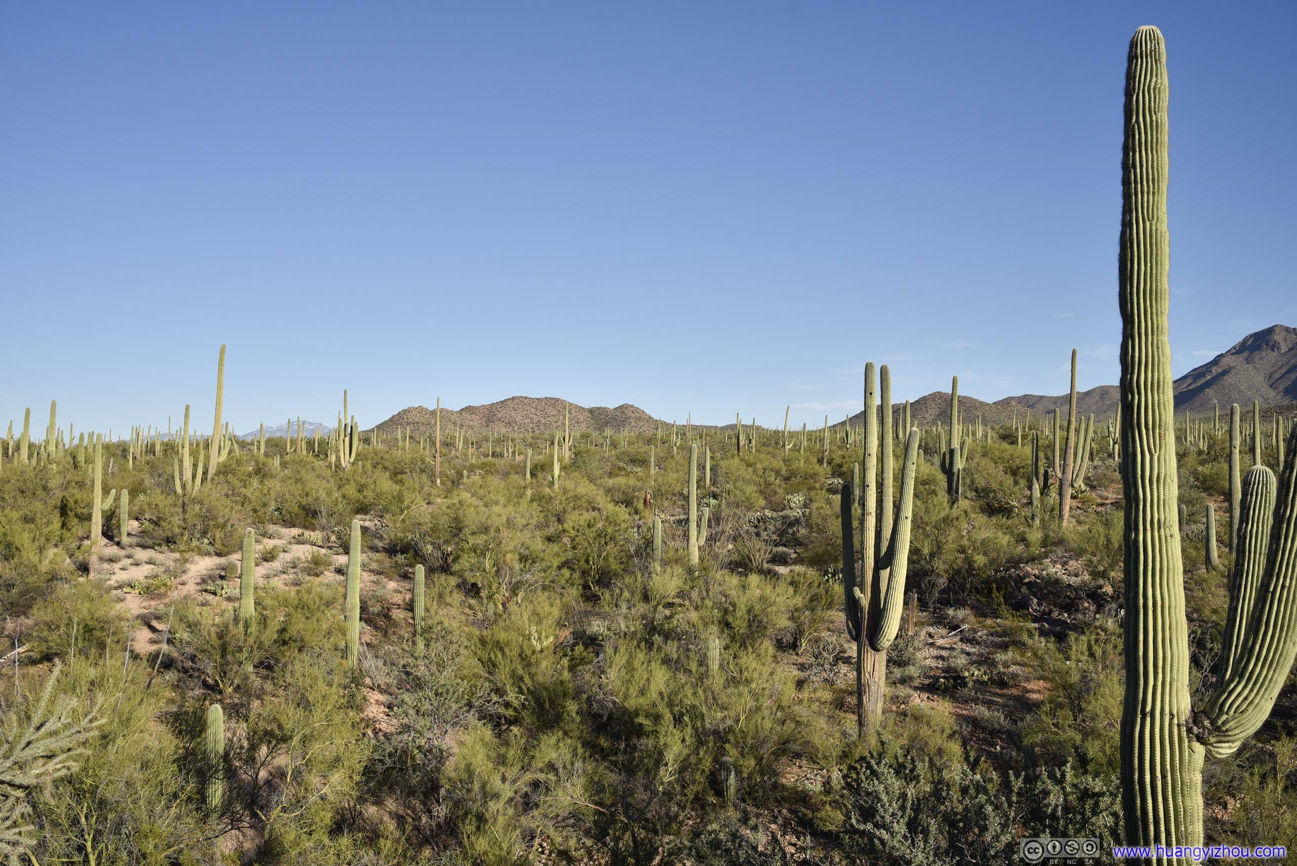
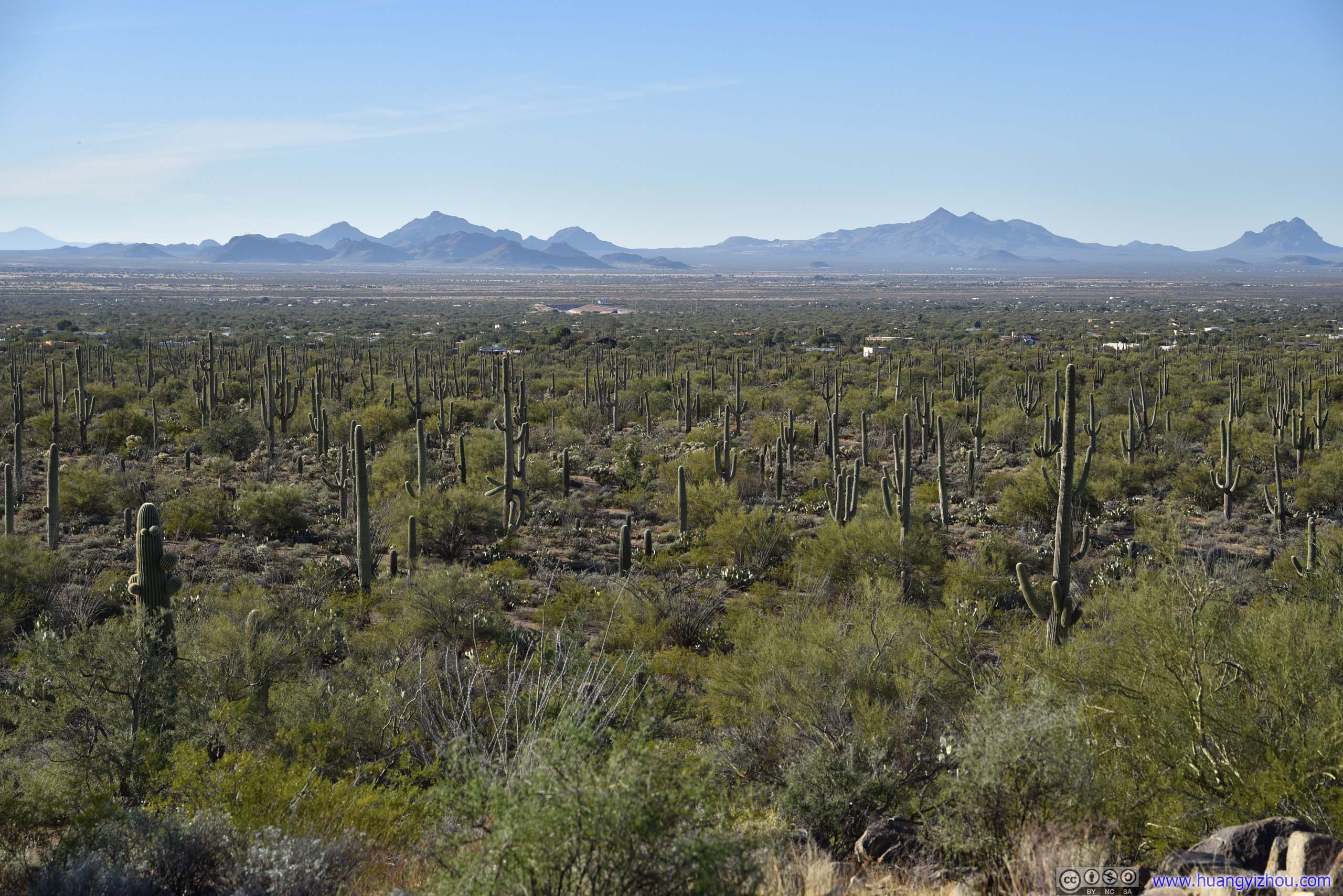
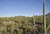
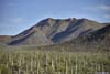
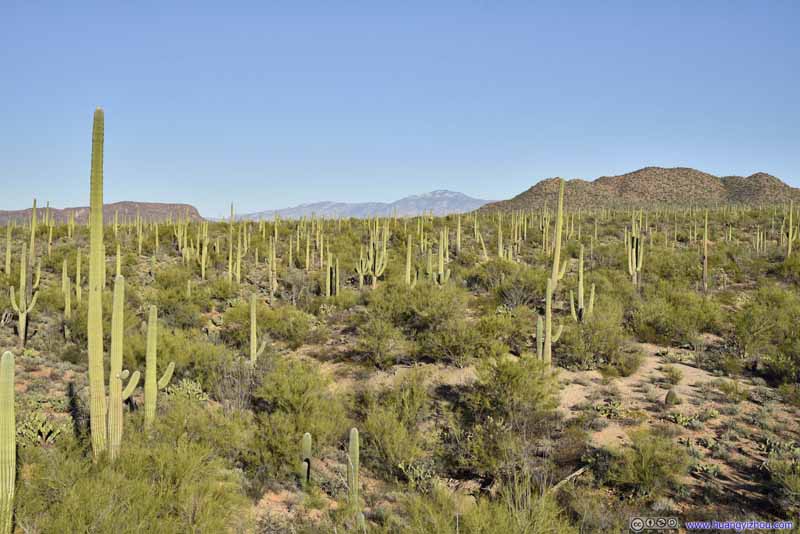
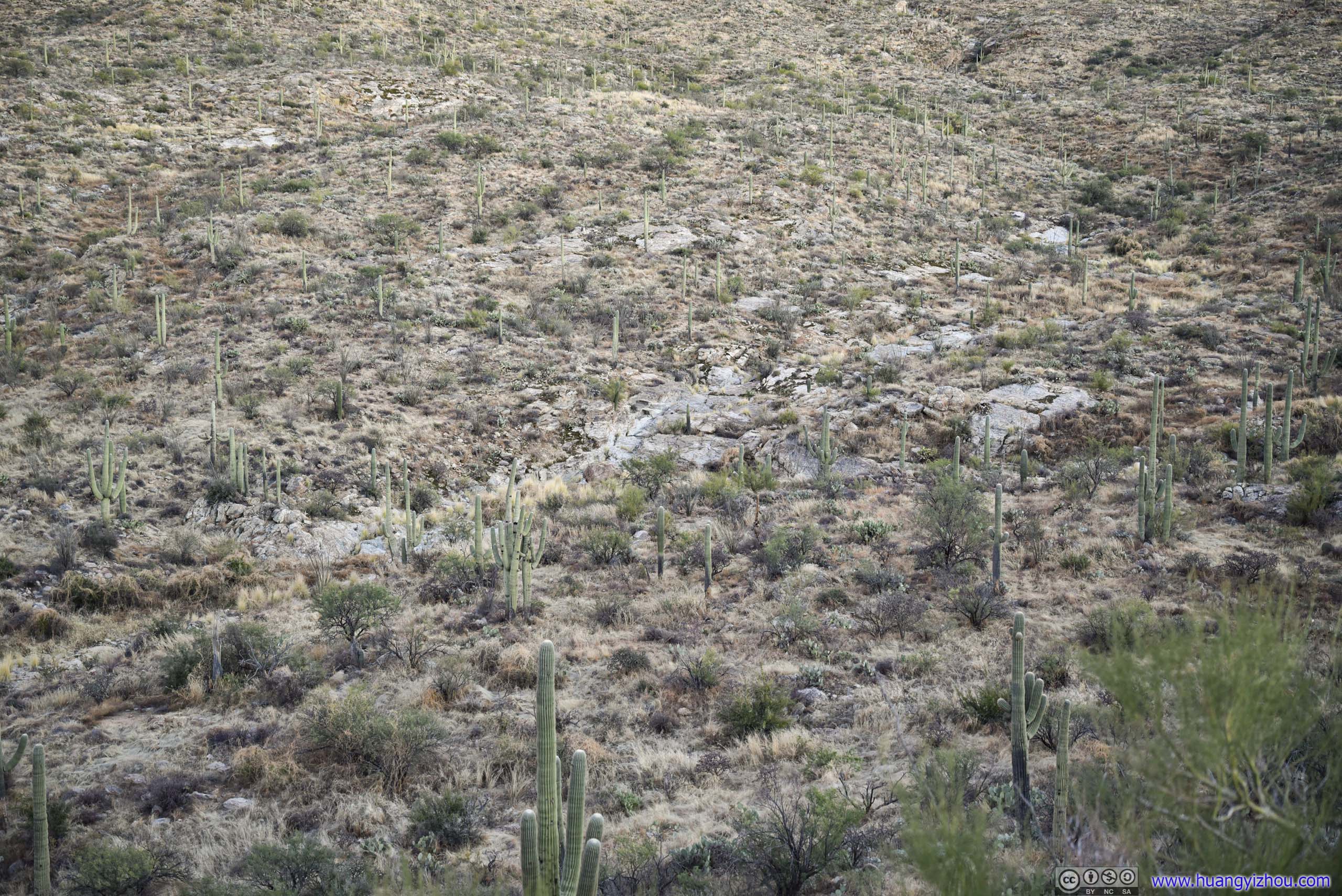
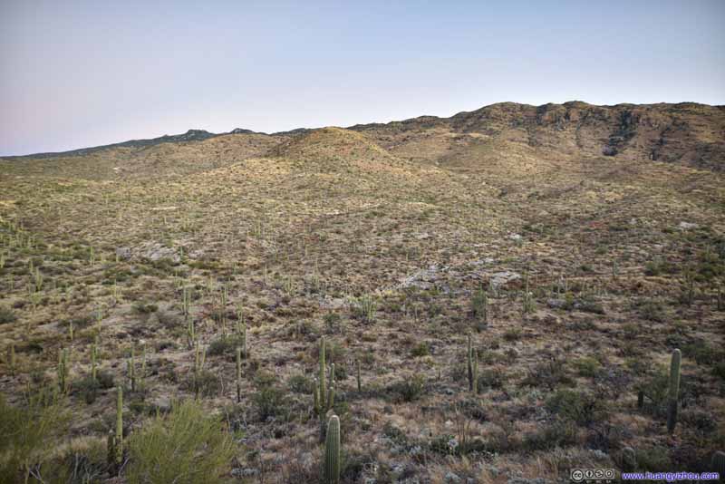
The beginning of the trail was made of loose gravels that could be as large as hand-size. Otherwise the trail was wide and well-maintained and didn’t post any trouble for us. At the same time, we were enjoying sights of all kinds of cacti around us, most notably the ubiquitous saguaros.

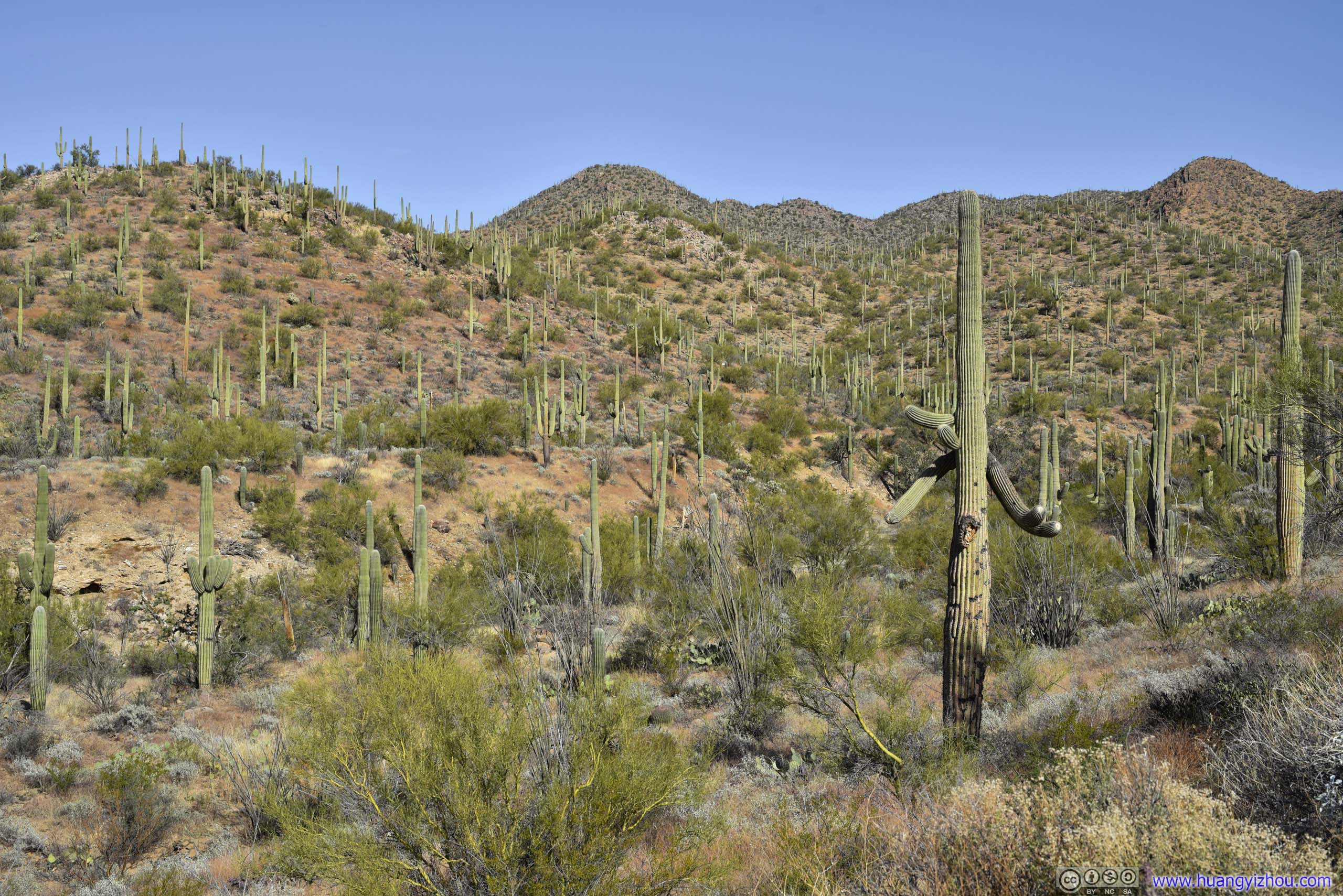
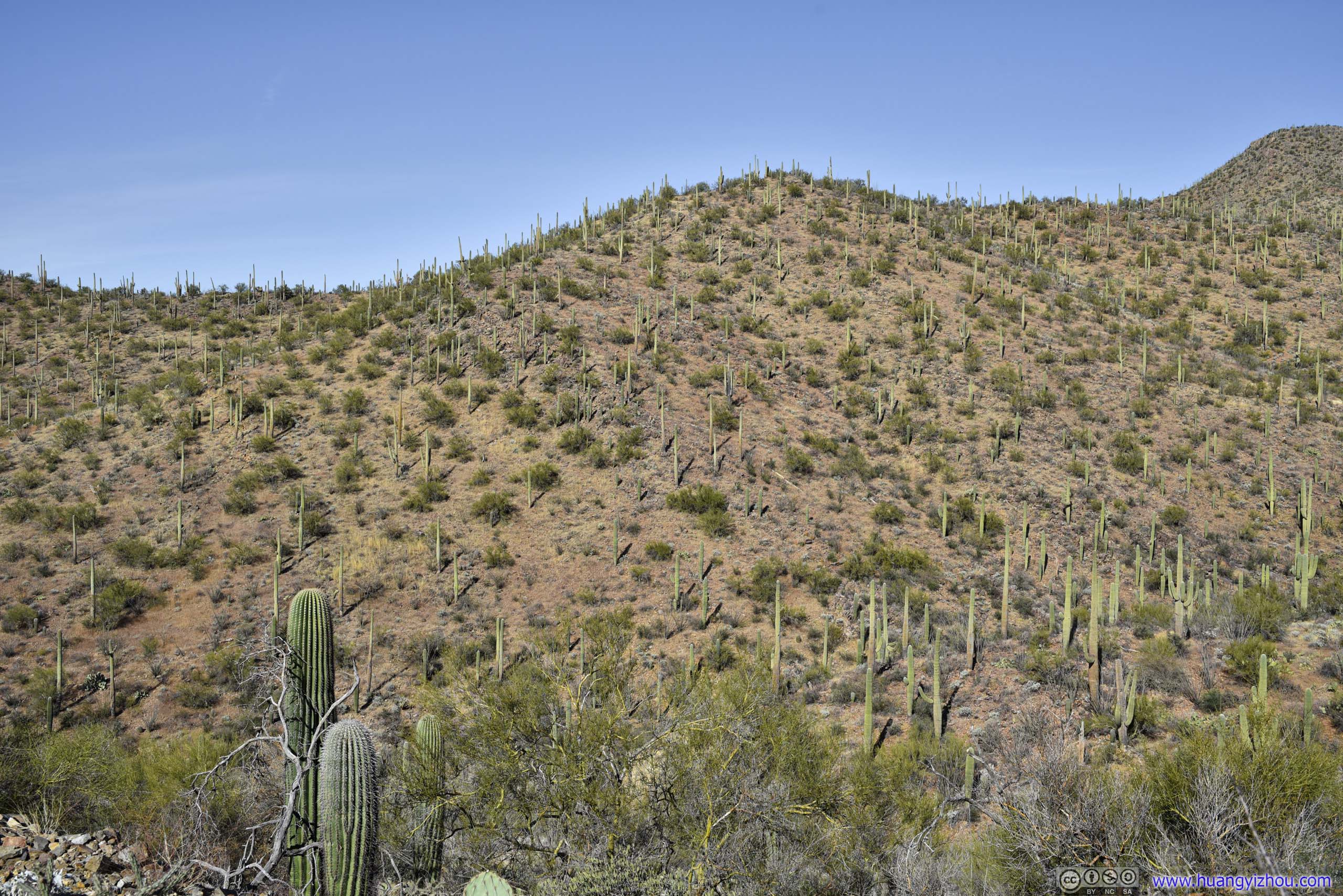


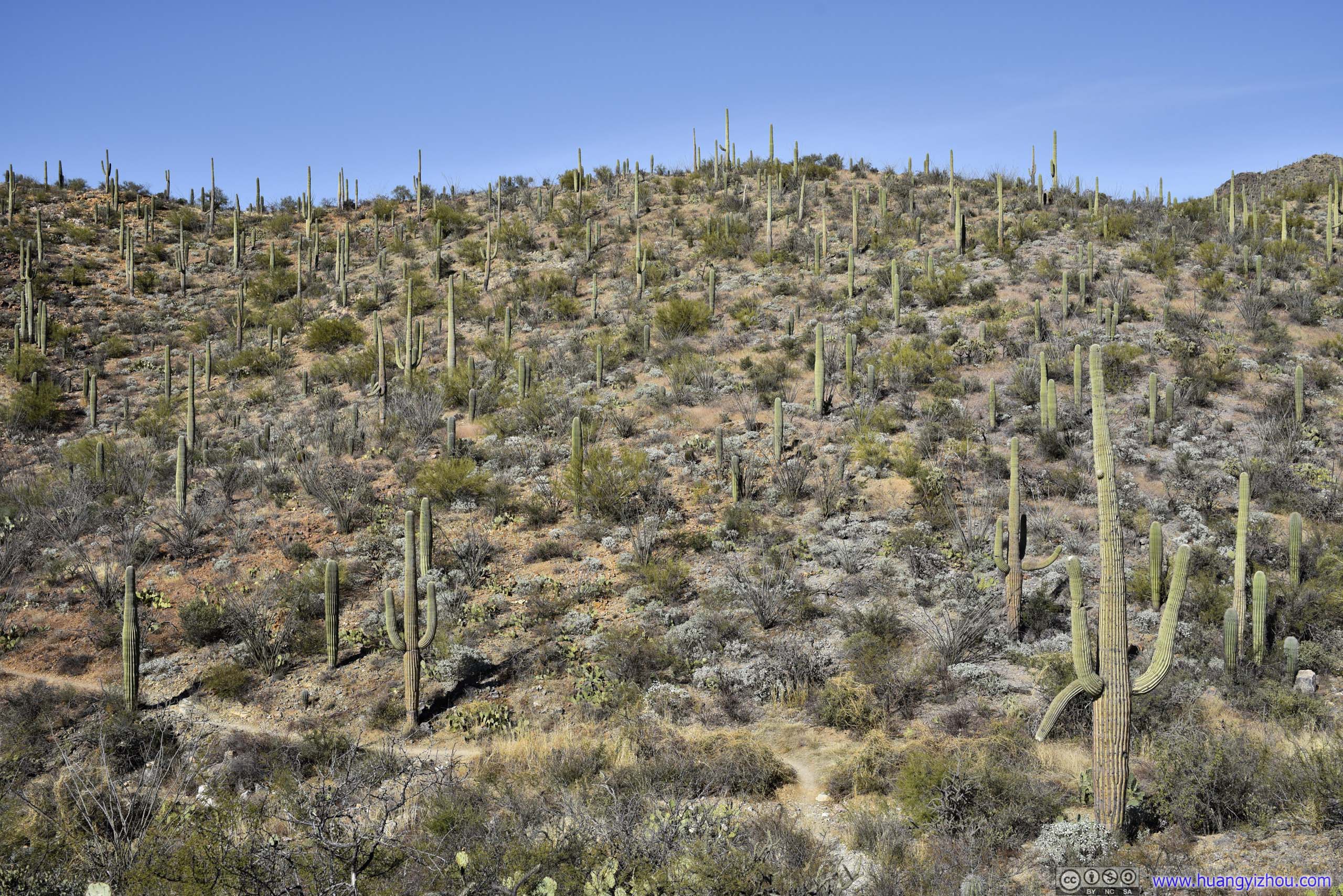

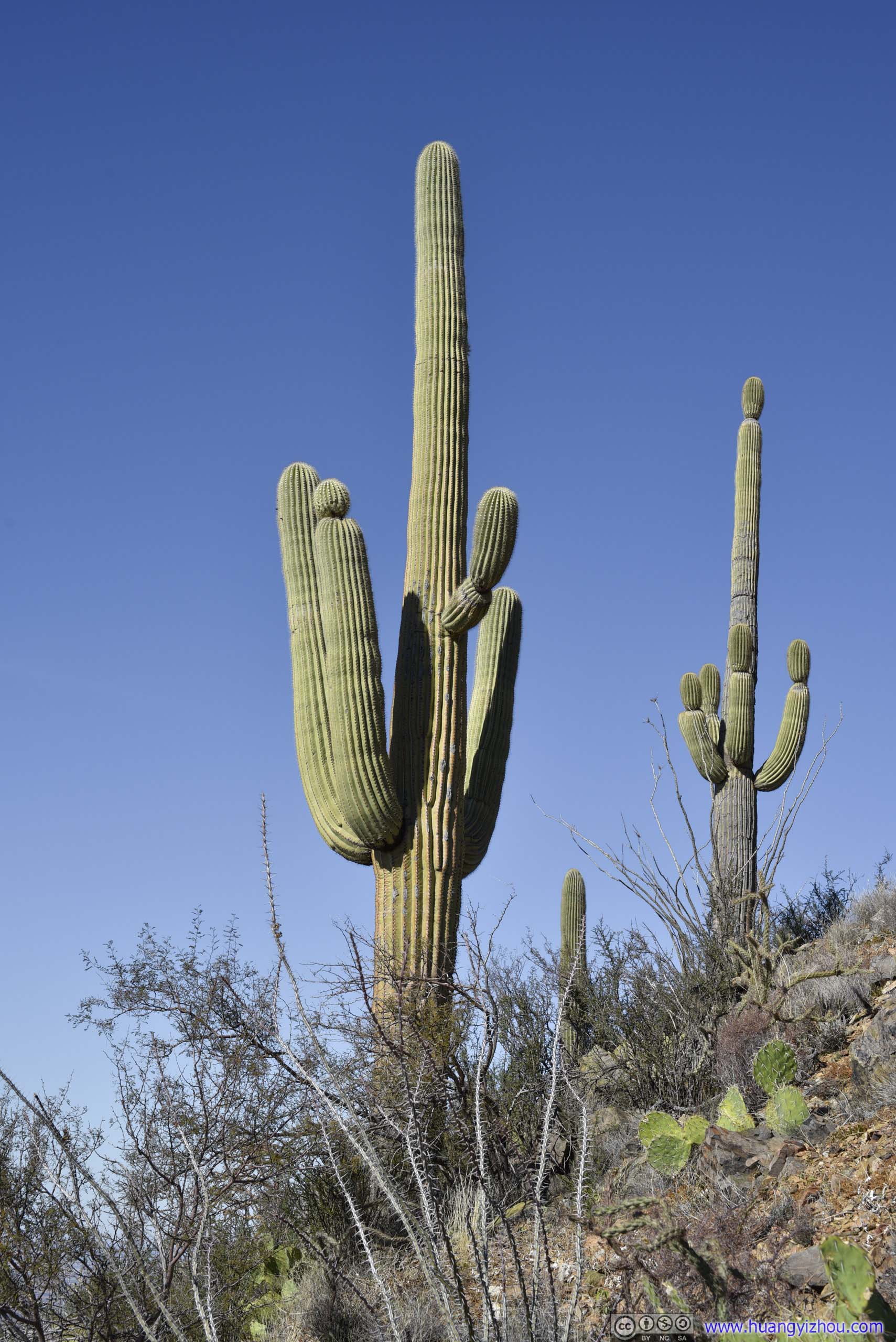
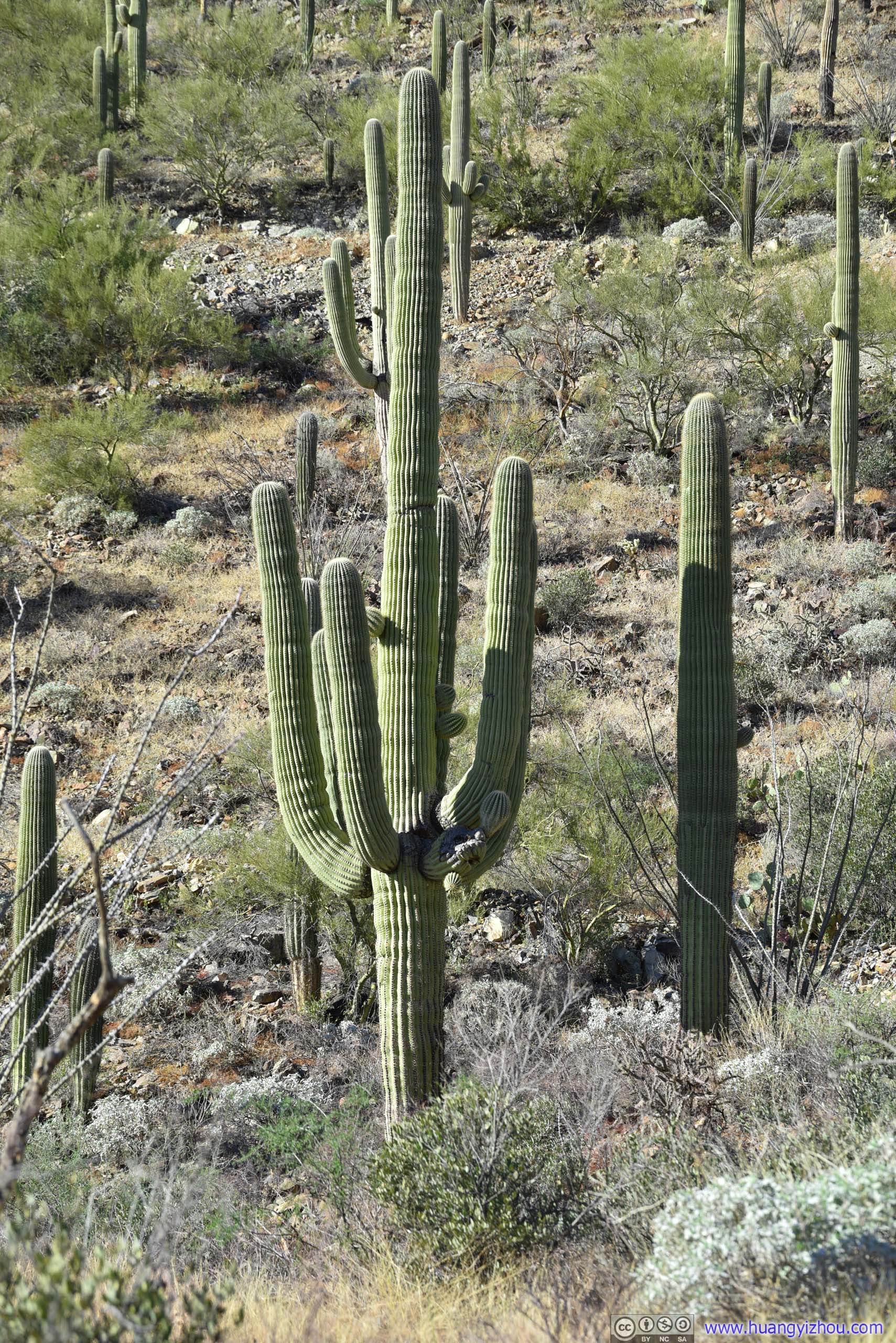
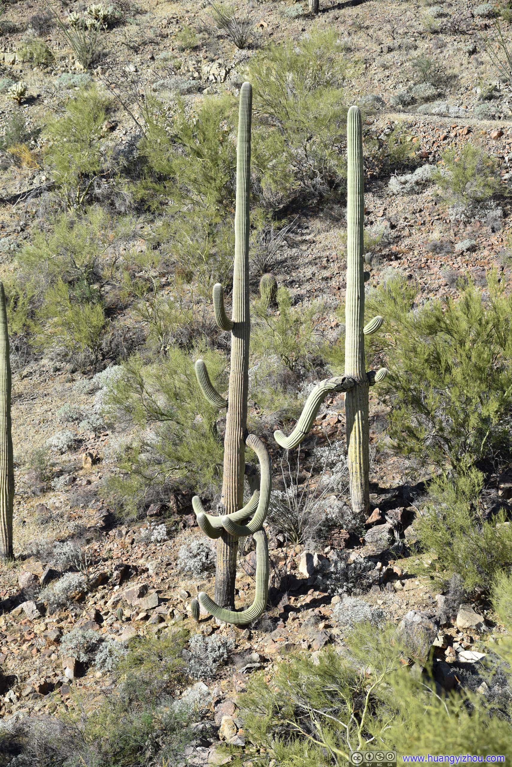
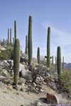
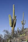
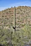
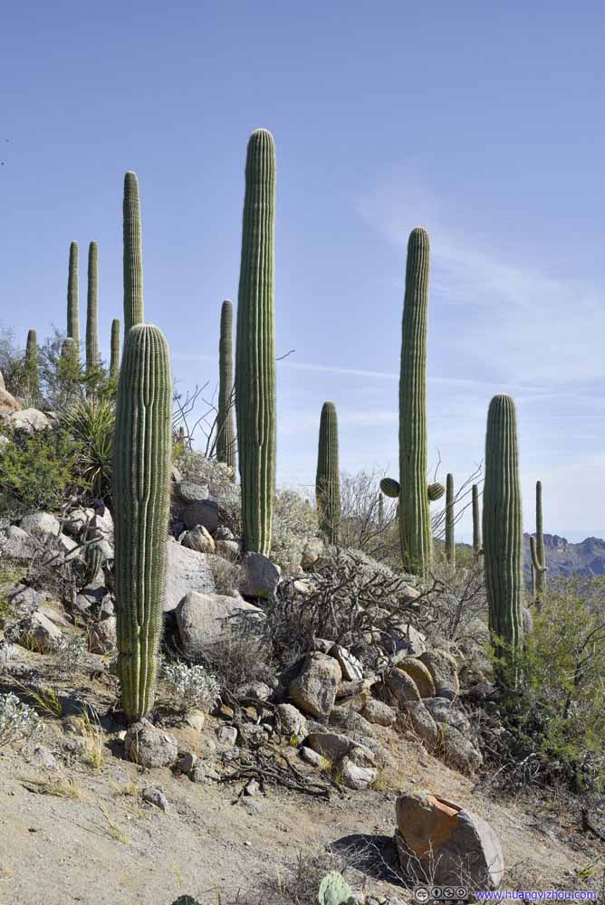
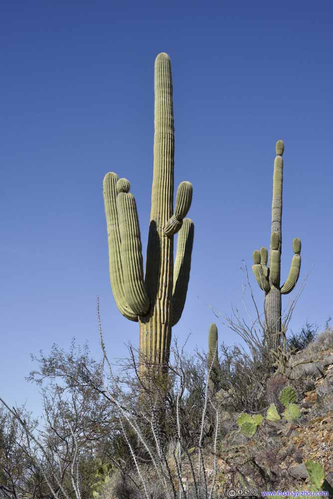
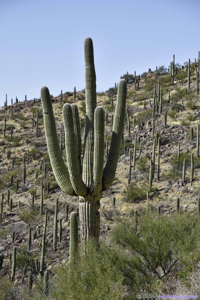
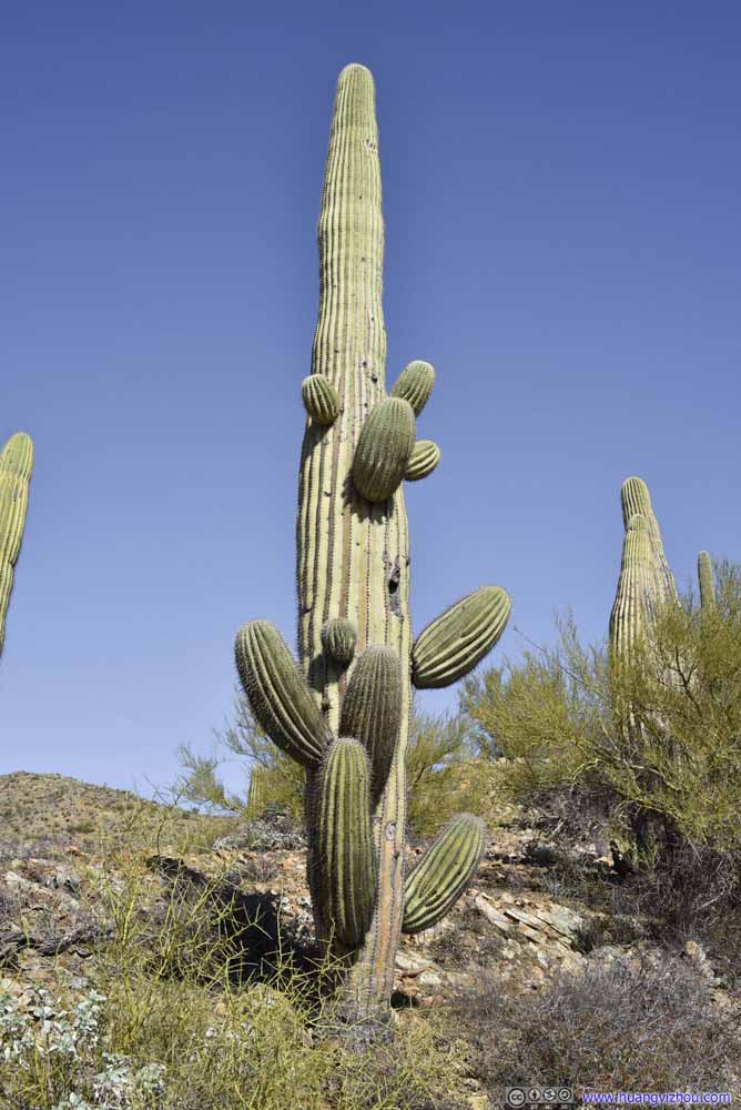
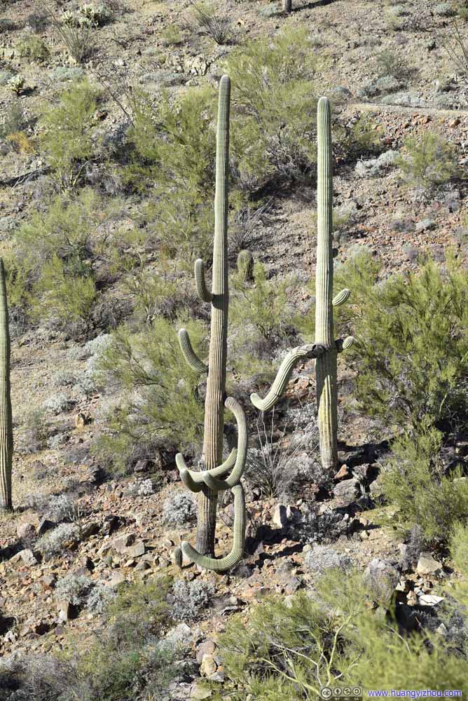
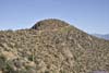
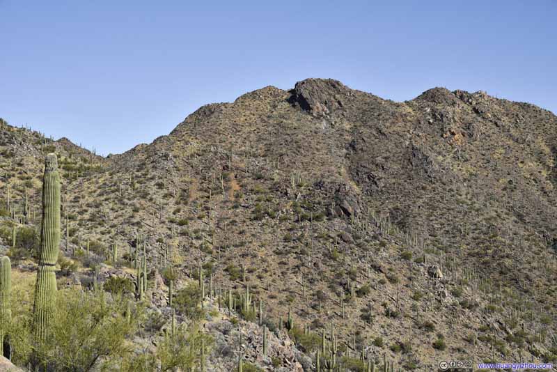
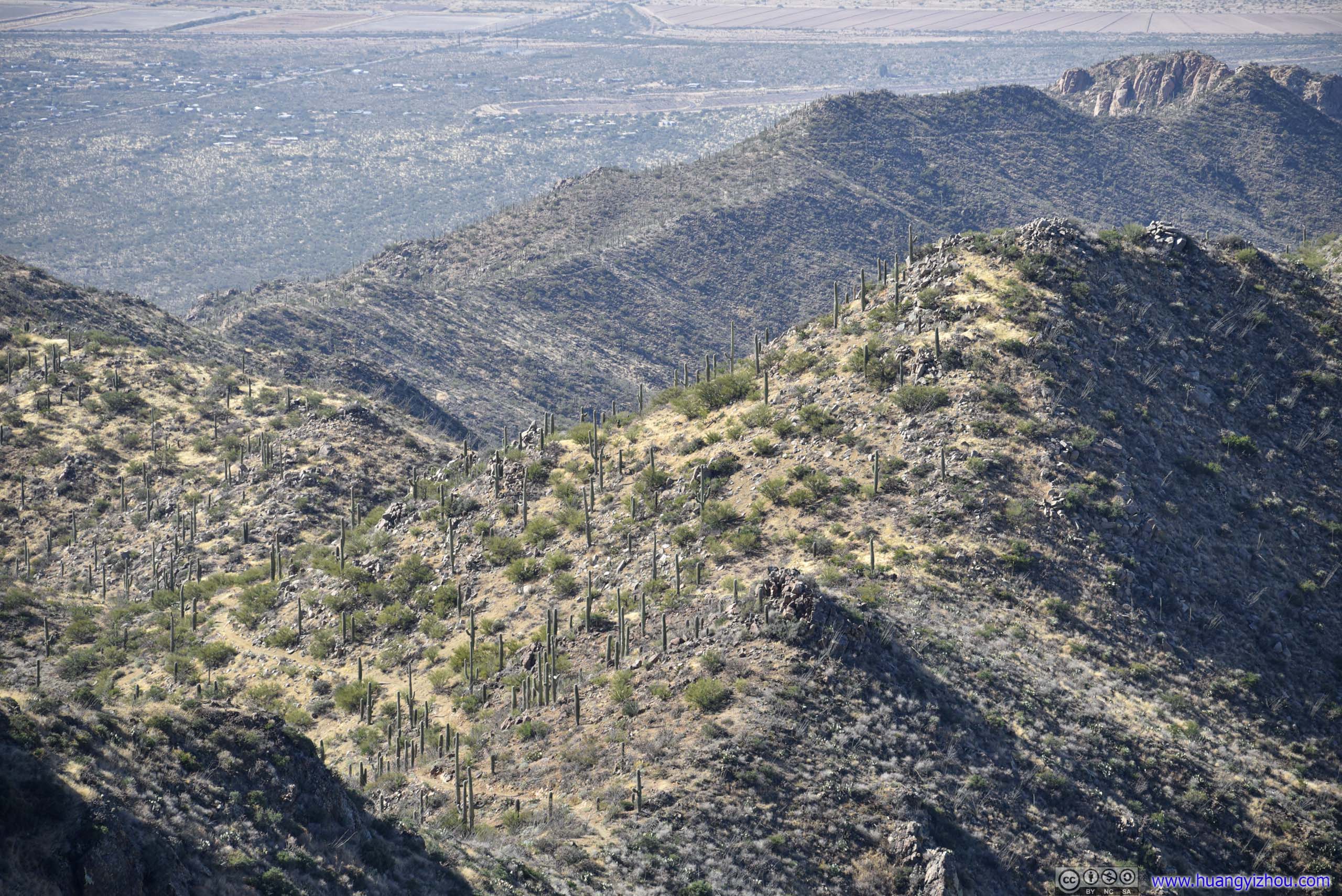
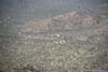
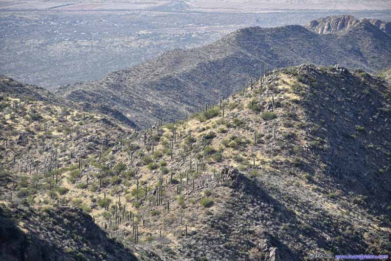
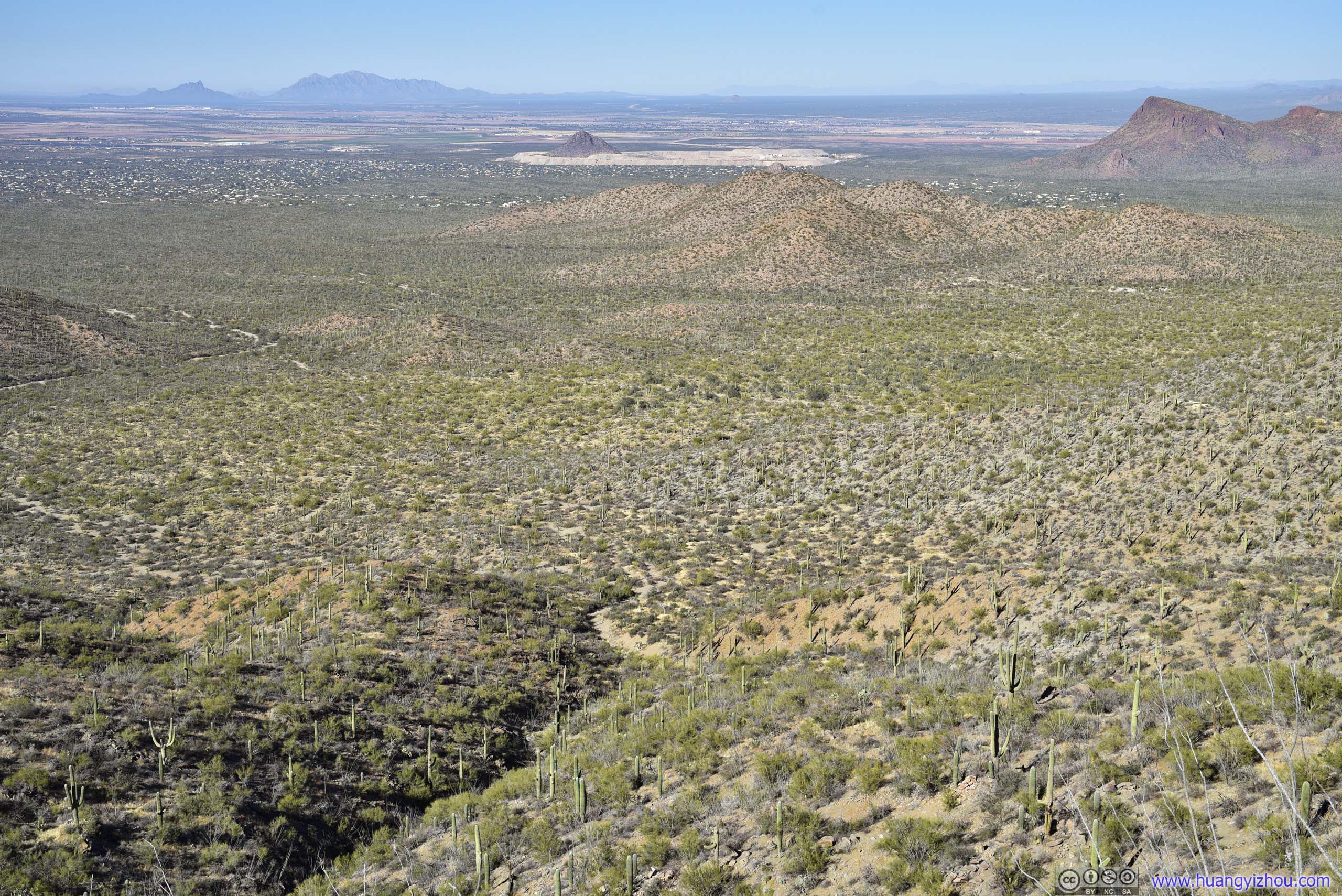
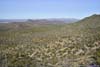
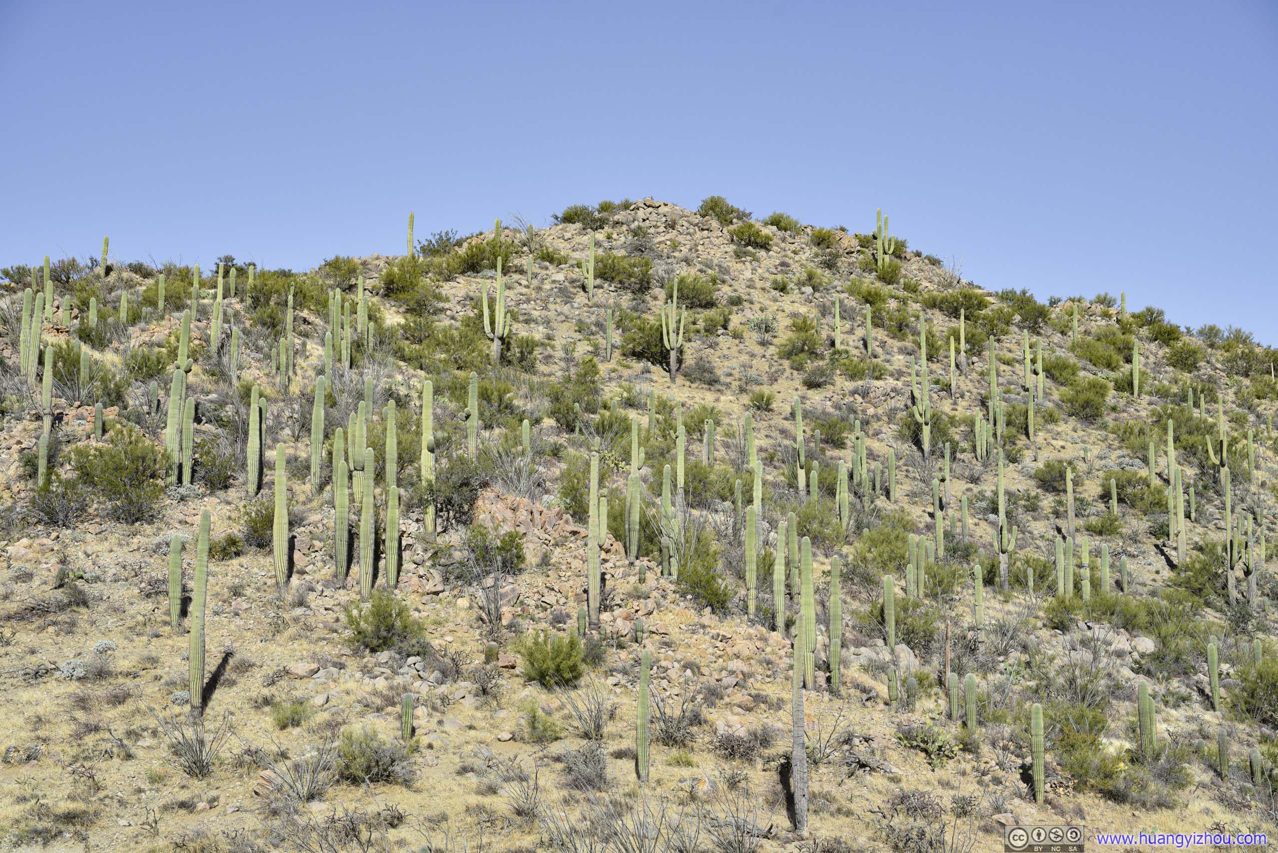
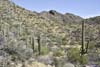
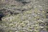
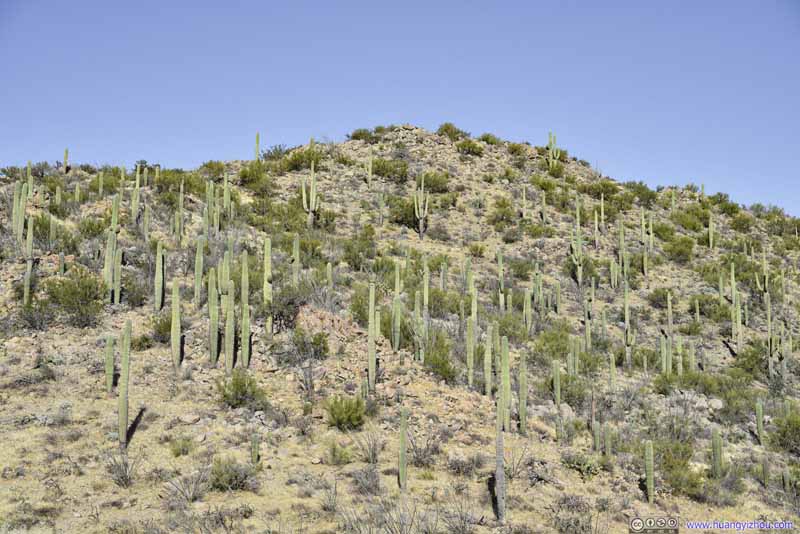
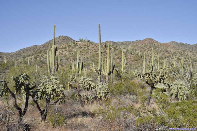
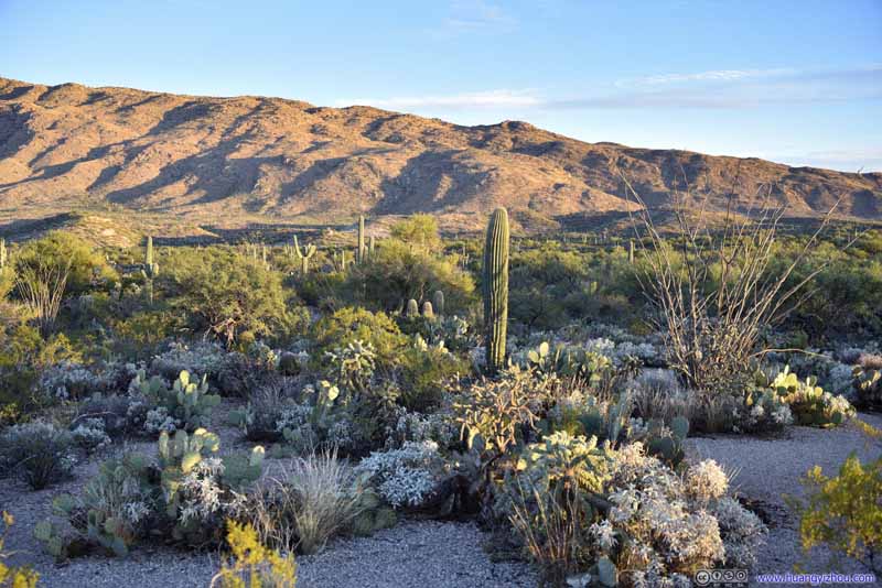
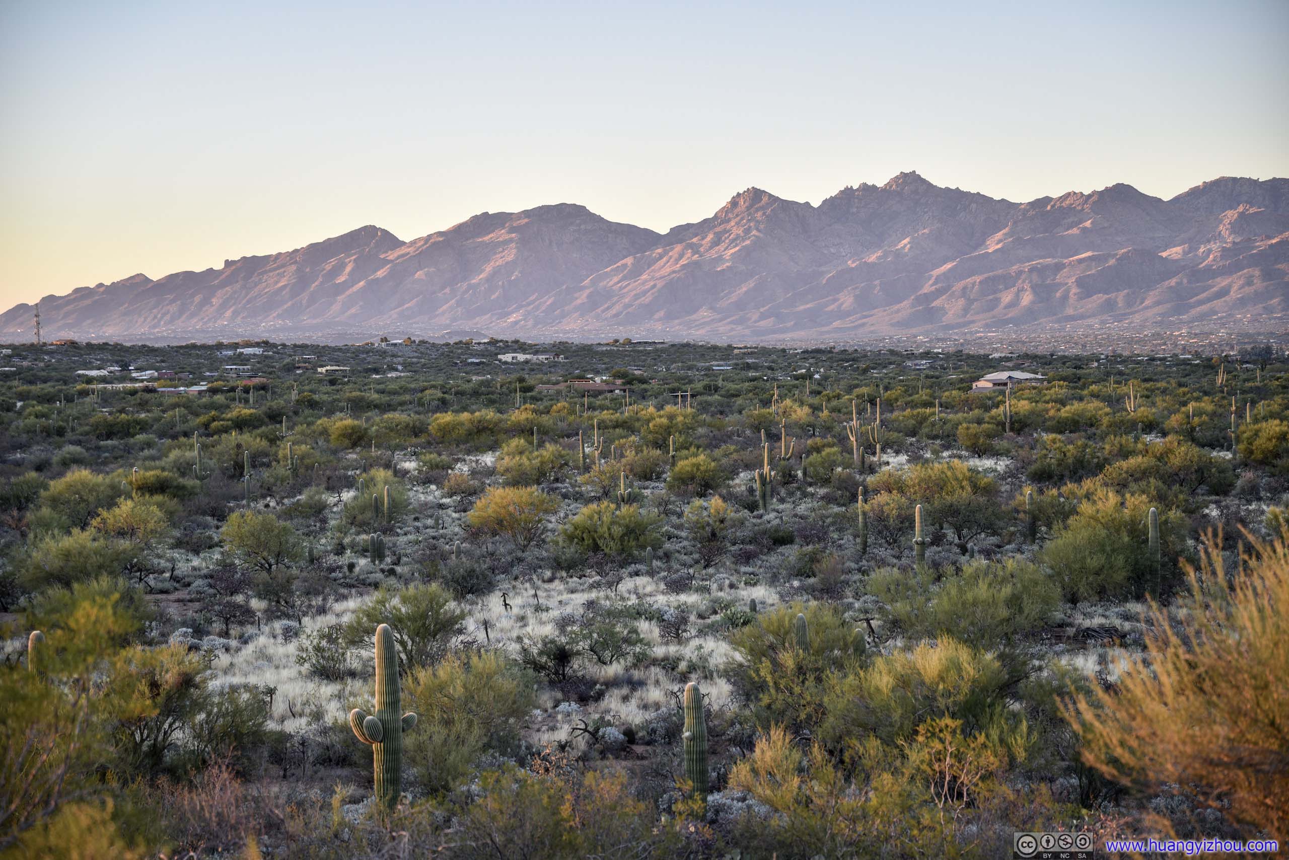
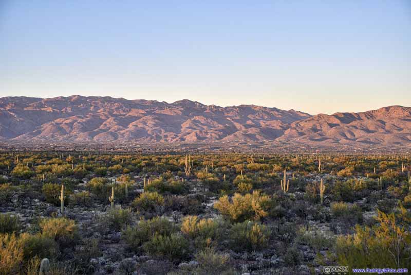
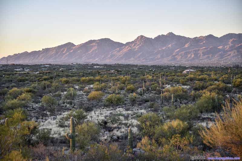
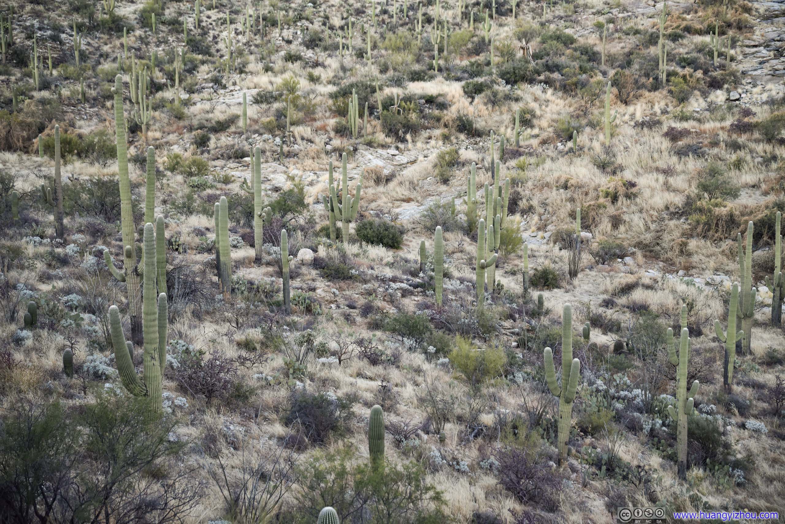
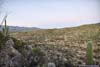
Field of Saguaros
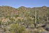

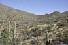
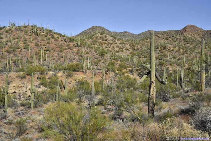

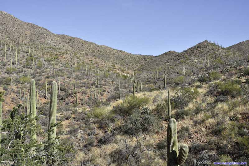
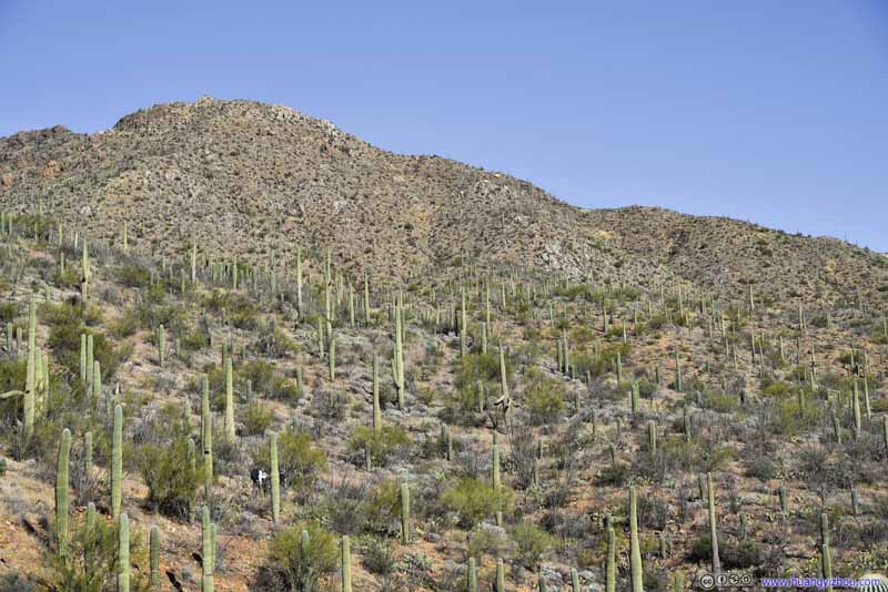
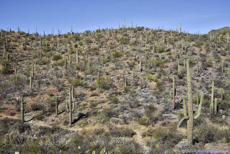

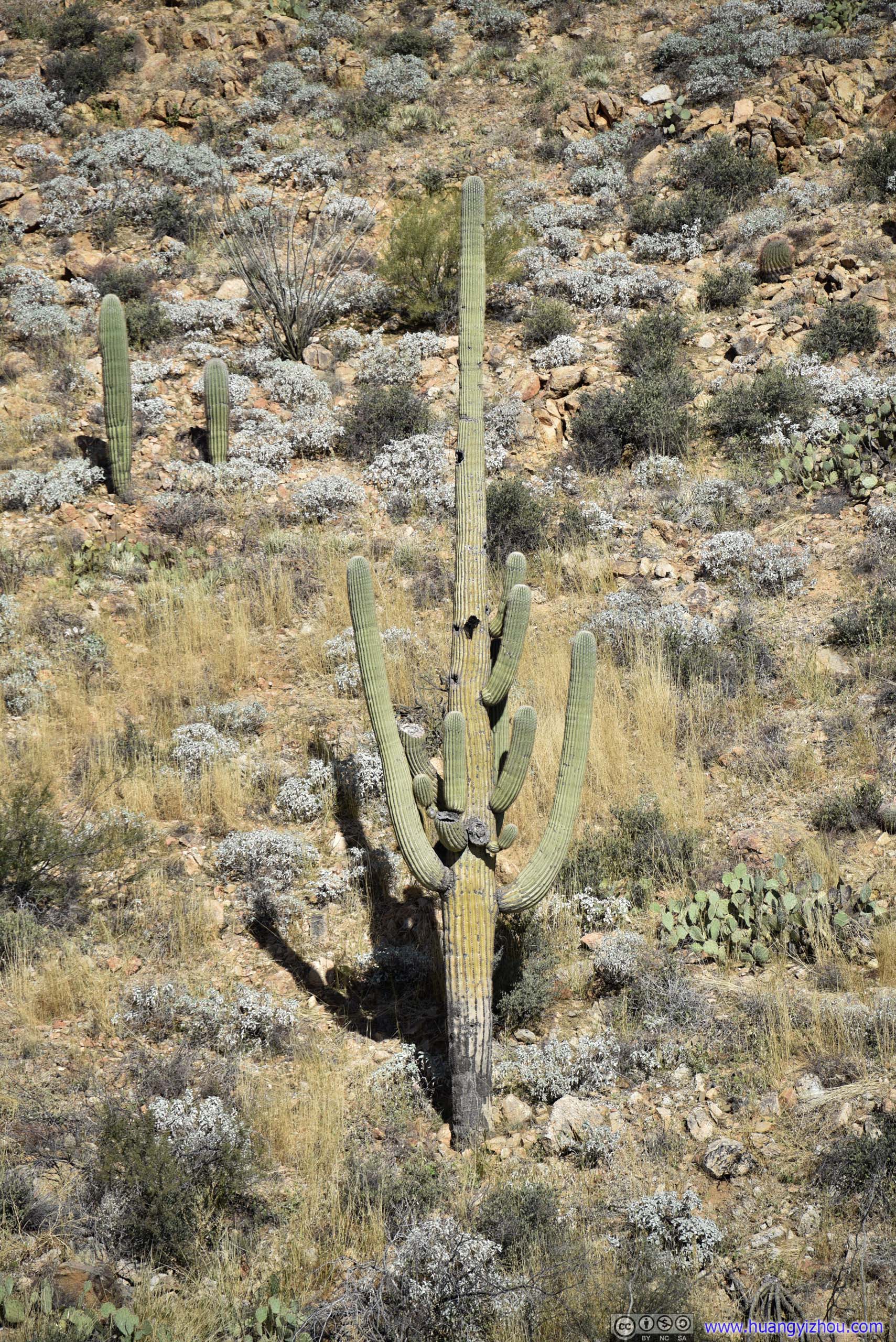
A most striking feature of the saguaros were the many branches that sprouted out from their bodies and gave them a solid and impressive look. Since we were in Saguaro National Park, we recorded a few interestingly looking saguaros along the way.


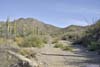
We followed "Kings Canyon Trail" as marked on AllTrails, which was slightly to the south of Kings Canyon Wash. An alternative would be to hike on the actual riverbed of Kings Canyon Wash, whose sandy surface wasn't made for hiking though.
Later the two paths would merge, and approximately 1.6km from trailhead, the trail would deviate from Kings Canyon Wash. The intersection was obvious but not marked.


At about 3.7km from trailhead, the trail reached a marked intersection. A left turn here and we continued towards Wasson Peak. From here on, the trail hastened its pace of elevation gain and entered a few switchbacks.
It’s pretty warm in January for the desert landscape around Tucson. It’s a cloudless day, but for most of the hike, soothing winds meant we weren’t sweating a lot. But the winds were pretty dry which my skin certainly didn’t like.
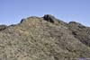
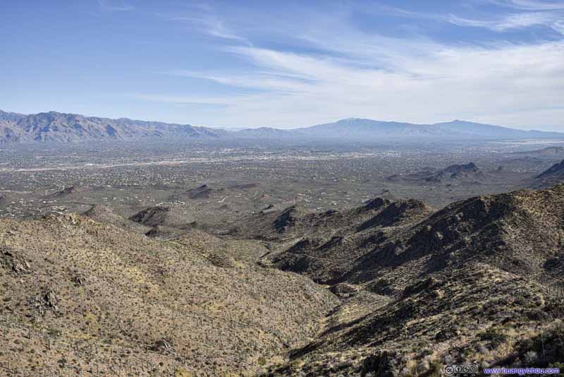
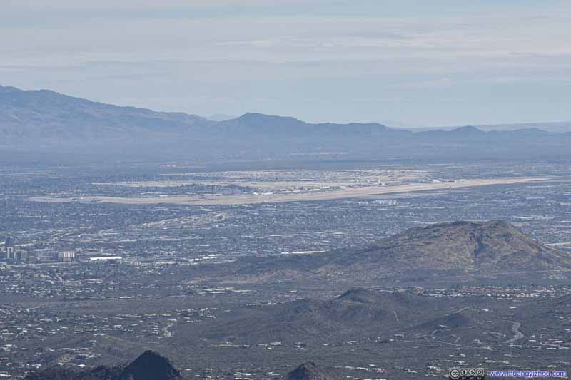
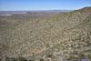
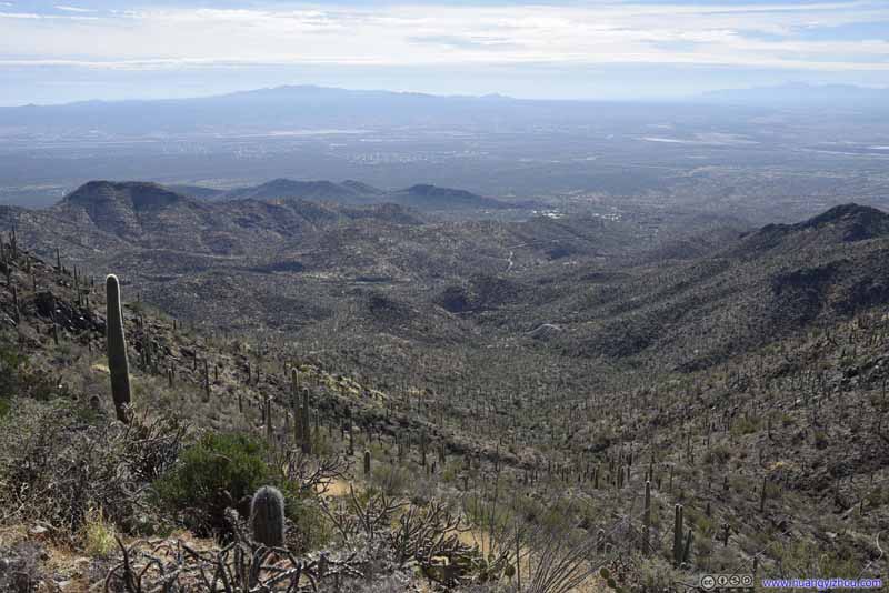
Finally, at 12:40pm, 1 hour and 40 minutes after we left the parking lot, we were at the summit of Wasson Peak, having overtaken two other groups along the way.


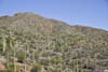
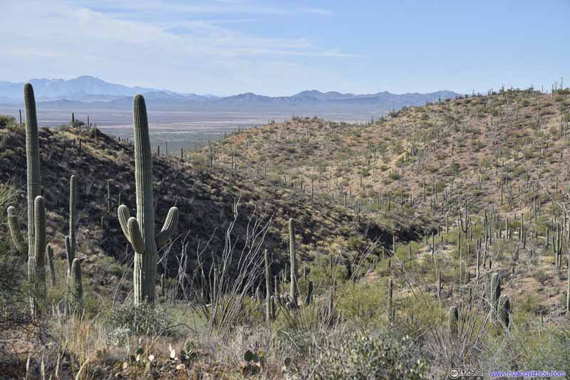
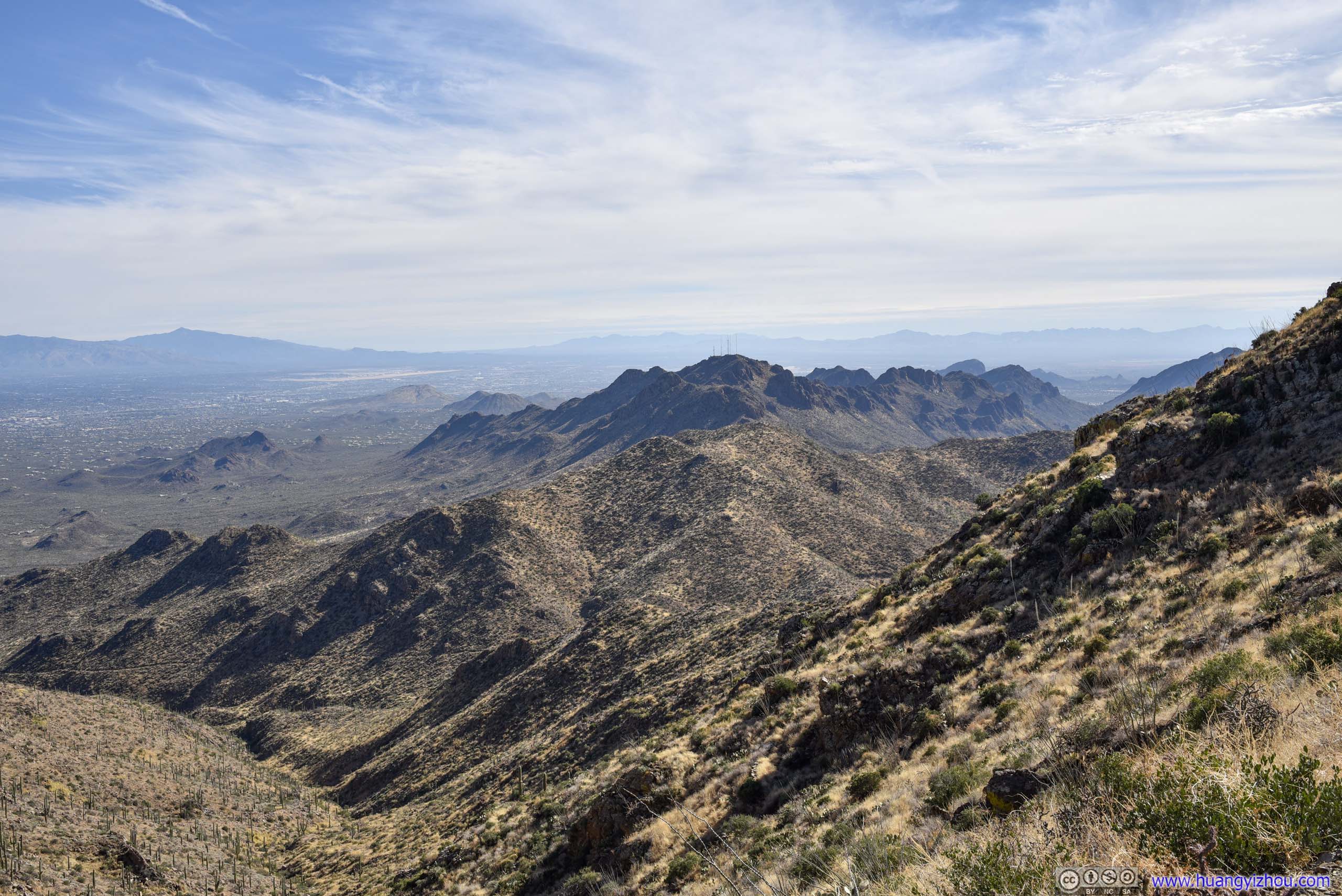
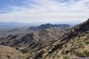
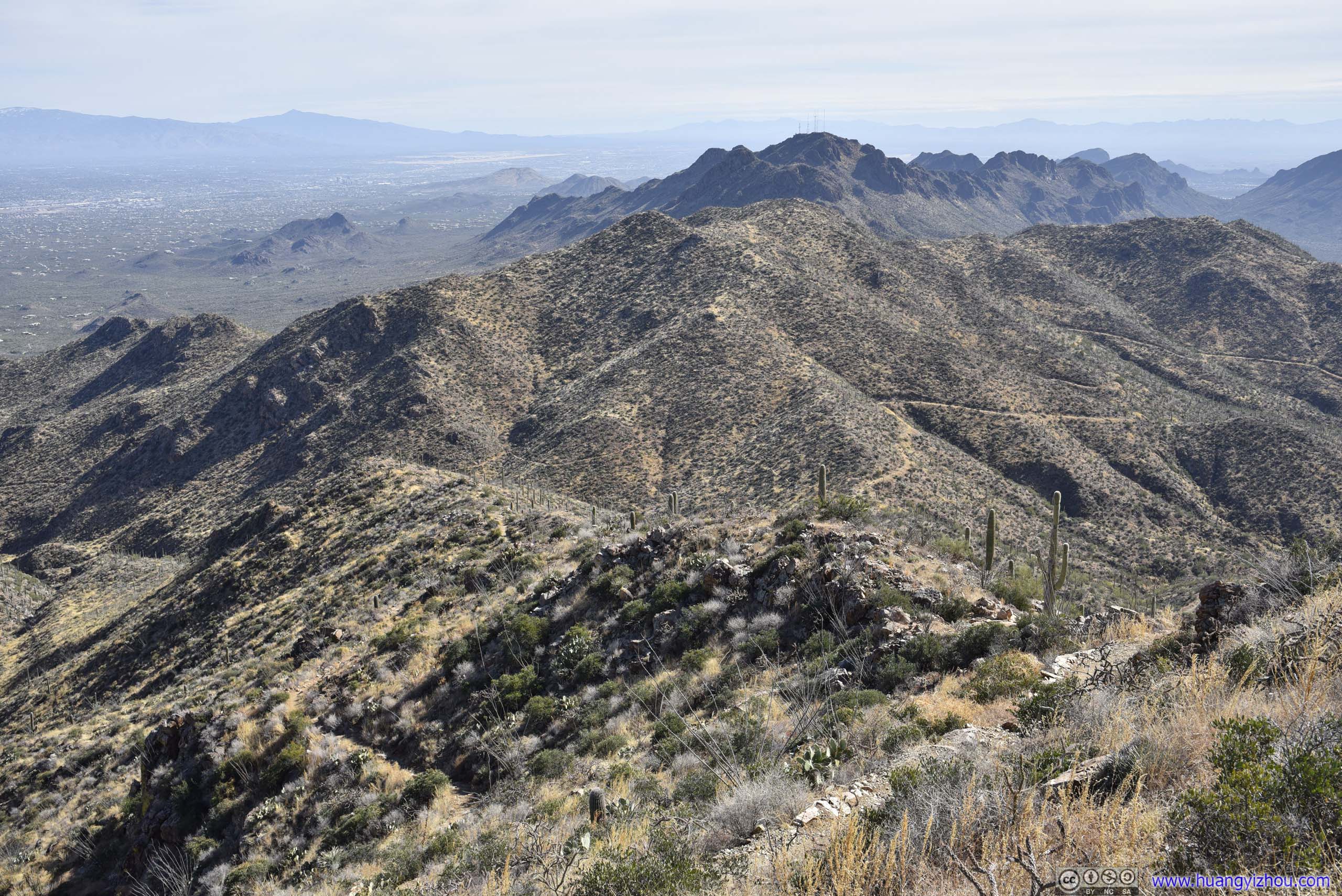
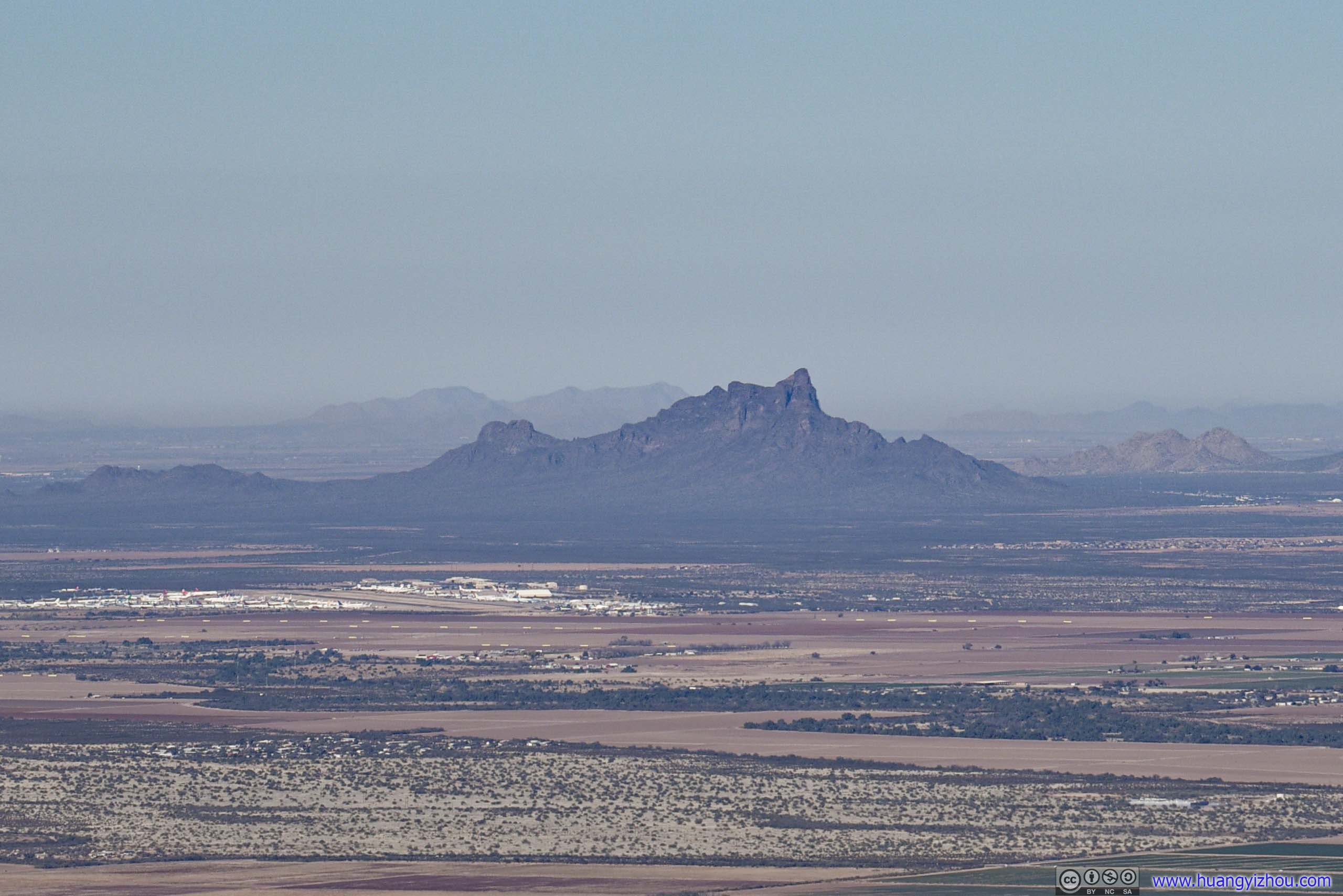
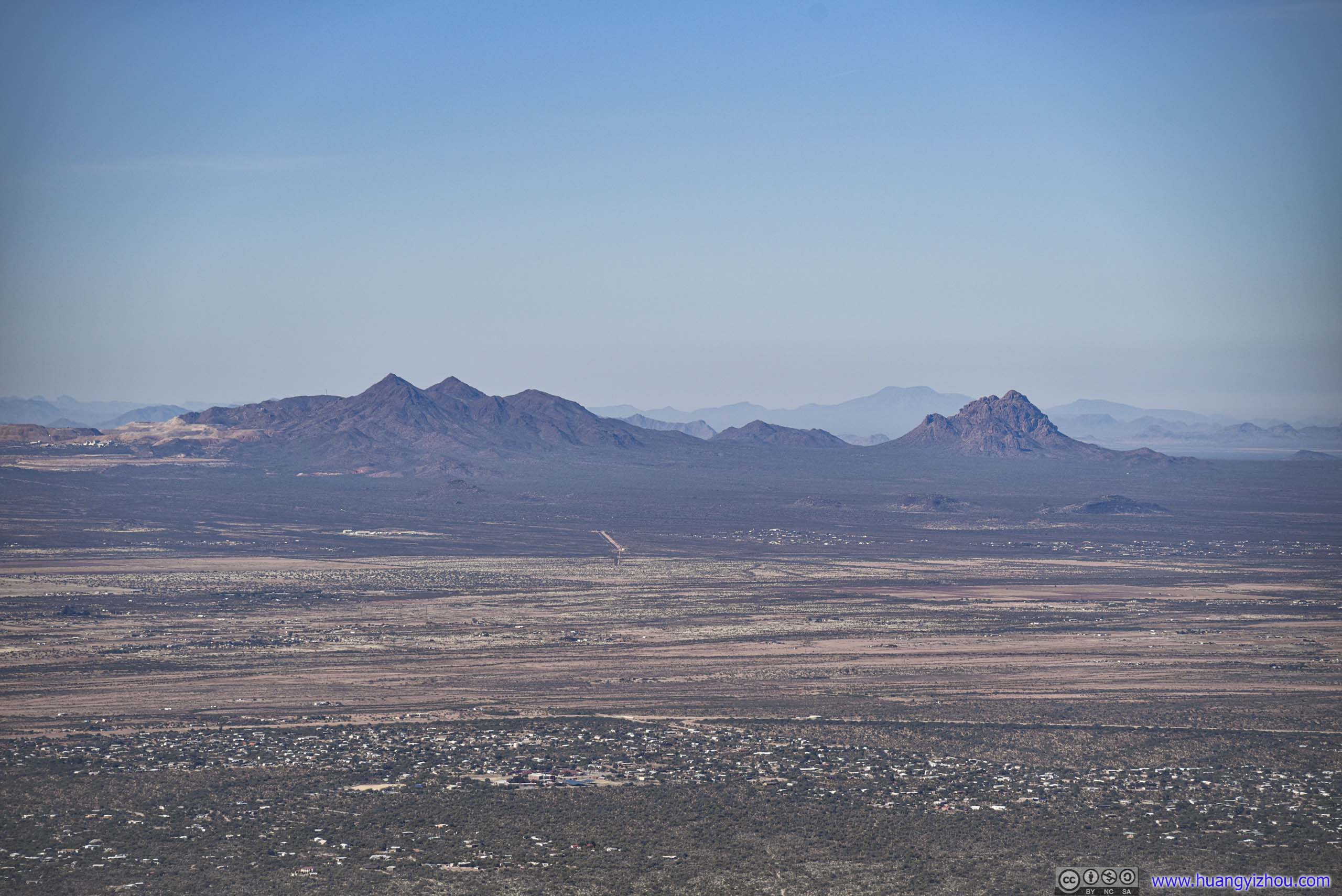
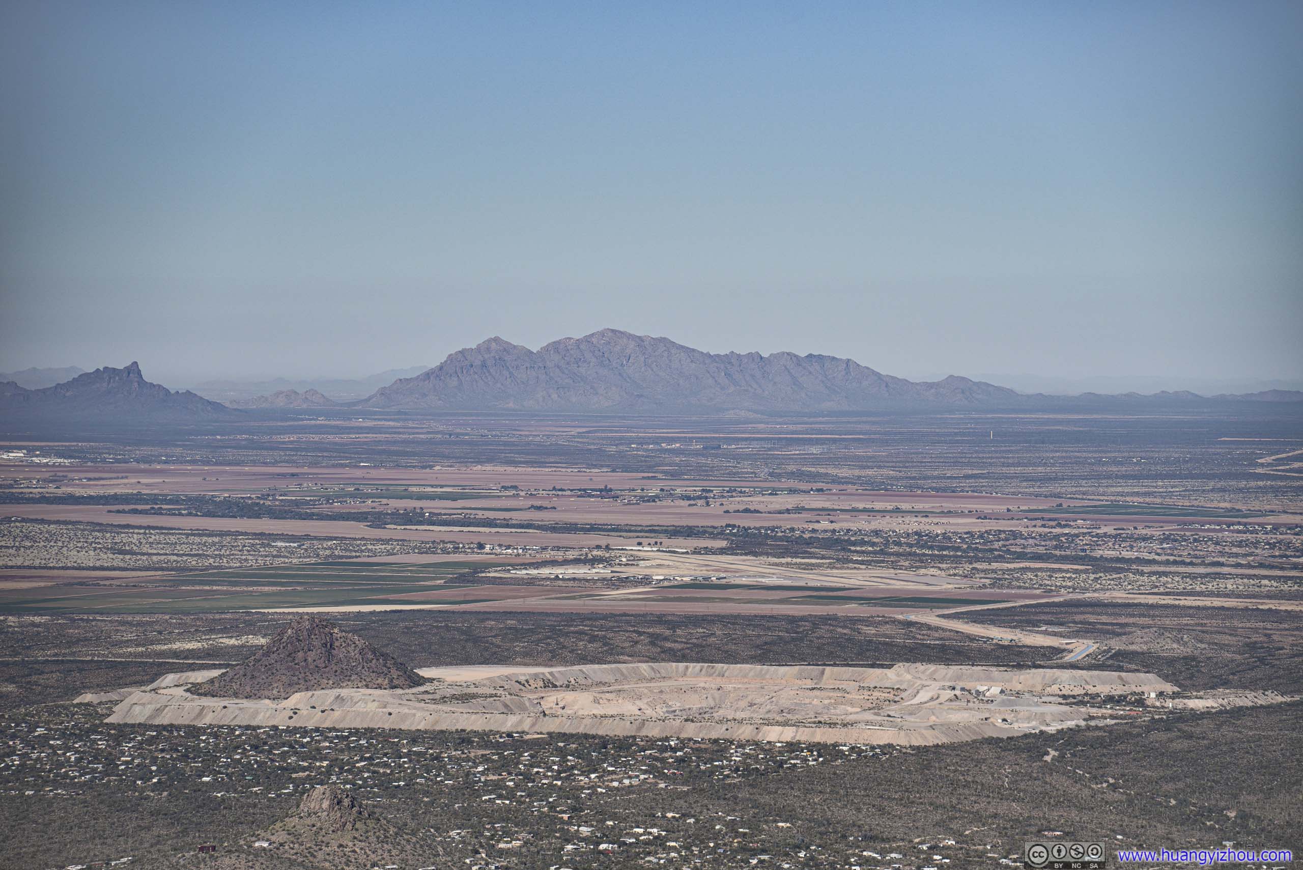
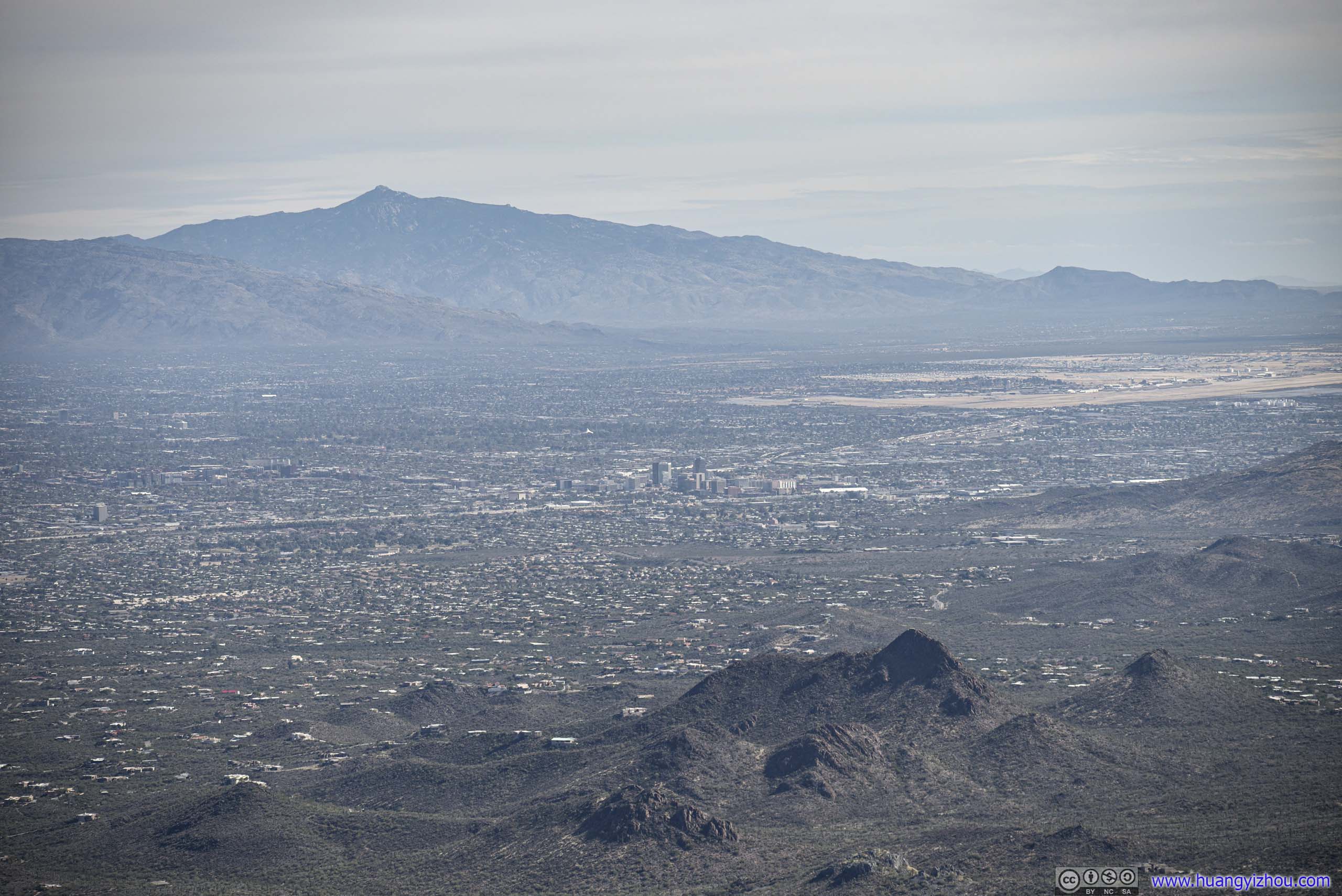
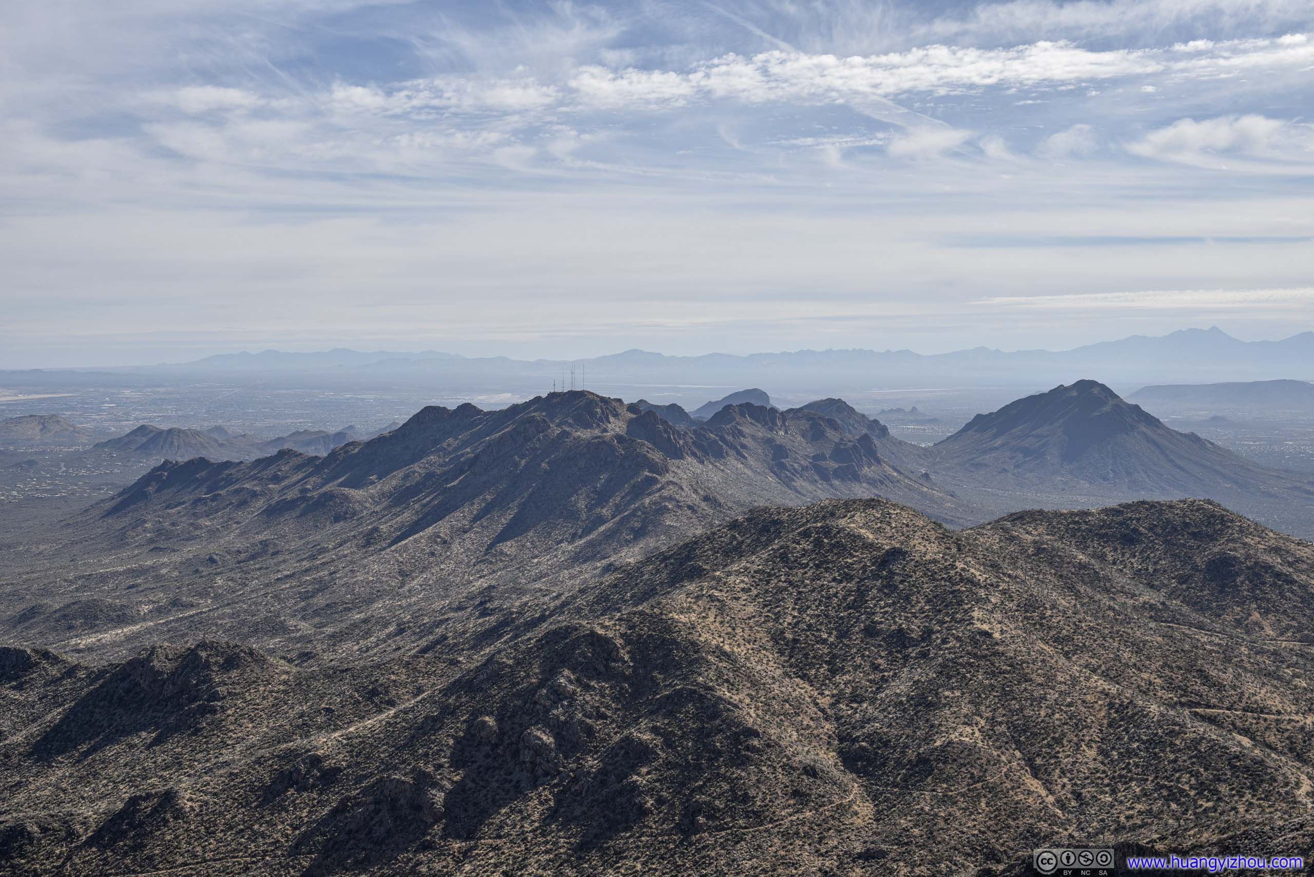
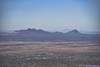
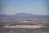
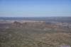
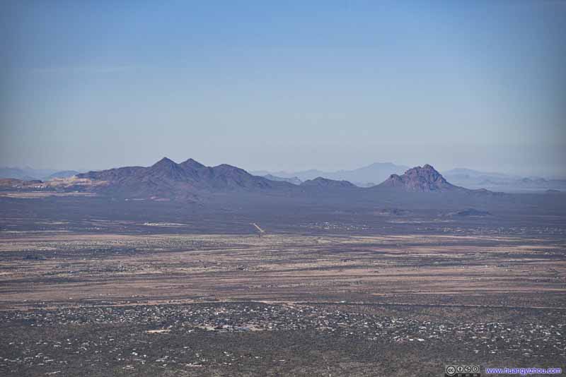
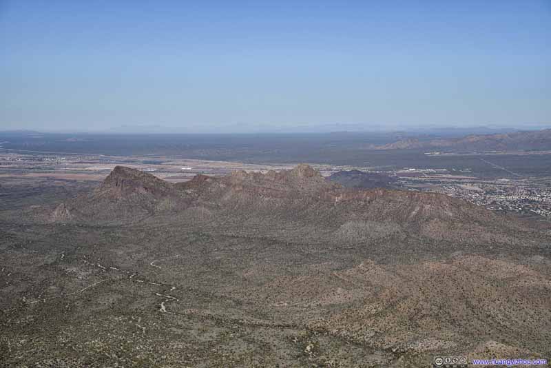
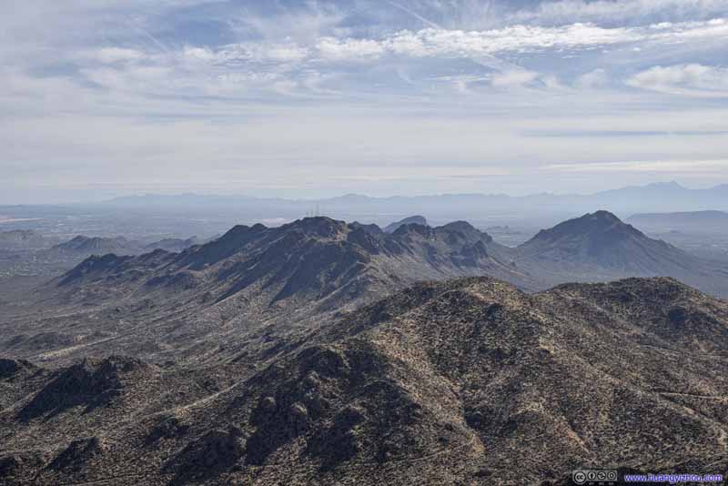
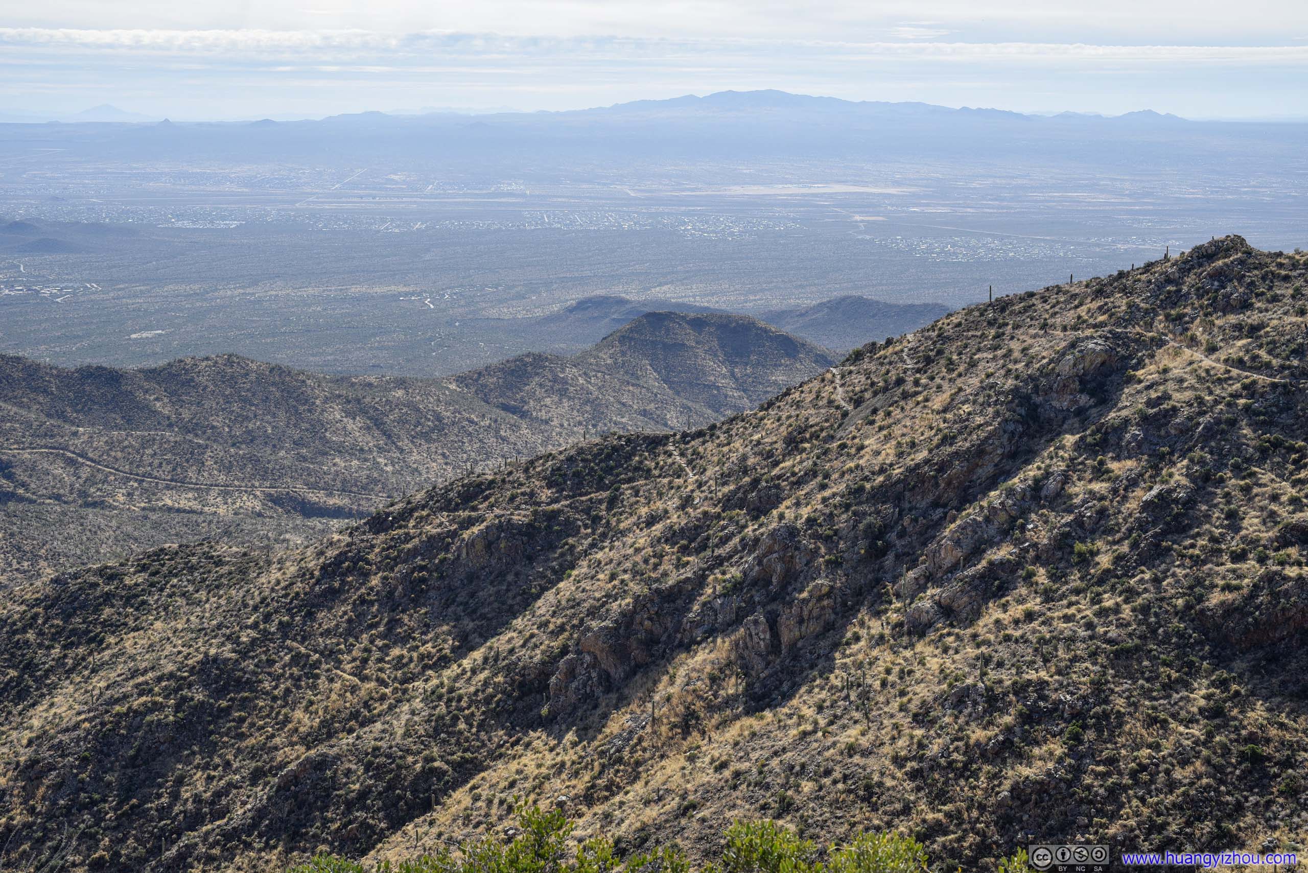
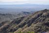
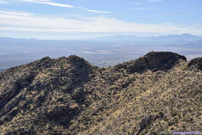
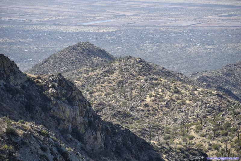
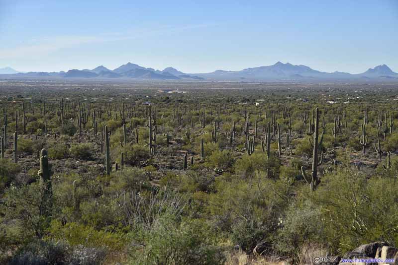
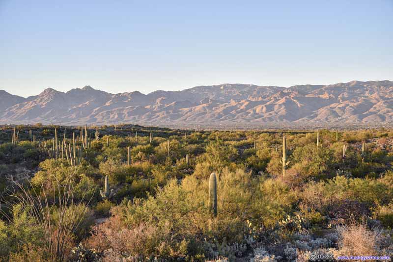
View towards the East (top) / West (bottom)
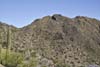
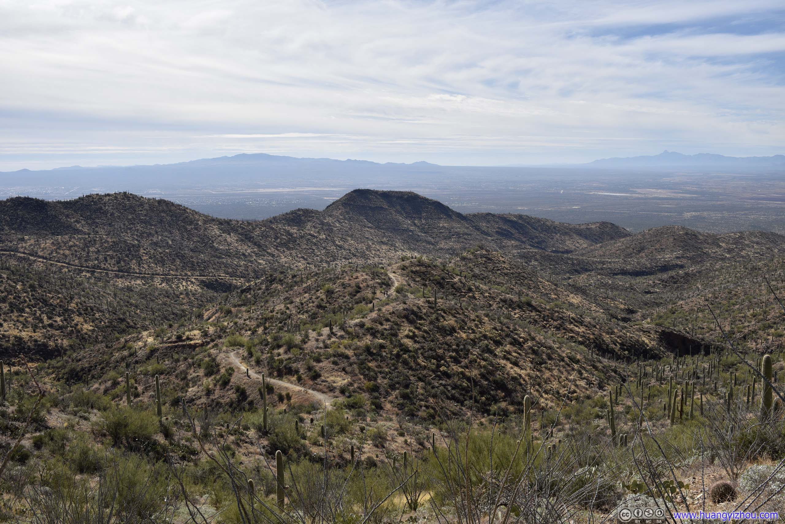
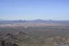
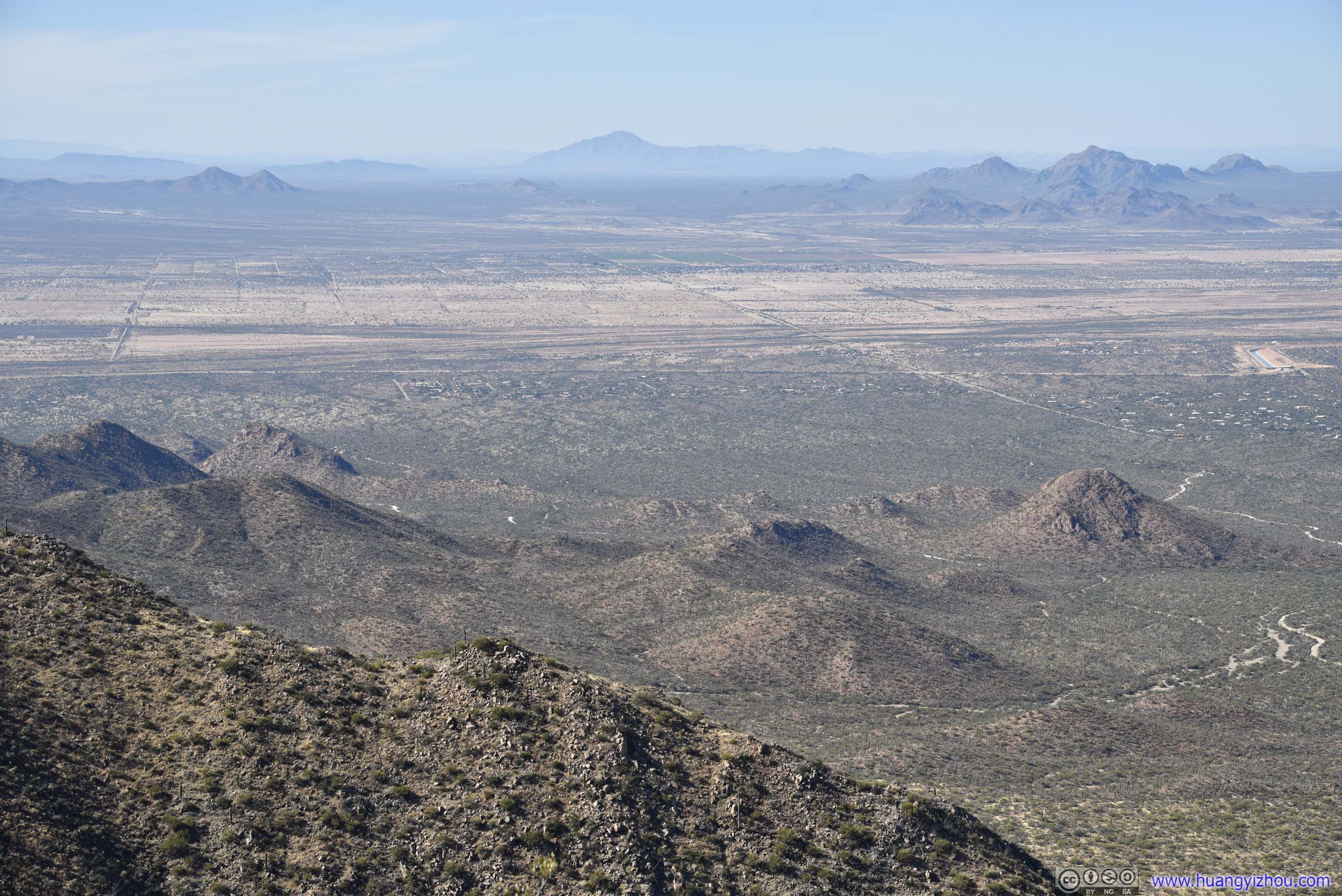
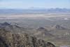
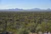
It’s the highest peak in the vicinity, so views on top of Wasson Peak were spectacular. The mostly flat terrain in and around Tucson meant horizons seemed so far away, and the breadth of the views it afforded was both gratifying and humbling.
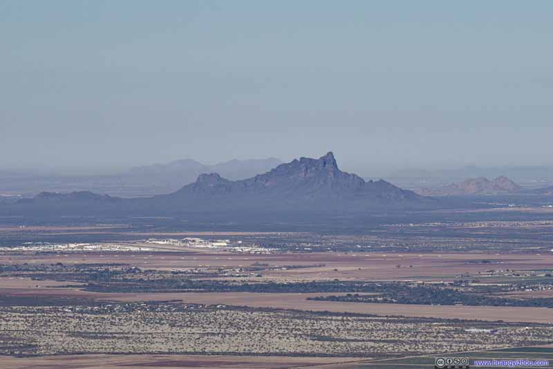
While enjoying my snacks, I started to go over the photos I took, starting with the few notable peaks around.


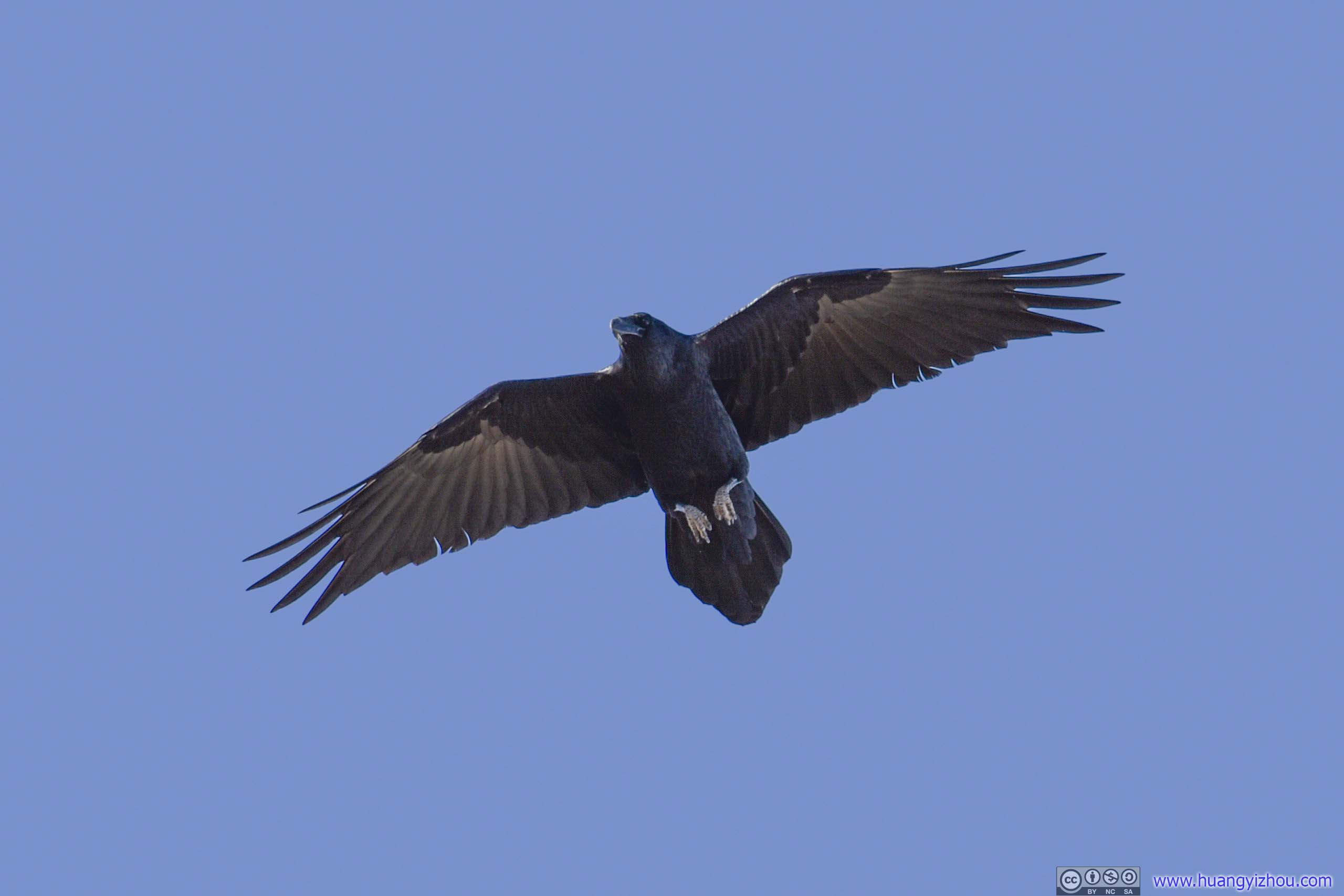
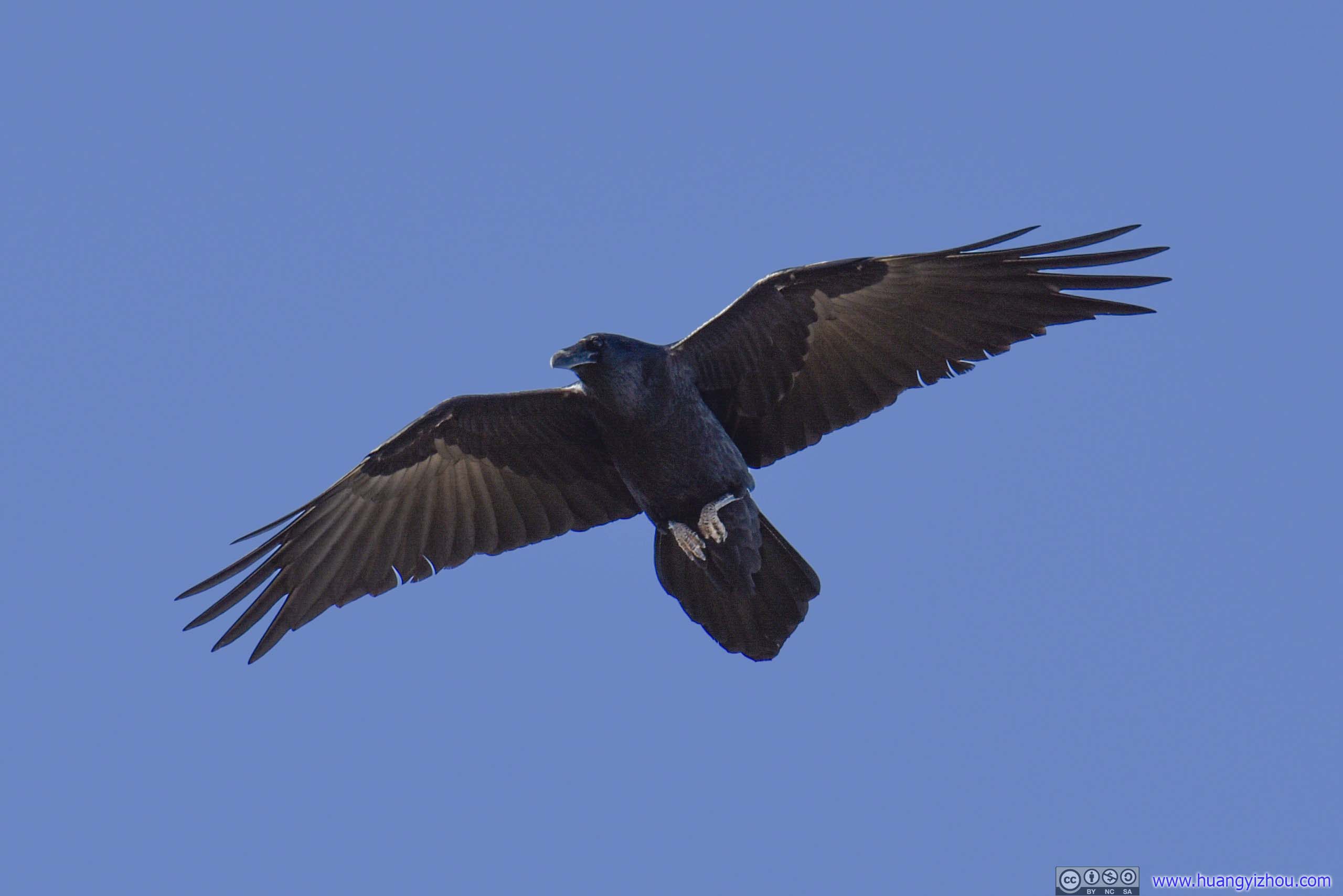
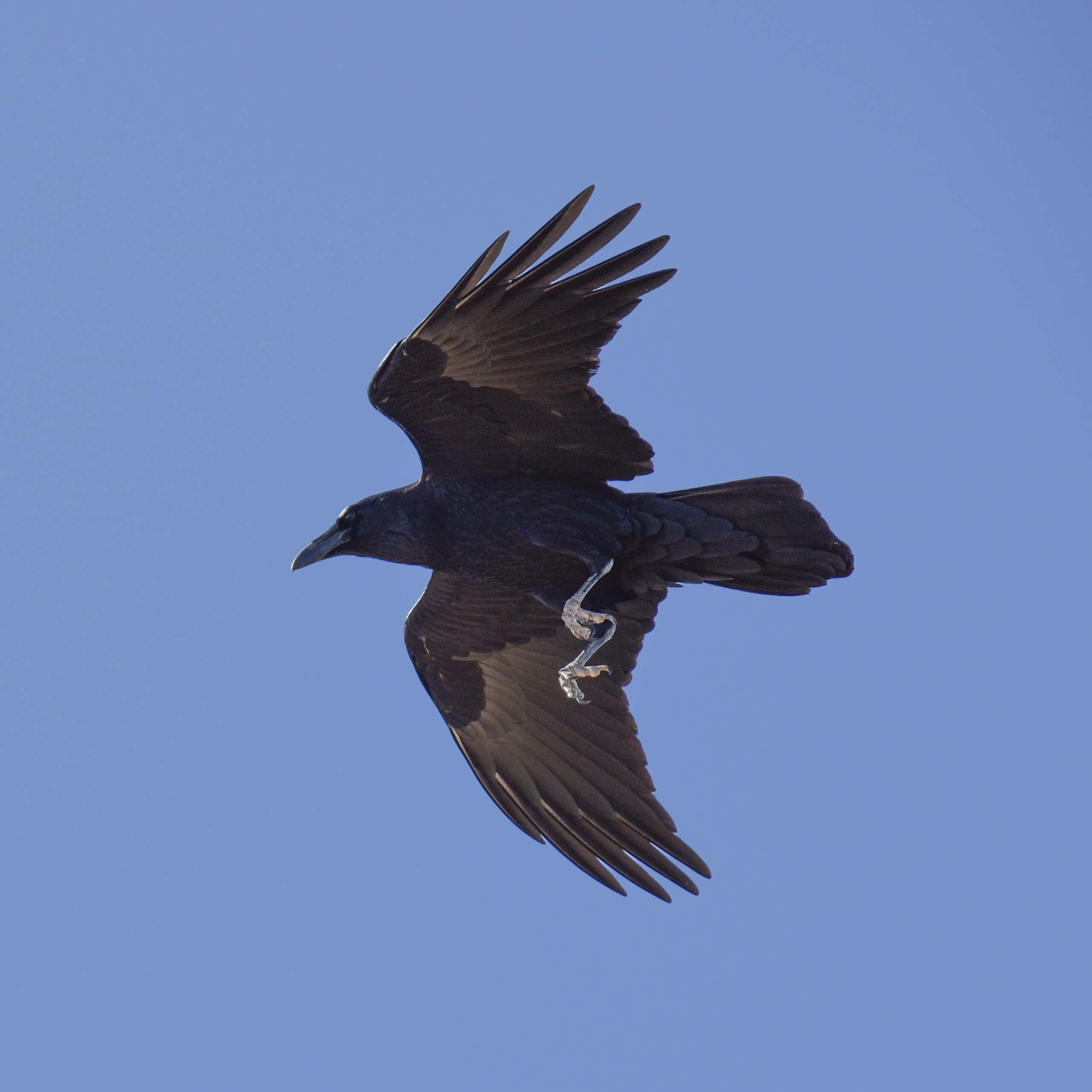
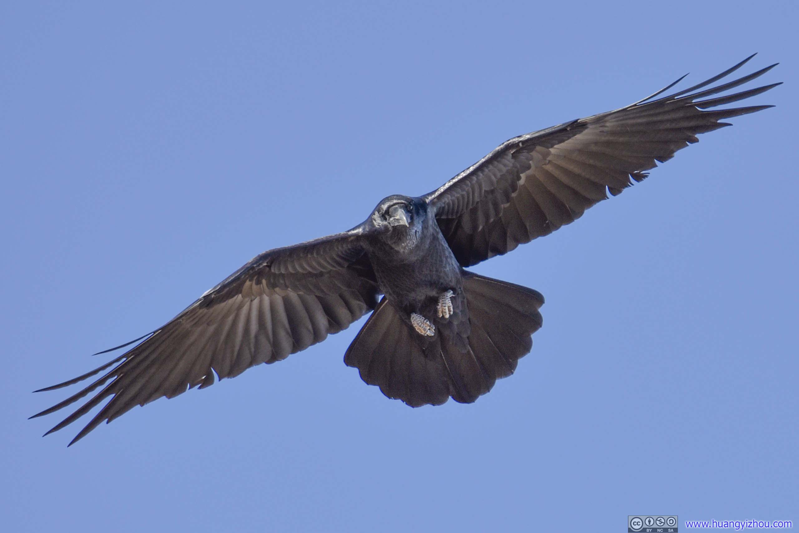
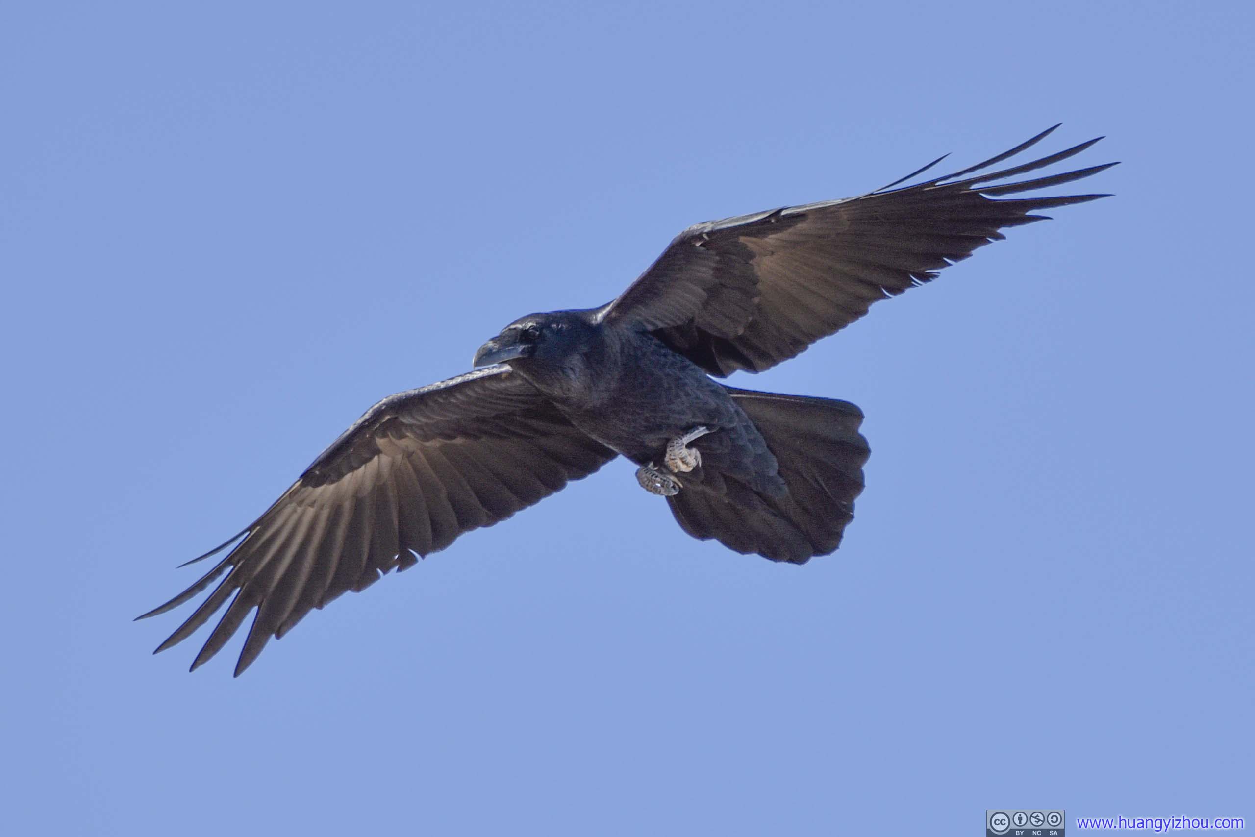
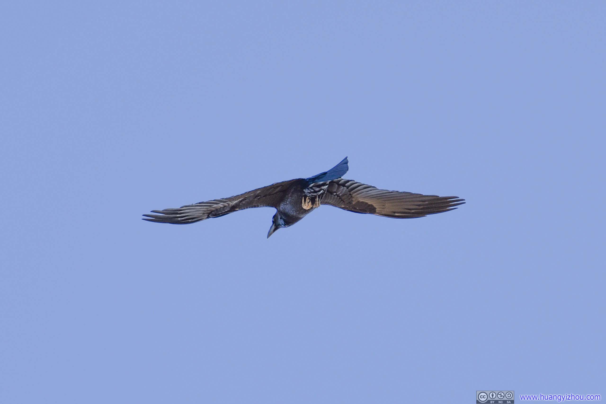
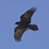
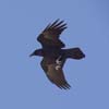
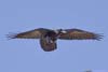
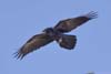
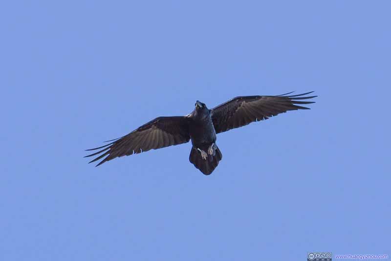
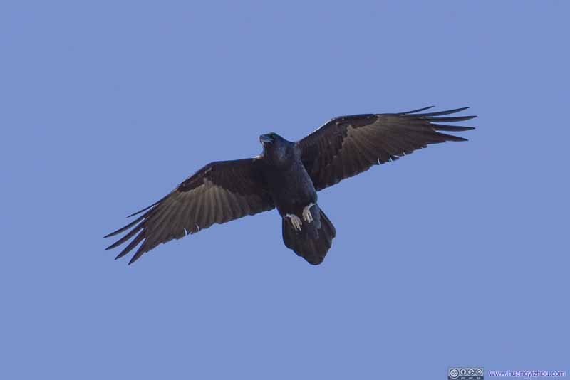
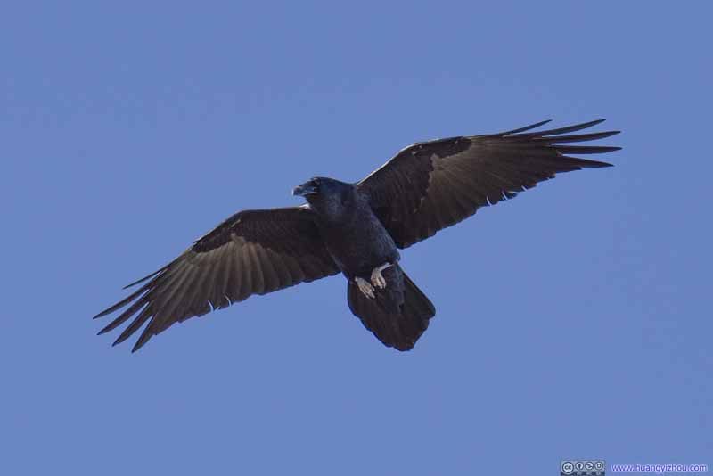
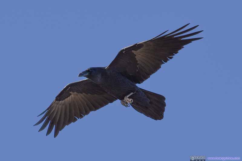
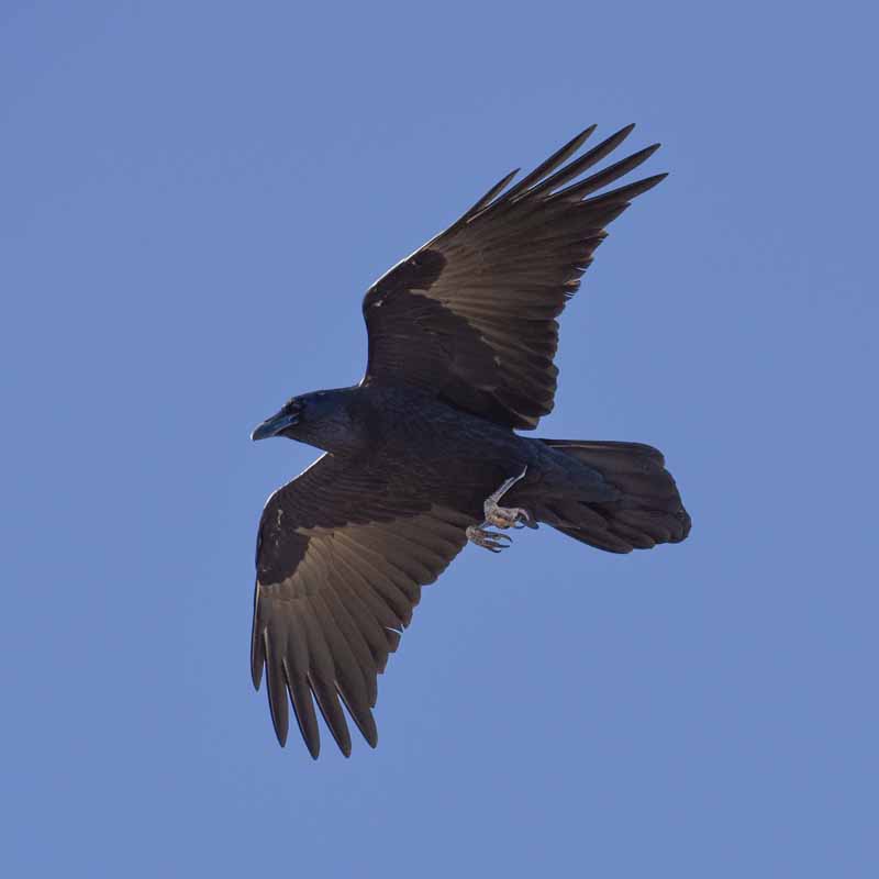
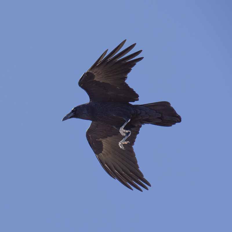
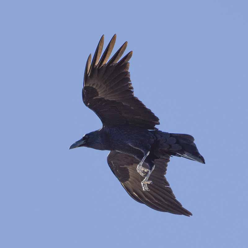
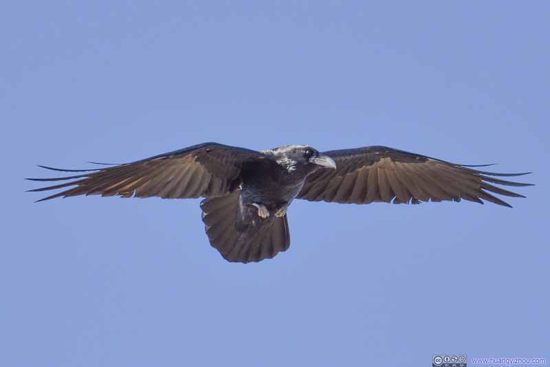
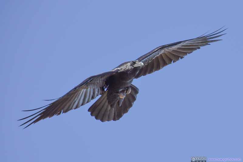
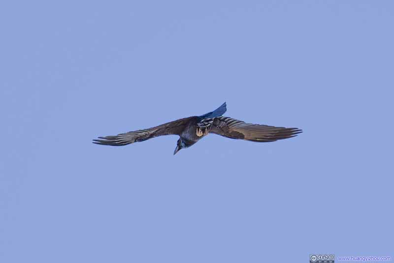
While at the summit, we found a raven was frequenting us overhead. It probably considered the summit its territory, or that its sharp senses spotted the food that we were enjoying.


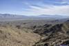
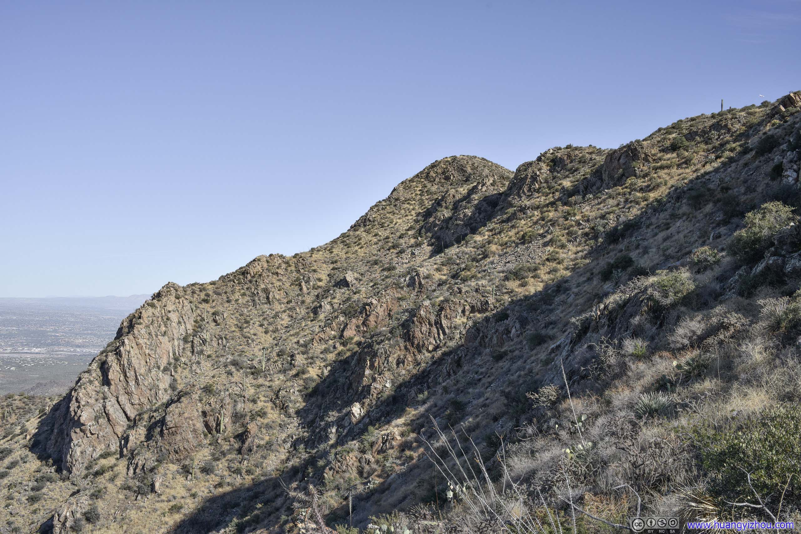
After spending about 35 minutes at the summit, we started to head back down at 1:15pm.
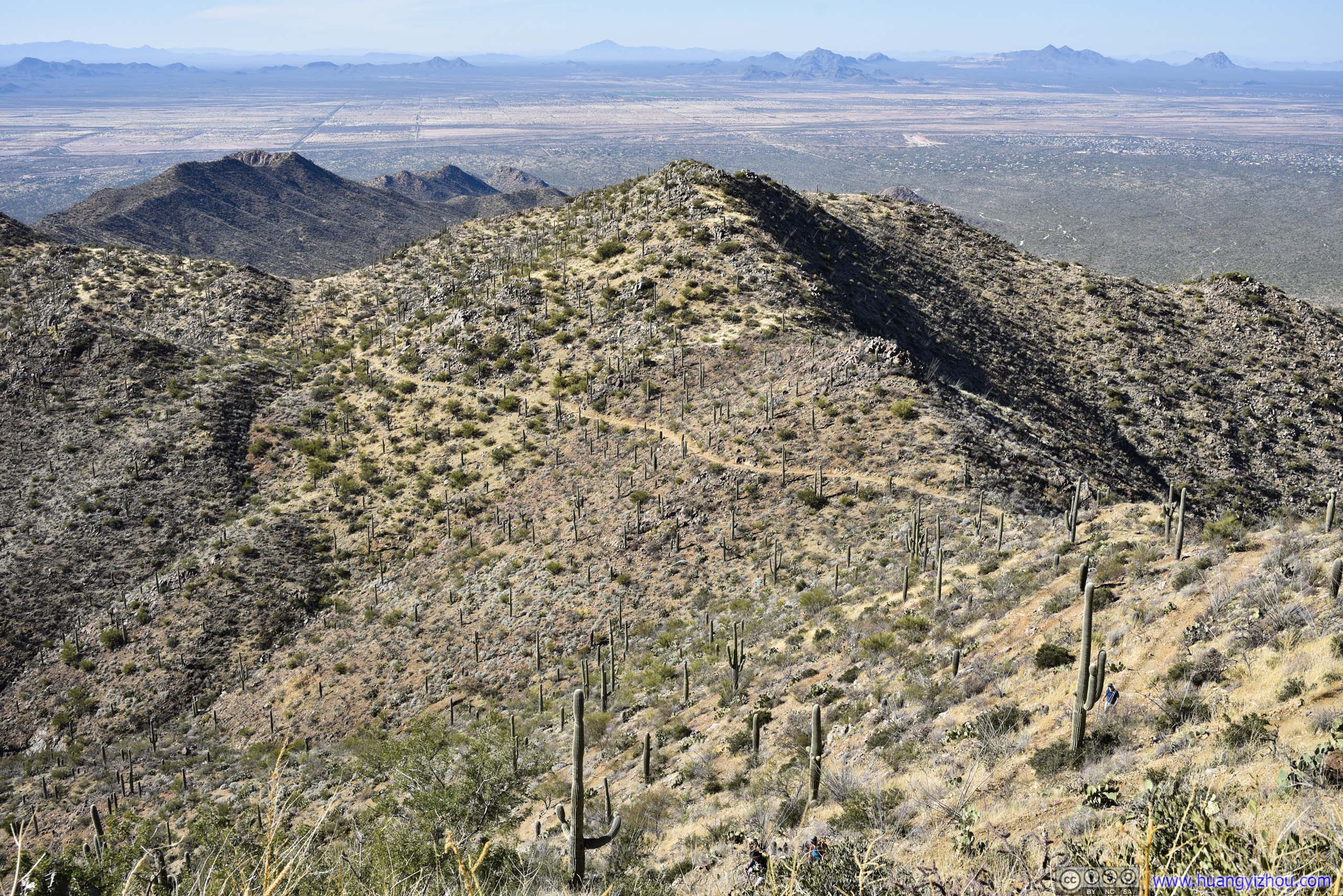
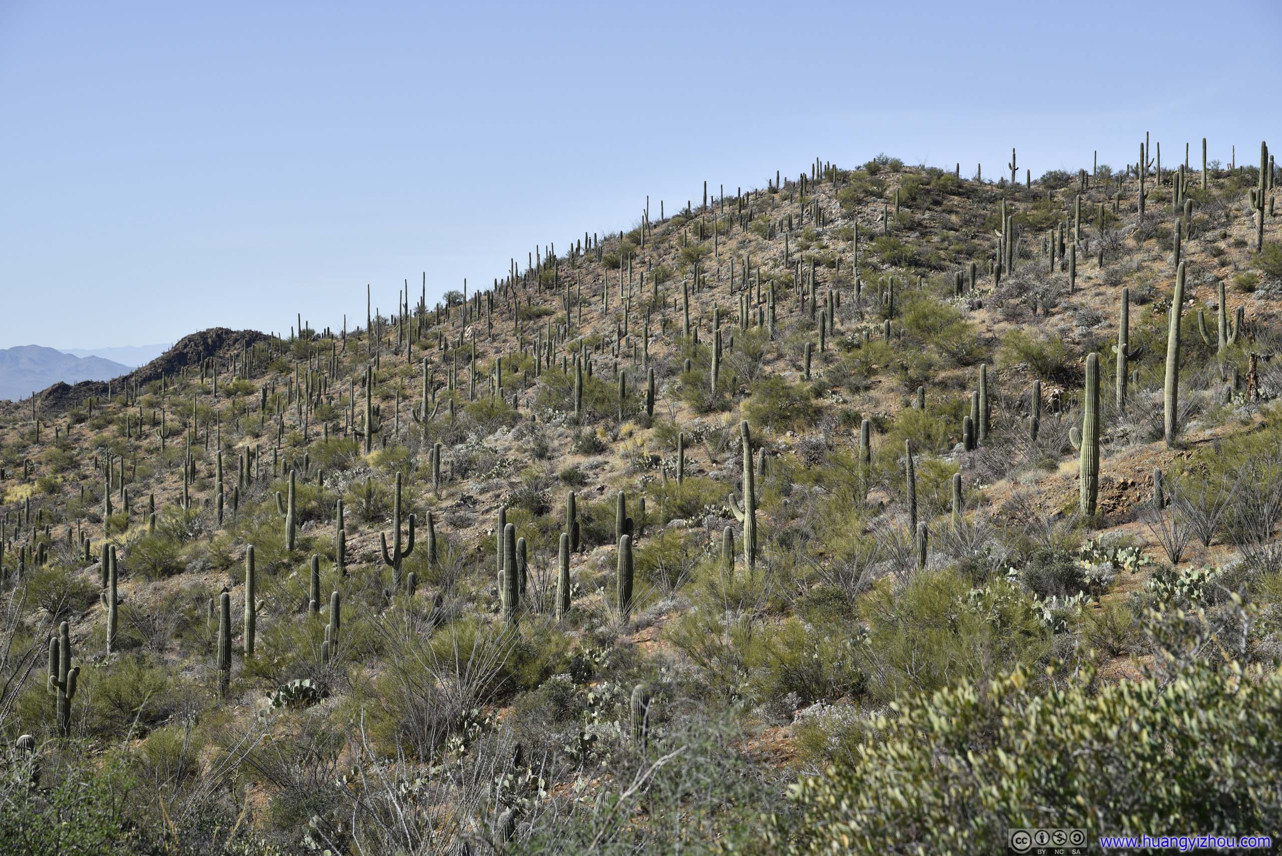
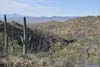
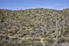
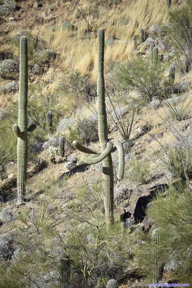
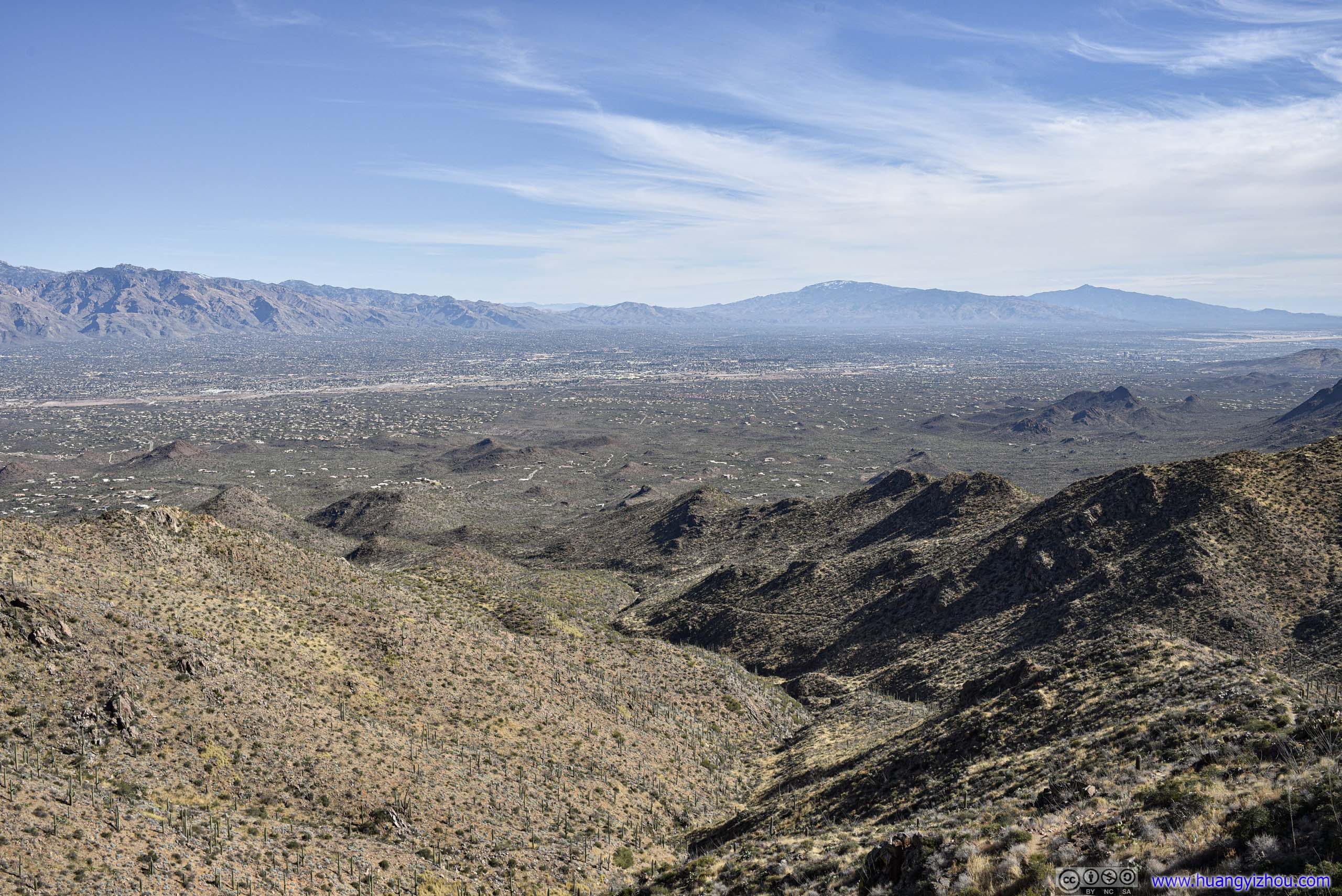
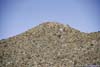
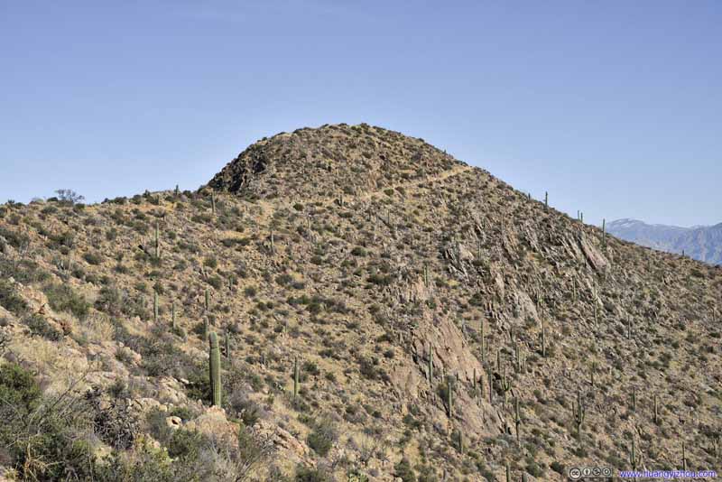
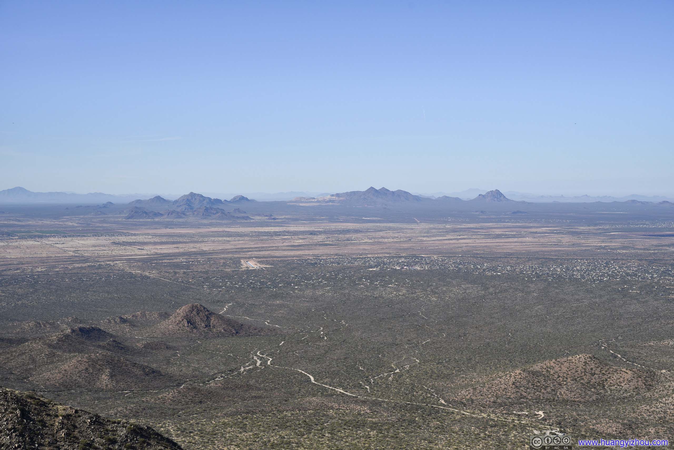
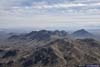
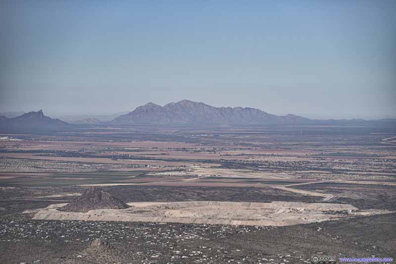
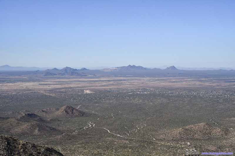
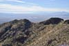
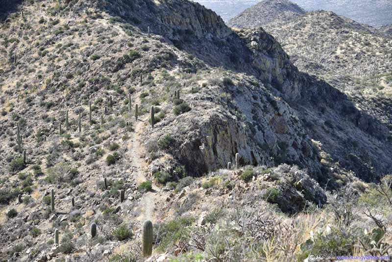
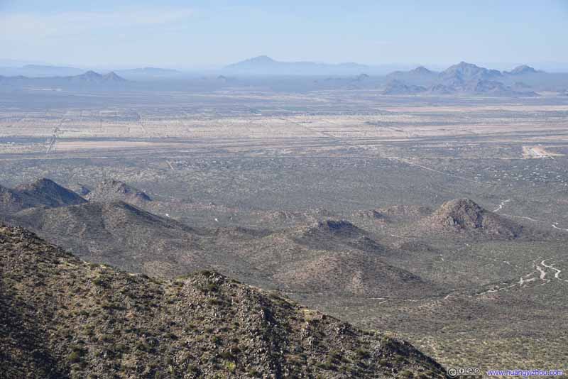
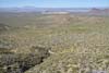
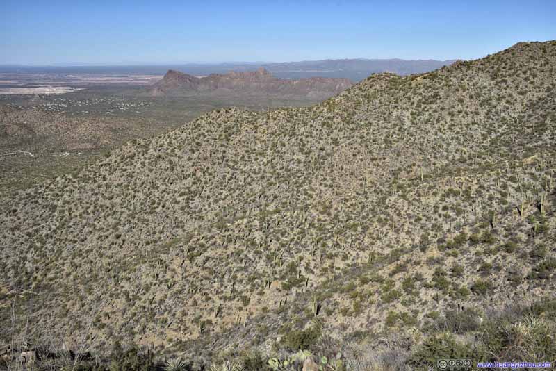
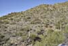
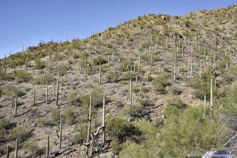
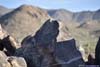
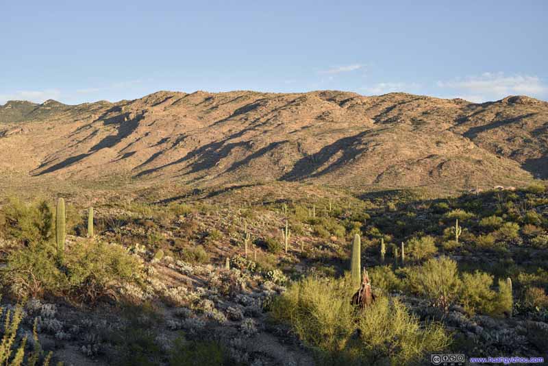
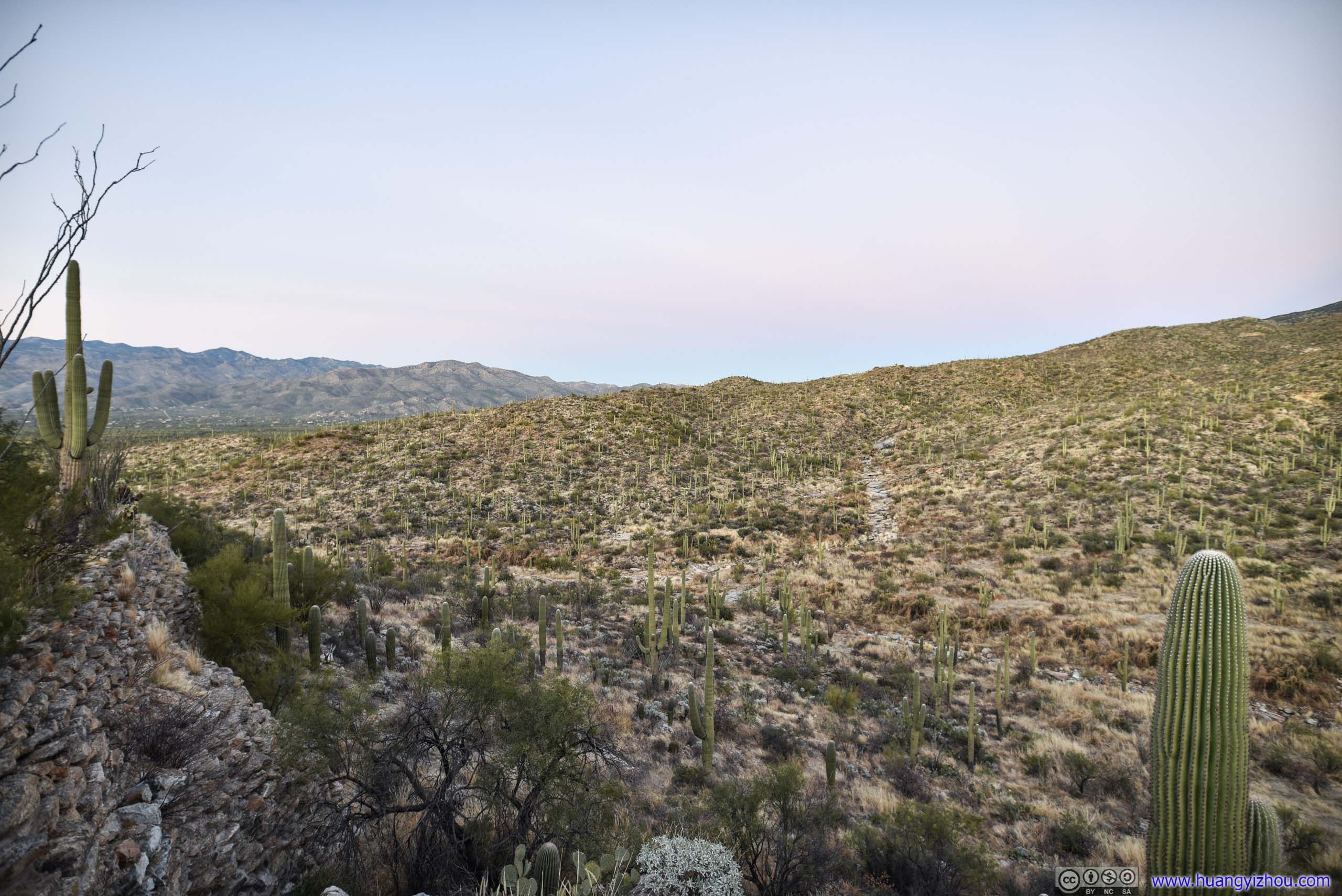
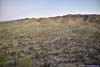
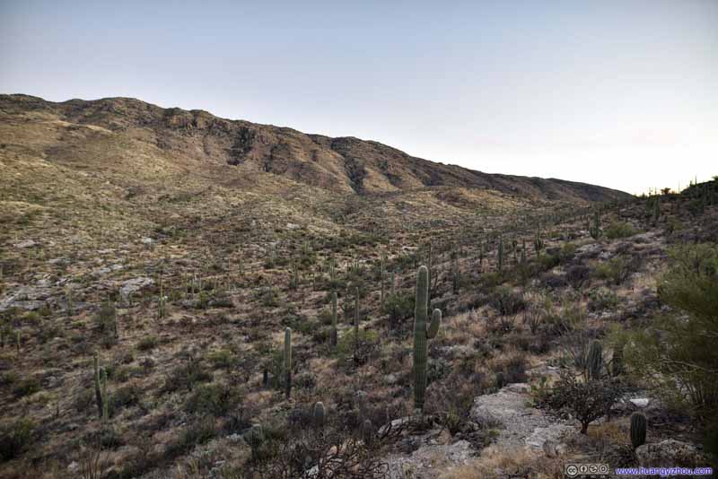
Looking west, our downhill trail.
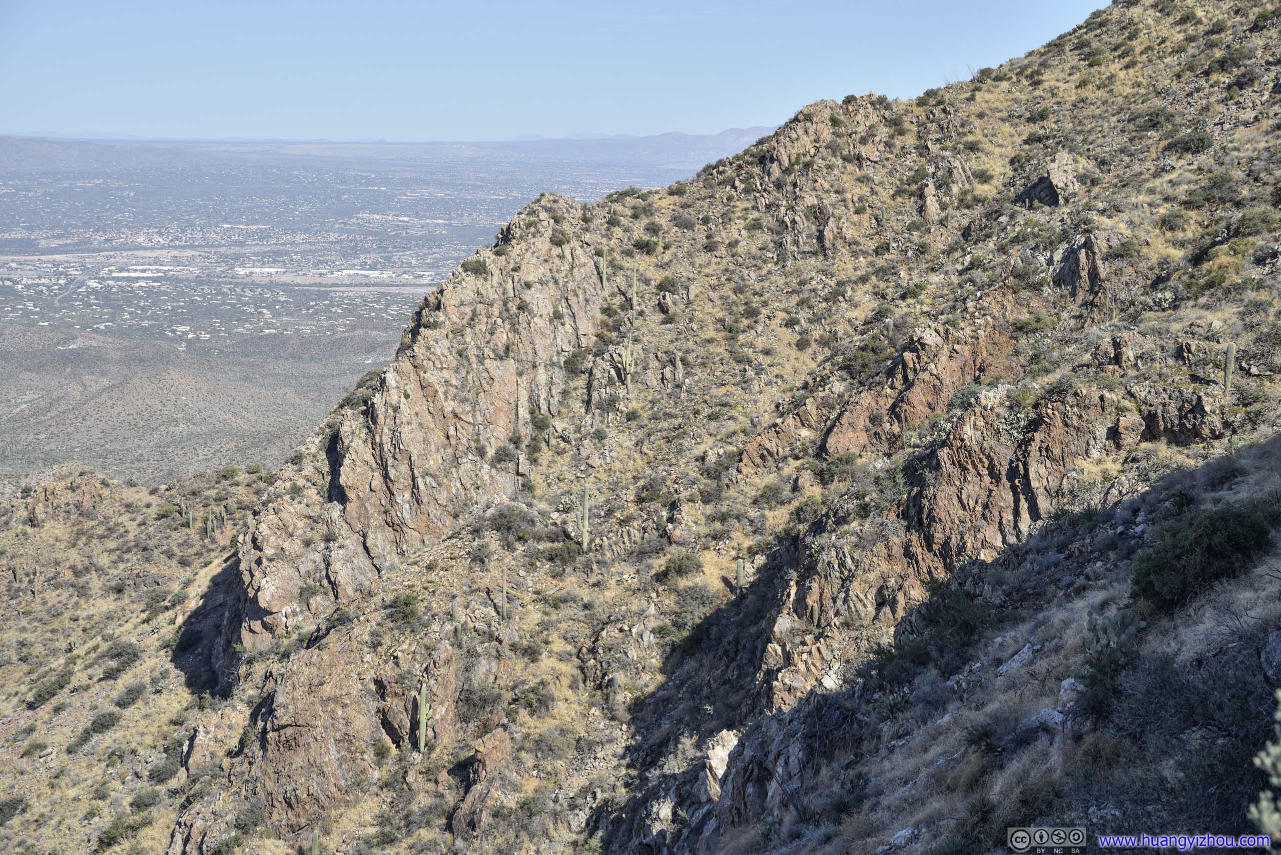
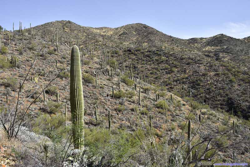
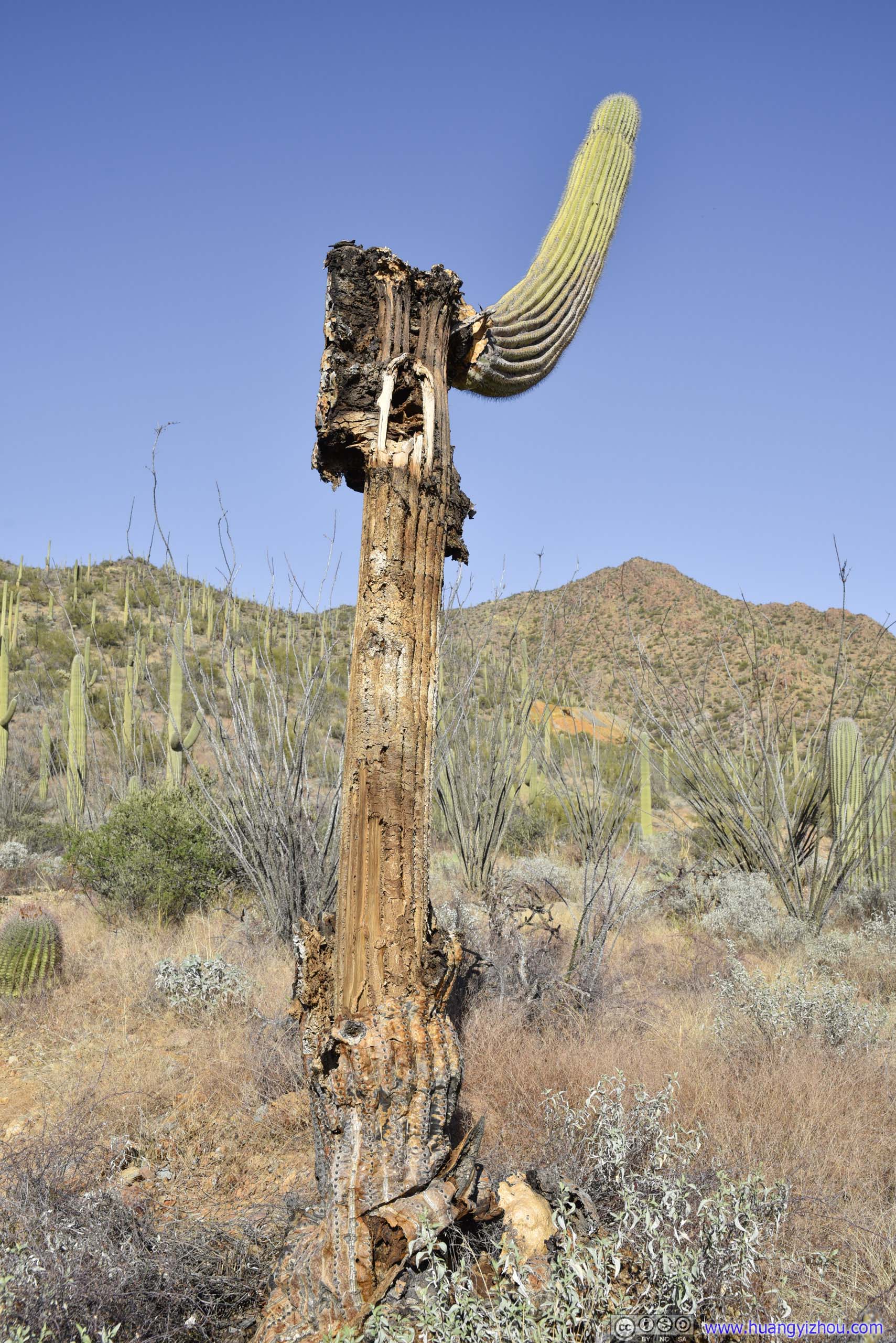
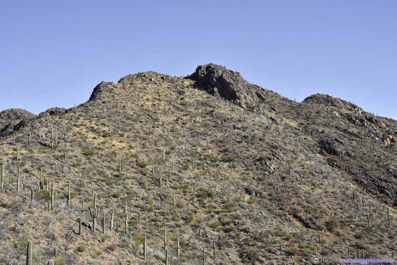
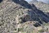
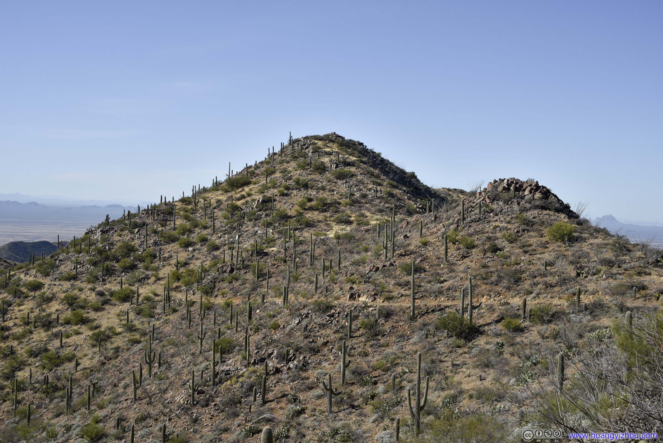
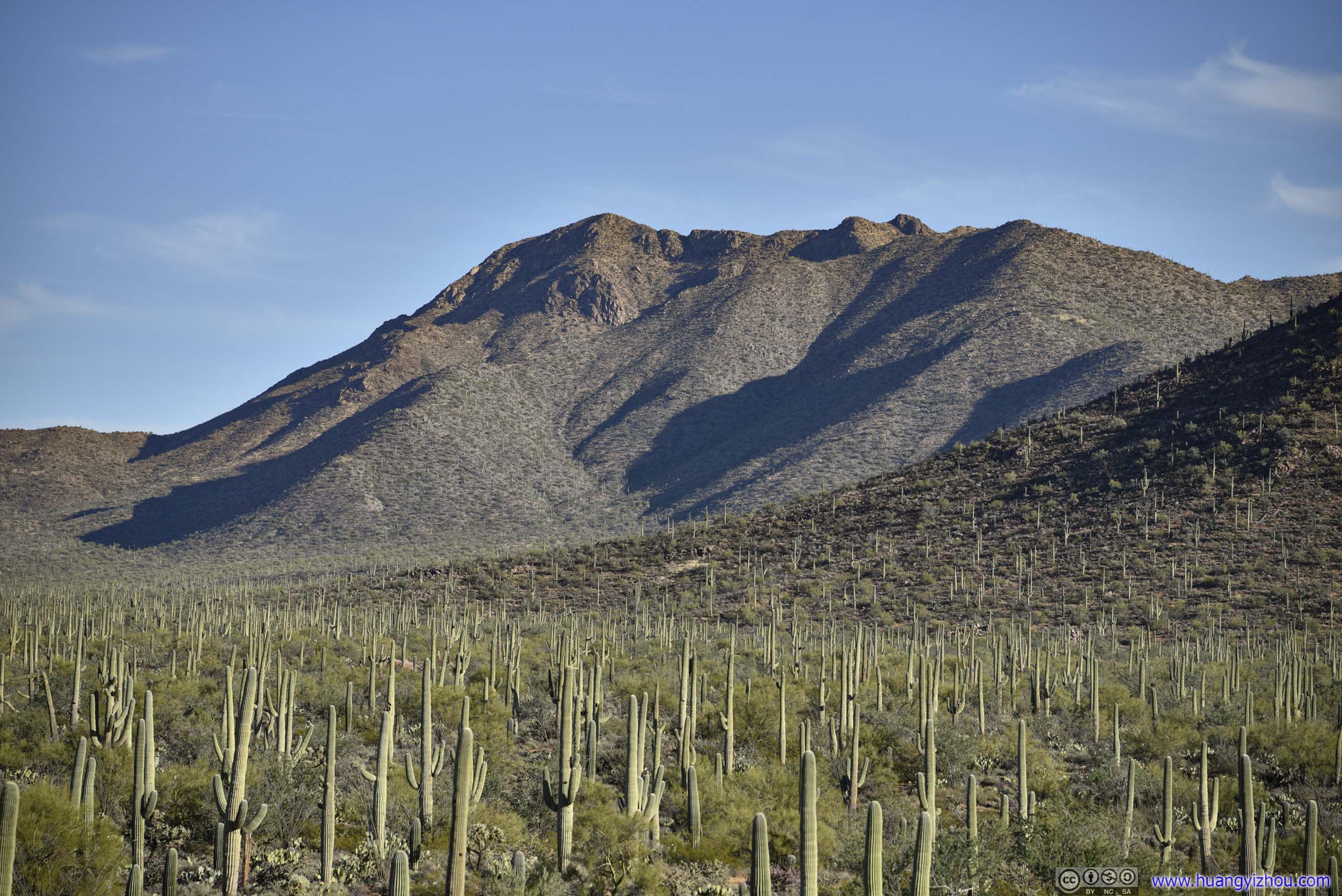
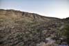
The northern slope of Wasson Peak was sort of rocky.


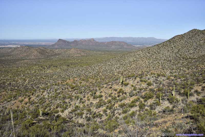
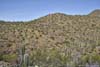
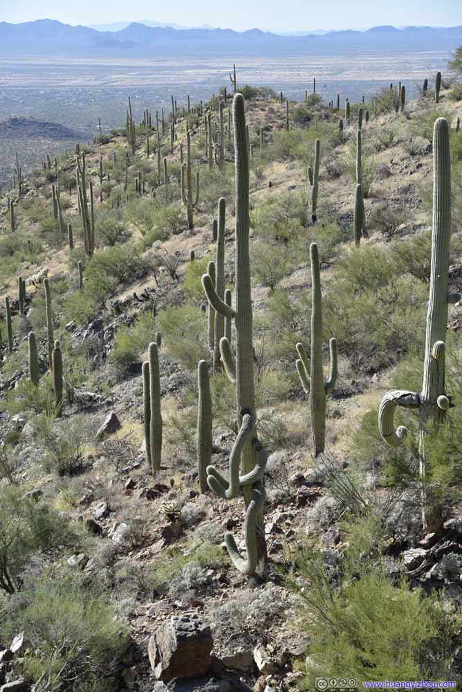
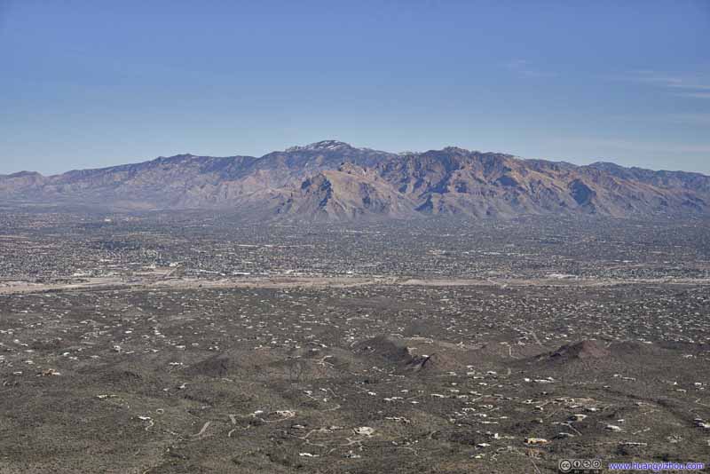
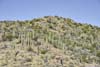
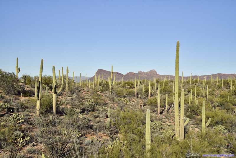
At this moment I couldn’t help but compare Saguaro National Park to Joshua Tree National Park, which I visited last spring. Both showcased an impressive desert species. But in certain parts of Joshua Tree National Park, the landscape was dominated by Joshua Tree and seemingly nothing else, the few scattered patches of bushes didn’t have much sign of life. Here in Saguaro National Park, apart from the soaring saguaros, the landscape was vibrant with bushes and grass, and other species of cacti. So from a tourist’s perspective, the sights in Joshua Tree National Park were more awesome, and it’s more accessible and didn’t involve much hiking from the car.


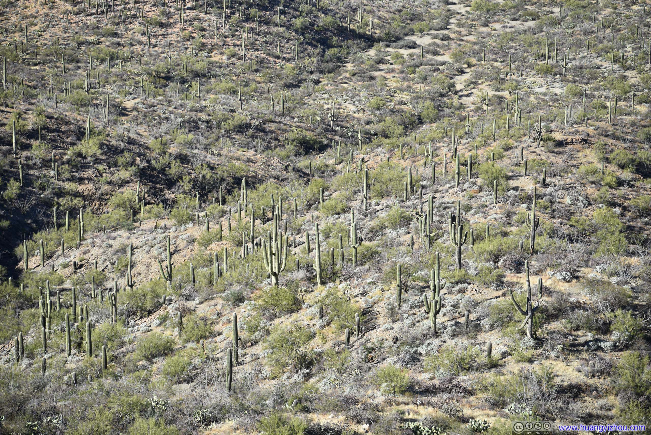


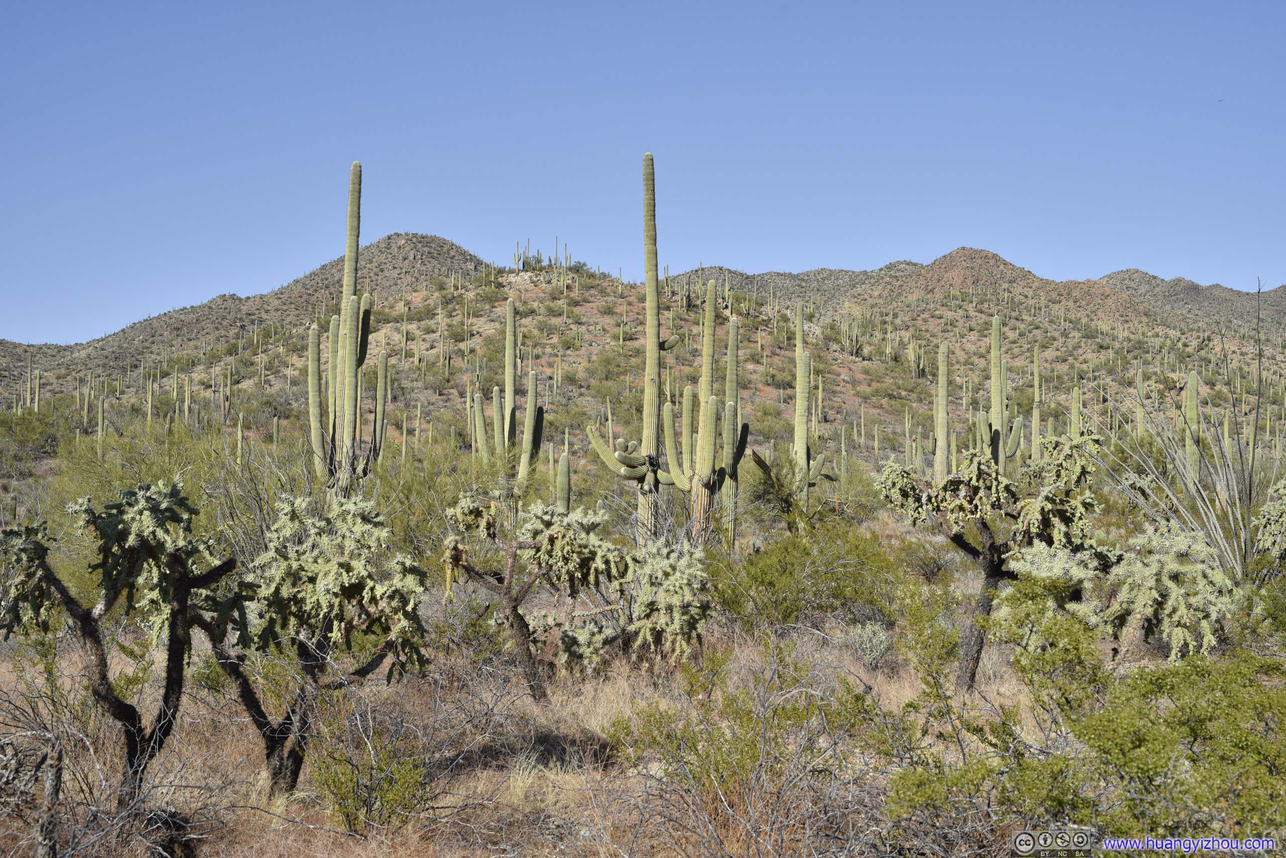
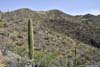
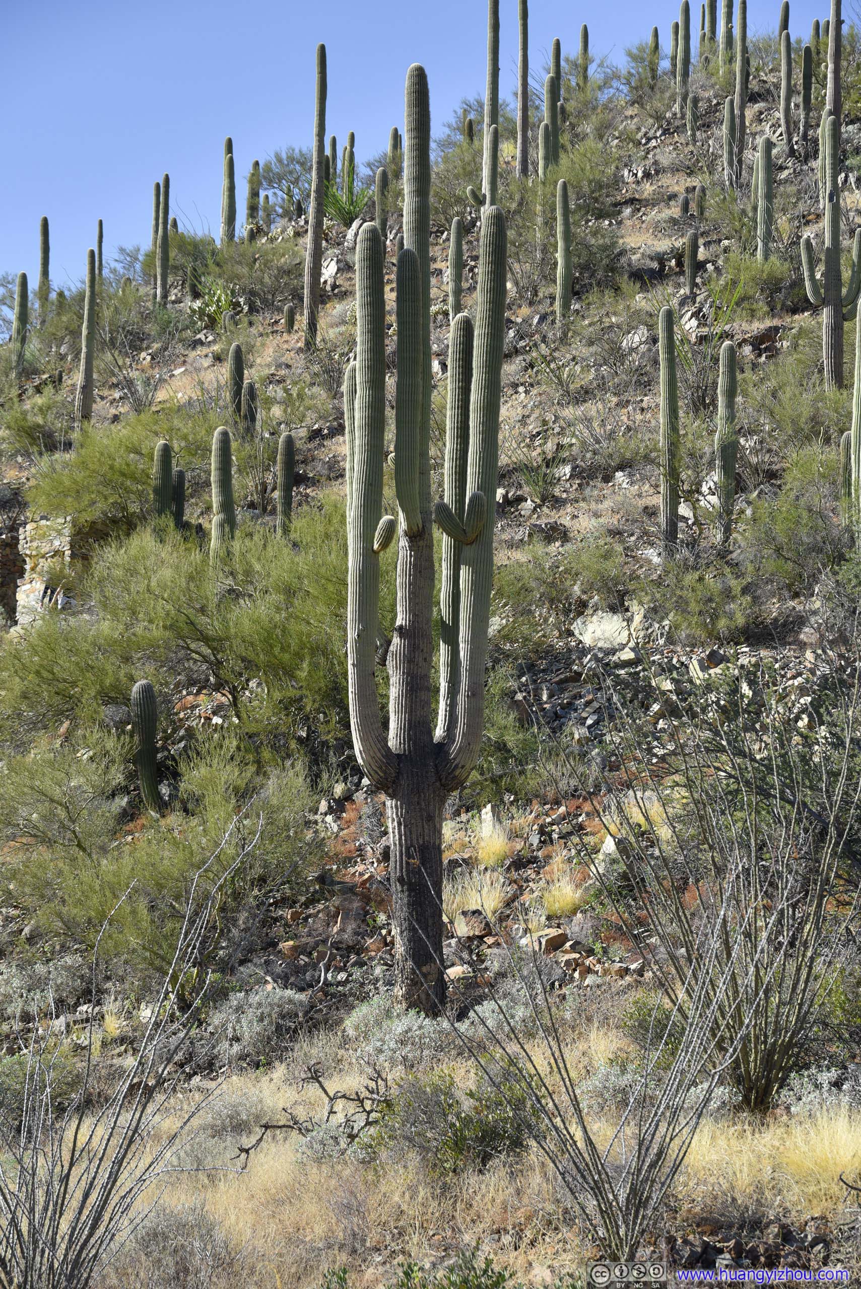
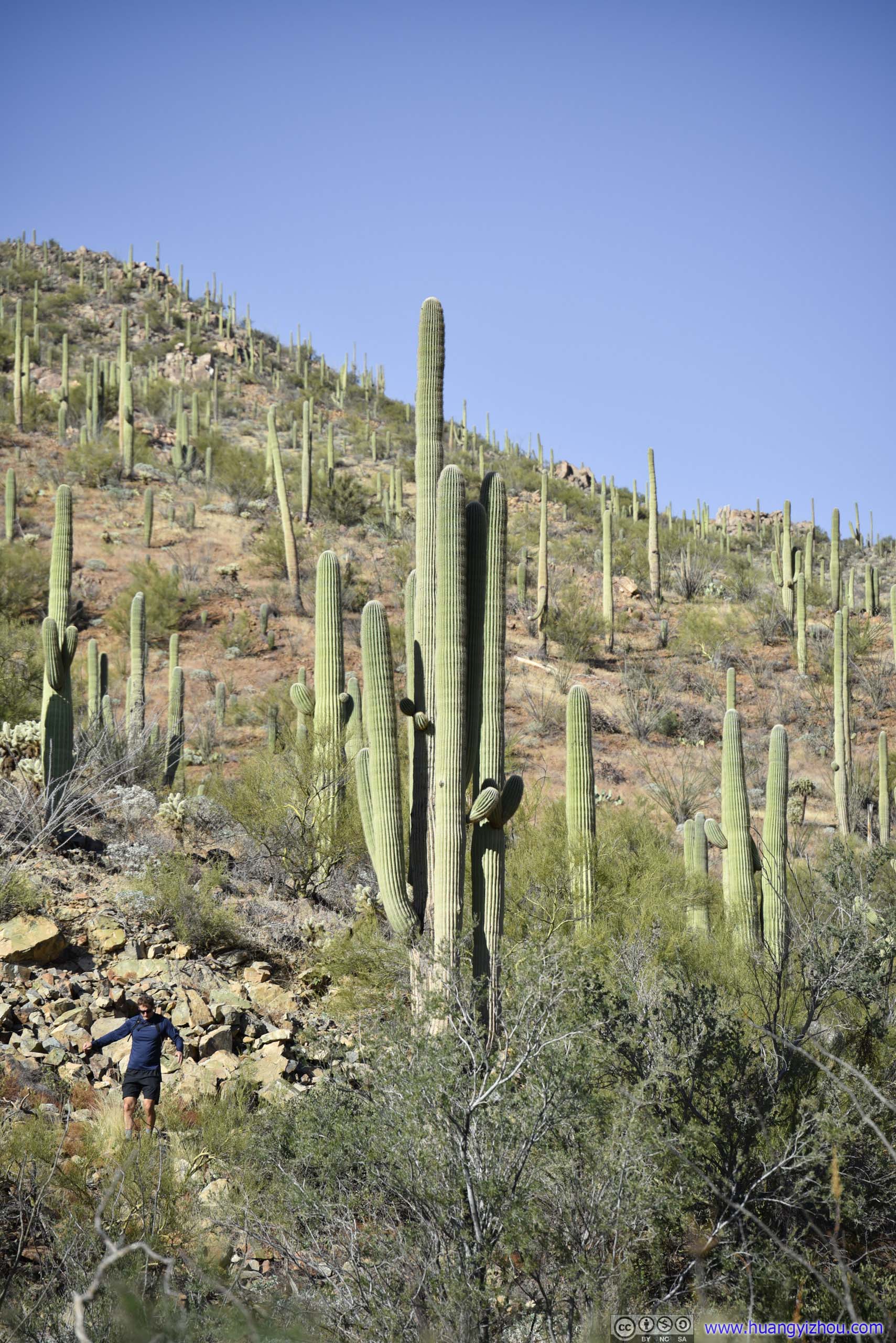
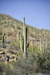
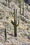
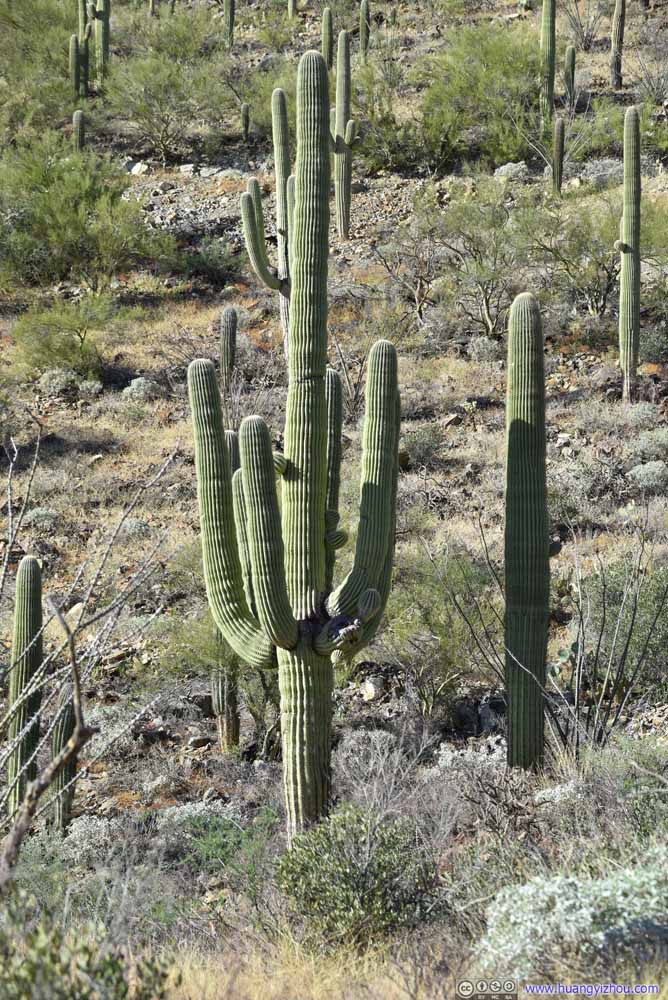
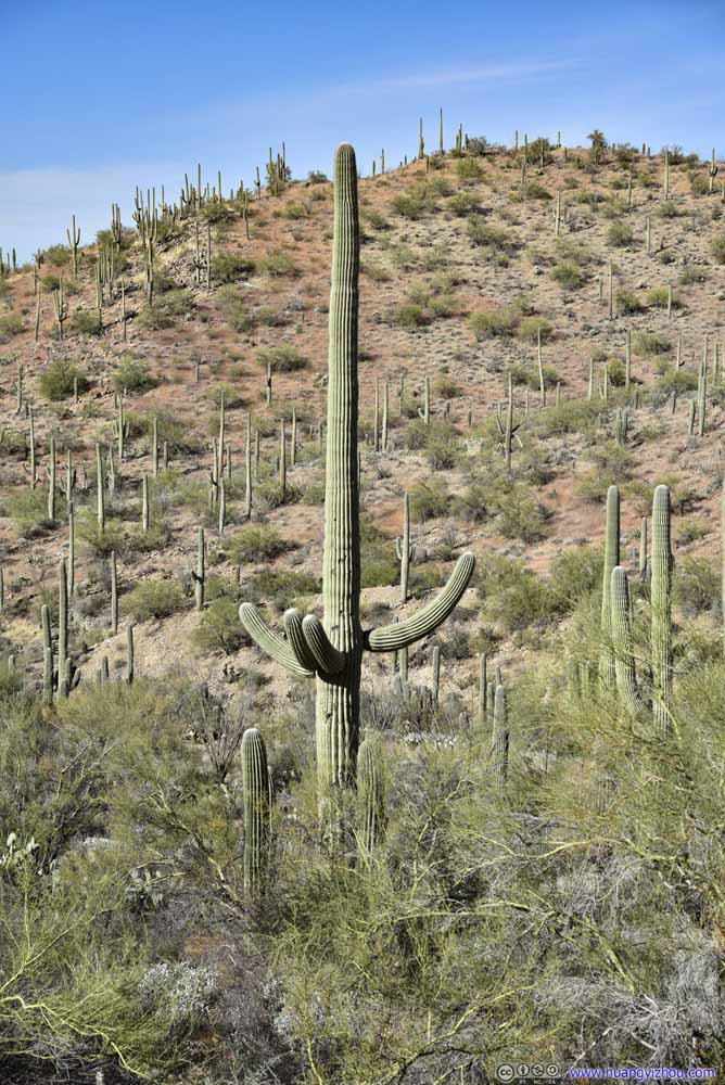
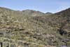
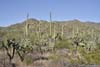
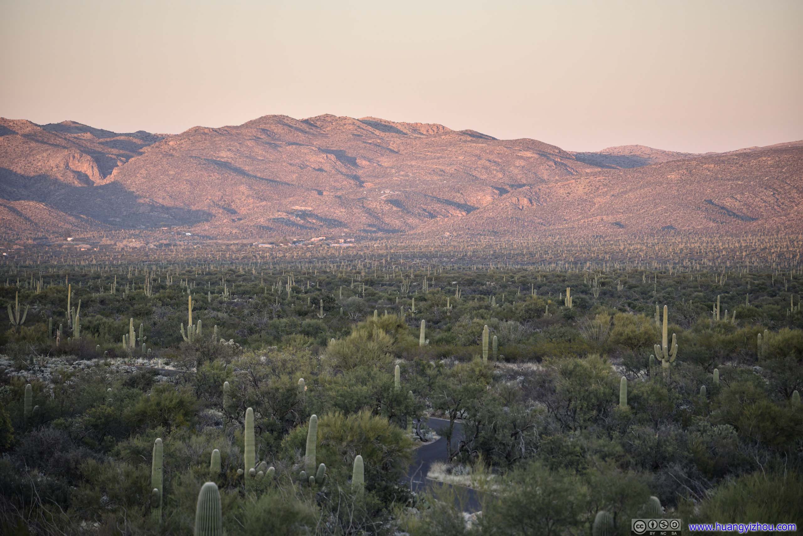
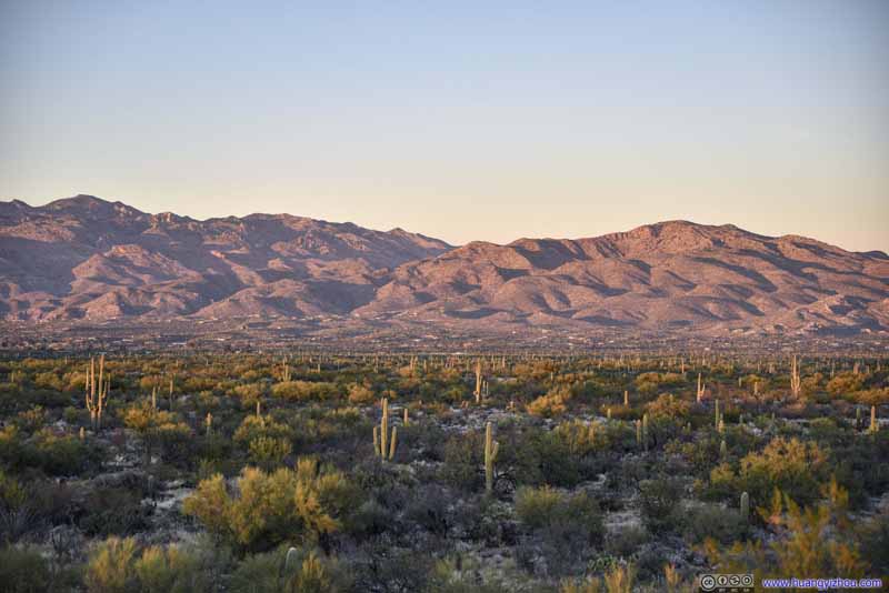
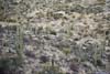
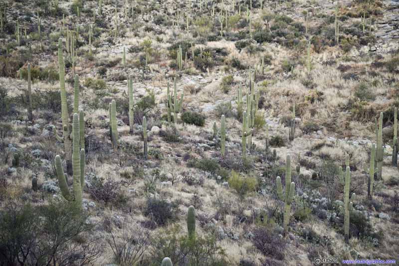
Field of Saguaros


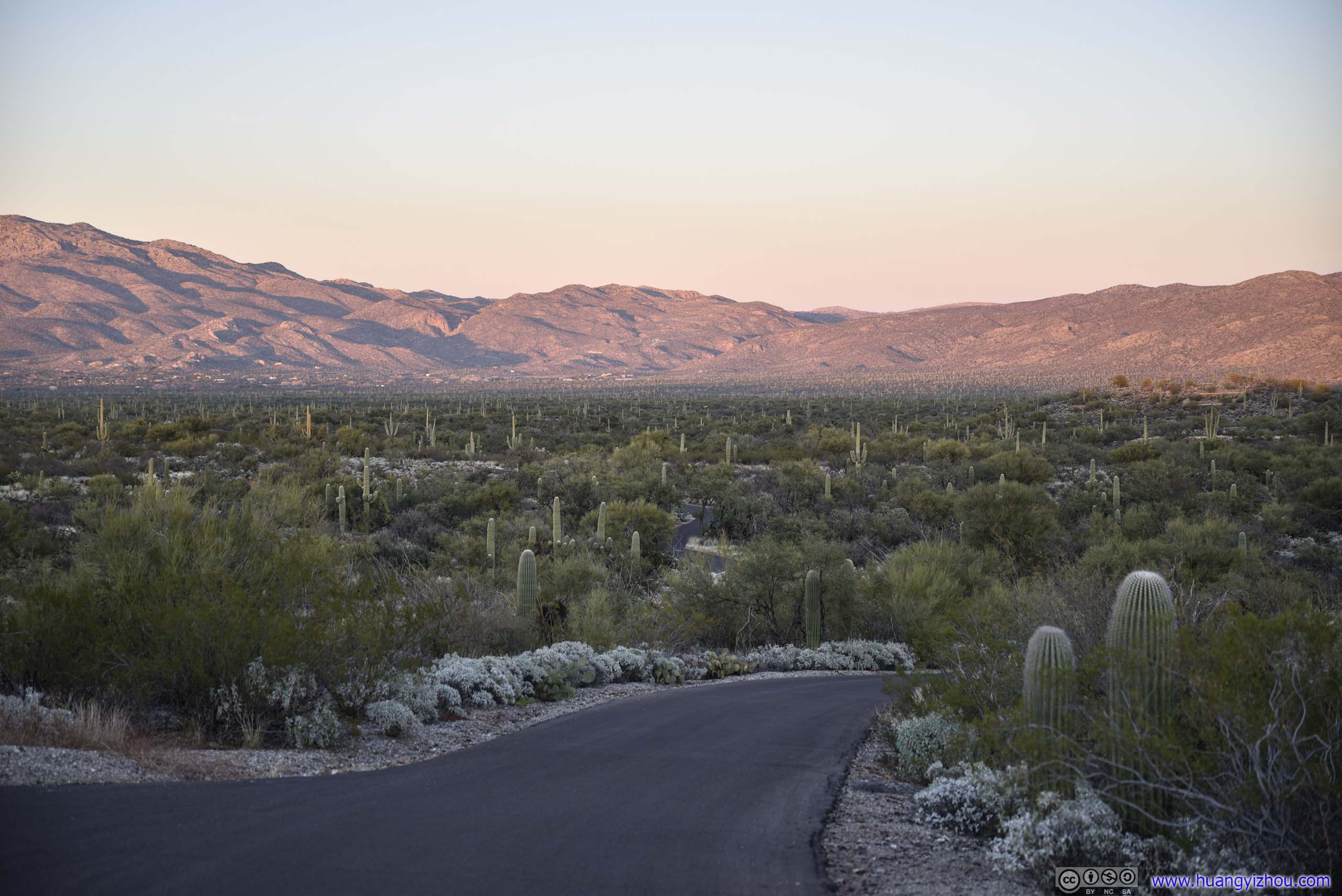
Finally, it’s just past 3pm by the time we got back to the parking lot, finishing our 4-hour adventure.
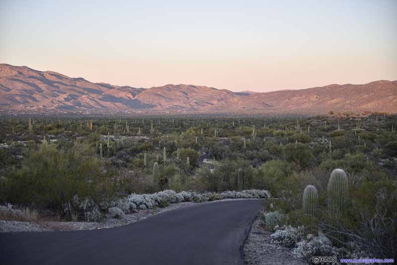
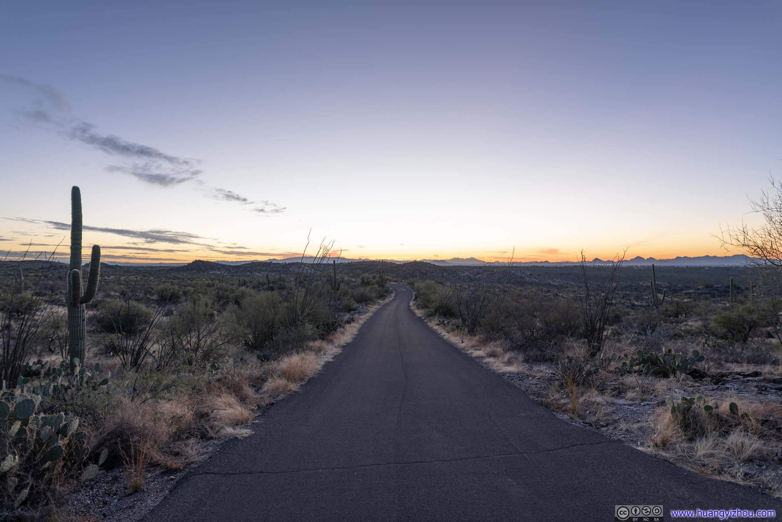
After that, we decided to visit the nearby Bajada Scenic Loop. It’s a 6-mile loop that winds through forests of saguaros as a popular attraction of the park. Parts of the road could only be driven in the counterclockwise direction. Despite it’s unpaved, it’s maintained and didn’t require clearance of vehicles.
Bajada Scenic Loop
I captured our drive through the loop from a GoPro mounted on the windshield of the car. Unfortunately the windshield wasn’t the cleanest and that certainly affected video quality. Here were excerpts of the footage, from Red Hills Visitor Center to Signal Hill Parking Lot, hosted on YouTube.
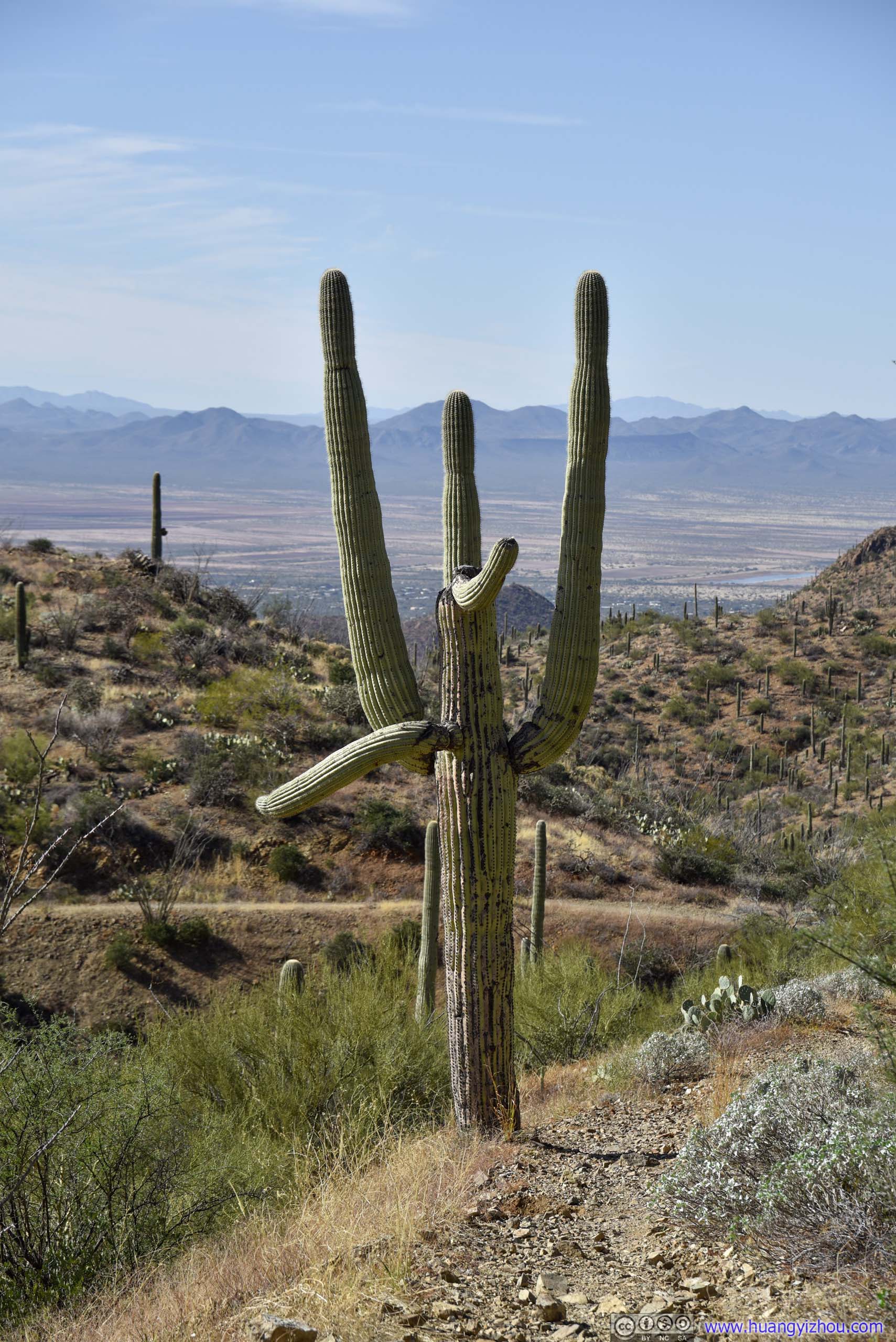
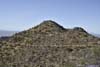
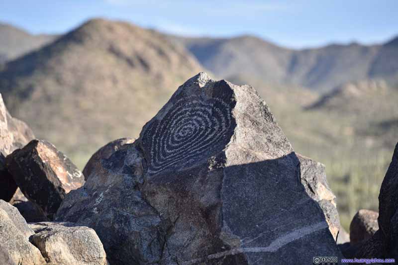
Signal Hill
Before leaving the park, we made a brief stop at Signal Hill. It’s a small hill situated among extensive fields of saguaros that were mostly flat, making it a vantage point to appreciate the extent of saguaros without the physical burden of summitting Wasson Peak (as we just did). Thus it’s probably the most popular spot in Saguaro National Park.


It’s 4pm by the time we wrapped things up at Signal Hill, about 1.5 hours from sunset. It would take about an hour to reach Saguaro National Park’s Rincon Mountain District from Signal Hill, so we could have a quick tour along the Cactus Forest Loop Drive at sunset.
I captured the initial part of the drive with my windshield-mount GoPro. Waze picked a route that would take us along Gates Pass through Tucson Mountain Park. Unfortunately, the GoPro stopped working from overheating right when the road got most twisty/scenic.
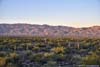
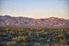
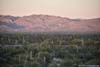
Rincon Mountain District
The western and eastern district of Saguaro National Park each featured a scenic drive. For the eastern district, the 8-mile Cactus Forest Drive was paved and featured a few pullouts for visitors to enjoy the scenery (without being buried in dusts from other vehicles). The loop drive was one-way in the clockwise direction, and its entrance was closed at sunset (but exit remained open).
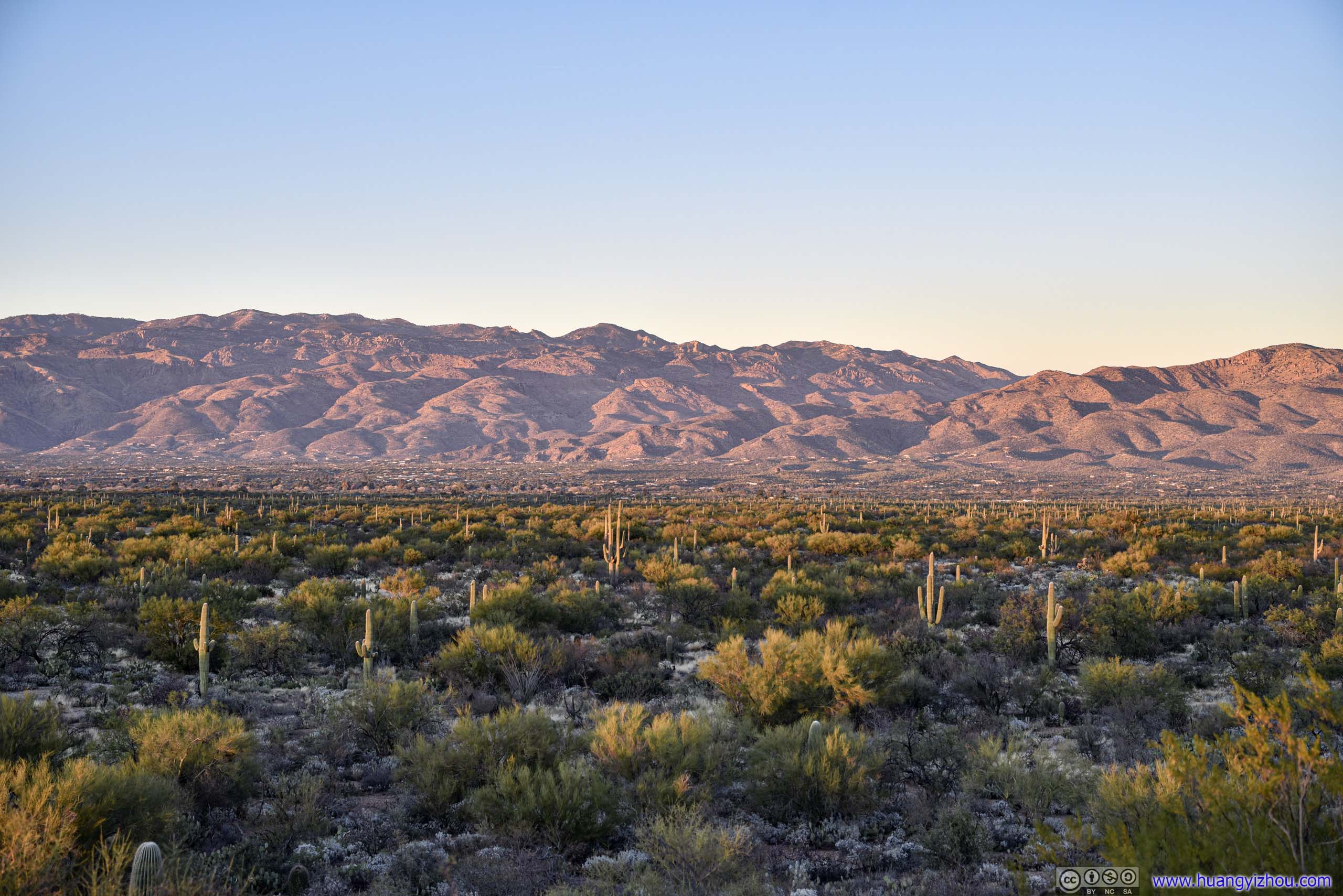
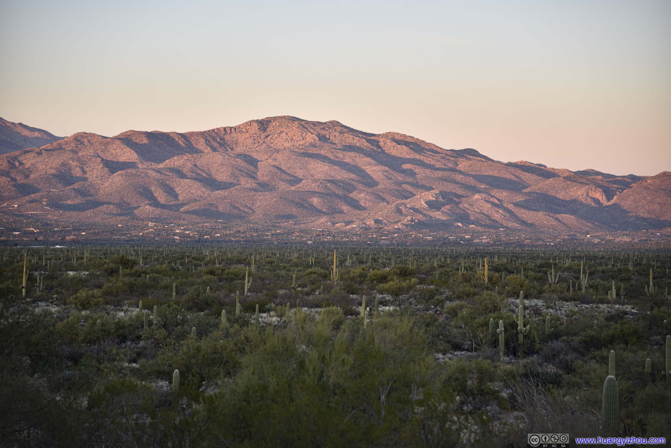
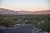
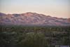
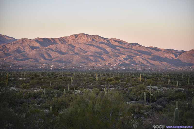
When we first arrived at 5:10pm, the sun was shining low, casting a warm layer of orange on the Rincon mountains. Water seemed more abundant here so the fields of saguaros were among dense patches of bushes in an uplifting scene, a departure from what I used to think of deserts as arid and lifeless sands. An information board nearby mentioned that ranching destroyed seeds of Saguaros until the establishment of the national park. Saguaros grew very slowly so it was mostly baby saguaros in view.


A few minutes later as we drove farther along the loop, the sun was setting lower and painting the distant mountains into a mesmerizing layer of red. The fields of saguaros had mostly retreated into the shadows.


As usual, I used GoPro to capture portions of our drive along the loop.
We made a longer stop about 4 miles from the start, at a turnout overlooking a canyon, by which time the sun had completely set, and the soft twilight made for perfect photography conditions.


After that, we finished the rest of the loop drive in darkness, and left the park at 6pm. We headed back to downtown Tucson to grab some dinner, before concluding the day.

END