Day 3 of Carolinas Vacation, Outer Banks Day 2
Our second and final day on the Outer Banks of North Carolina. We planned to race through the southern chain of islands and hopefully reach somewhere between Charleston and Wilmington for the night, while trying to have as much fun as possible on the islands. It will be a packed day.
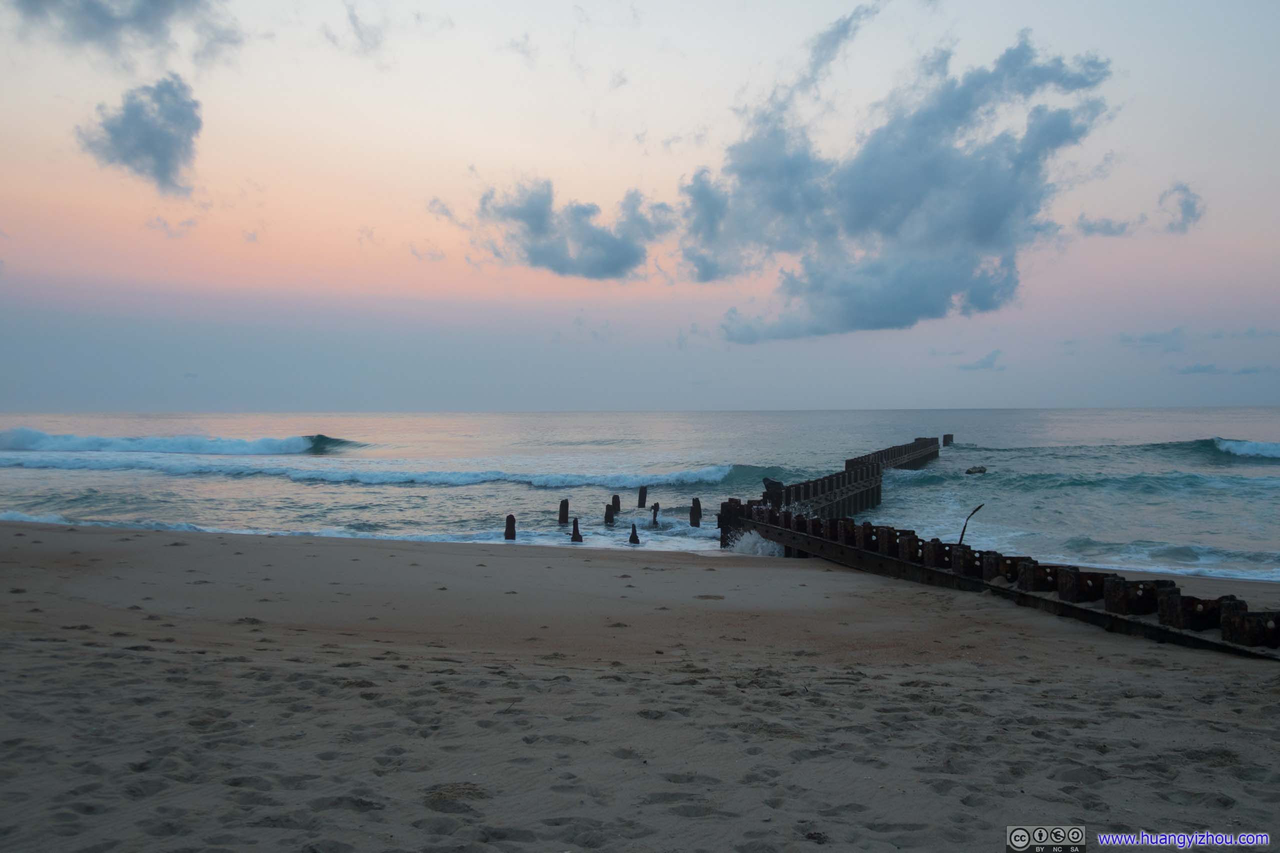
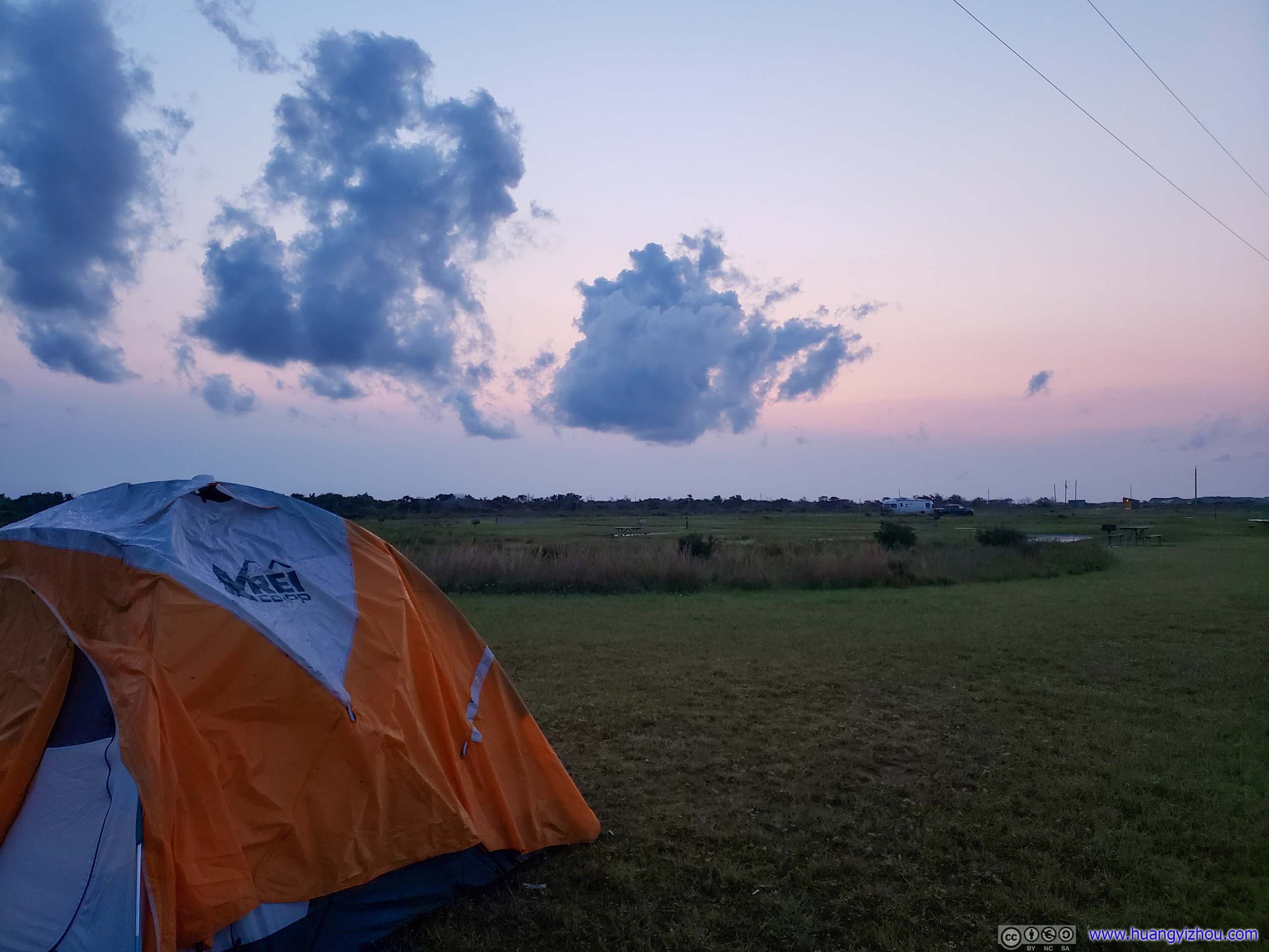
Sunrise
Since weather was fine last night, clear starry skies and ocean breeze, I set alarm clock early hoping to catch some spectacular scenes of sunrise.
Unfortunately, despite that Cape Point Campground looked fairly close to beaches and ocean, there weren't many accessible footpaths, so instead I drove to the original location of Cape Hatteras Lighthouse which was right next to ocean.
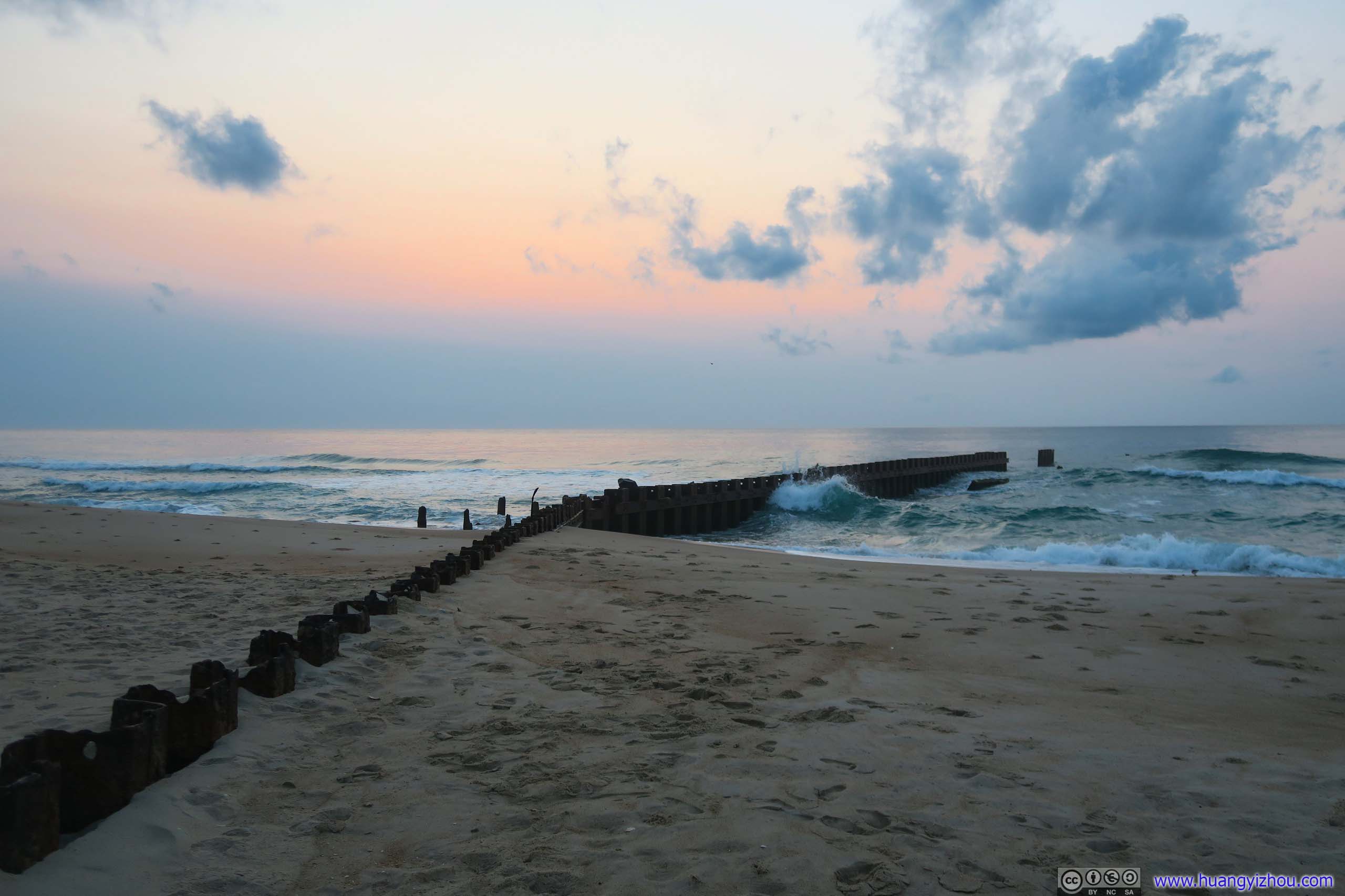
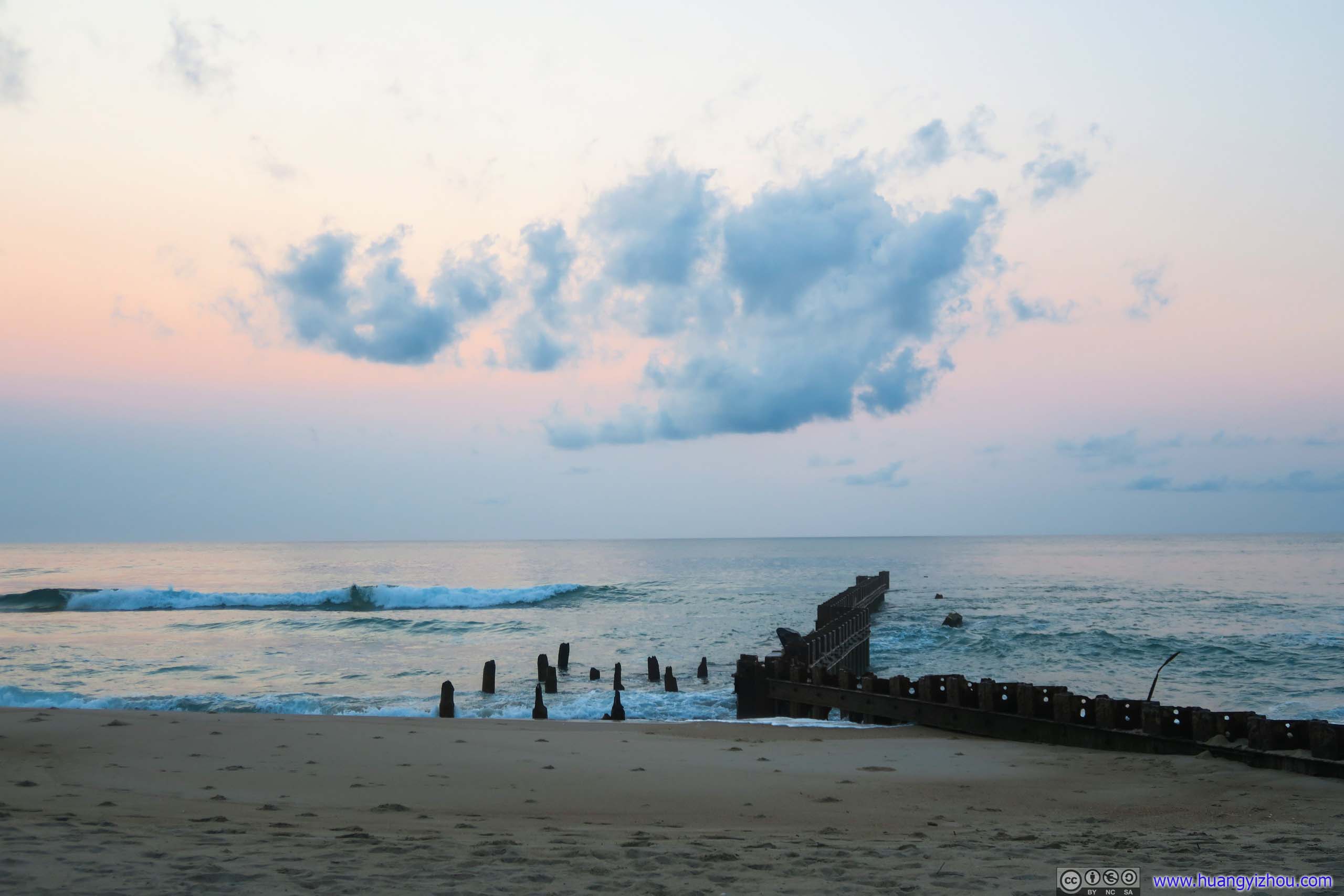
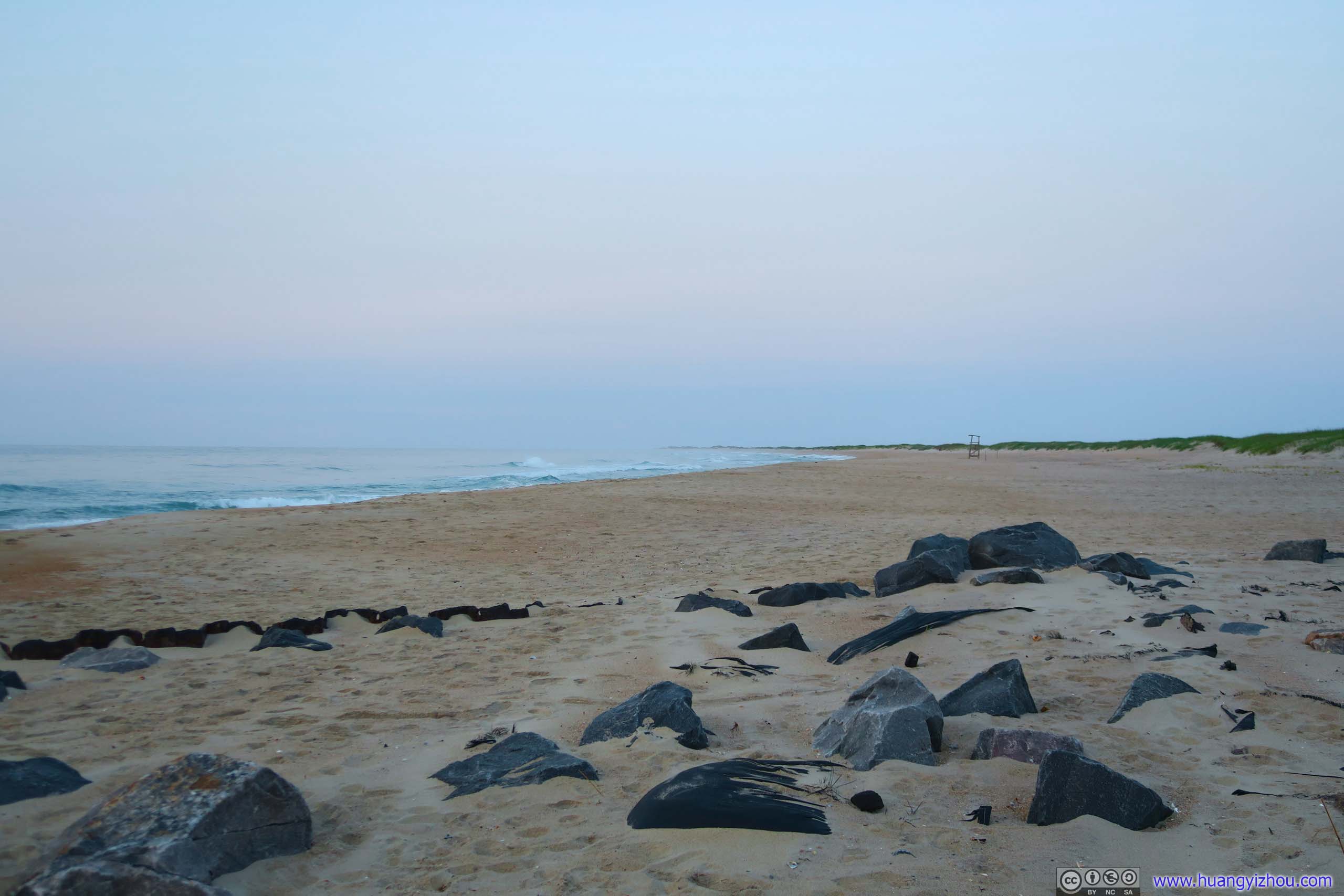
Unfortunately, although sky was clear right above Cape Hatteras, it certainly wasn't that way on the distant horizon, as I (and a handful others) waited past sunrise time to a brighter sky of vivid colors but yet no traces of sun. I guess the most appropriate music for the moment should be the one that we had enjoyed so far this road trip, "Will the Sun Forget to Streak" in Handel's Solomon and fitting to our imminent departure after our brief visit to all the wonders of Outer Banks.
So 10 minutes after forecast sunrise time, the belated sight of sun finally broke off distant clouds and went on the rise, just as the tripod carrying fellas and I were running out of patience and packing to leave.
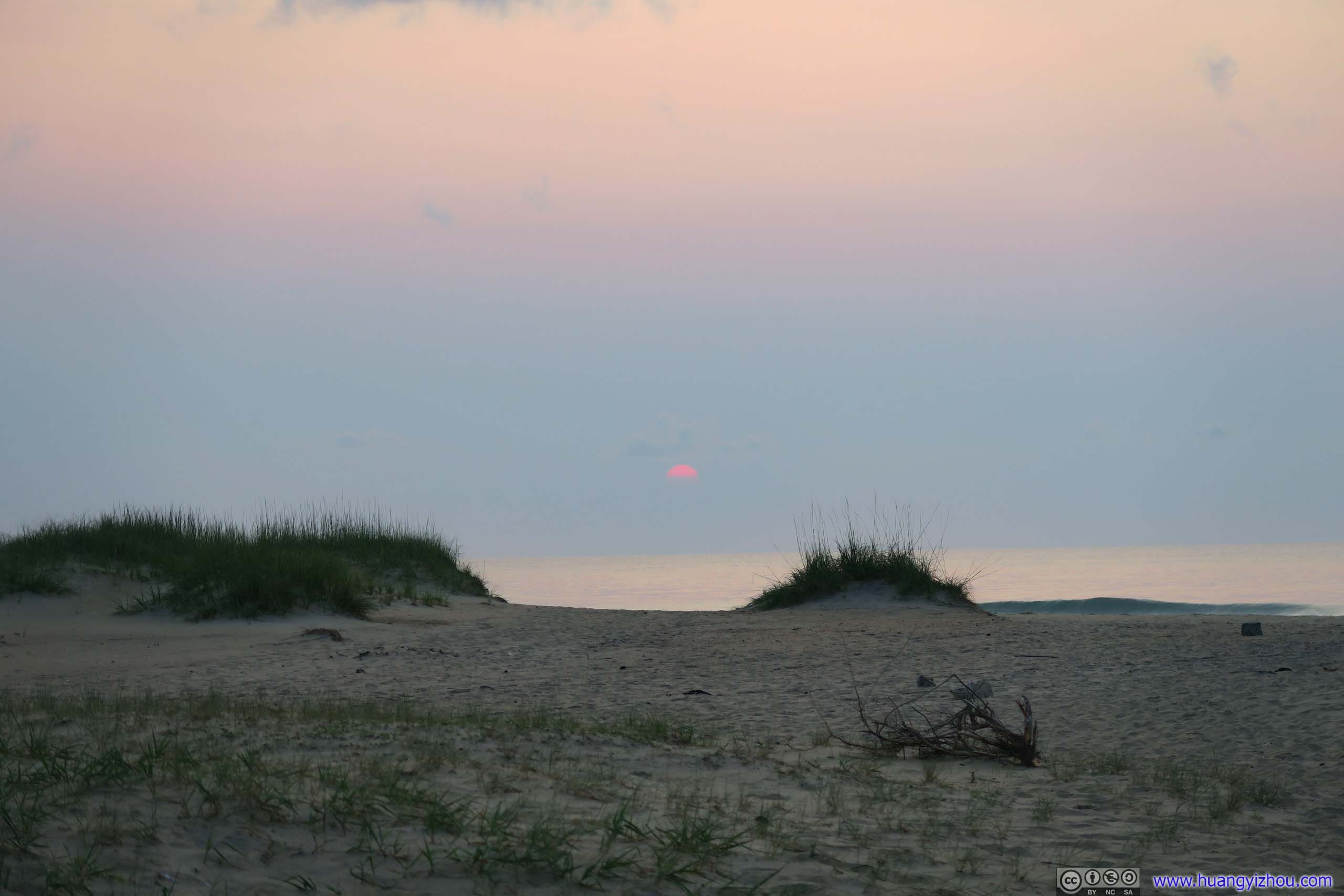

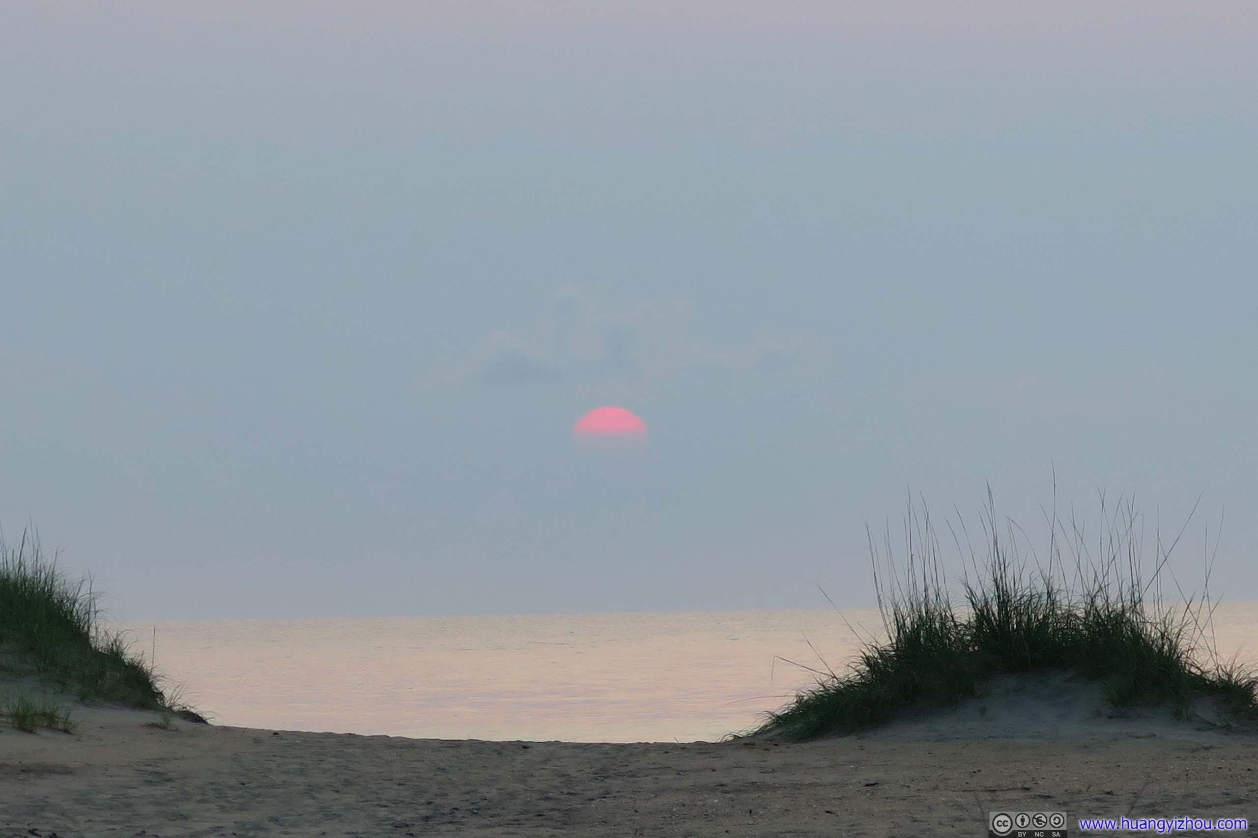
Belated Sunrise
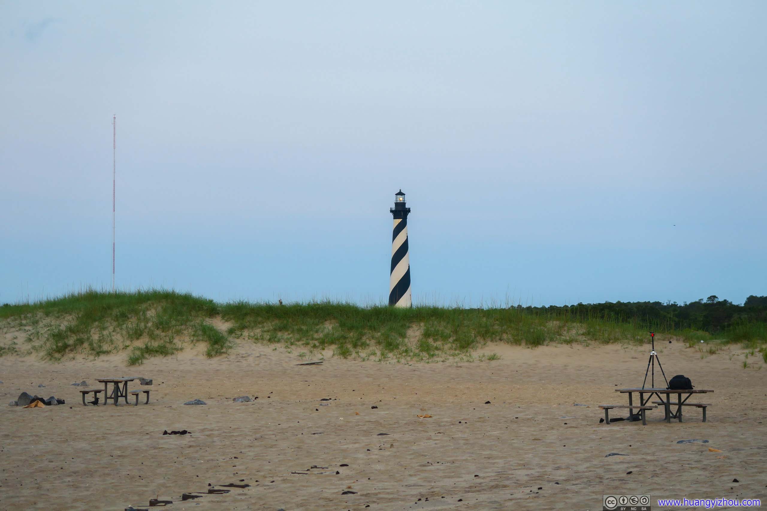

Not long after that, the sun hid back into the clouds, again.
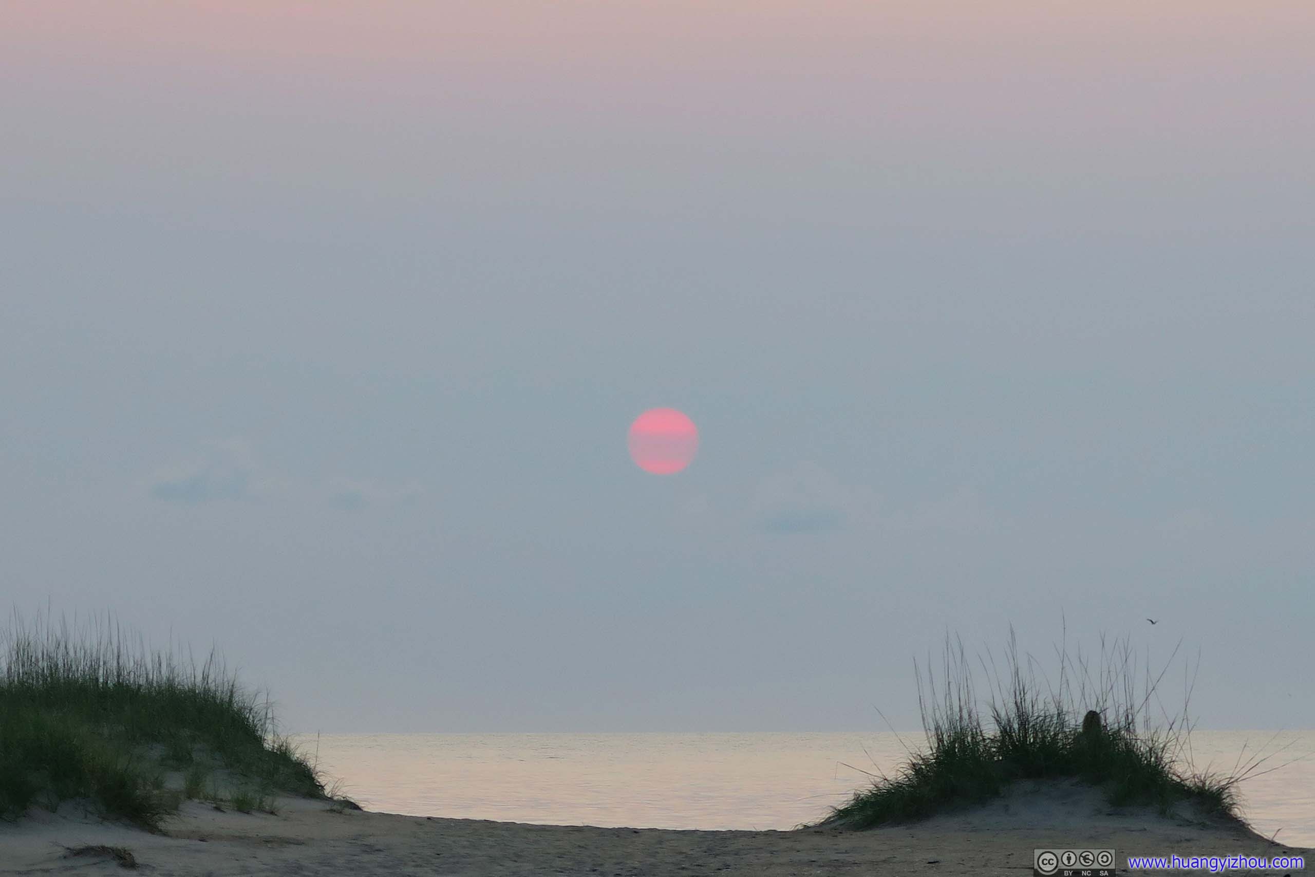
And three minutes after that, it emerged from the clouds, this time in whole.
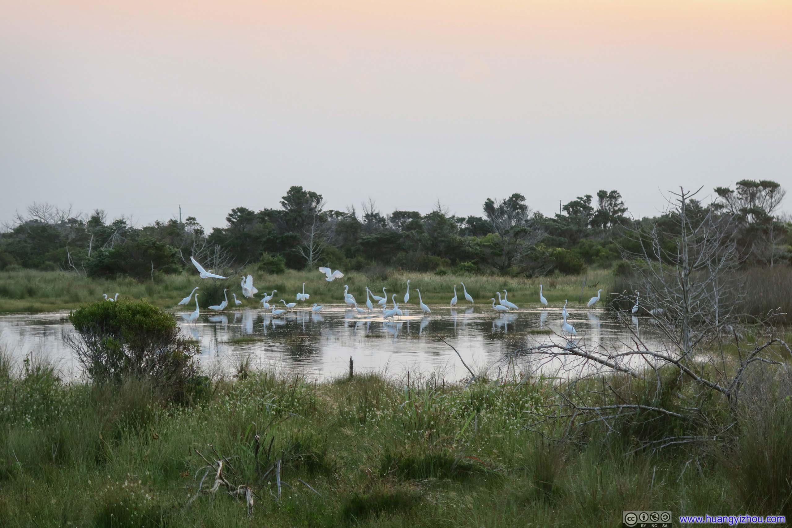
By the campsite when it's already daytime.
Knowing that I would have a long day ahead, I tried to go back to catch more sleep, which wasn't easy given now sun was heating up interior of the tent. So at roughly 8:30 in the morning, my friend and I were packing up and leaving.
A quick note of Cape Point Campground, there were many reasons one might not be fond of it, to name a few,
- It doesn't have the best facilities, notably its primitive shower rooms with no lights and no hot water.
- It's probably only inches above sea level, so drainage wasn't good and during our stay literally half the campground was submerged in inches of water, which might not make the best way to/from bathrooms and shower rooms.
- The revolving lights of nearby Cape Hatteras Lighthouse might be an annoying presence to the lightest sleepers.
But compared with our miserable night on the beaches of Norfolk, we still considered it a bliss of watching a skyful of stars while listening to the symphony of frogs to sleep.
Ok, for someone allergic to bugs like me, probably less so this morning when I found my tent exterior was swarming with worms and I was disinfecting the rainfly with my least-favorite credit card before scrambling everything into the tent bag. Result was that, after I got back home I need to wash the tent all over again.
So after that, we headed out for Cape Hatteras Lighthouse not too far away.
Cape Hatteras Lighthouse
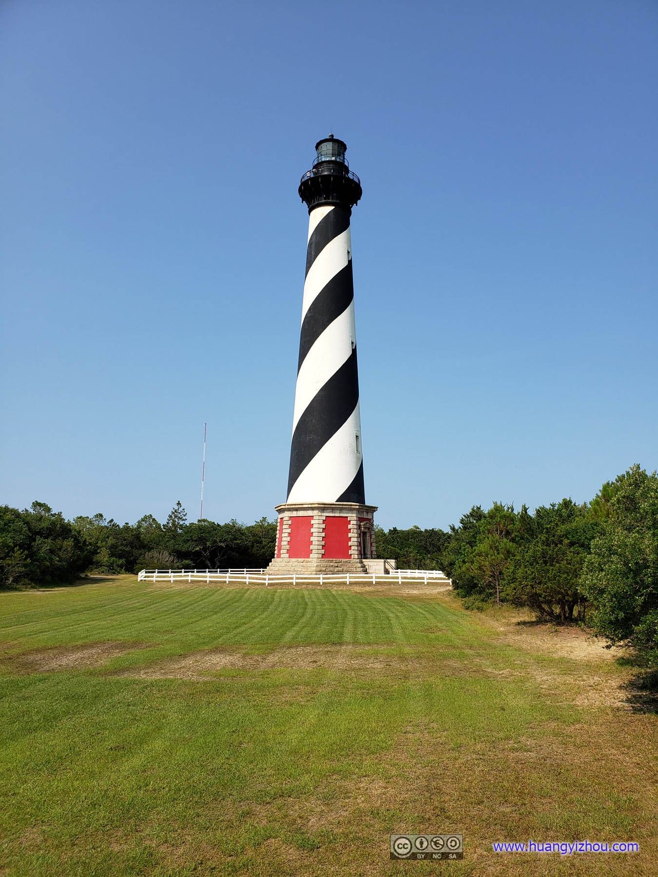

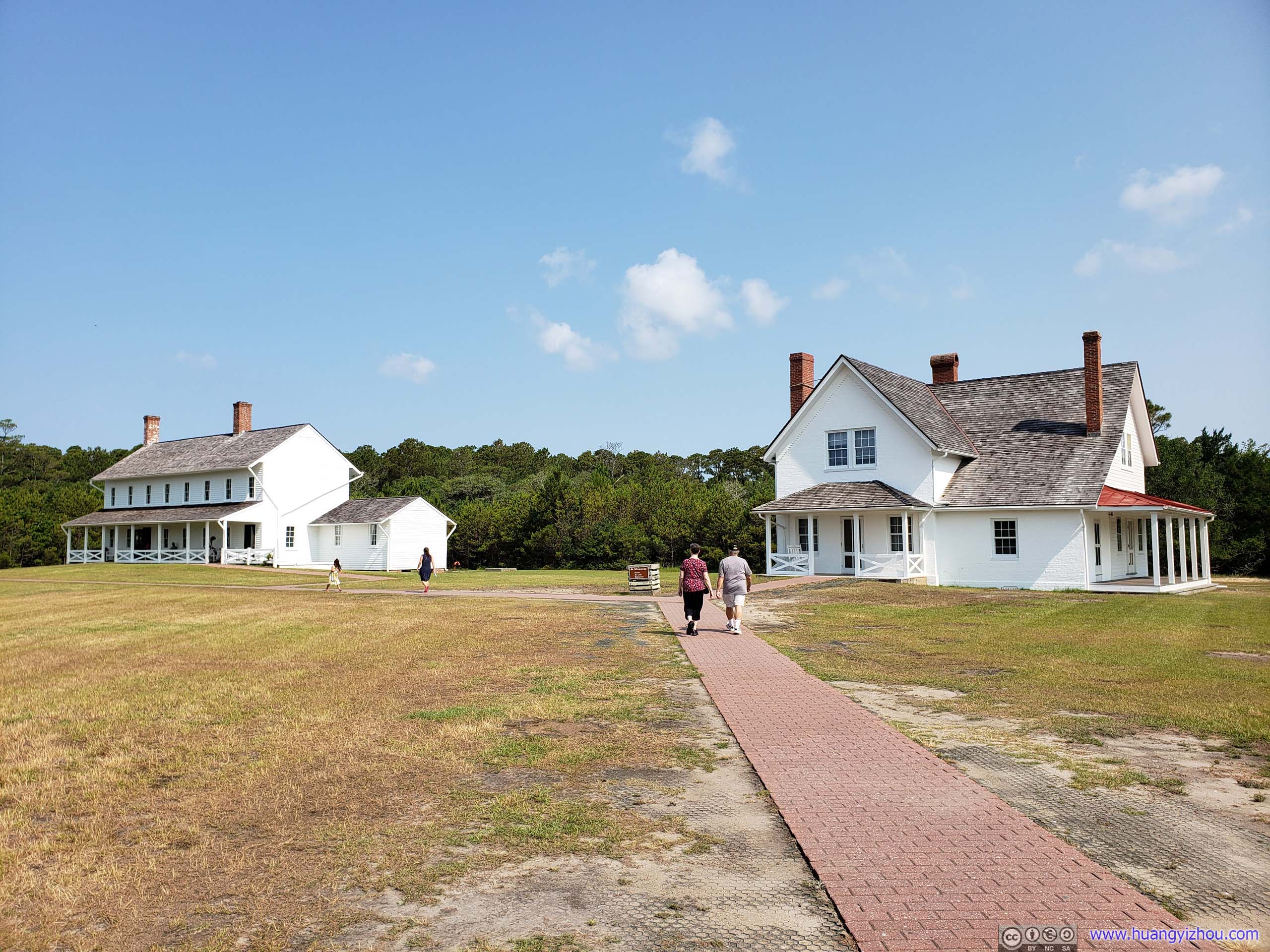
Click for details
"There have been words written to the effect that the lighthouse keepers and their families had a very lonely life; however, we did not have this experience. In fact, just the opposite would be more apt to apply. The lighthouse was always a favorite place to visit by the village folk so we would have lots of company, especially on Sunday afternoons and the evening hours, when the heat of summer was unbearable in the wooded areas of the villages. Swimming, baseball games, croquet, chasing wild horses and penning them in the yards for breaking to the saddle, and climbing the lighthouse were all a big part of our lives.".Rany Jennette, son of the last Principal Keeper at Cape Hatteras Lighthouse...Two residences served the keepers and their families at the Cape Hatteras Light Station. The larger building, the Double Keepers' Quarters (1854), was built for the staff of the first Lighthouse and today serves as Cape Hatteras National Seashore's Hatteras Island Visitor Center. The smaller building is the Principal Keeper Quarters (1871), constructed from materials left over from the present-day lighthouse. it accommodated the head lighthouse keeper and his family.
From official information board.
Since we were sort of time-constrained to catch the ferries, we did not participate in lighthouse climbing. The larger keepers' quarter on the left of the previous picture was now converted to a small museum, which displayed a few pictures about the history of these outer banks islands, the wars they had witnessed, promotional information about US Coast Guard, and more importantly, the a brief history about Cape Hatteras Lighthouse.
The current Cape Hatteras Lighthouse was built in 1870s in a location 880 meters away, where I watched sunrise glow this morning. Due to erosion of the shore that location became too close to ocean and unsafe for the lighthouse, so the lighthouse was jacked up onto a railway and moved to the current location. From the photos exhibition it was a quite a spectacle.
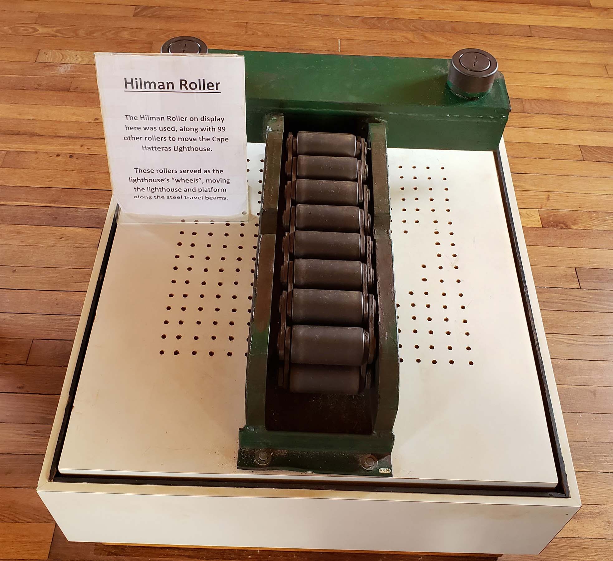
One of the original rollers used to move the lighthouse.
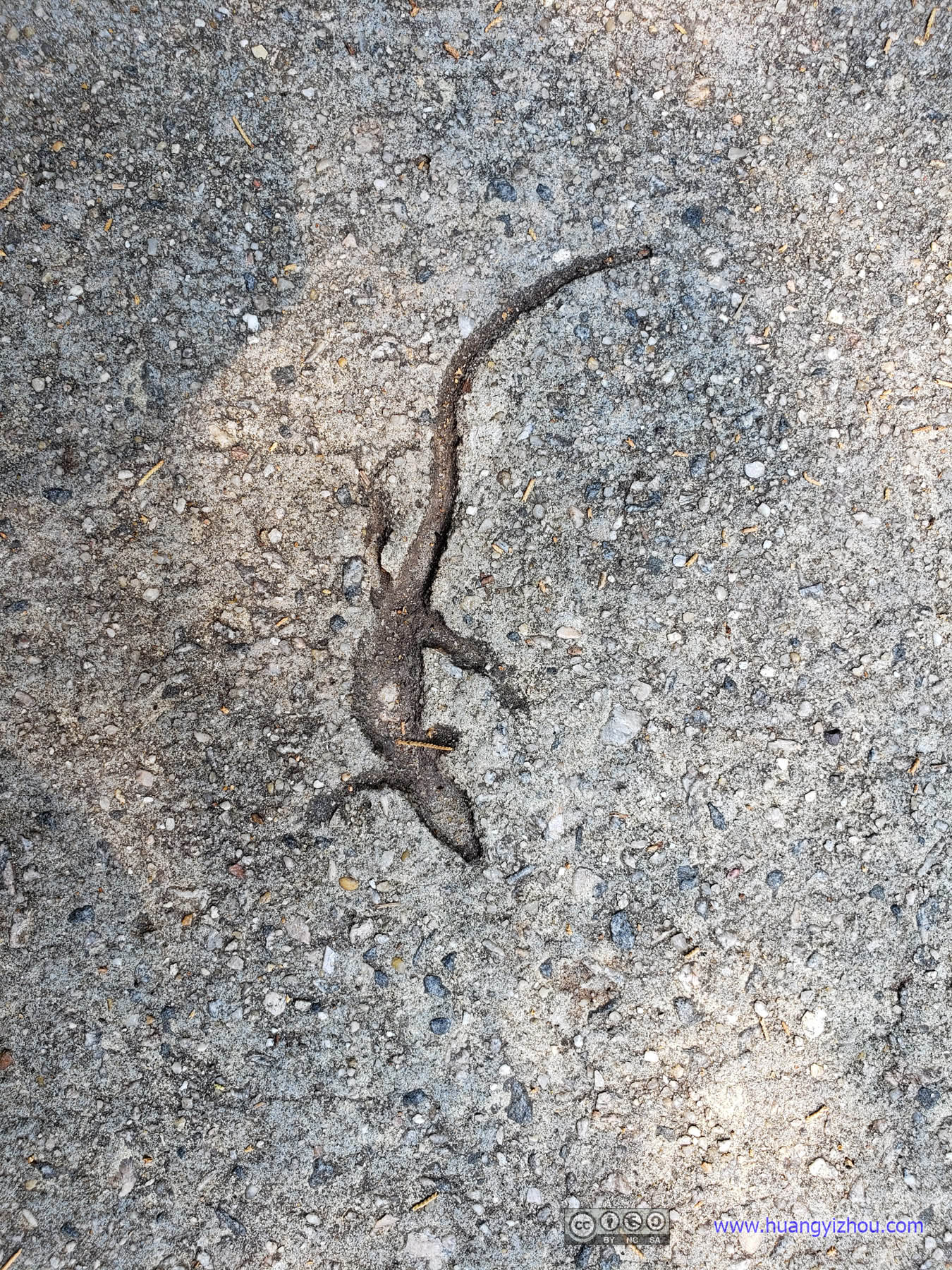
After that, we raced to (the town of) Hatteras and caught the next ferry to Ocracoke Island.
The ferry's supposed to depart at 10:30 and we drove onto it like 10:28.
Here's GPS tracking of the ferry:
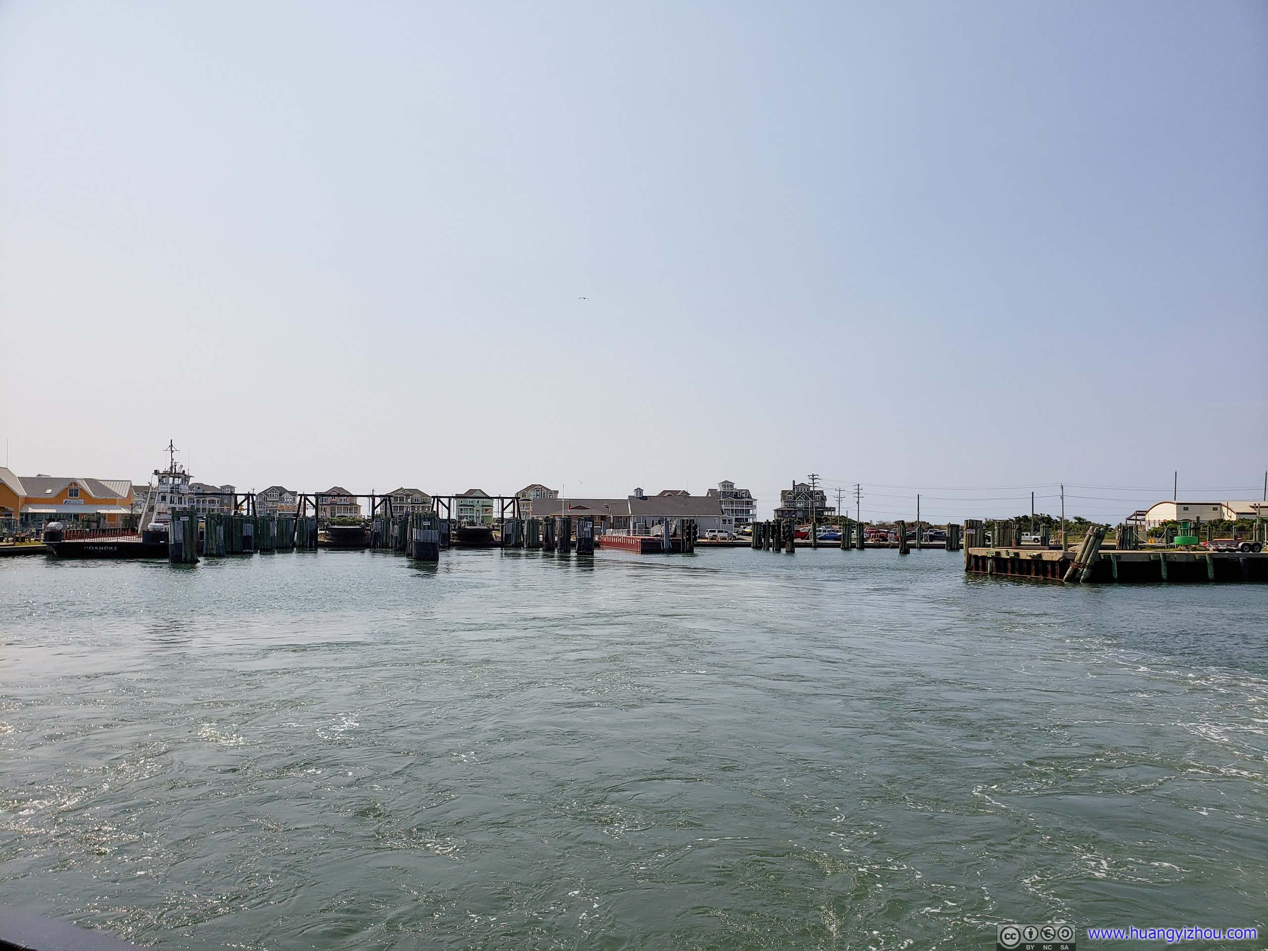
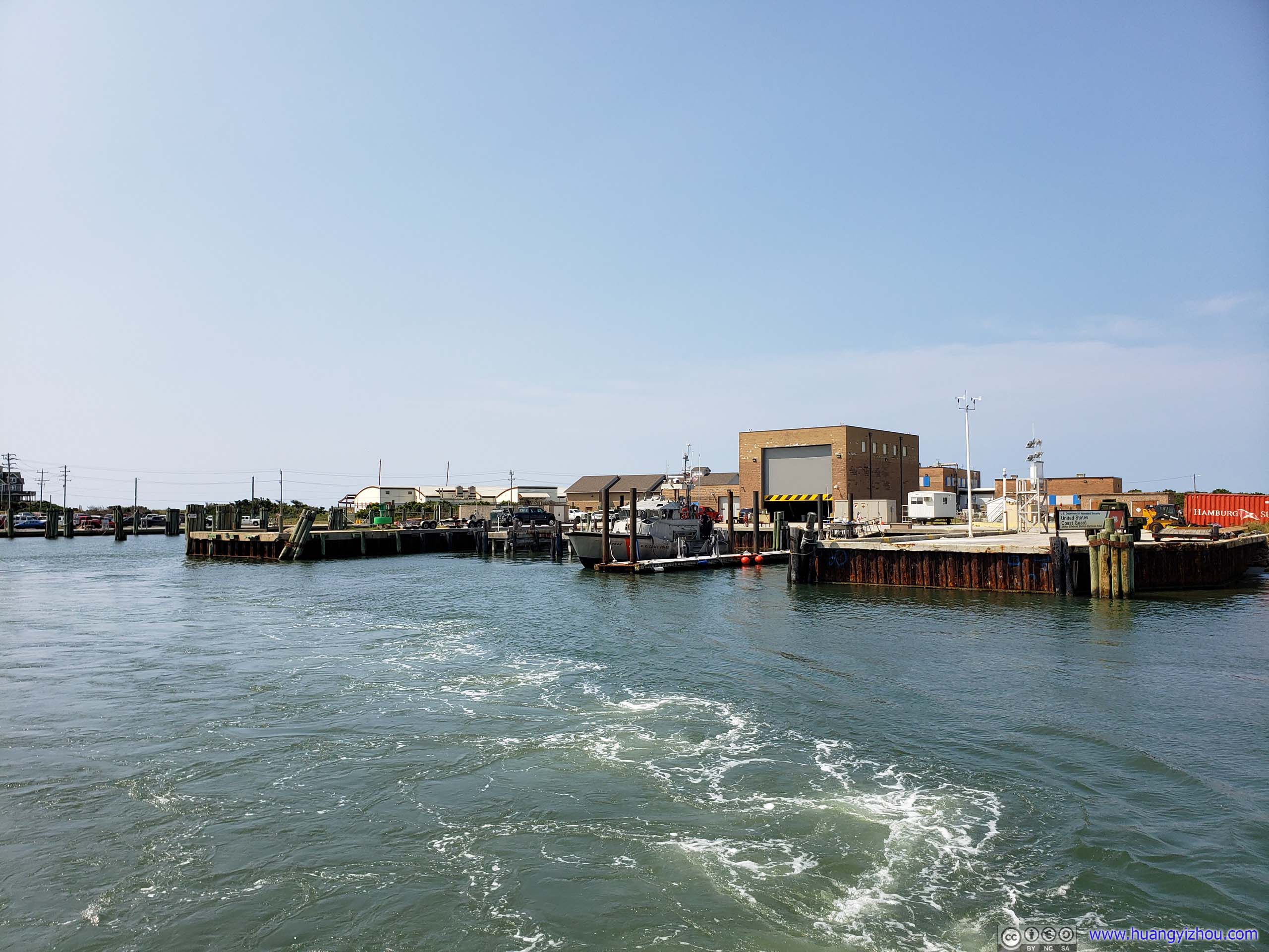
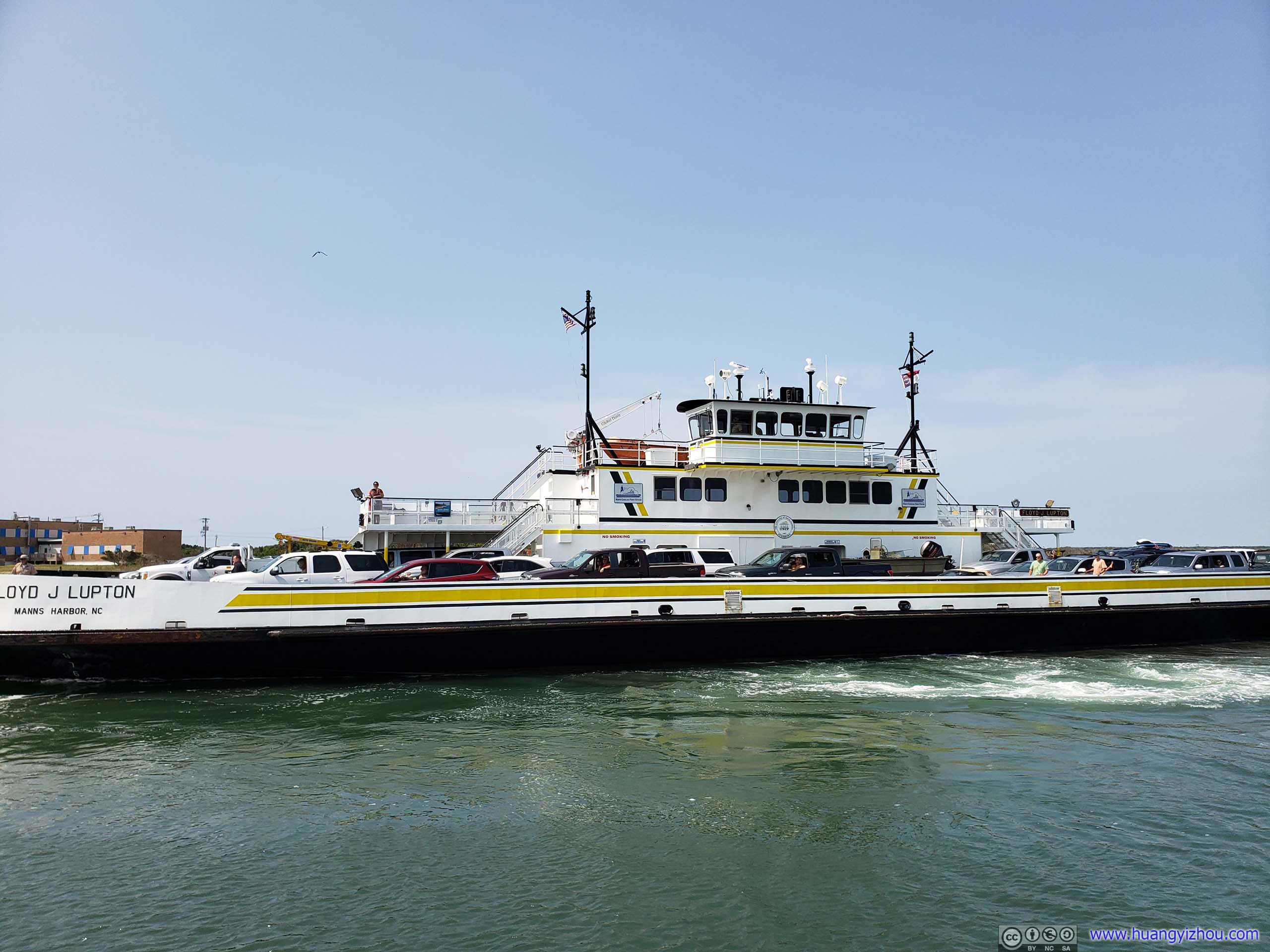
A similar model like ours.
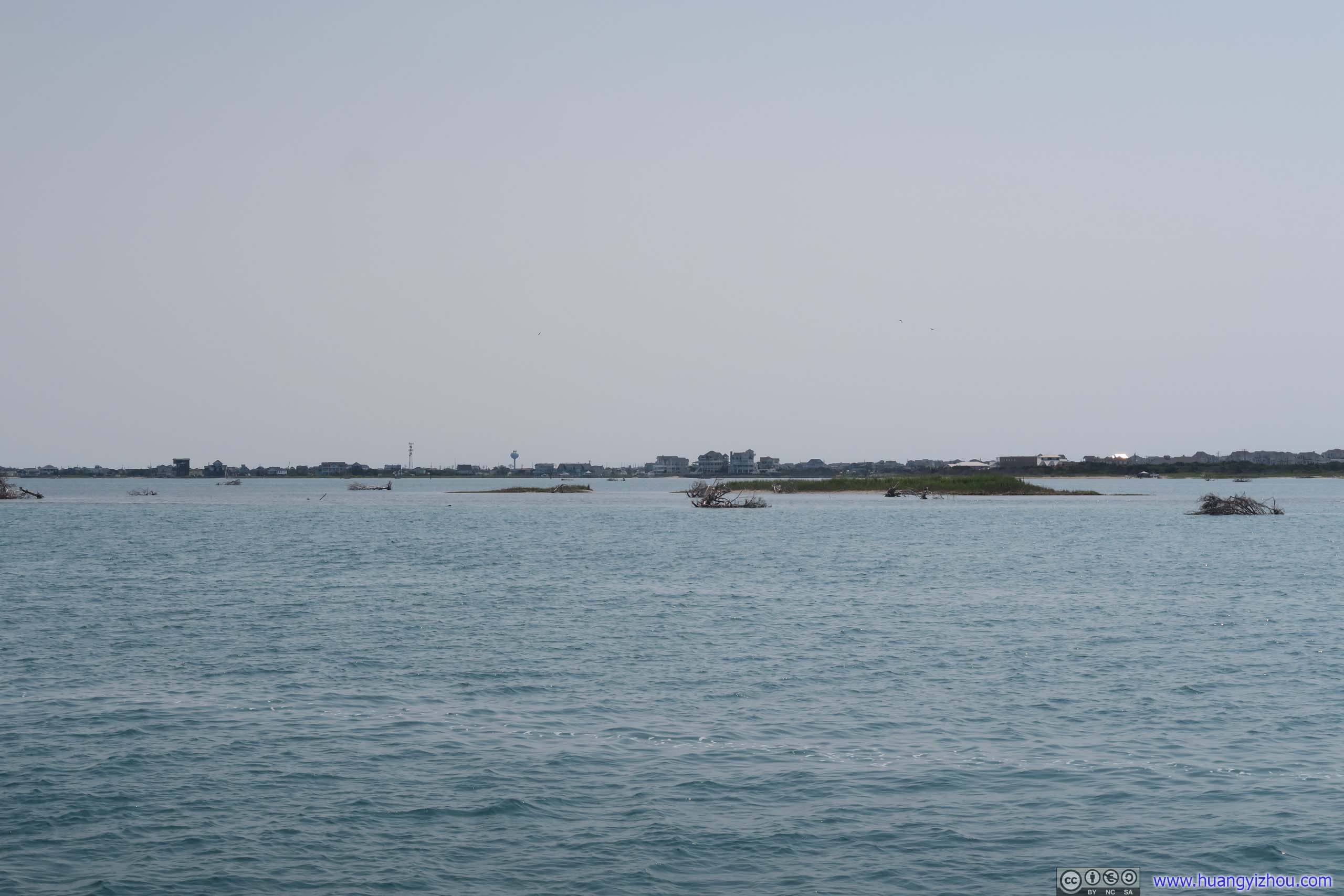

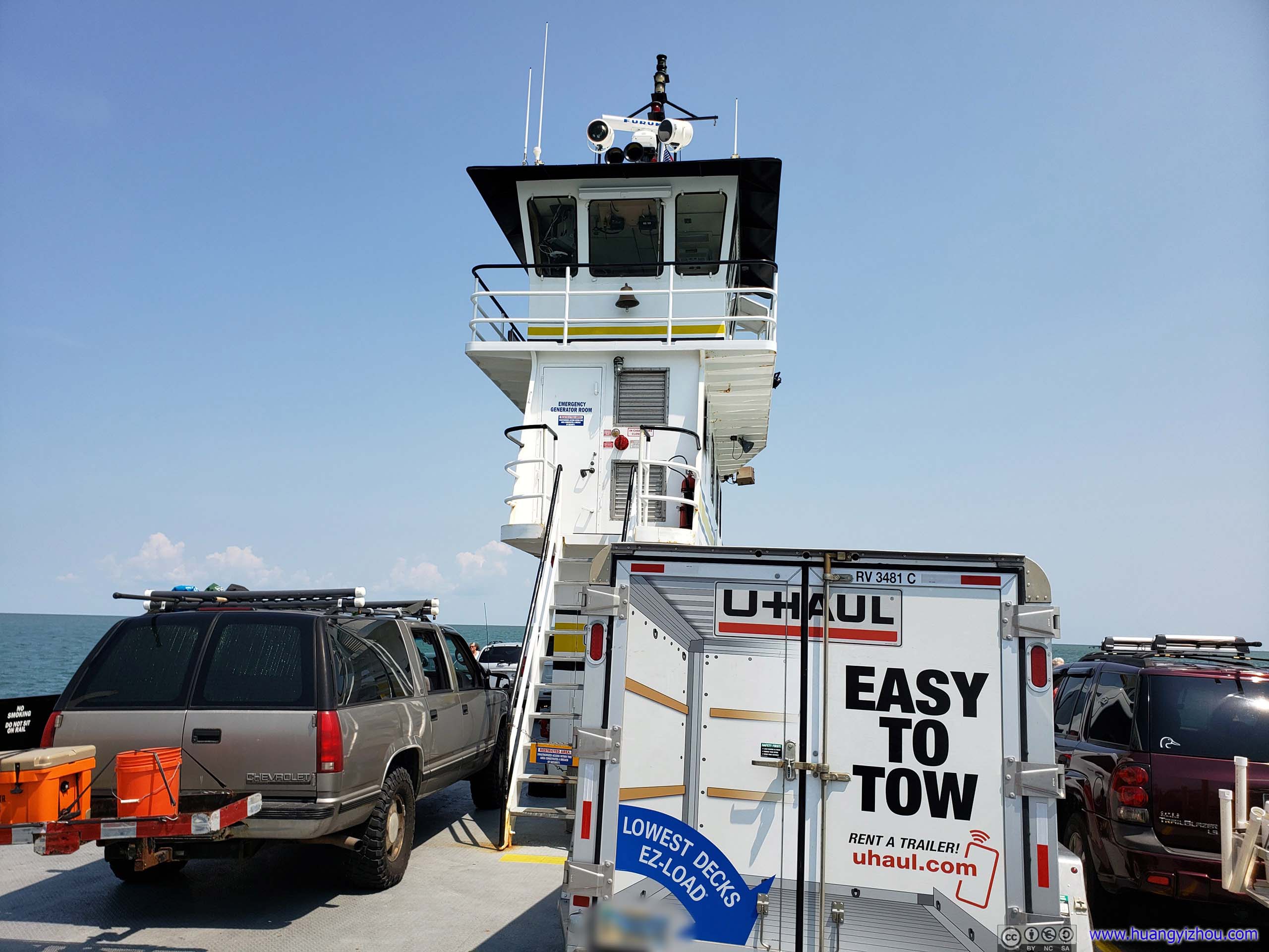
Hatteras Inlet was only 2.3 miles wide but to get around some natural sanctuary this leg of ferry would take an hour. Well, I used most of that hour napping in my car.
And then there were quite a few creatures taking a hitch hike on our ferry, from these birds on a vintage point,
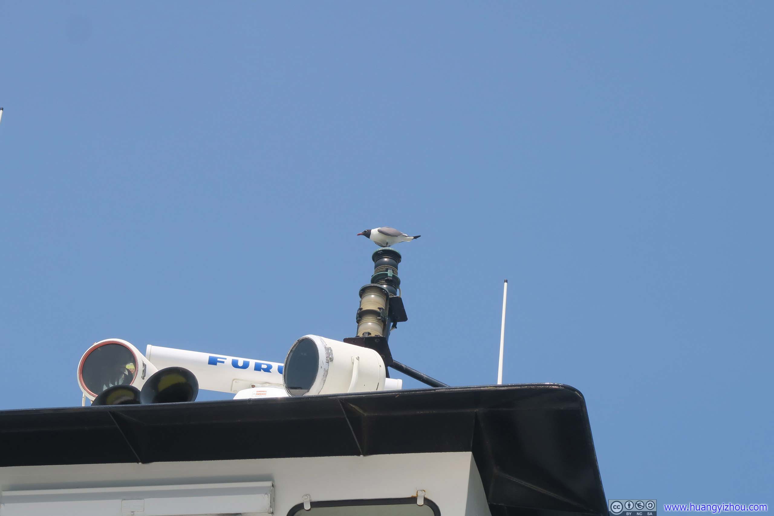
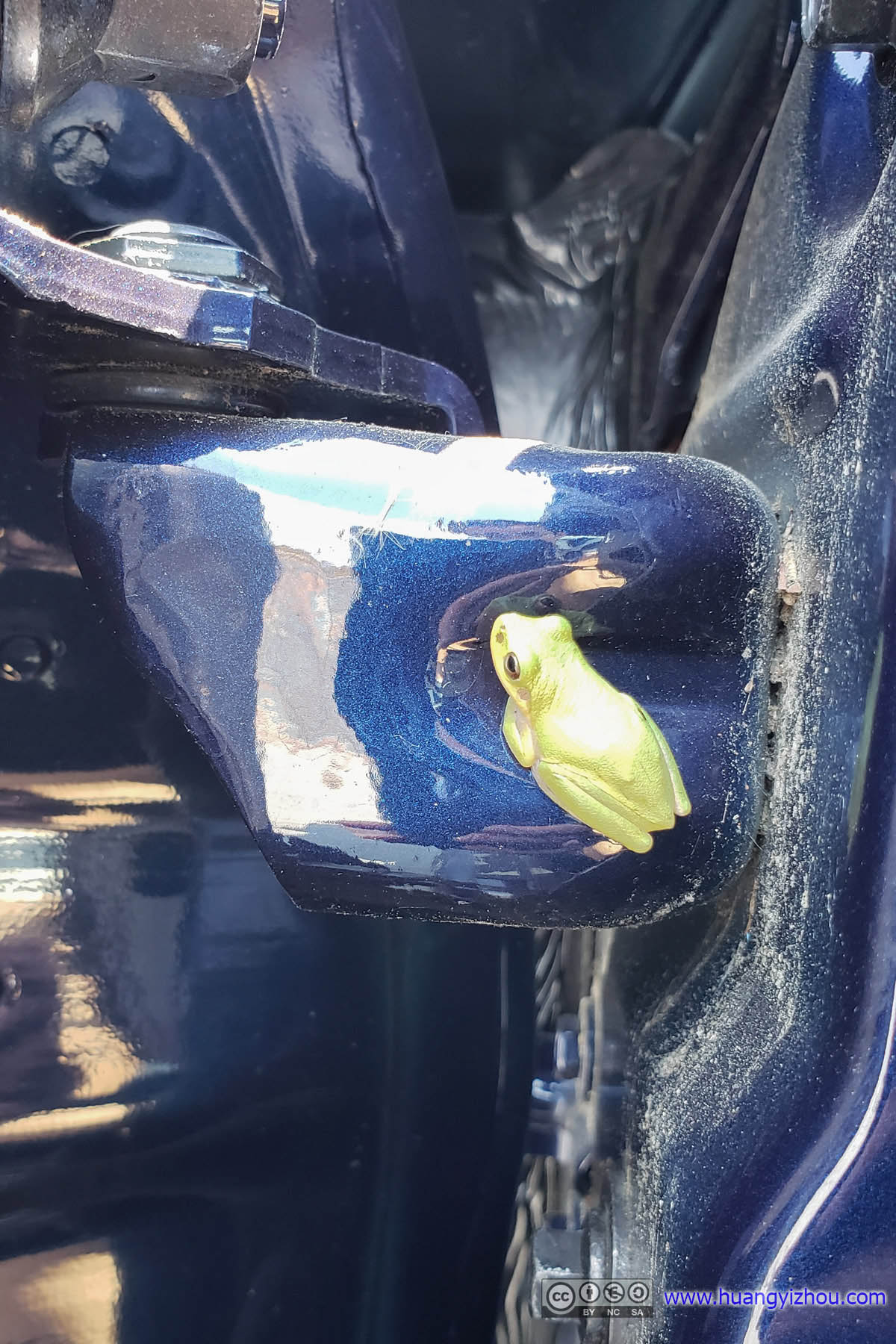
to this frog that I had no idea how or when it got onto my car. (Judging by how loud the sound of frogs was last night, I bet this brat came from Cape Point Campground. Unfortunately, it was hiding in the door hinge area with easy access to engine hood, so getting it off my car was nothing easy. It wasn't until boarding time for a second ferry to Cedar Island that I eventually got this brat off both my car and my mind.
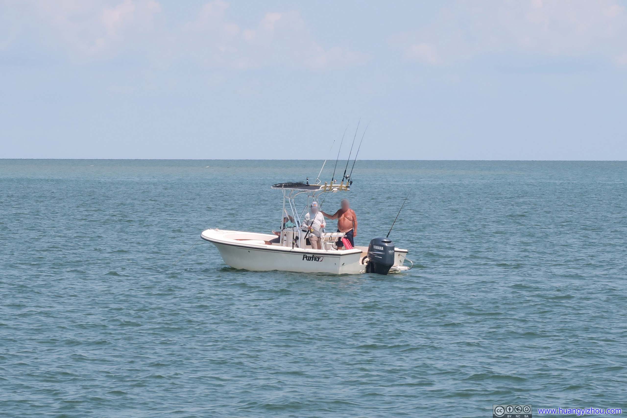
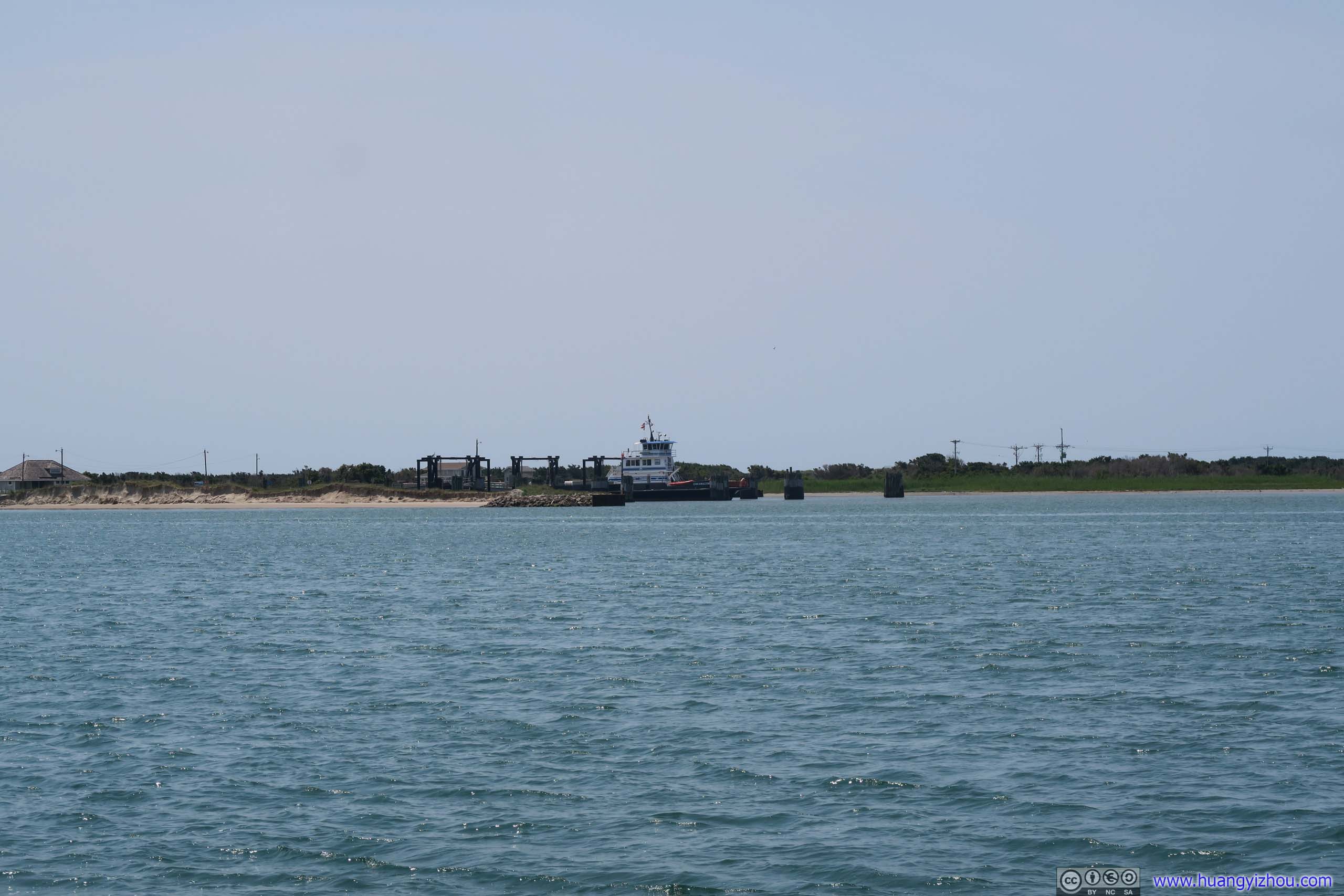
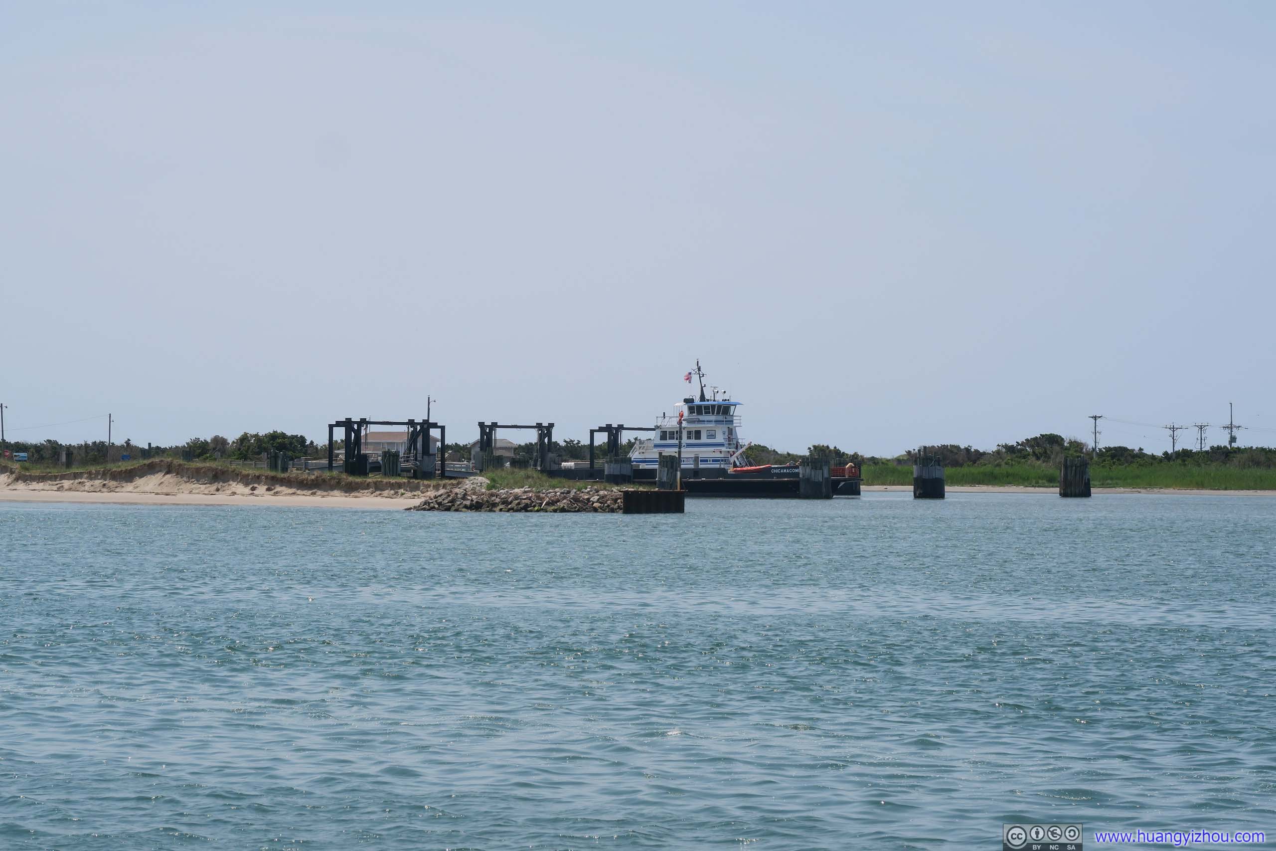
After setting foot on Ocracoke Island, we figured we would have roughly an hour on the island before the less-frequent ferry to Cedar Island would depart. From downtown Ocracoke there were two ferry lines, one to Swanquarter and one to Cedar Island. It seemed from the number of open spots when we made reservations the previous night, that the one to Swanquarter was more popular. Anyway reservations on either one were recommended in peak season. And I figured half of that hour would be spent on driving across the island and trying and failing to de-frog my car, leaving us about half an hour to tour downtown Ocracoke.
Nonetheless, we will pay Ocracoke Lighthouse a visit. Built in 1823, it was the nation's second oldest lighthouse still in use.
Ocracoke Lighthouse
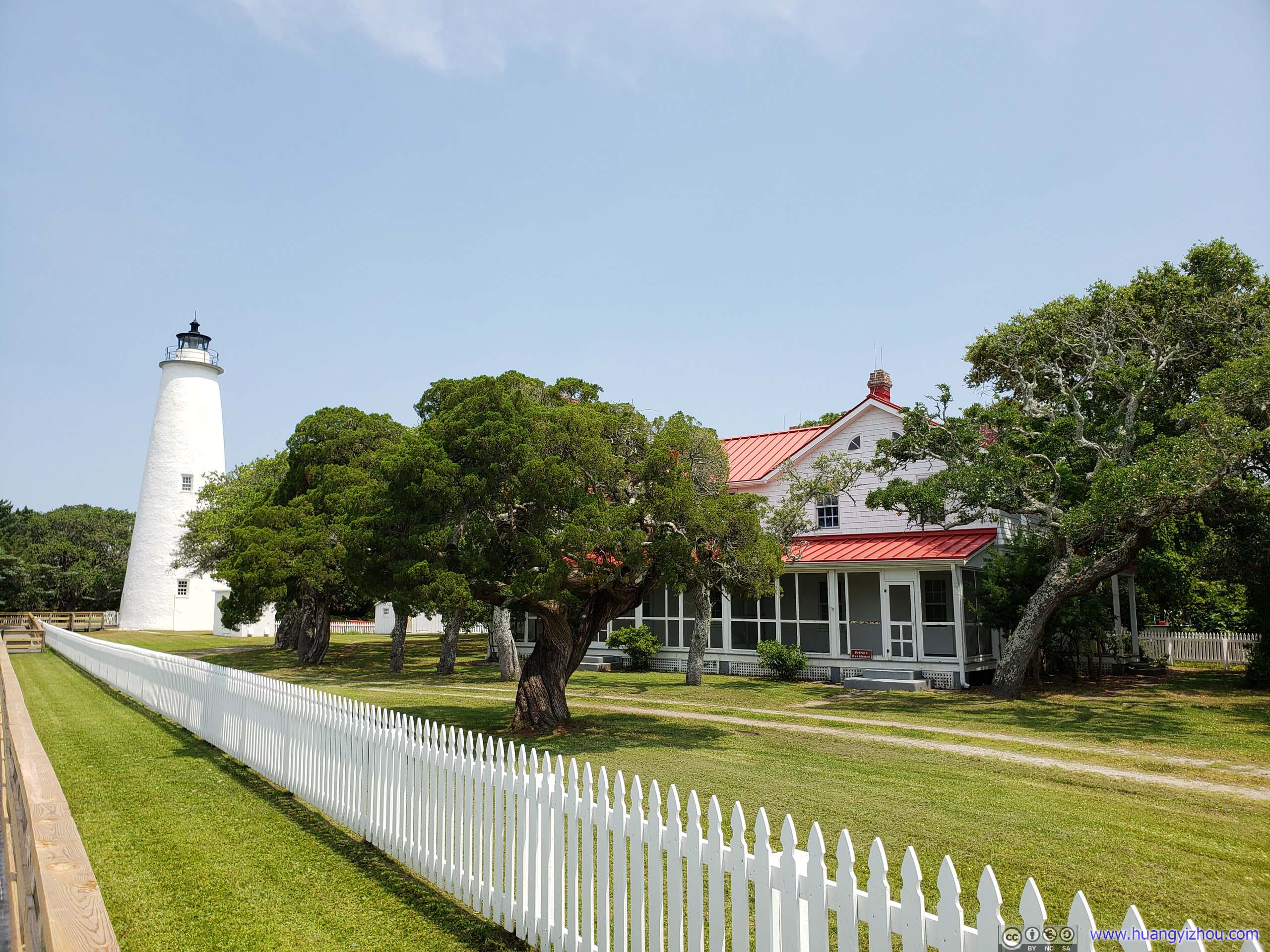
Unfortunately, the lovely red-roof villa that used to house lighthouse keepers were now private residence. Perhaps as times moved on, maintaining an lighthouse became easier so that a dedicated keeper's quarter was no longer needed.

That small lighthouse model in the lower-left was actually a donation box.
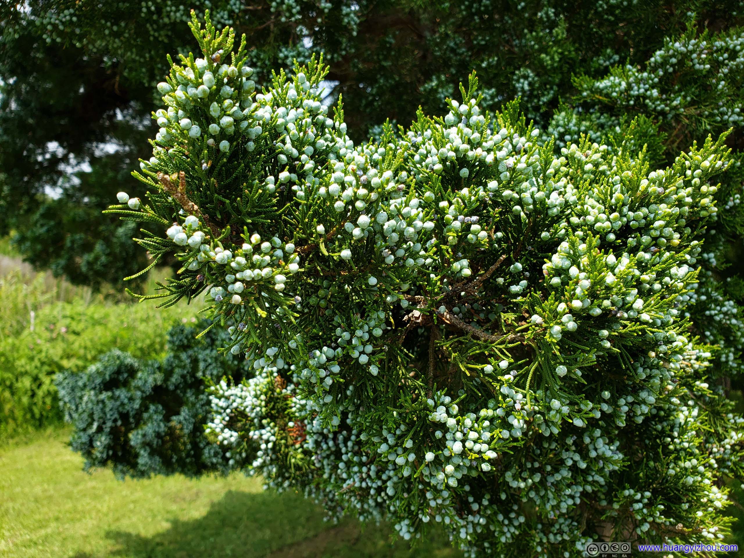
A lovely sight. My friend told me this was cypress.
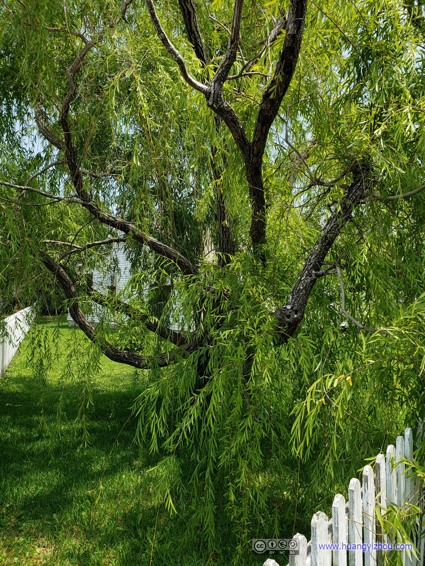
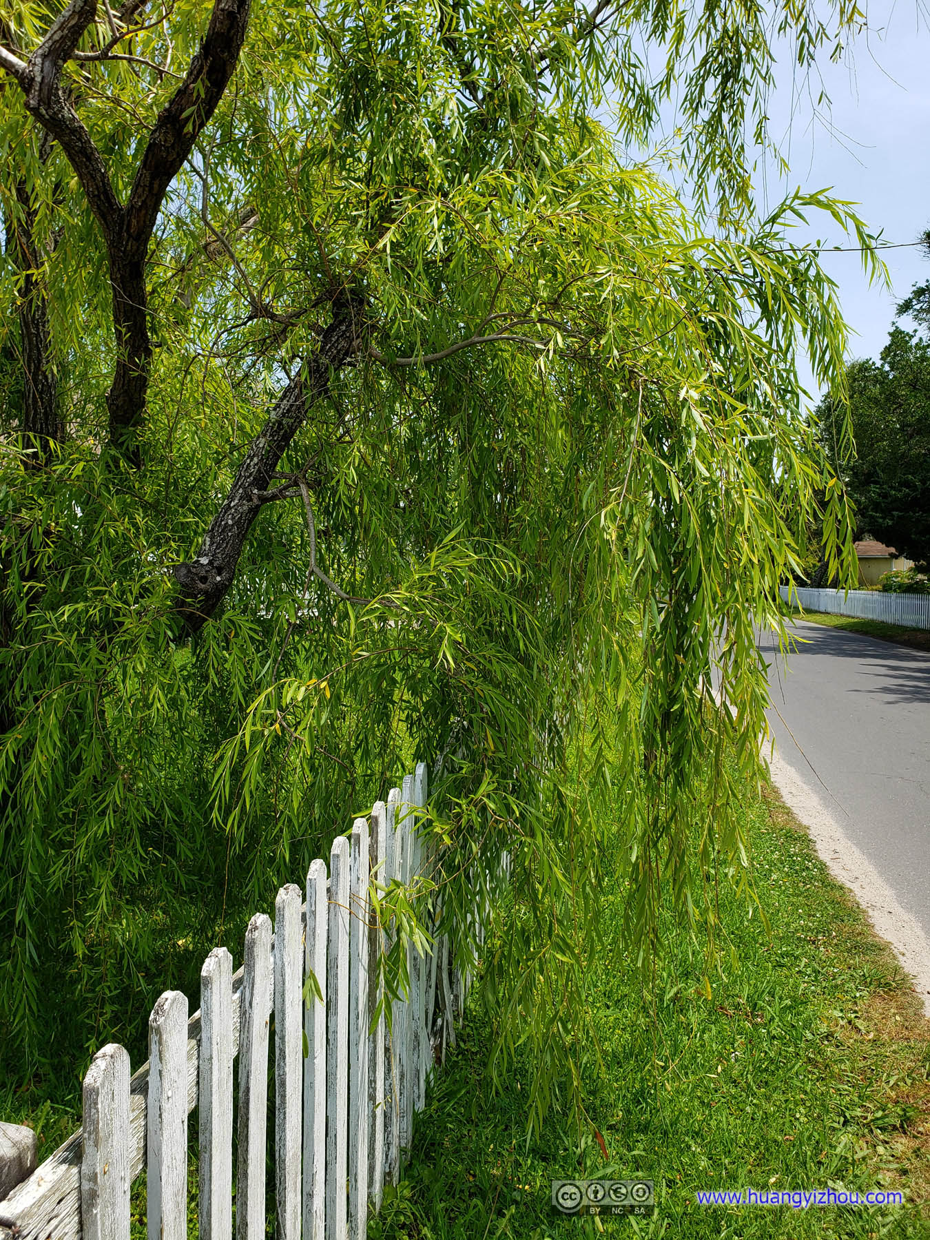
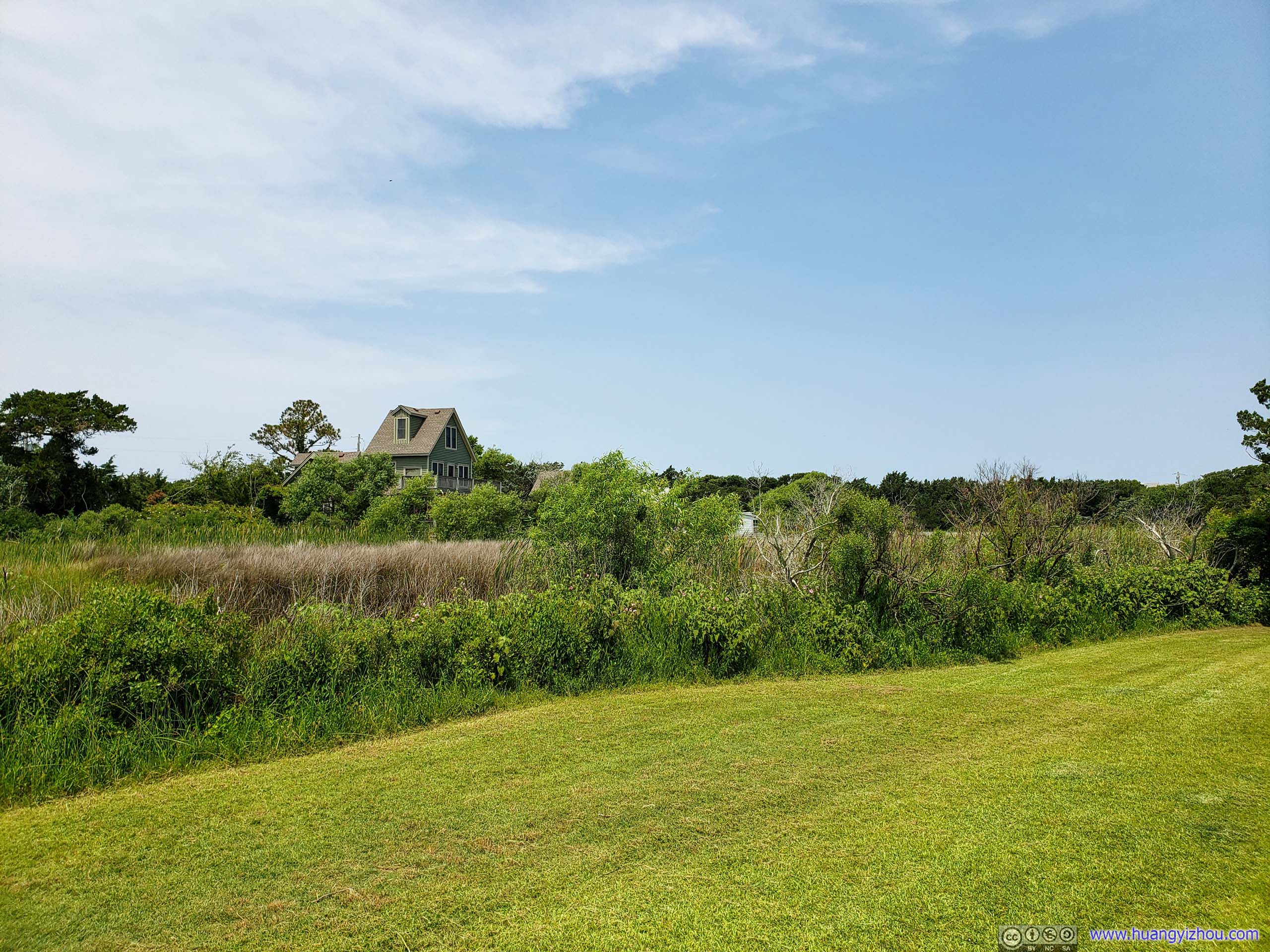
I don't see willow very often in the United States, actually this was my first time seeing it, and quite surprising it's not by the water.
Howard Street
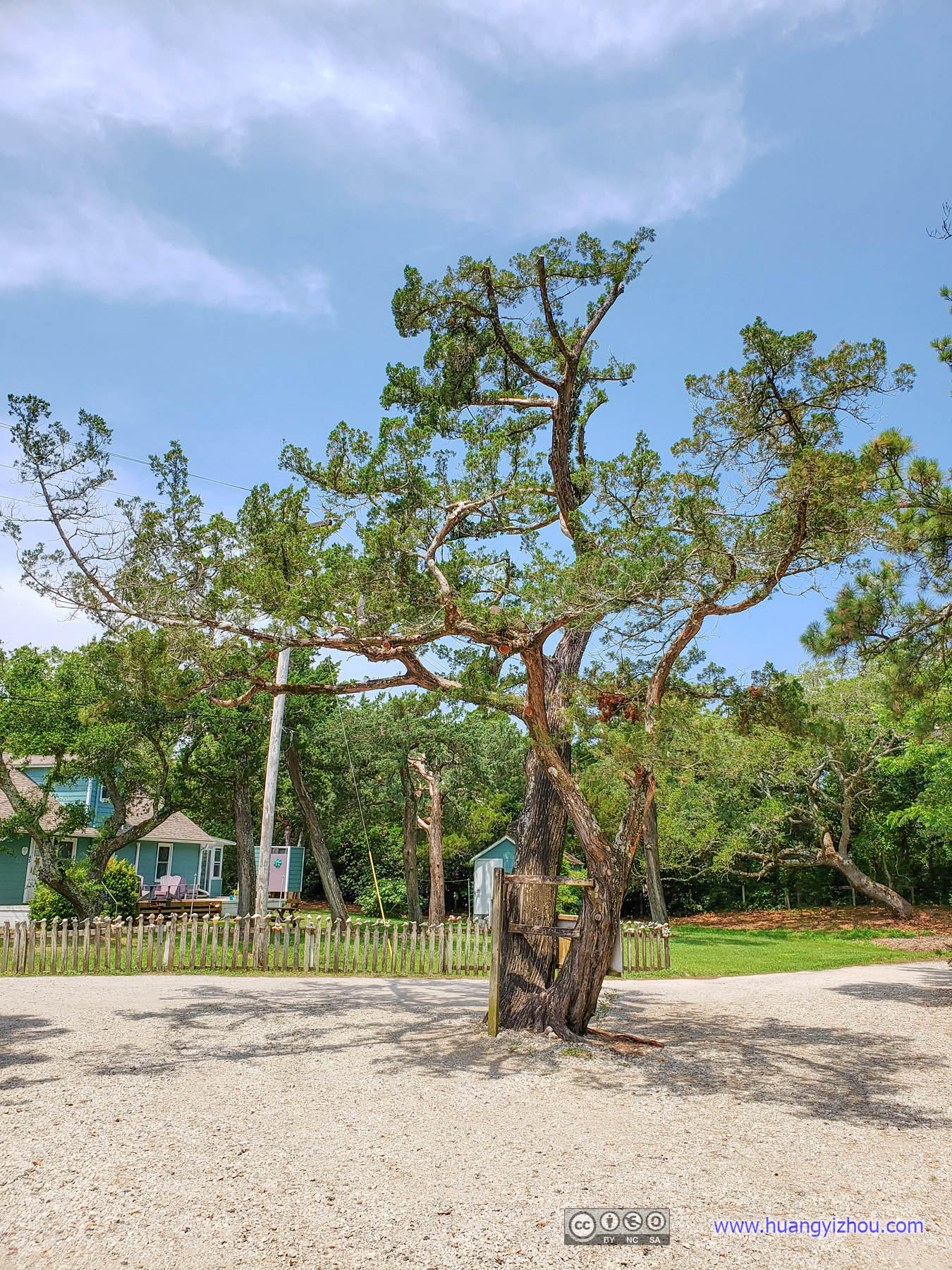
On the ferry boat to Ocracoke we met a wonderful gentleman who offered us a few suggestions on what to see in Ocracoke during our brief visit, and top of his list was "a place with a huge canopy of oak trees, where islanders built their houses underneath", and we figured that it should be Howard Street.
By this website the two largest oak trees on the island were both located along Howard Street. Unfortunately, Howard Street started as an alley of private family residences and had remained so, and many of the oak trees were actually rooted in people's properties without information boards, and they all looked pretty large and historic and magnificent to us. Pressed on time and not wanting to disturb people's private lives, we gave up on the search of the largest trees and left.
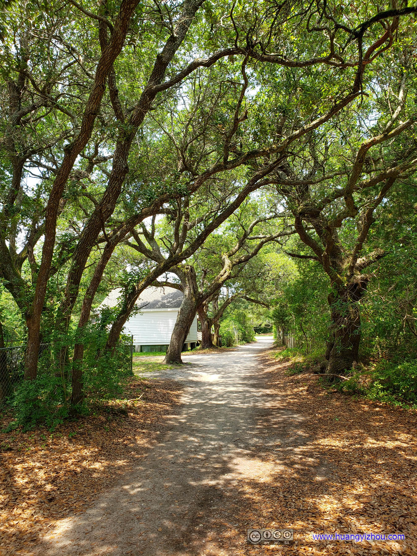


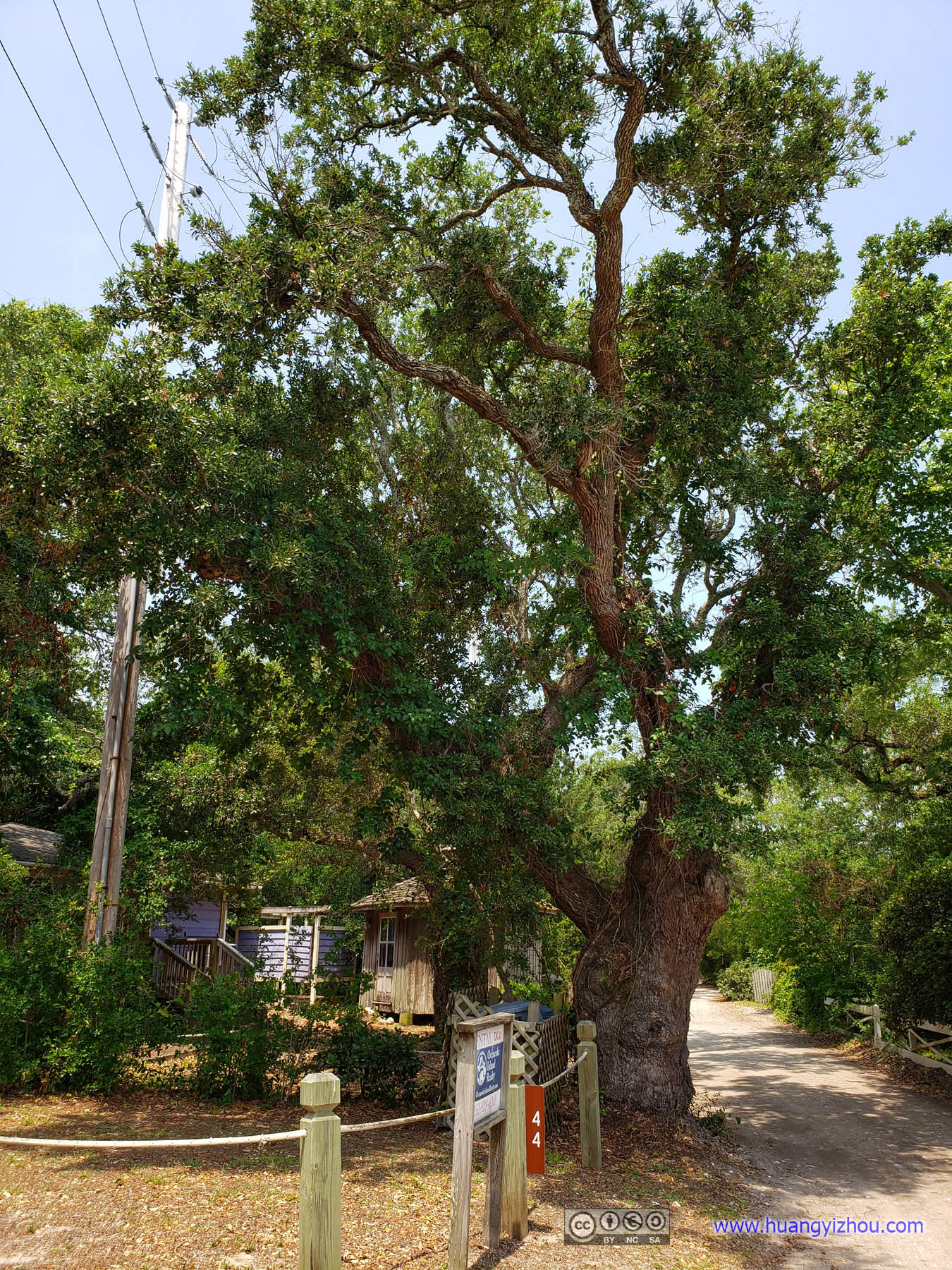
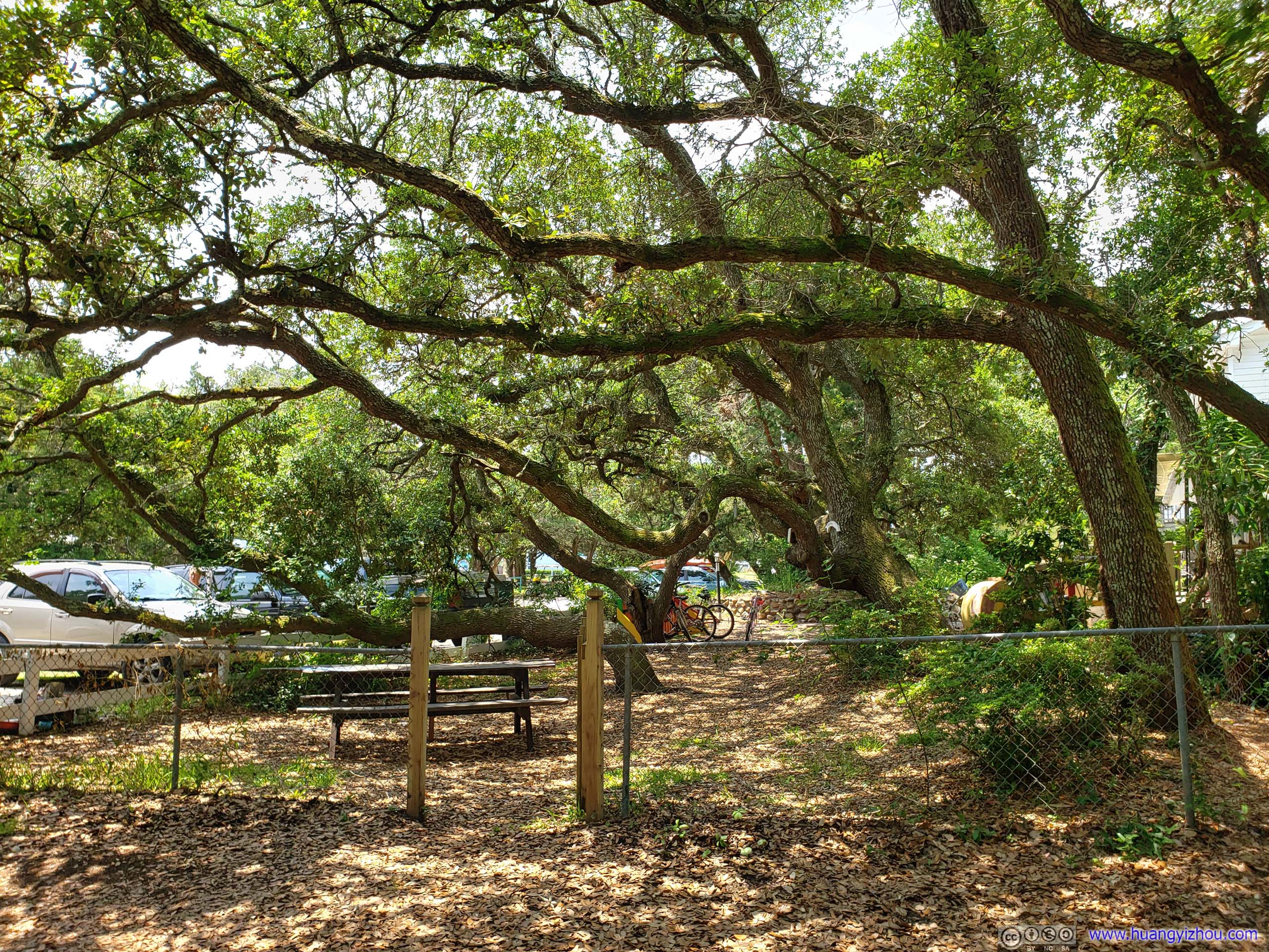
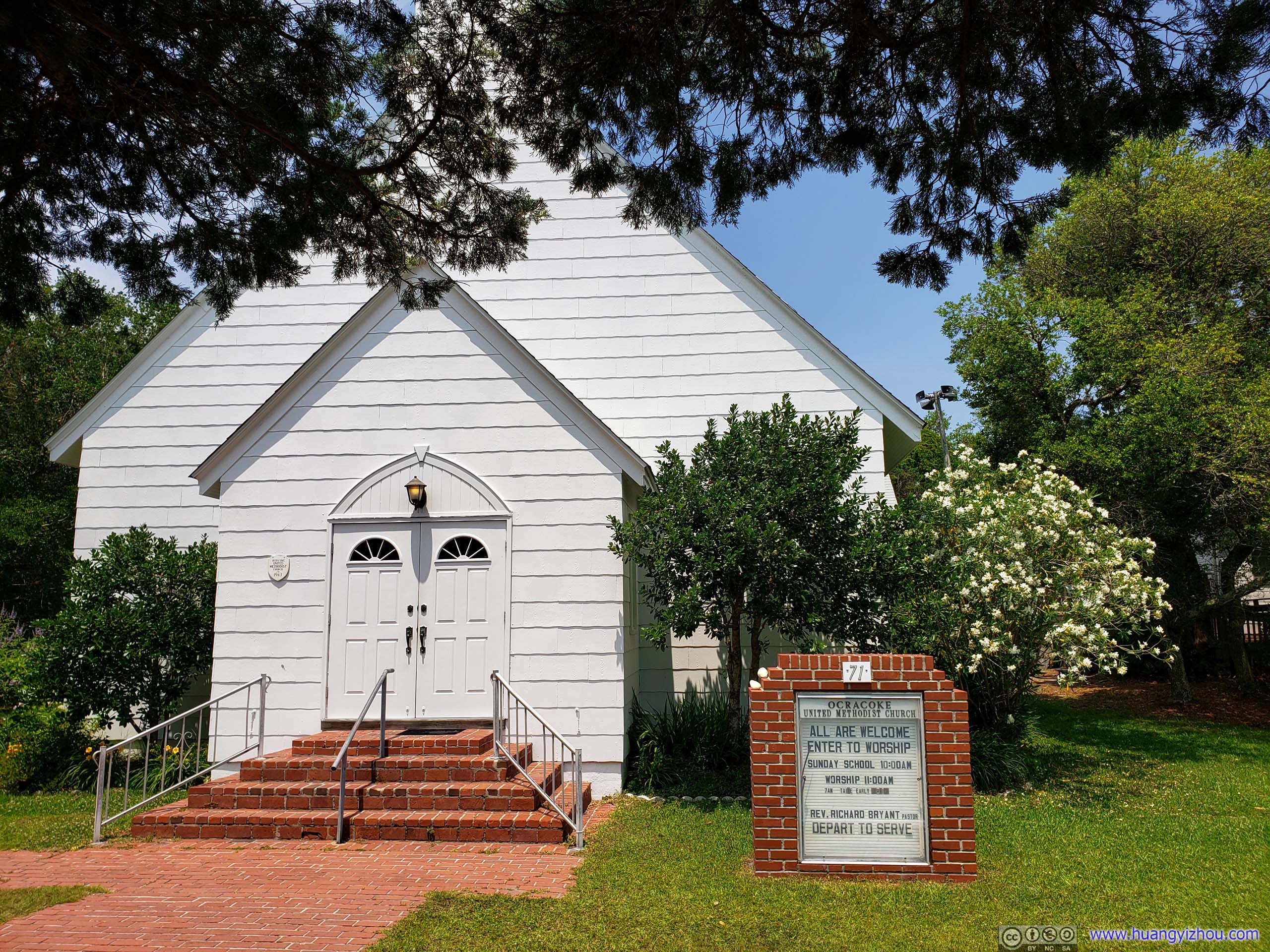
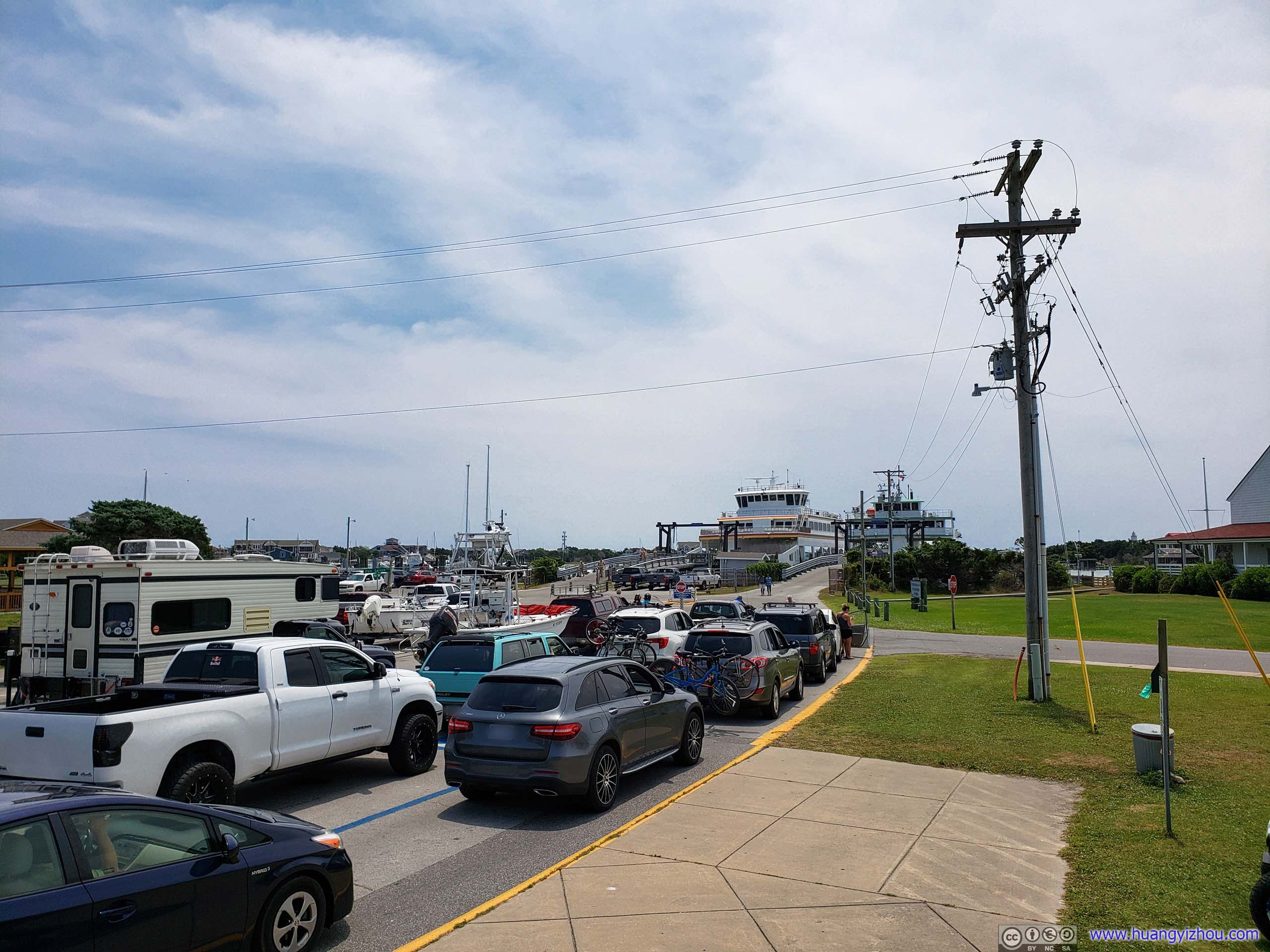
The more important ferry to Cedar Island required us to arrive at the ferry terminal half an hour (rather than half a minute as in the previous case) in advance in order to hold our reservation. The ferry terminal did come with nice amenities like air-conditioned waiting rooms, and I successfully got rid of free-riding frog in my car. Things were going incredibly well.
Here's GPS tracking of the ferry:
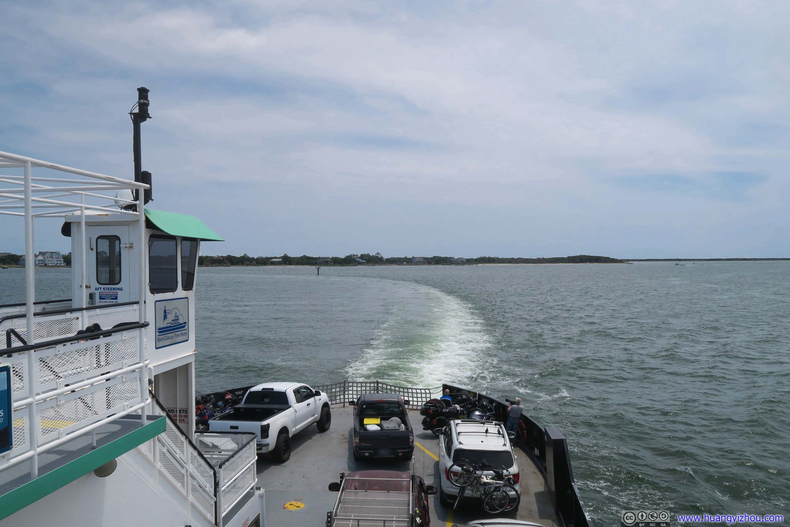
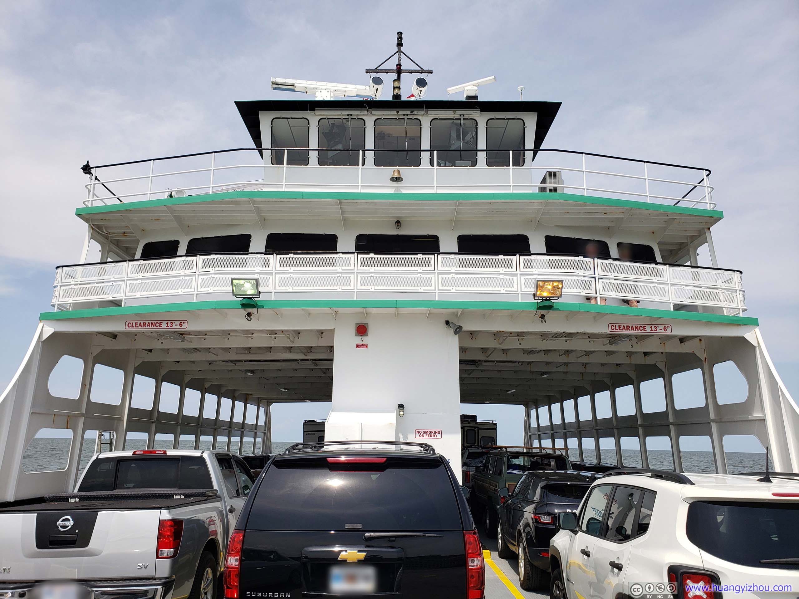
Unlike the previous leg of ferrry, this leg was much longer in time, and so this boat had its entire second deck being air-conditioned passenger lounges, where my friend and I caught more naps.
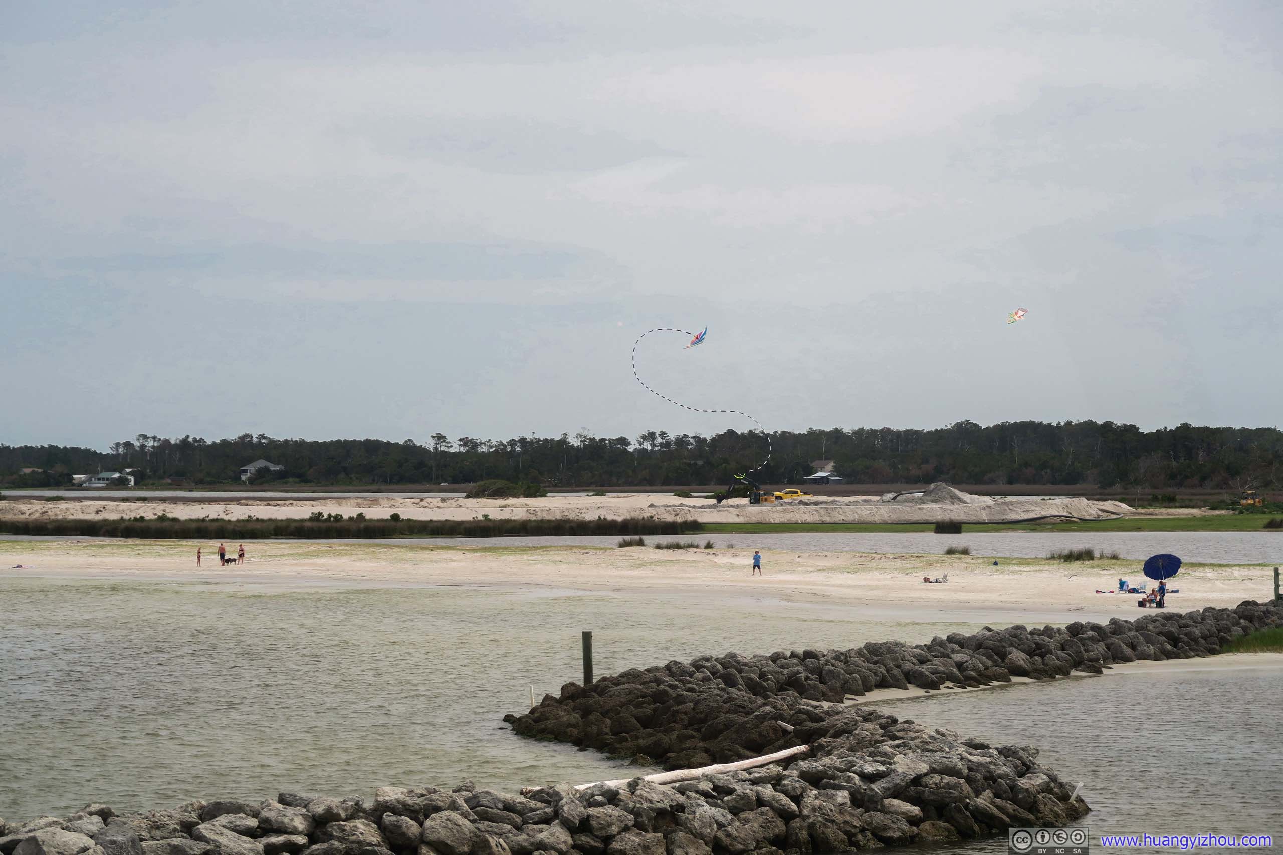
As we approached Cedar Island I caught sight of this kite stunting in the air, which puzzled both my friend and I since the kite didn't seem to be equipped with a motor and its acrobat was just non-stop.
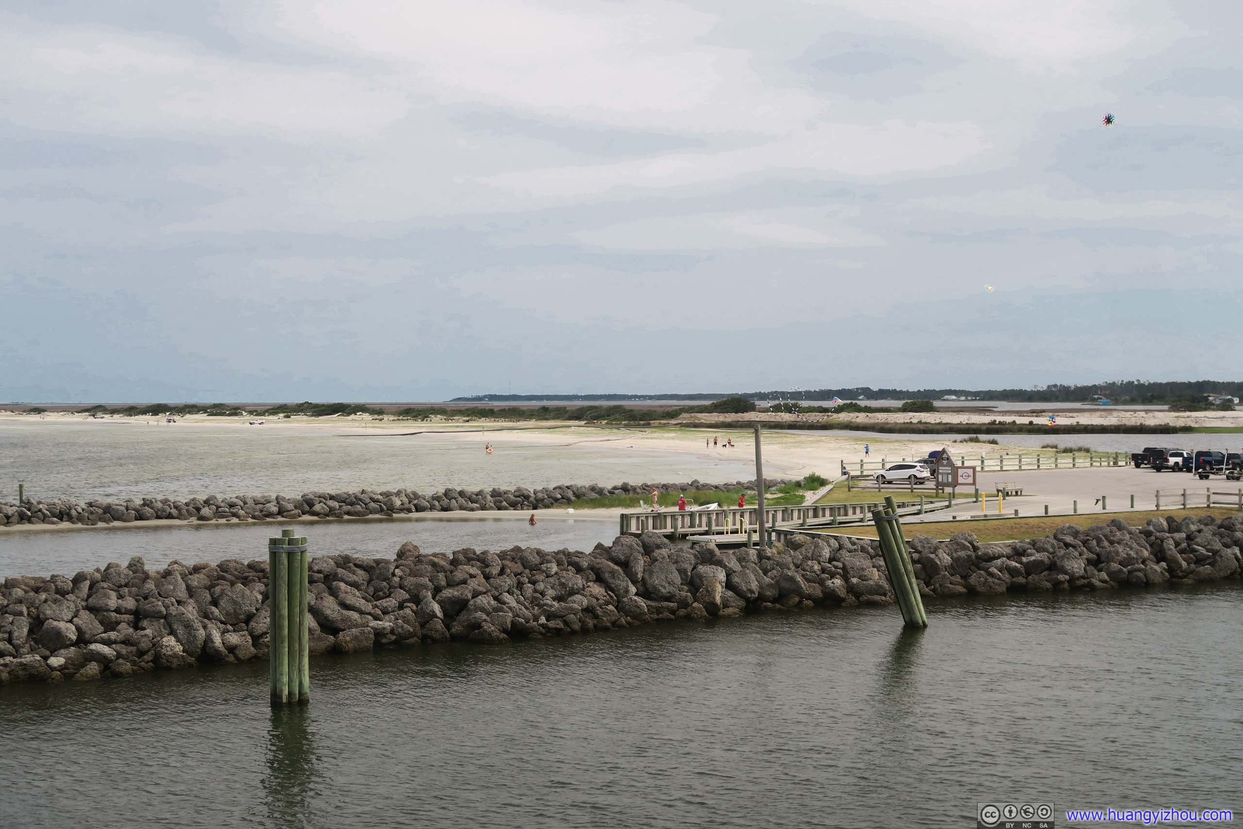
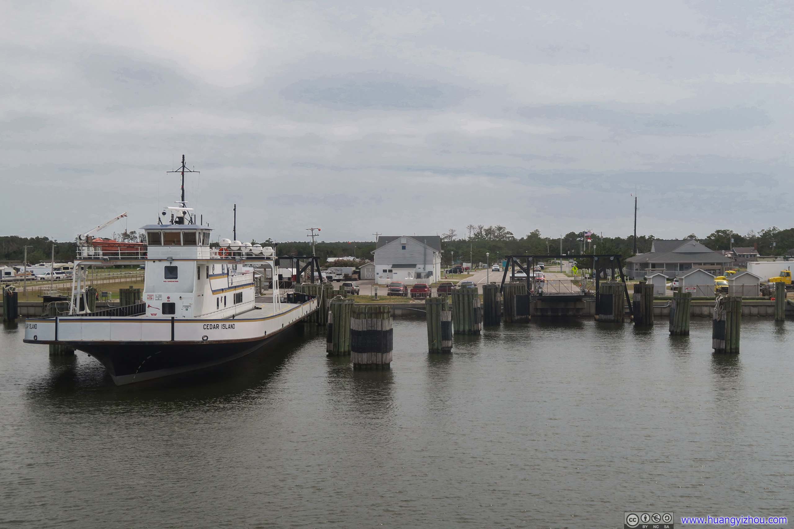
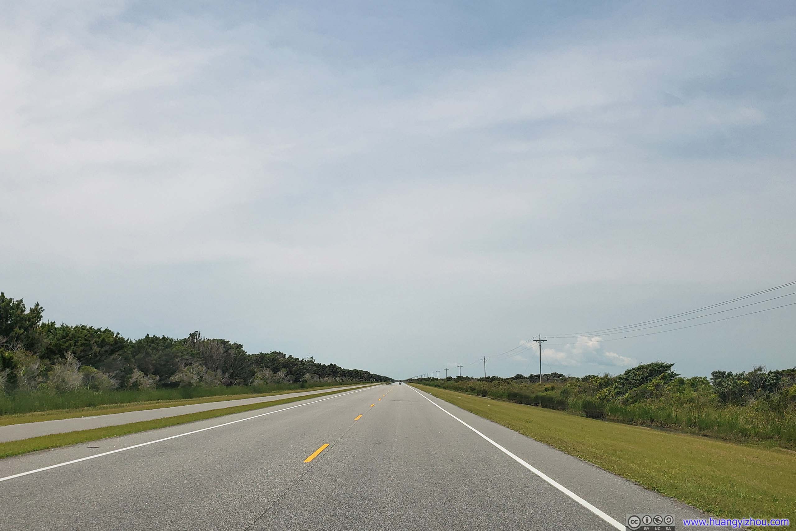
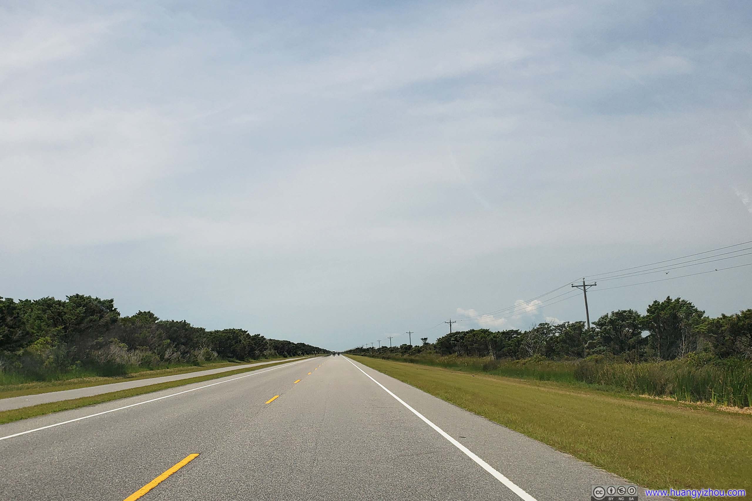
After that, it took us a little more than an hour to reach Fort Macon located just outside Morehead City, with much of the trip being a relaxing drive through two-land island roads like this:
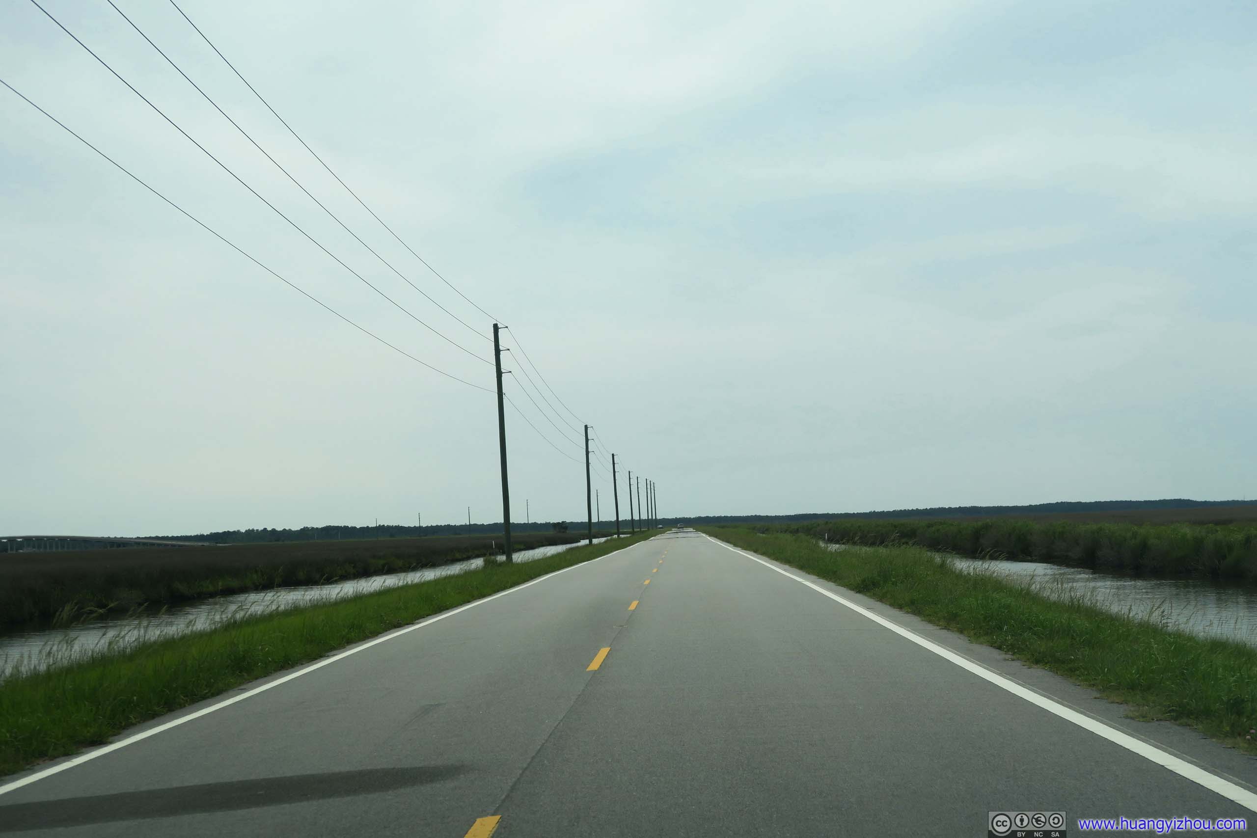
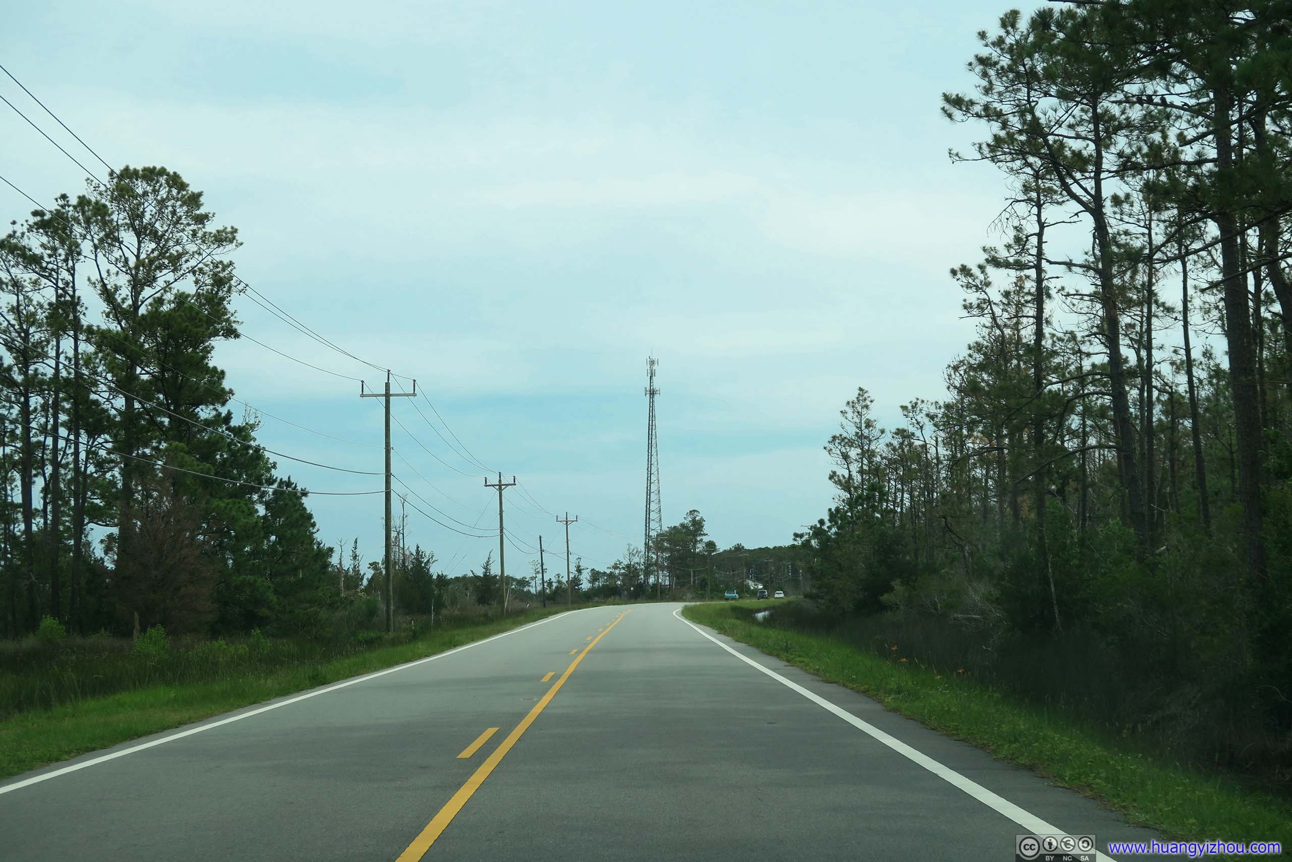
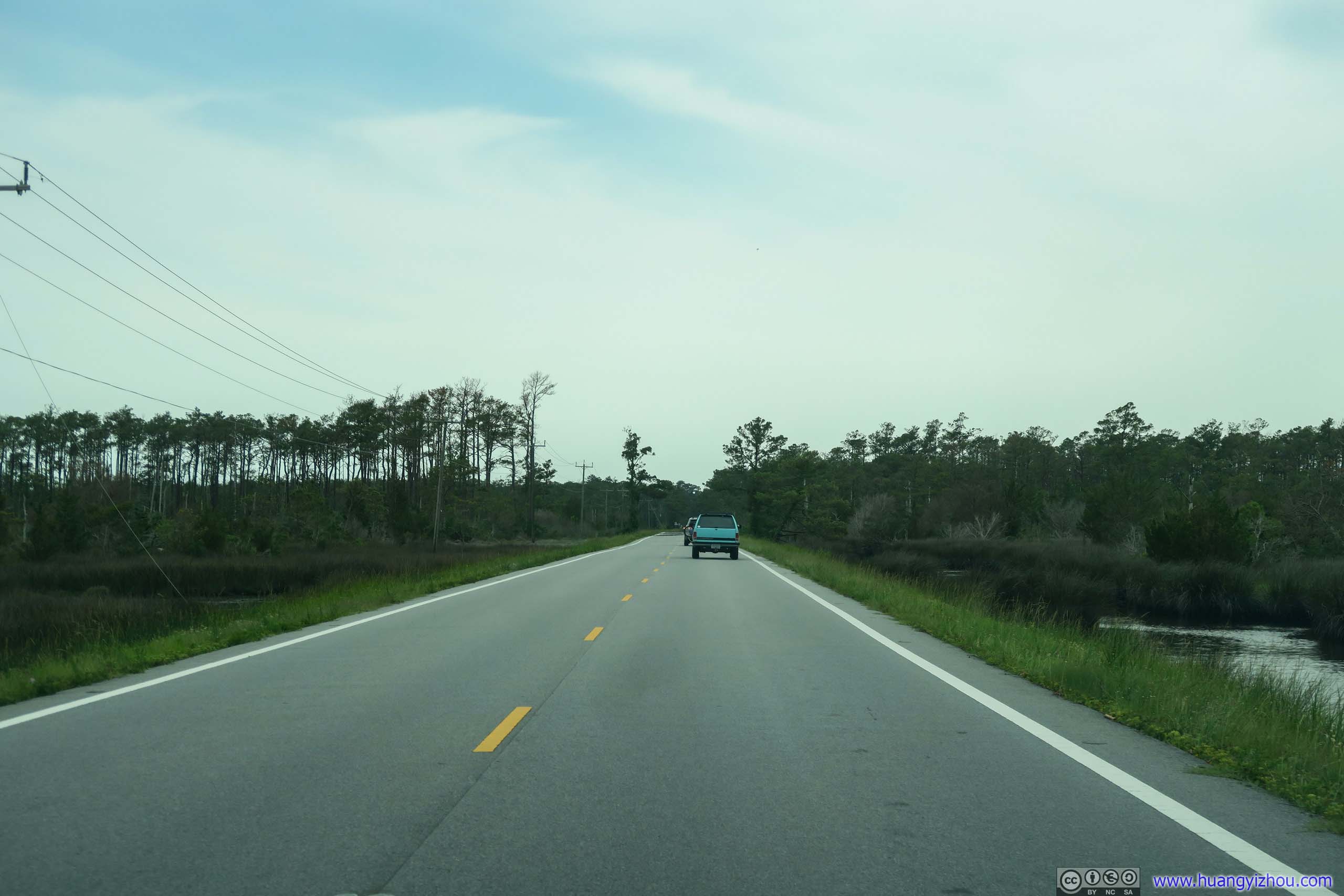
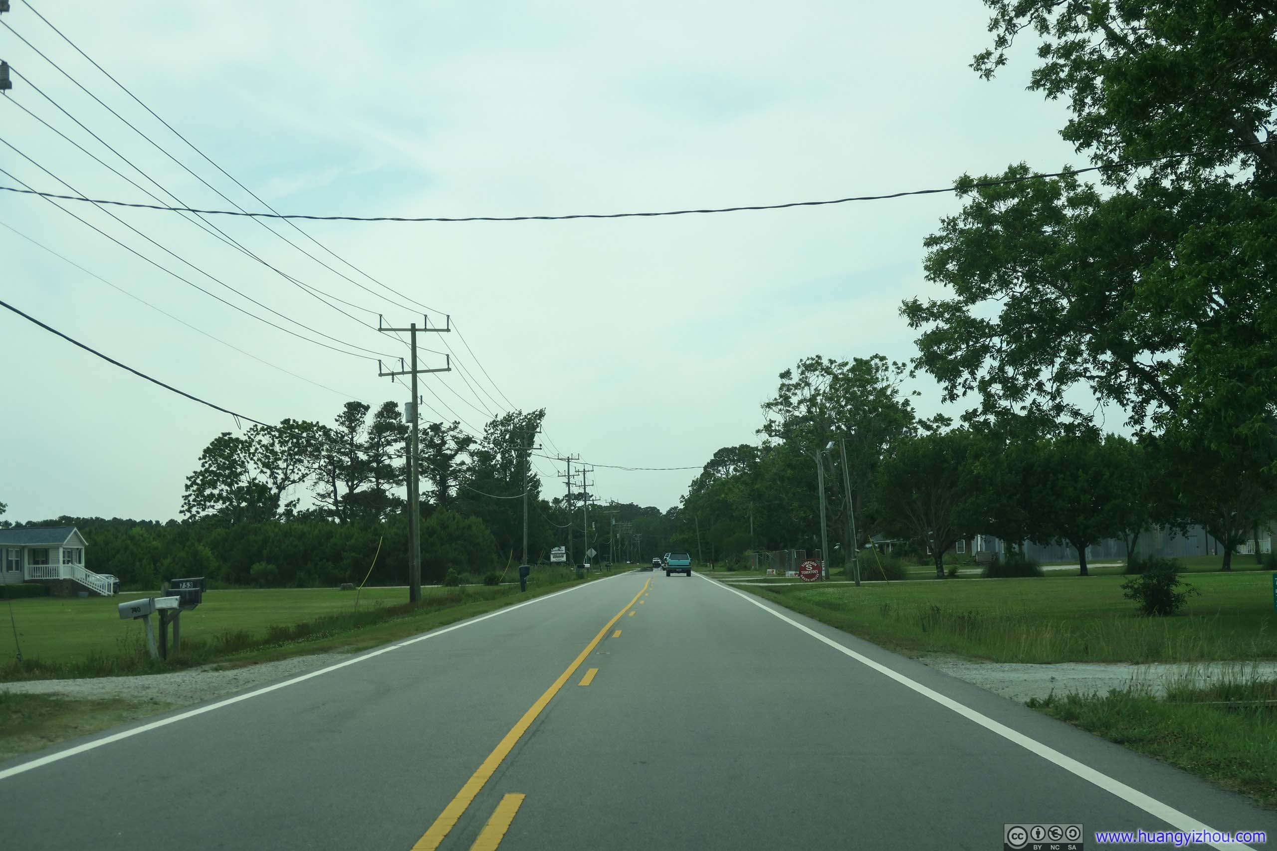
Island Road
And here's our route after getting off the ferry boat, all the way till our overnight lodge in Ocean Isle City.
Fort Macon
Part of the Third System of US fortifications in defense of Beaufort.
Click for detail about prior defenses of Beaufort
Beaufort, North Carolina, founded in 1713, is the third oldest town in the state. The harbor of Beaufort is the second largest in the state and the only North Carolina harbor with direct ocean access. The harbor provided early residents with both a prosperous fishing and commerce industry, but also presented the problem of how to defend the town against attack in time of war. During wars with Spain, France and Great Britain in the 1700s, Beaufort had no defense. As a result the town was captured by Spanish raiders in August 1747. The British also captured Beaufort during April 4-17, 1782, in what has been termed the “last battle of the Revolutionary War.” These incidents dramatized the need for coastal defense against foreign attack.
Fort Dobbs In 1756 during the French and Indian War, the first fort to defend Beaufort Harbor was begun. Situated on the Bogue Point cast of present Fort Macon, its two earth and fascine sides were intended for an armament of fourteen 6- and 12- pounder cannons. A large garrison house was to provide quarters for a 31-man garrison. The fort was named Fort Dobbs after royal governor Arthur Dobbs. Unfortunately, Fort Dobbs was never completed. It was allowed to collapse into ruins without ever being armed or occupied.
Fort Hampton In 1808, the US government built a small semicircular fort on Bogue Point about 300 yards east of Fort Macon. Completed in 1809 at a cost of $8863, the fort was named Fort Hampton. It had a powder magazine, a two-story barracks for 50 men and a parapet of “tabby”, or oyster shell cement. Armed with six 178-pounder cannons, Fort Hampton prevented British ships from raiding Beaufort Harbor in the War of 1812. After 1819, the fort was deactivated as a garrison post. The ofrt and much of the surrounding beach eroded into the inlet during a hurricane on June 3-4, 1825. With the demise of Fort Hampton, the present fort, Fort Macon, was begun in 1826 for the defense of Beaufort Harbor. From official information board.

Click for details
Prior to Fort Macon's Construction in 1826, a small masonry fort named Fort Hampton was built during 1808-09 by the United States to guard Beaufort Inlet. The fort protected the inlet during the subsequent War of 1812, but was abandoned after 1819. It was washed into the inlet by shore erosion. It is believed the fierce hurricane of June 3-4, 1825, finally claimed the fort.
From official information board.
As a side note, it's sort of surprising to learn that Fort Macon was the second most visited state park of North Carolina (we visited the most, Jockey's Ridge yesterday). I strongly believed the State of North Carolina should have much better to offer.
Since it's a state park, it came with a museum that's weirdly, mostly devoted to North Carolina ocean lives and conservation, about bird-watching as a hobby for the physician that's deployed at this fort, rather than the fort itself. Perhaps that's catering to the park's average visitor to its beaches than the fort itself?
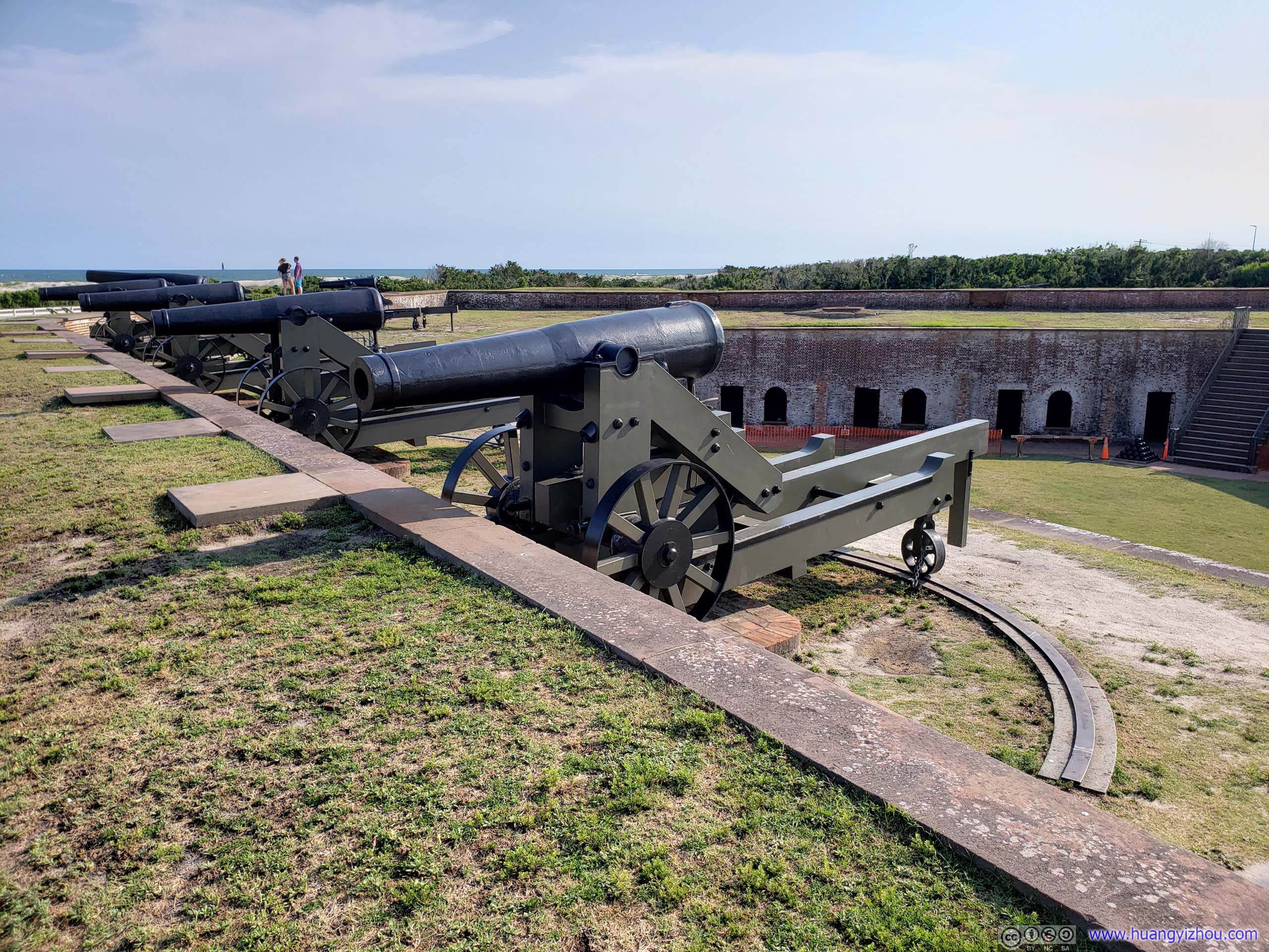
Unfortunately, after sustaining some hurricane damage, the casemates of Fort Macon were all closed for renovation, so we could only visits its center court / parade grounds and its walls and moats.
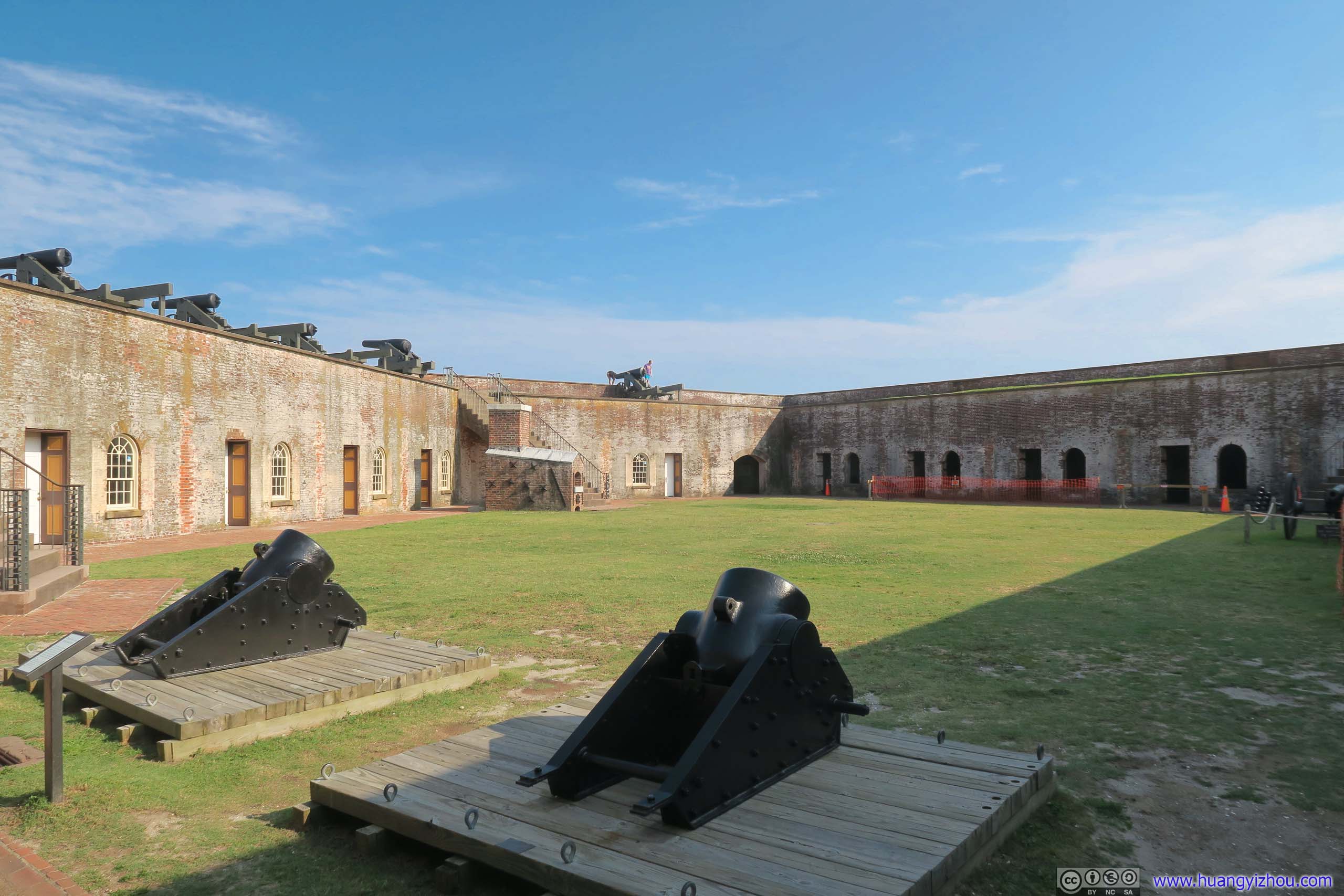
Two surviving cannons of Fort Macon’s original armament.
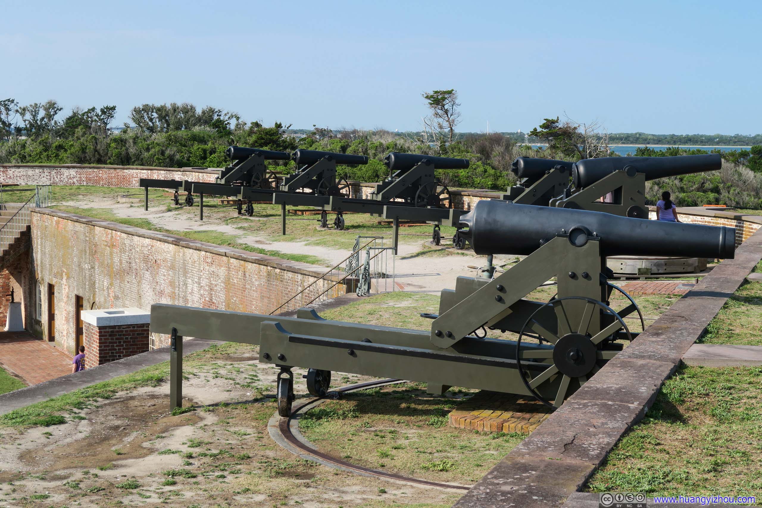
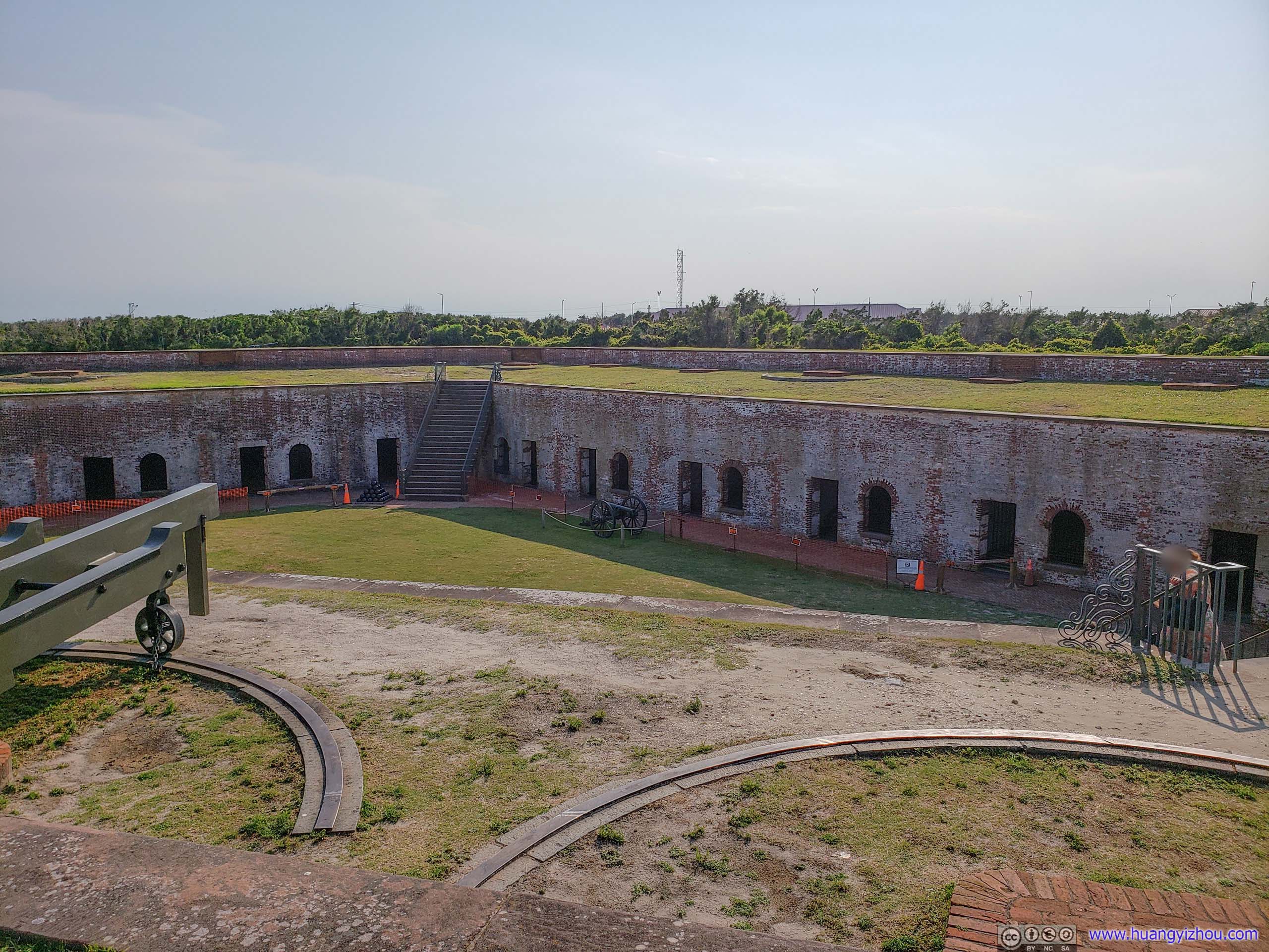
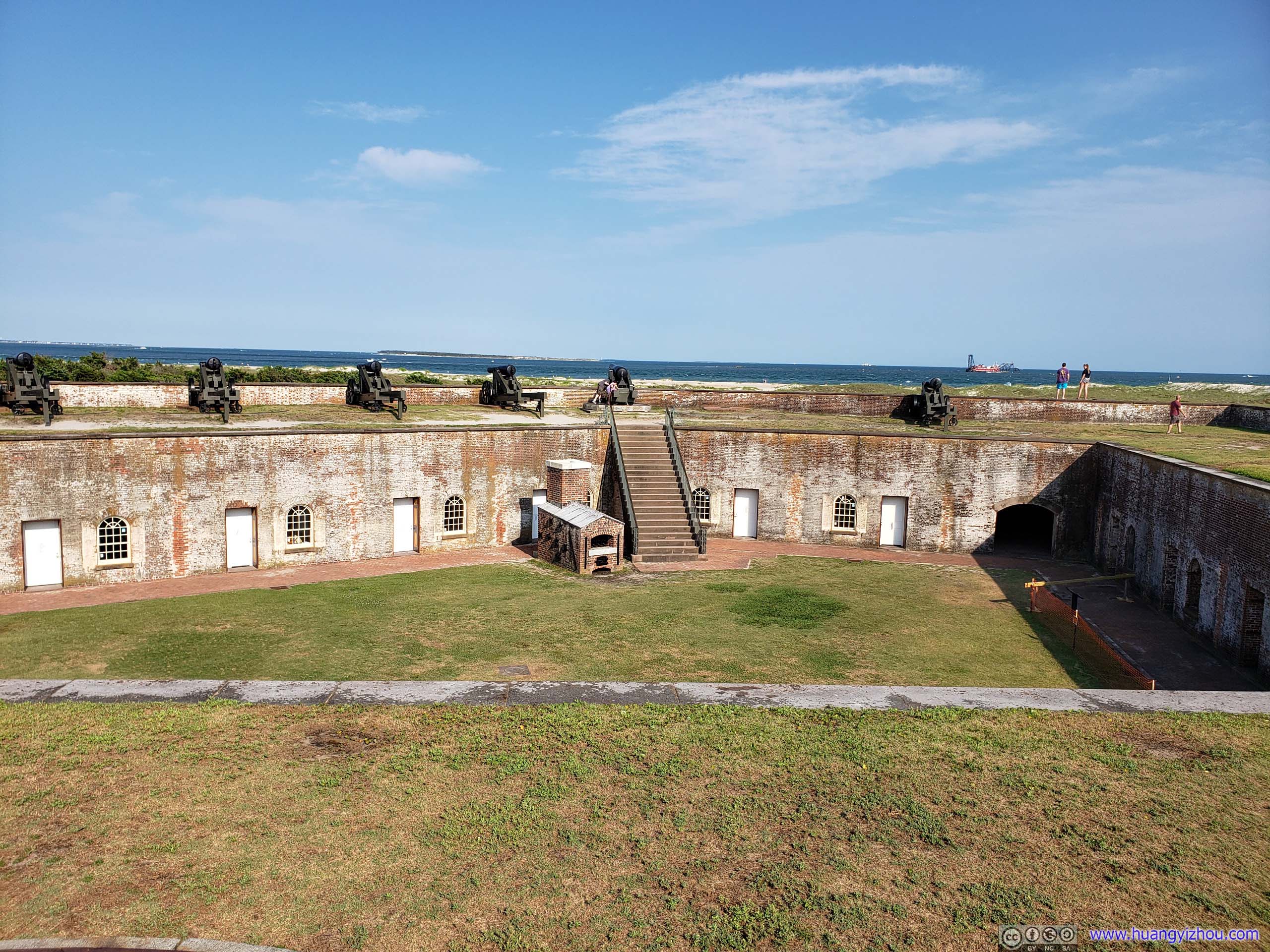
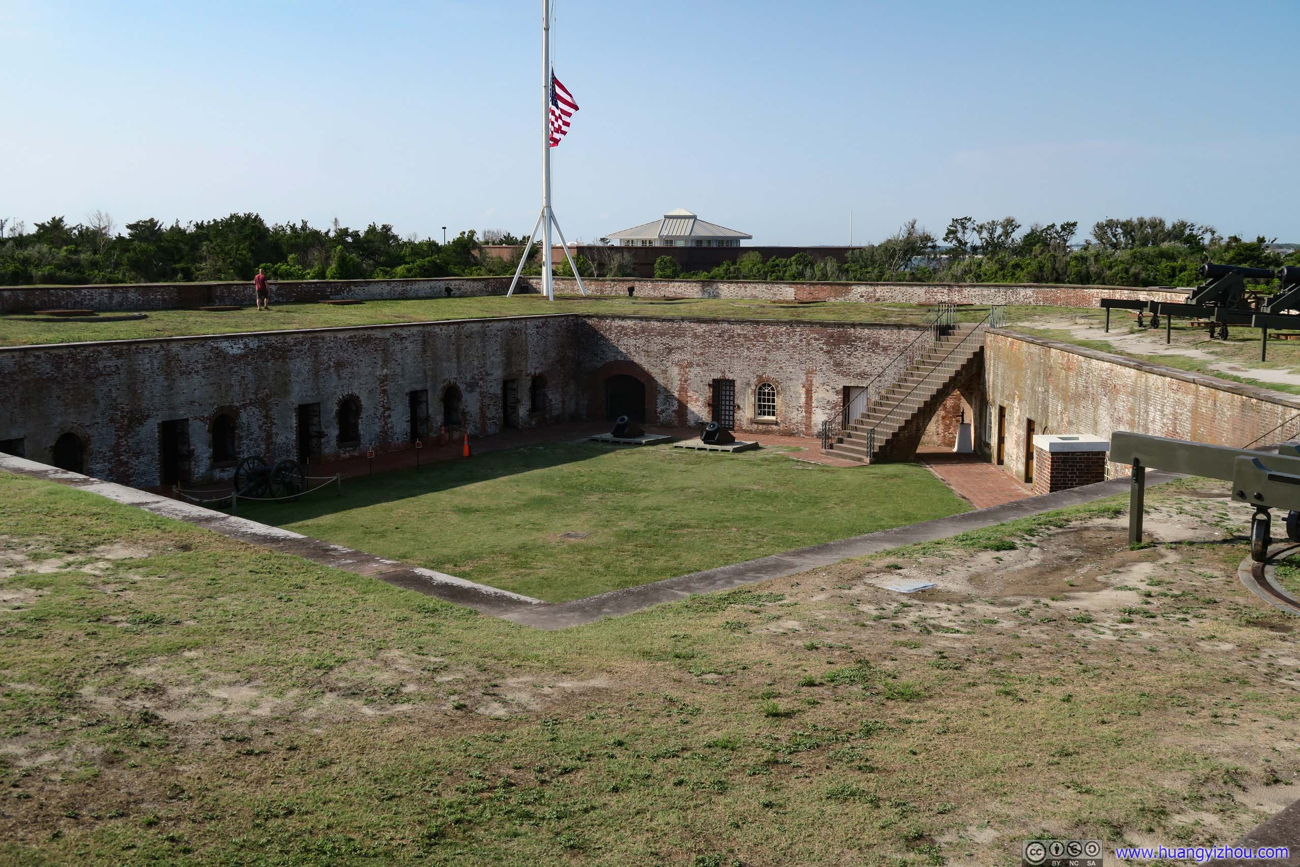

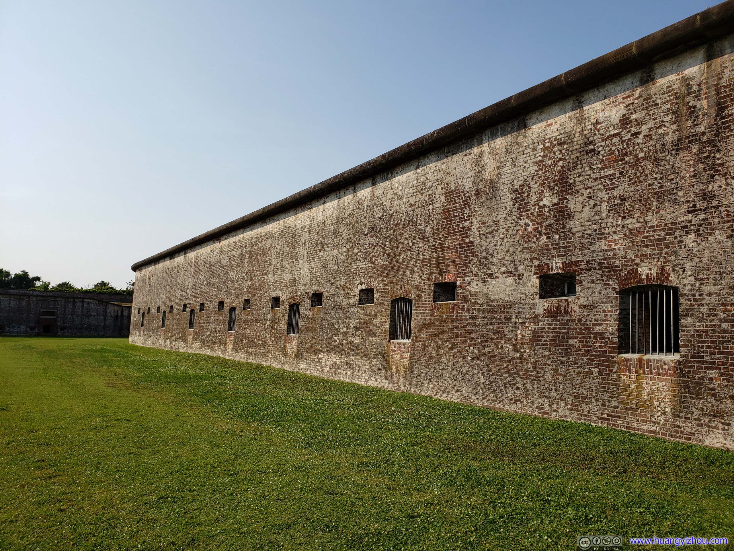

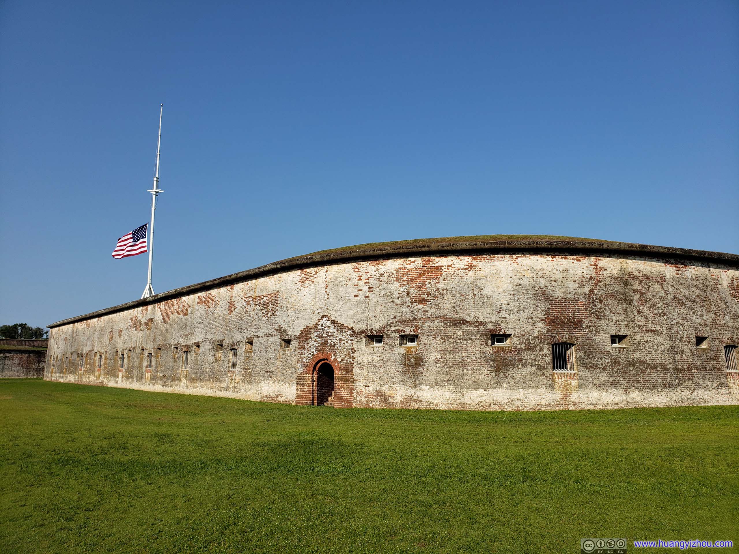
Moat
It was a relaxing experience standing on the walls of Fort Macon enjoying breeze from the ocean, a fitting stop in our race to overnight lodge near the South Carolina border.
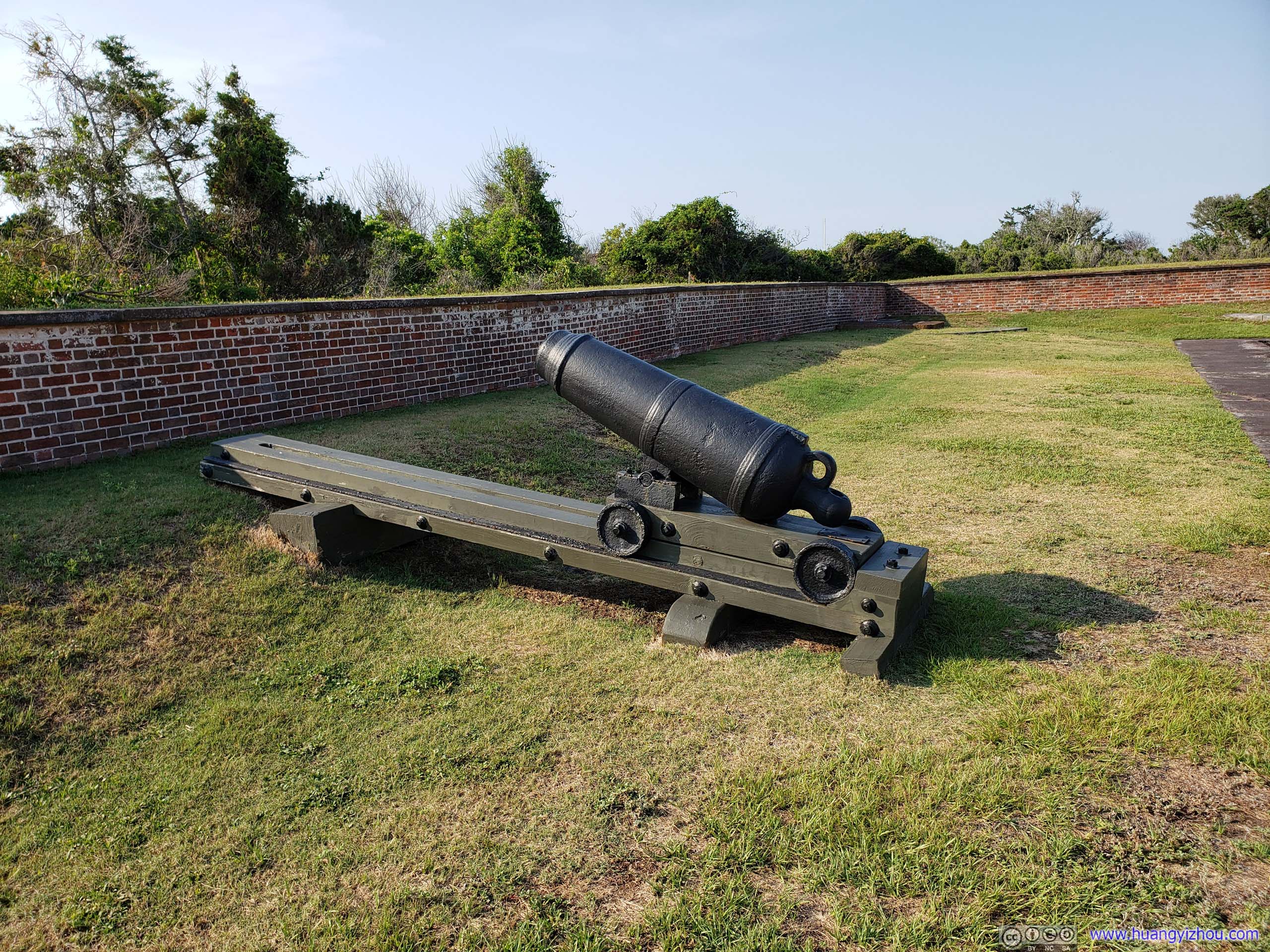
Carronade were designed to shoot almost horizontally while mortars at a significant angle. During the Union's siege and bombardment of Fort Macon Confederate soldiers were short of mortars to fire upon Union trenches so they mounted this carronade at an angle and used it as mortar. Since this was state park of South Carolina, the official information board described this even with full sympathy and respect to the ingenious Confederate soldiers who unfortunately stood on the wrong side of history.
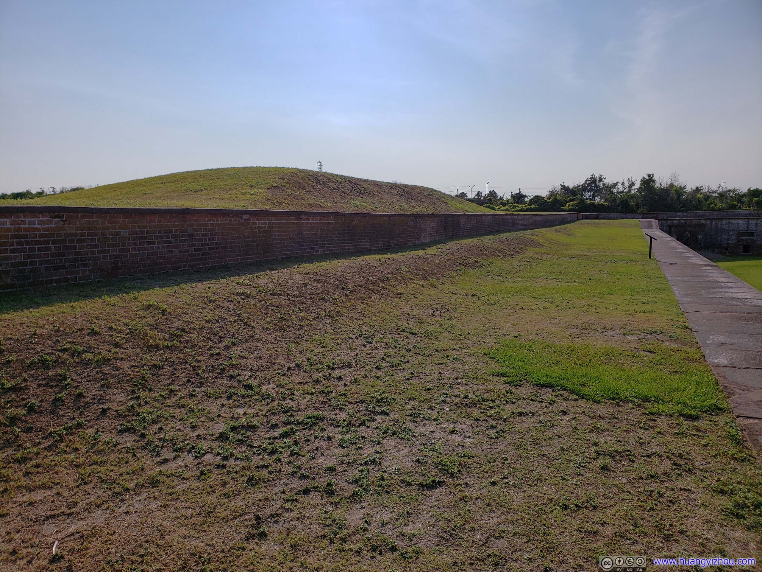
The mound to the left was built to shield a battery of two 10-inch siege mortars mounted here in 1898 during the Spanish-American War. The mortars were later moved inside the fort.

After that, we raced to our overnight lodge near the border of South Carolina and called it a day.

Anti-Bacteria hand soap and hand sanitizer, I always thought they were two names of the same thing.
END