Day Trip to Shenandoah National Park
Another autumn day as my friends and I ventured into nature again. This time we were visiting Shenandoah National Park in Virginia, hiking Whiteoak Canyon / Cedar Run Loop and Bearfence Mountain.
Whiteoak Canyon / Cedar Run Loop
After a little bit over two hours and abnormally busy traffic on the usually quiet Virginia Route 15/211, we arrived at the parking lot which was marked as "Lower Hawksbill Trailhead" on maps.
This loop trail had a dedicated parking lot down the hill on Weakley Hollow Road off Skyline Drive. However, by the time we visited the lower parking lot was closed due to bridge maintenance (online comments indicated it's reopened as of Oct 11), so parking was a challenge as it was a relatively small lot accommodating three trails (this one plus Crescent Rock and Hawksbill Peak). Fortunately, we pulled into the only open spot at the time, so I could leave my worries with all the annoying bugs.

And here's GPS tracking.
So at 12:10pm we started the hike. The trail soon forked into Cedar Run Trail and a horse trail, and we took the former first.
Cedar Run
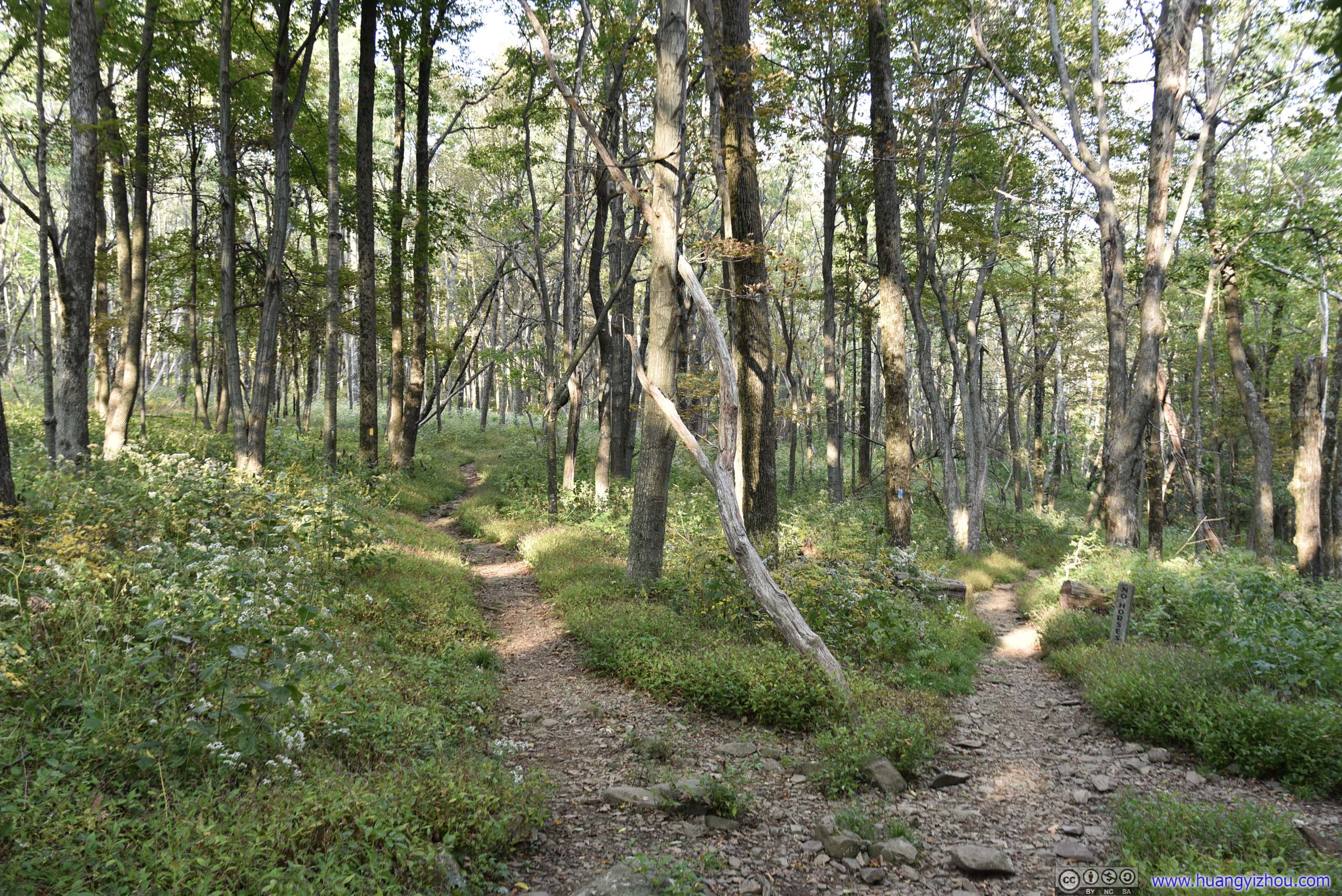

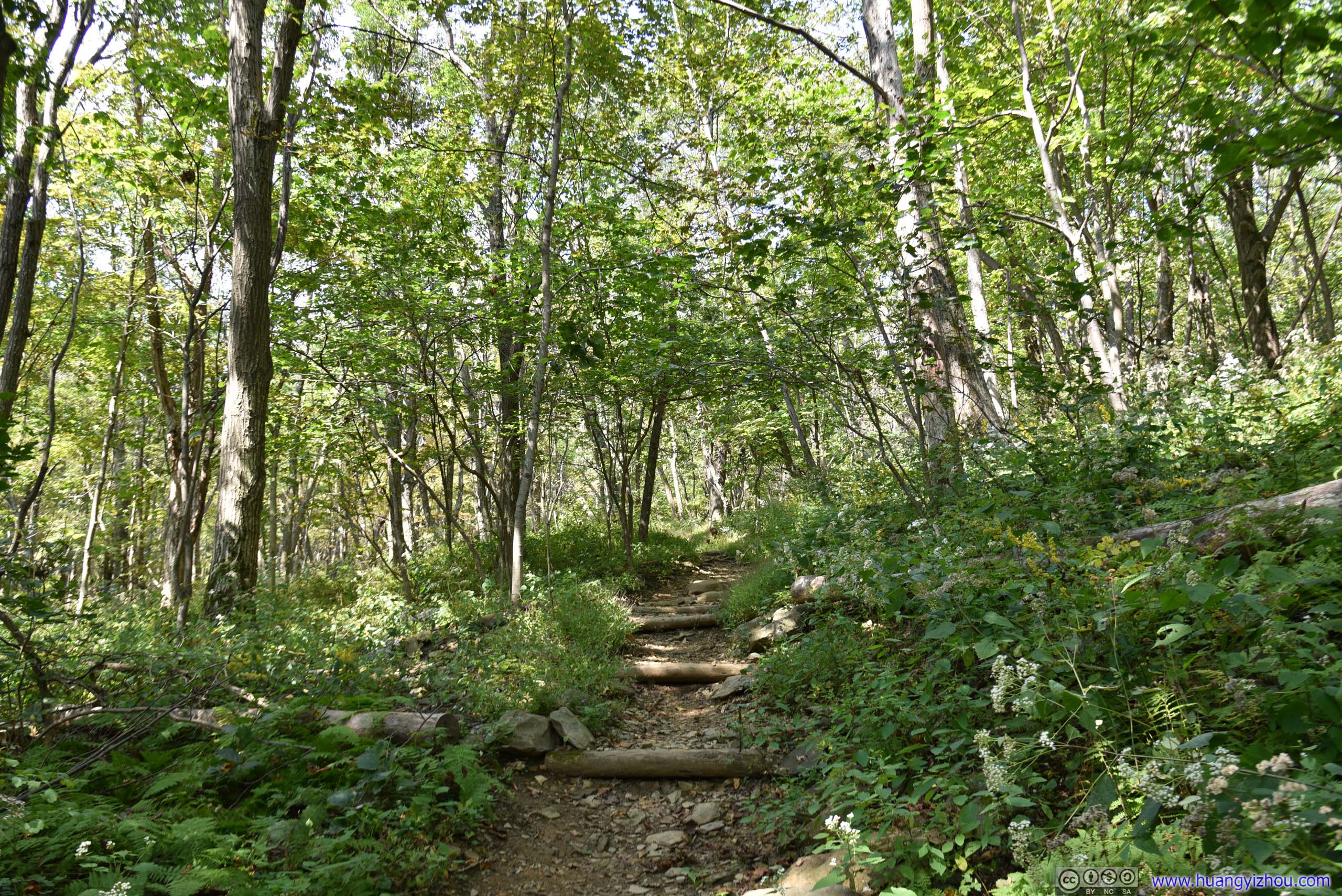
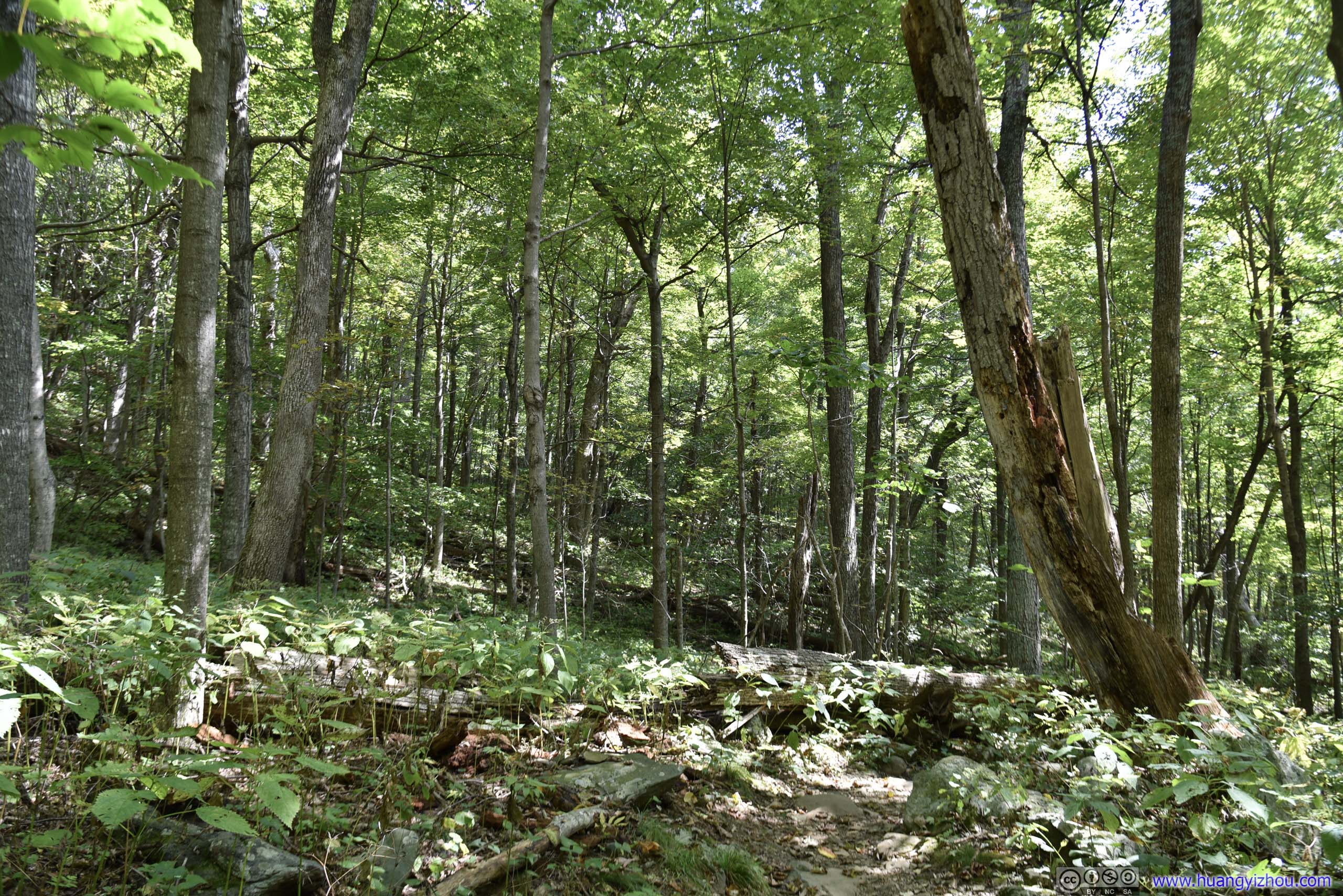
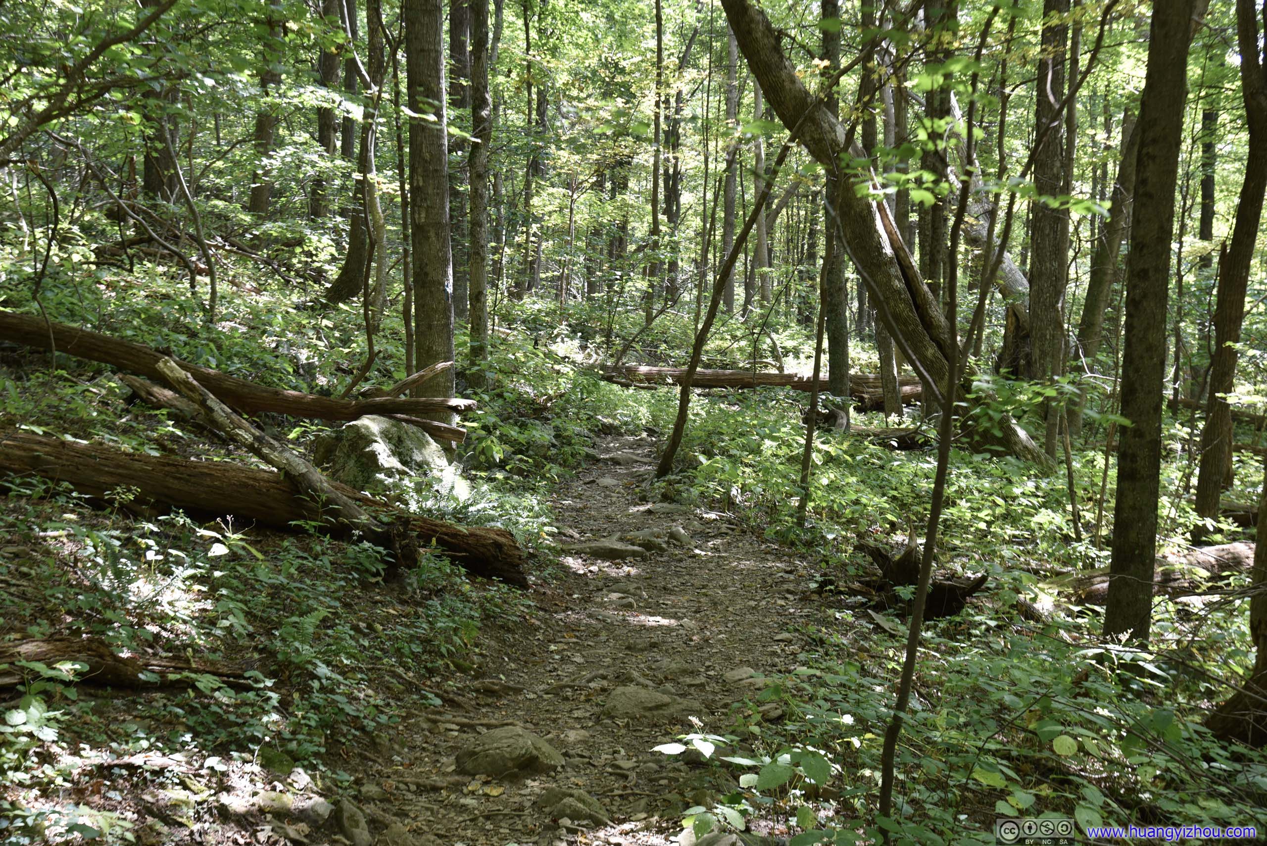
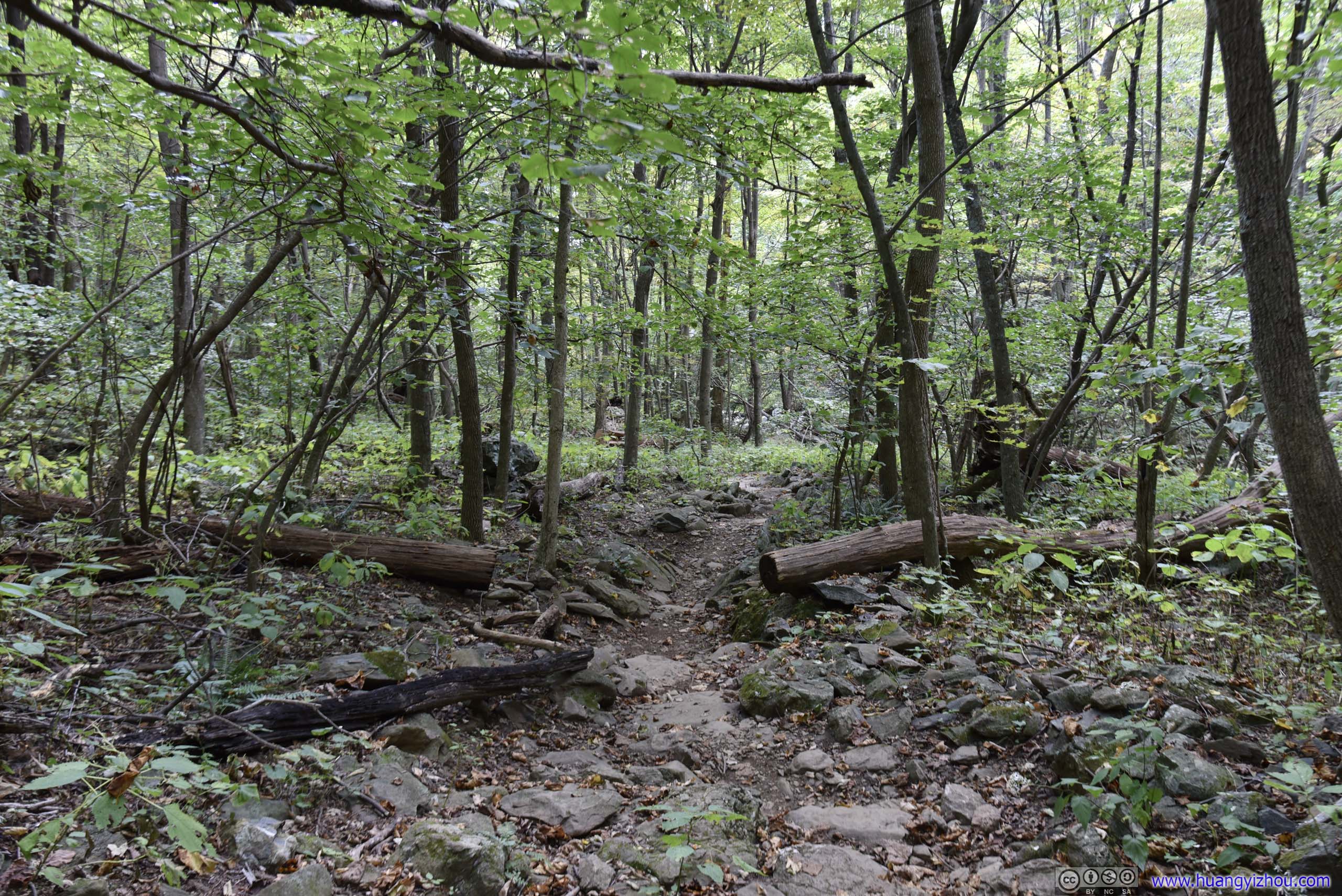
Trail
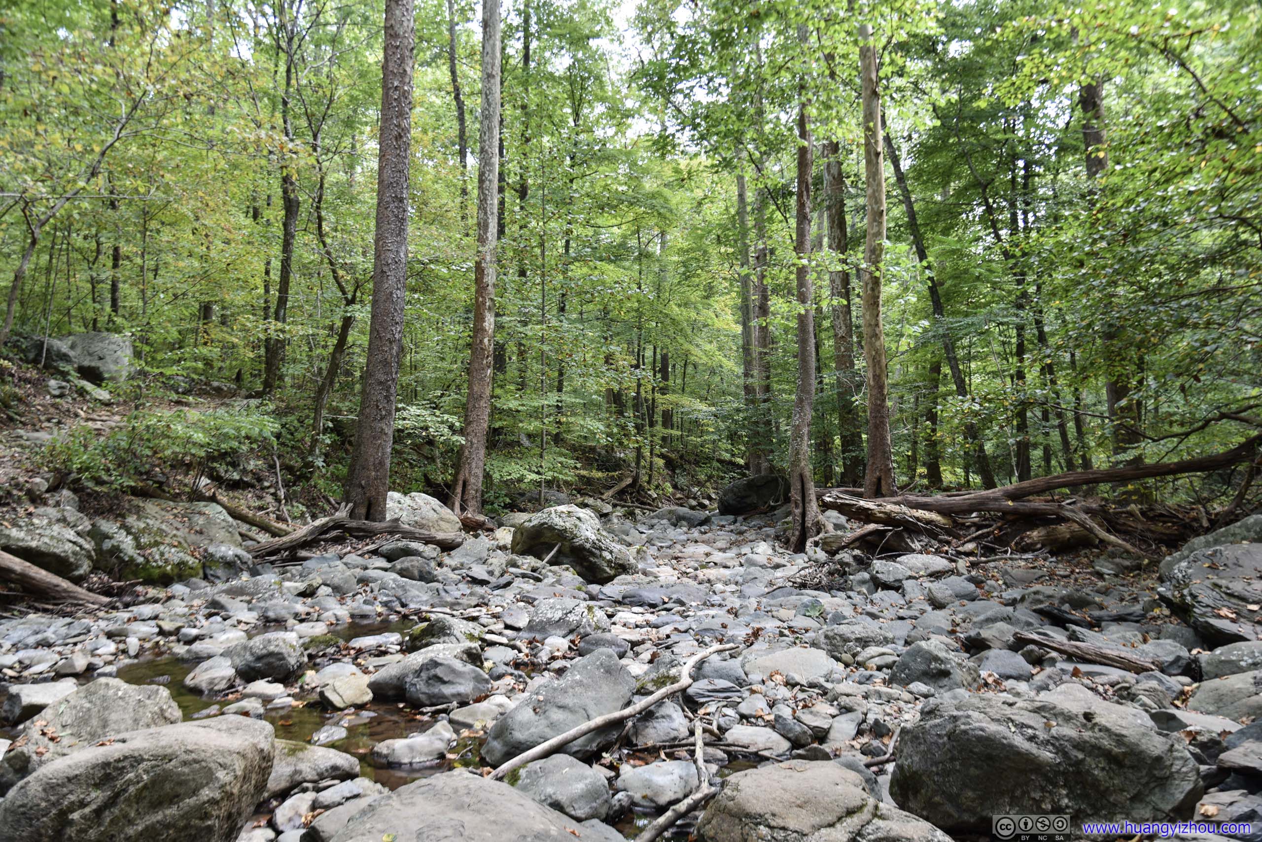
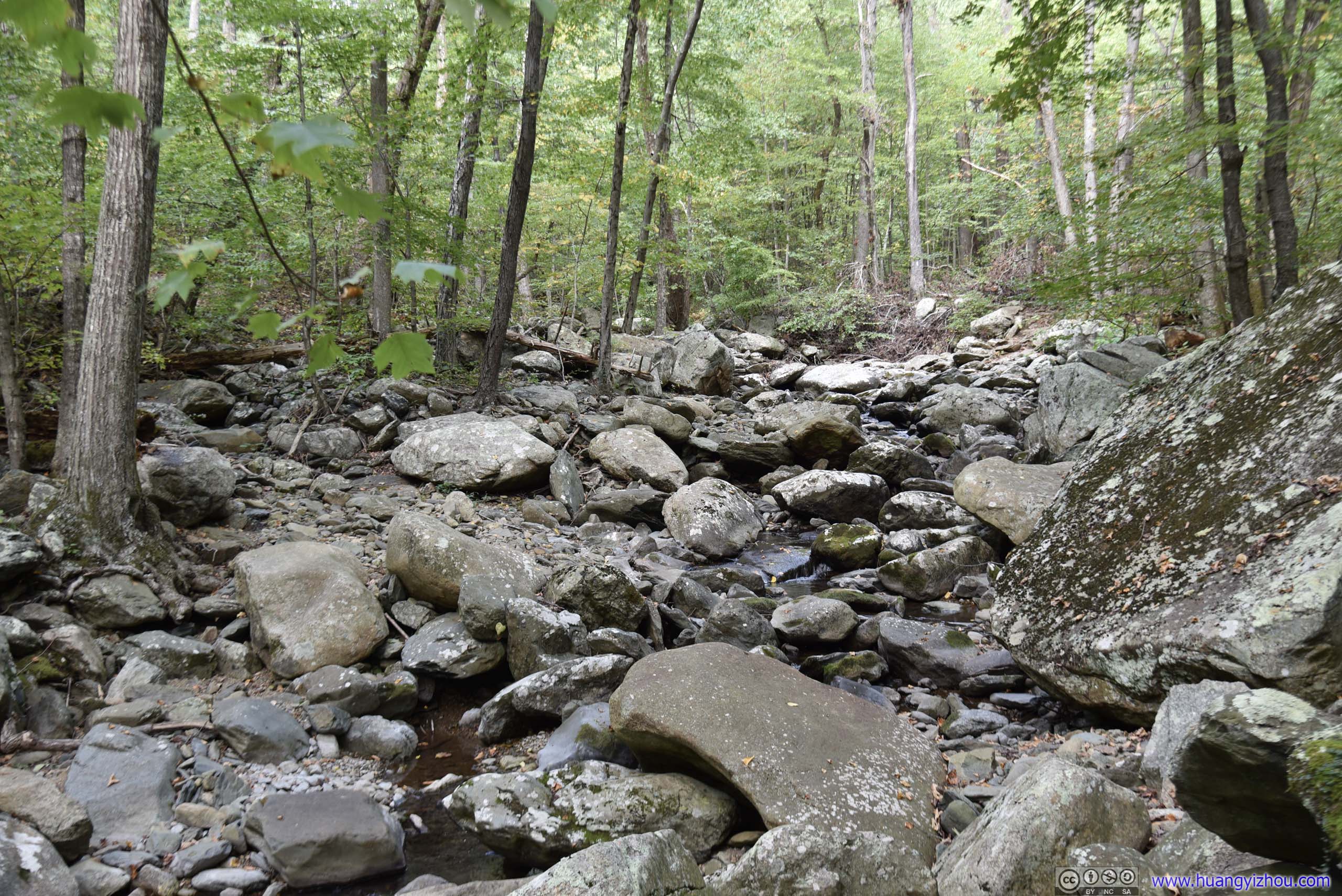
Cedar Run Trail started with an easy descent and gradually grew more and more rocky as we started to follow Cedar Run. With not much rainfall recently, there's barely any waterflow on Cedar Run underneath its rocky surface.
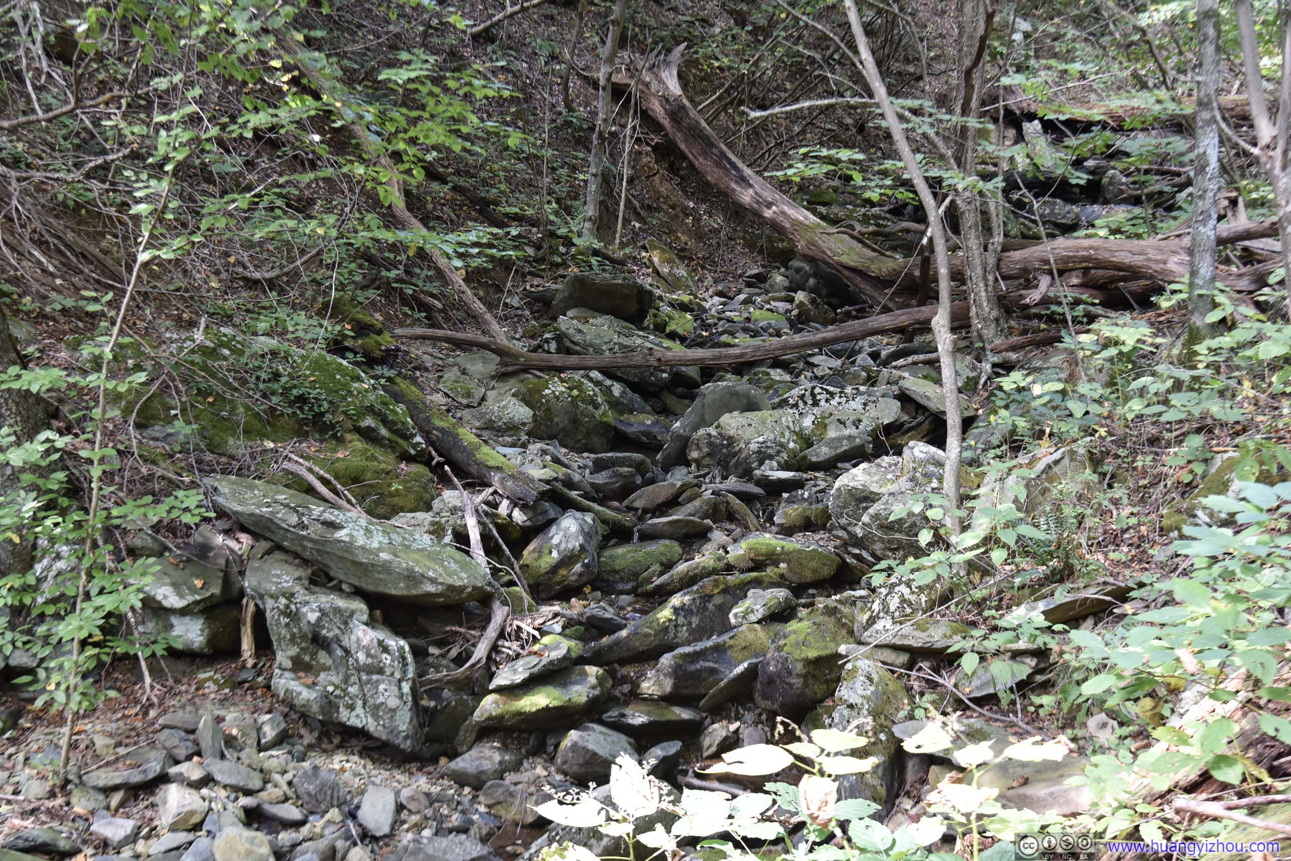
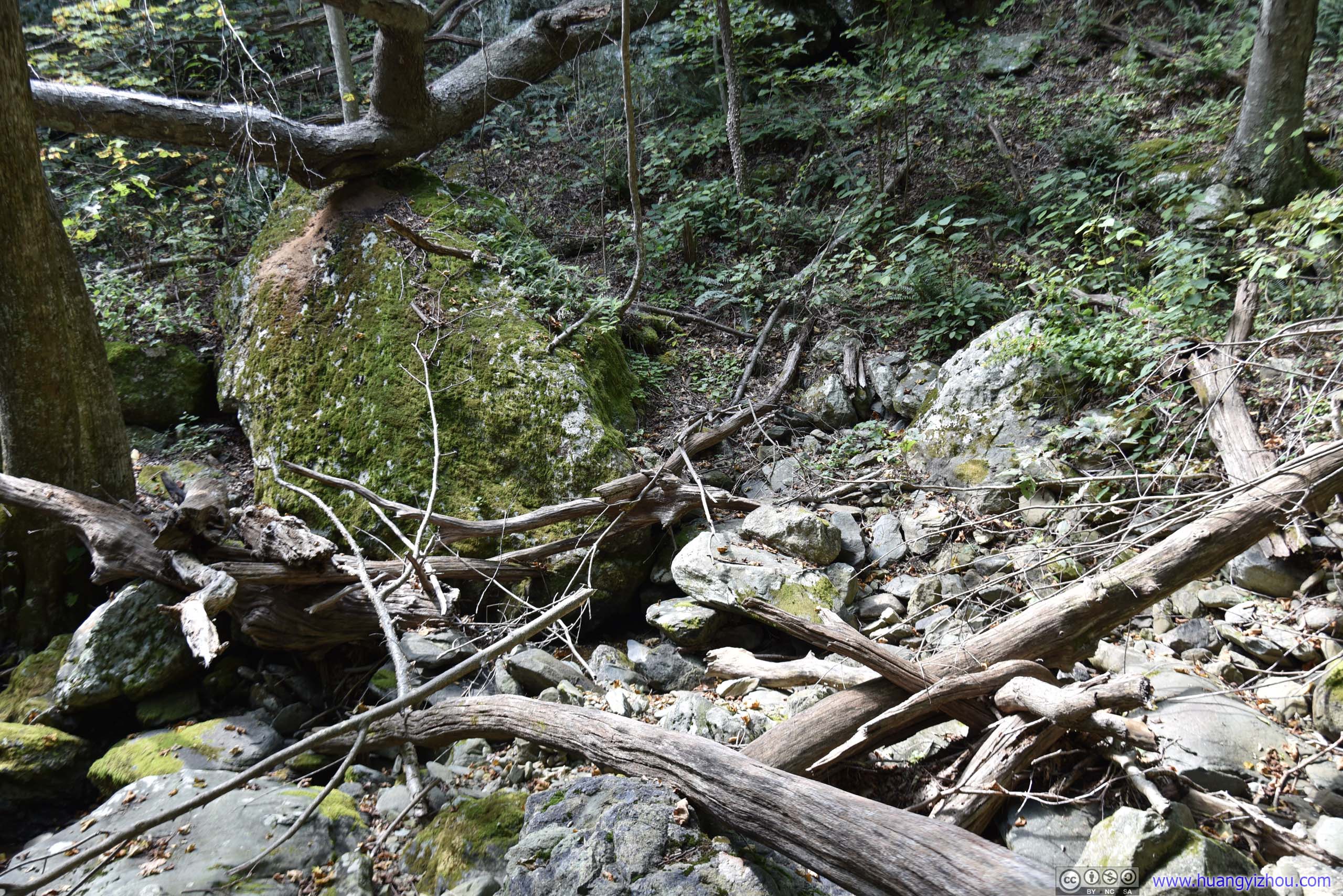
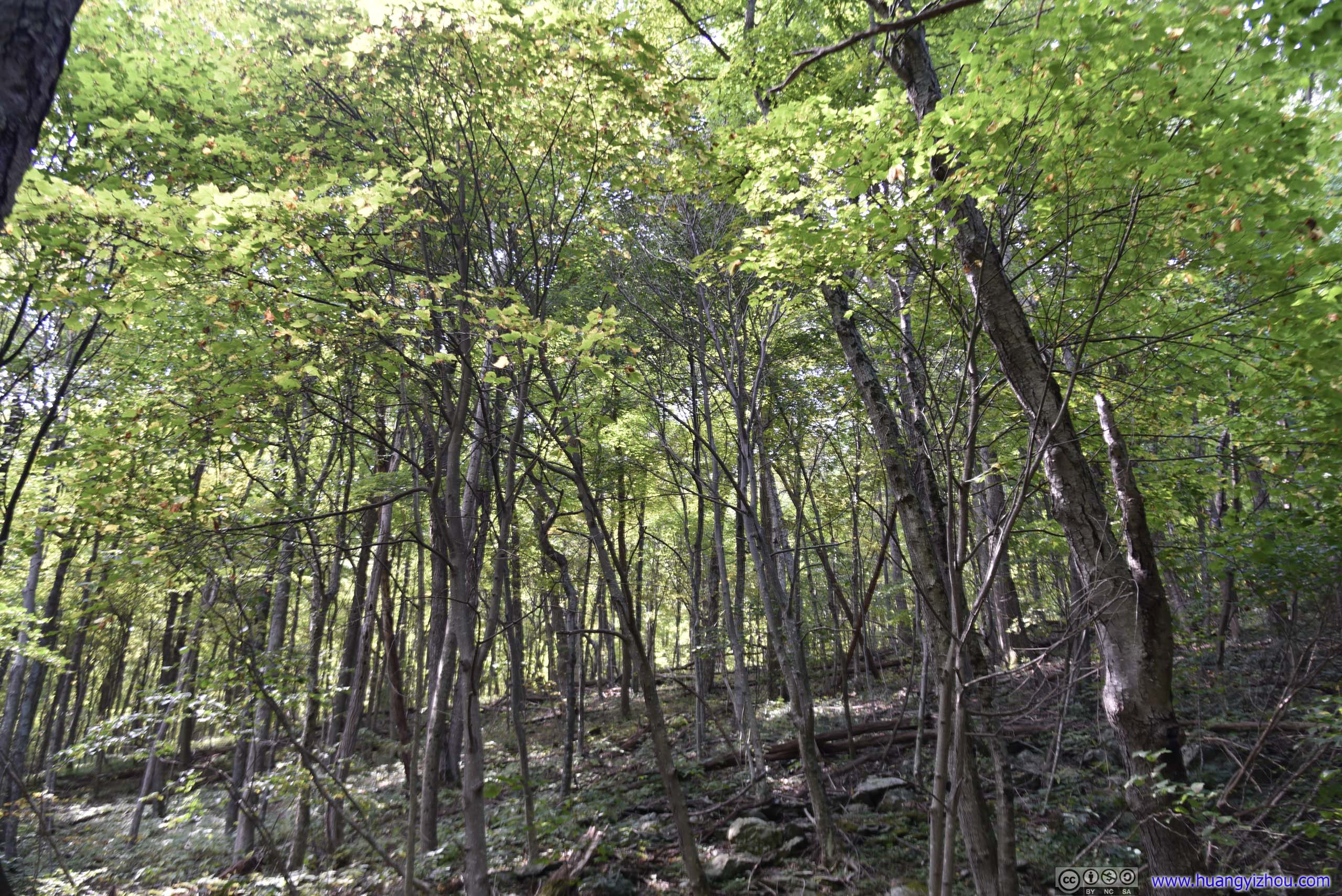
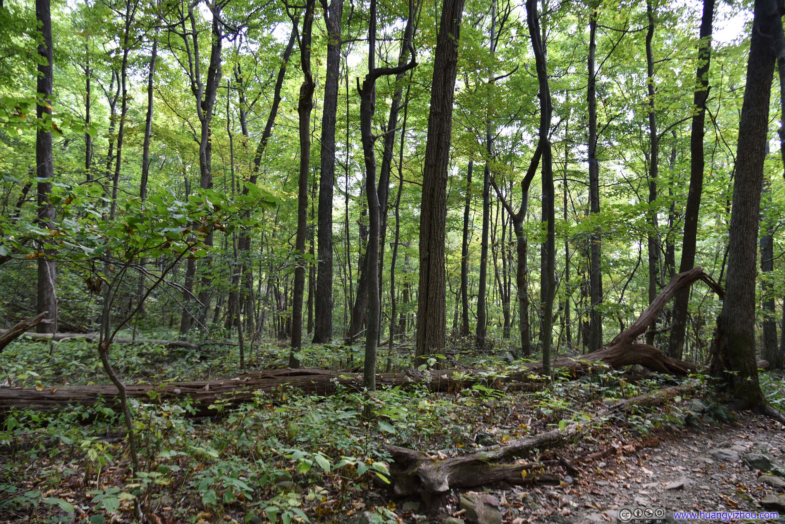
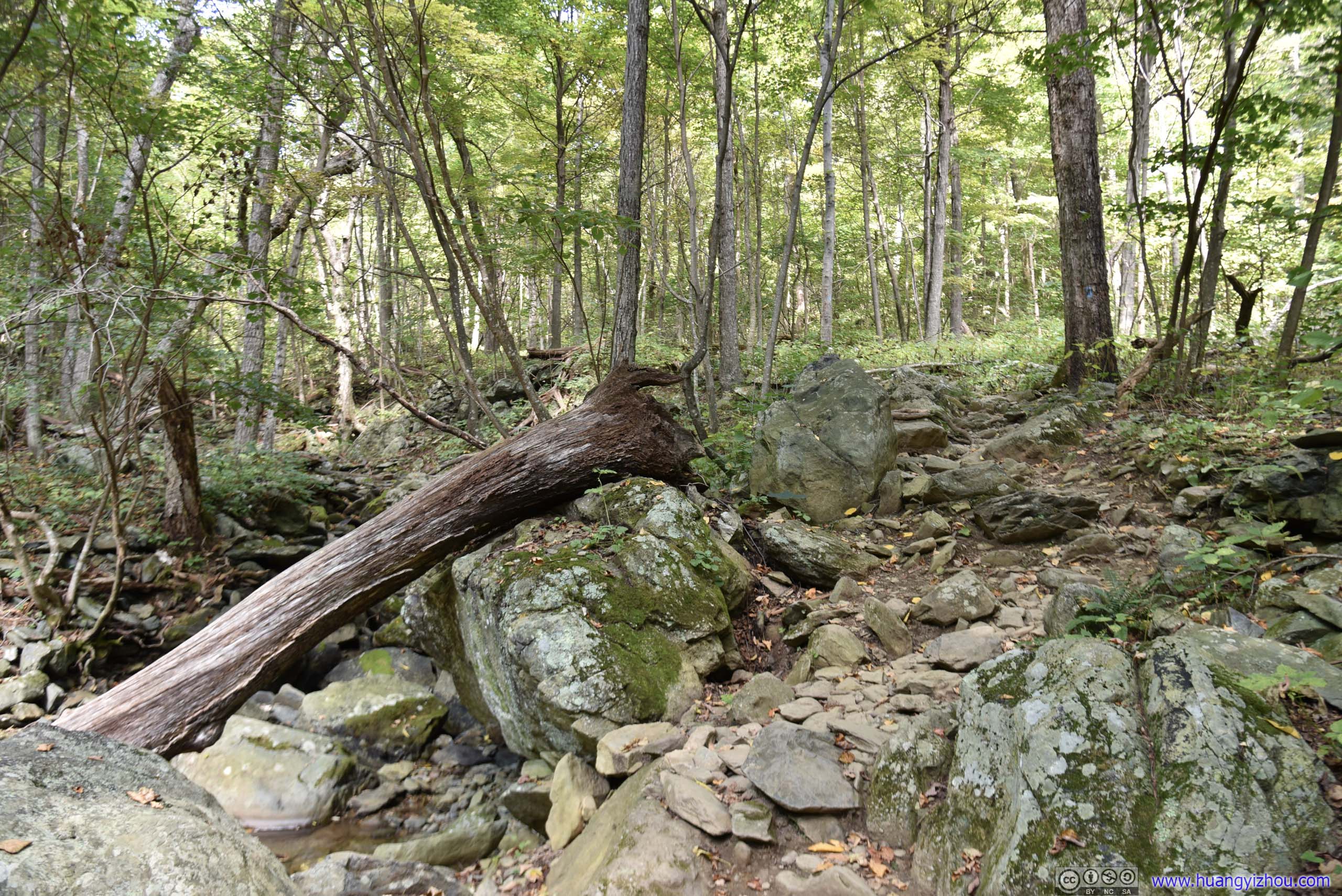
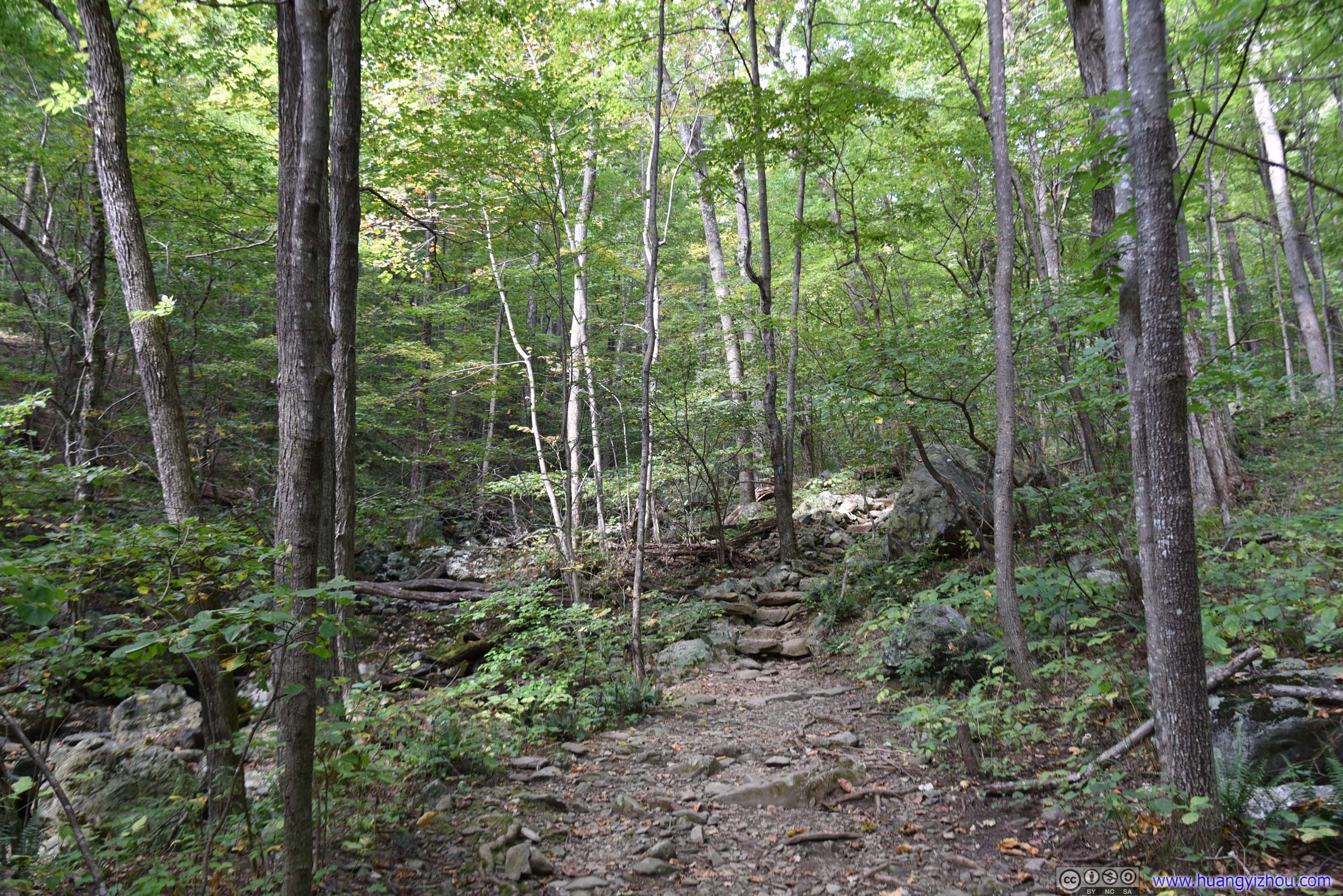
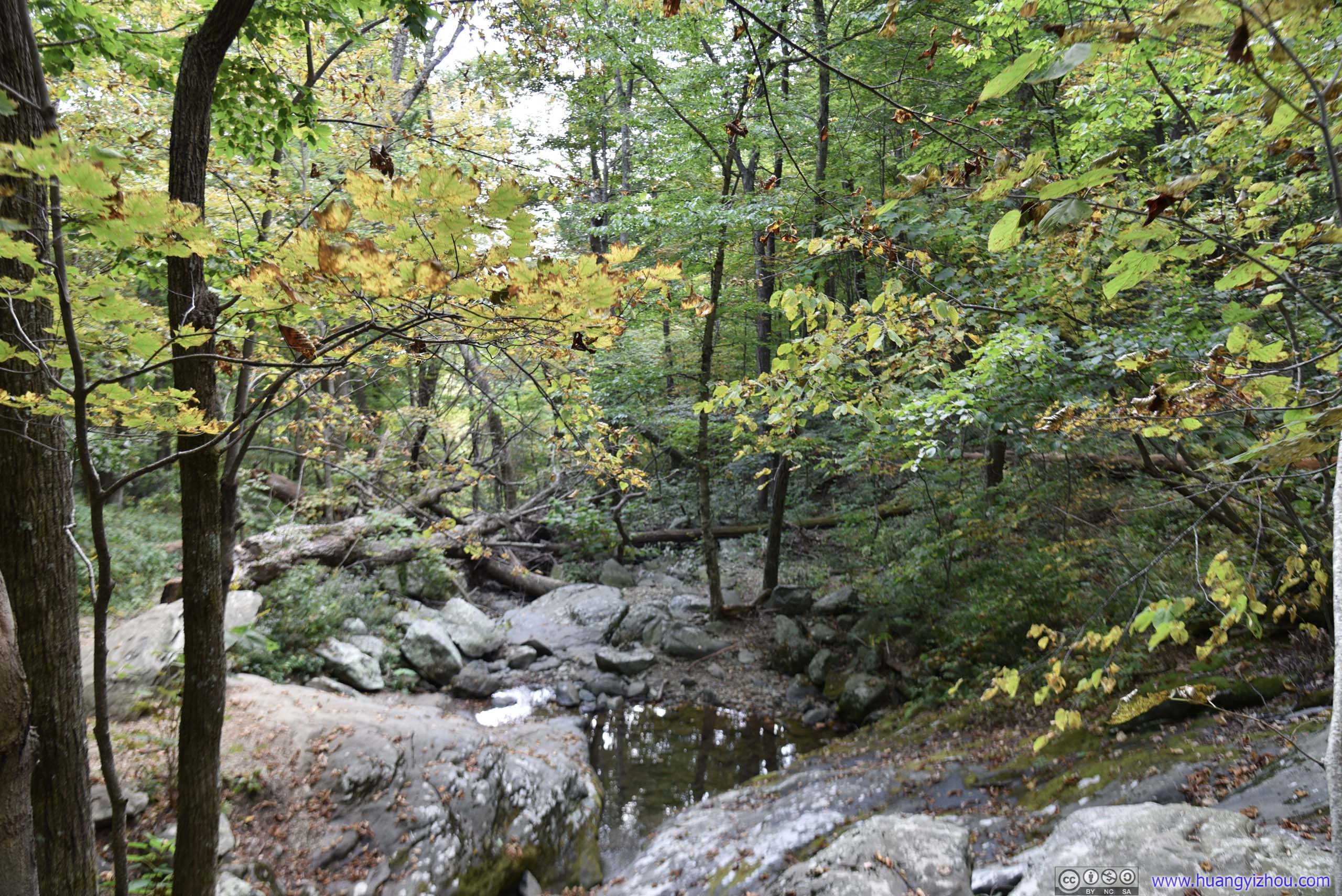
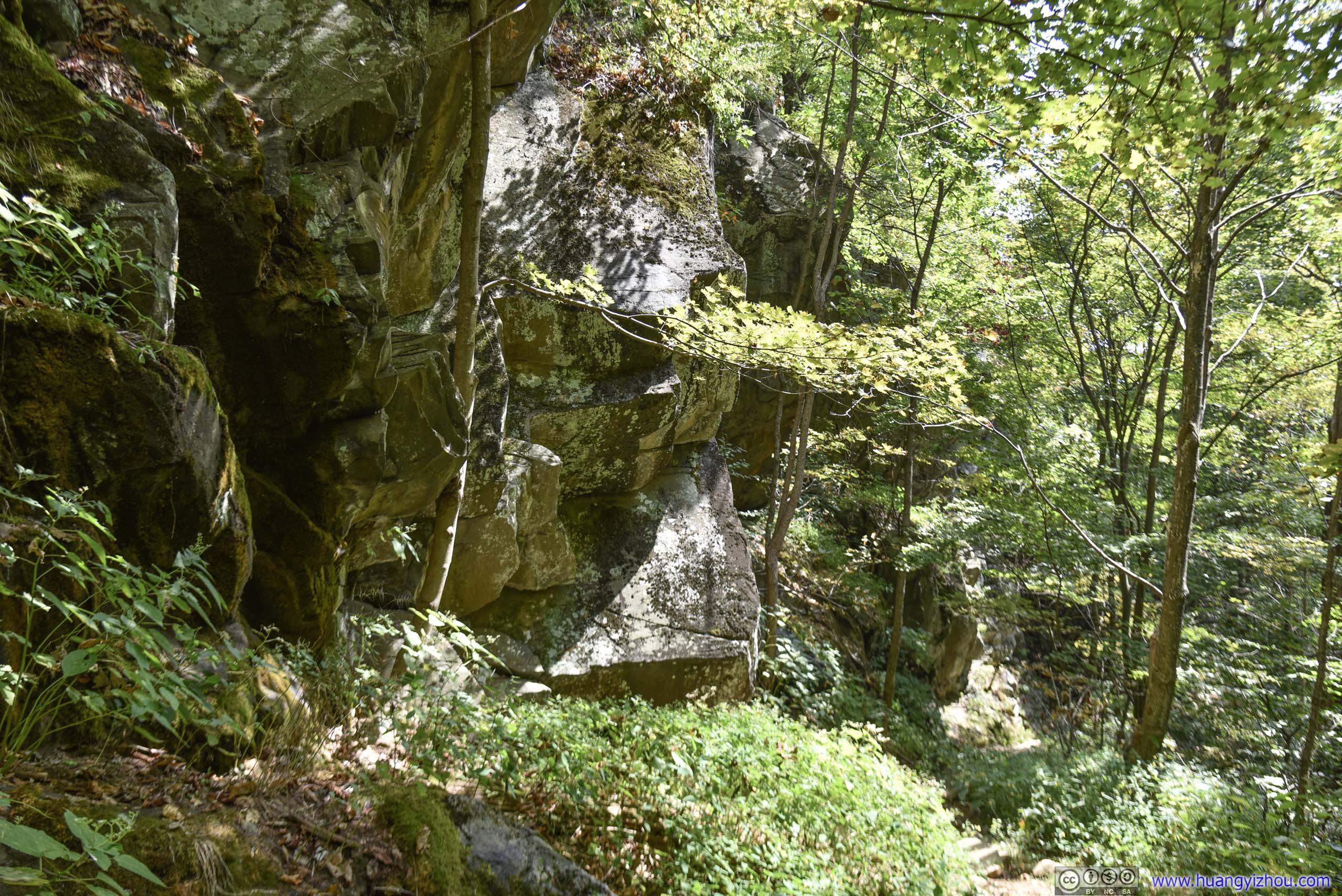

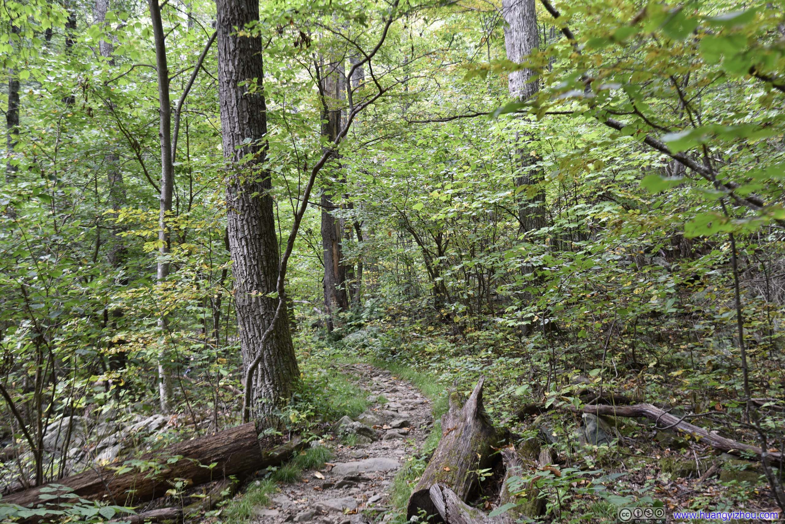
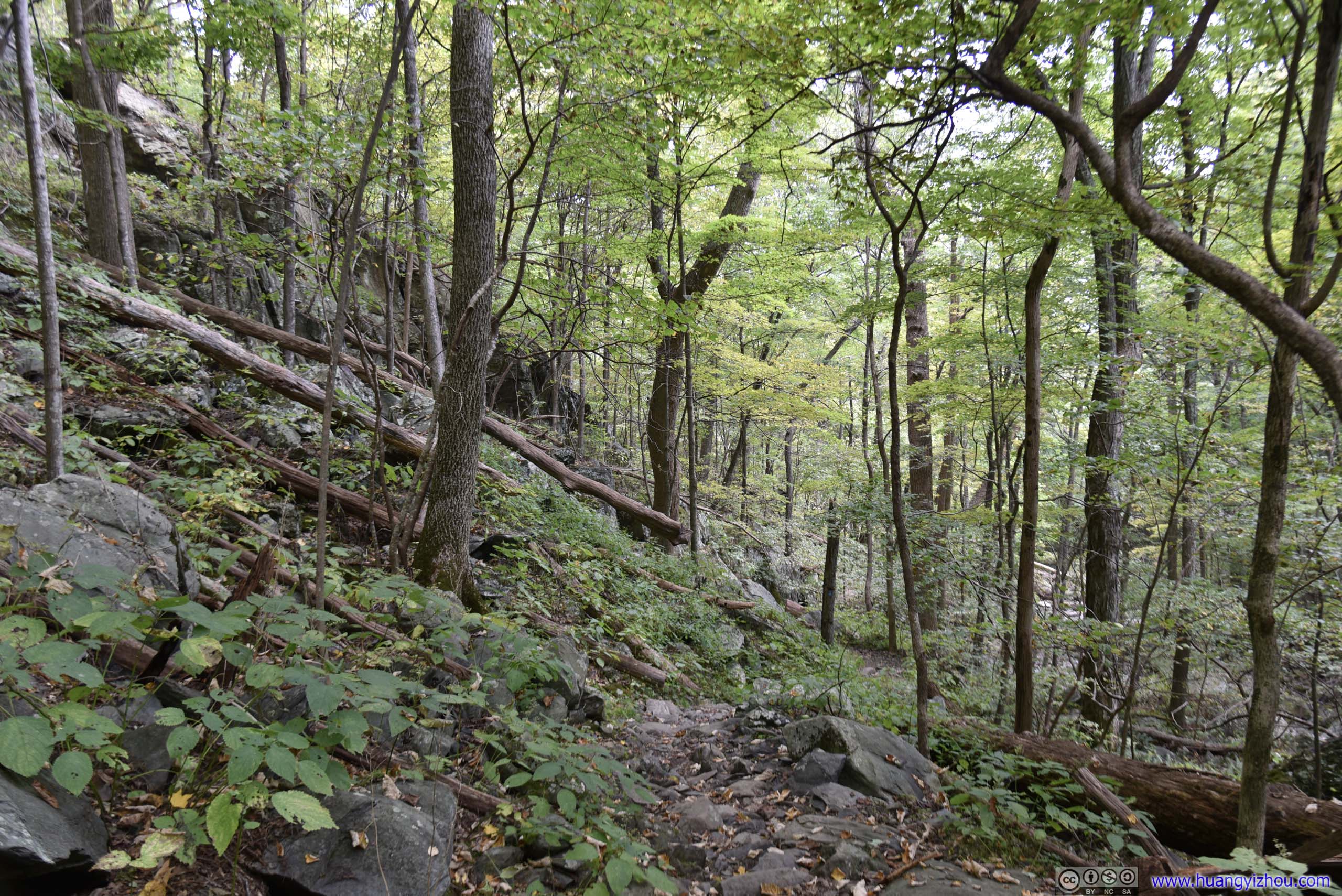
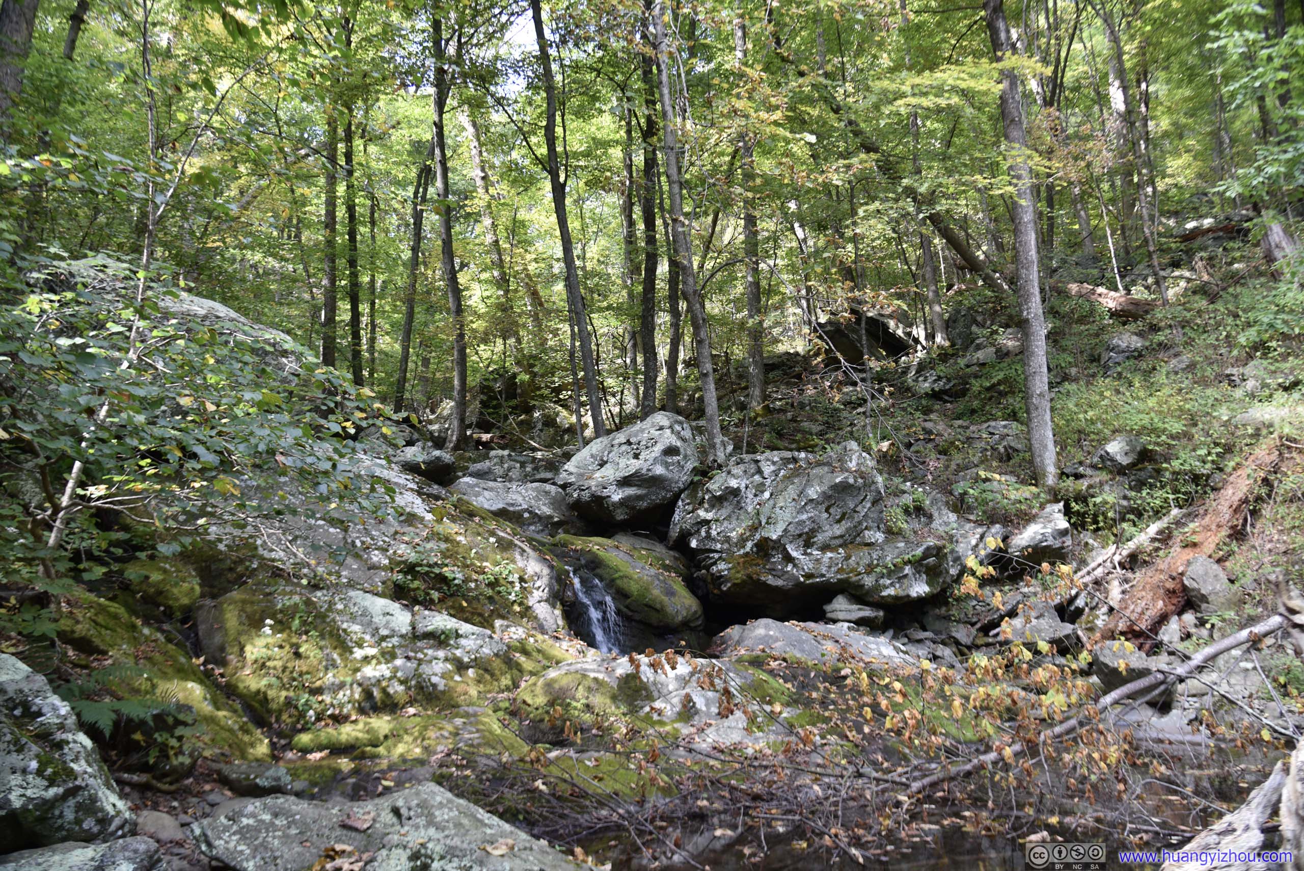
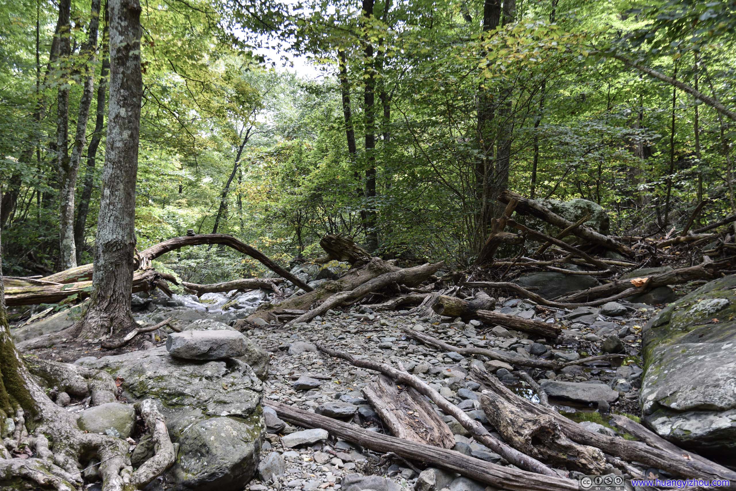
About an hour into our trip we had our lunch by these rocks.
Even with not much water flowing on Cedar Run, we came across a group of younglings looking to have some adventure with this natural water slide.
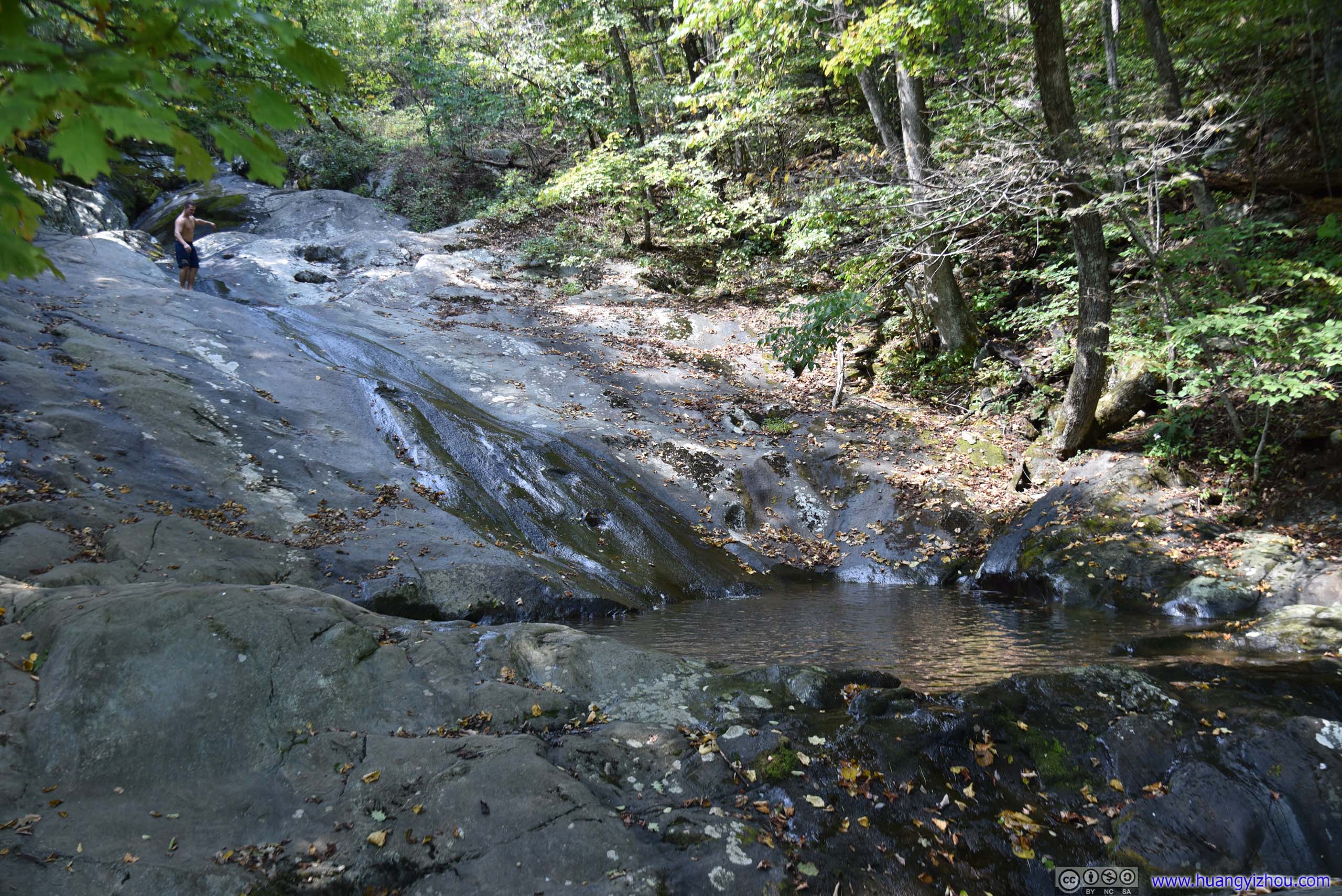
And they did seem to have fun here.
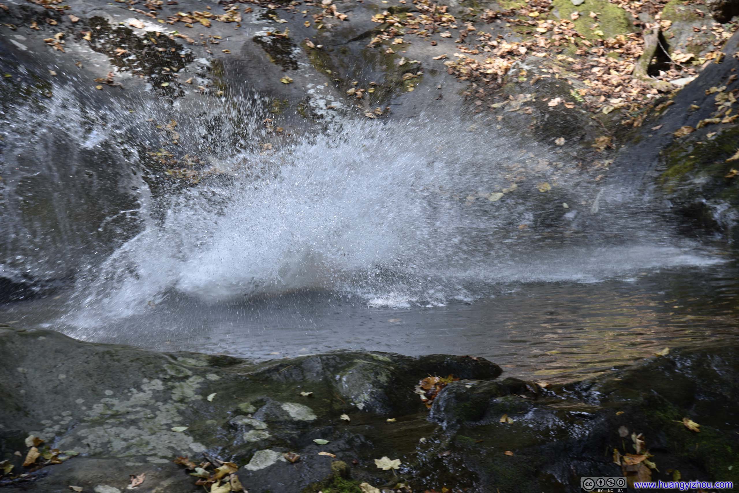
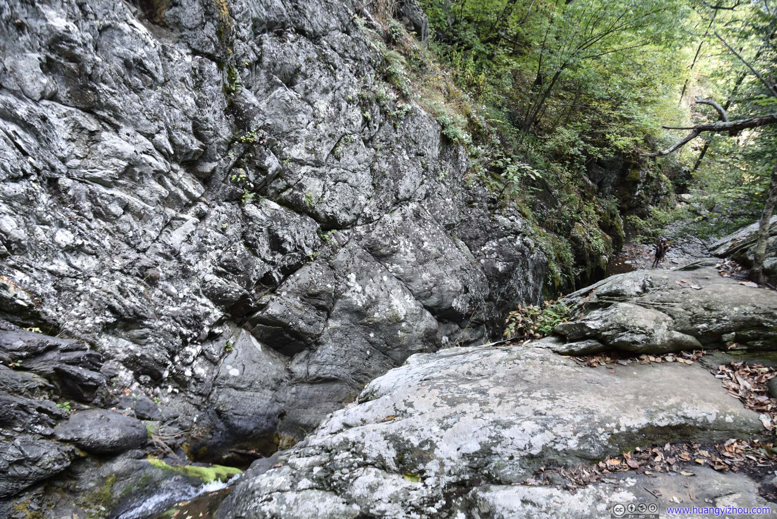
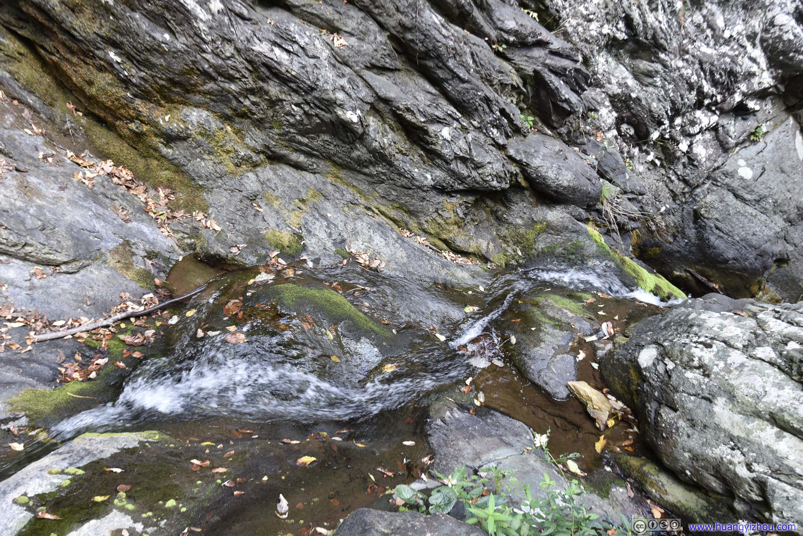
The first of such falls marked on the map where Cedar Run carved its path into this giant piece of rock.
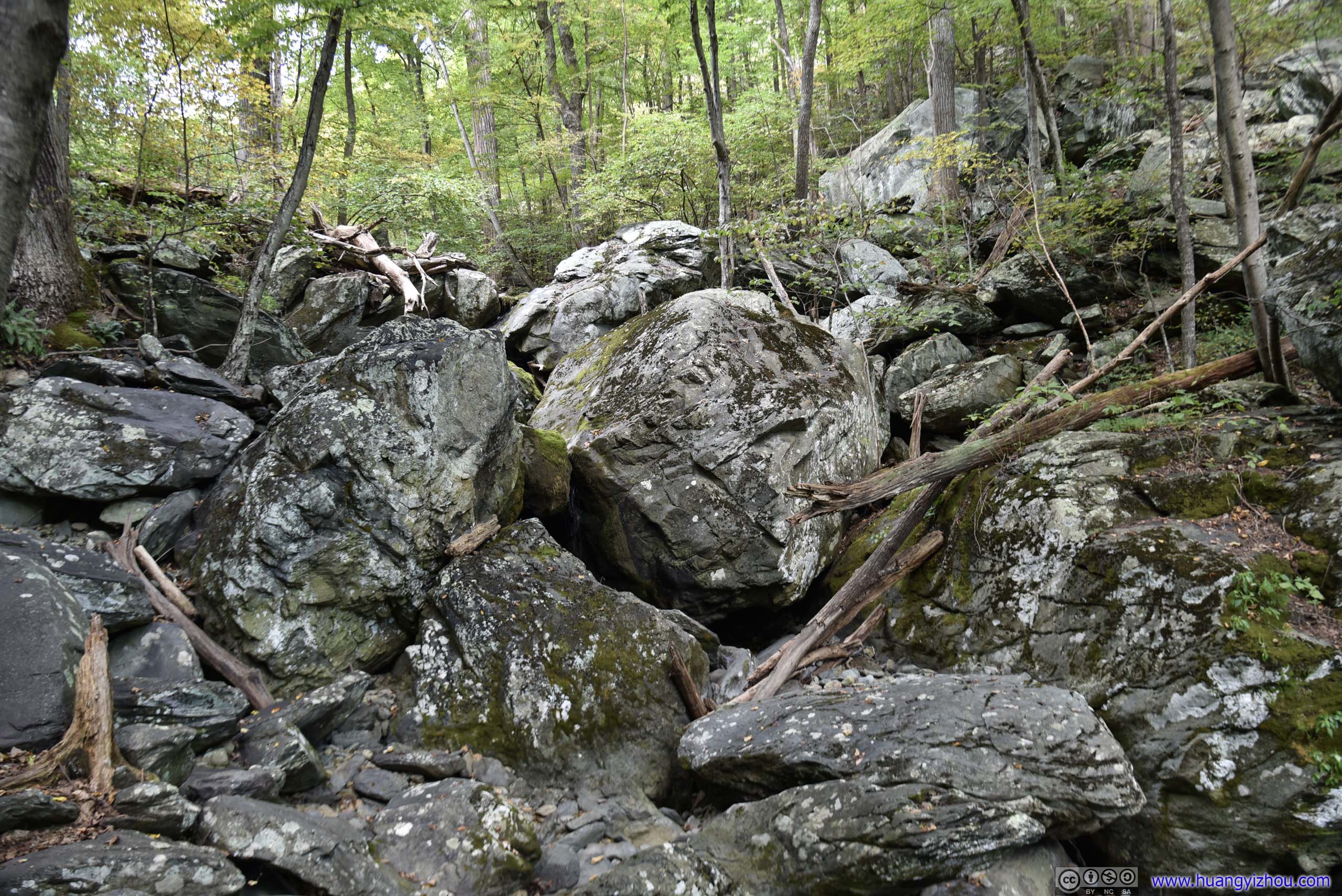
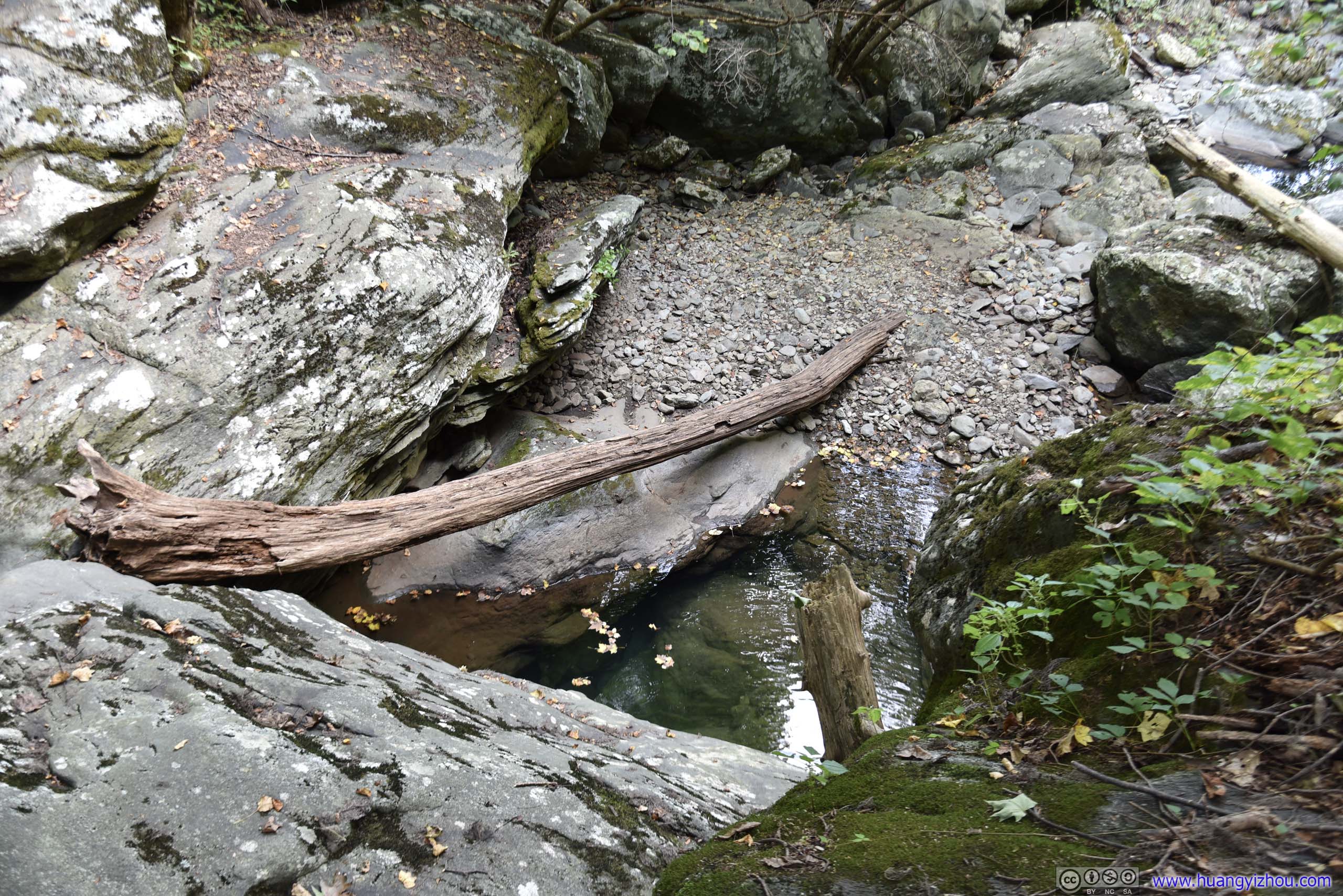
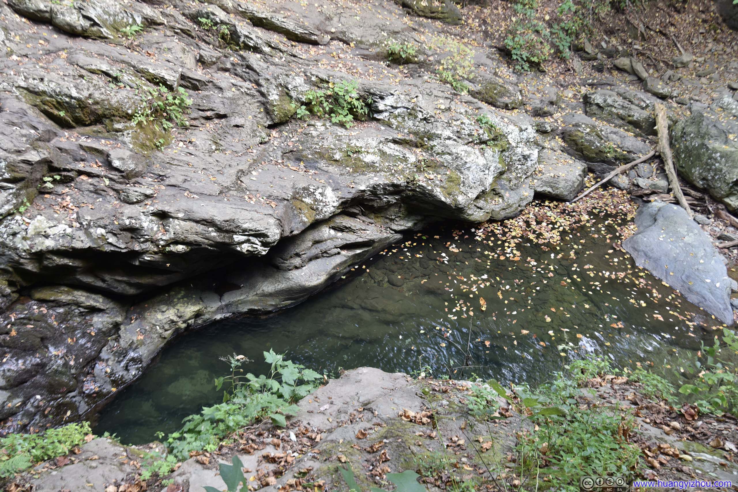
I was pretty fond of this photo, of serenity of nature.
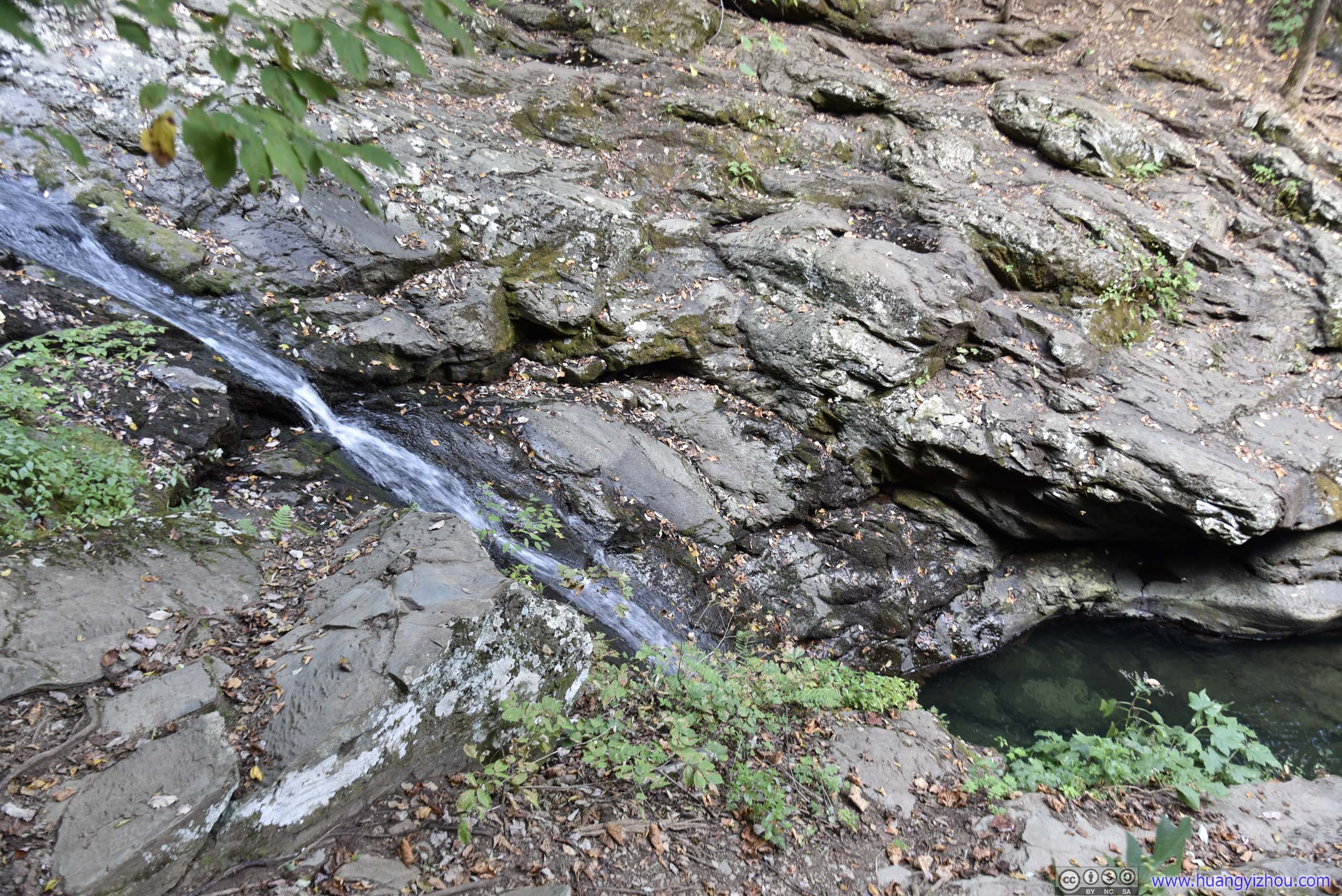
No adventurous souls here.
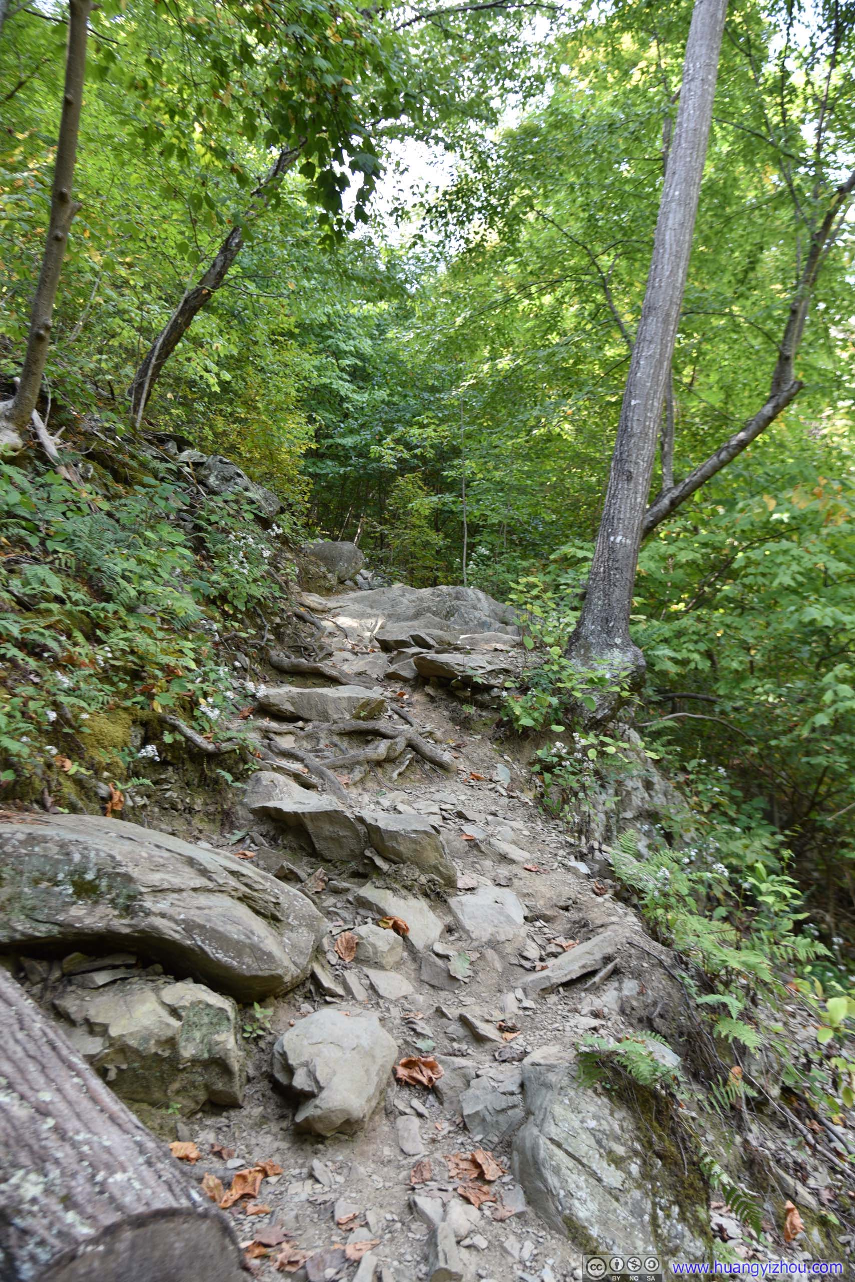
Most of the lower portions of Cedar Run Trail was on rocky paths like this, navigating through which wasn't that easy as I had first expected.
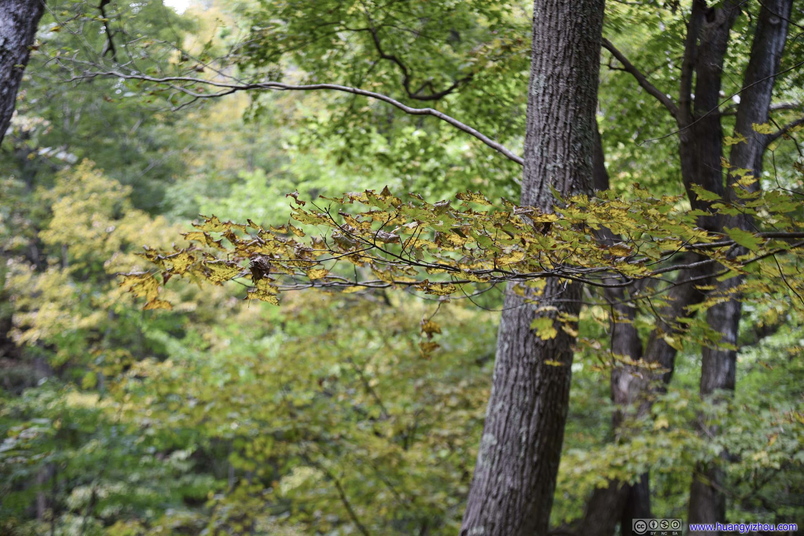
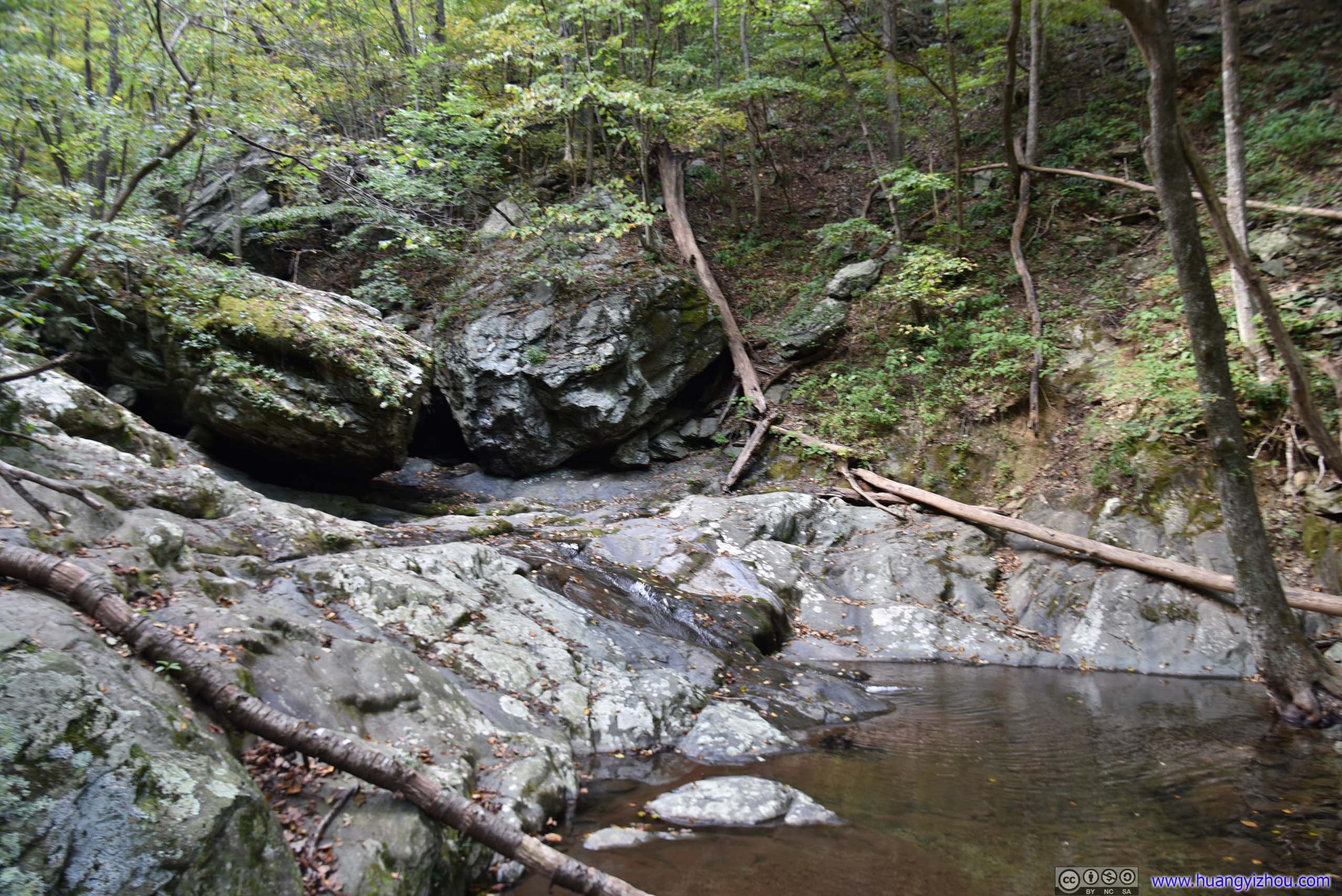
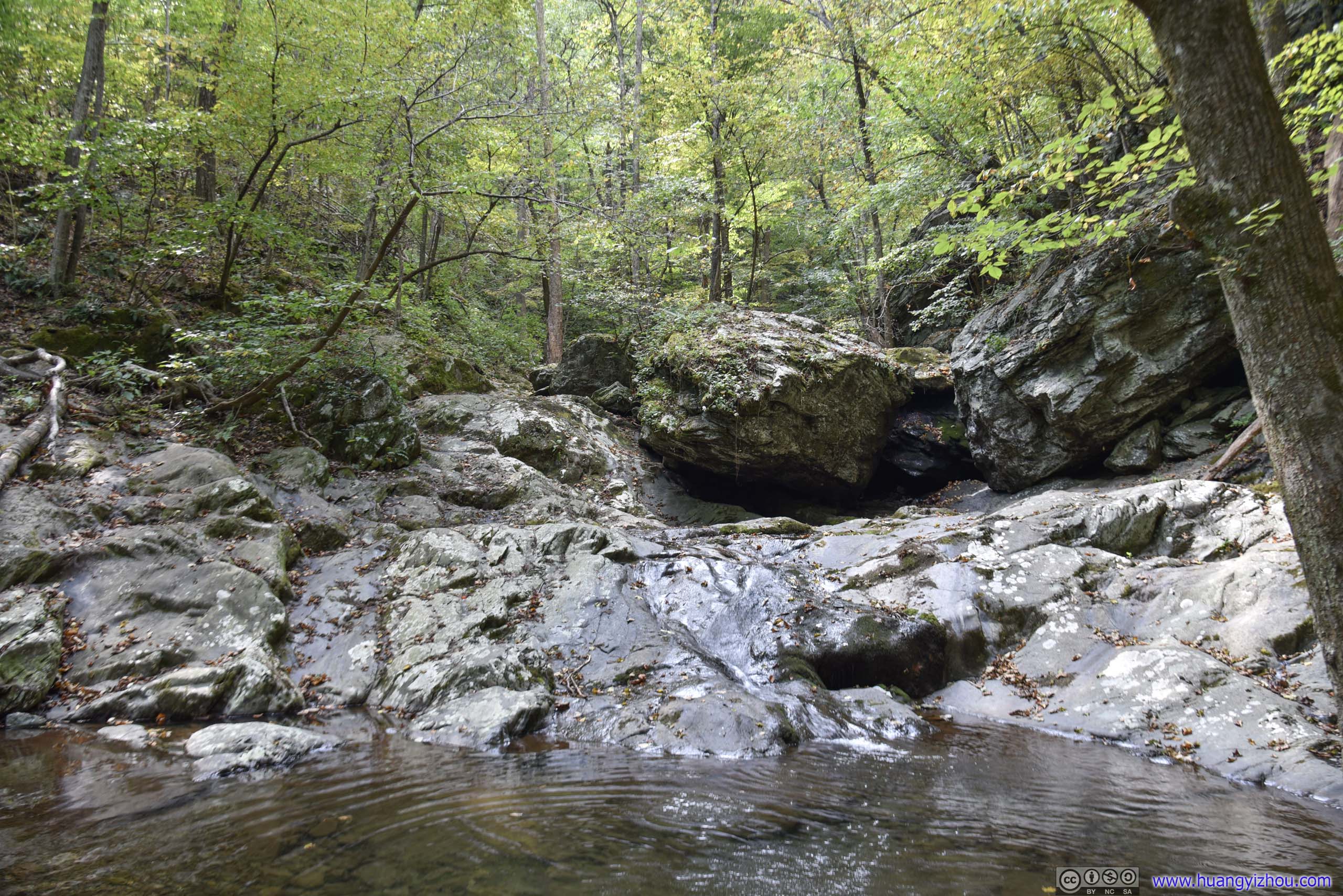
The second of "Cedar Run Falls" was here by the maps.
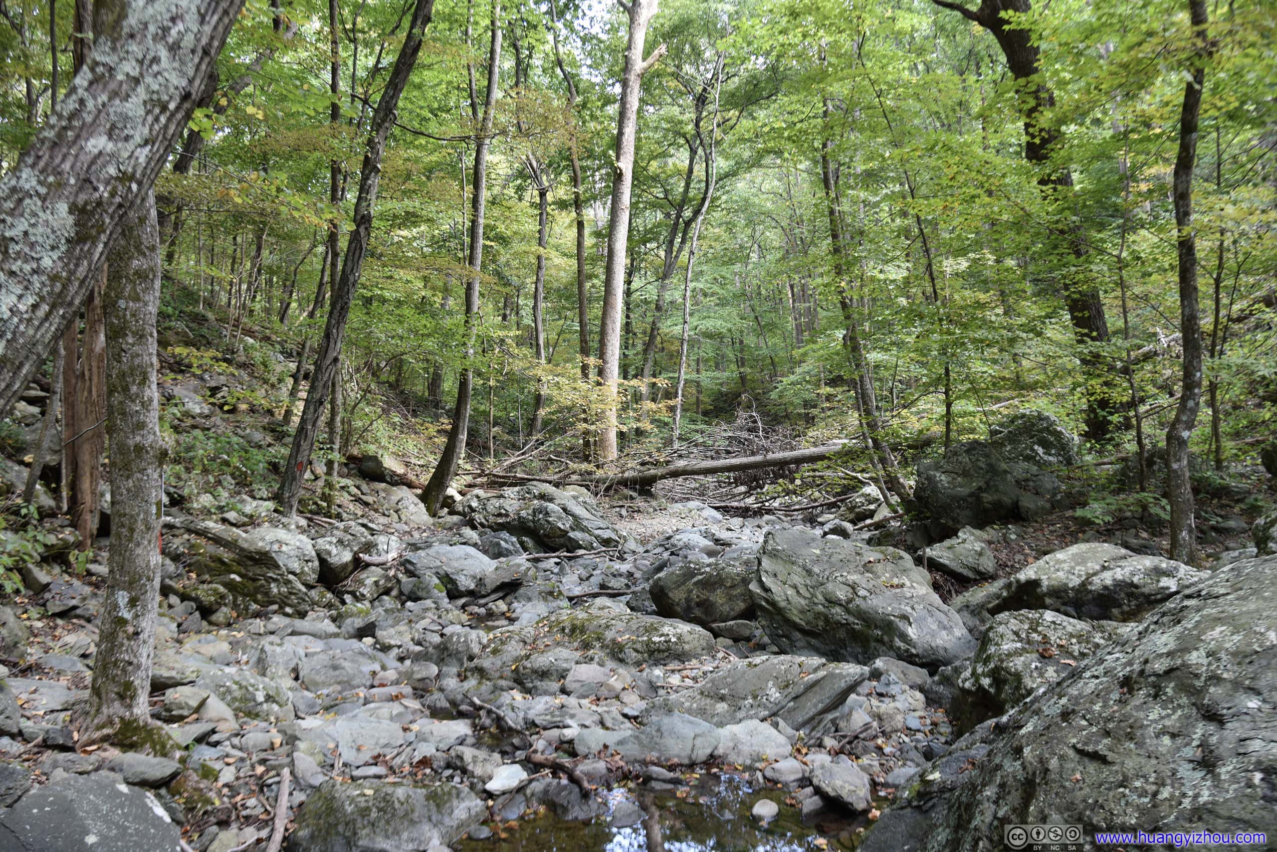
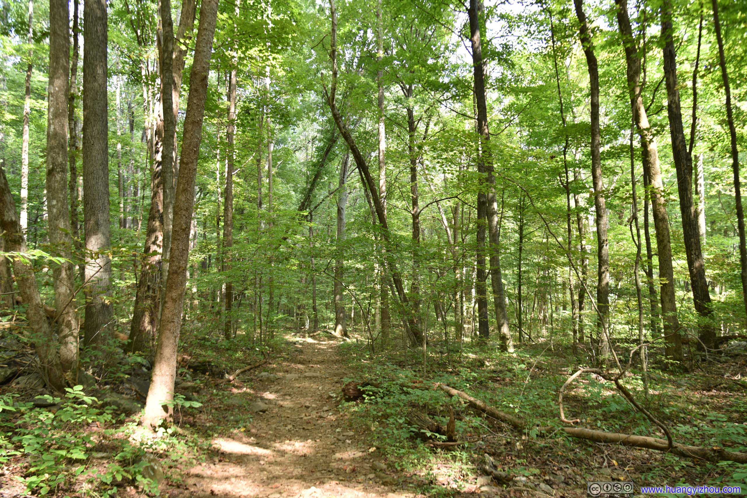
And after that, the remaining Cedar Run Trail was wide and flat, and it had kept that way as we entered Whiteoak Canyon Trail.
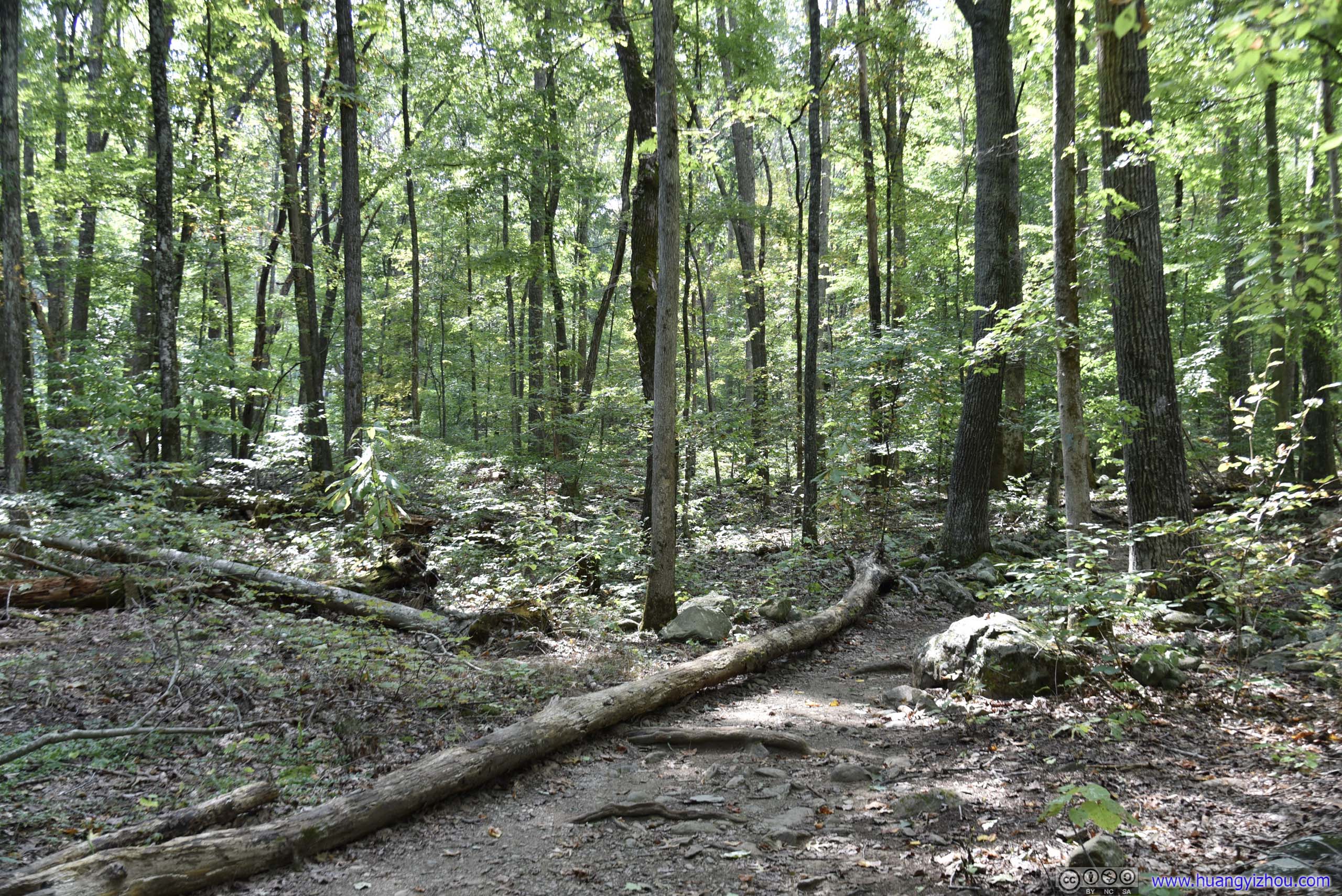
Whiteoak Canyon
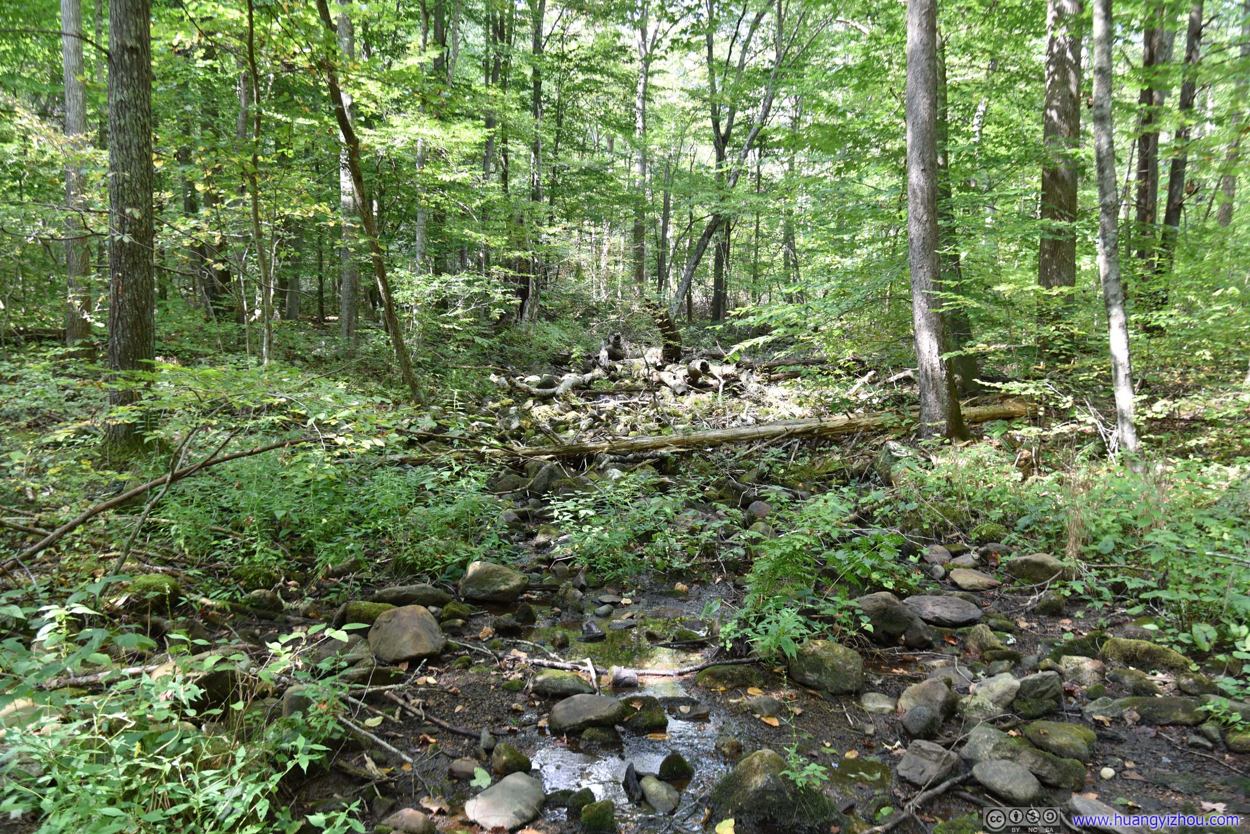
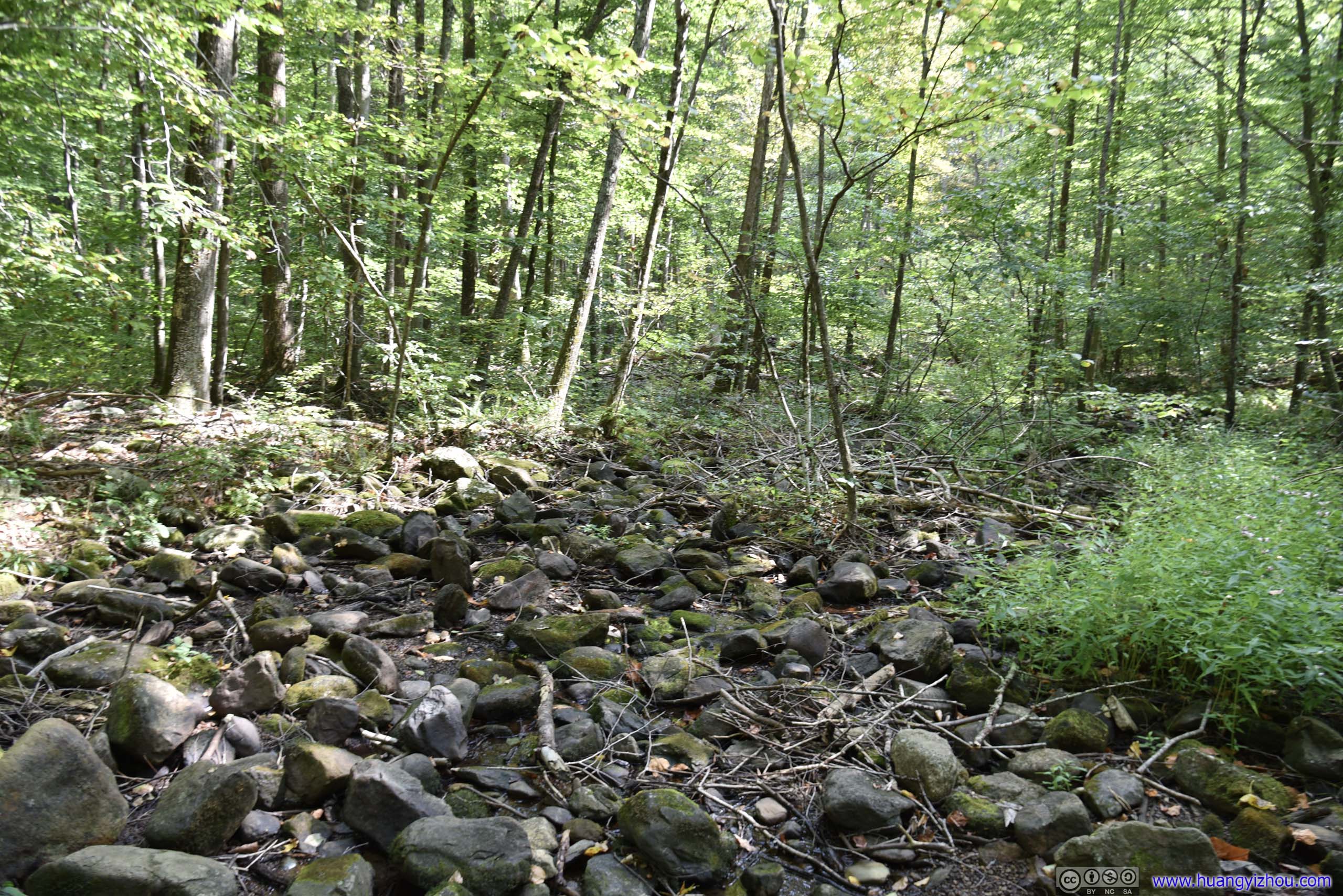
This one's not on maps.
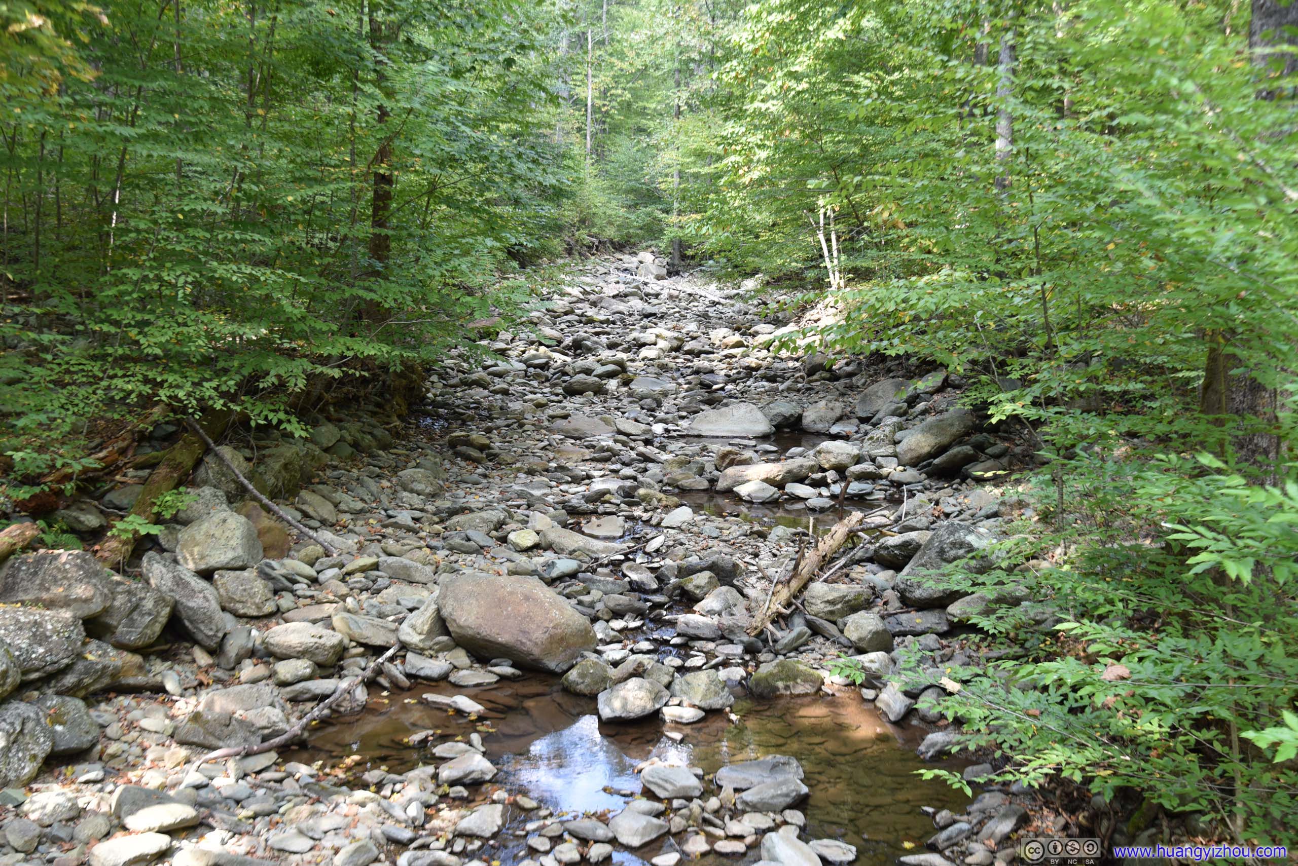

Lack of rainfall meant this one had more rocks than water too.
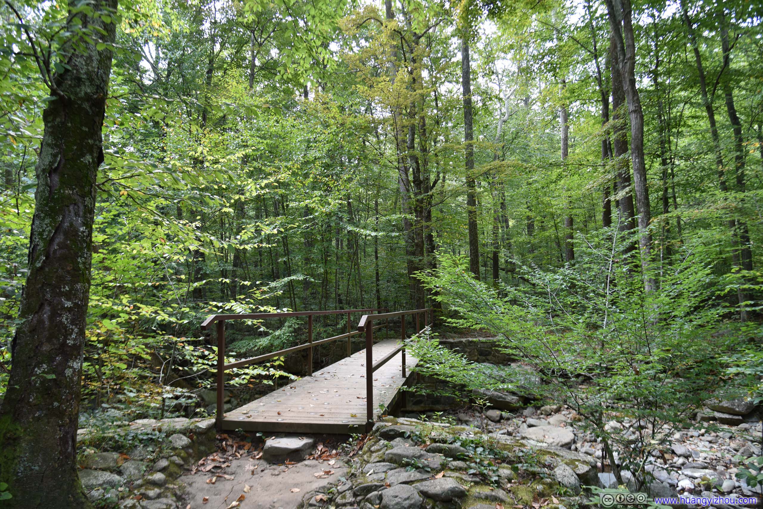
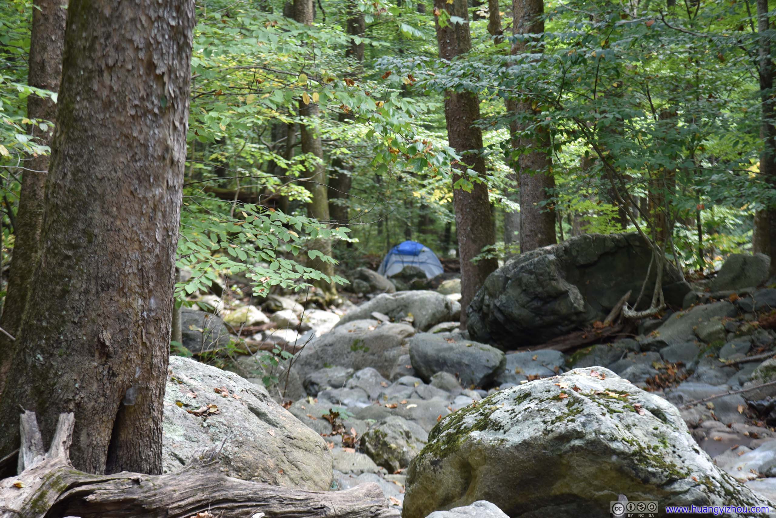

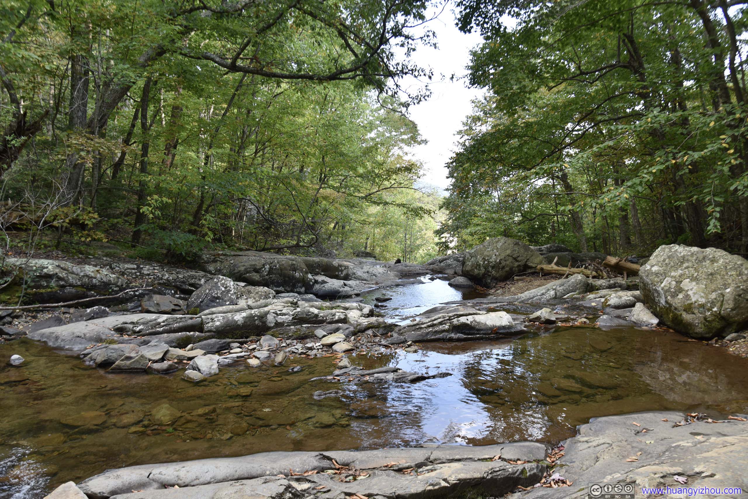
Robinson River

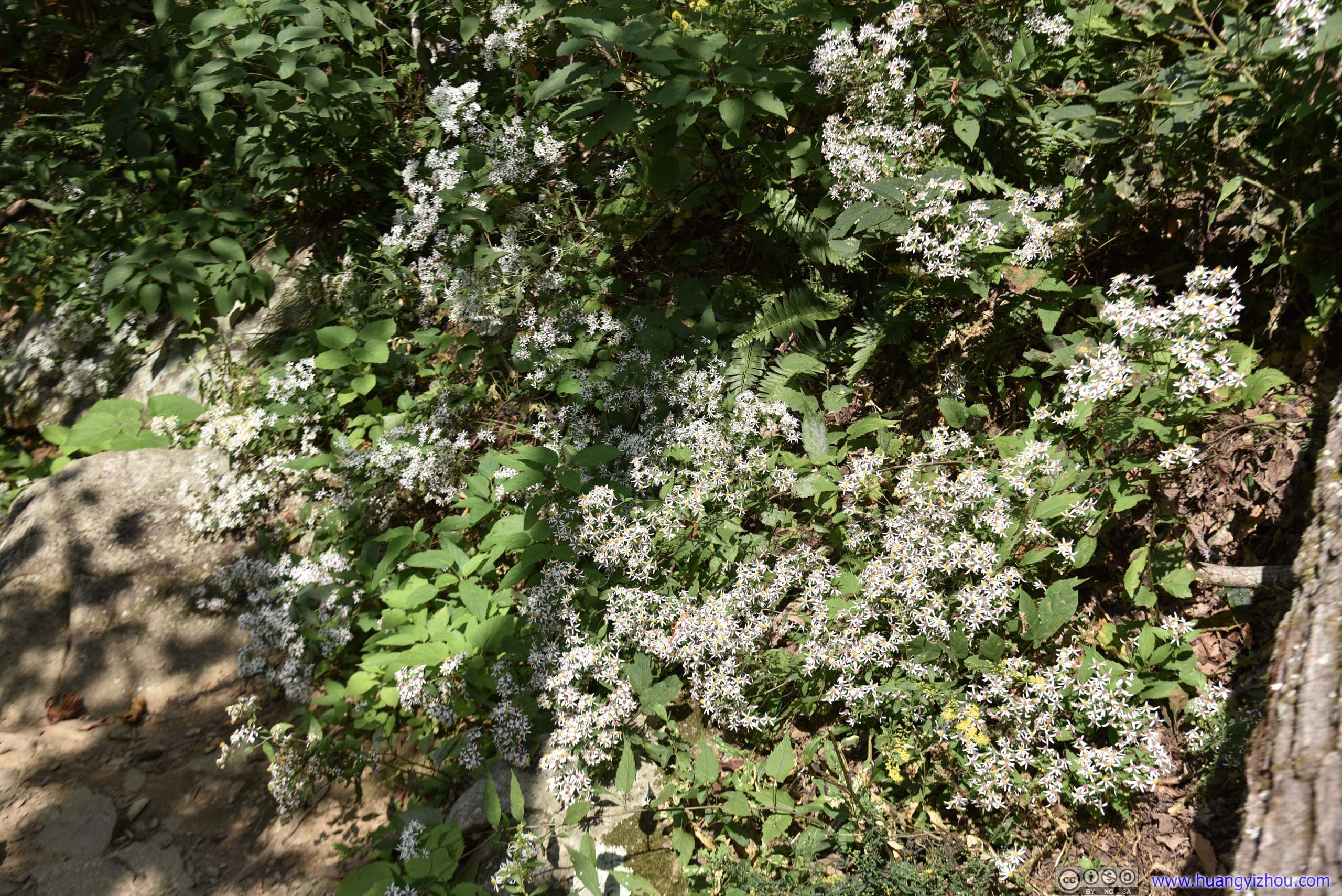
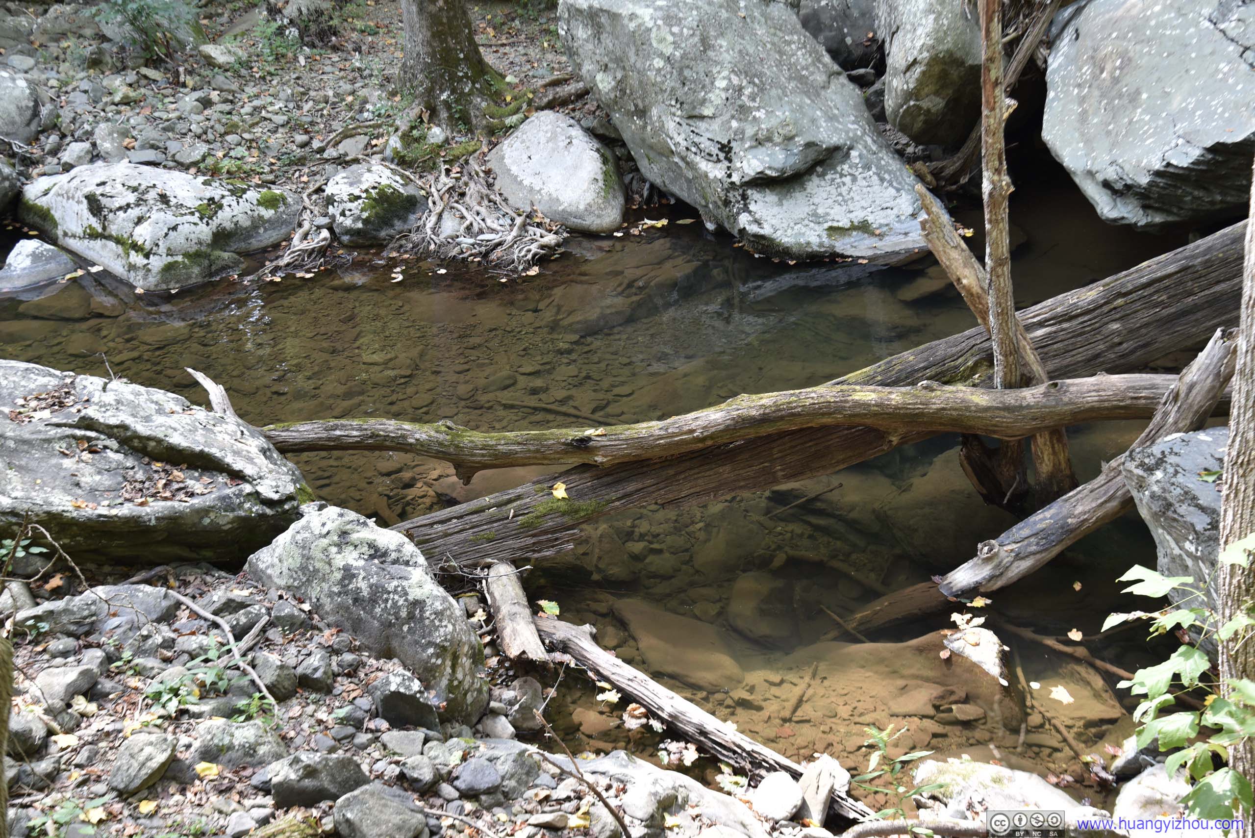
Lack of waterflow meant stillness was taking over.

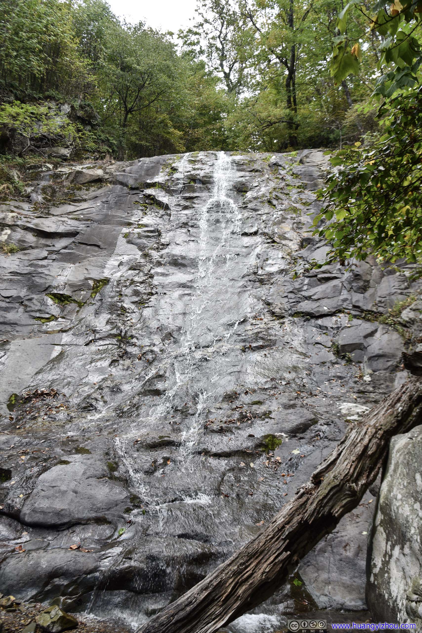
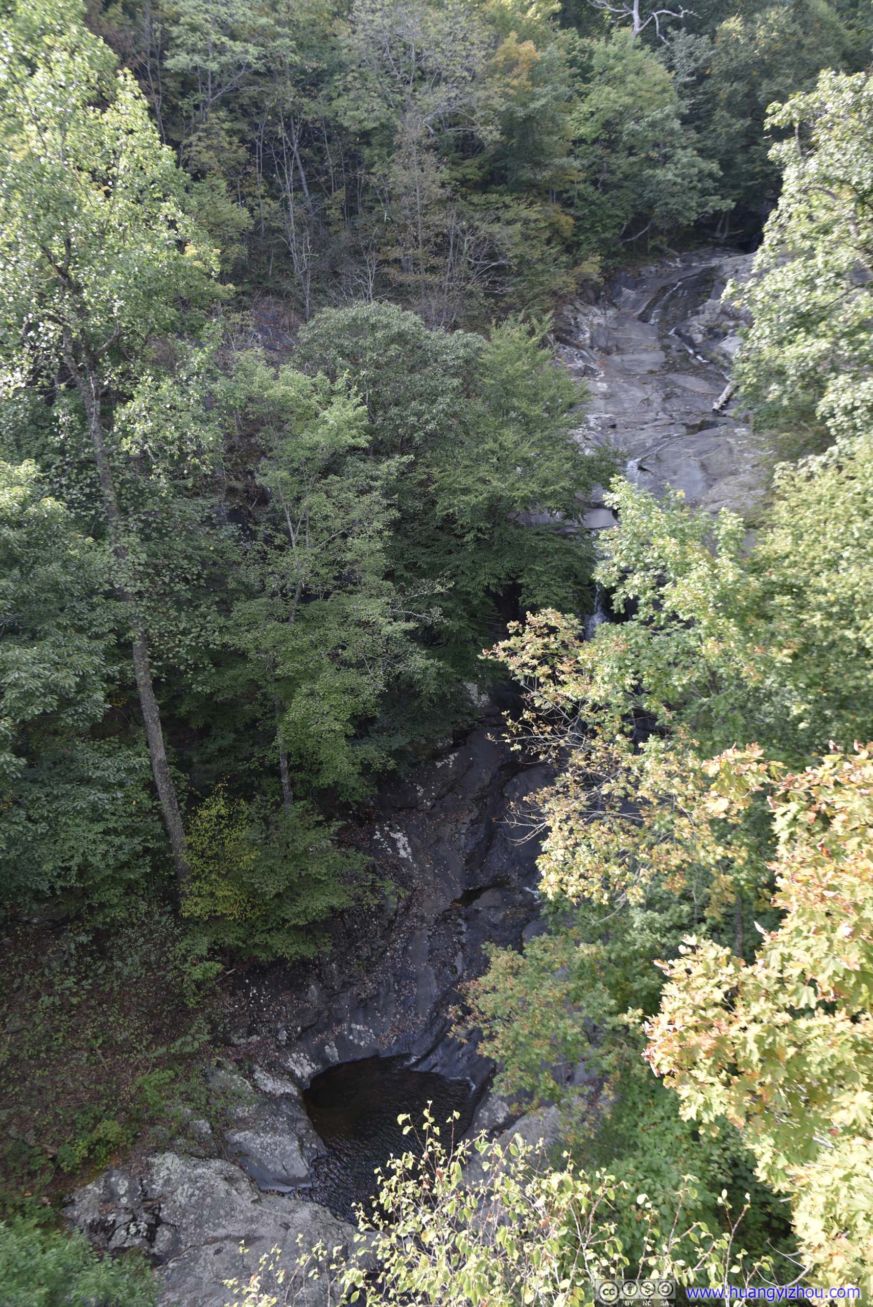
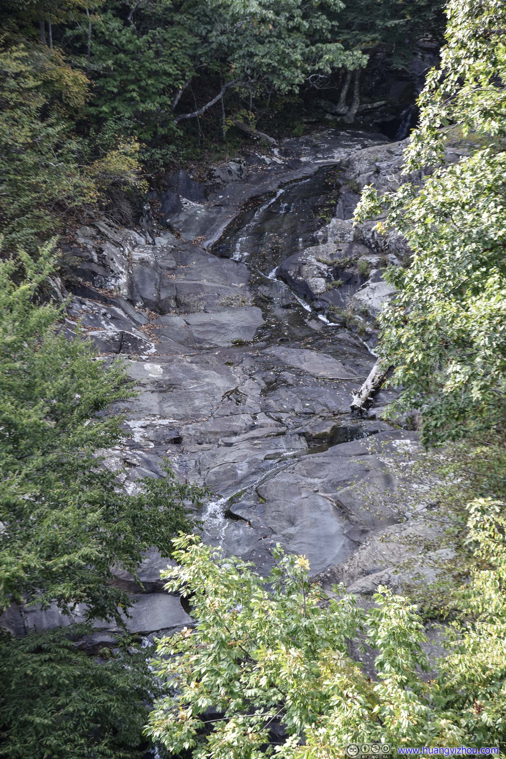
Along Whiteoak Canyon Trail there were a few waterfalls off almost vertical cliffs, and they were more accessible and not as dumb as the ones on Cedar Run.
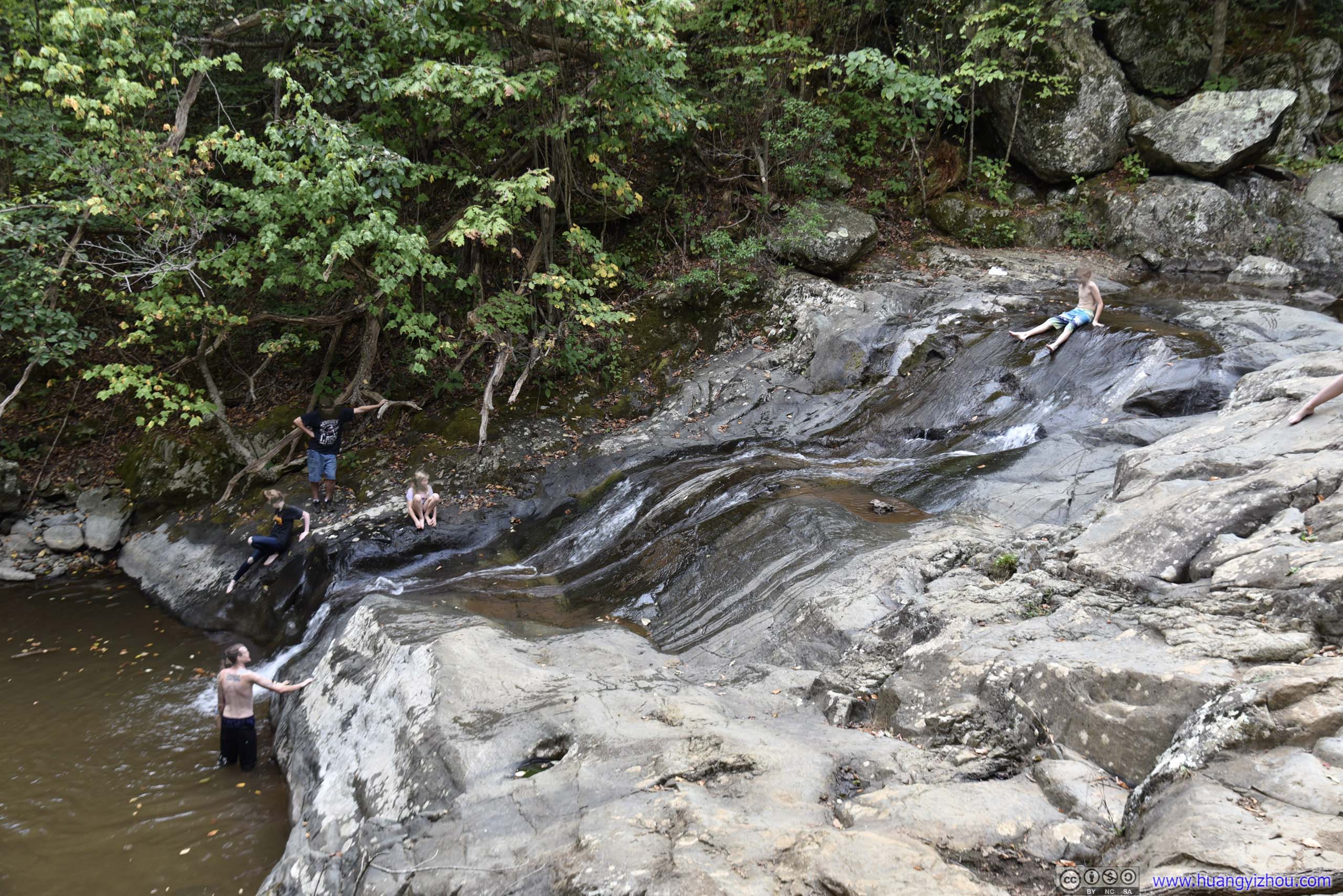
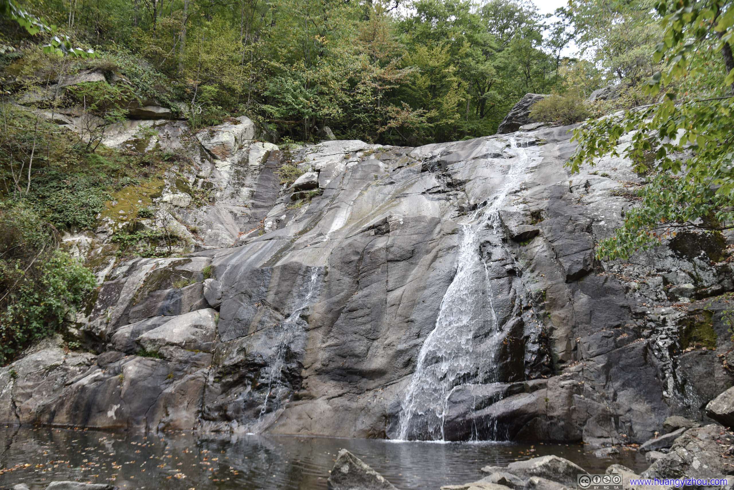
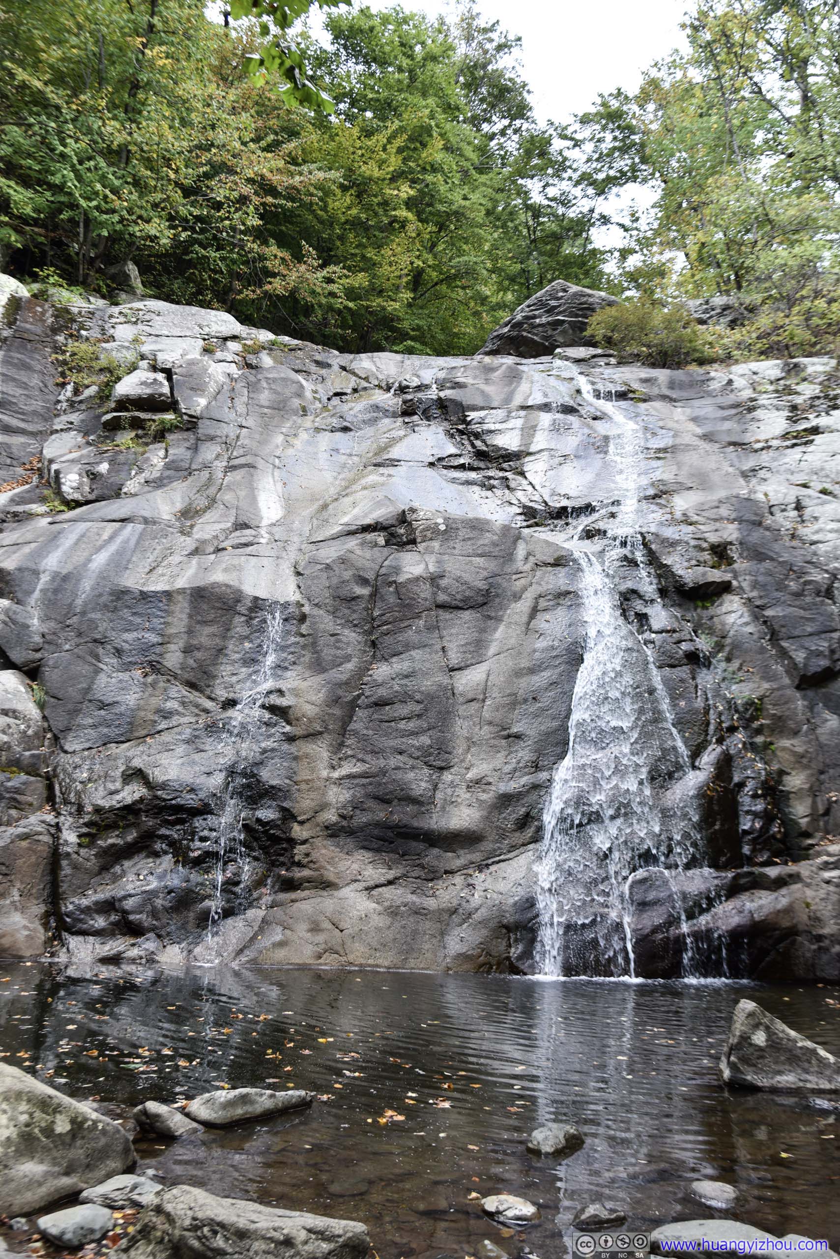
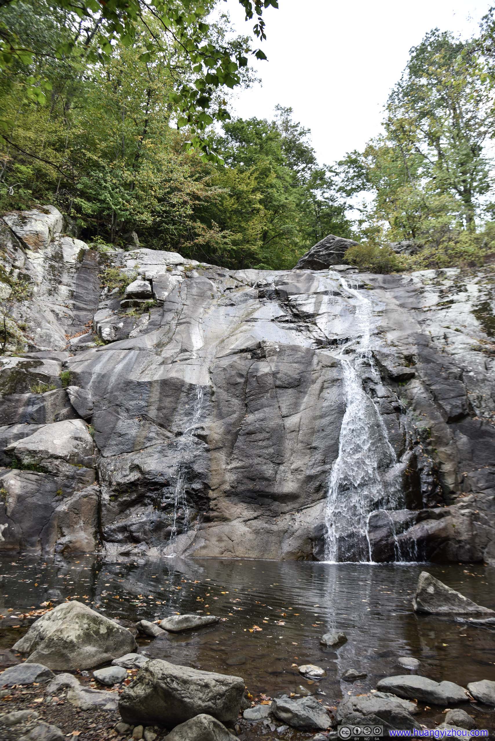
Lower Whiteoak Falls
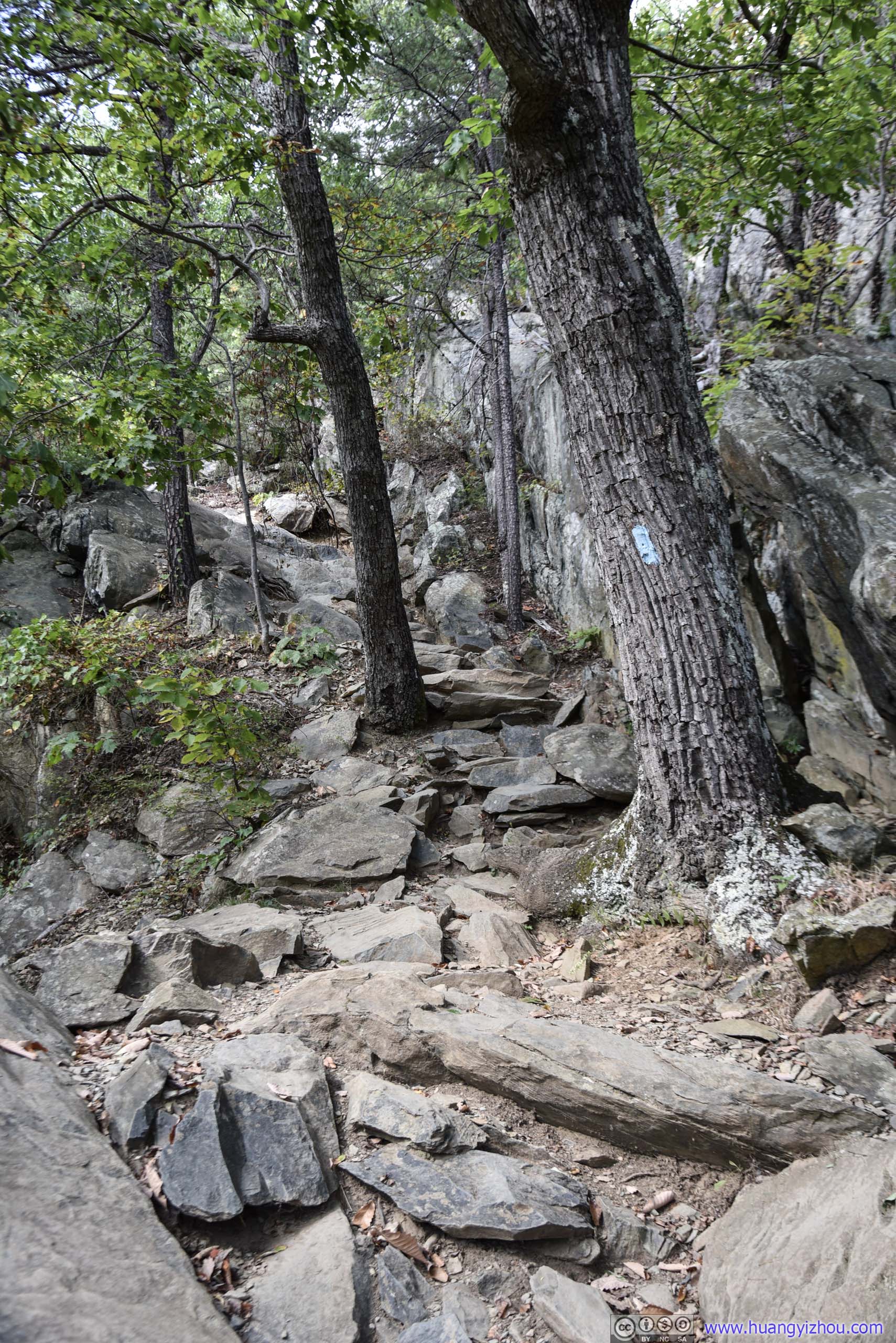
Near the waterfalls with rapid ascent, Whiteoak Canyon Trail would occasionally take this rocky form.

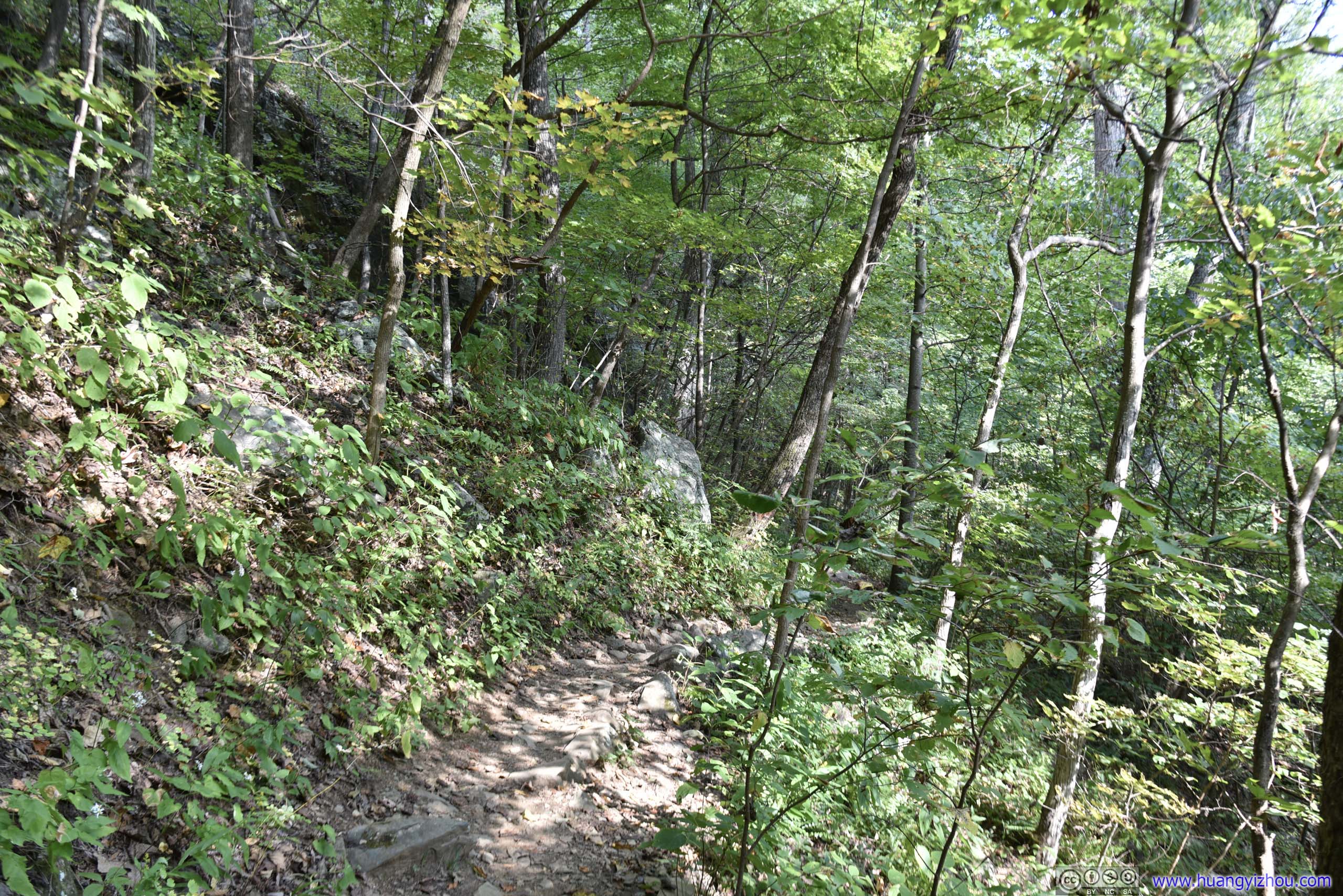
But most of the time, Whiteoak Canyon Trail was not as hard.
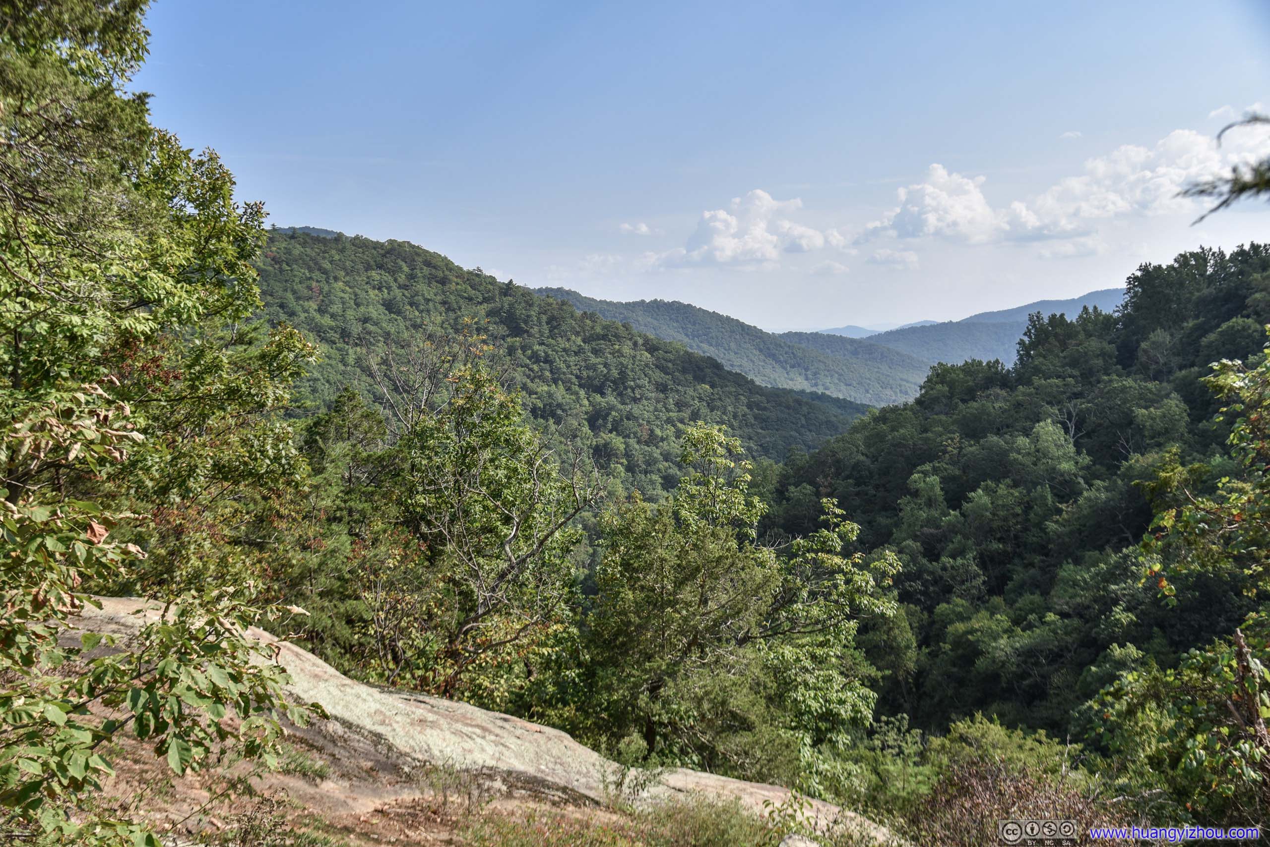
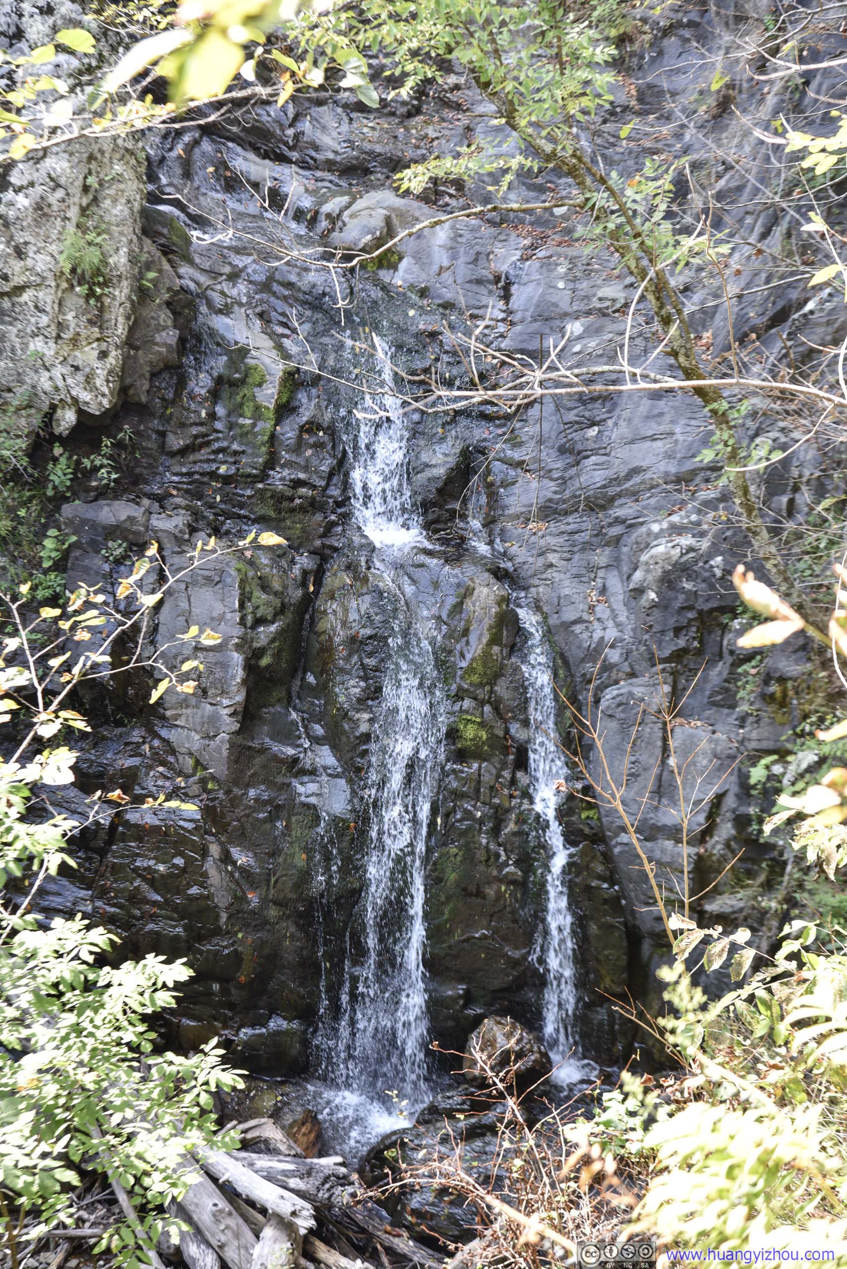
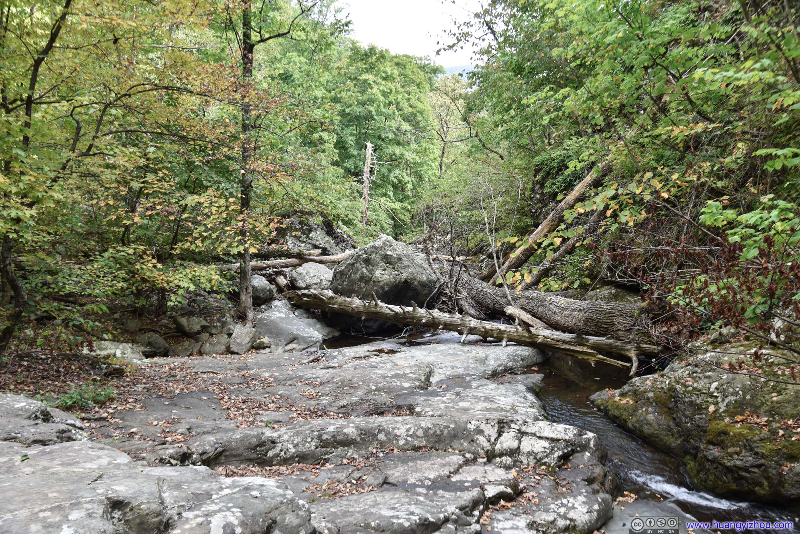
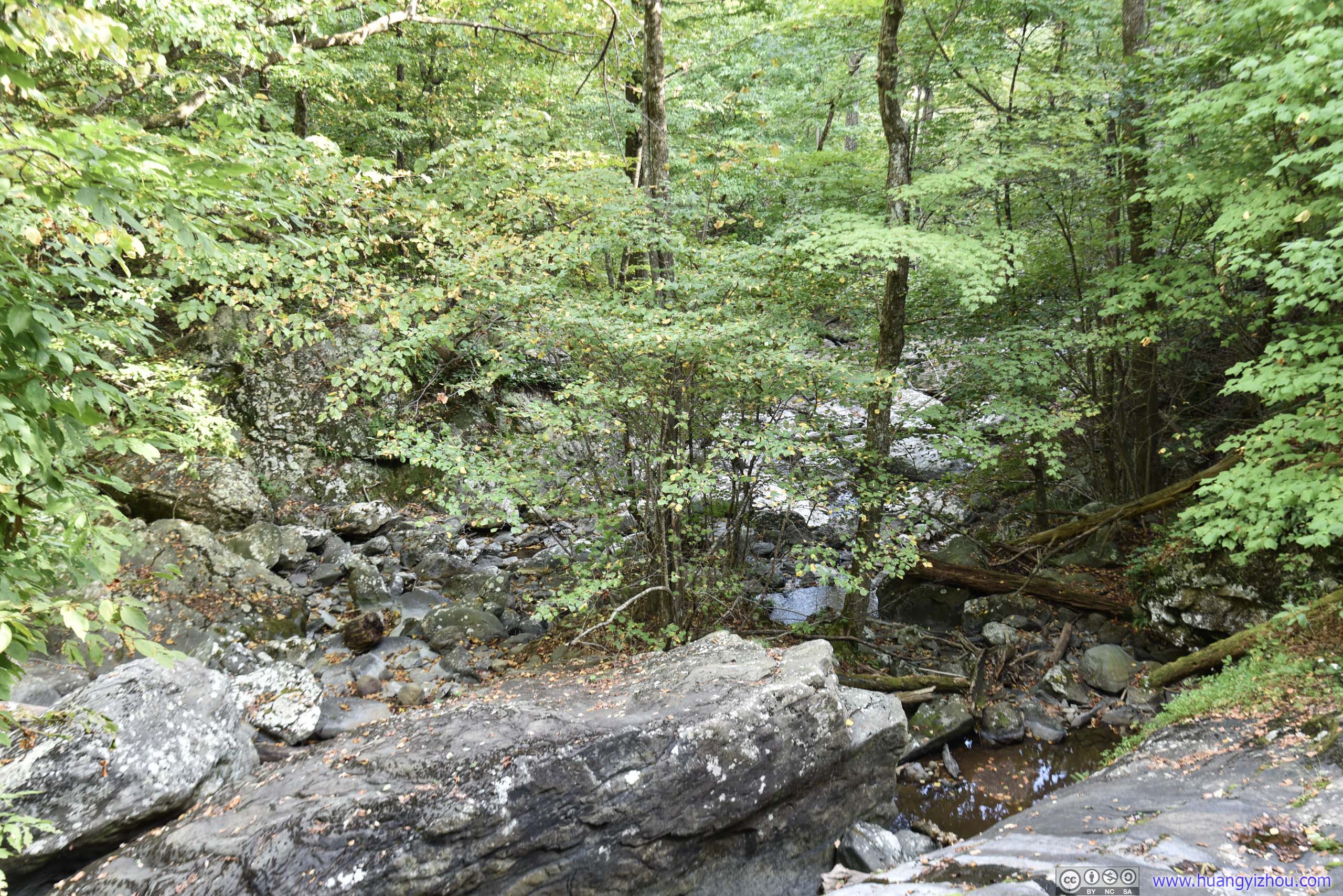


Fire Road
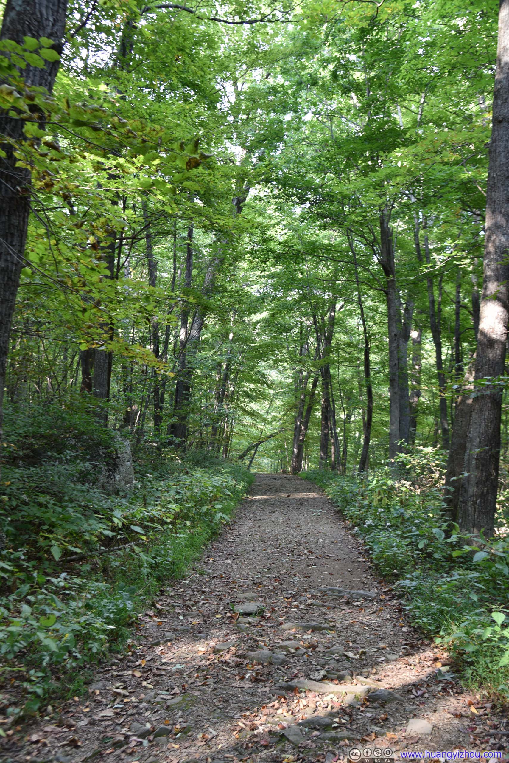
After crossing a footbridge (or in our case where there's not much water, crossing Robinson River 50 meters before the bridge), we made it onto the last part of the loop which was a fire road. And like all fire roads in Shenandoah National Park, it was not as exciting as rest of the hike, which, on the good side, meant we wouldn't be noticing the elevation gain here by much.
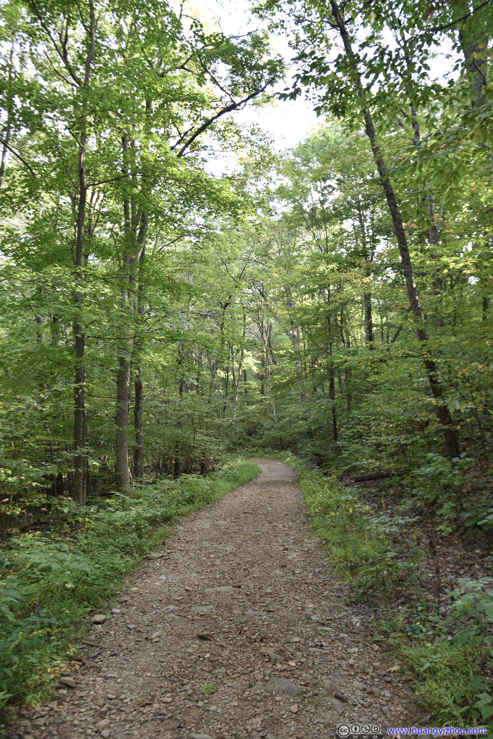
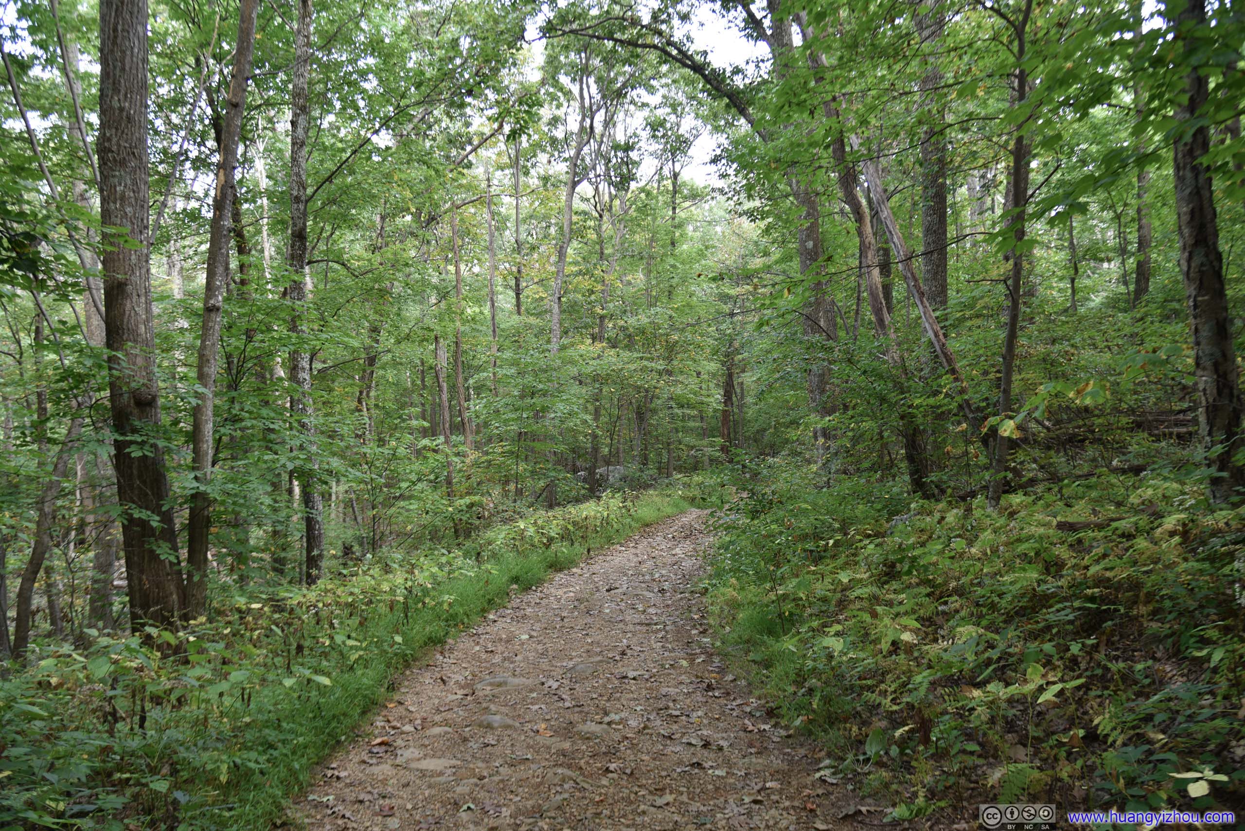
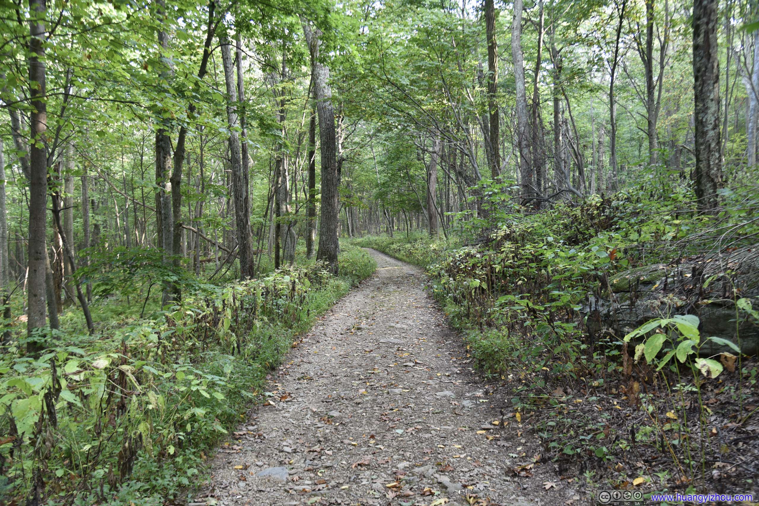
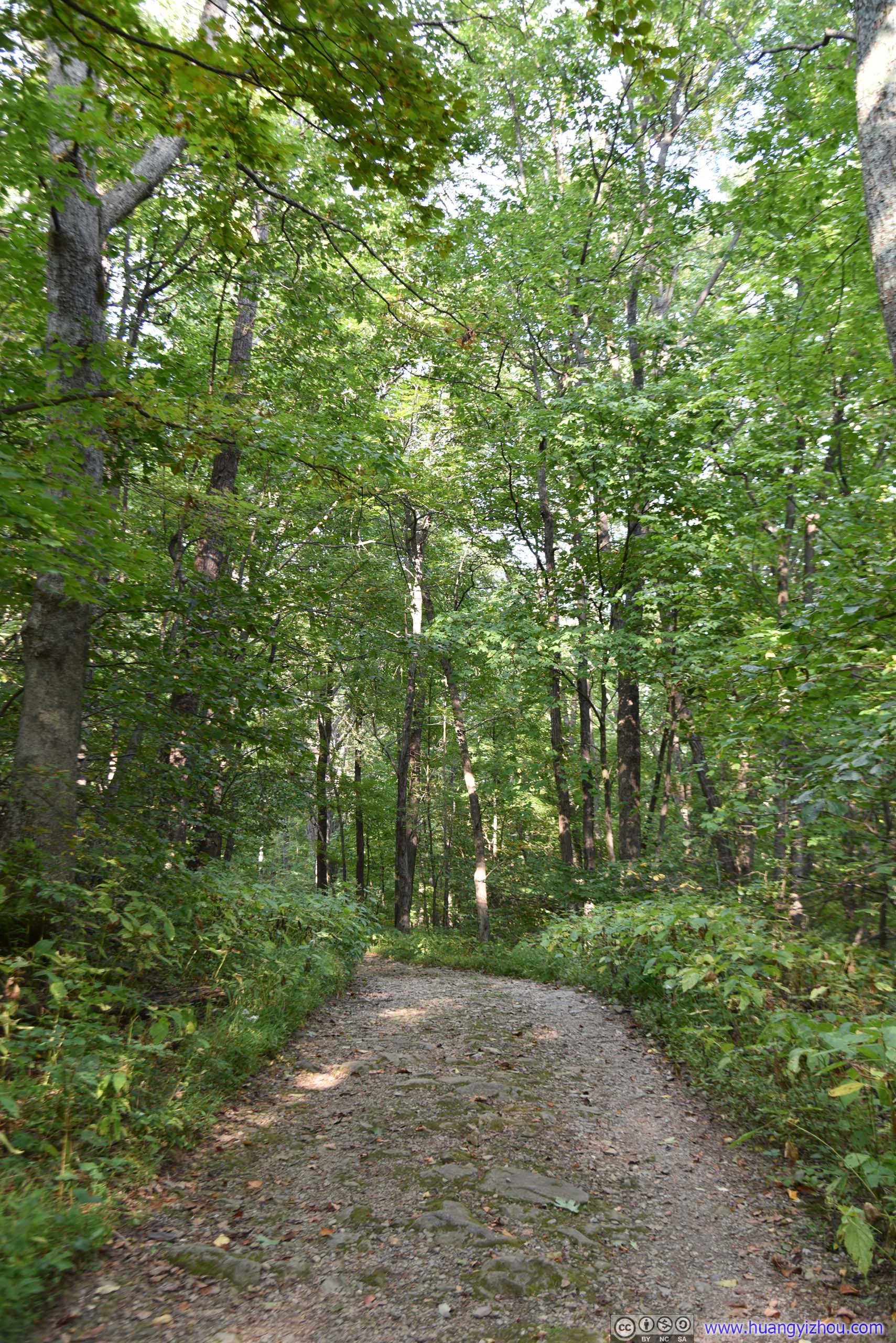
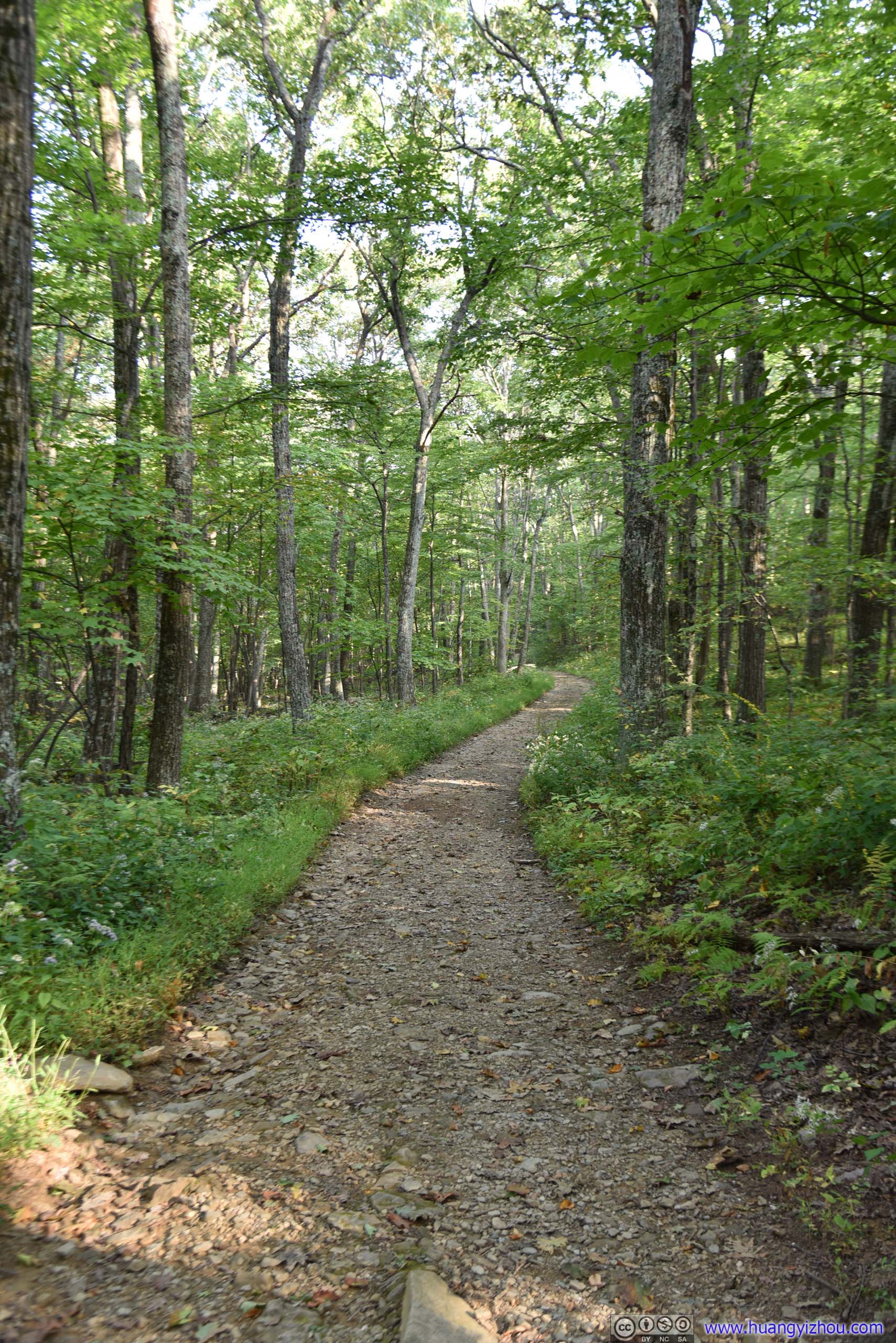
And for the last kilometer, we were back on the horse trail, where the trail grew a lot narrower and rockier, still not much of a big deal though.
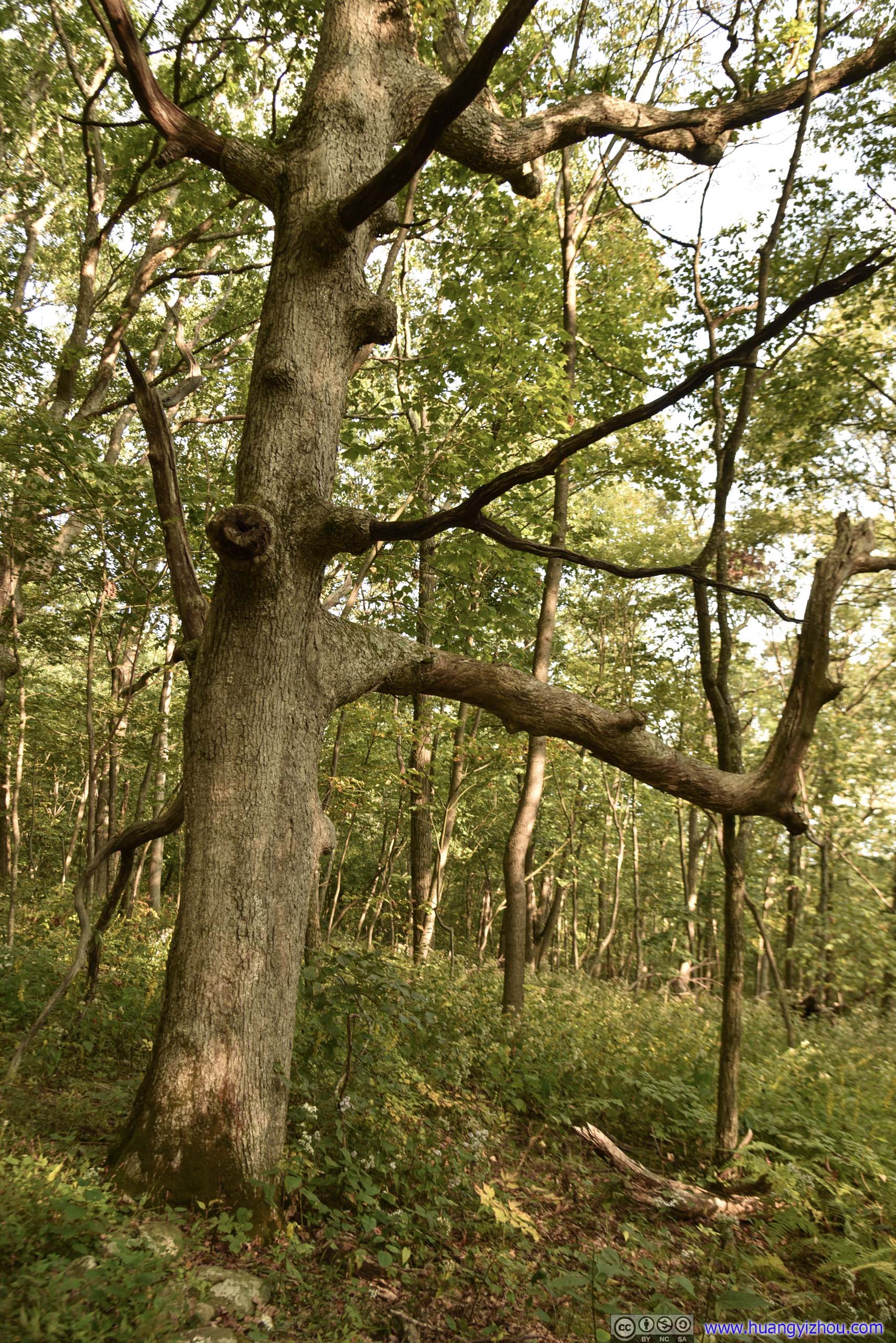
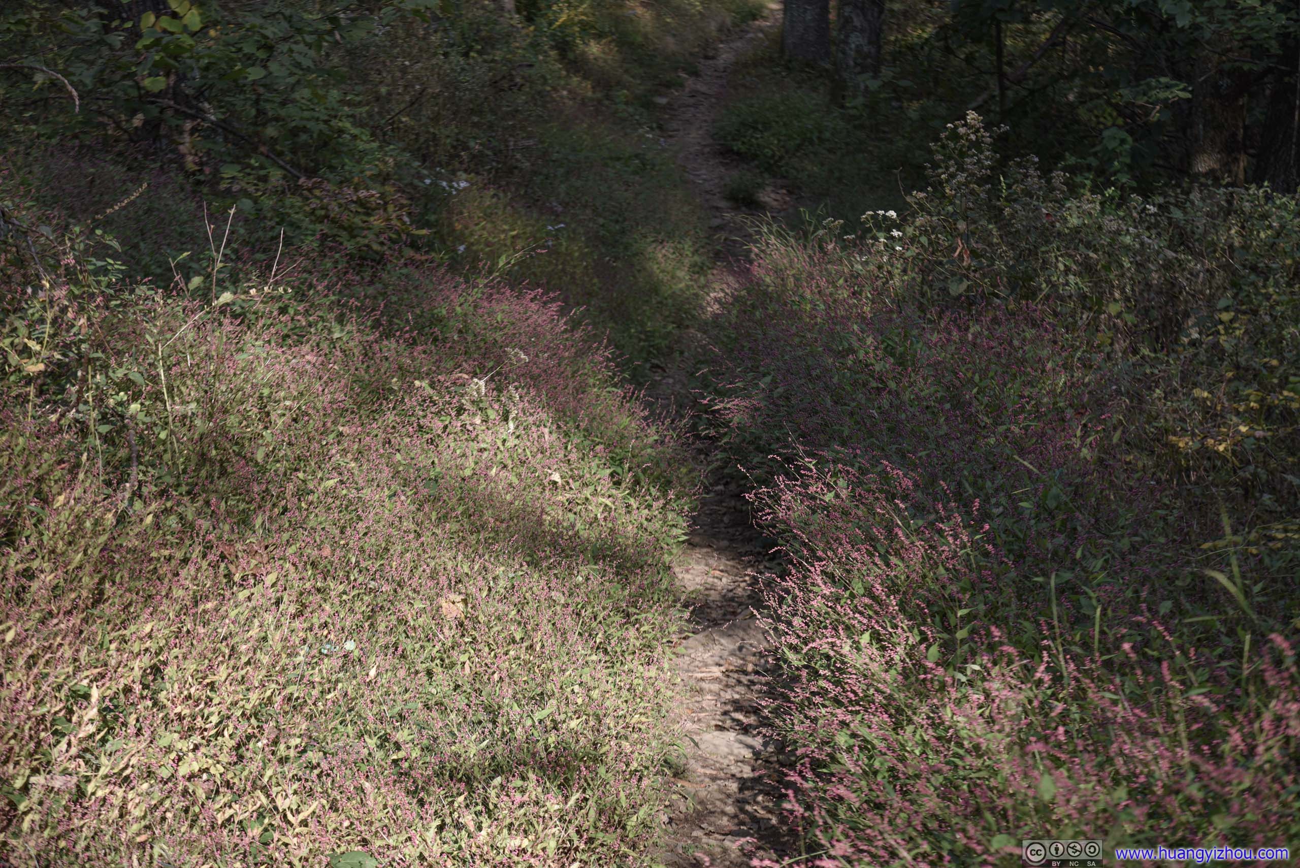
With breeze blowing, this wave of red seemed surreal under sunset lights.
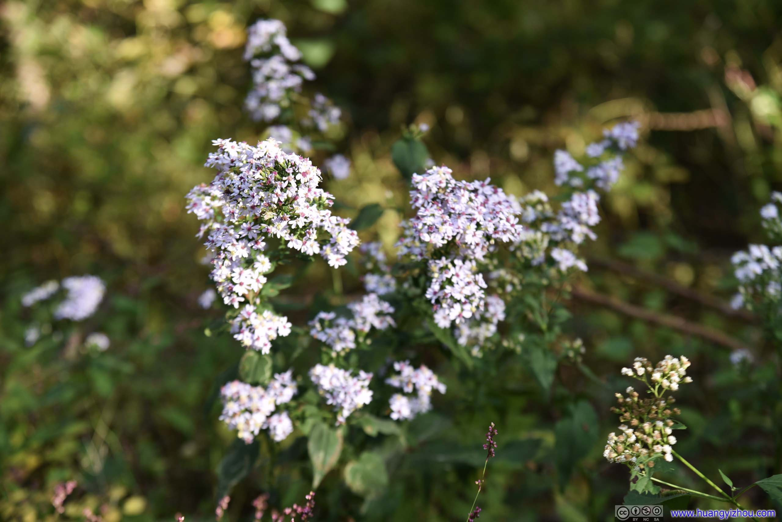
At this time sunset was still more than two hours away. After enjoying some snacks and resupplying water at visitor center, we decided to head over to Bearfence Mountain to experience some rock scrambling, and hopefully to catch a beautiful sunset.
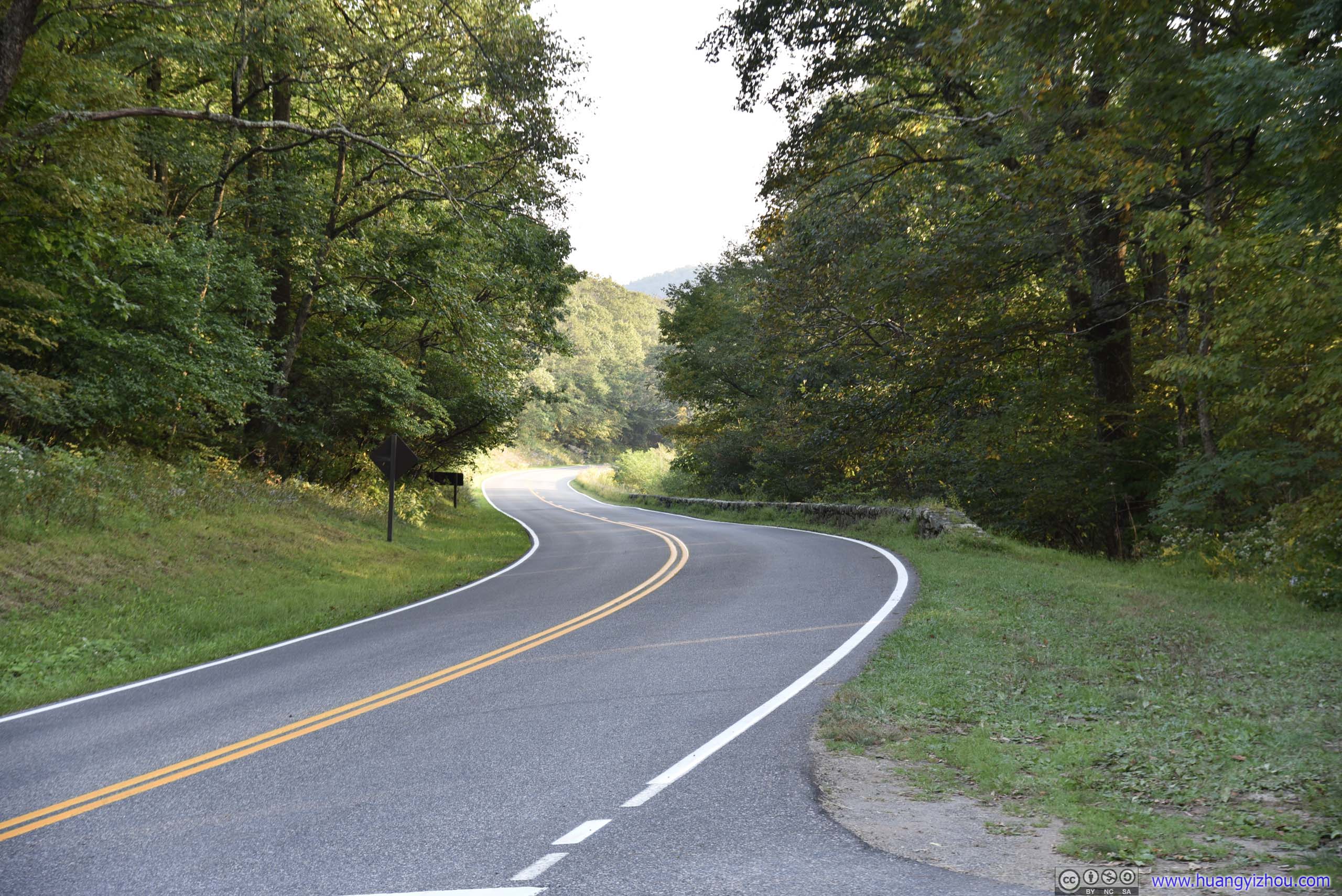
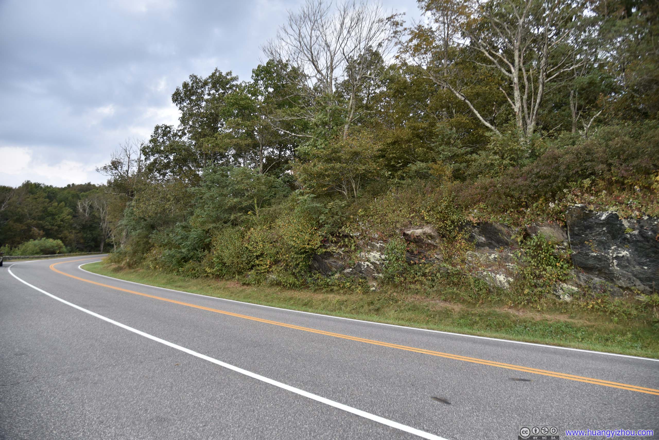
Bearfence Mountain
The entire Bearfence Mountain Trail was barely more than a mile, with about 200 meters of rock scrambling making the perfect introductory rock scrambling course.
And here's GPS tracking.
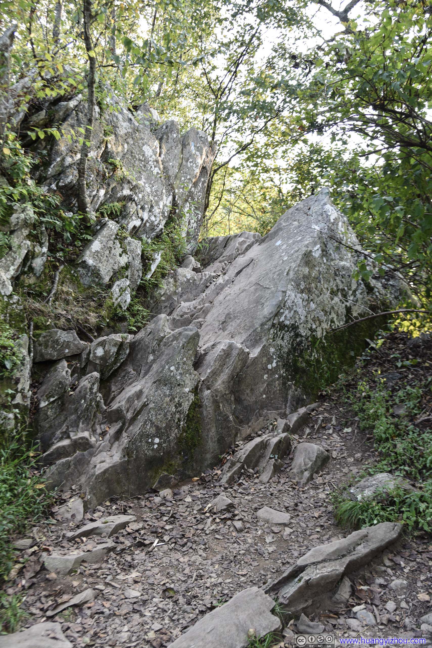
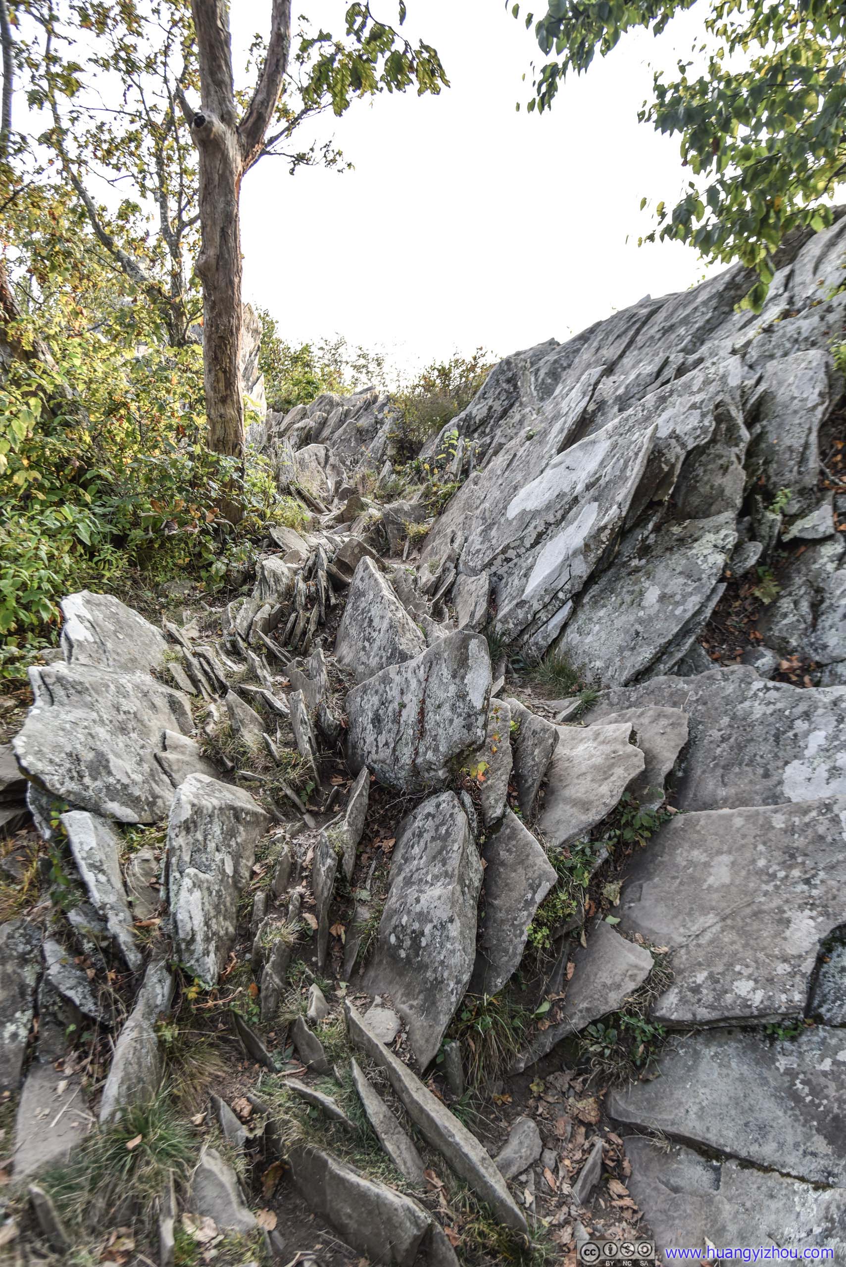
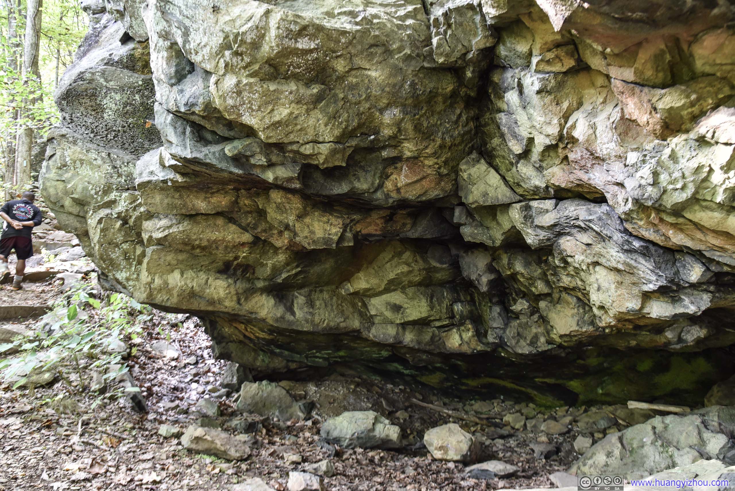
Unfortunately, while rock scrambling I had to stow my camera, so these rocks towards the beginning of the trail were all that I could take photo of.
Unlike Old Rag, the rock scrambling portion of Bearfence Mountain was well marked, making it impossible to take a dangerous turn and get lost (which also take away some of the fun of rock scrambling).
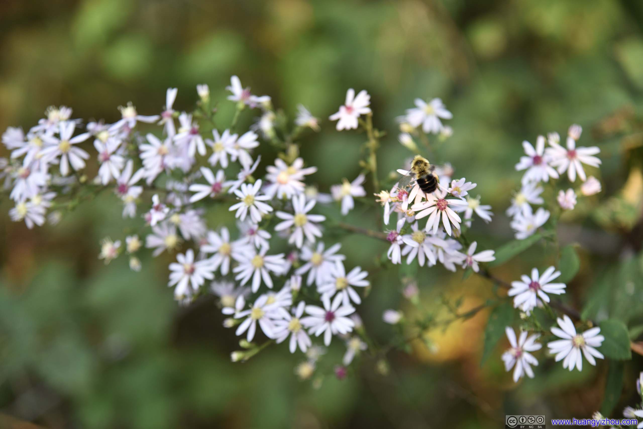
And a bee flying among them.
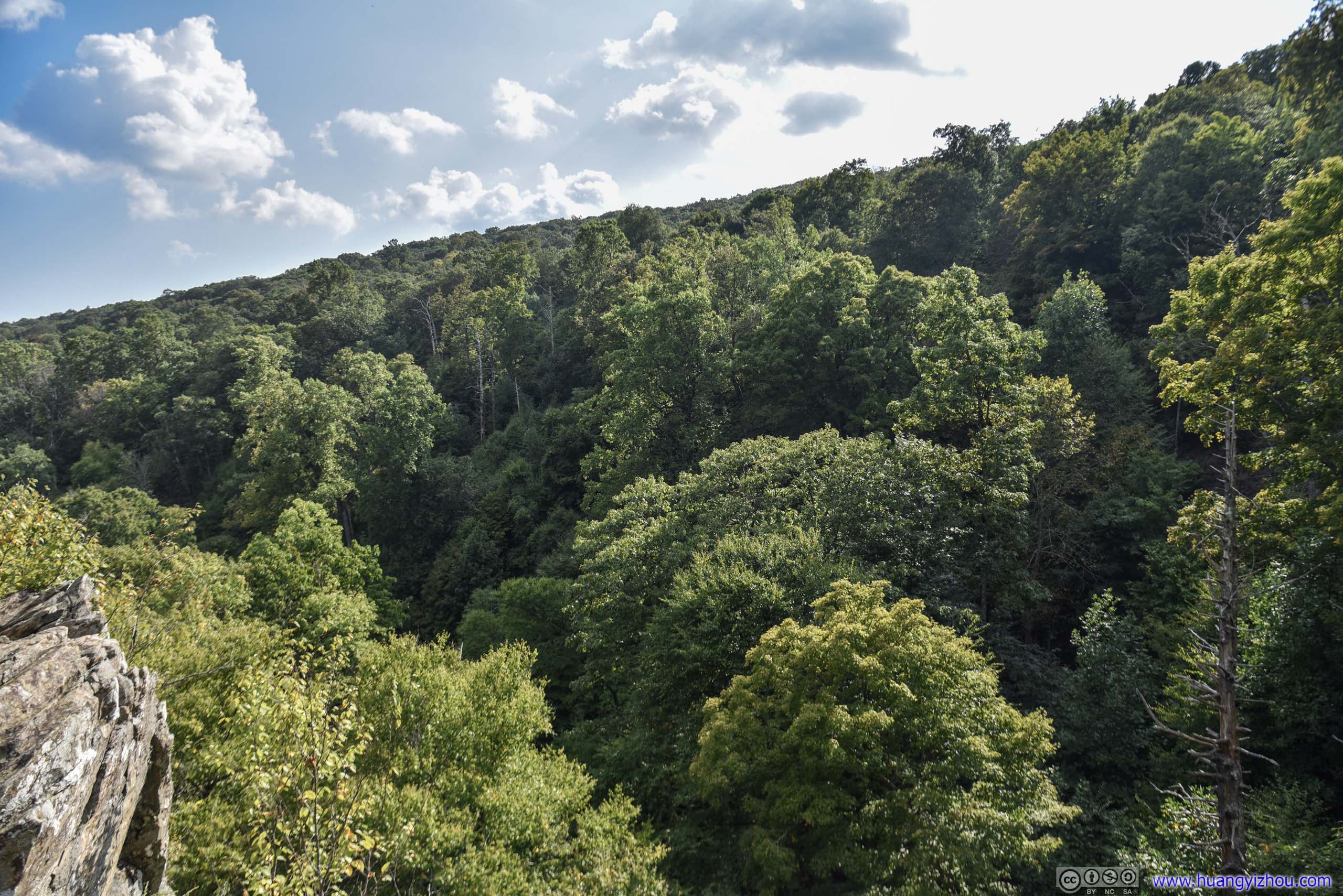
So not long after that, we were at the first vista along the trail.
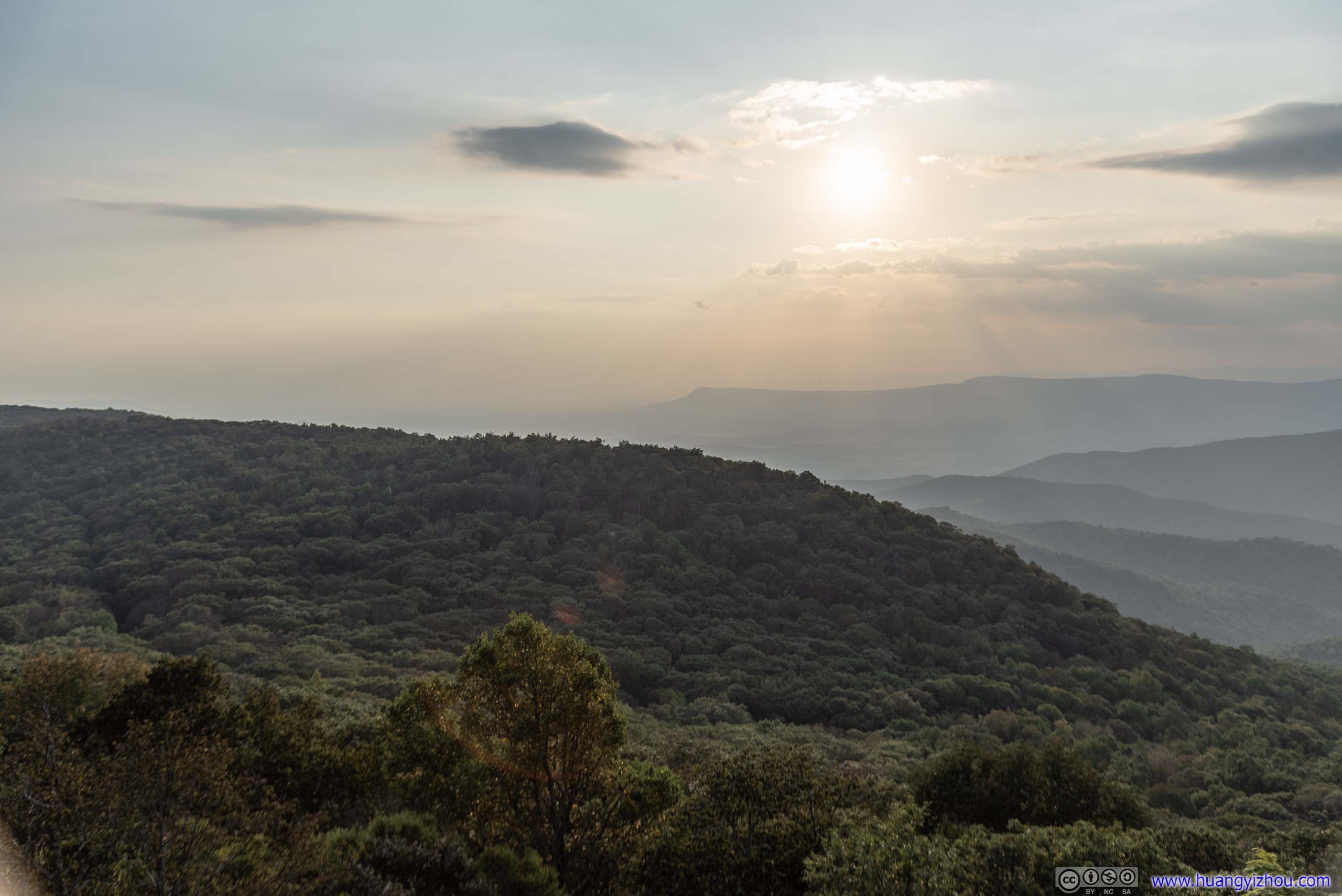
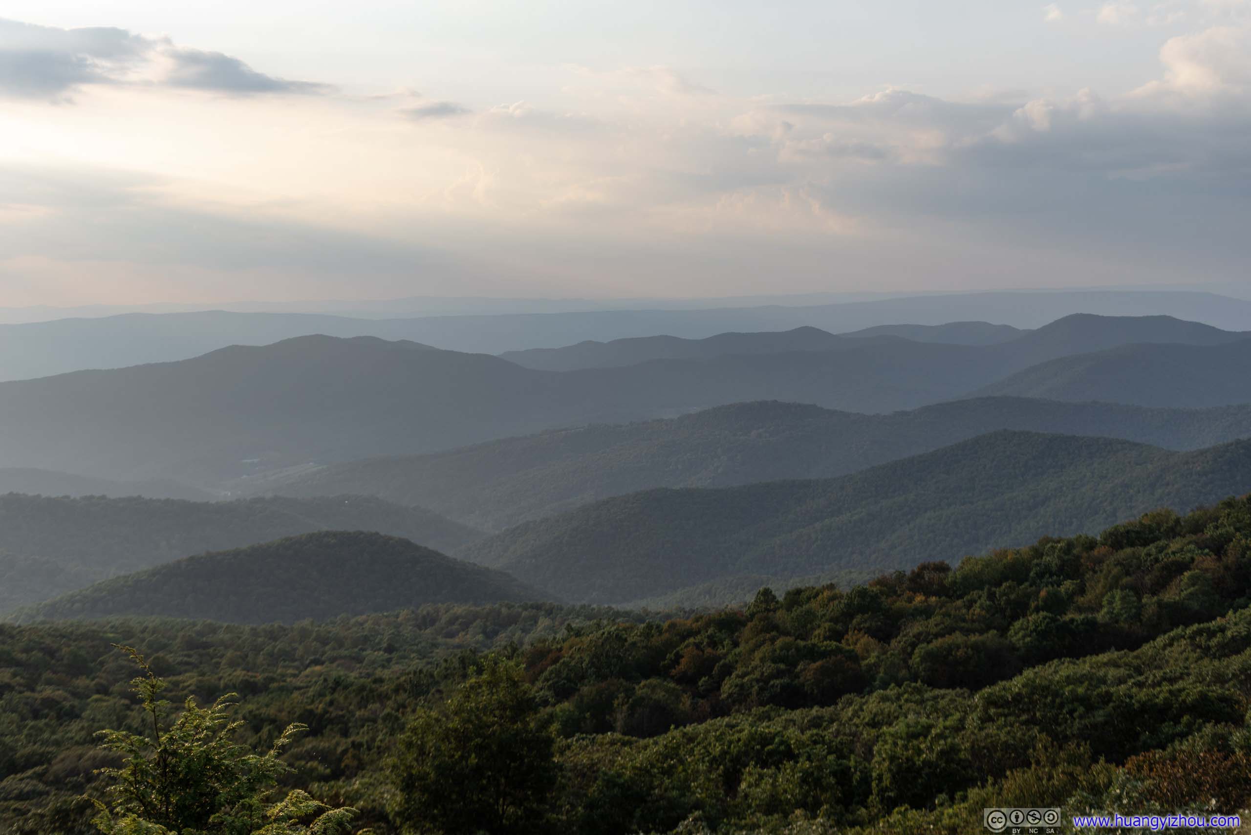
Mountain Ranges
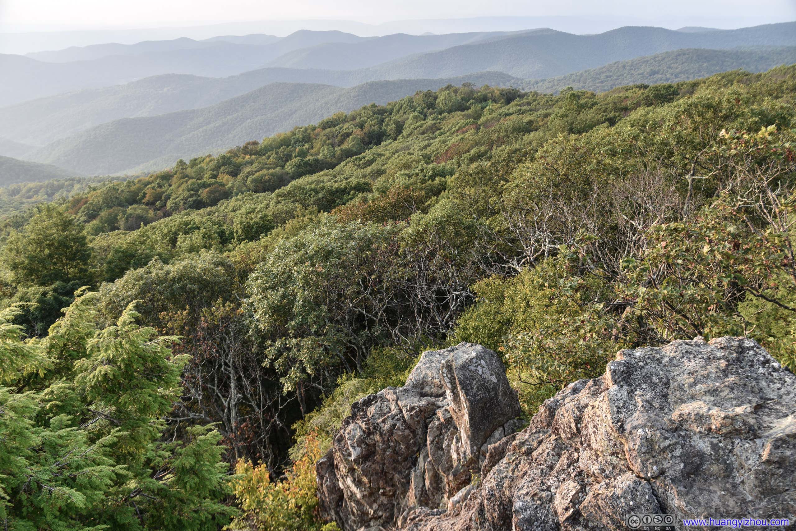
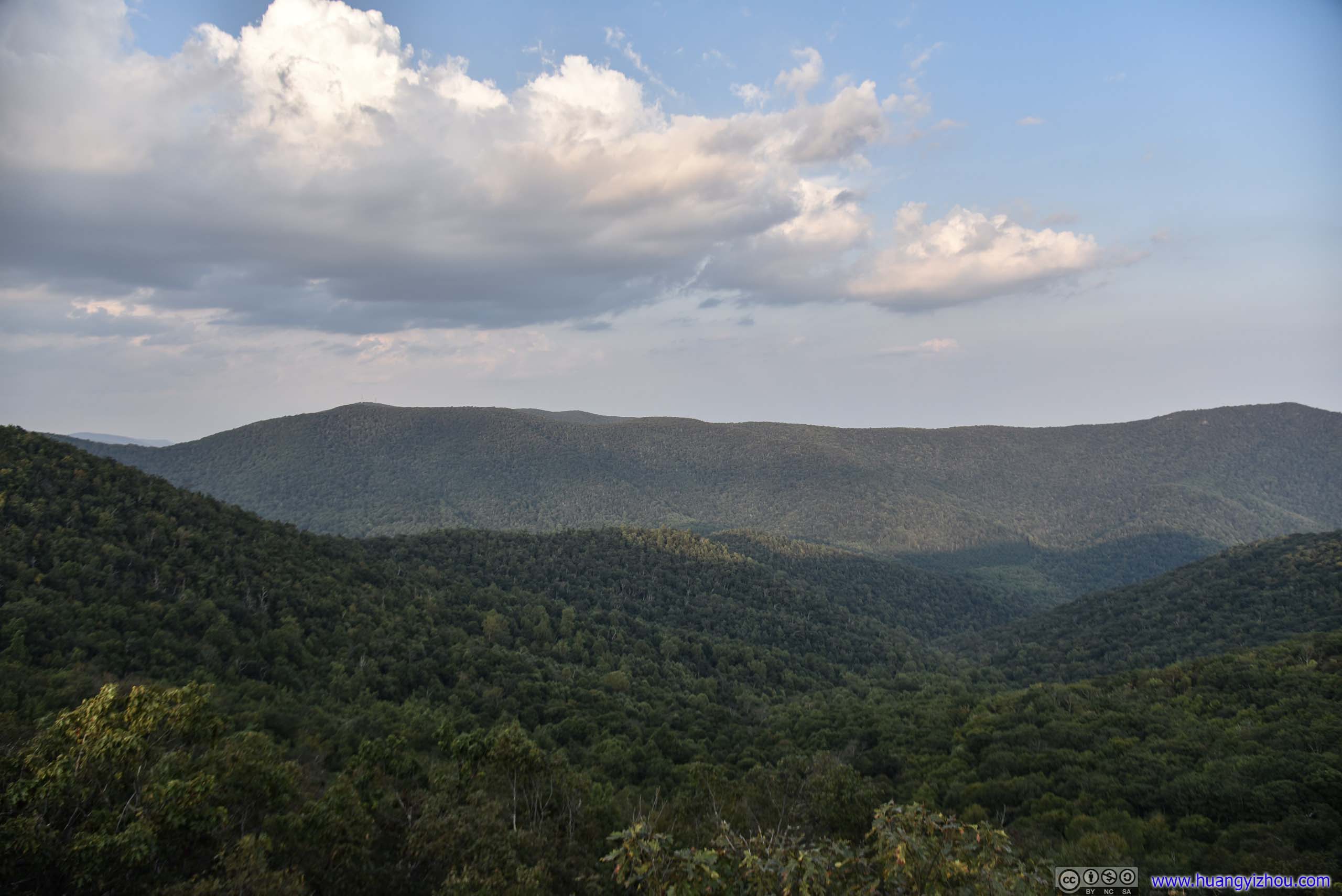
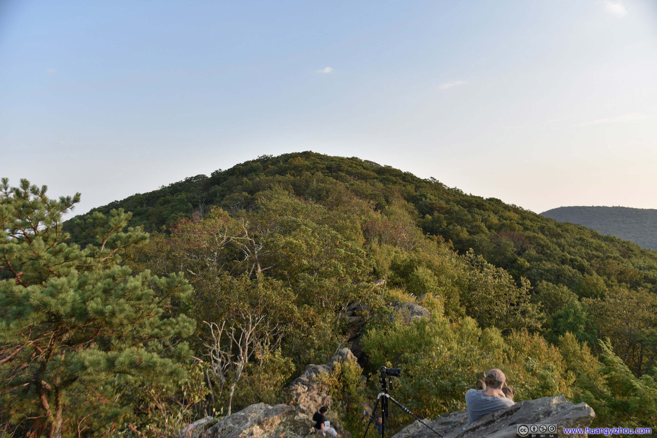
Mountain Ranges

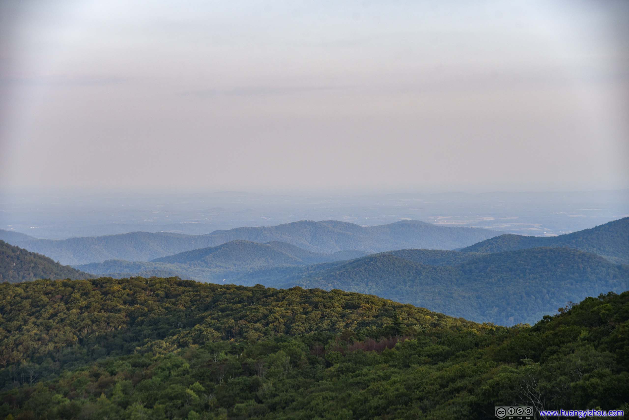
Looking towards East where civilization was.
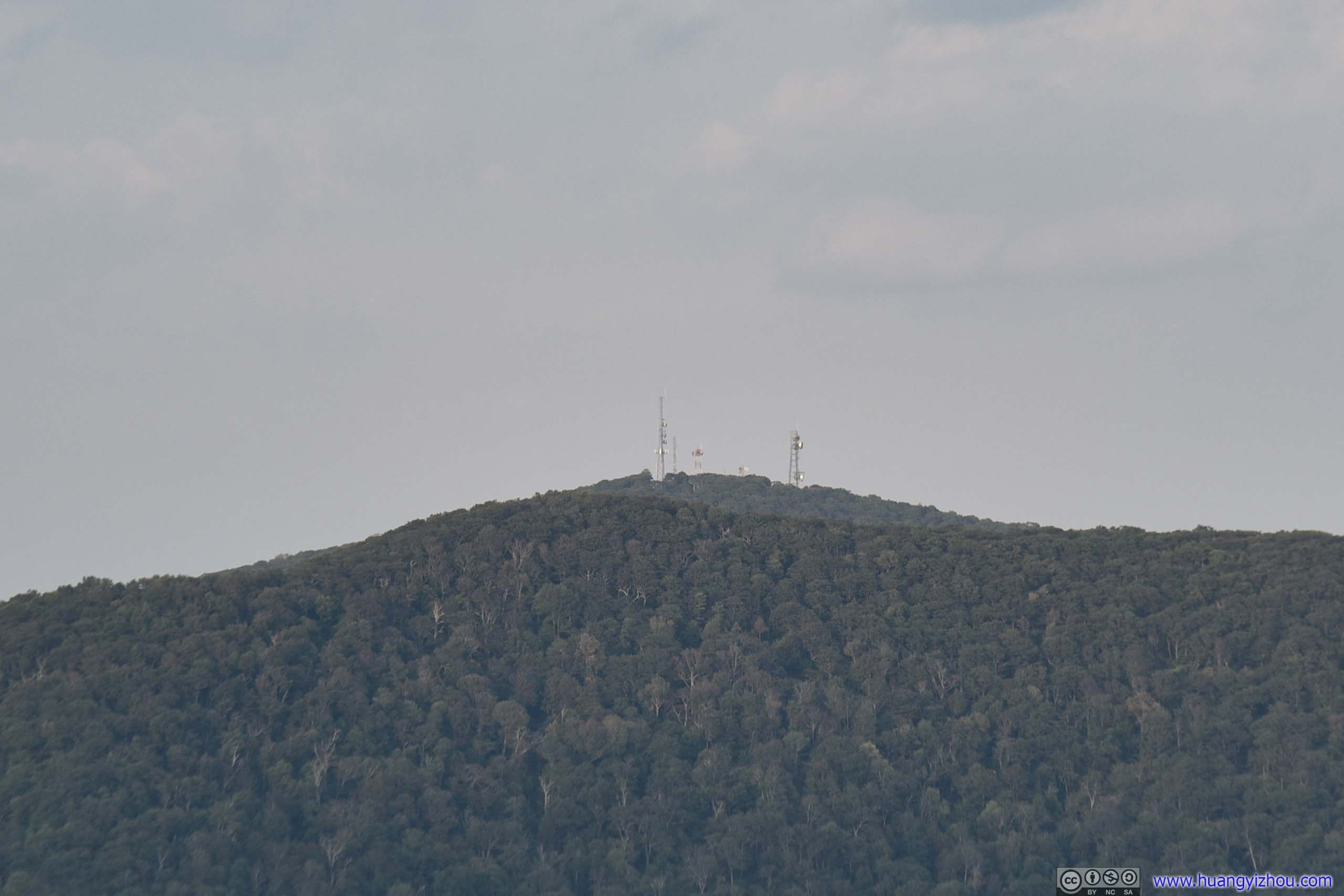
On the map there were two vistas’ along Bearfence Mountain Trail. It turned out that views on the first (Northern) one was much better than the second (Southern), that's also where most people were sat waiting for sunset.
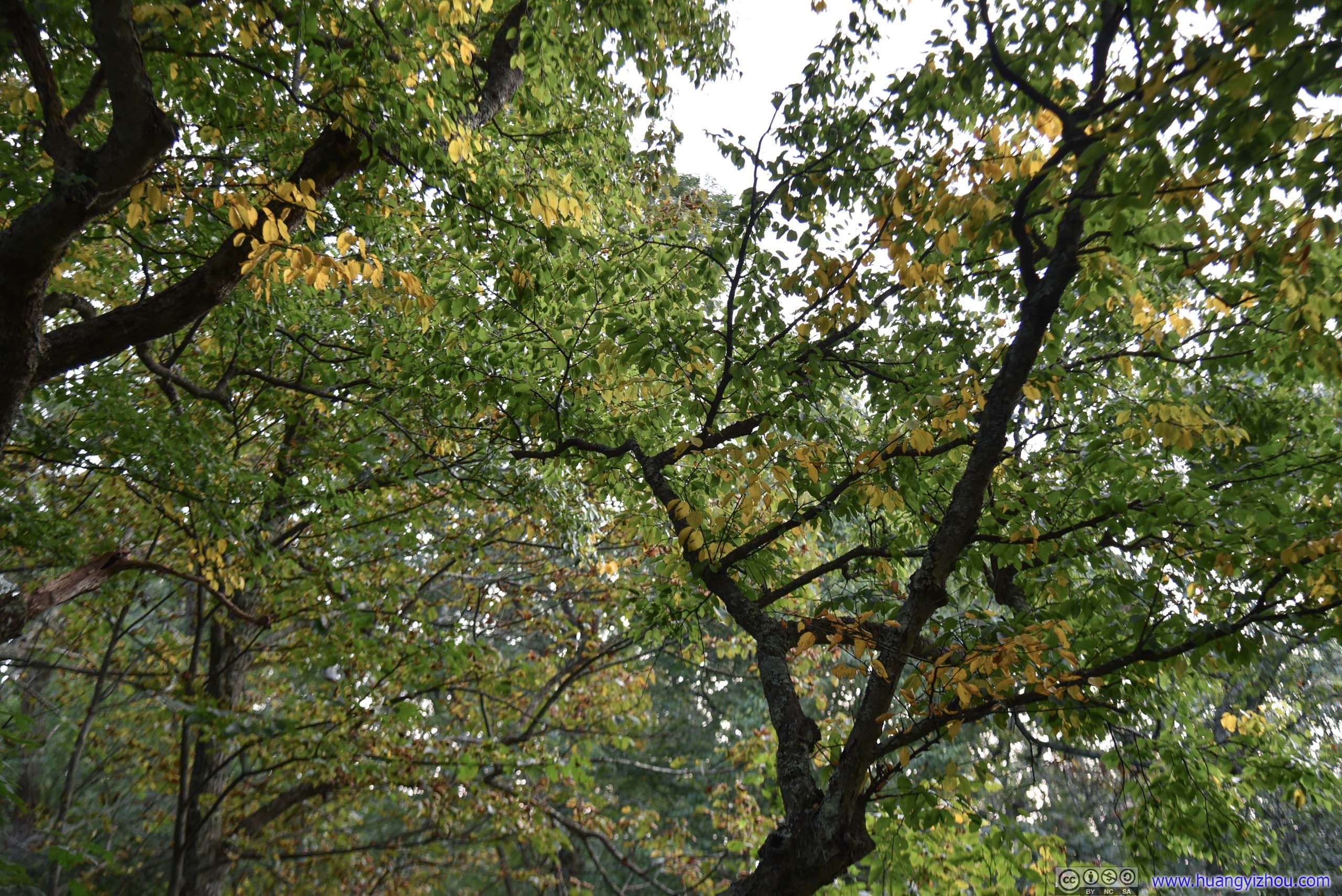
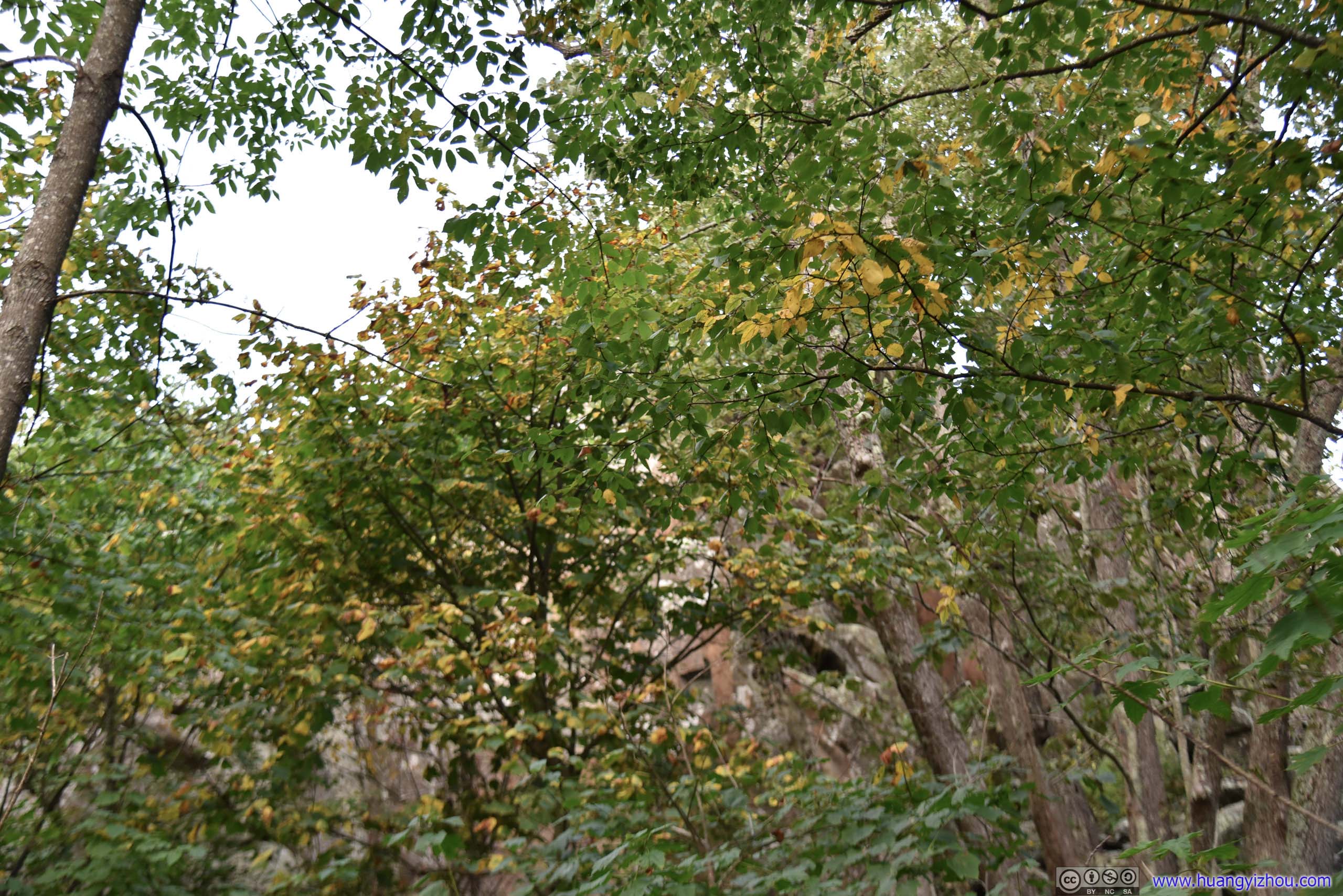
And at the second vista, view towards West was much obscured by overgrown trees (with no views towards East at all...).
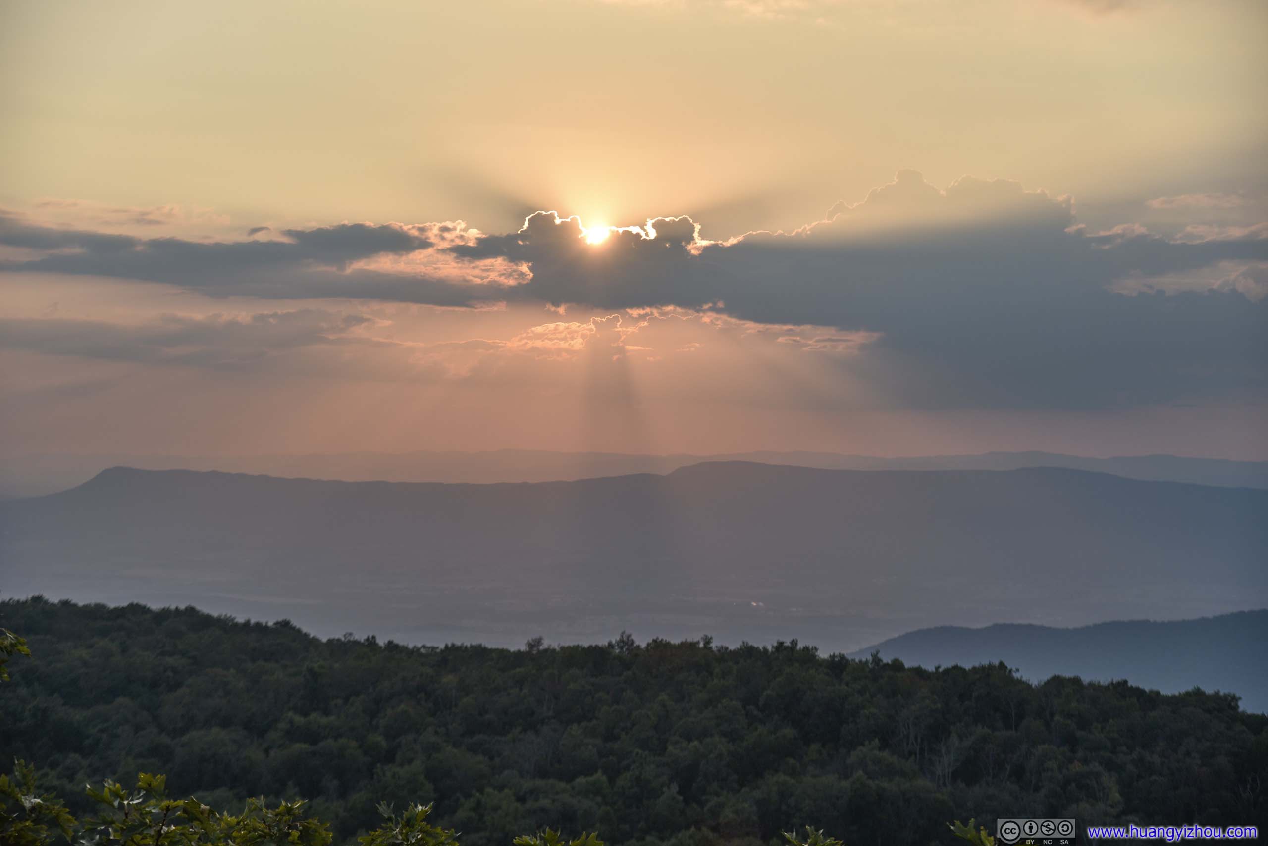
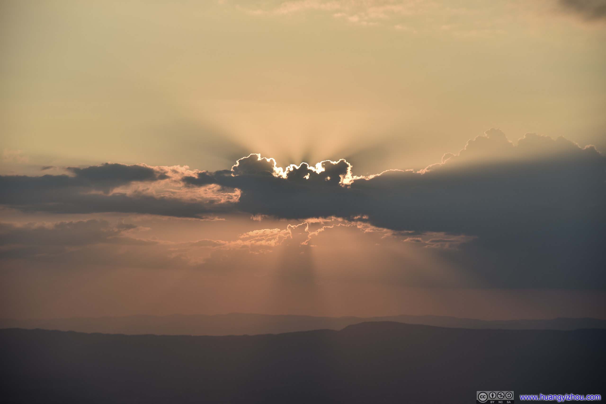
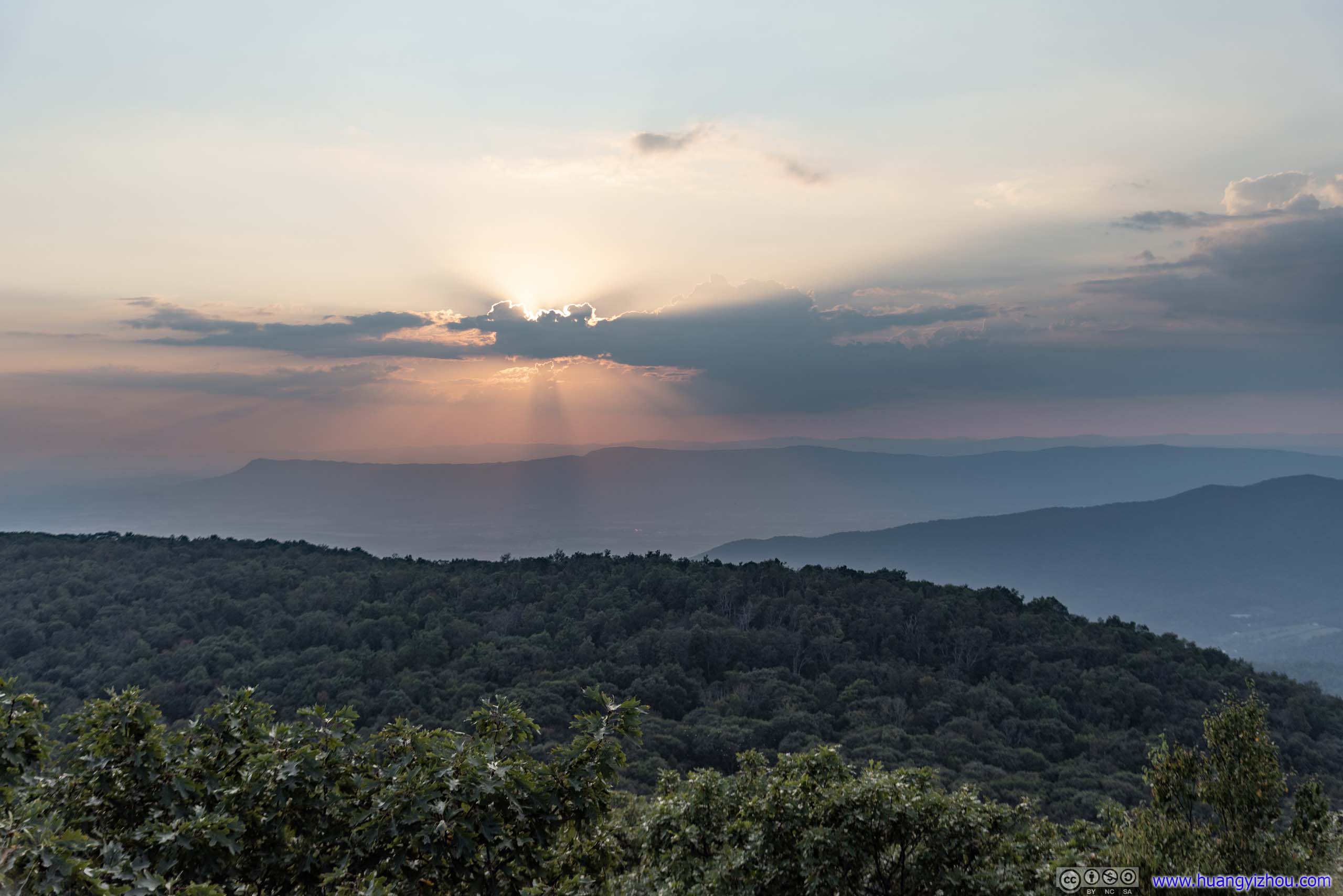
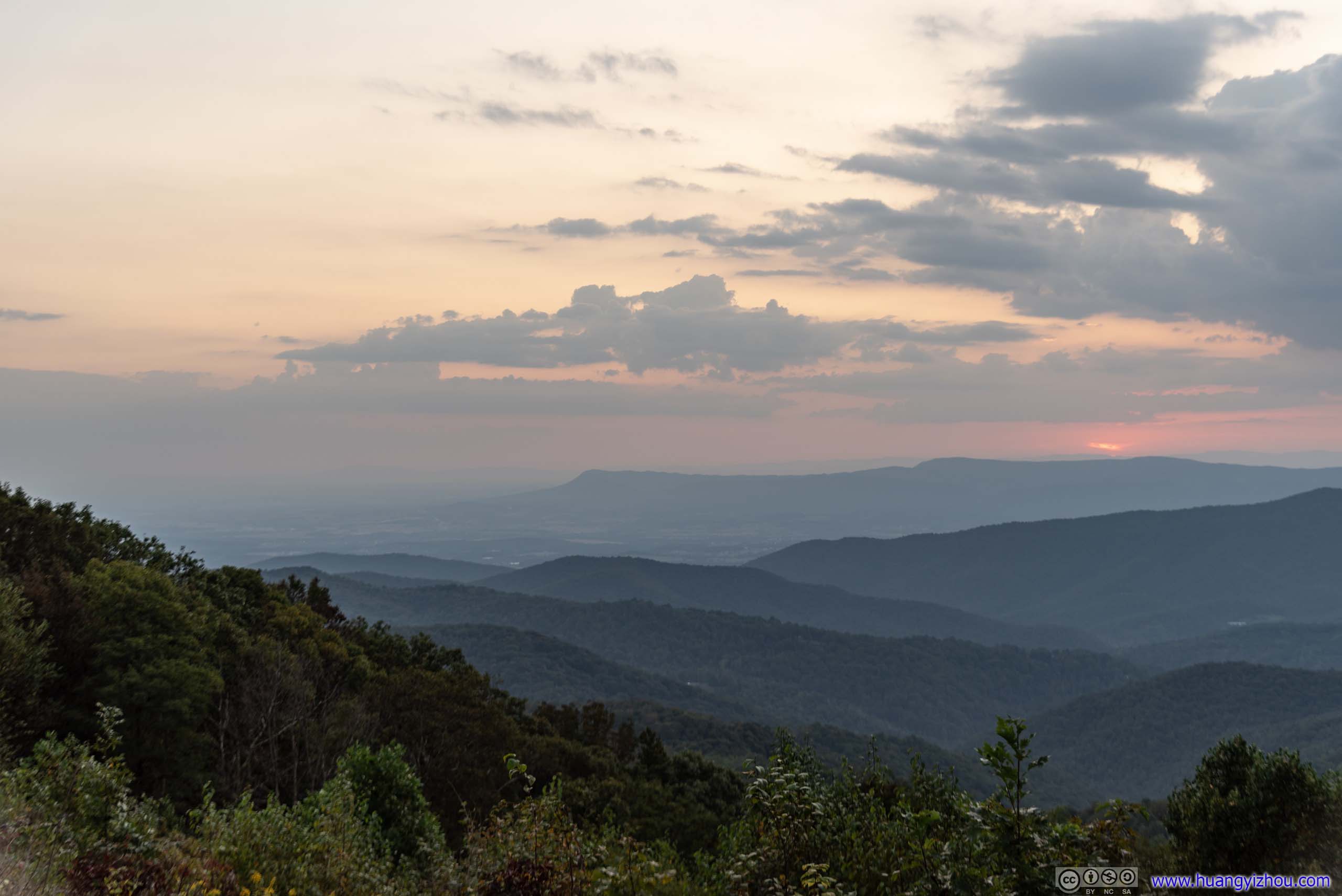
Setting Sun behind Clouds
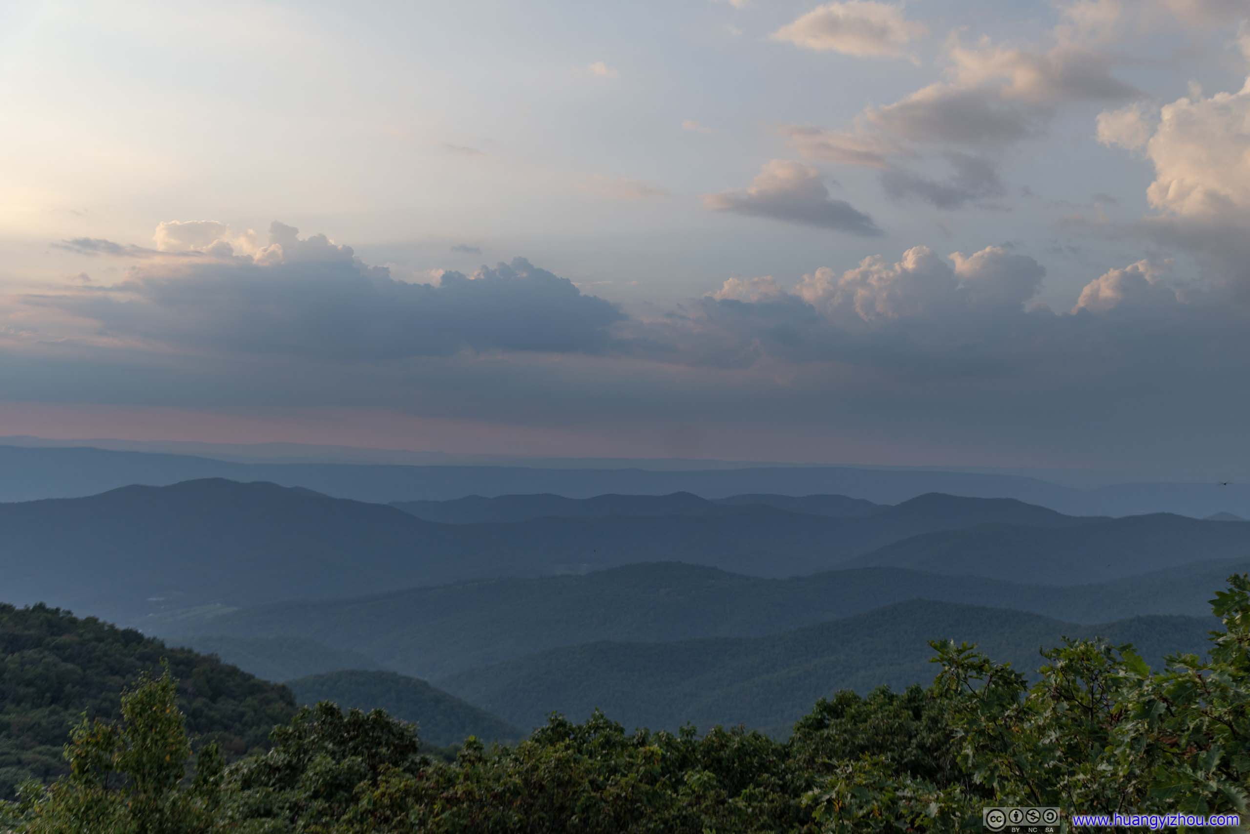
Since we were already at the second vista with compromised views, and there was still time before sunset, my friends and I decided to head back and hopefully catch sunset on some overlook along Skyline Drive, which we did eventually.

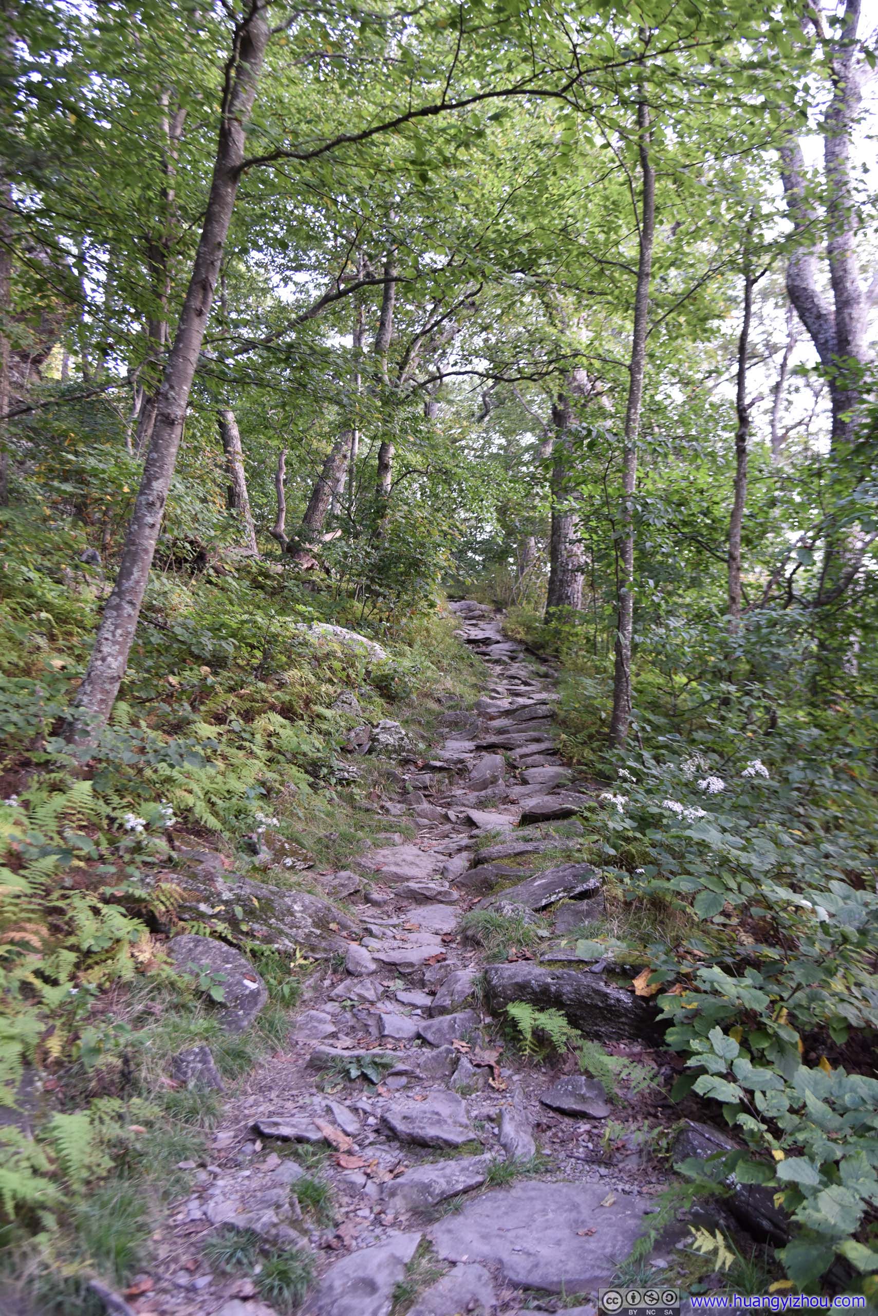

The easier part of Bearfence Mountain Trail, part of Appalachian.
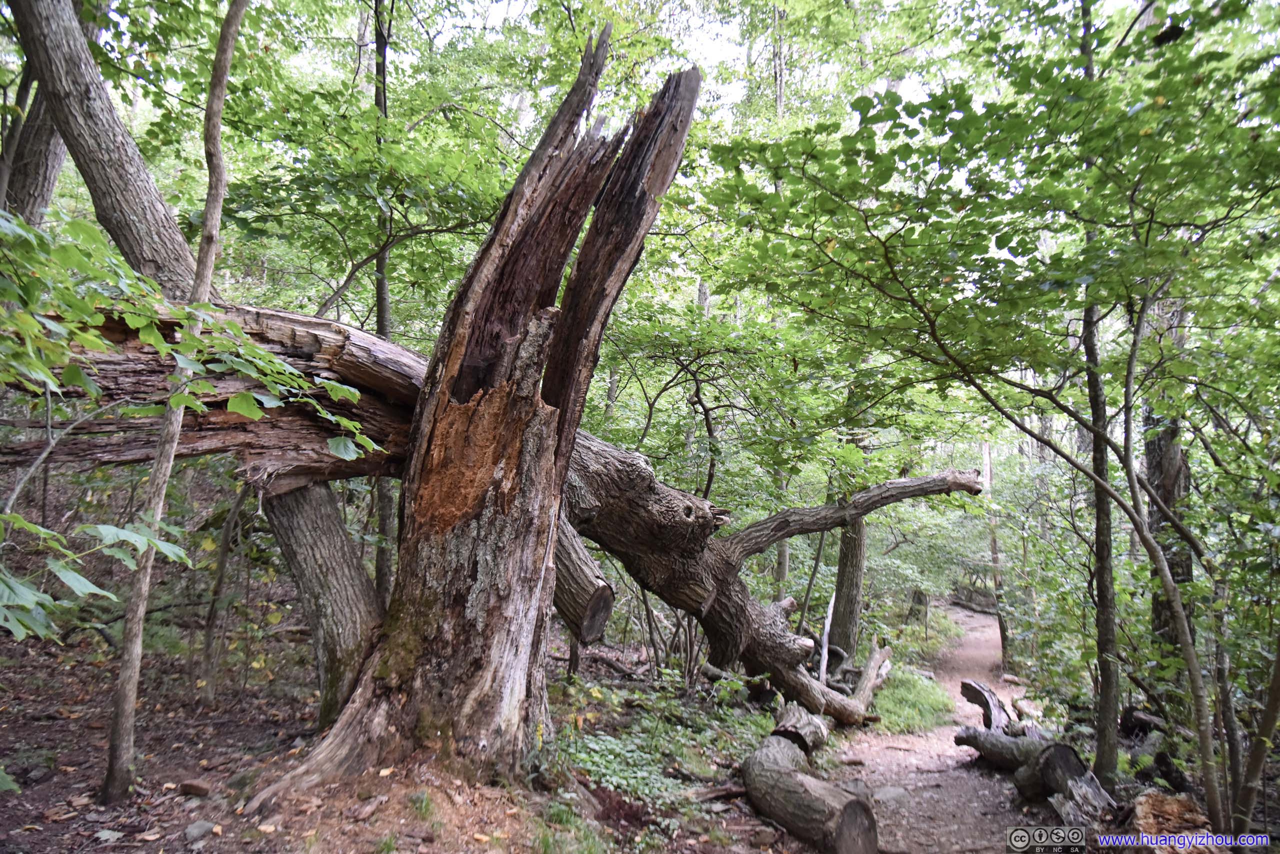
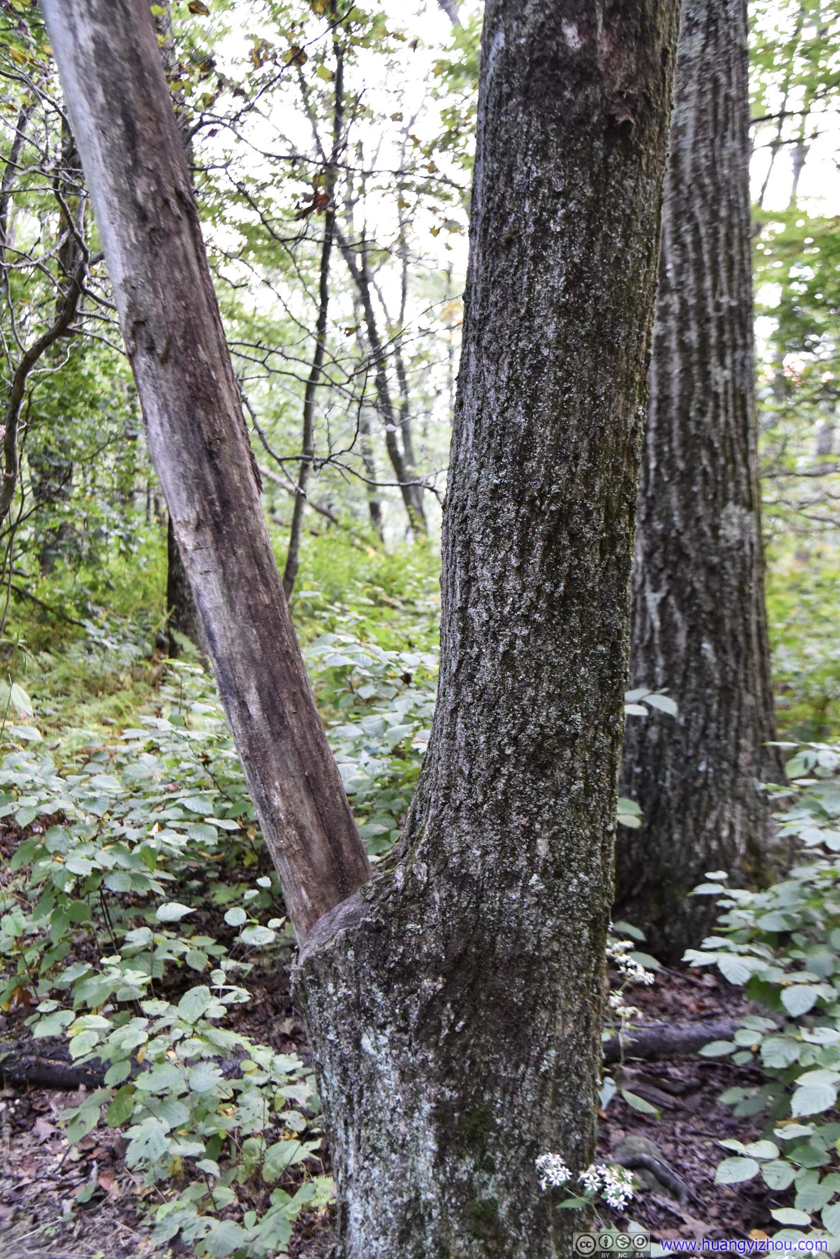
What happened to the bark?
Sunset at The Point Overlook
And just as the sun was about to set, we reached The Point Overlook.
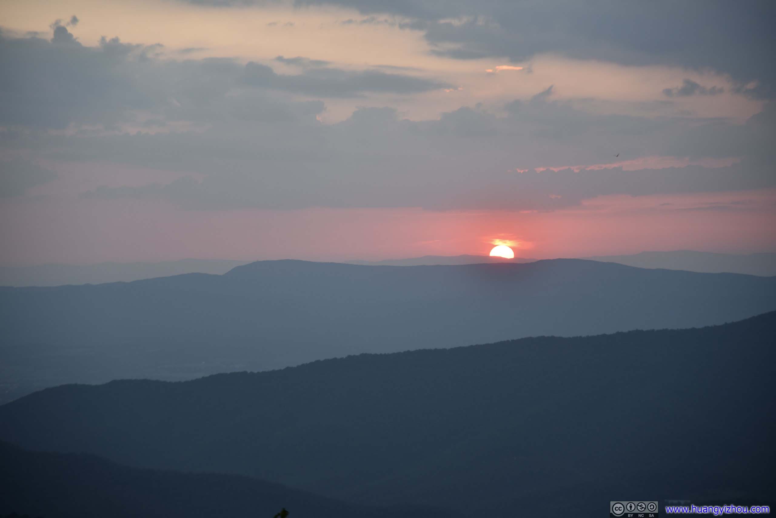
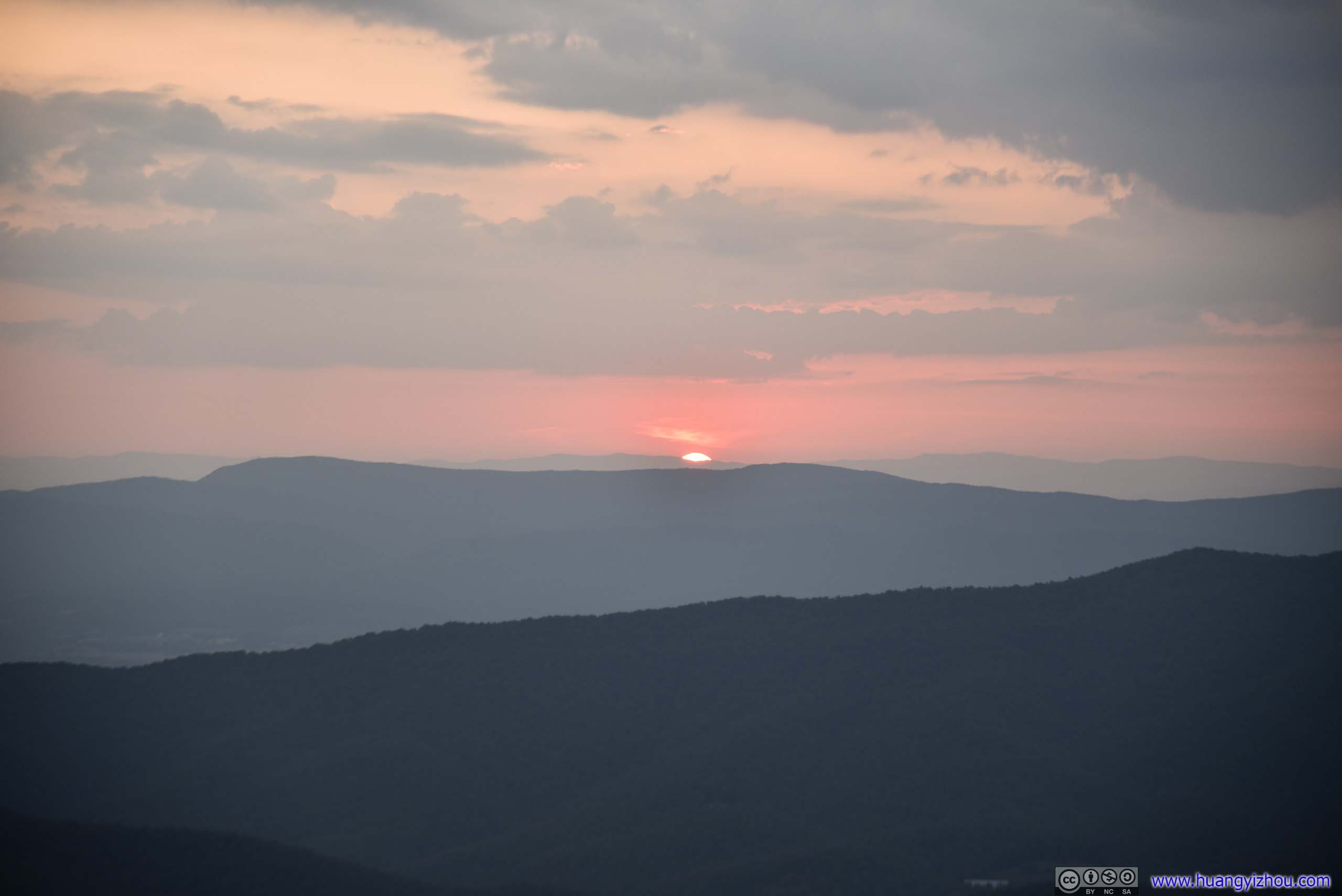
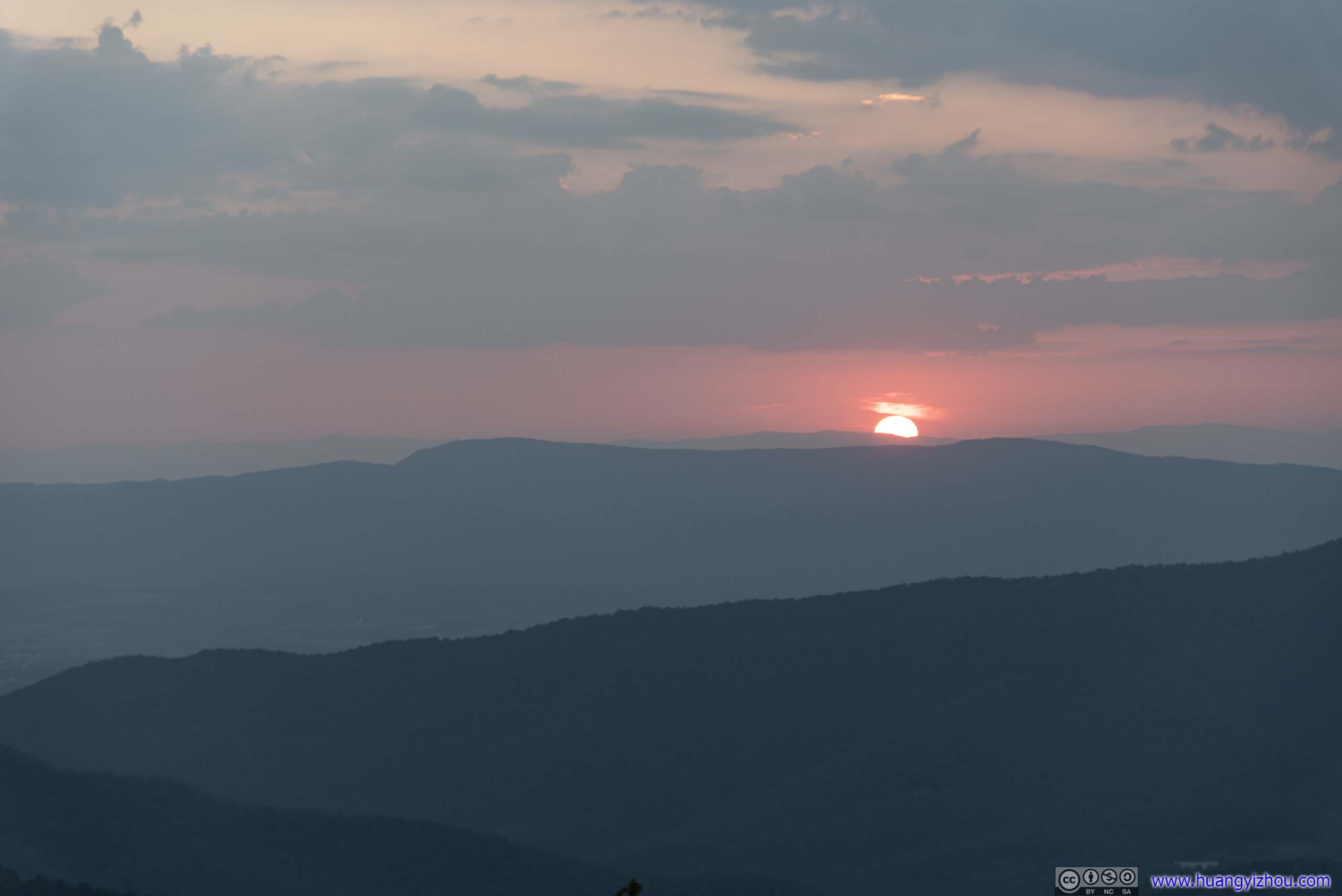
Sunset
A wonderful way to conclude a day.
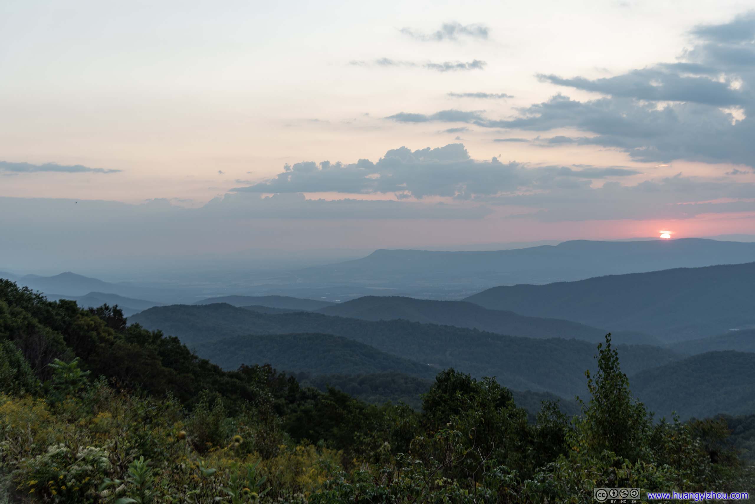
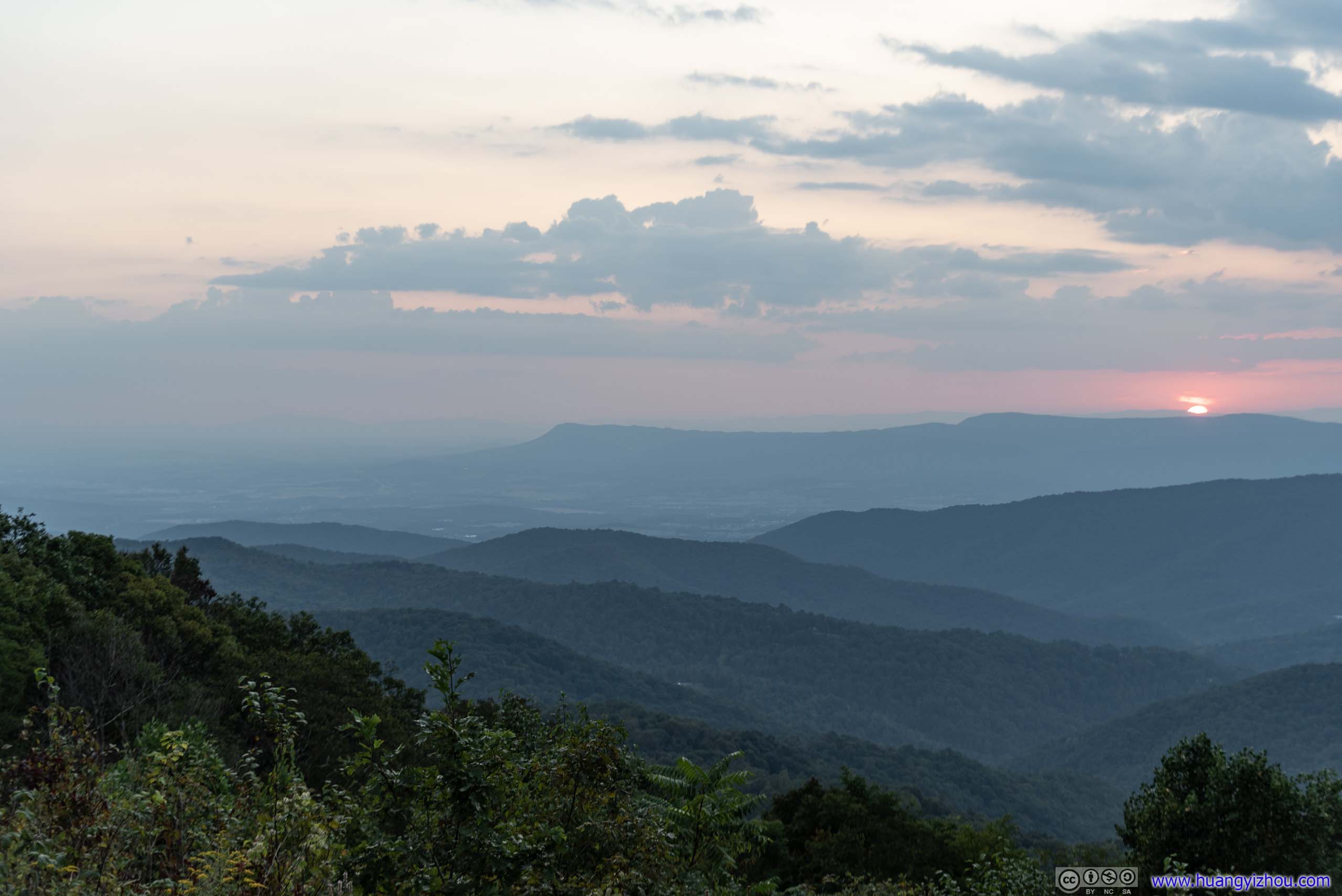
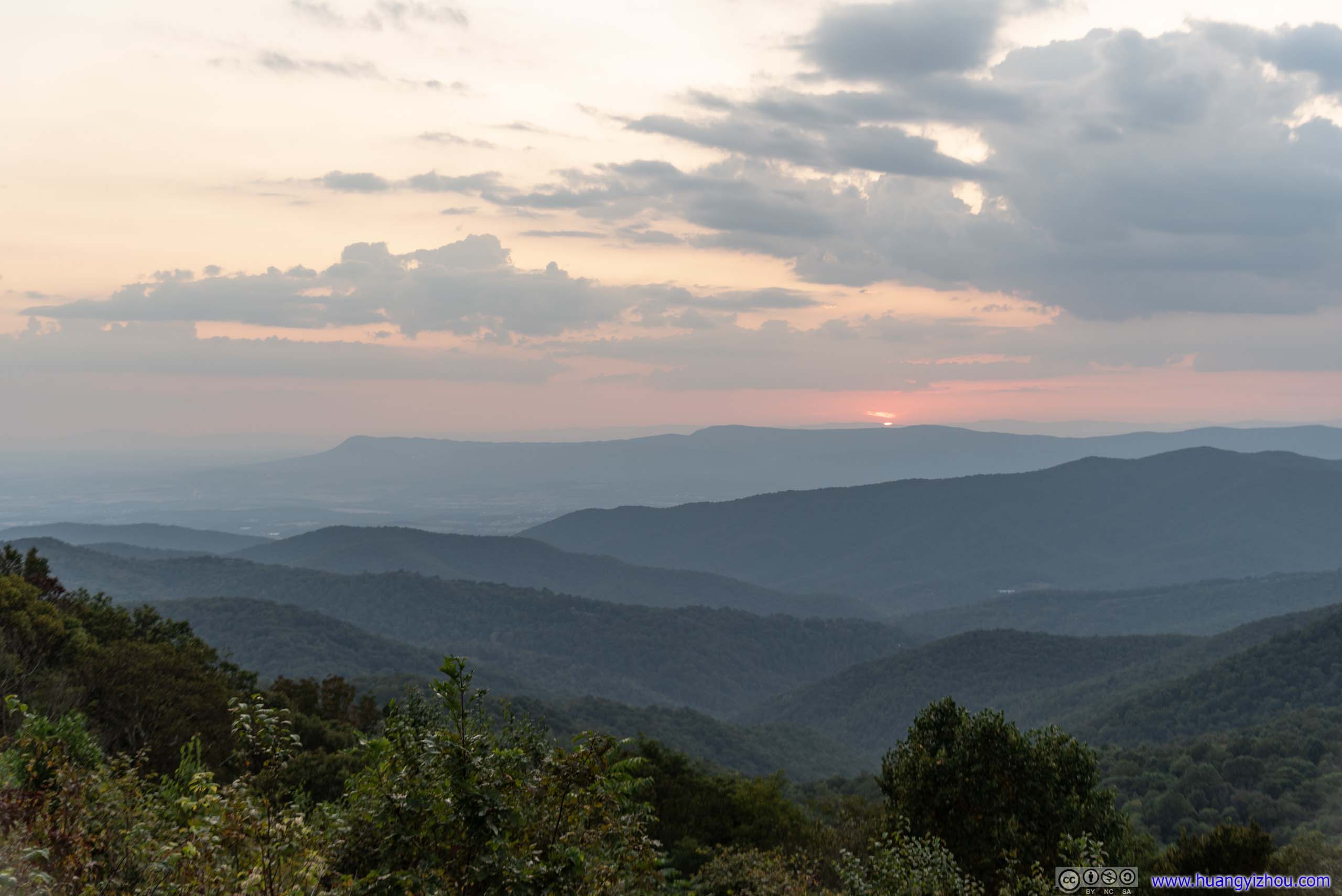
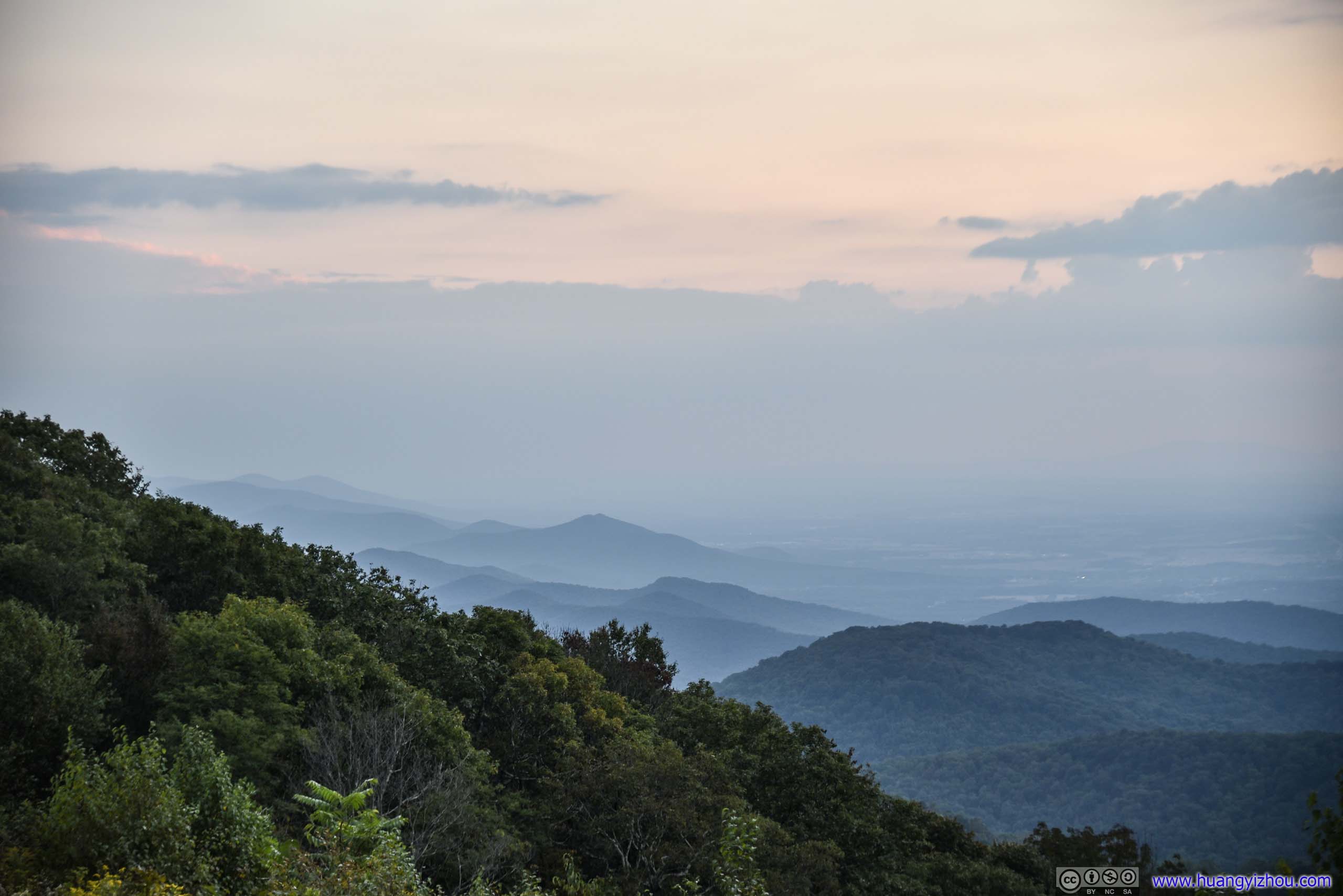
Sunset View
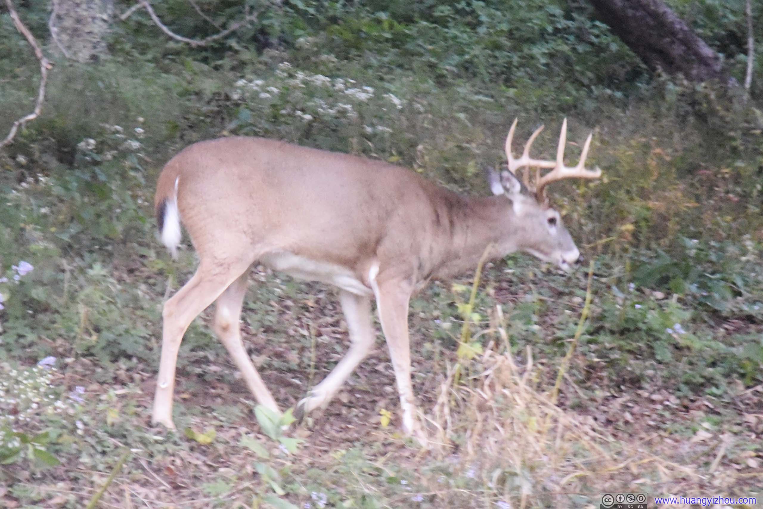
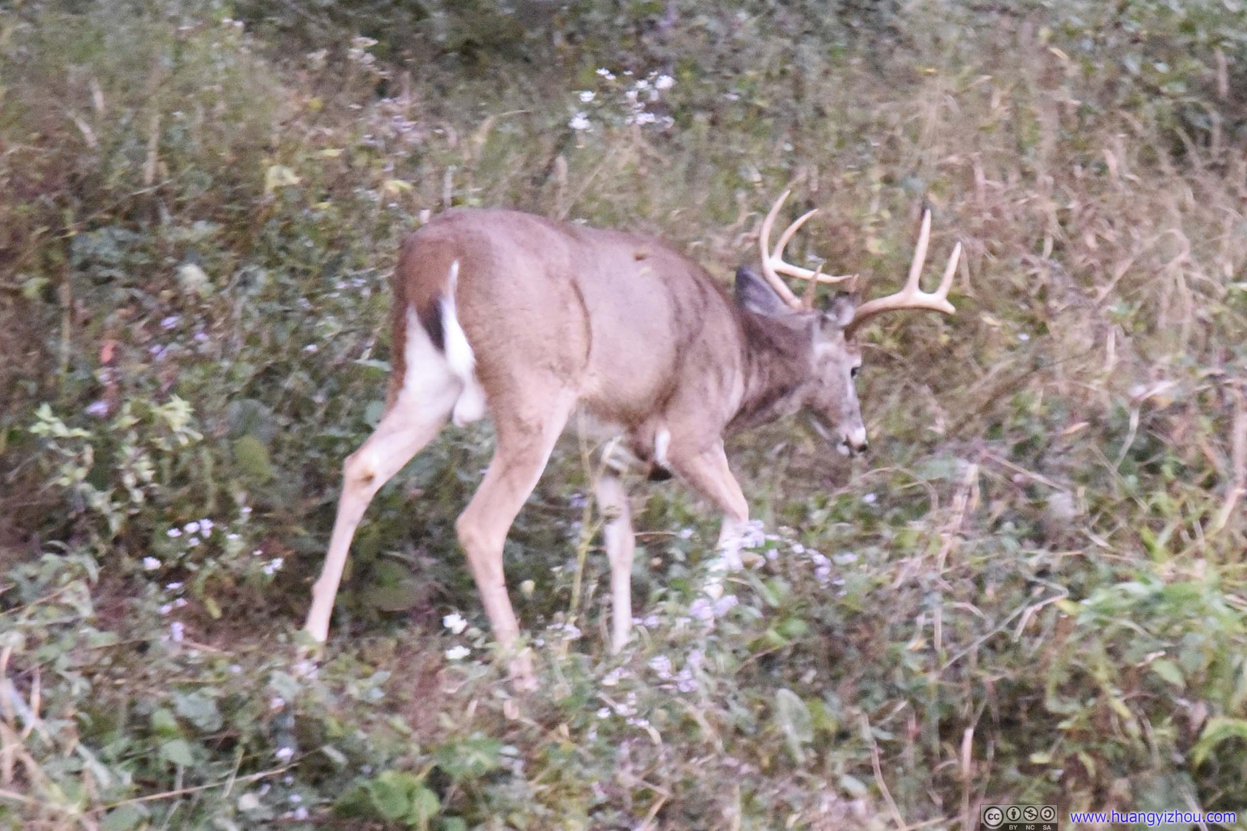
Oh, and we spotted the only wildlife of the day on our way back.
END