Day 8 of 2019 Western US Tour, July 19, Yellowstone Canyons
Our fourth day in Yellowstone National Park, spent between majestic Yellowstone Canyon and Mammoth Hot Springs, and some stunning landscape and wild animals in between.
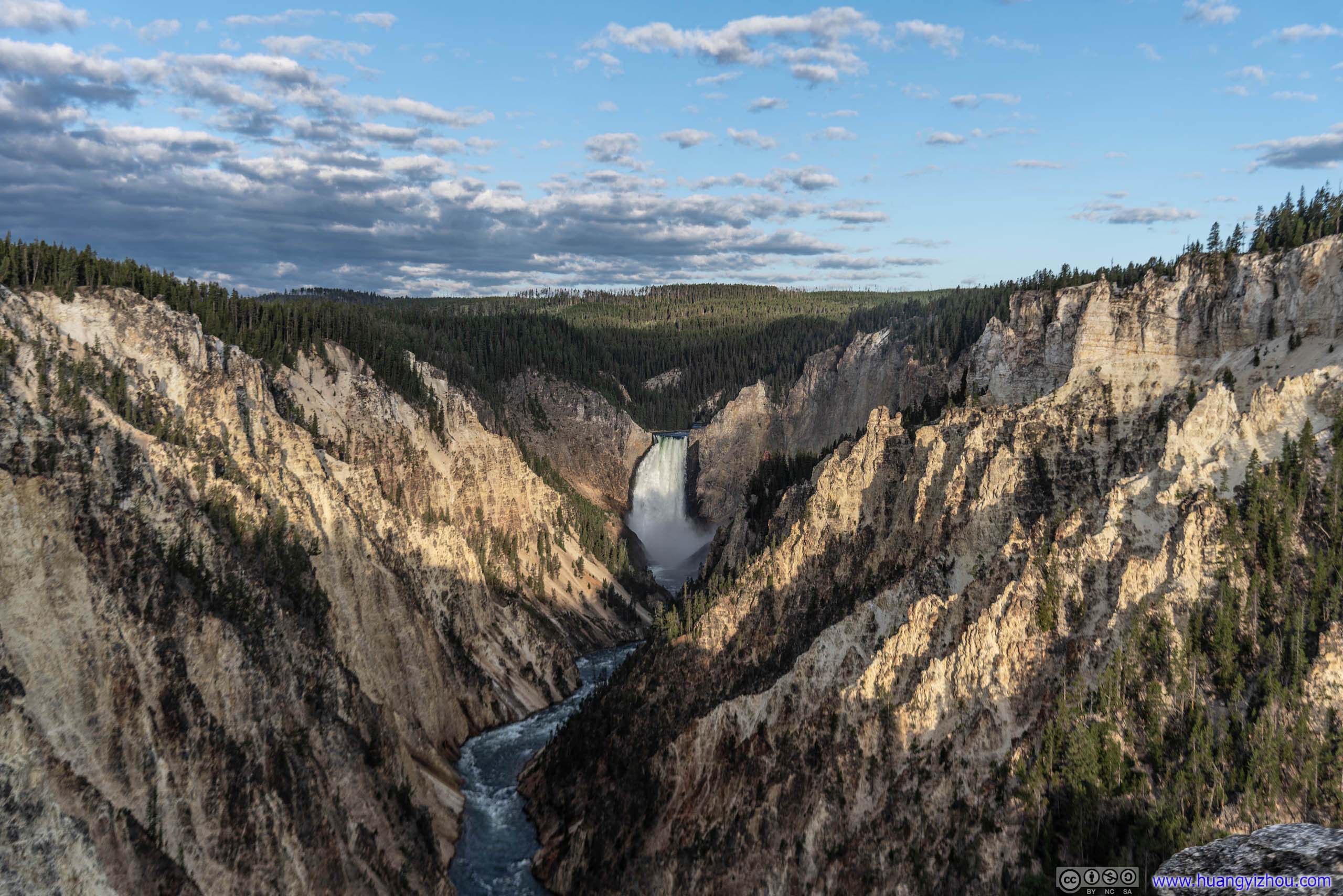
Yellowstone Canyon at Dawn
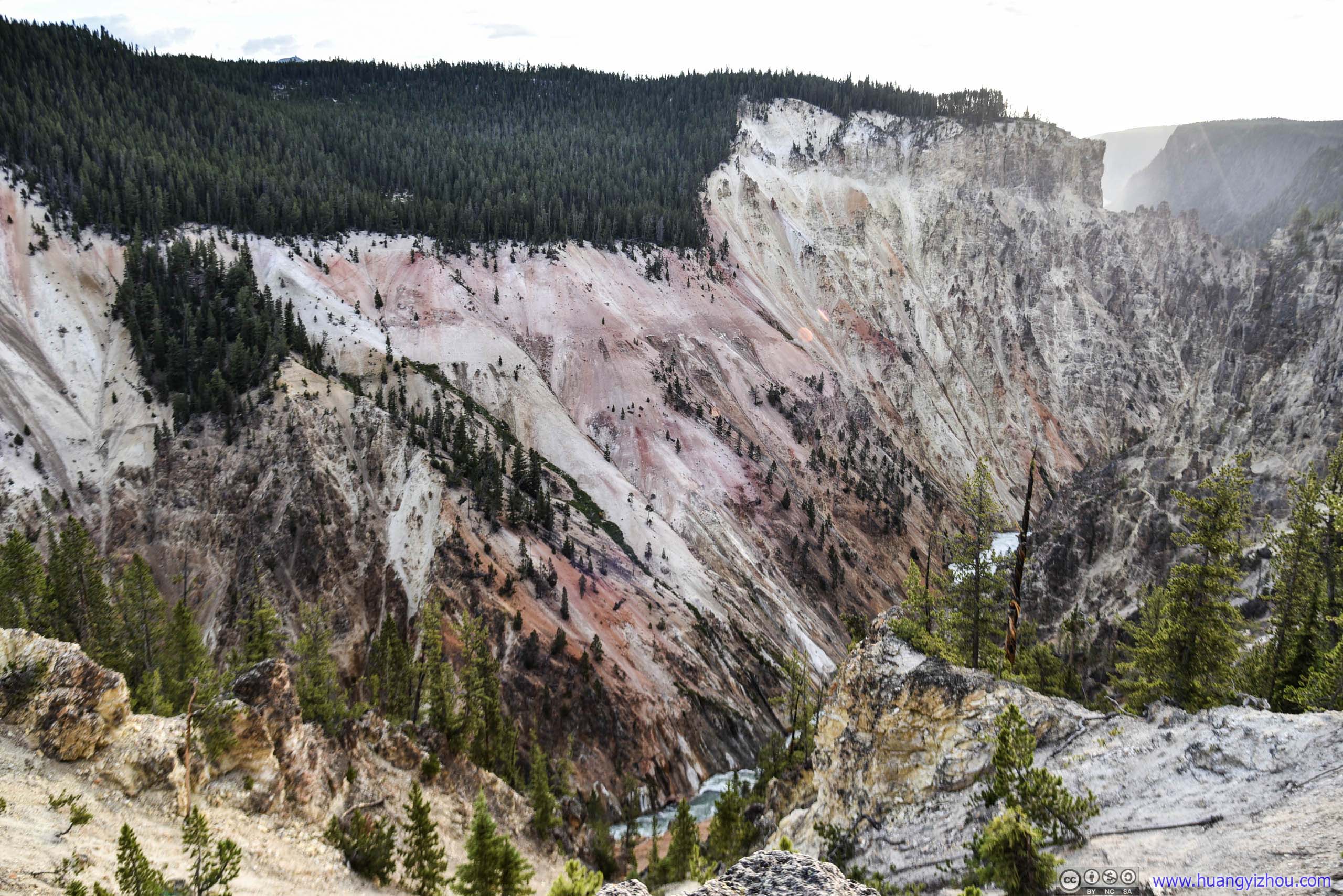
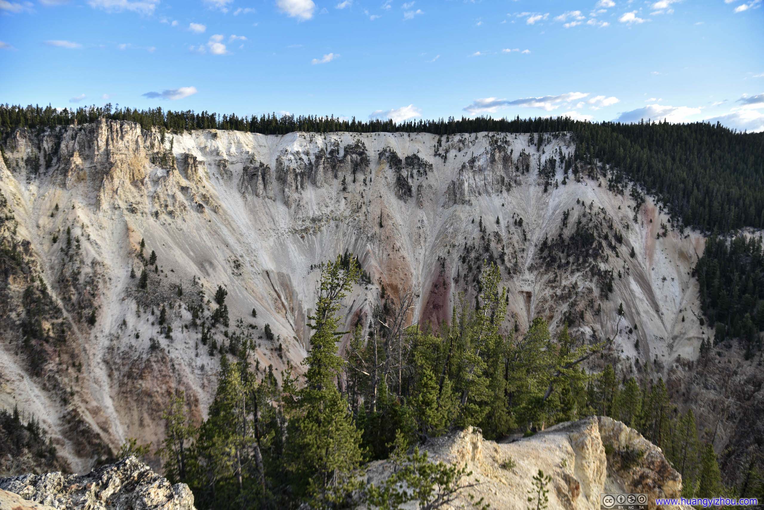
Since I had a pretty restful night last night, I decided to rise early and catch sunrise somewhere around Yellowstone Canyon. So just before 6am I arrived at Grand View on the north rim.
Grand View
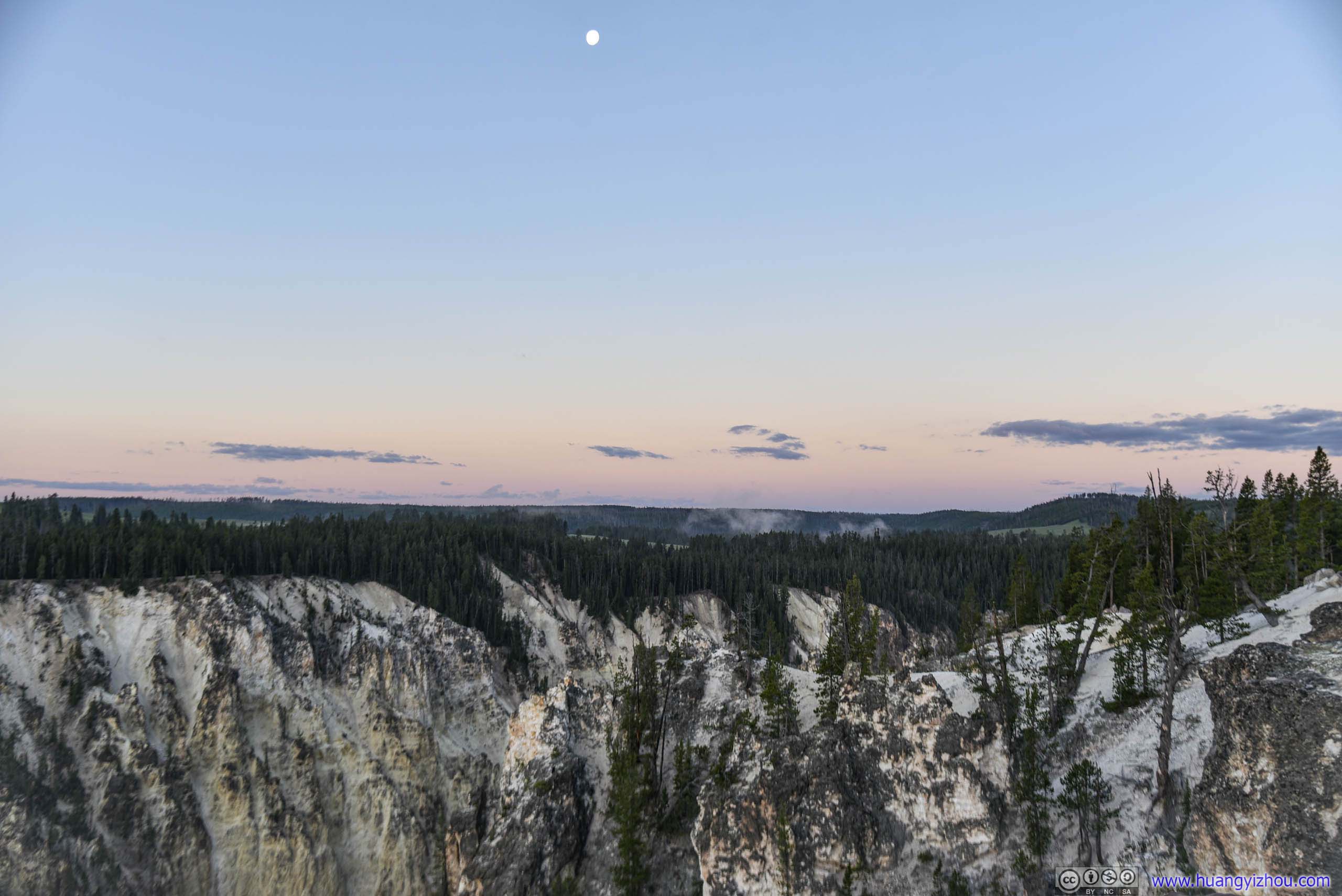
At dawn, the distant horizons were wearing a dazzling spectrum of colors in welcome of a new day, in contrast to the cold-colored, clarity-inviting rocks and torrents in the canyon.
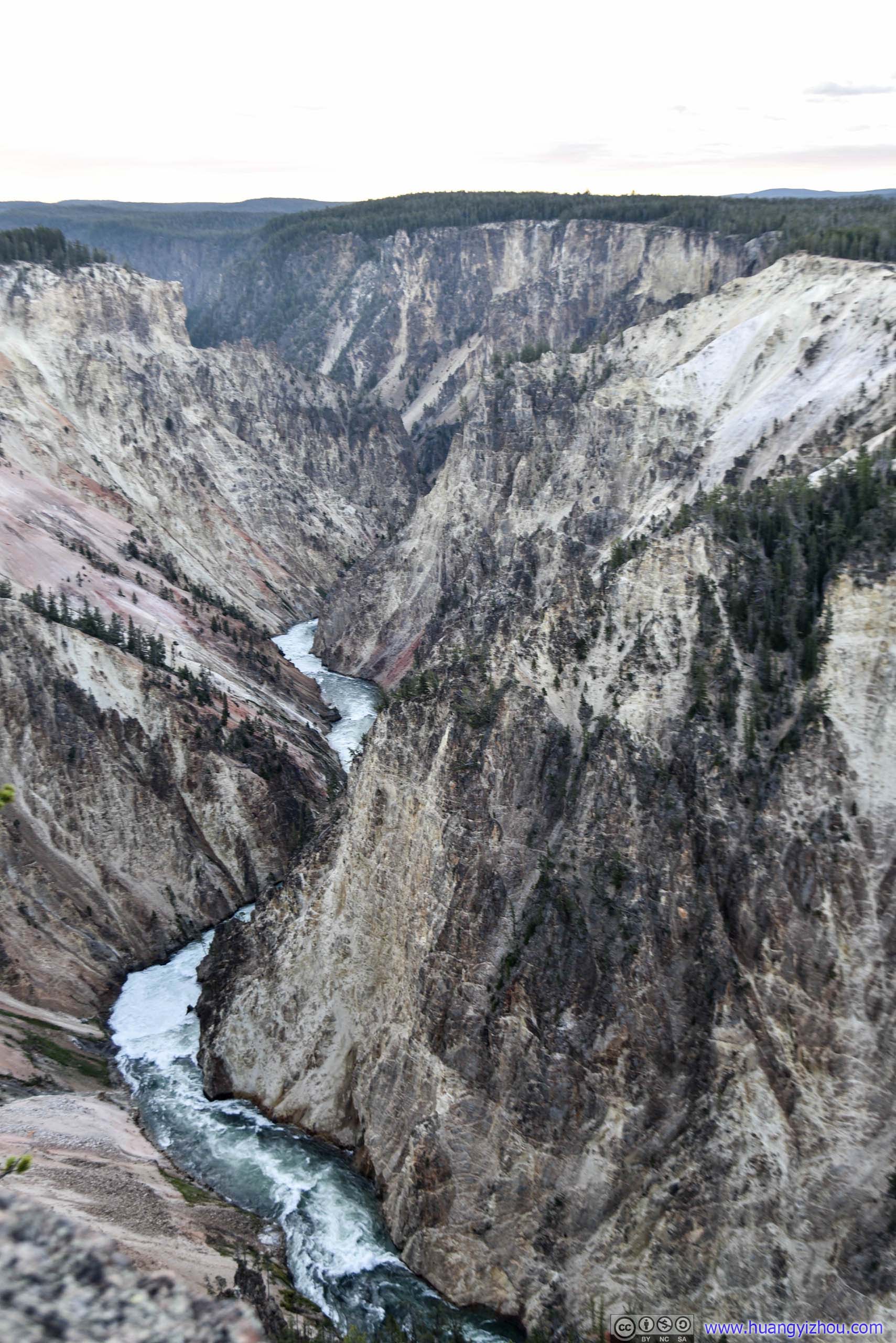
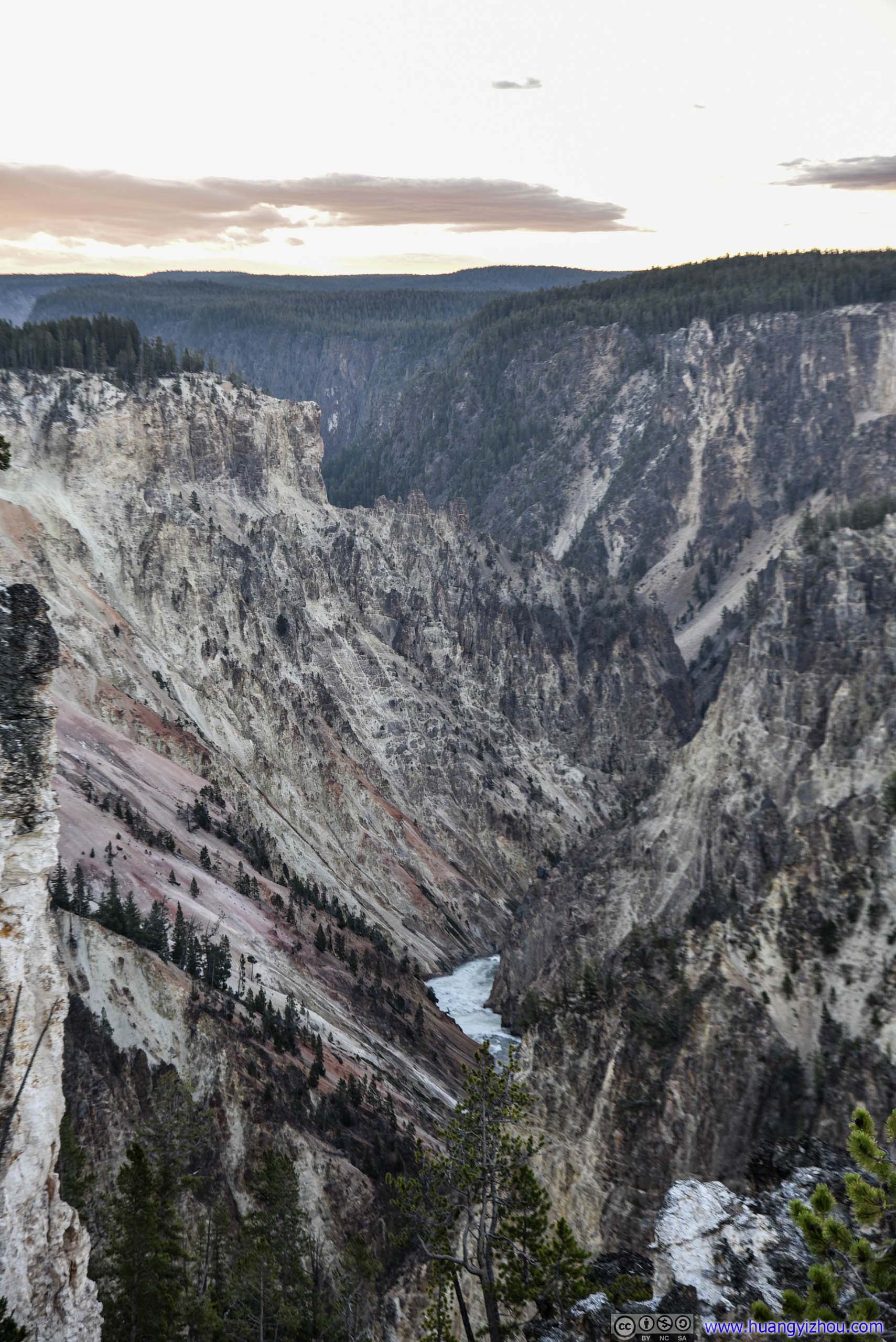
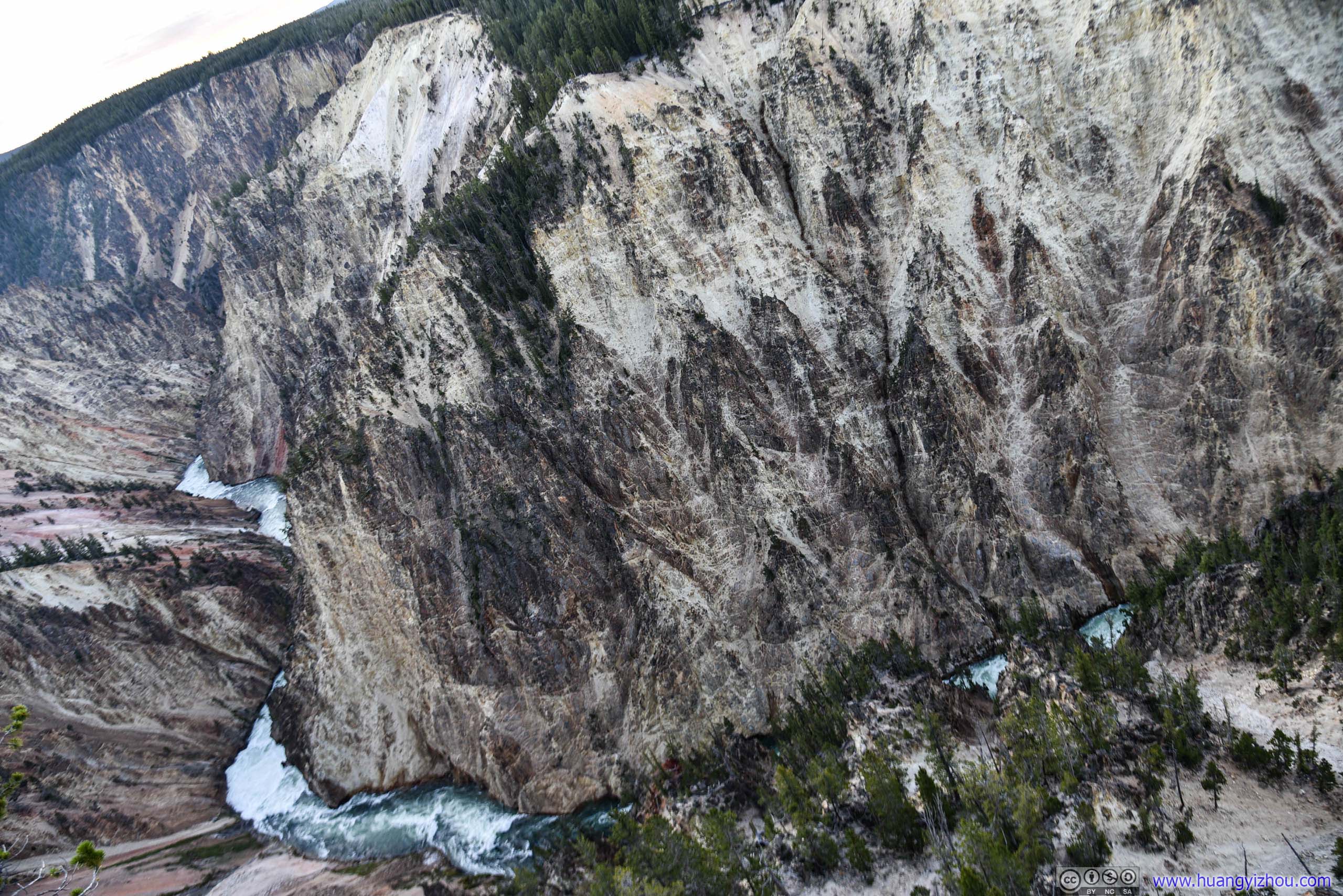
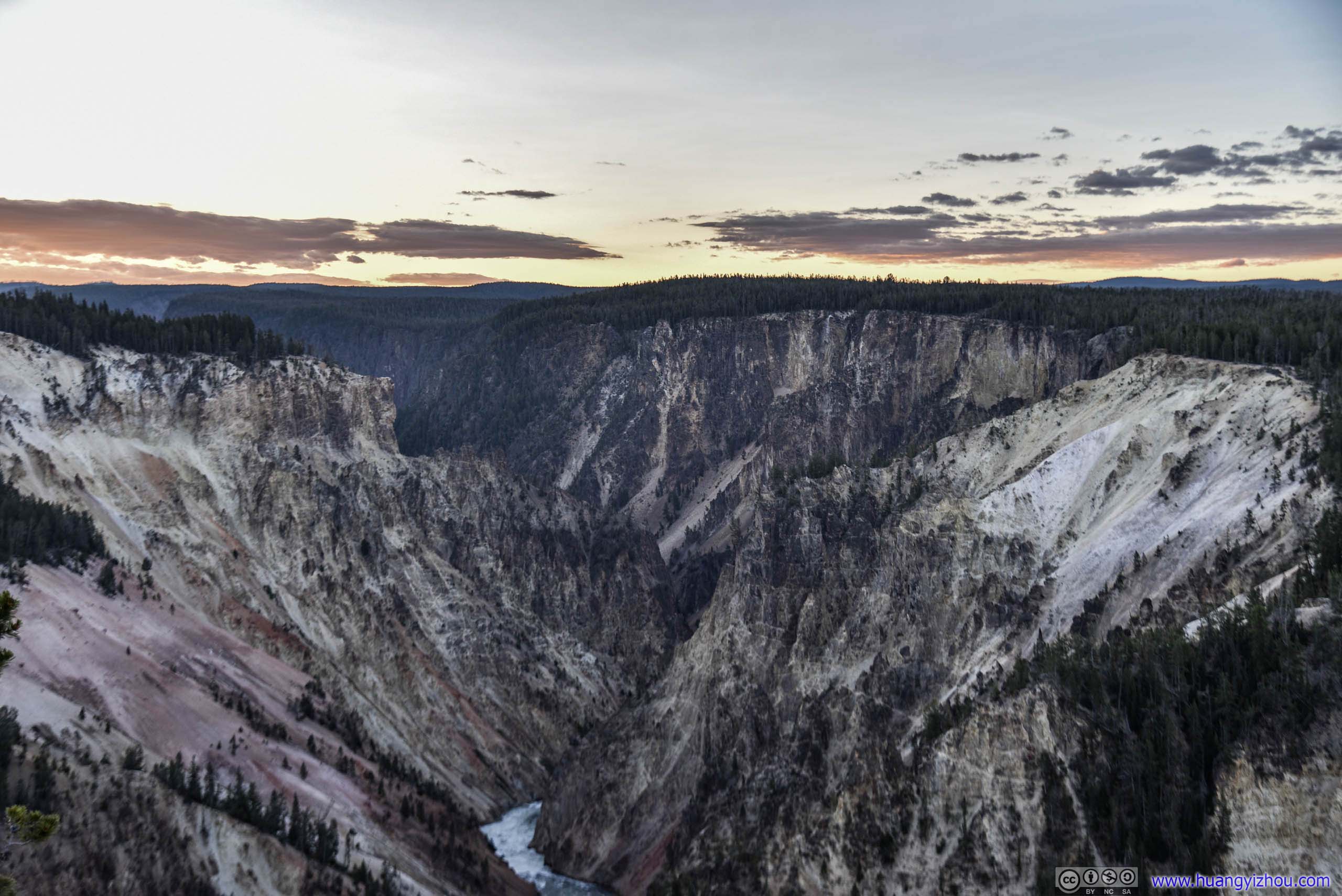
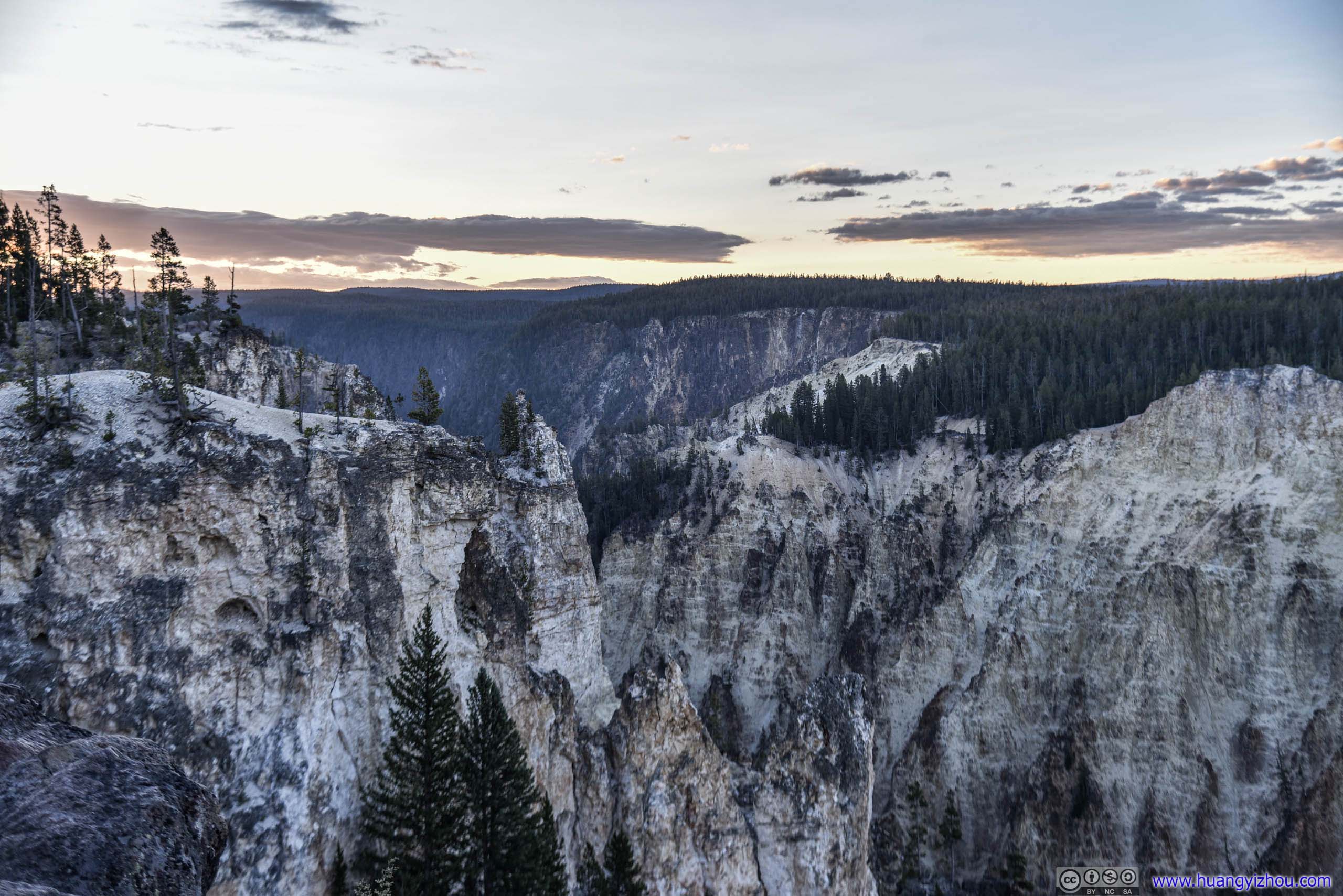
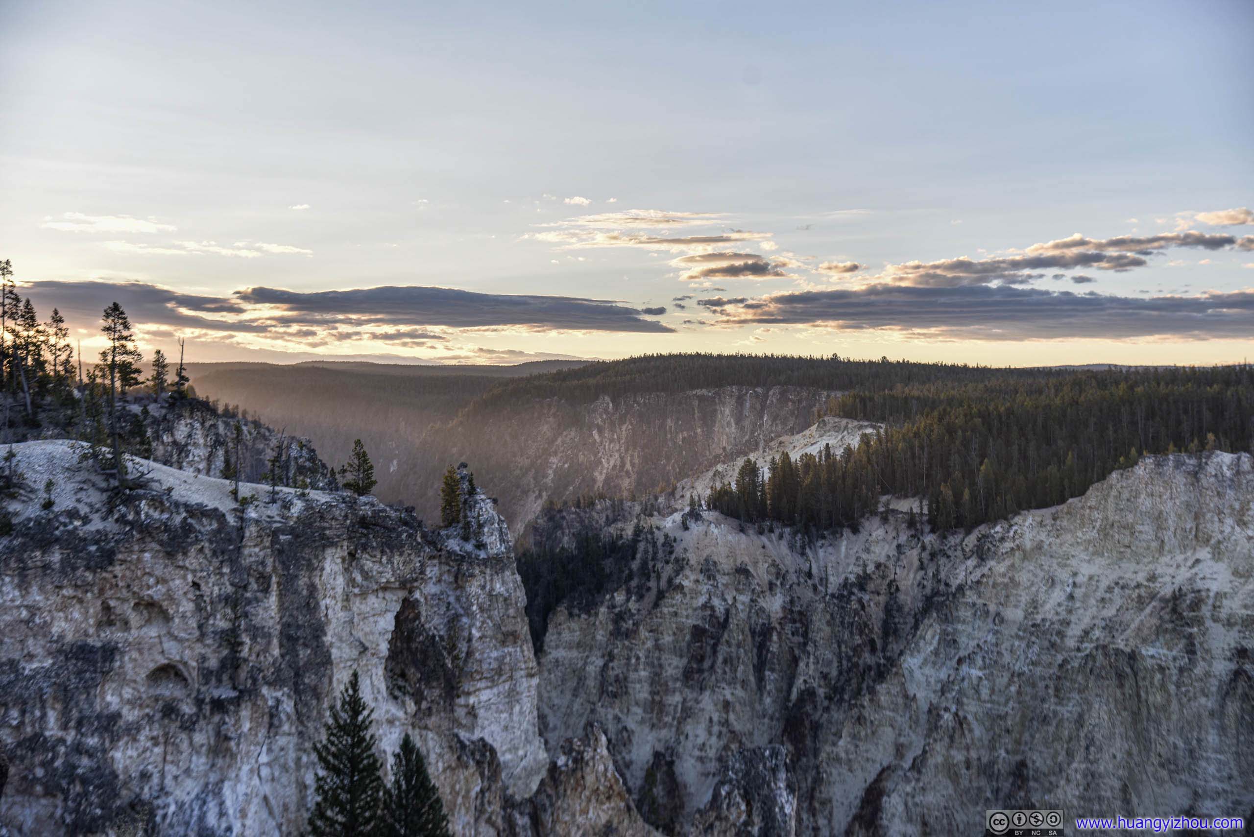
Yellowstone Canyon at Dawn
But somehow, compared with the photos I took later in the day, I did not find these photos at dawn particularly appealing, to justify the hardship of rising this early.
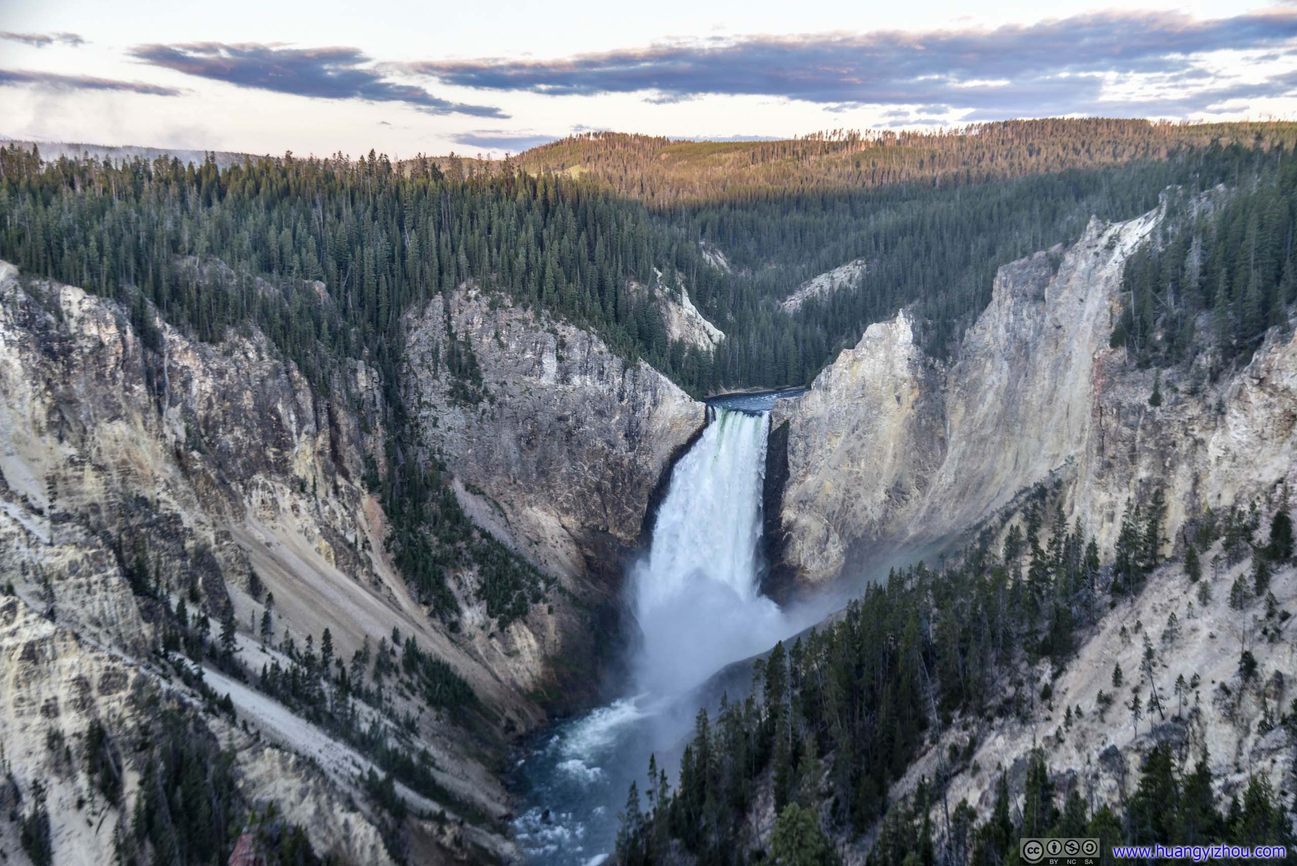
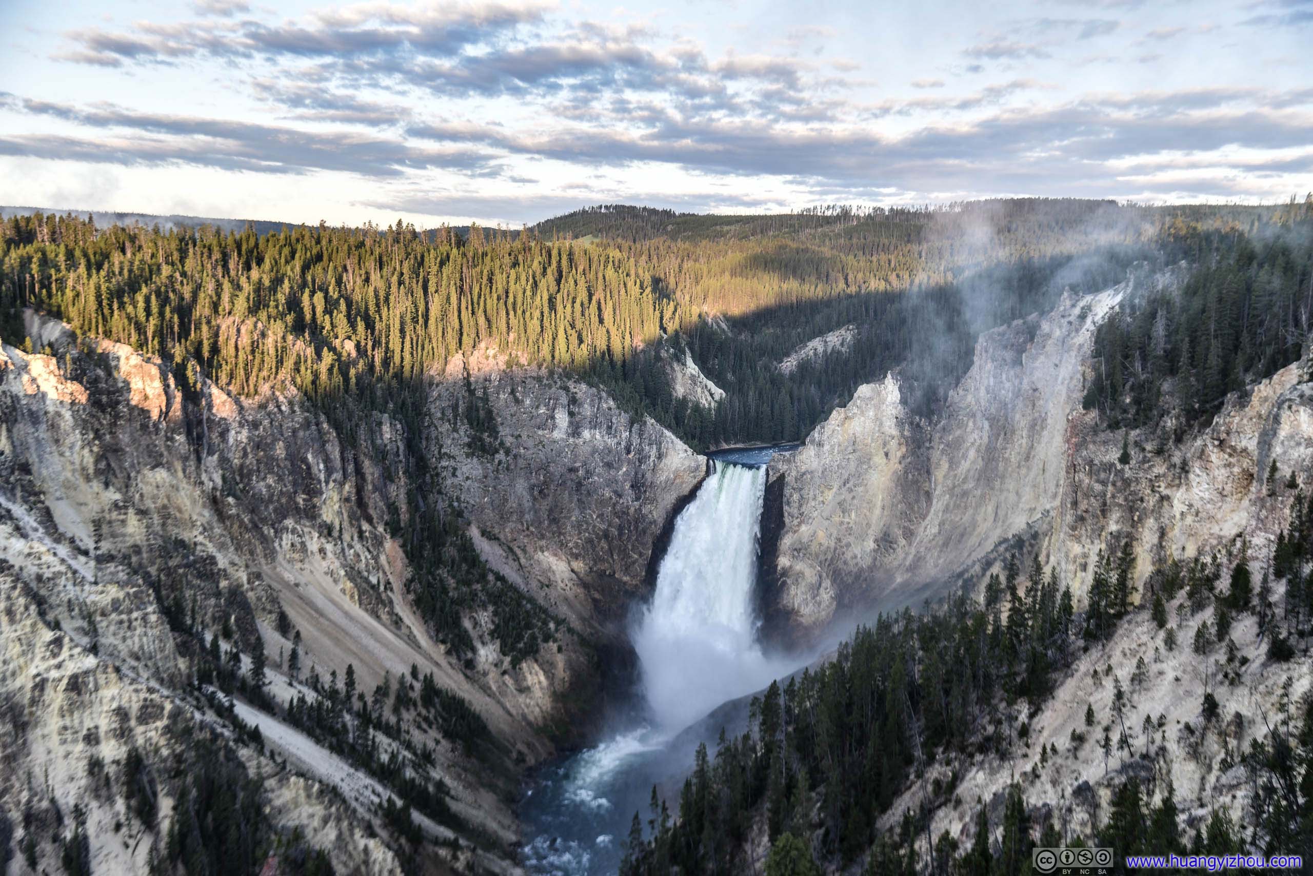
And I was waiting for a shot of first light of day painting Lower Yellowstone Falls gold, which didn't seem to happen until sometime later. So, I decided to switch instead to Artist Point on South rim.
Artist Point
It took about 20 minutes to drive from Grand View to Artist Point, about time Lower Falls received its first light of day.
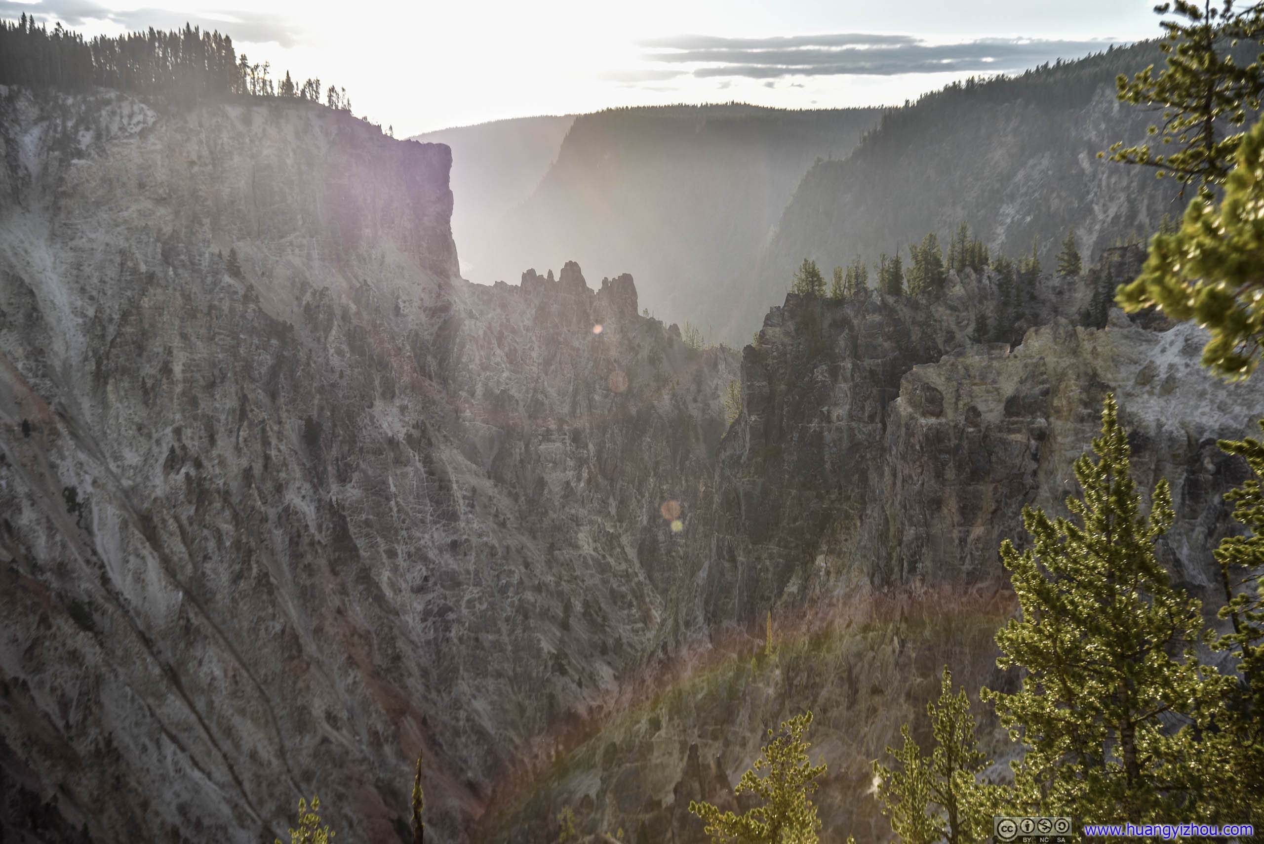
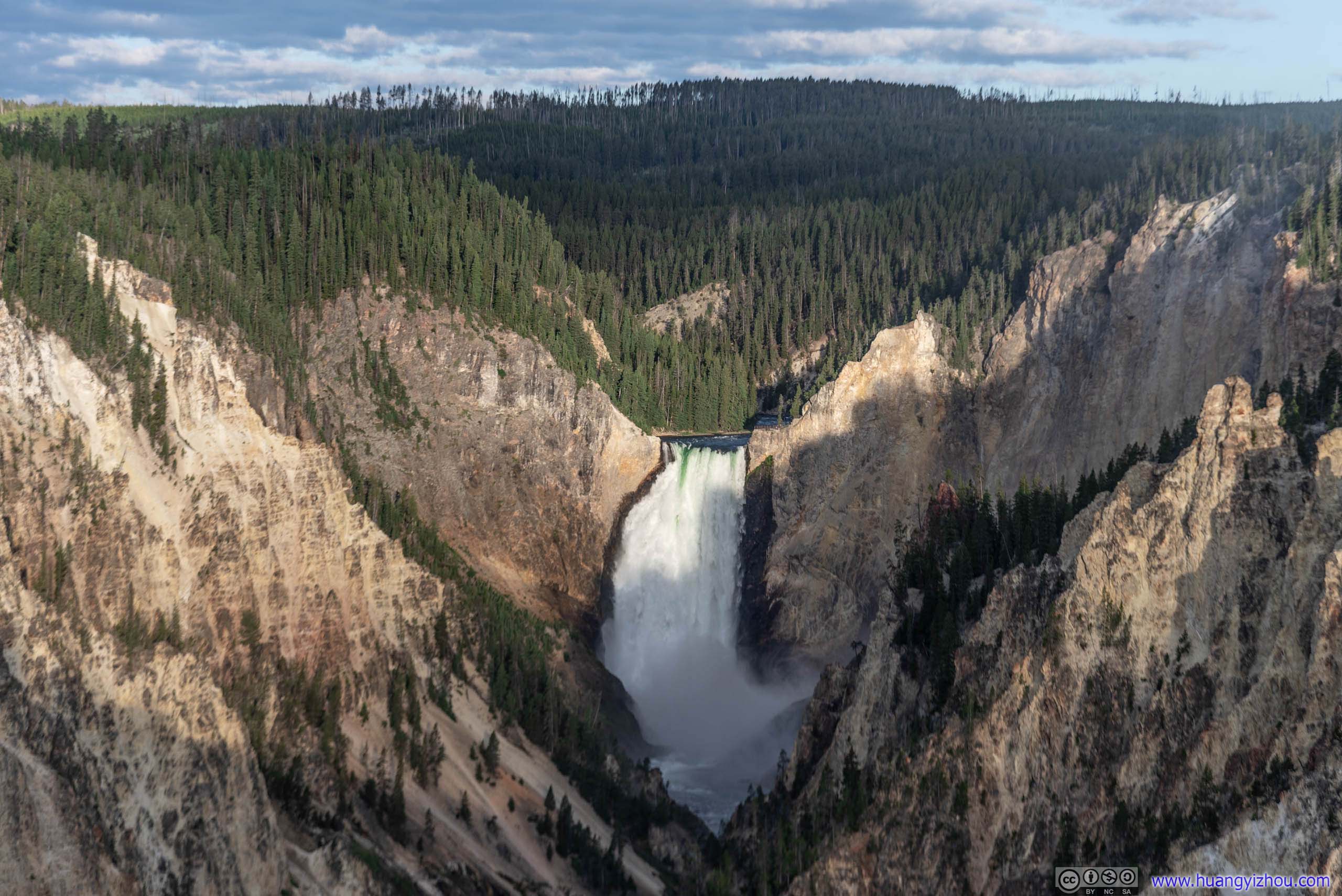
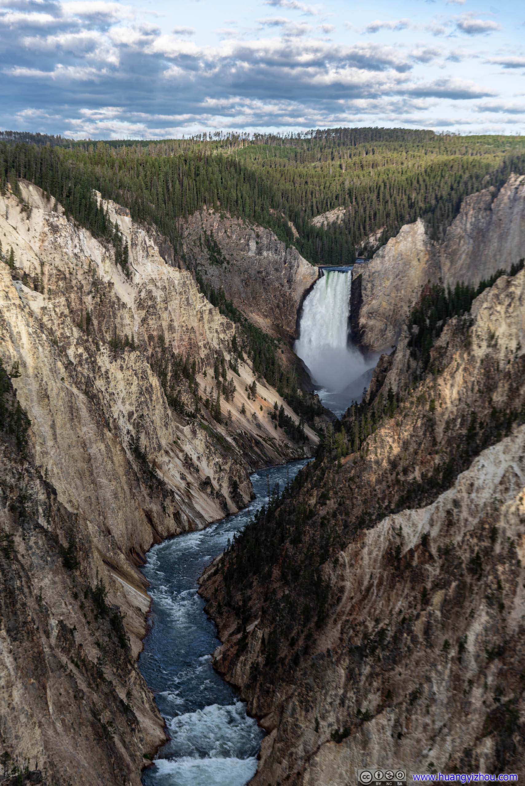
Compared with Grand View, here at Artist Point views of Lower Yellowstone Falls were better. But while the waterfall was radiant with daylight, so was the horizon behind it wearing blue, not much different from midday.
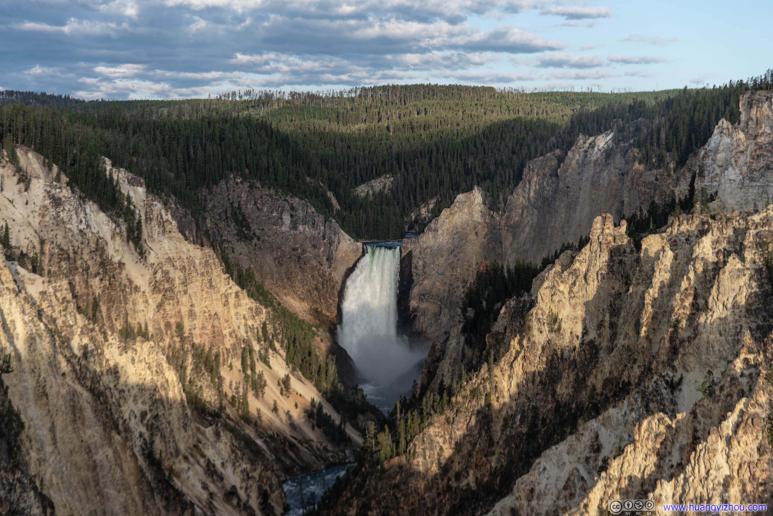
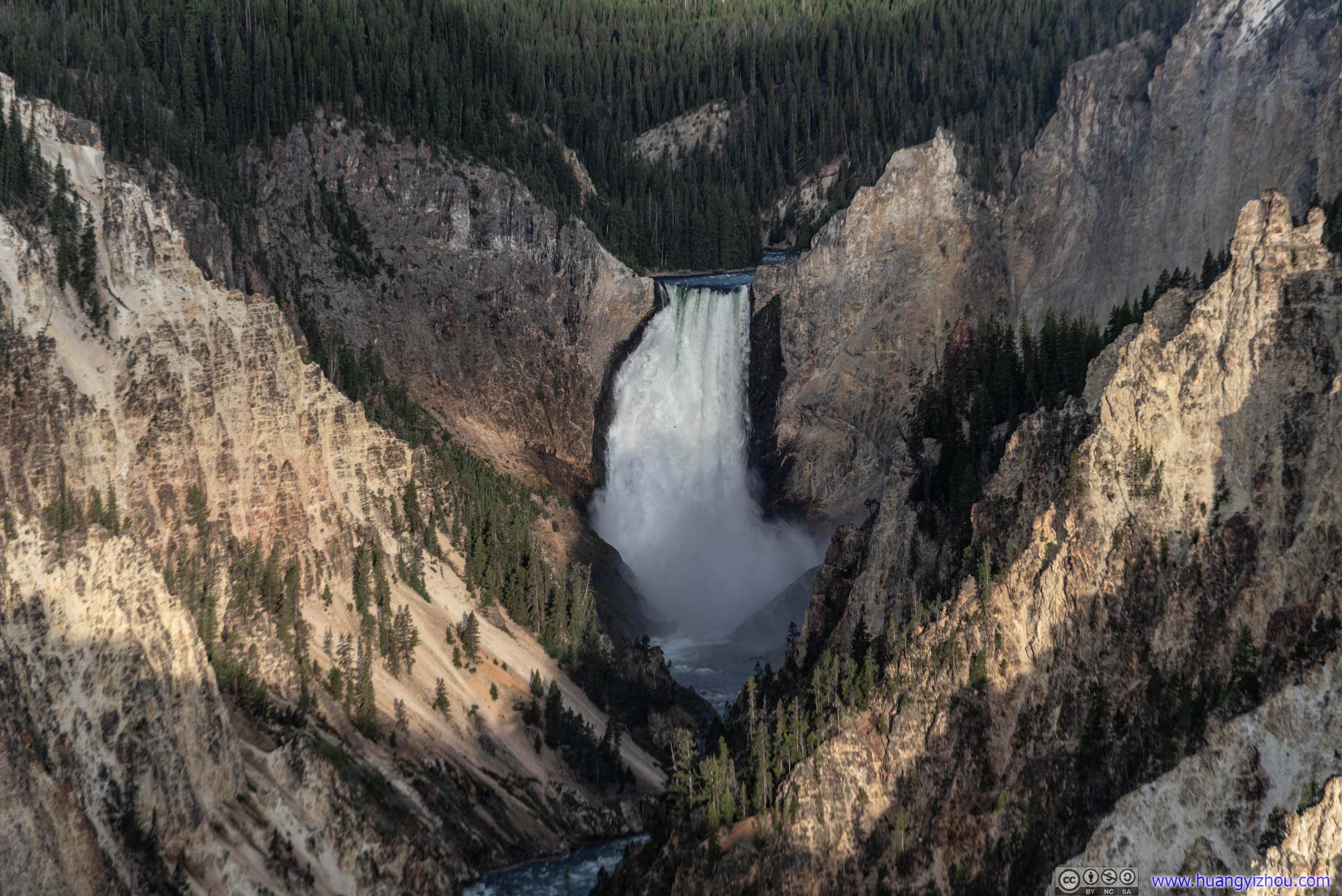
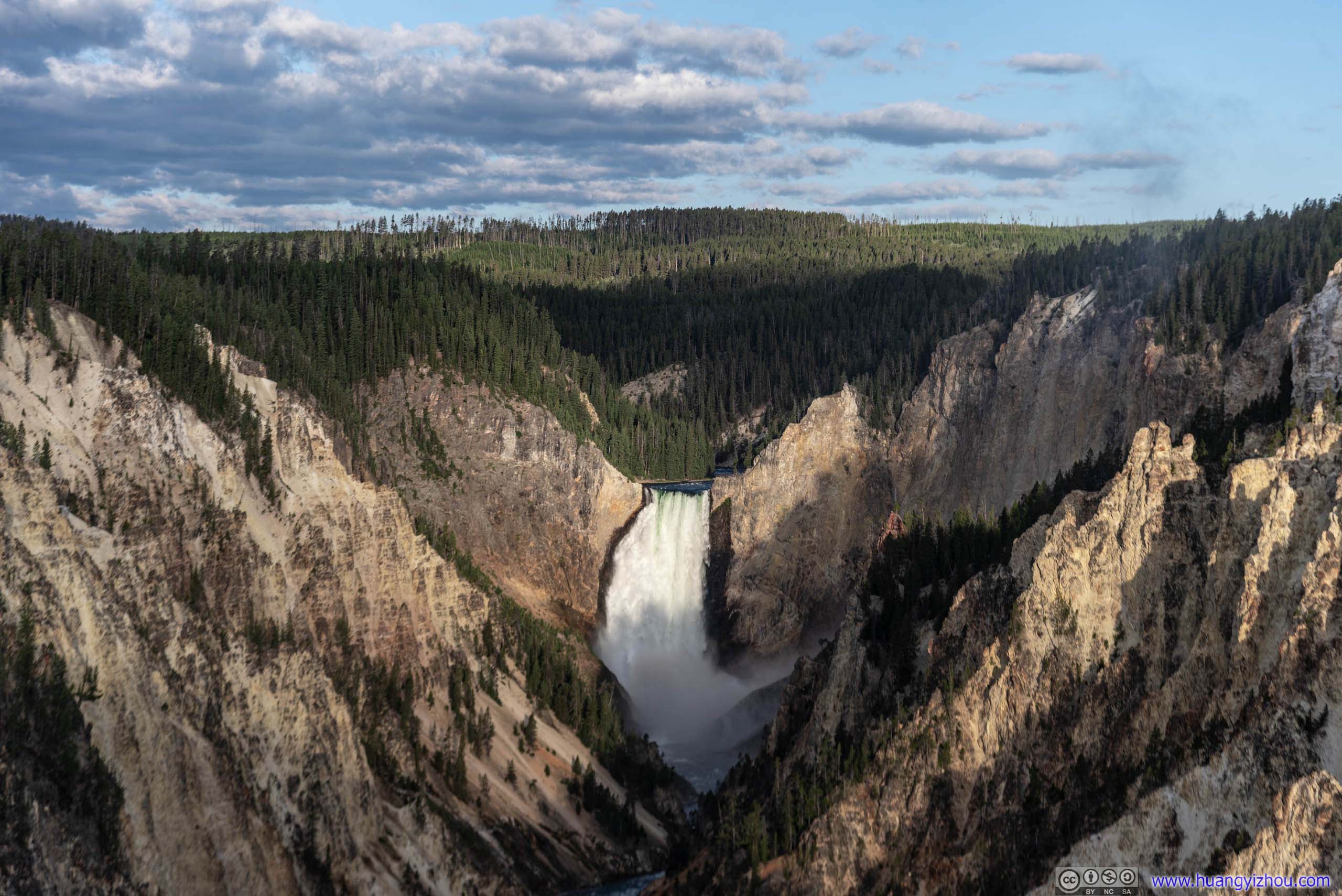
Lower Yellowstone Falls in Canyon
Wildlife
But on my return trip, I did capture some wildlife, which more than made up this morning excursion.
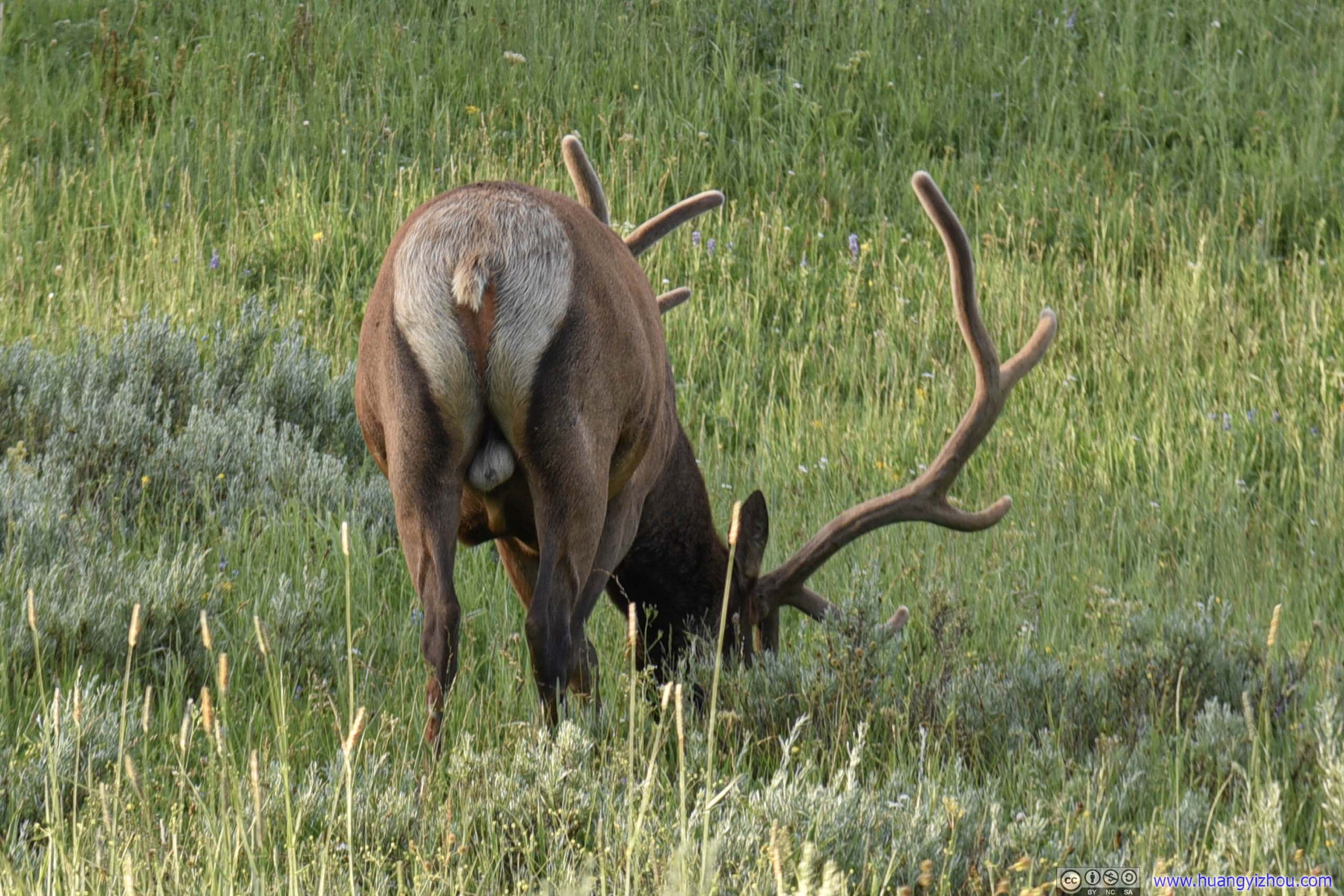
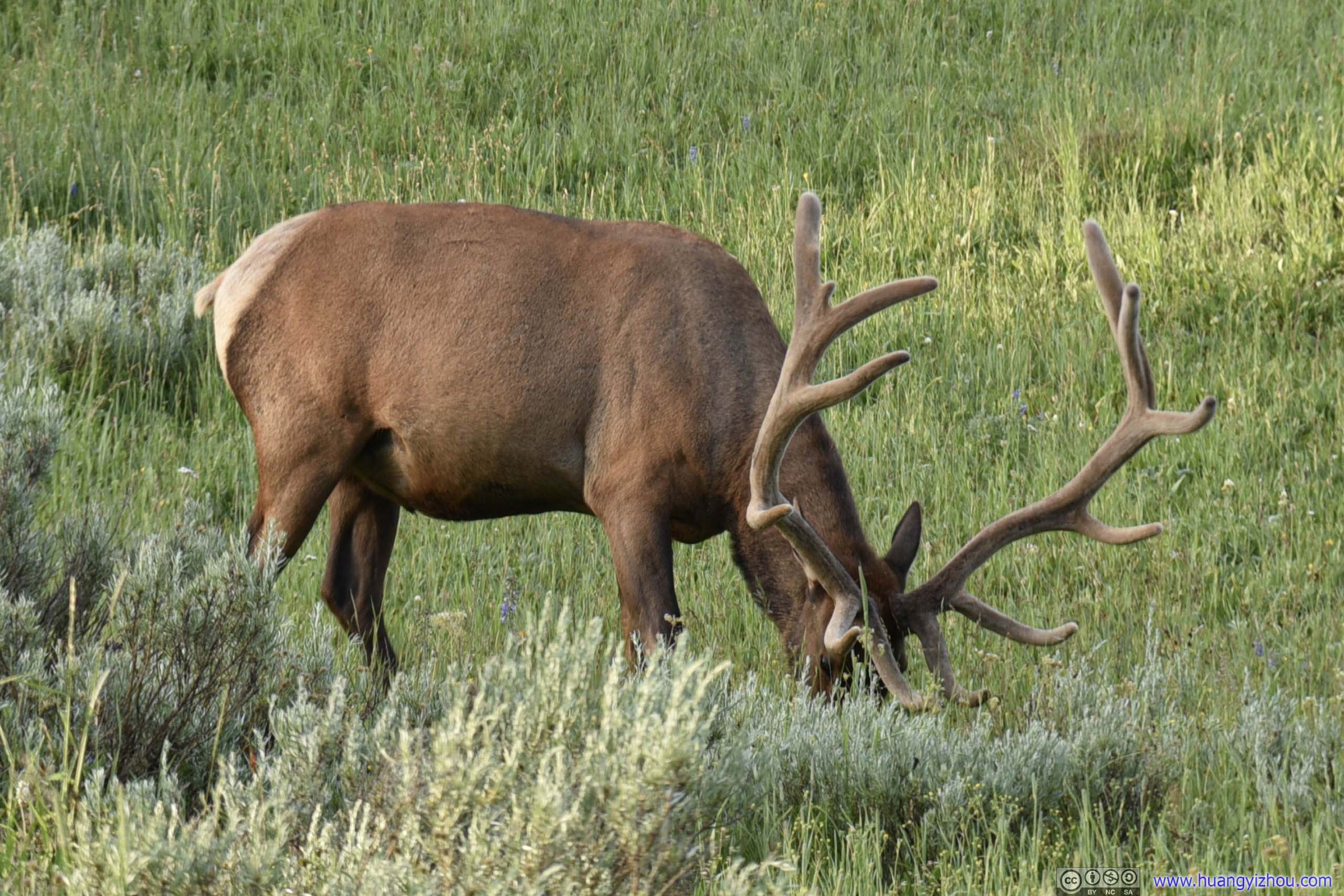
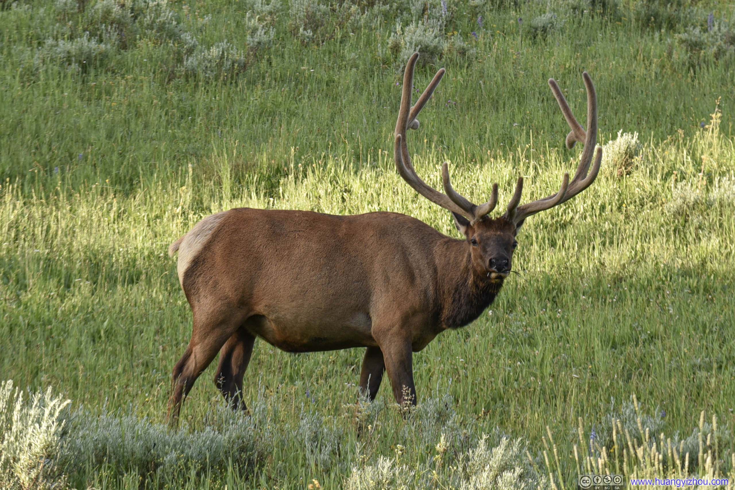
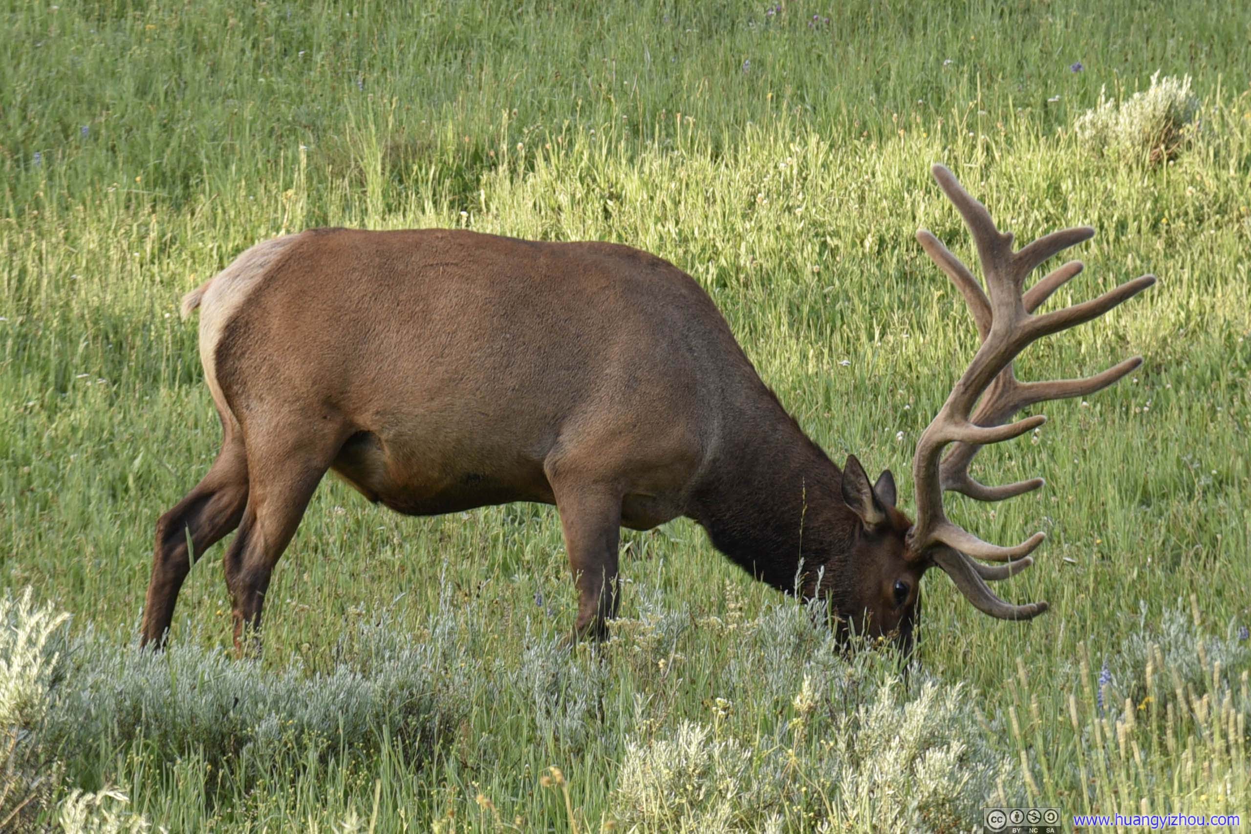
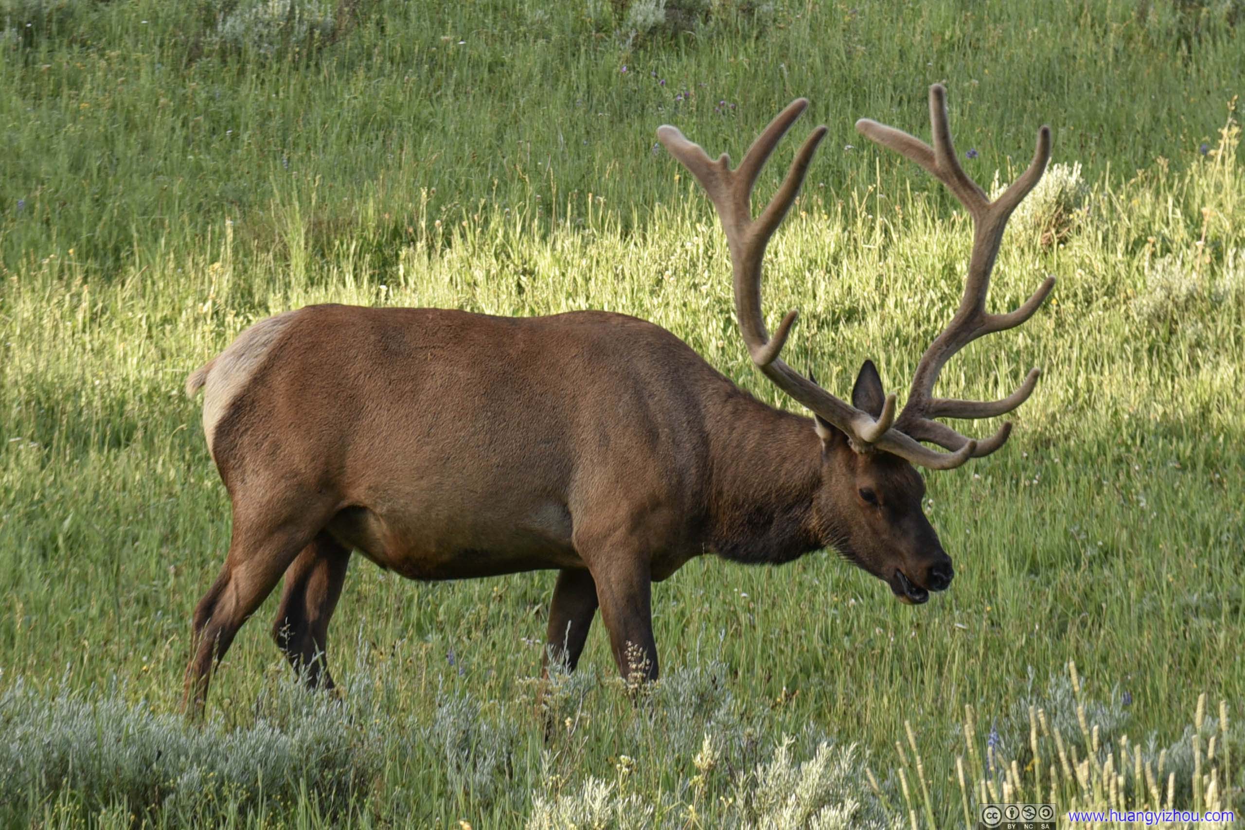
Elk
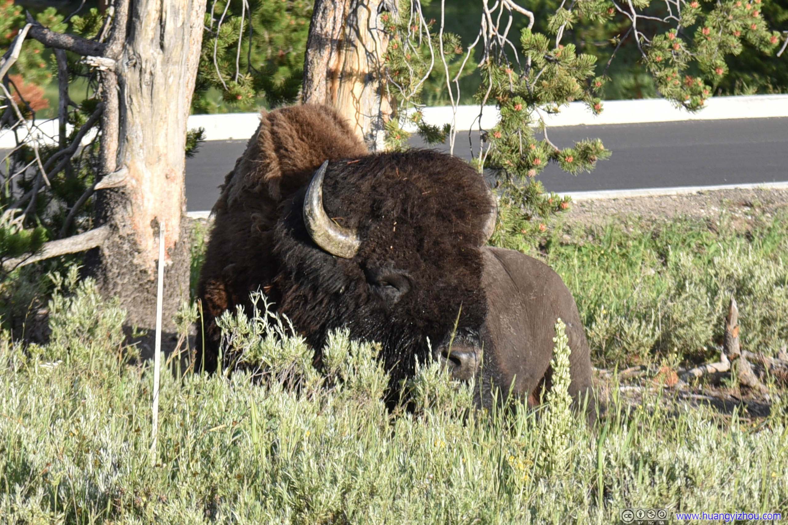
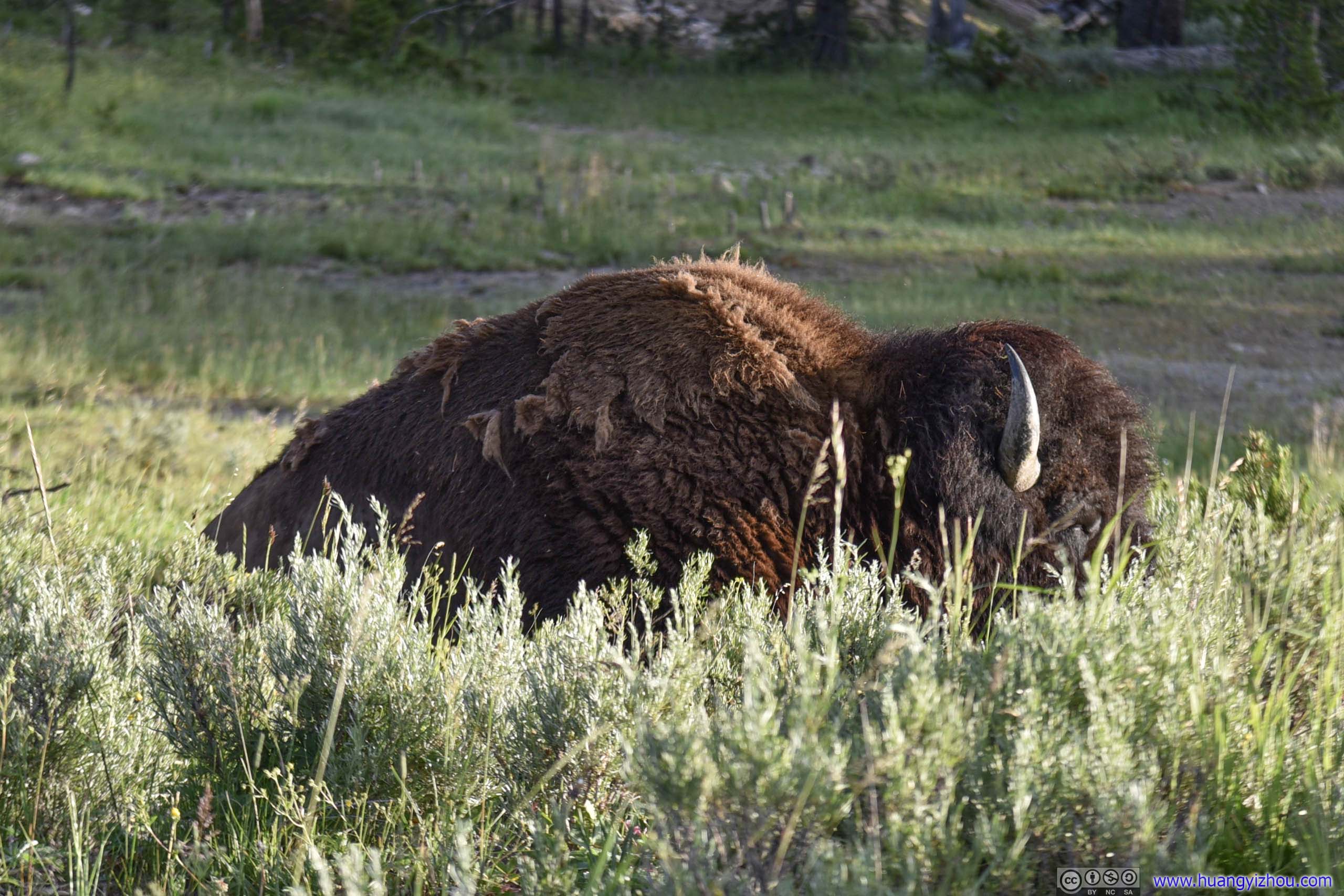
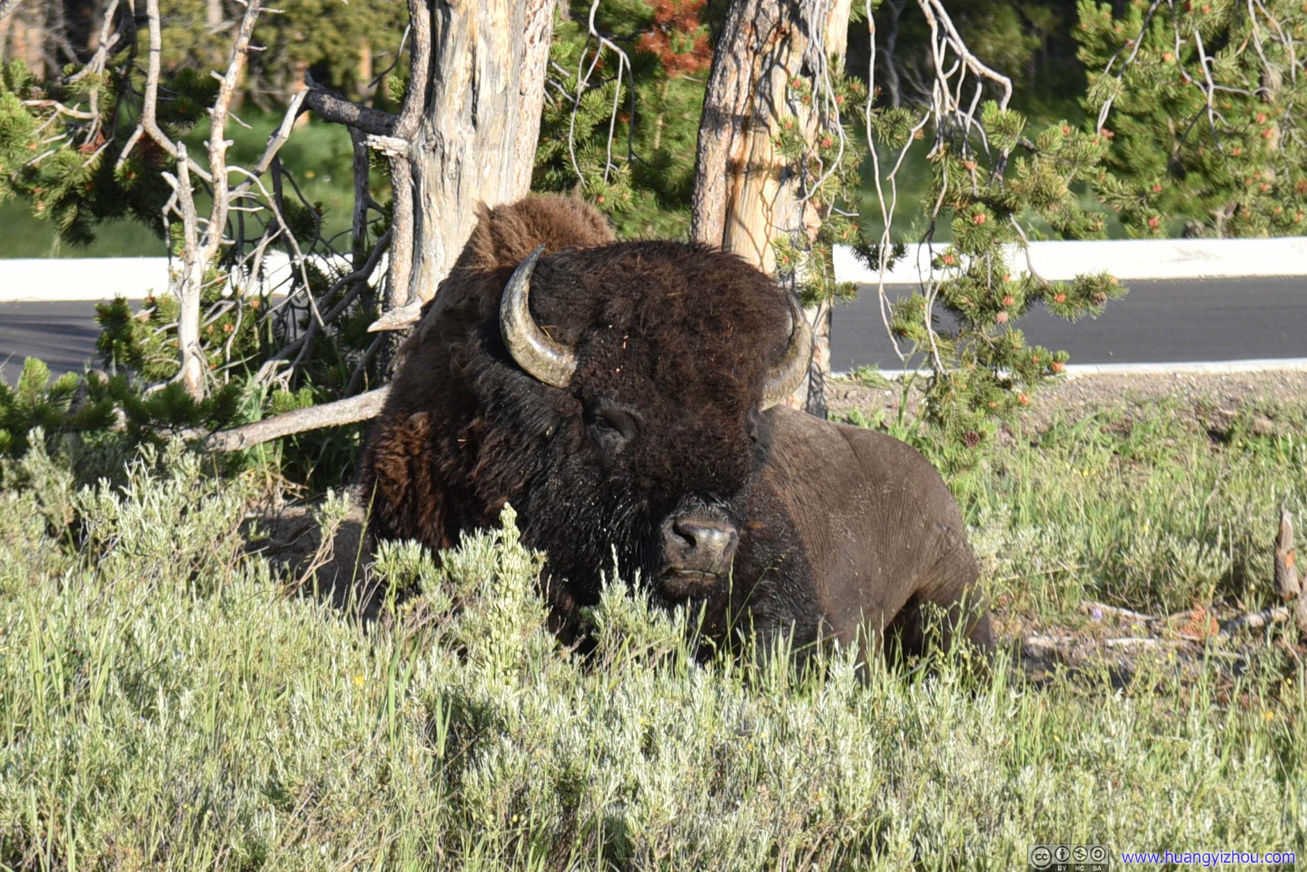
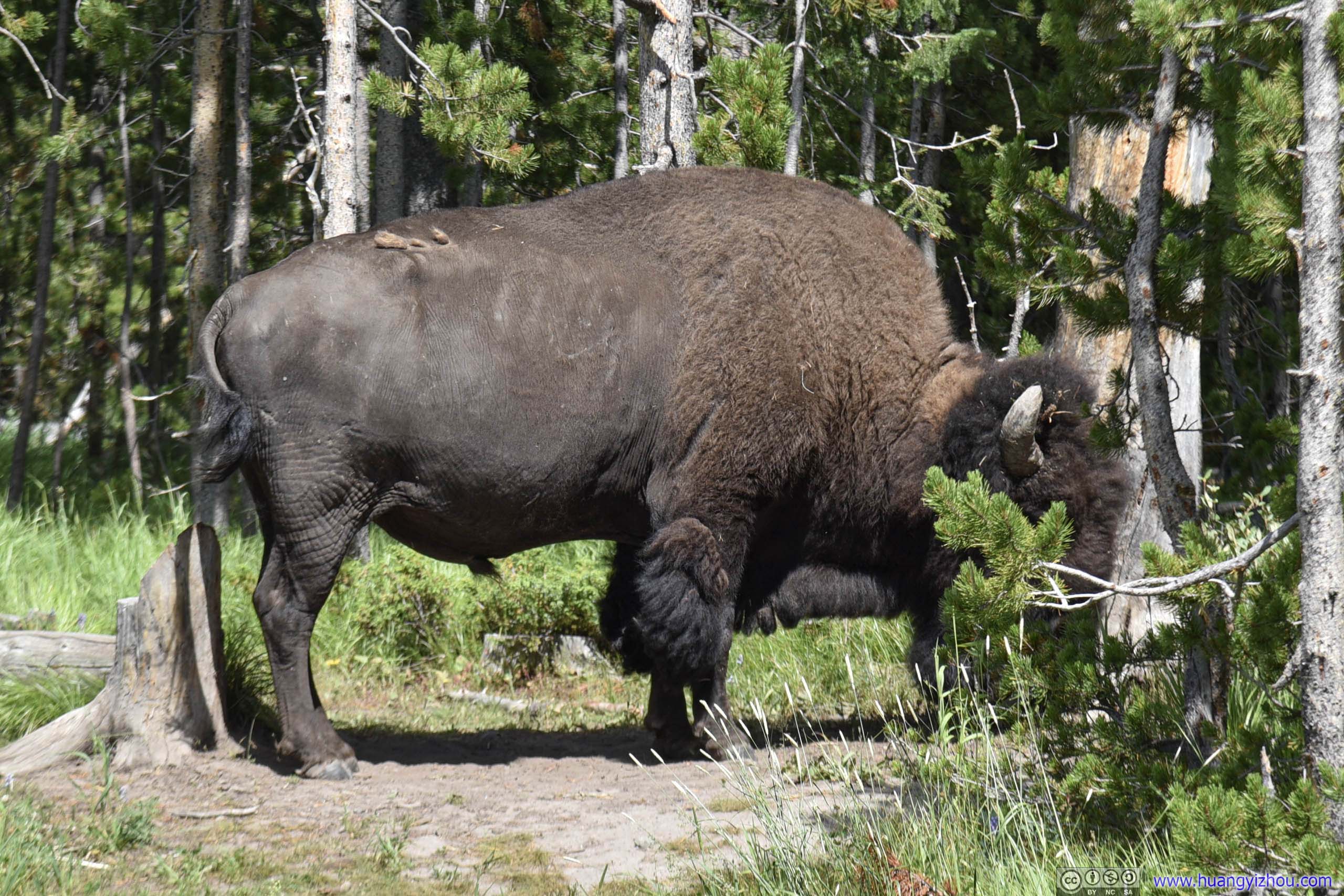
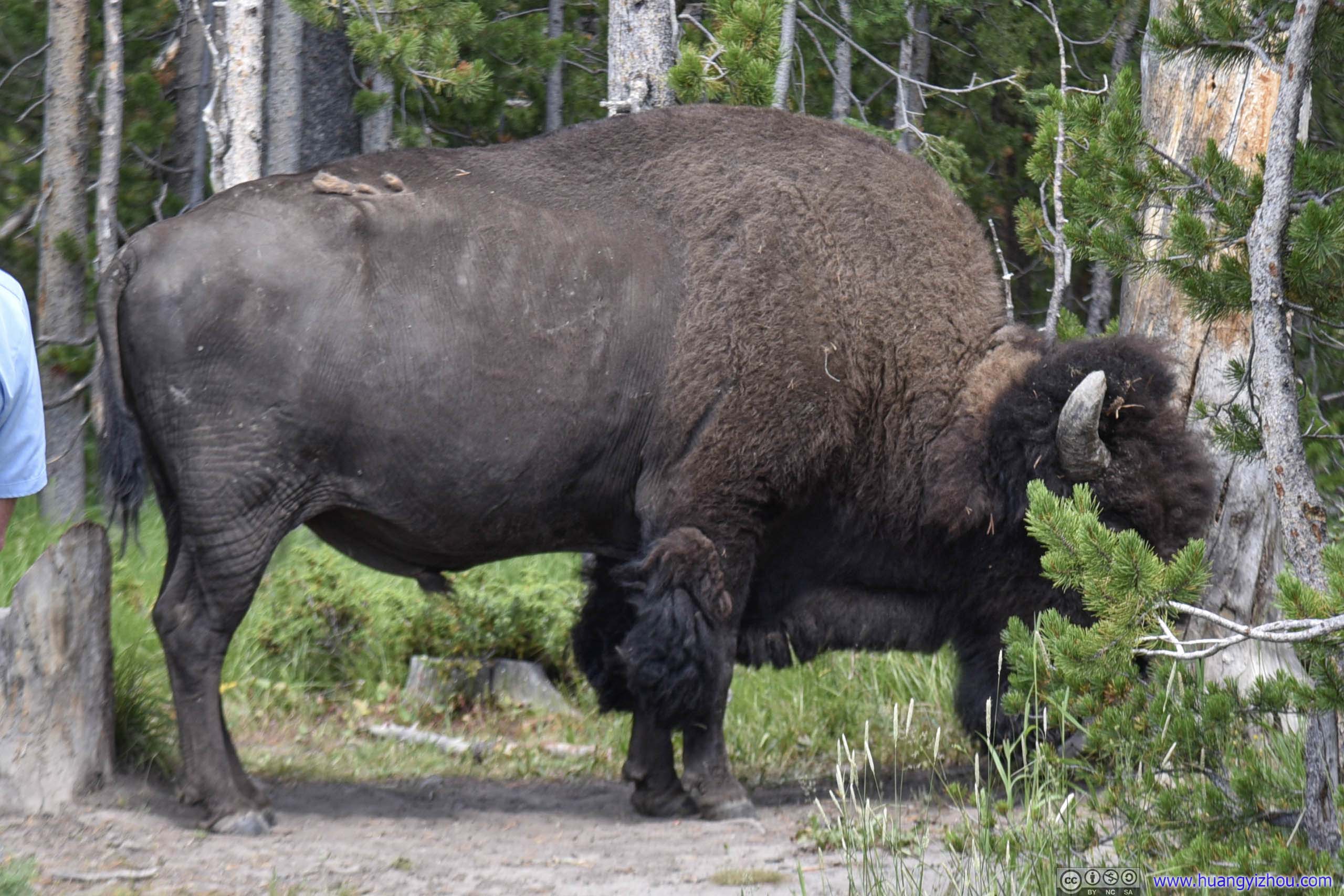
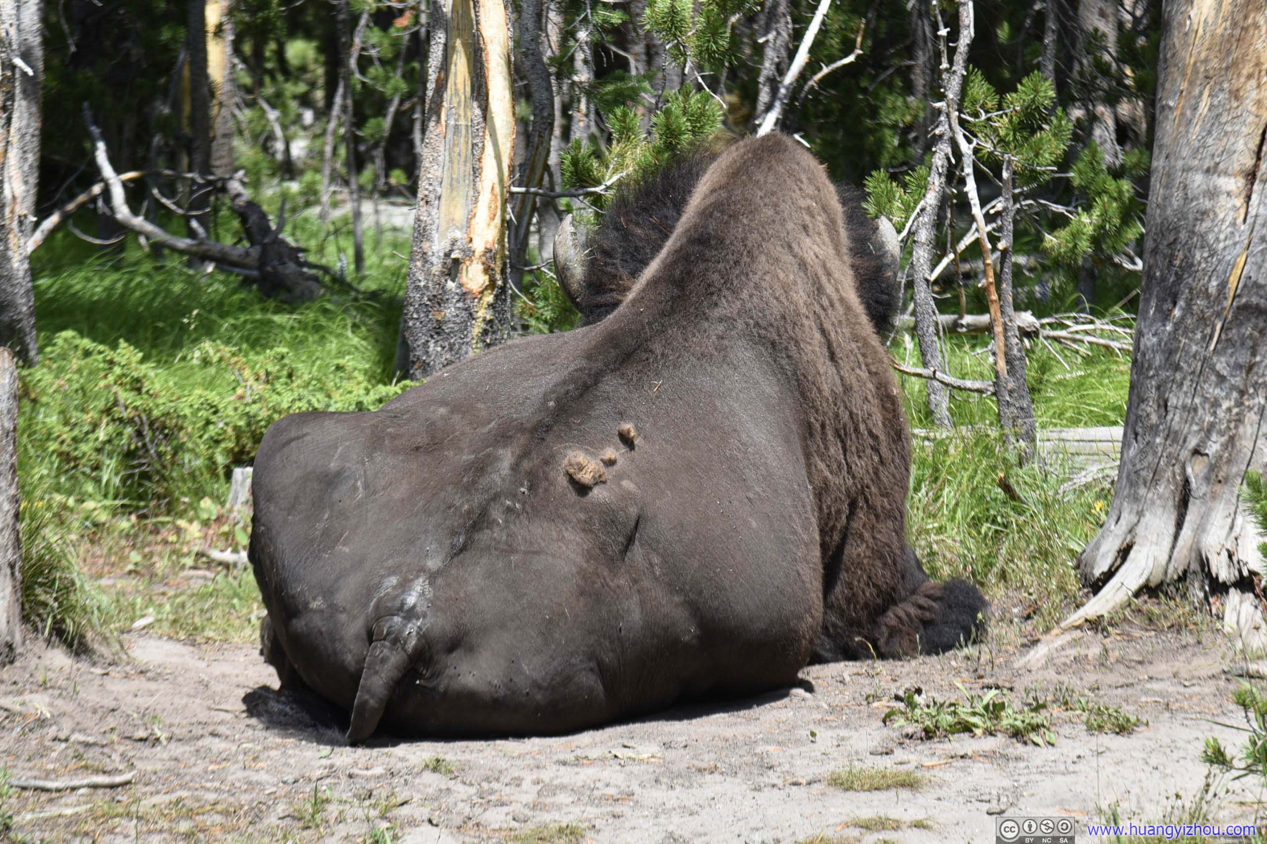
Bison
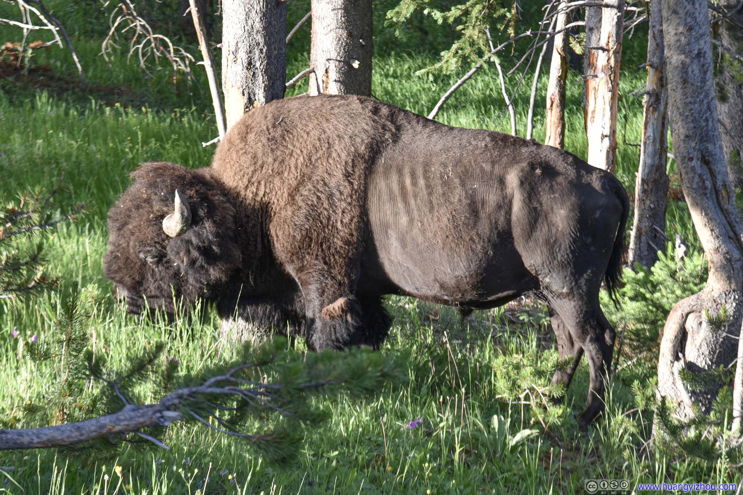
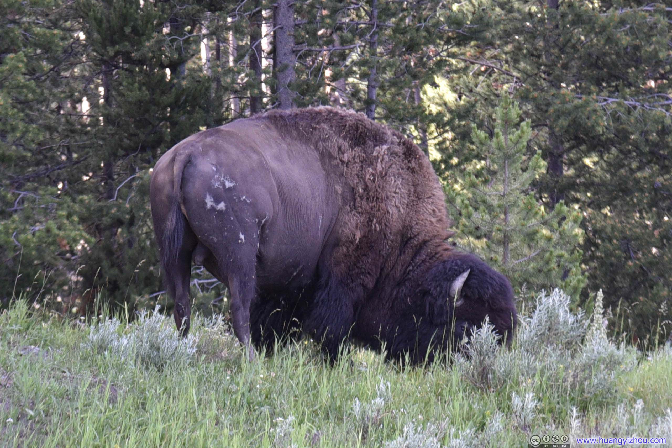
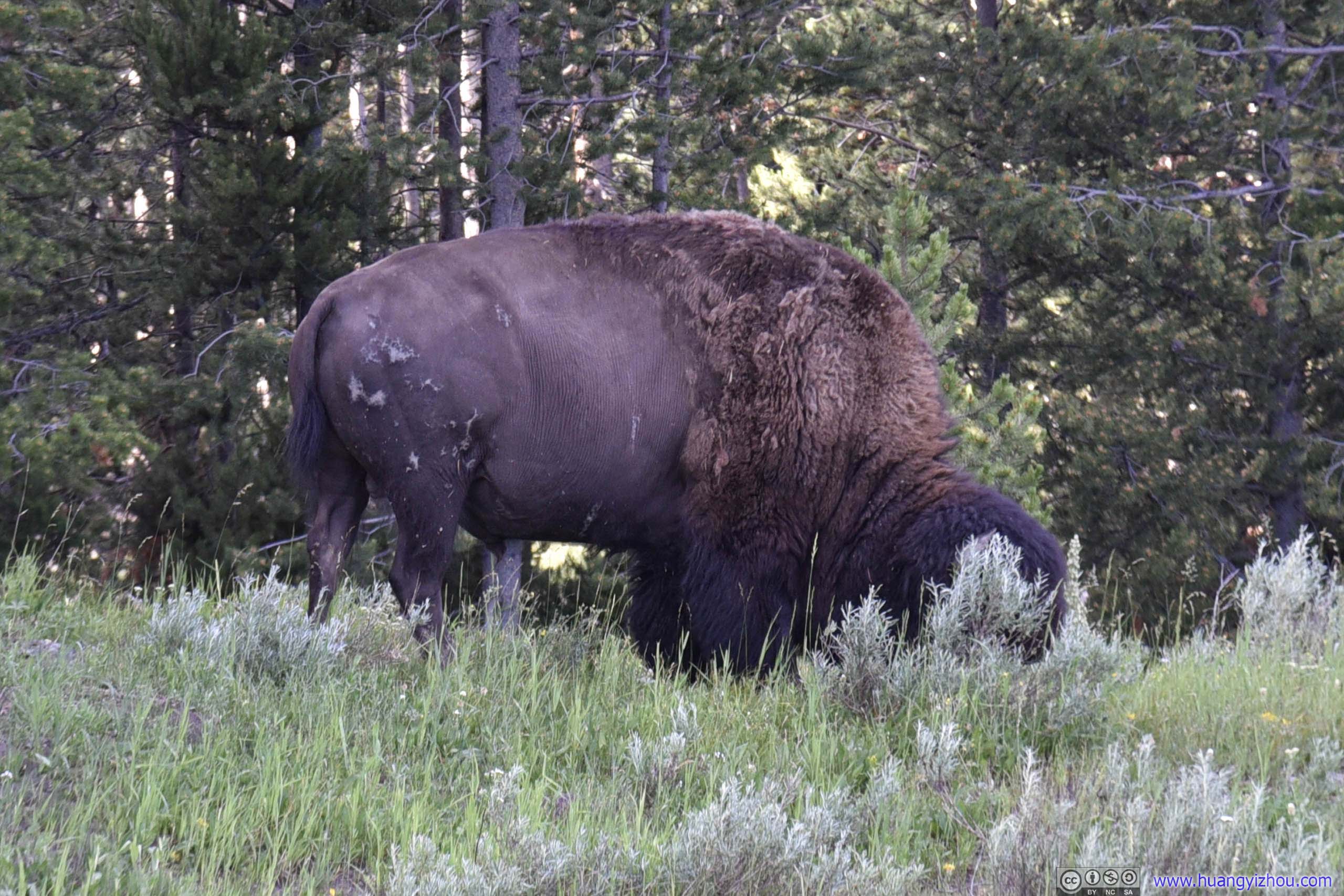
Bison
Yellowstone Canyon during Day
Just like three days ago with sunrise watching in Grand Teton National Park, I headed right back to bed for some more sleep. This time, by the time we checked out of hotel it was 10 am.
Artist Point
We still chose to head for south rim first during the day. Frankly, apart from more cars at the parking lot, I really couldn't tell much difference in photos from four hours ago.
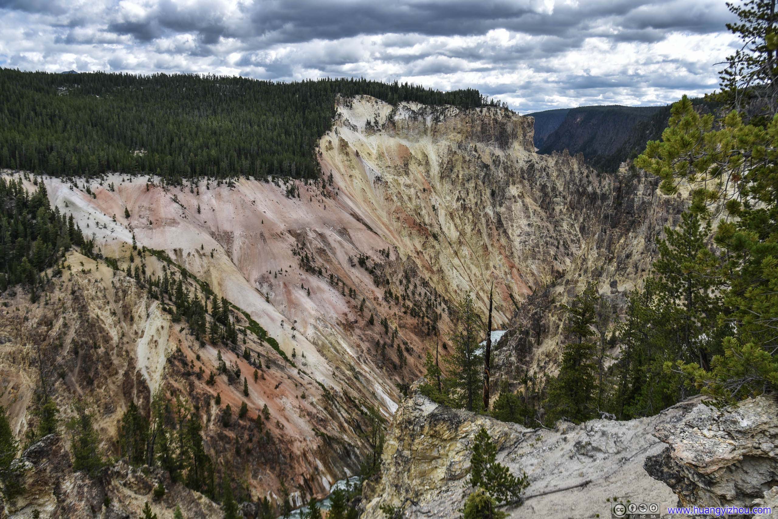
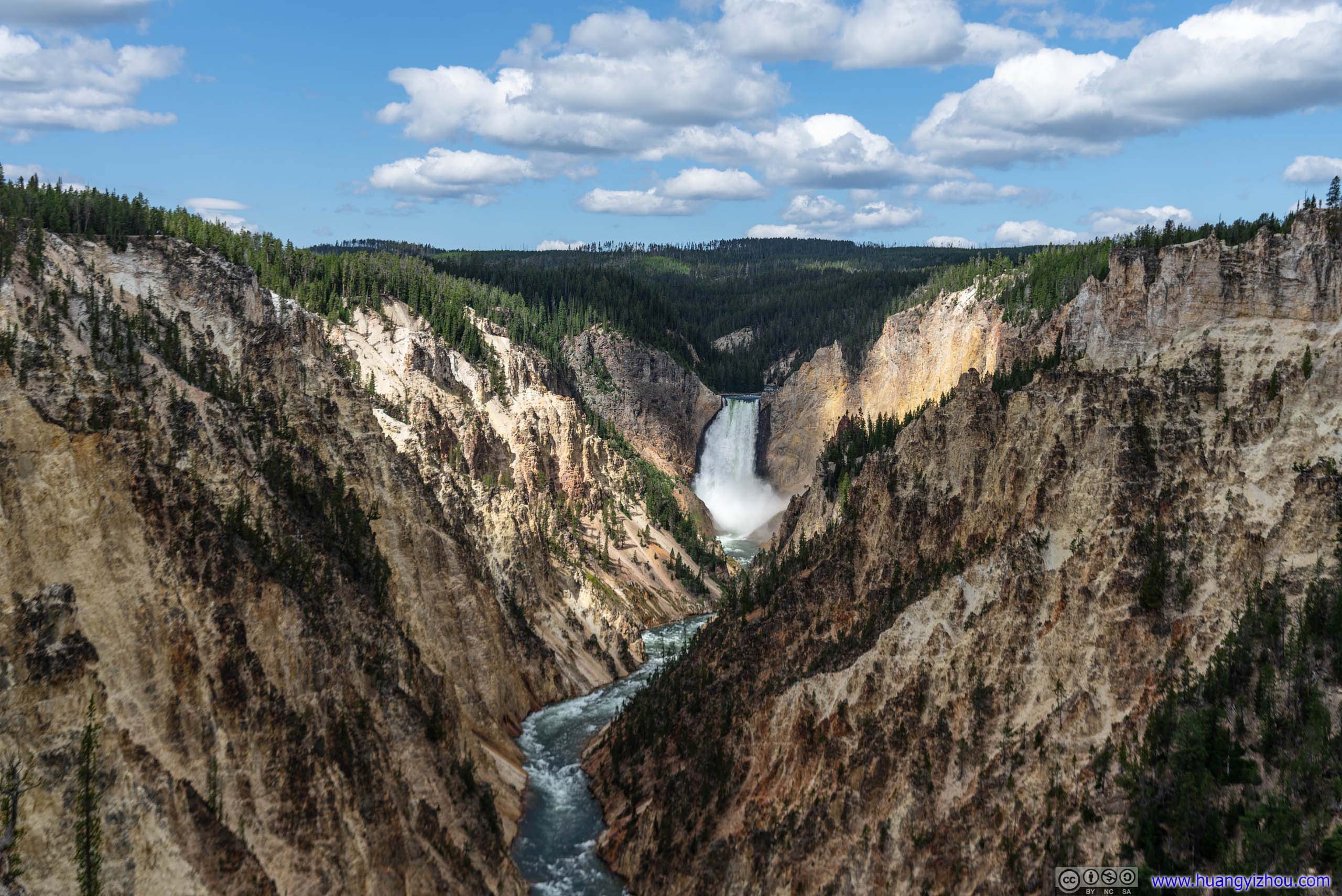
This really looked not that different from my photos at sunrise.
Wildlife
We even spotted an elk at approximately the same location, don't know whether that's the same elk in the morning.
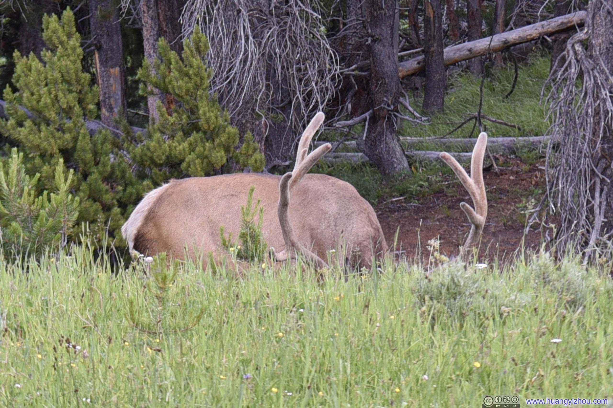
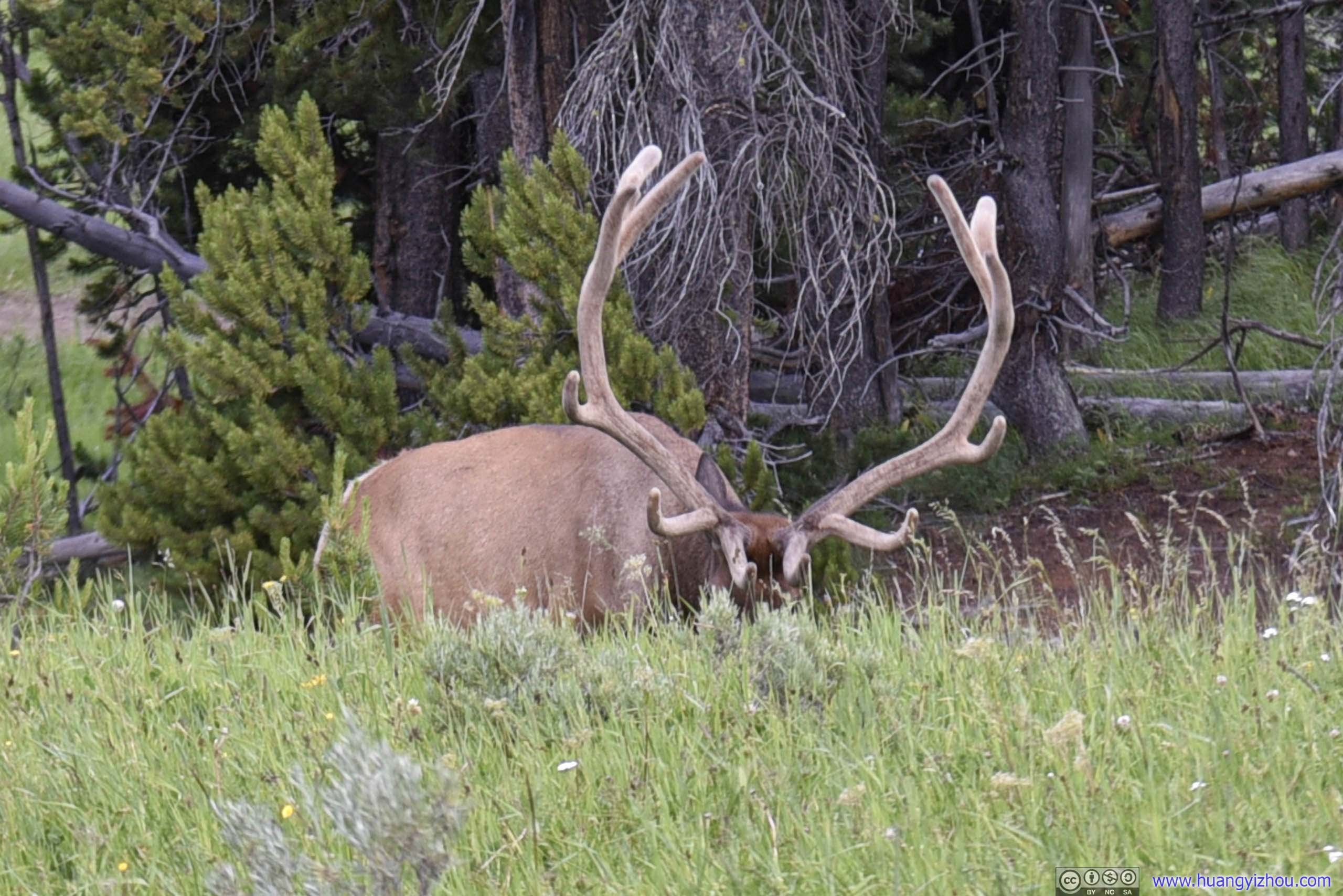
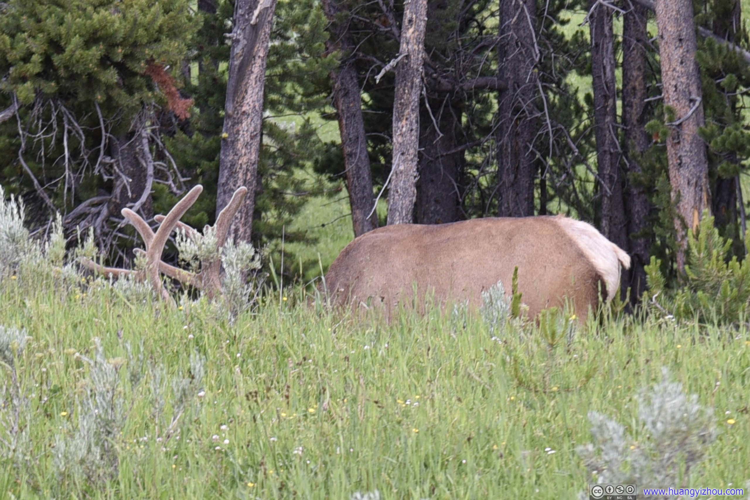
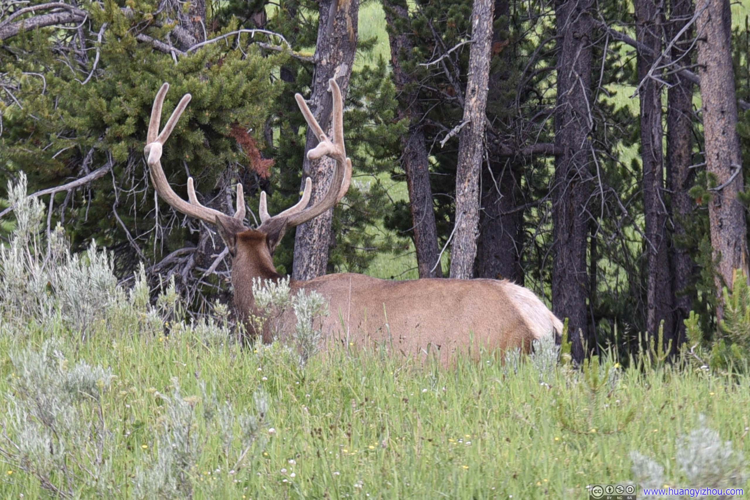
Elk
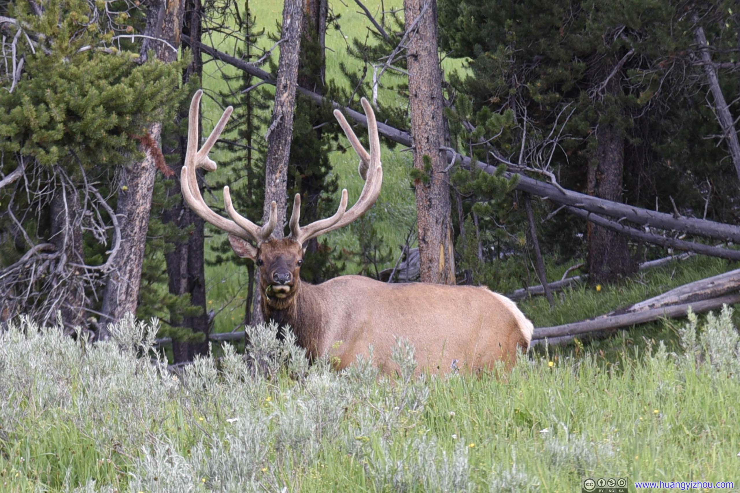
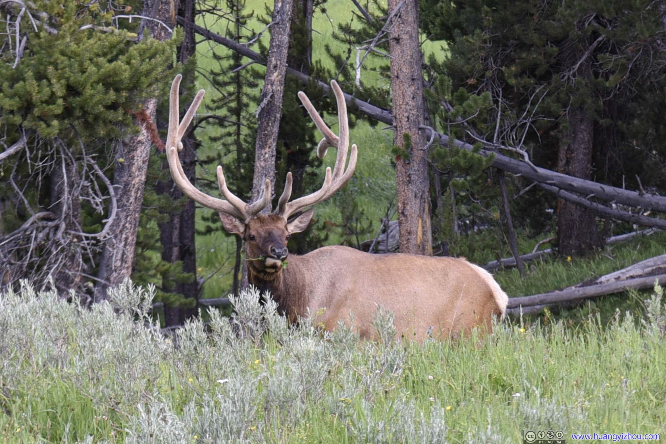
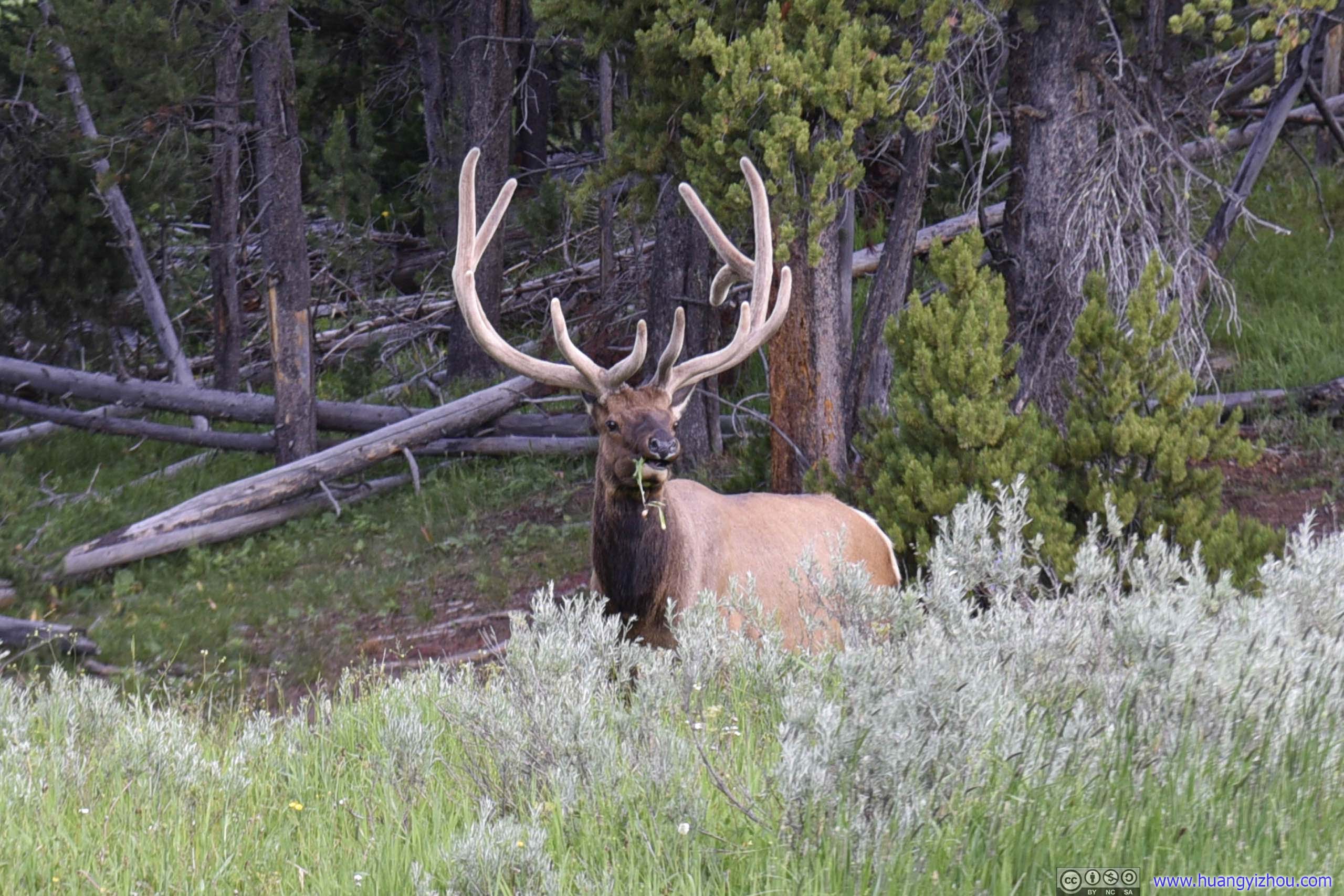
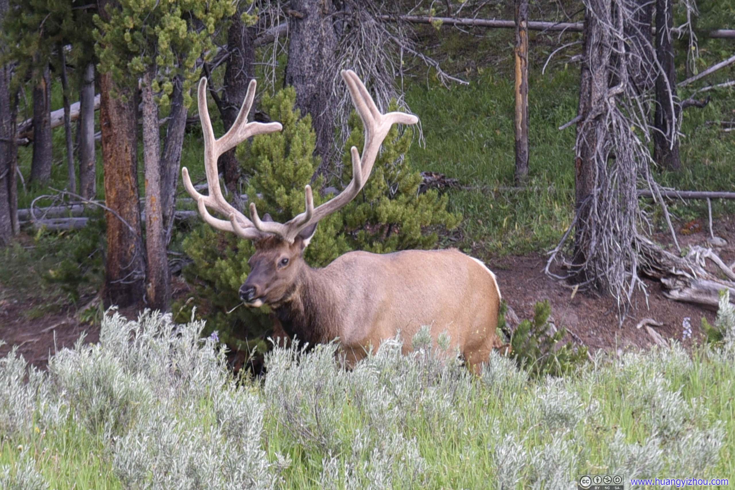
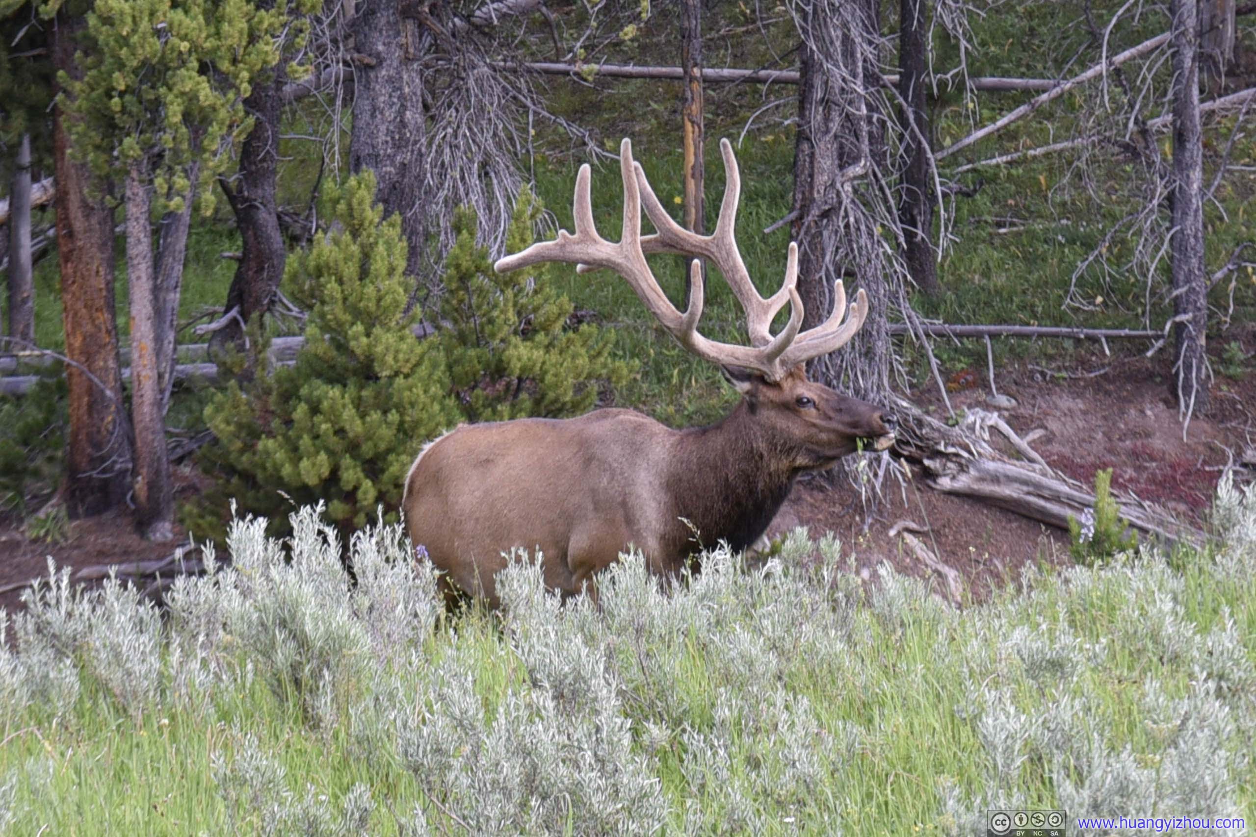
Elk
Uncle Tom Area
Unfortunately, Uncle Tom's trail, which was some metal staircase leading down to the bottom of Lower Yellowstone Falls, was closed for renovation. So the only attraction in the area was an lookout of Upper Yellowstone Falls.
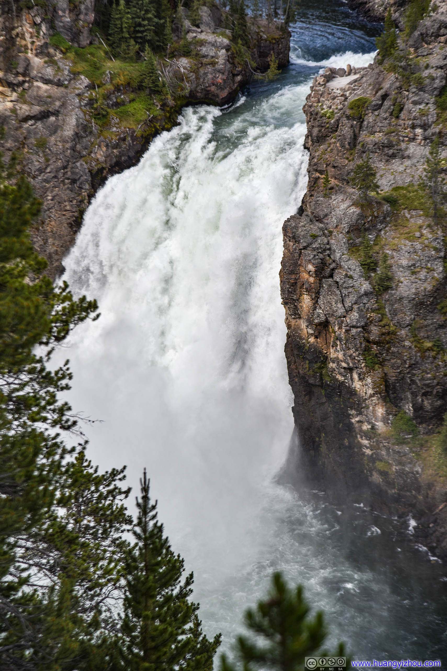
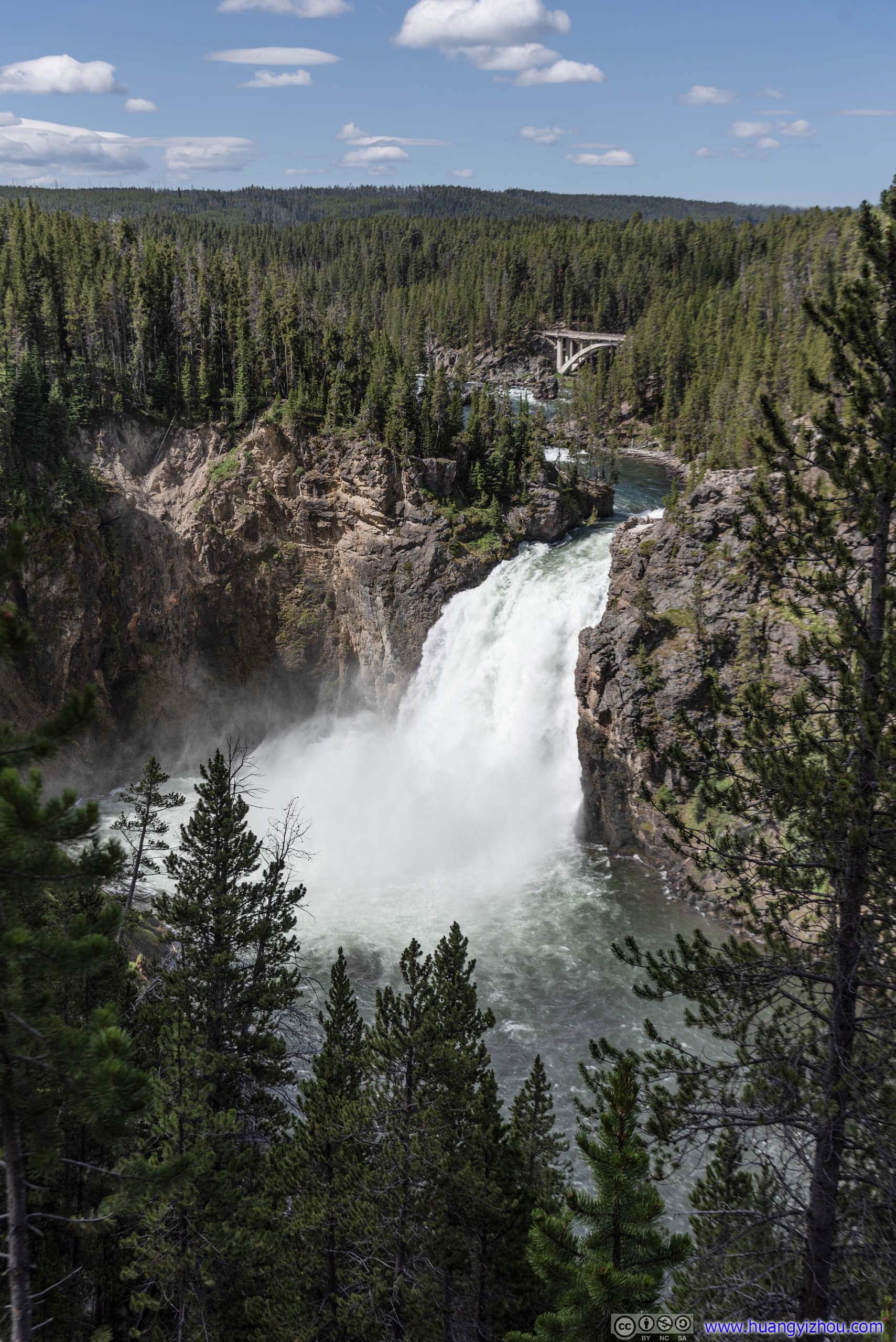
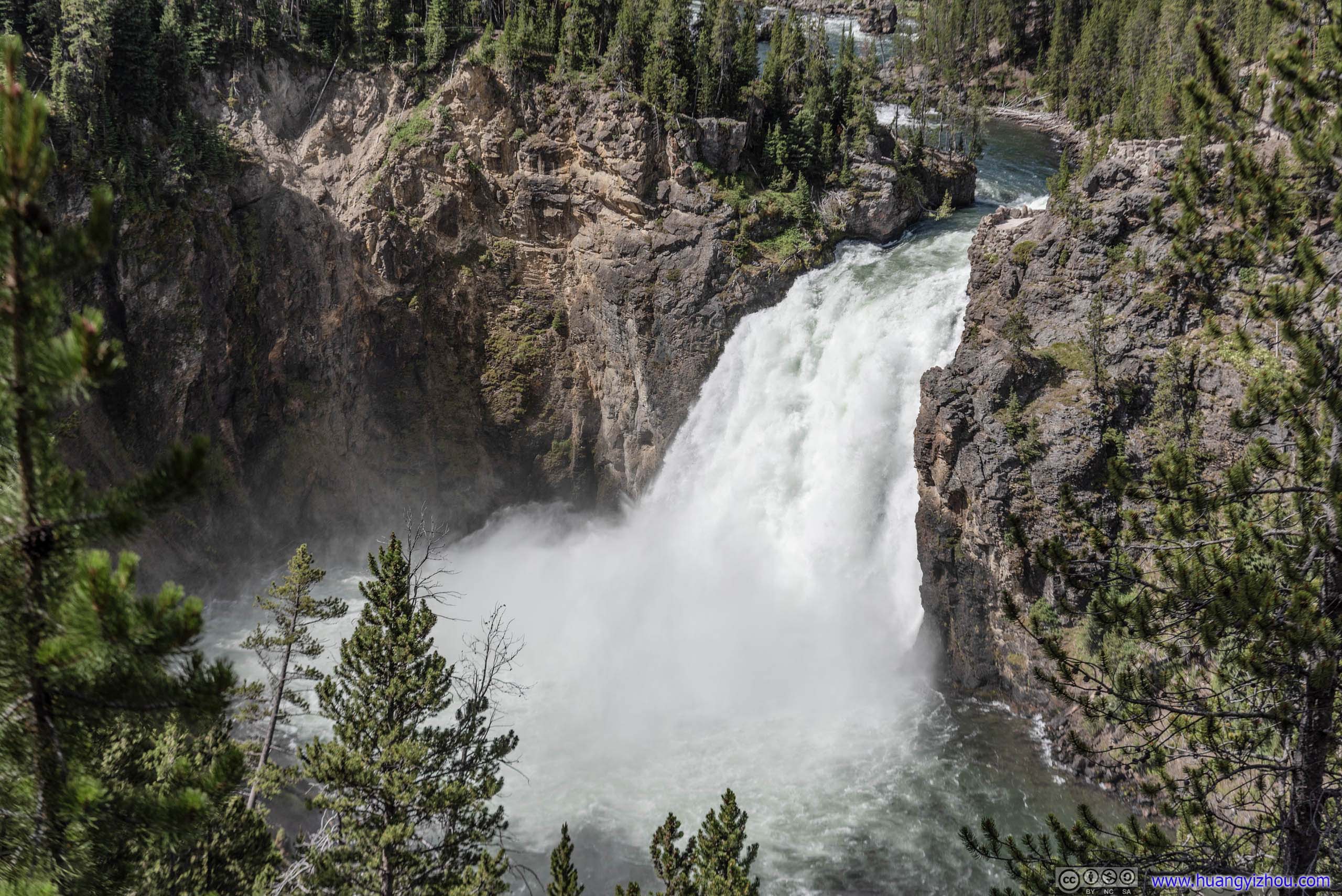
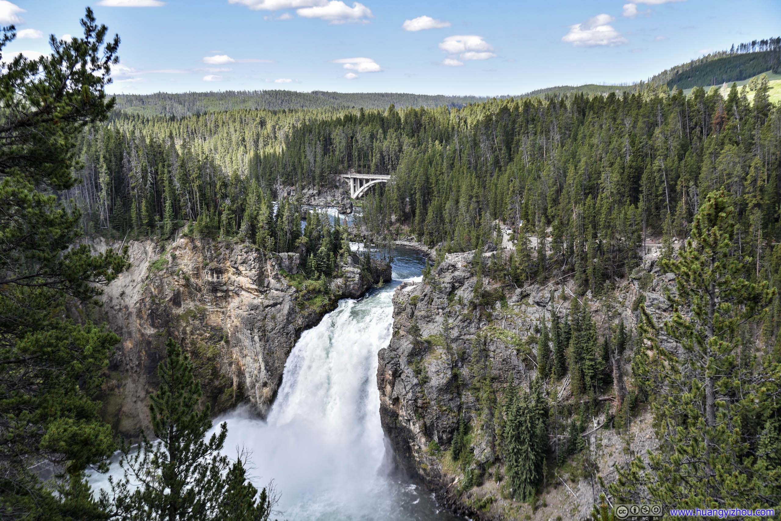
Upper Yellowstone Falls
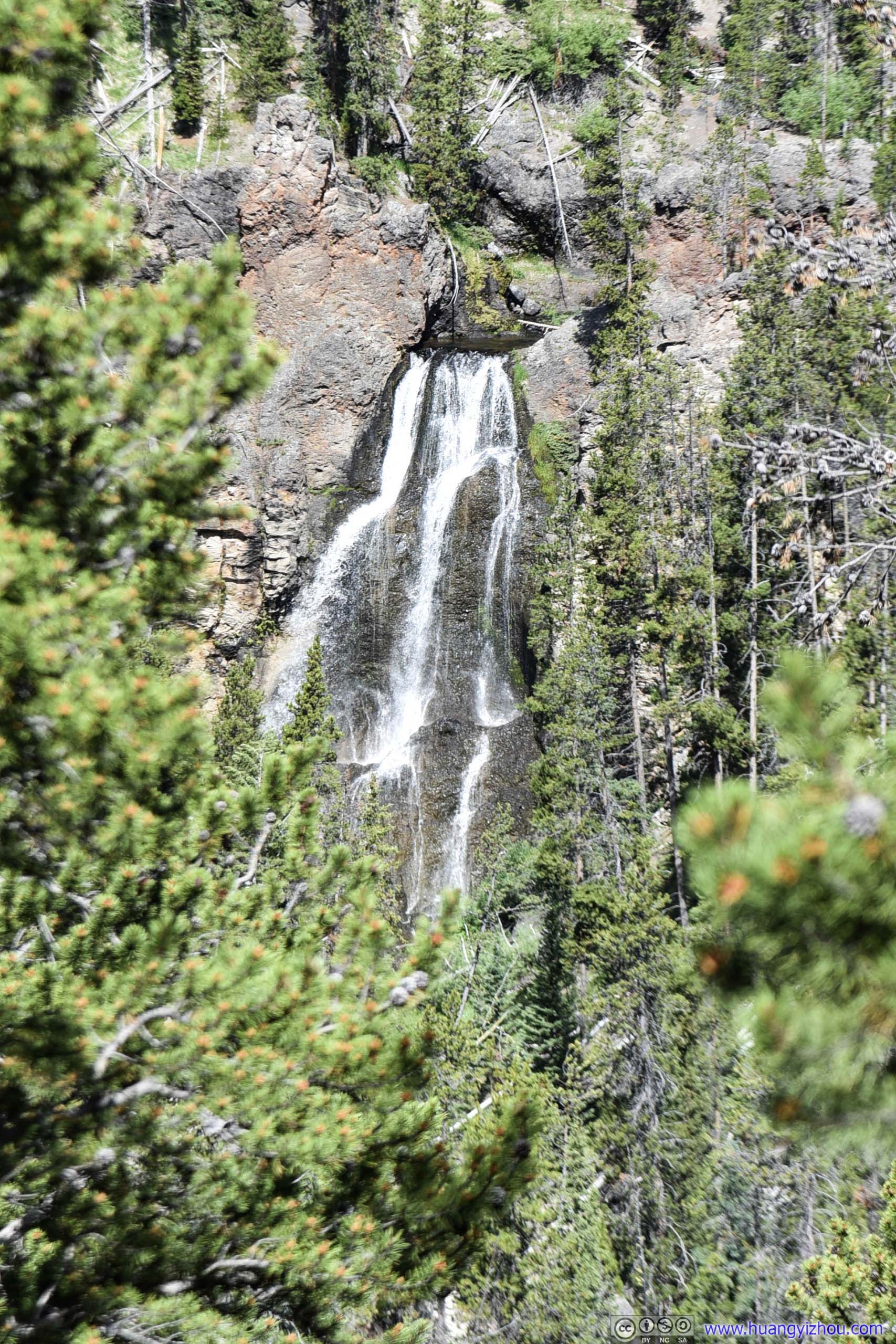
The lookout was pretty crowded with views partially obscured by trees, so we didn't stay there for long before heading to North rim.
And since Brink of the Upper Falls was closed during our visit, our next stop was Brink of the Lower Falls.
Brink of the Lower Falls
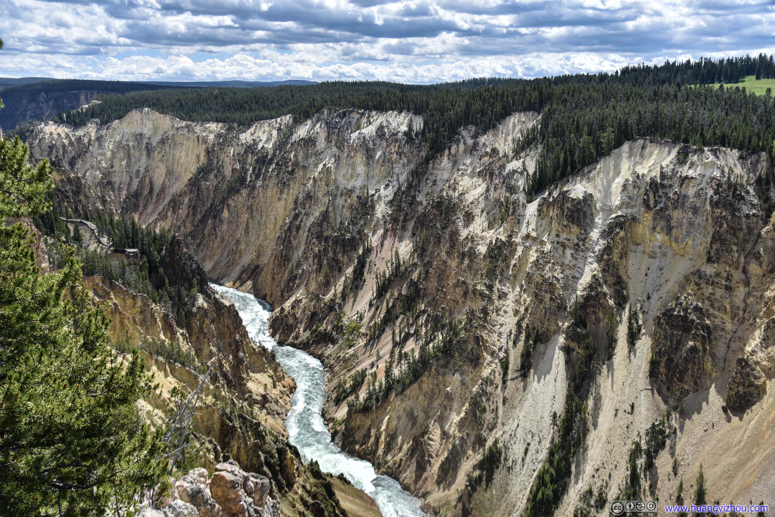
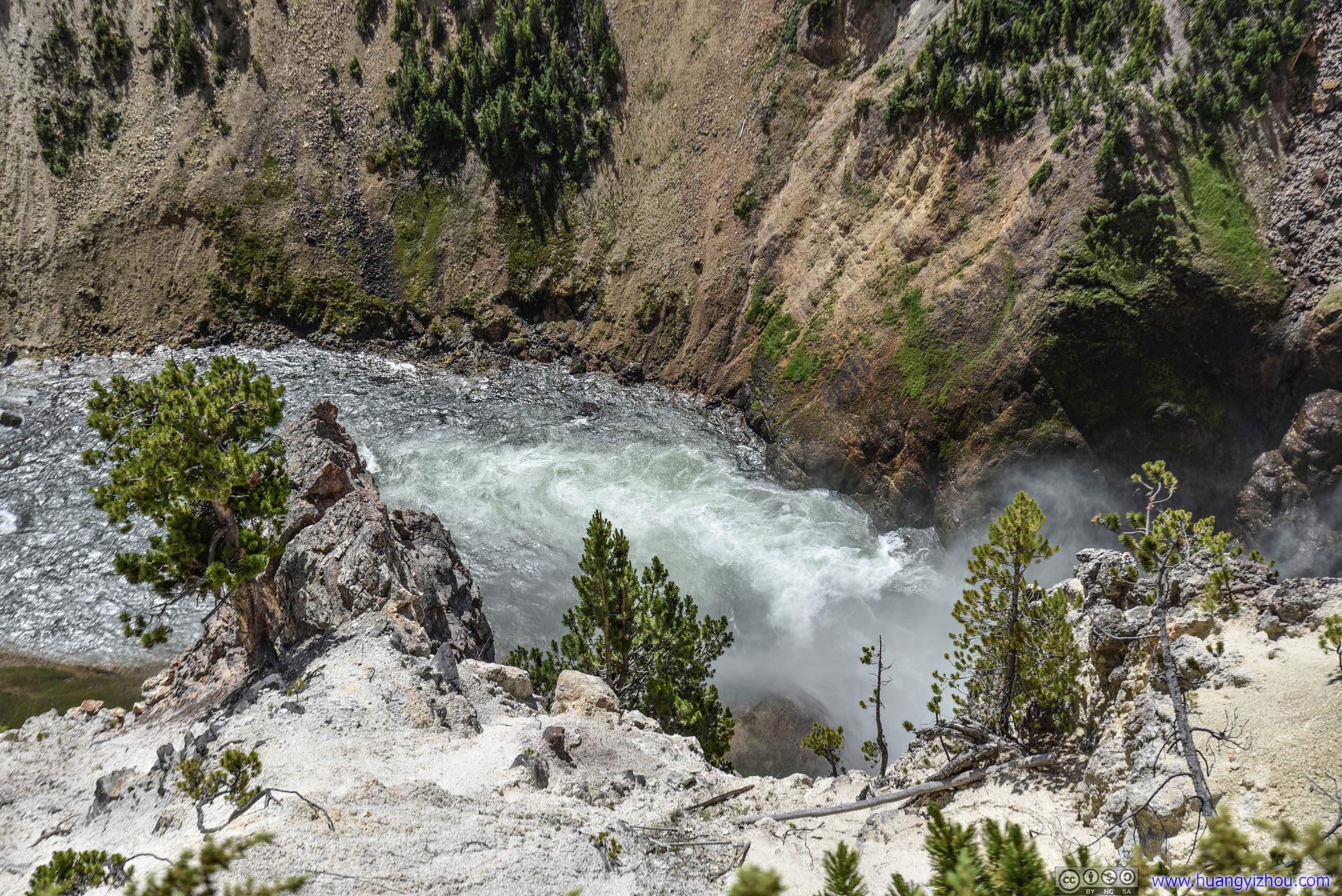
The trail to Brink of the Lower Falls was a 700-meter zig-zag along the canyon cliff, with 90-meter elevation drop. With Uncle Tom's Trail closed, it's probably the only way to reach for views inside Yellowstone Canyon (Red Rock Point only offered views of the waterfall). The trail was pretty flat with lots of benches for handicapped people to rest on.
By the way, parking was rather challenging here during the day.
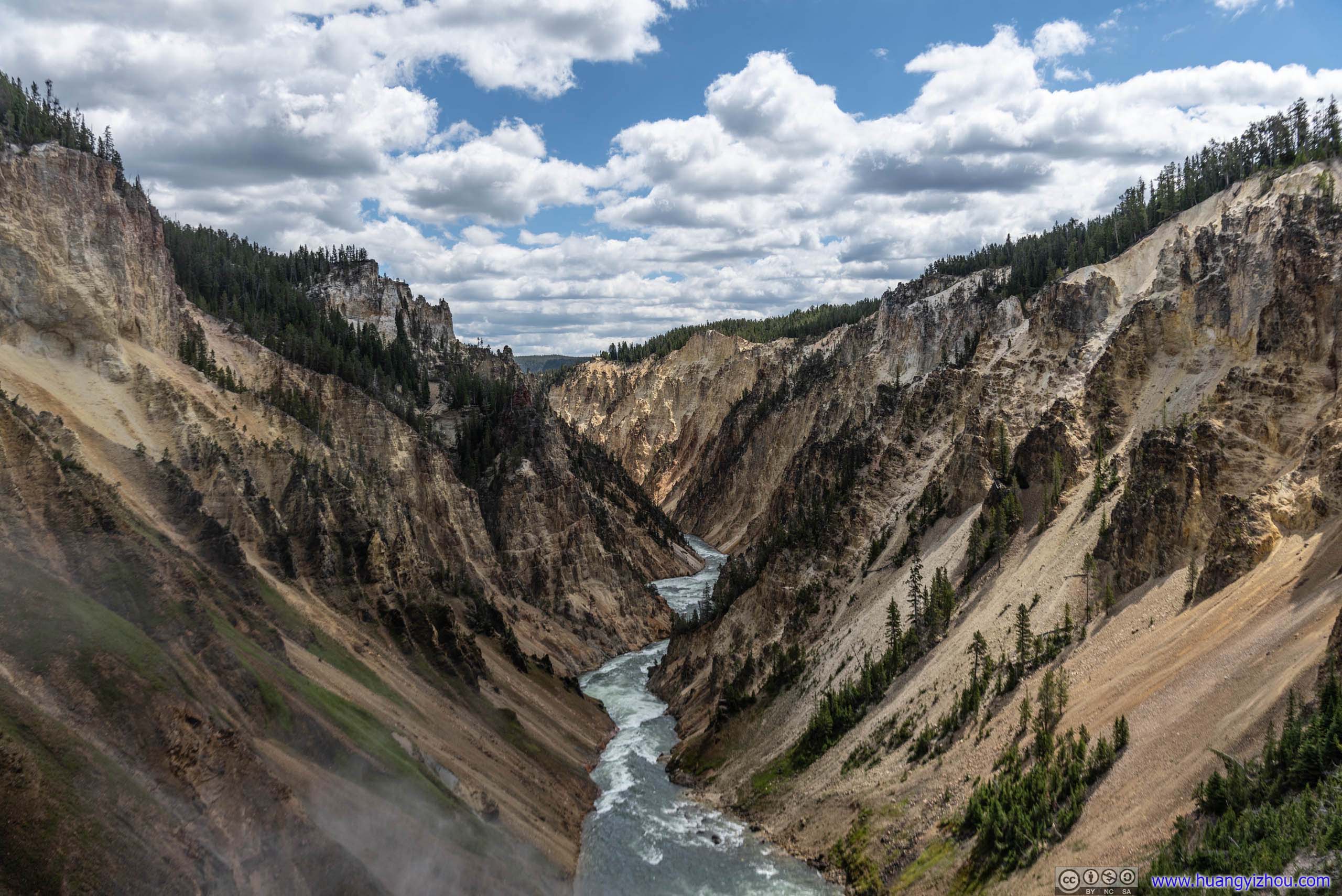
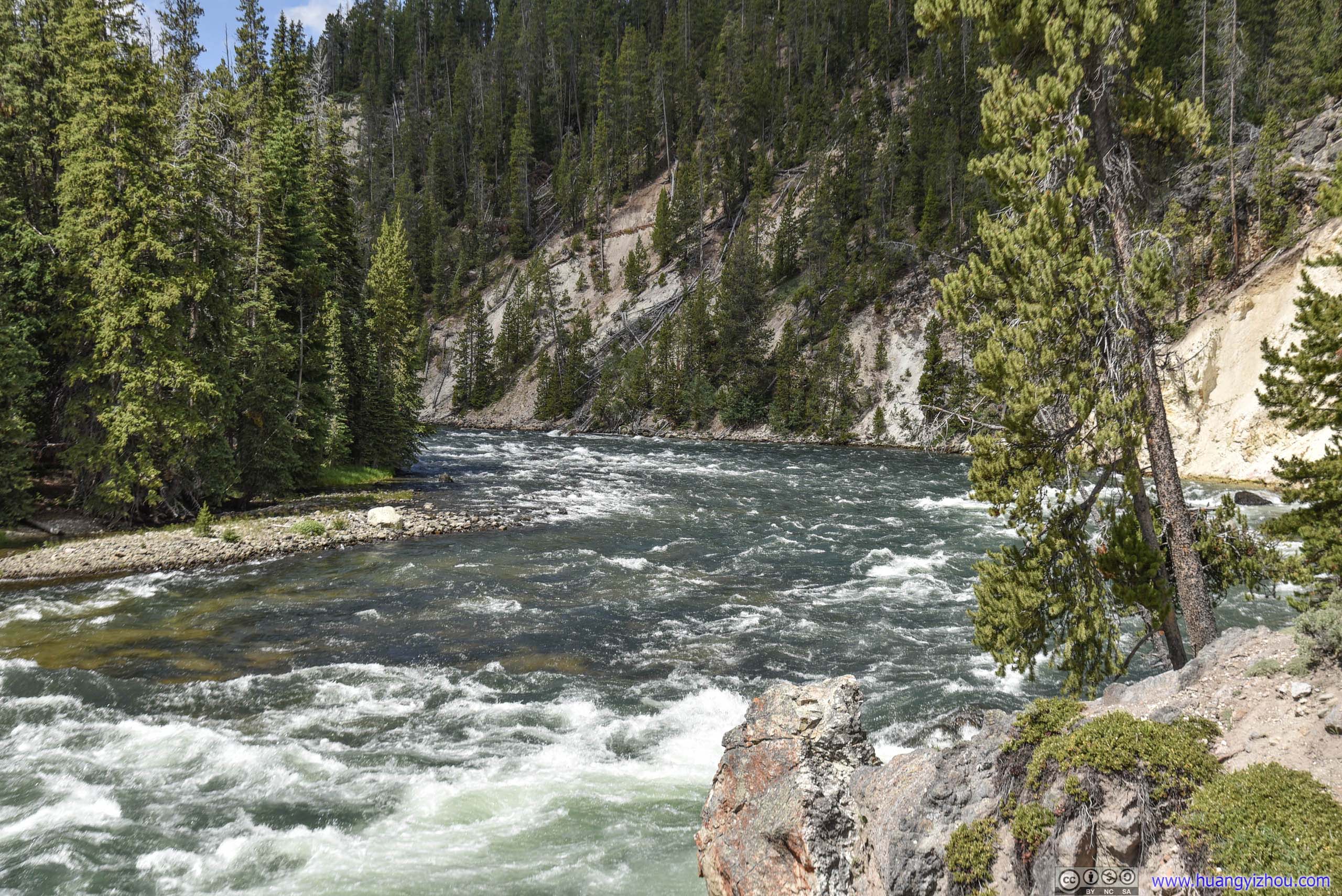
And once at the bottom of the trail, one can almost touch the torrents of Yellowstone River, if its roaring sound alone wasn't enough to impress.
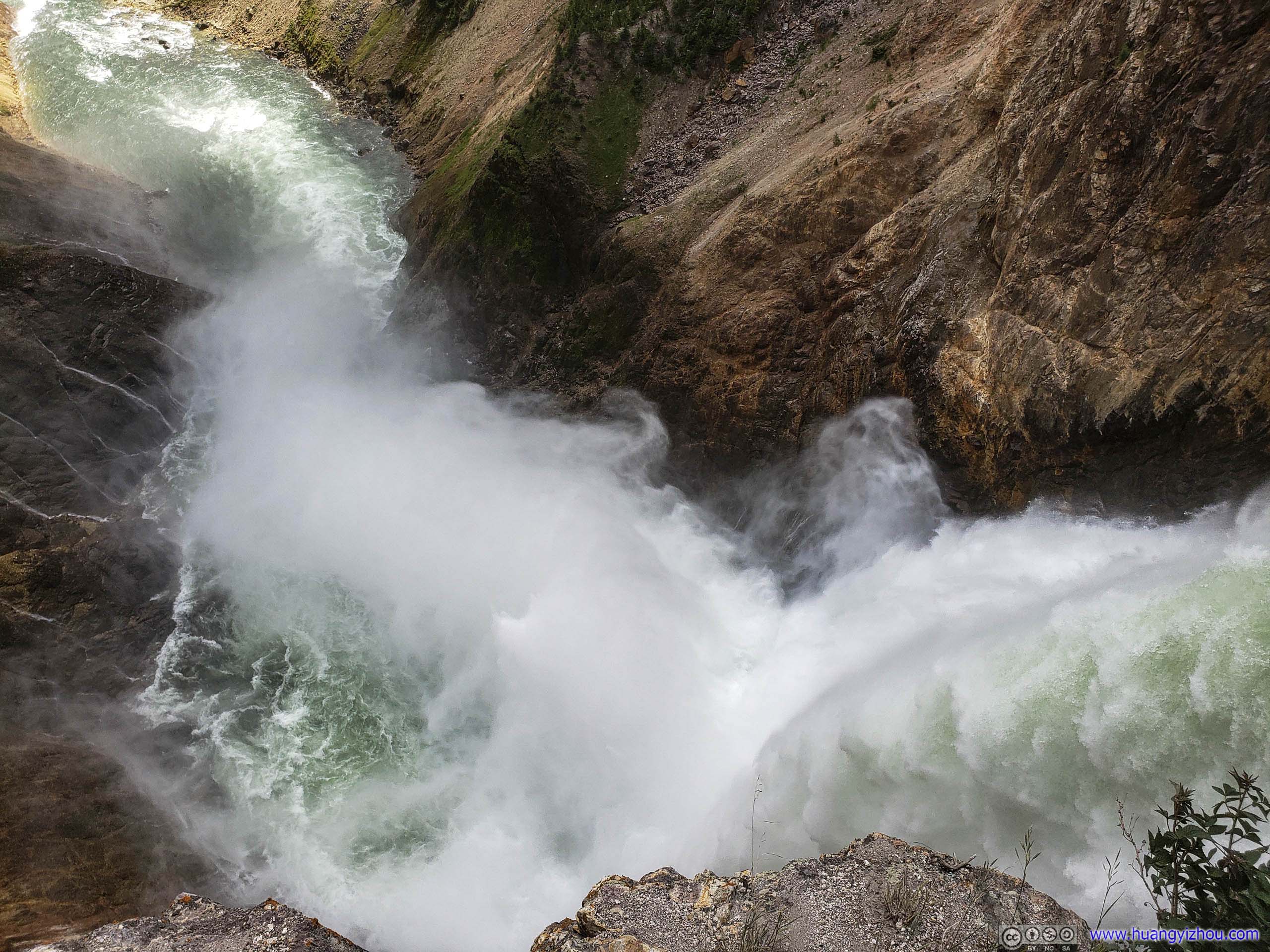
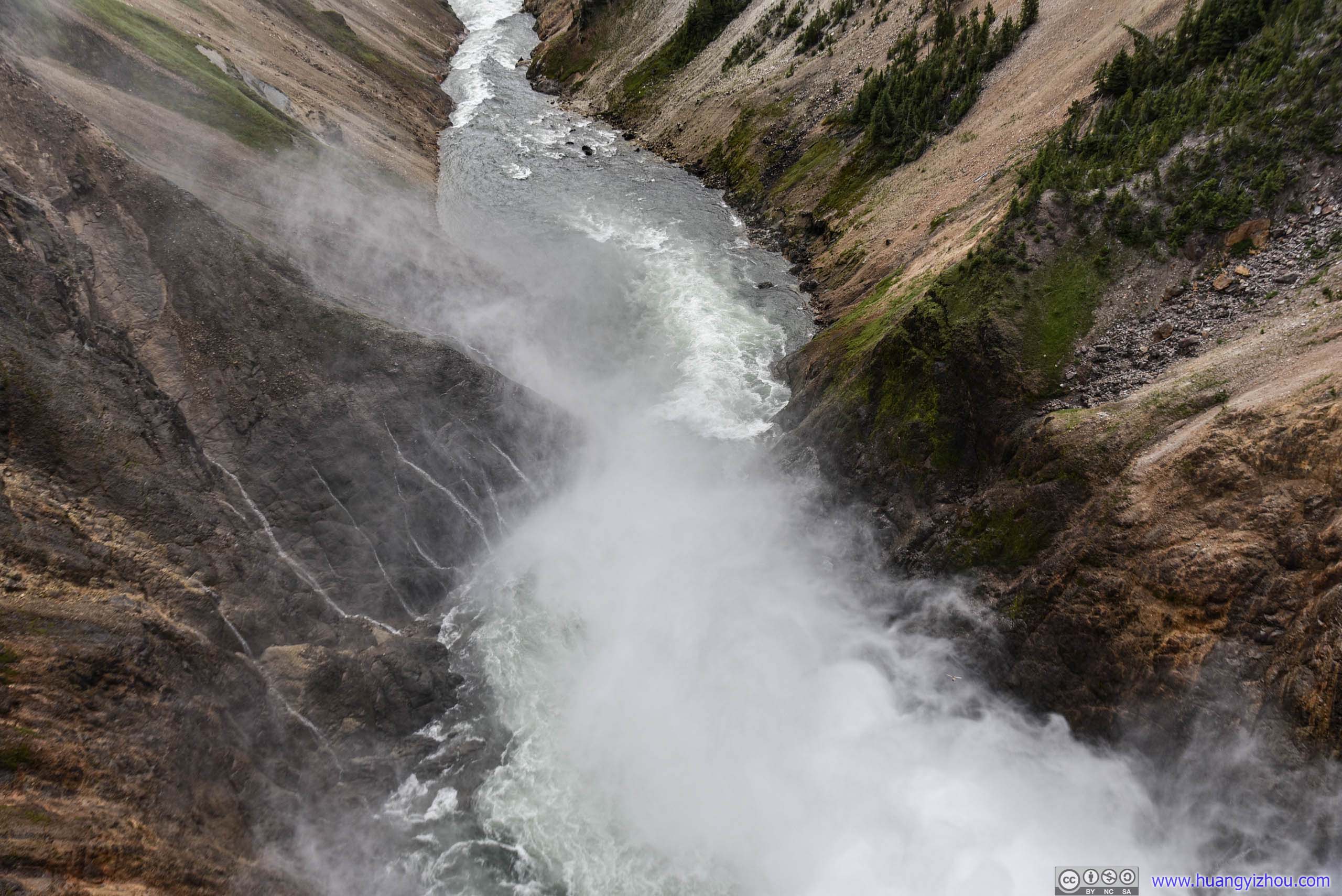
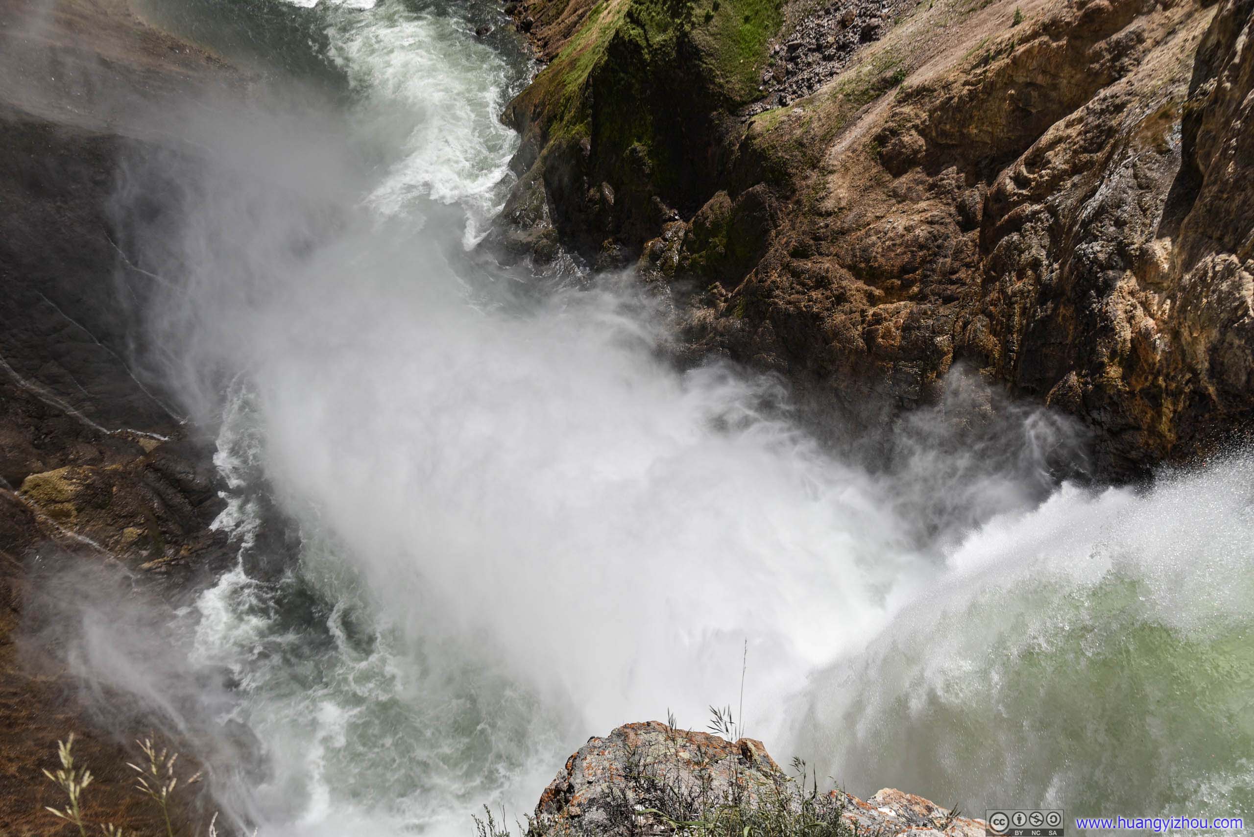
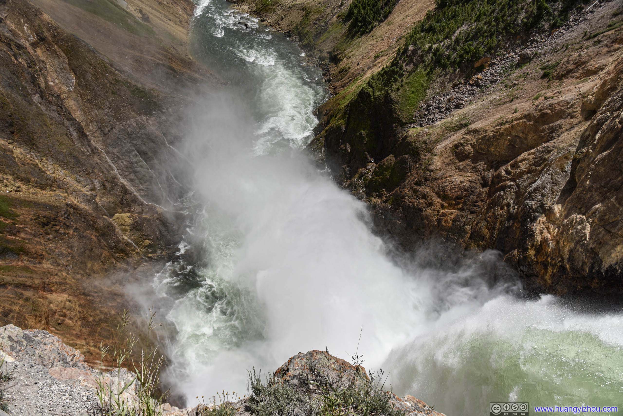
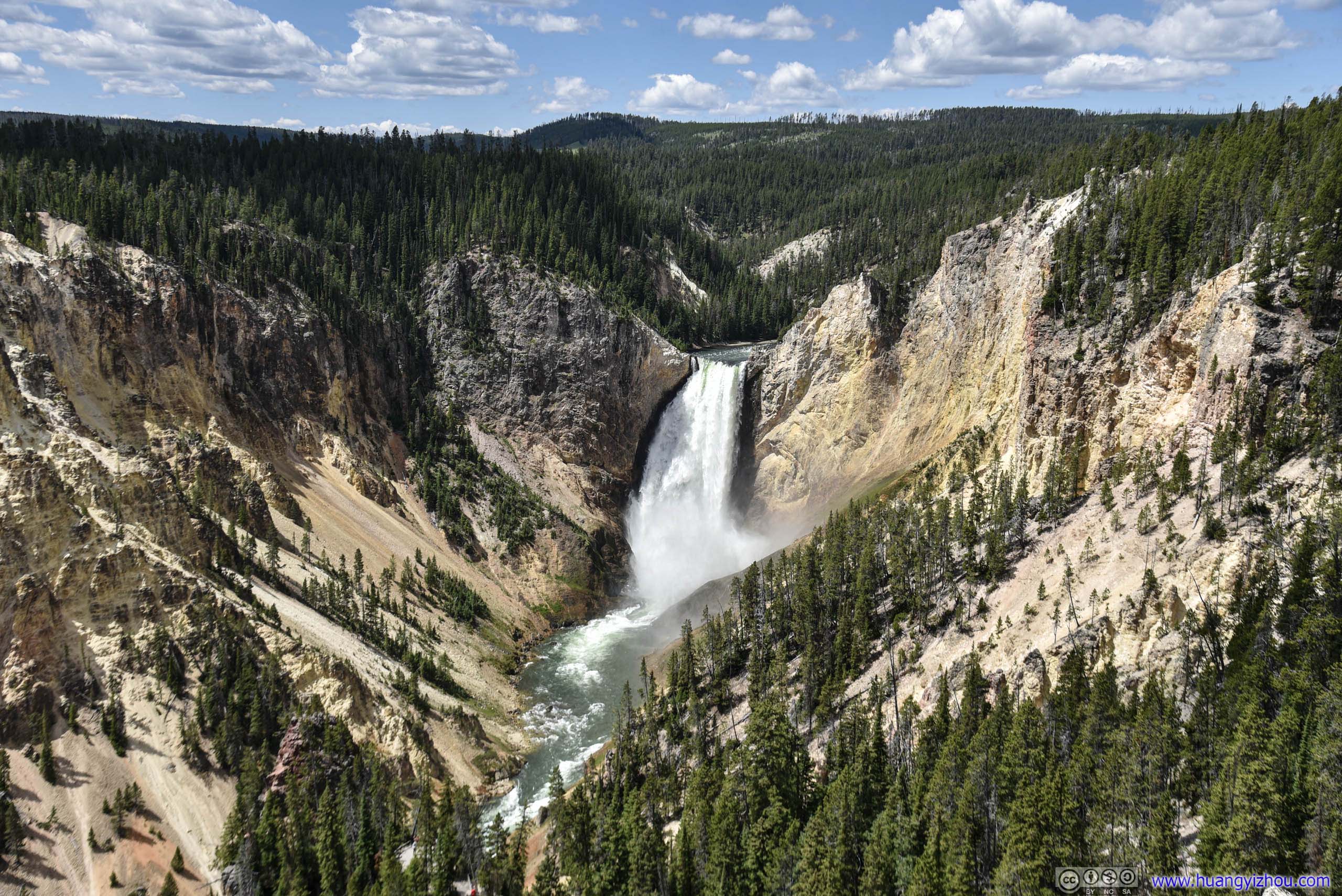
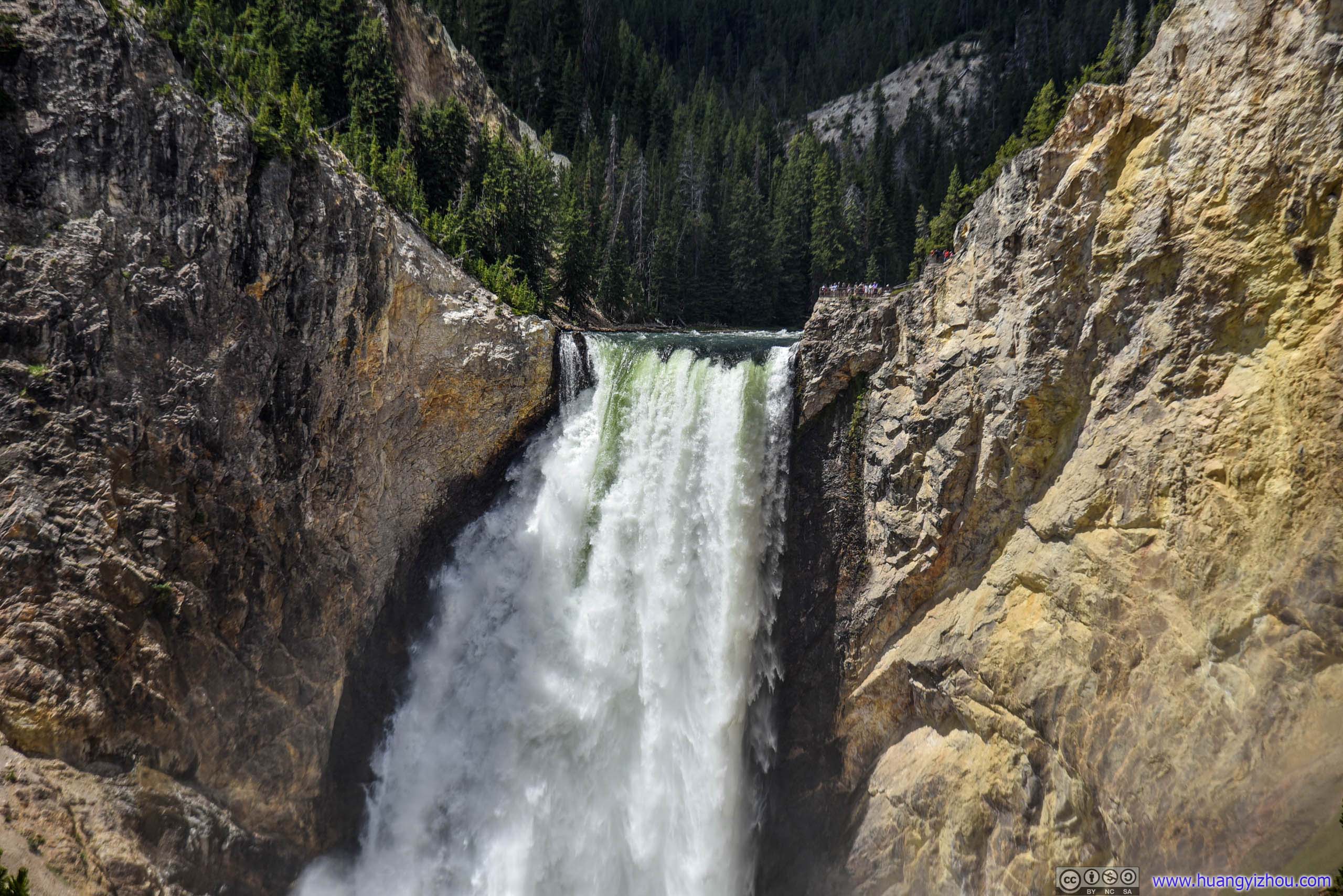
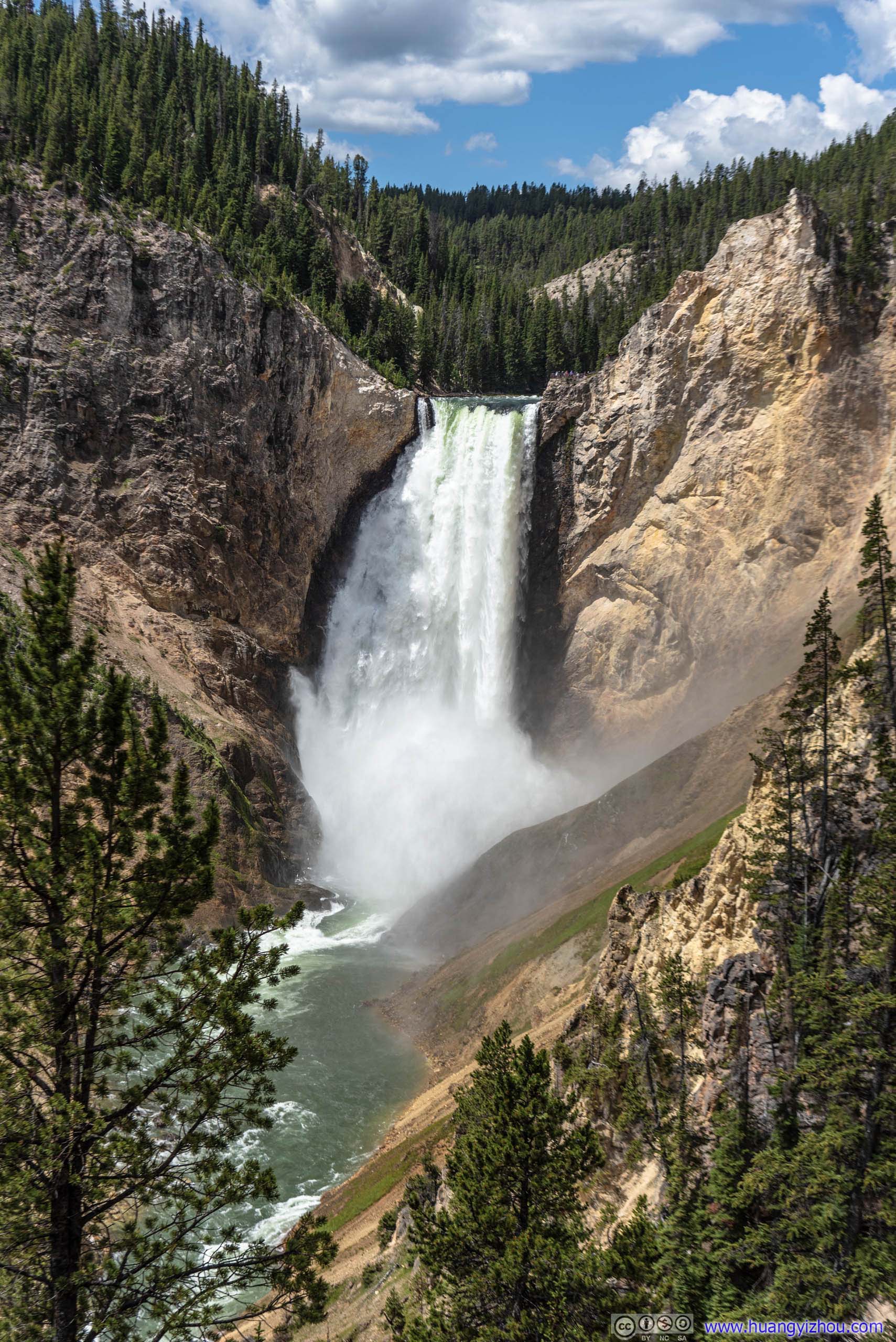
Lower Yellowstone Falls
After we spent 35 minutes climbing up and down the lower brink trail, this bastard barely budged.
Canyon Lookout / Red Rock Point
While we were at Brink of the Lower Falls, we found there was a viewing platform on the North rim side in front of us, which turned out to be Red Rock Point, probably named after a red-colored cone-shaped rock in its surrounding.
The irony was that, while at Red Rock Point, we were so spellbound by the magnificence of Lower Falls, that we didn't pay any attention to that red rock at all.
It's a 400-meter trail with 70-meter elevation change to reach Red Rock Point. The trail wasn't in as good condition as lower brinks (as it's used by much fewer people), but it's by no means technical.
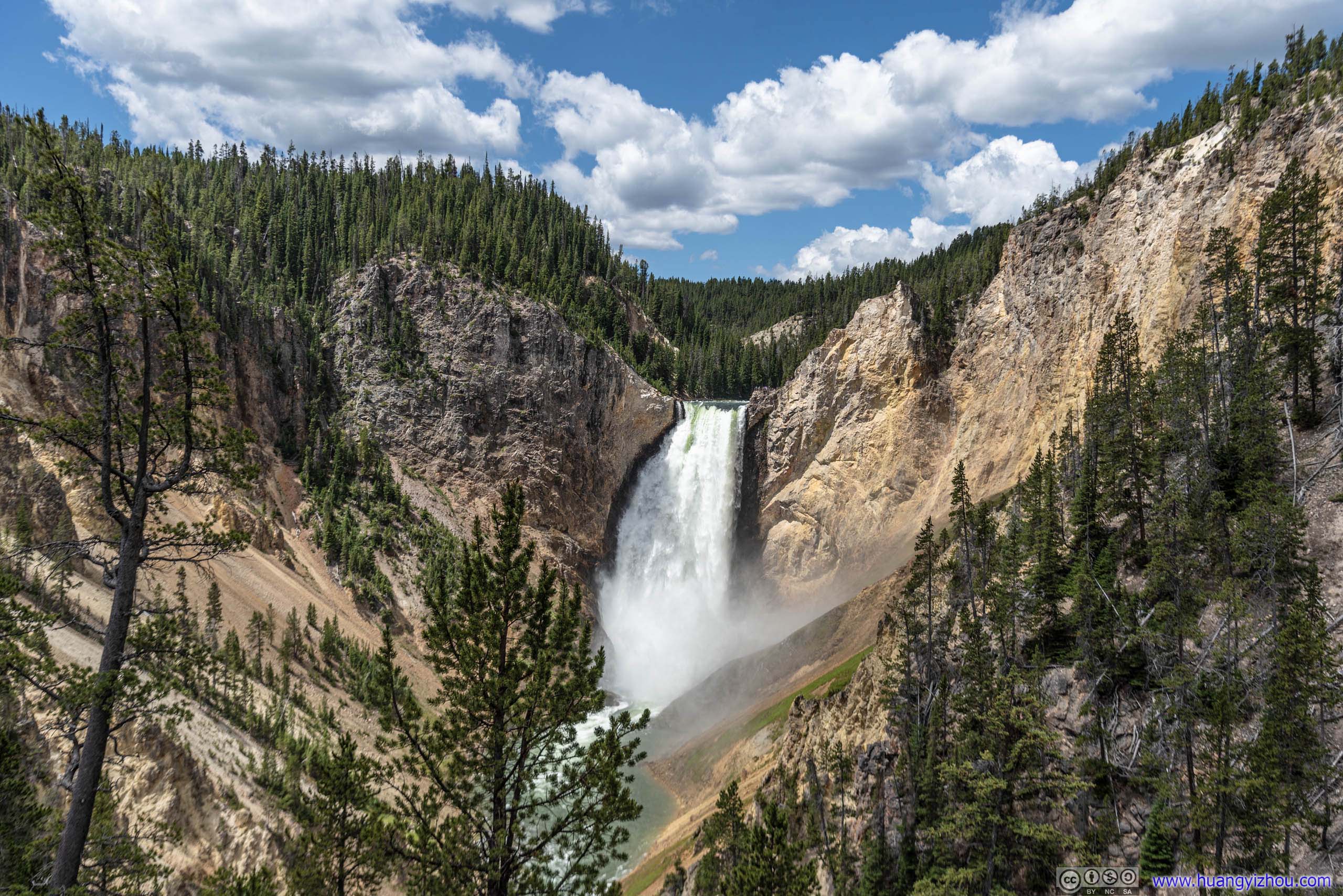
Since Uncle Tom's Trail was closed, it's the closest one can get facing Lower Yellowstone Falls.
Grand View
Yes, we made a brief stop here too, before heading off to Inspiration Point.
Inspiration Point
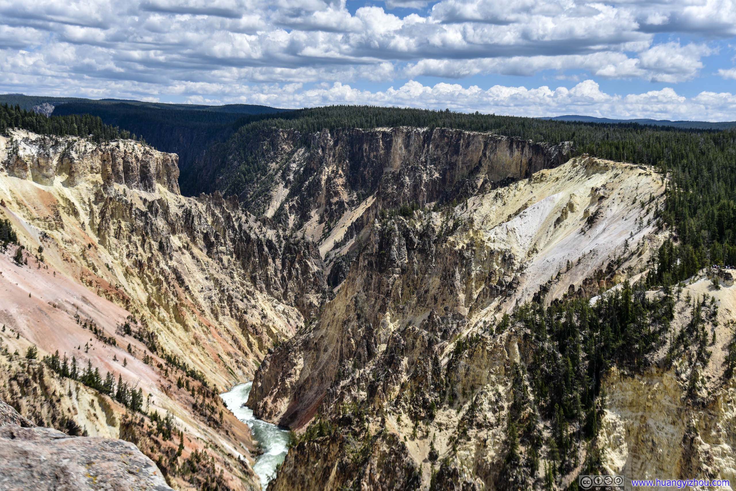
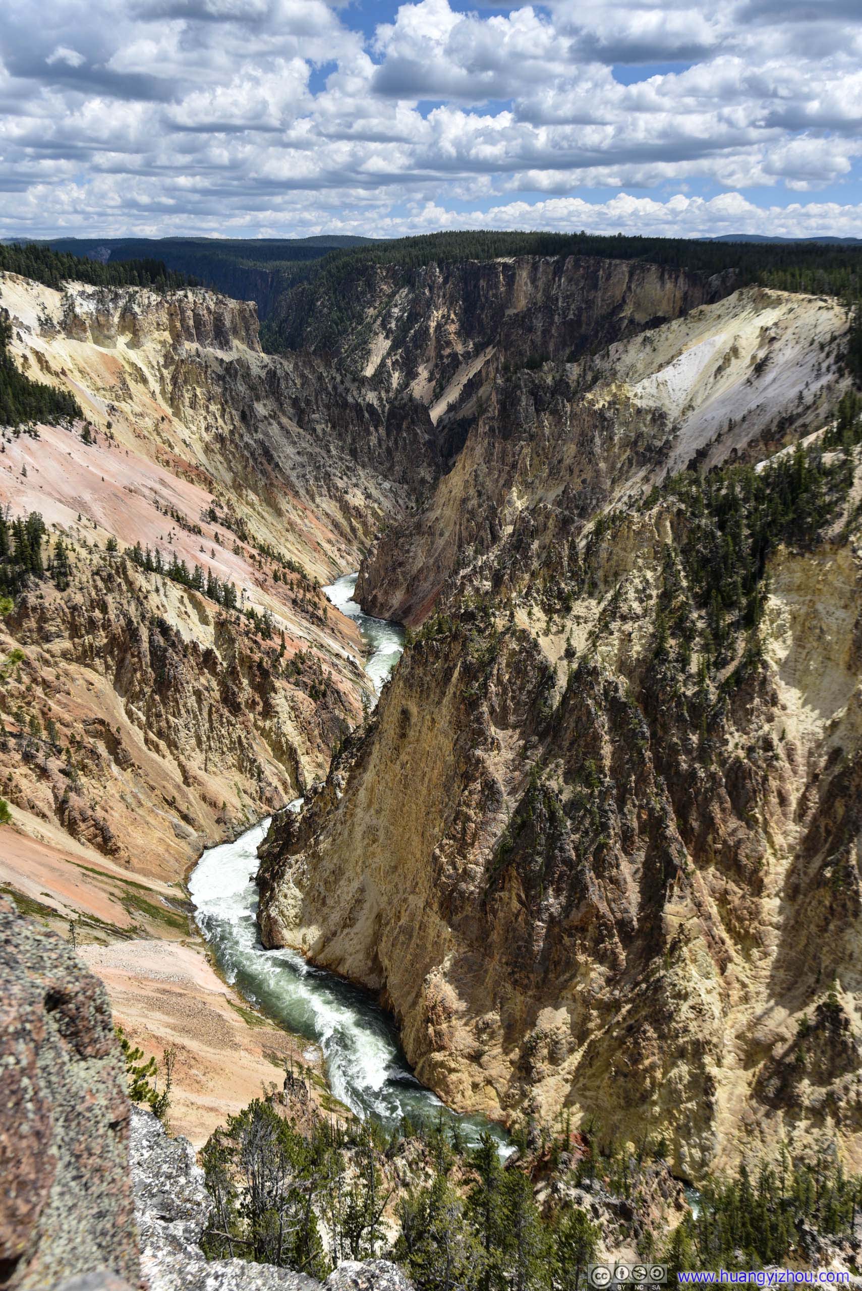
Among all the car-accessibly lookouts, Inspiration Point was located farthest from Lower Yellowstone Falls. But it offered panoramic views of richly-colored canyon cliffs, from which one sure can draw inspiration from.
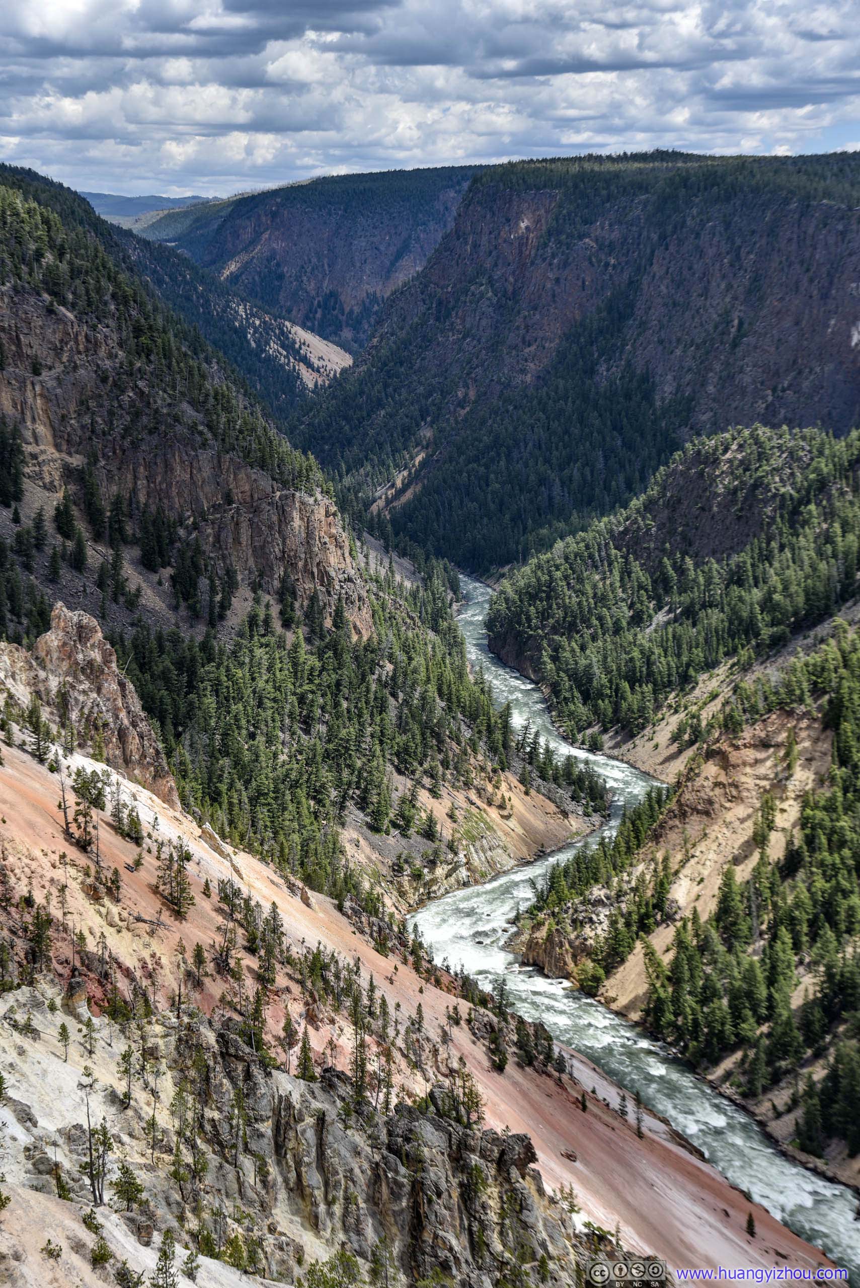
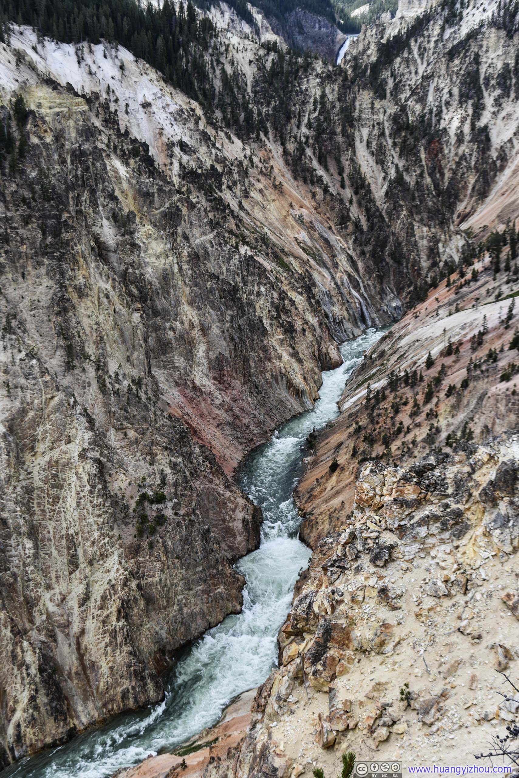
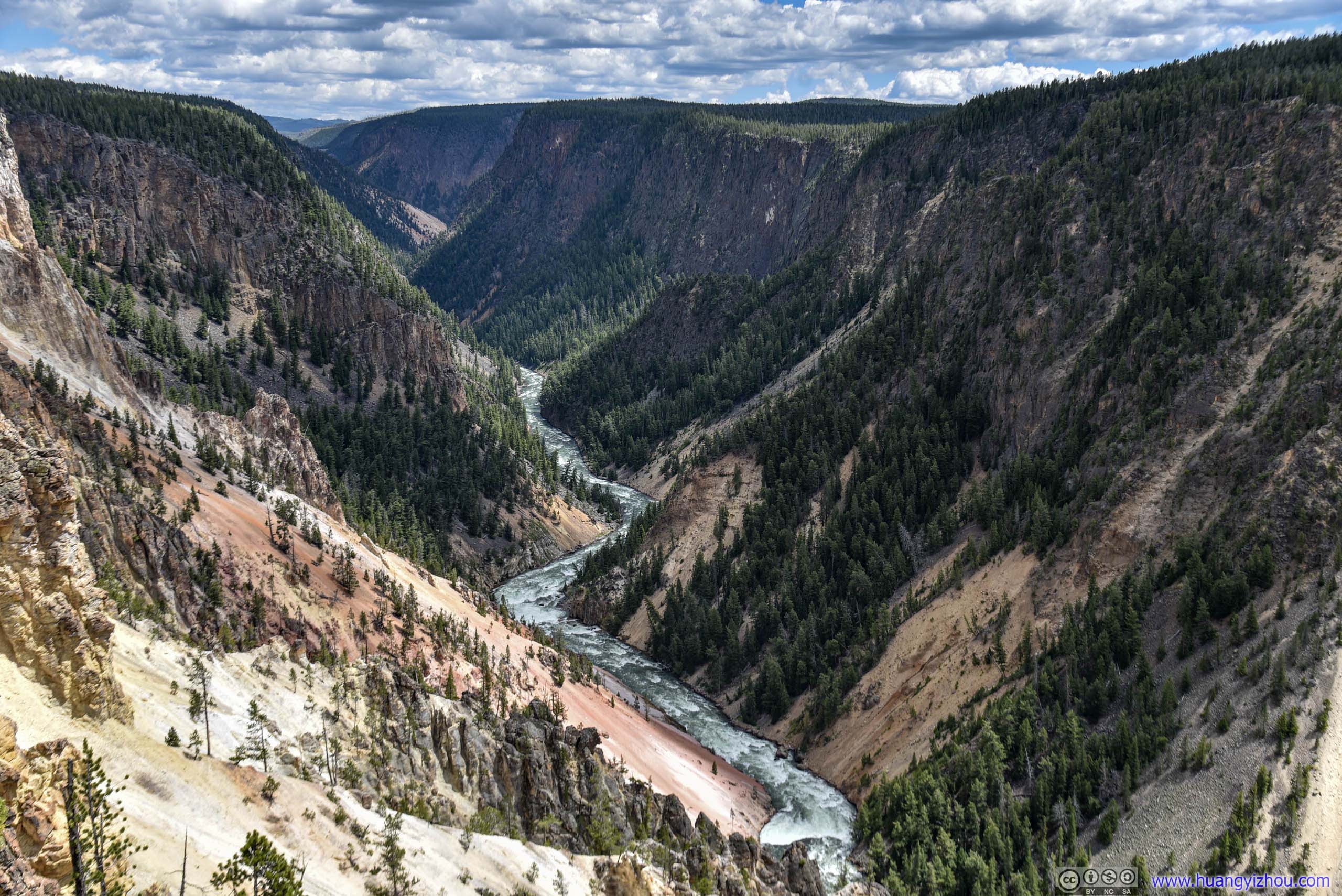
Yellowstone River in Canyon
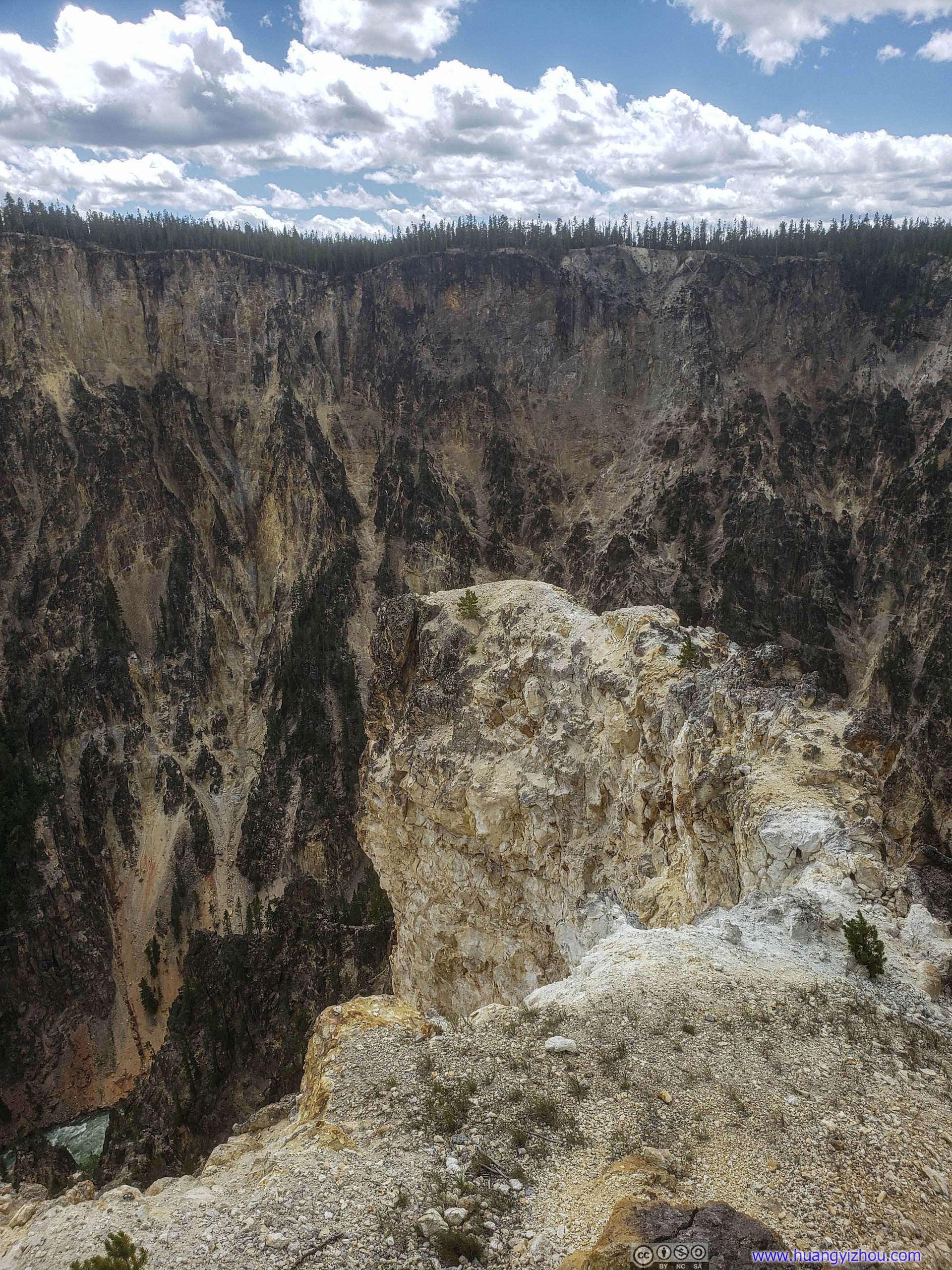
This piece of rock was the original Inspiration Point. Visitors long ago would enjoy even broader views from that as an earthquake in 1975 severed off portions of the rock (and now it's fenced off). It sure make for a perfect Assassin's Creed's leap of faith.
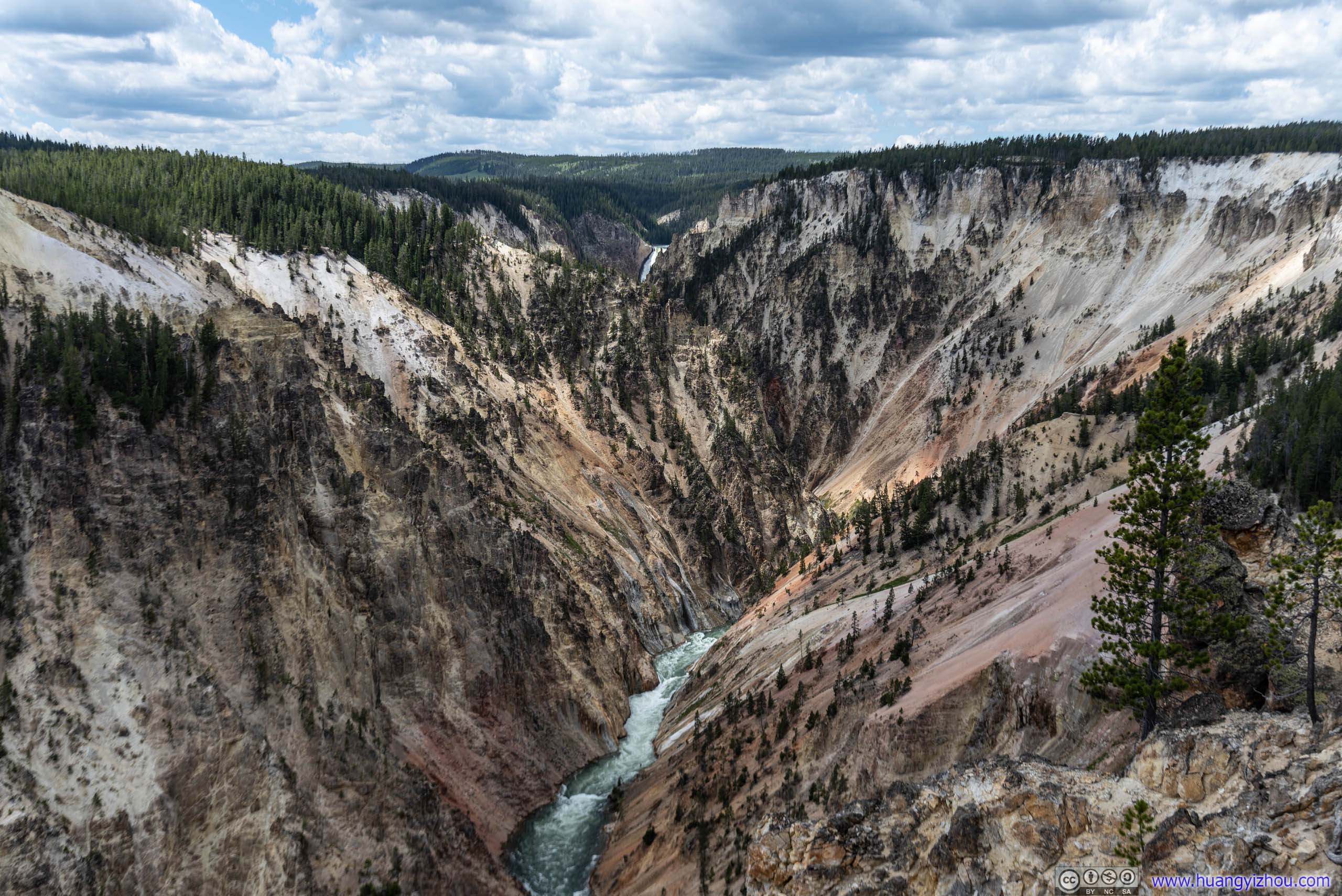
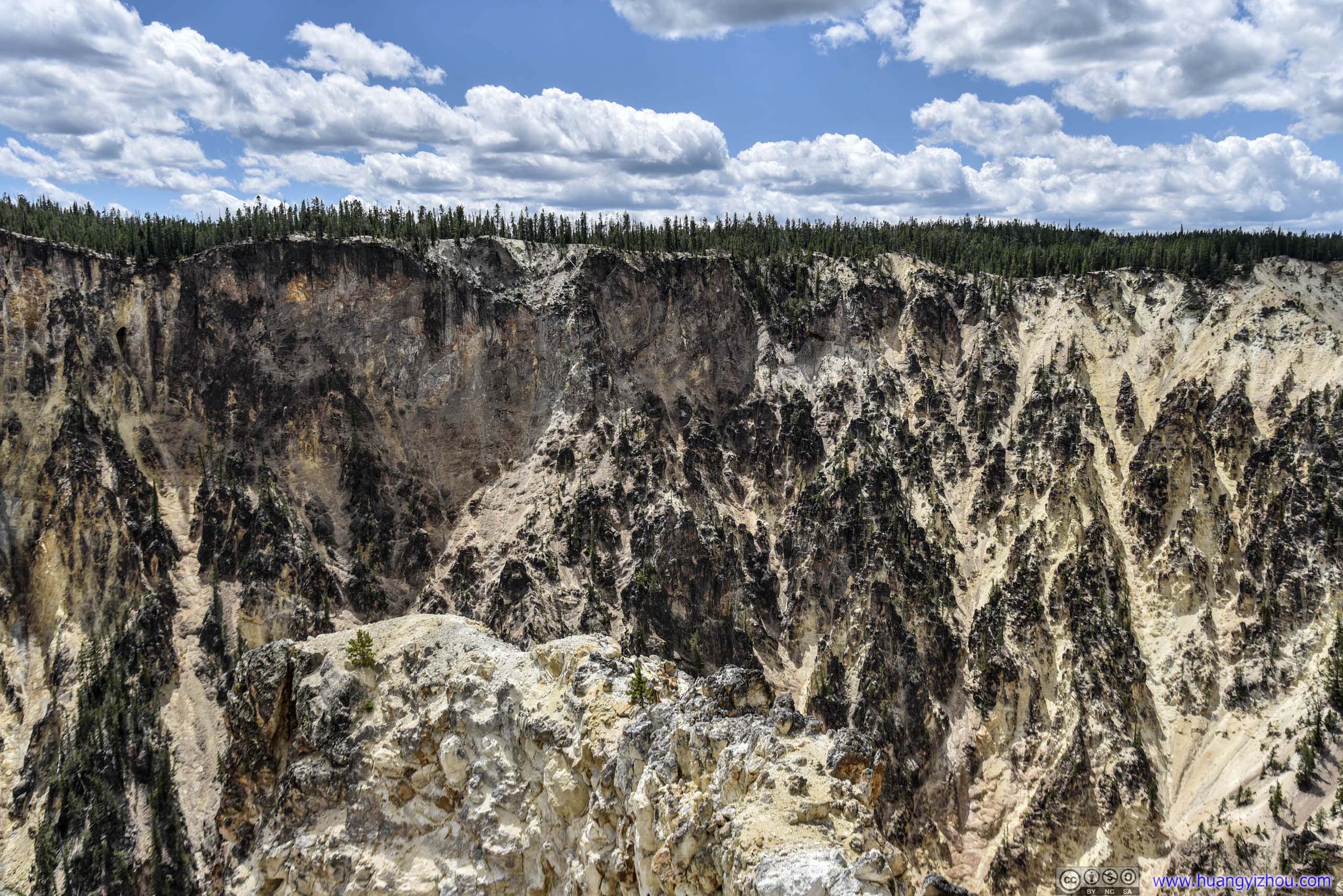
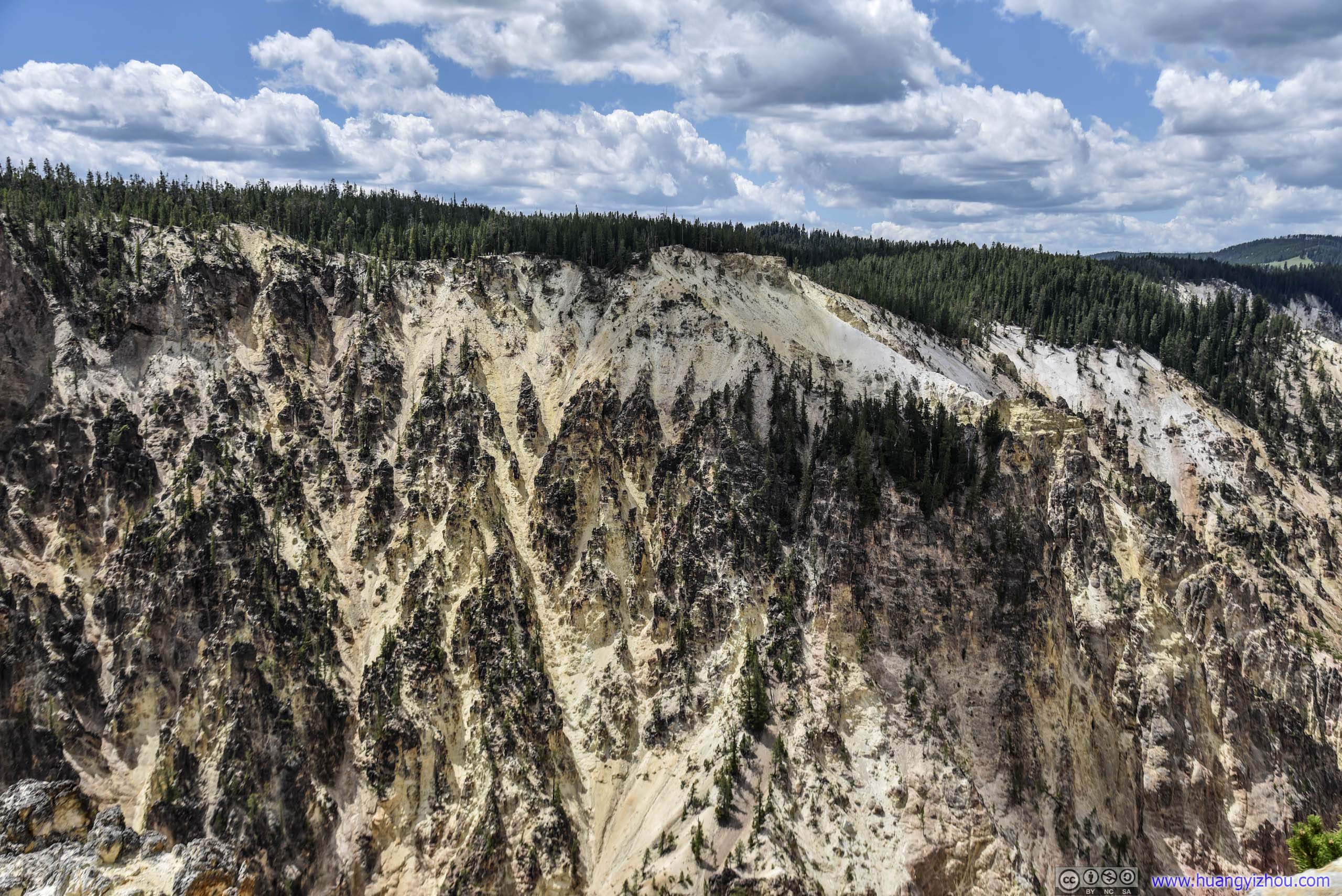
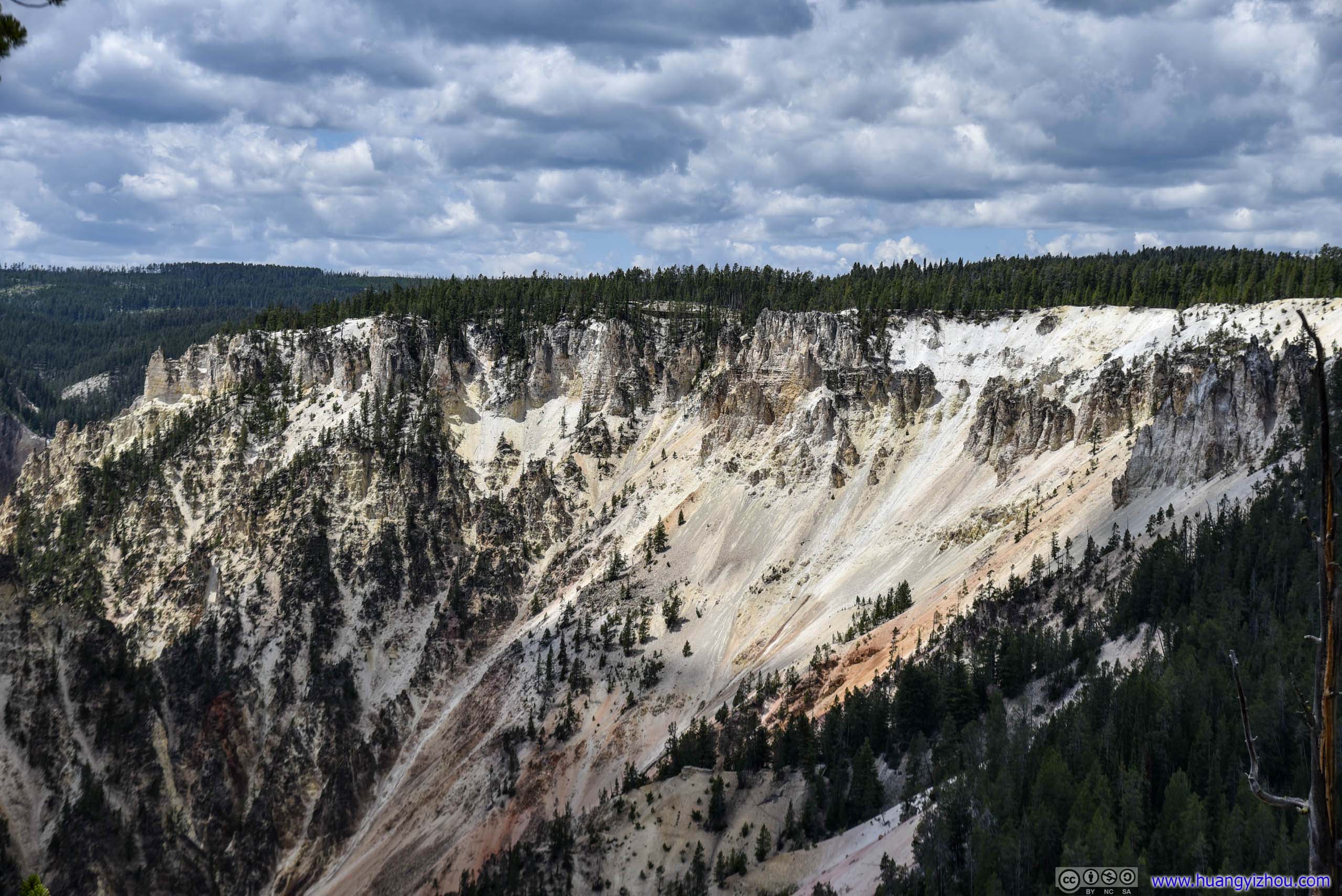
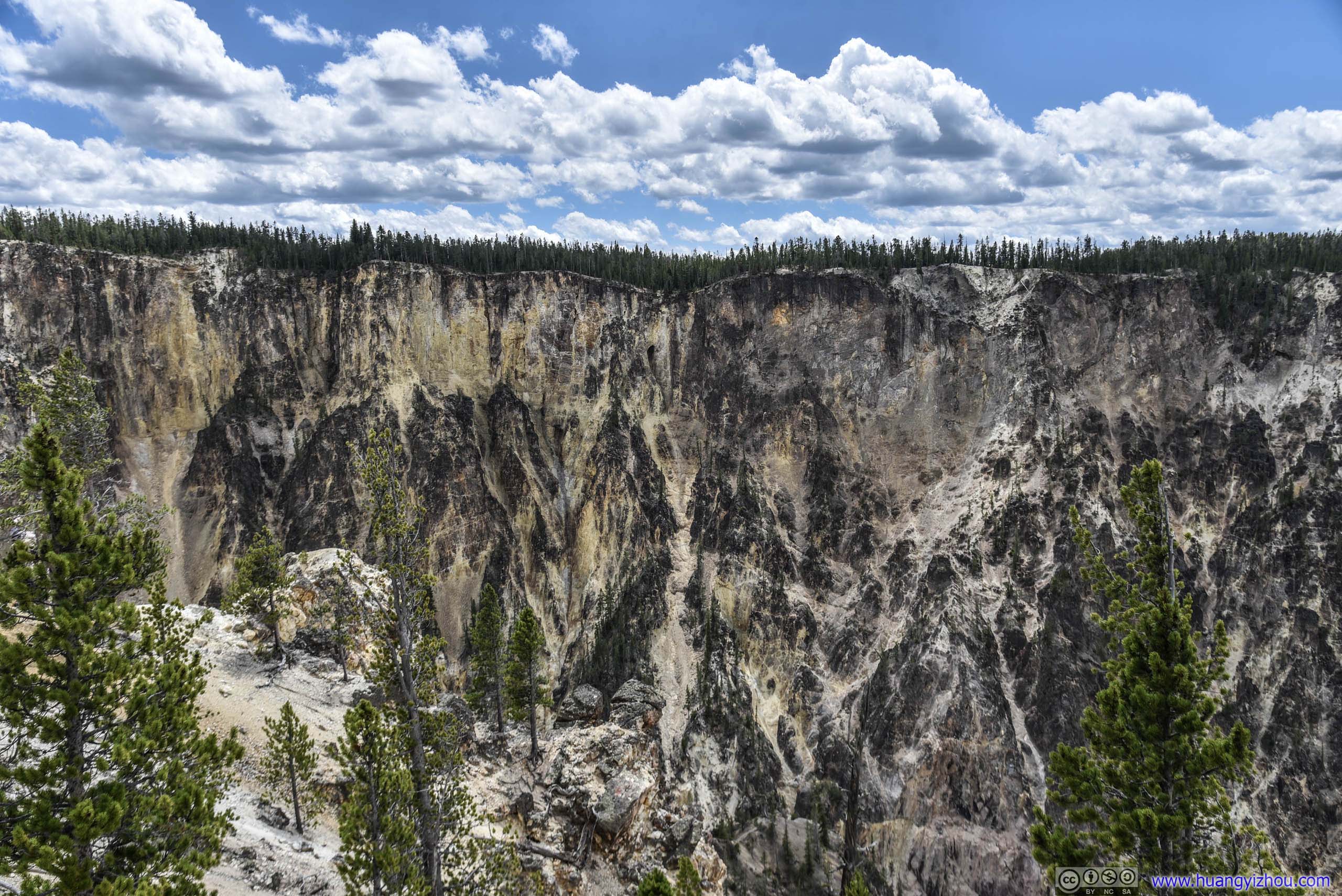
Yellowstone Canyon
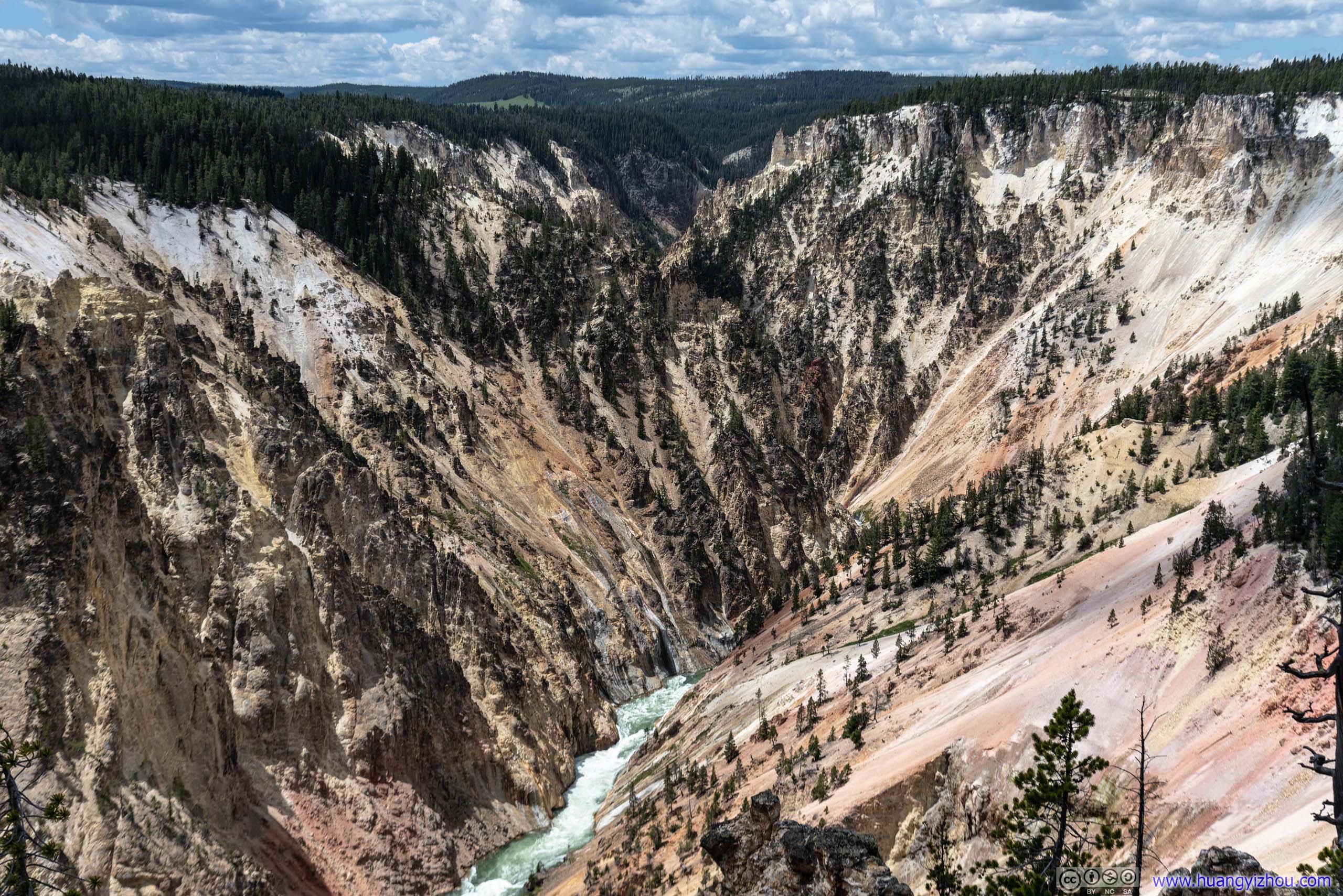
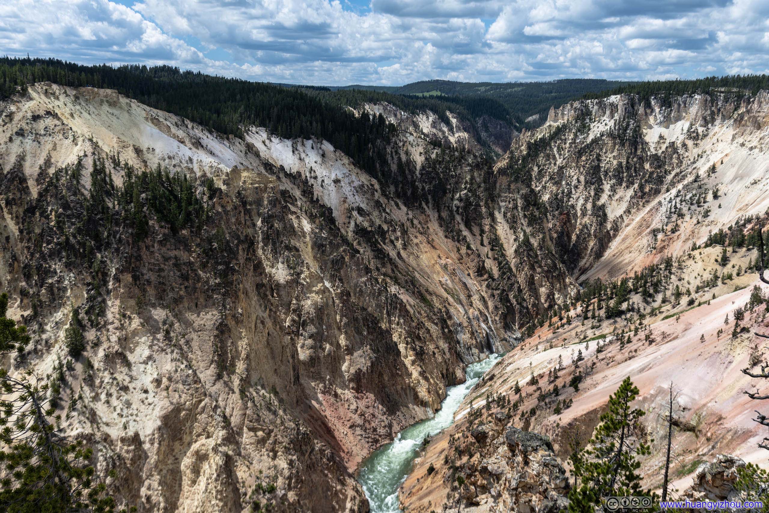
Yellowstone River in Canyon
Finally, after 1pm, we left Yellowstone Canyon and headed North for Roosevelt Area.
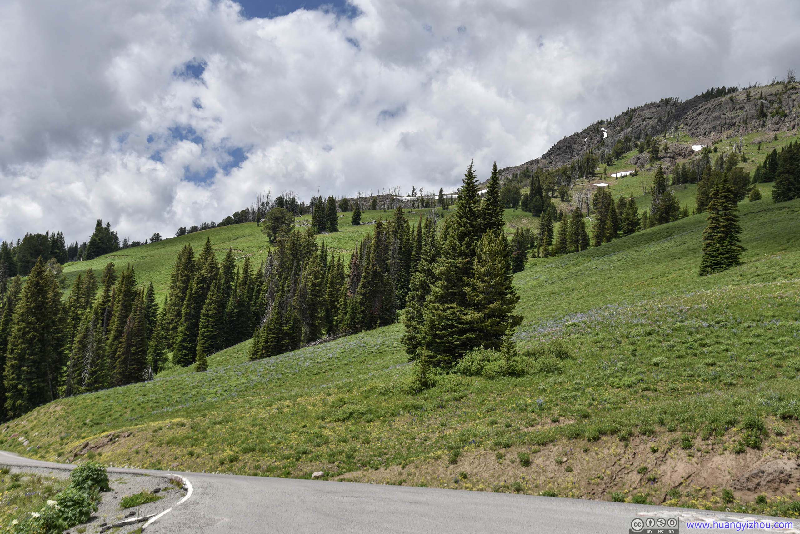
Just before Dunraven Pass, we stopped at a roadside pullover with wonderful views of lush hills decorated with patches of snow, among wildflowers and distant Yellowstone Canyon.
Roadside Pullover
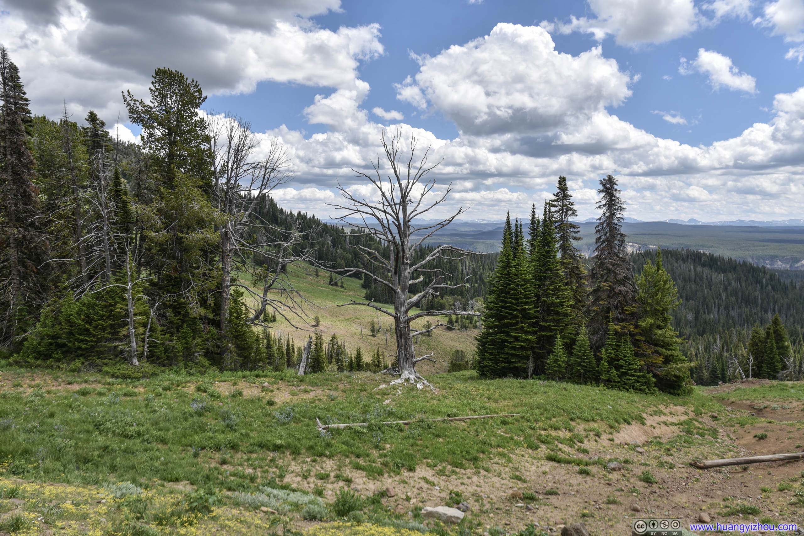
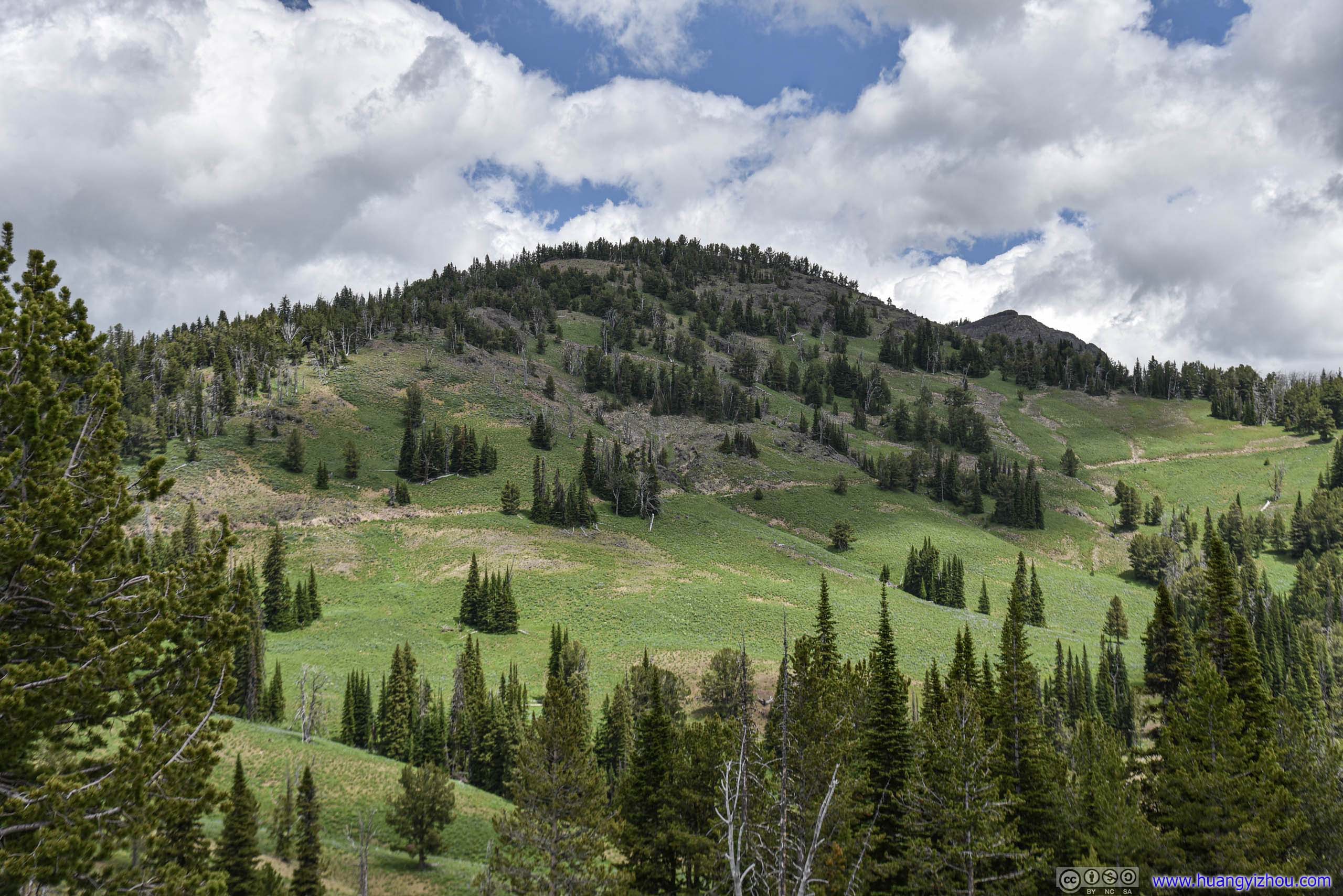
Hill
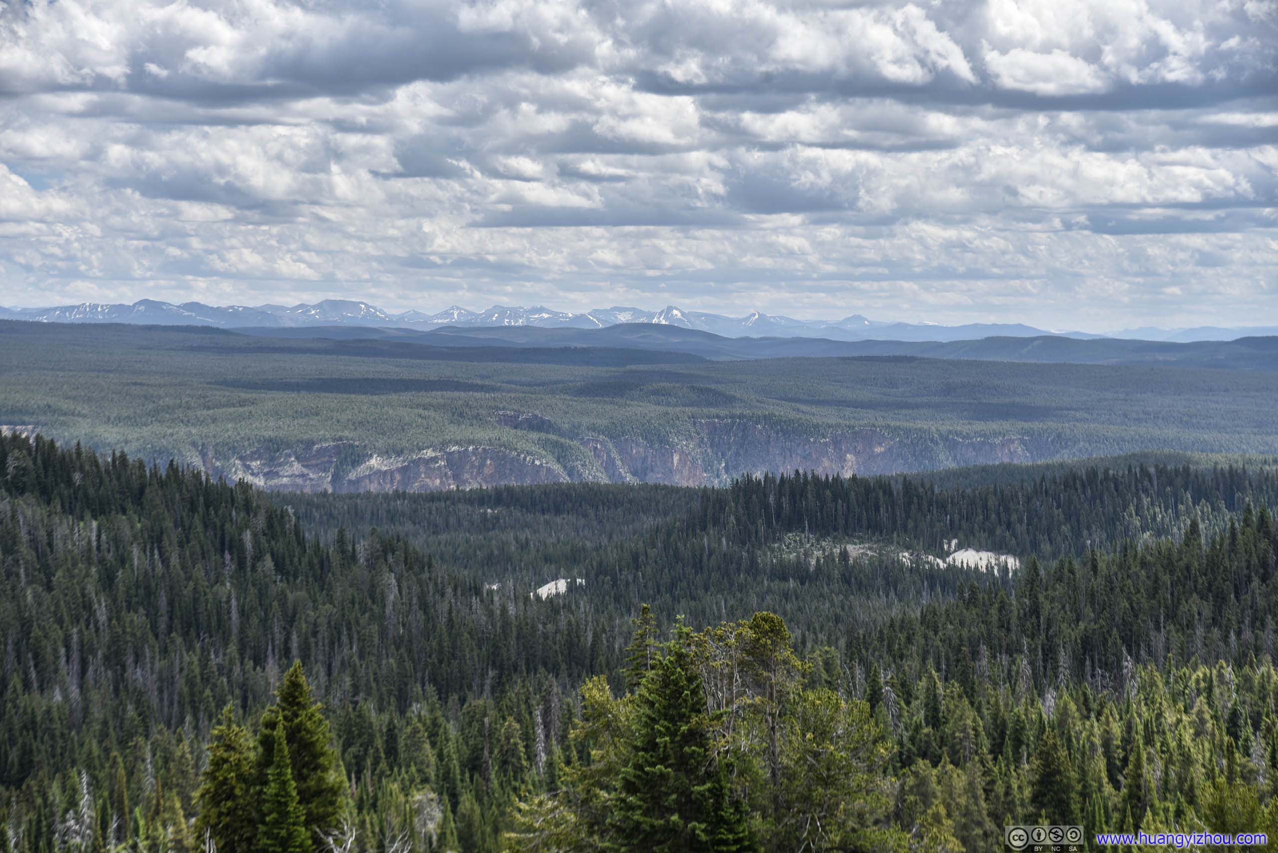
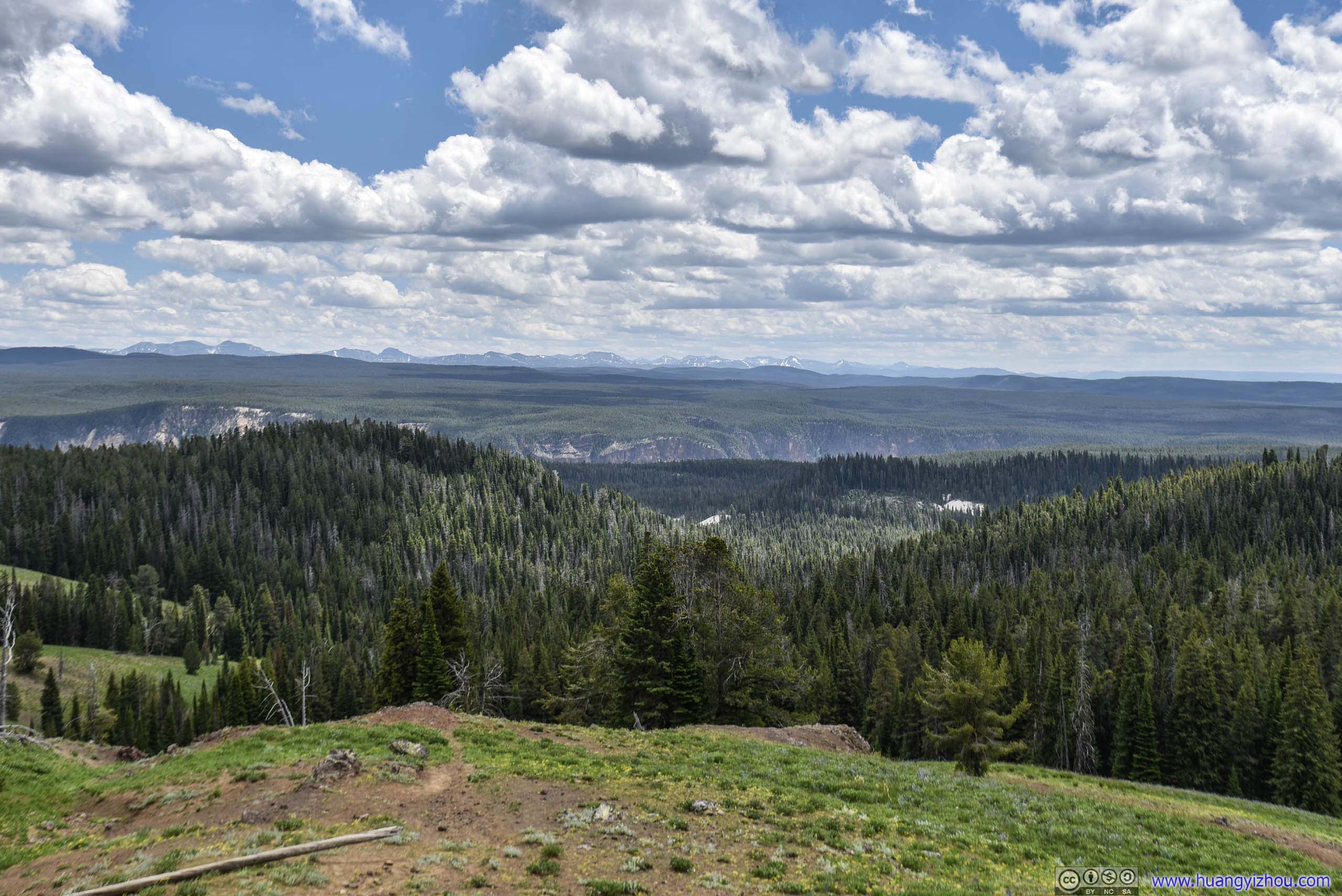
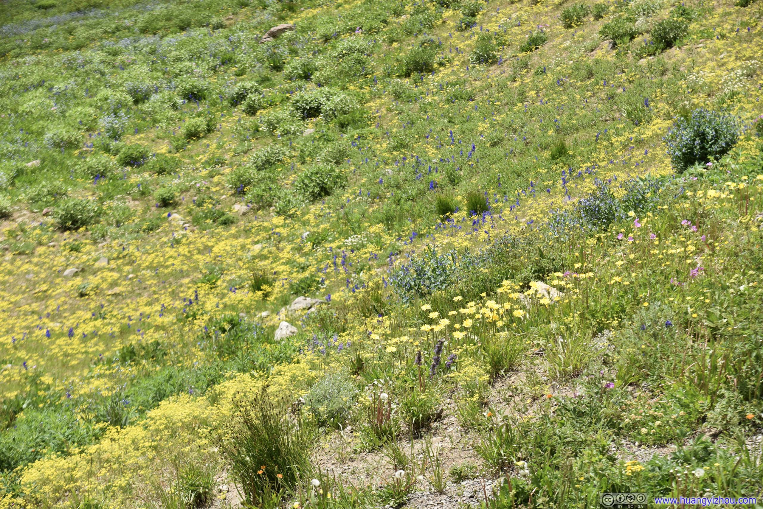
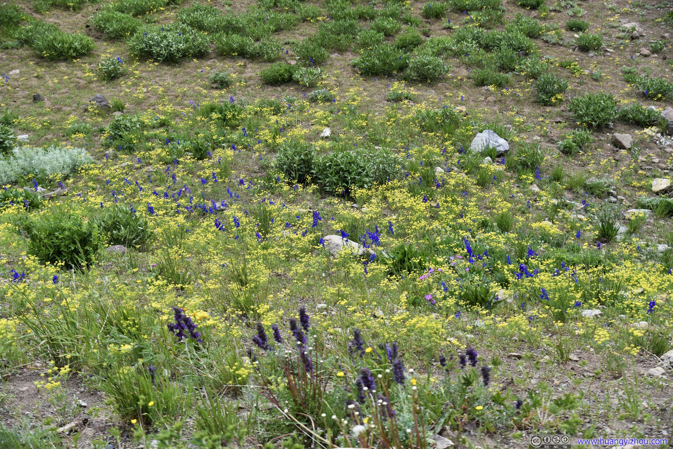
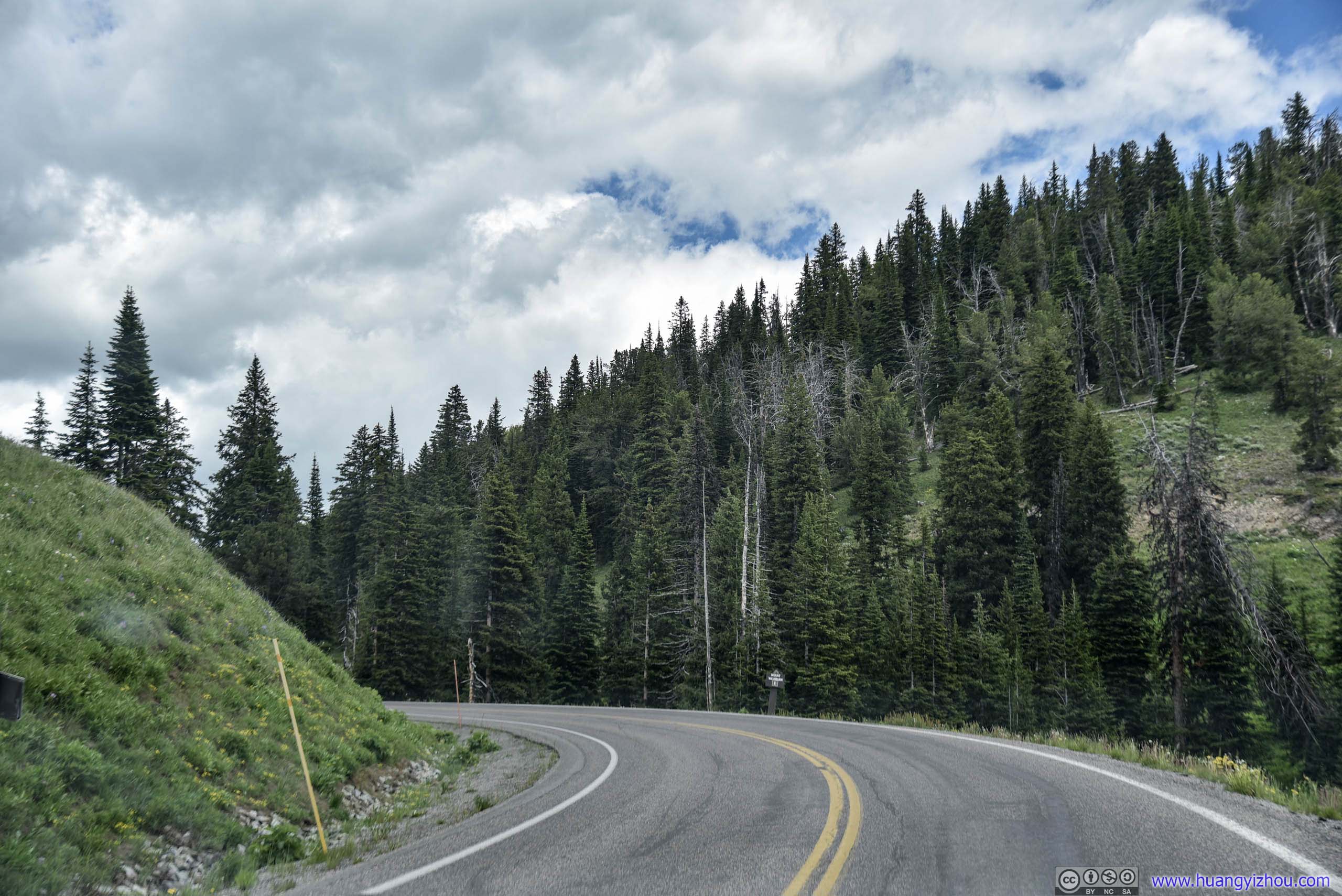
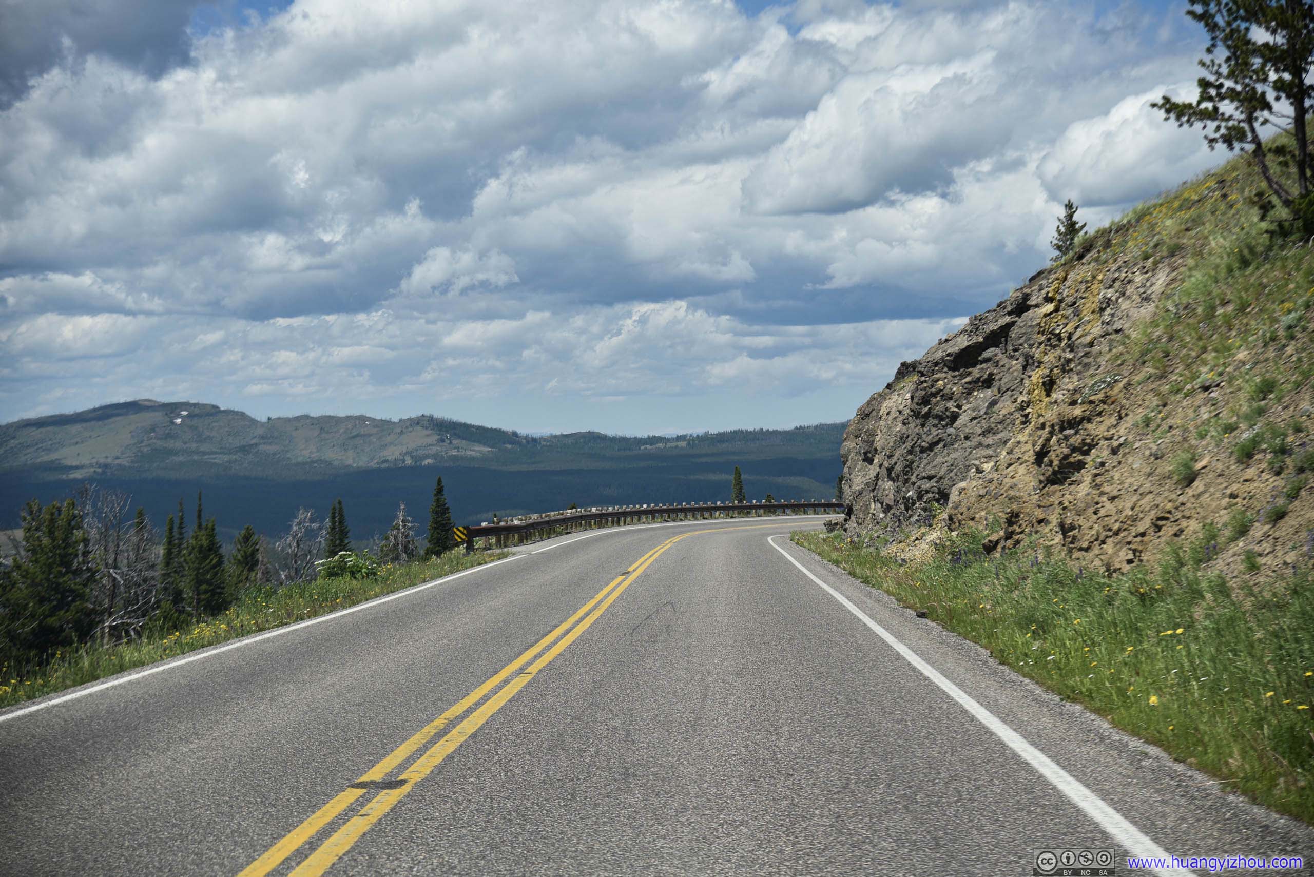
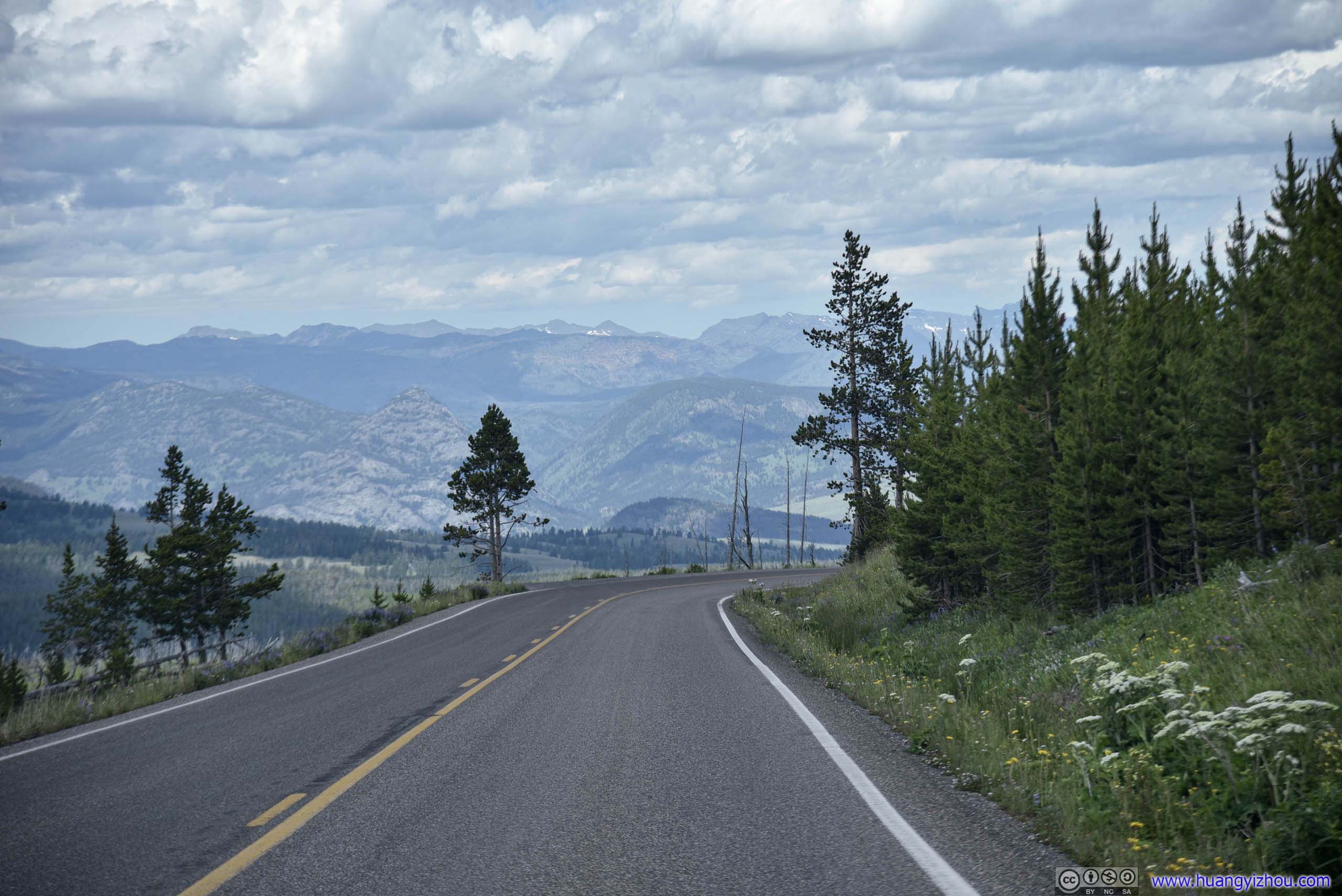
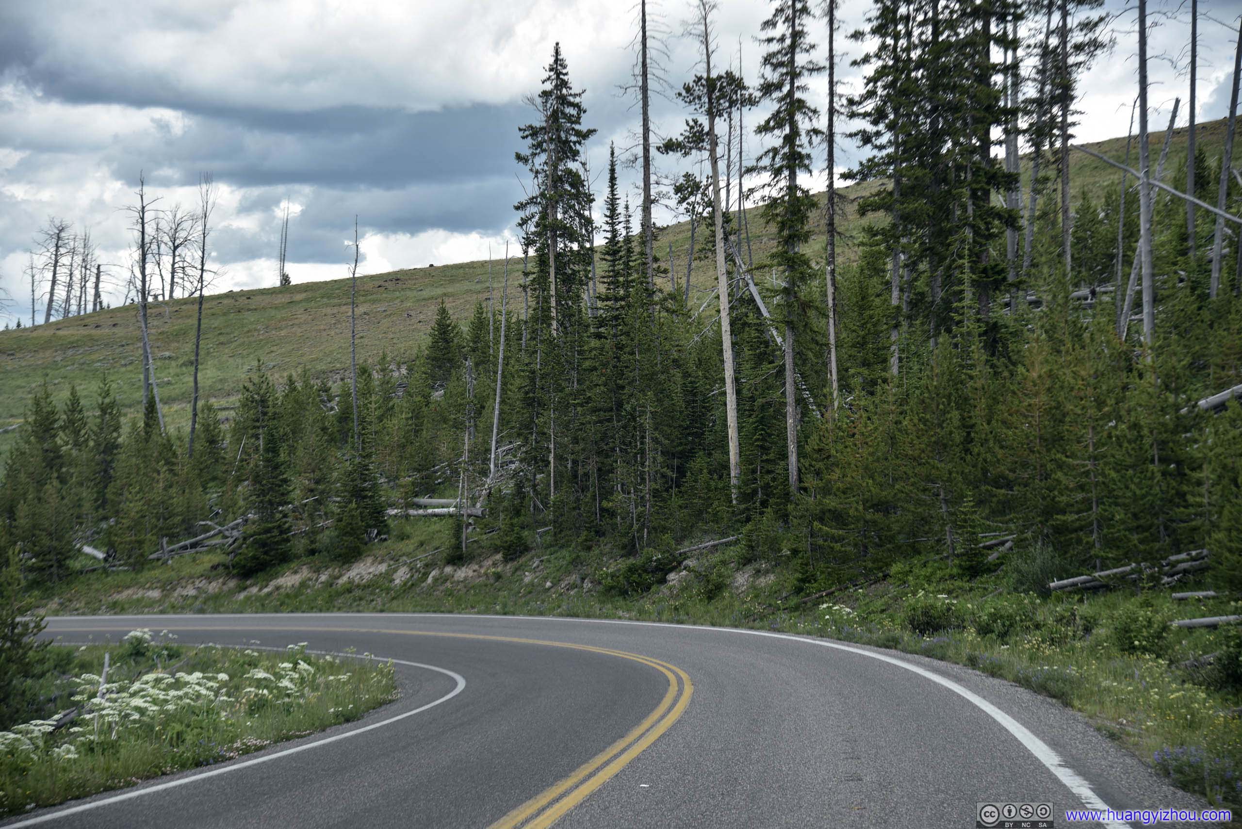
Park Road
Mount Washburn
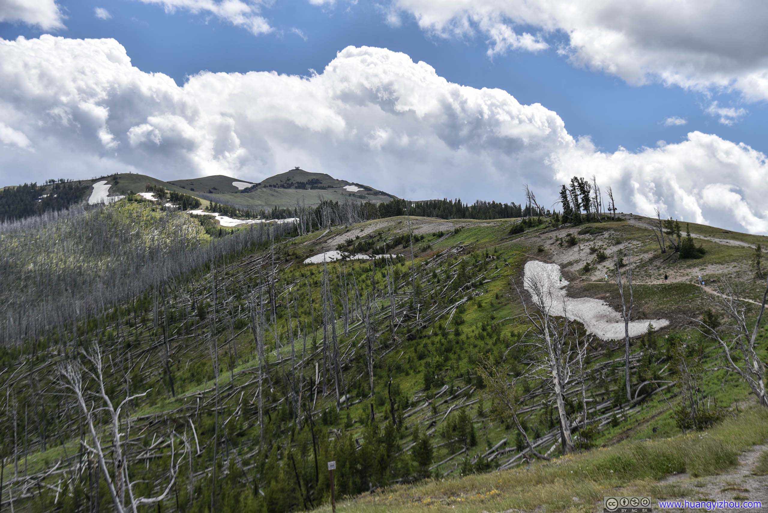
On Google Maps, we saw an unpaved Chittendon Road leading all the way to the top of Mount Washburn, which seemed to be a much better option than climbing 400 meters in elevation to its summit.
However, it turned out that Chittendon Road only led to a parking lot halfway up the hill, with the rest of it fenced off for official access only. (We should have consulted to OpenStreetMap for this...)
But nonetheless, we took some time to soak in the beauty around us before we left.
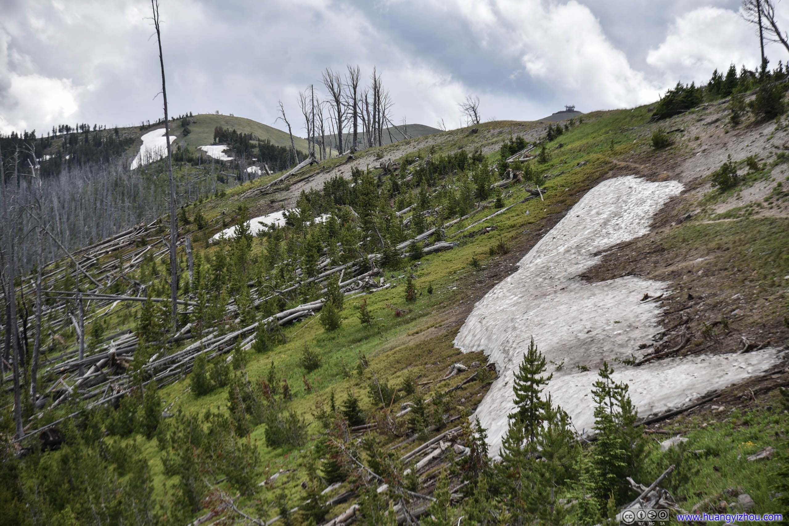
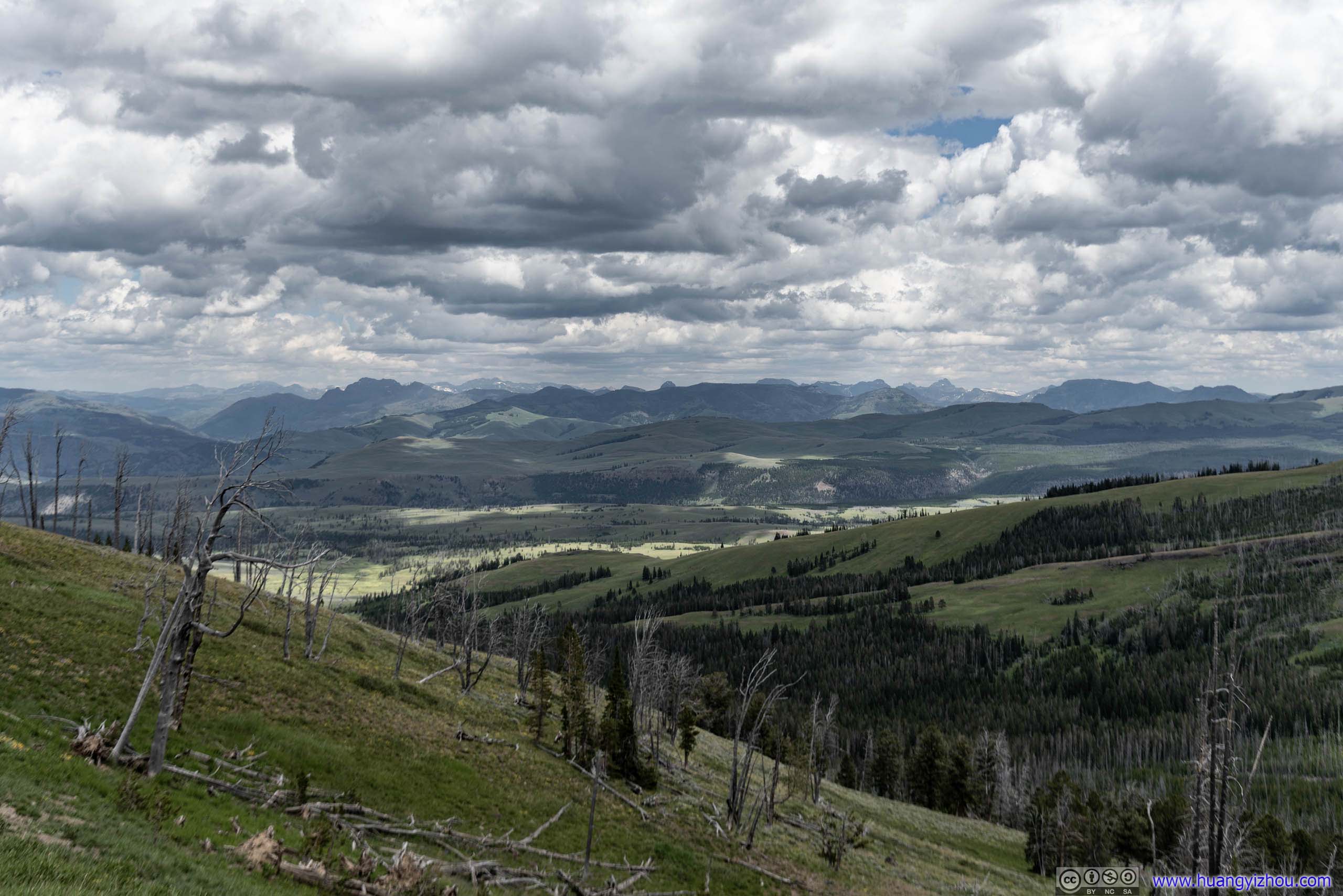
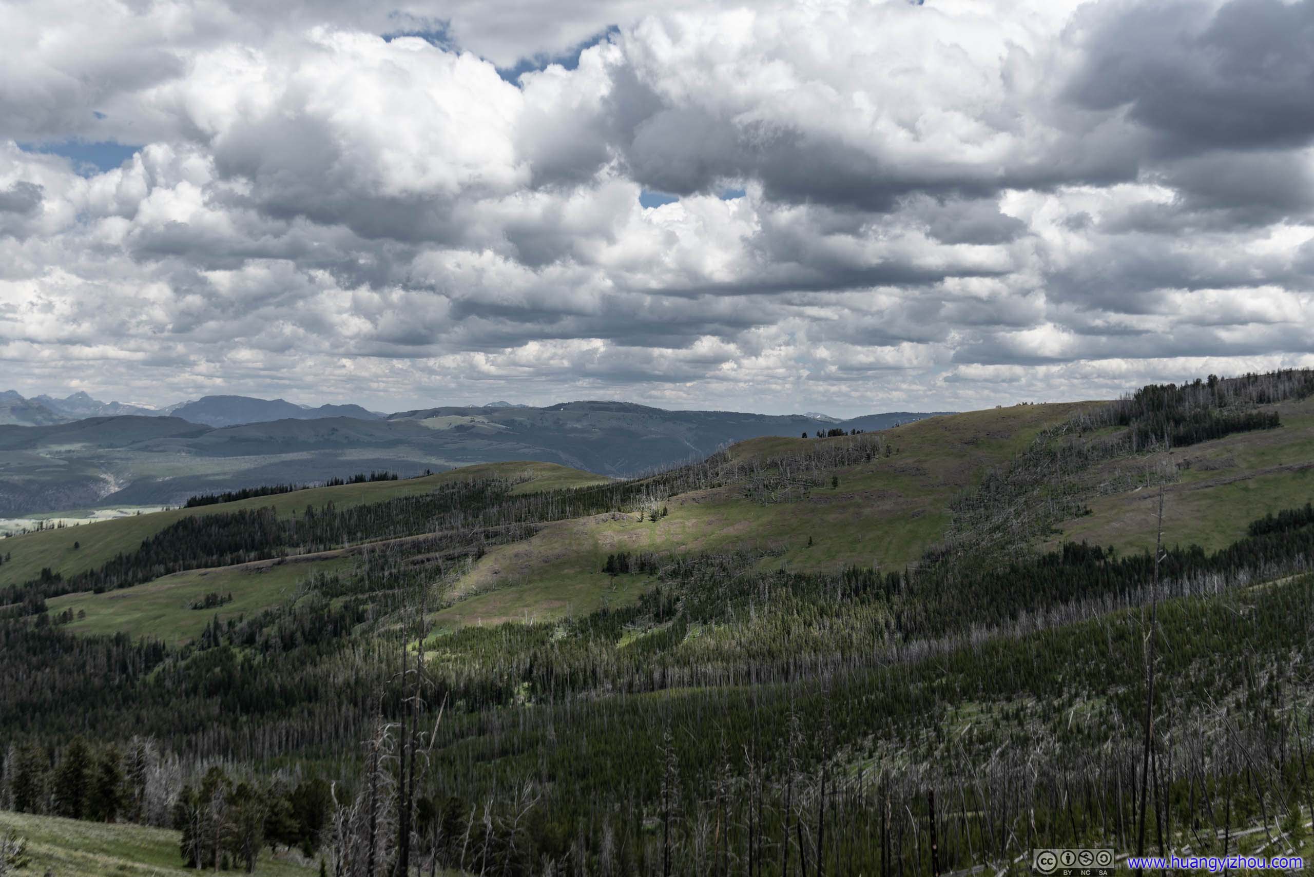
Hill
It was rather windy halfway up Mount Washburn, so a bee found one of my fingers to be the perfect sanctuary against that. But unfortunately for me, that brought me a few days of soring pain.
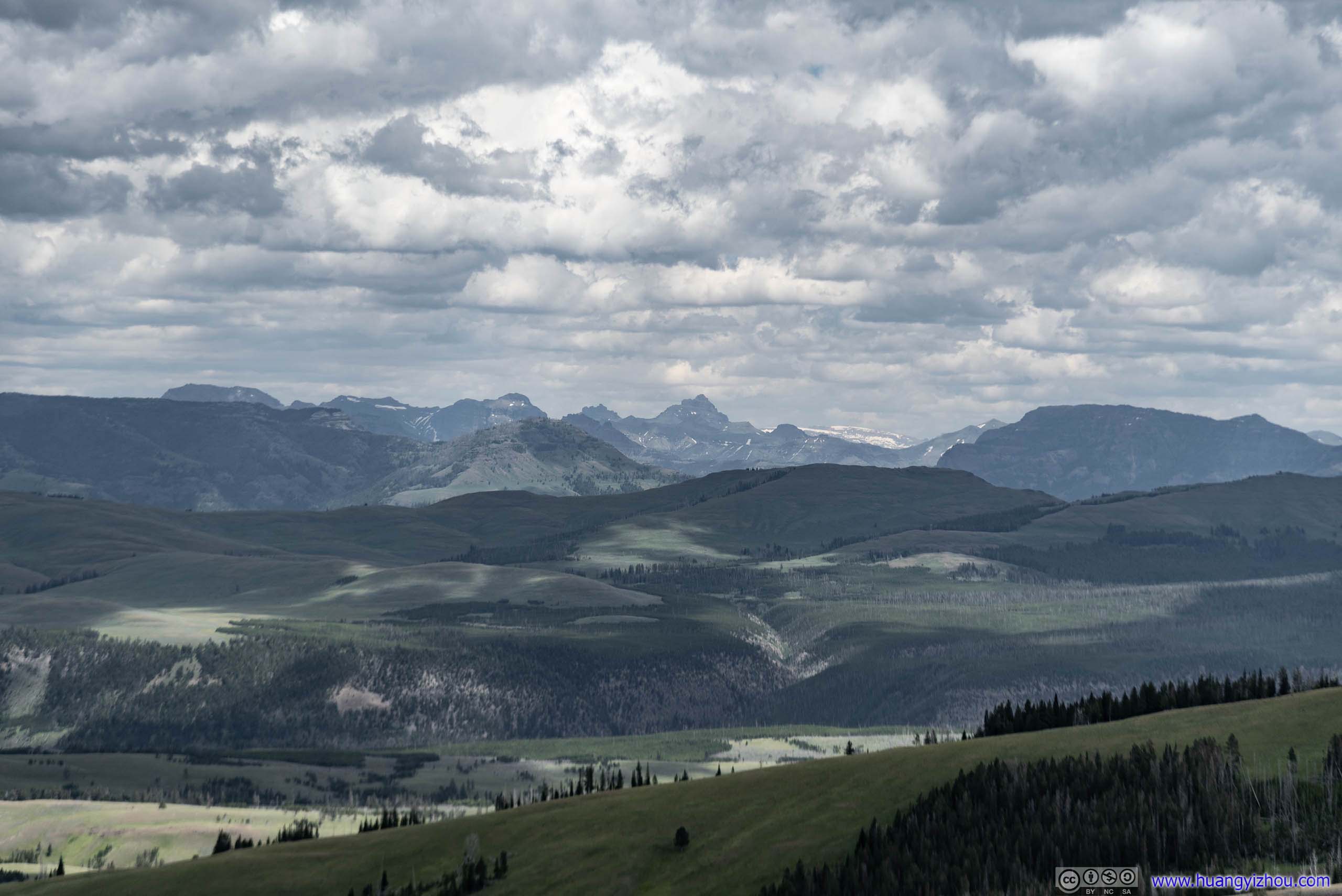
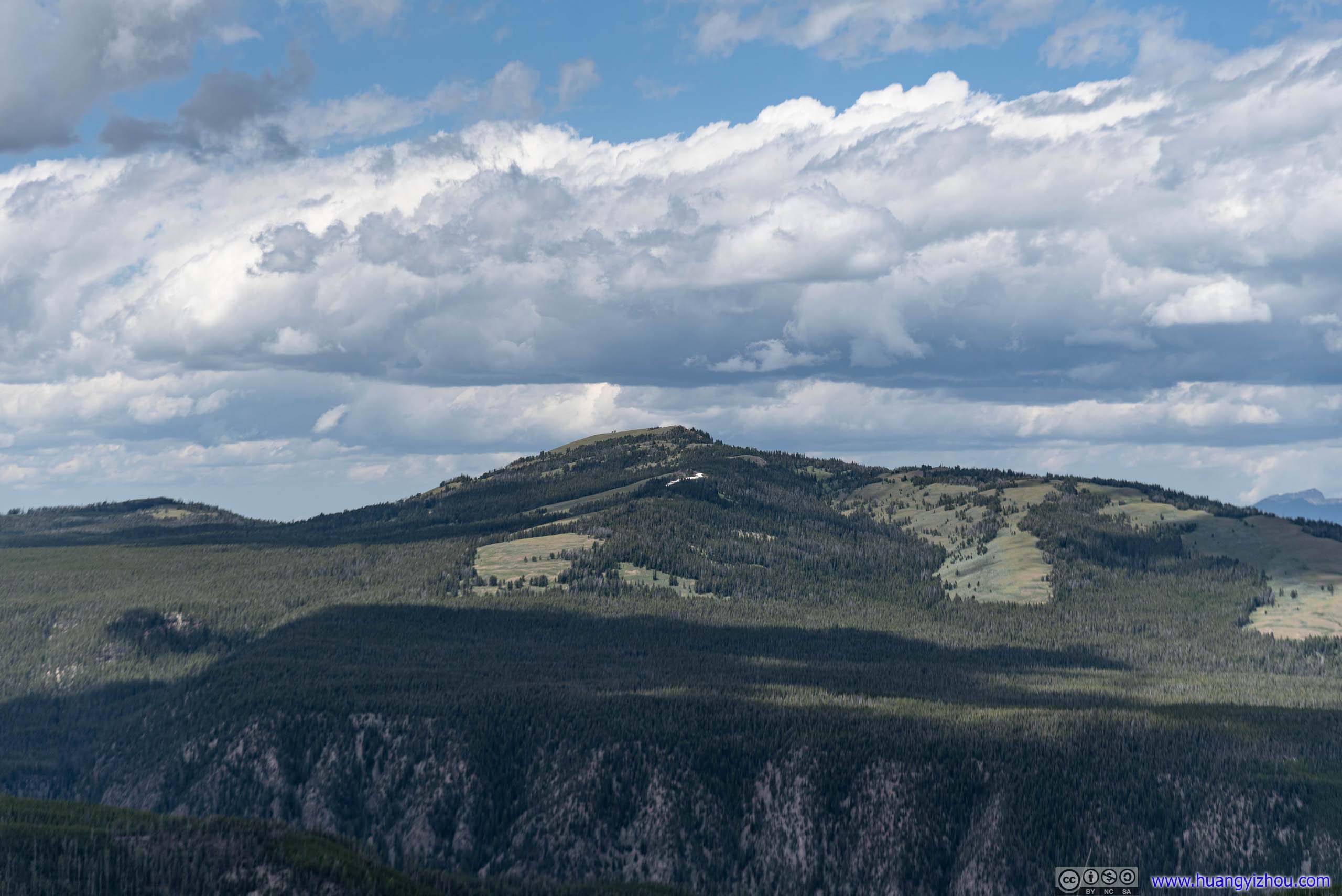
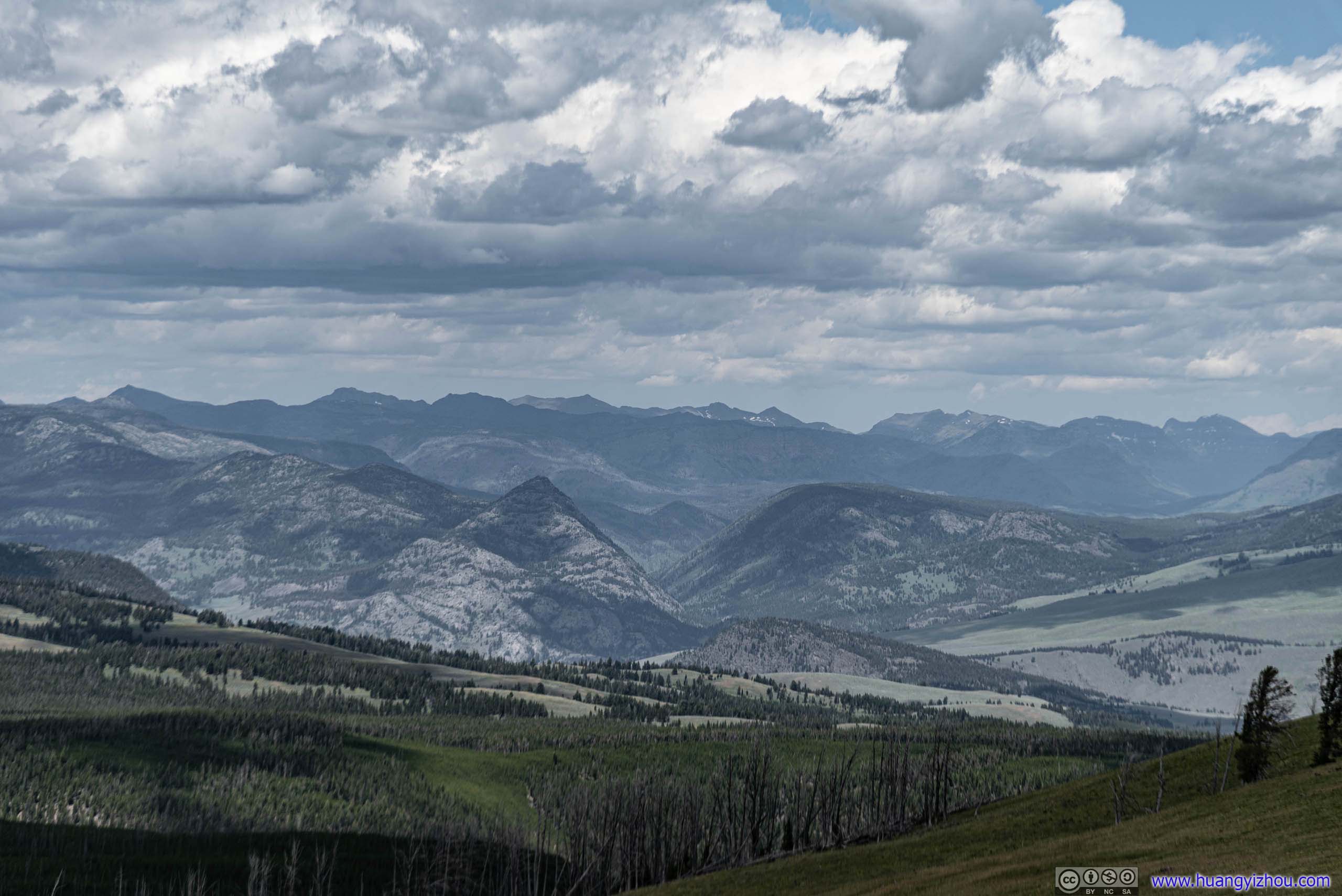
Distant Mountains
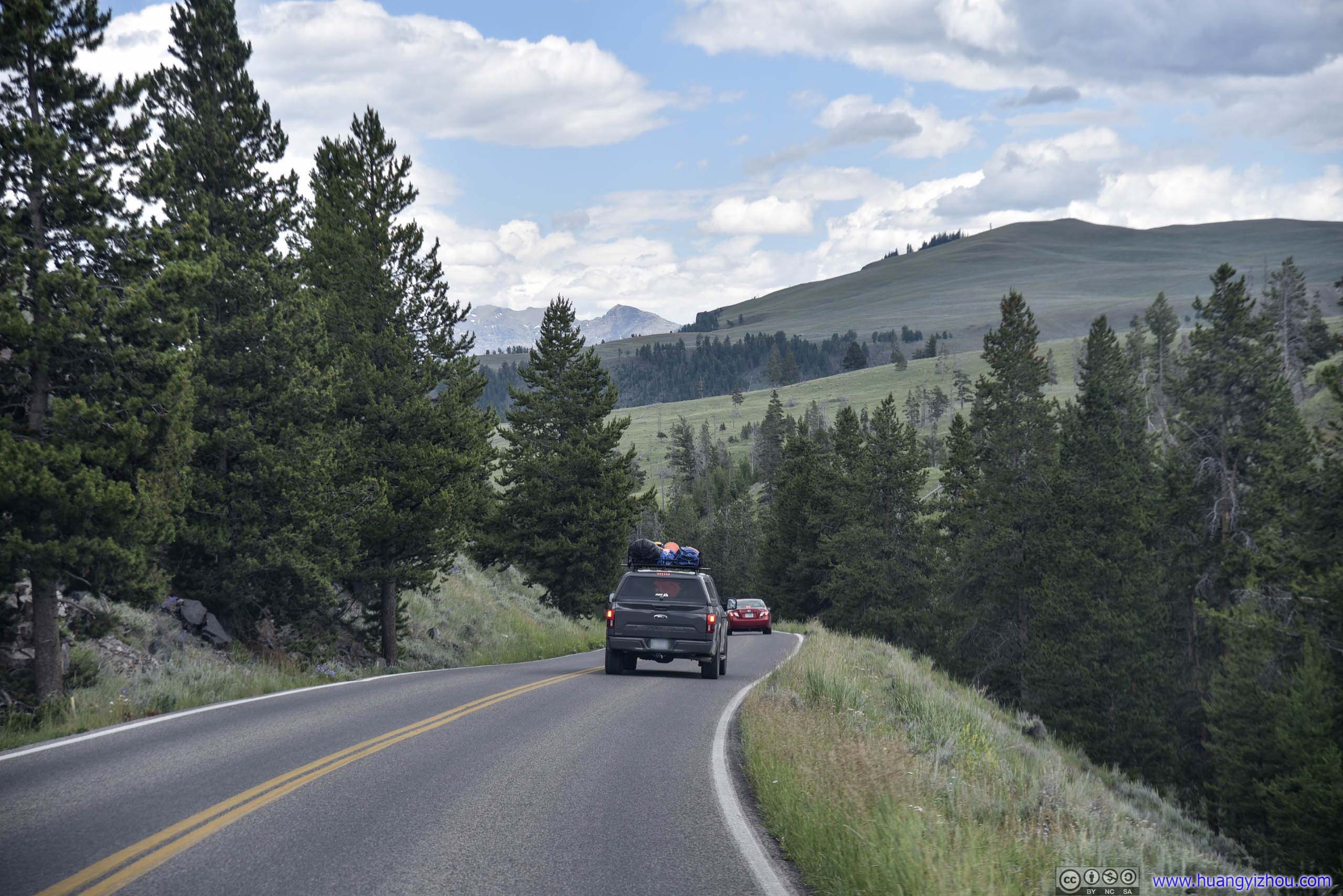
And the next segment of Grand Loop Road was what I thought the most scenic in the park, with vast open fields expanding towards the East, adorned with patches of trees under changing shadows from clouds.
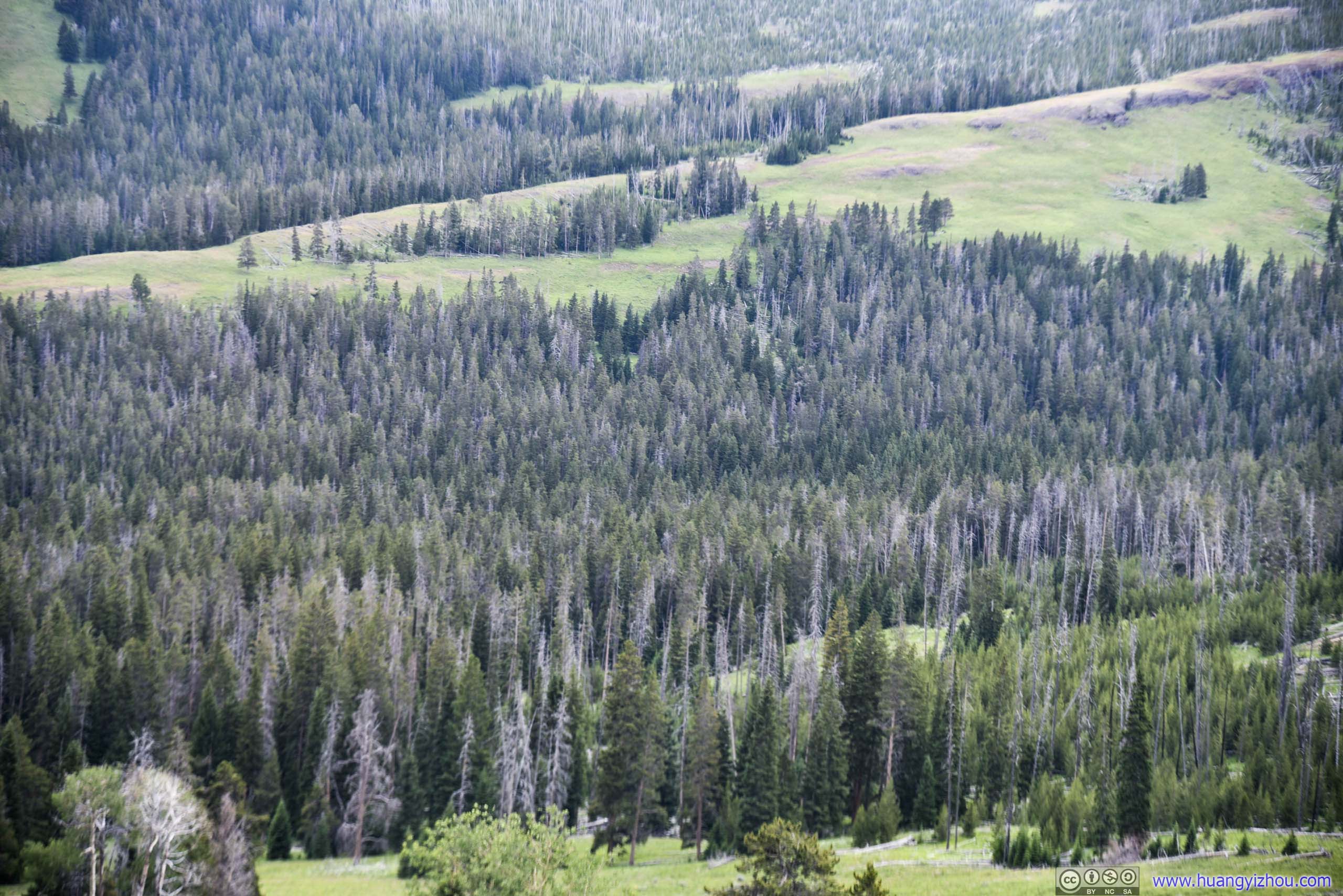
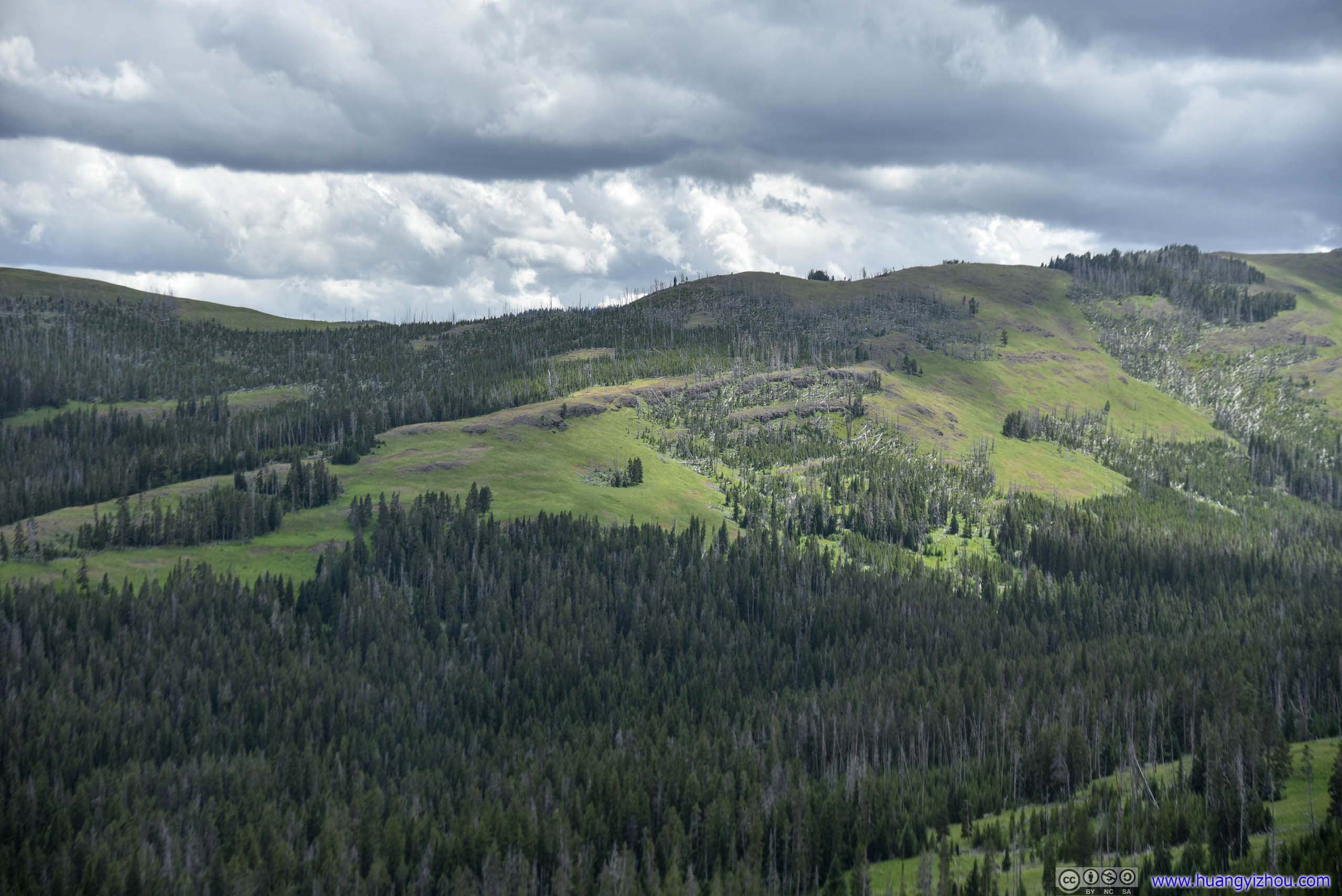
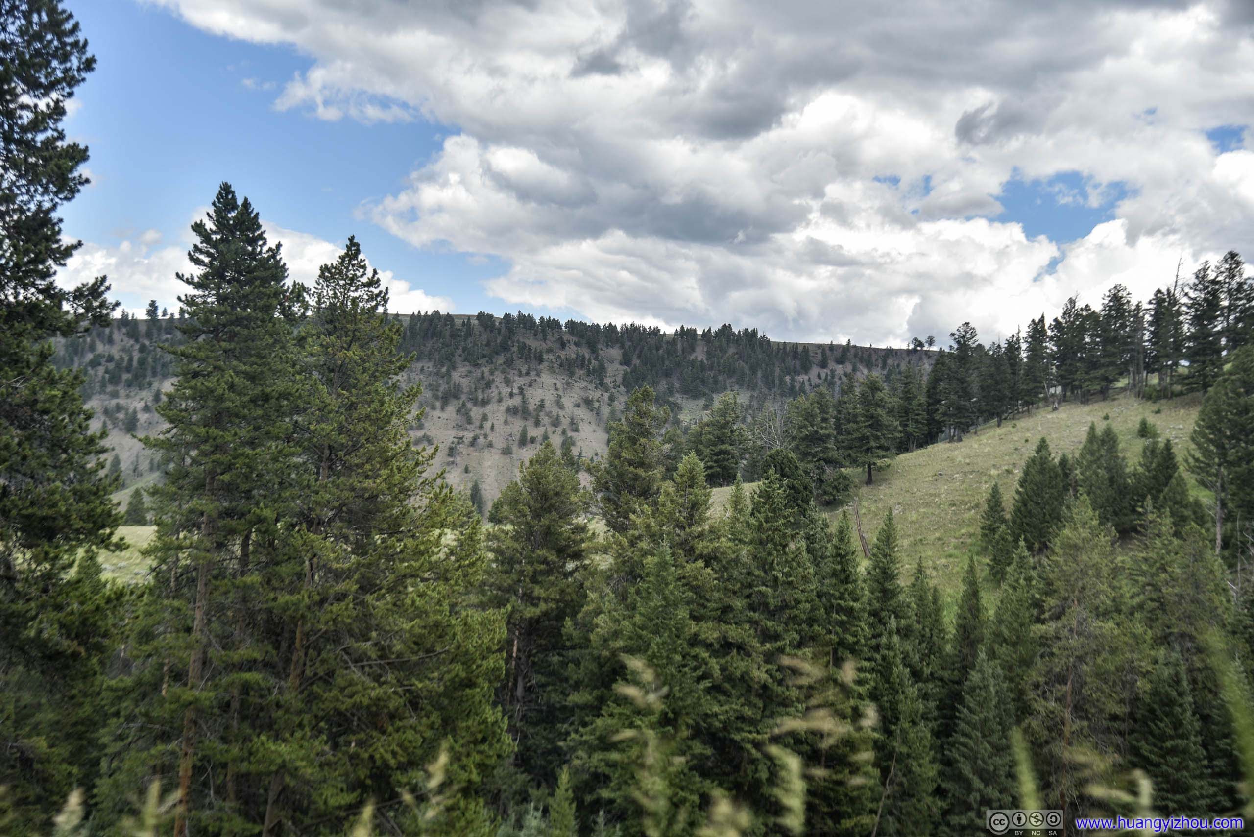
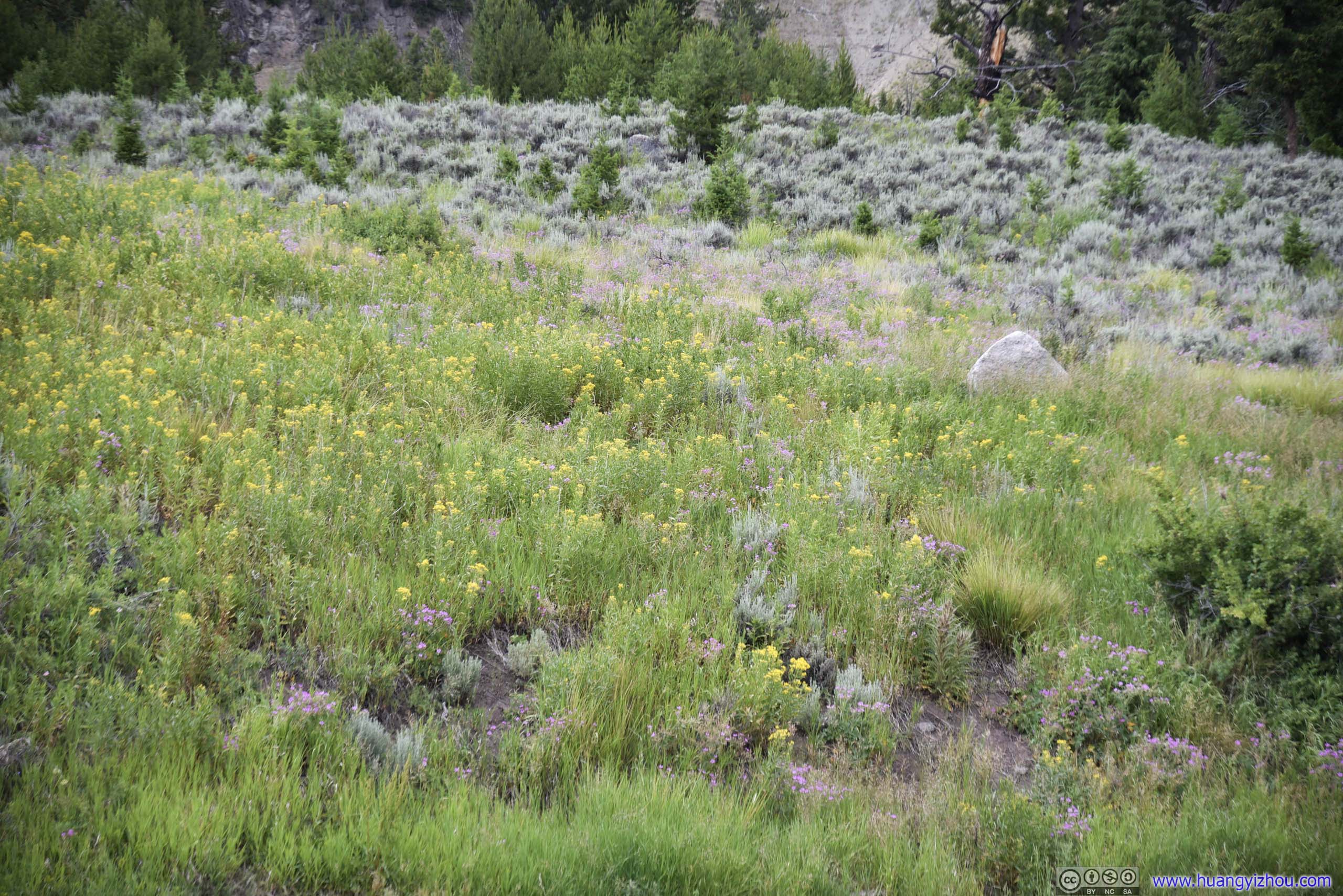
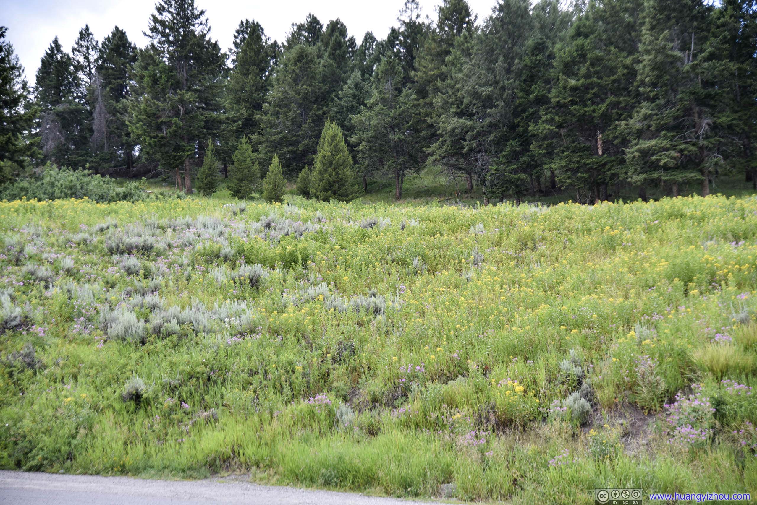
Forest
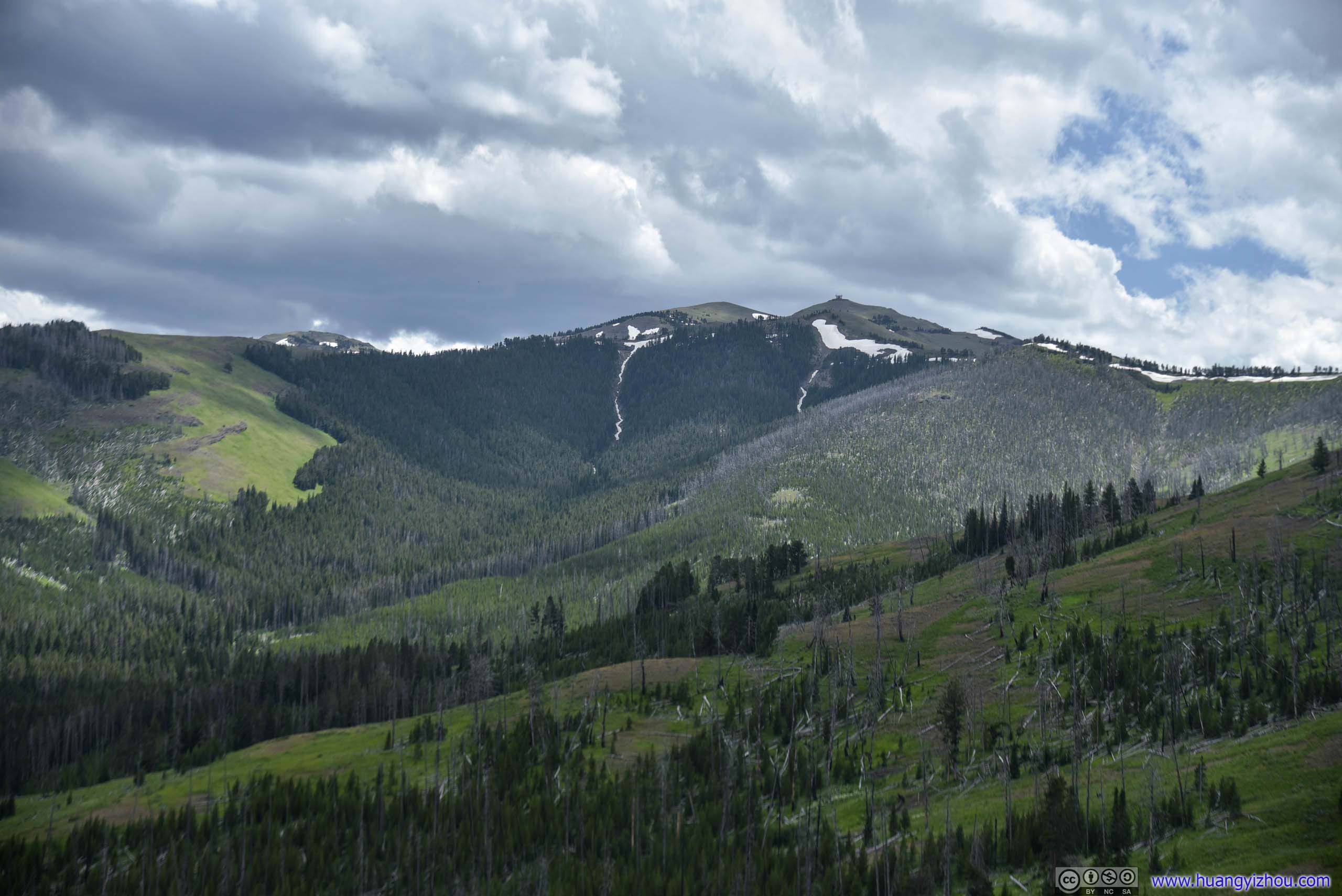
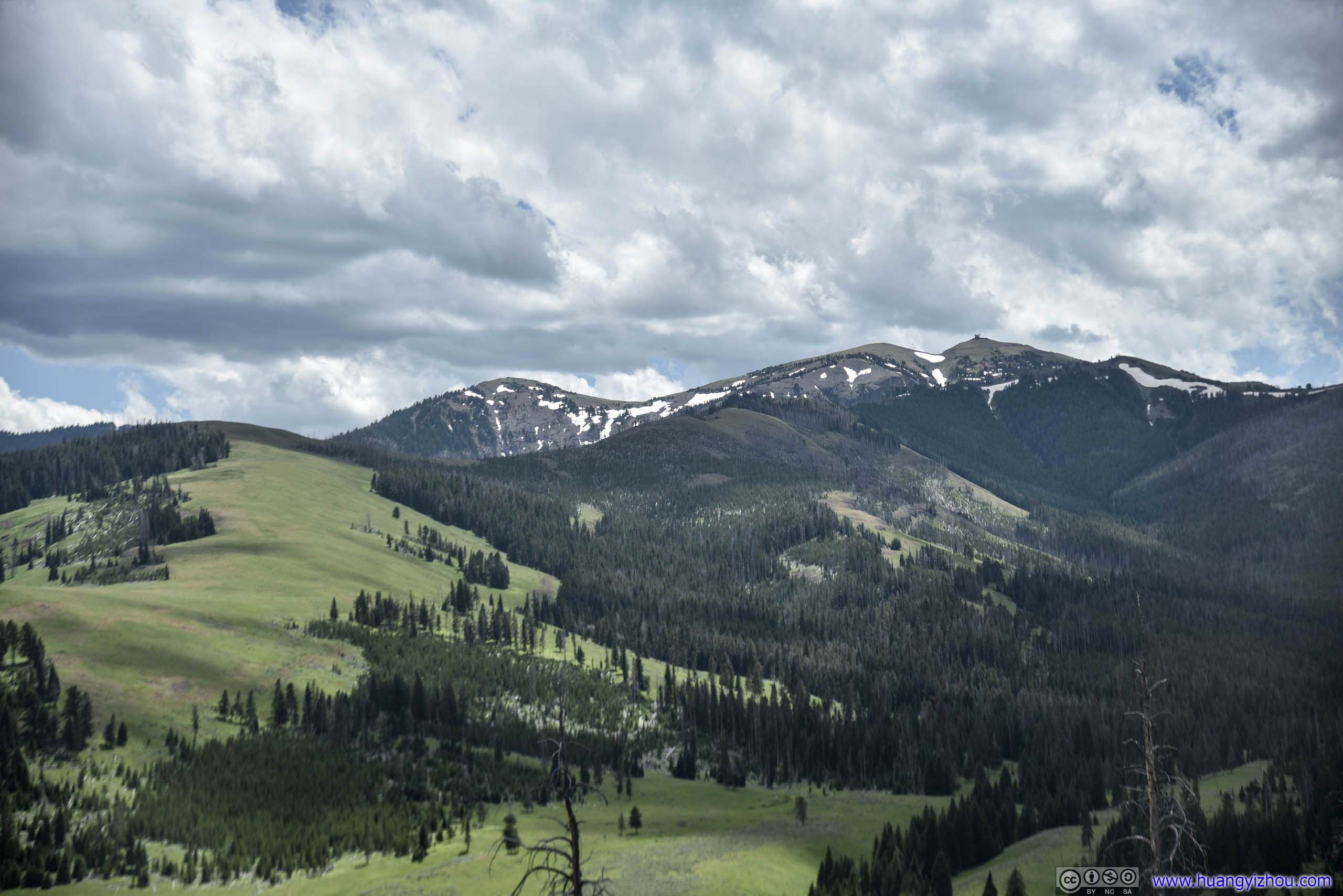
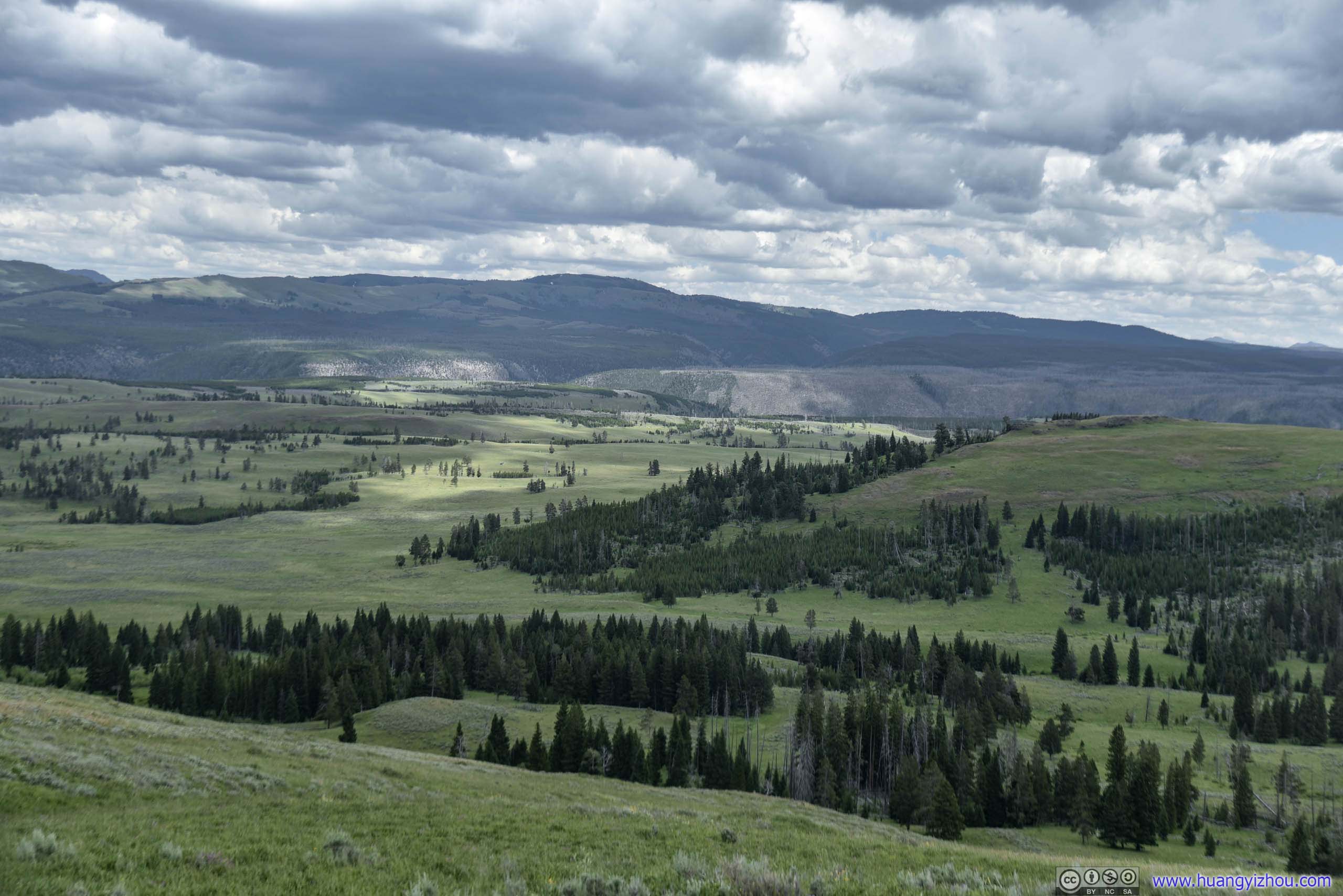
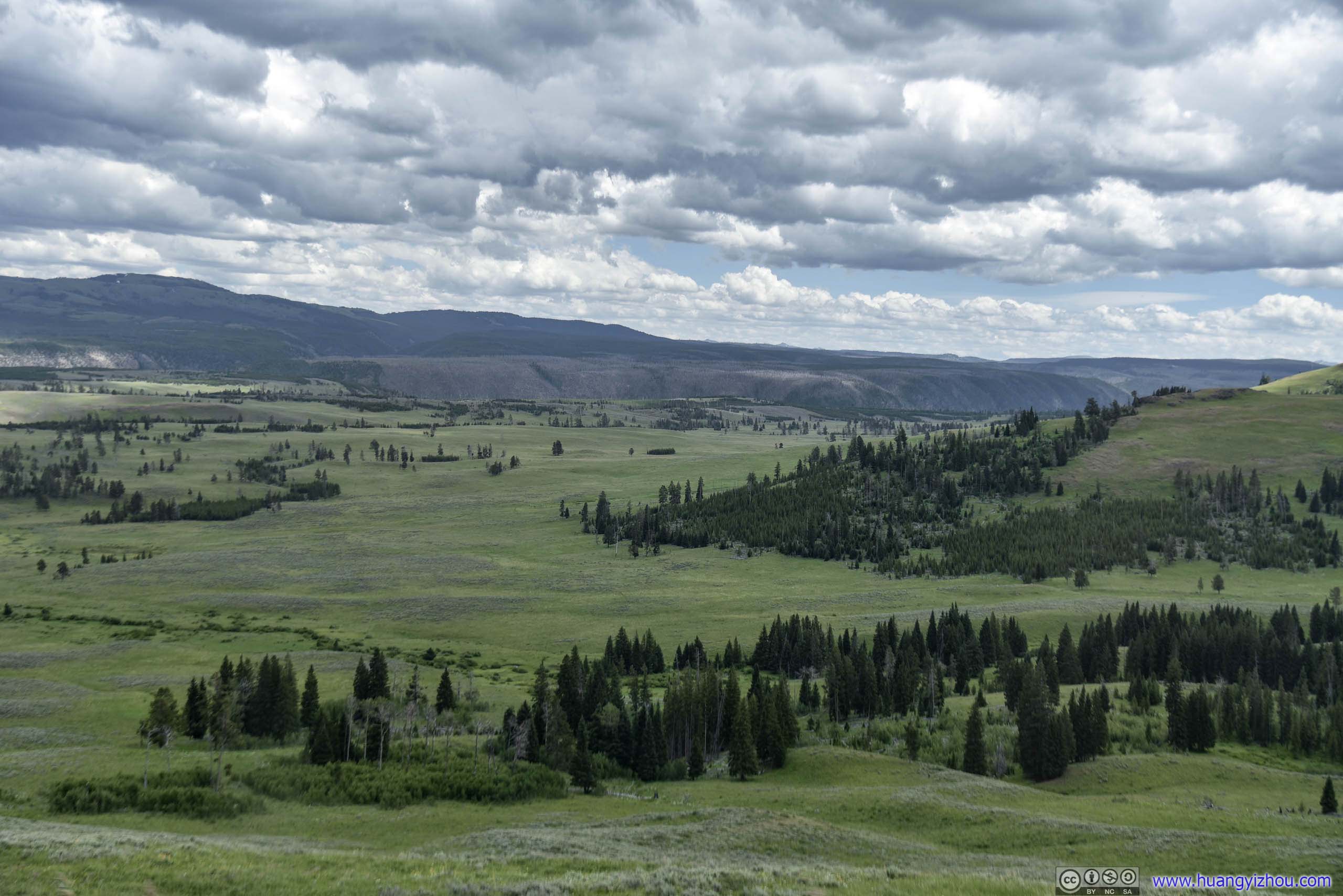
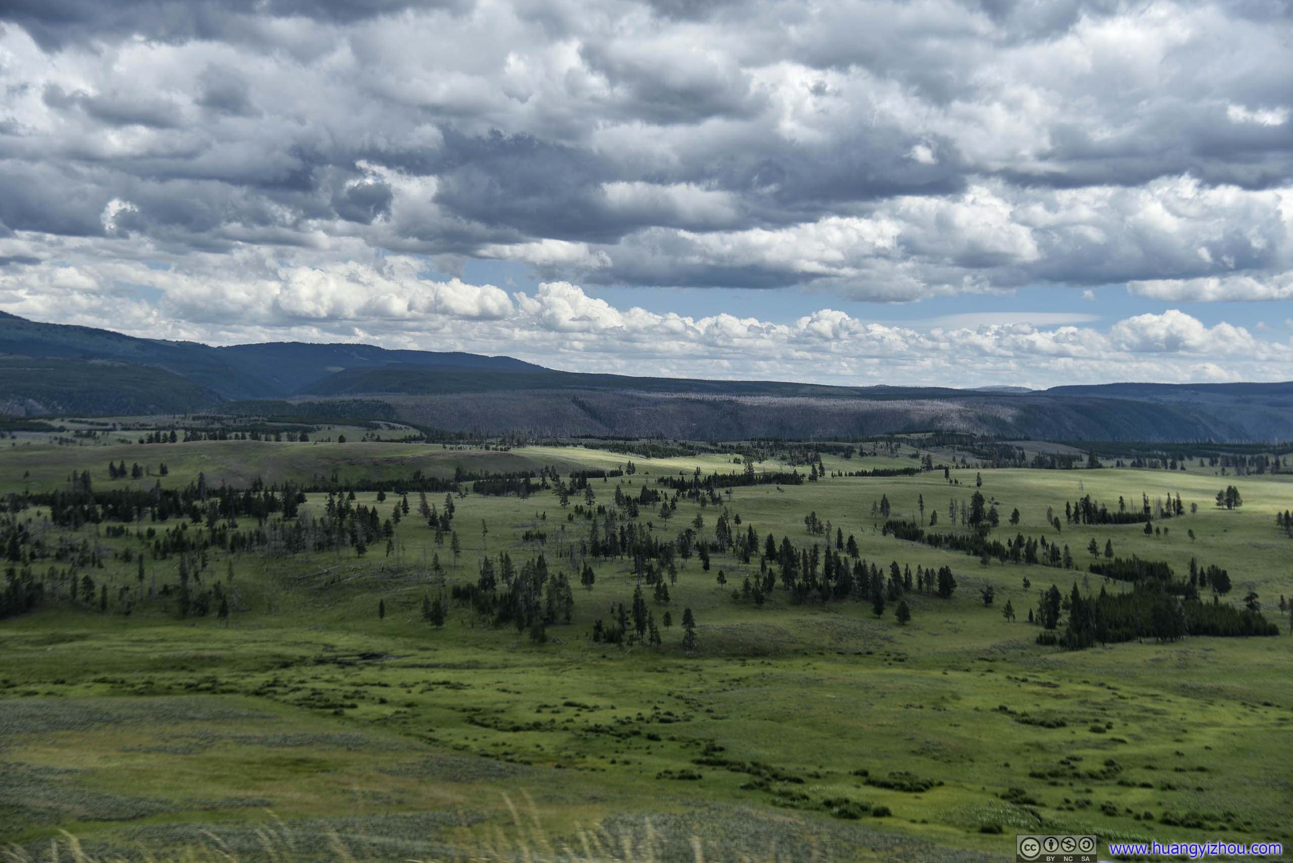
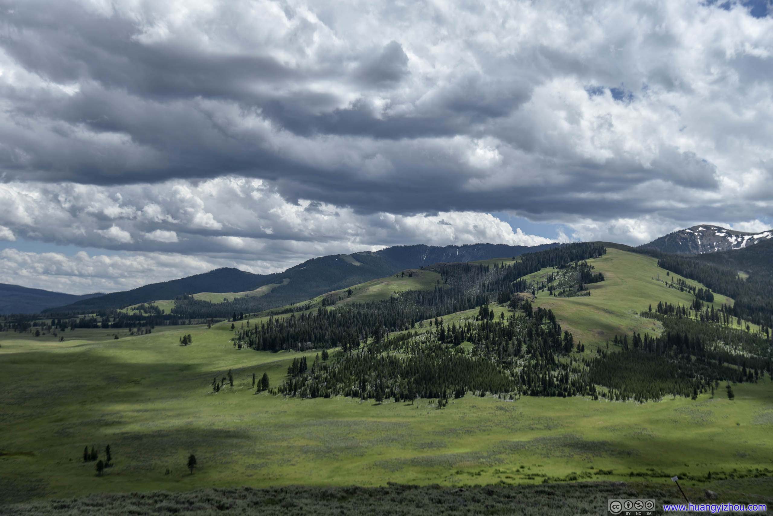
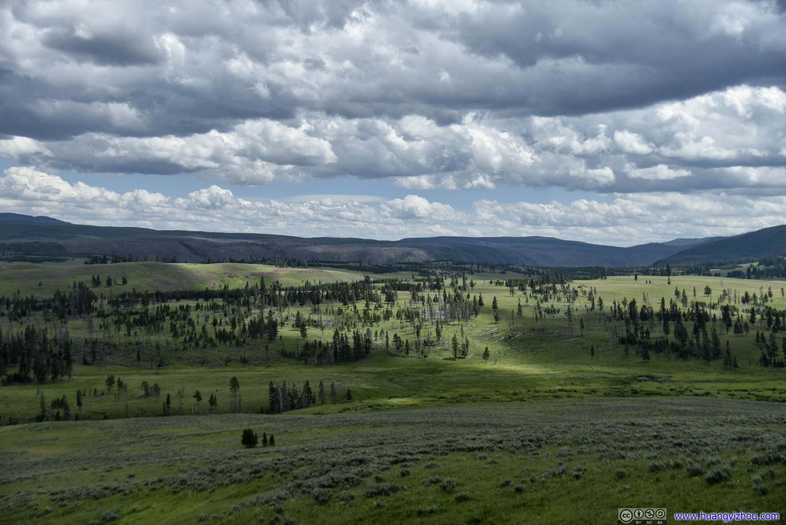
Field
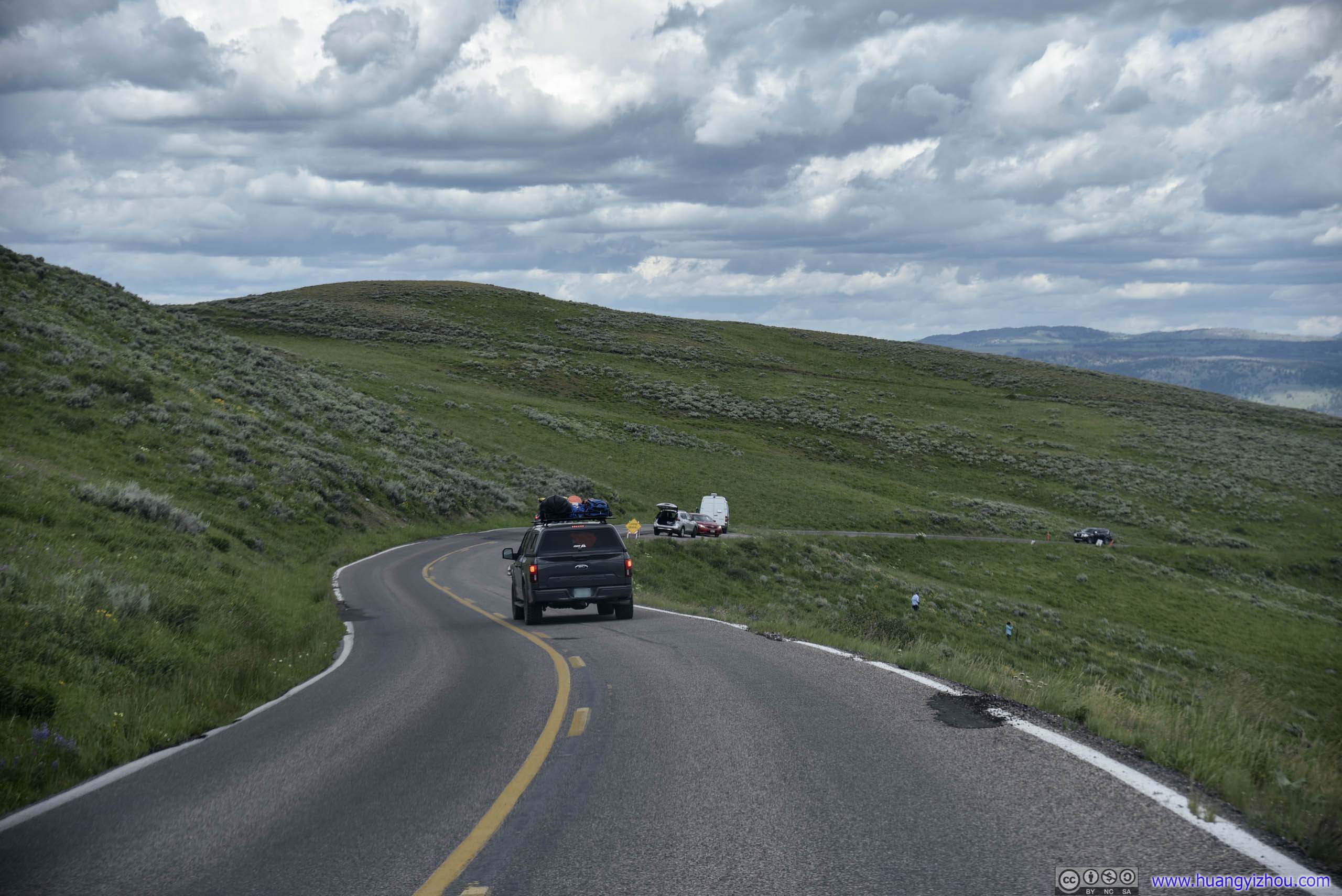
Tower Falls
Not far from Tower Junction, we made a brief stop at Tower Falls, that featured a beautiful waterfall and a general store.
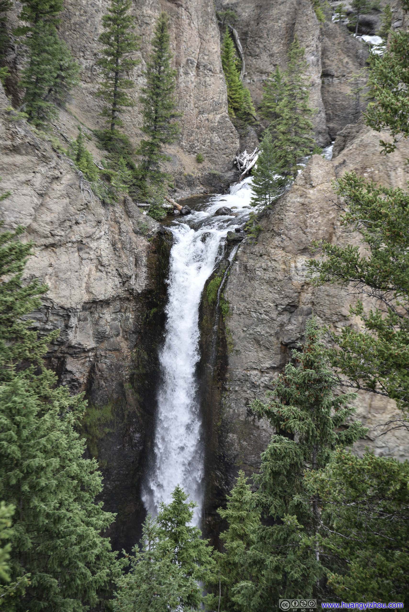
Named for the tower-like rock formation at its brink.
The waterfall was located just 250 meters from a popular parking lot.
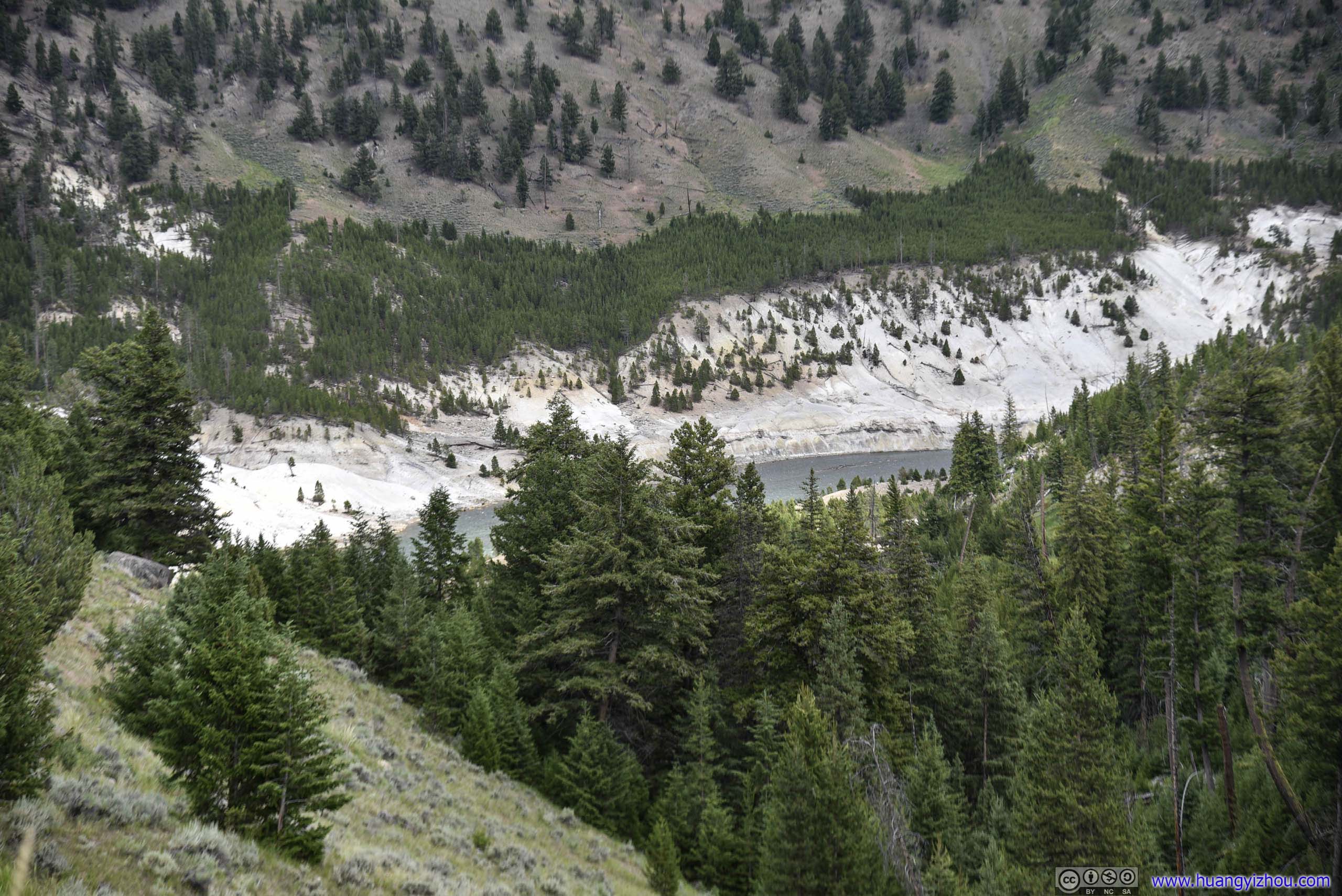
Bear Sighting
Which was made more popular with the sighting of a bear in the bushes.
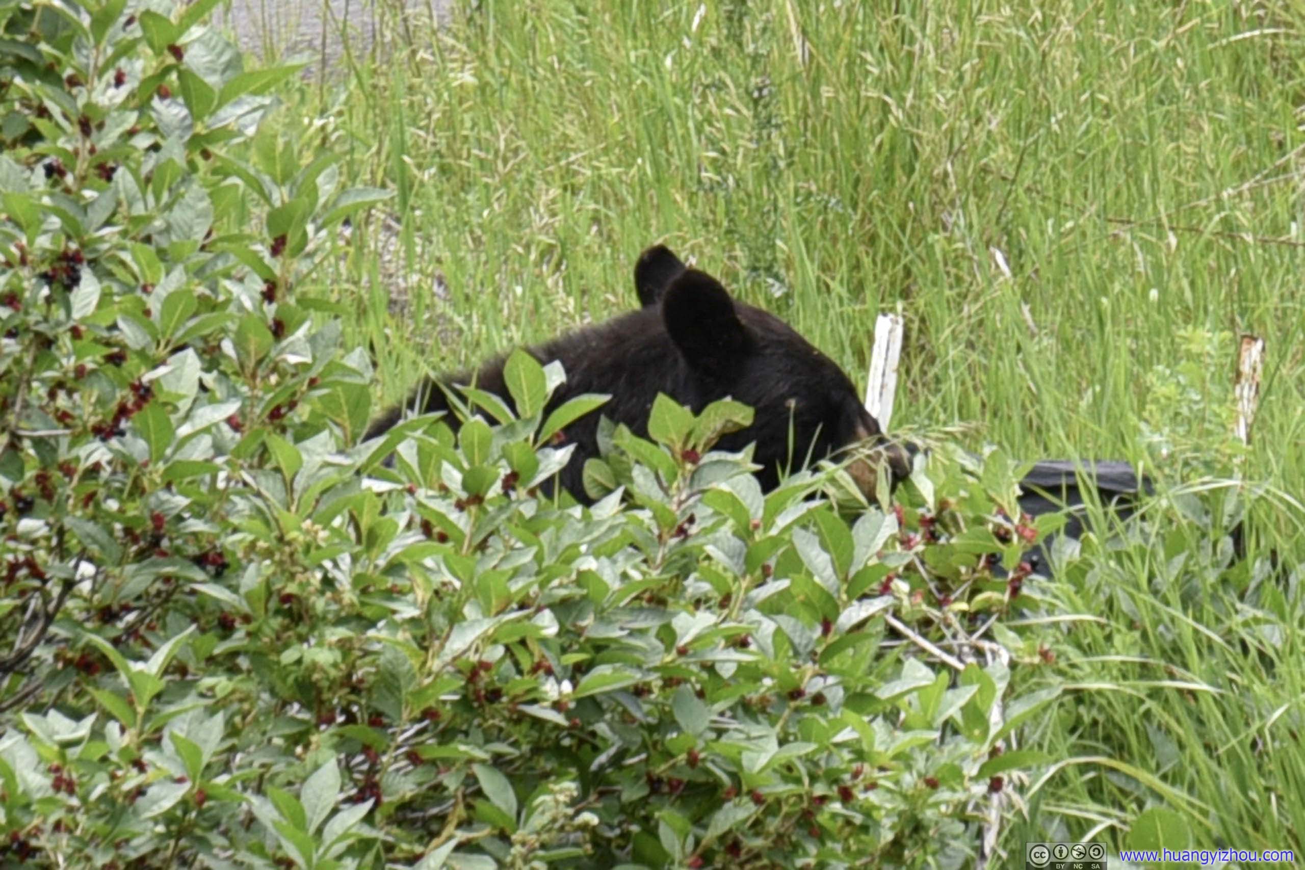
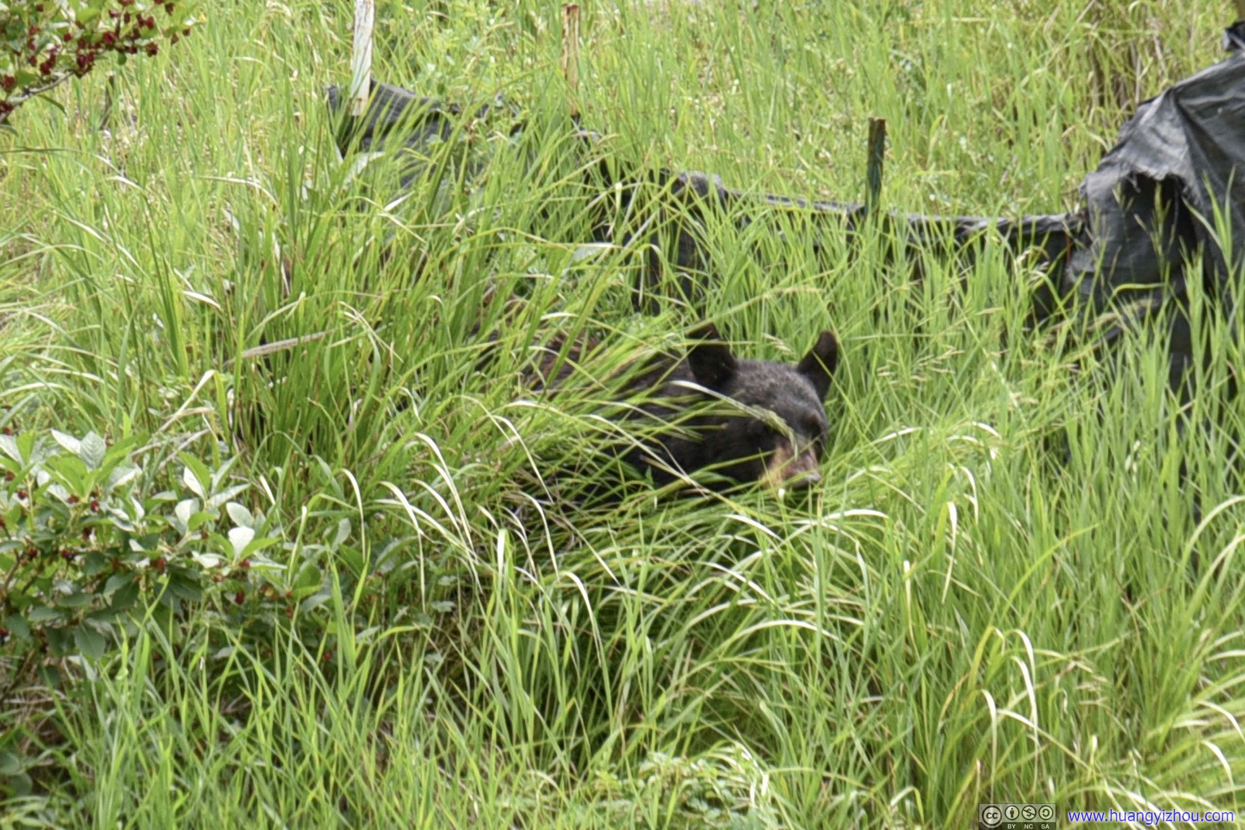
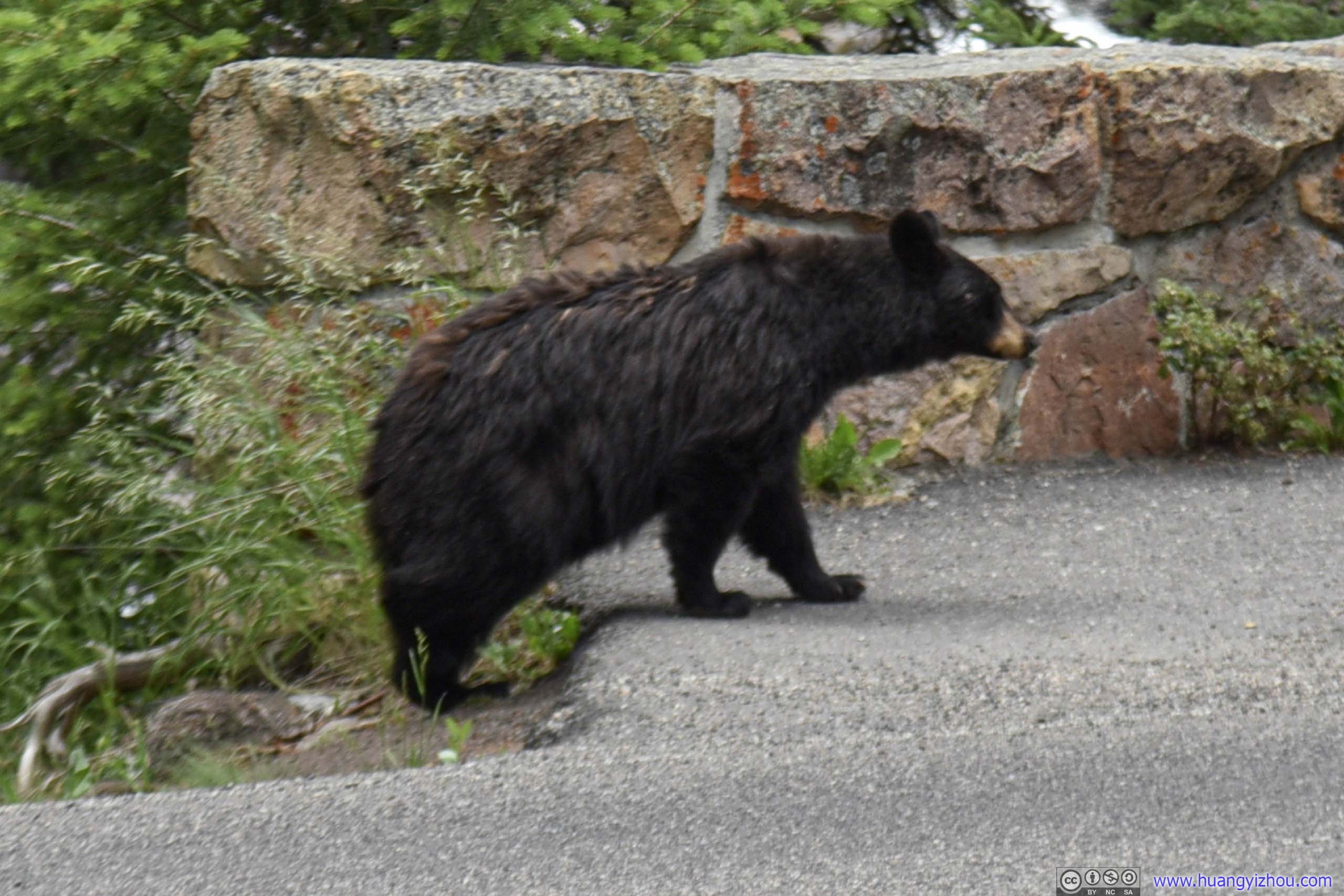
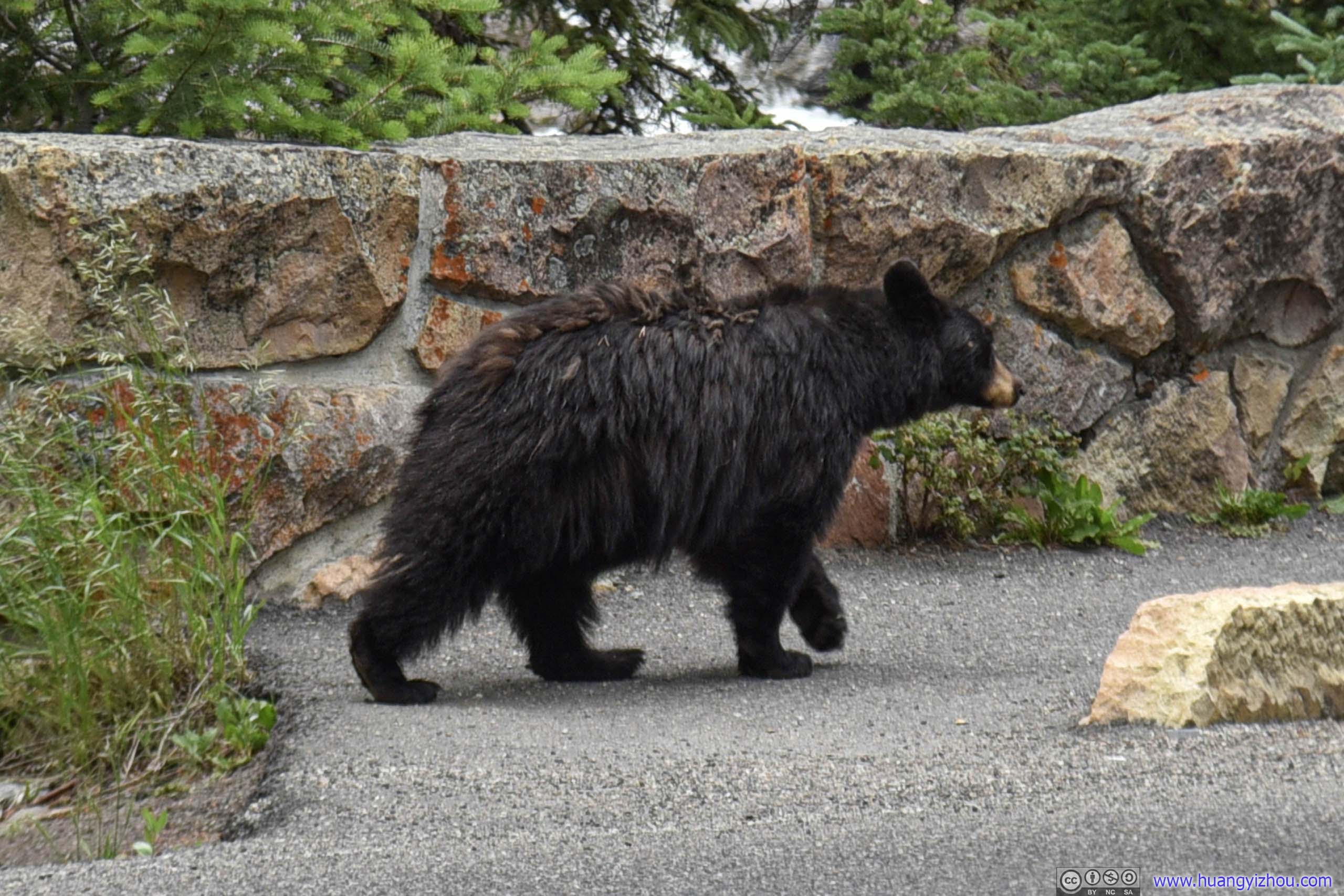
Bear
This time wildlife patrol wasn't as prompt, and before this bear disappeared into the woods it had already drawn hundreds of spectators.
After that, we moved on to Roosevelt Lodge, where we planned to have lunch.
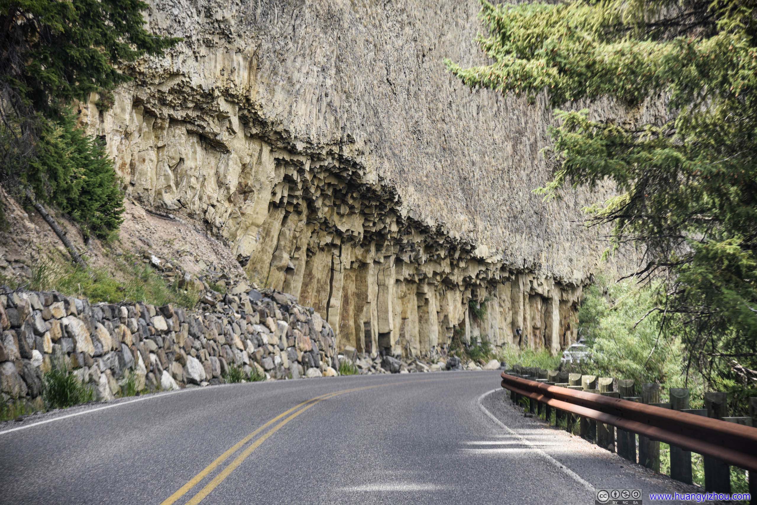
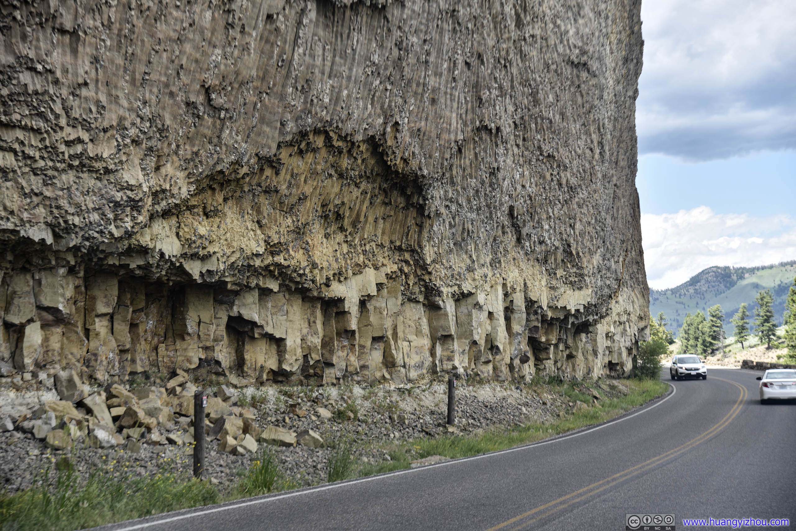
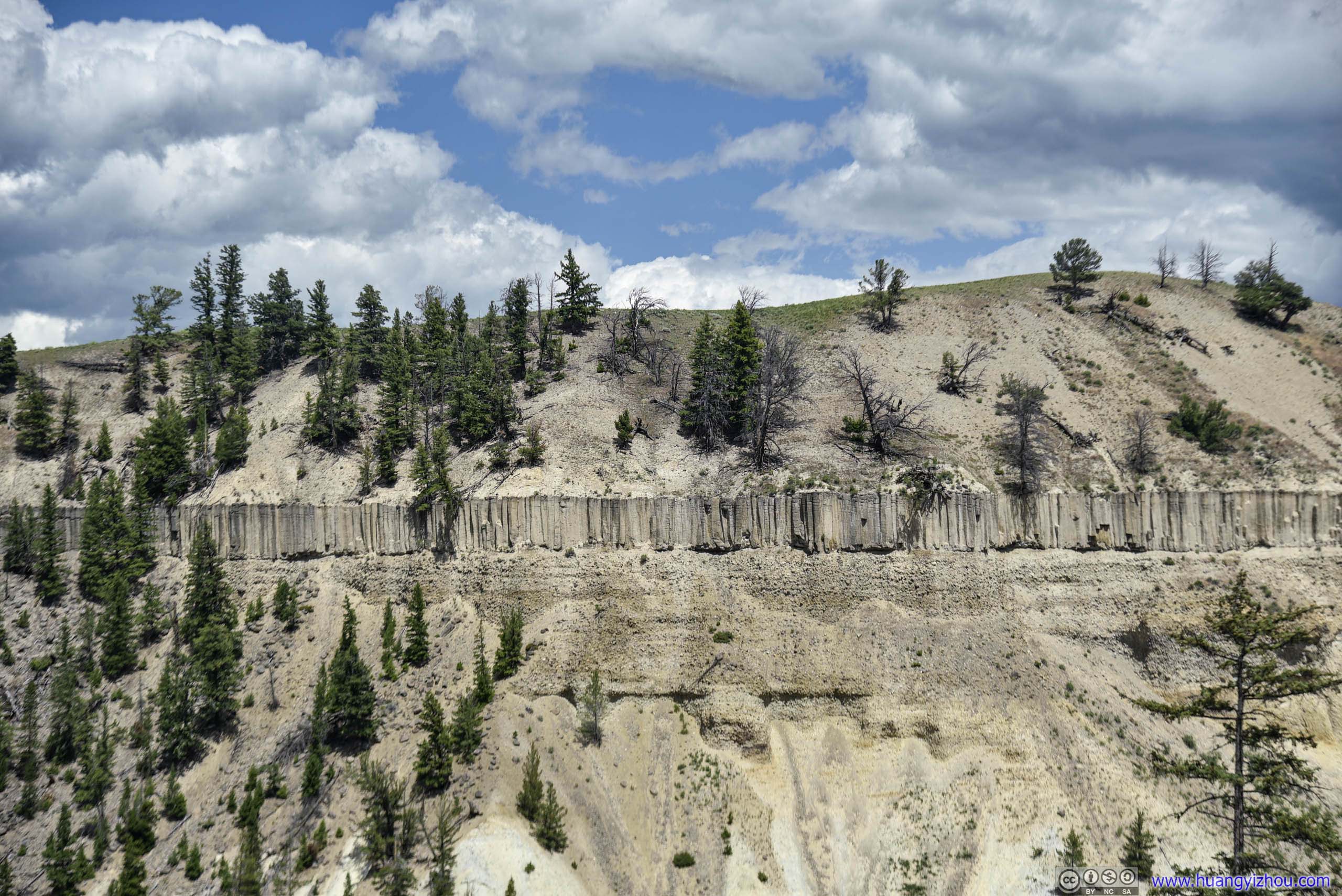
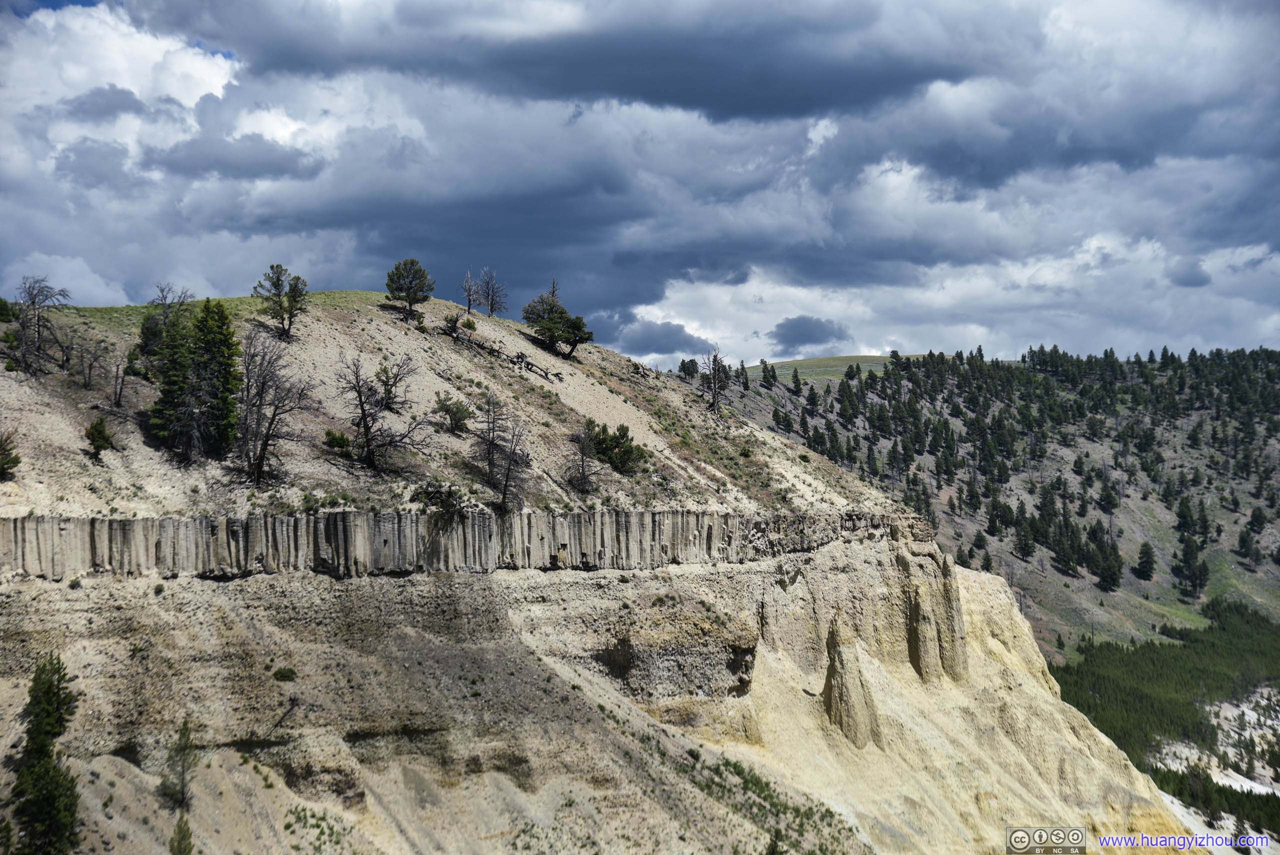
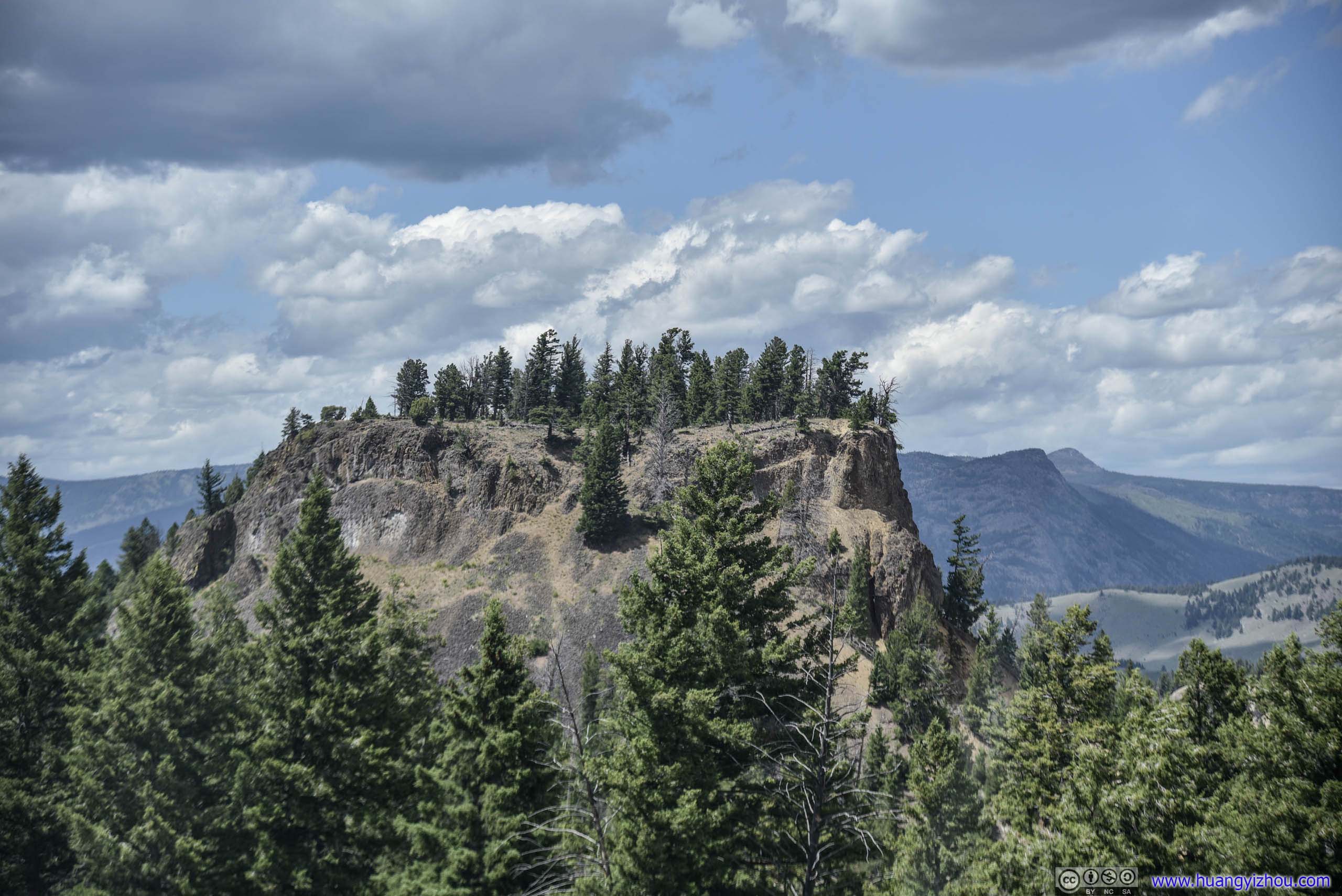
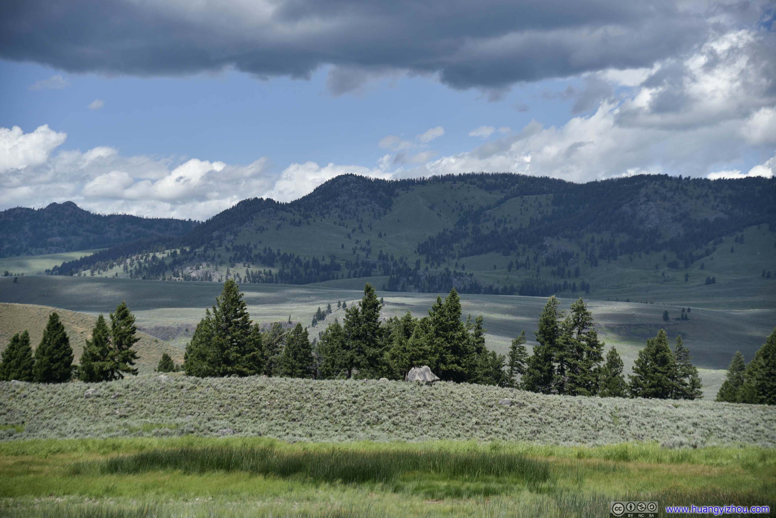
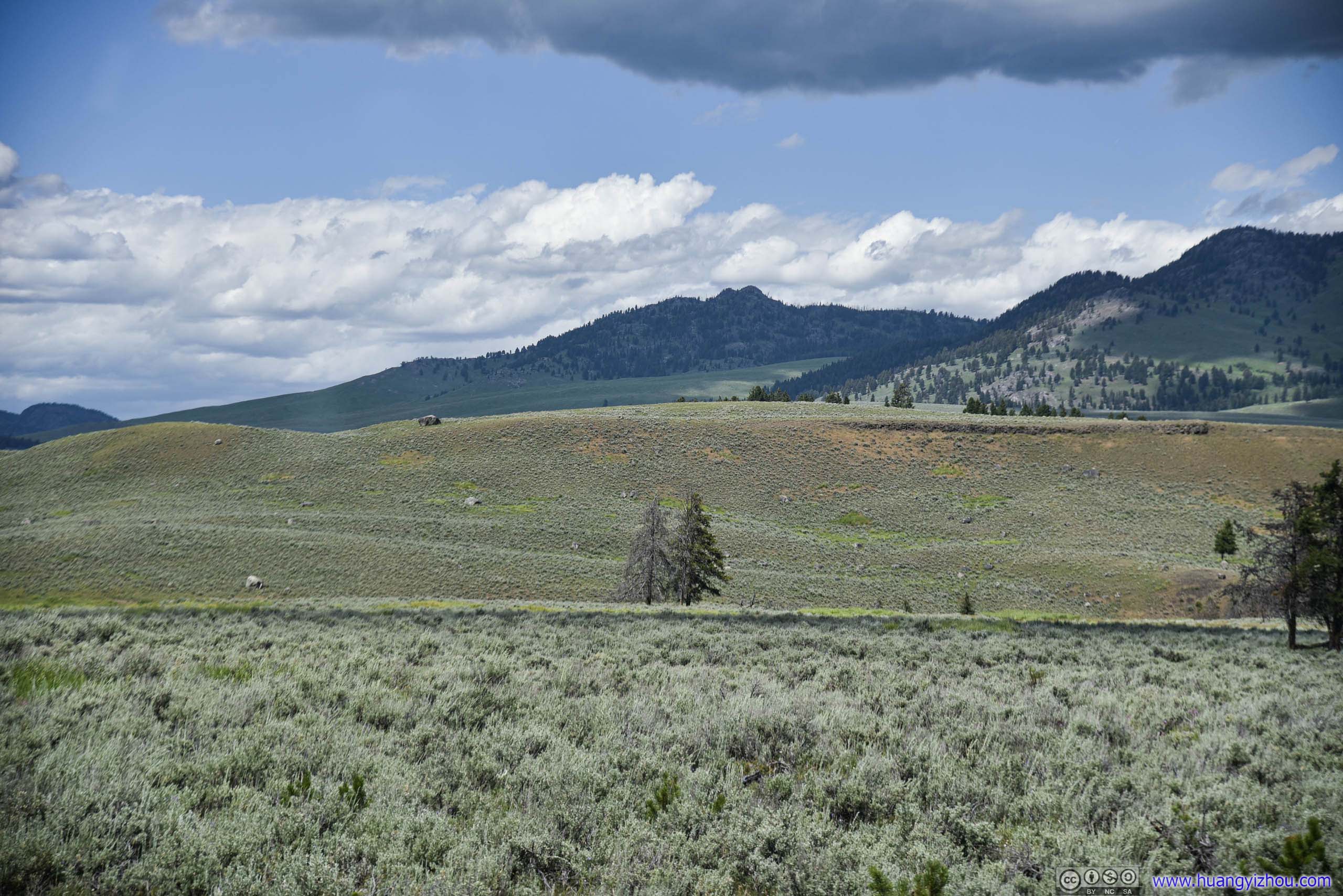
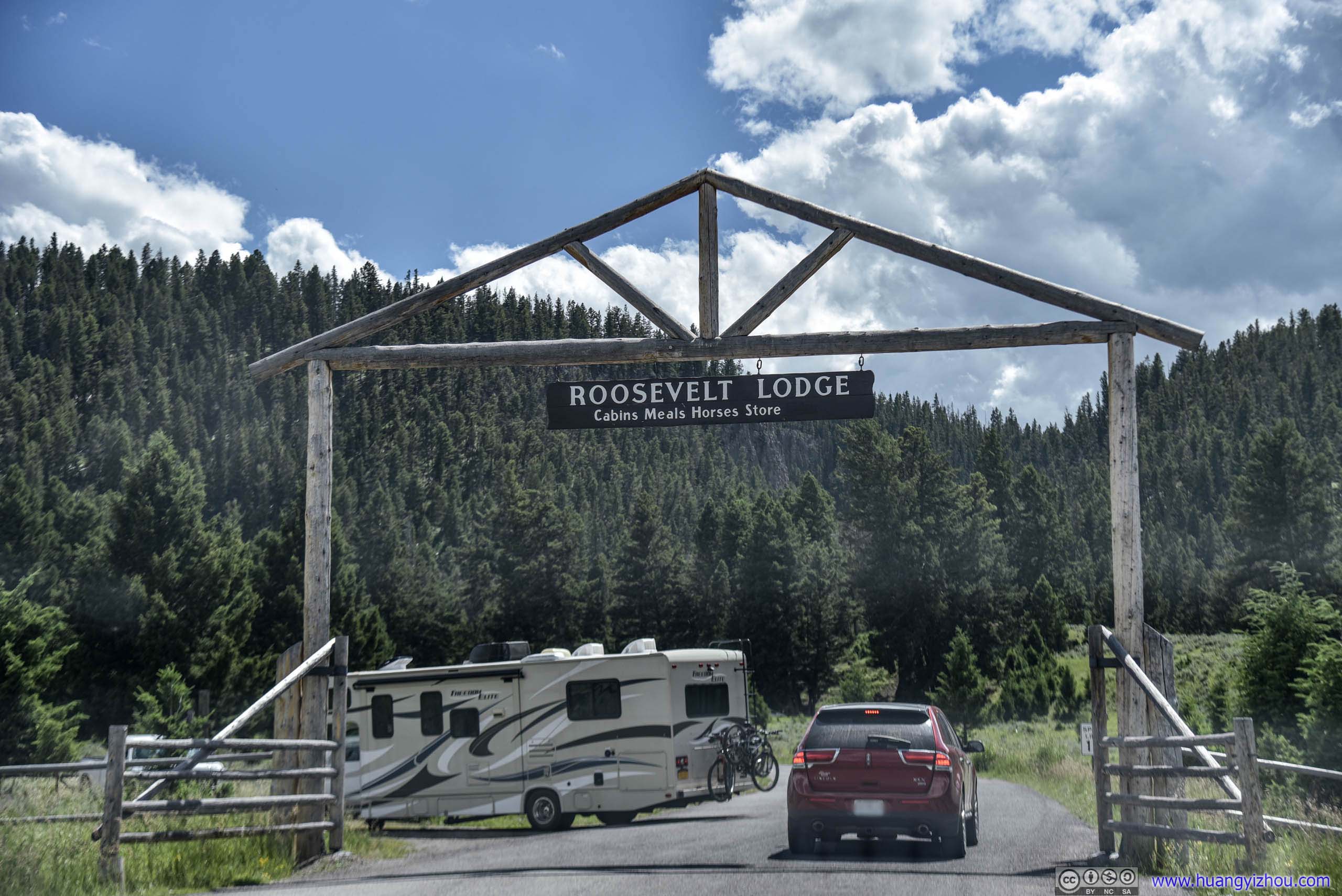
Unfortunately, even at 3pm, we were told a table in Roosevelt Lodge's cafeteria would not be available for at least 30 minutes. So we decided to drive on and leave our lunch to Mammoth Hot Springs area.
The country road from Tower Junction to Mammoth Hot Springs passed through some lush forest and open fields, still a treat to the eye.
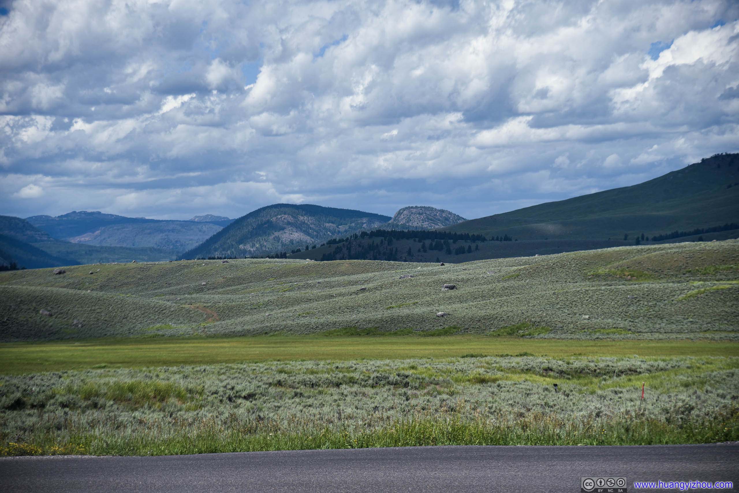
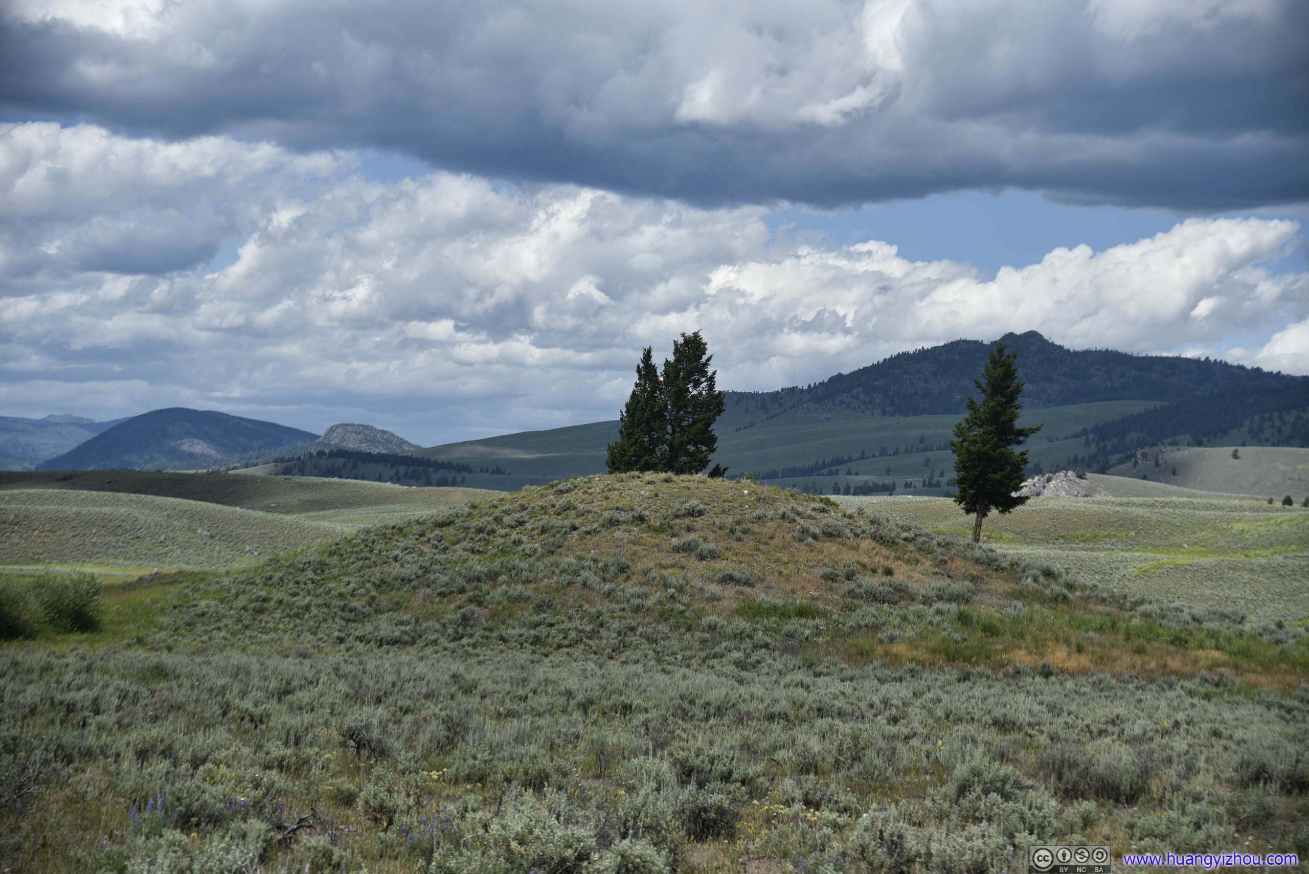
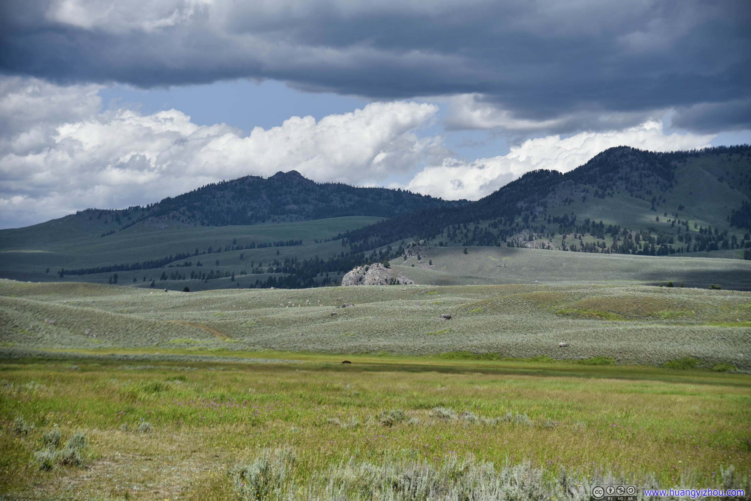
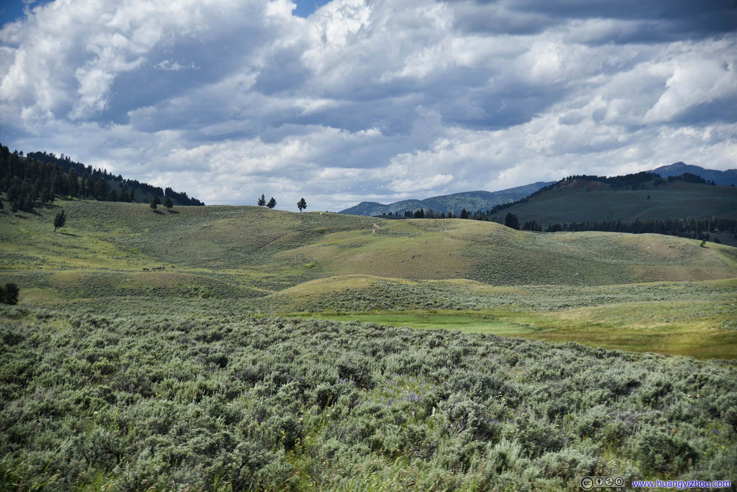
Field
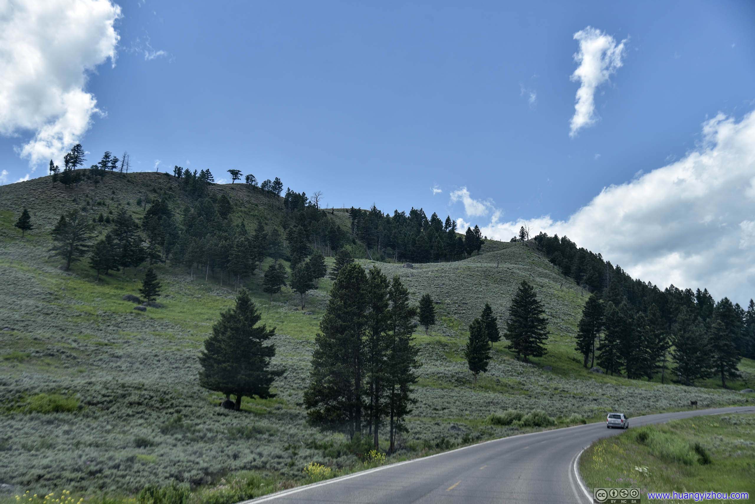
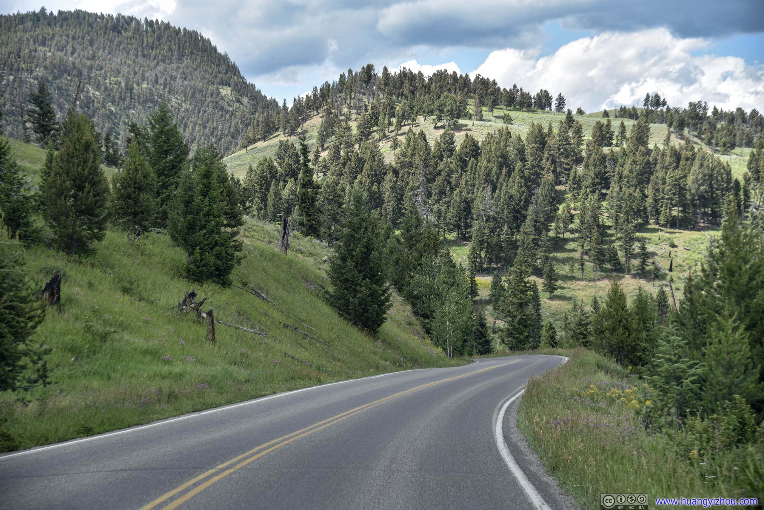
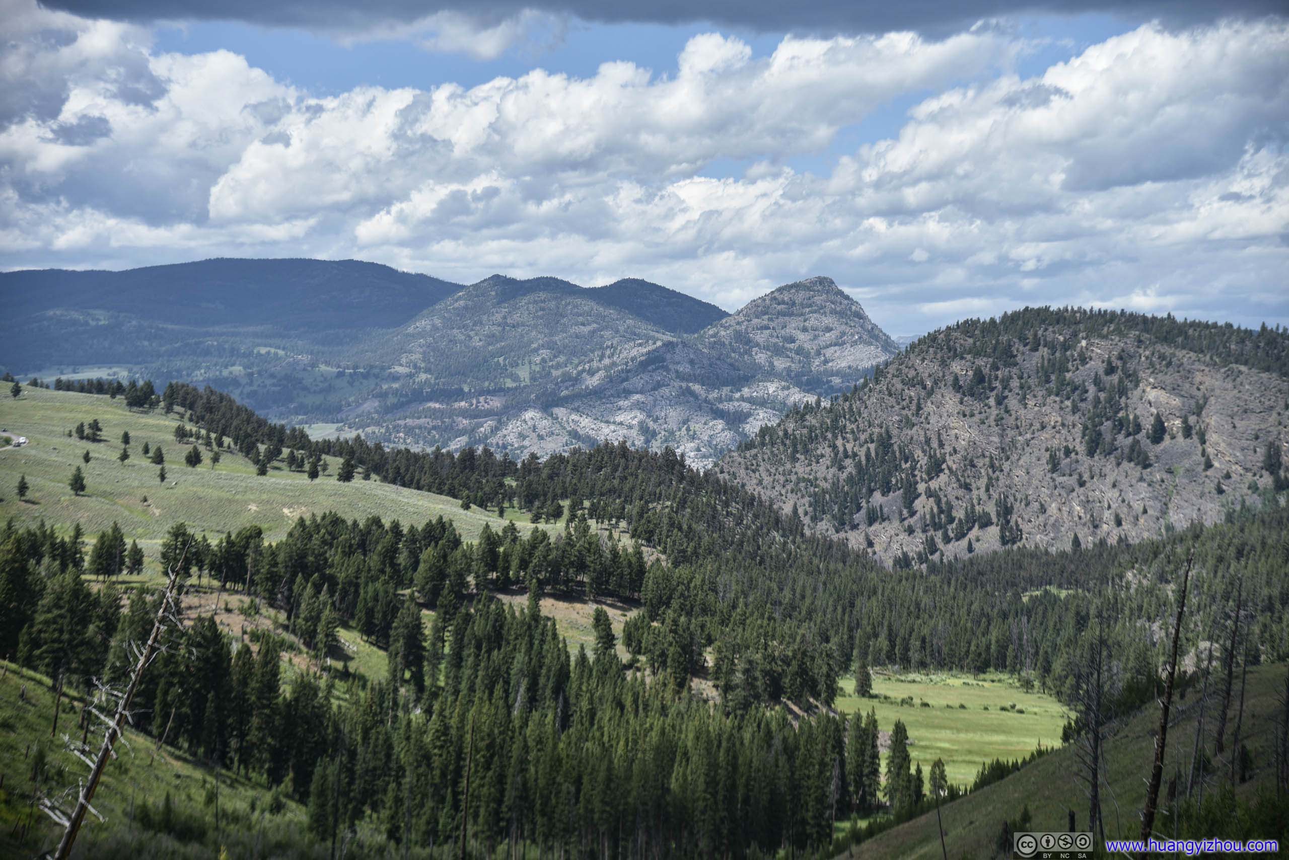
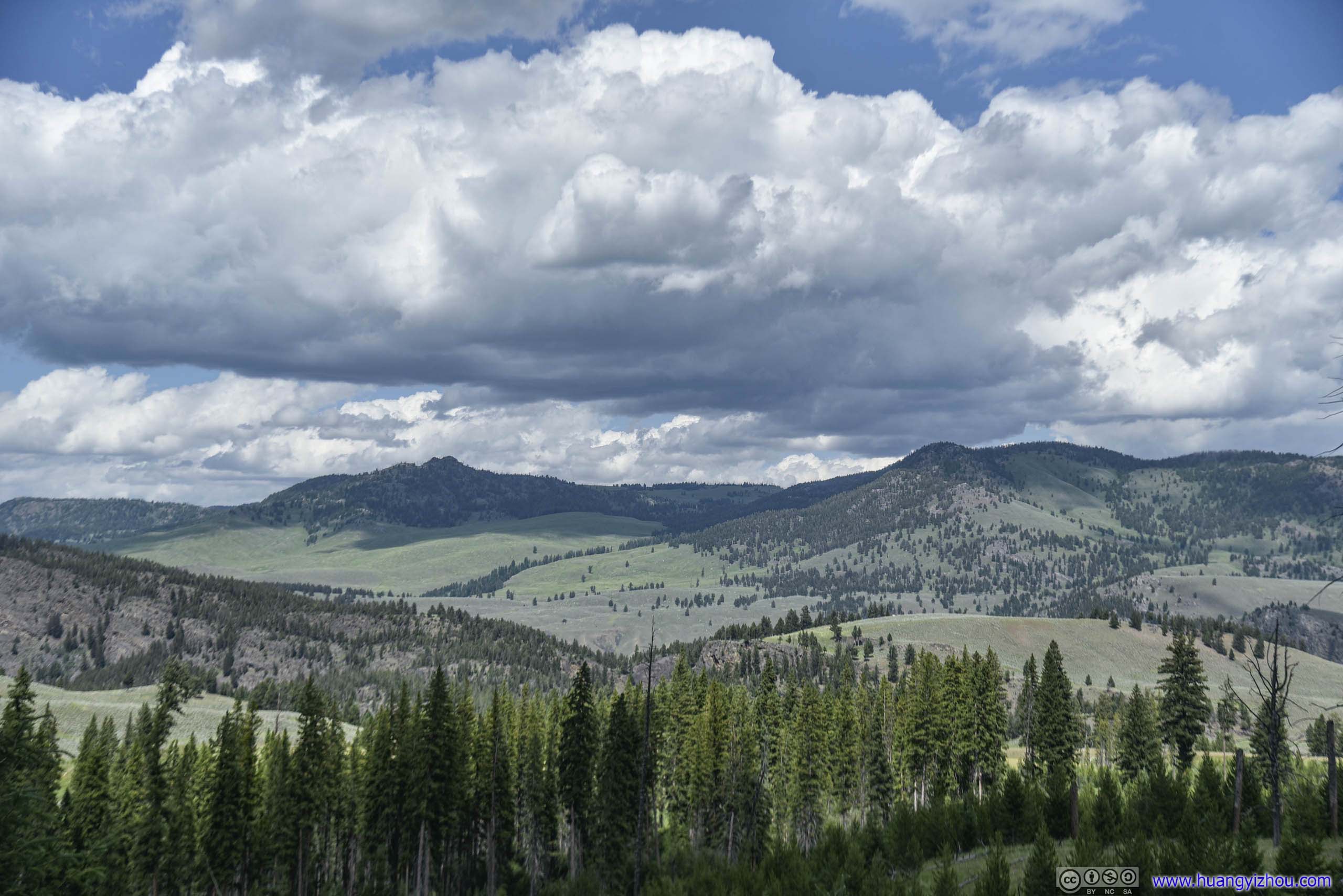
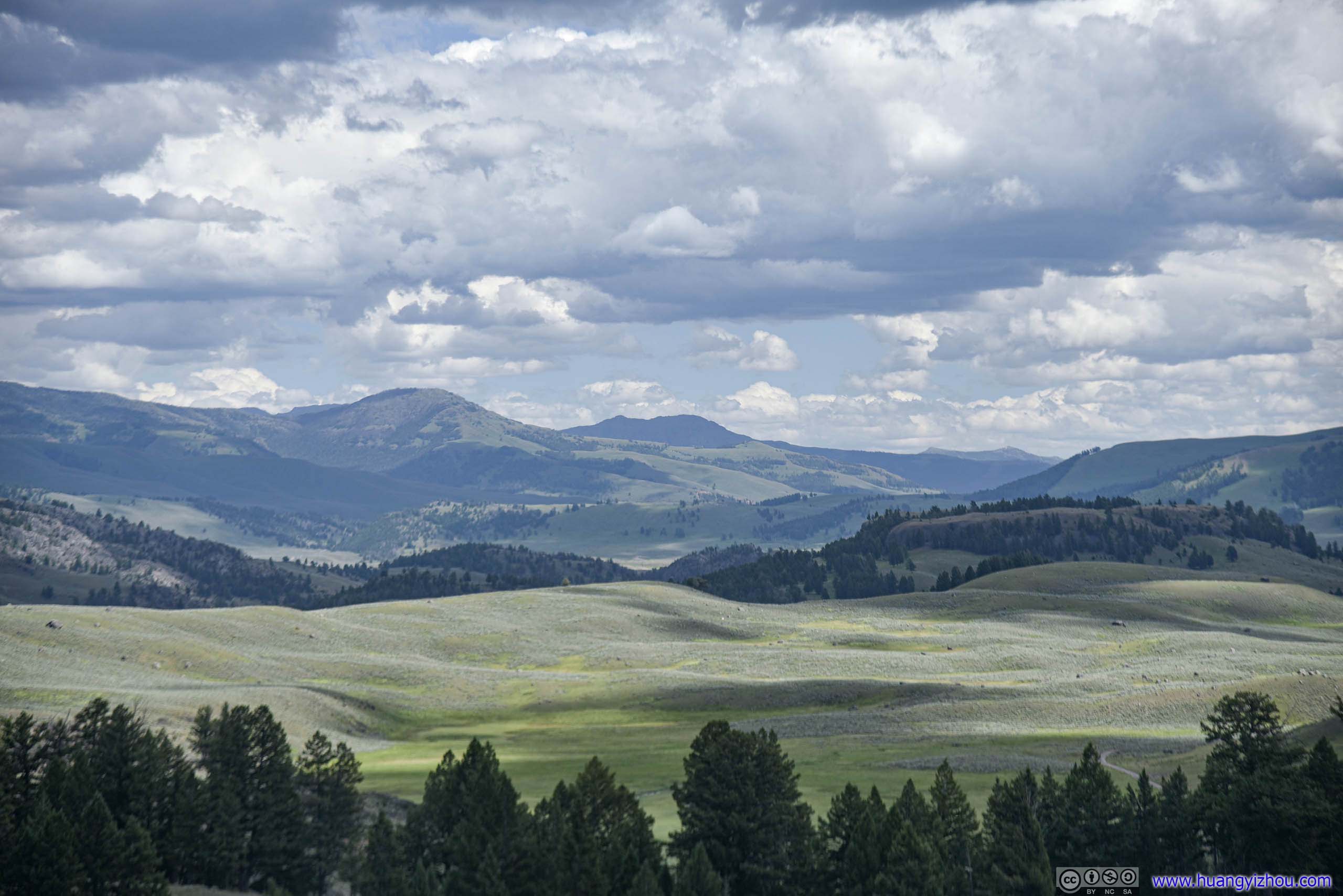
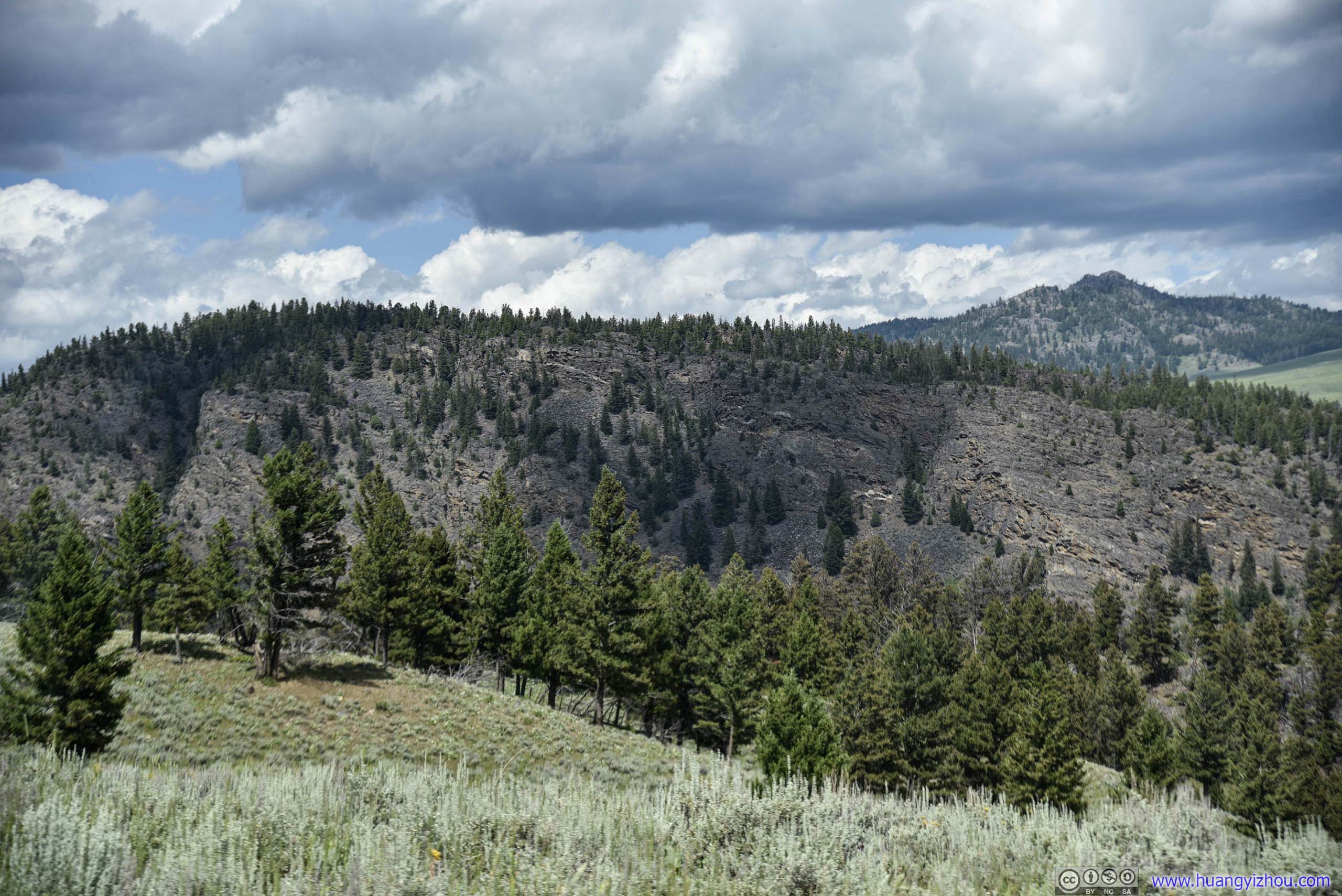
Mountains
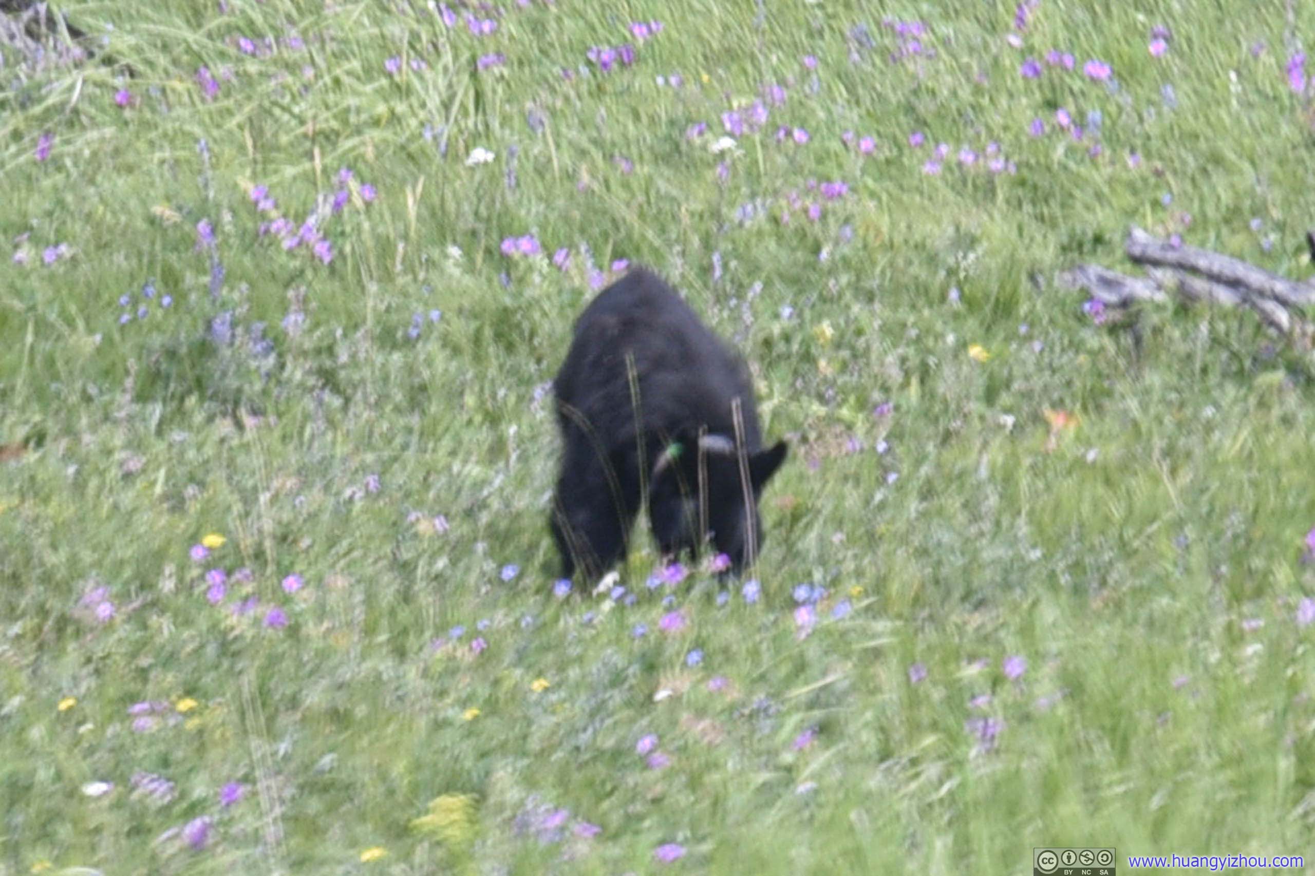
Capturing this little creature while driving was pure luck.
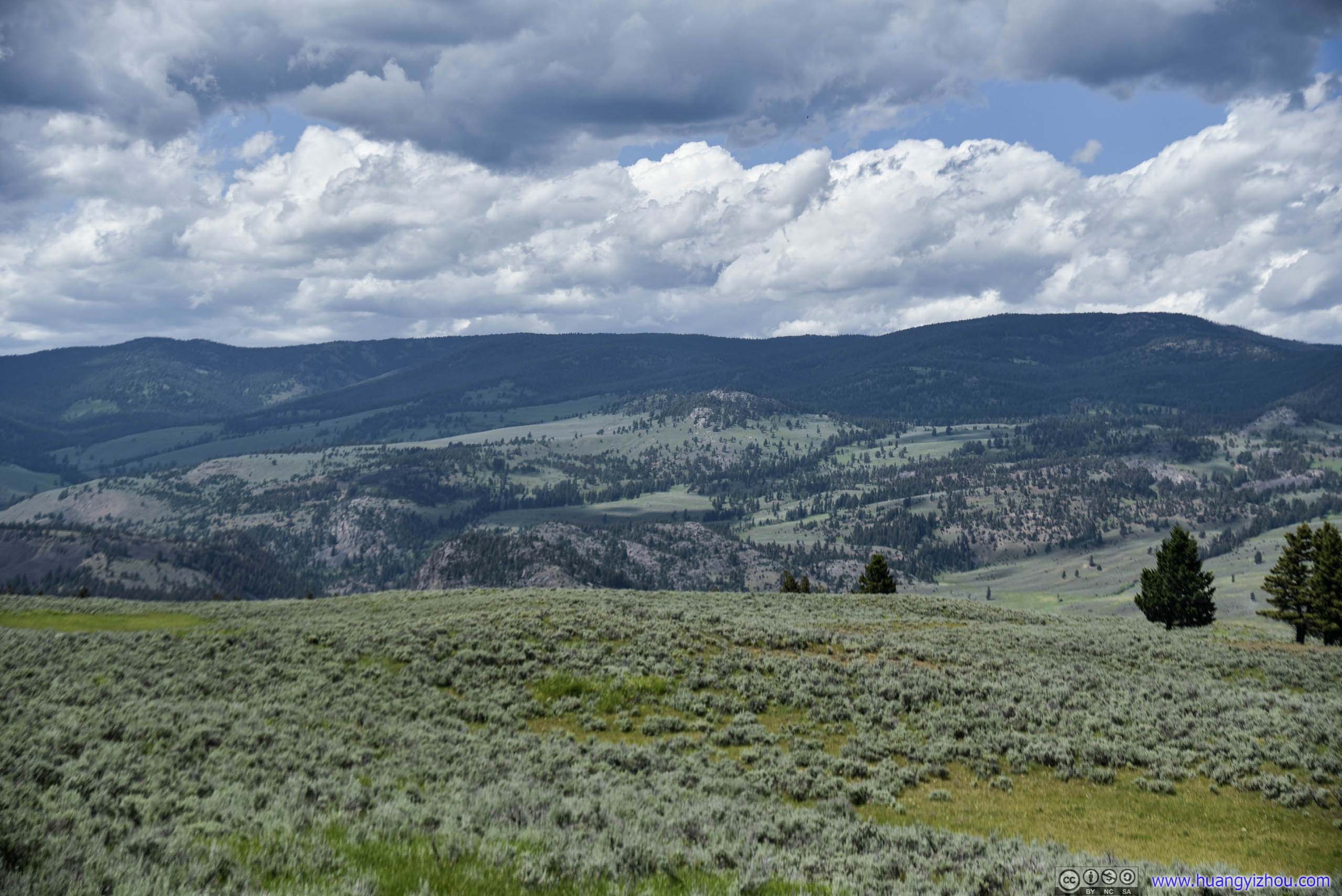
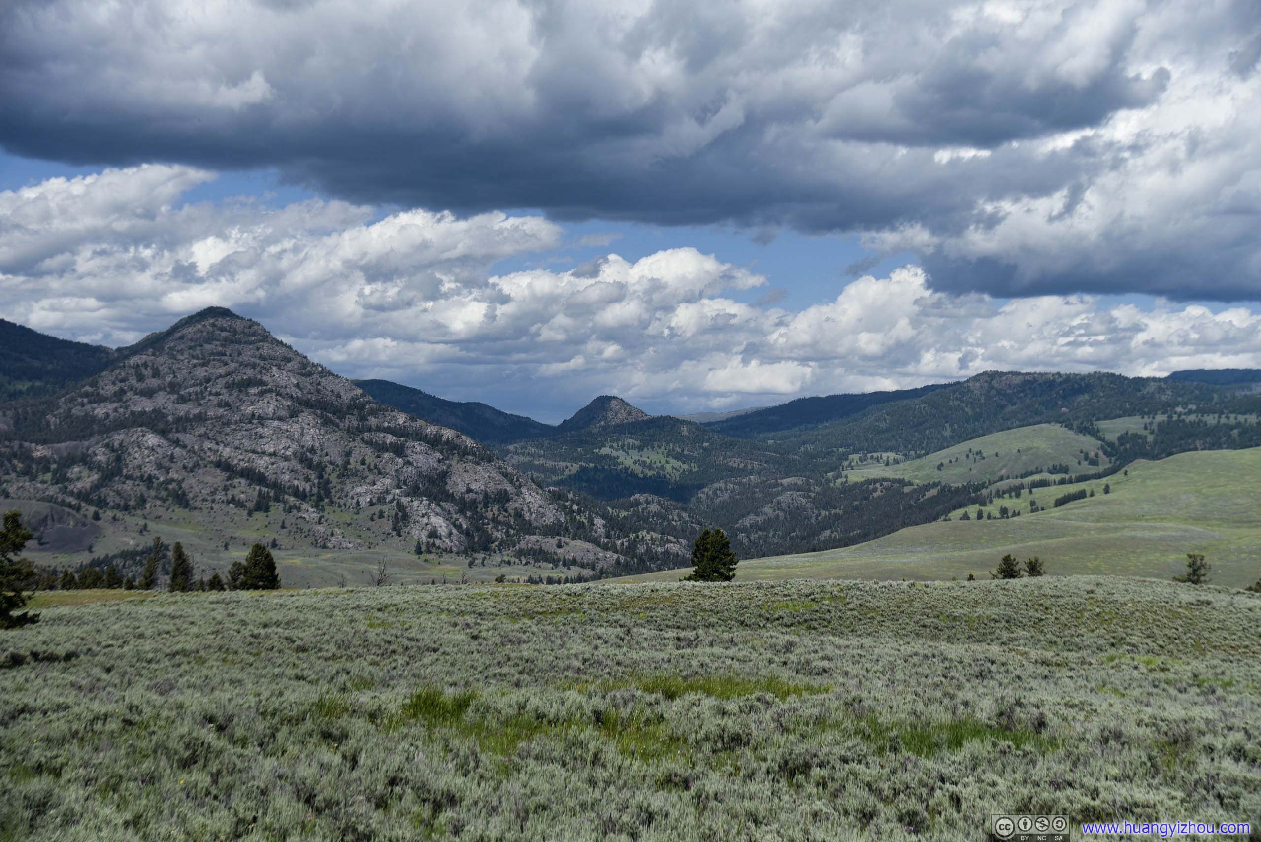
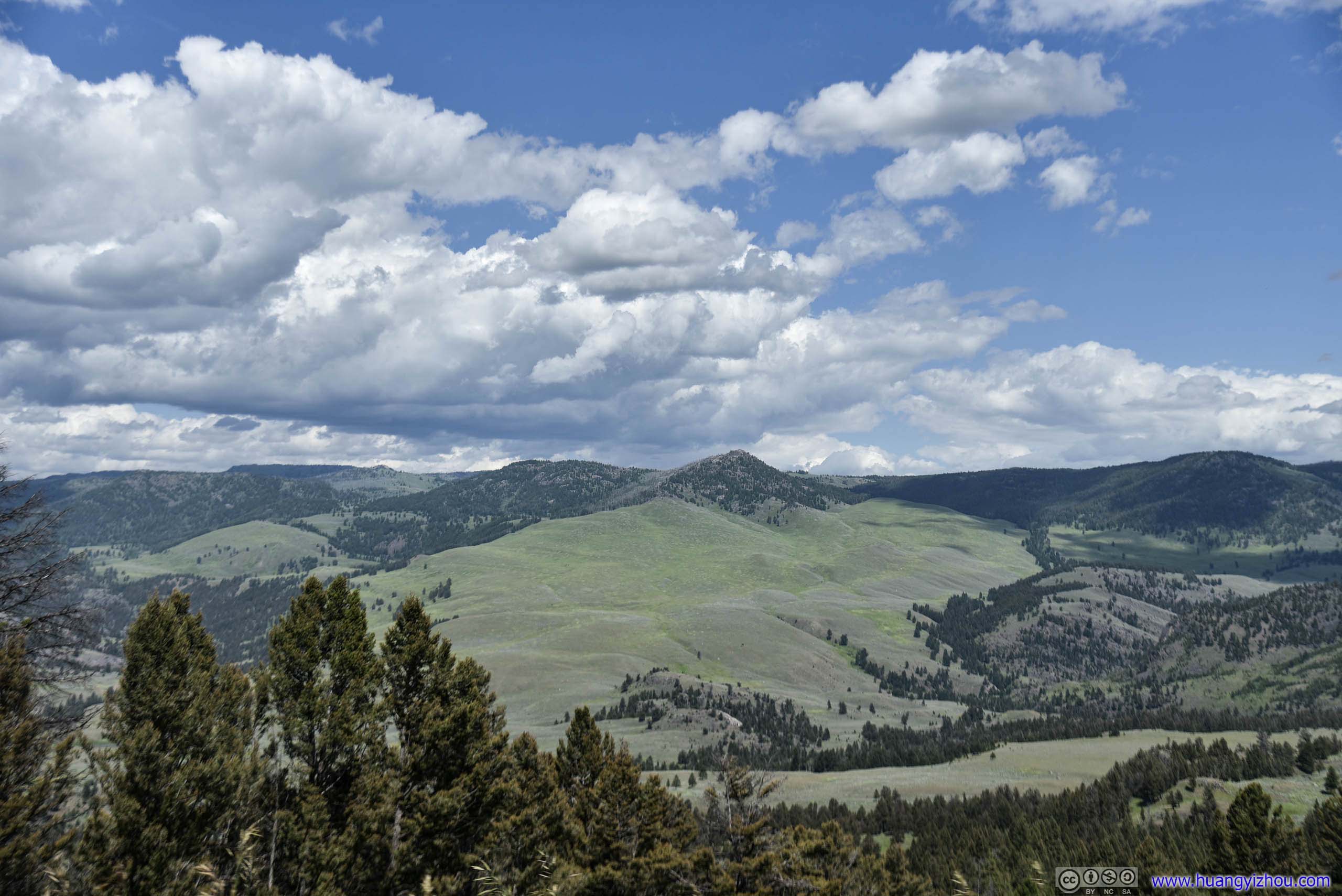
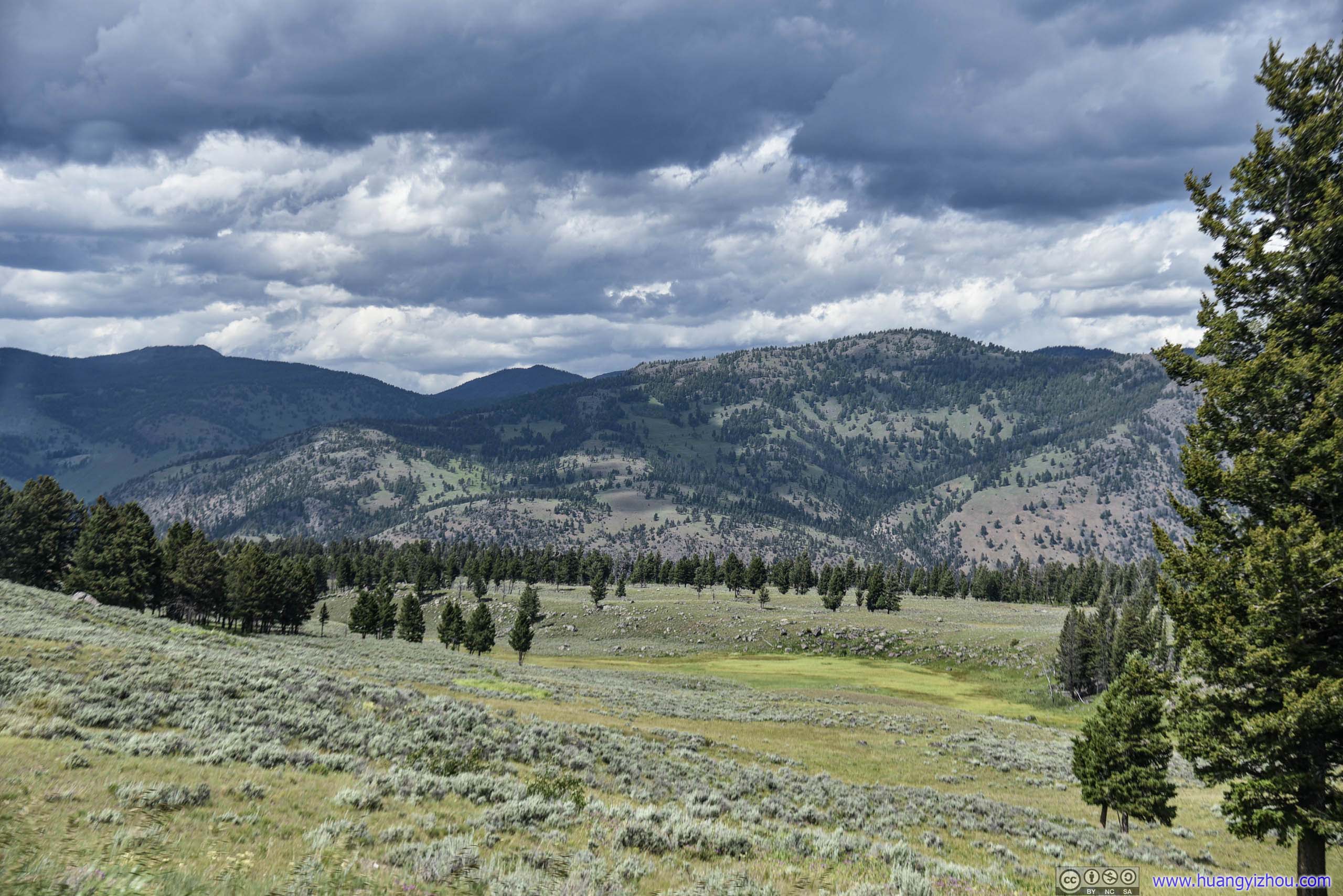
Mountains
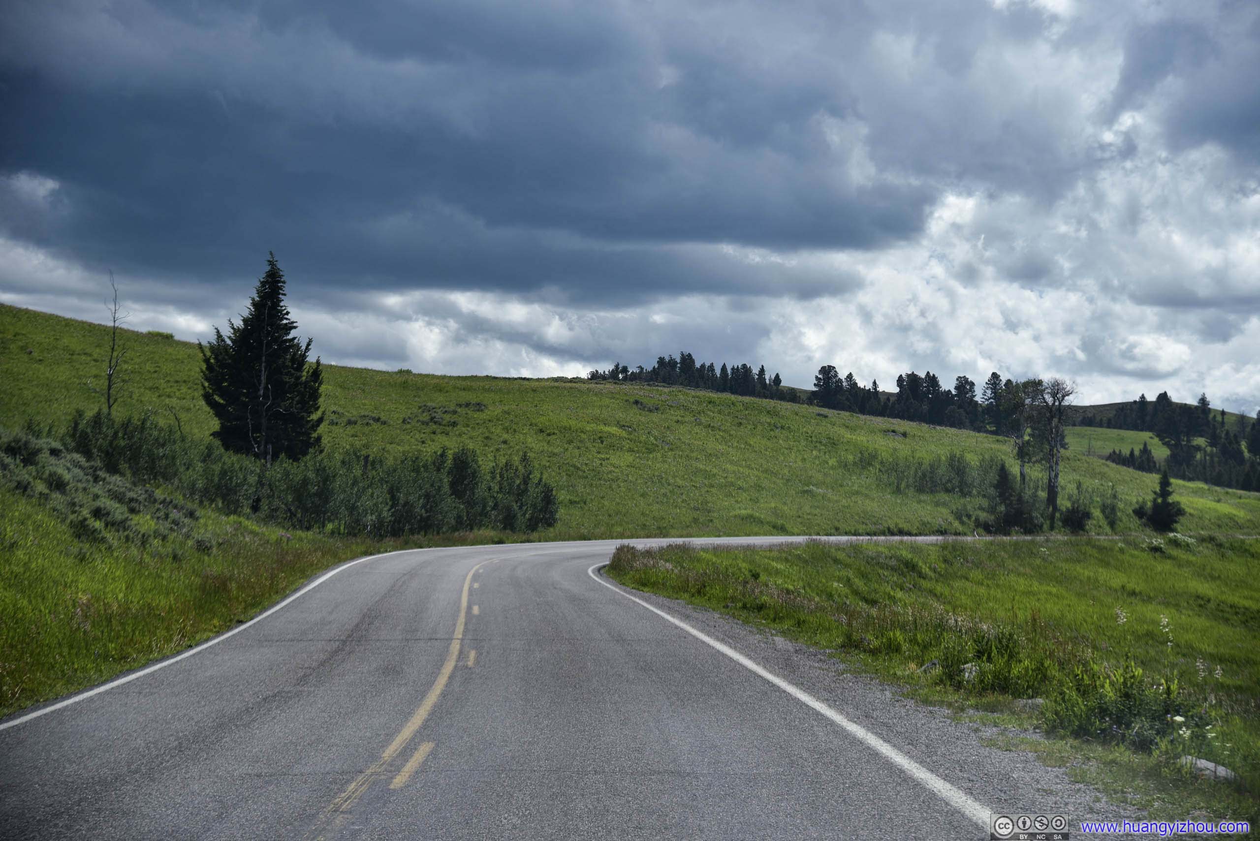
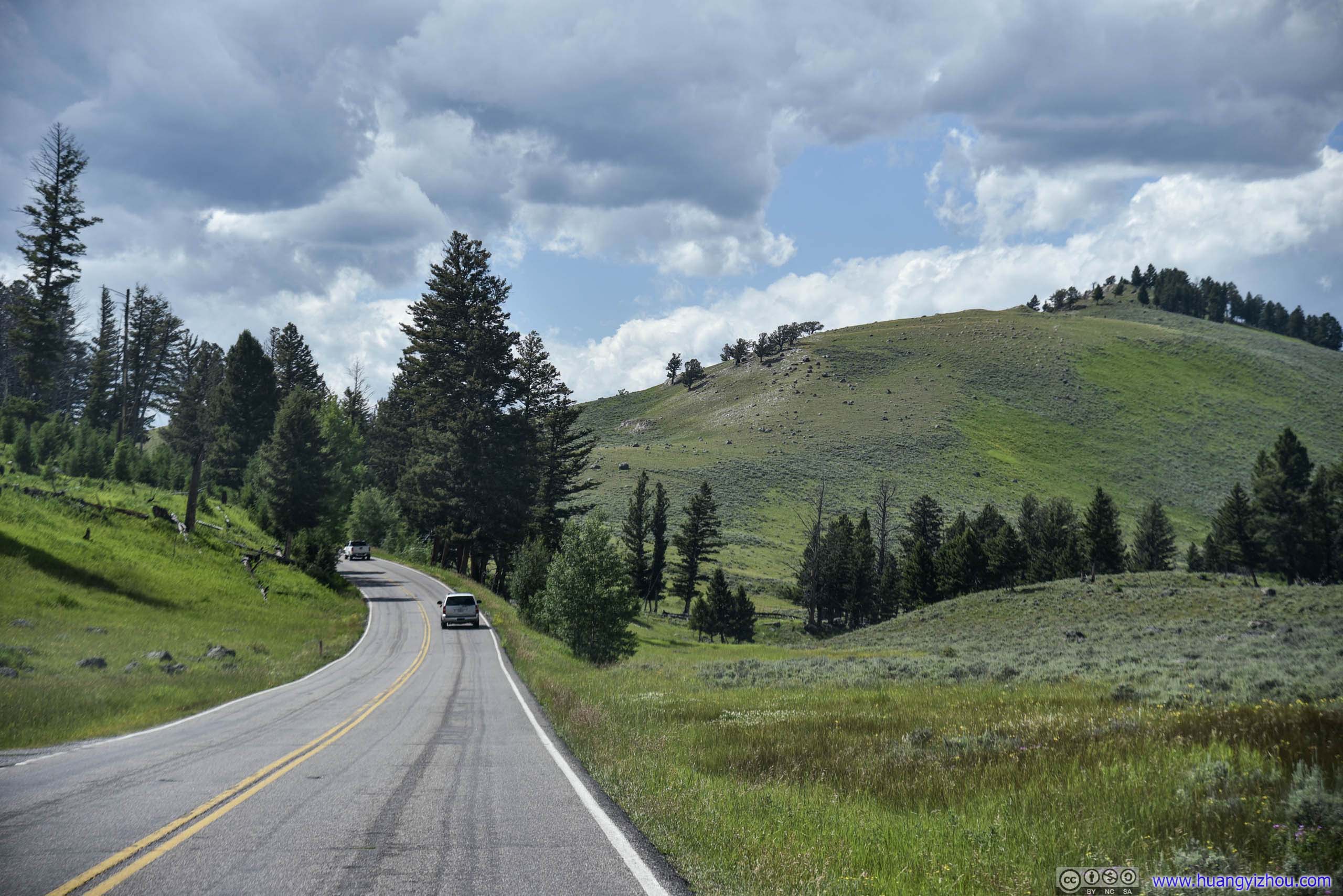
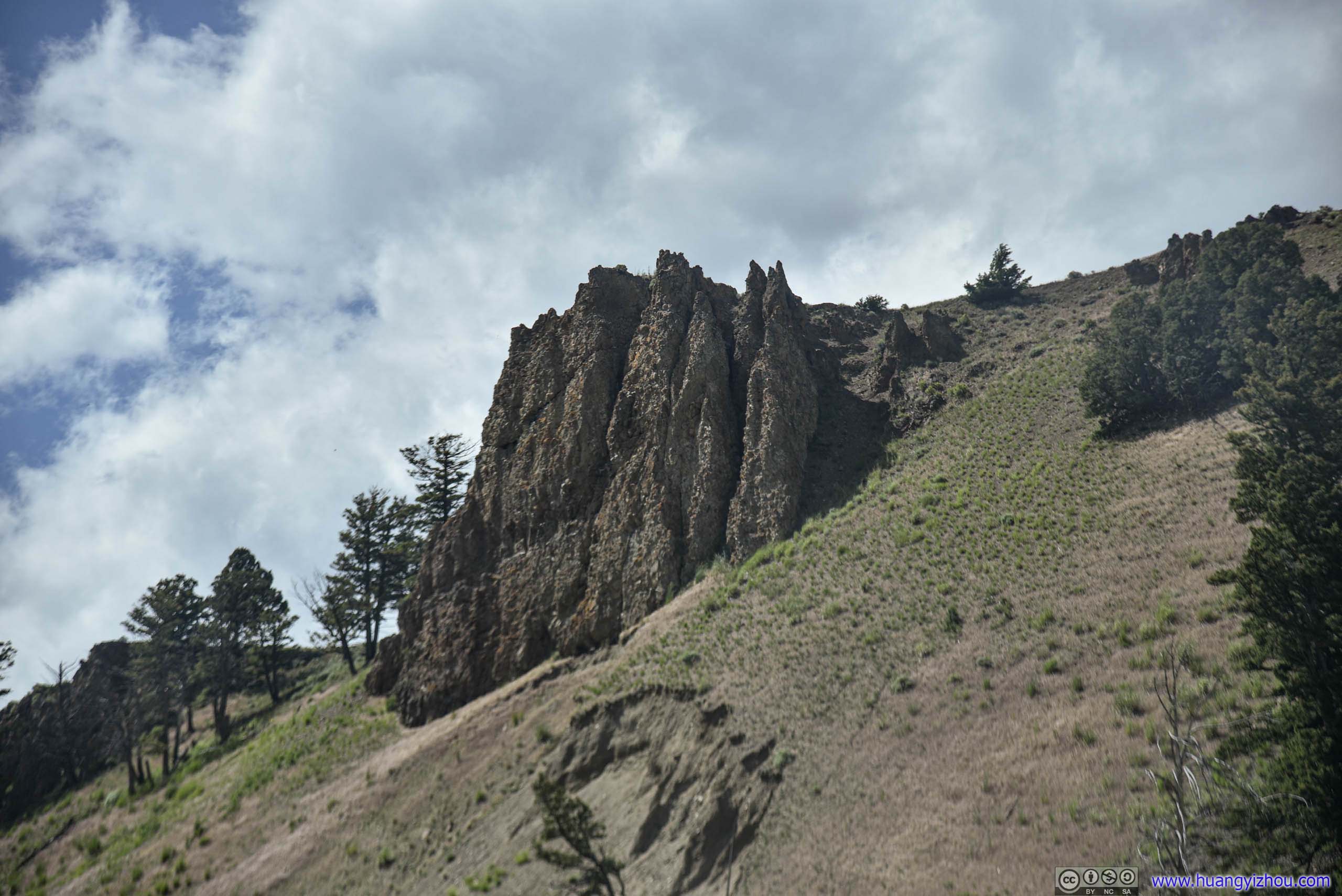
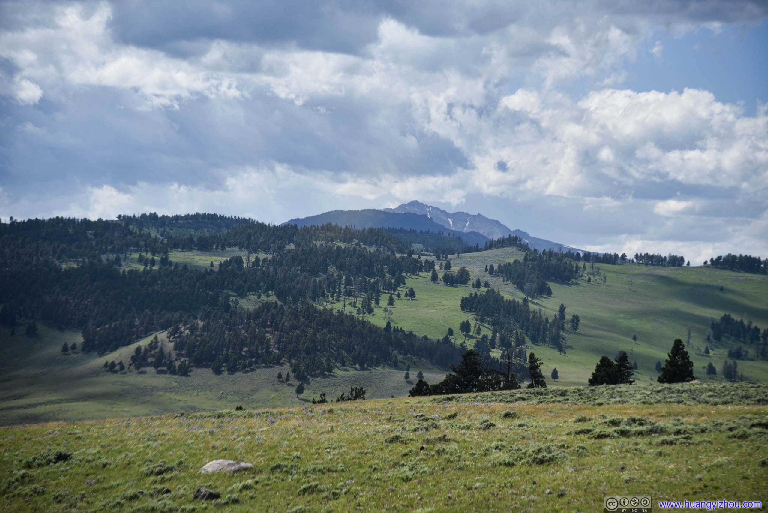
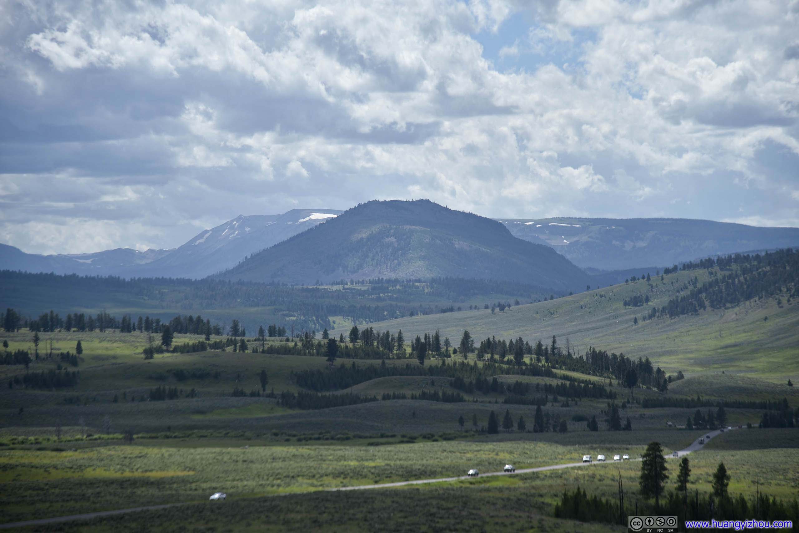
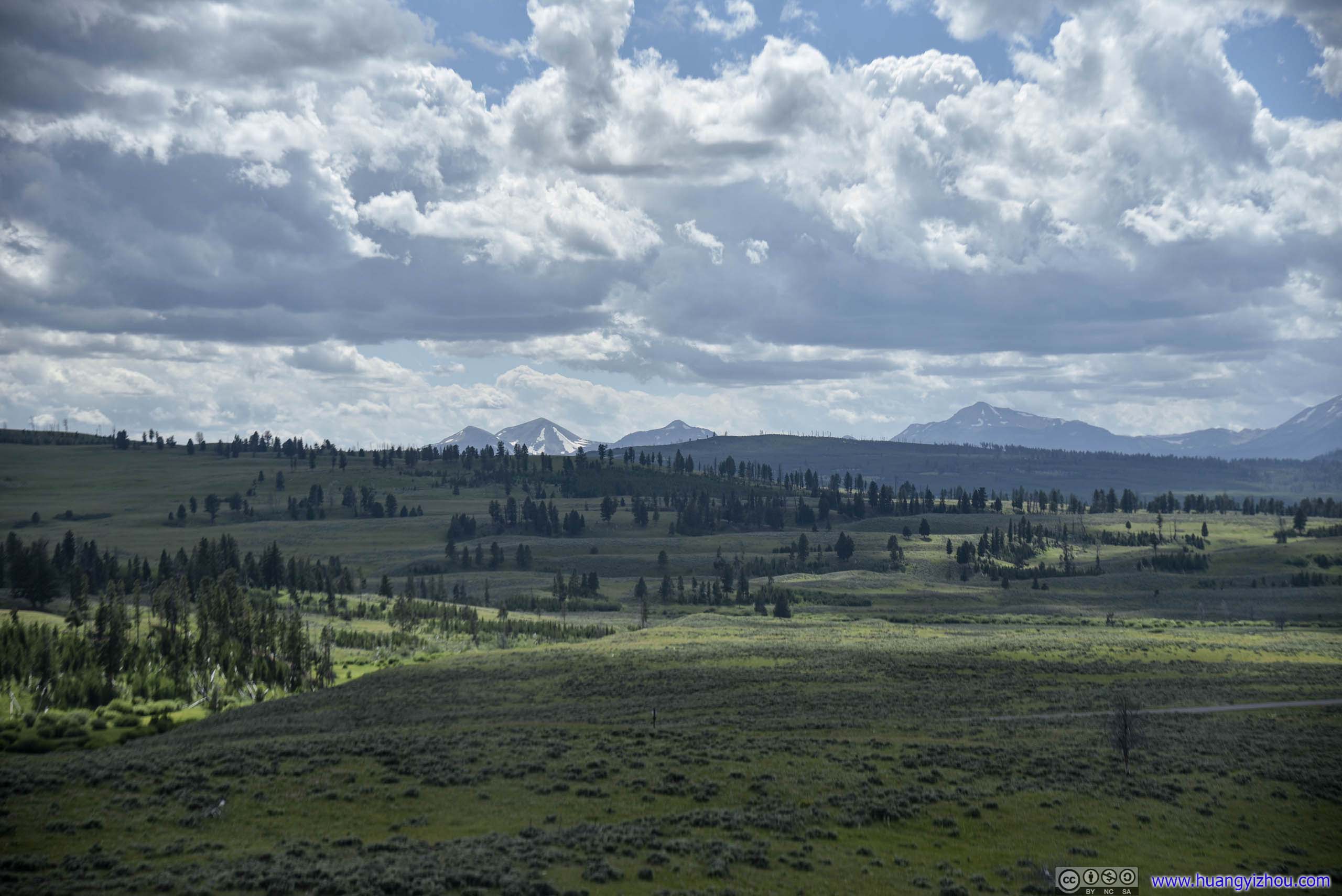
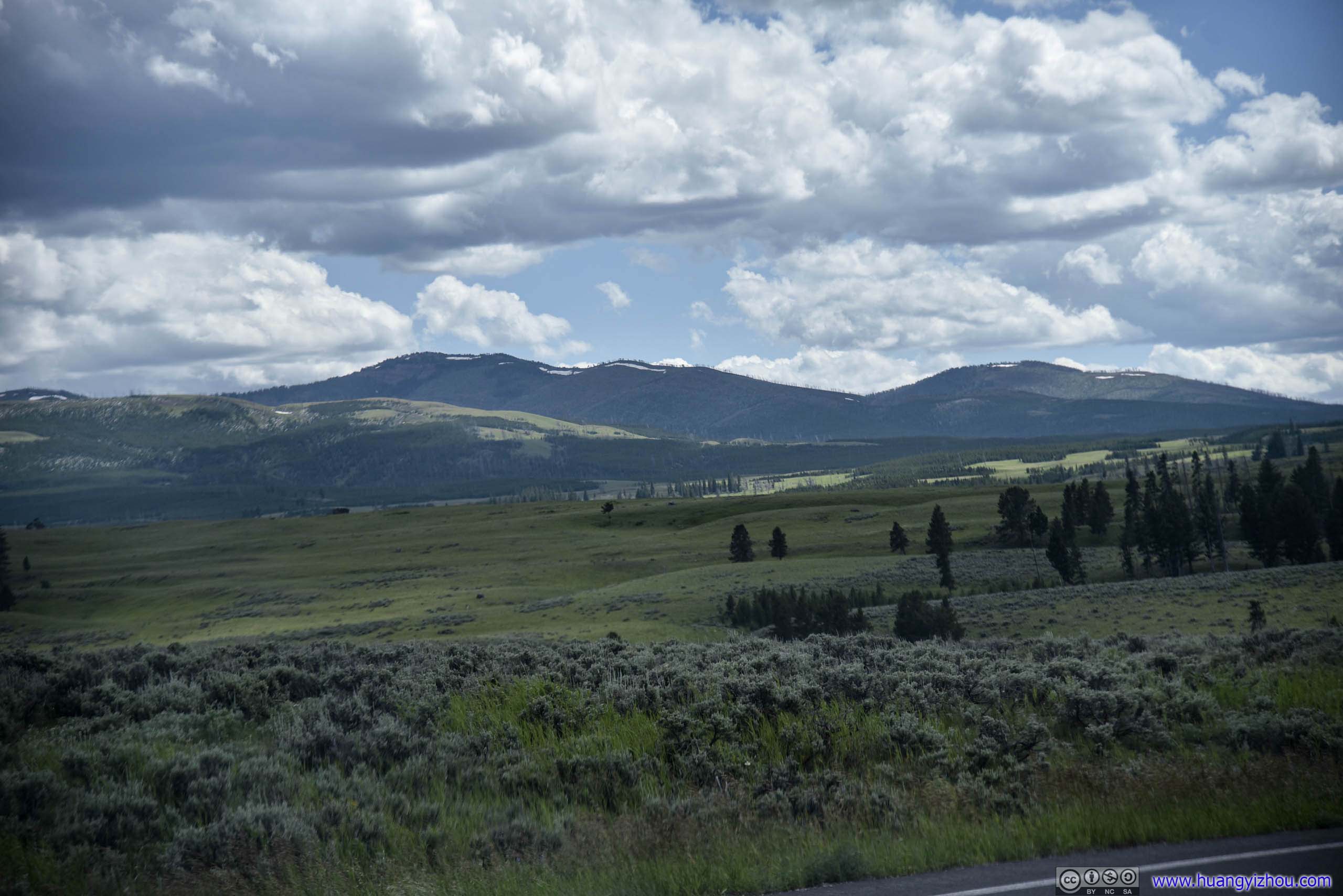
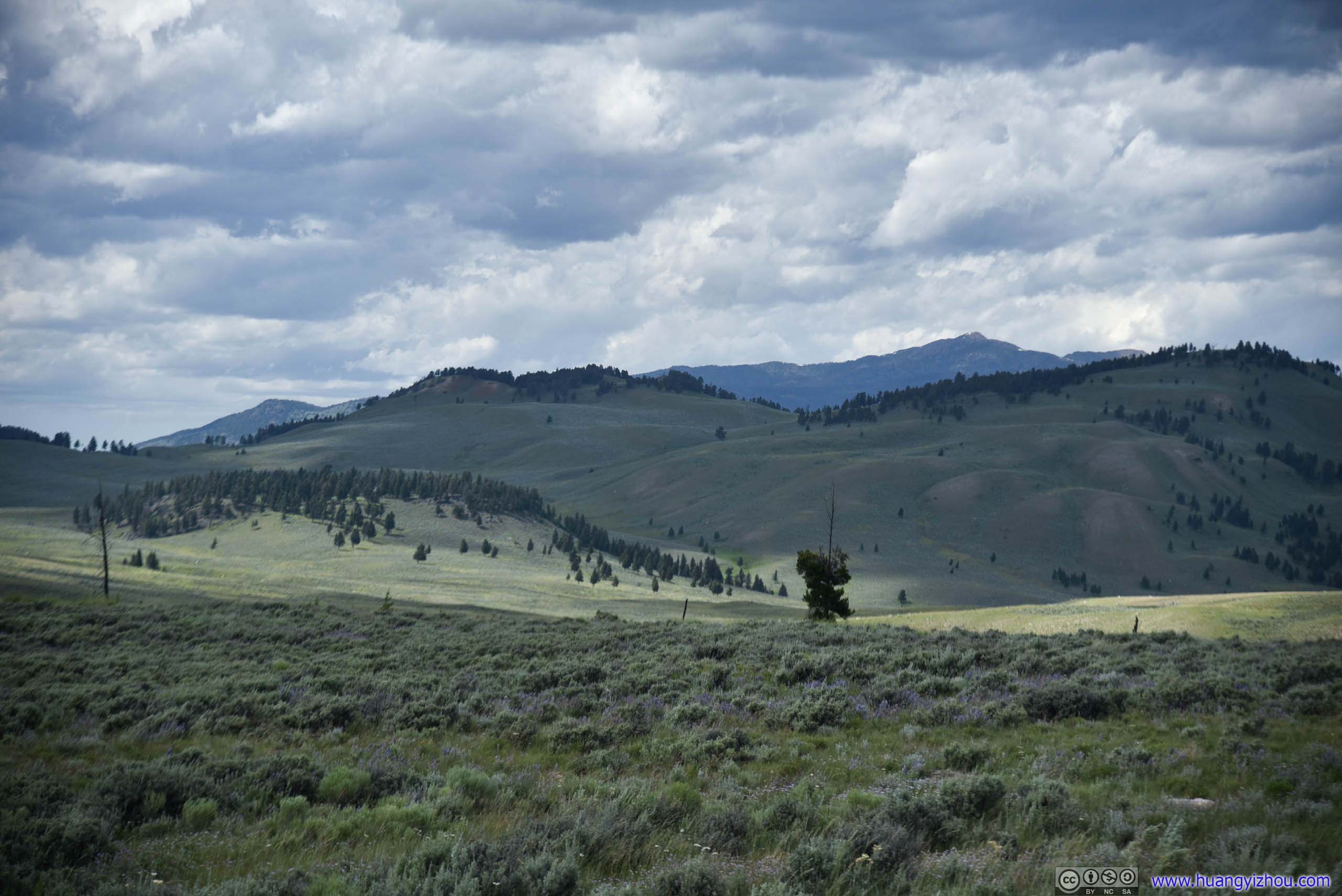
Field
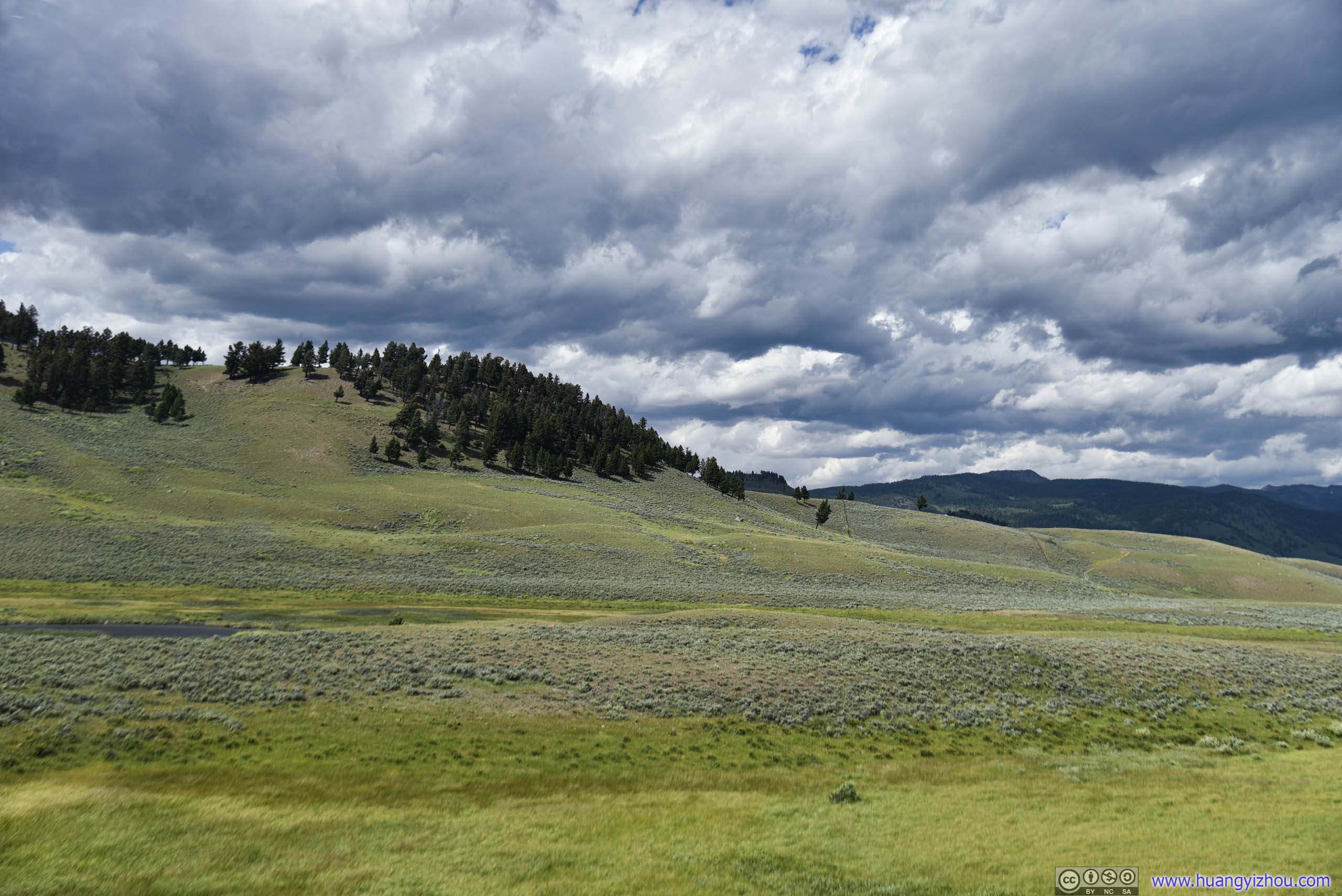
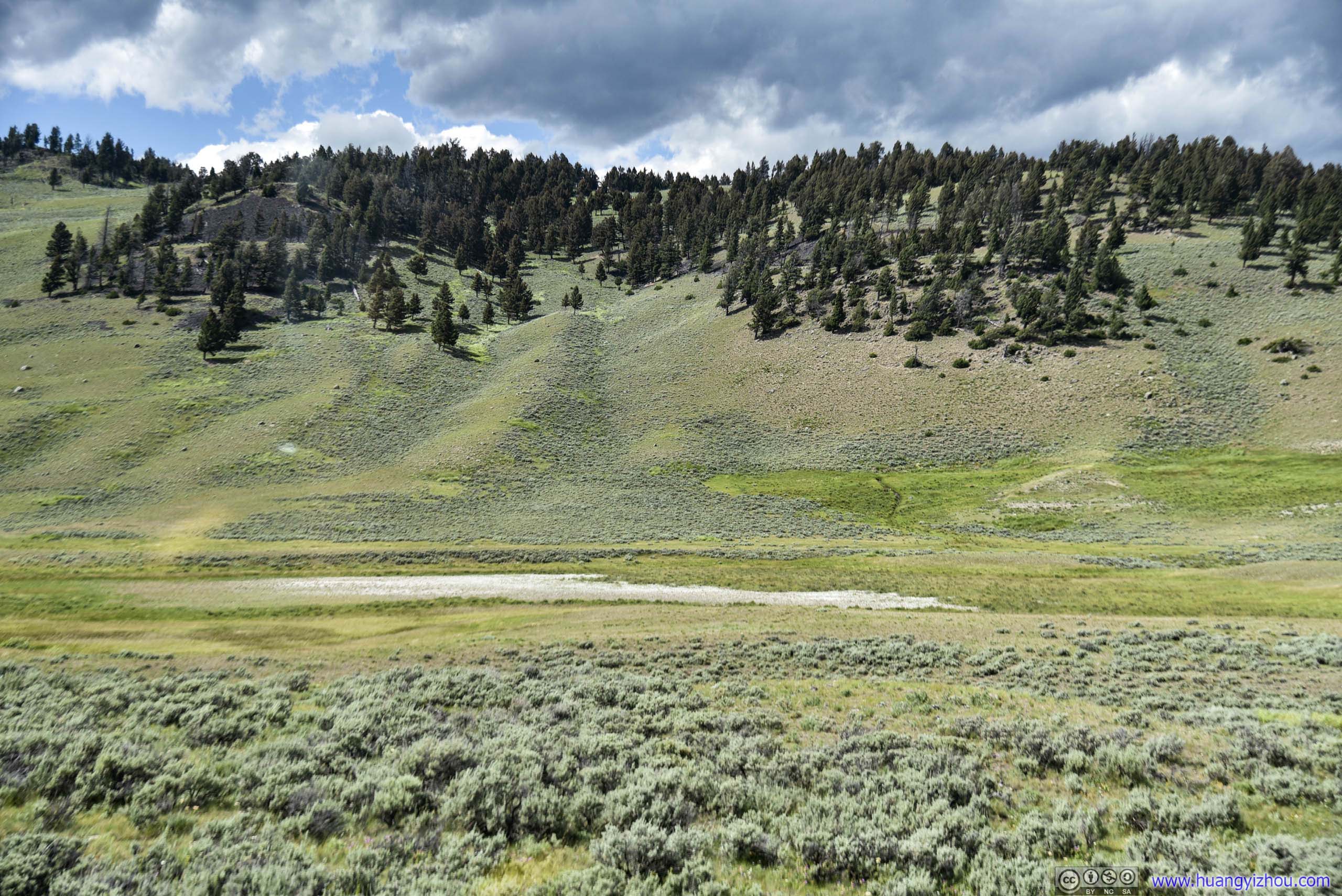
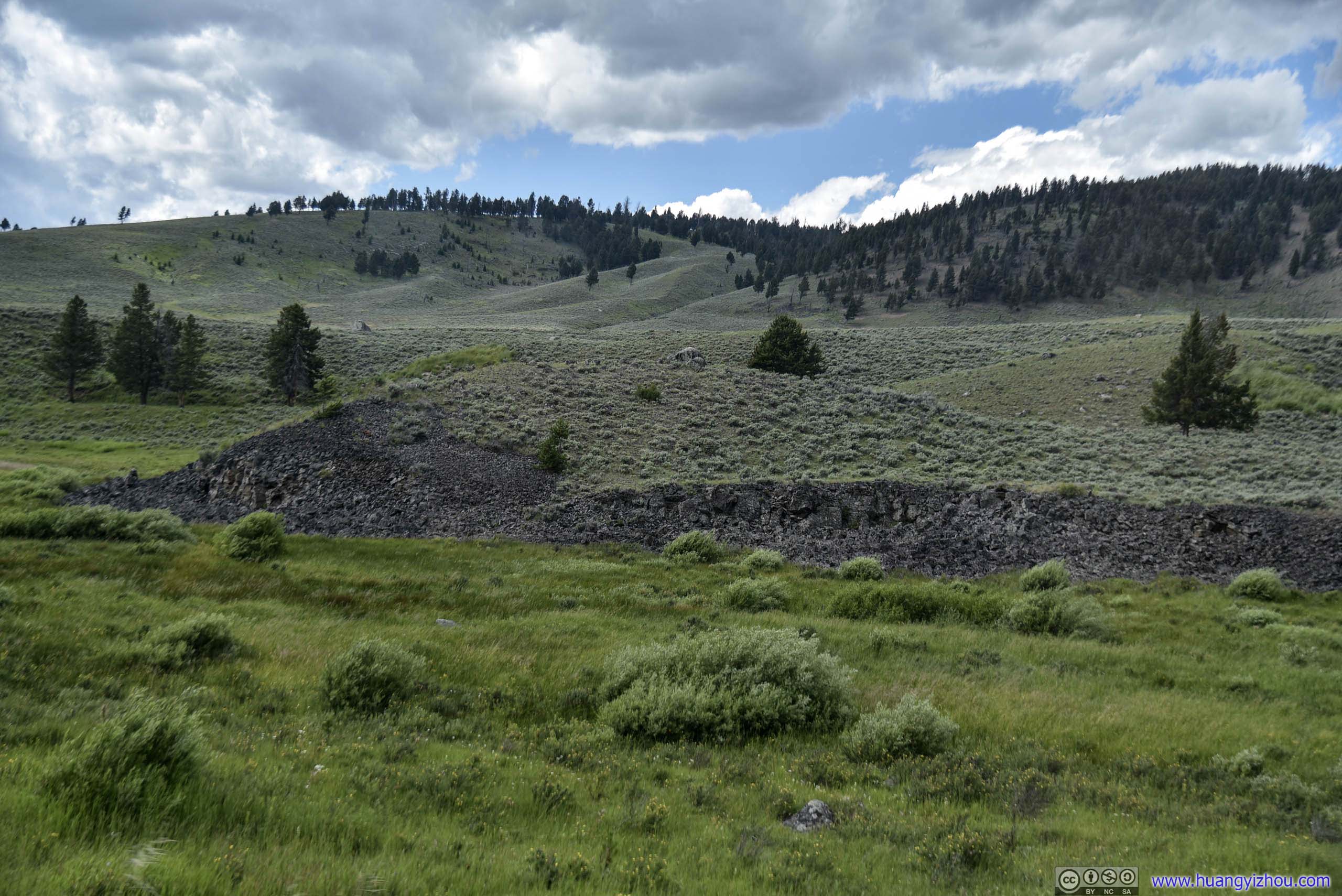
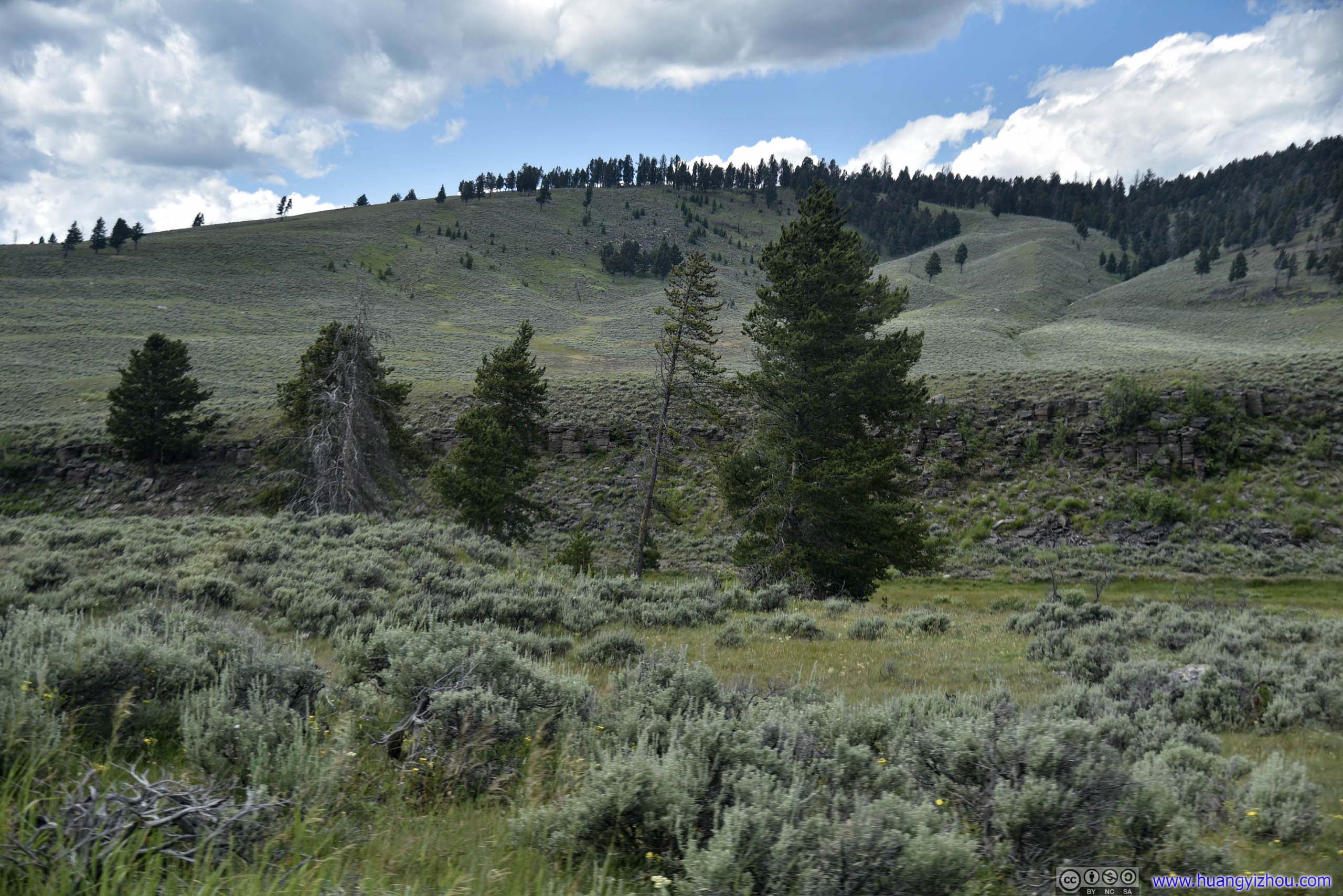
Field
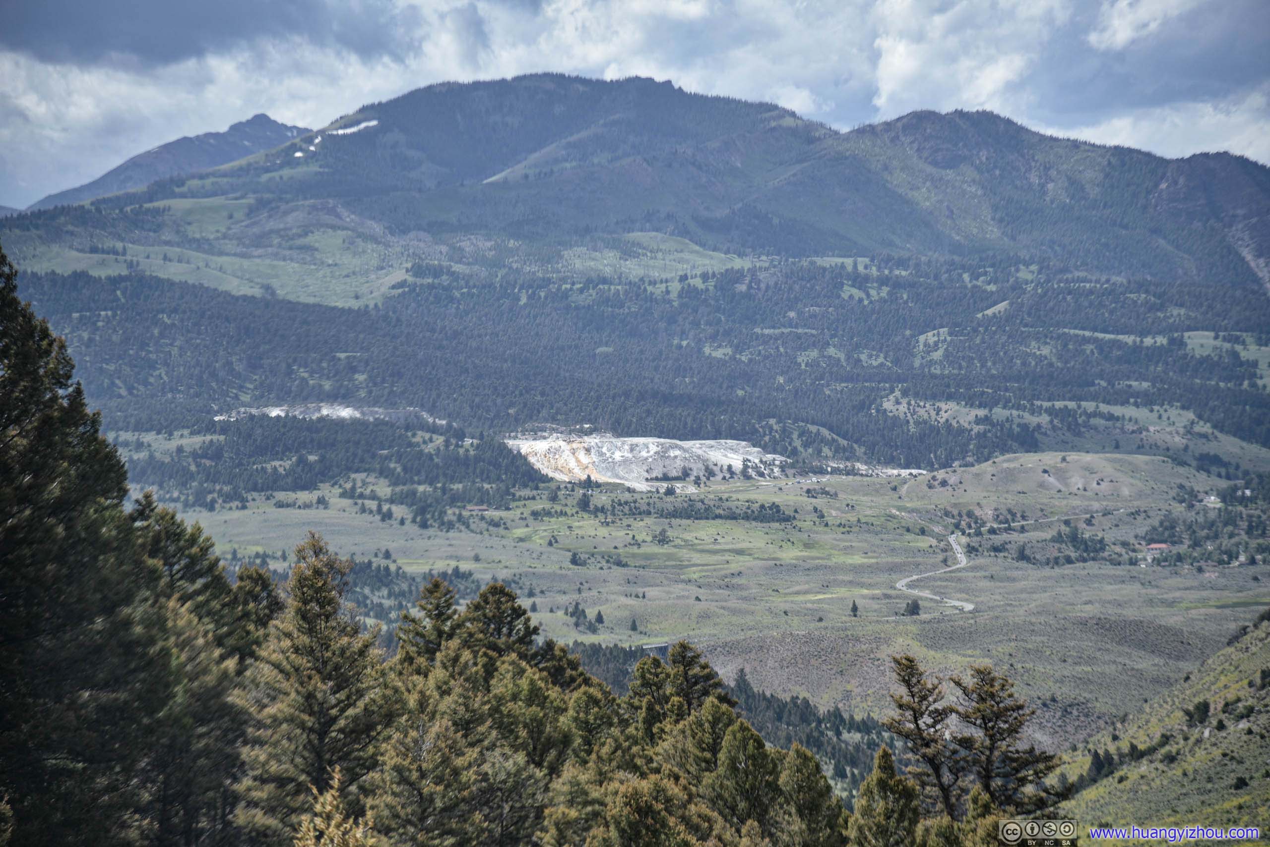
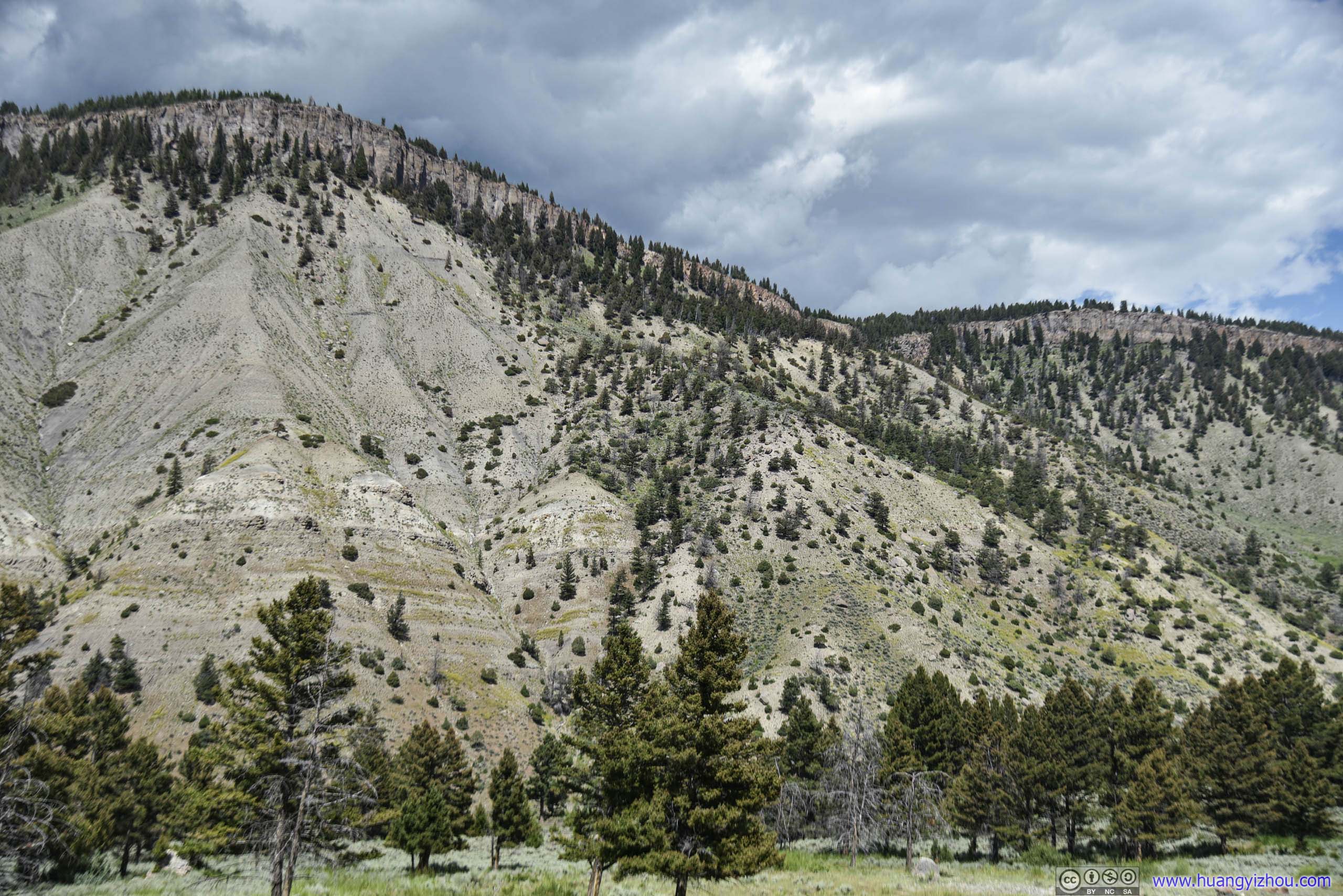
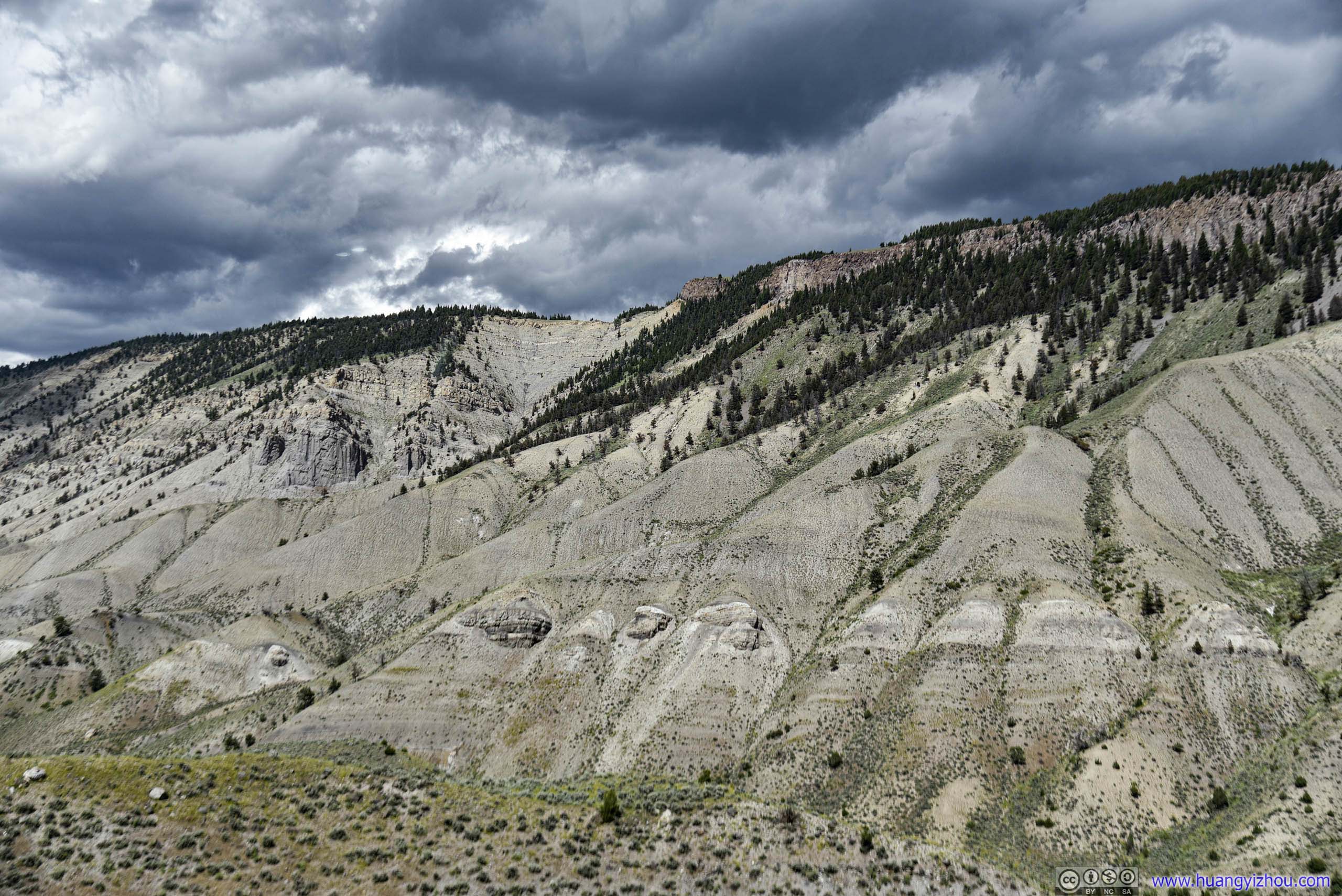
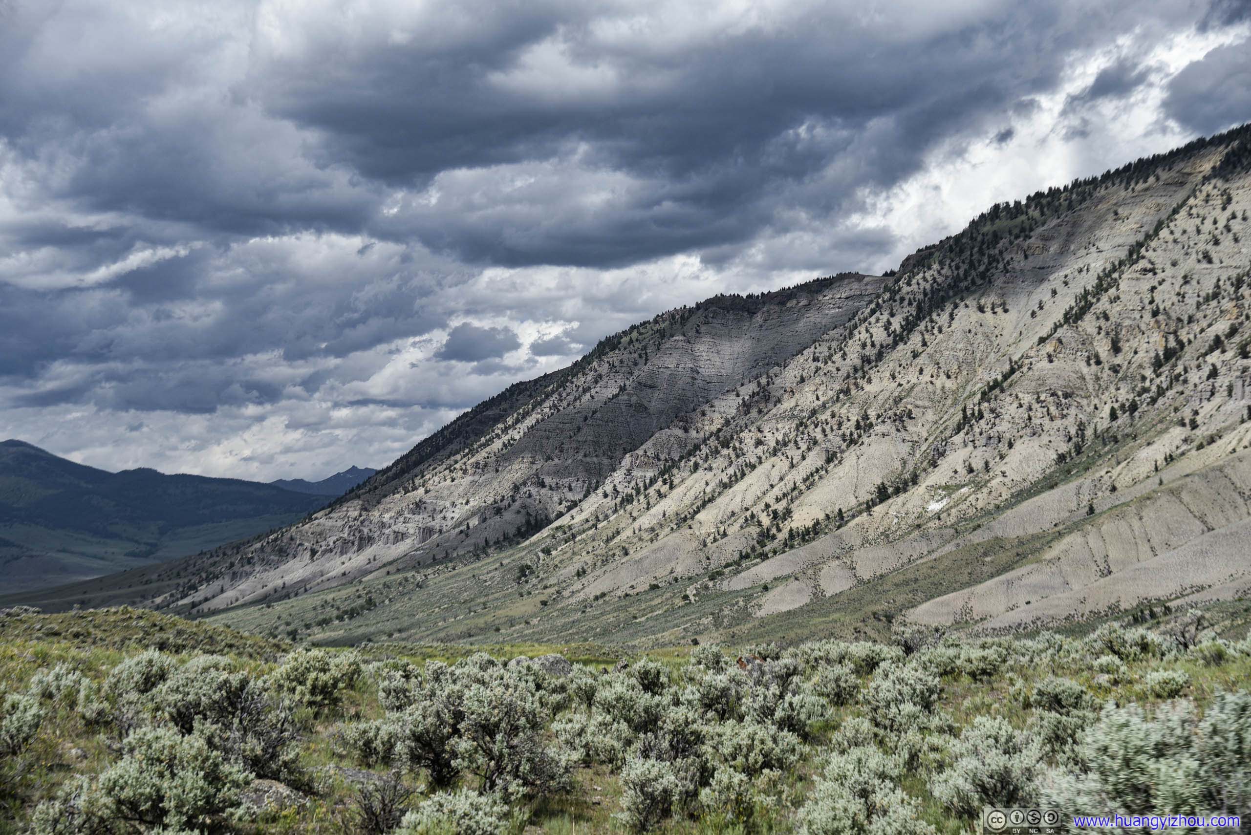
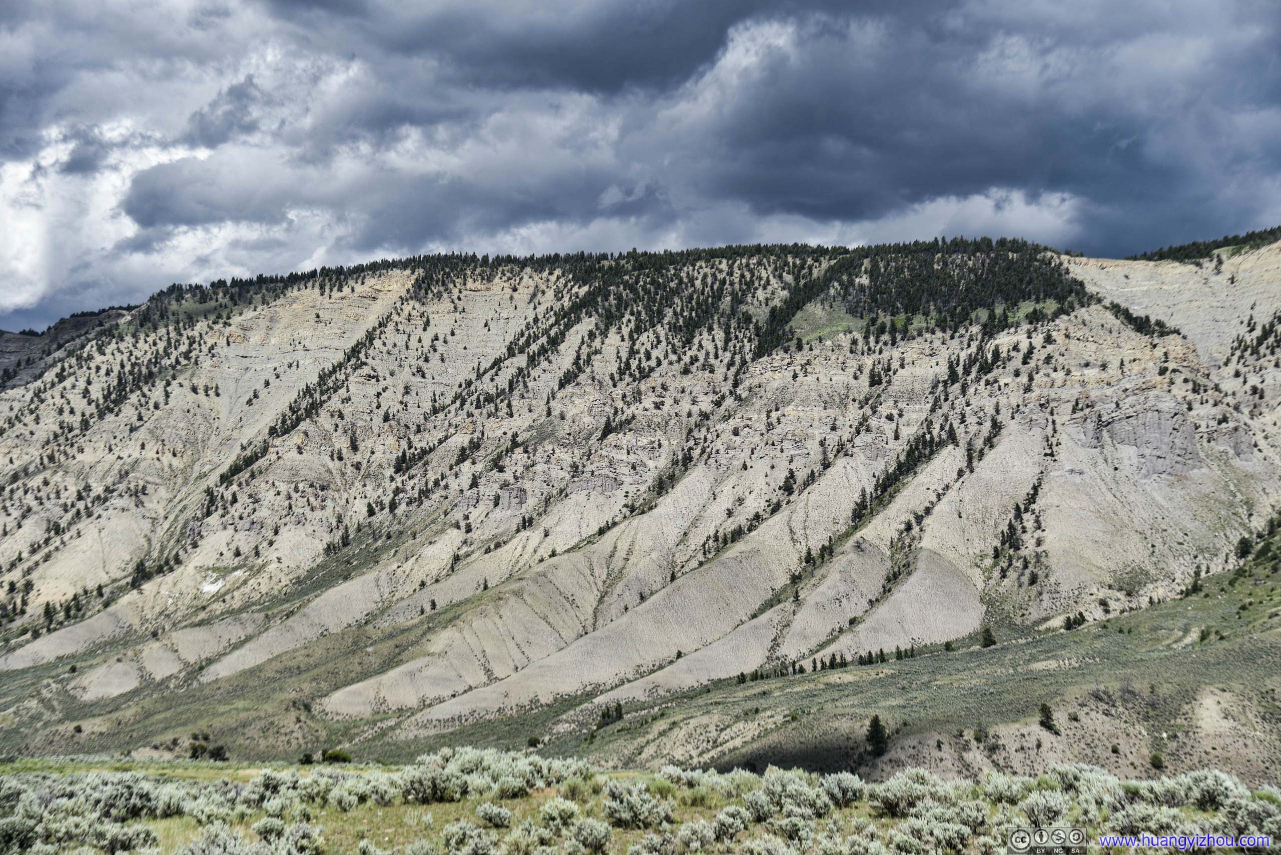
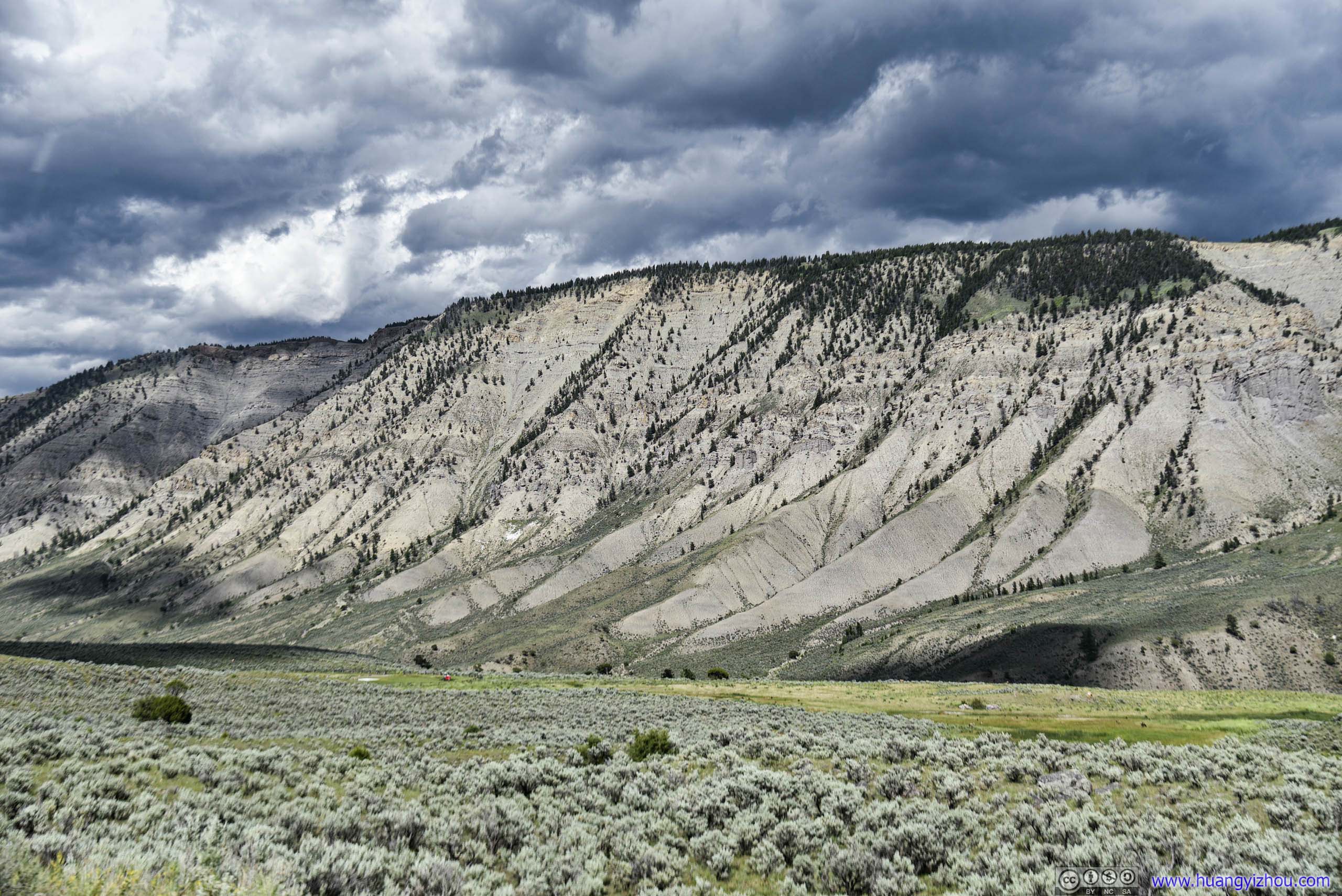
Mount Everts
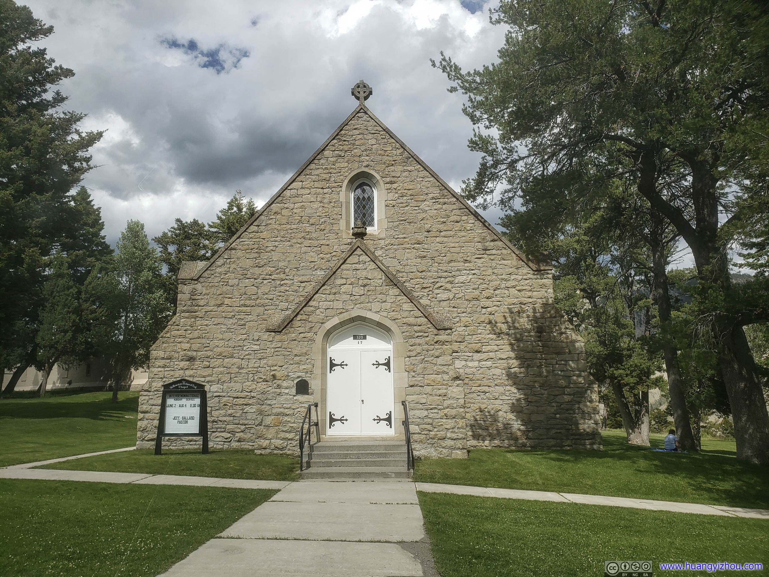
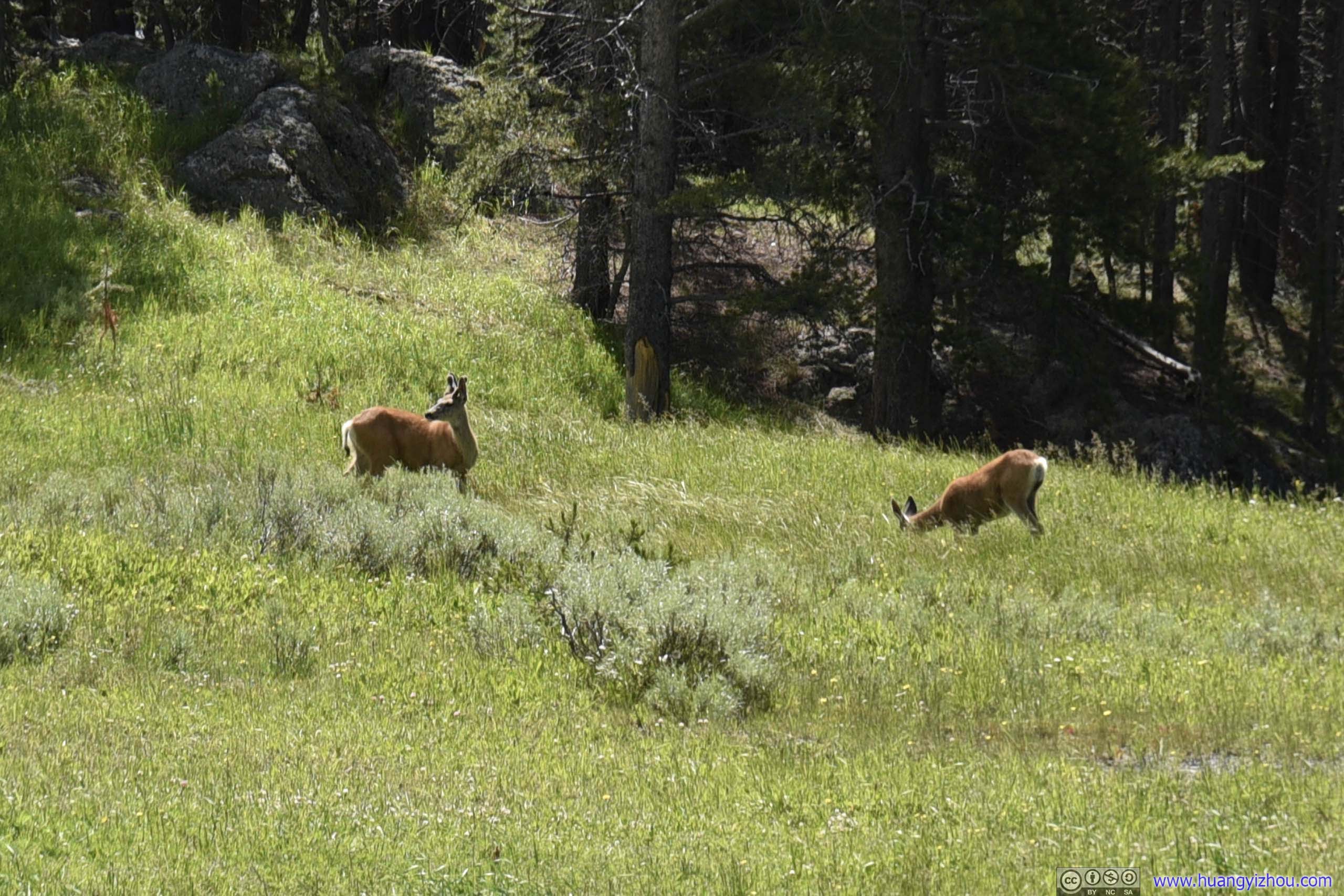
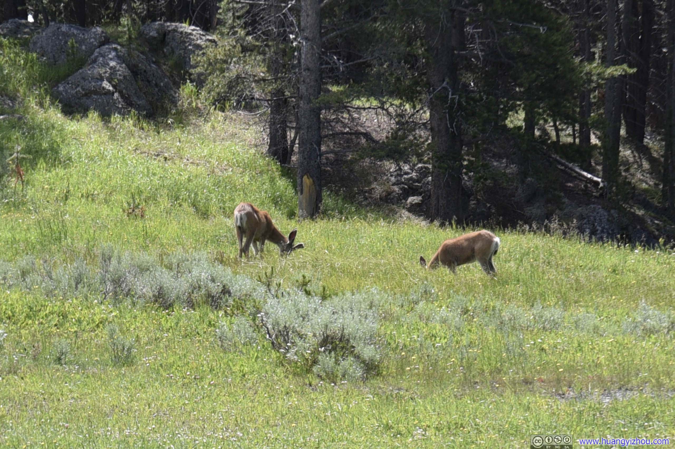
Just outside Mammoth Chapel, we made a brief stop watching a pack of deer enjoying themselves on the lawn. They certainly seemed adapted to civilization nearby?
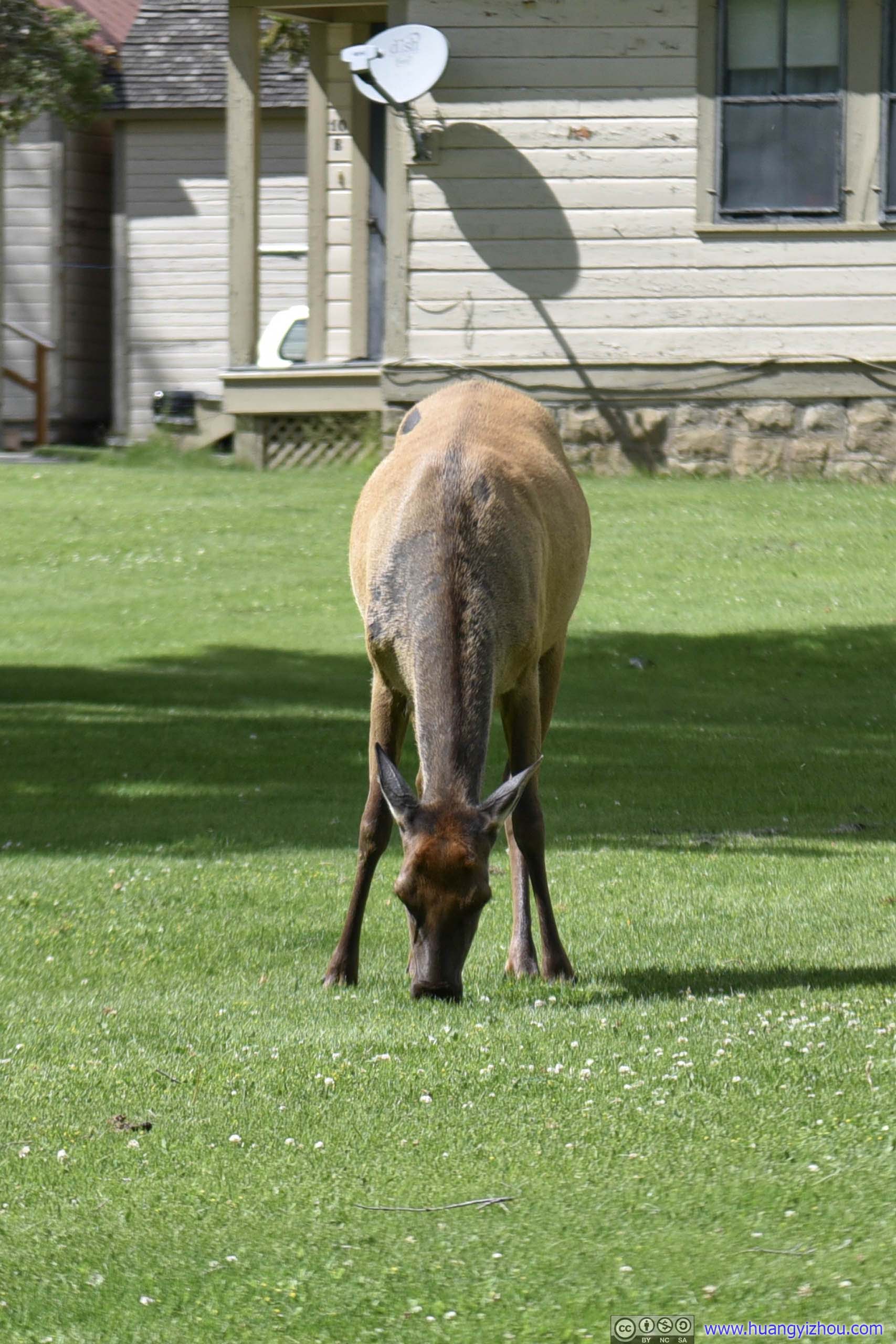
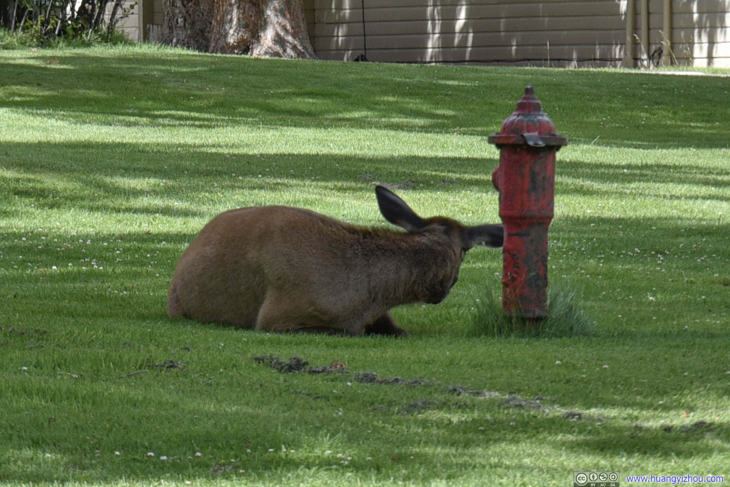

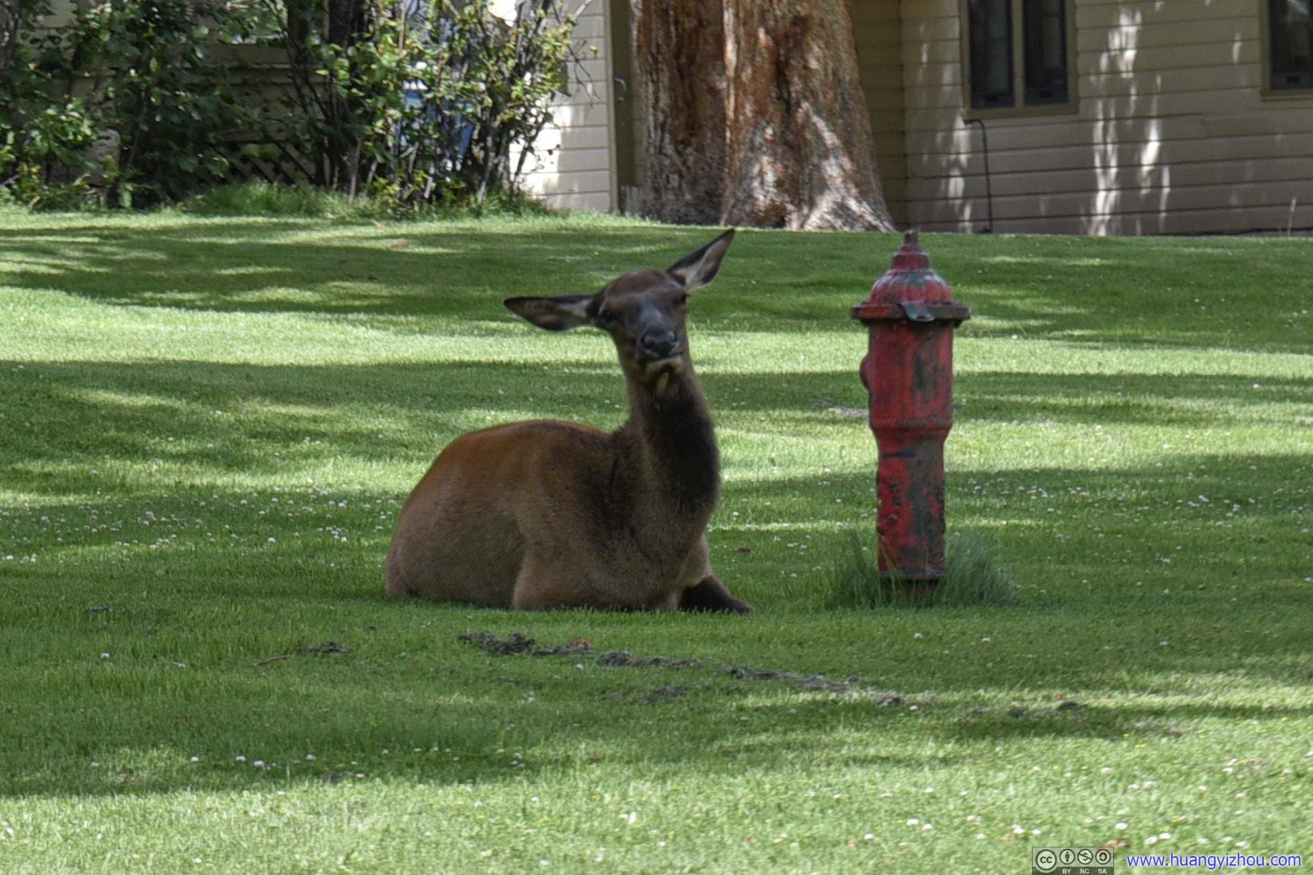
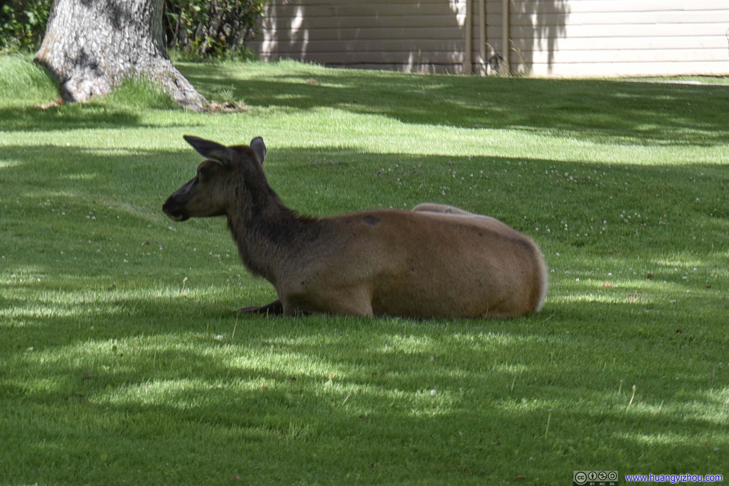
Deer
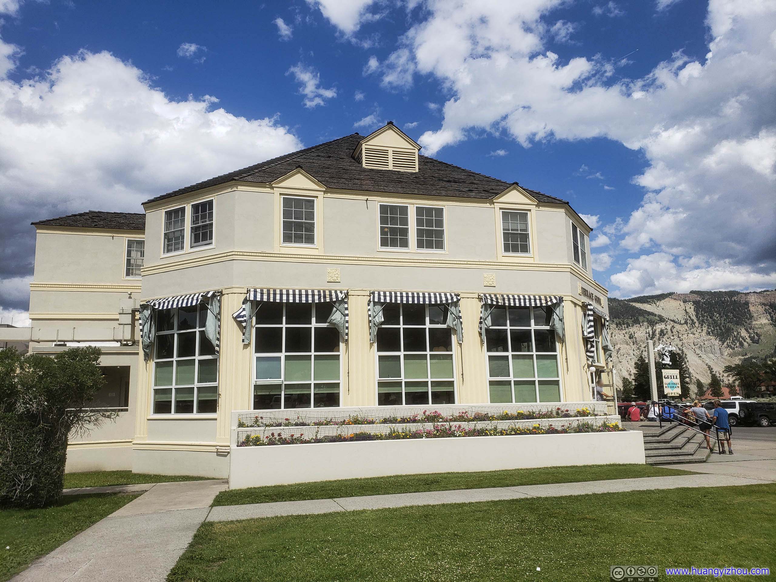
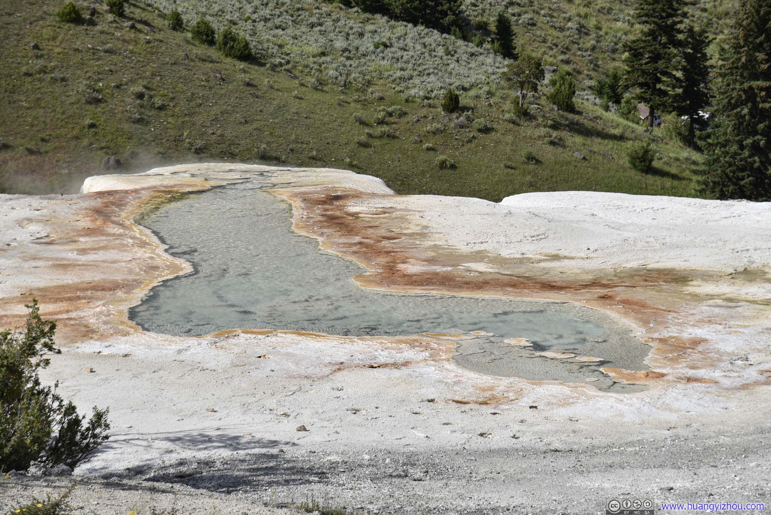
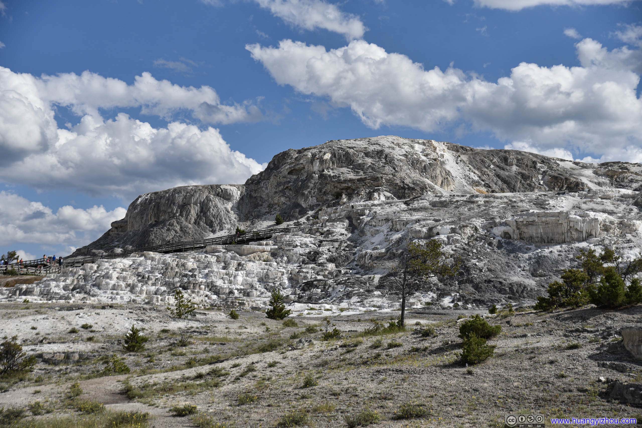
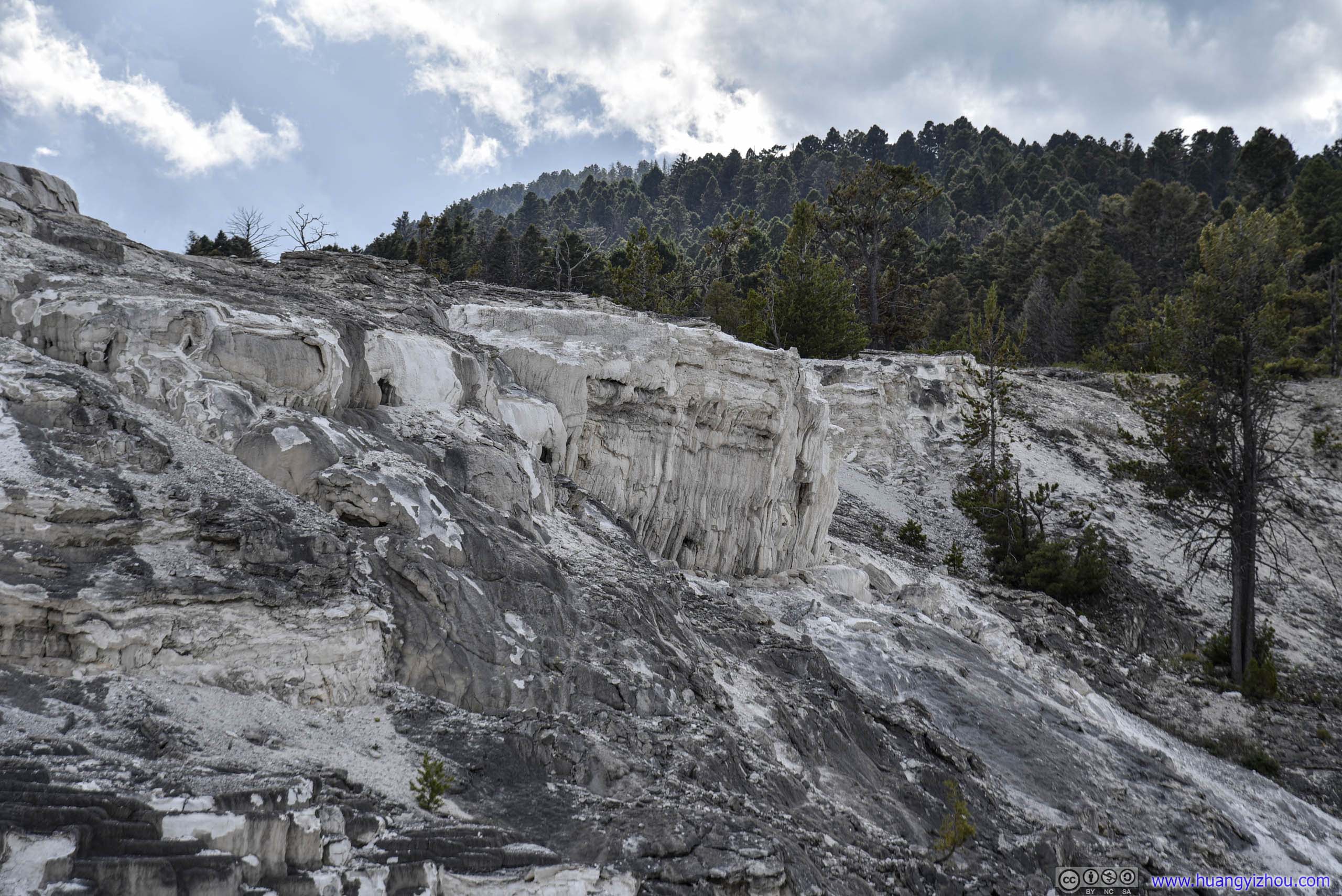
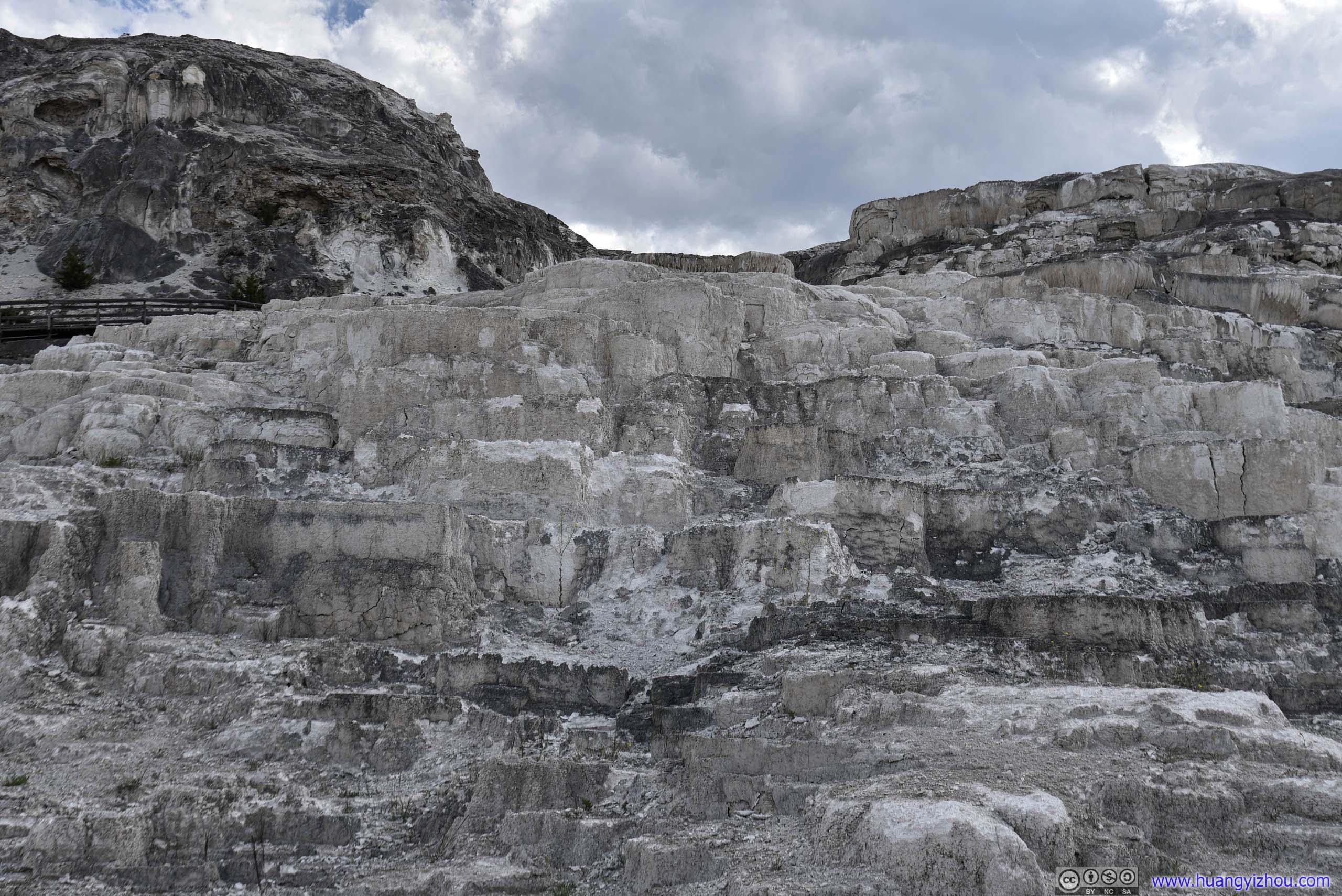
After some feasting at Mammoth Dining Room, it was 4:30 pm as we started to tour Mammoth Hot Springs area, which was possibly the largest travertine hill in the park.
We started with its lower part first, which featured many terraces.
Mammoth Hot Springs
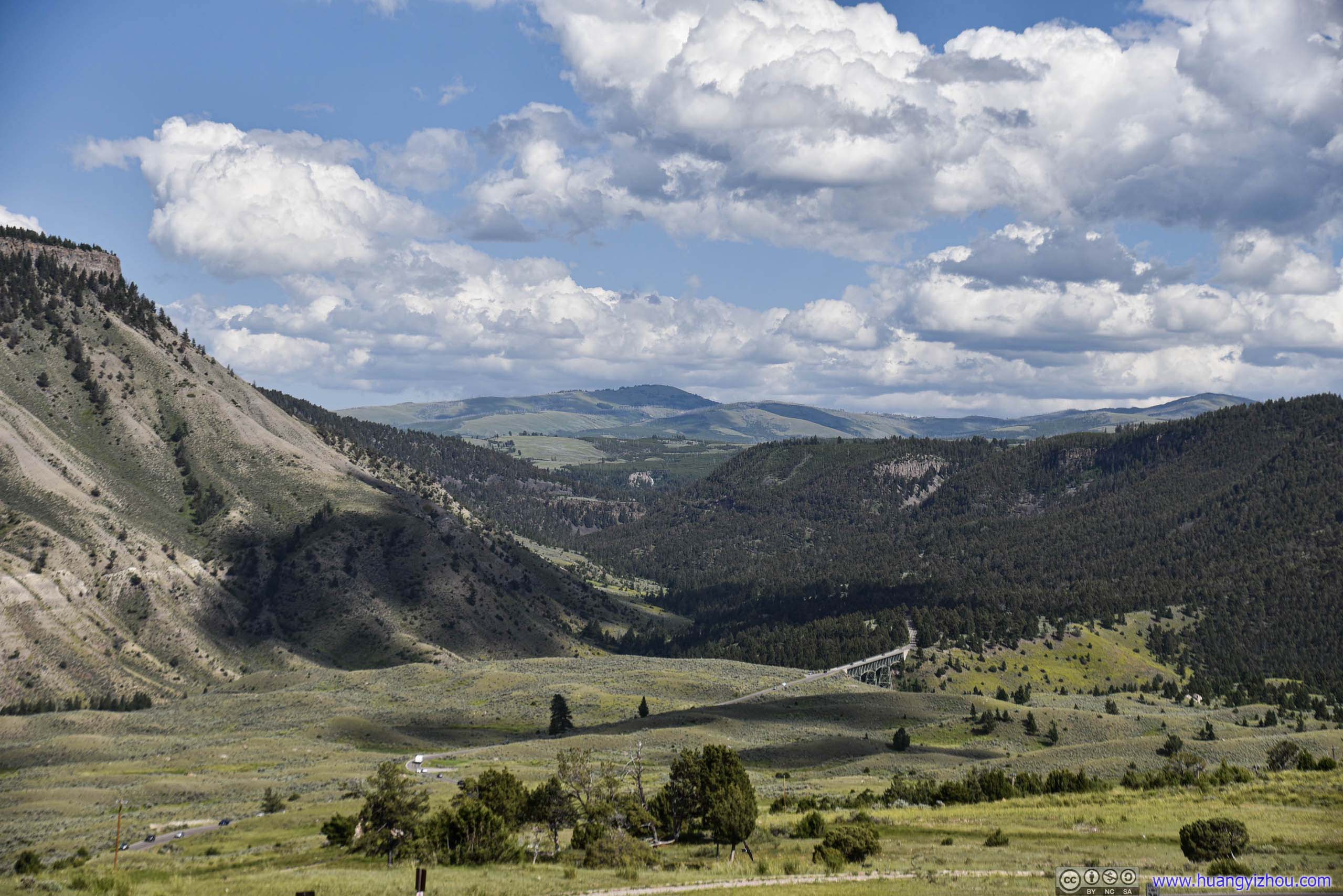
Grand Loop Road bridge over Gardiner River.
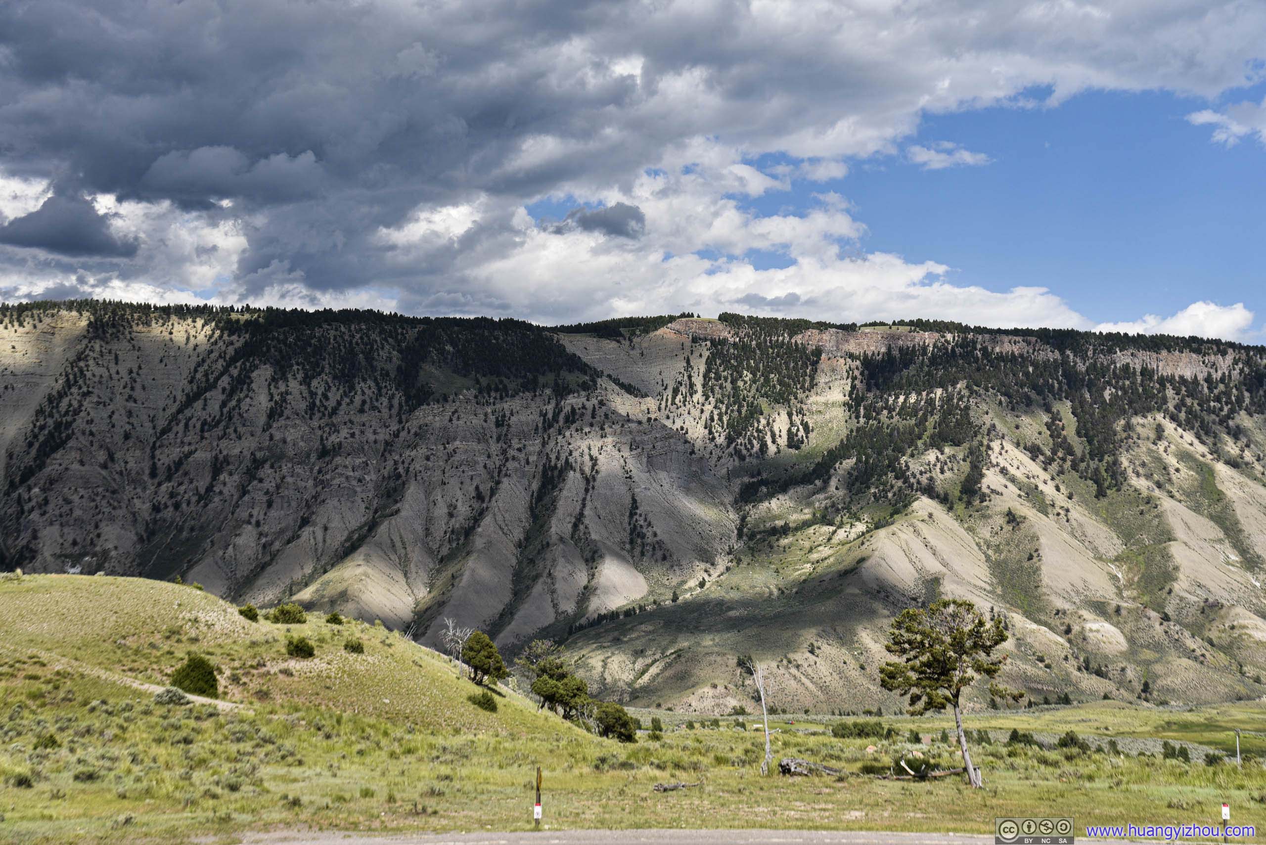
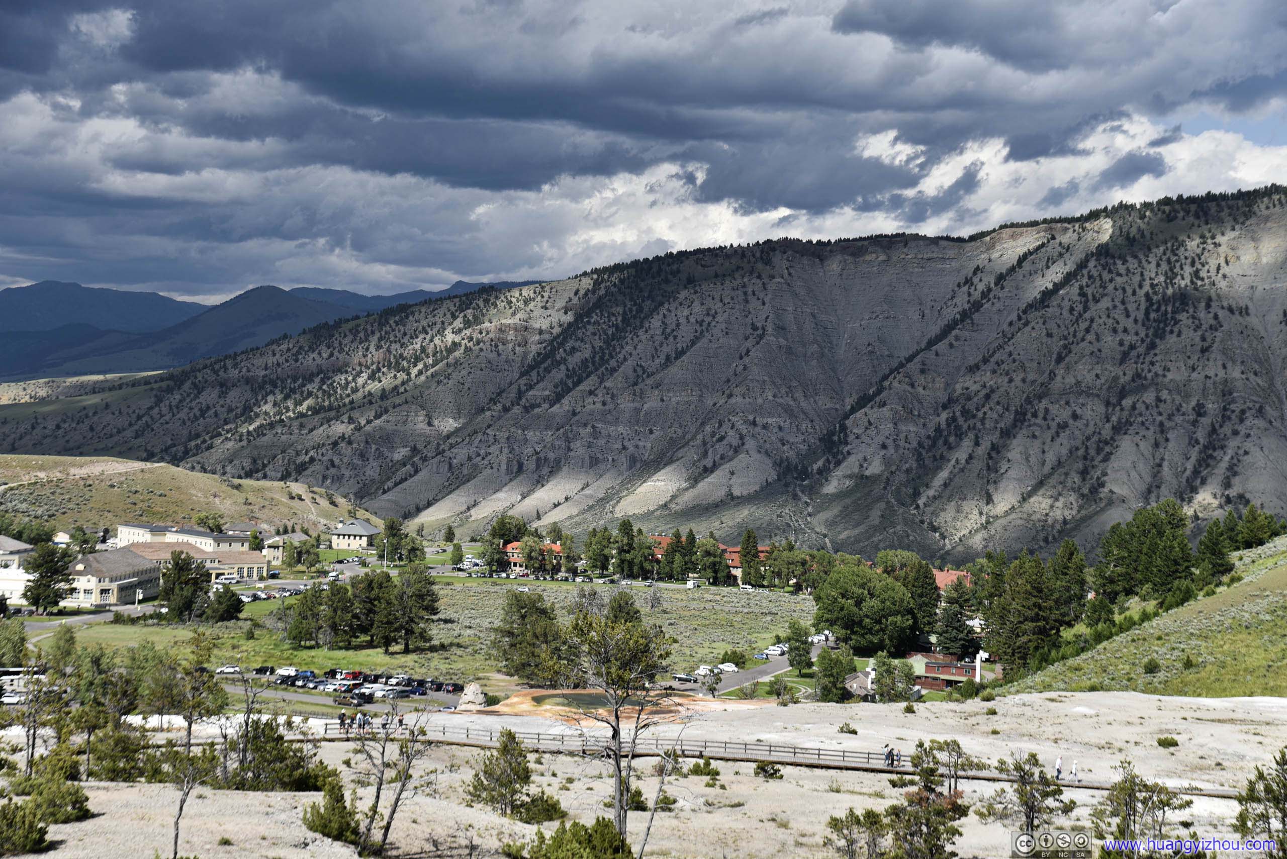
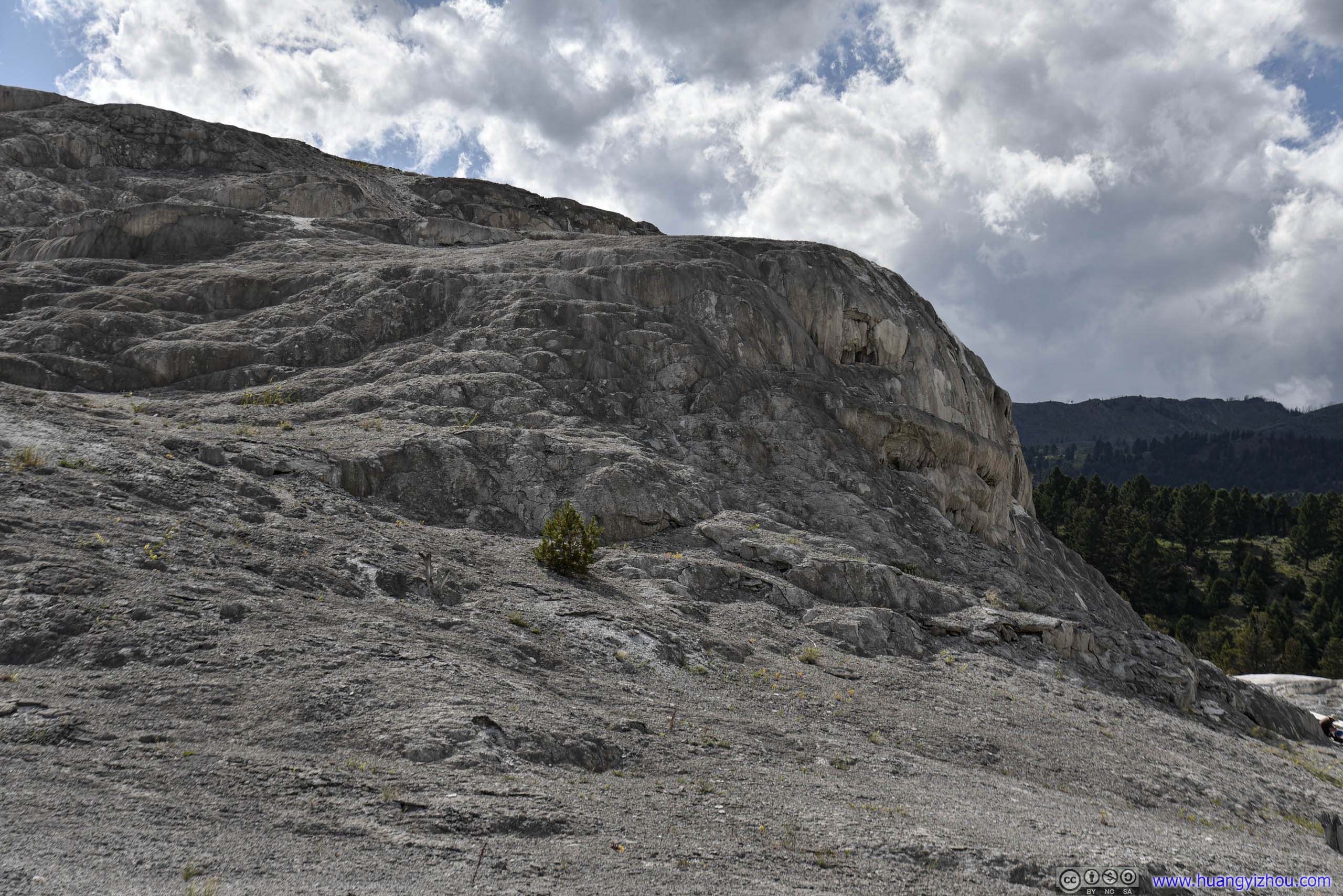
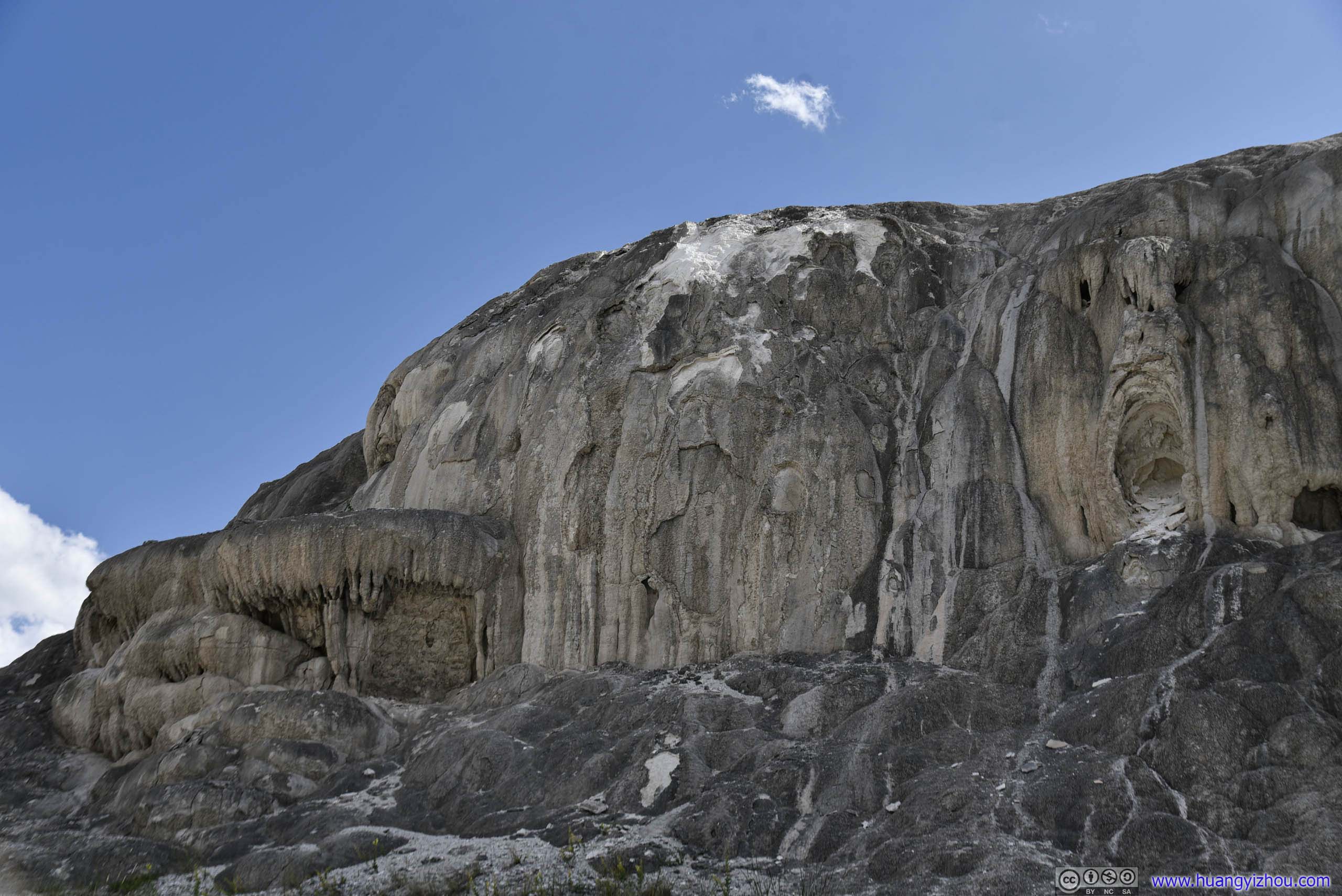
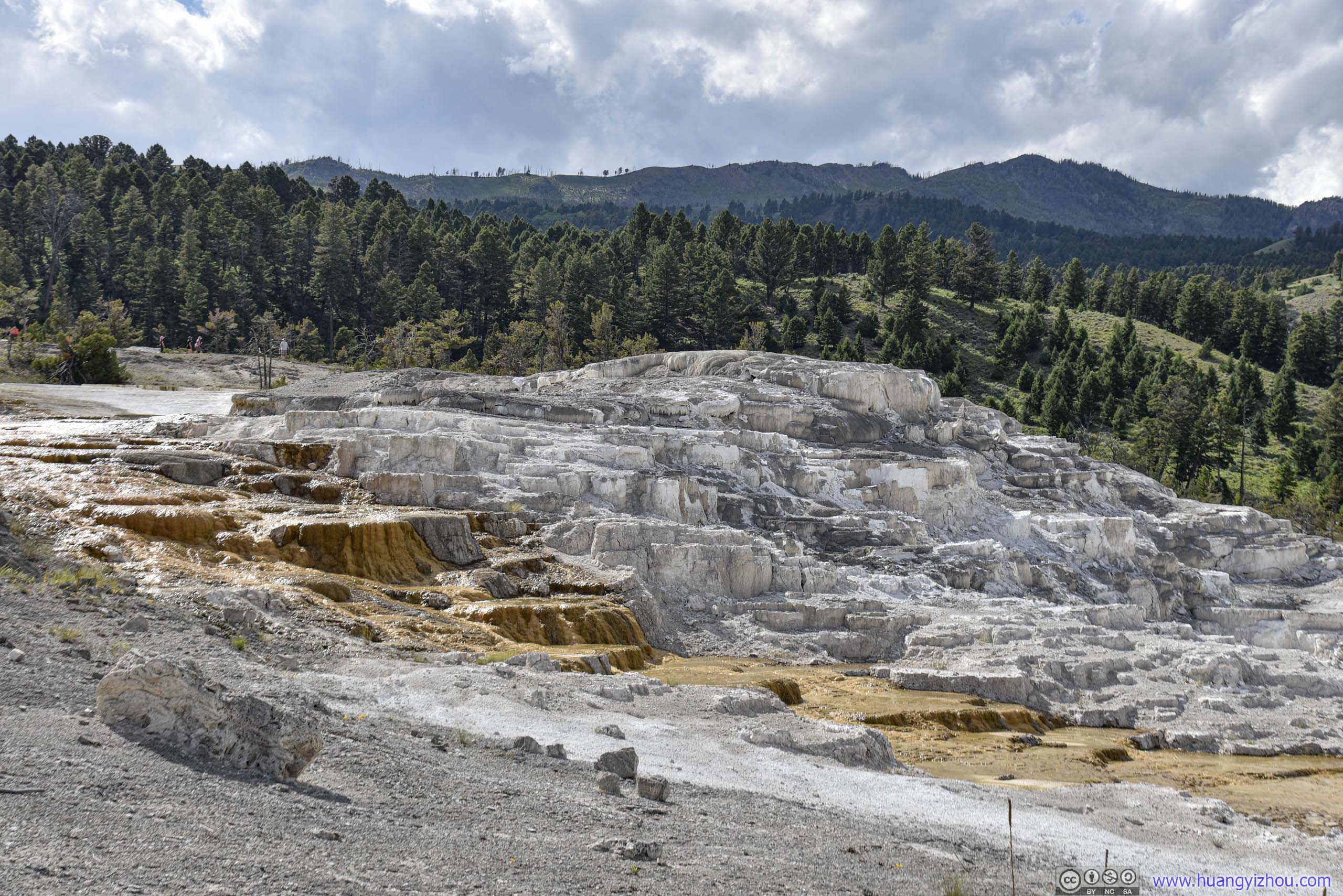
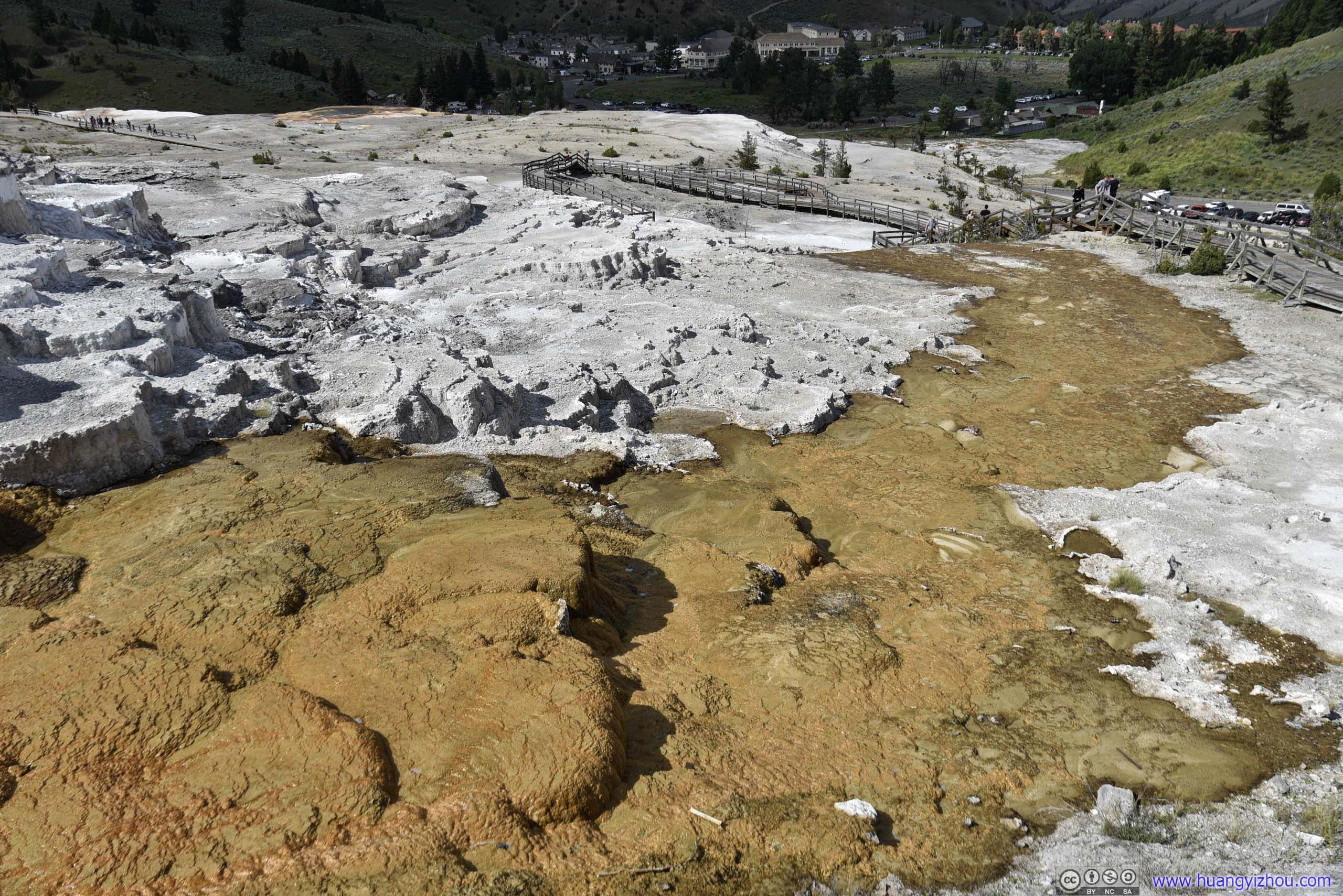
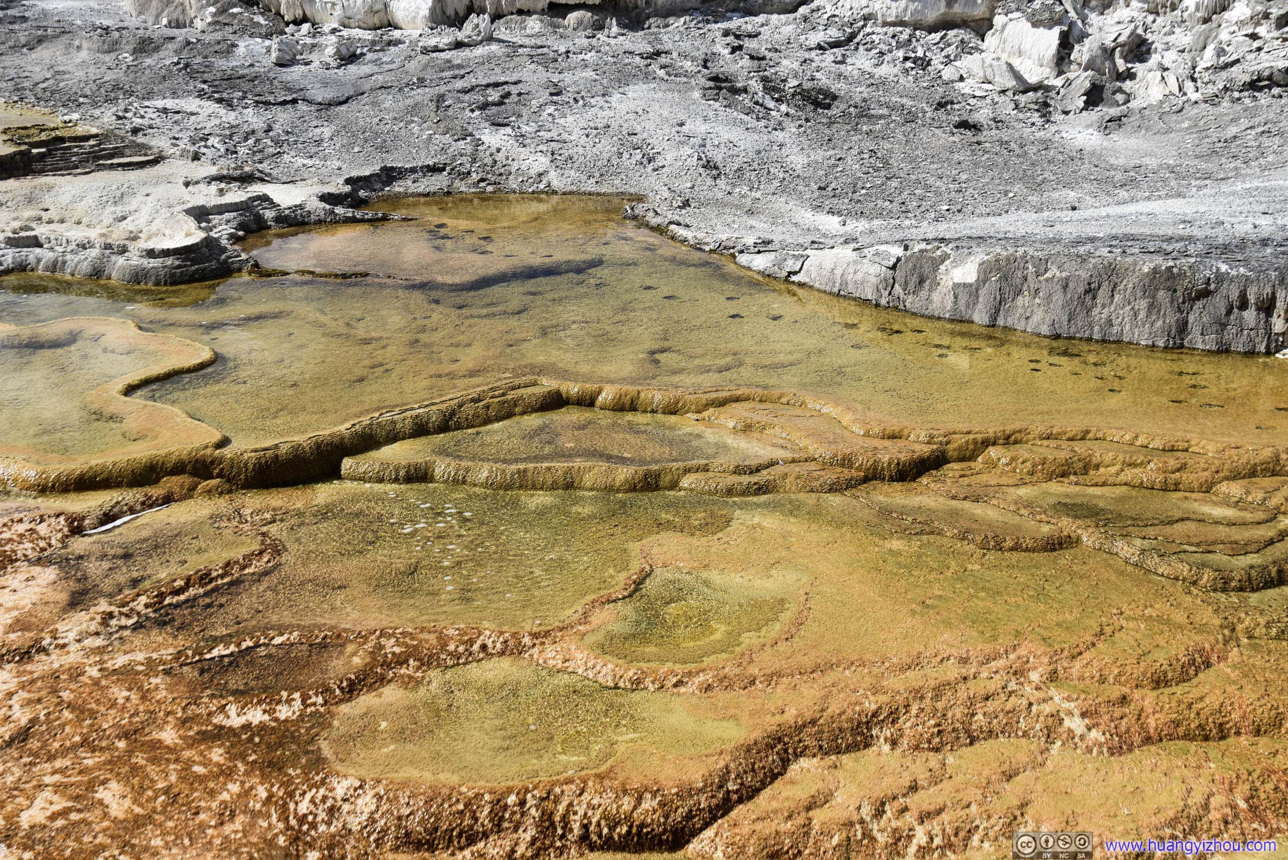
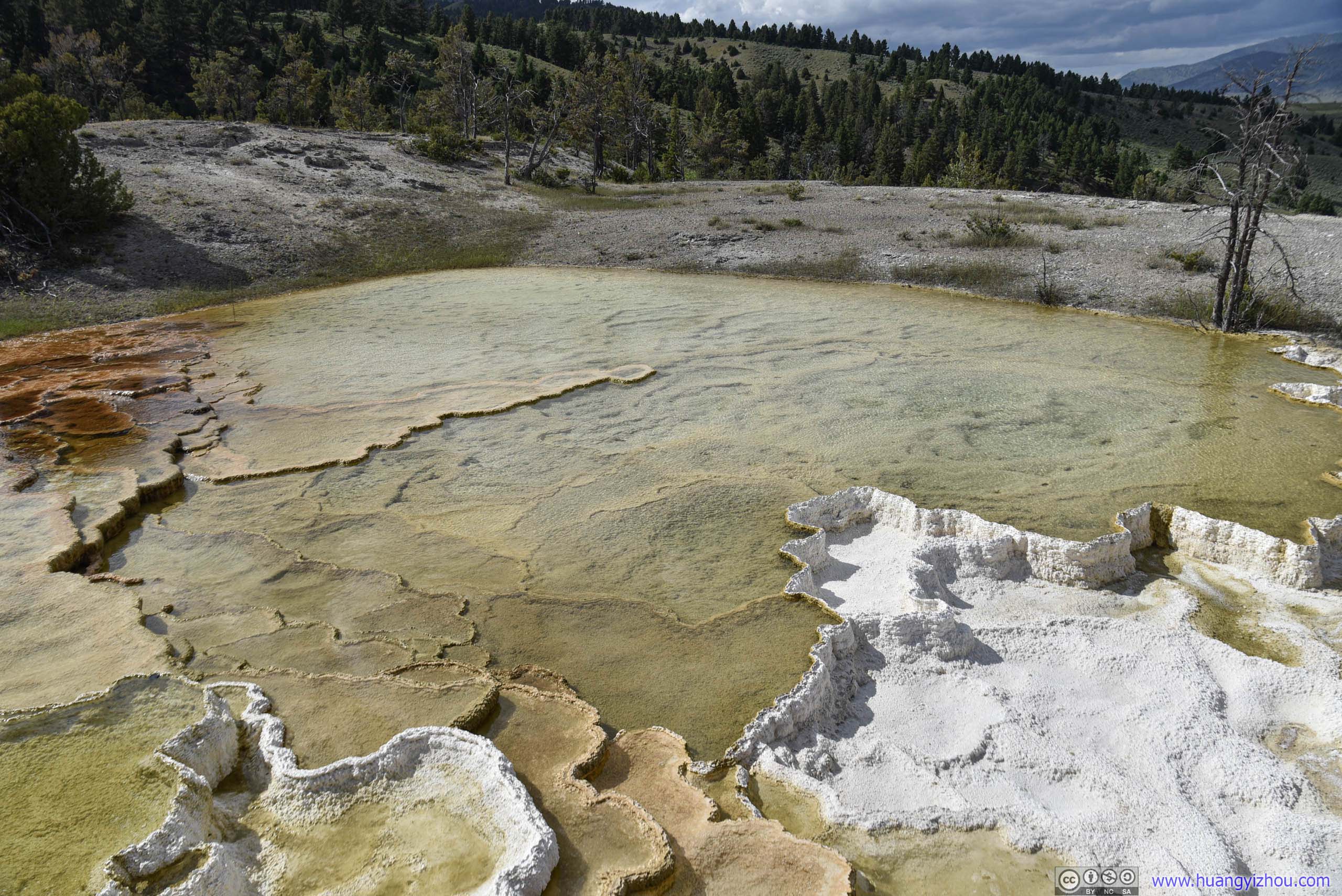
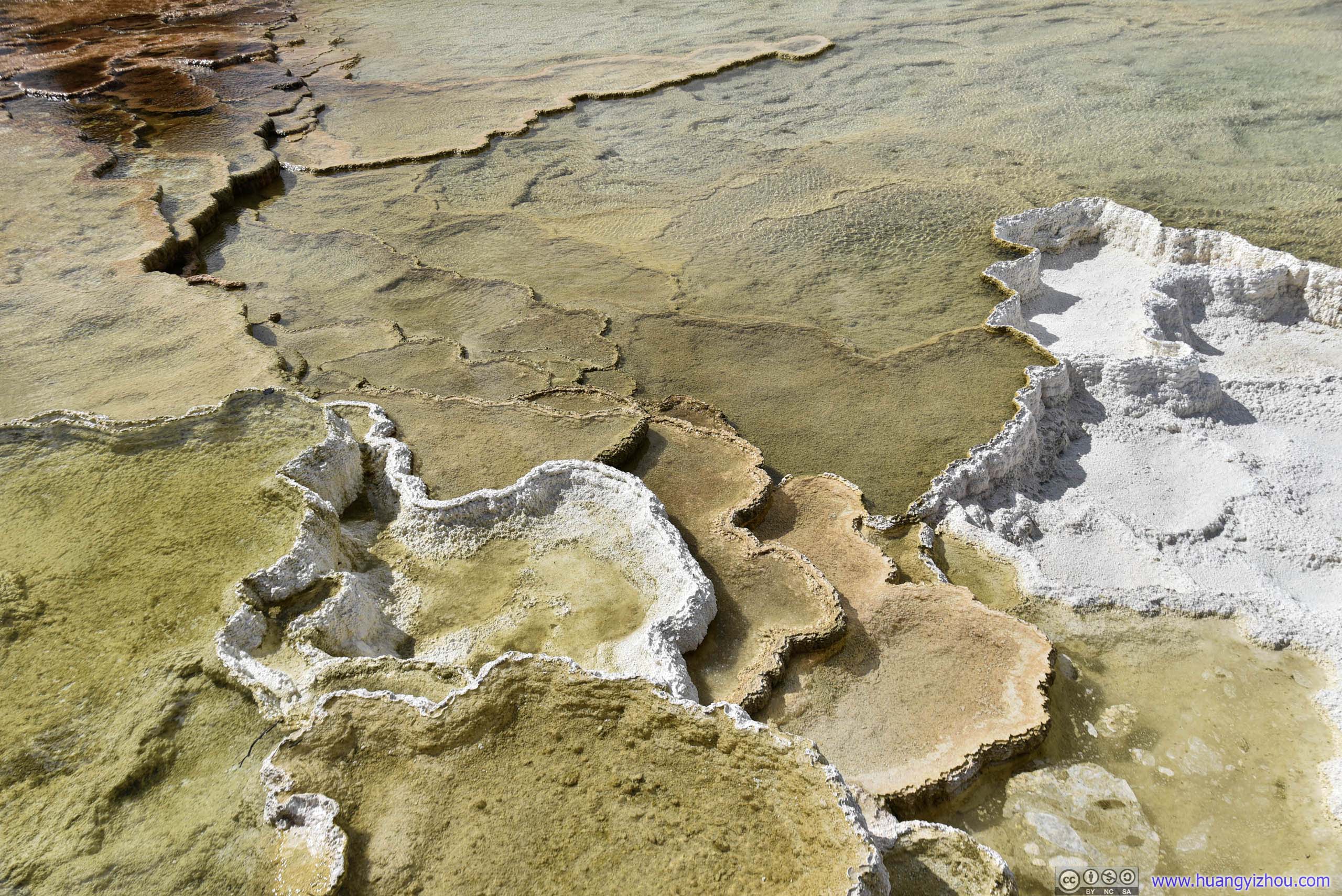
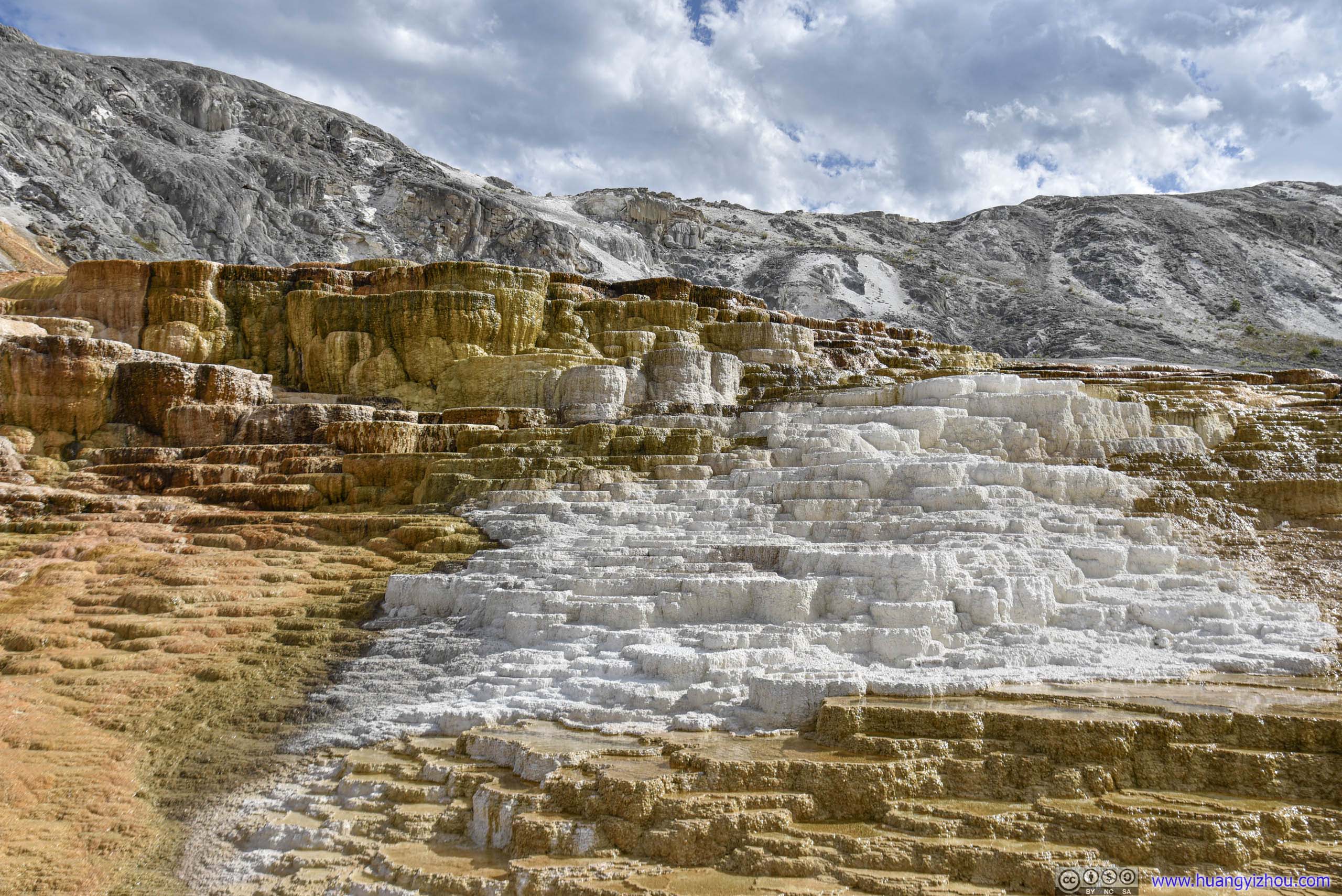
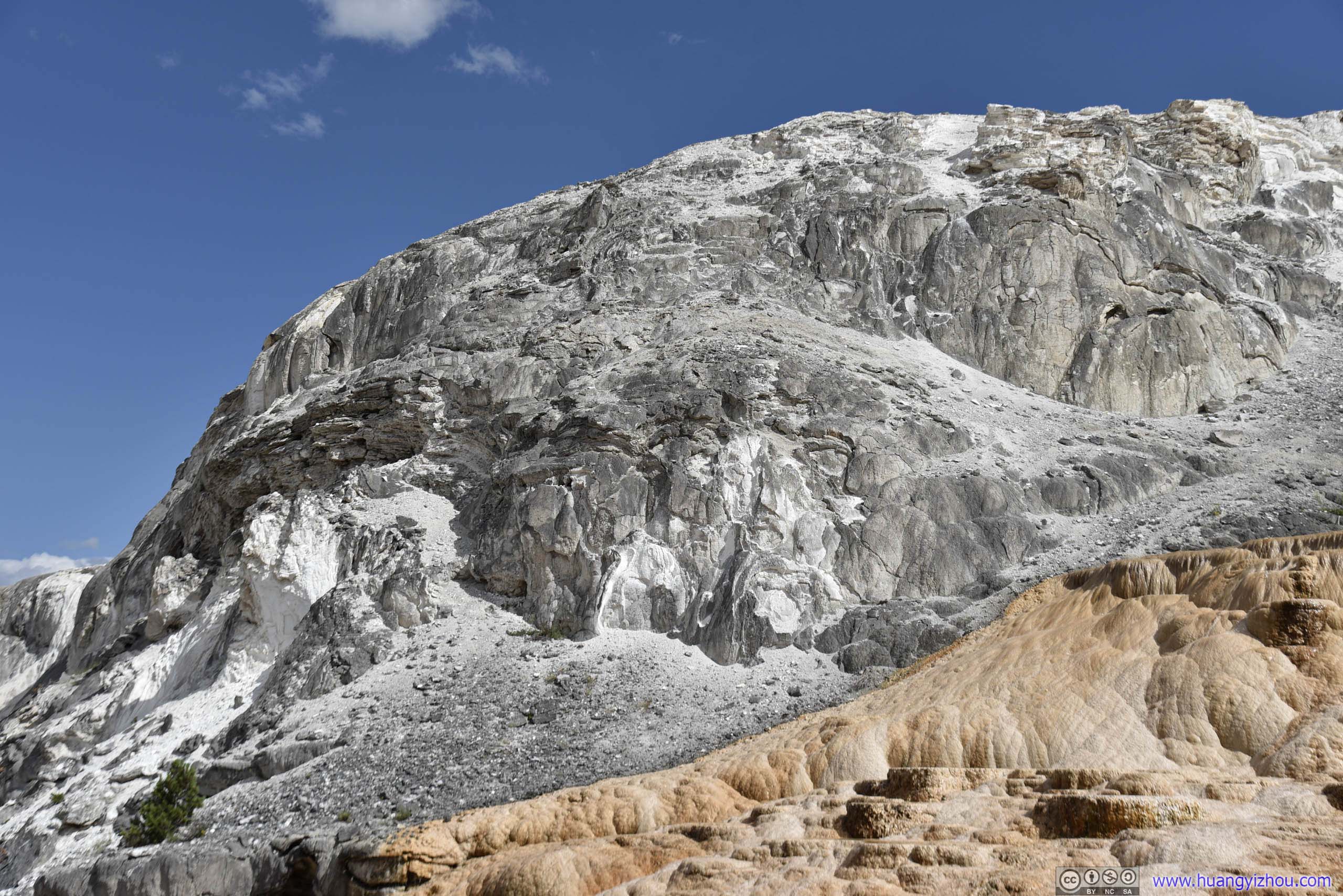
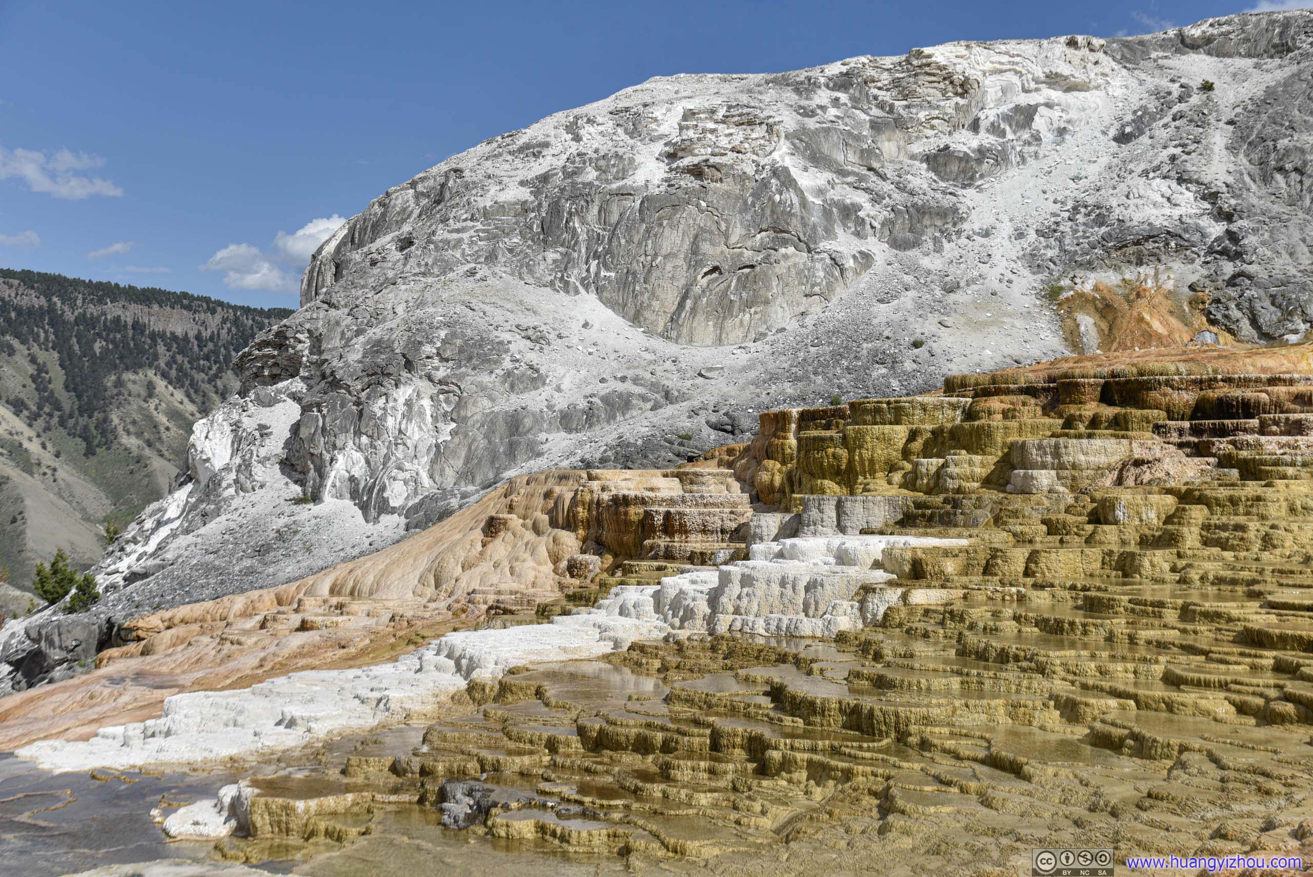
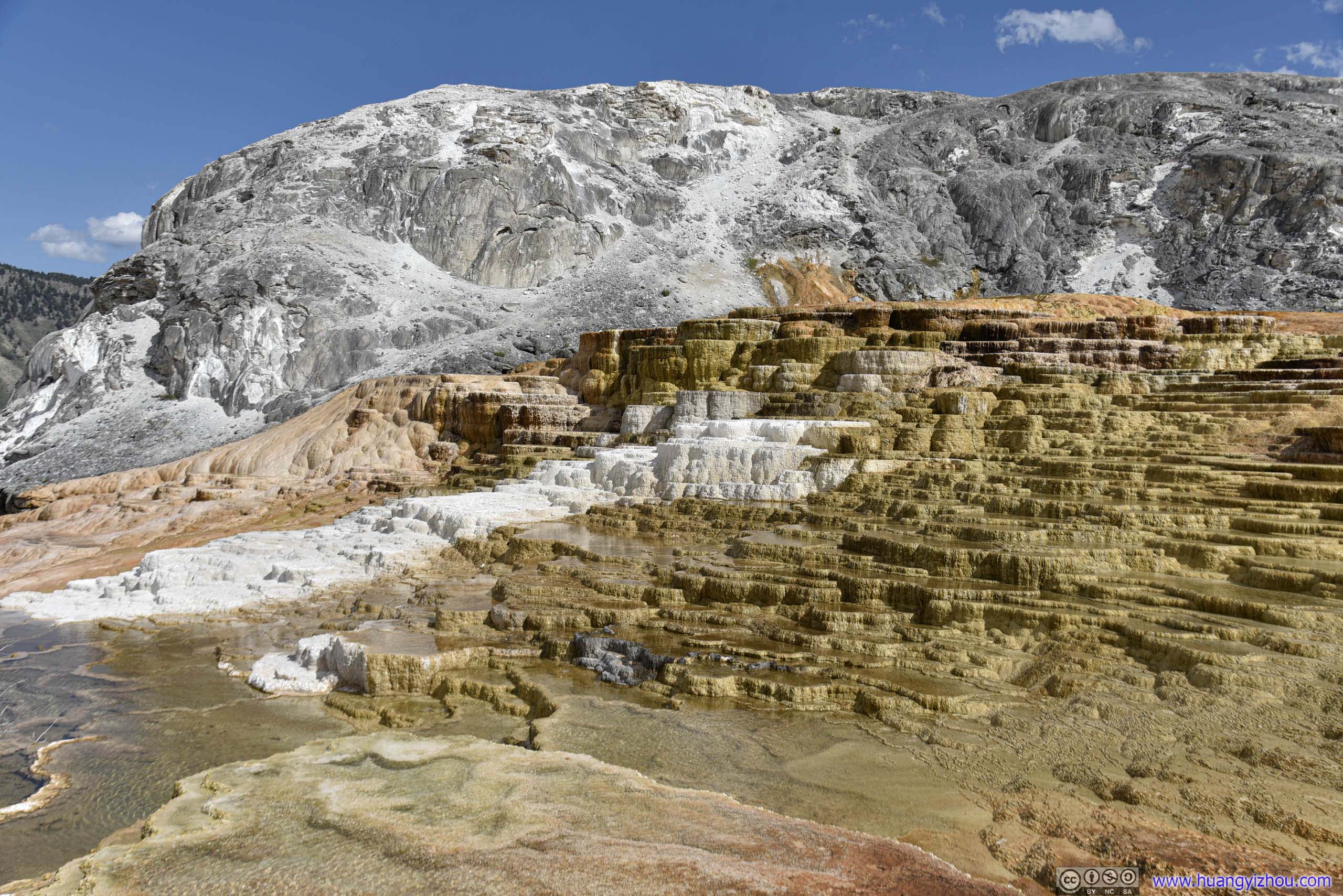
Mound Terrace
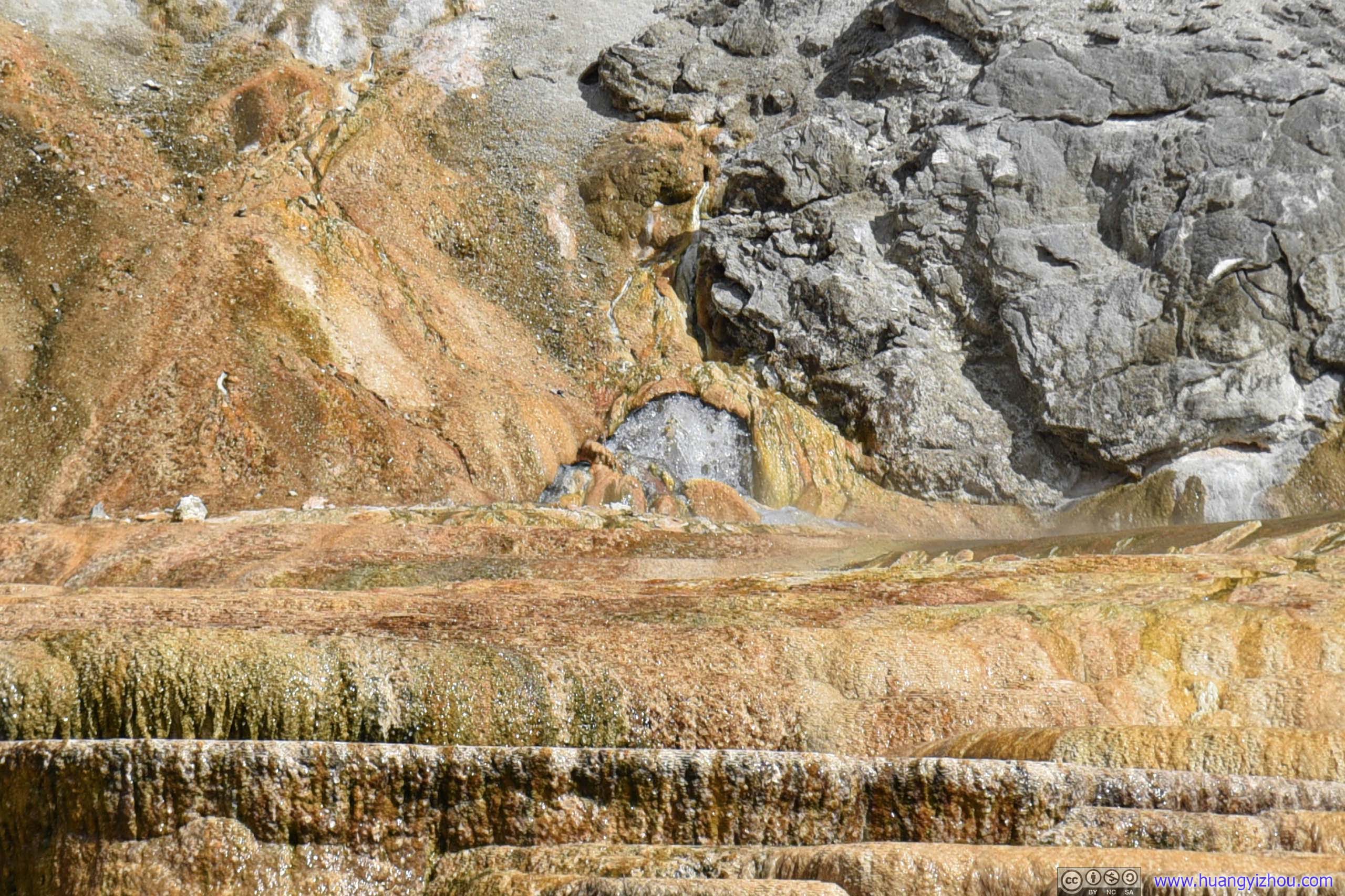
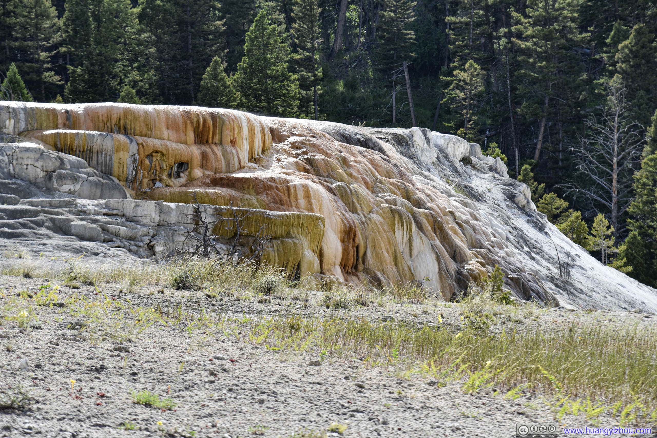
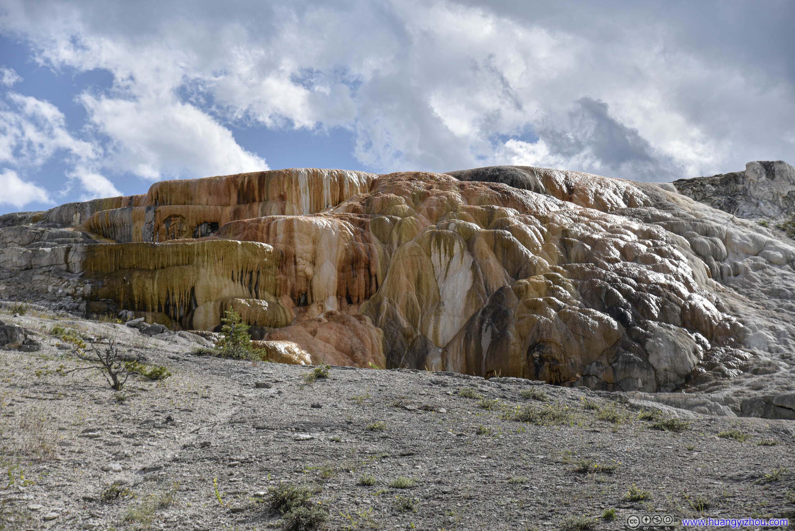
And our luck with wildlife never seemed to run out for the day.
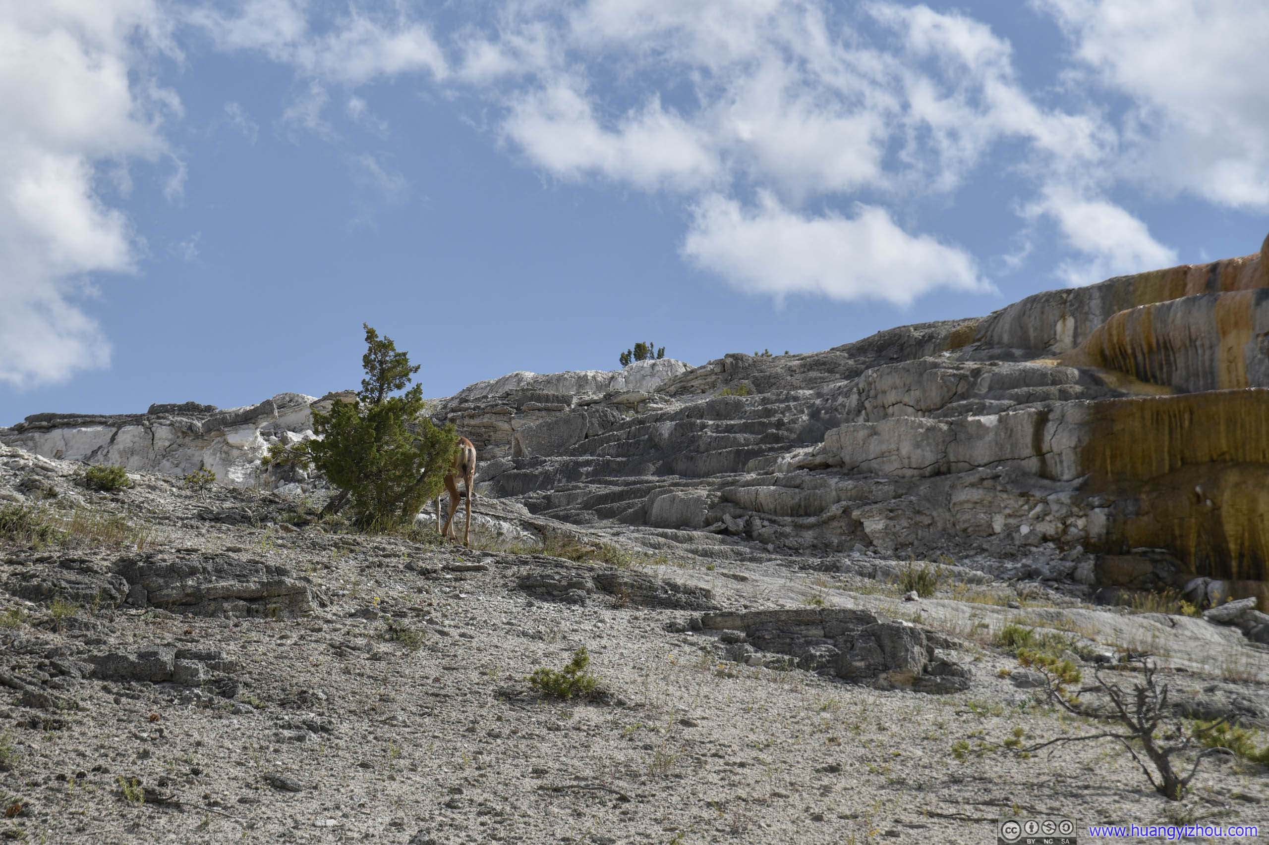
Just next to Cleopatra Terrace.
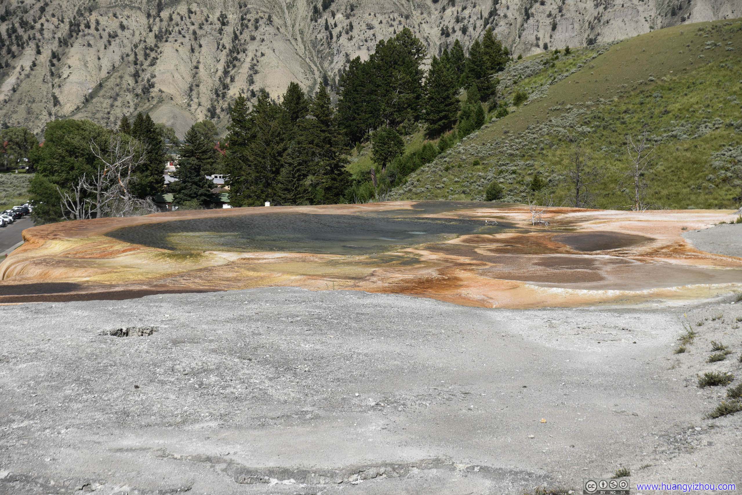
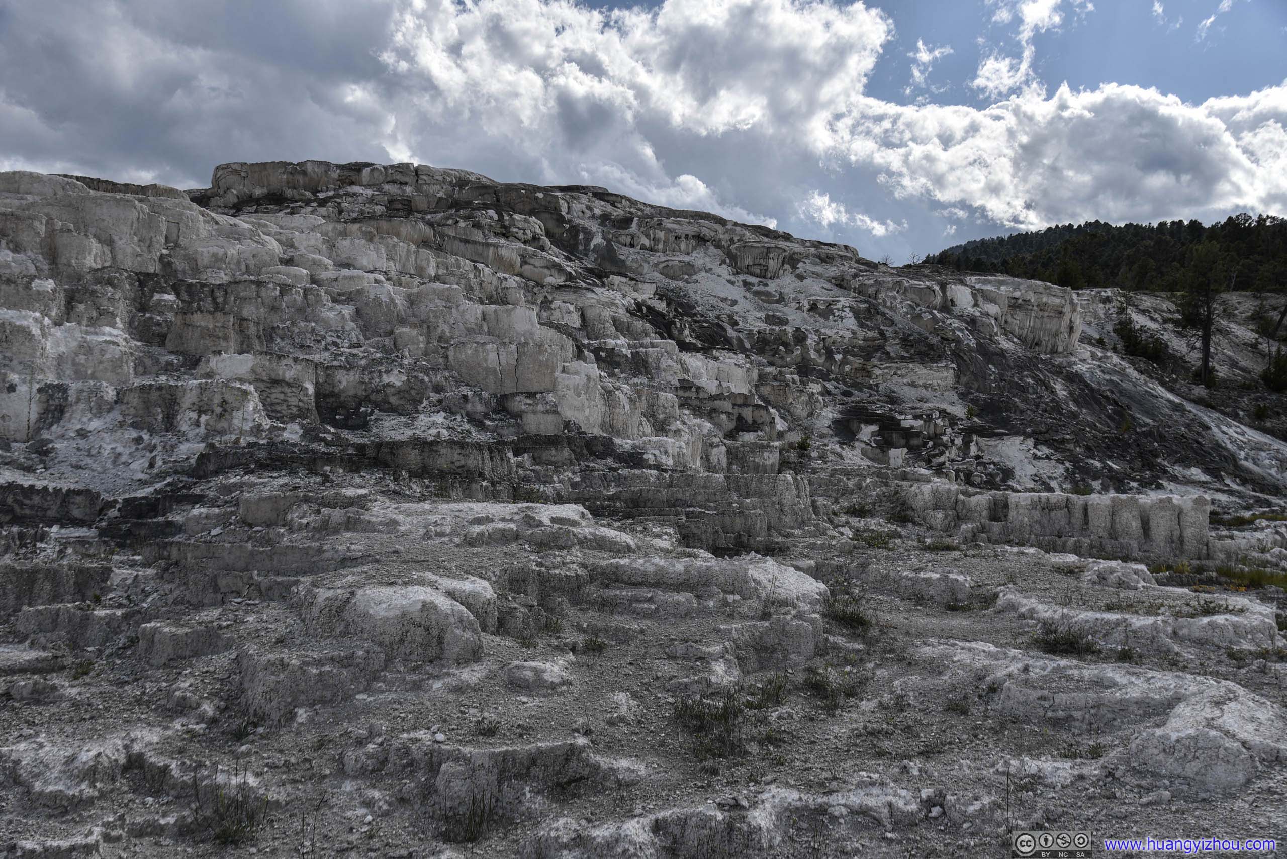
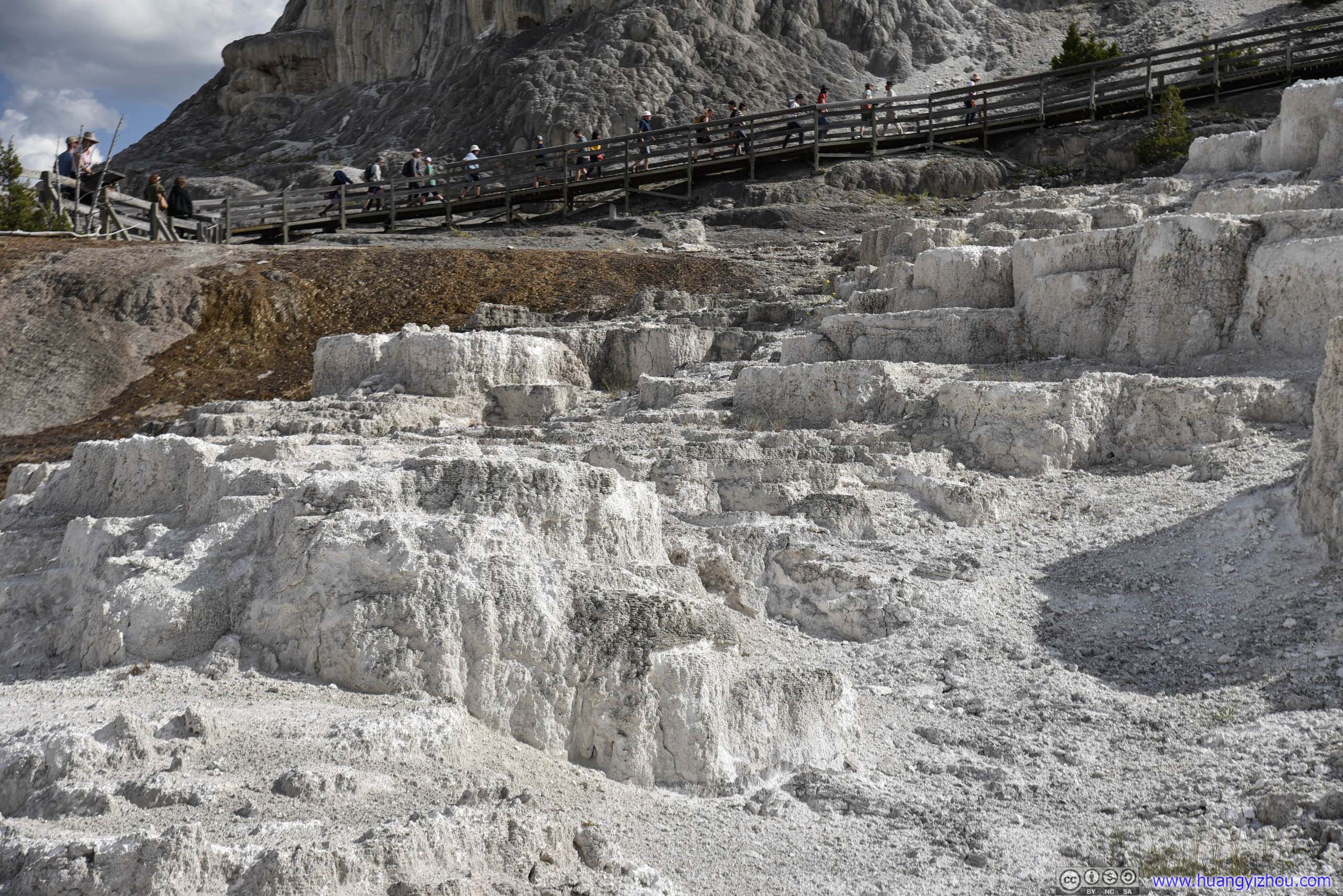
Minerva Terrace
After that, we drove uphill for its upper part, which featured the beautiful Canary Spring, and a big but not-so-interesting Main Terrace.
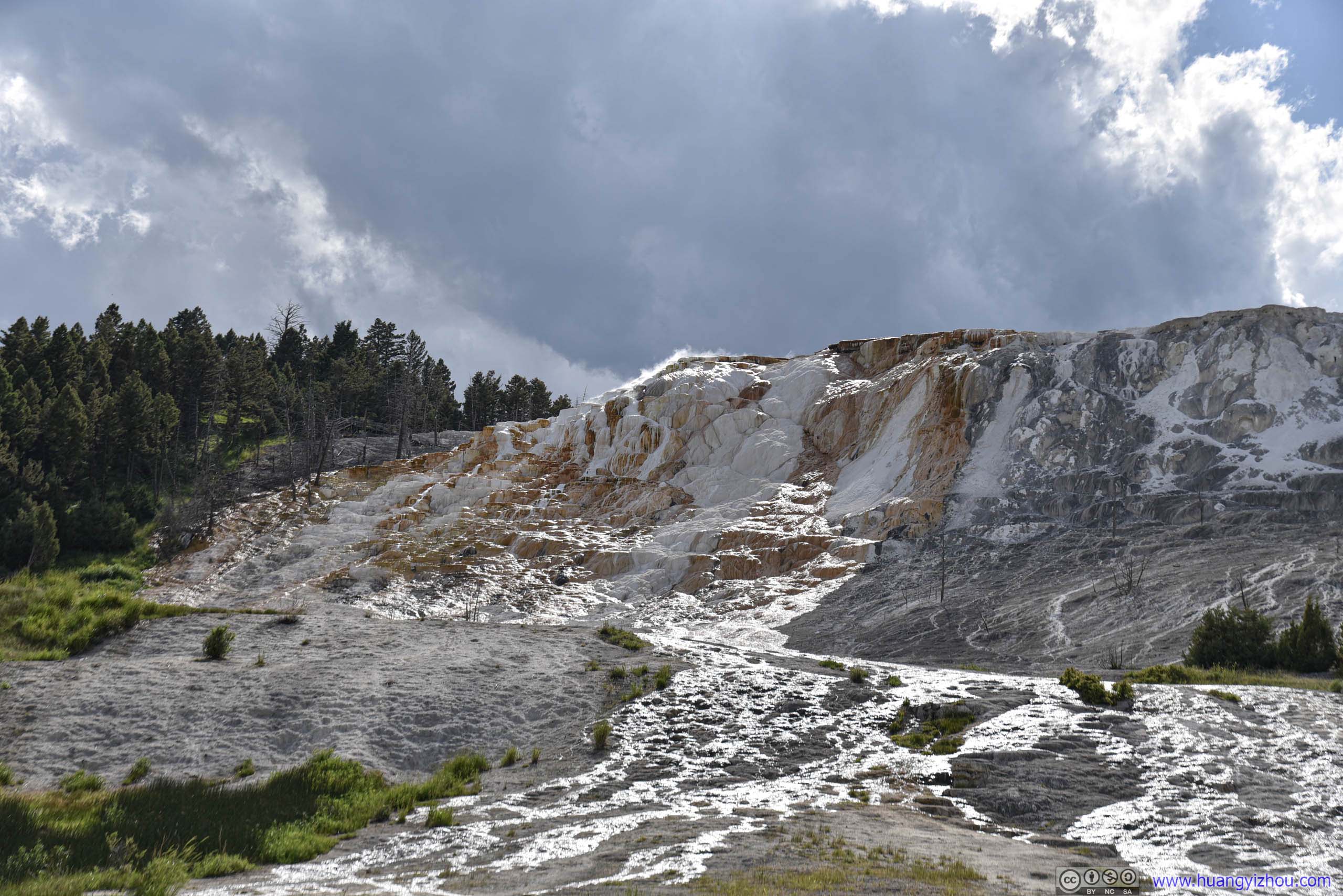
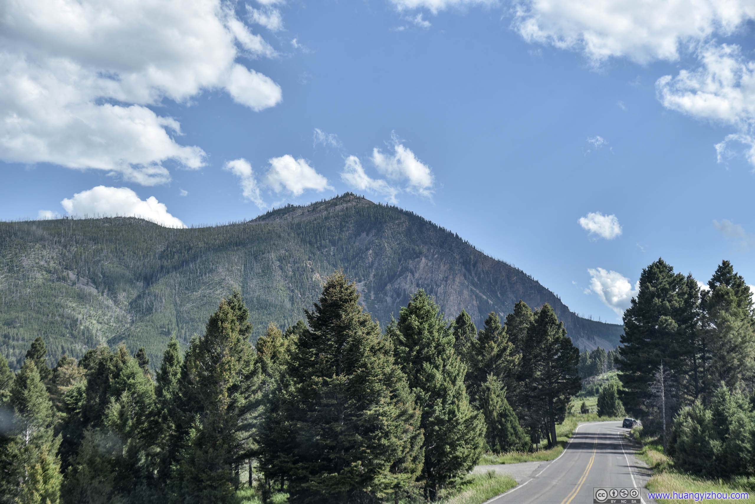
Bunsen Peak on the left.
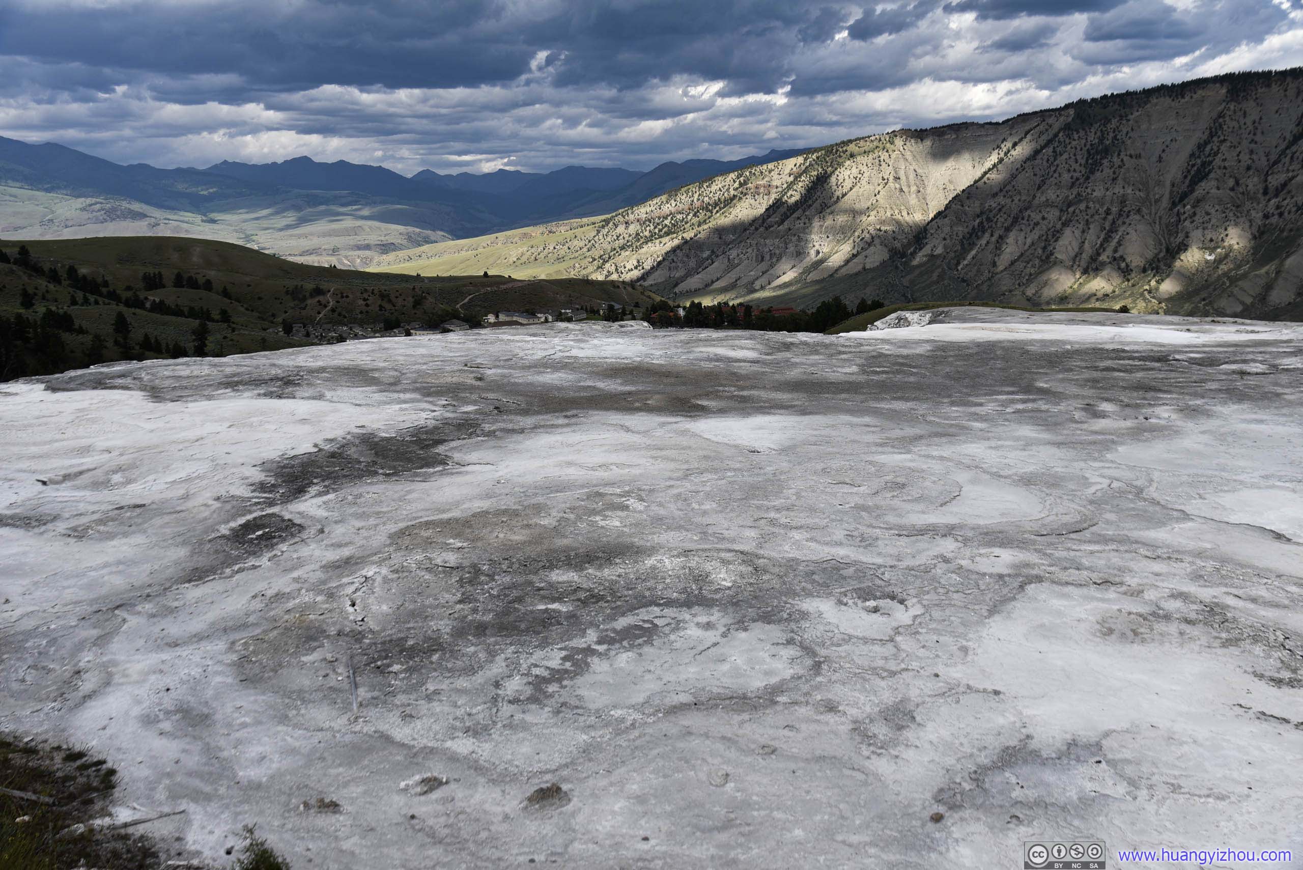
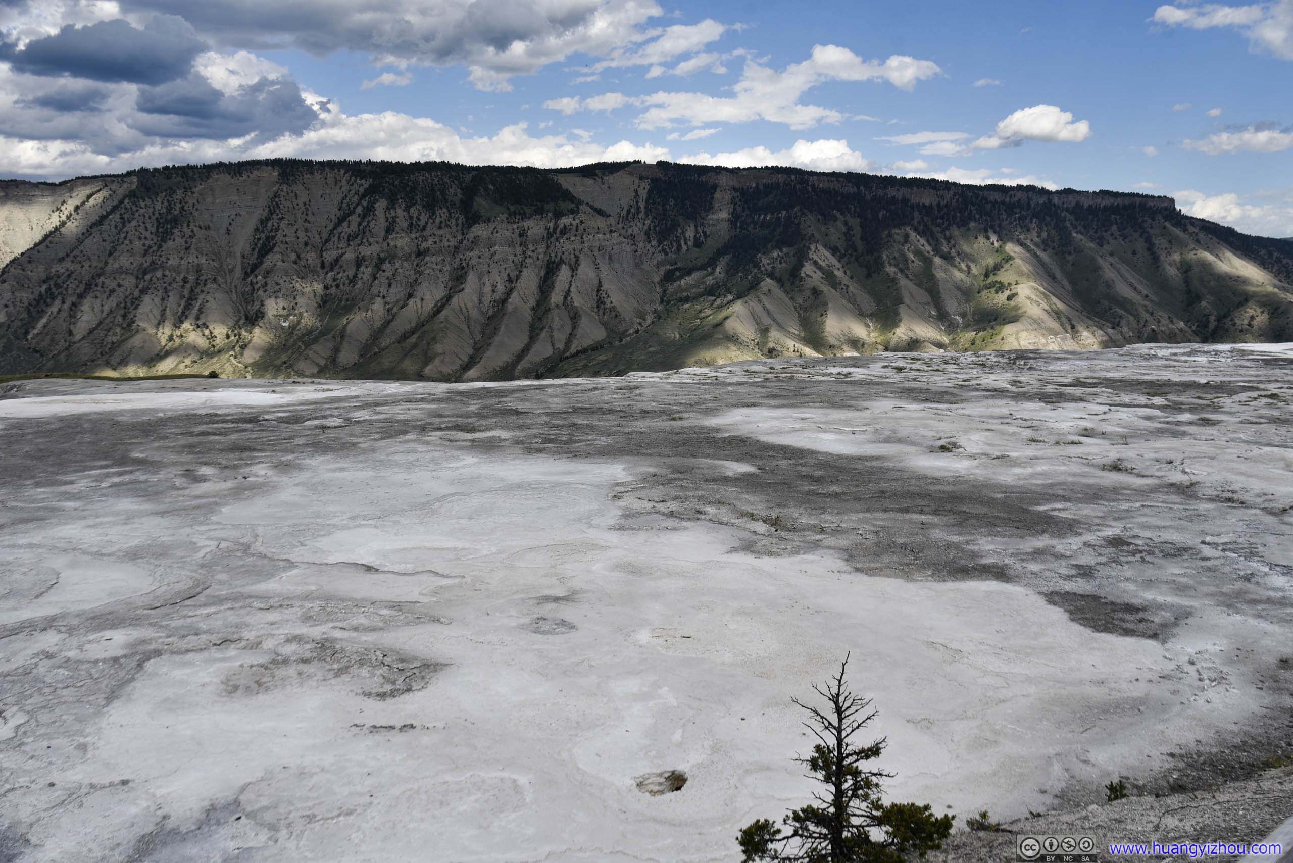
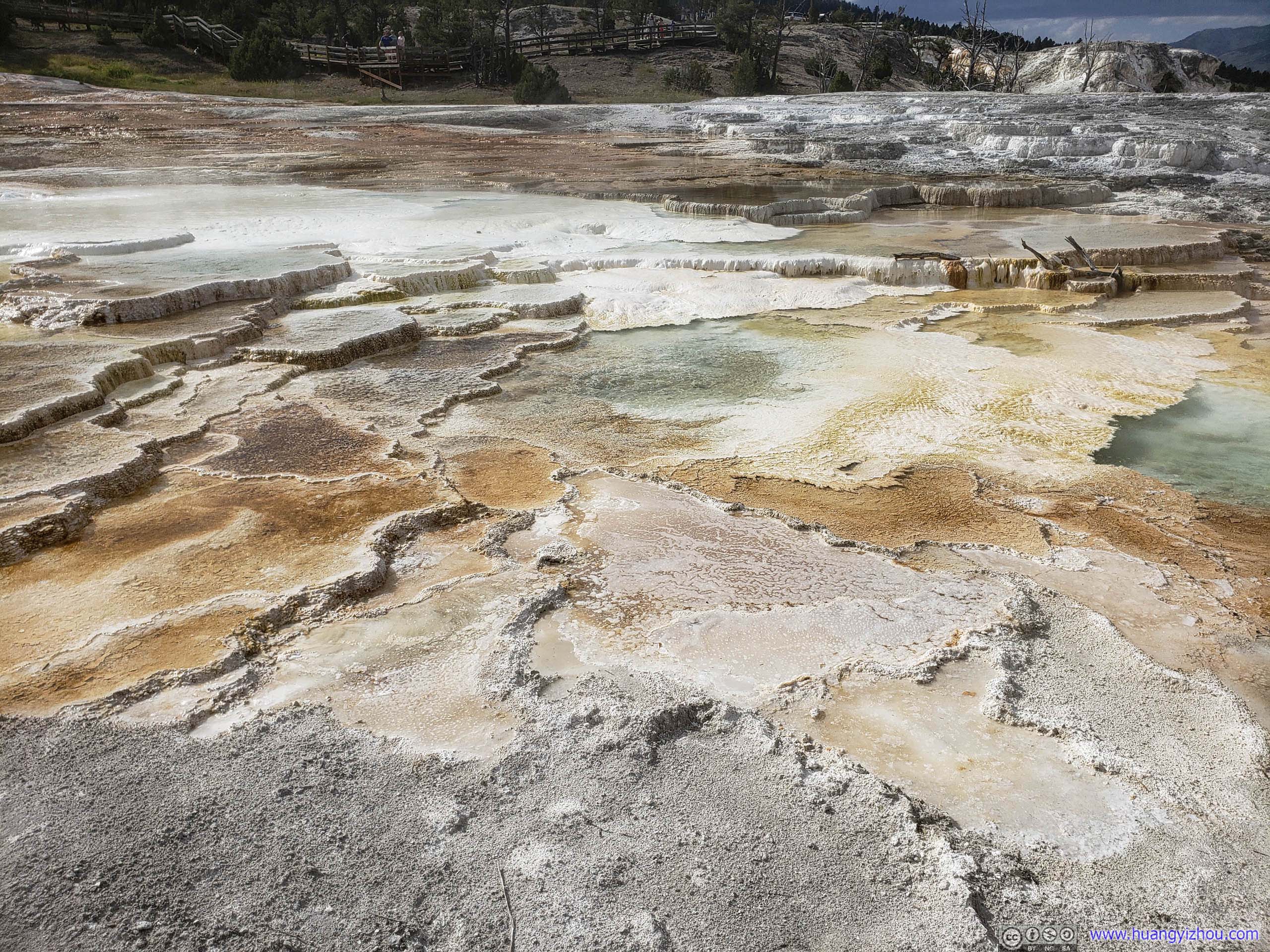
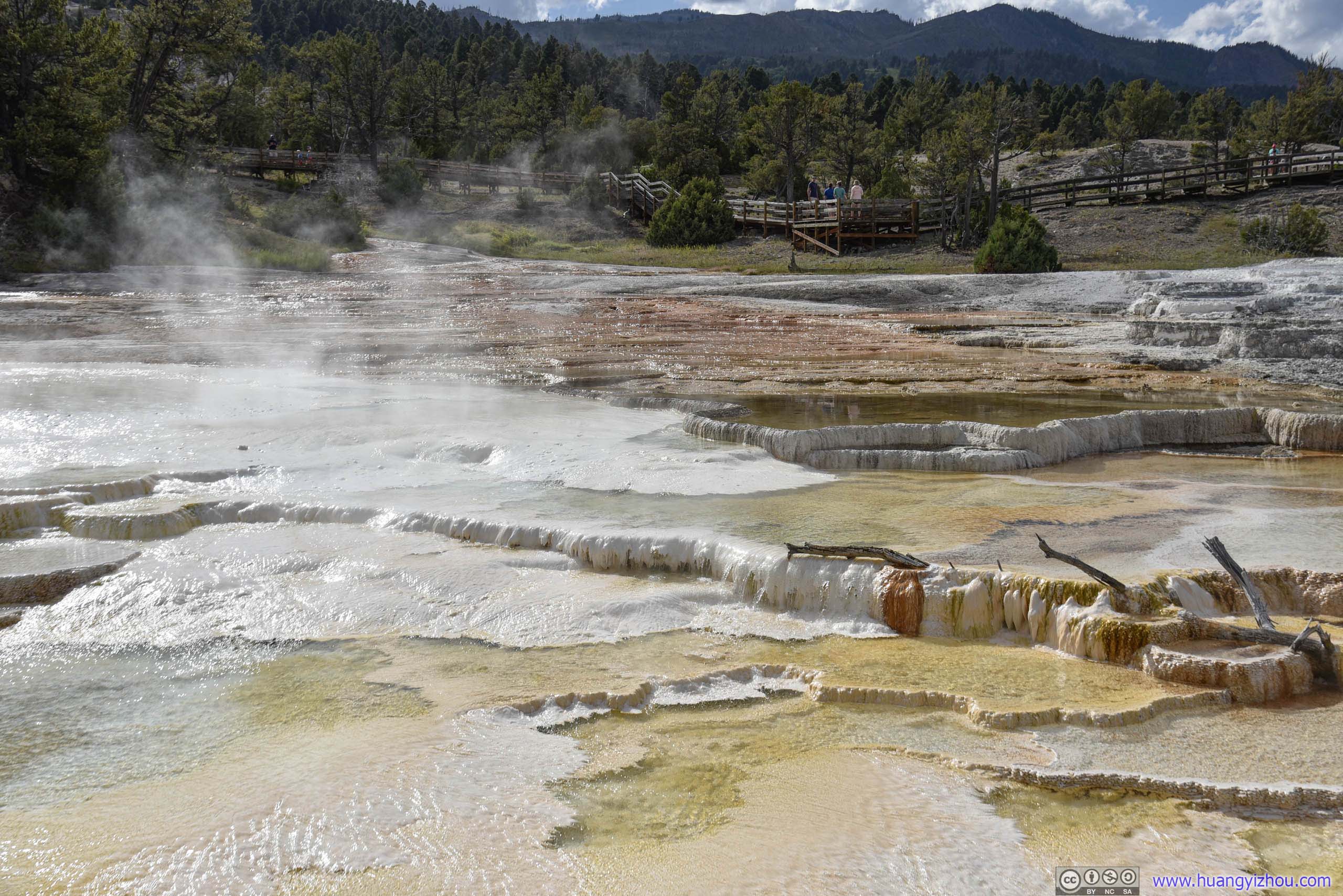
Main Terrace
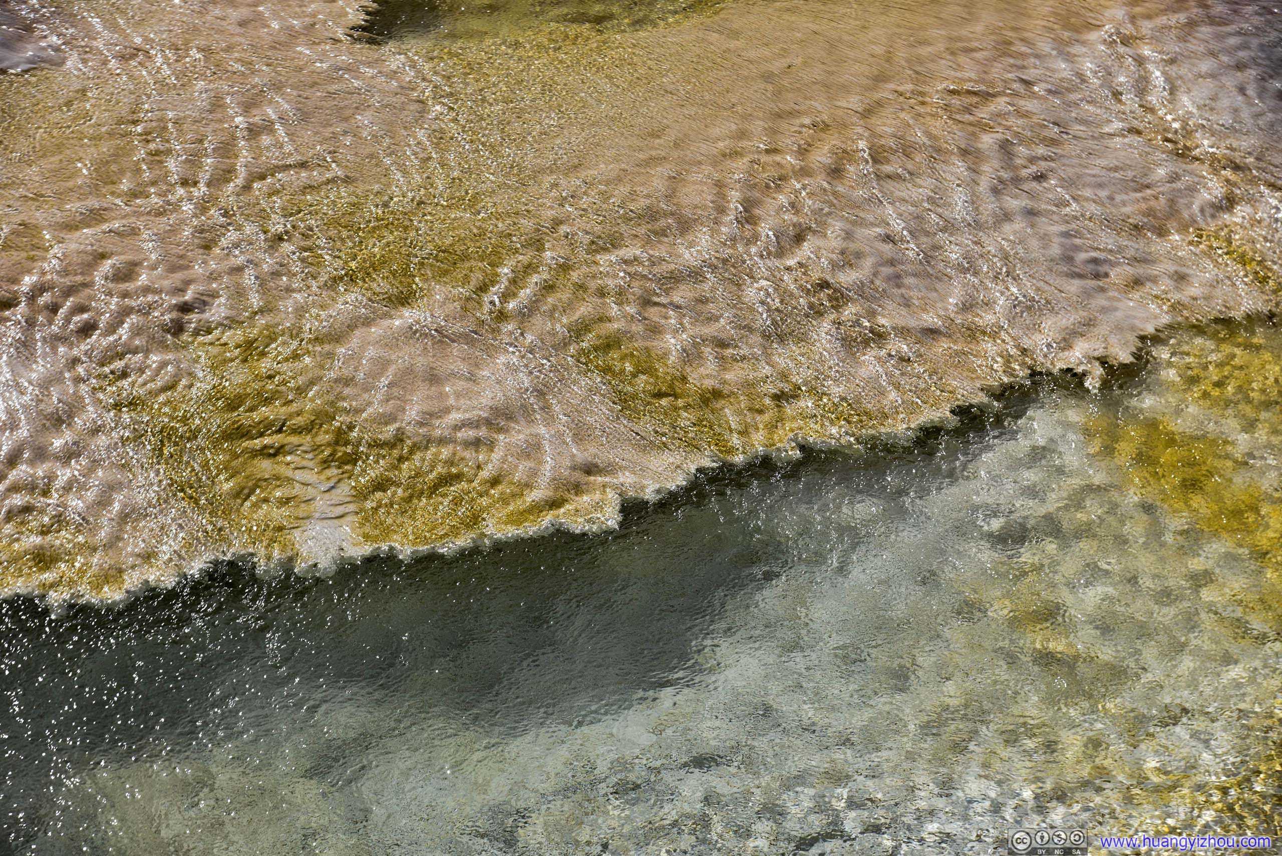
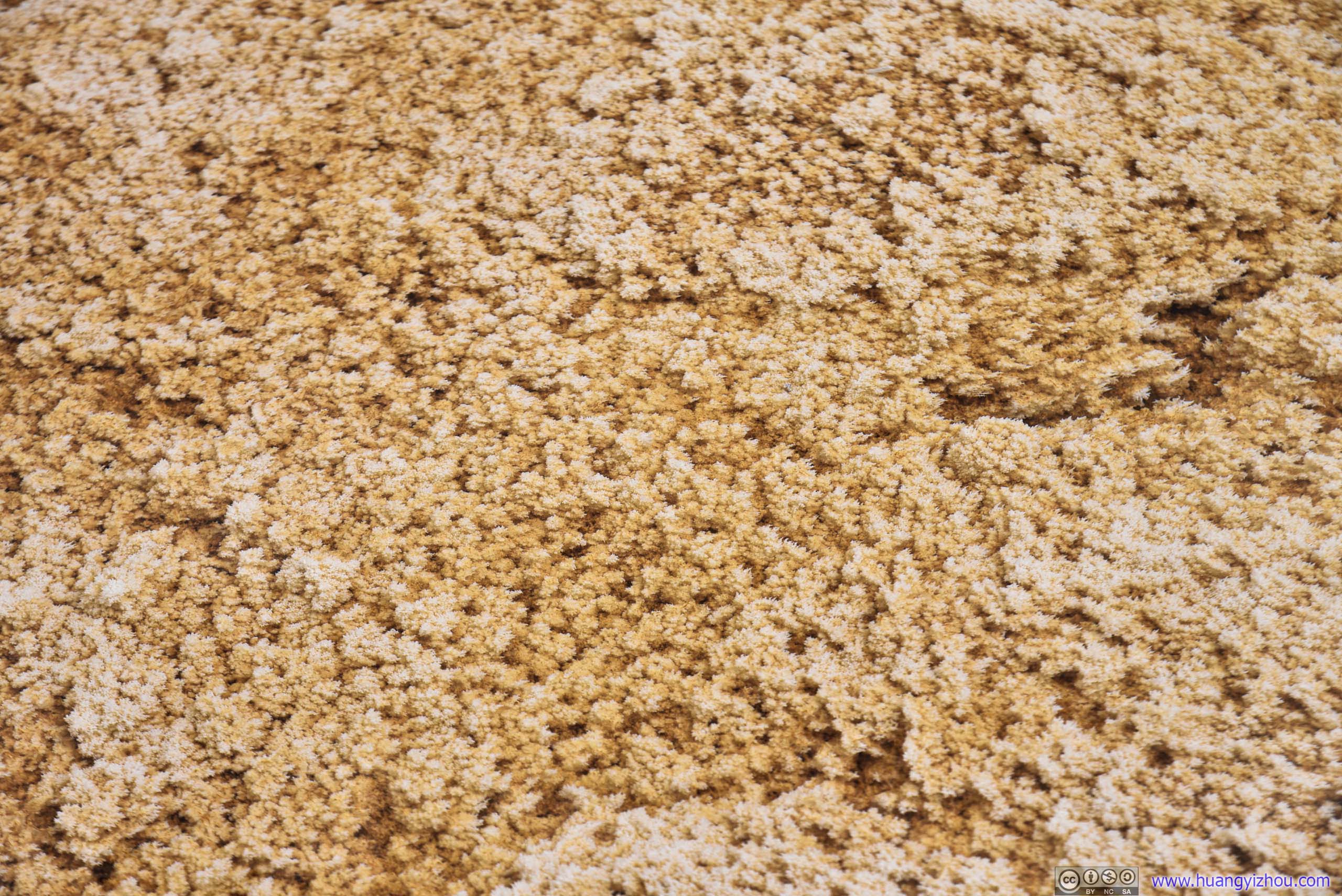
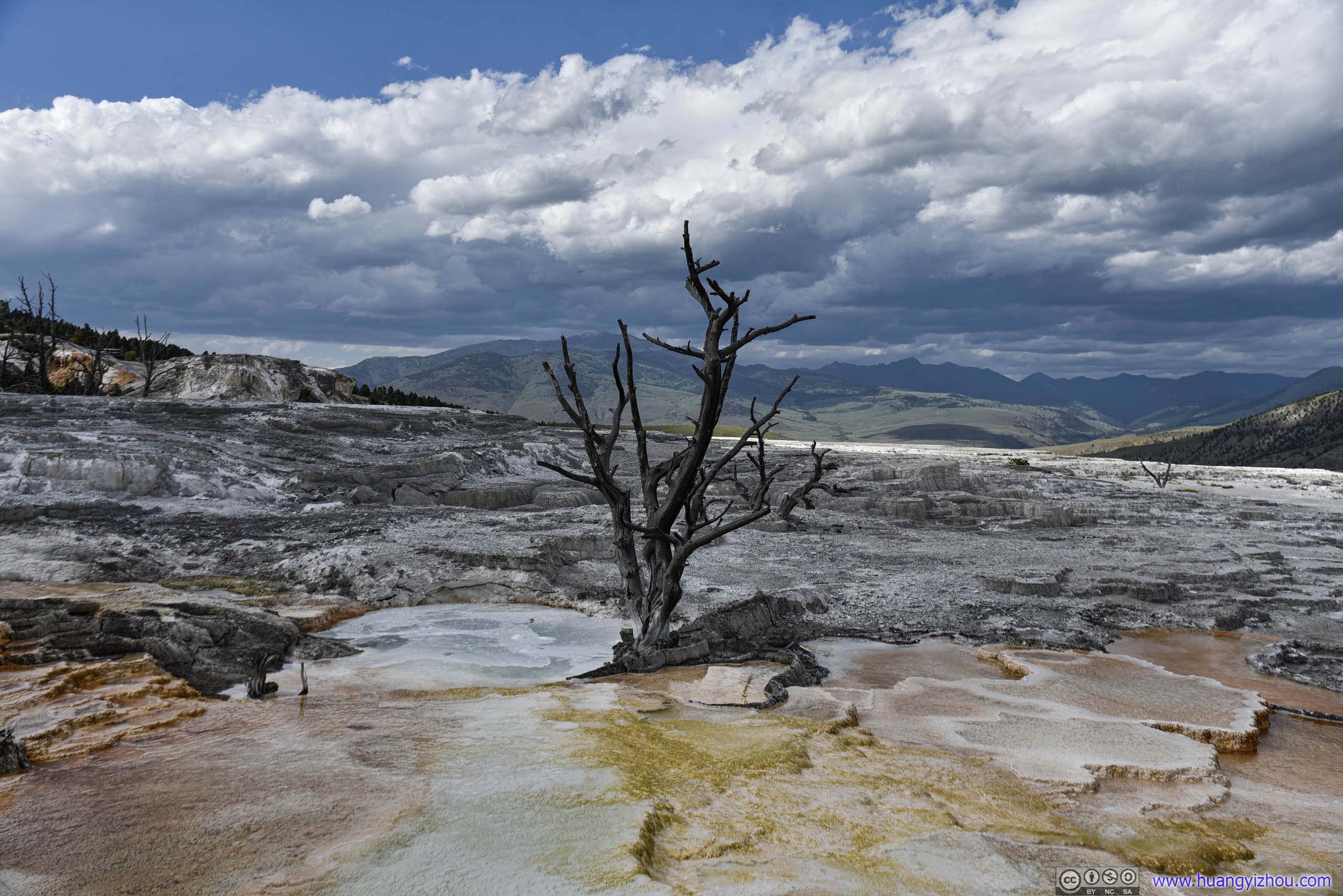
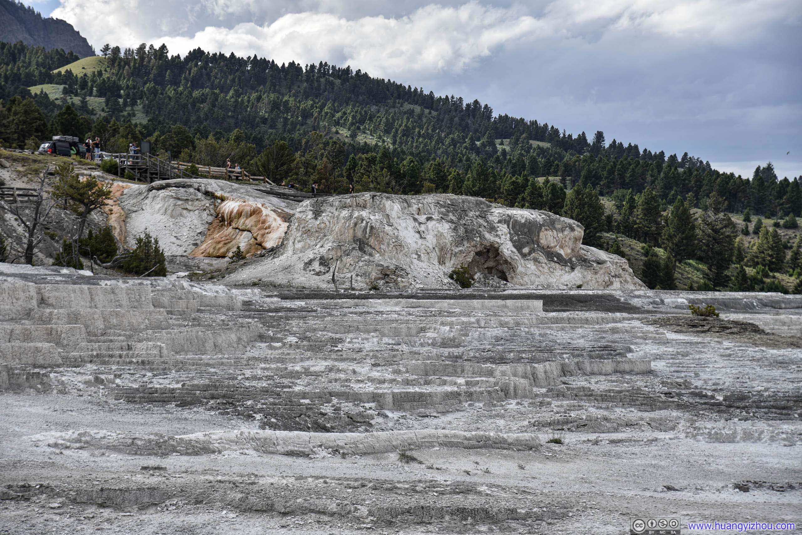
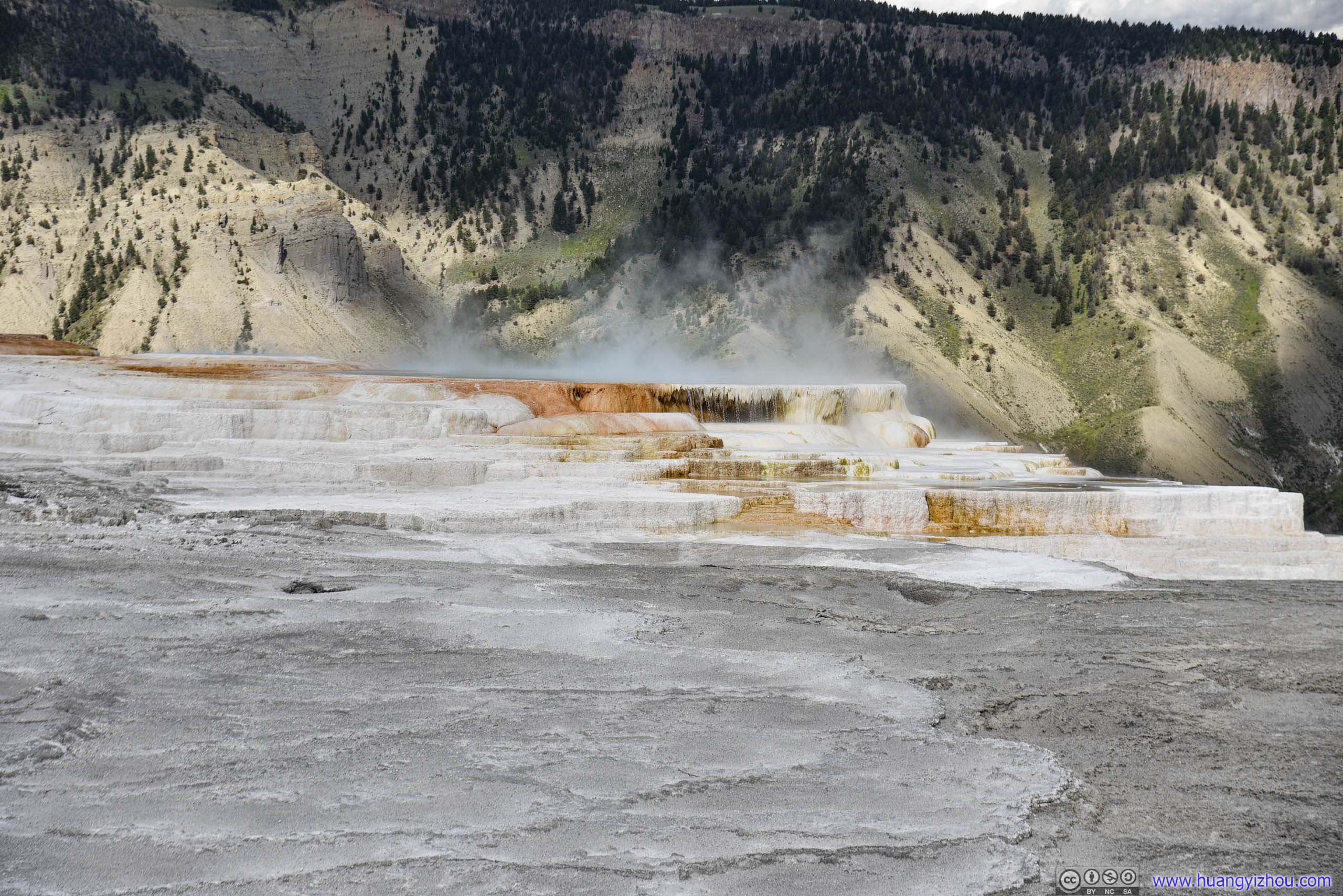
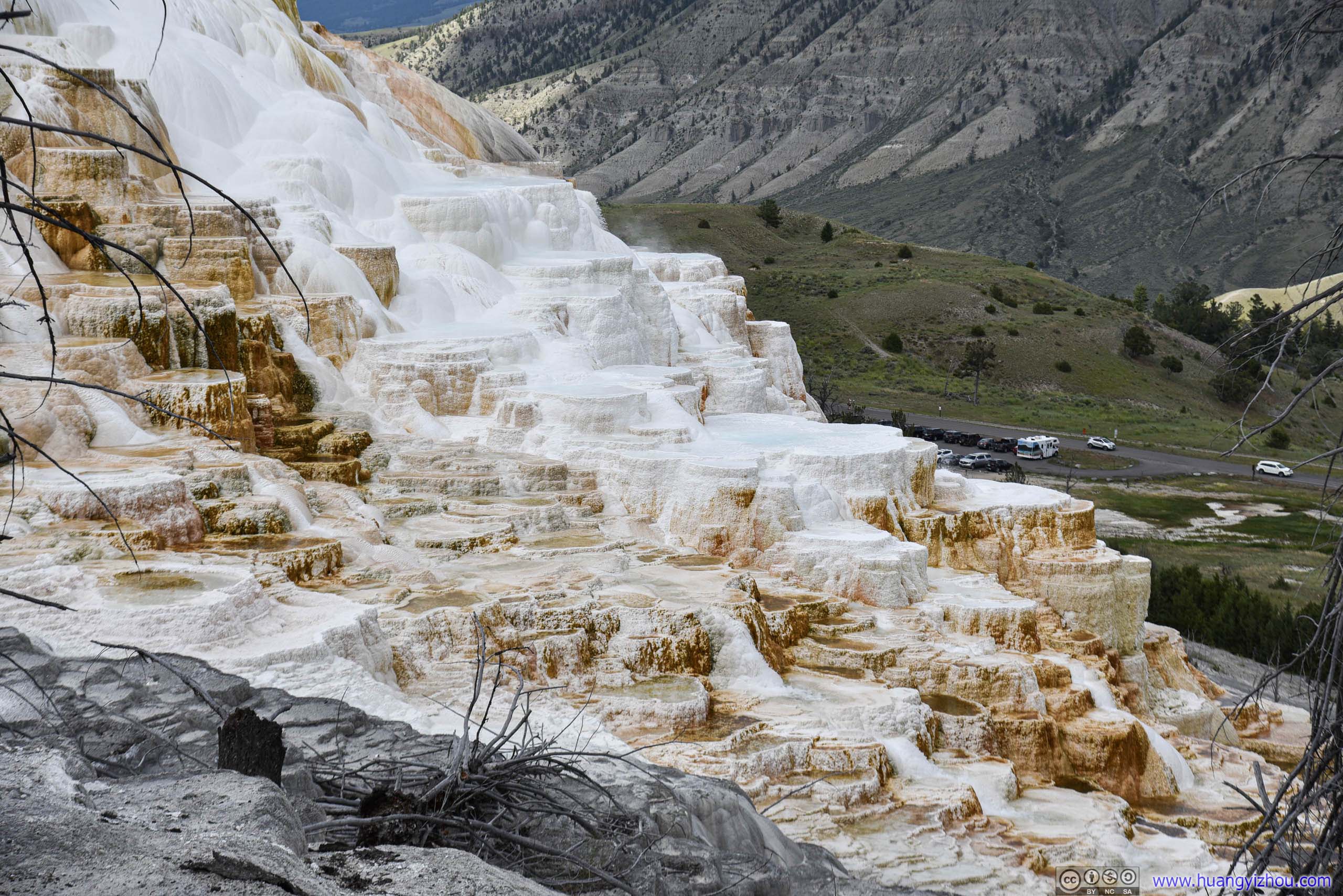
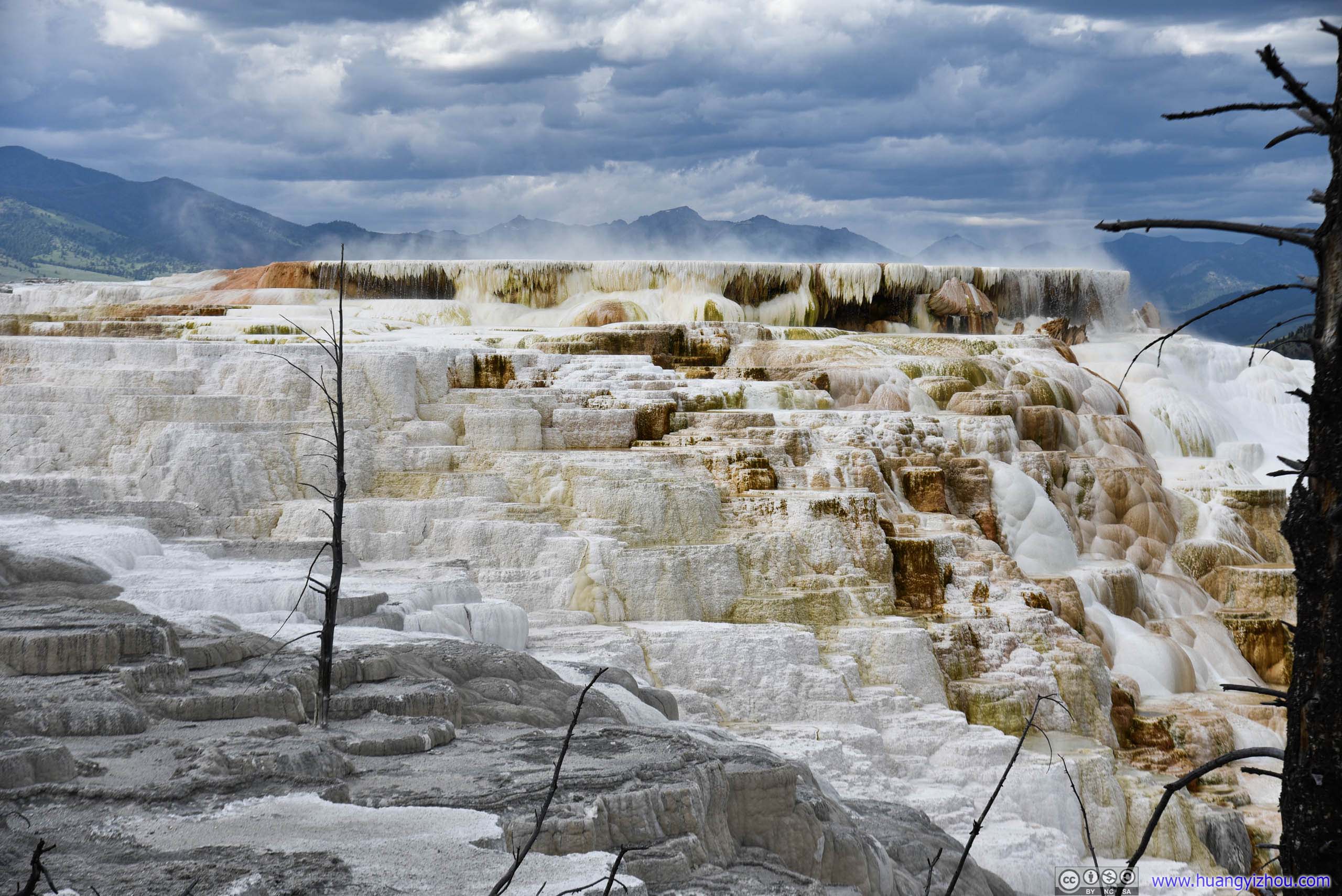
Canary Spring
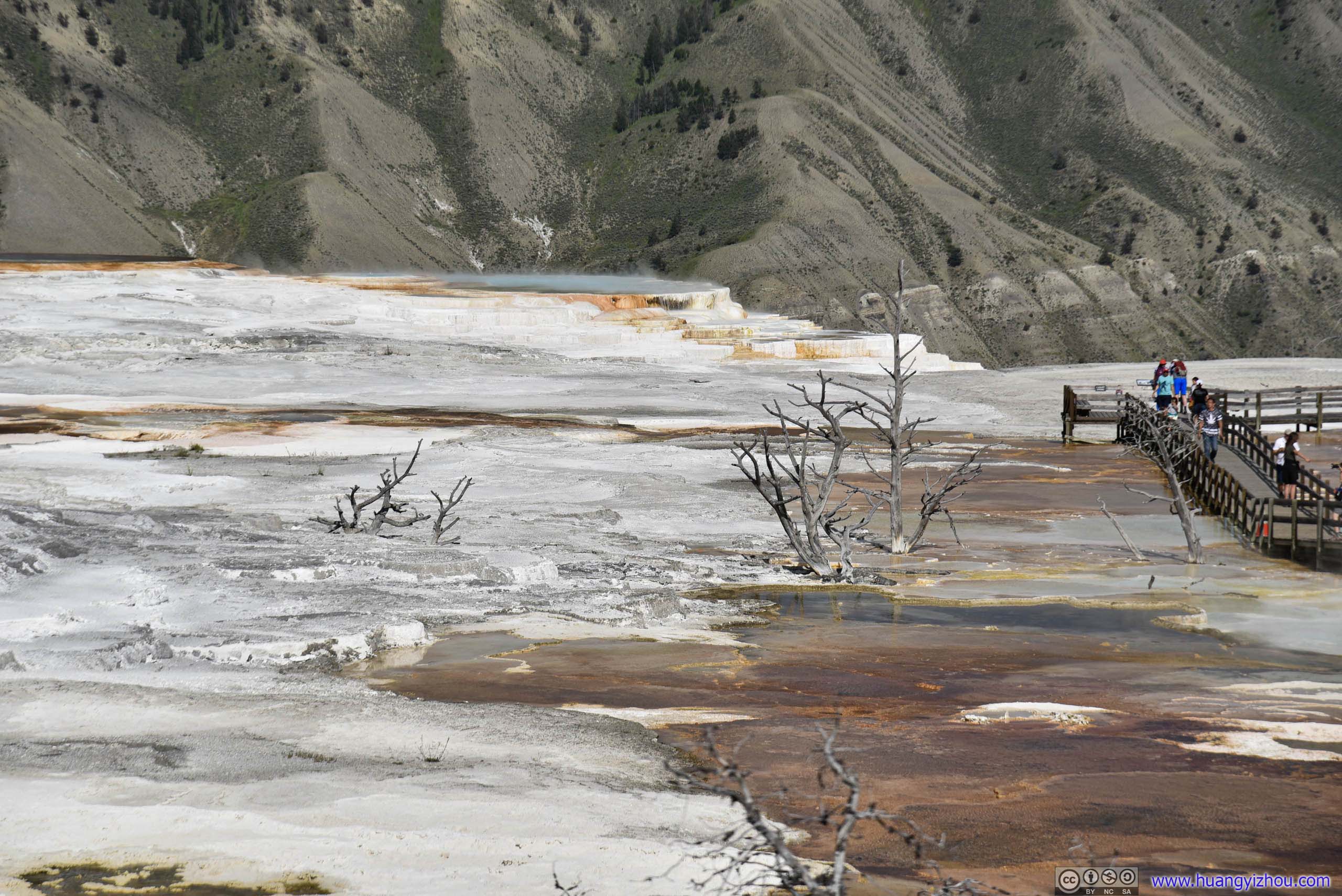
After that, we drove around the Upper Terrace Loop, which featured more springs and terraces. Probably because they were spatially scattered and not as aesthetically appealing, NPS made this into a one-lane road, instead of a boring 2.5km boardwalk.
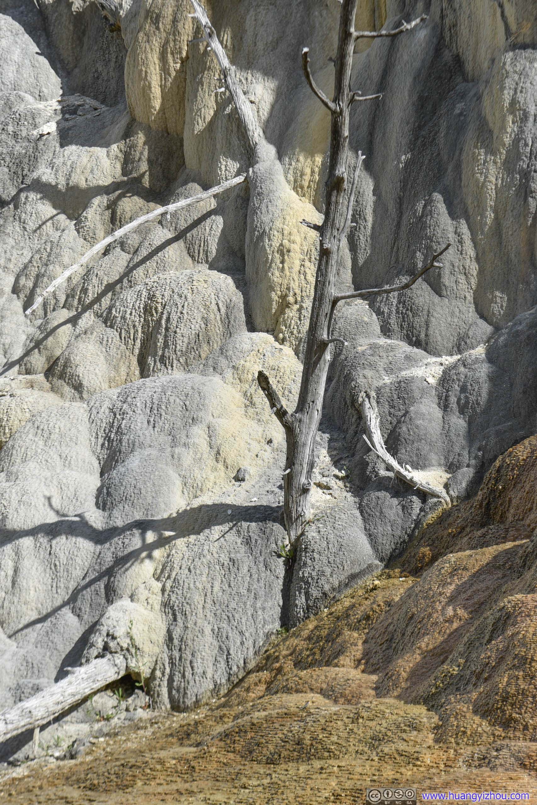
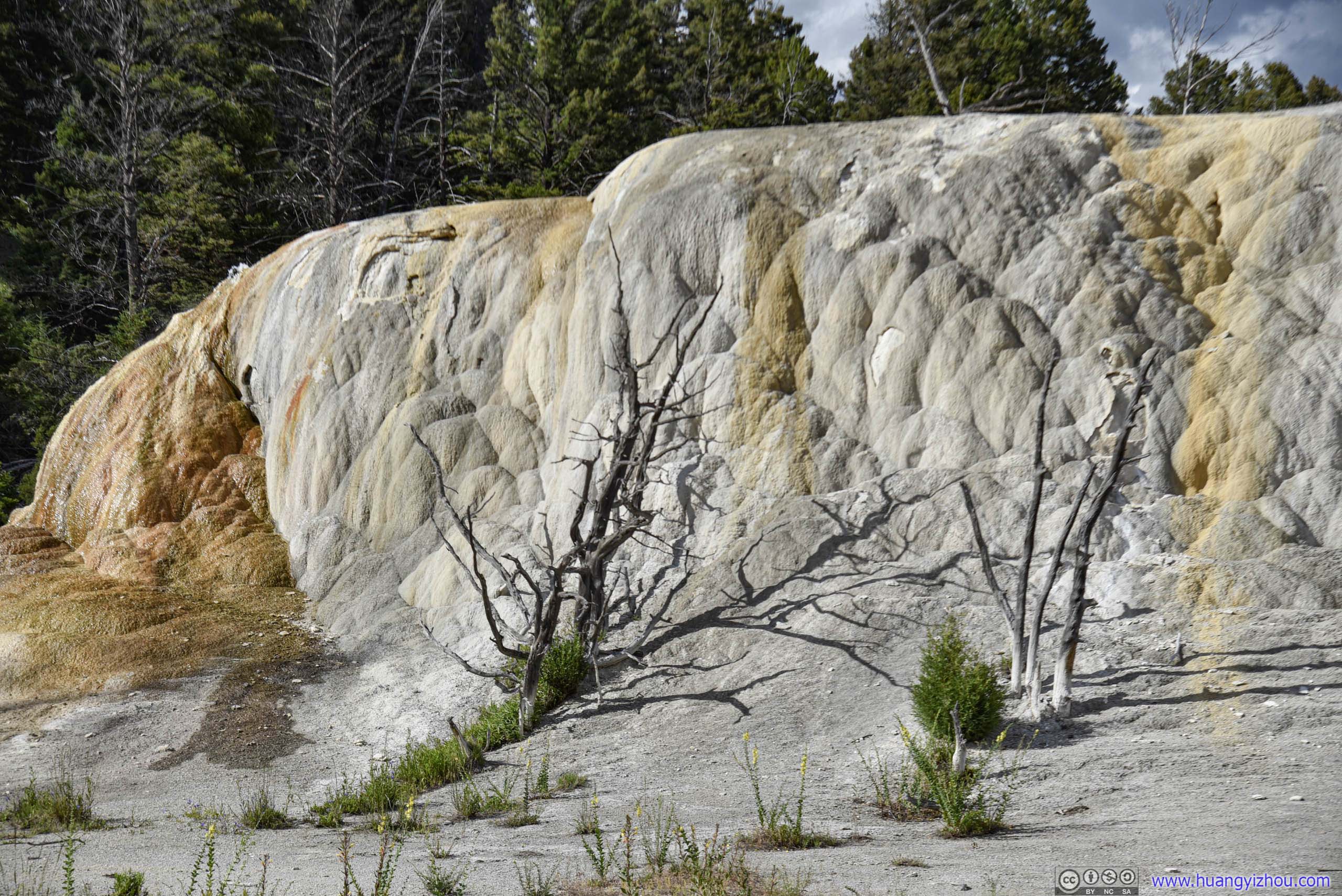
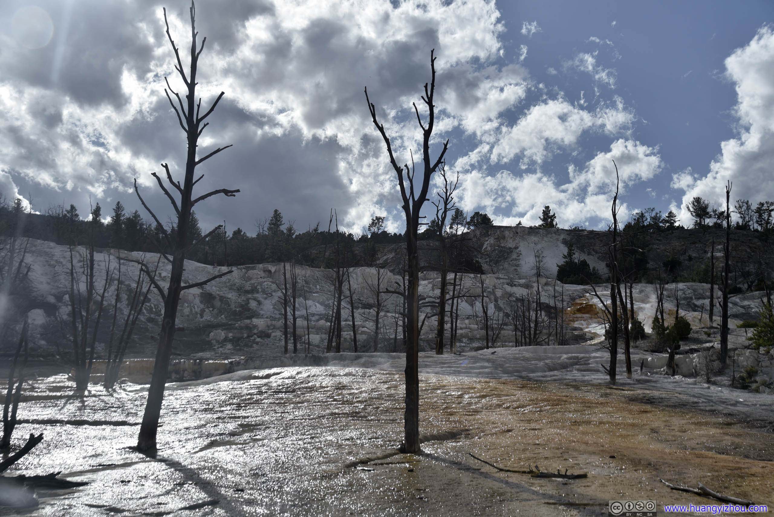
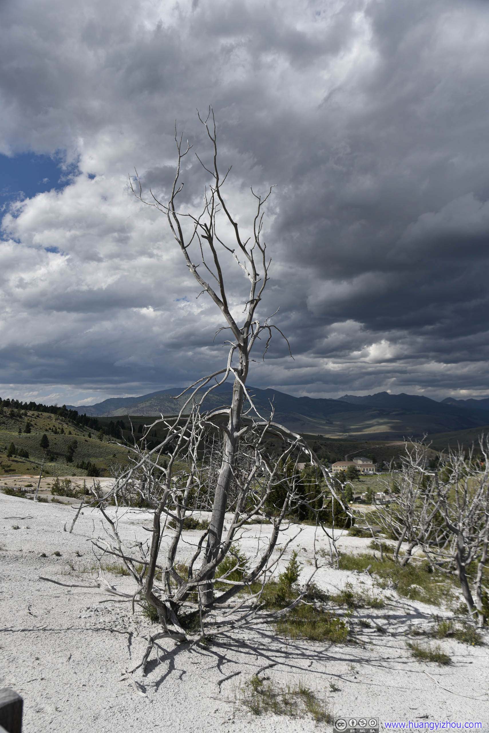
With so many dead trees it really looked like hell here. Not sure angels would love this place.
Before we left, we visited Liberty Cap area (since we couldn't find parking there at first).
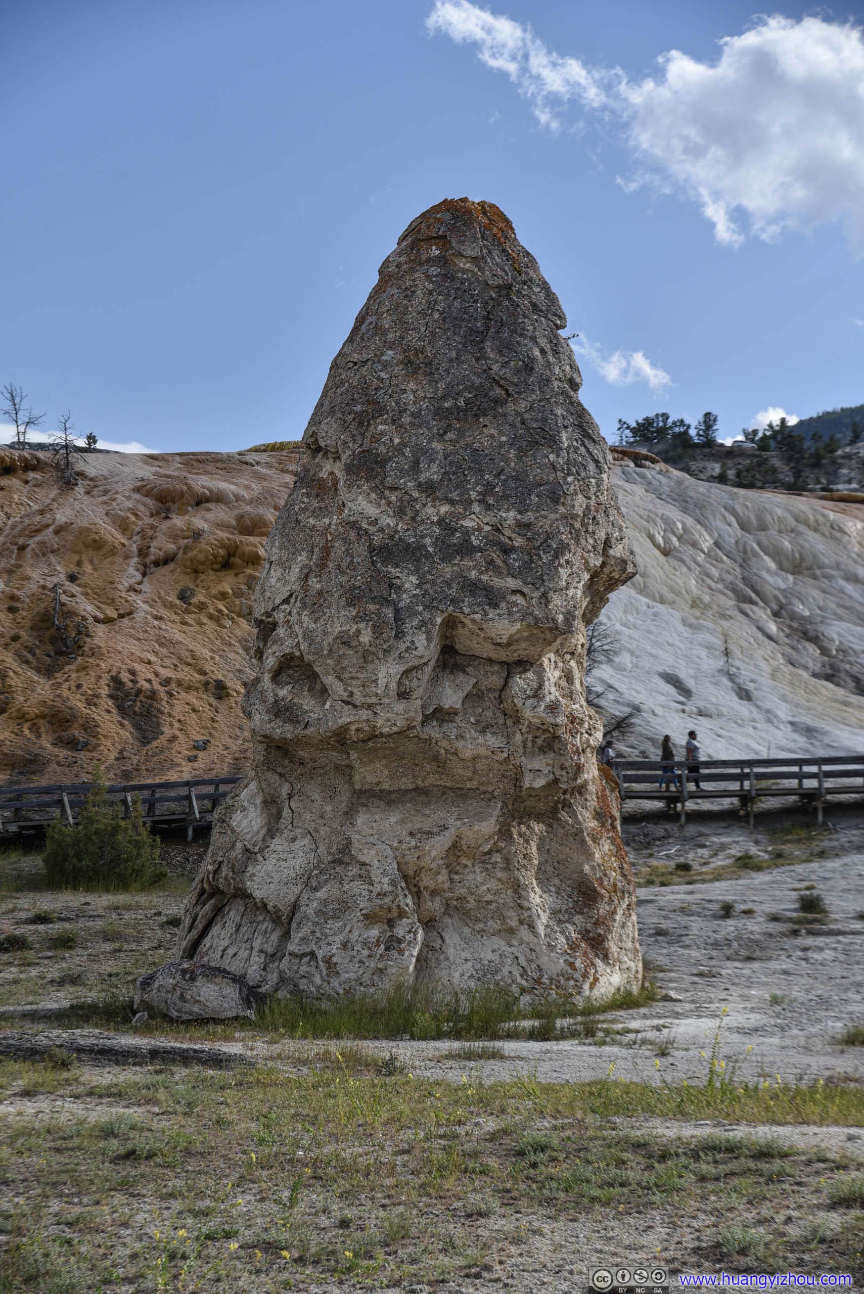
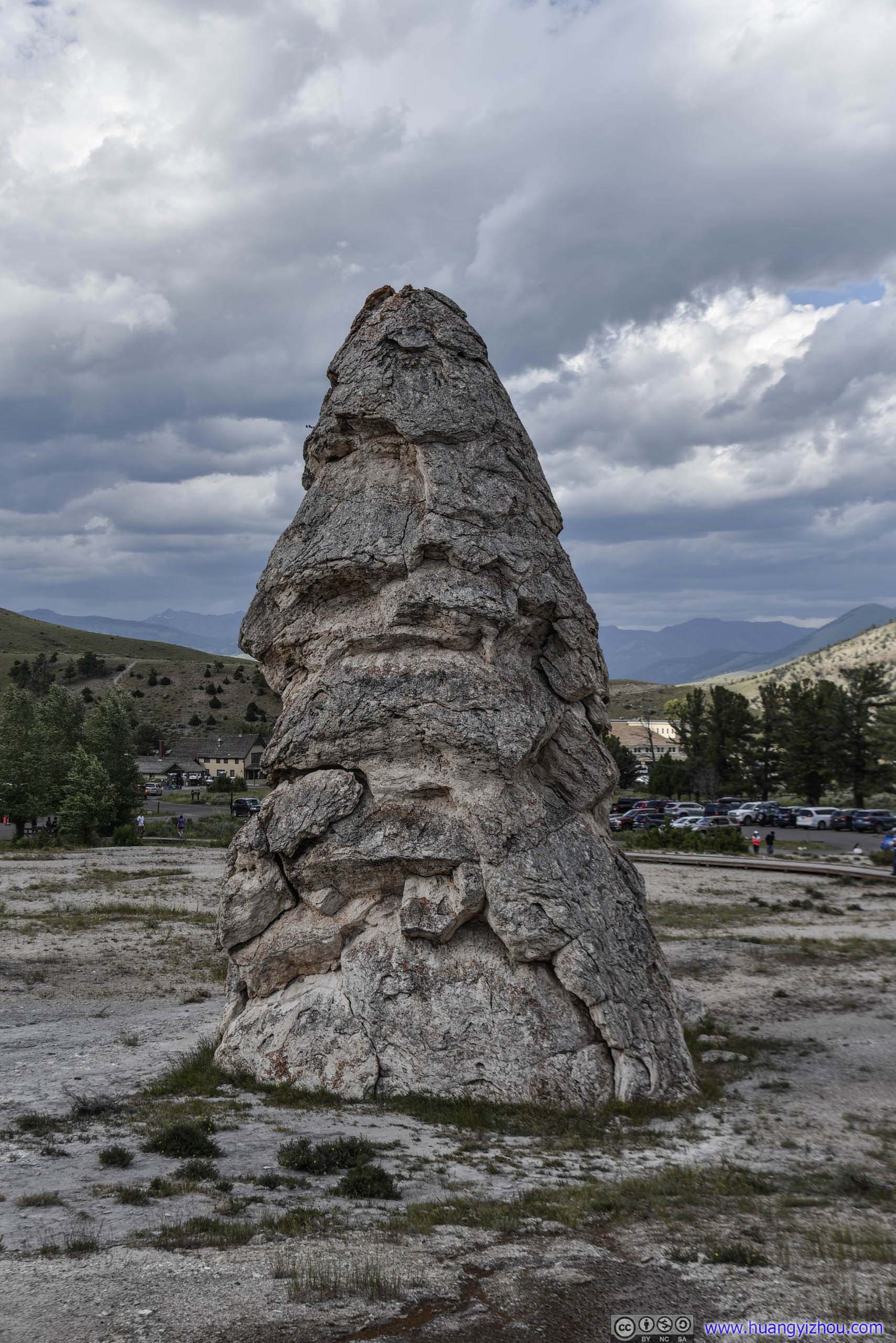
A dormant hot spring cone.
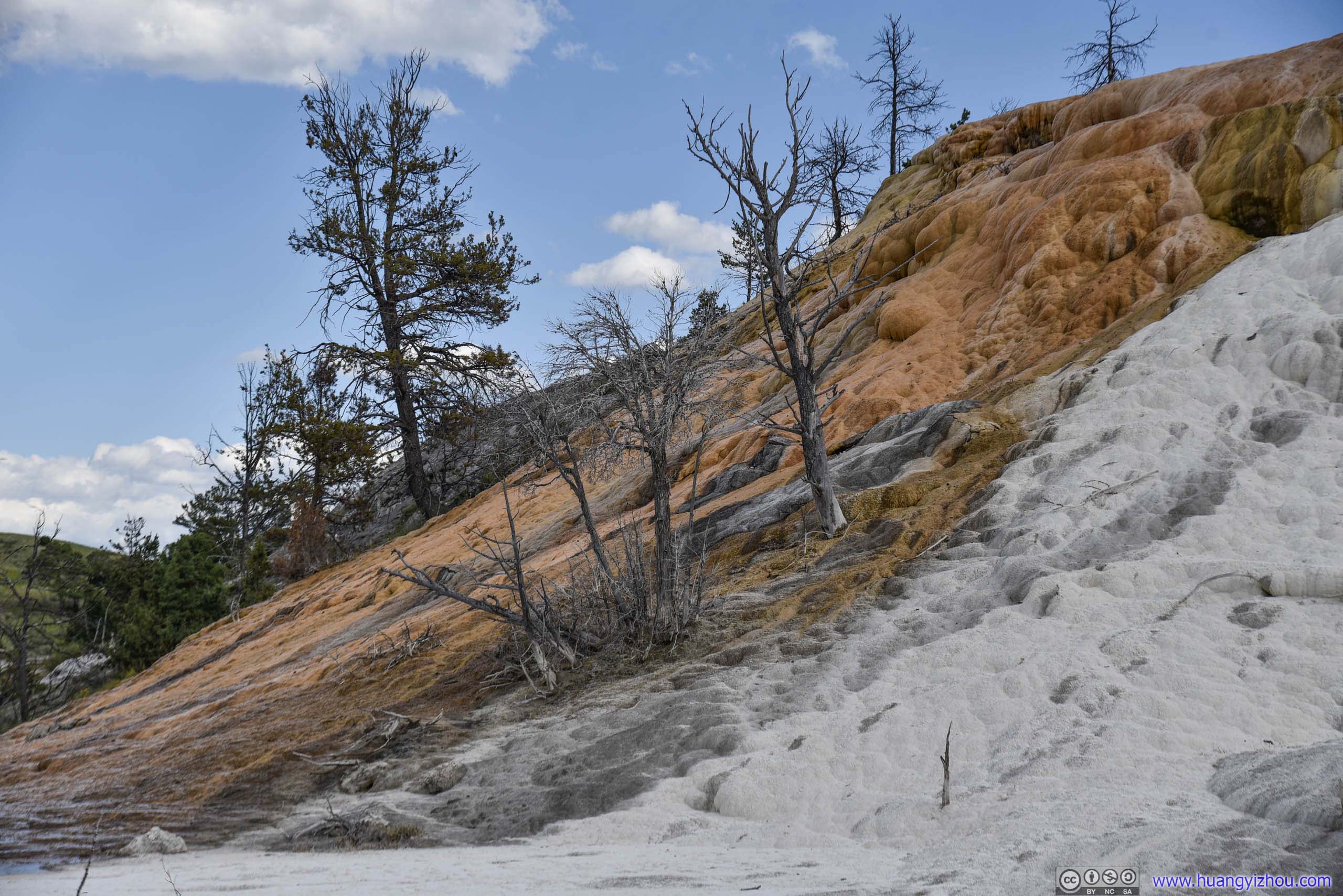
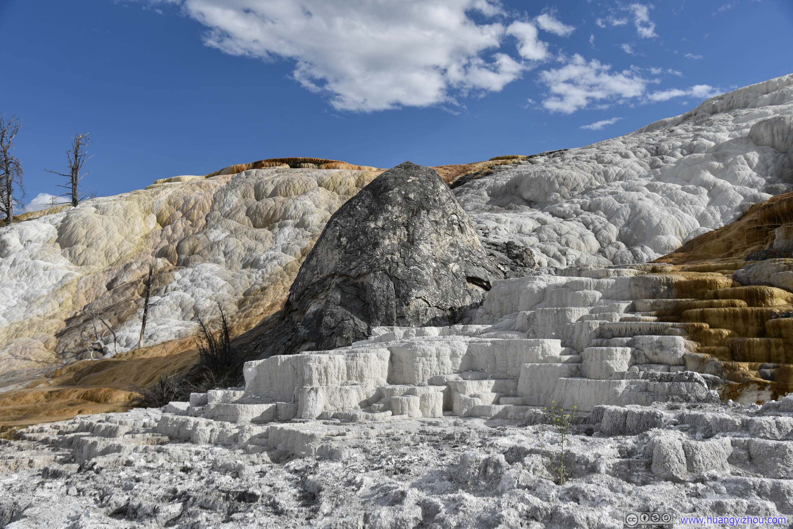
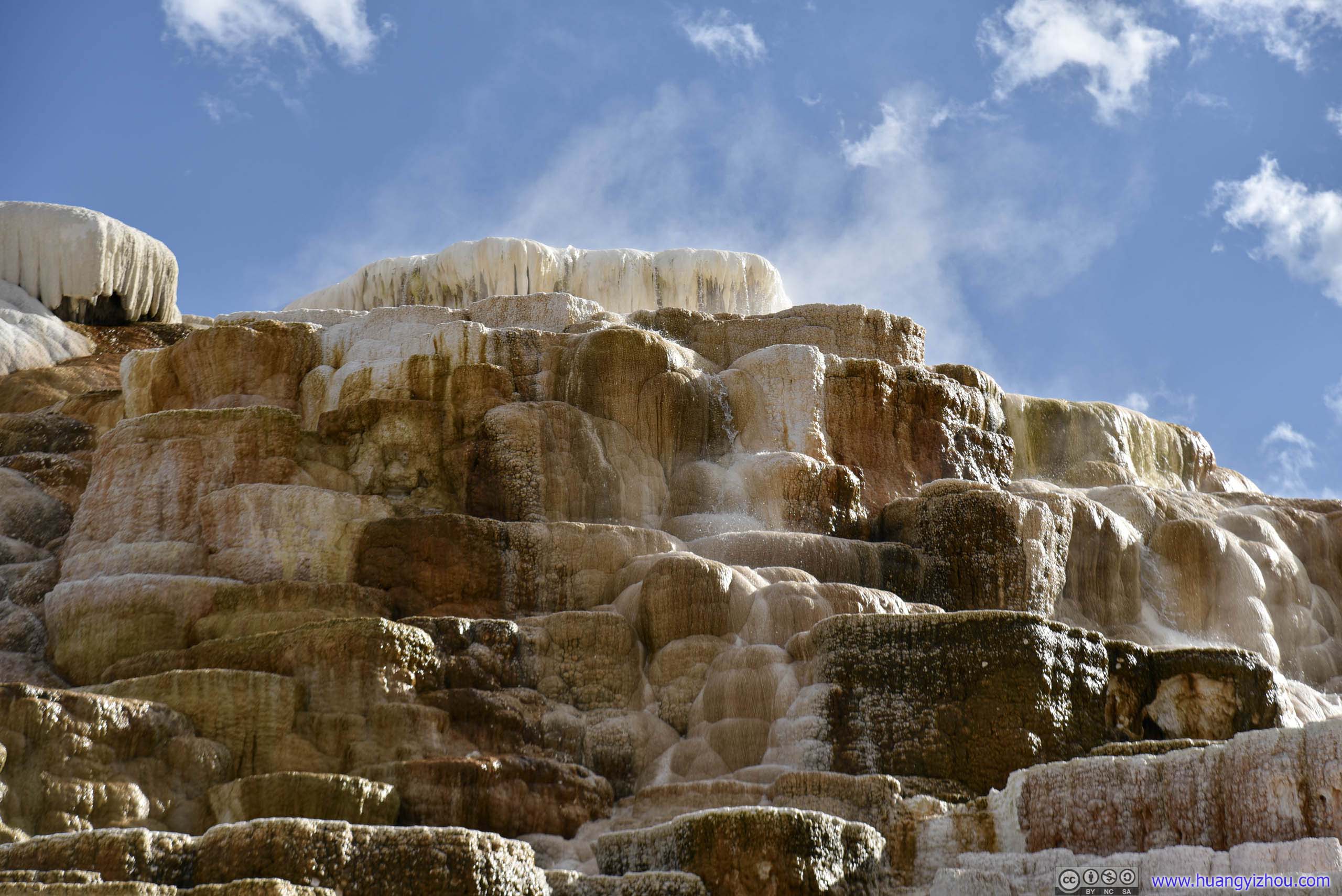
And for some weird reasons, the 250-meter round trip trail to Palette Springs seemed to be a favorite for tour groups, making it the most crowded spot of the Mammoth Hot Spring area.
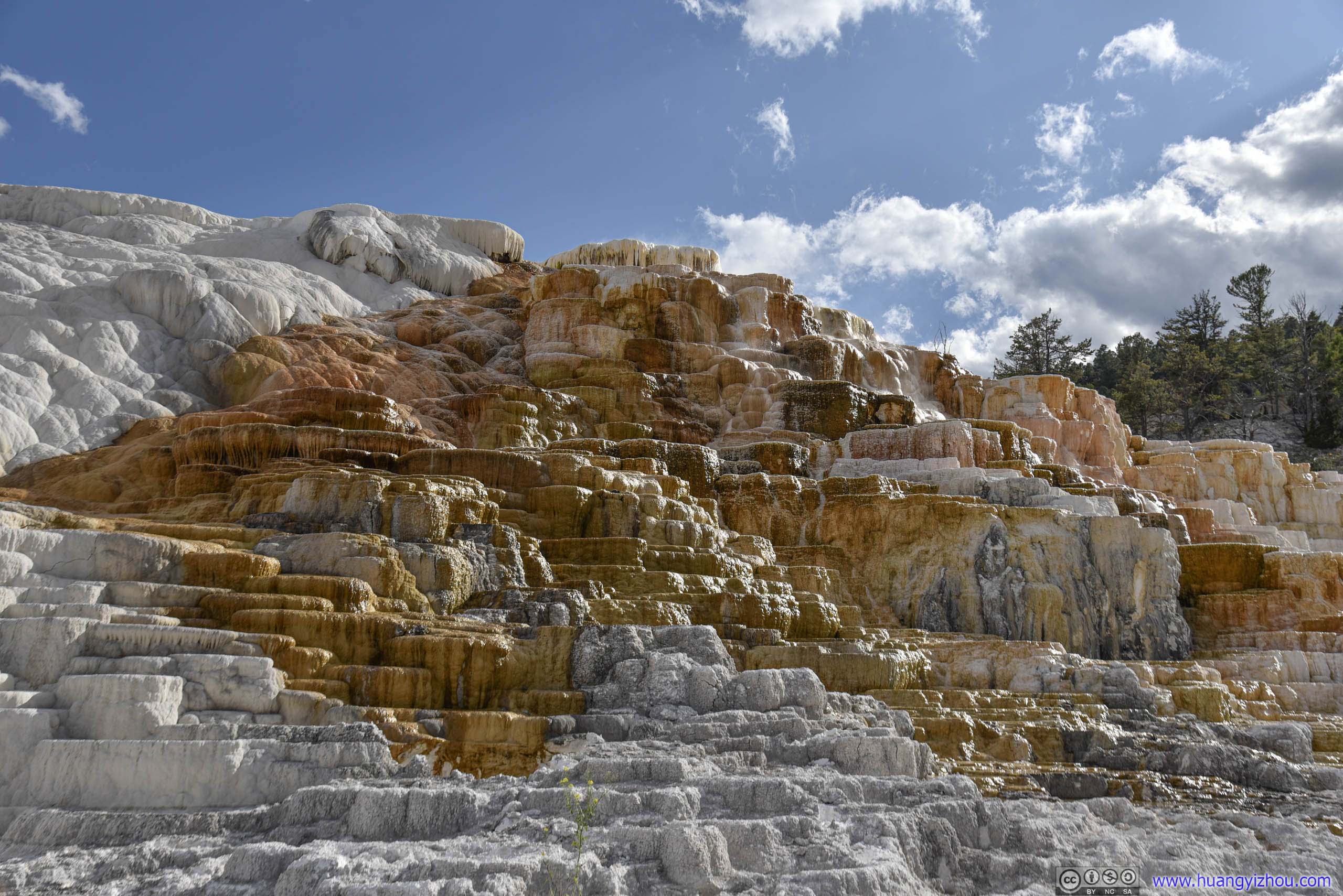
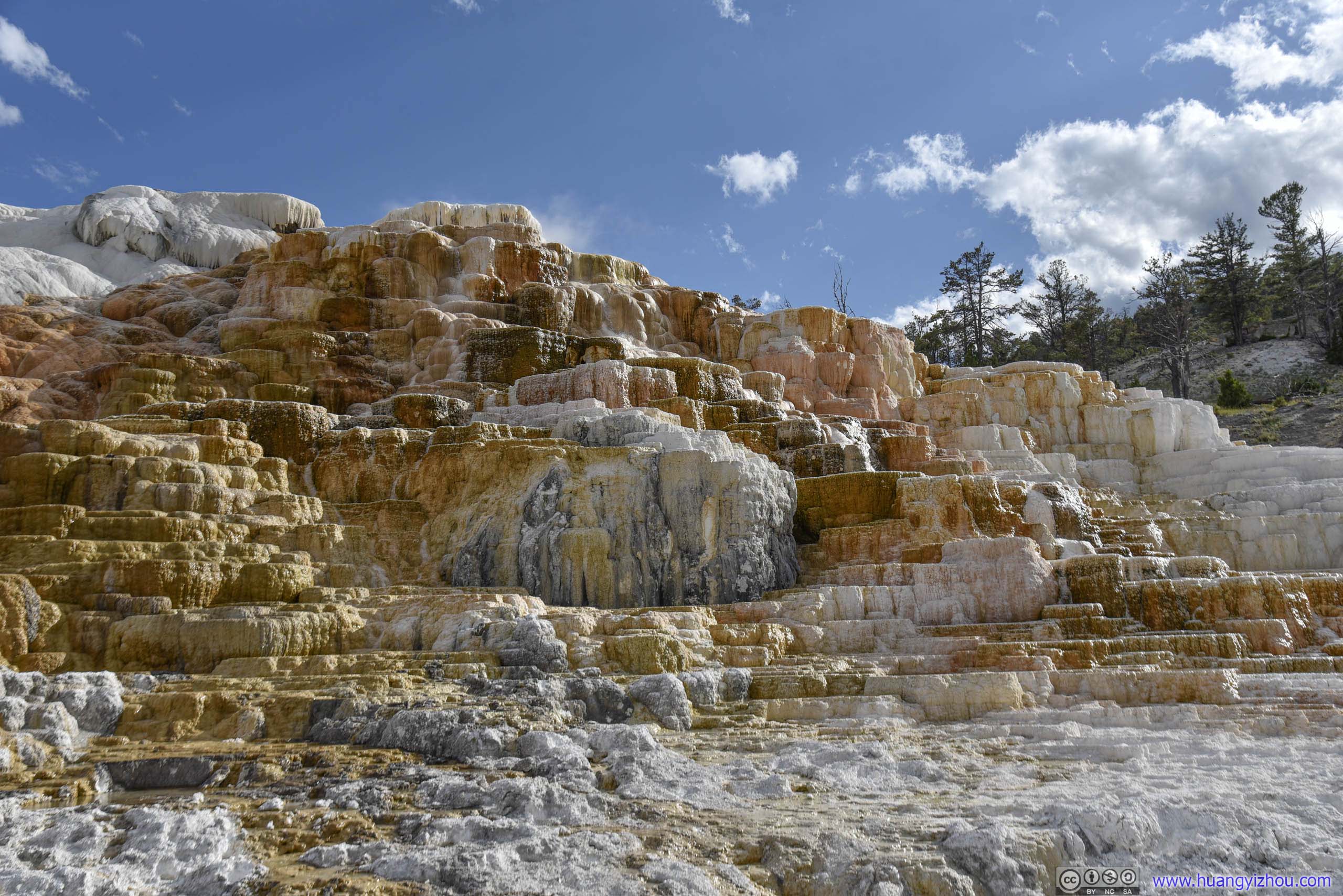
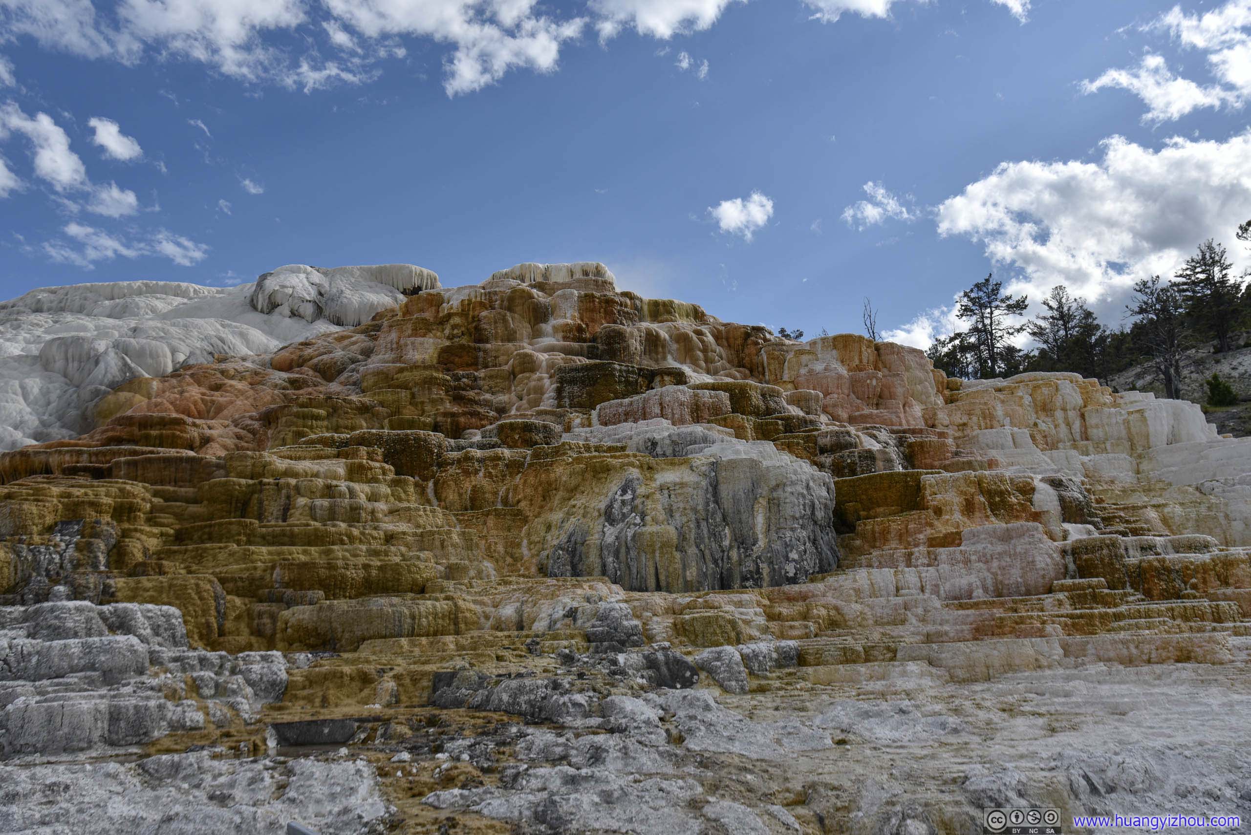
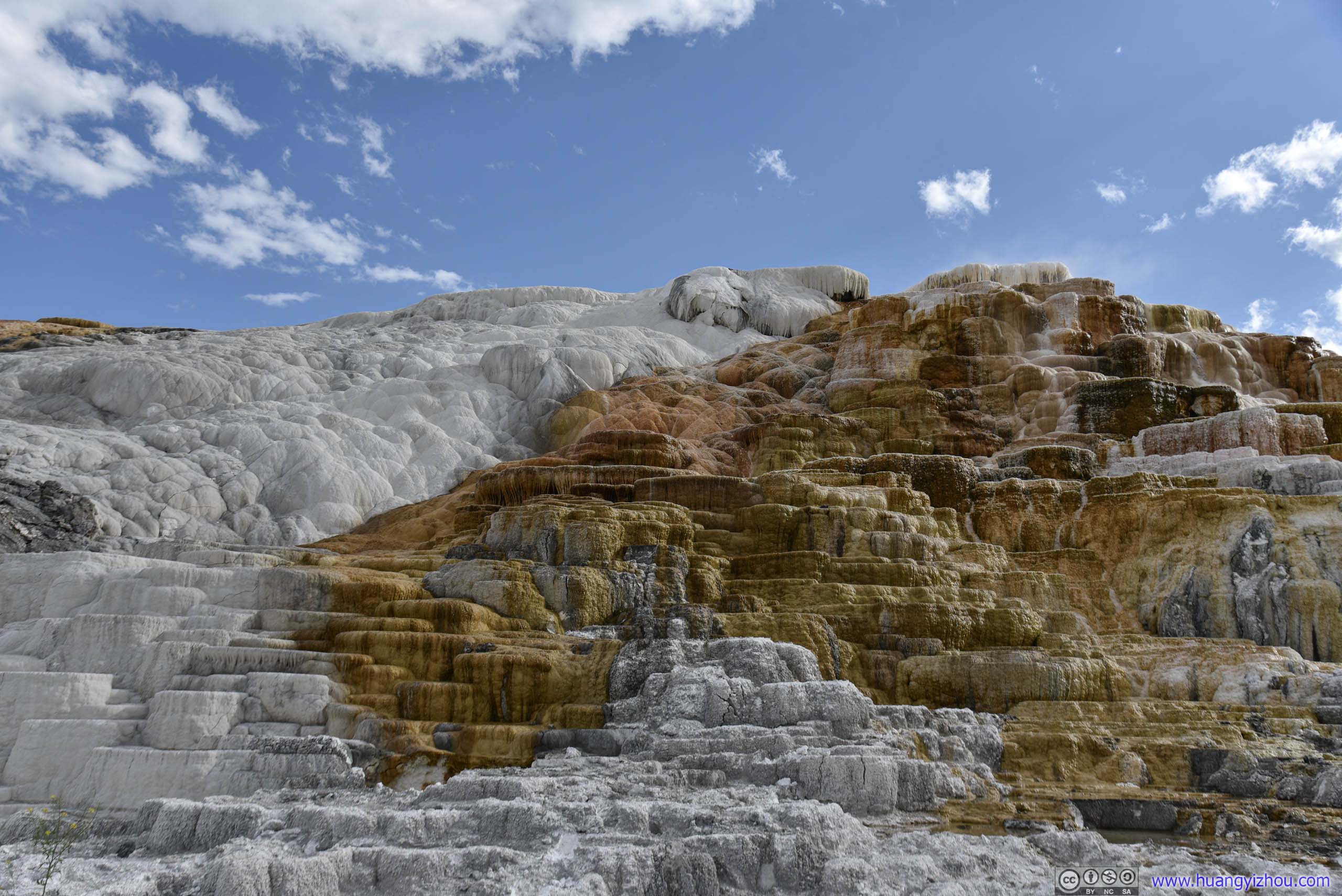
Palette Springs
At this point, we realized we probably ran into too many wildlife today.
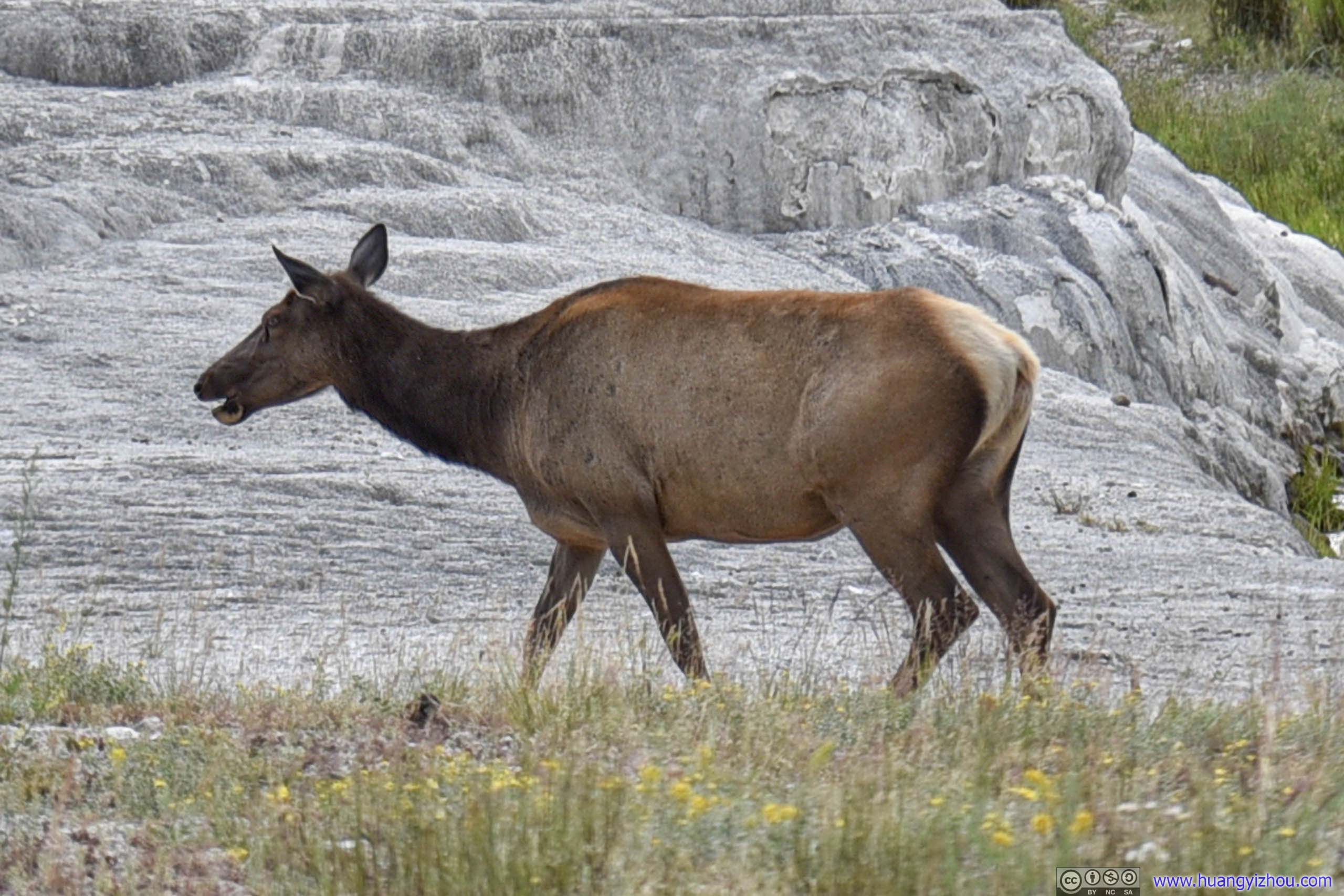
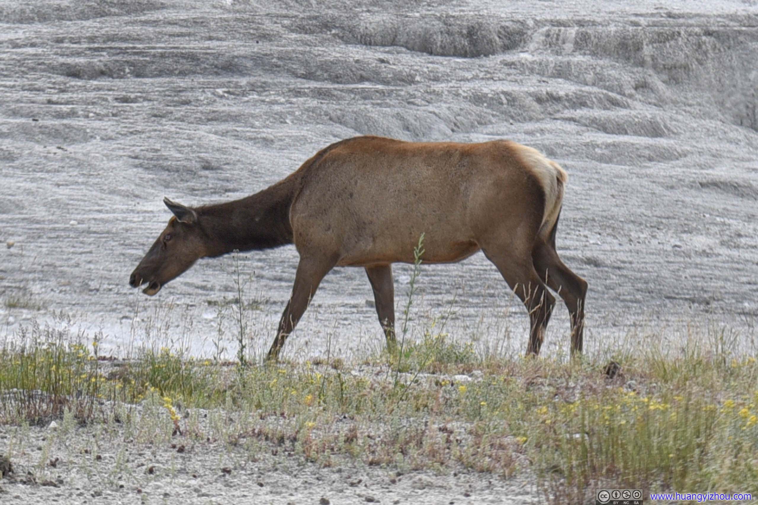
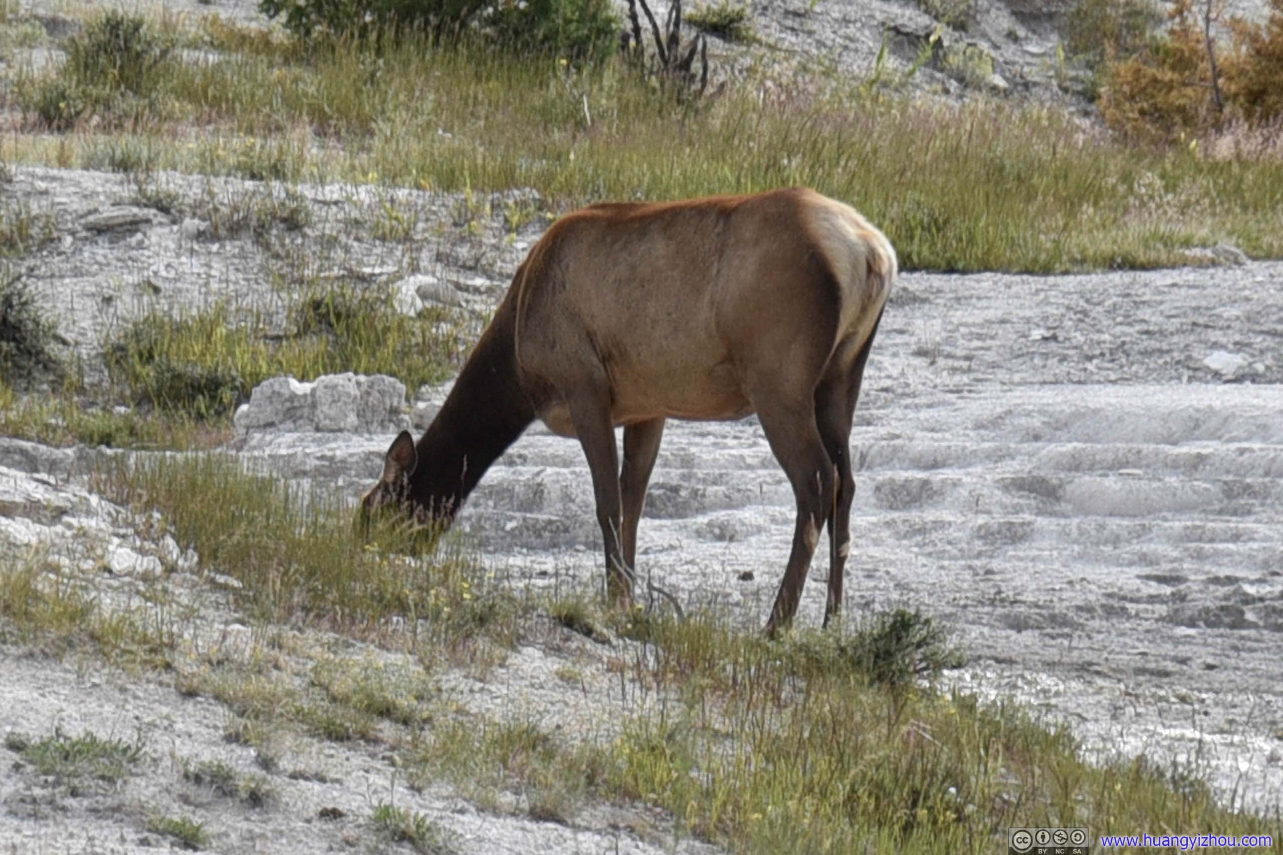
Finally, it's time to leave. Our overnight lodge was just outside the town of Gardiner.
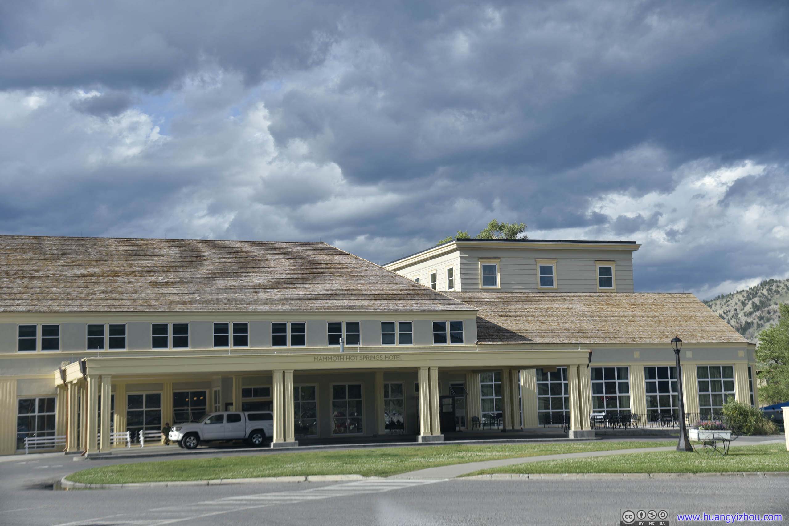
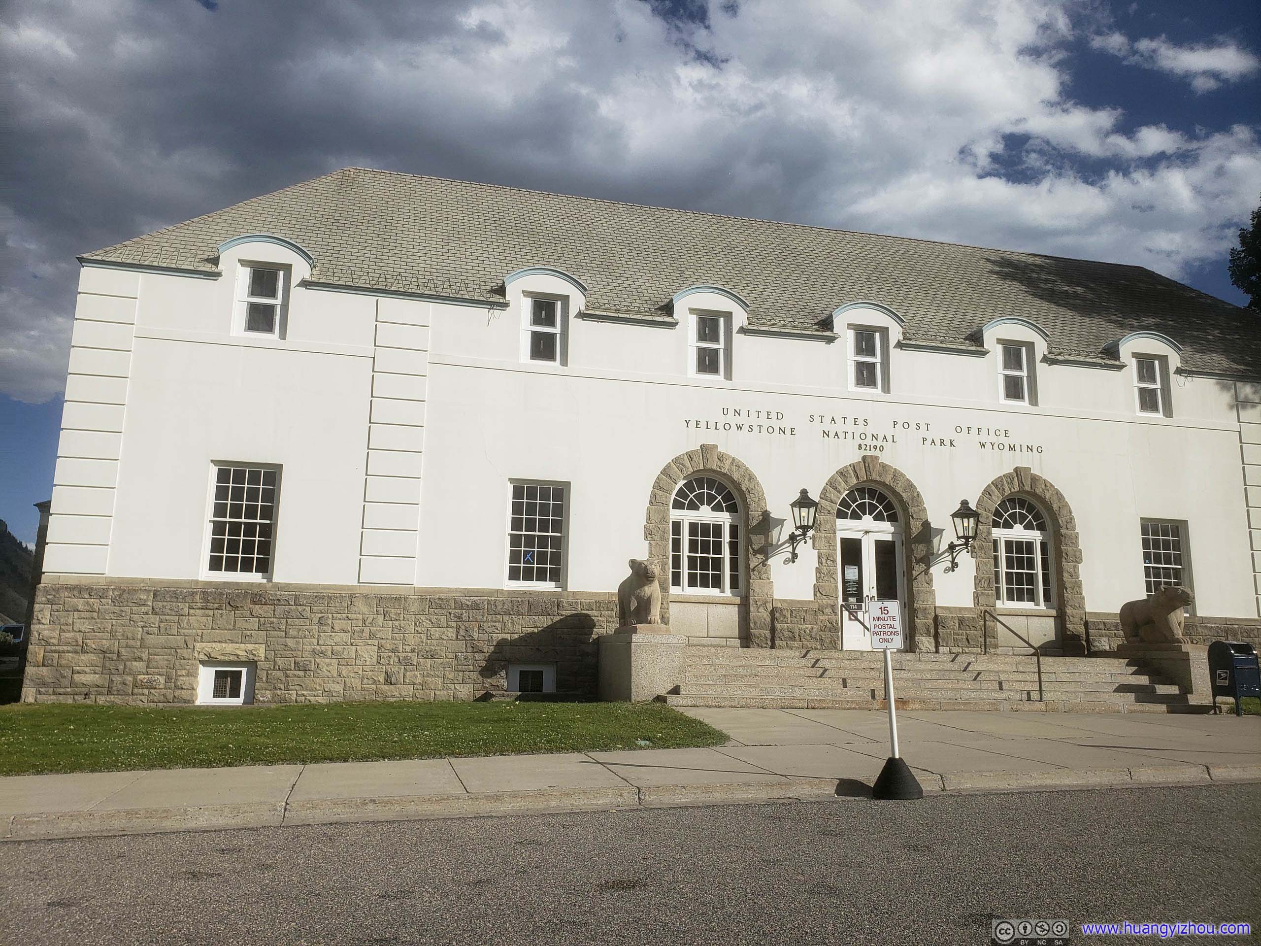
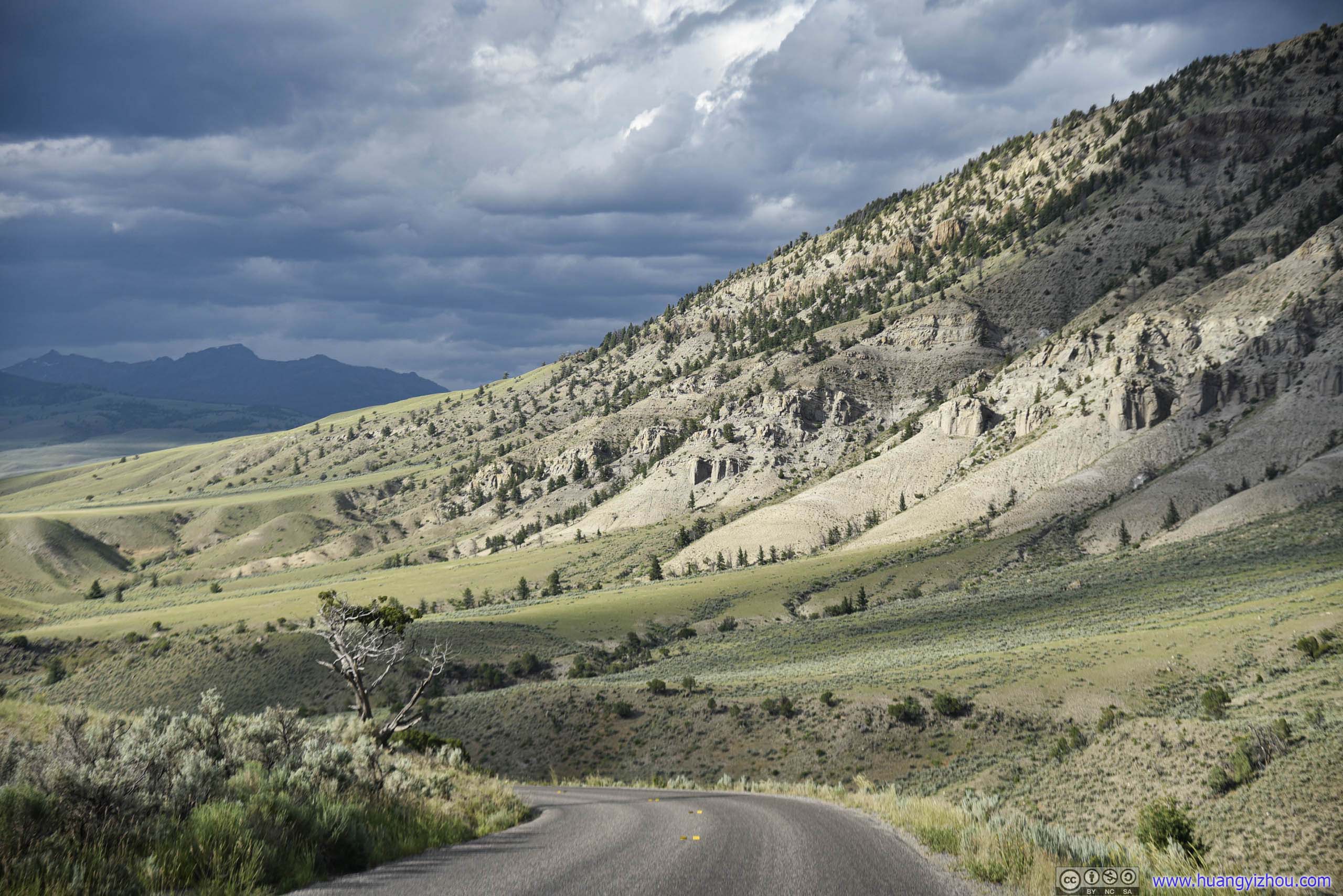
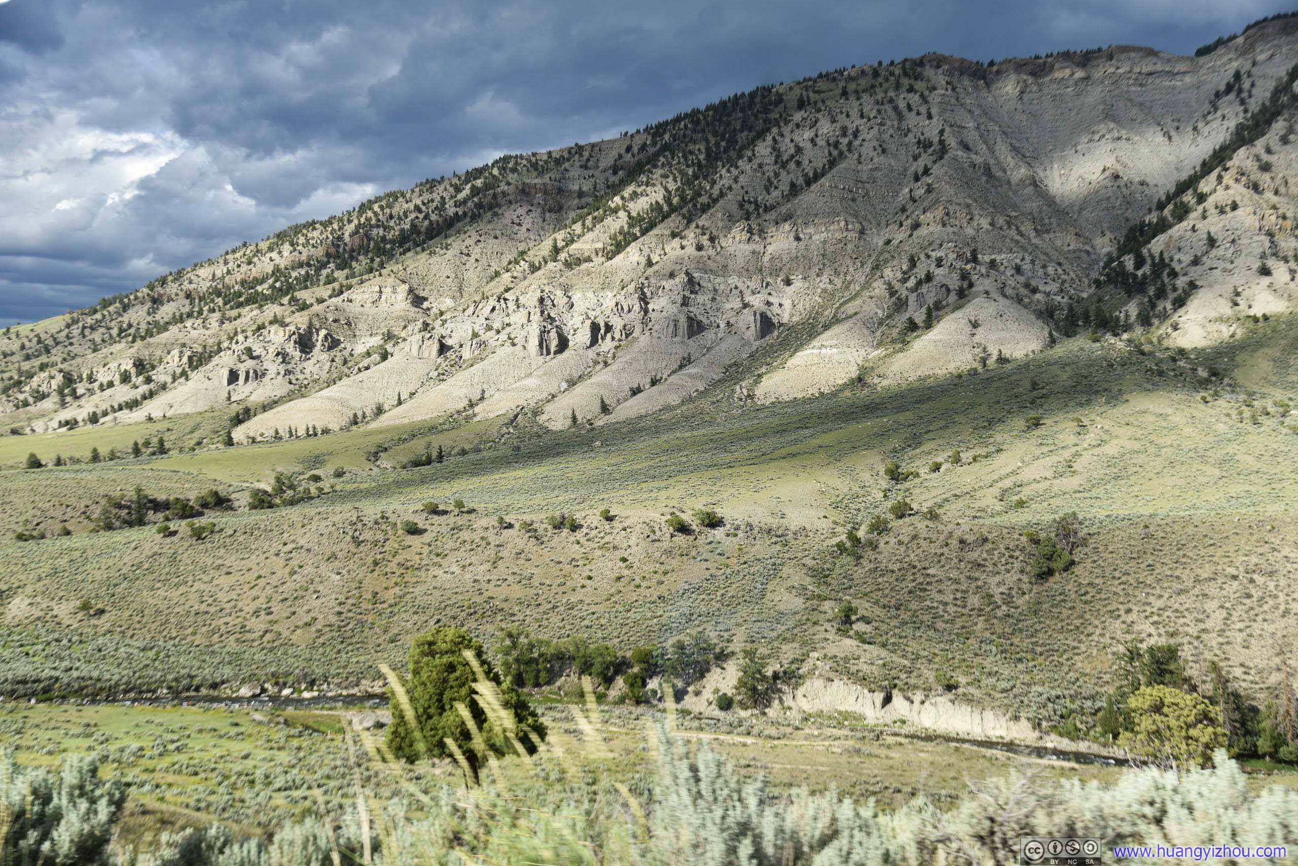
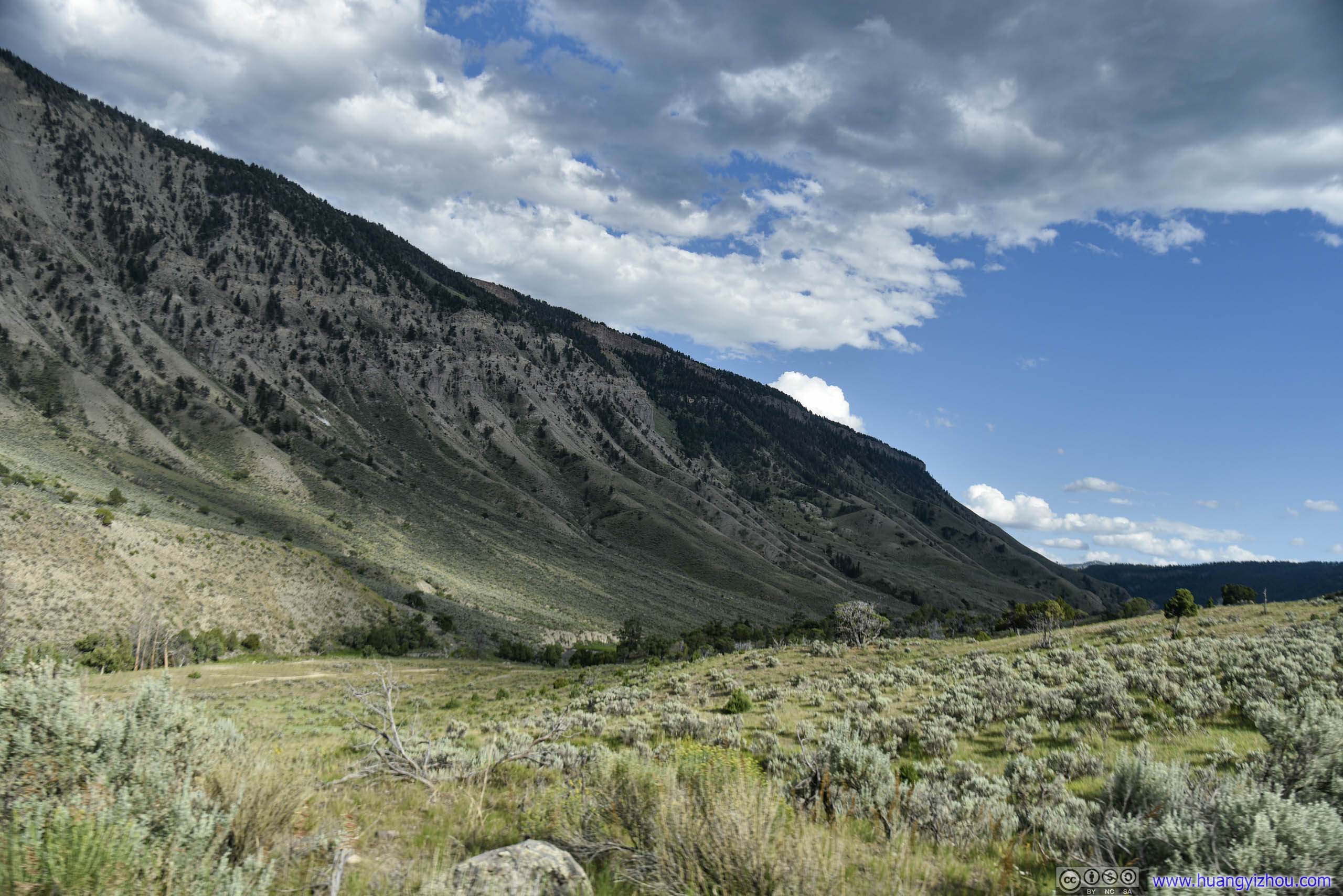
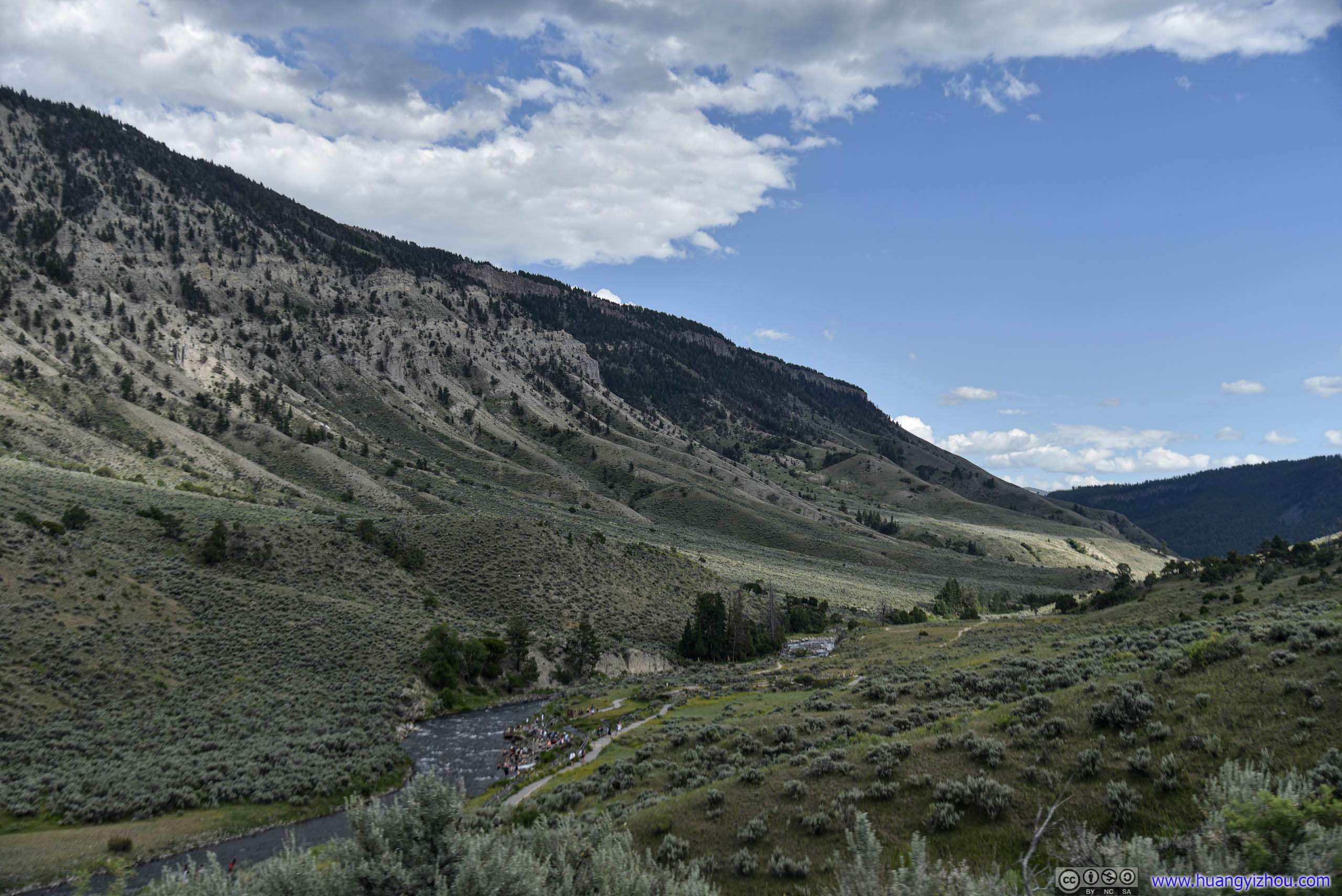
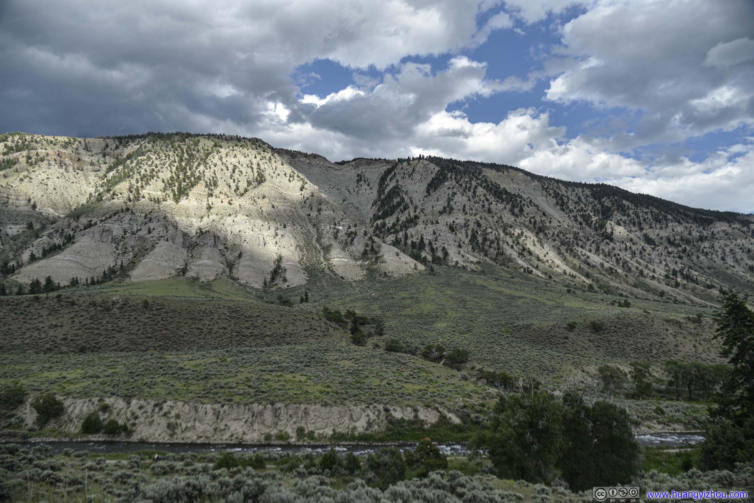
Mount Everts
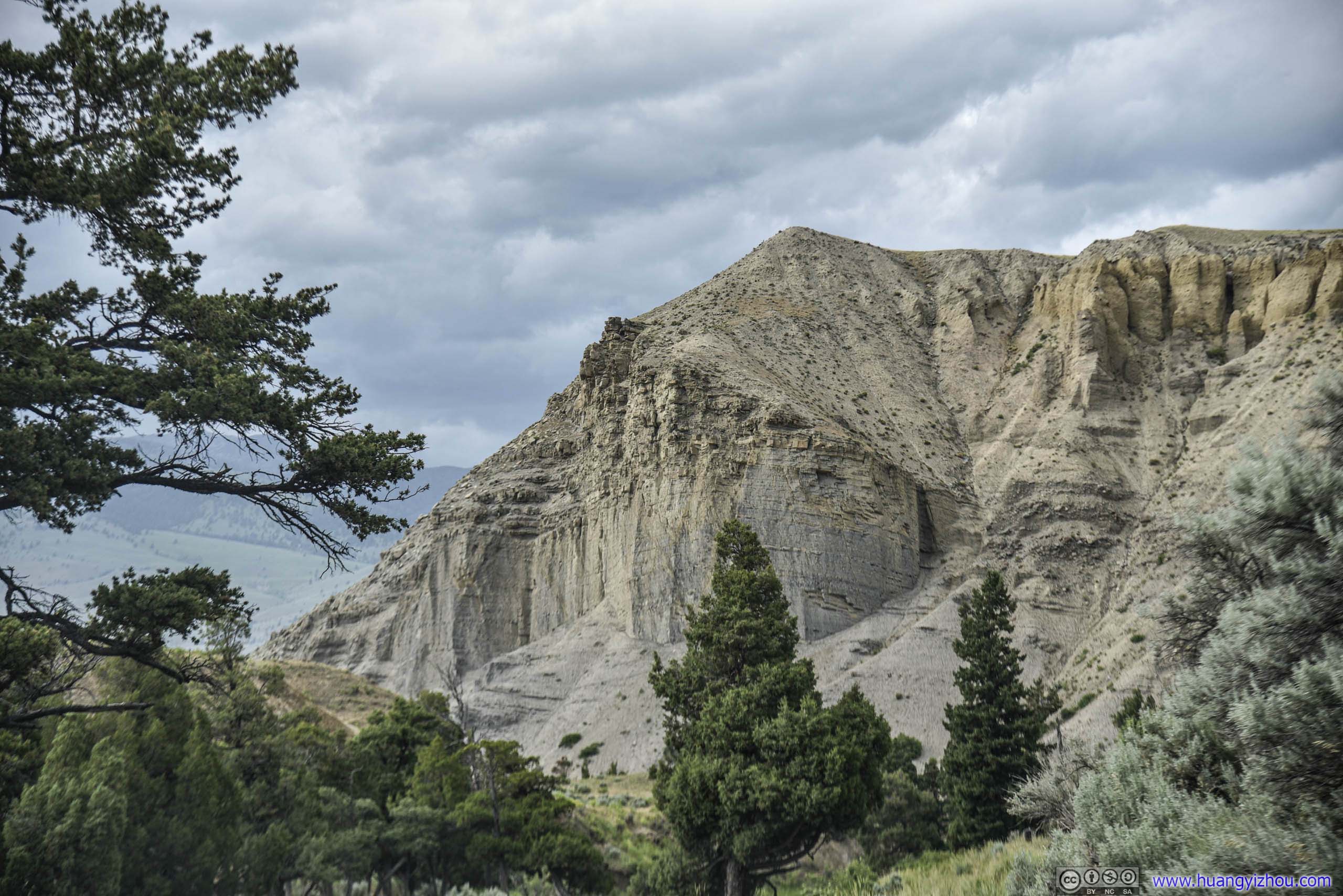
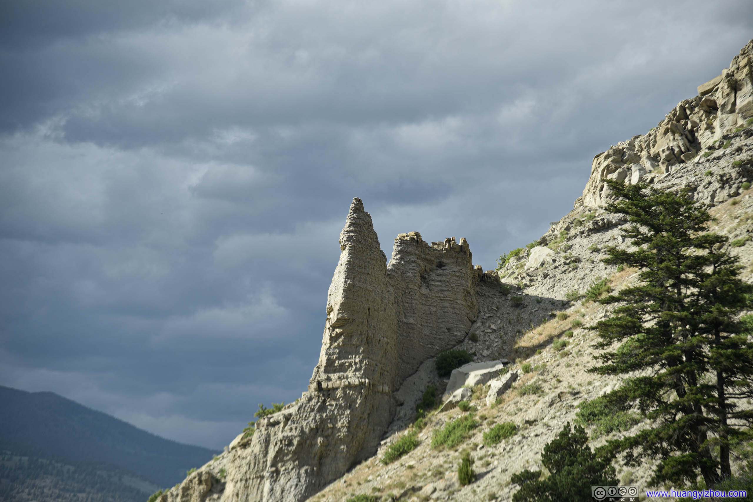
Rocks
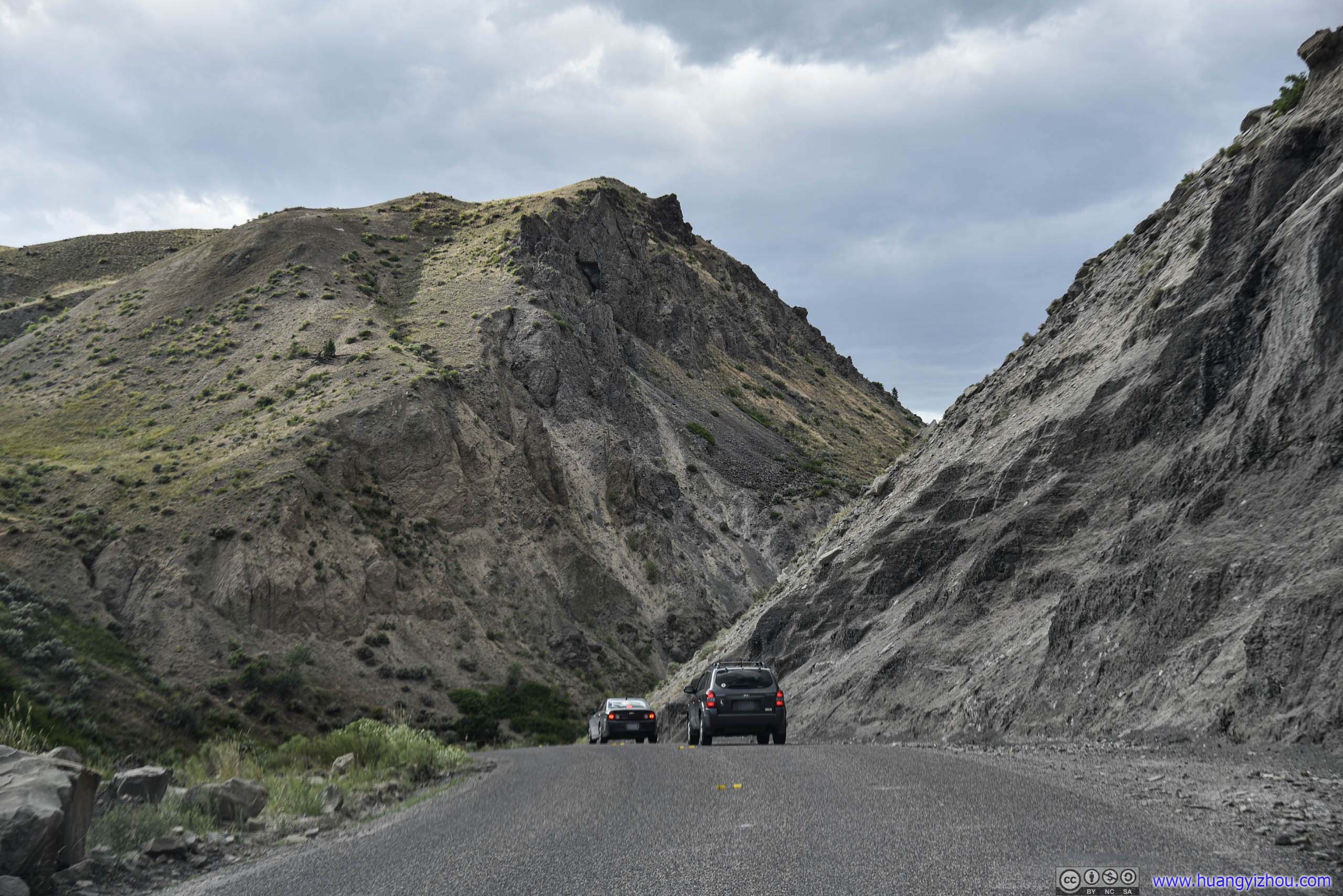
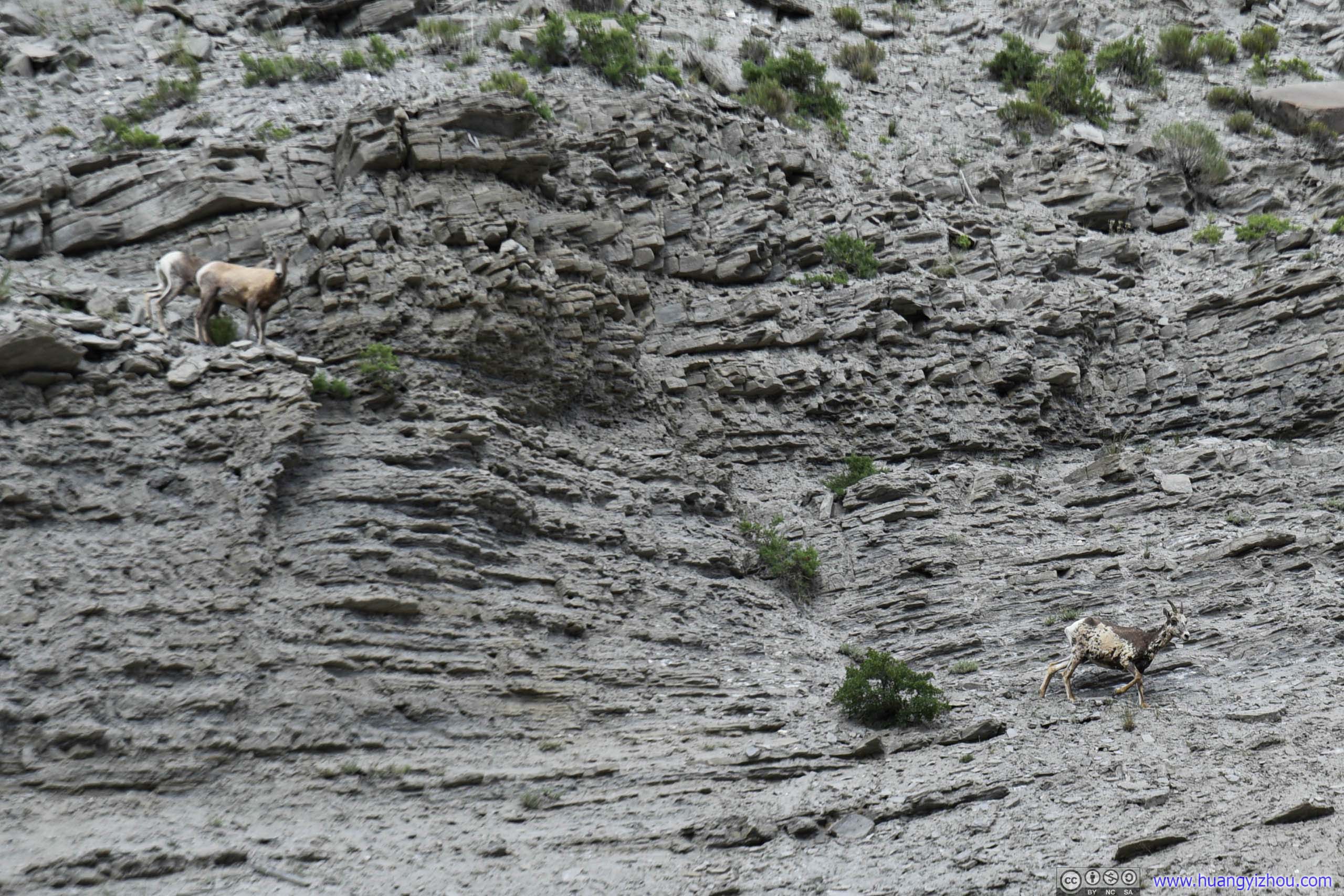
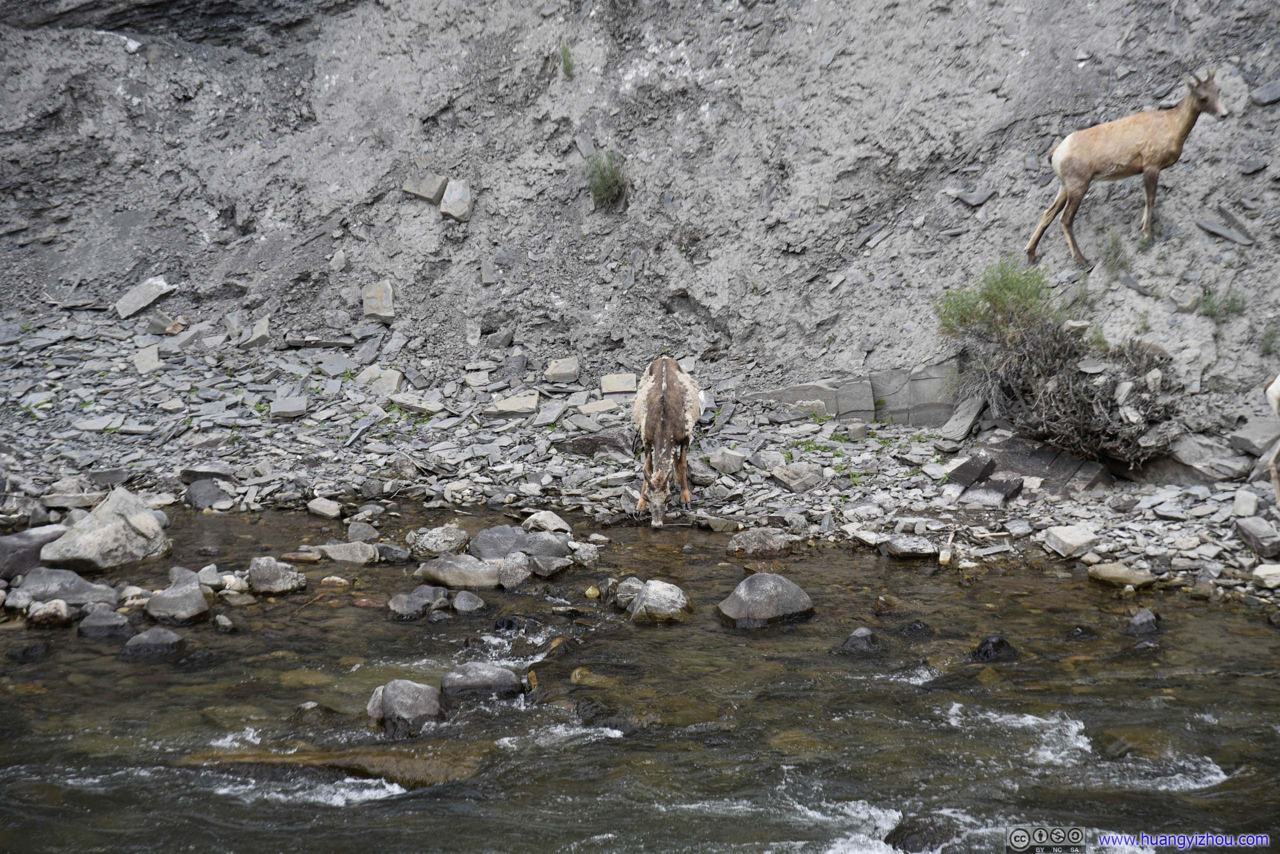
Just as we were crossing Gardner Canyon, we (along a few other cars in front of us) spotted a pack of goats on the cliff.
So we stopped for a while, admiring how swiftly these agile creatures were flying up and down the mountain.
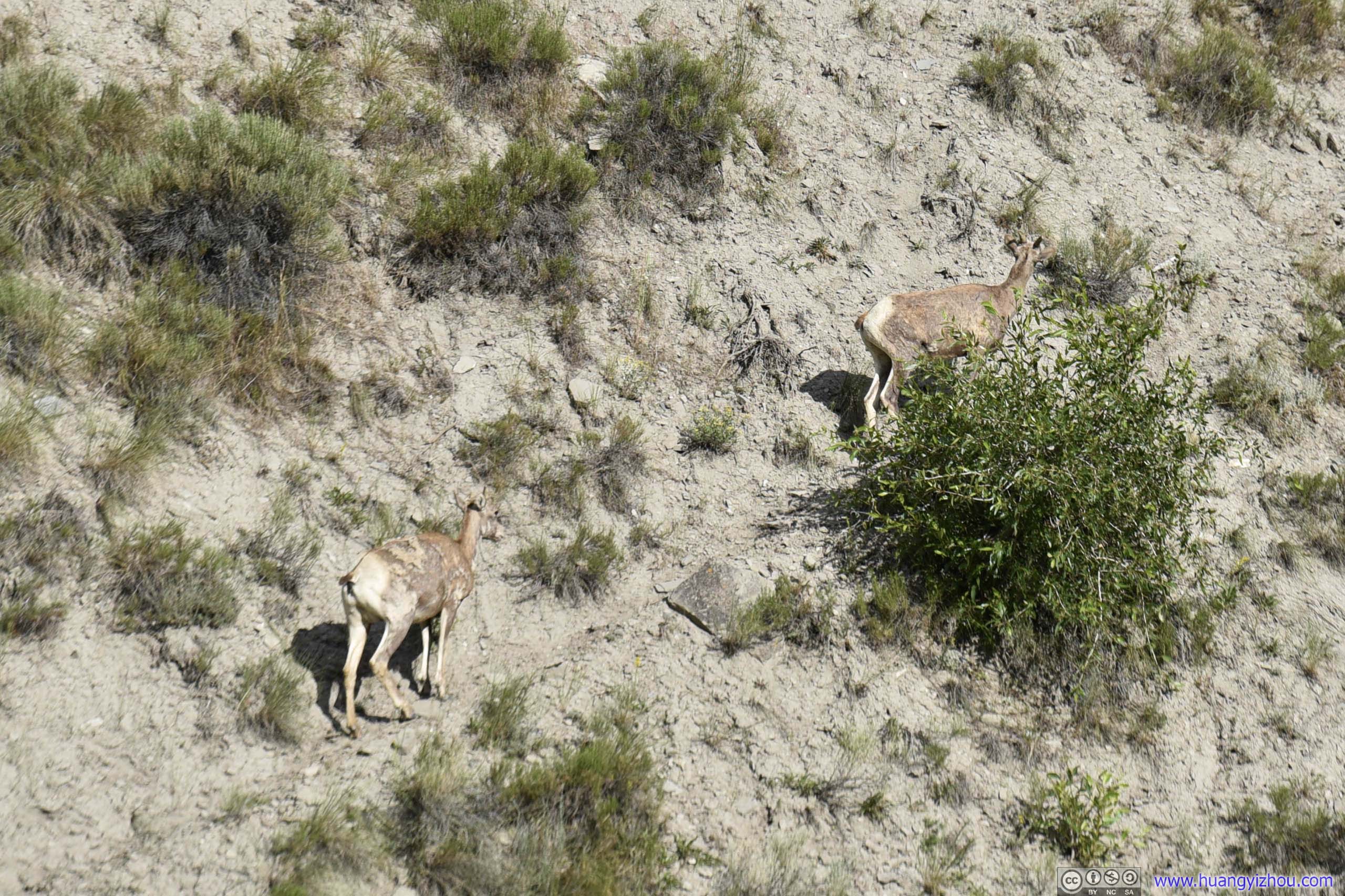
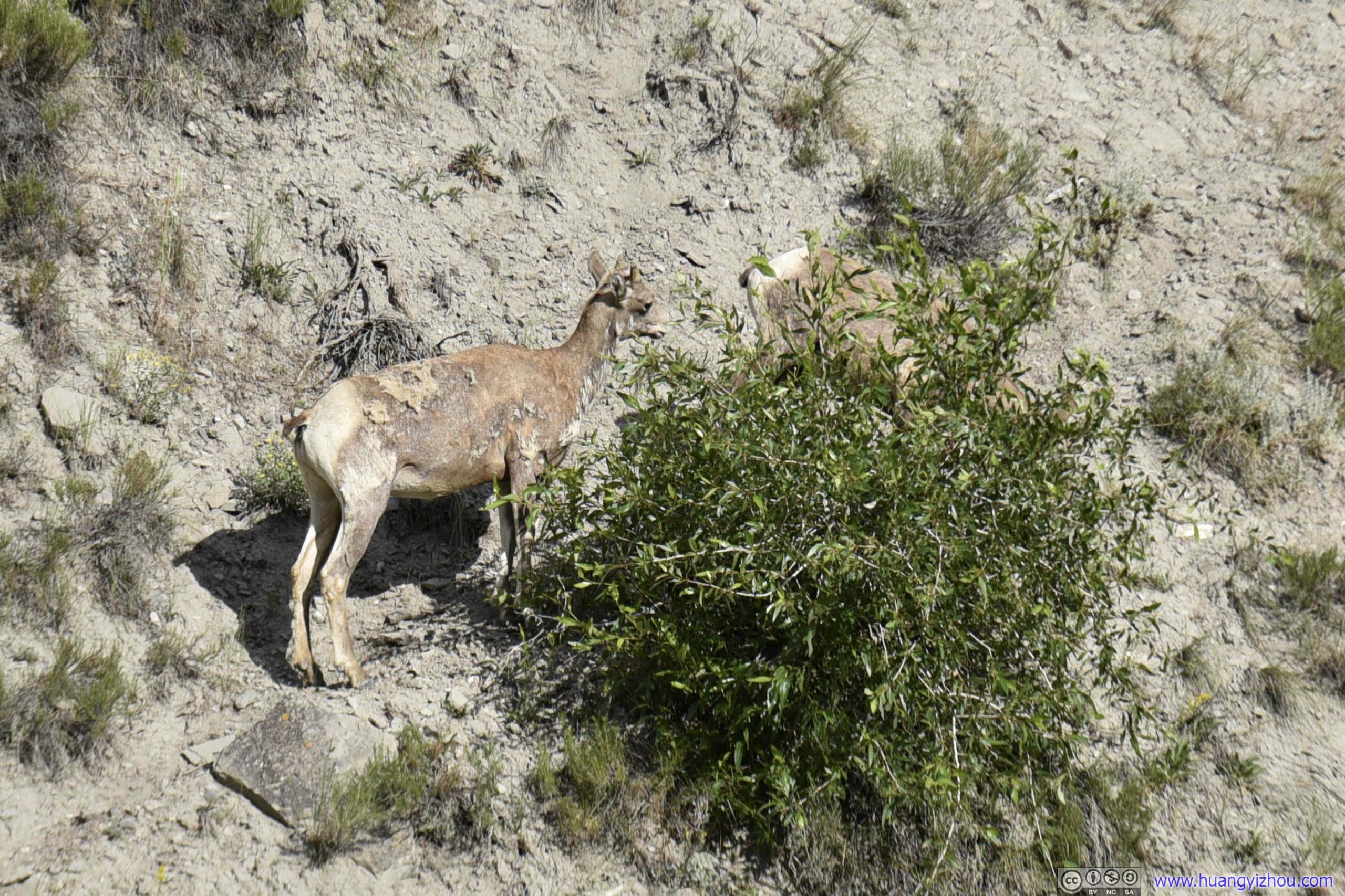
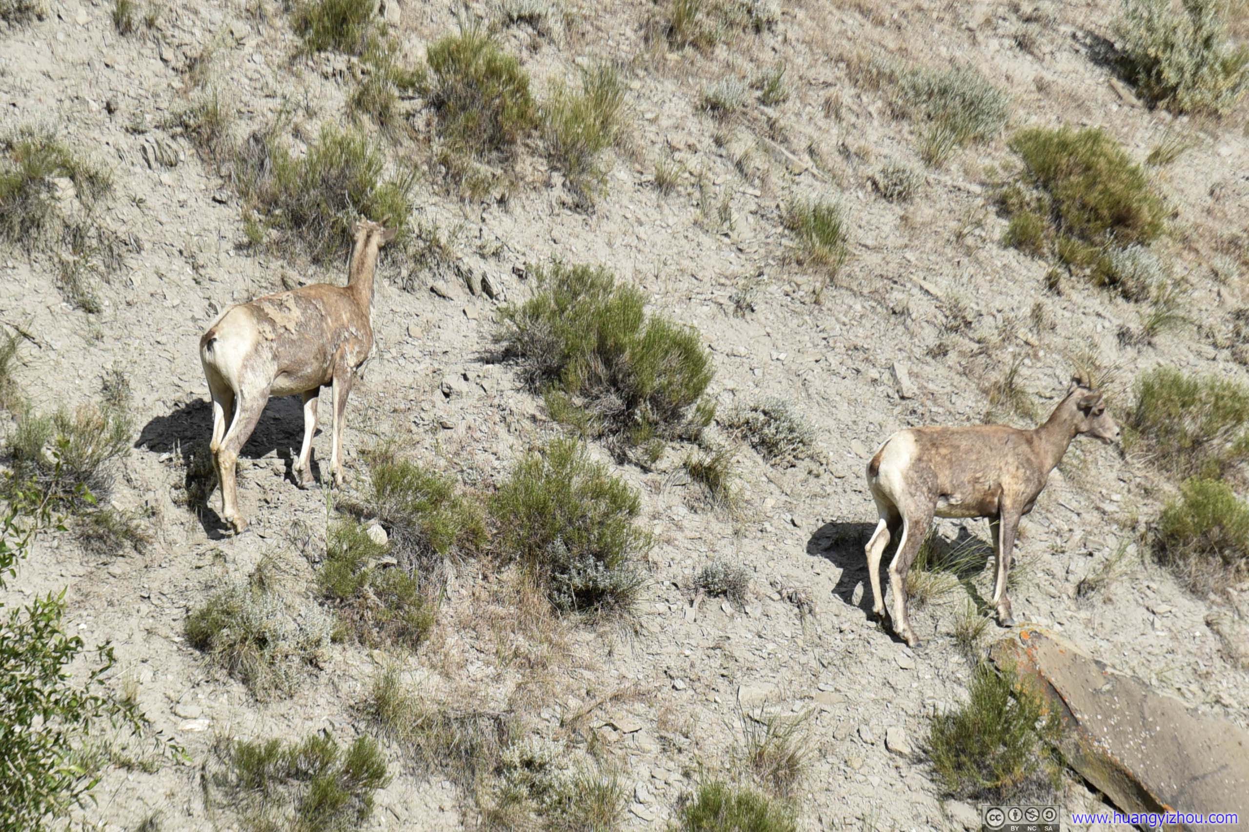
Goats
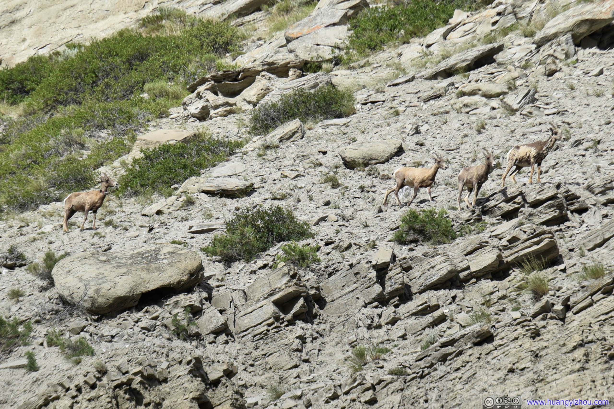
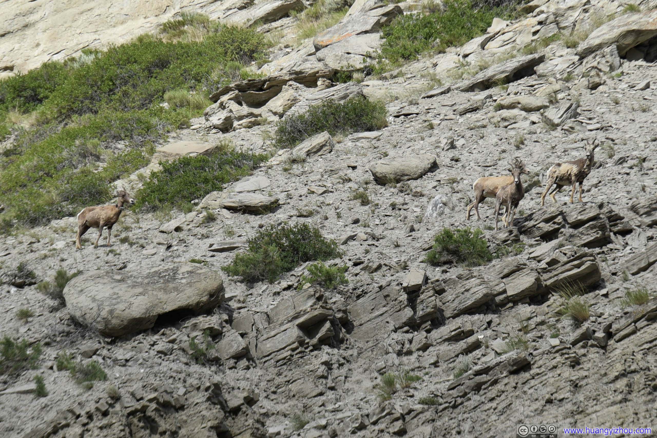
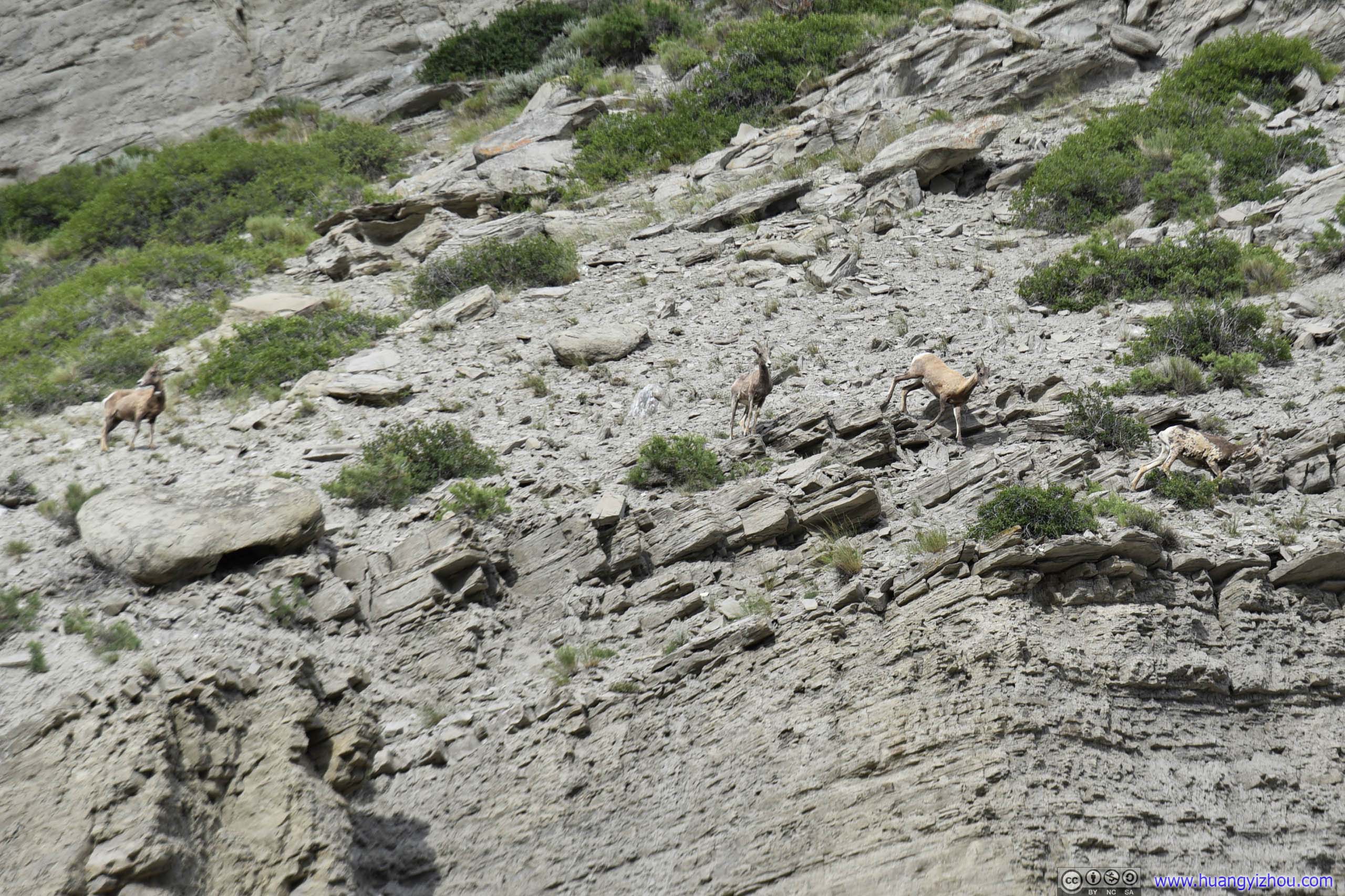
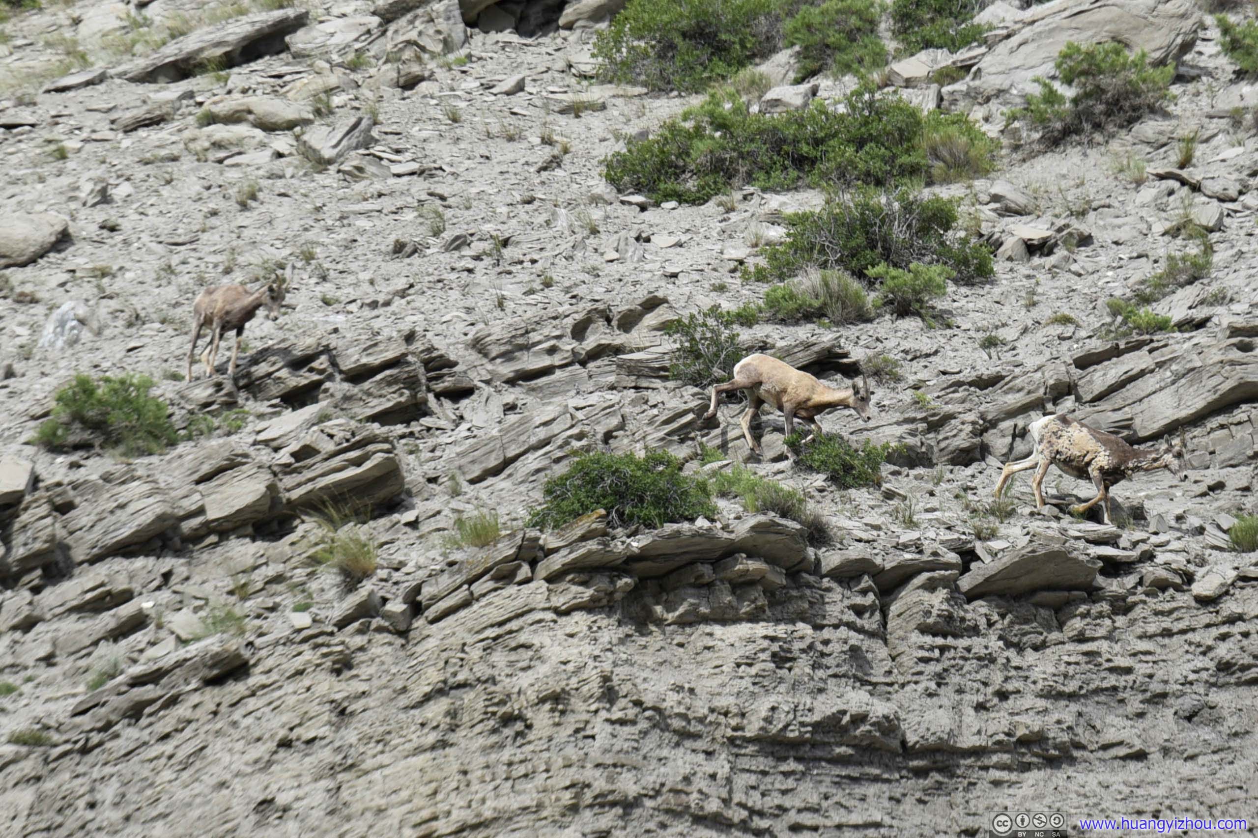
Goats
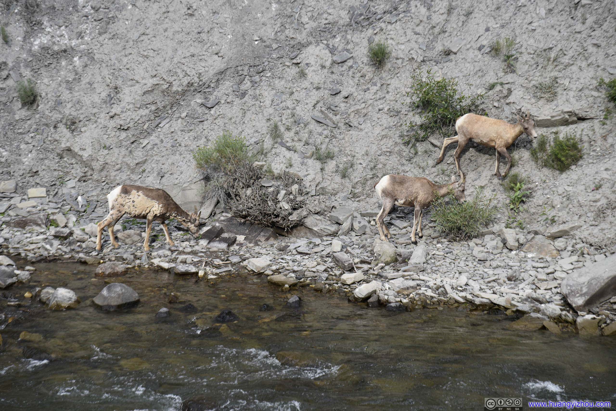
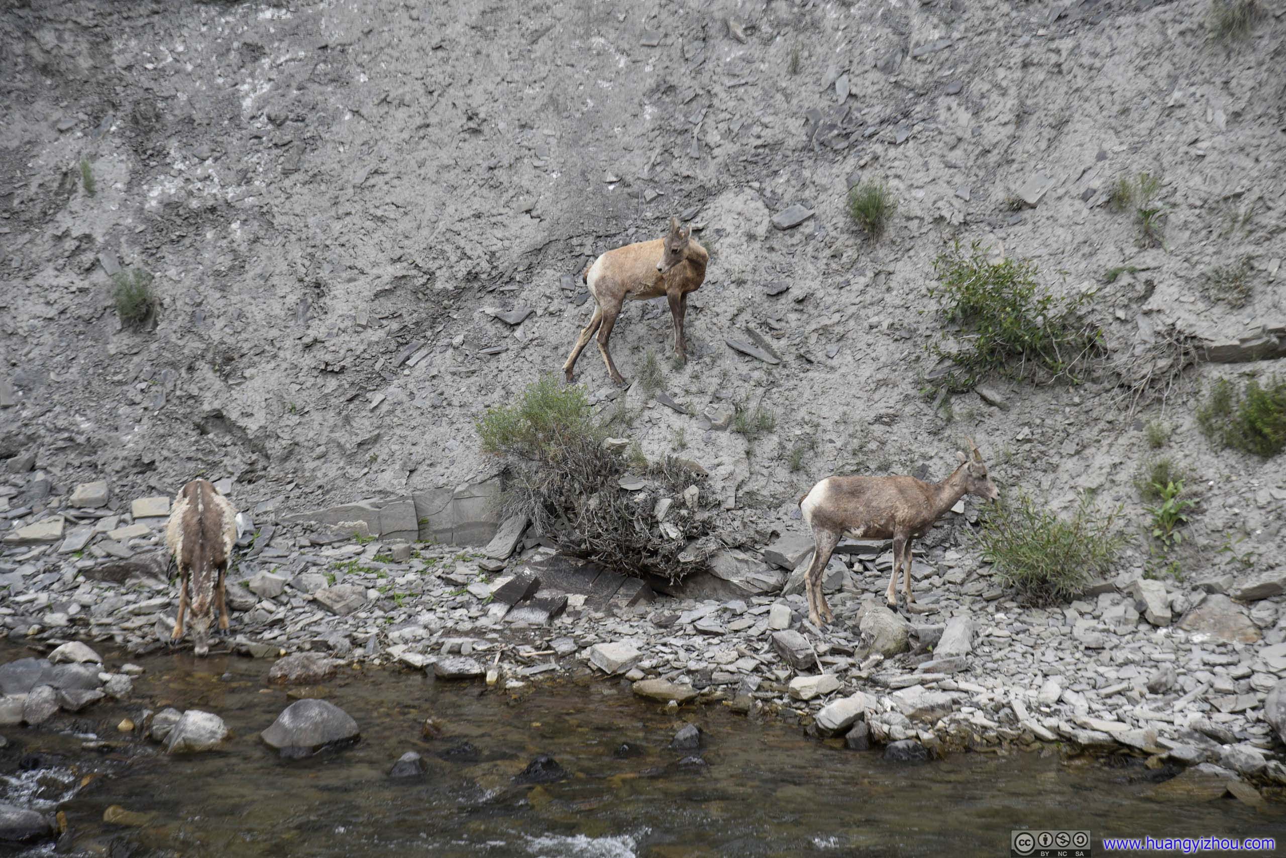
Goats
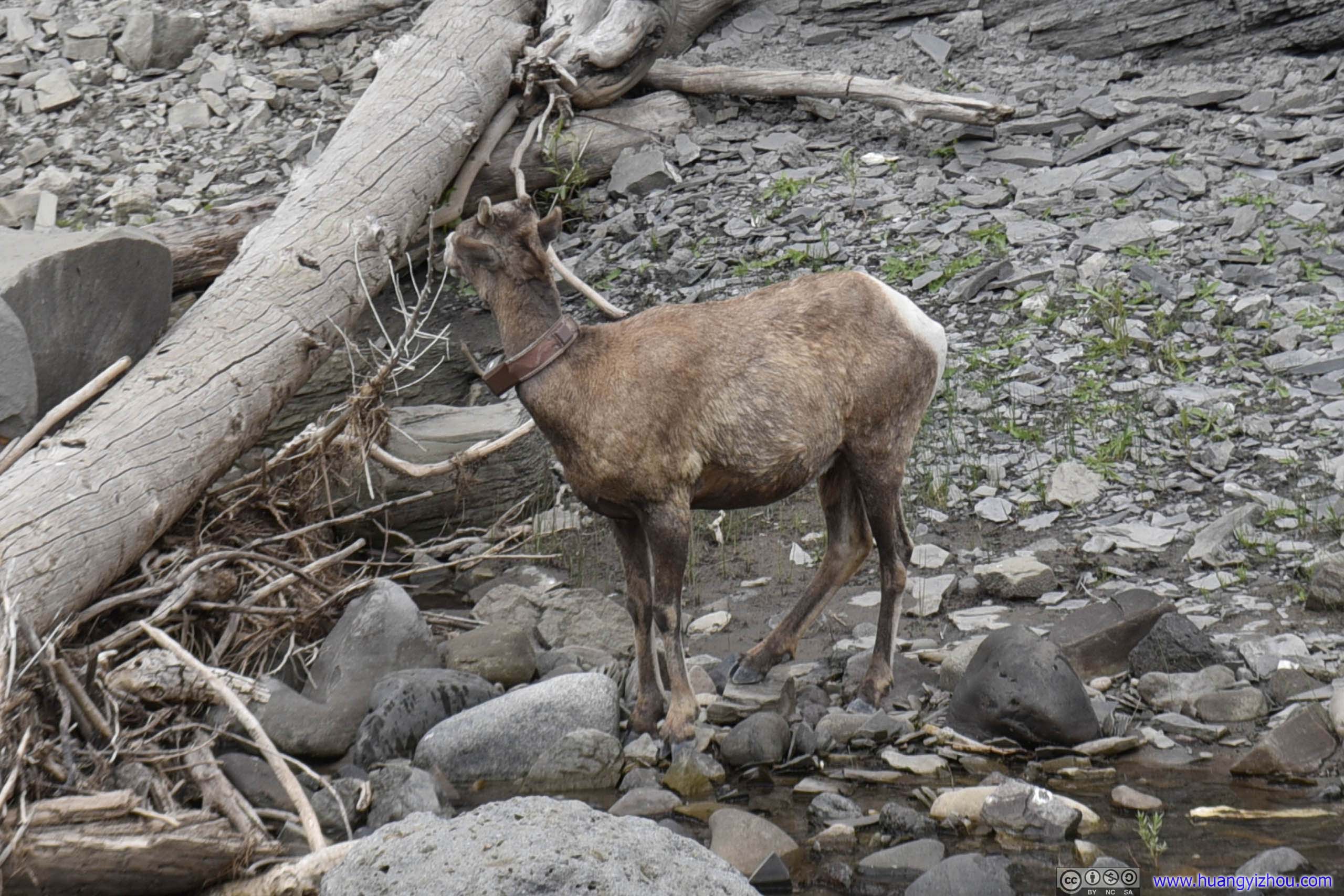
It seemed that this one was wearing a neck monitor. Didn't know whether that's why it's left alone.
And here's a video of them descending down from hill for water.
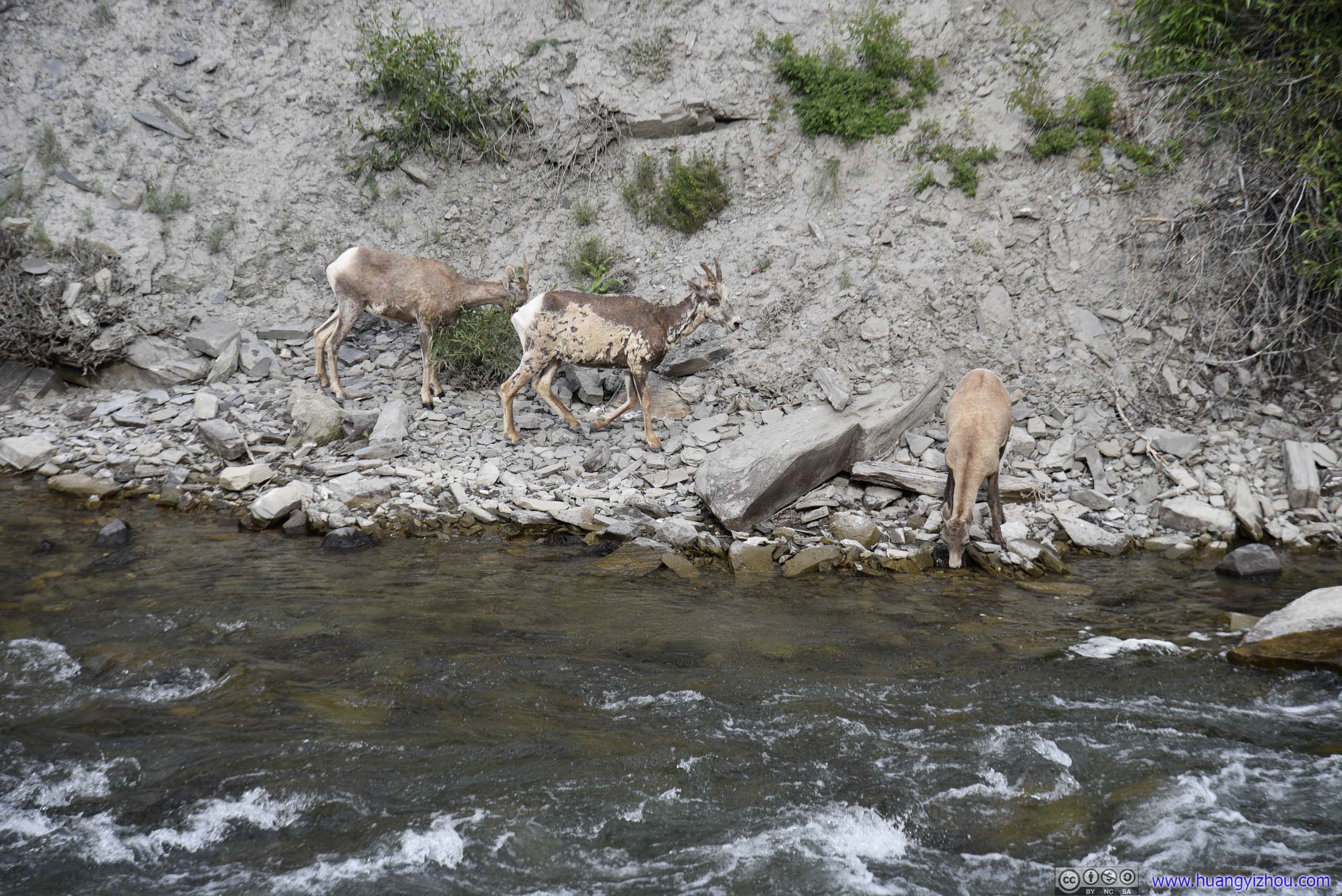
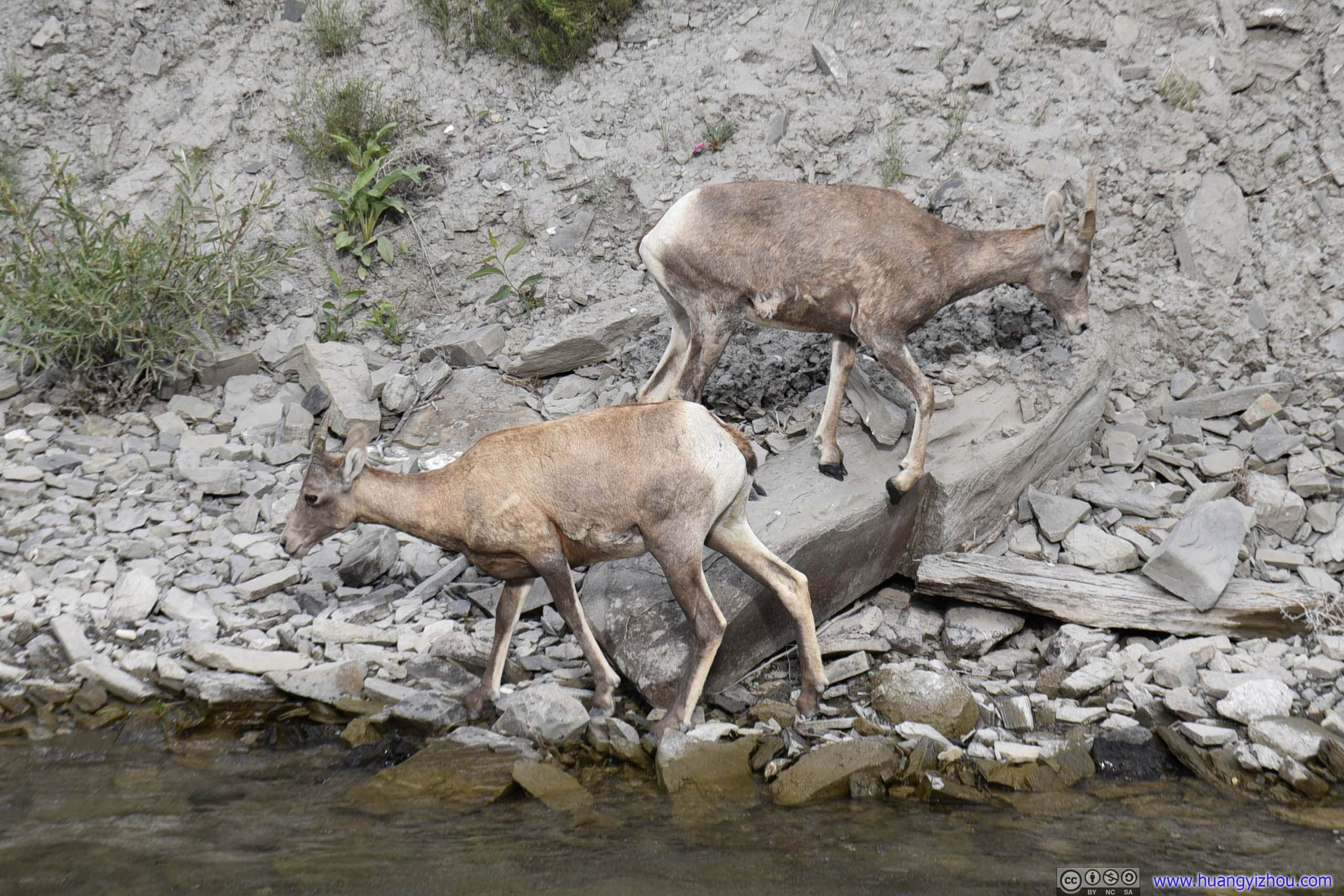
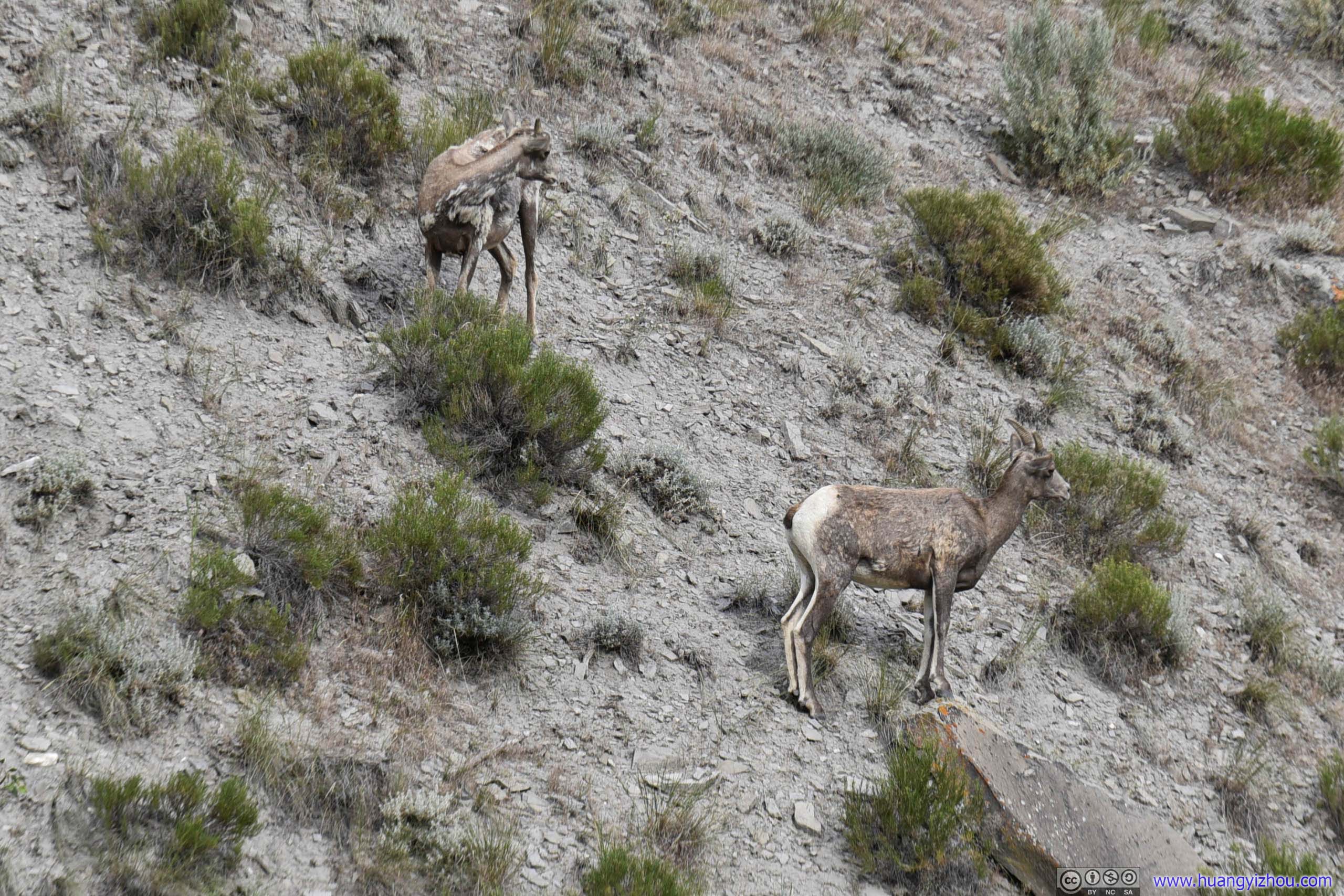
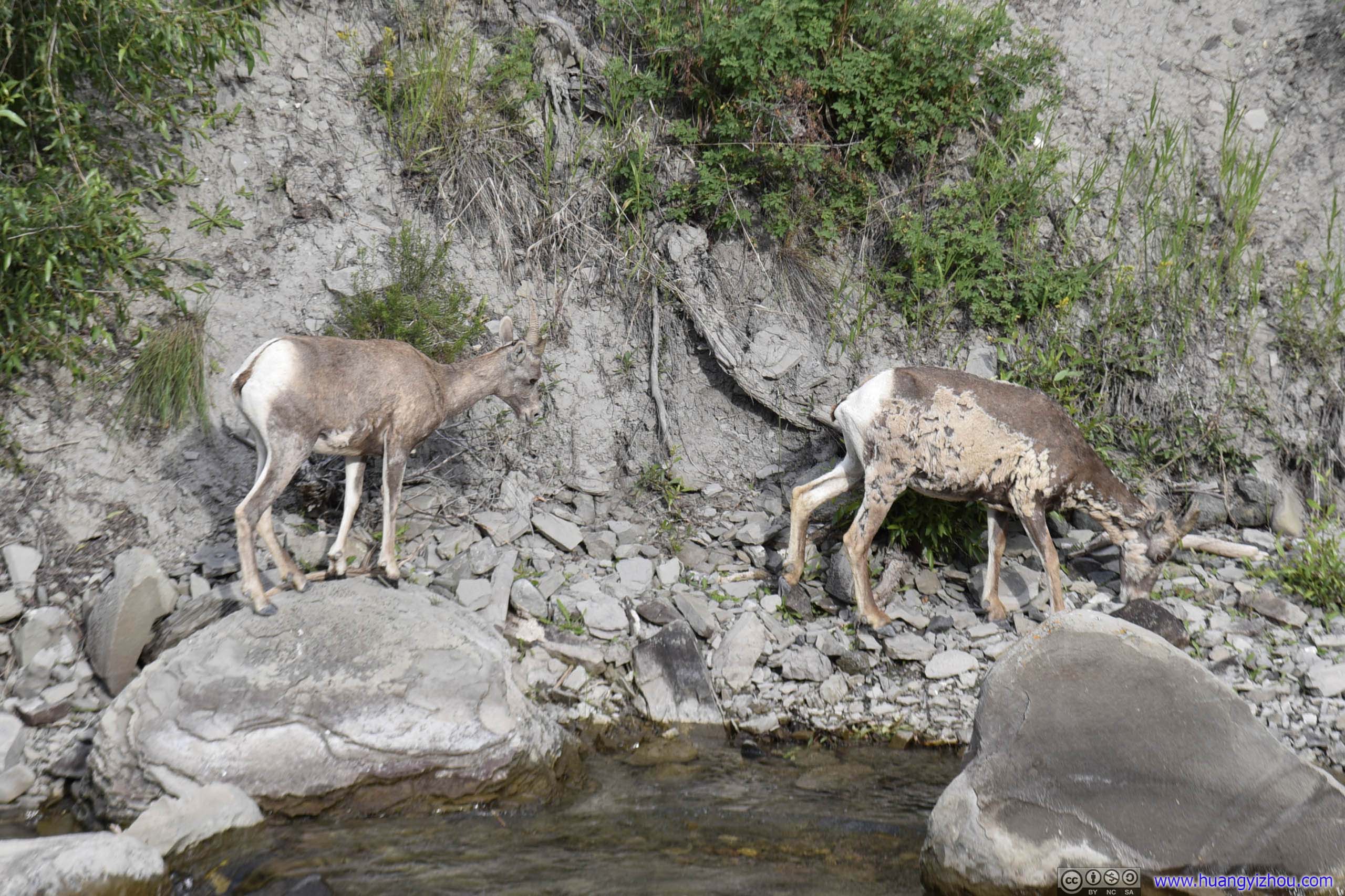
Goats
And here's a video of them leaving the scene after having enough water.
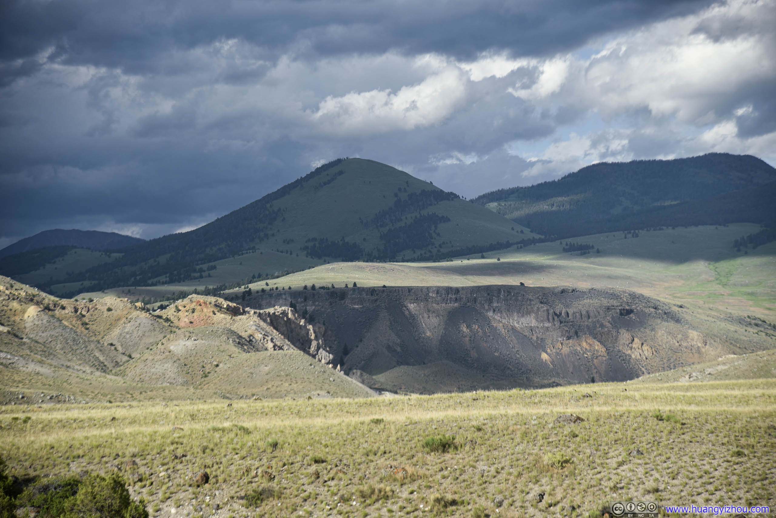
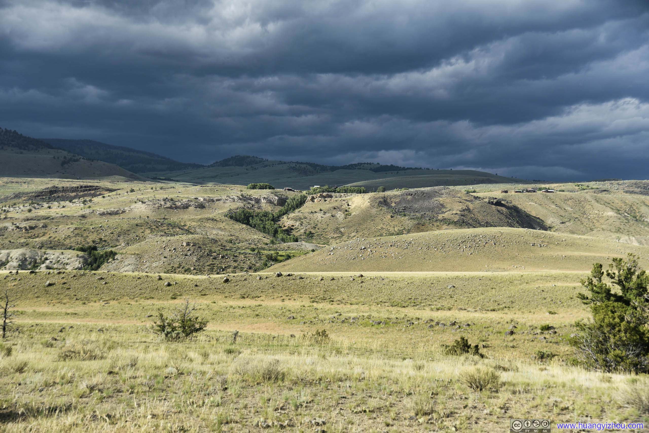
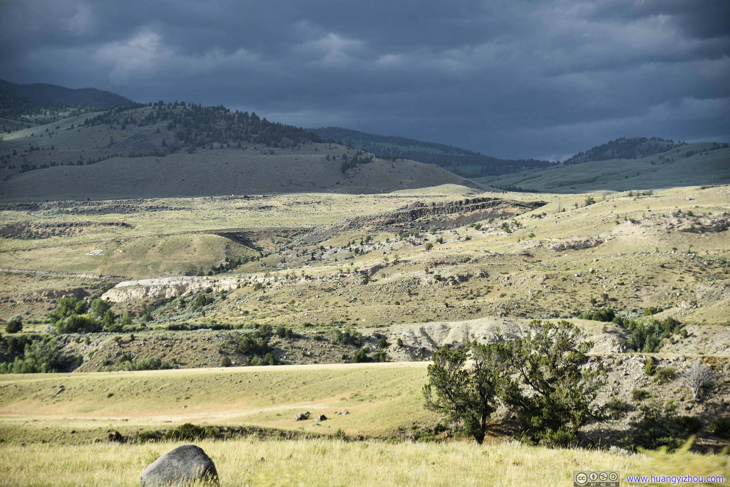
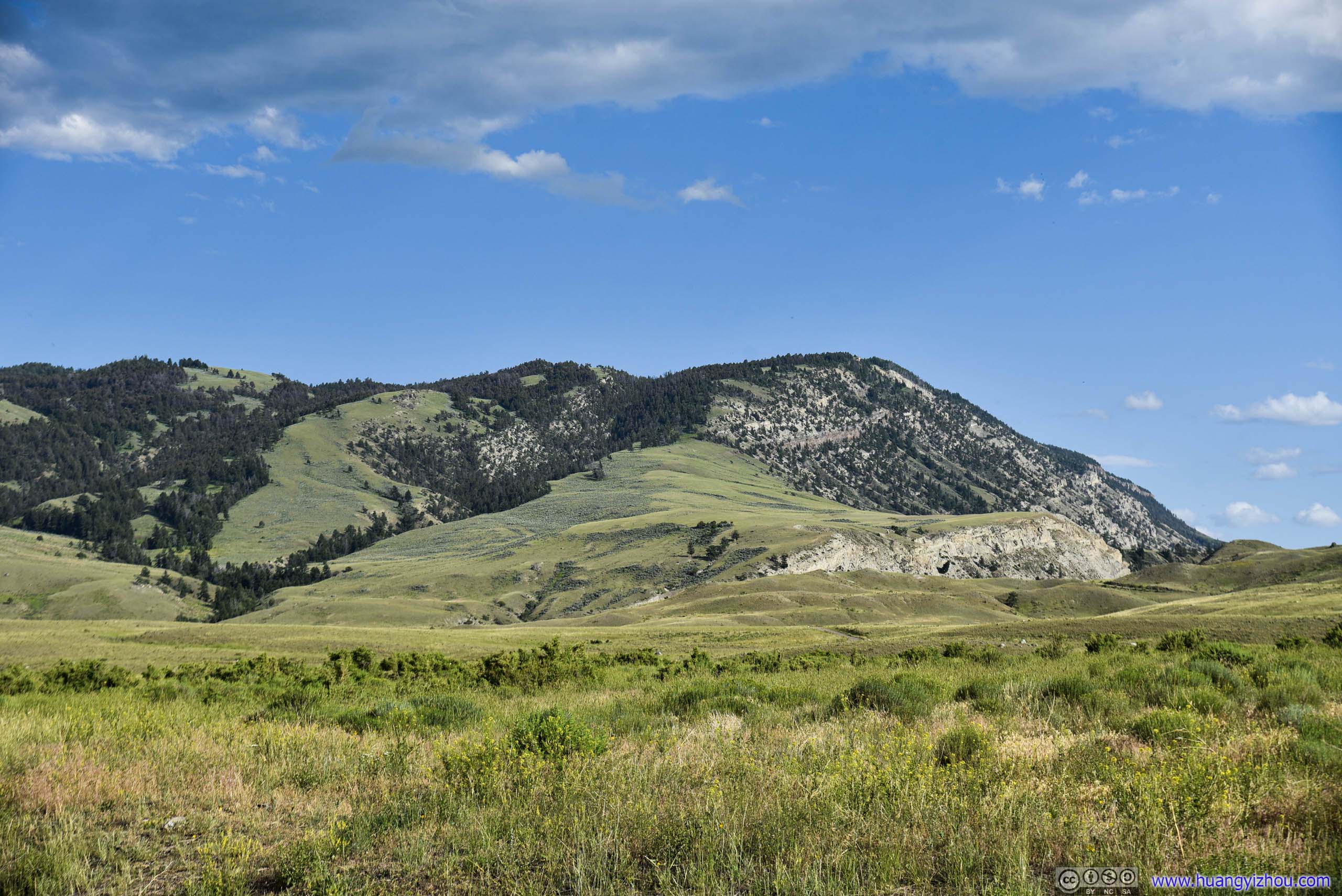
Field and Distant Mountains
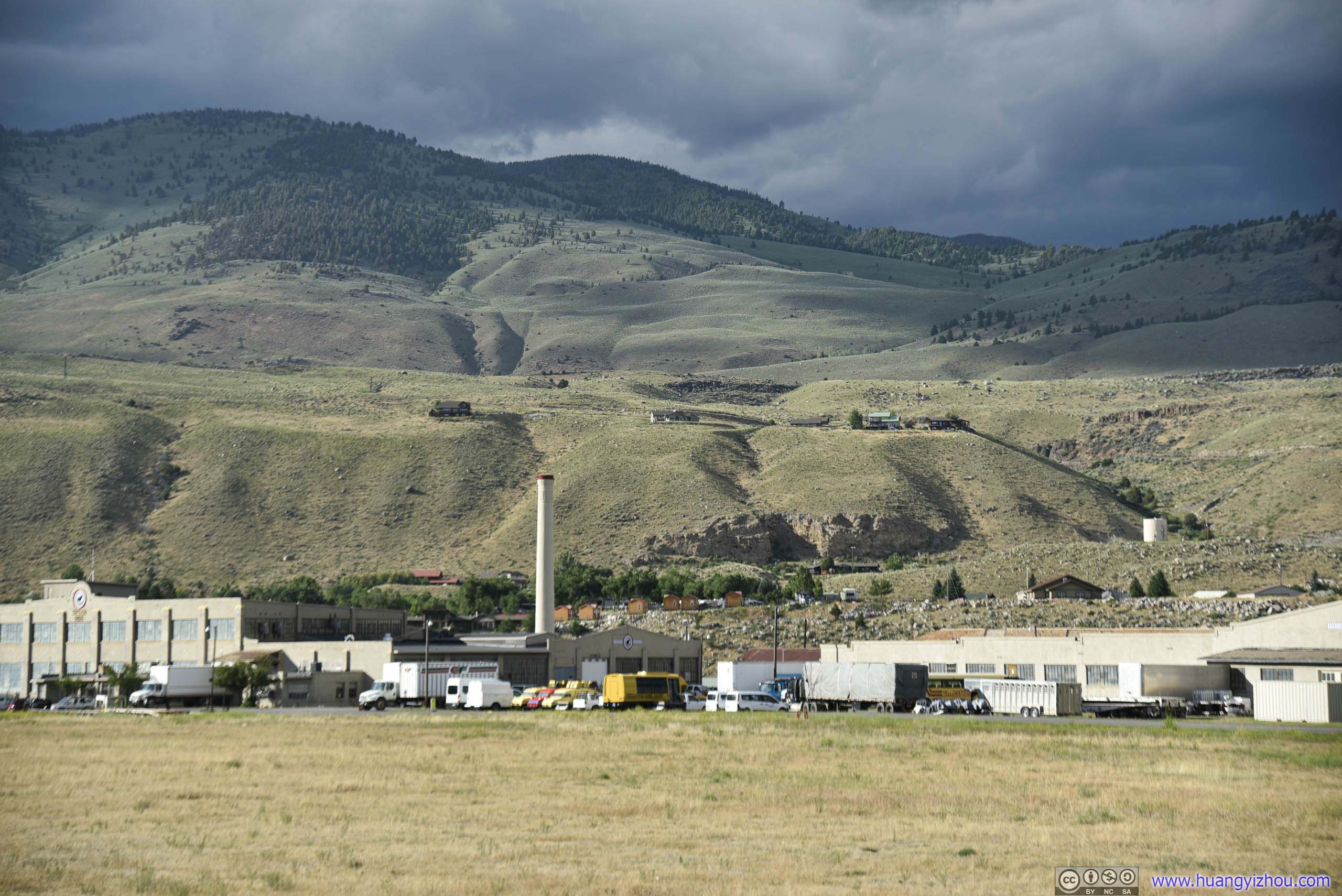
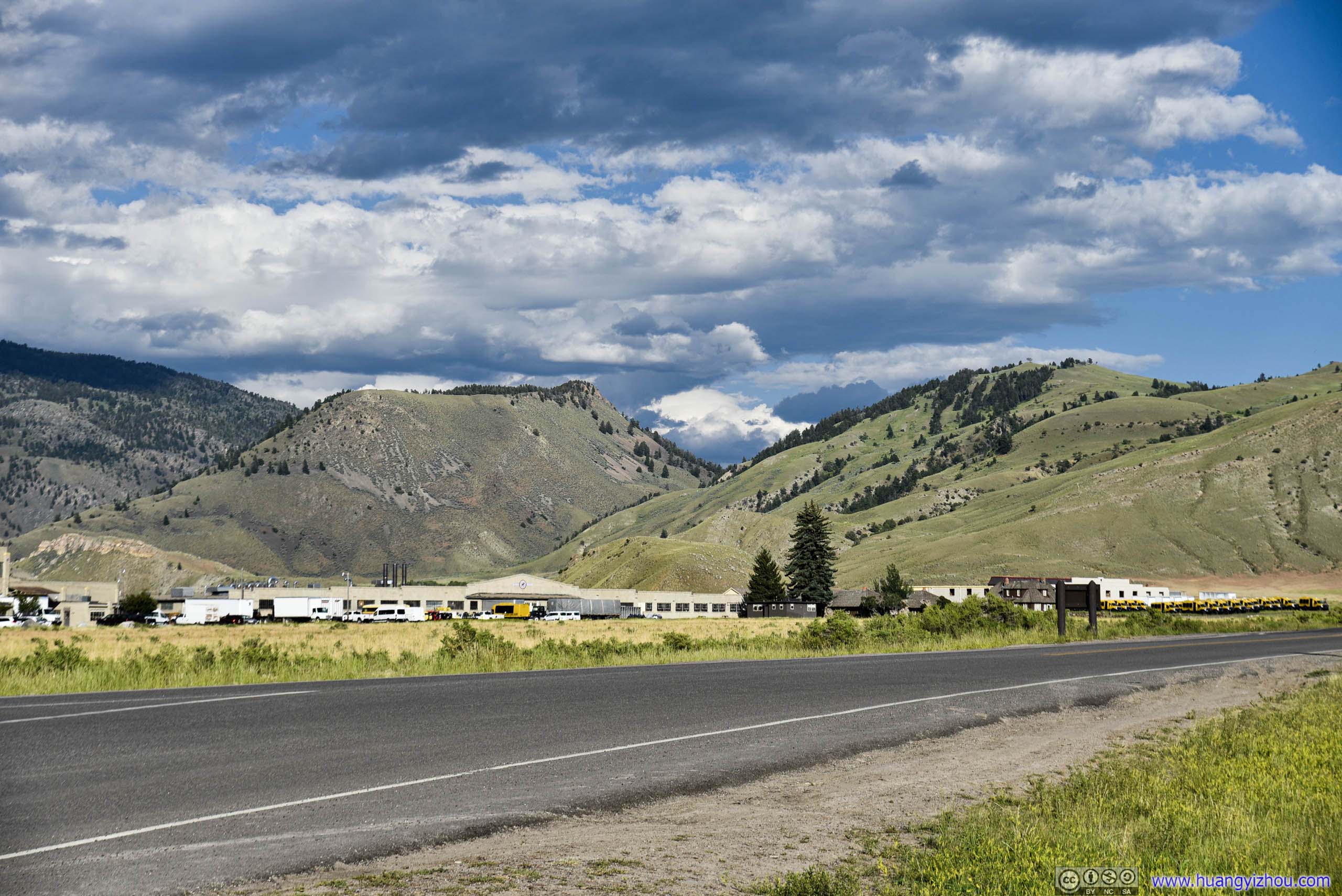
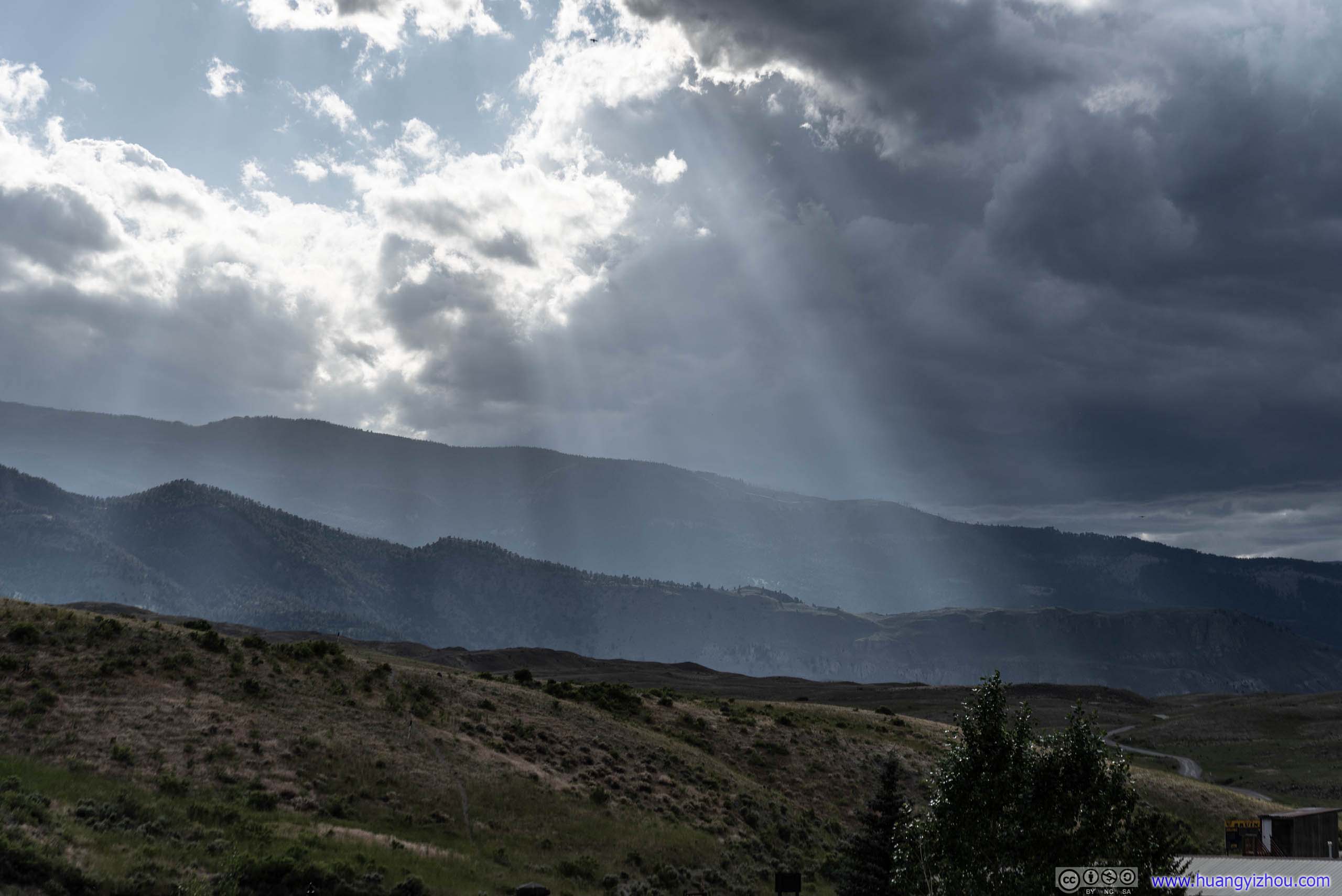
Just outside the North Entrance of Yellowstone National Park, we stopped by Roosevelt Arch, whose construction was started in 1903 with an inscription "For the Benefit and Enjoyment of the People" on top of it, from the park's establishment in 1872.
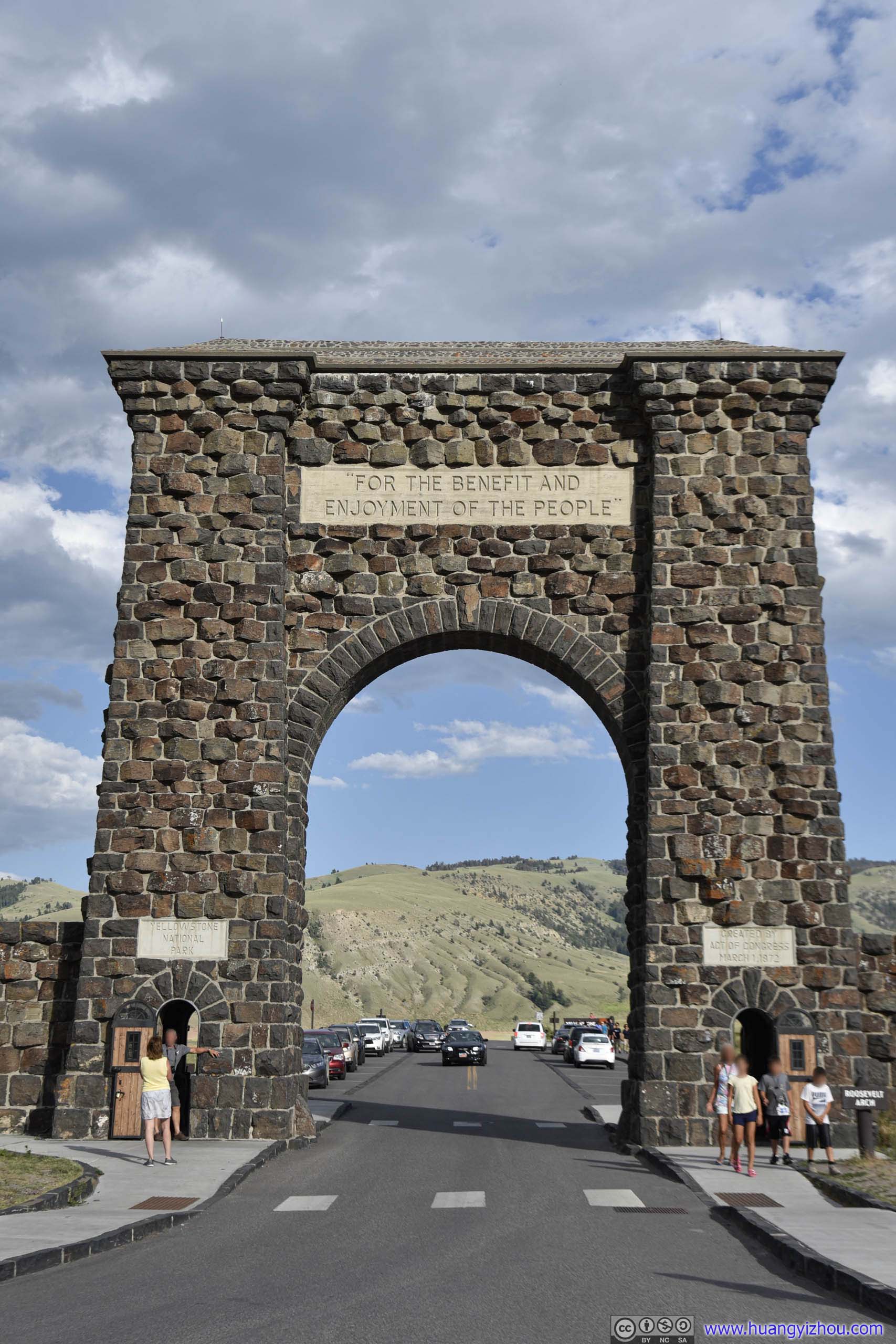
It used to be the main entrance to Yellowstone National Park. Now, it should serve as (almost) a fitting conclusion to our trip to Yellowstone.
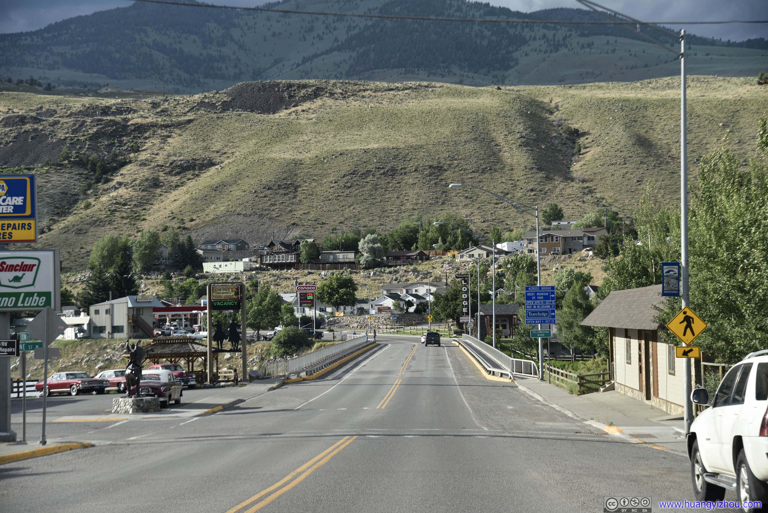
Oh yes, our day was never short of wild animals.
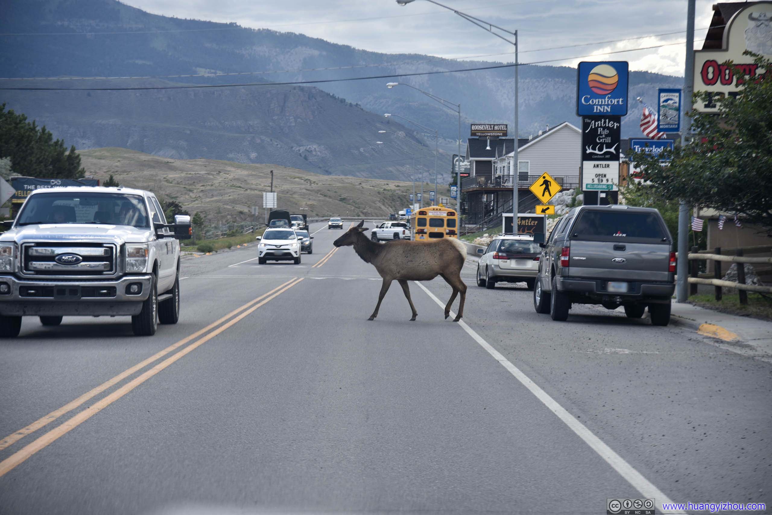
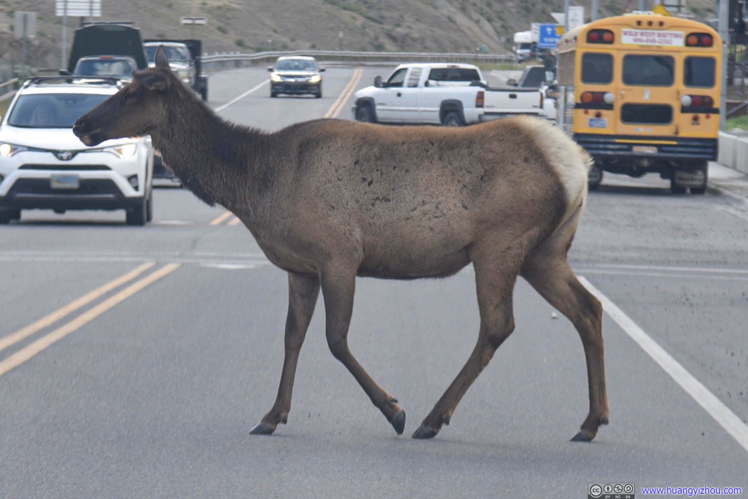
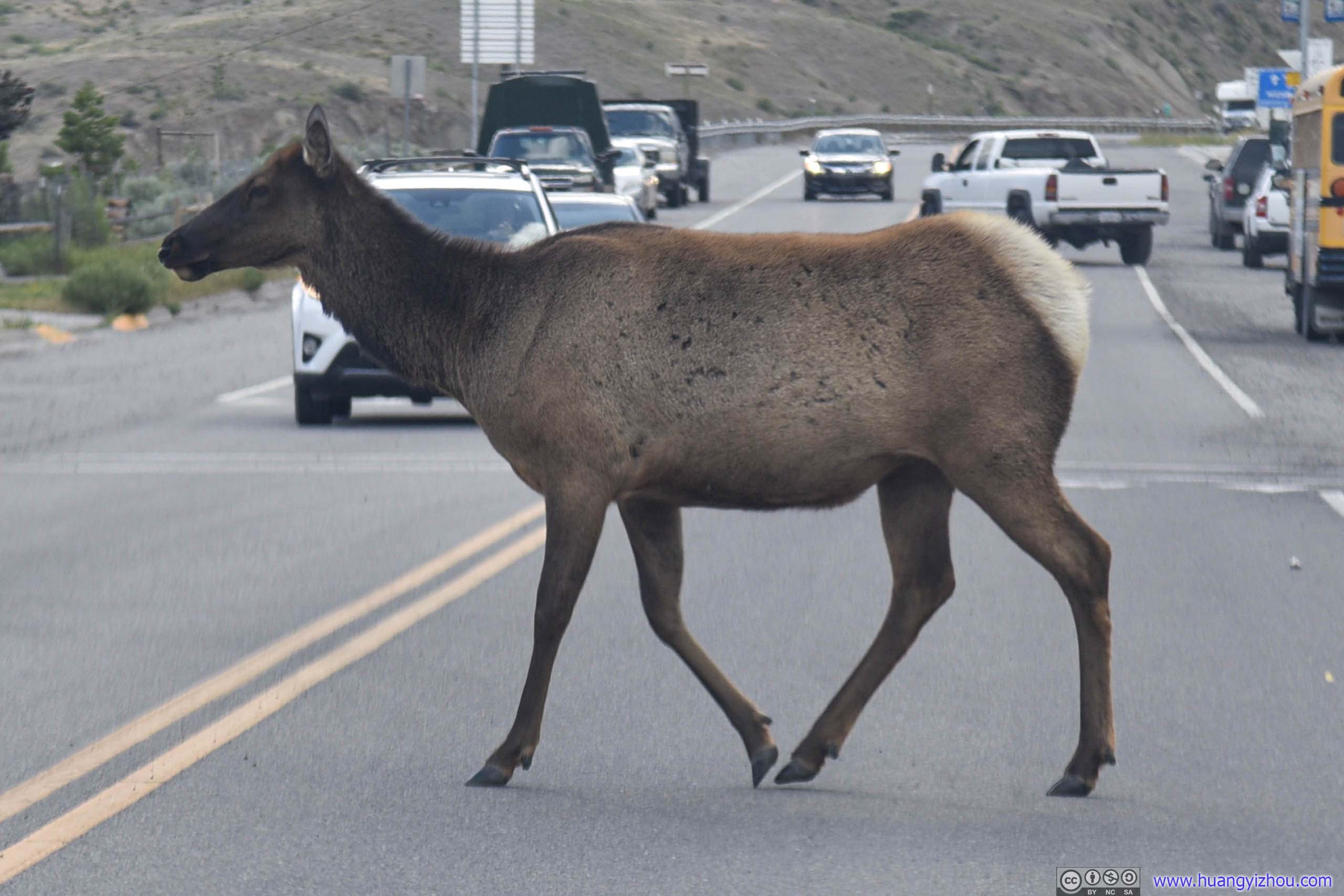
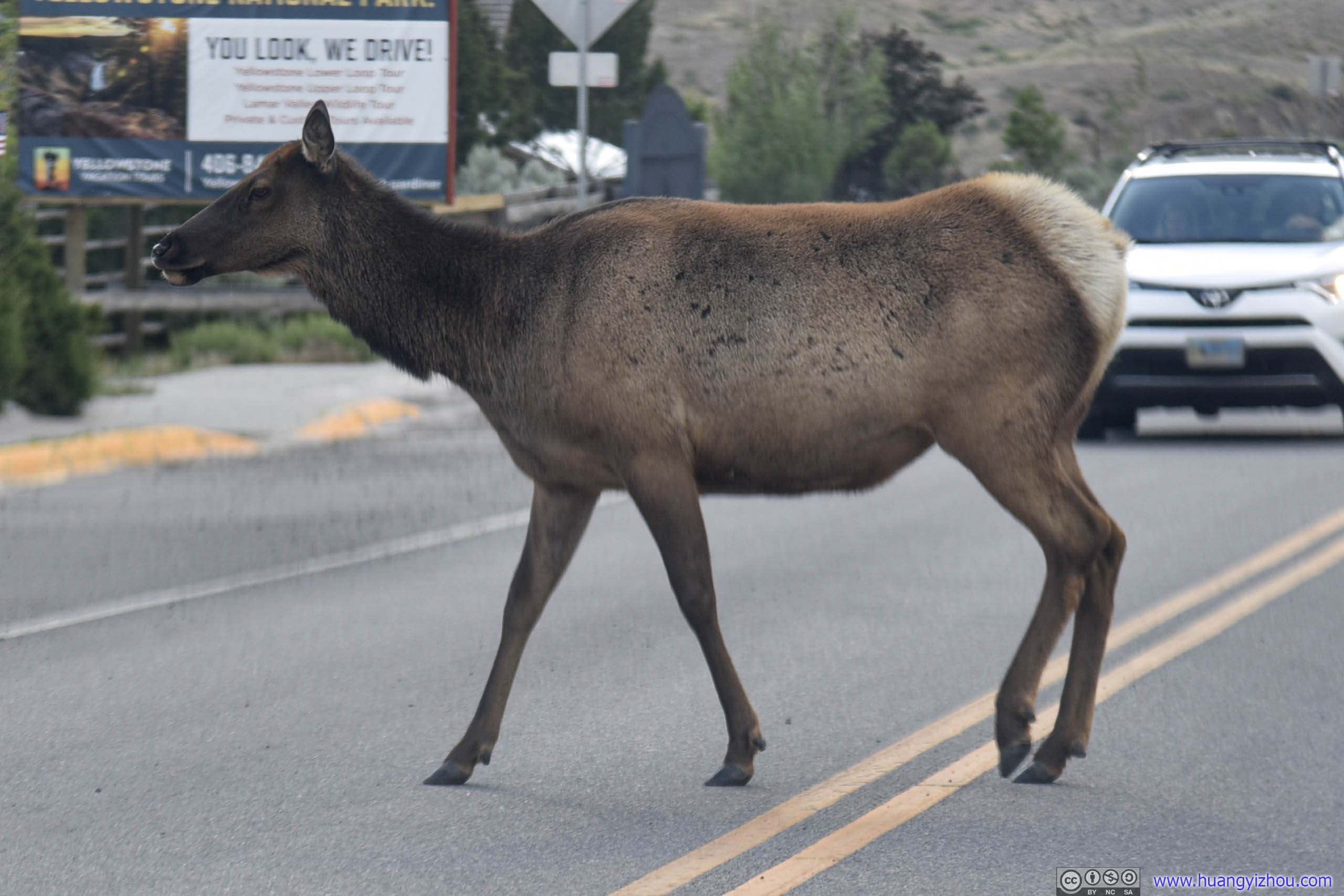
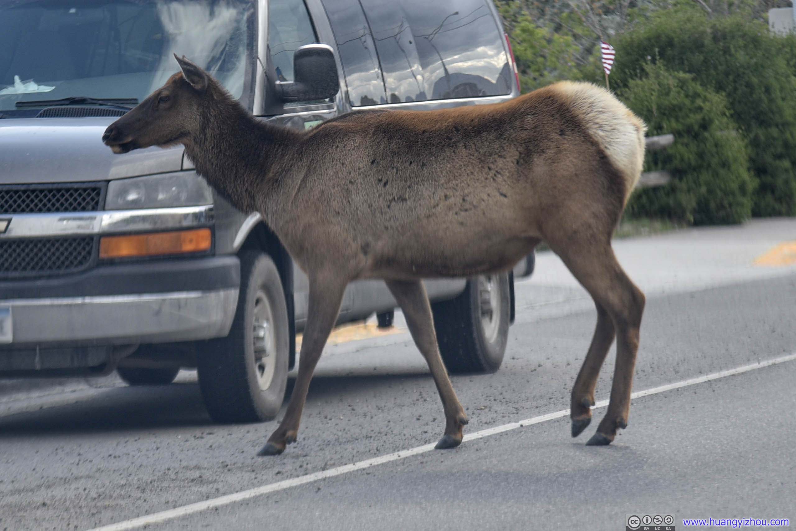
Deer Crossing Road
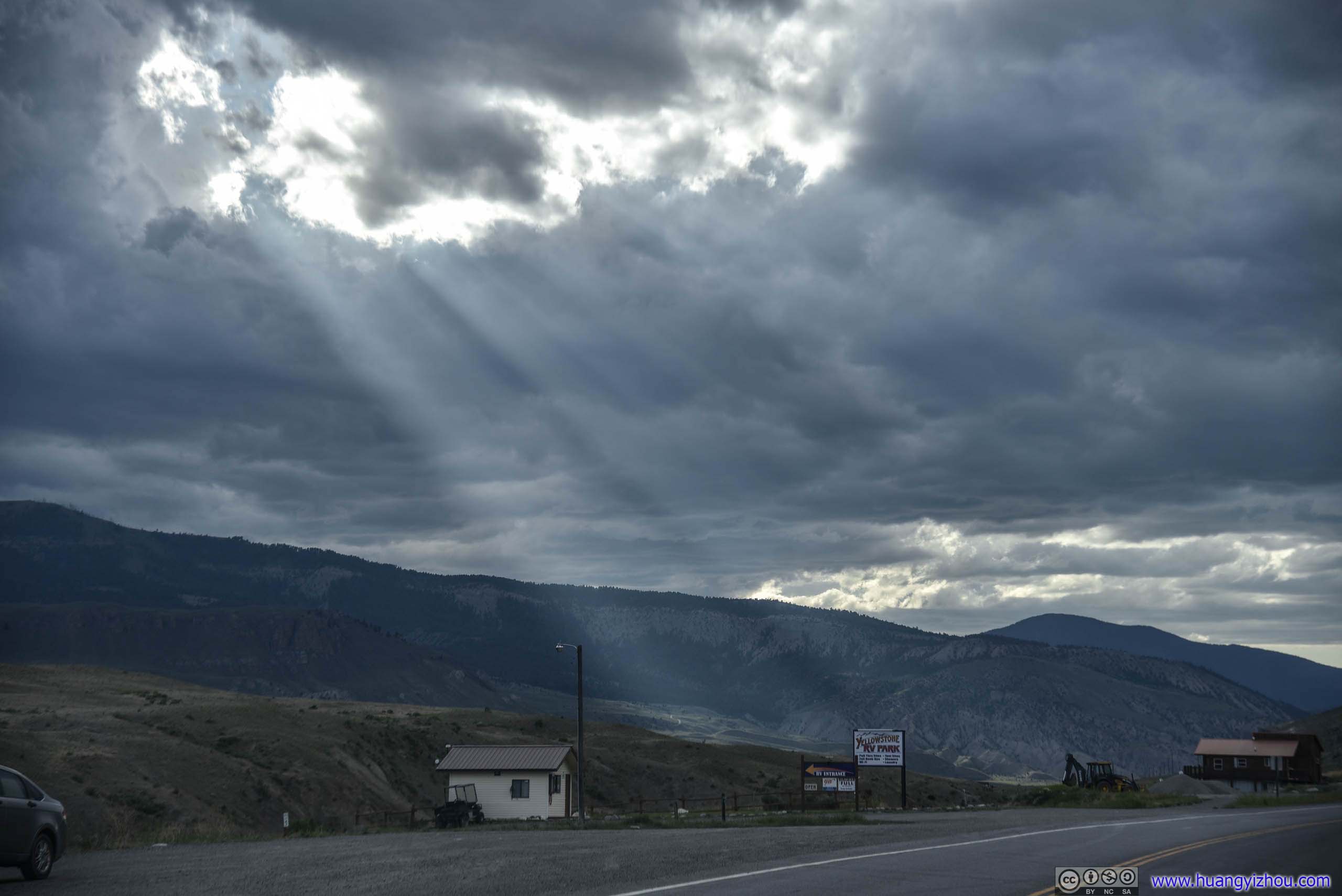
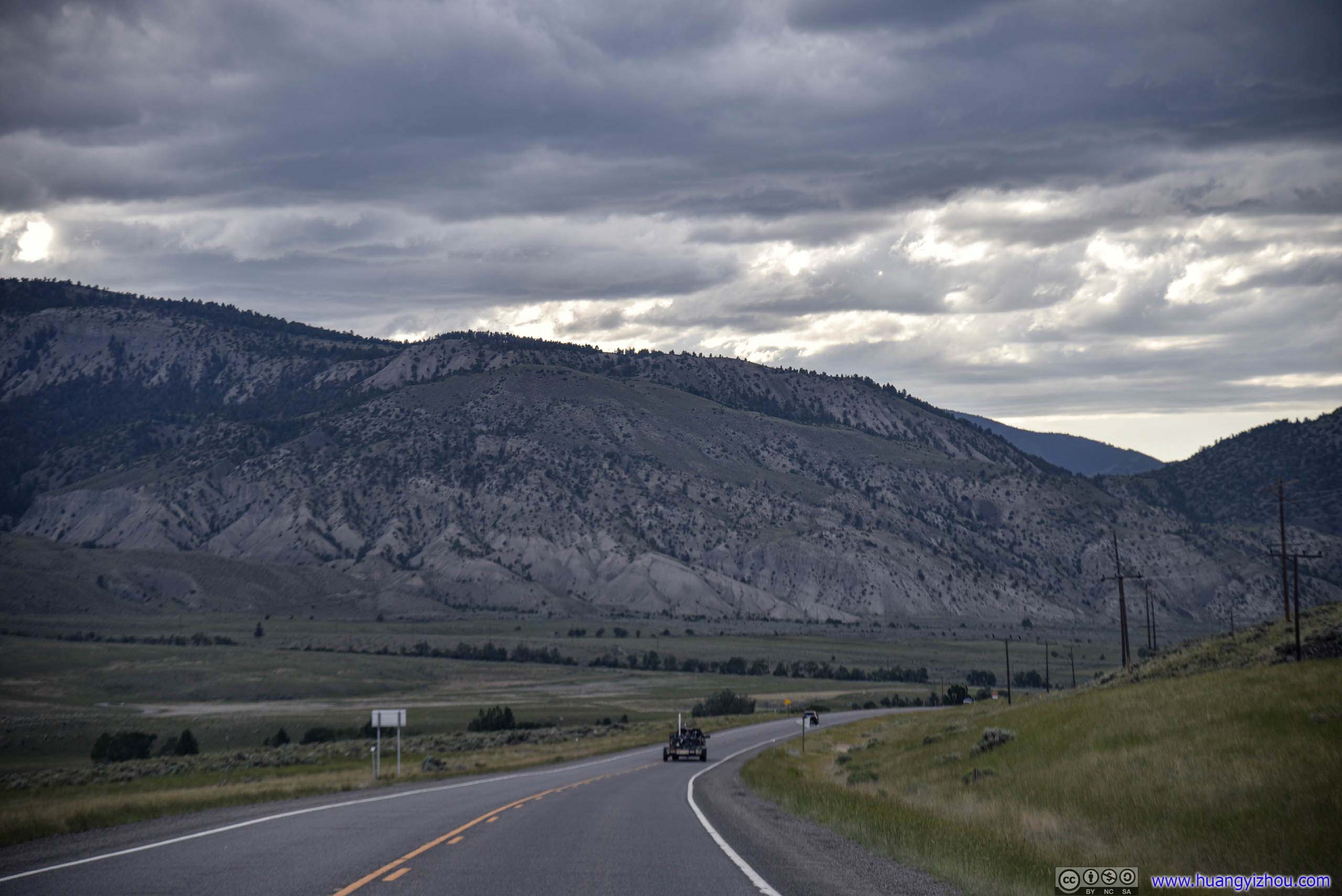
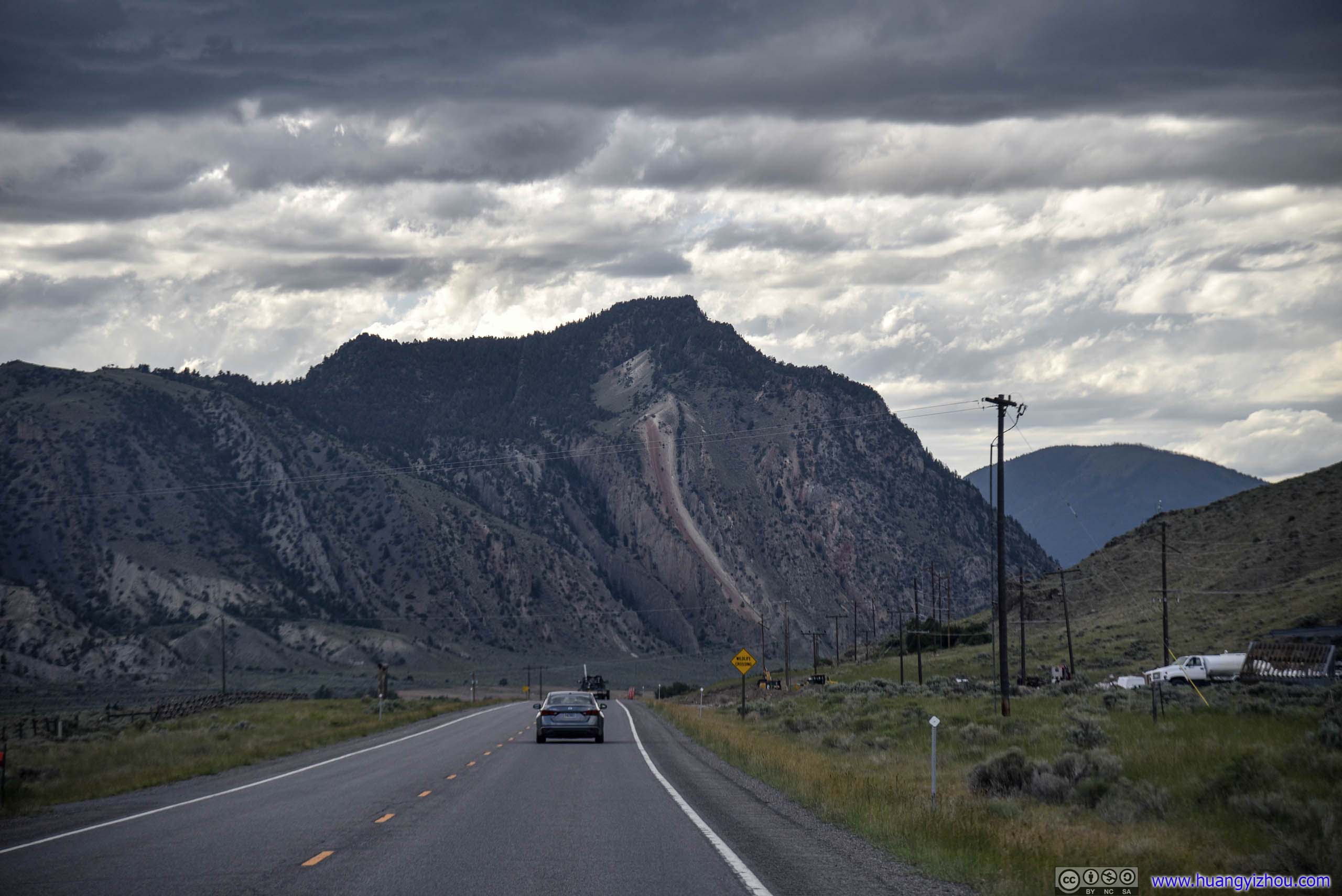
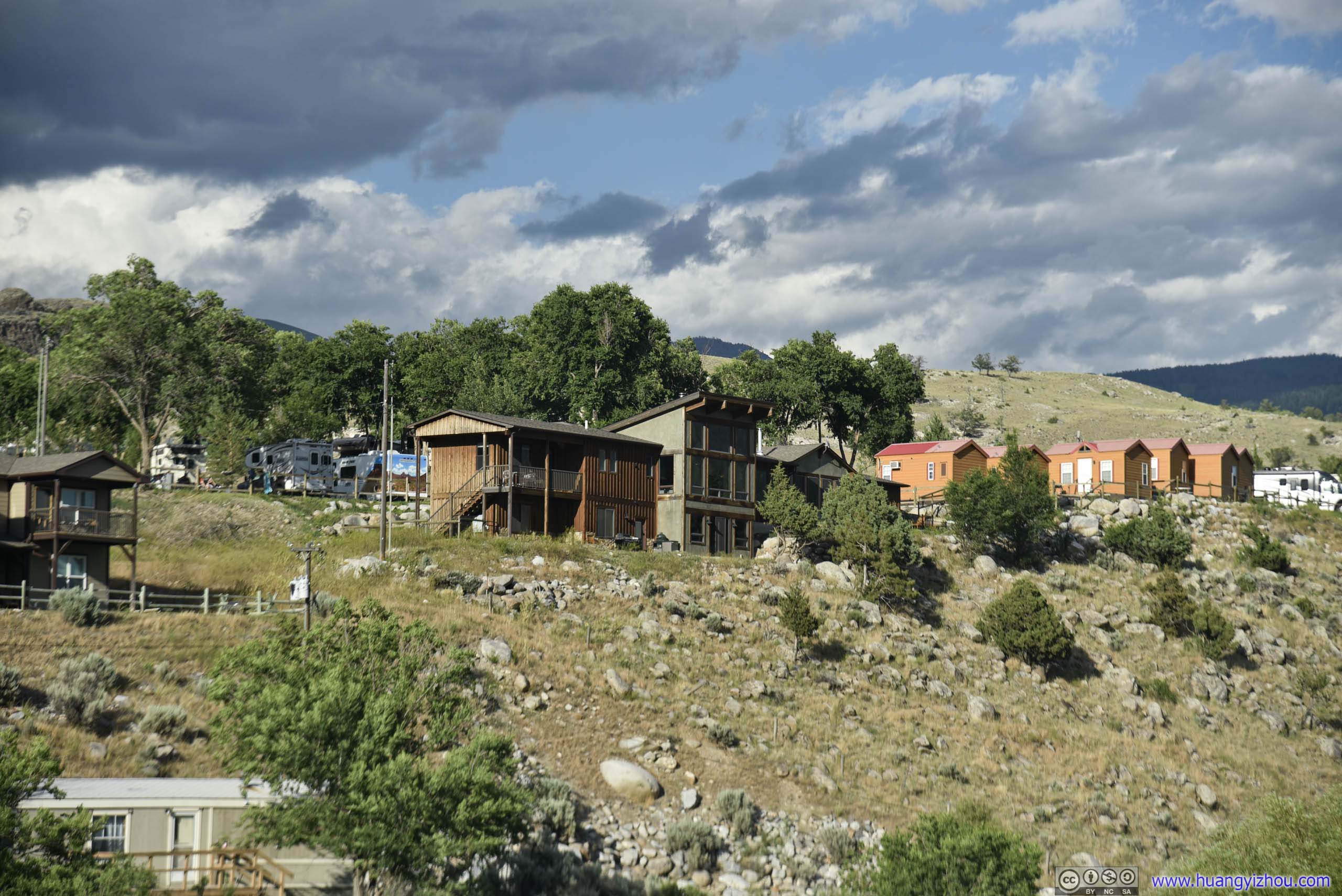
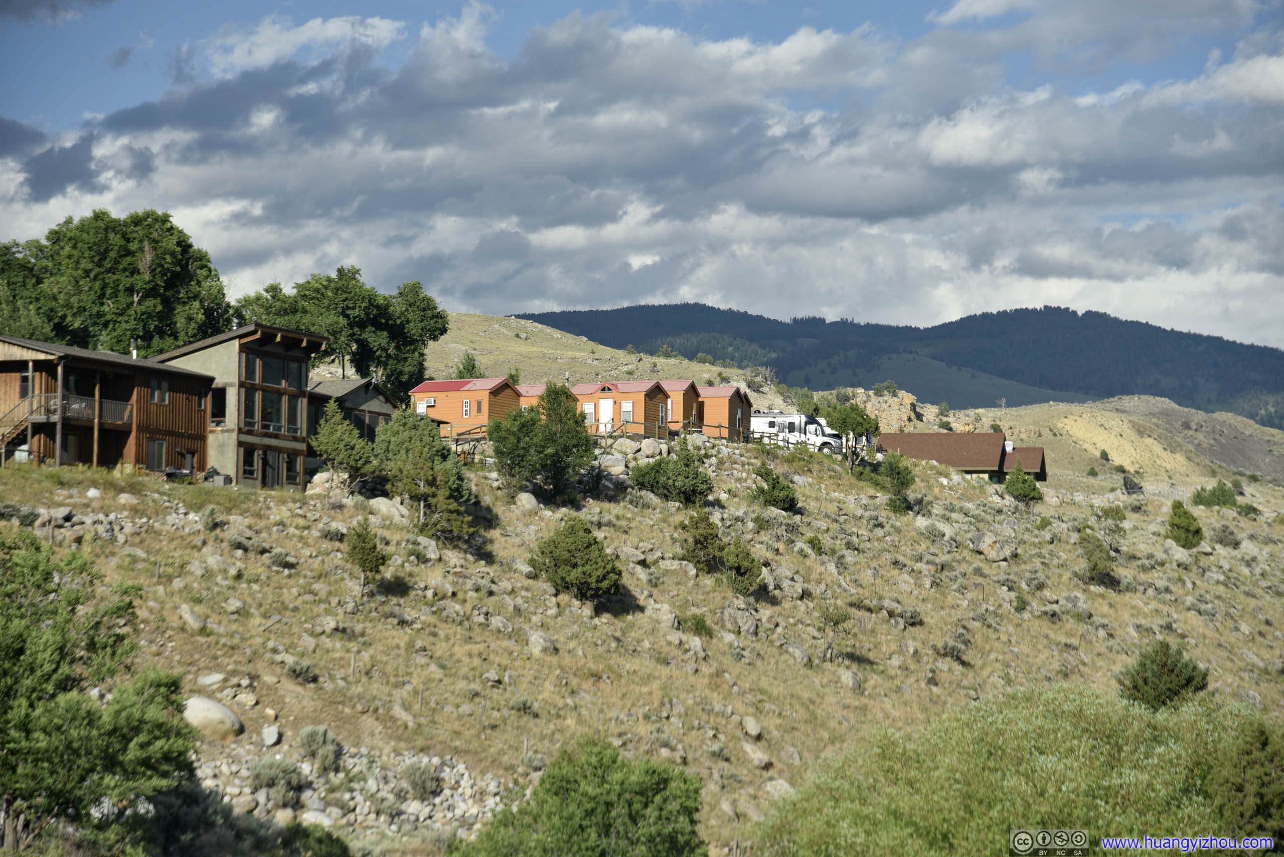
After driving a few minutes from the town of Gardiner, we were at our overnight lodge, which was a villa surrounded by beautiful ranches and magnificent mountains, that we booked through Airbnb.

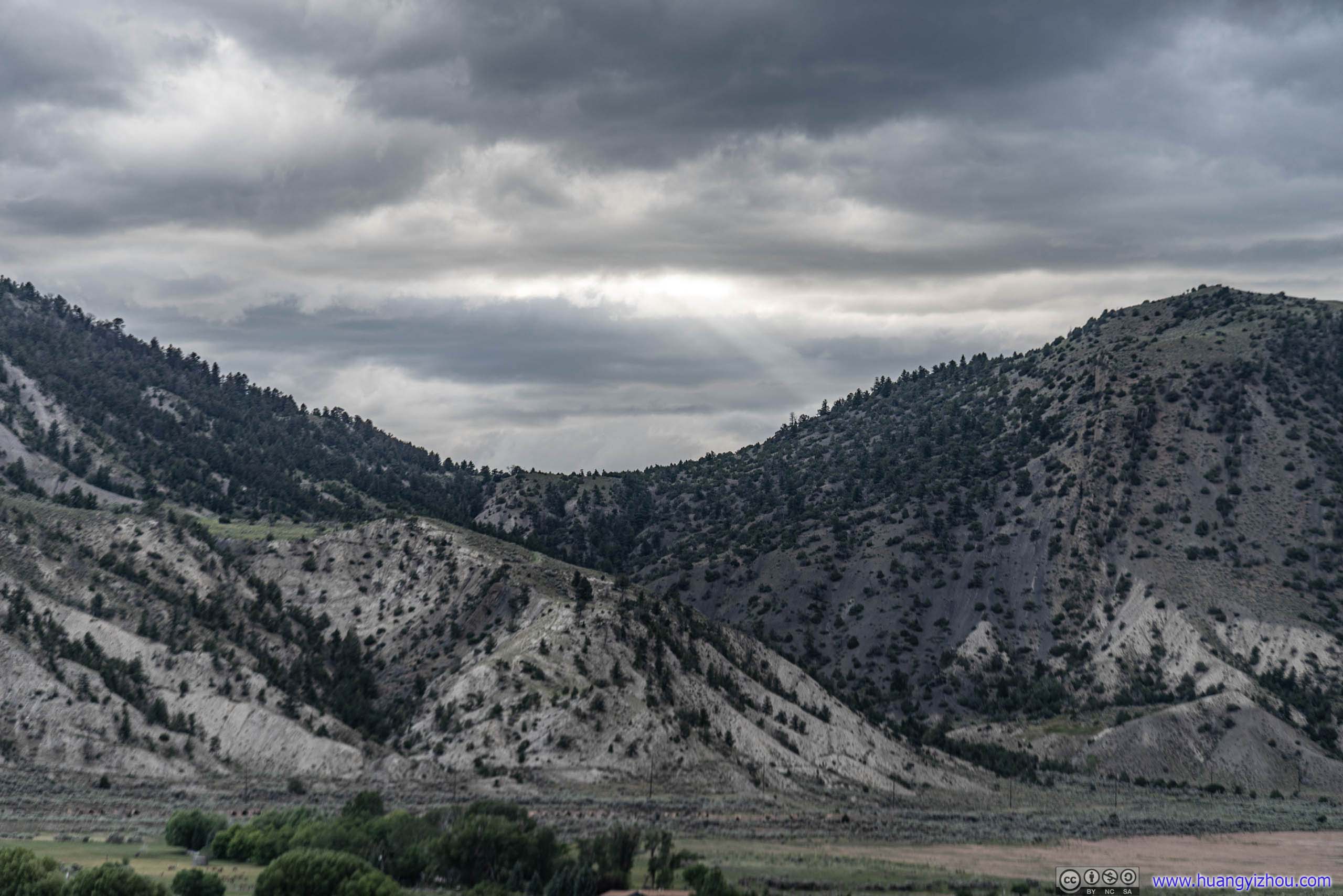
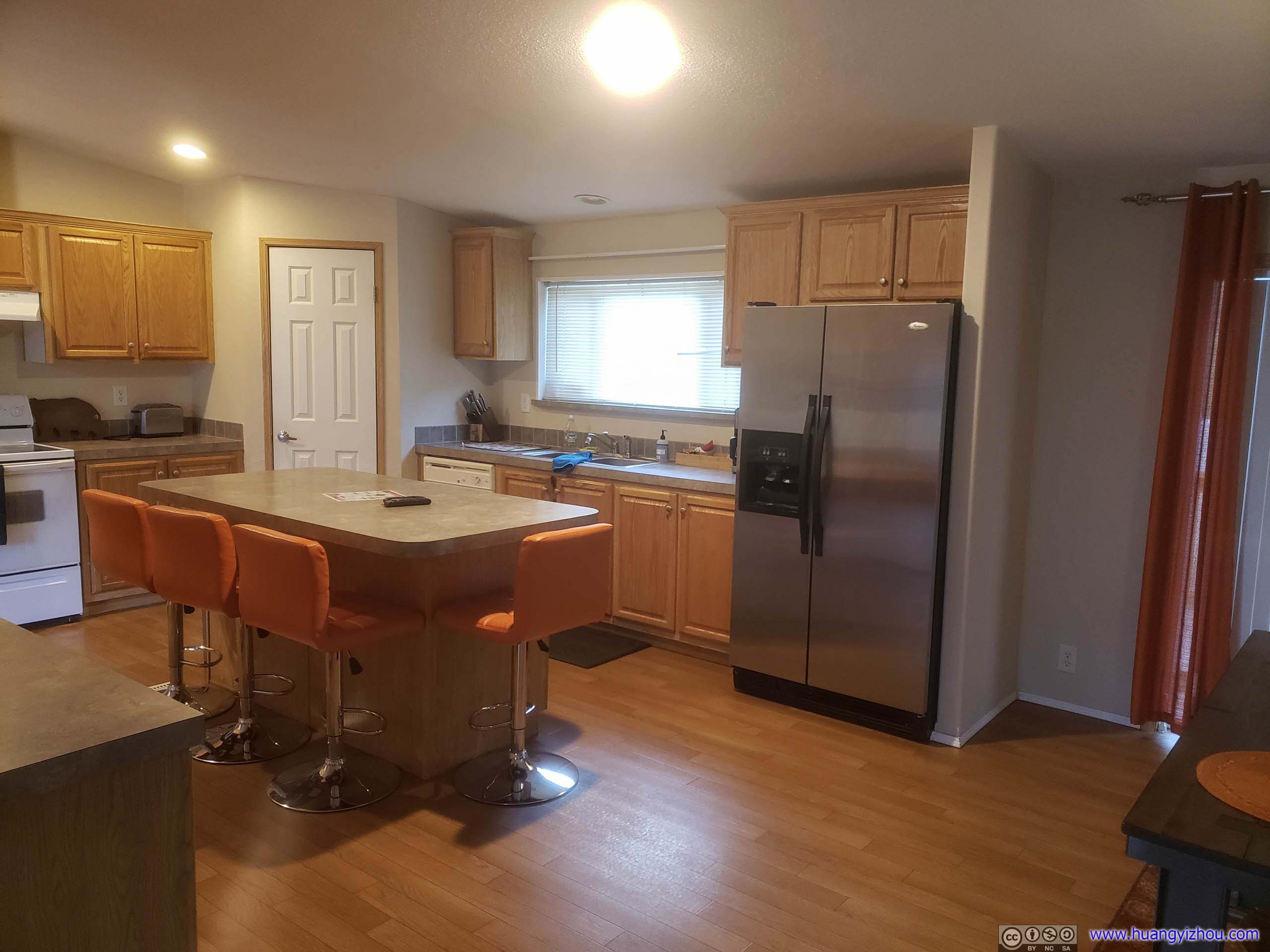
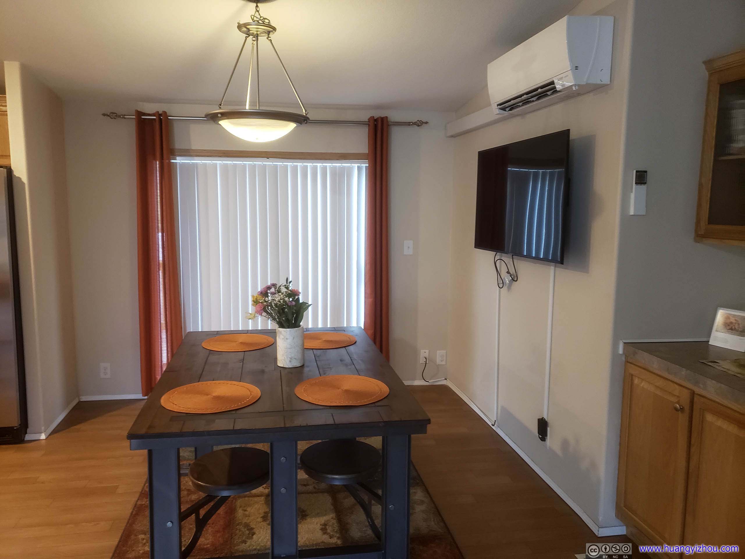
And the best of all, after a few days in (mostly) signal-deprived Yellowstone National Park, we finally had access to free (but low-speed) WiFi.
END