Day 10 of 2019 Western US Tour, July 21, Two Medicine Area of Glacier National Park
Our first day in the enchanting Glacier National Park as I hiked Scenic Point Trail.
But our day began in the city of Great Falls, which served as a pit stop on our trip from Yellowstone to Glacier. Since I figured hiking Scenic Point won't take too long (4 hours as it turned out), we were in no hurry to set off. So in the city of Great Falls we felt obligated to visit at least one of the waterfalls on Missouri River that christened this city. We picked Black Eagle Falls, which was located just on the city outskirt.
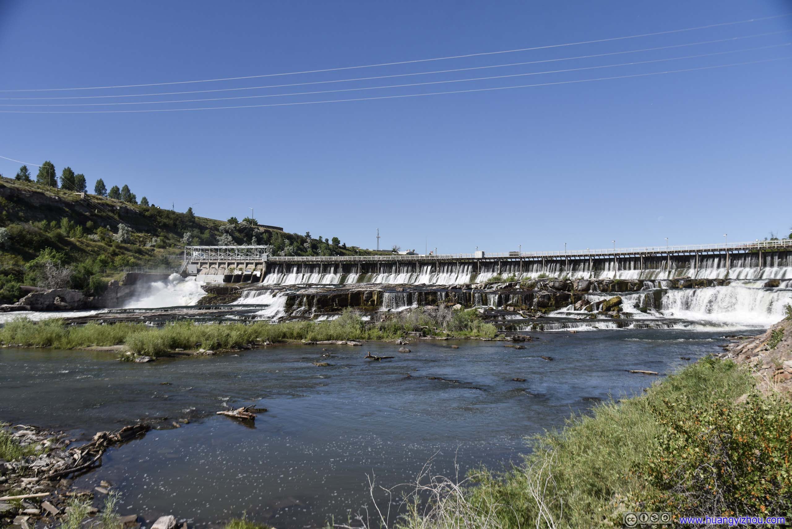
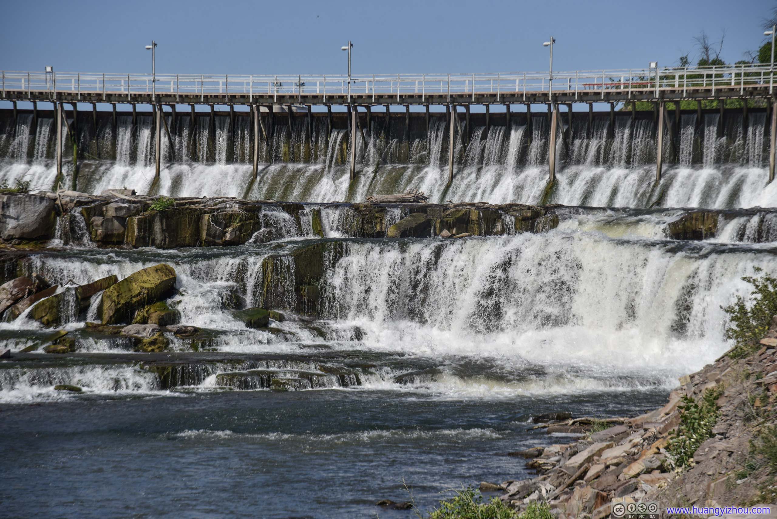
Black Eagle Falls
On our way to Black Eagle Falls we passed along some riverside hiking and cycling trails, and suddenly it felt like a modern city with a youthful and energetic population, rather than the sleepy rundown farming towns we passed the previous day.
And parking was free and plentiful near Black Eagle Falls.
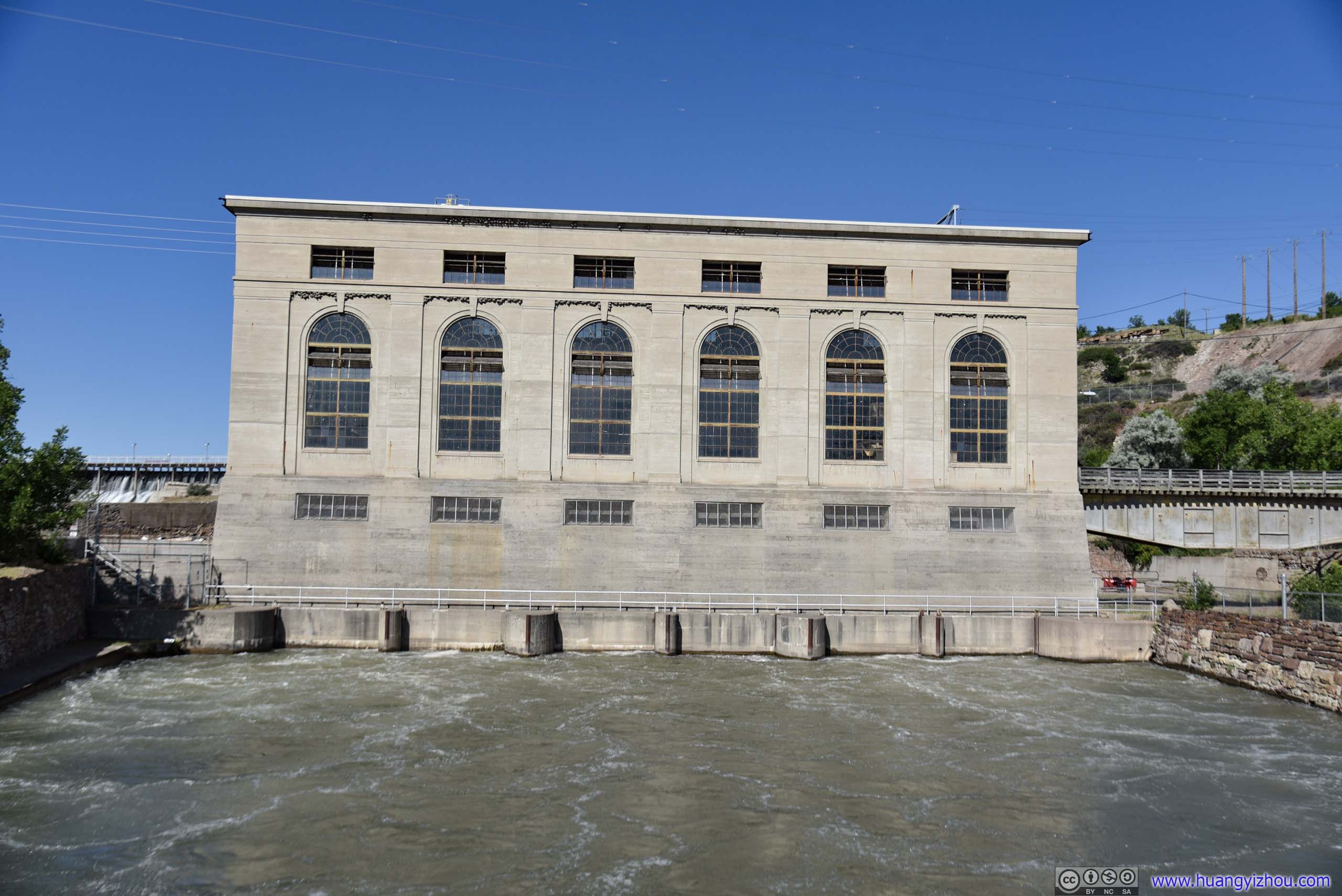
Black Eagle Dam was first built in 1890 as the first hydroelectric dam on Missouri River, giving the city nickname "The Electric City". There were information board nearby displaying photos of streetcars powered by this dam. As demand for power grew, a concrete dam replaced the original timber one in 1926, with the power station building in the previous photo that lasted till this day.
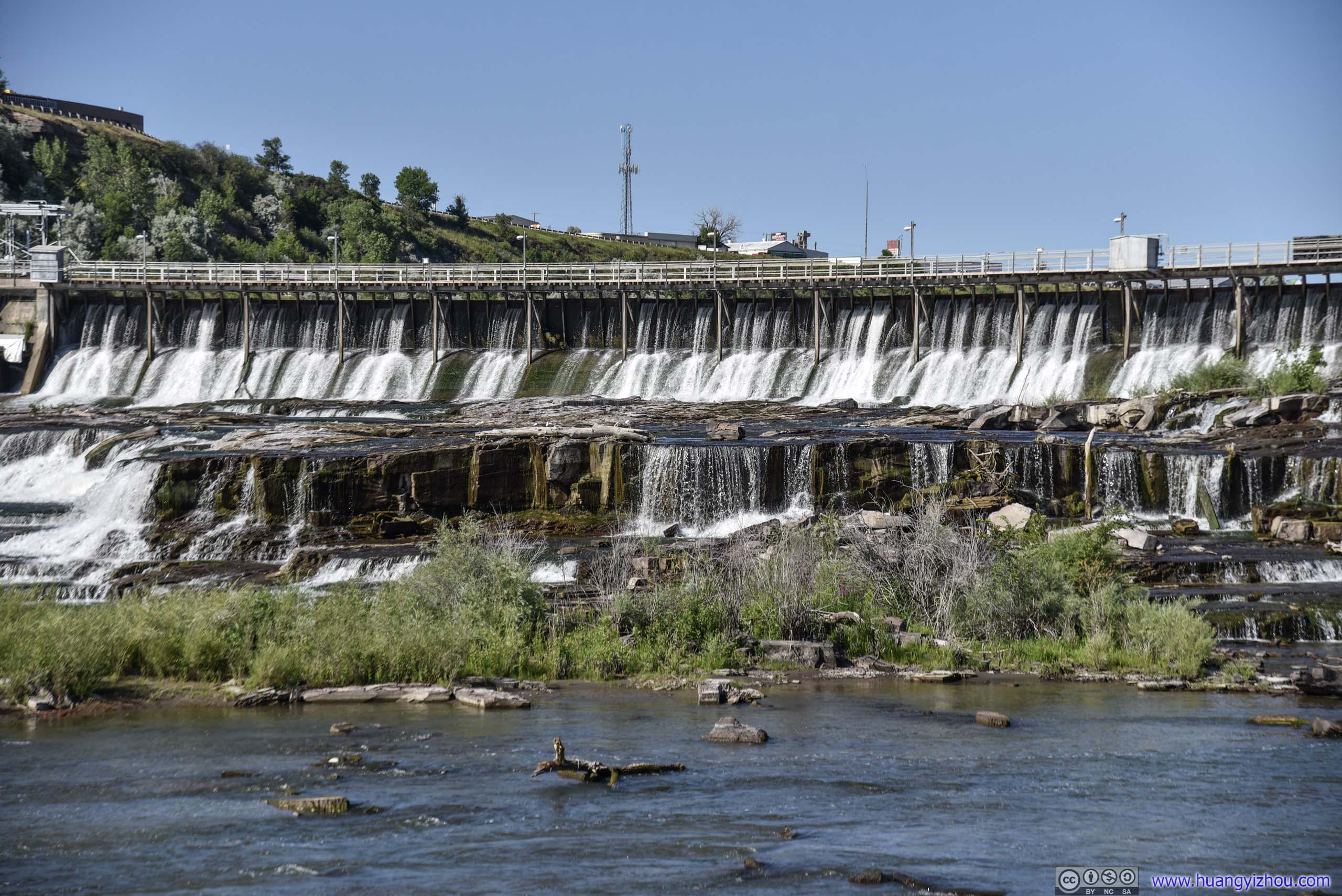
Black Eagle Falls
About half of Black Eagle Falls was submerged underwater due to the dam.
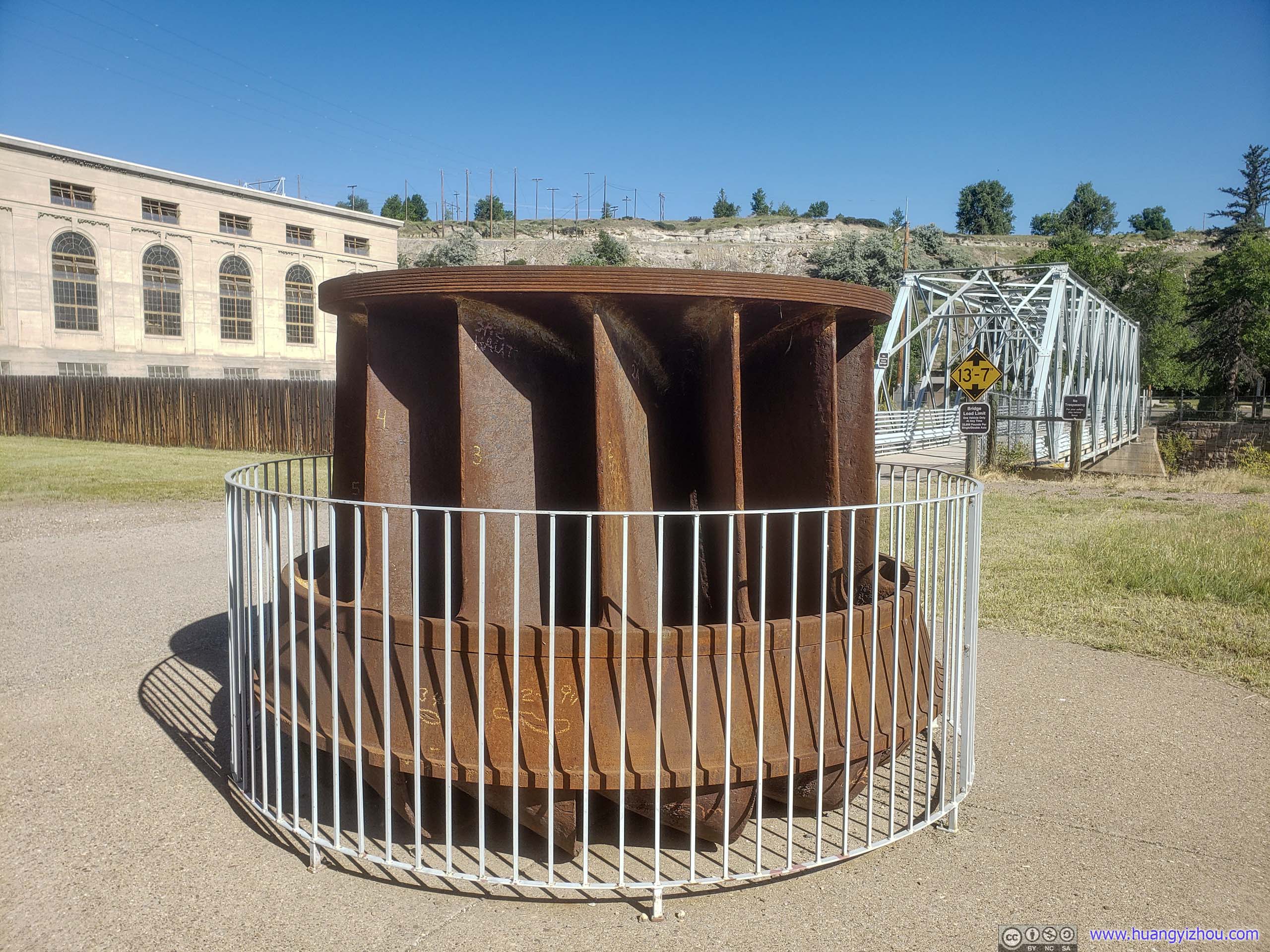
Removed from powerhouse after 74 years of service. It spun at 150rpm and generated 16500 horsepower.
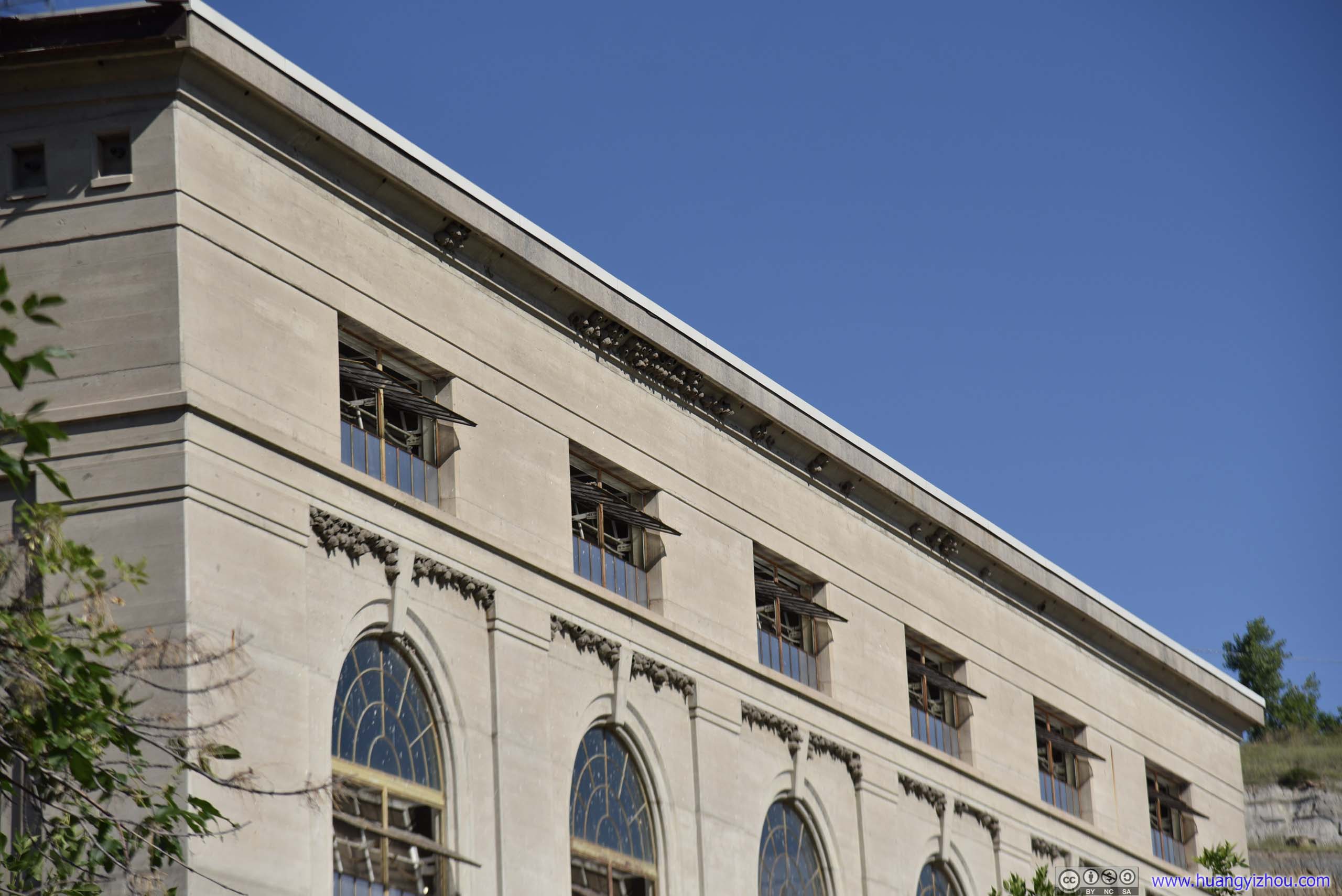
It's surprising that those nests on eaves could defy gravity.
After that, we checked out of hotel and said goodbye to the city of Great Falls.
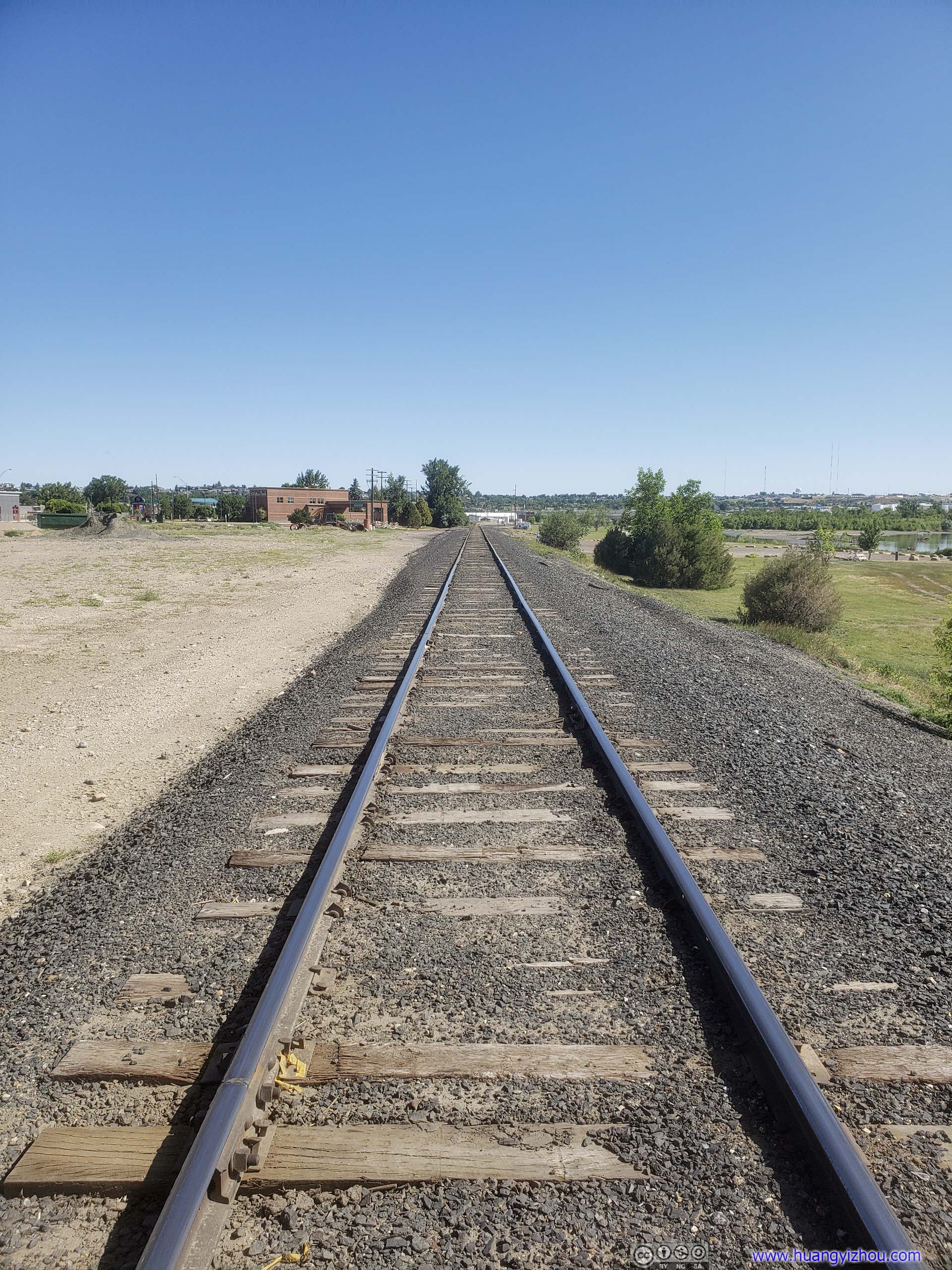
Serving Calumet Montana Refining.
And here's our route on the map:
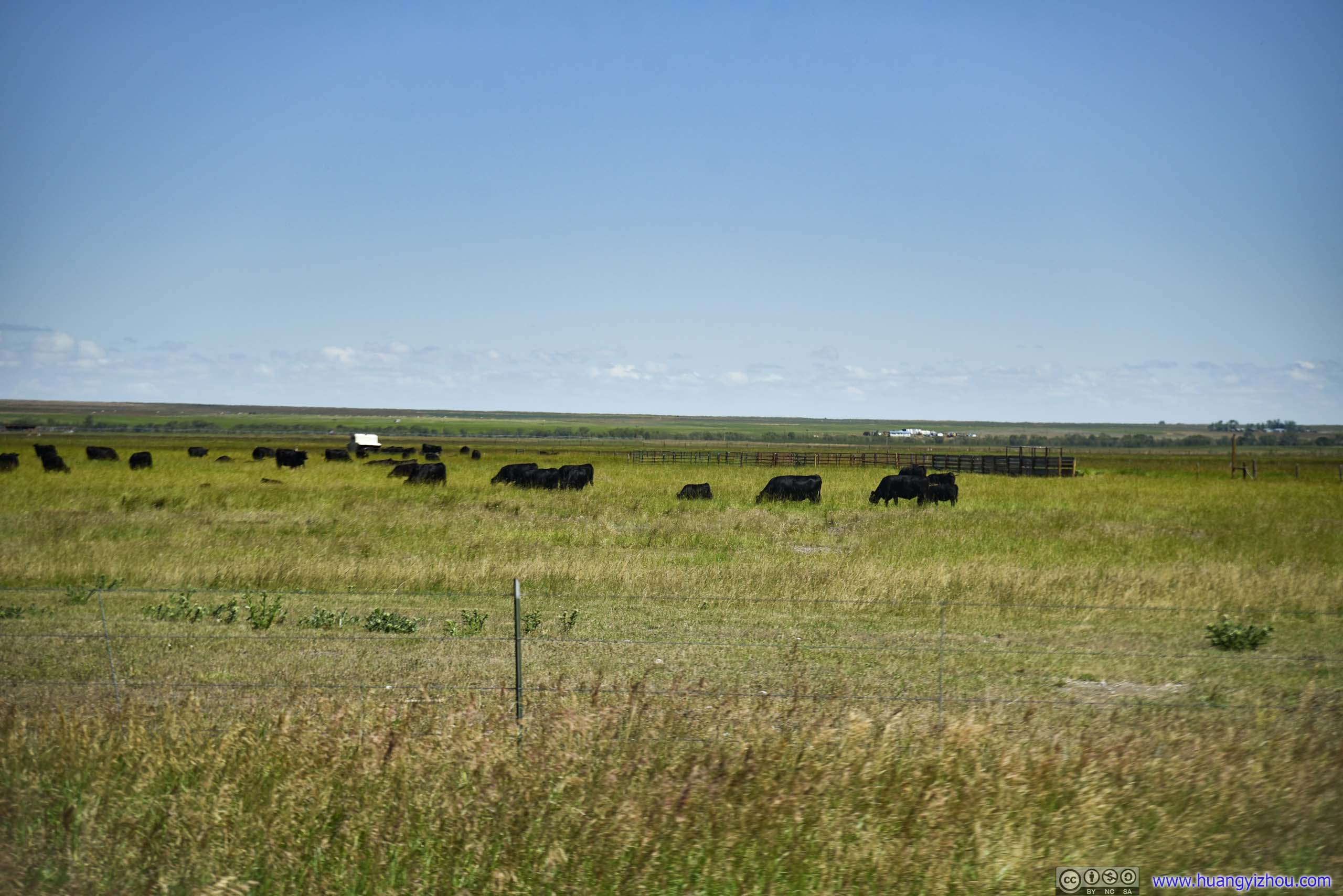
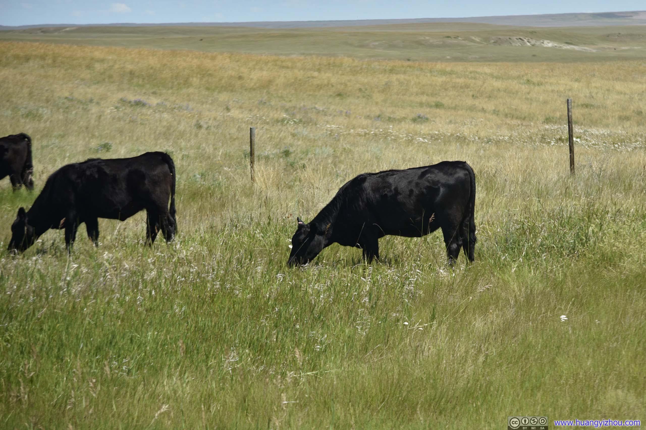
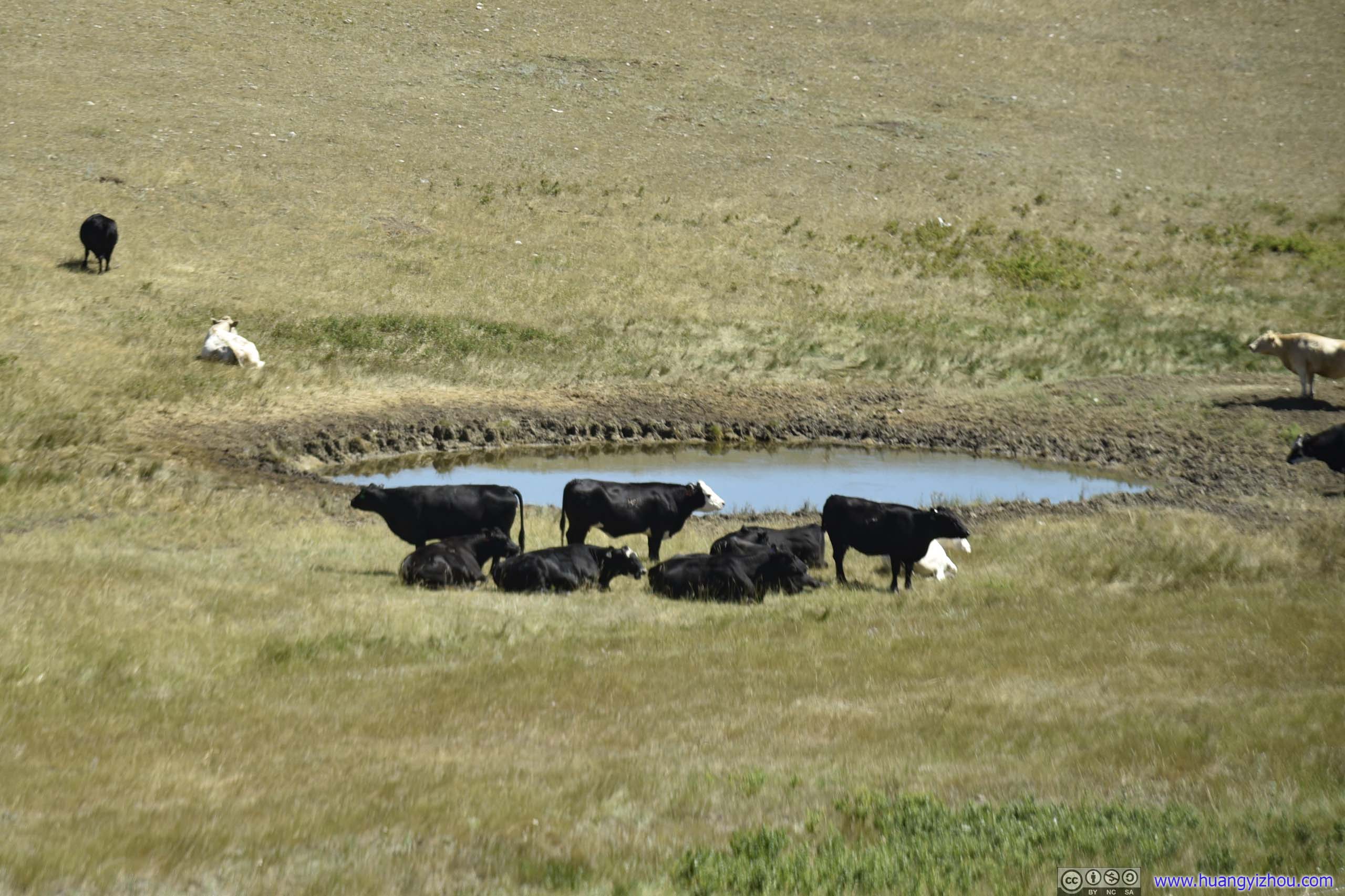
As expected, there wasn't much traffic on the way to Glacier National Park, just farmland that extended all the way as far as eye could see.
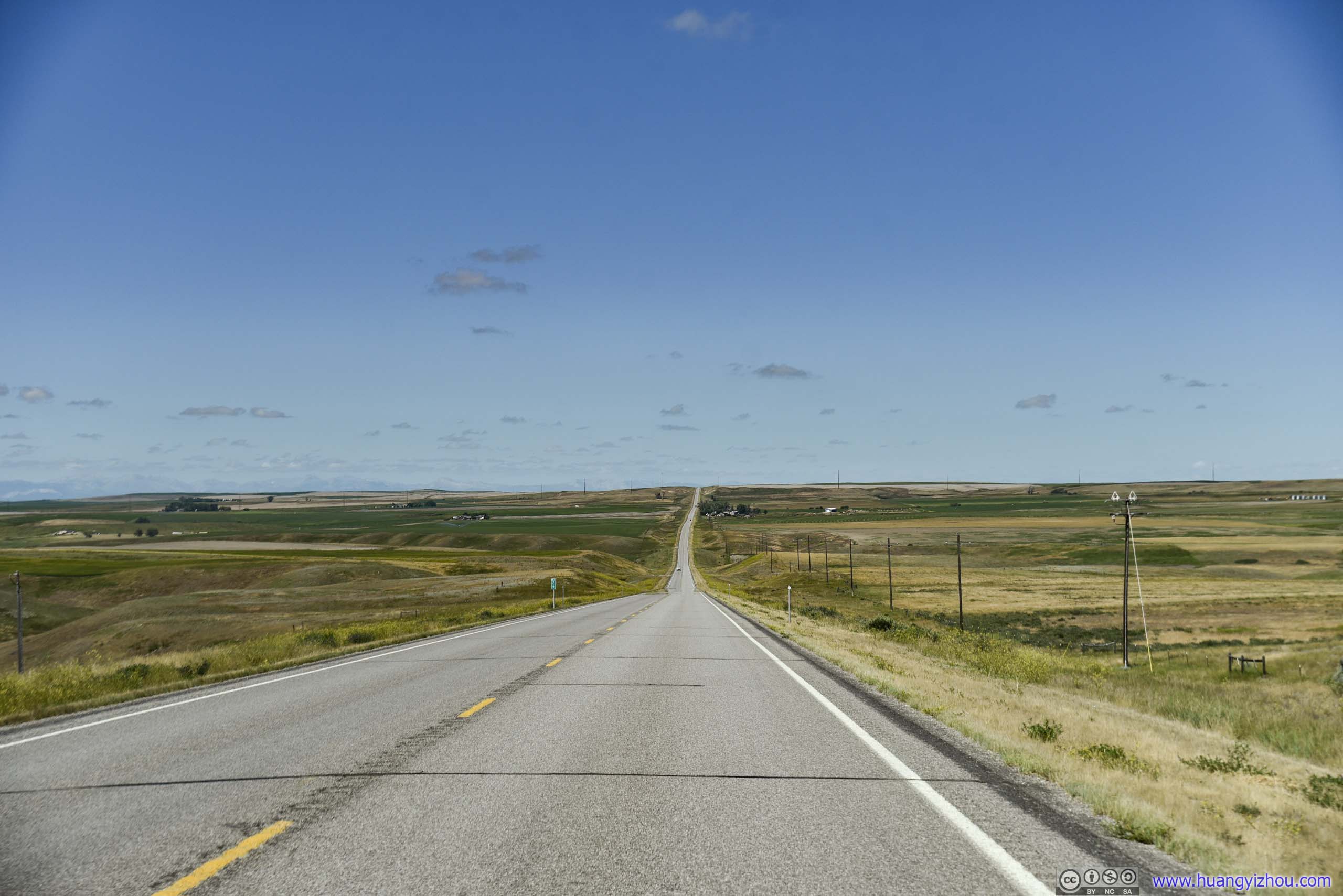
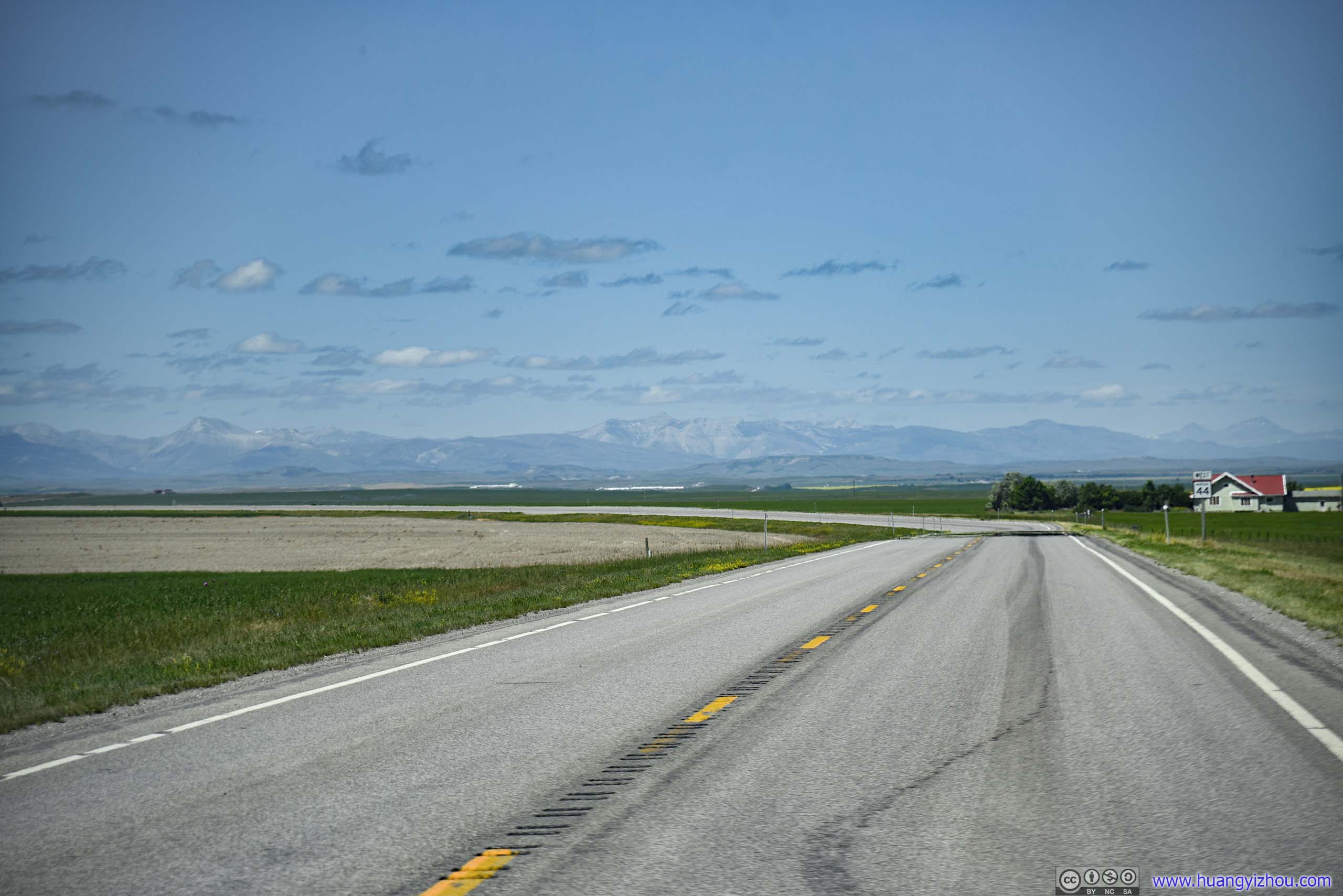
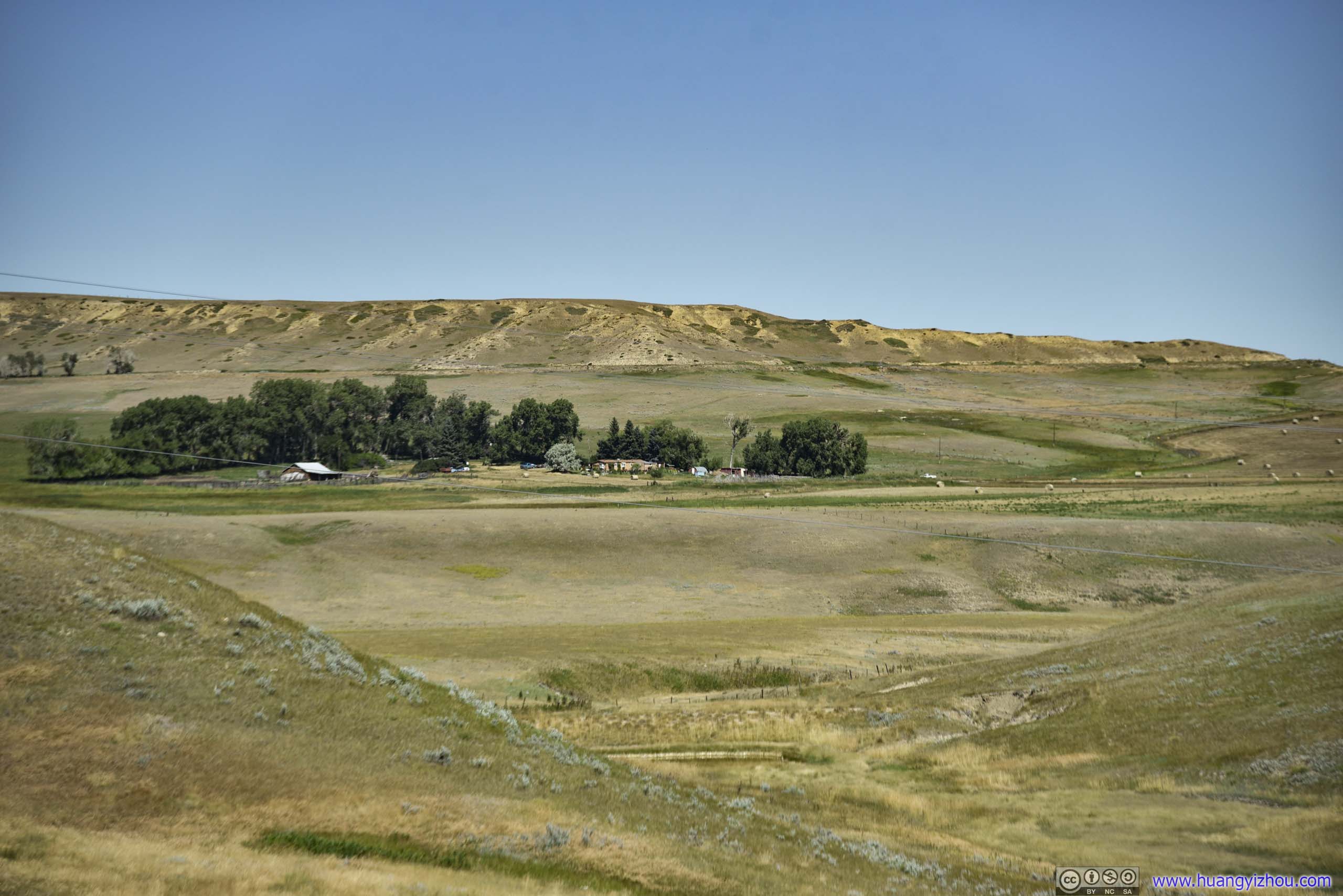
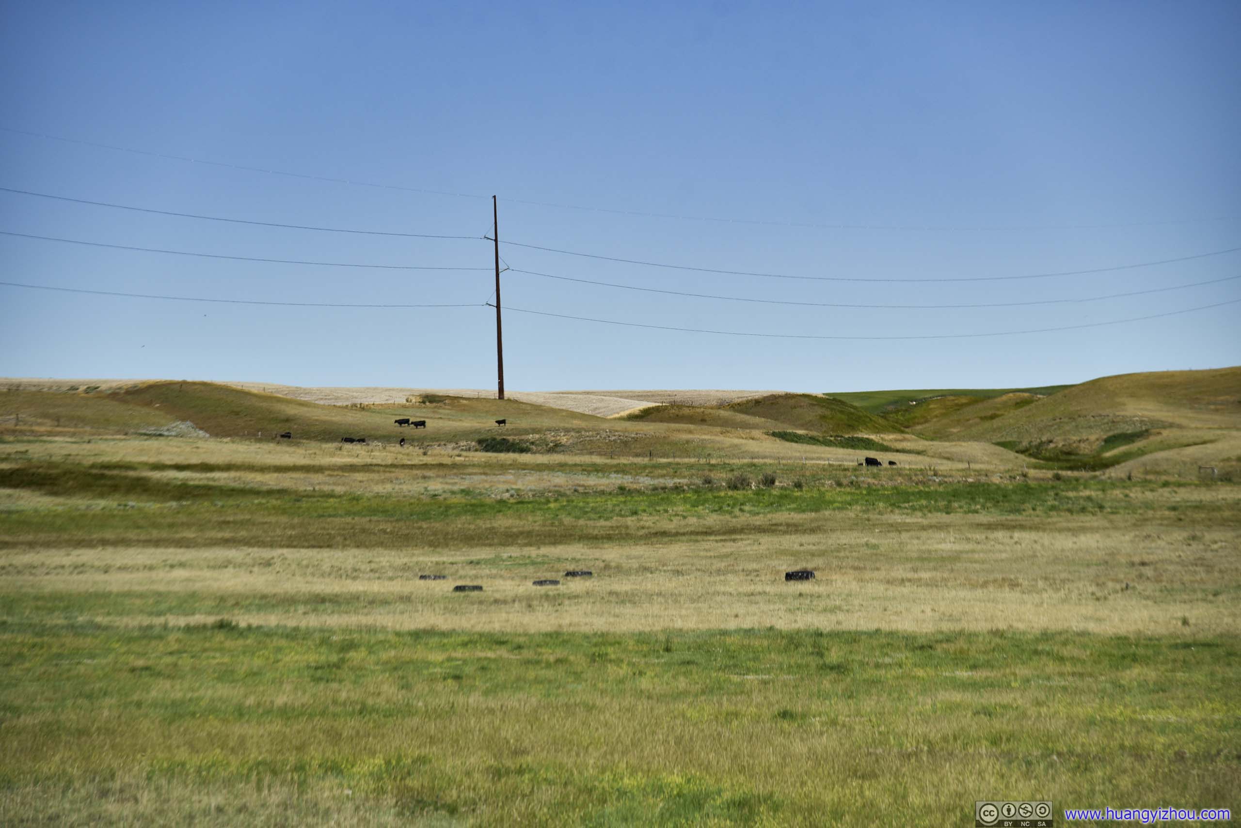
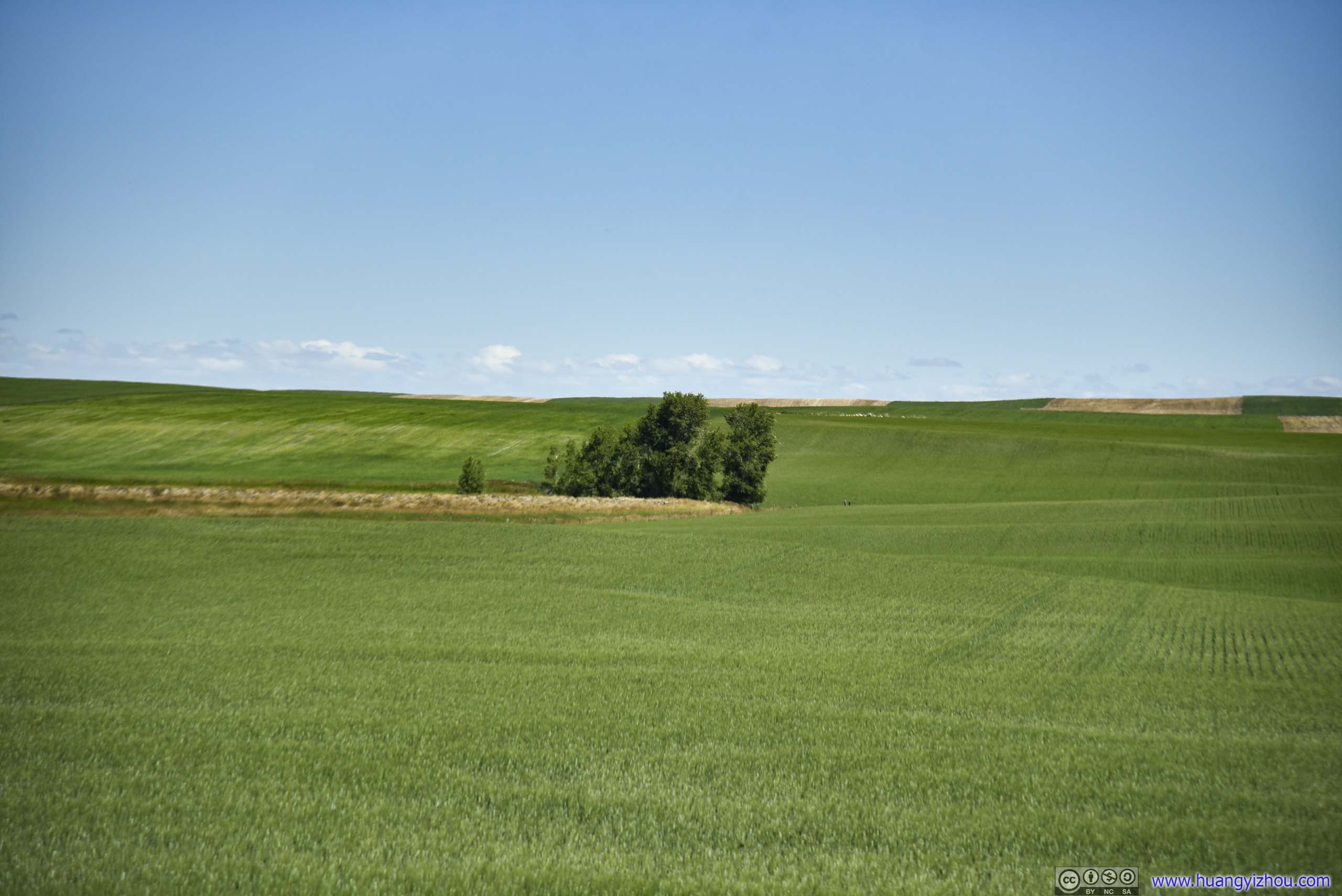
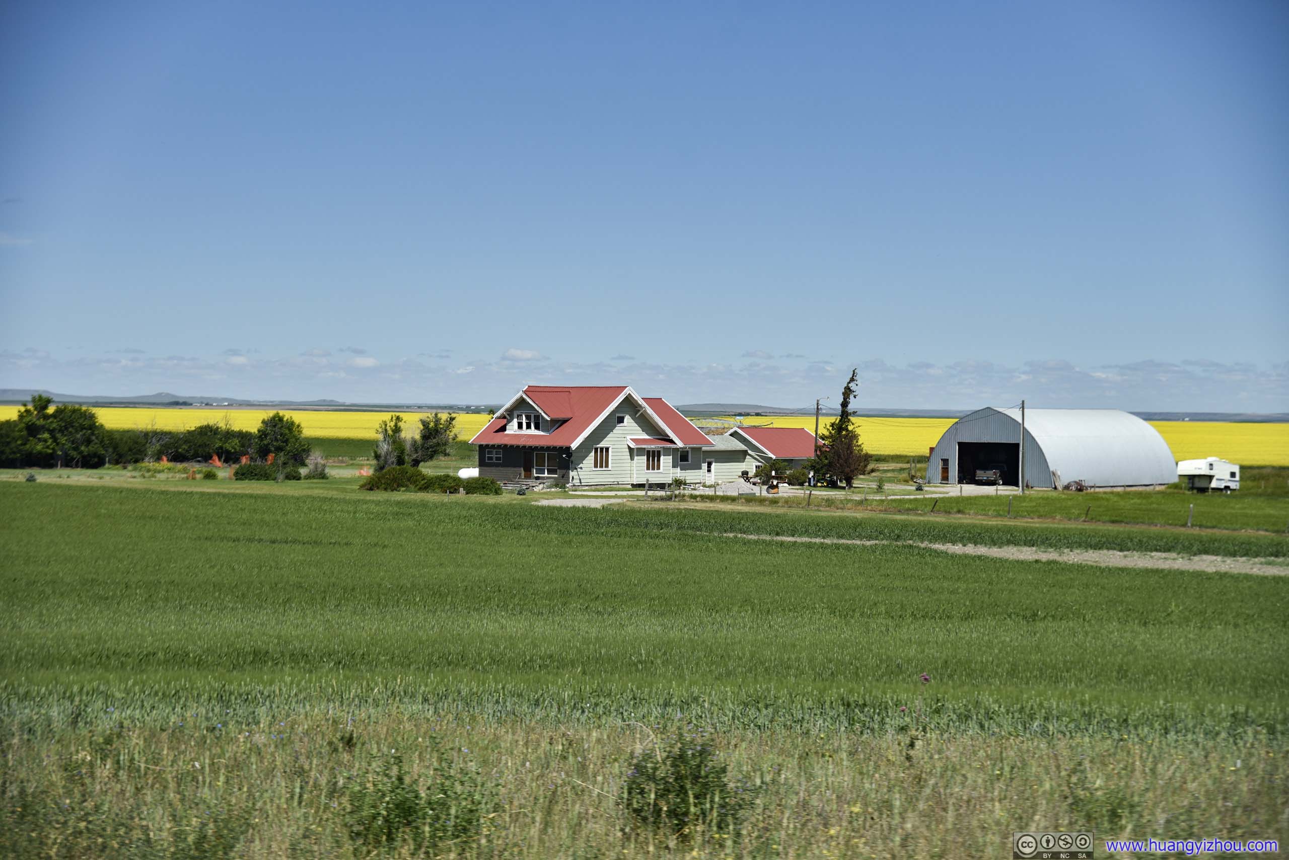
Farmland
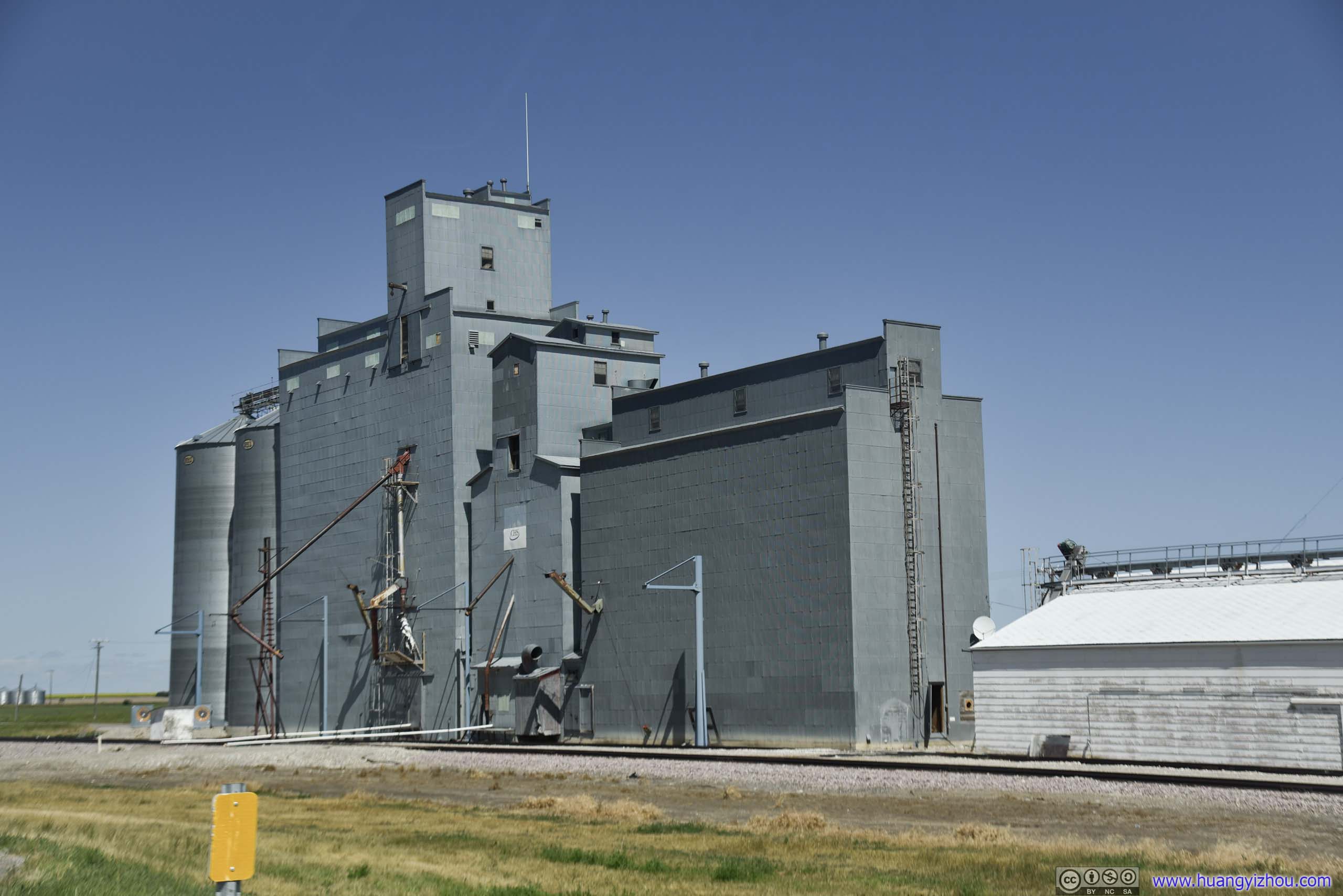
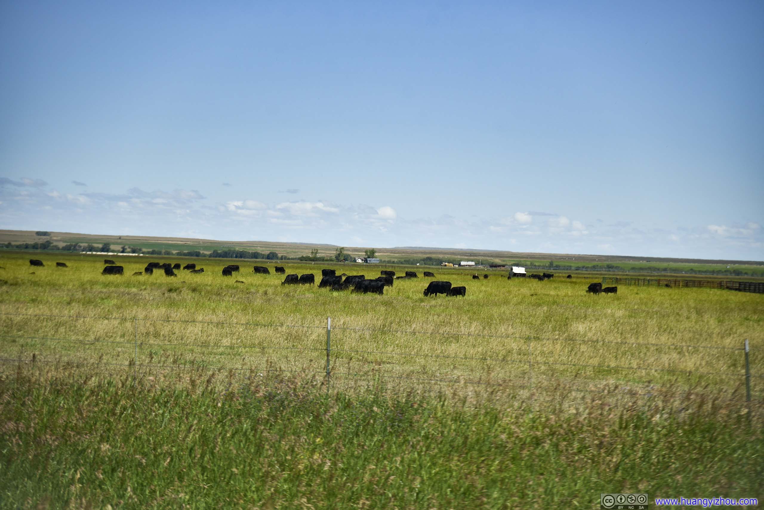
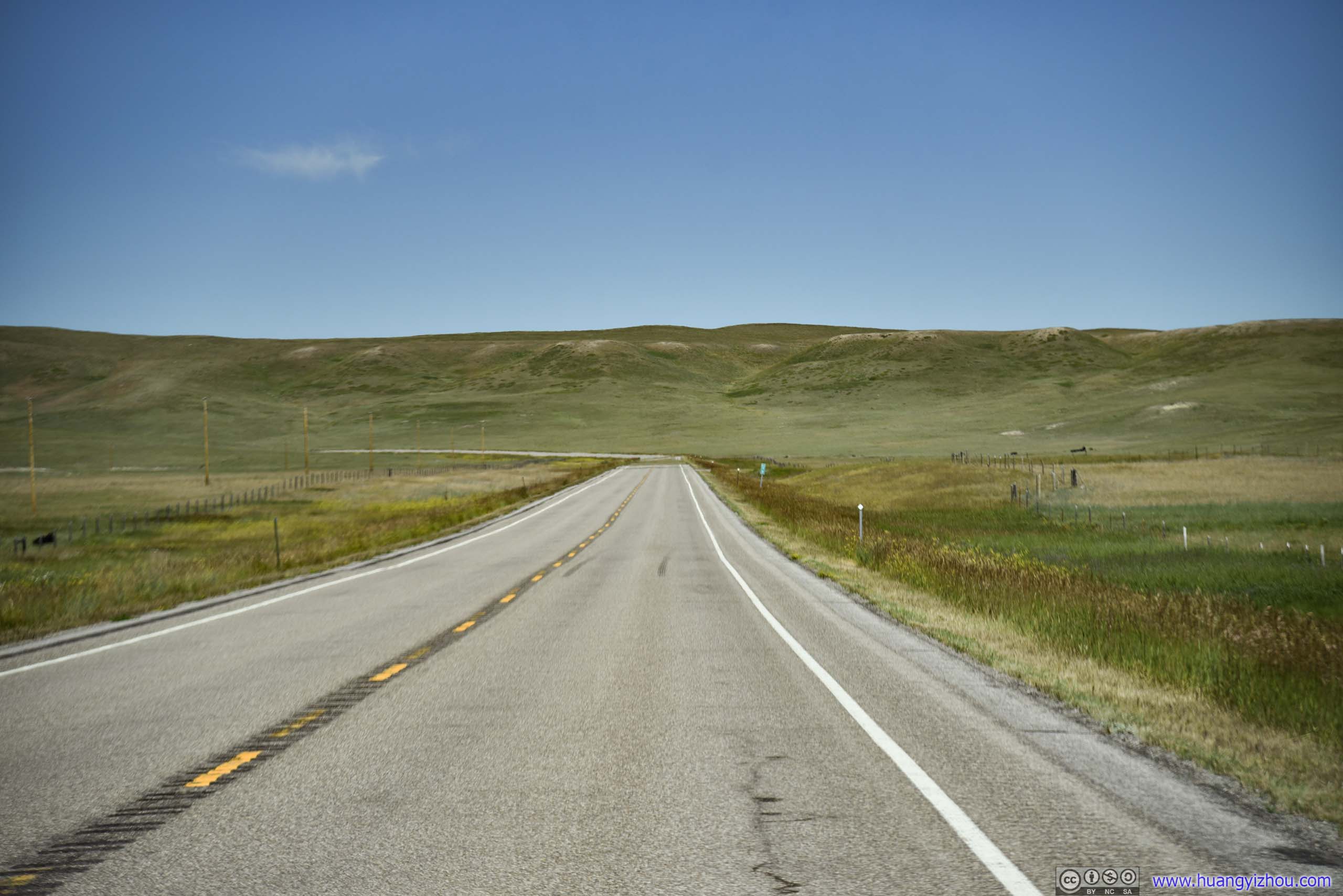
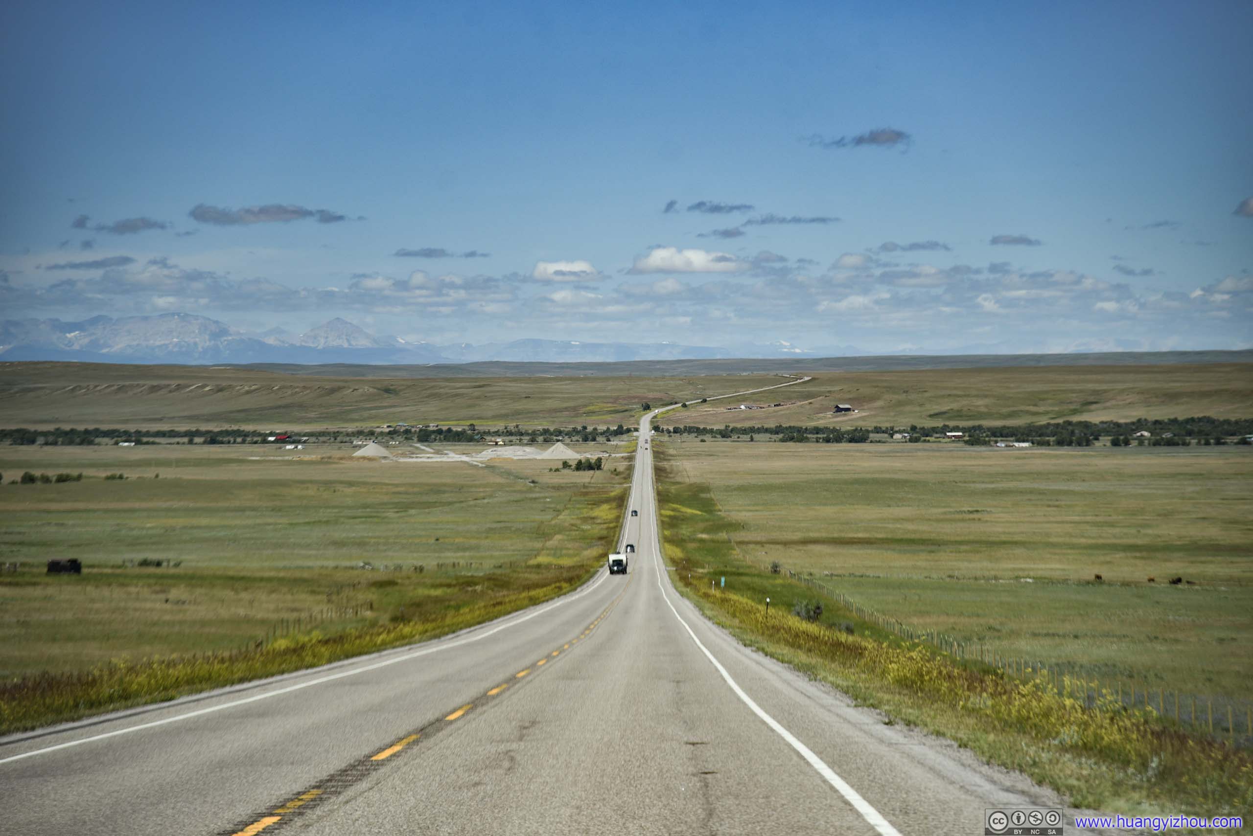
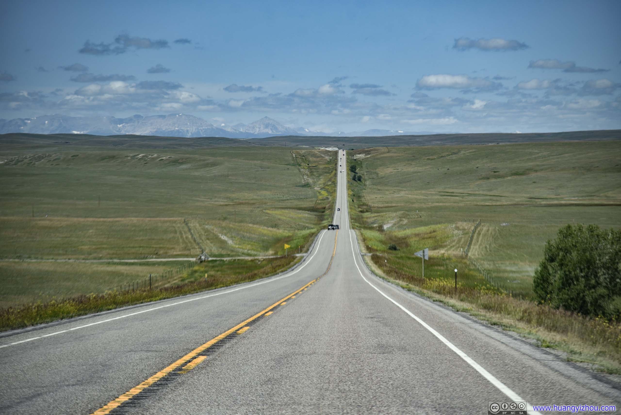
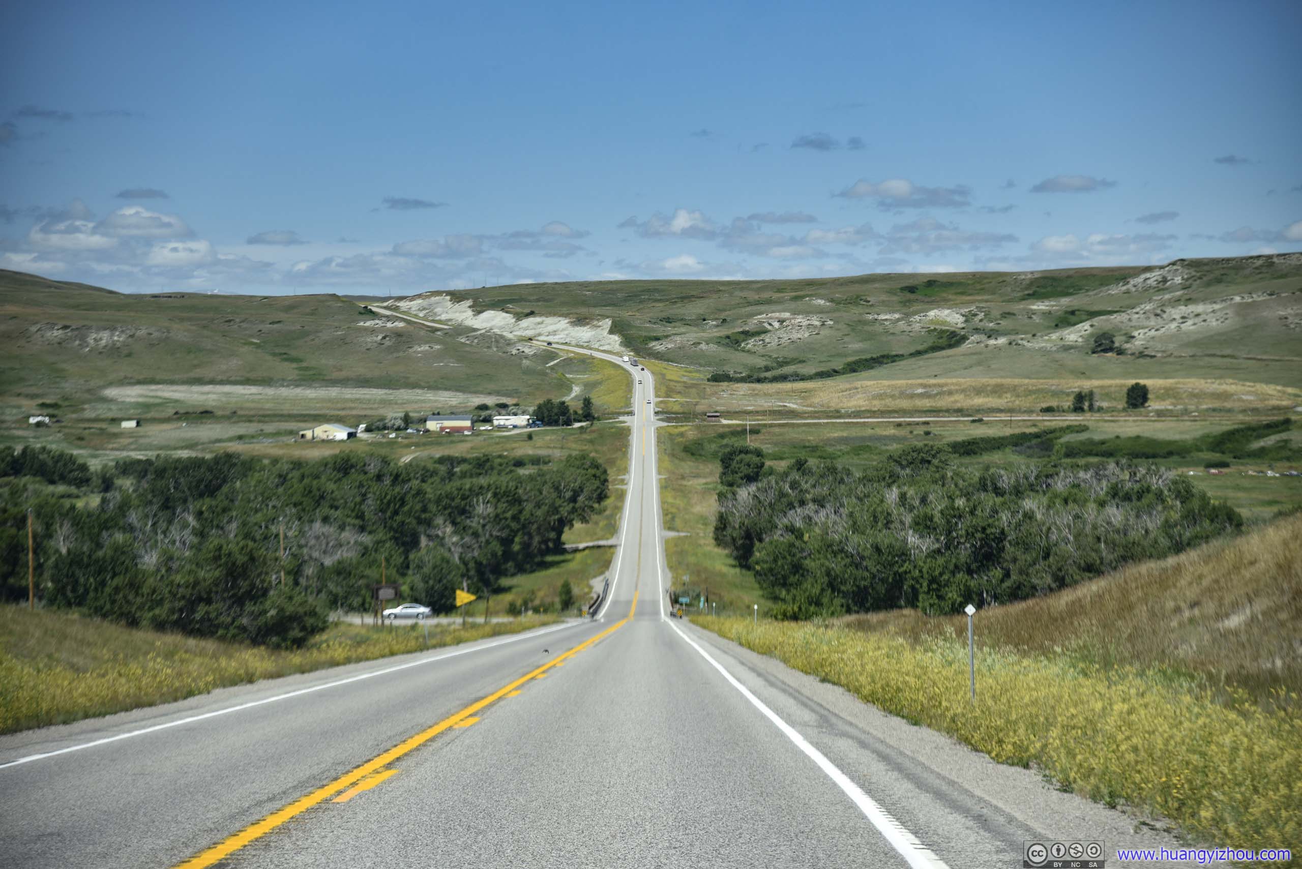
Country Road
And as we approached the town of Browning, array of mountains rose above distant horizon. A marvelous creation of nature that we were about to admire.
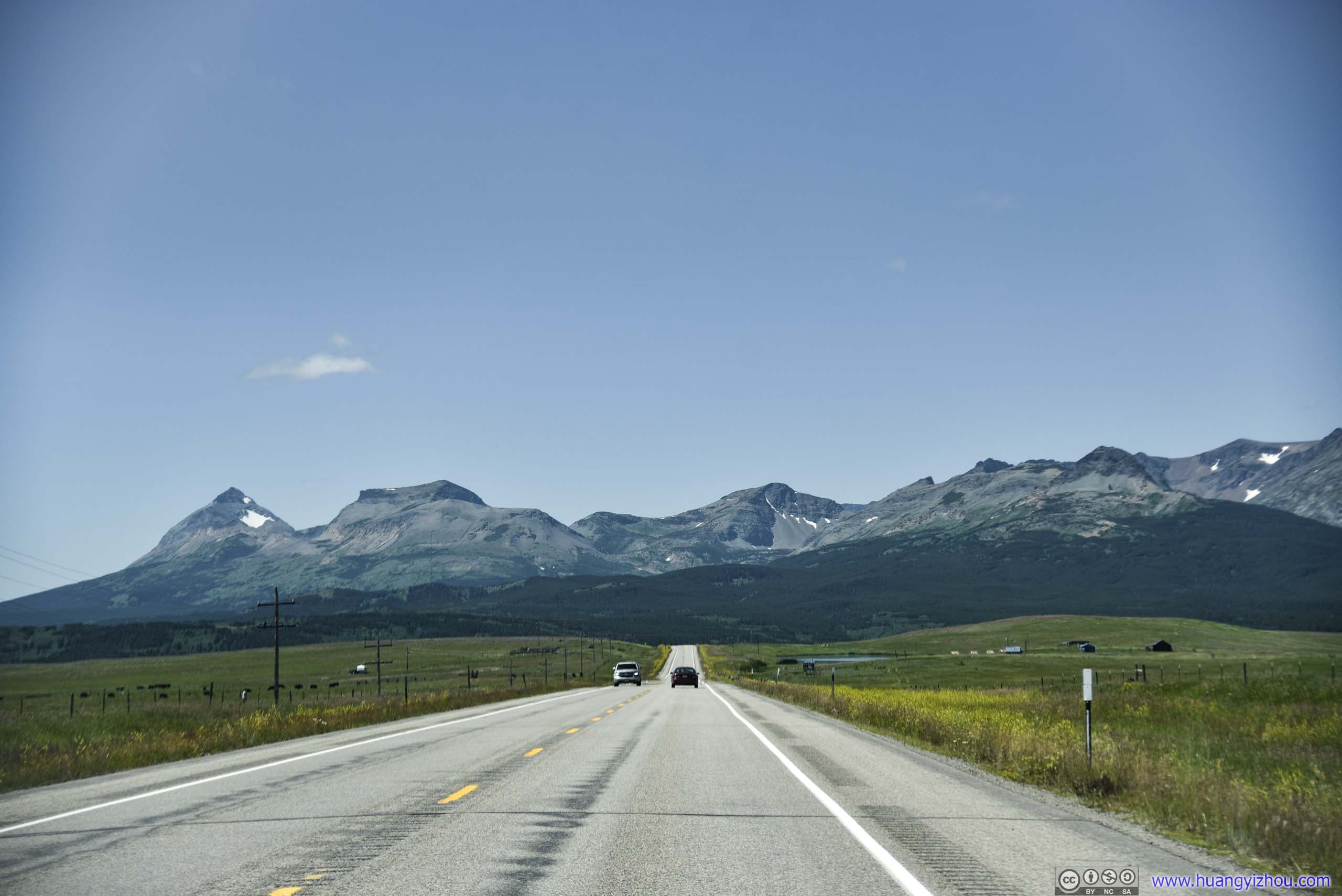
Mountains of Glacier National Park ahead.
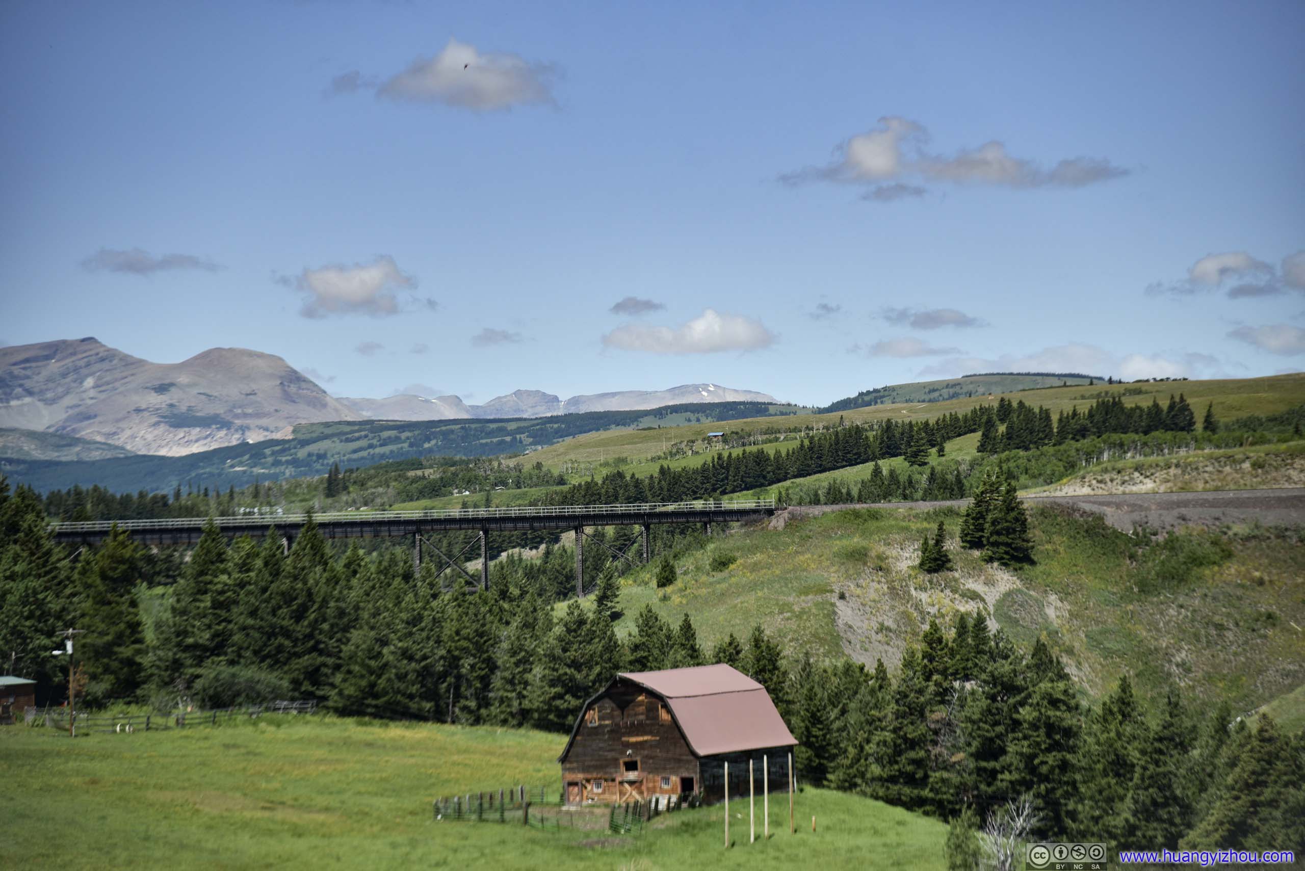
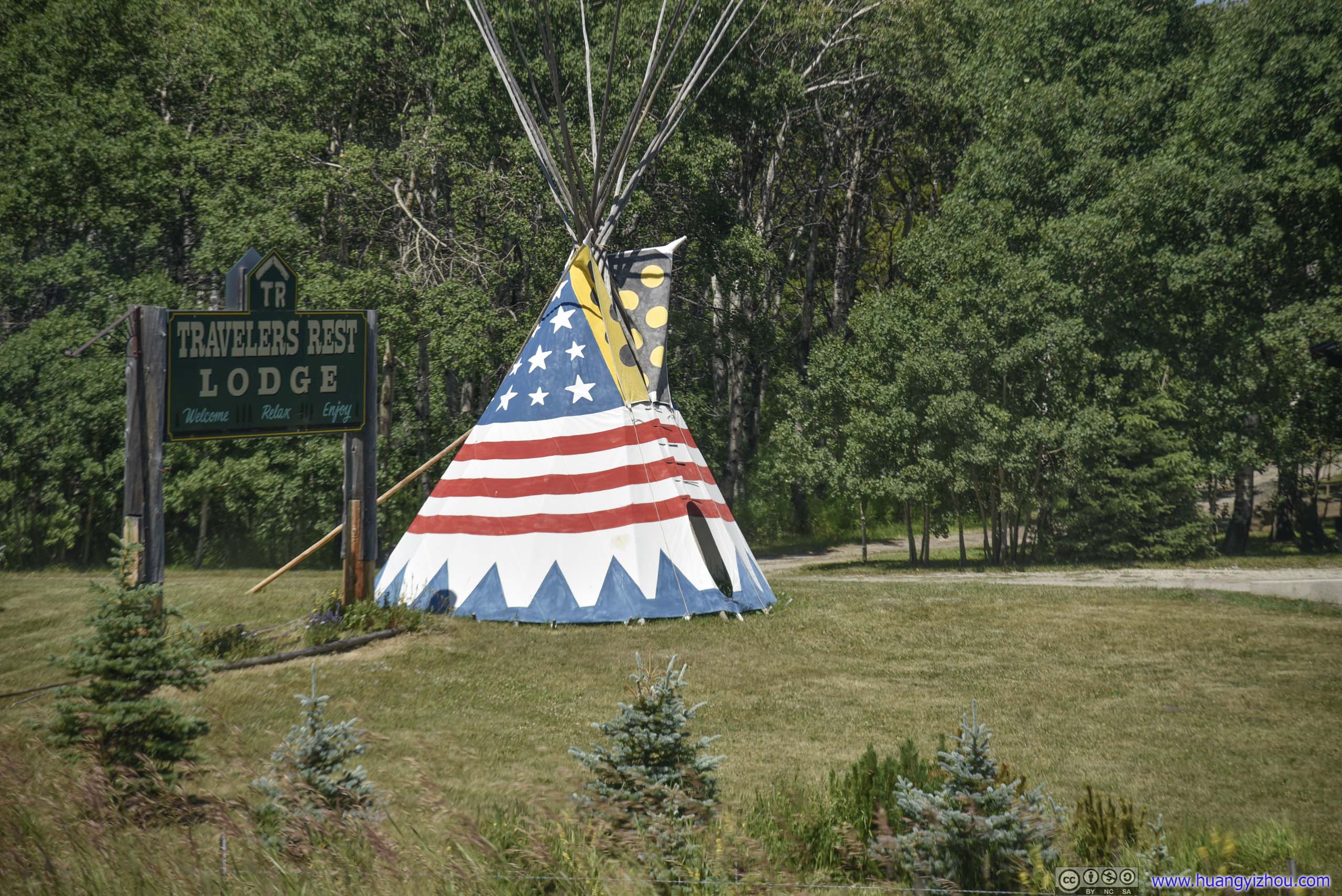
Sign that this is native American ground.
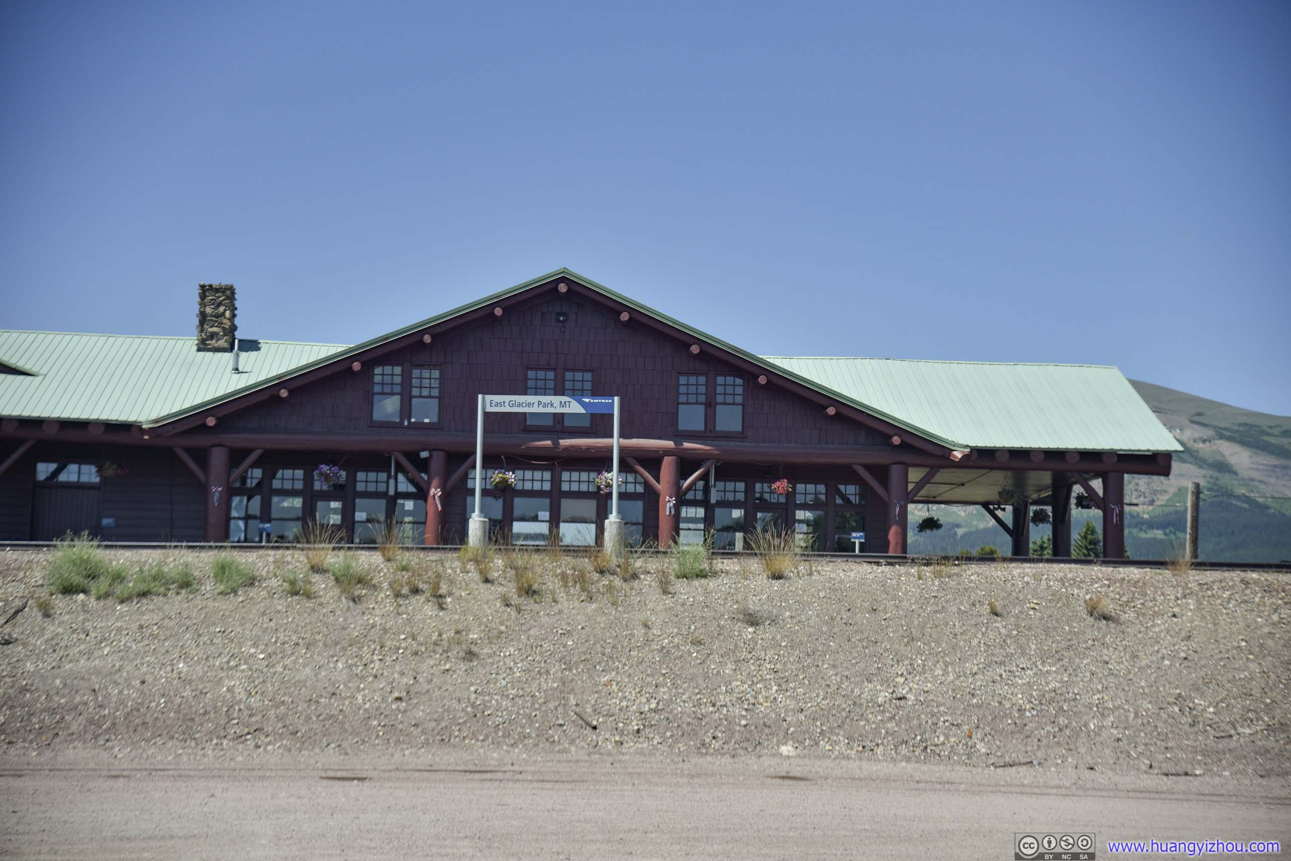
Great Northern Railway was once an active promoter of tourism in Glacier National Park.
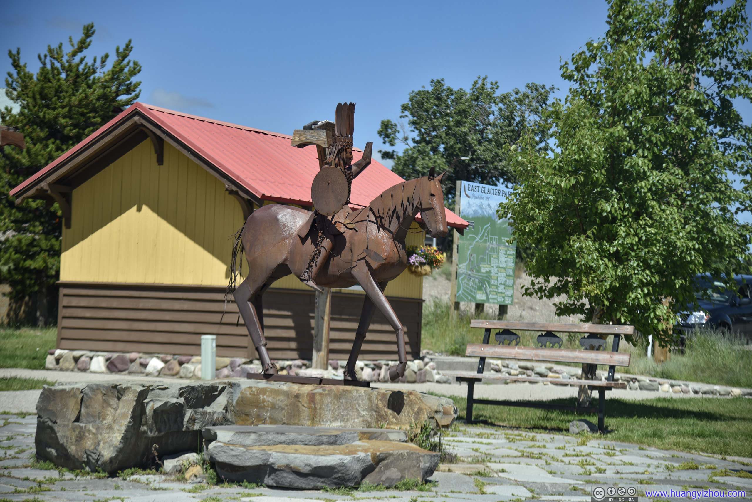
Once inside Glacier National Park, we took some rest by Two Medicine Lake and enjoyed packed lunch. Parking was rather limited near Two Medicine General Store, with many resorting to the unofficial roadside overflow parking.
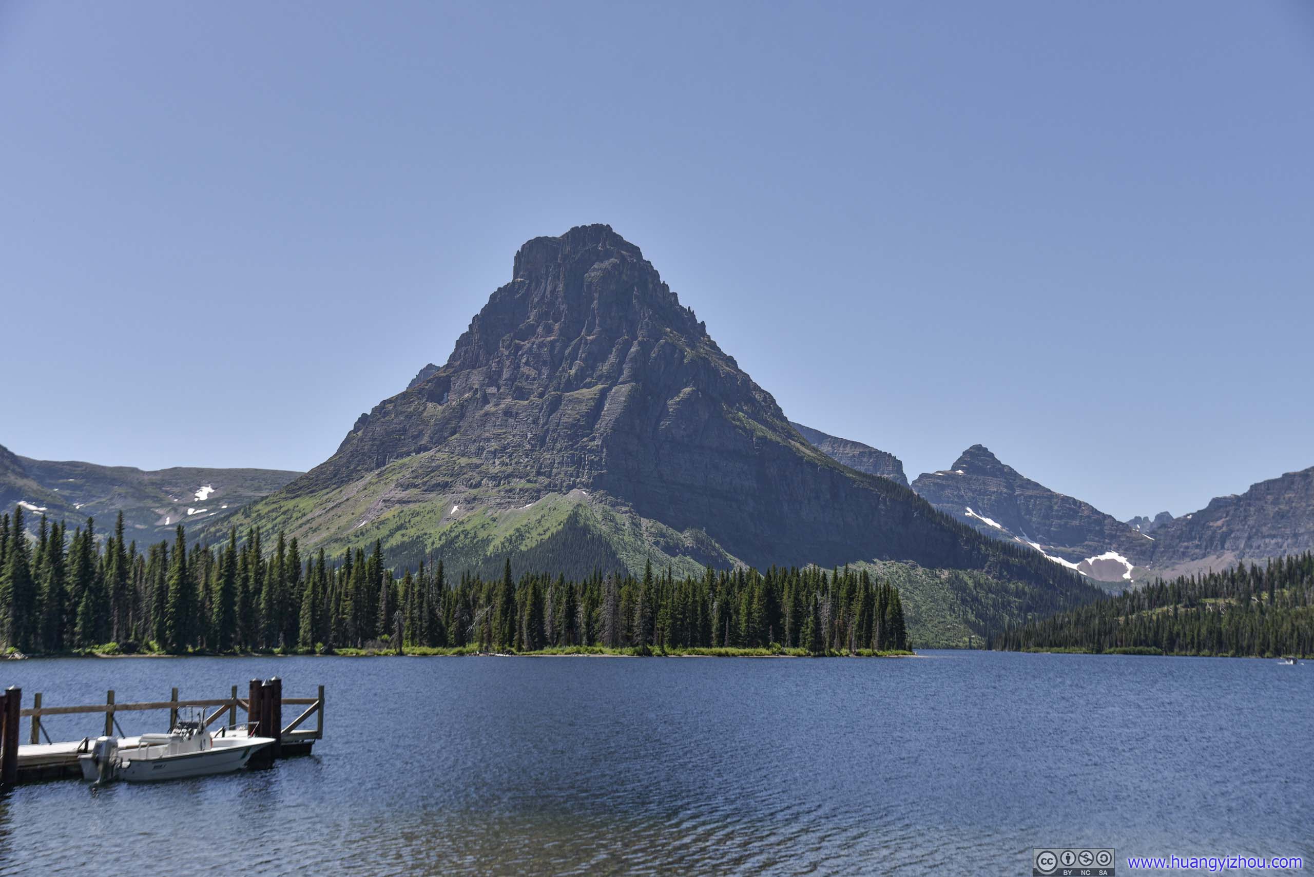
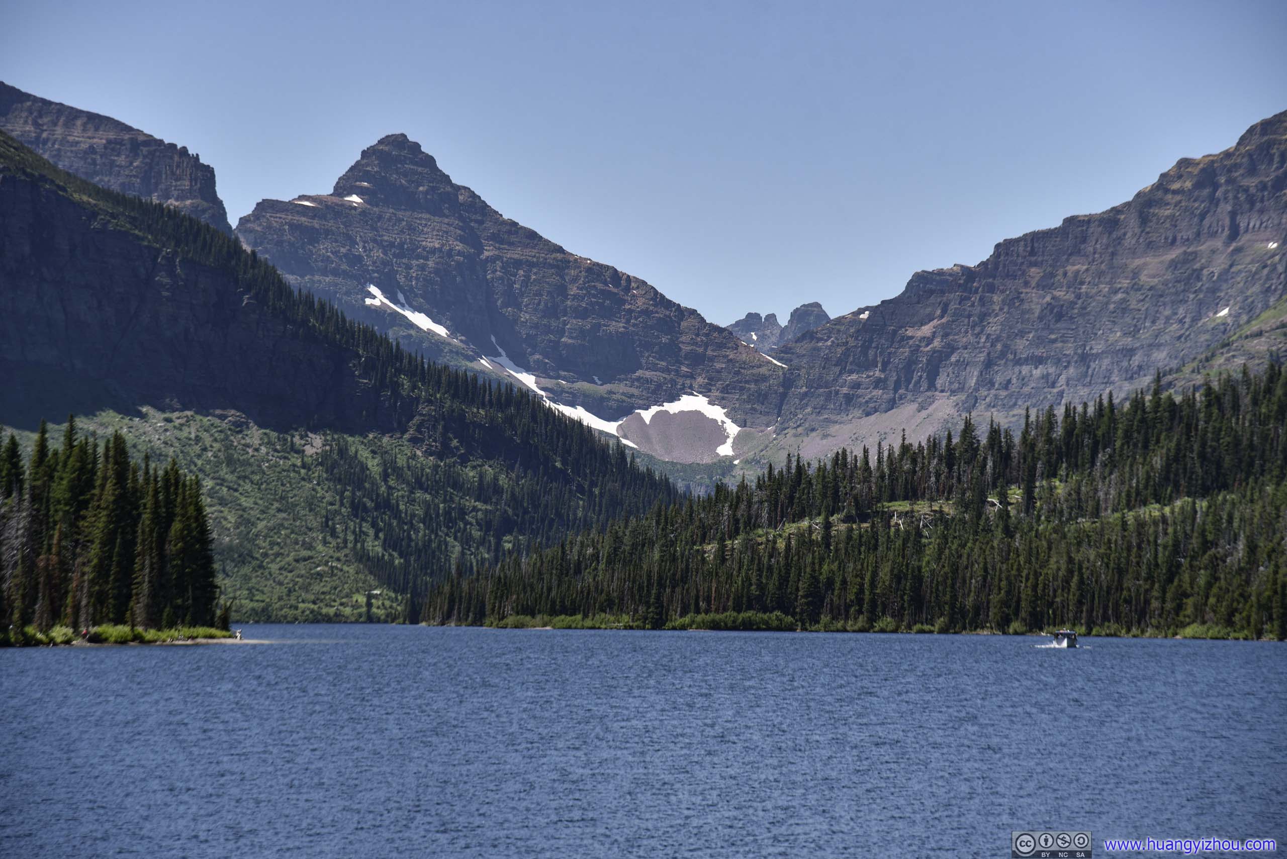
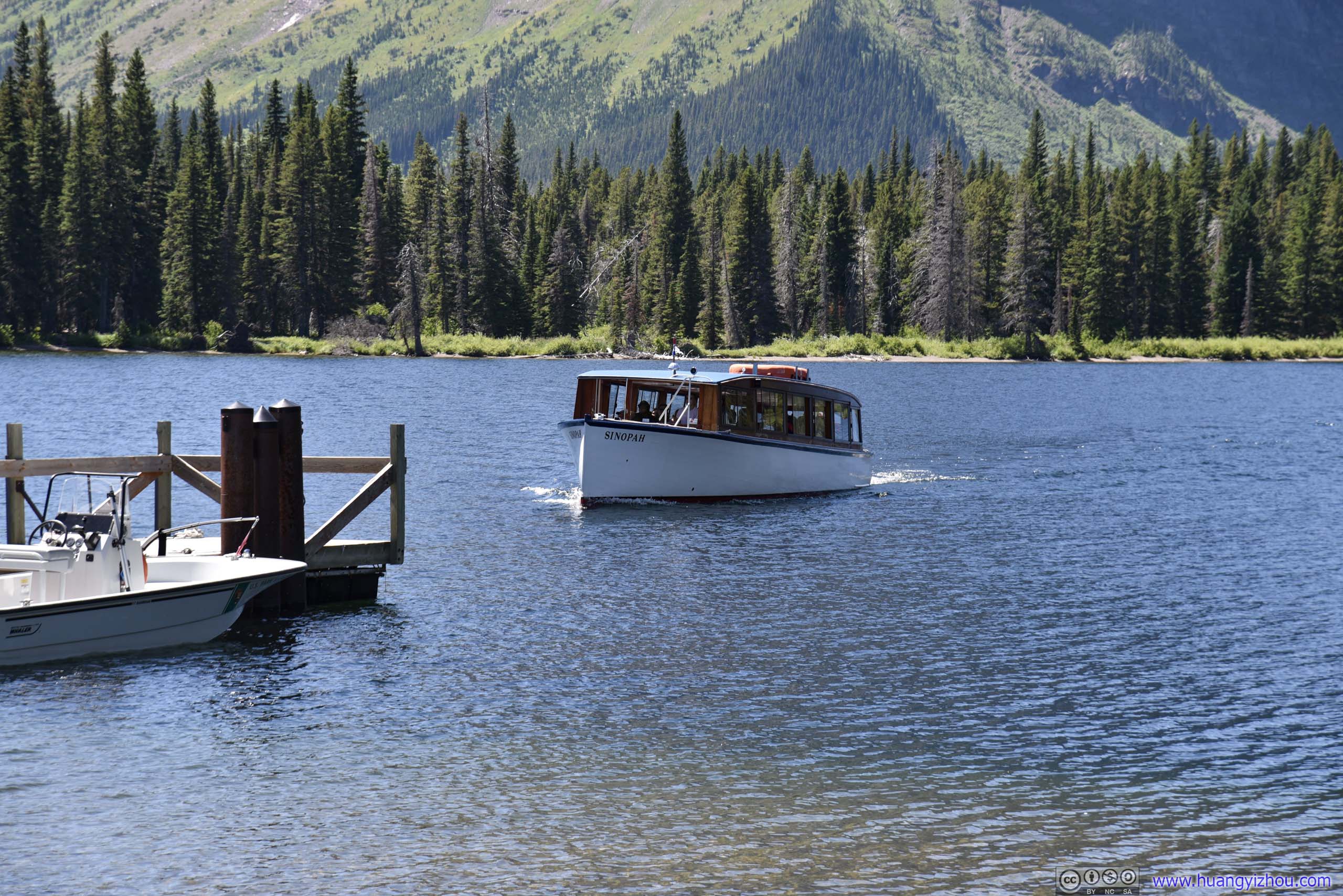
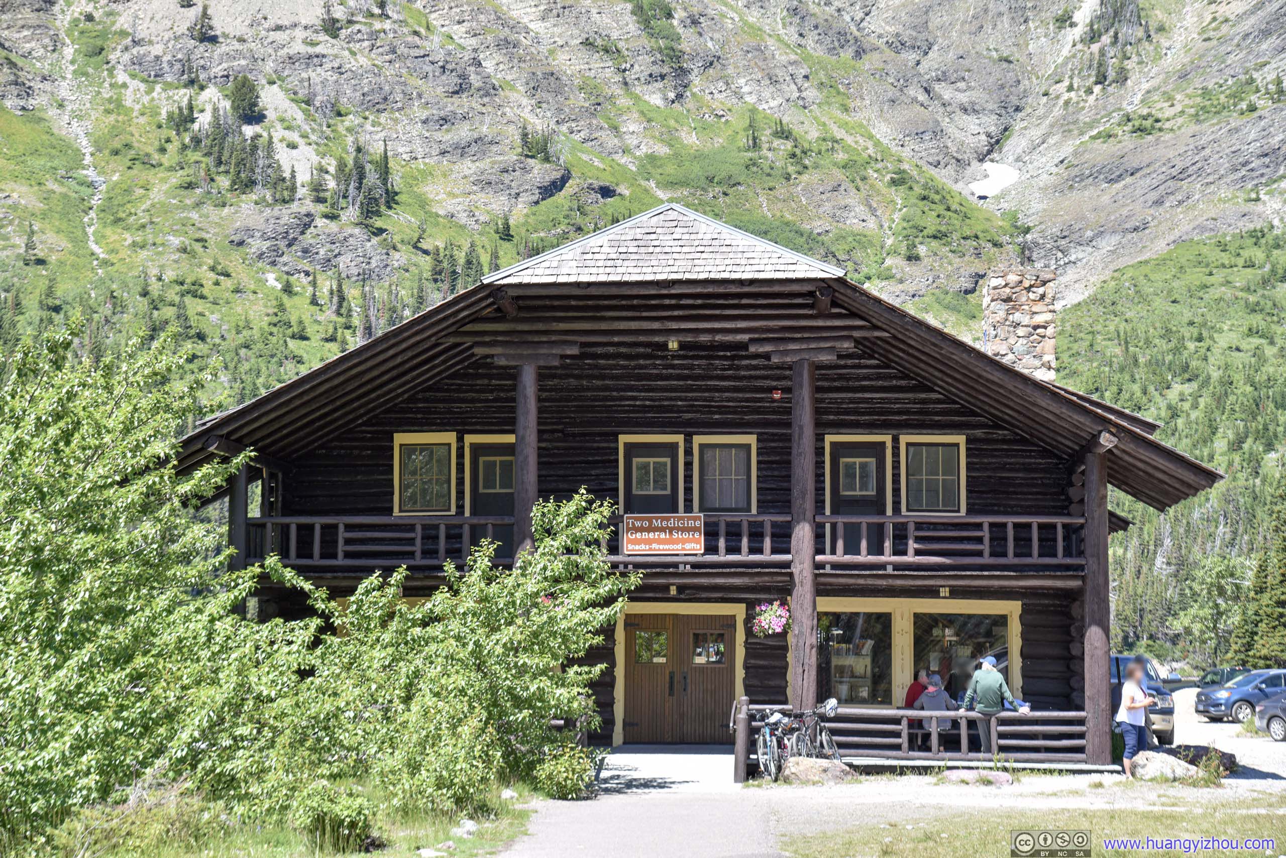
Hiking Scenic Point
After that, I headed over to Scenic Point trailhead just a short distance down the road, and began my journey.
By the way, parking at Scenic Point trailhead was also rather limited, but NPS seemed to be okay with, more creative ways to park, as long as the utility road wasn't blocked.
And here's GPS tracking:
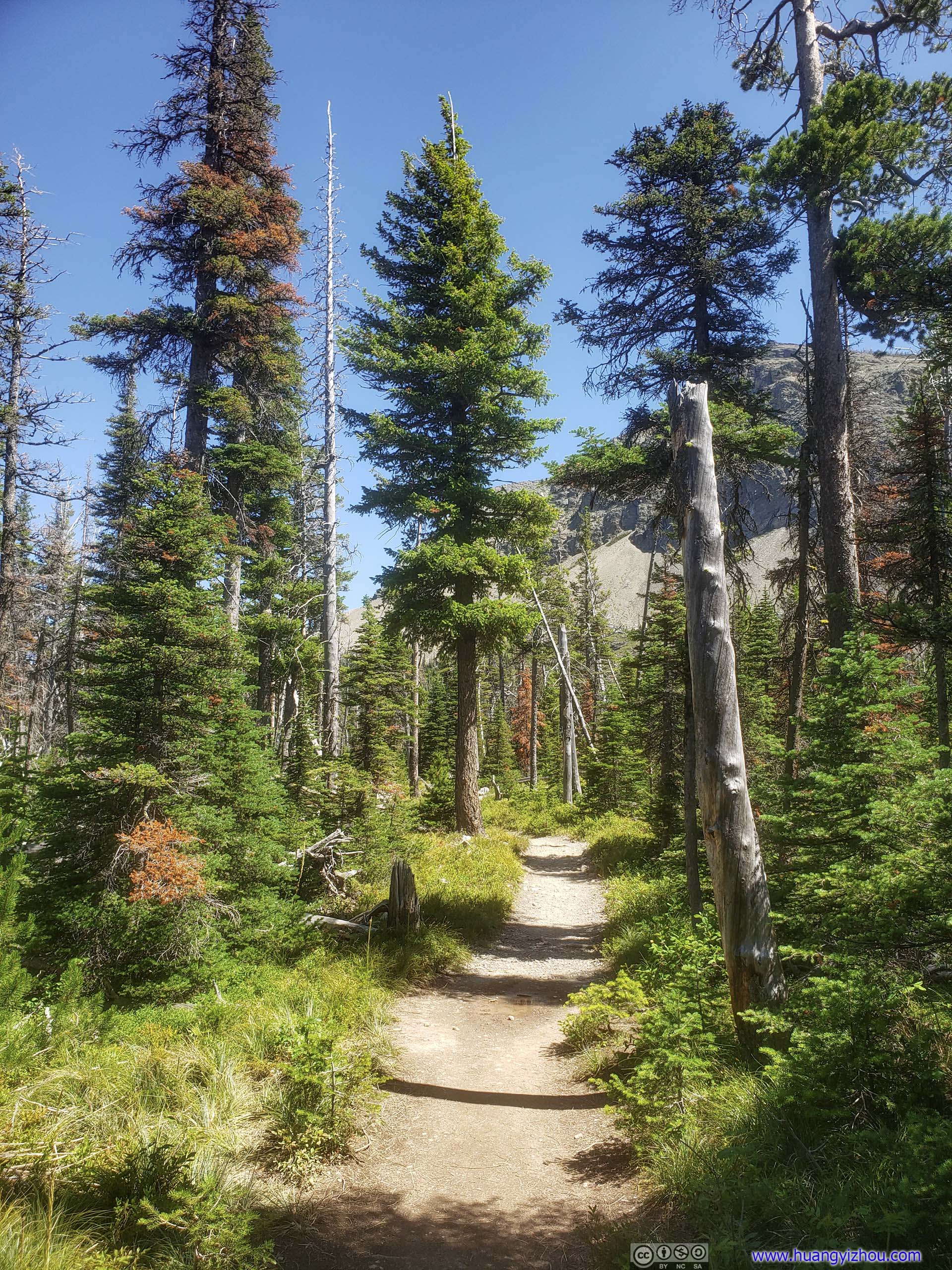
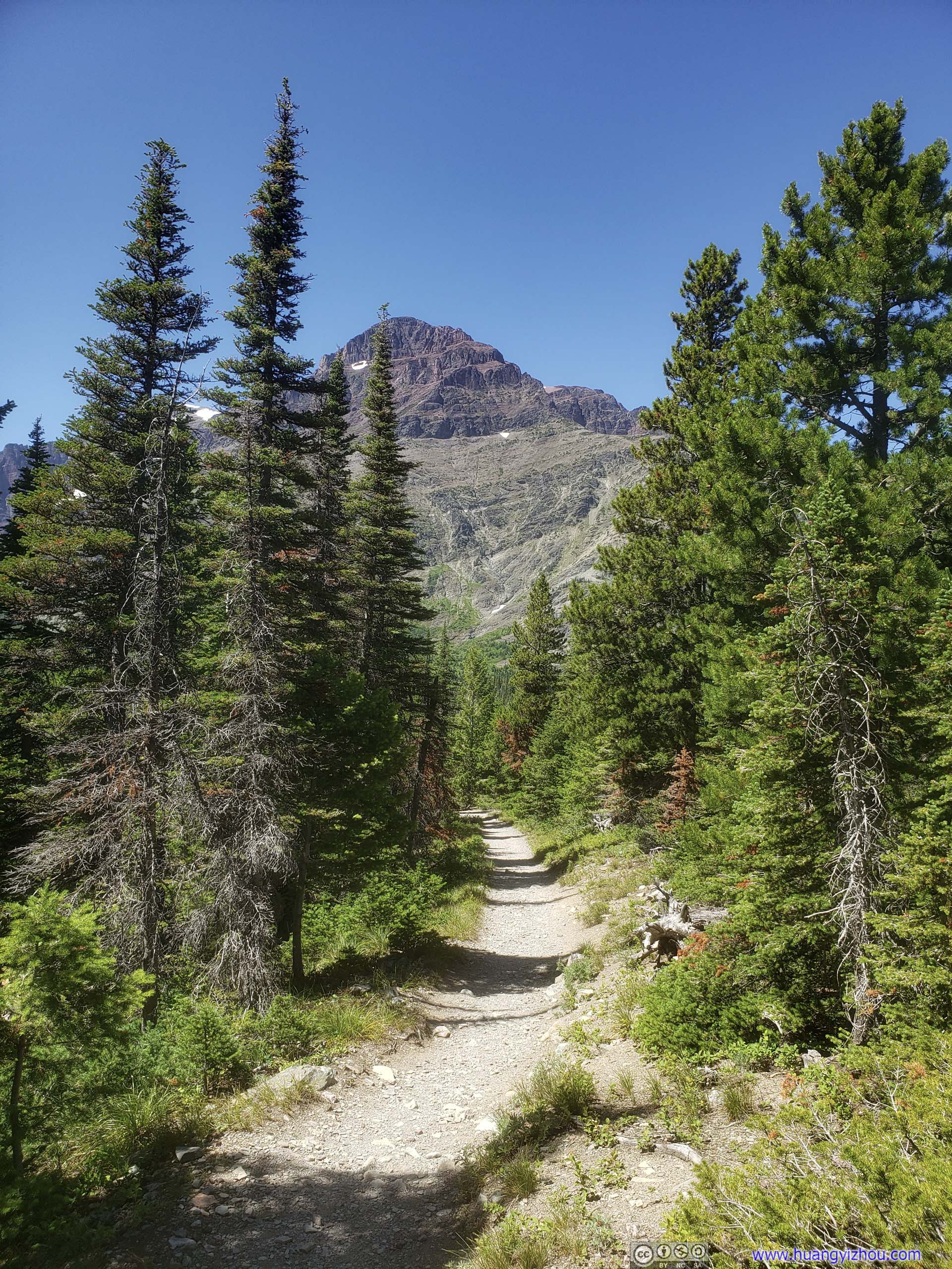
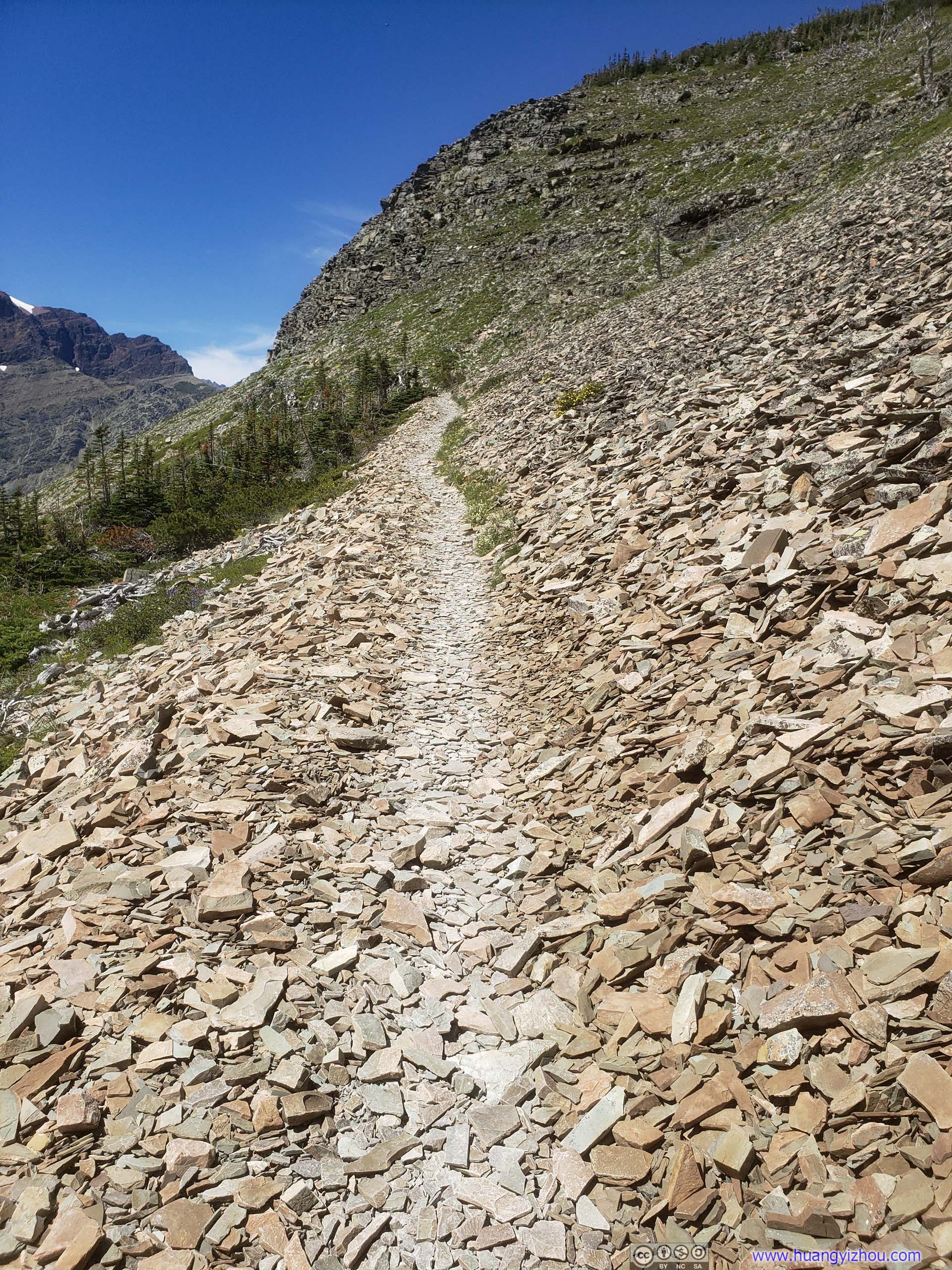
The first part of the trail was in forest like this.
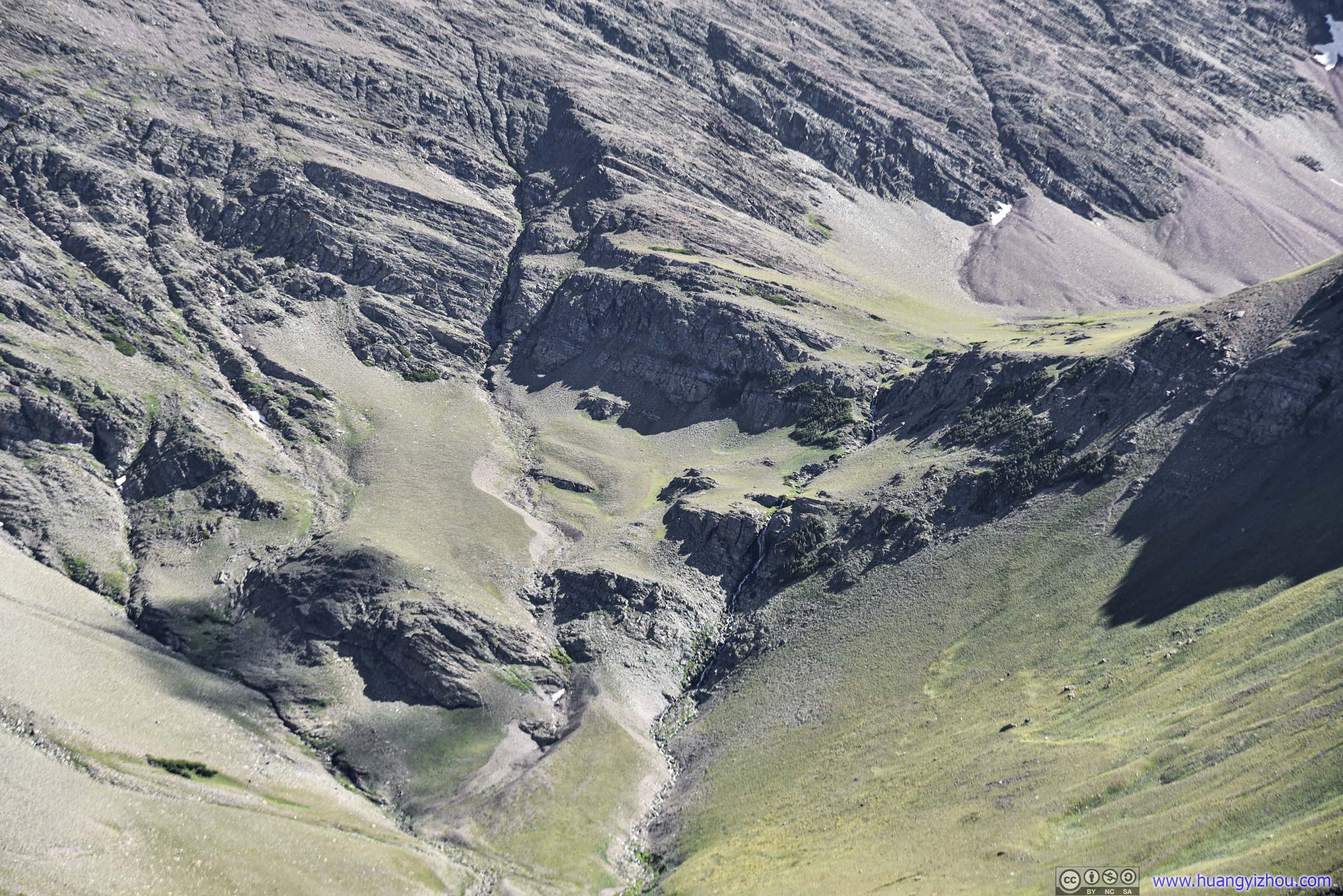
Once out of the woods, one would come across Appistoki Creek, which was created with molten snowwater from some snow patches visible above.
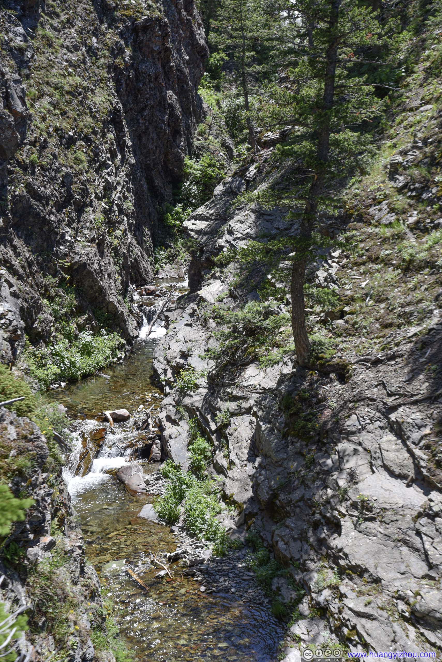
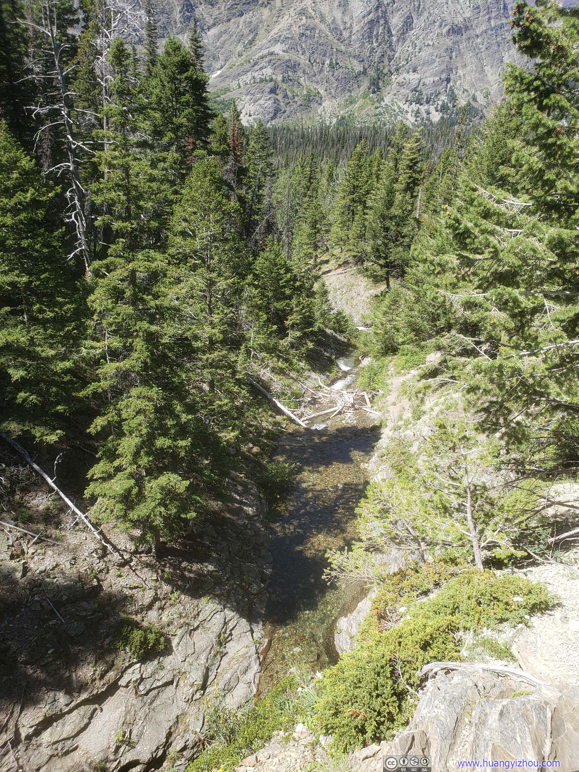
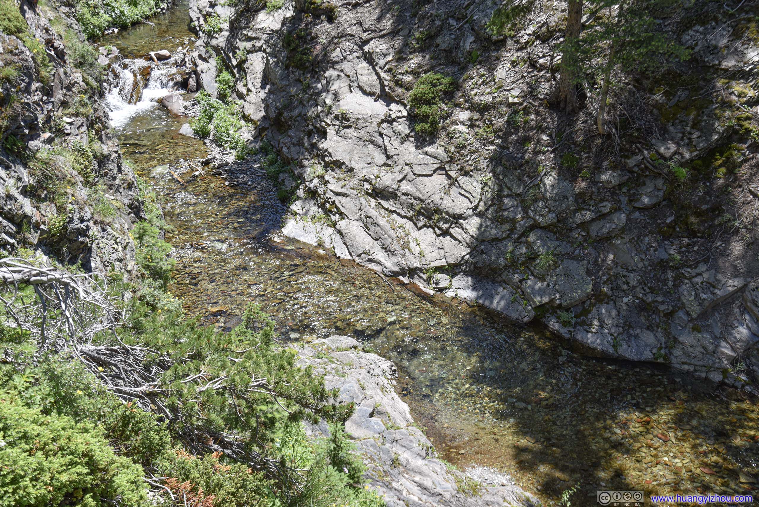
Appistoki Creek
Part of this creek was also a waterfall.
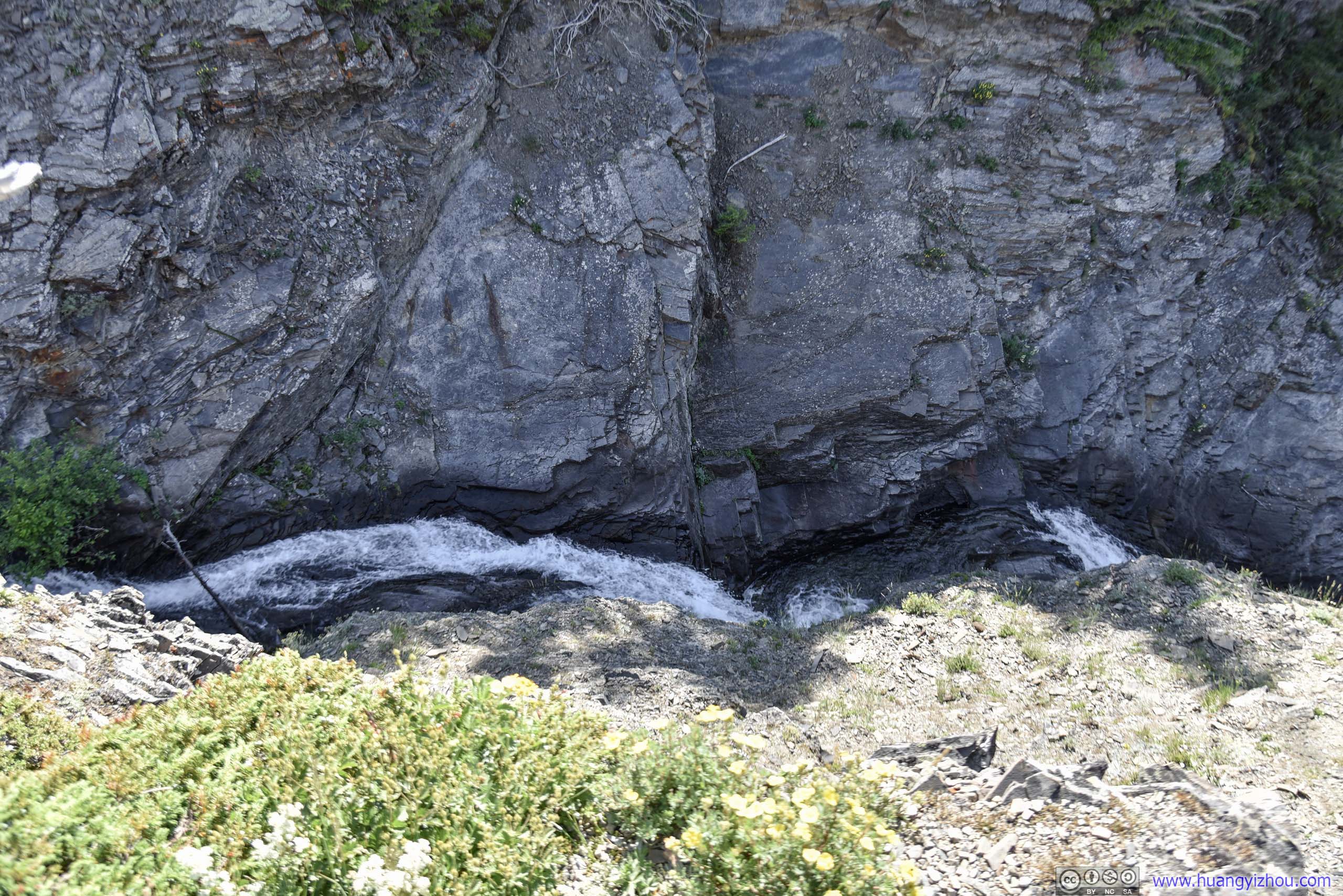
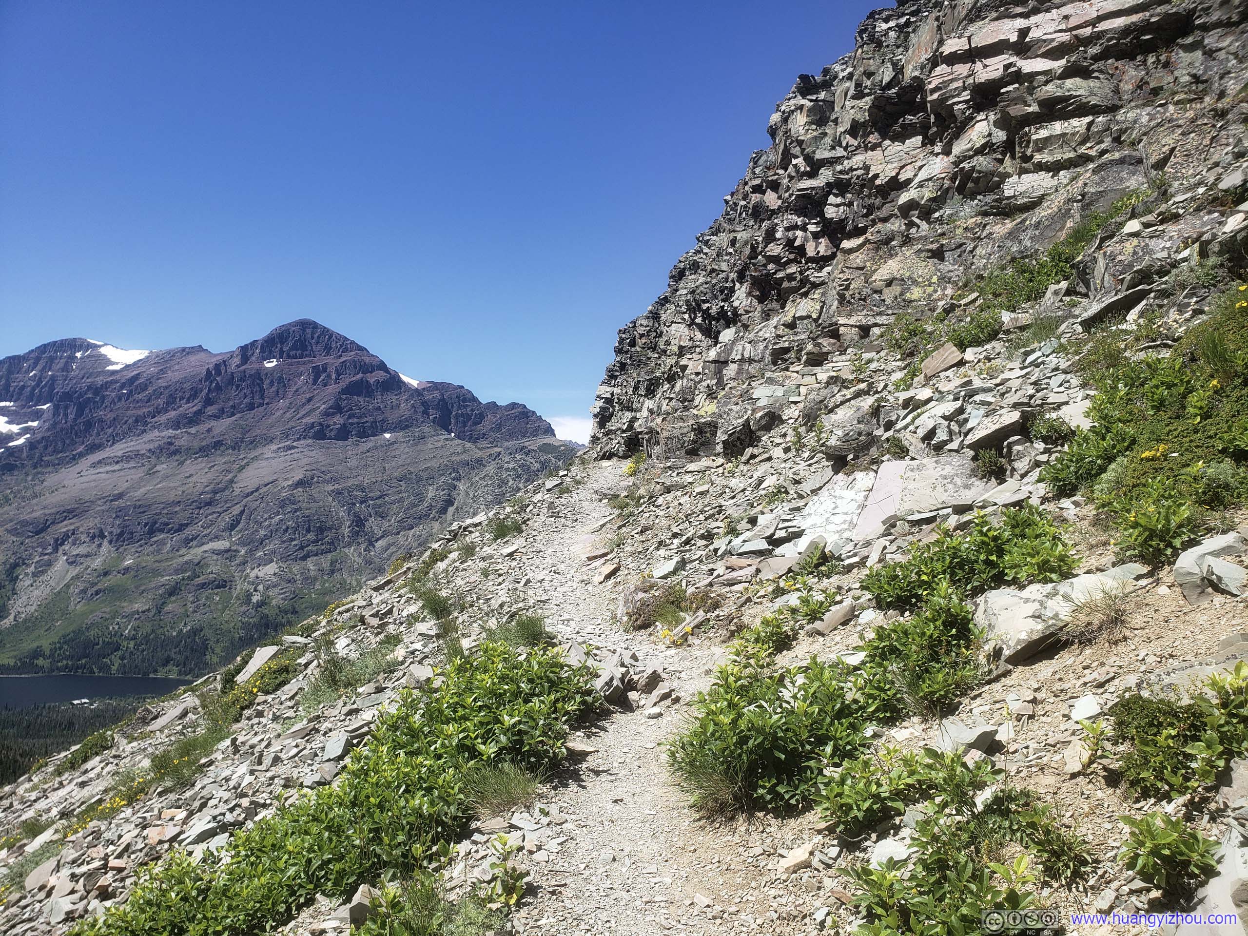
After that and above the trees, Rising Wolf Mountain and Two Medicine Lake were constant sights that accompanied me through the rest of the trip.
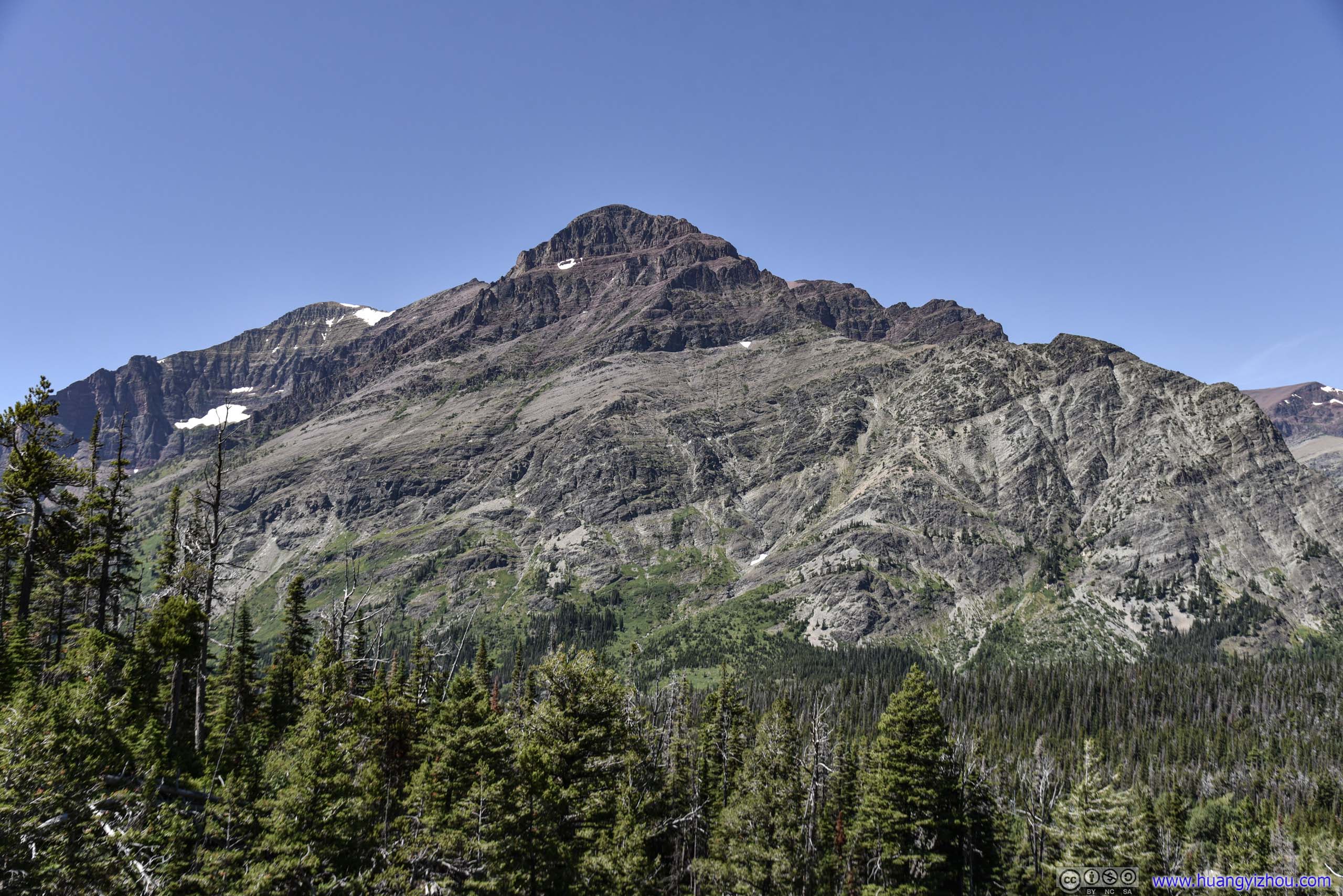
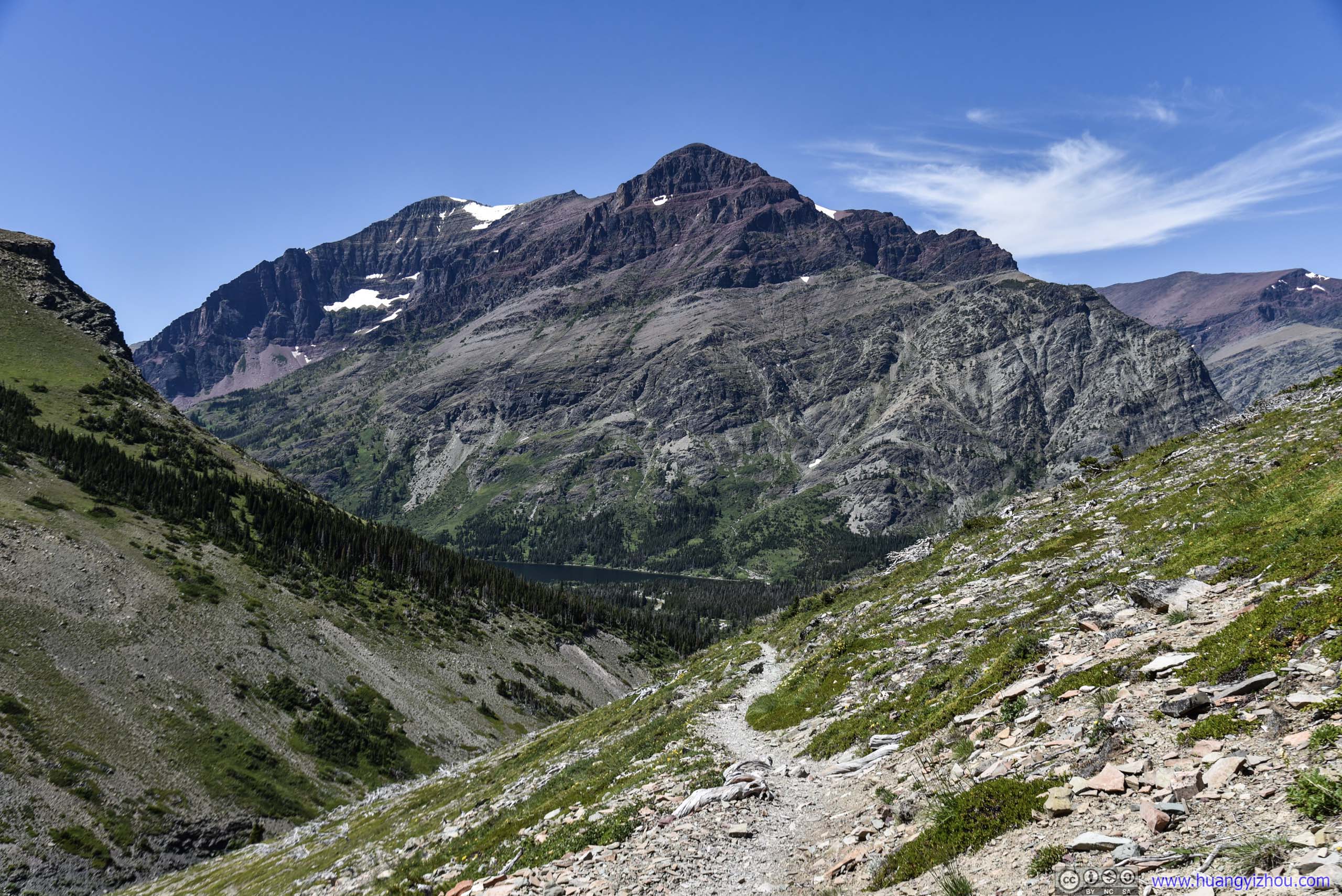
I had a hilarious thought that Rising Wolf Mountain resembled (the best of) KFC's finger lickin chicken.
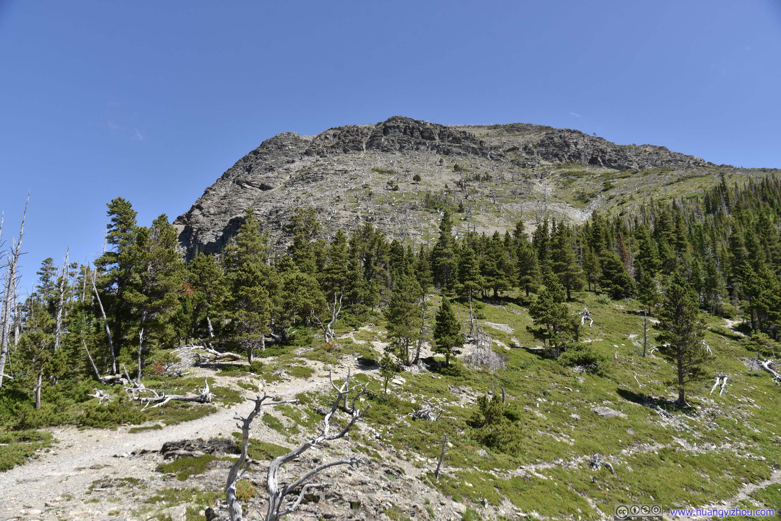
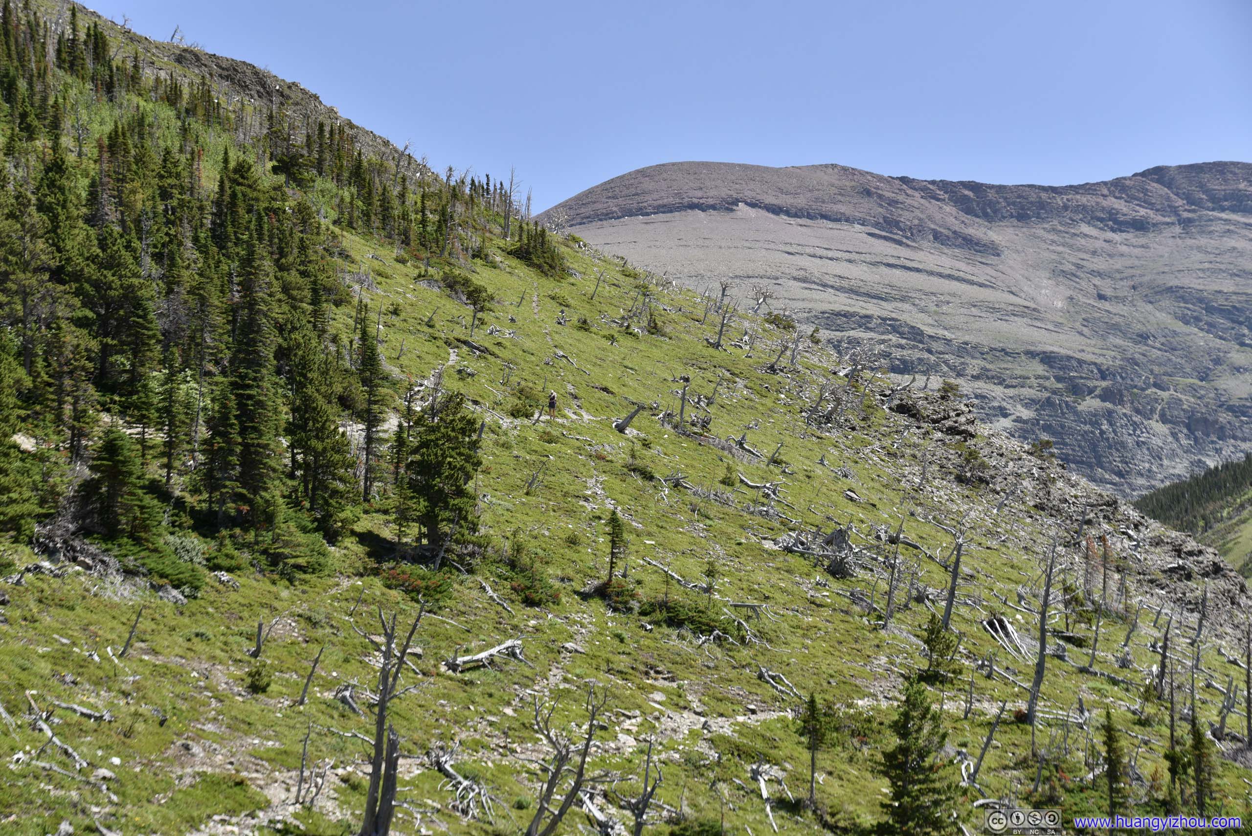
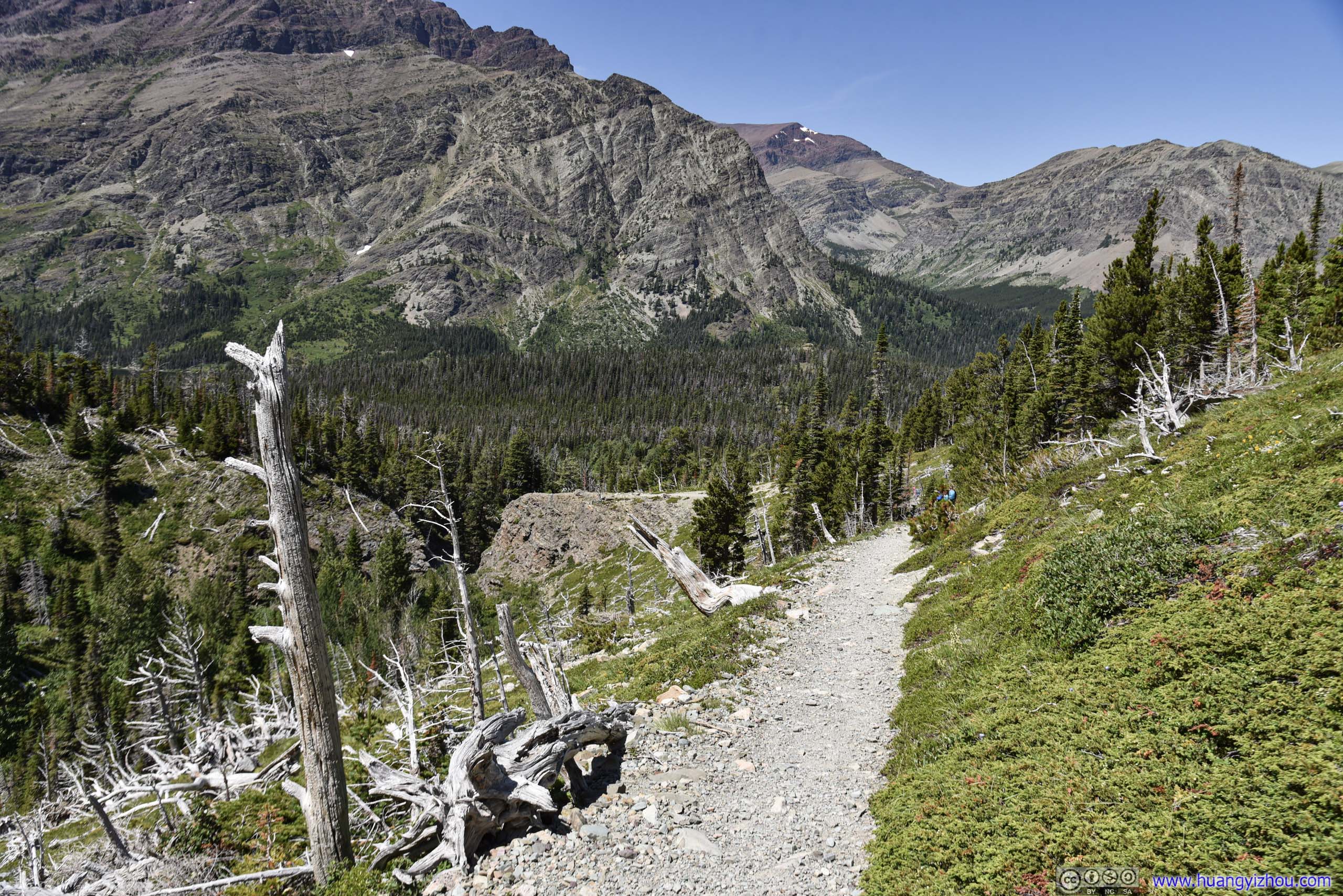
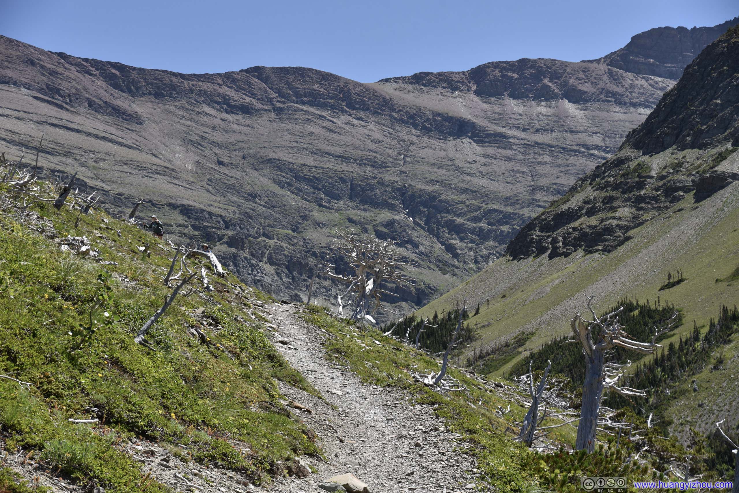
And wildlife was a perpetual theme here in national parks.
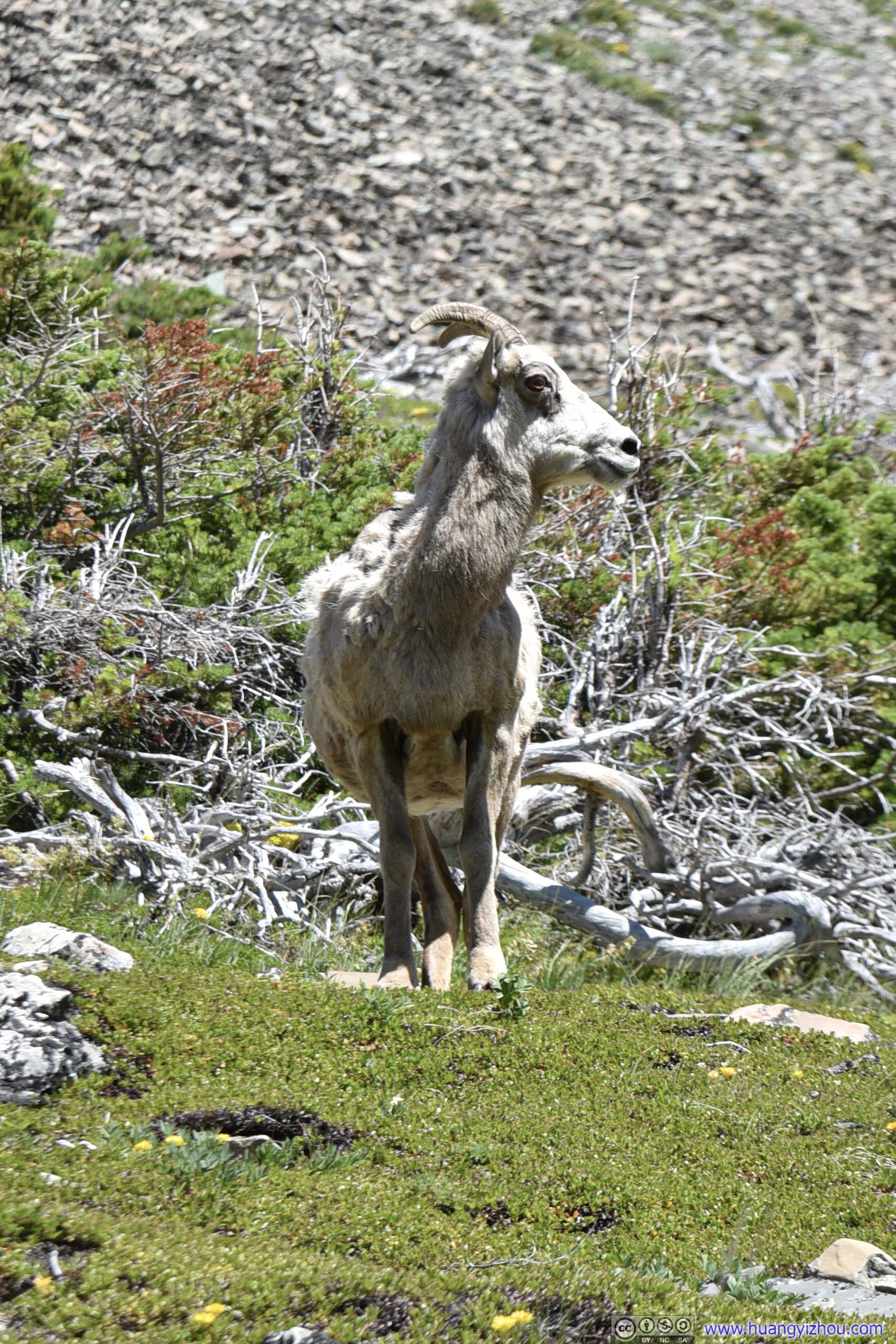
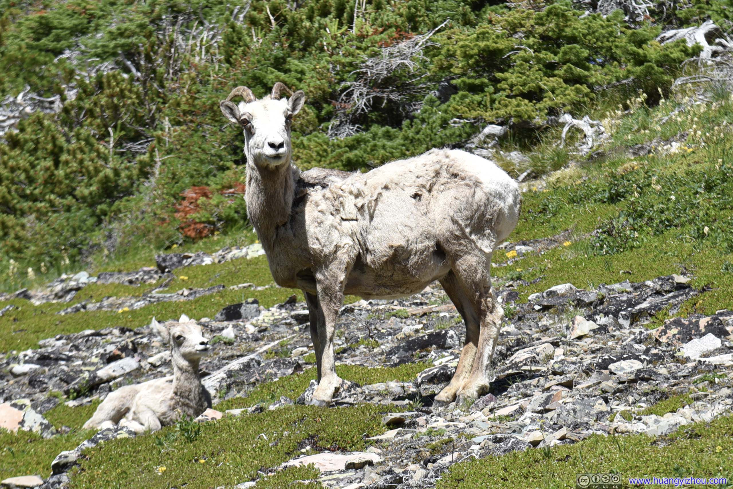
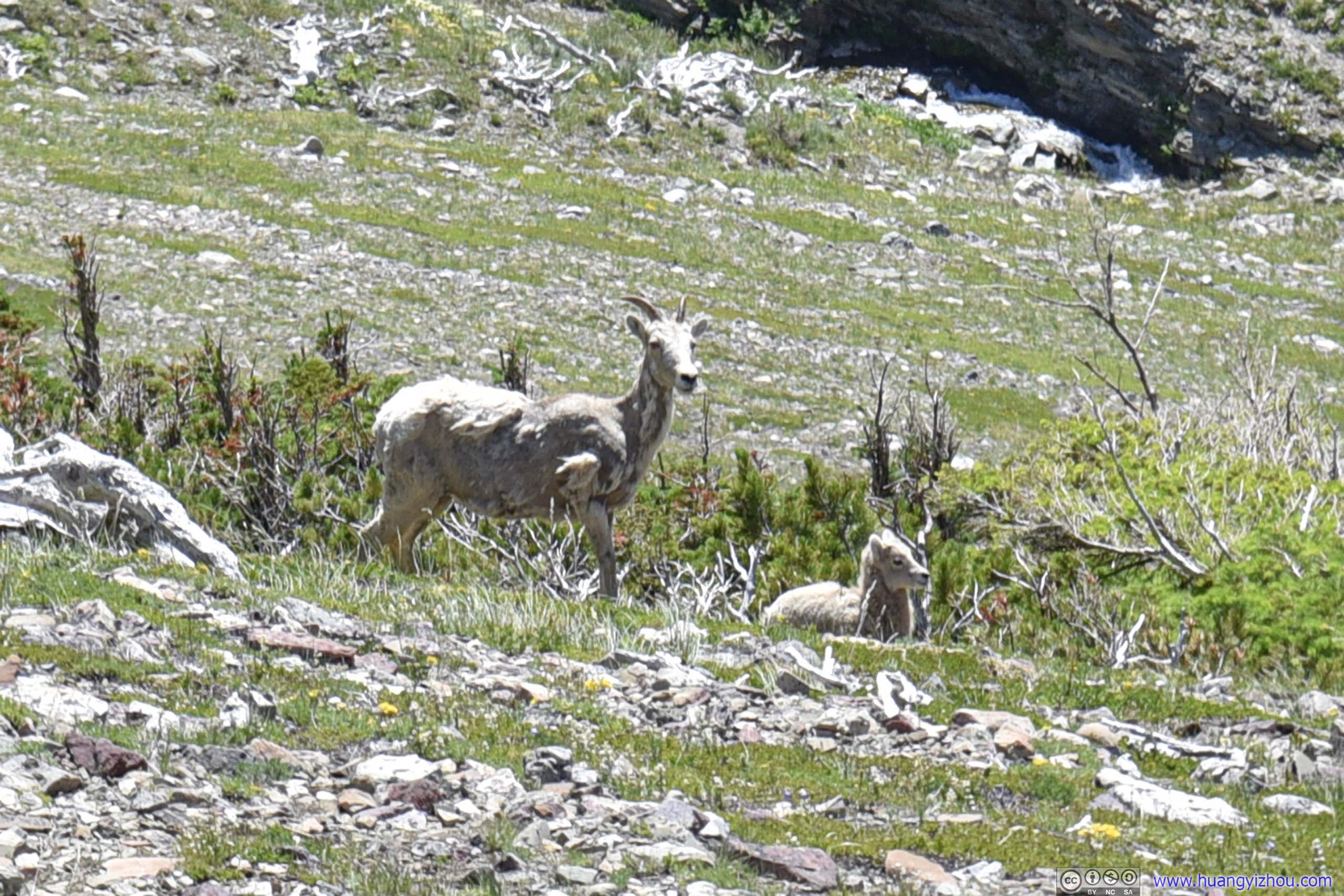
Goat
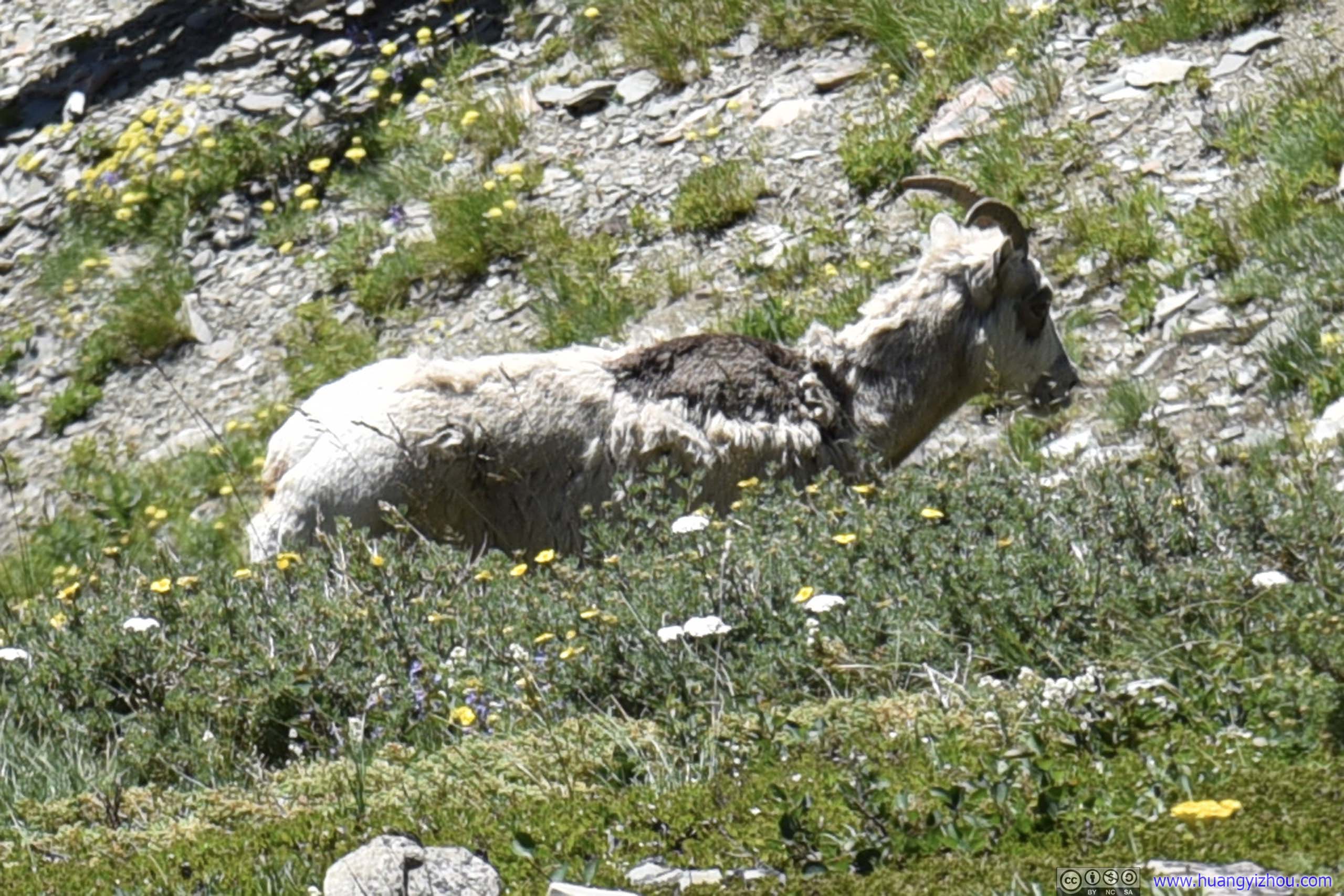
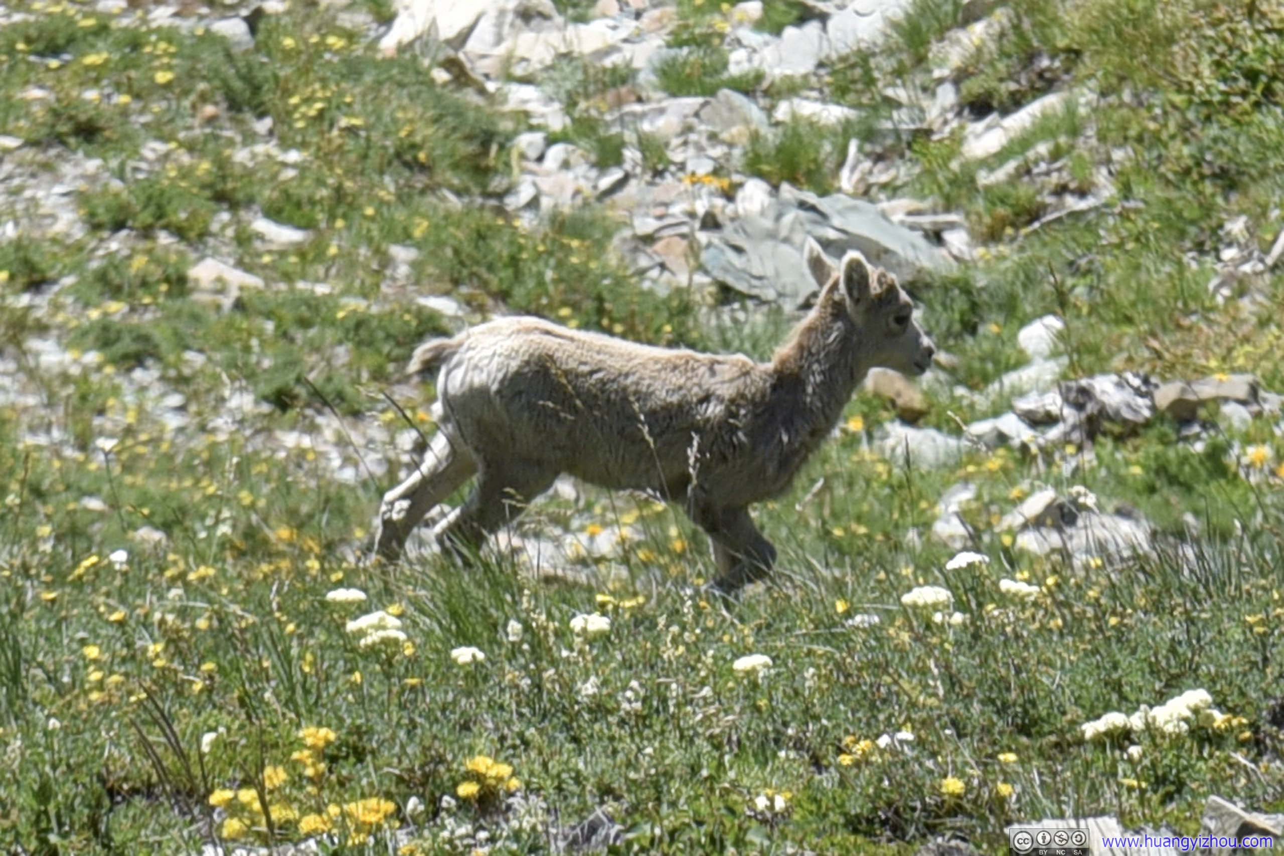
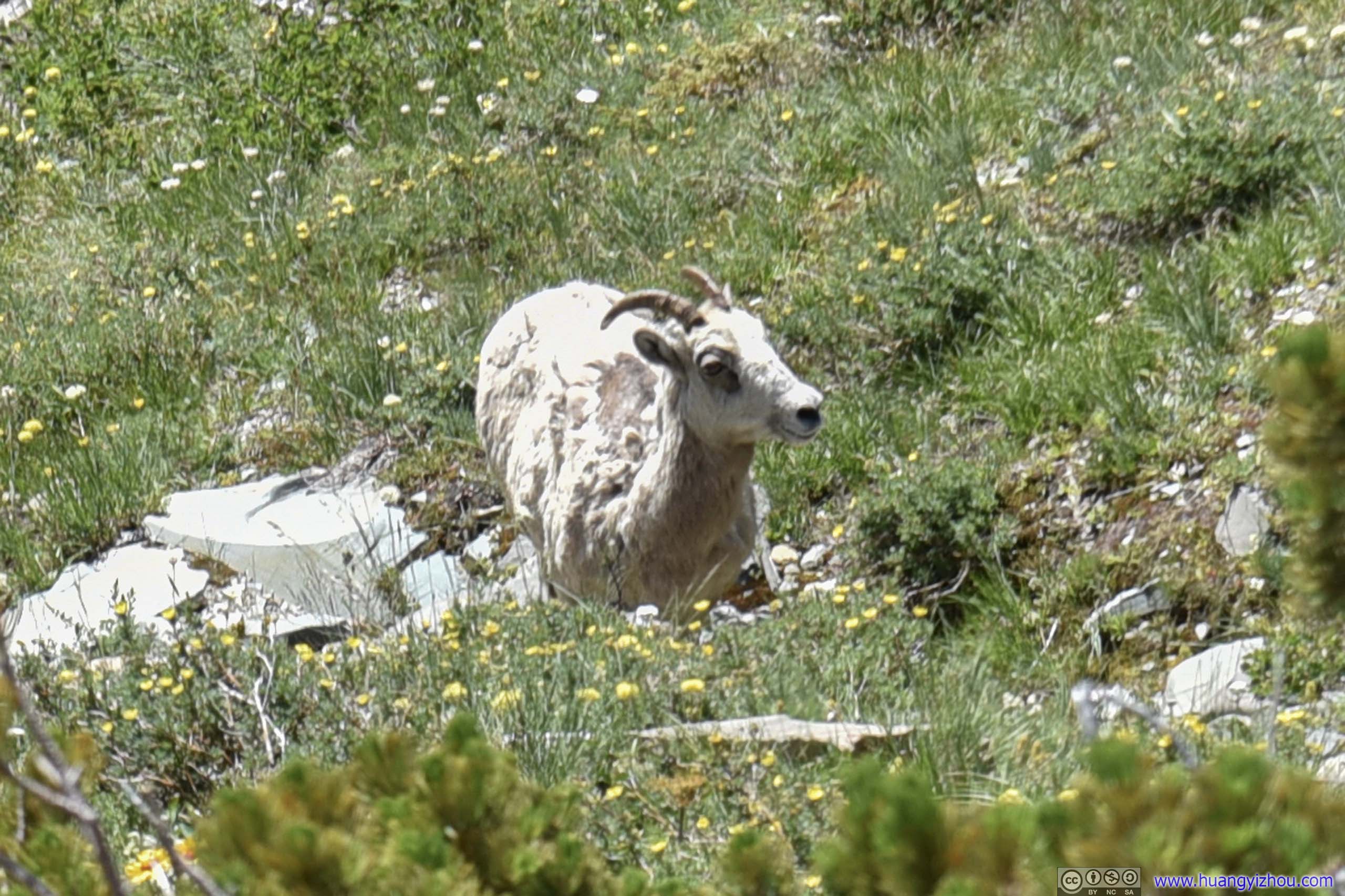
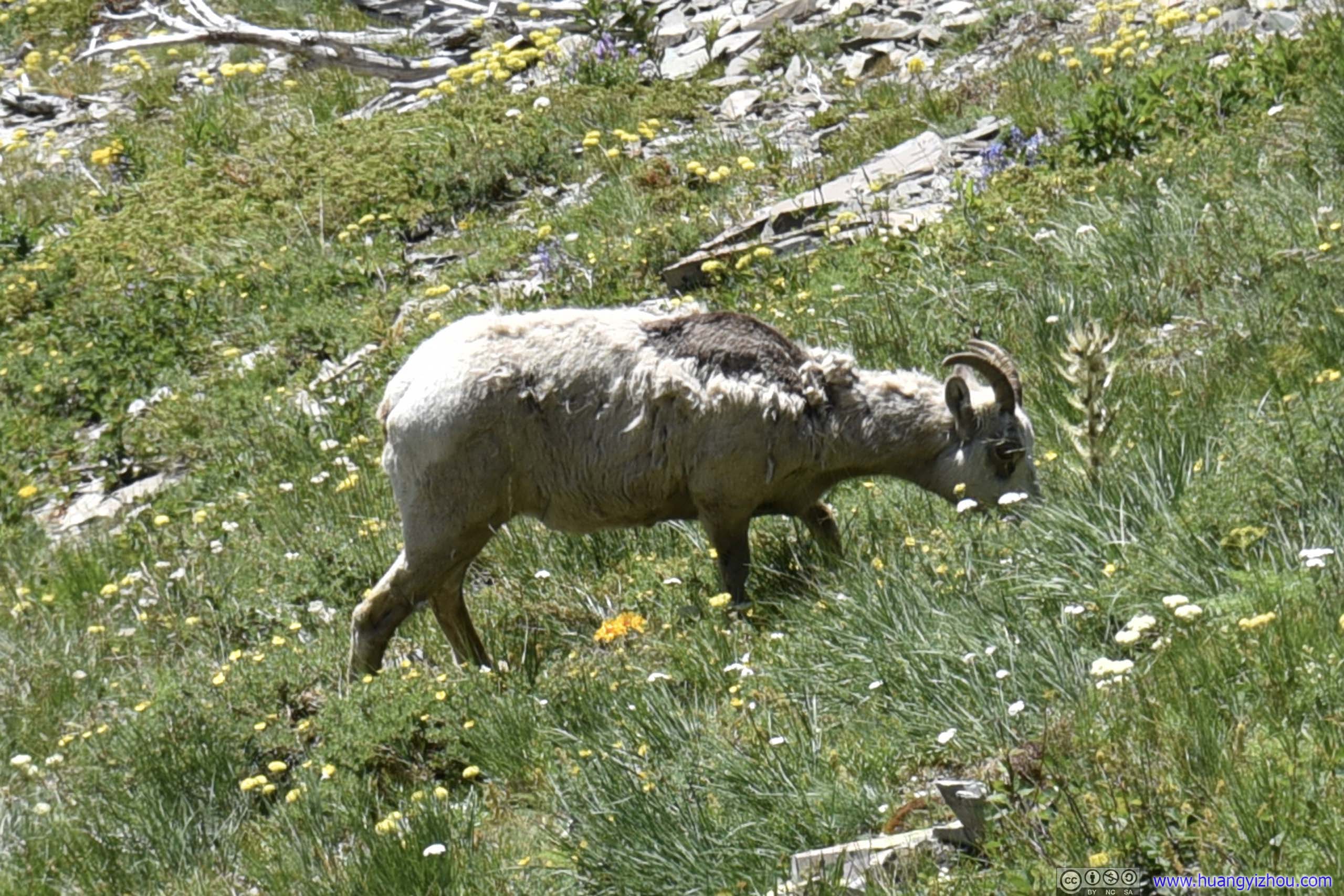
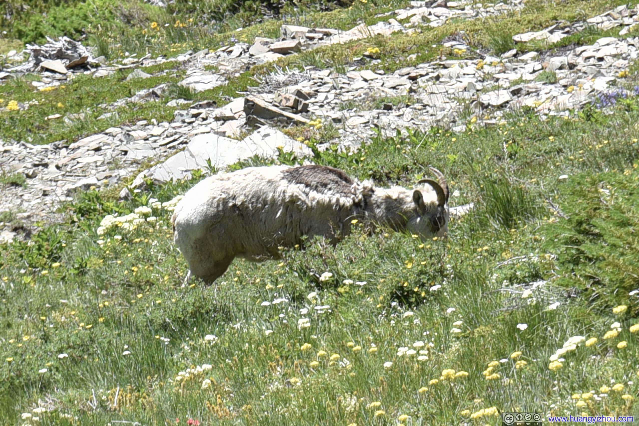
Goat
These two seemed to be a family, where the antler-less baby was following its parent.
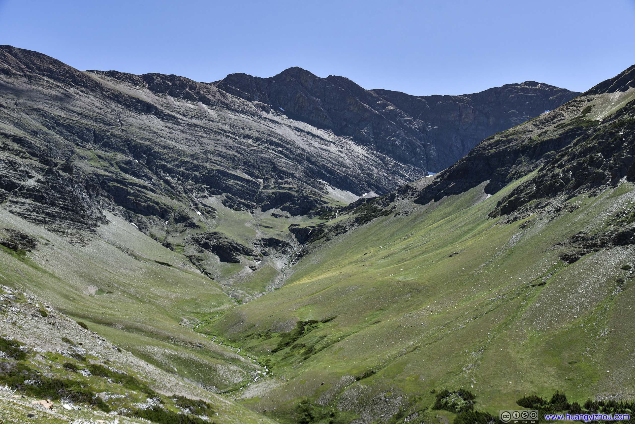
The one that Appistoki Creek flew through.
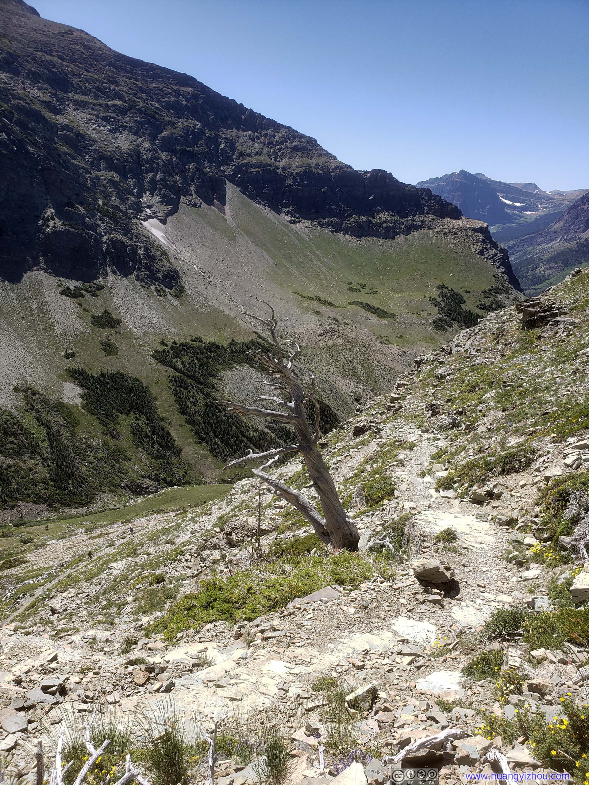
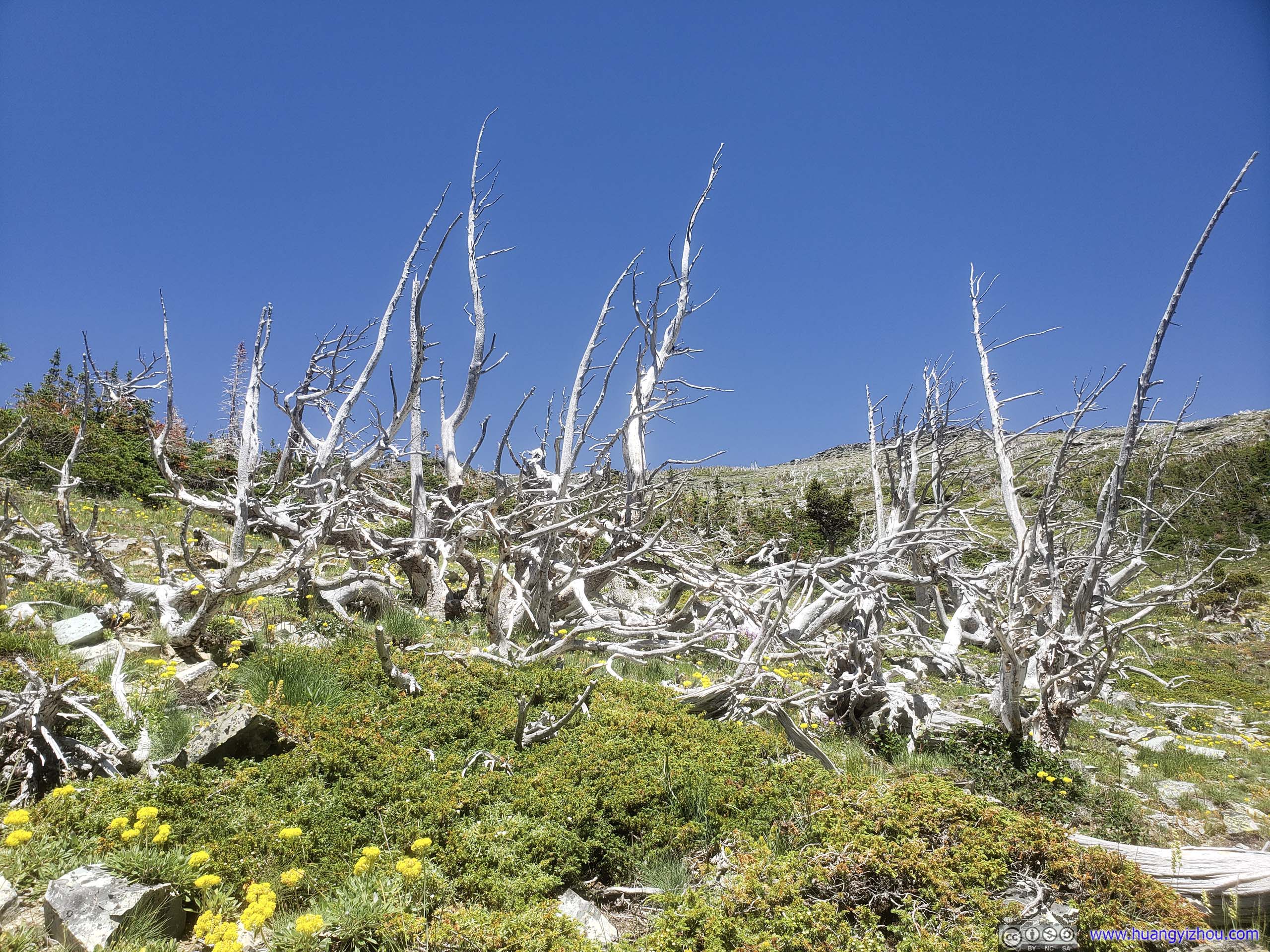
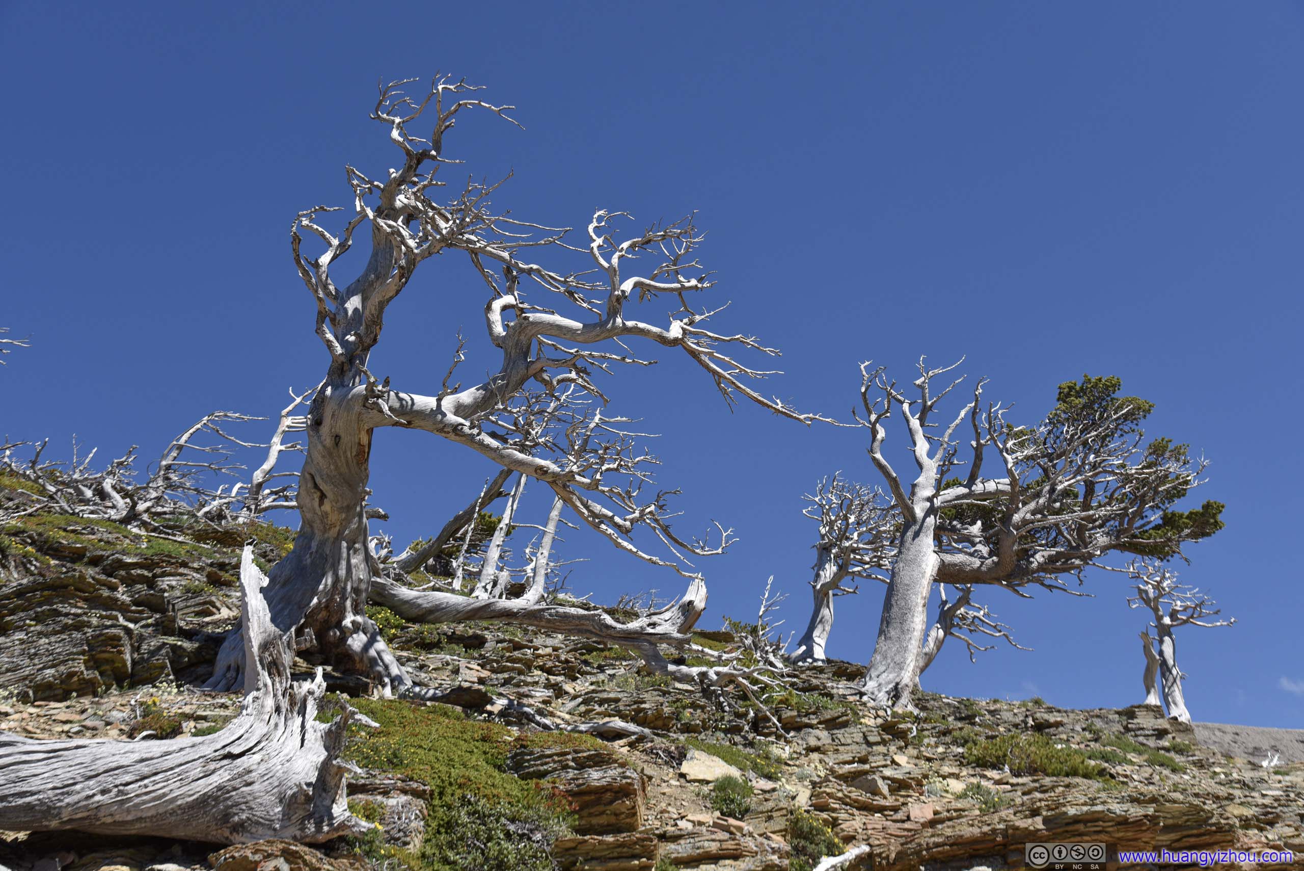
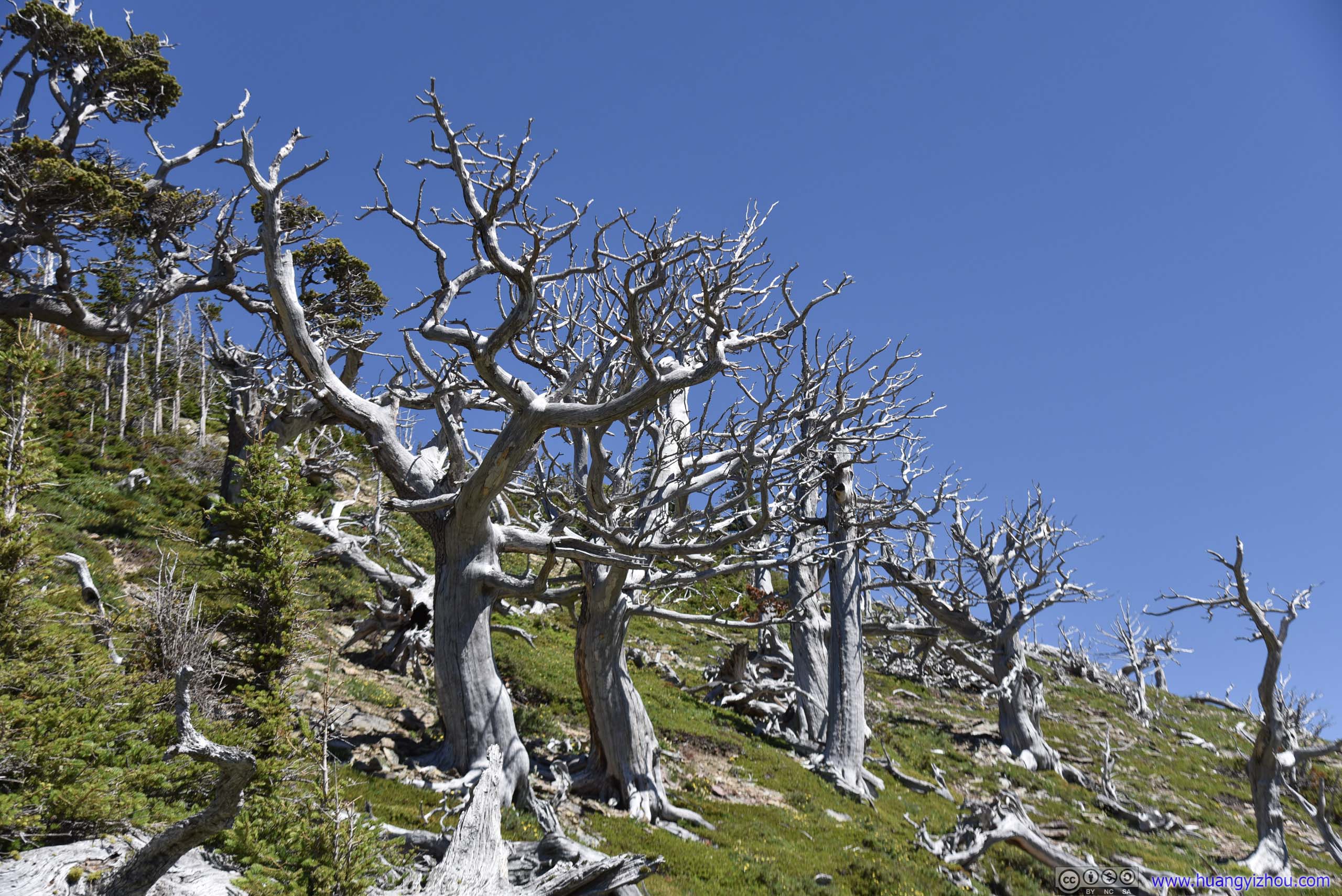
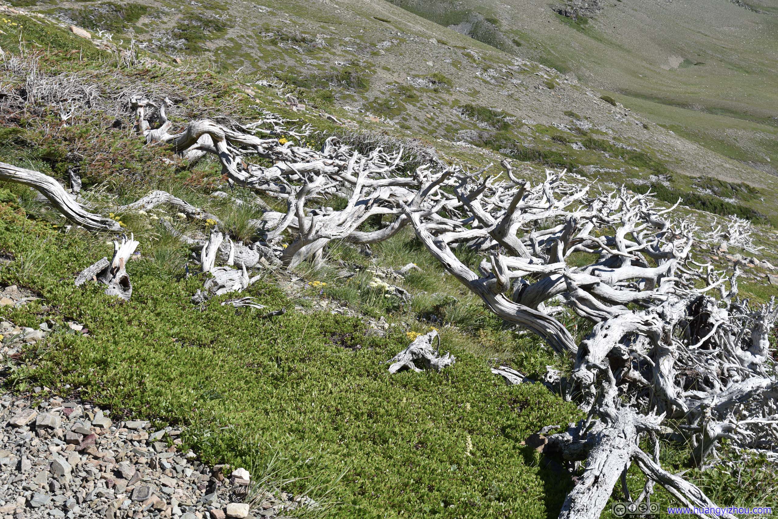
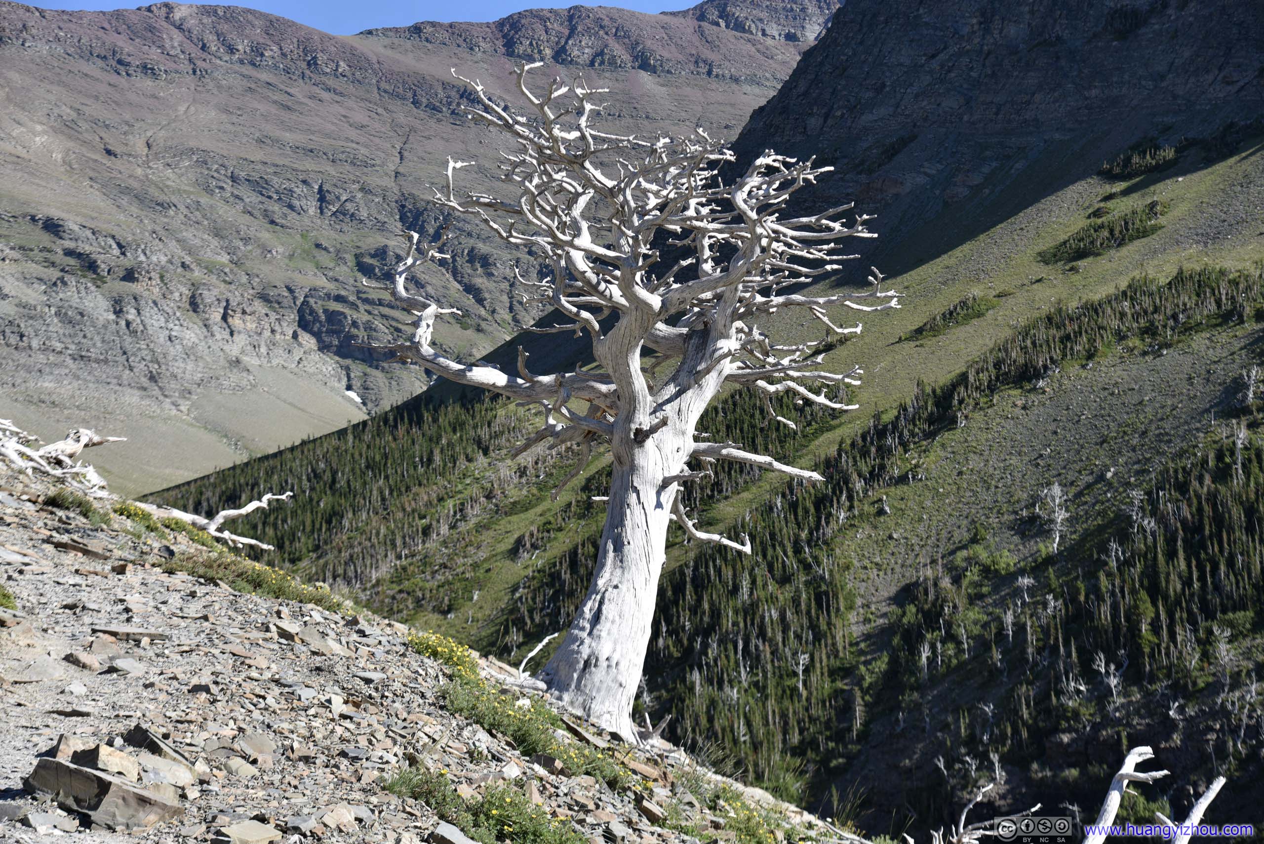
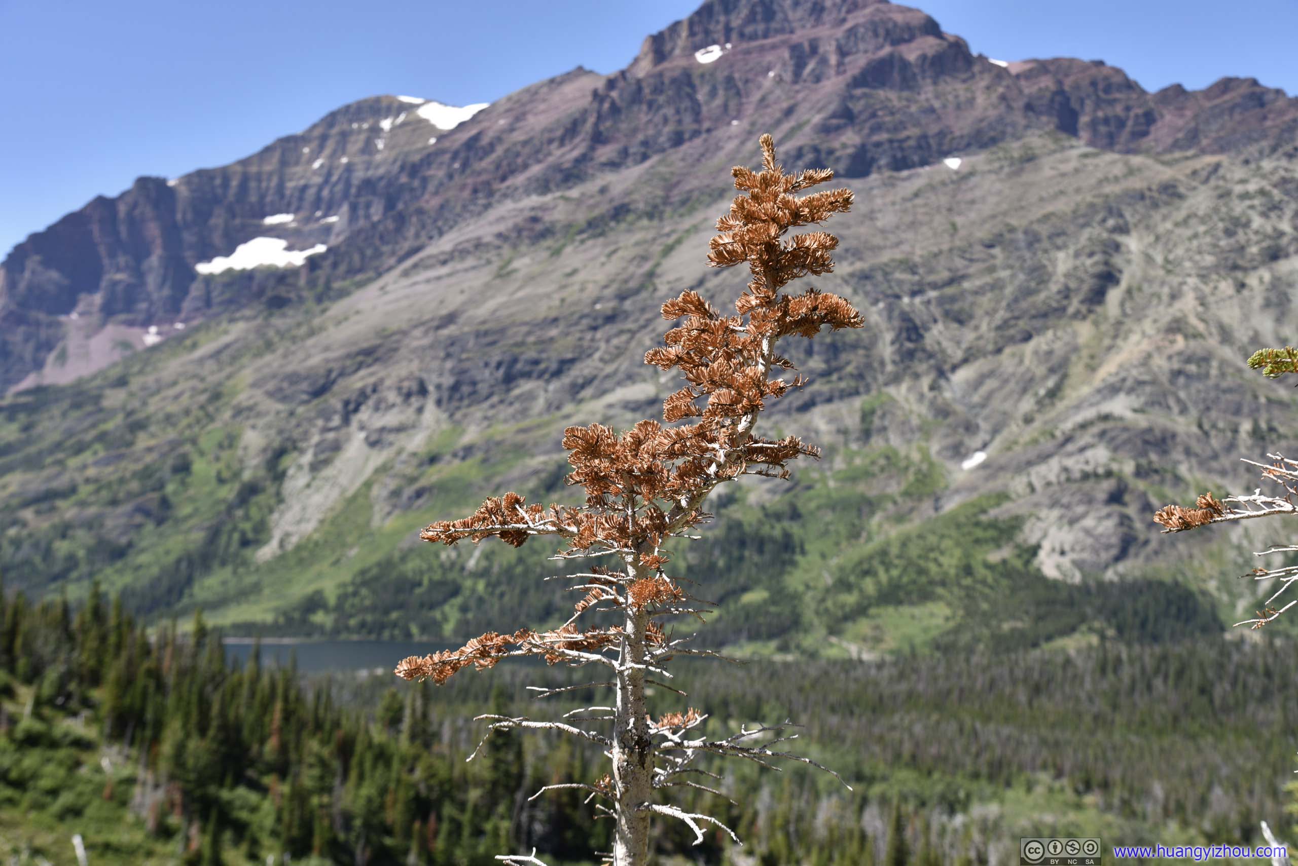
Dead Tree
These trees probably died of water scarcity long ago. But even in death, their presence here was a praise to life.
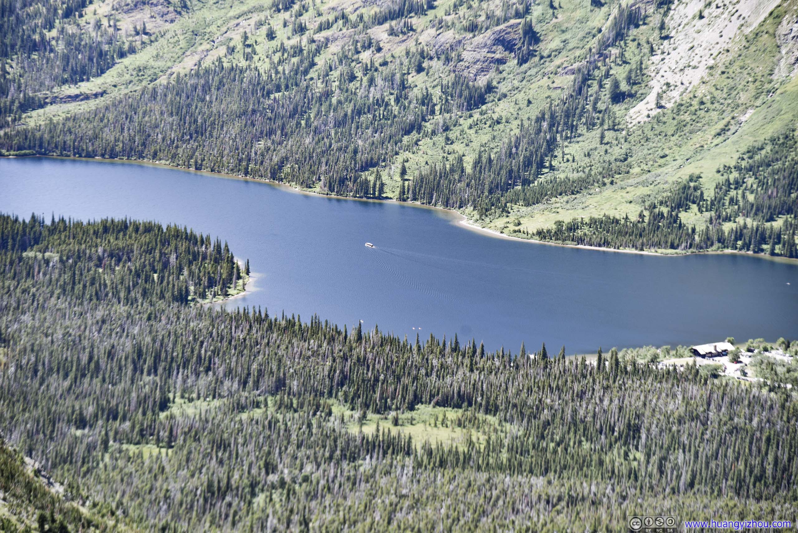
Tour boat departing. The 1pm and 3pm boat offered an optional hike to twin falls according to their website.
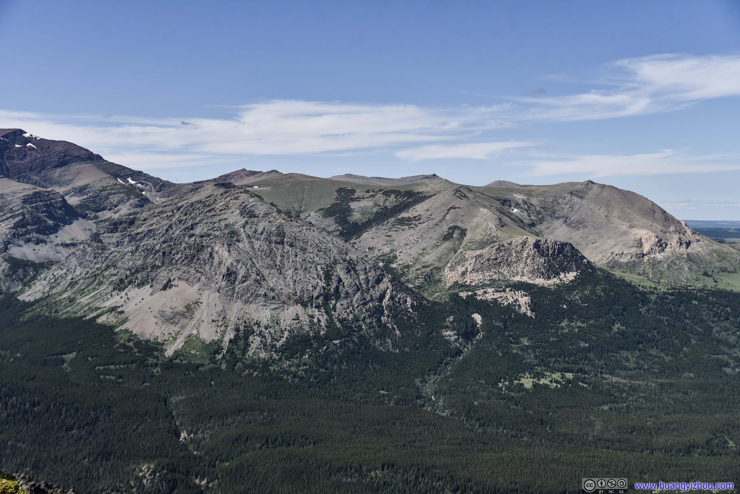
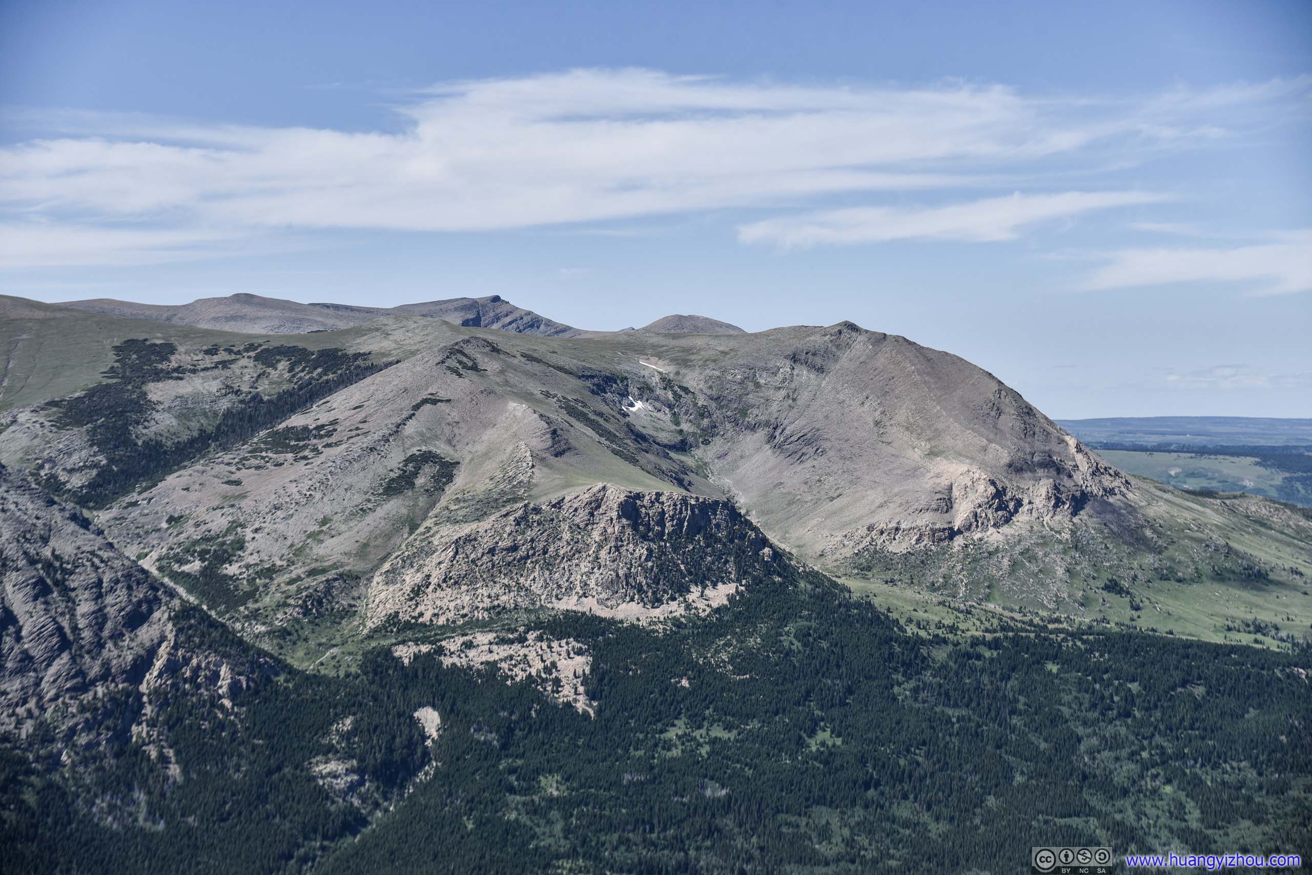
Unfortunately, the following photos were taken against afternoon light, so the best of my post-processing only amounted to reducing blue saturation and increasing clarity, hoping to recreate the rough rocky faces of these mountains.
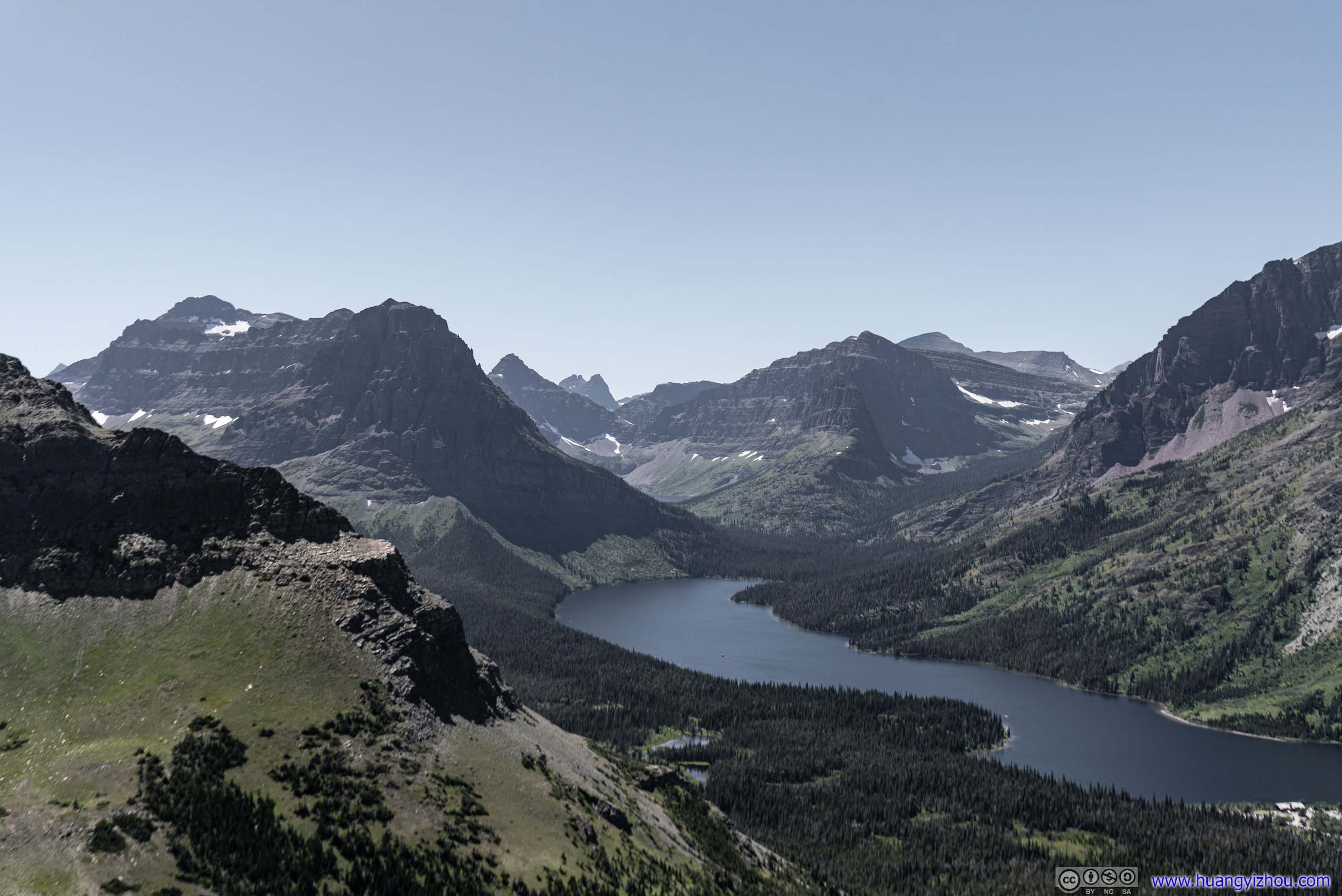
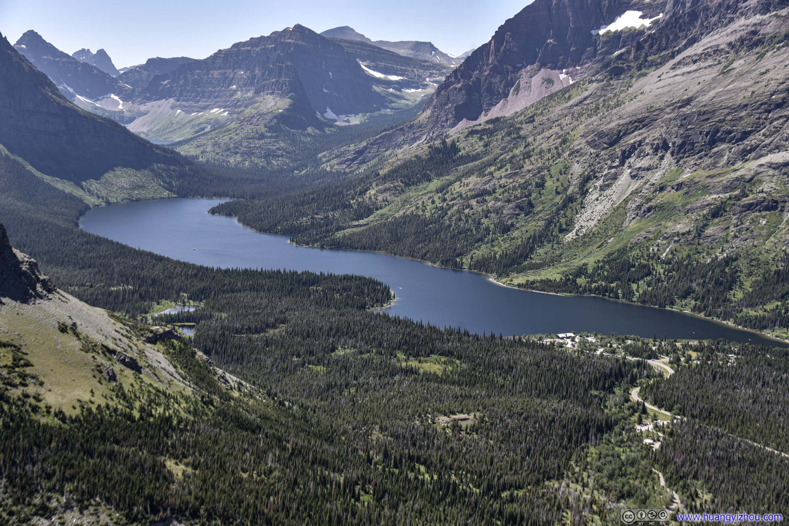
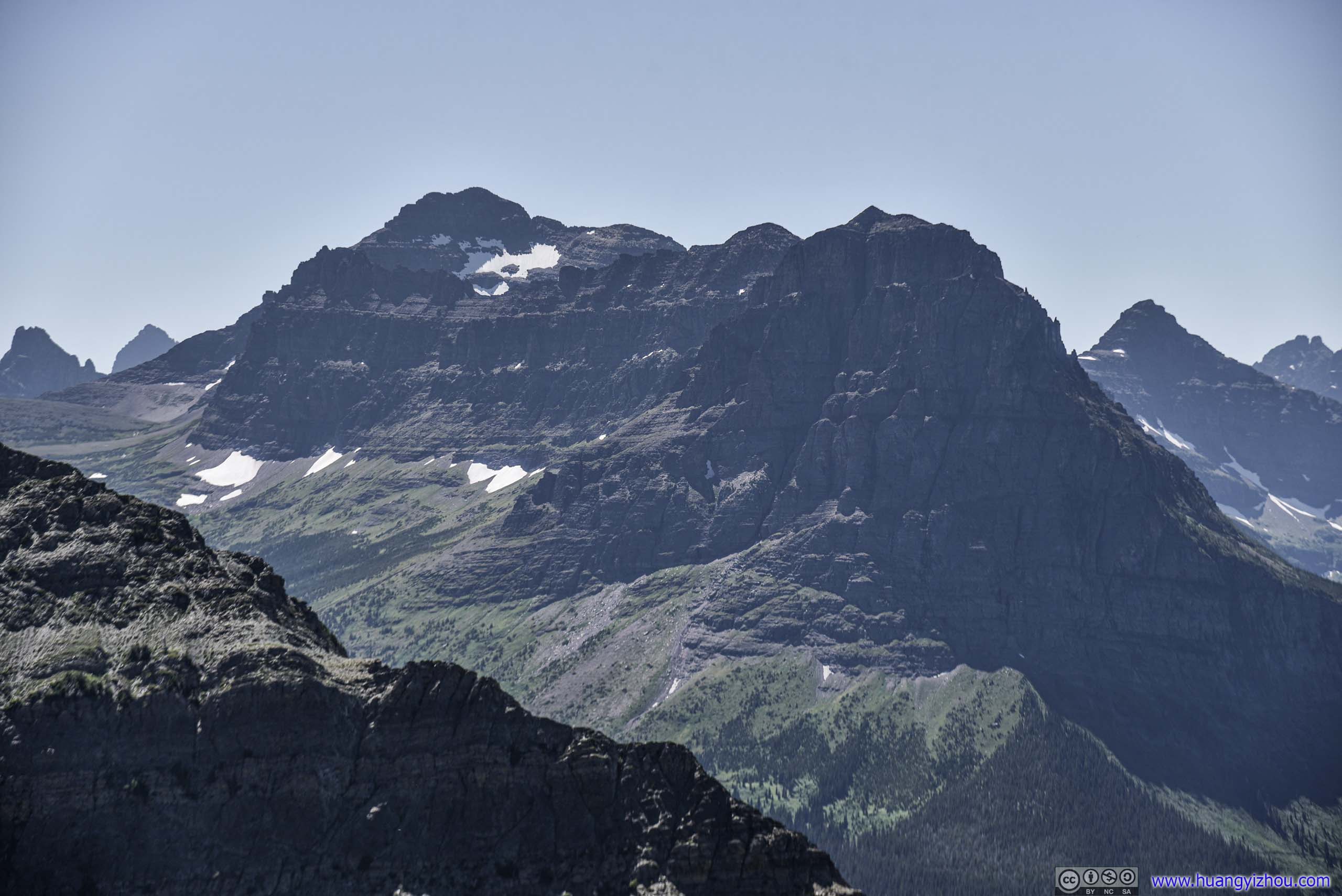
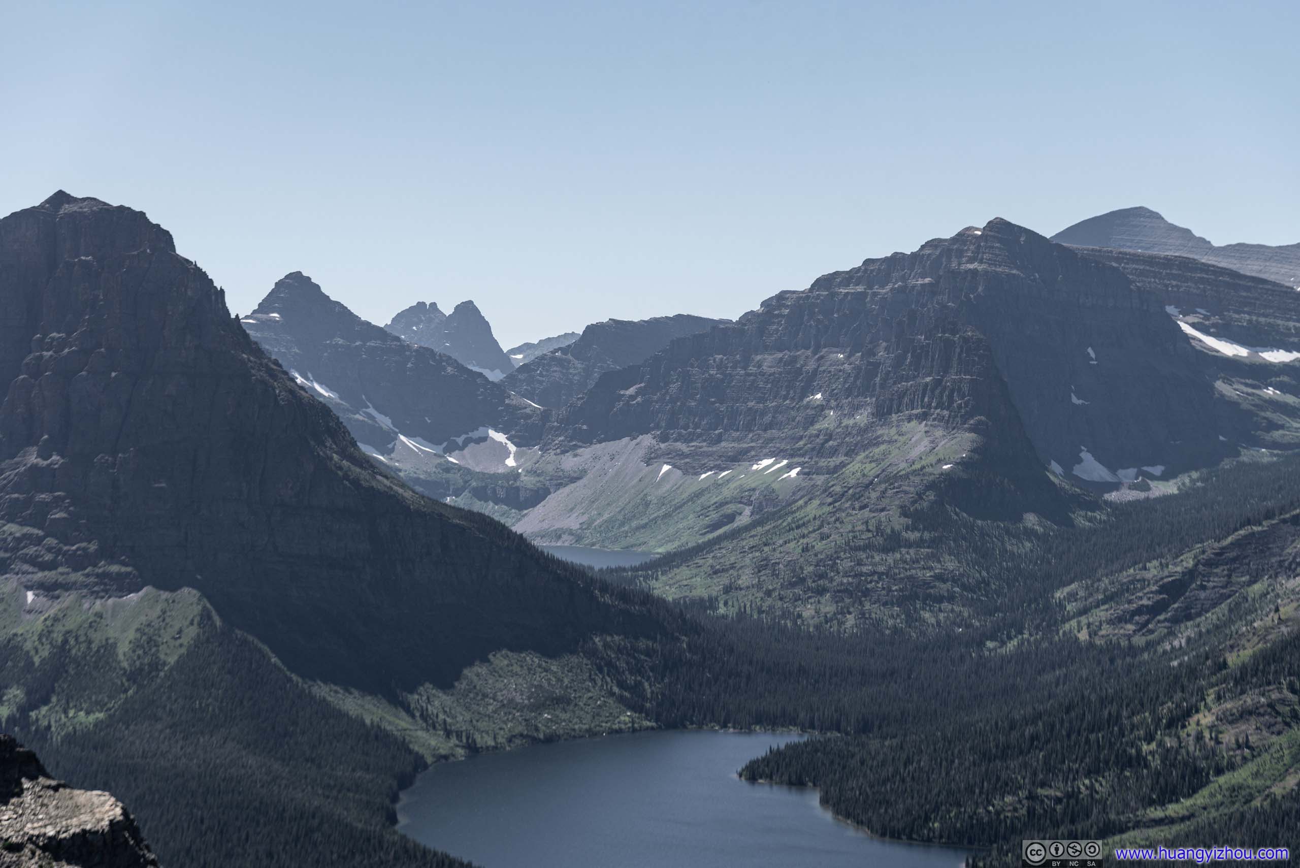
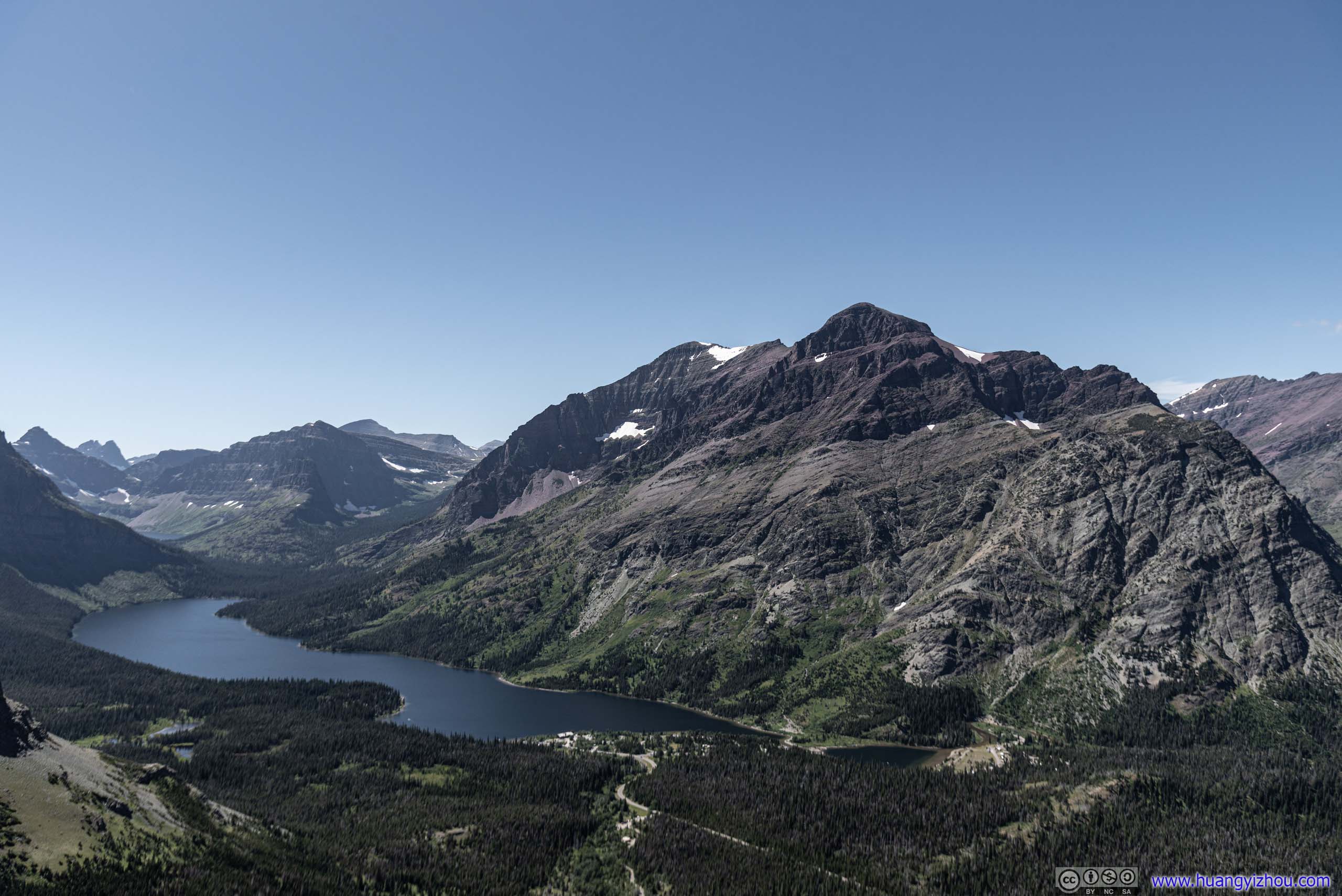
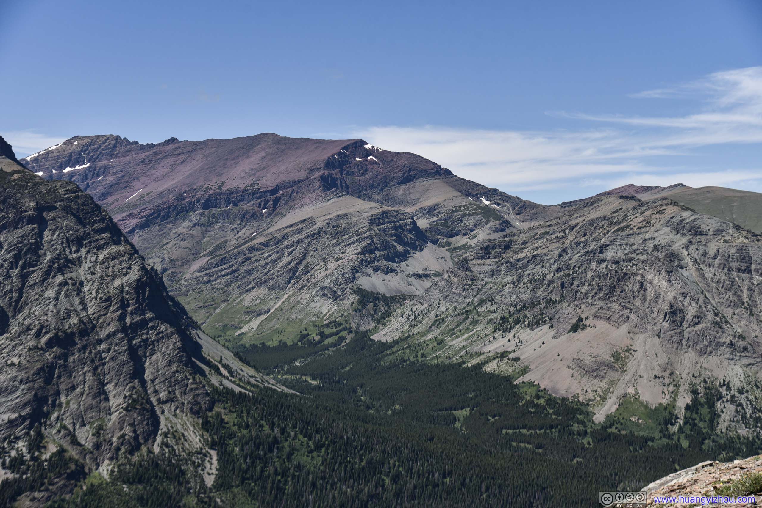
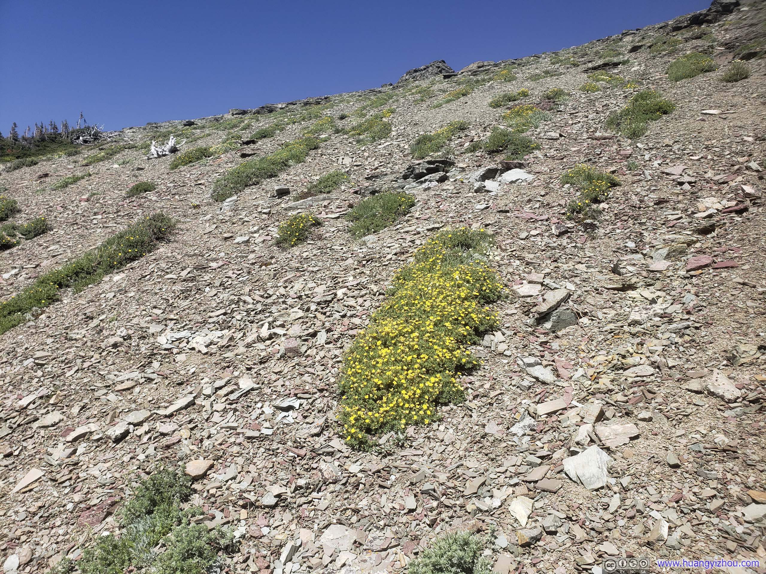
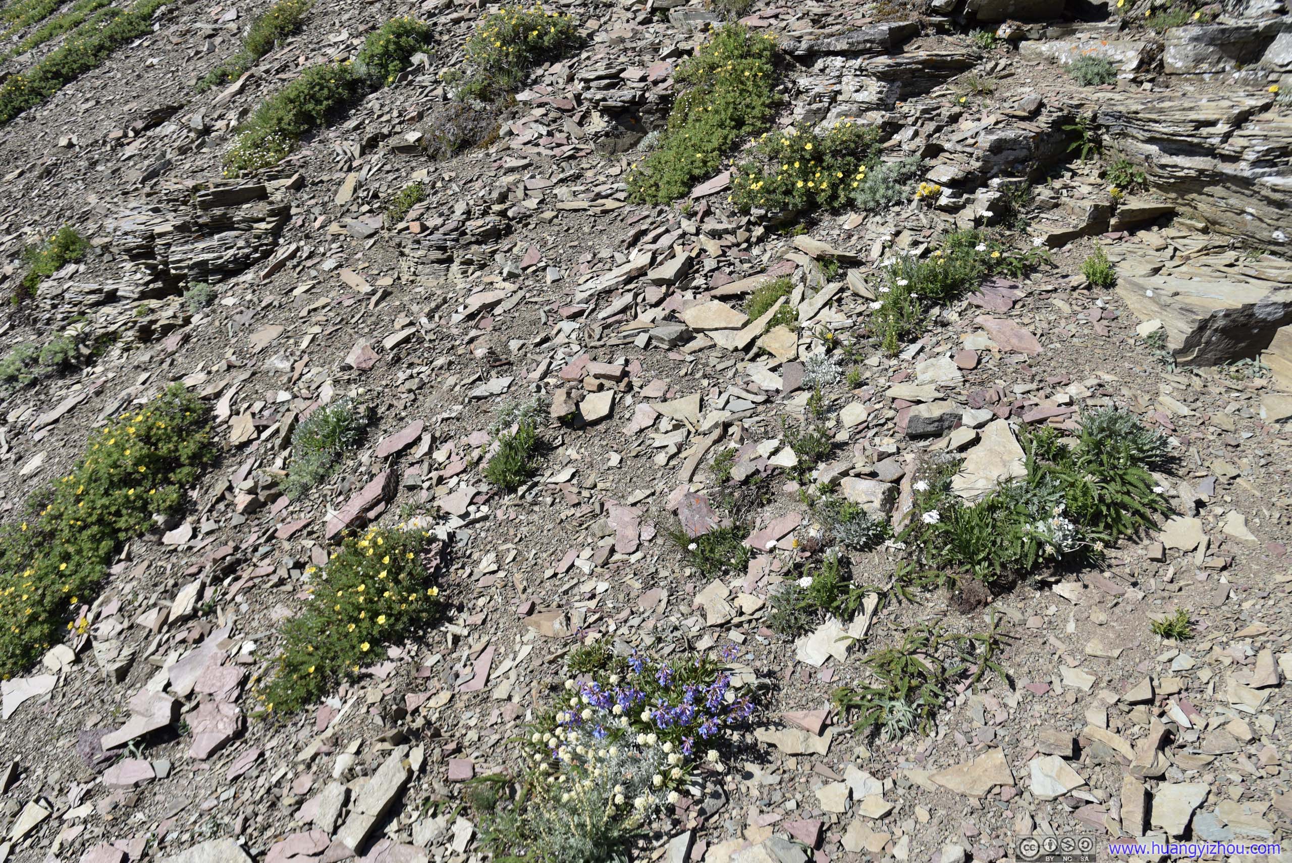
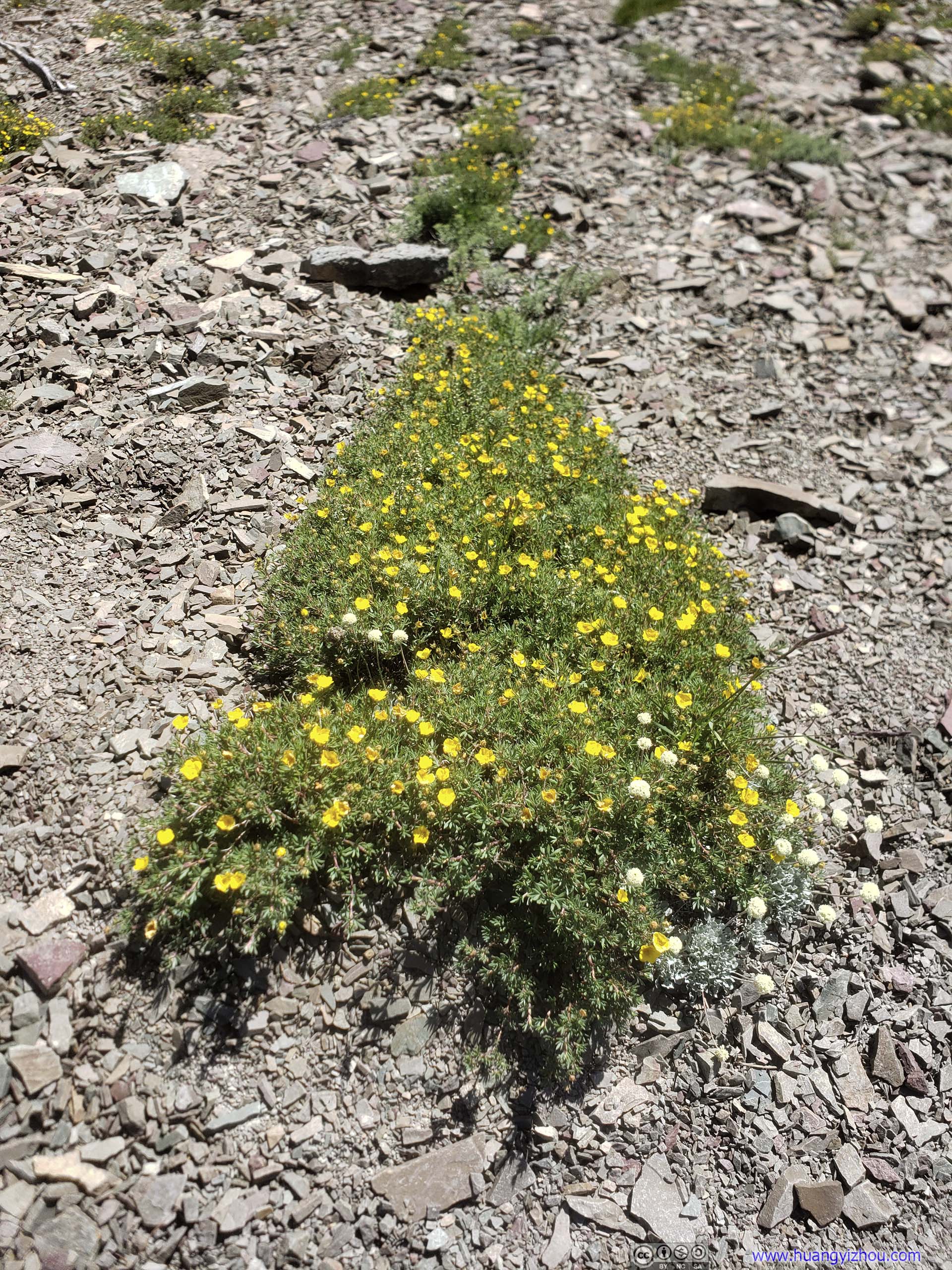
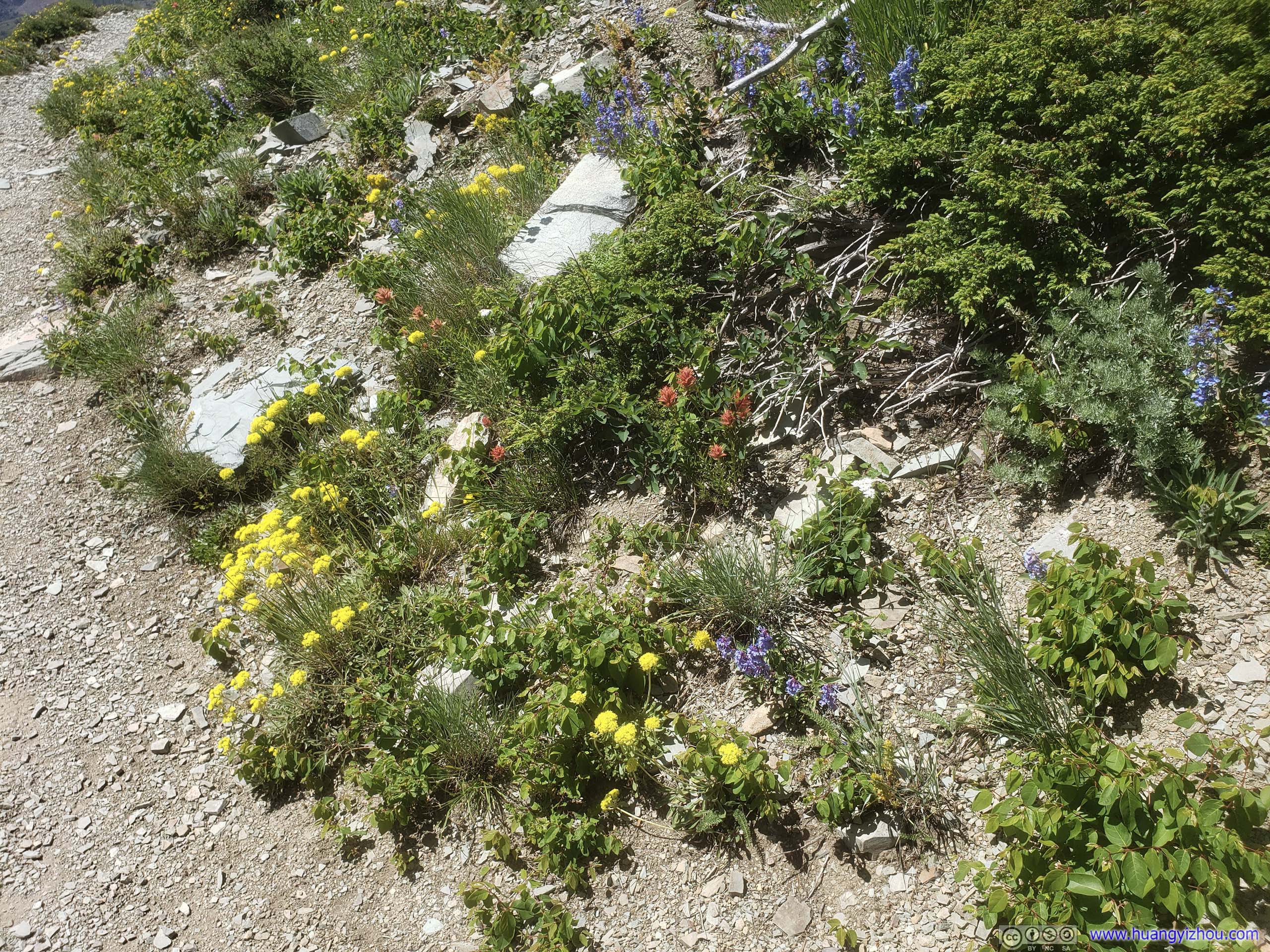
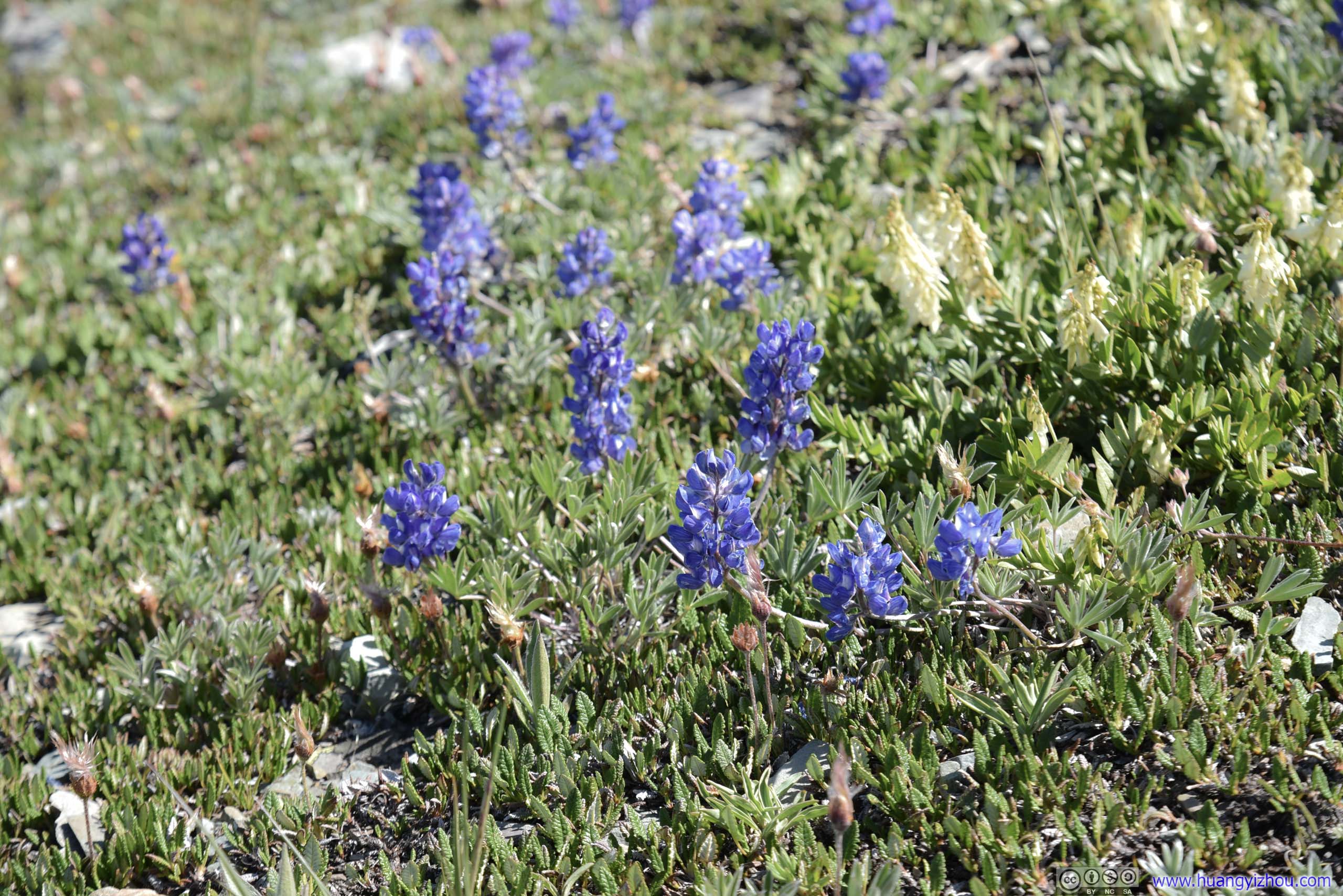
Patch of Flowers
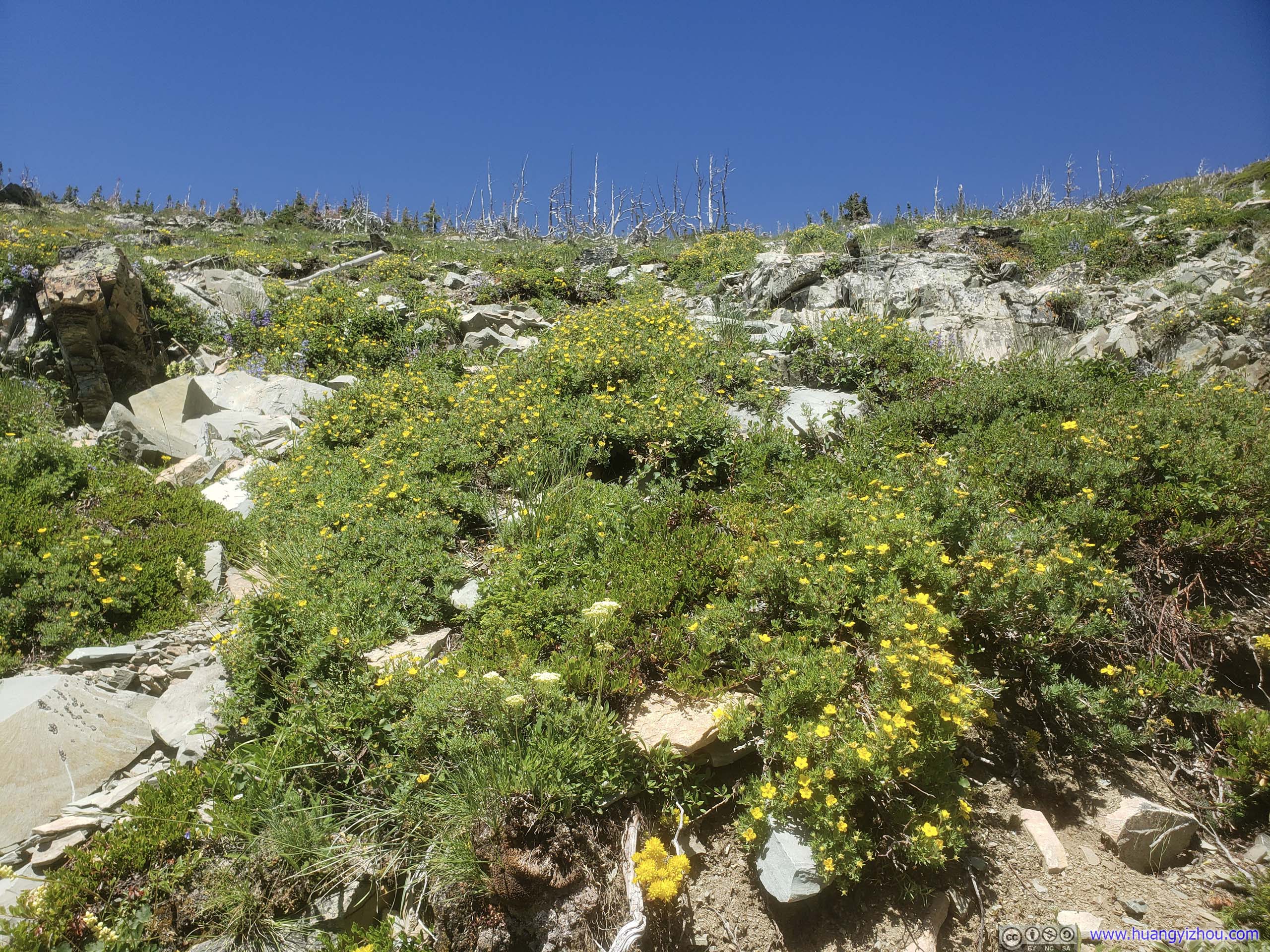
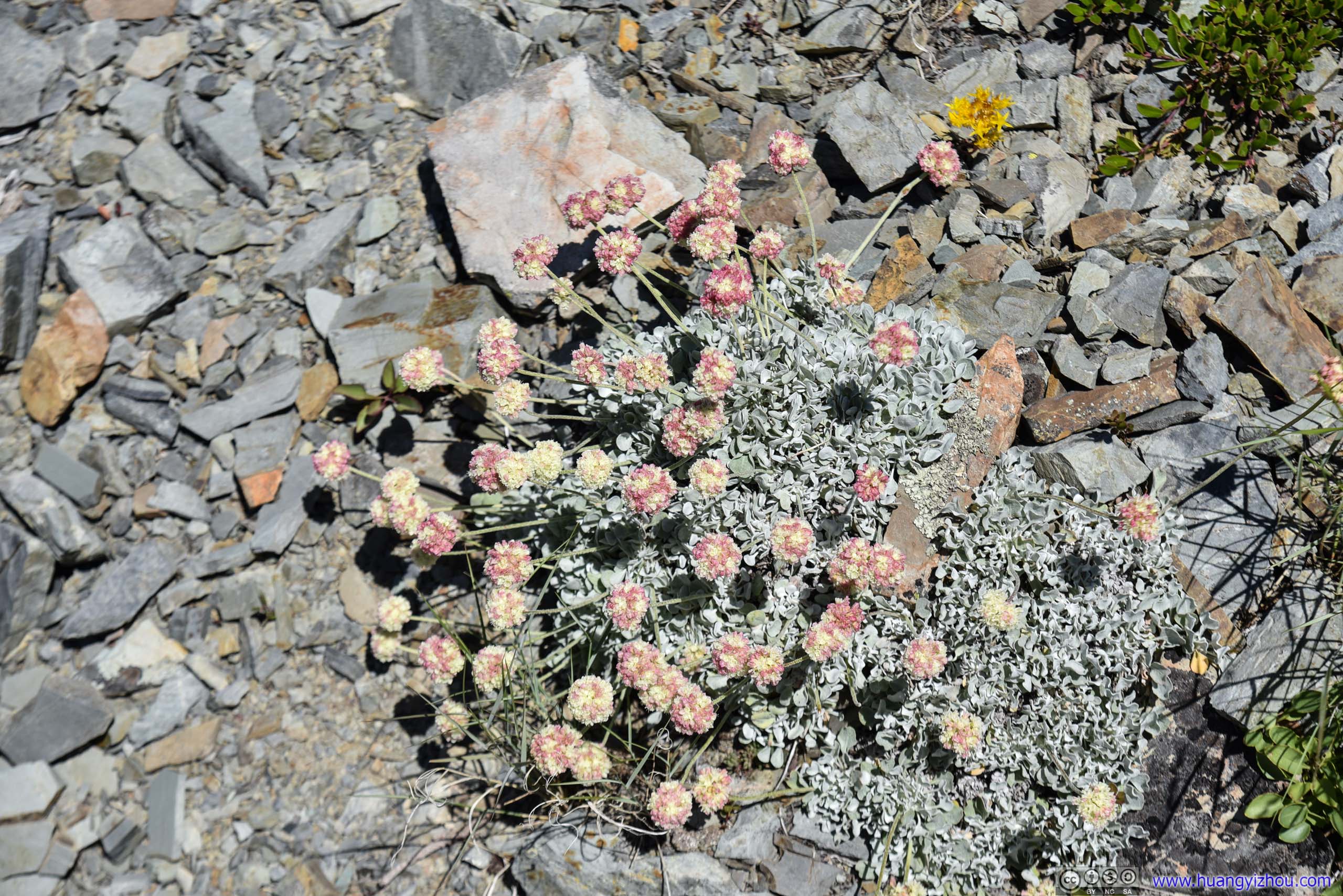
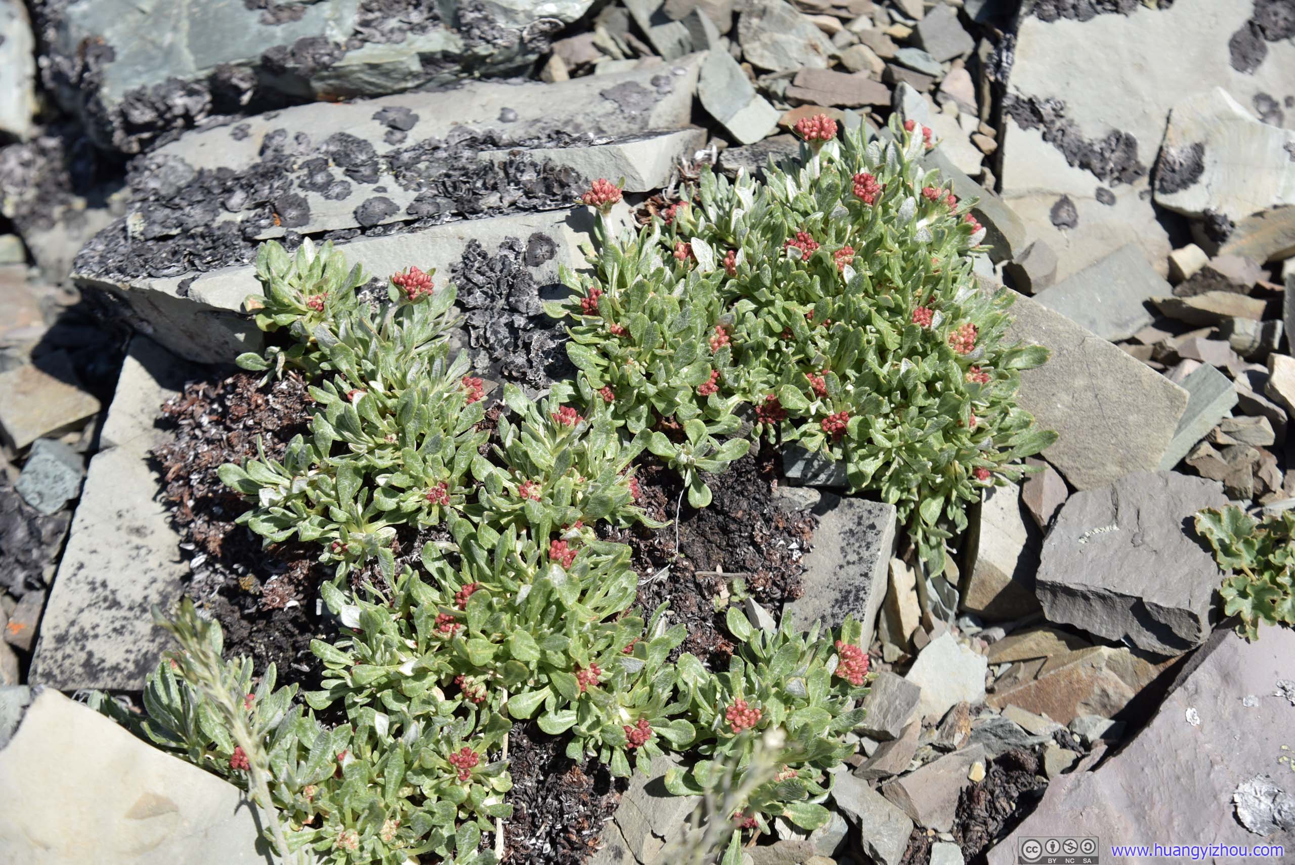
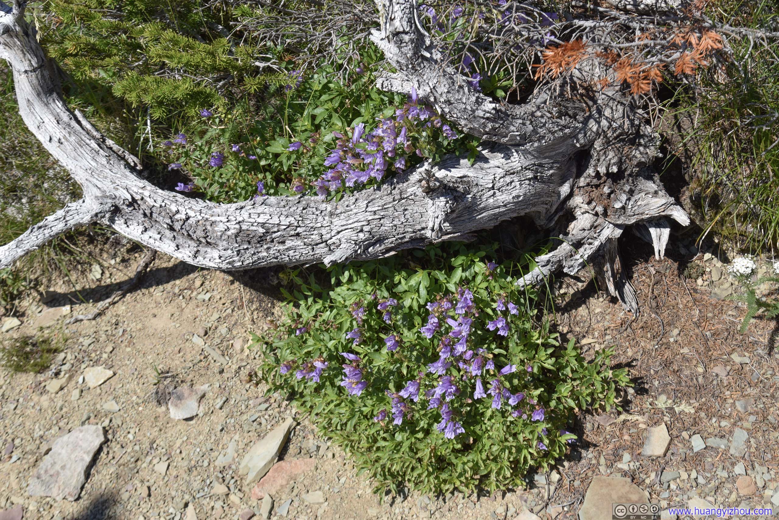
Water was limited on this hillside, so flowers were clustered together like this, as they could only thrive where there's underground water flowing.
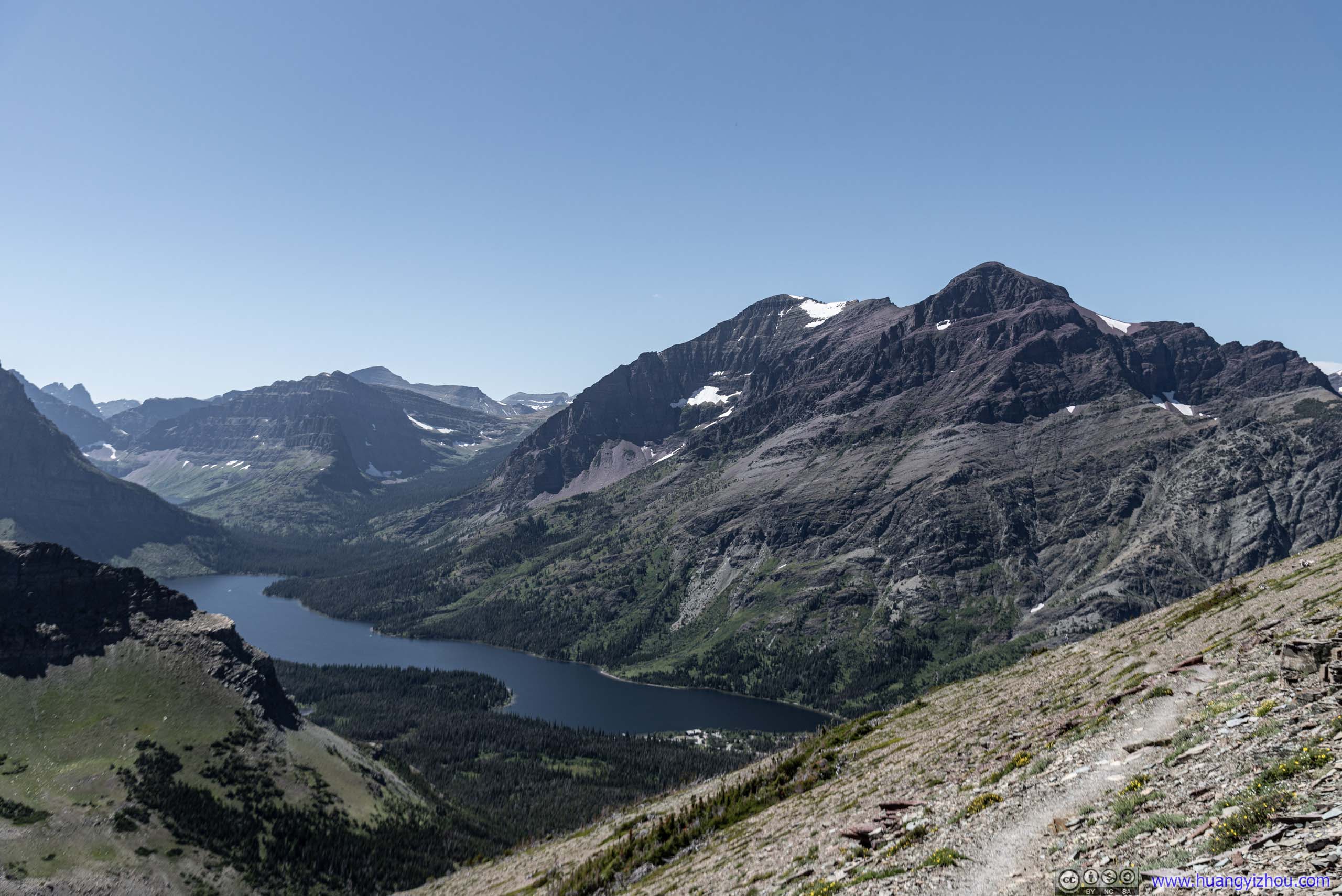
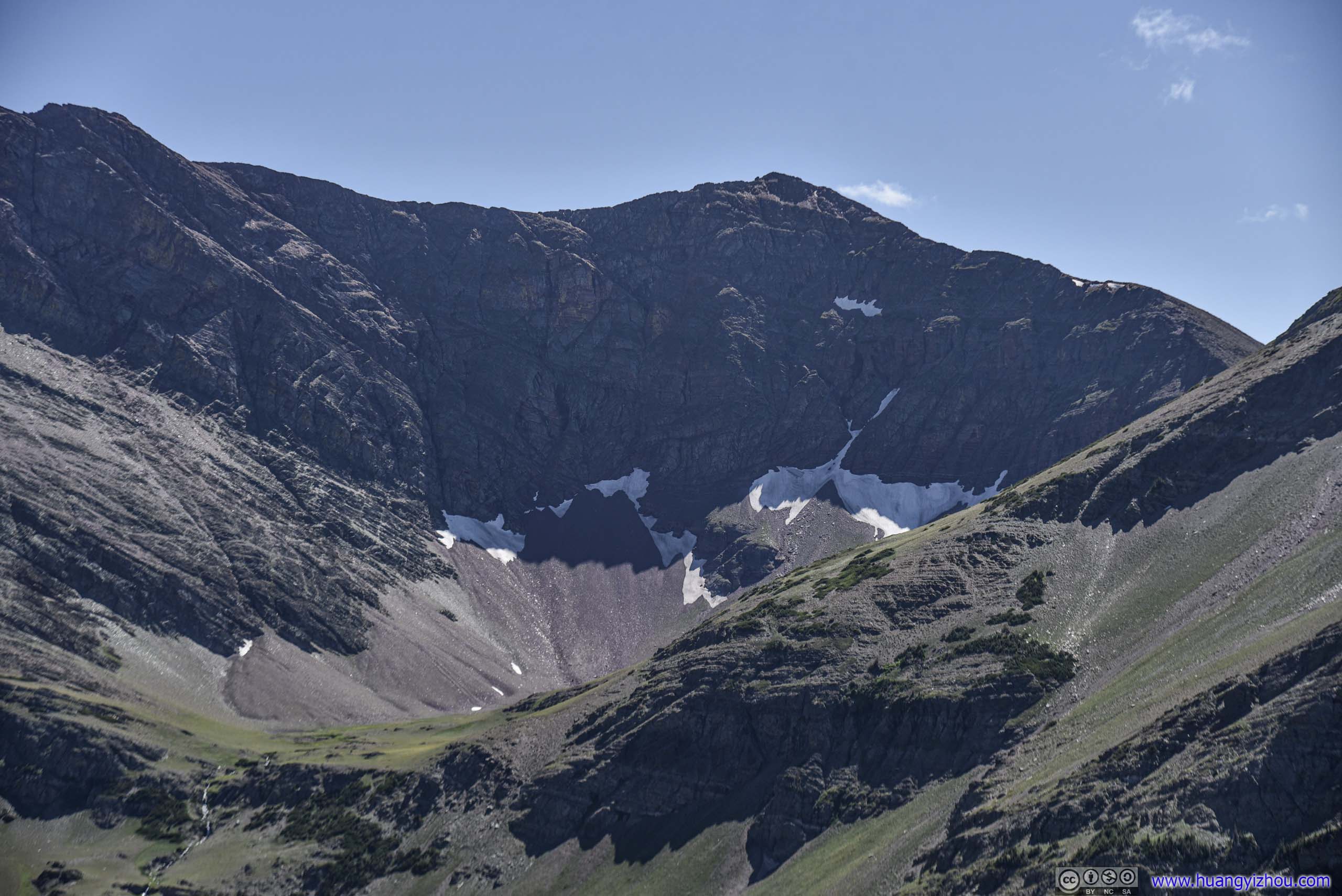
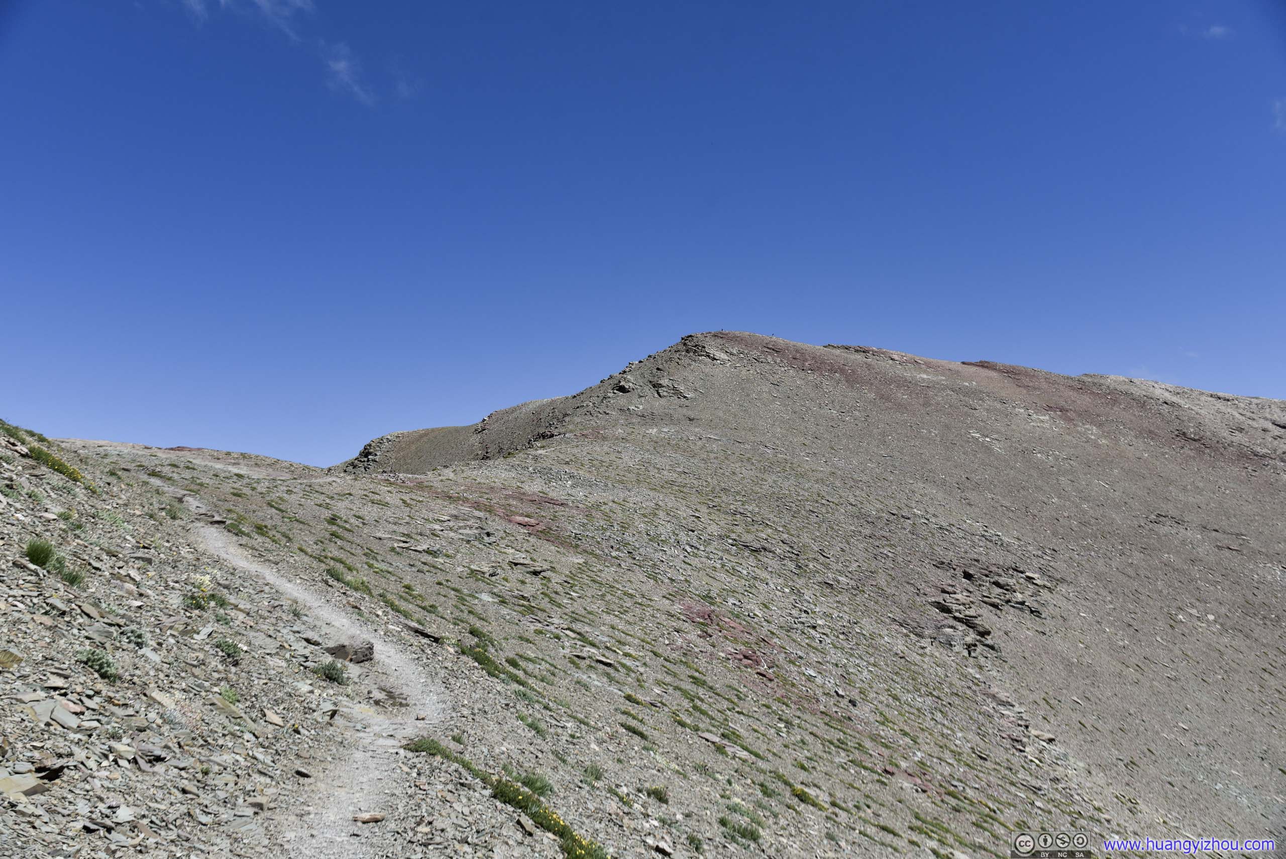
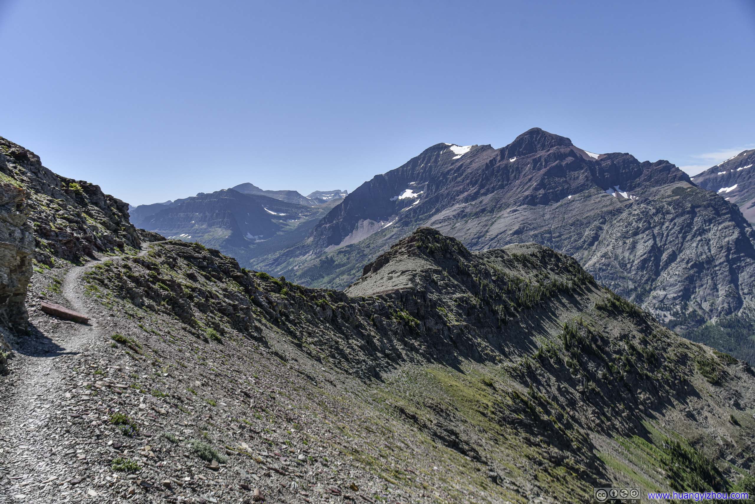
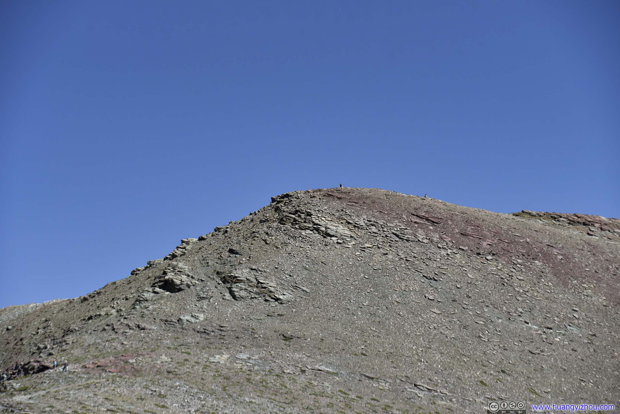
I saw a brave soul standing on top of this nameless mountain. It's not too far away but the path to which wasn't on the maps.
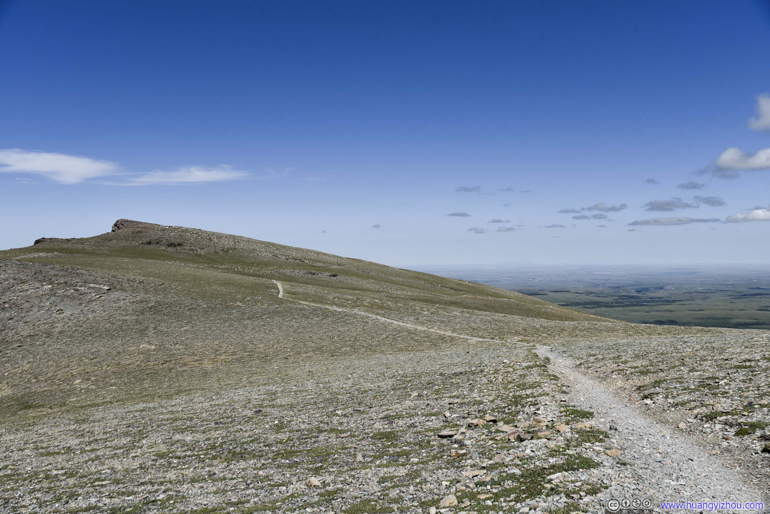
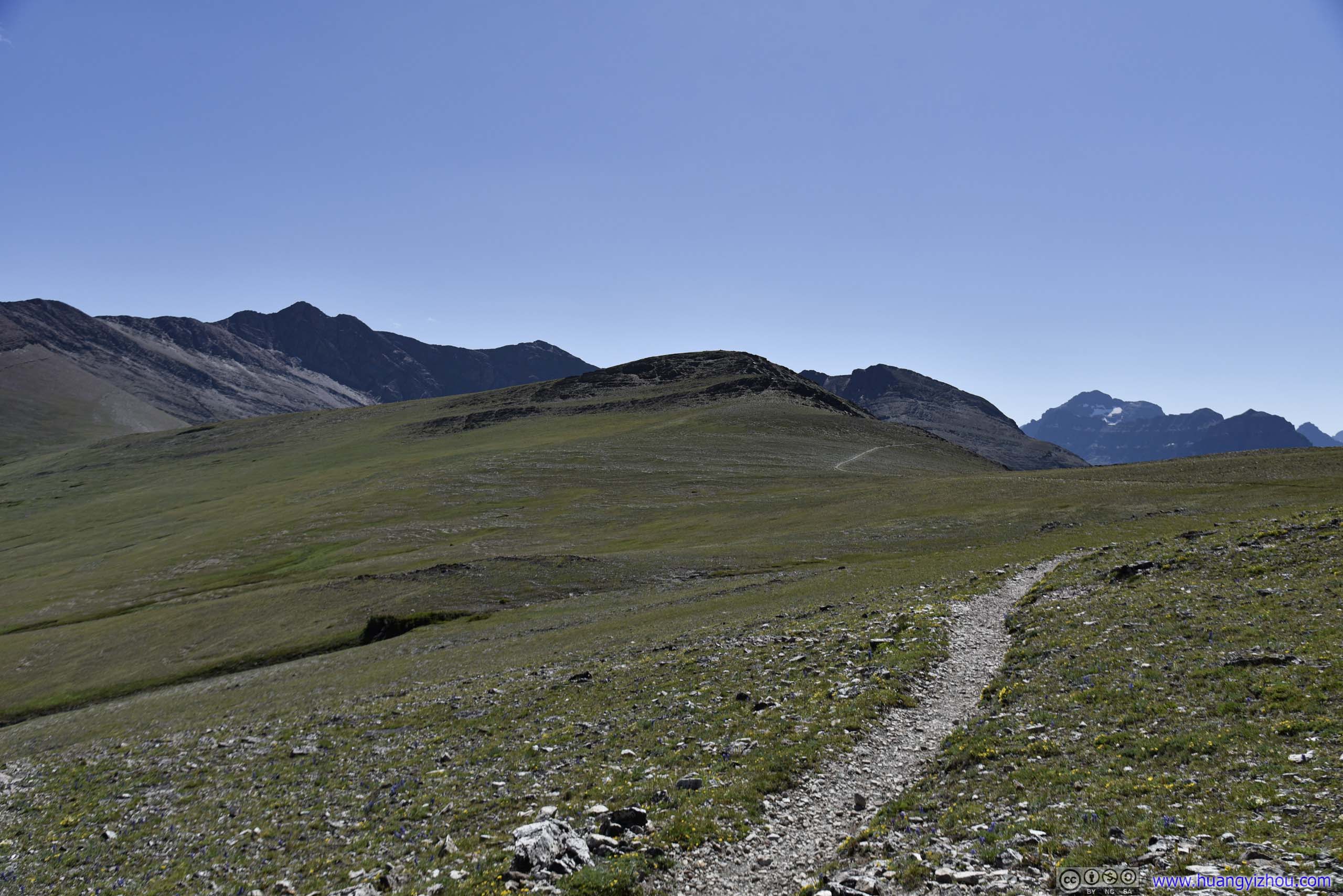
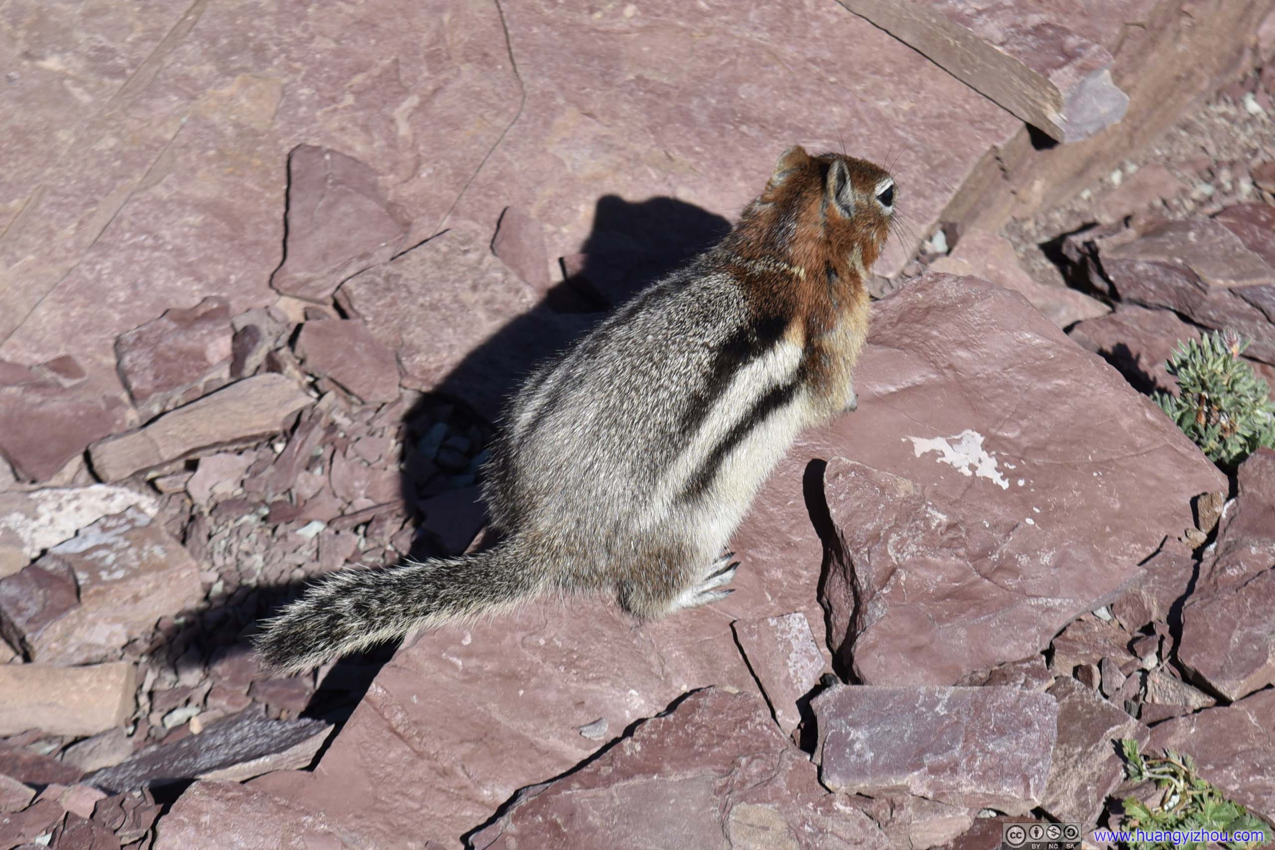
Two hours later, I was at Scenic Point. First to get scared away by greet me was this squirrel.
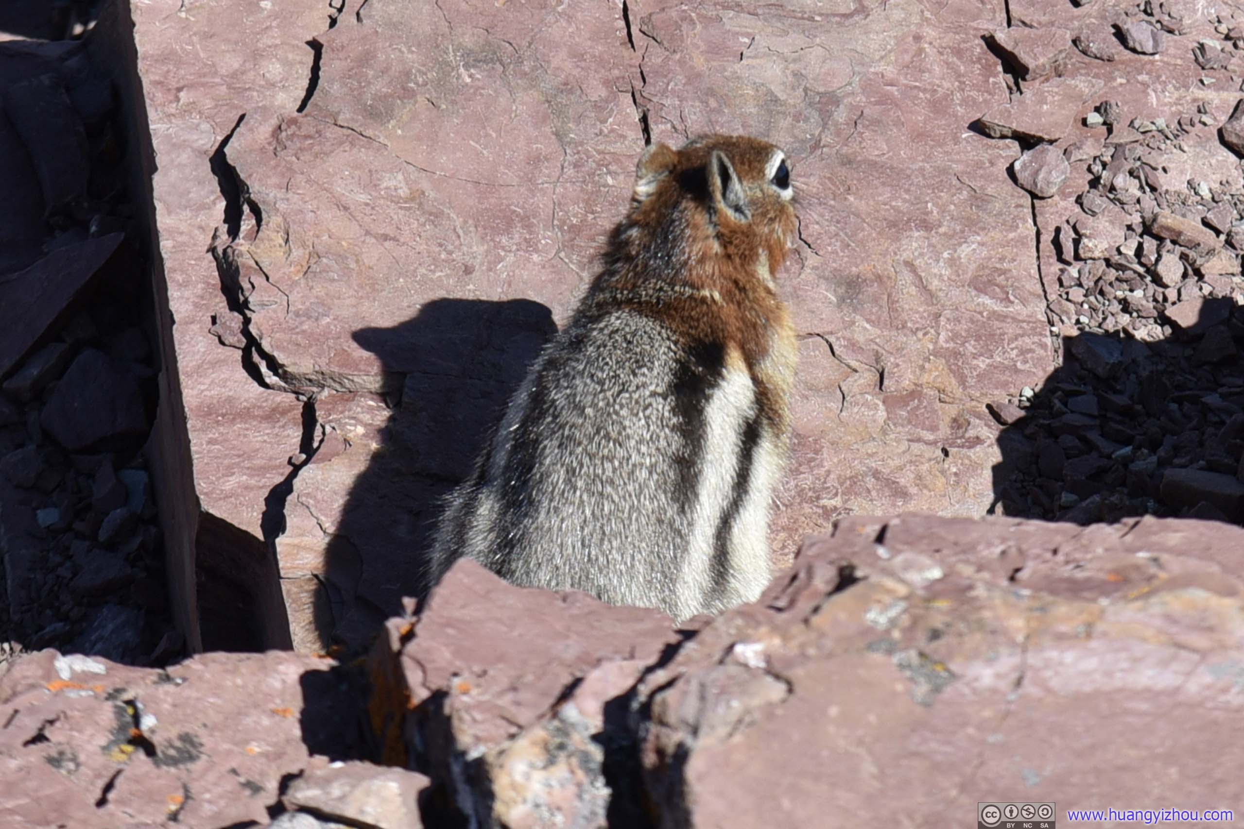
Then there were swarms of flies, which I wasn't too prepared for. (Who would think they could survive freezing nights here?)
So after waving off all the flies, I began to appreciate the nearby landscape.
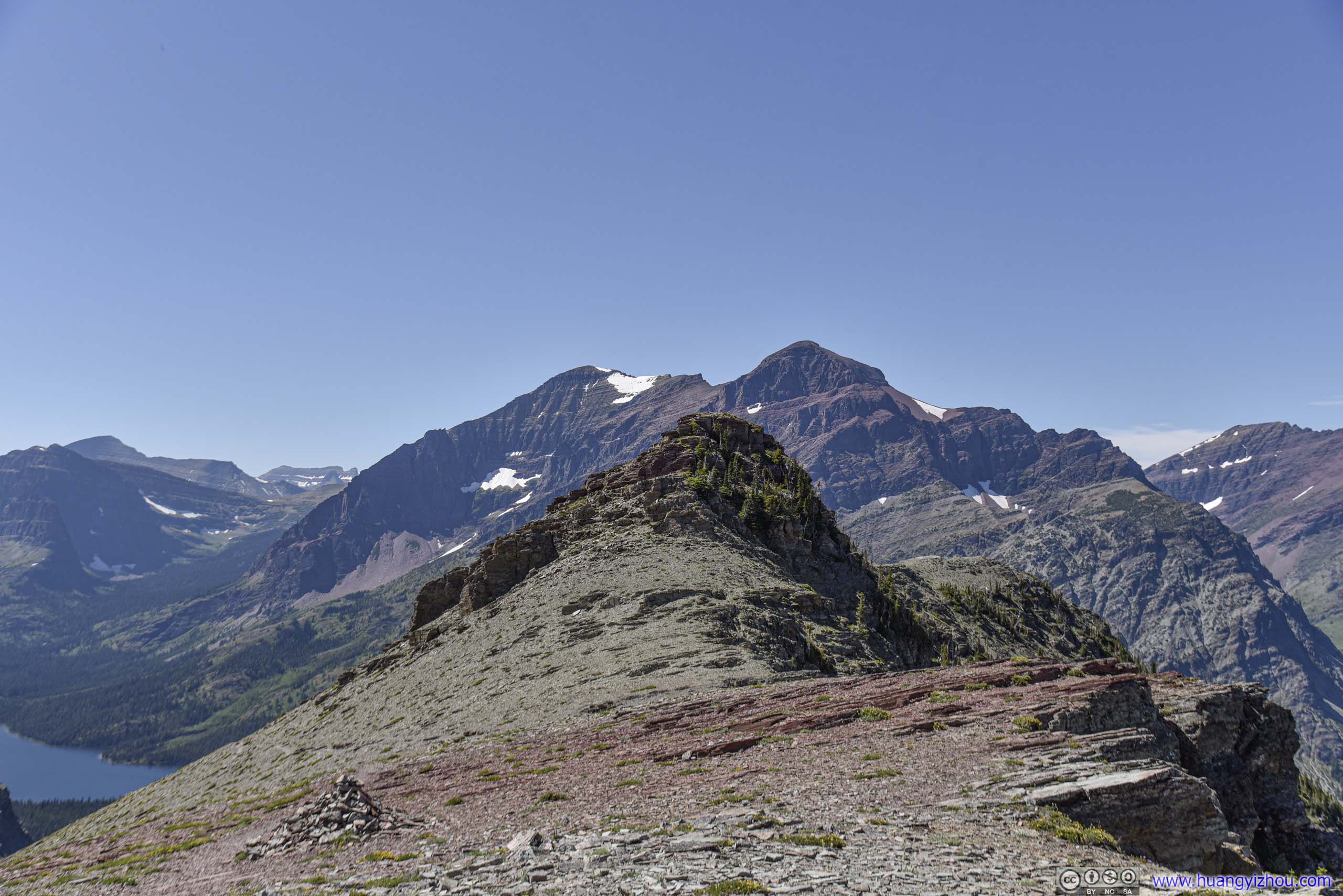
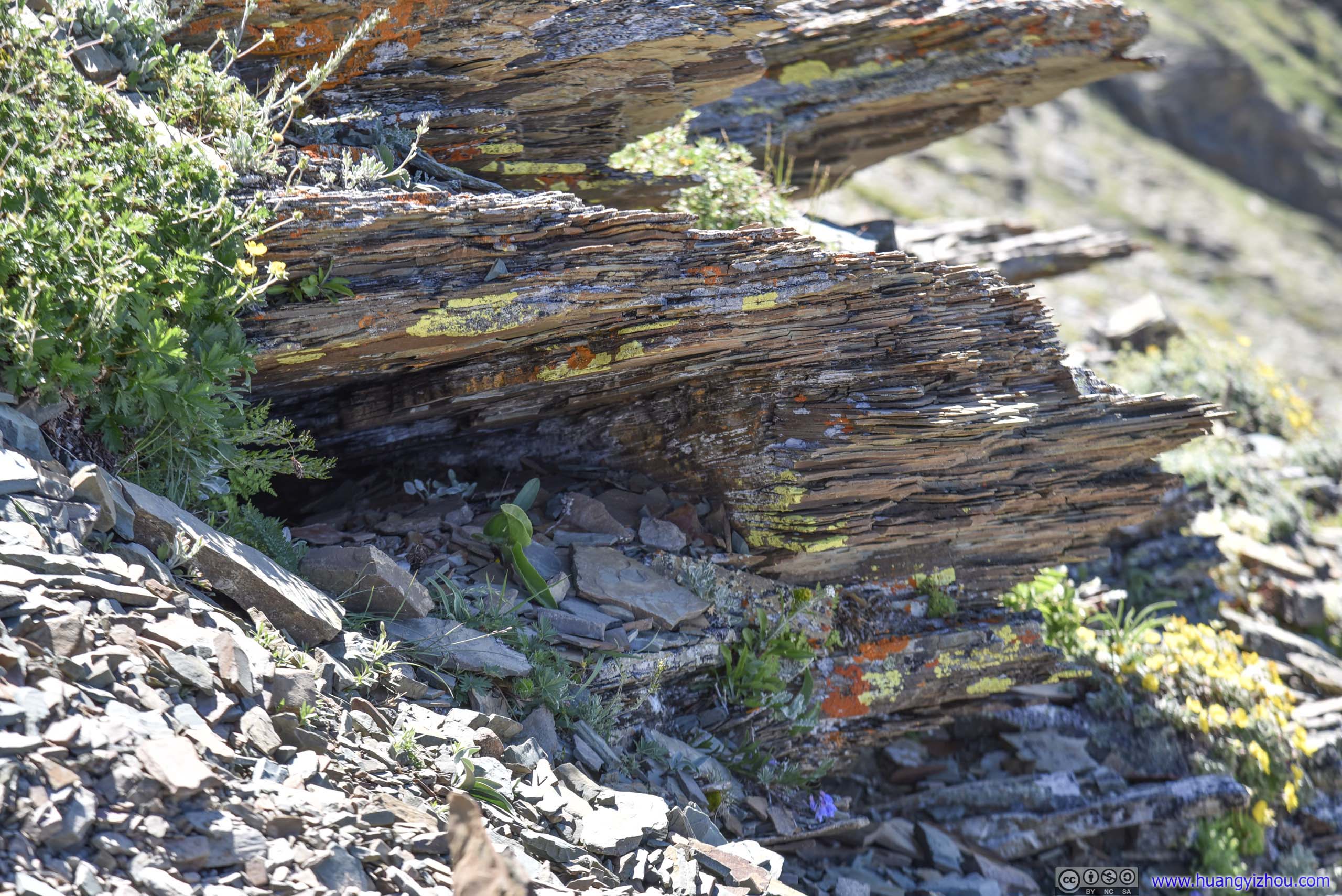
Contrary to what I first thought, Scenic Point wasn't the summit of some hill. It was just a pile of rare rocks colored in red, as pictured below.
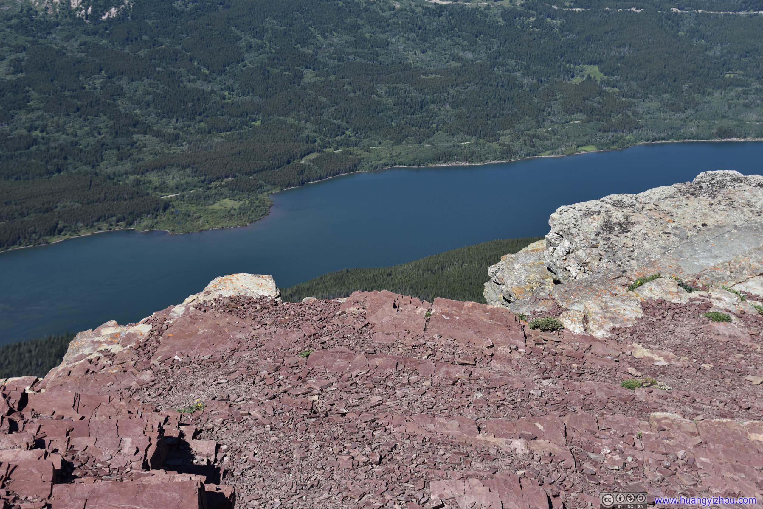
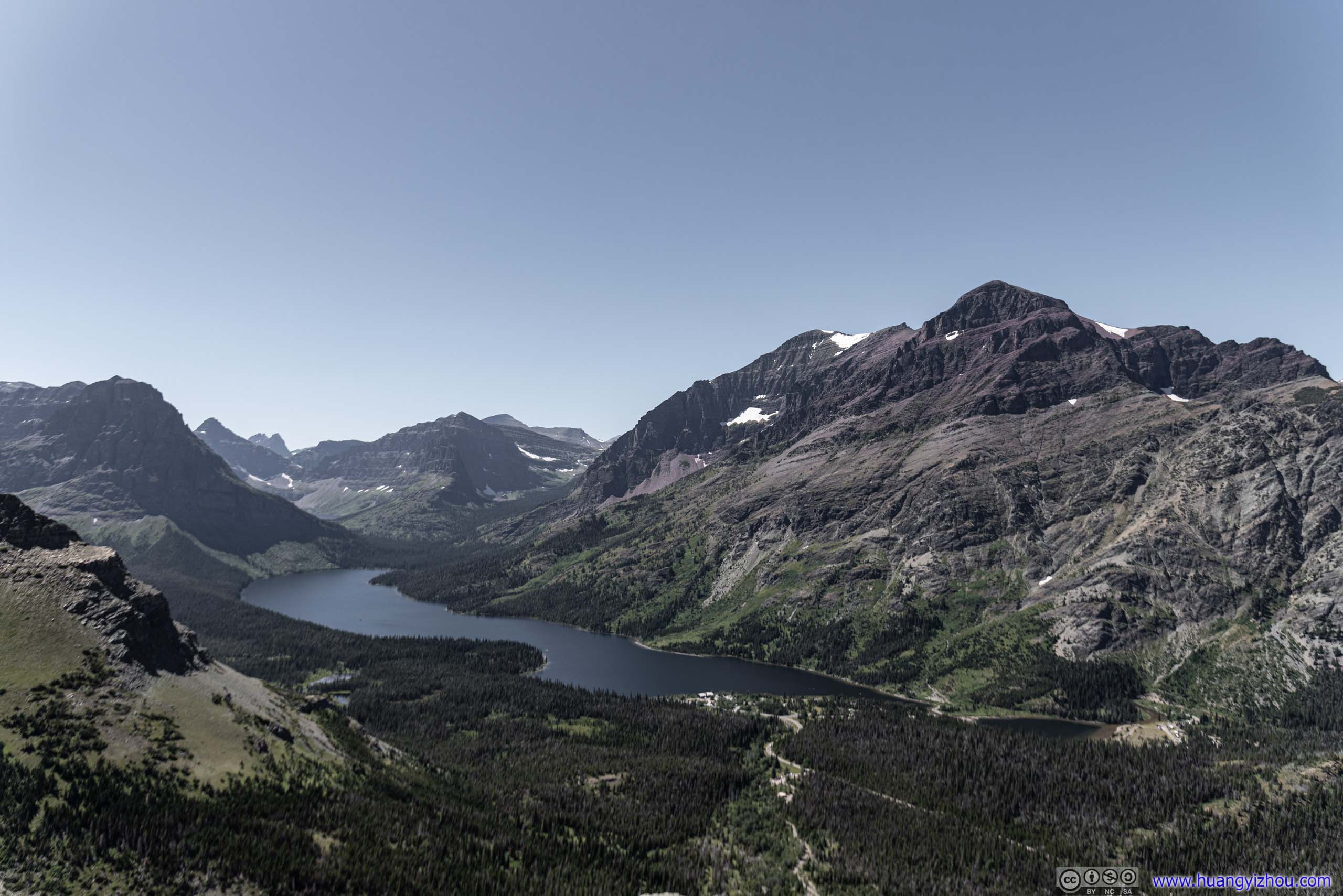
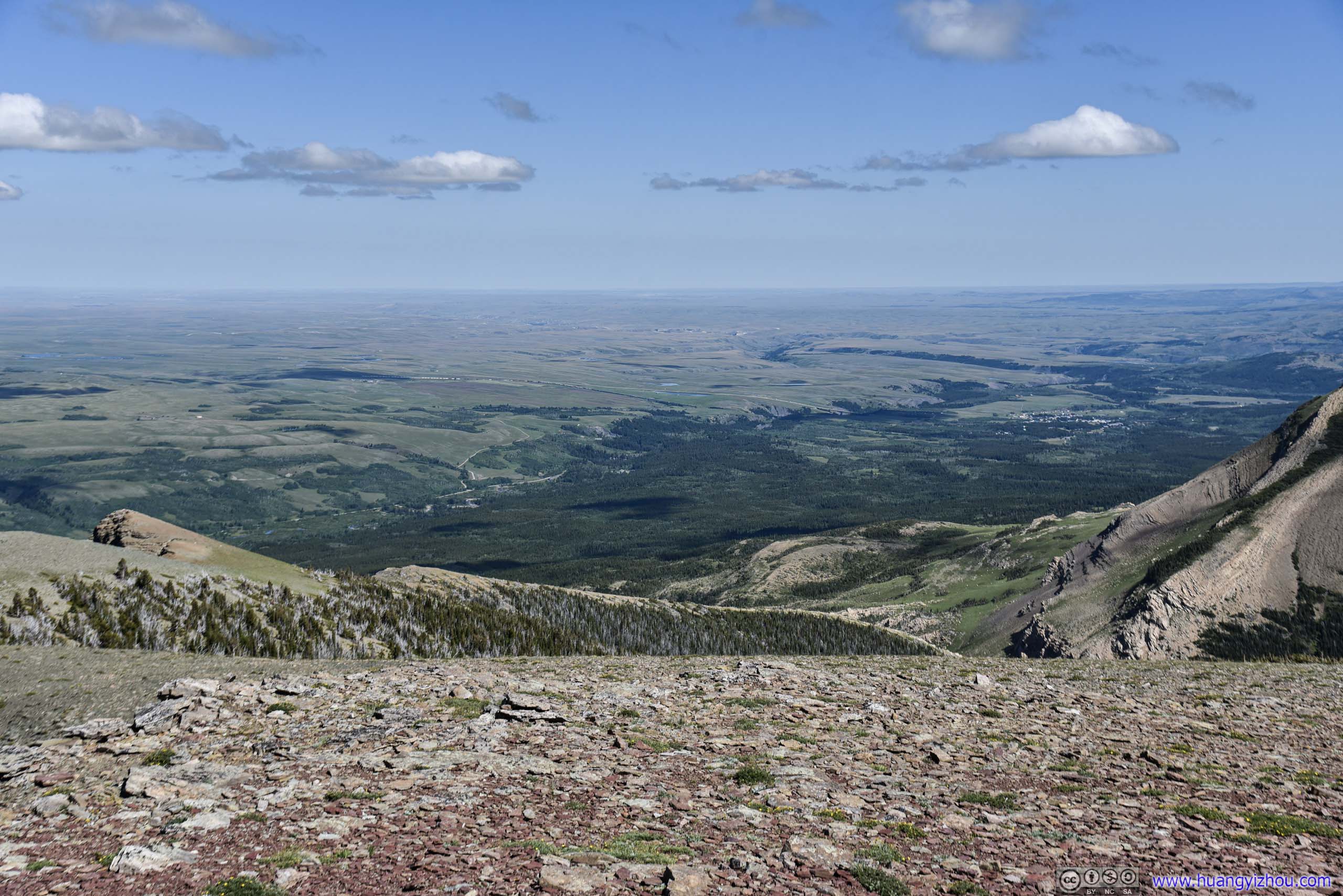
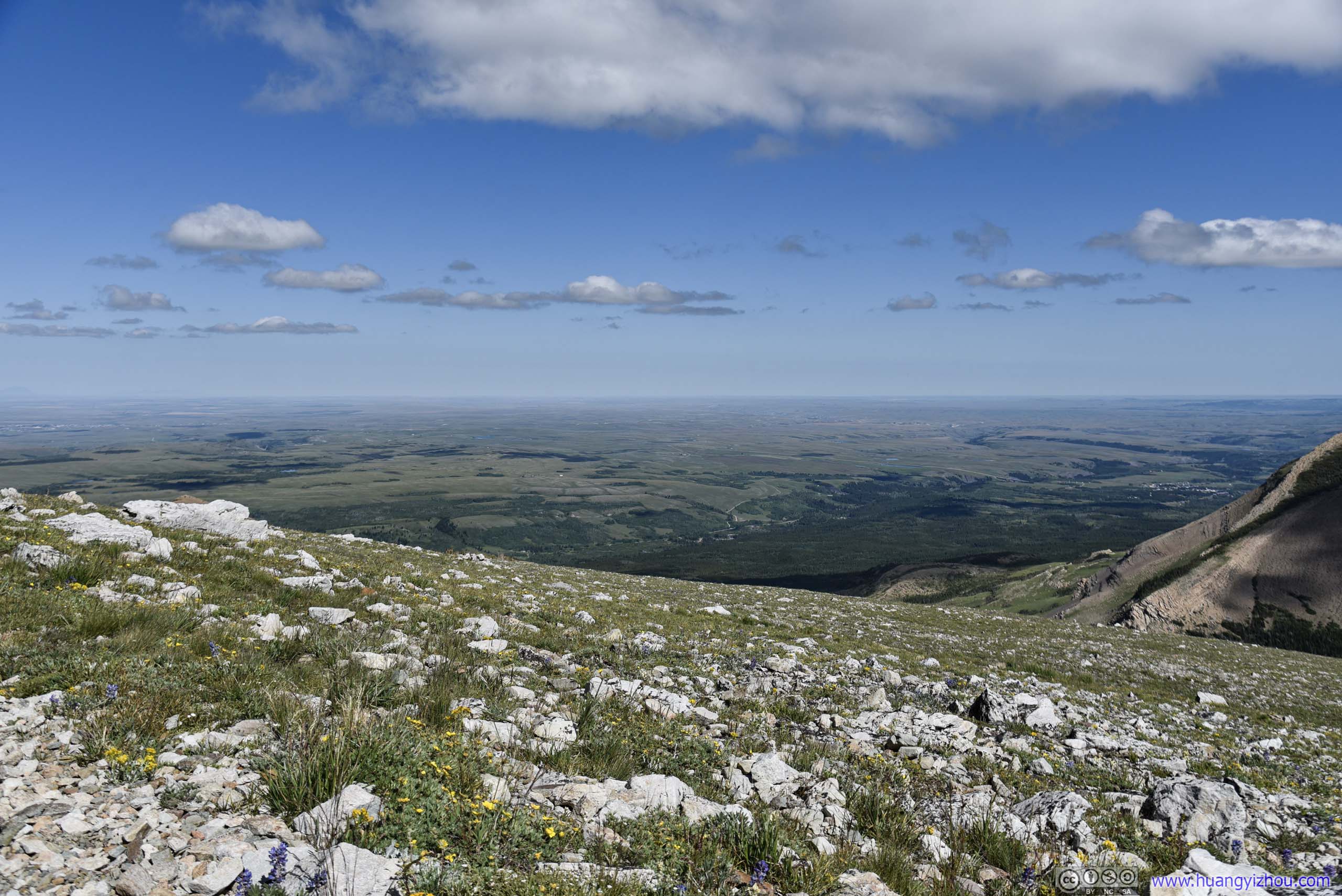
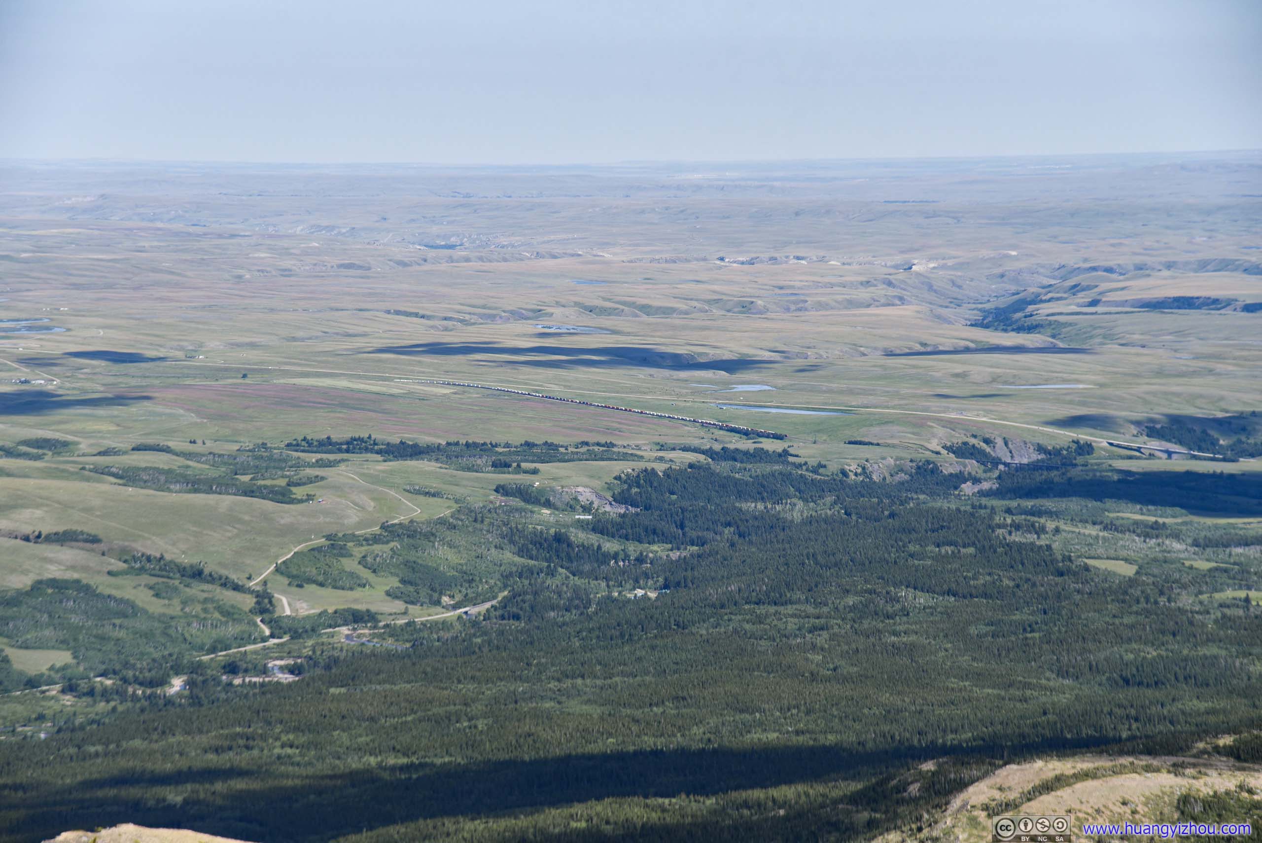
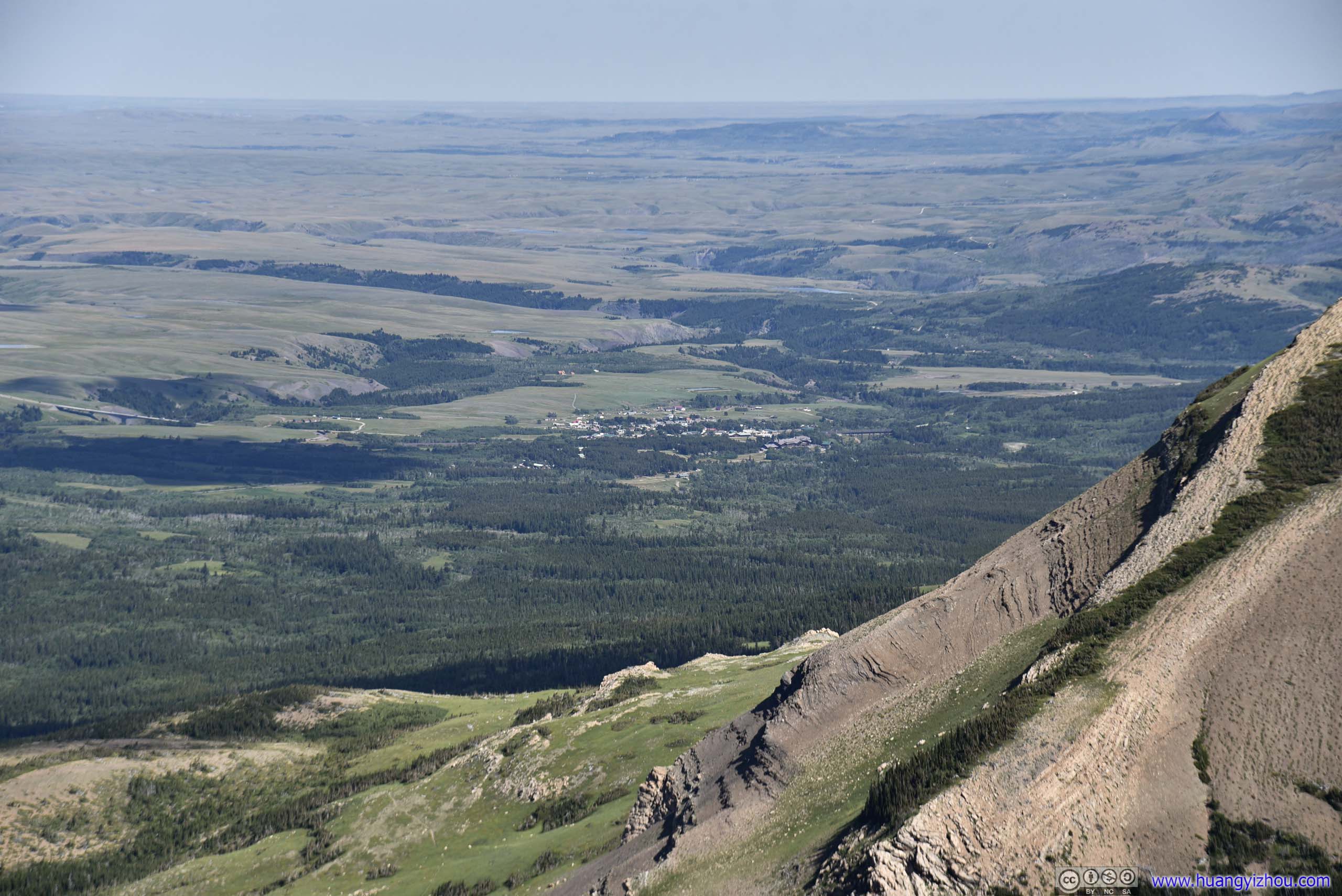
But it's one of the few places where one can see three Two Medicine Lakes (upper / () / lower) all at once. There's no official trail on map to summit Rising Wolf Mountain. That is, towering mountains on one side, and continuous fields on the other, an unparalleled feast for the eyes.
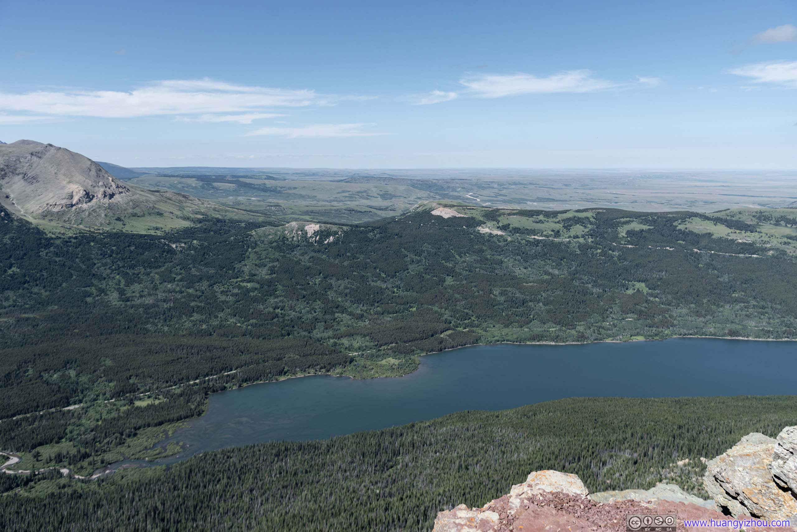
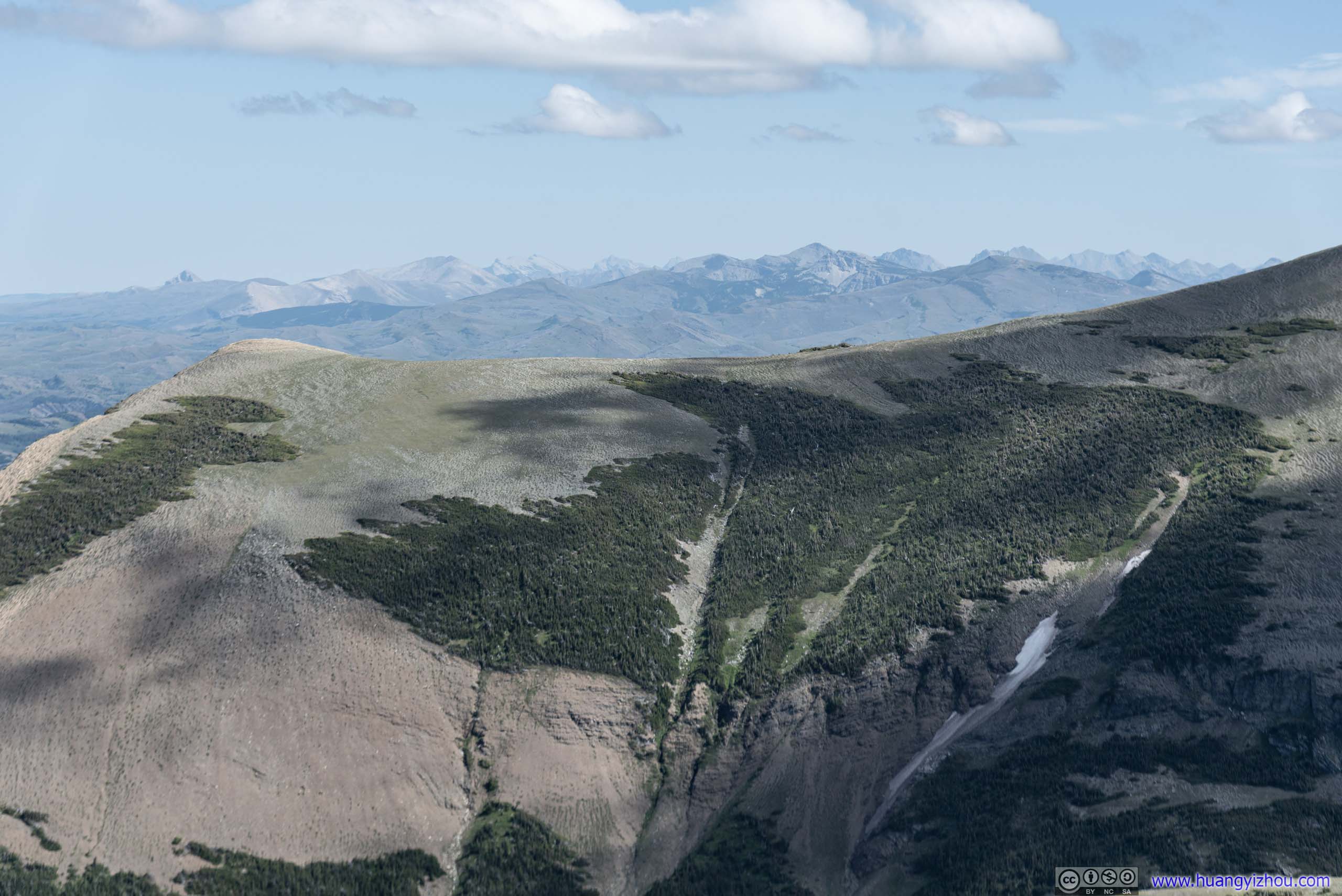
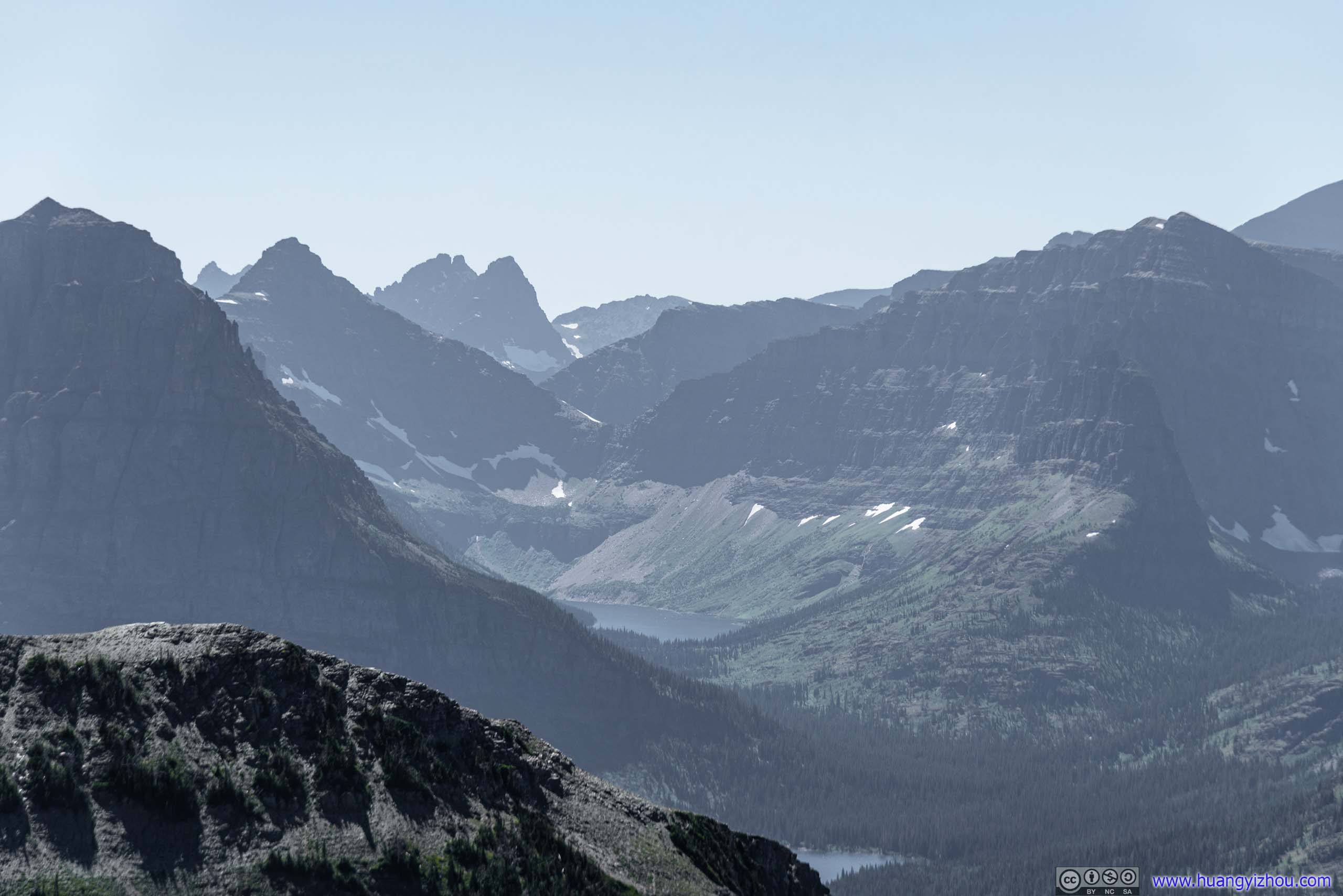
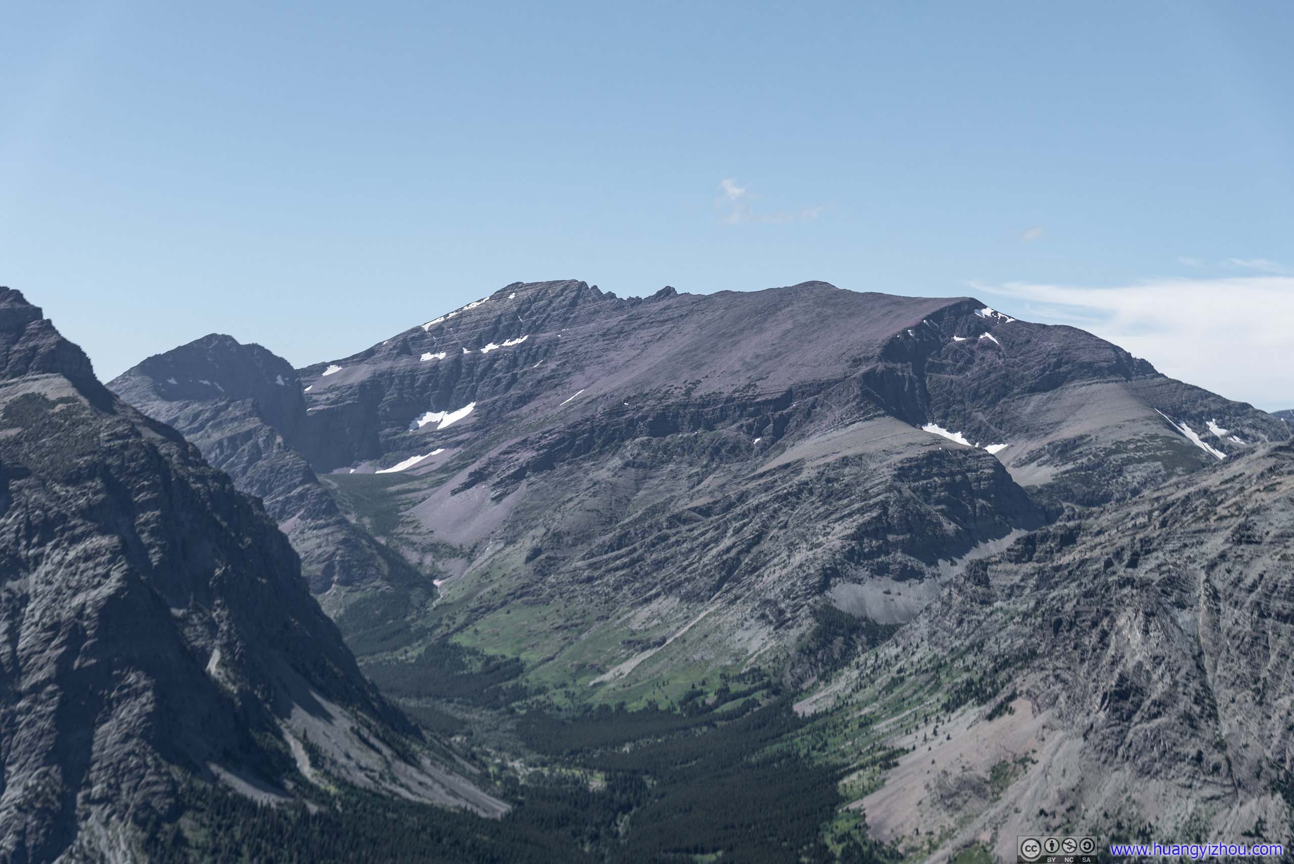
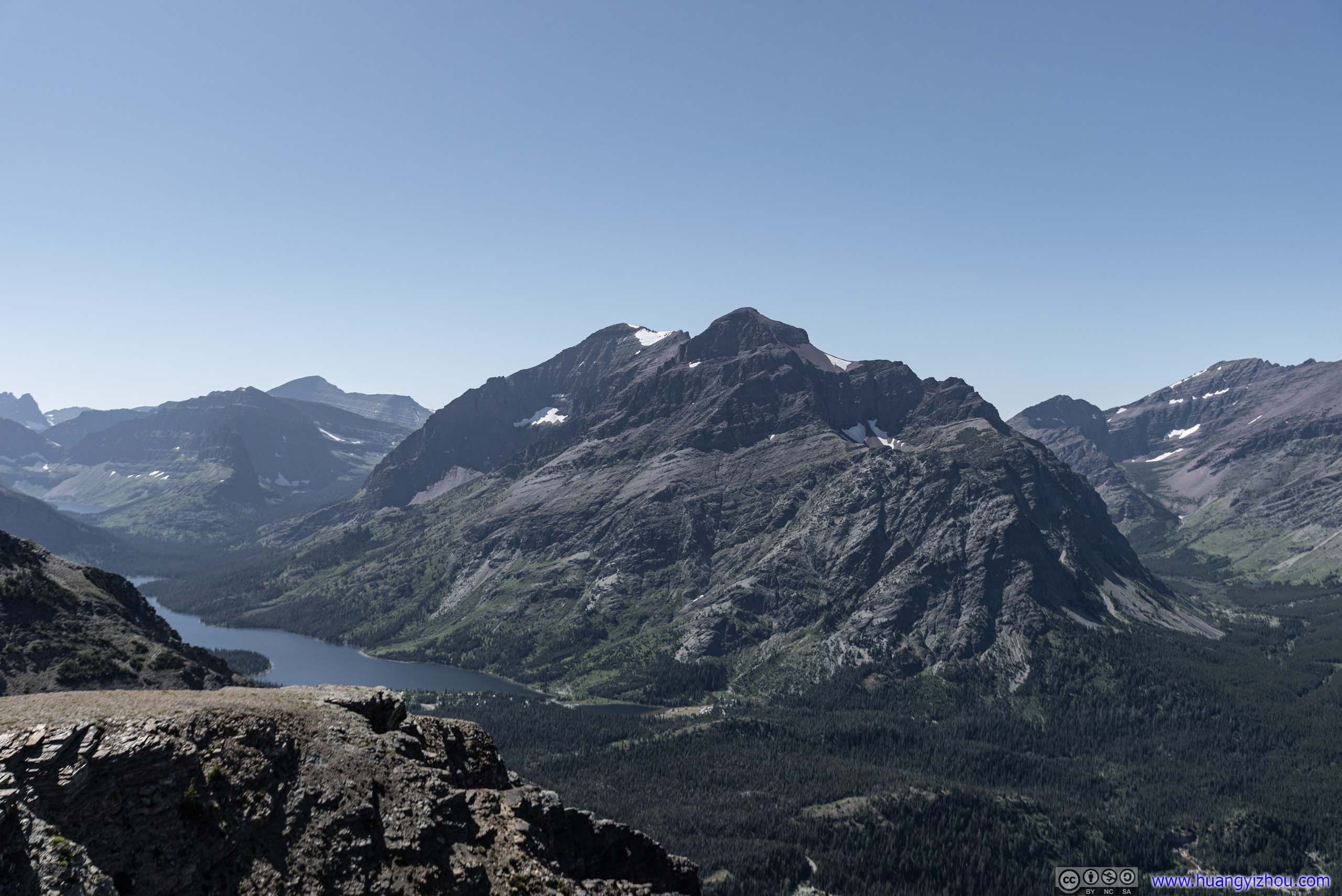

This should be a 360-degree panoramic photo. However, limited edge sharpness from my lens meant the left-most and right-most ends were not properly switched together.
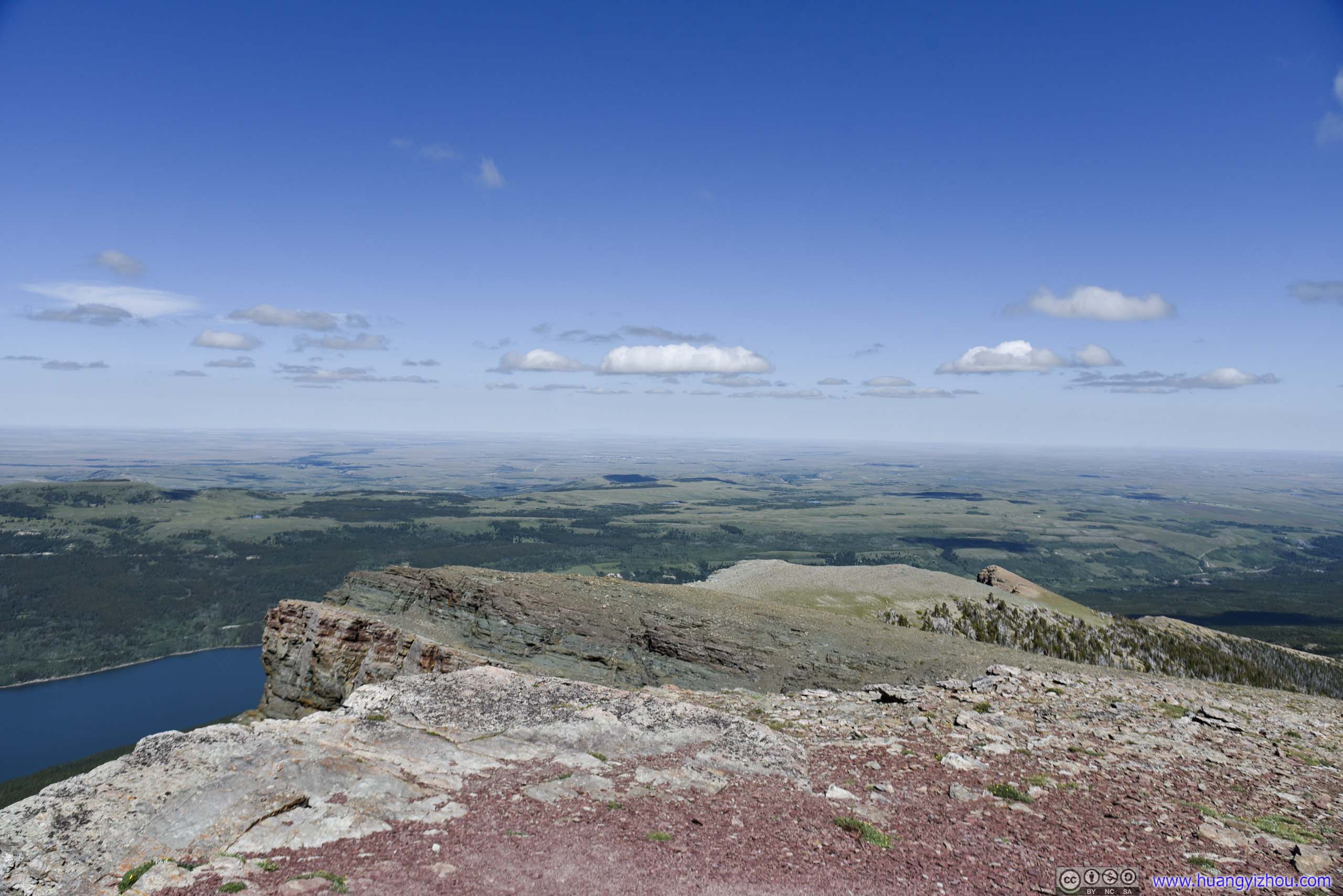
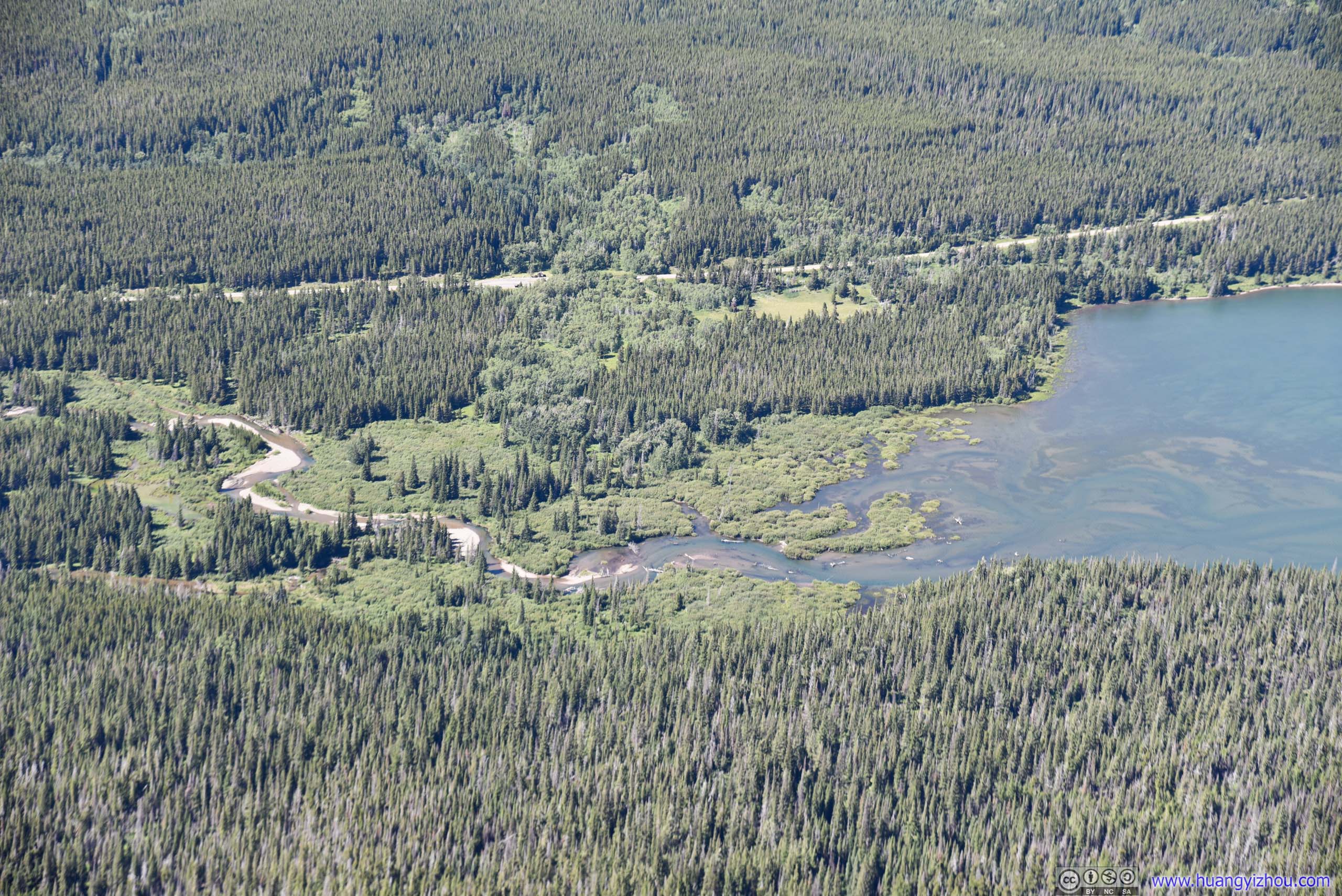
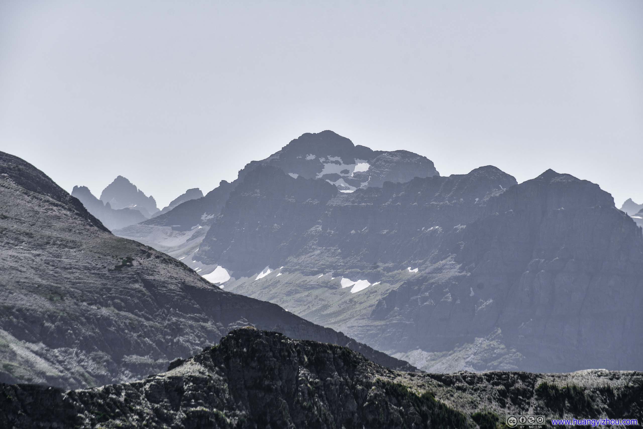
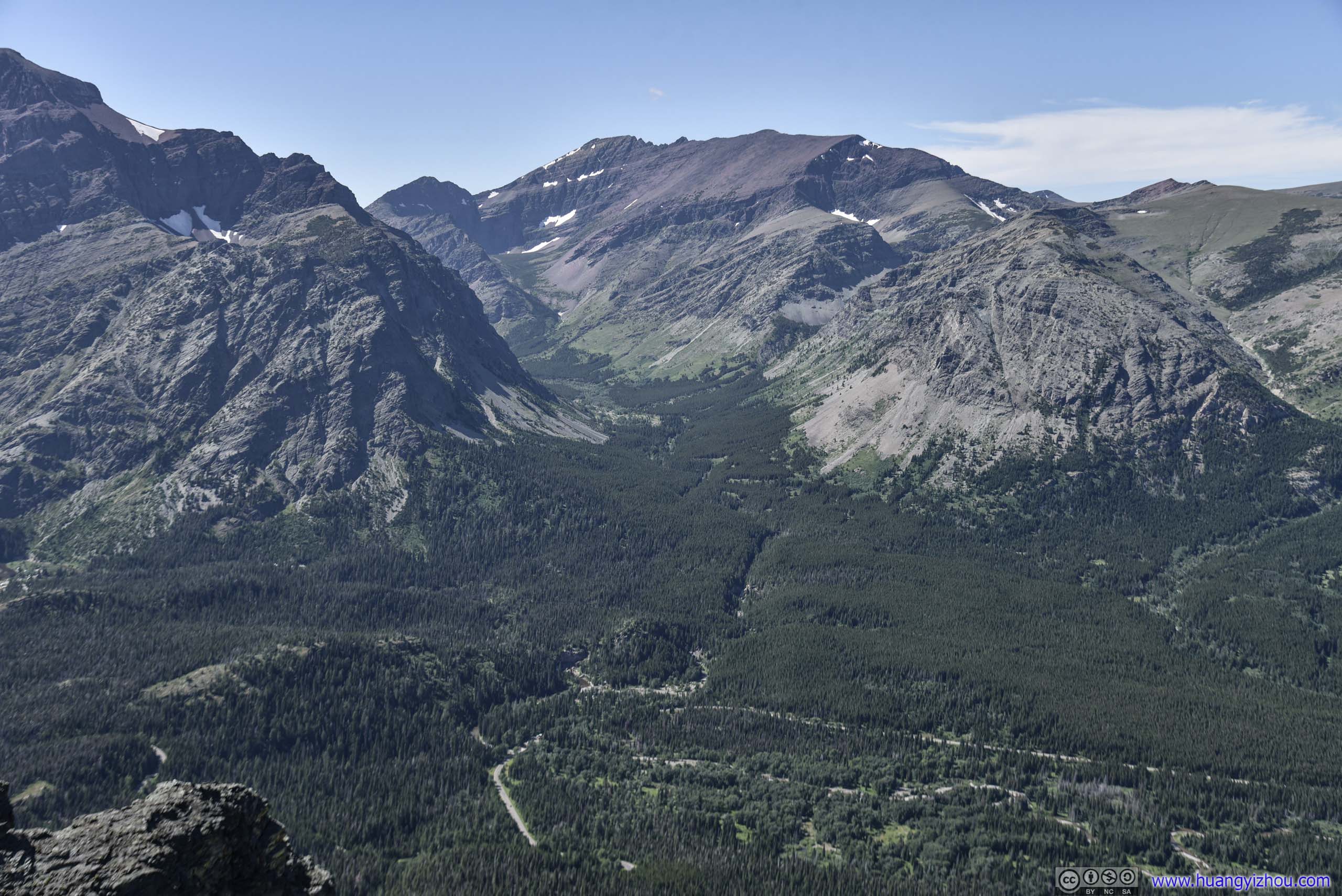
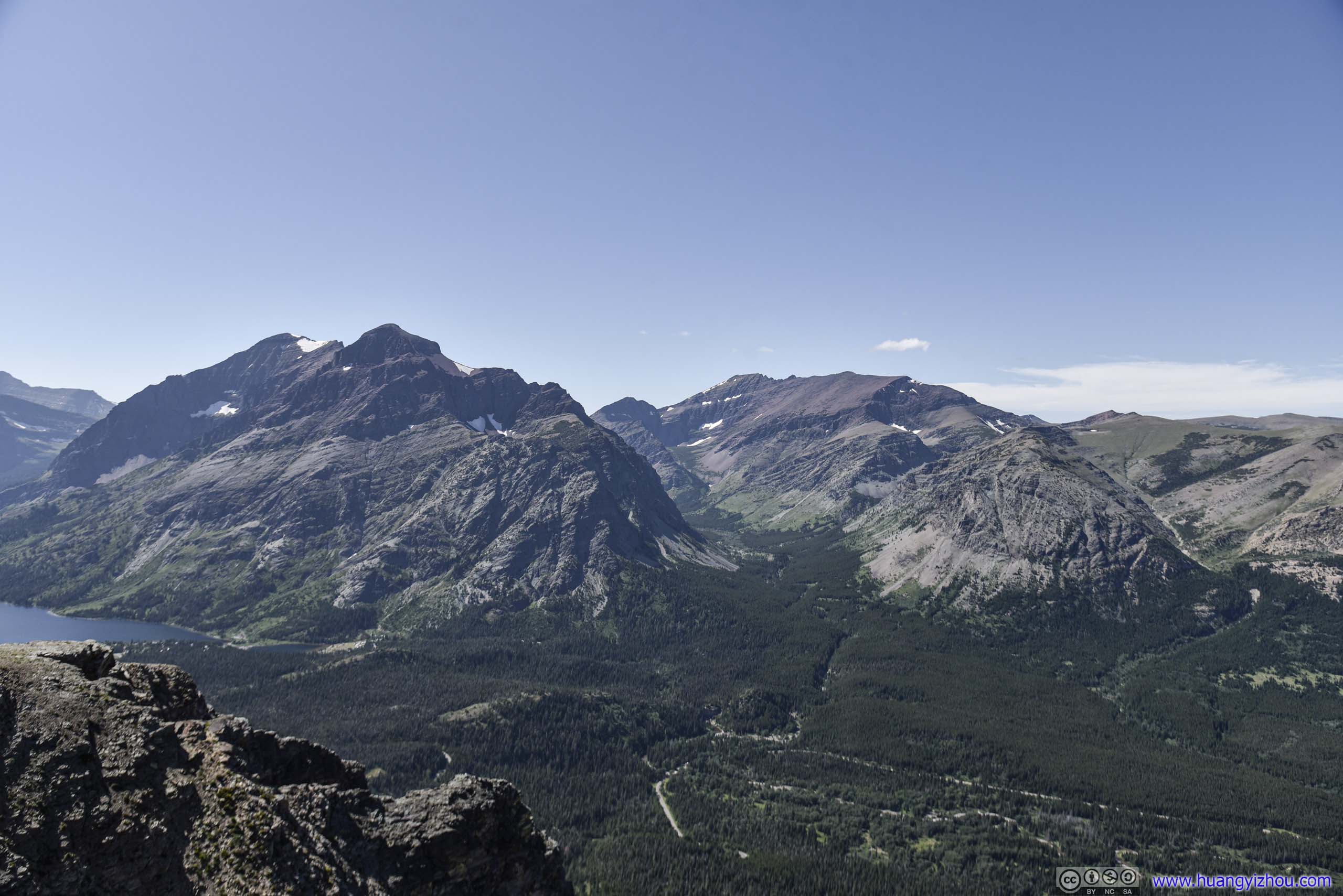
After spending about 20 minutes at Scenic Point, all to myself, I headed back.
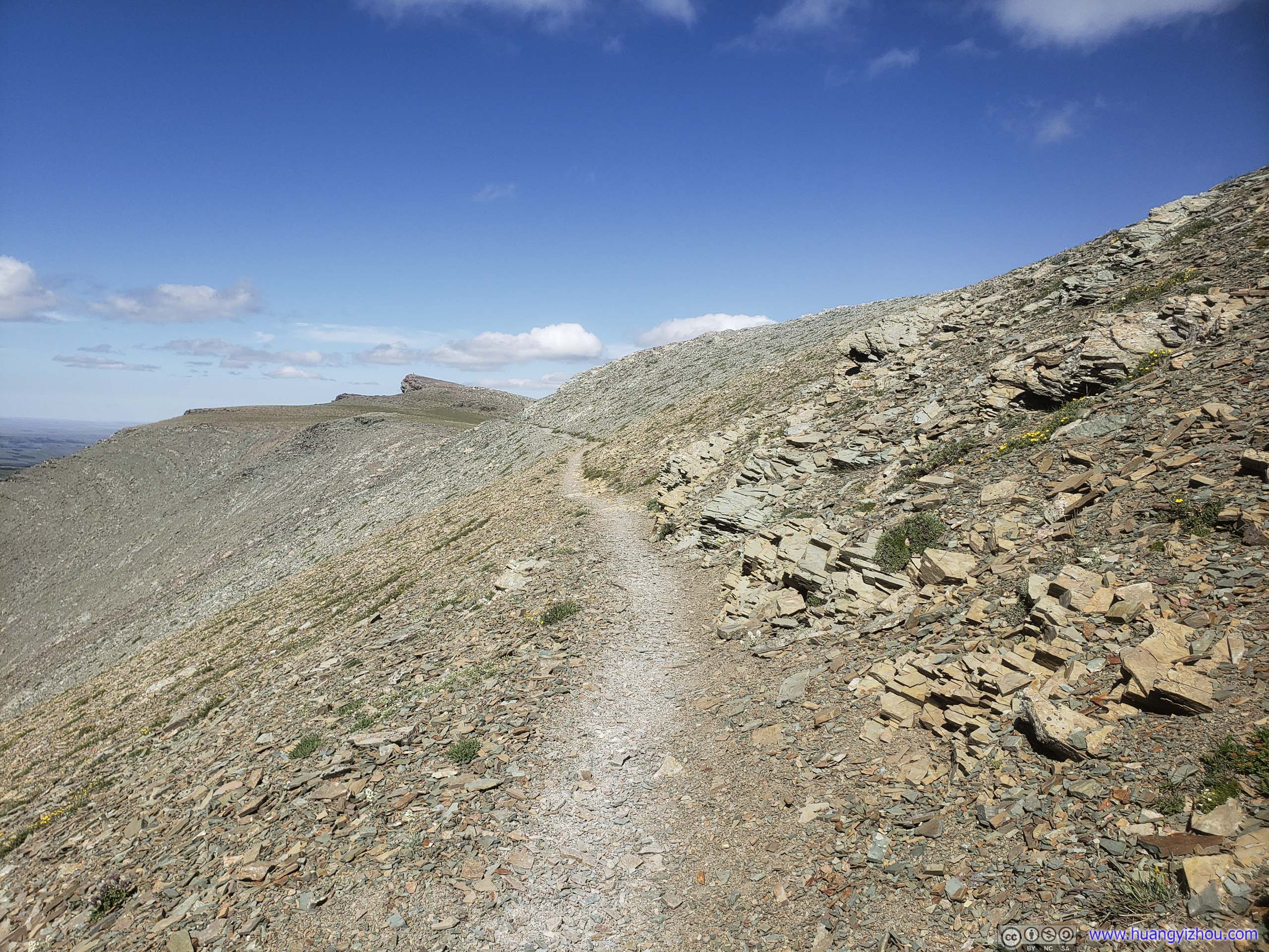
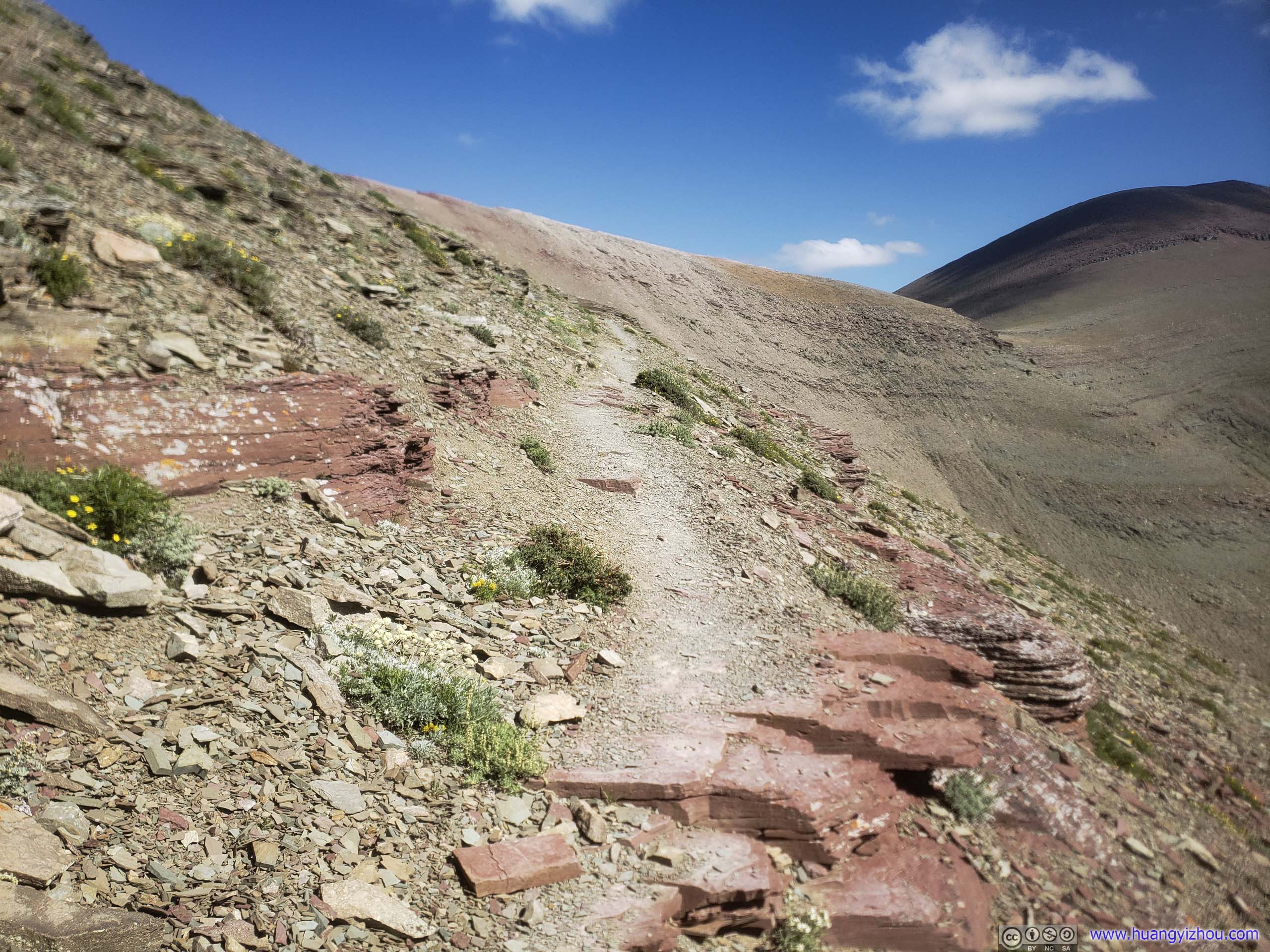
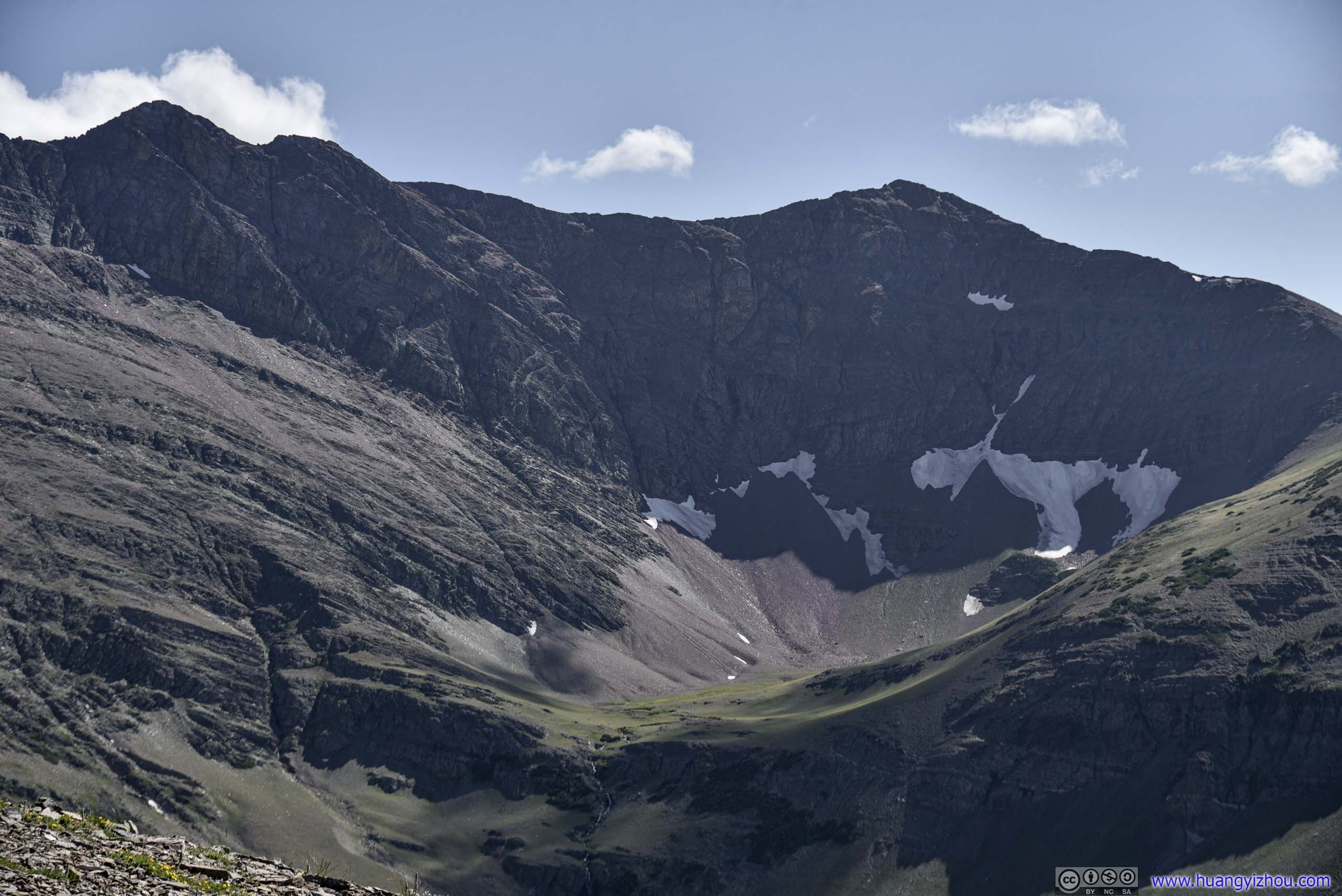
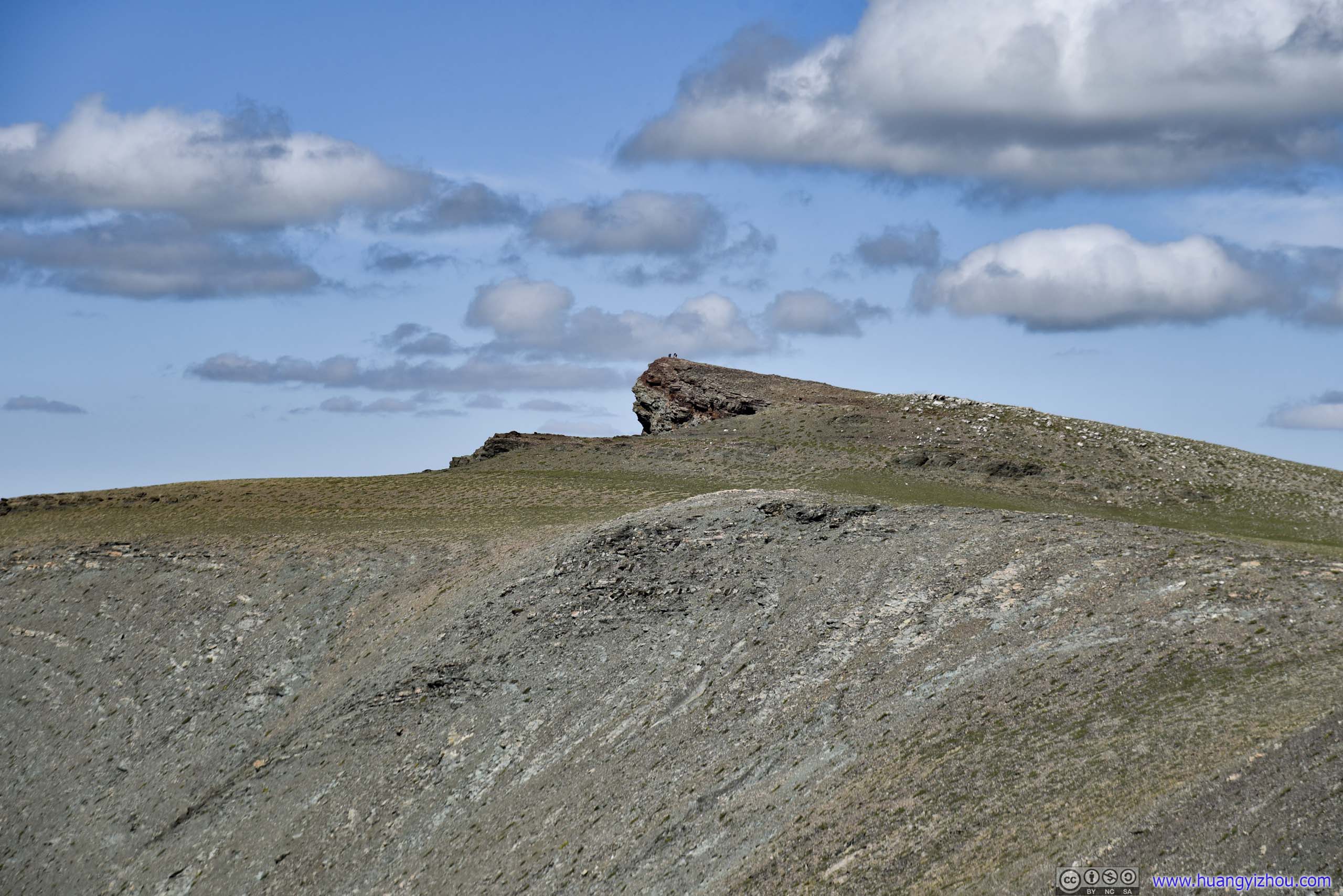
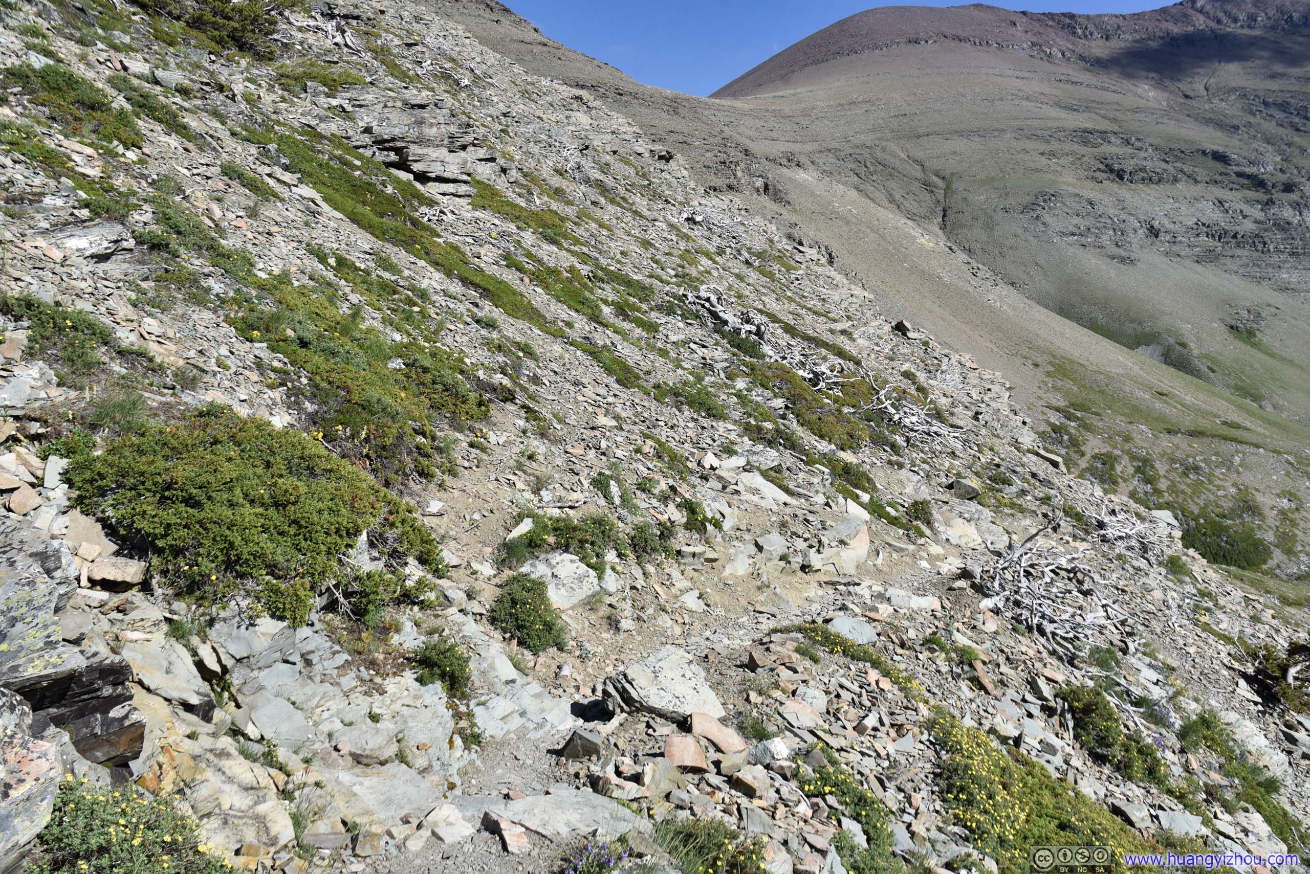
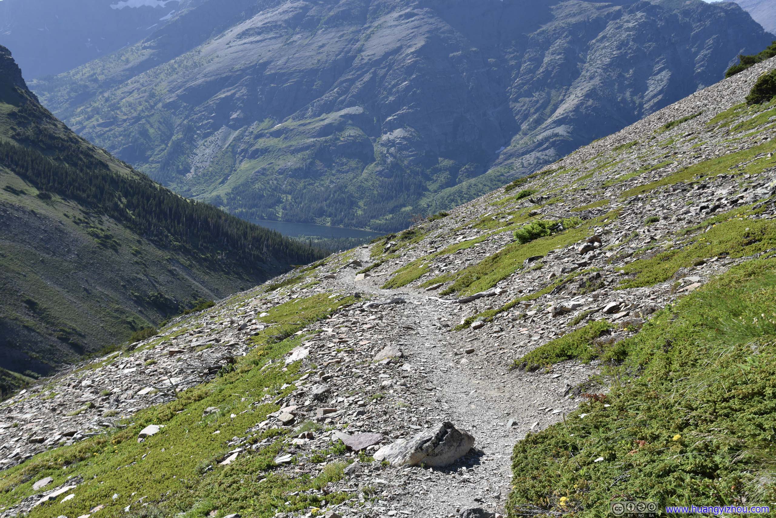
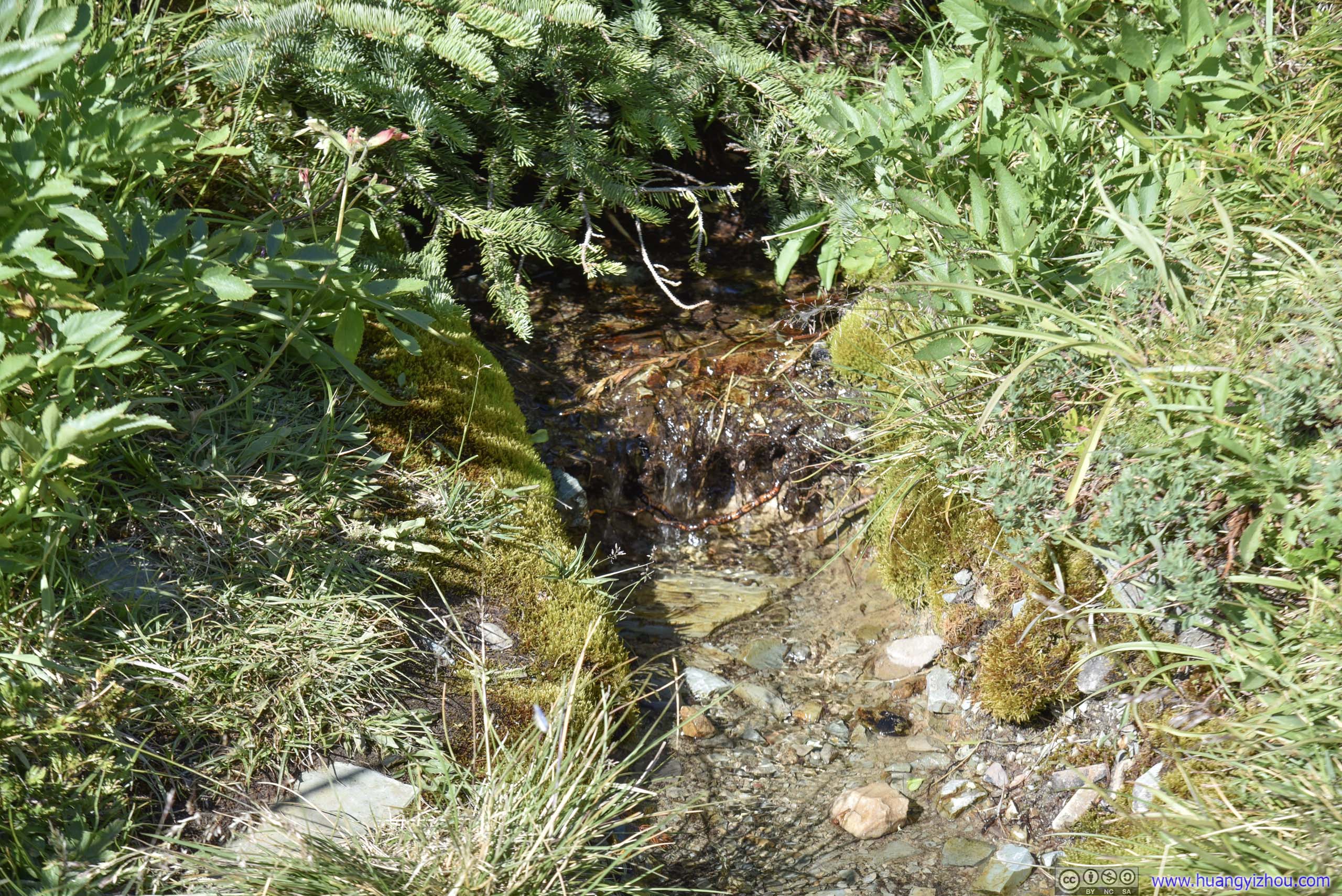
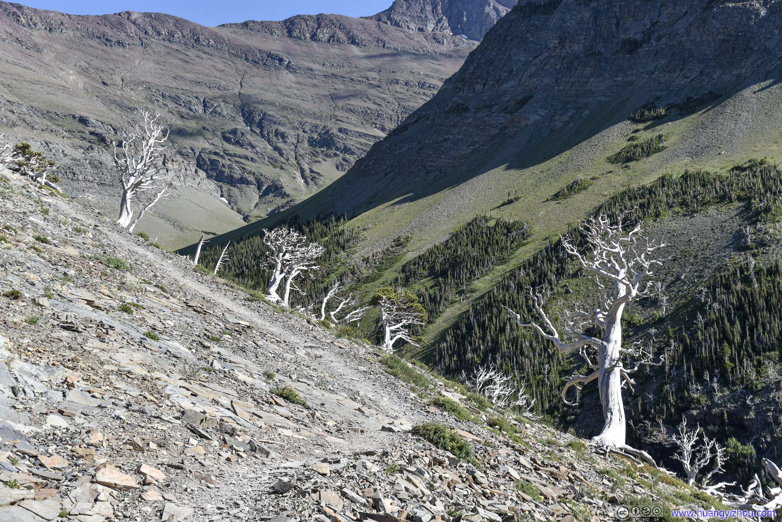
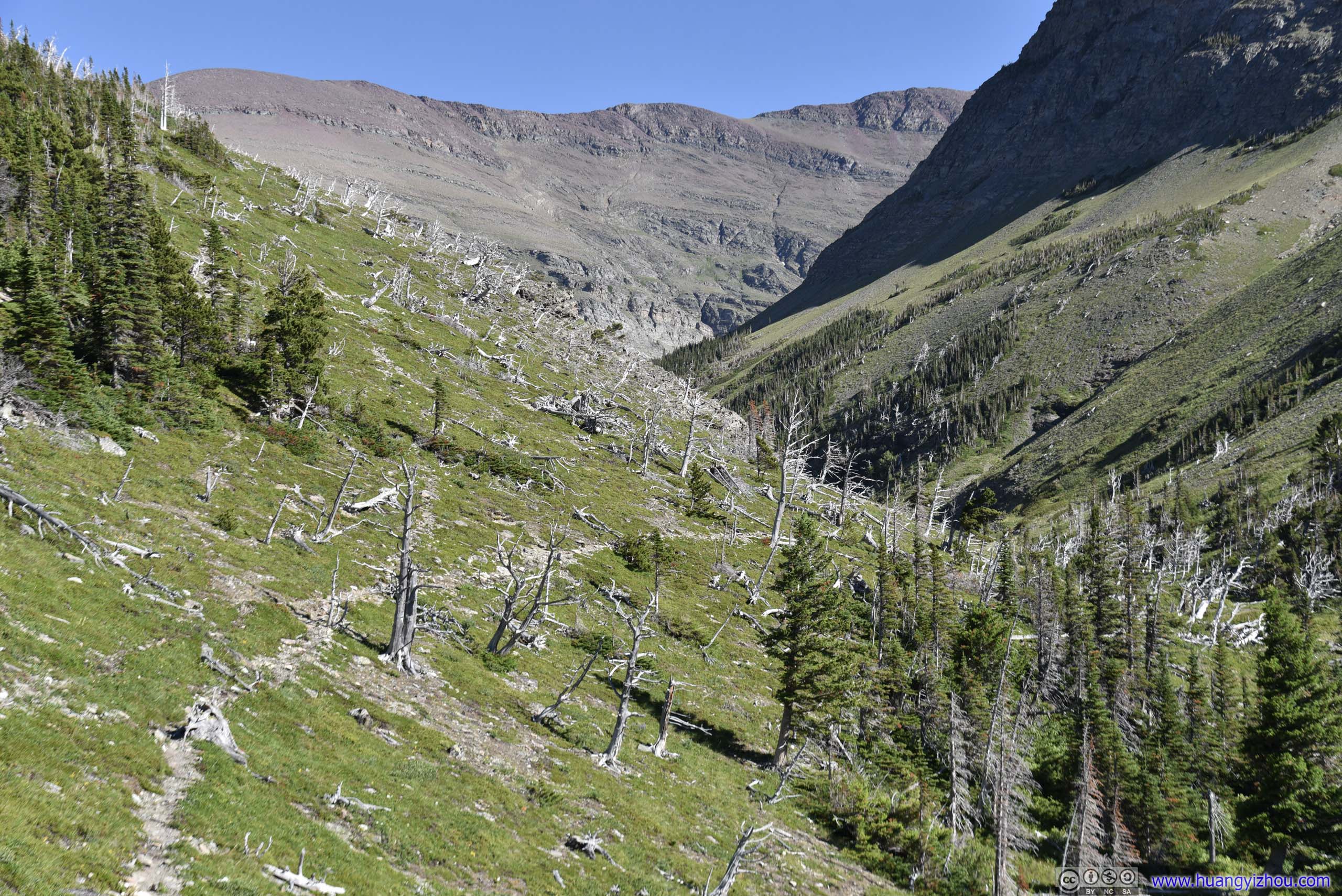
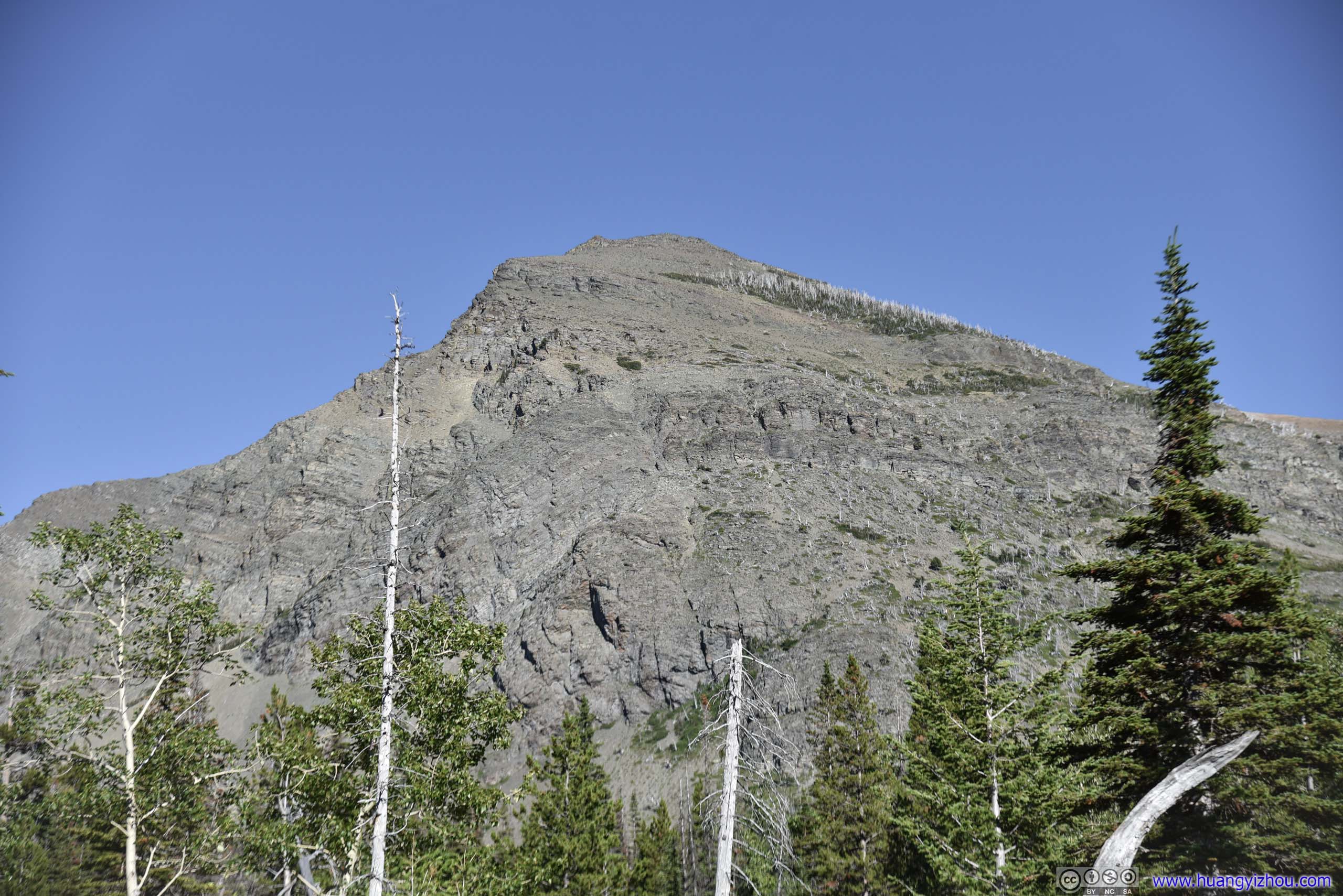
The one I just climbed.
It was 6pm by the time I returned to the trailhead. After that, we headed for St. Mary Campground, that's where we would be spending the following nights. These two areas of Glacier National Park didn't look too far apart on the map, but with winding country road and some roadwork, the trip took about an hour.
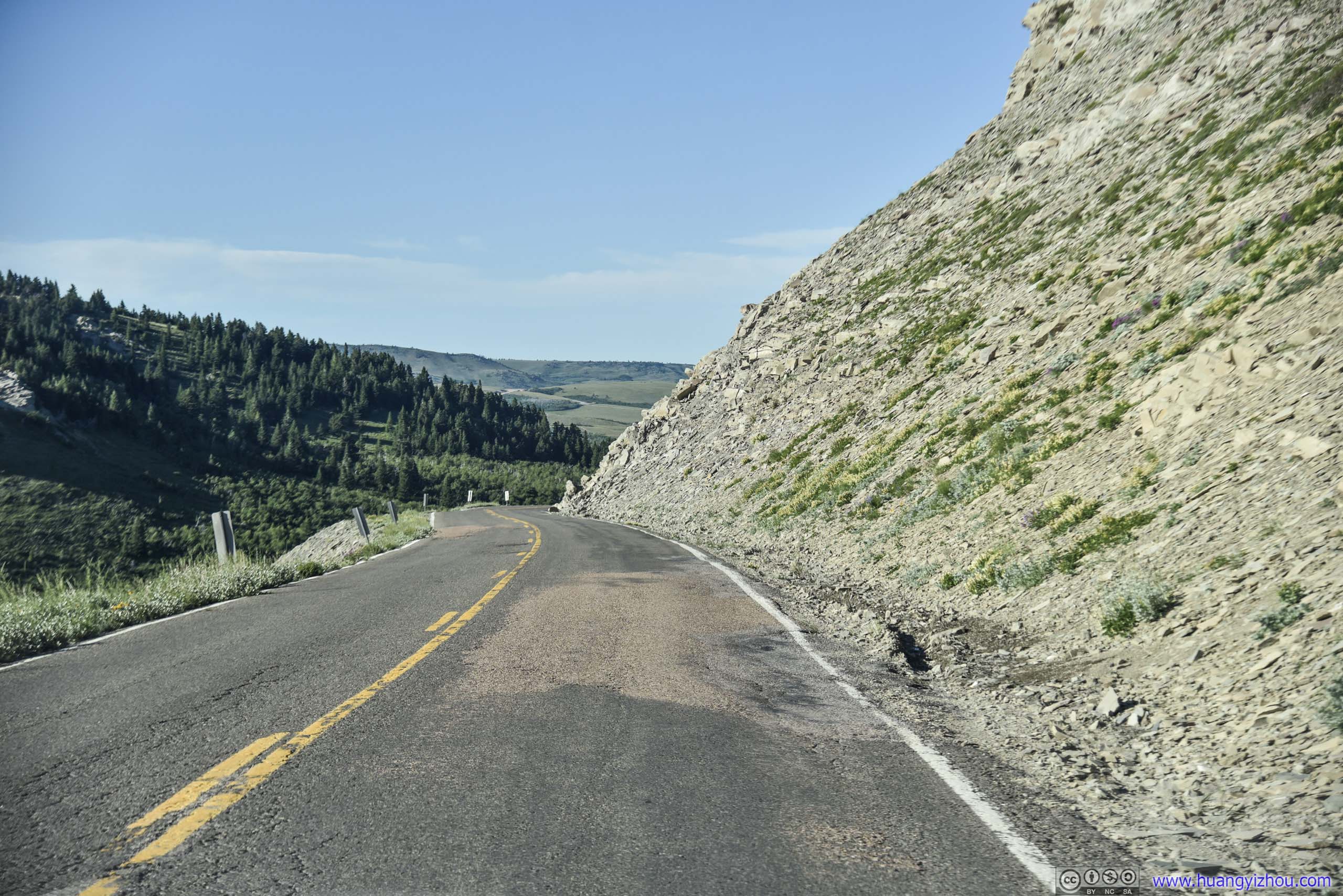
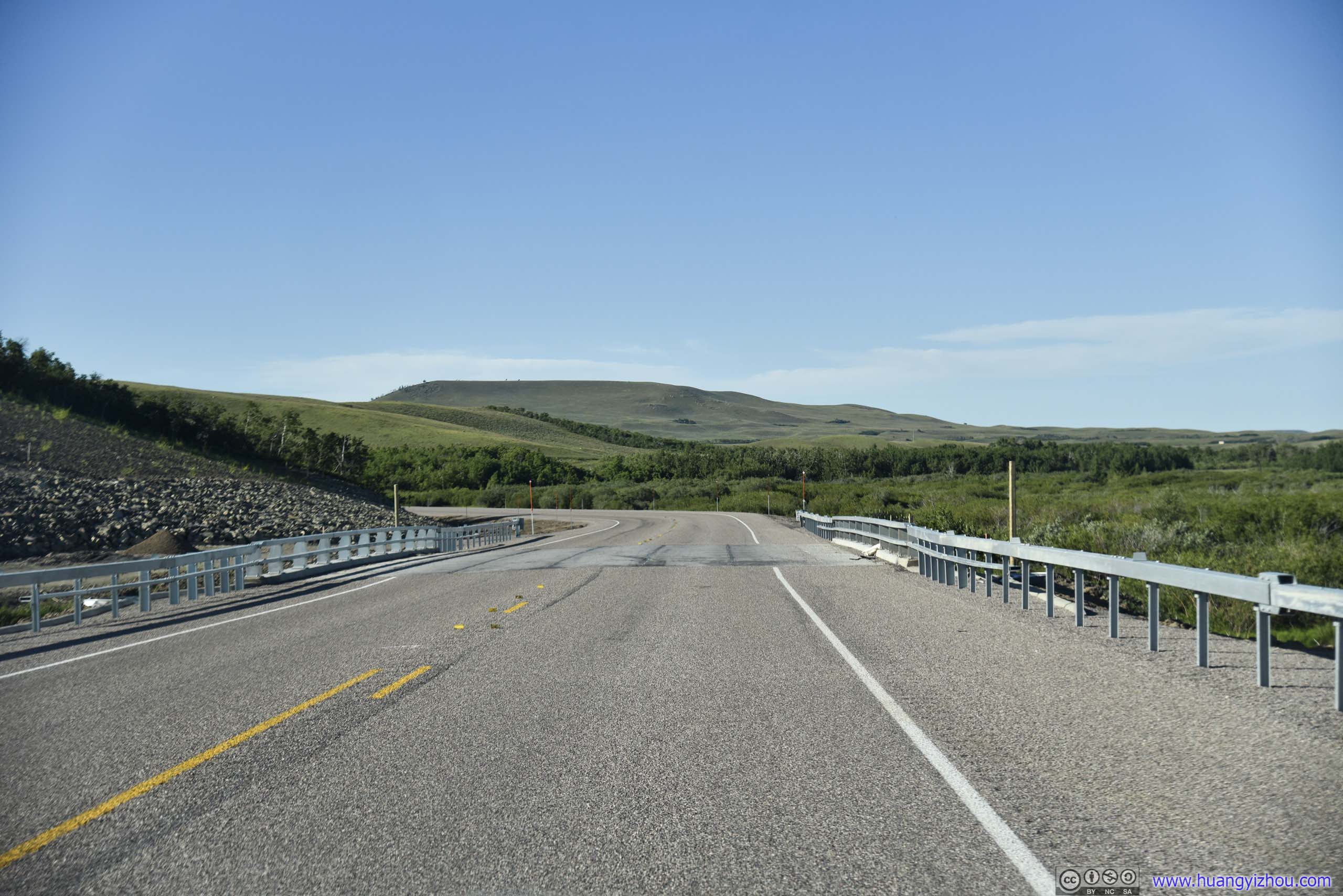
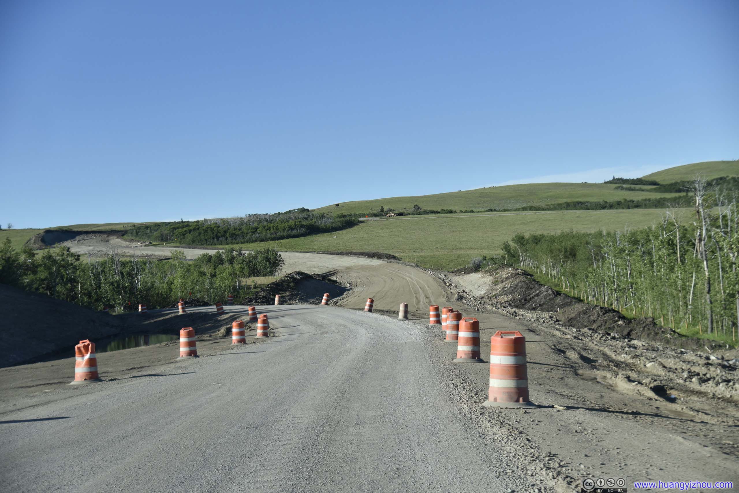
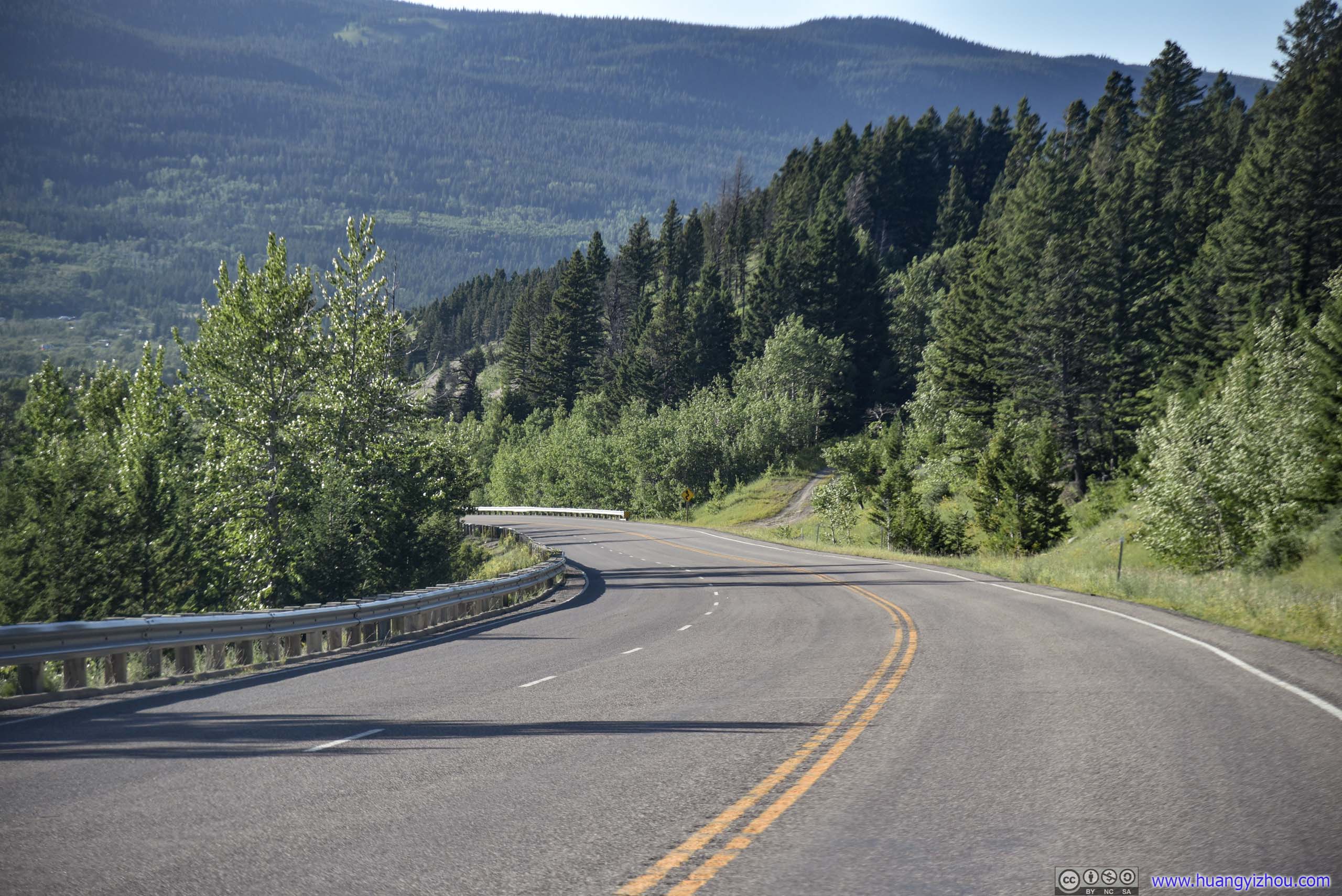
Country Road
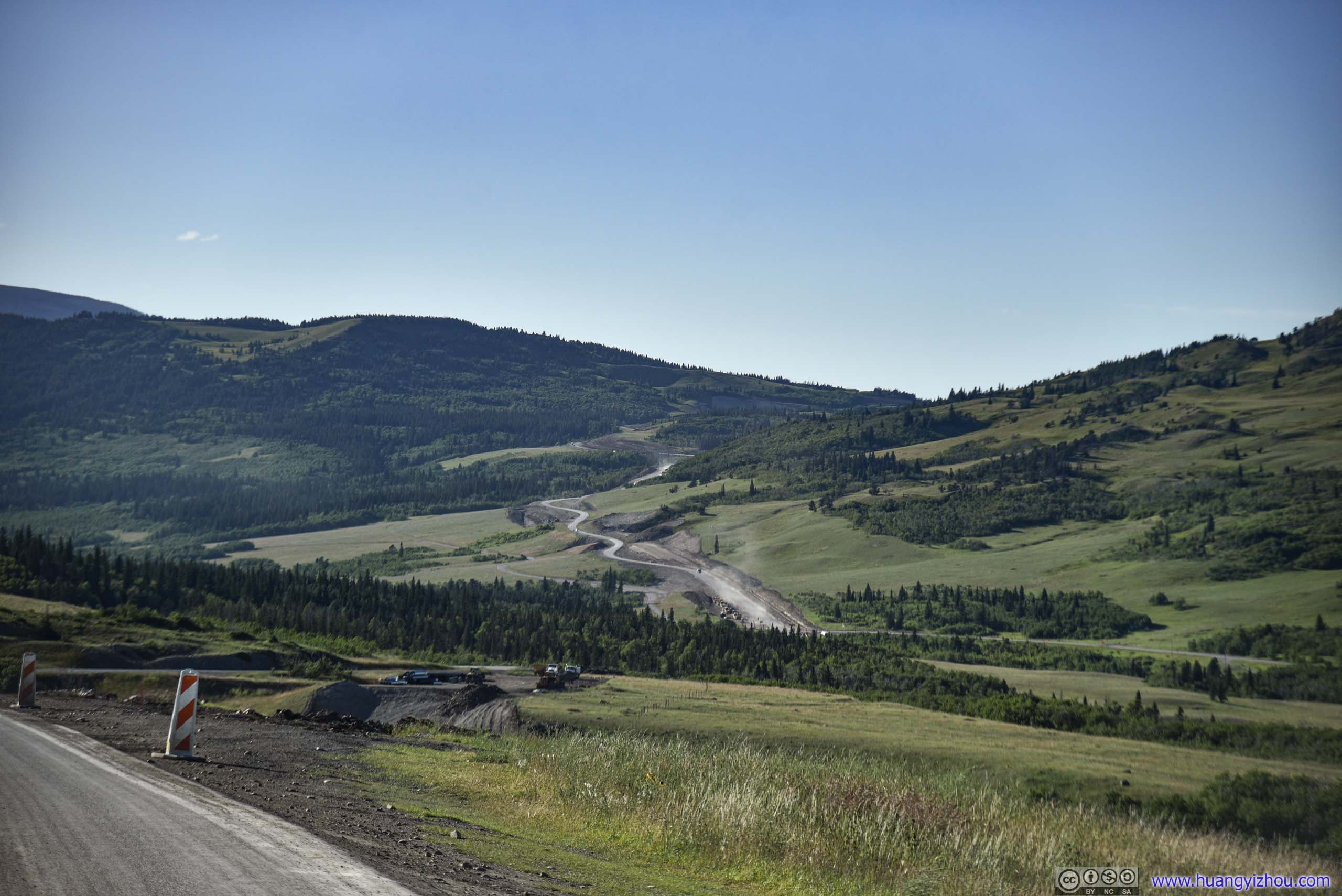
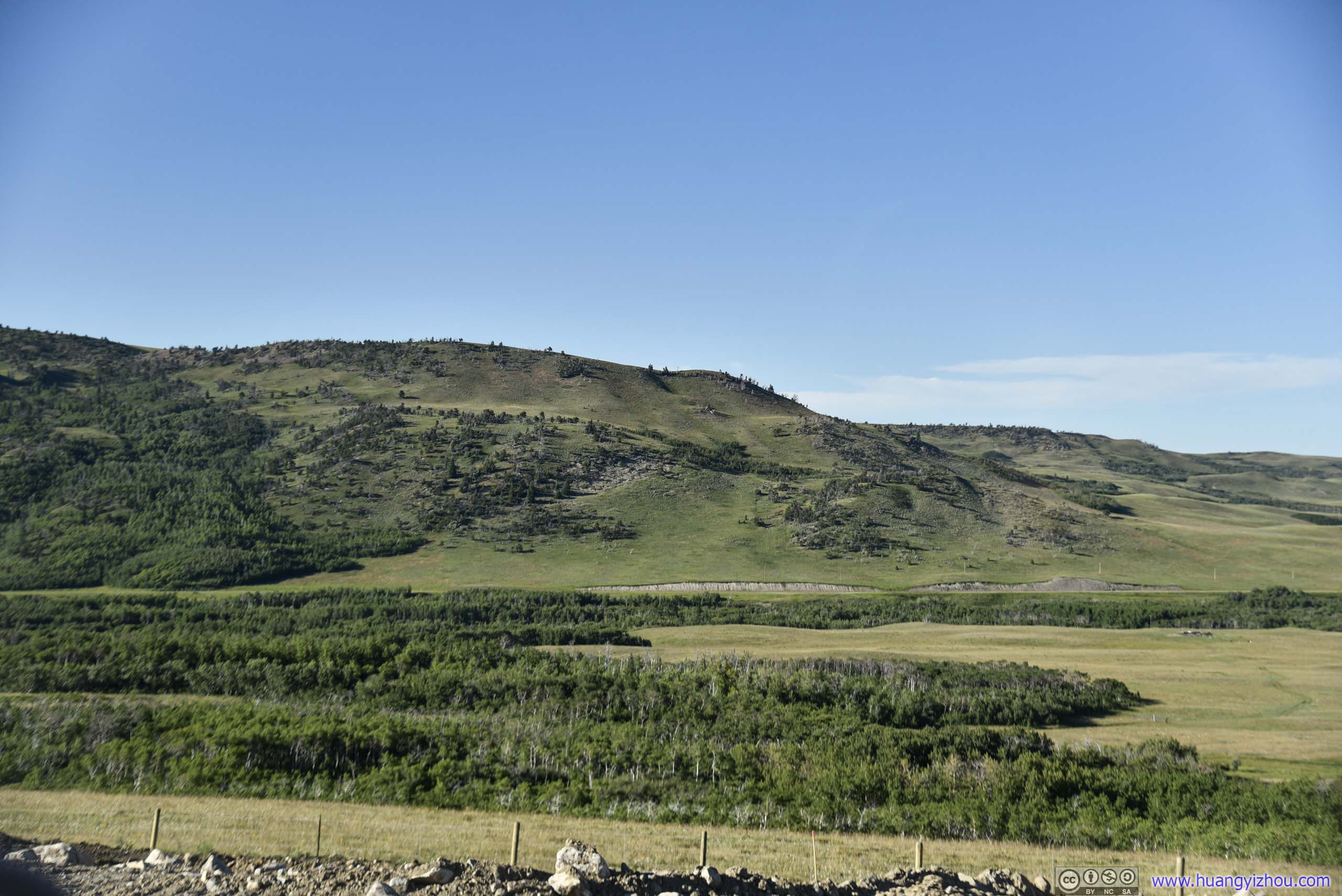
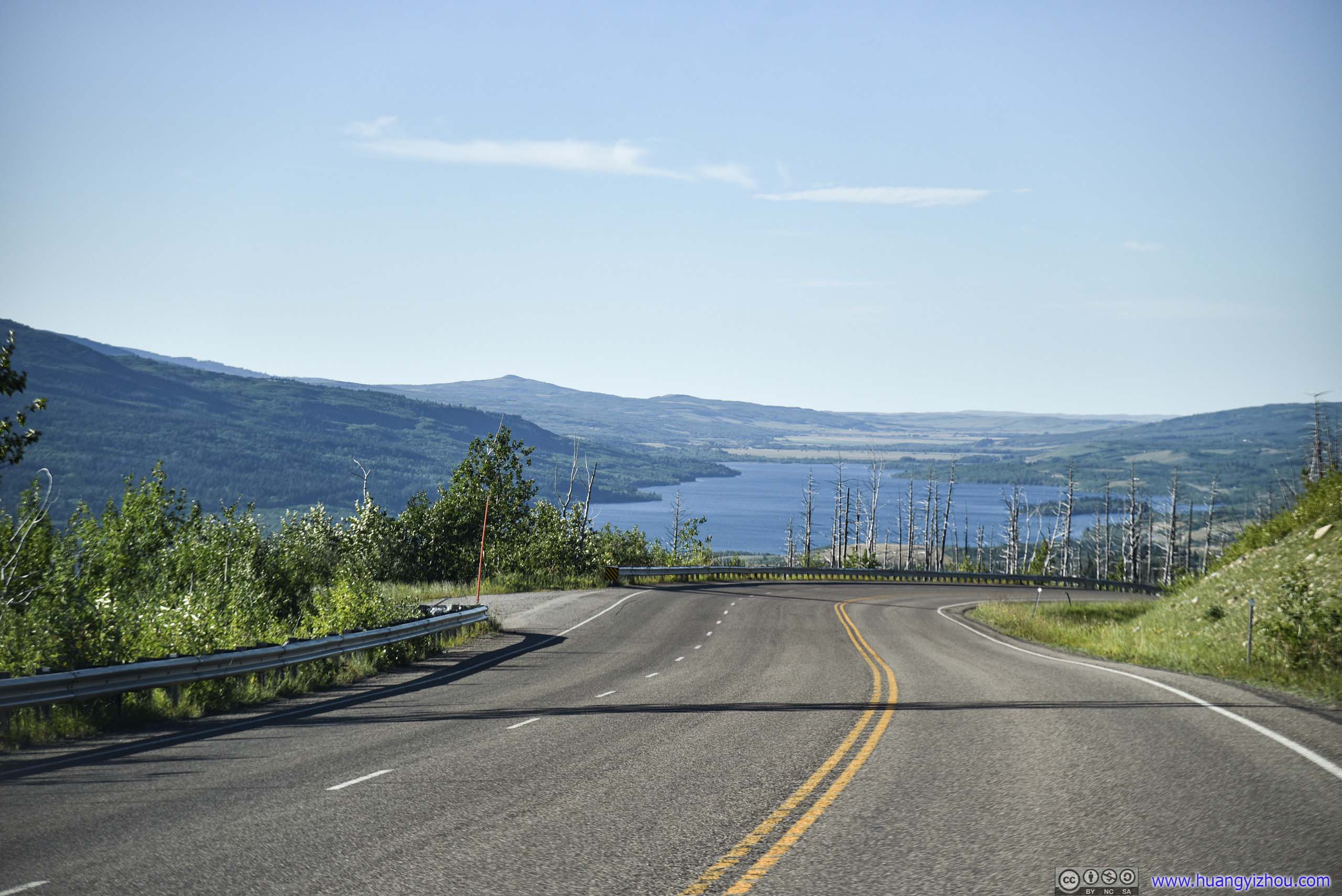
Lower Saint Mary Lake in front.
Note about Lodging for Glacier National Park
A side note about lodging in the Eastern part of Glacier National Park. Like Yellowstone, Glacier National Park has its own hotel booking site. But unlike Yellowstone, hotels in the park turned out to be so popular/limited that it shows "fully booked", always.
Outside the park, the city of Kalispell offered many lodging opportunities 40 minutes to Glacier's West Gate. However, most high-quality hiking trails started in Many Glacier / Swiftcurrent Area on the park's Eastern side. Within an hour's driving from Swiftcurrent, Google Maps displayed fewer than 20 hotels in total, half of which were campgrounds.
If one was planning a trip more than six months in advance and didn't mind camping, Many Glacier Campground was at a premium location with less than one-tenth the nightly rate of a comparable hotel. I said six months because that's how far into future NPS released its camping reservations on recreation.gov, and by my experience they were fully booked in minutes.
Lucky for us, we were planning this trip about six months (minus a few hours) in advance, so while Many Glacier Campground was fully booked, I snapped one of the last few sites in Saint Mary Campground, which became fully booked within days. Since we would be staying put for a few days, setting up and tearing down the tent once didn't turn out to be too troublesome.
However, a major problem with St. Mary campground was that, it's a campground with 148 sites and 4 showers (3 working during our first days of stay), which was hard for me to believe. Neither could I believe was the demand for showers, that in such shortage, the line to shower (at dusk) averaged fewer than 5 people.?!
But apart from this, it's an NPS-run campground with well-maintained and well-separated sites. It gets cold at night even in July, but with the convenience of a car, bringing enough quilts or blankets shouldn't be any problem.
END