Independence Day 2020, Shenandoah and Fireworks
July 4th, 2020, I spent the day with my friend hiking some trails in Shenandoah National Park, before heading to Washington DC watching Independence Day flyovers and fireworks.
Probably due to COVID, plans of this year’s flyover and fireworks weren’t released until less than week from Independence Day, and so was our plan. We wouldn’t have a lot of time to spend in the mountains if we were to catch flyovers of vintage planes starting at 6:45pm, so I picked Little Devils Stairs Trail in the north of the park. In addition, I needed a new NPS annual pass, so we planned to enter the park via Front Royal, hiking Compton Peak Trail along the way before leaving the park via Thornton Gap.
Had we have more time, we would replace Compton Peak with Kennedy Peak, the overlook at the end of which seemed to be offering better views.
Shenandoah National Park
It’s my friend’s first time in Shenandoah, but I’ve driven the segment between Front Royal and Thornton Gap for countless times, so we barely stopped at any overlooks along the way.
Compton Peak Trail
It’s a short 2-mile trail in the woods leading to an overlook, the majority of which overlapped with Appalachian Trail. It’s one of the few trails that I hadn’t visited between Front Royal and Thornton Gap.
The trailhead parking lot holds about 20 cars, which wasn’t very sufficient given the number of visitors today. On our way back, we found a few cars parked in the grass along Skyline Drive.
Here's GPS tracking:
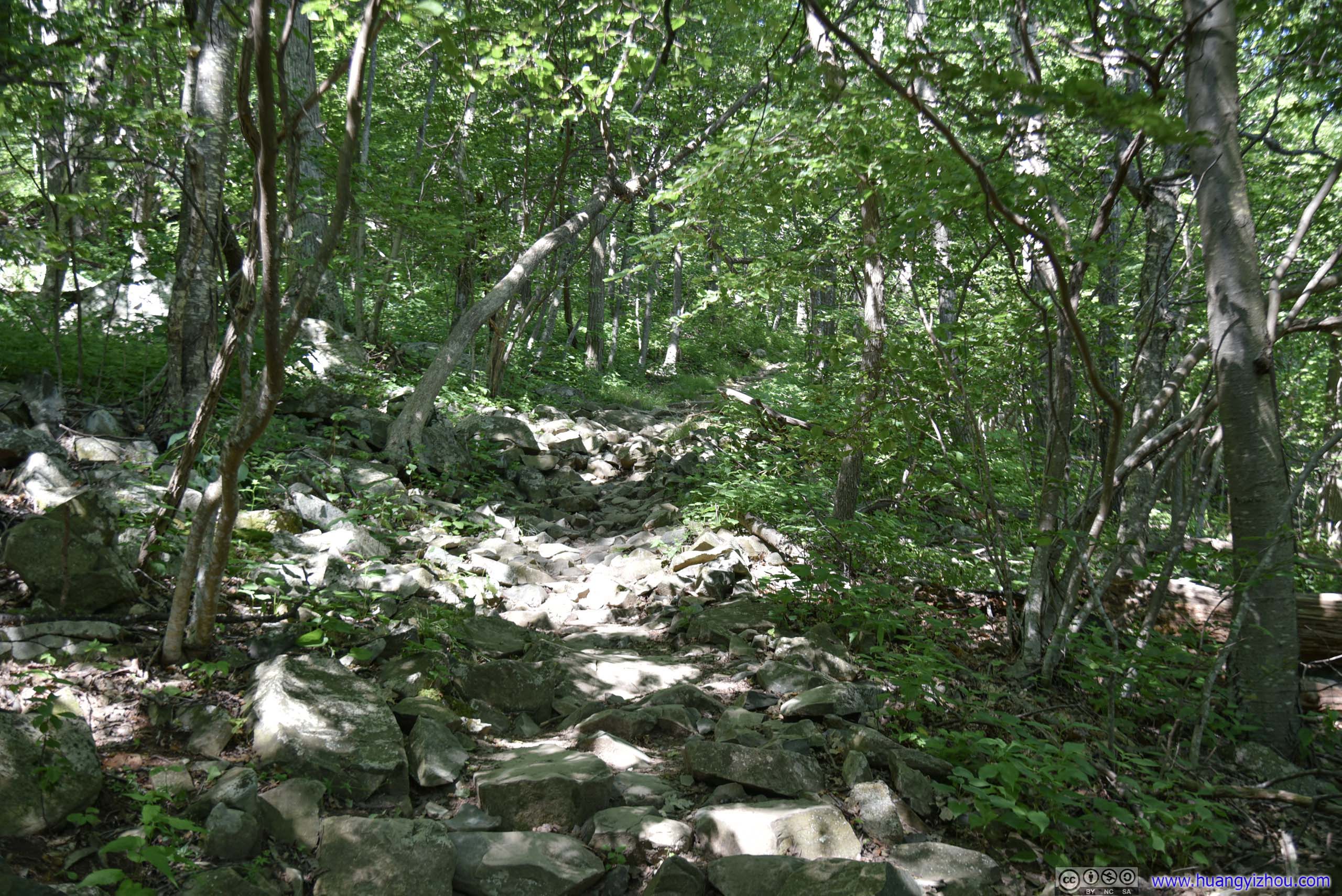
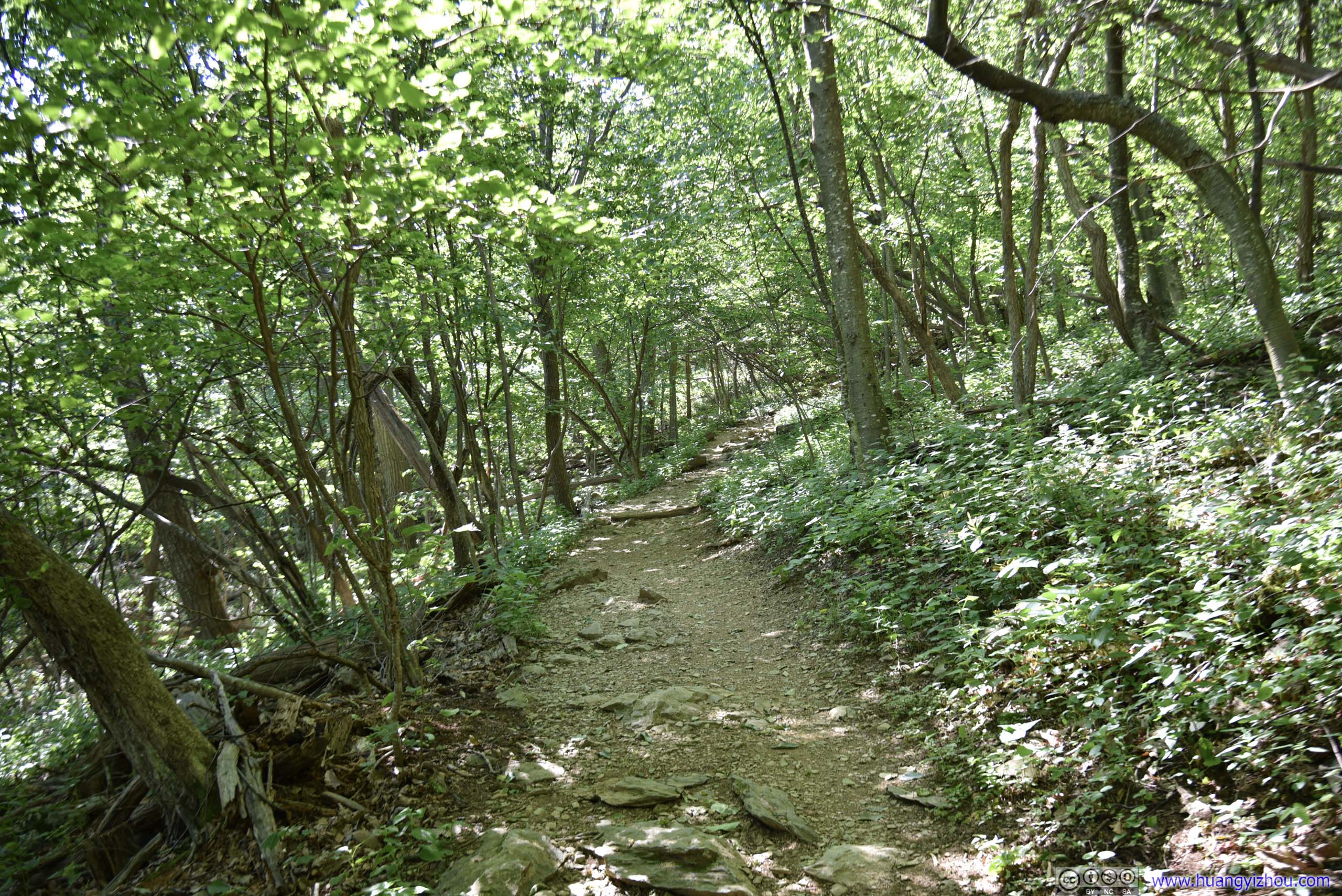
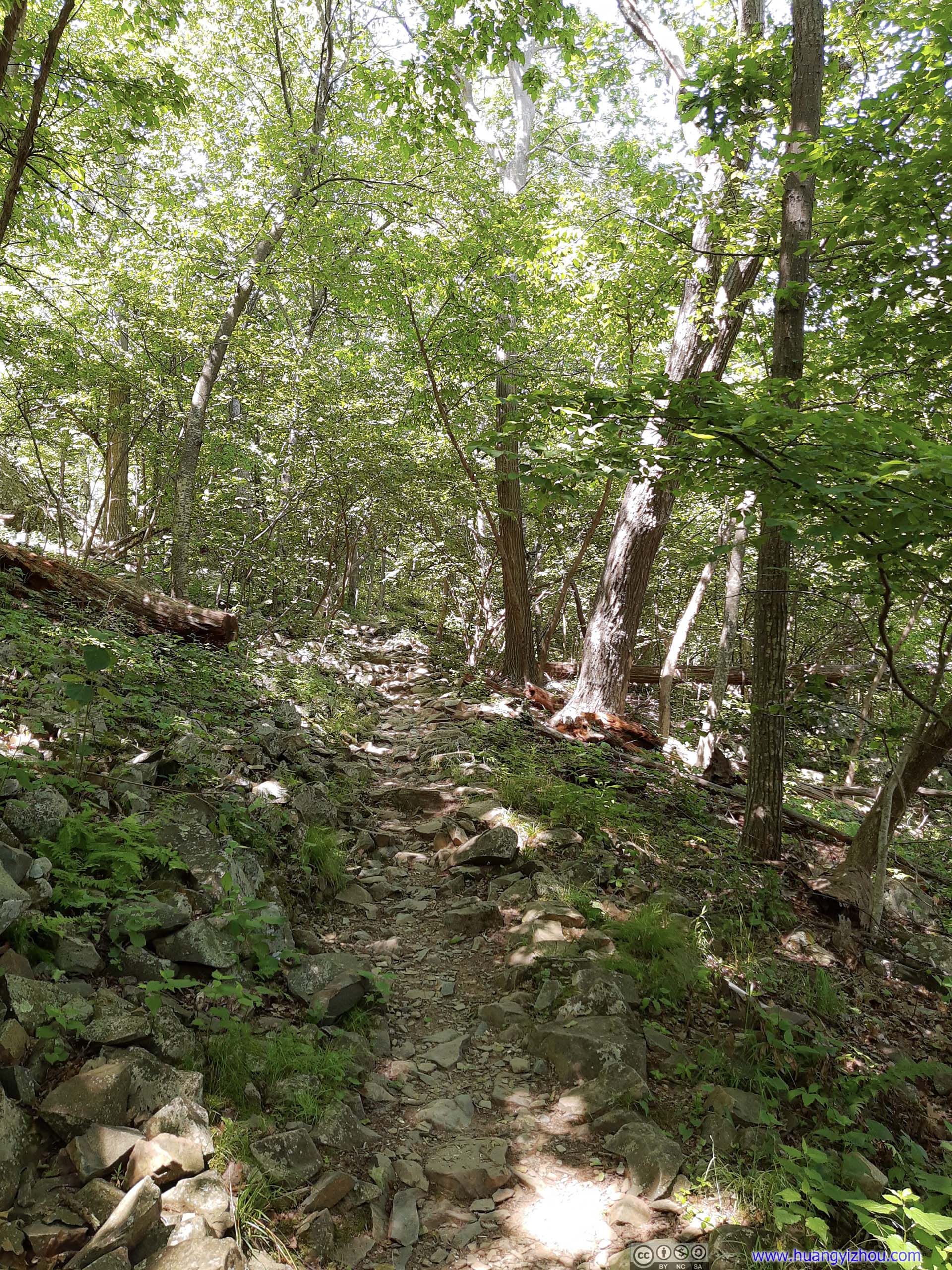
Typical conditions of the trail, with occasional rocks (left) among otherwise a wide dirt trail (right), not much difficulty involved.
1.2km from parking lot, the trail (Appalachian) approached an intersection. A right turn to the North led to a rocky overlook, with nice views.
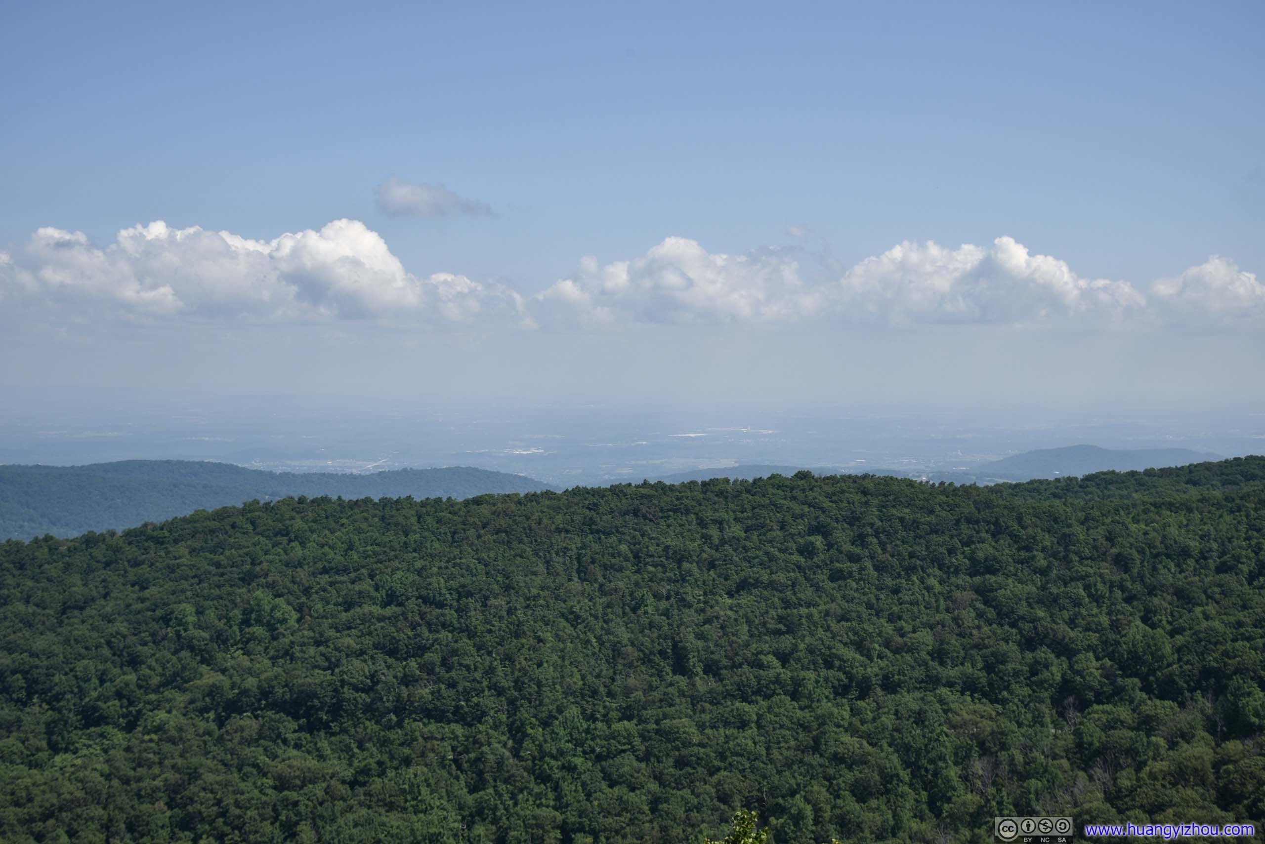
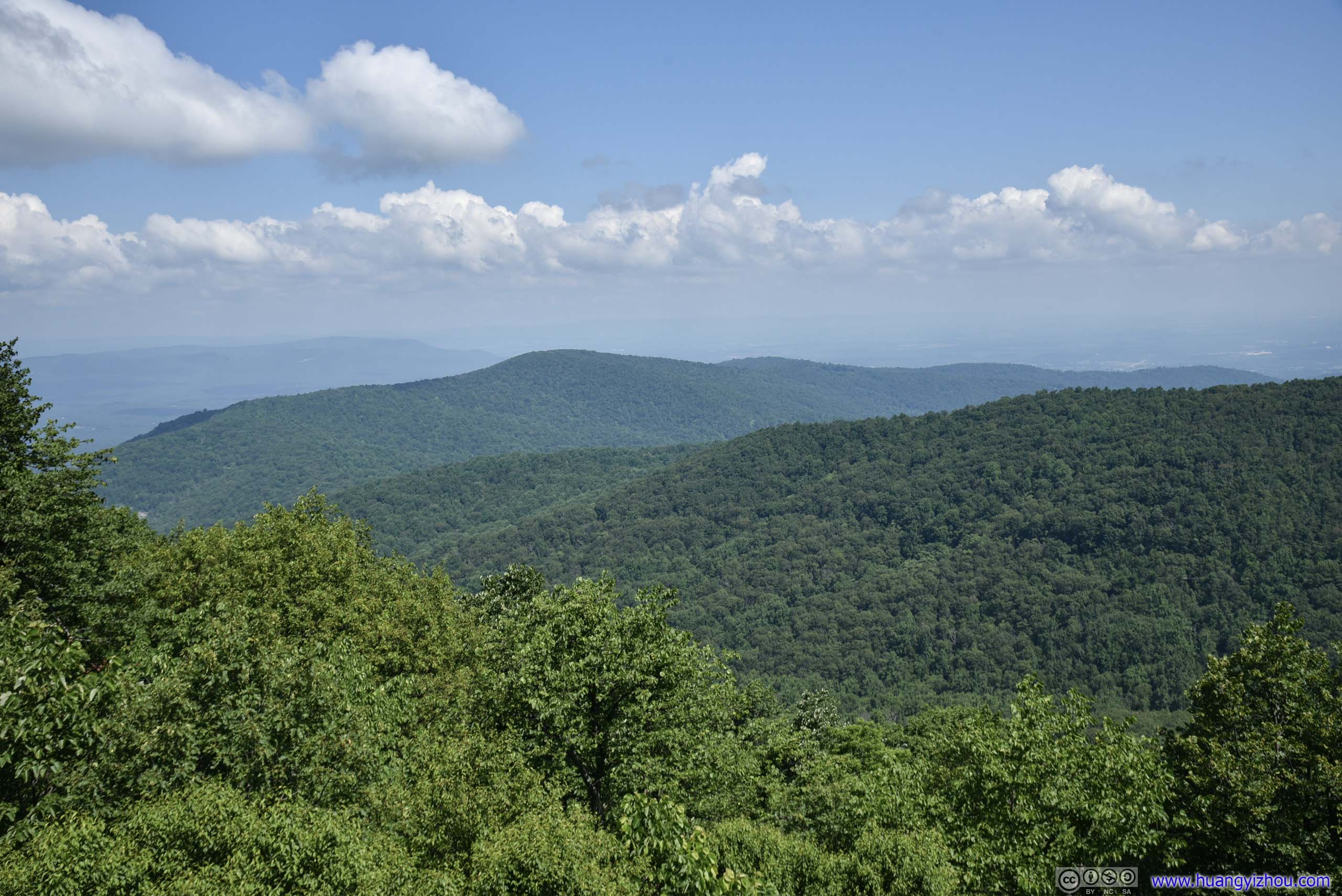
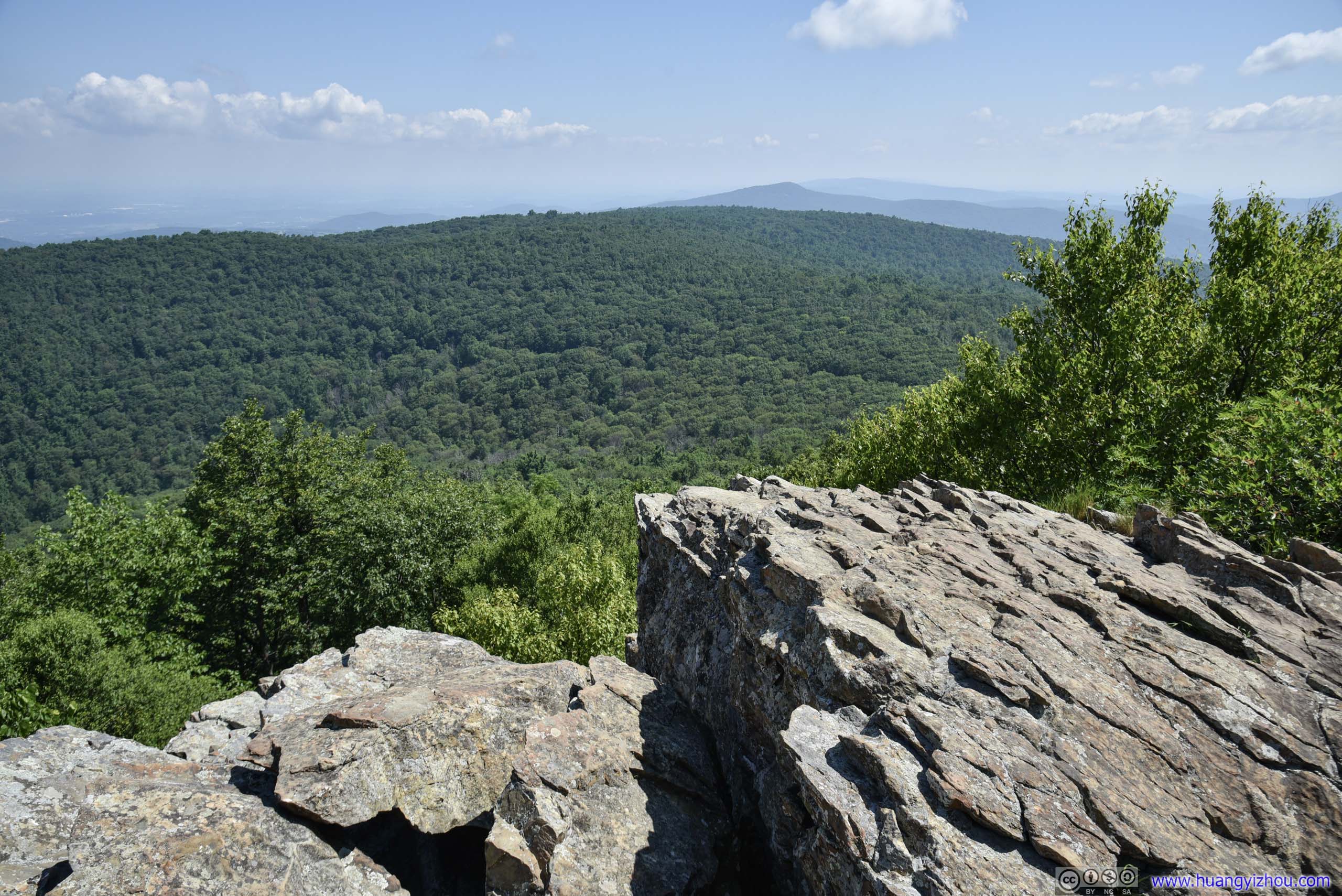
View from Compton Peak
A left turn to the South also led to some boulders, which OpenStreetMap and Alltrails marked as an overlook. It’s just that the views were too obstructed by trees, that I didn’t consider this southern fork much worthwhile.
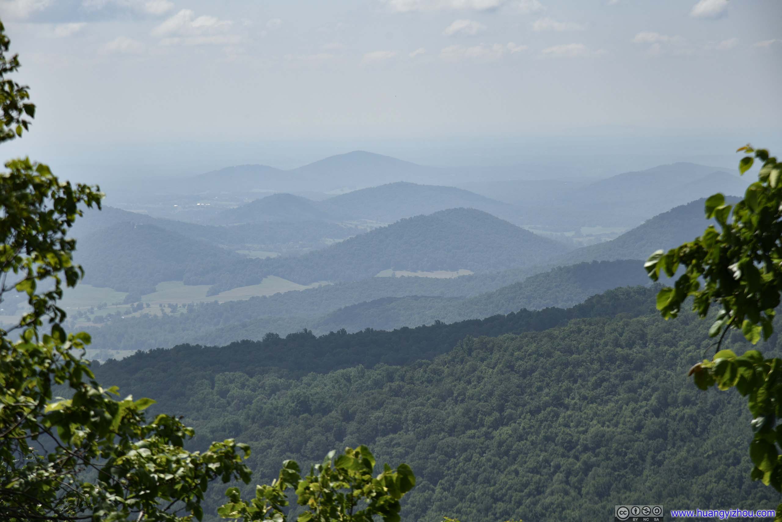

So an hour and 15 minutes later, we were back at the trailhead. This way, I convinced myself I didn’t take all the detour to Front Royal just to buy an annual pass.
After that, we drove to Thornton Gap visitor center for lunch, before heading out of the park to Little Devil Stairs trailhead.
Little Devil Stairs Trail
The last two miles of State Route 614 leading to the trailhead was mostly unpaved. At 10mph, it’s a test of my friend’s patience (luckily nobody was hurrying me from behind).
The trail was also accessible from Skyline Drive, only that it would add some distance (about 2km) to its length. It wasn’t a very demanding trail and during the day we encountered some people coming that way.
We took the trail in counter-clockwise direction, ascending along a creek and rocks and descending down the fire road.
Here's GPS tracking:


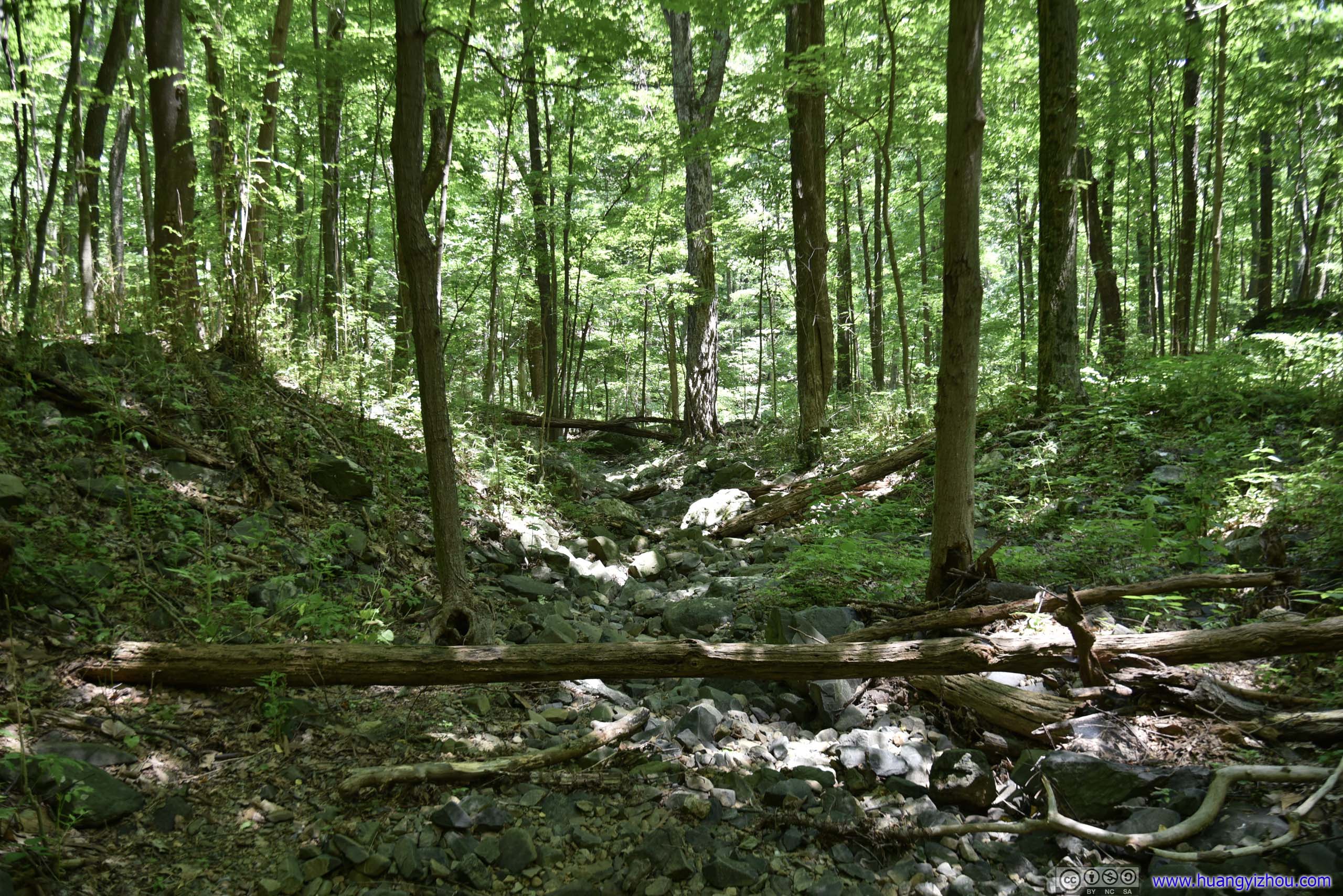
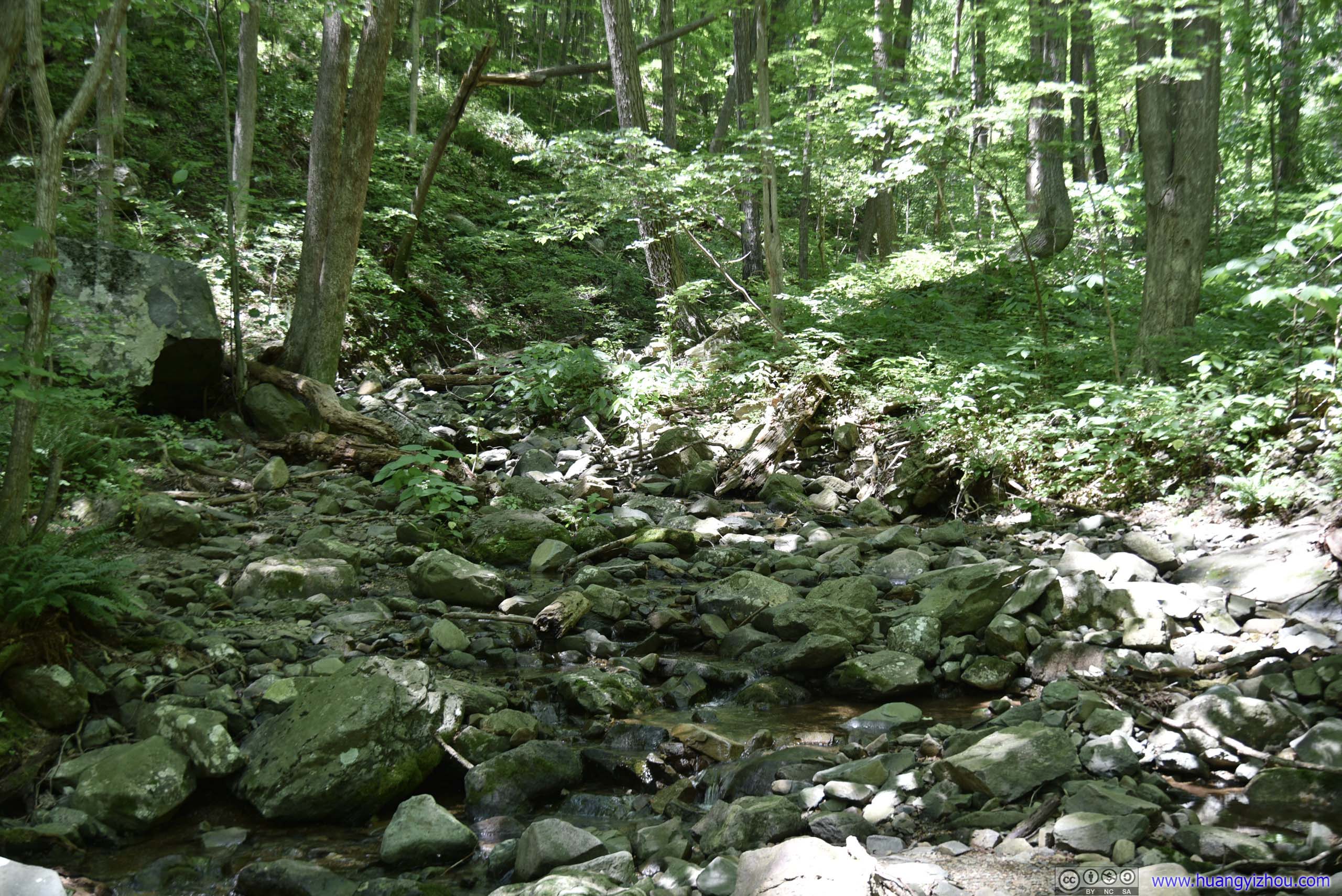
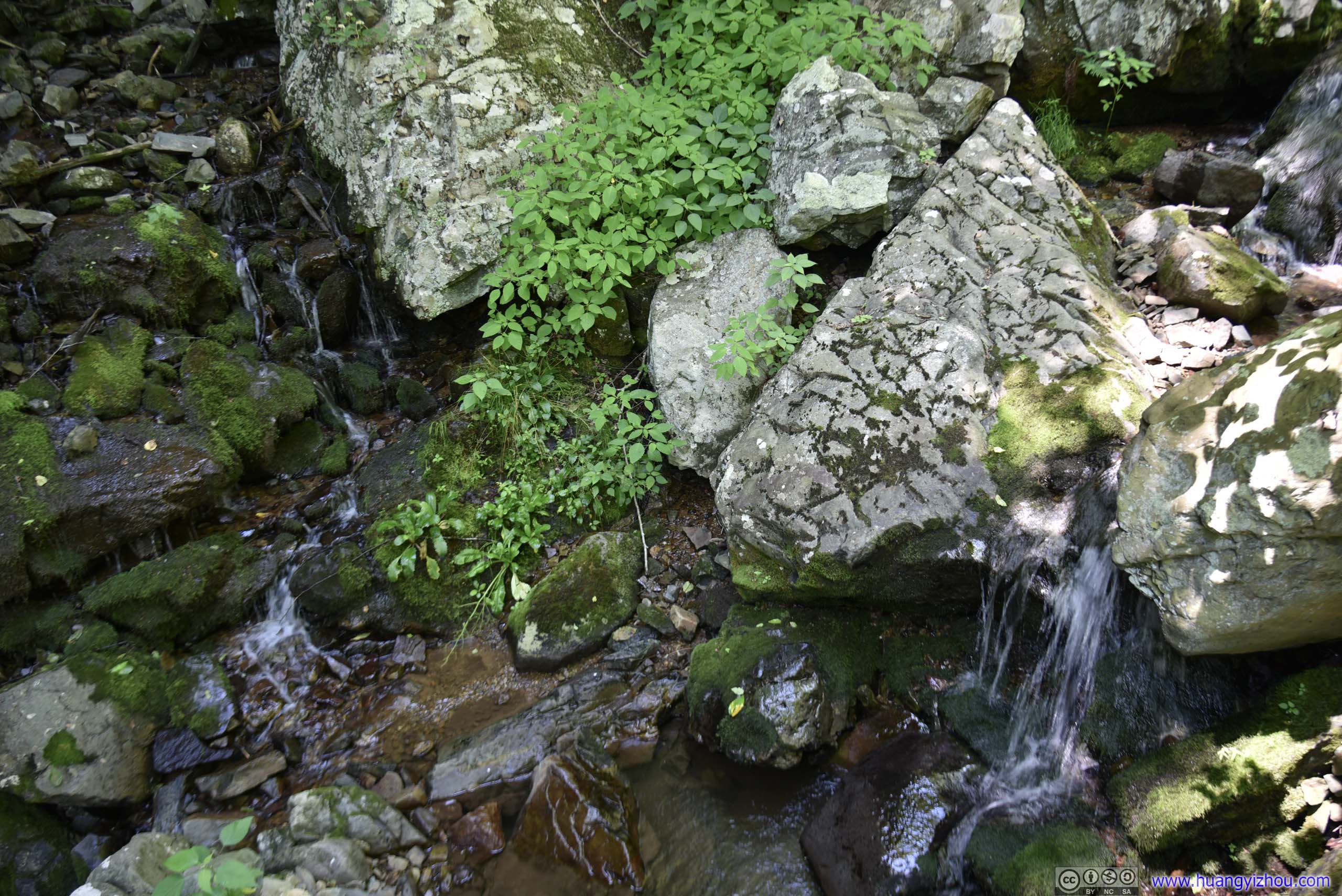
Creek
The creek’s appropriately called Little Devil Stairs Run.

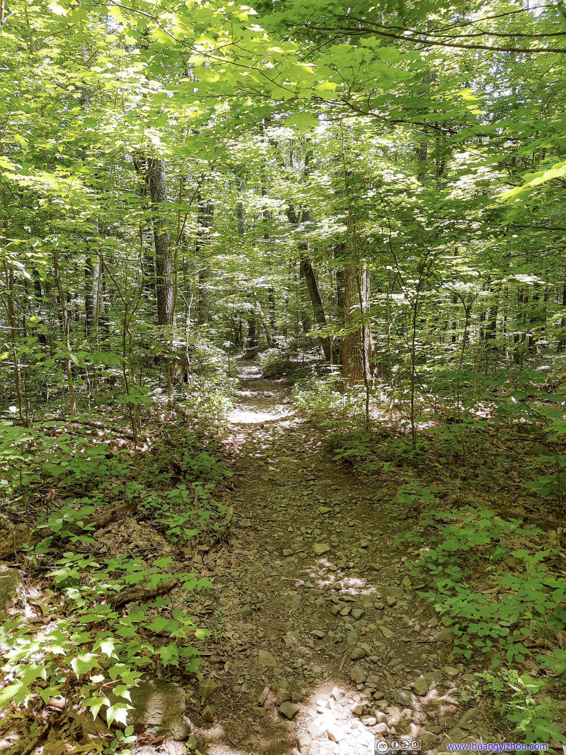
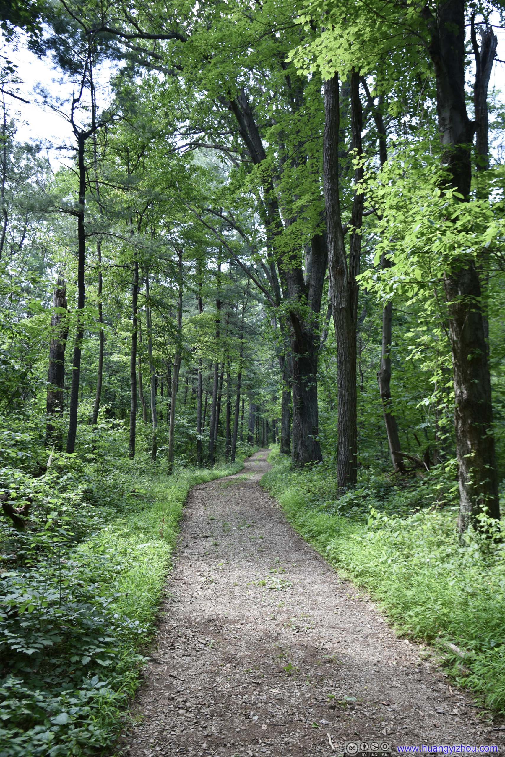
The first kilometer or so of the trail was through dense forest like this. The mostly even dirt trail had a slight incline, but it wasn't very physically demanding, nor was it any technical.
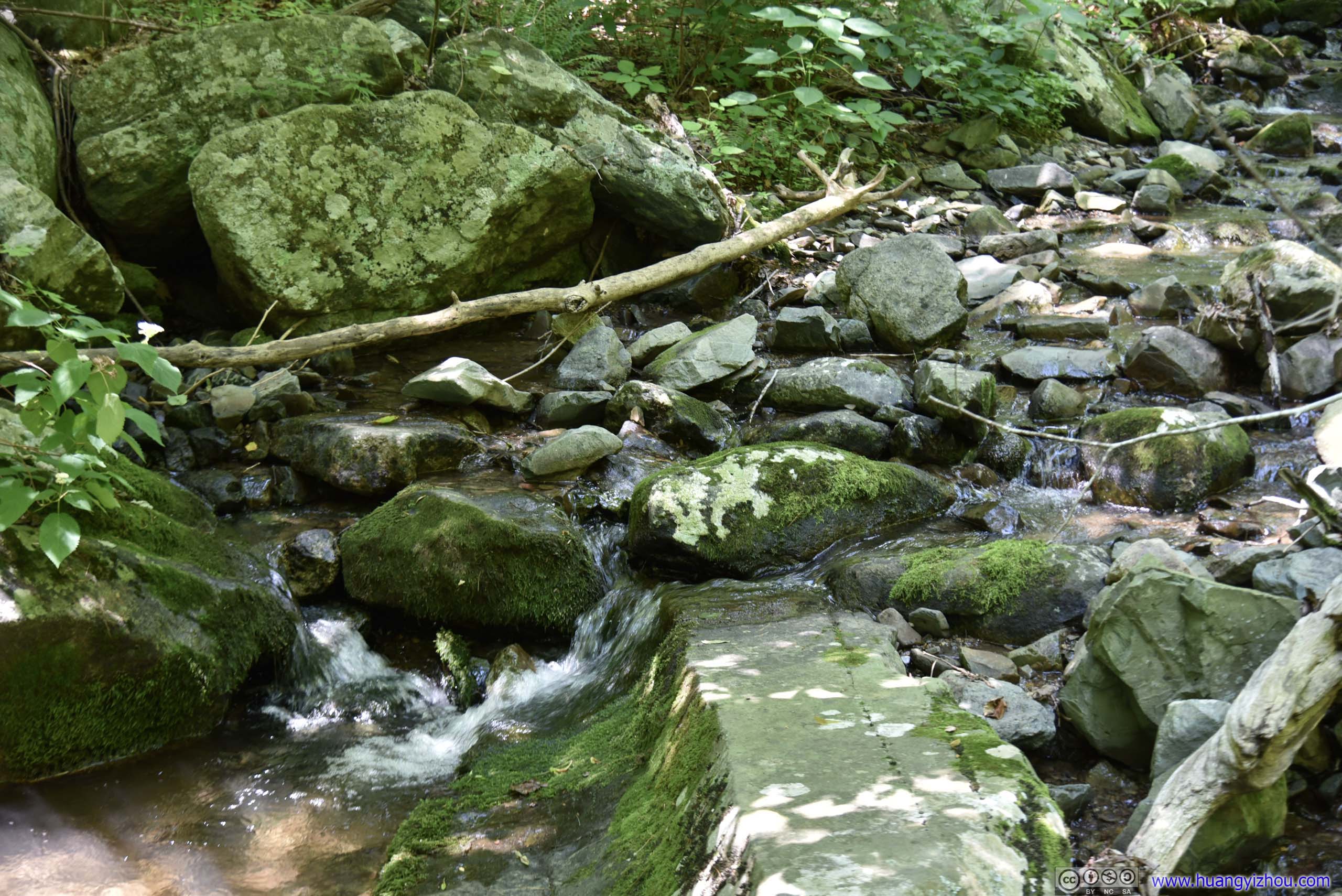
After that, the trail entered a rocky canyon, hastening elevation gain and putting on more physical demand.
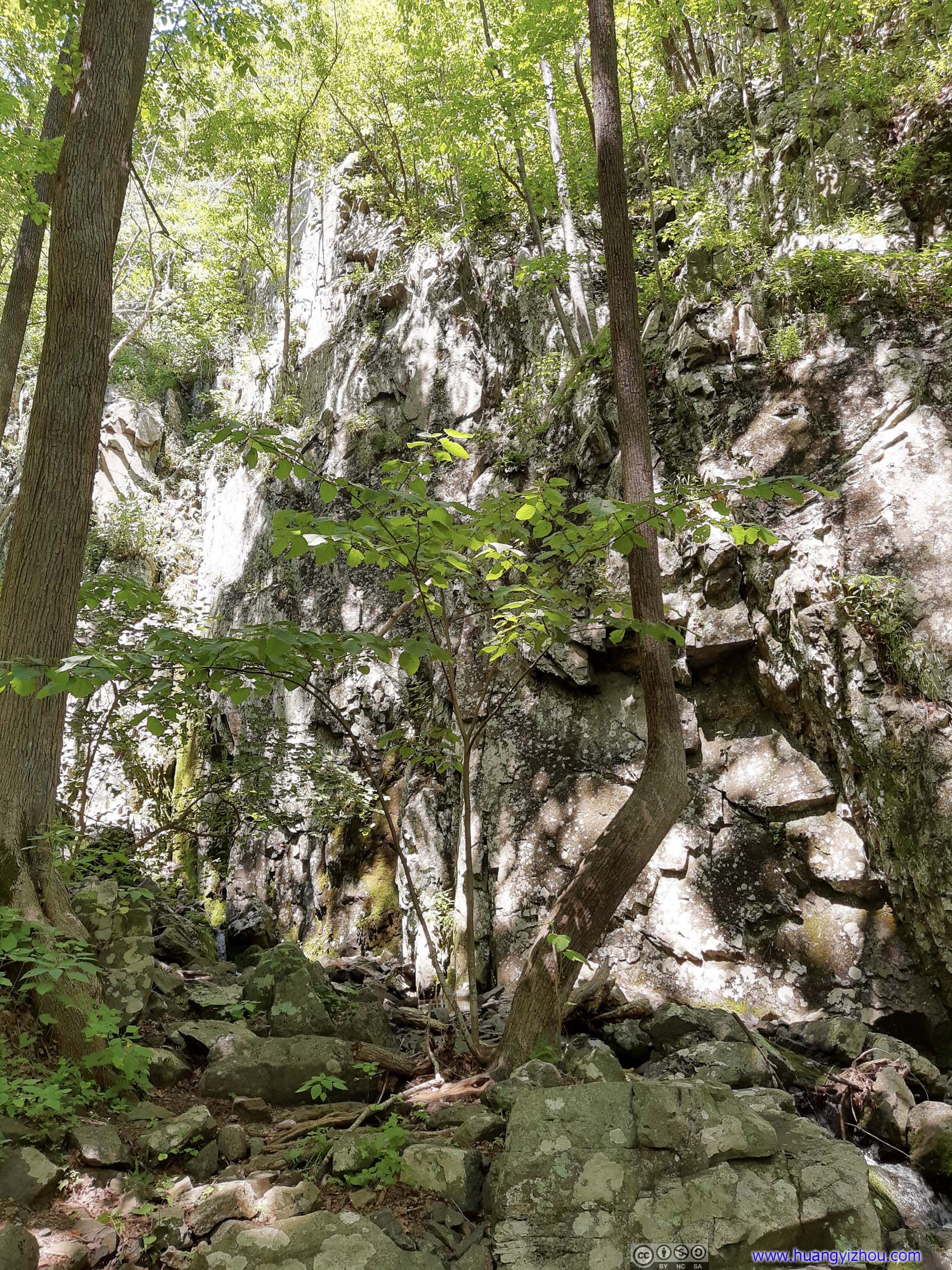
Sign that one was hiking in a canyon.
That’s also where the trail made multiple creek crossings. Flow wasn’t very strong during our visit, with exposed rocks at every creek crossing that kept our feet dry.
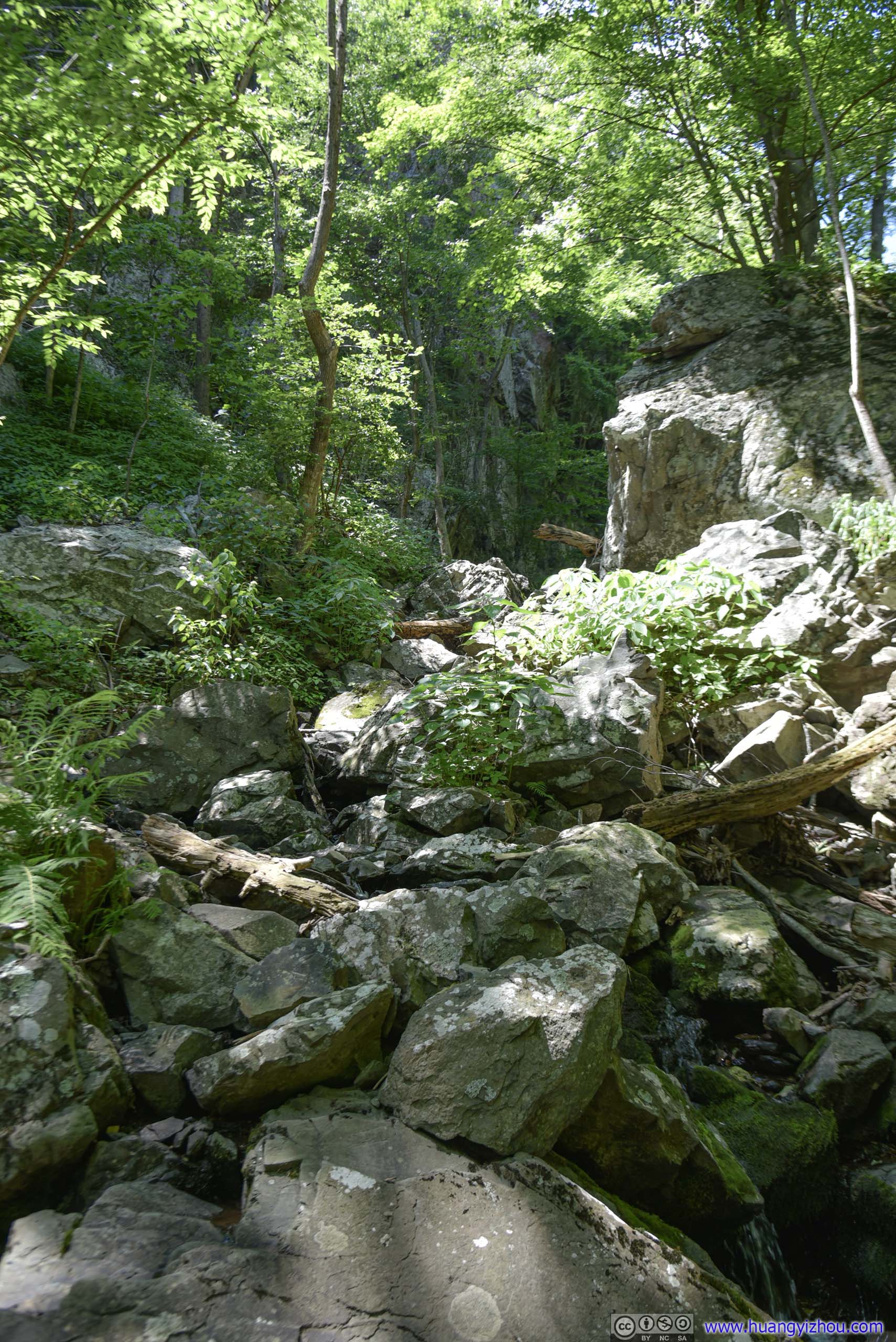
I was expecting some scrambling/climbing on the trail, as suggested by online comments. However, this was the most challenging part of the trail, which seemed a bit underwhelming to me. At the end of the day, I bet that I could do the entire trail with my hands in the pocket.
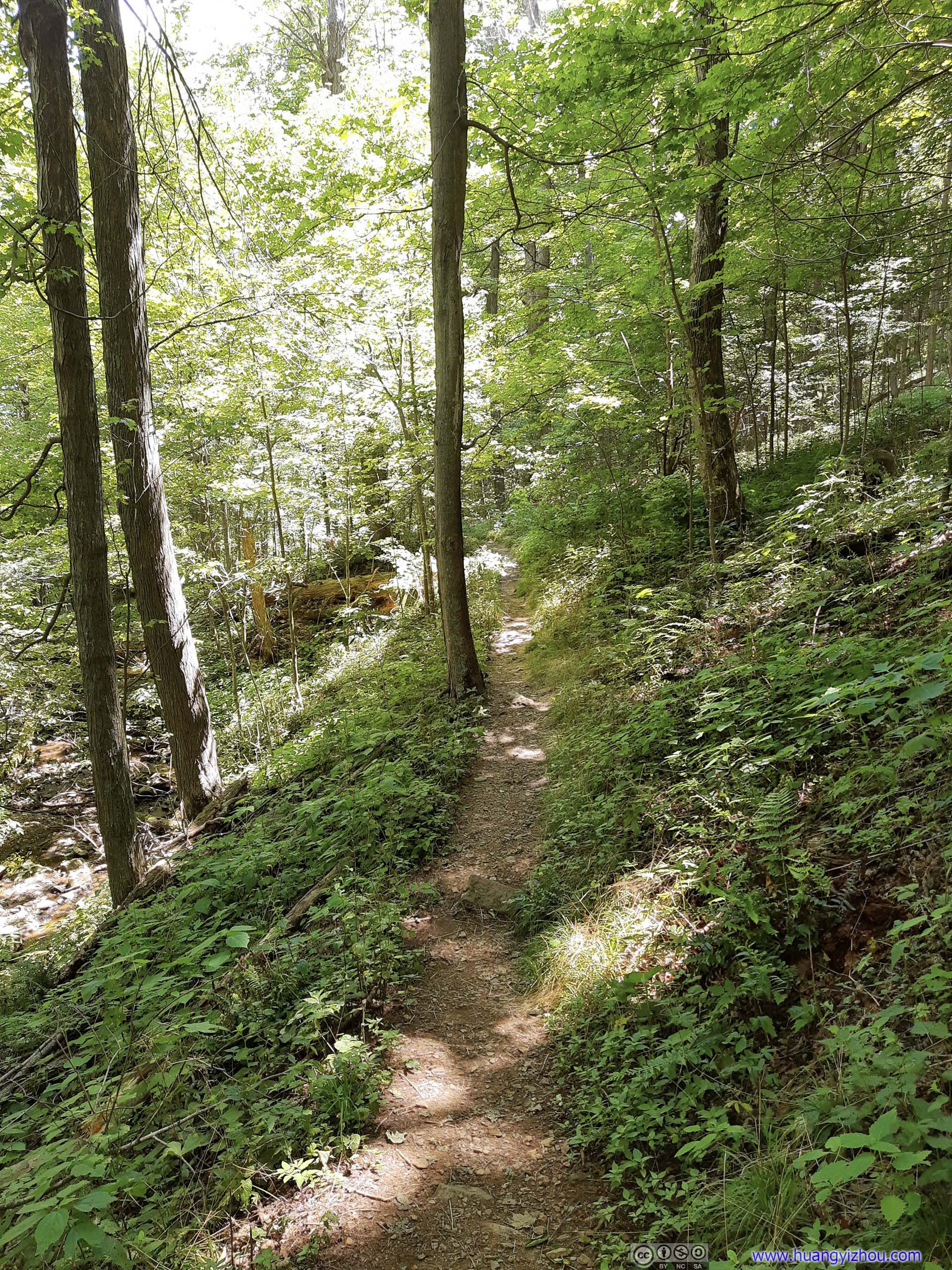
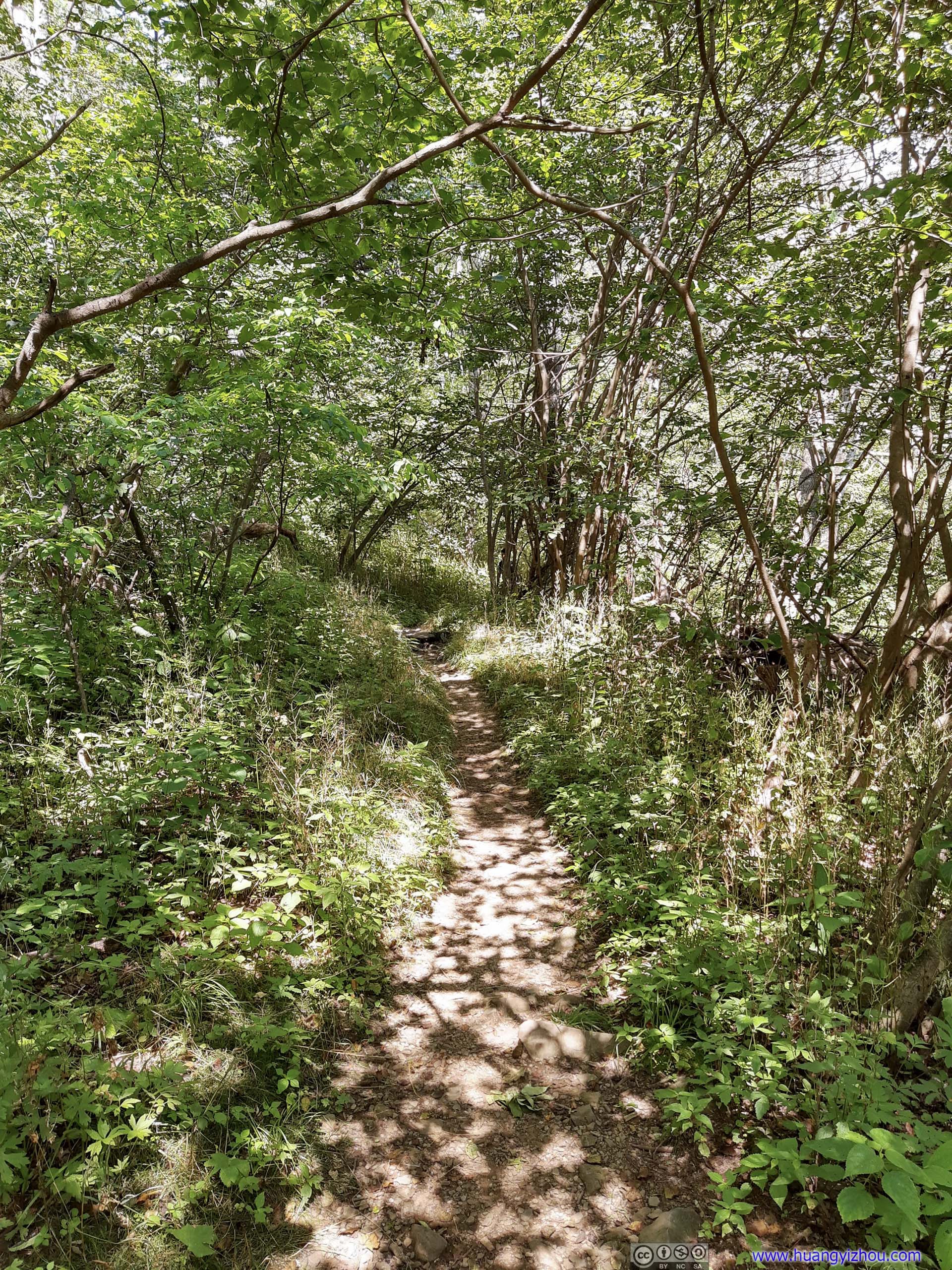
After the last waterfall, the trail narrowed down and wound its way up the mountain. It’s 600 meters to the intersection called "Fourway".
90 minutes and 2 miles later, we were at a place called "Fourway", where two trails intersected with each other. It’s the highest point of our hike. From here on, it’s a 4-mile fire road called "Keyser Run Road" back to the parking lot.
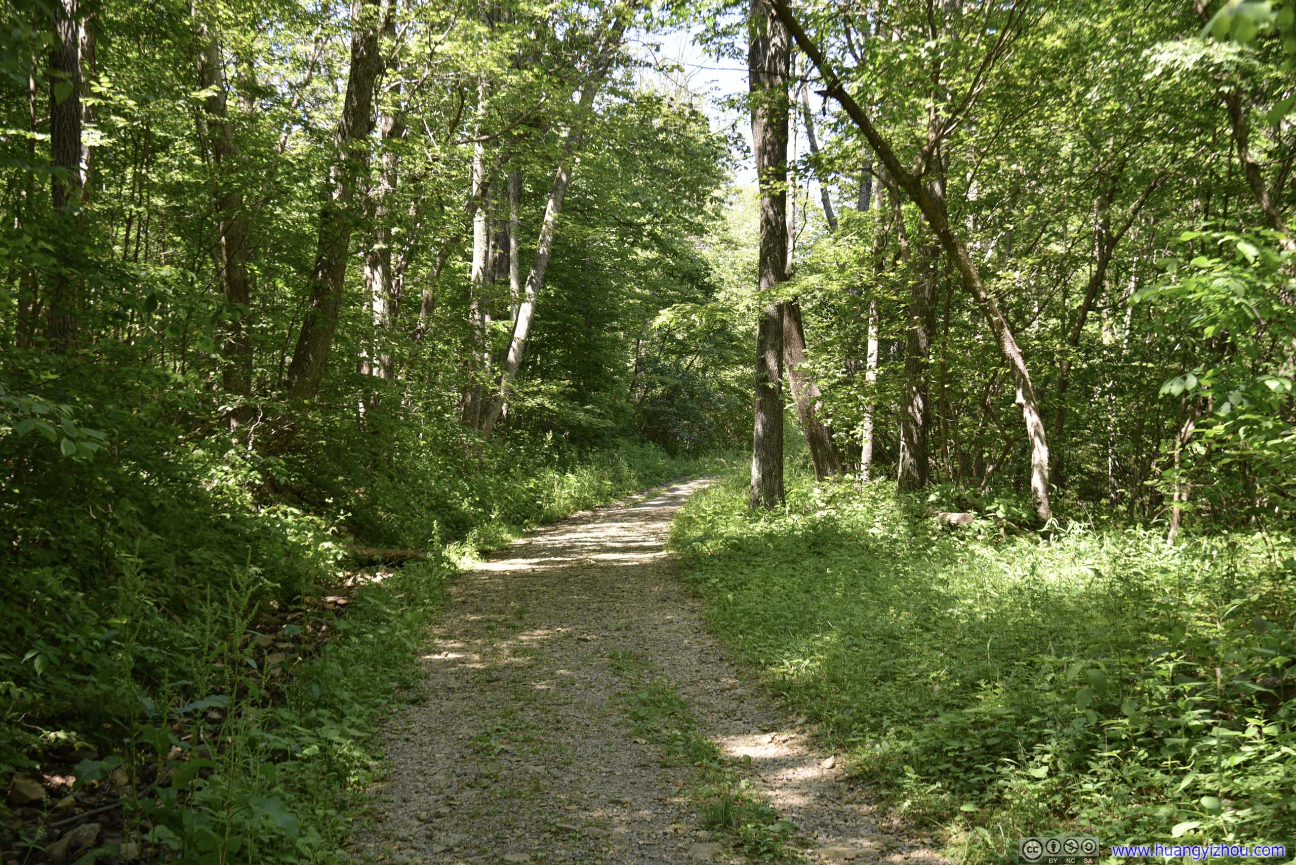
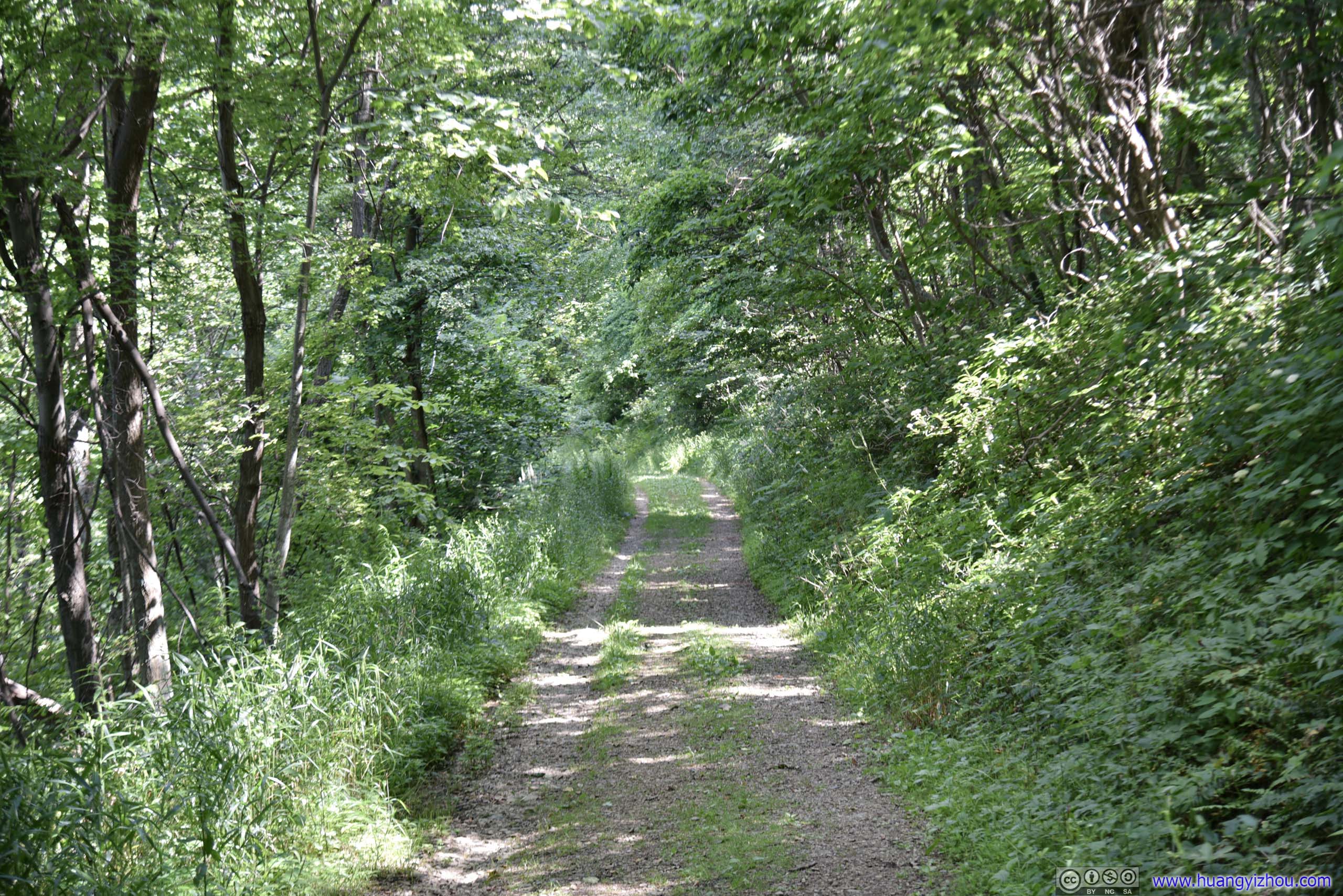


Signs of life along the way.
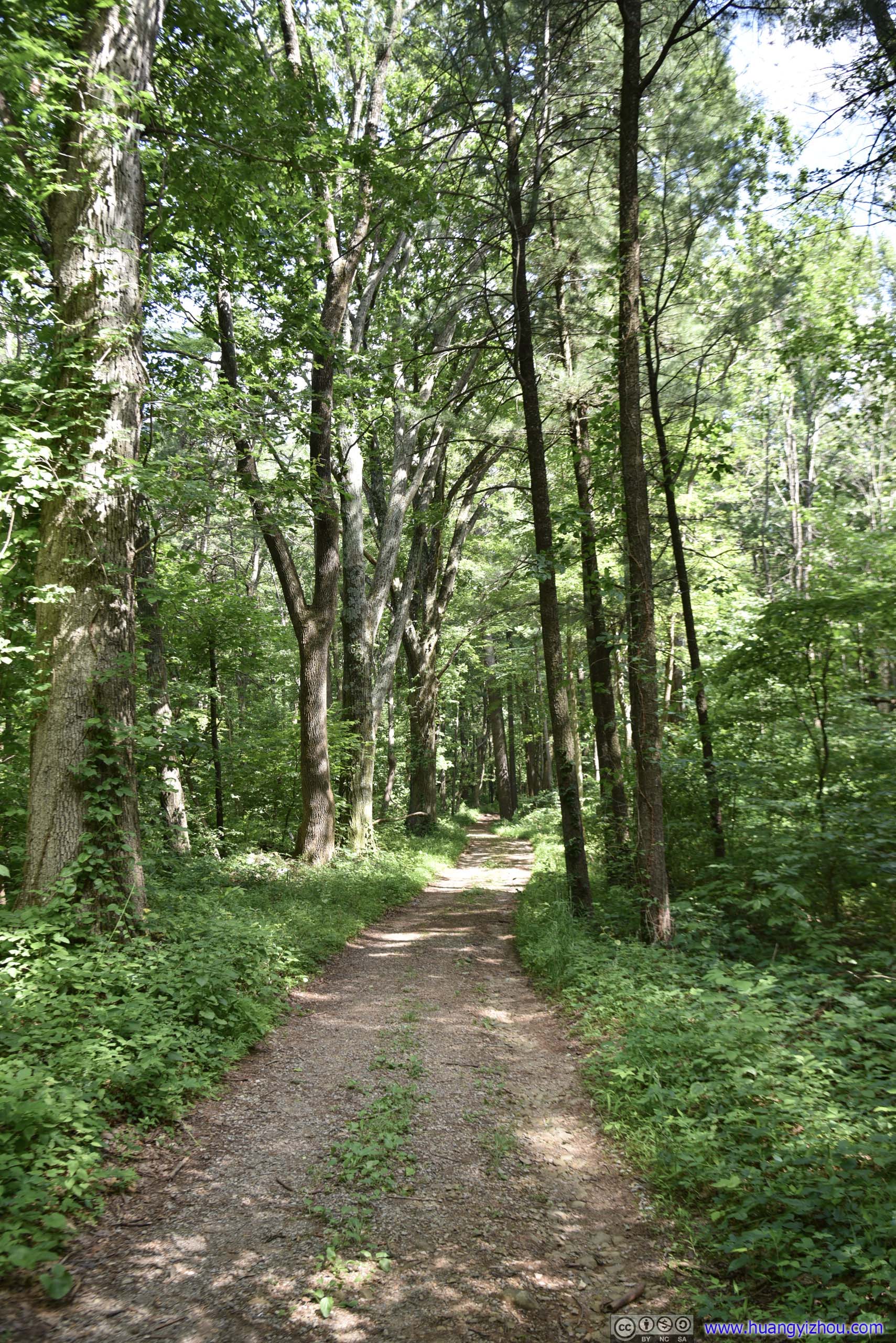
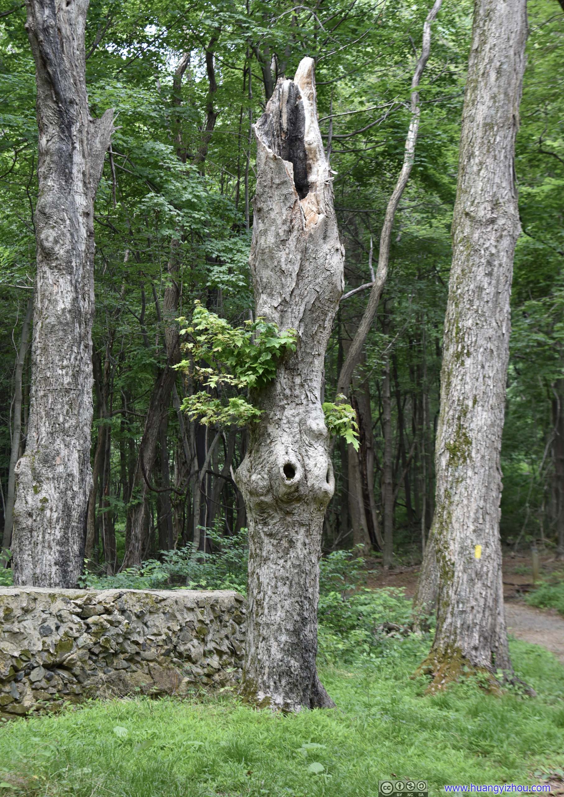
Feels like a torch to me.
At about two-thirds down the fire road.

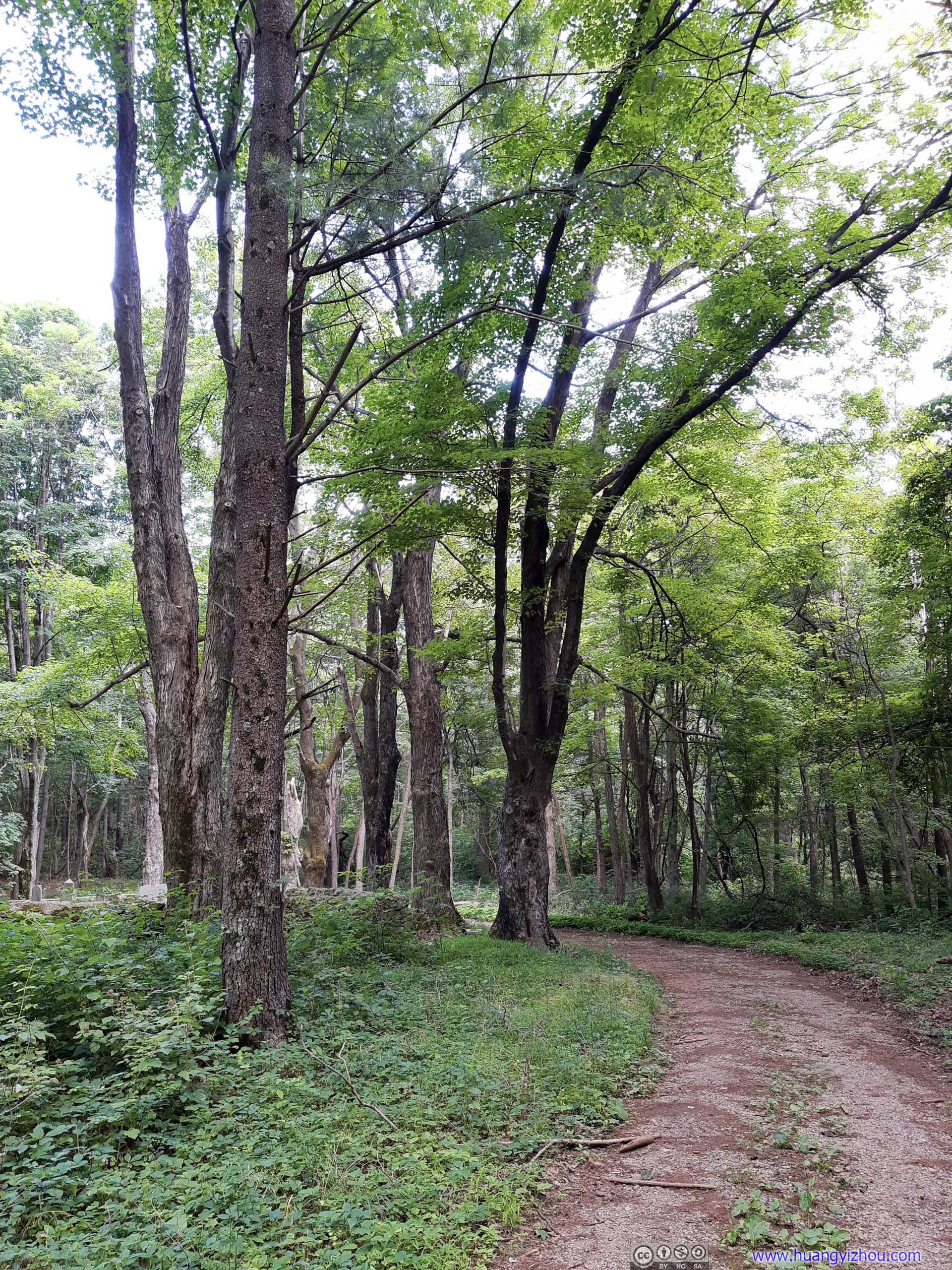
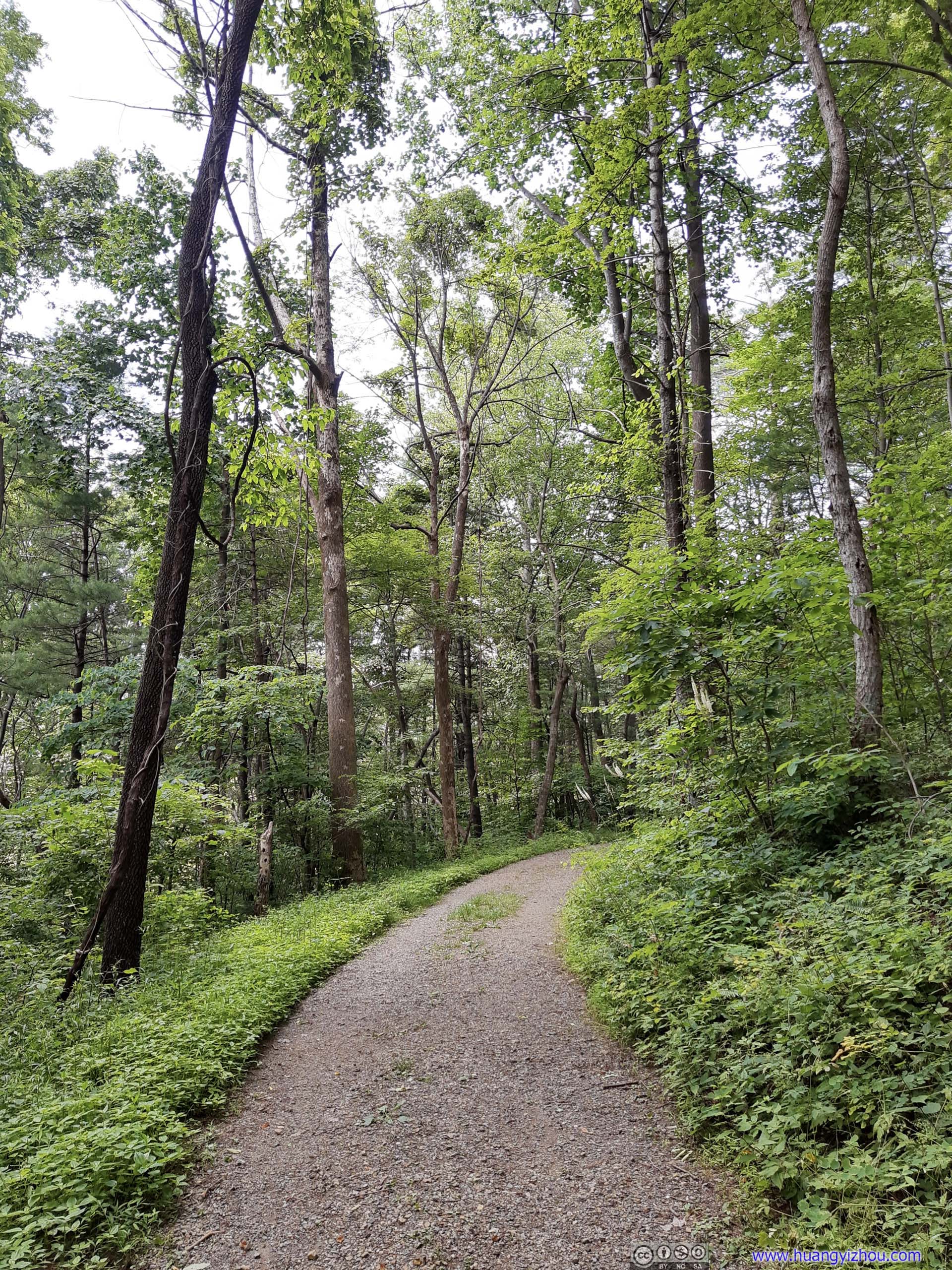
A little bit under 3 hours since our start, we were back at the parking lot.
Some quick thoughts about Little Devil Stairs Trail. Before the trip, I read that it’s the third most popular spot in Shenandoah for rock scrambling, behind Old Rag and Bearfence Mountain. Indeed, the first part of the trail contained portions that traversed some rocks, it’s nowhere near rock scrambling that I could take the entire trail with my hands in the pocket. So while the trail turned out to be a decent workout, especially for those not in the best shape, I found it sort of underwhelming with high expectations. The entire trail was mostly covered in shades, but that also meant apart from one spot along the downhill fire road, it offered no views. So, I ended the day with some sweats but not a lot of excitement.
July 4th Celebration
After our excursion in Shenandoah, we drove back to Washington DC hoping to catch this year’s Independence Day Celebration.
At first, we thought Columbia Island Marina was a good spot for watching the celebrations. It’s probably not as crowded as National Mall, which helped with the ongoing pandemic. It’s right across Potomac River with front seat views. Unfortunately, we found its entrance closed while driving down George Washington Parkway. There’s a sign that said "July 4 Permit Parking Only", yet as we stopped to regroup in Crystal City (next exit of Parkway), we couldn't find any information online about parking permits.
We planned Gravelly Point as a backup in case Columbia Island Marina was unavailable. On our way to Crystal City we found its lot was pretty full too, so we decided to park our car in Crystal City’s municipal garage (free on weekends) and walked to Gravelly Point. Weirdly, street parking was all occupied but municipal garages were very empty.
The 2km of walking from parking lot wasn’t in our original plan (considering that we were carrying beach chairs). As a result, we missed the first part of the air show, of Air Force One flying over National Mall, and a group of paratroopers descending onto Washington DC.
Flyover
The flyover started with vintage aircrafts, like P51 Mustangs and B29 Super Fortress, the aircrafts helped United States won World War II.
These vintage aircrafts were mostly fitted with ADS-B, that meant on apps like FlightRadar24, I was watching them taking off from Manassas Airport, circling around southern DC suburb for around half an hour to get into formation, and then heading towards National Mall for the showoff.

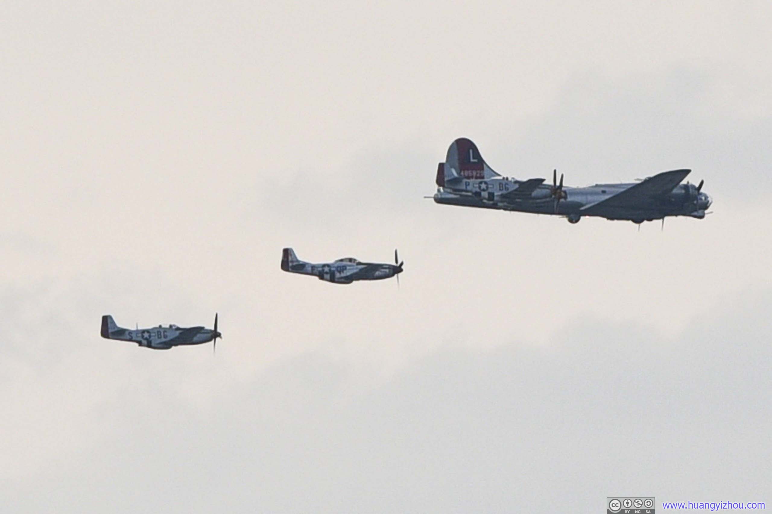
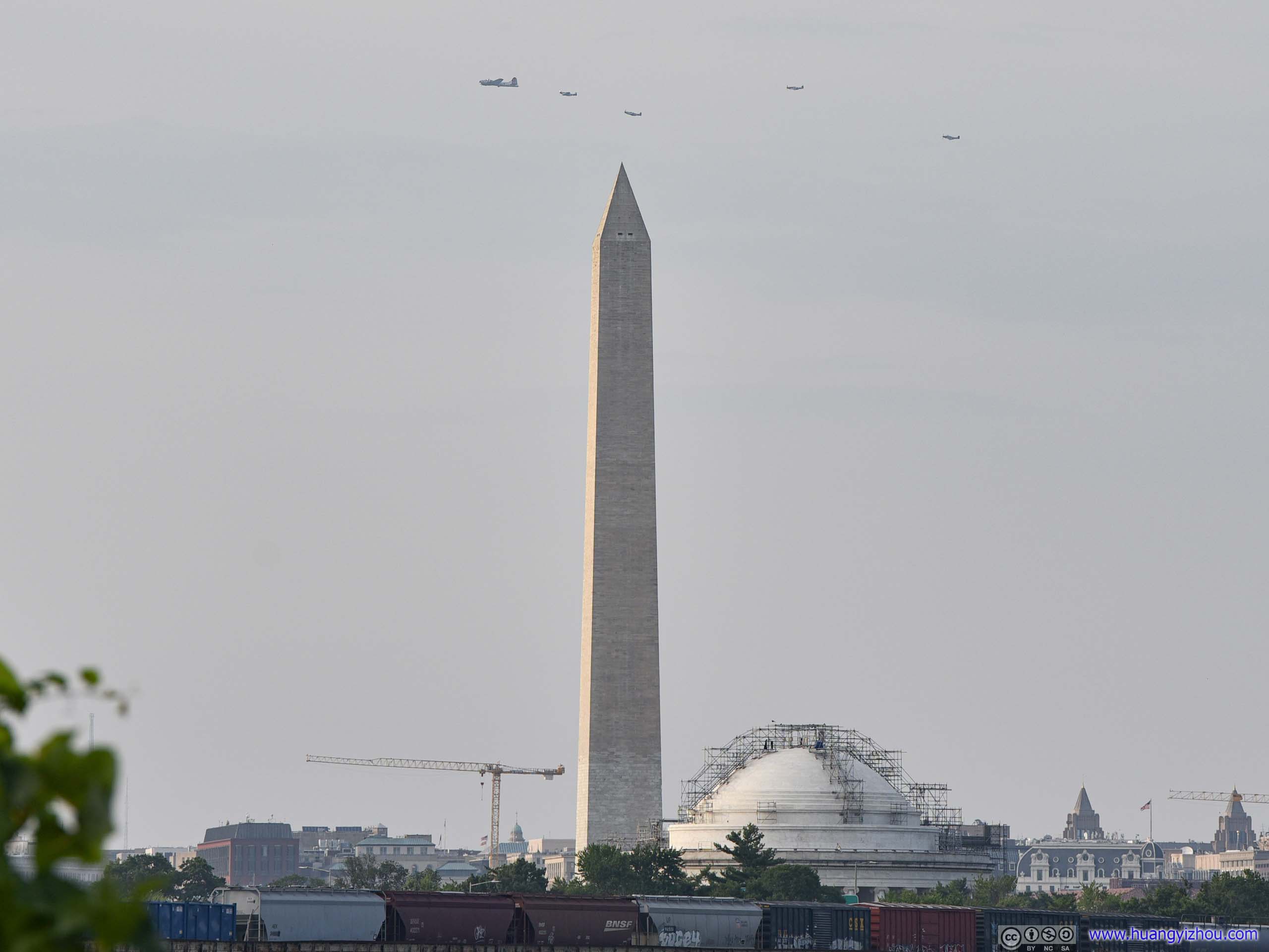
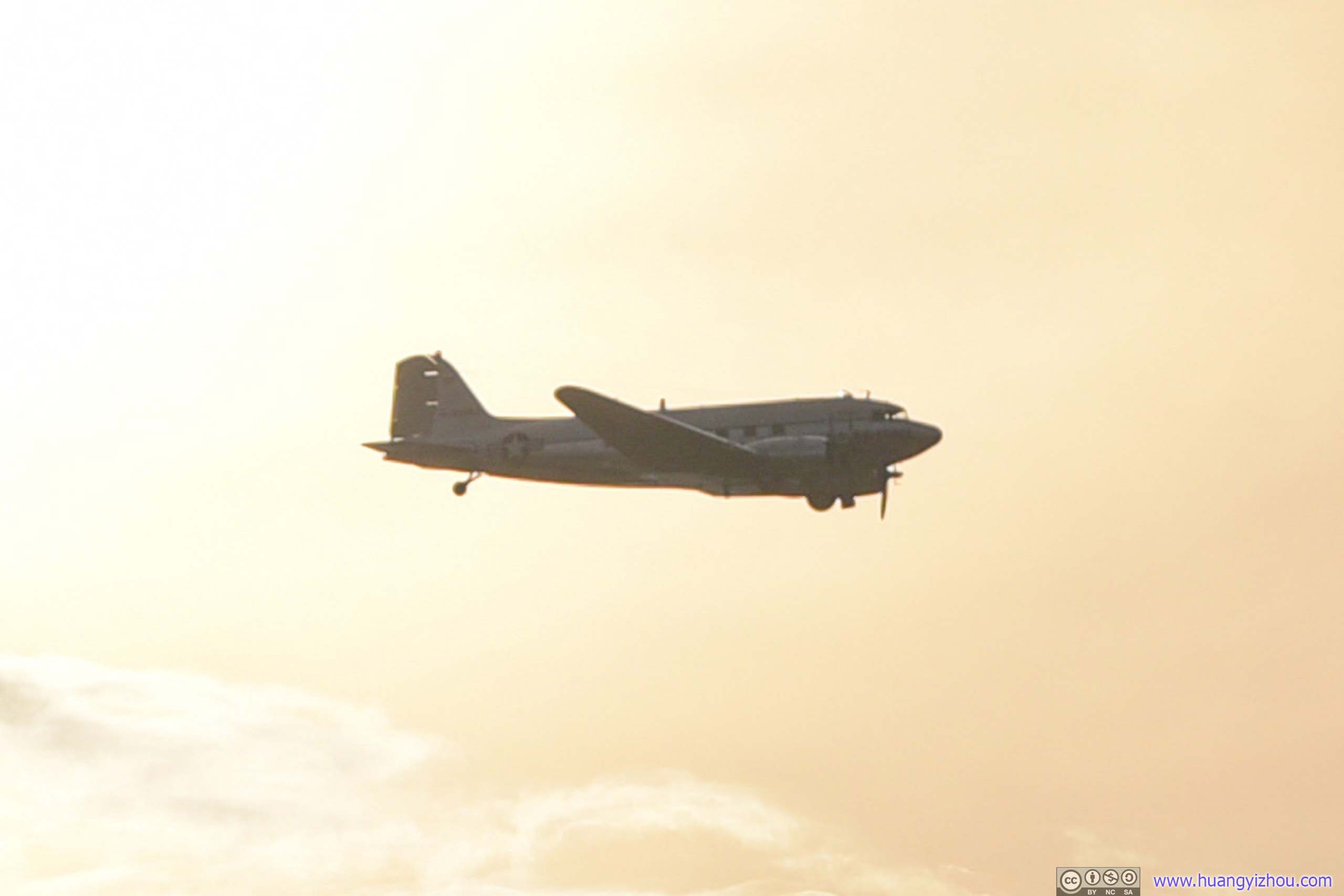

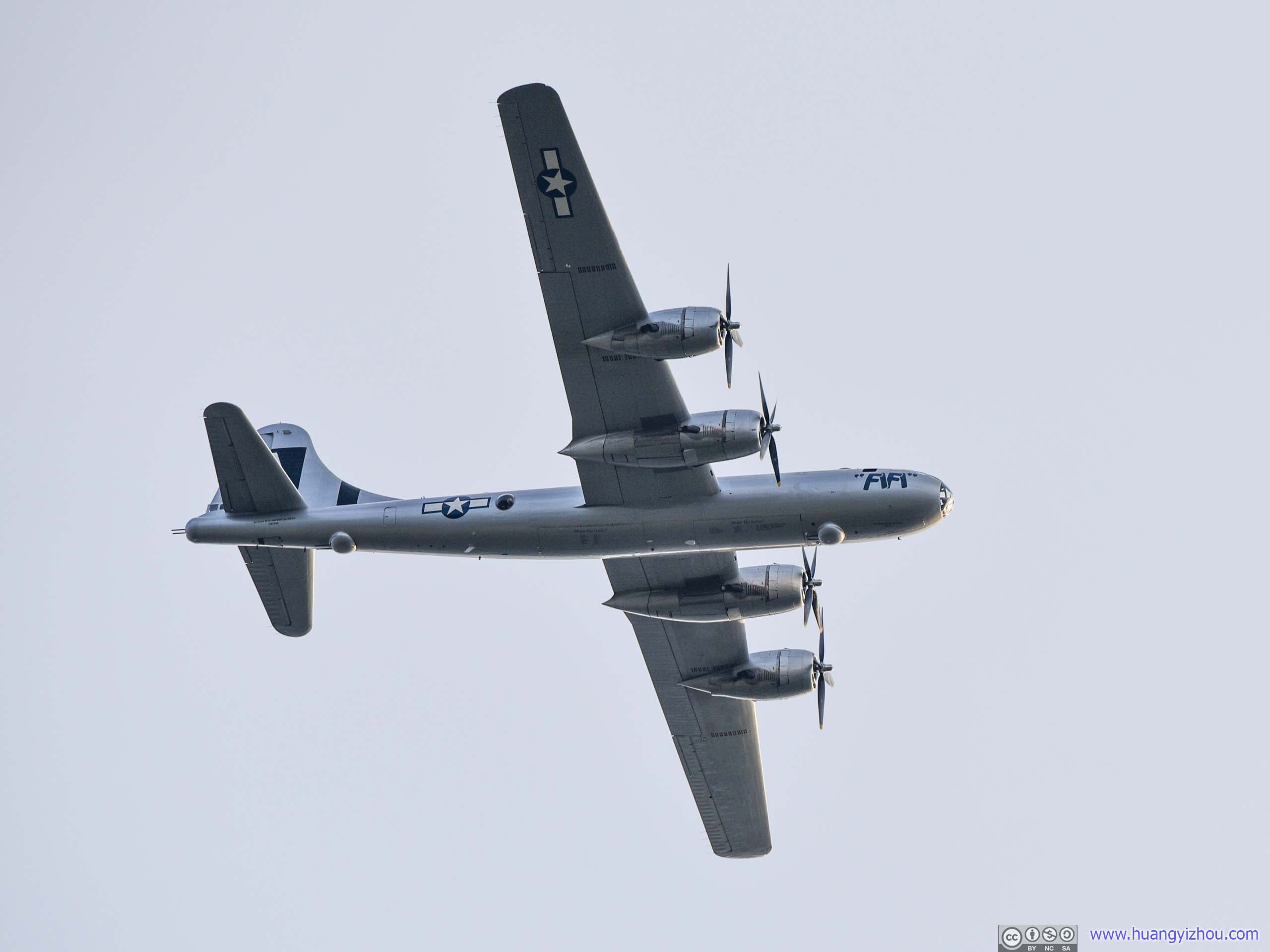
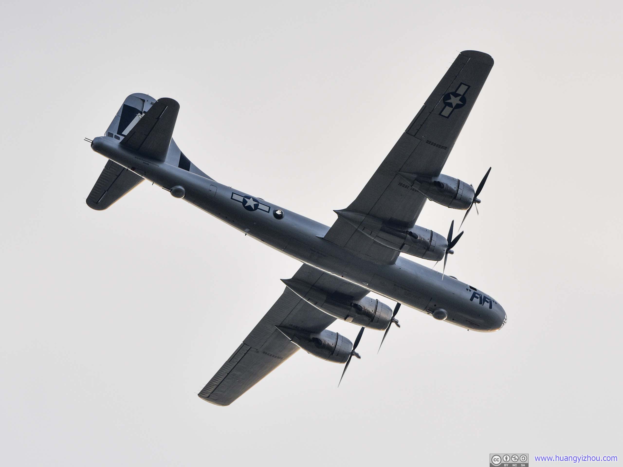

B29 FIFI
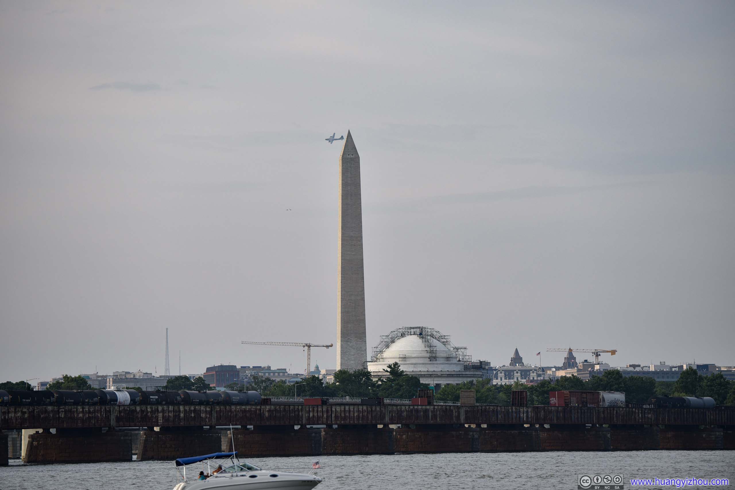
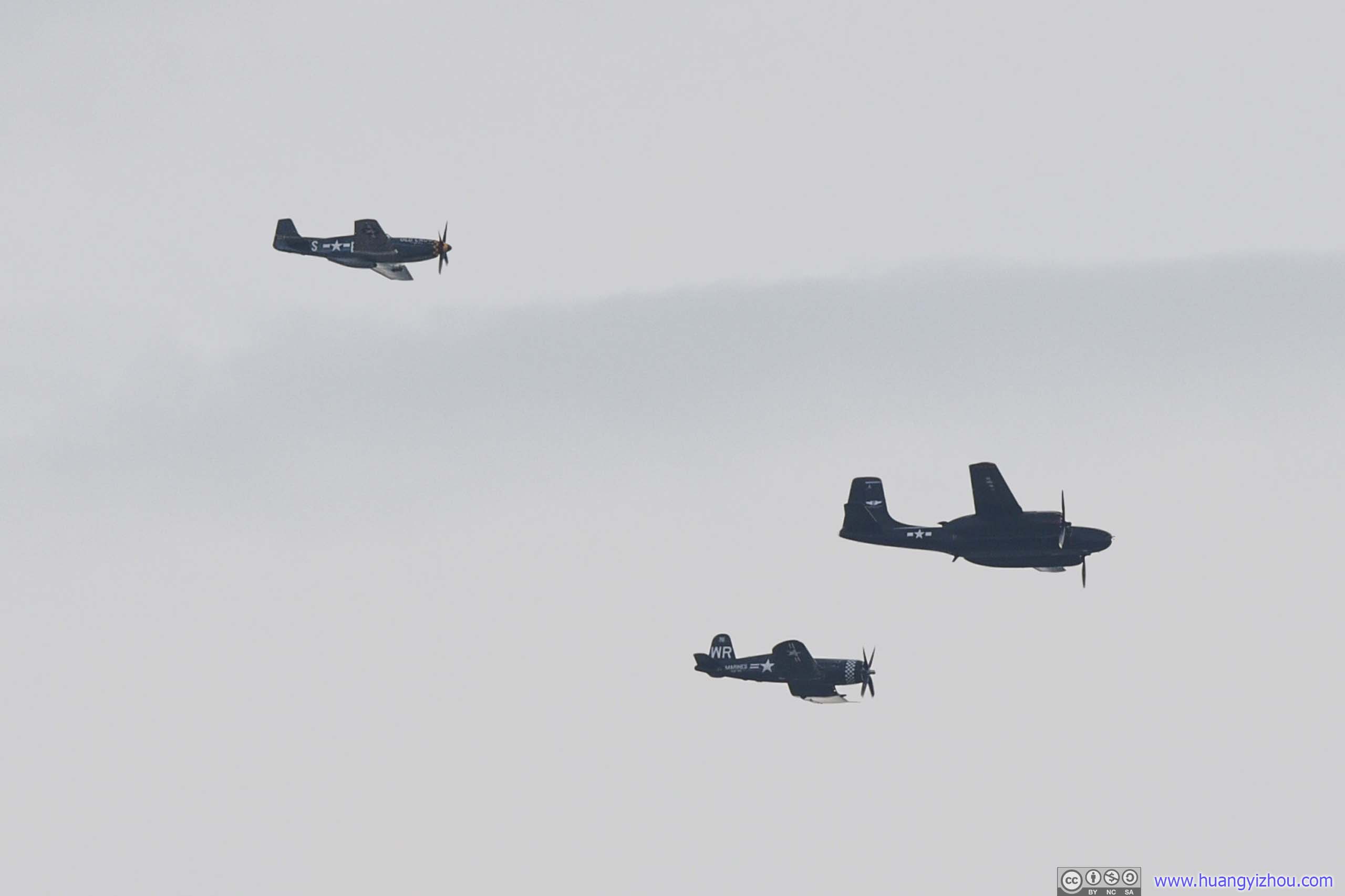
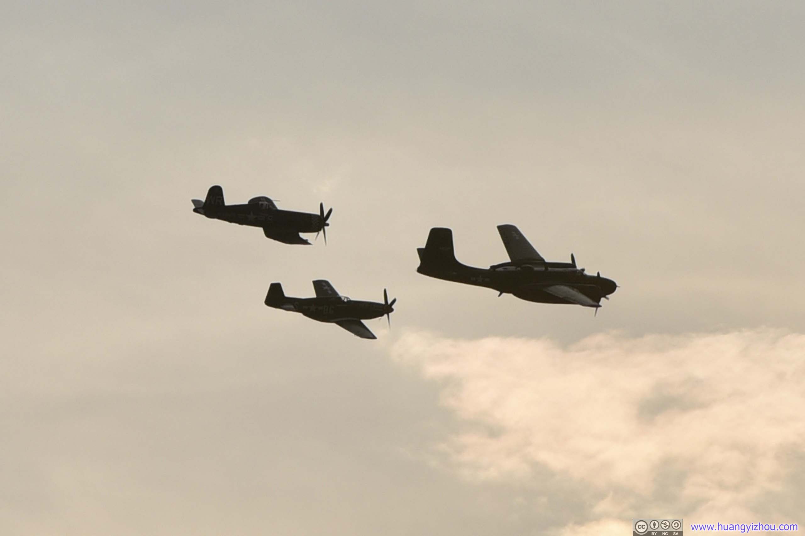
After that, the air show continued with modern aircrafts.
Unfortunately, for this part, most of the aircrafts were too distant away for my 200mm lens, so the photos were heavily cropped.

Probably due to their increased low-speed maneuverability, helicopters were flying at lower altitudes than fixed-wing aircrafts.
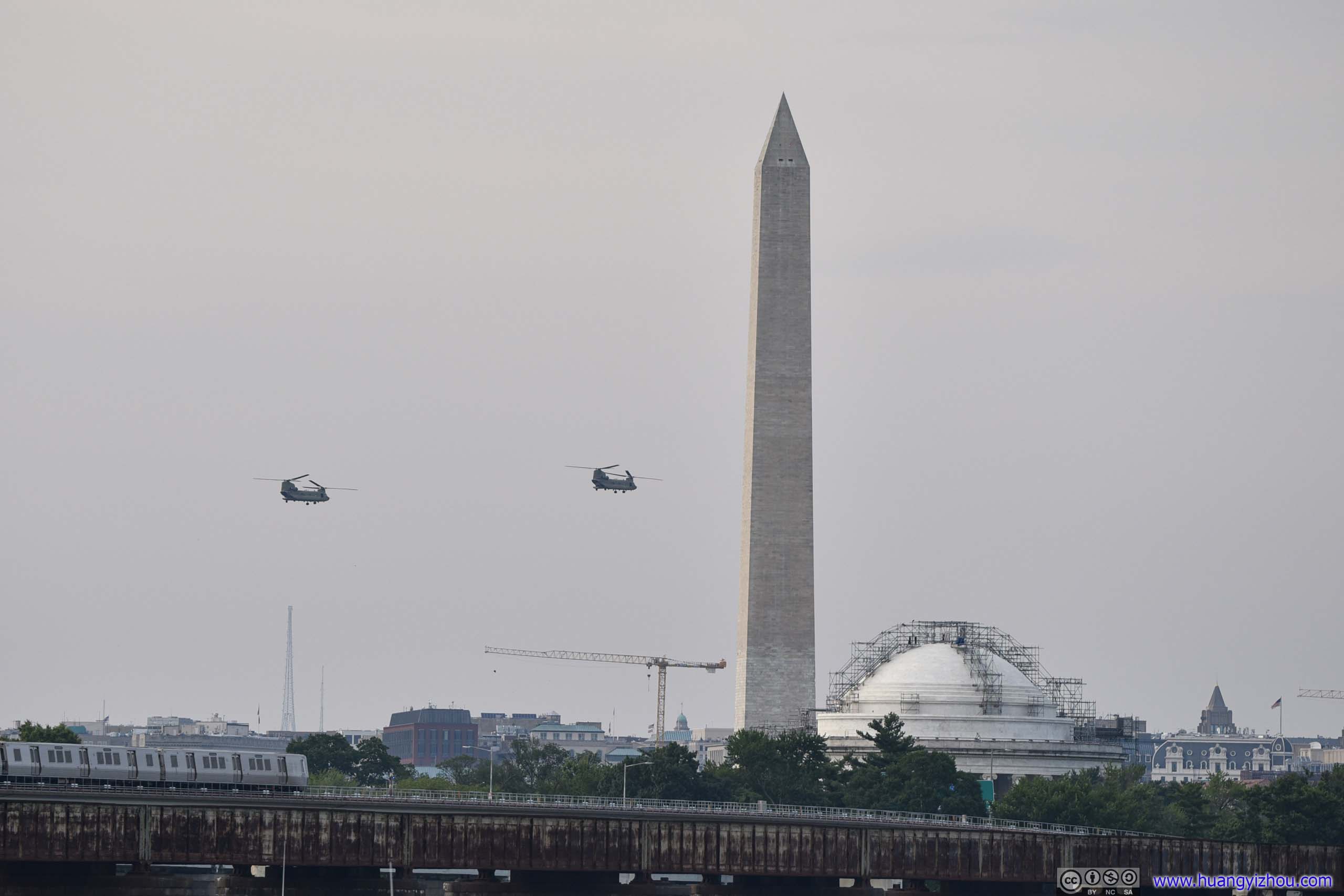
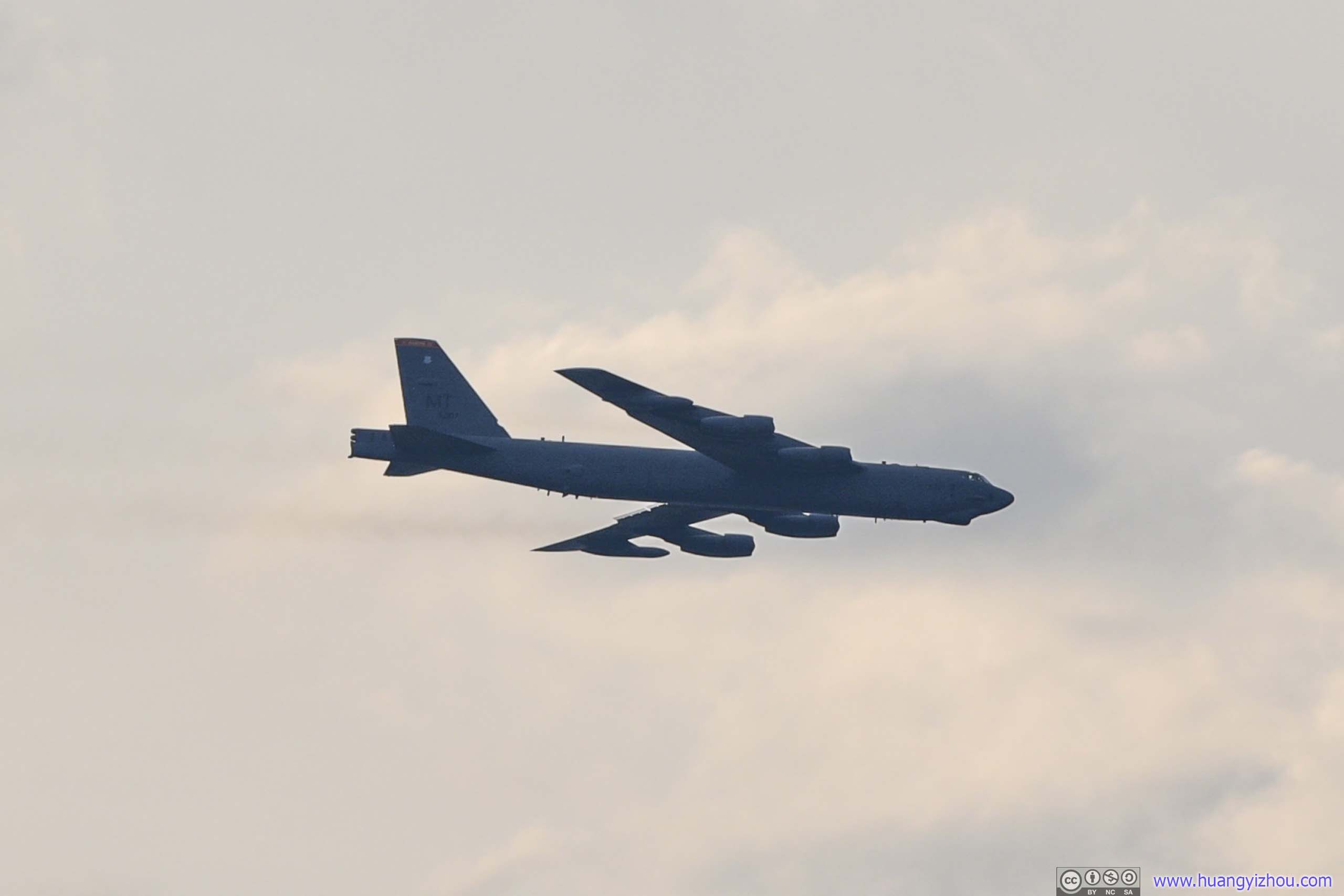

The aircrafts were planned to fly over National Mall at 1000 feet. After that, most aircrafts would immediately climb to a higher altitude that’s more suitable for flying.
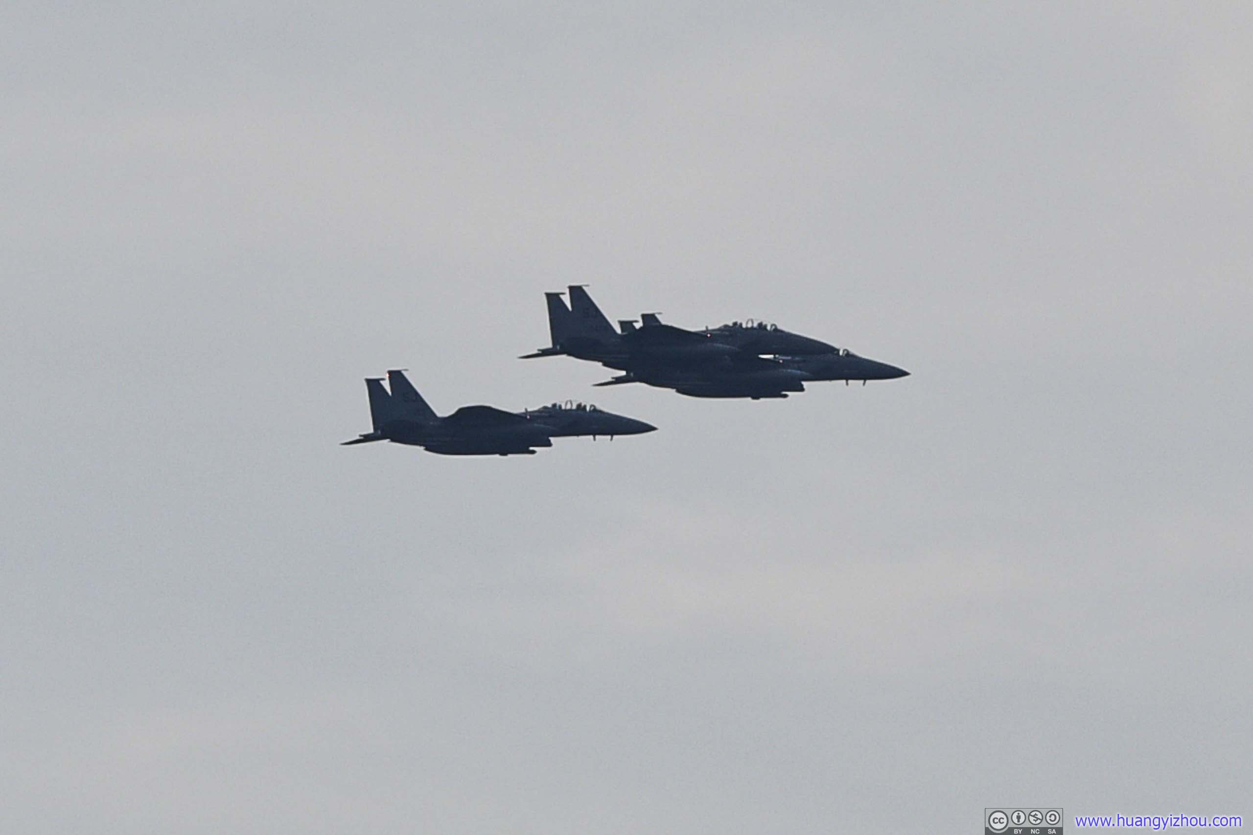
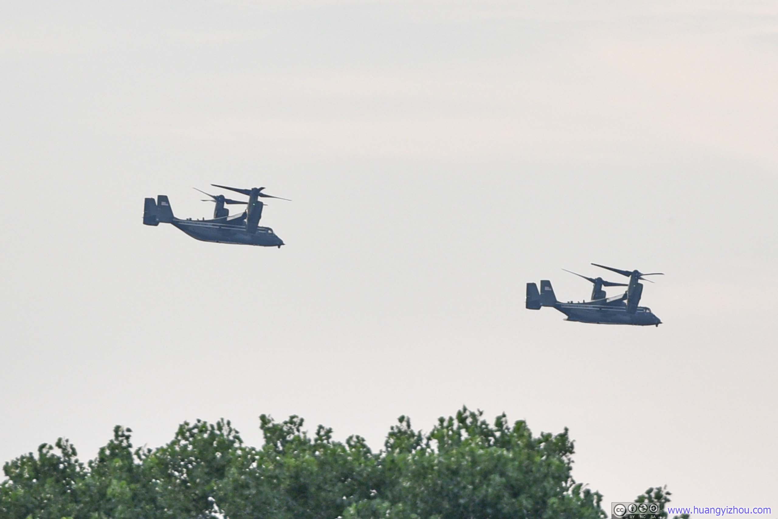
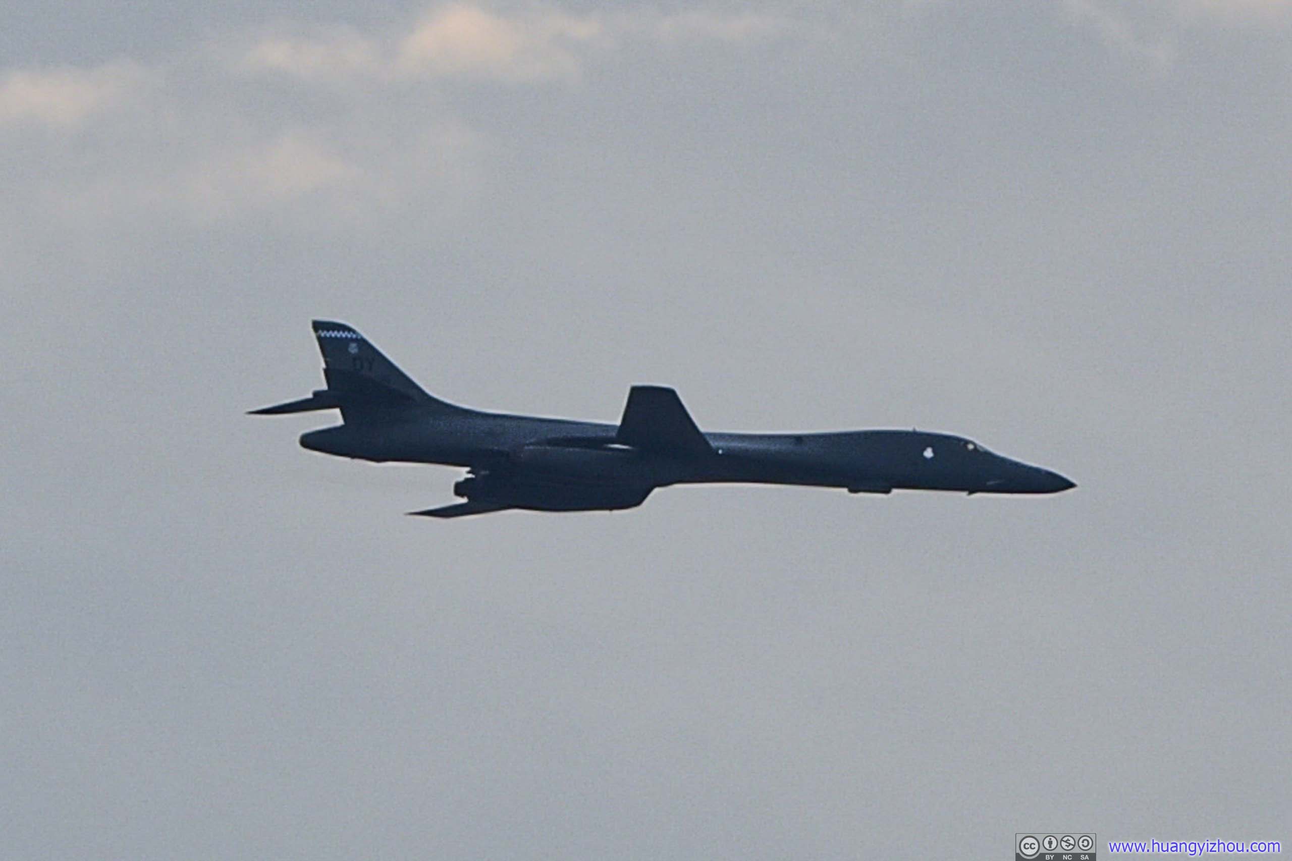
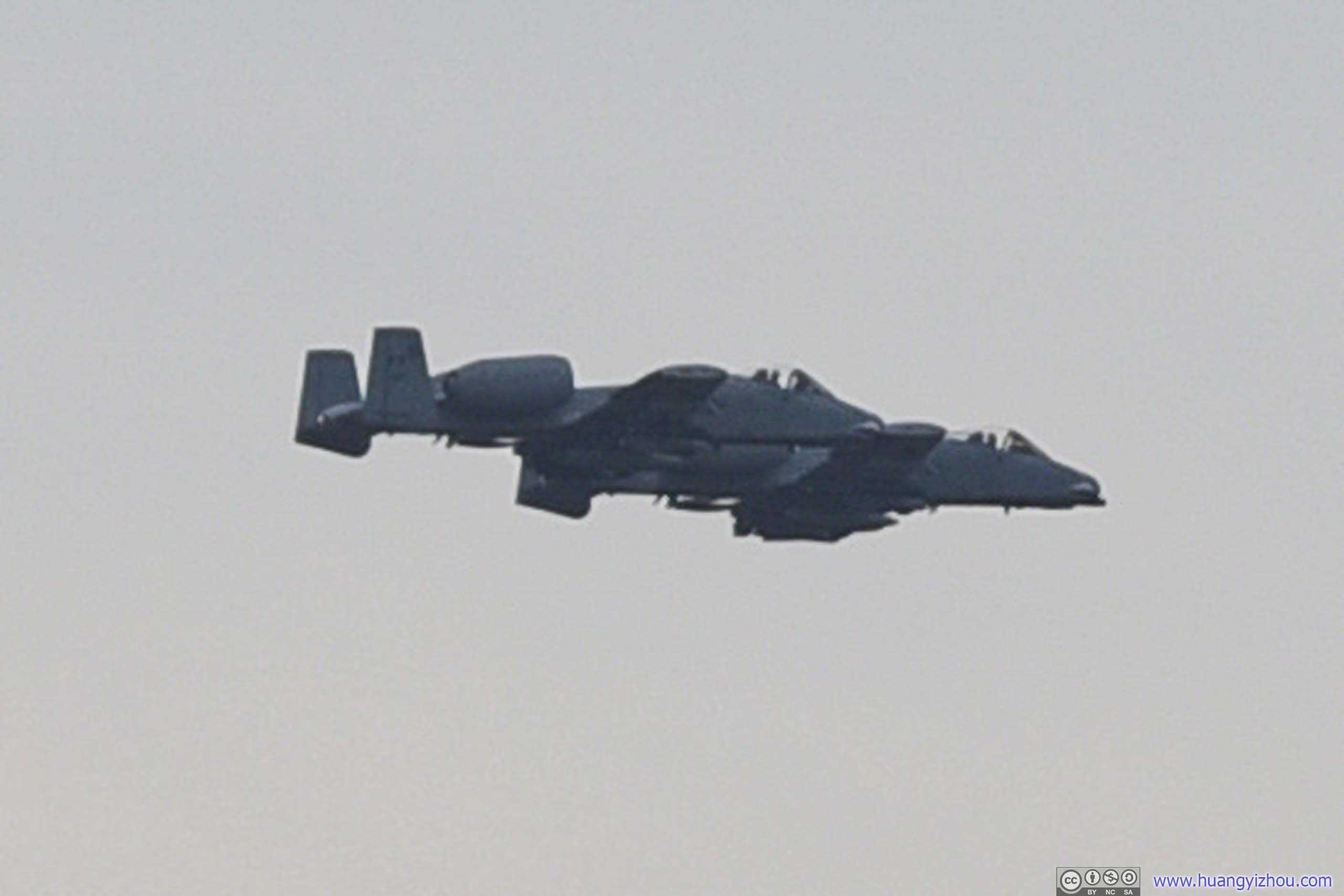
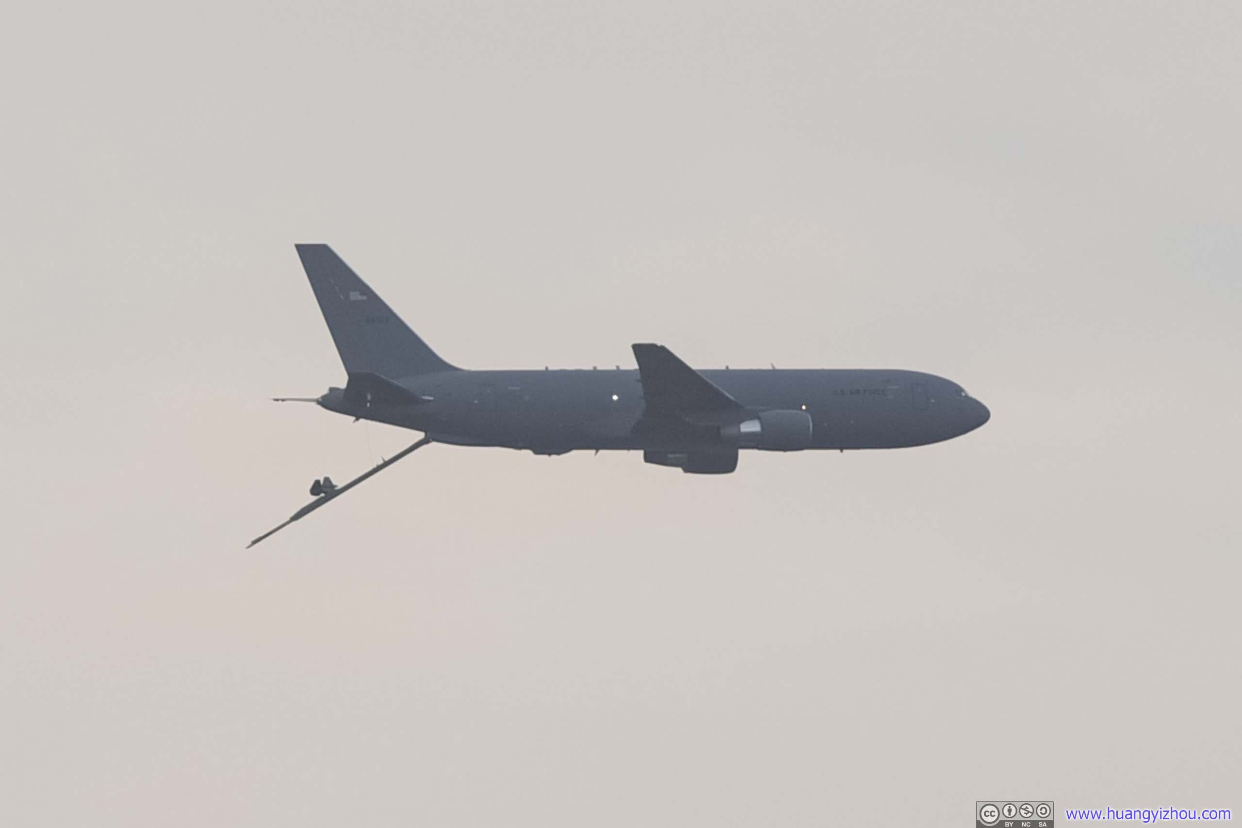
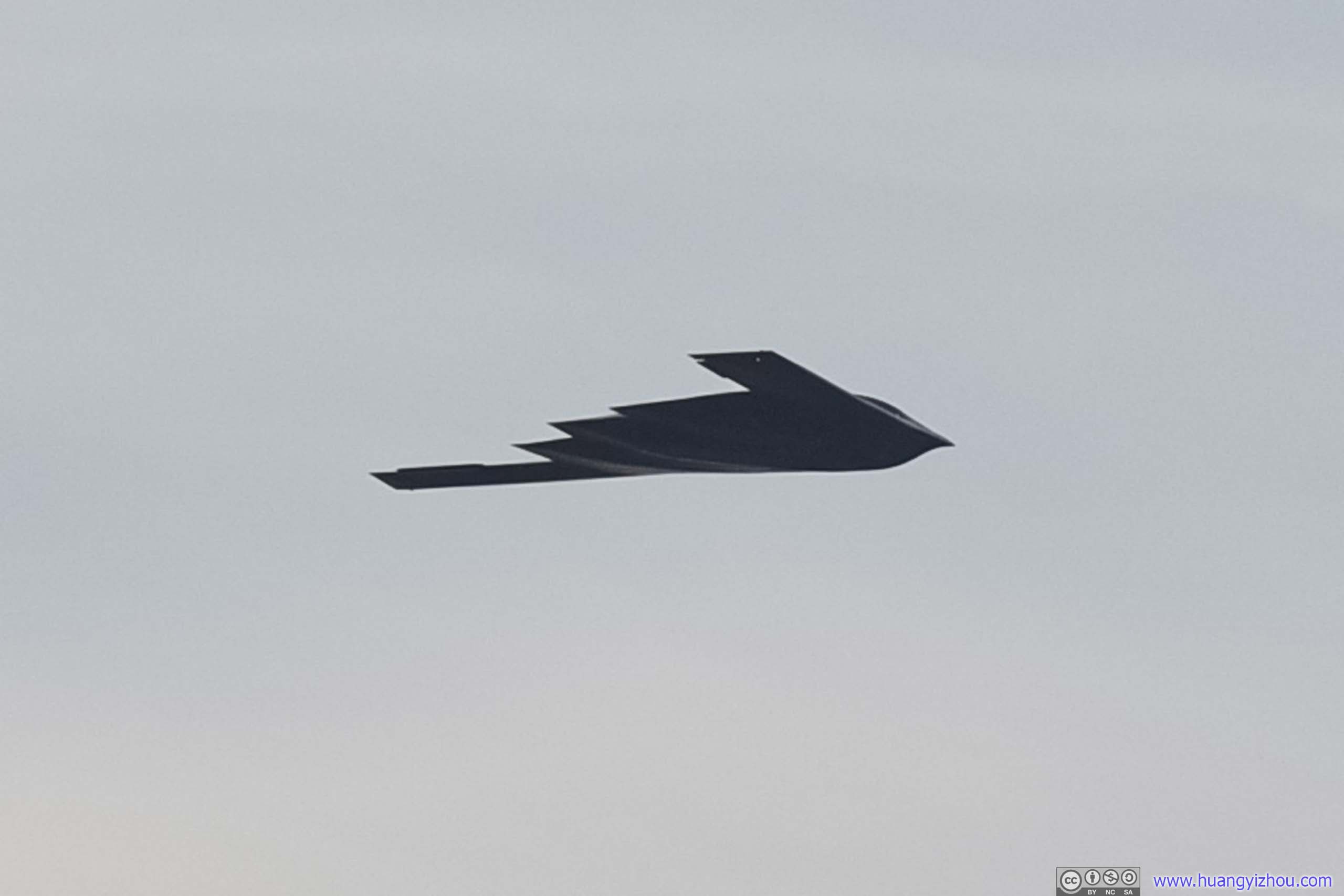


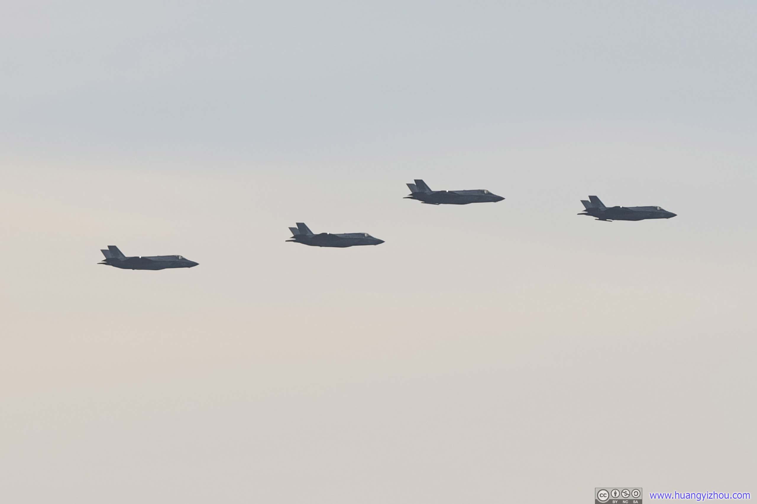
F22 Flight
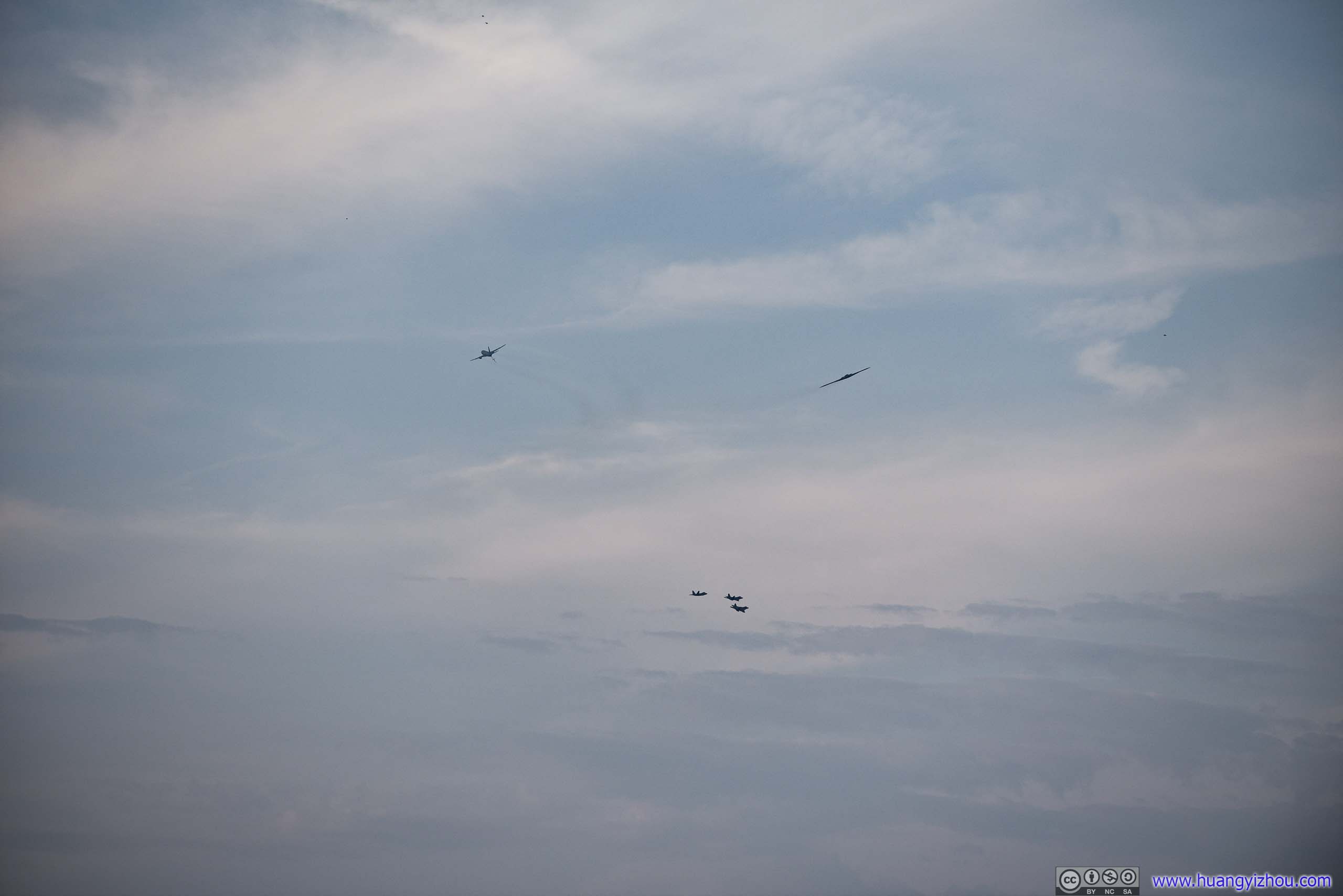
KC-46, B-2 Spirit and the Flight of F22
Finally, the air show concluded with a combined flyover of Navy Blue Angels and Air Force Thunderbirds over National Mall.
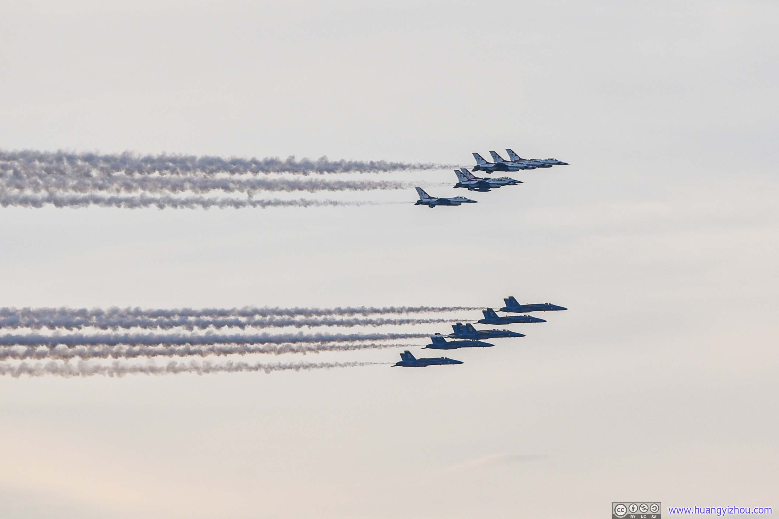
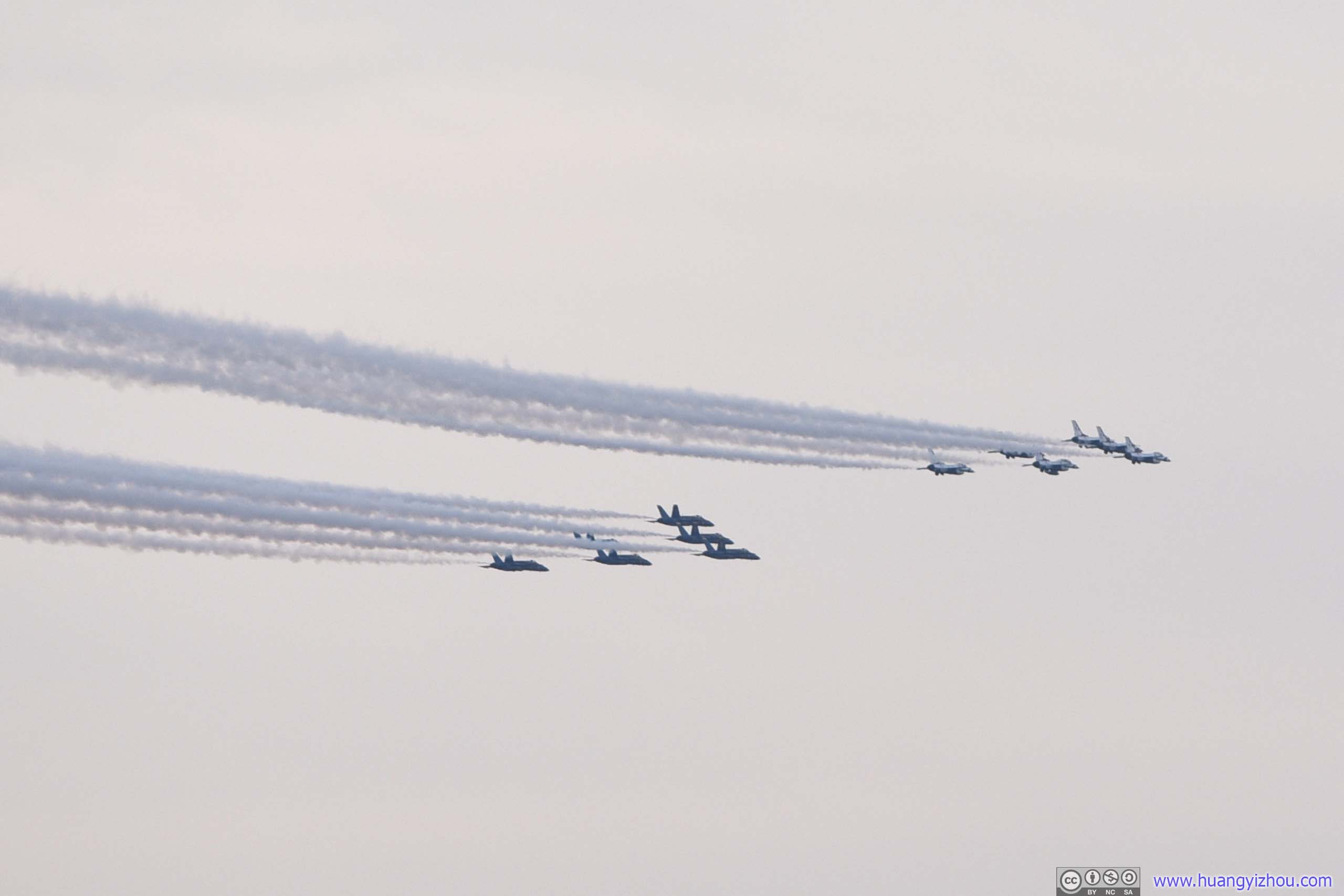
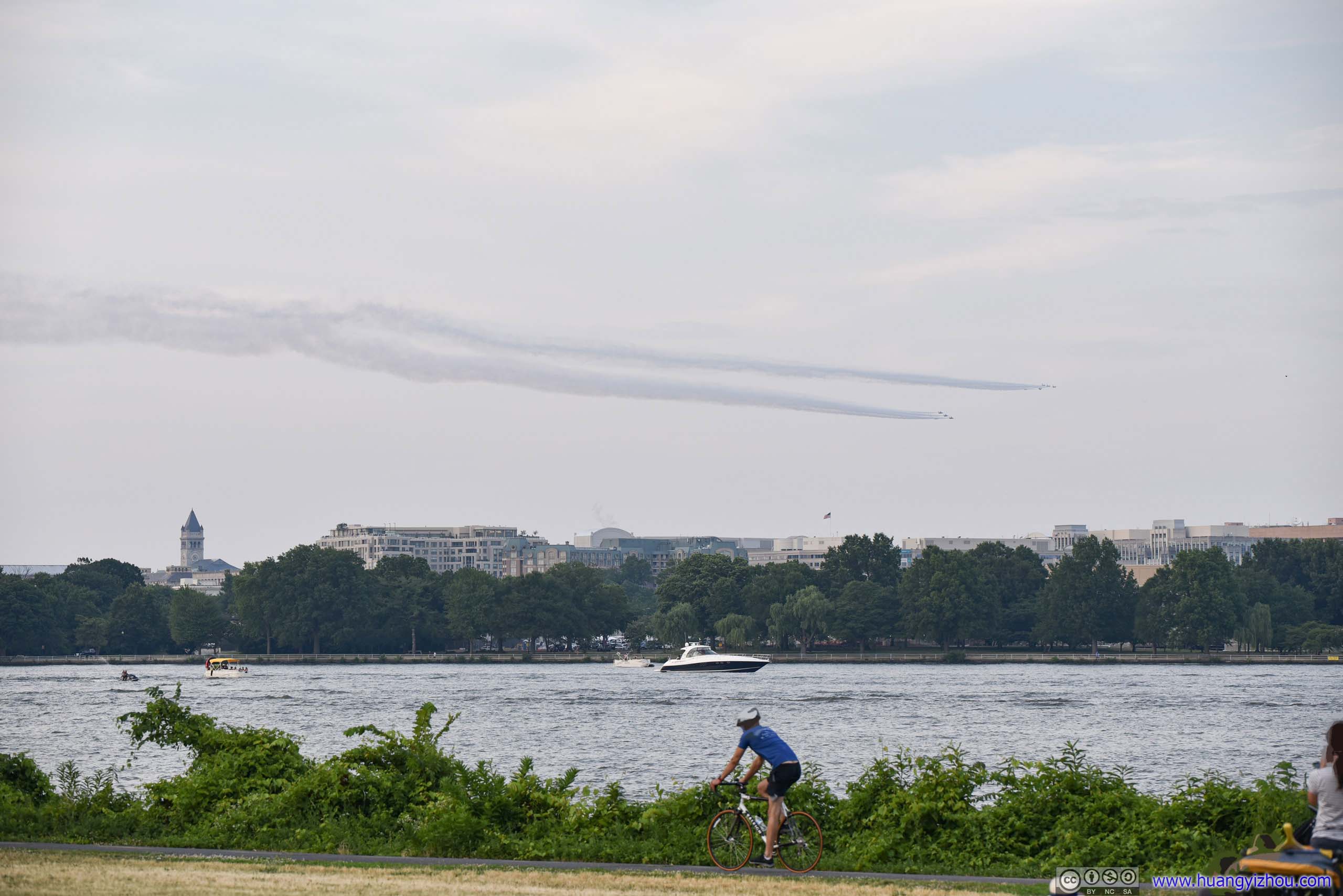
Navy Blue Angel and Air Force Thunderbird Flyover
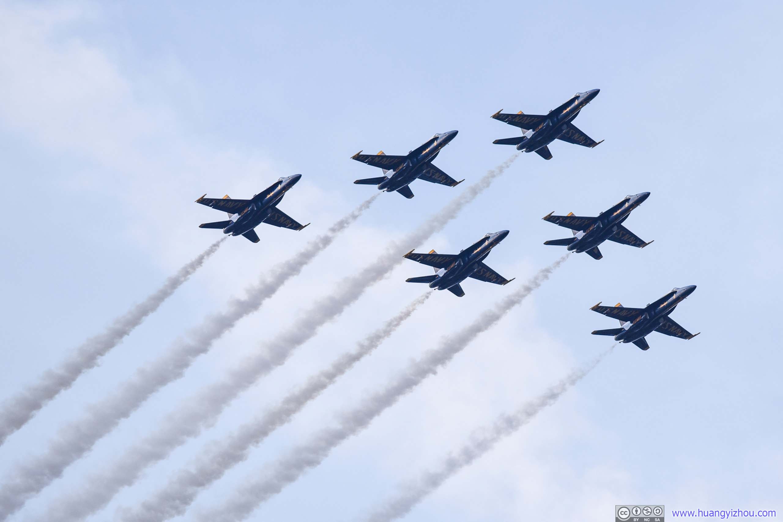


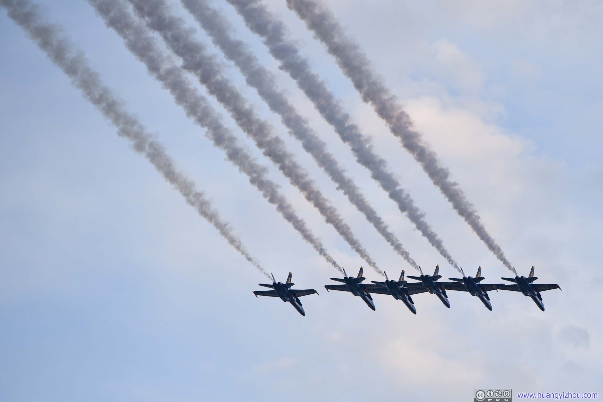
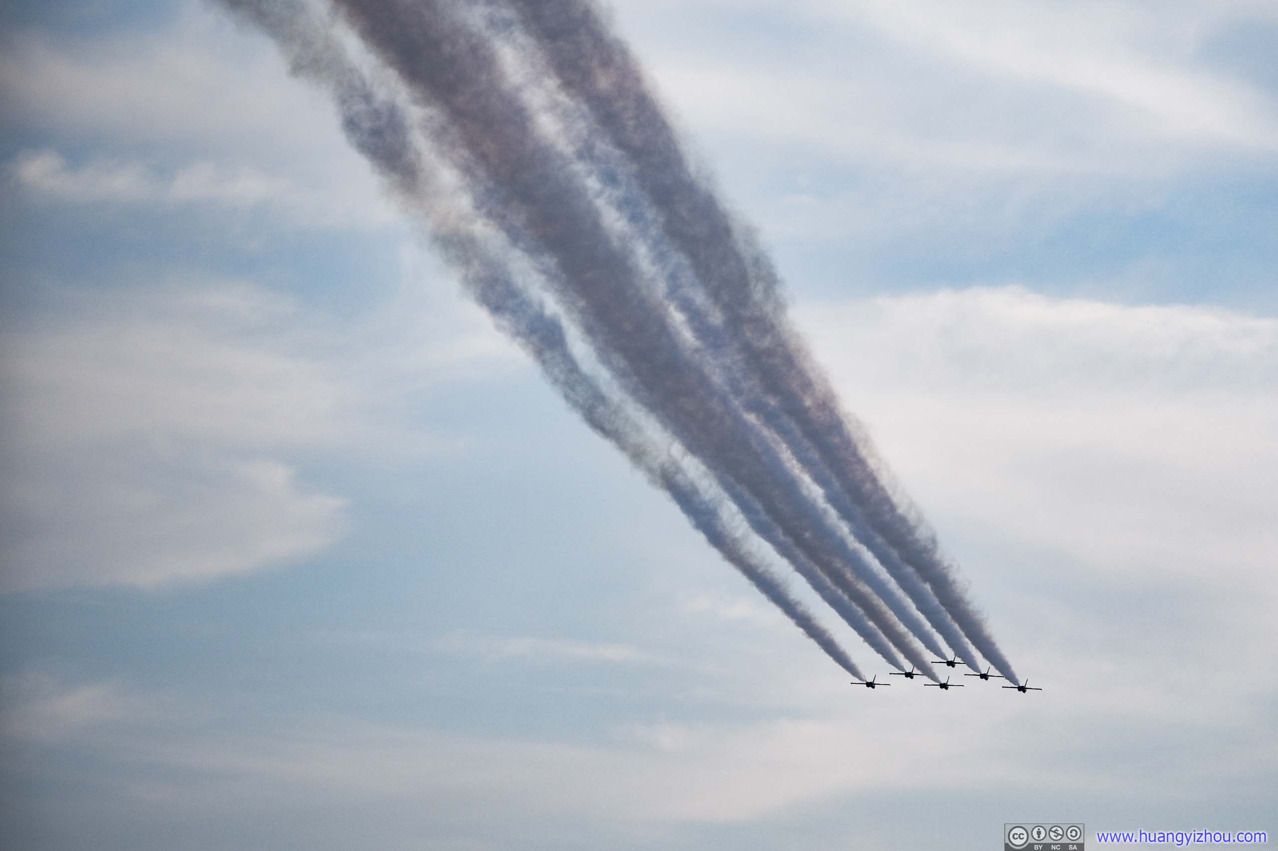
Navy Blue Angel Flyover
Just as we thought the air show was over, Navy Blue Angels gave us an encore, by flying directly over Gravelly Point. So, people below like us got a closer glimpse of their magnificence.
After that, we waited for about an hour before the start of the fireworks show.
Fireworks
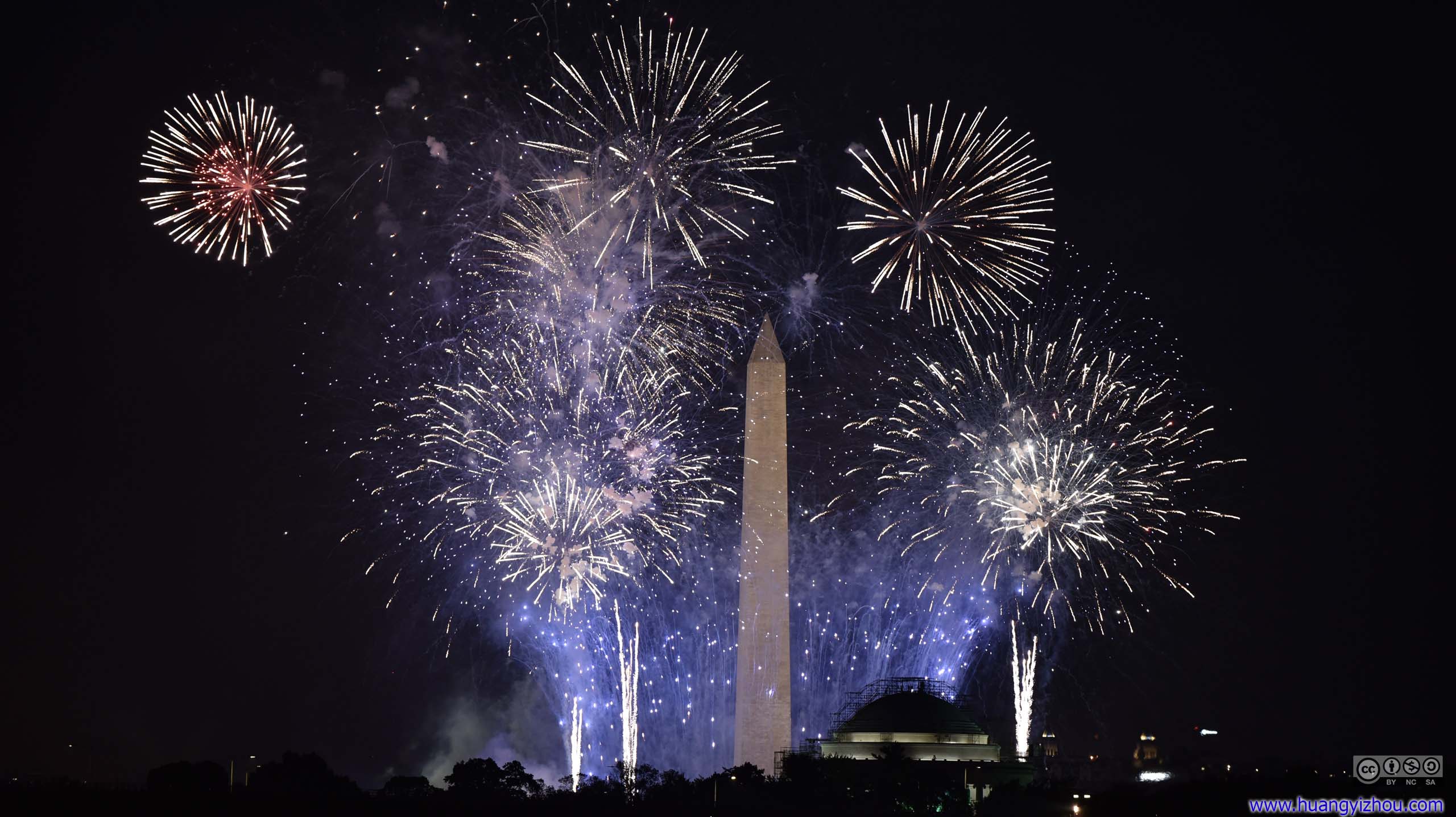
The first part of the fireworks was released around Washington Monument, for which Gravelly Point was an ideal viewing location, with both obelisk and Jefferson Memorial in view.
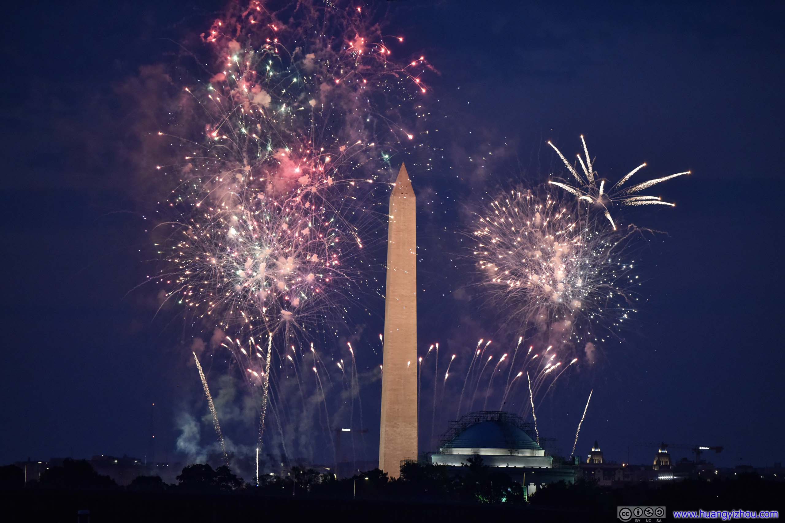
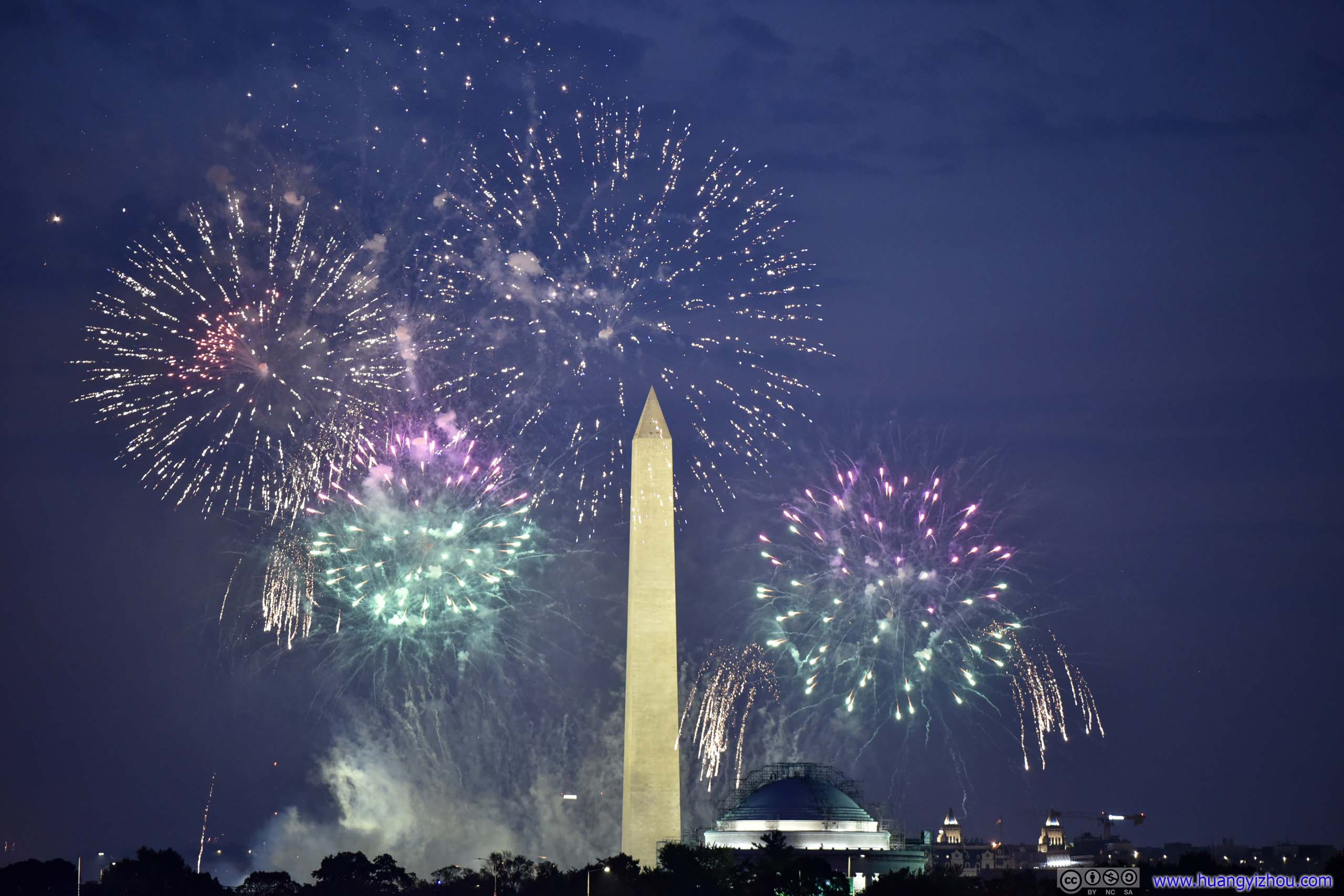
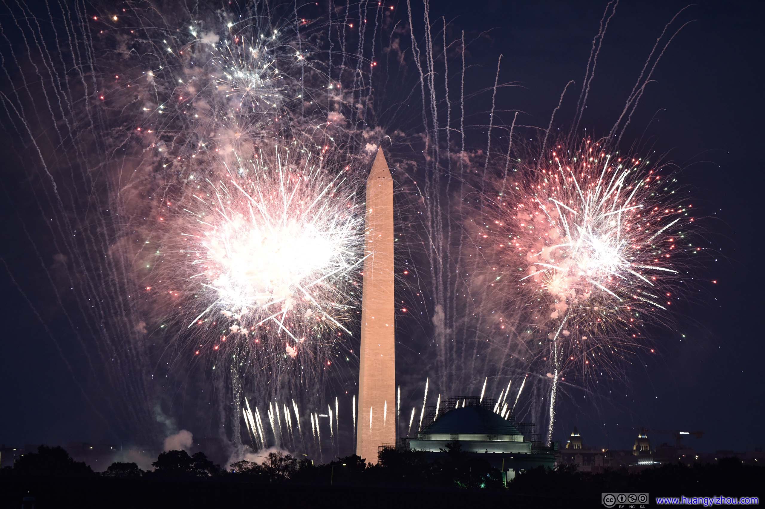
July 4th Firework
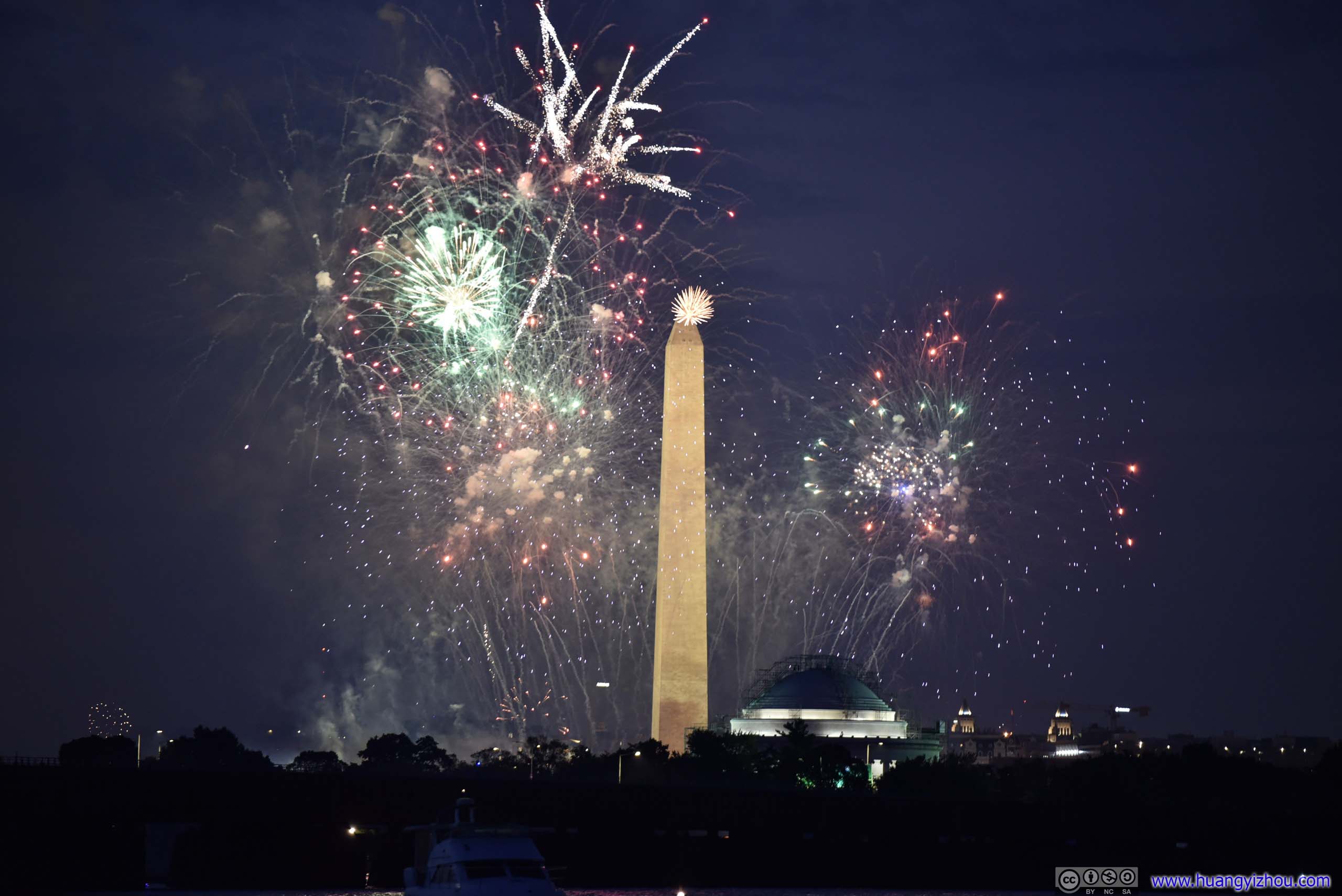
And here's a 2 minute 30 second video of the fireworks, hosted by YouTube.
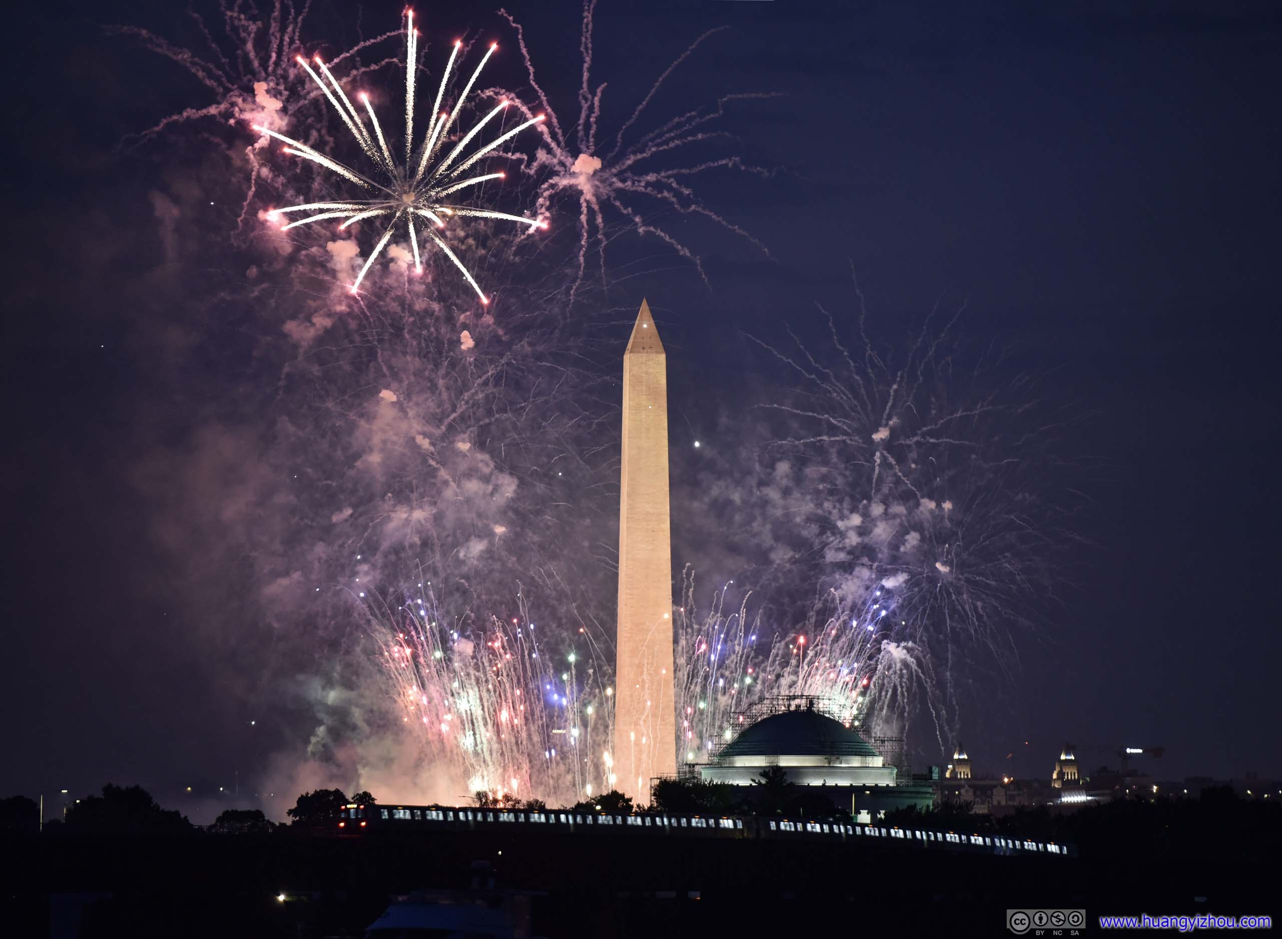
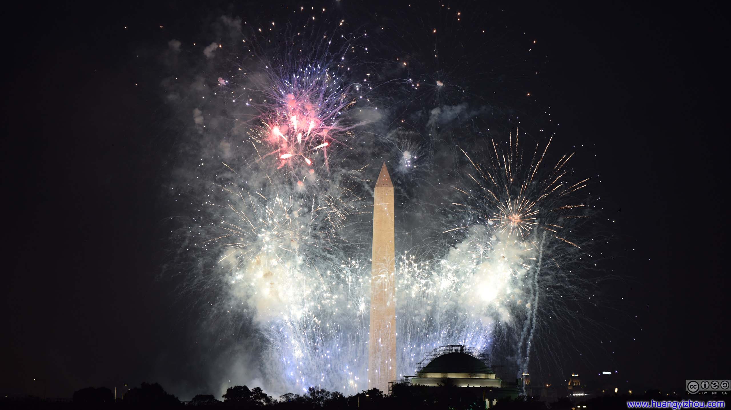
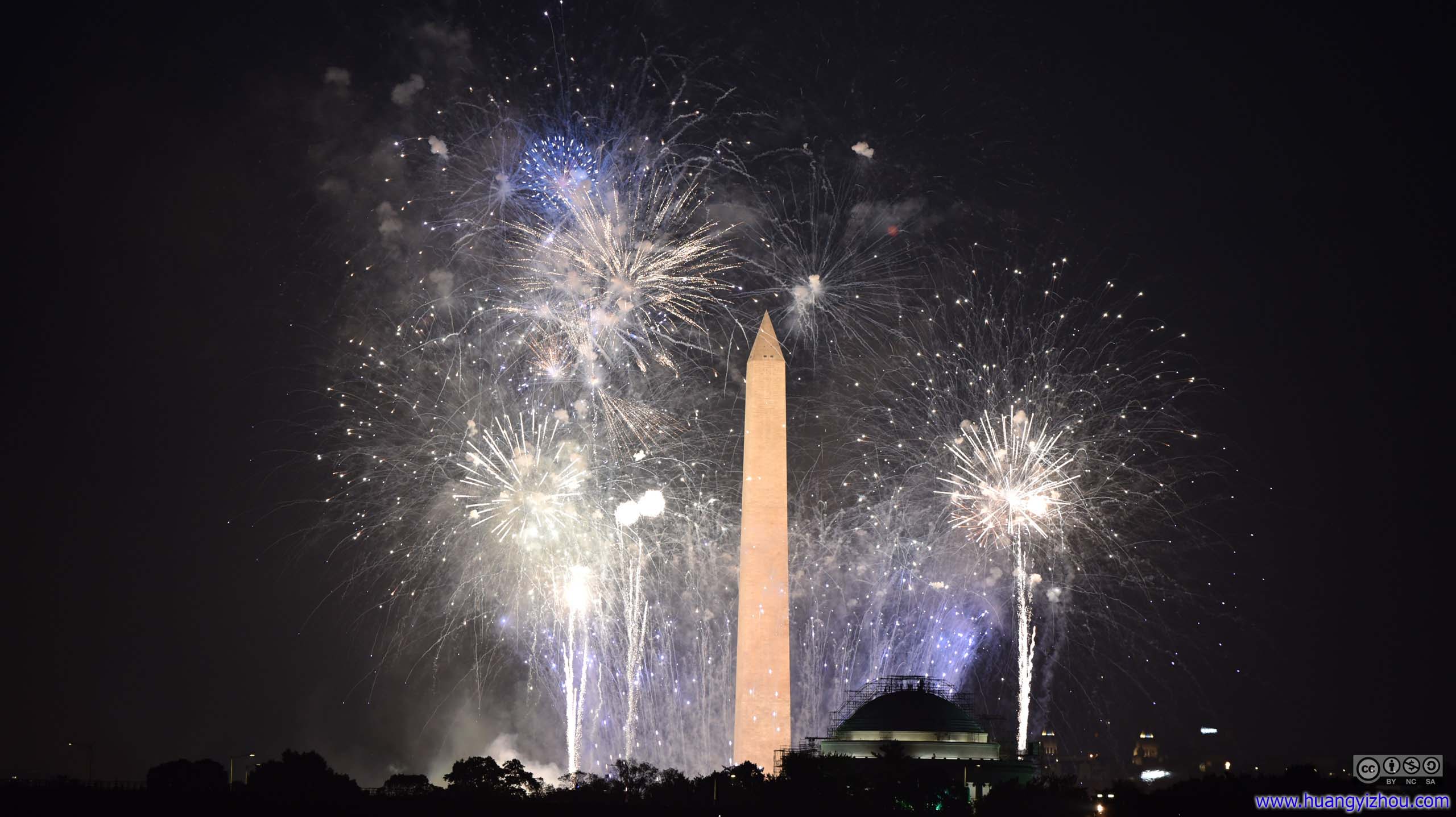
July 4th Firework
After about 15 minutes, the fireworks moved to Lincoln Memorial and its surrounding waterfront. Unfortunately, for this part some trees stood in the way between us and the show.

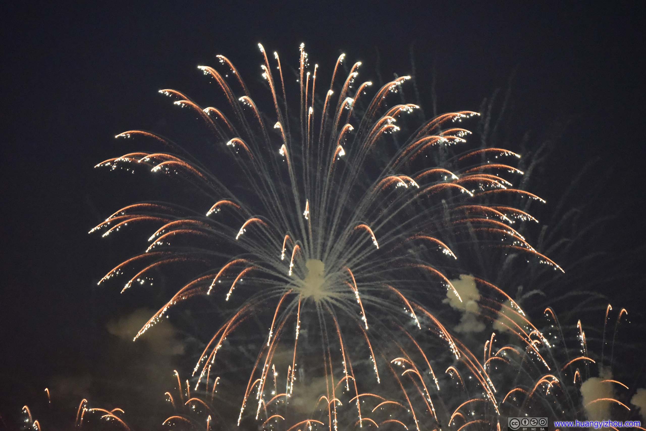
After the fireworks were over, we headed back to Crystal City. That’s when we found a huge number of people were like us, found Gravelly Point lots full, and parked in Crystal City instead. A park ranger told us there’s no such thing as "July 4th Permit" in Gravelly Point, all spaces were first-come-first-serve, and they filled up pretty early in the day.
And as a sideshow to the fireworks, it seemed that the nearby Reagan National Airport reopened once the show ended, and a string of aircrafts previously held up in the air were making landings. To spice things up, it’s River Visual.
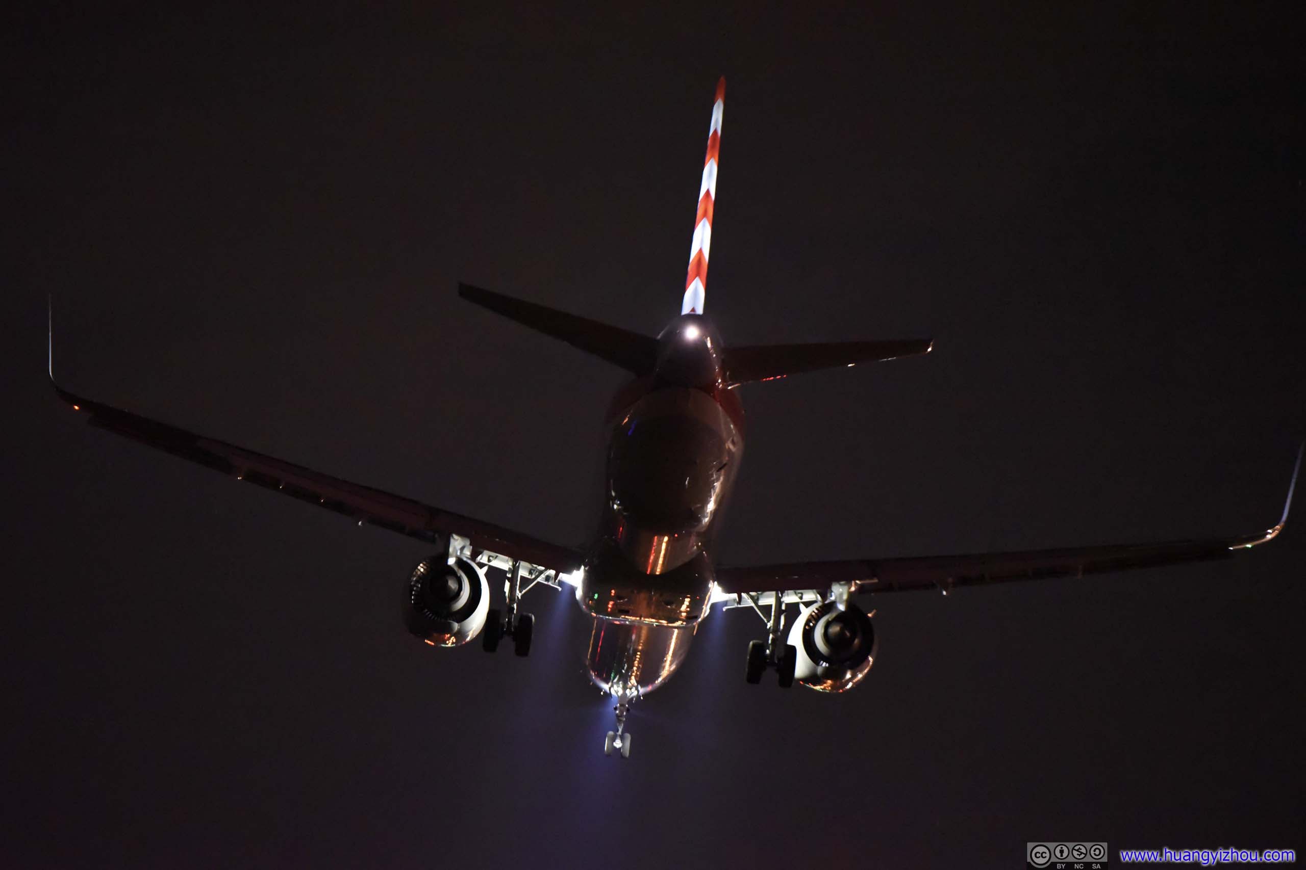
Unfortunately, my camera/lens set wasn’t doing a good job auto-focusing at night at moving objects, so there weren’t more photos to offer.
While I had a great time watching the air show and fireworks, the drive back home was a nightmare. The volume of firework spectators and ramp closures around National Mall meant it took us 50 minutes just to make the 2-mile crossing of Potomac River. A spectacular day, except its end.
END