Day 2 of 2020 Idaho Trip, Hyndman Peak
Second day of my Idaho trip. I planned to summit Hyndman Peak. At an elevation of 3660m, it's the tallest of Pioneer Mountains. Rated as class 2, it’s one of the easiest 12'ers of the state. Unfortunately, my badly-picked outfit added quite some difficulty and misery to my trip.

Before my trip, the daunting Borah Peak as Idaho’s tallest mountain with its precarious approach of Chicken-Out-Ridge and talus-filled slopes seemed a bit intimidating to me, as I hadn’t had any challenging day-hikes for almost a year. So I planned today’s trip to Hyndman Peak as some sort of rehearsal/practice for Borah Peak later in the week, as on paper Hyndman Peak was easier than Borah Peak, the former being class 2 and the latter being class 3. But it’s nonetheless physically demanding, as it’s a 20km roundtrip hike with 1500m in elevation gain.
After visiting numerous waterfalls along Snake River the previous day, I opted for some good overnight rest and a relatively late departure time of 10am, which wasn’t too bad given the long hours of daylight.
It's a short drive from my Airbnb in Hailey to the trailhead of Hyndman Peak, unfortunately, the last 9.5km of which was unpaved and not in very good shape. (By which I mean, CDW recommended for rented sedan.) So by the time I stretched up my legs and was ready to go, it was 11am.
Here's GPS tracking for the day:
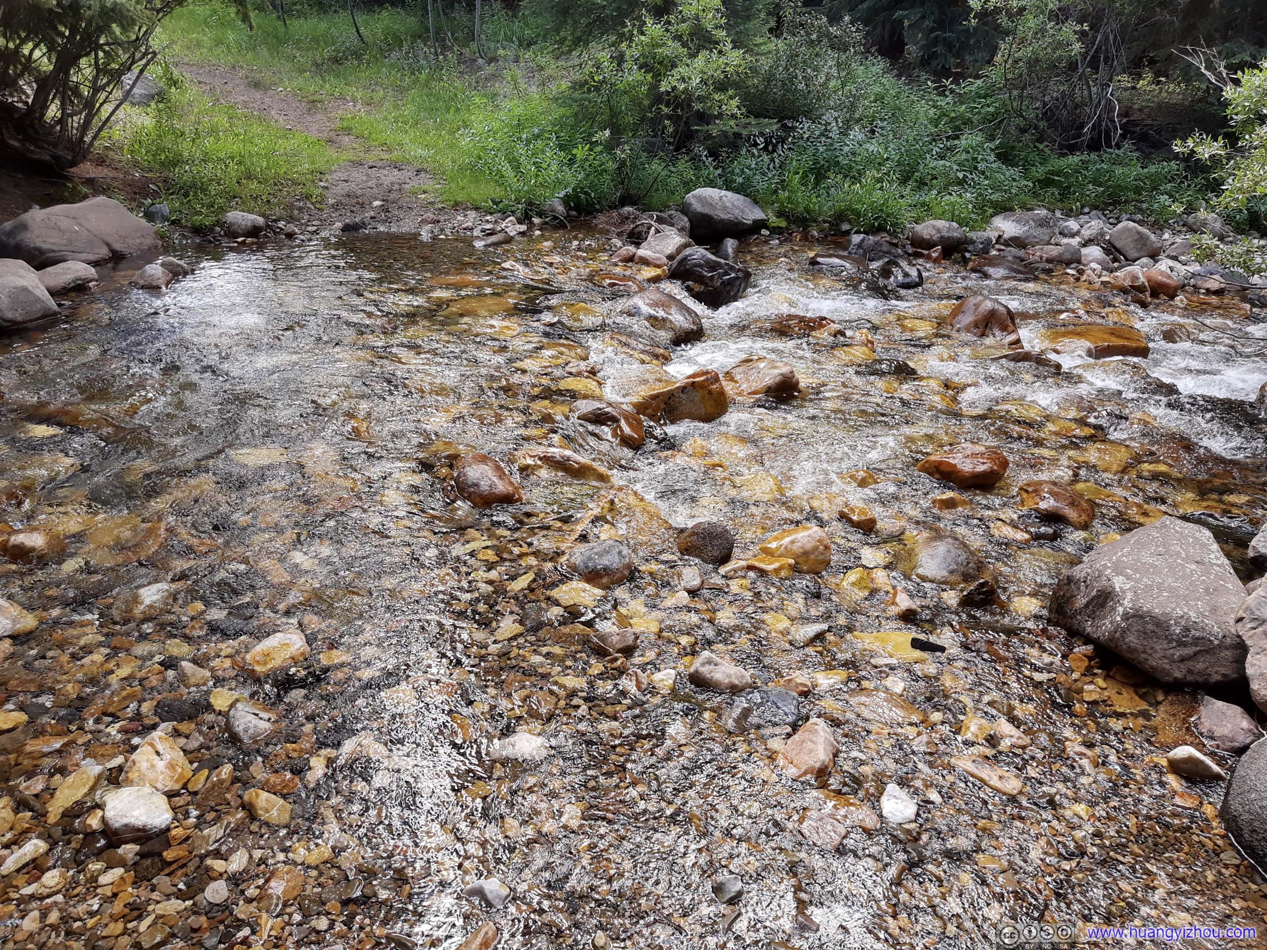
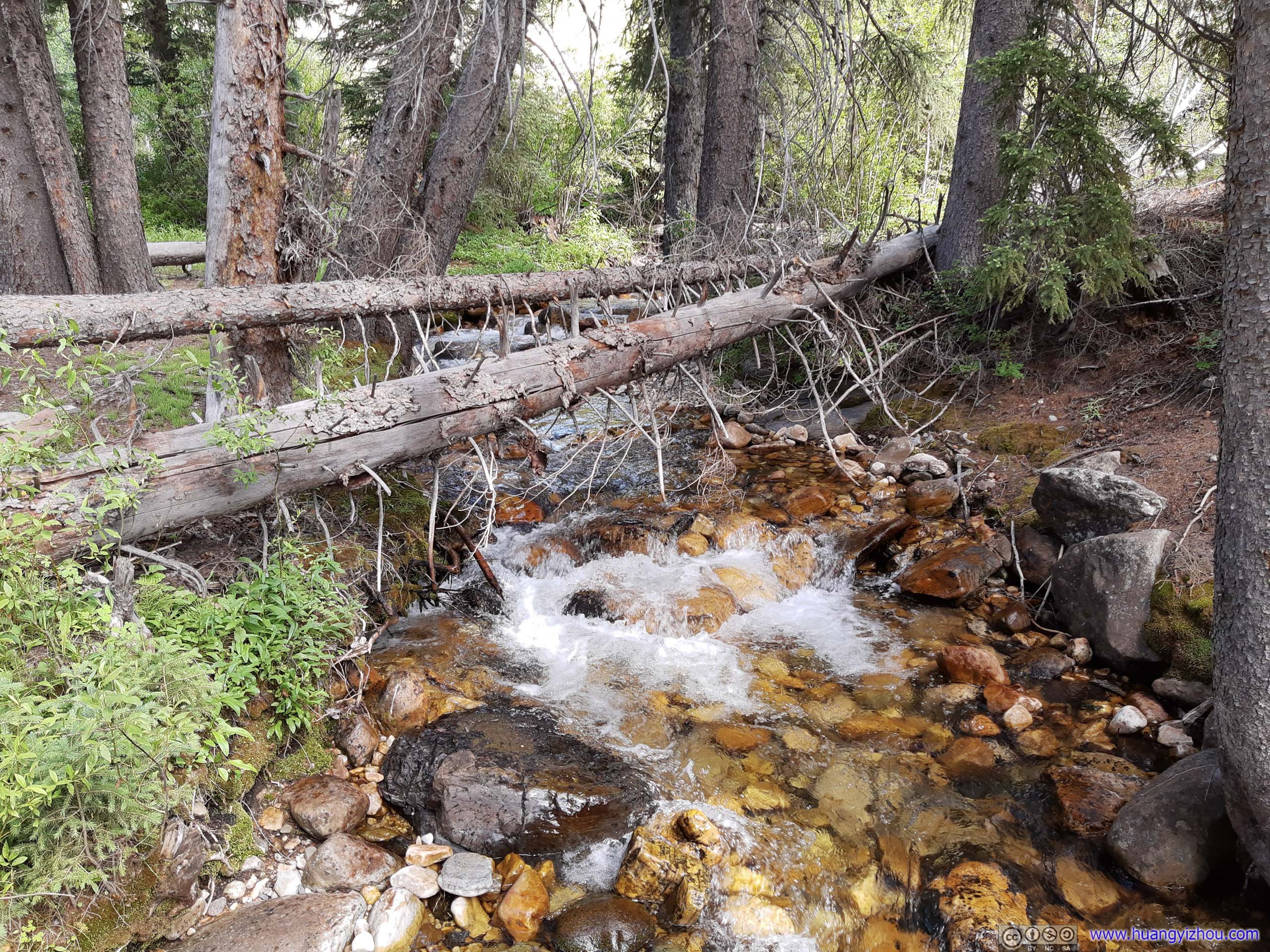
Marking the end of dirt road and beginning of trail. One could either cross here (left), or walk a few meters upstream where a footbridge was located.
Despite it being a 20km roundtrip hike, the first (and last) 4km of it was relatively flat and easy to tackle, with only 240m of elevation change.
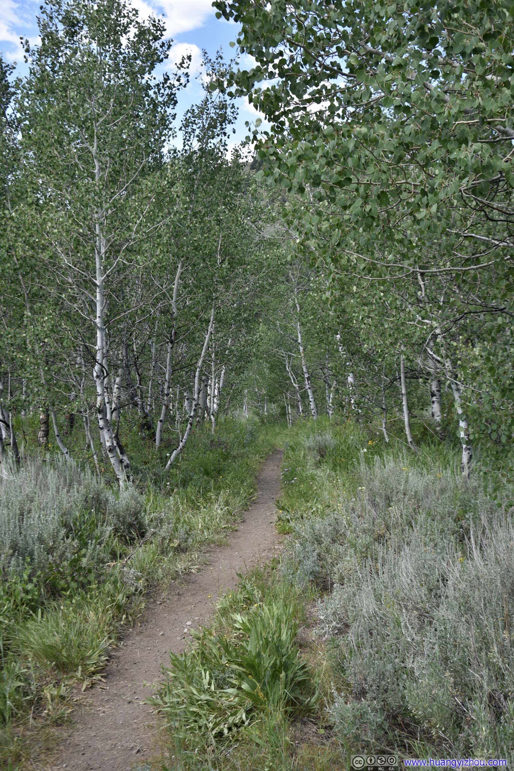


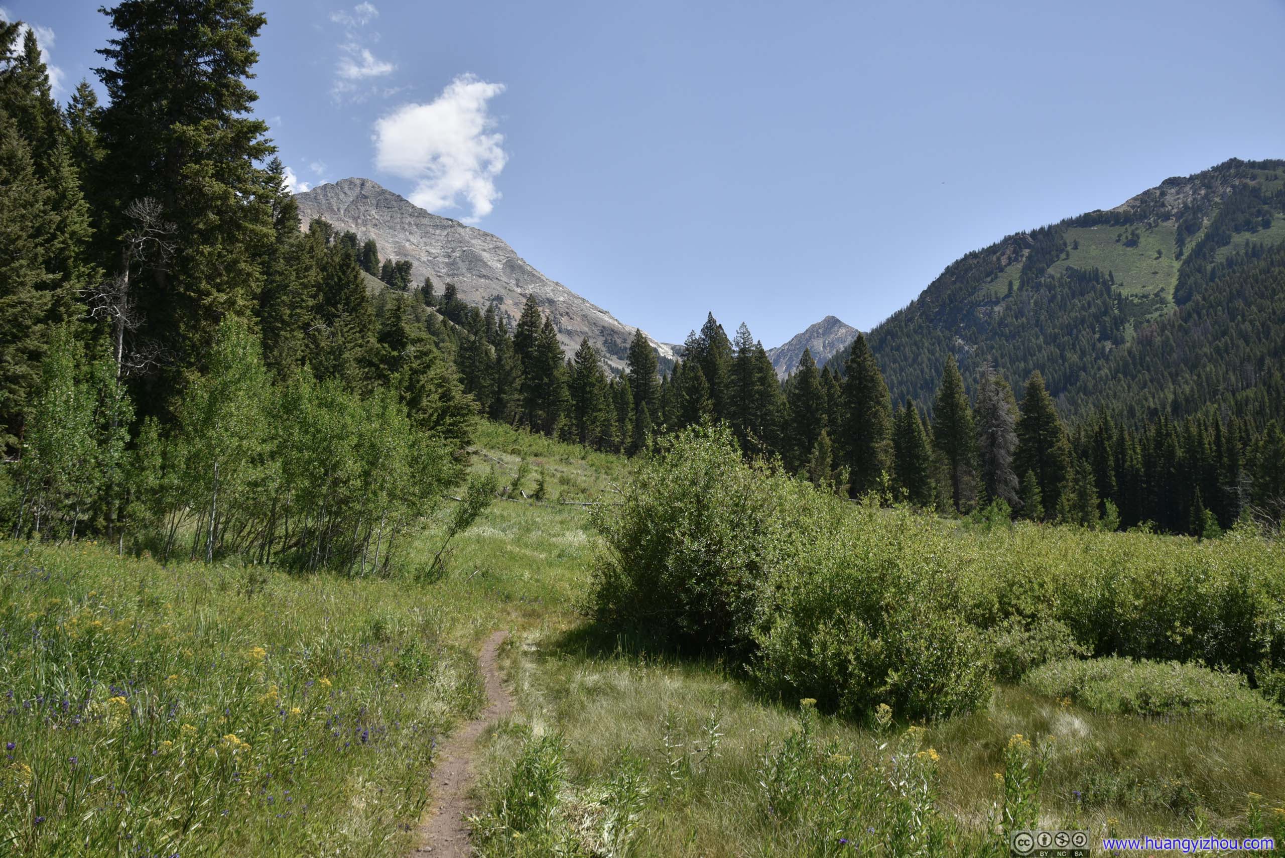
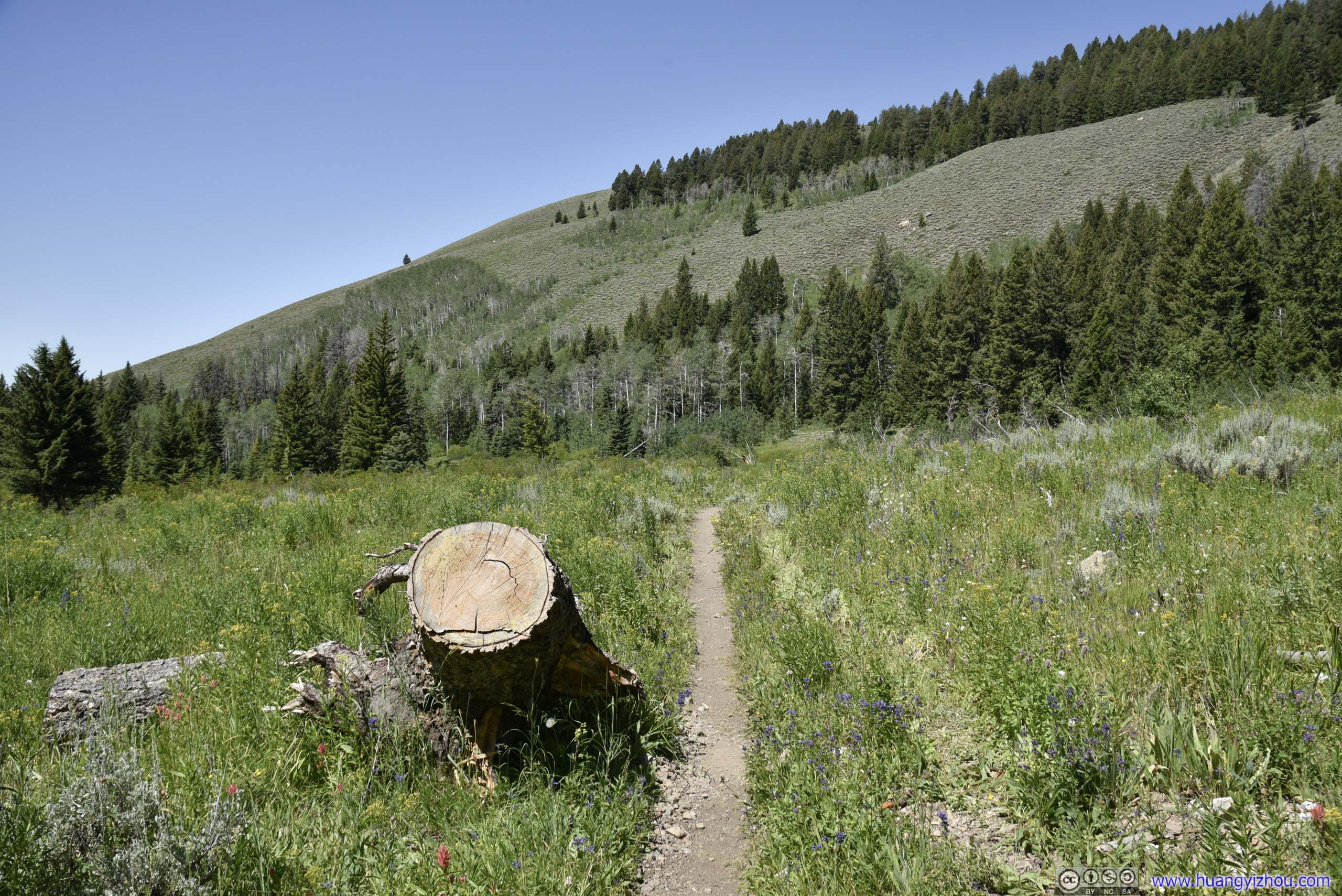
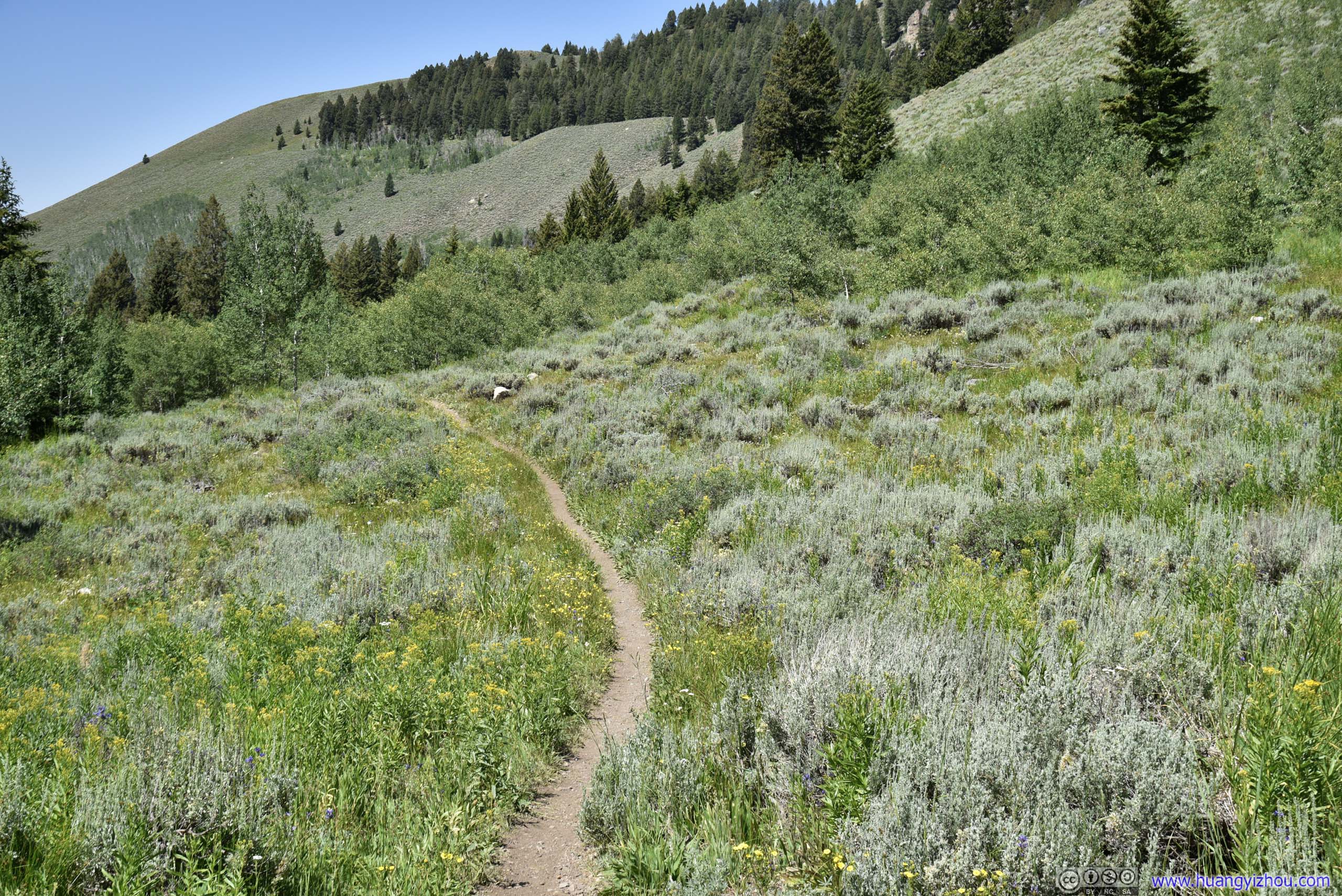
Trail
Typical trail condition for the first 4km. Sometimes people would mountain-bike this section and stash their bikes in the woods when the trail started to pick up slope, which was really a good idea to save physical effort.
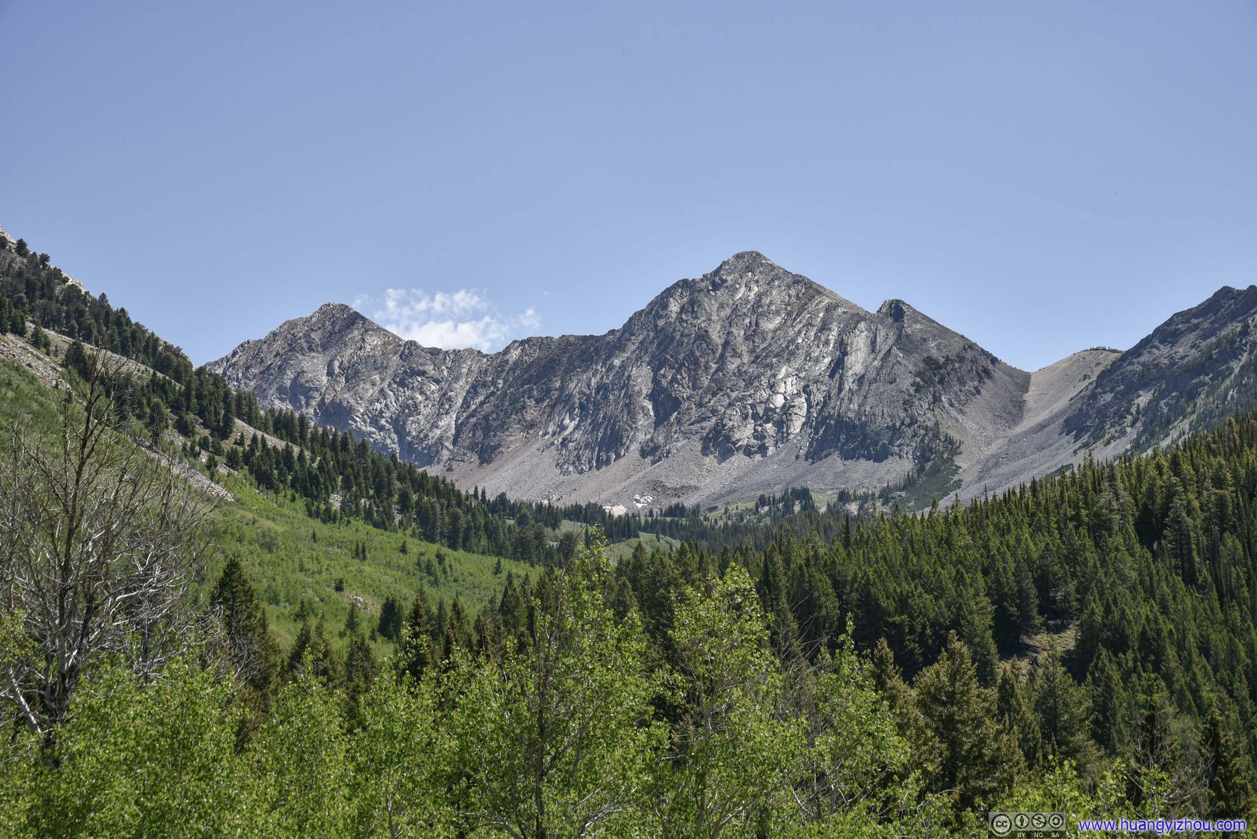
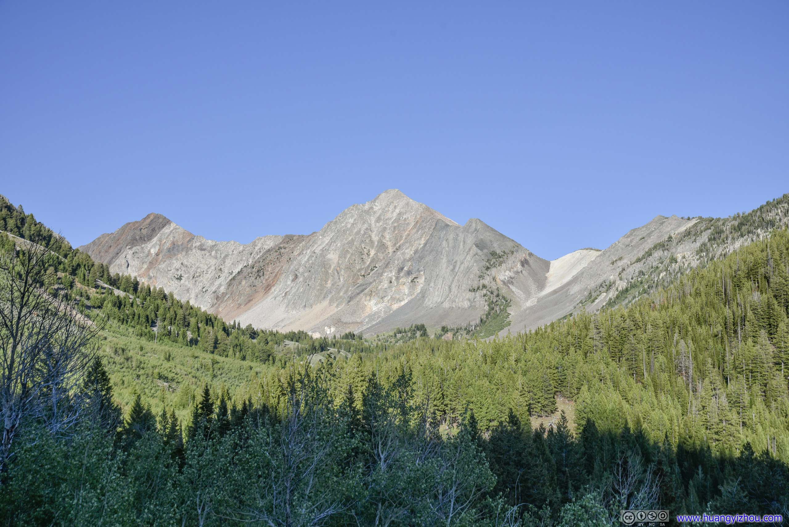
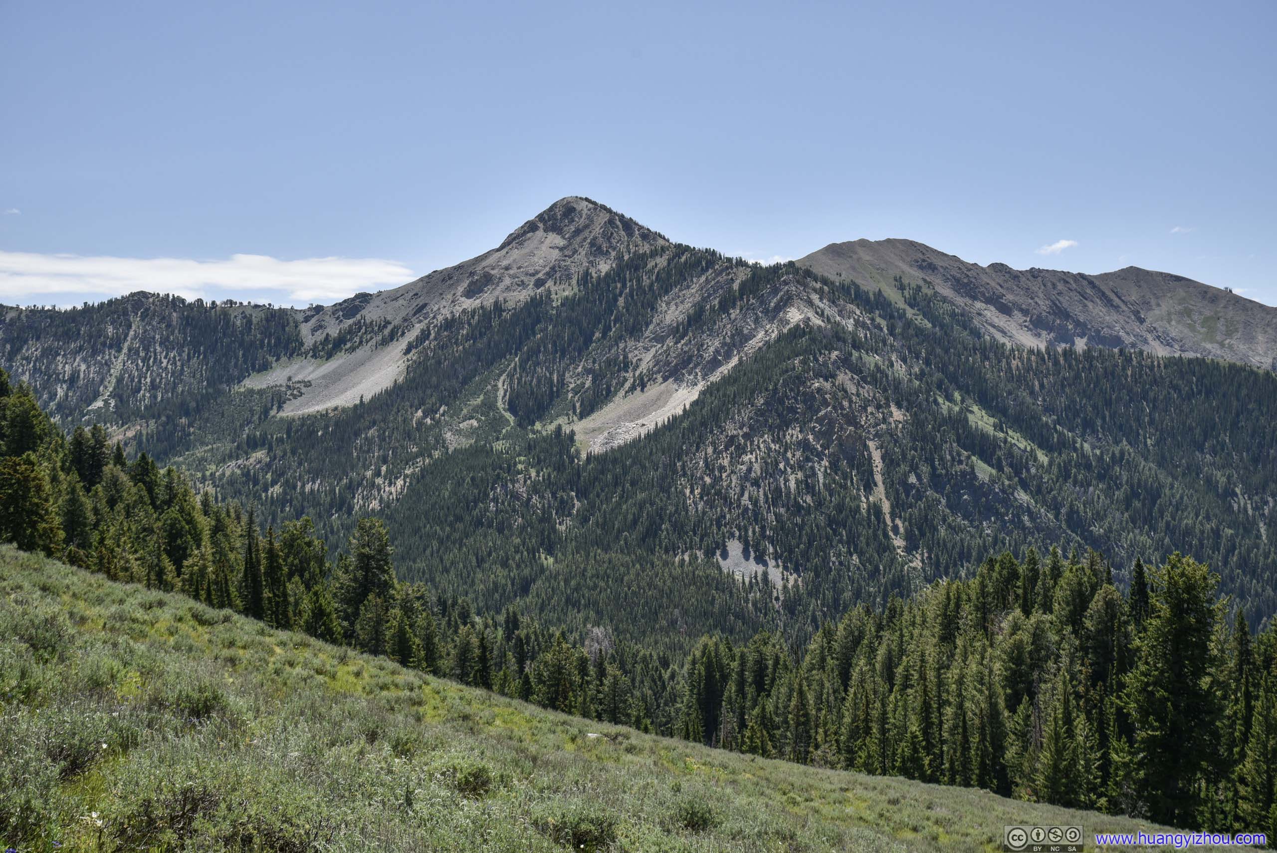
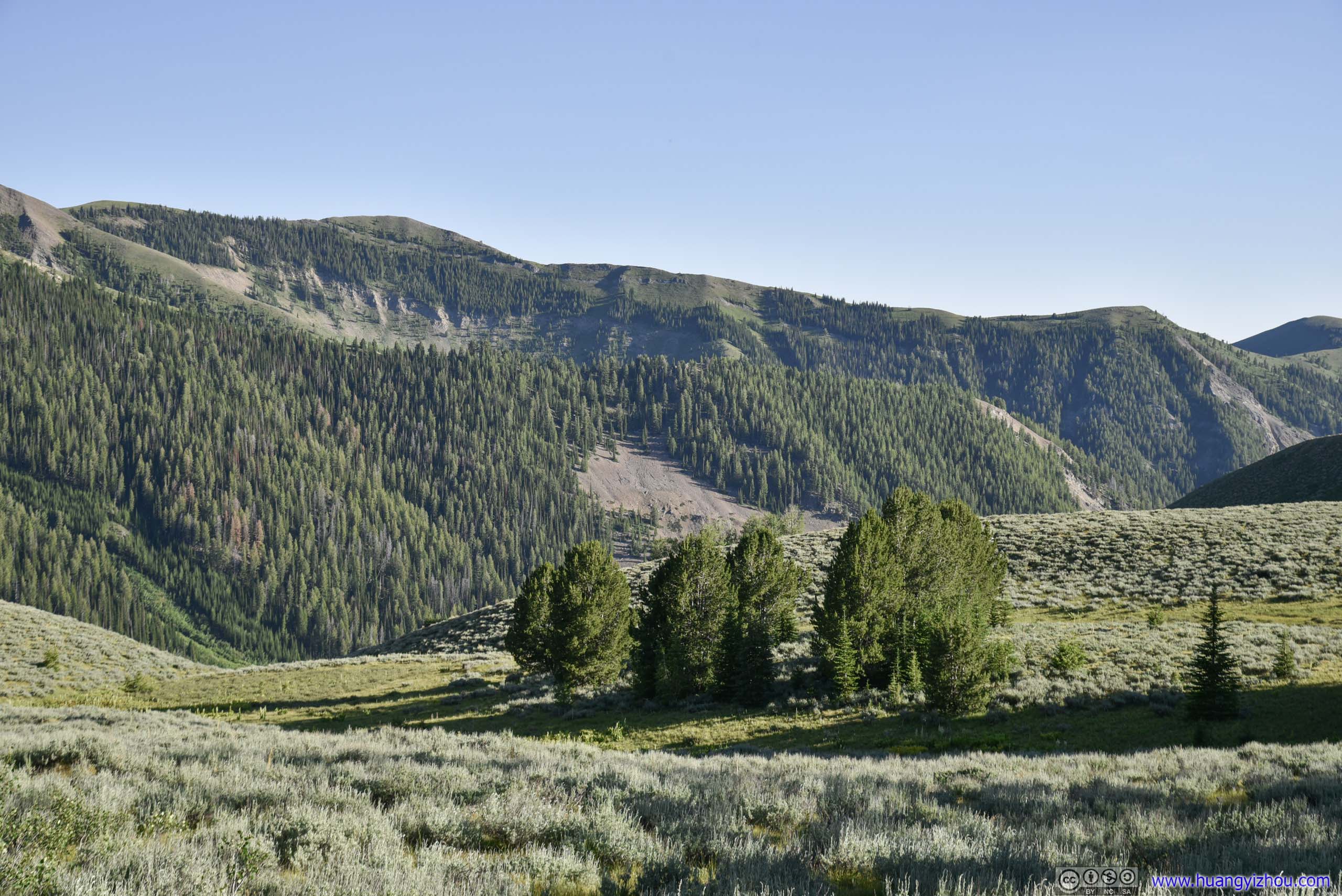
Some nameless ones to the South of Old Hyndman Peak. The mountains were wearing different colors from at noon (left) and at dusk (right).
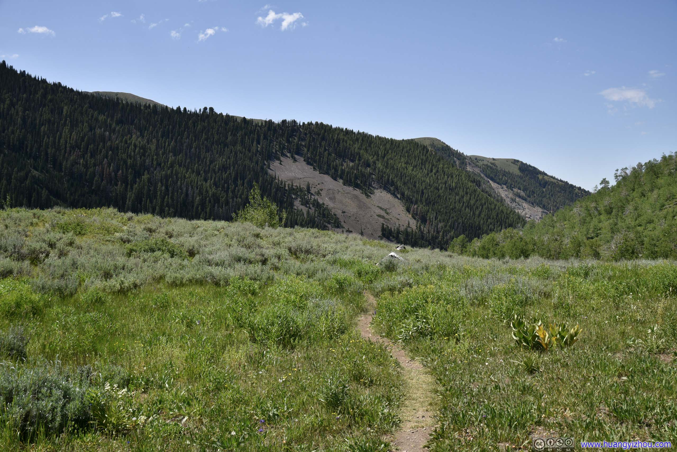
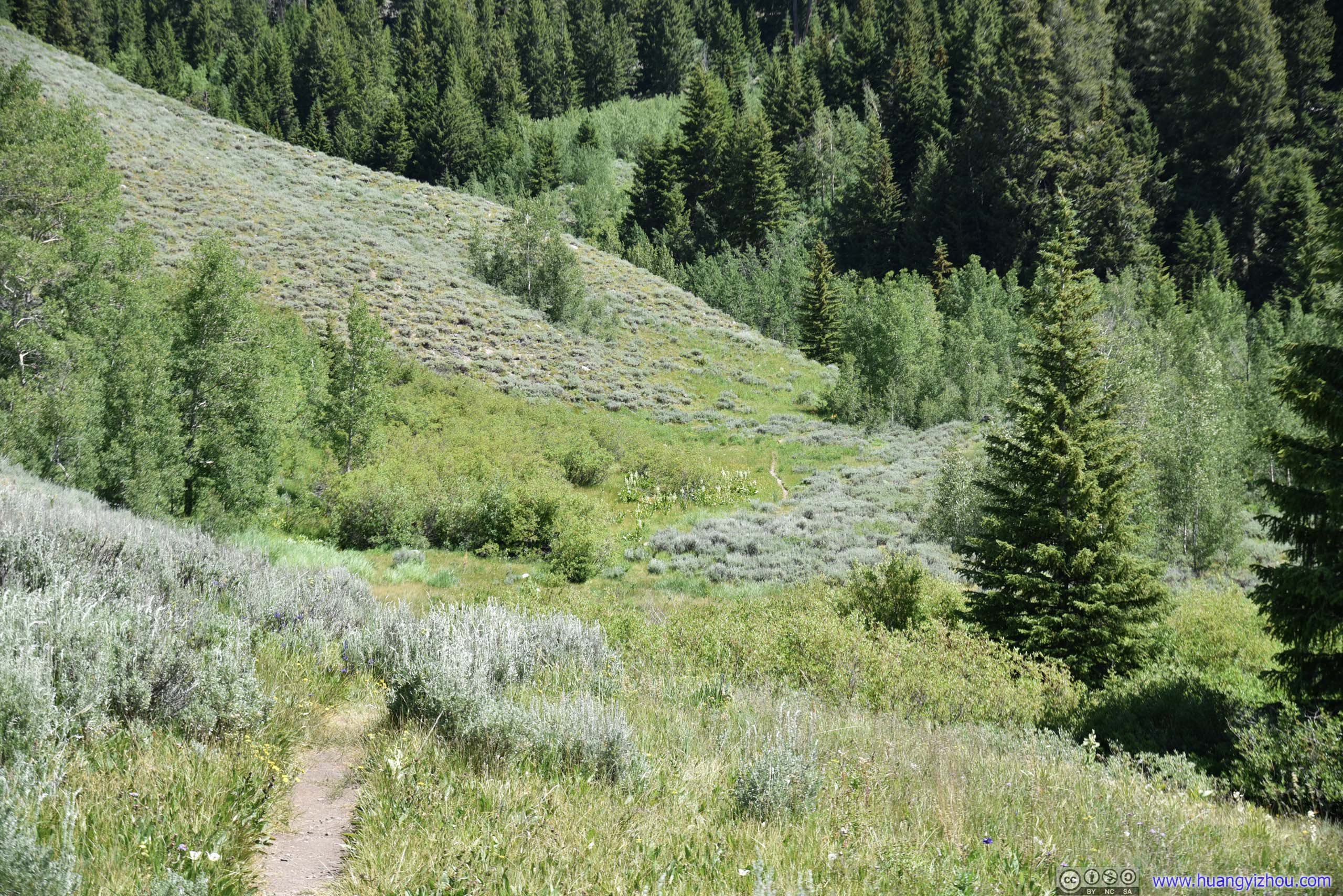
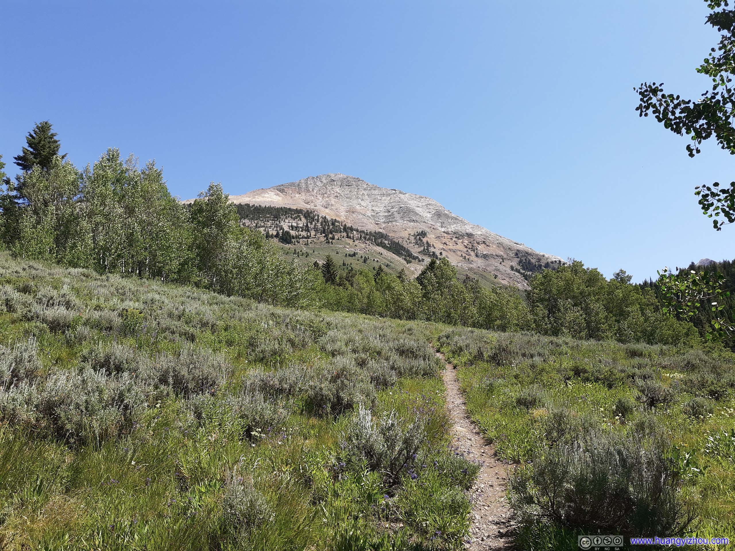
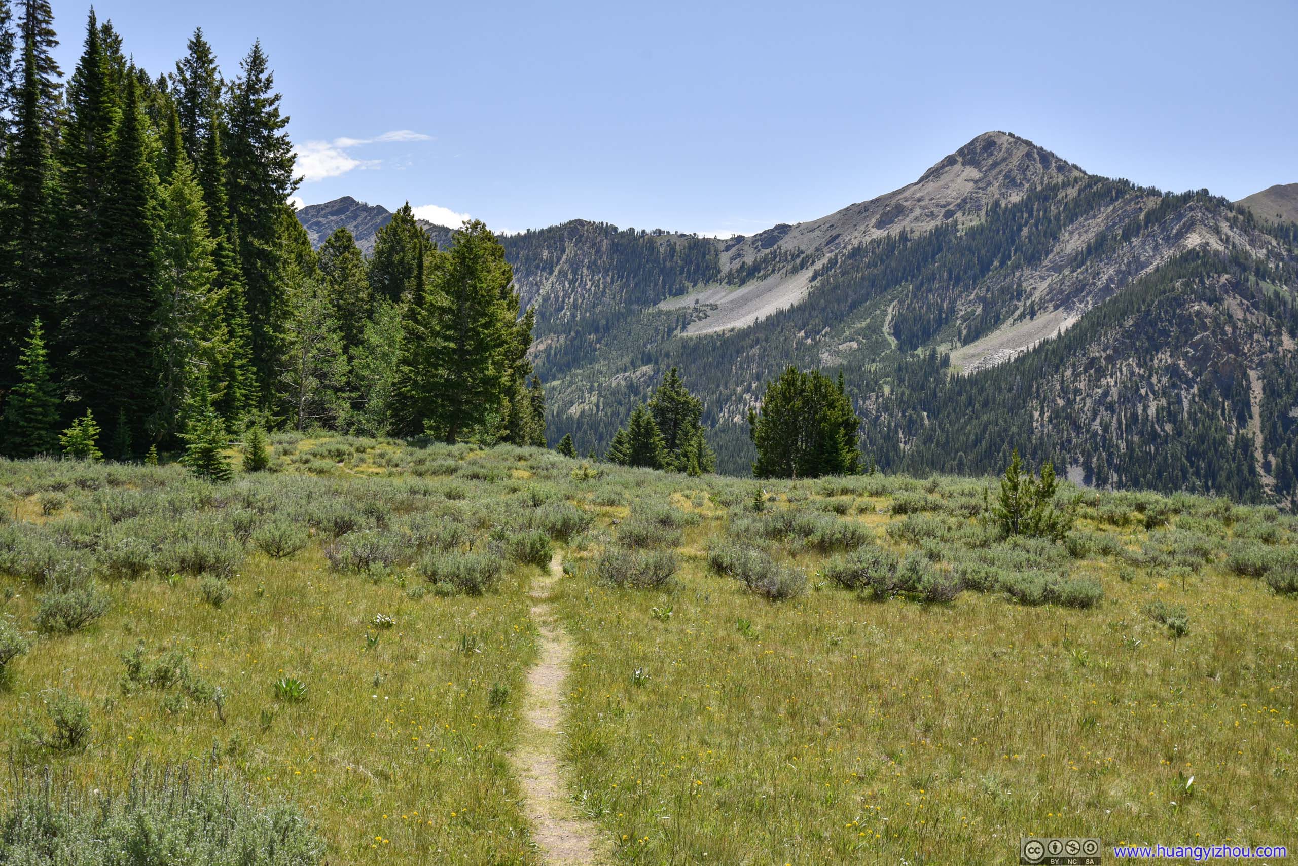
Trail
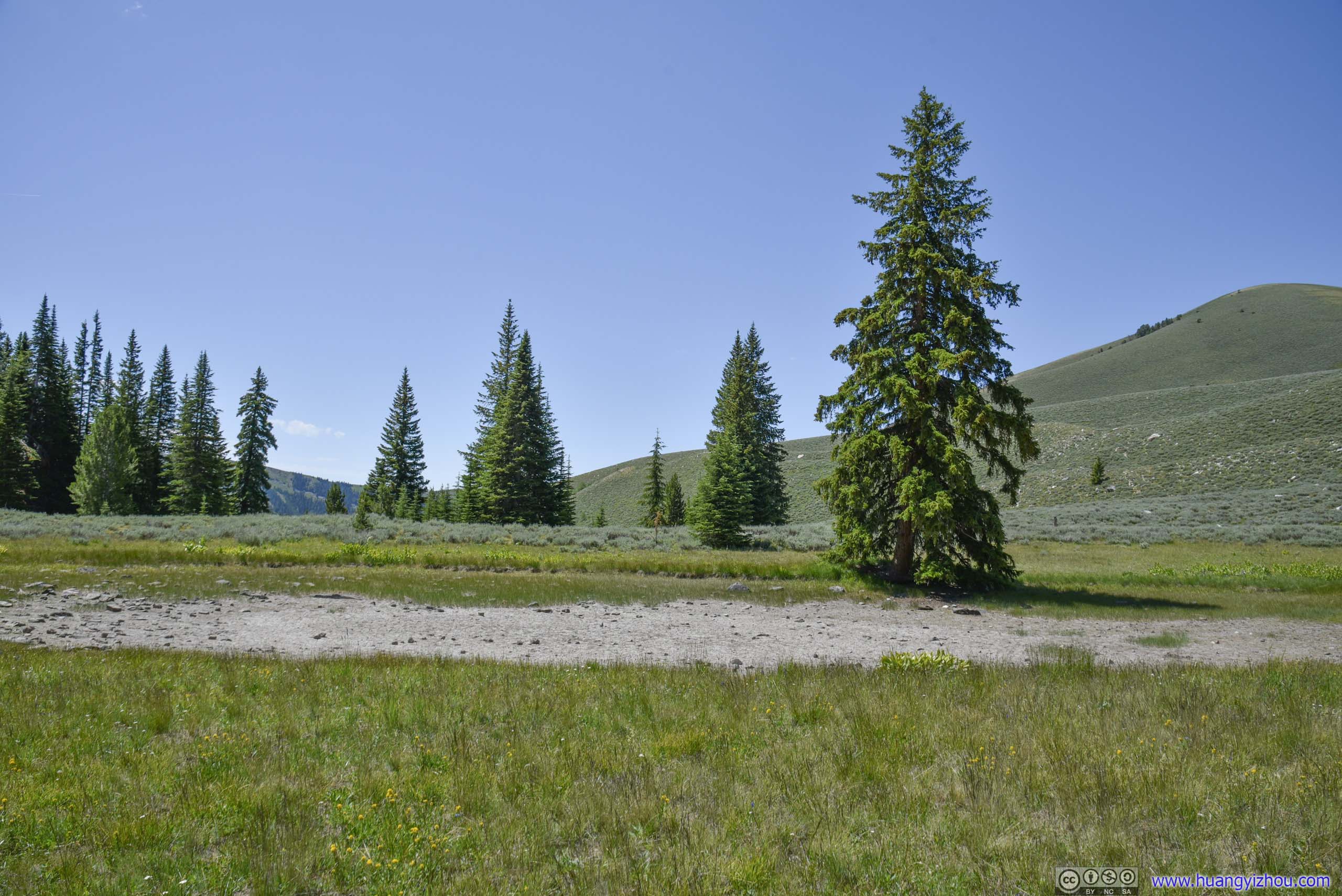
5.7km from trailhead. On both Google Maps and OpenStreetMap, this was a small pond, marking the end of surveyed trail.
The trail continued past this dried lake, while getting steeper along the way.
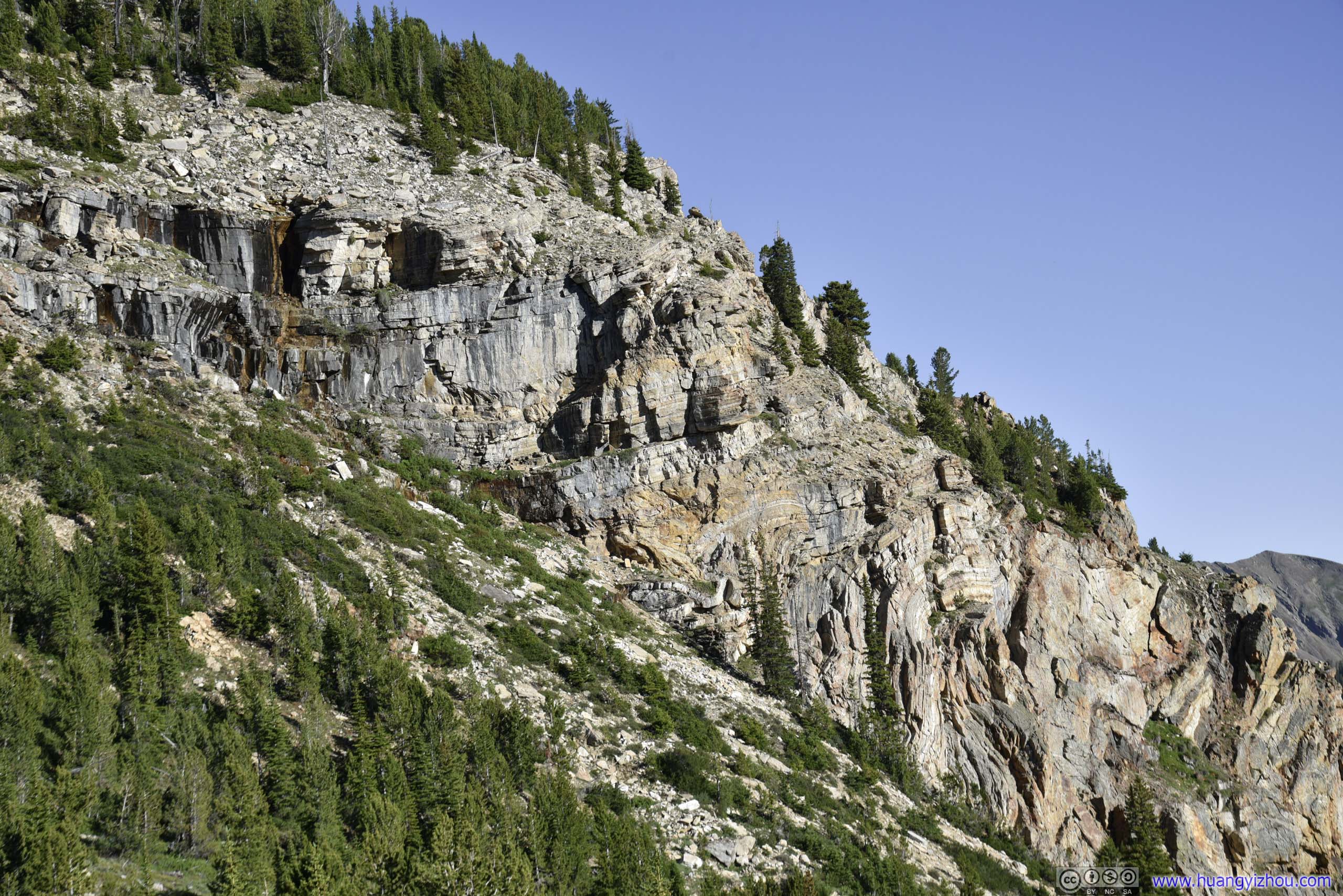
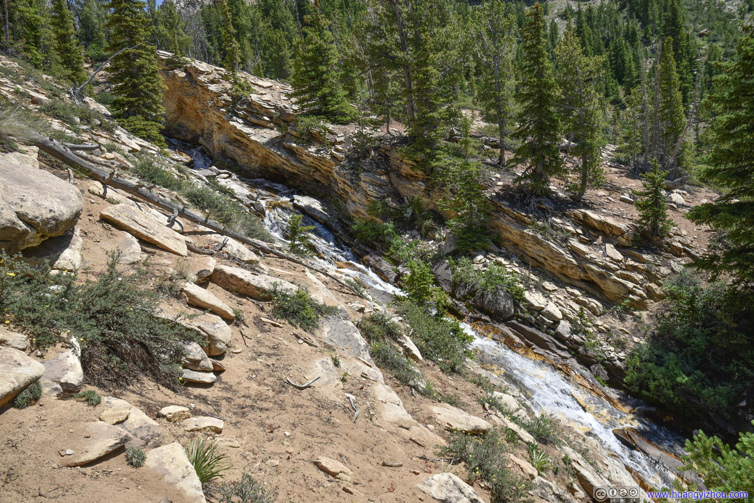

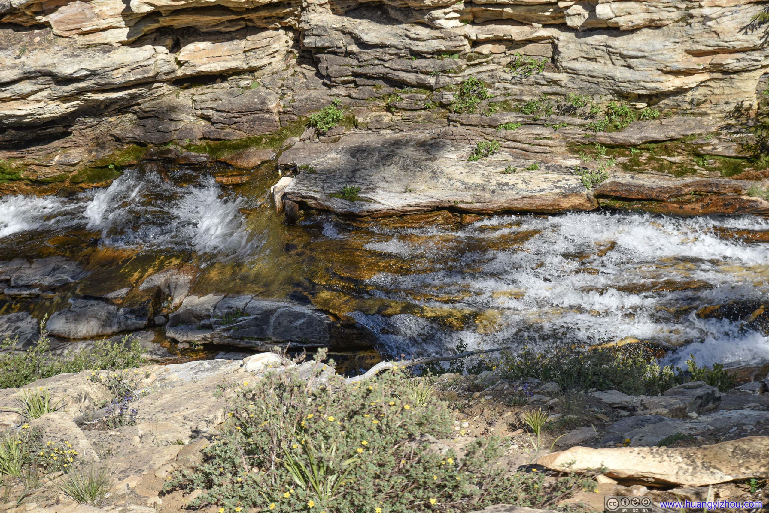
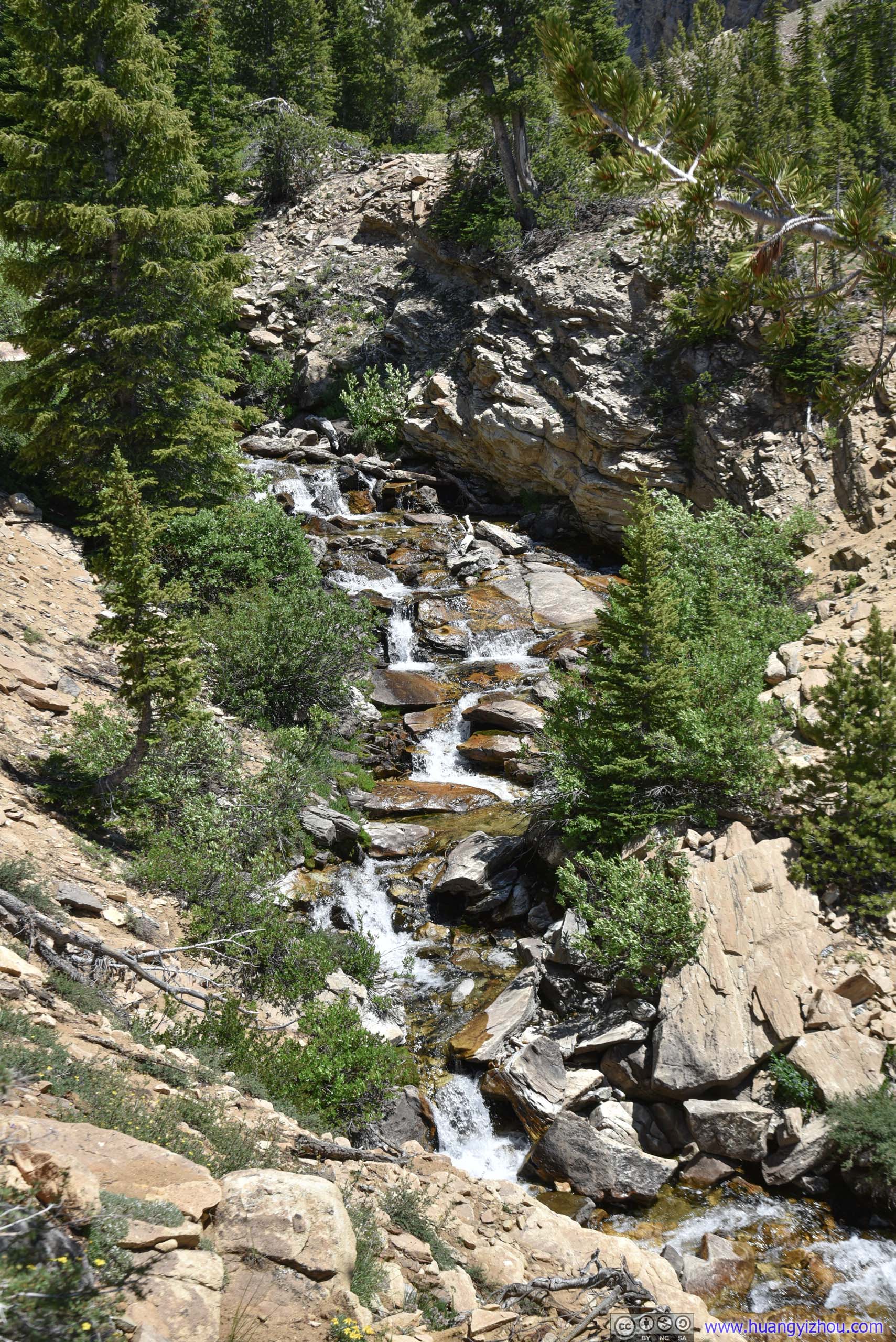
Hyndman Creek
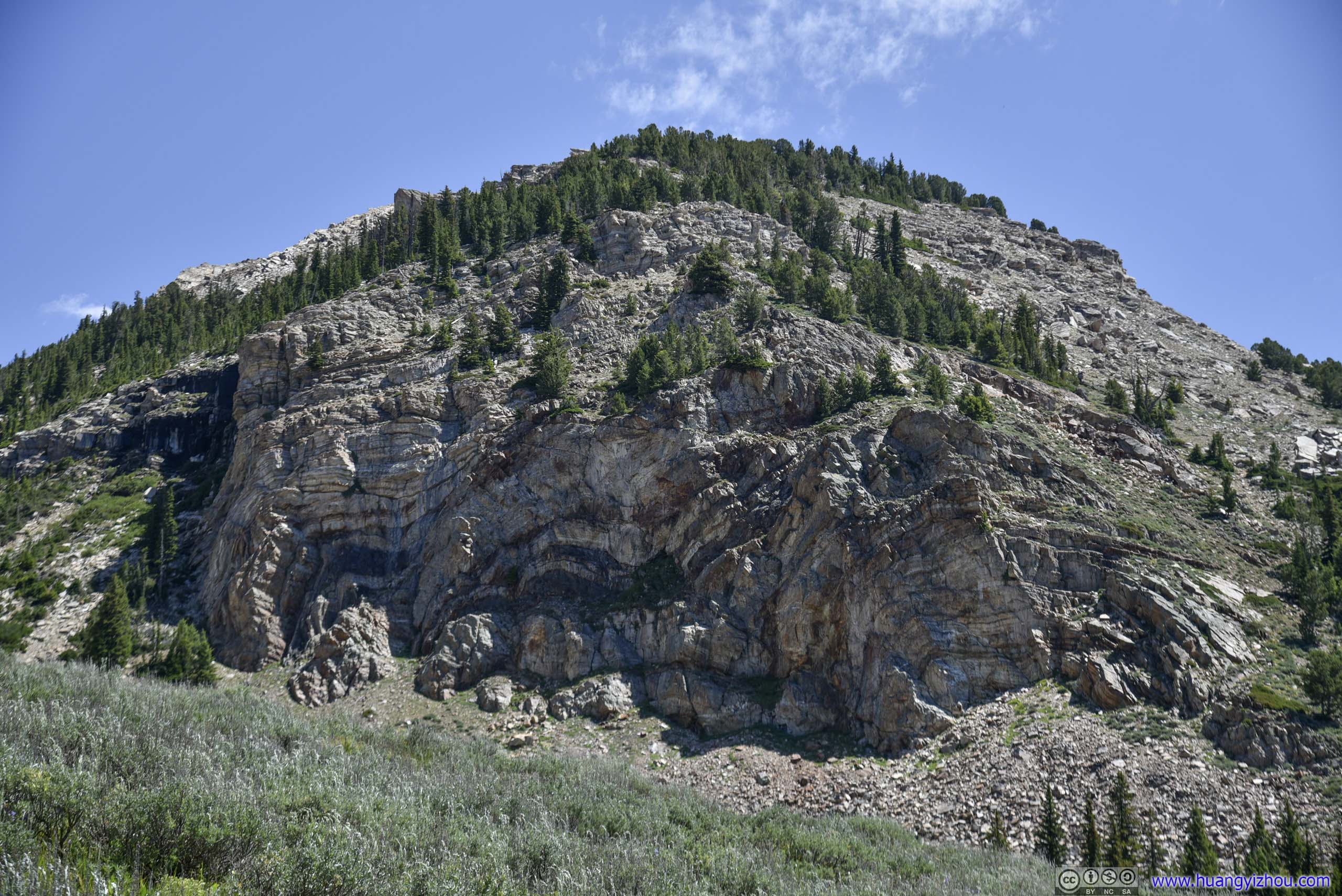
A mini canyon where Hyndman Creek flew through.

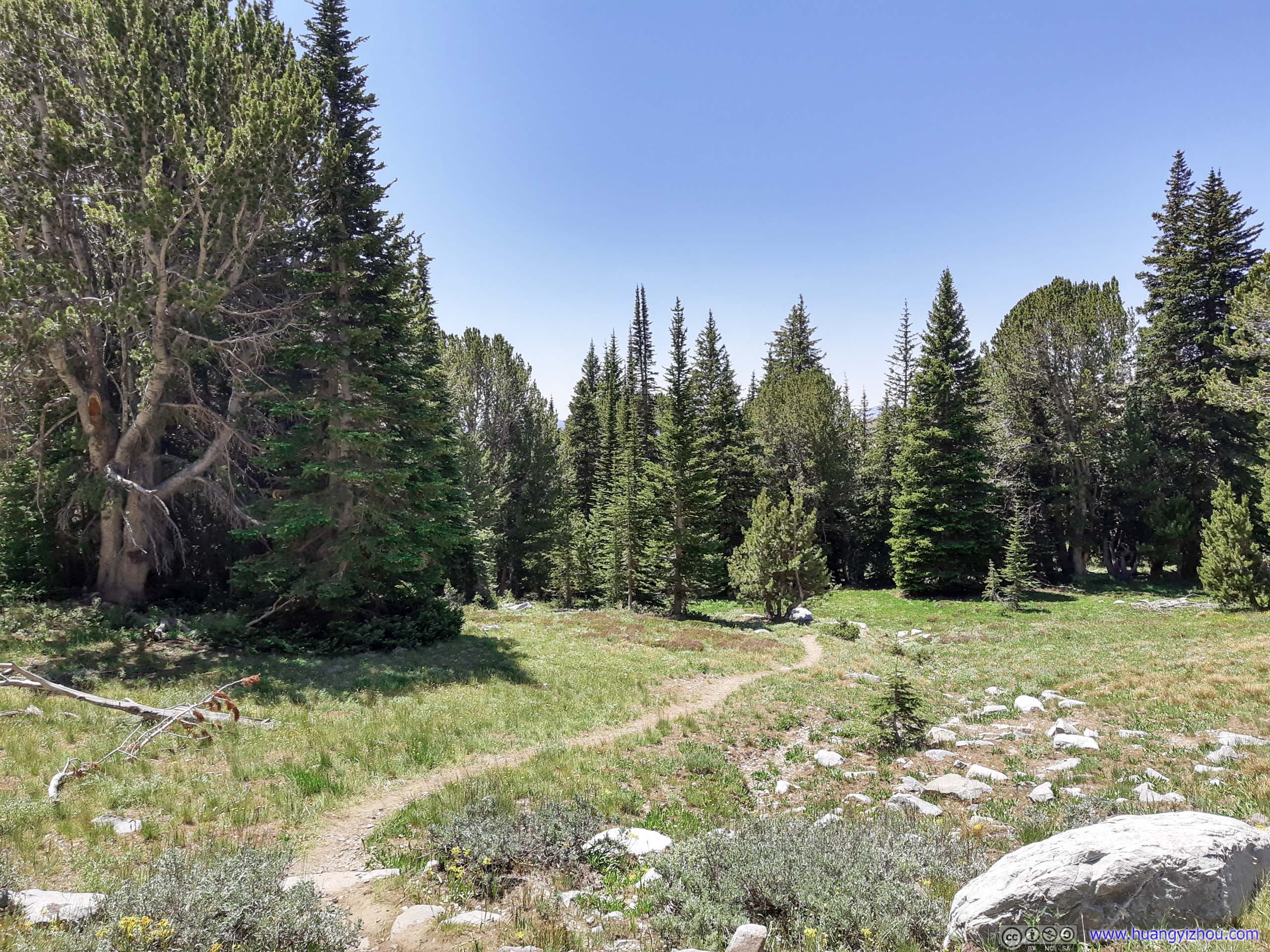
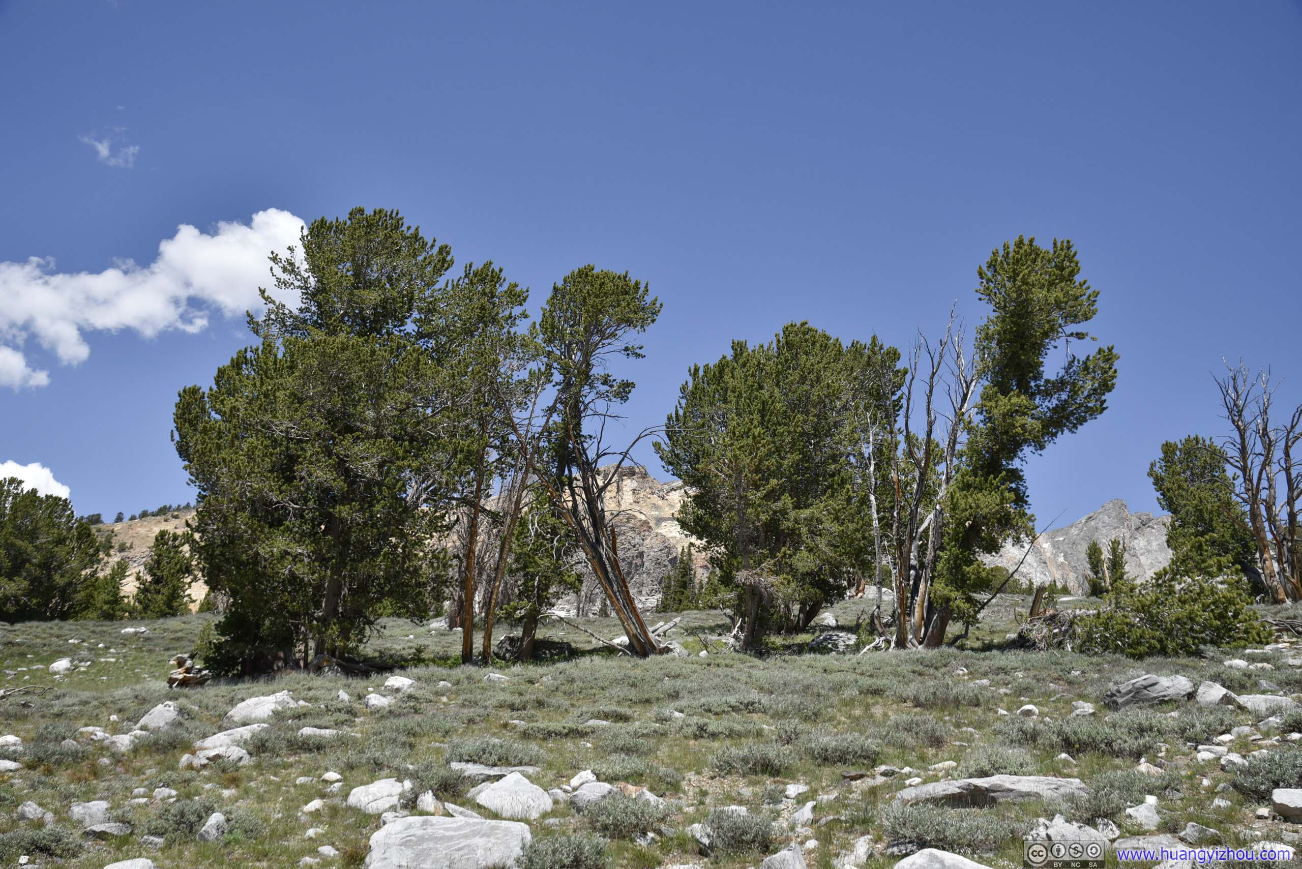
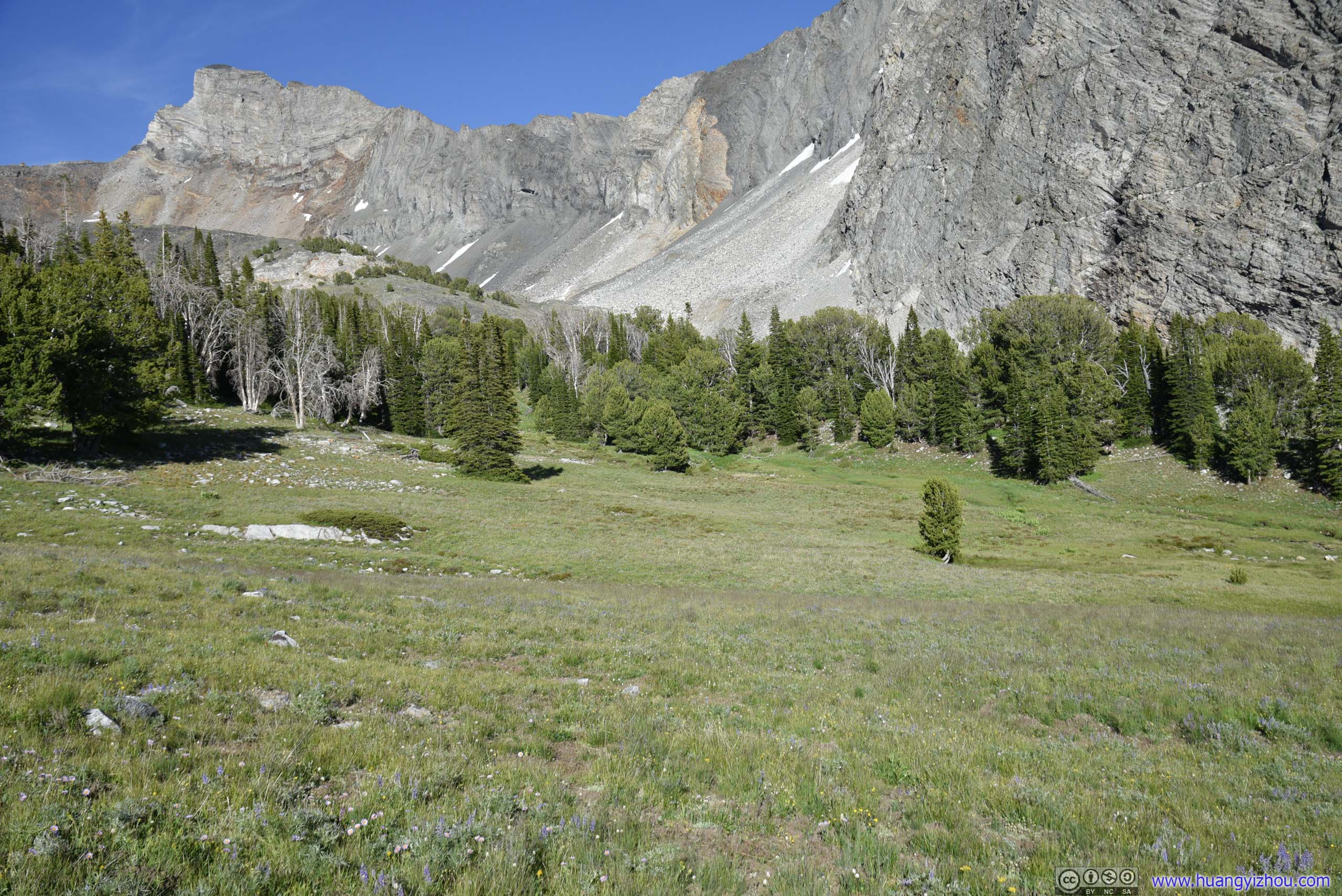
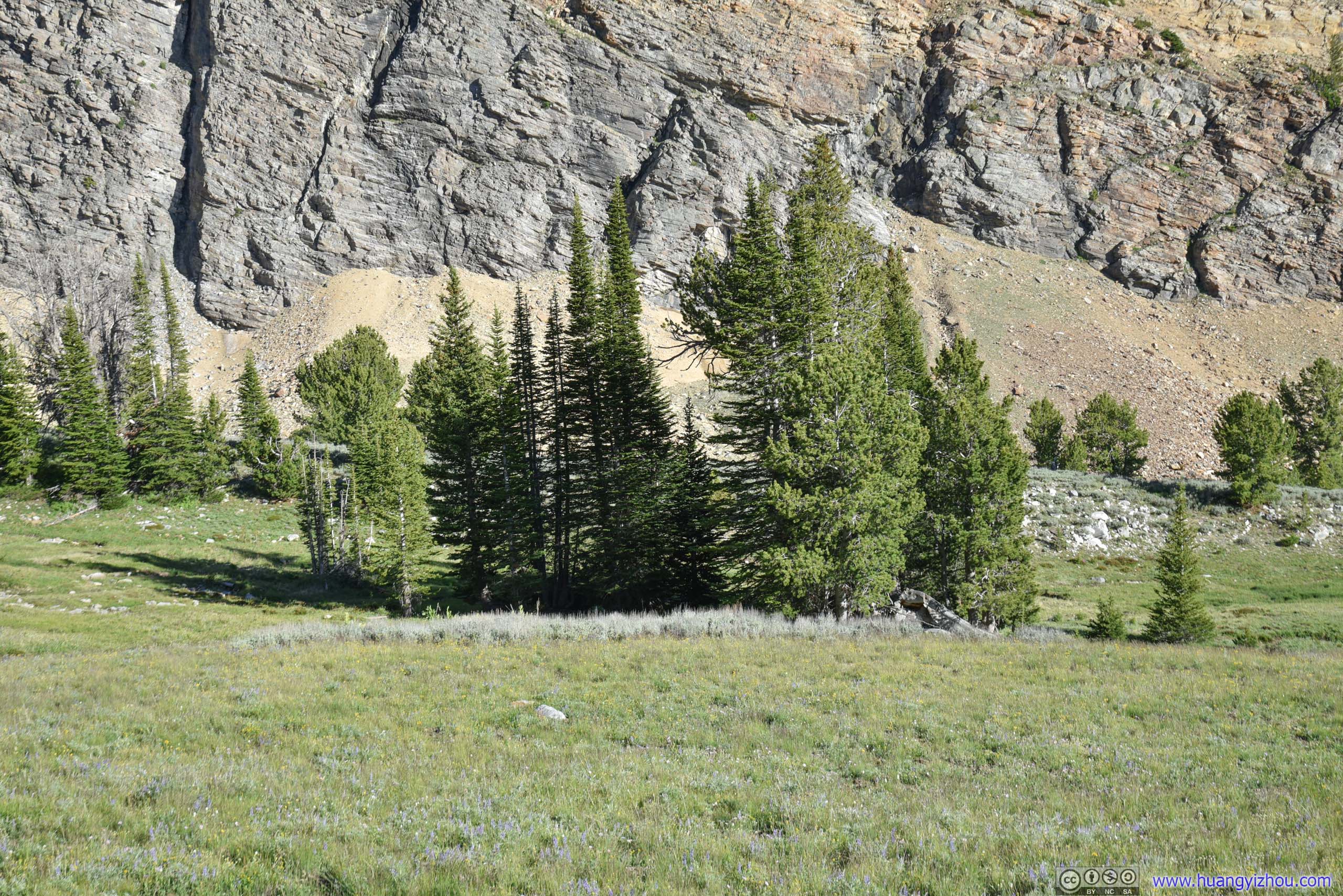
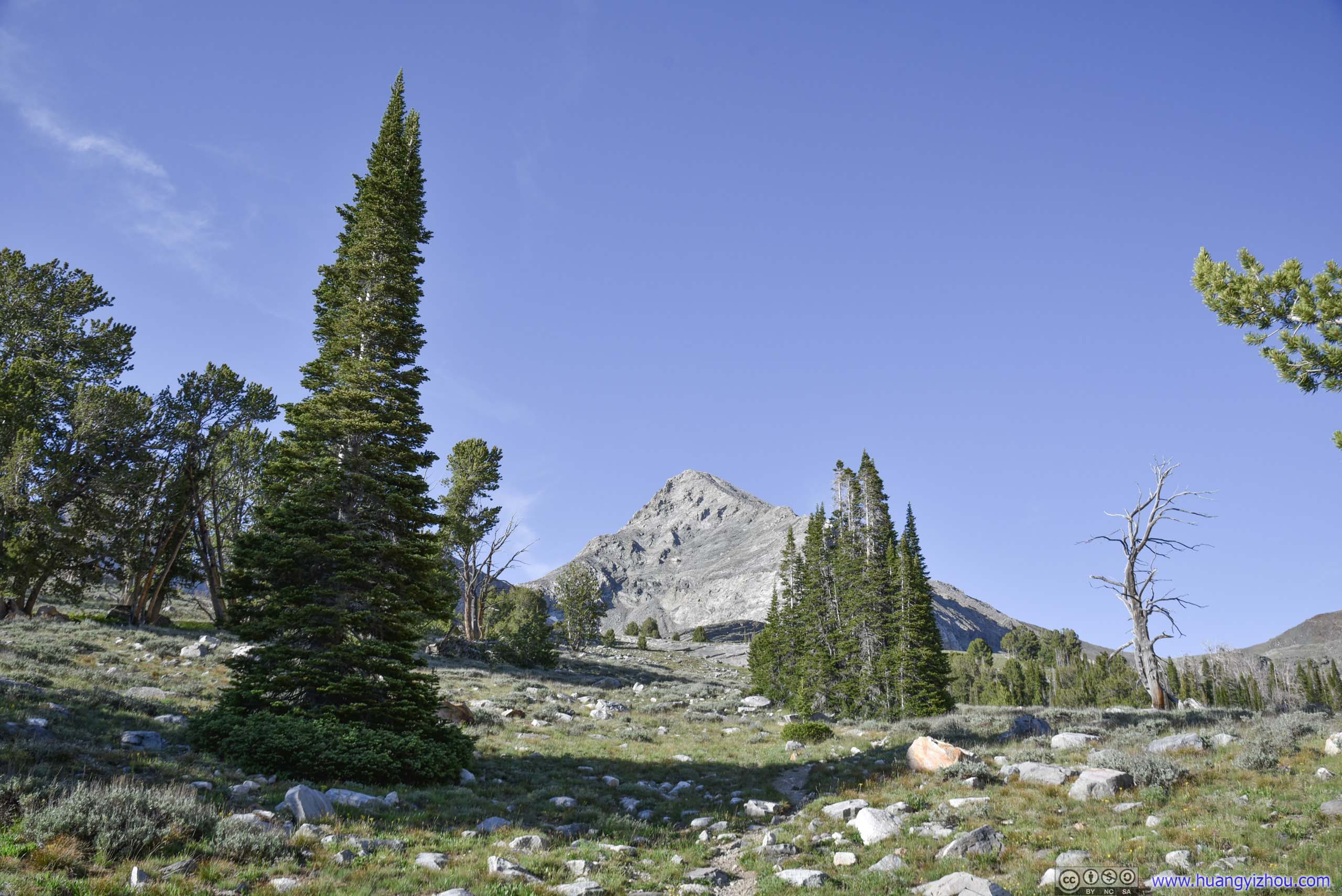
Trees
Scatter pine trees replaced bushes as one gained elevation approaching Hyndman Basin, sign of harsher environment.
Then the imposing Hyndman Peak began to emerge from behind the meadows.

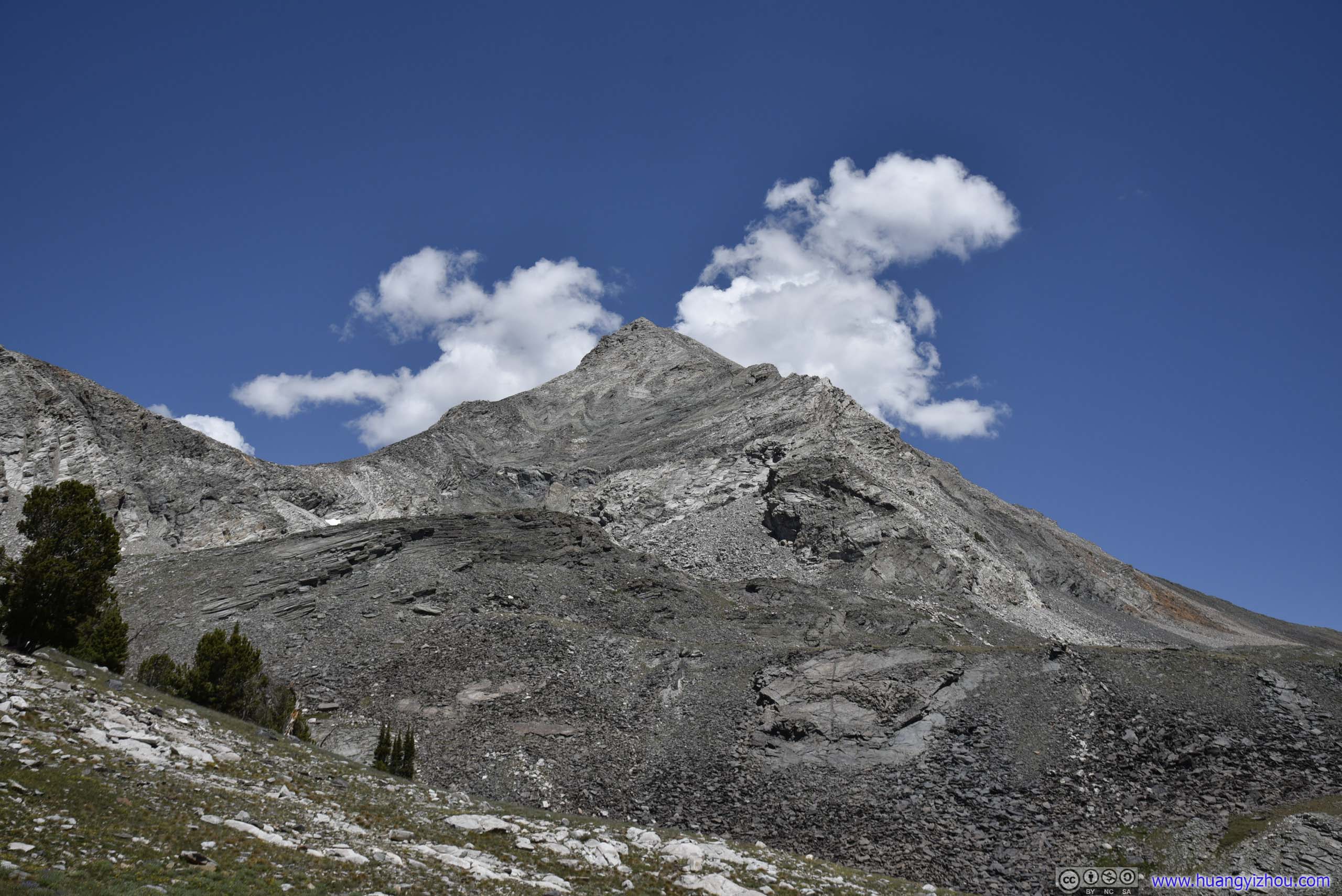
A pretty daunting presence from hiking trail.
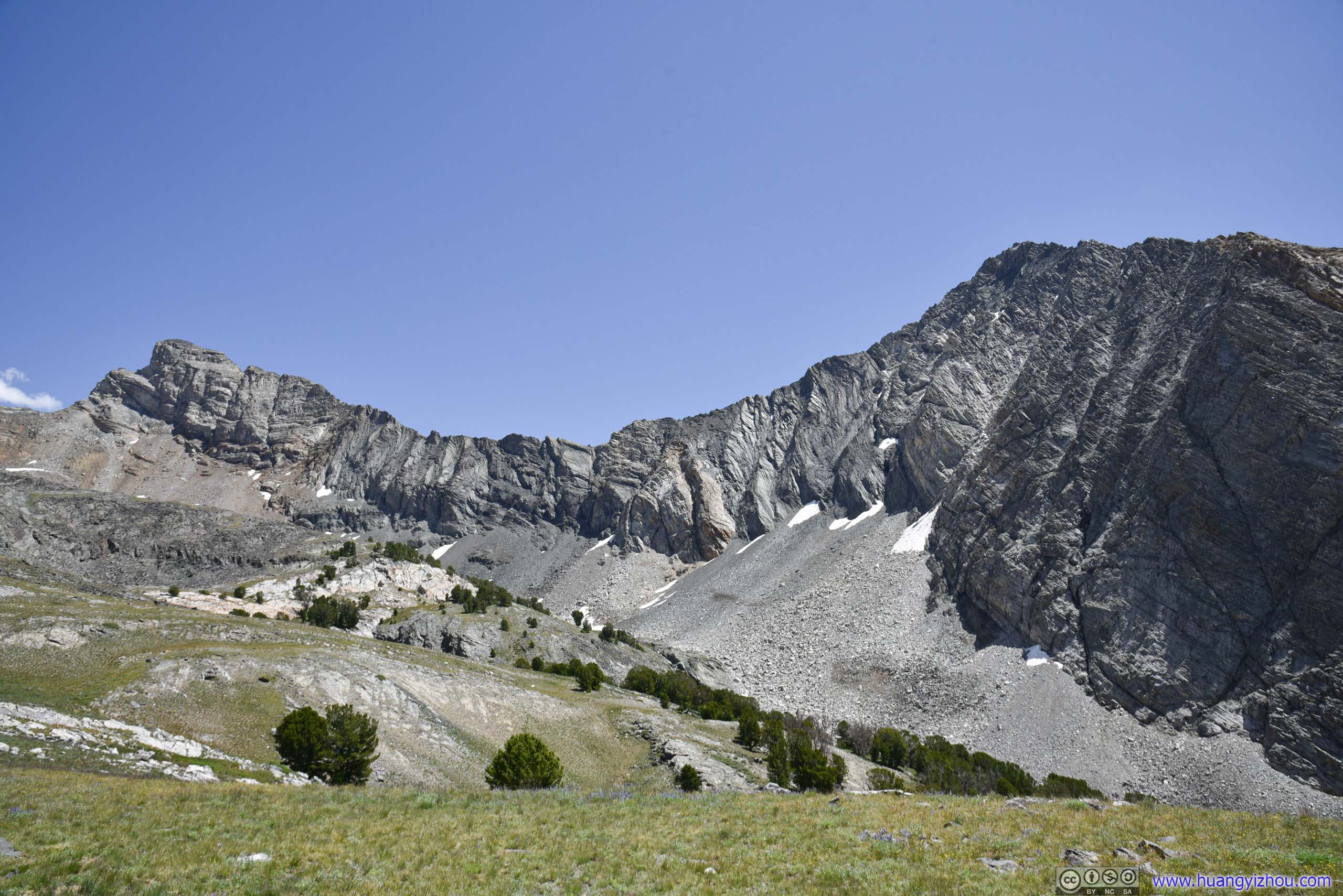
Between Old Hyndman Peak and Cobb Peak.

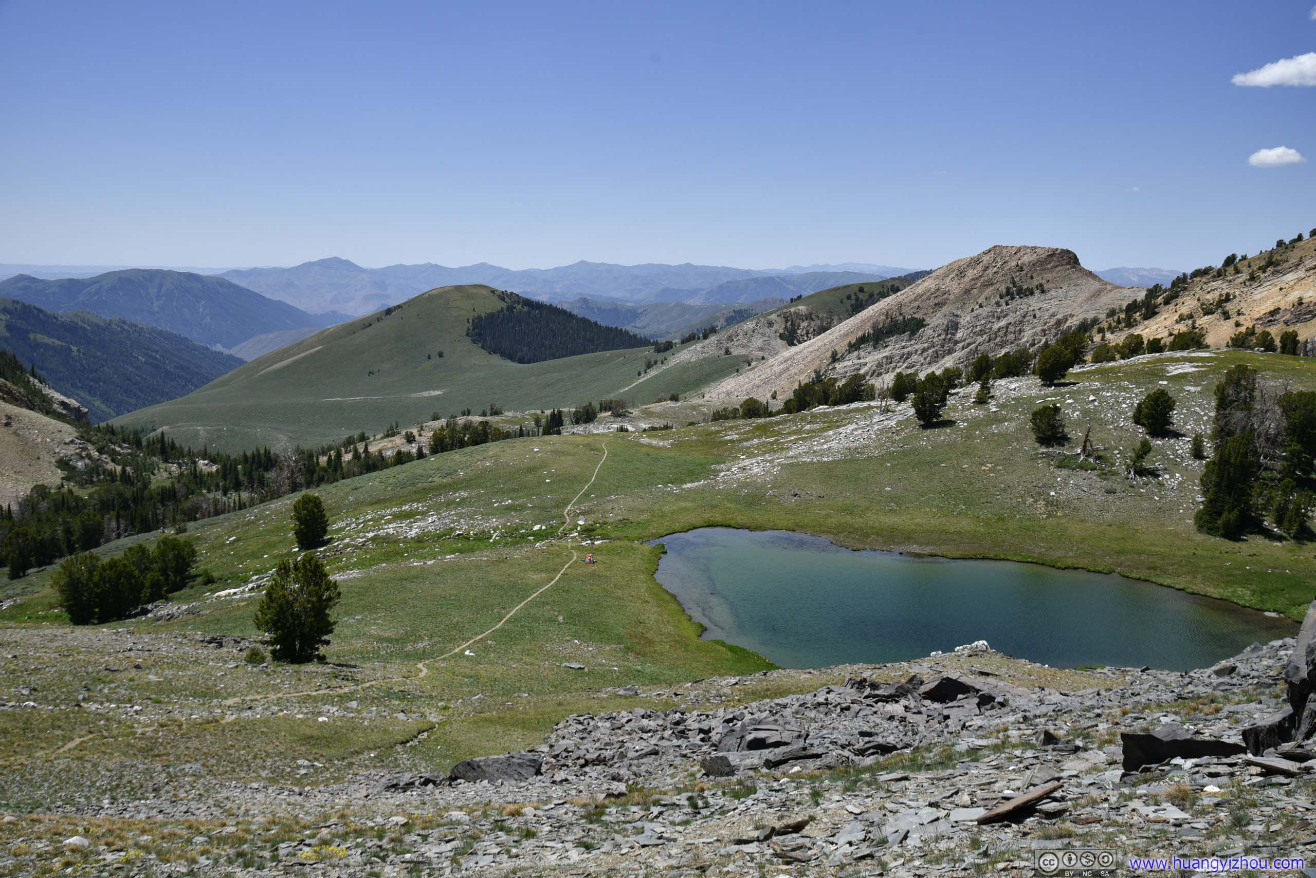
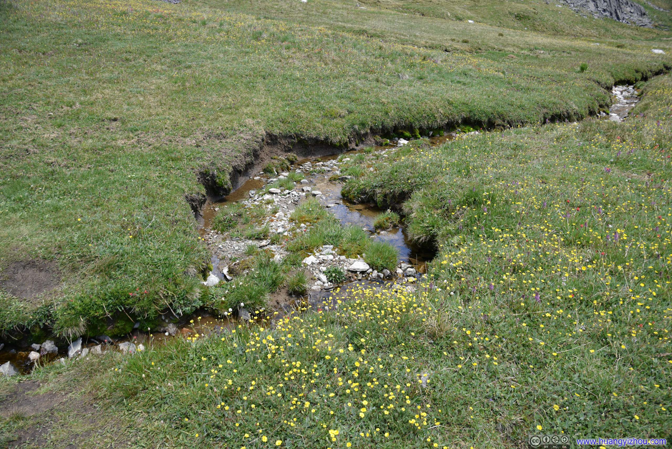
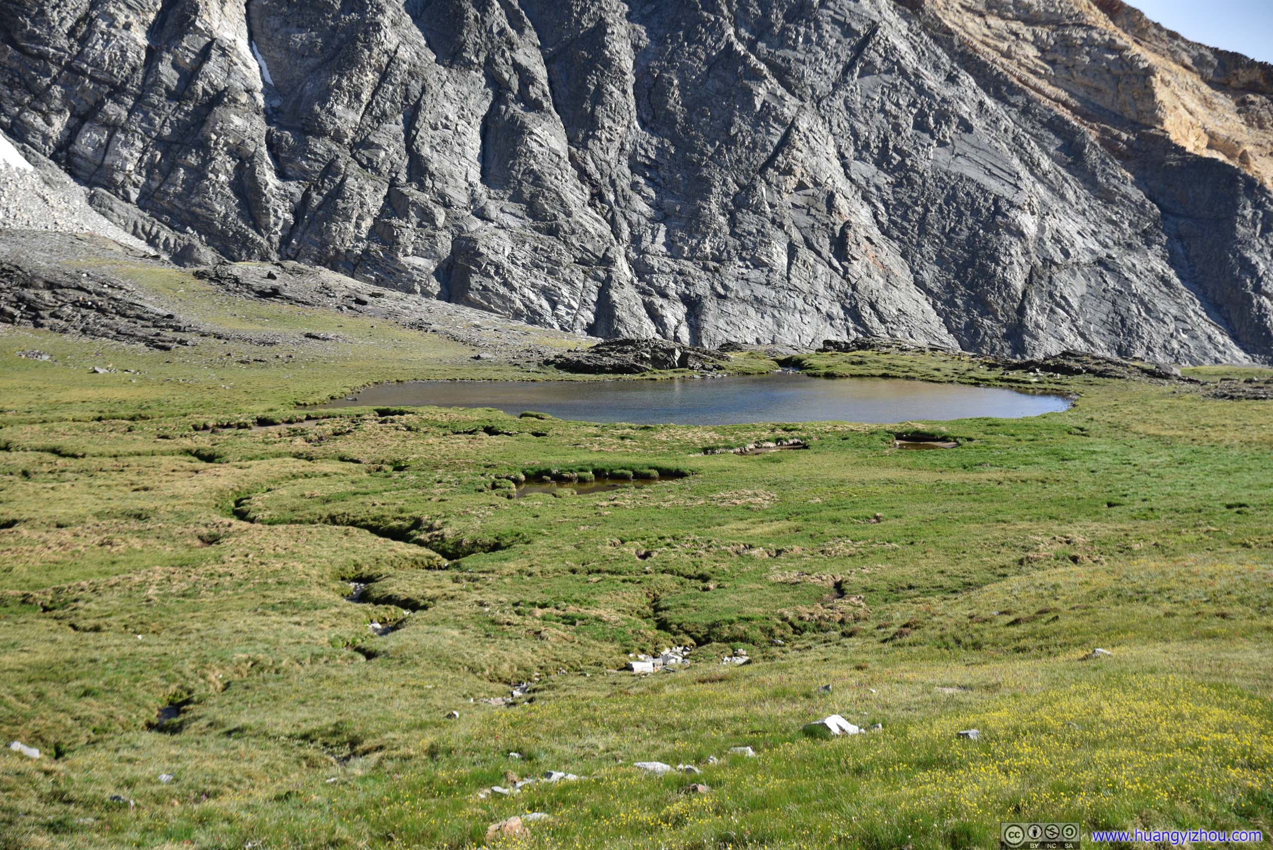
7.5km and 2.5 hours from trailhead, I arrived at this Lake at Hyndman Basin. (Strangely it's not called "Hyndman Lake".) This lake would mark the end of hiking for many people, but since I had the summit in mind, I soldiered on.
Soon after that the beaten hiking trail disappeared into a huge field of talus. It's very challenging to be climbing over these rocks as they were not very stable, so one had to find each and every footstep with care. A rock avalanche was certainly not the thing one would like to be caught in.

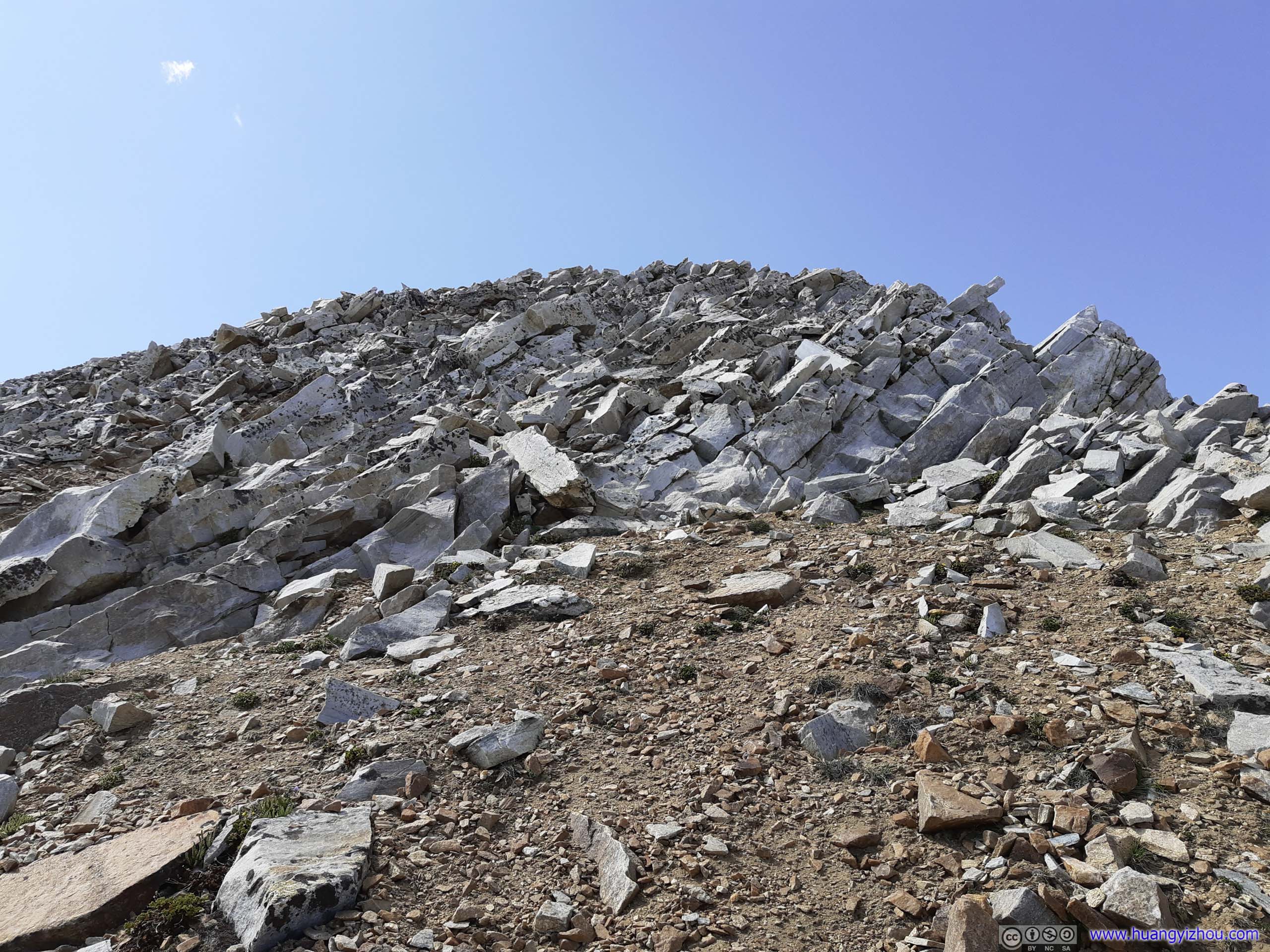
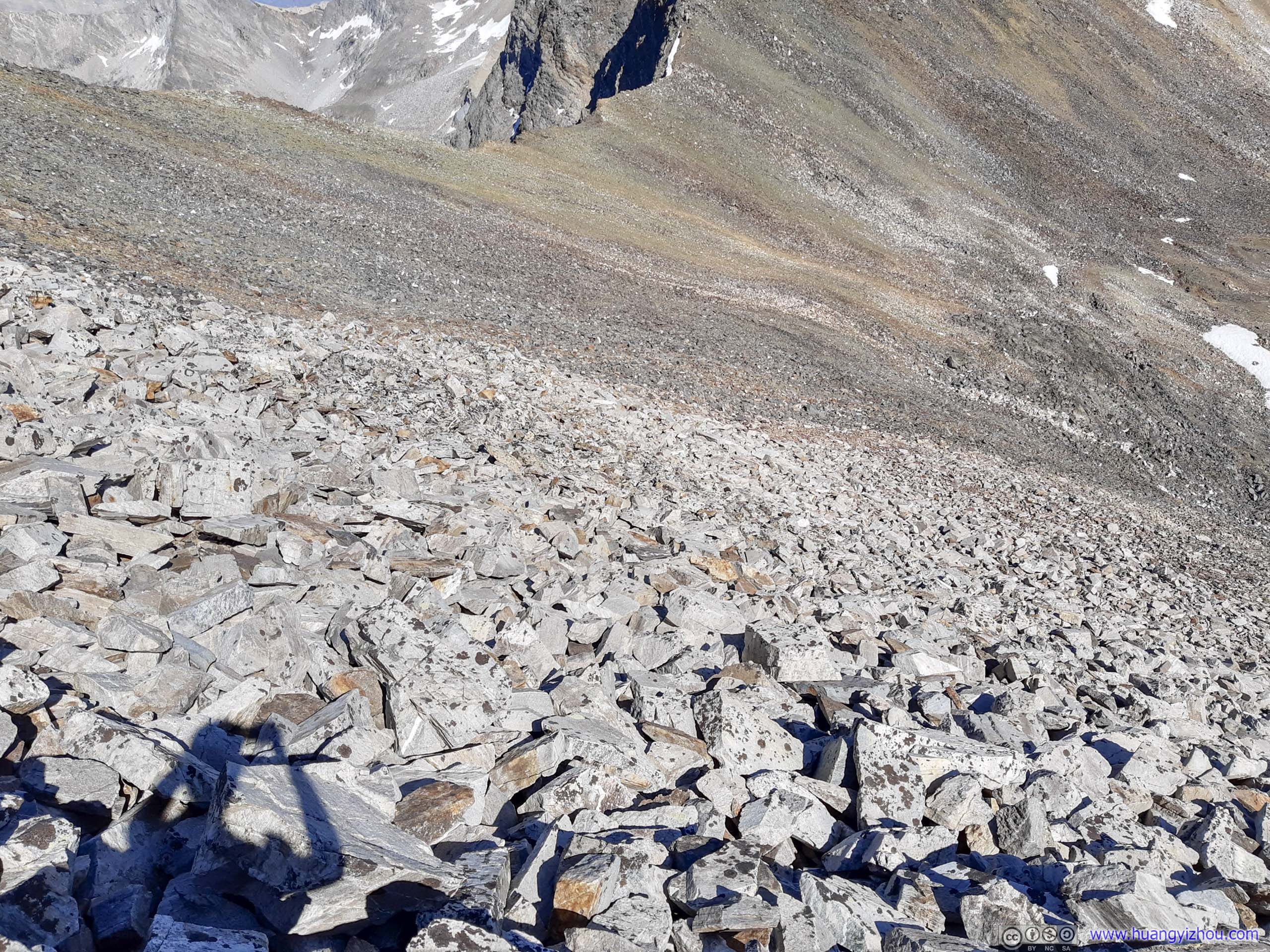
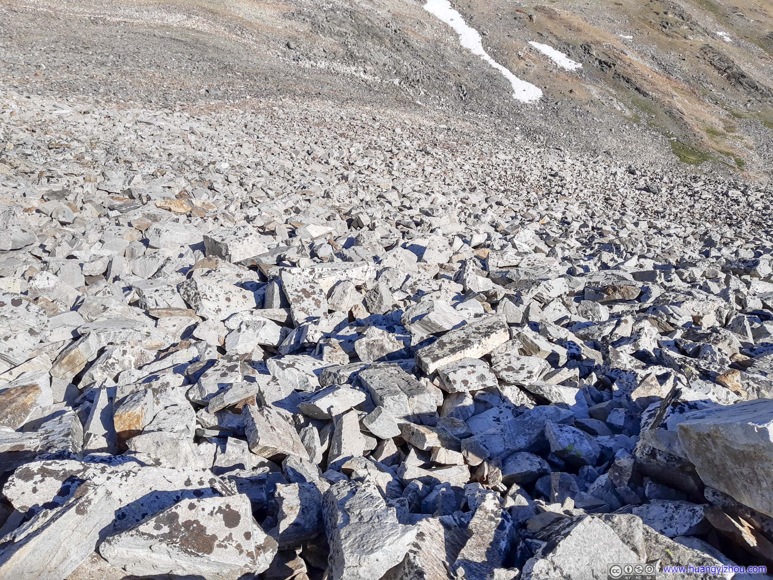
Talus
Among these loose rocks, taking the right route uphill was both important and tricky, despite there was really no trodden trail among this talus field. The correct/easiest route up Hyndman Peak was to aim for the ridge between Hyndman Peak and Old Hyndman Peak first. After getting onto the ridge, one would make a left turn and ascend to the summit.
Unfortunately, I didn’t have that route pre-loaded onto my phone, and I was tempted to turn left immediately after getting onto the talus field, taking a more direct ascent to Hyndman Peak. Despite still being class 2 (most of body weight still on my legs), it was a very technical ascent hopping across the rocks at 45-degree incline.
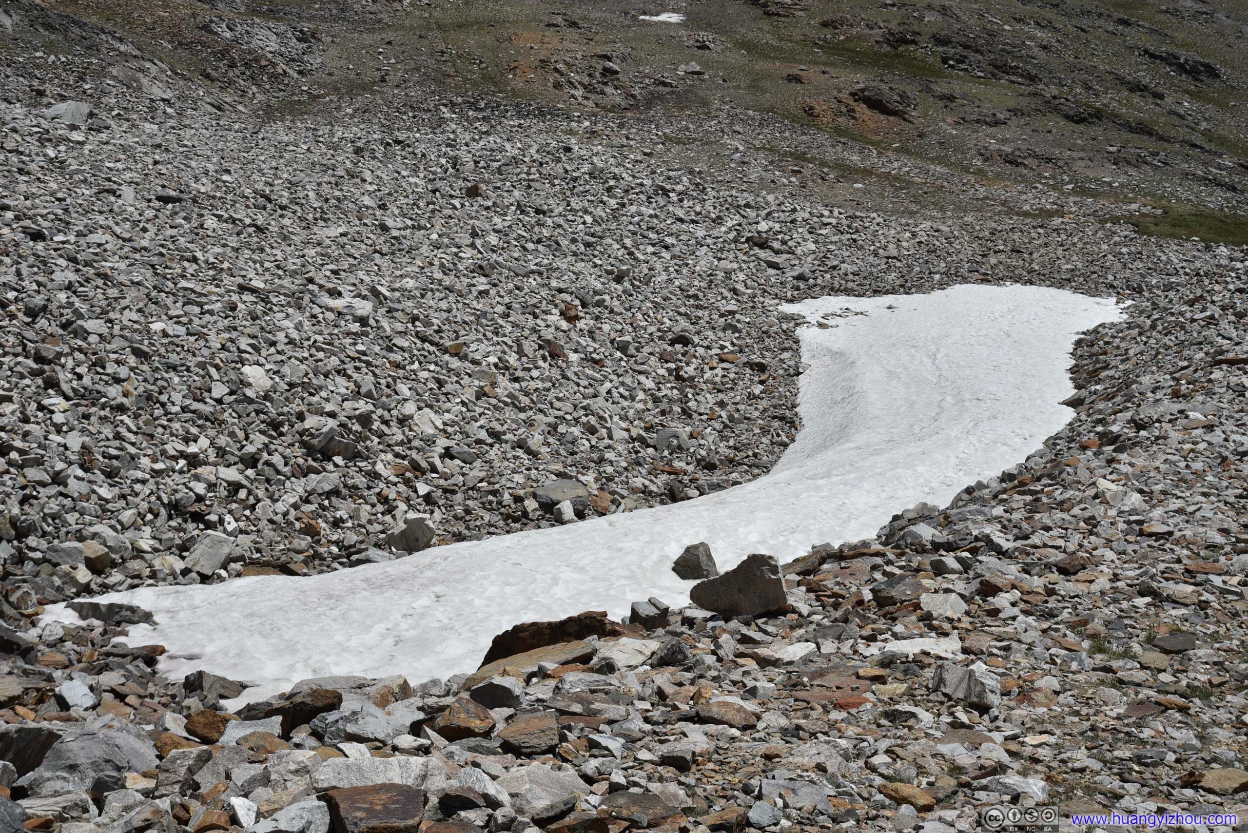
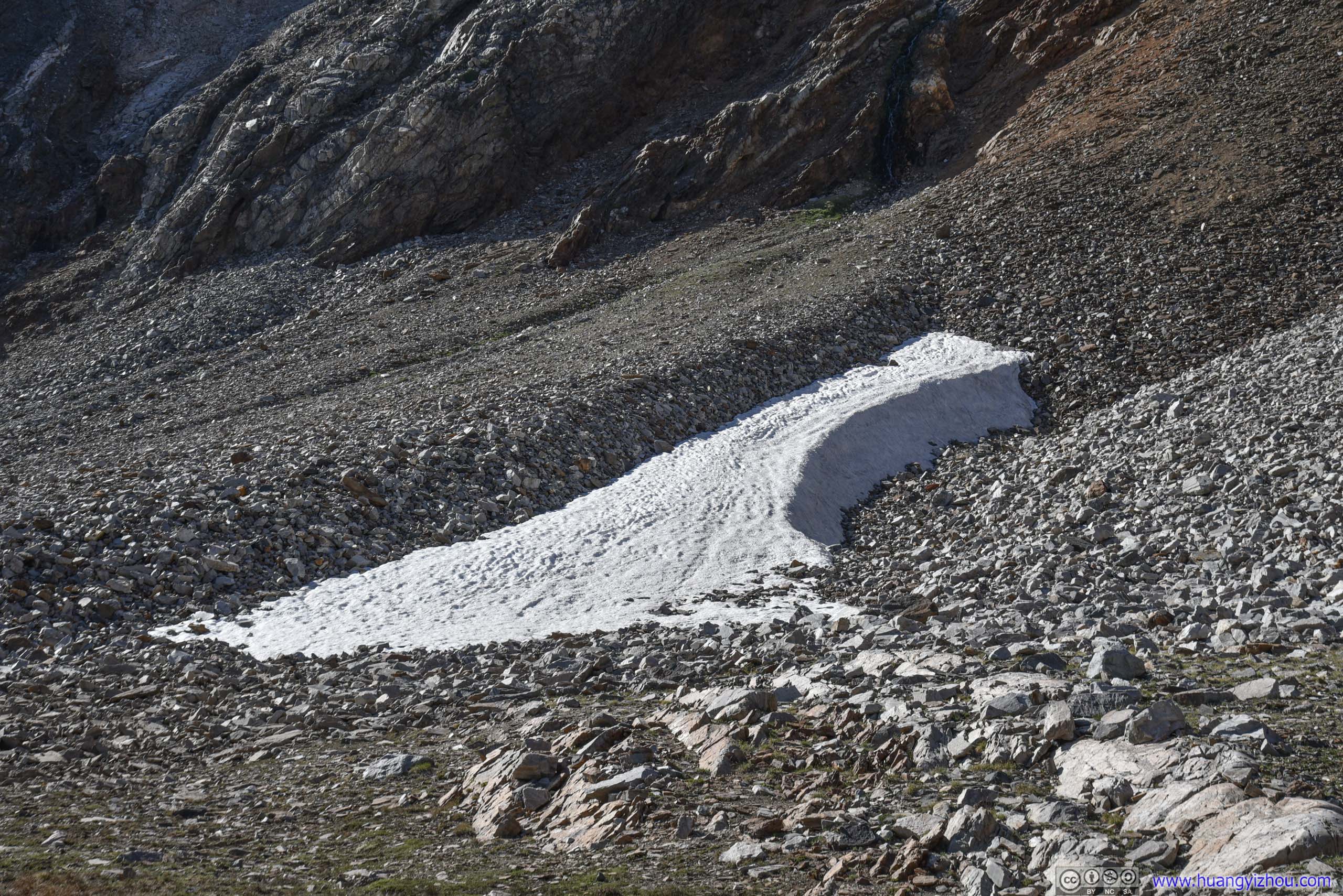
To make things worse, I looked at the temperature part of weather report and decided to wear T-shirts and shorts for the day, which were the right clothing in the woods. But once out of Hyndman Basin, wind was funneled through the narrow opening between Hyndman and Old Hyndman Peak and blowing strongly. That added a running nose and goosebumps to the list of obstacles facing me.
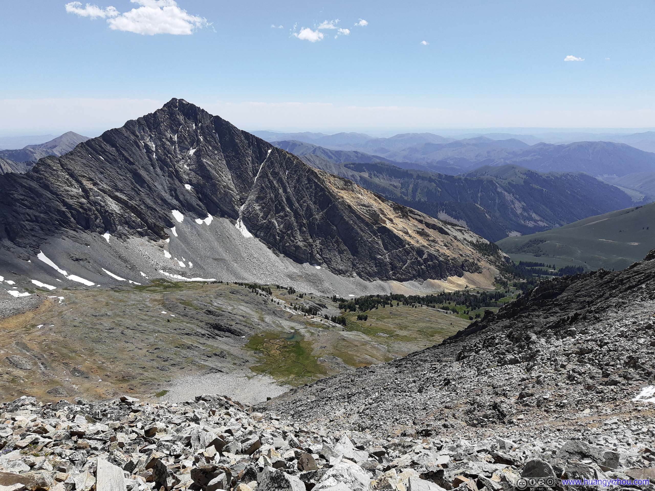
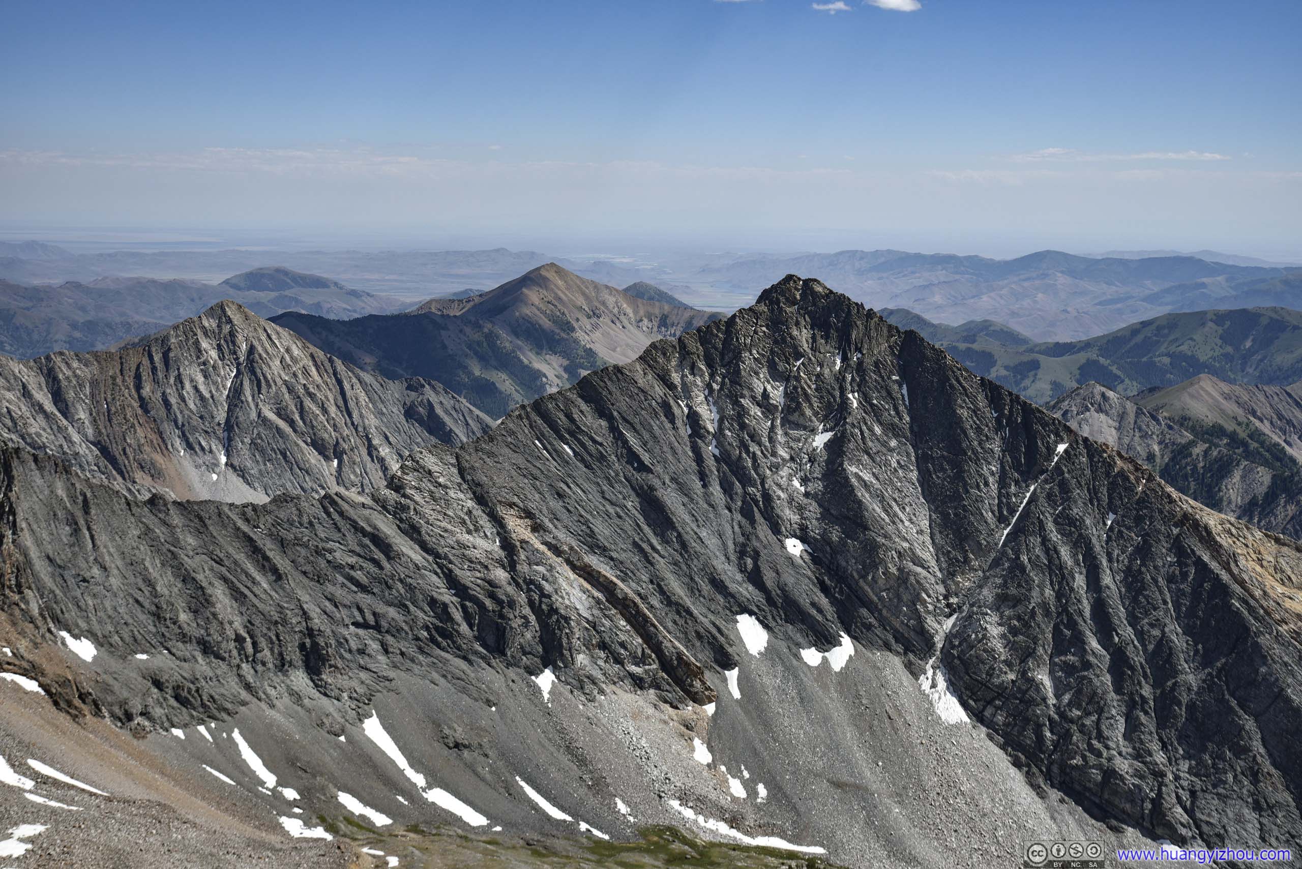
Cobb Peak
A mountain south of Hyndman Peak, taken during my ascent (top) and on top of Hyndman Peak (bottom).
At the end of the day, it took me a whopping hour and 40 minutes on talus field (and a few cuts on legs here and there, since the rocks are sharp nonetheless) to ascent Hyndman Peak, meeting only one other hiker during the final ascent.

To commemorate the moment, I used my drone and recorded the following video.
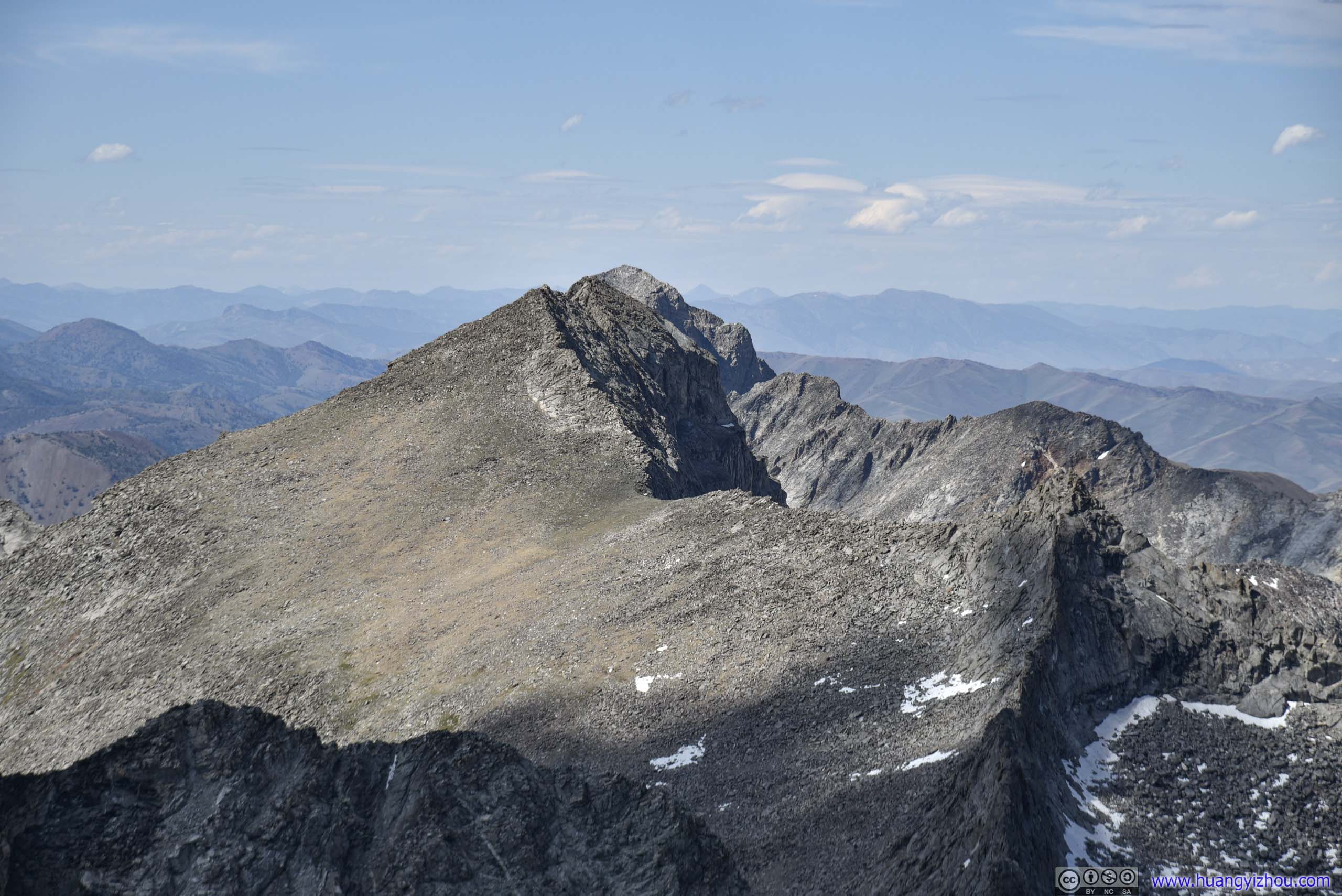
Then I started to soak in the scenery, starting with mountains to the north, that's hidden behind throughout most of the hike.
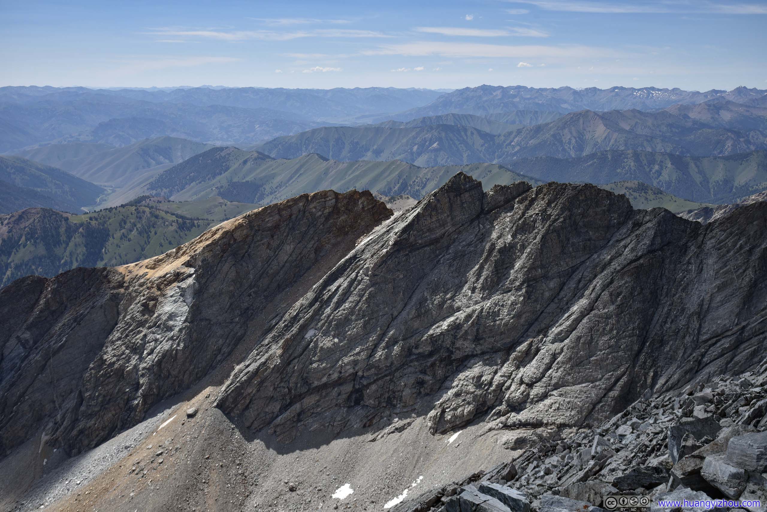
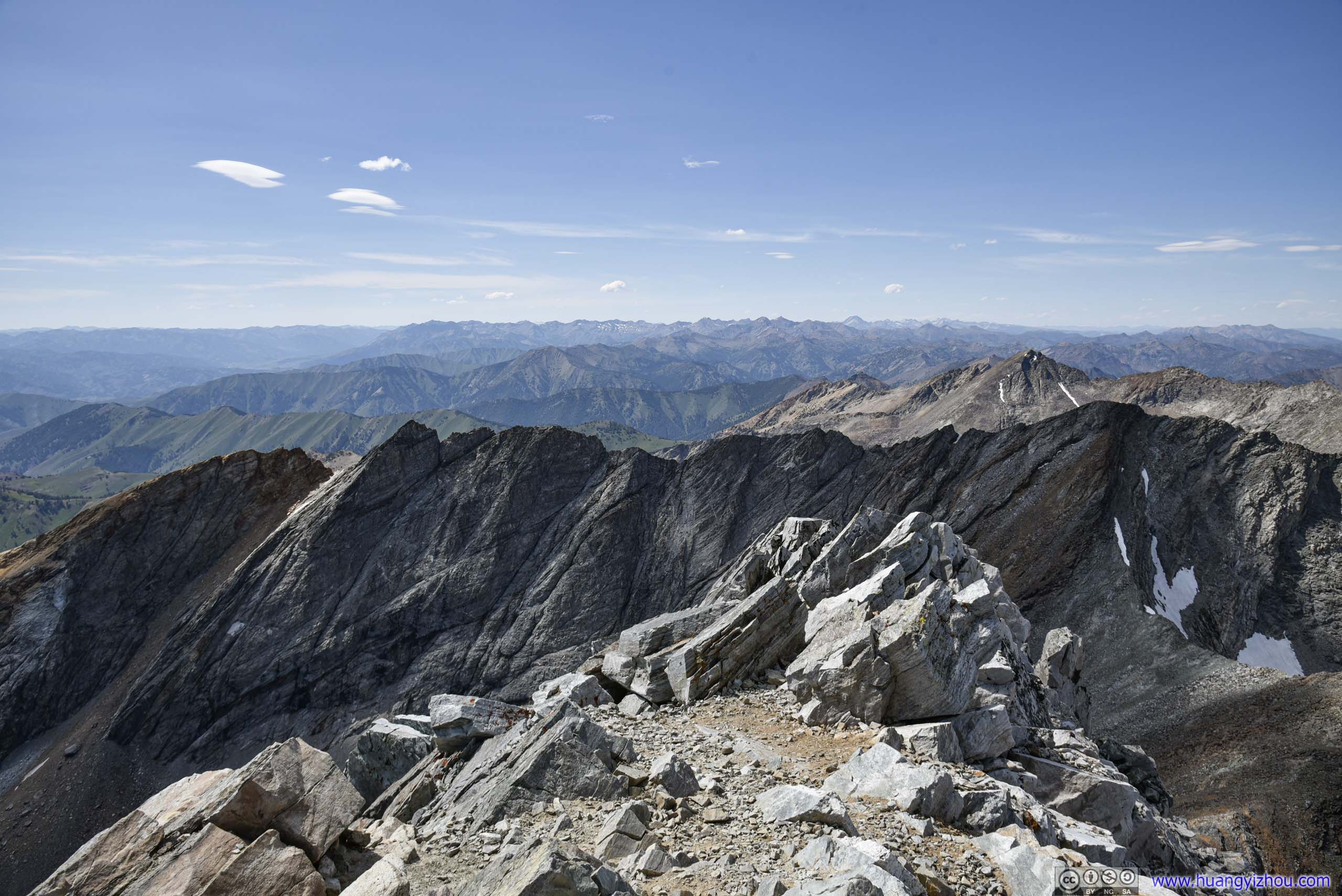
Then these were the familiar peaks to the south.
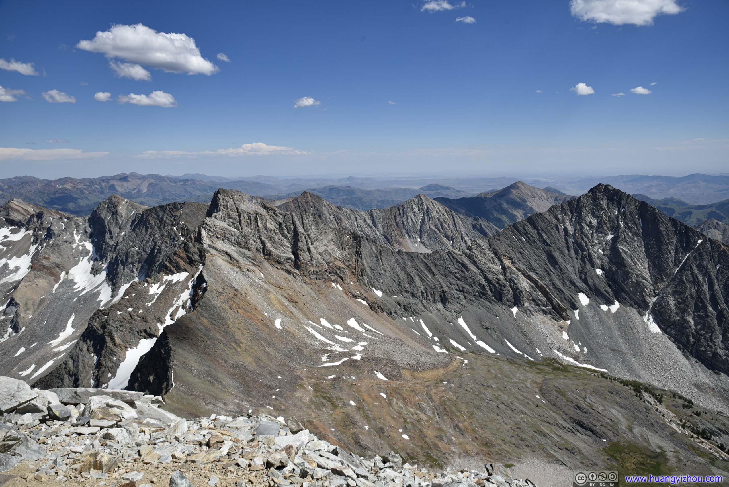
Between Old Hyndman Peak and Cobb Peak

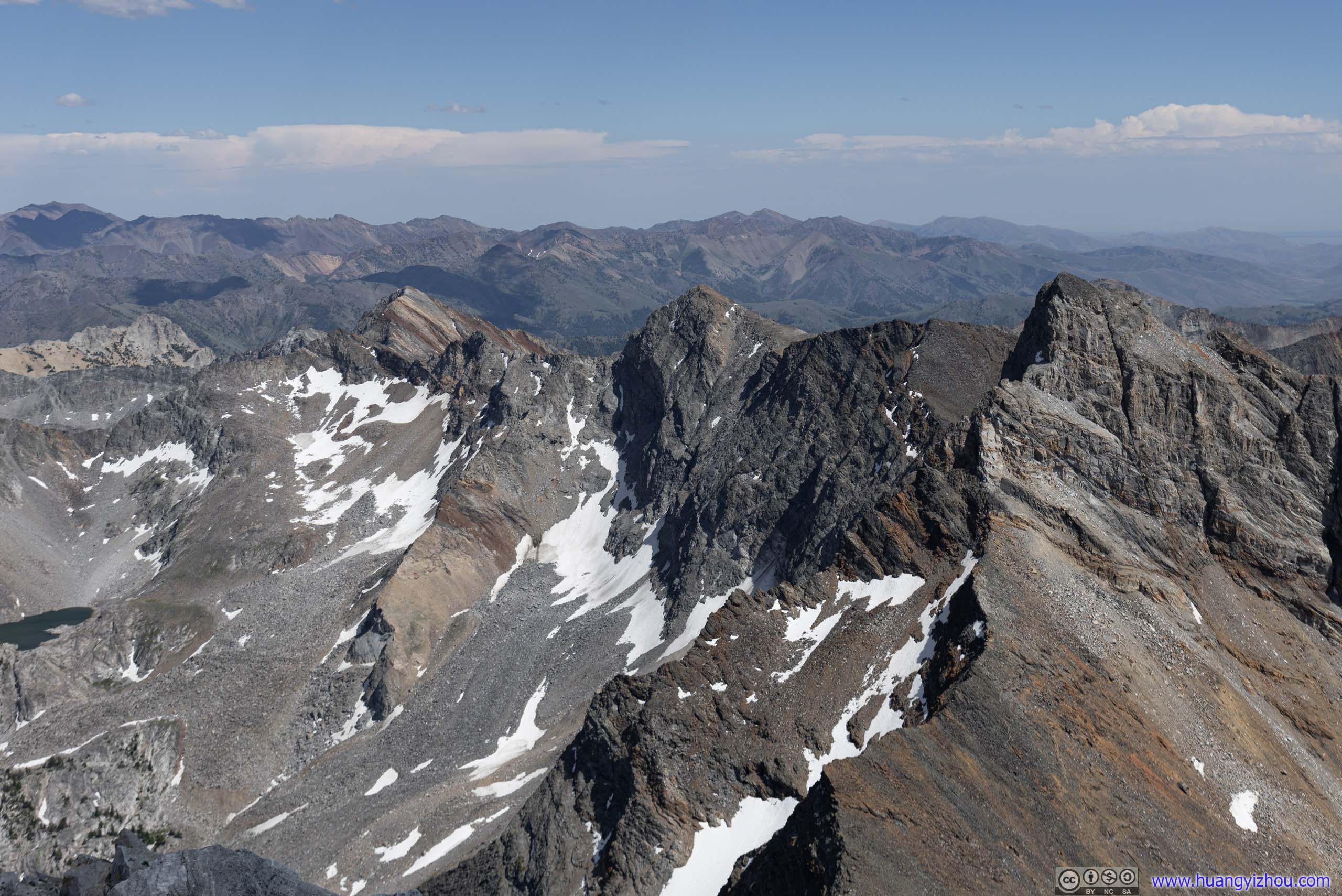
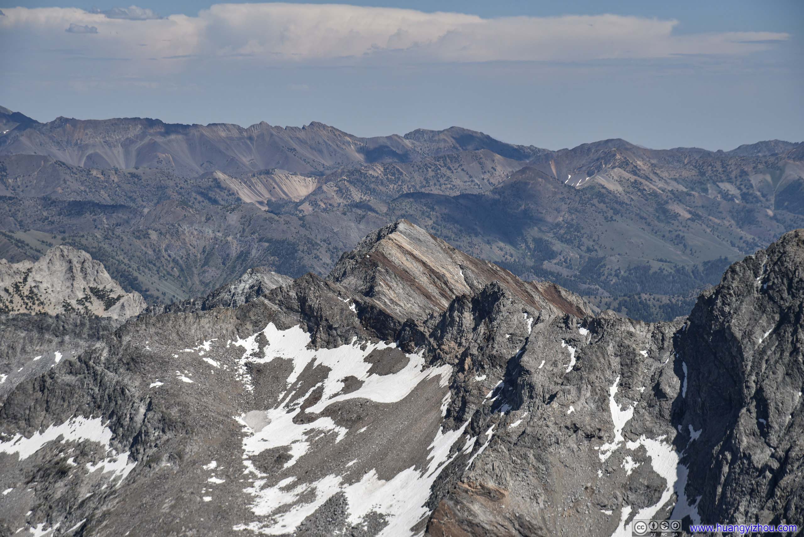
Mountains
To the south-east of Hyndman Peak.

Facing West towards ID75, in the direction of Hailey and Ketchum. I could see the poor gravel road leading me to trailhead.
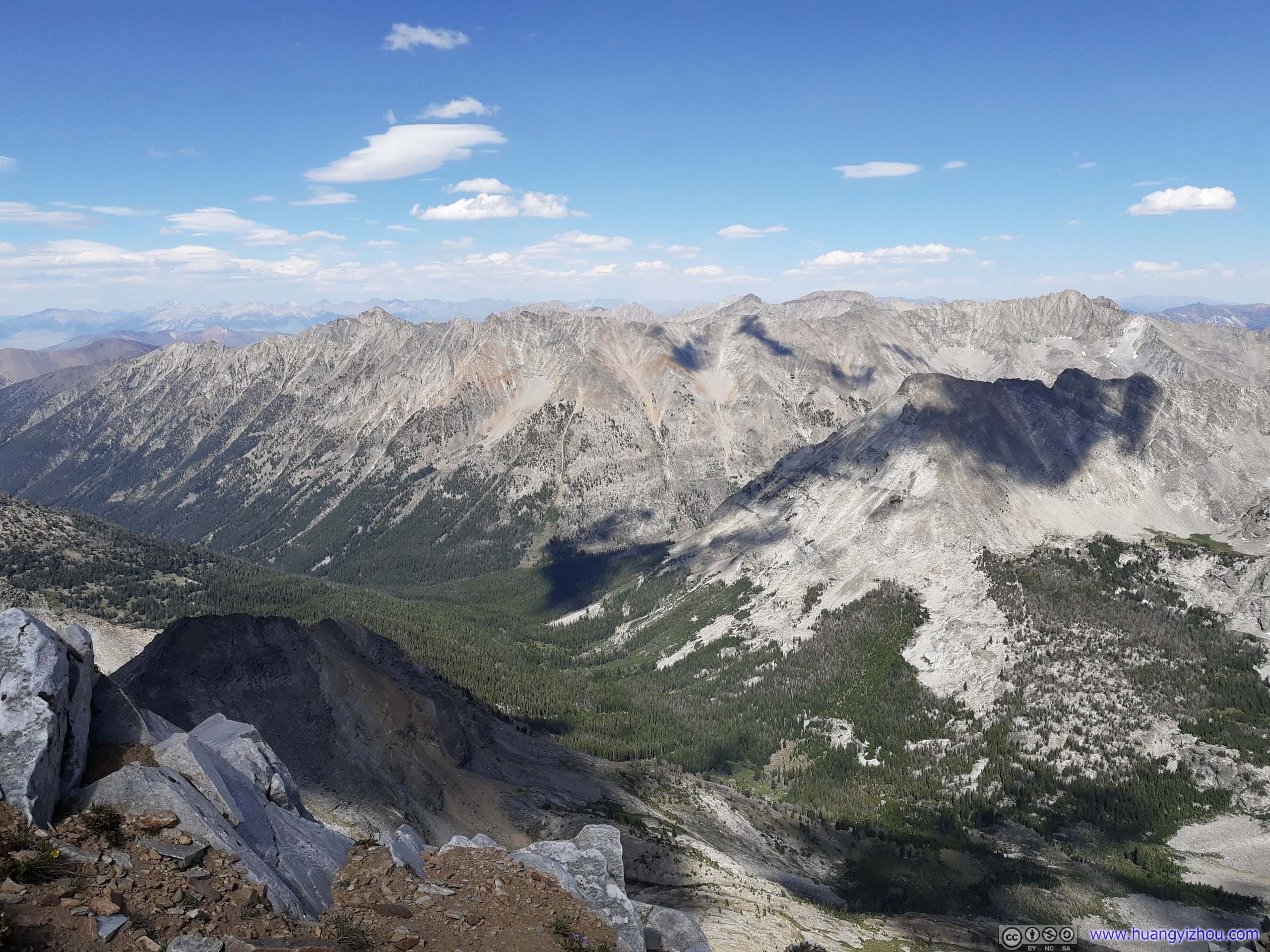
To the East of Hyndman Peak.
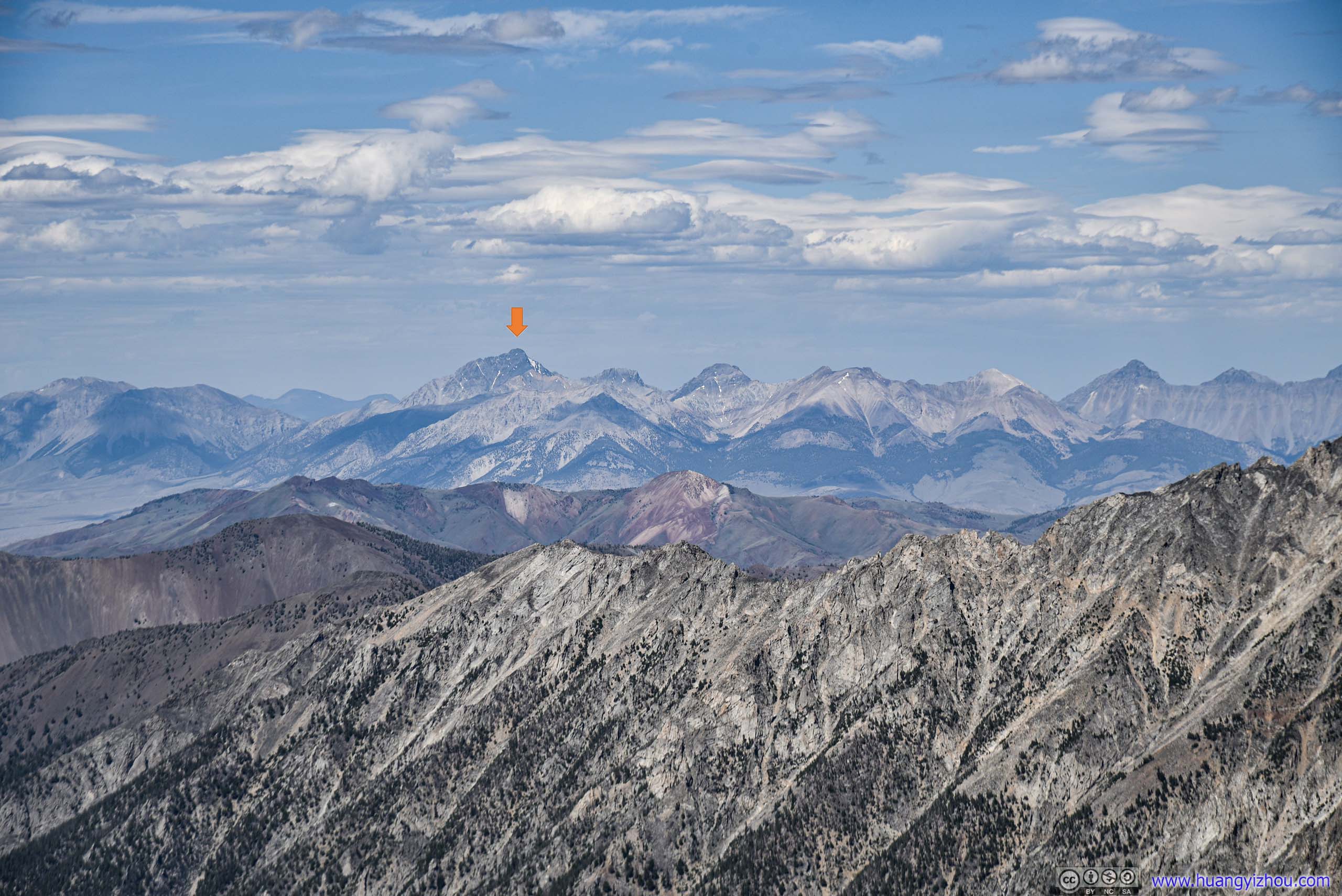
While I was home processing the photos, amazingly, I found that the yellow arrow marked Borah Peak, Idaho’s tallest mountain, which I planned to summit in a few days. It’s 52km away, but visibility was splendid that day.
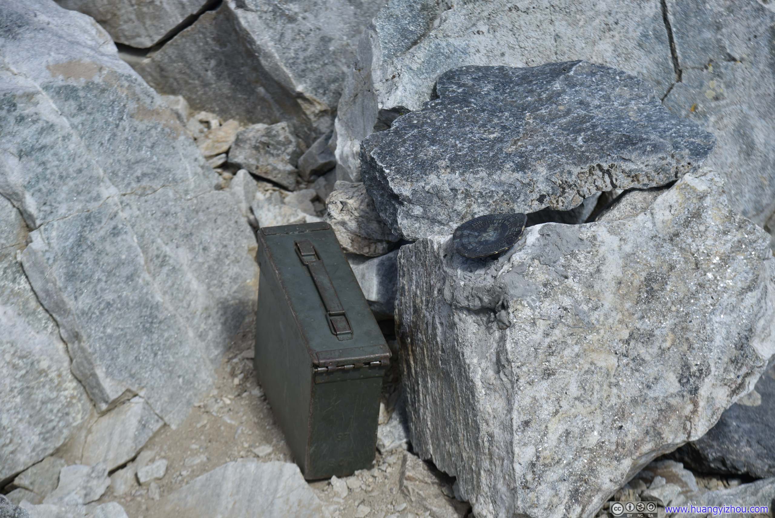
Usually contains a log book of people successfully summitting such mountains. I was too crippled by the wind to take a look inside it.
After spending 35 minutes at the summit, I started my descent, which was no less precarious.
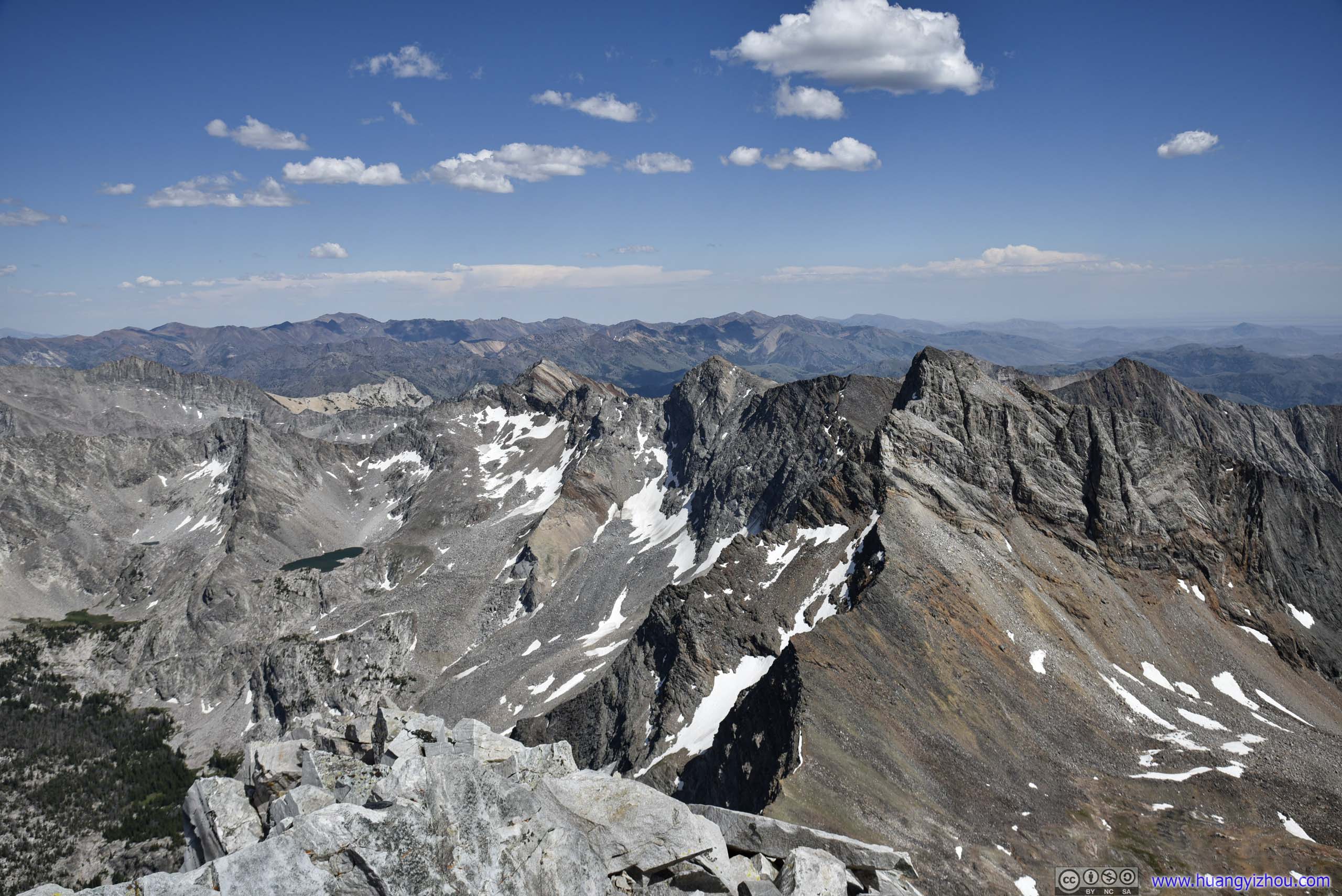
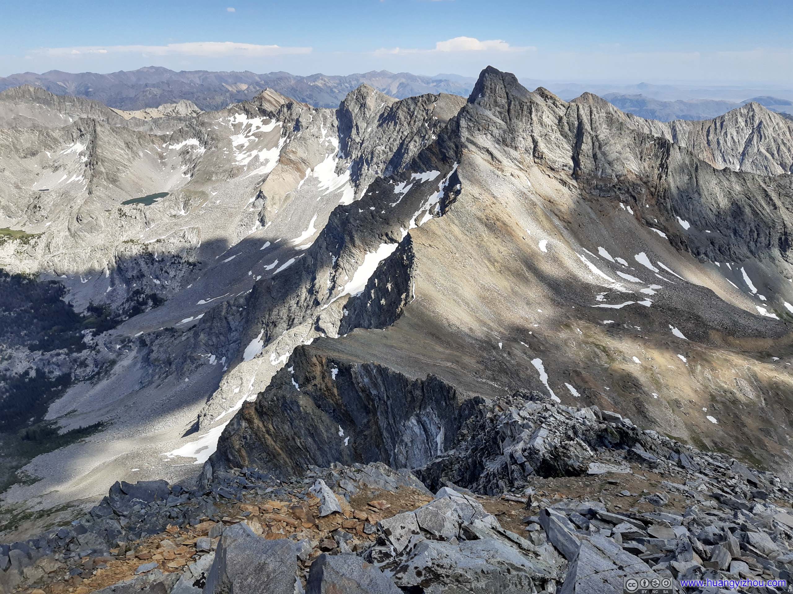
Ridge
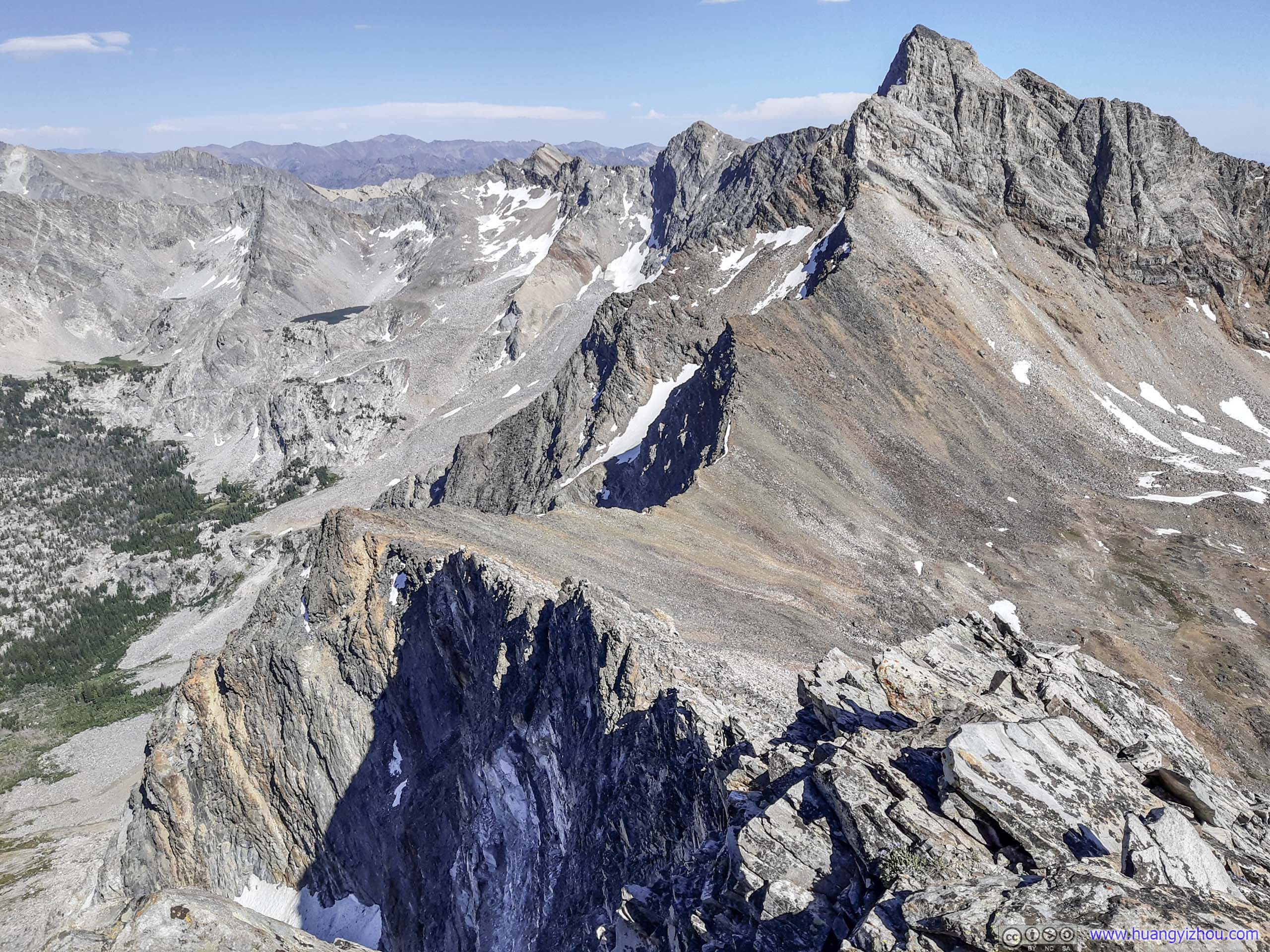
The ridge that I was supposed to follow.
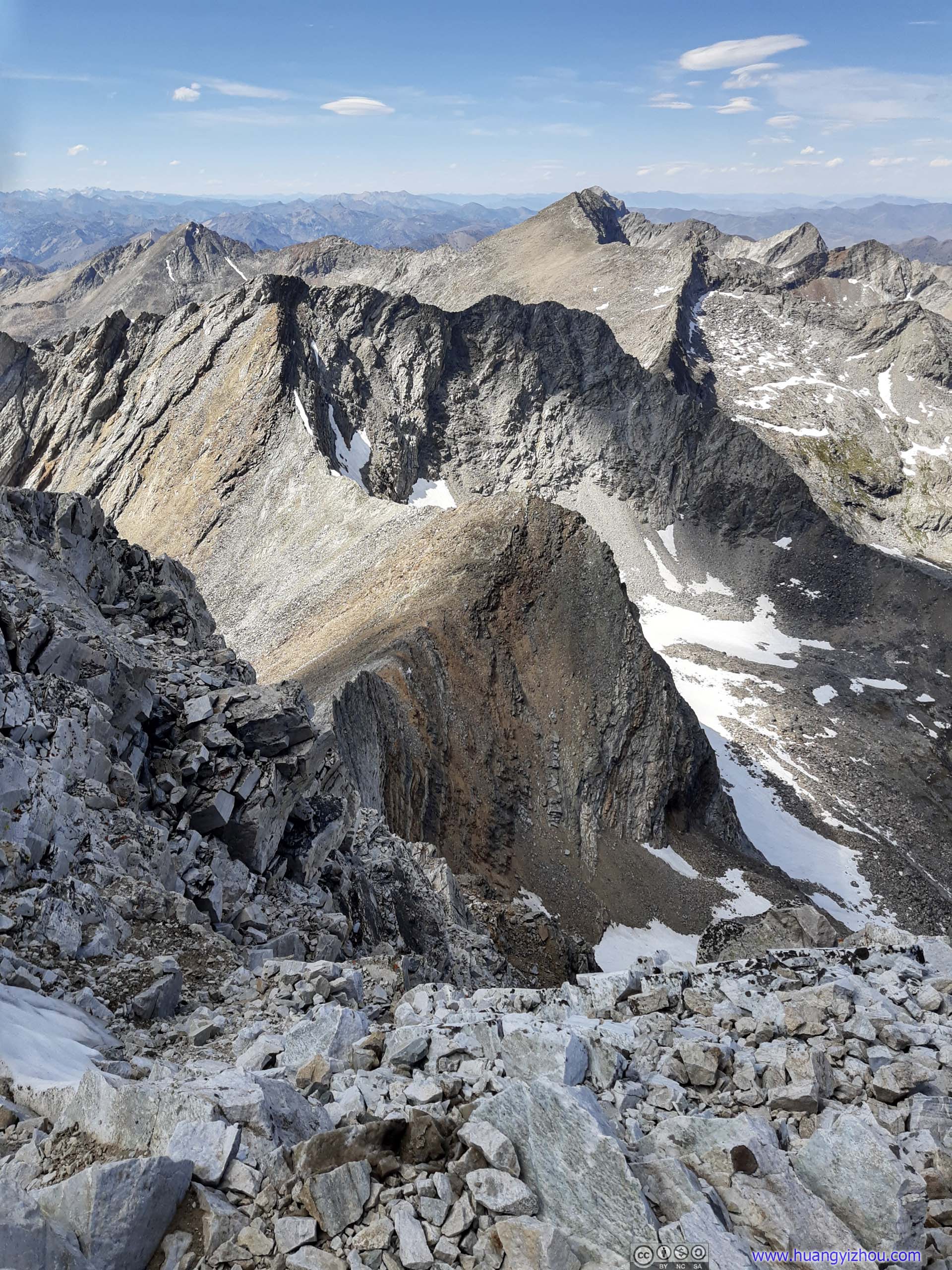
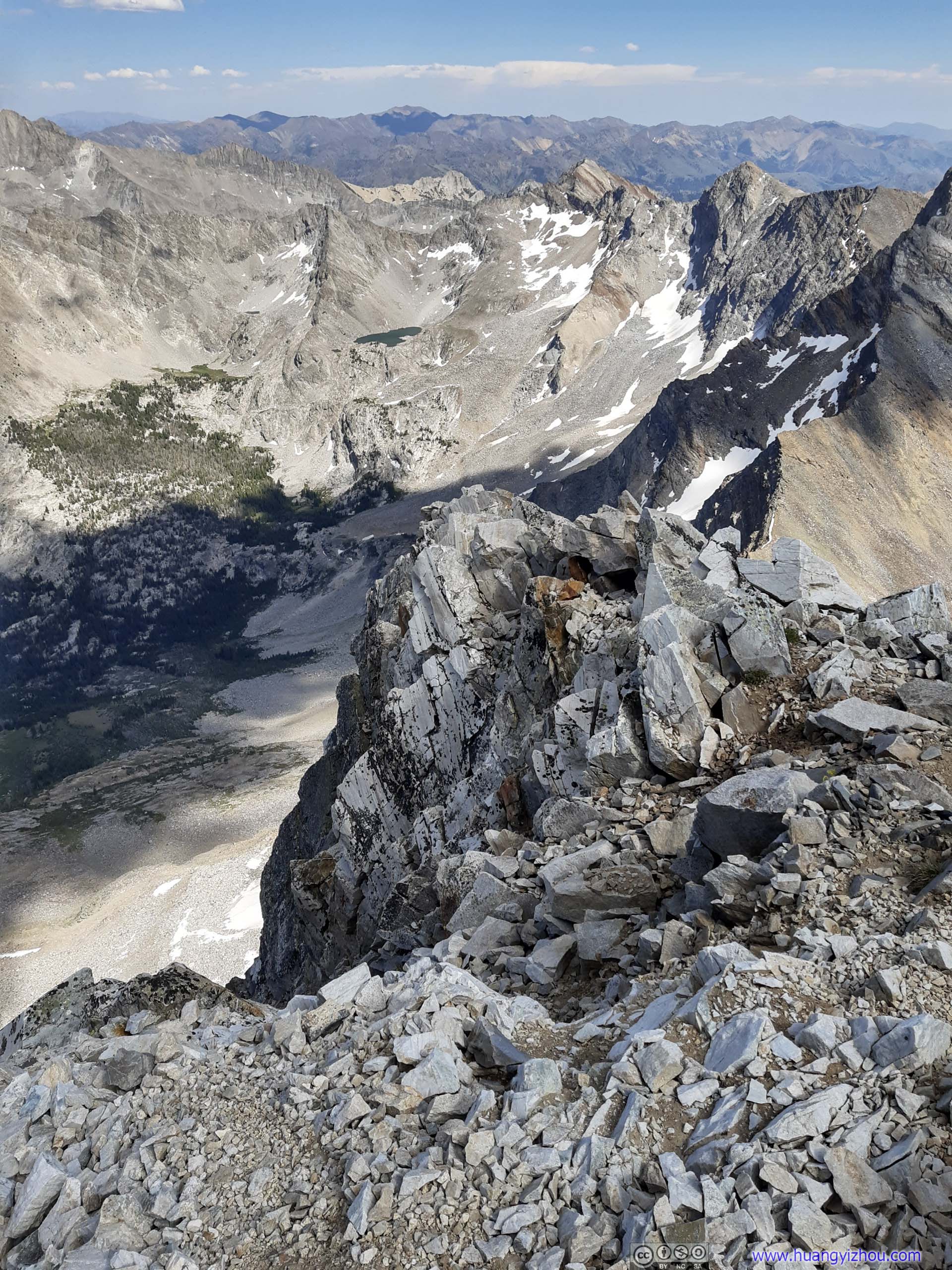
This time, I tried to follow the ridge as much as possible. And that gave me a few opportunities to peek behind it and appreciate how deep a drop it would be if one made a misstep.

Cliff

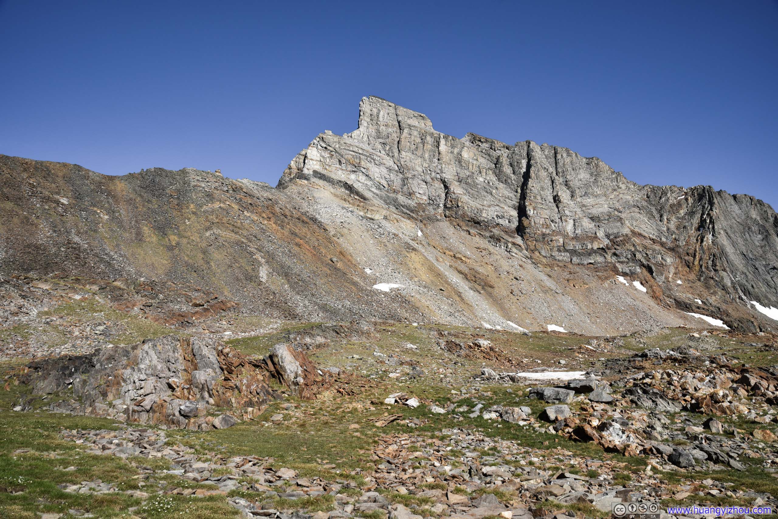

Old Hyndman Peak
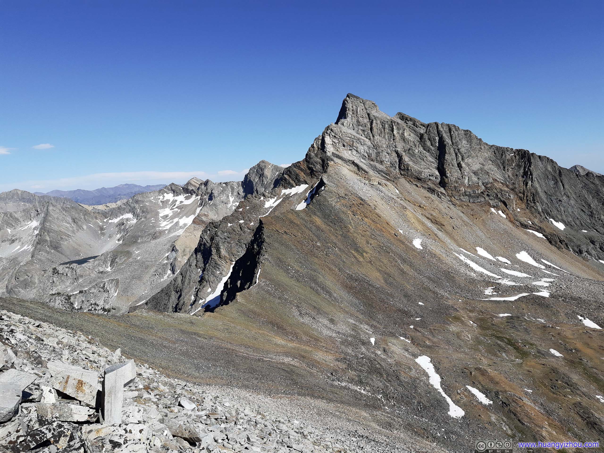
Seen during my decent on talus field (top), and from the safety of Hyndman Basin (bottom).
I should say that it was really easier (despite just a little bit) to follow the ridge. Unfortunately, since there’s no marked trail, it was easy for one to get loss and I did, after 30 minutes into descent. So I spent the next hour finding balance while rock hopping, just like my ascent.
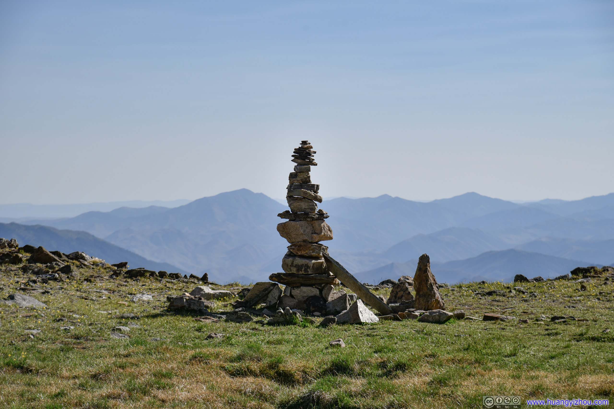

Cairn
Finally, an excited sight to mark that I was on the right track.
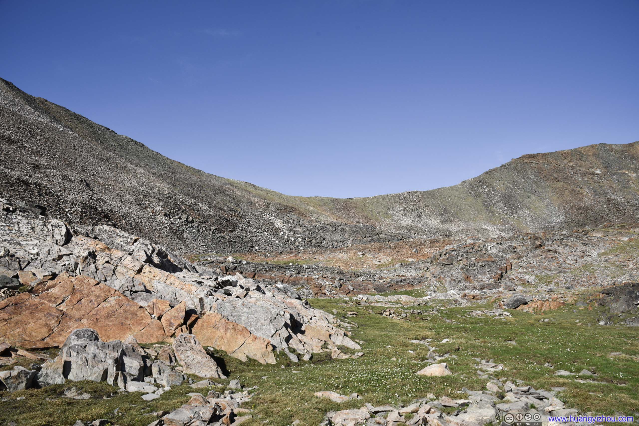
Looking from below, the one that I should be following.
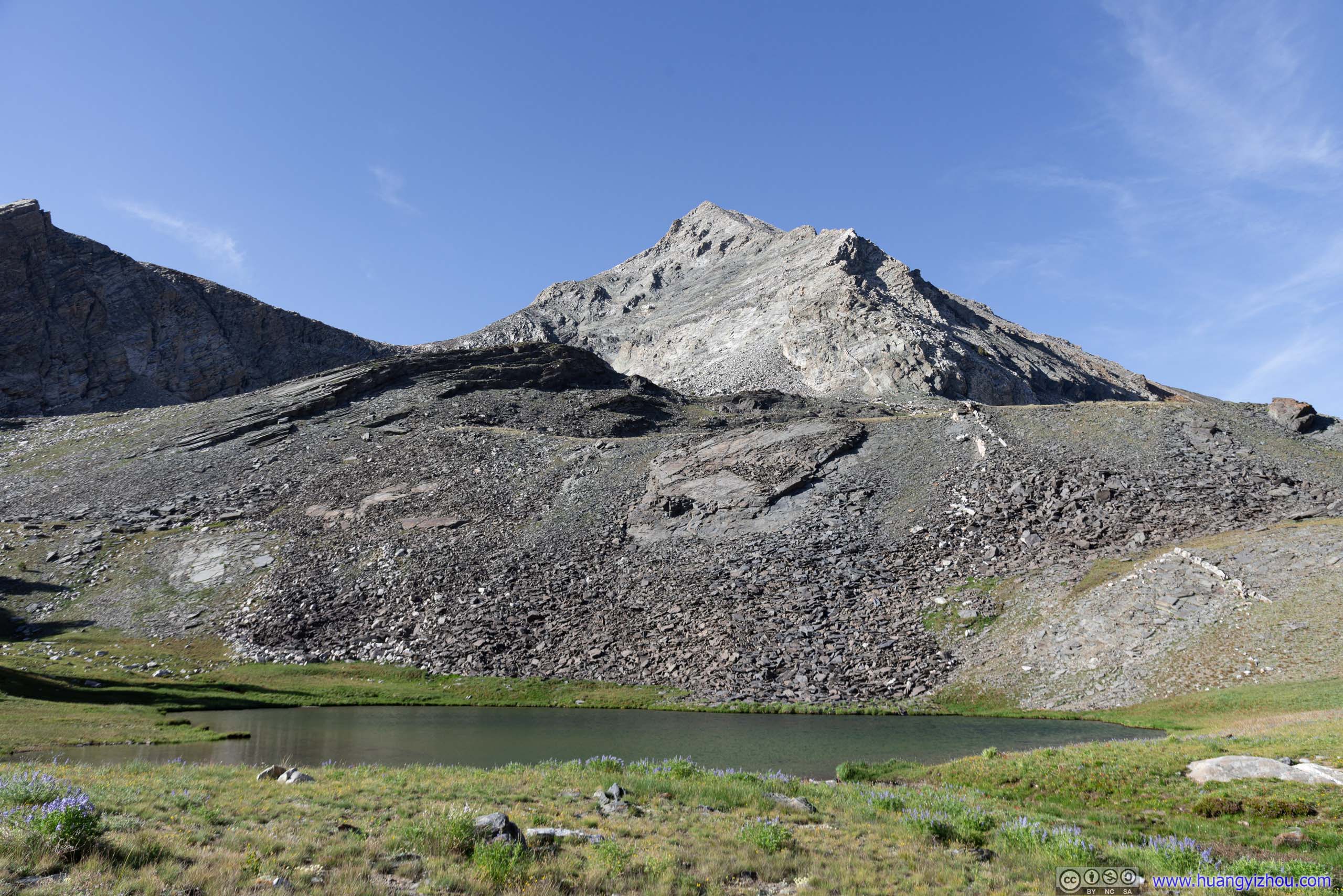
It had been 5 hours since last time I passed this nameless lake.
After that, it was a worry-free descent back to the parking lot. After a grueling summitting, finally, I got the mood (and soft lighting at dusk) to appreciate the beauty of some flowers along the trail.
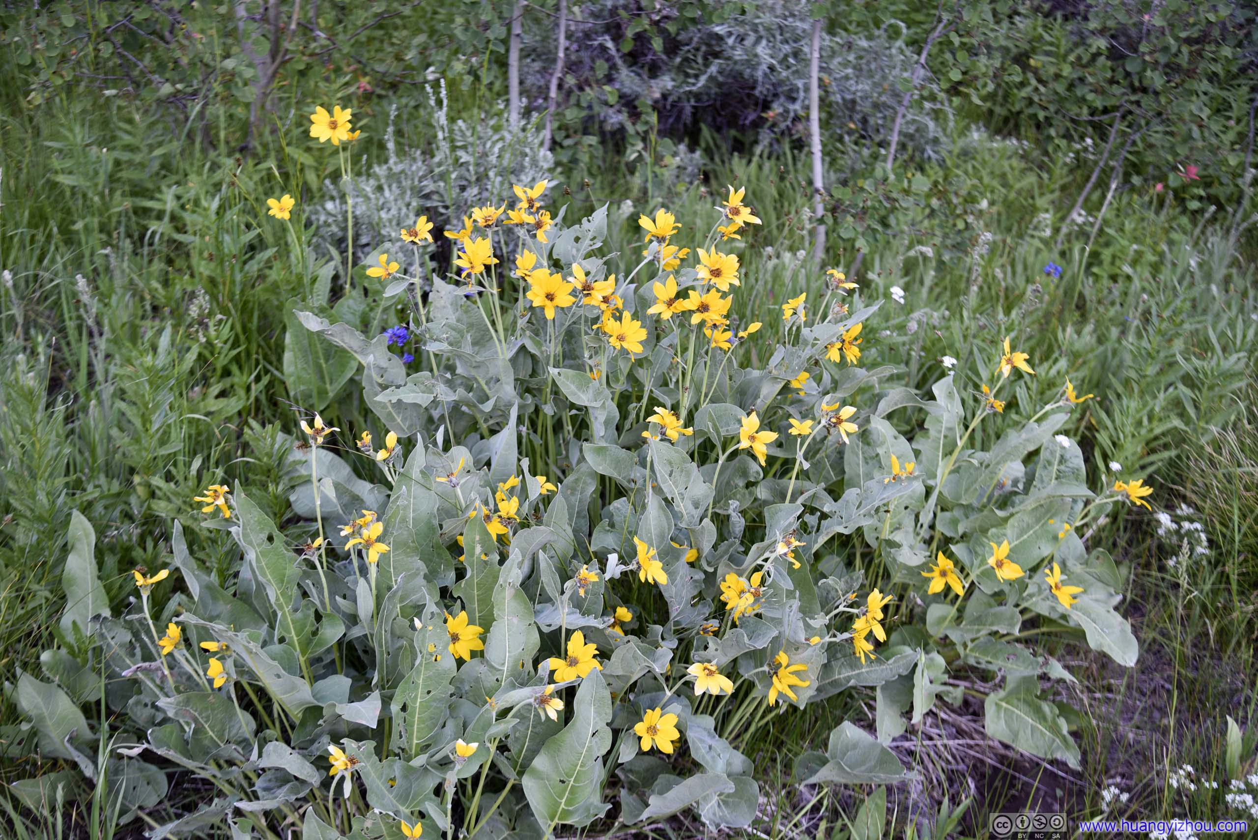


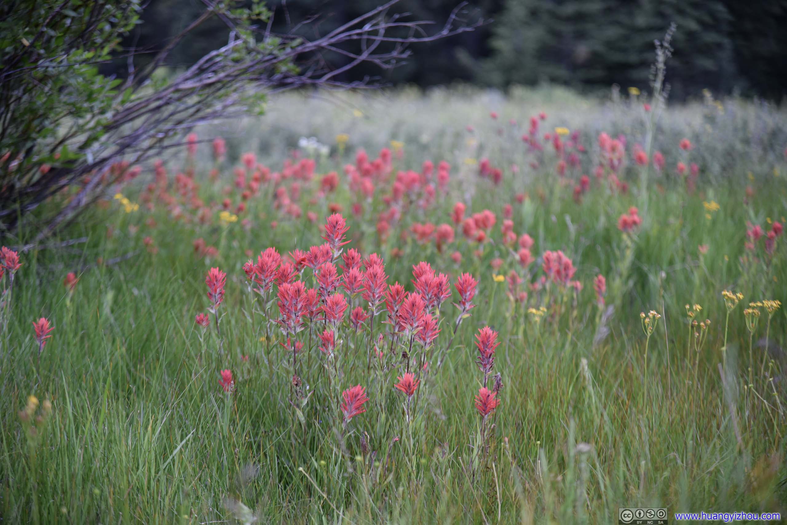
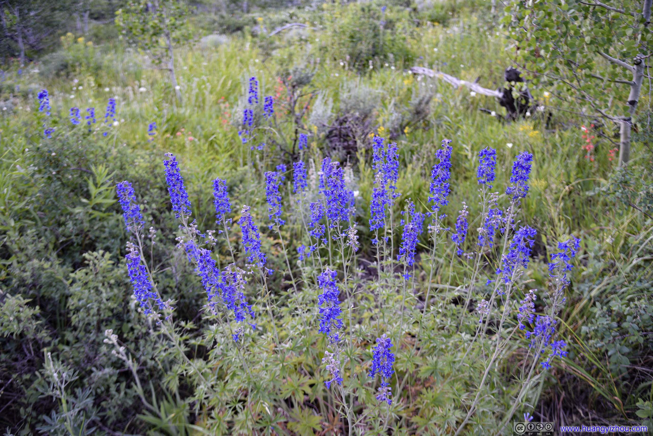
Flowers
I didn’t run into a lot of people during my ascent, but on my way back I bumped into quite some groups of people carrying camping gear and looking to spend the night in the mountains. That's certainly easier than rock scrambling.
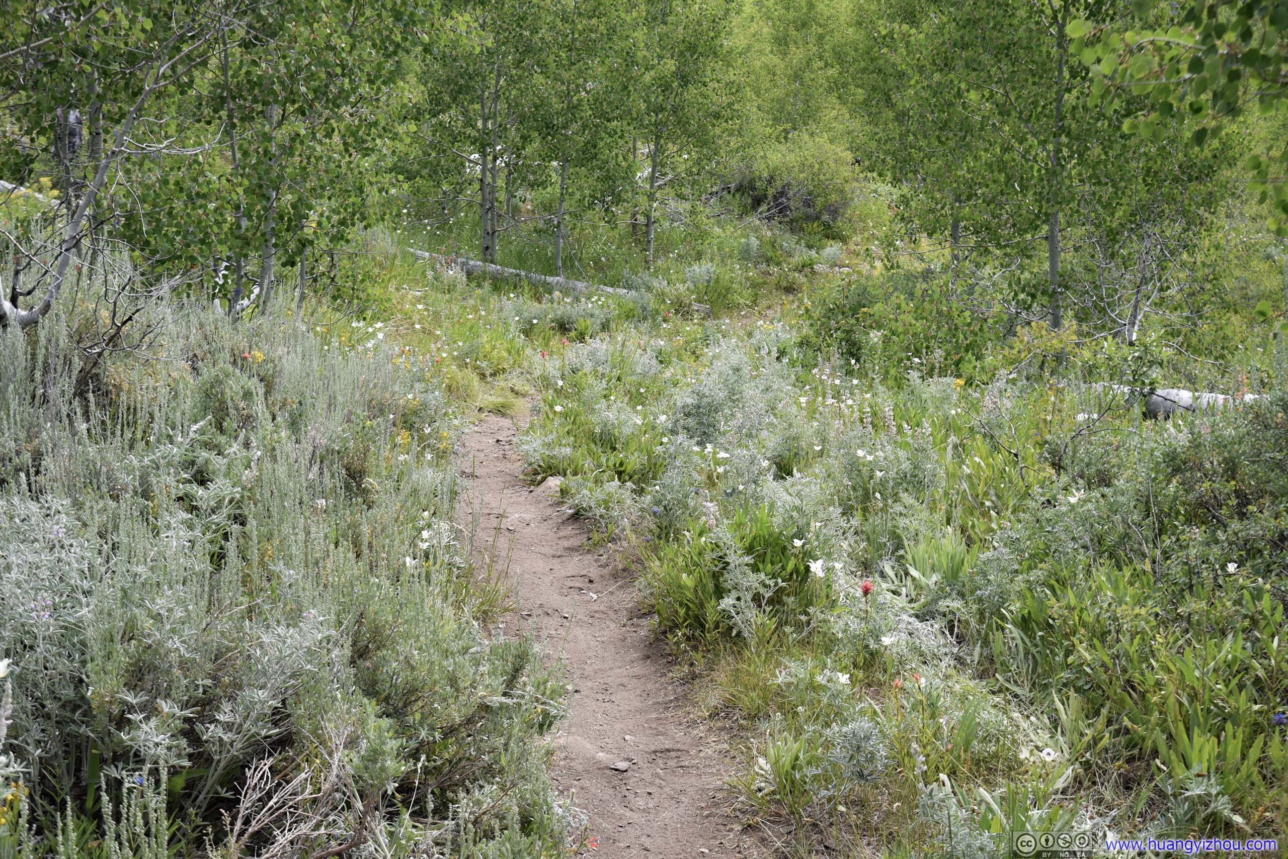
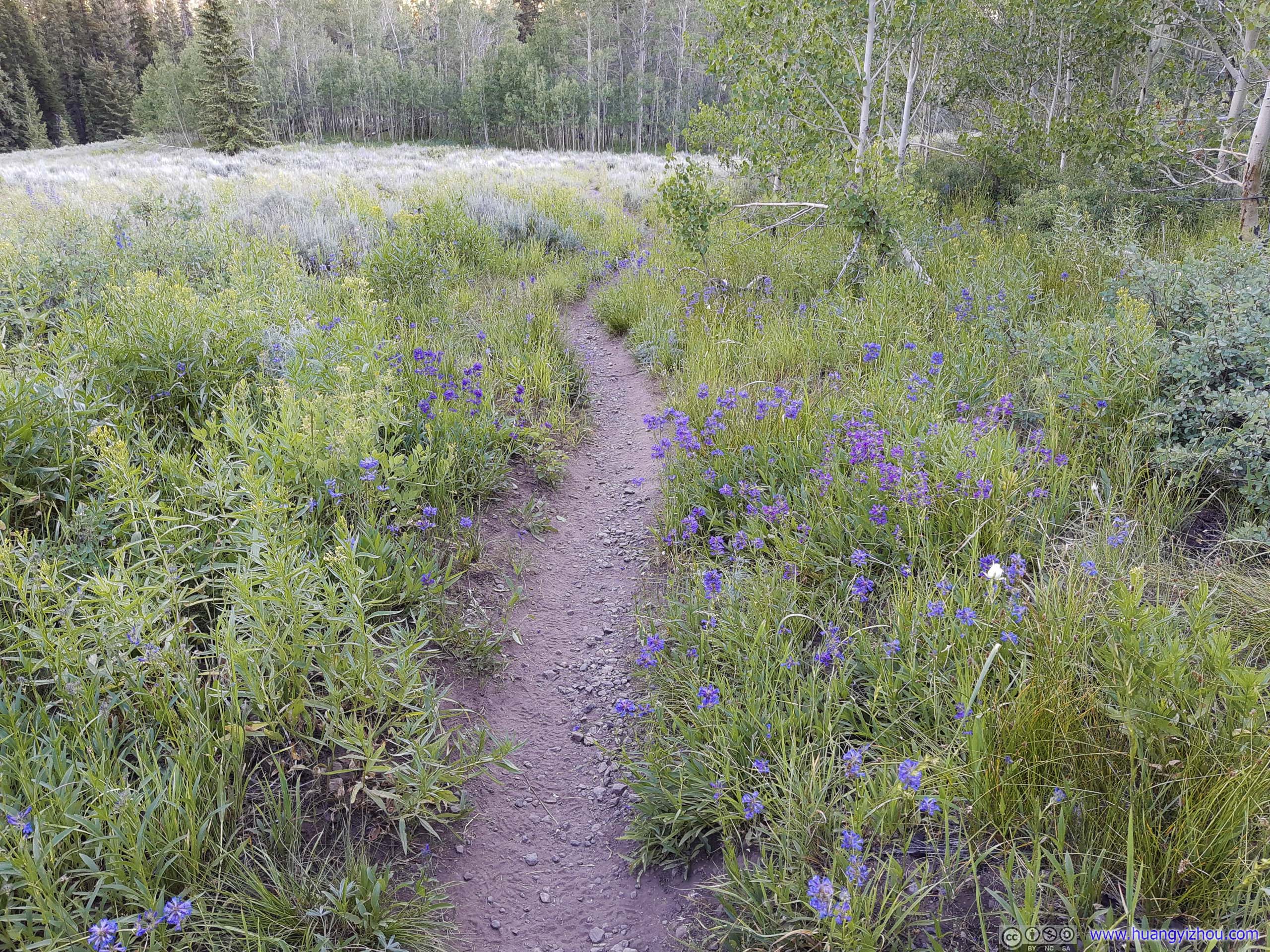
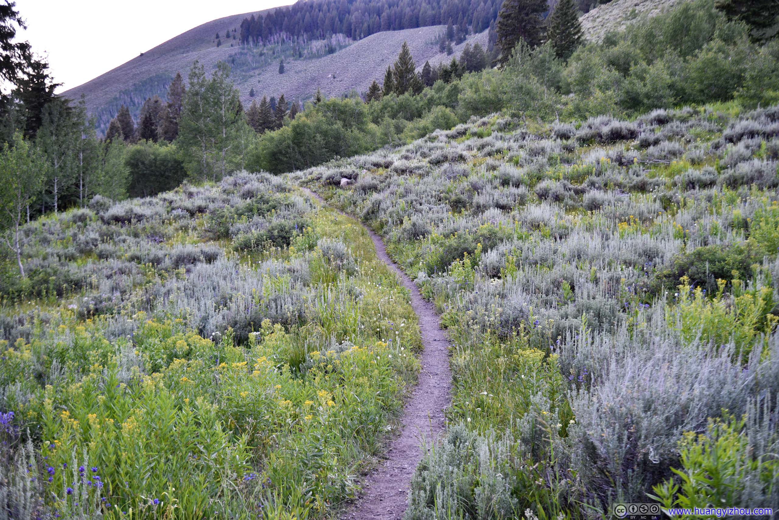
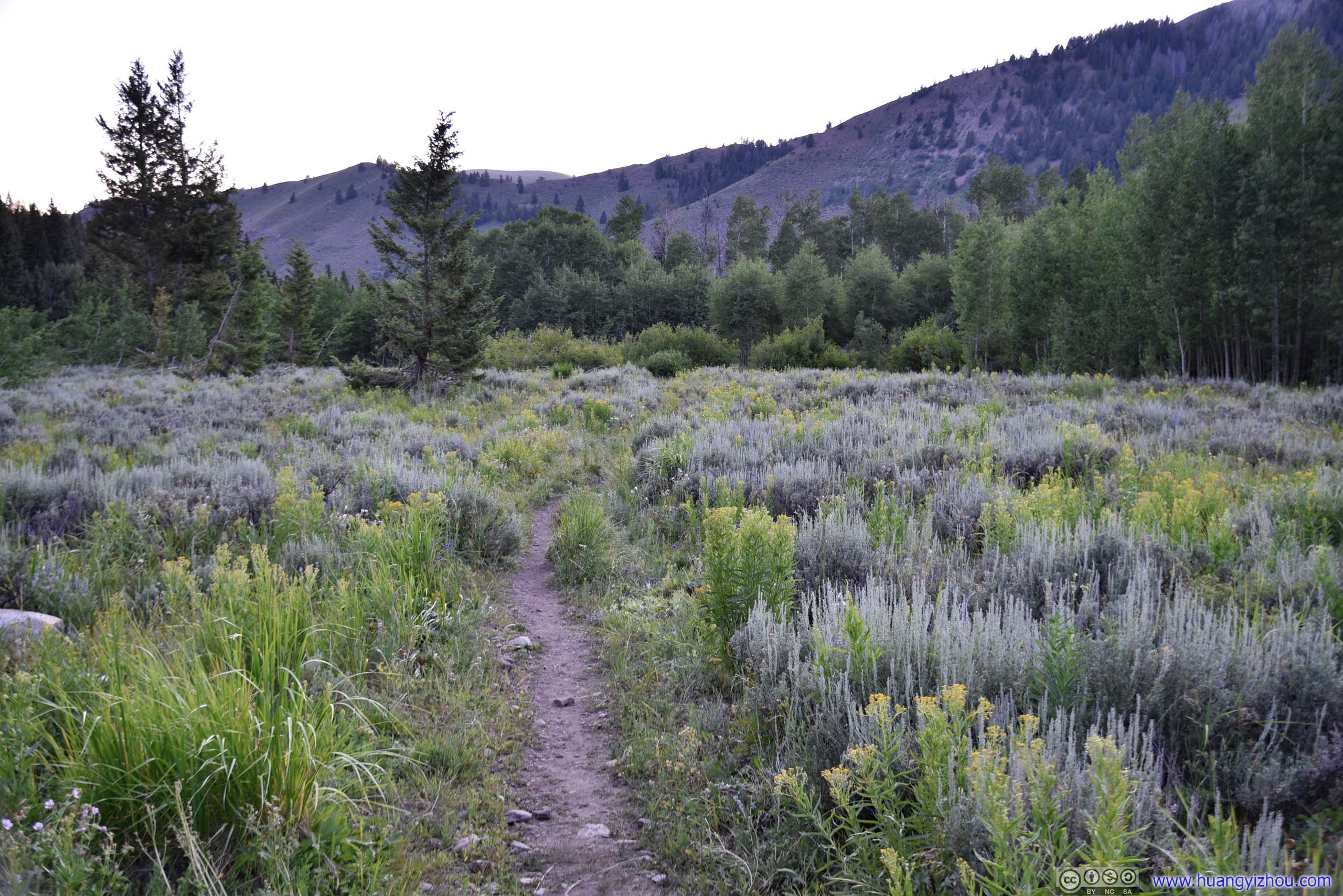
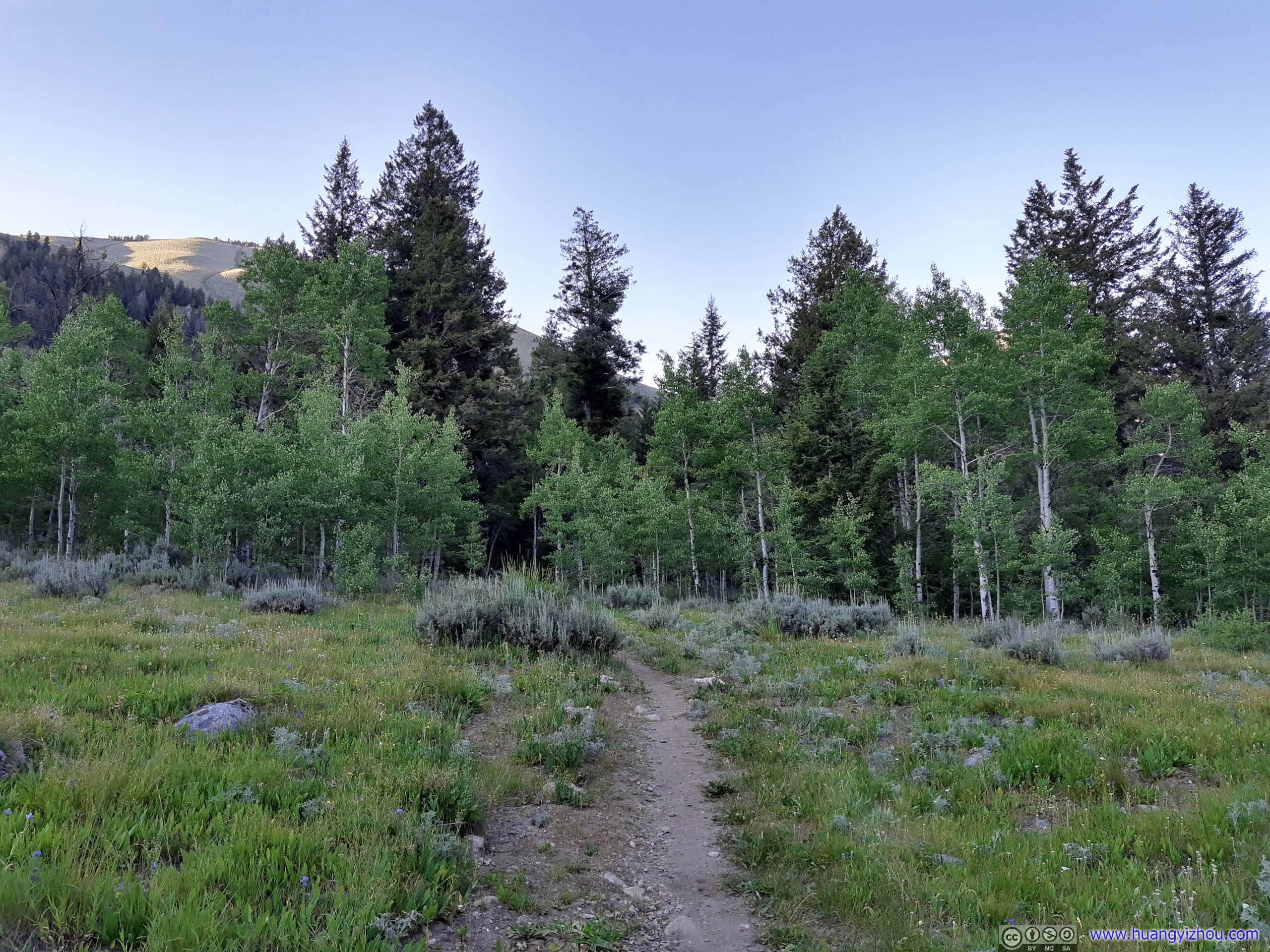
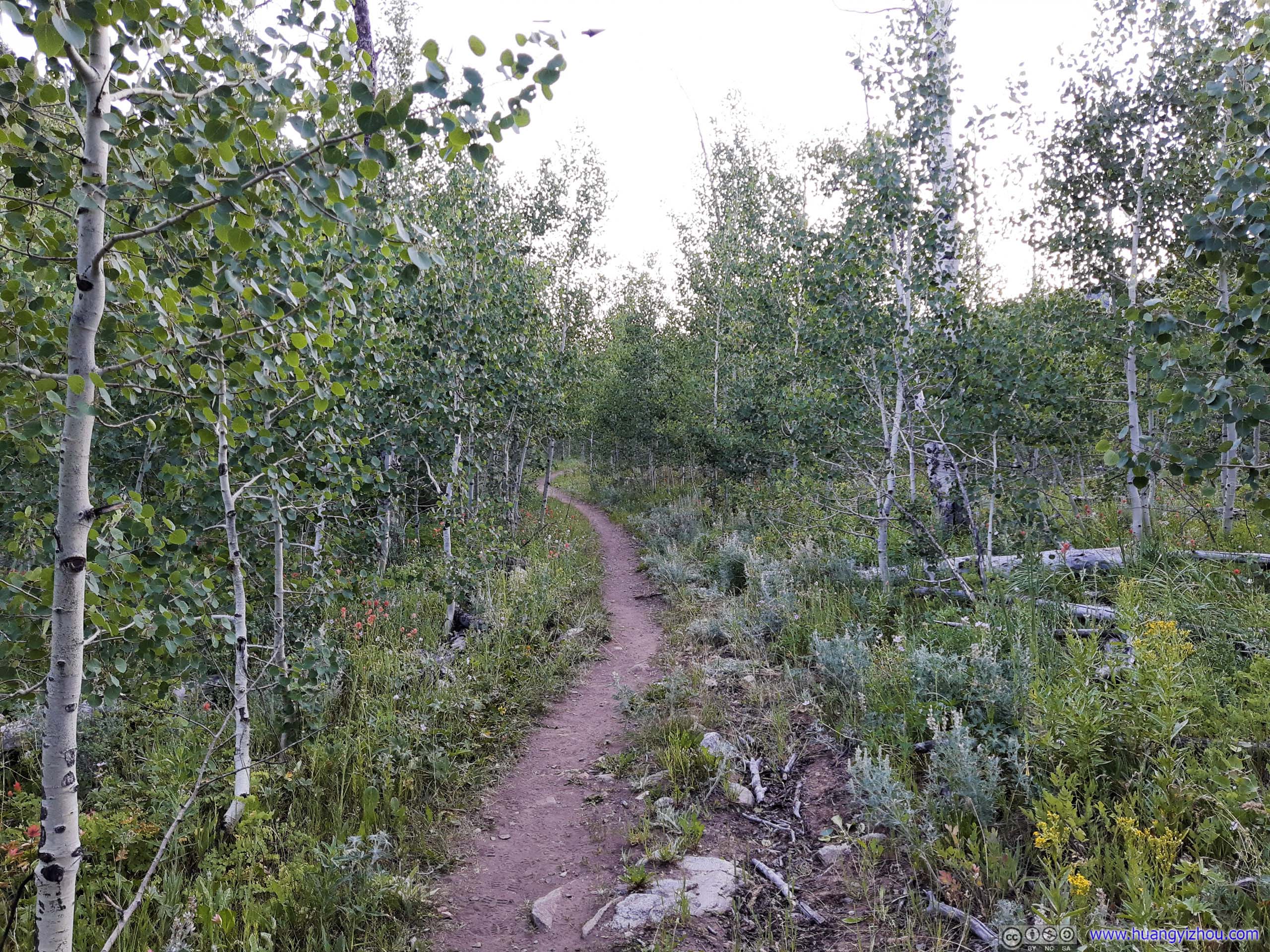
Trail
10 hours later, I was back at the parking lot.
Just as I thought my day was long enough, not long after getting into my car, I found this roadblock, in the middle of the road.
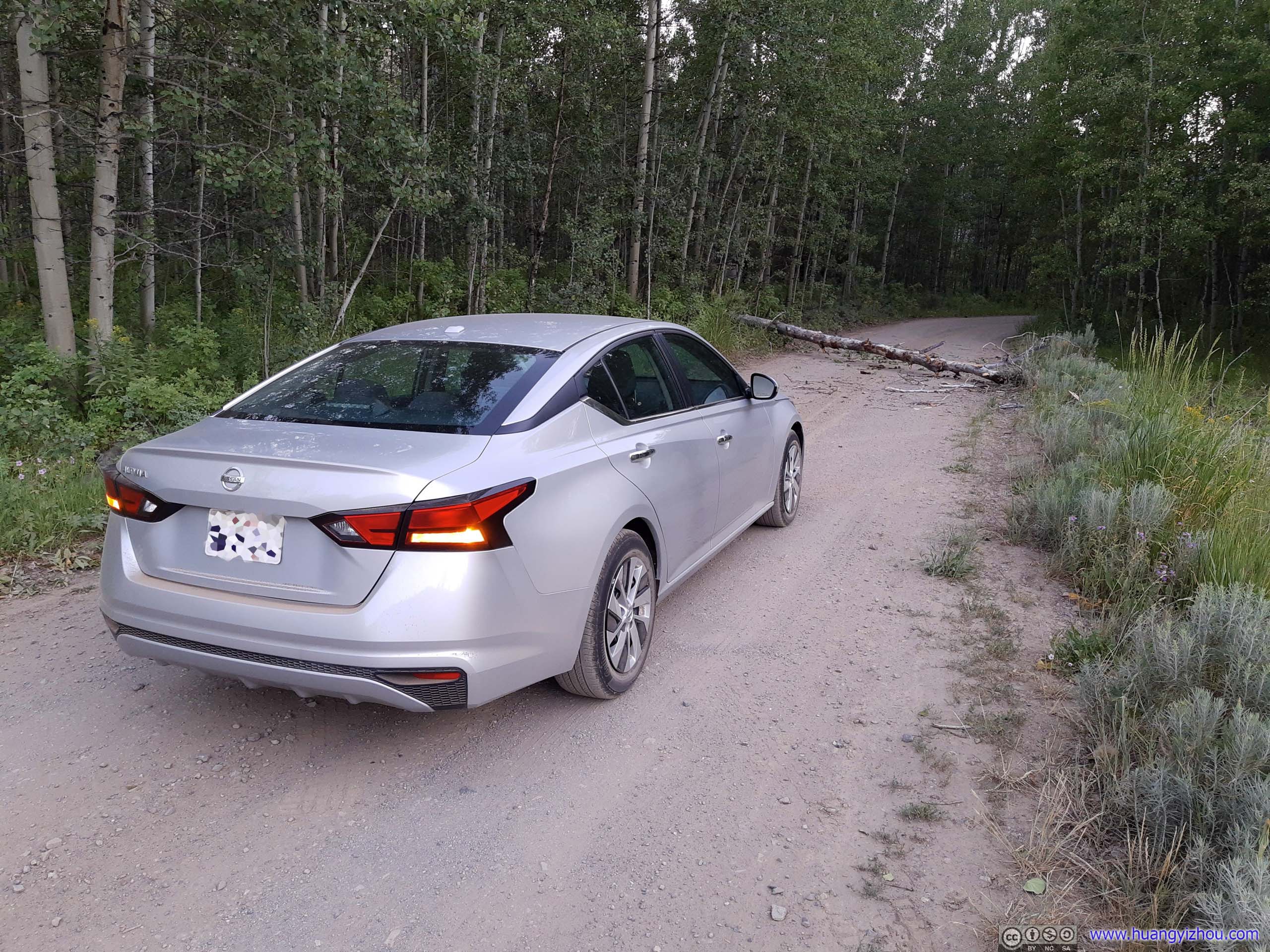
I did admit it was a rather windy day, but it’s quite unlucky that this particular trunk had fallen onto the road, while his peers were standing strong. Unfortunately, there was no cellular coverage at the spot, so nobody was taking care of this trunk anytime soon. At the same time, there were some tire marks in the nearby bushes, which must be the detour attempted by other people. Instead of spending the night in the car (after being battered by the howling wind), I decided to take my chances and dare the bushy detour.
Luckily, my car didn’t get trapped, and such an excursion didn’t seem to cause it any damage.
On a different note, this just showed how poorly the access road to Hyndman Peak was maintained.
Conclusion
- Get CDW for sedan
- Get the right gears:
- Good hiking shoes
- A pair of gloves that didn't break easily
- Clothing that matched both temperature and wind forecast
- It might be long and technical, but at the end of the day it's only a class 2
- Download route map. It seemed that Google Maps or OpenStreetMap didn't have the trail in its entirety. Only AllTrails (as far as I know) offered route map to the summit.
- Enjoy
END