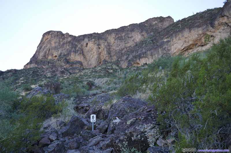
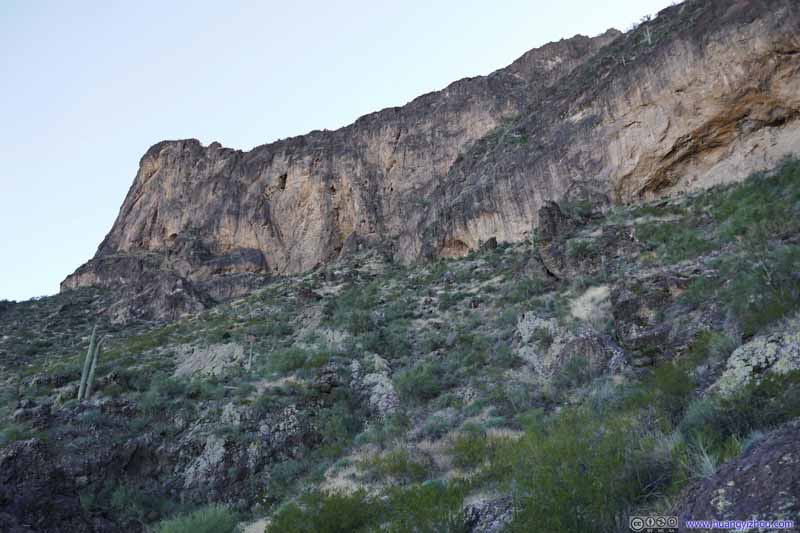
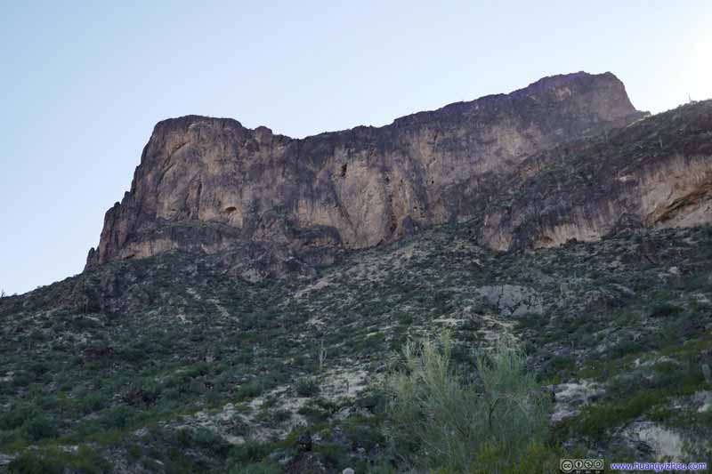
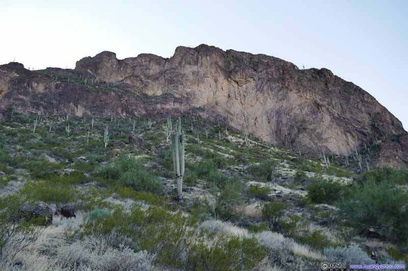
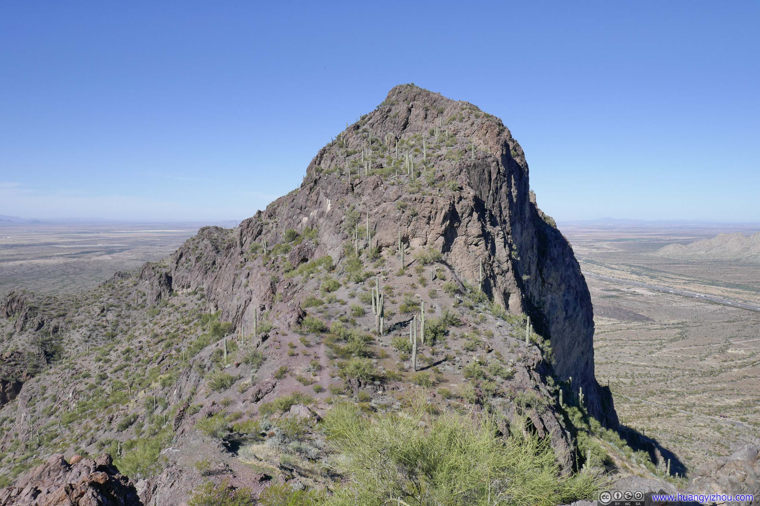
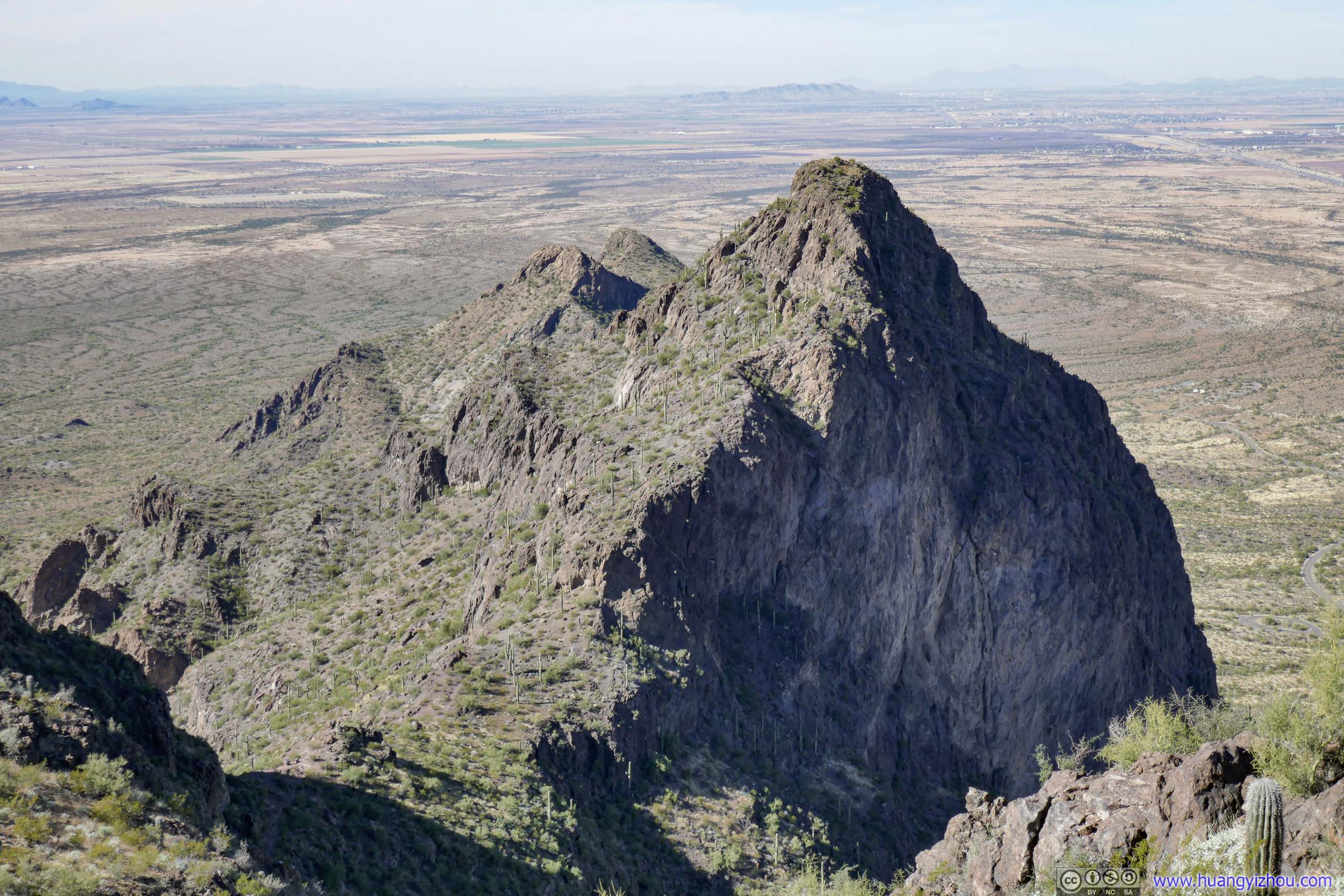
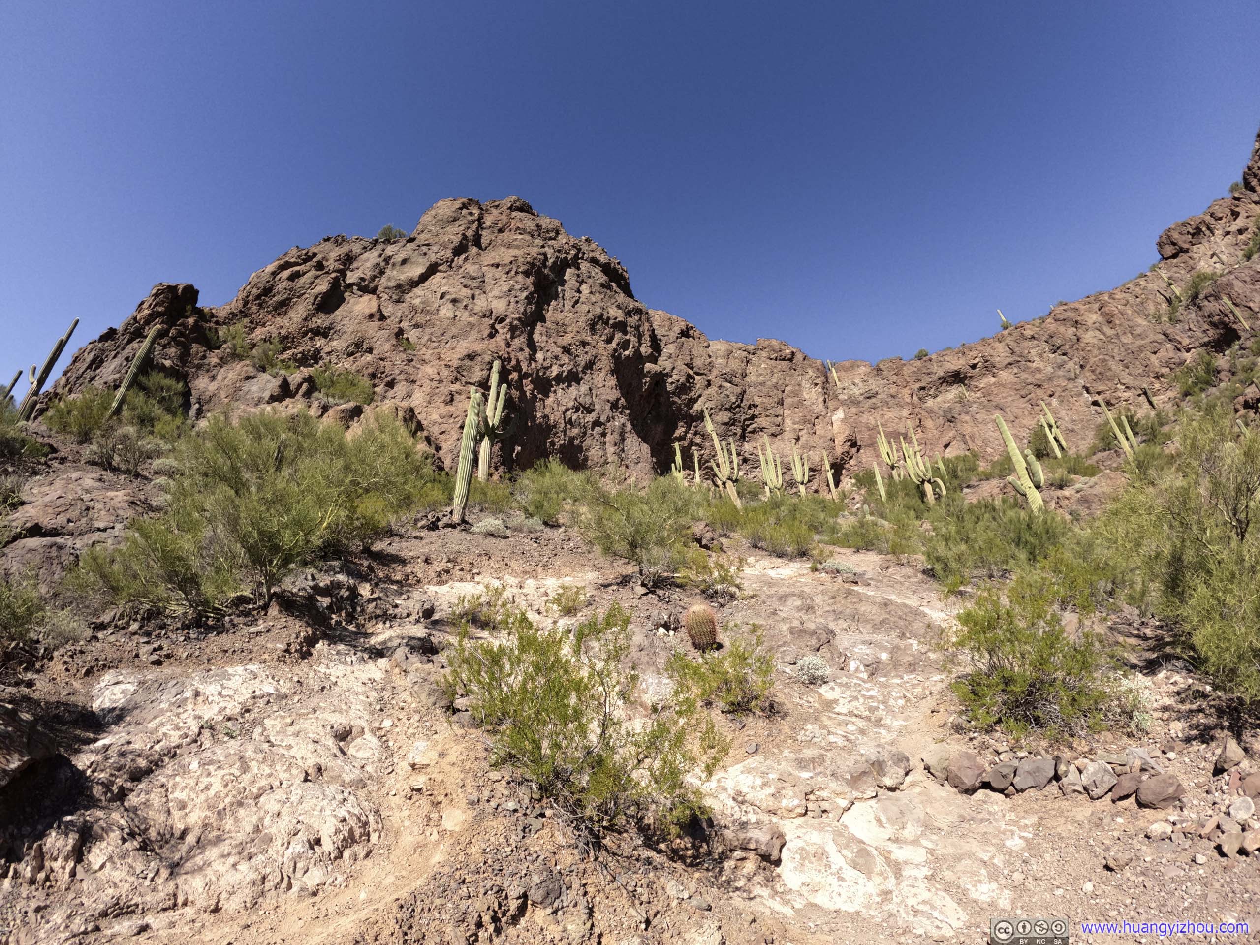
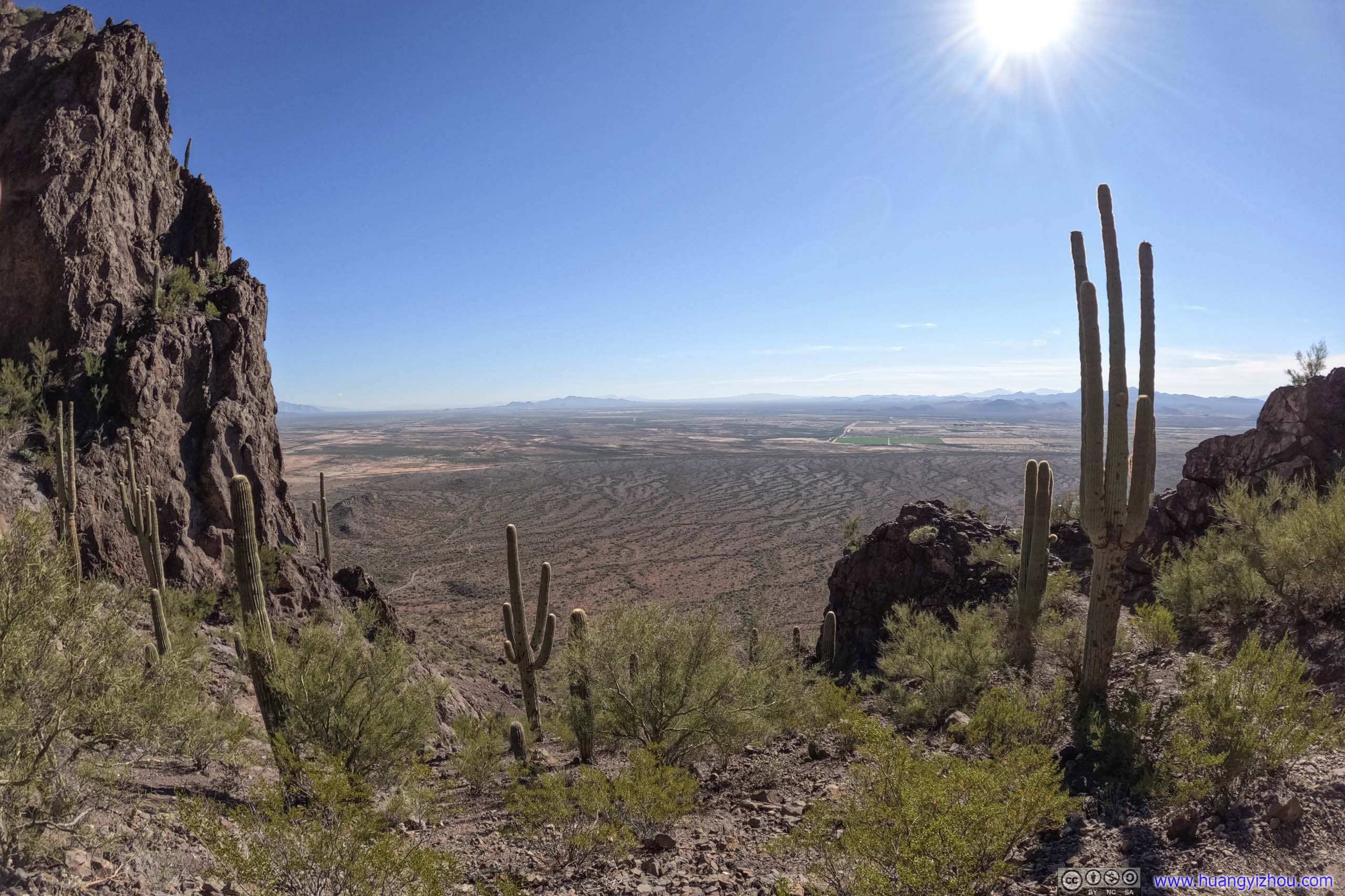
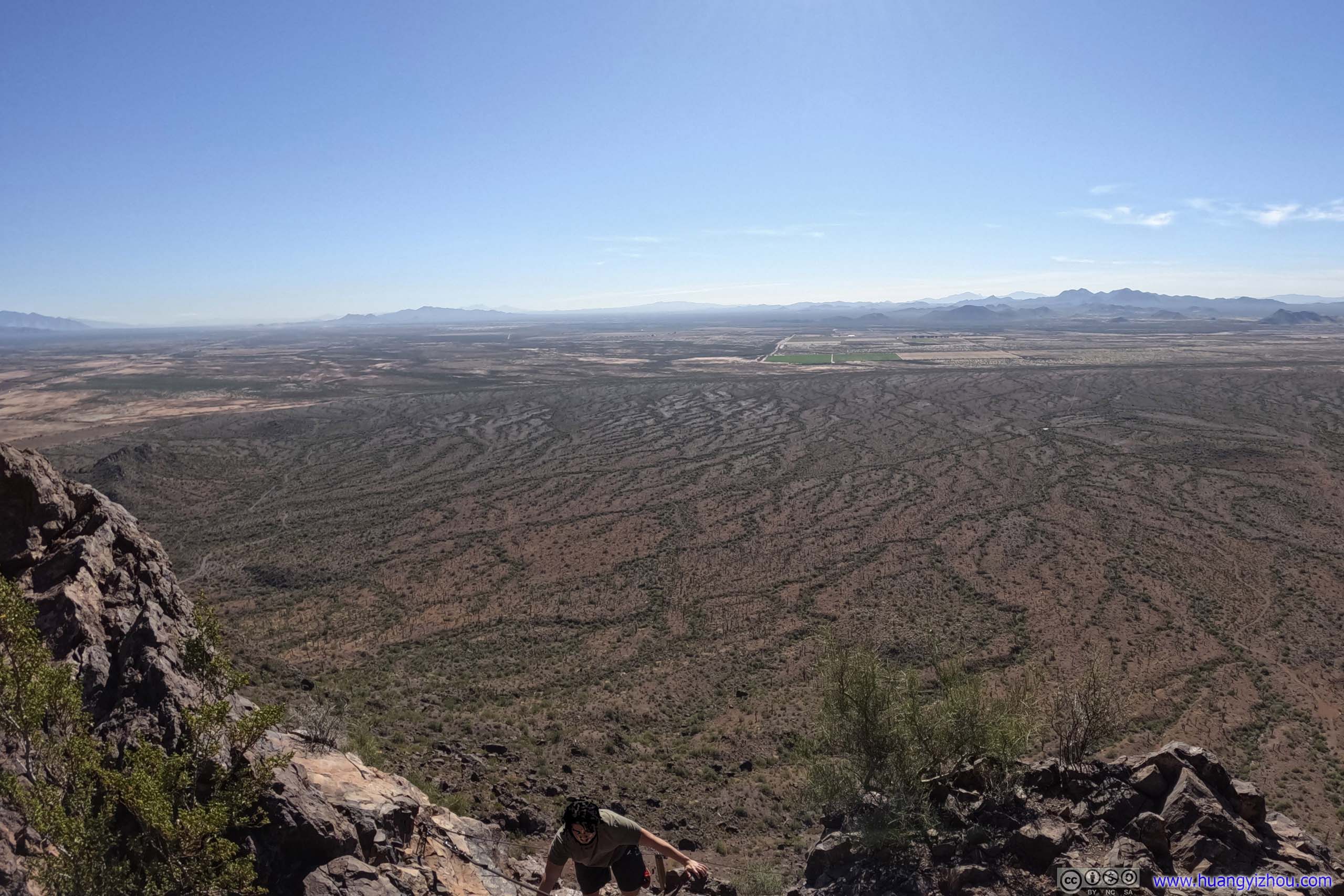
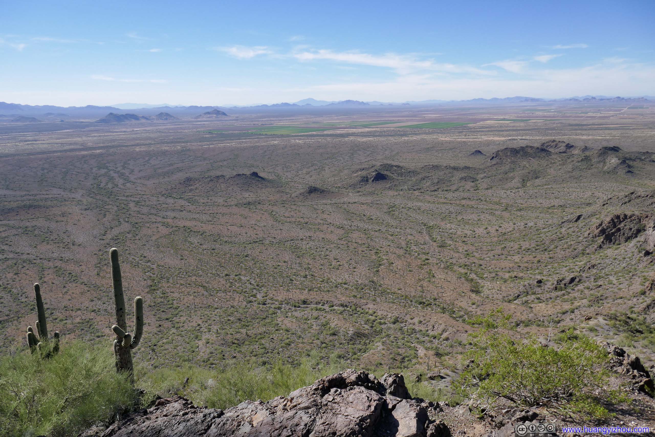
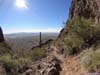
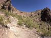
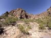
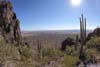
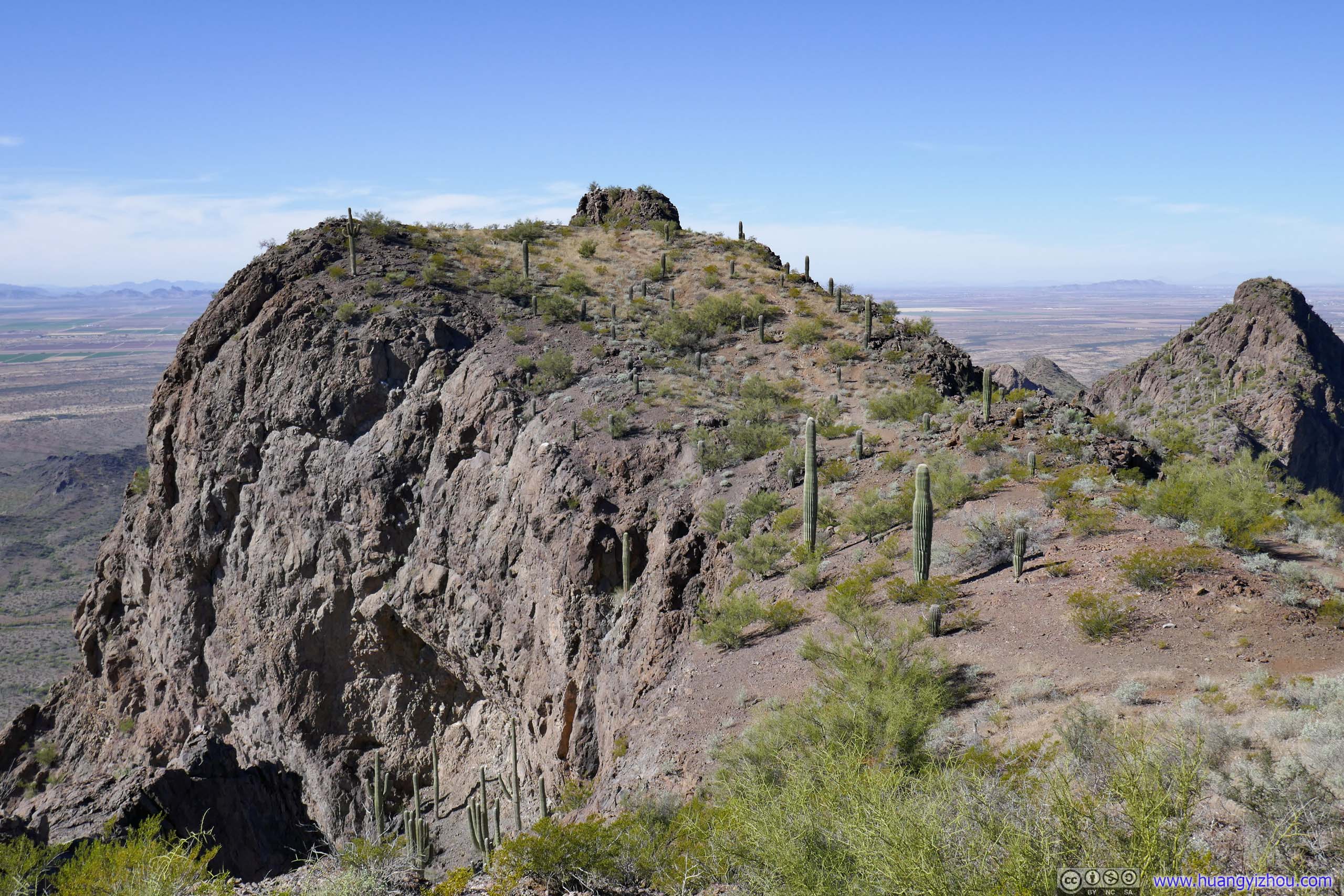
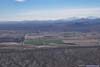
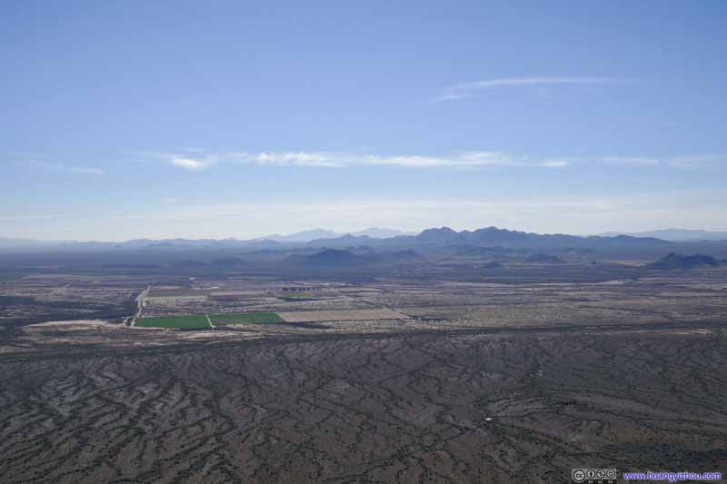
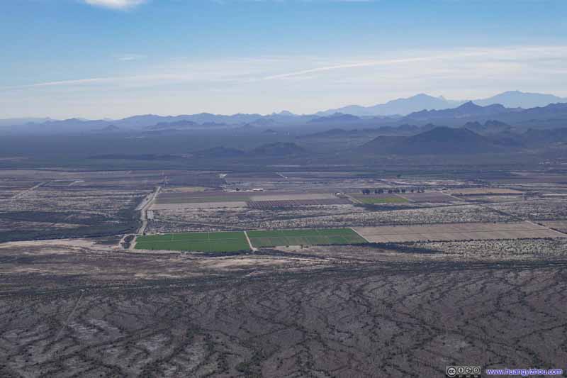
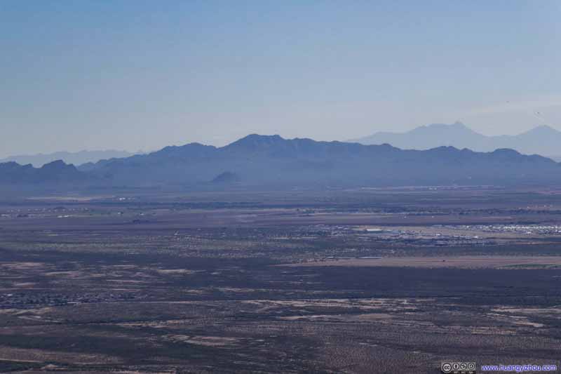
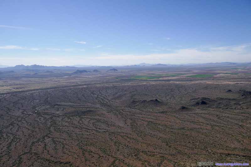
Second day of my 2022 Arizona trip. My friend and I would be climbing Picacho Peak, a thrilling YDS class 3 climb made accessible with cables and handrails, before driving to our overnight hotel near Sedona.
Steep Trail towards Picacho Peak
Today we would be leaving Tucson and heading towards Sedona. While not on a typical Arizona trip itinerary, I stumbled across images of Picacho Peak with its steep and thrilling trails. Then my friend was elated to find the name of the mountain resembled the beloved Pokemon Pikachu (“picacho” meant “mountain” in Spanish), and we gladly agreed to tackle it today.
After some video conferencing, we left the hotel in Tucson at 10:30 in the morning. Picacho Peak State Park was located north of Tucson and right next to Interstate 10, so as we approached it my friend was already comparing its towering shape to the ears of Pikachu the Pokemon. The state park charged 7 dollar per vehicle for admission. The most popular trail to the summit was via Hunter Trail along its northern slope. It’s a 4.8km out-and-back with 600m elevation gain. For the first 1.5km, the trail made its way up to a saddle point, after which it descended down to the southern slope of Picacho Peak before finding a way up among the boulders. After the saddle point there were a few steep sections which I would rate as YDS class 3. The presence of cables and handrails made those paths accessible. Experienced hikers could opt for a more fulfilling experience by keeping hands off those (from my experience that’s certainly possible, at least I managed all the upclimb without touching the cables).
Here's GPS tracking of the hike:
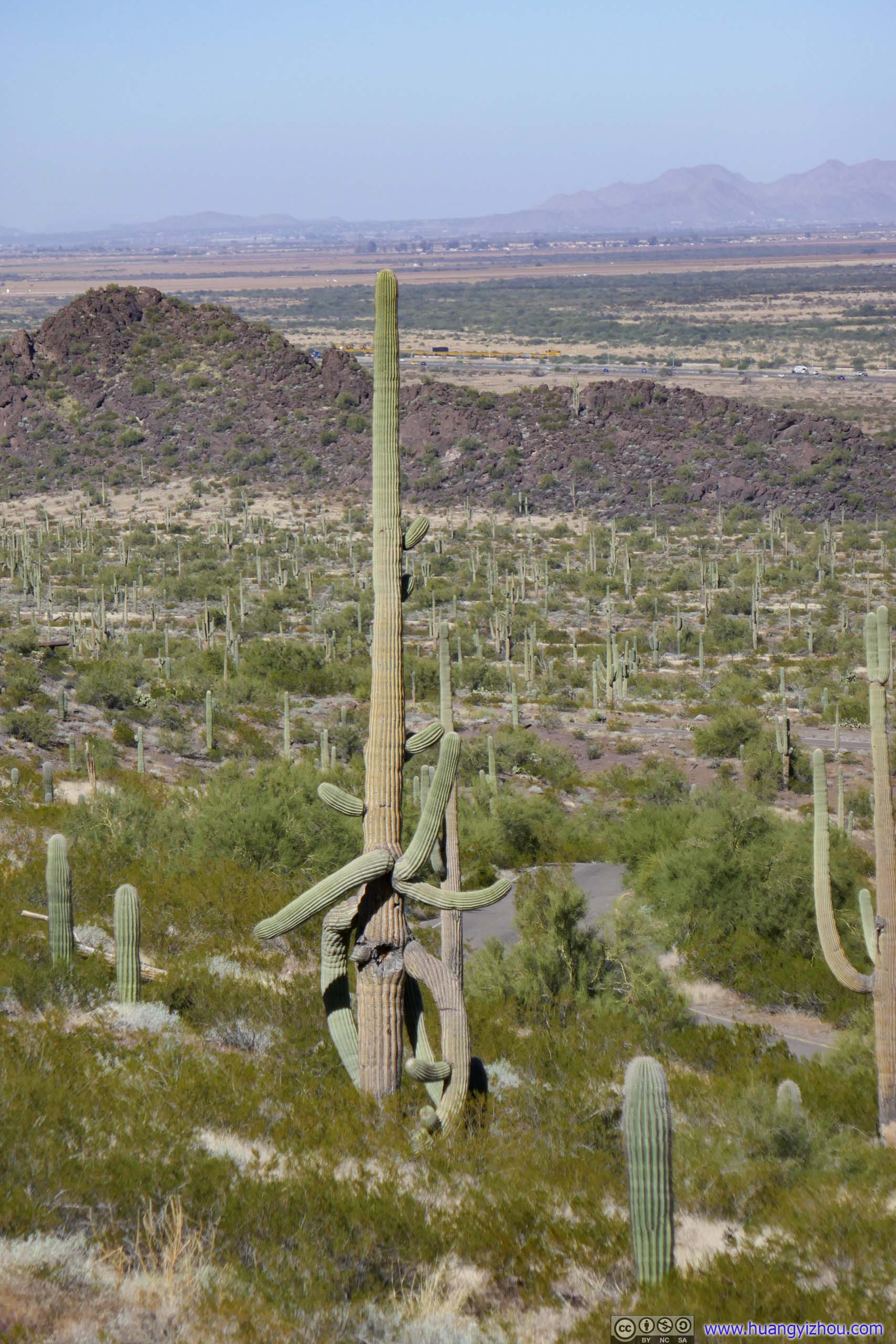
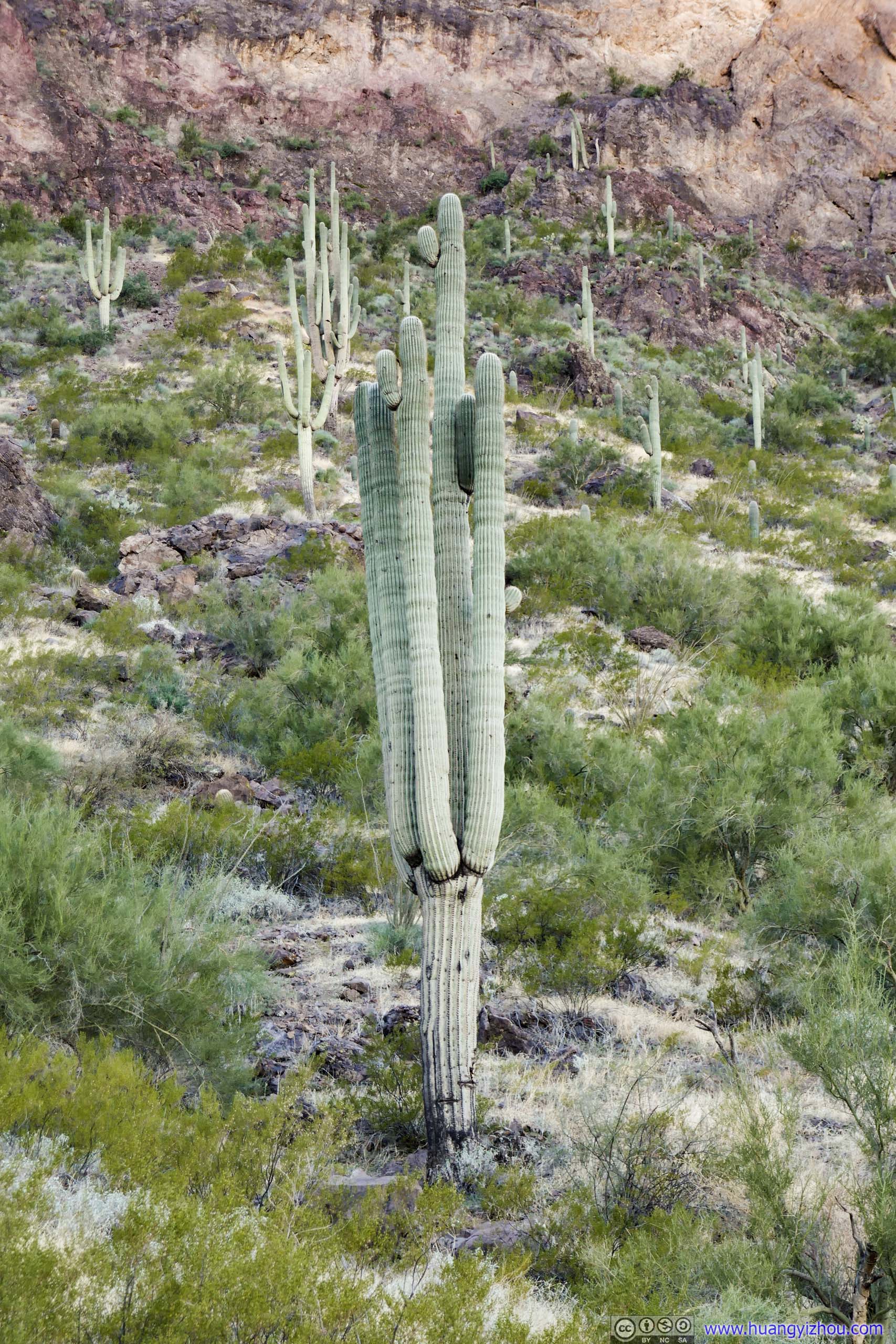
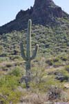
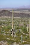
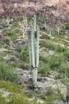
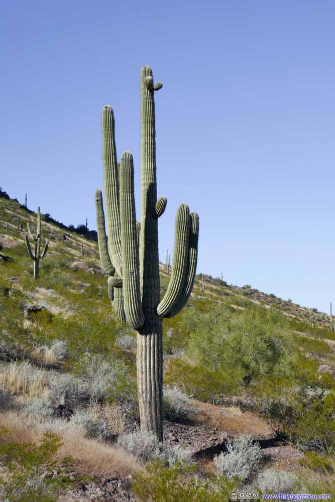
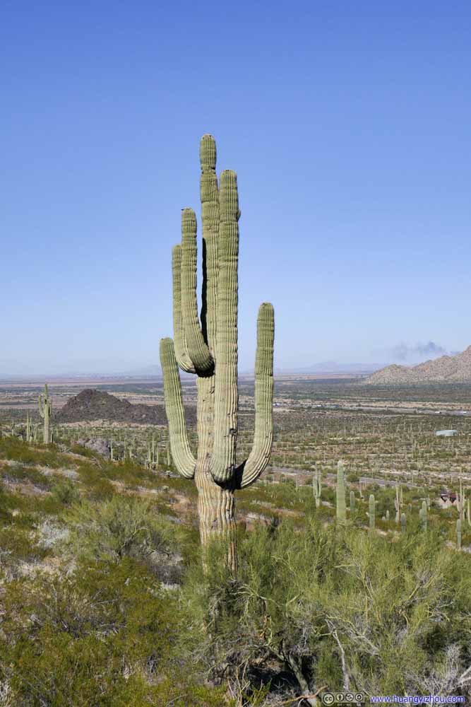
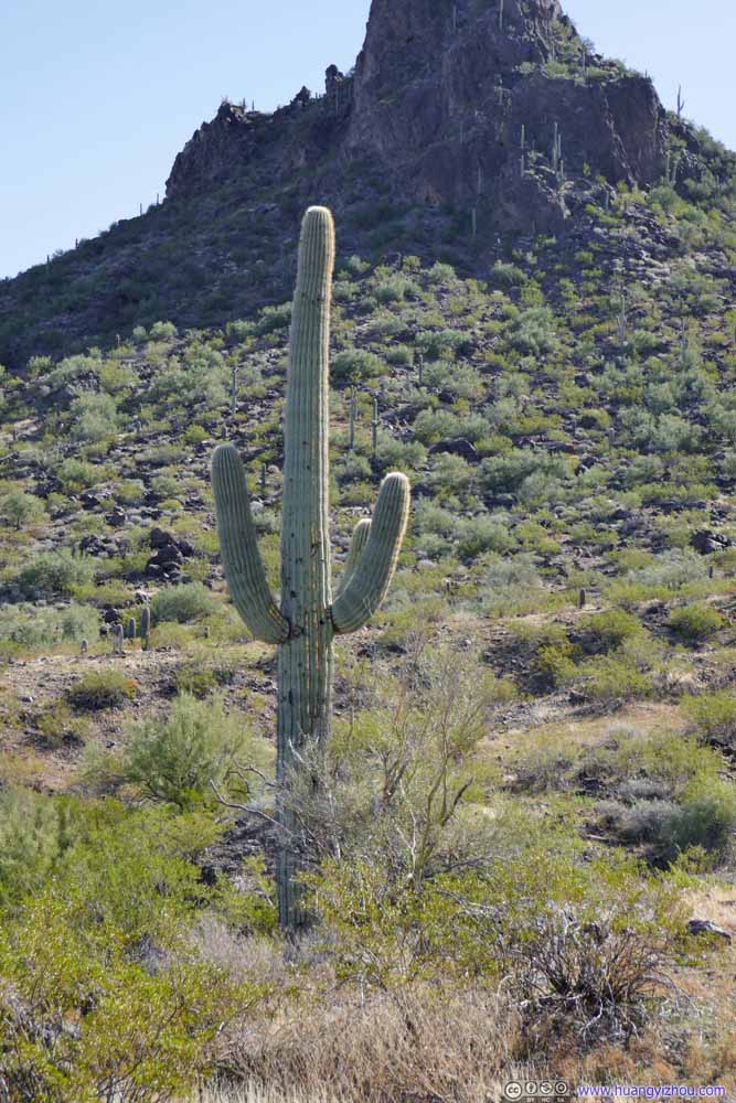
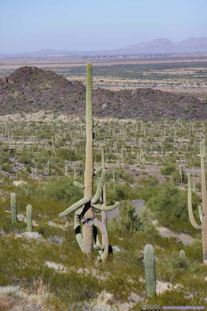
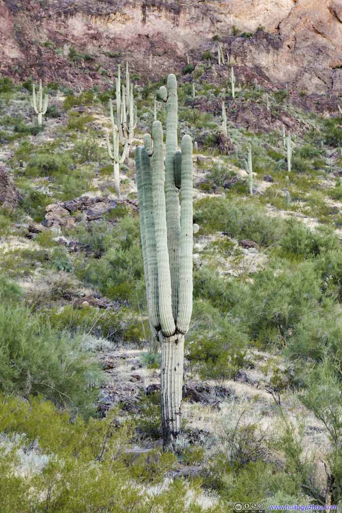
After a few stretches, we left the trailhead parking lot at 11:30am, among fields of saguaros, reminiscent of our previous day at Saguaro National Park.
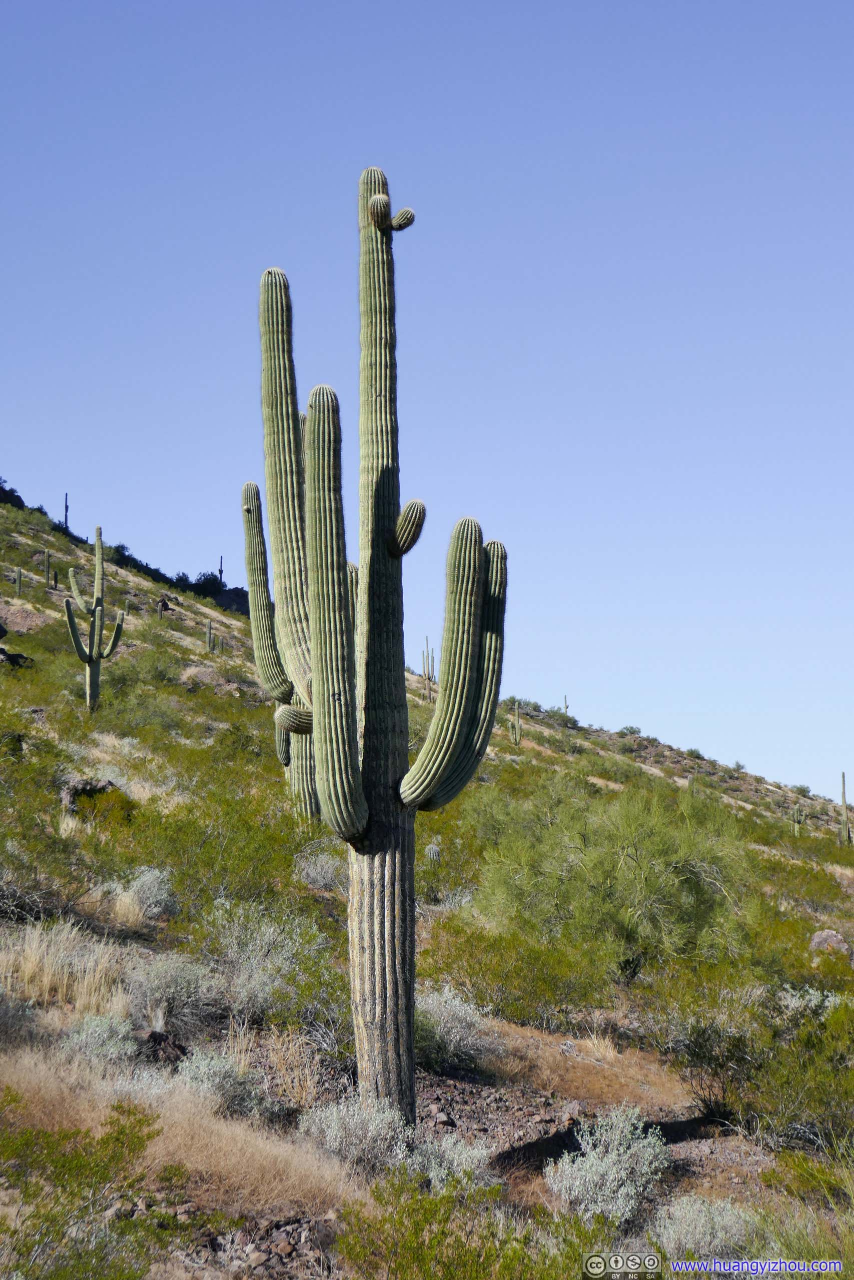
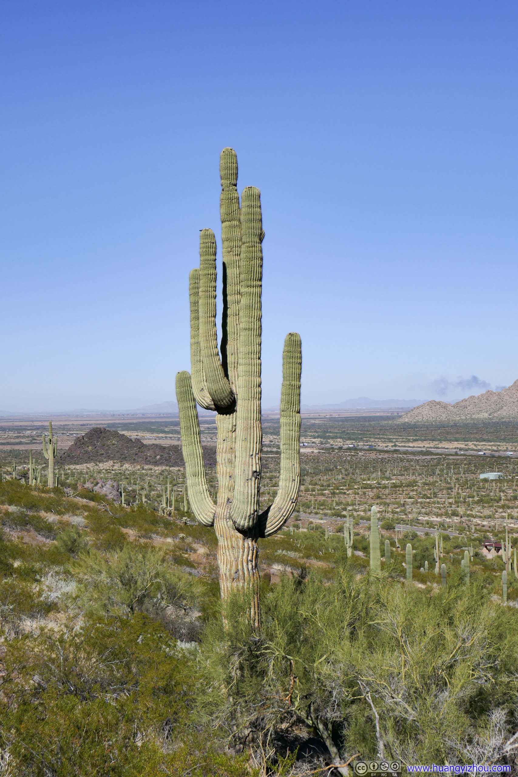
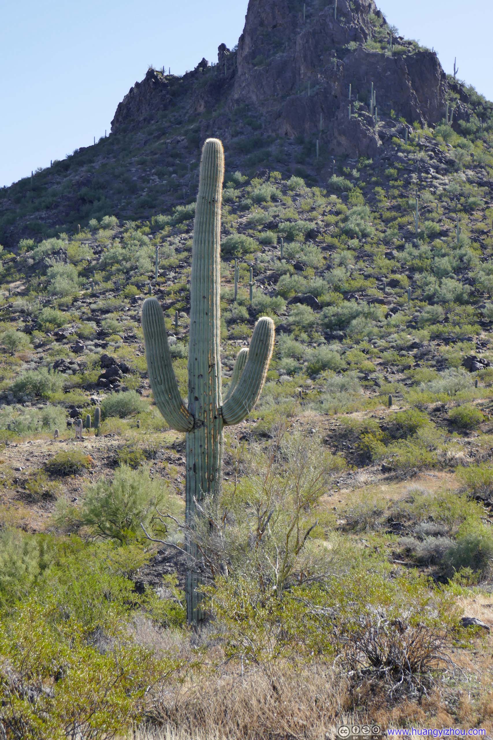
Saguaro
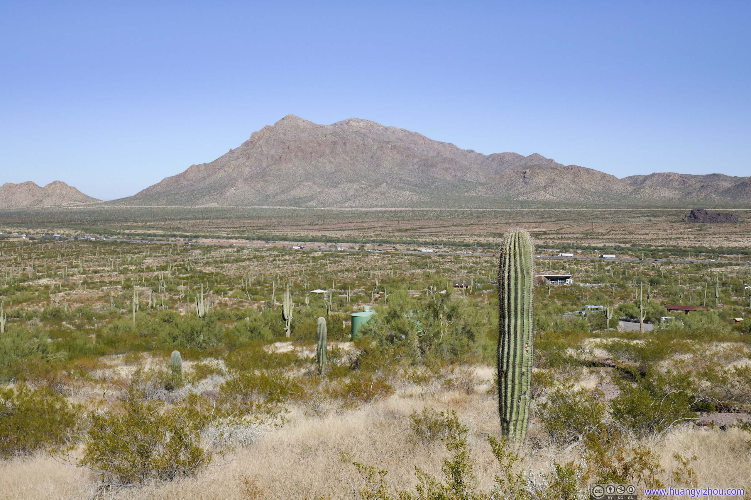
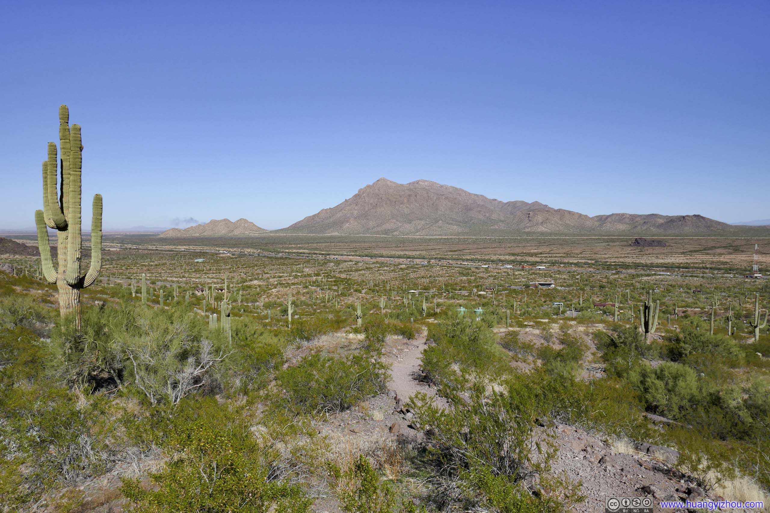
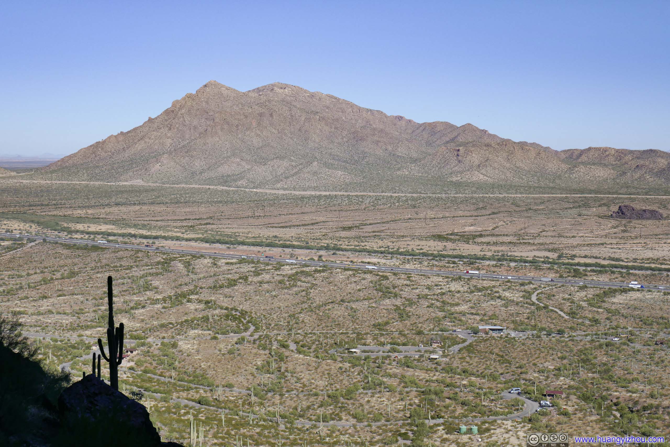
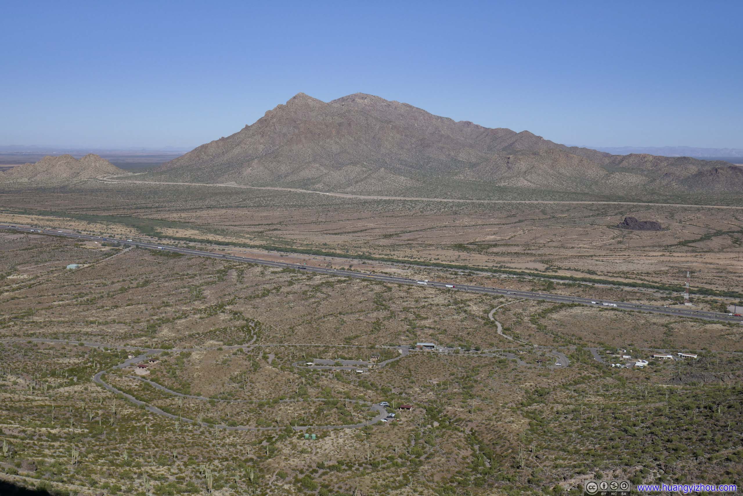
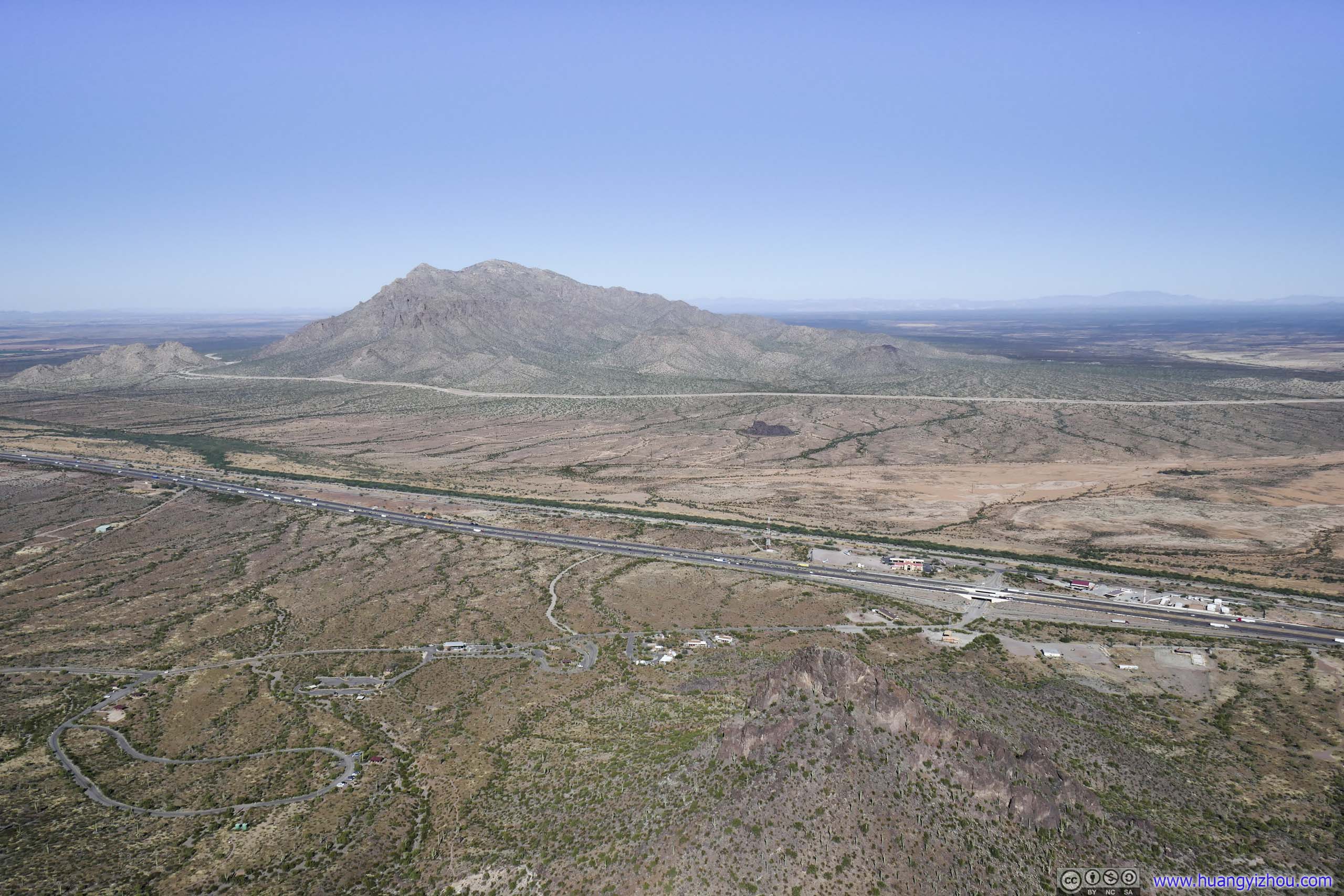
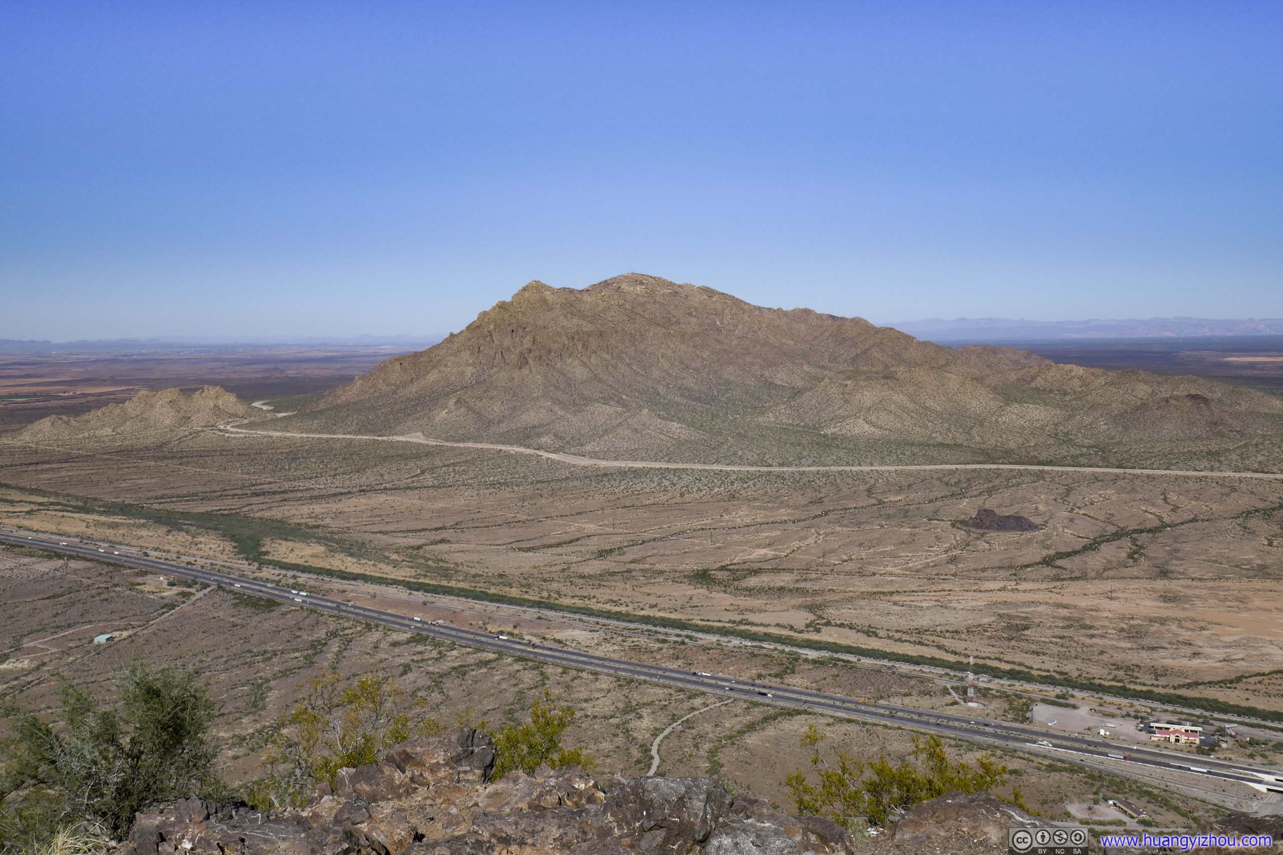
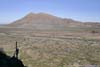
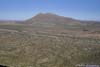
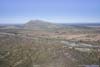
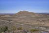
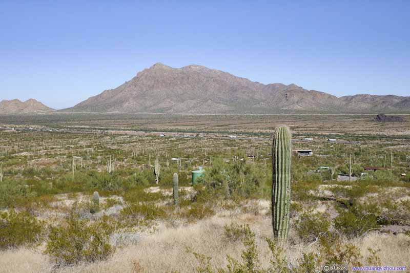
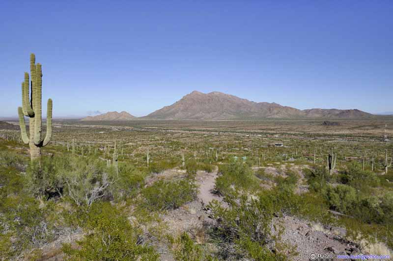
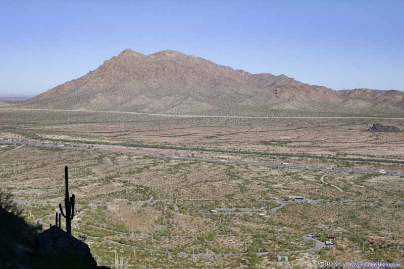
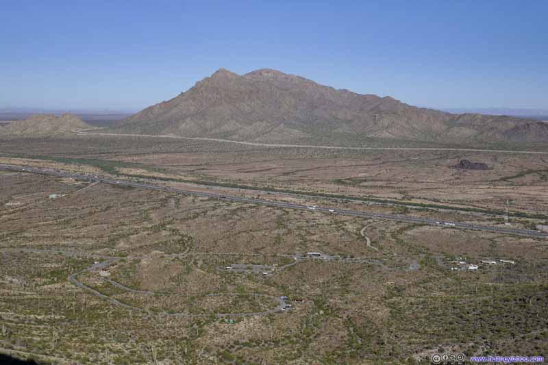
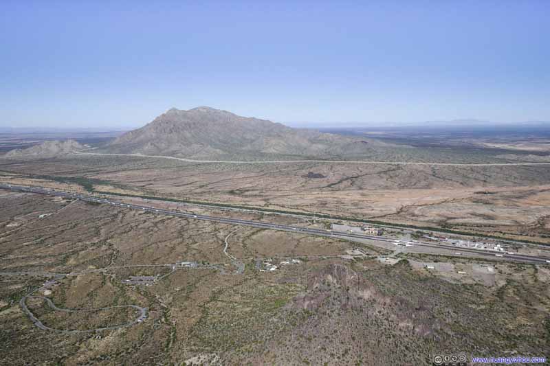
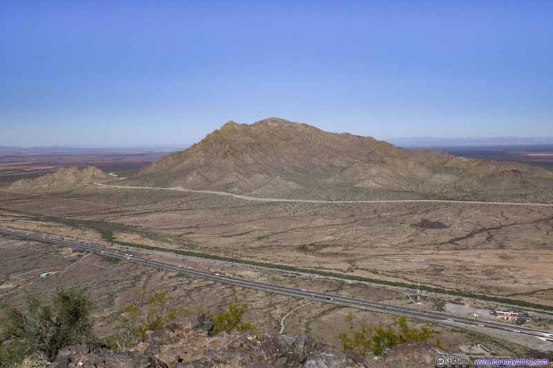
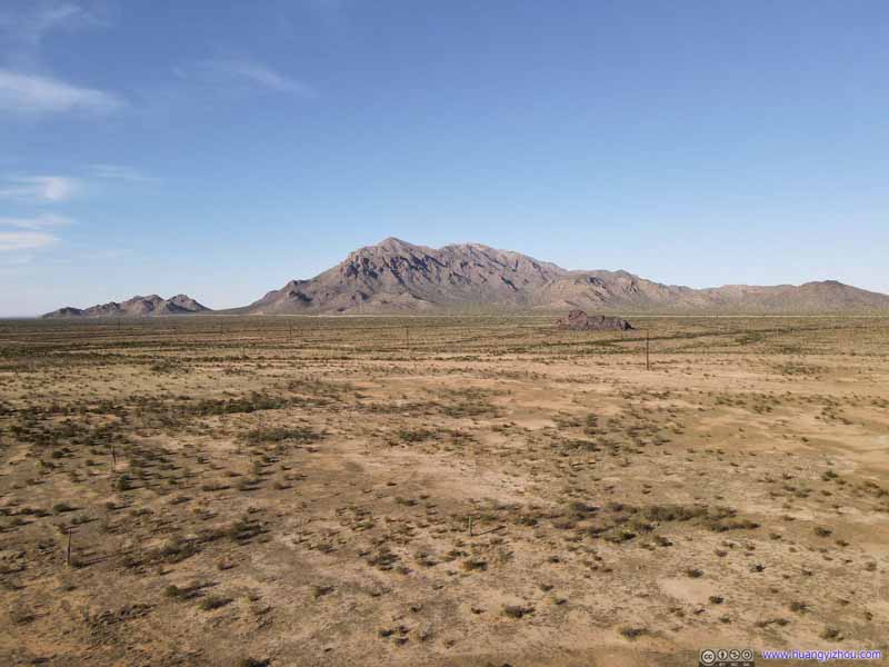
Throughout the day, Newman Peak was a constant sight to the north, across an extensive field. It’s actually higher than Picacho Peak, but its slopes were gentle, unlike the towering Picacho Peak we were about to summit.
Newman Peak A constant presence to the north, as seen at different stages of the climb.
Newman Peak A constant presence to the north, as seen at different stages of the climb.
Newman Peak A constant presence to the north, as seen at different stages of the climb.
Newman Peak A constant presence to the north, as seen at different stages of the climb.
Newman Peak A constant presence to the north, as seen at different stages of the climb.
Newman Peak Seen from the summit.
Hill
Another hill to the north of Picacho Peak that also looked interesting. There's no established trail onto it, though.
Trail
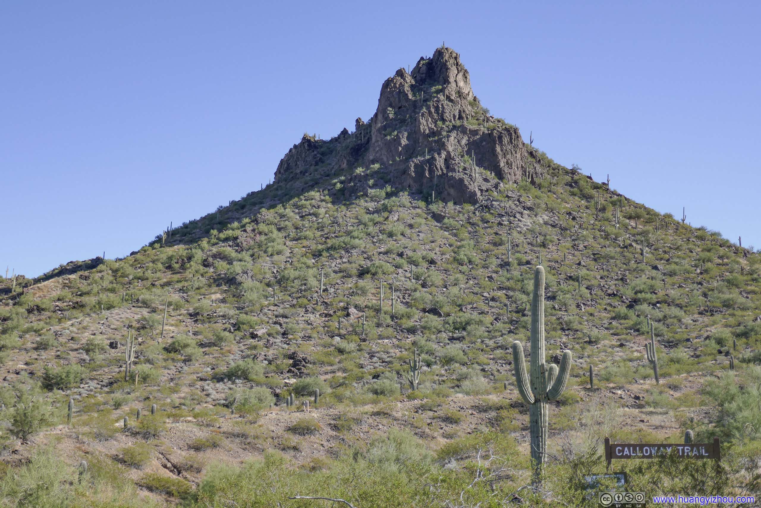
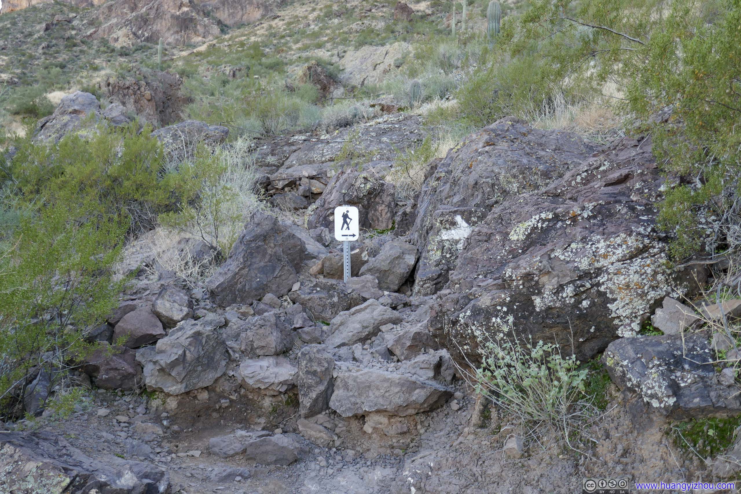
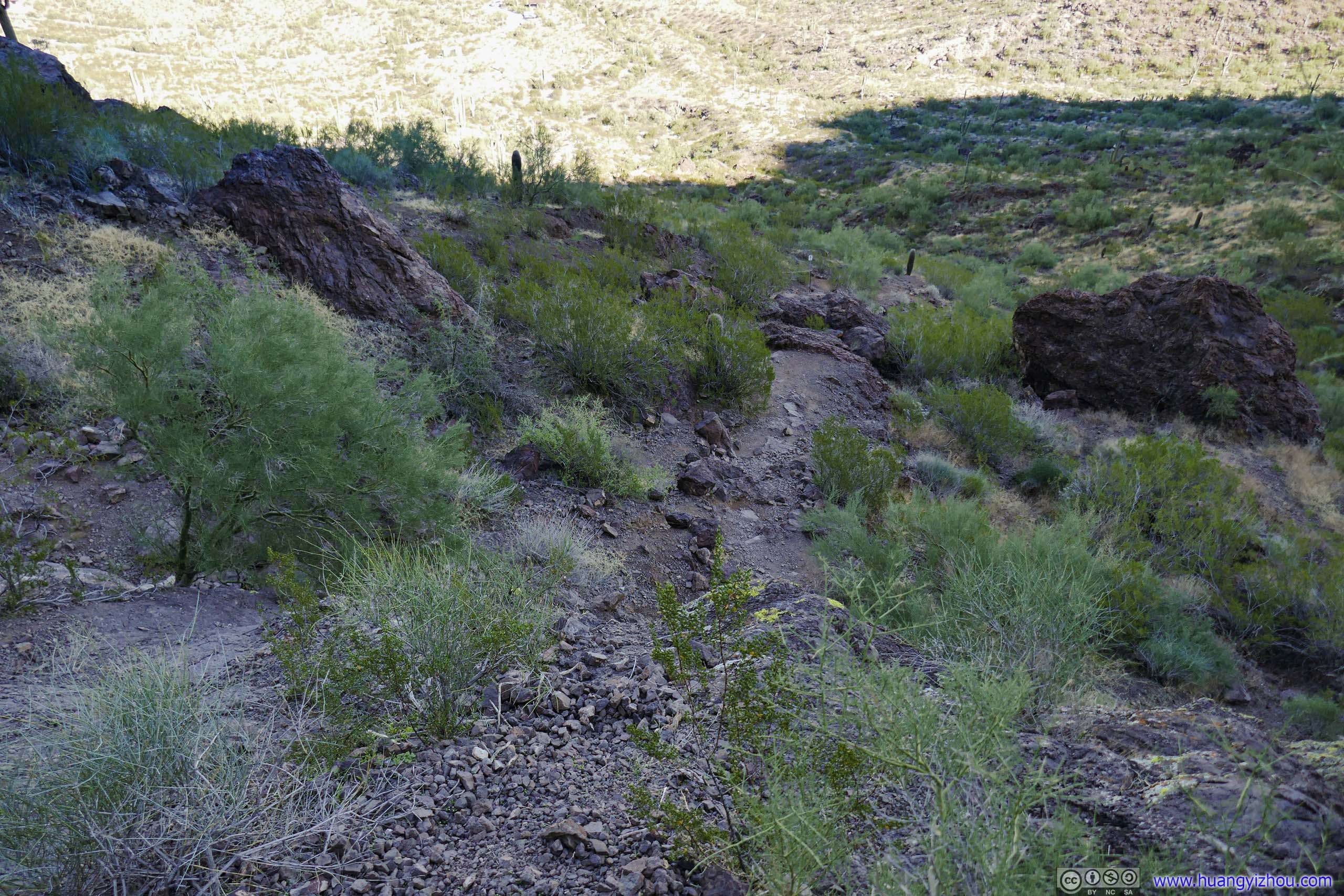
Not long from trailhead we were in the shadows of Picacho Peak. The trail made its way onto a few boulders. The path was well marked with signage and cables.
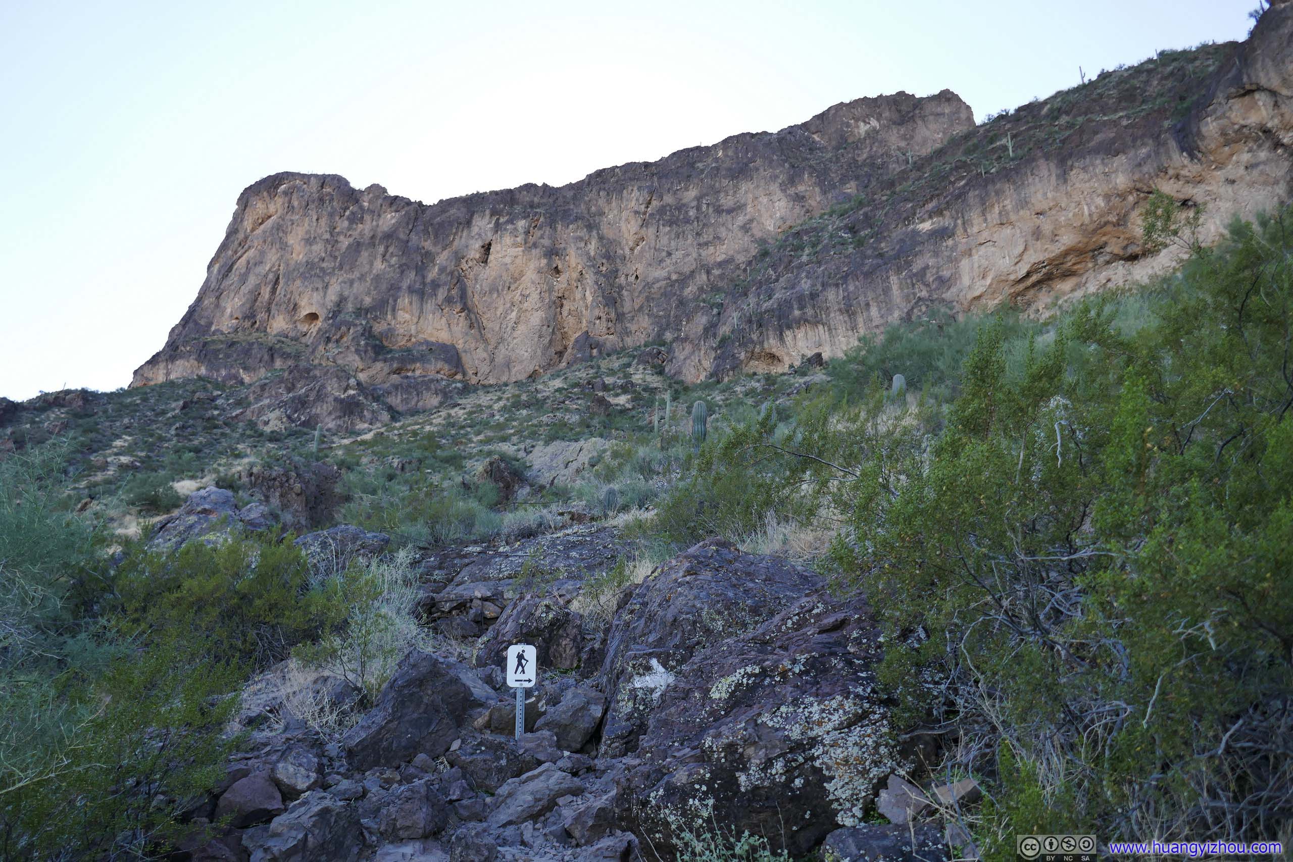
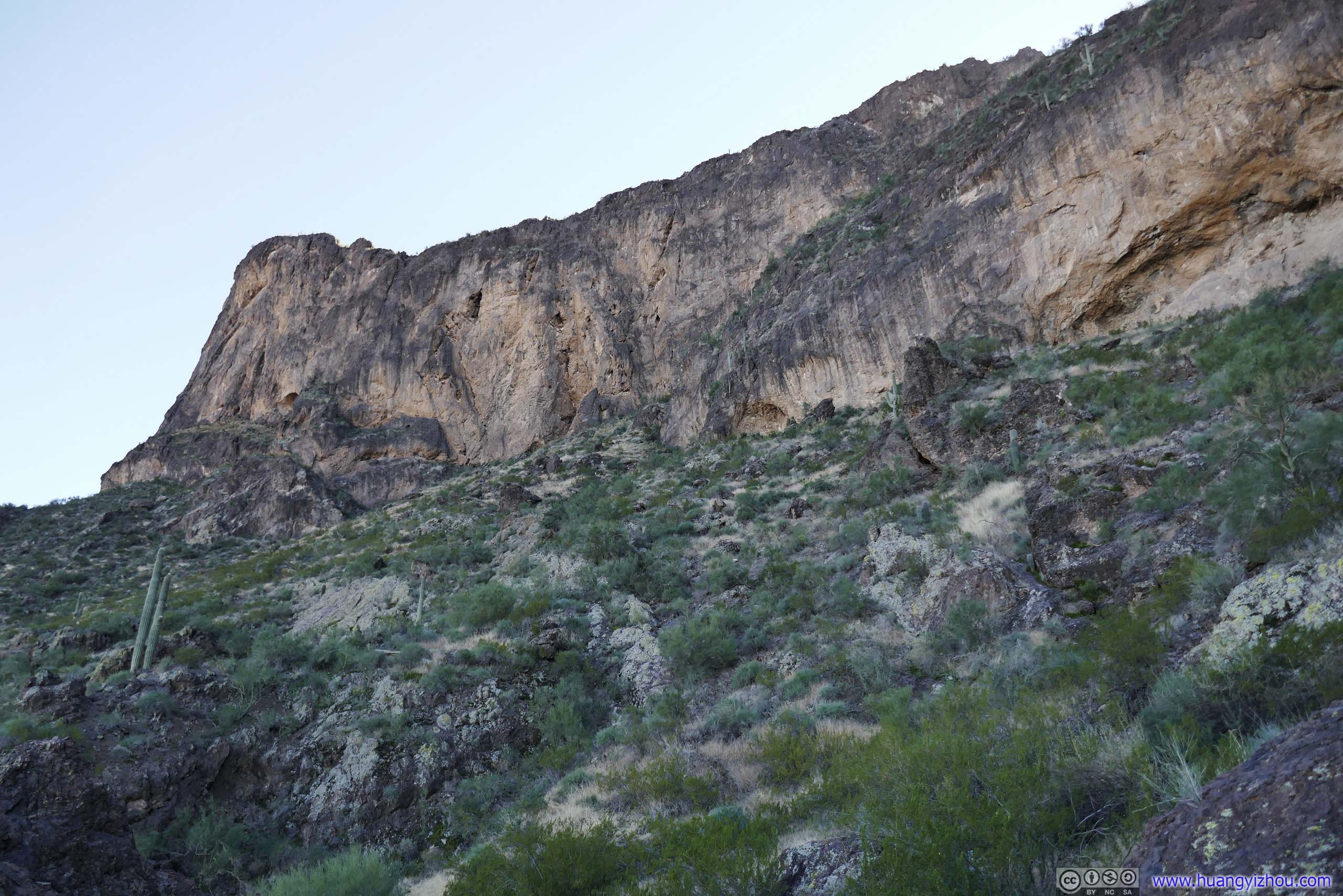
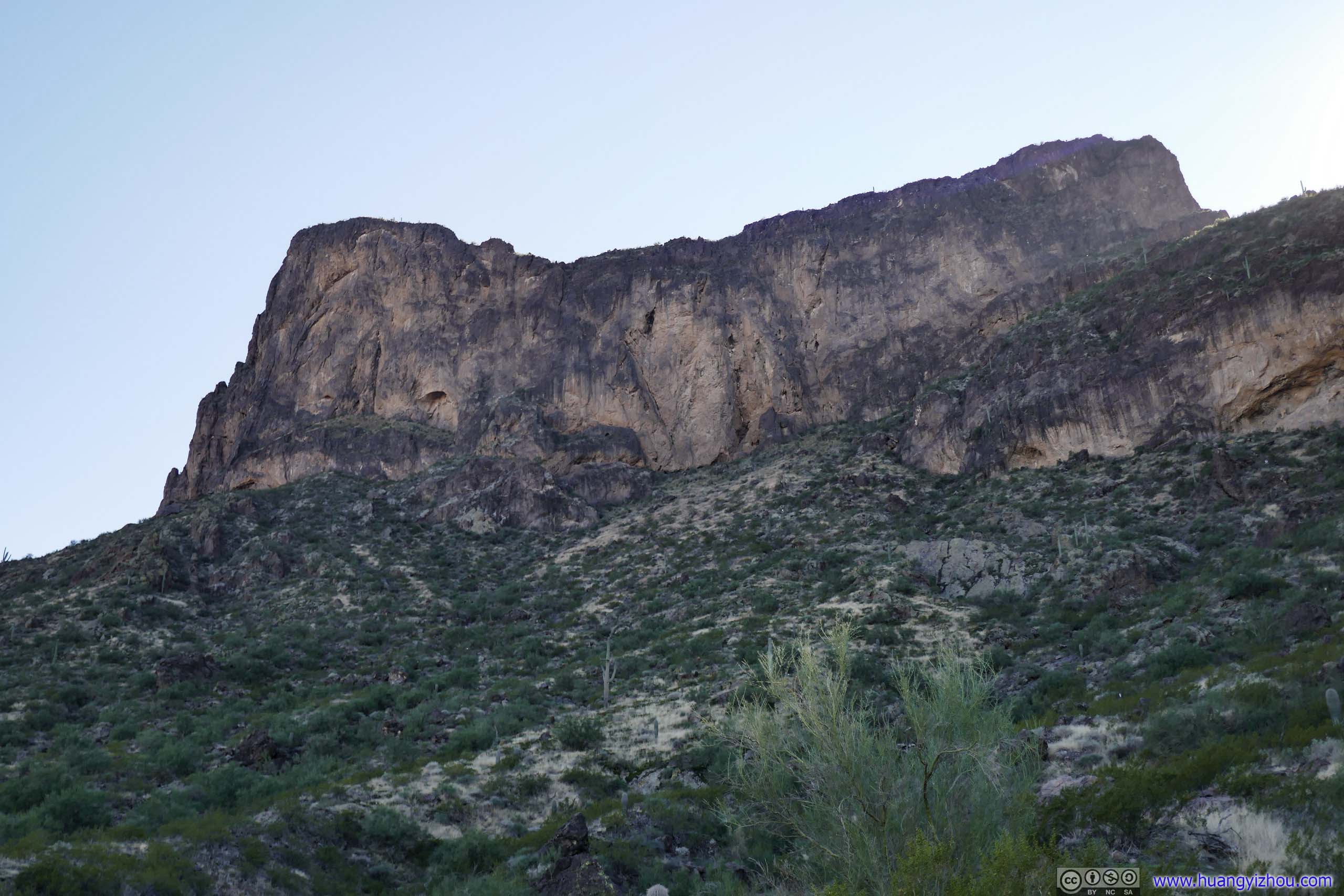
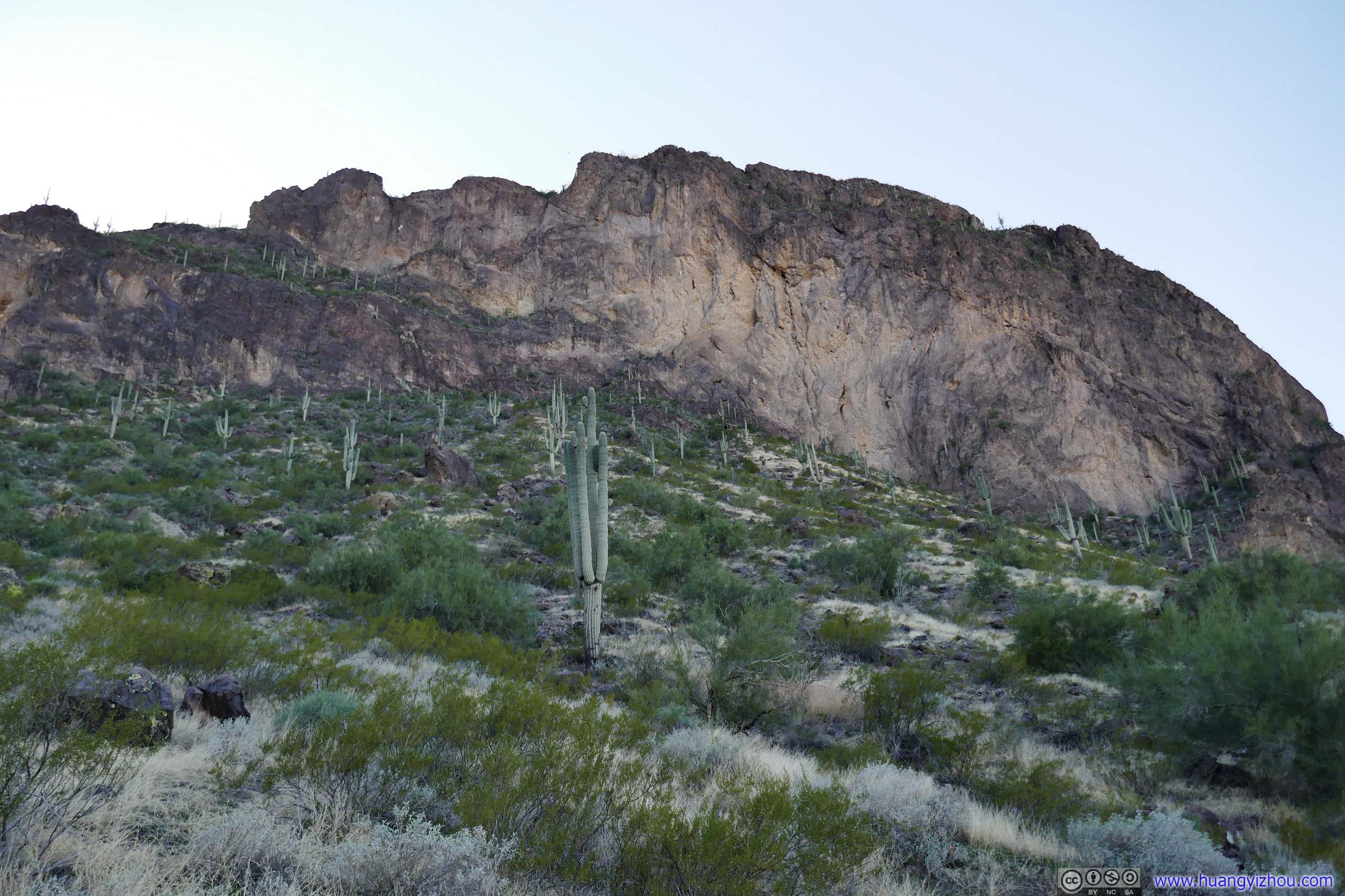
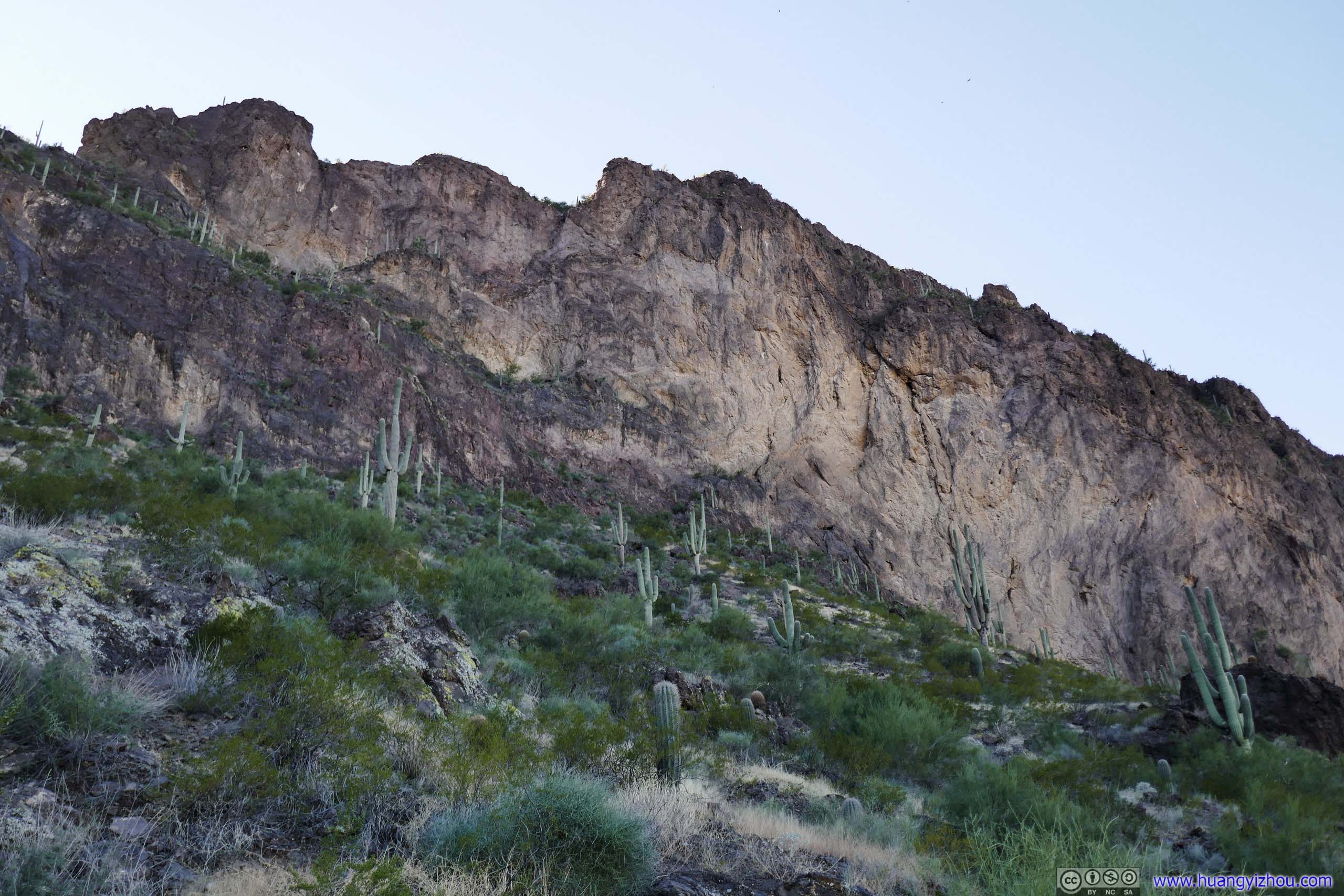
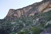
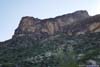
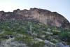
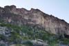
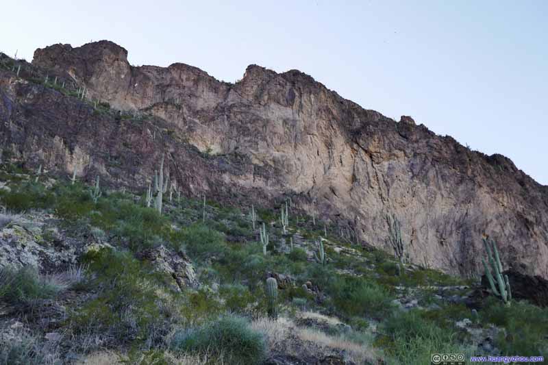
From its shadows, I began to appreciate this imposing wall of Picacho Peak in front of me. Its northern cliff was too steep to climb without equipment, so the trail would make a few switchbacks as it ascended the northern slope before reaching a saddle point towards the south.
Picacho Peak
Picacho Peak
Picacho Peak
Mountain Another peak lower in elevation than Picacho Peak, towards its north.
Mountain Another peak lower in elevation than Picacho Peak, towards its north.
And here were a few photos along those switchbacks. This part of the trail was well-marked, and shouldn't post challenges to most people.
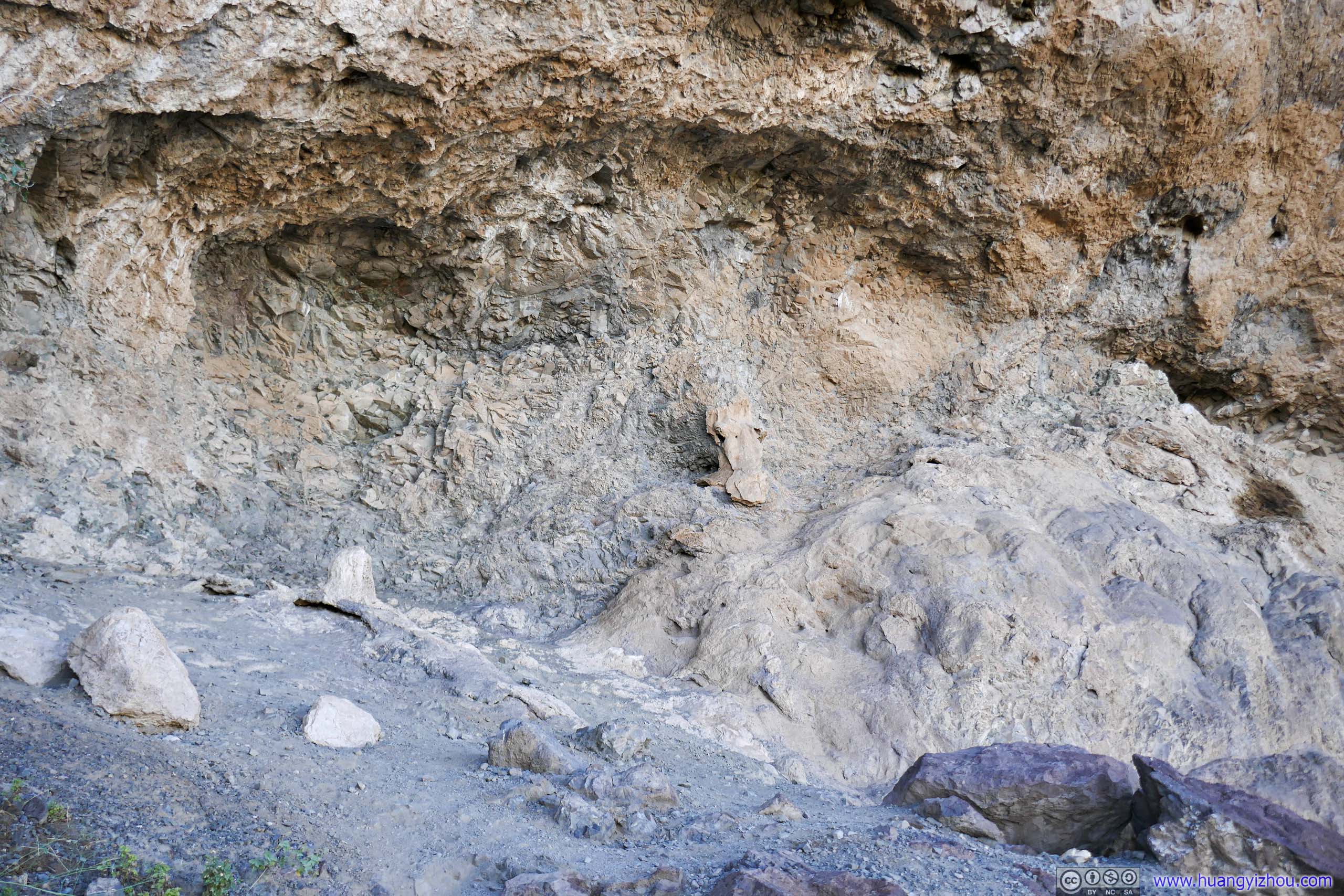
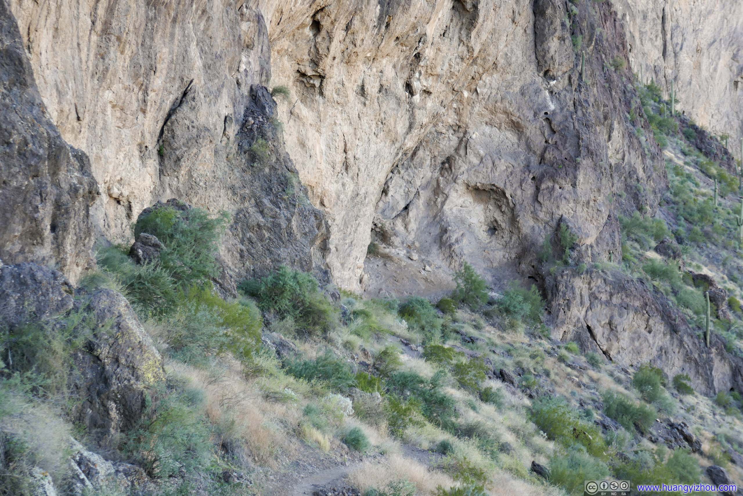
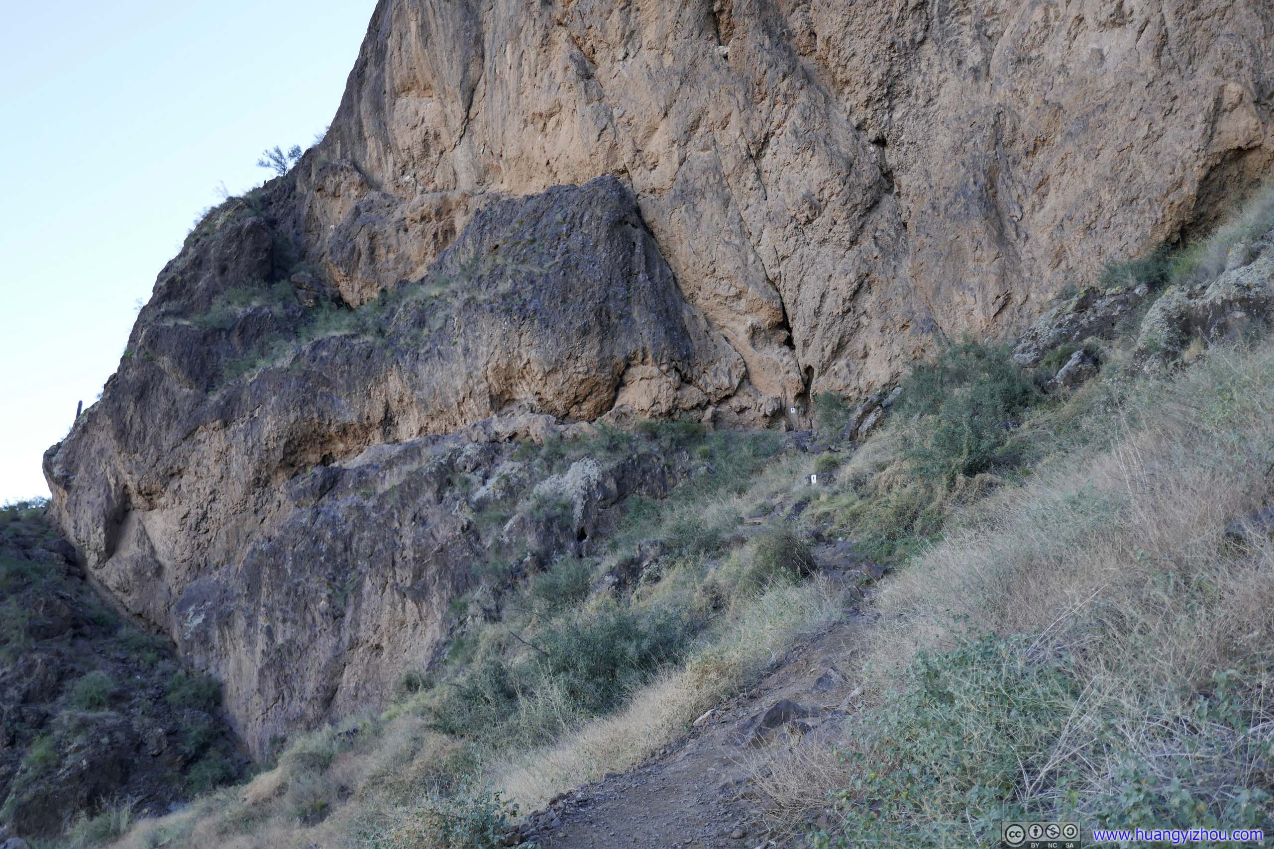
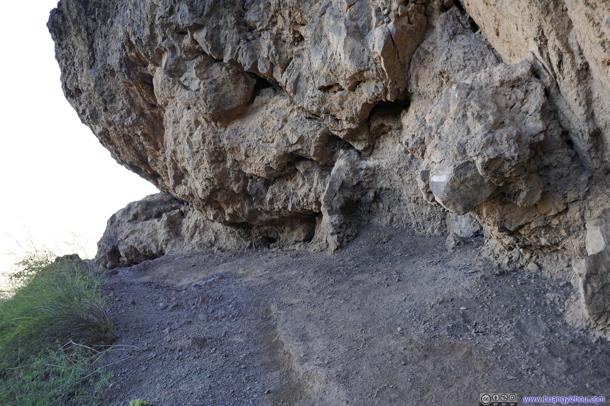
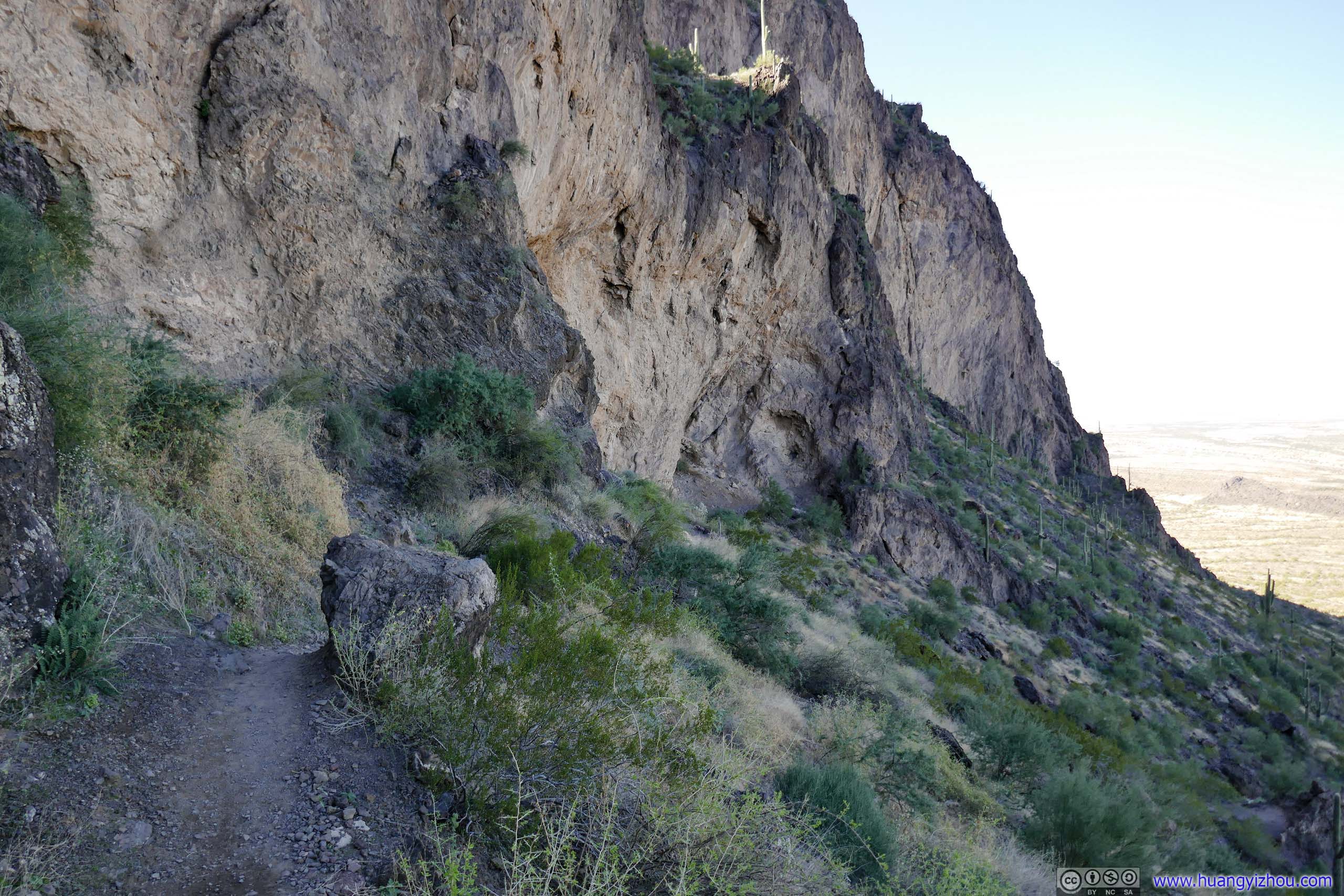
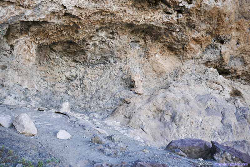
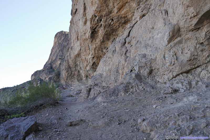
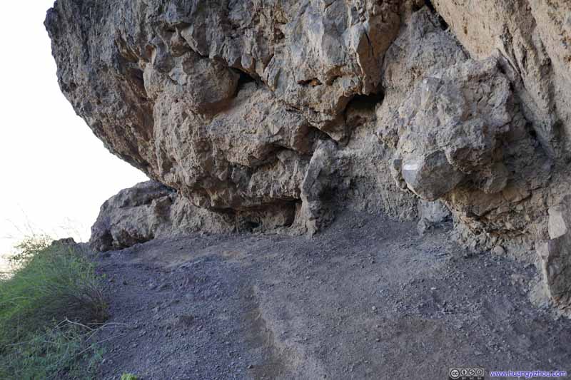
Alcove 750m from trailhead. From here the trail took a sharp left turn and followed some steep cliff.
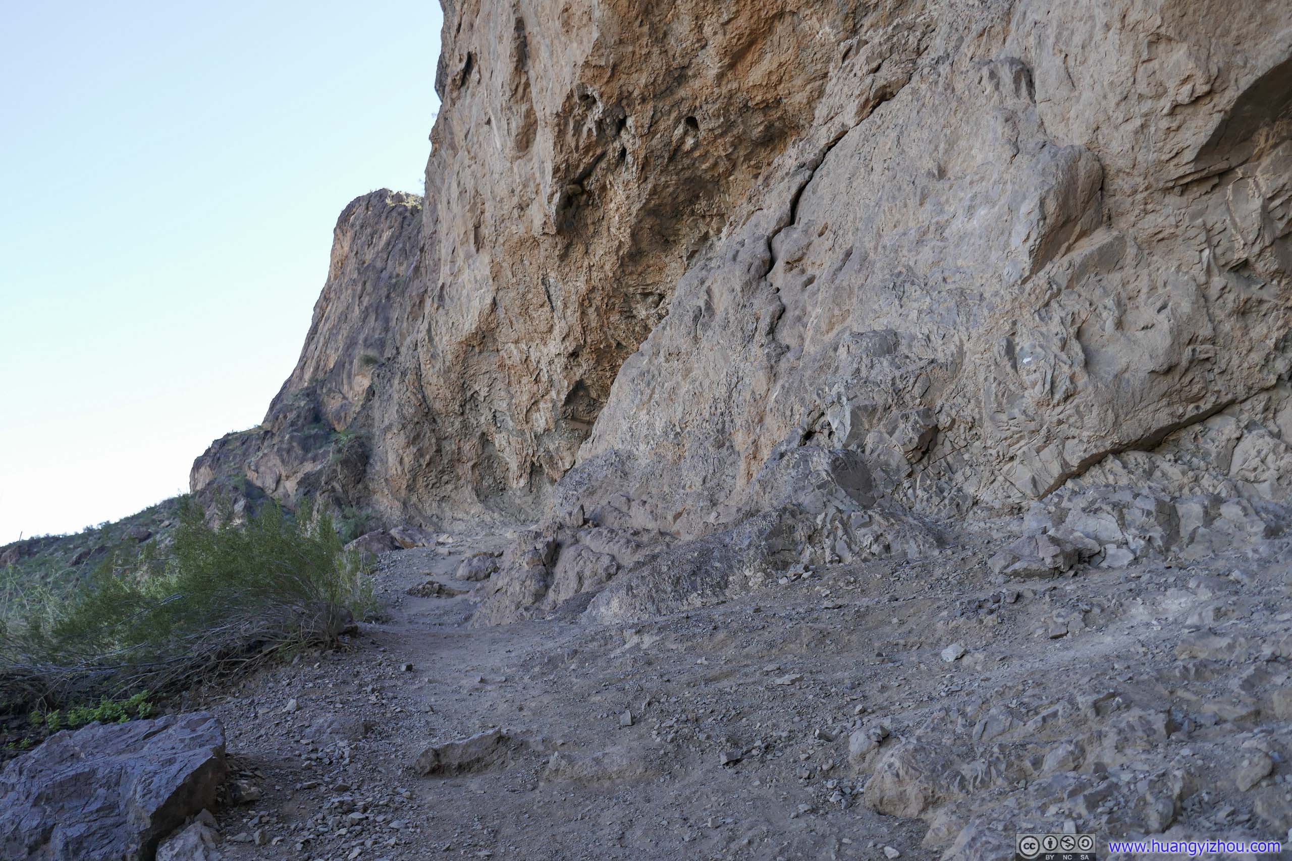
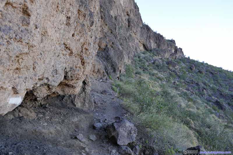
Trail along Cliff
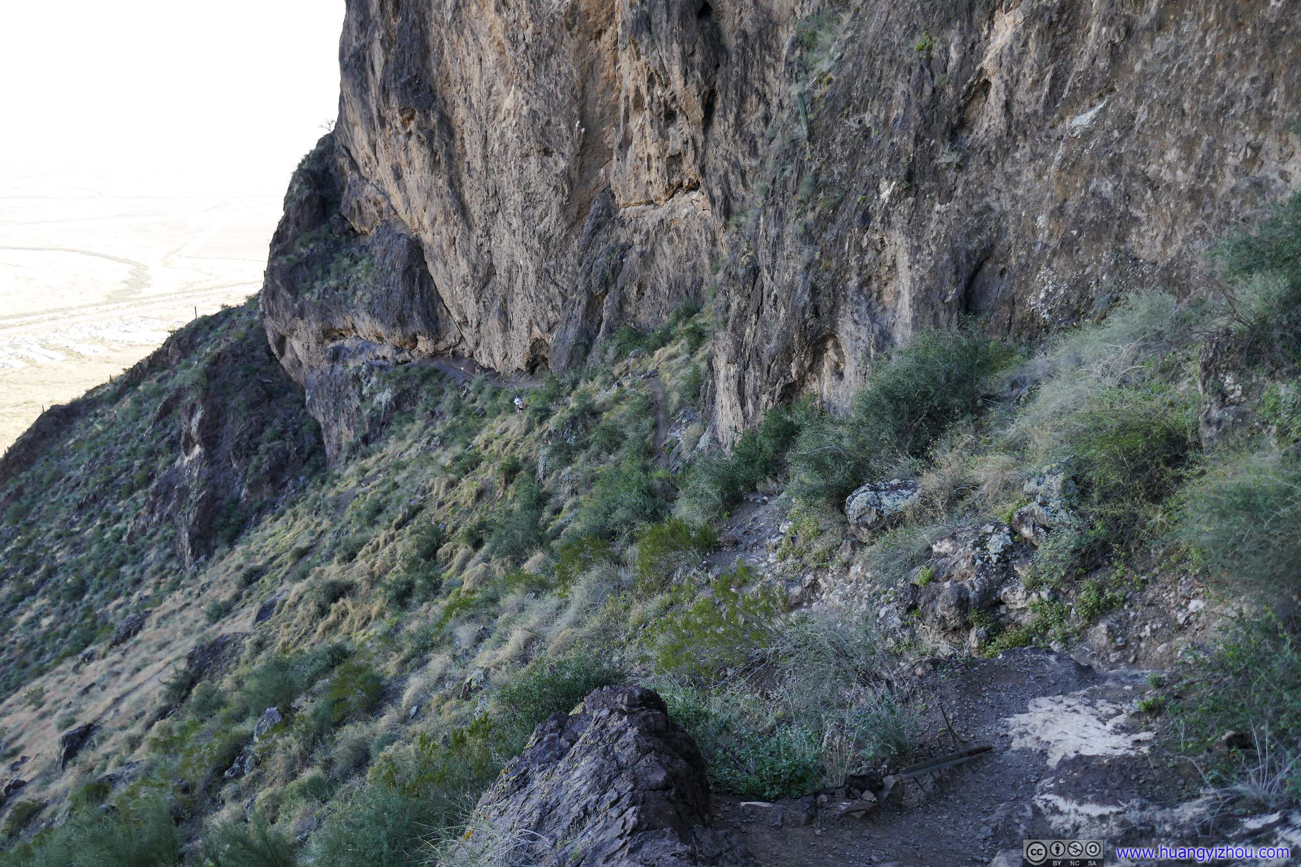
Trail along Cliff Looking back towards the alcove.
Trail along Cliff Looking back towards the alcove from a distance.
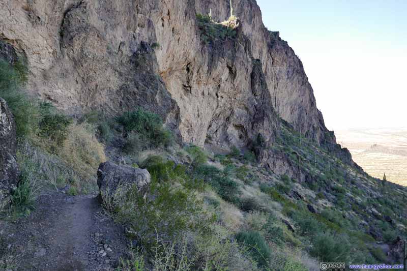
Trail along Cliff
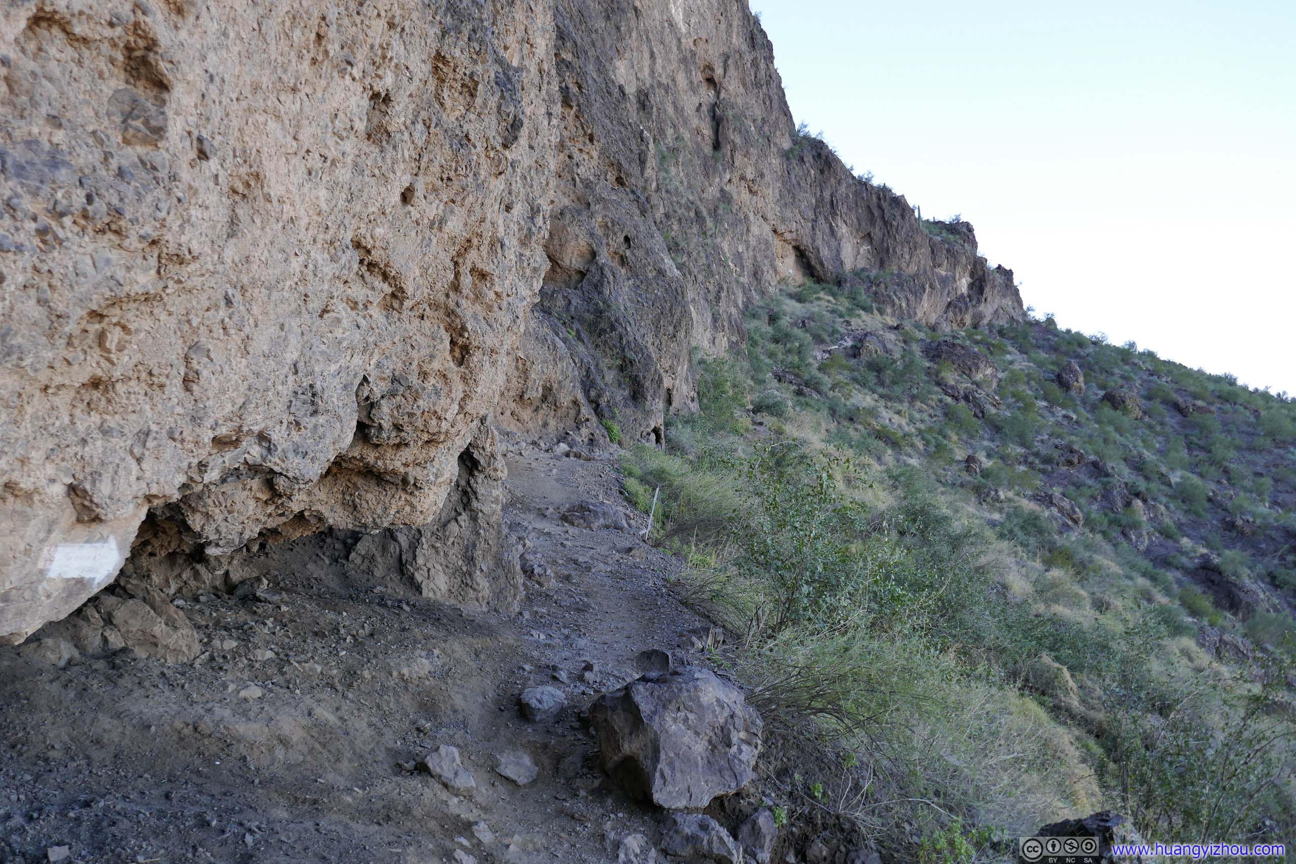
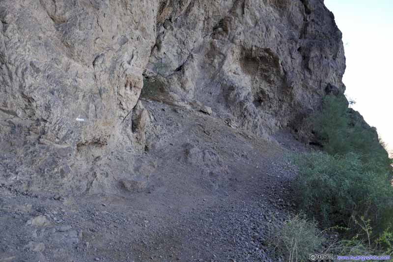
Continuing on, two white markers marked the trail. The trail made a sharp right turn at the second white marker.
Trail along Cliff
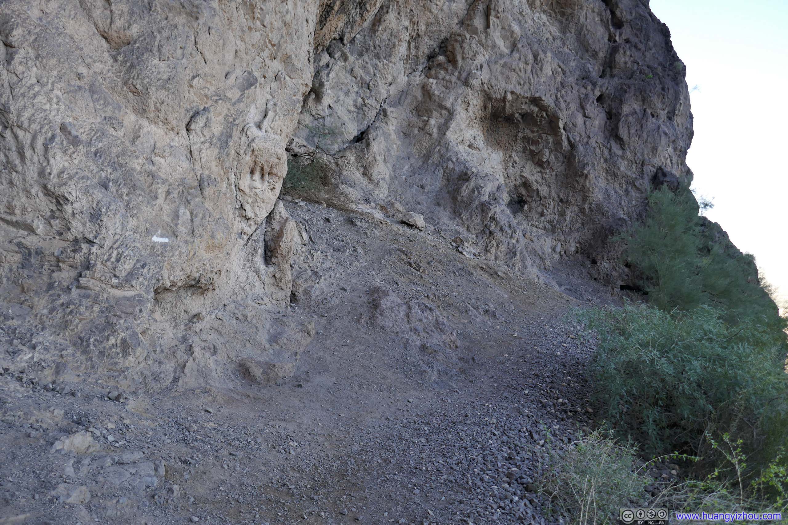
Where the trail made a sharp right turn and continued to follow along the cliff. This was about 1.1km from trailhead. A faint arrow on the rocks pointed hikers to the direction forward.
Trail along Cliff
Where the trail made a sharp right turn and continued to follow the cliff. This was about 1.1km from trailhead.
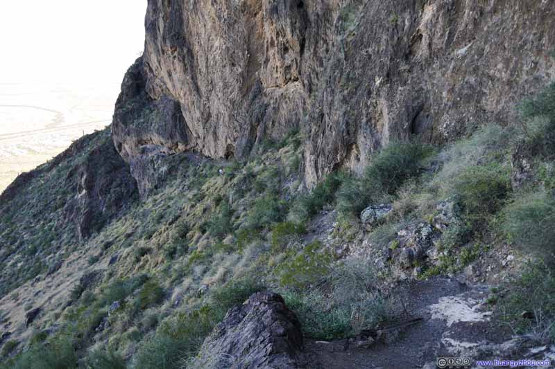
Trail along Cliff
Trail along Cliff
Looking back from the saddle. The distant white marker was where the trail made a sharp turn. Two hikers on their ascent in front of that marker.
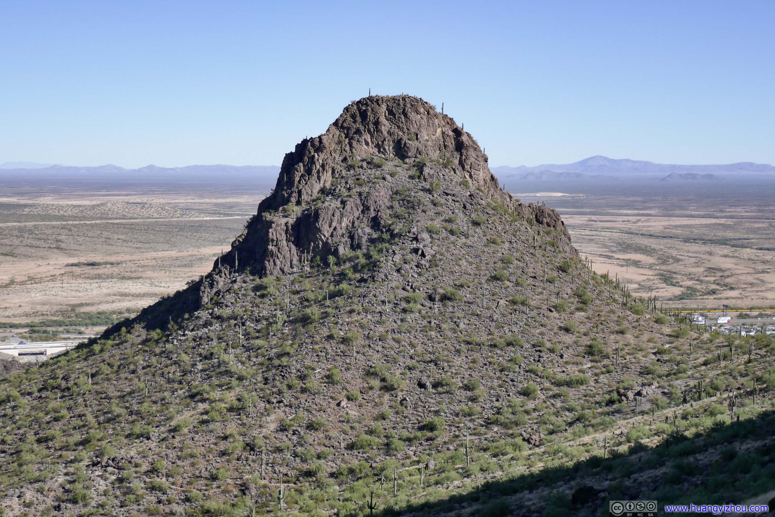
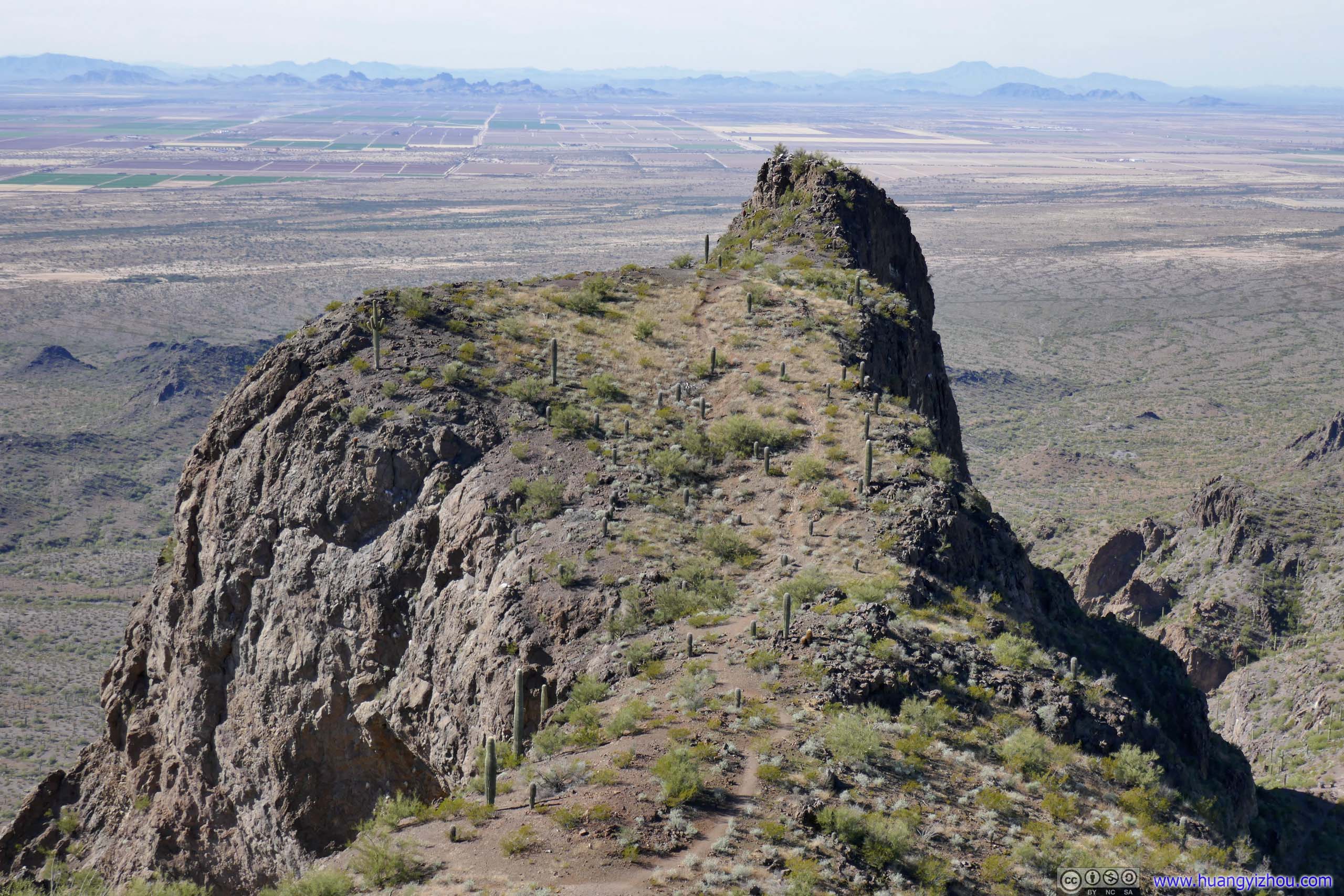
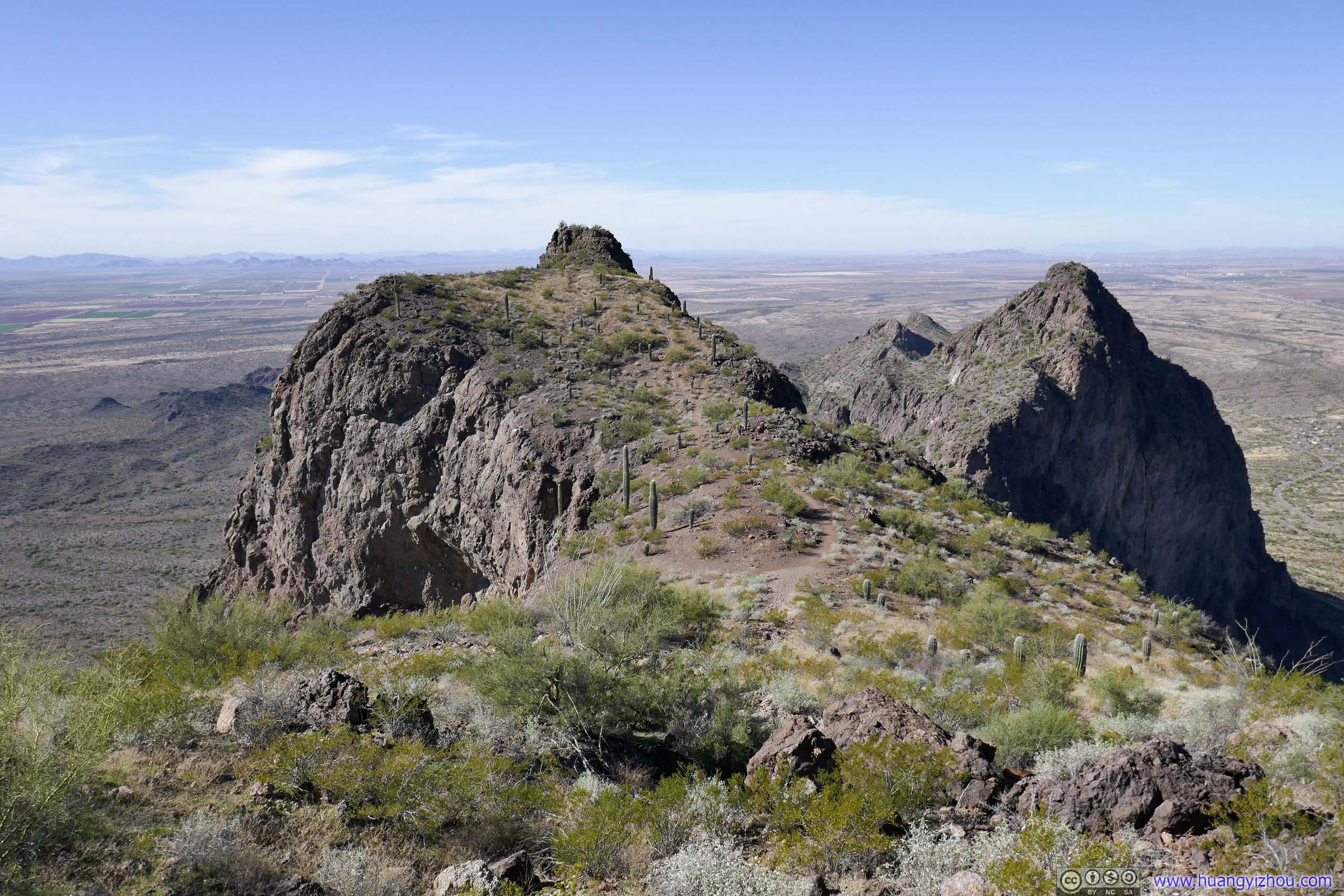
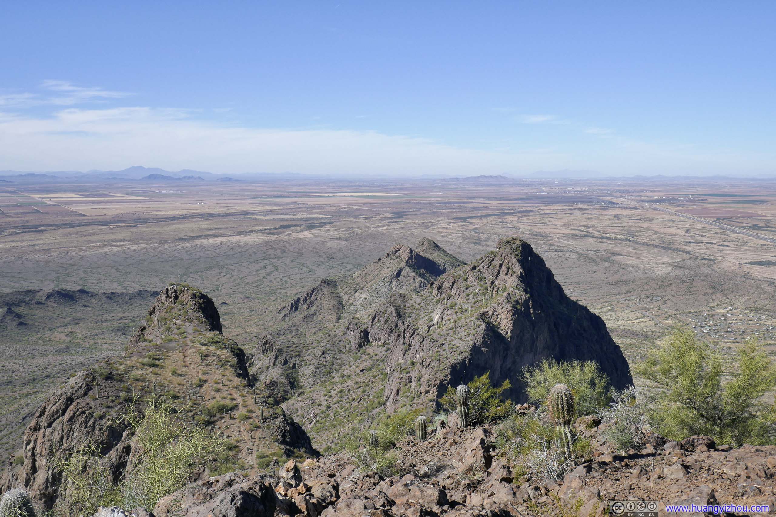
Hill
Another hill to the west of Picacho Peak, that’s accessible from the saddle via a path that’s at least YDS class 2. People just didn’t seem as interested in this small brother of Picacho Peak. Taken from the saddle point (left) and near the summit (right).
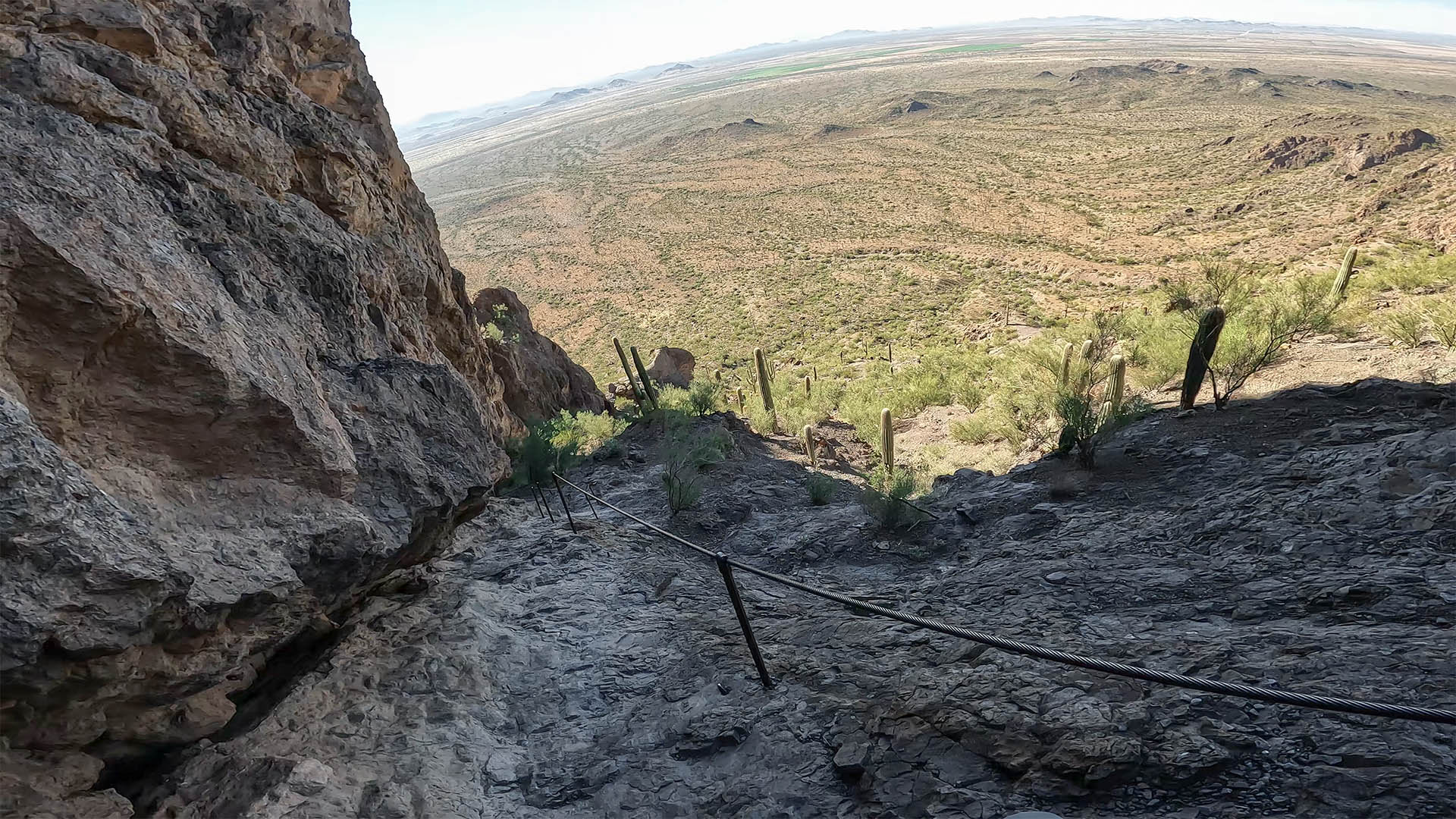
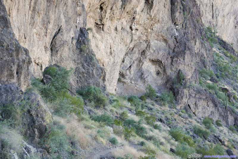
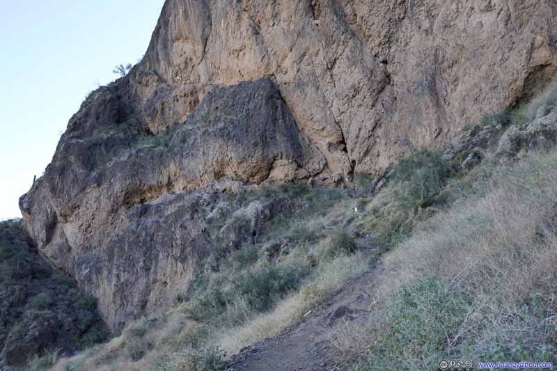
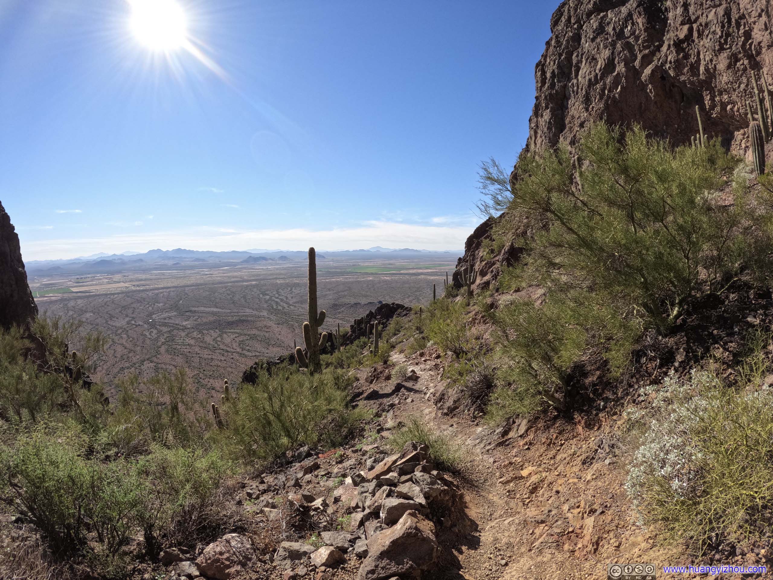
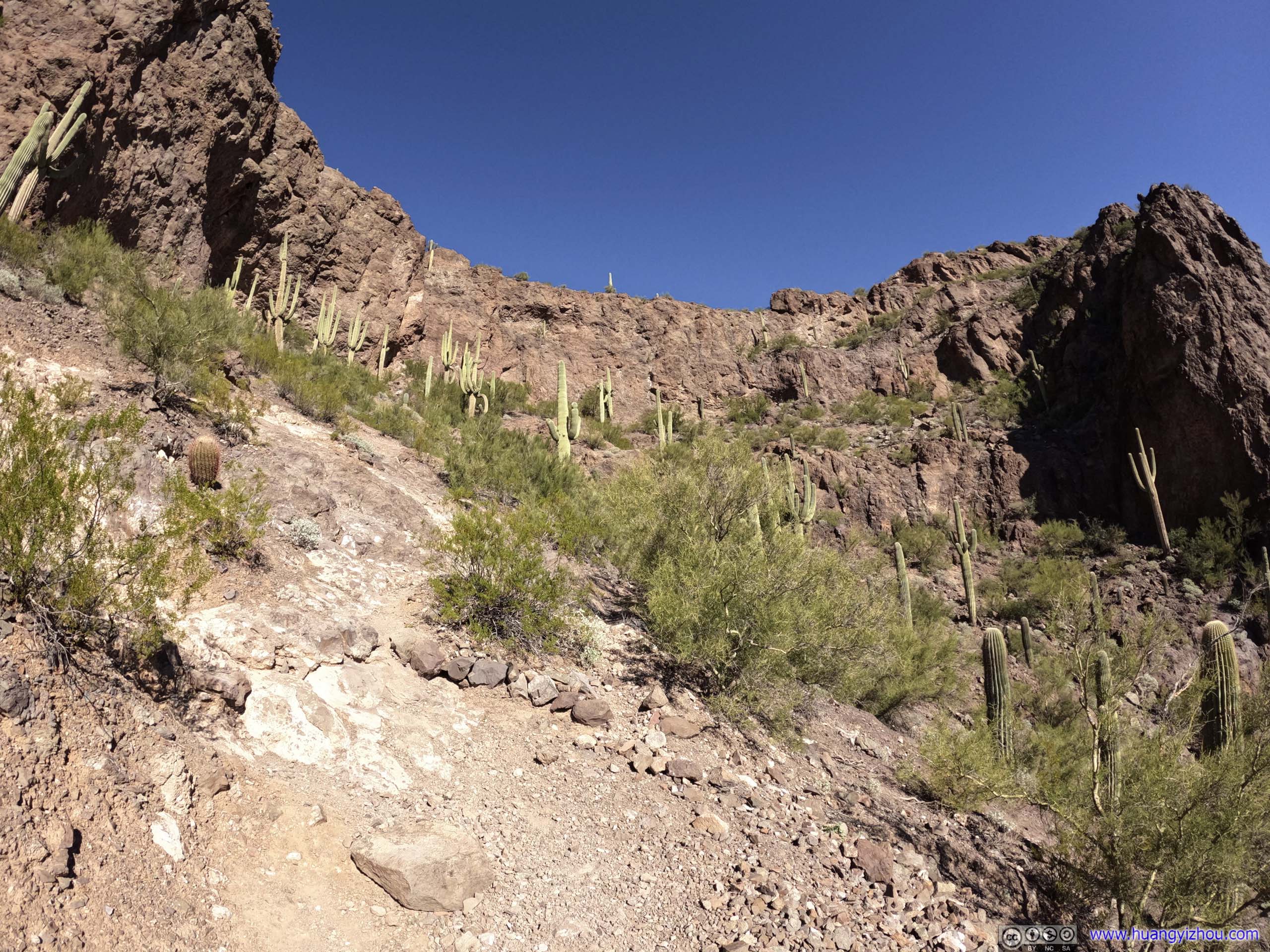
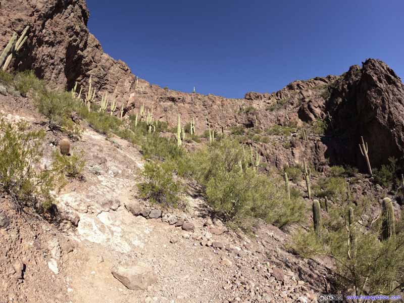
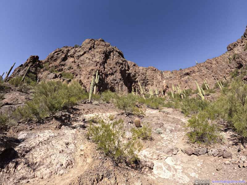
We reached the saddle point just after noon. The trail would descend down a slope, follow the southern side of Picacho Peak before ascending it at a suitable place that's not too vertical. After the saddle point, the trail entered more-or-less climbing territory as it had a few steep sections. The abundance of cables and handrails meant the trip to the summit didn't have to require technical climbing skills, and at a few places with exposure, safety nets were installed to prevent accidental falls.
I used my chest-mounted GoPro to capture the following video through the few steep/thrilling sections, while trying to minimize my reliance on the cables. And sure I was enjoying myself.
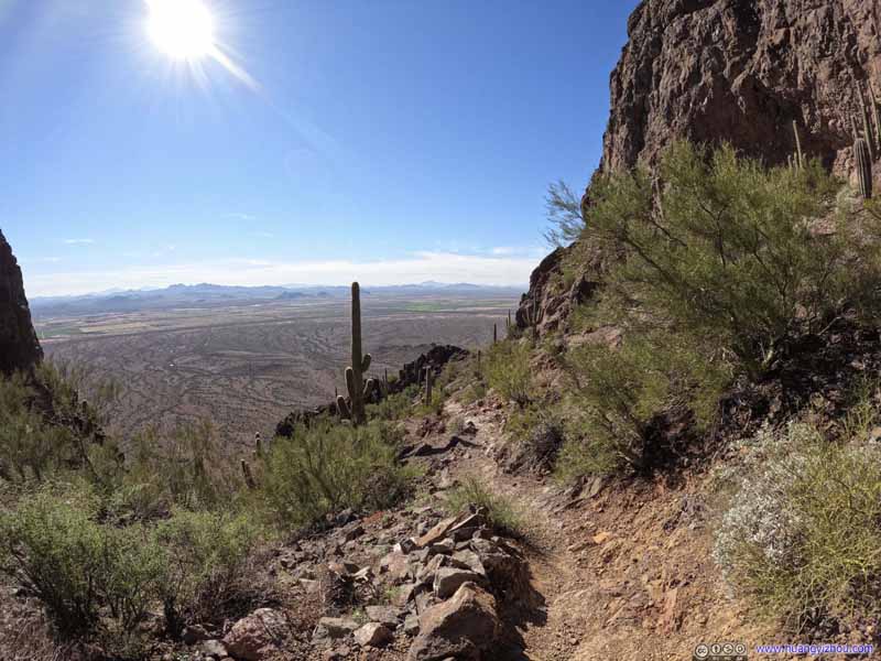
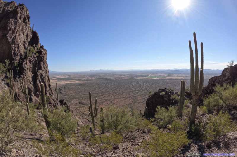
And I captured a few photos of the trail and my surroundings along the southern side of Picacho Peak, when I got my hands free.
Trail
Fields of Saguaros
A steep section of trail on the southwestern slope of Picacho Peak, nonetheless a reprieve from the exposures.
Fields of Saguaros
A steep section of trail on the southwestern slope of Picacho Peak, nonetheless a reprieve from the exposures.
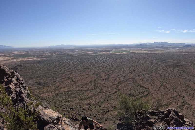
Fields to the South
Fields to the South My friend was making his way up the hill in the lower foreground.
Fields to the South
After the technical climbing sections ended, we followed the trail on the right for another 250m to the summit.
Butte
Alternatively, at the end of the technical section, a faint trail was leading up to a cliff overlooking the saddle point of the trail. We were pressed on time and didn’t explore any farther around.
Finally, we reached the summit at 12:47pm.
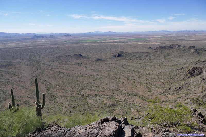
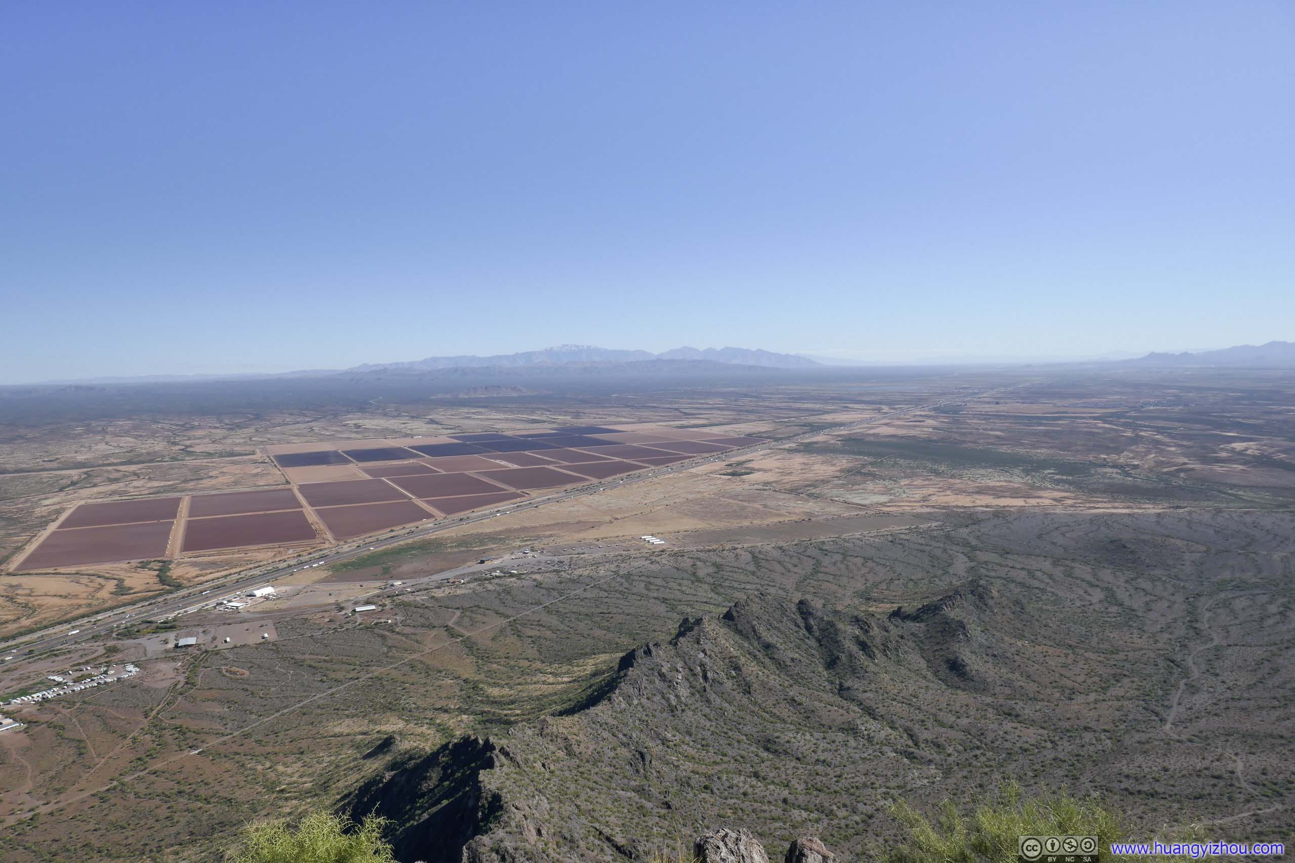
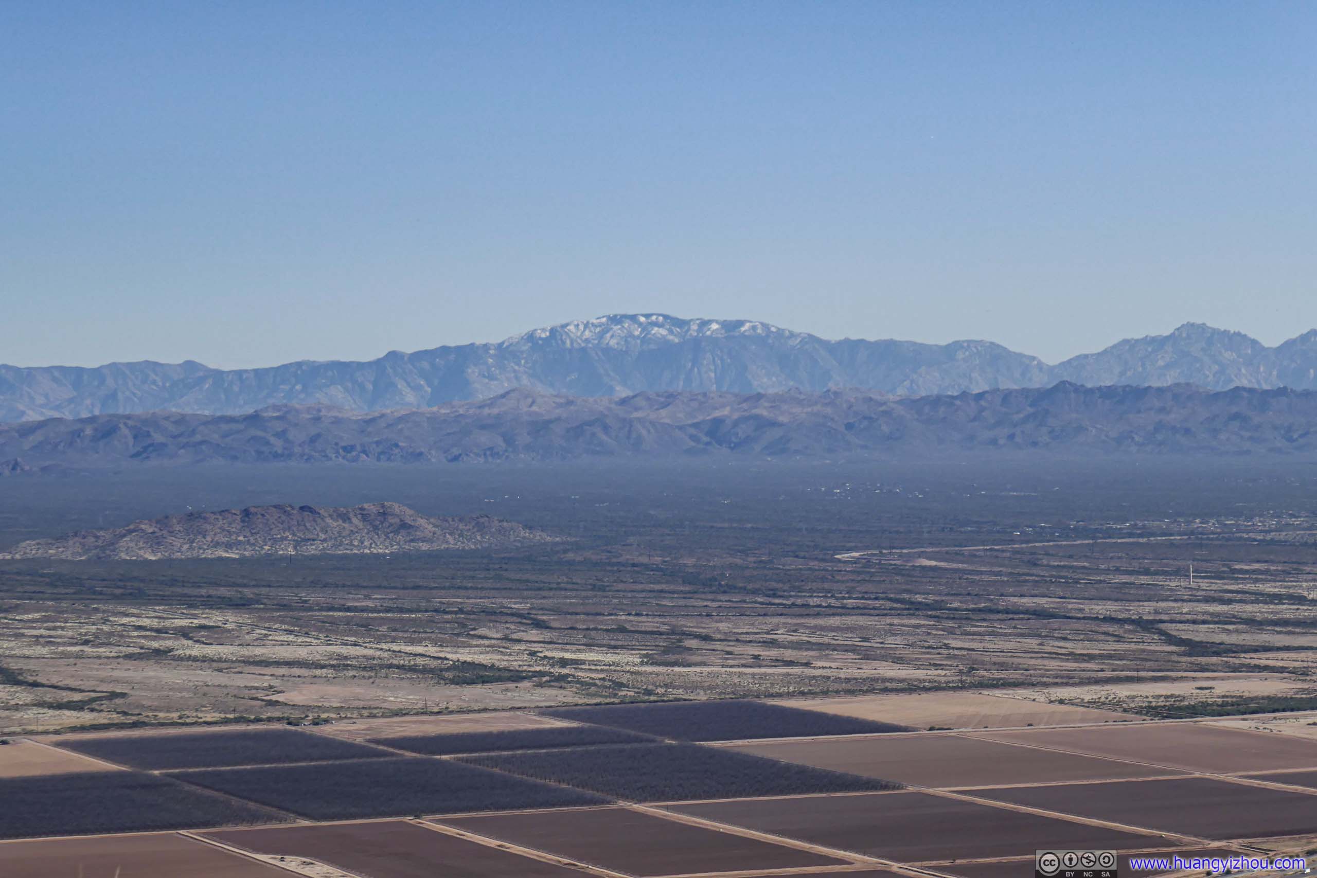
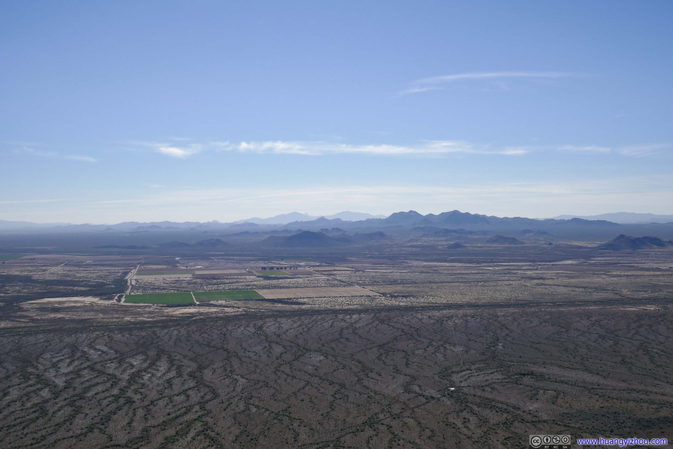
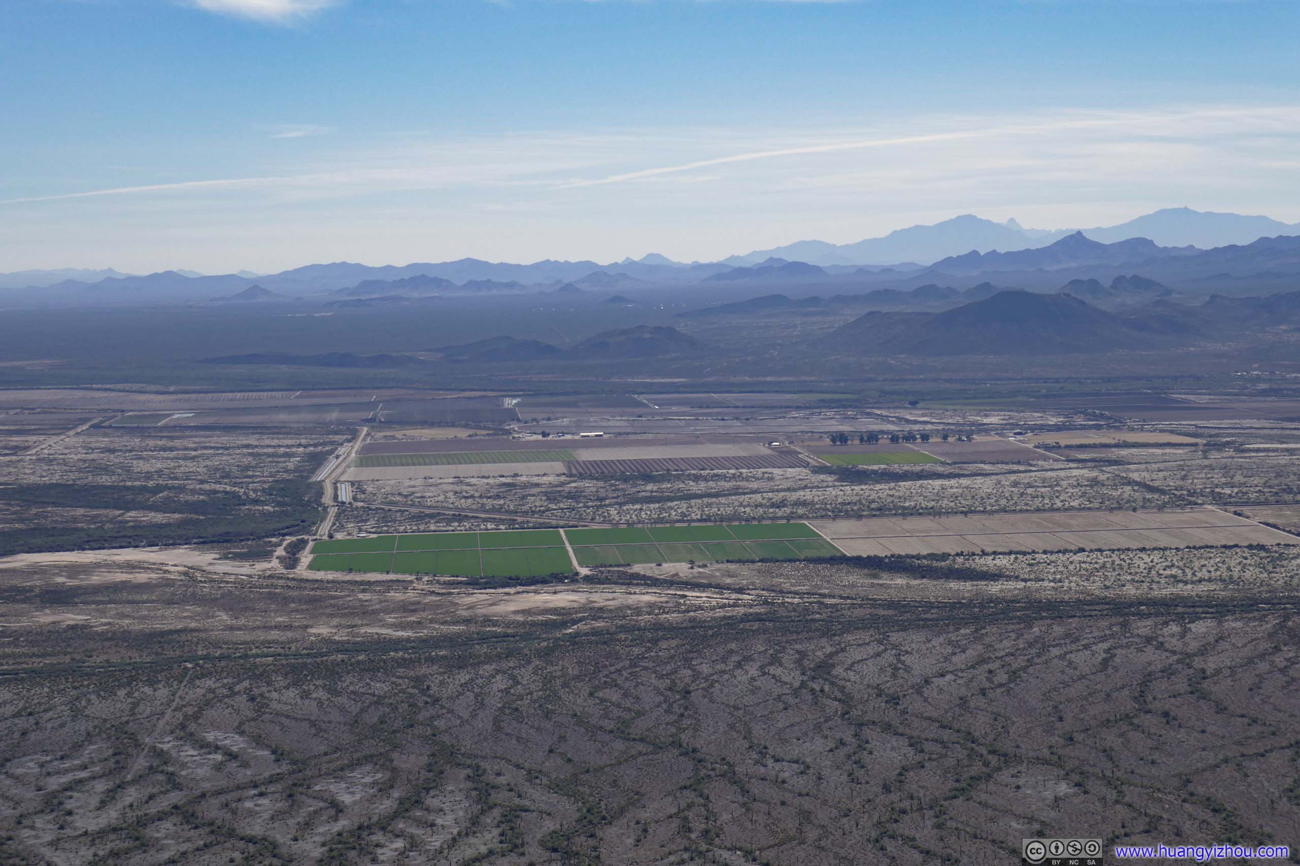
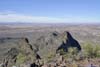
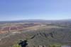
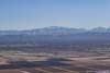
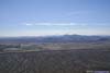
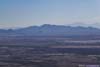
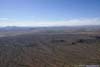
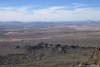
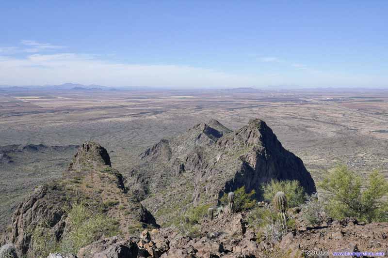
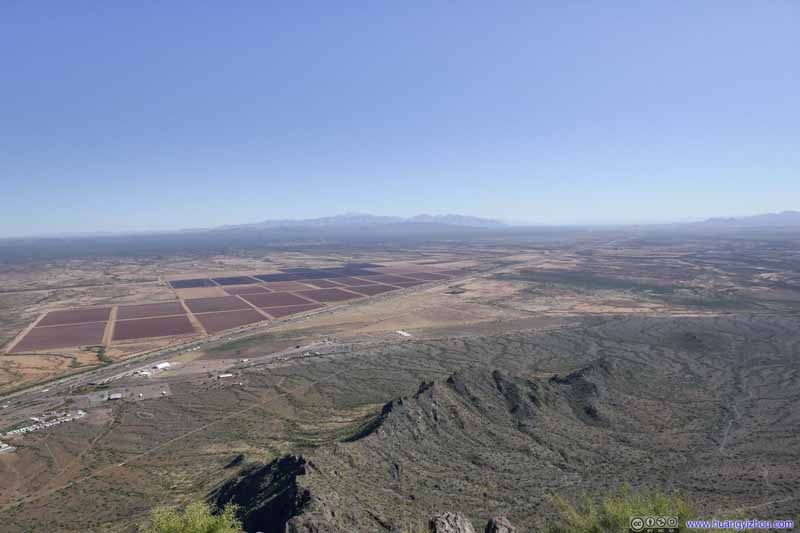
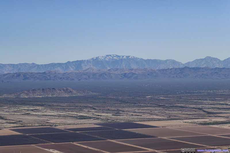
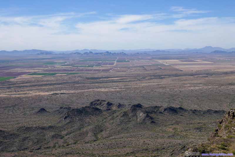
Compared with the excitement that I just had through the various steep sections, the view from the summit wasn’t that breathtaking (another reason being that the trail went on both sides of the mountain, so we had seen all directions on our way up). But nonetheless, it's the highest point in the vicinity with extensive views of distant horizons.
View from Picacho Peak
Mountains to the North Other less prominent peaks in Picacho Peak State Park.
Fields to the Southeast
Distant Mount Lemmon
Mountains to the South Silver Bell Peak
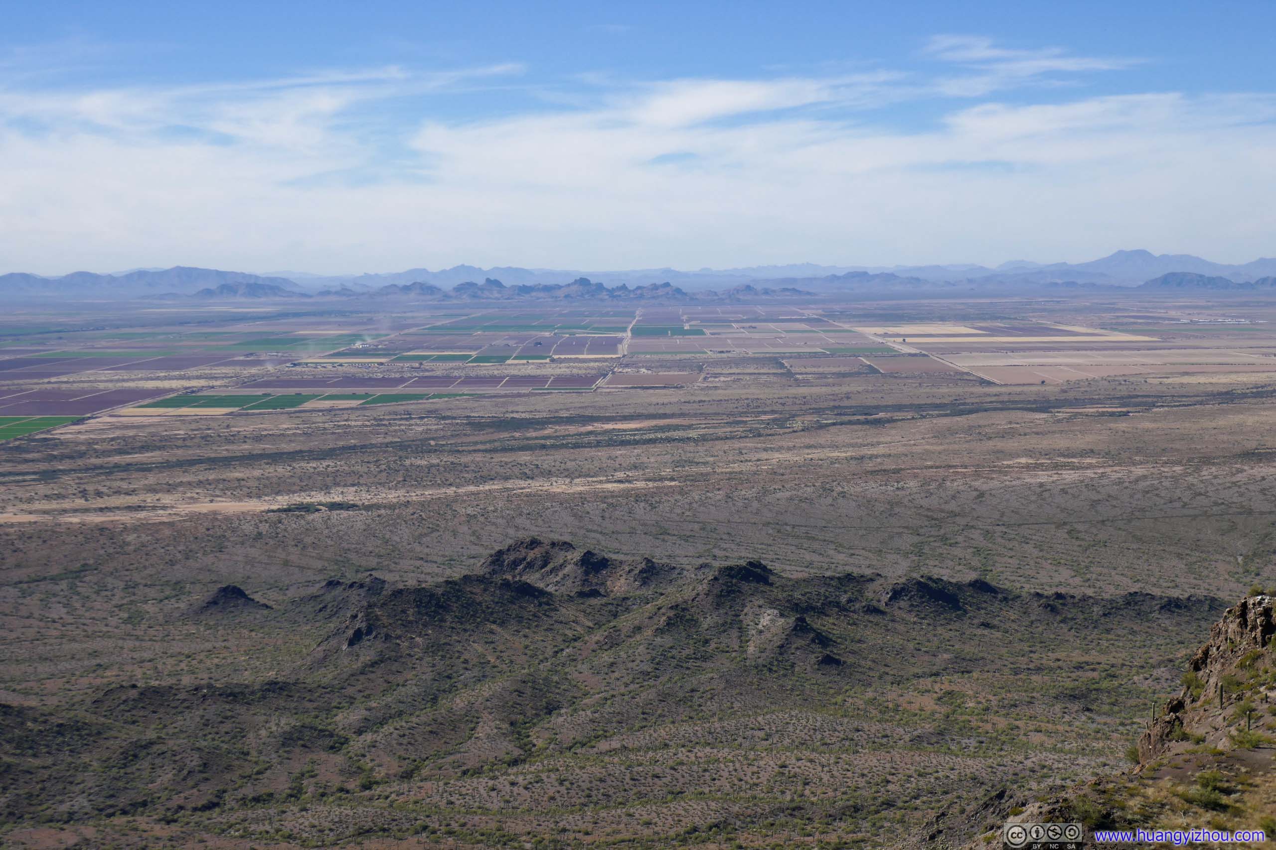
Fields to the South
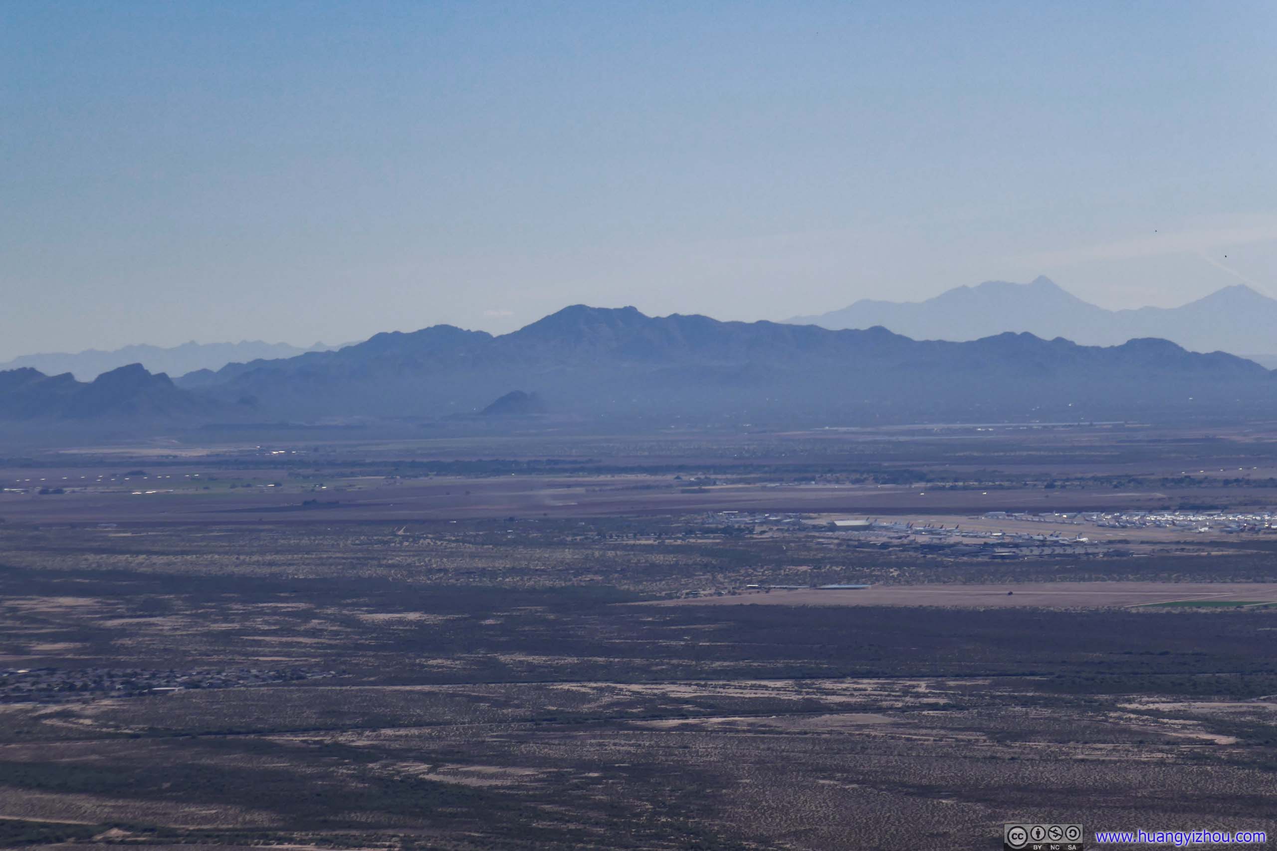
Fields to the South Pinal Airport with its many stored aircrafts in the foreground.
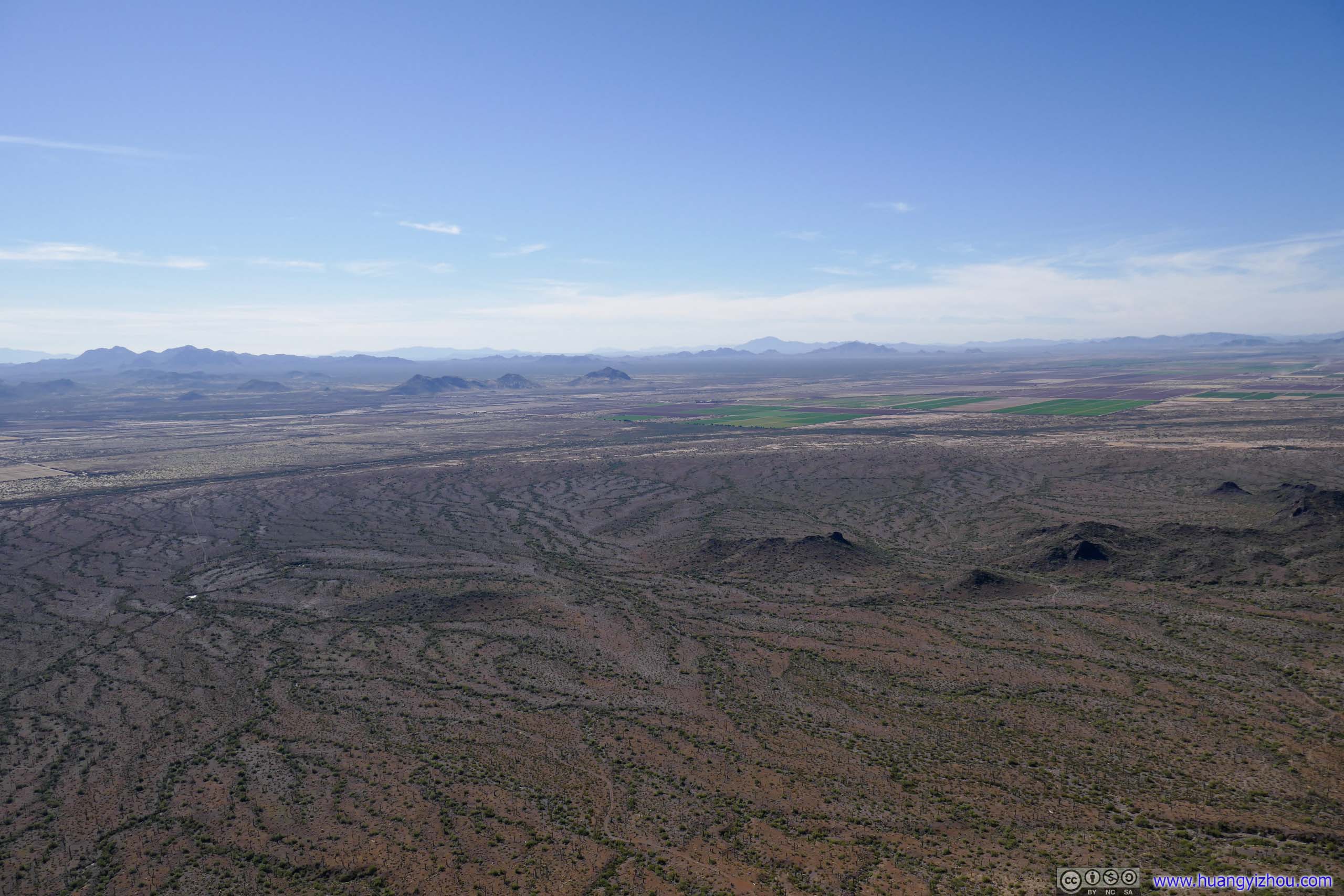
Fields to the Southwest
Fields to the West
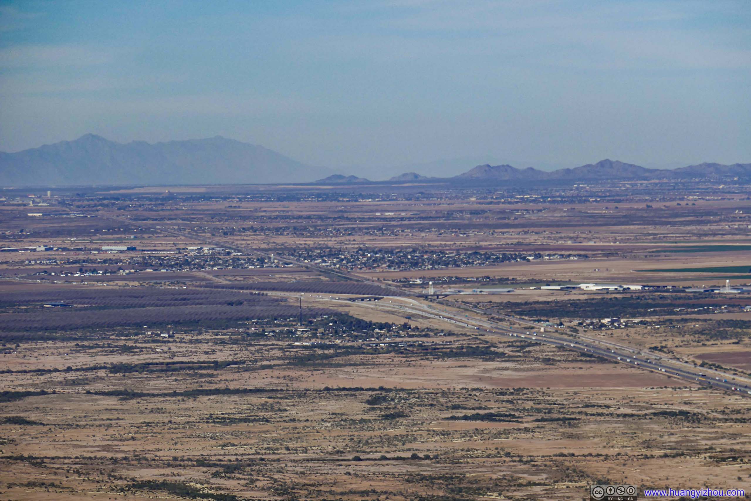
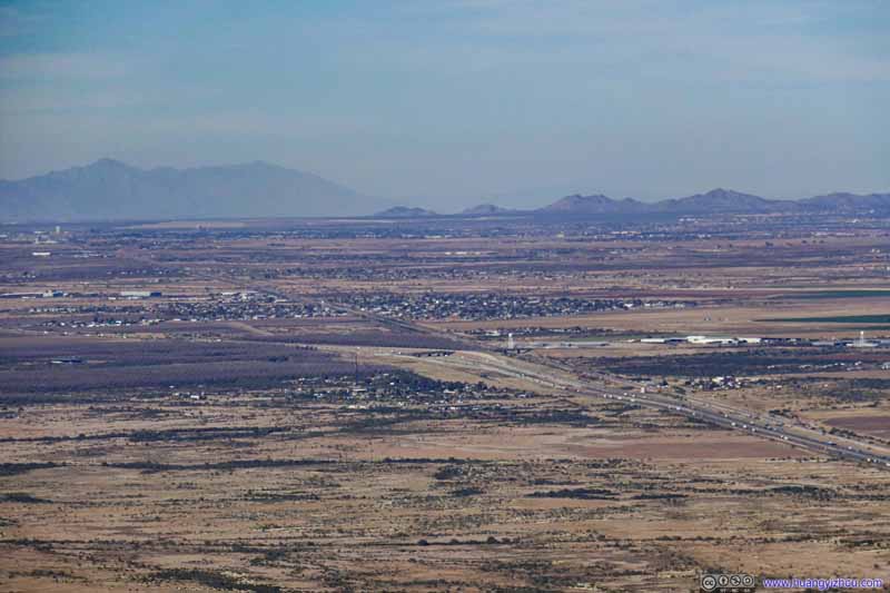
Fields to the North Town of Picacho
To make matters worse, a few bugs seemed to claim Picacho Peak’s summit as their territory, and were pretty hostile towards our presence. (It’s also possible that they were just interested in our snacks.) My friend and I were trying to appreciate the scenery but the bugs really ruined that experience. So after a few quick photos, we left the summit at 1:07pm.
The previous video also captured all the technical sections during my descent, so fast forward to 2:22pm when we got back to the trailhead parking lot. After that, we headed to the visitor center for a pre-packed lunch.
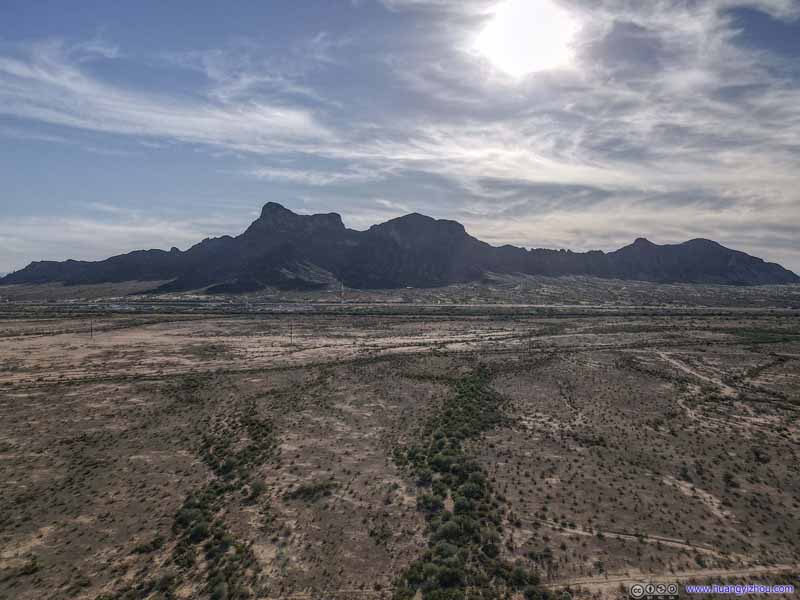
Meanwhile, I thought the extensive fields near Picacho Peak would make a great drone video. But since Picacho Peak State Park officially prohibited drone flights, we drove off its boundary and I launched my drone for an aerial tour.
View over Interstate 10
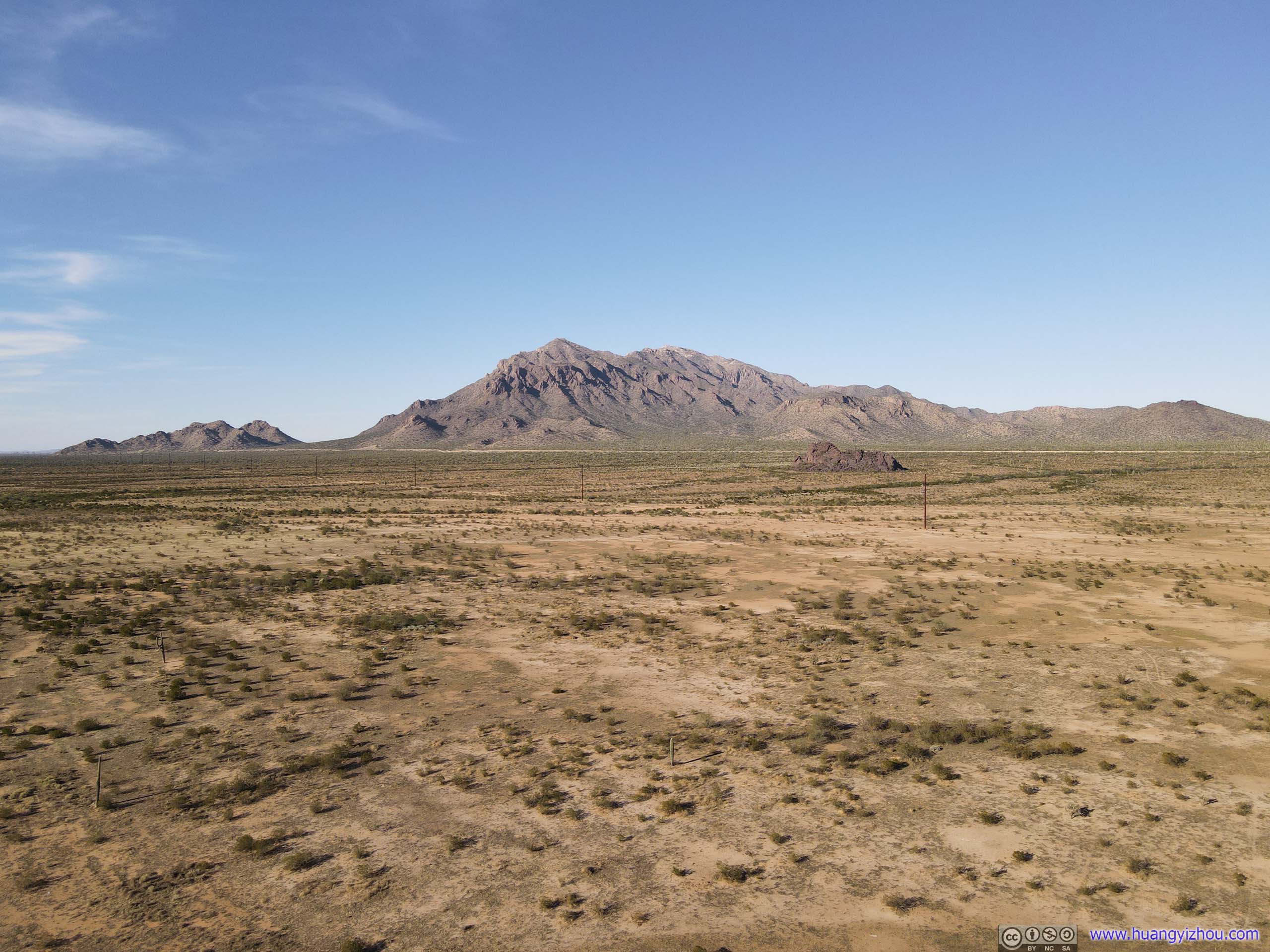
Newman Peak
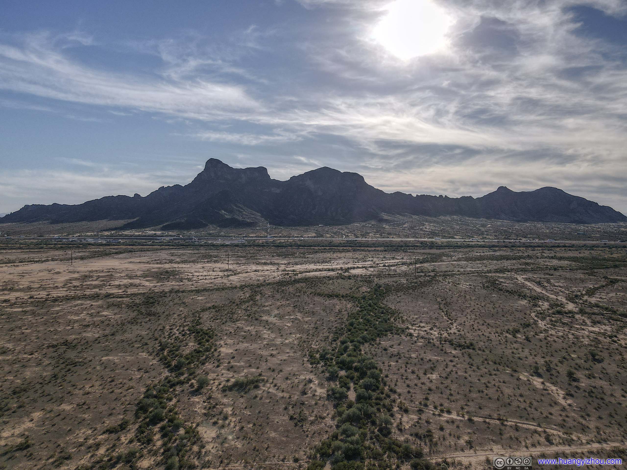
Picacho Peak Its contour against the sun.
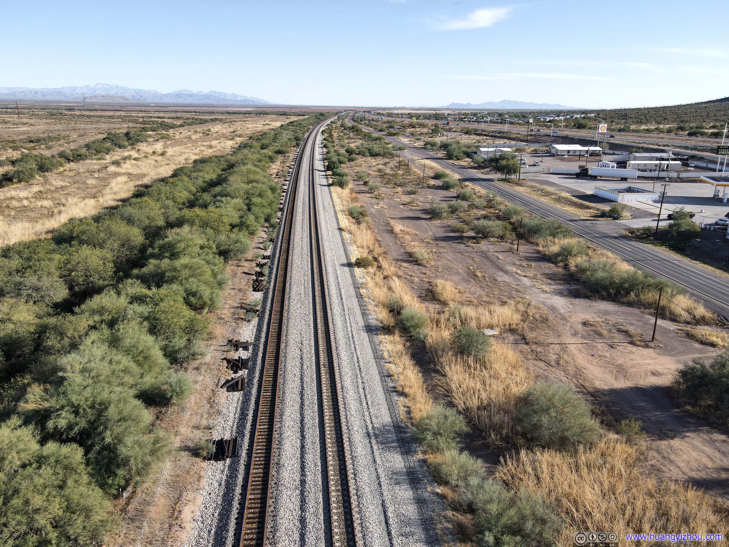
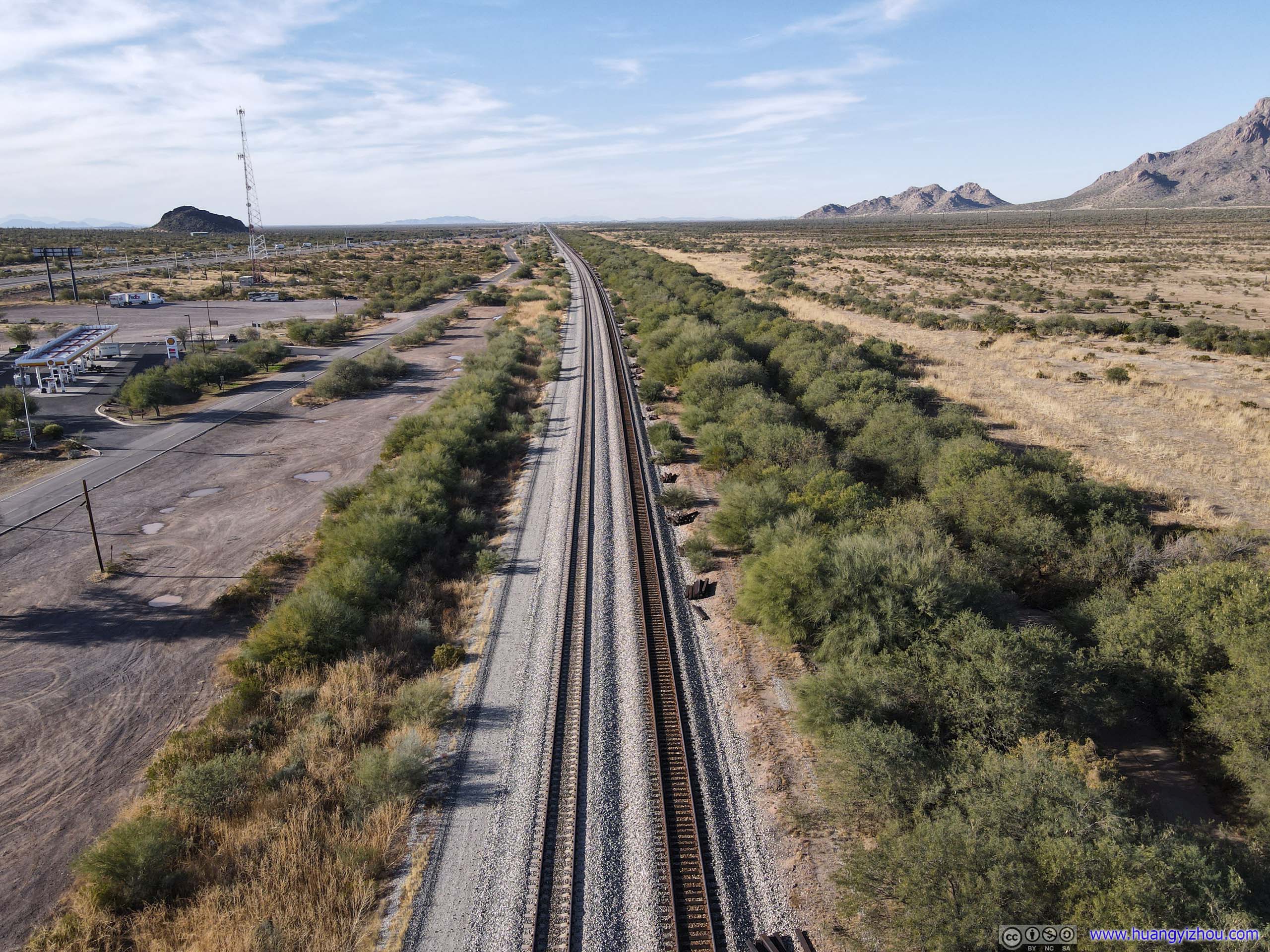
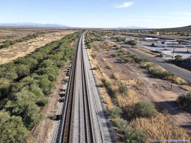
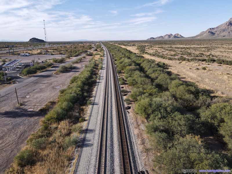
Railway Gila Subdivision
Railway Gila Subdivision
And here's a video of my drone flying over the fields:
So it’s 3:40pm by the time we left Picacho Peak State Park and set off for Sedona. With some rush hour traffic while crossing through Phoenix, we reached our hotel in the village of Oak Creek after 6pm.
Dinner
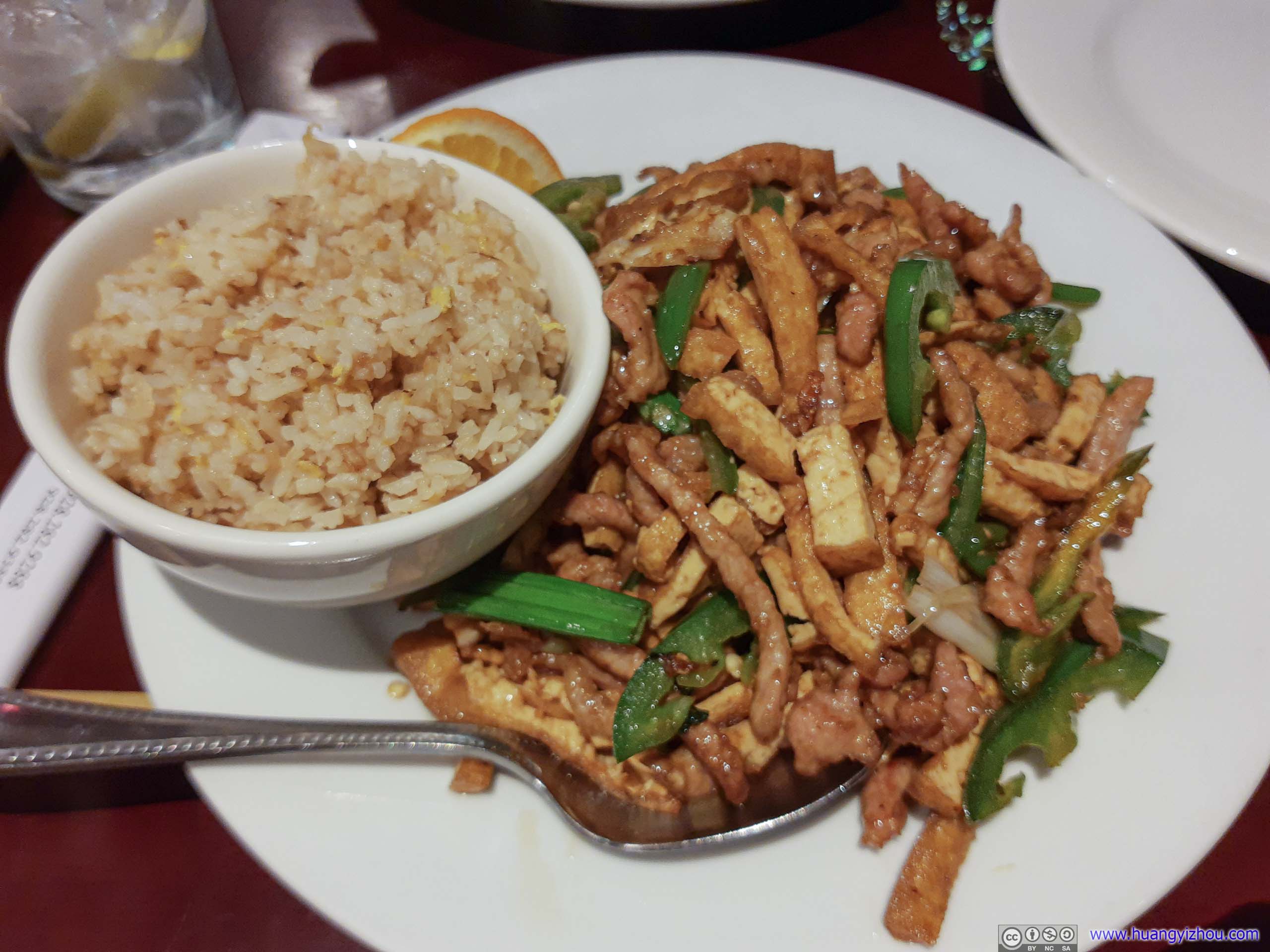
My friend decided to try out something familiar. So after checking into the hotel in the Village of Oak Creek, we drove up to downtown Sedona for an American-style Chinese dinner.