Day 8 of 2020 Utah Trip, Capitol Reef National Park
Eighth day of my Utah trip. I would hike Chimney Rock Trail in the morning, and drive back to the suburbs of Salt Lake City in the afternoon for tomorrow's morning flight back home.

I didn’t put much effort in planning my visit to Capitol Reef National Park. So having hiked the park’s three most popular trails the day before, I decided to venture out to the park’s fourth most popular trail, Chimney Rock Loop, for the morning.
Chimney Rock Loop Trail
The trail was conveniently located along Utah Route 24, measuring a total of 5.3km with a mild elevation gain of 242 meters, which took place mostly at the beginning of the (counter-clockwise) loop. The loop was around the top of a mesa, with the southern part offering views of stunning open fields shaped by geological forces, and the northern part traversing through a valley. The ever-changing scenery along the trail would never be boring.
Here's GPS tracking:
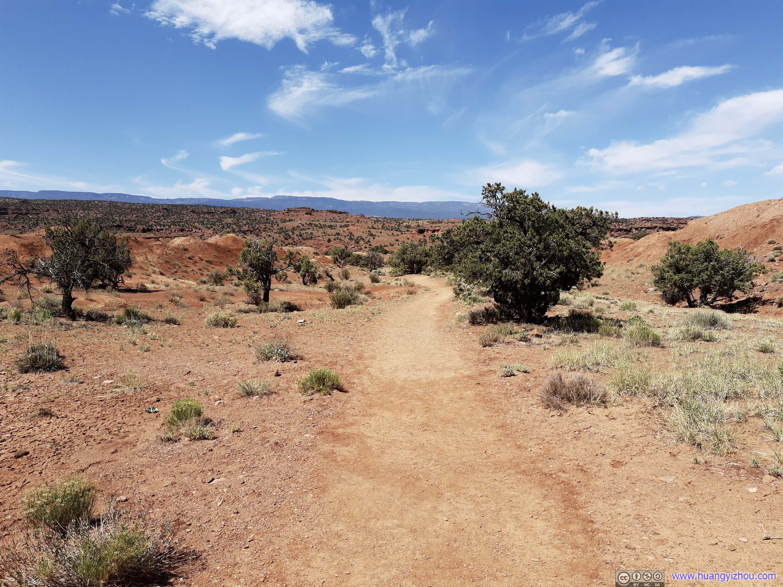
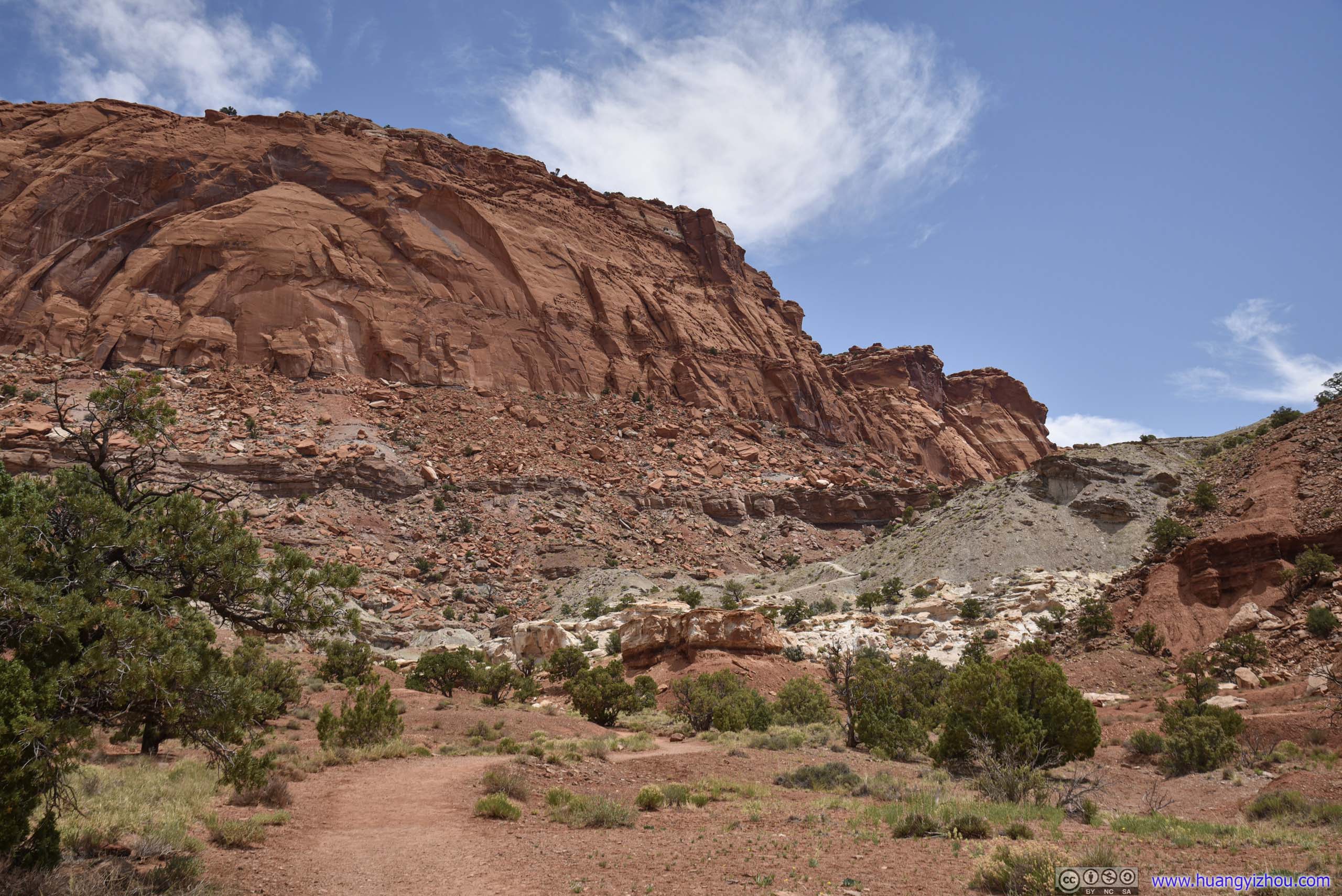
Before getting onto the Mesa the trail was wide and flat.
At the fork of the trail, I turned right first, taking the loop counterclockwise. In this way Chimney Rock was just a short uphill stretch ahead.
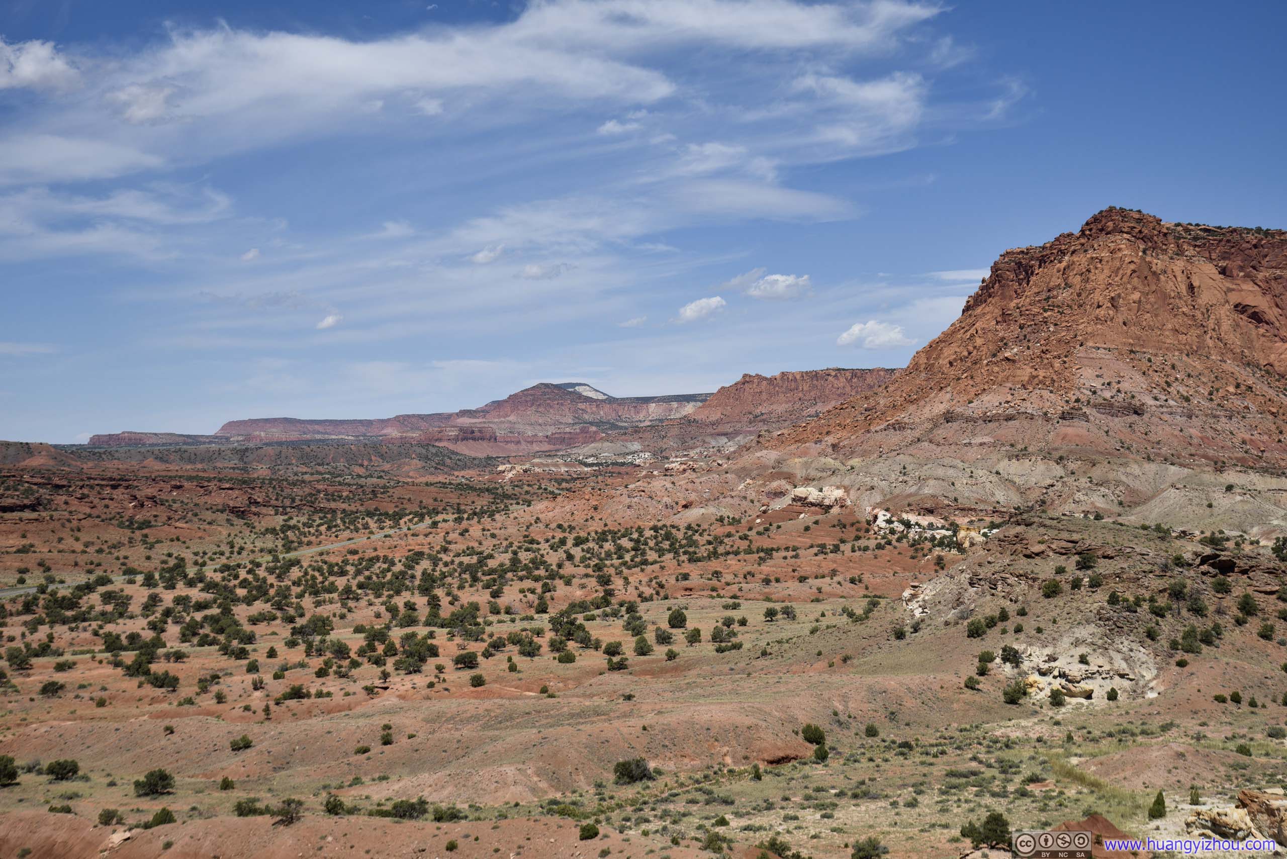
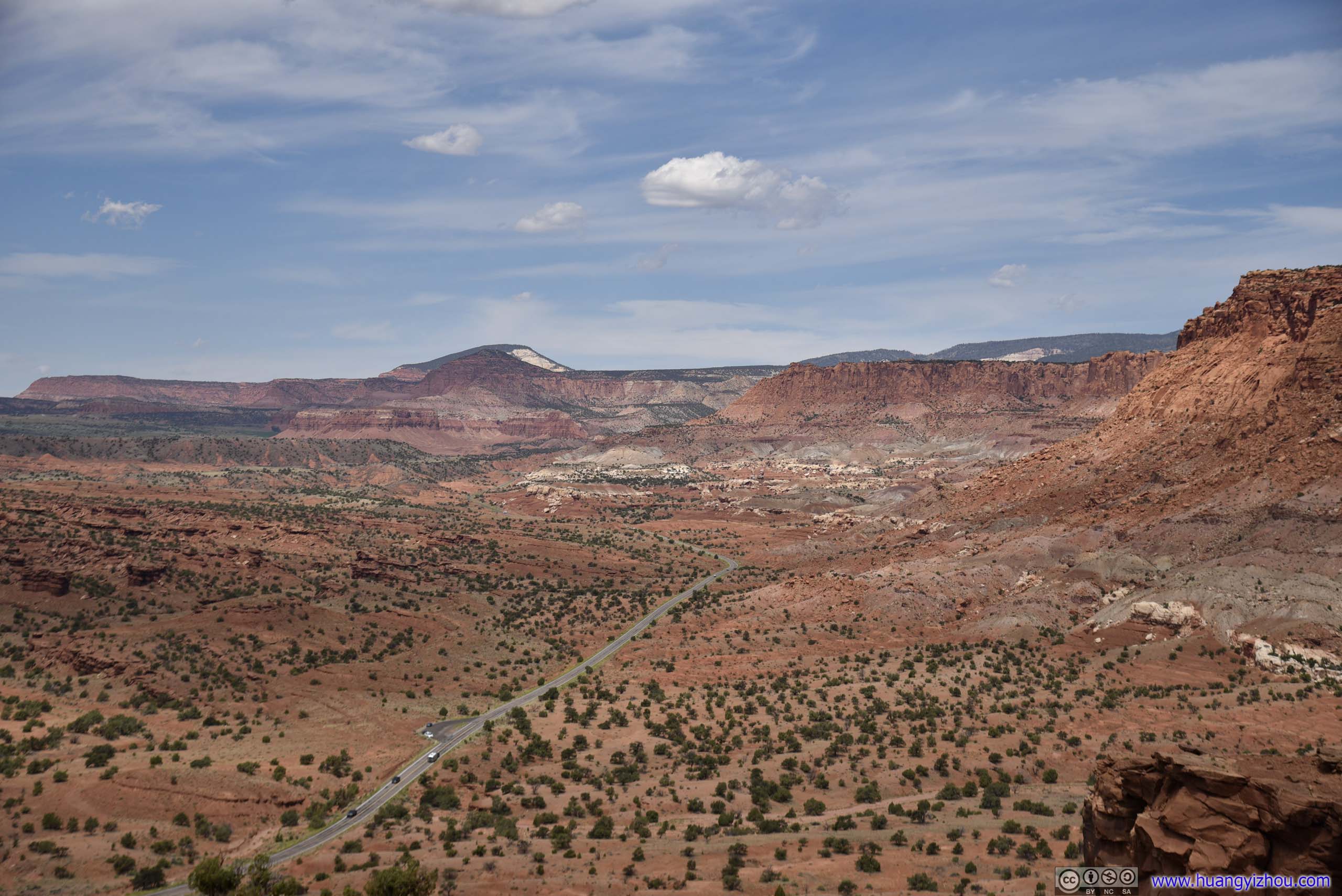
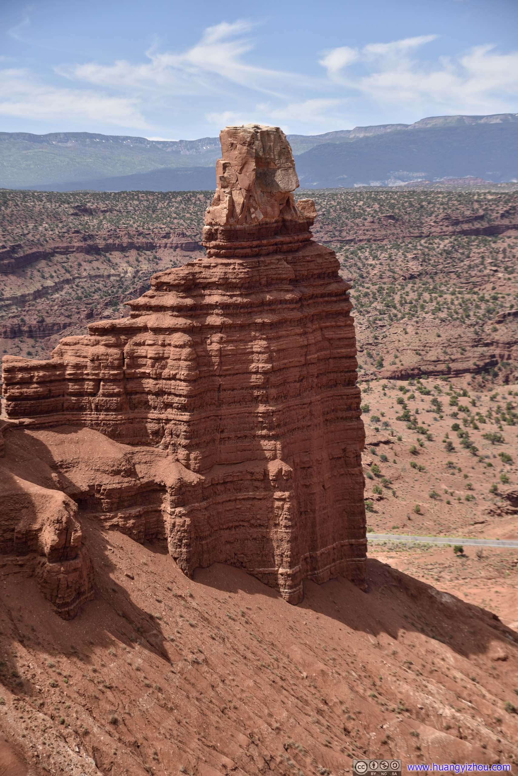
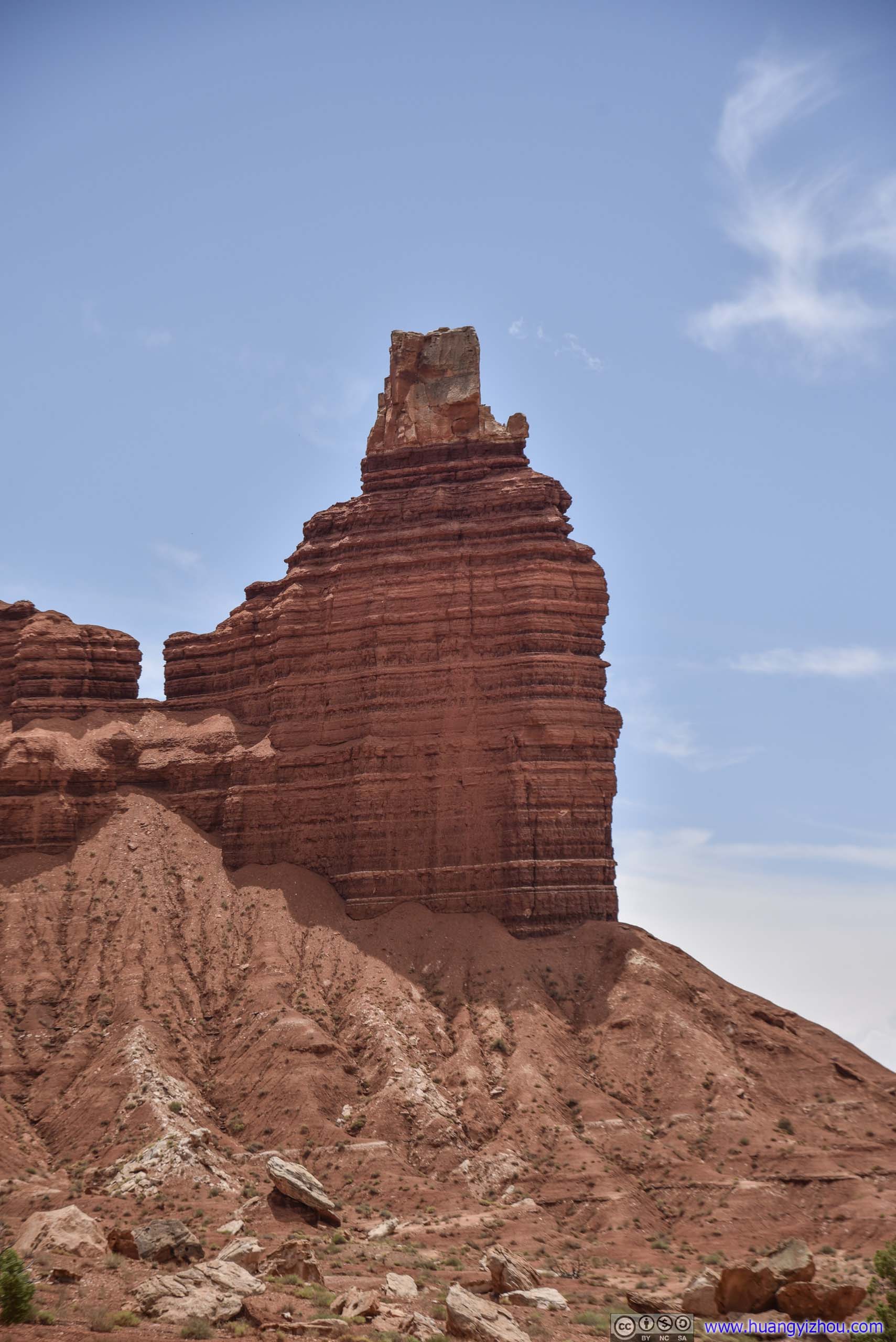
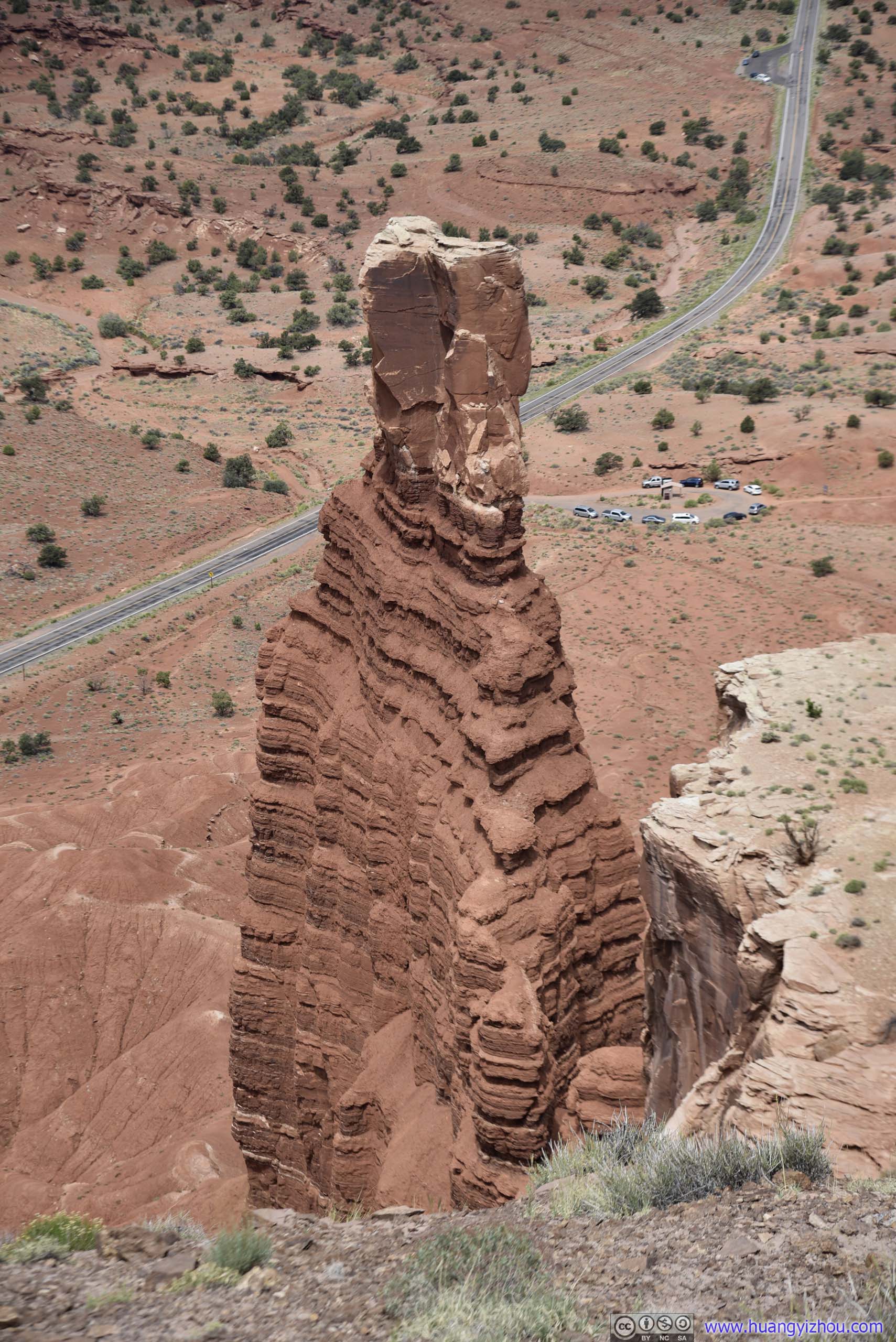
Chimney Rock
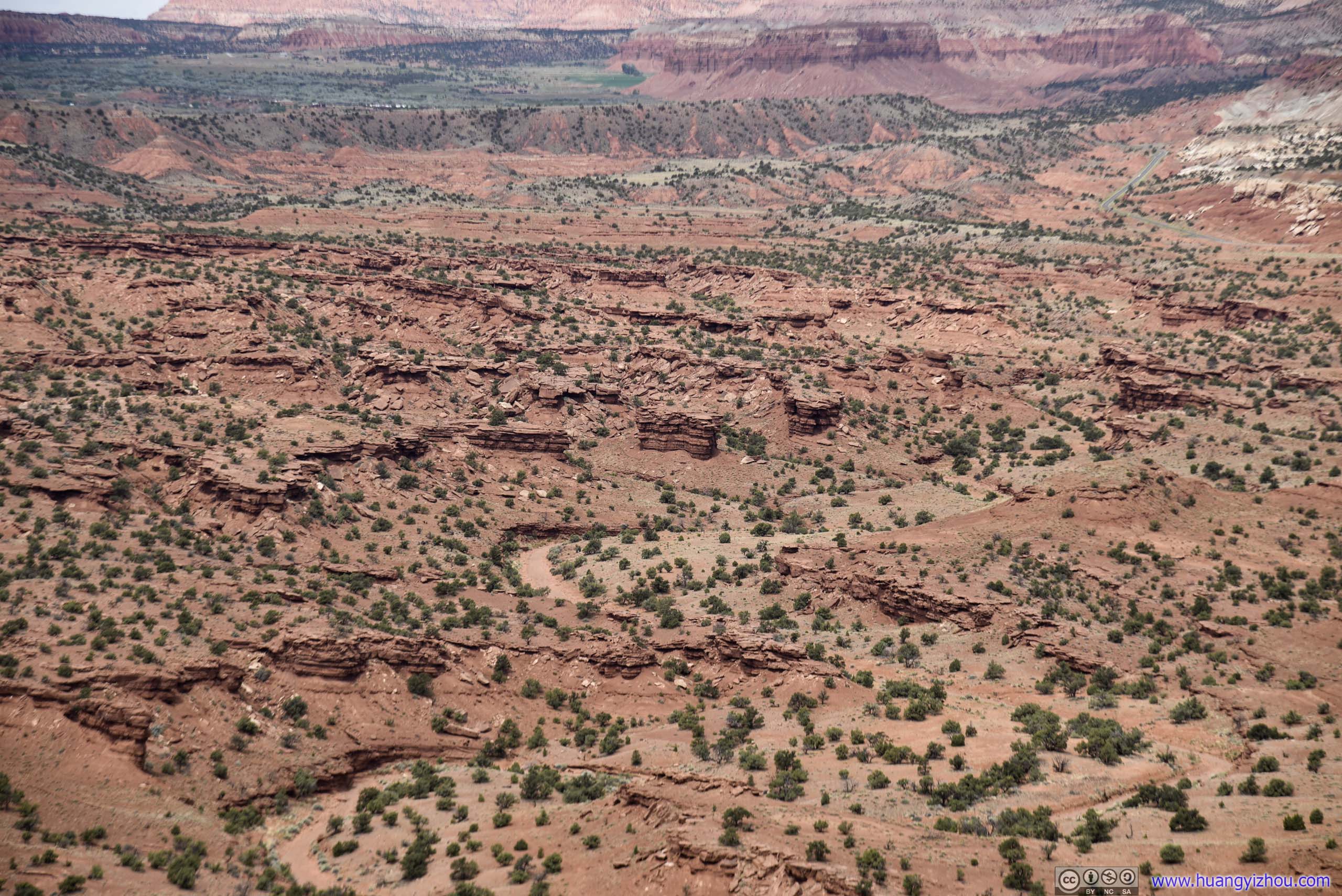
Where layered rocks scattered around.
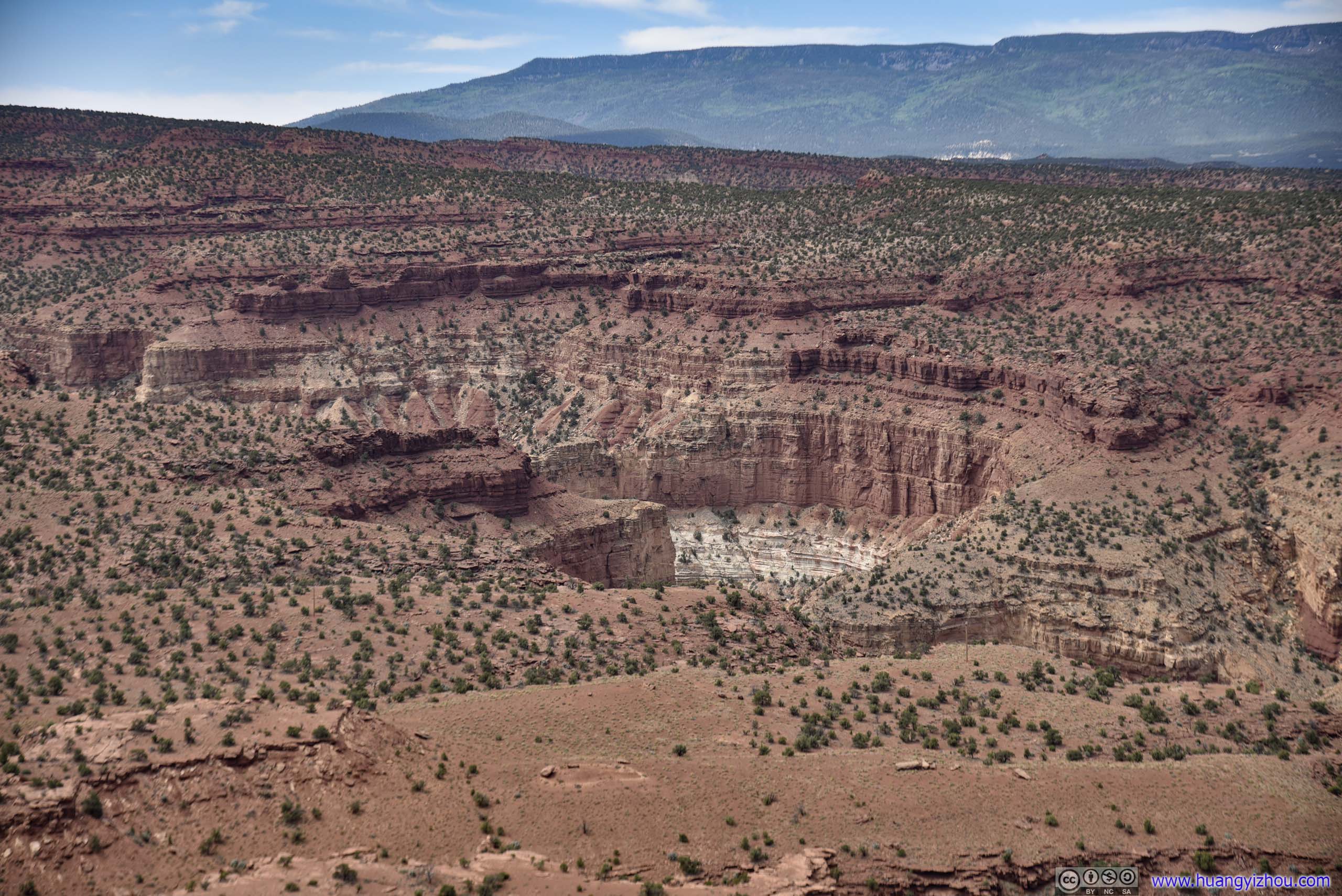
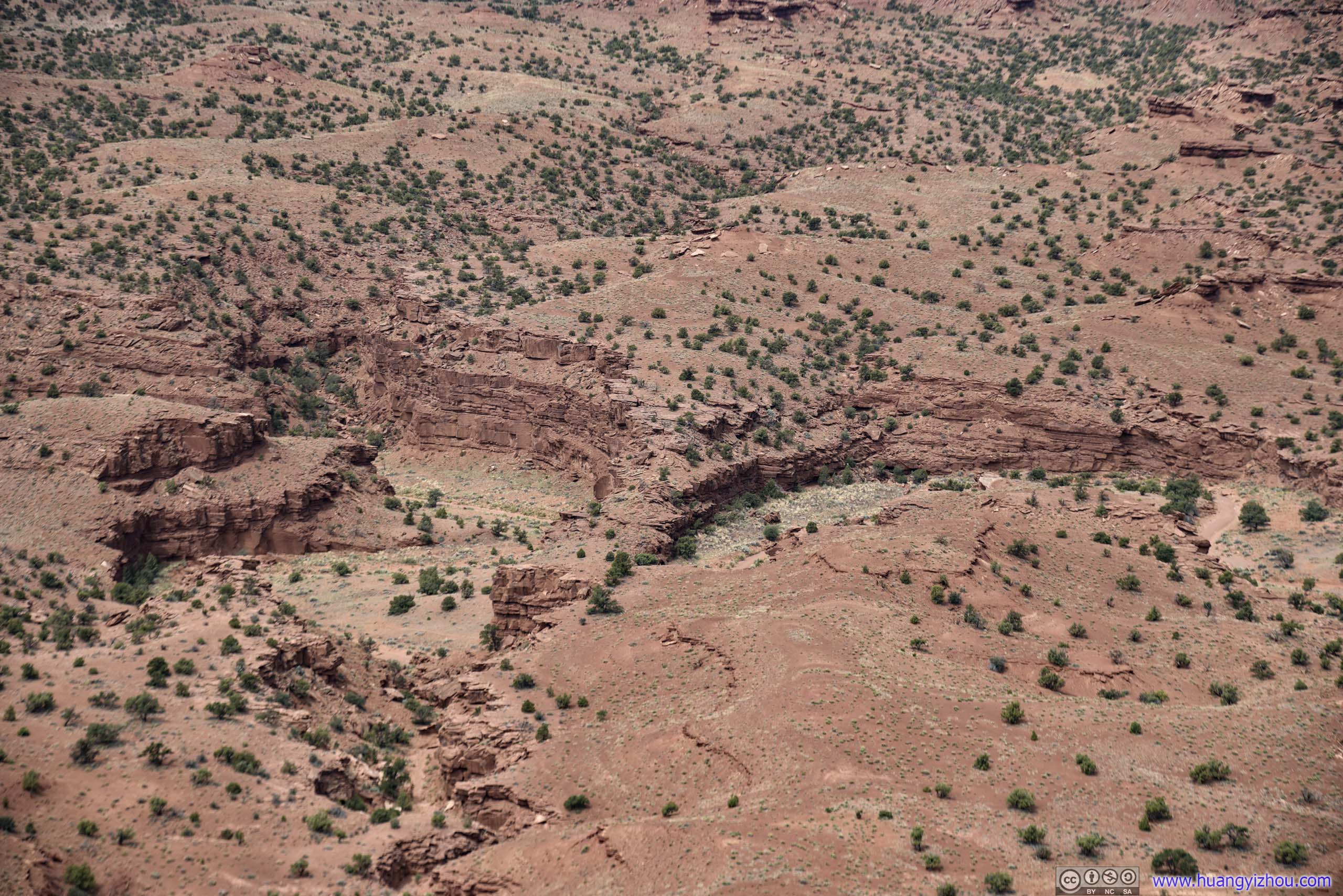
Then I continued along the trail.
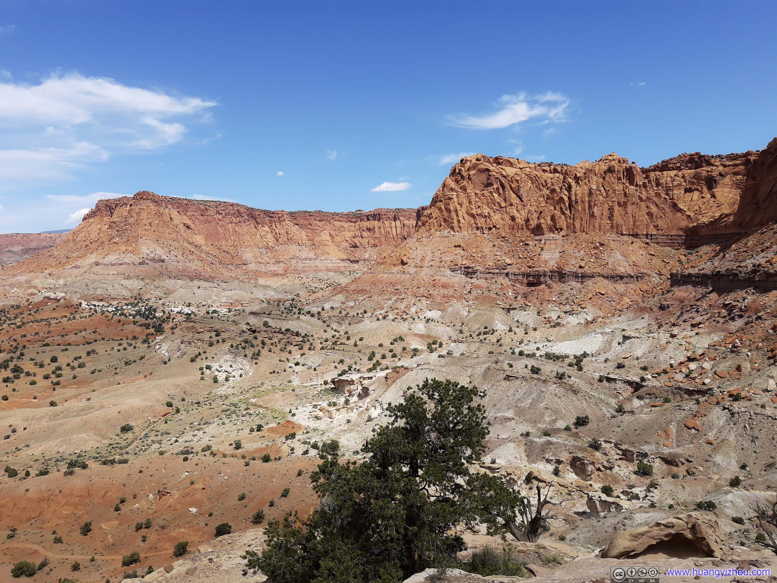

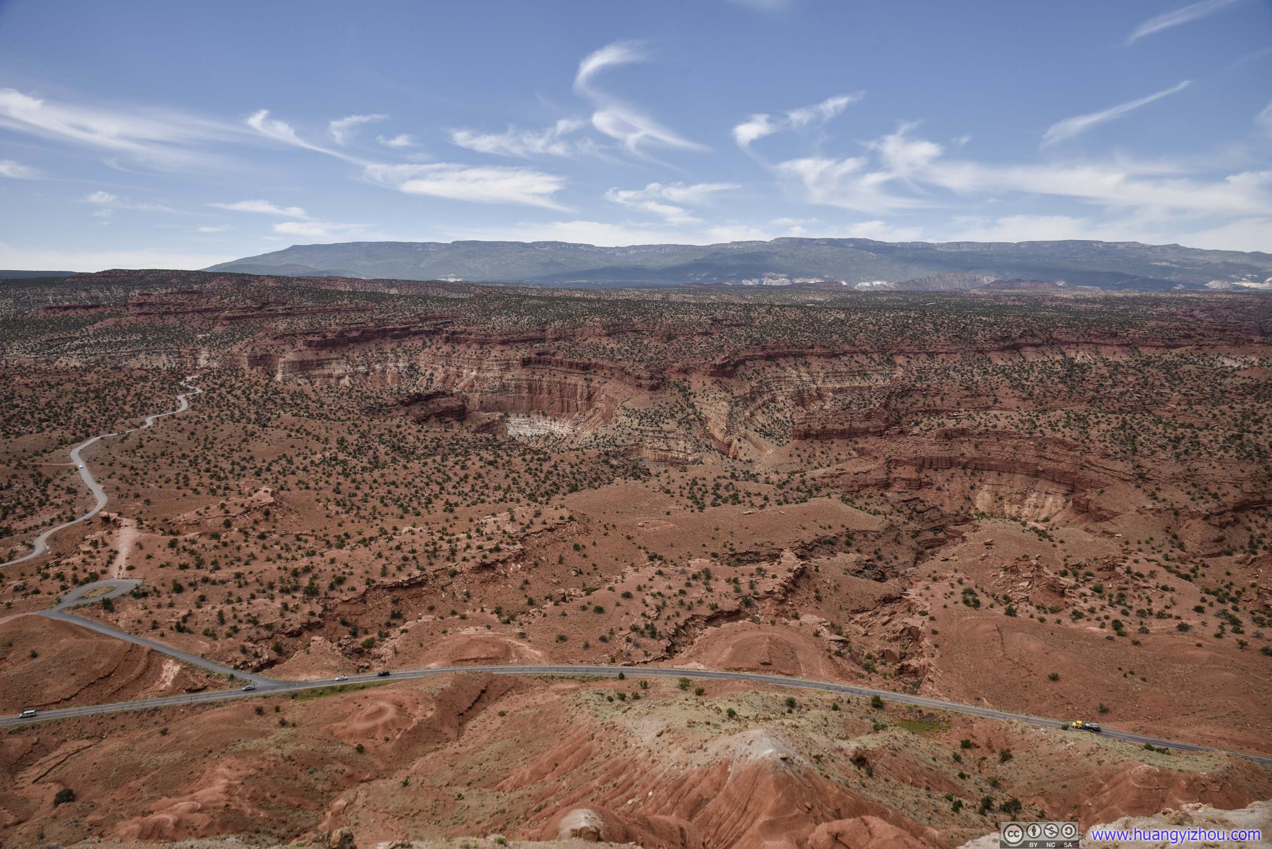
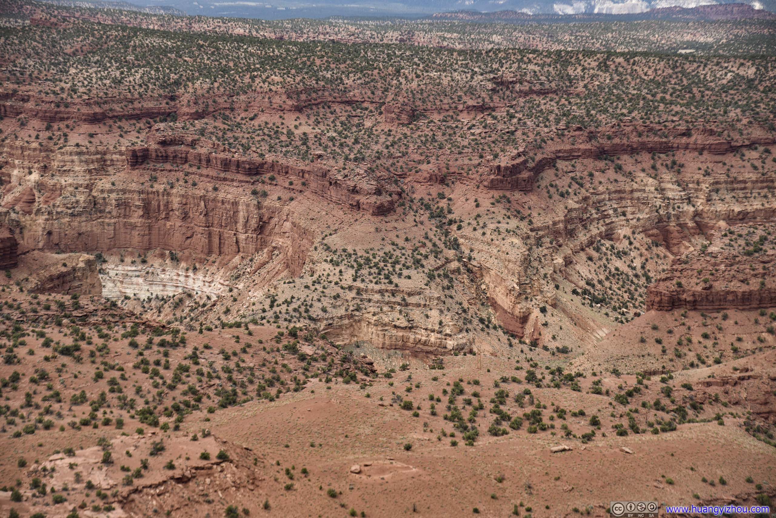

Where layered rocks were scatter around.
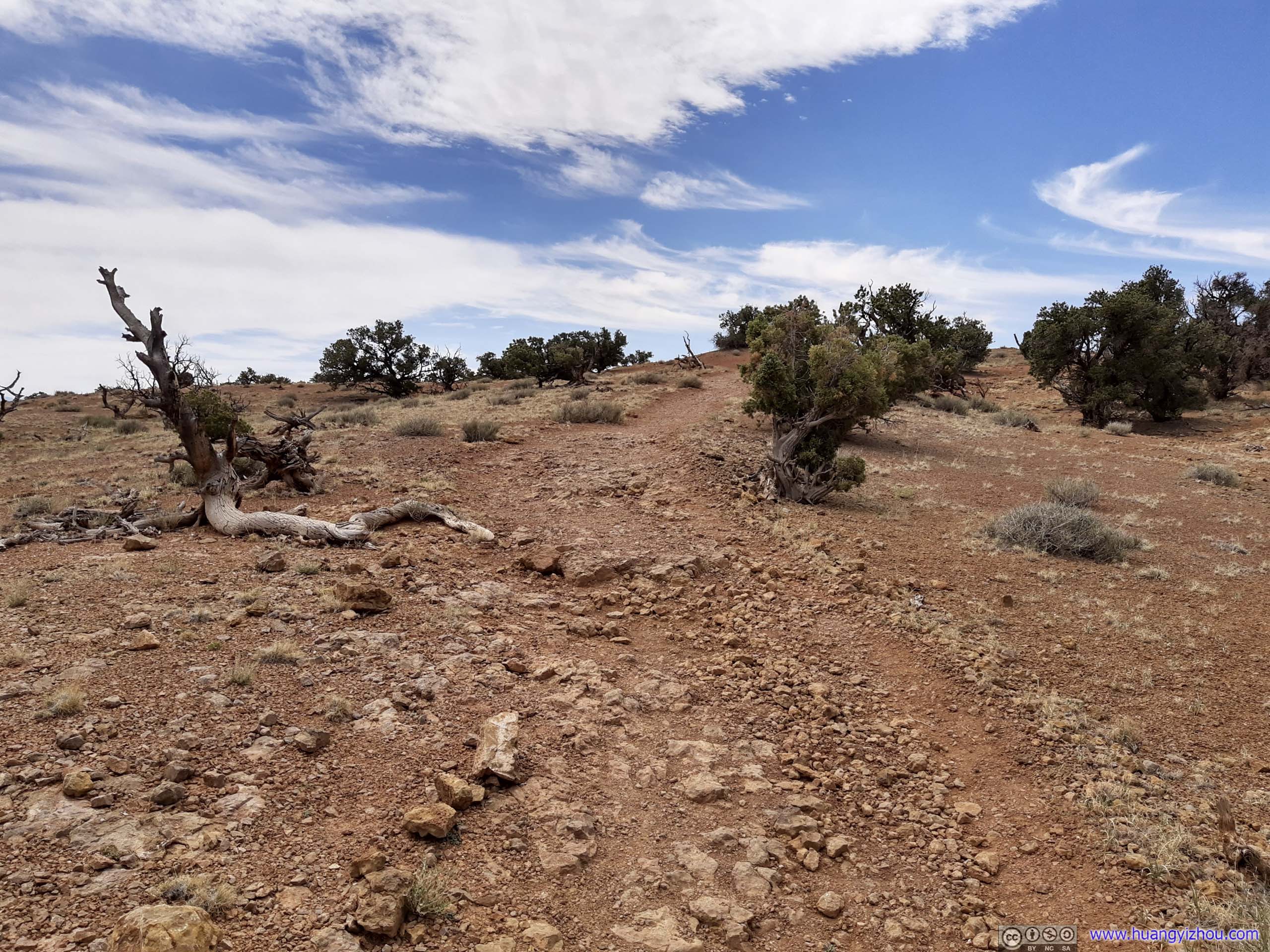
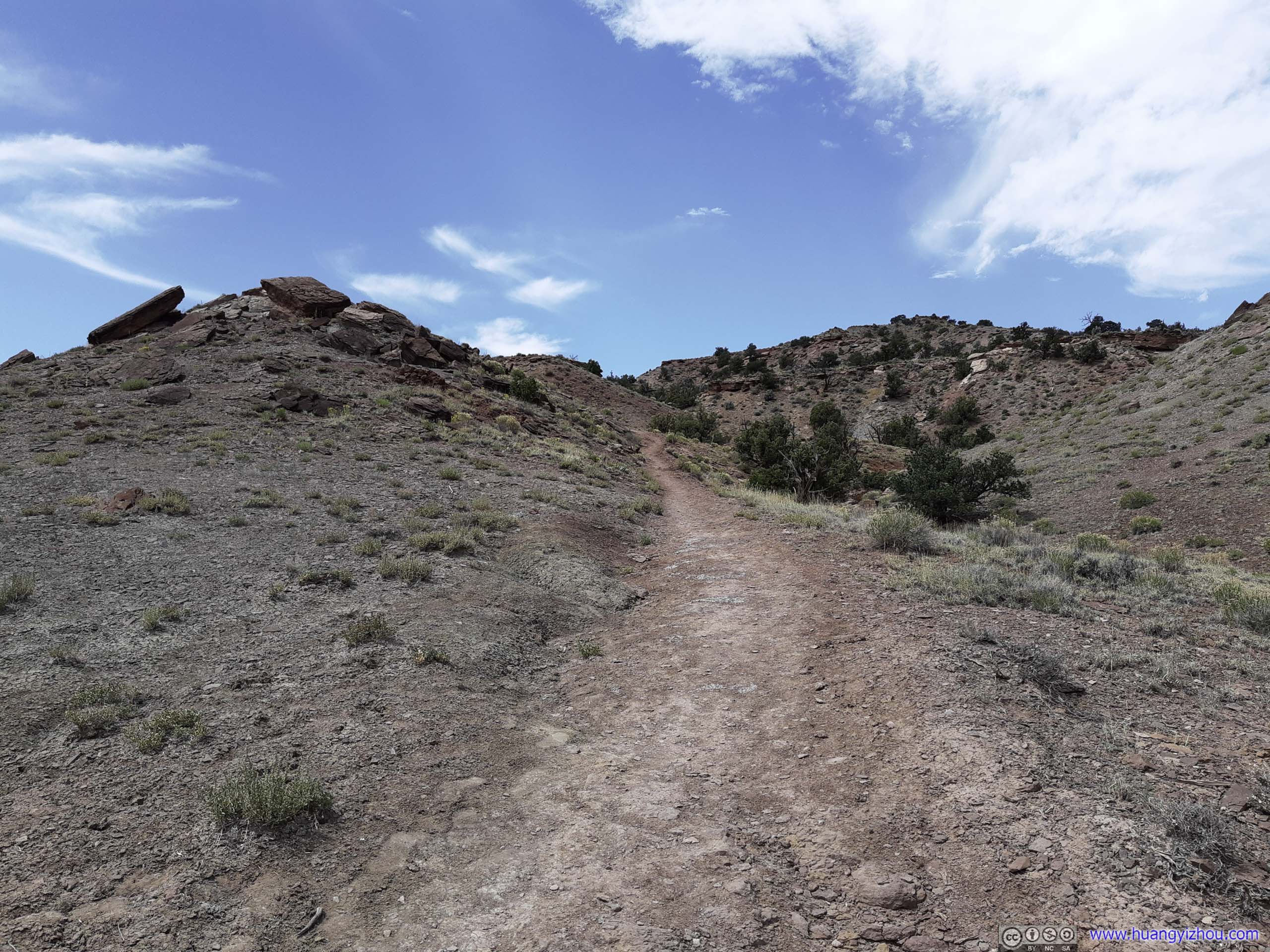
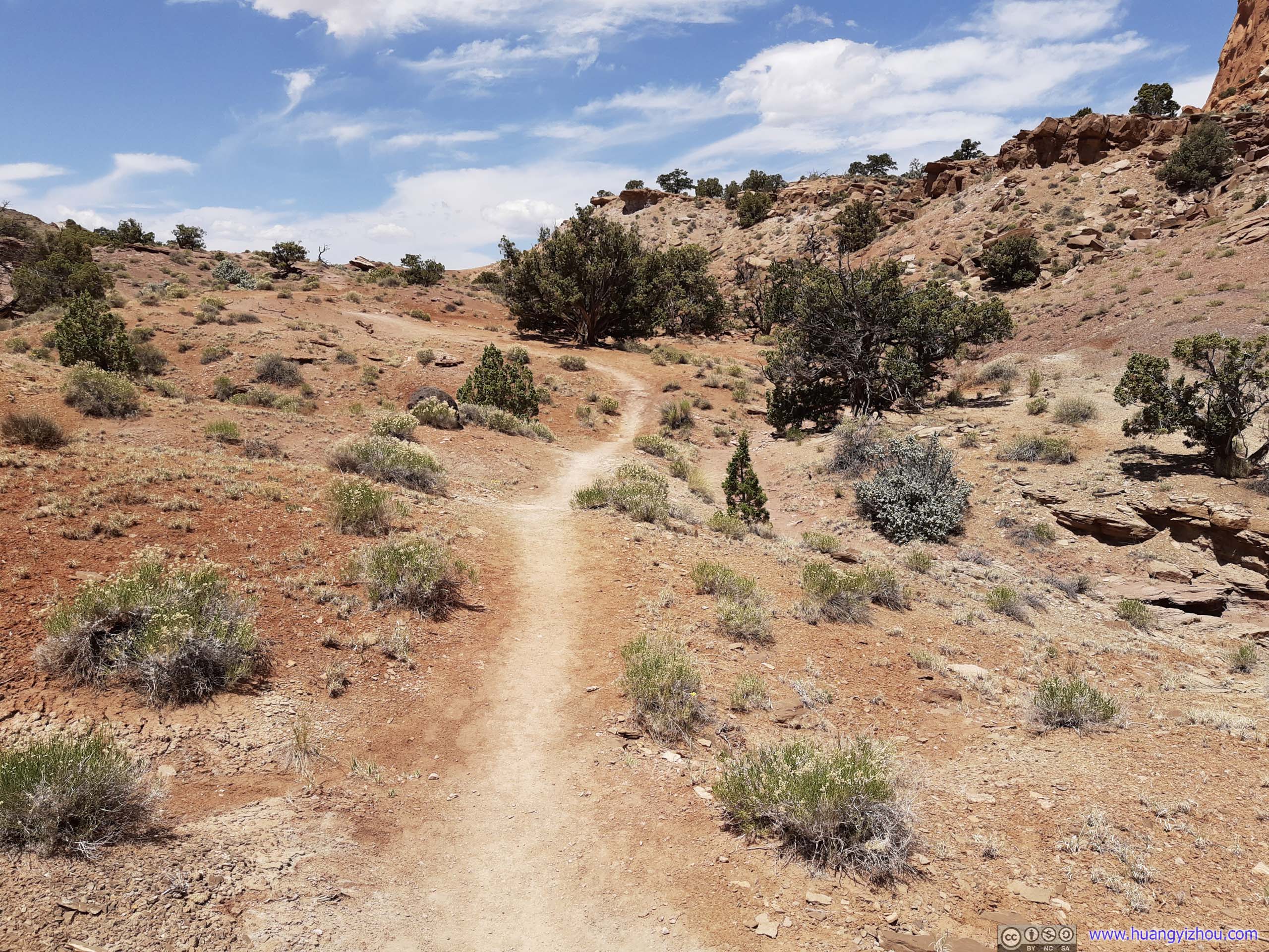
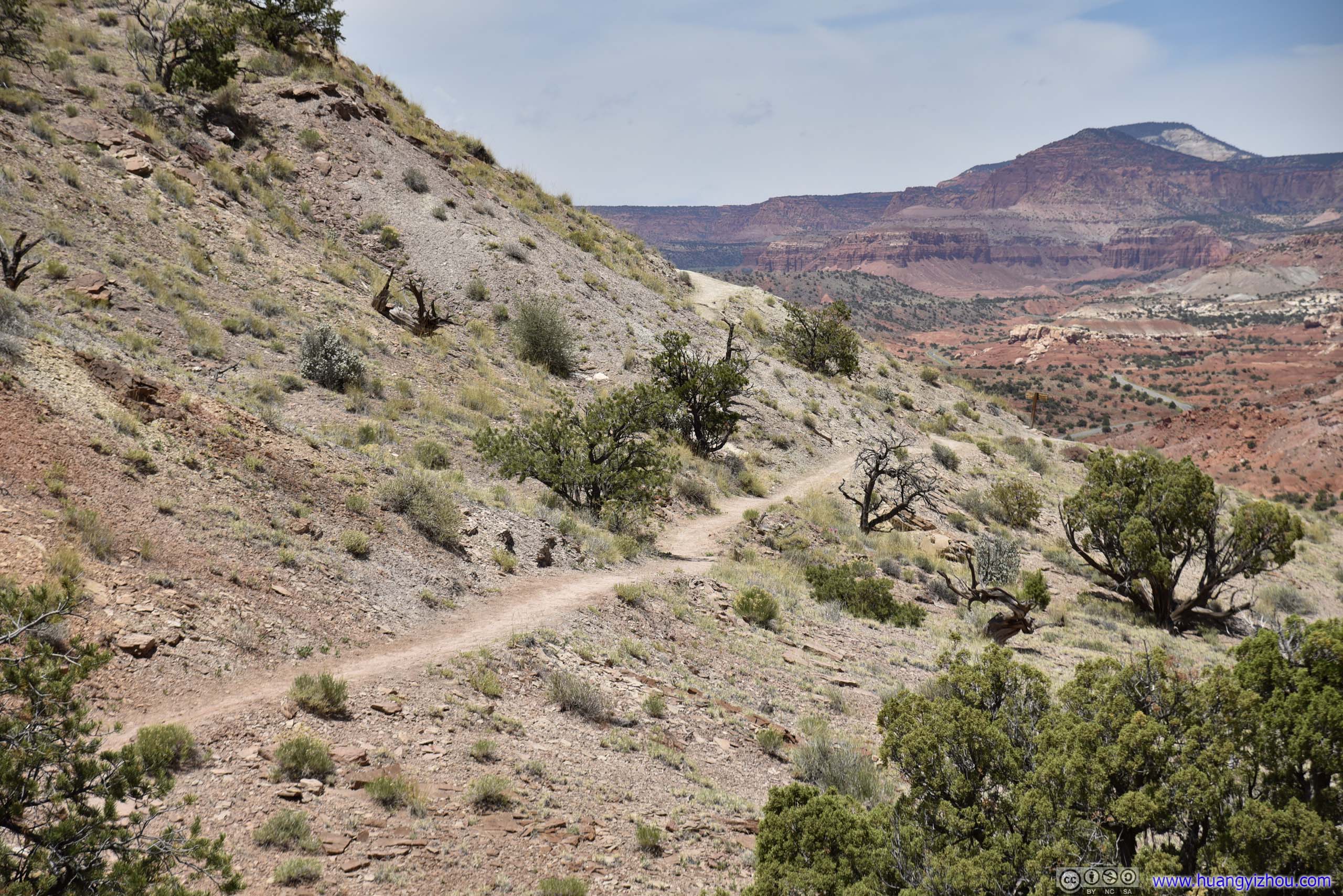
Trail
These were typical conditions of the trail, nothing difficult or technical.
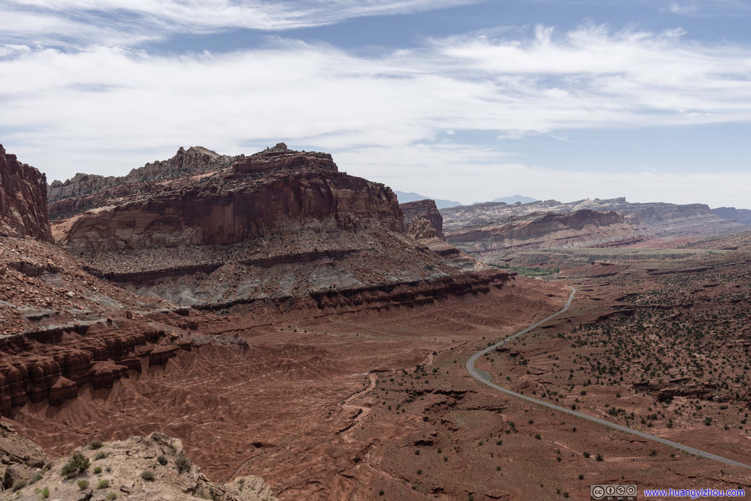
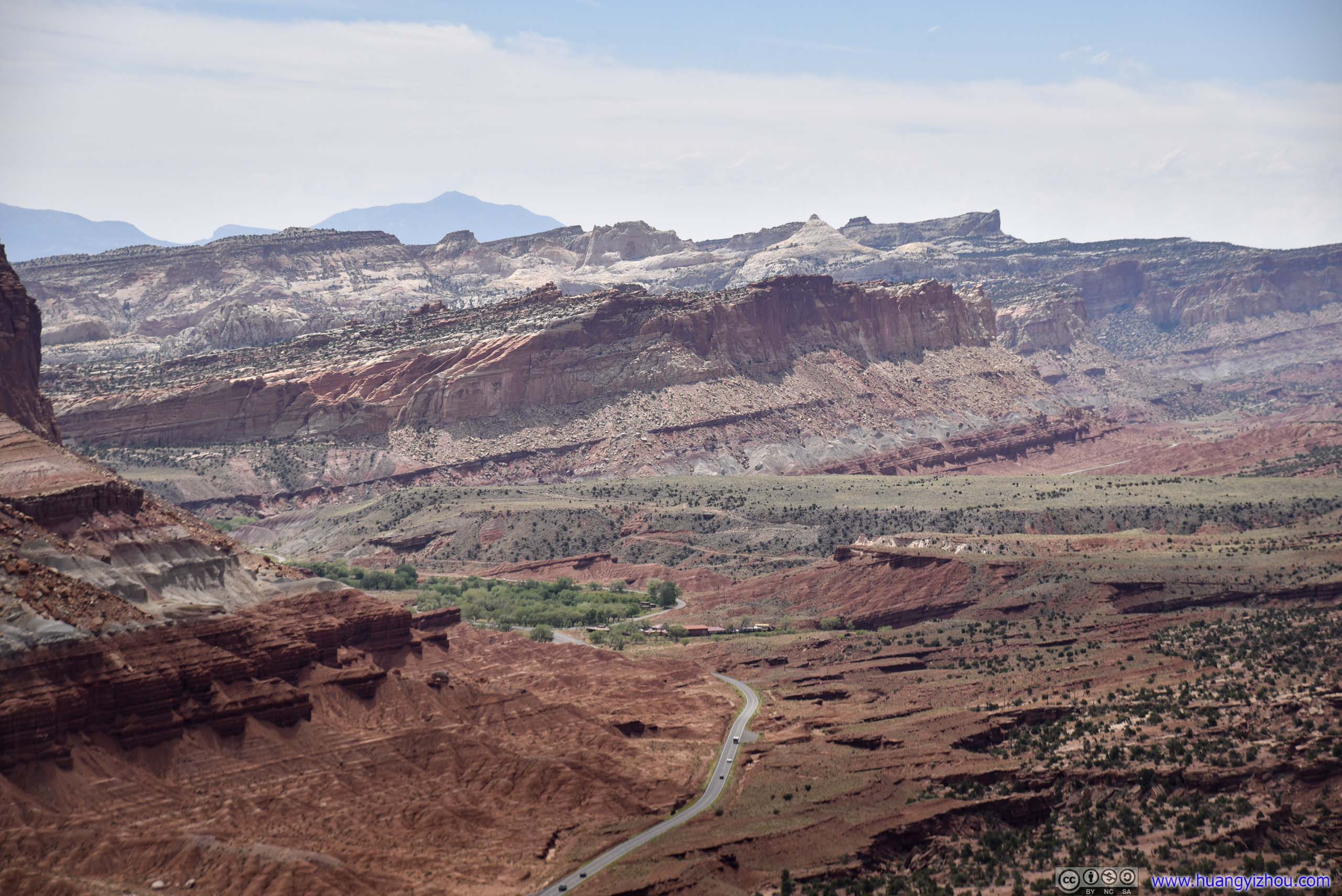
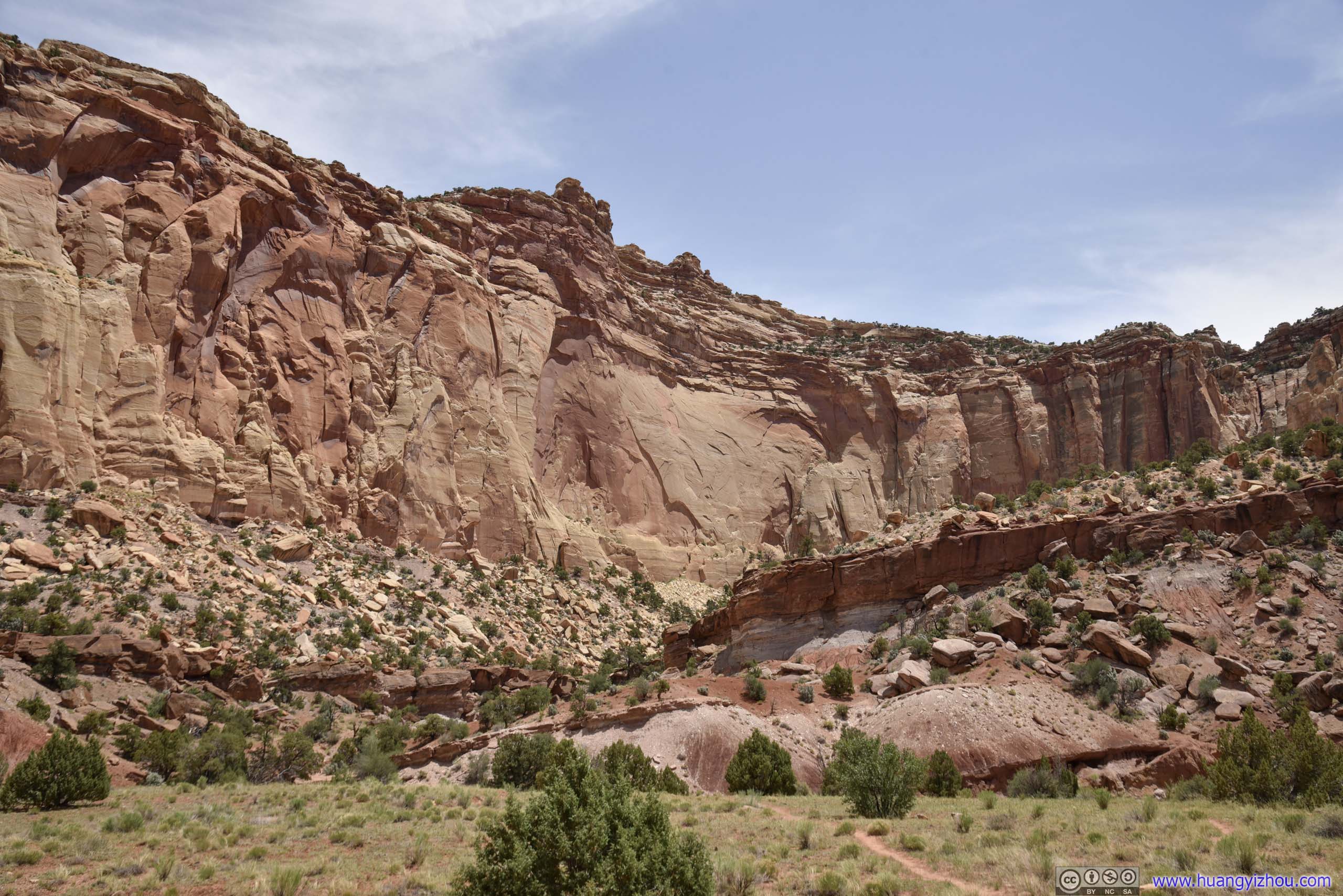
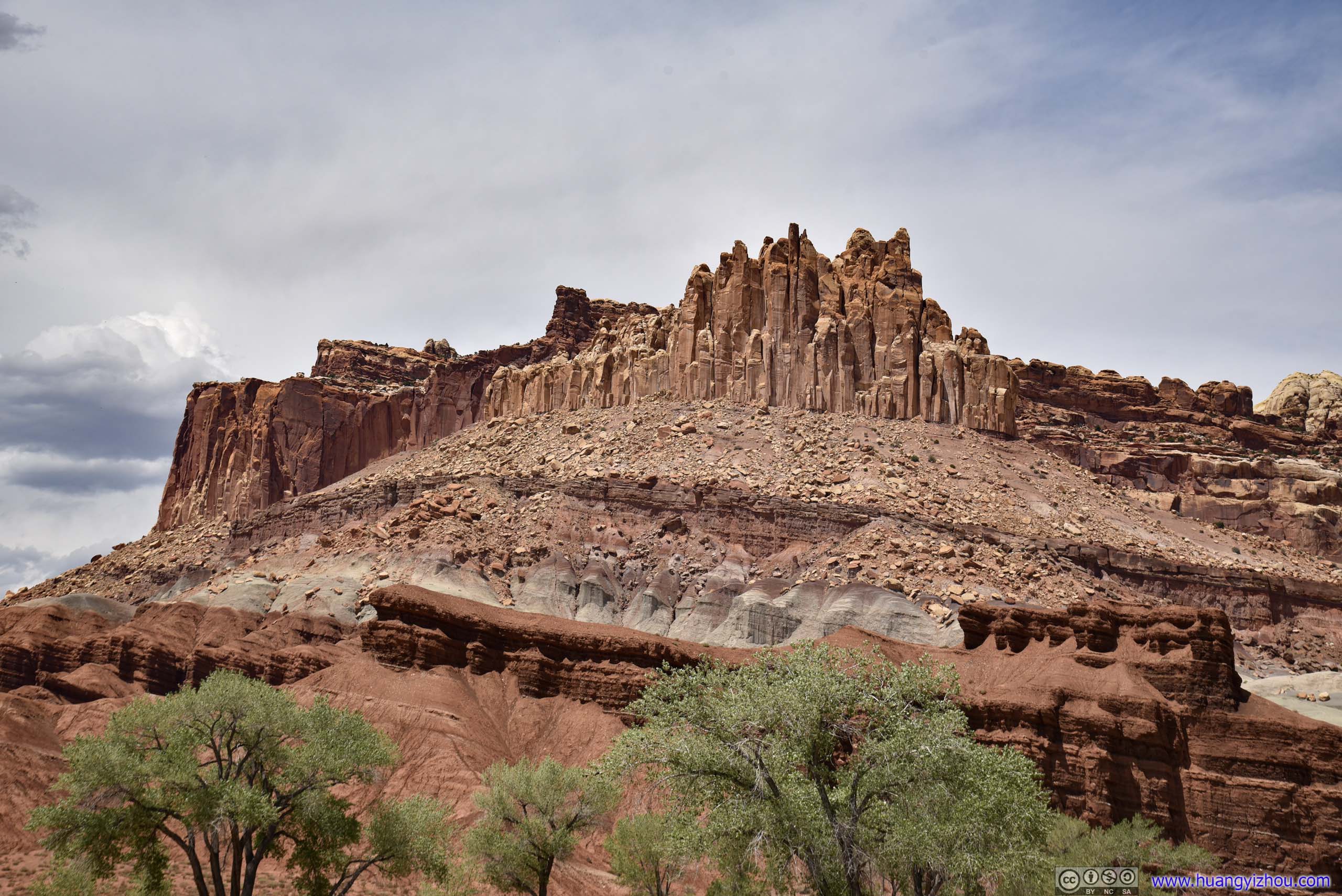
Capitol Reef
Towards the end of the first half of the loop, one was greeted with views of rising sandstone layers, which constituted Capitol Reef.
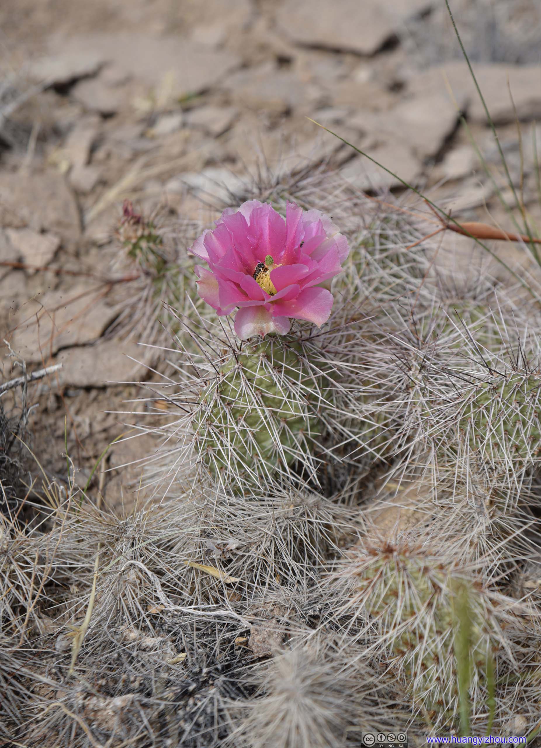
The first time I saw a blossoming cactus, with a bee pollinating.
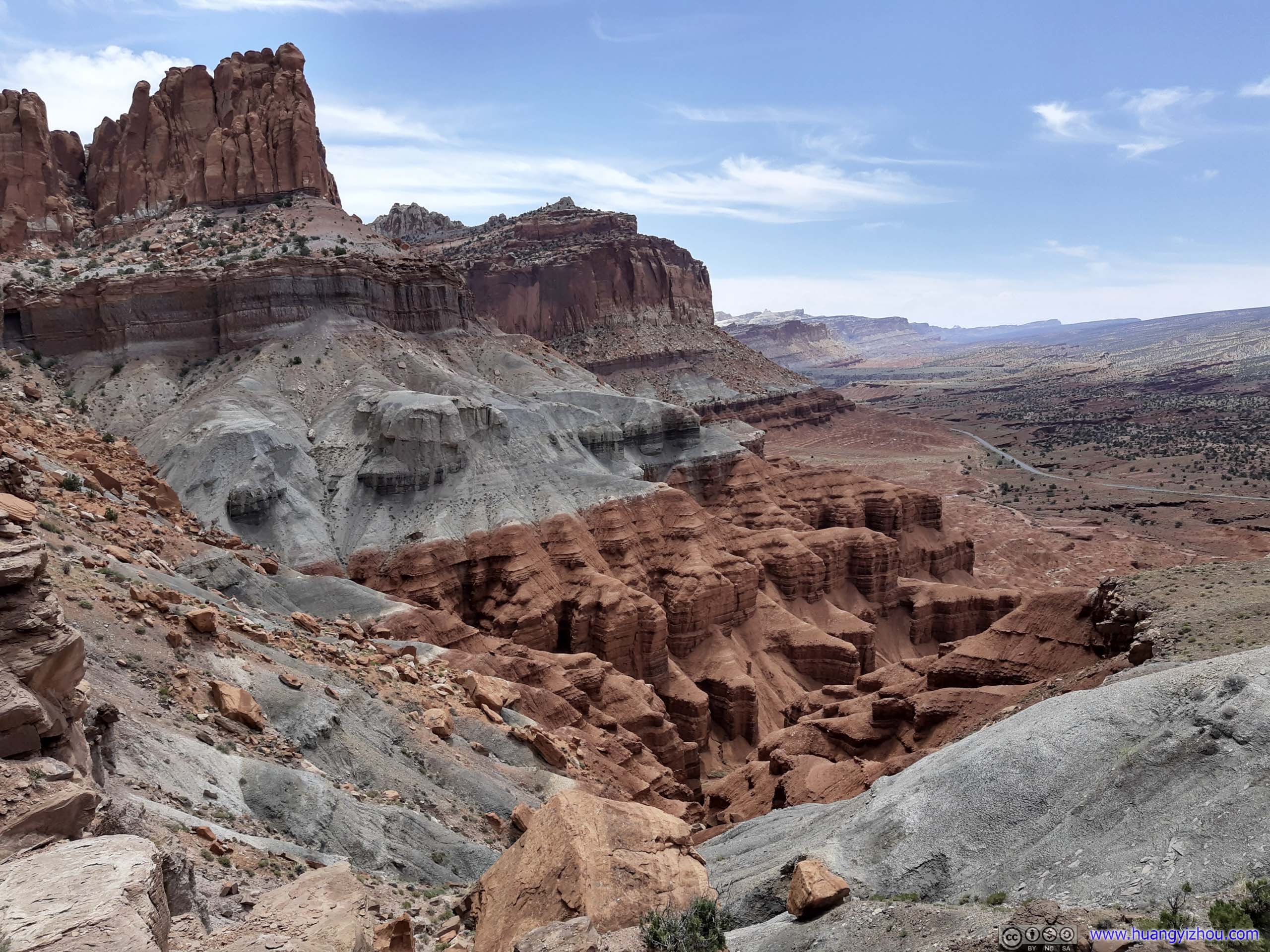
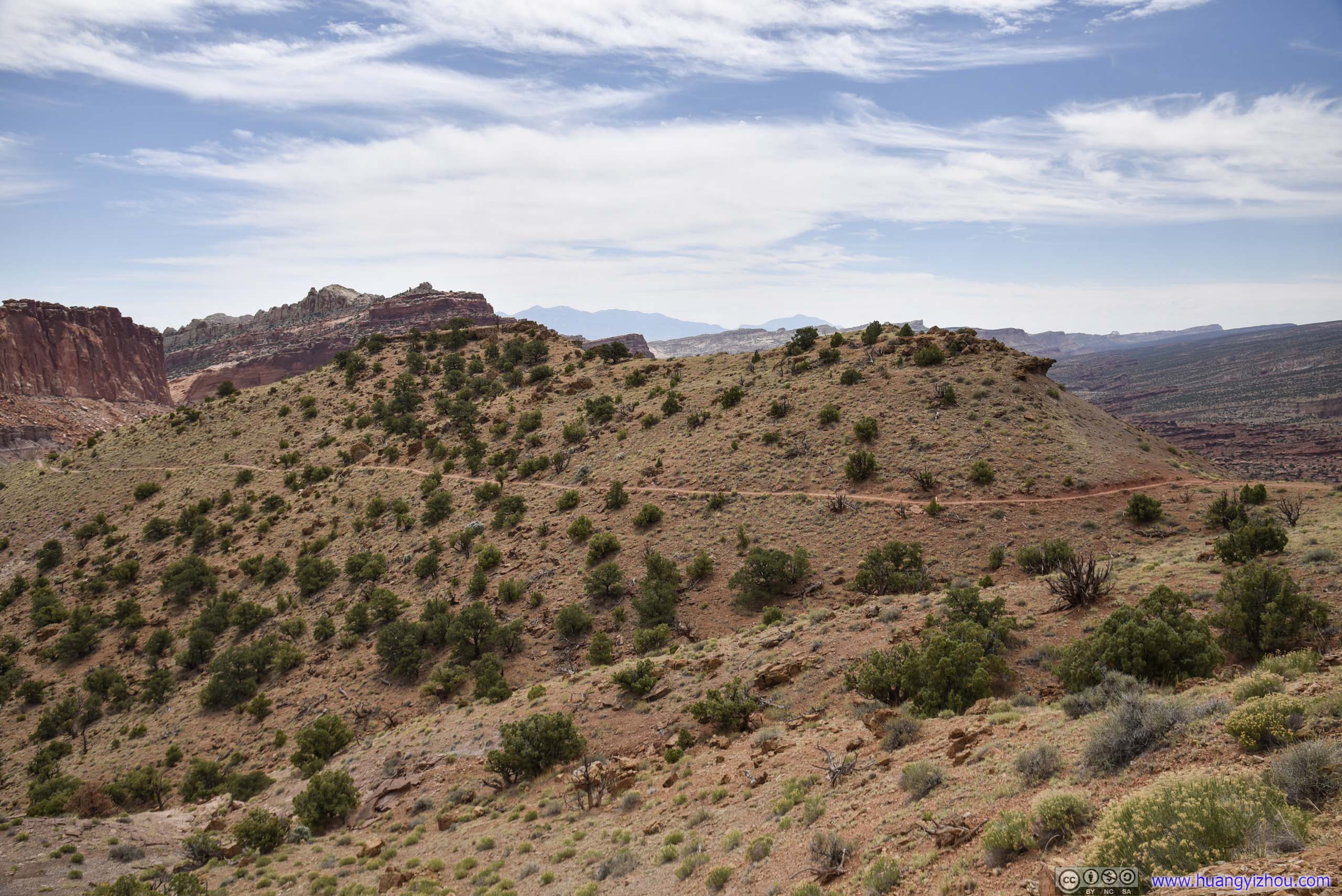
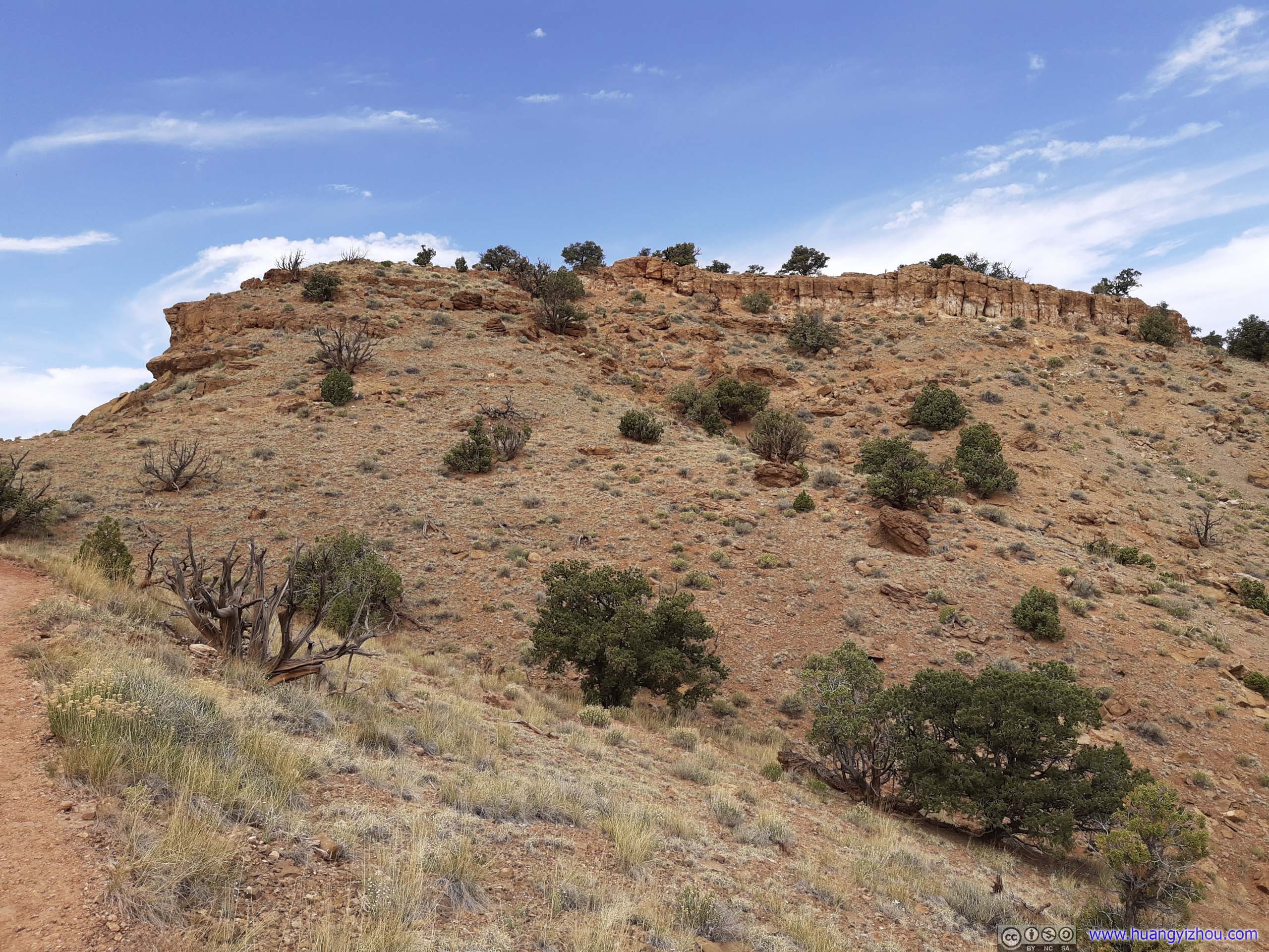
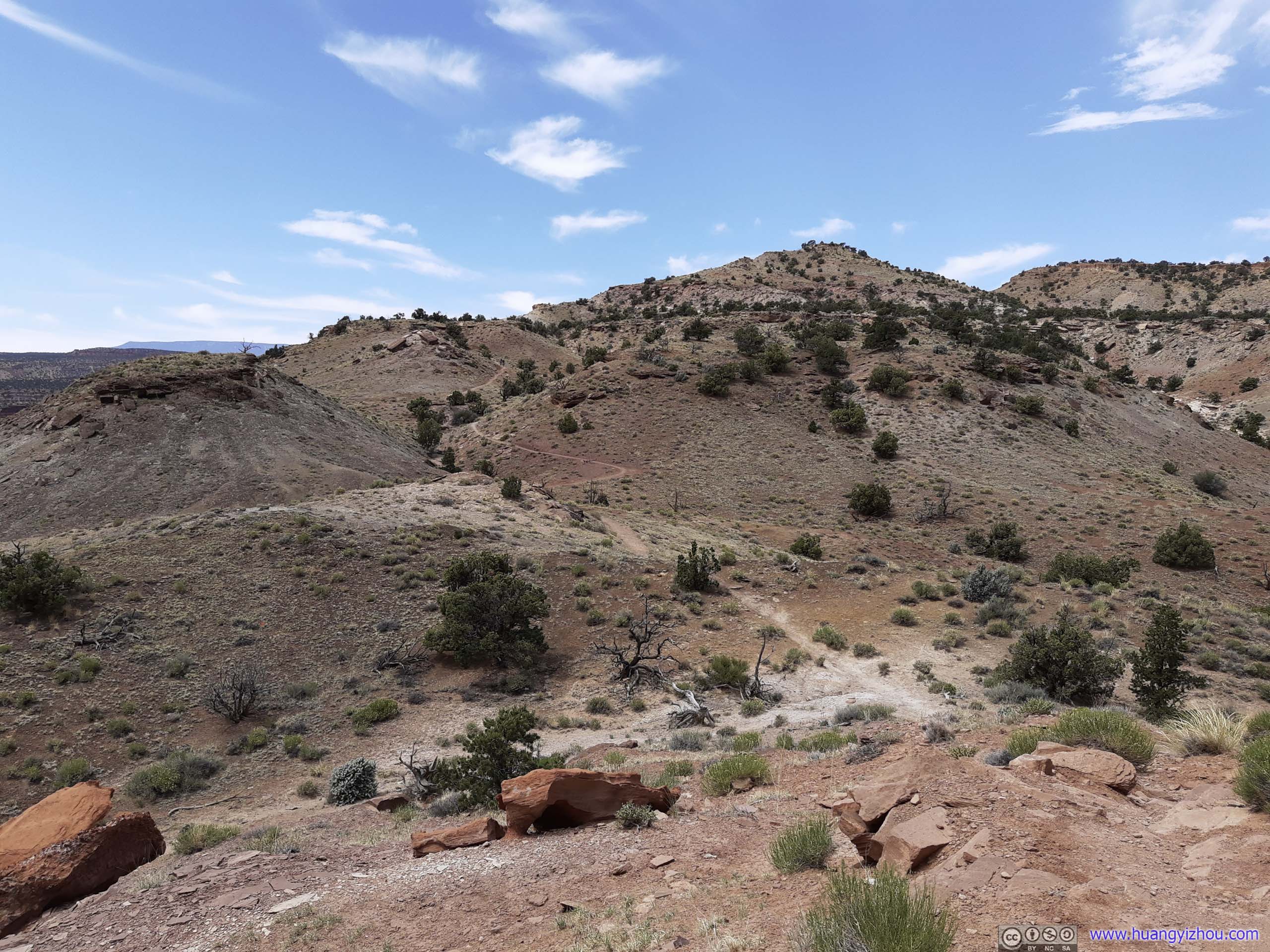
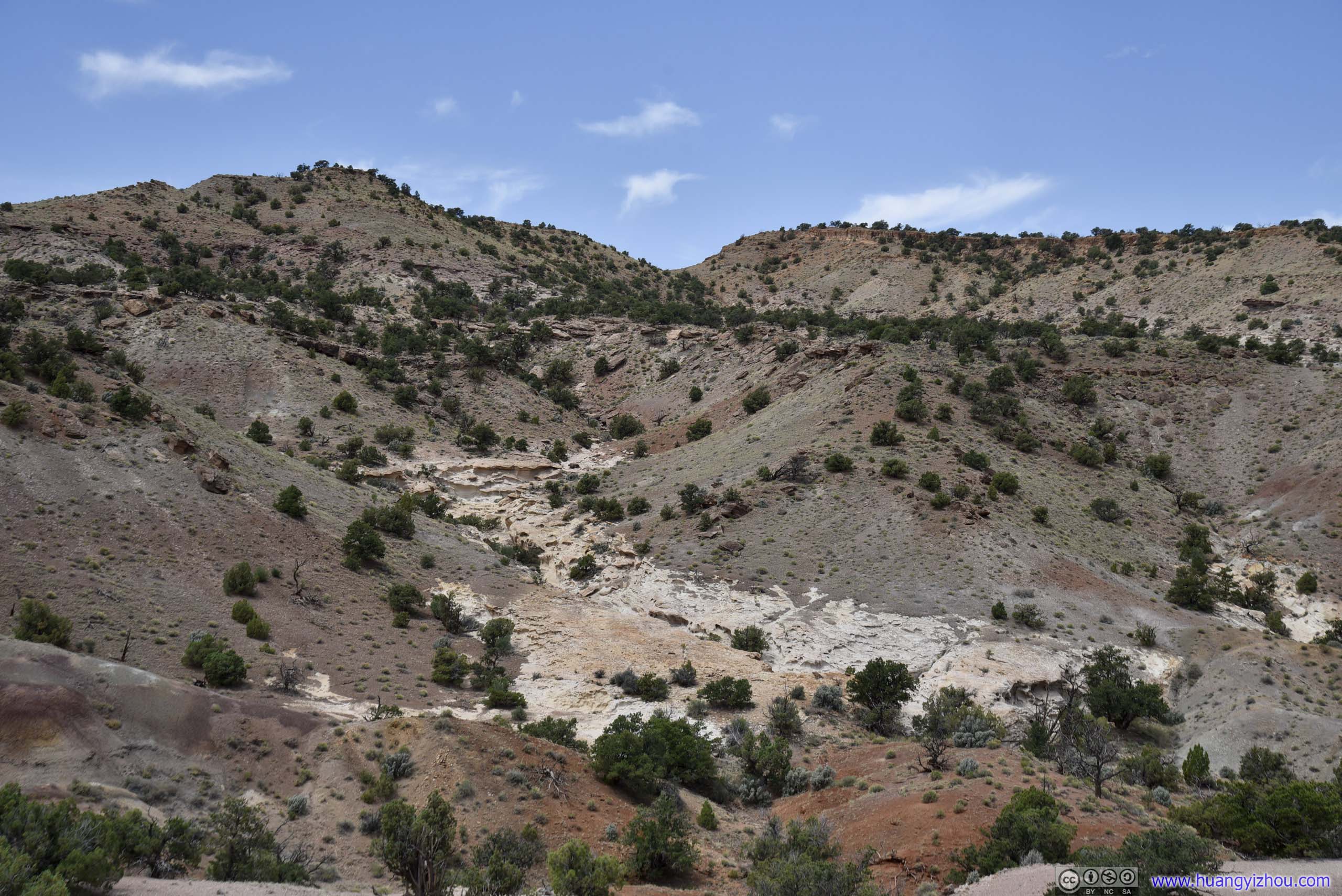
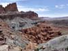
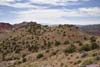
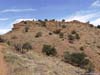
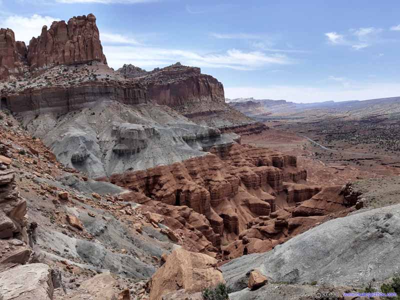
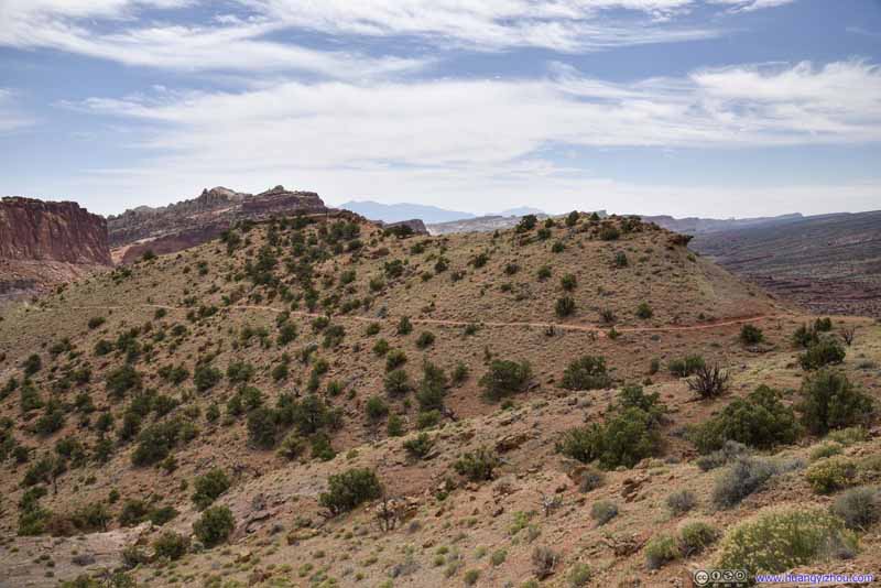
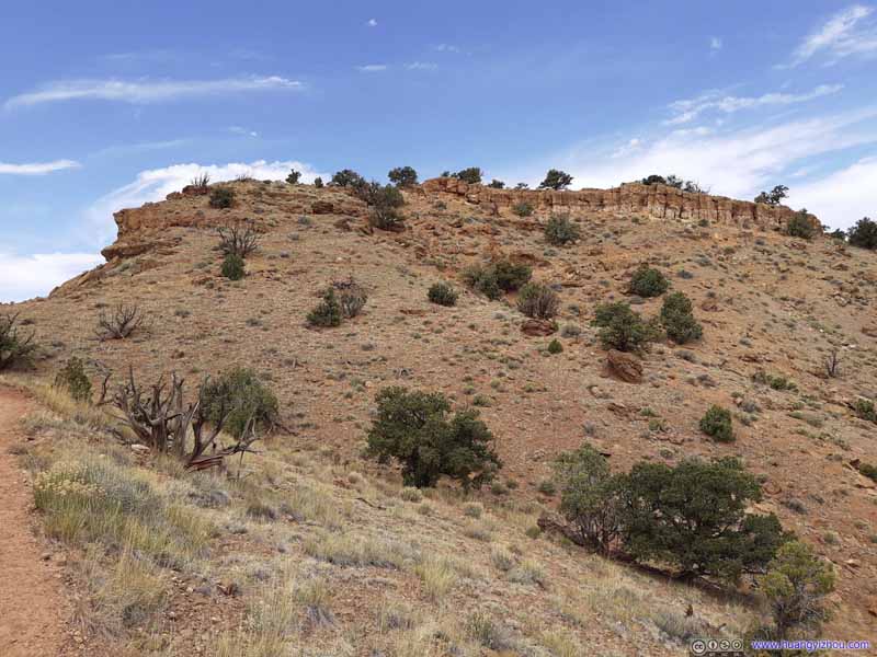
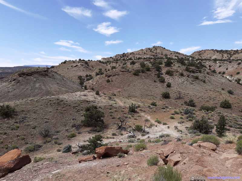
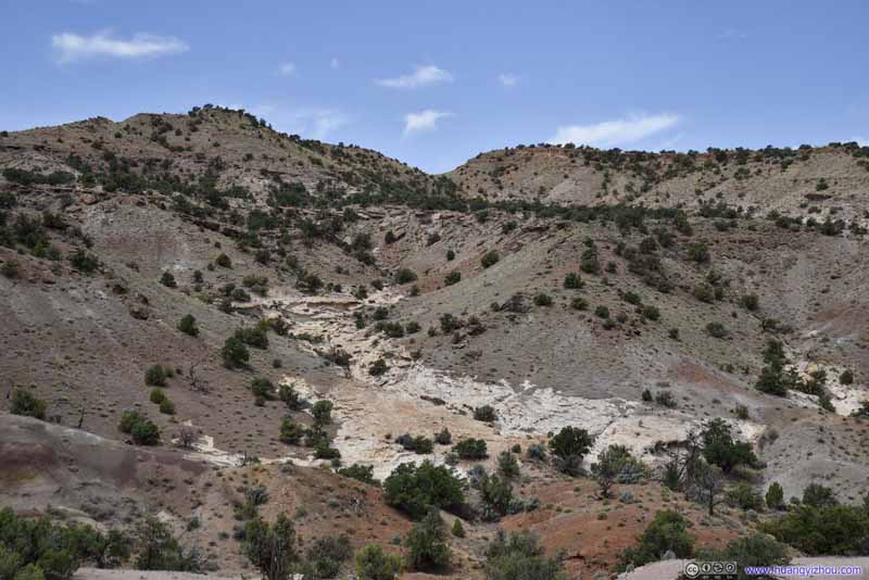
Then the trail entered a valley, with close-up views of various rock formations.

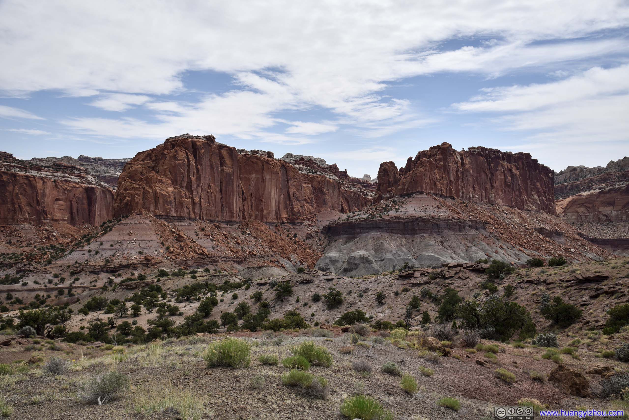
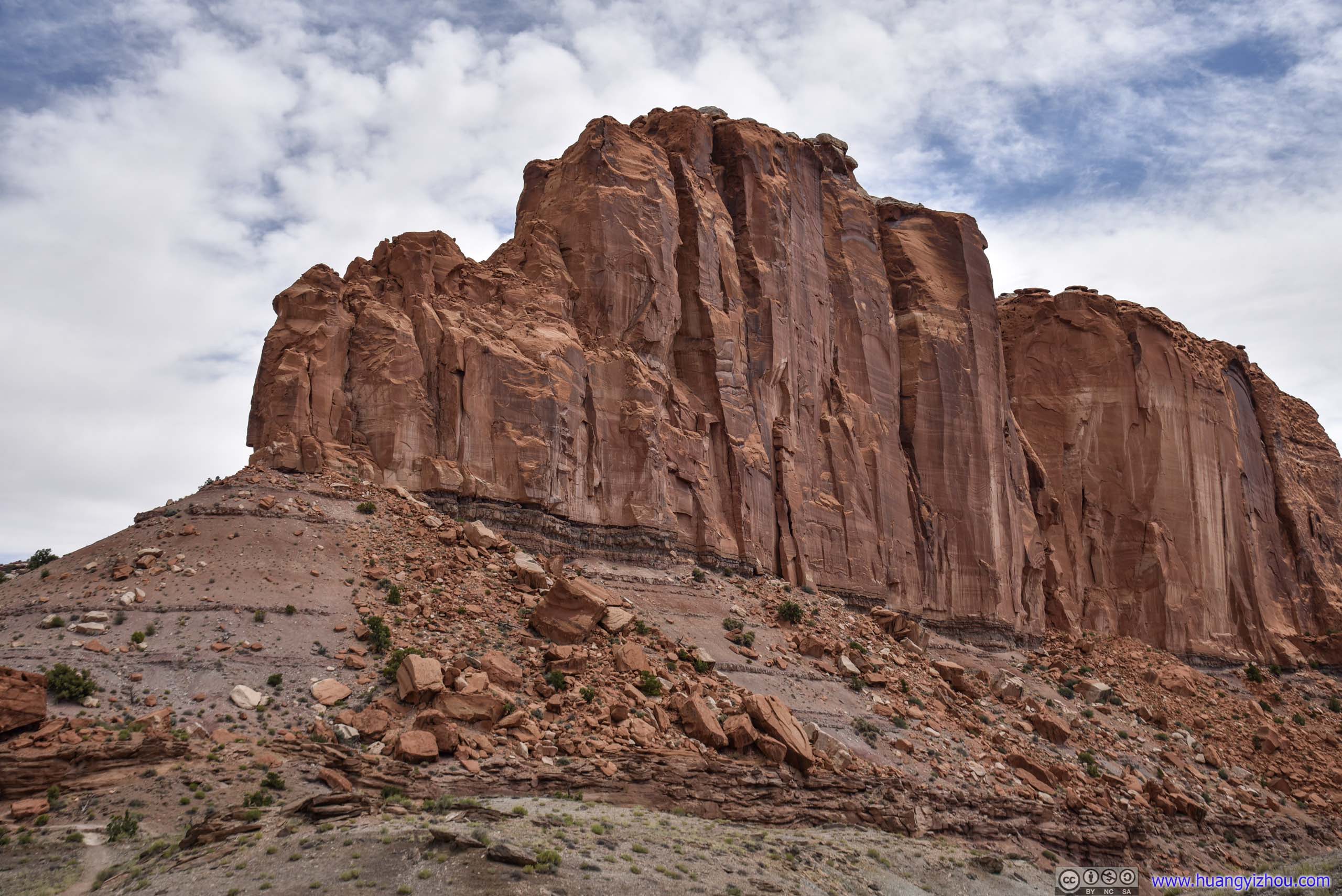
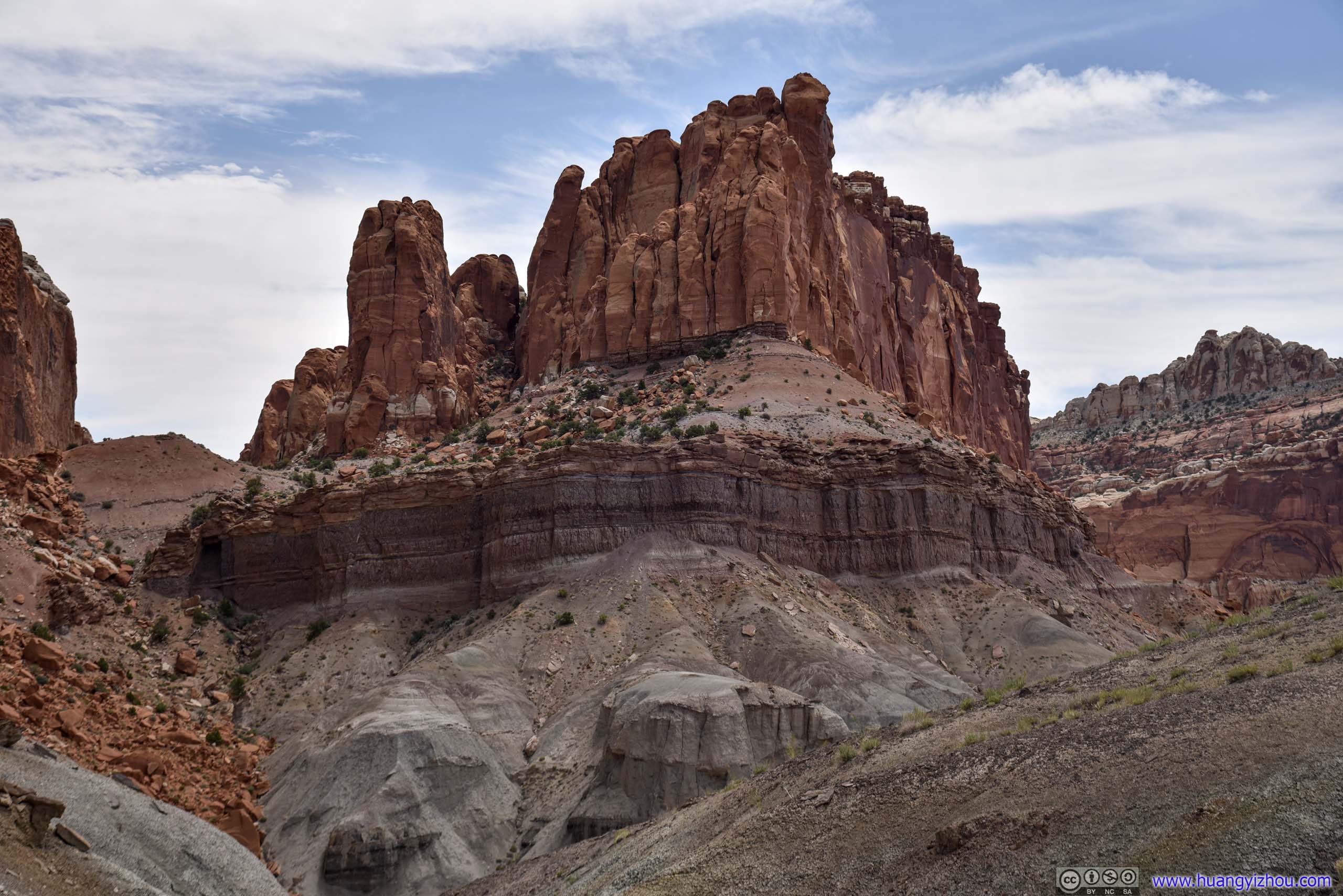
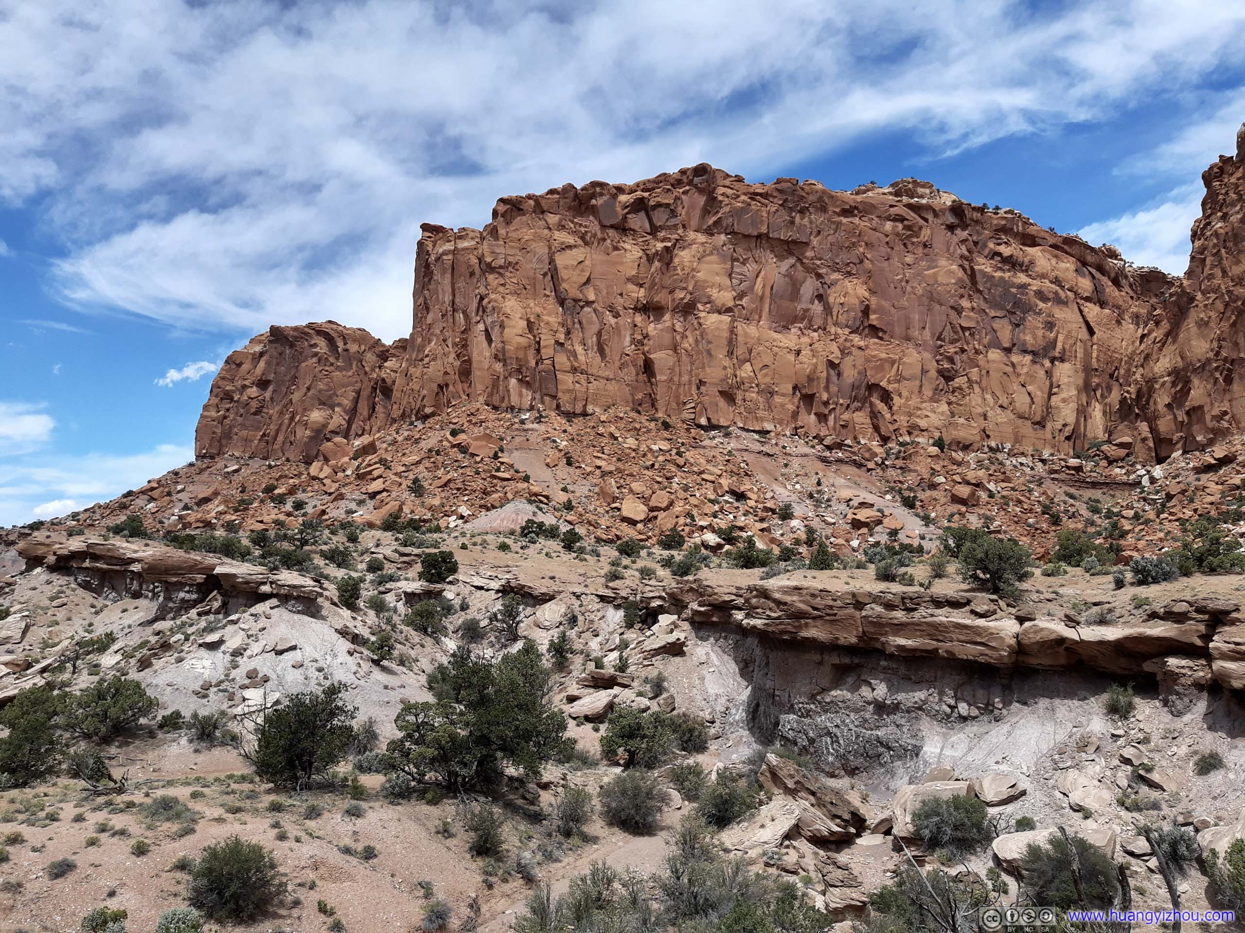

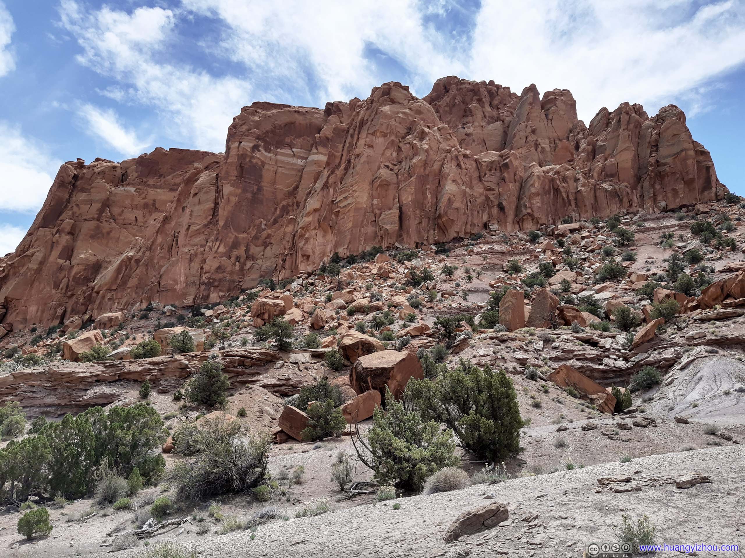
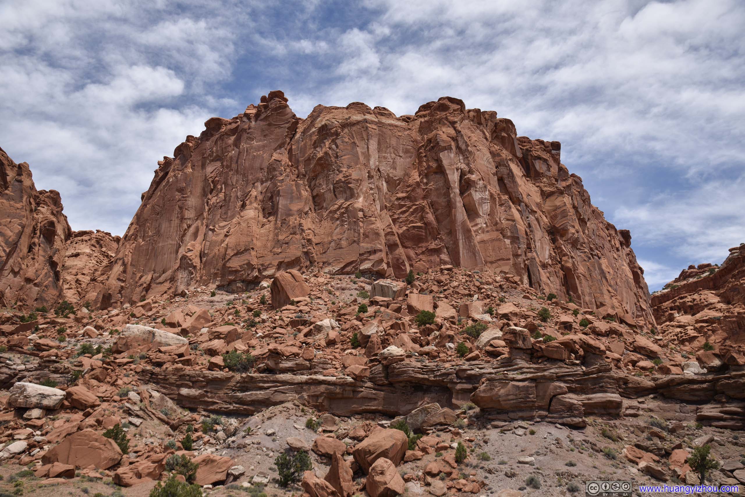
Mesa
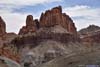
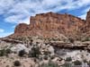
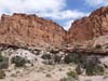
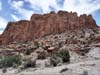
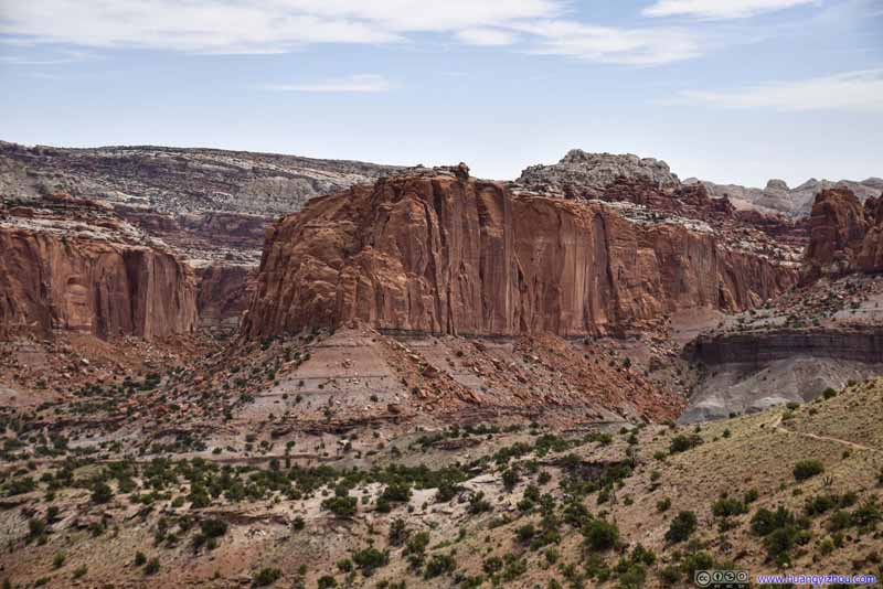
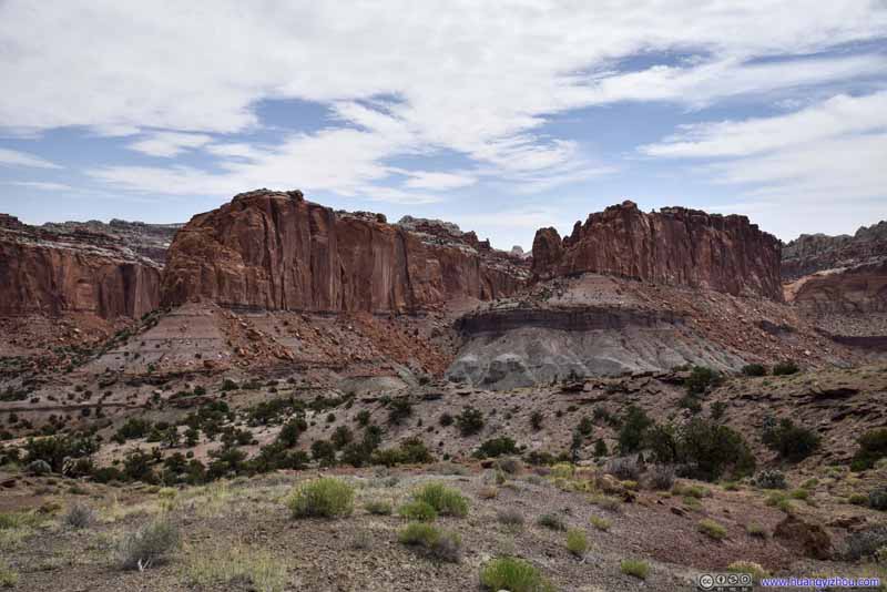
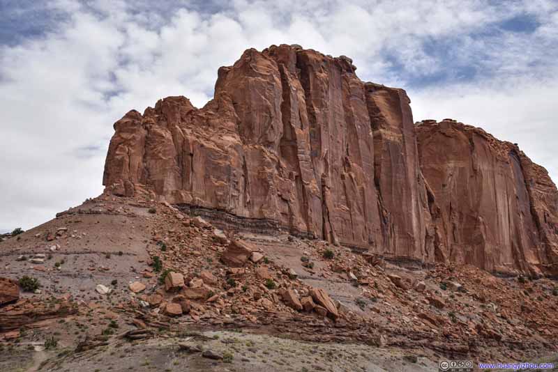
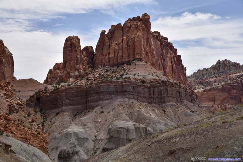
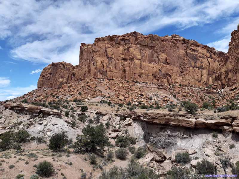
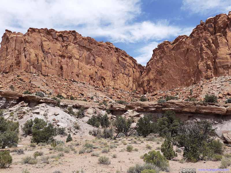
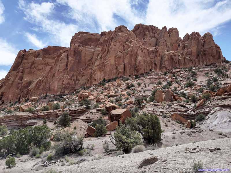
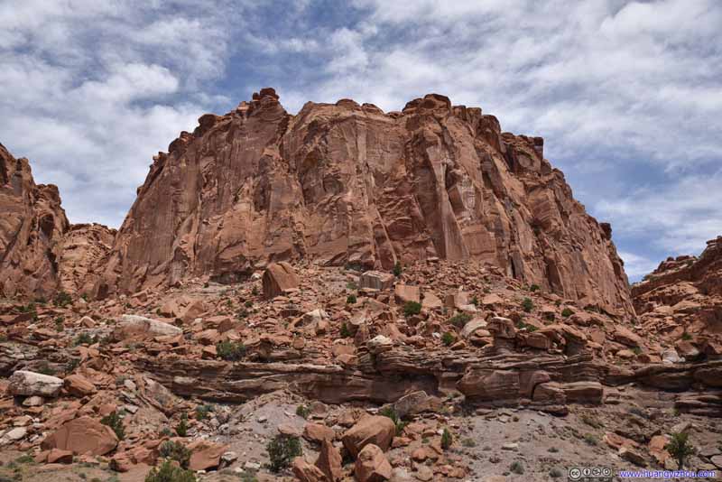
Just shy of two hours on the trail, I was back at the parking lot, finishing a not-so-intense workout with lots of views.
Since it was still early in the day for me to drive back to Salt Lake City, I decided to give a final tour of the park, beginning with its Scenic Drive.
Scenic Drive
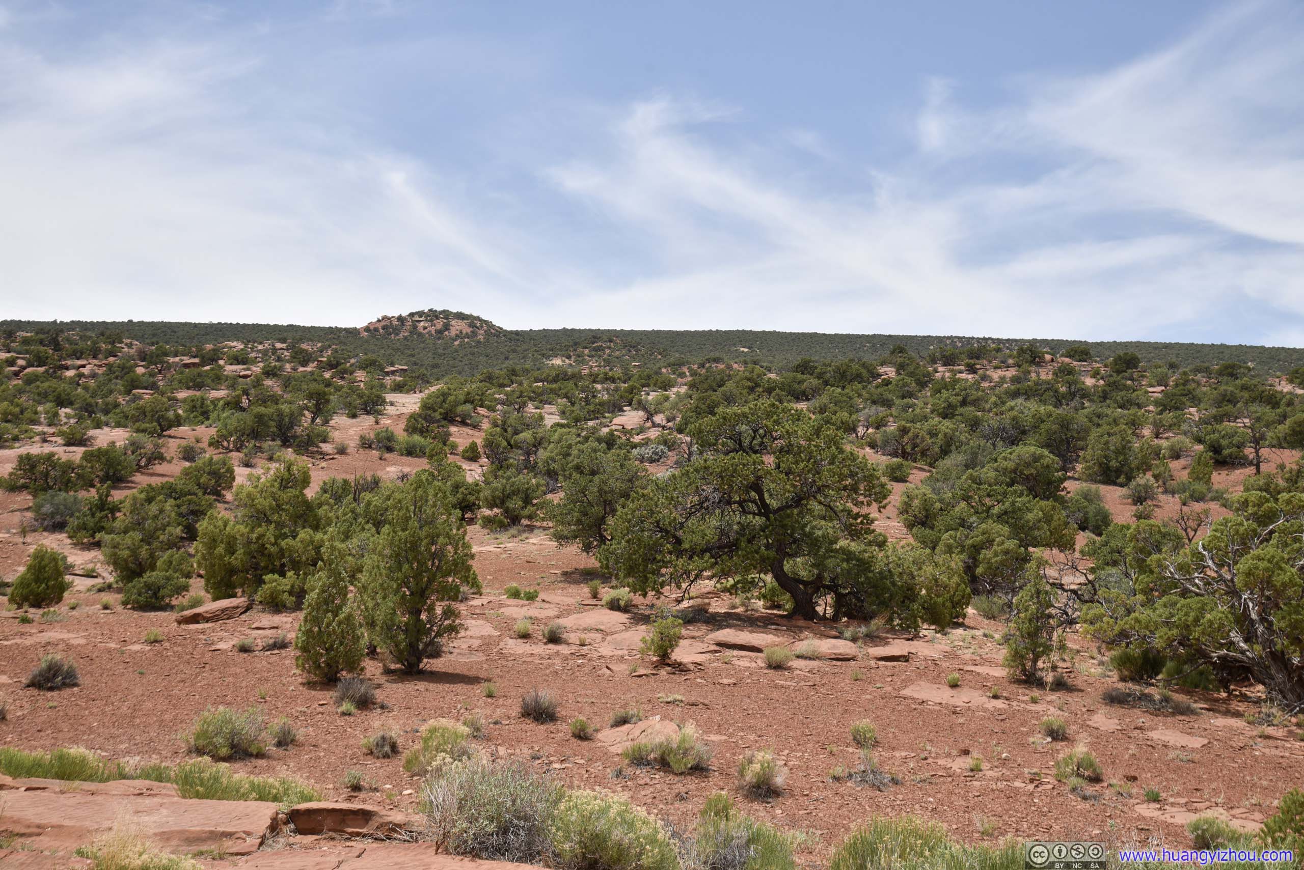
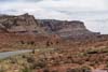
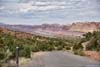
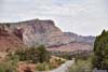
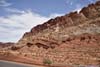
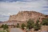
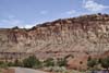
Scenic Drive followed Capitol Reef below its western cliff, as its name suggested, with lots of scenery.
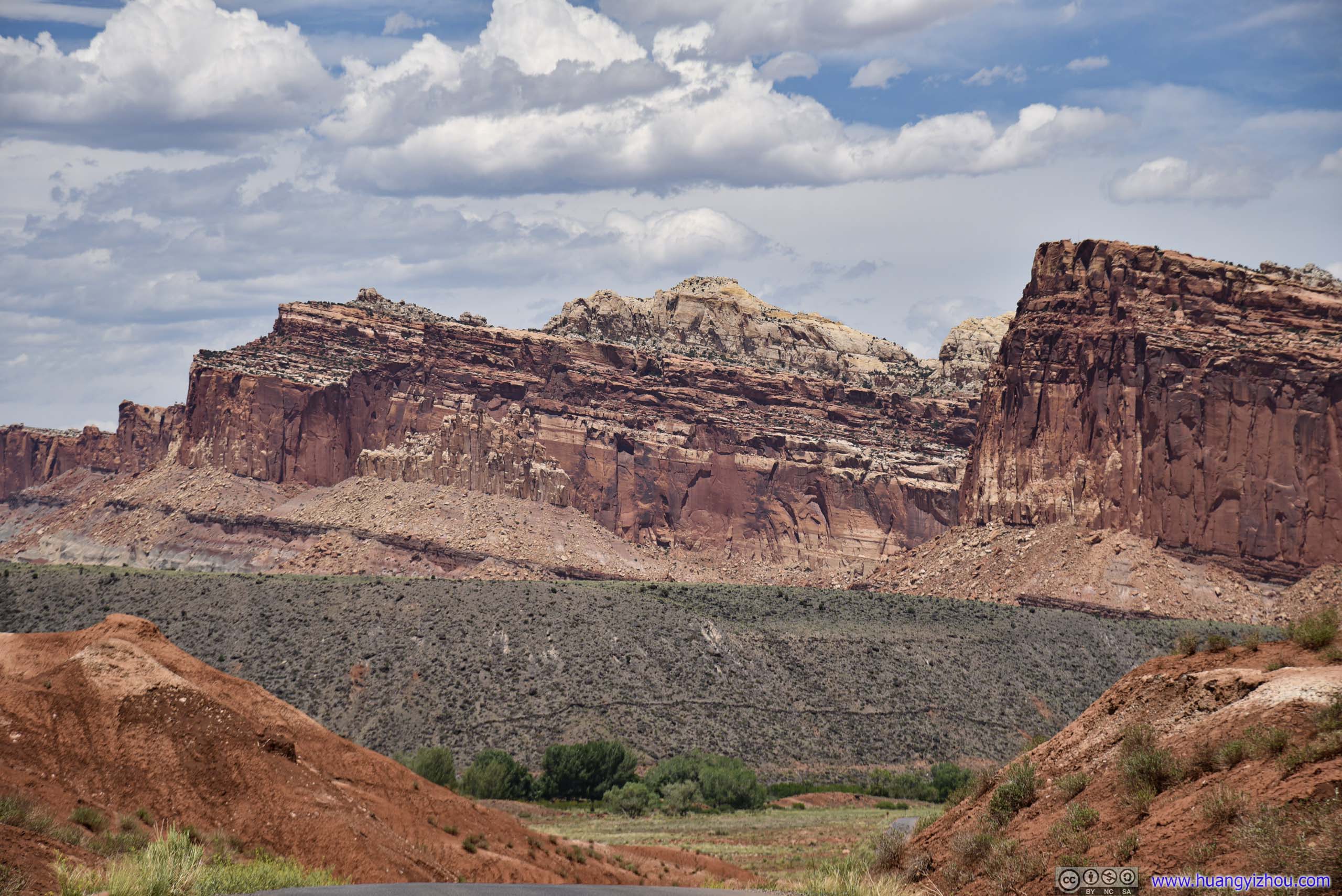
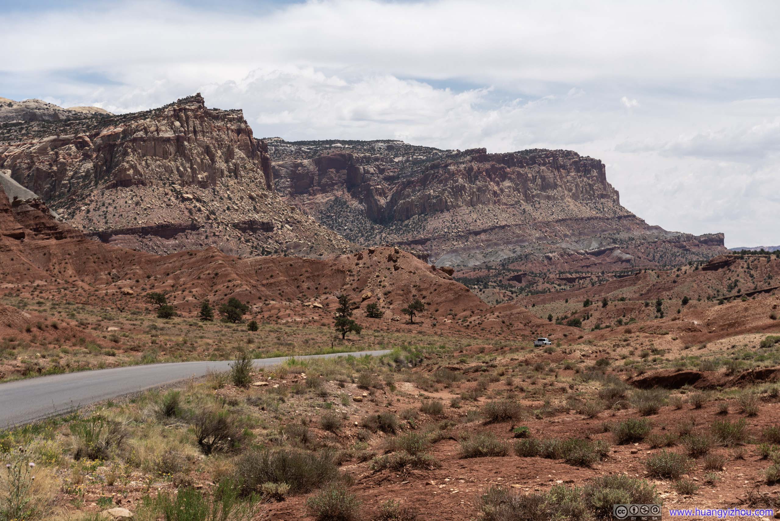
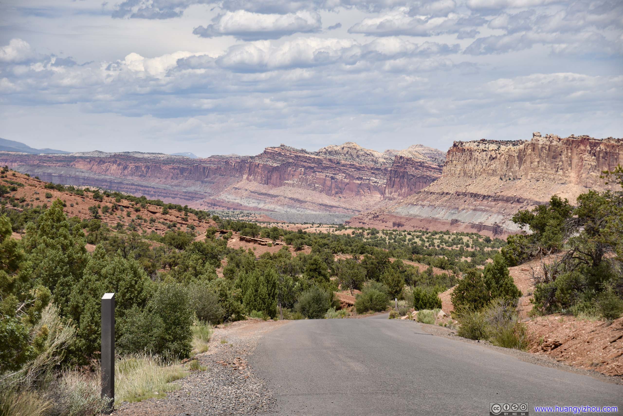
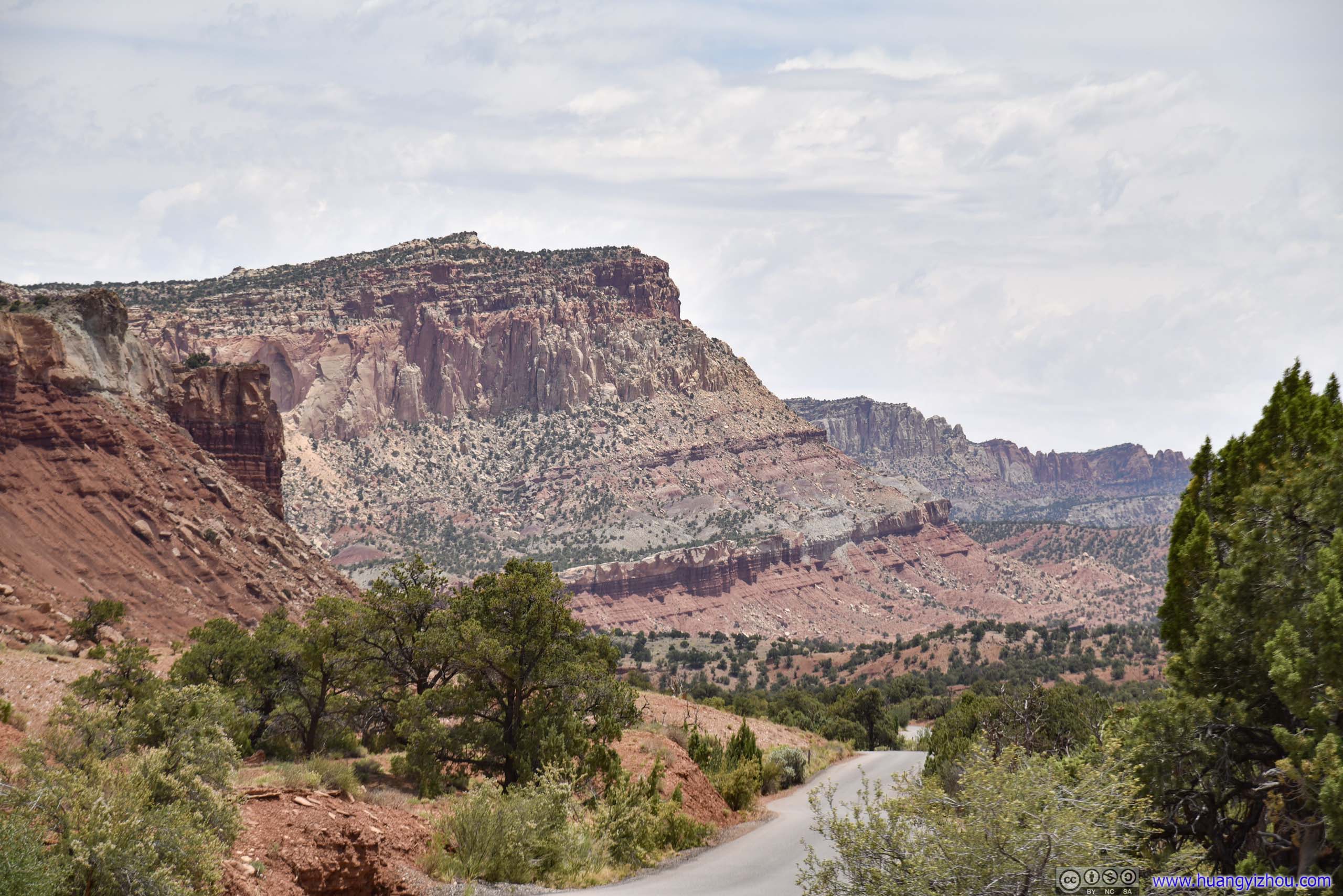


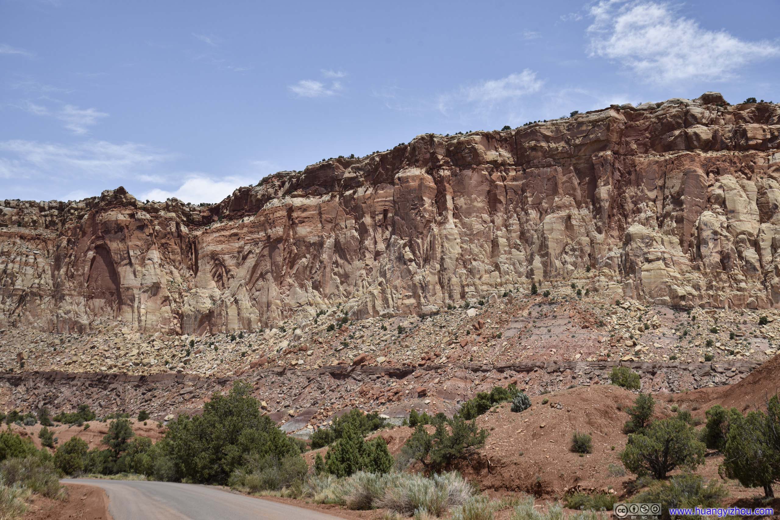
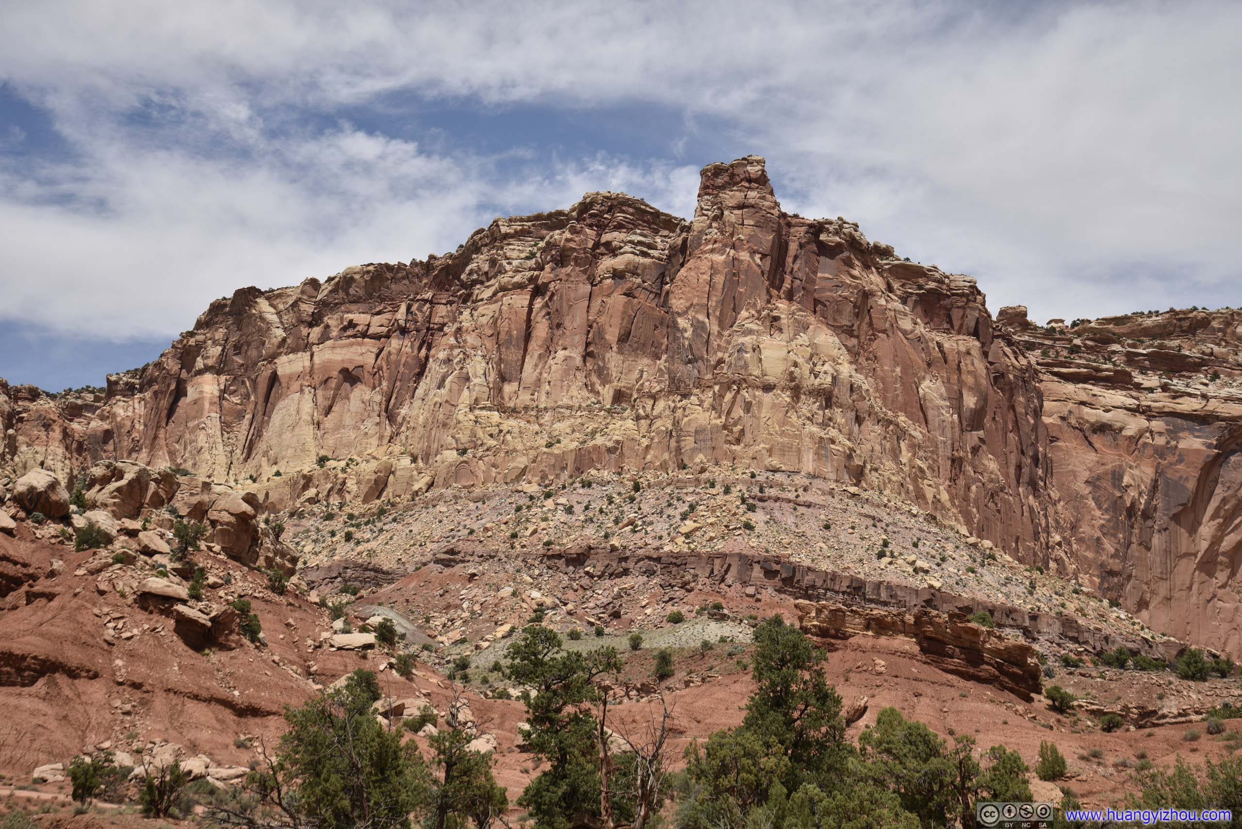

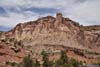
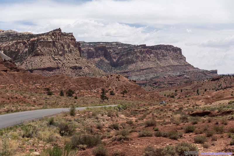
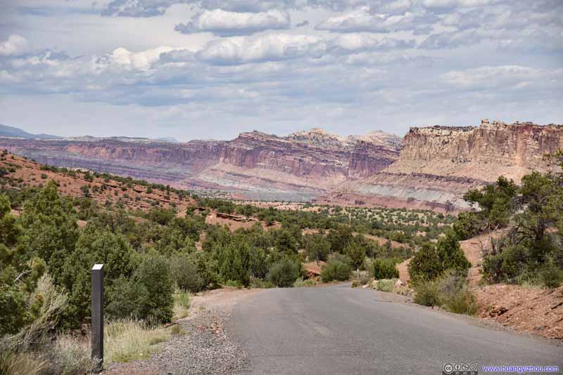
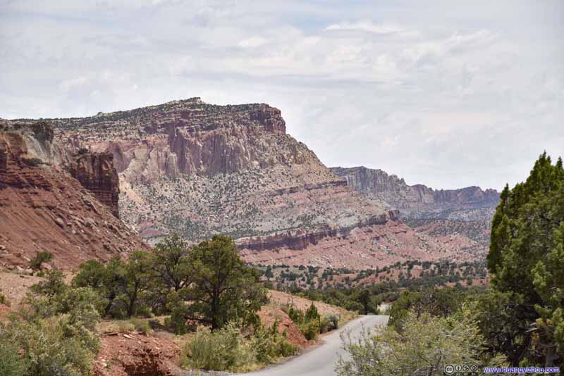
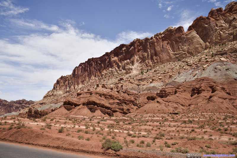
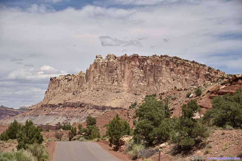
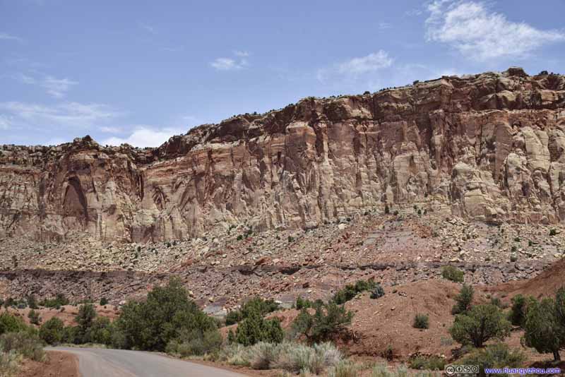
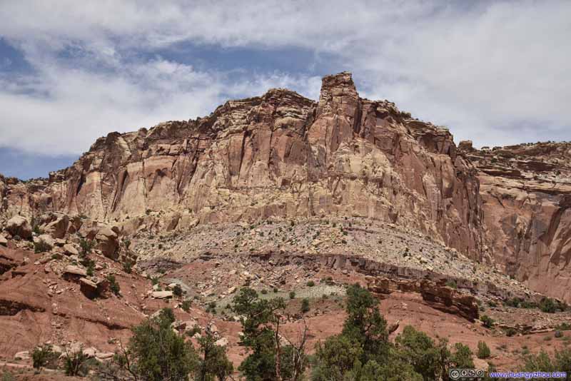
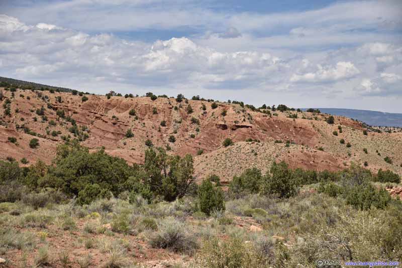
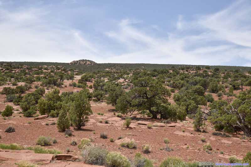
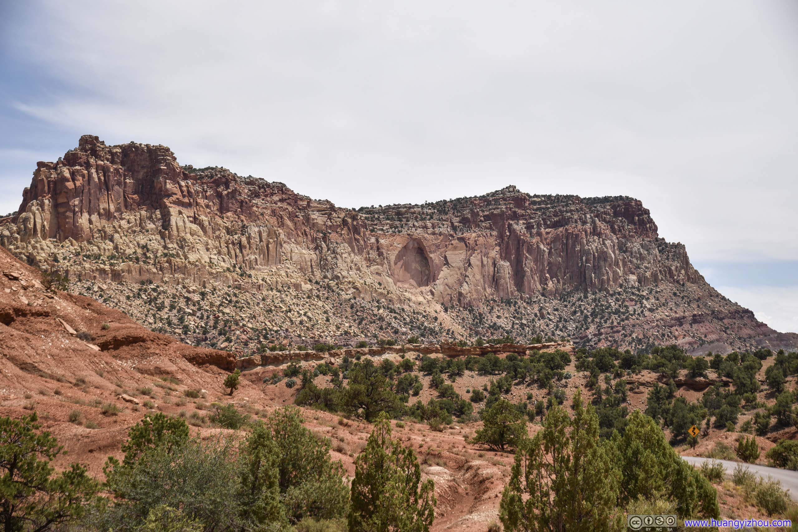
An arch forming in the middle.
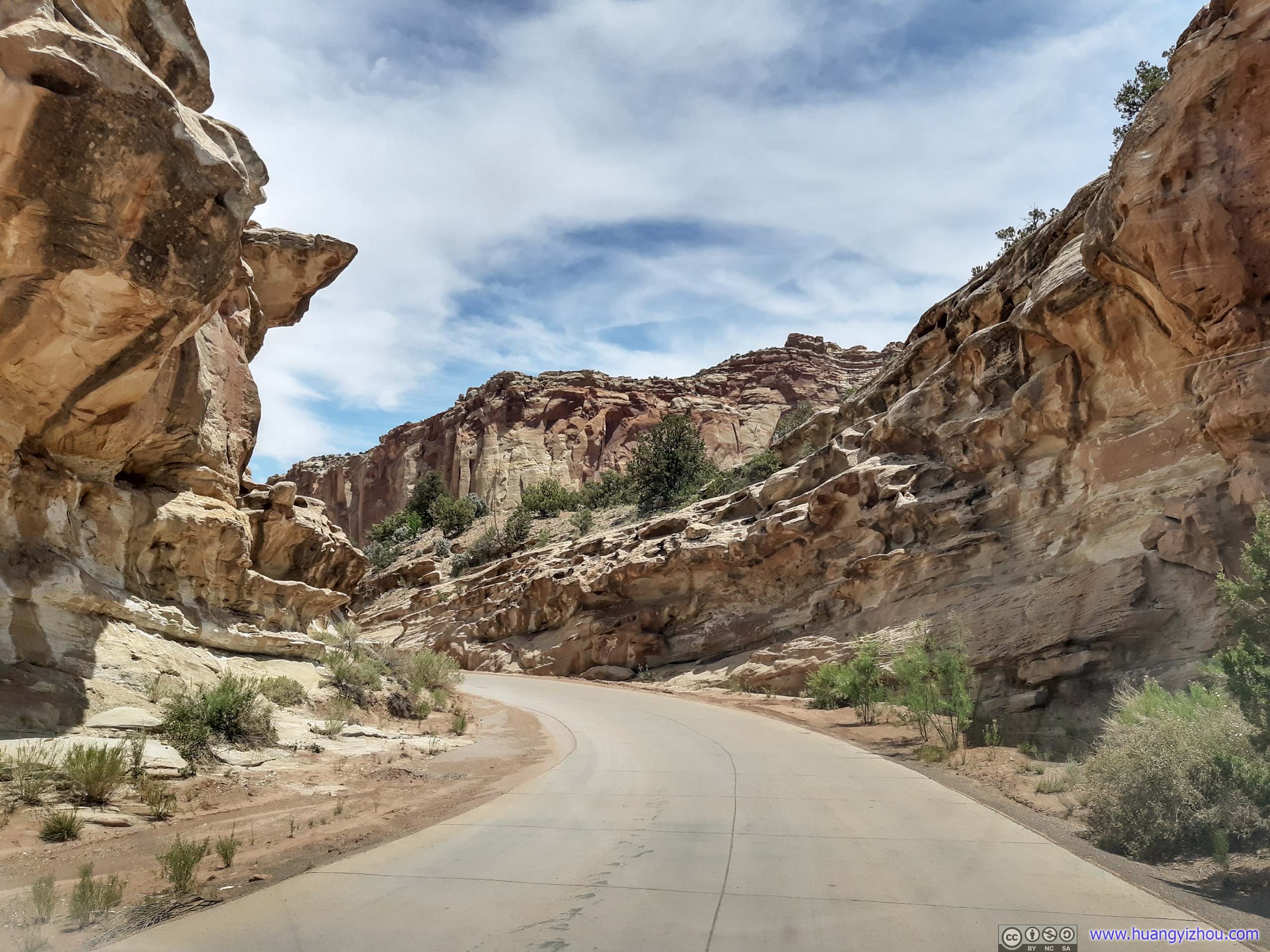

The last segment of Scenic Drive before Capitol Gorge cut through giant rocks like this.
Capitol Gorge
Just like Grand Wash, where I hiked the day before, Capitol Gorge was a gorge/canyon cutting through Capitol Reef. It’s longer than Grand Wash and harder to make it a one-way hike from the village of Notom located in the middle of nowhere, and some online reviews mentioned the views at Grand Wash were better. So I chose to hike Grand Wash over it the previous day, and leave it to a few tourist photos at its entrance today.
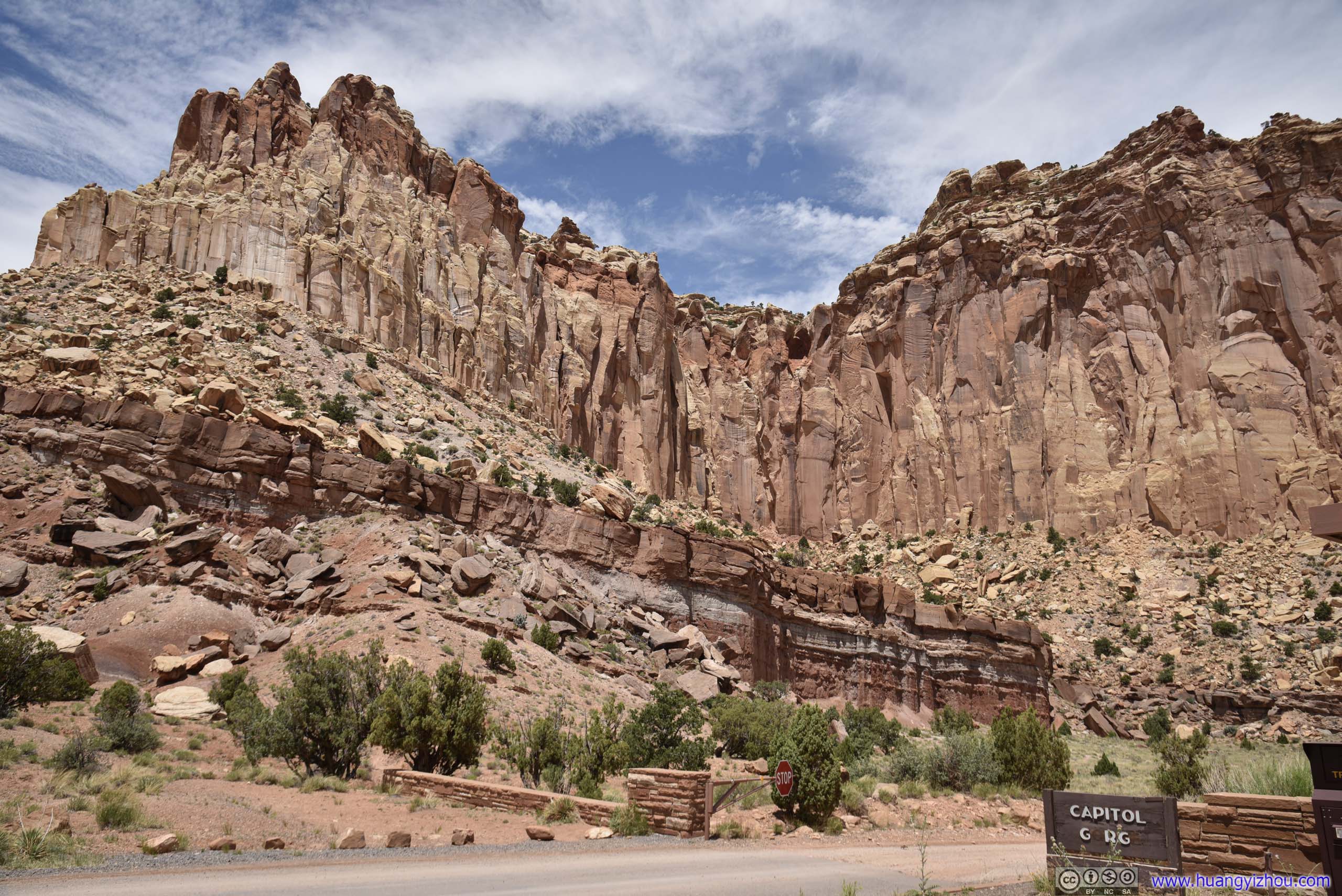
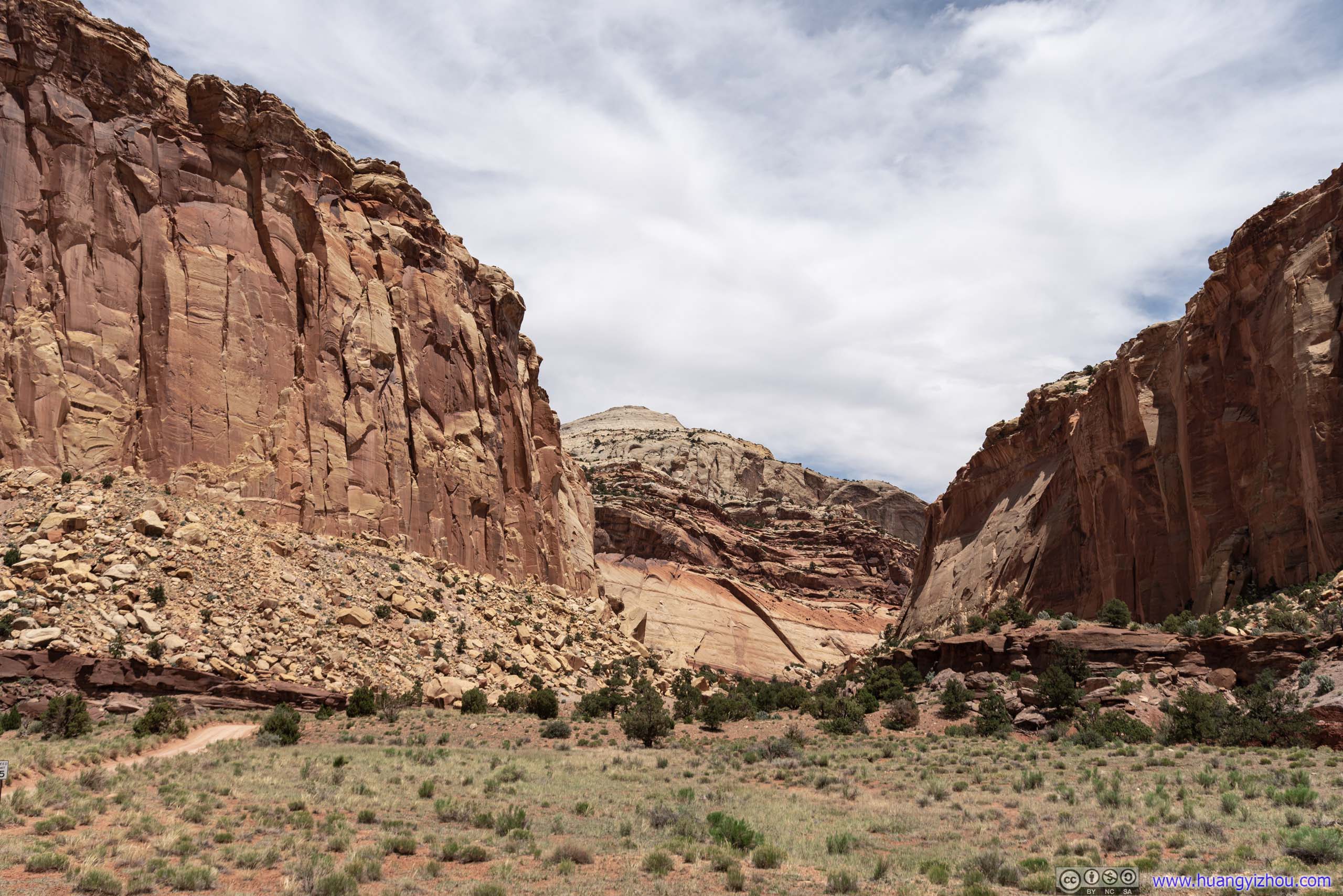
Capitol Gorge
There was an information marker nearby, stating that Capitol Gorge was the main passage through Capitol Reef, until 1962 when Utah State Route 24 was finished. The current Gorge was cleared in 1883 by Elijah Behunin to improve wagon passage.
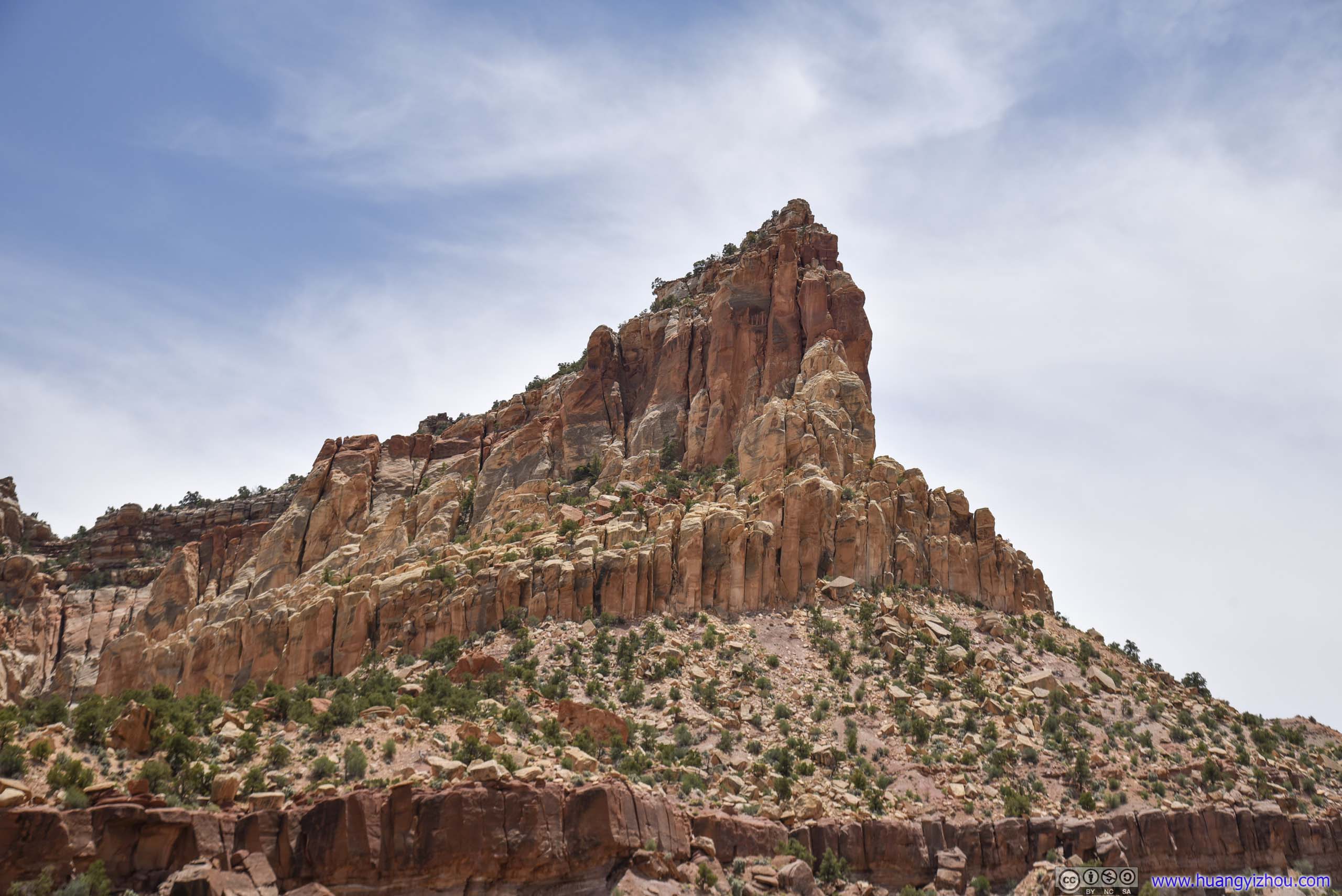
One of the few named rocks in the region.
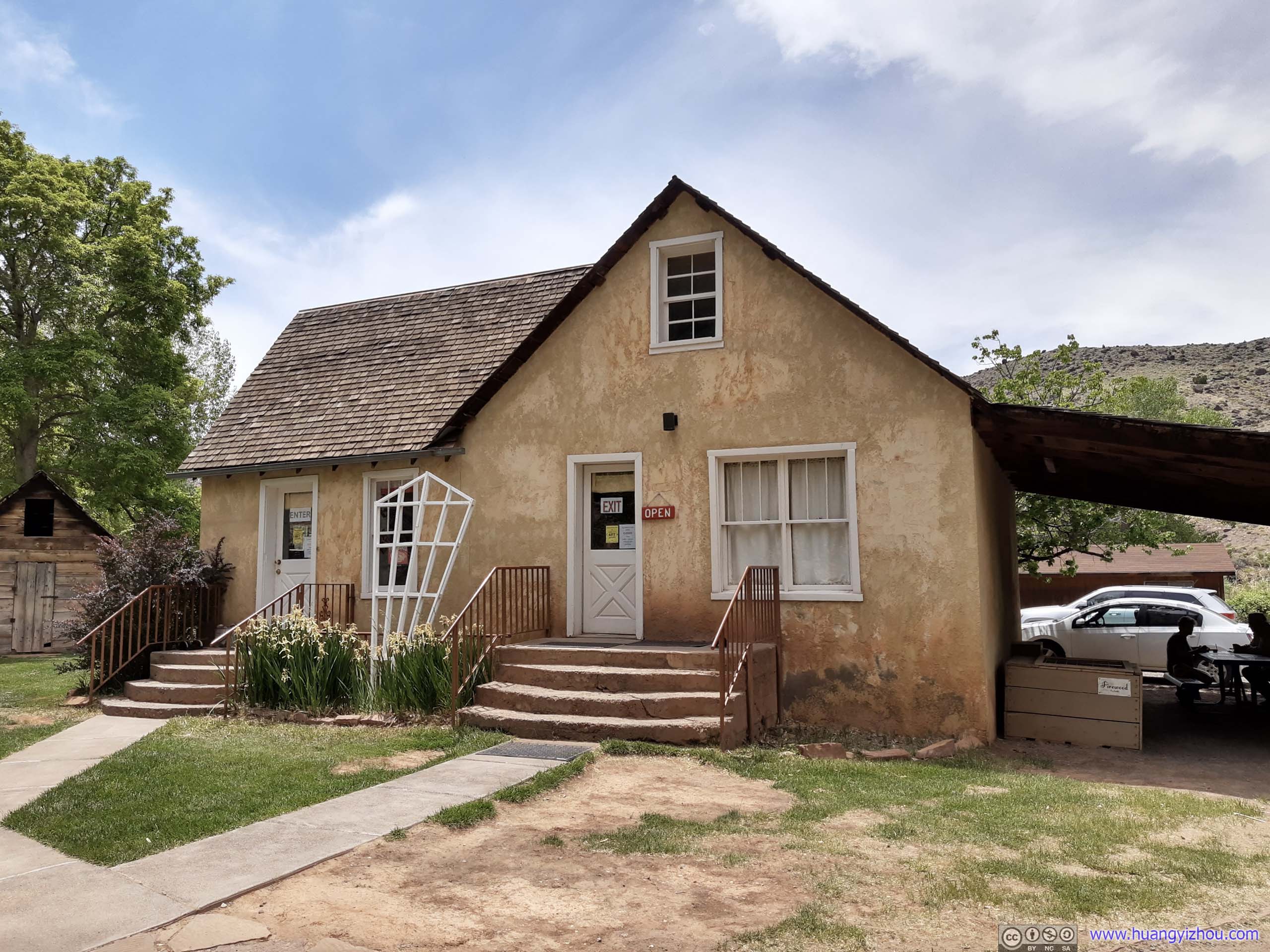
Gifford Homestead
One of the few structures left by the Mormon pioneers, named after longtime resident Dewey Gifford. The house was originally built in 1908 and remodeled many times over the years.
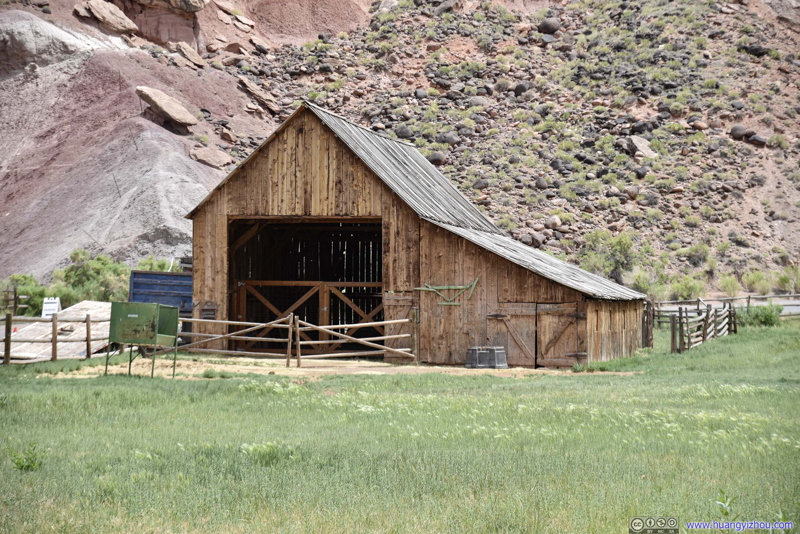
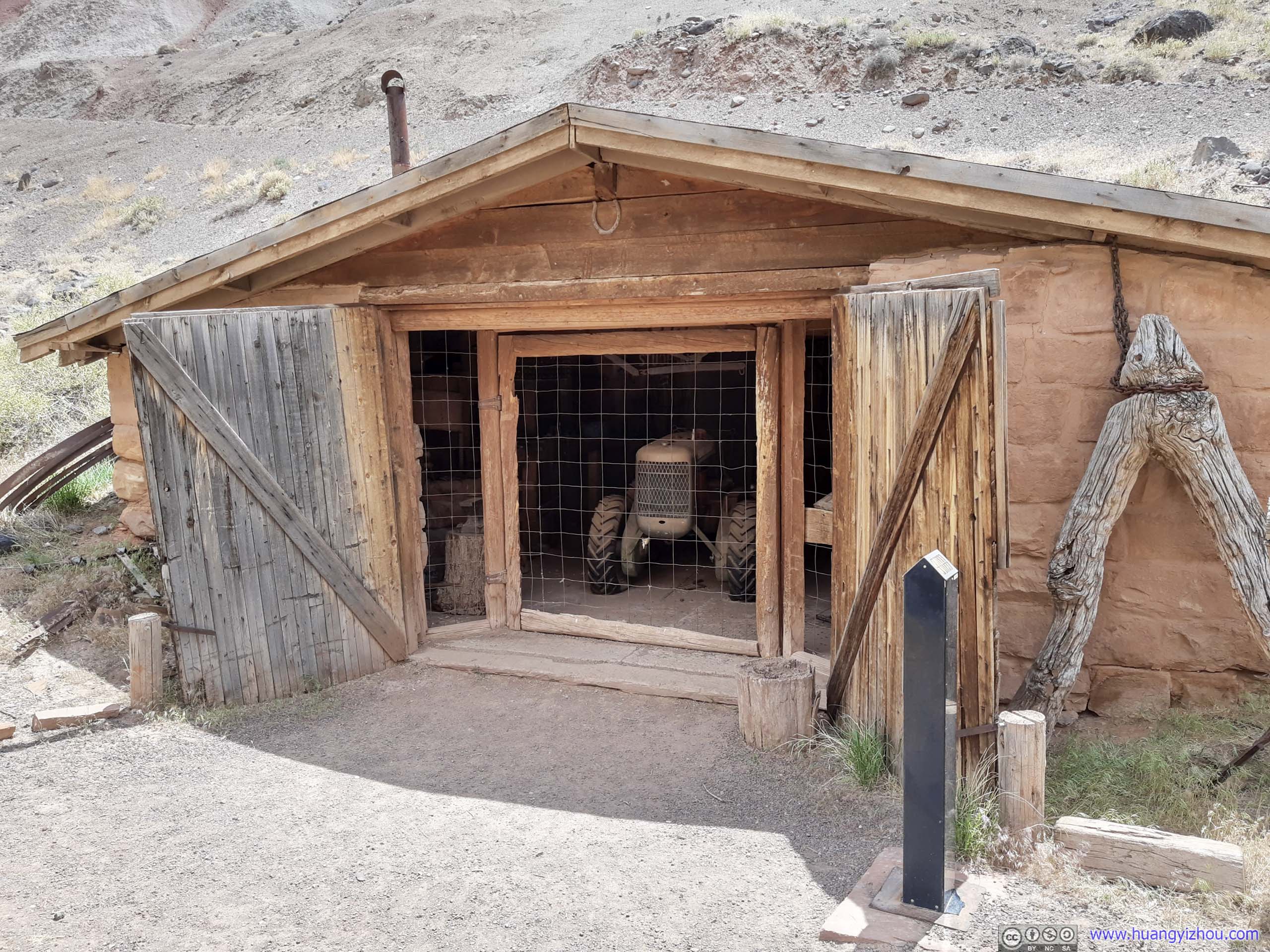
Not far from the house as an affiliate to the farm.
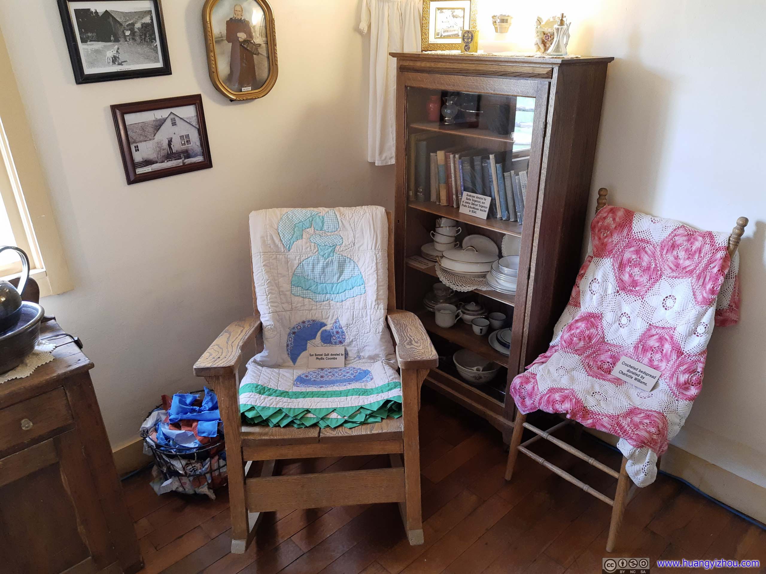

Nowadays, Gifford Homestead was half museum and half gift shop.

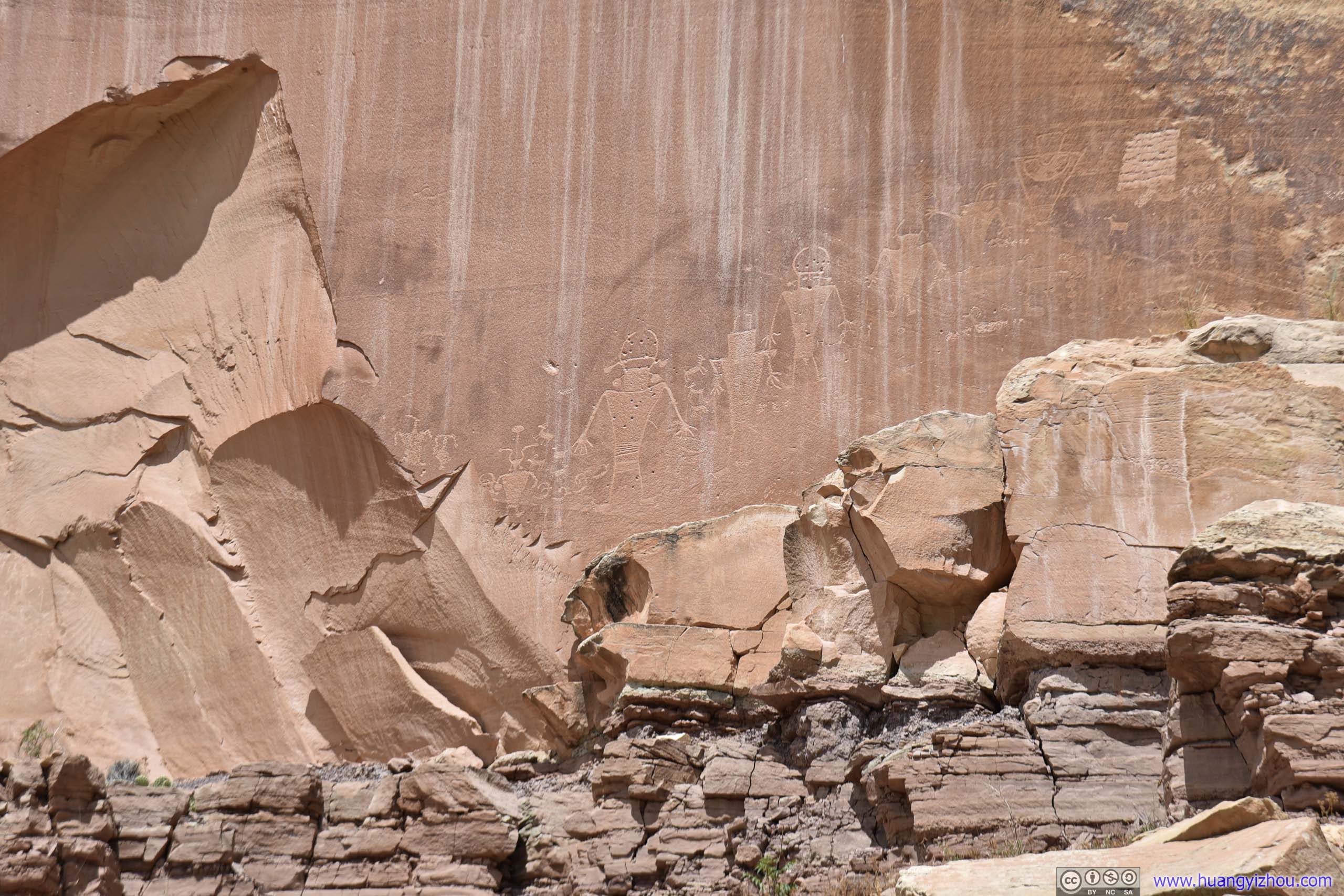
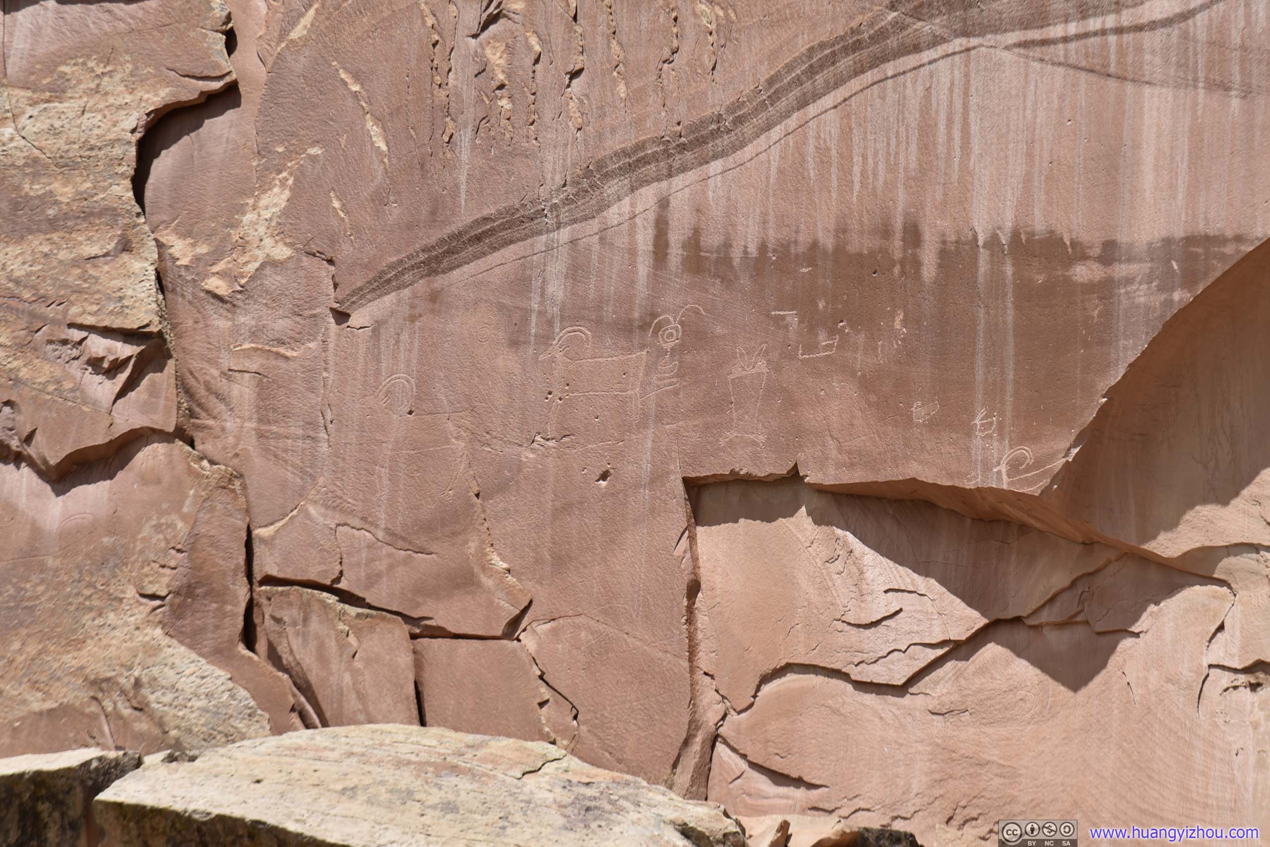
Petroglyphs
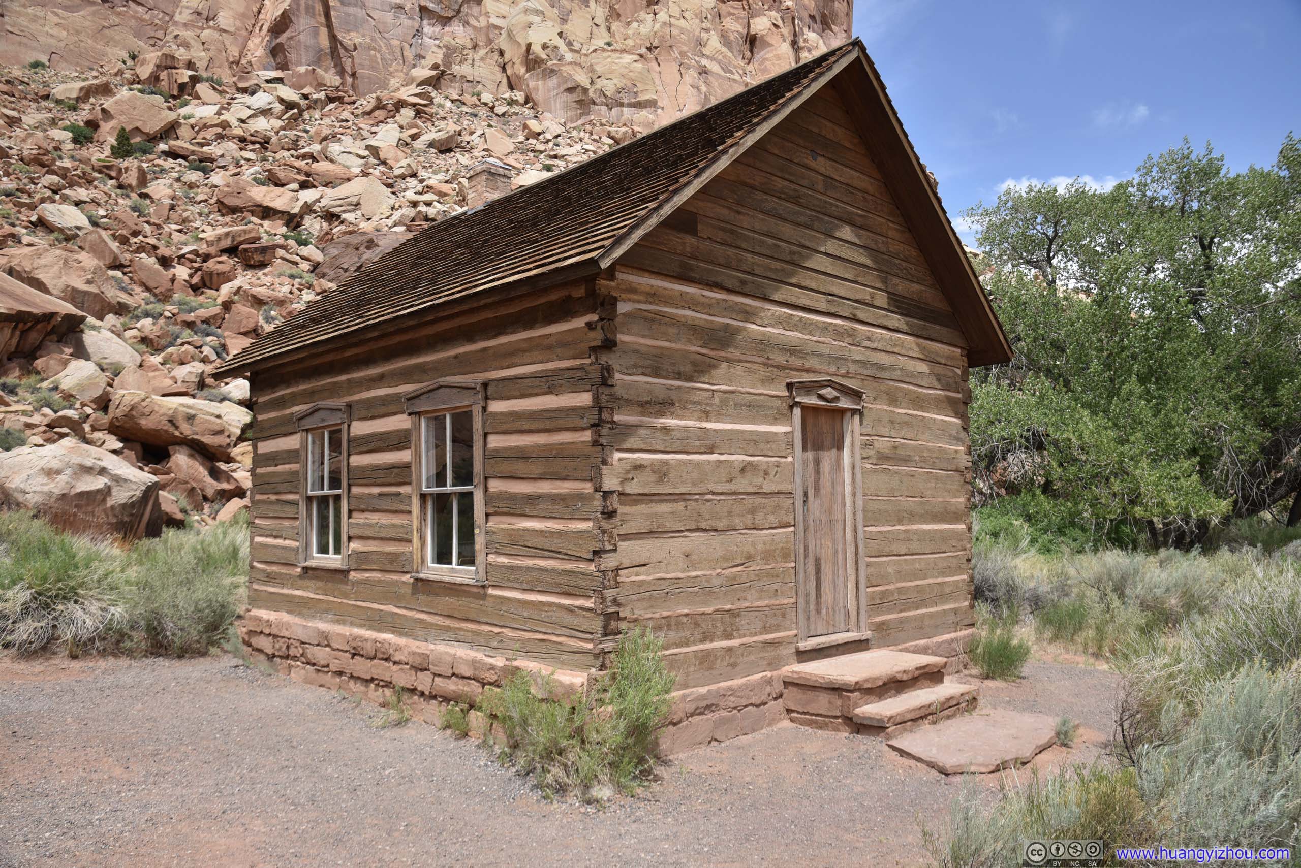
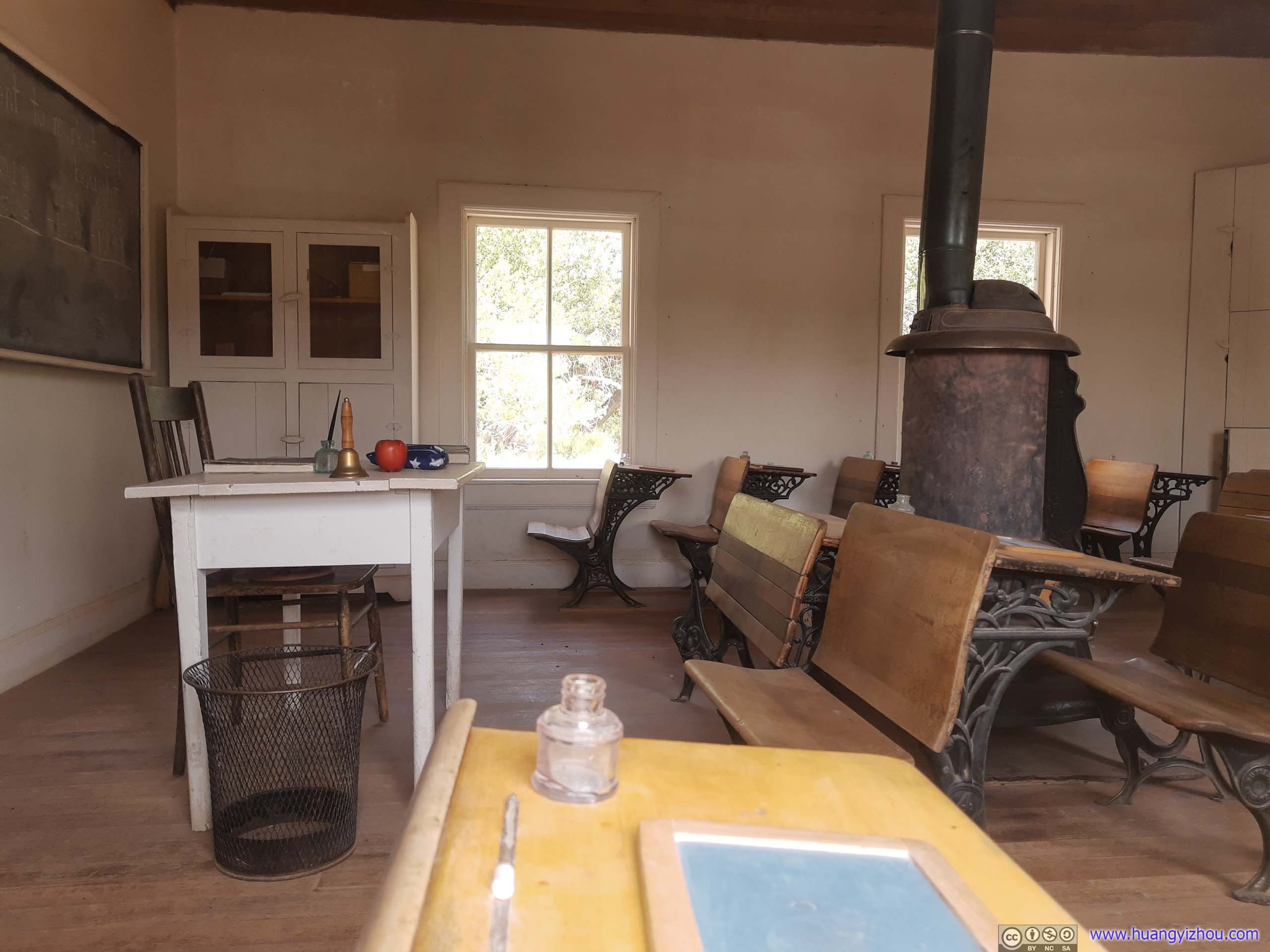
Fruita Schoolhouse
I had no idea that students used to write on a small piece of black board with a chalk.
My final stop in the park was Fruita Schoolhouse.
This building was built in 1896 as Fruita’s only public structure. So it’s a school, a church and a community center at the same time. The school closed in 1941 due to declining student population, but was still preserved in top condition.
I found an interesting fact by a nearby information marker, that 8 to 26 students across 8 grades was taught by a single "typically new and inexperienced" teacher, who "often stayed no more than a year due to isolation and lack of support".
Driving to Salt Lake City
After that, it was almost 3pm in the afternoon, as I started to make my way to the outskirts of Salt Lake City where I would be spending the night. Without the many stops I intended to make along the way, Google Maps suggested the road trip would take me just over 3 hours.
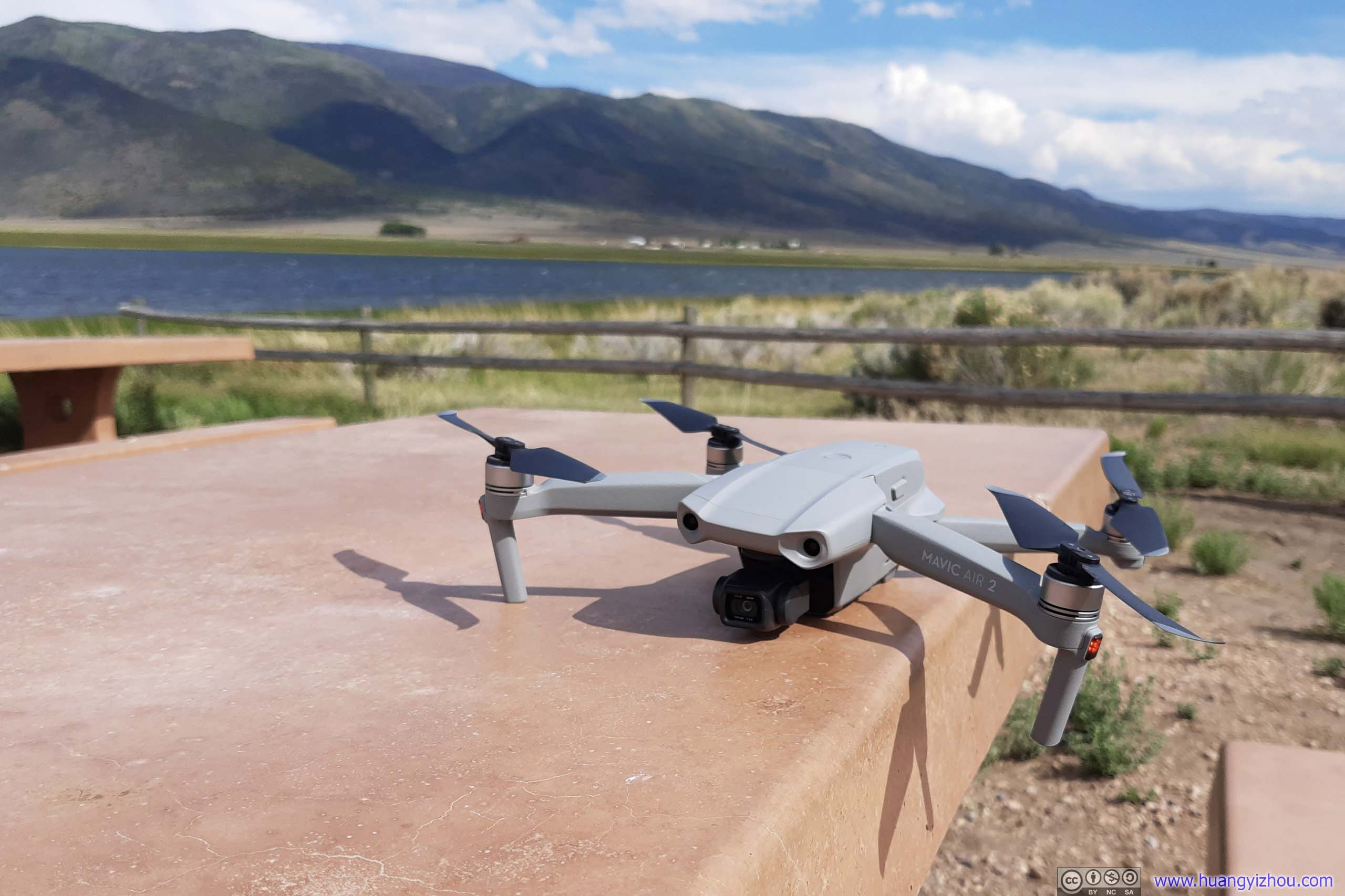
However, since I was carrying a drone, I made a few stops along the way and had some fun with it. The first stop was the town of Torrey where I spent two nights.
Torrey

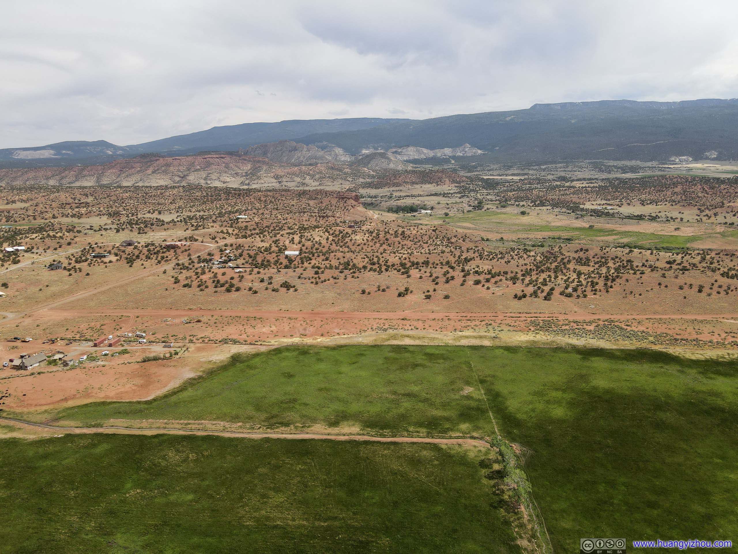
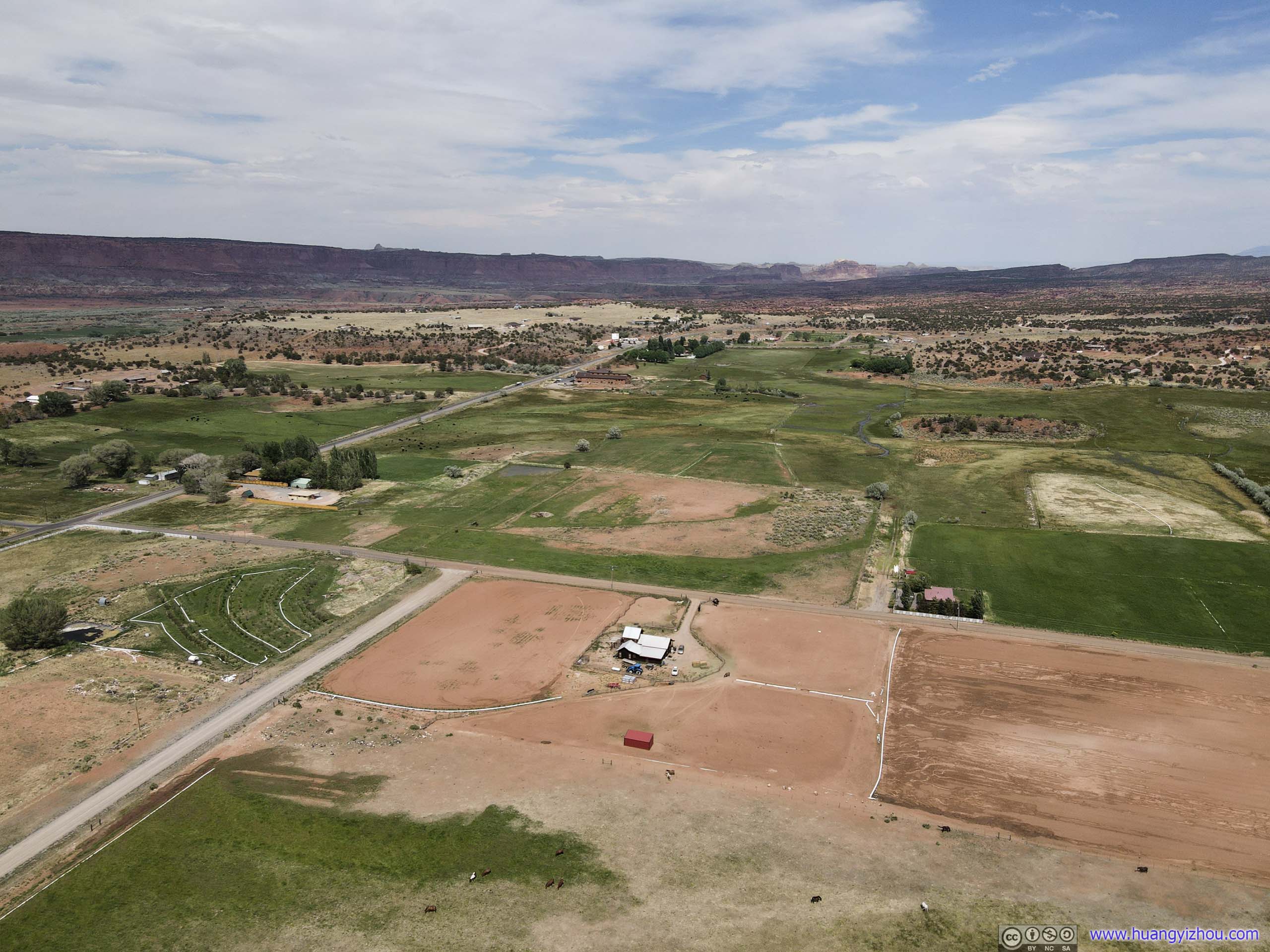
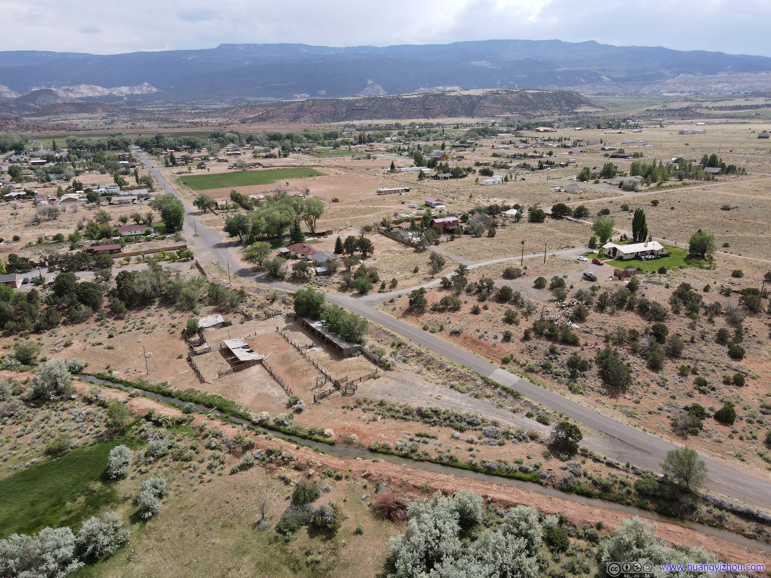
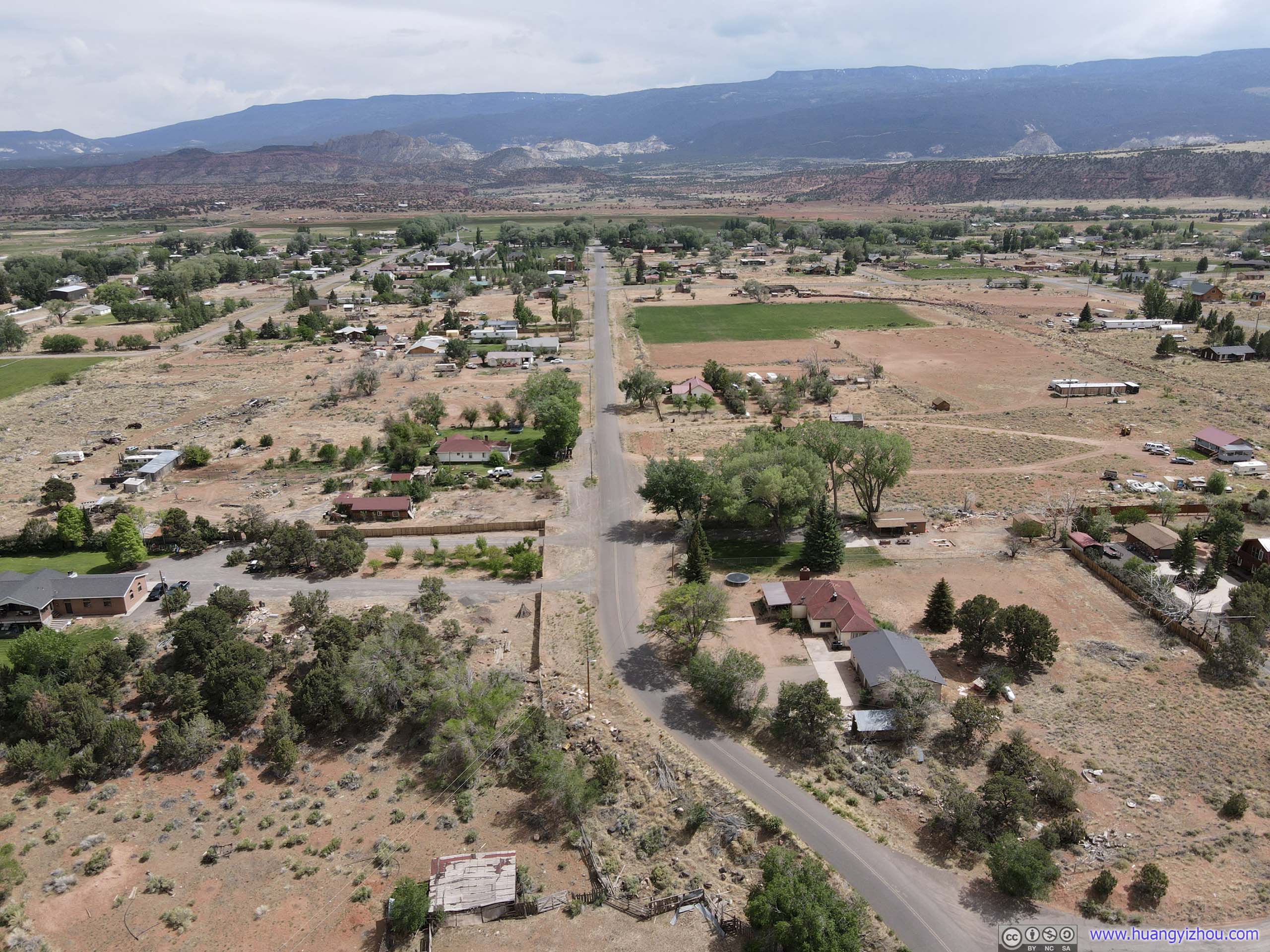

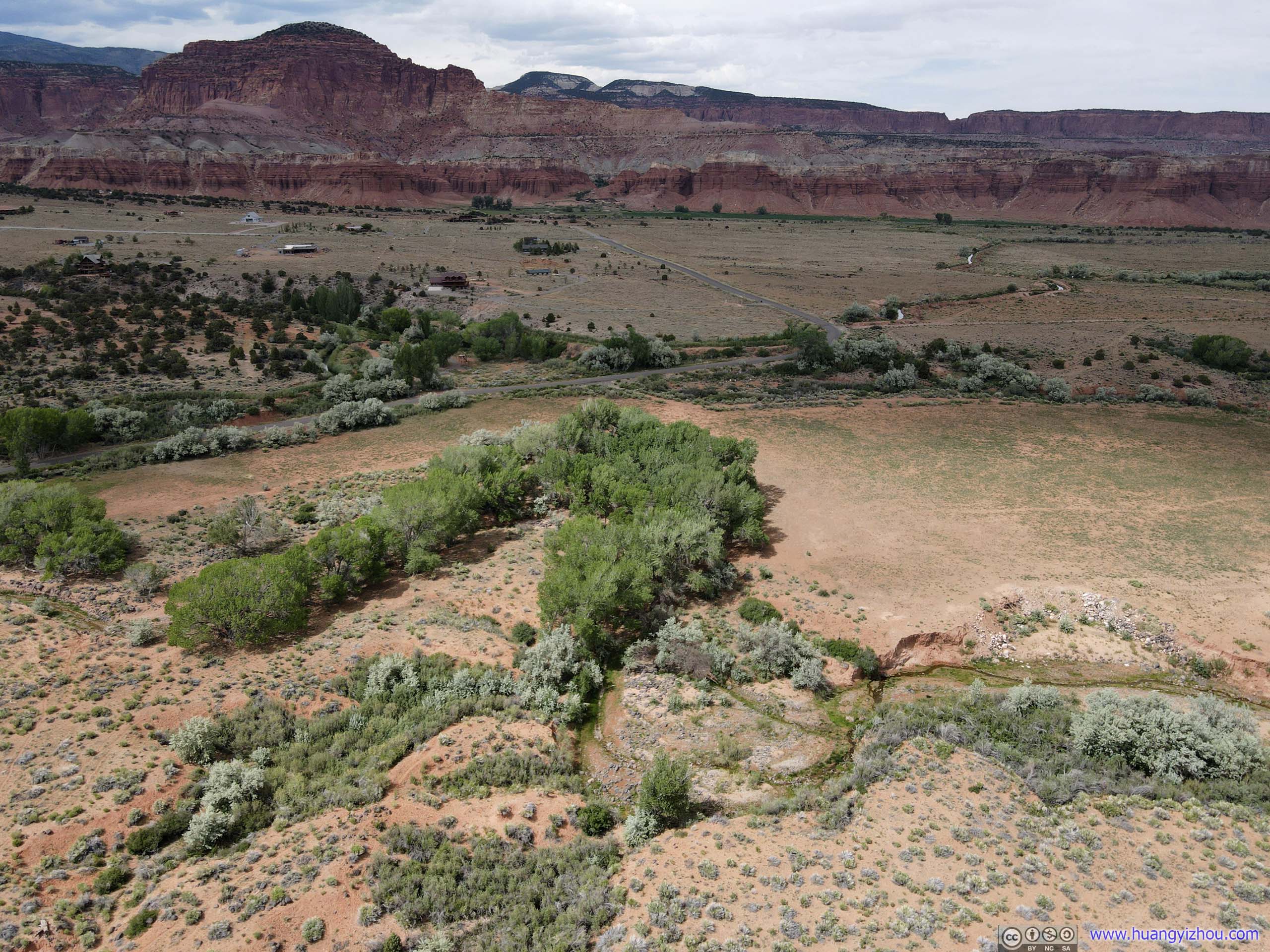
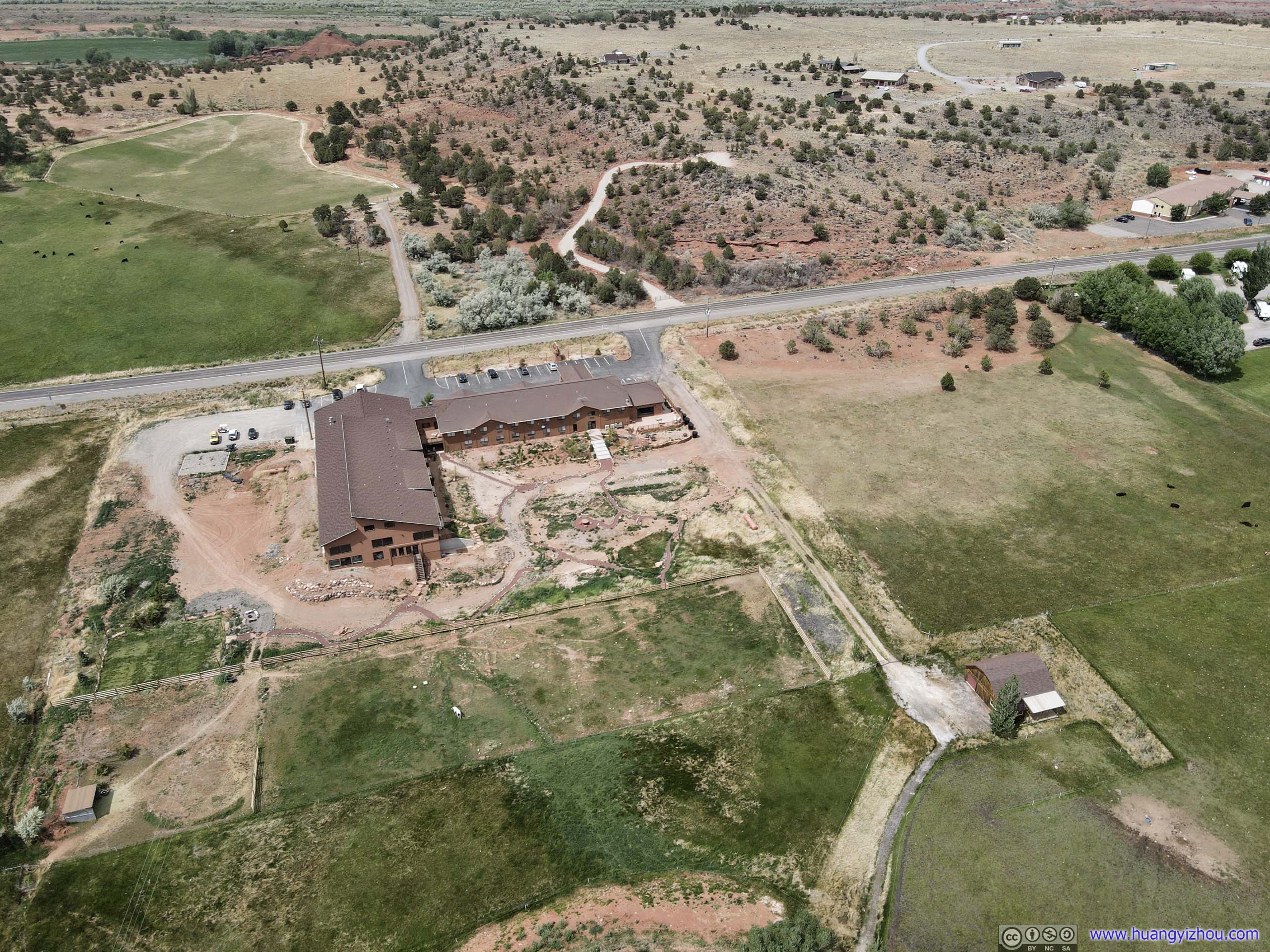
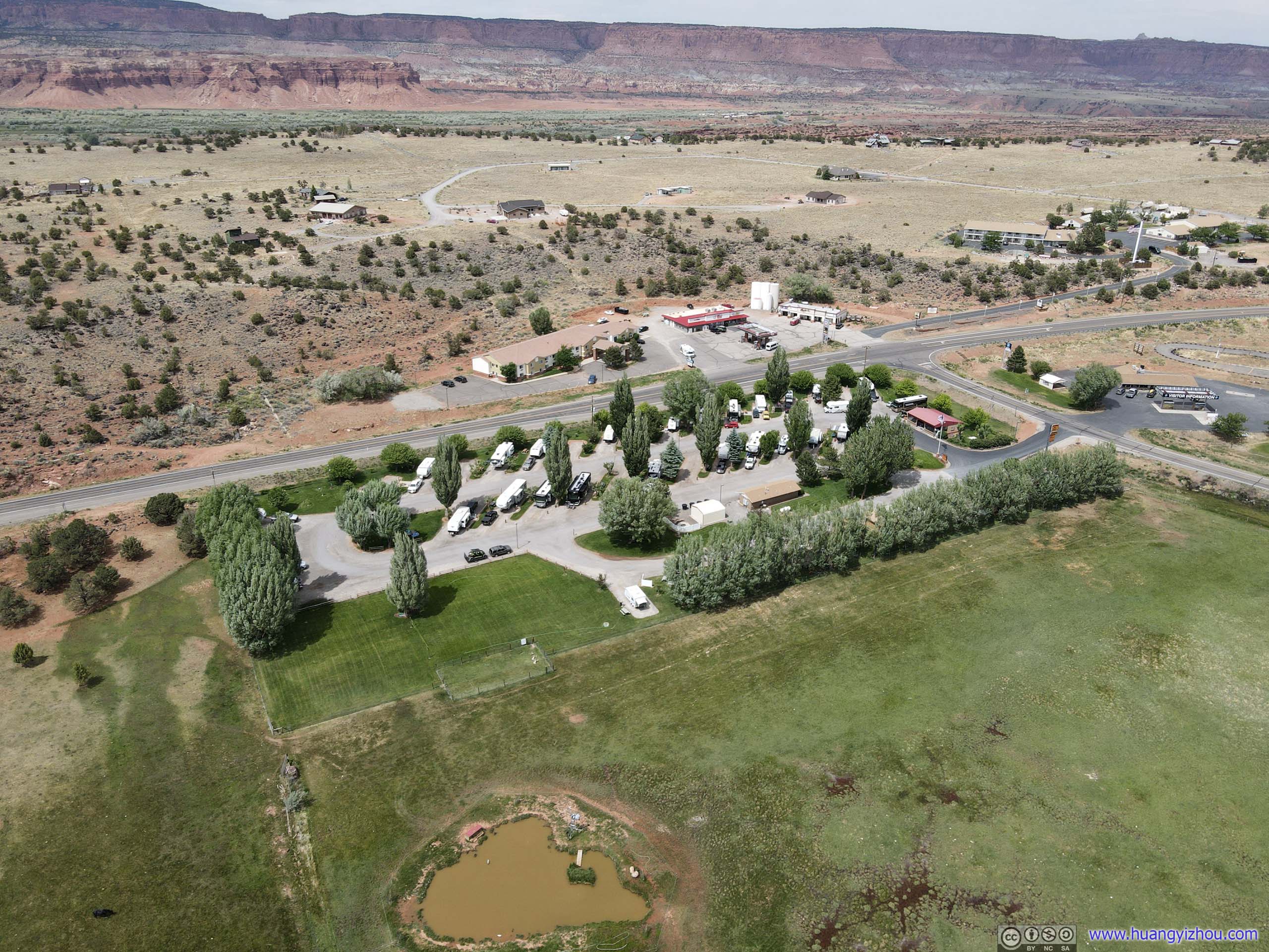
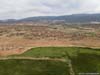
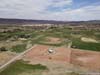
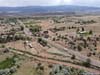
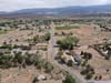
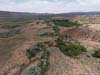
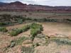
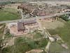
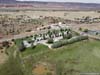
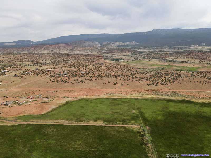
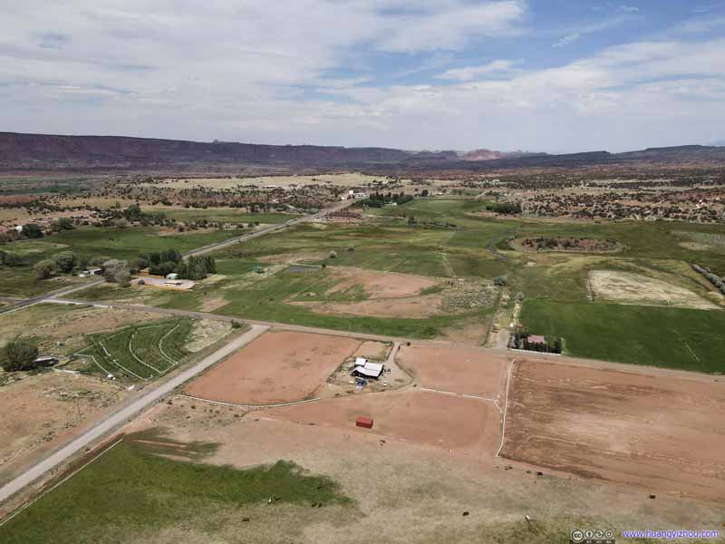
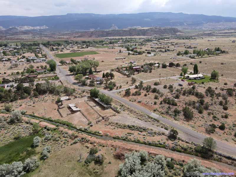
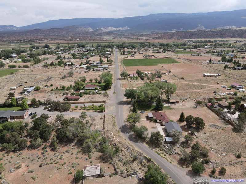
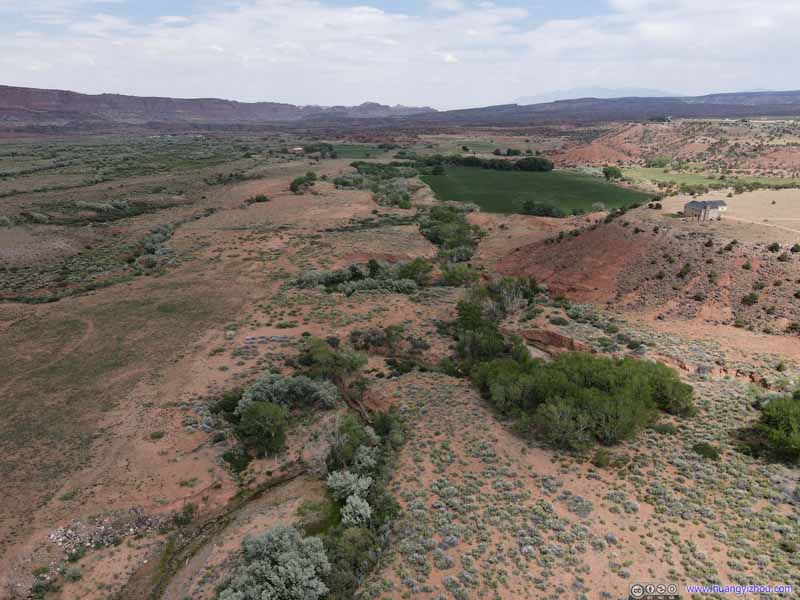
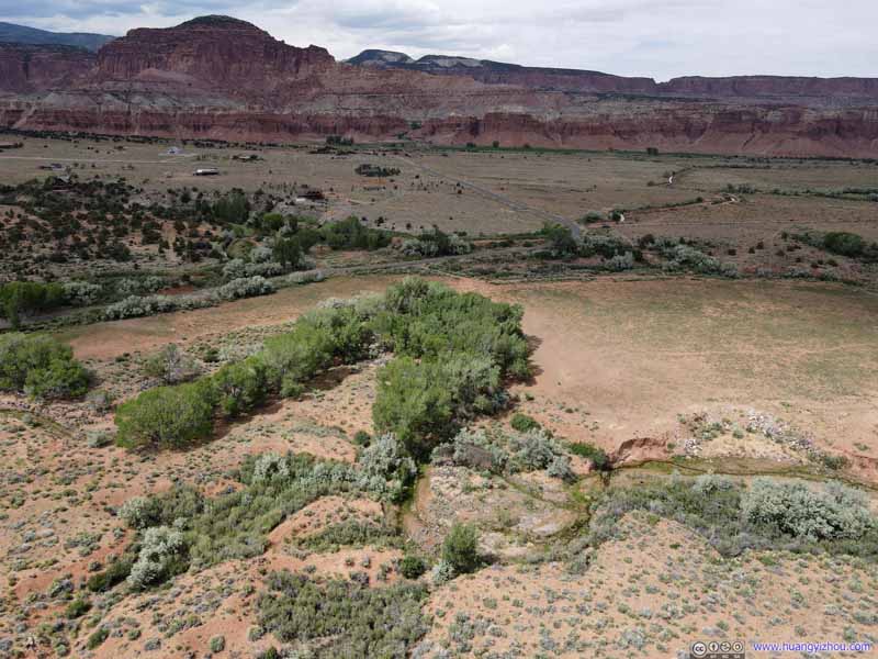
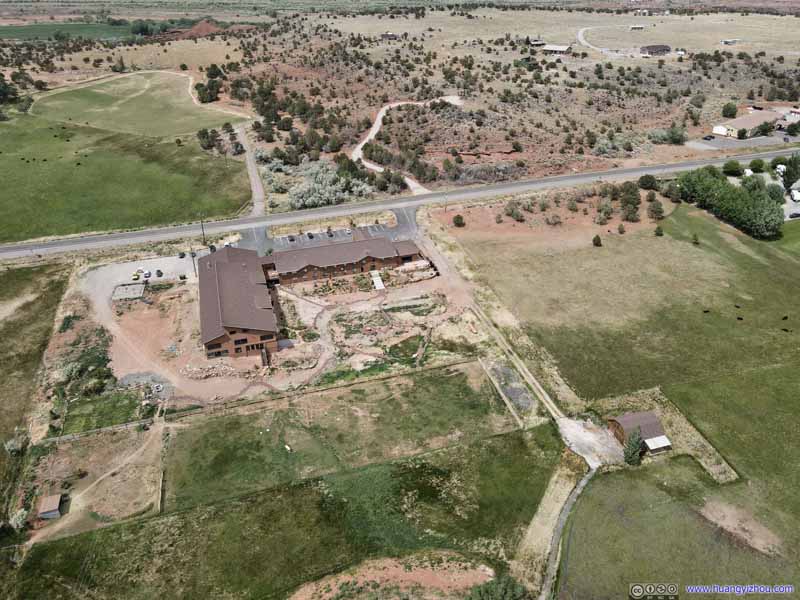
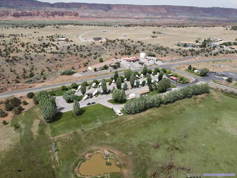
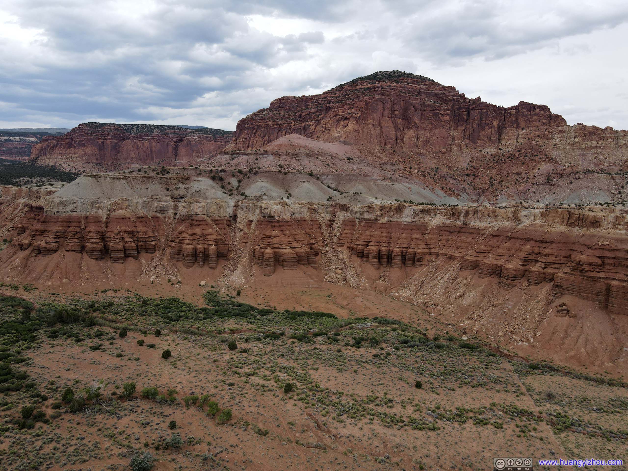
Just North of the town were some beautiful mesas in Fishlake National Forest, I flew my drone there and took a closer look.

And here's the video:
Koosharem Reservoir
The next stop I made was at Koosharem Reservoir along UT24, as I thought photographing a vast body of water between two mountain ranges would be spectacular.



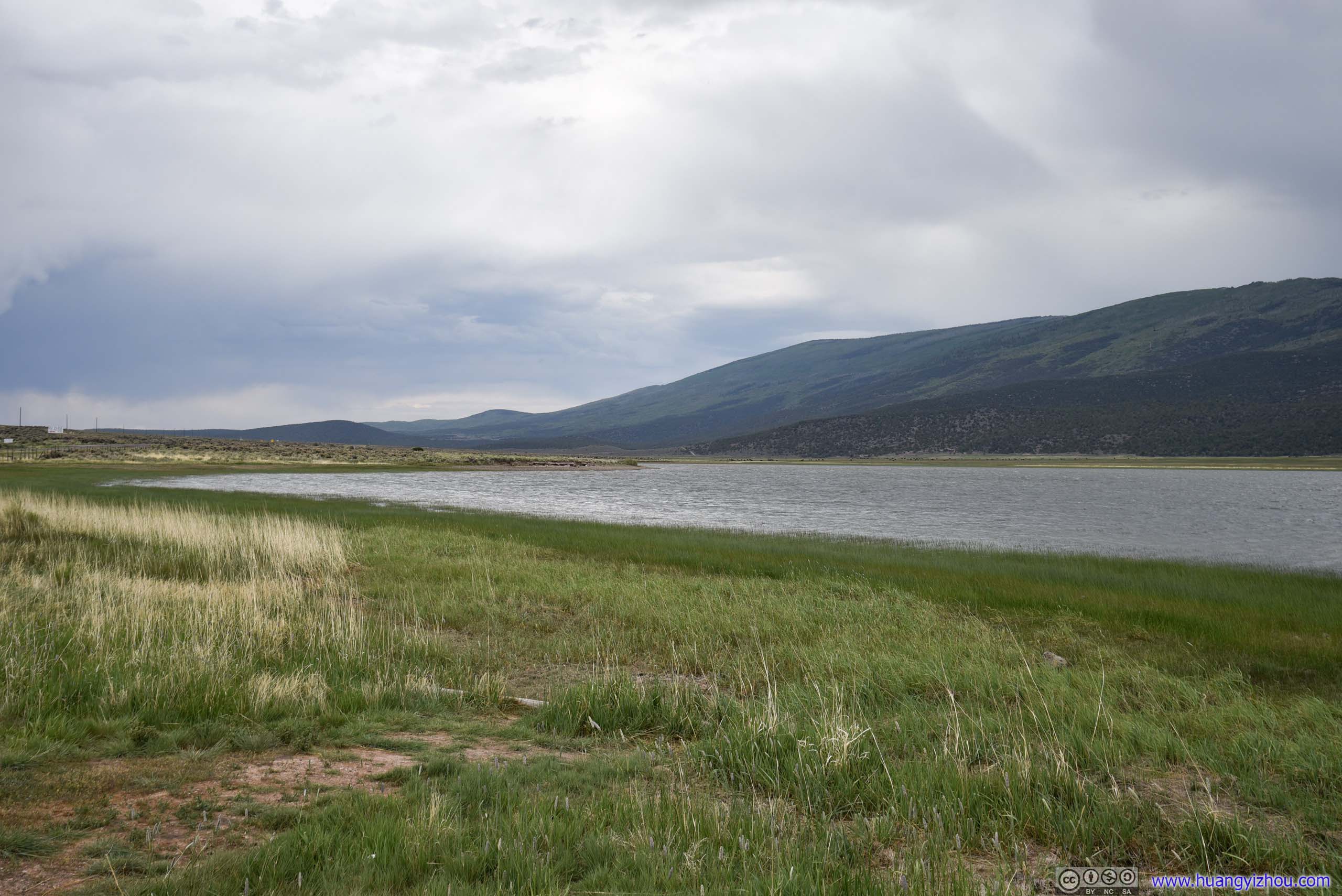
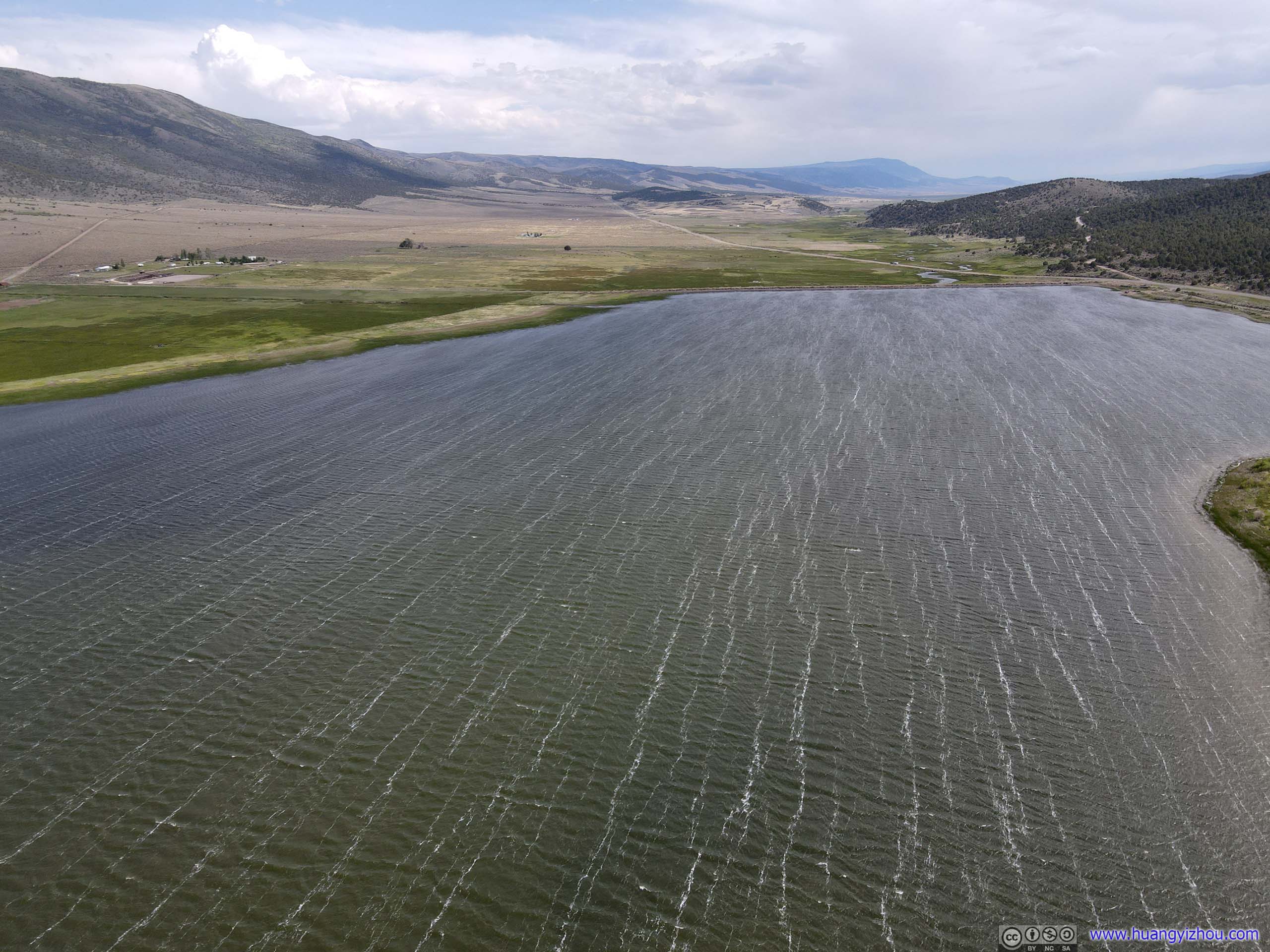
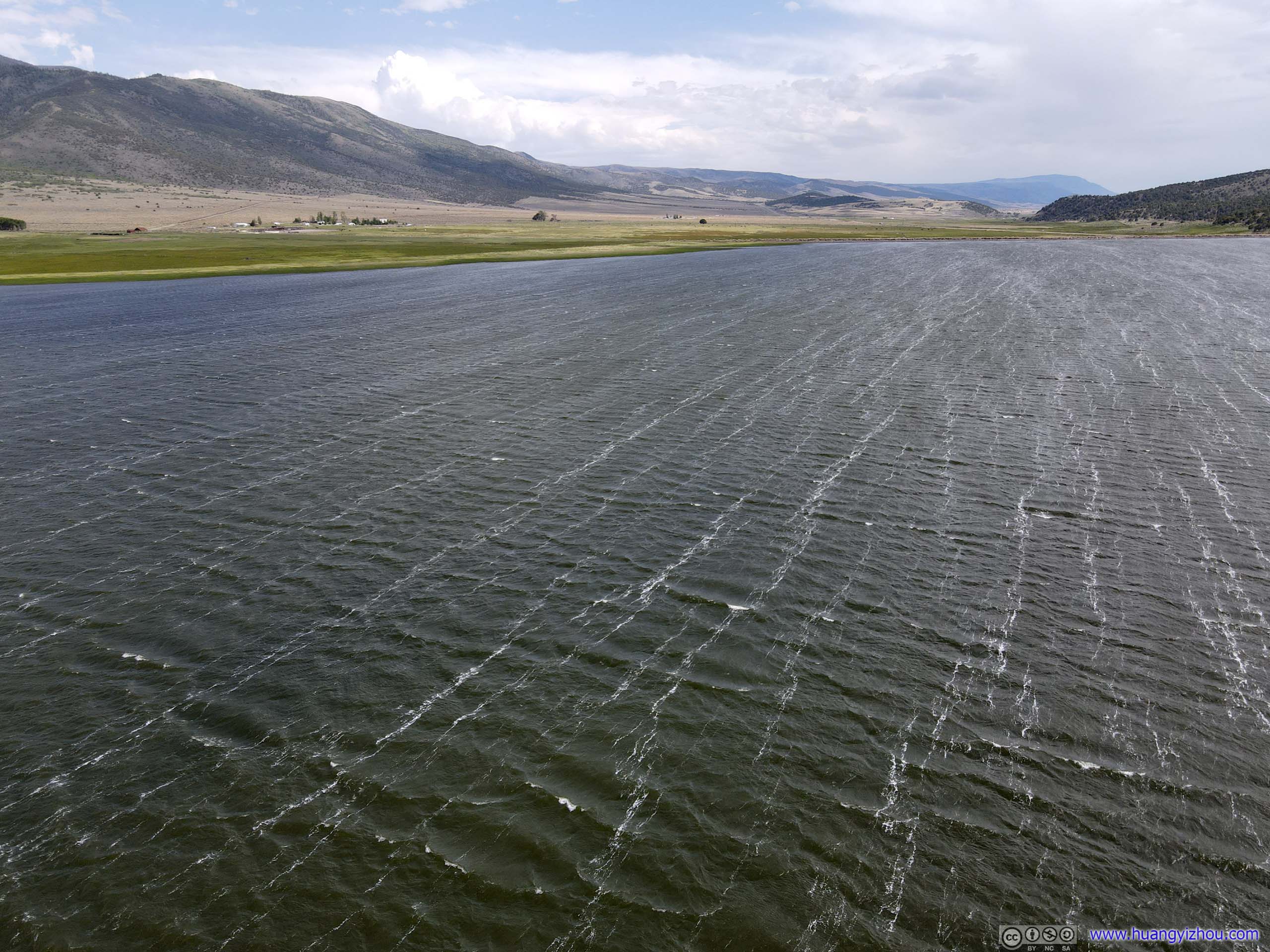
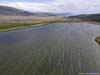
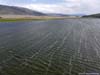
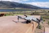
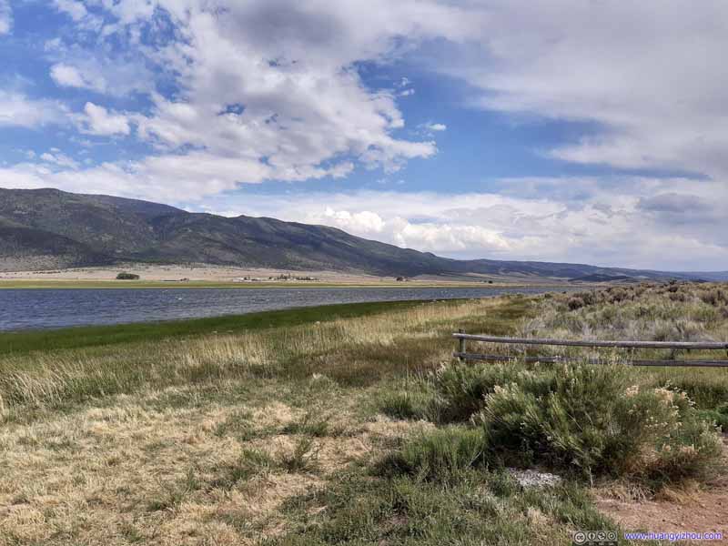
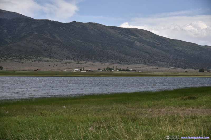
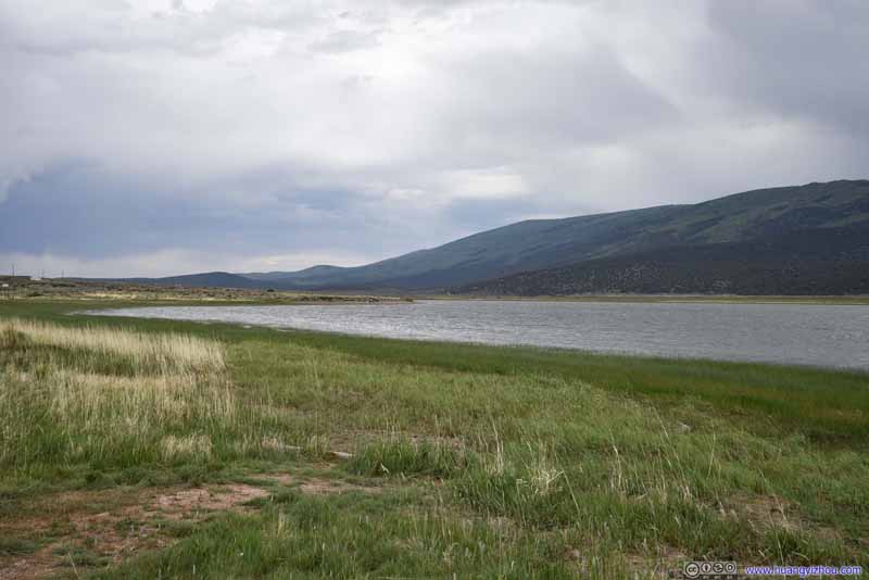
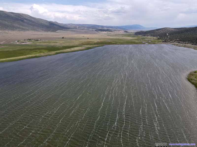
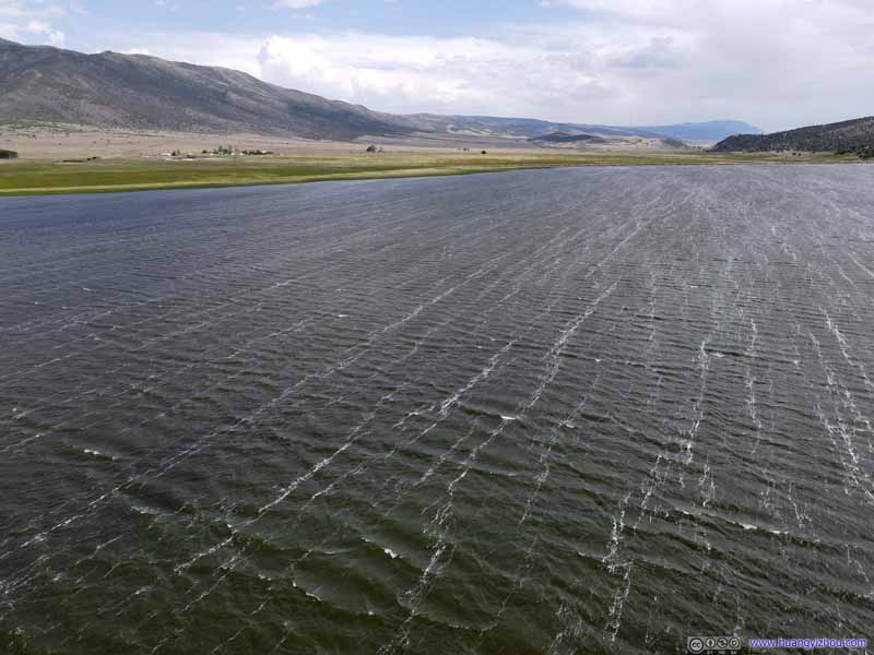
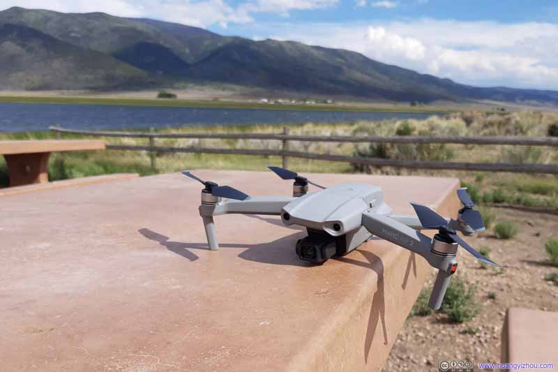
Unfortunately, it was a very windy day, and for the first time I got a "strong wind" warning from my drone as it struggled to stay put against the gale.
It also meant I couldn’t fly too high from the lake, with limited views.

Yuba Lake
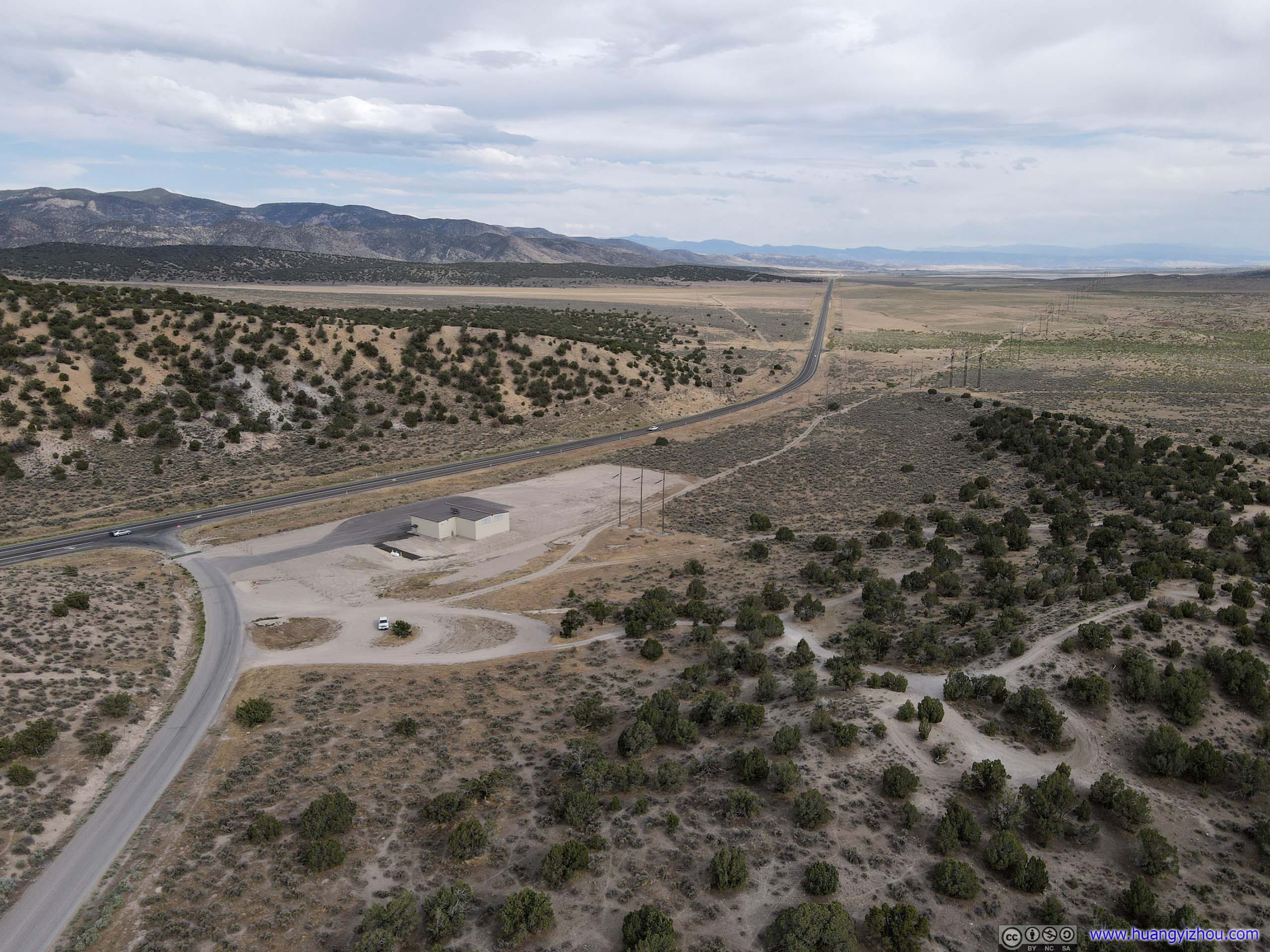
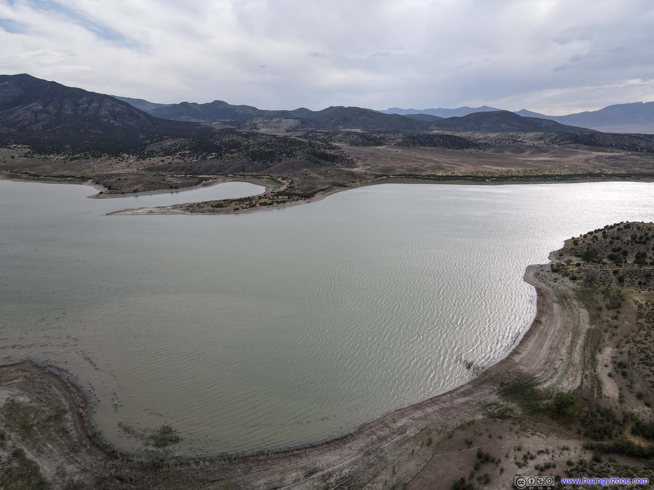
Not willing to give up from Koosharem Reservoir with its winds, I found another body of water, Yuba Lake, on my way to Salt Lake City.
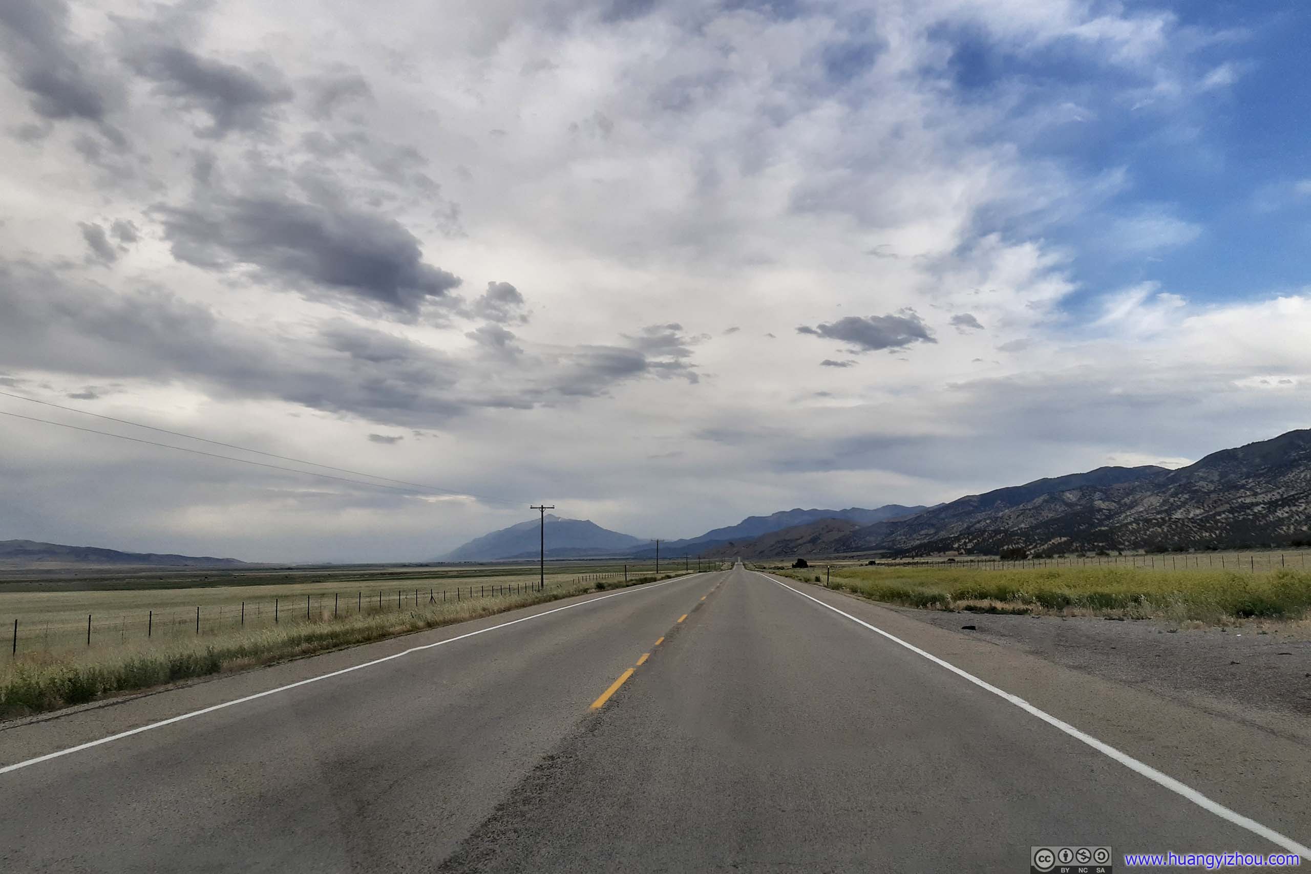
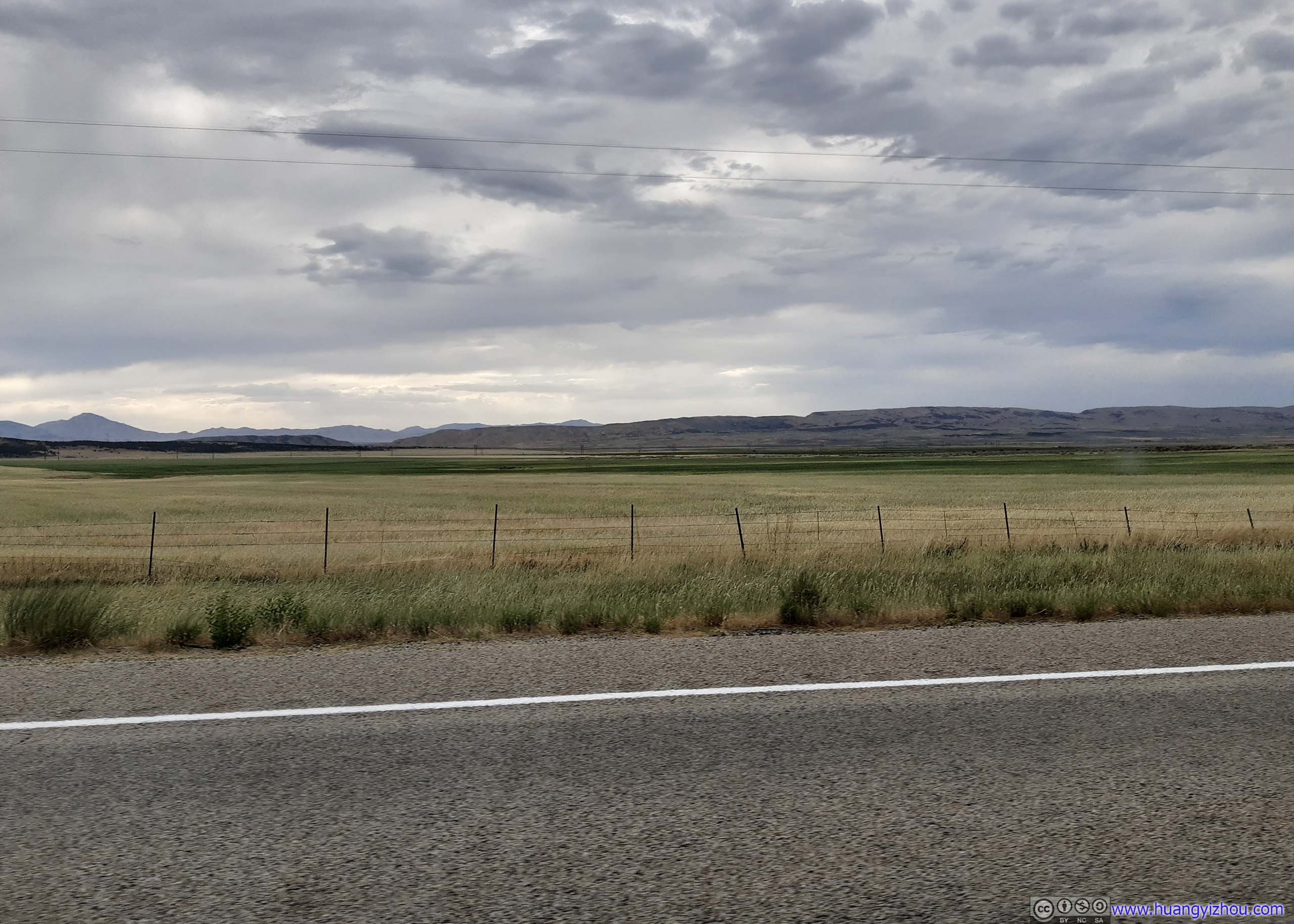
Unlike the lush meadows surrounding Koosharem Reservoir (it's located in "Grass Valley"), the uncultivated fields surrounding Yuba Lake seemed a little bit desolate with shallow bushes. Despite that, before and after Yuba Lake, Utah Route 28 was traveling between unceasing farmlands.

South Santaquin
My final planned stop of the day was in South Santaquin, at exit 242 of I15.
On the map, I saw a few mountains to the east, thinking my drone was a wonderful way to tour them without burdening my legs.
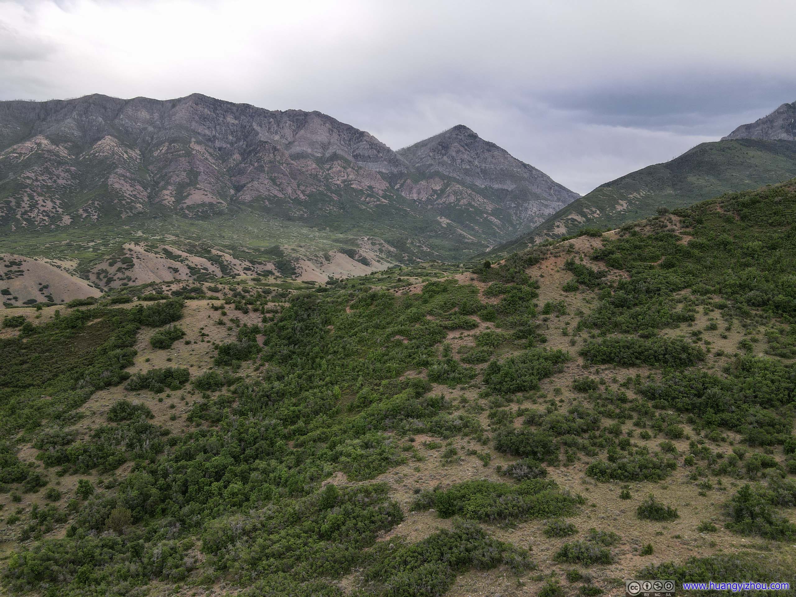
"Dry Mountain" on the left.
Unfortunately, those mountains turned out to be too far and too high for my drone’s reach, so I ended up flying close to the highway for most of the time.

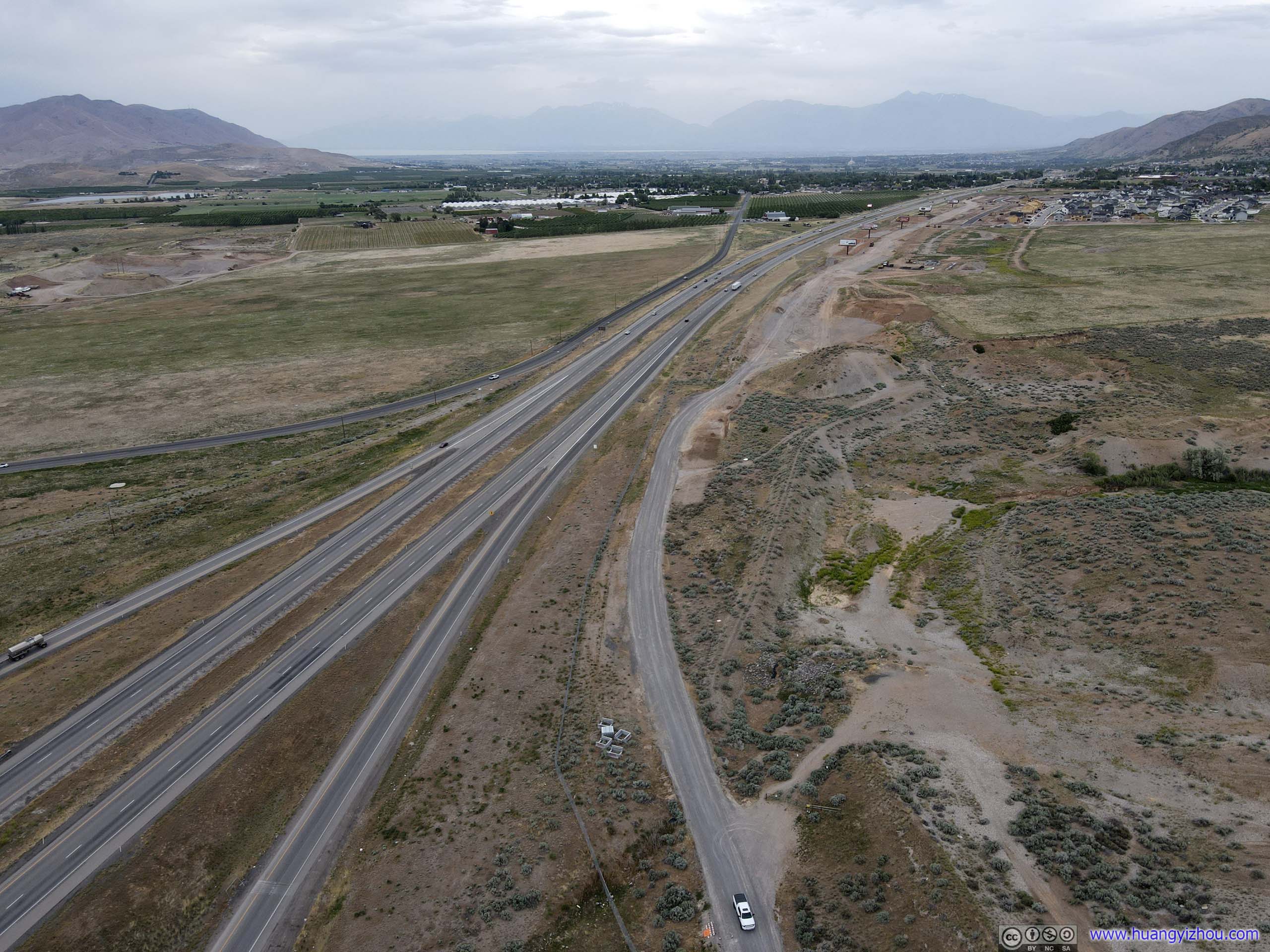
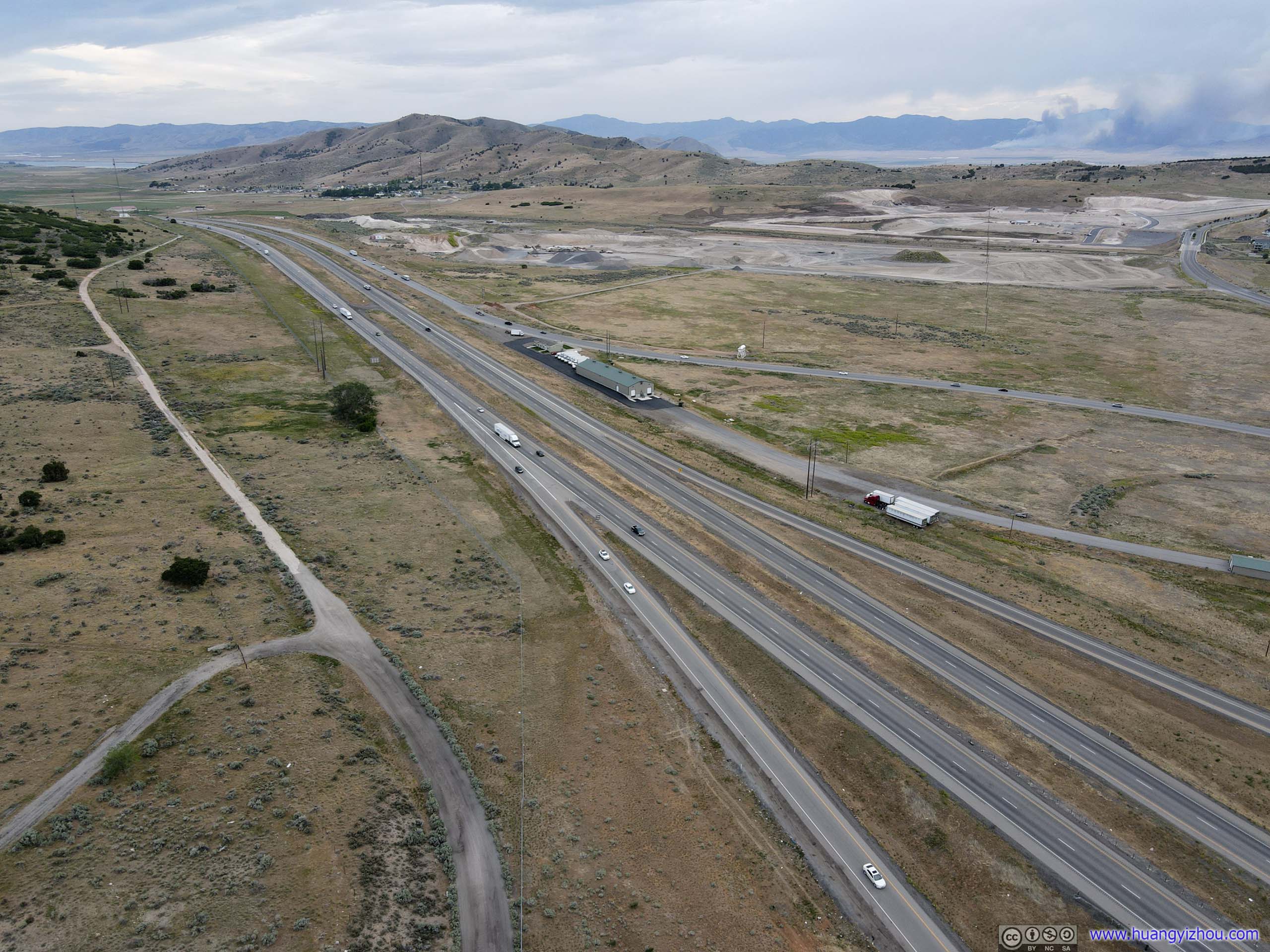
And here's a video clip.
It happened that there was a fire scene to the far west of the highway, with smoke billowing for miles.
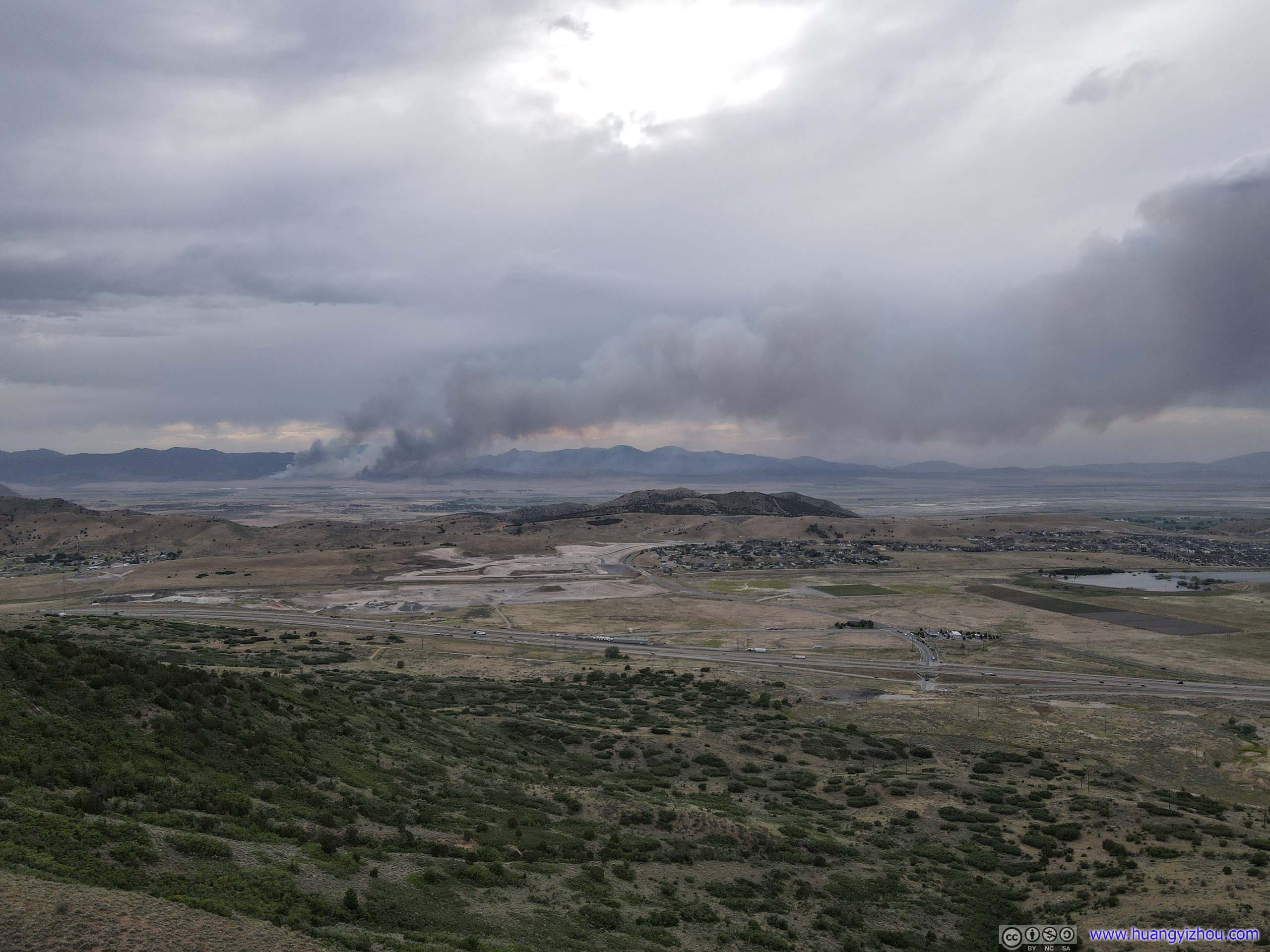
Angle of the rising smoke showed how windy it was that day.
So at 8pm, I arrived at the city of Sandy, UT, where I would be spending the night. After a quick grocery store visit (Unfortunately, I was led by Google Maps to a Walmart first. While Walmart reduced their store hours for COVID, it certainly wasn't reflected on Google Maps, and I certainly wasn't alone as quite a few others were turned away at Walmart's door during my brief visit.) to stock up on food for tonight and tomorrow's flight, I called it a day.
END