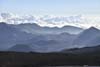
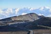
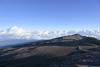
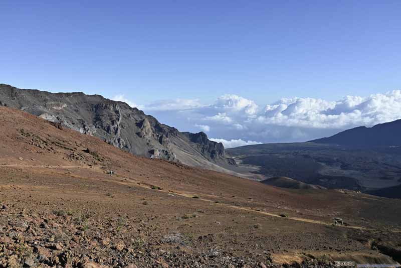
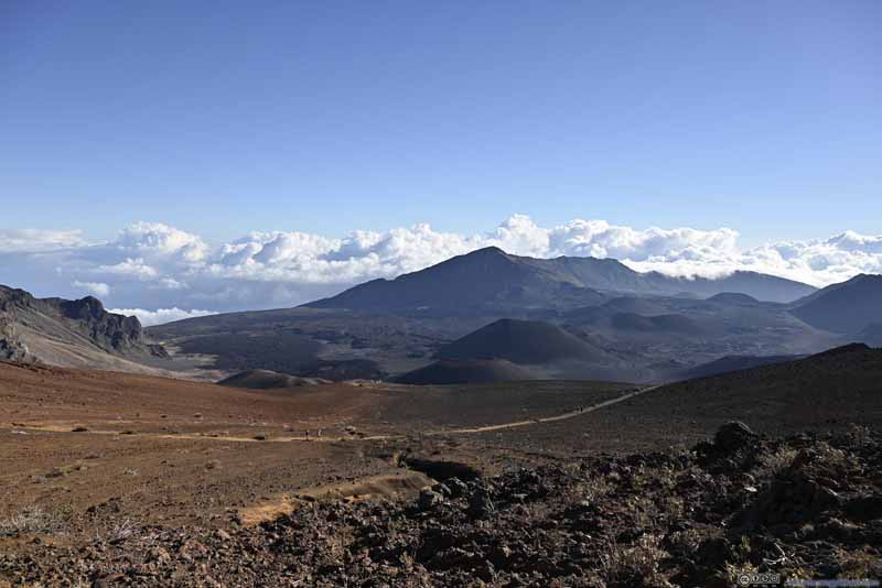
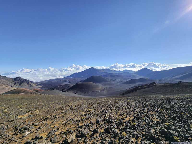
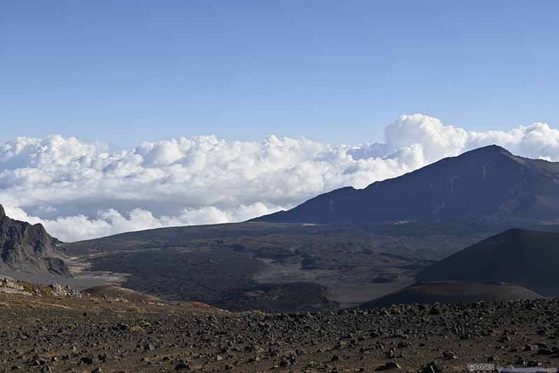
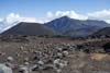
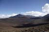
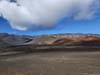
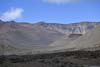
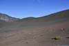
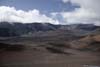
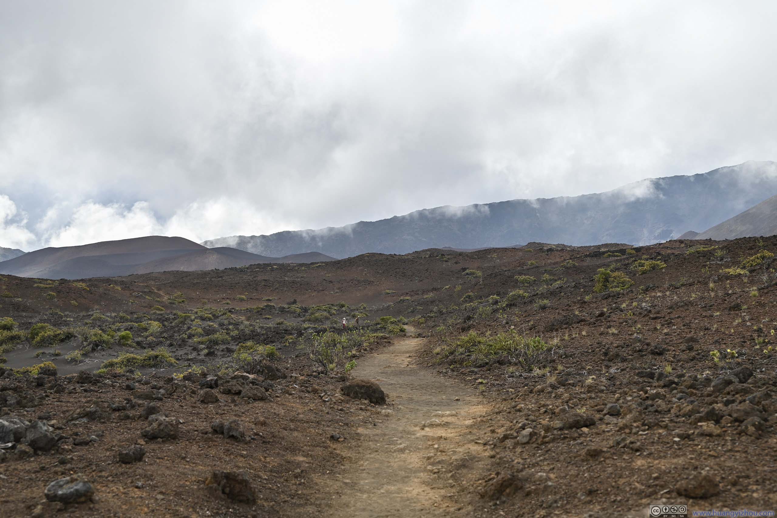
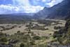
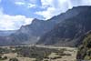
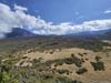
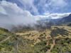
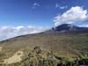
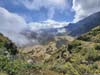
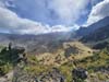
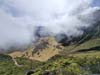
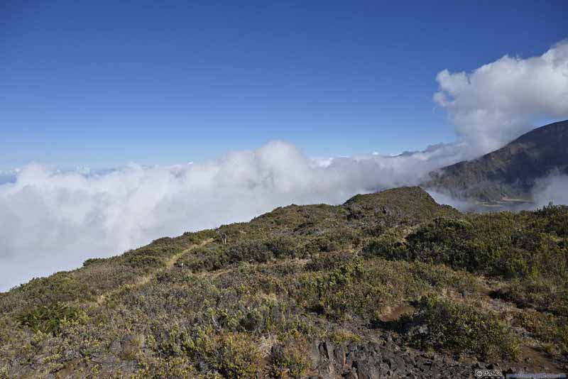
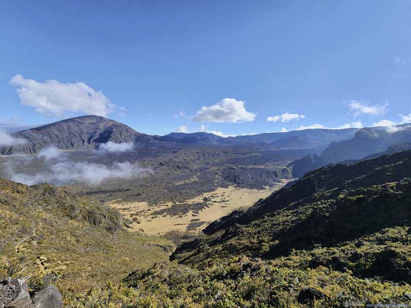
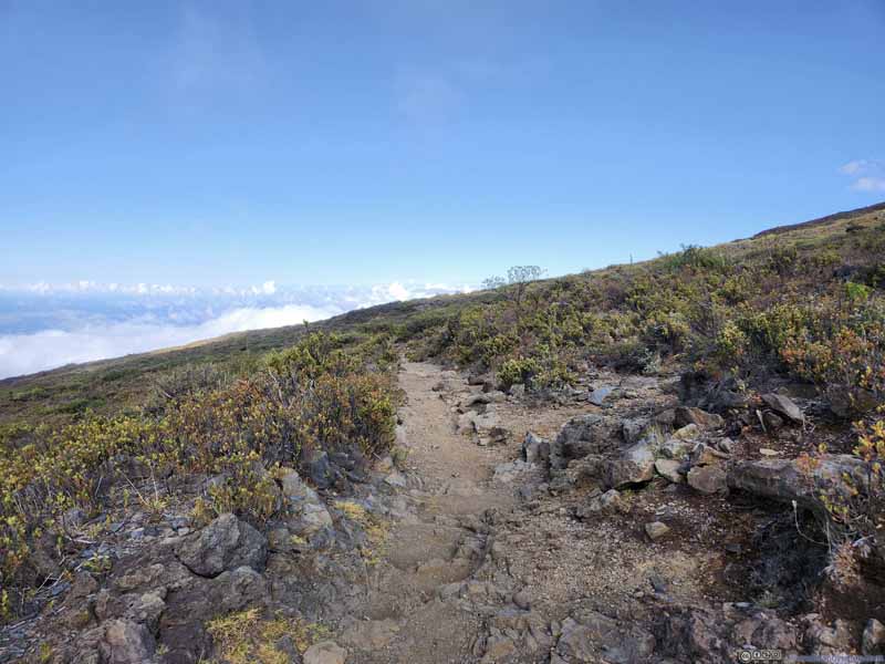
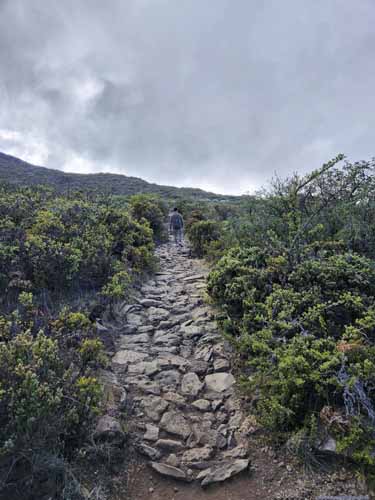
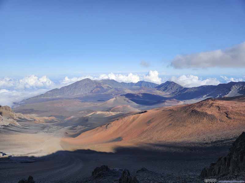
Seventh (and last) day of my January 2023 trip to Hawaii. We would spend the day in Haleakalā National Park, starting with its famous sunrise and followed by an epic hike through its volcanic crater.
Sunrise over Haleakalā
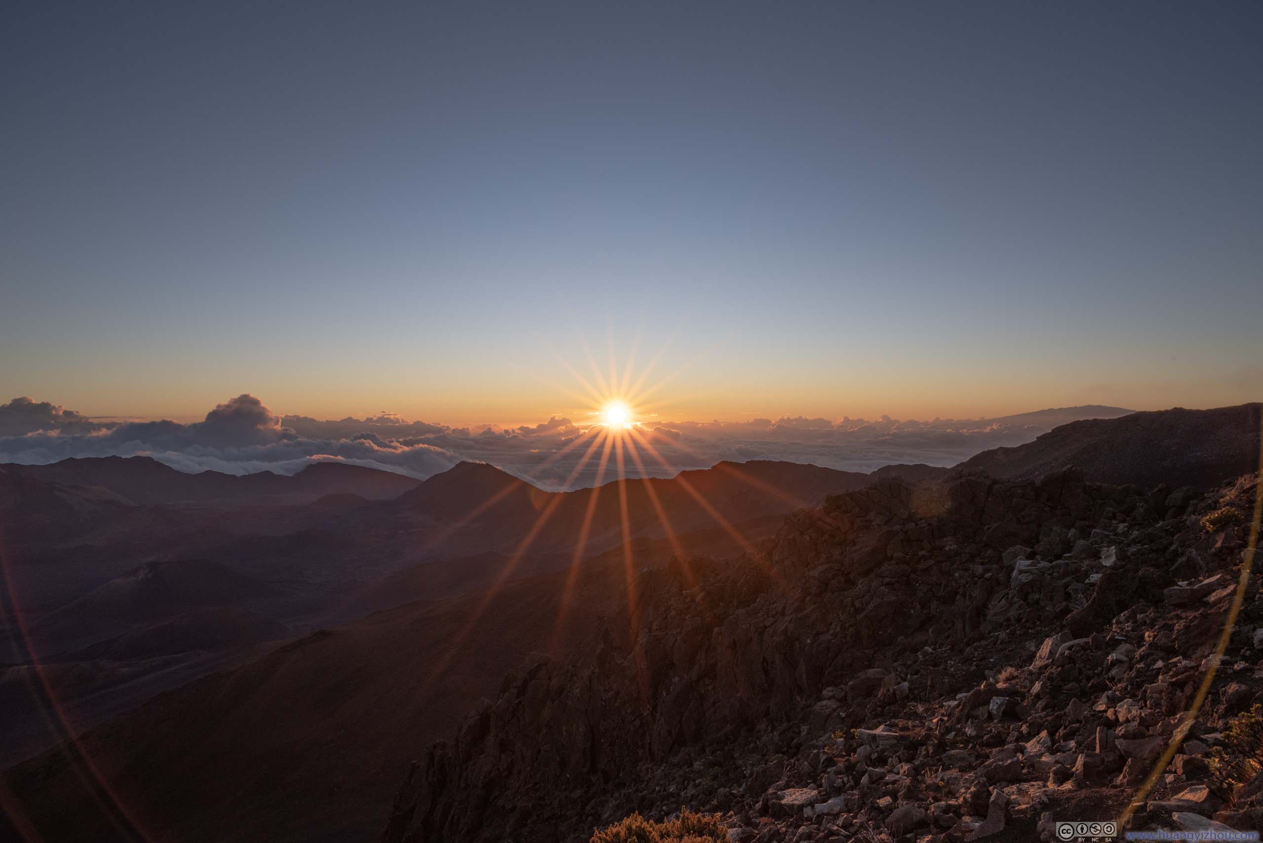
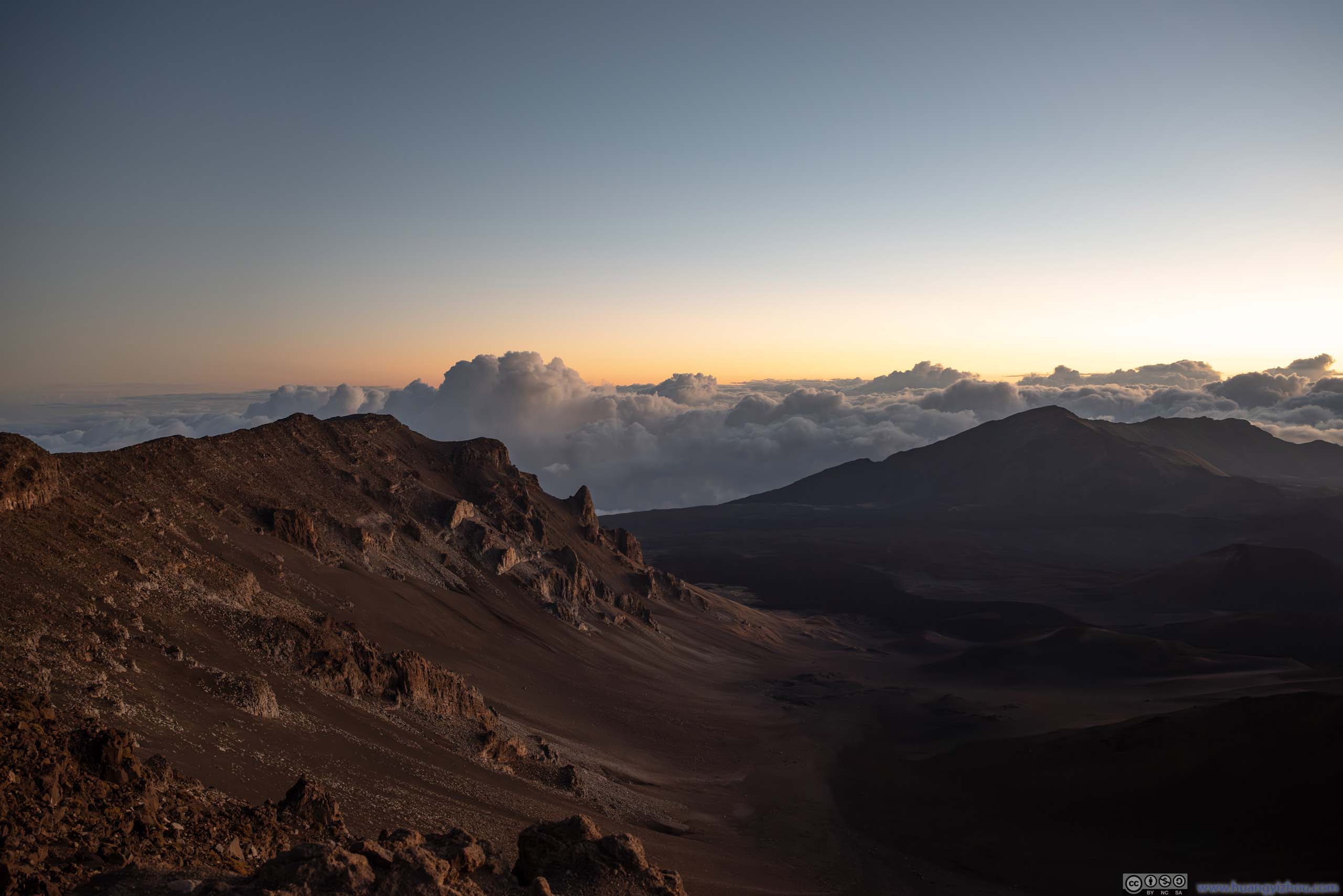
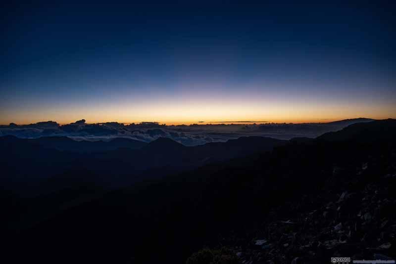
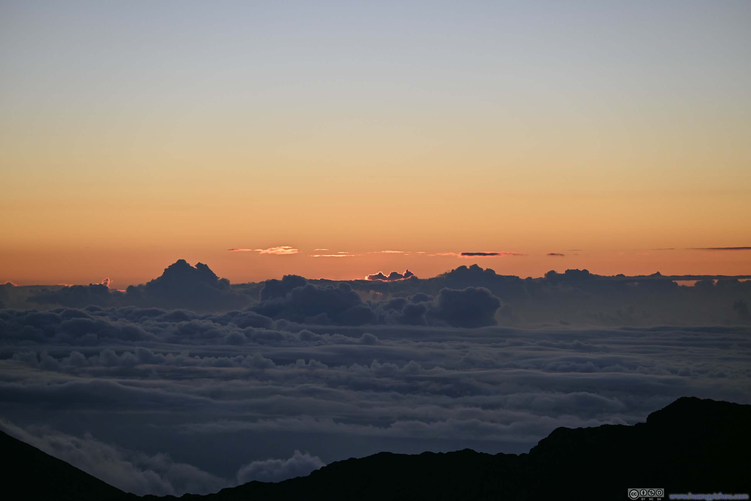
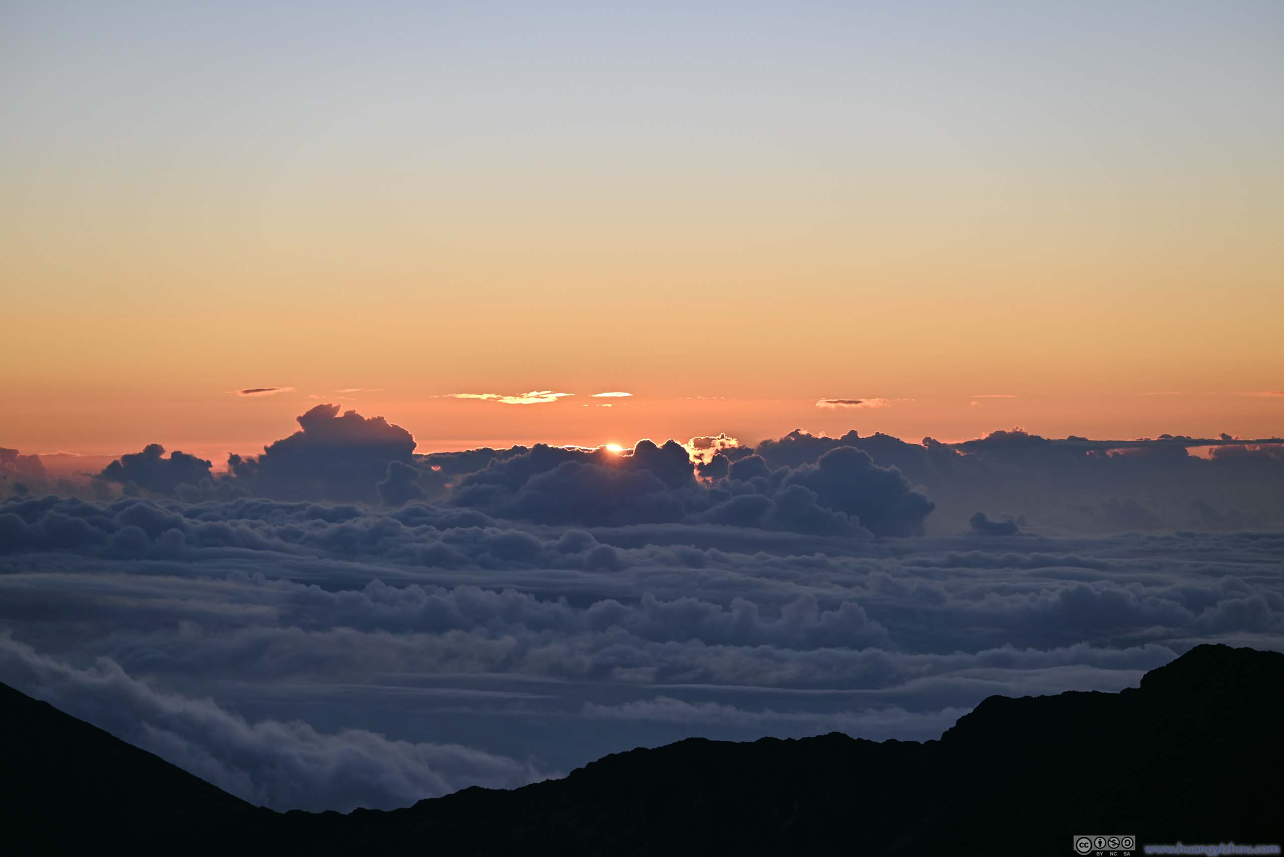
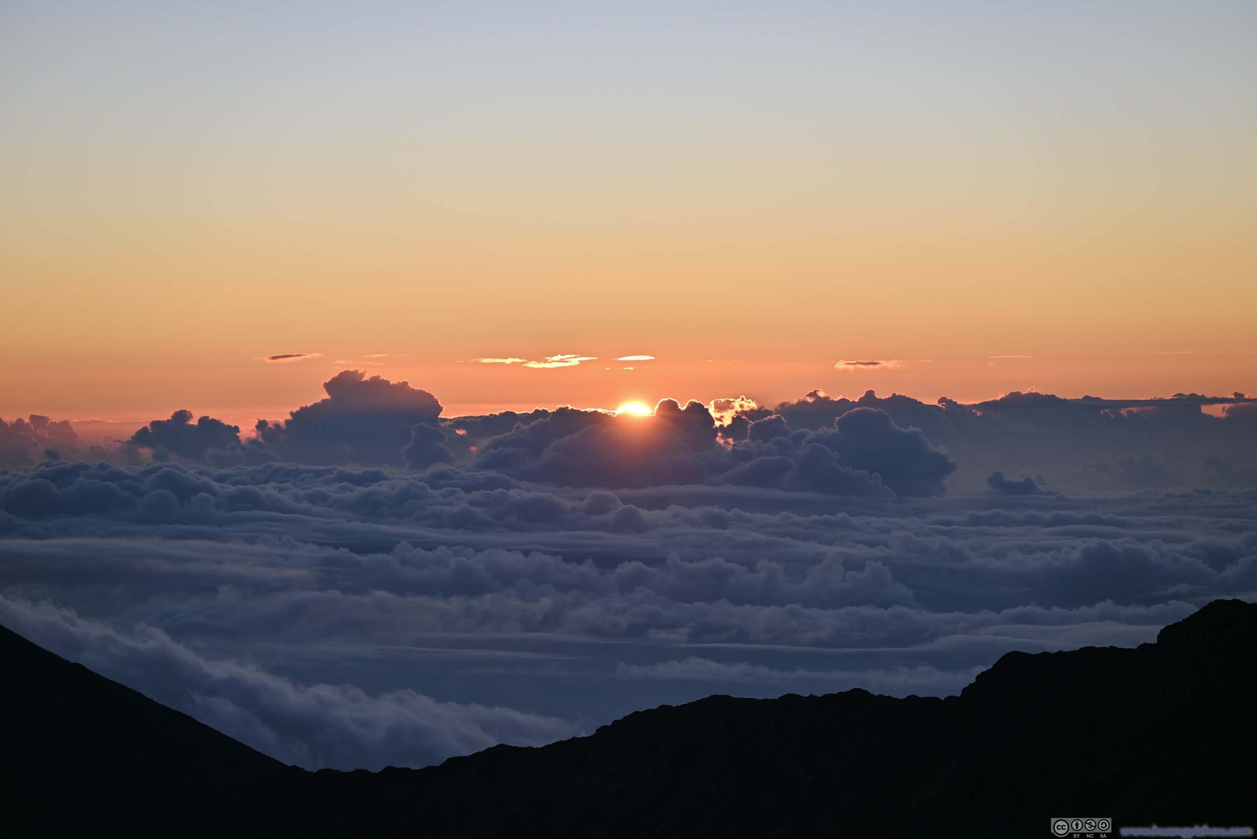
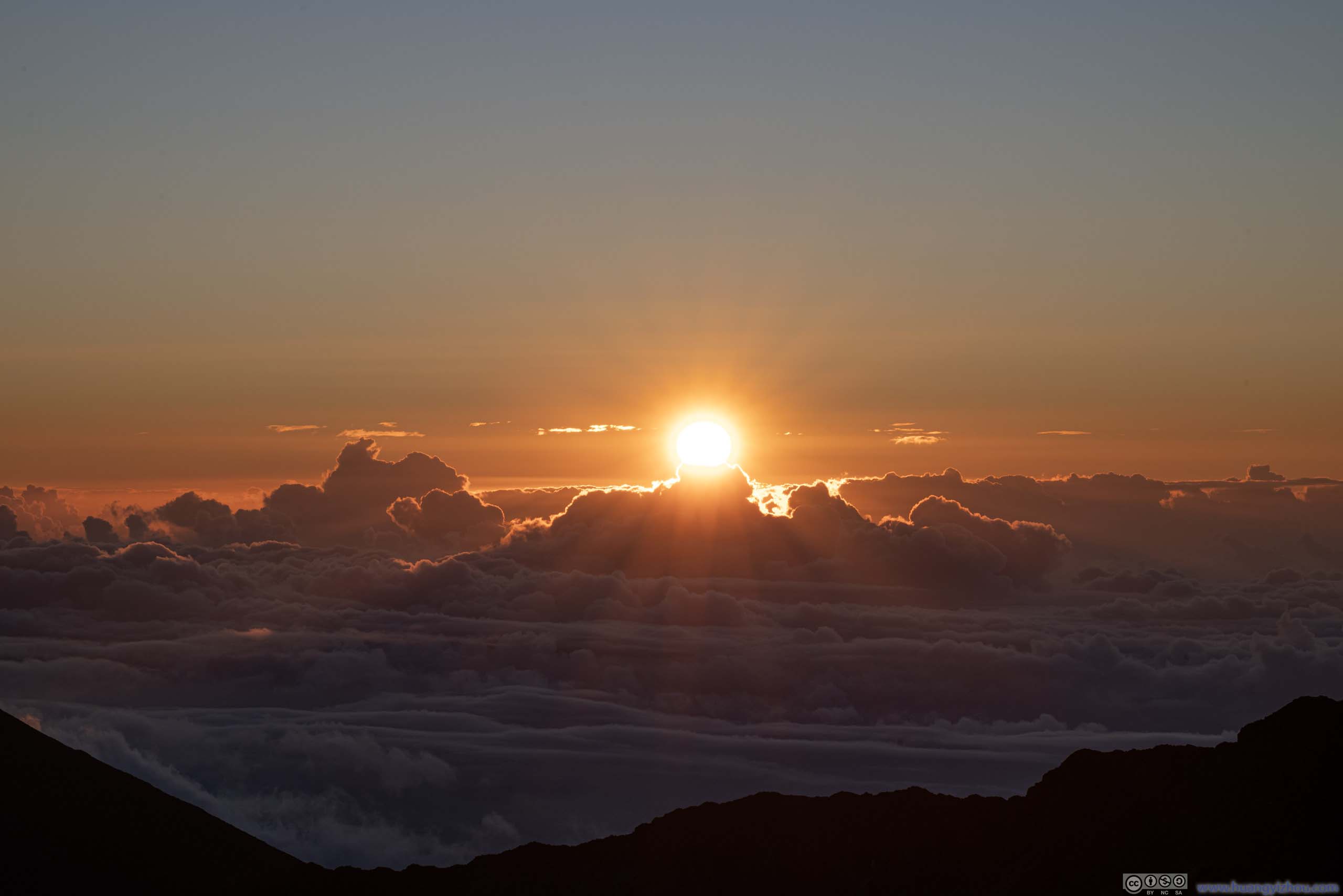
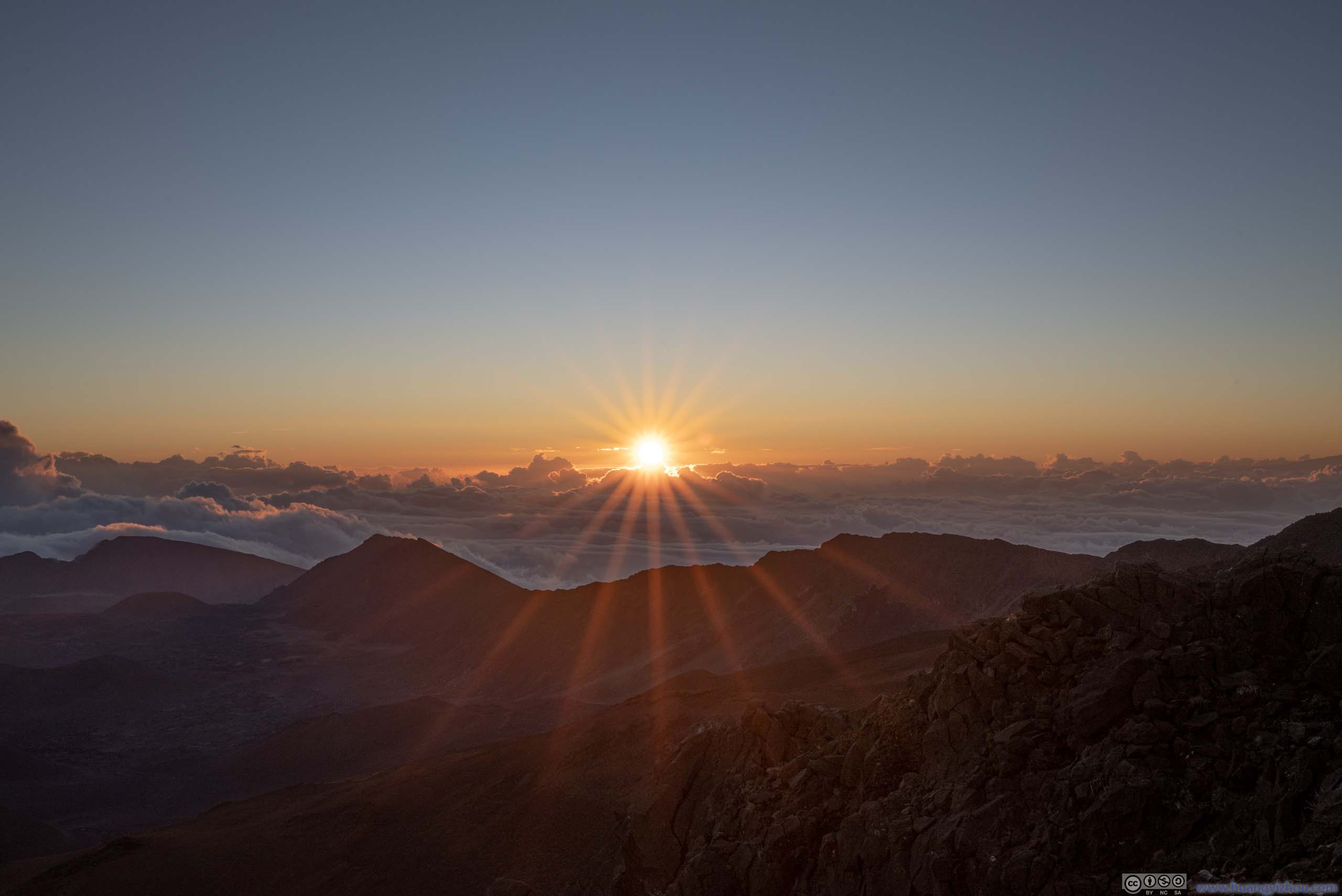
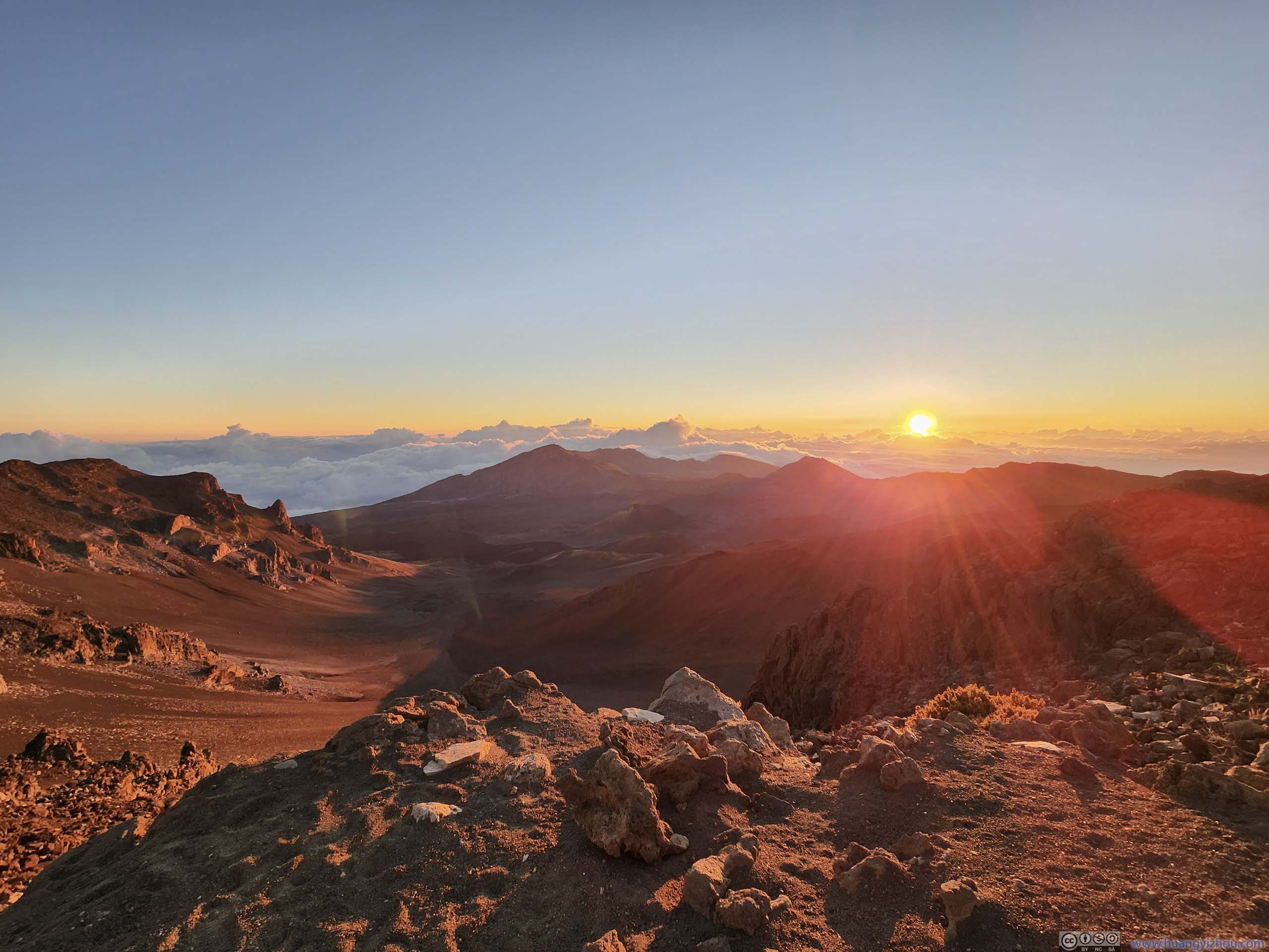
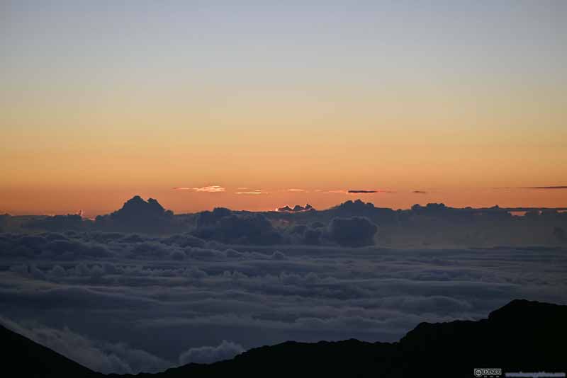
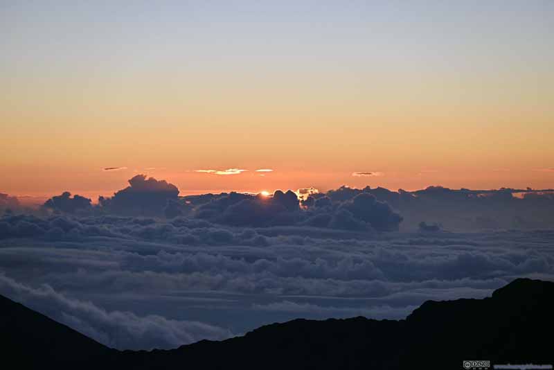
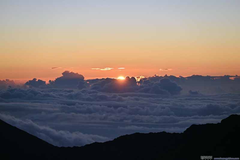
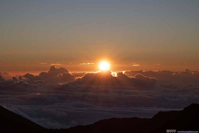
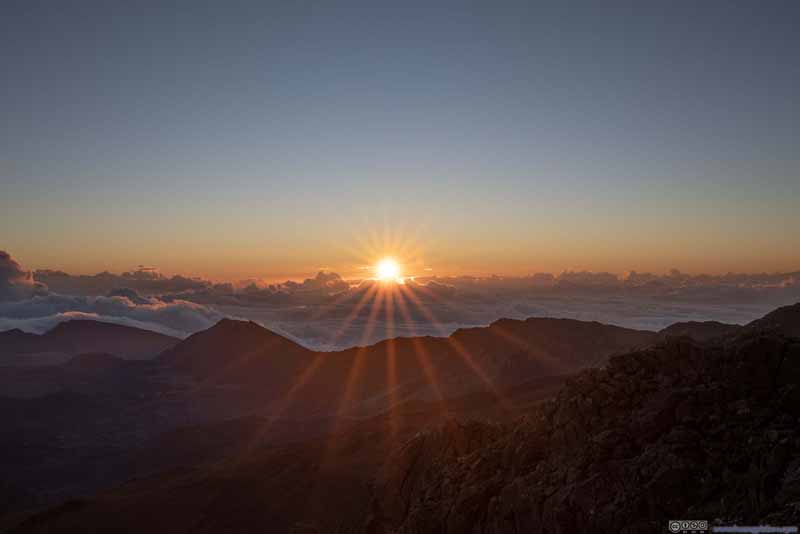
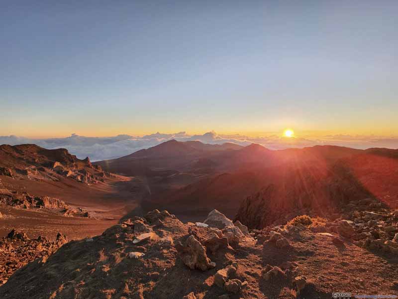
This was our final whole day in Hawaii. So far, we hadn't touched on the popular attraction of Haleakalā, a volcanic mountain that was visible from much of Maui. All Hawaiian islands were volcanic mountains that rose over 10000m from the ocean floor, with Haleakalā being one of them. At an elevation of 3000m, it's the highest point in the island of Maui, higher than the inversion layer in Hawaii; as a result, clouds were usually kept below the summit, and a typical sunrise from Haleakalā involved watching the sun rising above the clouds and volcanic craters, which made it a spectacular and popular experience.
Sunrise
Given its popularity (and the limited parking lot size), Haleakalā National Park enacted a reservation system for all sunrise-watchers. Based on our experience (since we planned this trip in advance), it's not that hard to get a reservation about 1.5 months in advance.
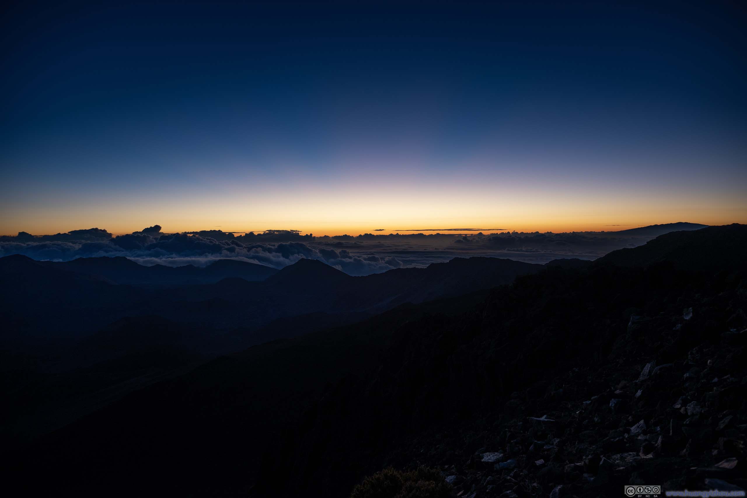
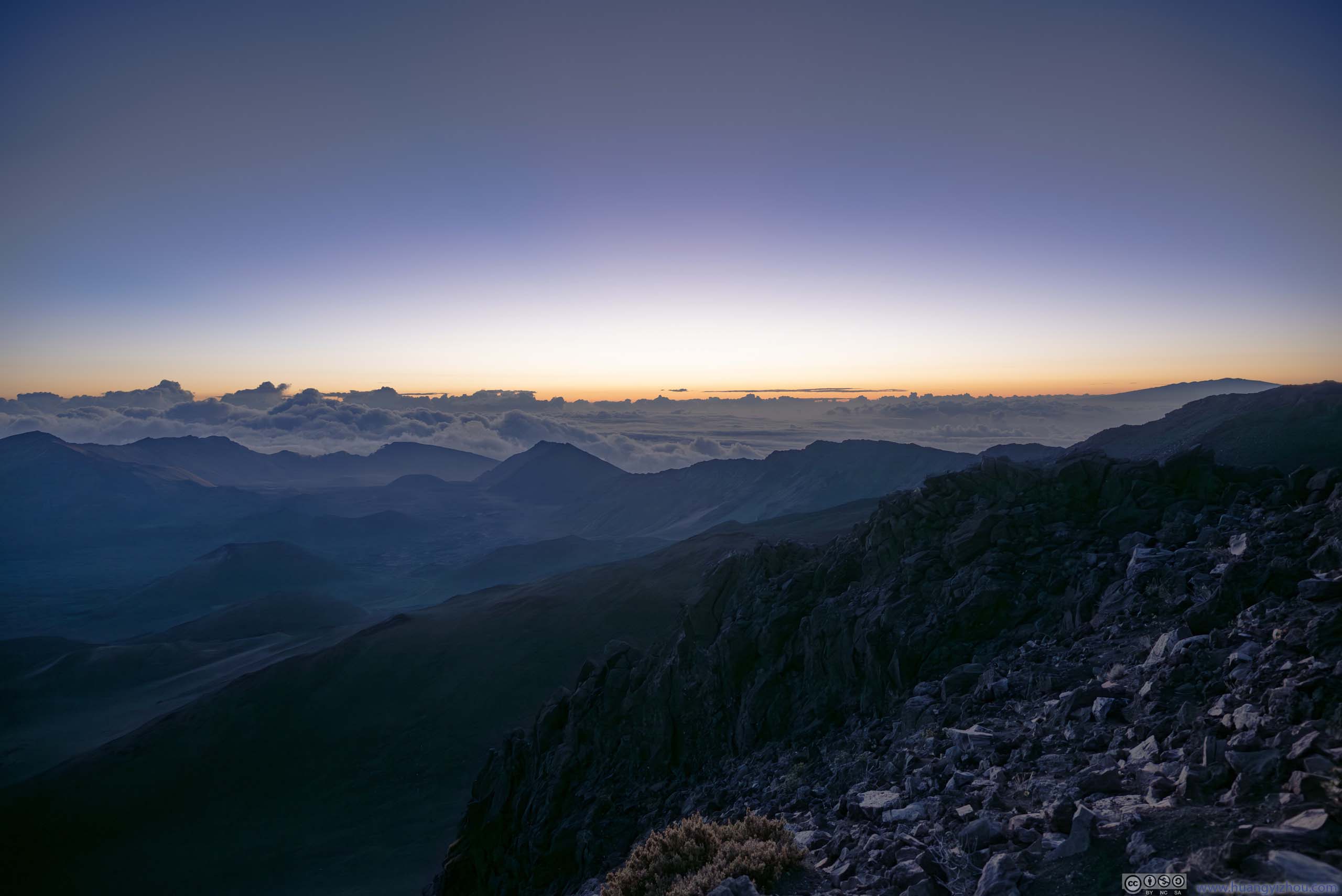
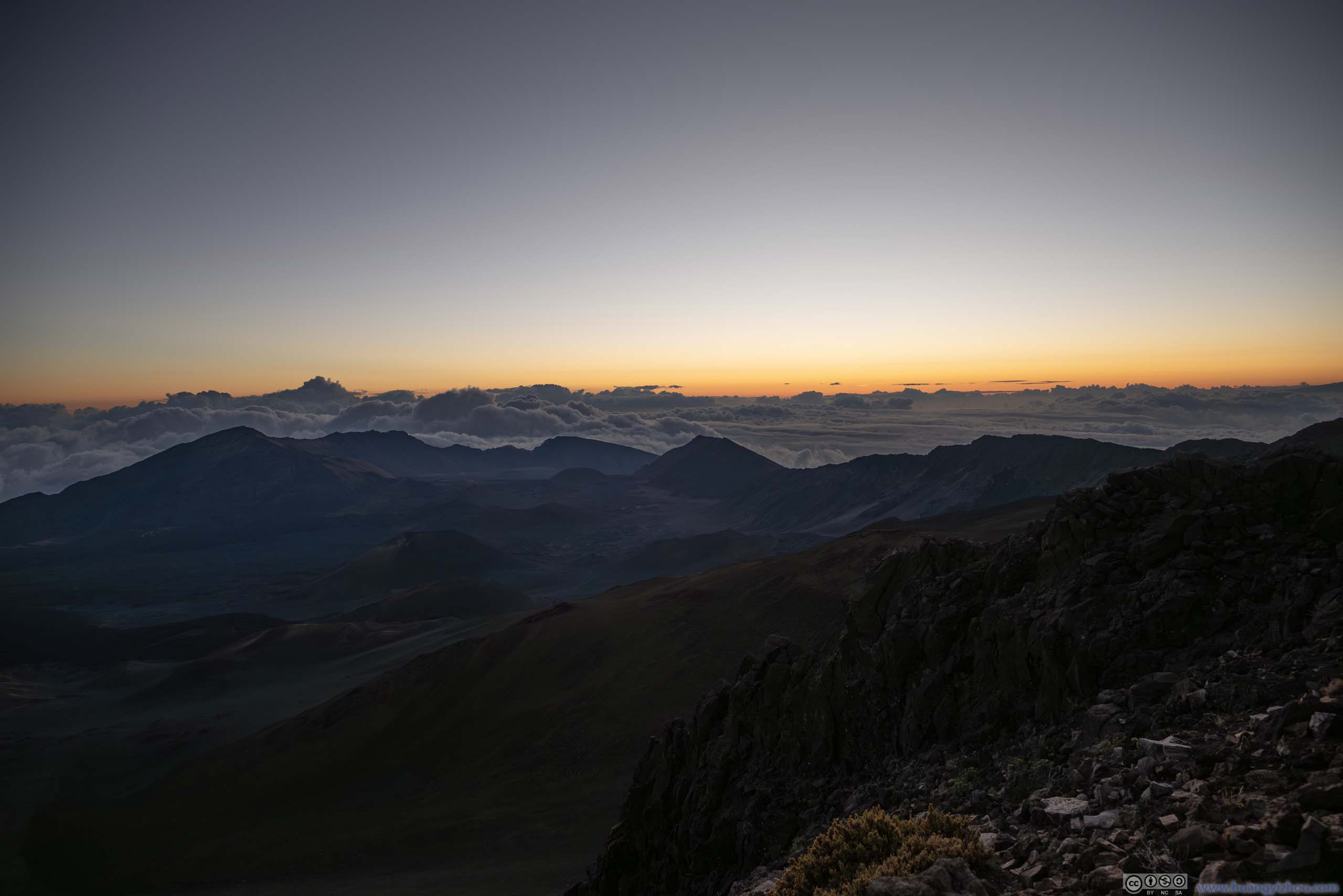
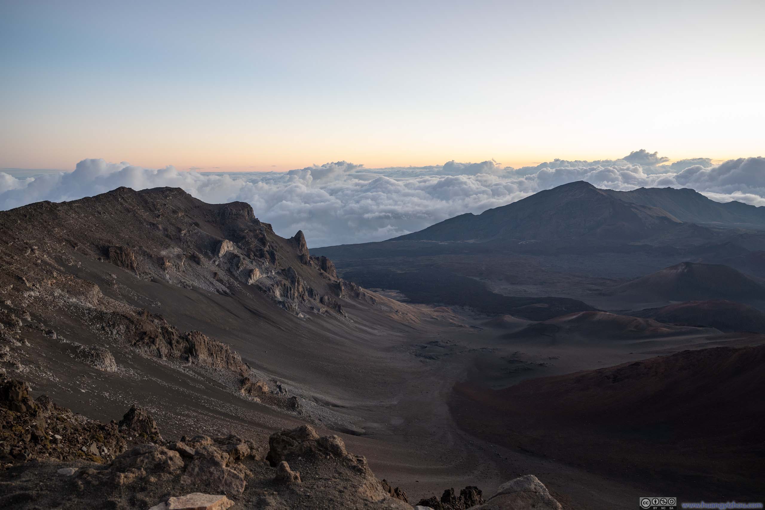
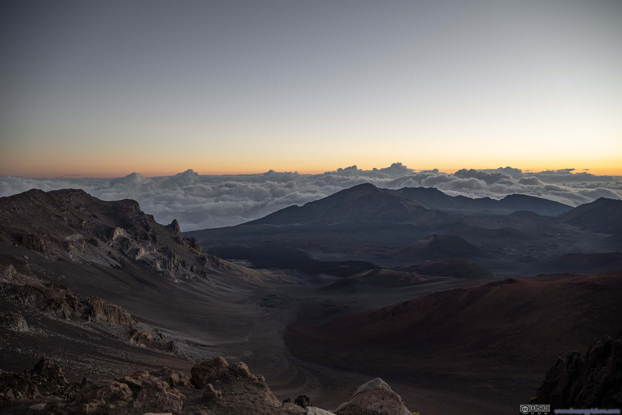
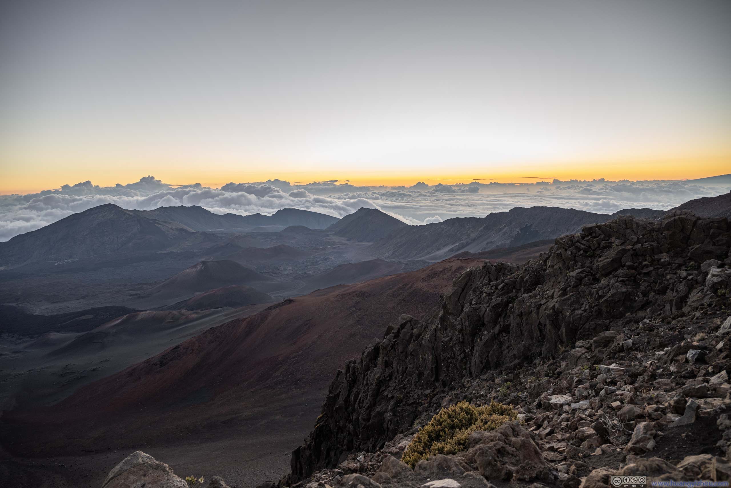
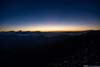
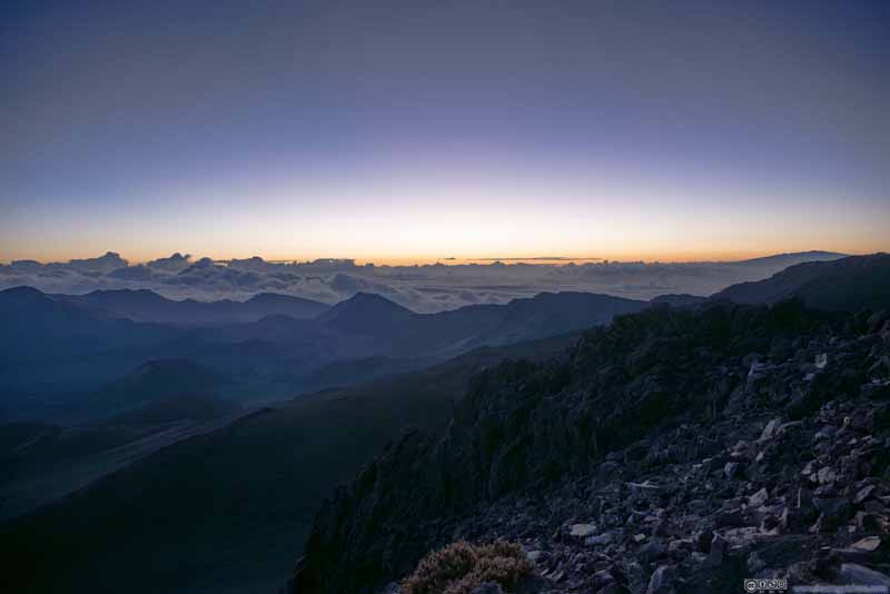
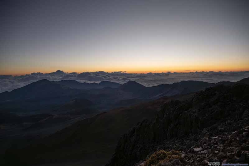
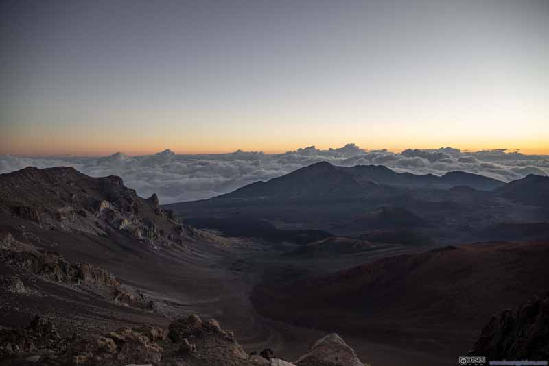
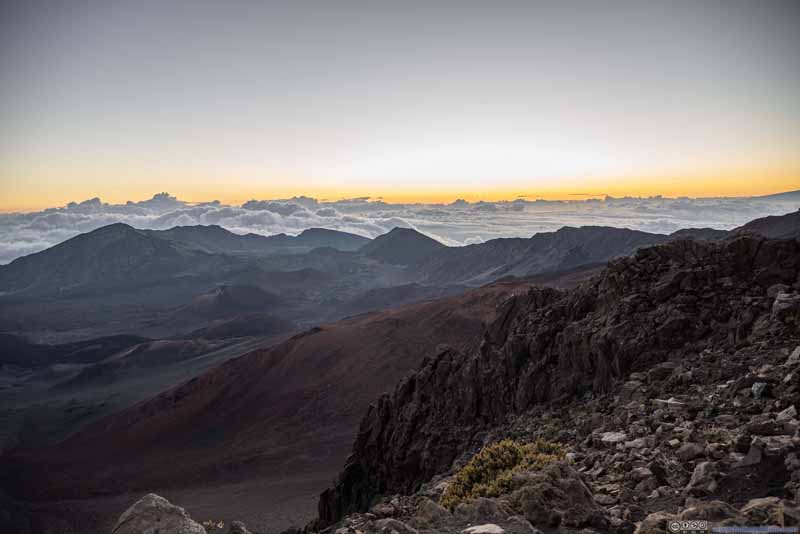
So on the morning of Jan 22, we left our hotel in Kahului at around 5:10am, and reached the summit visitor center at around 6:30am, about half an hour before sunrise. At that time, the most advantageous spots were claimed by the most eager spectators, but with the reservation system in place, it never got too crowded. As many mentioned, it's cold up the mountain, but in my opinion, not as bad as I anticipated. A single additional jacket and I was feeling comfortable.
Twilight
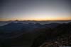
Twilight
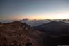
Twilight
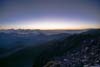
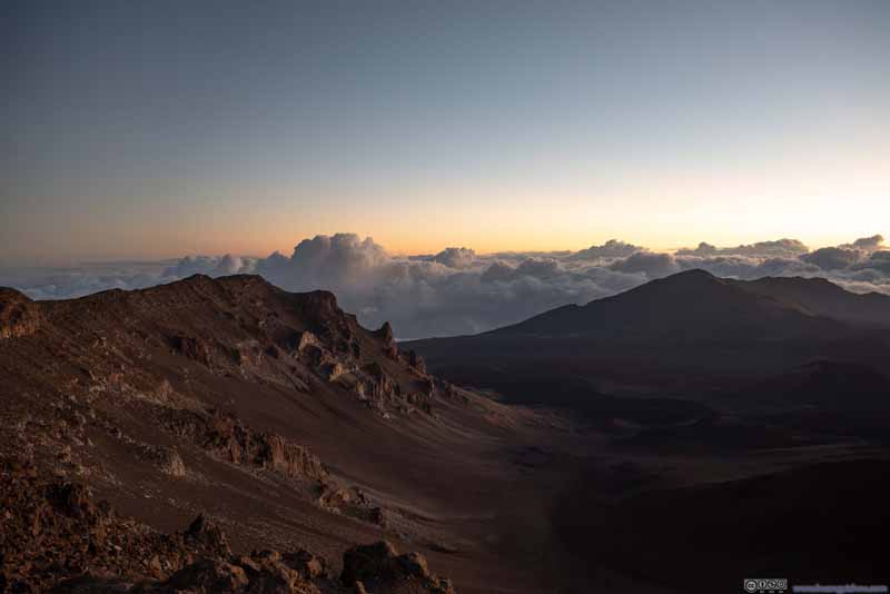
Northern Ridge of Haleakalā Crater under Twilight
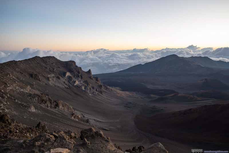
Northern Ridge of Haleakalā Crater under Twilight
Haleakalā Crater under Twilight
Haleakalā Crater under Twilight
Sunrise
Sunrise
Sunrise
Sunrise
Sunrise
Sunrise over Haleakalā
As expected, the sun emerged above the clouds, in a fashion most phenomenal. Below is a (sped up) video of the sunrise. The gentleman singing Hawaiian songs in the background certainly made the moment more ceremonial.
24 seconds, 2160p60fps, H265 only, 8Mbps/24MB.
Summit
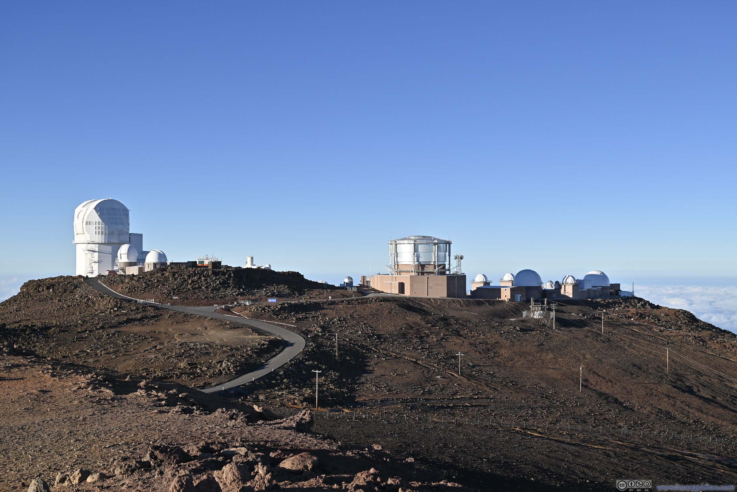
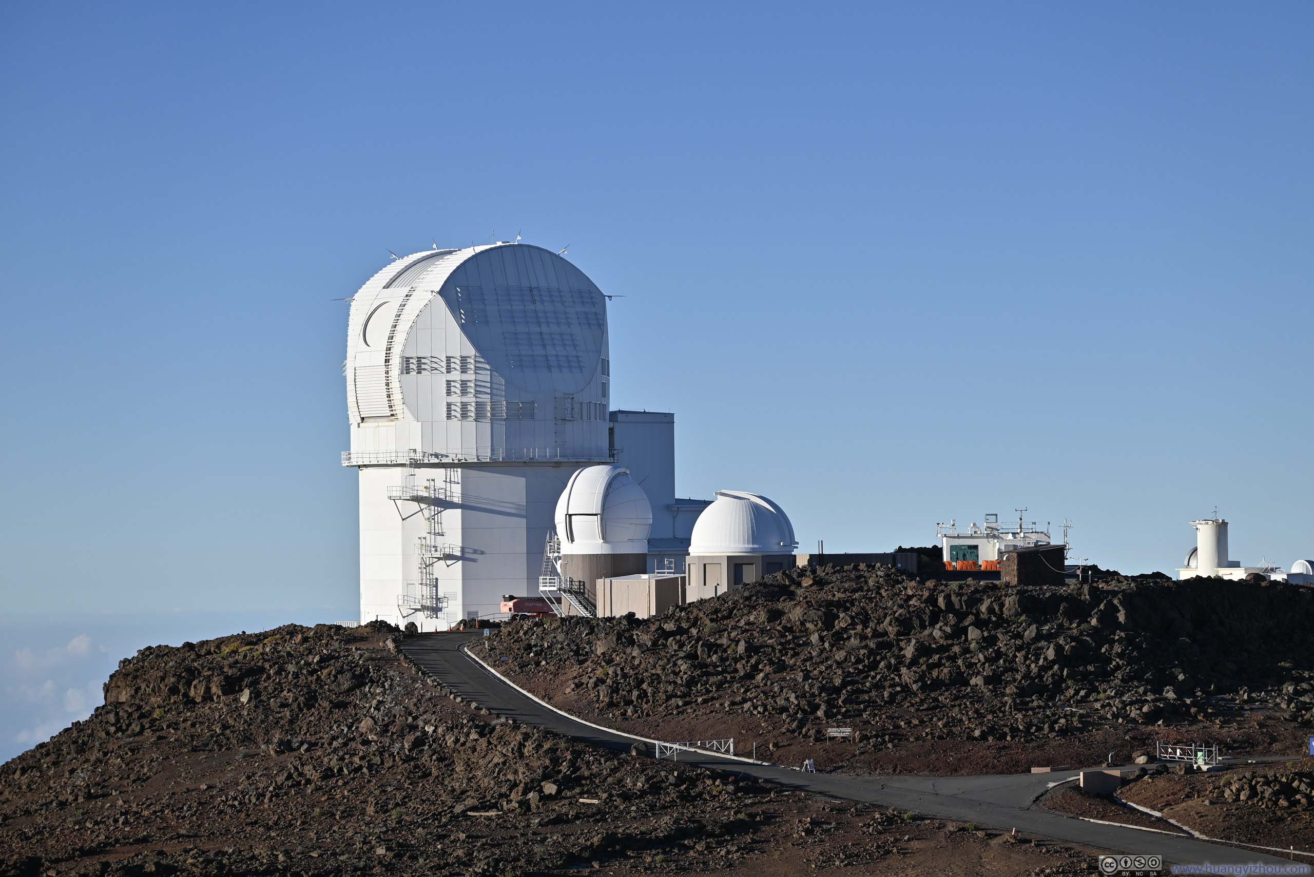
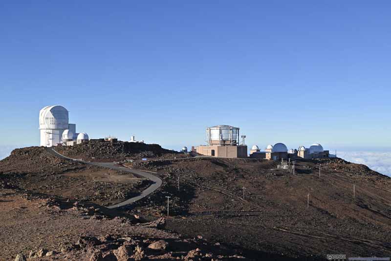
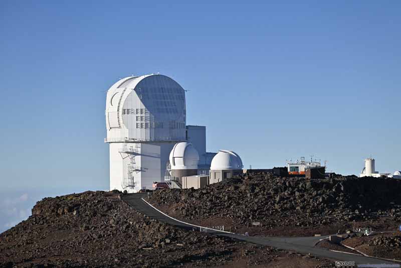
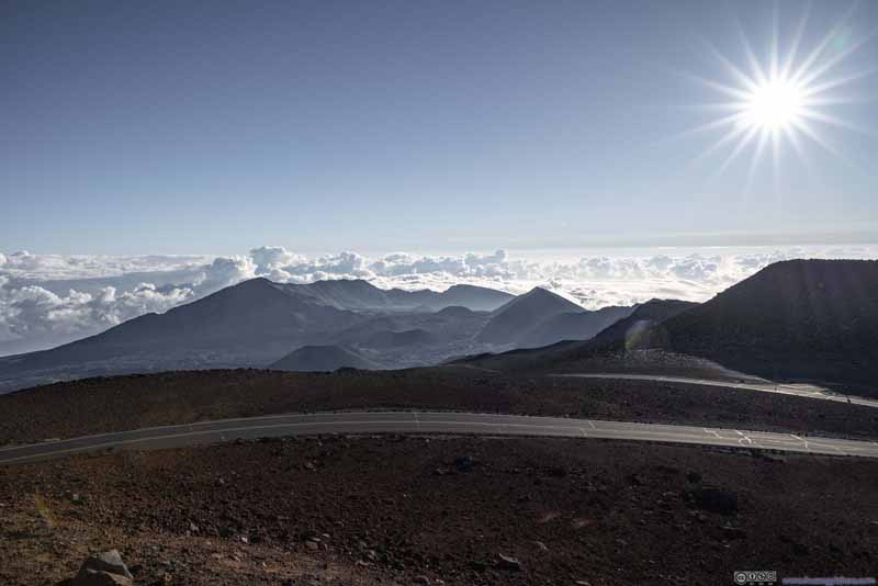
After the sunrise, we retreated back to the car, grabbed some snacks, and checked out the summit of Haleakalā which was a short drive away. (It's said that the visitor center slightly below the summit offered better views of the sunrise.) The pollutants were trapped by the inversion layer below, making the summits of Hawaiian islands the perfect places to set up astronomical observatory for scientific and defense purposes, some of them were just beyond the summit of Haleakalā.
Haleakala Observatory
Haleakala Observatory
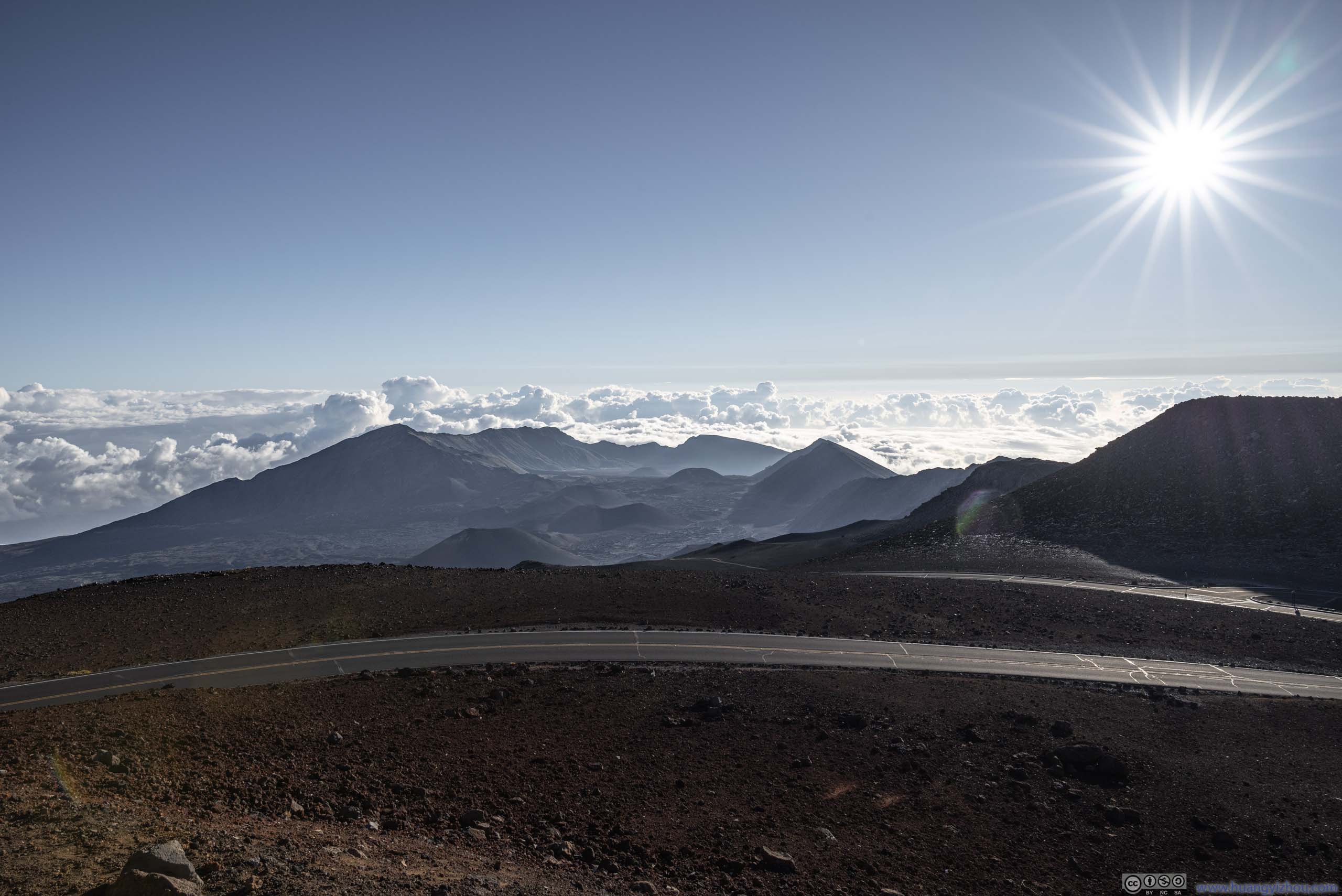
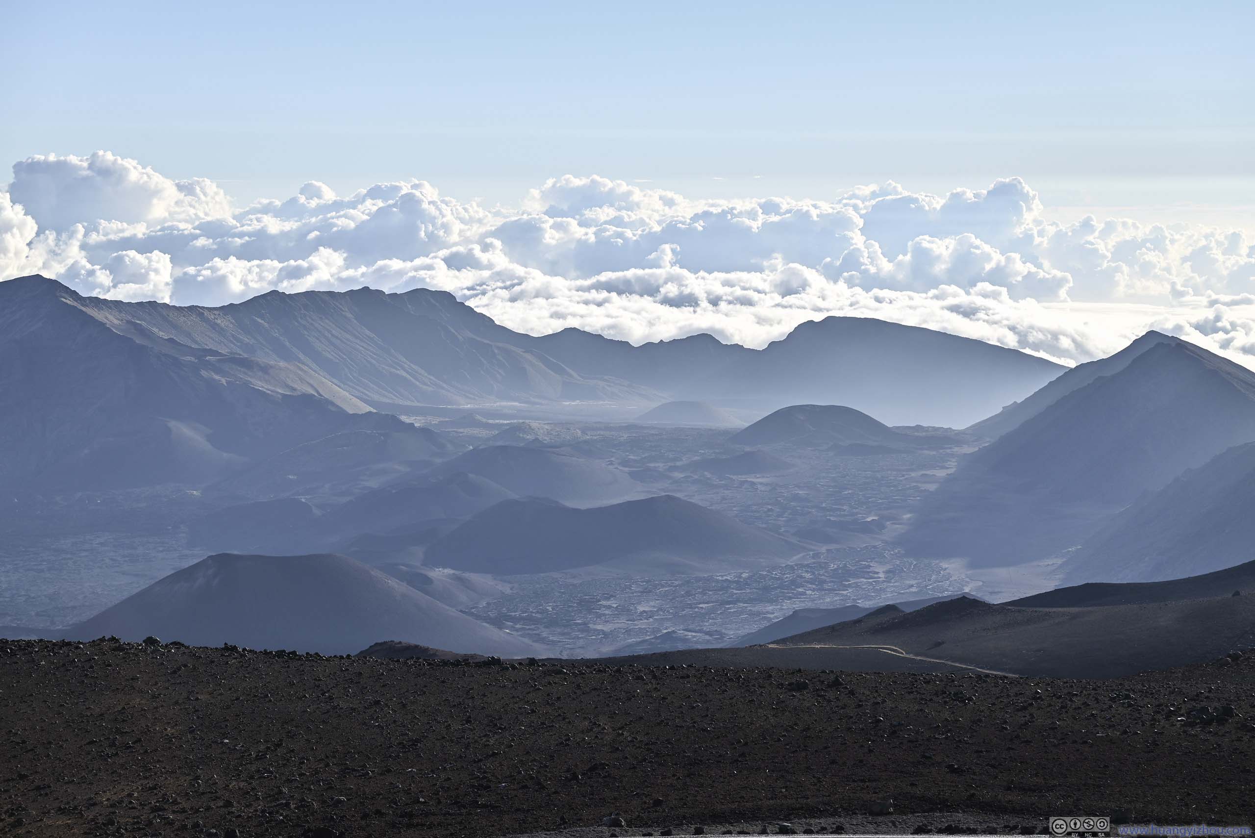
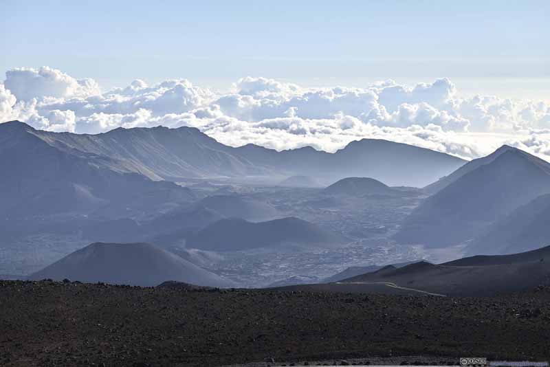
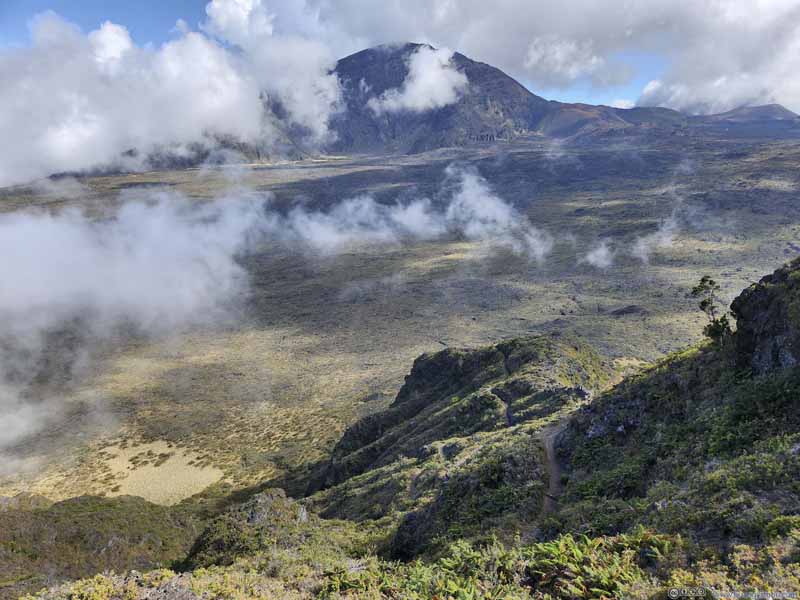
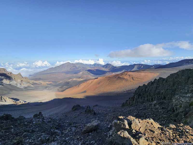
Haleakalā Crater Basin and Clouds
Haleakalā Crater Basin
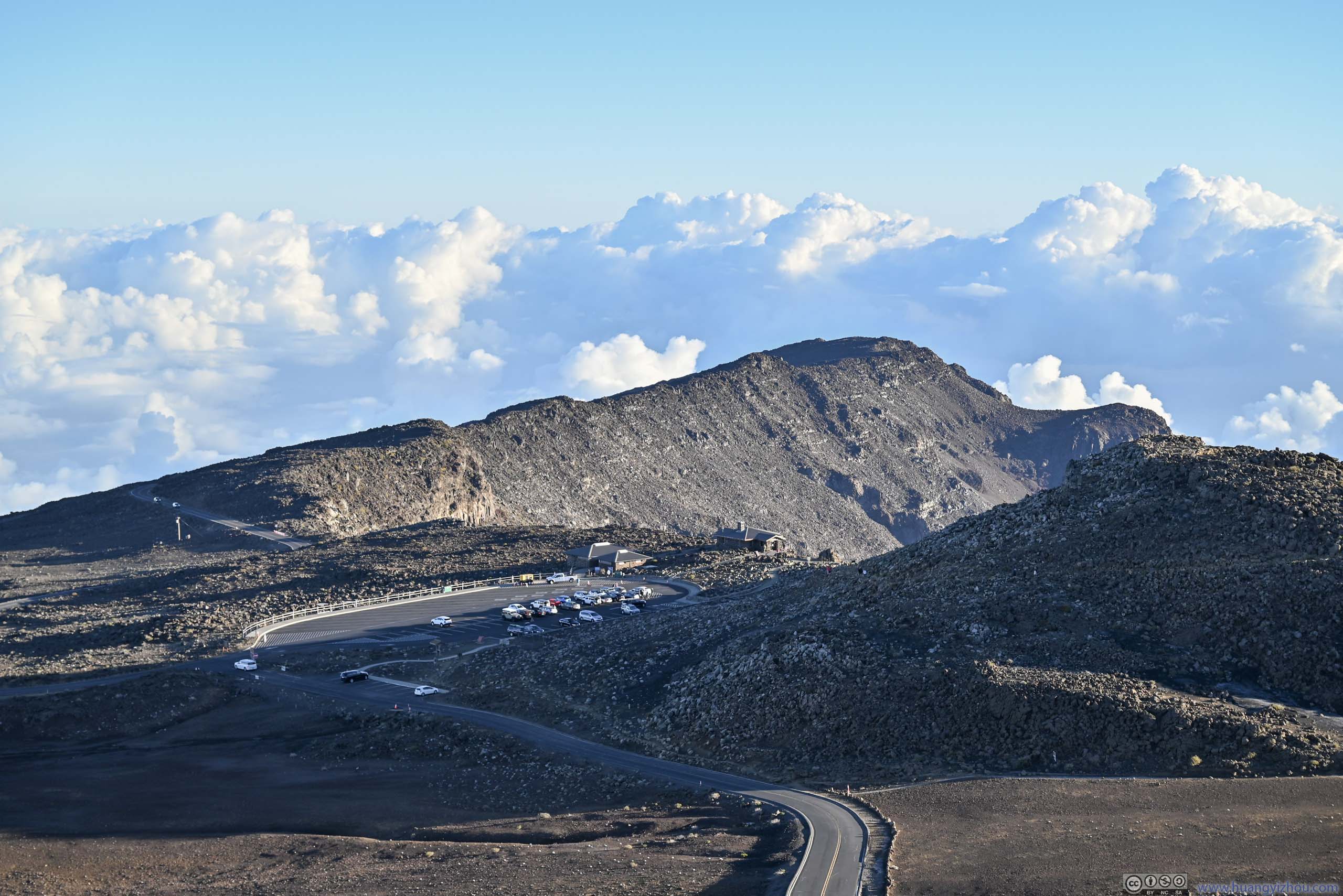
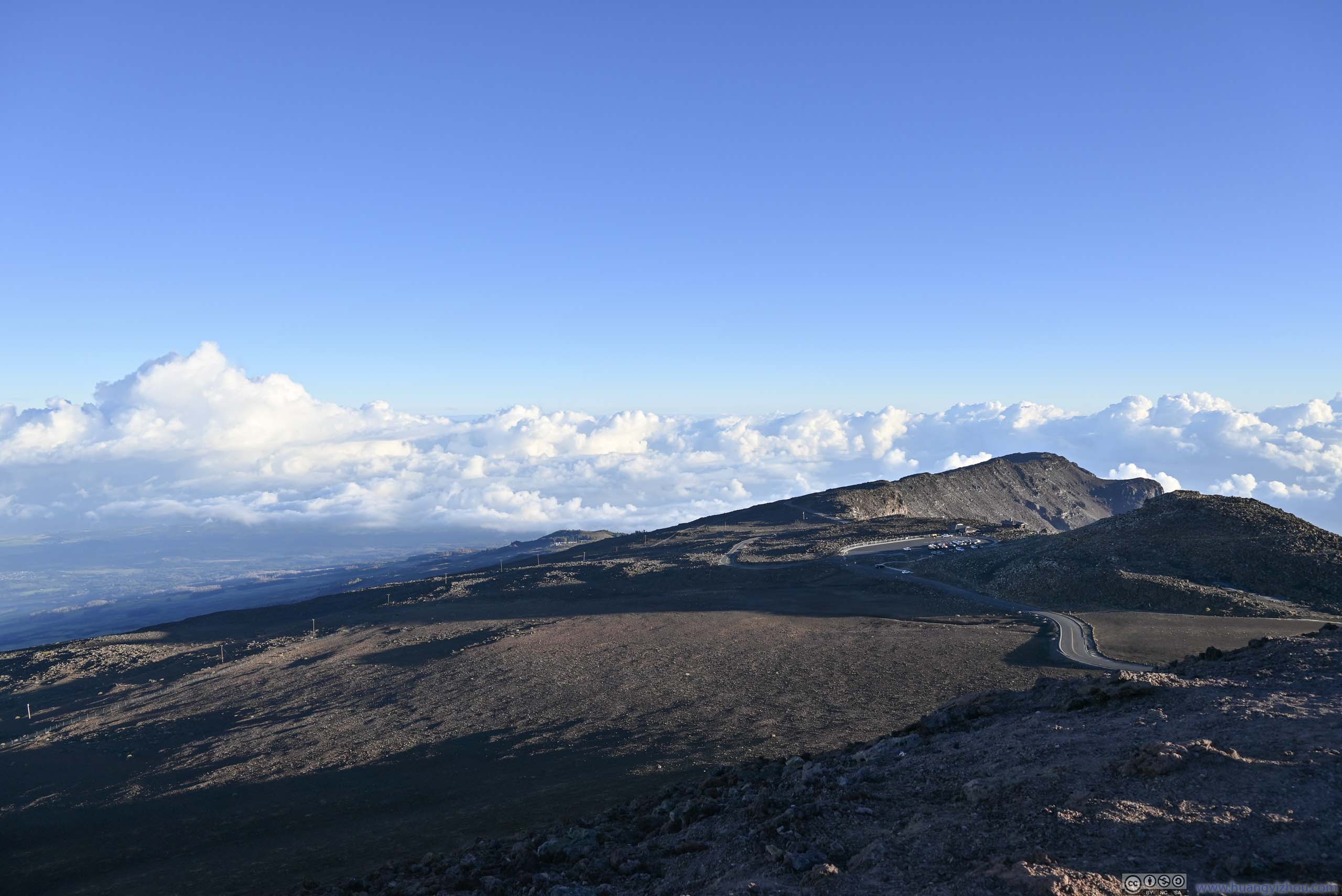
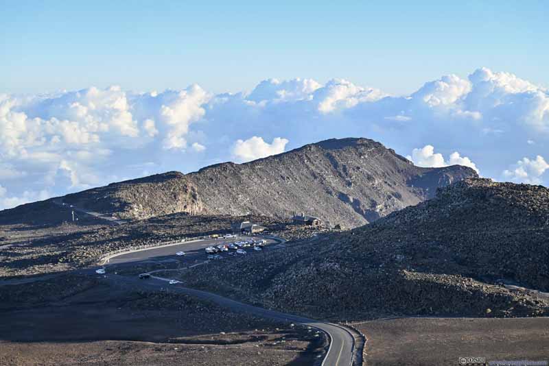
Overlooking Haleakalā Visitor Center The place where we watched sunrise. A short drive from the summit.
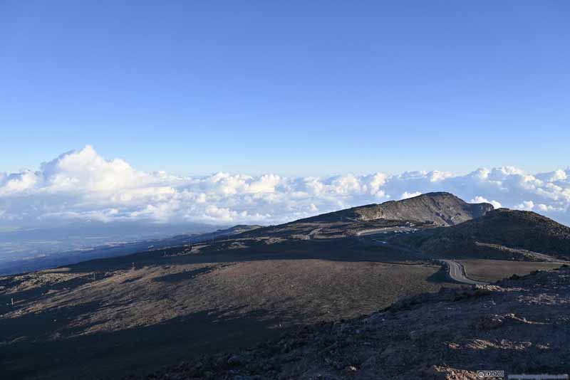
Northern Slope of Haleakalā
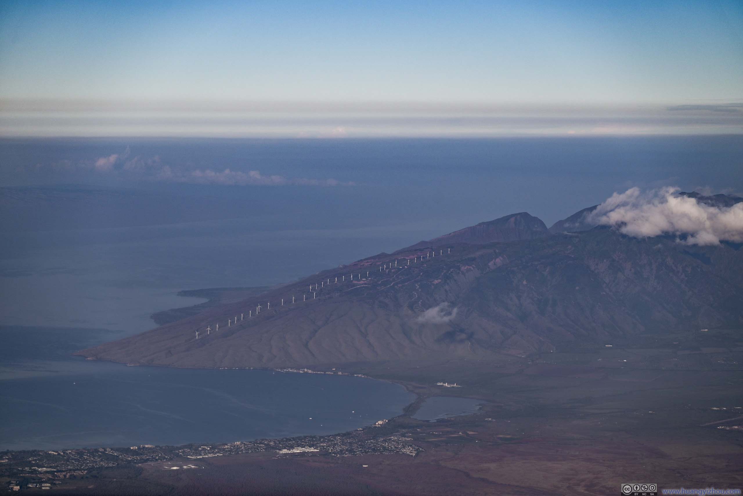
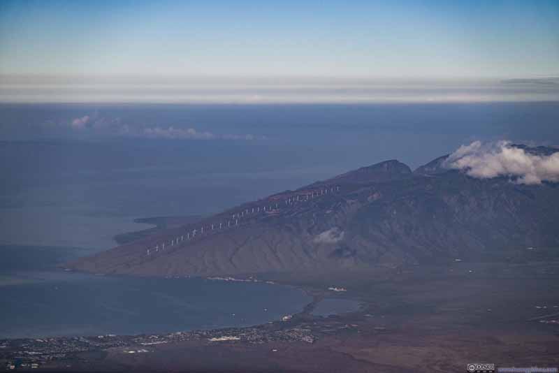
Wind Farms of Kaheawa Ridge
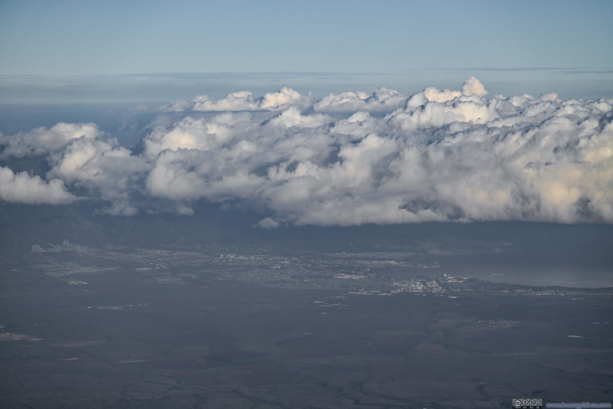
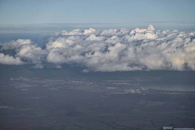
Distant Downtown Kahului
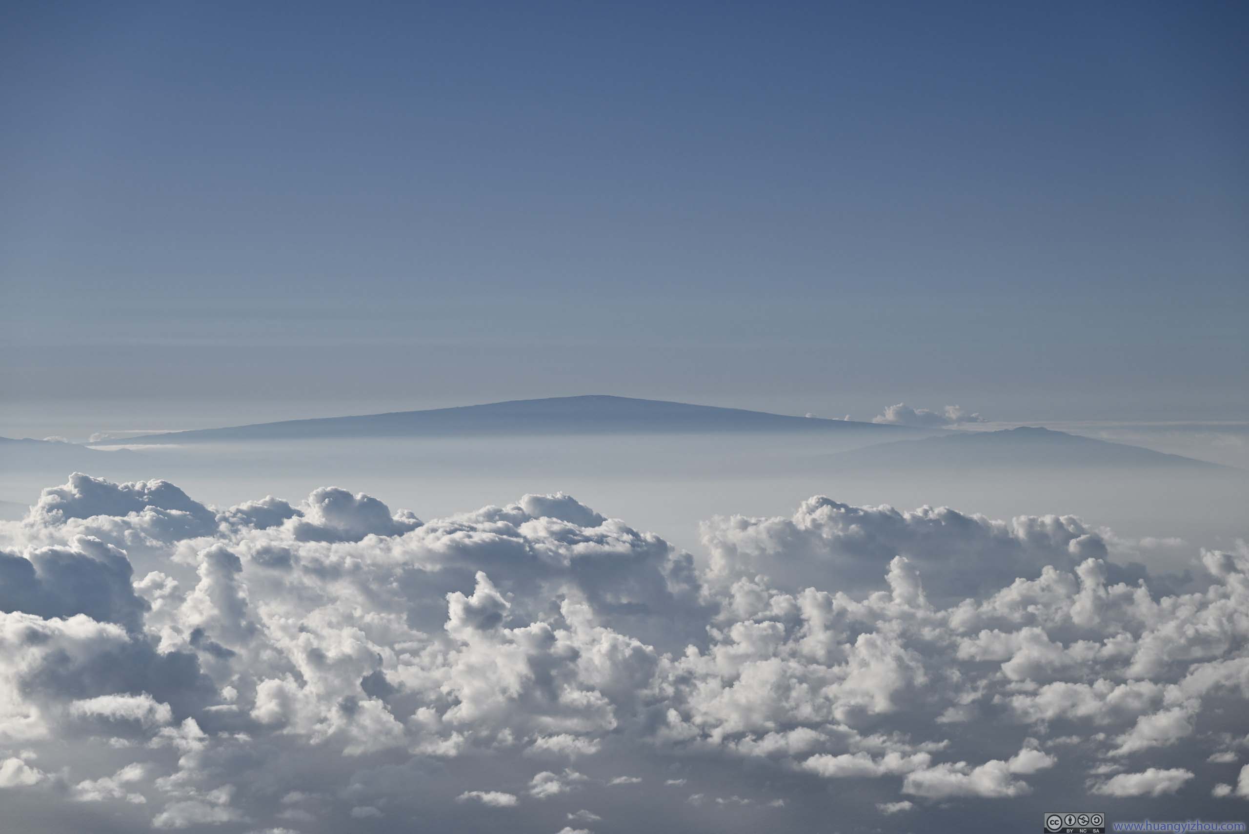
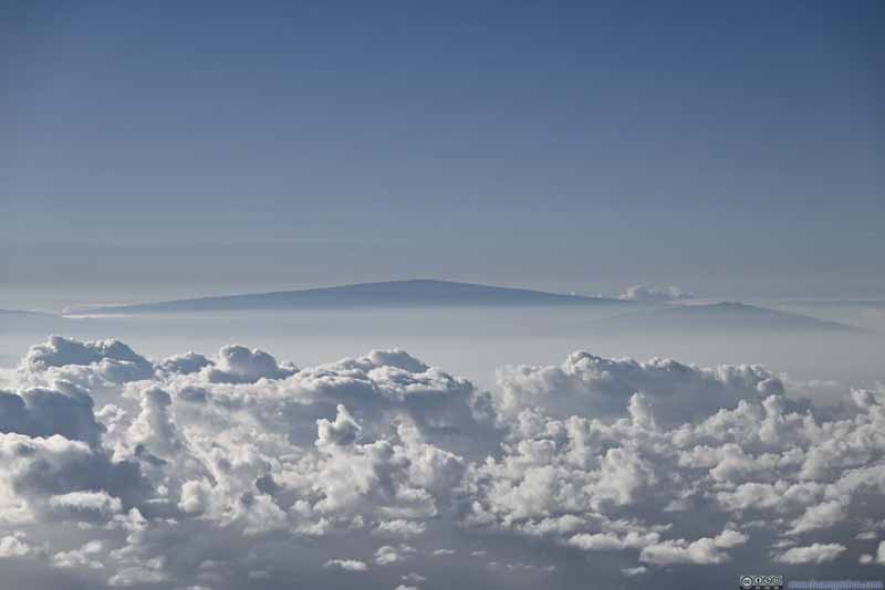
Mountains to the South On Hawaii big island.
Sliding Sands - Halemau'u Trail
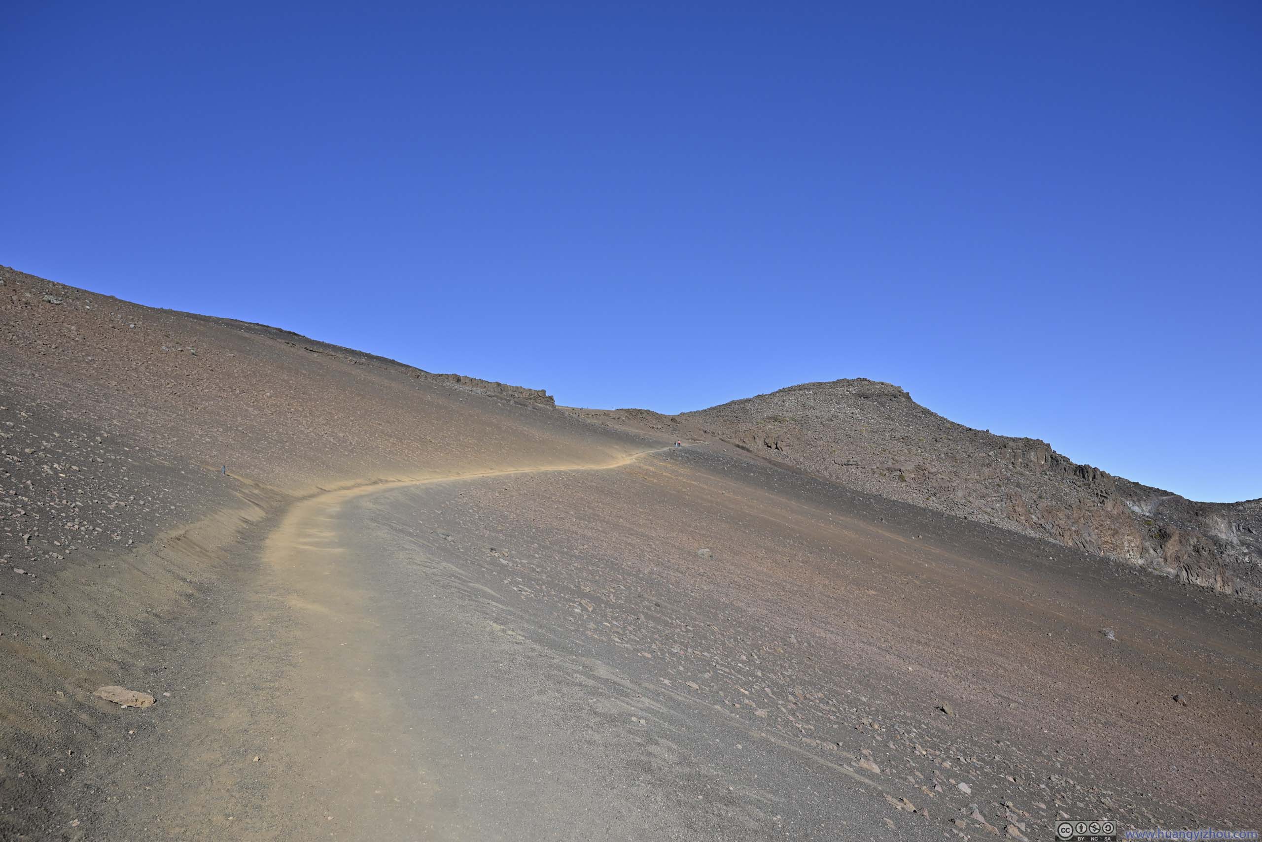
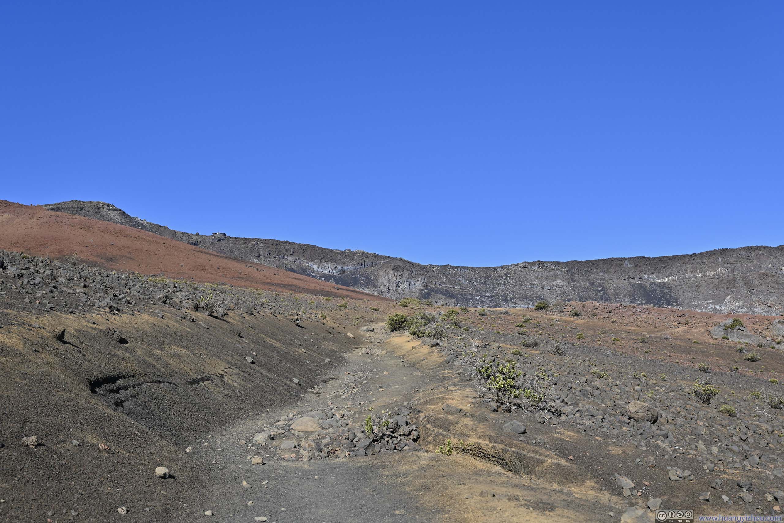
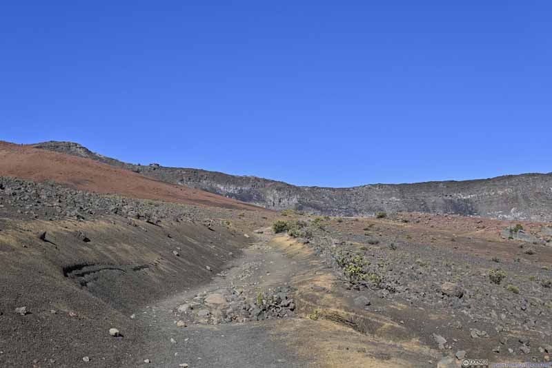
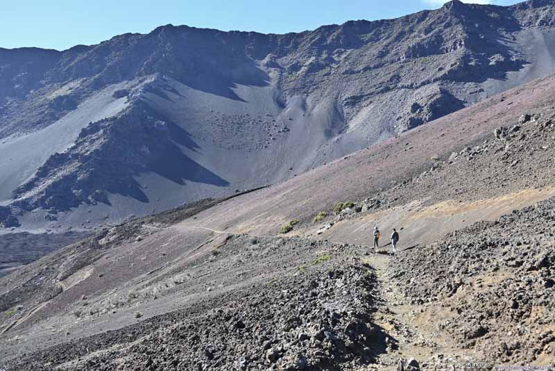
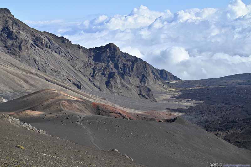
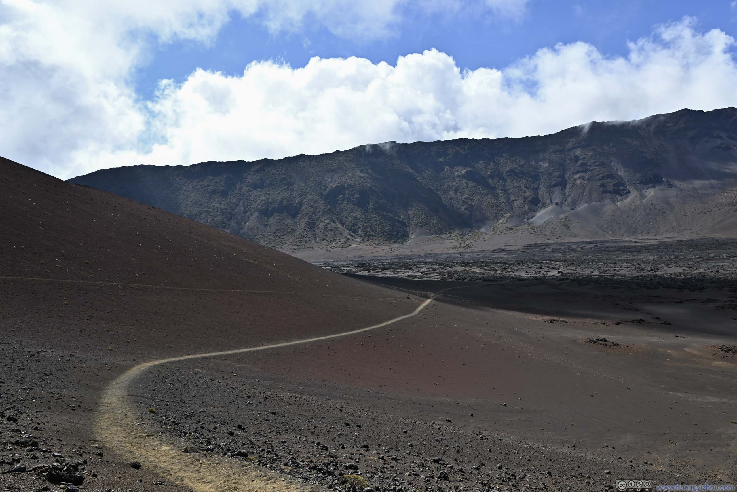
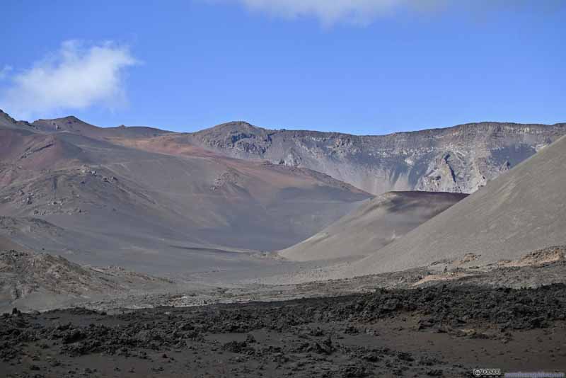
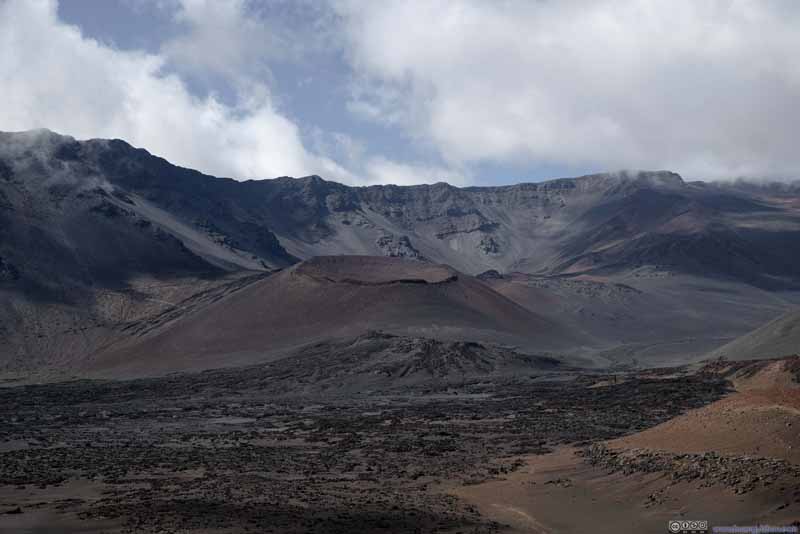
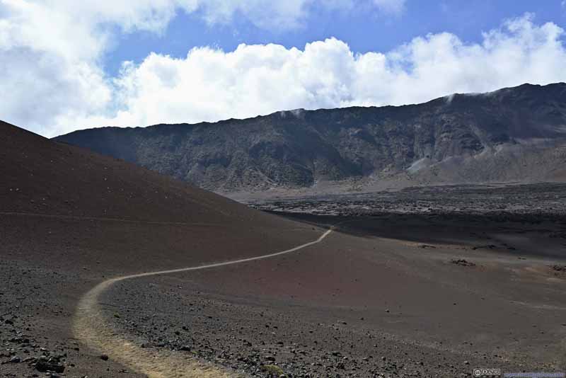
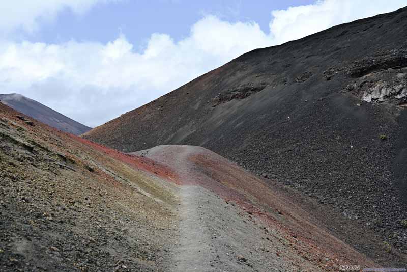
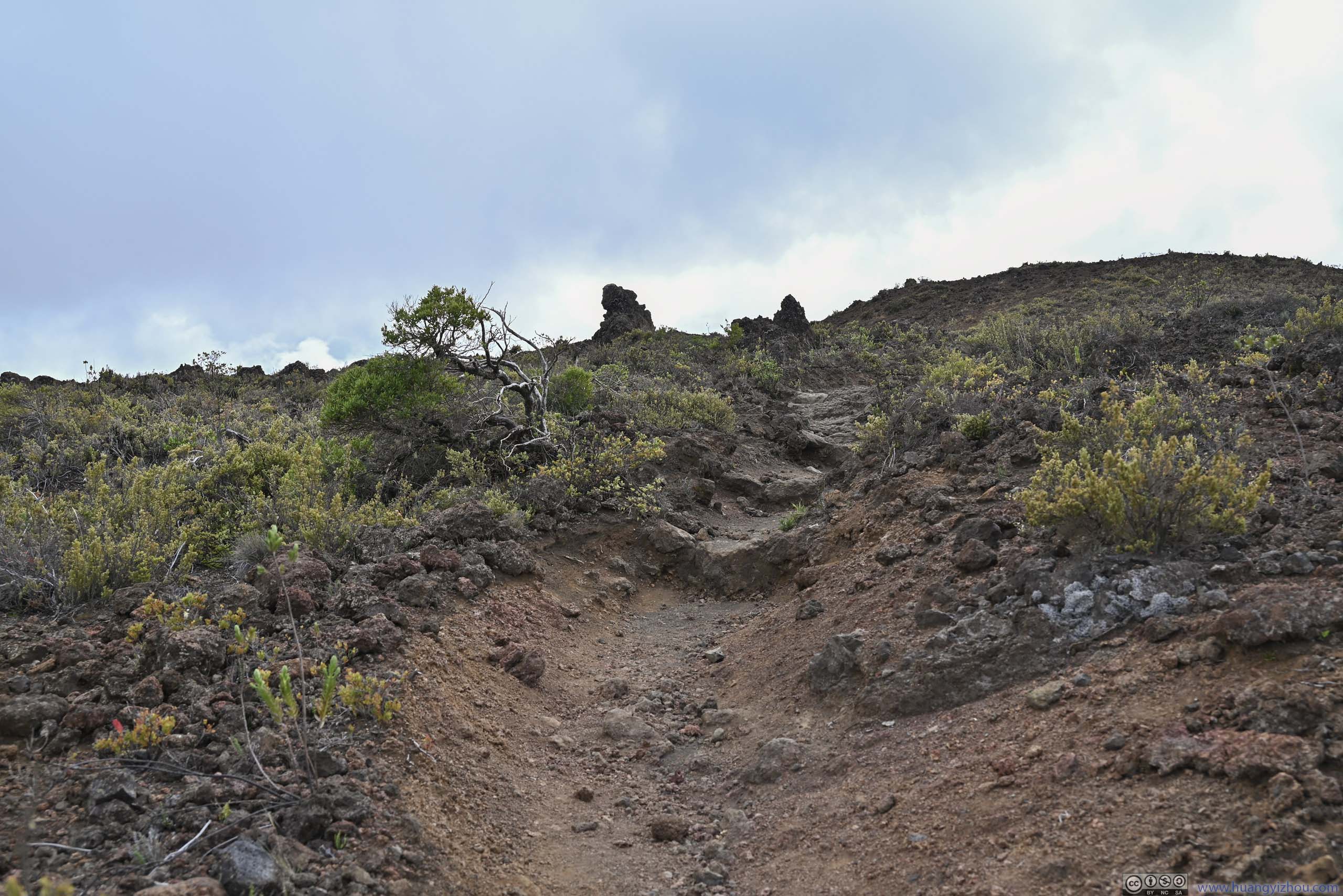
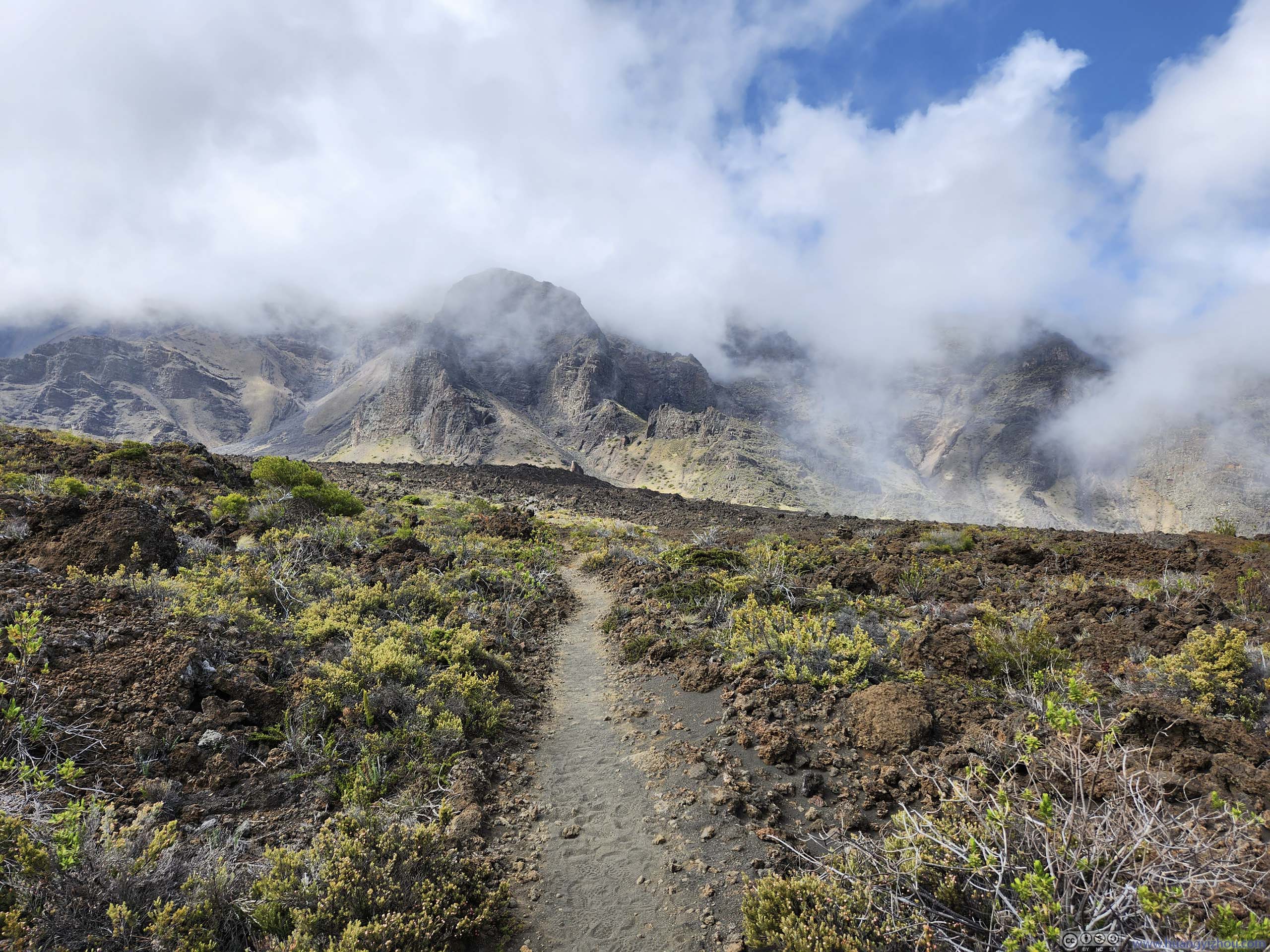
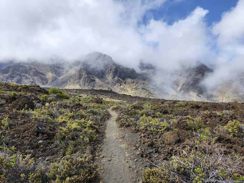
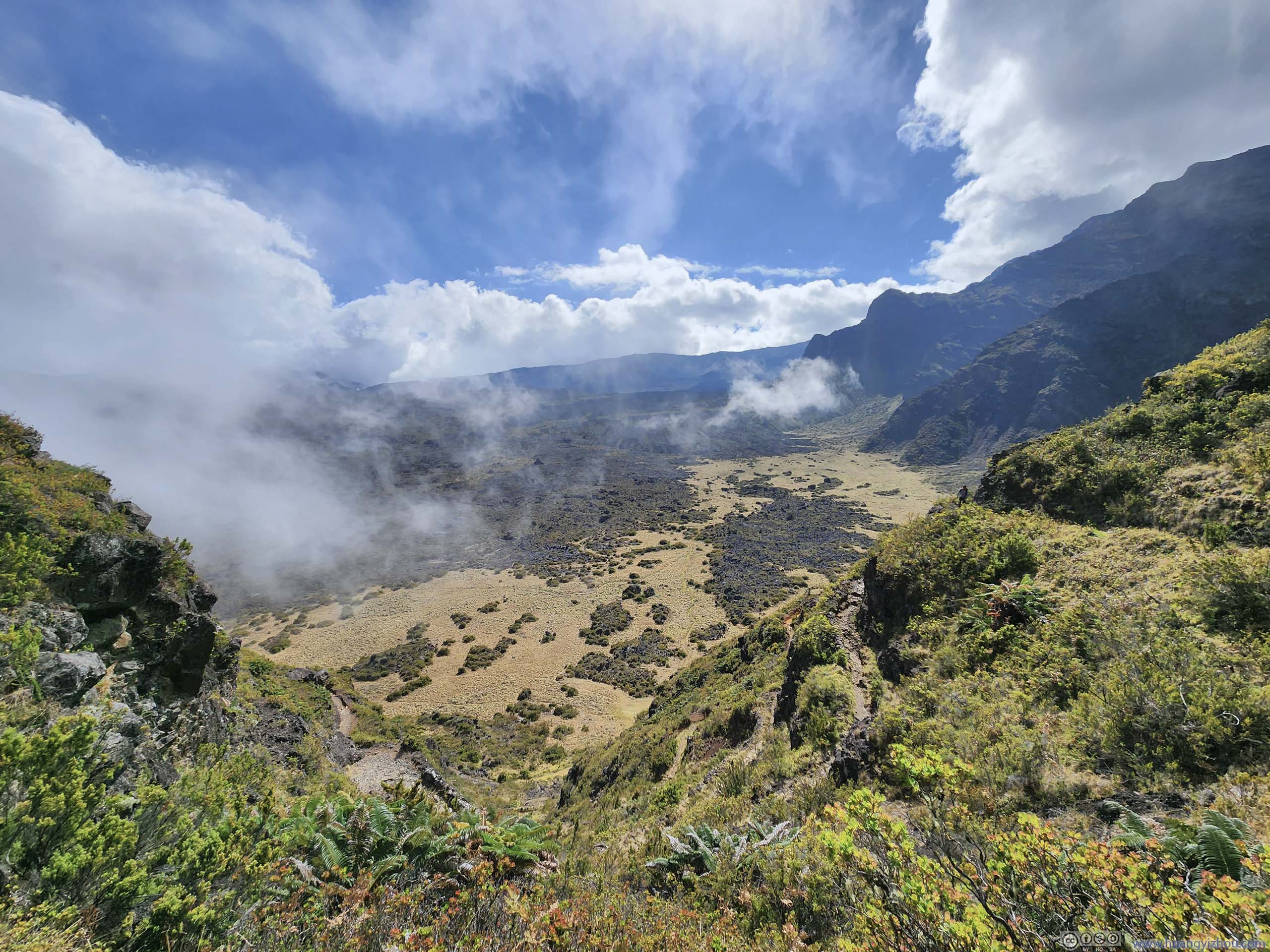
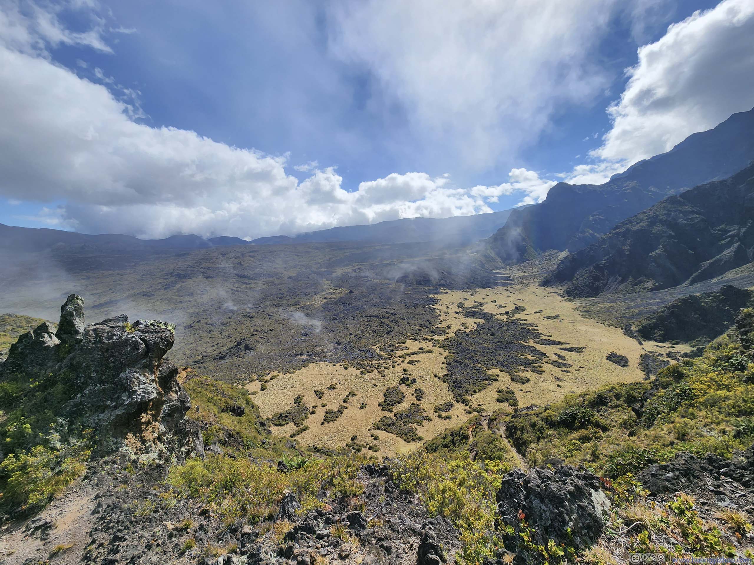
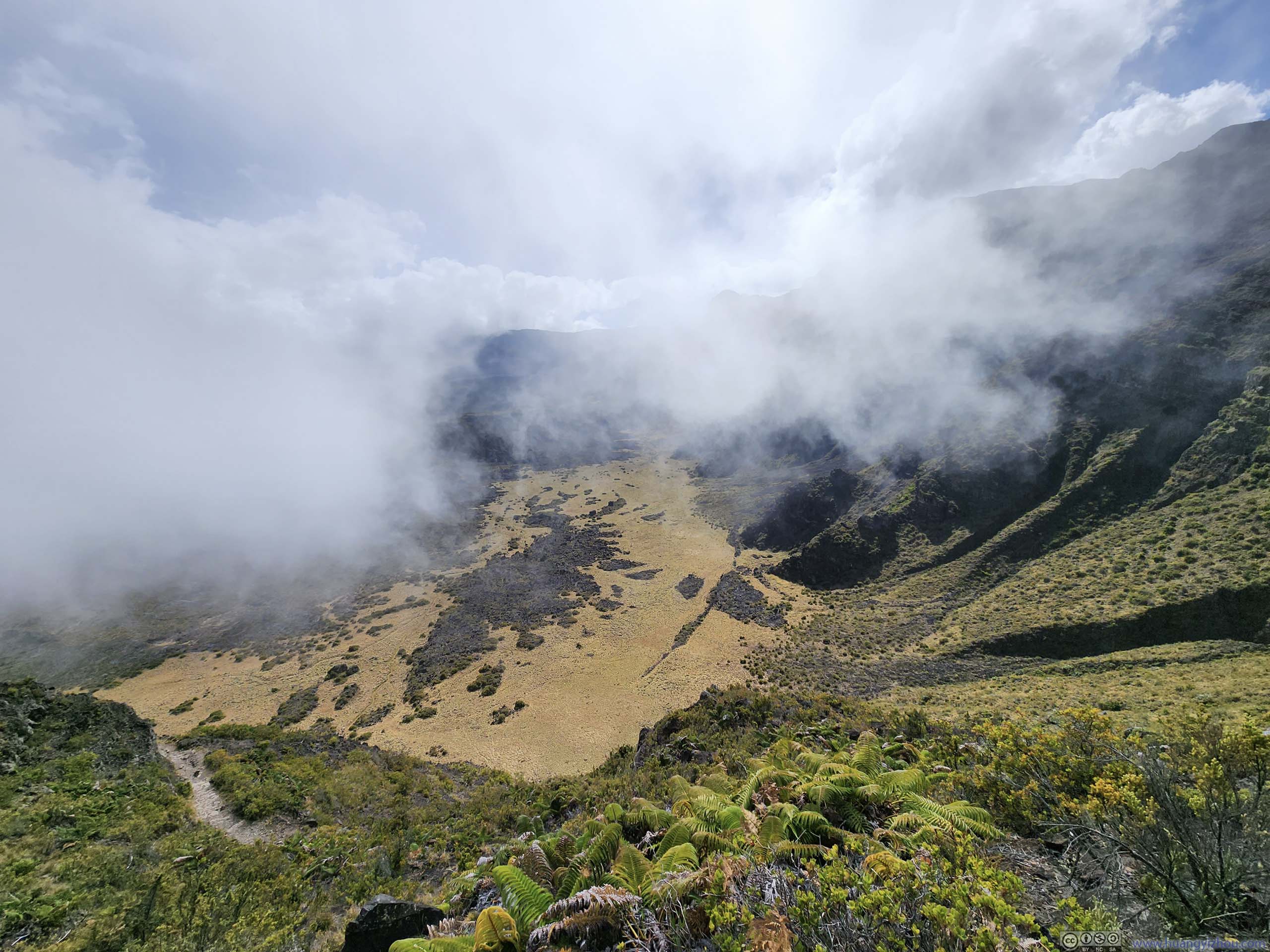
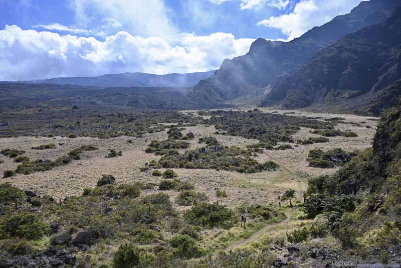
Then there's the star of the day, Sliding Sands - Halemau'u Trail. At 18km long and with 750m elevation gain, the trail started at the summit visitor center, entered the crater basin, found its way among a few cinder cones, before climbing a few switchbacks back to the park road. Among all the trails that I hiked before, this was probably the one with the most diverse landscape, from barren volcanic basins to lush fields.
Since this was a one-way hike, it would involve hitchhiking (unless a group has two or more cars). Hitchhiking was mostly illegal in Hawaii, the two ends of this hike were among the few exceptions. Along the park road just before "Halemau'u Trailhead" was a designated "hiker pick-up area". At the end of our hike, we happened to run into two very kind ladies that agreed to take me to the summit visitor center where we were parked. (I heard stories of people waiting up to an hour while hitchhiking.)
We started the hike just after 8:30am. Here's GPS tracking:
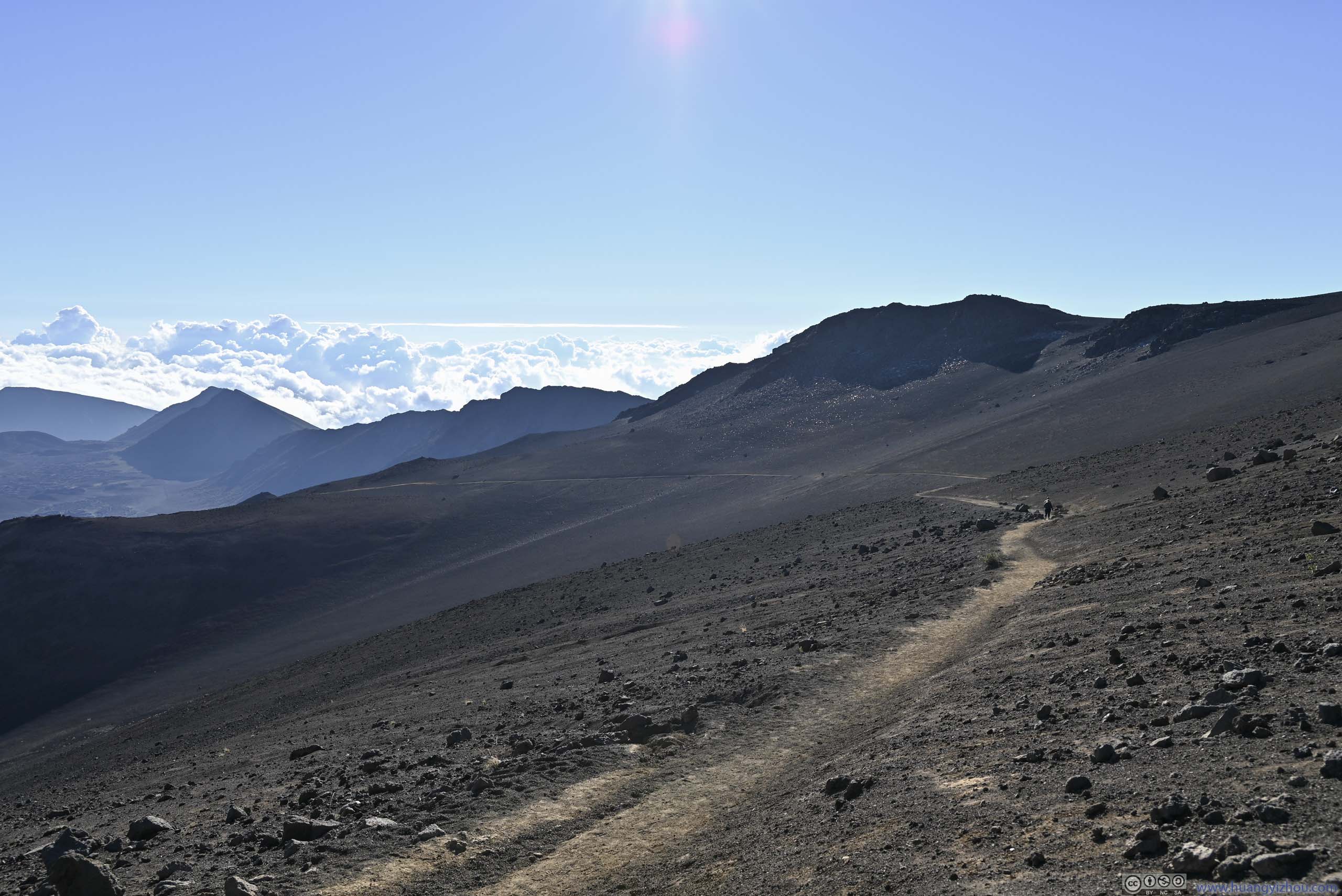
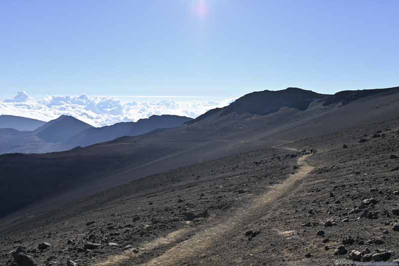
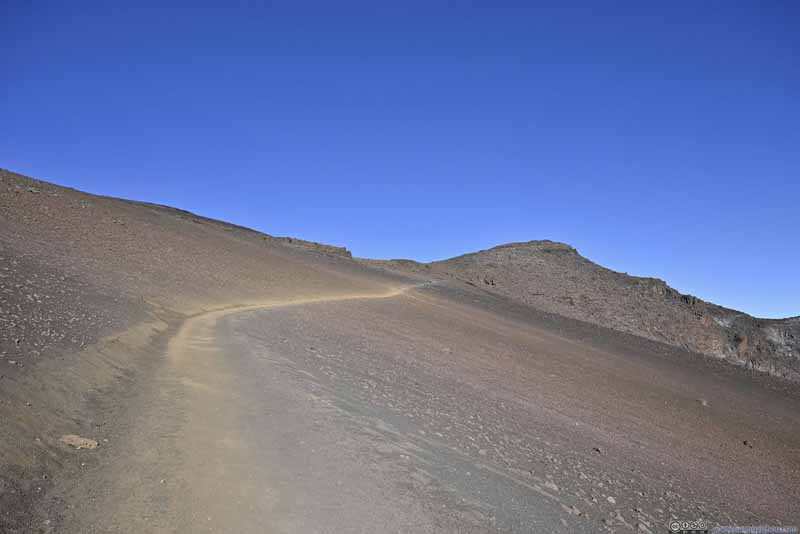
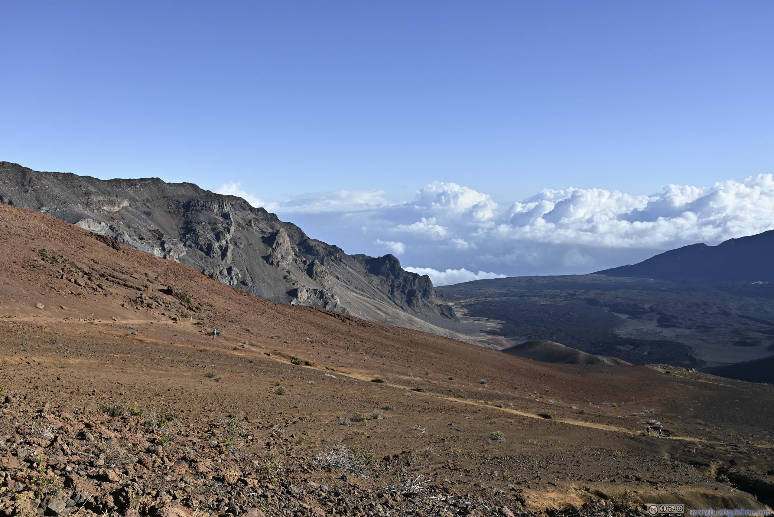
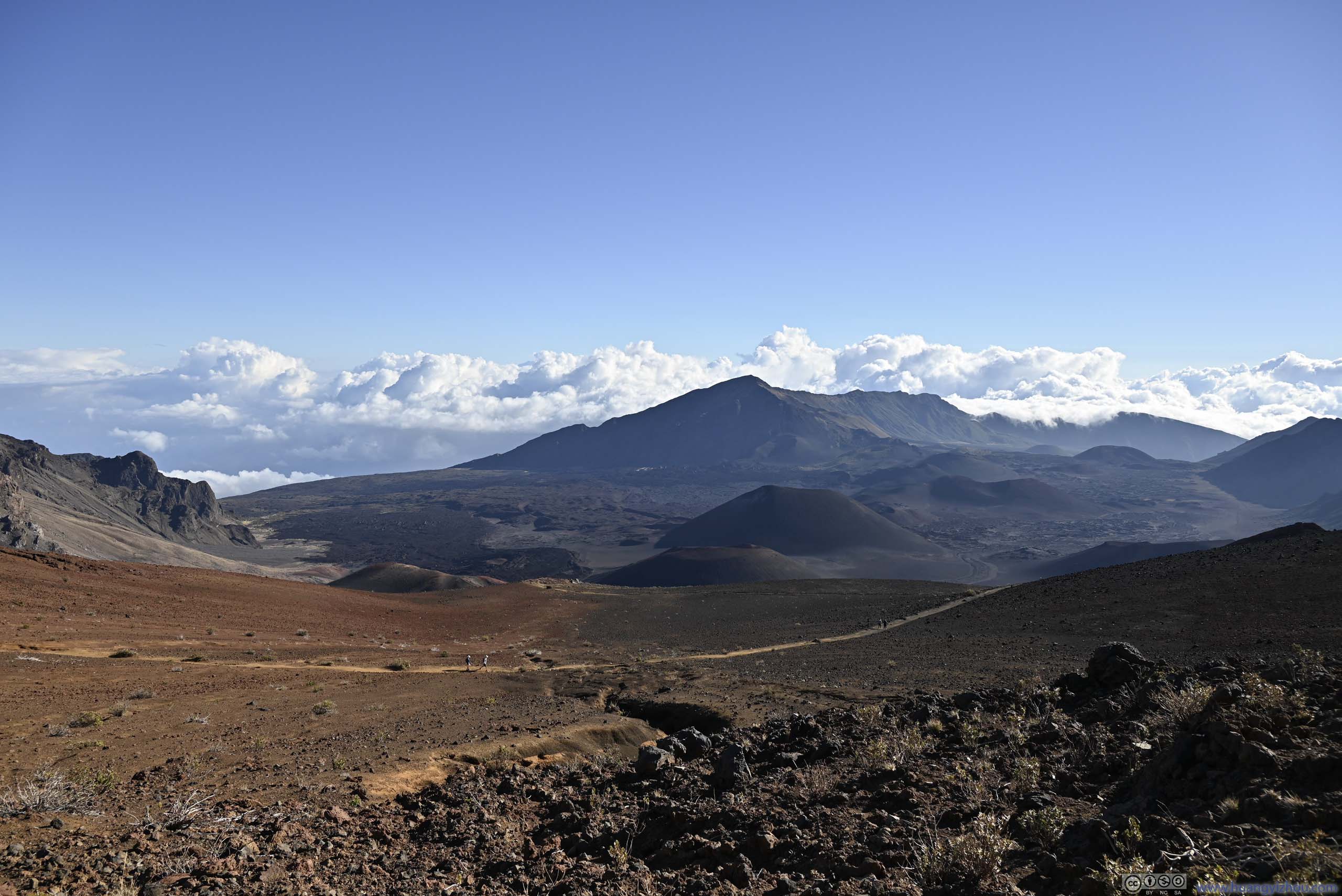
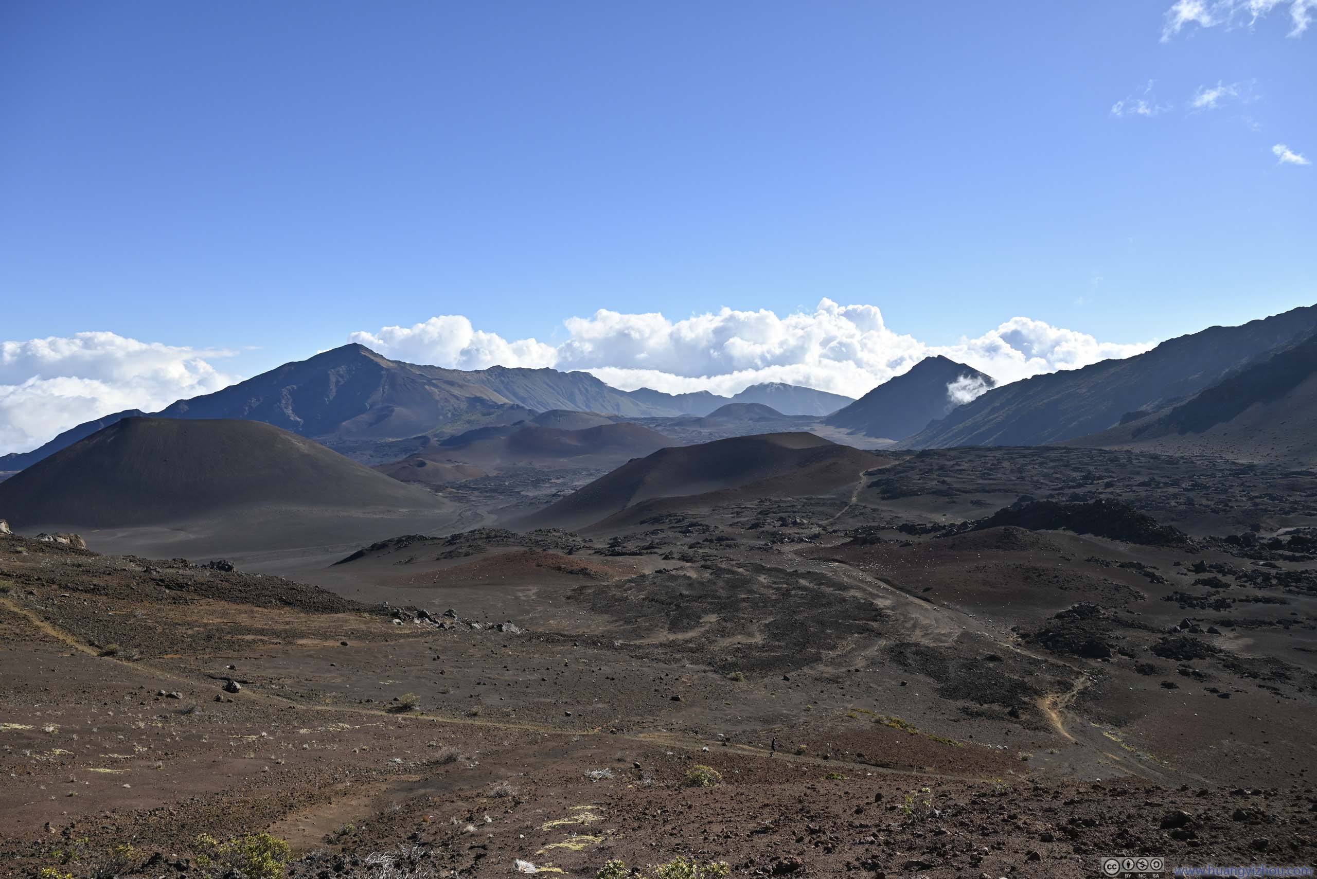
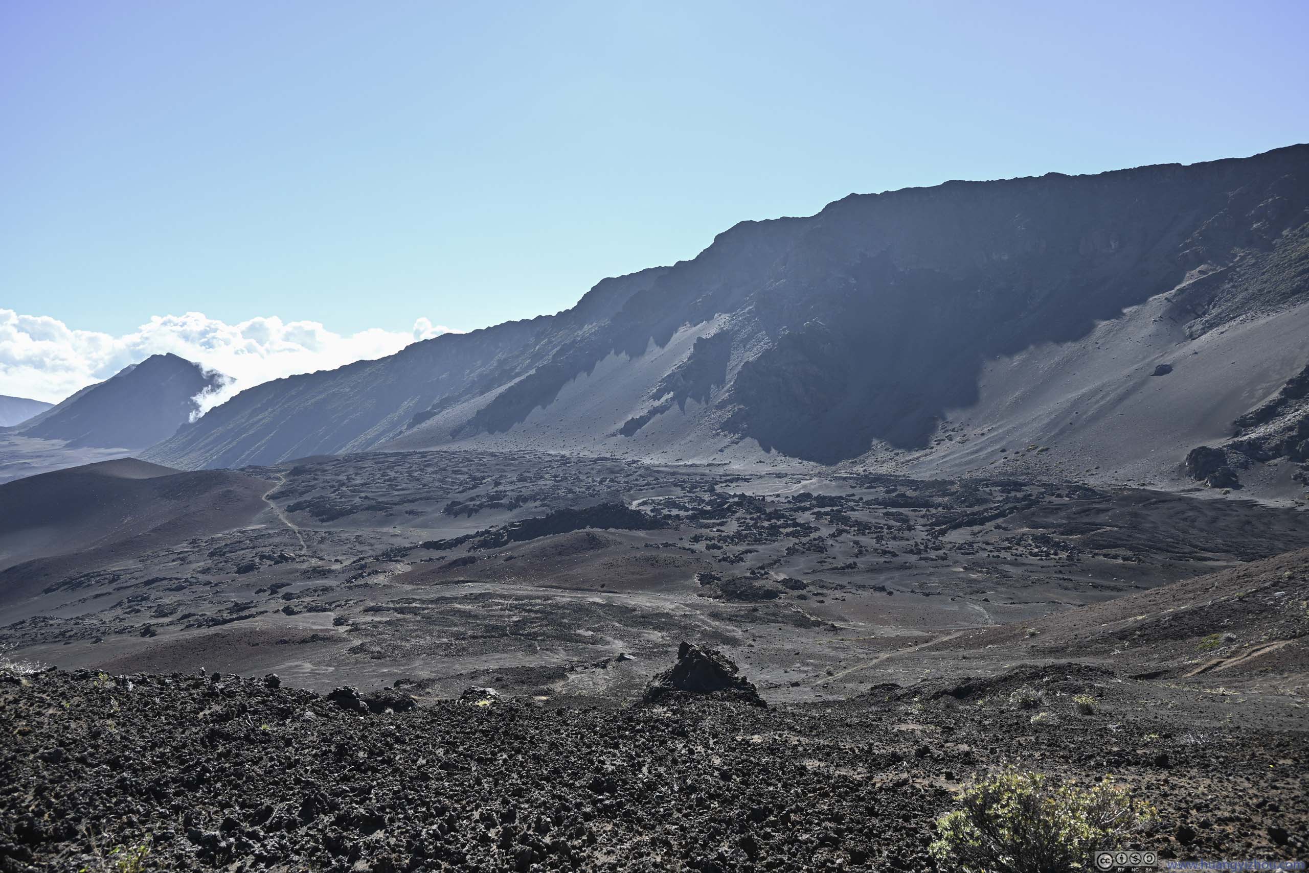
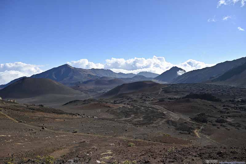
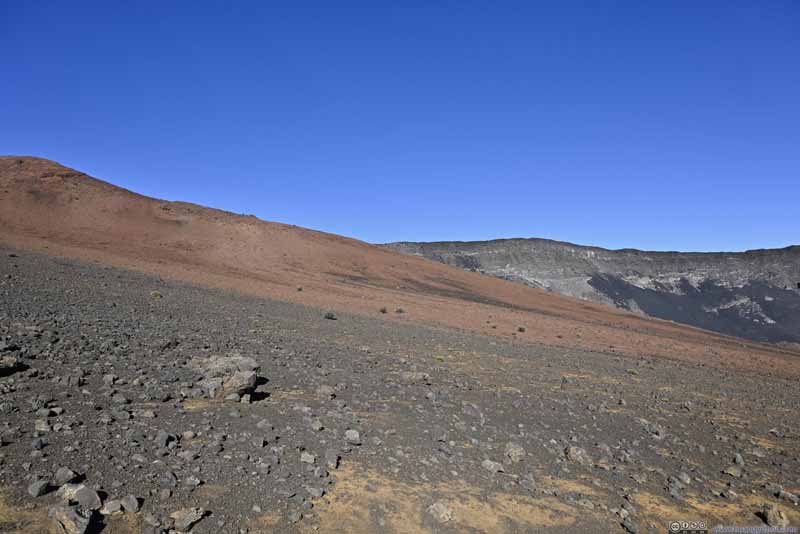
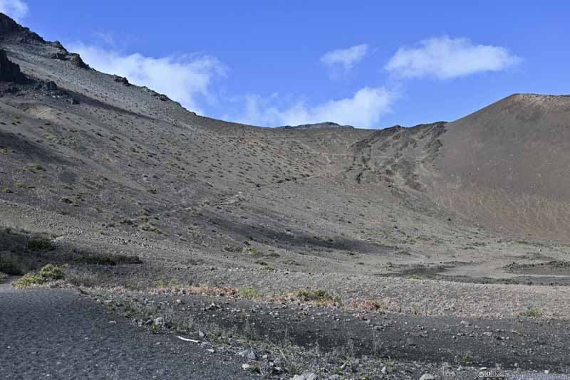
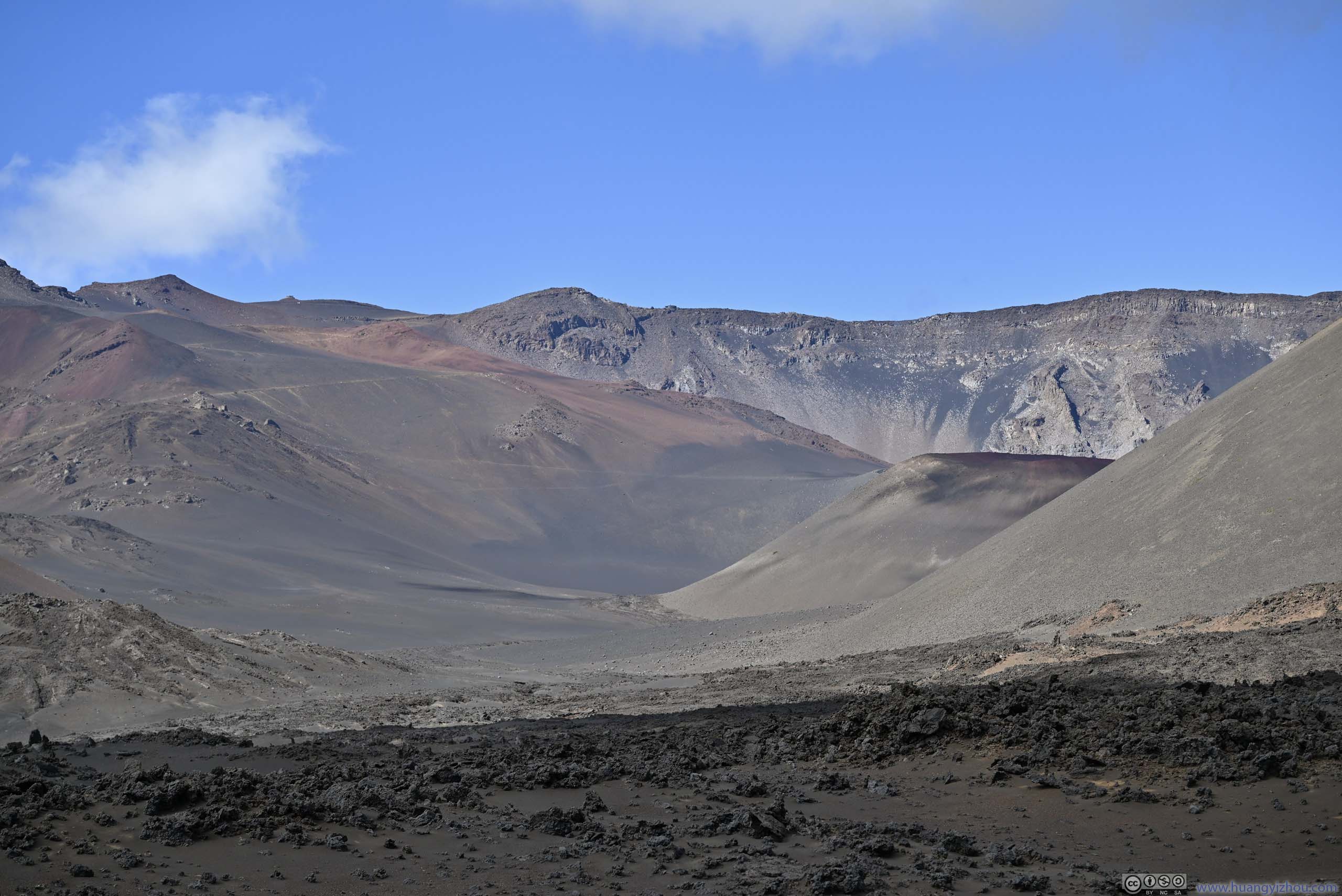
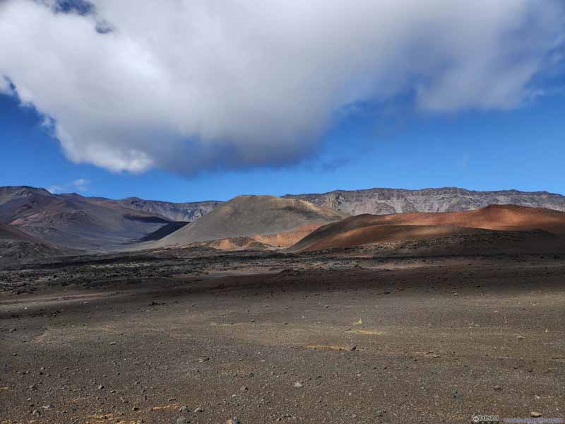
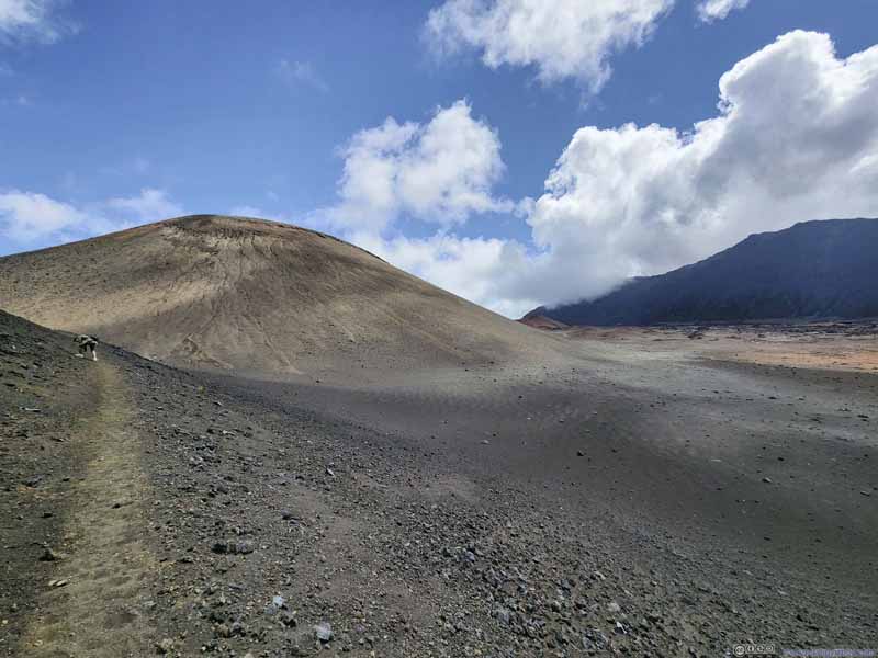
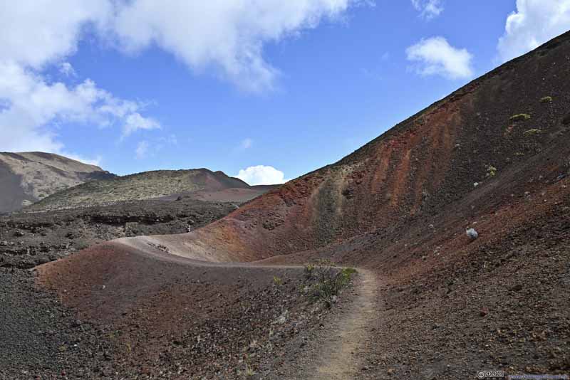
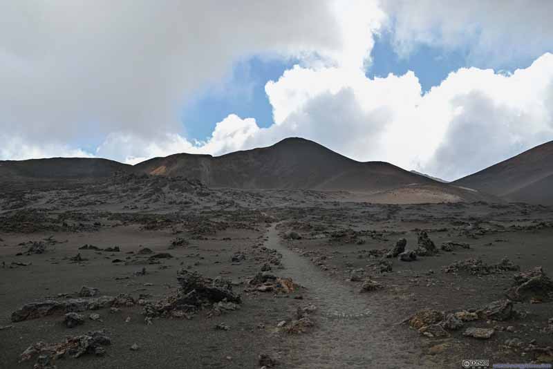
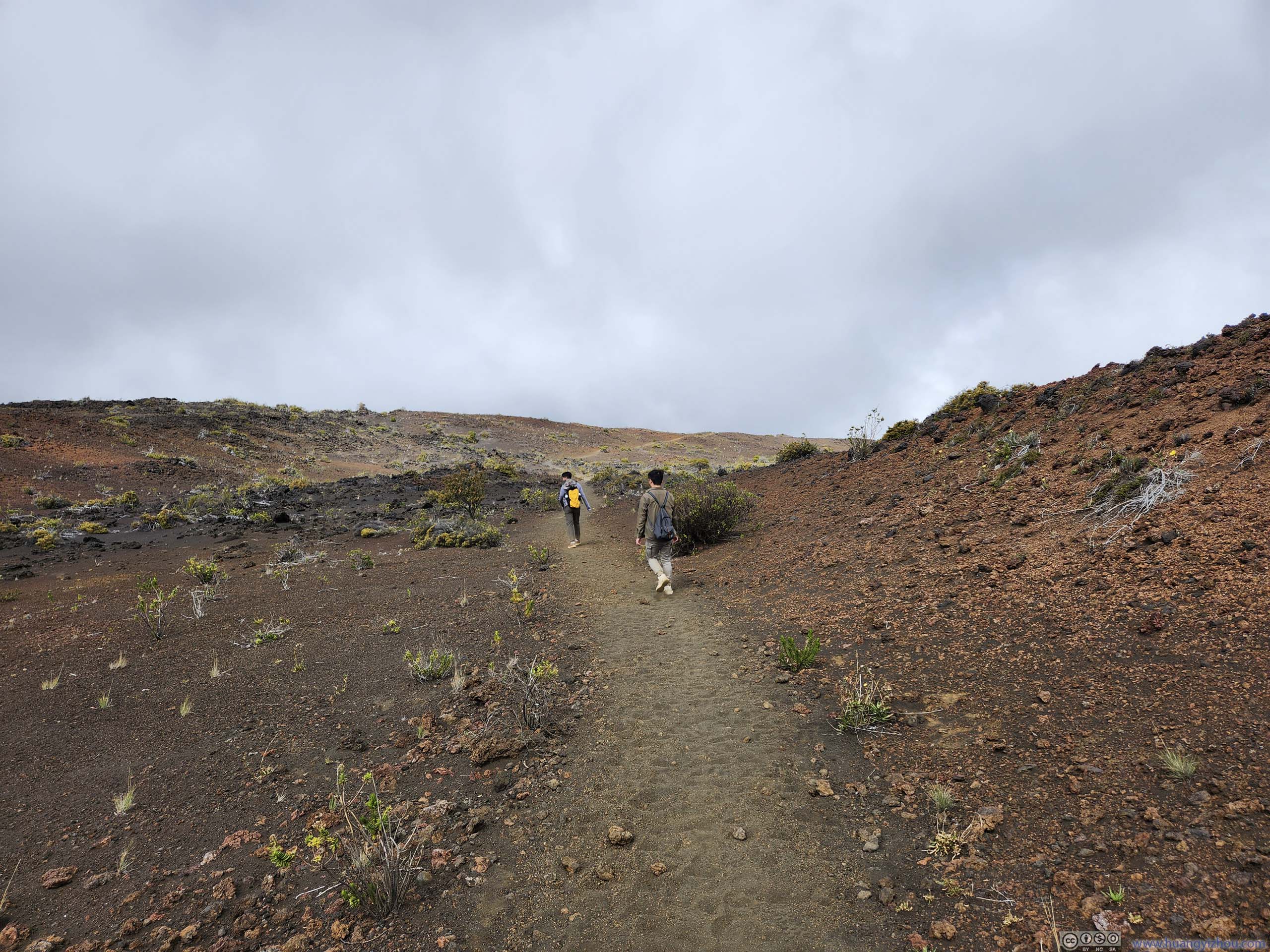
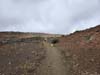
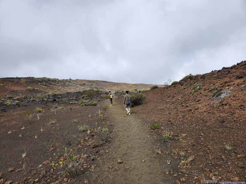
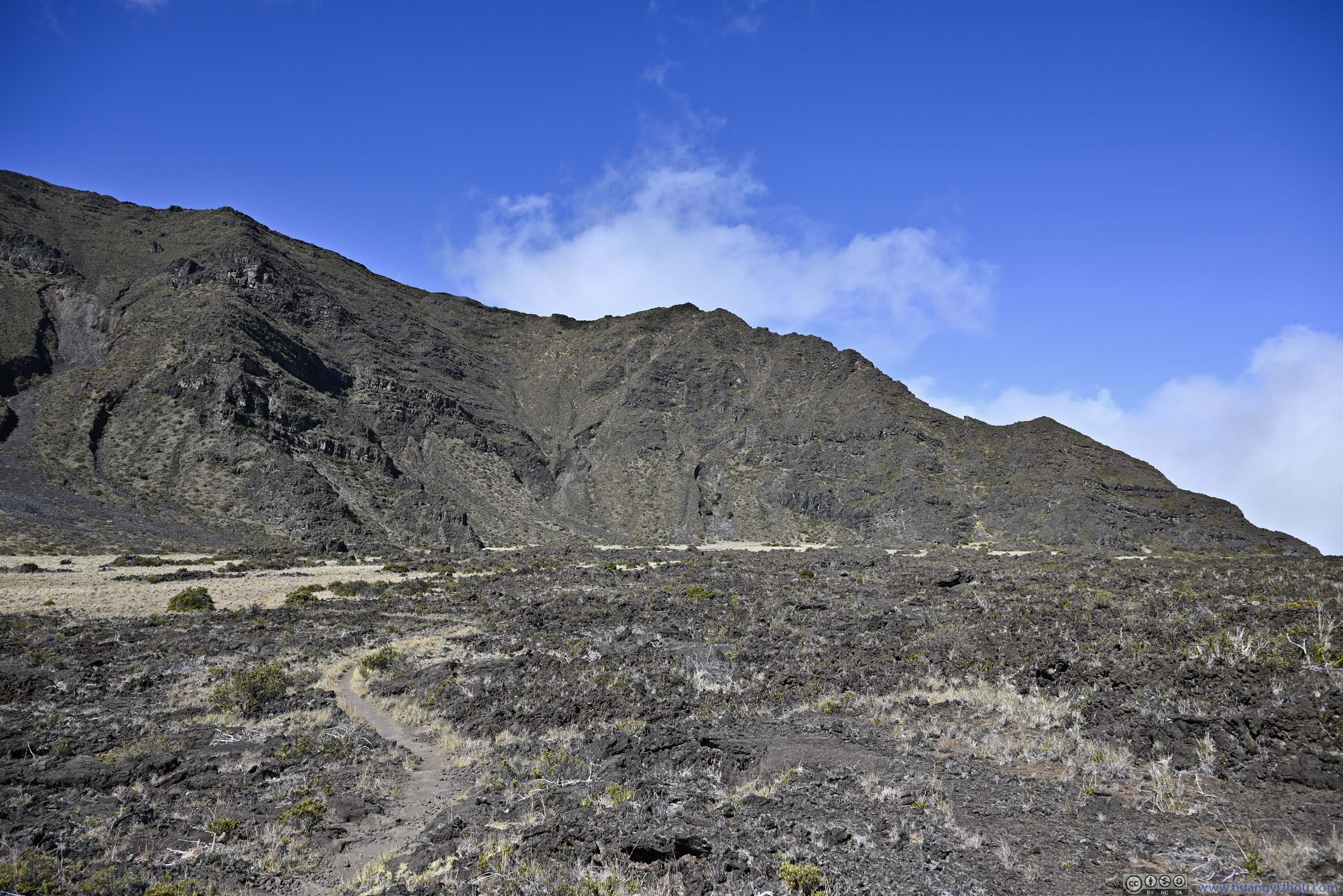
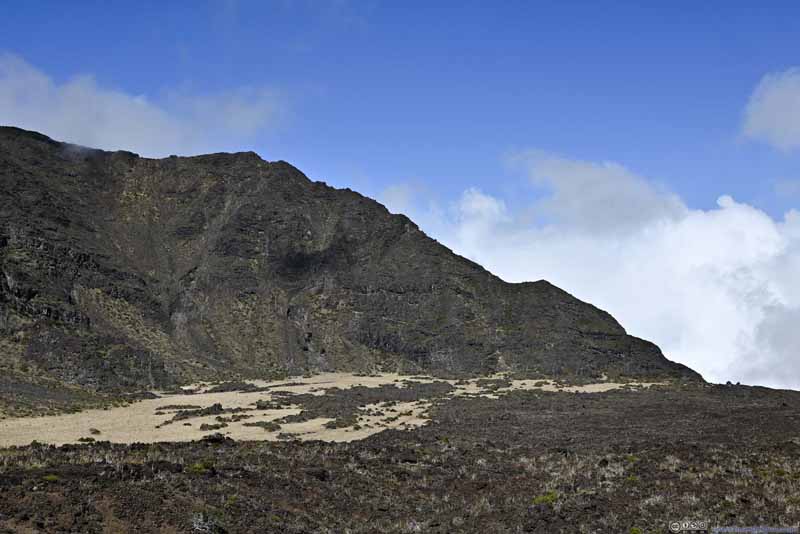
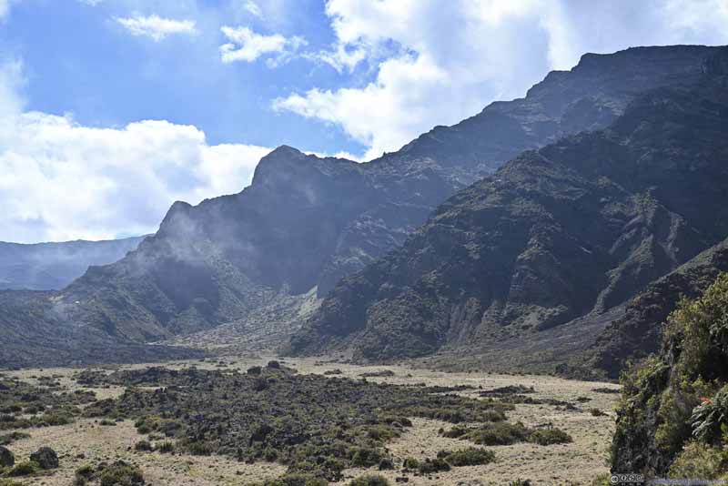
The initial descent into the crater was mostly gradual and pleasant. Unfortunately, with the sun against us, the hills and cinder cones appeared gloomy.
Trail into Crater
Trail
Trail
Amazingly, I saw patches of ice on the left-hand side of the trail, possibly because the slope that shaded sunshine.
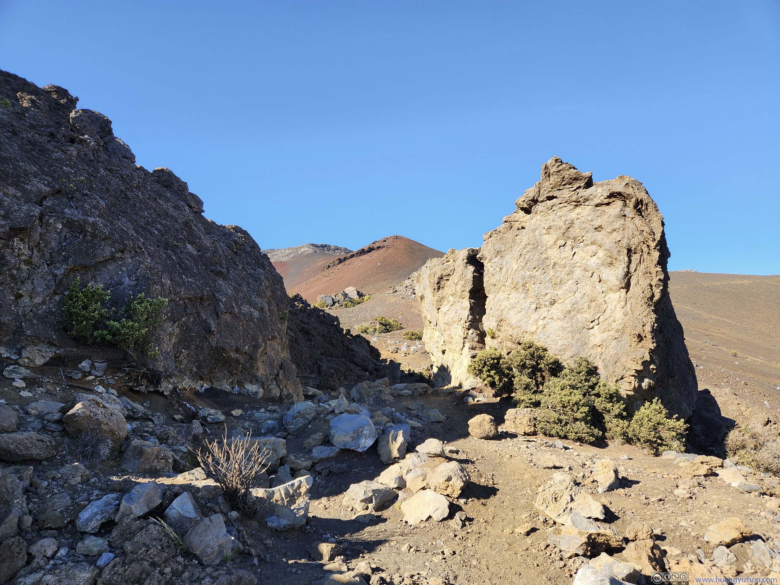
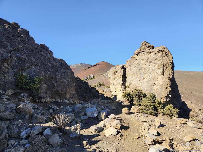
Trail On OpenStreetMaps this was called "Split Rock".
Trail
Trail Passing a section with dense vegetation.
Trail
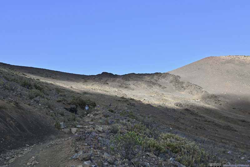
Trail Some signs of bushes closer to the bottom of the basin. They wouldn't last though.
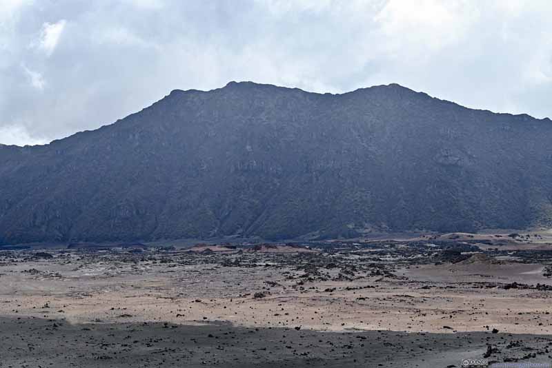
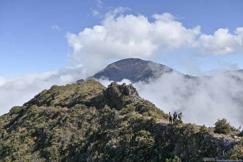
Northern Ridge of Haleakalā Crater
Northern Ridge of Haleakalā Crater
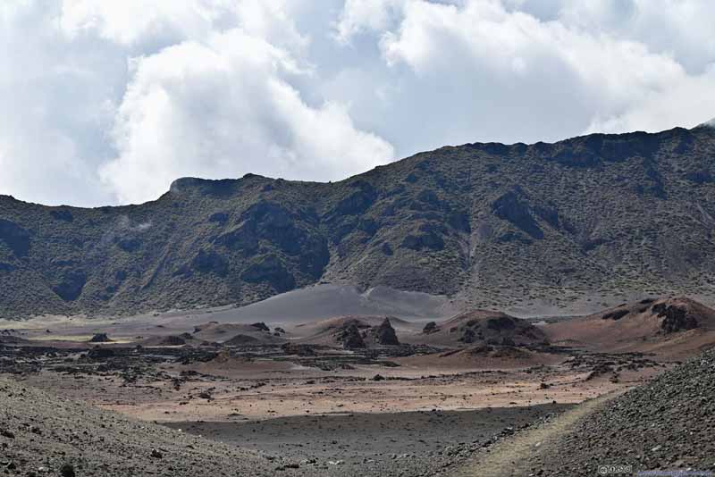
Haleakalā Crater Basin
Haleakalā Crater Basin
Northern Part of Haleakalā Crater Basin The only part that's not covered by a ridge.
Trail to Ka Lu'u o ka O'o Cinder Cone
Trail to Ka Lu'u o ka O'o Cinder Cone
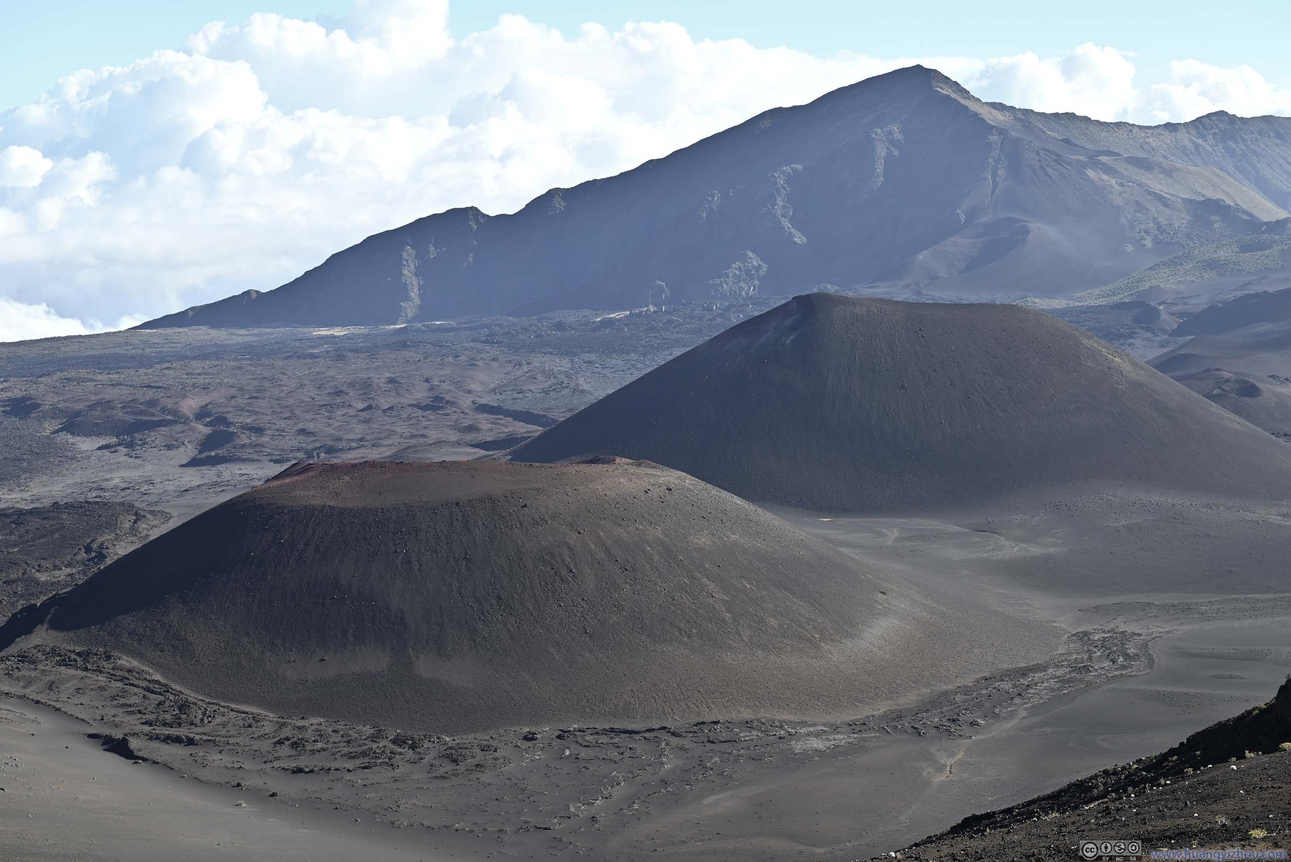
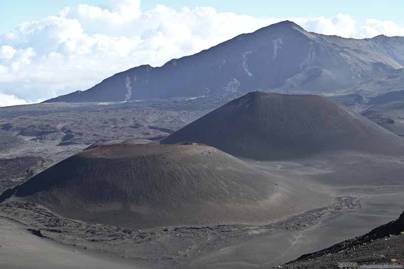
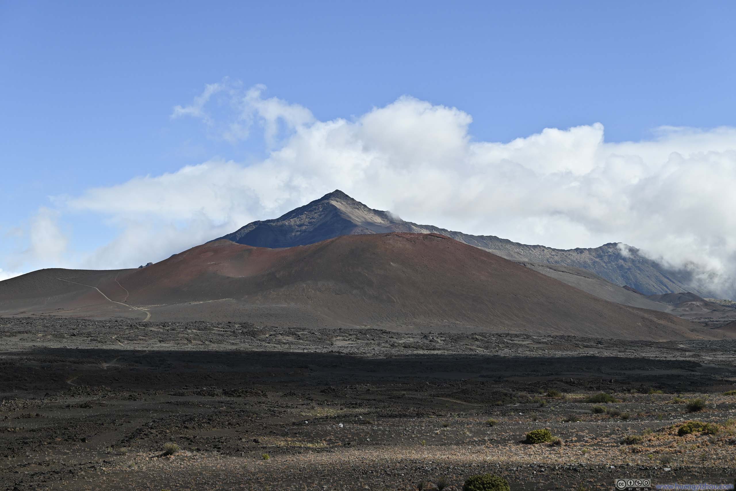
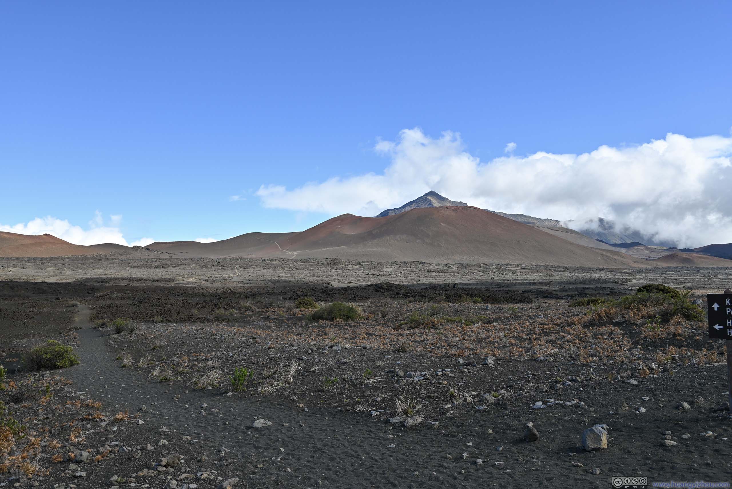
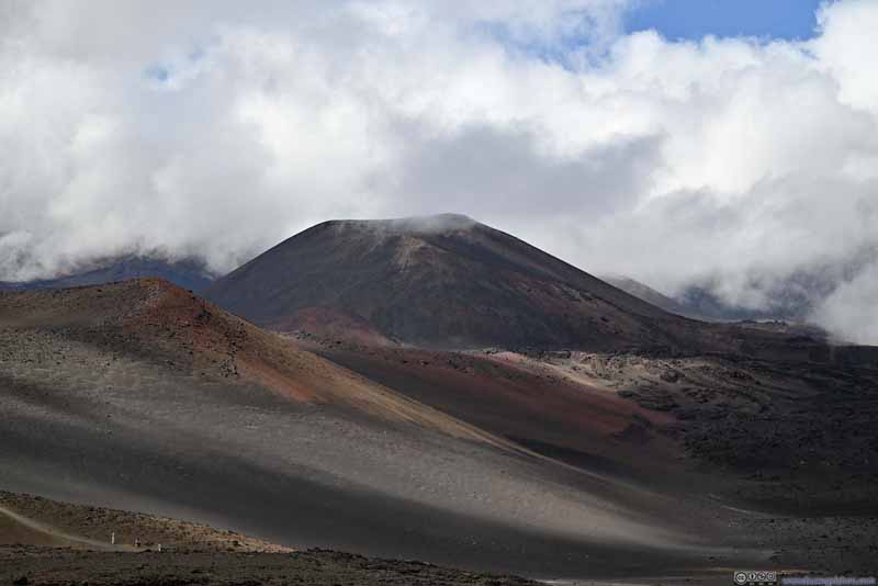
Cinder Cones Kamaolii and Pu'uomaui
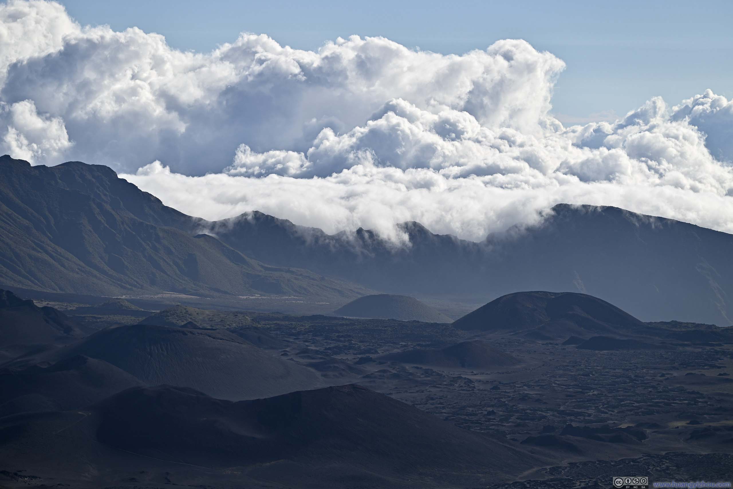
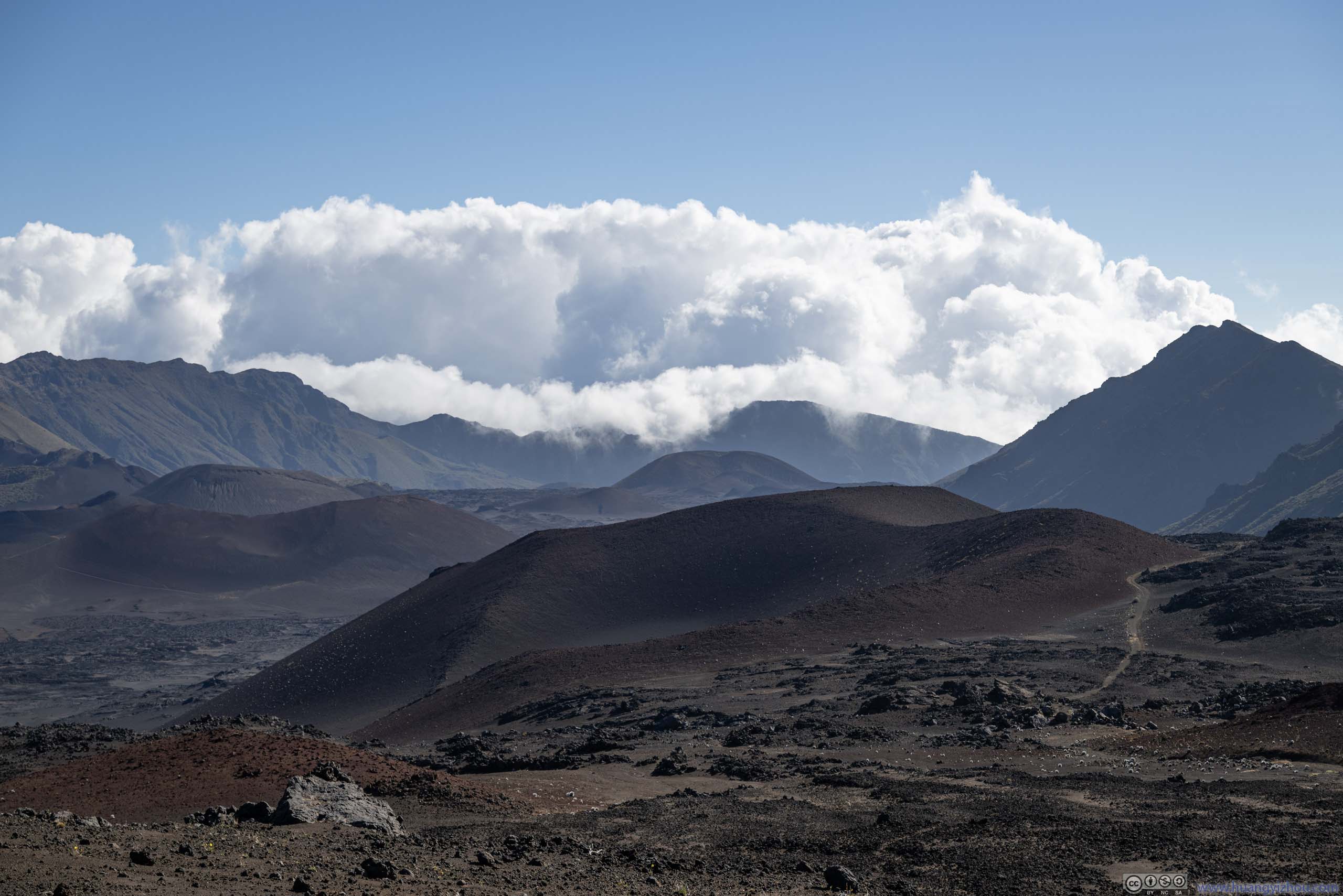
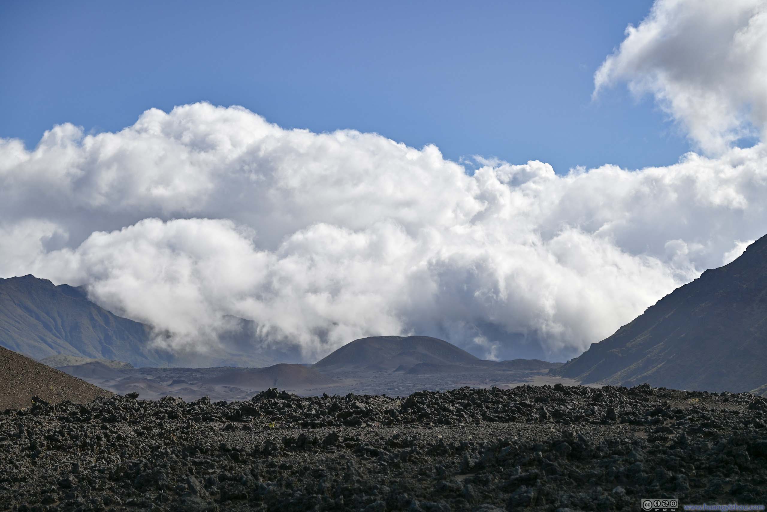
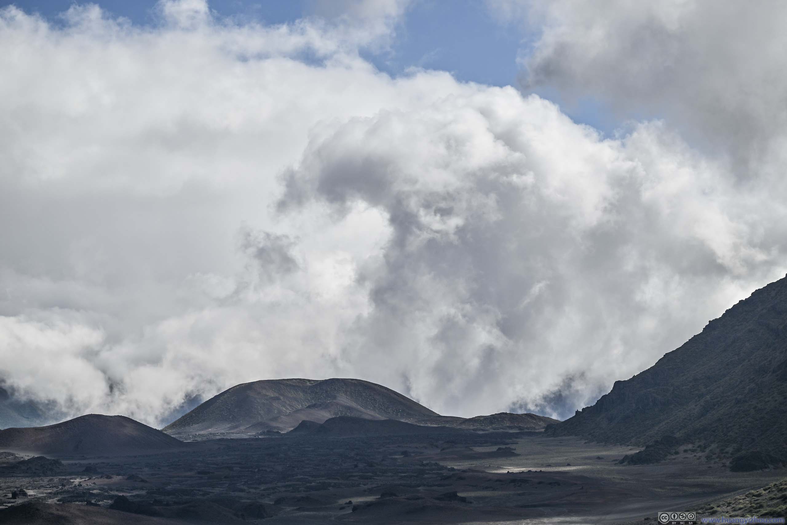
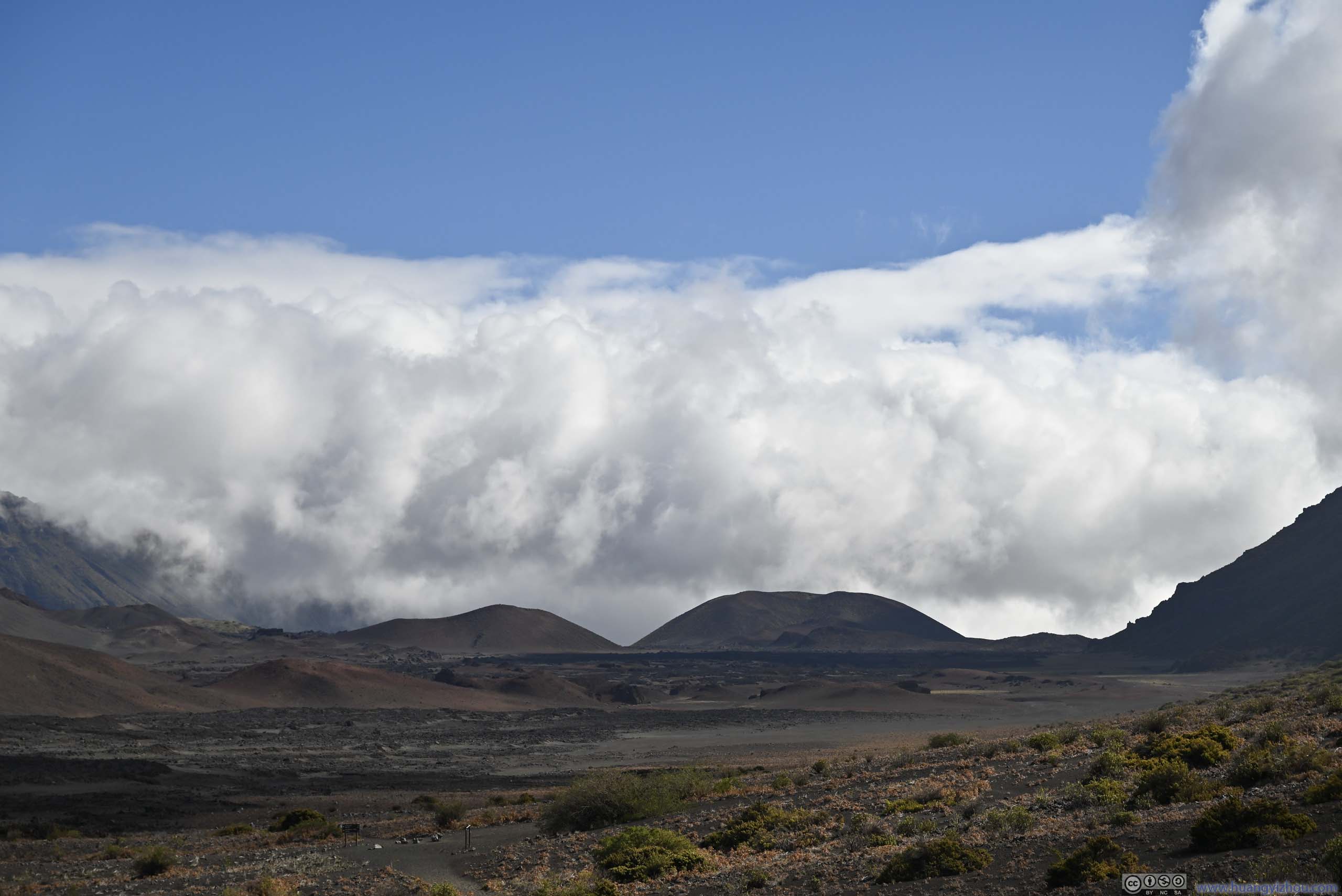
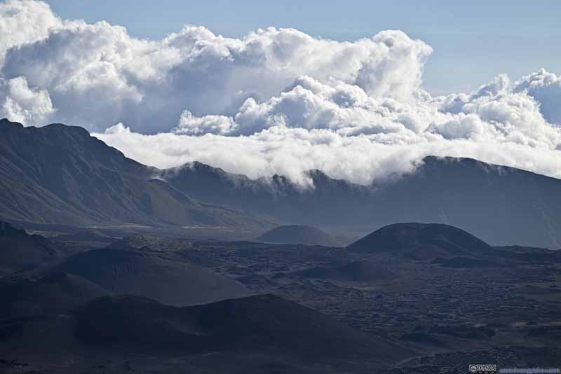
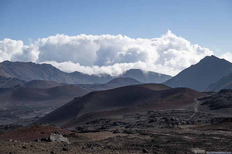
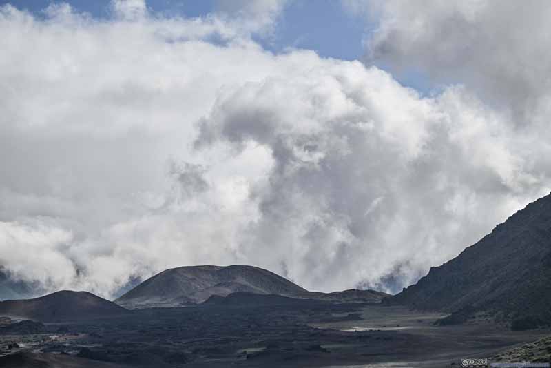
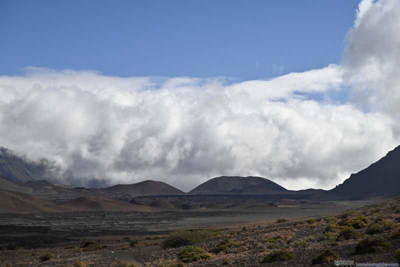
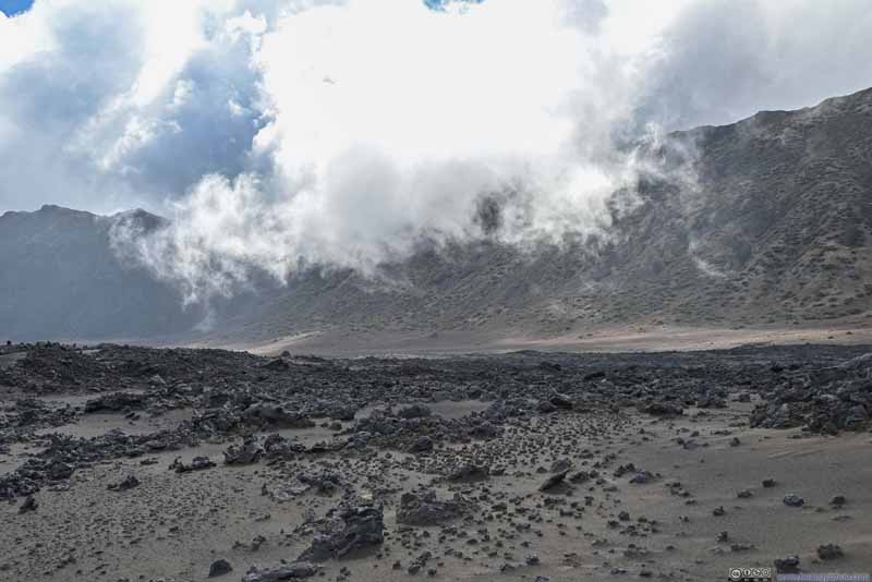
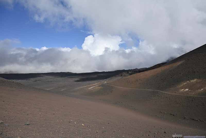
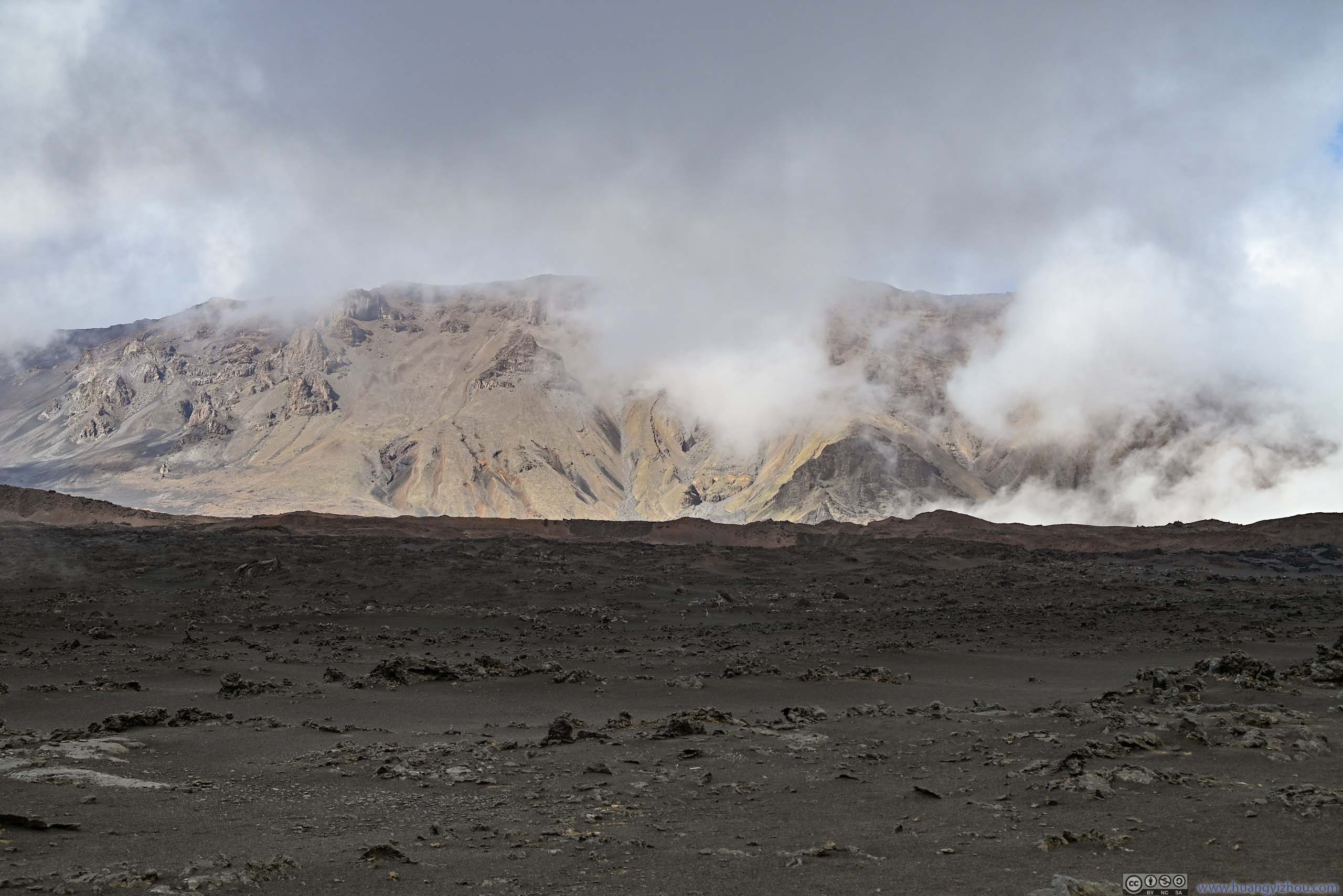
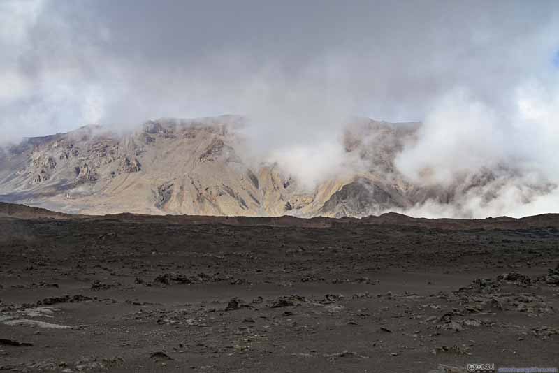
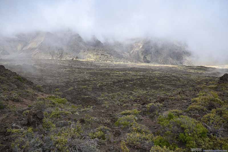
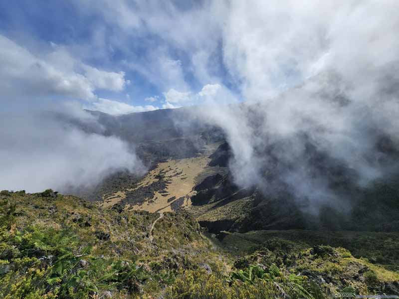
My favorite activity during this part was watching the distant clouds battling the eastern ridge of Haleakalā's crater. Their tumultuous shapes provided countless possibilities for imagination. Two hours ago during sunrise, the clouds were kept beyond the crater; but as the day went on they gathered enough energy to march into the crater. Later in the day, we occasionally found ourselves walking among clouds through the lower-elevation portions of the trail.
Distant Clouds
A pretty impressive scene watching the distant clouds trying to roll over Haleakalā's eastern ridge.
Distant Clouds
A pretty impressive scene watching the distant clouds trying to roll over Haleakalā's eastern ridge.
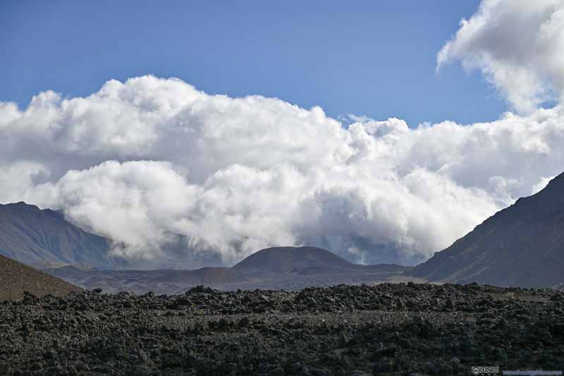
Distant Clouds
About an hour later, the clouds were making progress, now that they had overcome the ridgeline into the crater.
Distant Clouds The dark patch of clouds resembling the shape of a cobra/dragon leading the way.
Distant Clouds Now that the clouds were in the crater, it's like an army slowing marching forward.
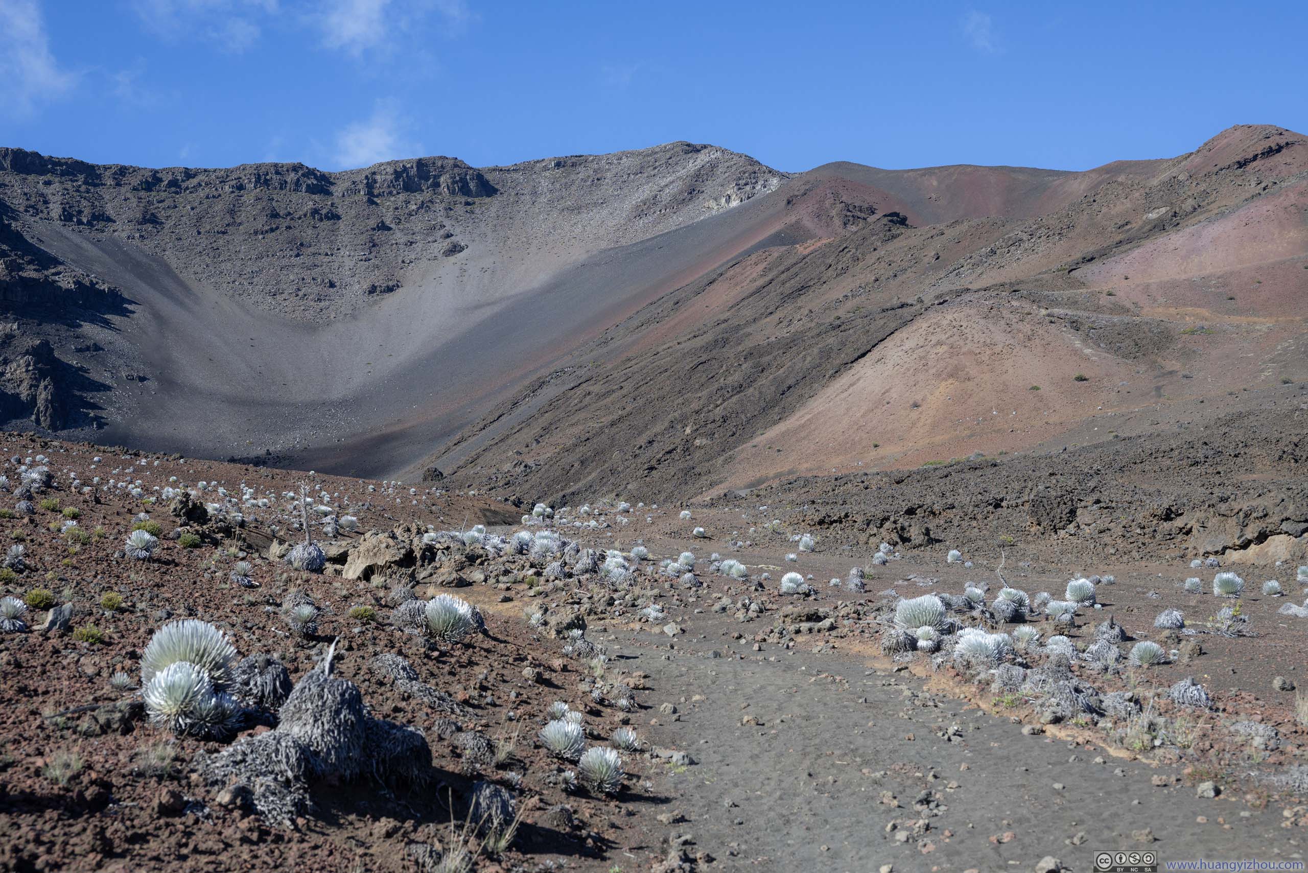
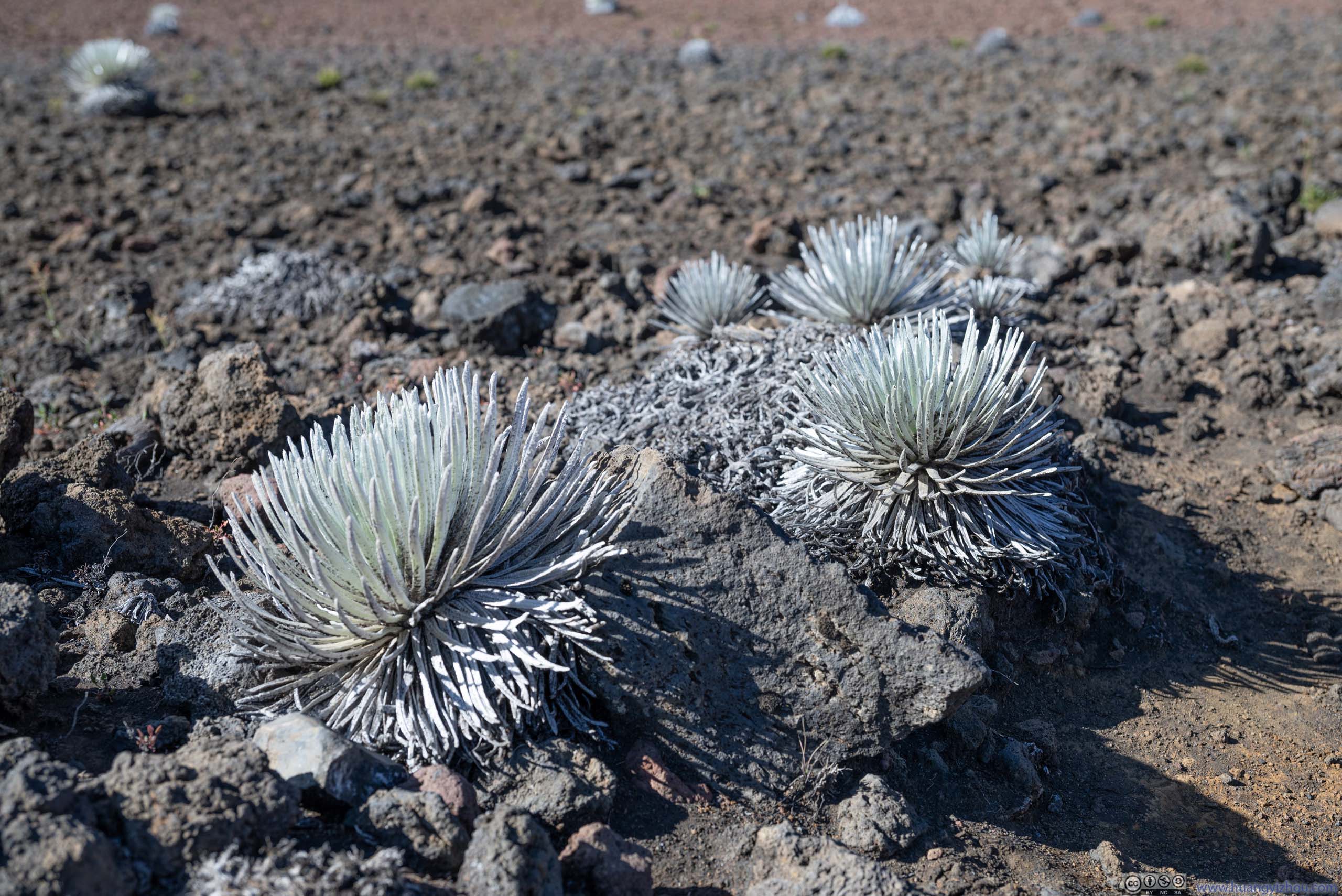
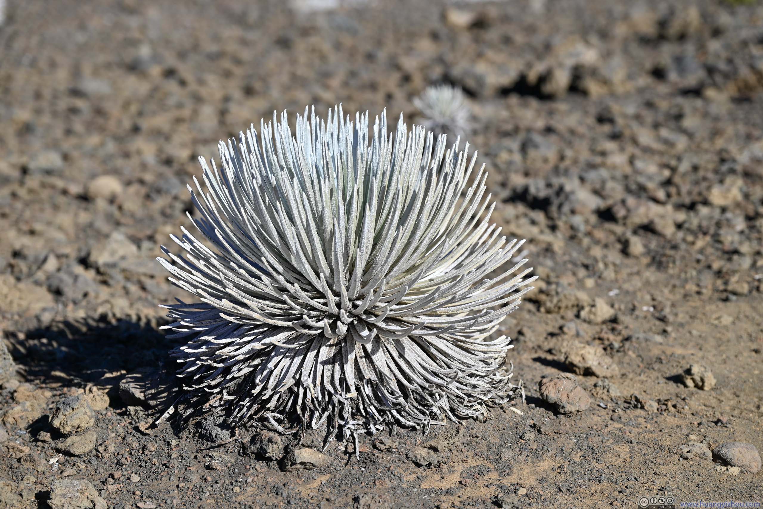
Silverwoods
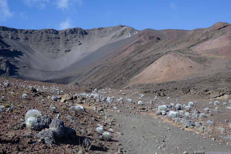
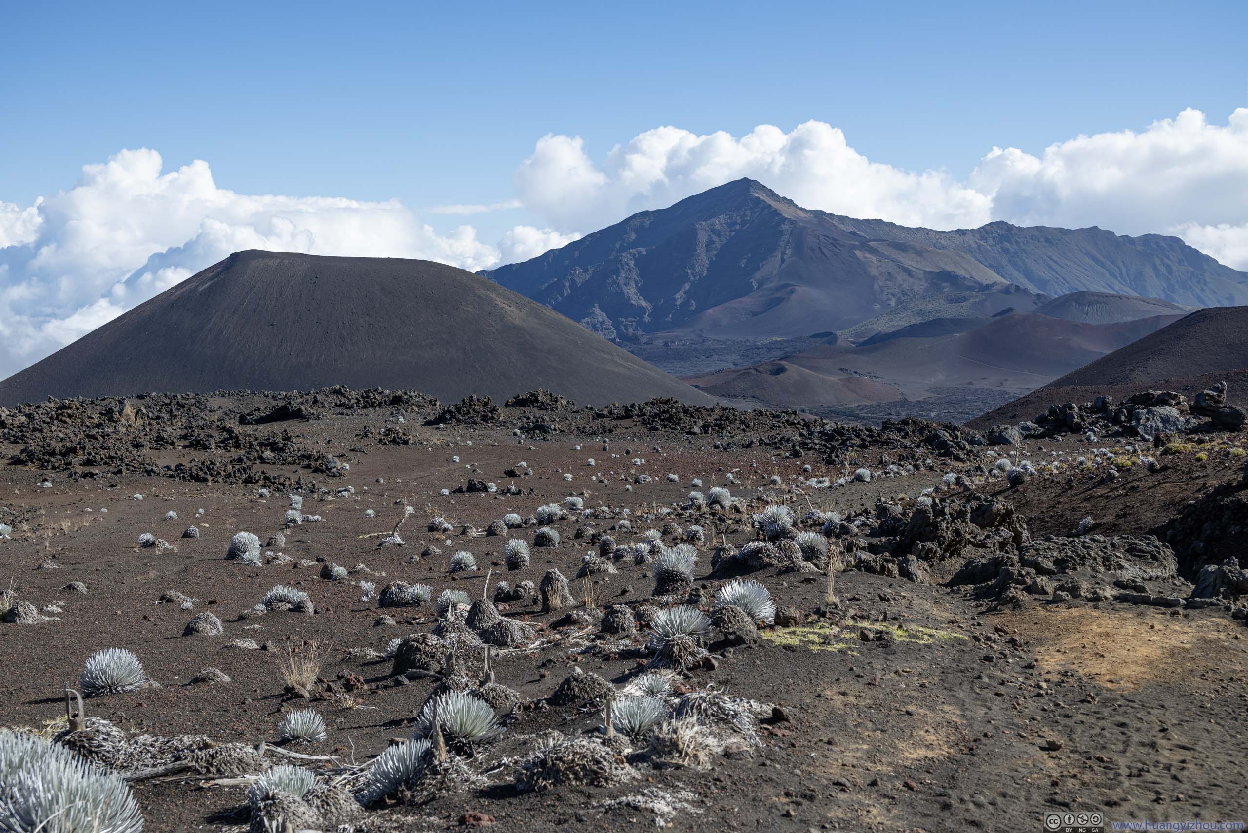
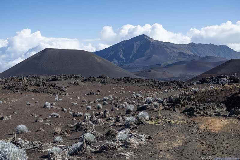
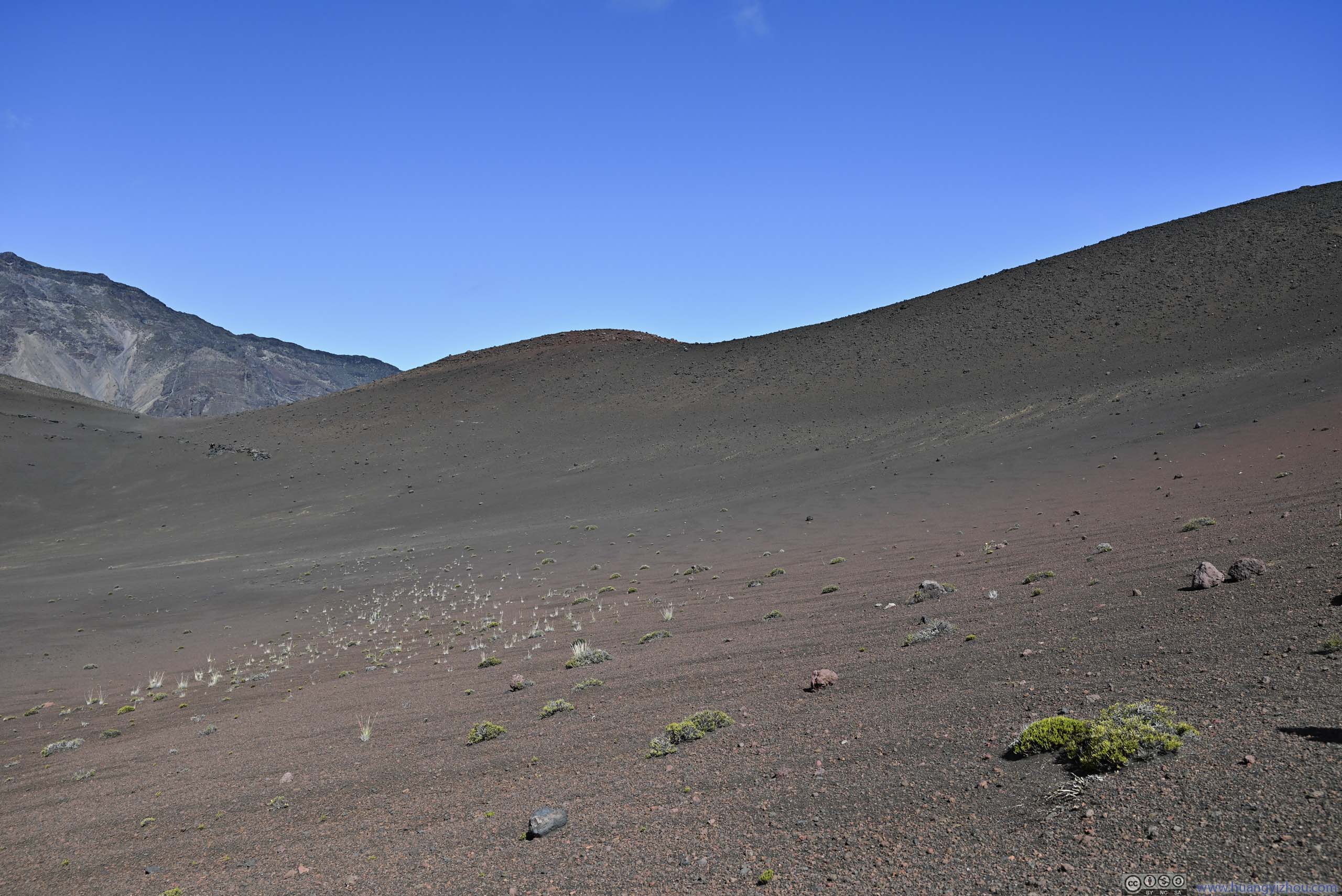
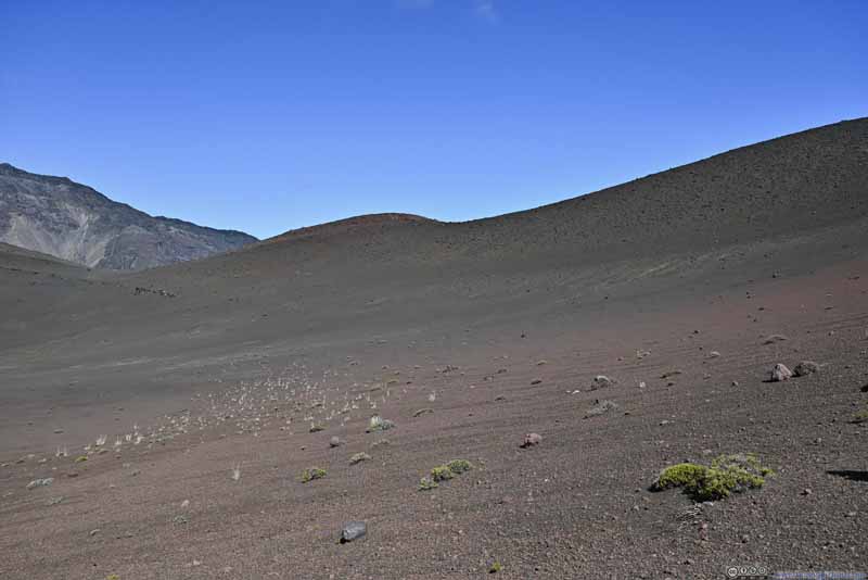
The trail passed a field of silverwoods on its way down the basin. These were the only plants that could survive in the dry crater basin. To me their silver hairs were like the coral reefs in the ocean.
Haleakalā Crater Basin
Field of Silverwoods
Hillside
Haleakalā Crater Basin
Southern Ridge of Haleakalā Crater
Mountains Kamoaopele, which the trail crossed next, in the foreground; Hanakauhi in the background.
Looking Back at Trail
Haleakalā Crater Basin
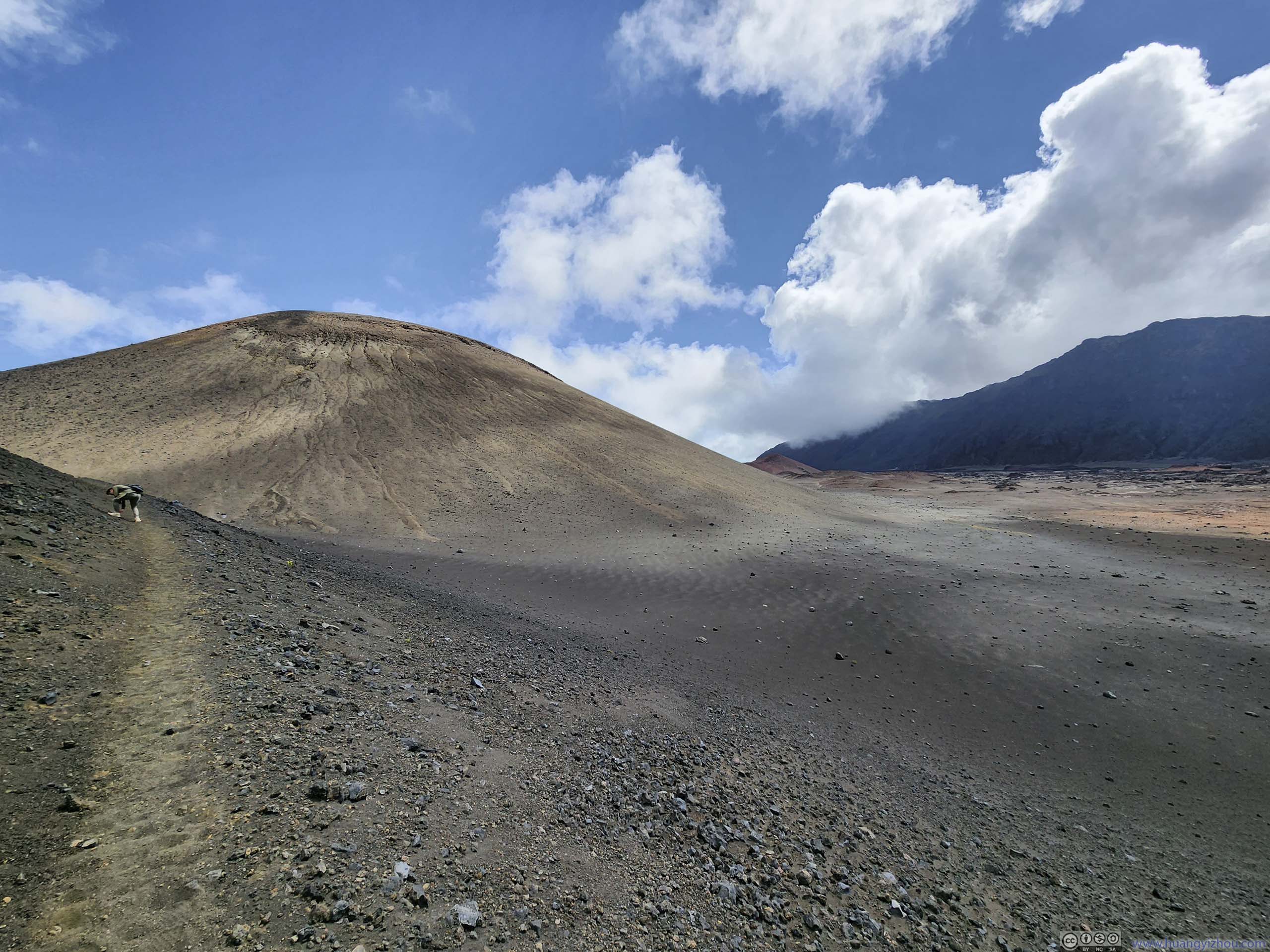
2 hours later and 6km into the hike, we reached the bottom of the crater, and the first intersection of the trail. A left turn here and we continued towards Kamoaopele, which was a small hill (that didn't look like a cinder cone).
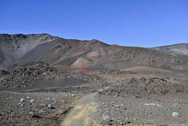
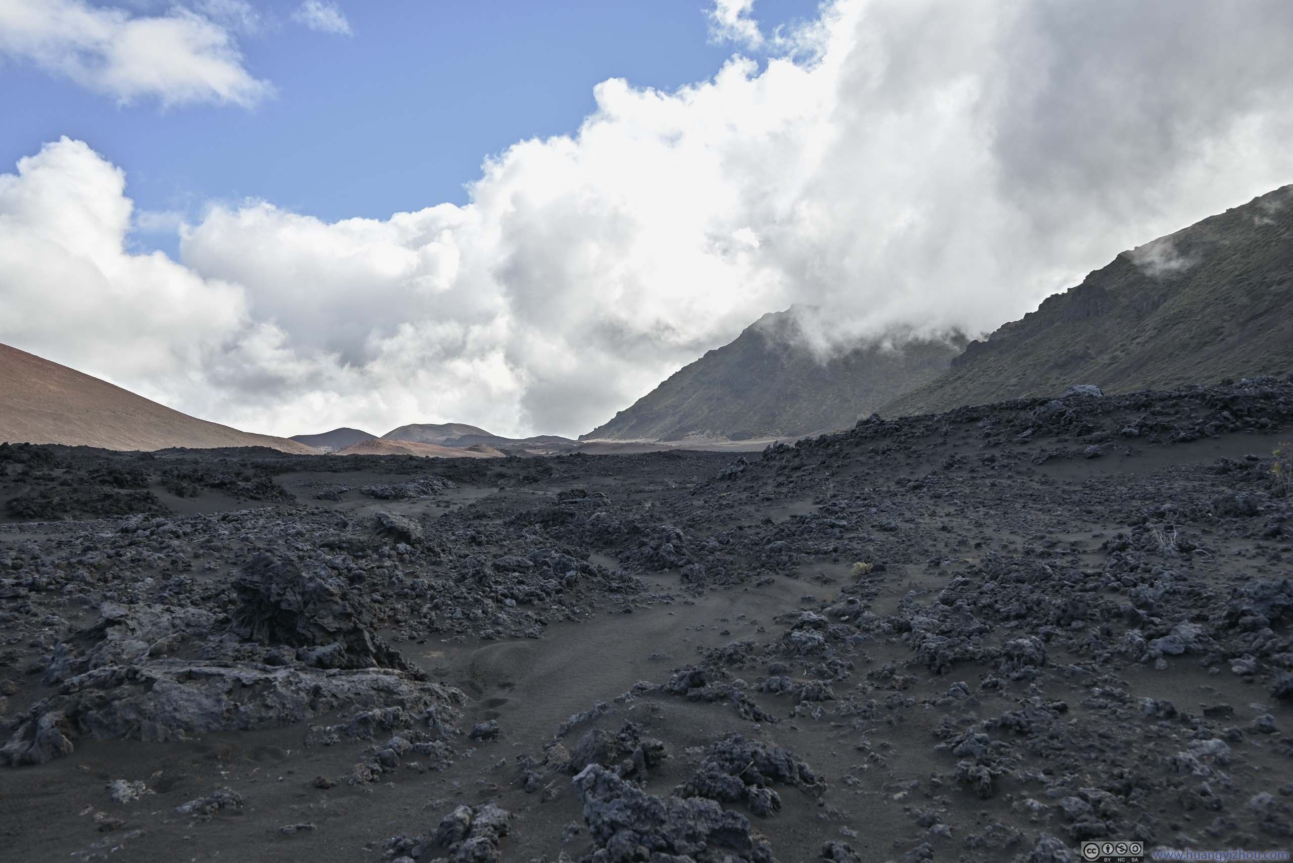
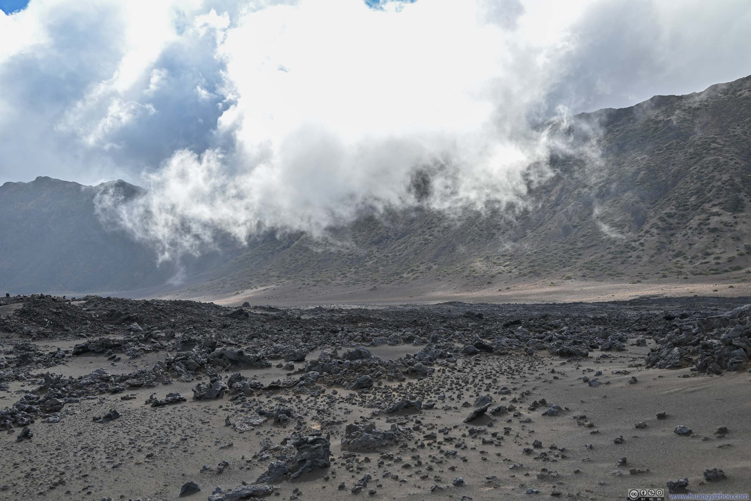
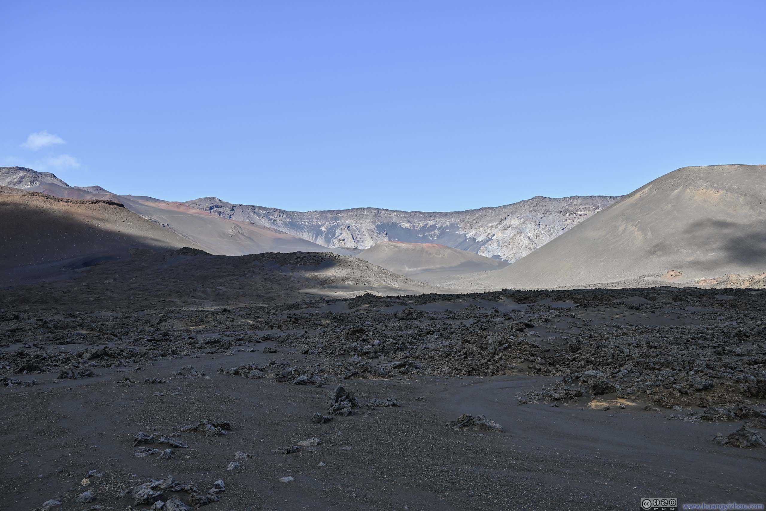
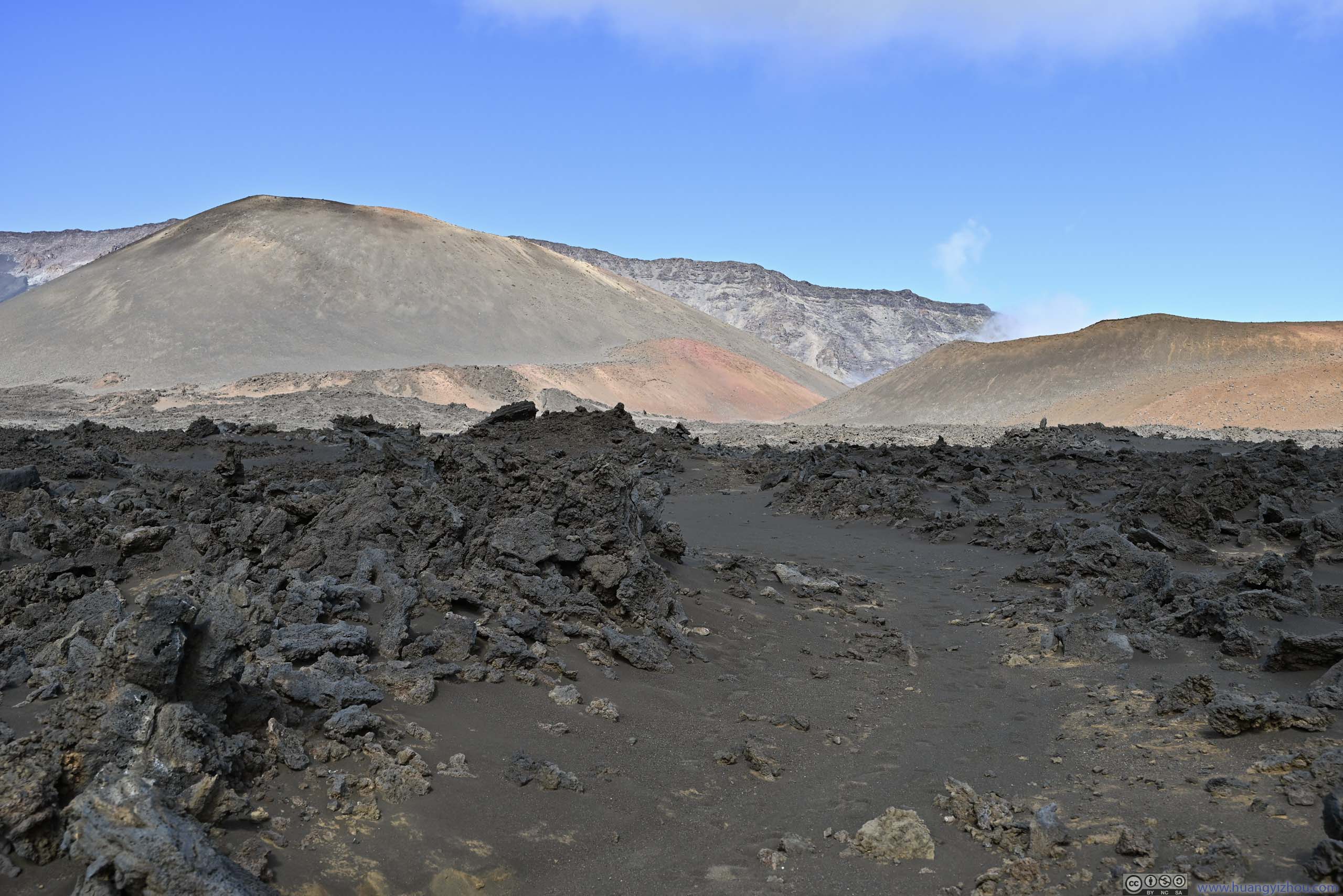
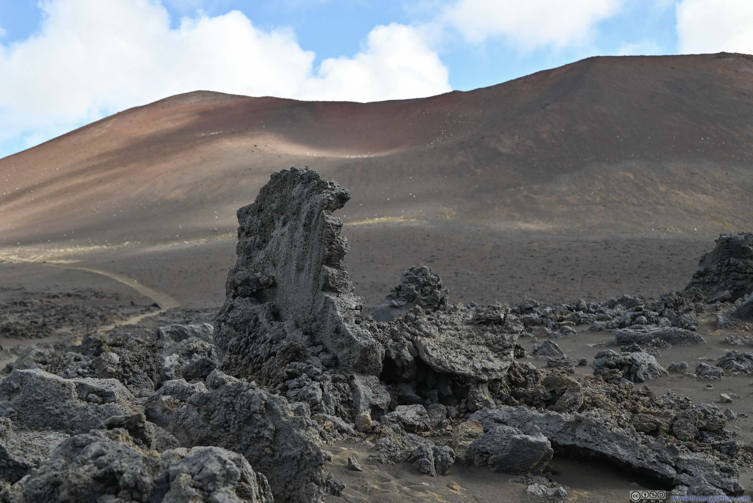
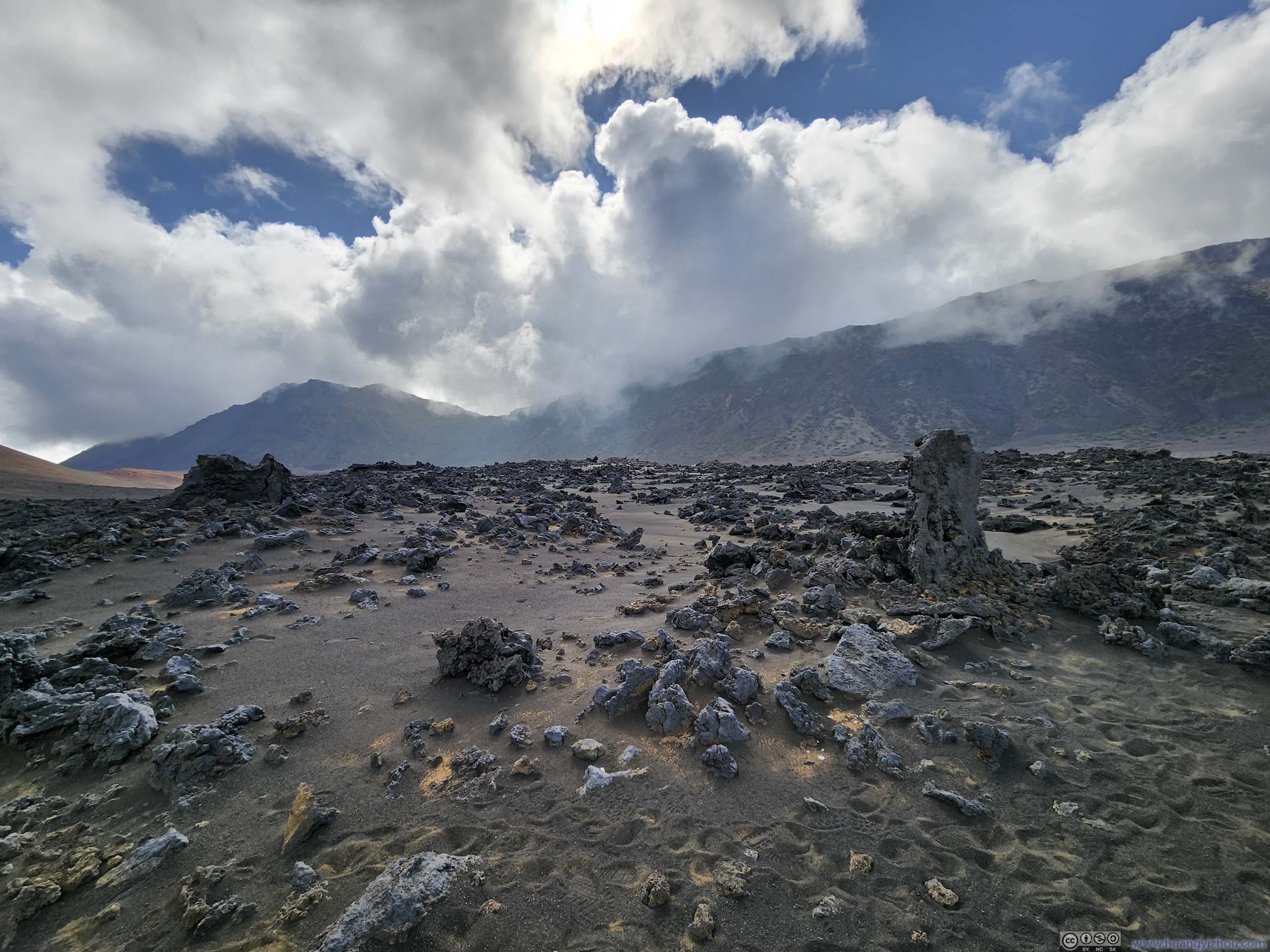
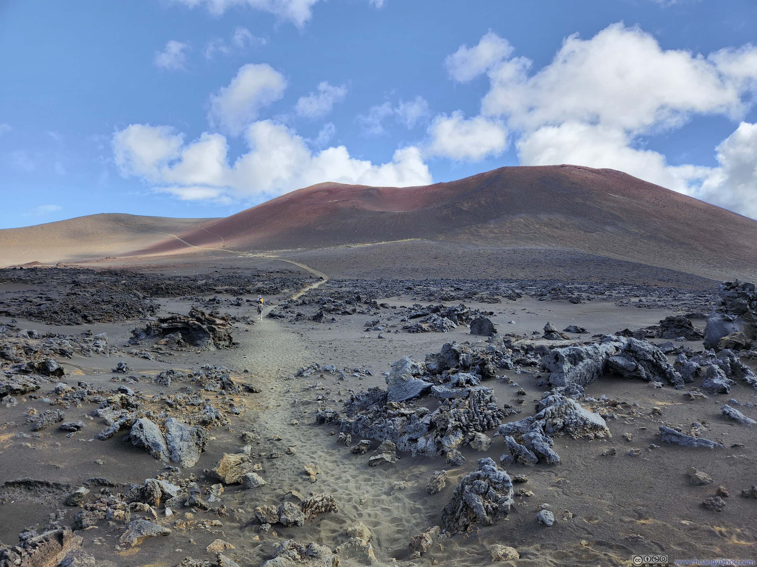
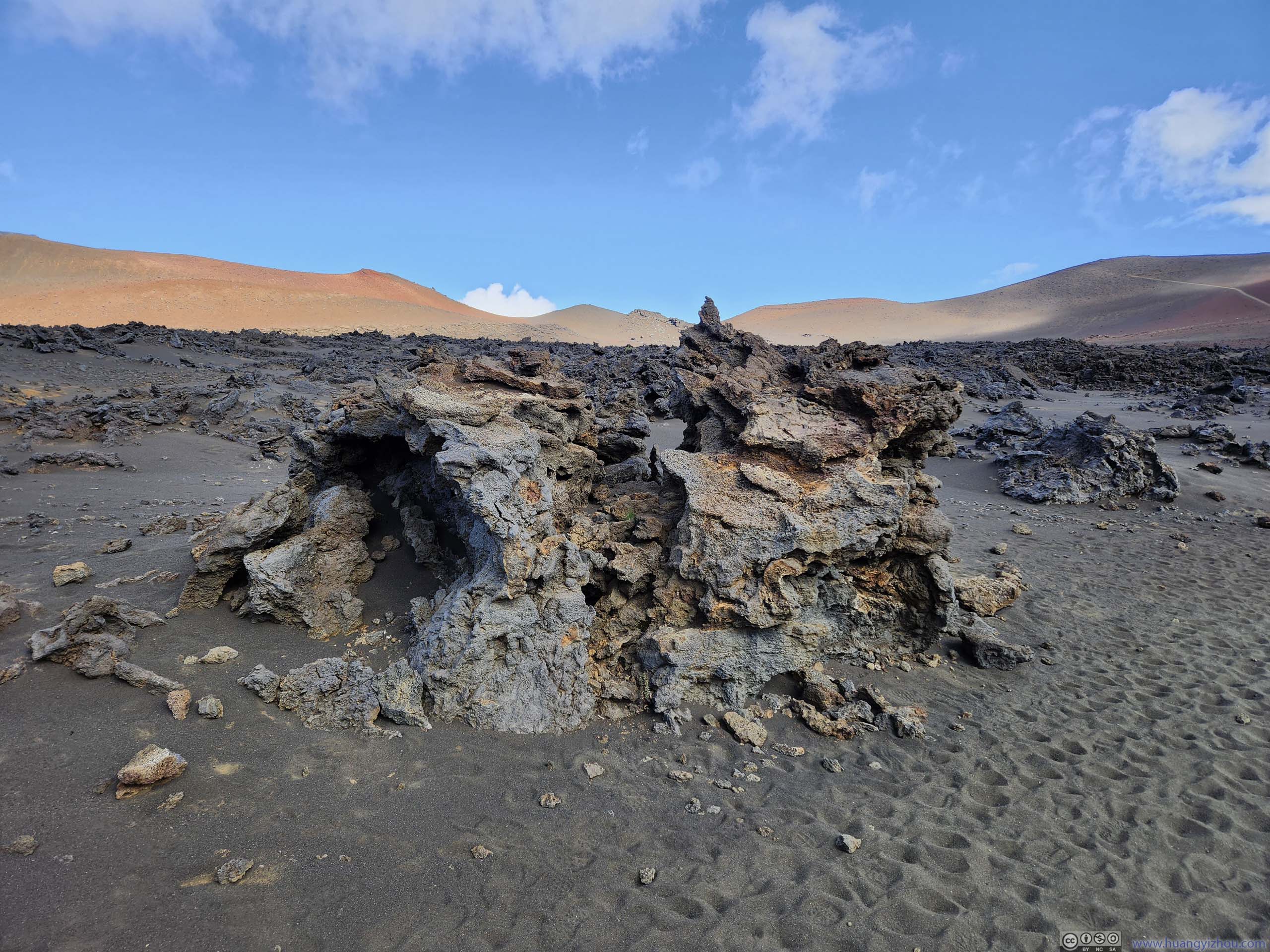
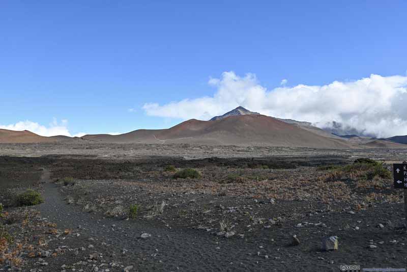
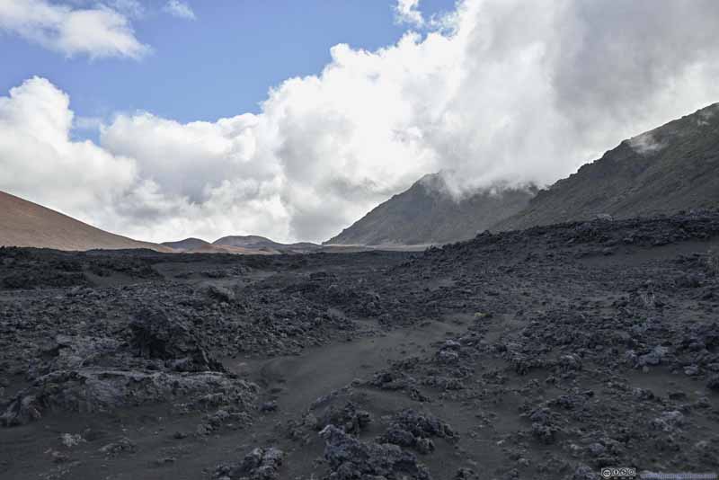
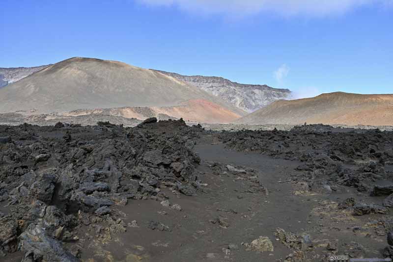
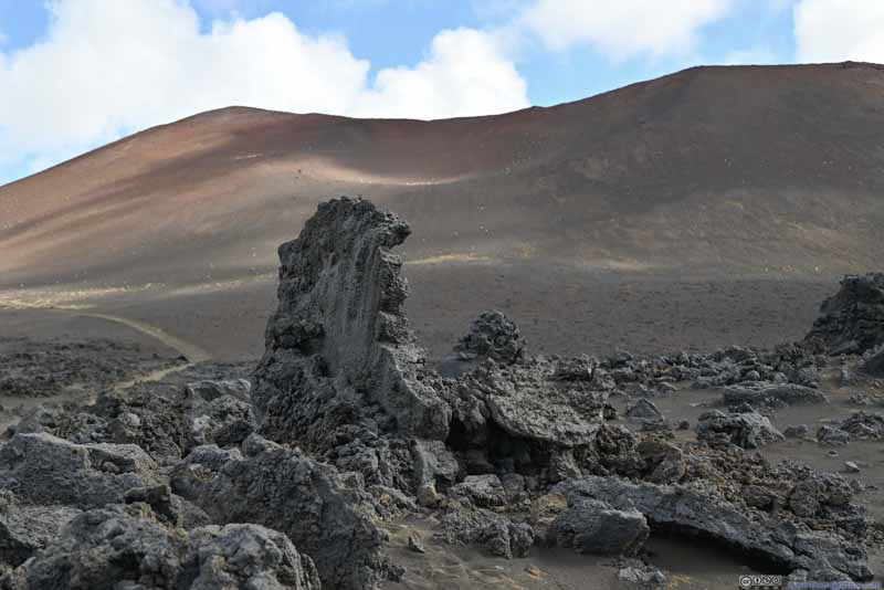
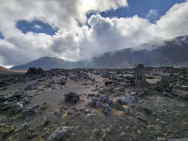
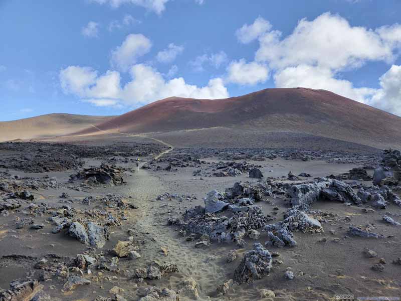
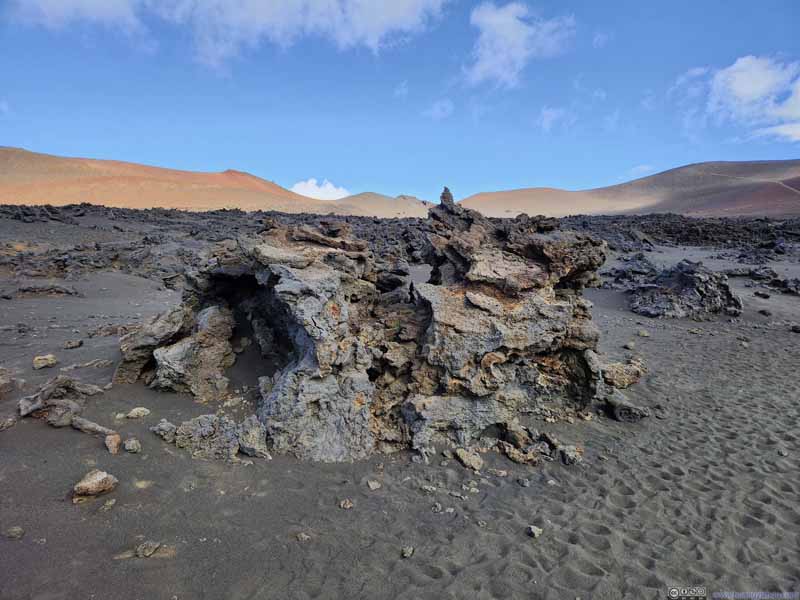
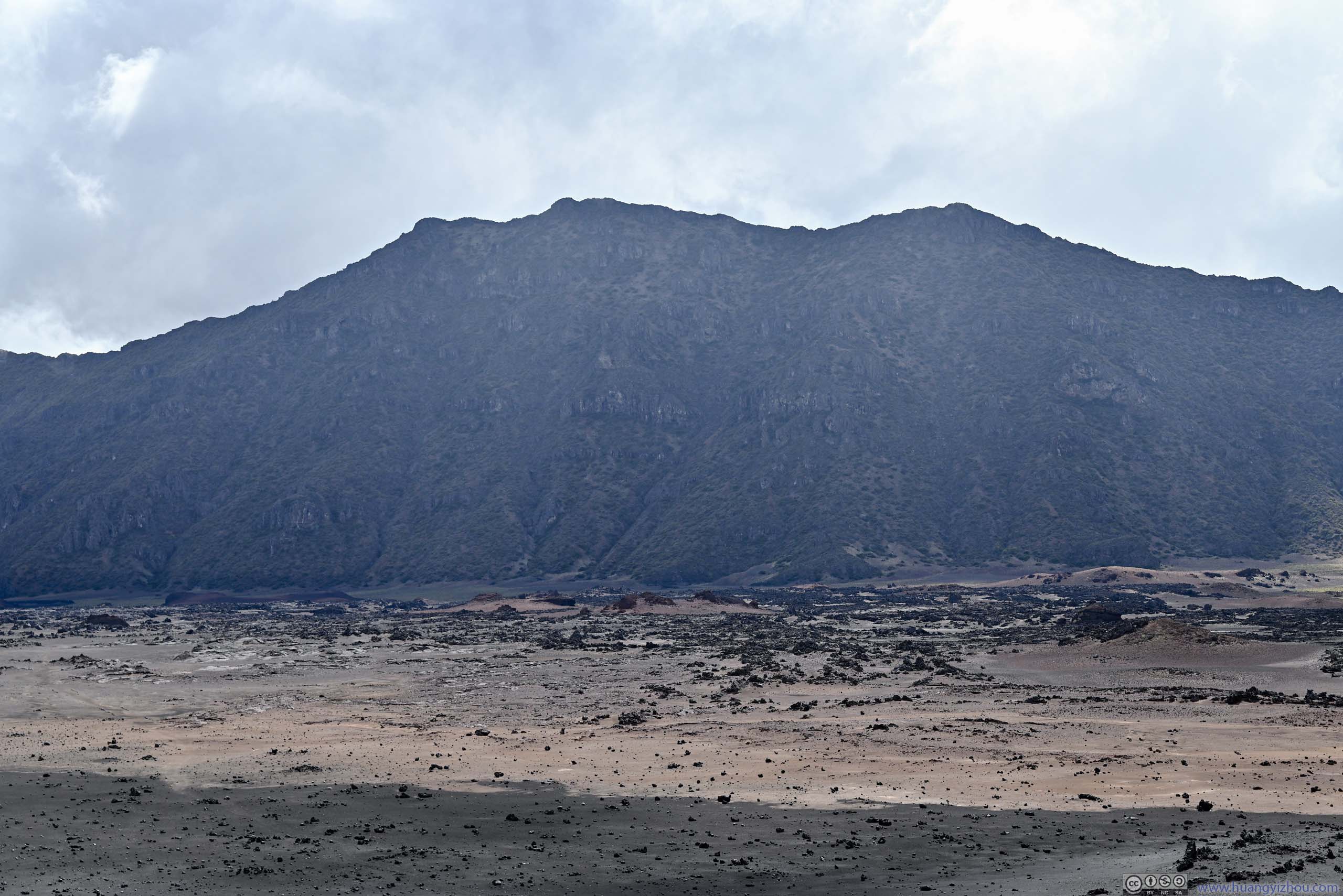
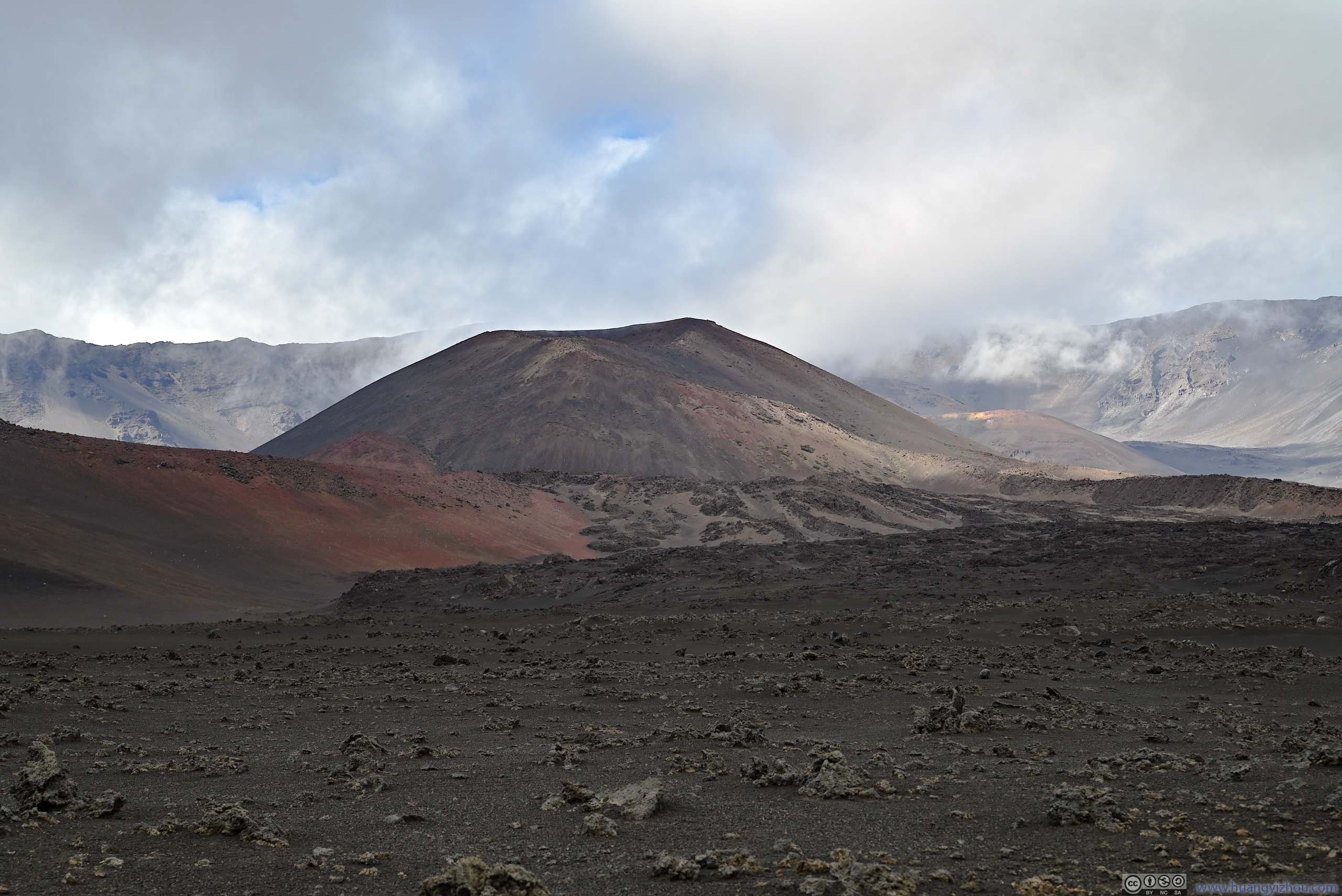
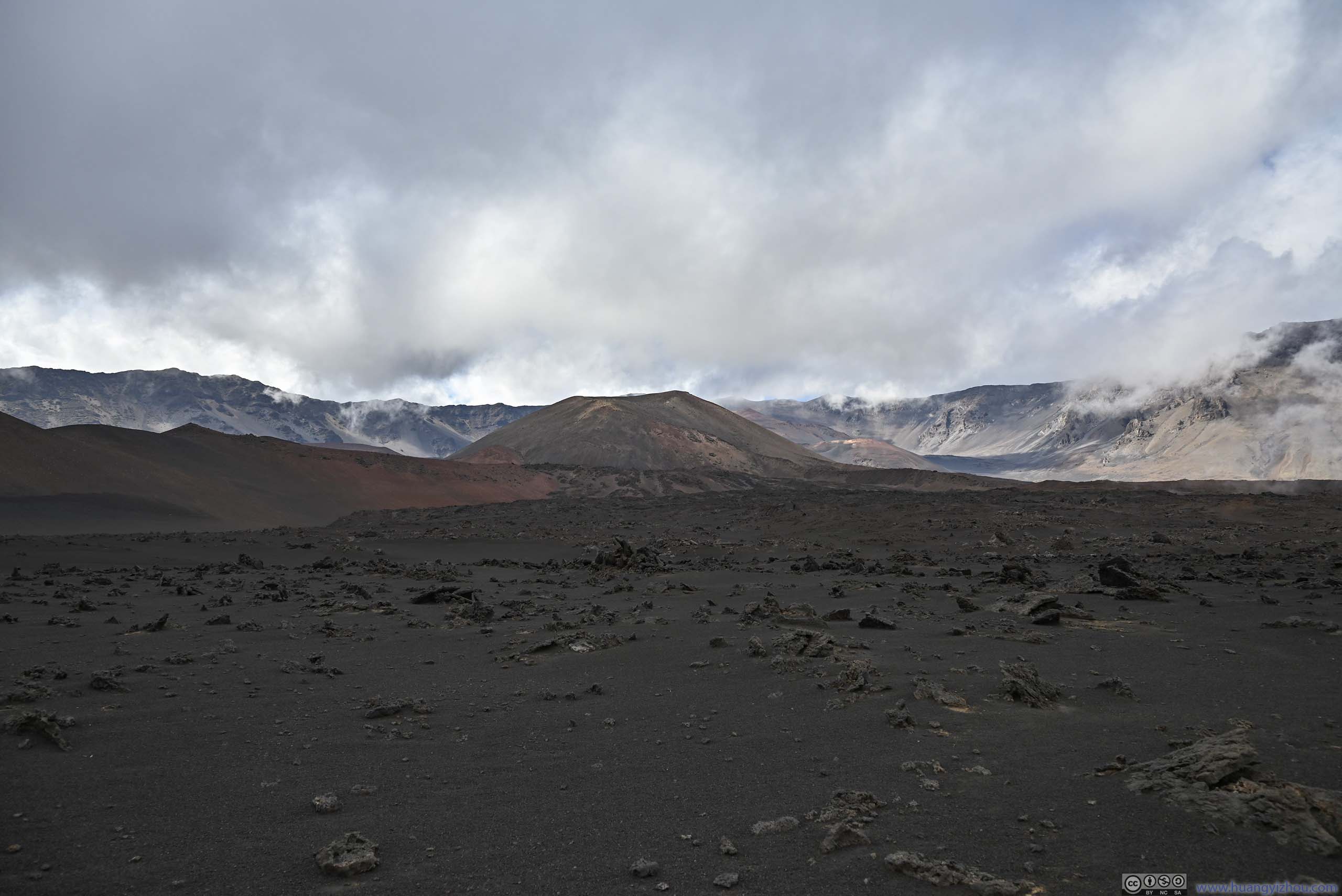
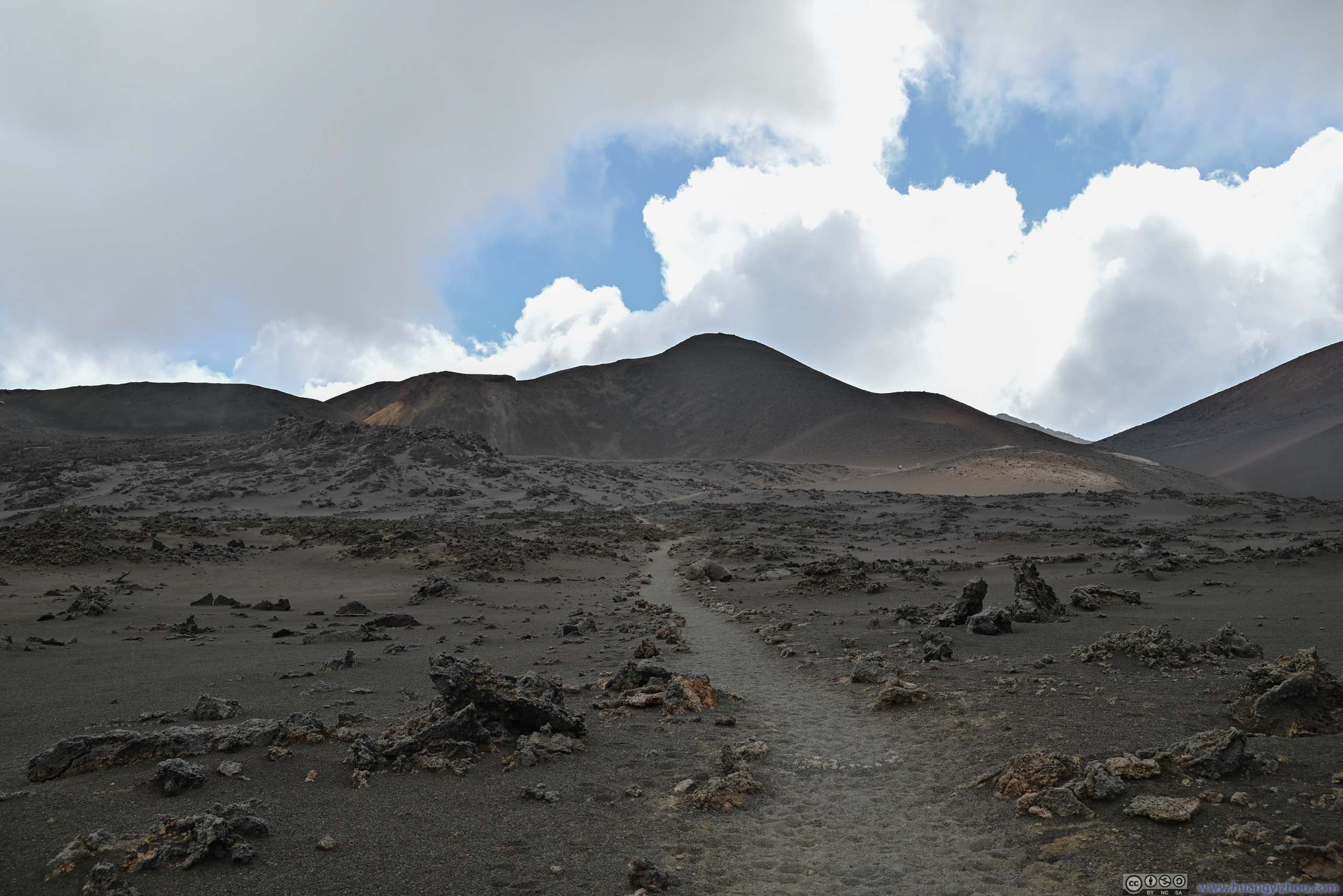
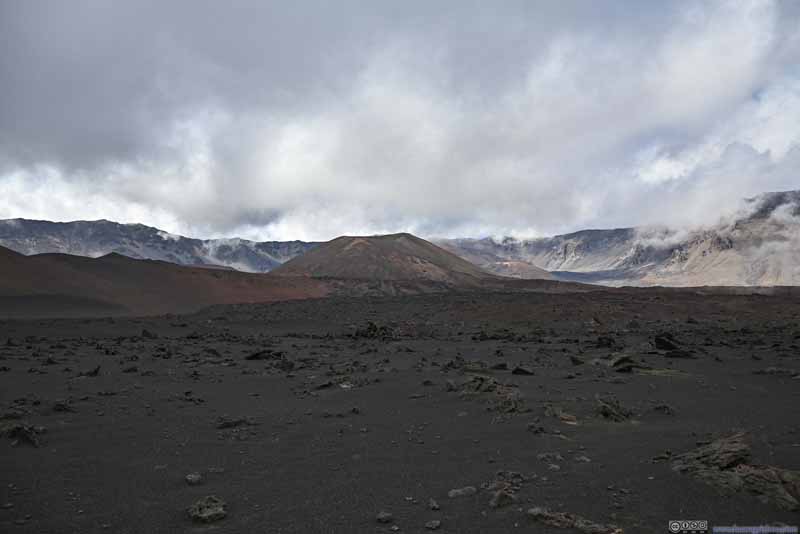
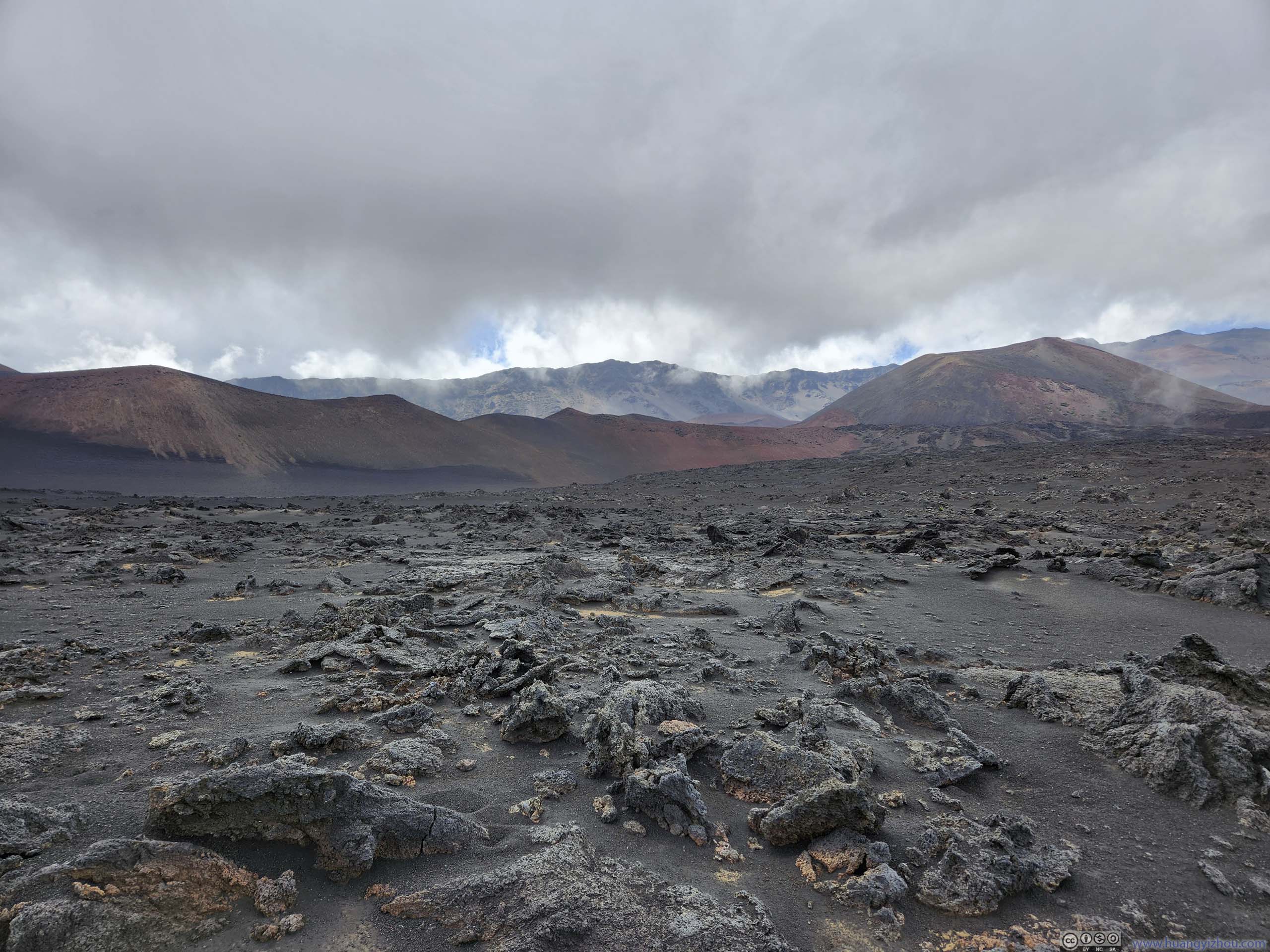
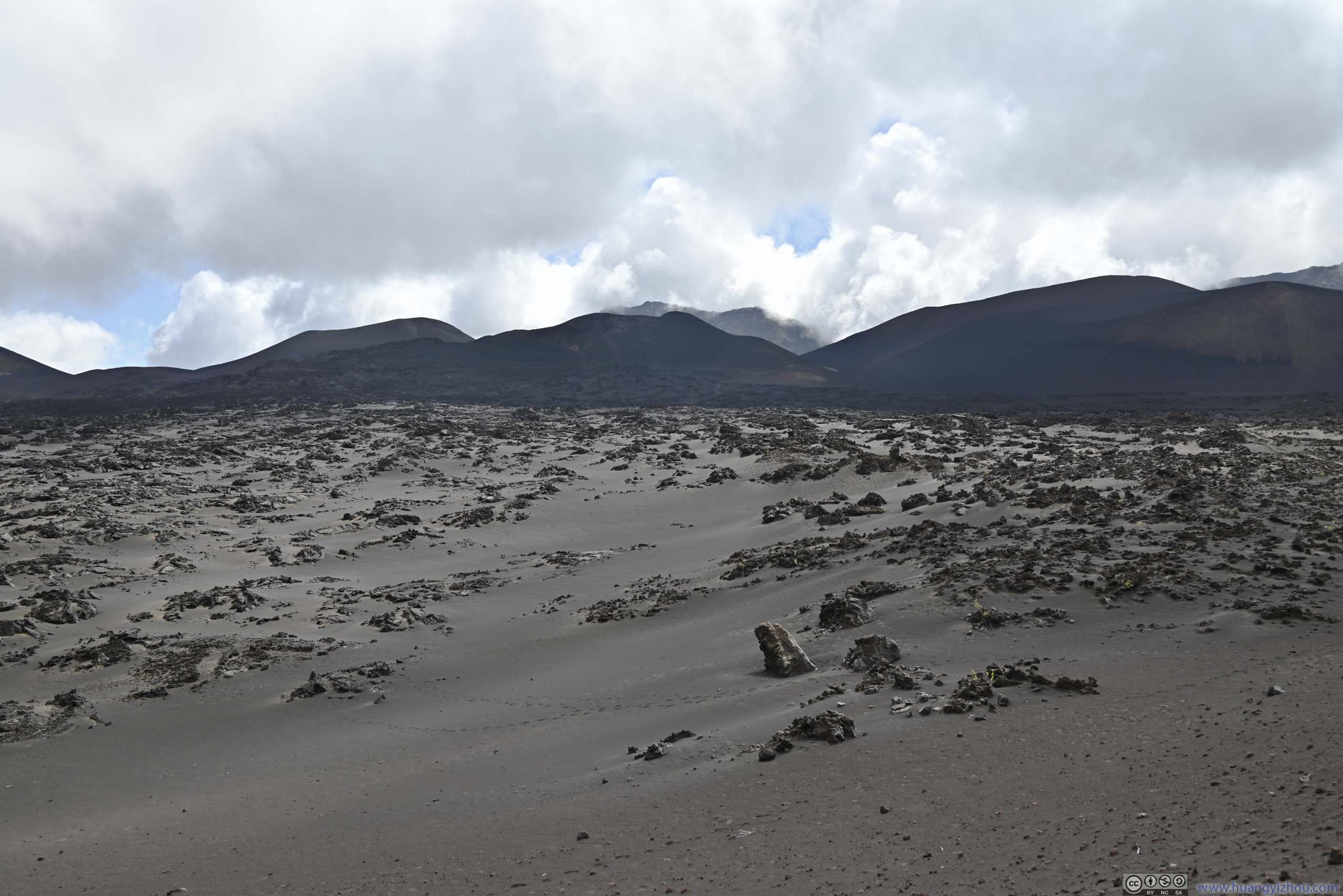
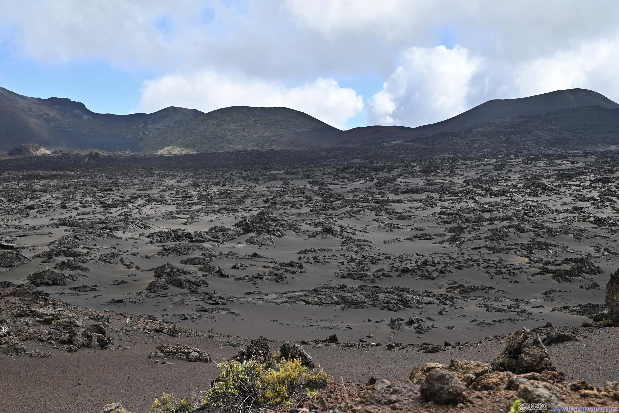
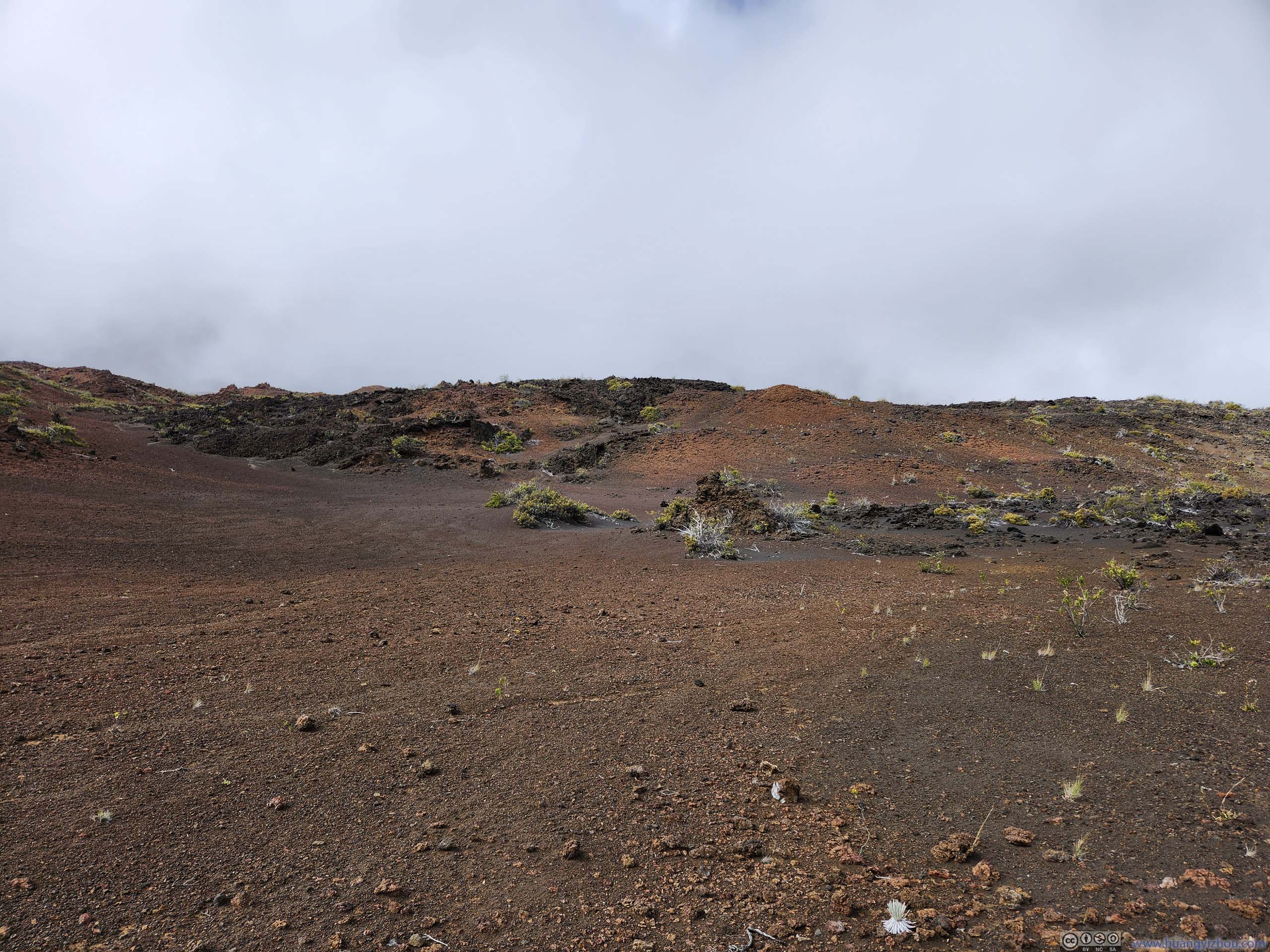
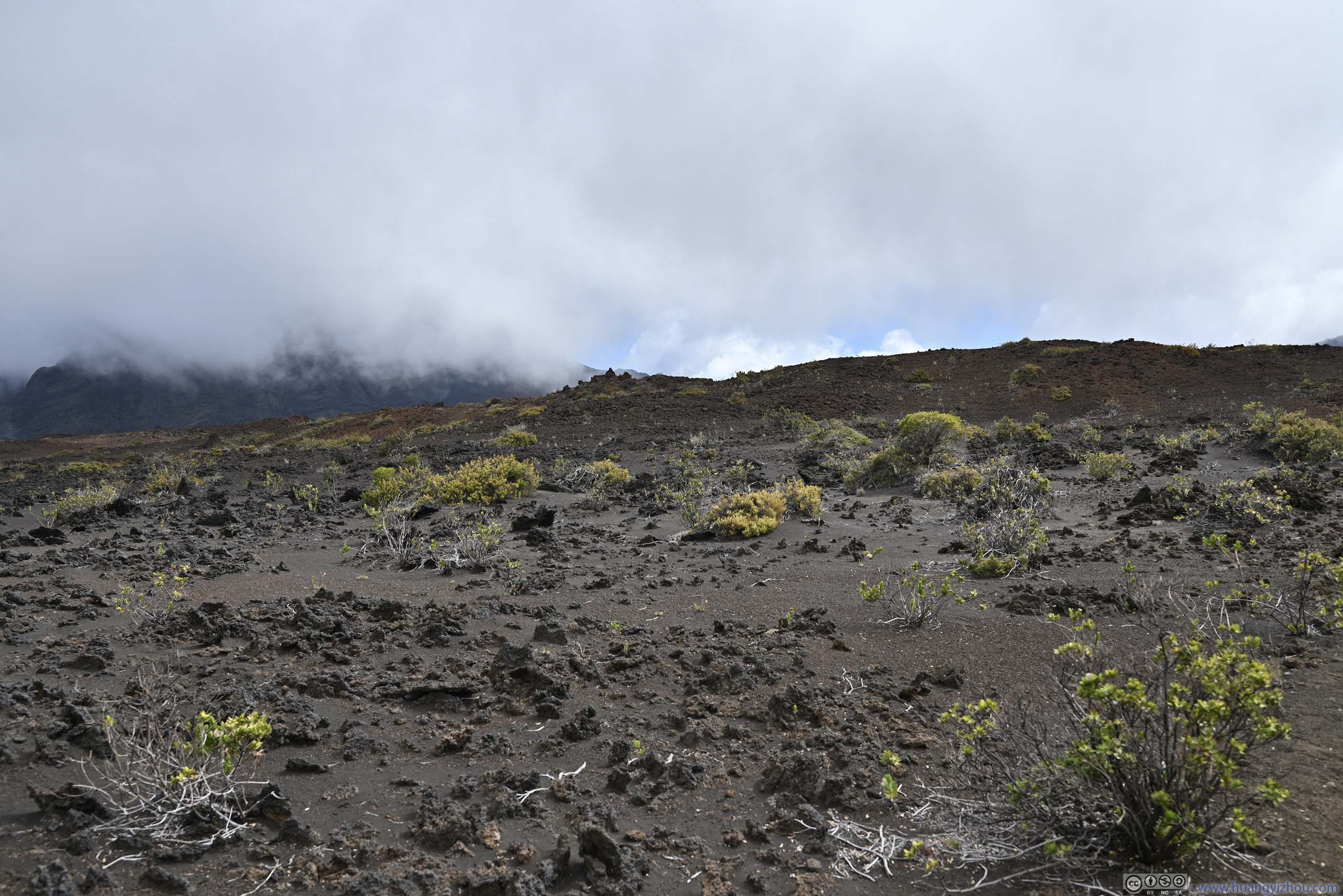
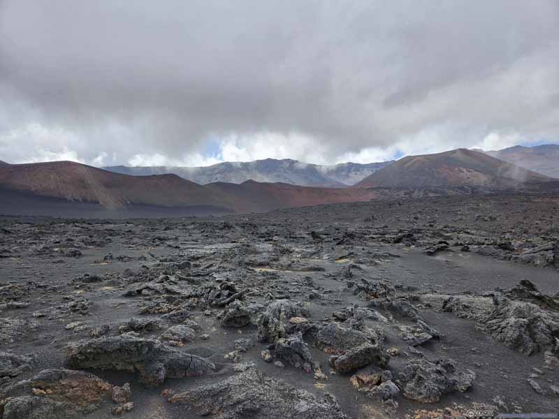
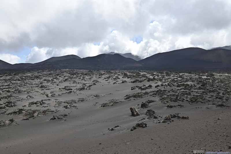
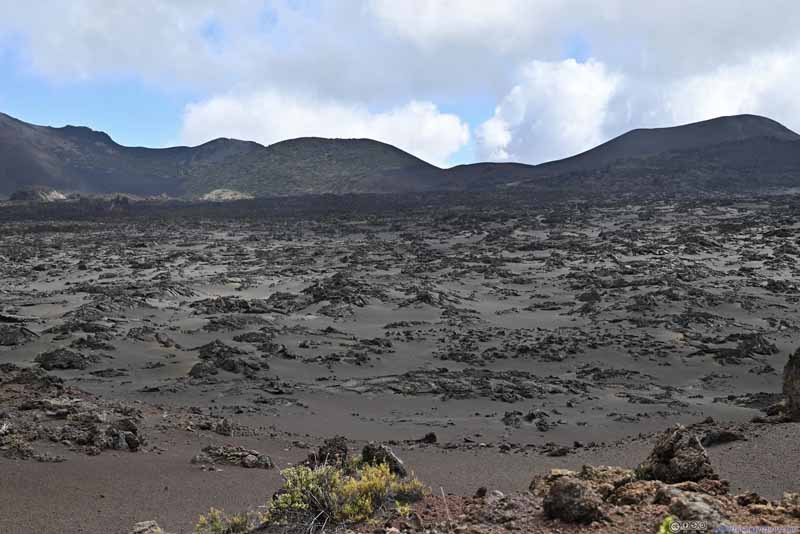
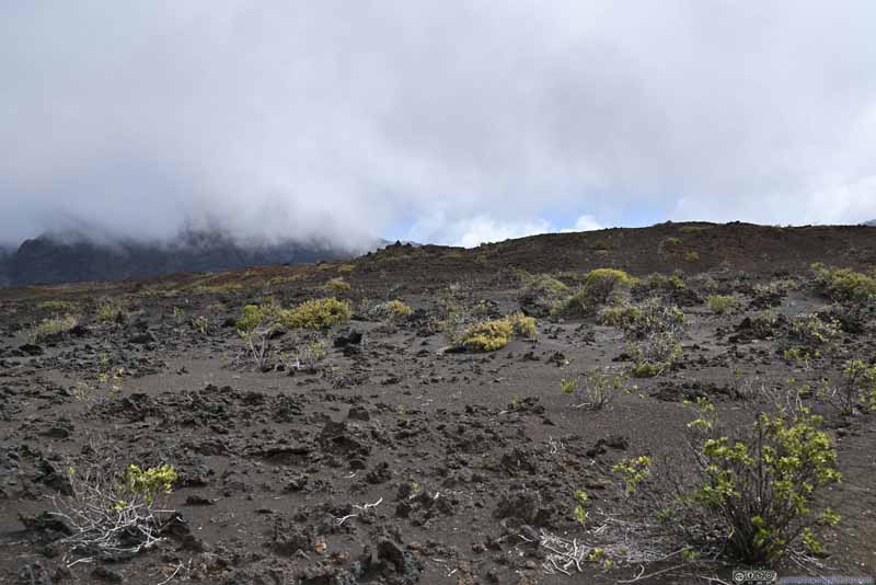
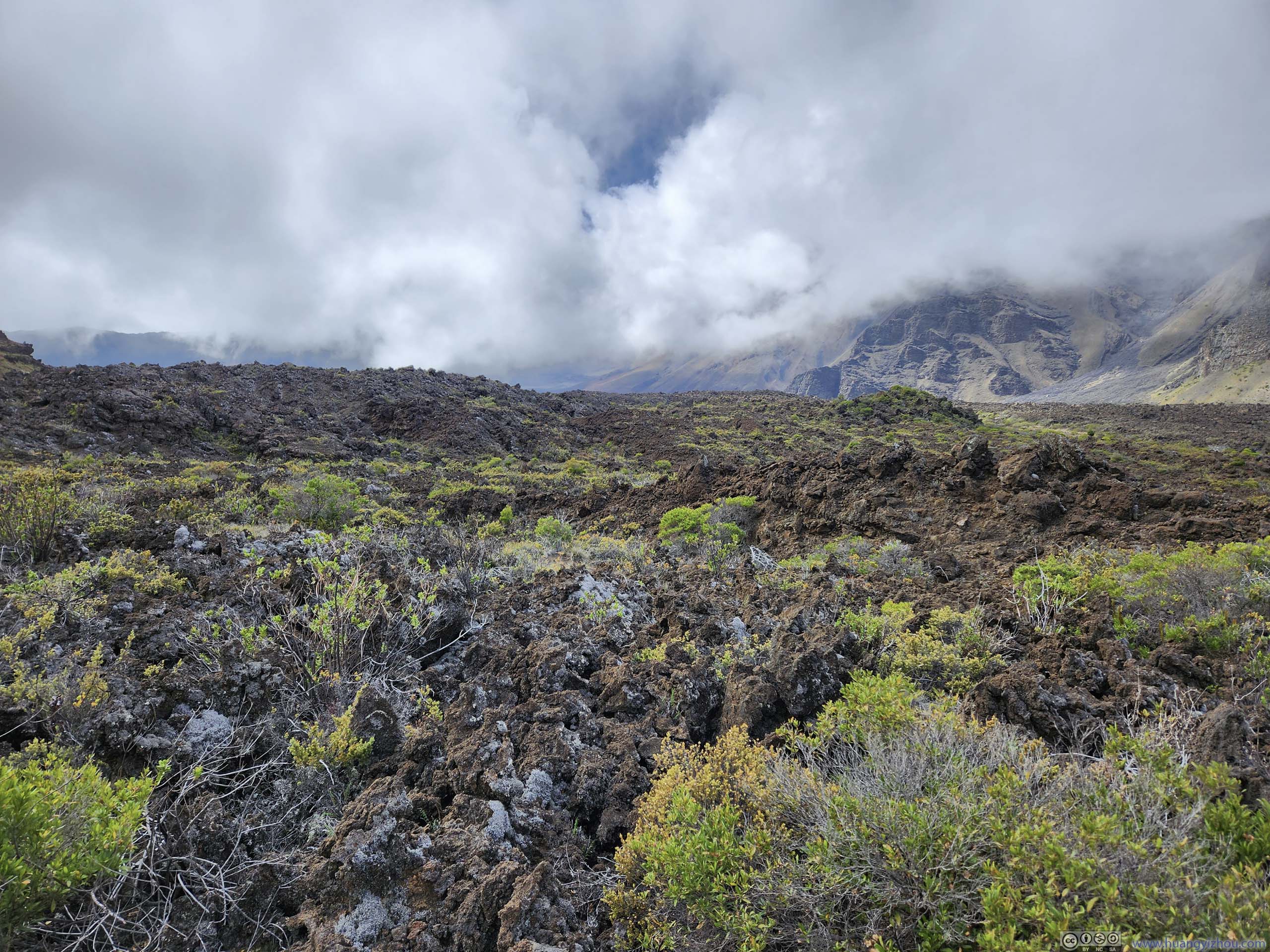
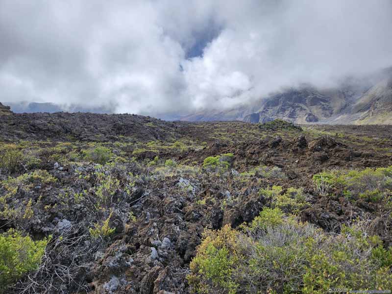
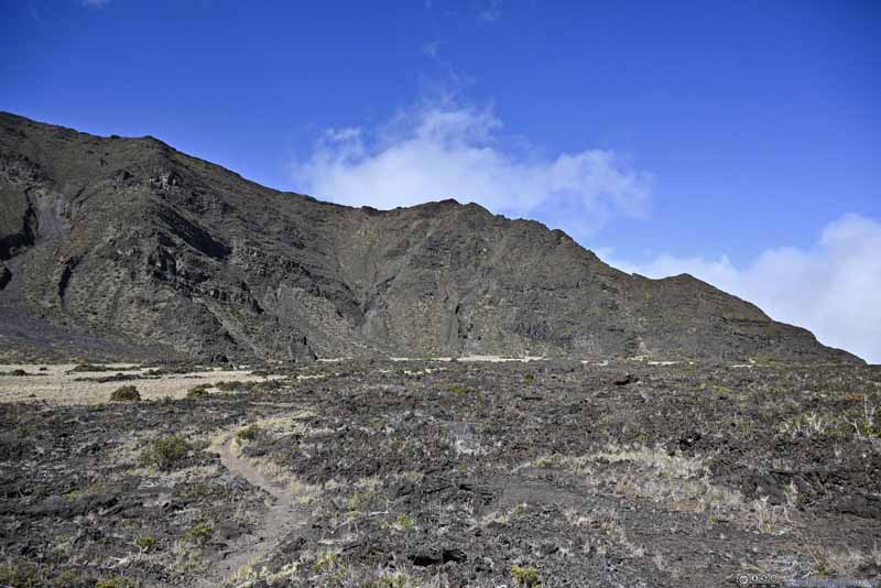
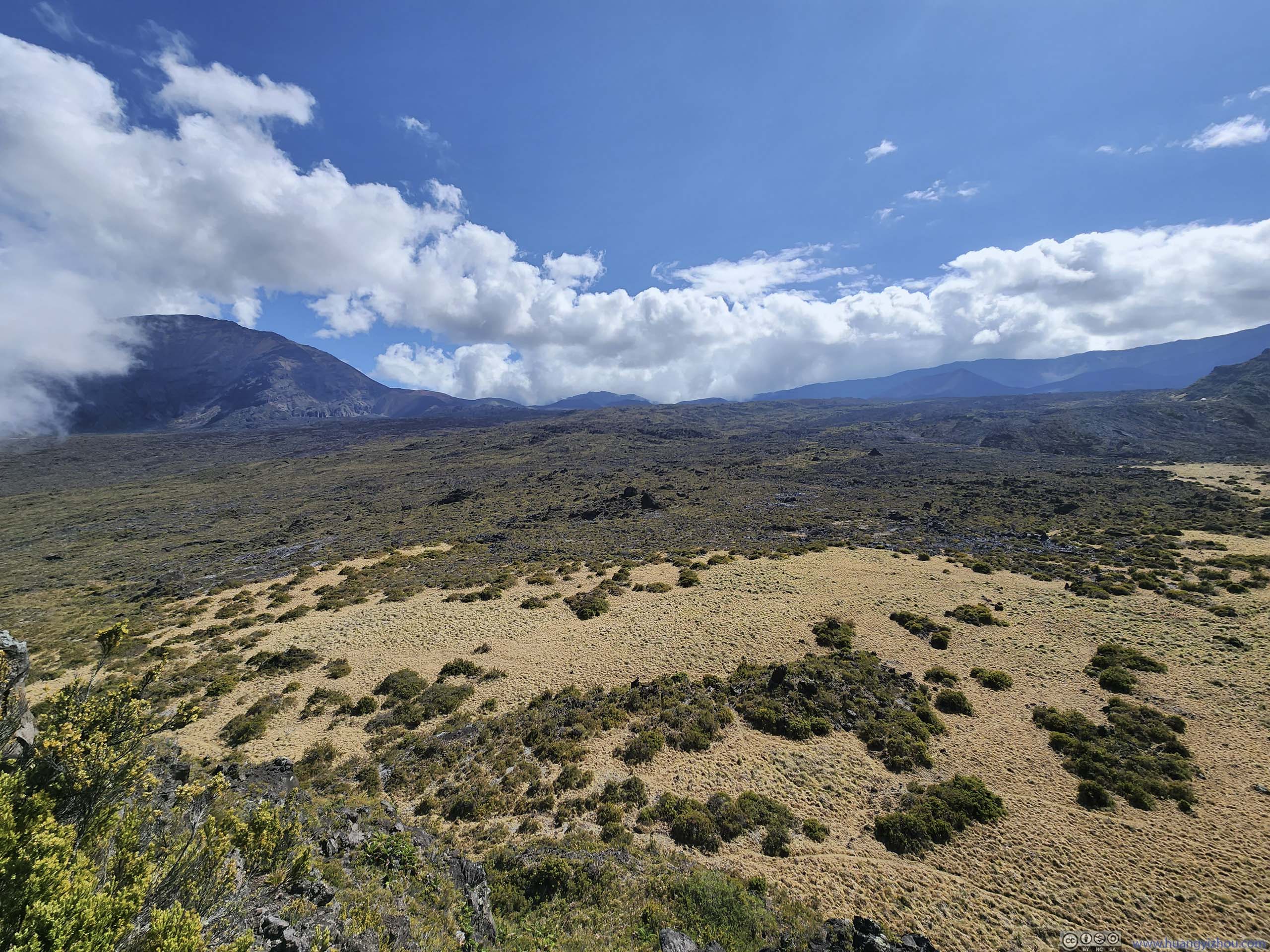
Not long after leaving the intersection, the trail passed through a field of volcanic rocks. The rocks were obviously spewed from volcanic eruptions, and appeared in such irregular shapes and sizes it felt like walking on a different planet. If I had to describe them in earthly terms, it's like the apocalyptic concrete ruins of a city decimated by war, and then left unattended for long enough so as to be partly covered by desert sand. One couldn't help but to wonder about the power of such volcanic activities upon seeing such scene.
Trail Onwards Towards Kamoaopele.
Landscape
Rolling Clouds Now conquering the southern ridge of Haleakalā crater.
Landscape Northern Ridge of Haleakalā Crater in the background, now behind cinder cones.
Trail
Volcanic Rocks This piece of volcanic deposit looked quite like some building ruins.
Landscape
Trail
Volcanic Rocks
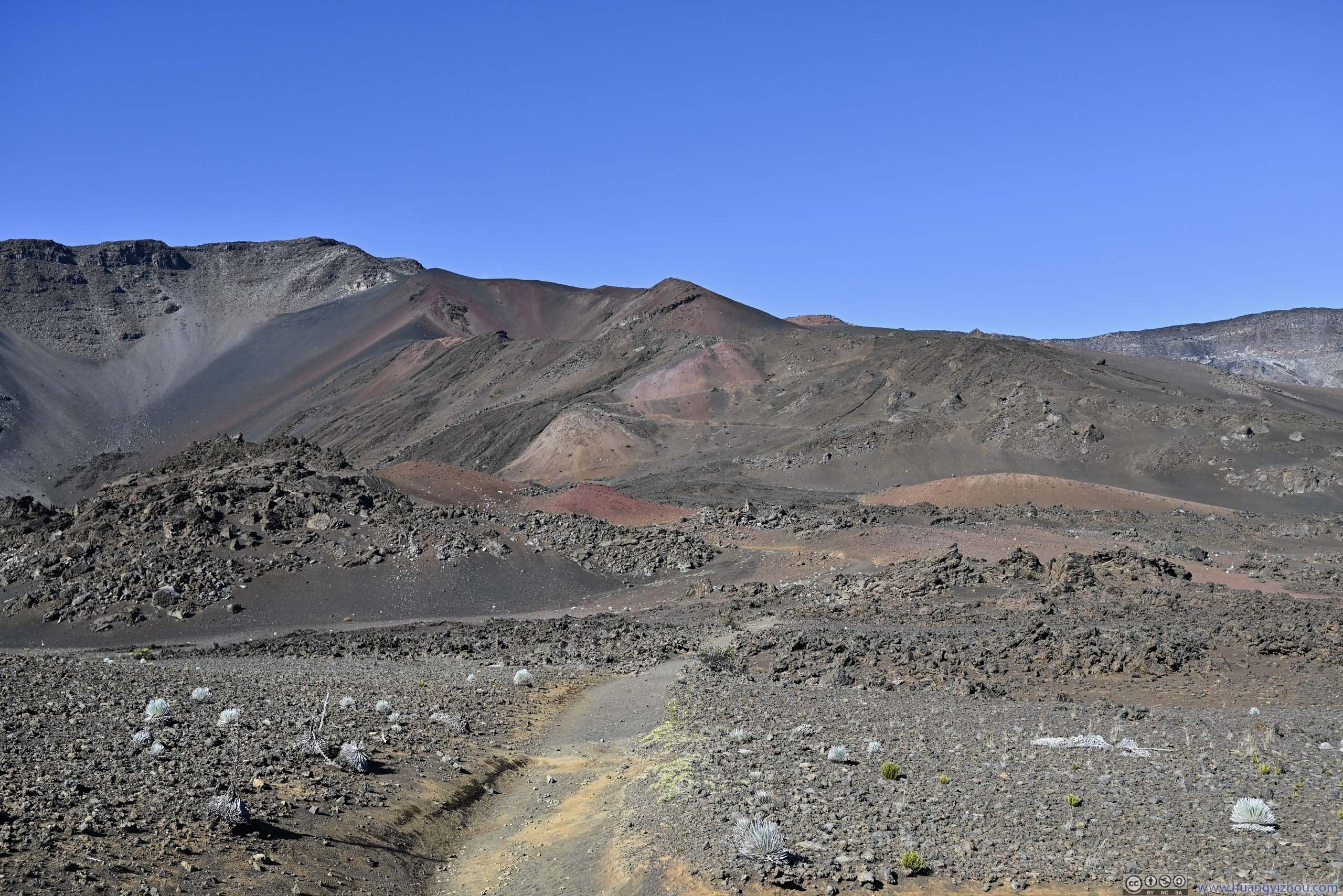
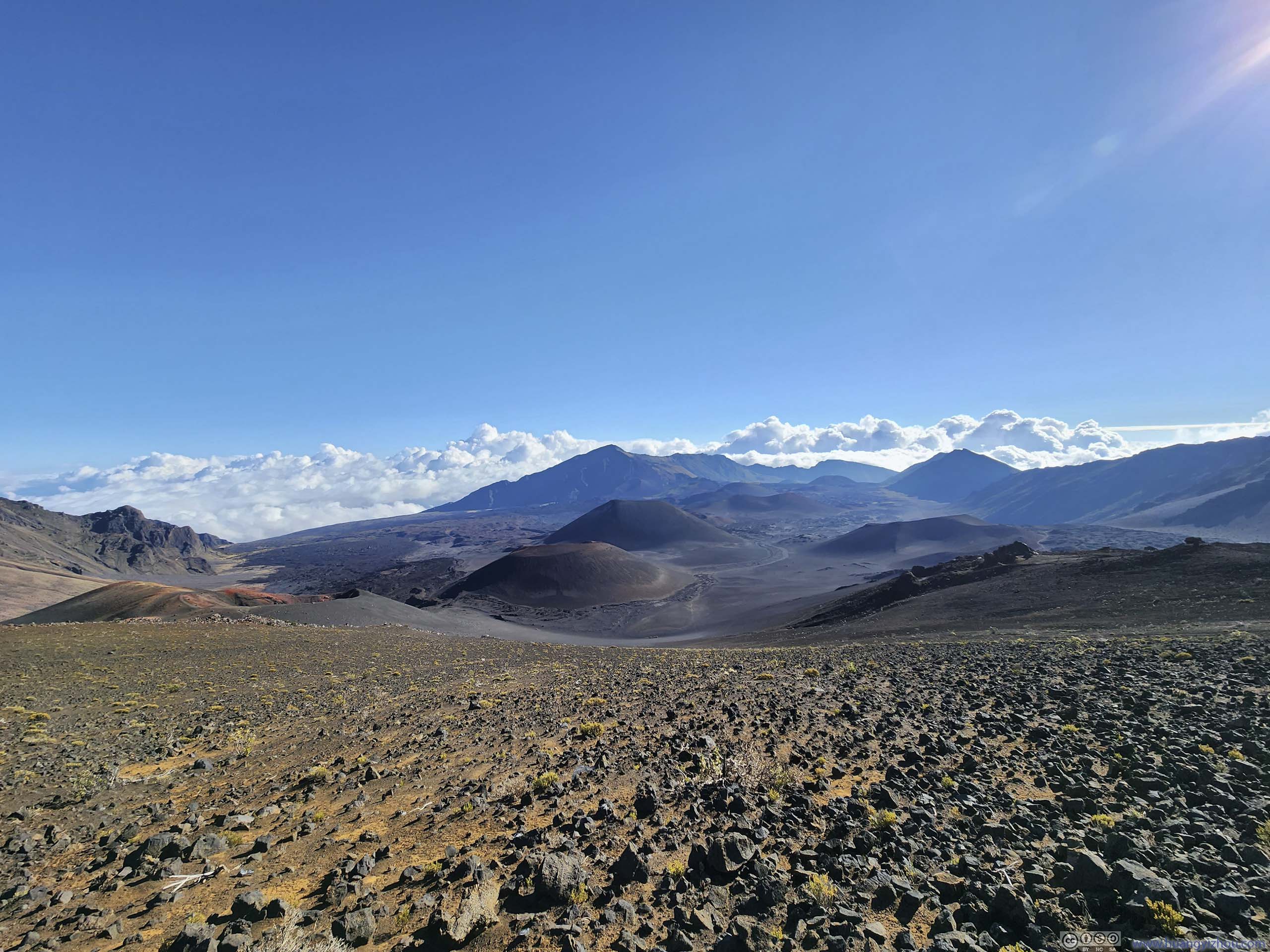
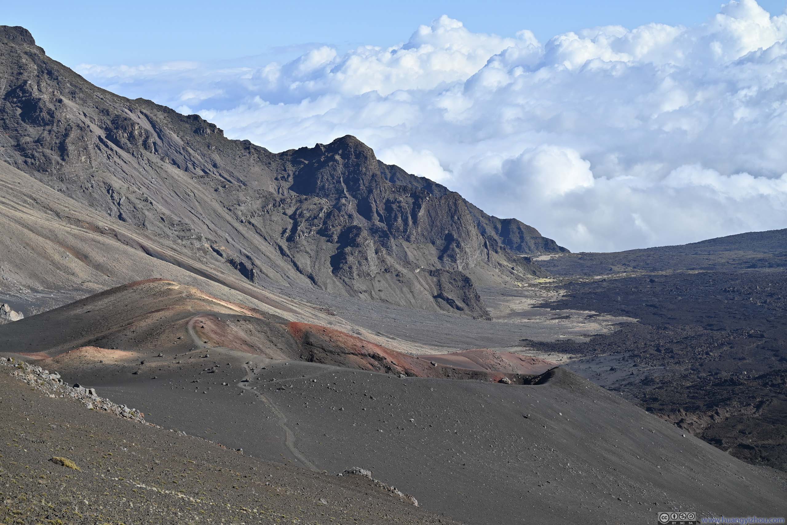
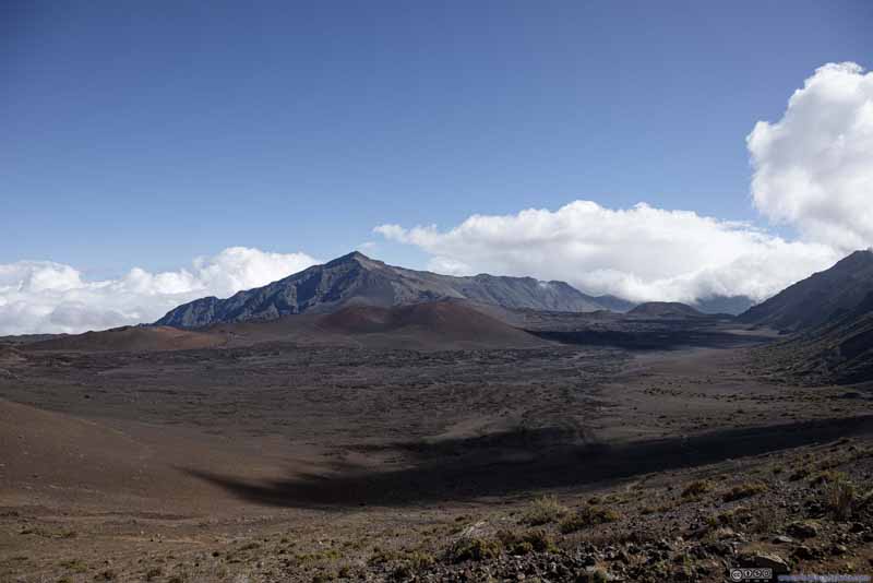
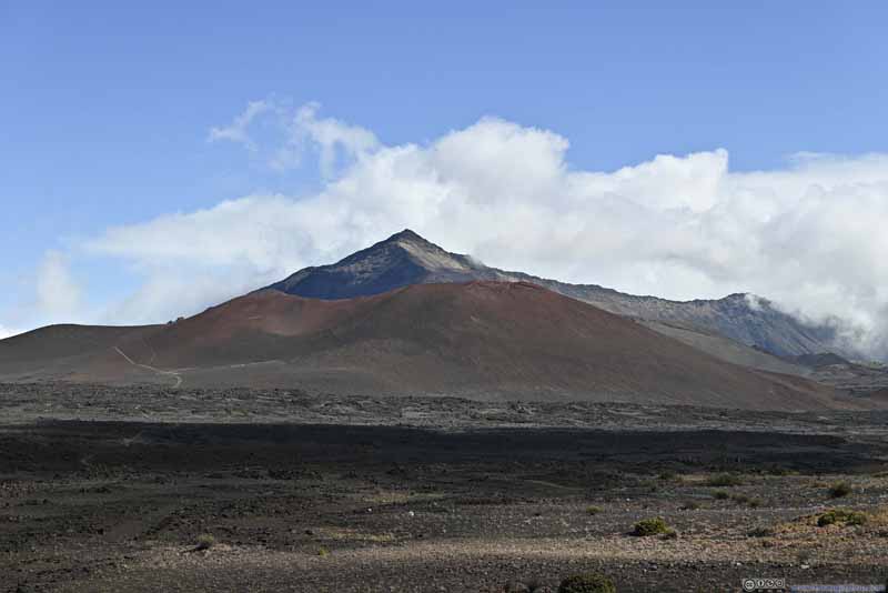
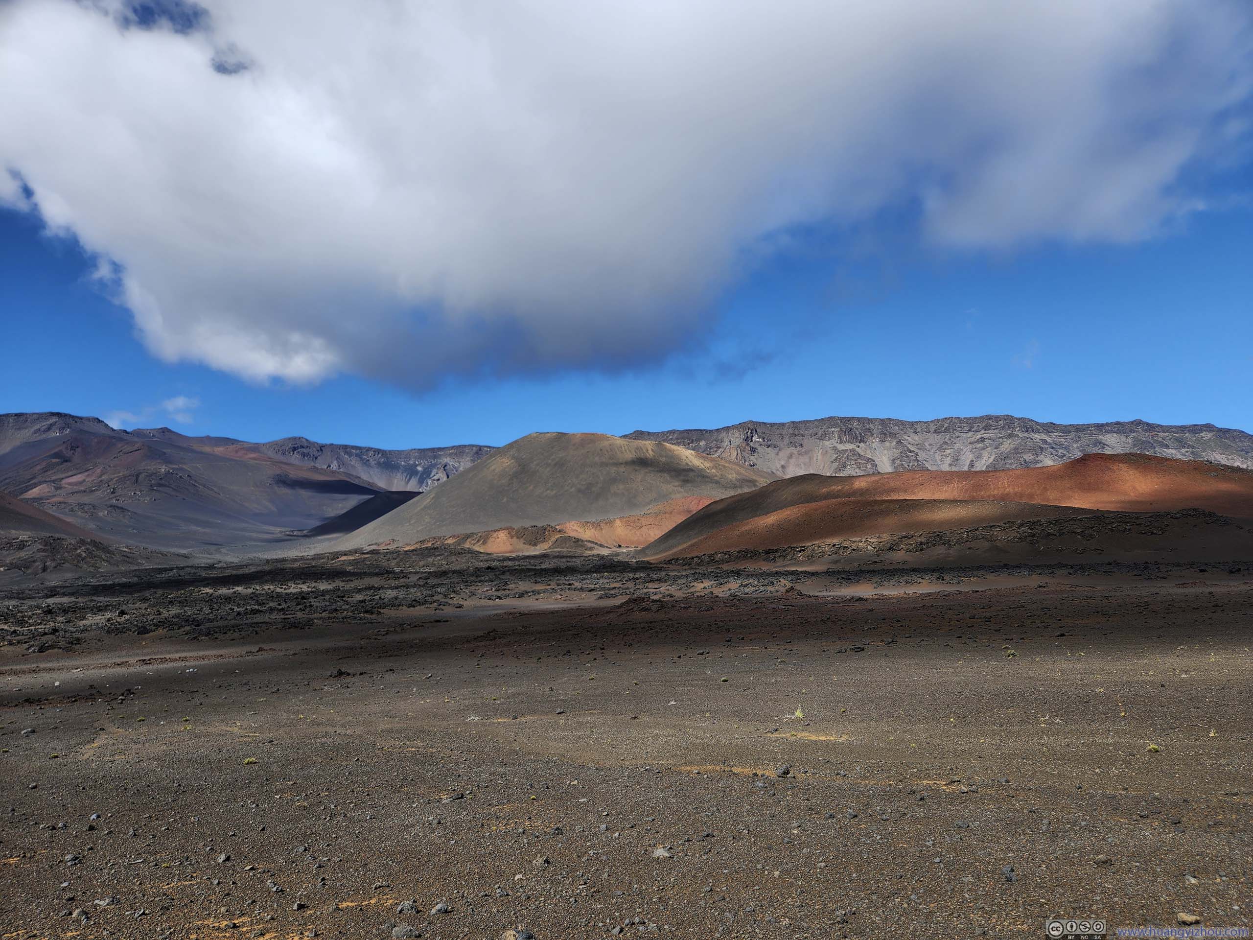
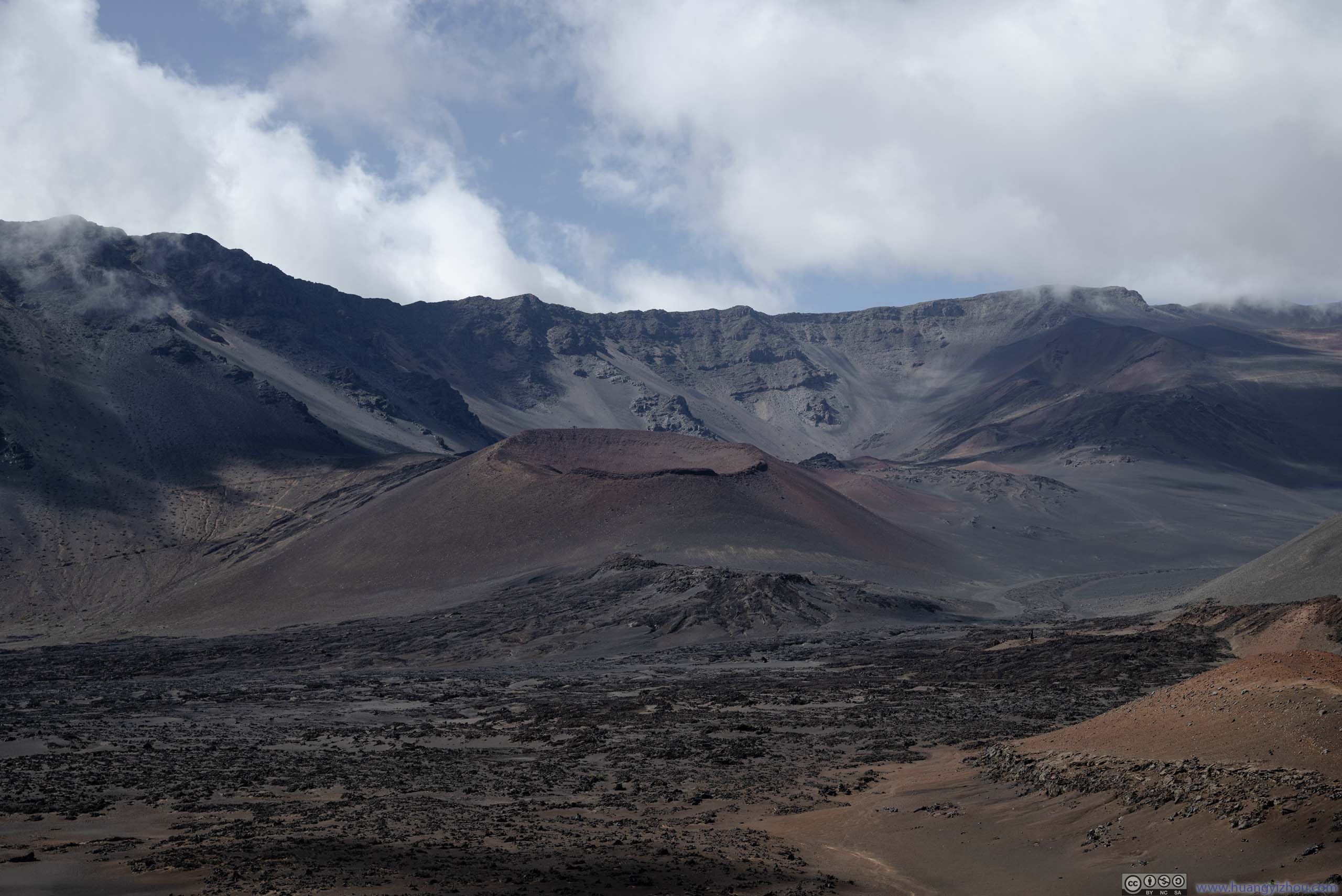
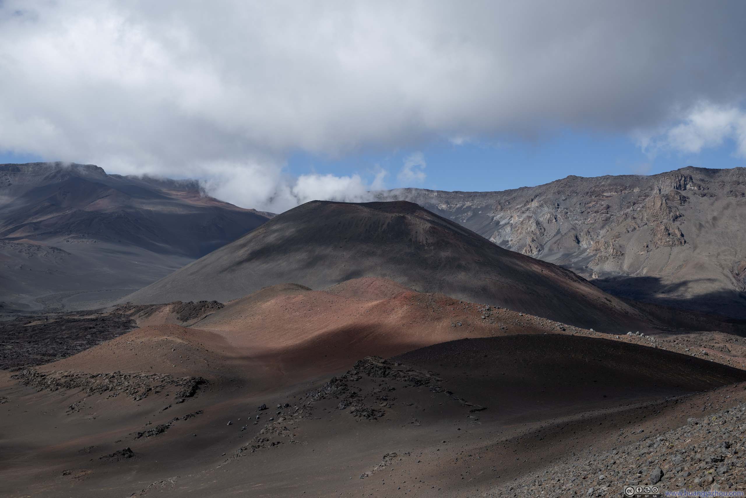
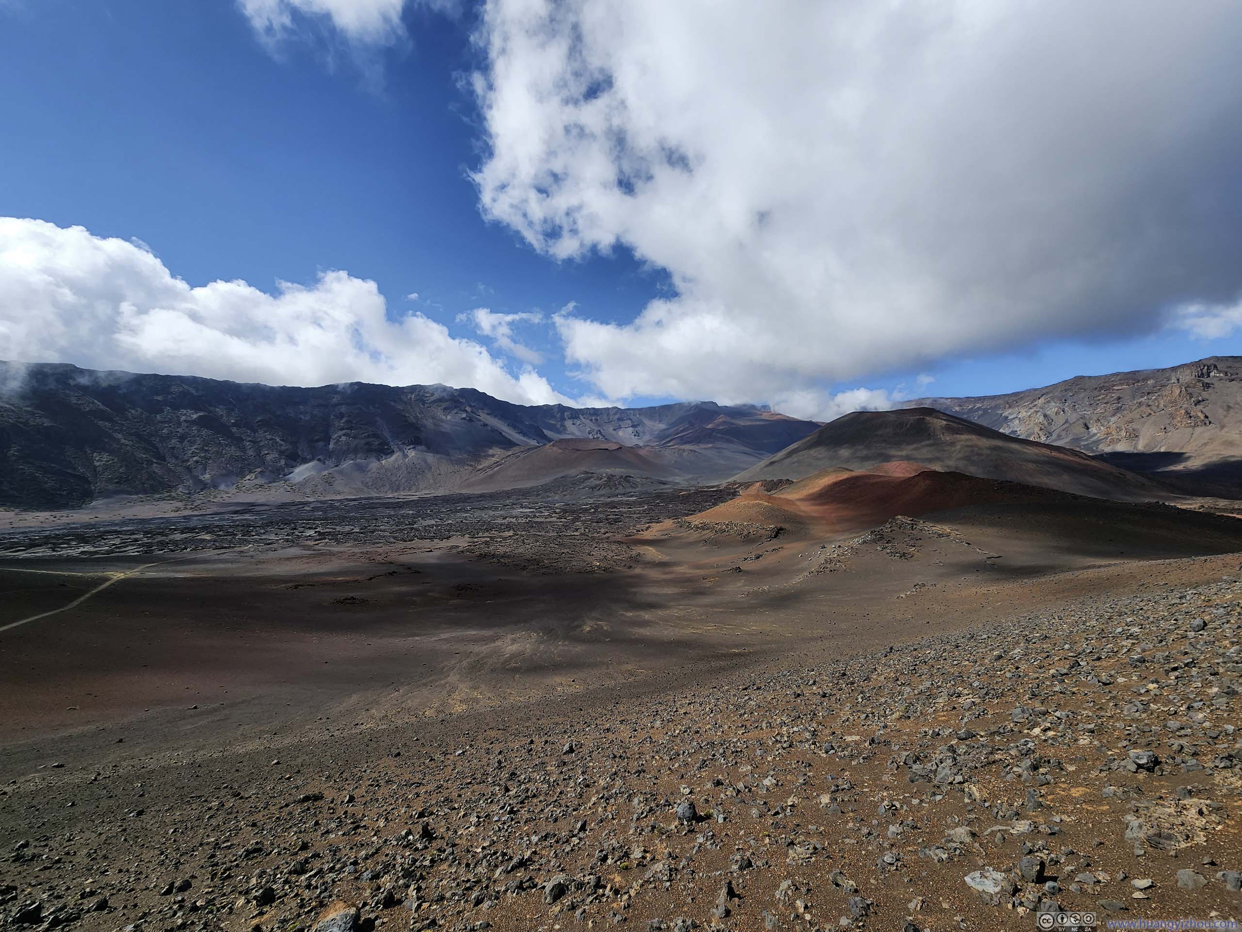
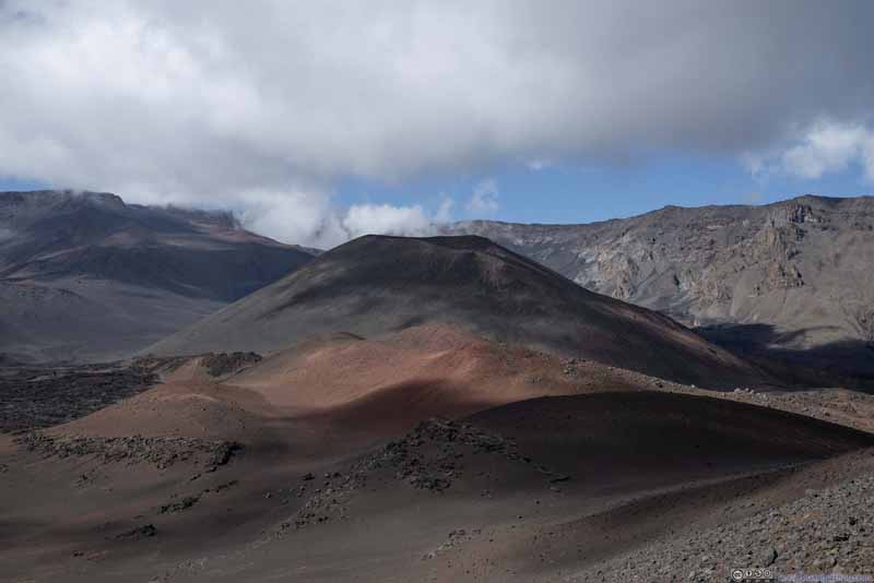
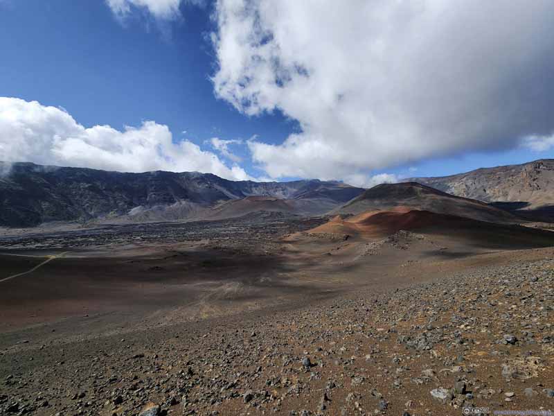
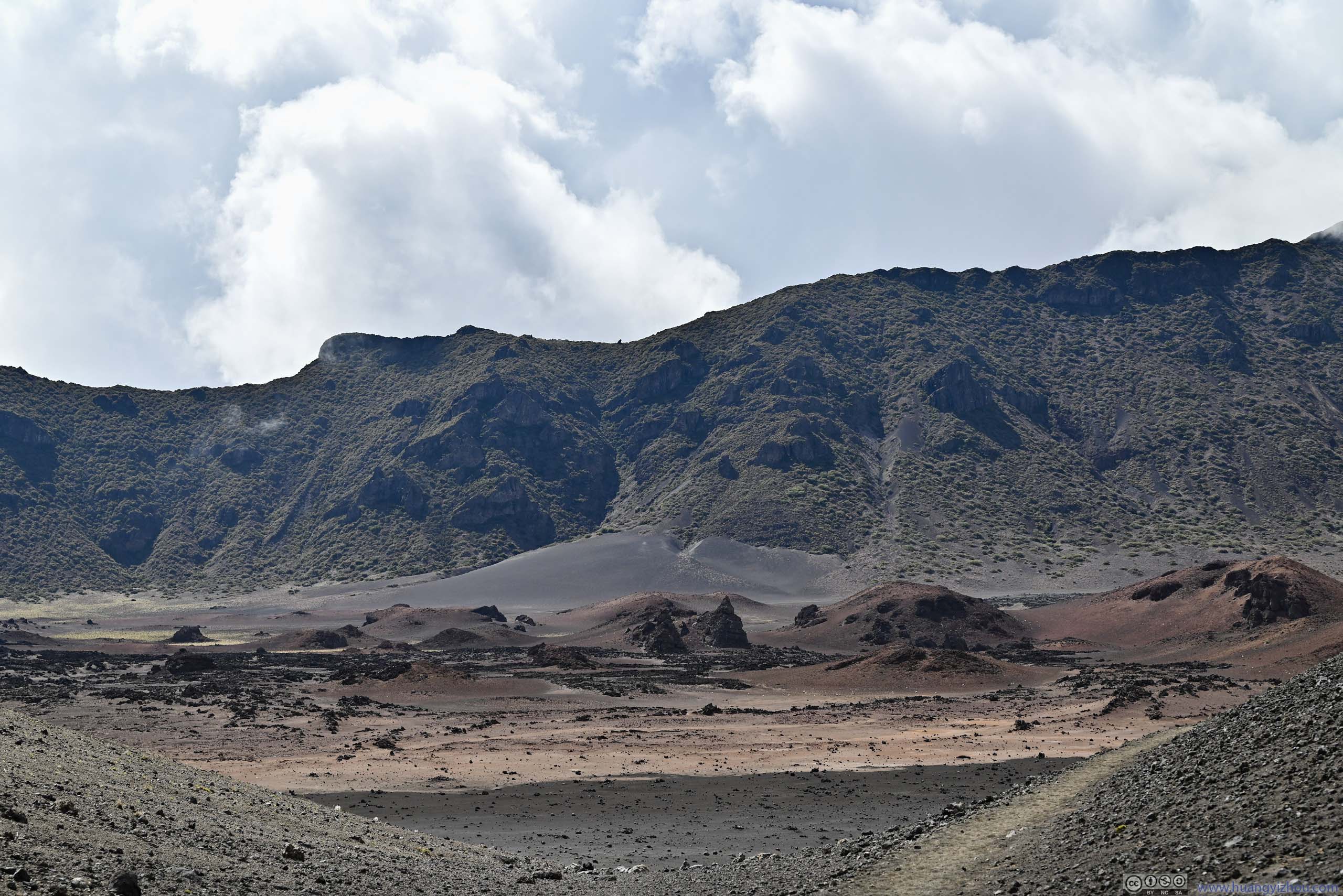
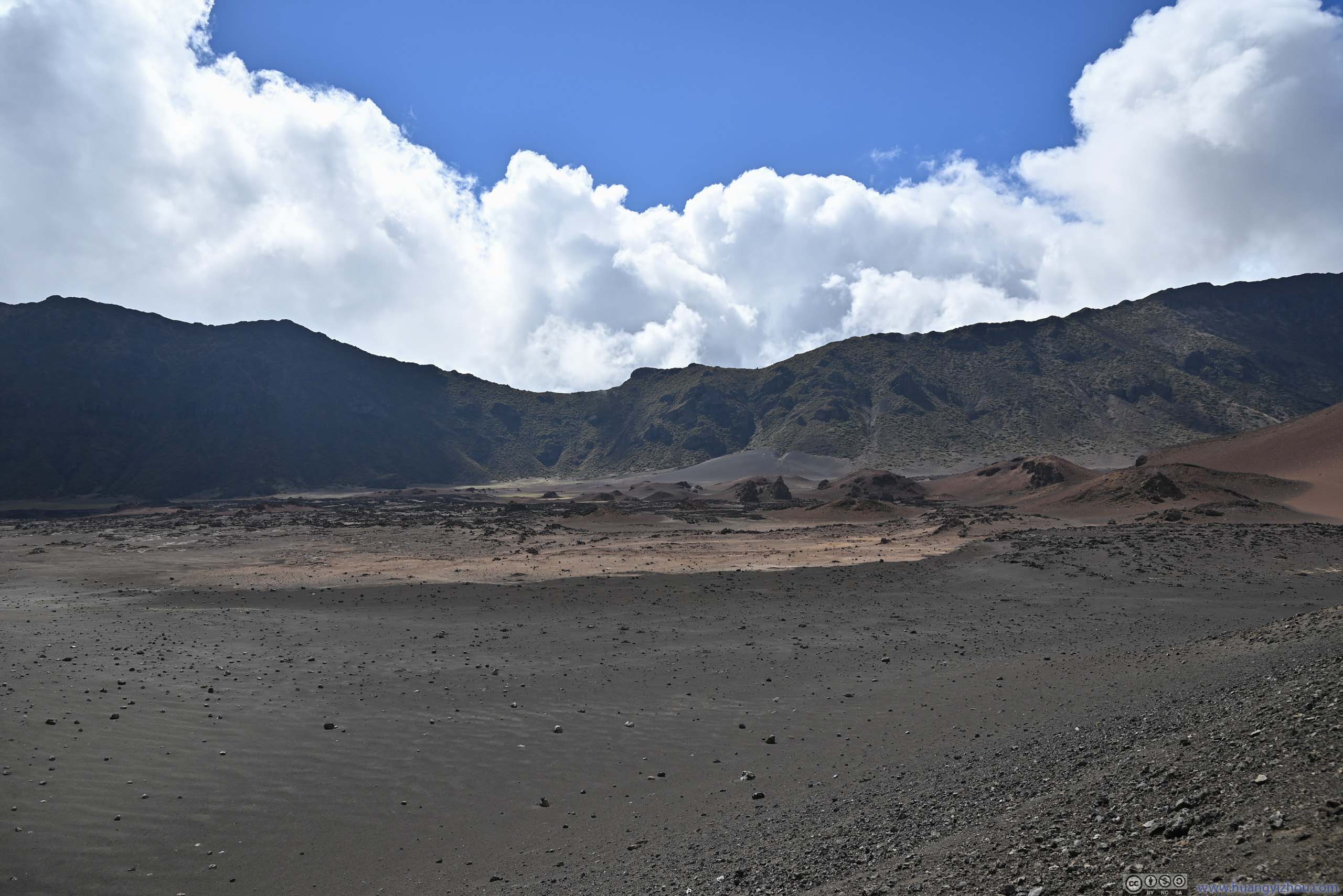
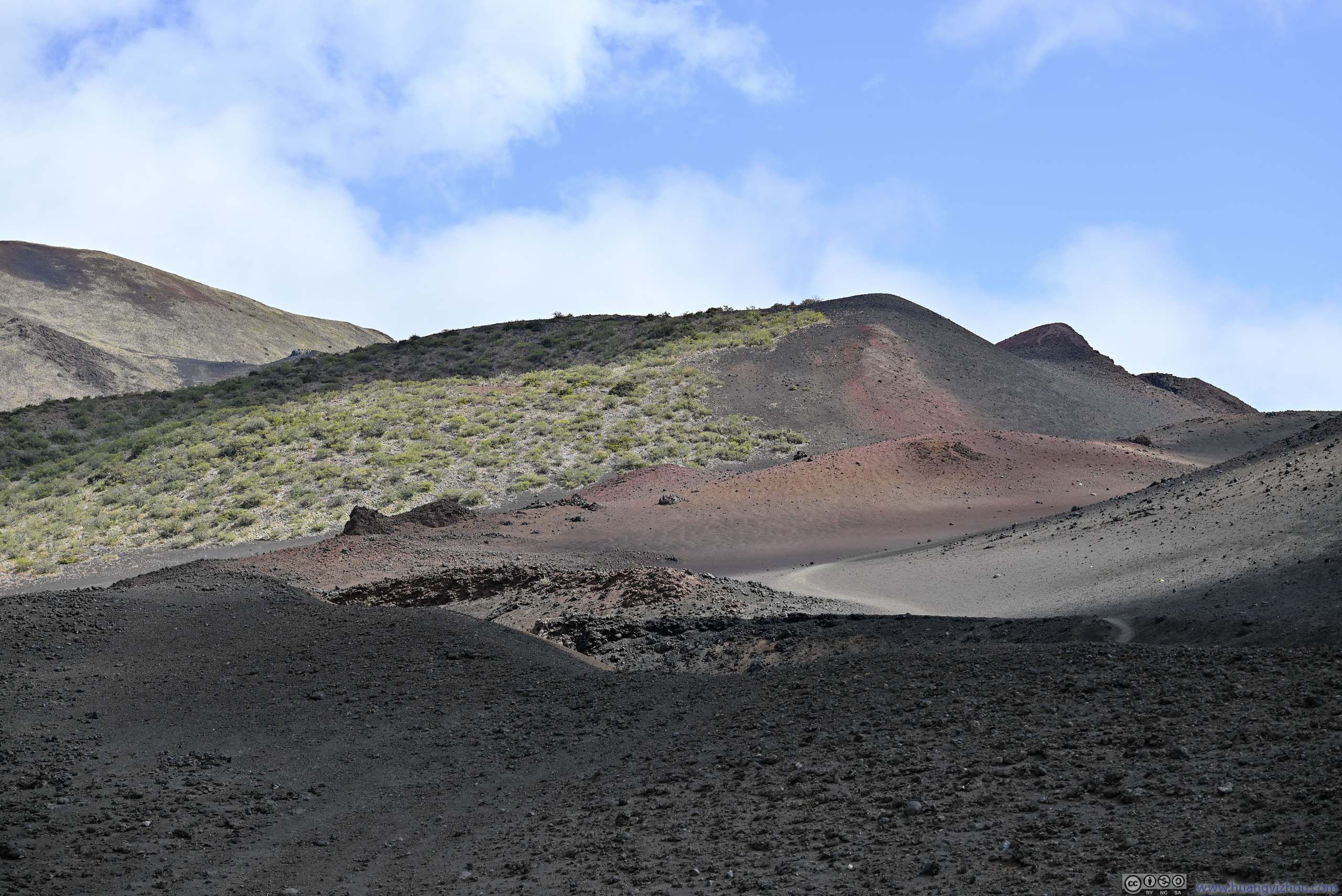
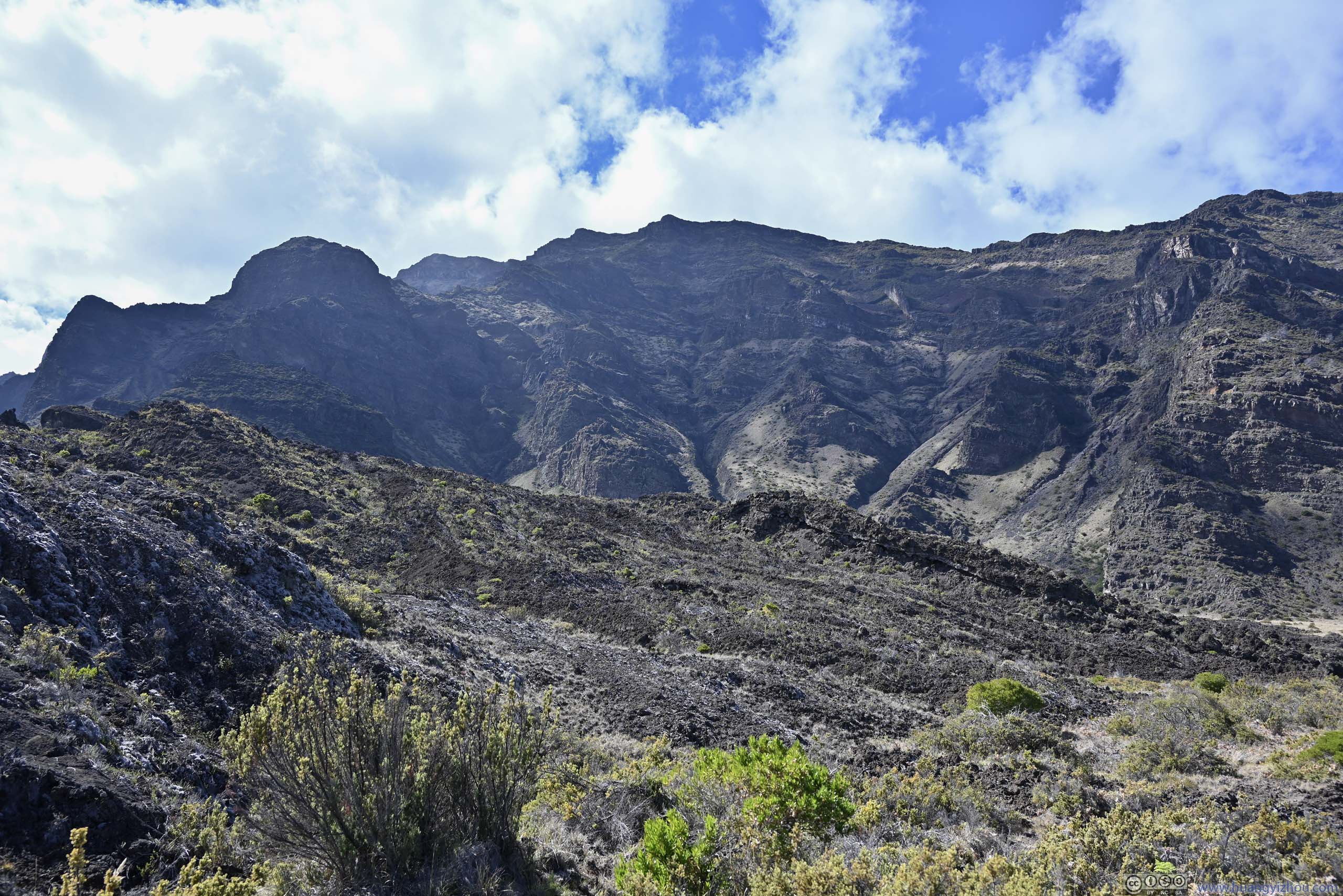
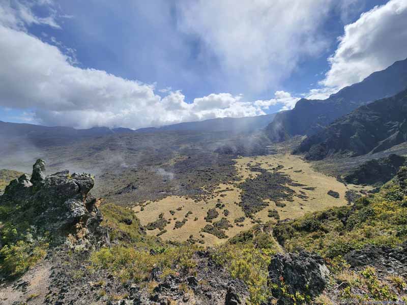
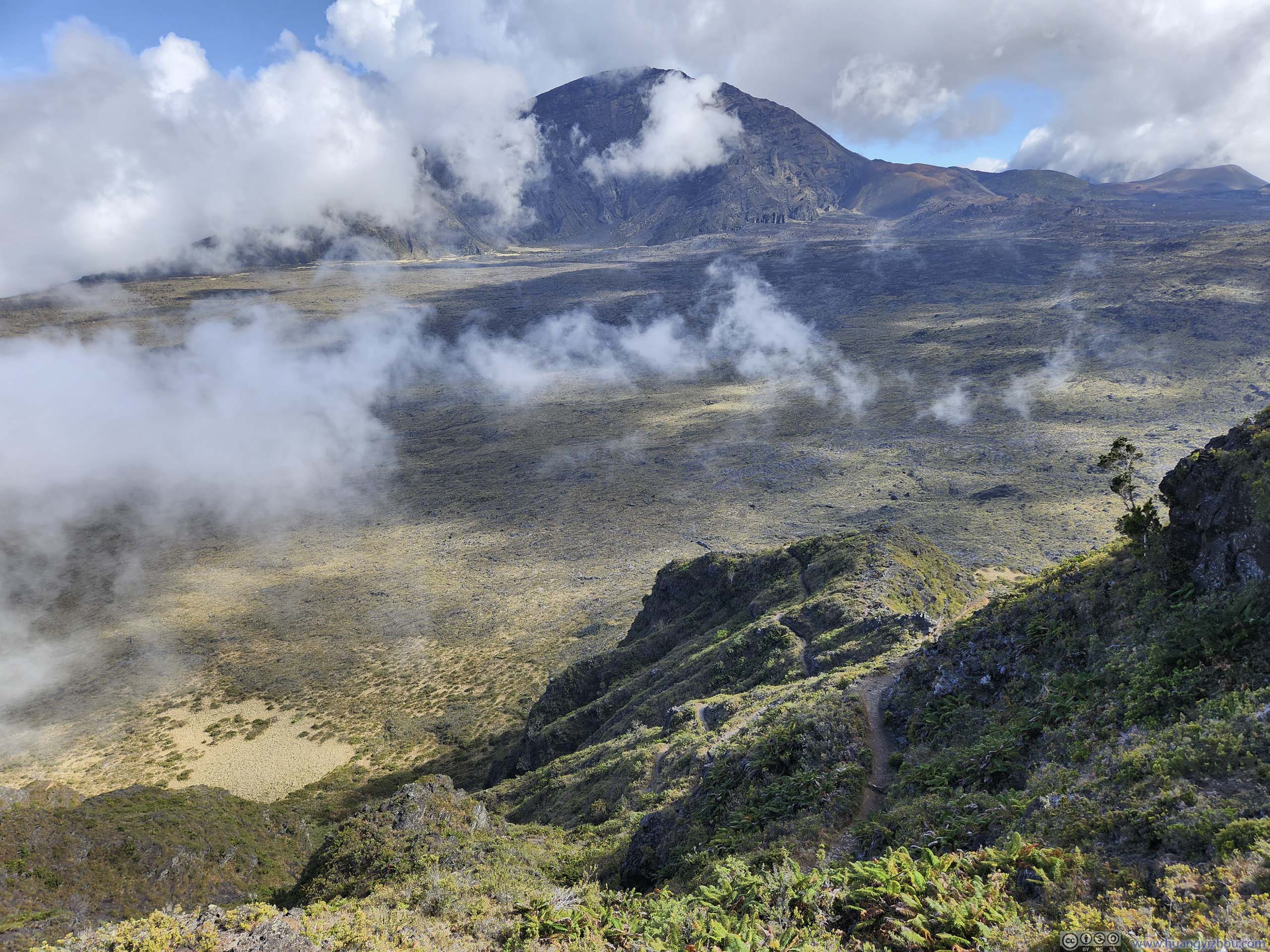
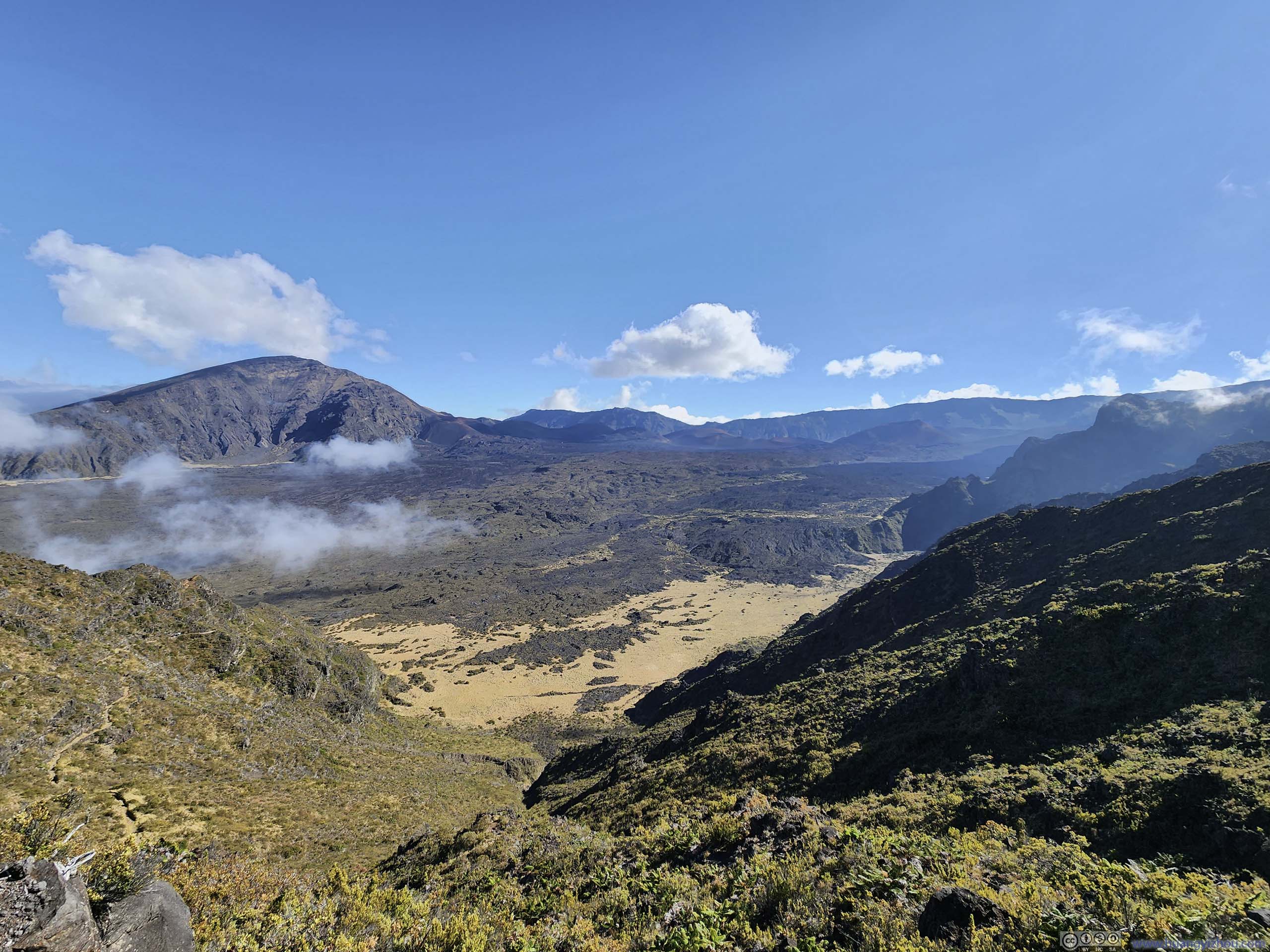
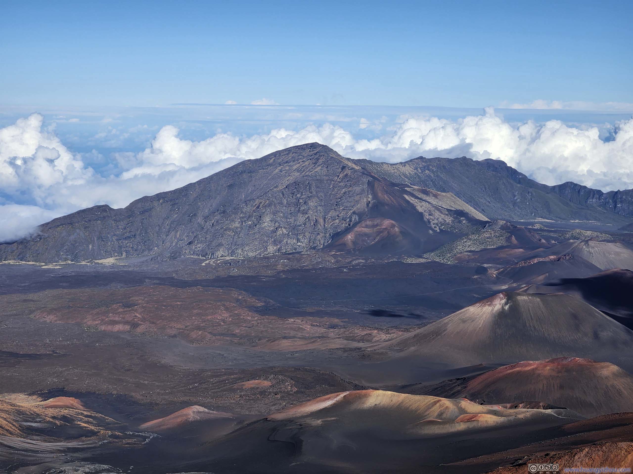
While climbing Kamoaopele, we got some great views of the crater basin to the west, of how the various cinder cones decorated the landscape in vivid colors, with the ridge of Haleakalā summit lining the background.
Landscape
Looking Back
Towards the western side of Haleakalā Crater. The visitor center was barely visible in the top center of this photo. The switchbacks of trail were also visible.
Landscape
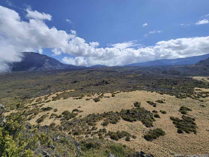
Free of large volcanic rocks, this hillside was amazingly even, like a carefully maintained Japanese dry garden with the right amount of vegetation dotted around.
Landscape The field of volcanic rocks that we just passed through.
Puuopele Cinder Cone
Cinder Cones
Landscape
Trail along Side of Kamoaopele
Haleakalā Crater Basin
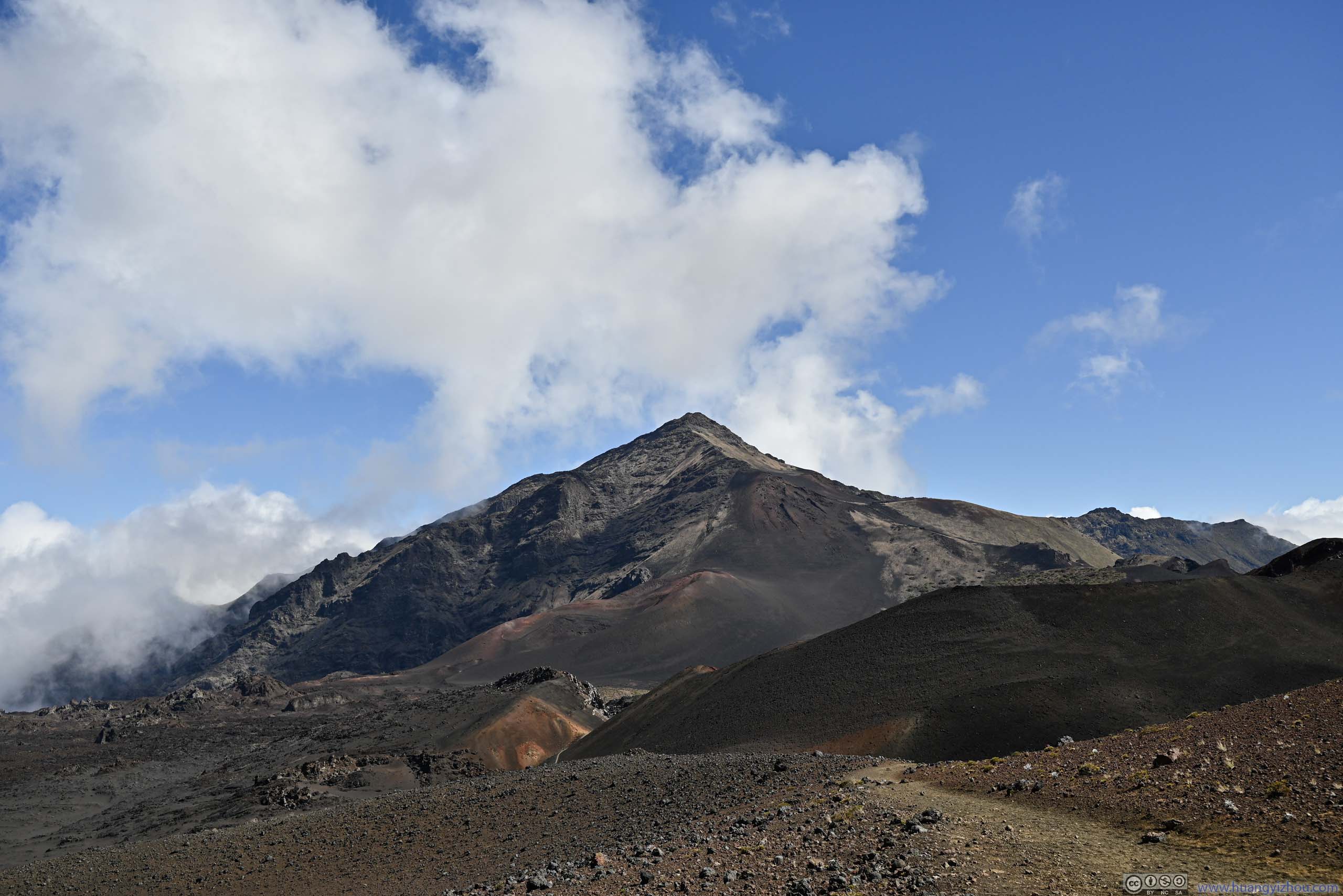
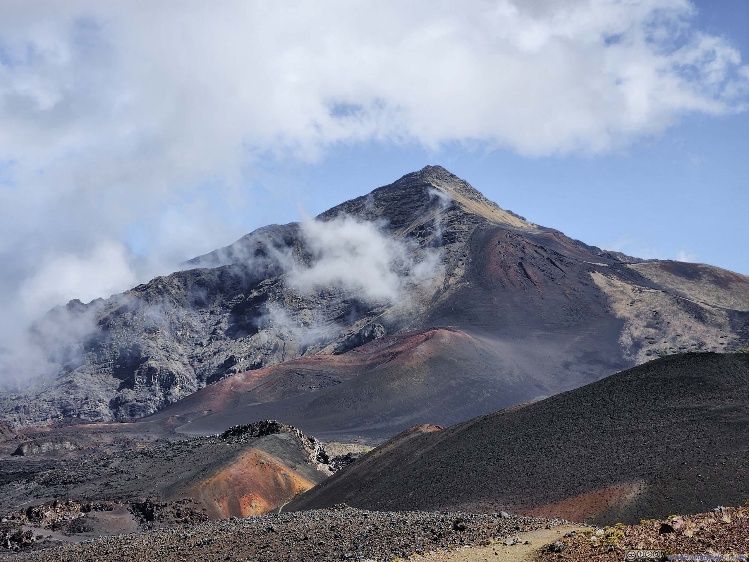
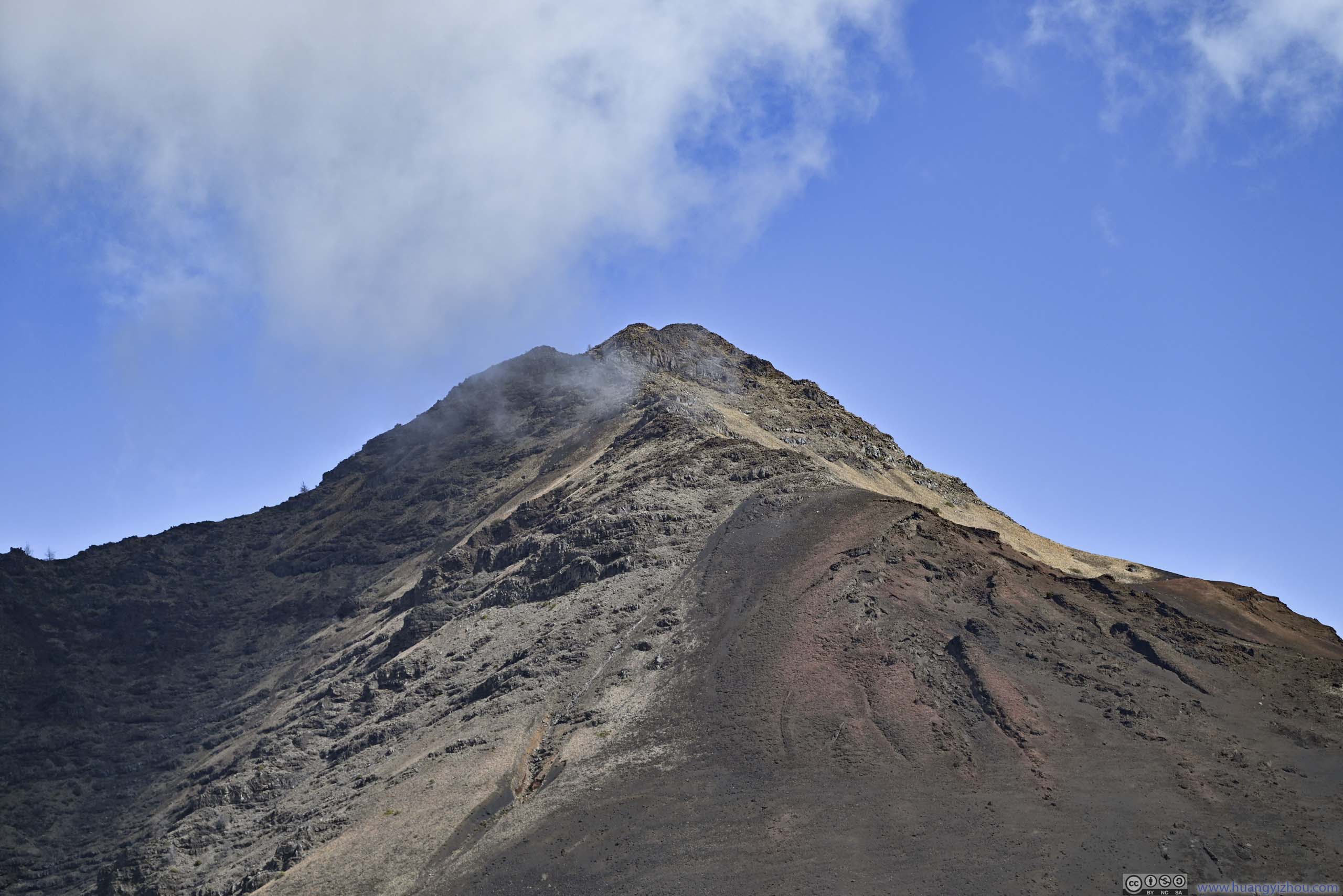
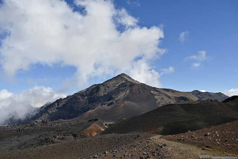
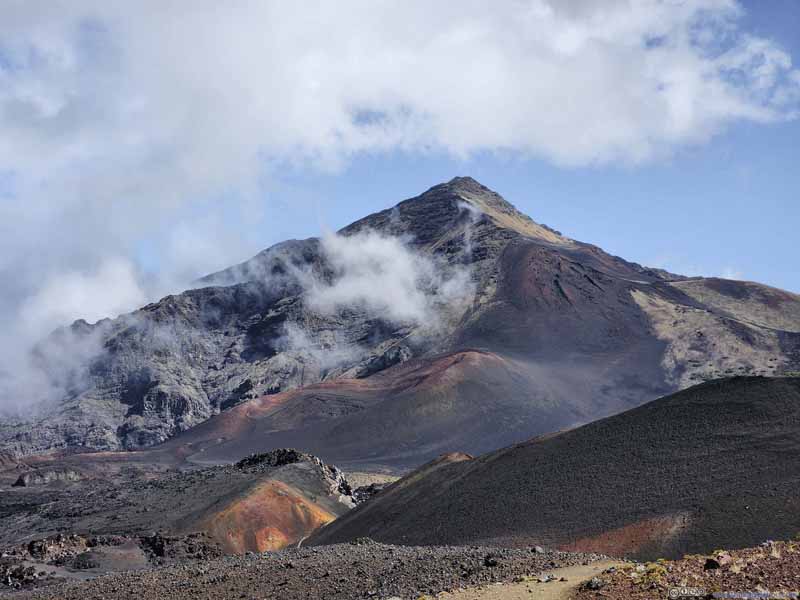
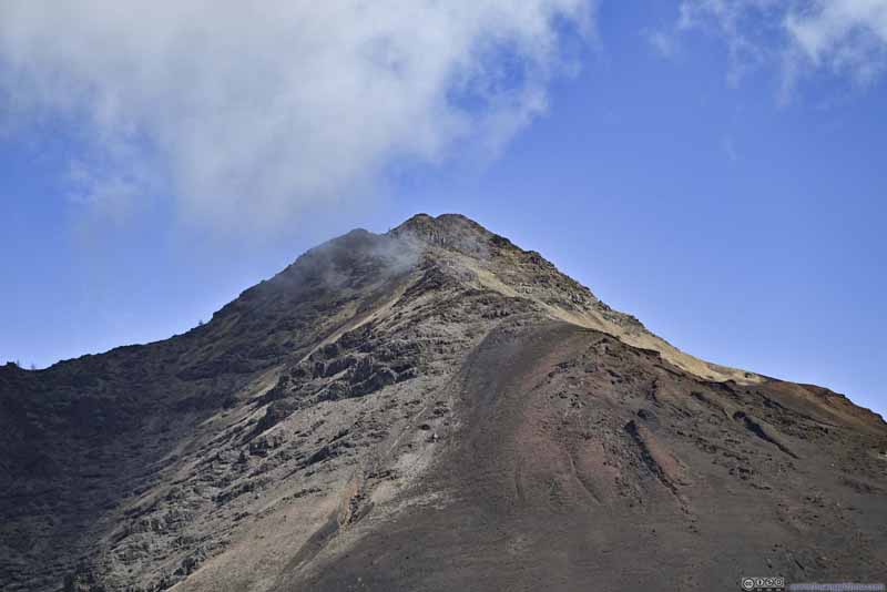
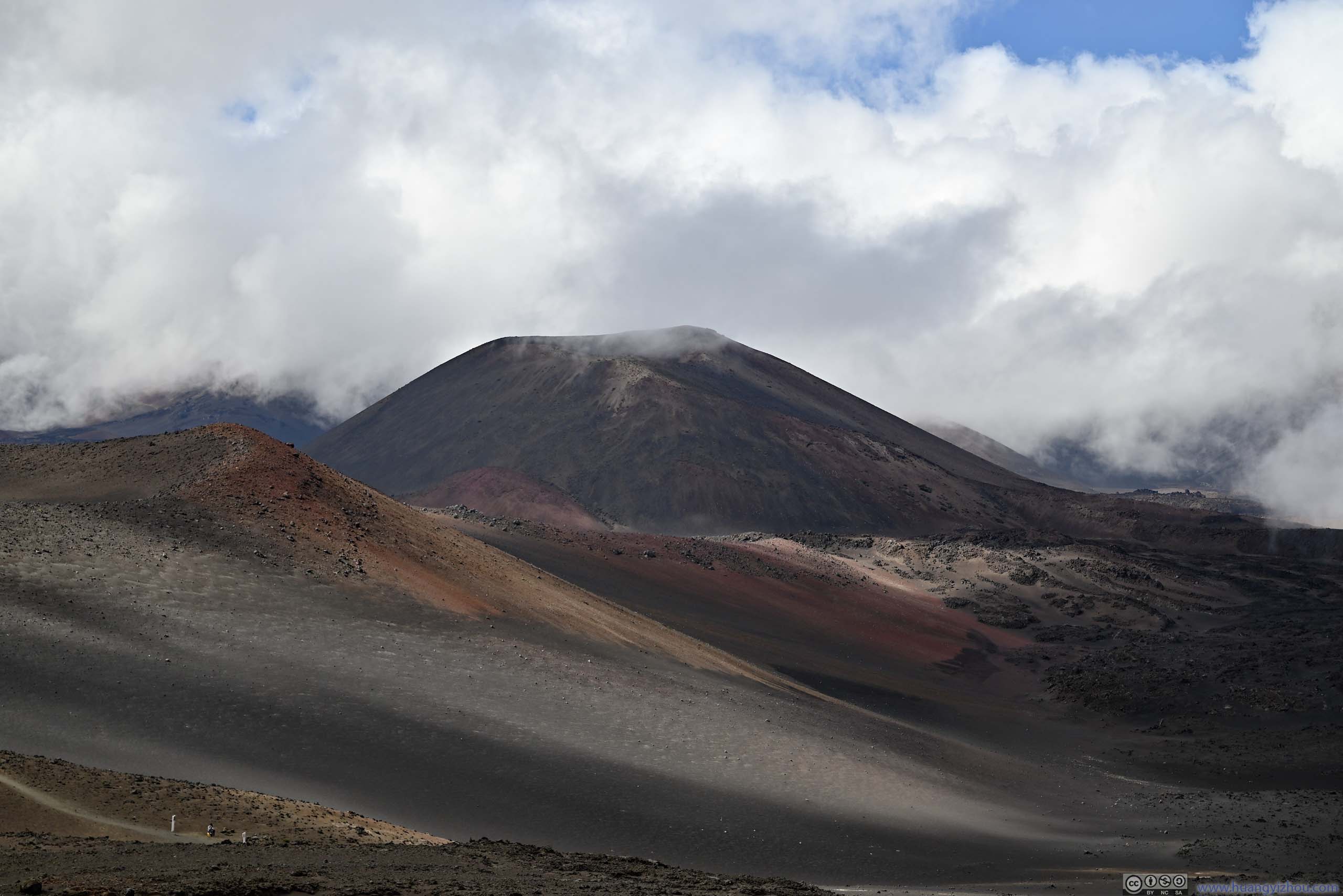
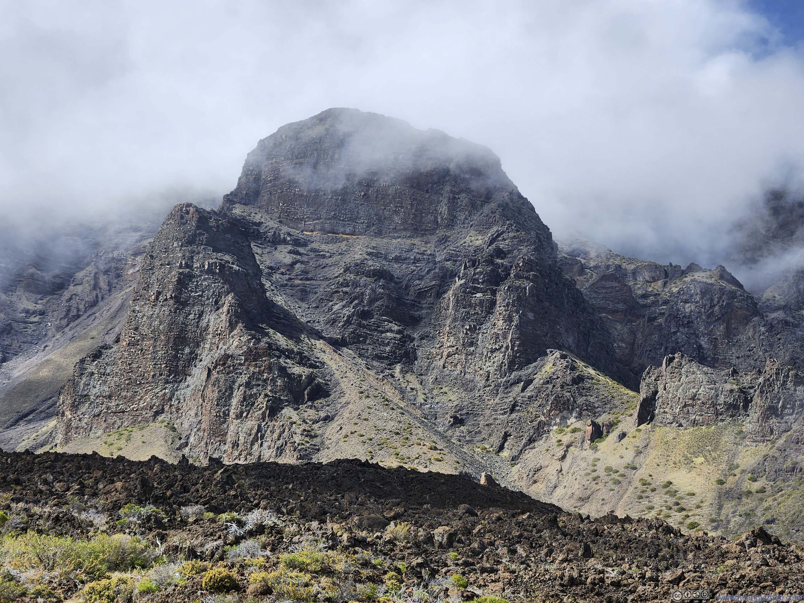
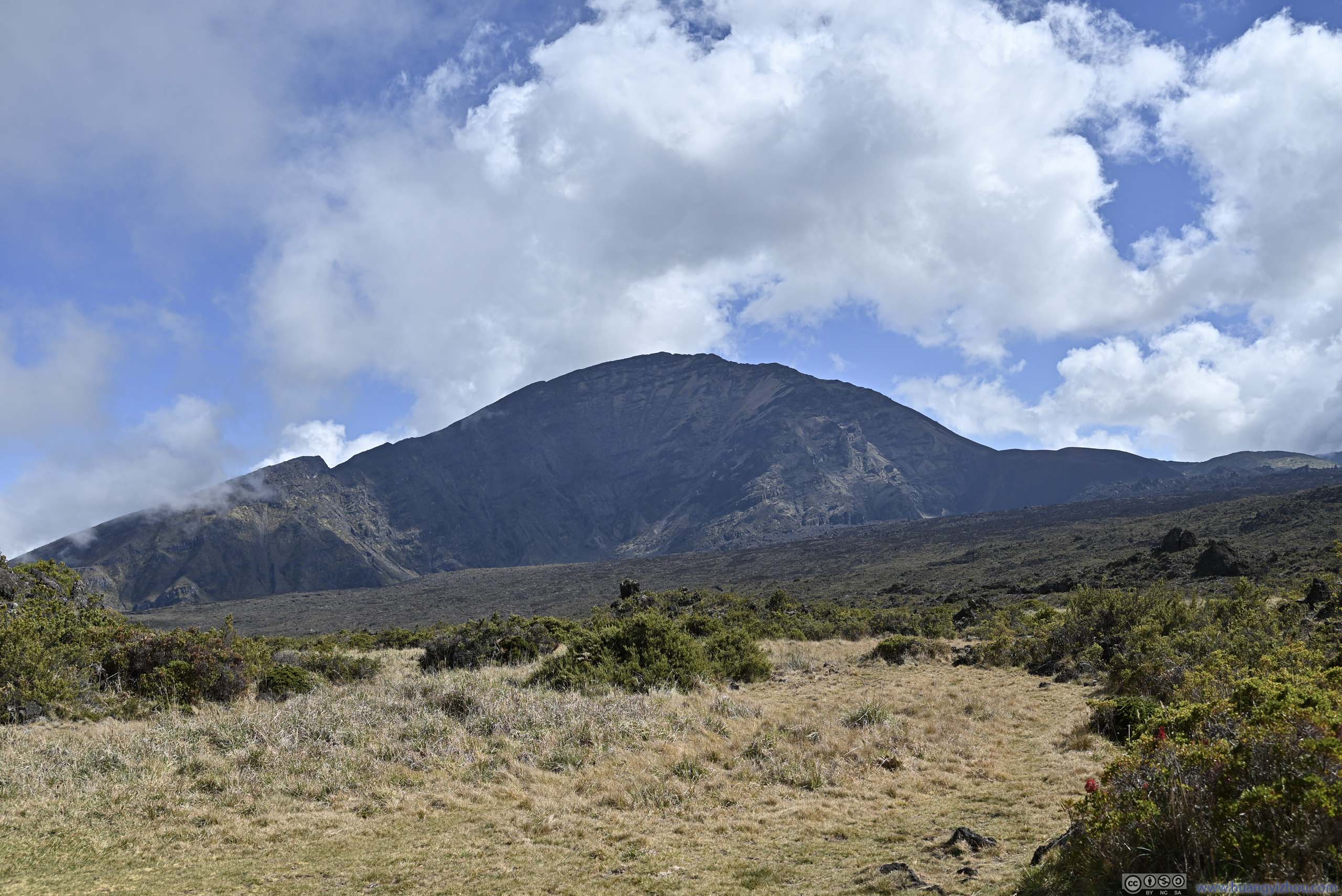
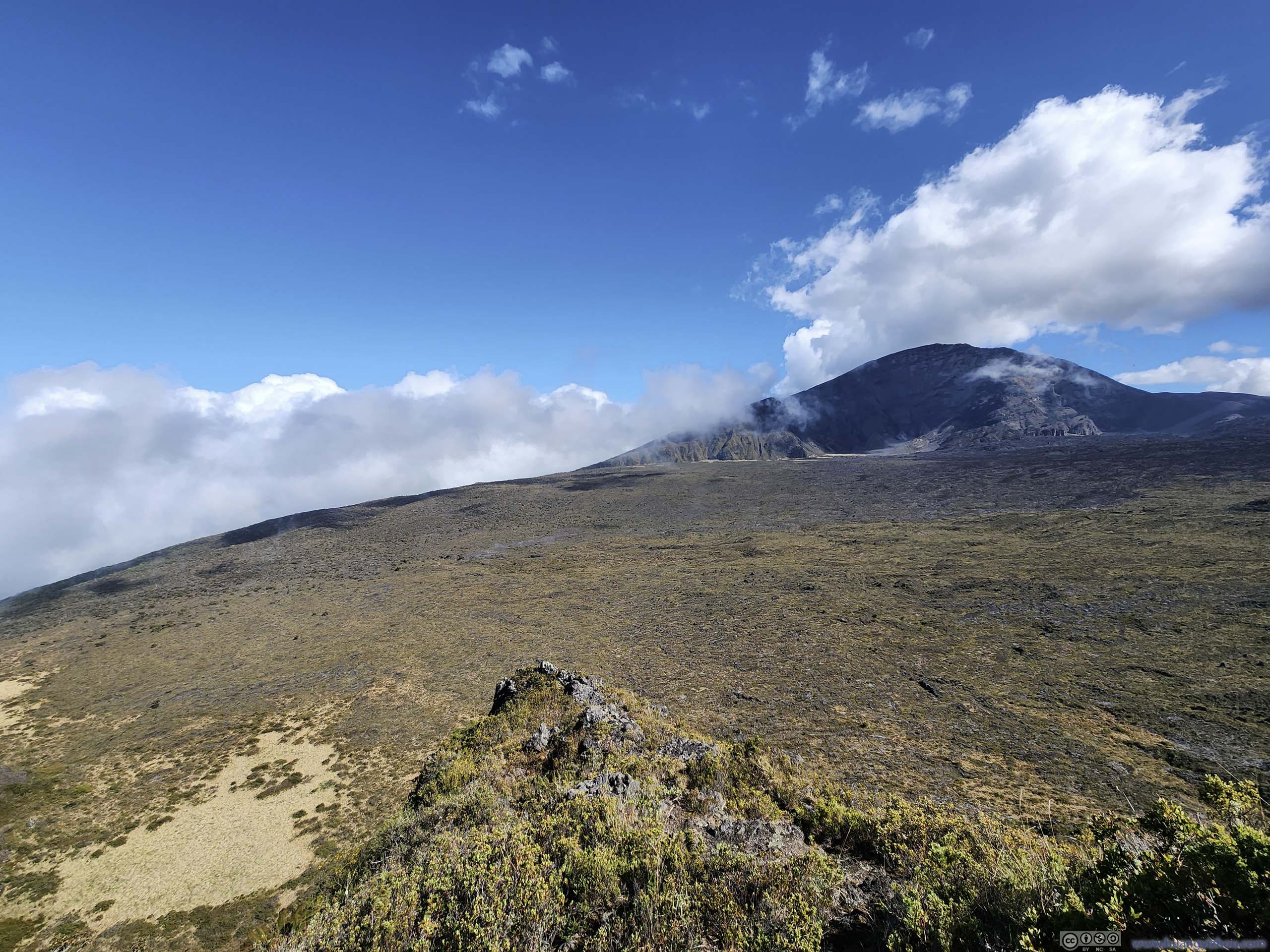
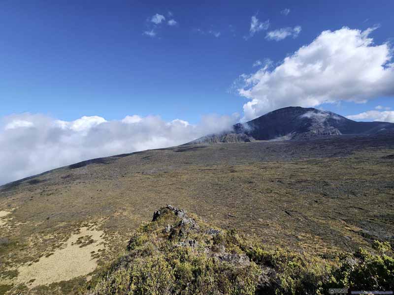
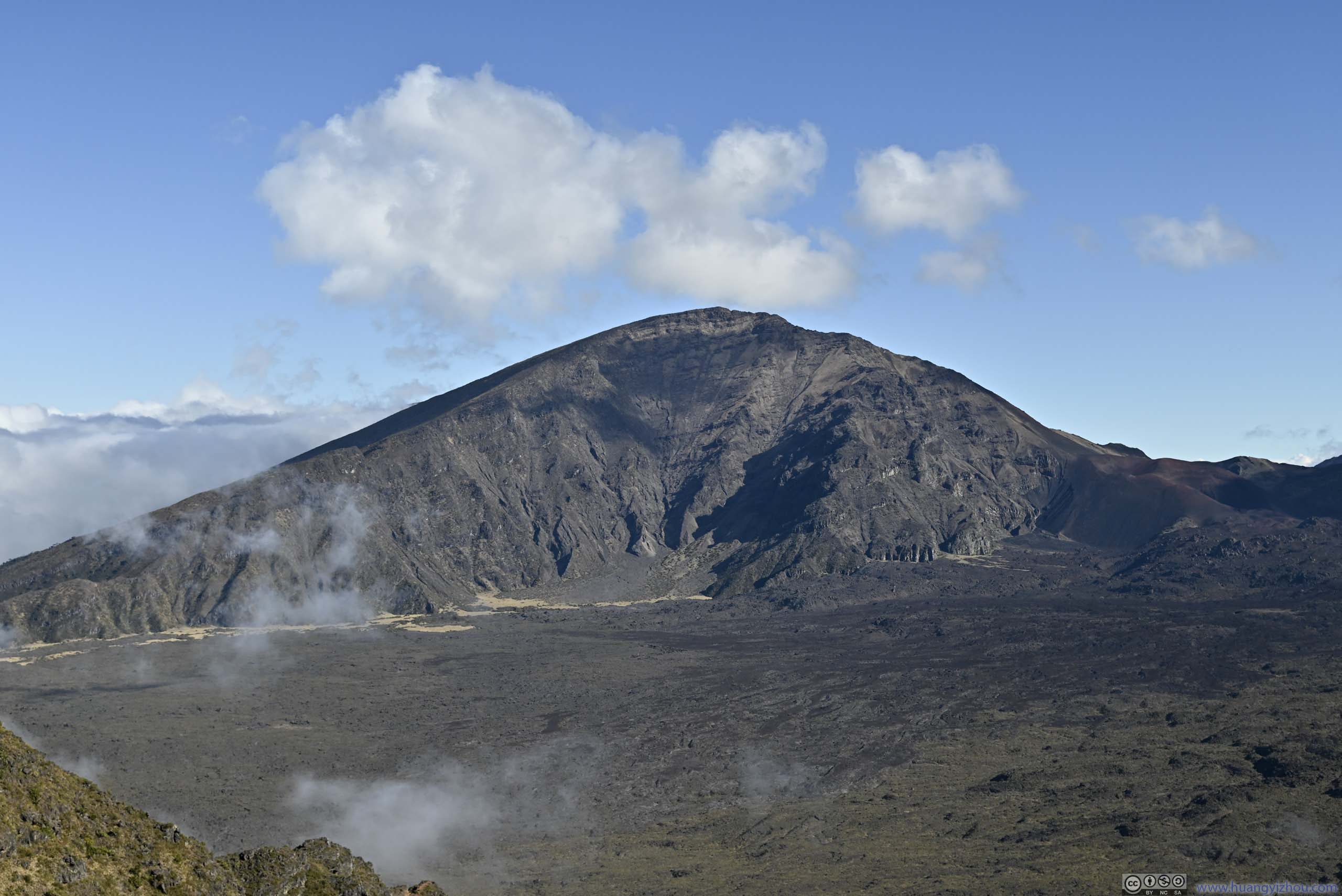
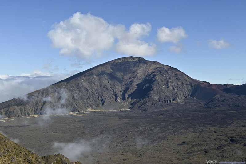
After climbing over Kamoaopele, we got a vantage view of Hanakauhi in front, the highest mountain in the eastern part of Haleakalā National Park. For the remainder of the day, it would be a constant sight accompanying our hike, but here, its daunting size and rugged appearance were quick to invoke my admiration. I later checked online and found it would be an exciting scramble to its top, maybe next time my adventurous spirit would lead me there.
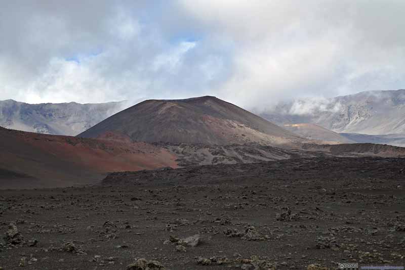
Leaving Kamoaopele, the standard trail passed to the west of Halalii Cinder Cone (p4 below), however, we decided to take a detour around Halalii Cinder Cone, visiting a "bottomless pit" on its northeastern side, adding about 800m to the hike. Along the way, we caught sight of more volcanic cones to the south, where the land was maroon red from the volcanic deposits.
Hanakauhi
Hanakauhi
Hanakauhi
Trail Around Halalii Cinder Cone.
Trail Puunaue Cinder Cone ahead.
Field Smaller volcanic cones to the south.
Field
Field
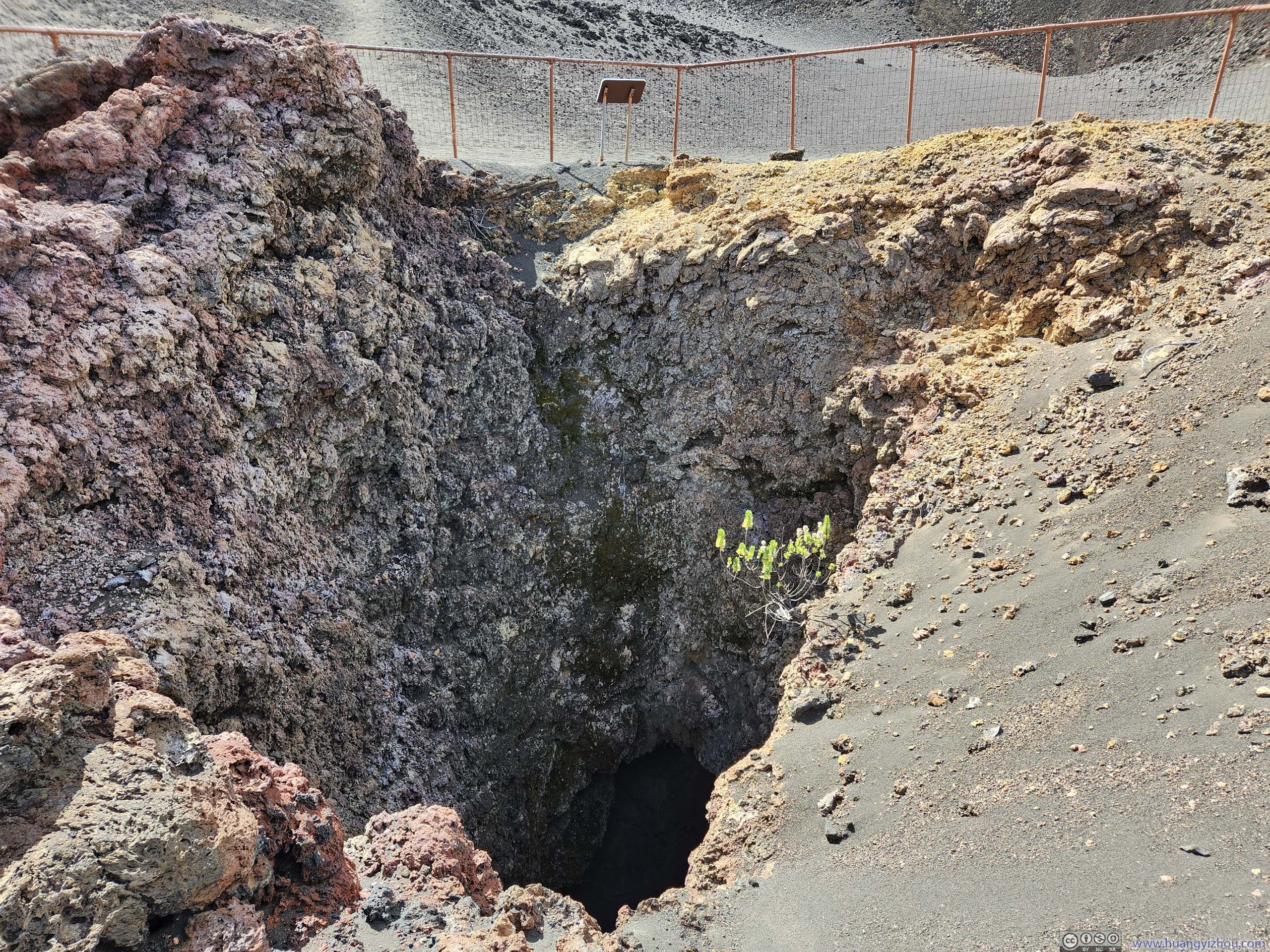
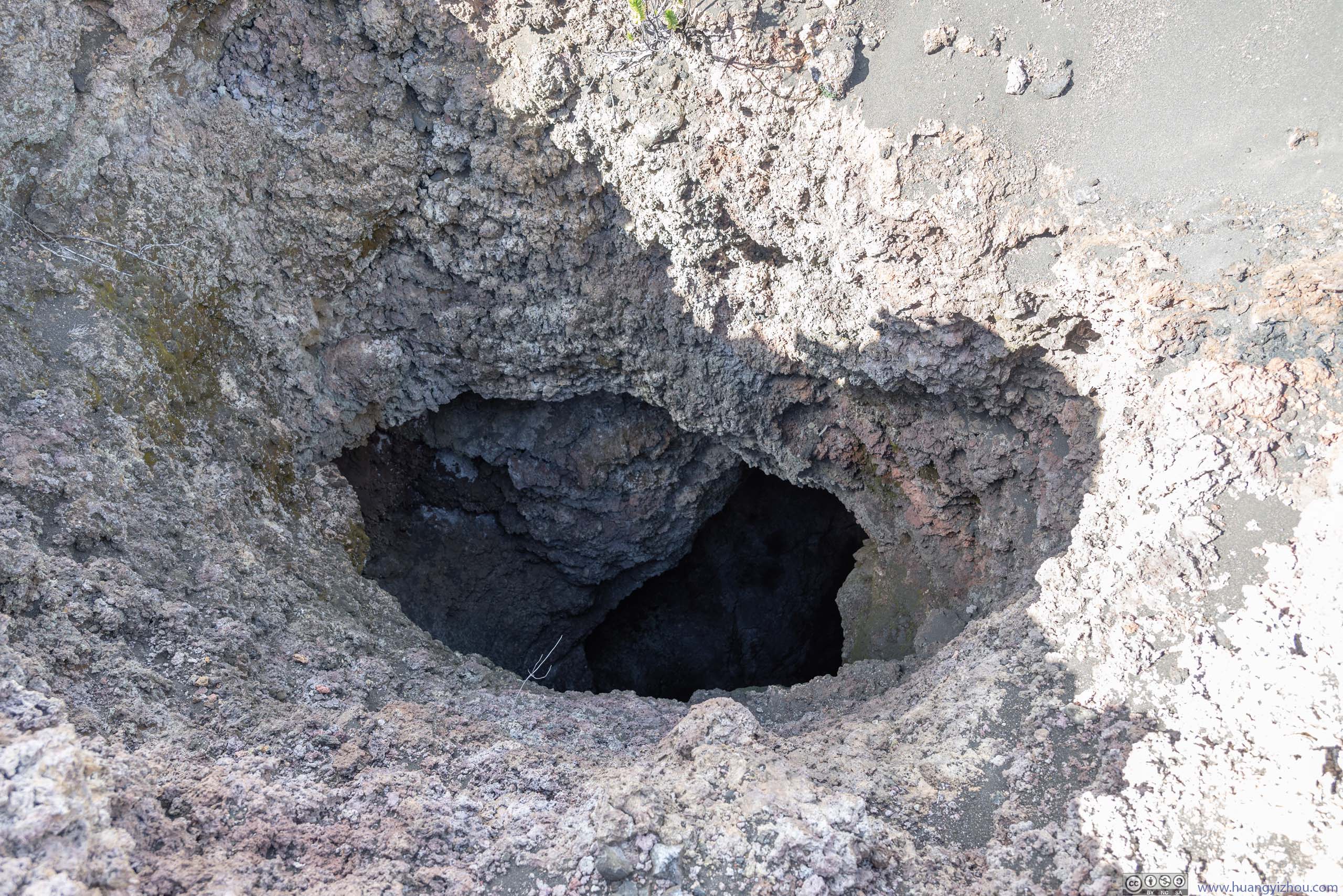
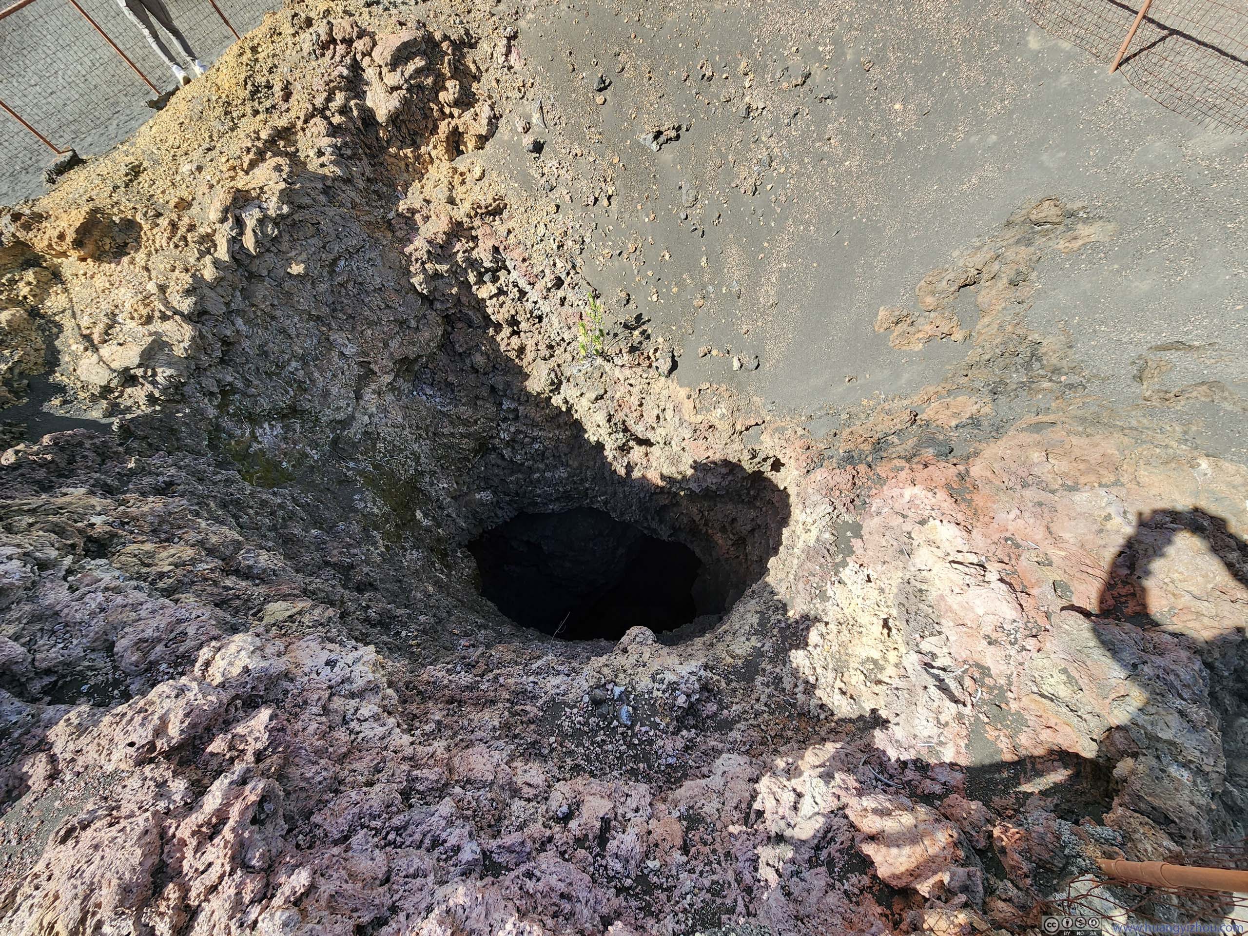
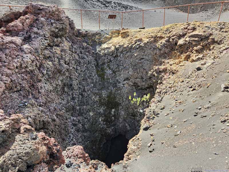
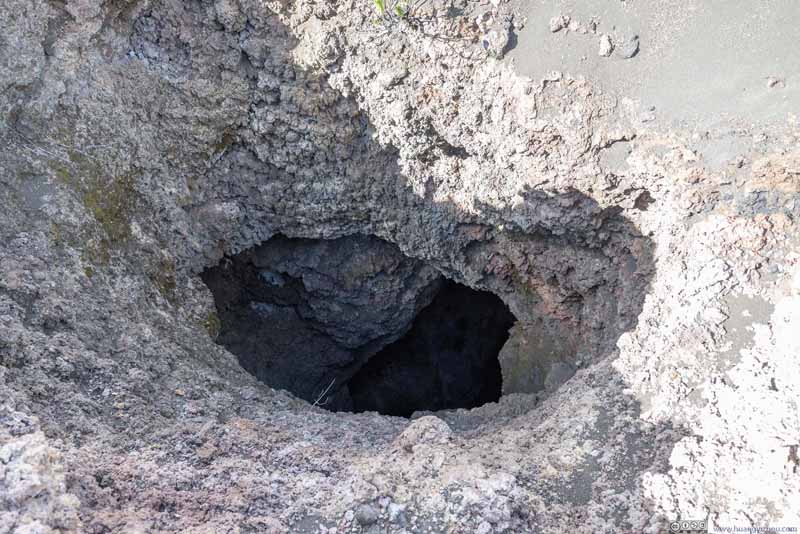
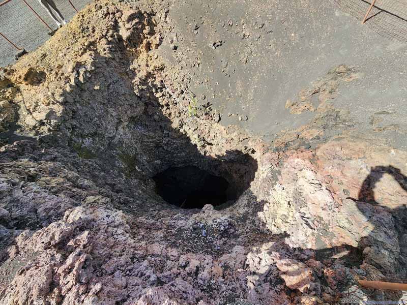
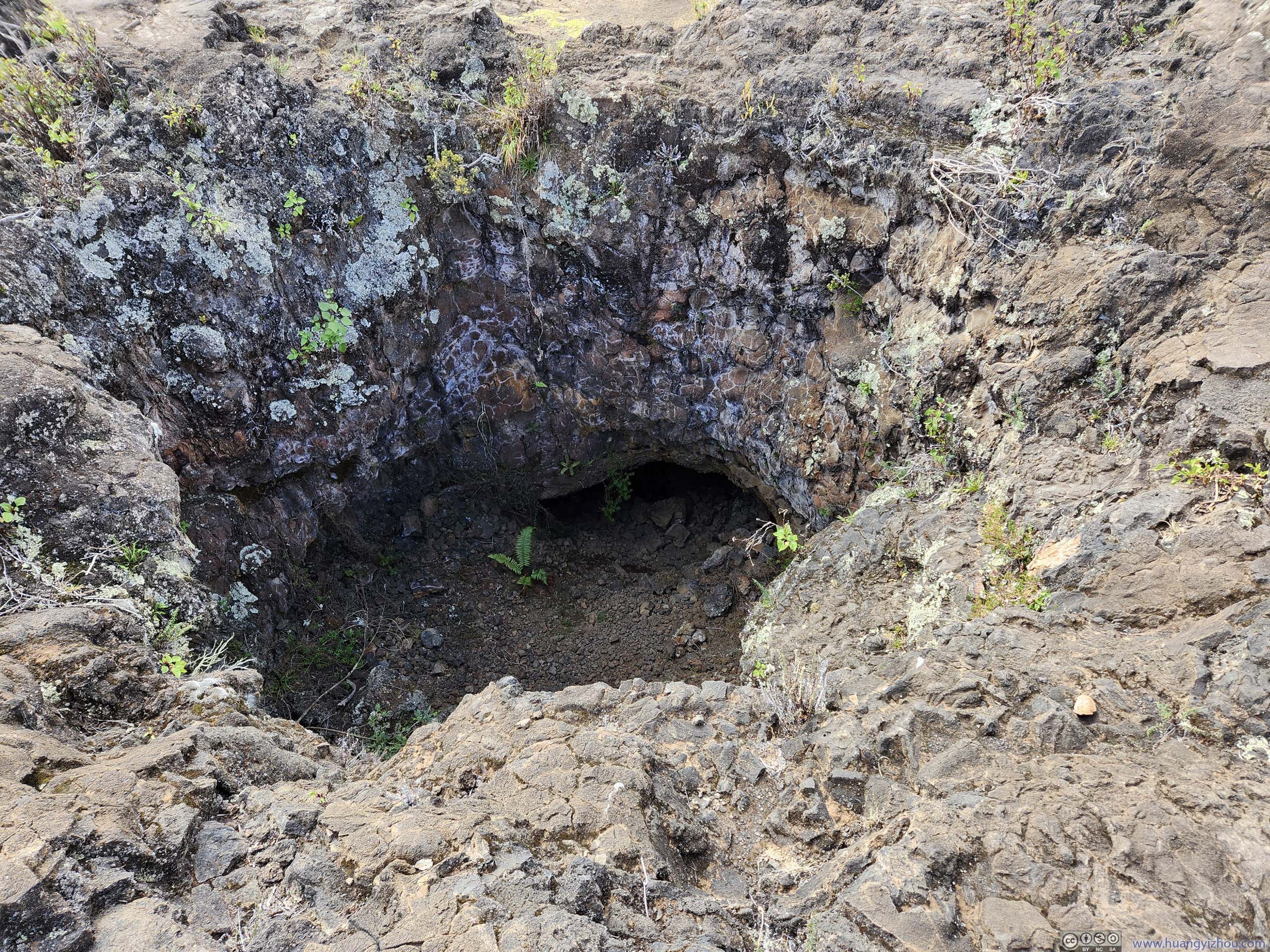
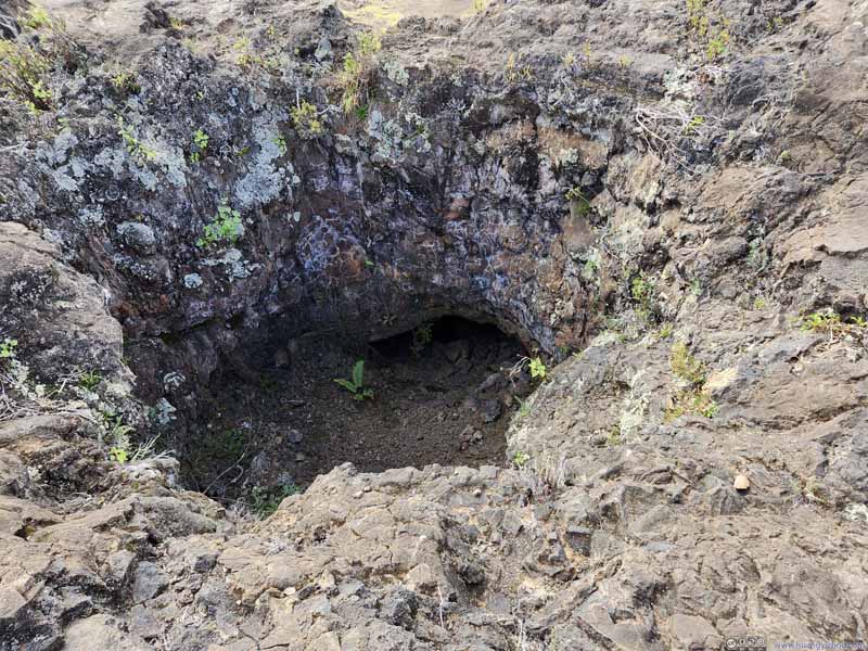
Then there's the bottomless pit. Despite its name, it's only 65 feet deep. Still deep enough so that NPS fenced the area off.
Bottomless Pit
Bottomless Pit
Bottomless Pit
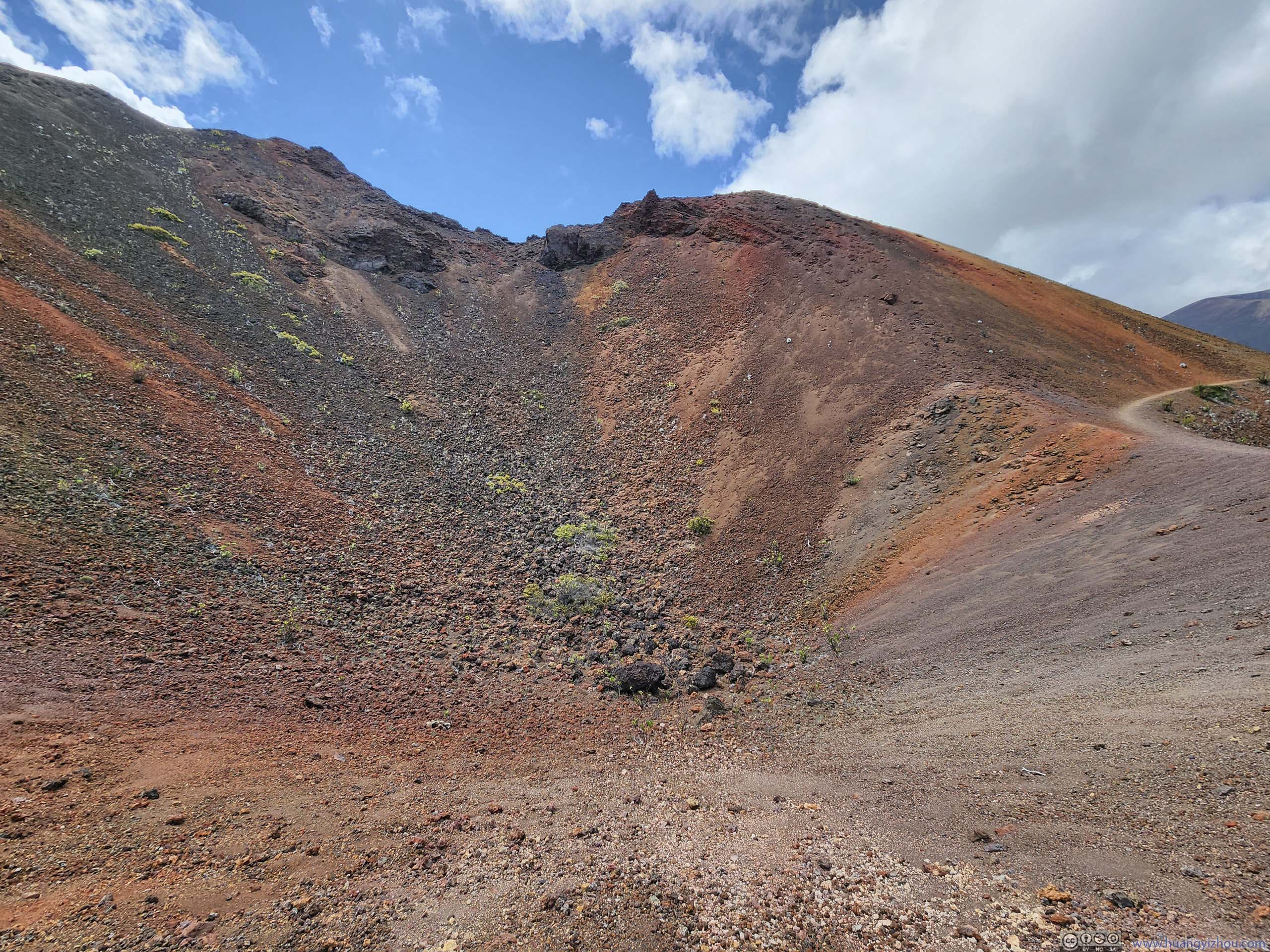
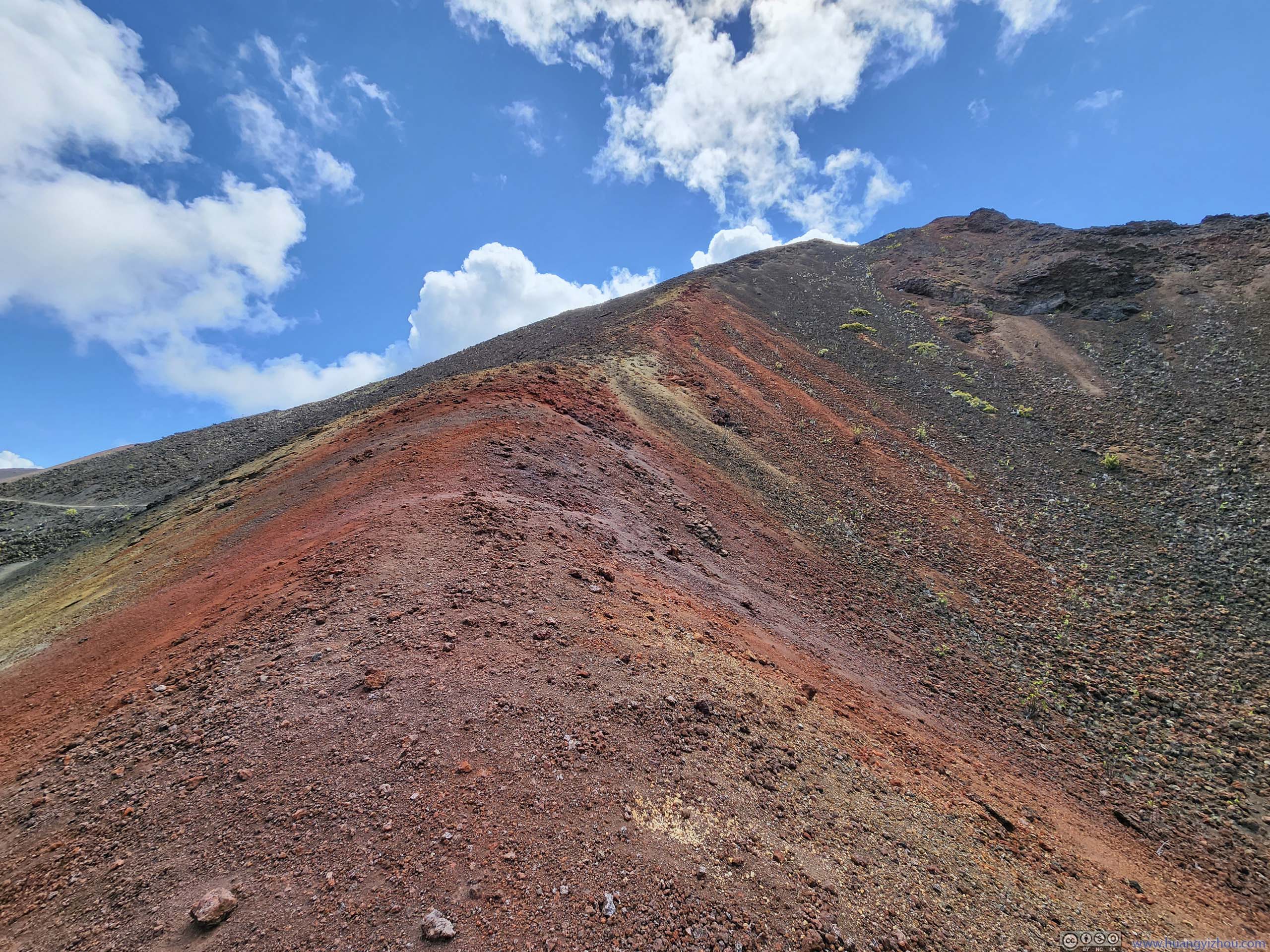
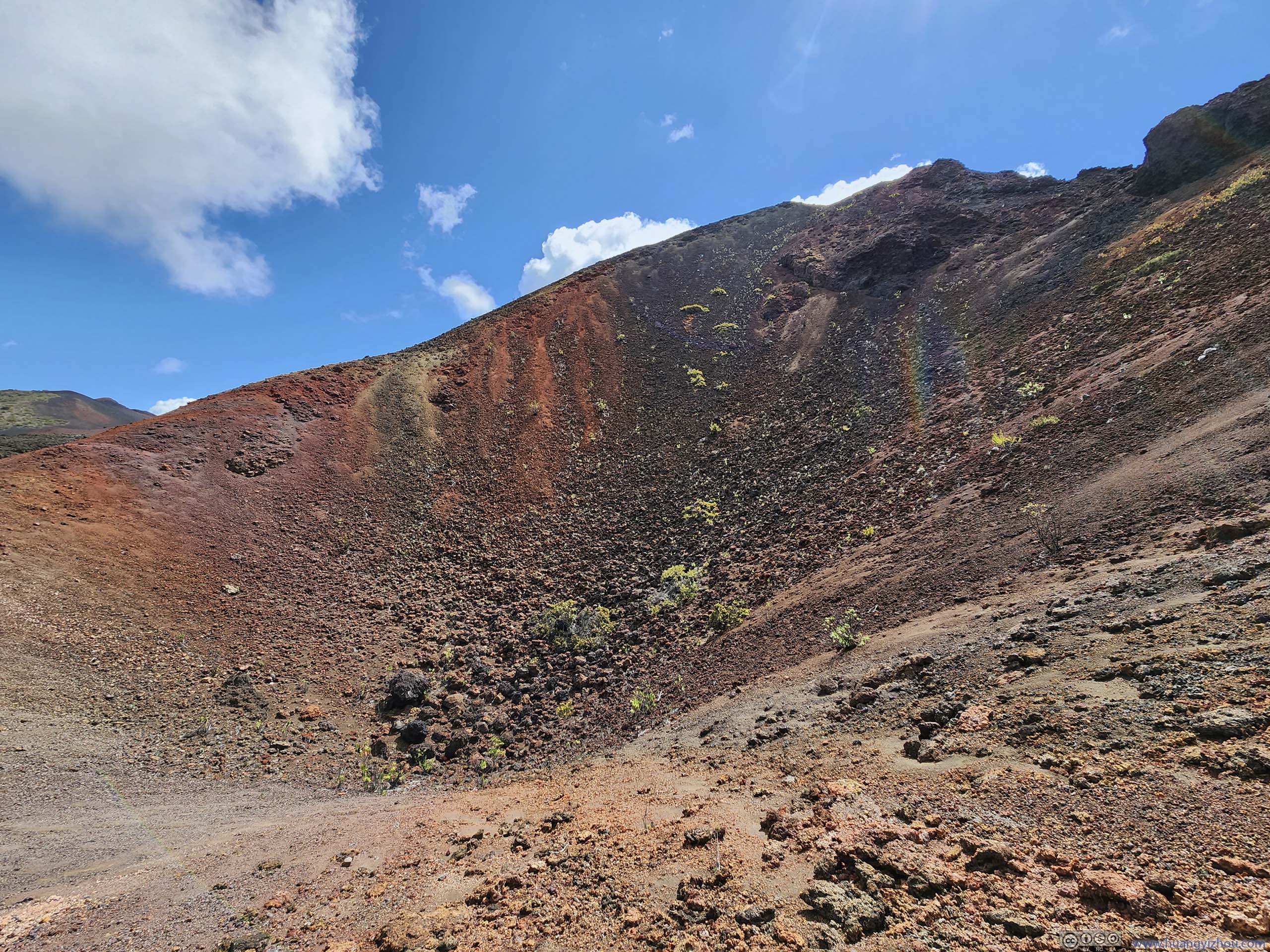
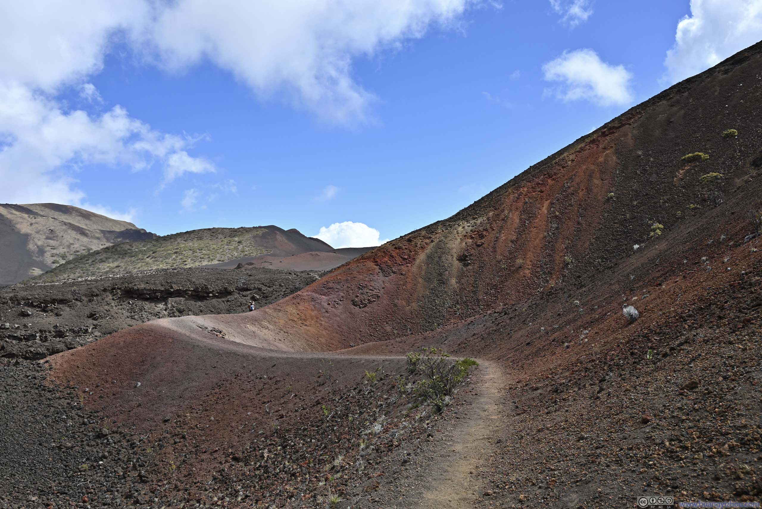
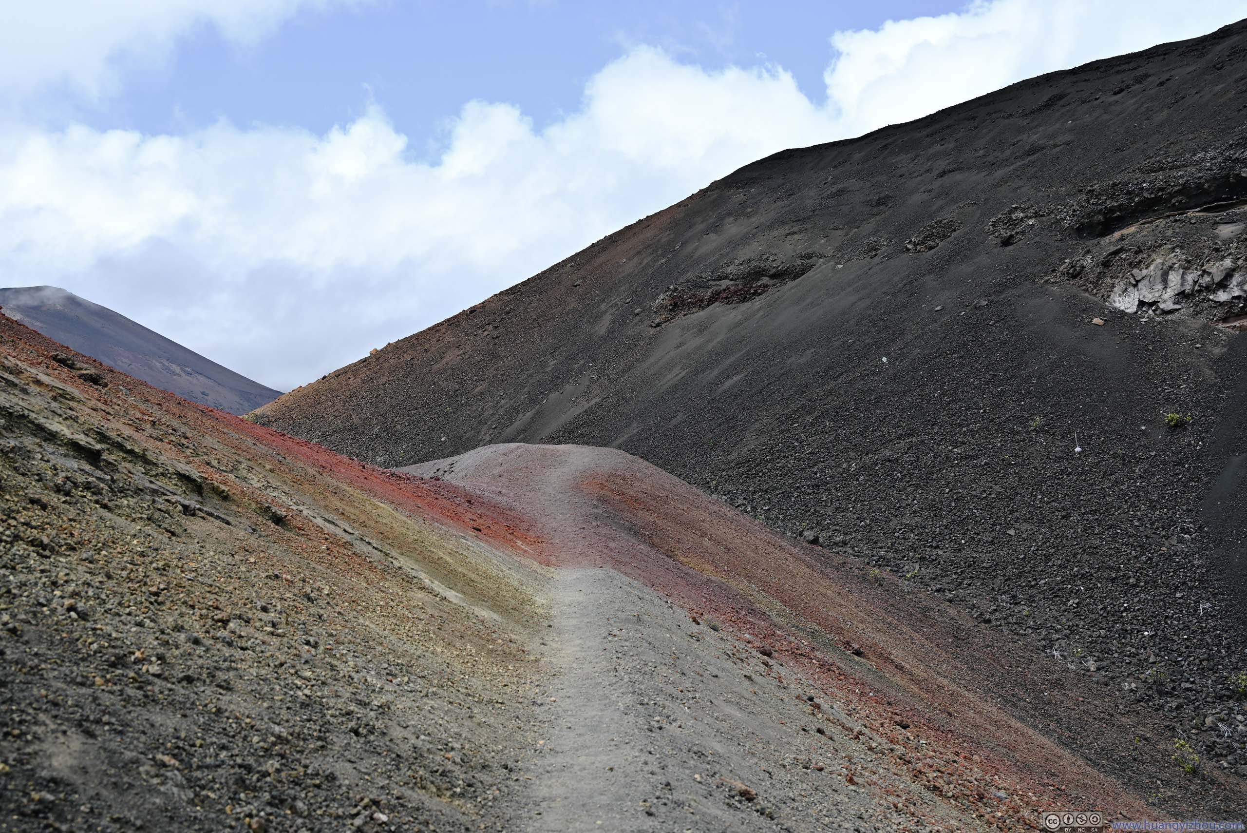
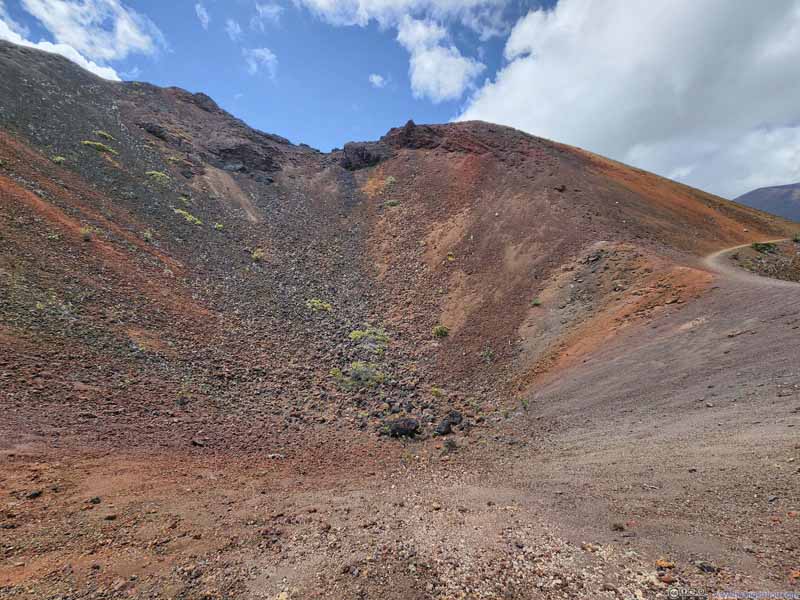
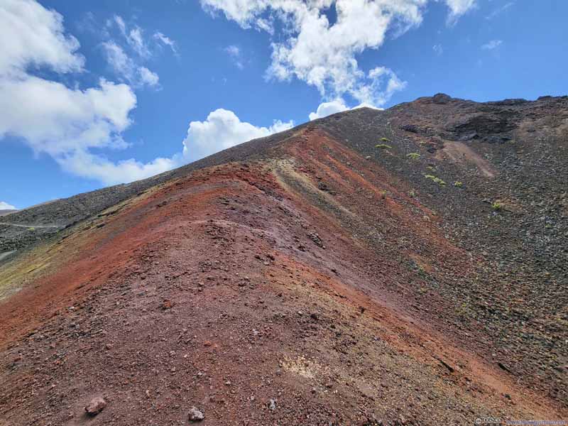
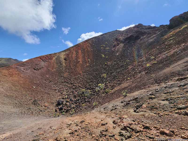
Next to the not-too-remarkable "Bottomless Pit" was a small crater. The area was unofficially referred to as "Pele's Paint Pot" for its vibrant colors. This spot, which turned out to be the most colorful for the day, wasn't known to me beforehand.
Small Crater
Side of Small Crater in Vivid Colors
Small Crater
Trail next to Small Crater
Trail through Colorful Landscape
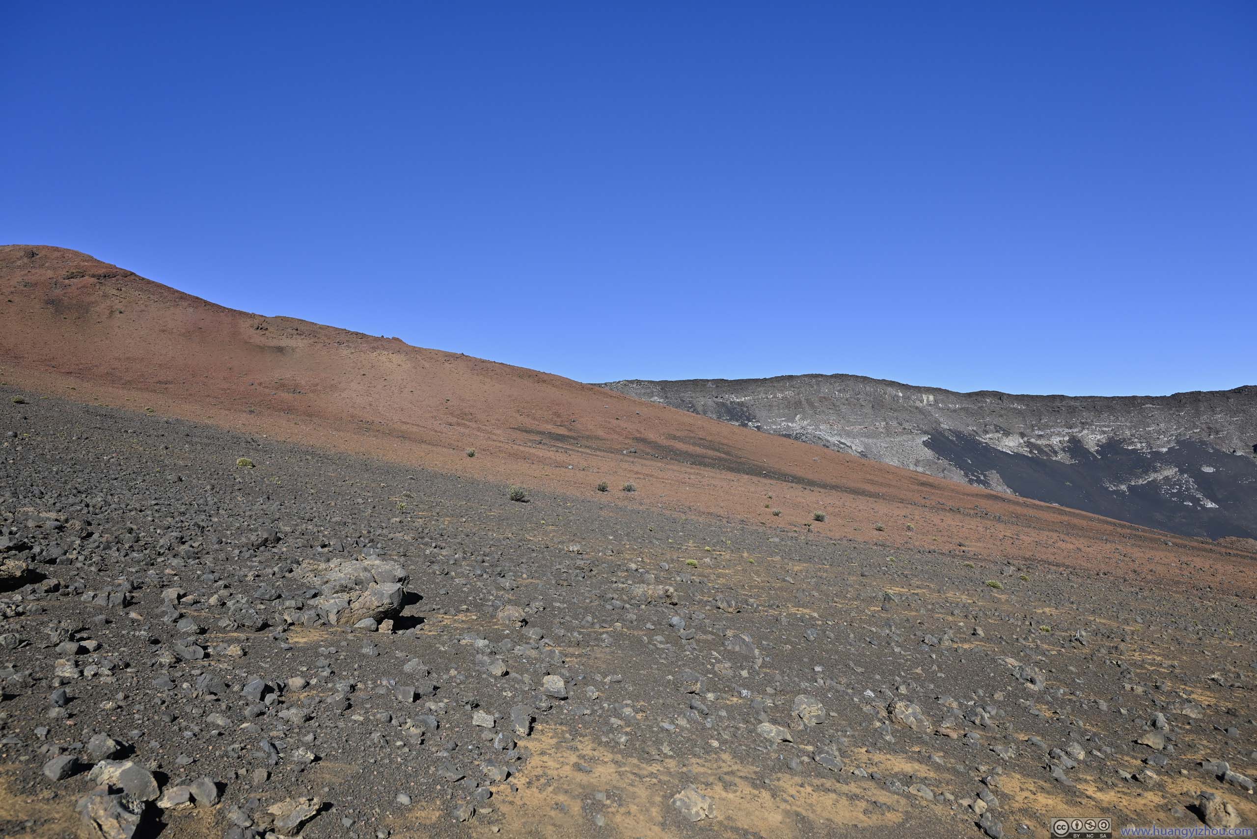
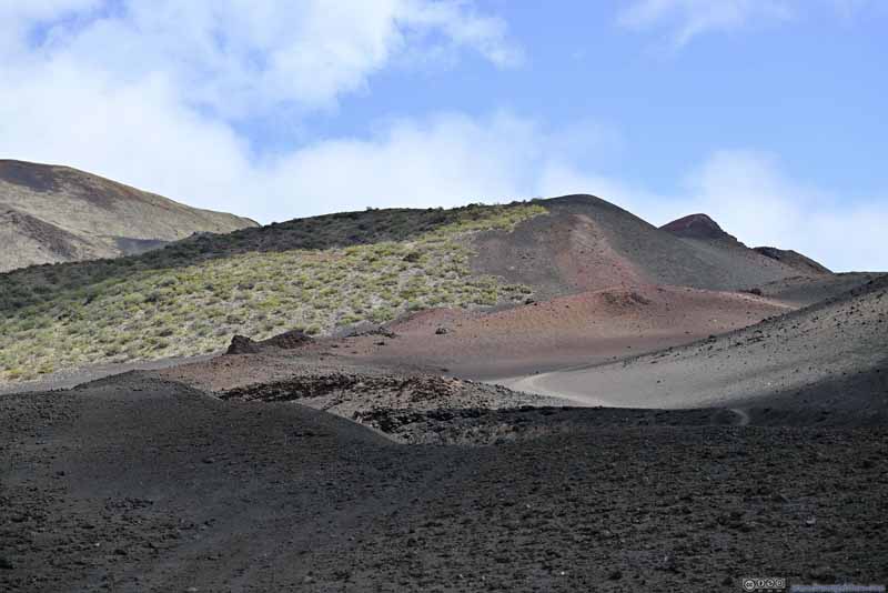
Hills The boundary between vegetation and barren land was very distinct.
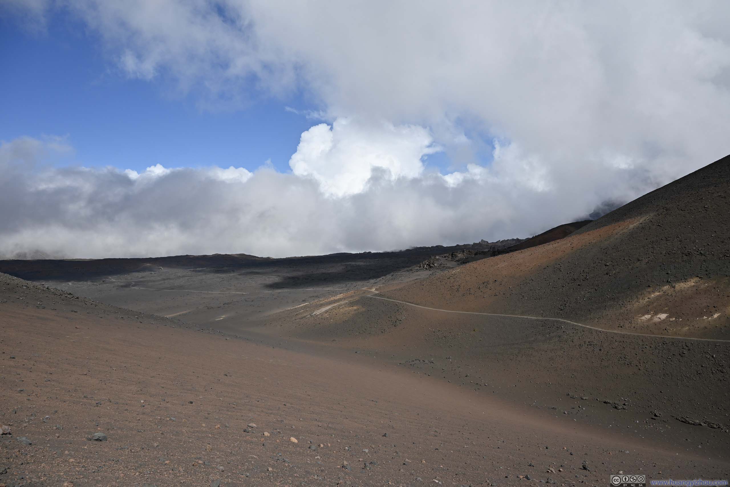
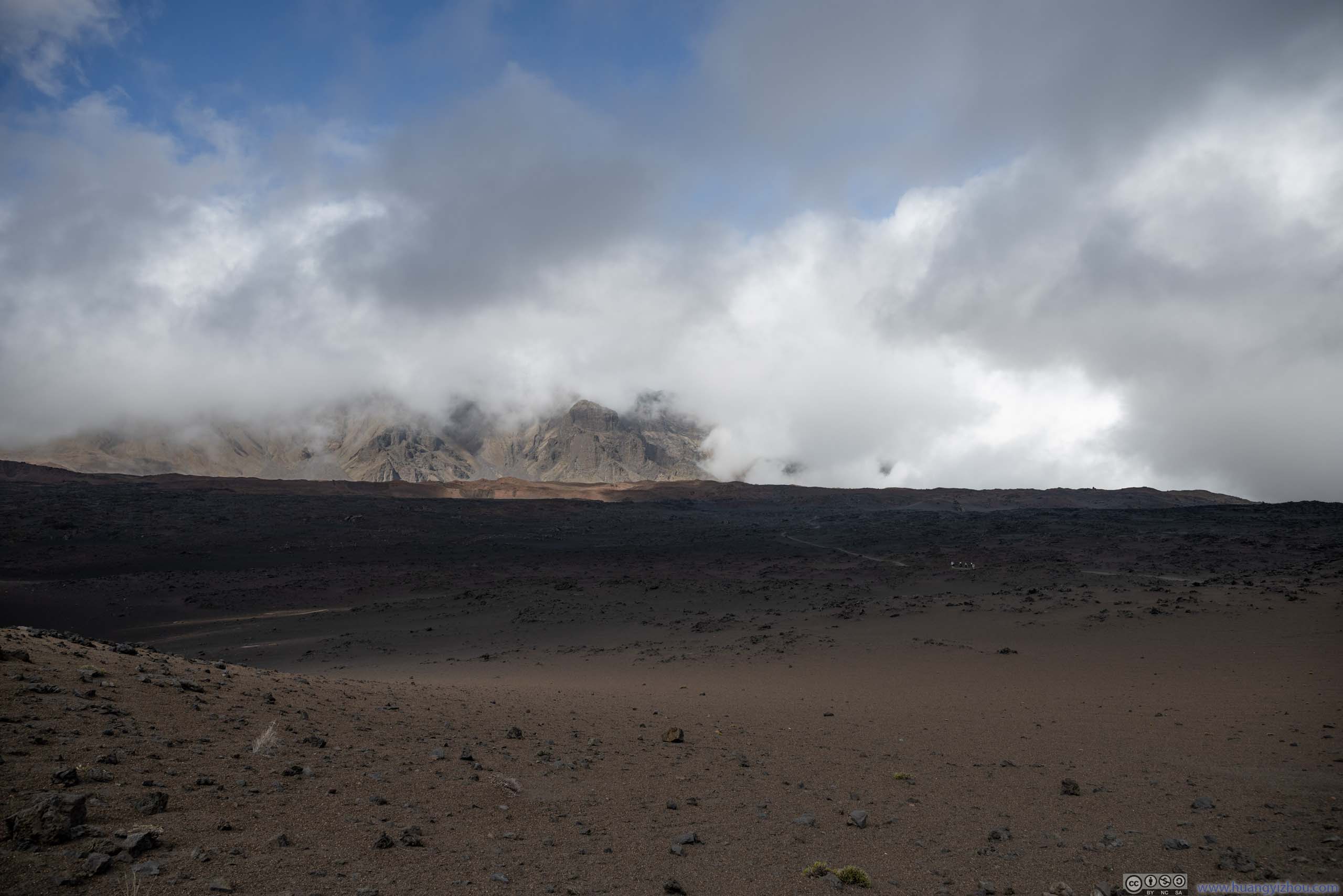
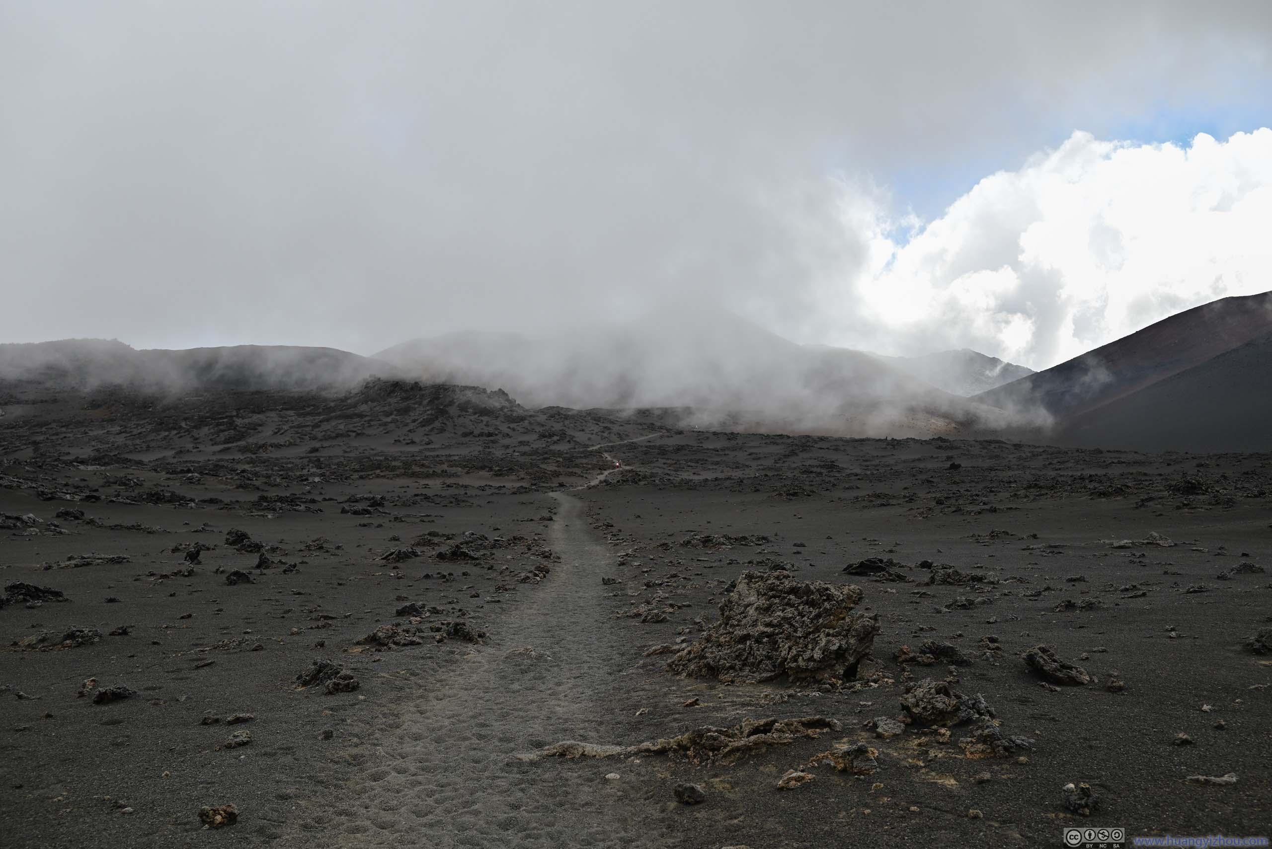
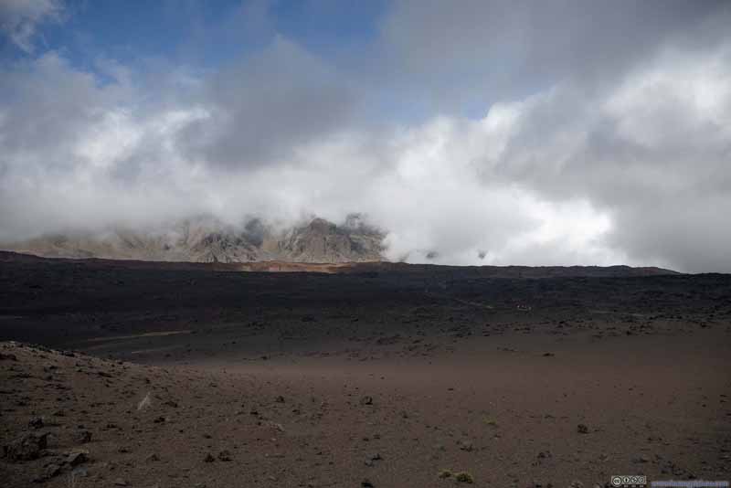
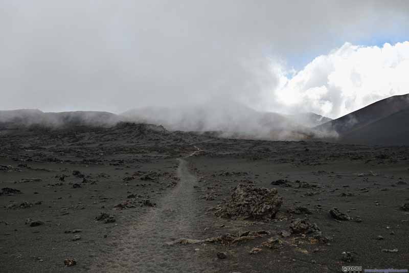
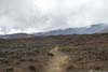
After that, we followed Halemau'u Trail north. Some of the clouds had made their way into the crater basin, raging towards the summit visitor center uphill, so the sight of various cinder cones also became more elusive. On a different note, this also gave them a more fairytale feeling.
Pu'uomaui Cinder Cone in Clouds
Pu'uomaui Cinder Cone in Clouds
Fields
Northern Ridge of Haleakalā Crater in Clouds
Fields The trail that led through a field of volcanic rocks, with impending clouds from the right.
Trail Halalii Cinder Cone in the background, where we came from.
Trail In just a few minutes, Halalii Cinder Cone was covered in clouds.
After that, the trail went through another field of volcanic rocks. This time I felt they were sparser, and thus not as impressive.
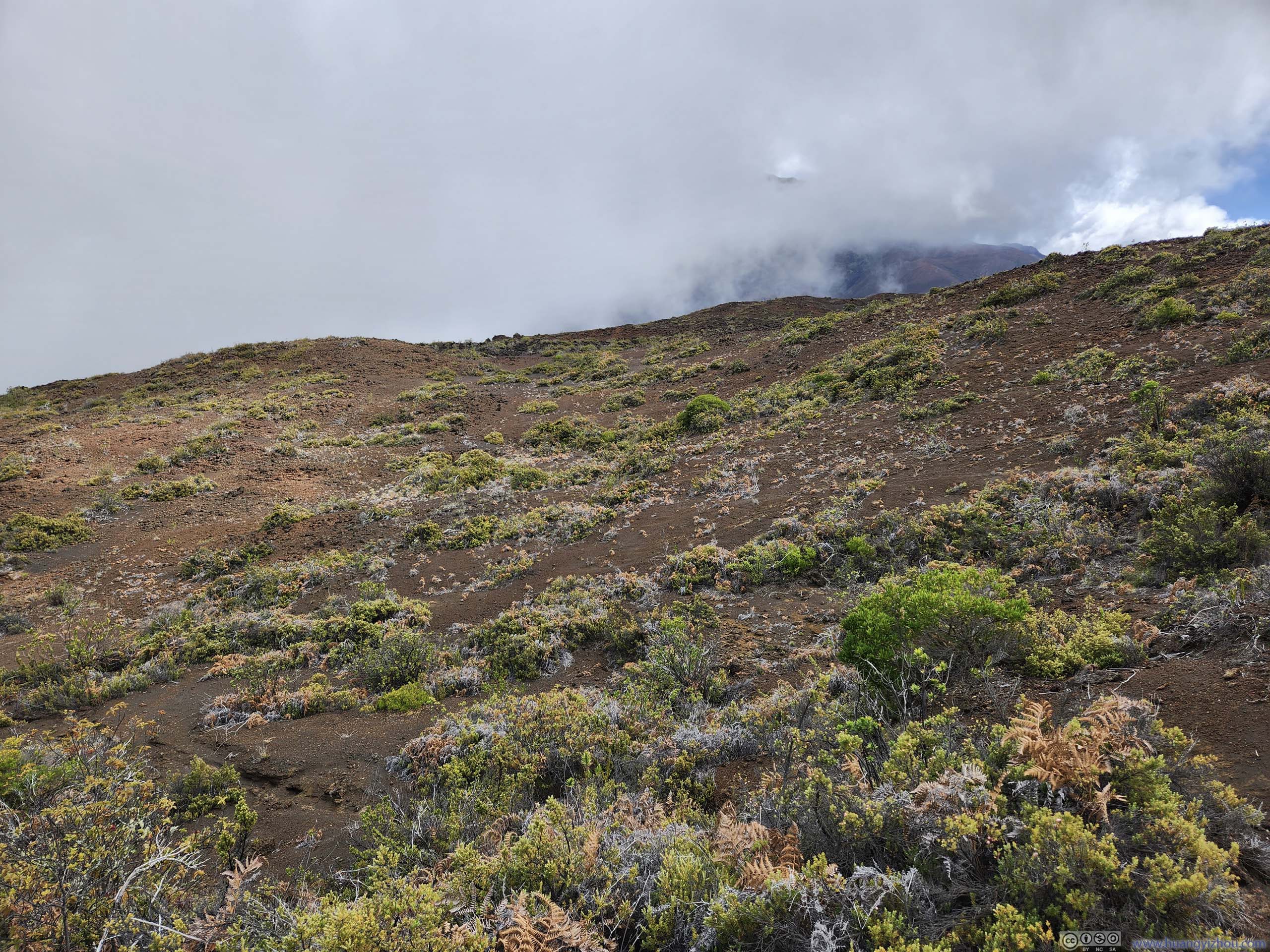
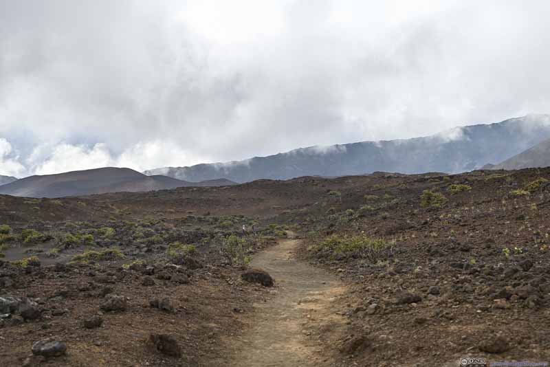
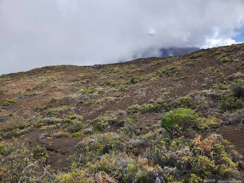
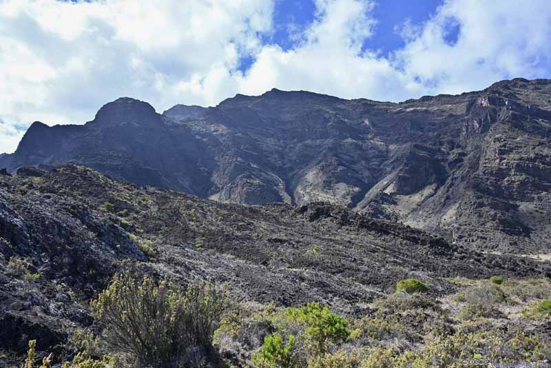
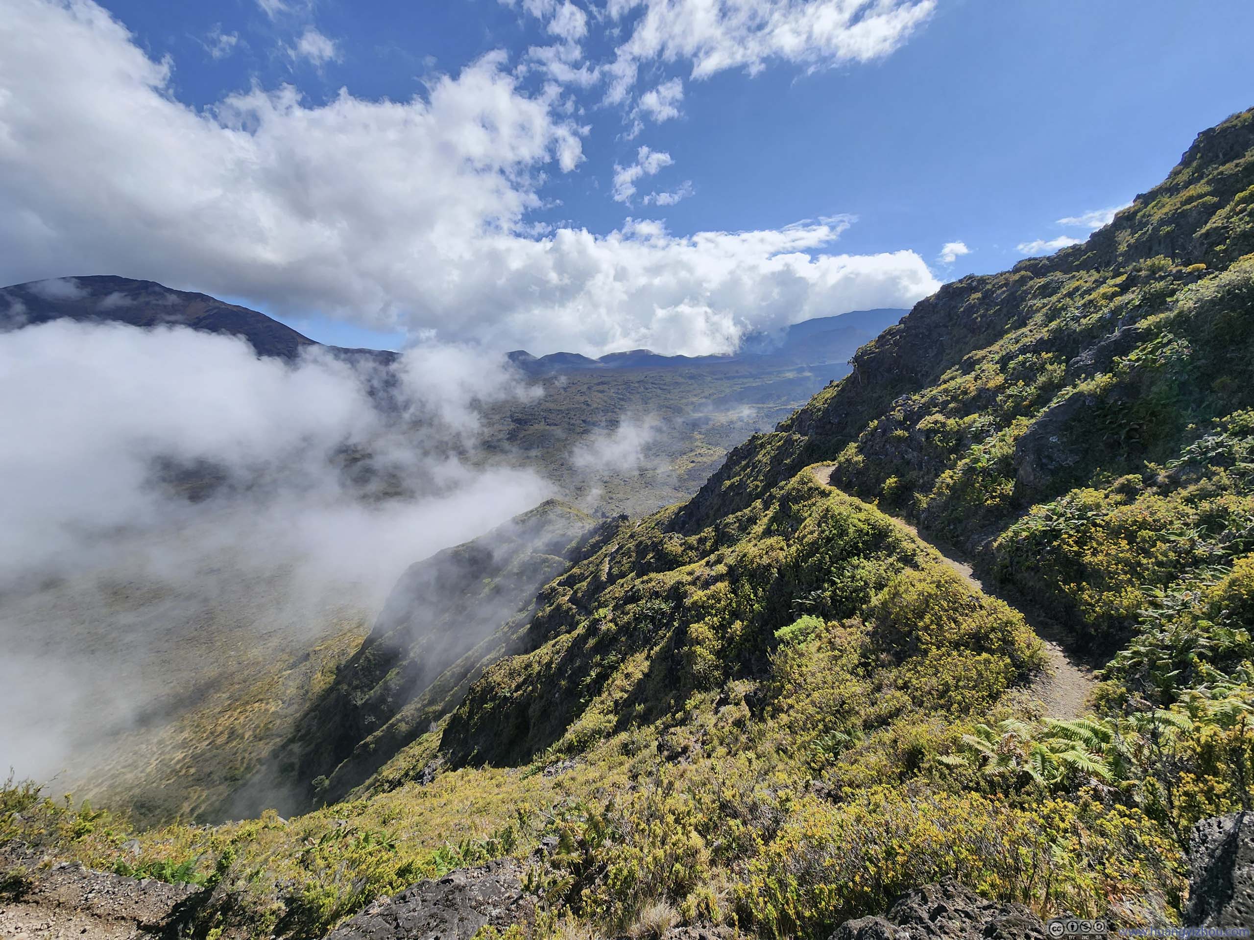
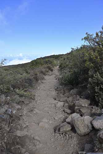
Later on, the trail entered wetter terrain where more plants could sprout from the volcanic ashes. Along the way, there's a "Silverwood Loop Trail", which was a detour off the main trail that's not on my maps. However, with a diversity of plants around, I didn't find the silverwoods as impressive, compared to earlier in the day while we were descending towards the crater floor. As a result, we didn't check out that loop.
Landscape
Landscape
Landscape
Trail
Landscape
Trail
Landscape
Vegetation
Trail
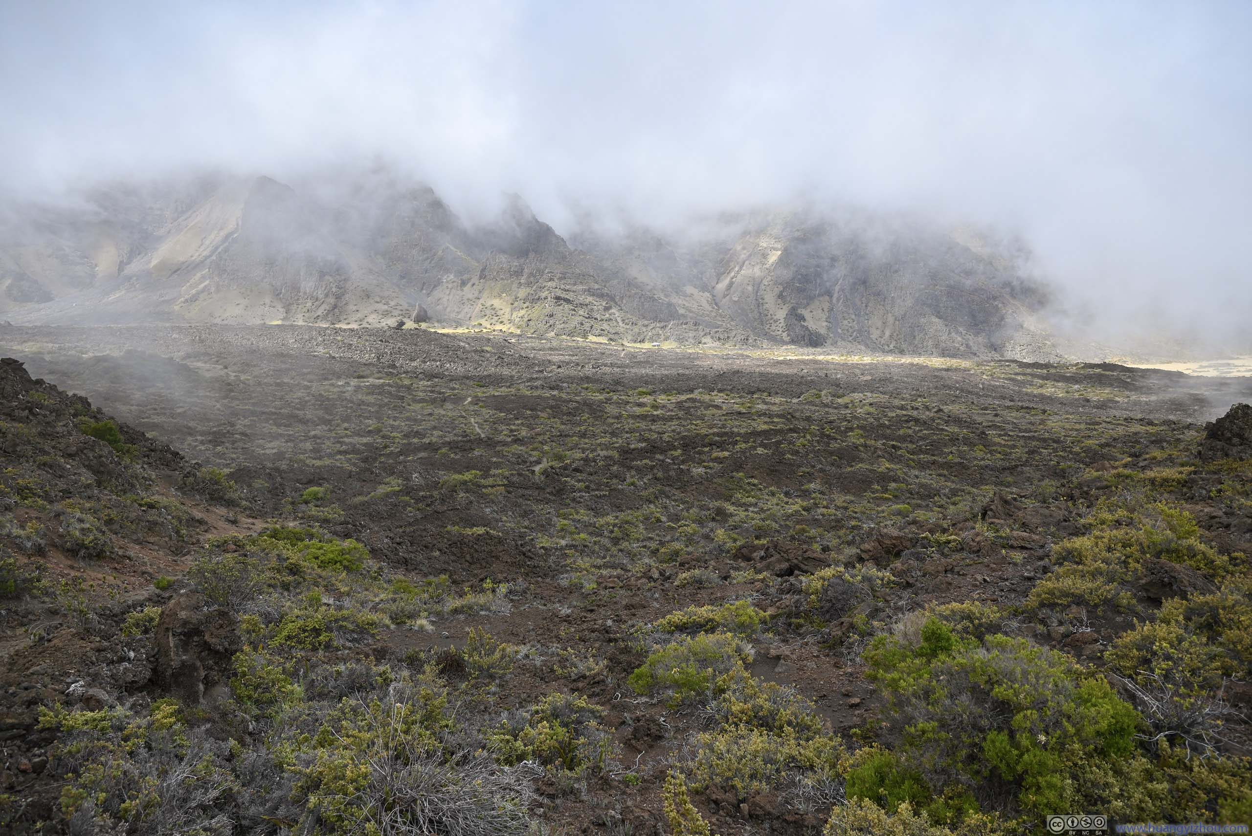
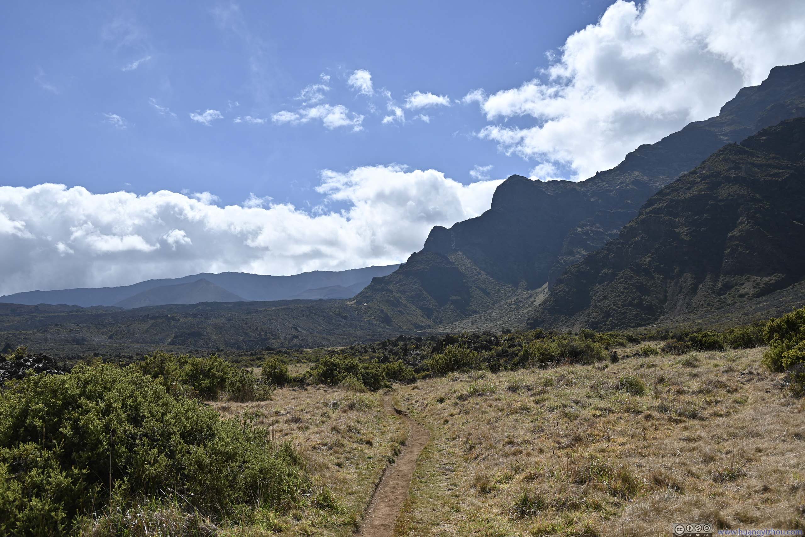
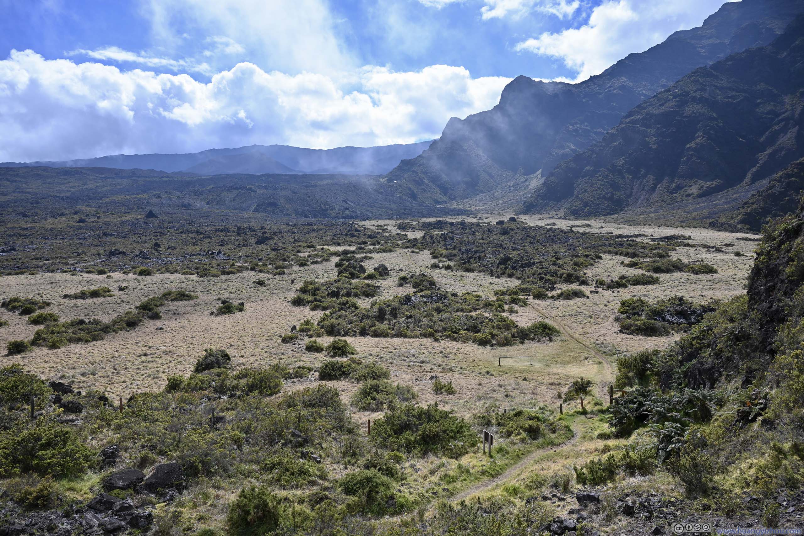
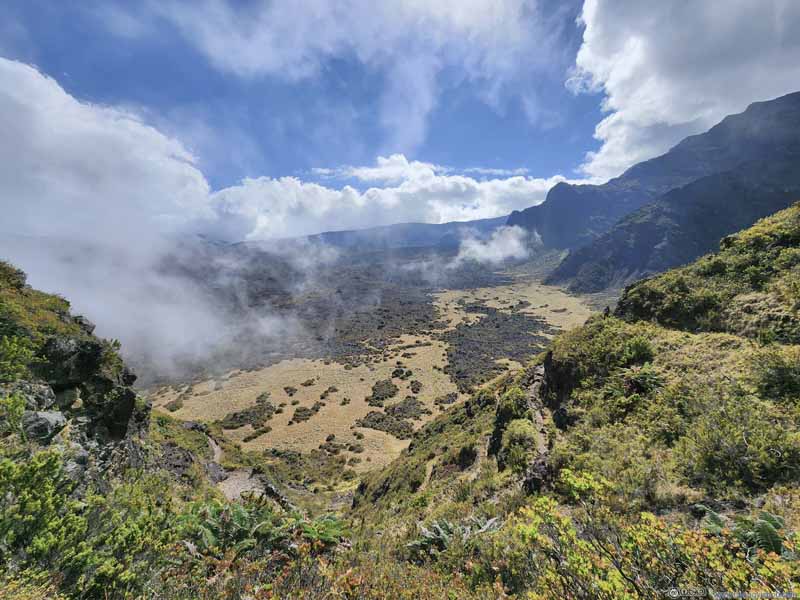
Finally, the trail reached a valley where for the first time since we started the hike, a significant portion of the ground was covered in green. The passing clouds spoke to the area's relative abundance of water that supported life. At the end of the valley and sitting at the foot of a ridgeline was "Holua Cabin", a landmark that's hard to miss for the hike.
Valley Just at the foot of the mountains in the background was "Holua Cabin", the next stop of our hike.
Mountain
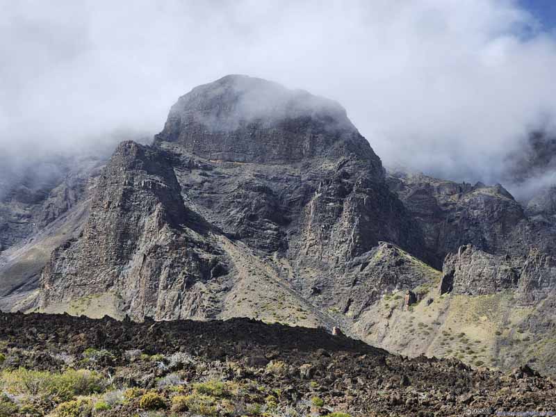
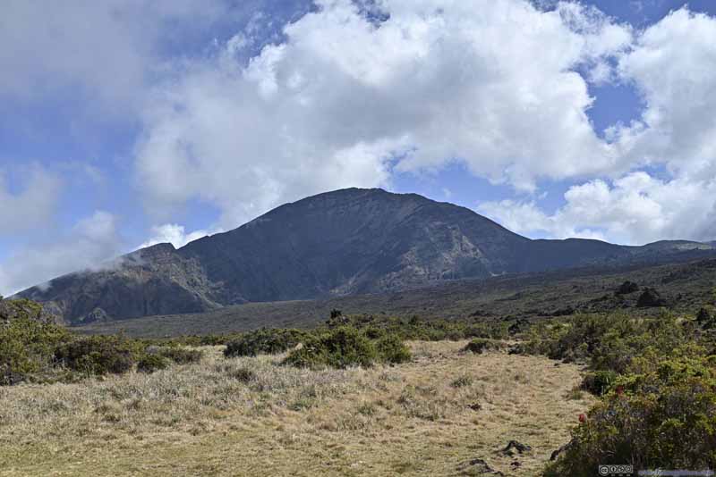
Part of the crater rim, looked like an armchair to me. I had been trying to wait for the clouds to pass to take a clear photo of this mountain, to no avail.
Trail
Vegetation
Bottomed Pit
Just like the previous "bottomless pit", this one was next to trail, but not as deep, hence I named it "Bottomed Pit".
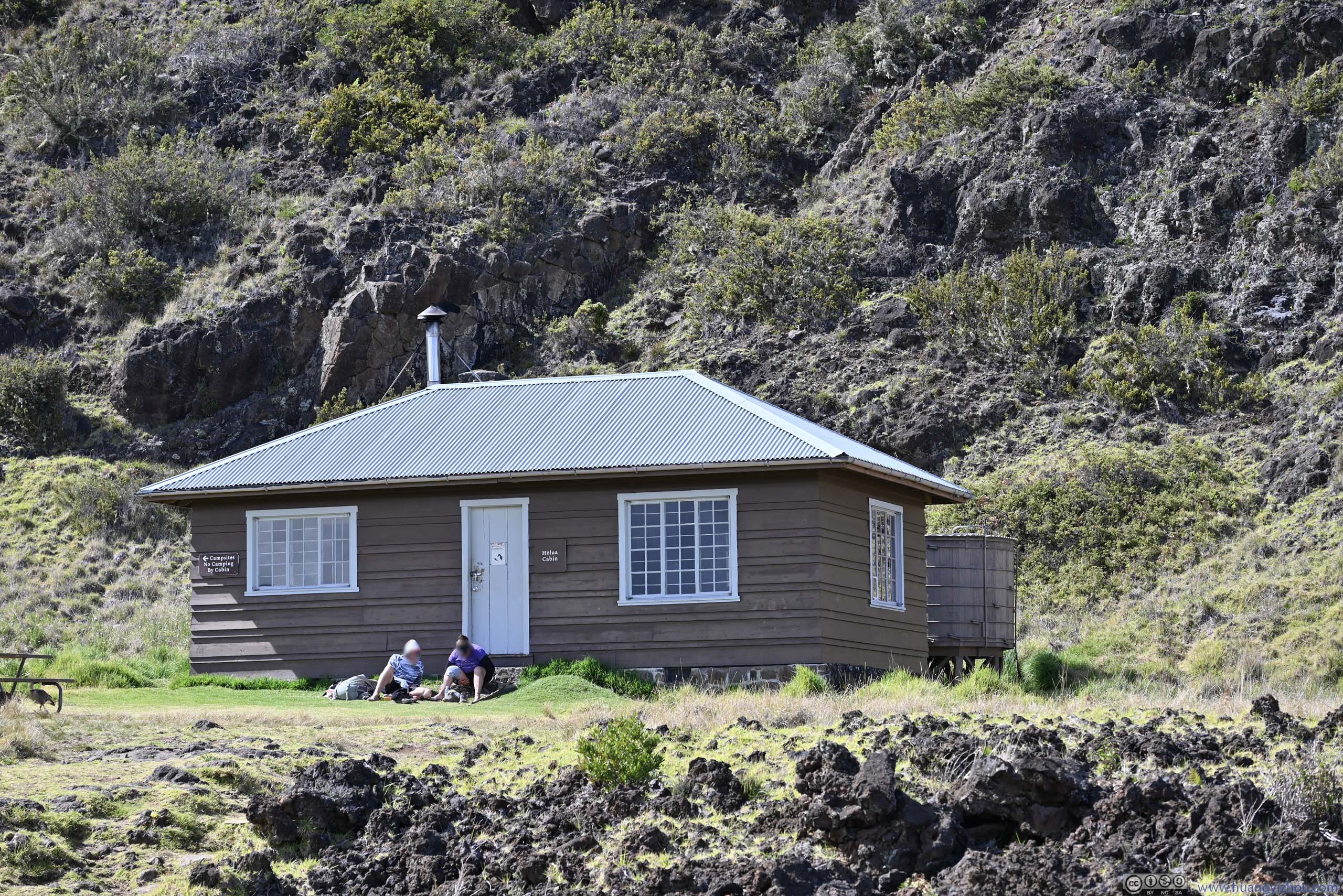
We reached Holua Cabin just before 1pm, about 4.4 hours into our hike. Its picnic table was a good place for us to stretch our legs and enjoy some snacks, which would be better if not for the geese droppings. There we took a good rest, before the elevation gain that's soon upon us.
Holua Cabin
Valley
The trail passed through this valley, before ascending on the hill in the background to reach Haleakala Highway.
Valley
The trail passed through this valley, before ascending on the hill in the background to reach Haleakala Highway.
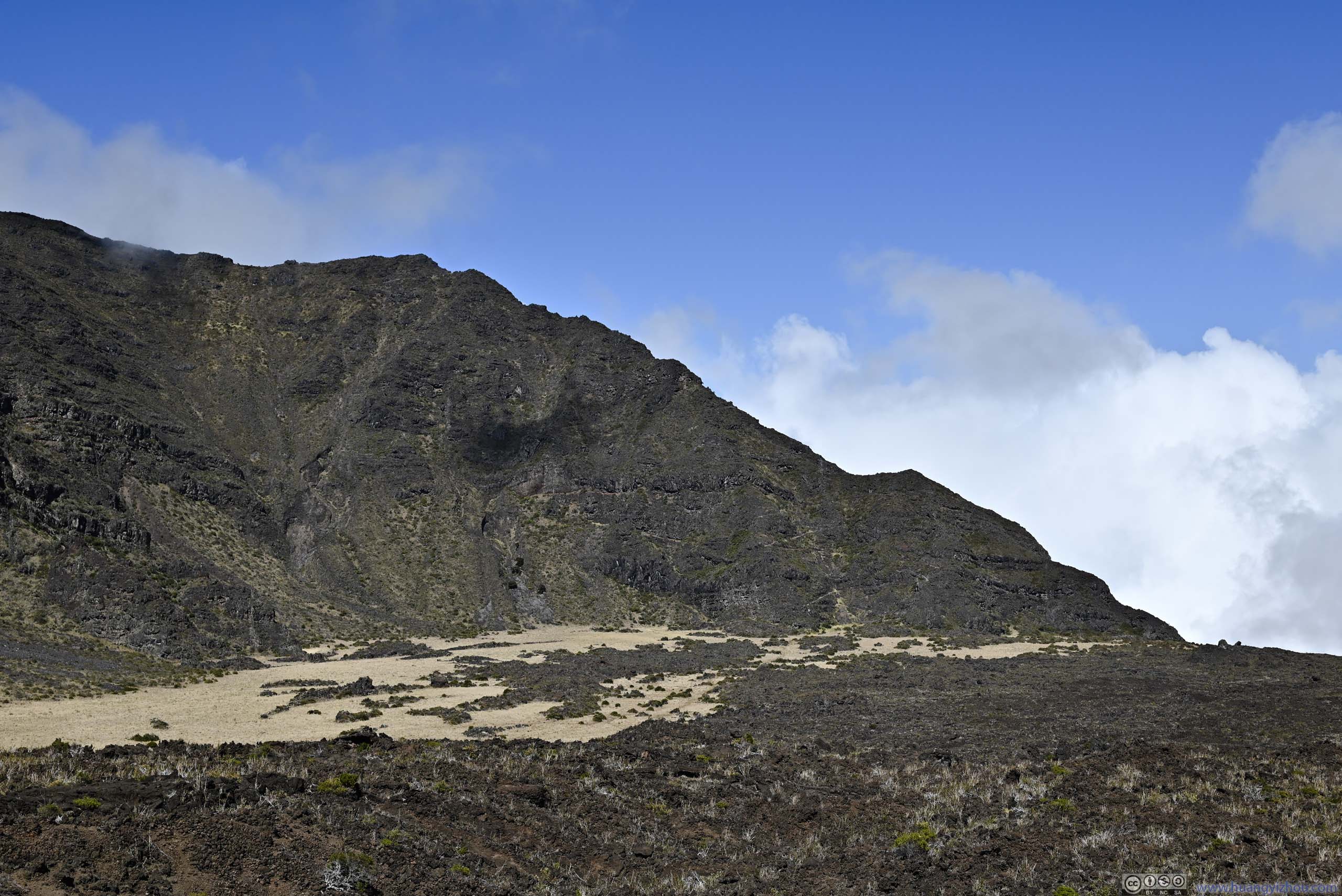
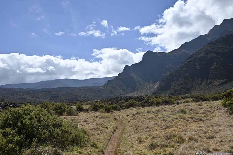
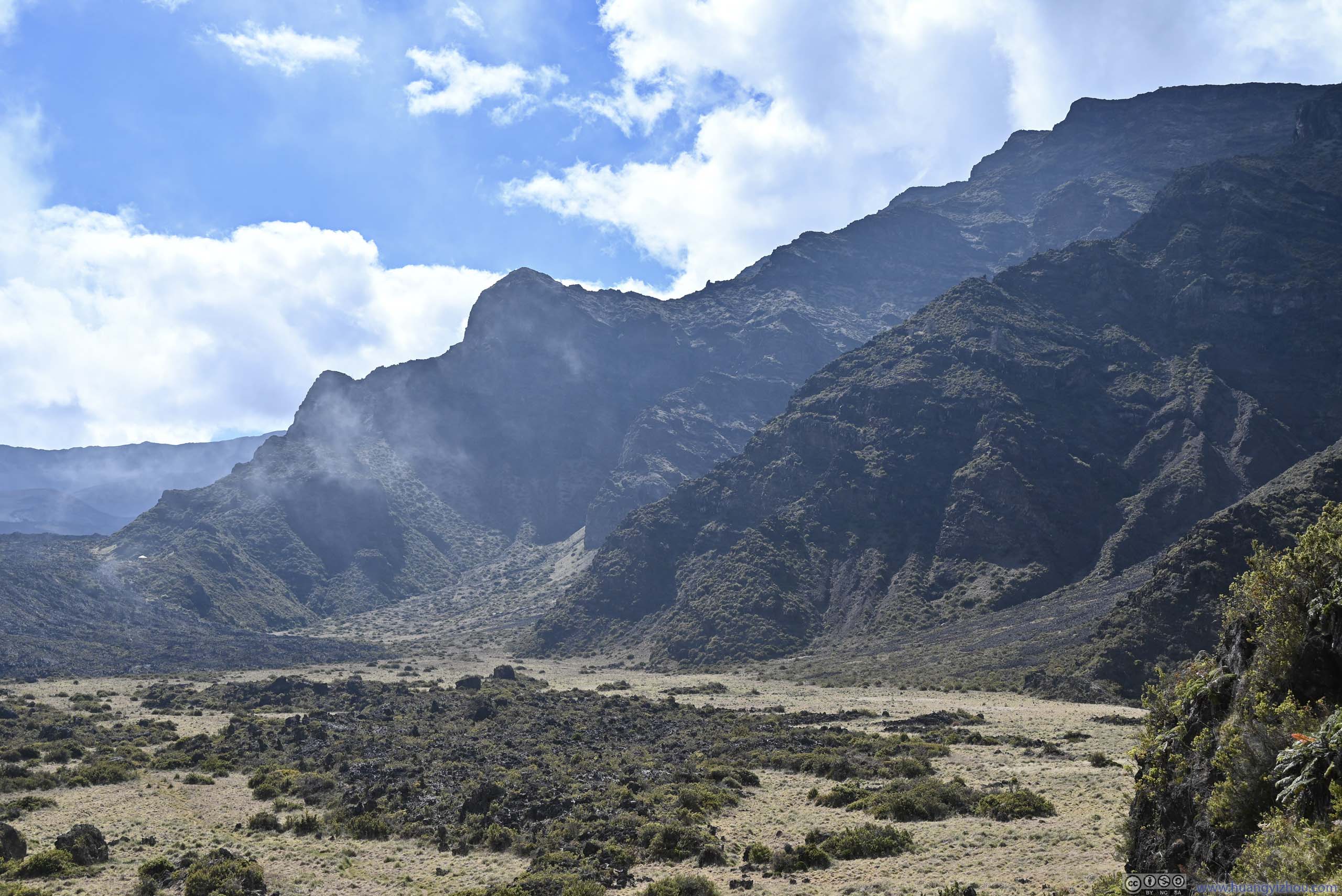
Mountains The northern ridge of Haleakalā Crater.
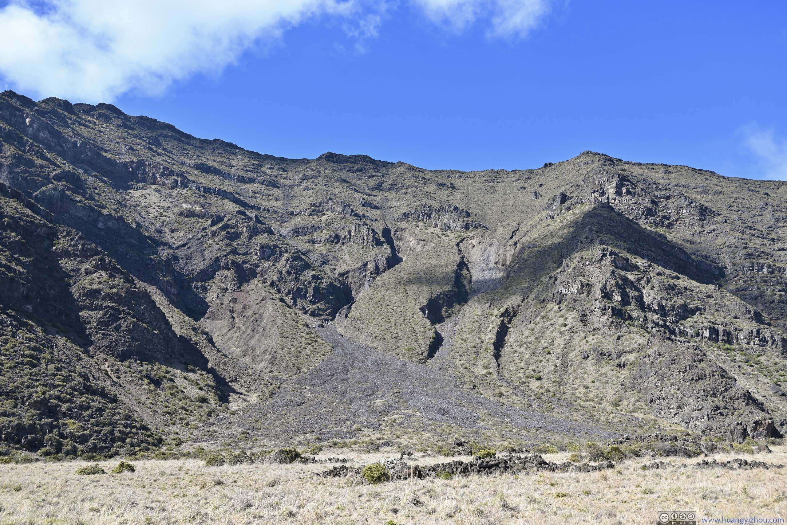
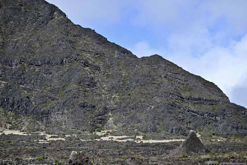
Hillside with Erosion Much of Haleakalā Crater was formed by erosion, here were some signs.
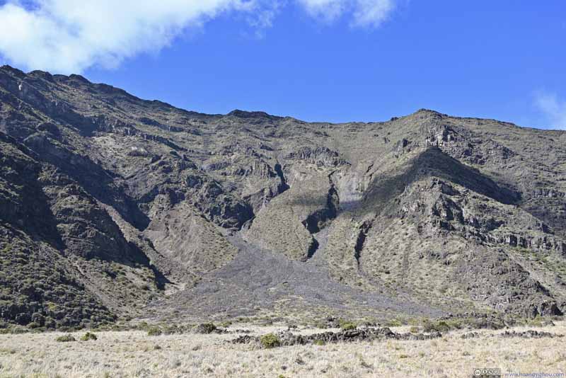
Hanakauhi I found that from this angle, the northern slope of Hanakauhi didn't look as impressive.
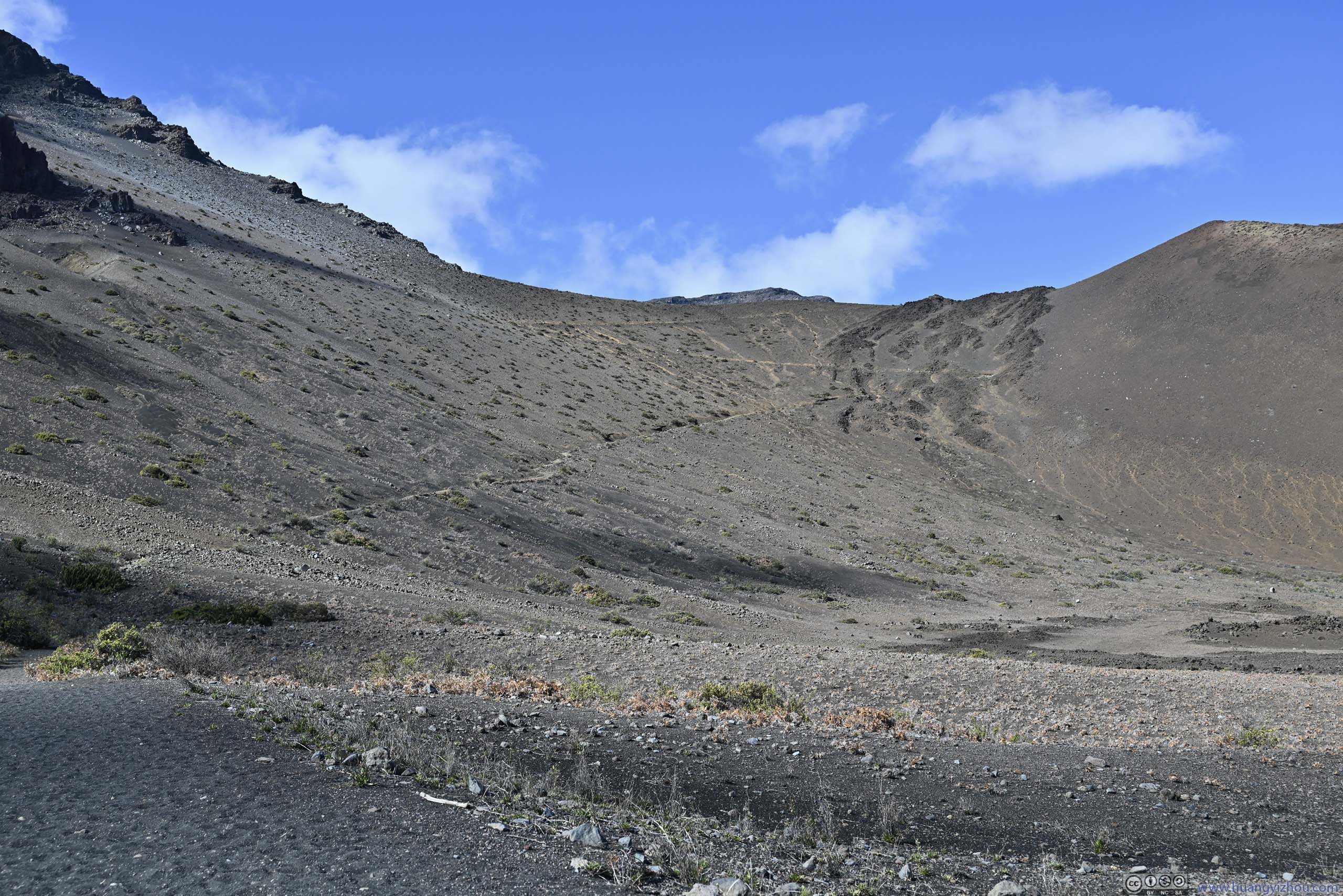
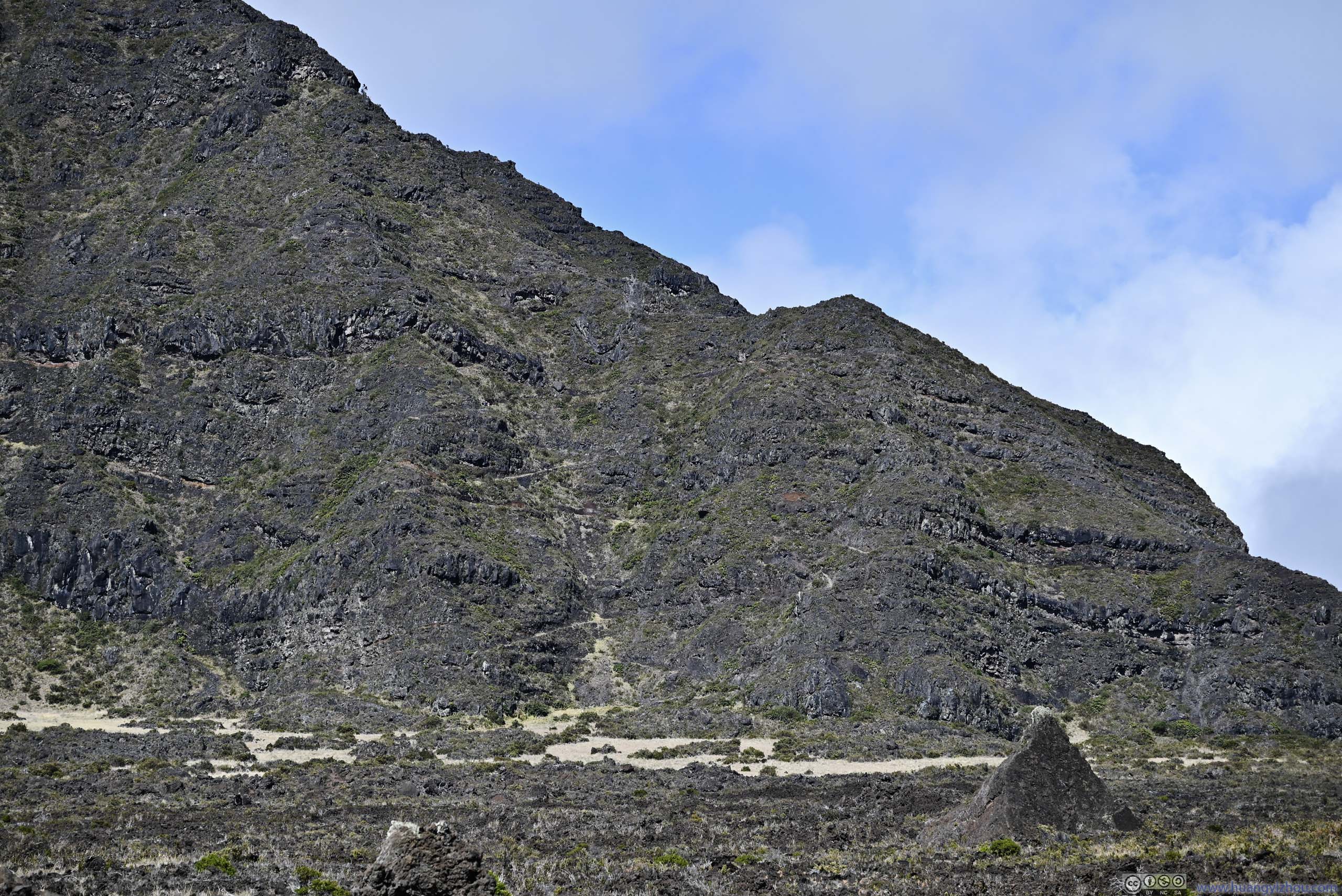
Hill Faint switchback of trail visible, which we were to take ascending back to Haleakala Highway.
Trail Looking back towards Hōlua Cabin as the white dot in the center of this photo.
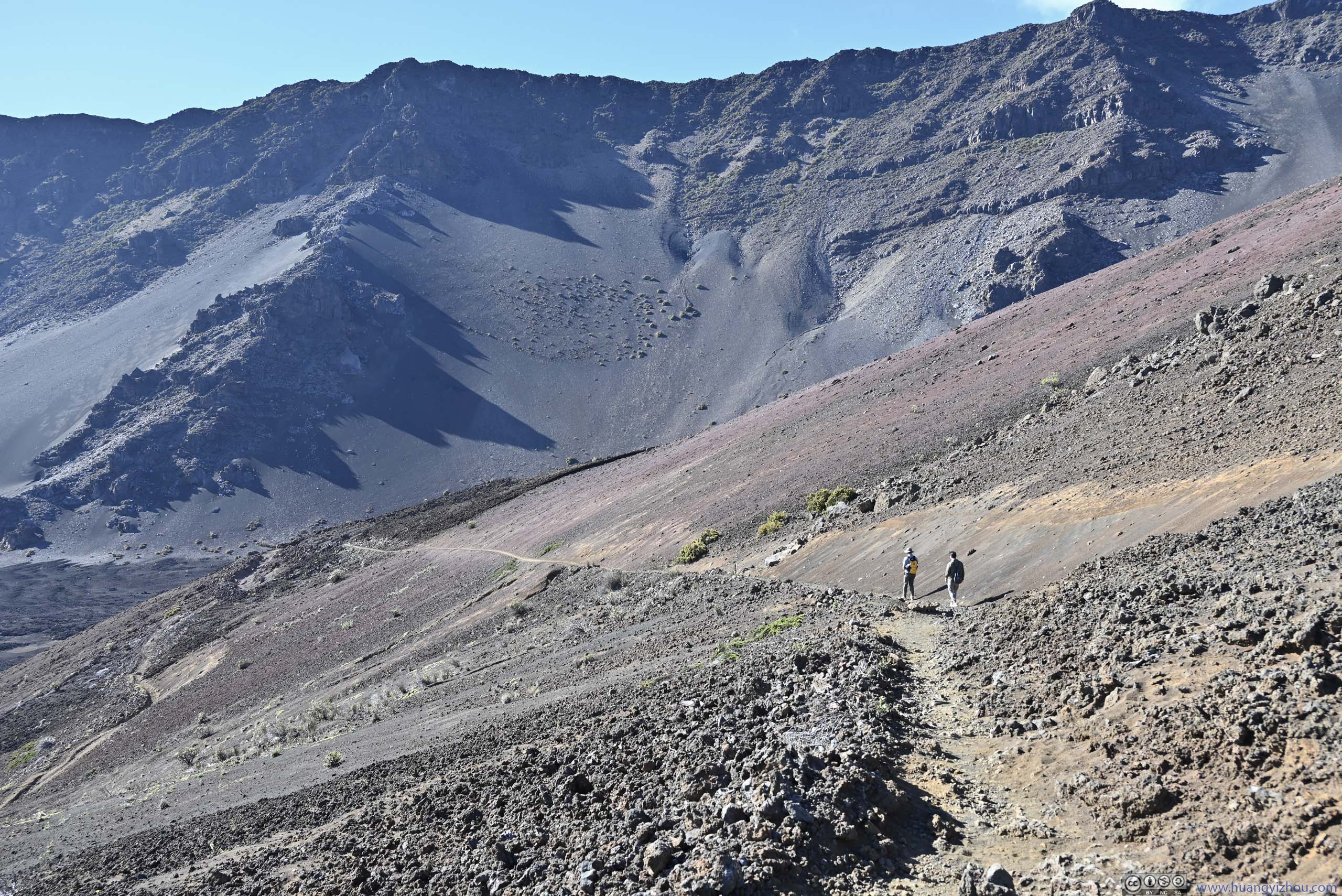
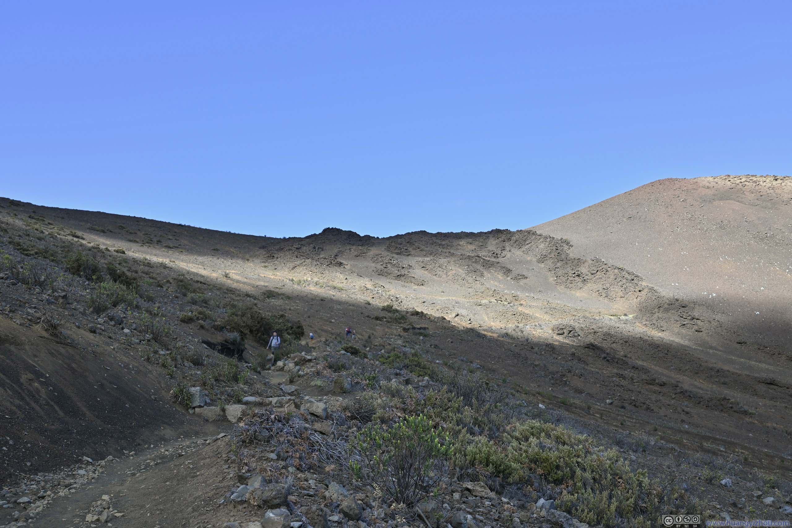
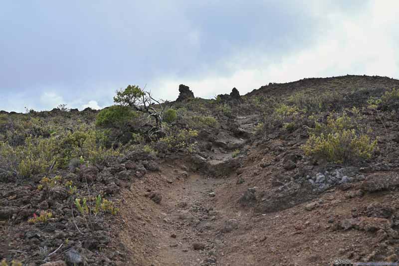
20 minutes after leaving Holua Cabin, we were at the foot of a giant ridge/hill, where a series of switchbacks would take us to Halemau'u Trailhead, gaining 400m of elevation in the process.
Overlooking Valley
Mountains
Overlooking Valley
Trail Switchback and Valley
Overlooking Valley
Trail Switchback and Valley
Overlooking Valley
Overlooking Valley
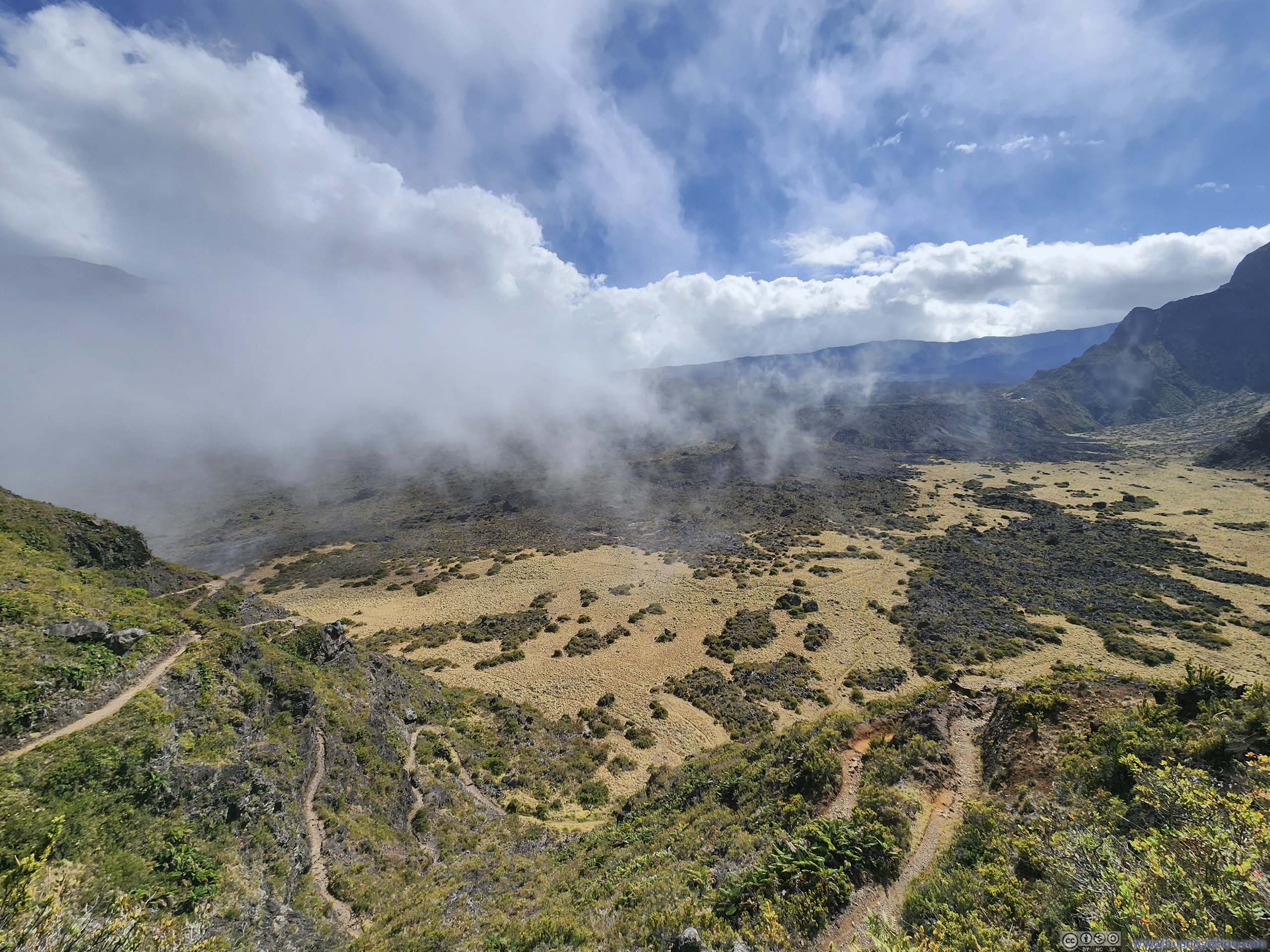
For a moment some clouds were rolling in. 8 minutes after the previous photo, about half the valley floor was behind clouds.
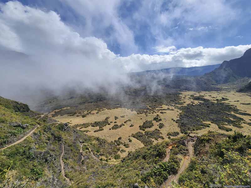
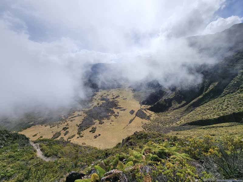
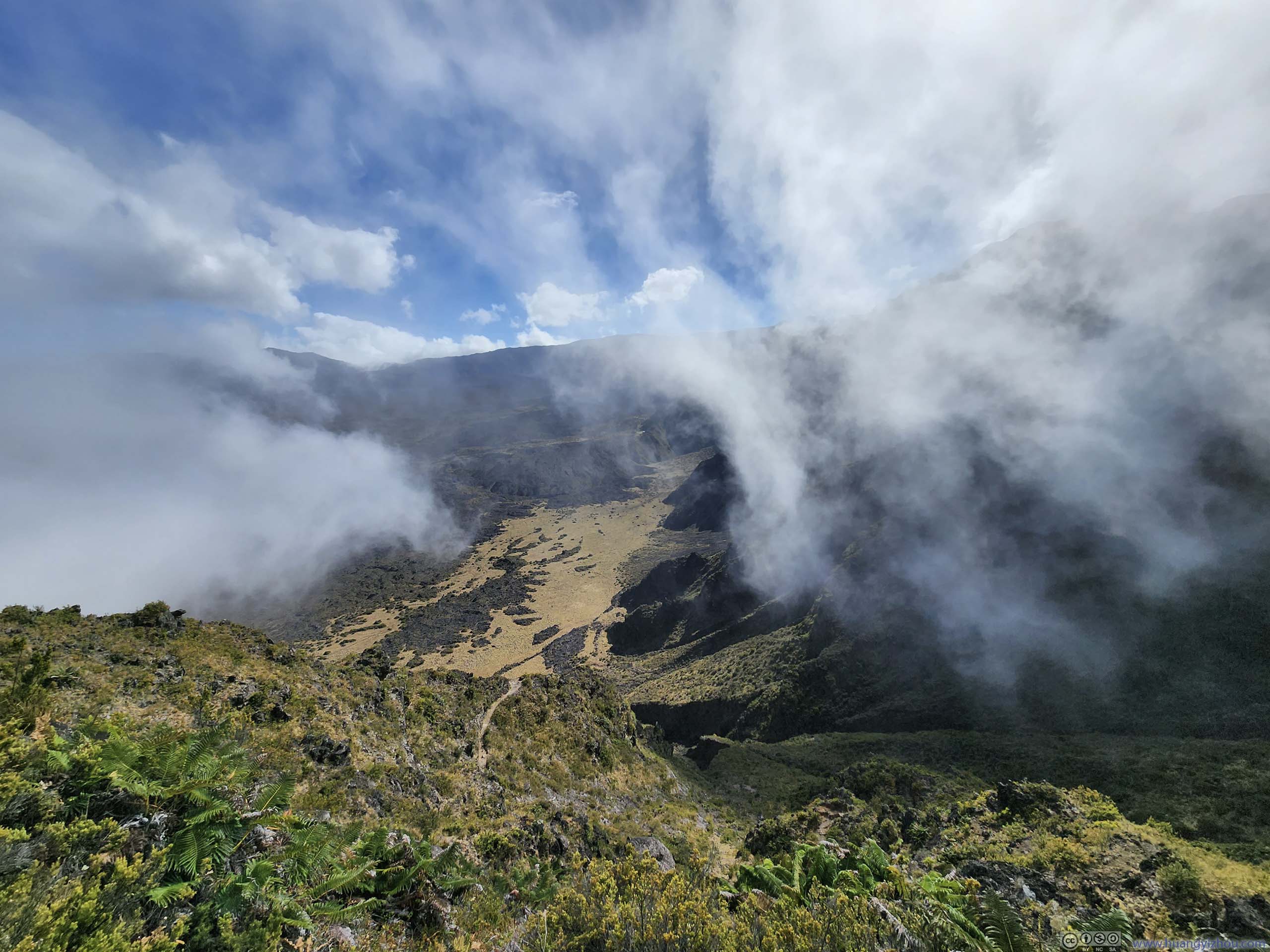
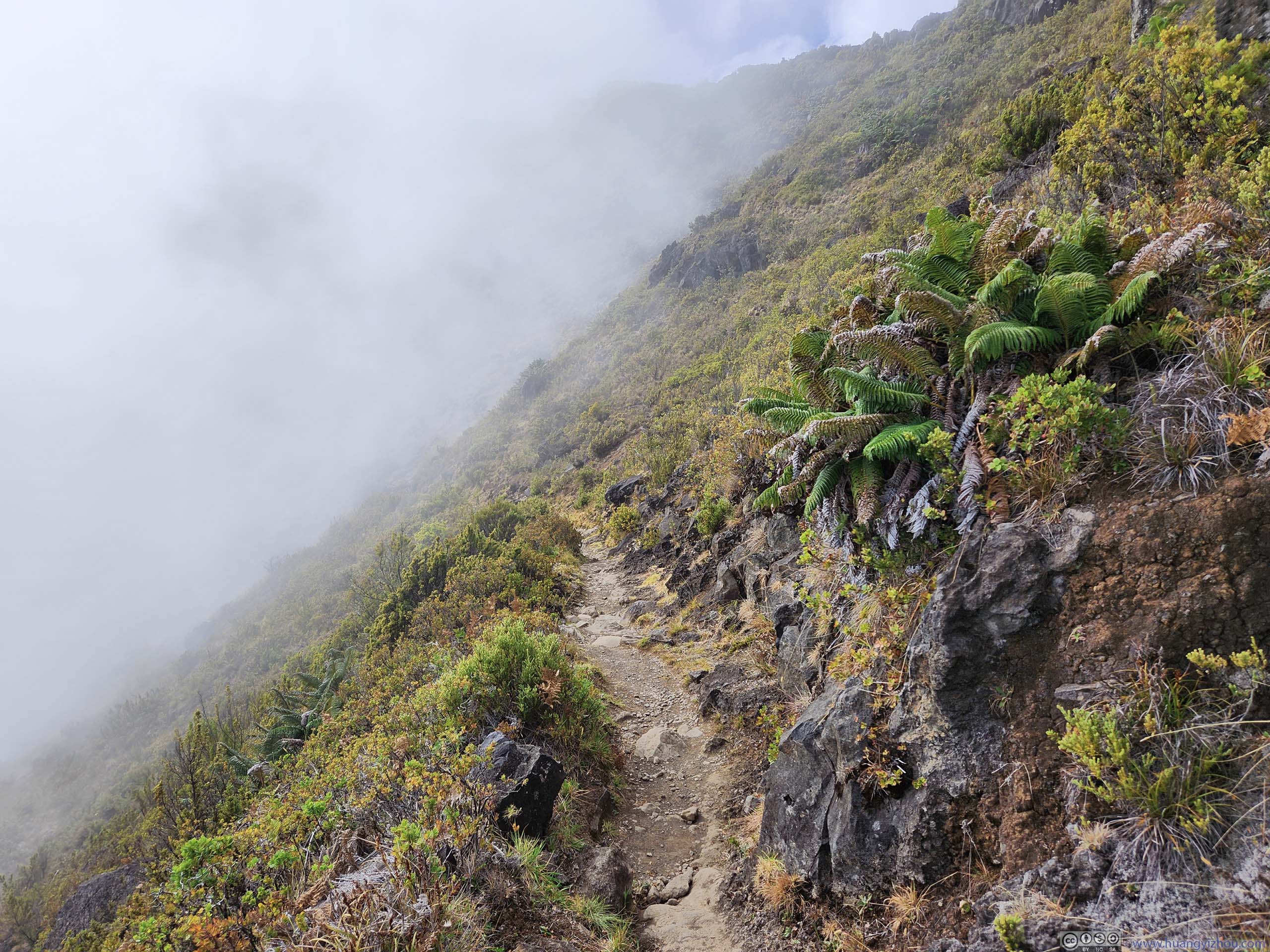
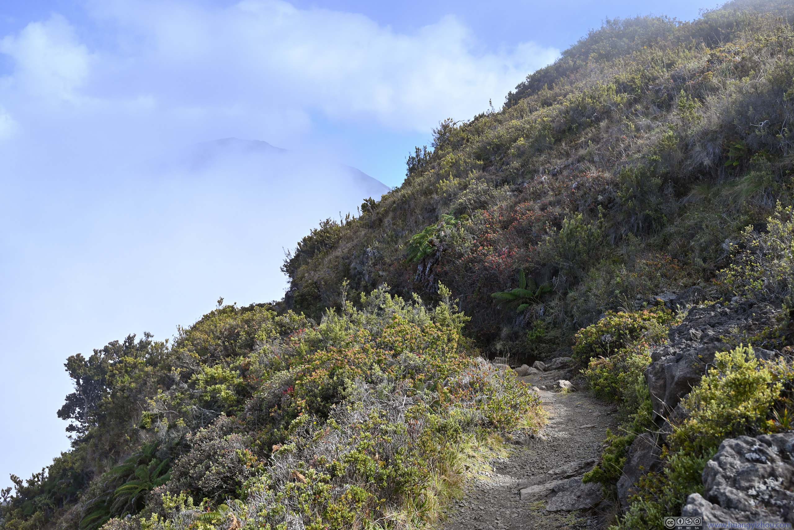
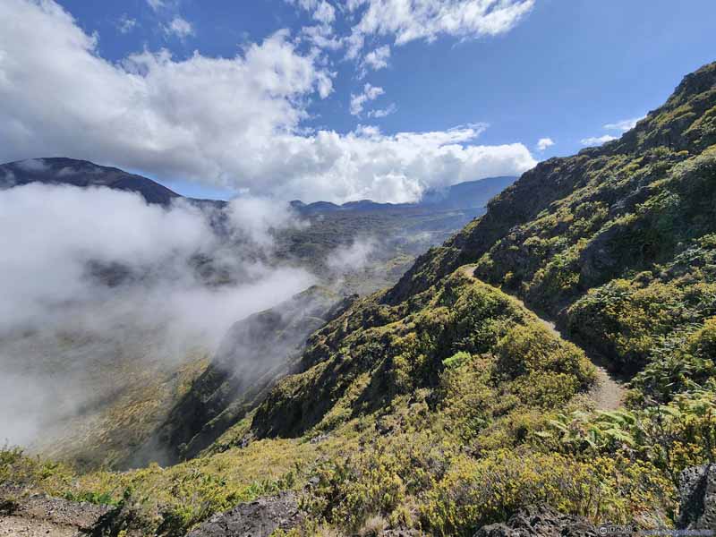
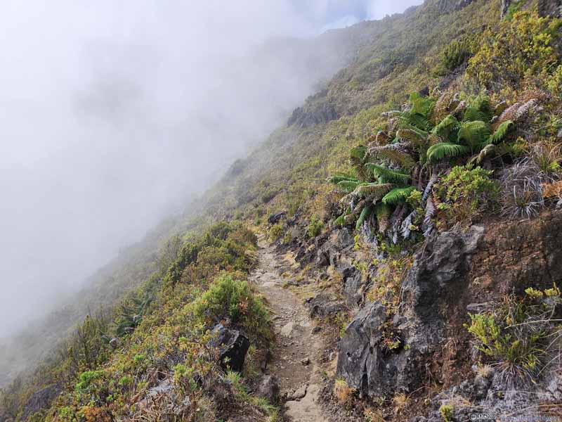
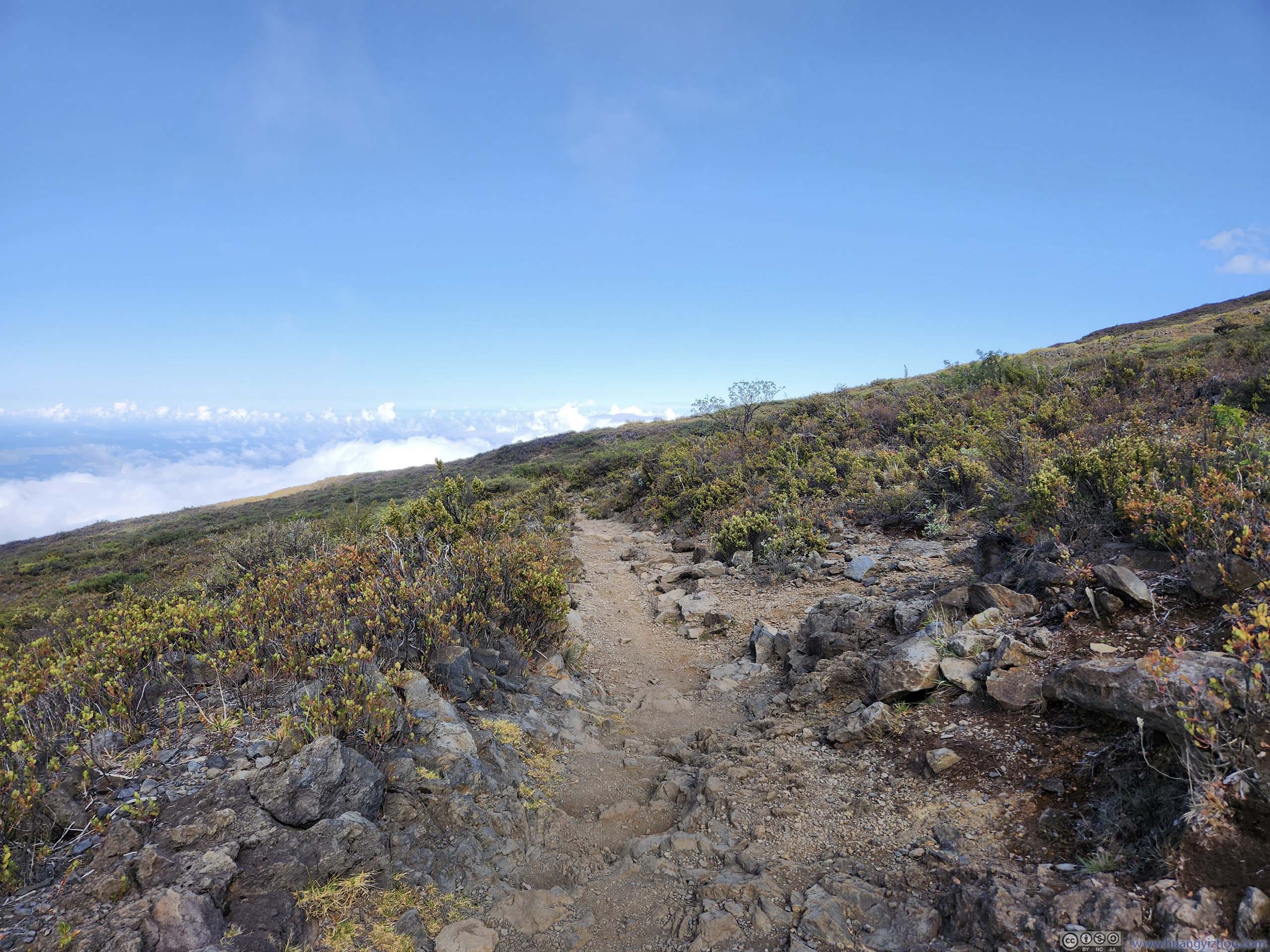
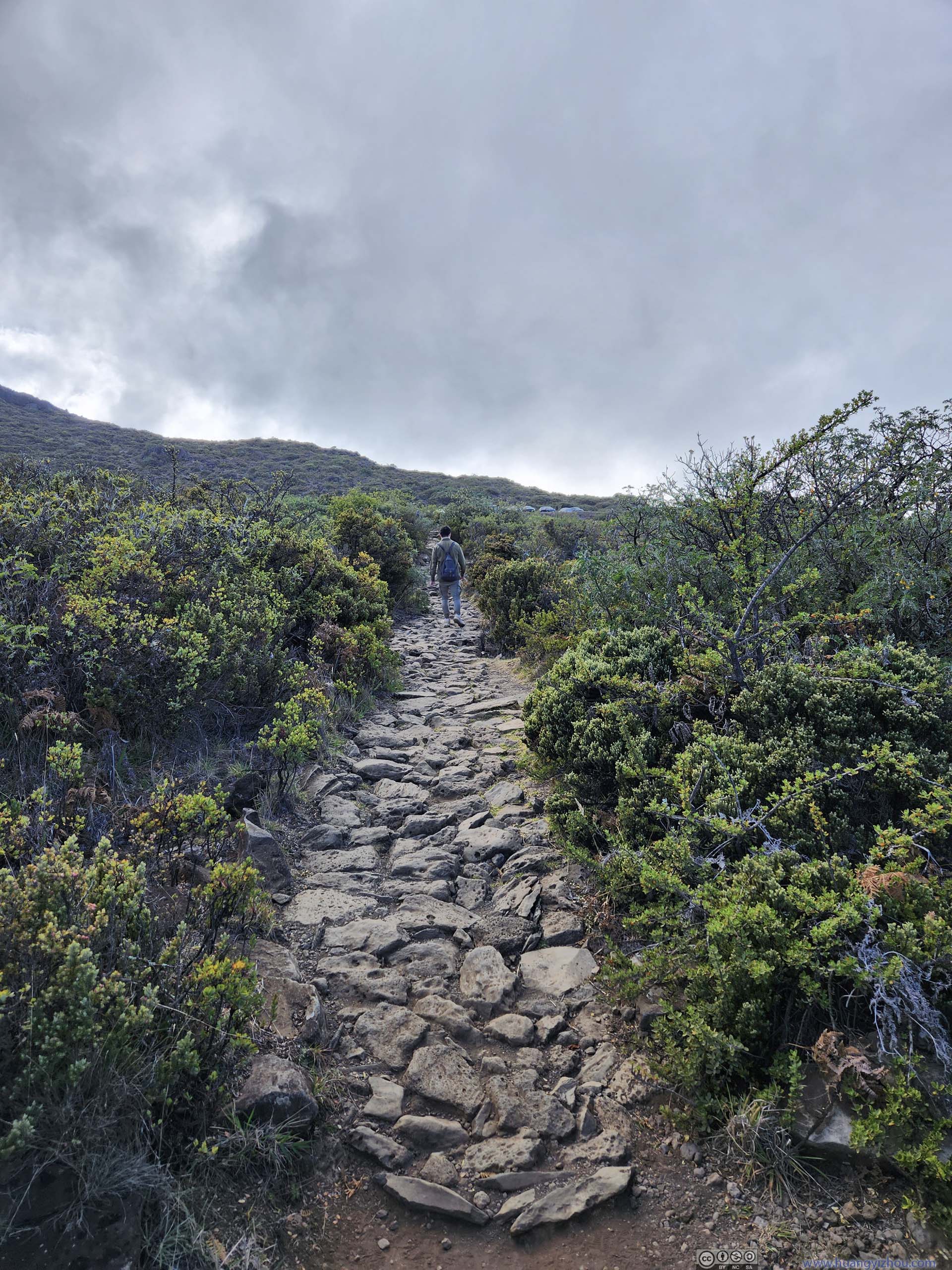
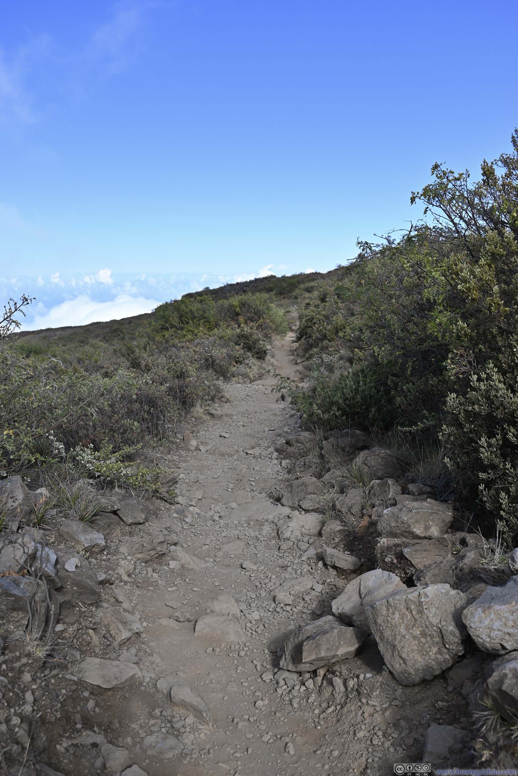
It's the most physically intense portion of the hike(, taking us about 2 hours to cover 4km of trail). Perhaps even more frustrating, on the map, the switchbacks made it as if we weren't making progress at all. On the good side, it's a refreshing sight watching the valley below us; the passing clouds from time to time also added some variety to the scenery. Occasionally, it appeared as if we were walking in the clouds.
Trail
Overlooking Valley
Overlooking Valley Clouds drifting towards the trail.
Trail Felt like walking in the clouds.
Trail in Mist
Trail in Mist
Trail in Mist The passing clouds were above us from time to time.
Overlooking Fields Below
A downside of this section of trail was that there were few resting spots. We had been looking for some rocks along the trail where we could sit and take a break, and there just weren't appropriate ones. In addition, once the clouds were absent, it felt pretty hot going uphill in the sun.
Ridge
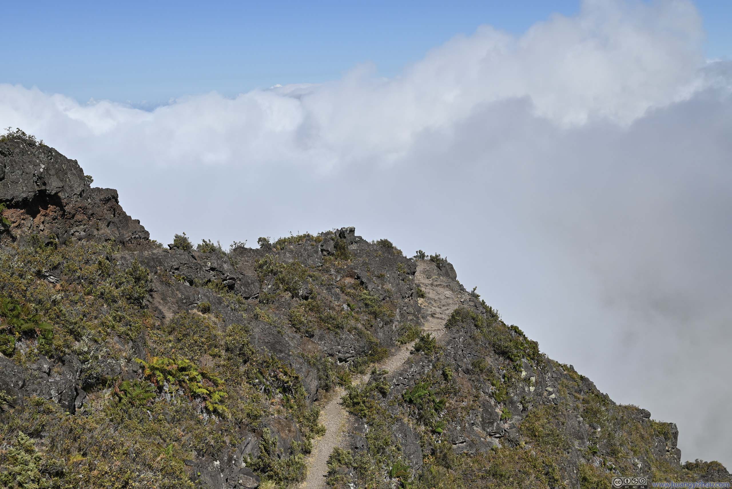
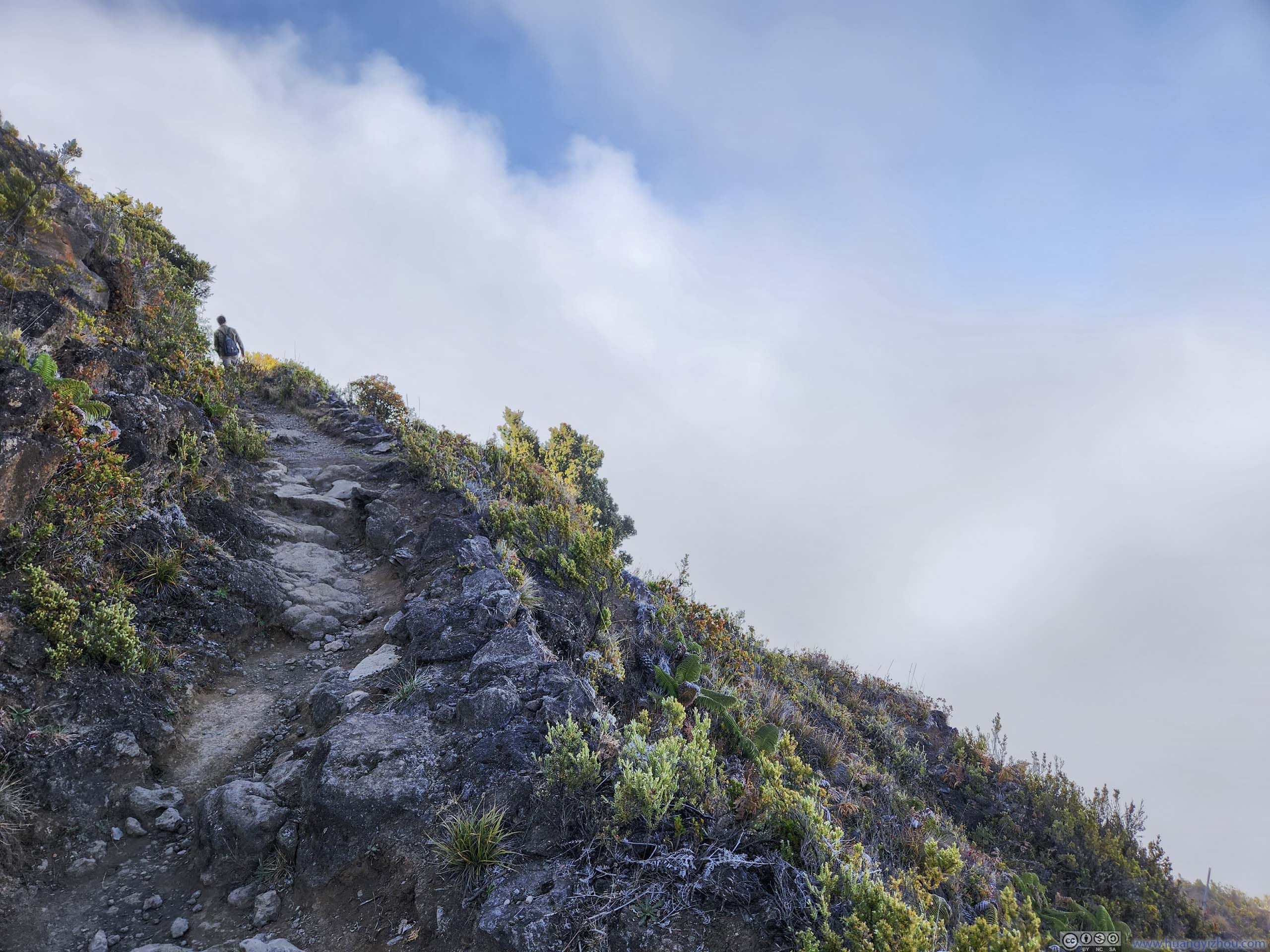
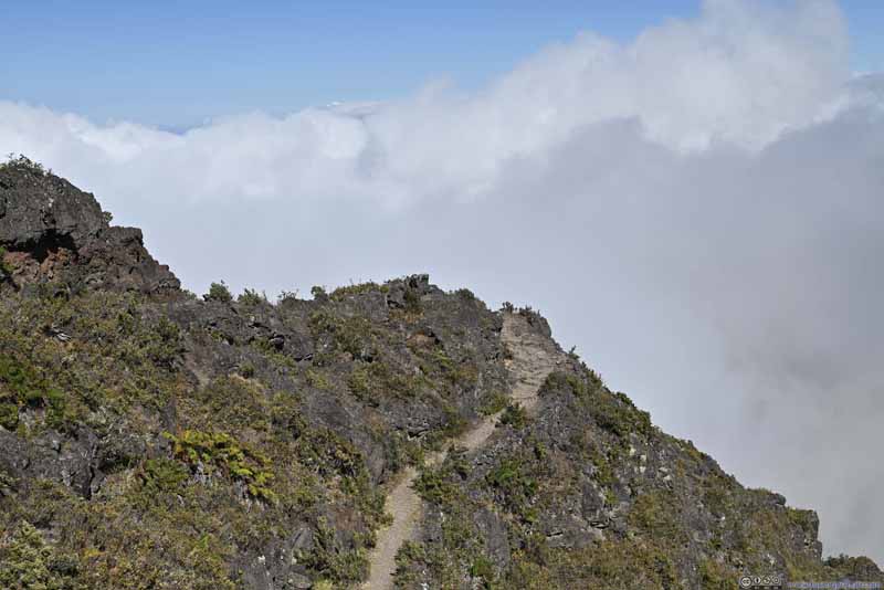
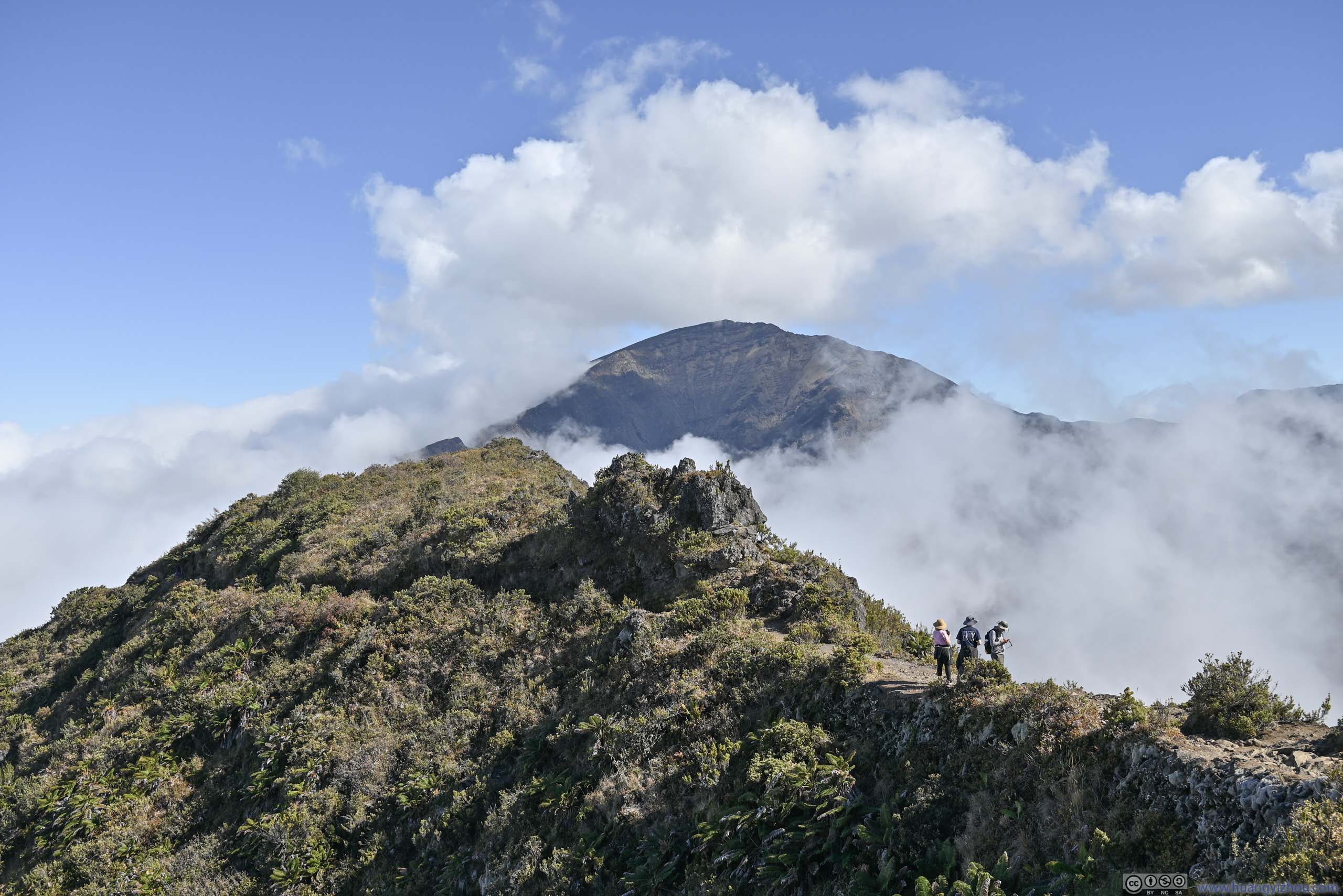
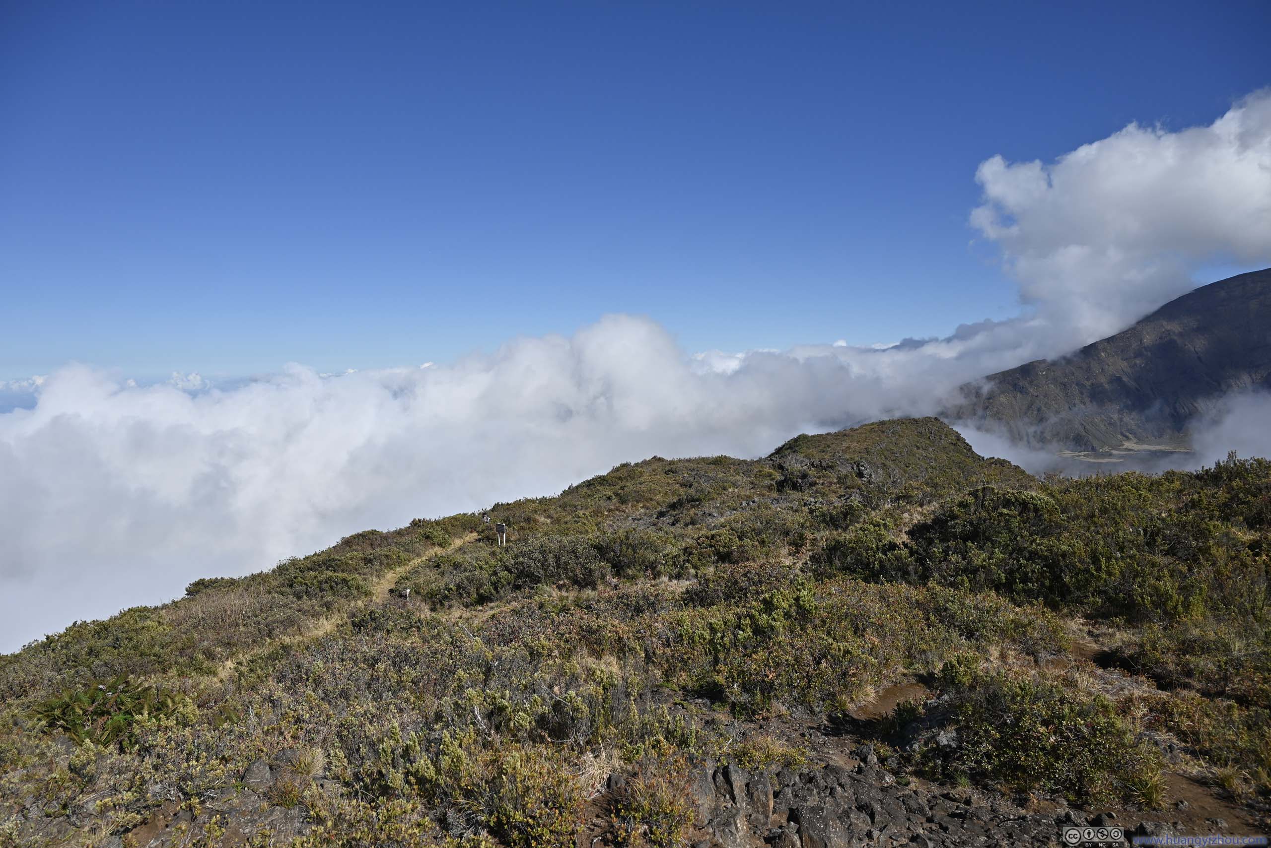
After sustained efforts, we finally reached this ridge that formed the northern rim of Haleakala Crater.
Hanakauhi
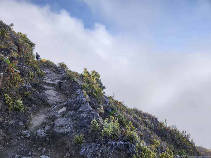
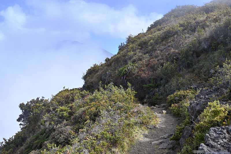
Trail One of the few switchbacks on the ridge, it didn't feel that necessary to me.
Overlooking Valley Now that I could leave the switchbacks (lower-left) behind.
Trail
Trail
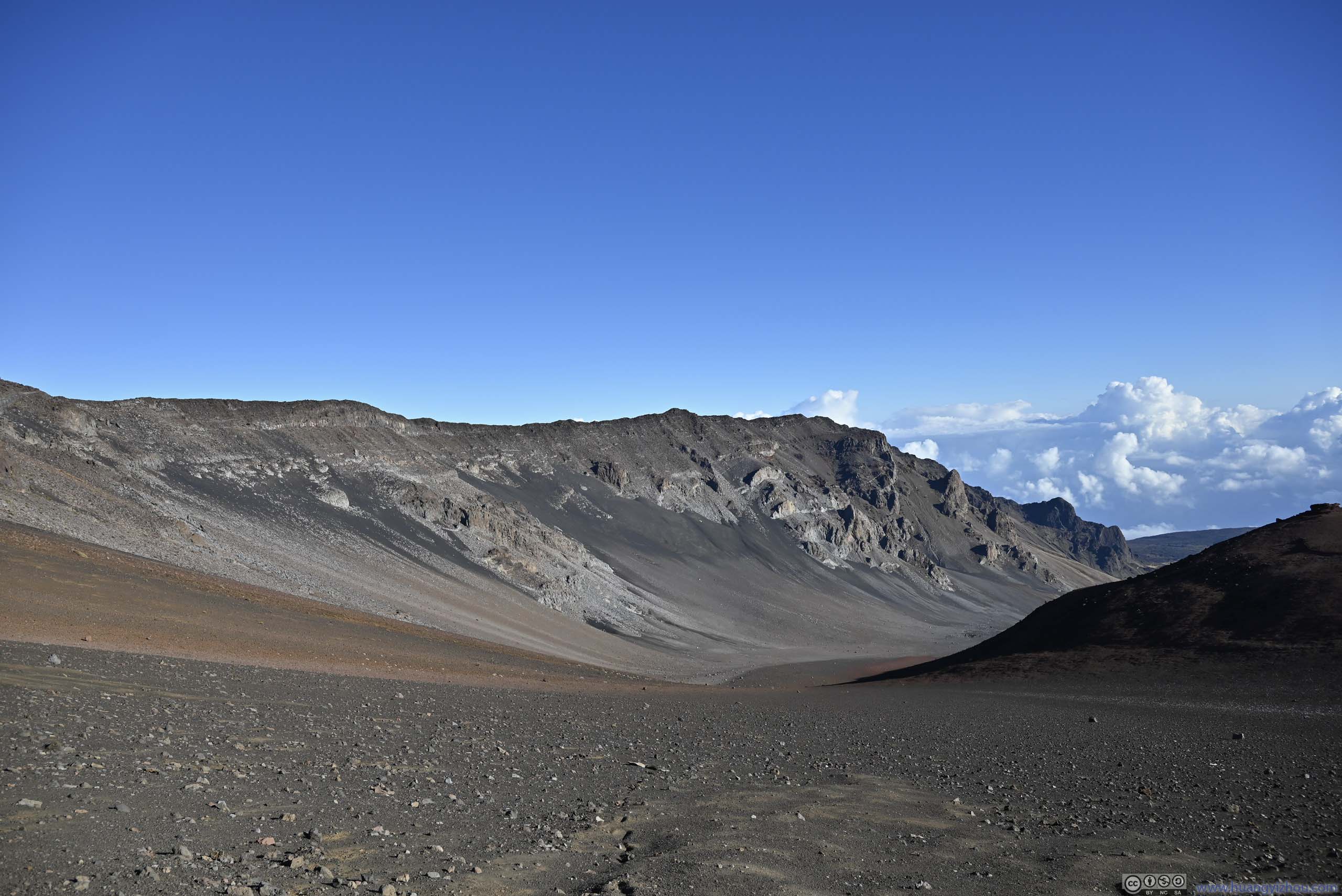
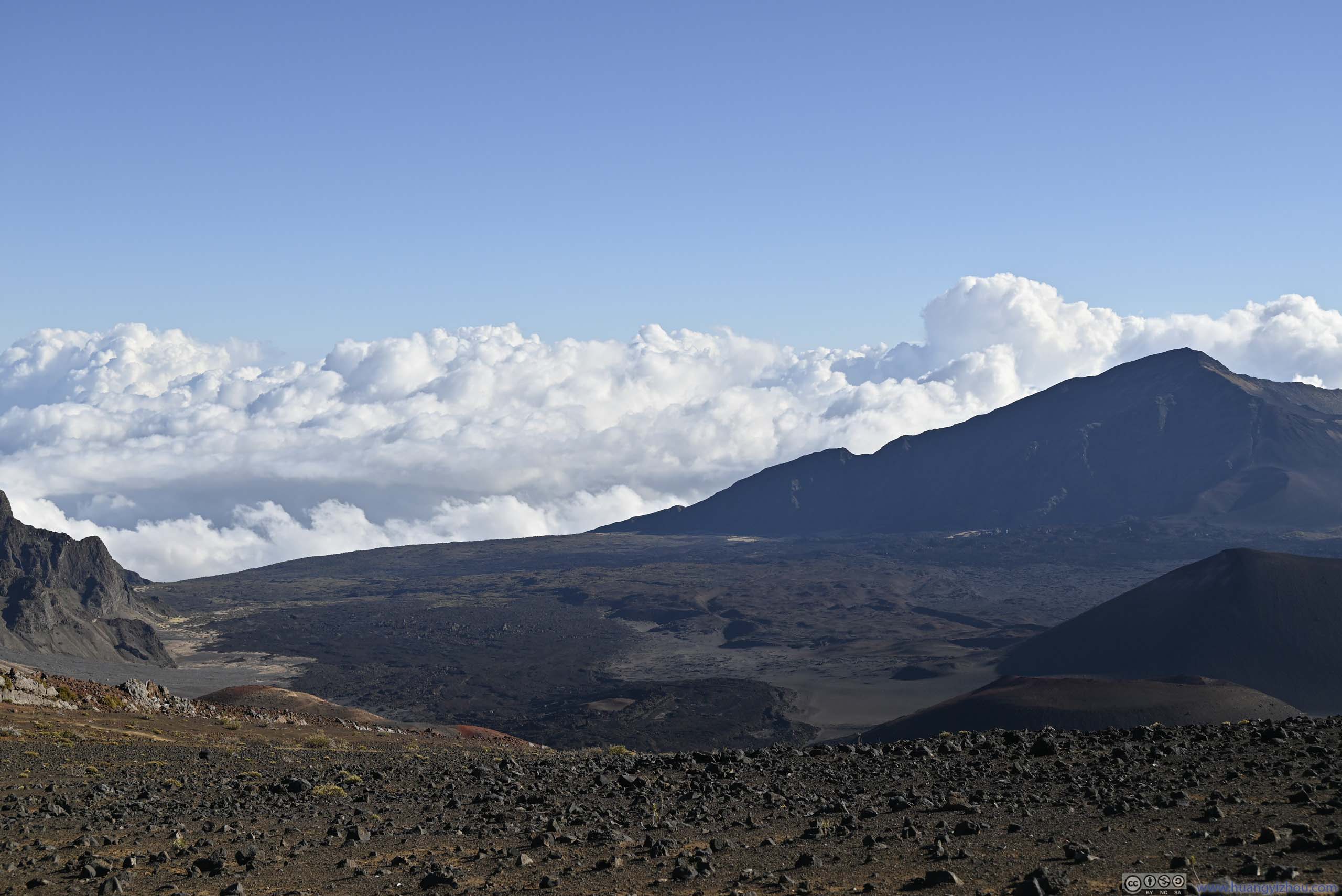
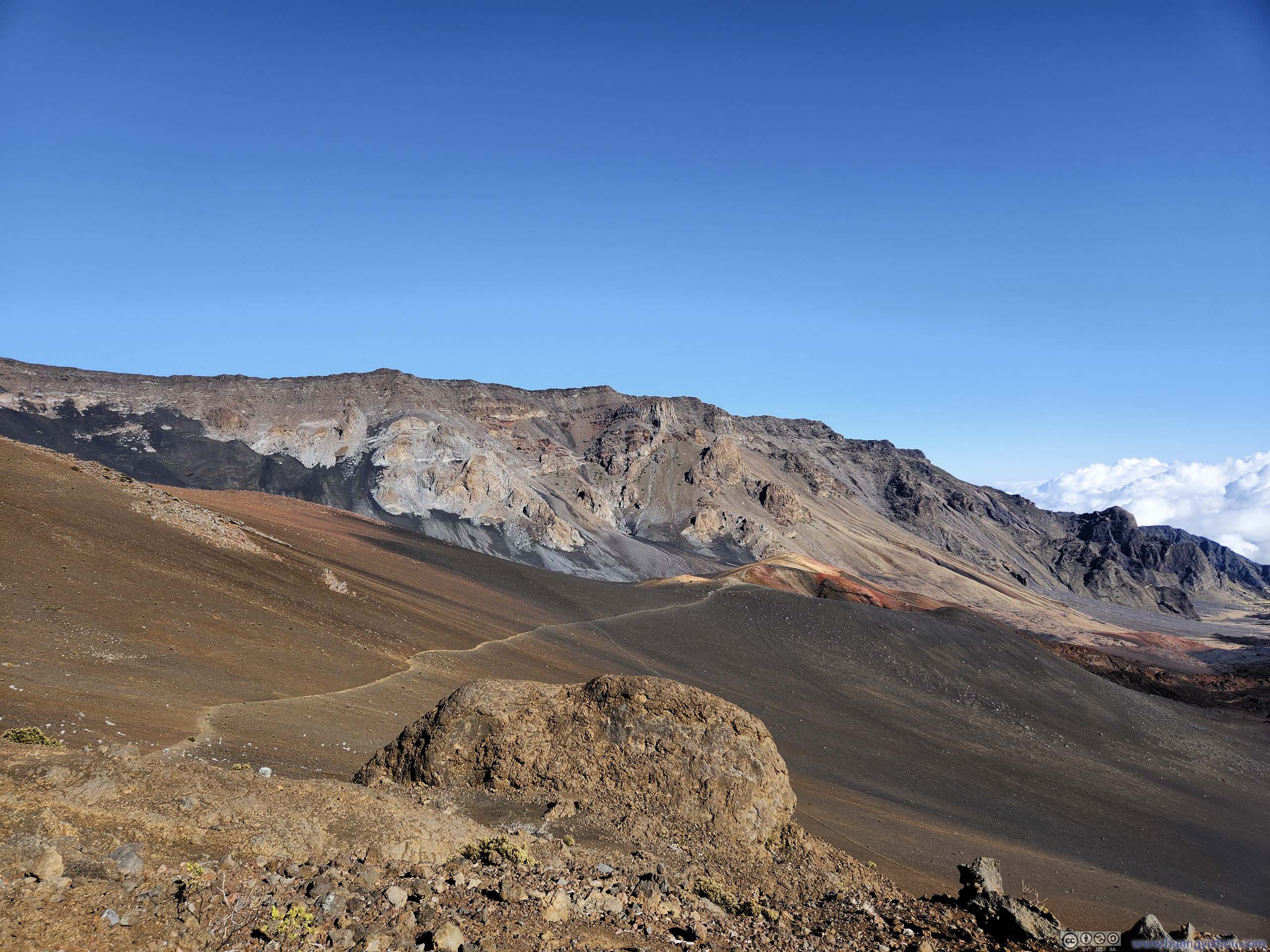
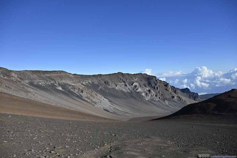
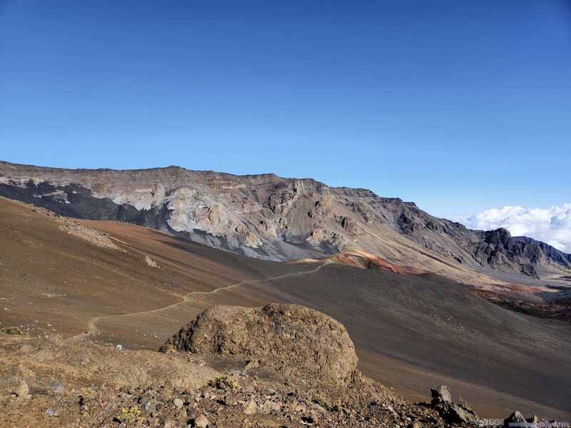
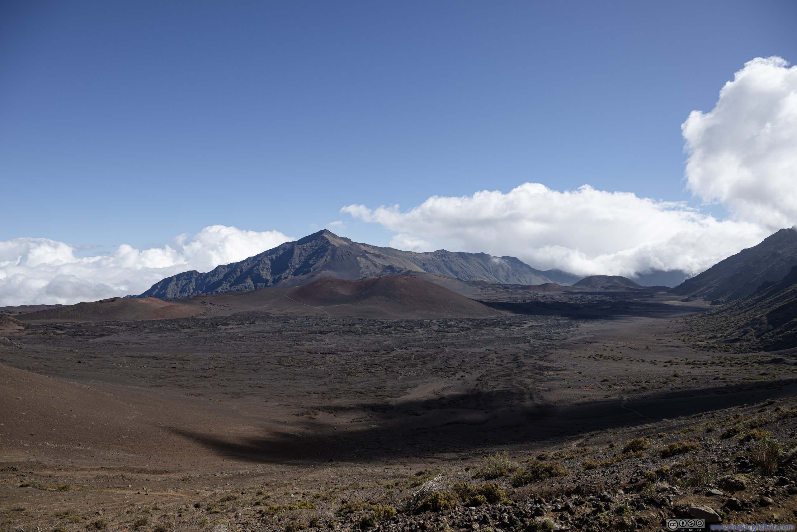
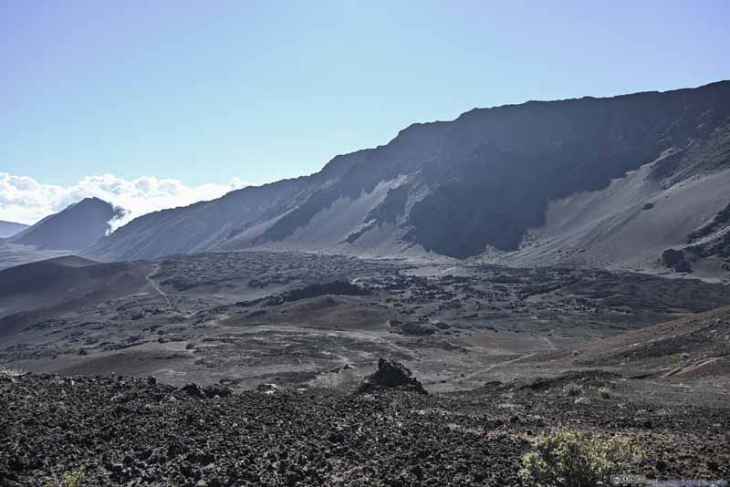
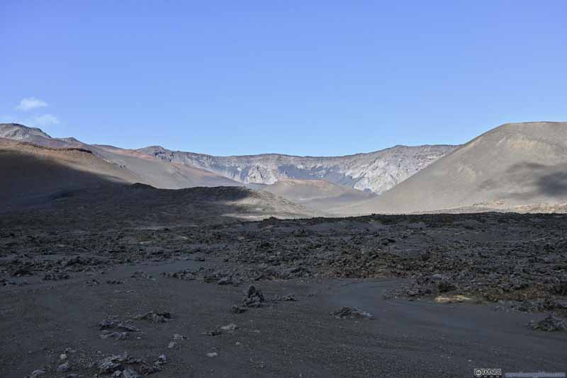
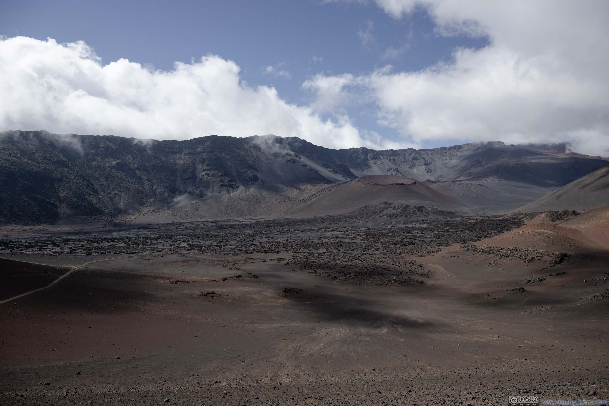
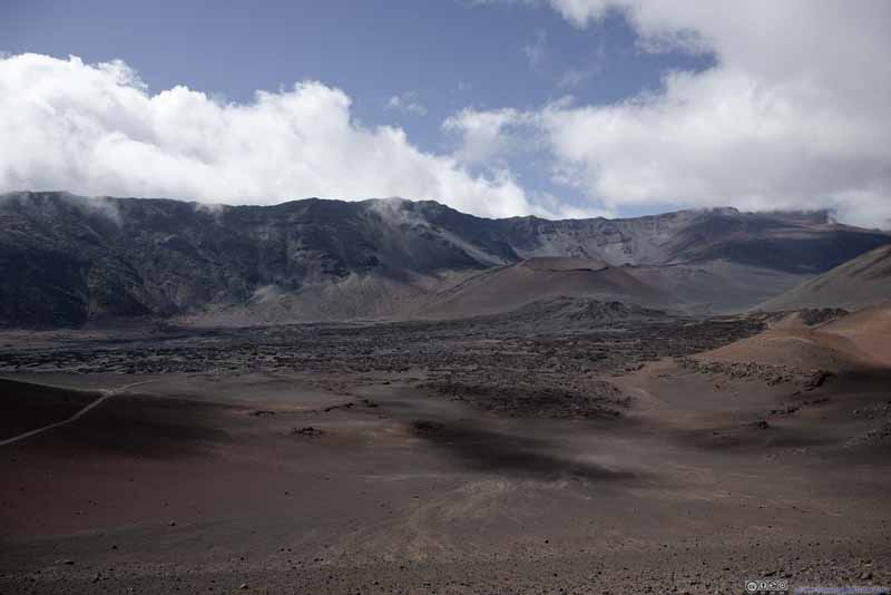
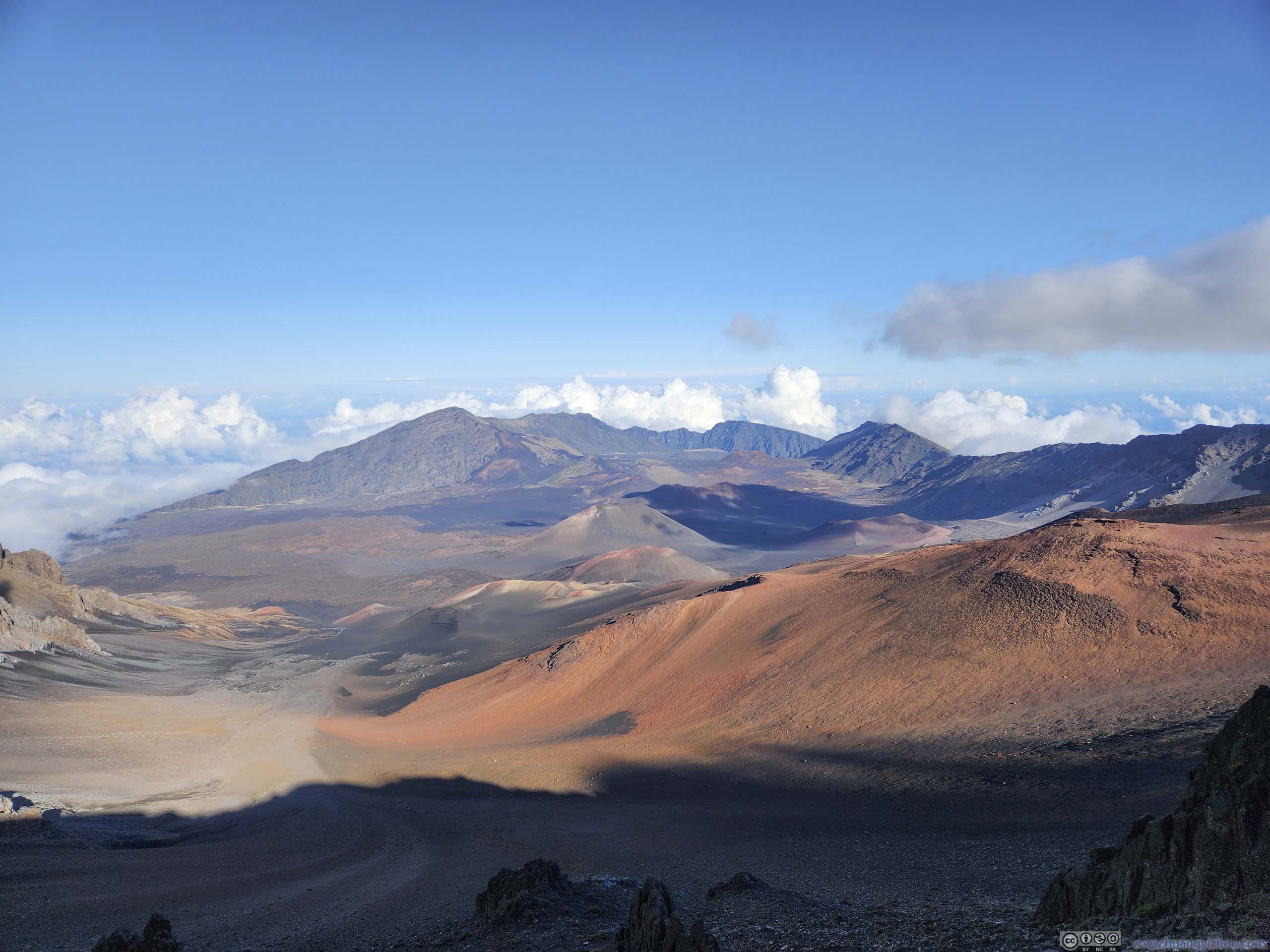
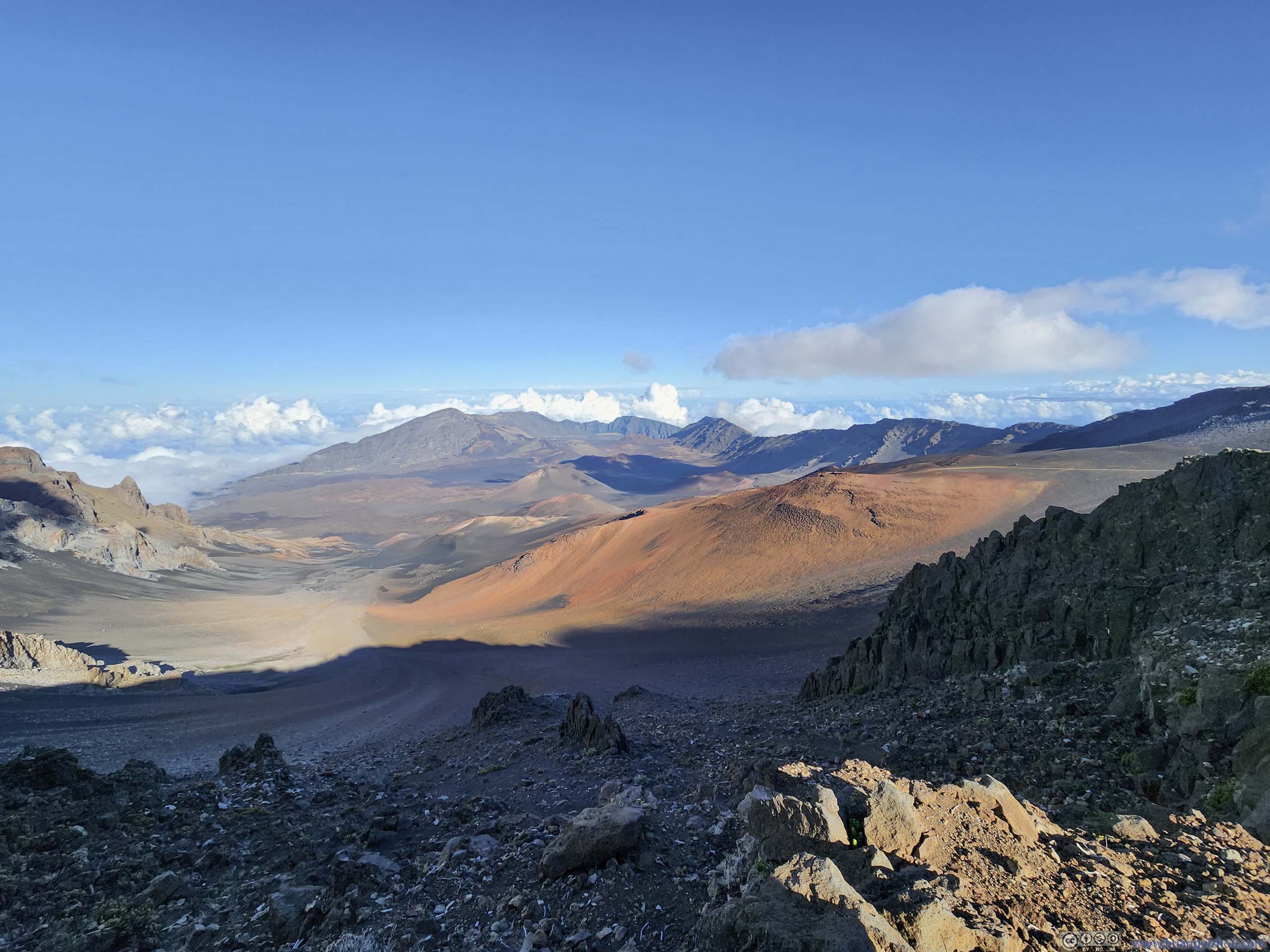
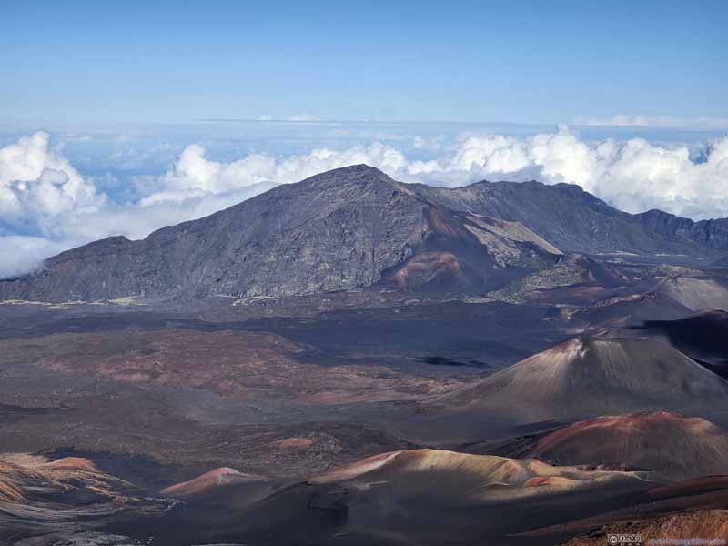
Finally, we reached the parking lot of Halemau'u Trailhead at around 3:40pm, concluding the hike in just over 7 hours. After successfully hitchhiking back to the summit visitor center, I grabbed a few photos of the Haleakalā Crater Basin before heading back down. This time, the crater was in daylight, showing off its vivid colors. (It's nonetheless late in the day so there was some shadow in the foreground.)
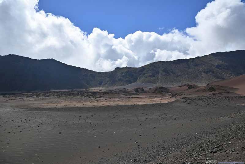
Haleakala Crater Basin
Haleakala Crater Basin
Hanakauhi
Part of the trail we took today was visible in the center, especially the one around Halāli'i Crater.
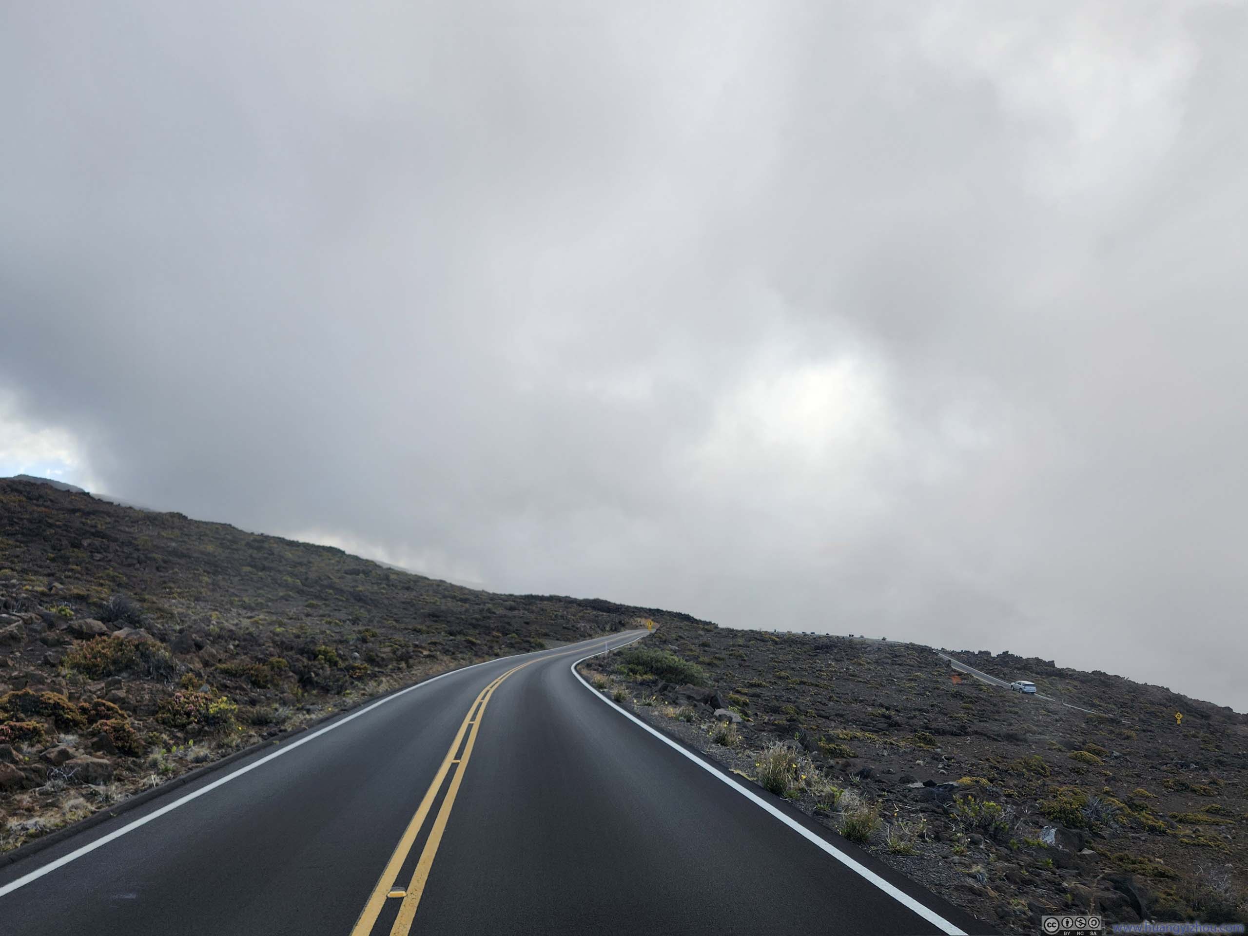
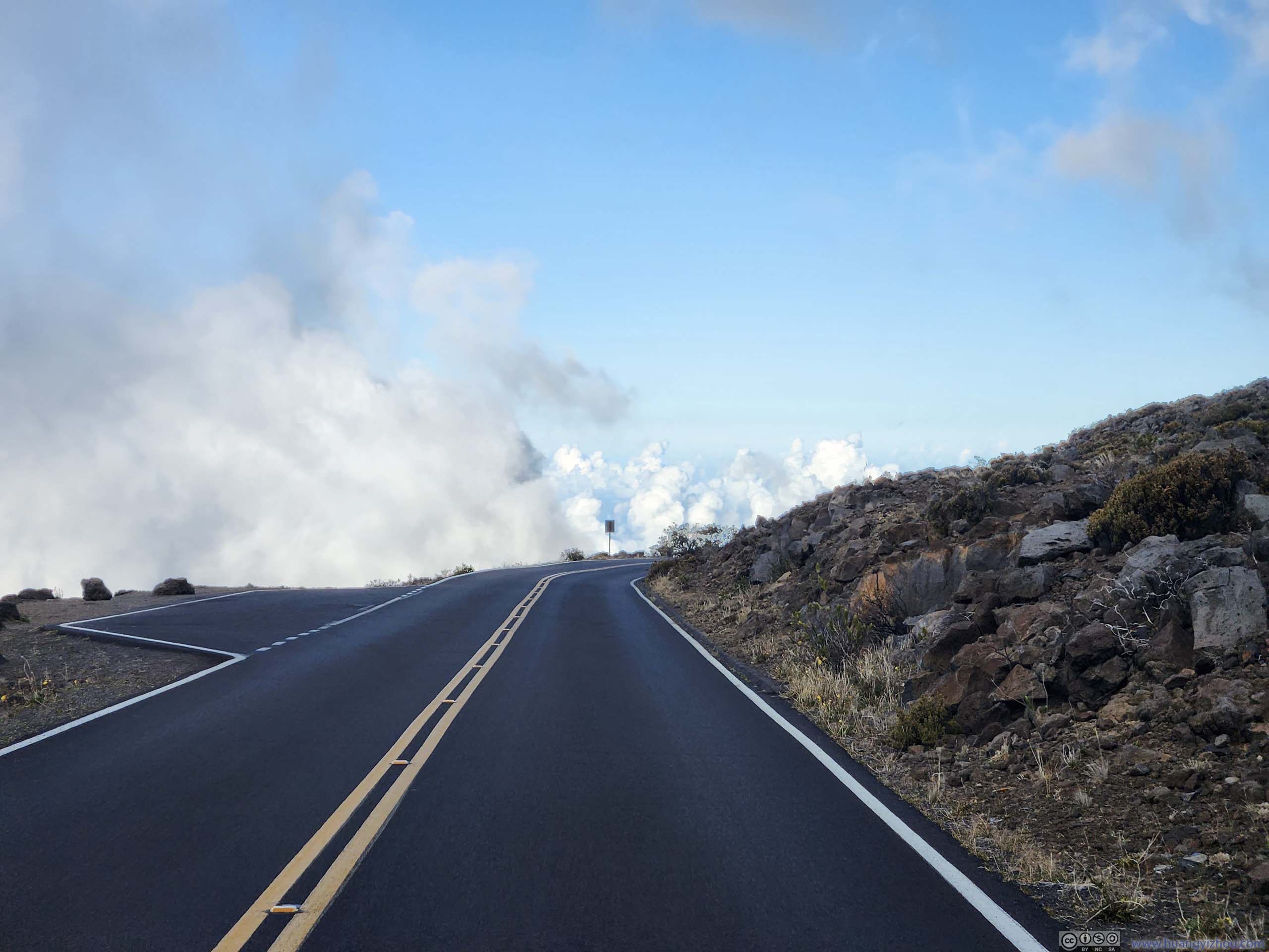
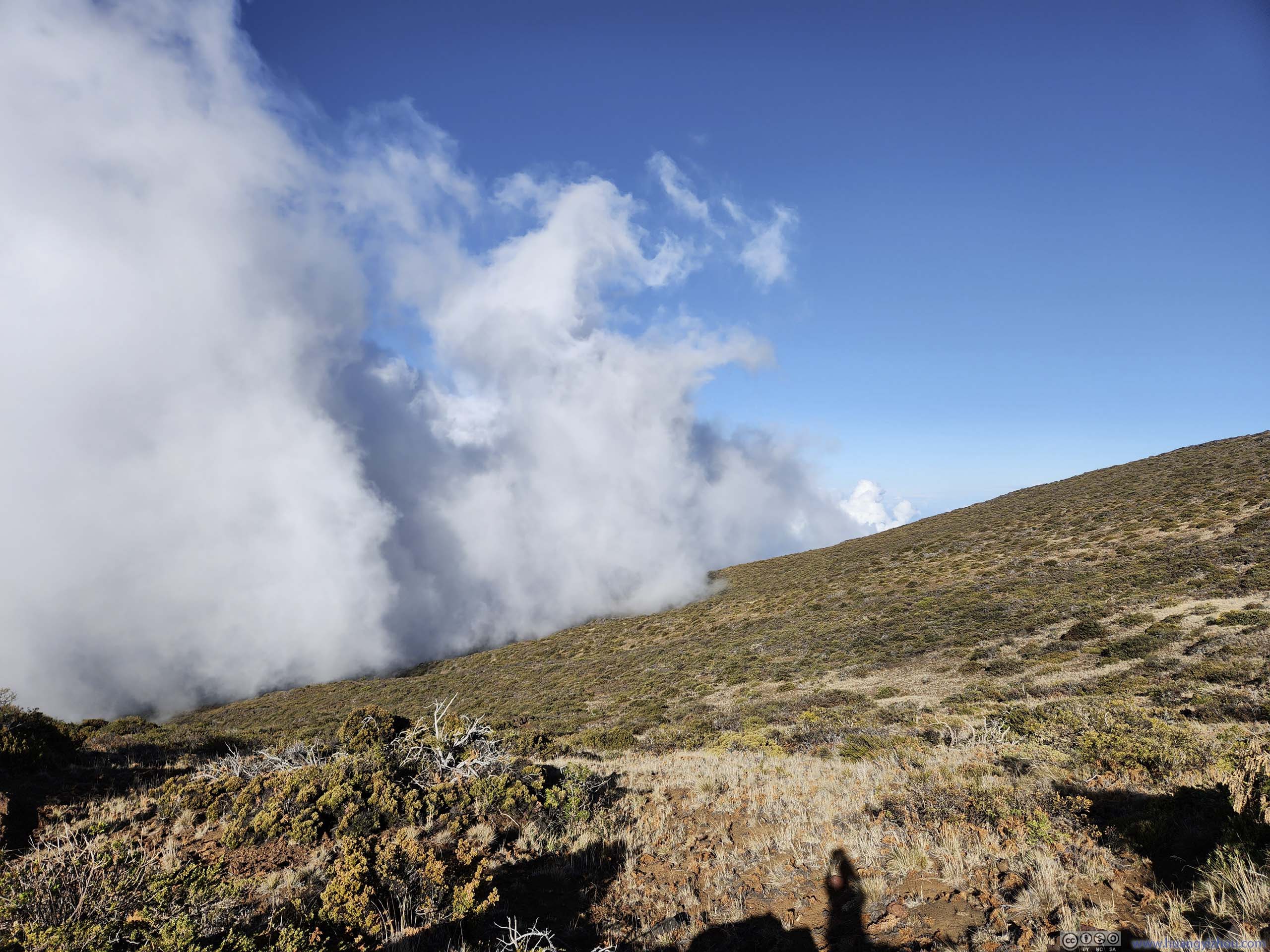
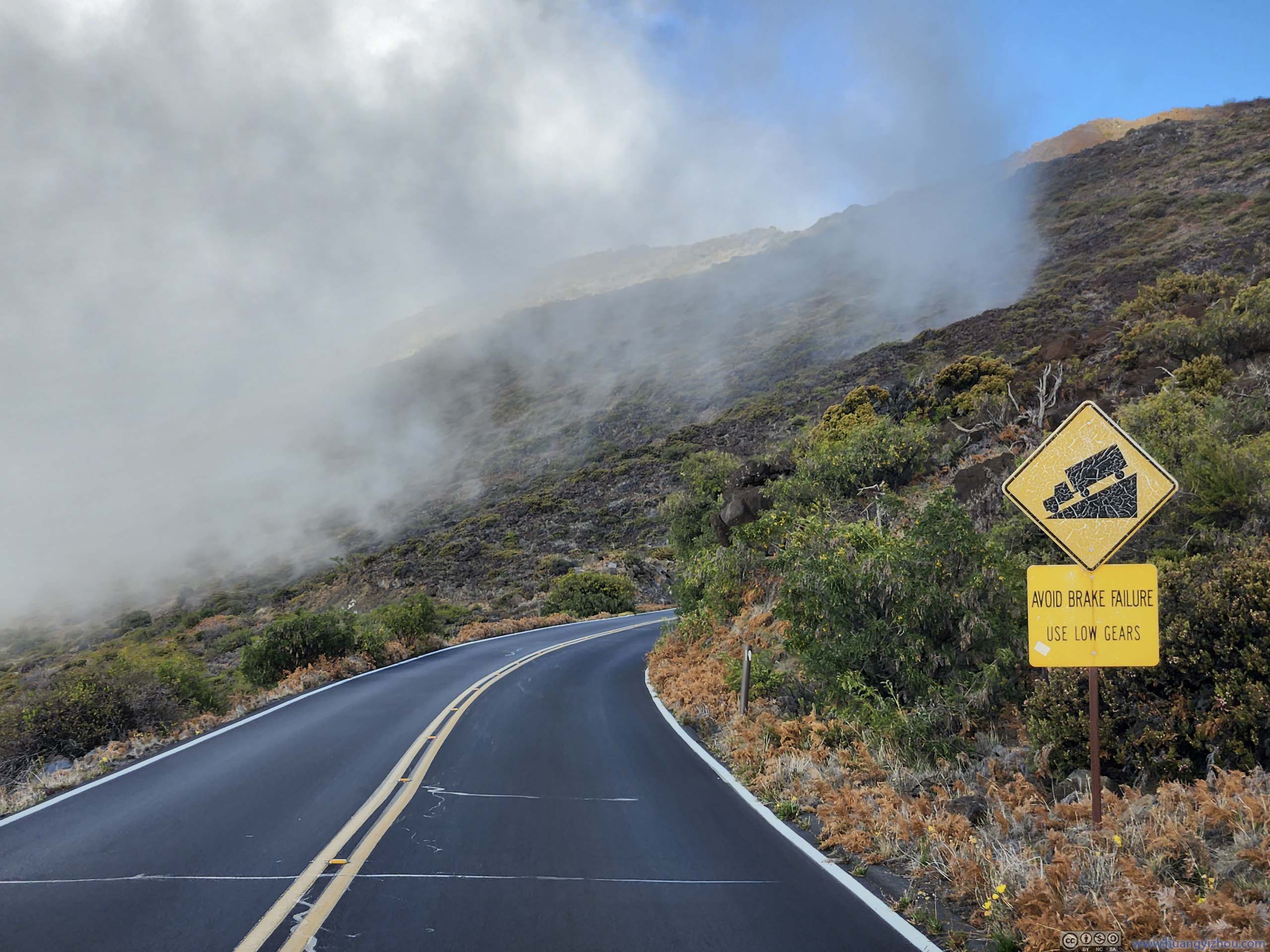
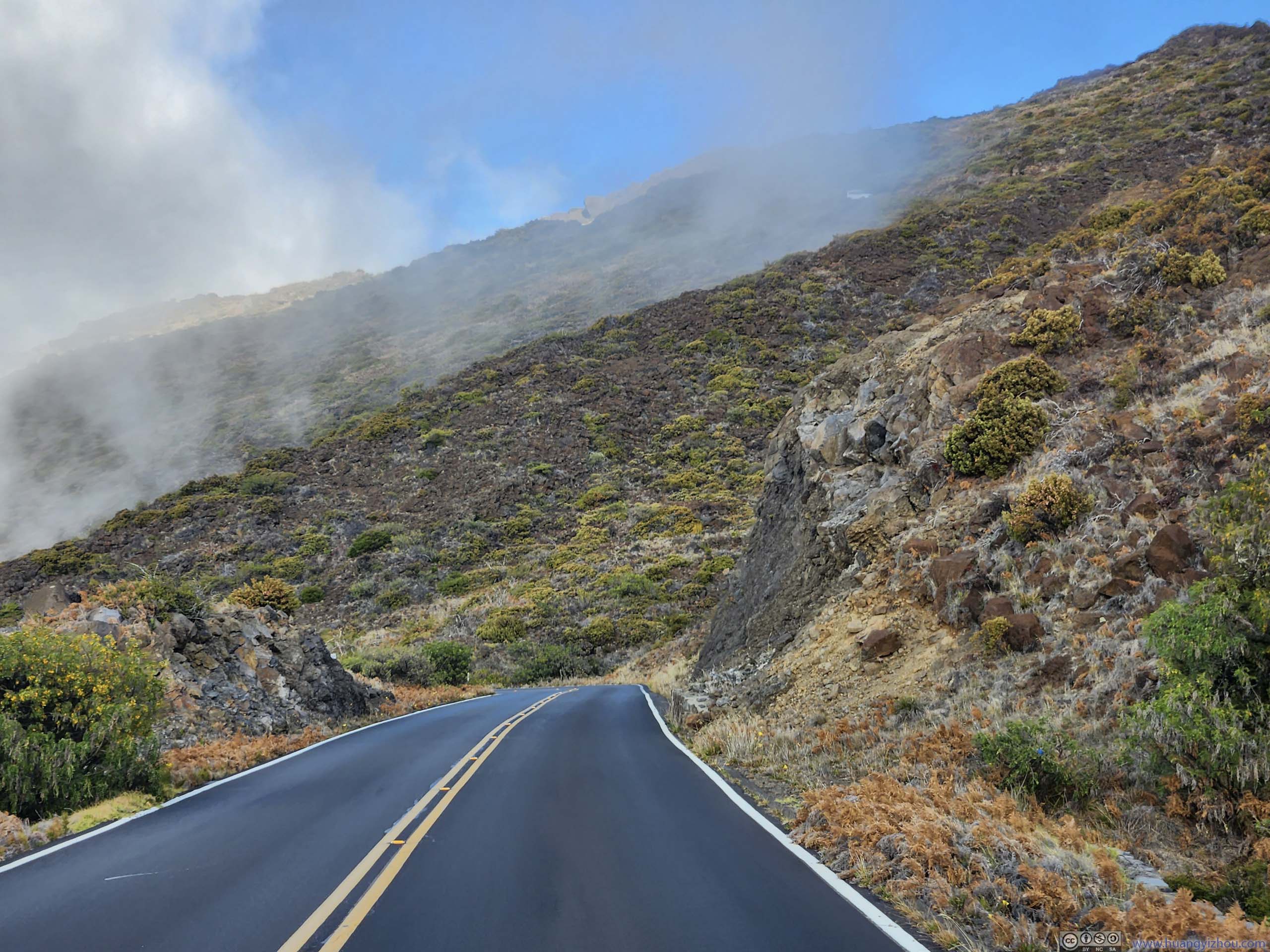
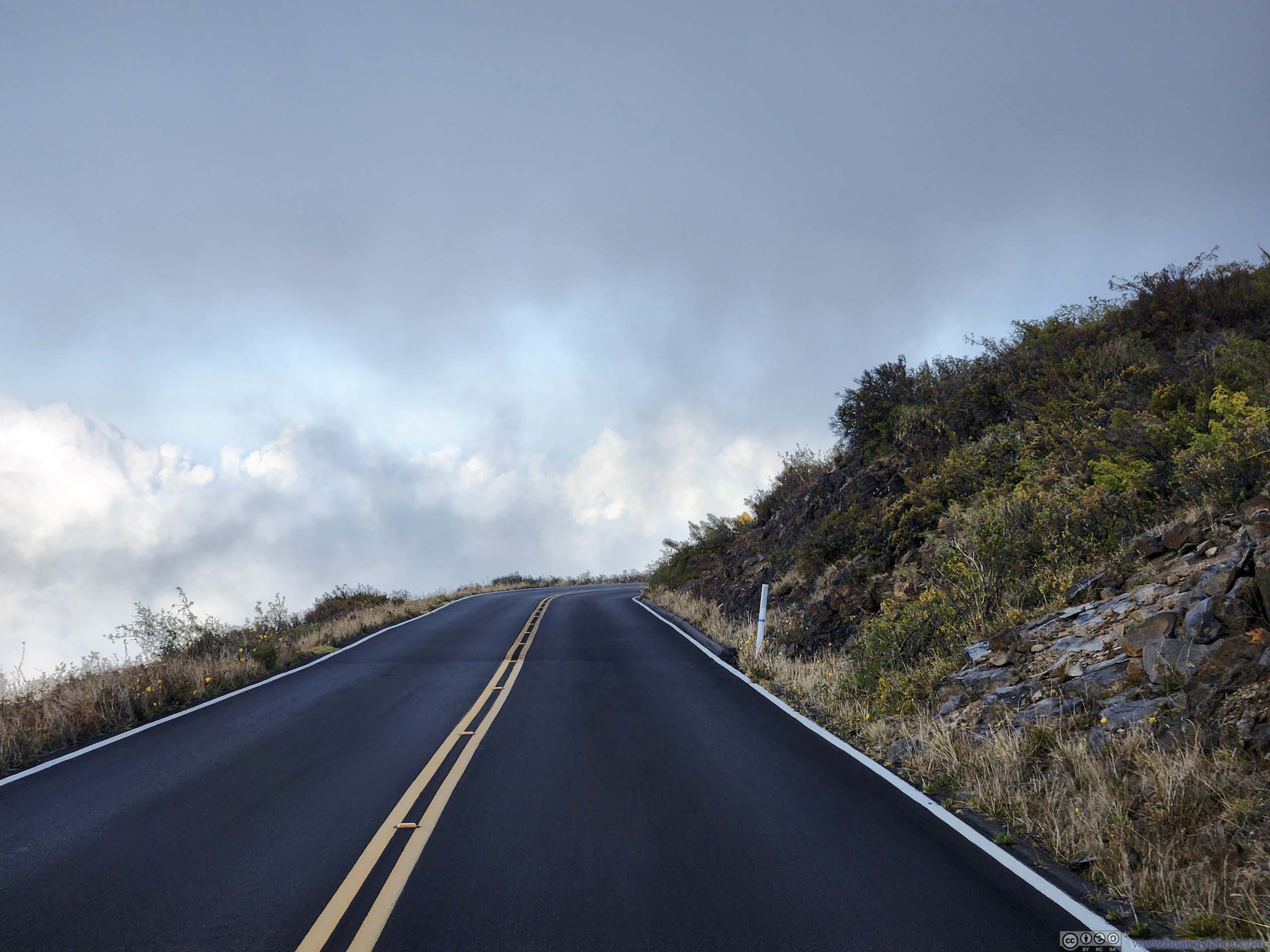
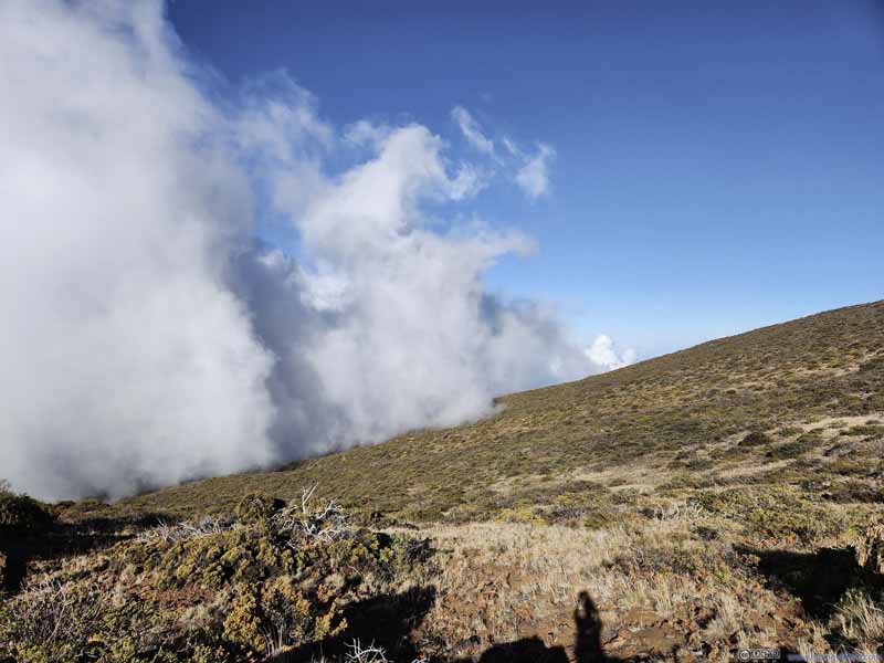
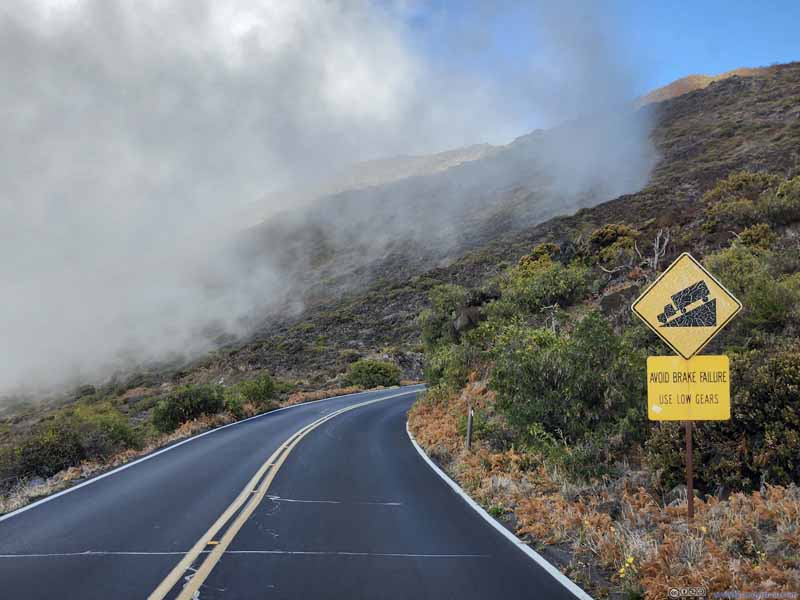
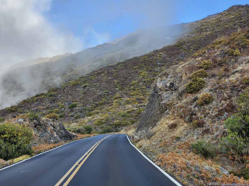
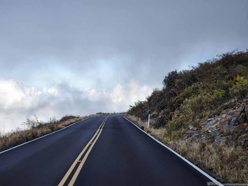
After that, we headed down the hill back to our hotel in Kahului. It felt phenomenal watching clouds circling the mountain on our drive down.
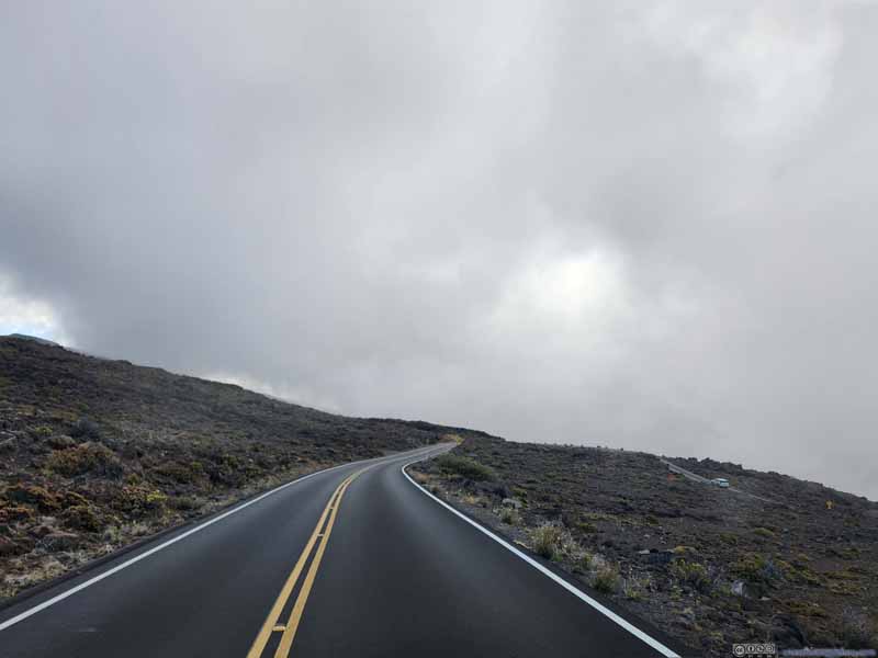
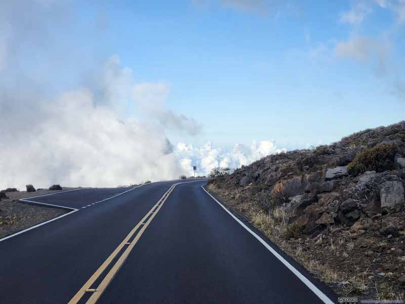
Haleakala Highway
Haleakala Highway
Clouds on the side of Haleakala It's striking that these clouds were touching the ground, as if an army marching uphill.
Haleakala Highway
Haleakala Highway
Haleakala Highway
Since we had to get up early to watch sunrise, we were all tired when we reached the hotel at 6pm, concluding the day.
END