Day 9 of Autumn 2023 Trip to Mountain States, Grand Mesa and Black Canyon of Gunnison
The nineth day of my autumn 2023 trip to the mountain states. I left Grand Junction in the morning, checked out the nearby Grand Mesa before spending the remainder of the day in the Black Canyon of Gunnison.
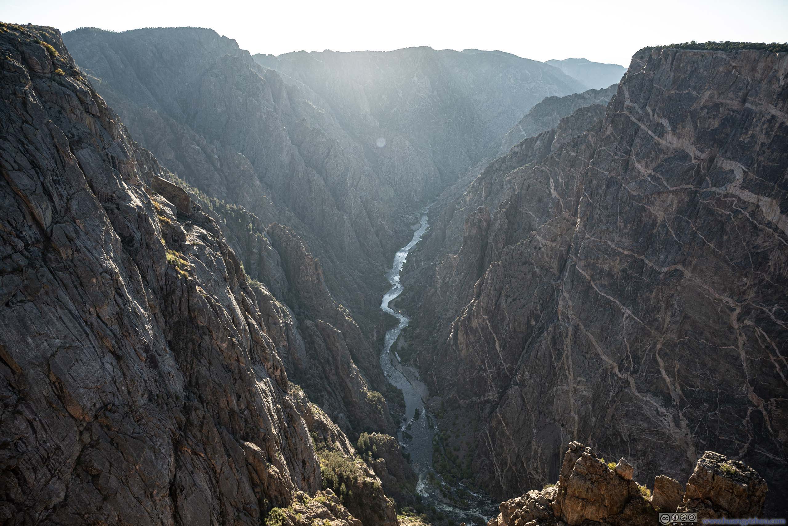
Having checked out the impressive canyons and buttes in Colorado National Monument the previous day, my next stop on this trip was the Black Canyon of Gunnison, which was one of four national parks in Colorado. While it only took 1 hour of driving to reach its gateway town of Montrose, where I would be spending the night, I decided to take a detour onto Grand Mesa, the largest flat-topped mountain in the world. Given its elevation, foliage should be great at this time of the year.
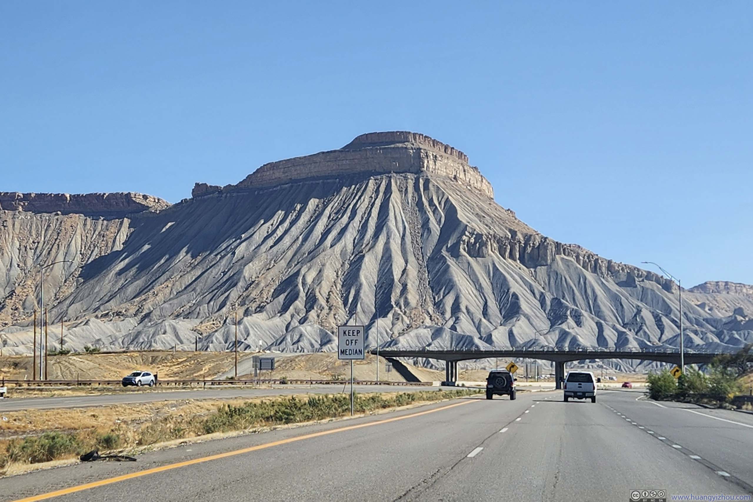
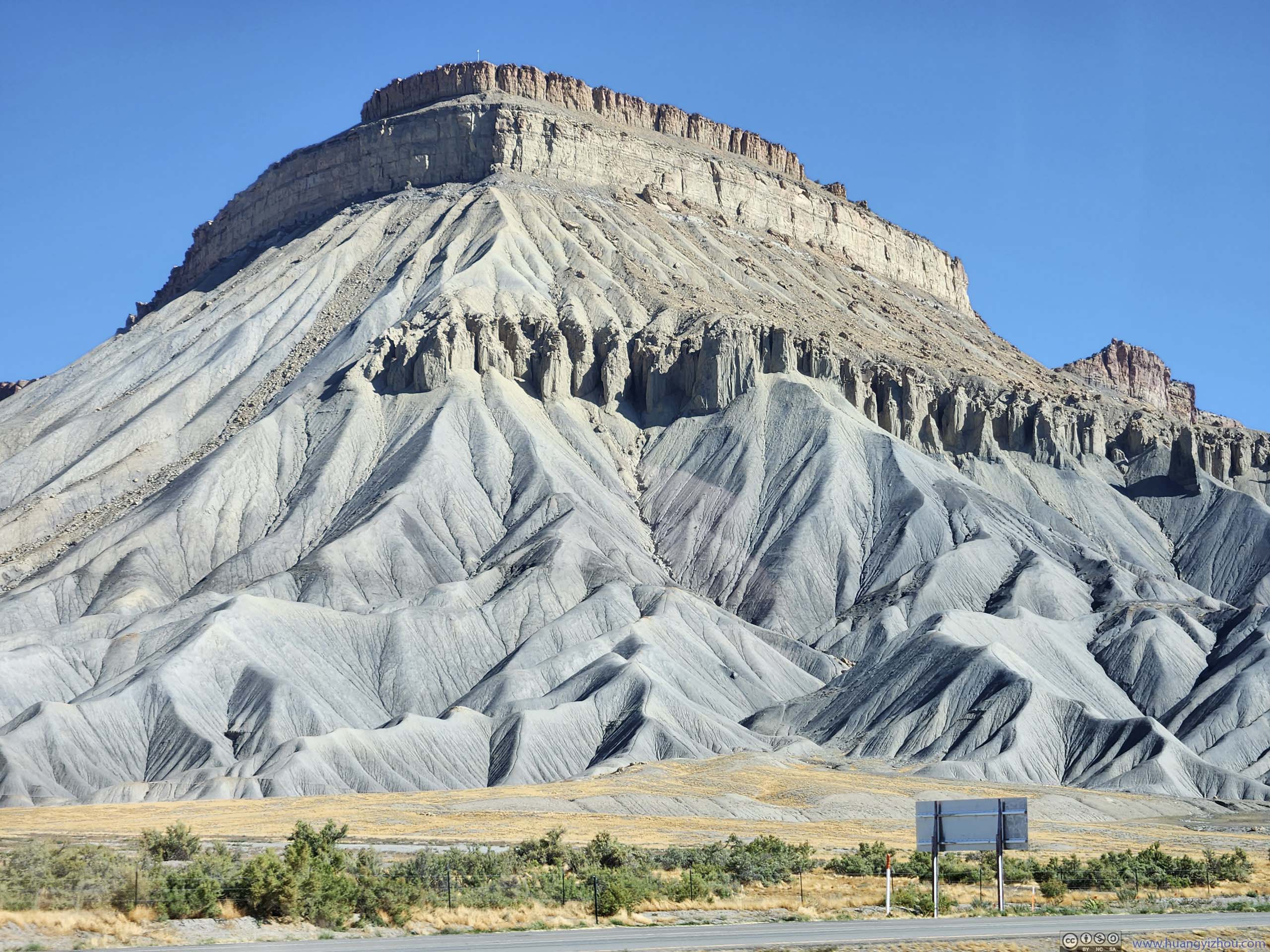
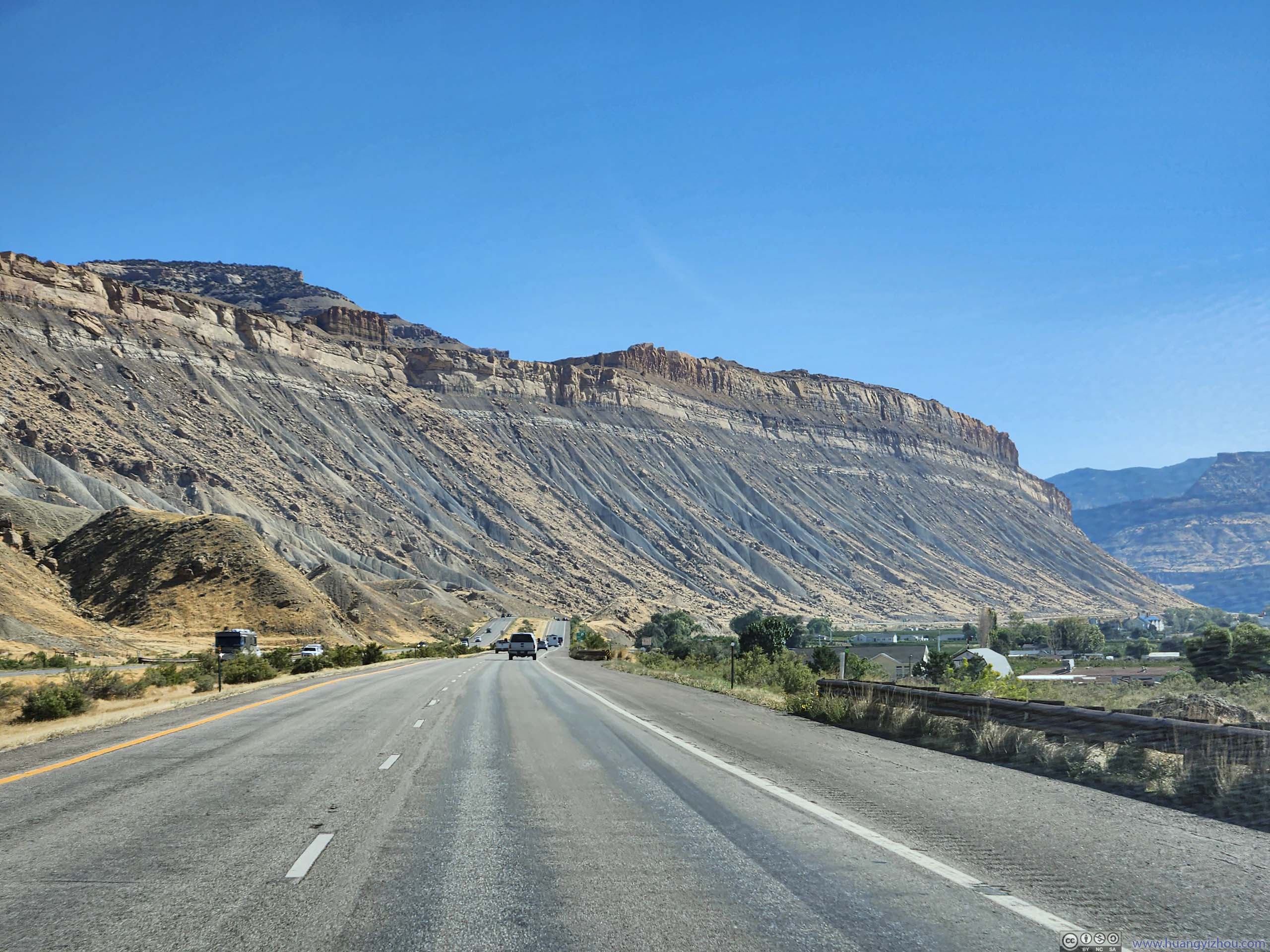
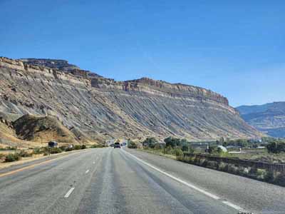
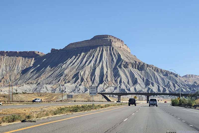
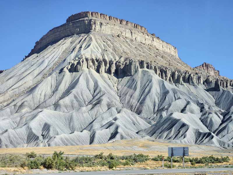
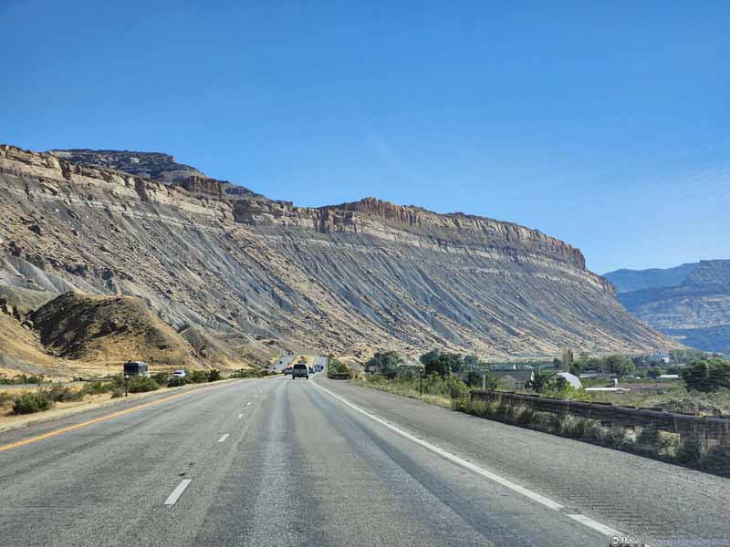
Leaving Grand Junction, I70 entered some impressive canyon carved by the Colorado River.
Grand Mesa
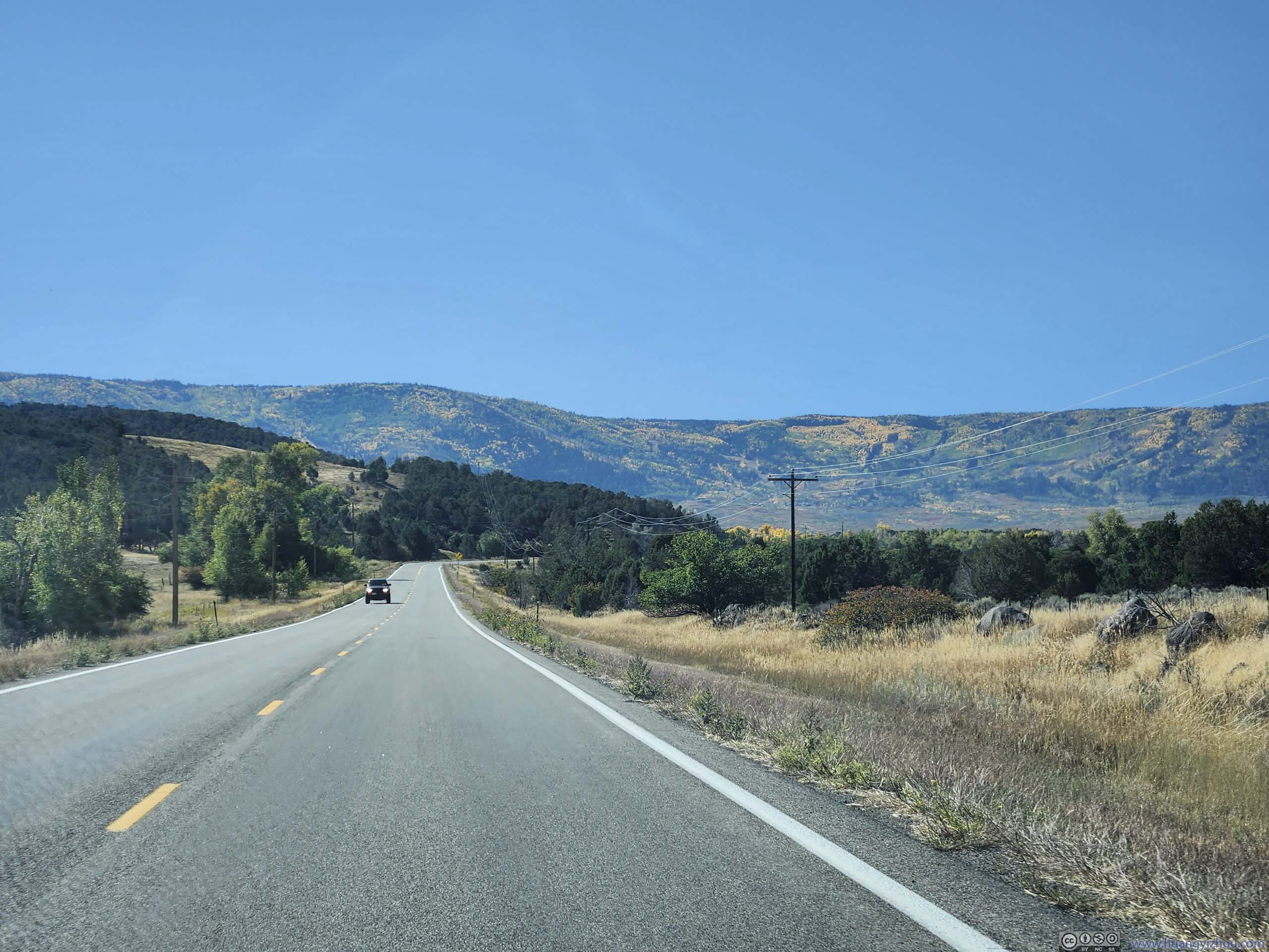
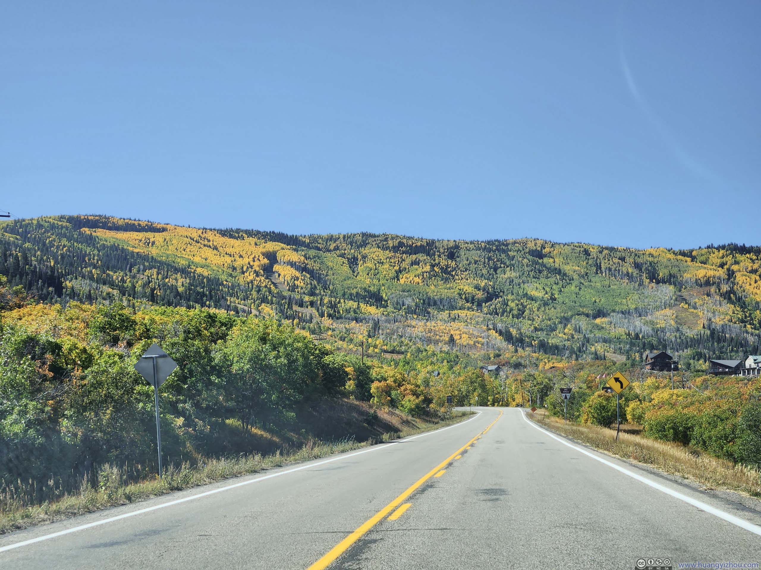
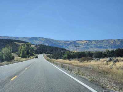
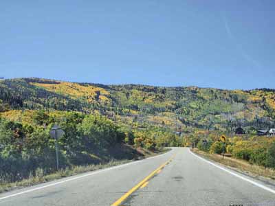
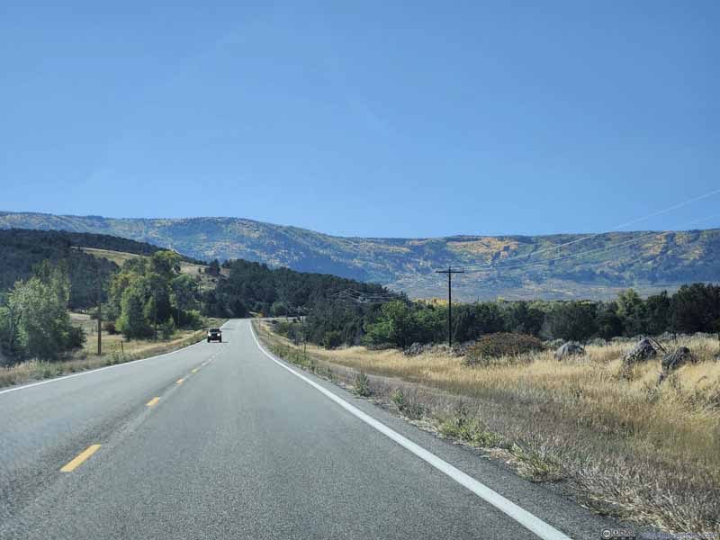
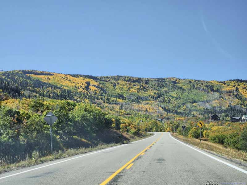
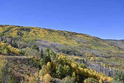
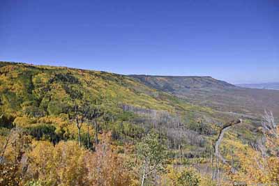
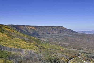
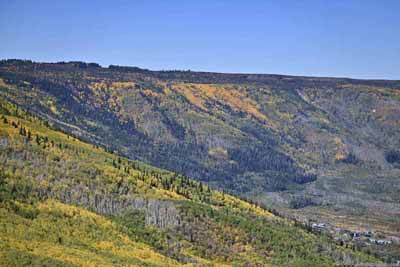
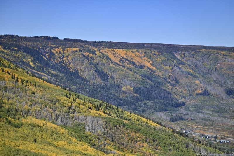
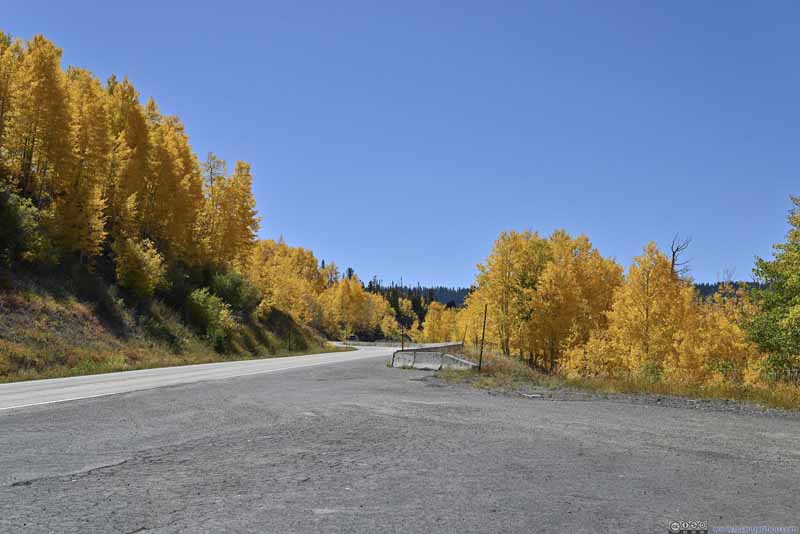
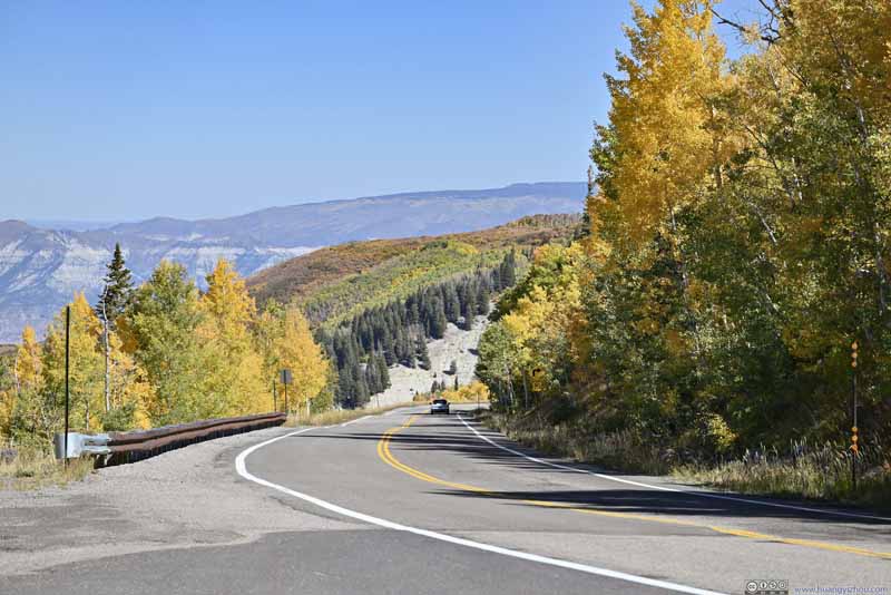
Along CO-65 / Grand Mesa Scenic Byway, it's a blend of colors on the northern slope of Grand Mesa, as seen from various roadside turnouts along the way. The dark forest green from the coniferous trees scattered around the deciduous aspens in different stages of transition from mint green to amber, creating a pleasing palette scene.
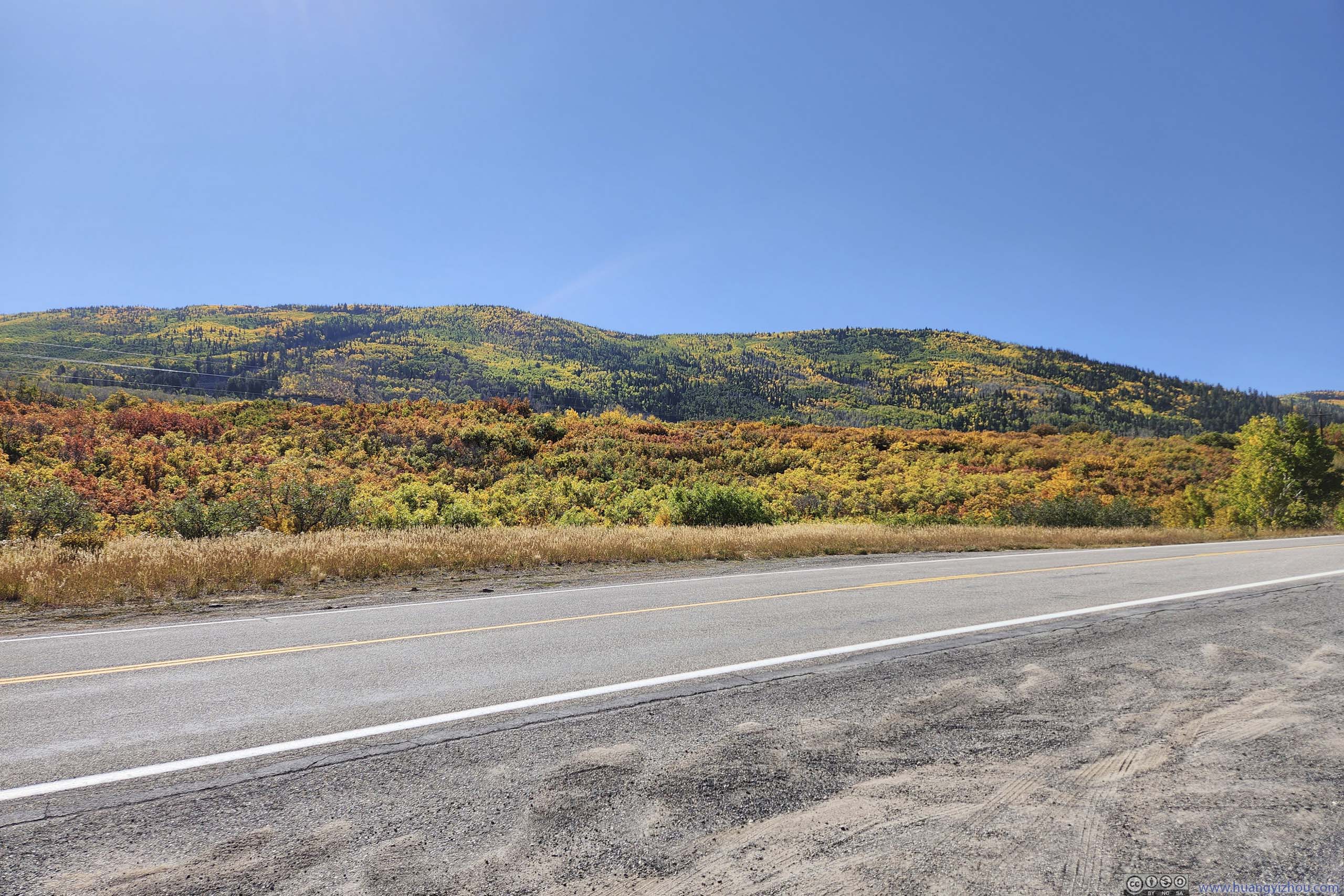
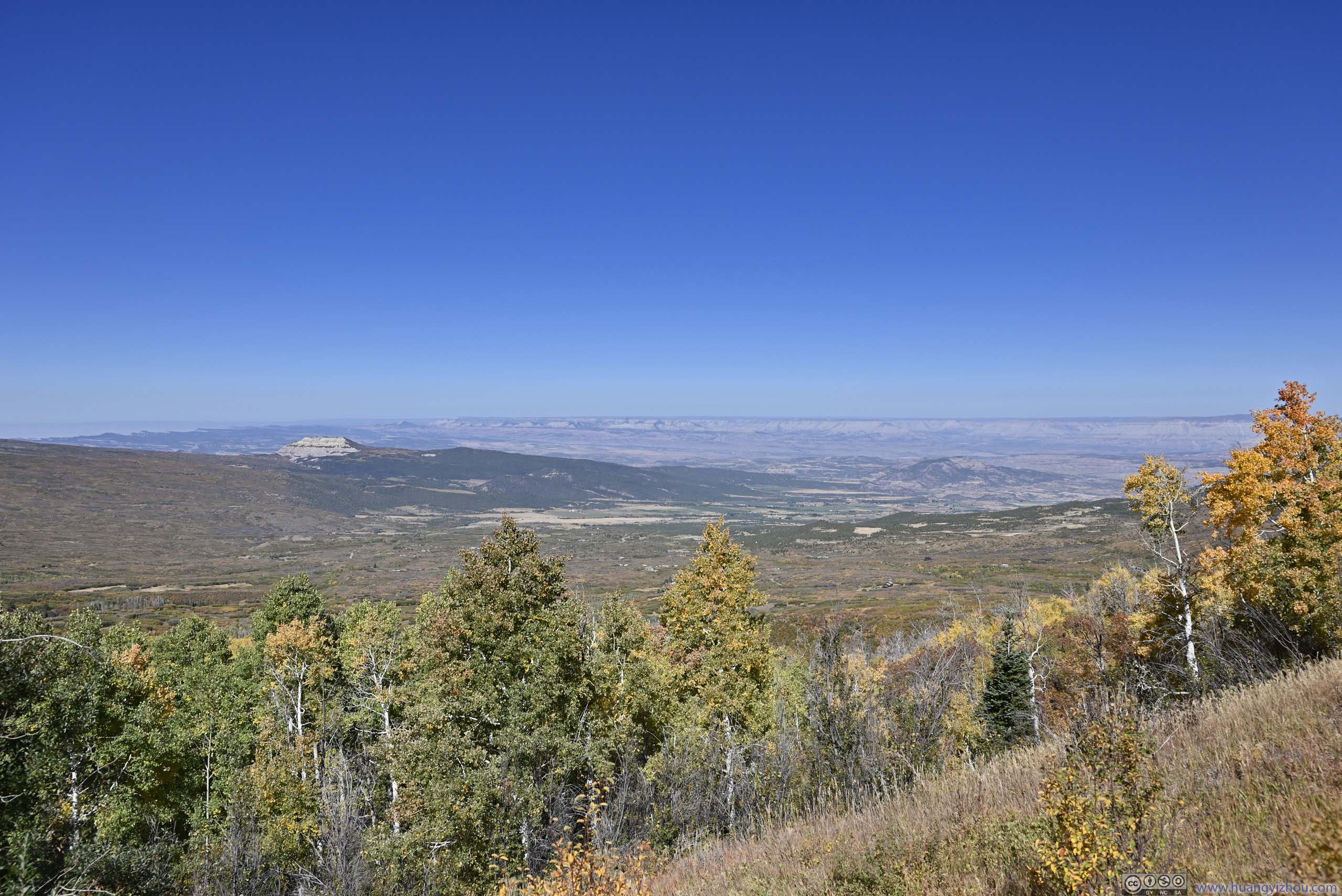
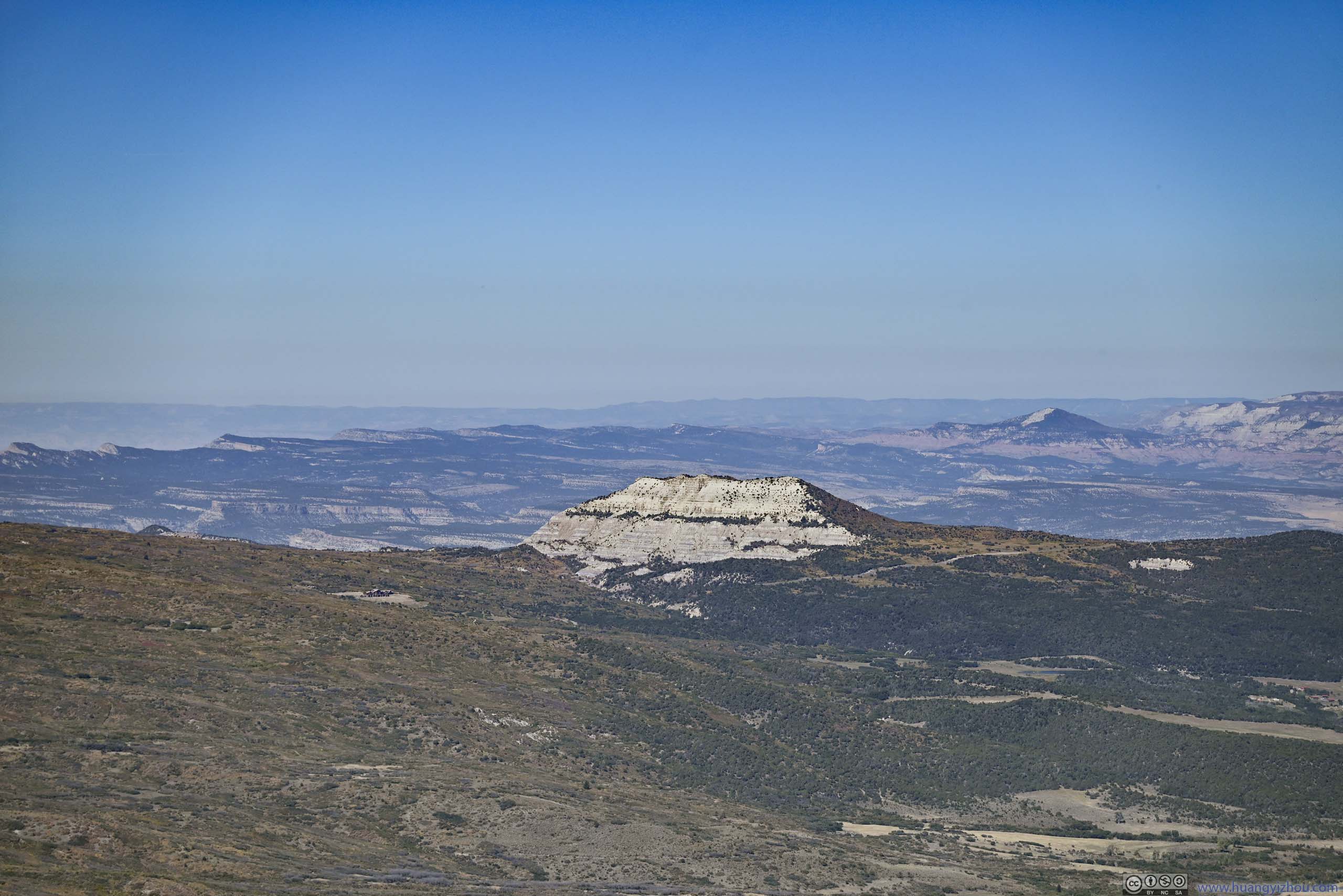
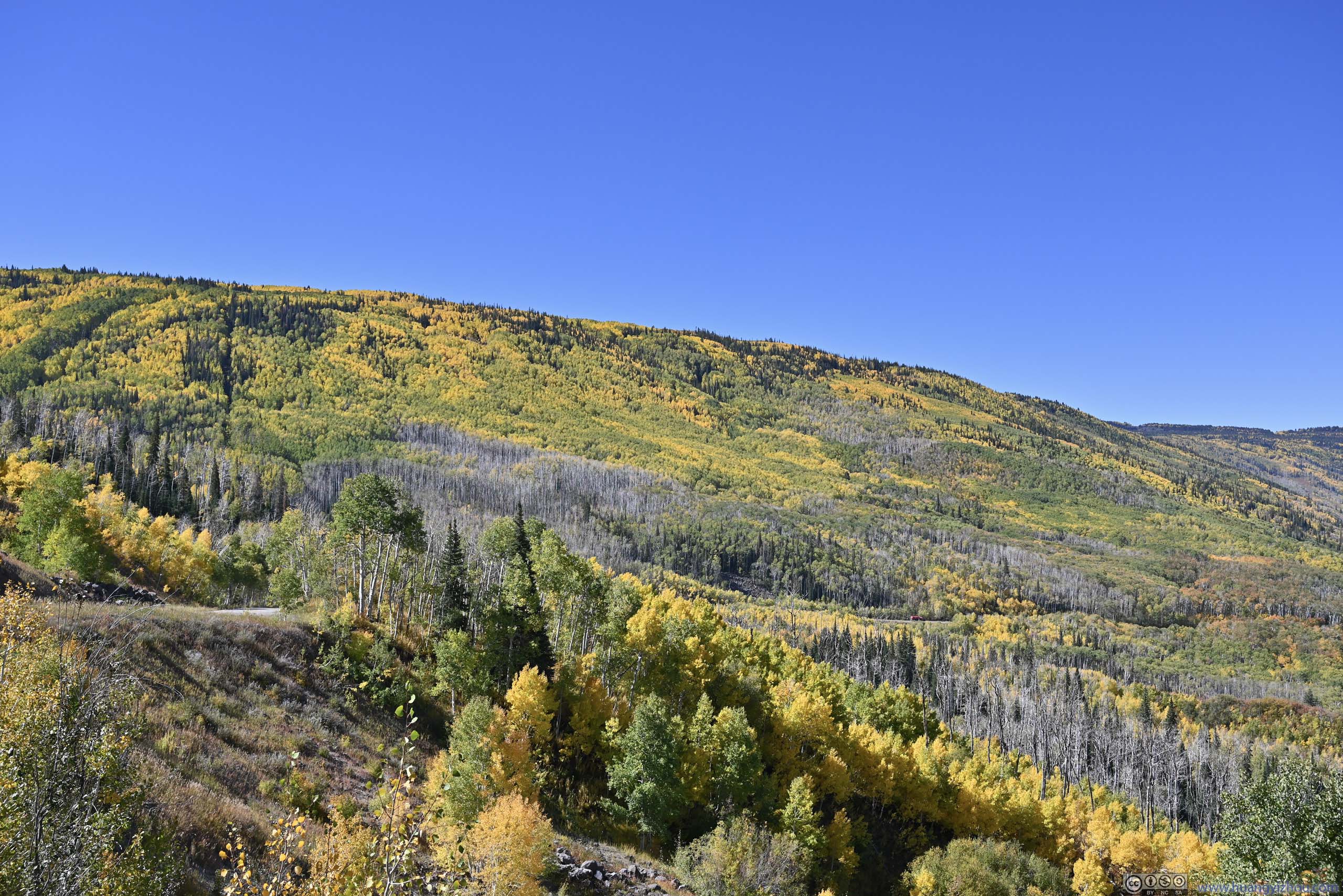
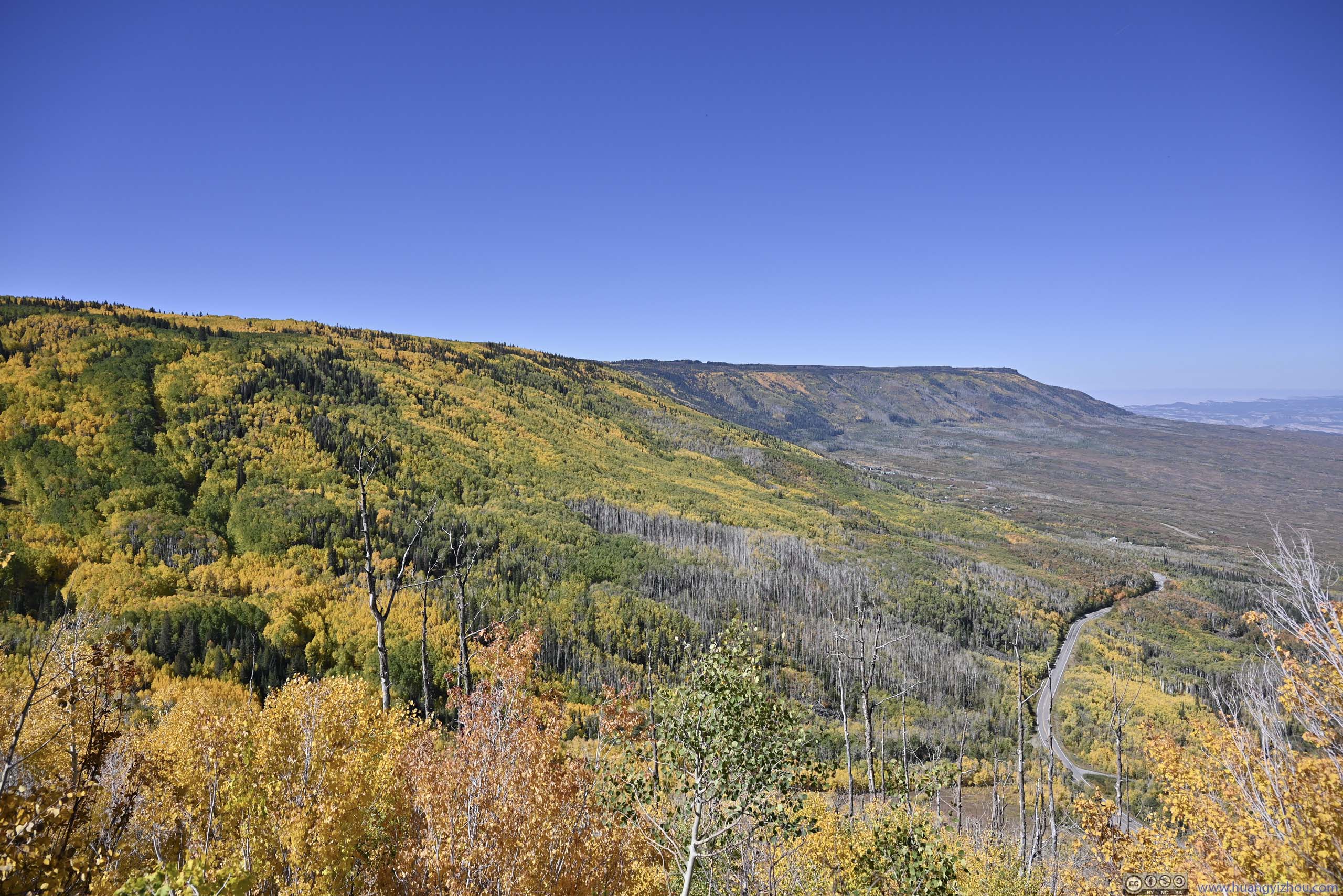
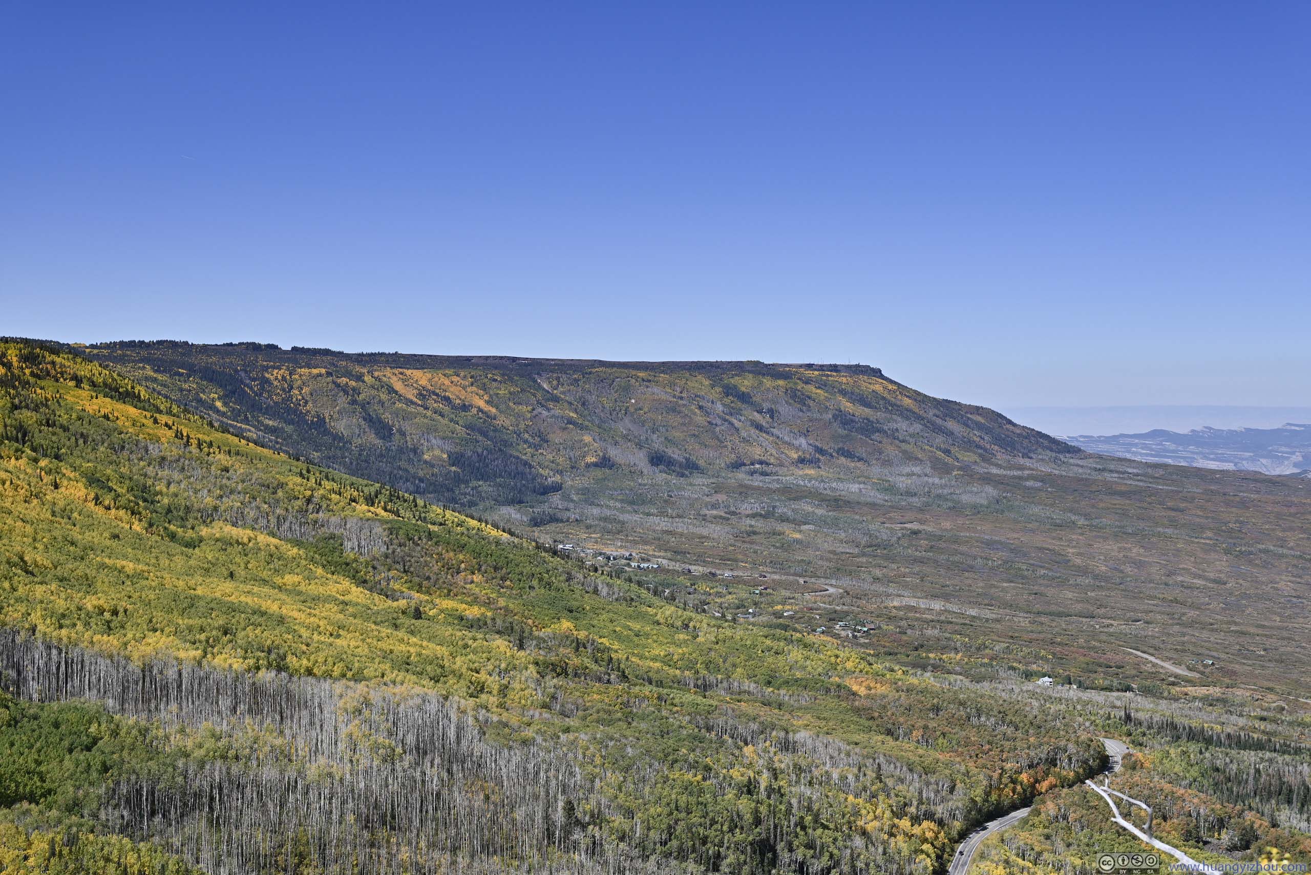
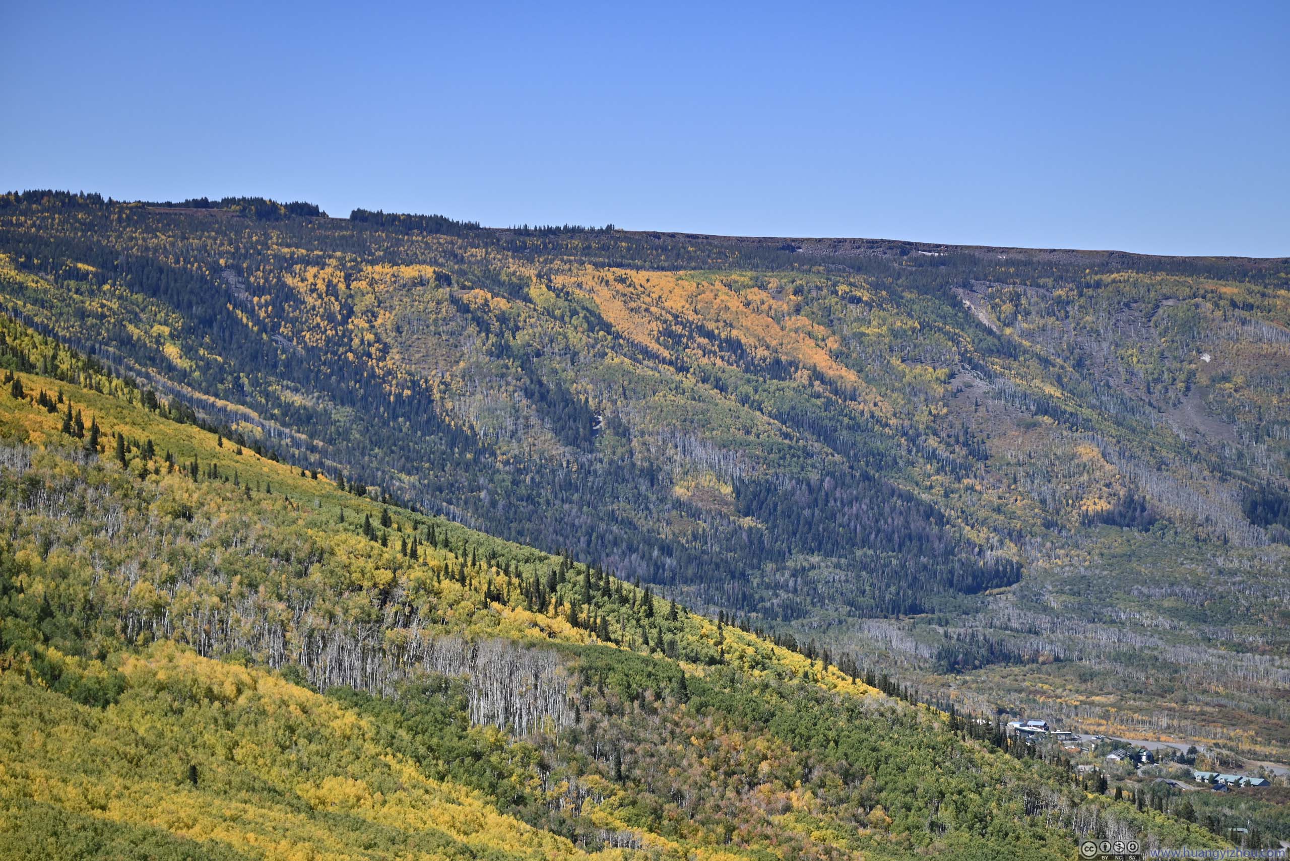
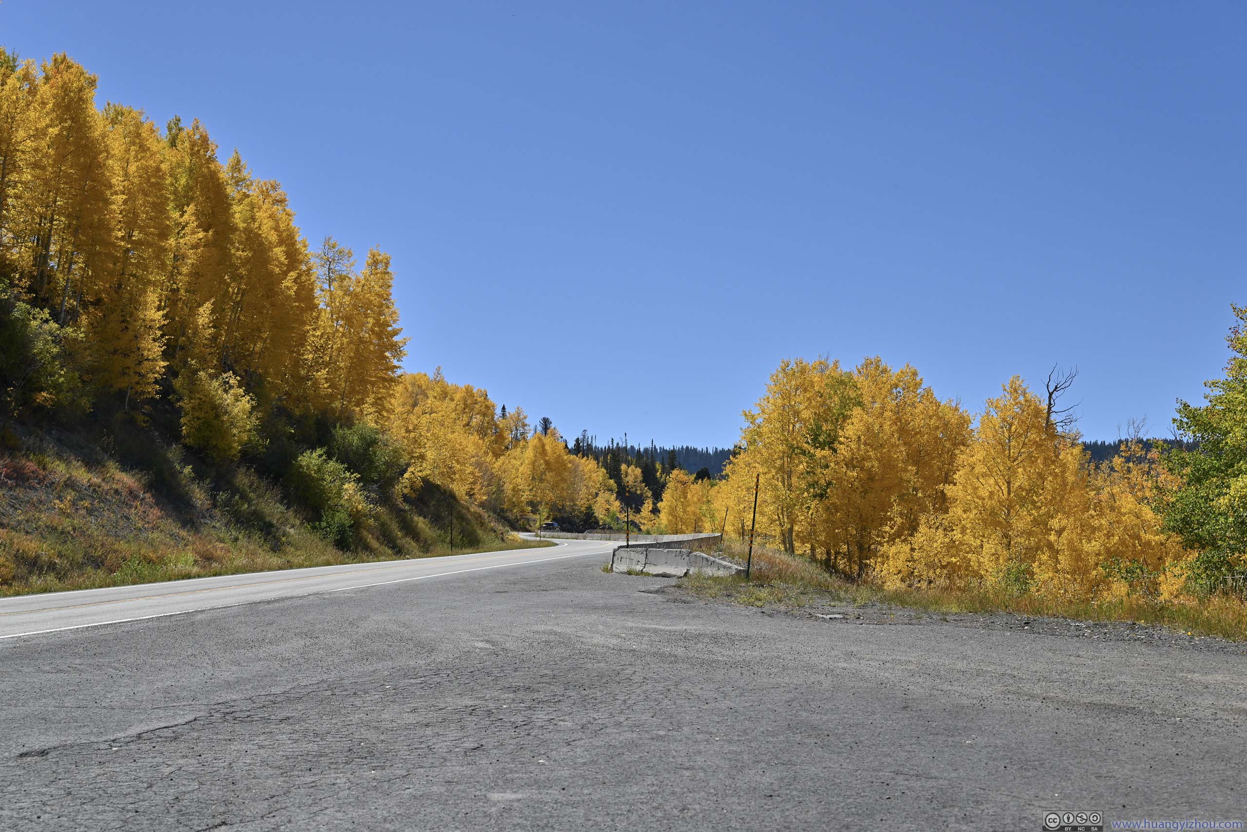
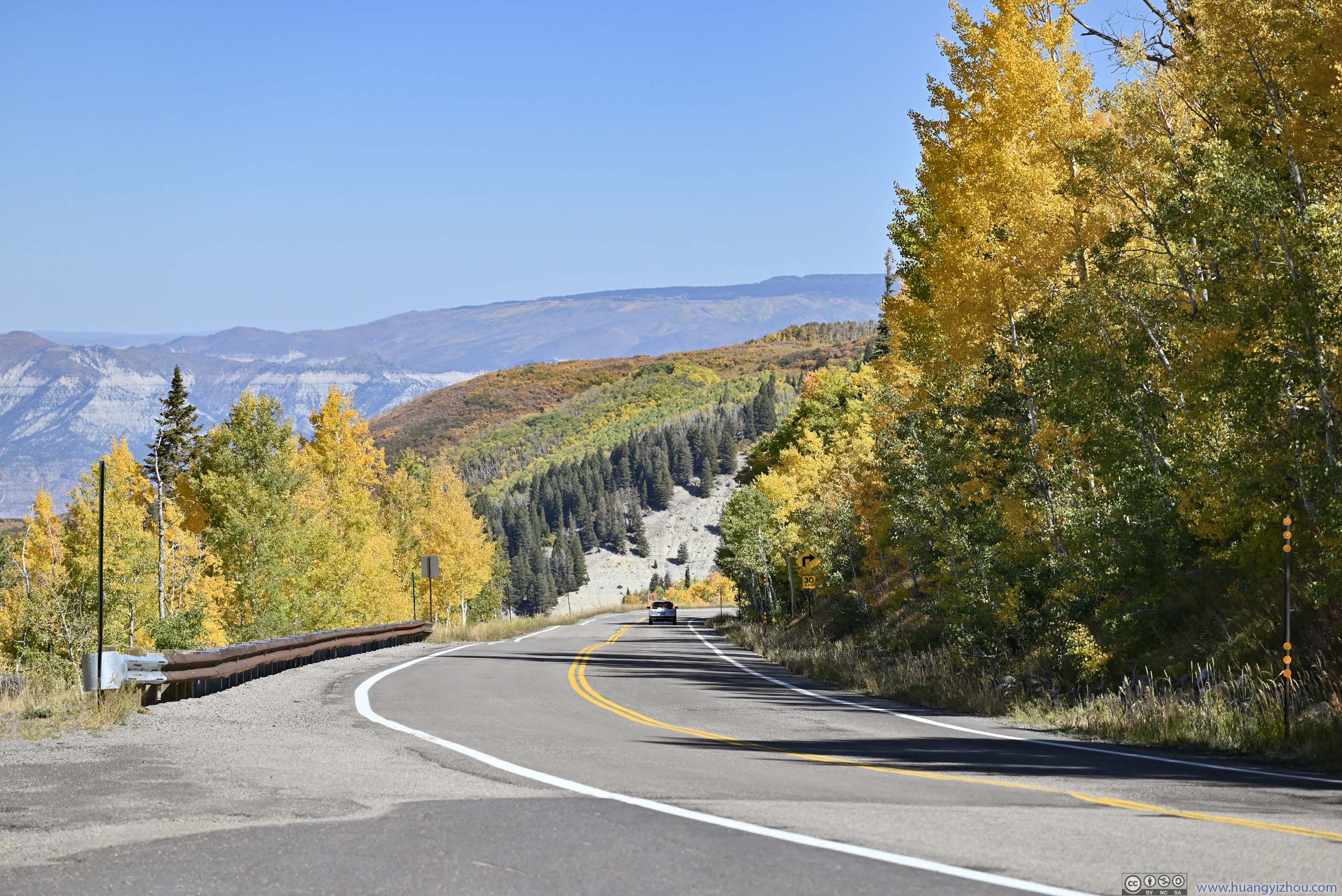
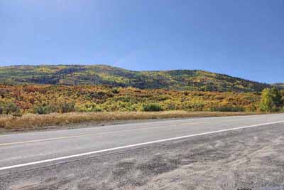
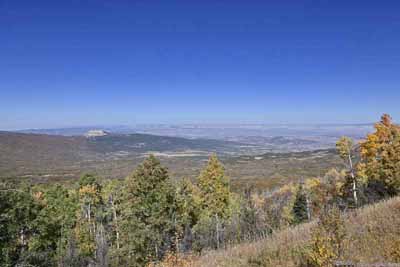
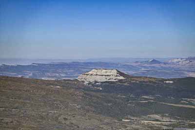
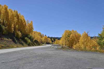
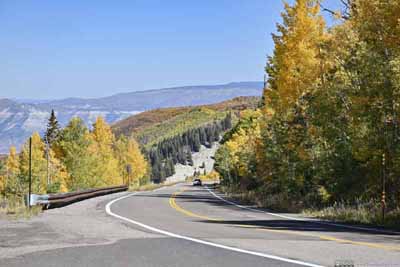
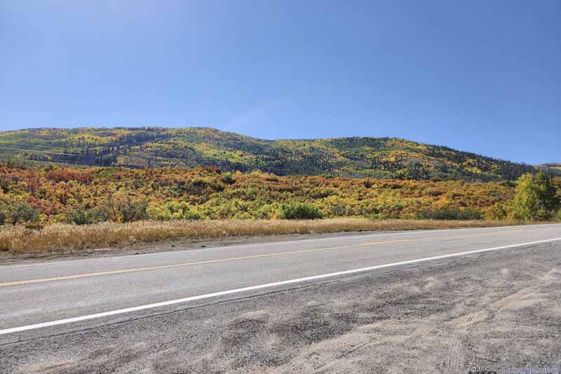
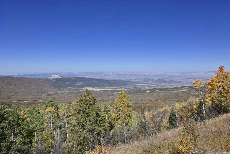
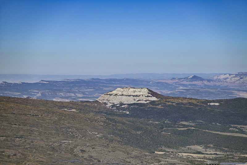
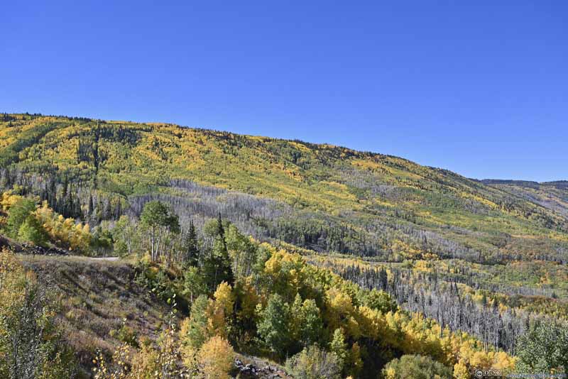
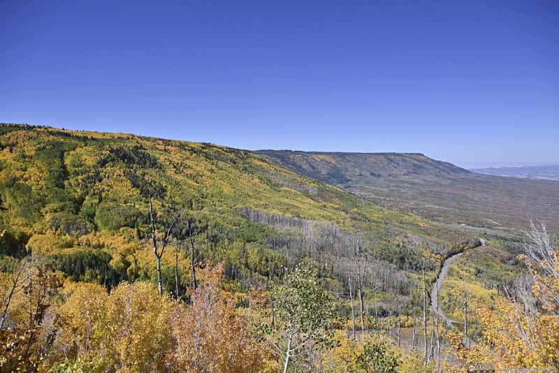
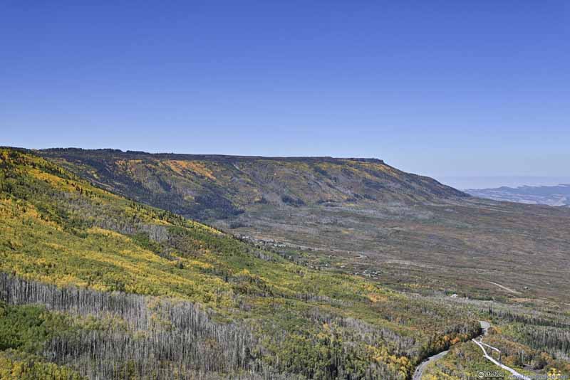
Below is a timelapse video from my windshield-mounted GoPro, recording my entire drive through Grand Mesa.
- 0:00 Leaving Interstate 70 at exit 49, onto Colorado State Route 65. This road follows the canyon carved out by Plateau Creek.
- 2:29 Continue on State Route 65 (after intersection with Route 330), heading onto Grand Mesa.
- 4:03 An overlook before Powderhorn Mountain Resort.
- 5:00 Another informal roadside overlook, facing northwest.
- 5:33 A more established overlook, with better views than the previous one.
- 5:57 A detour to Mesa Lakes region for some hiking.
- 6:53 Leaving Mesa Lakes.
- 7:50 An informal roadside turnout, overlooking Mesa Lakes below.
- 8:22 Leaving the trailhead of Land of Lakes. A short trail leading to arguably the best views from Grand Mesa, with Elk Mountains to the east and San Juan Mountains to the south, lining the distant horizon.
- 9:12 Ward Creek Reservoir. The final stop before heading down Grand Mesa.
- This video ends upon reaching the town of Cedaredge.
Mesa Lakes Area
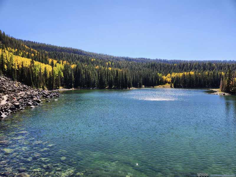
Before reaching the top of Grand Mesa, I made a stop at Mesa Lakes, where a series of lakes dotted the landscape. There, I checked out Mesa Lakes Trail (AllTrails link), a signature hike in the region that's 5.1km in length with 130m of elevation gain, passing 5 lakes along the way.
And here's GPS tracking:
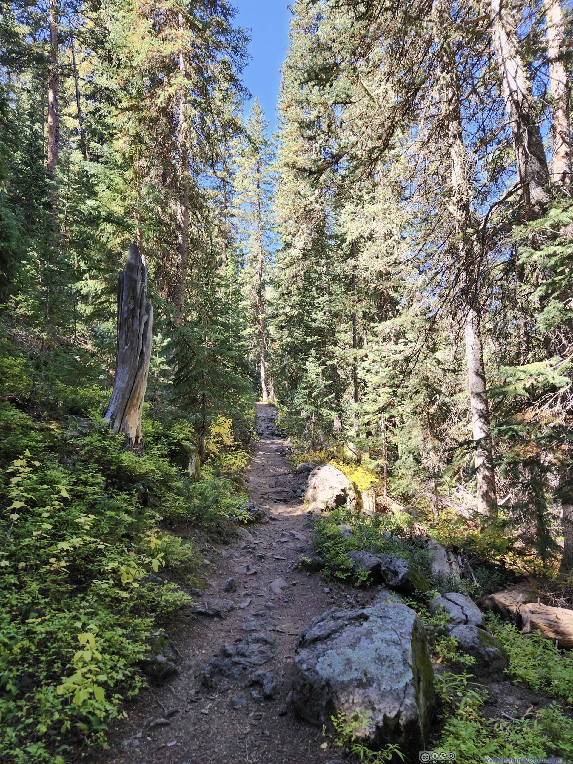
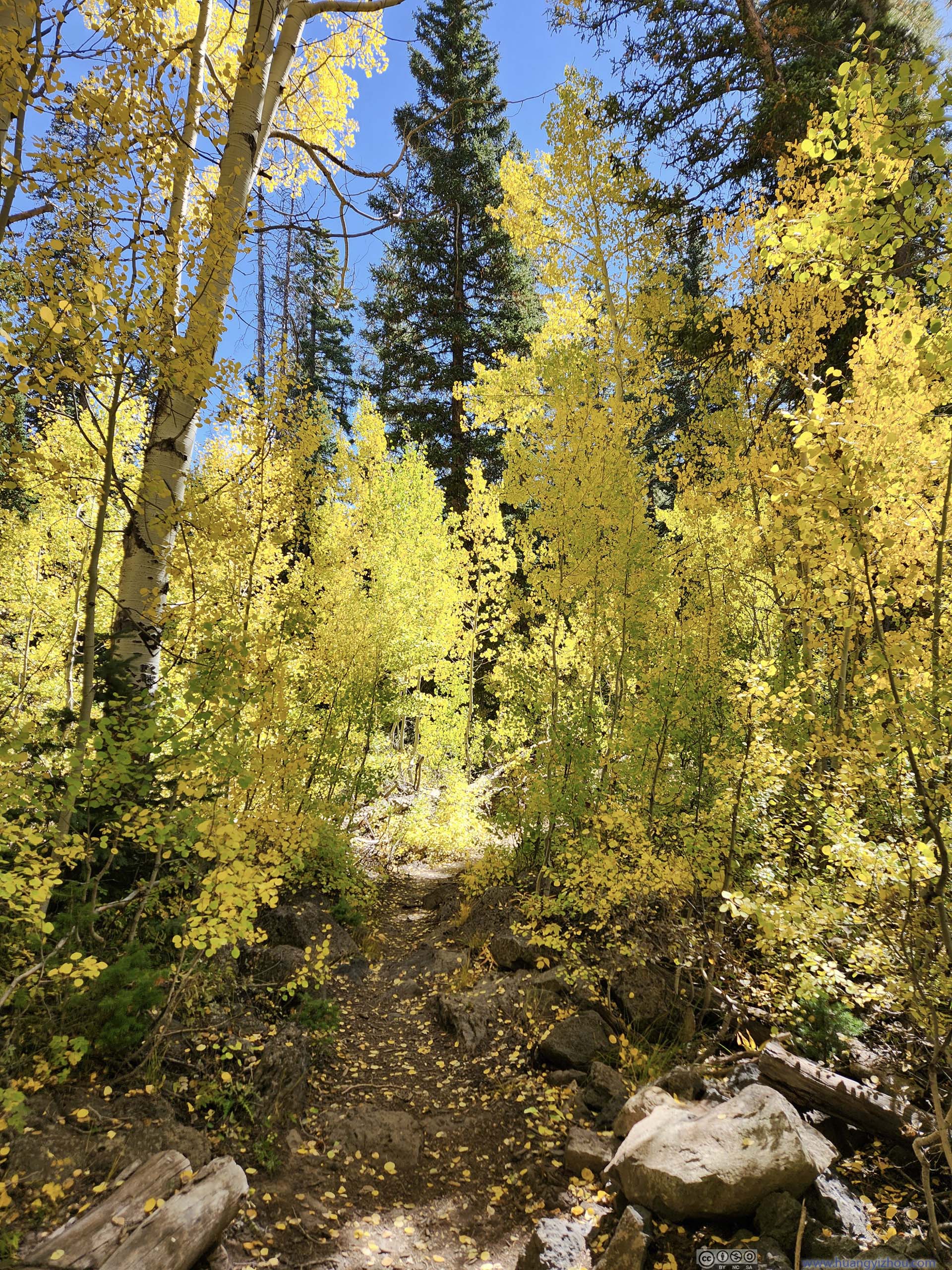
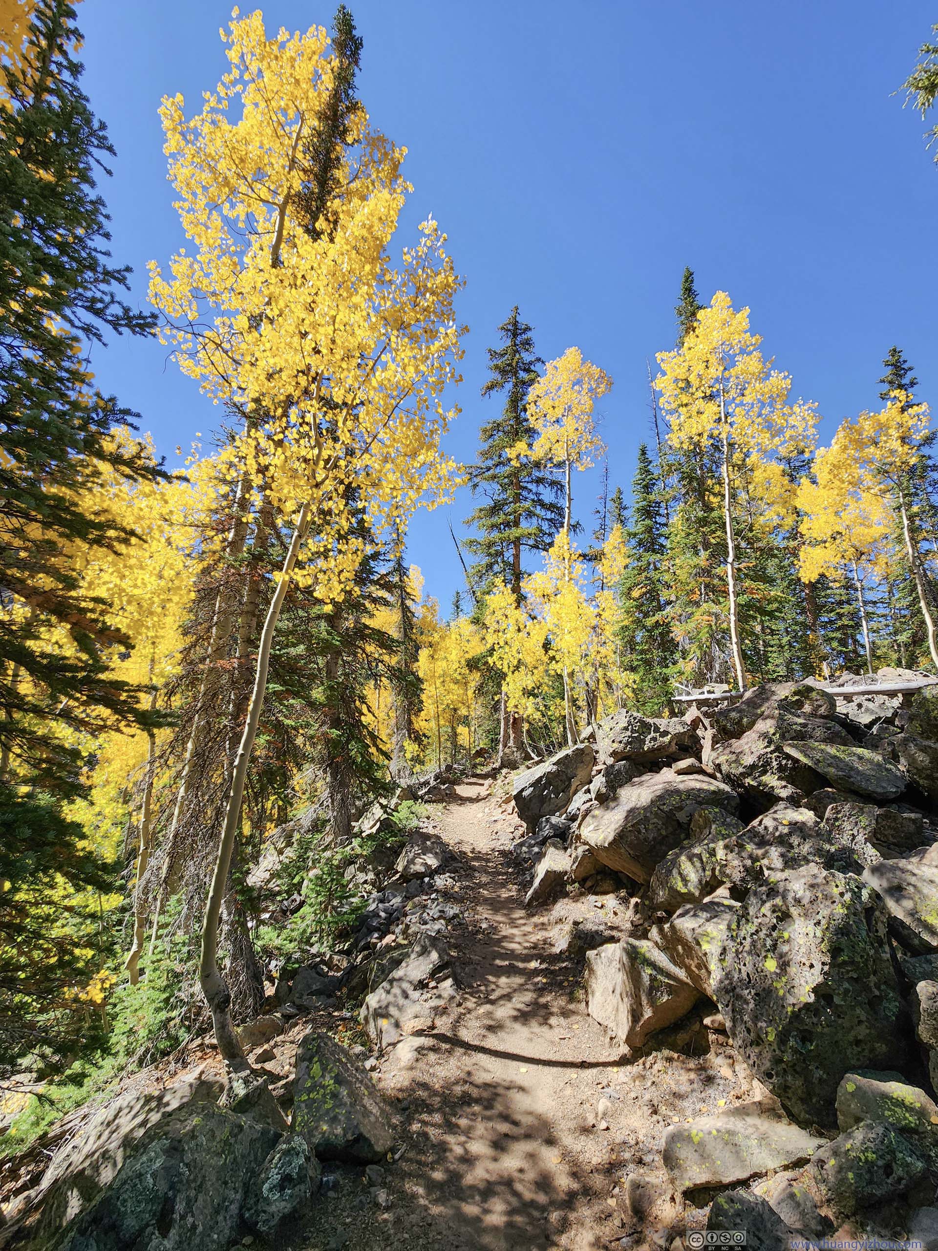
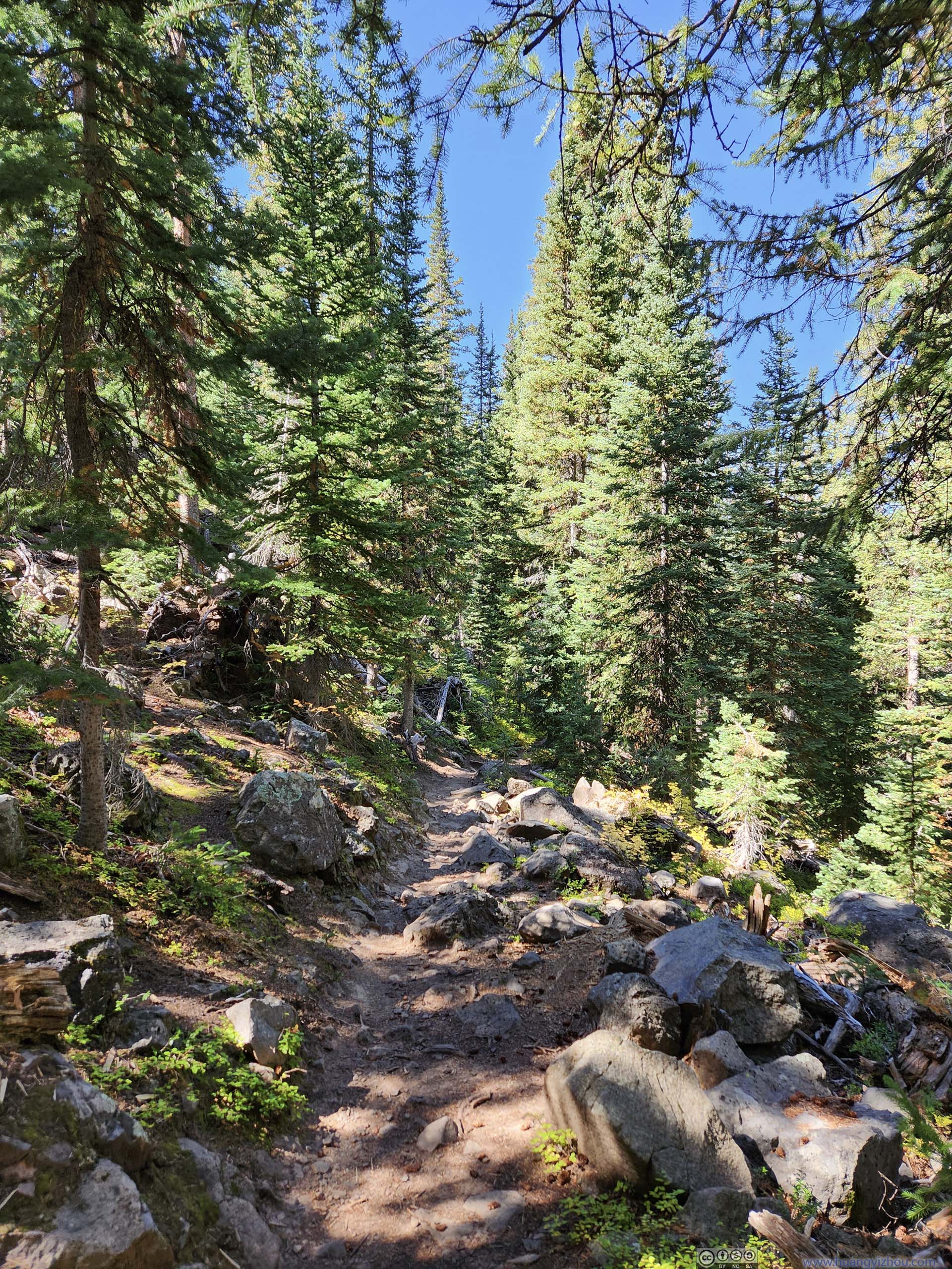
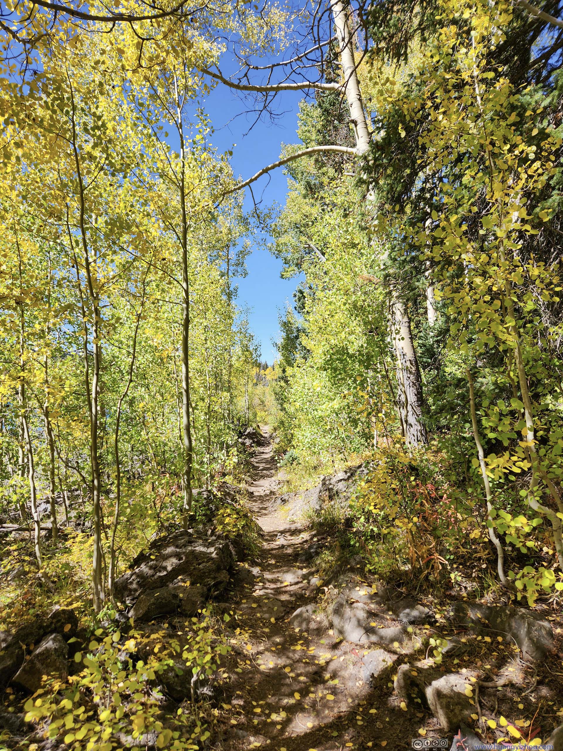
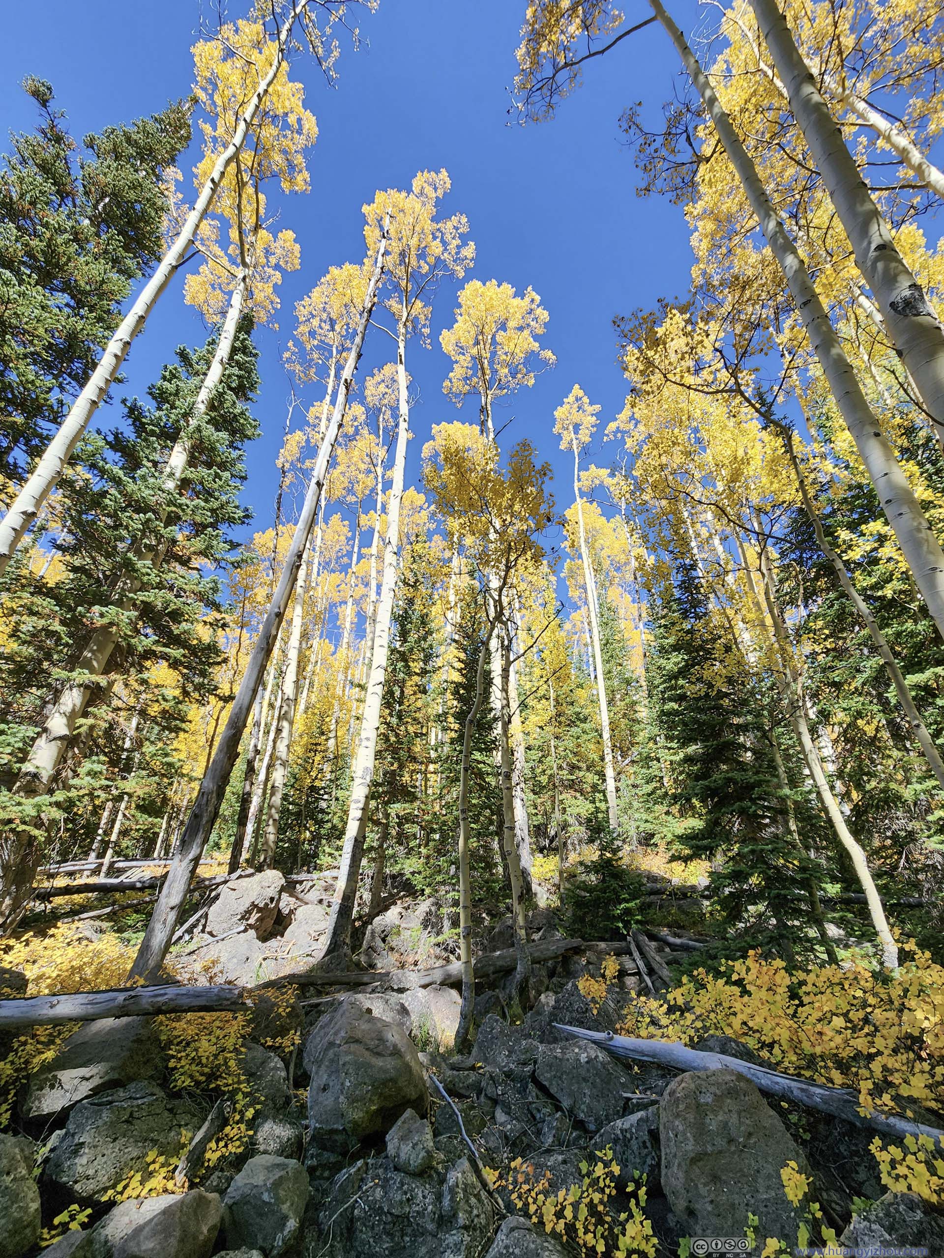
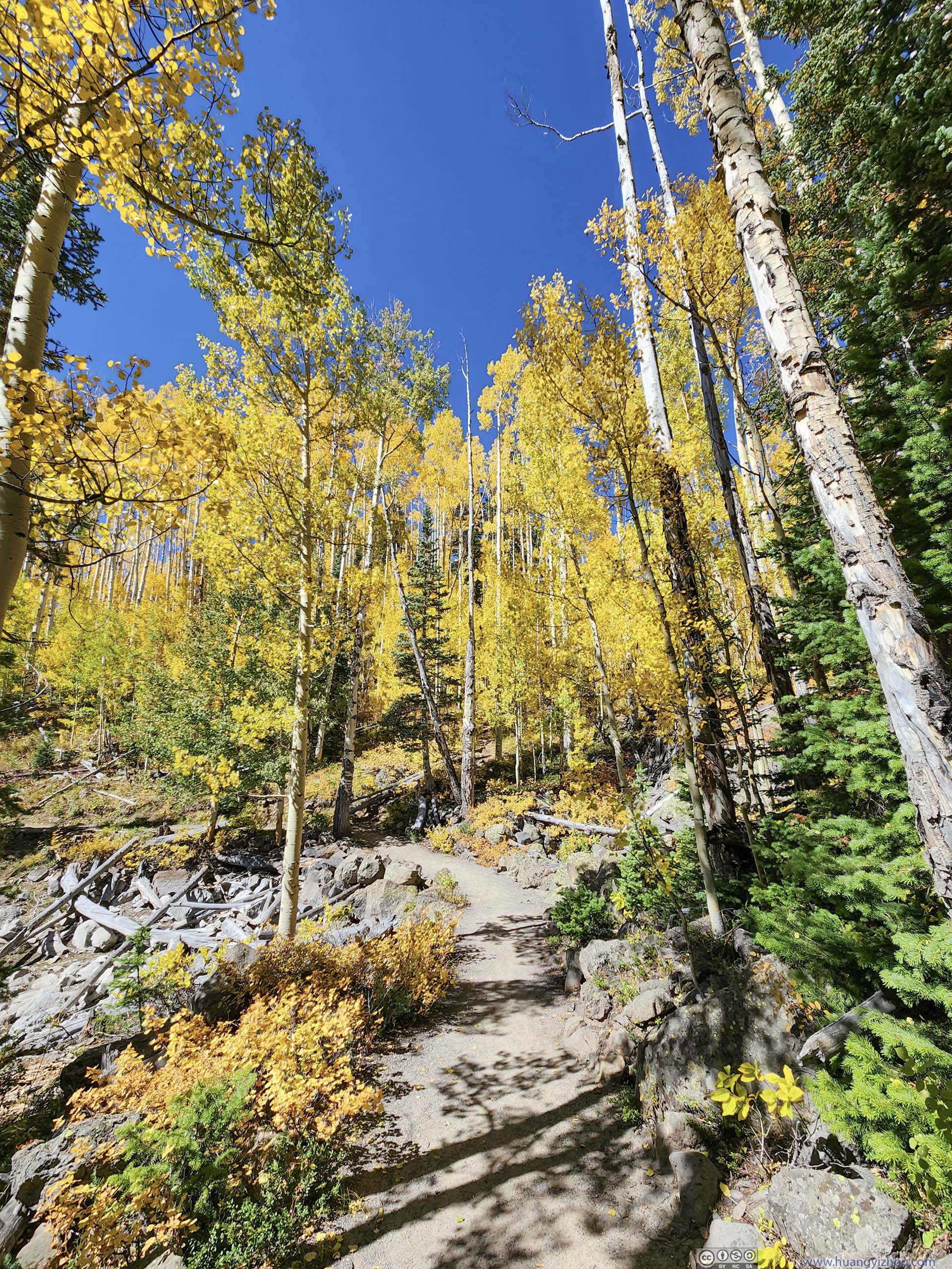
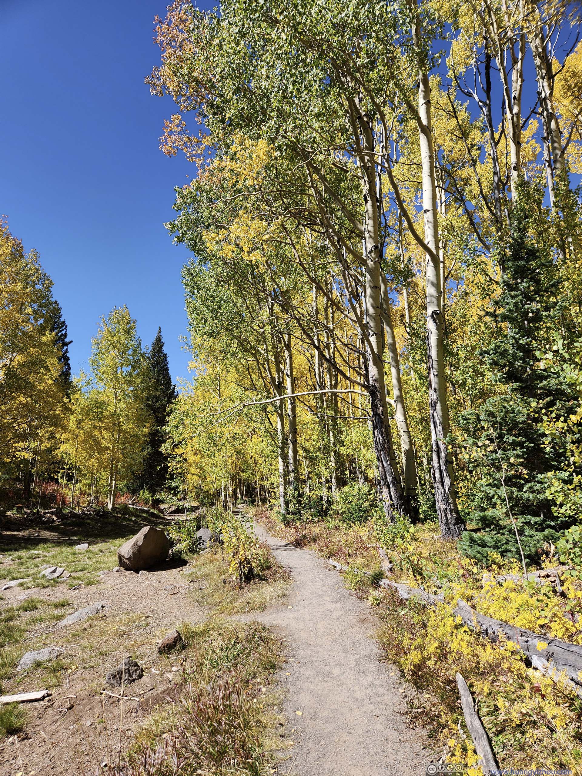
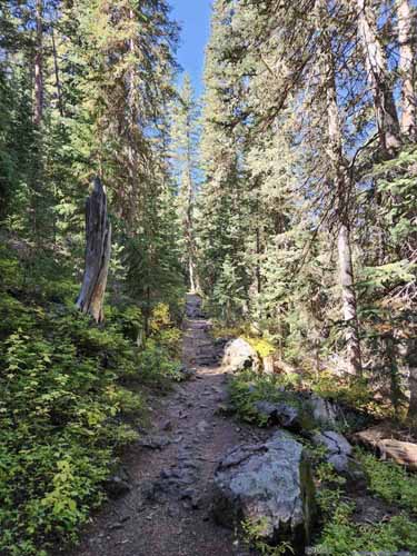
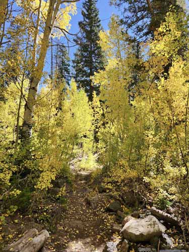
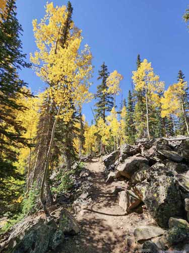
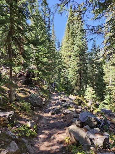
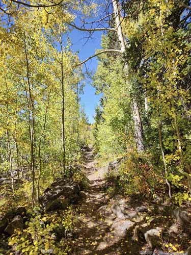
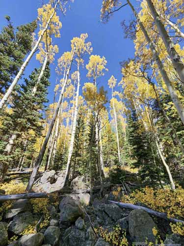
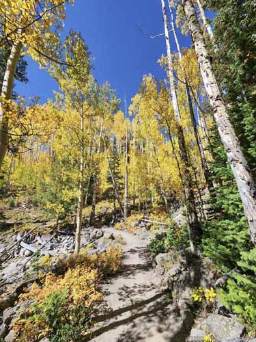
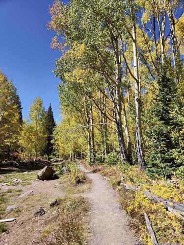
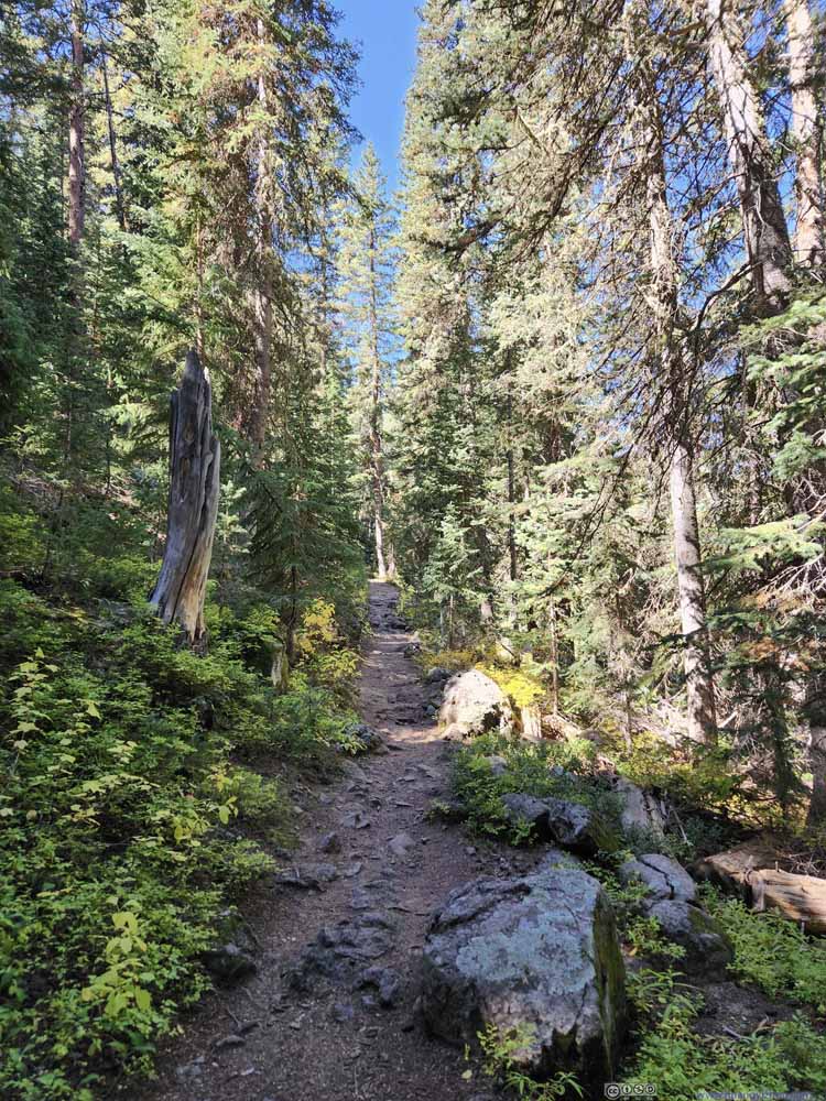
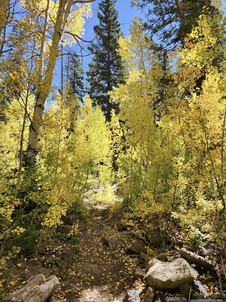
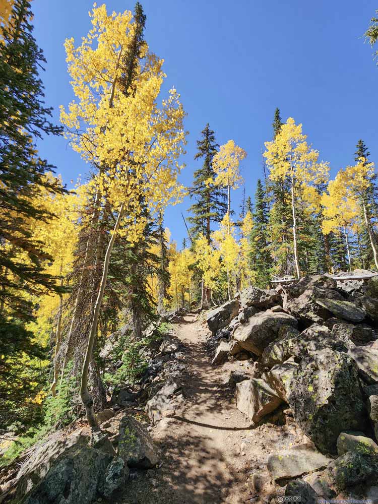
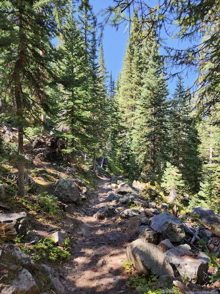
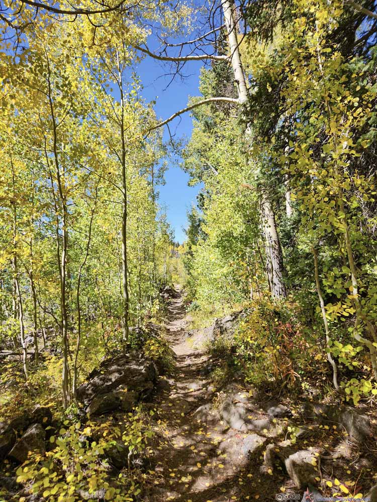
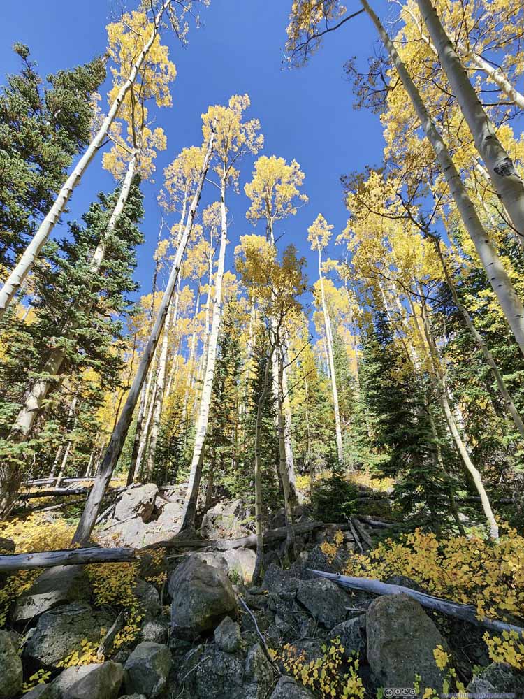
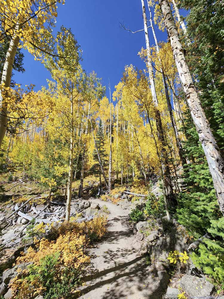
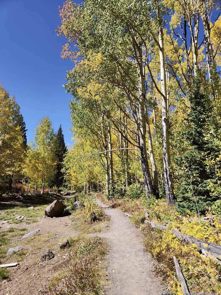
The trail could be broken into two parts, an out-and-back towards Lost Lake, passing South Mesa Lake along the way, and a loop around Mesa Lake. For the part to Lost Lake, pine trees dominated aspens so there weren't many sights of foliage. Apart from South Mesa Lake, there weren't many views.
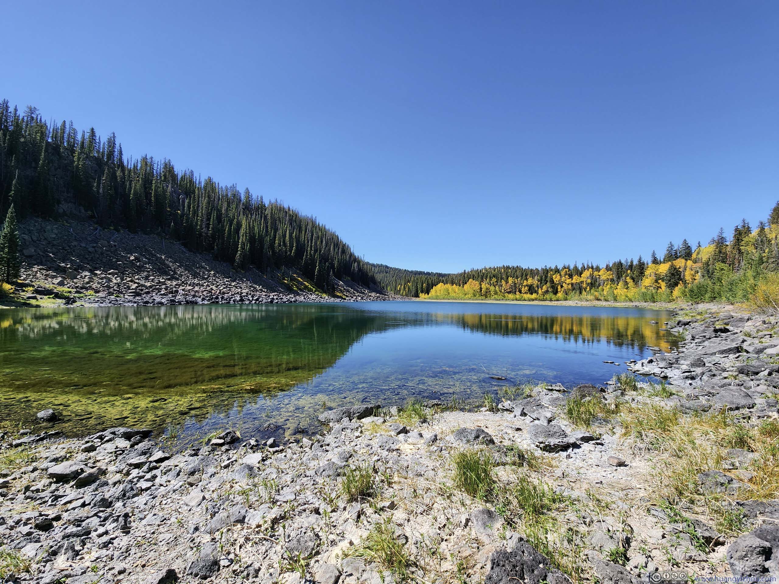
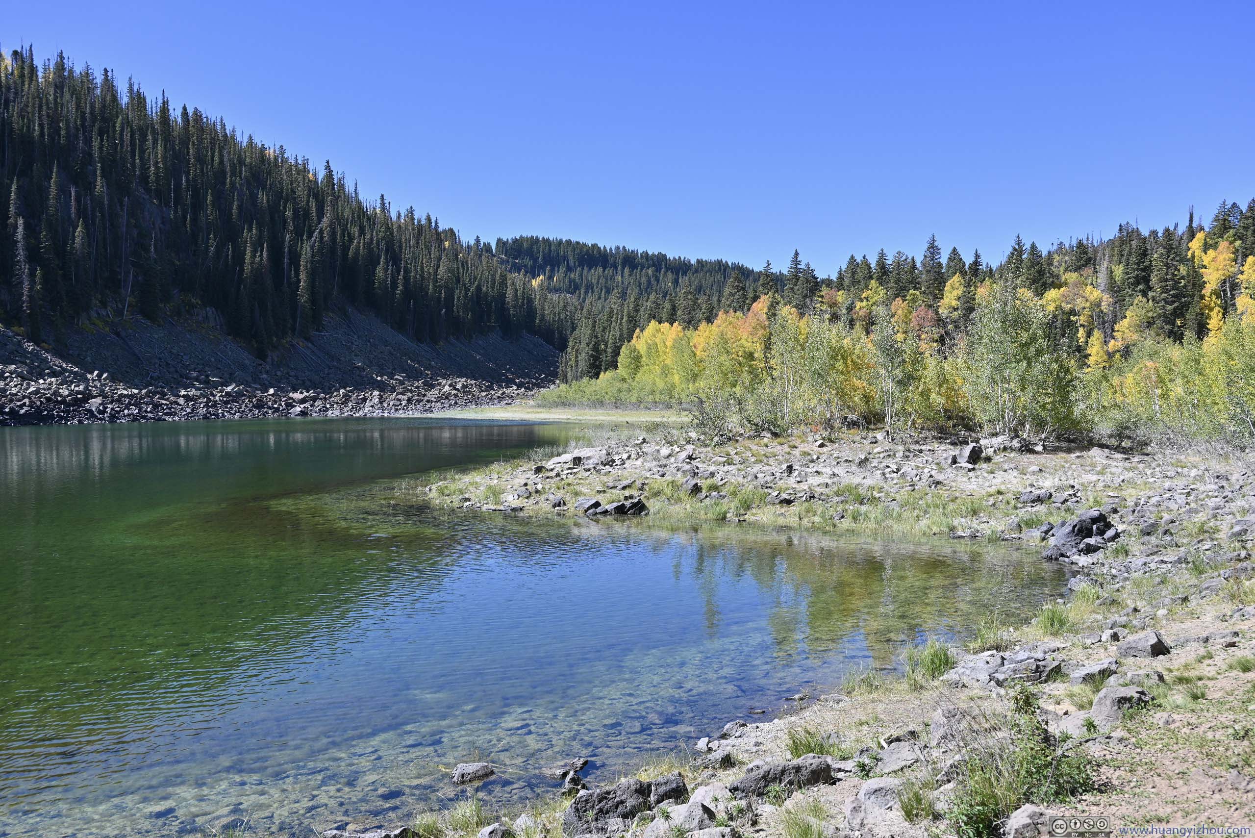
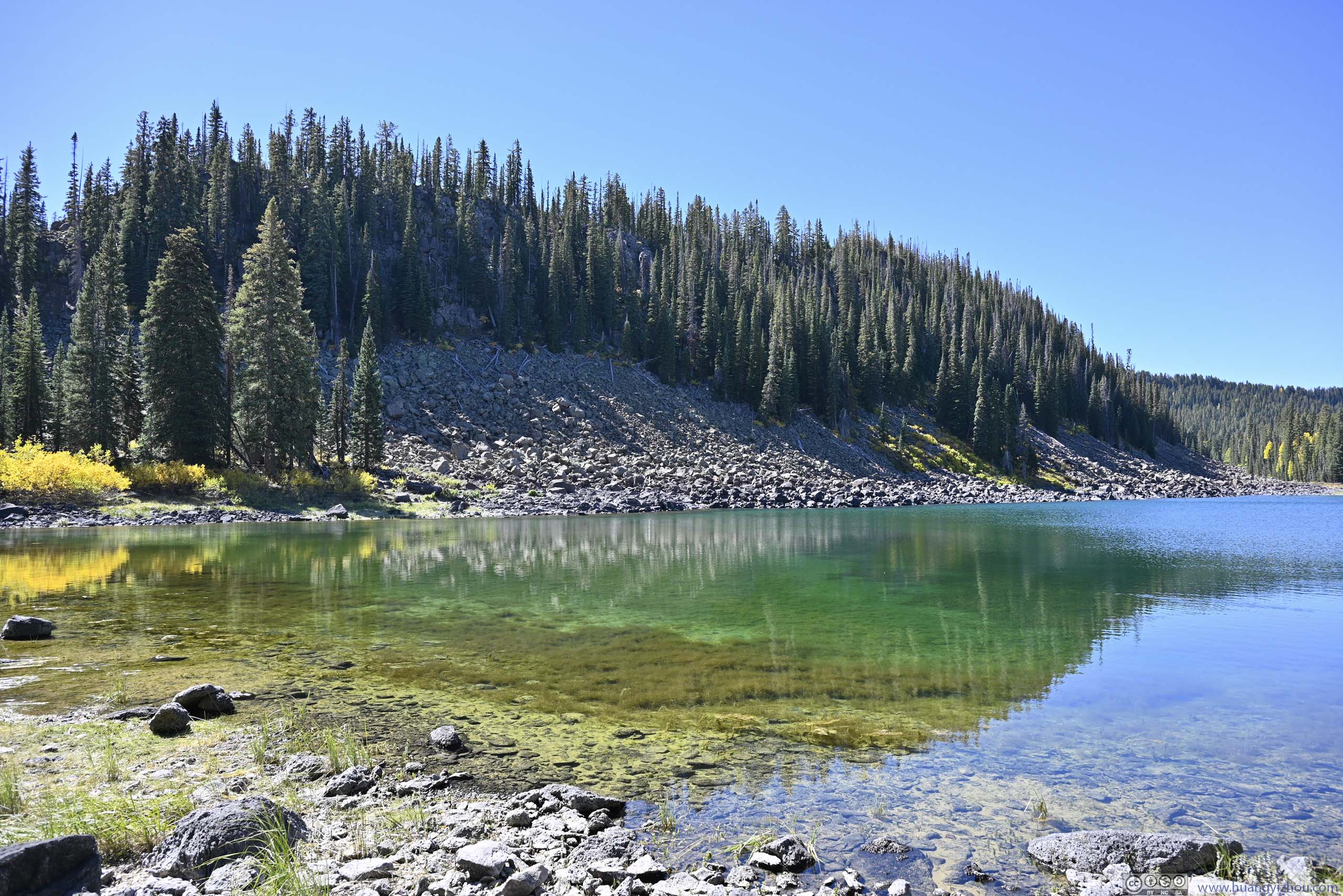
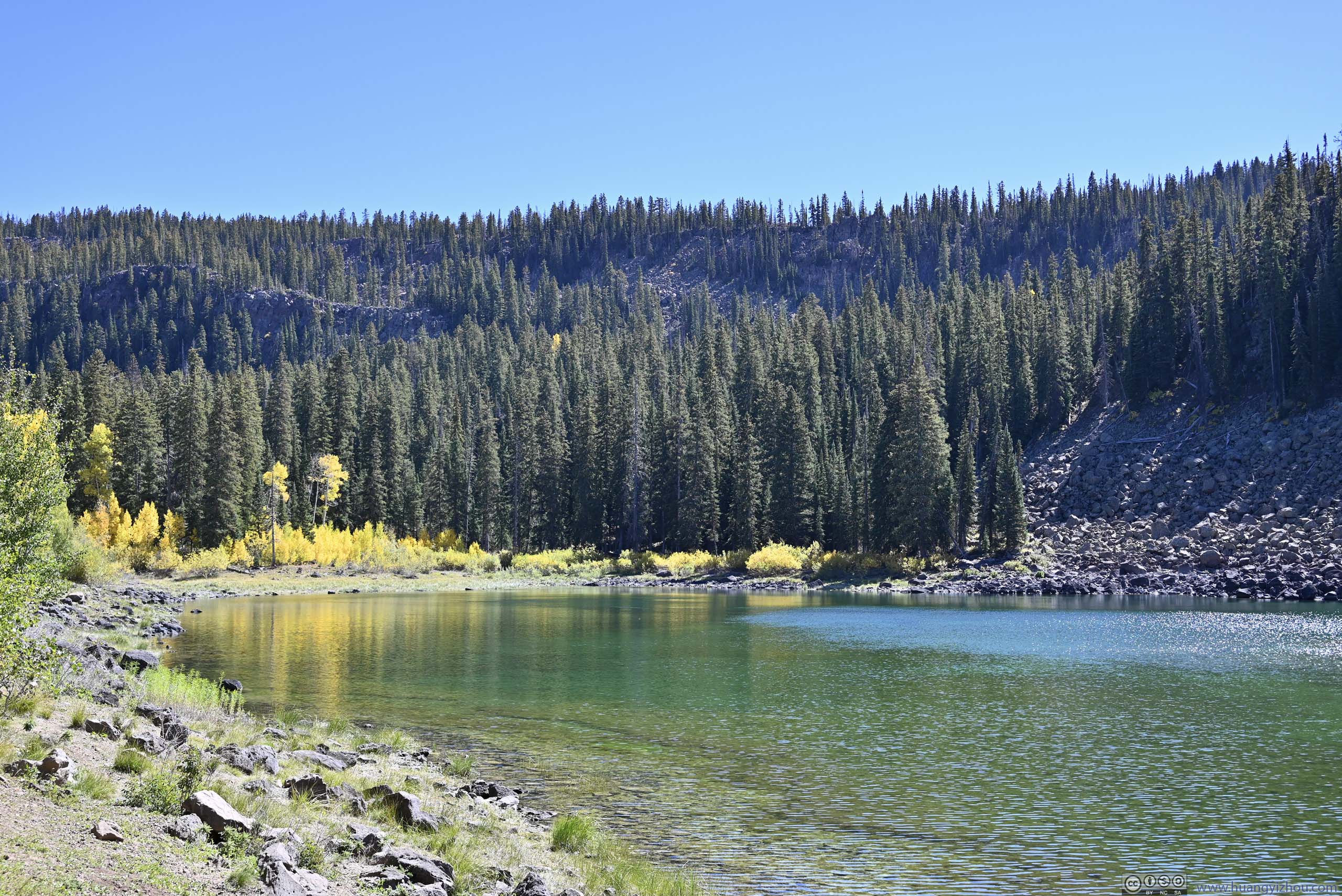
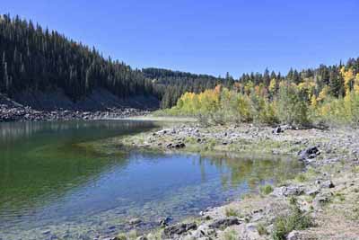
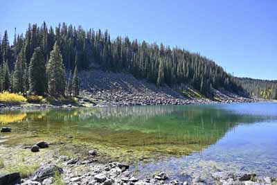
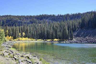
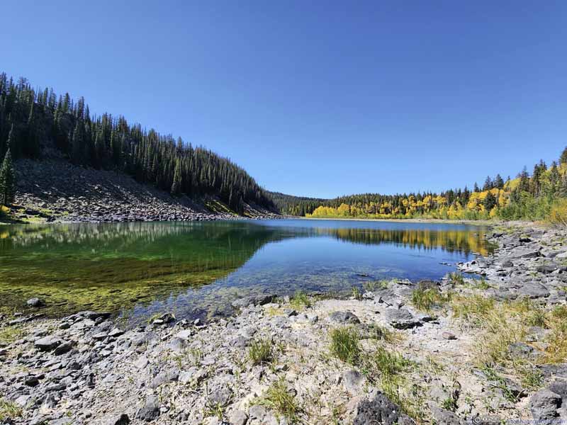
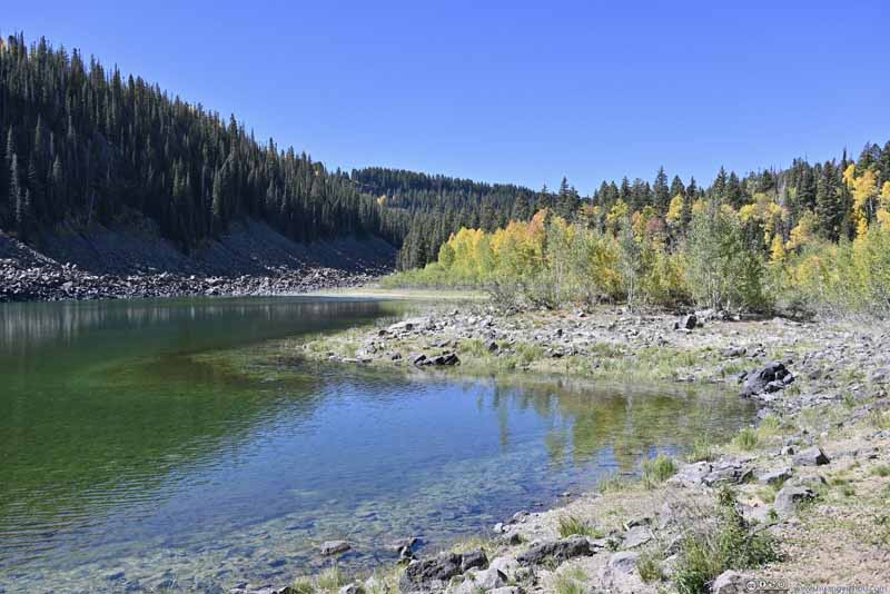
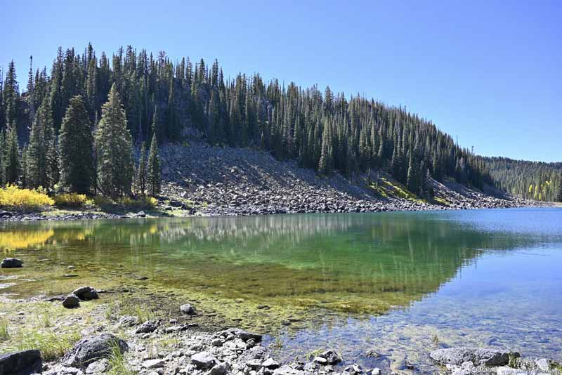
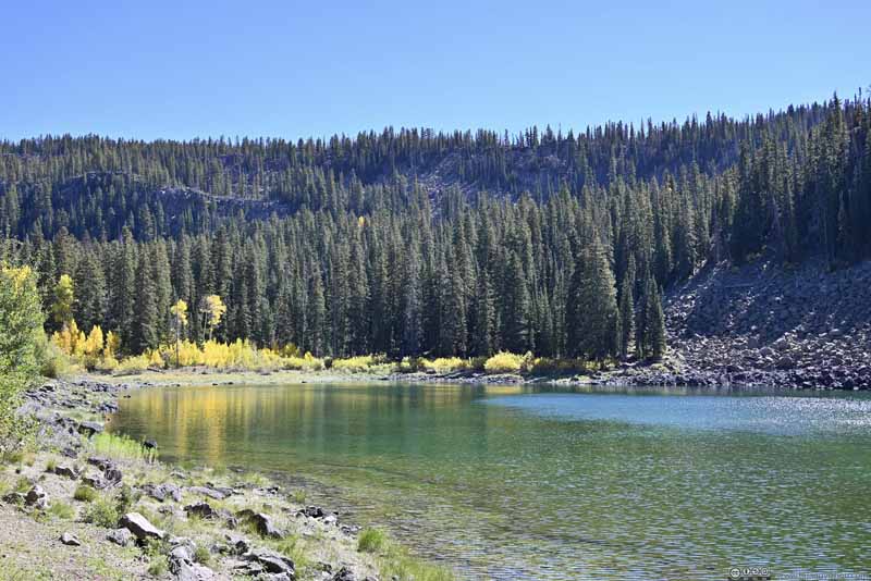
The trail ended at the shore of Lost Lake, whose water appeared in a mystical emerald color. ChatGPT believed the emerald color was created by snow griding bedrocks into fine particles that scattered light of shorter wavelength more. The steep slope (that trapped snow) and the abundance of rocks around its shores supported this theory, compared to other lakes in the area. They also gave the lake a secluded feeling, as if it's detached from the real world where magic could happen.
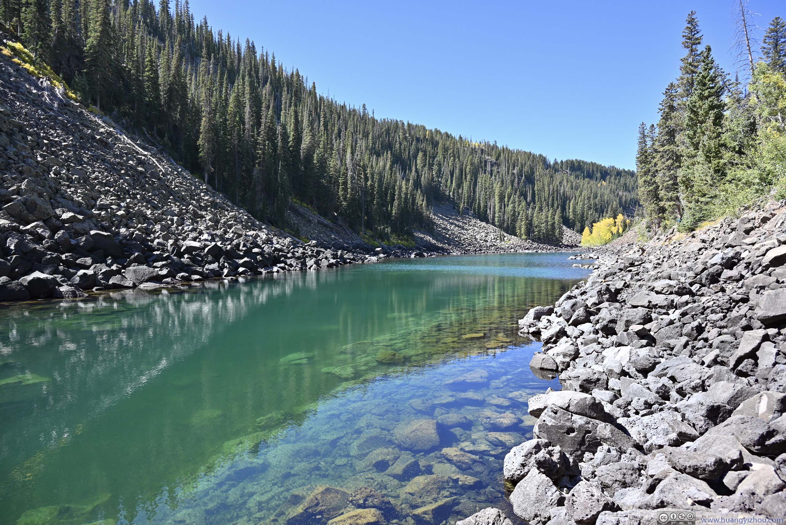
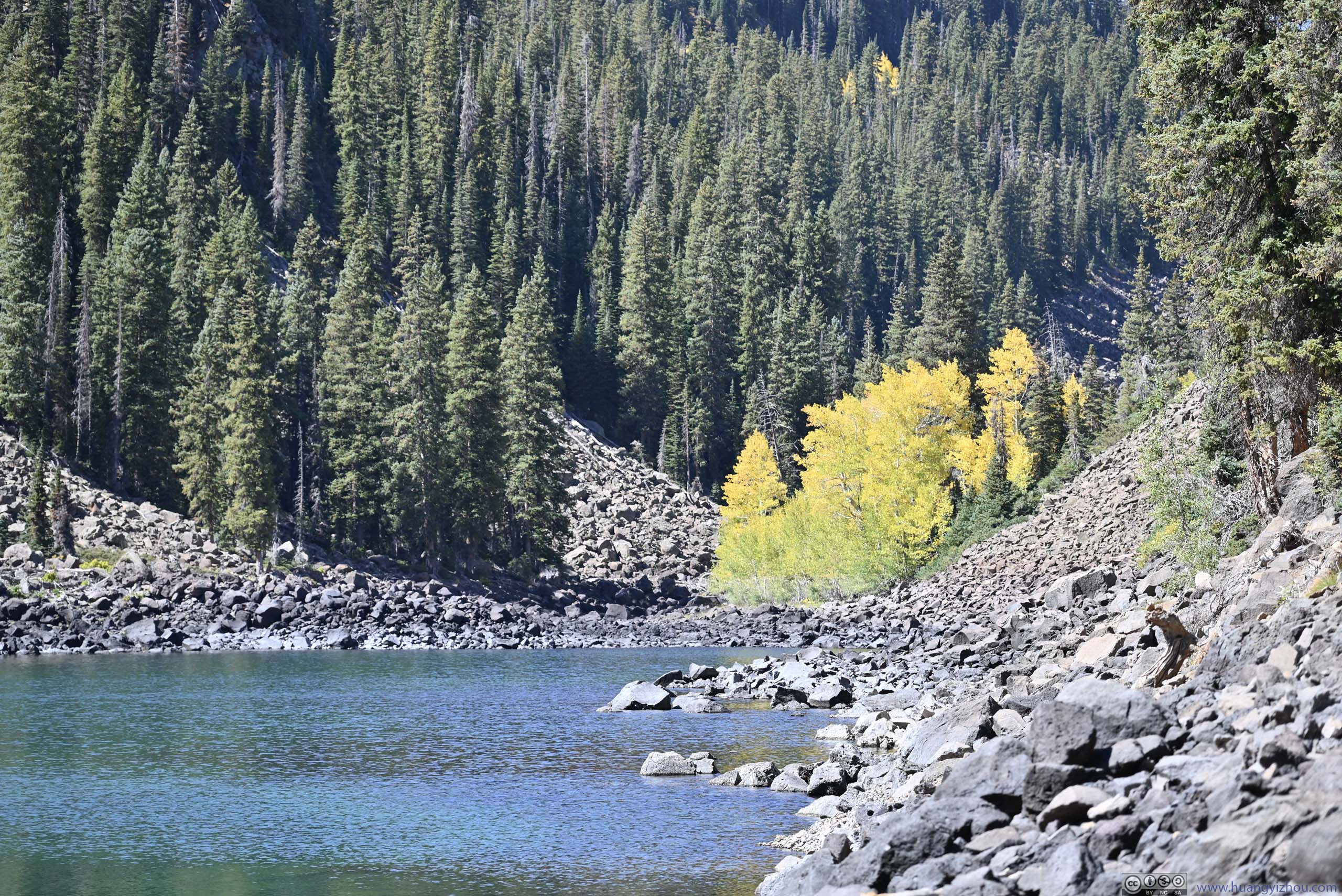
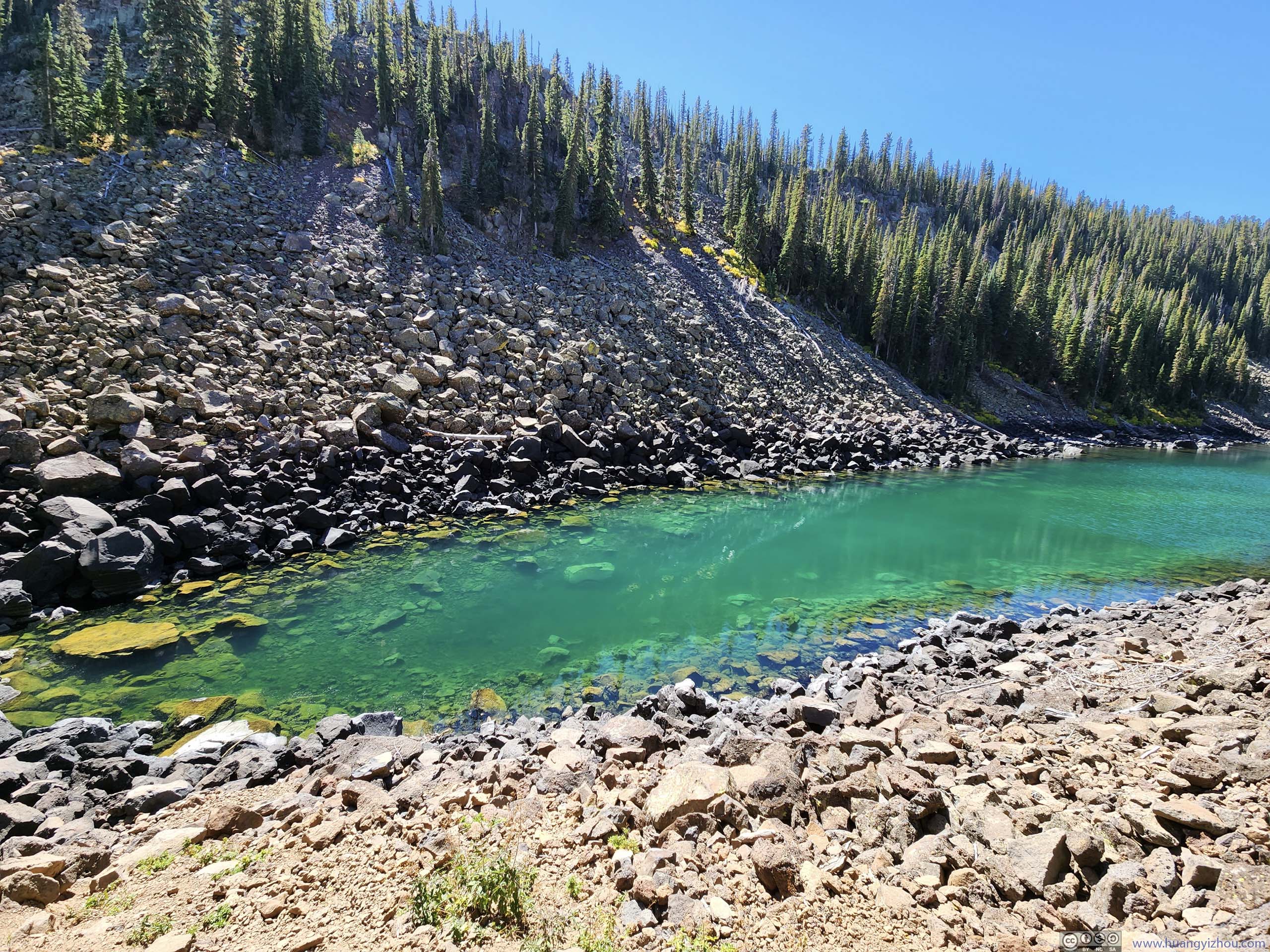
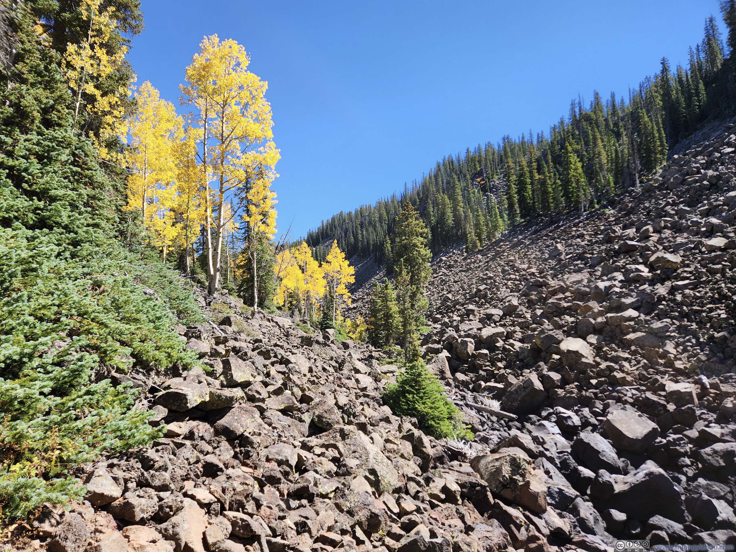
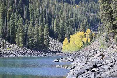
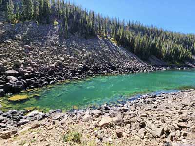
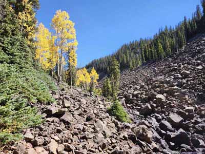
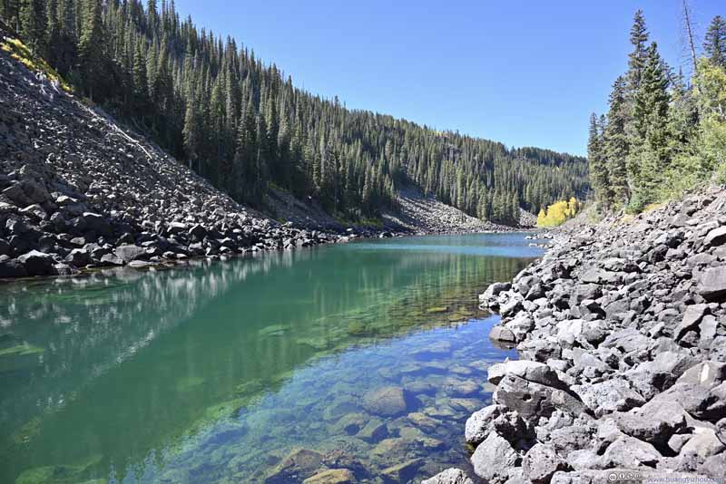
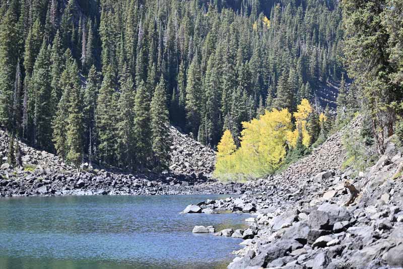
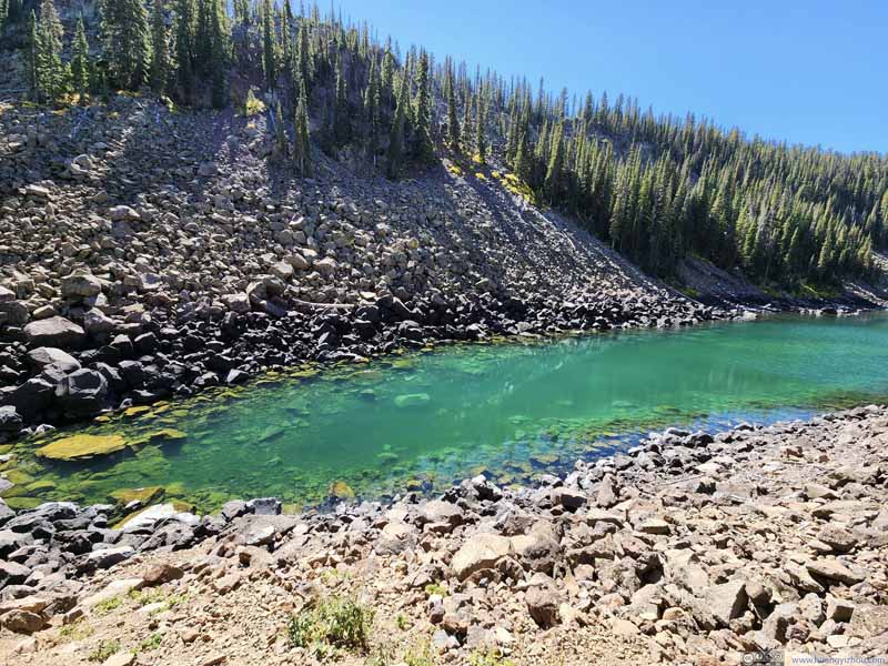
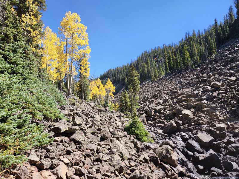
While the emerald color of Lost Lake was certainly spectacular in its own, I much anticipated amber of the foliage as the theme color of my day on Grand Mesa, which wasn't abundant around Lost Lake. Considering it took a relatively long (and somewhat boring) walk in the woods to reach Lost Lake, I wasn't particularly thrilled by what it had to offer.
After tracing my steps back, I continued onto the loop trail around Mesa Lake. Mesa Lake was a larger and more open lake, with more foliage that looked fabulous underneath the sun.
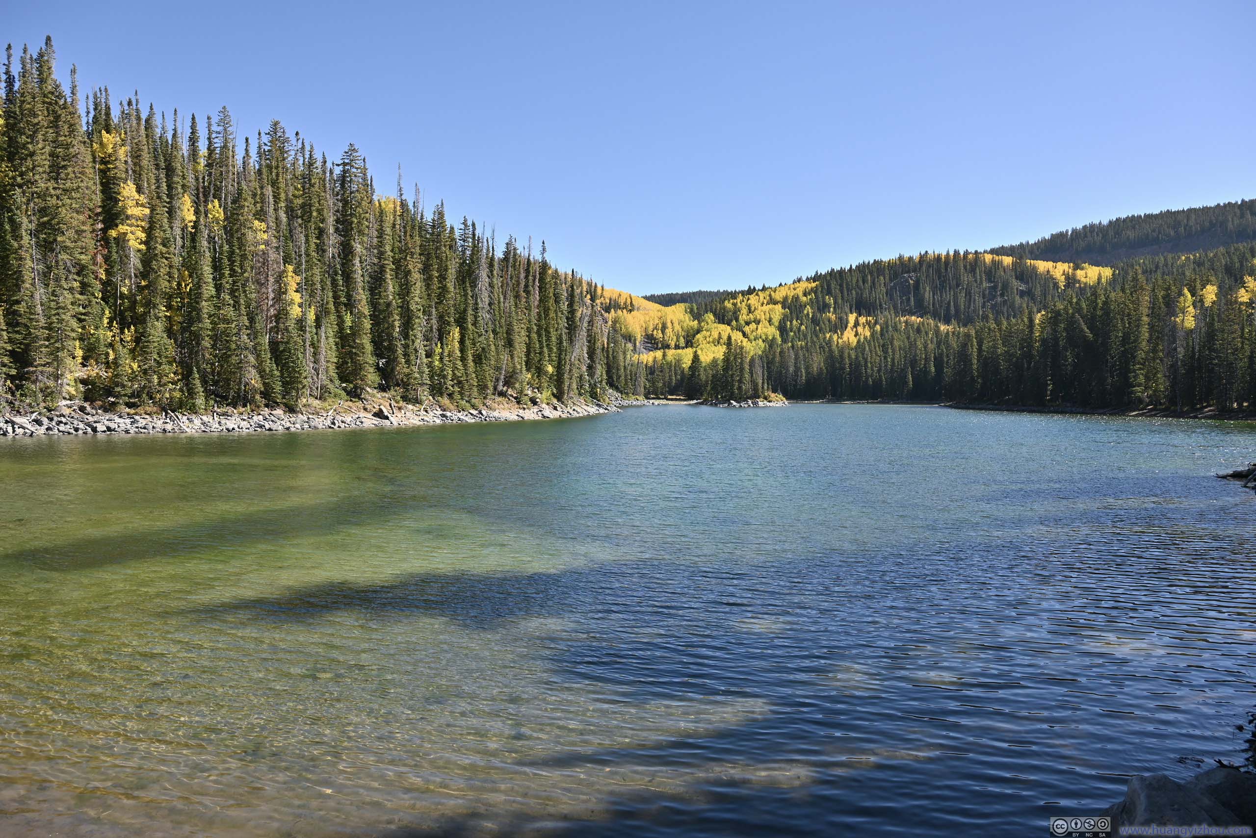
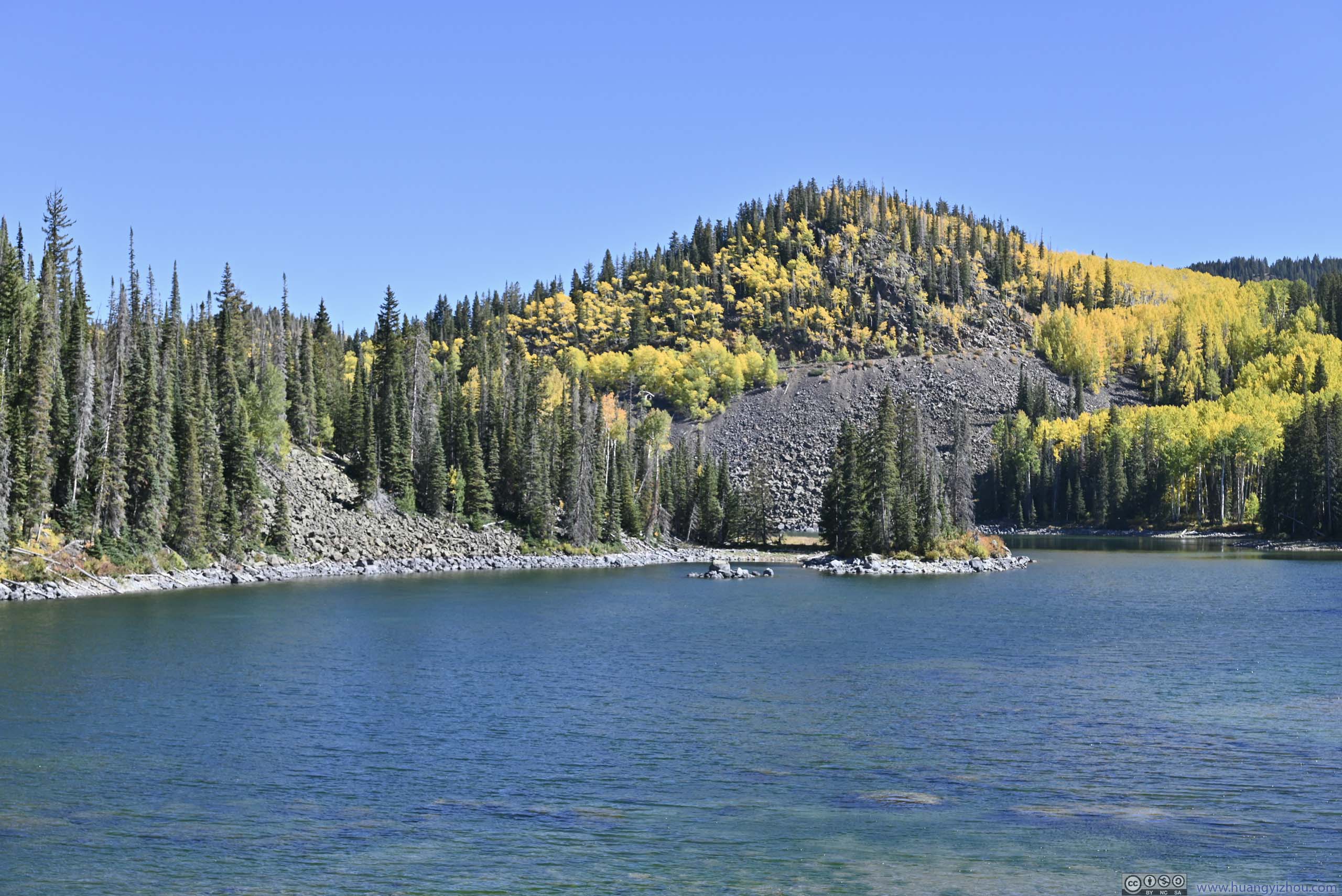
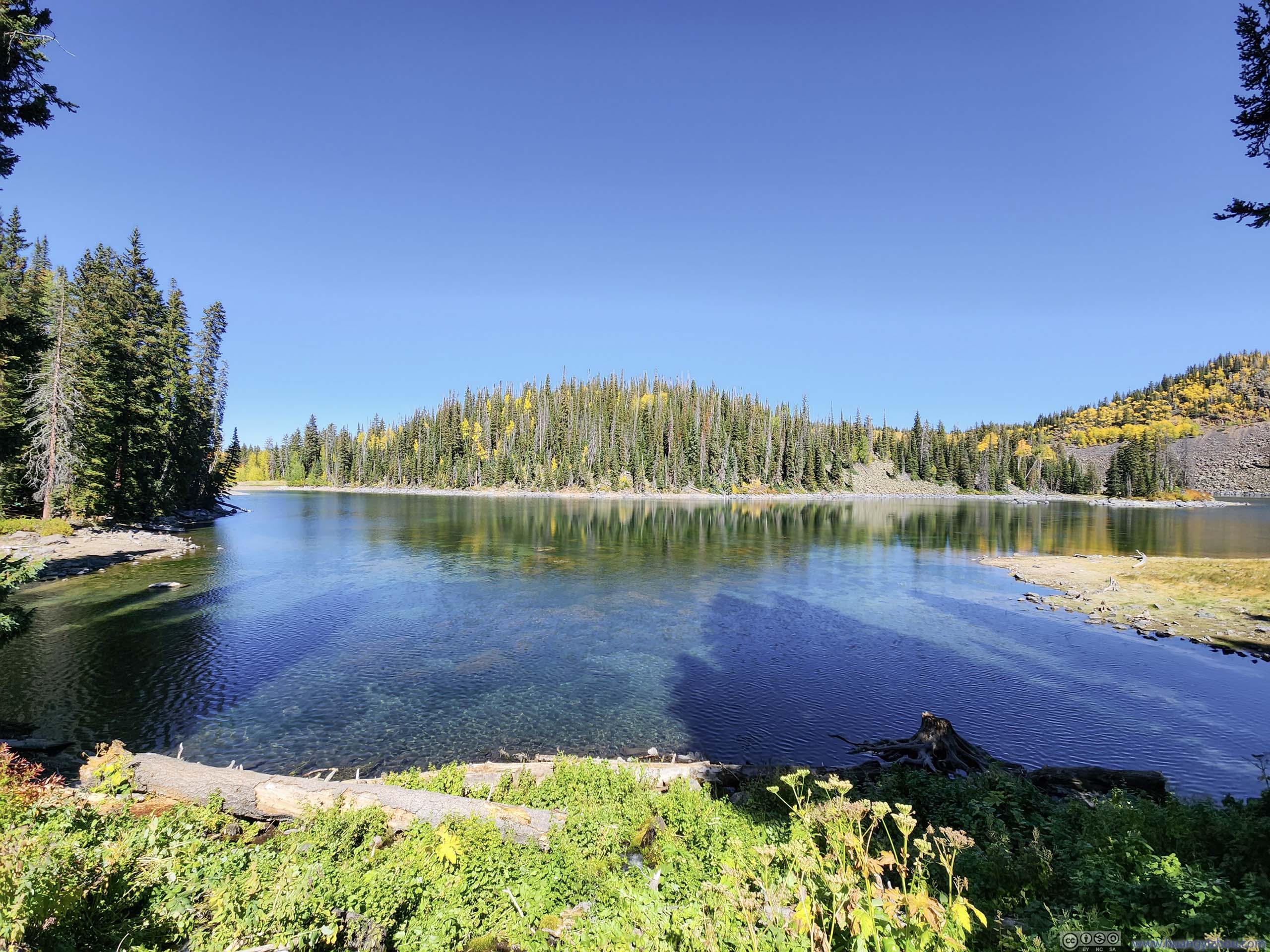
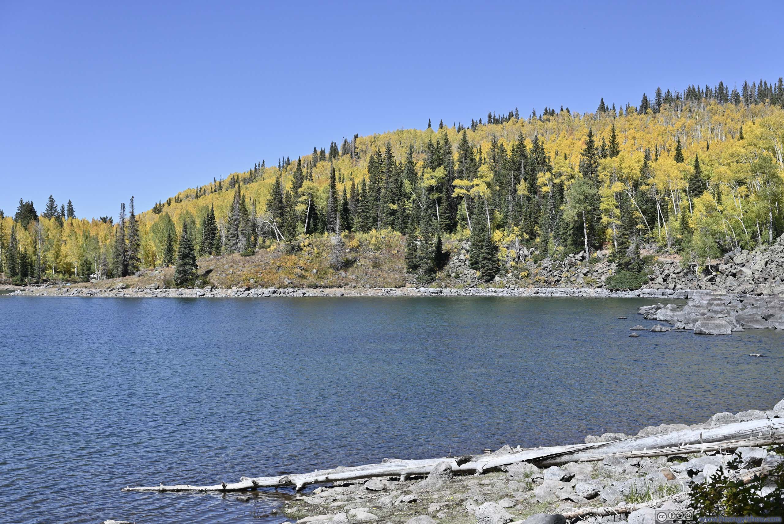
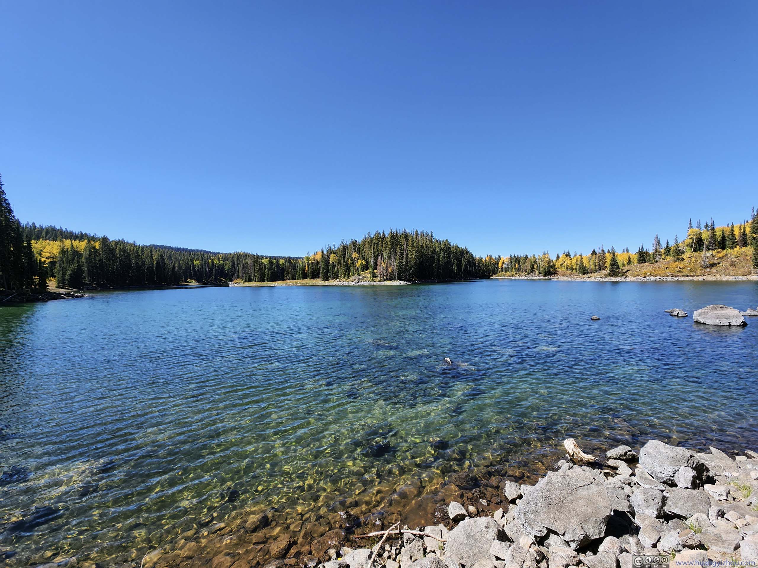
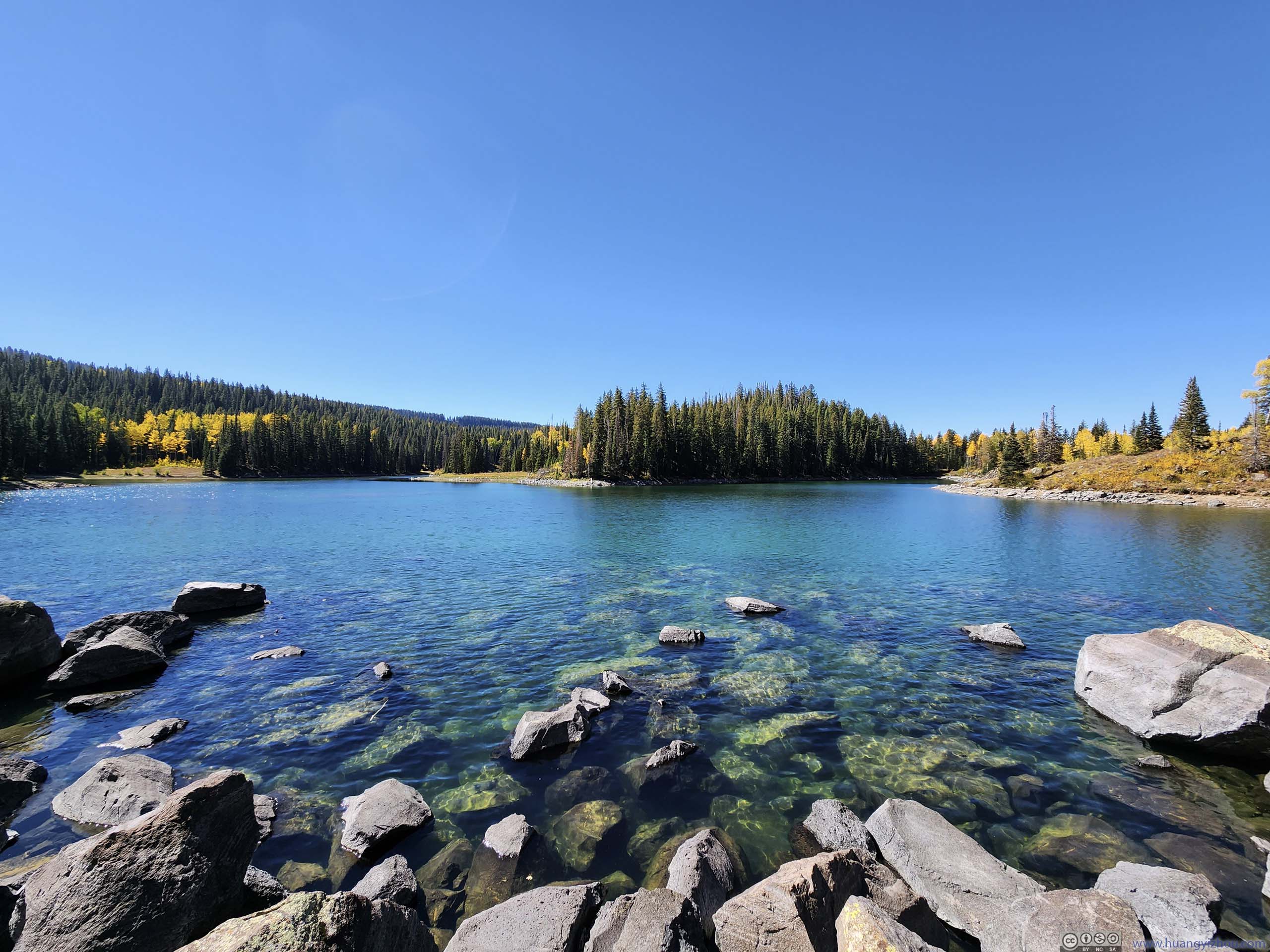
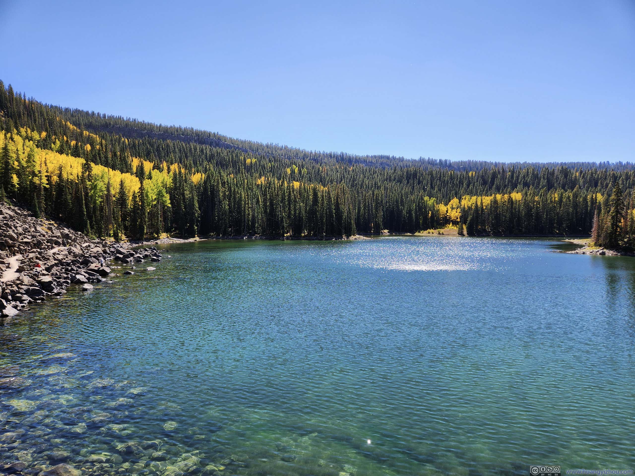
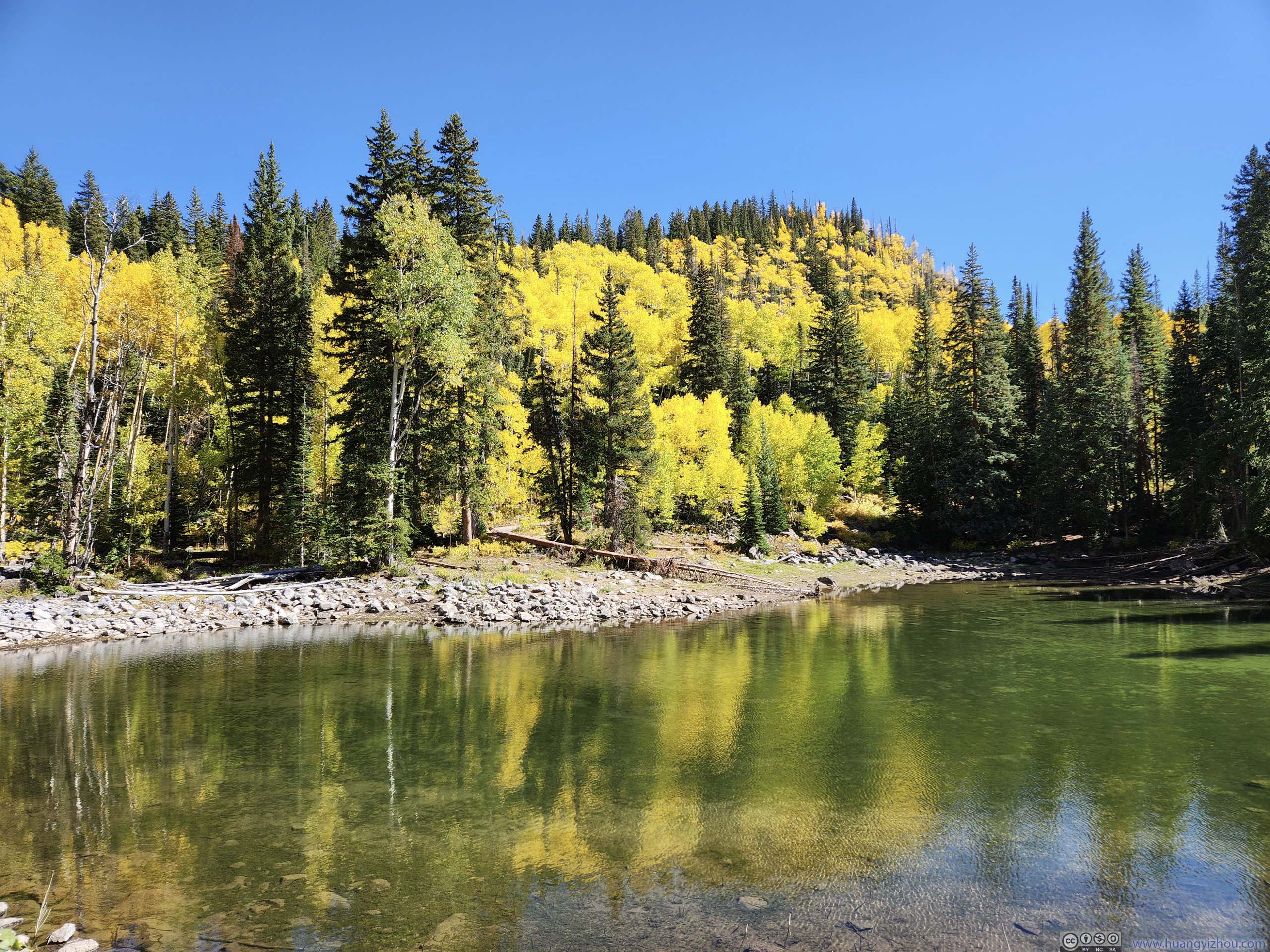
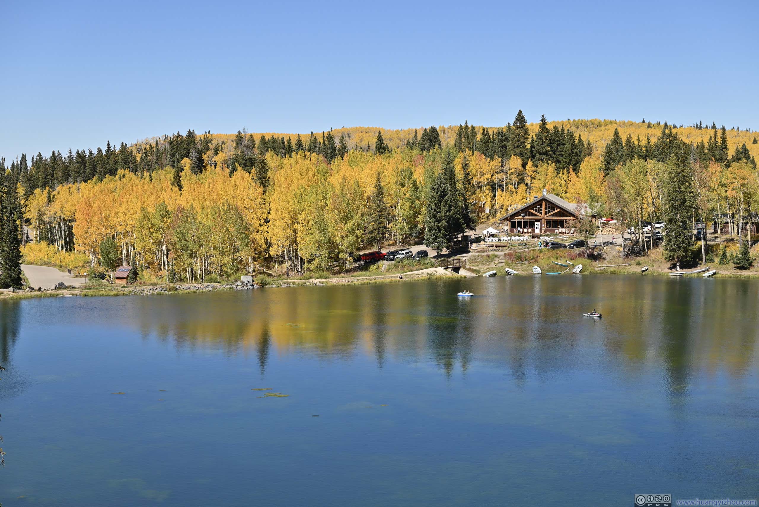
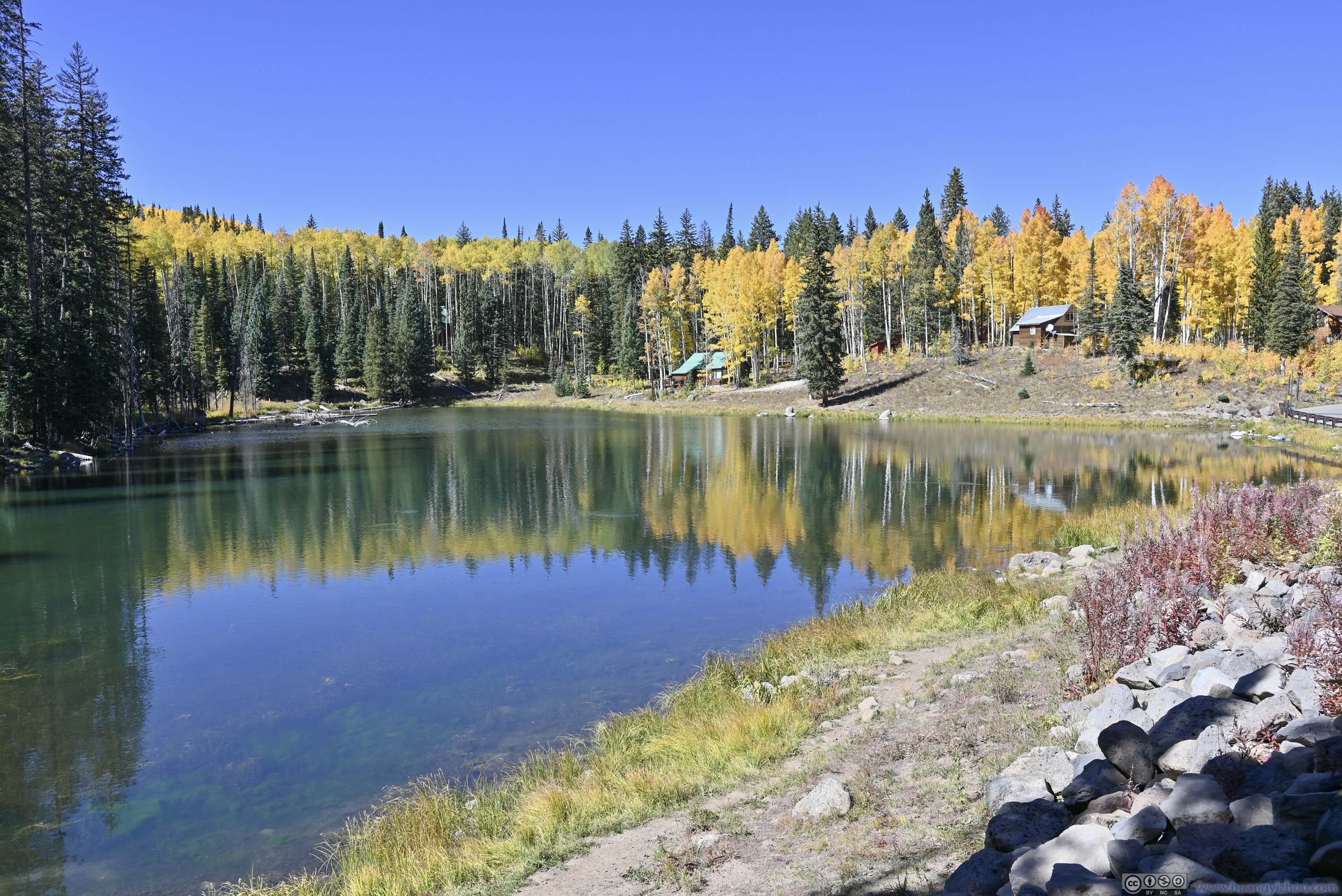

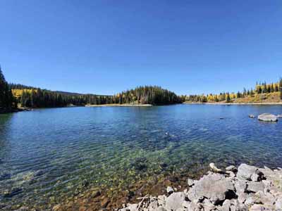
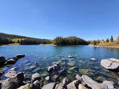
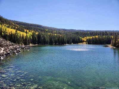
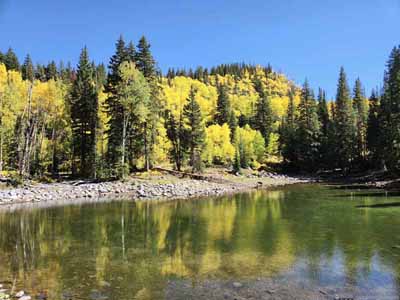
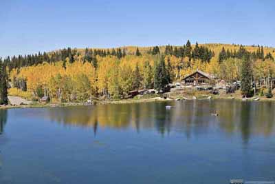
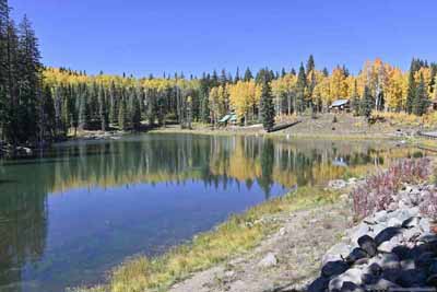
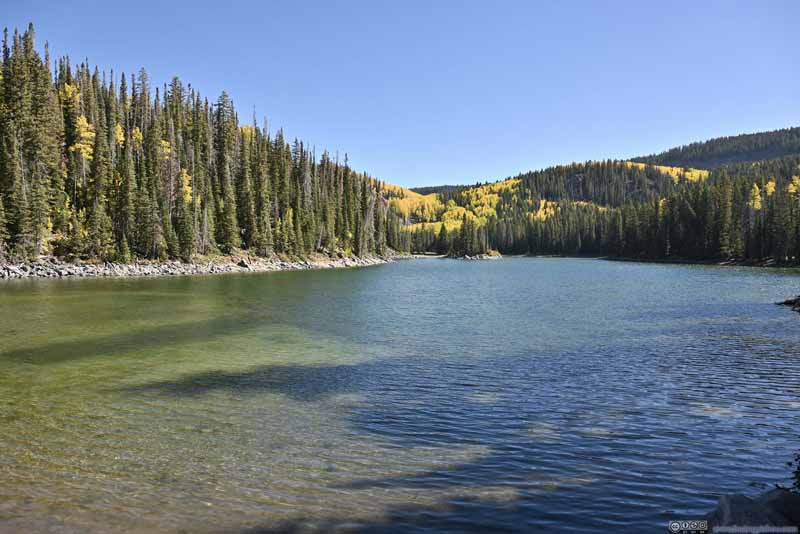
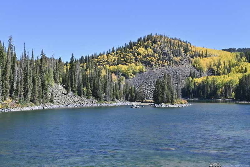
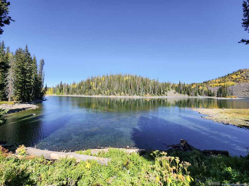
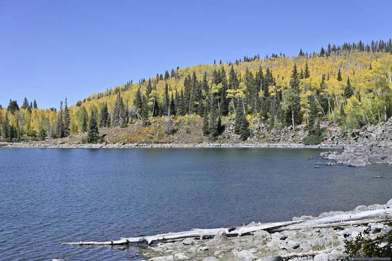
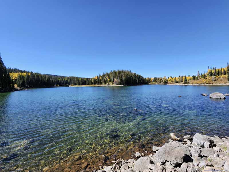
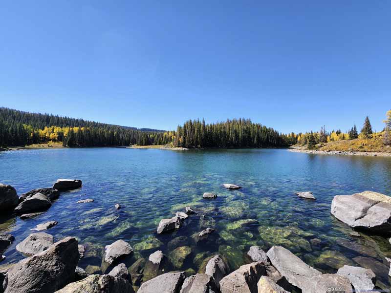
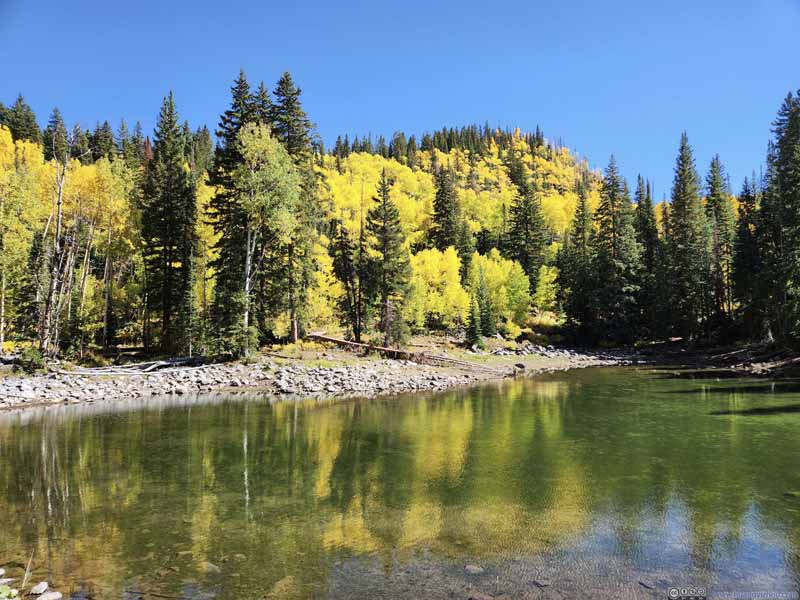
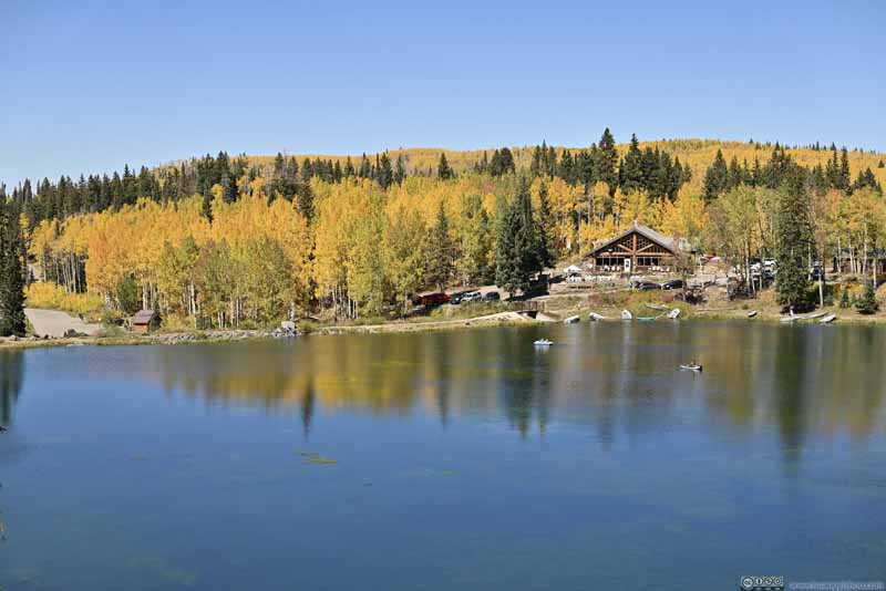
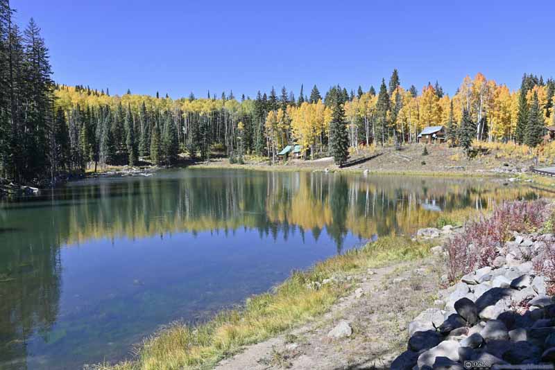
Finally, before I left the area, I checked out the nearby Sunset Lake. Slopes were gentle around Sunset Lake, augmenting its breadth. It also featured a fair share of aspen wearing foliage.
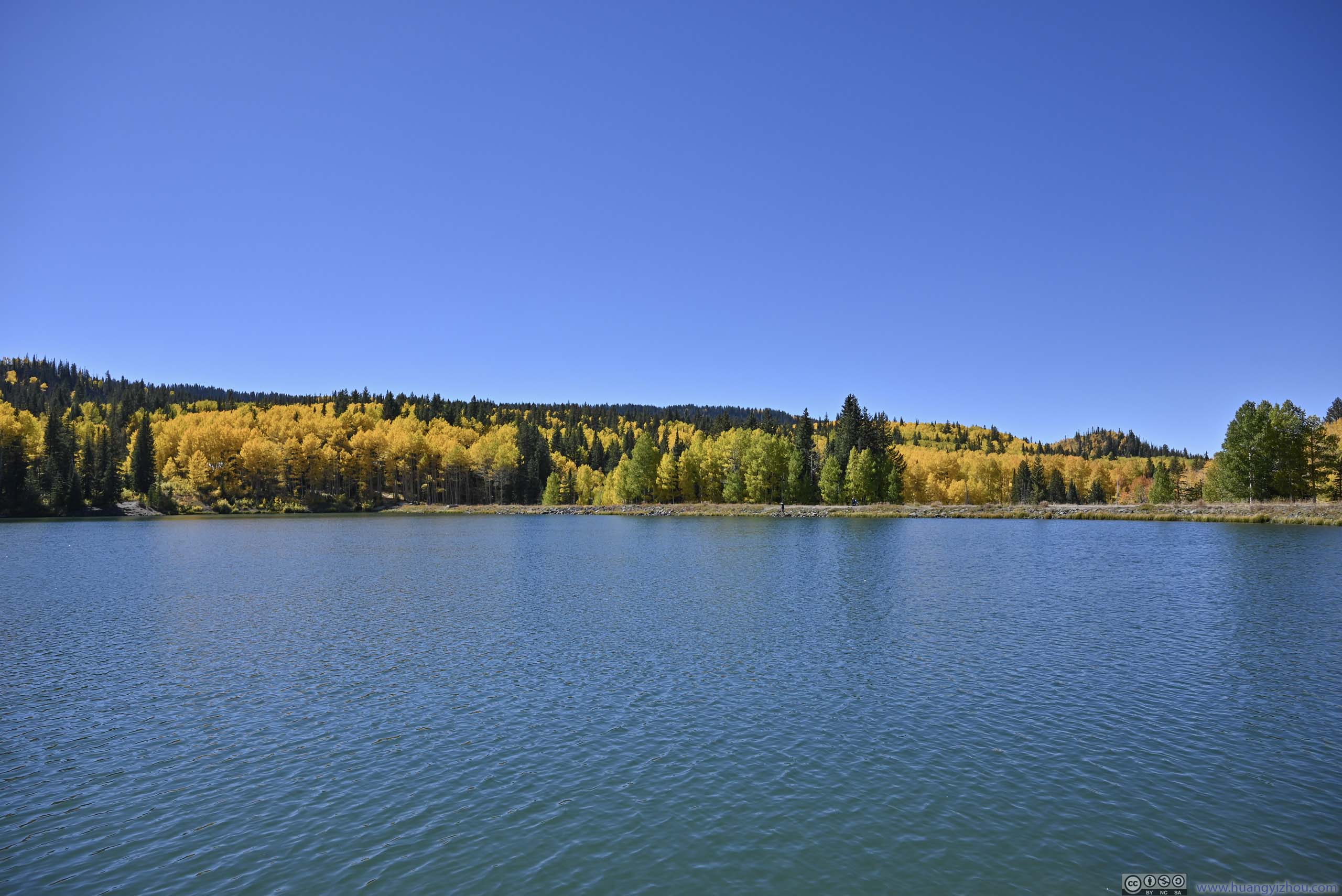
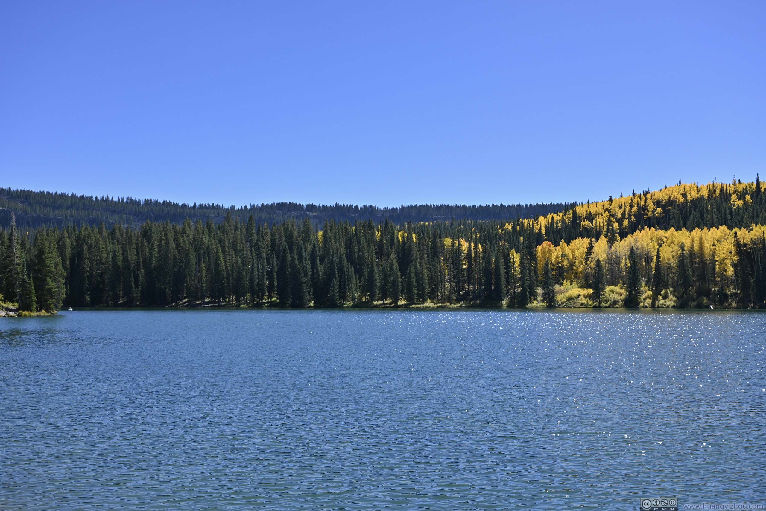
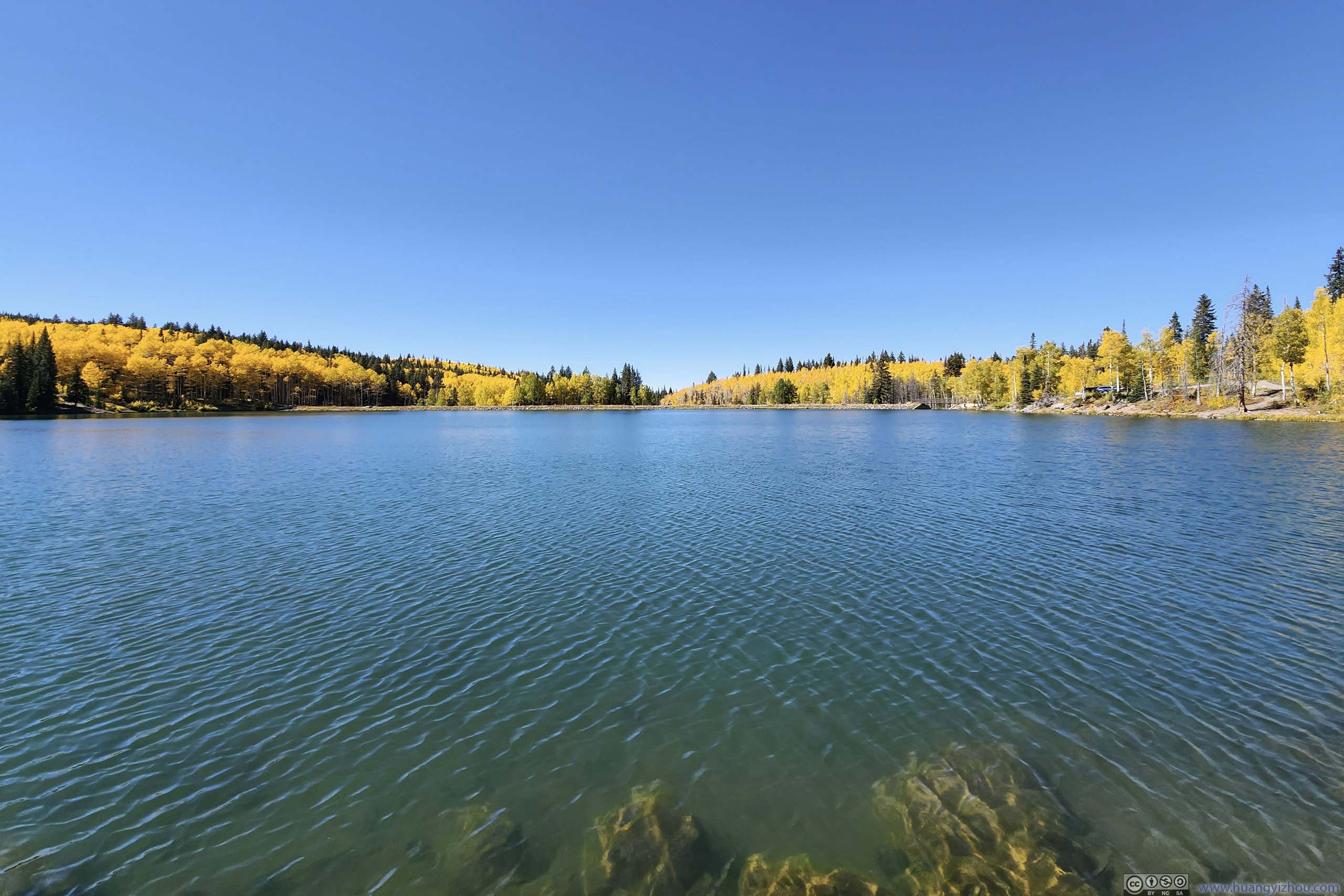
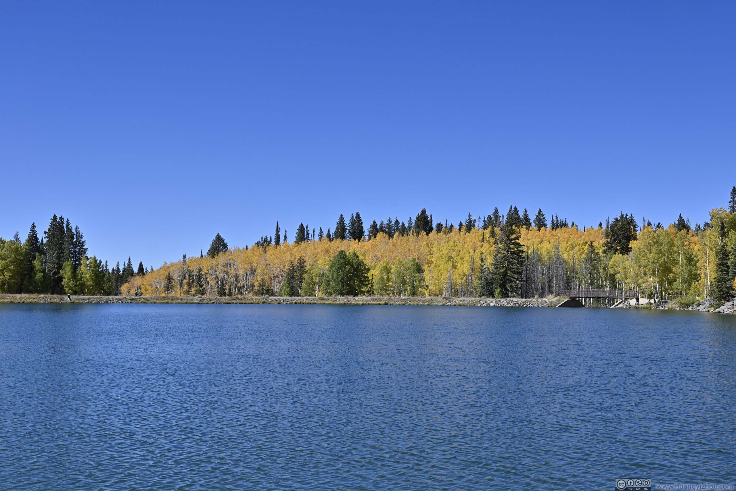
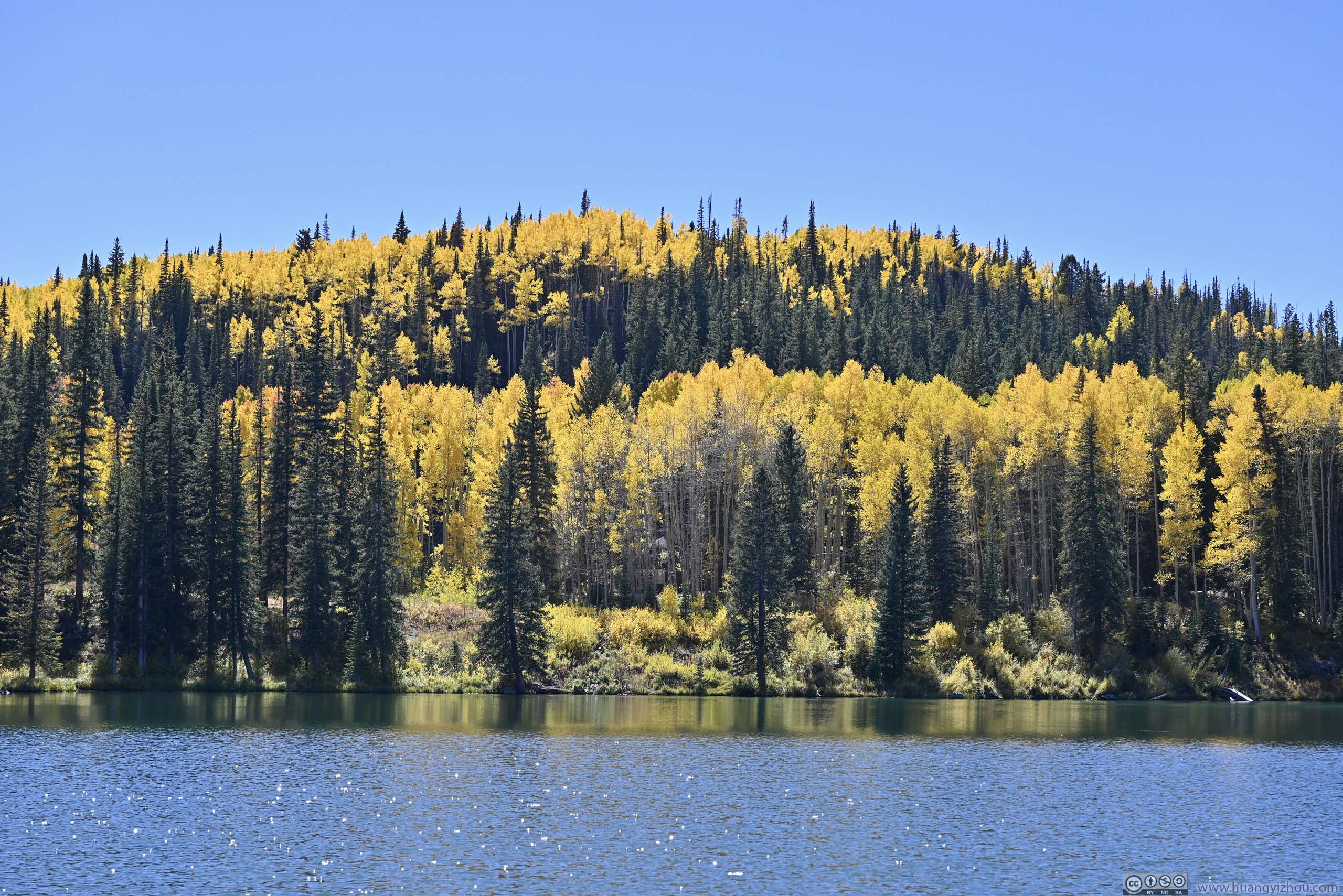
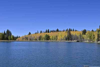
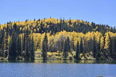
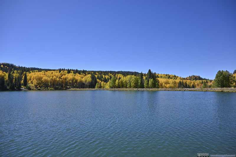
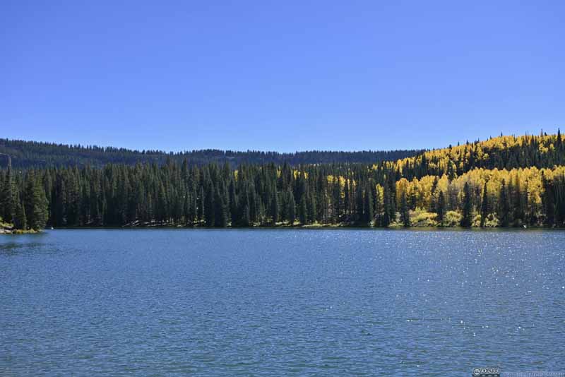
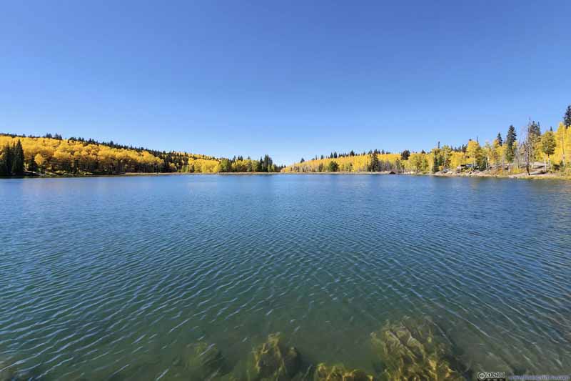
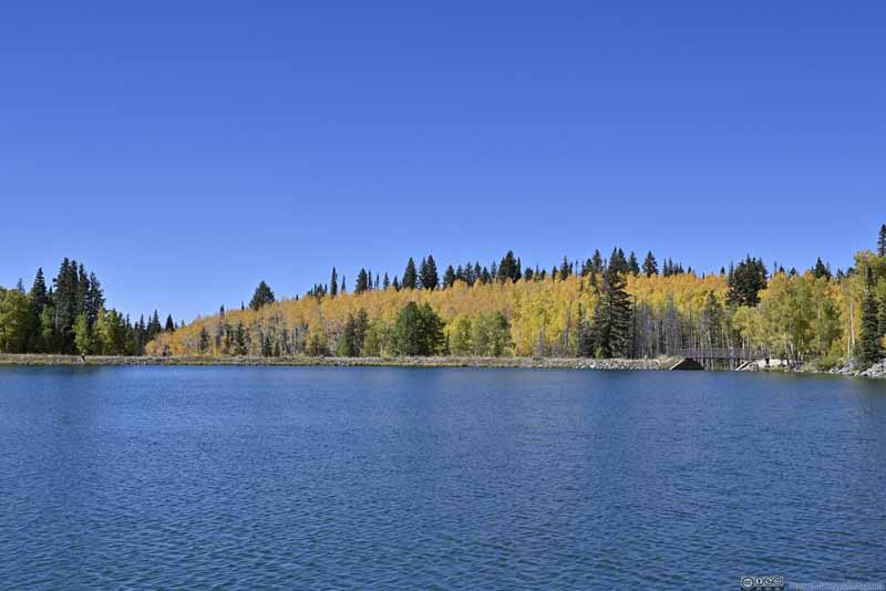
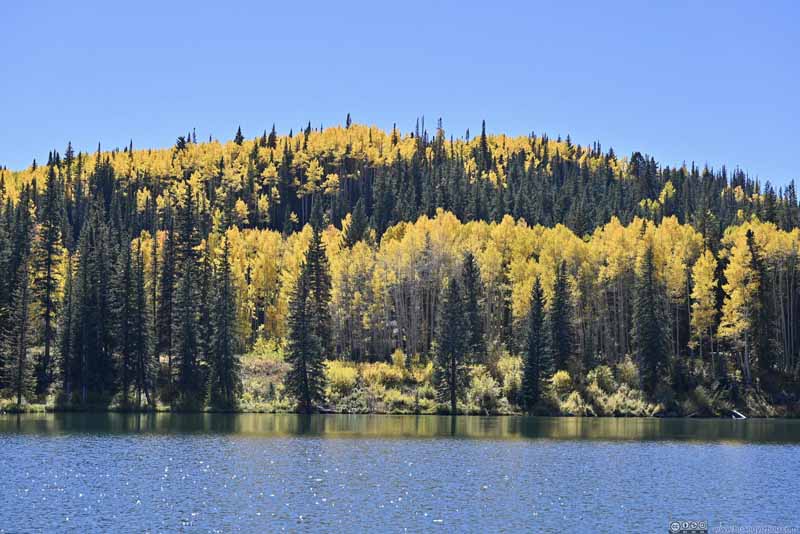

Not long after leaving Sunset Lake, a roadside turnout offered views "summarizing" the Mesa Lakes Area. The vantage point showcased the great extent of foliage that was hardly appreciated from the trail. (This would make a great drone shot, had I brought it for this trip.🤨)
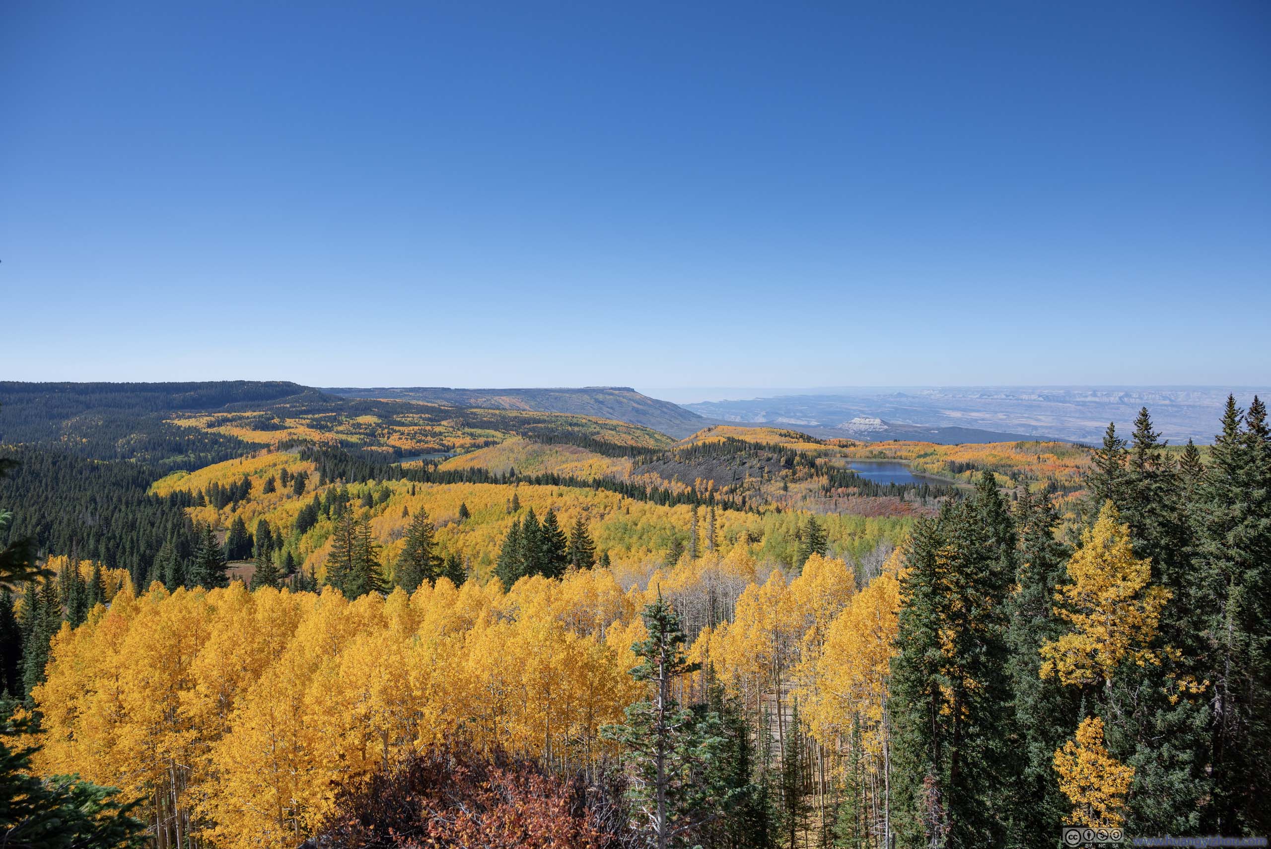
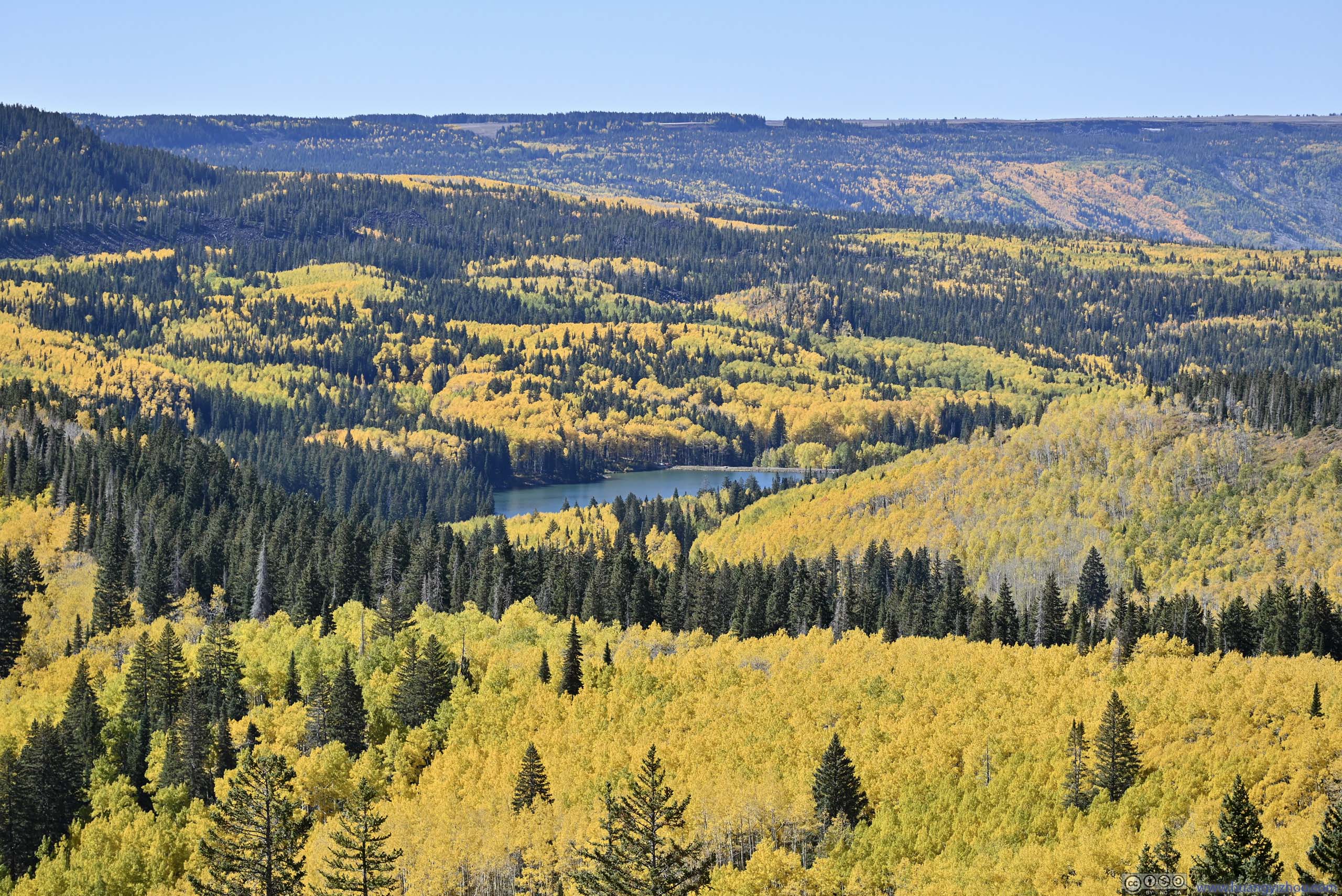
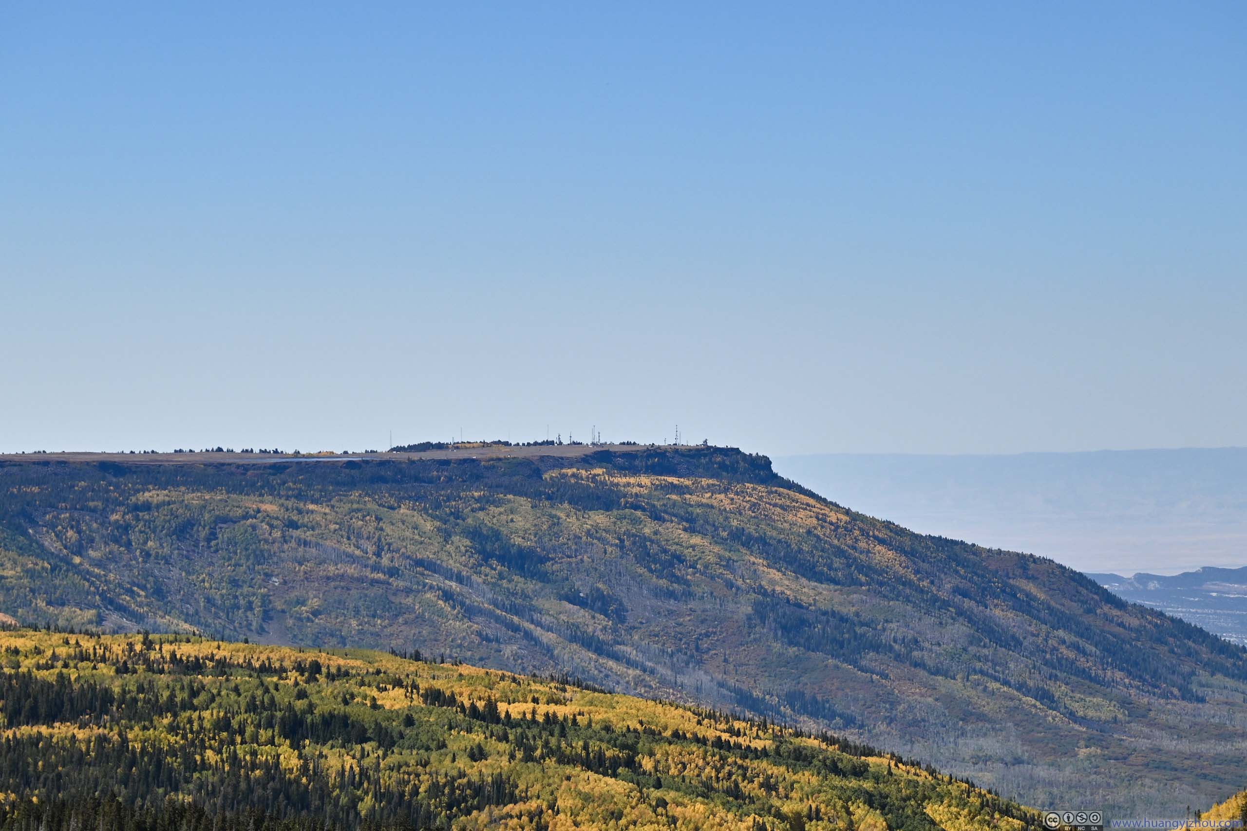
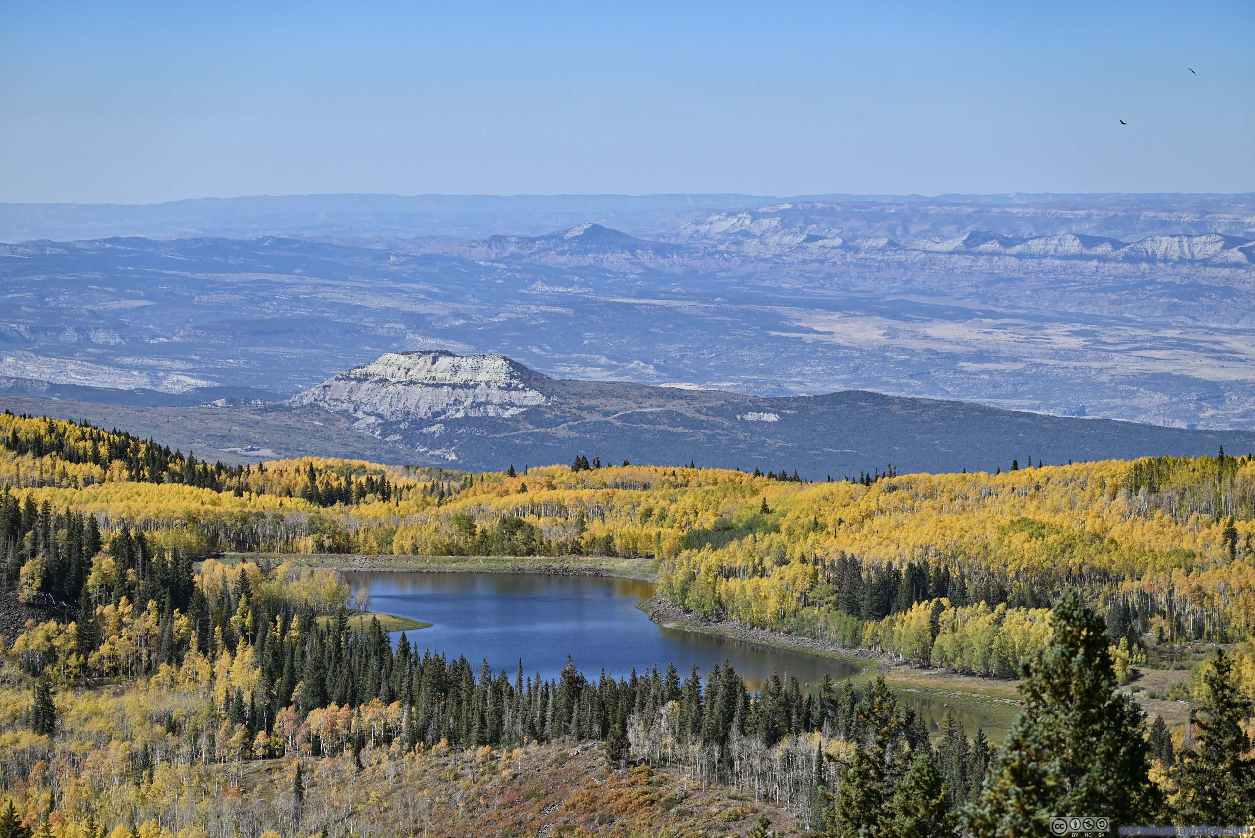
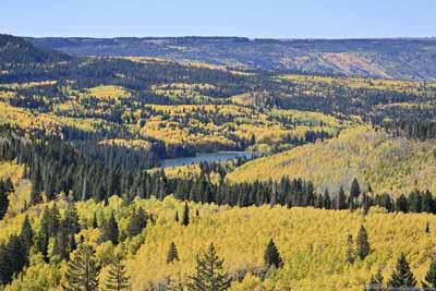
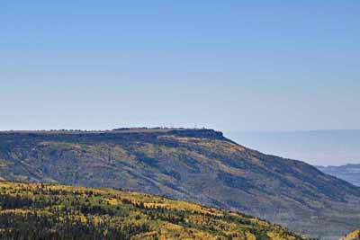
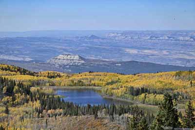
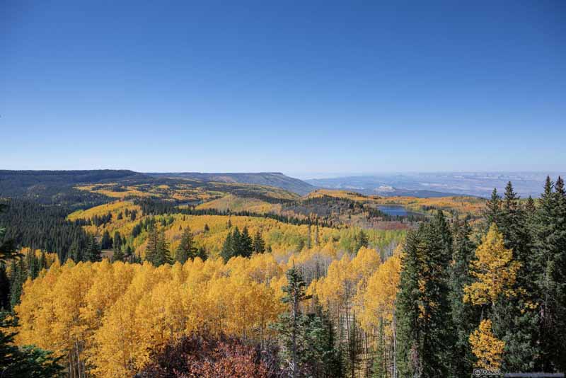
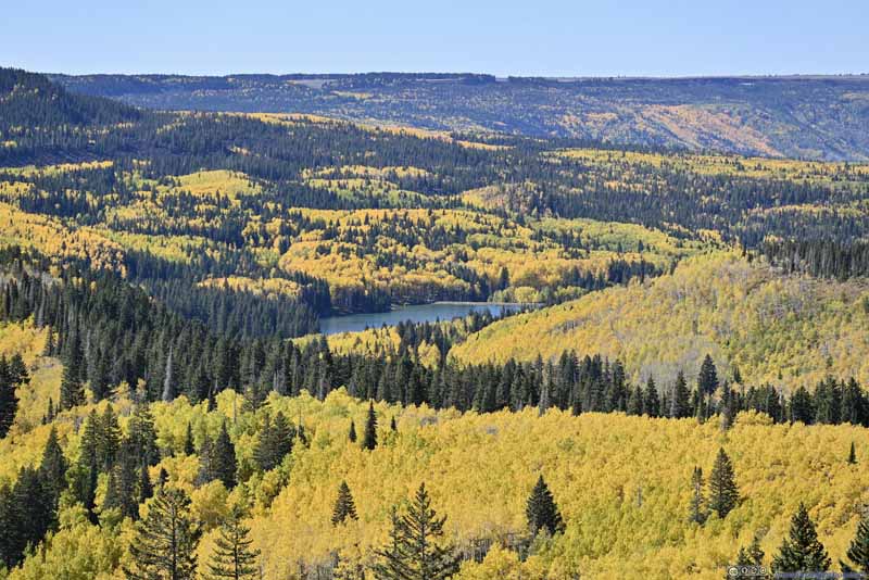
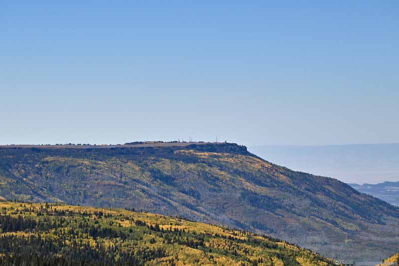
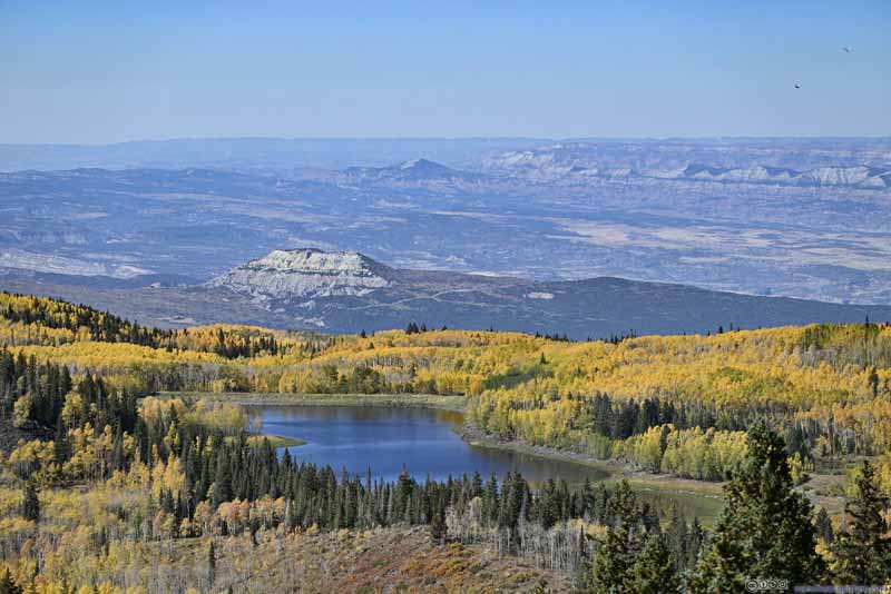
The previous turnout was just before "Grand Mesa Nordic Council" on maps. Despite the name, Grand Mesa Scenic Byway travelled constantly up and down, with only a small portion "on" Grand Mesa (I only just made it on top Grand Mesa near the previous turnout). The majority of Grand Meas was now to my west, including the famous "Lands End Observatory" with towering views overlooking Grand Valley below. Unfortunately, the road to "Lands End Observatory" was largely unpaved and I didn't have enough time for the day, so I skipped that.
Land O Lakes Overlook
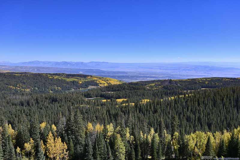
Next along the way was "Land O Lakes Overlook". This was probably the best (if not the only) named overlook along Grand Mesa Scenic Byway. From its parking lot, it's an 800m loop trail to the actual overlook with unobstructed views to the south and the east.
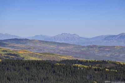
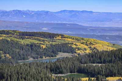
Apart from the distant Elk Mountains, "Crag Crest" was a prominent view from the overlook. Looking at satellite images, it seemed to me that Grand Mesa narrowed down to a ridge/crest as it extended east, which formed this "Crag Crest". To its south, alpine lakes dotted the landscape, and hance the overlook was named "land of lakes". Although only "Island Lake" was visible from this overlook. The 16.6km loop trail on and off Crag Crest was a popular one in the region, which I didn't have time for today.
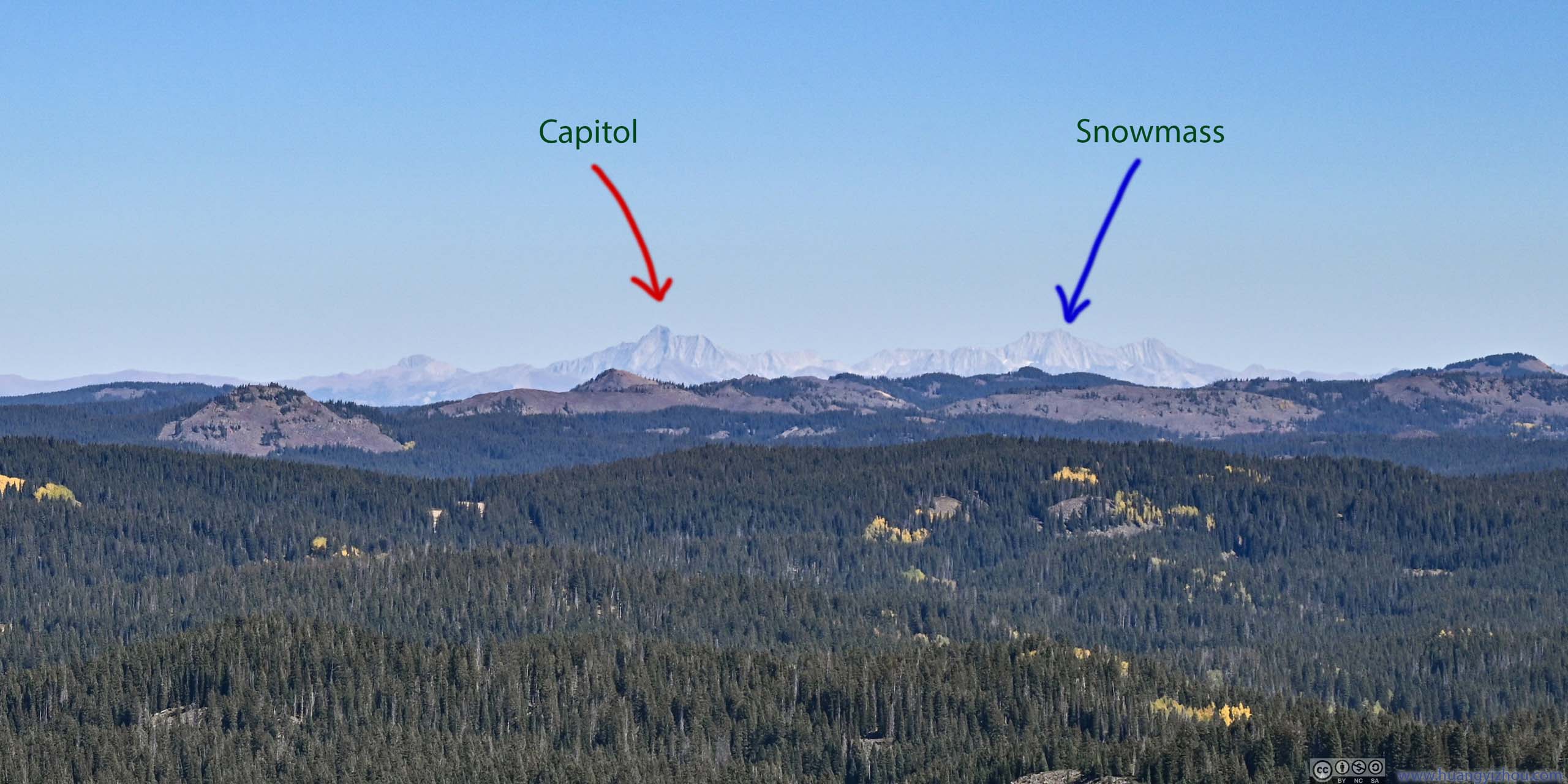
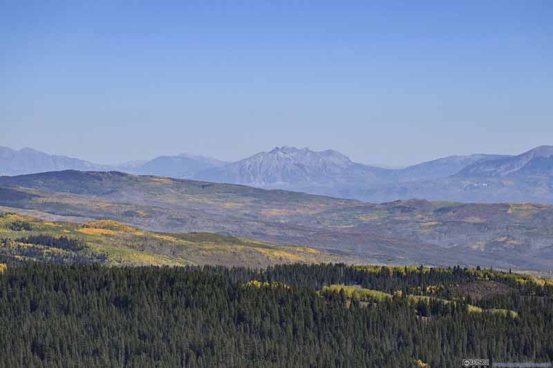
In addition, to the distant south across North Fork Valley, West Elk Mountains and San Juan Mountains popped into view. Down the hazy horizon their rugged and uninterrupted contours were unmistakably the iconic Colorado mountain scene, and it’s not often that they came together into one shot. I planned to climb a few mountains in the San Juan range in the coming days, and this overlook served as an exciting preview of what’s to come.

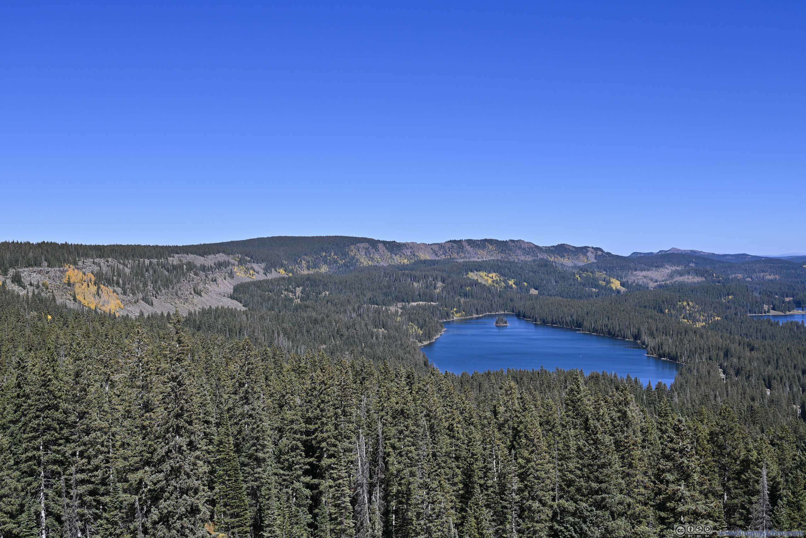
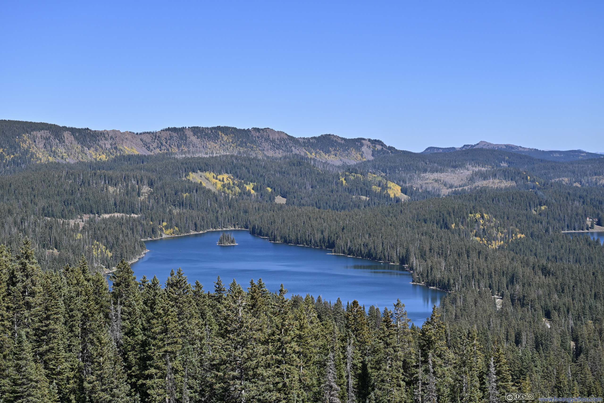
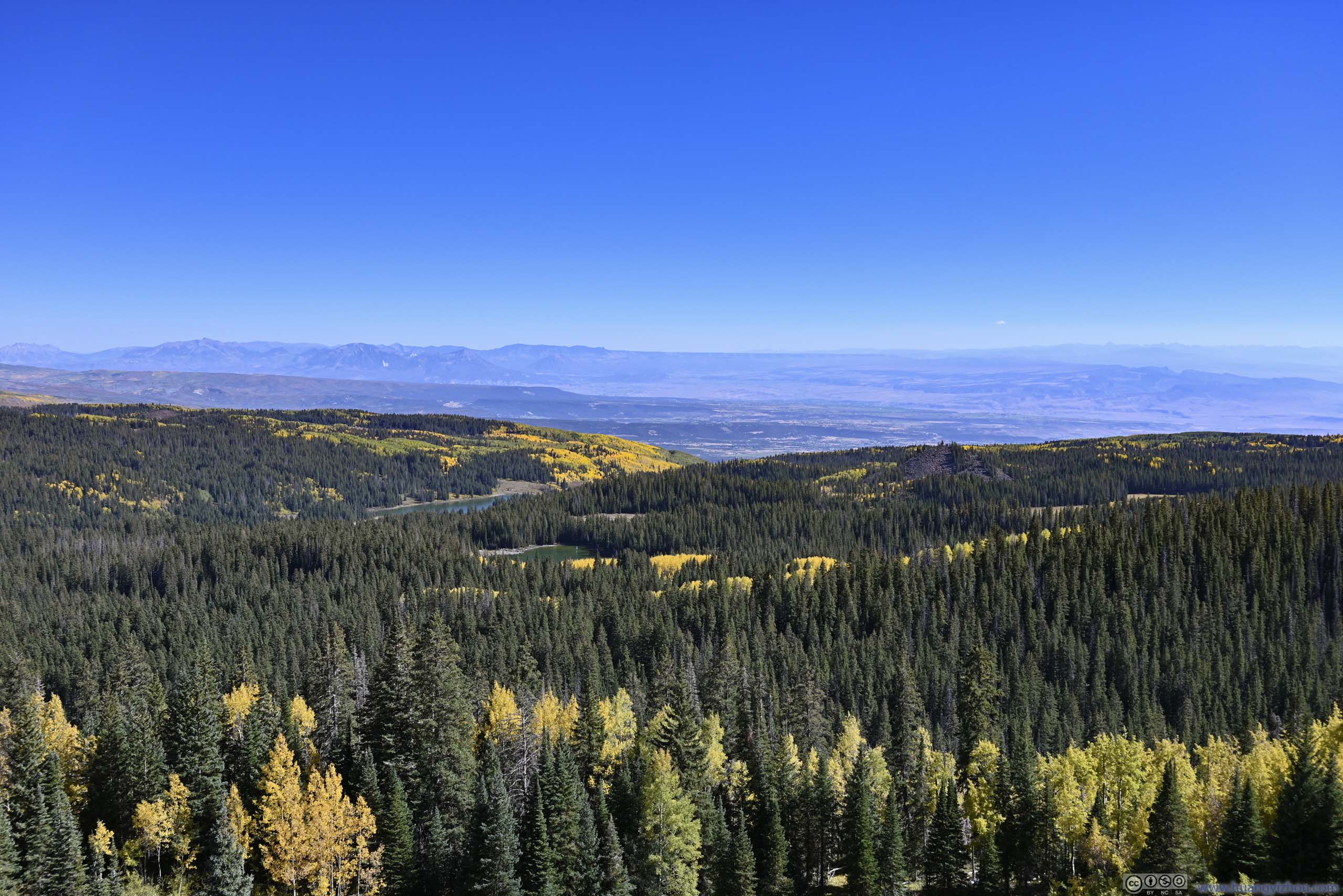
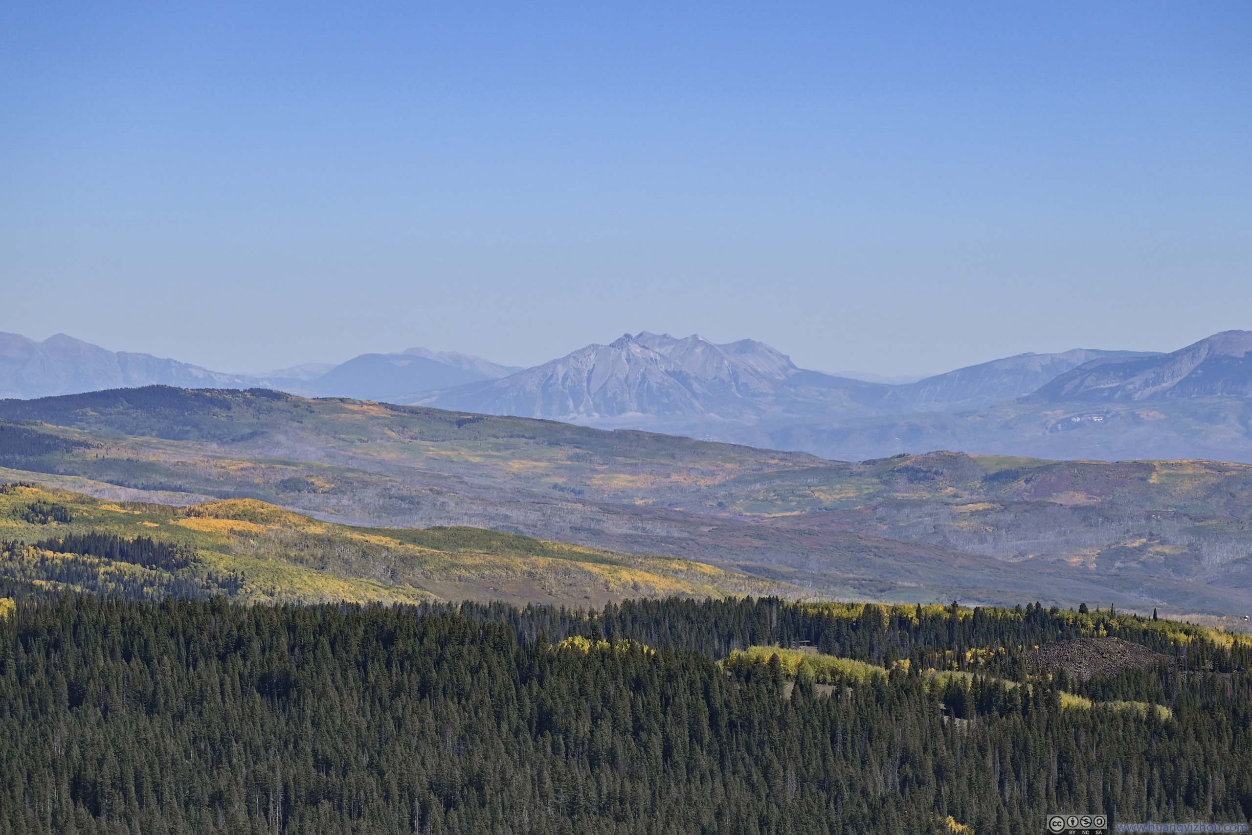
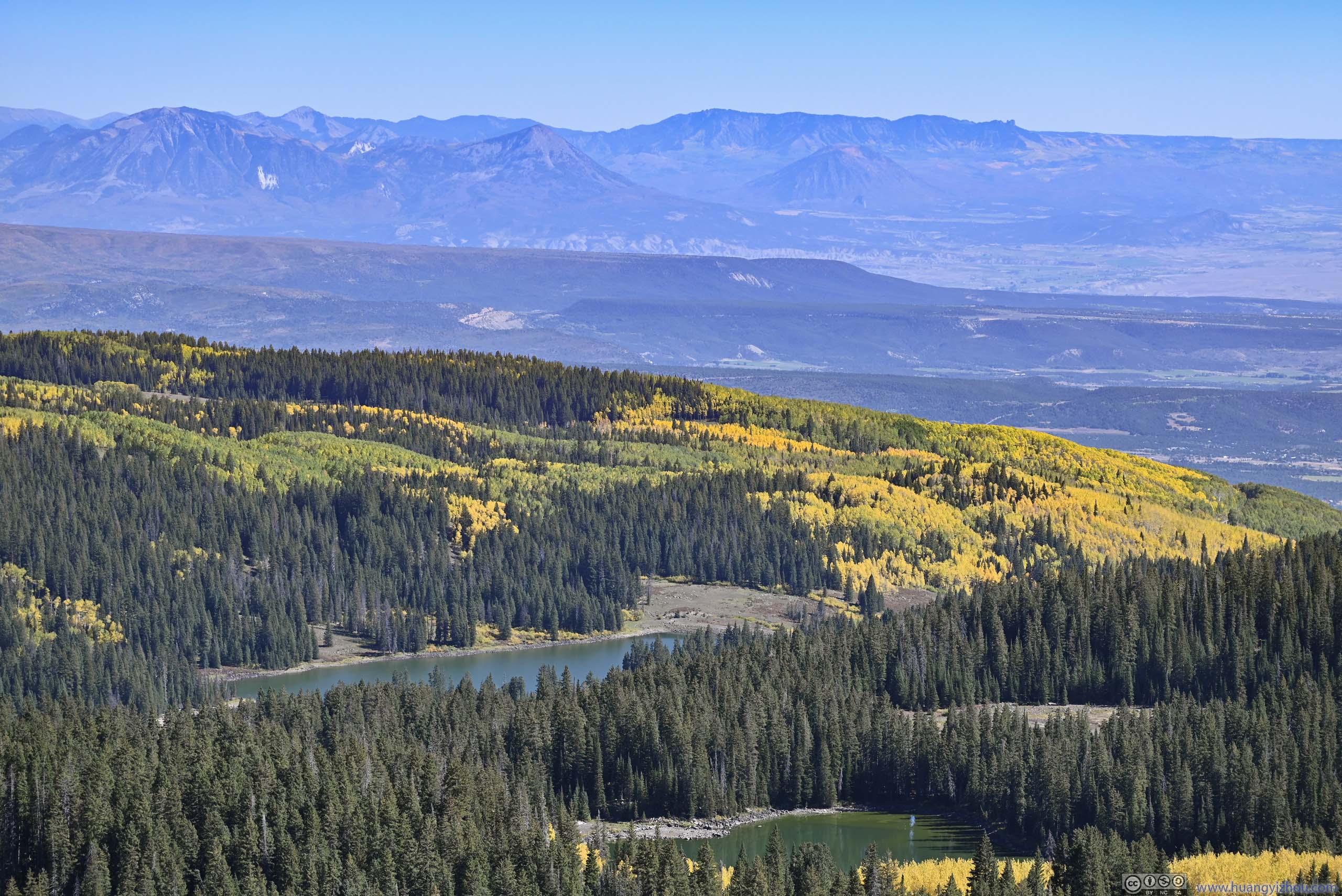
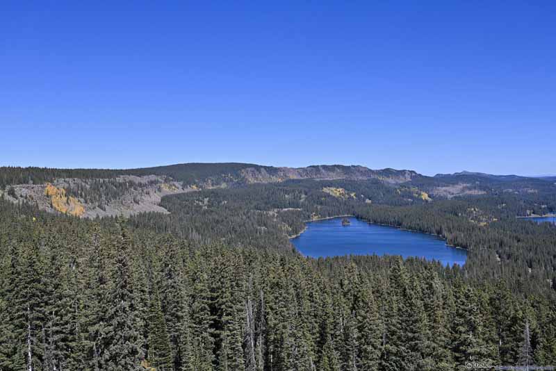
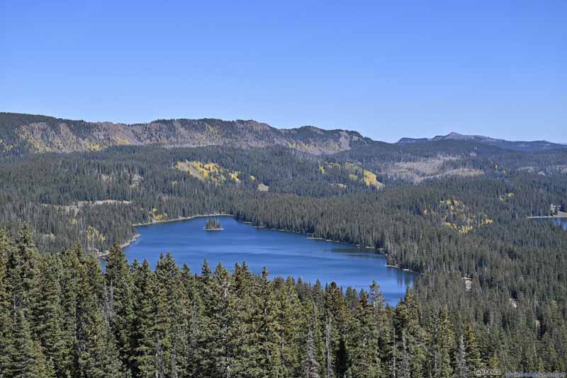
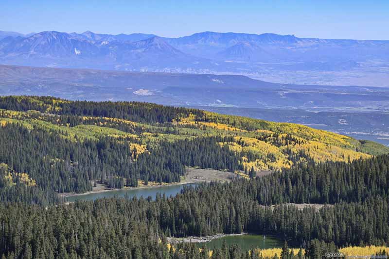
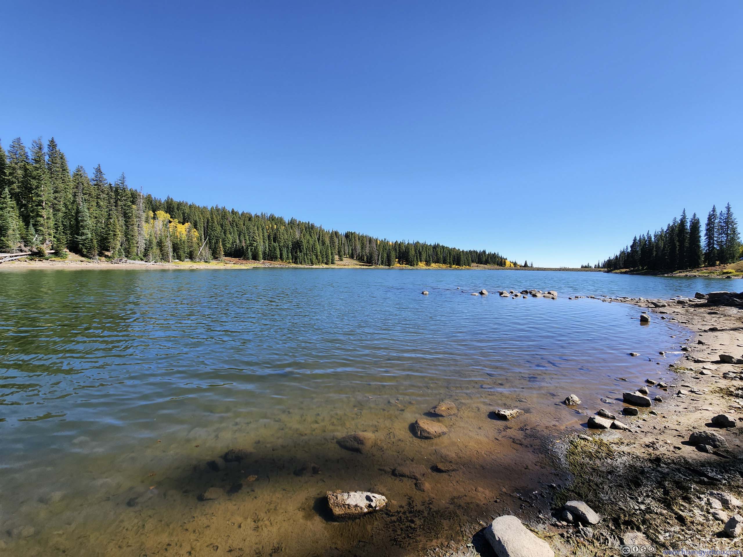
After "Land O Lakes Overlook", Grand Mesa Scenic Byway started its descent from Grand Mesa. I tried to check out "Grand Mesa Visitor Center" down the corner but unfortunately it's closed. Based on the looks from the previous overlook, the alpine lakes near "Crag Crest" were surrounded by coniferous forest so there wasn't much foliage. So I quickly checked out "Ward Creek Reservoir" along the road, before continuing south.
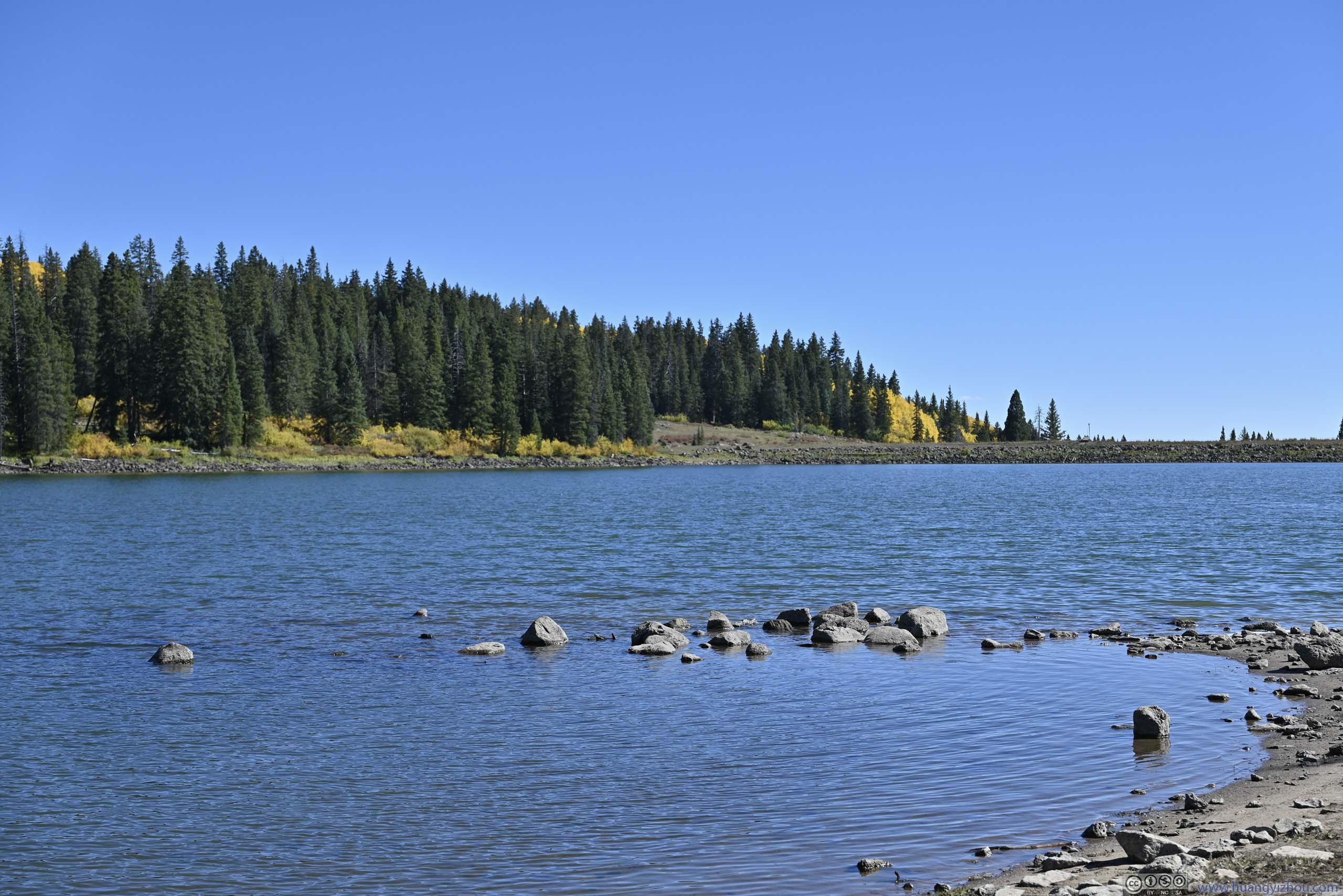
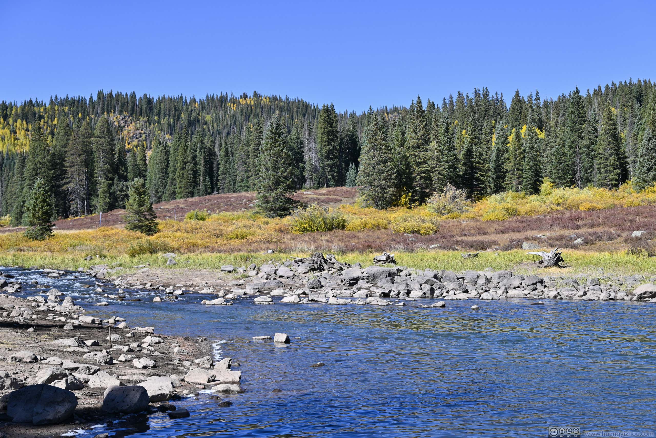
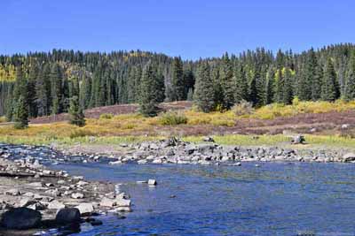
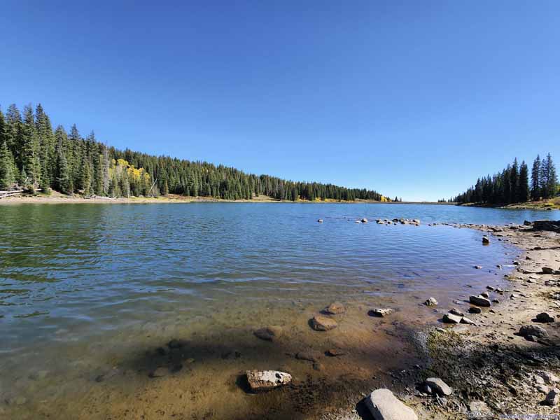
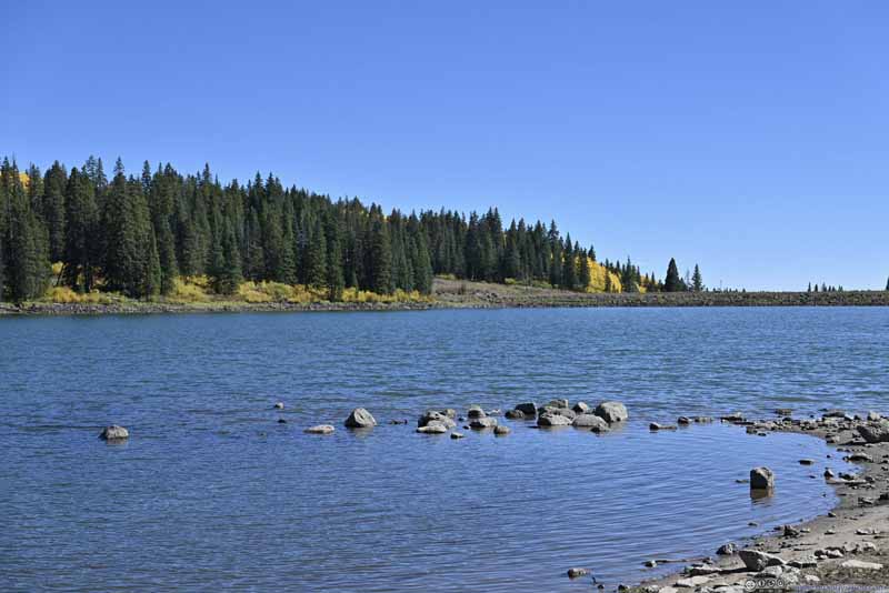
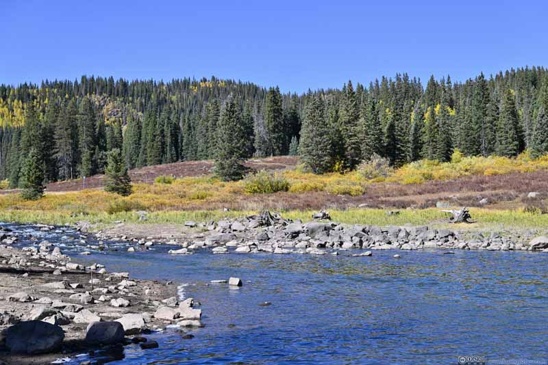
As elevation lowered, foliage appeared on the deciduous trees and bushes. Some of the bushes had fiery red leaves, a welcome addition to the amber from aspens earlier.
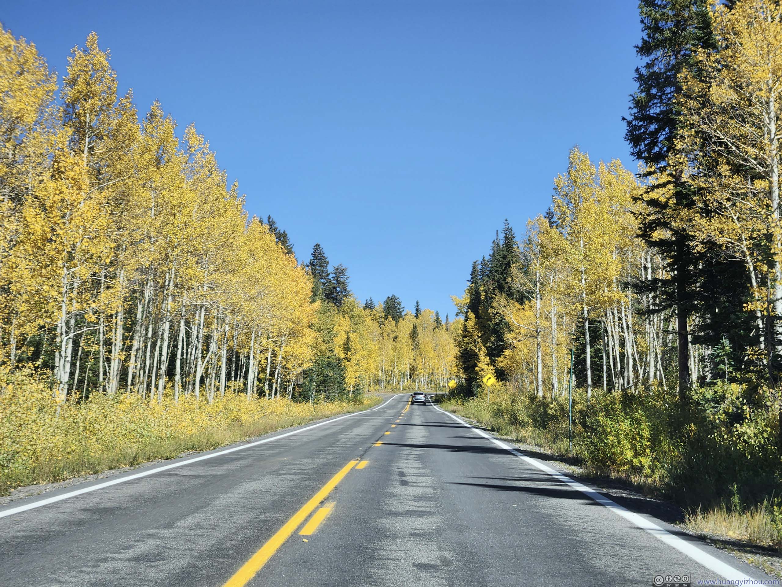
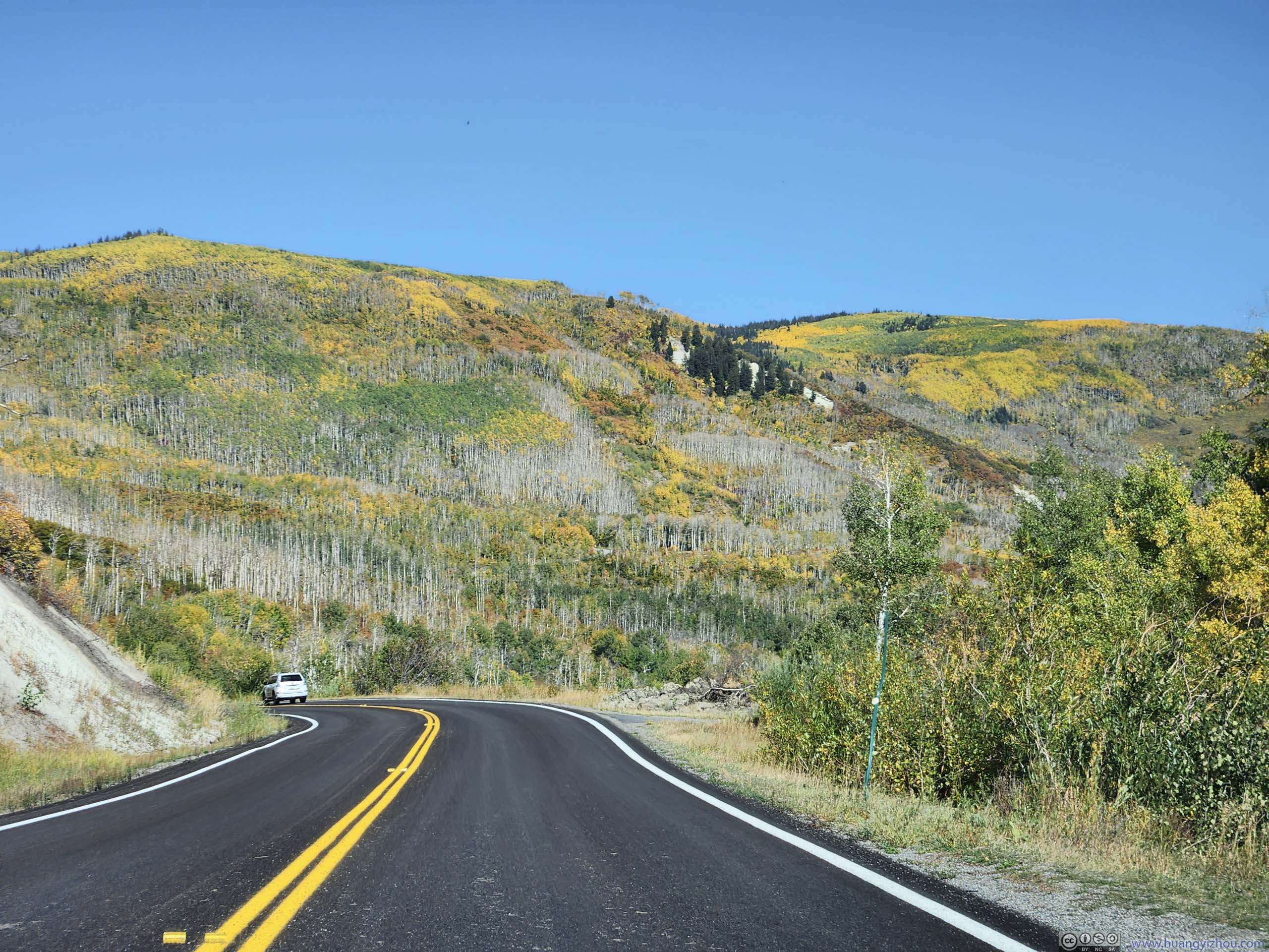
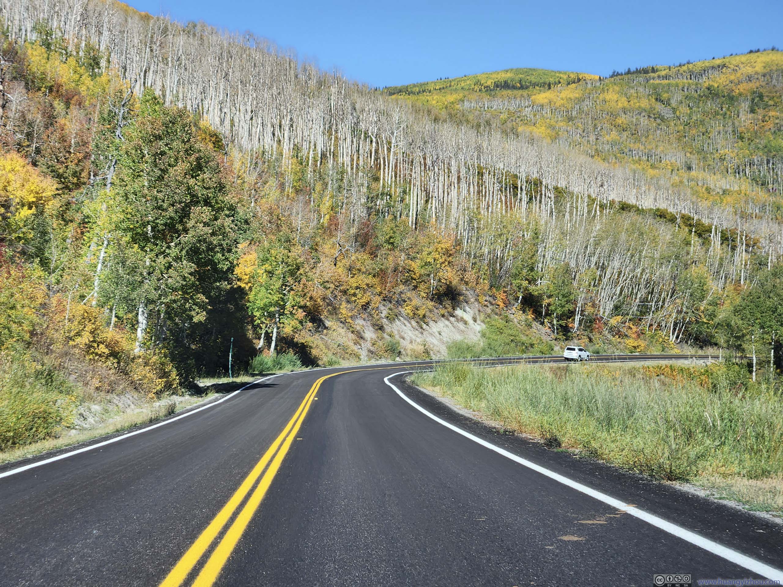
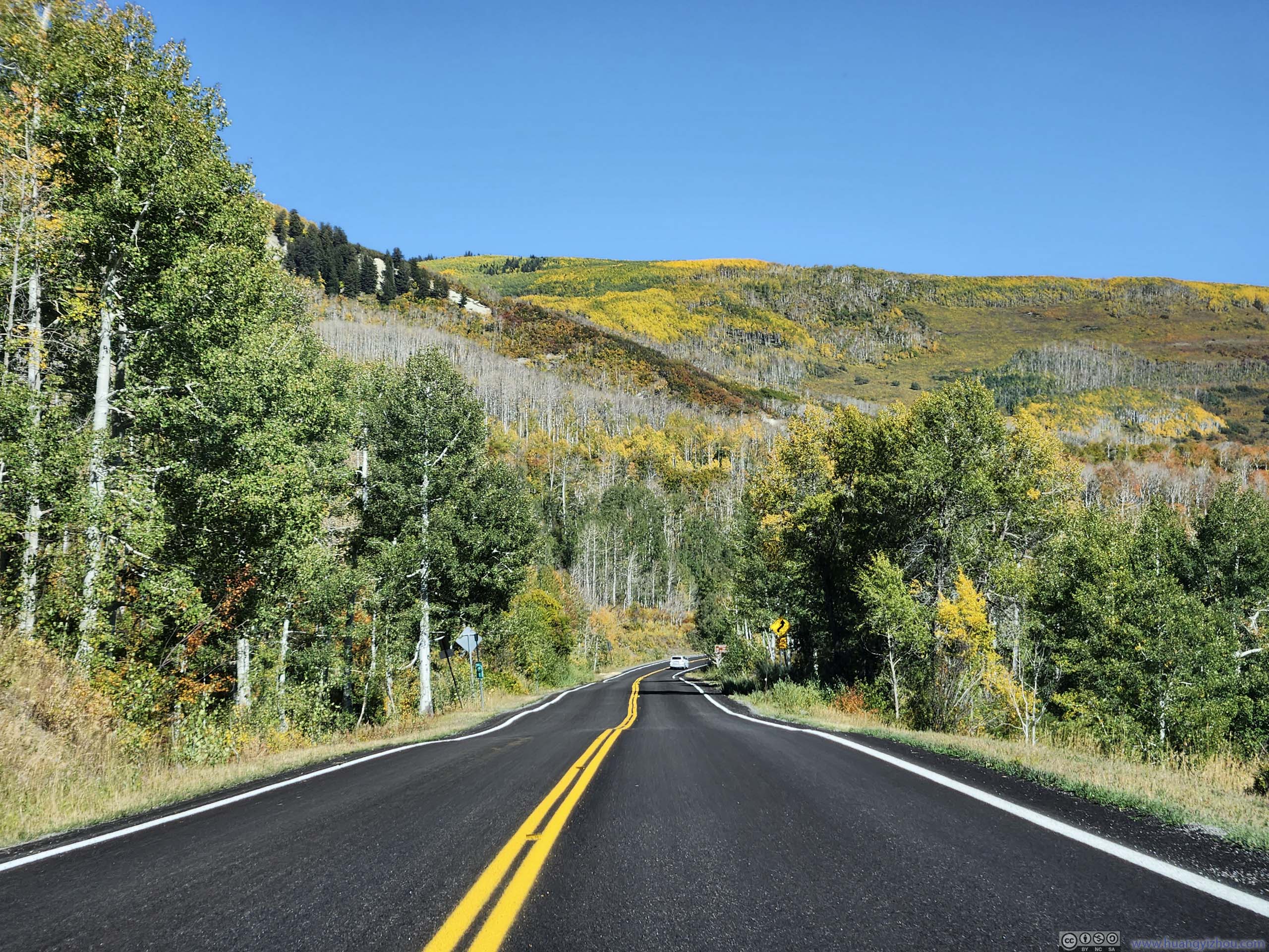
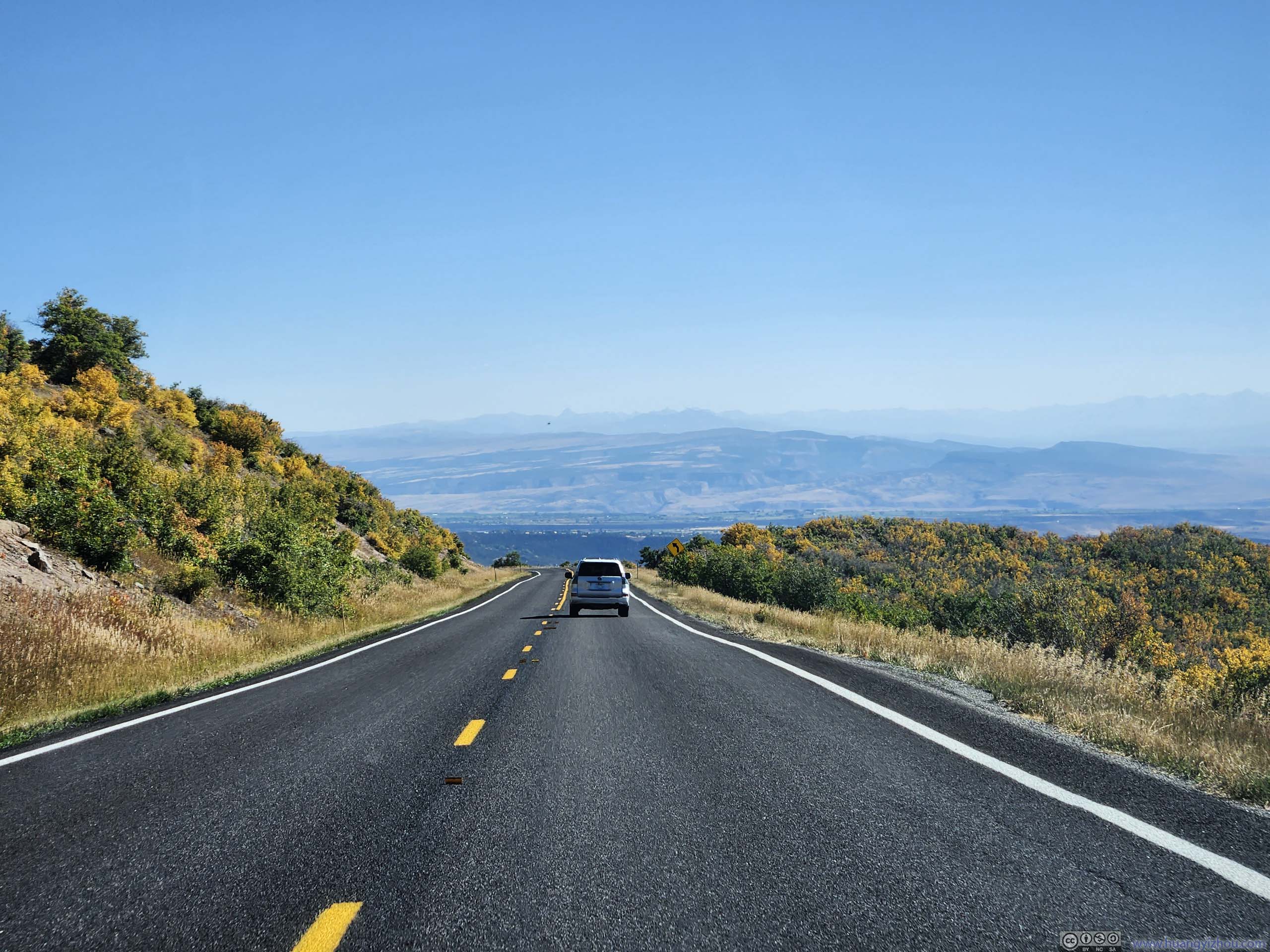
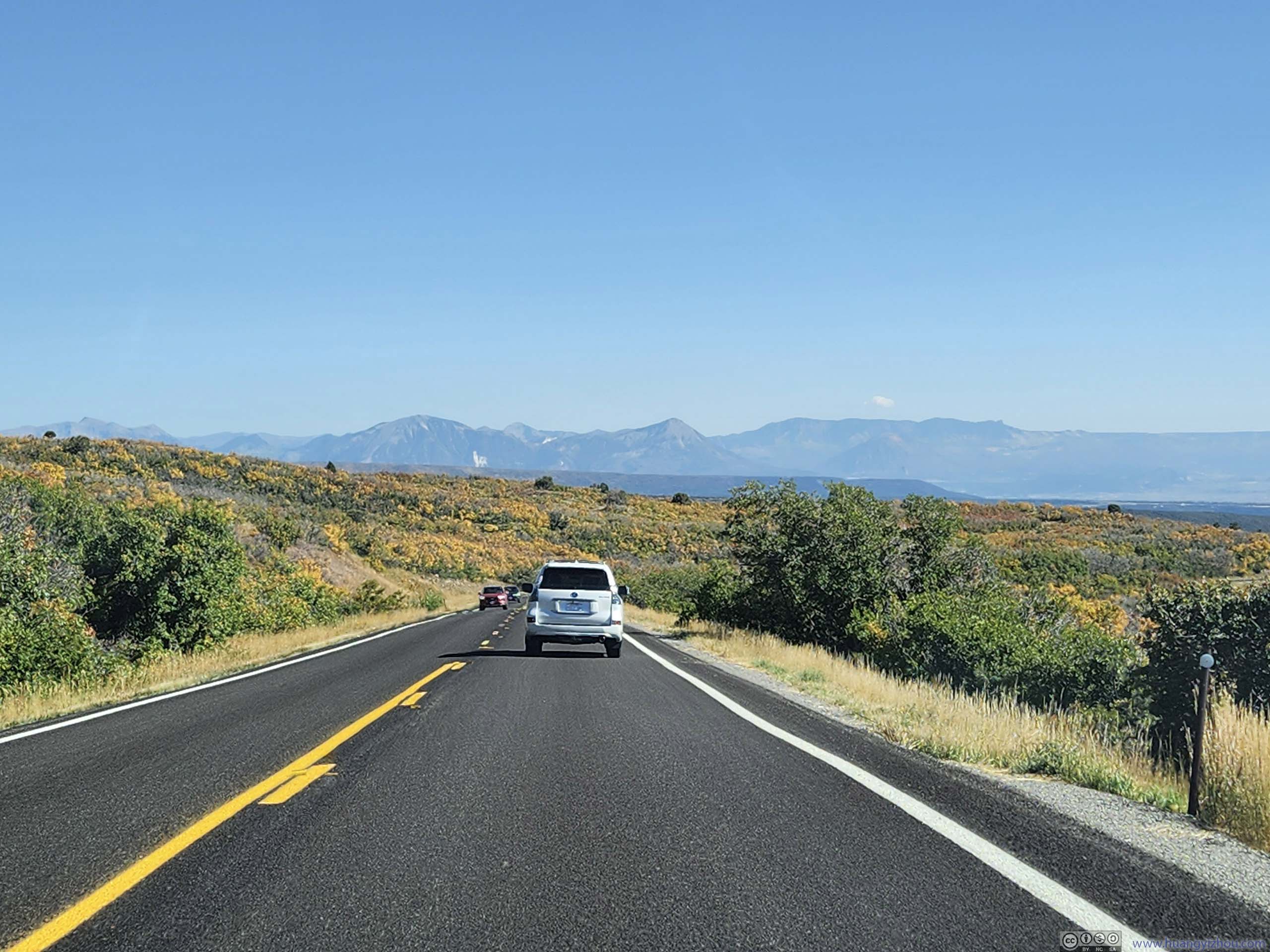
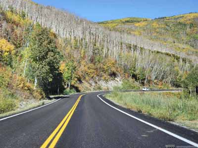
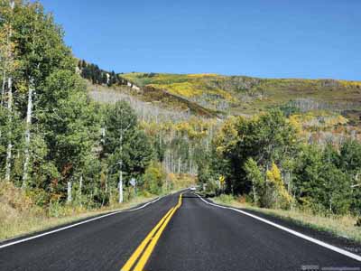
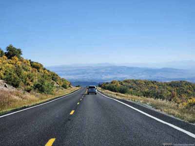
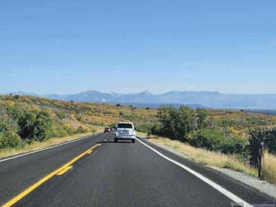
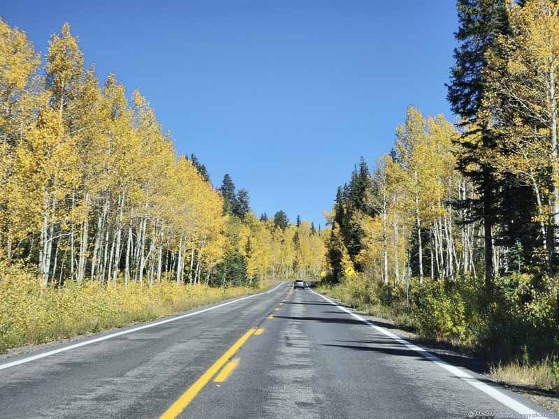
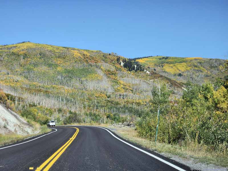
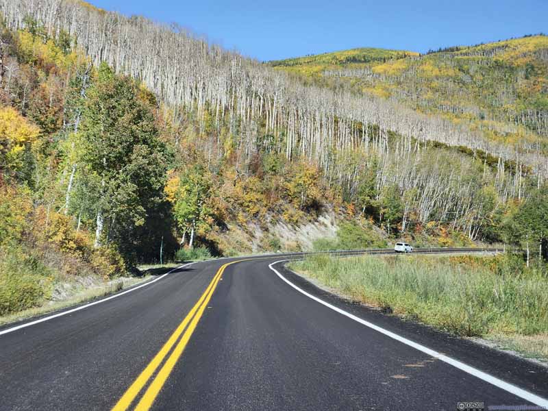
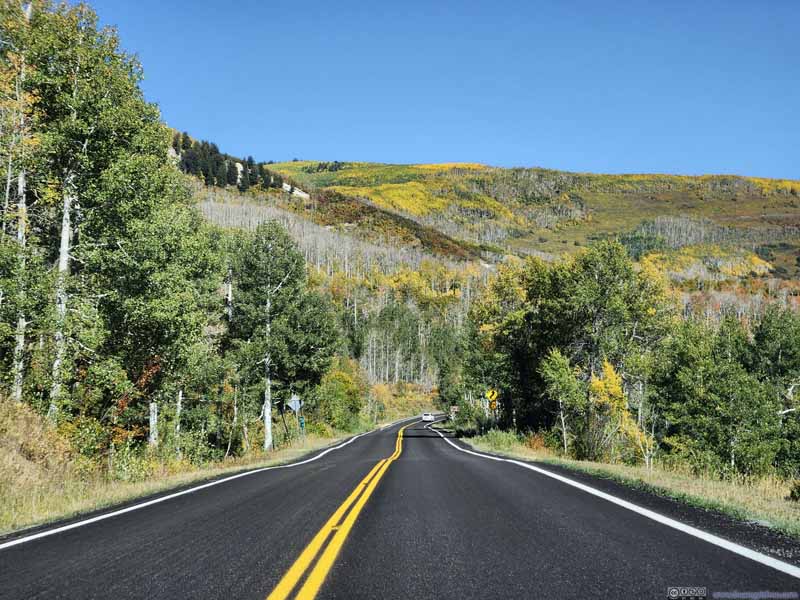
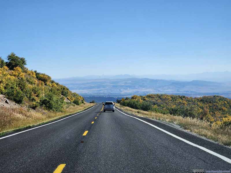

A quick conclusion of Grand Mesa. While it offered some medium to long hiking trails, I felt it’s a proper destination for a road trip, in that the best it had to offer was never far from the road, be it the aspen grove surrounding Sunset Lake, or the spectacular mountains from "Land O Lakes Overlook". Driving nonstop from Grand Junction to Montrose, Google estimated a detour to Grand Mesa only added one hour to the trip, which was well worth it especially during this time of year where the forest had the most vibrant colors. In addition, Grand Mesa was popular for winter activities too as its elevation meant it often saw snowfall well into June, so maybe in the future I would check it out in a different season.
After that, I headed towards Montrose where I had a late lunch. After dropping off luggage at my overnight hotel, I headed towards Black Canyon of the Gunnison.
Black Canyon of Gunnison
This was a national park, encompassing parts of Gunnison River where it flew through a very steep canyon. The canyon was so steep that parts of its bottom only receive 33 minutes of sunlight a day. As a result, the canyon was often in shadows, and its walls appearing dark, hence the name.
The park has two visitor entrances, the south rim from Montrose with the most facilities, and the north rim from Crawford with unpaved roads. Since I didn't like unpaved roads with my car, I only visited the south rim.
Gunnison Point
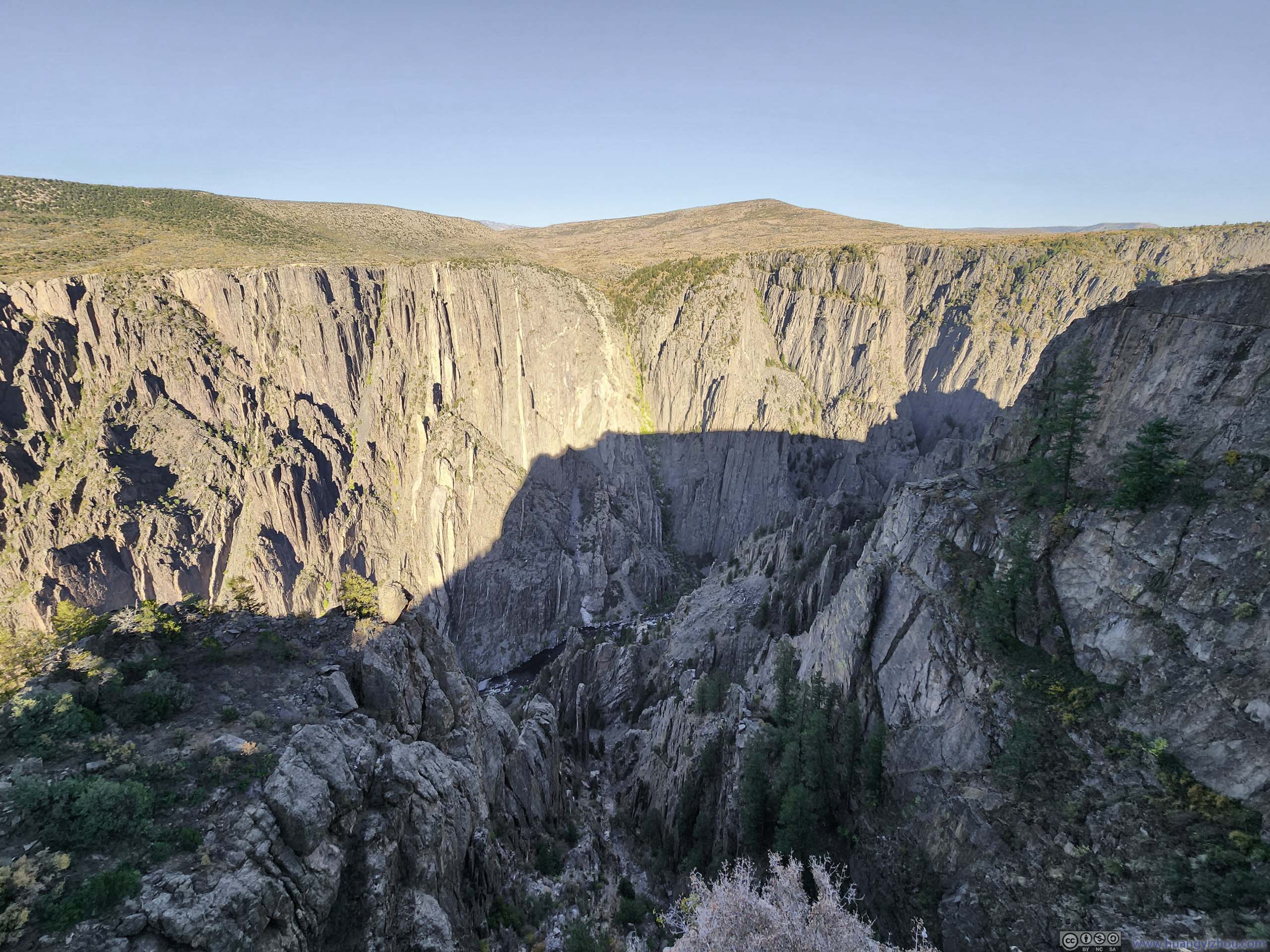
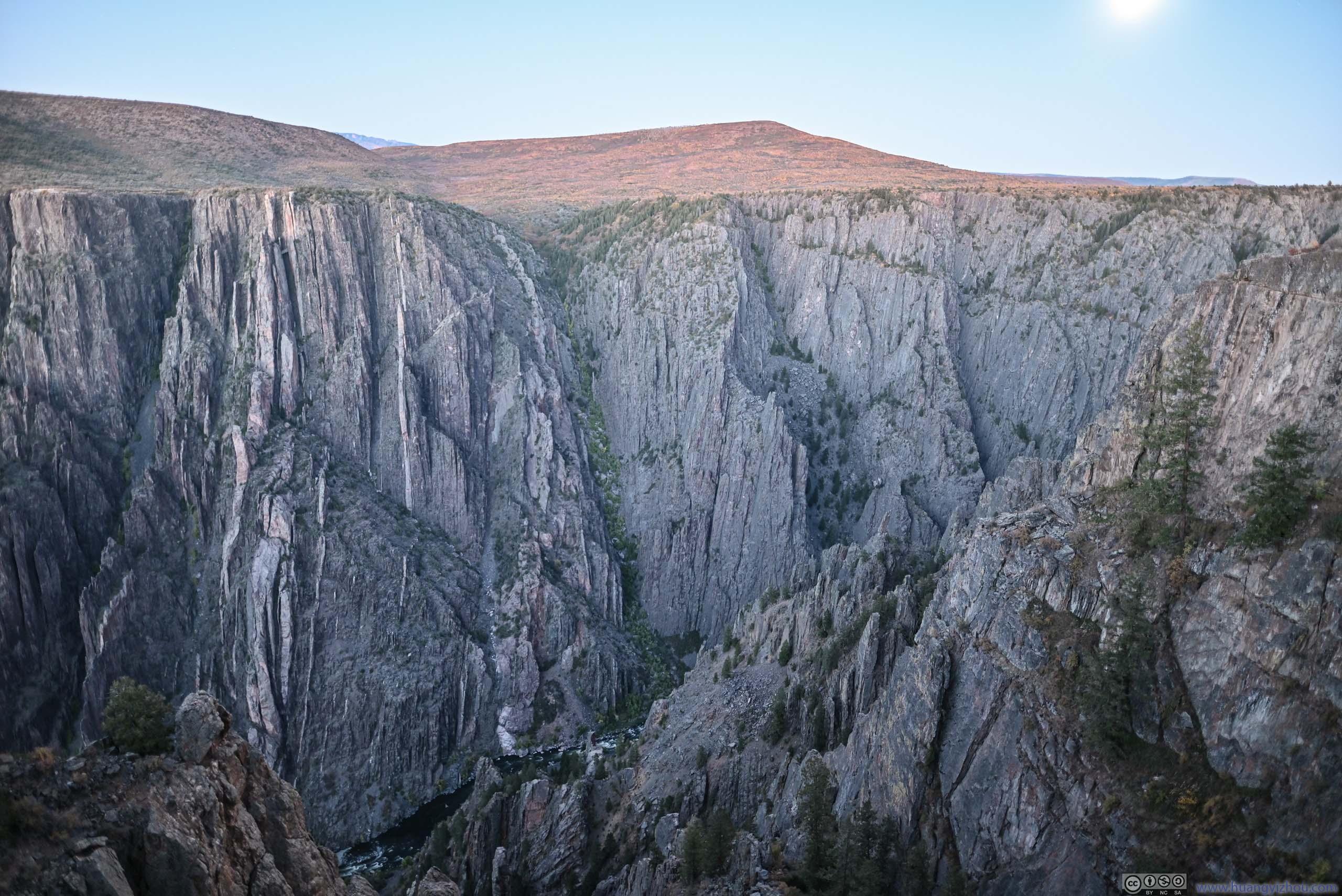
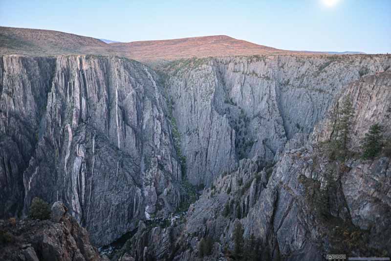
This was the first overlook after entering the park, next to the visitor center, where the size and the overwhelming steepness of the canyon was in full display.
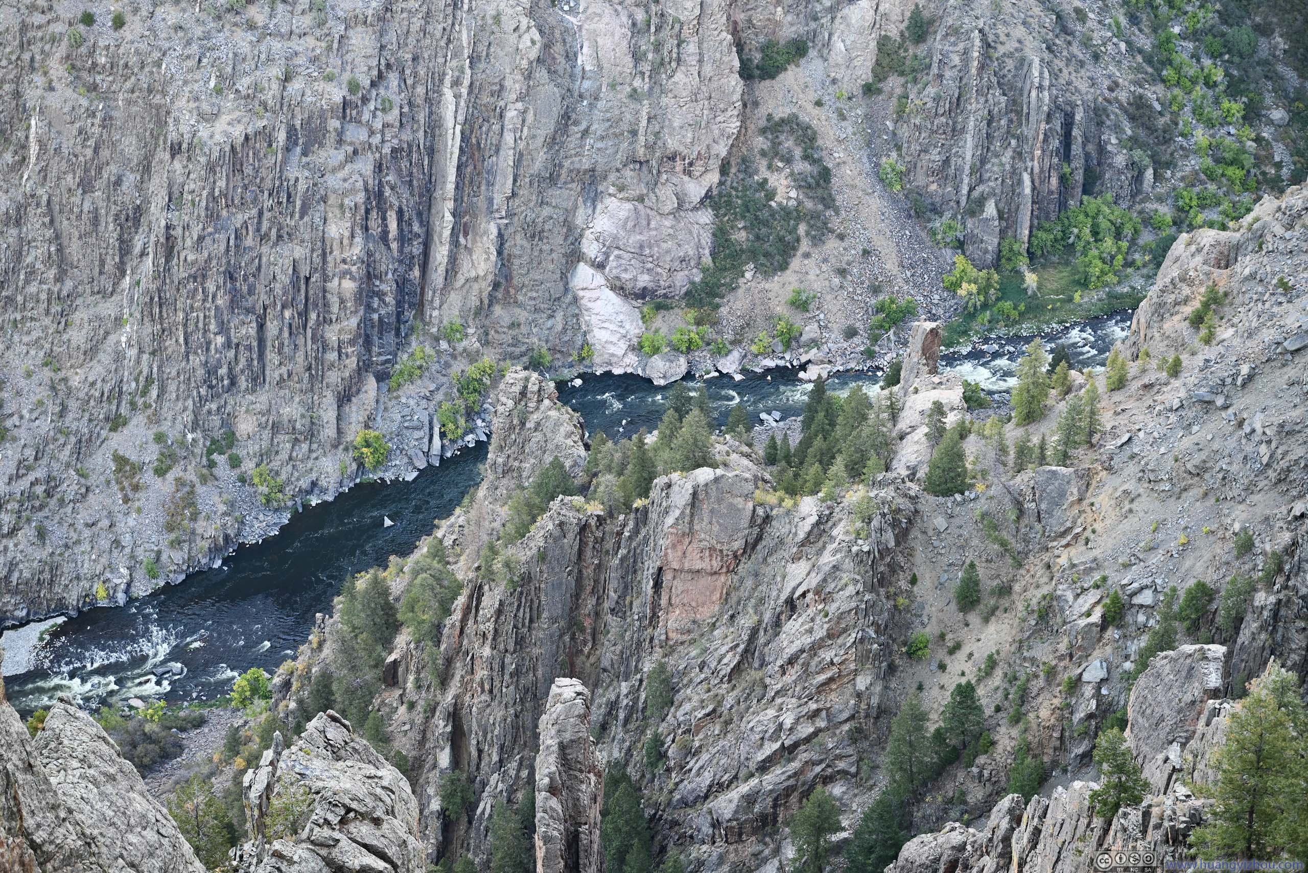
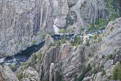
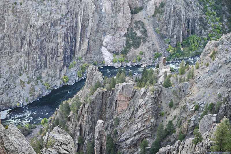
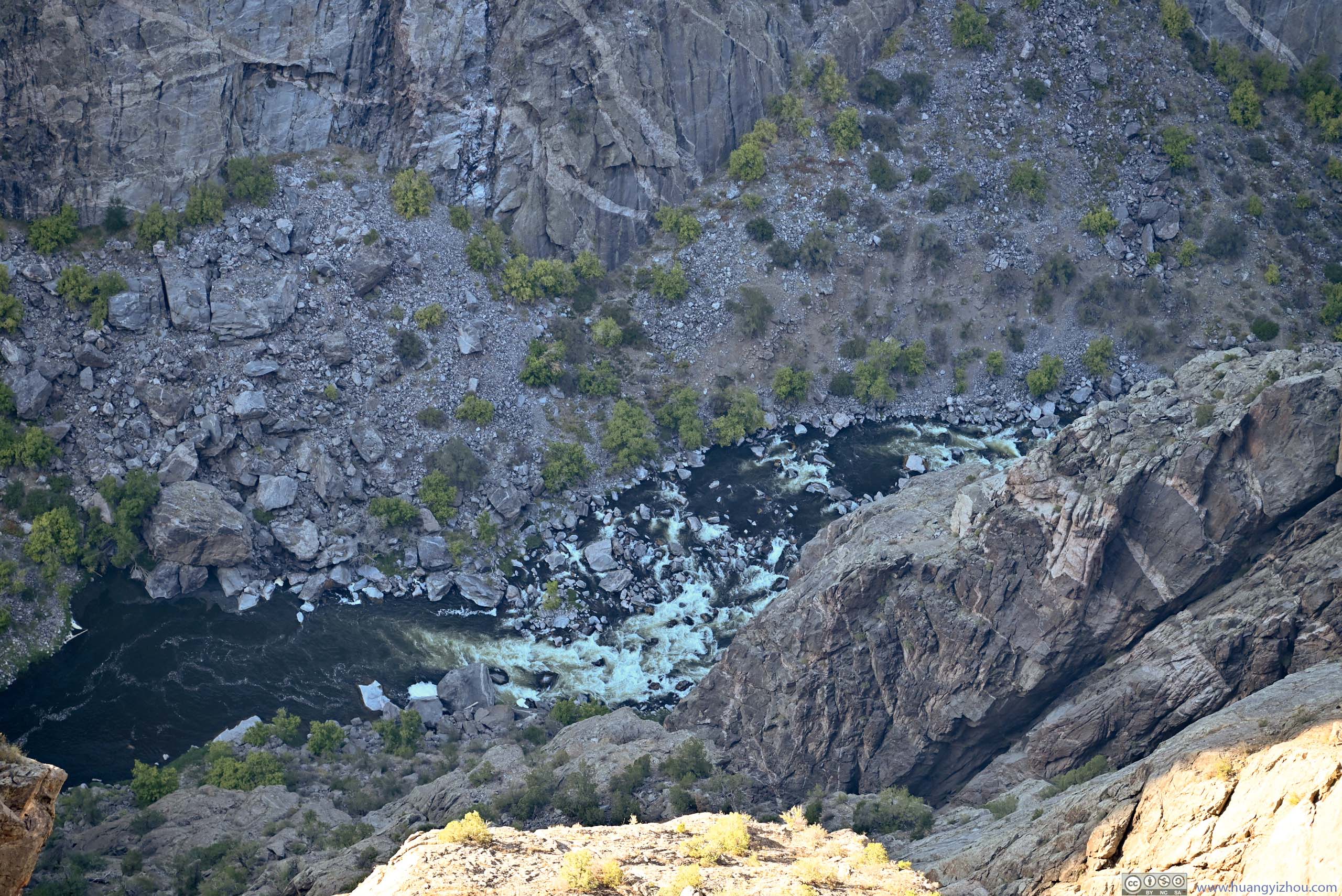
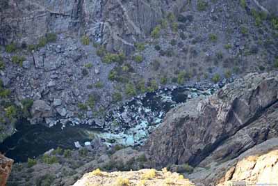
A number of factors contributed to the canyon's steepness, mostly Gunnison River as it made a very rapid descent flowing through the area while carving out the canyon. The many torrents (such as p3 below) could attest this.
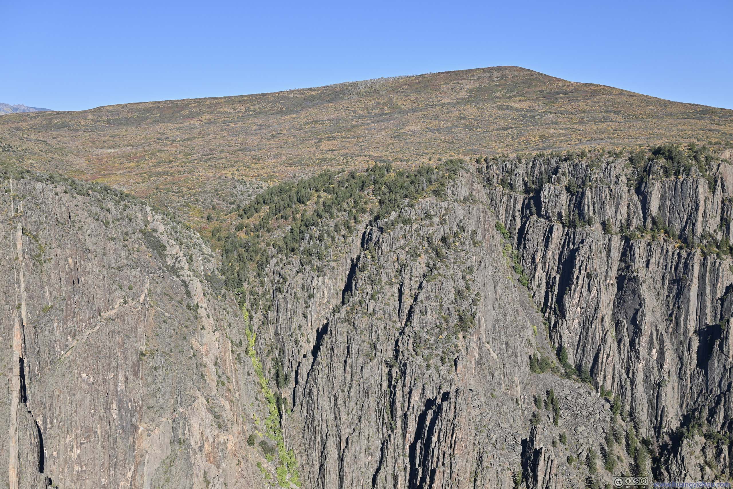
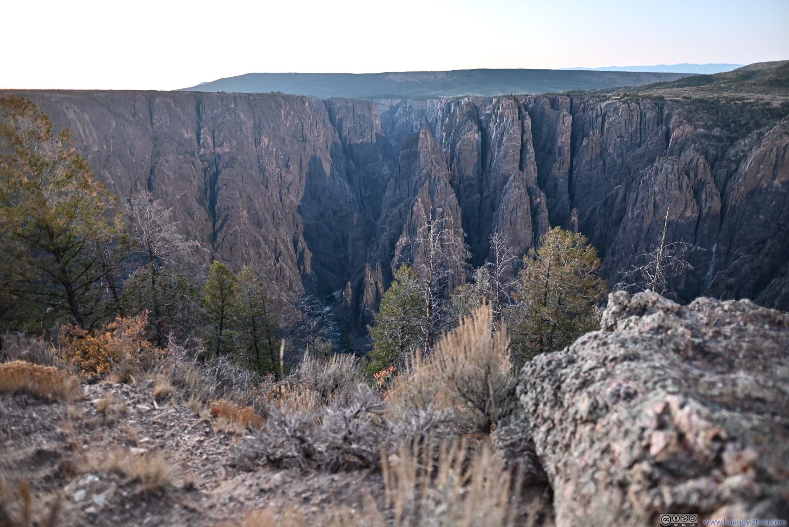
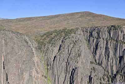
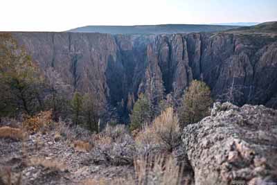
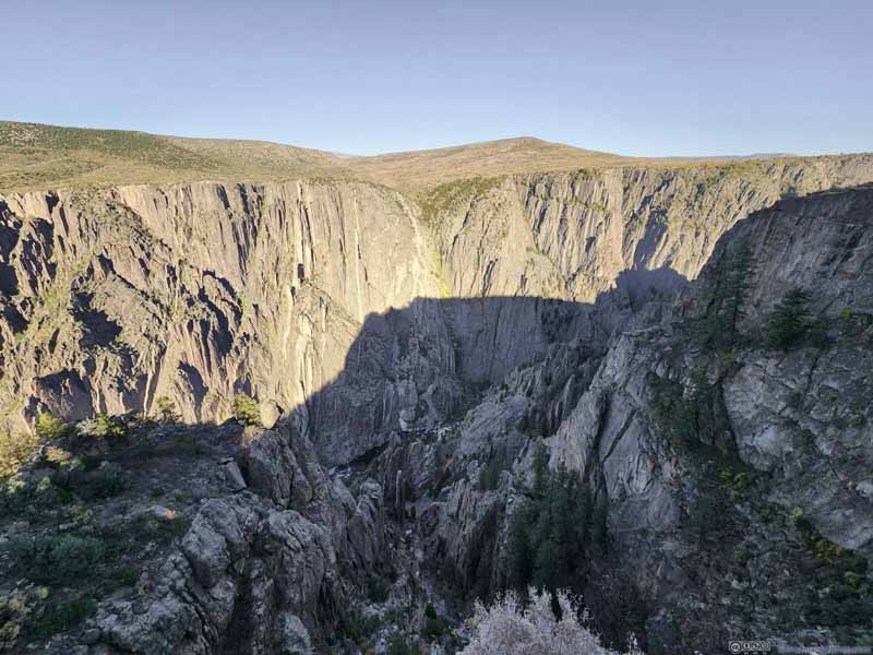
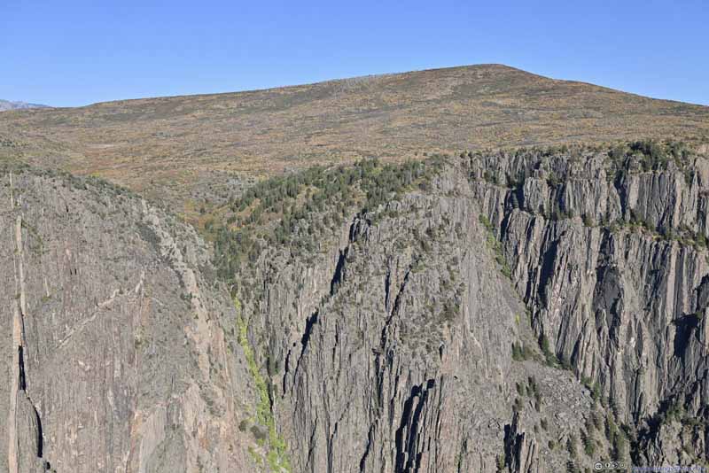
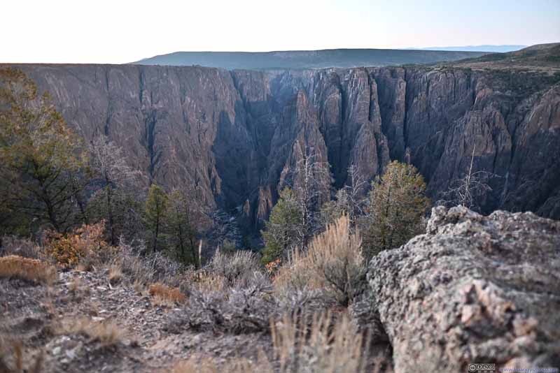
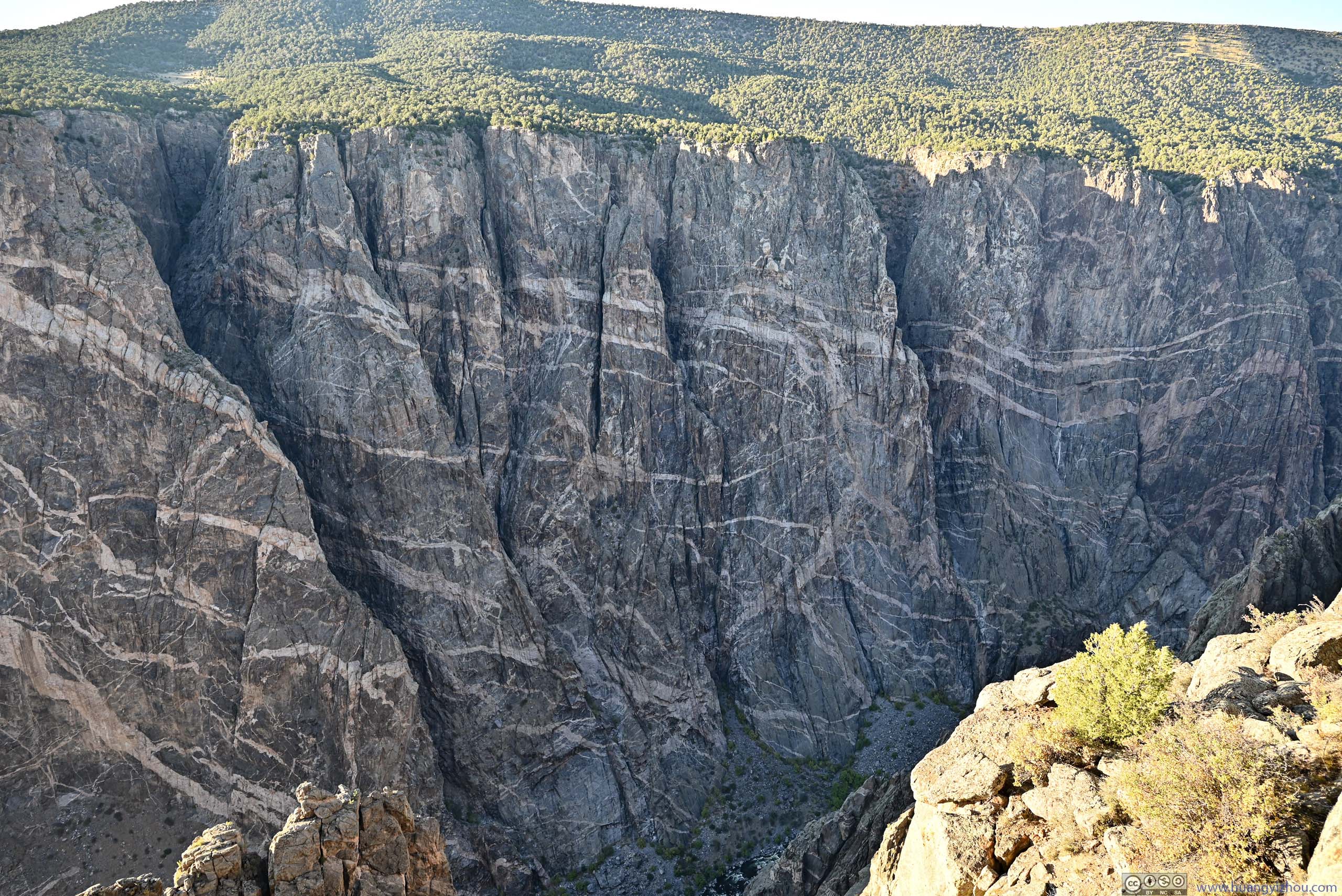
As for the canyon walls near Gunnison Point, they had some striking vertical features that extended their entire height. Looking downstream, the myriad layers of the canyon (p5 below)and their soaring heights were reminiscent of skyscrapers in a futuristic metropolis.
Pulpit Rock
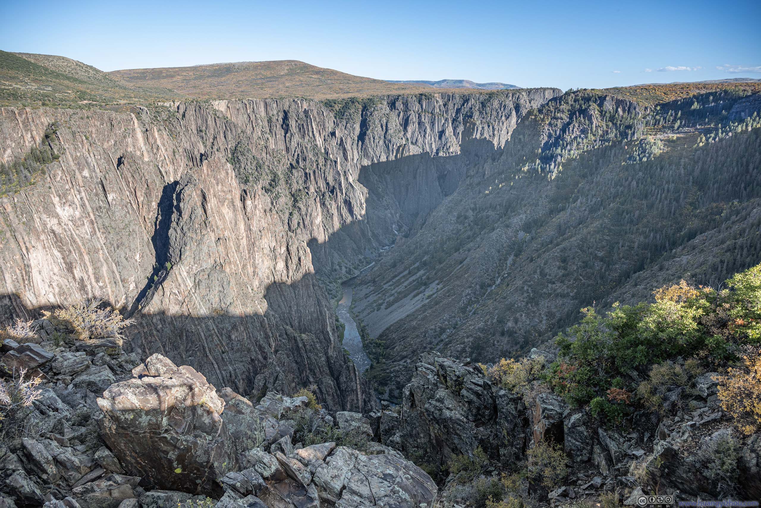
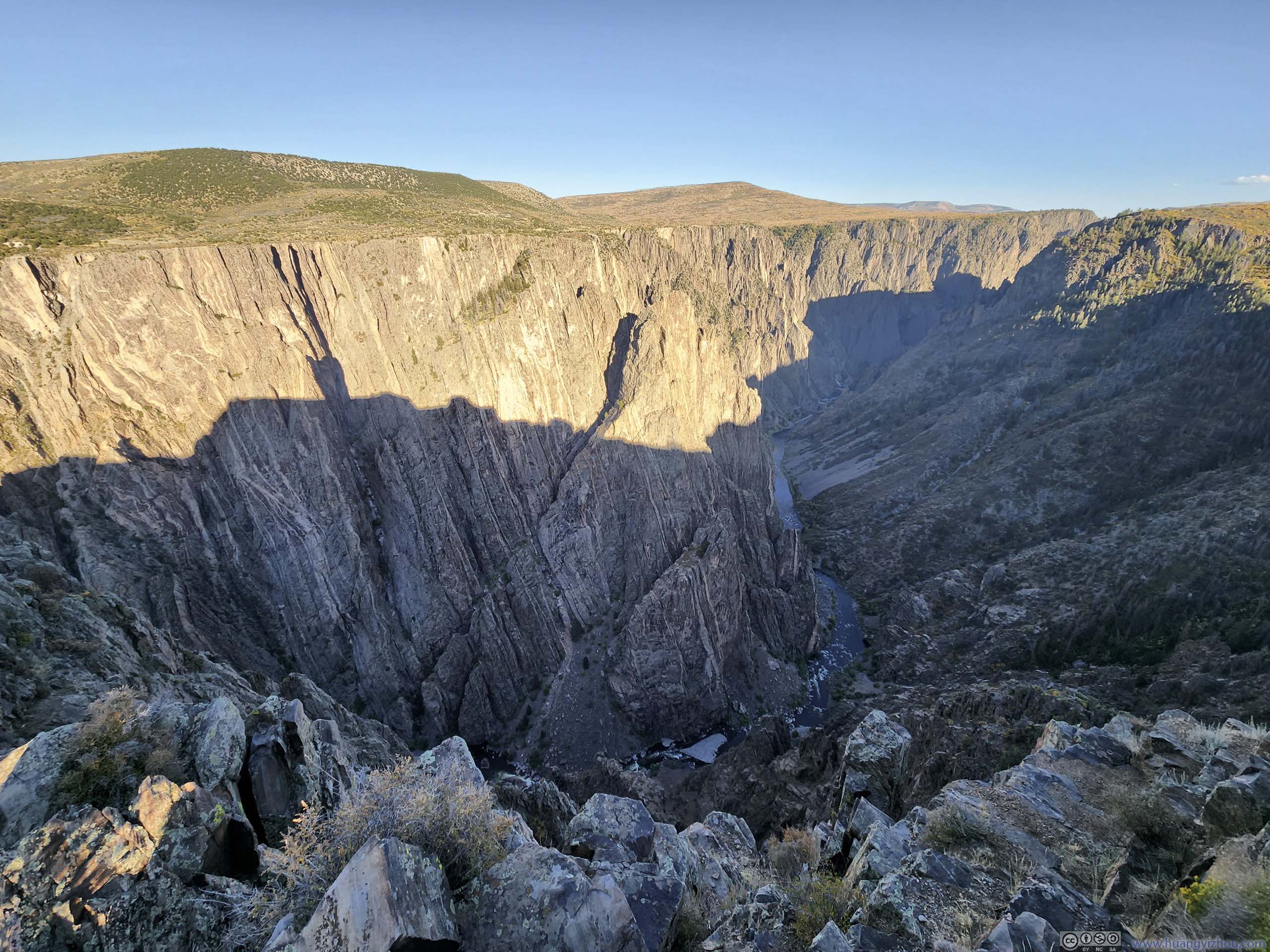
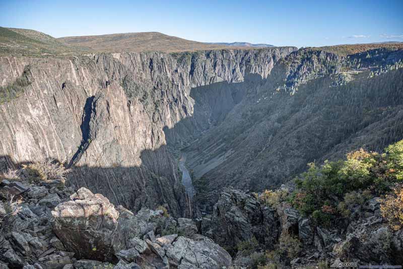
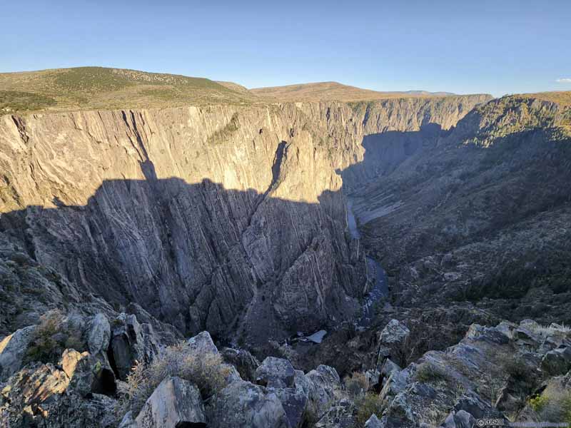
Next I made a stop at Pulpit Rock Overlook. Despite its name, I couldn't quite tell which piece of rock was the actual "Pulpit Rock". The difference in gradient of the canyon's two rims were most evident here, where the north rim (left) was much steeper than the south (right). It's believed that the north rim got more sunshine with faster snow melt, and hence received less erosion.
Devil's Lookout
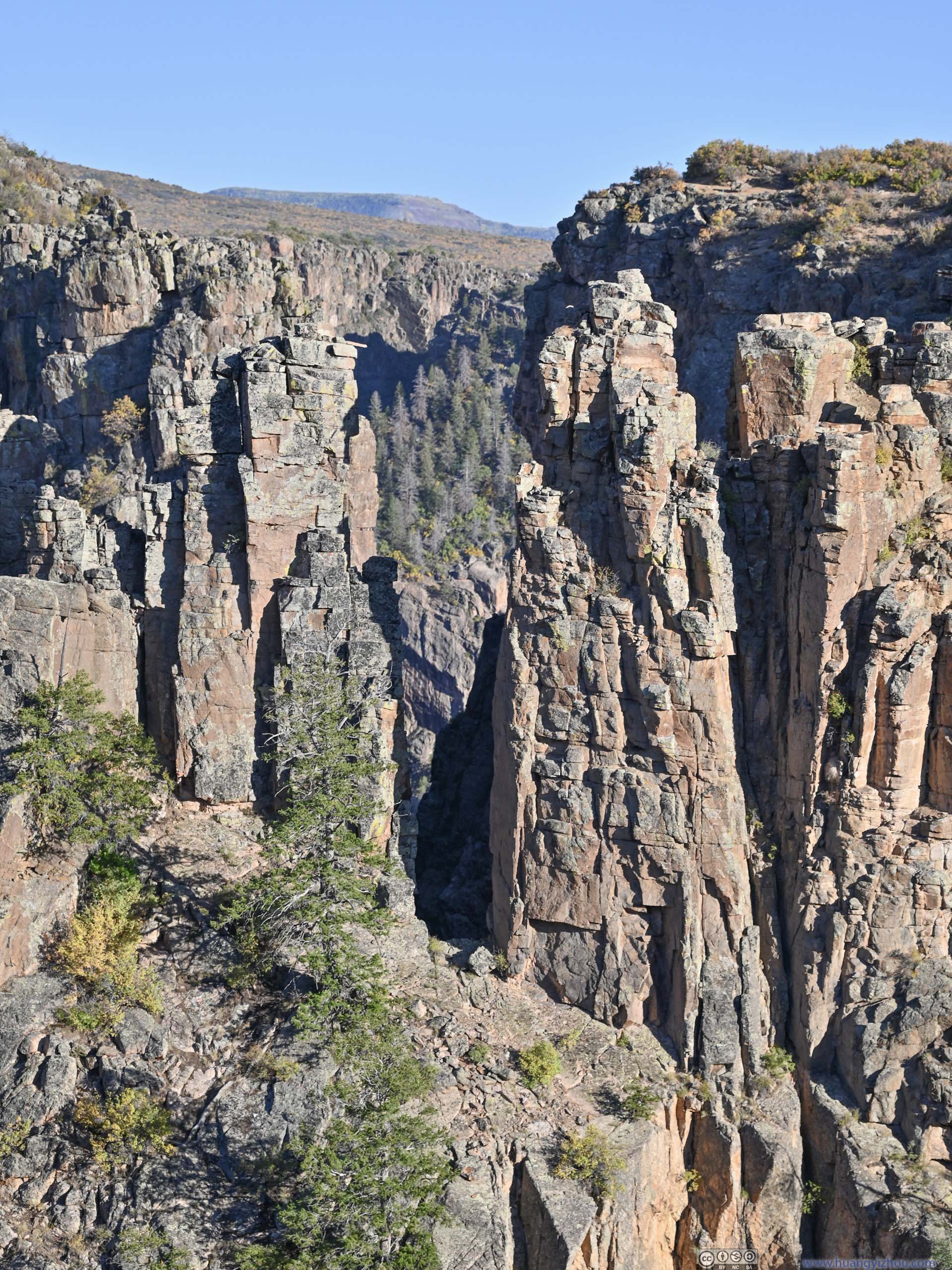
Next I checked out Devil's Lookout. Like many overlooks in the park, this lookout was located a short walk away from the road. This part of the south rim had seen heavier erosion, as I found myself among more textured rocks that appeared as isolated pillars or islands.
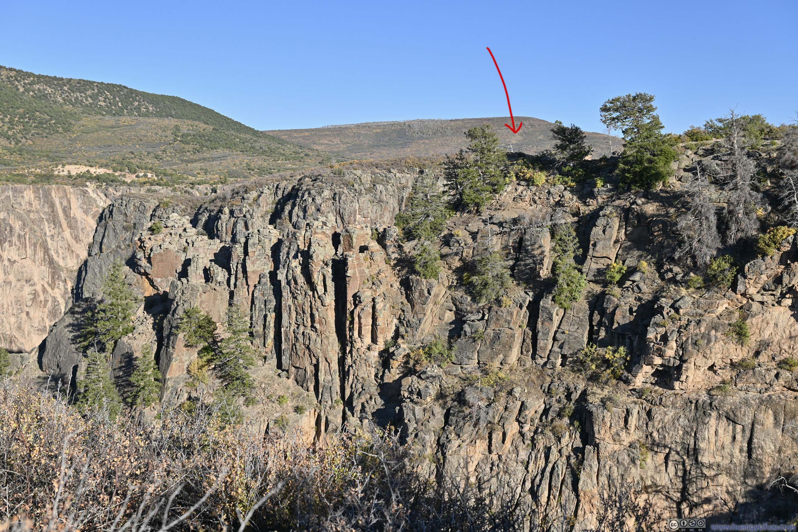
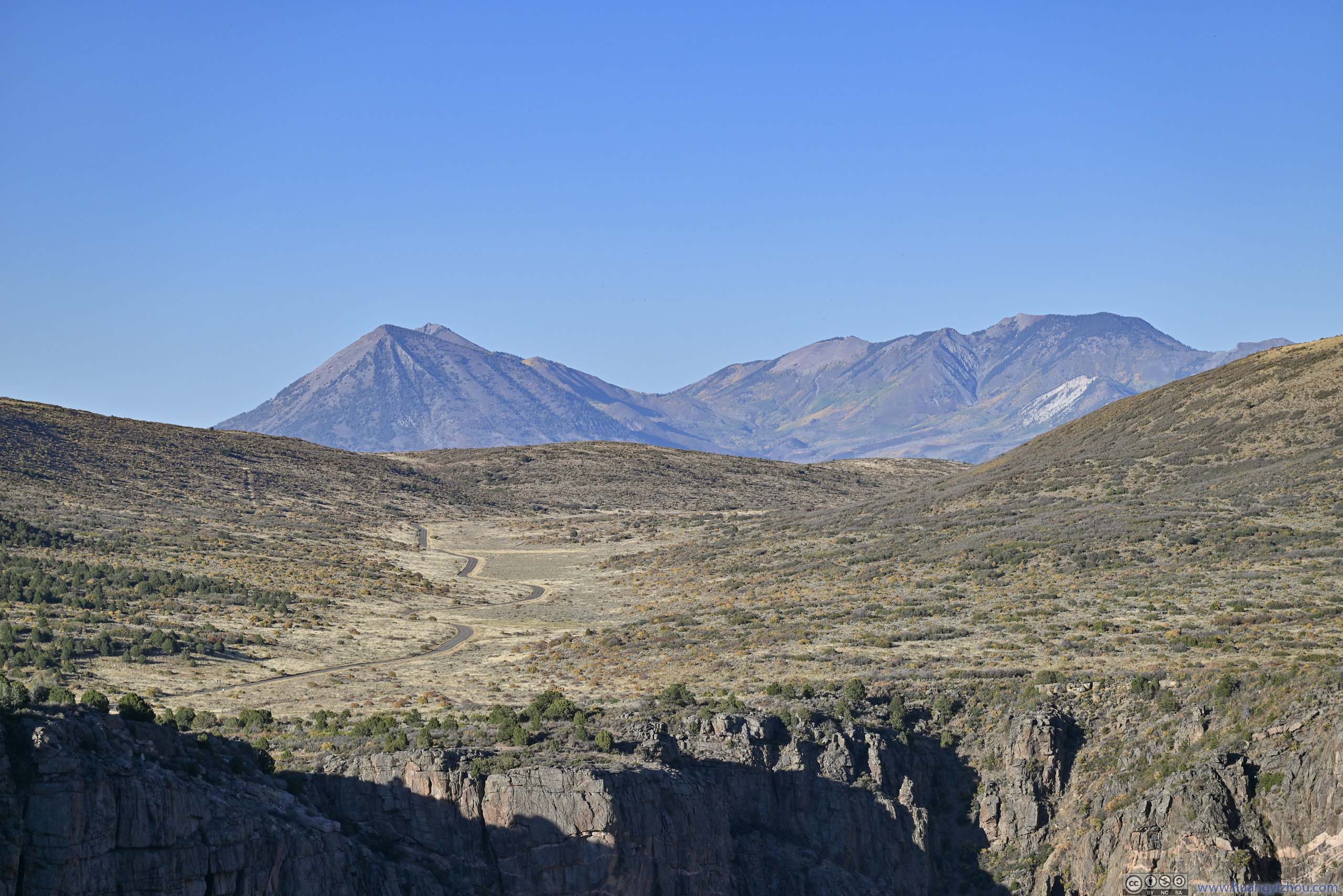
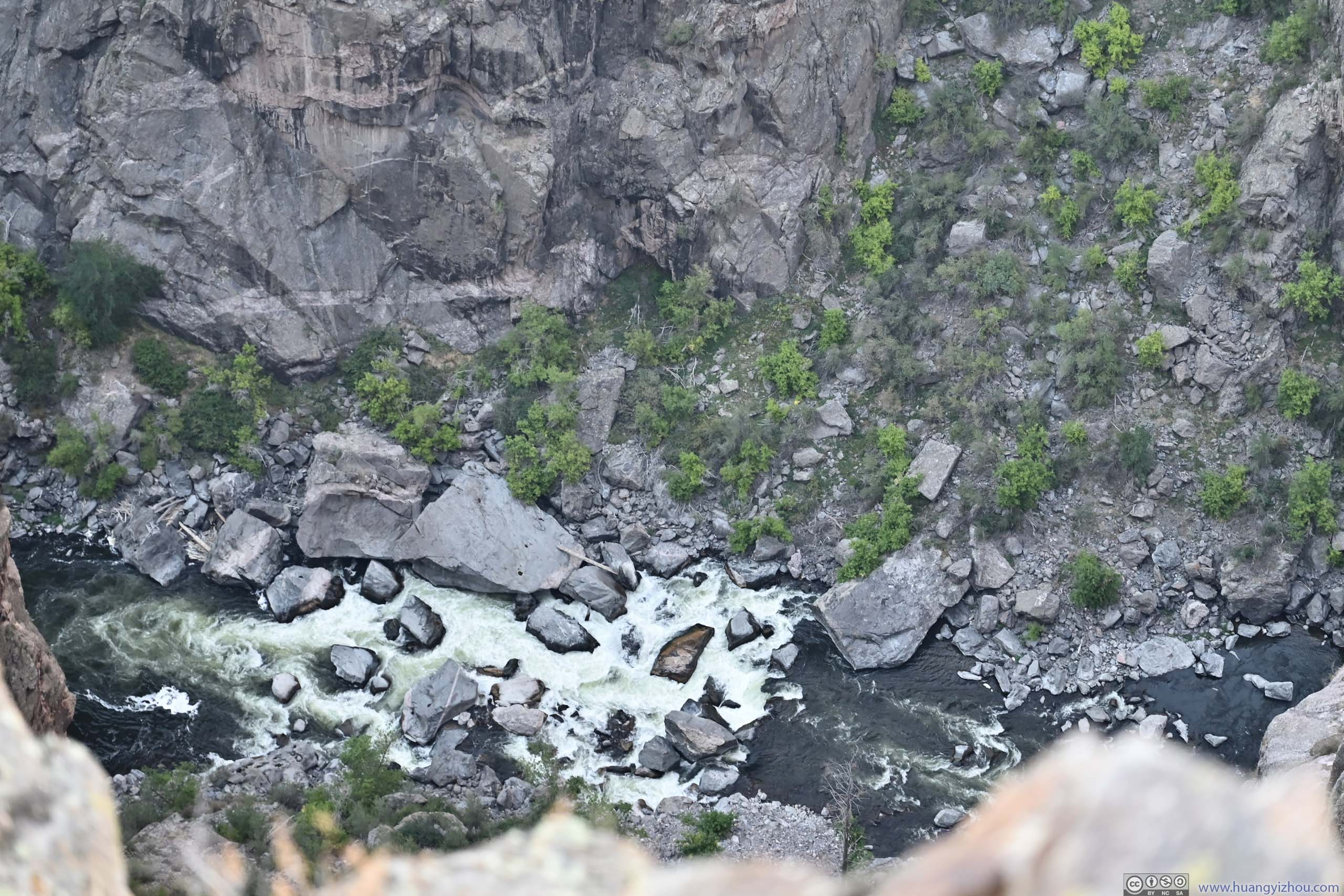
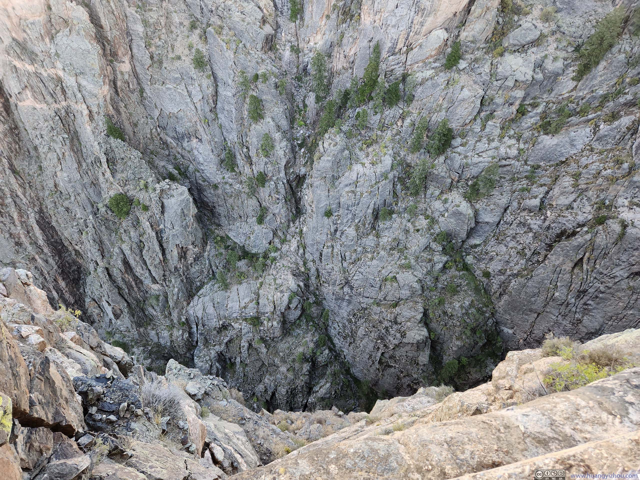
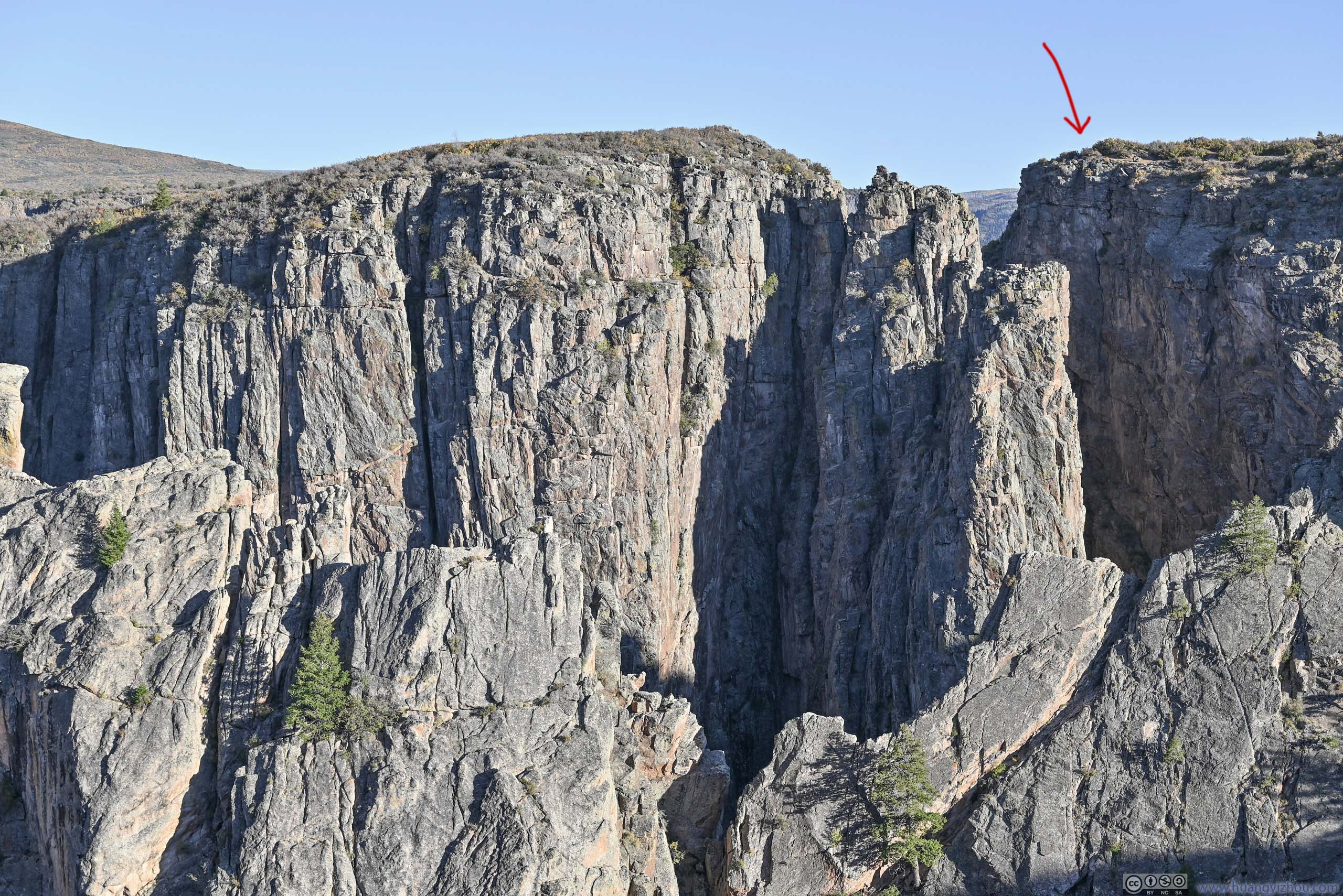
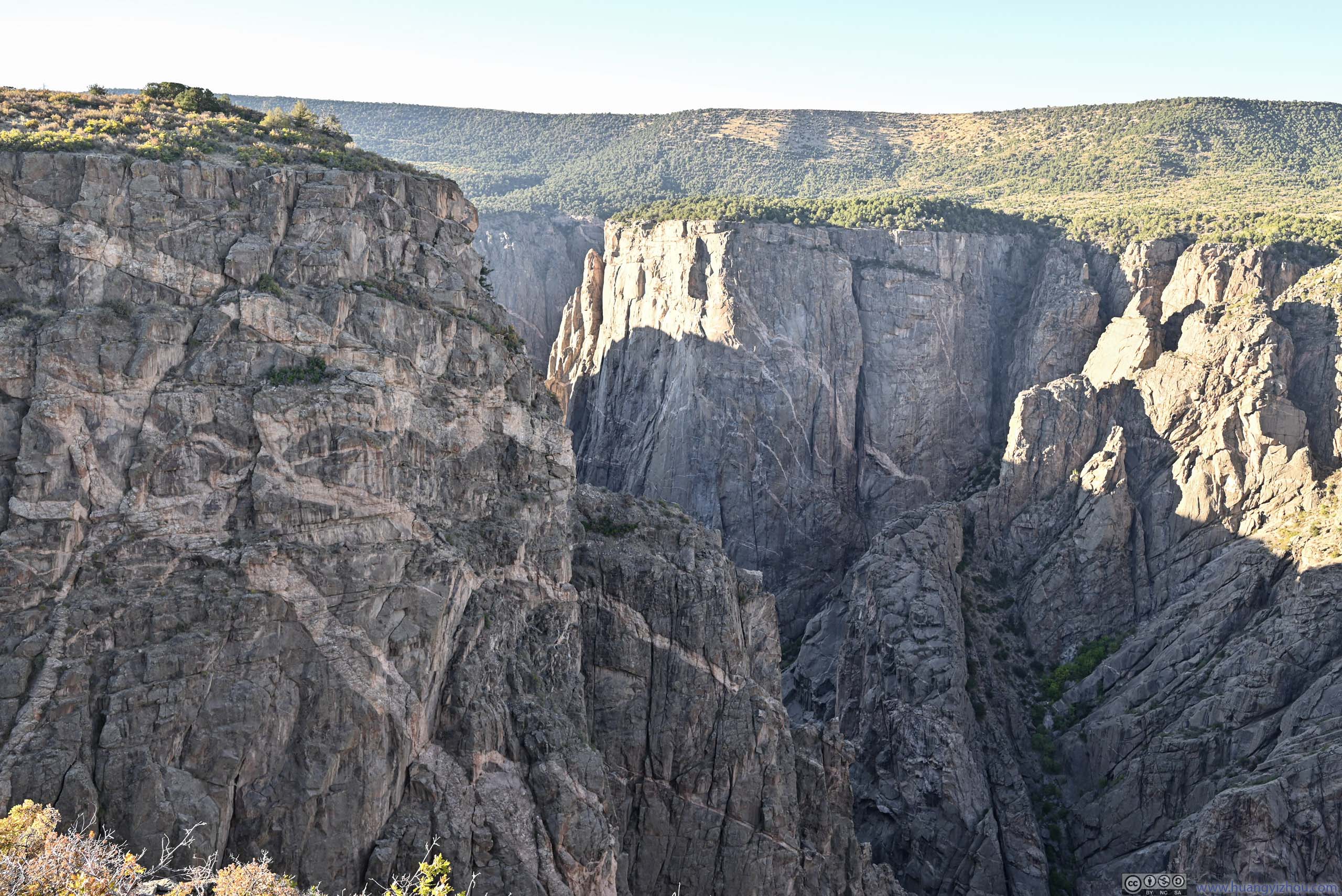
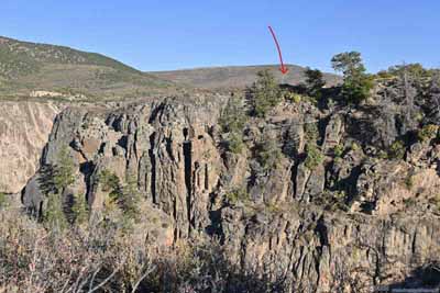
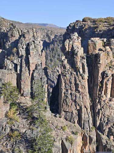
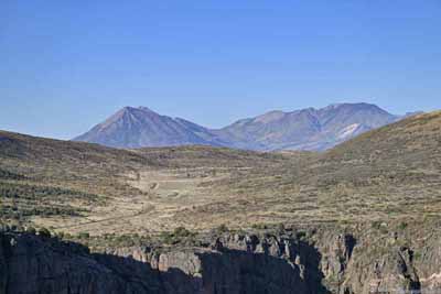
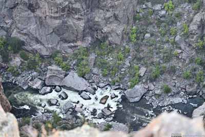
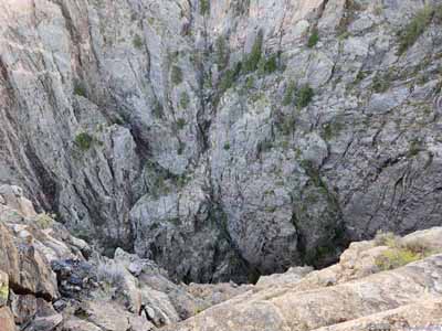
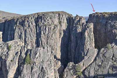
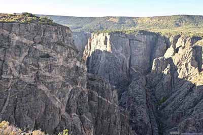
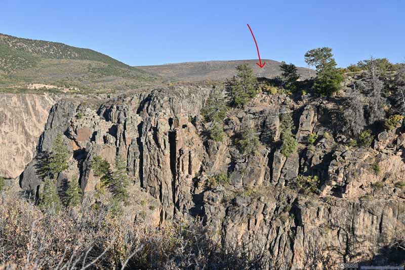
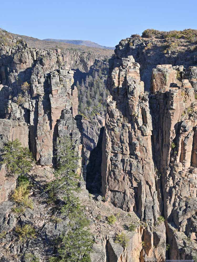
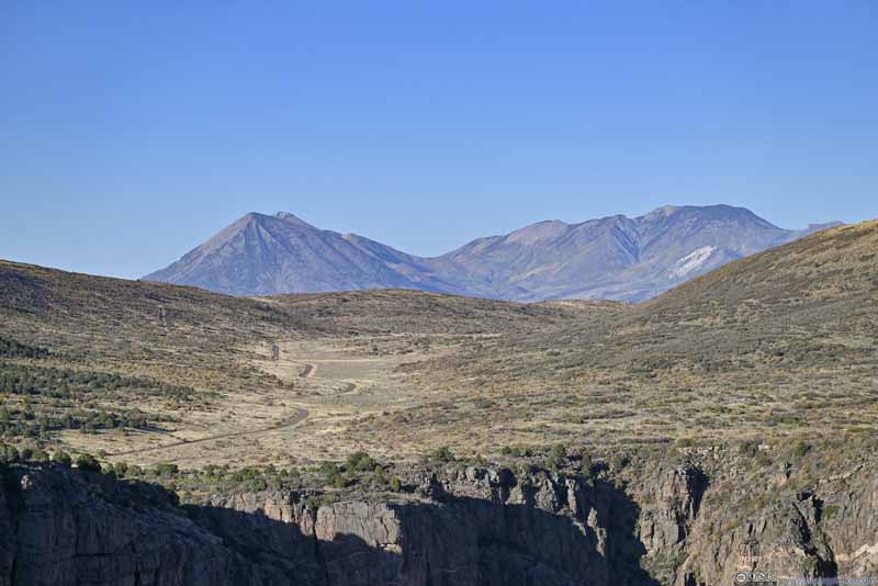
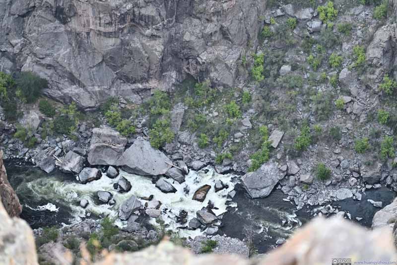
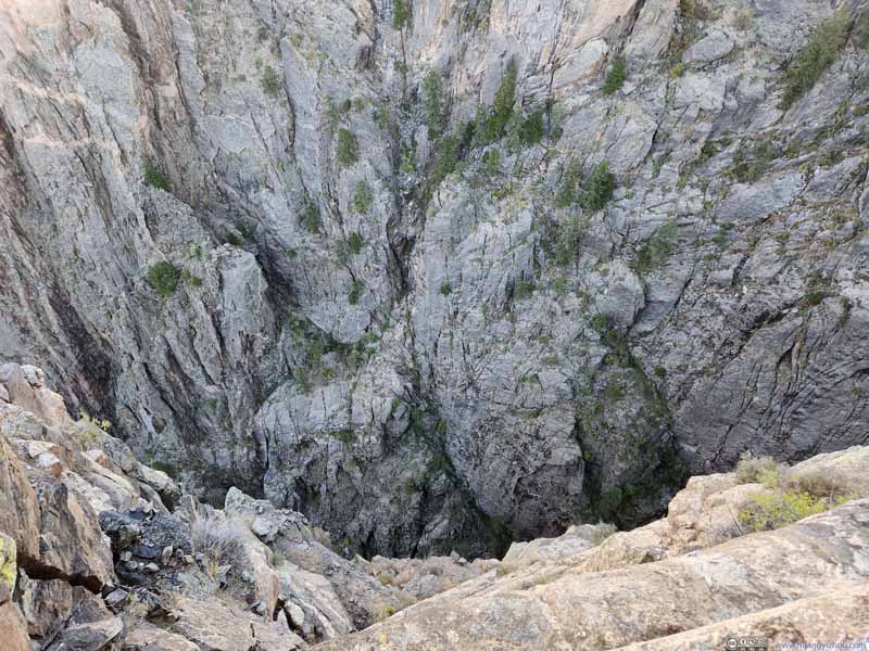
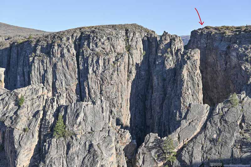
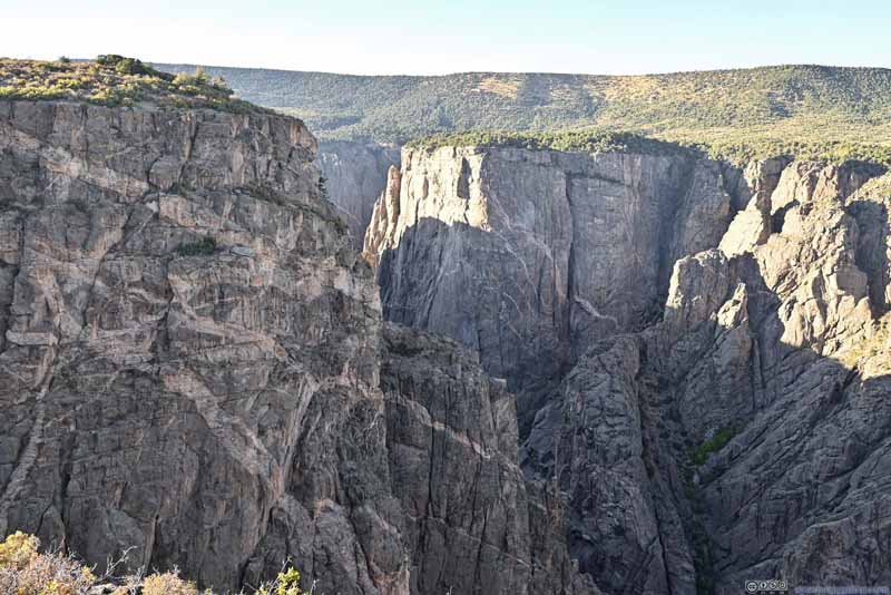
To be honest, I couldn't appreciate why this spot was called "Devil's Lookout" as I didn't find anything devious. Maybe the layered canyon view to the northwest?
Cedar Point
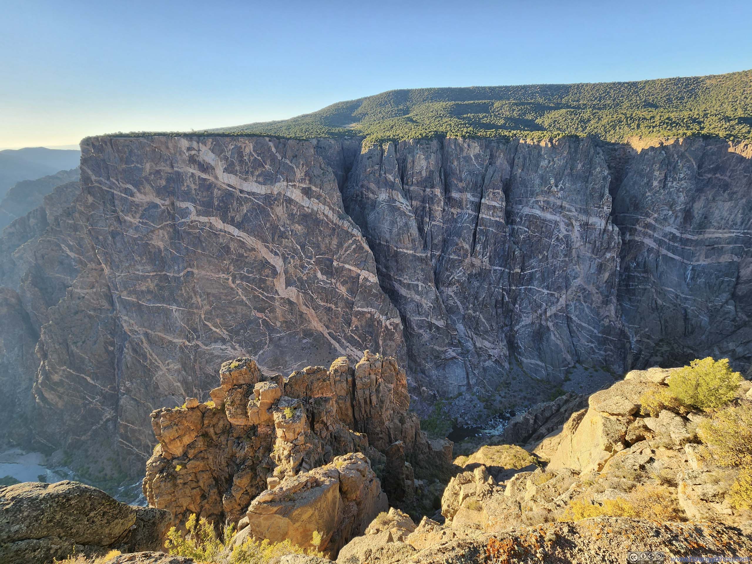
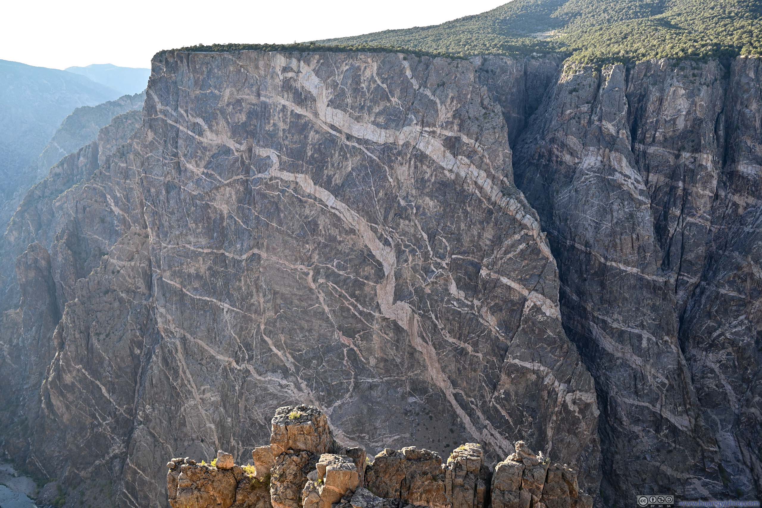
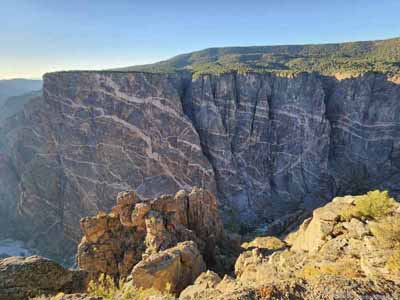
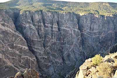
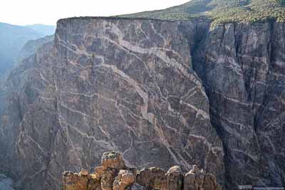
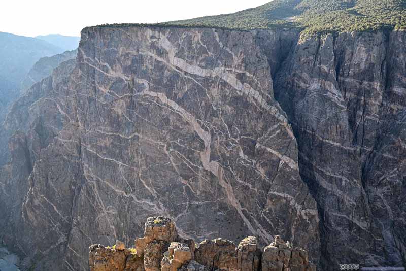
Then it's another highlight of the park, its "painted" canyon walls.
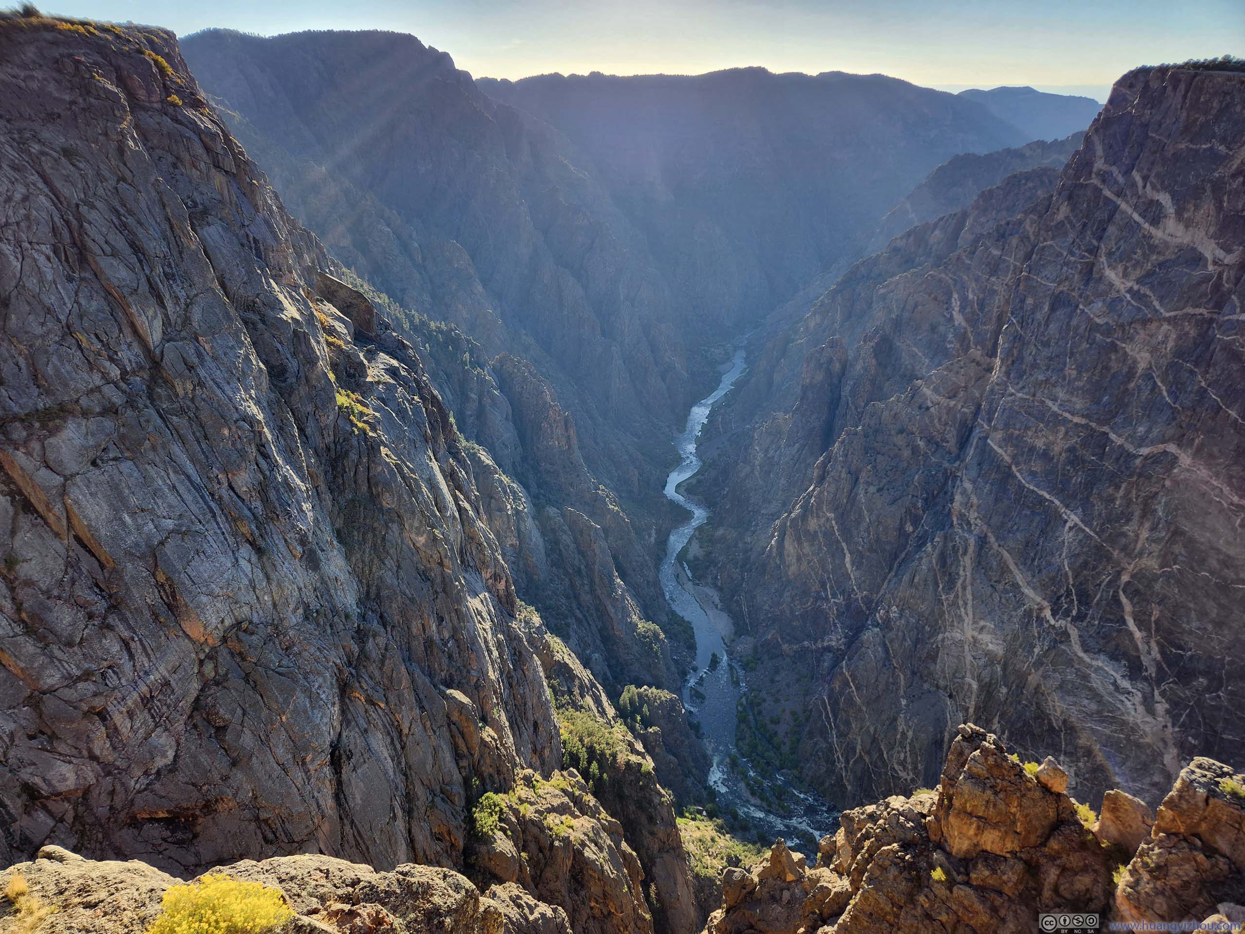
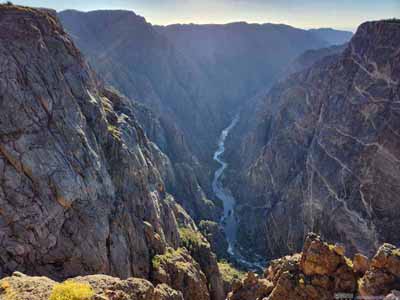
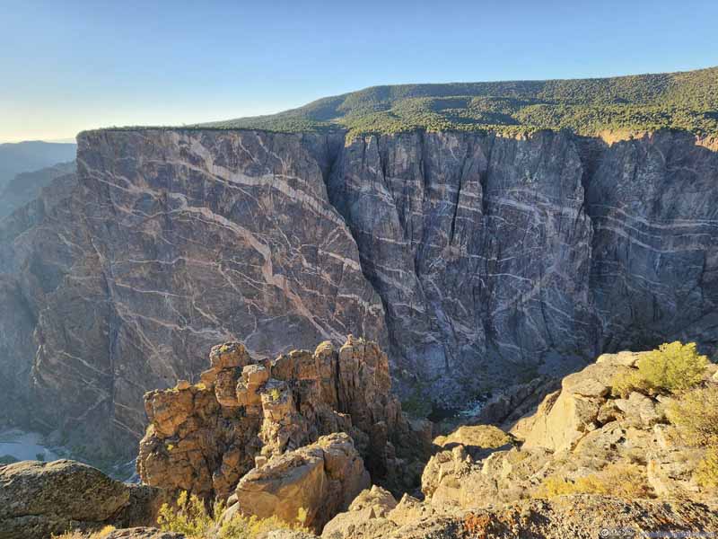
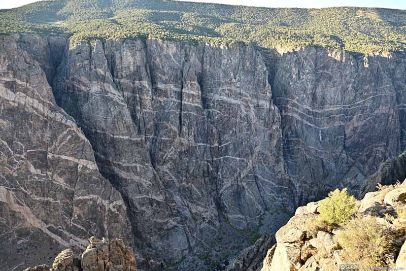
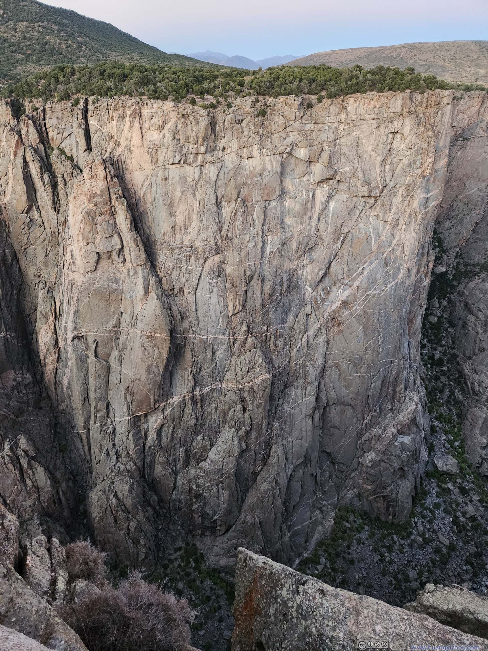
The walls of Gunnison Canyon were some of the oldest on earth (1.7 billion years old, about one-third of earth's age). Among these canyon walls were white stripes made of Pegmatite, formed by molten rock that intruded into existing rocks. It's most obvious at "Painted Wall" where a sheer vertical wall was interleaved by a few striking white horizontal stirpes. Since I couldn't find parking at "Painted Wall View", I drove to the next overlook of "Cedar Point".
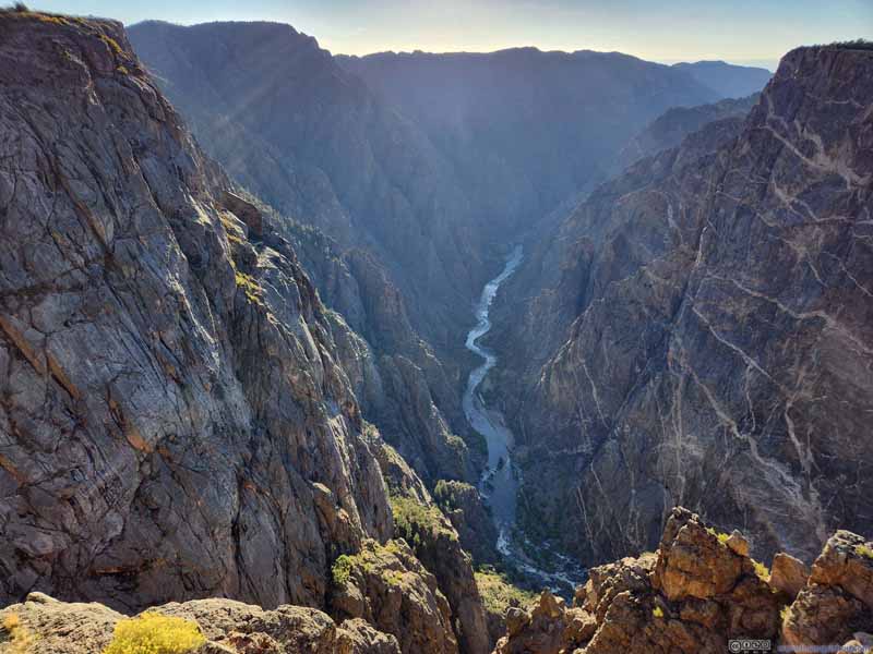
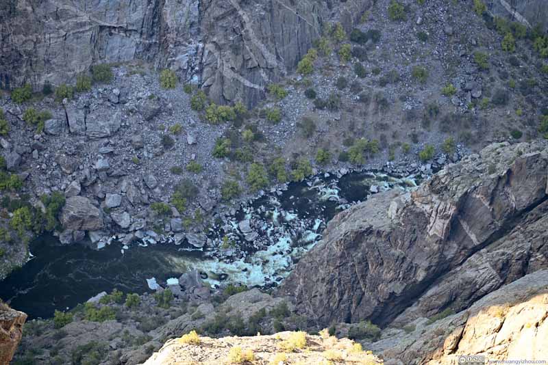
Apart from the painted walls, it's also a good spot to watch the Gunnison River flowing downstream amid the lofty canyon it carved through.
Warner Point
Then I checked out Warner Point, which required a short 2.4km out-and-back trail from the western end of South Rim Road.
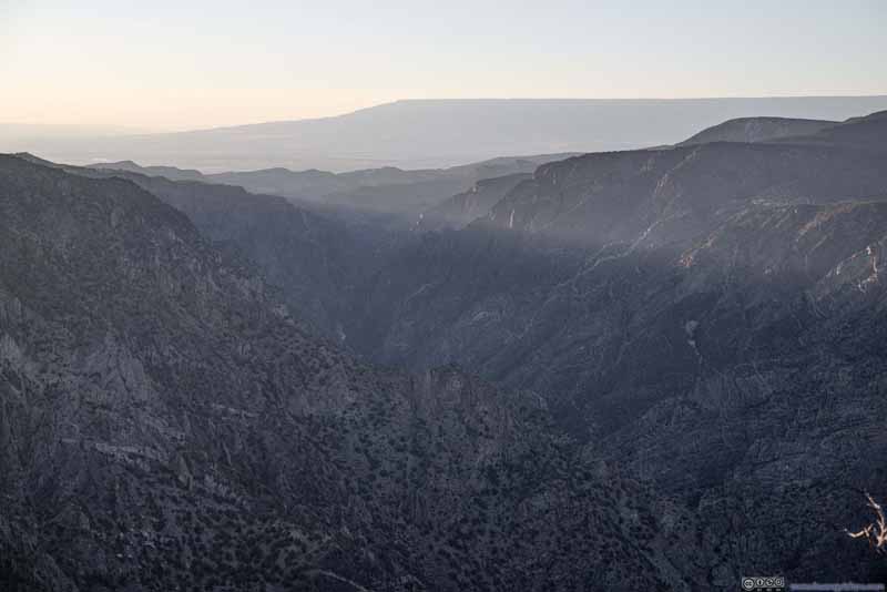
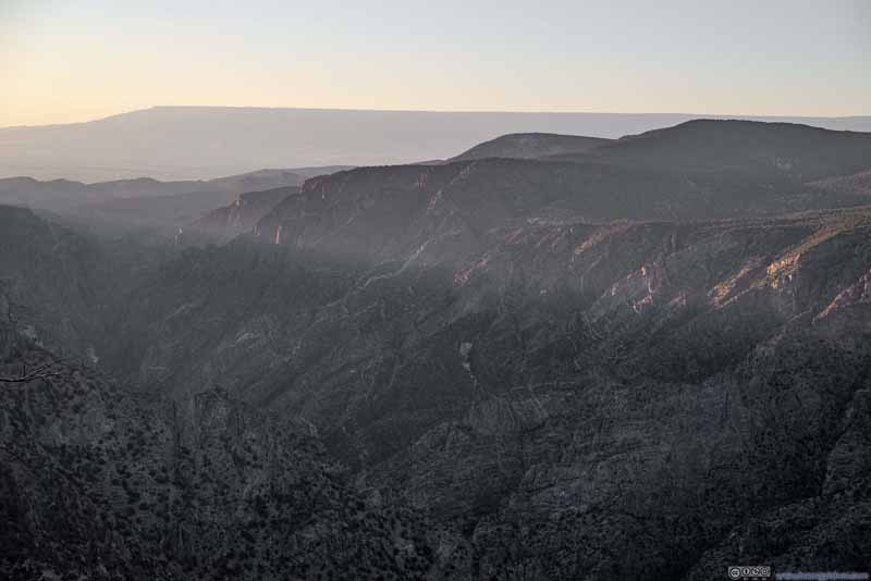
Along the trail, from time to time, clearing amid plants offered some views, such as San Juan Mountains to the south and West Elk Mountains to the north, in addition to the painted walls of Gunnison Canyon.
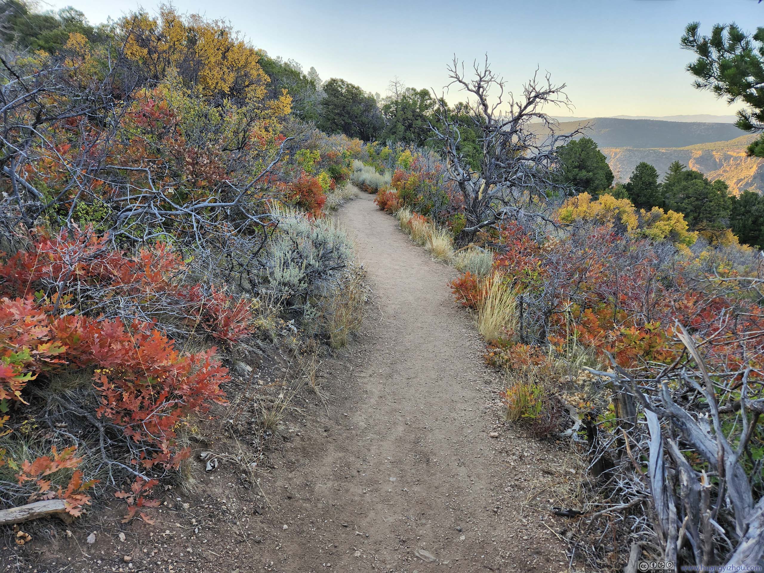
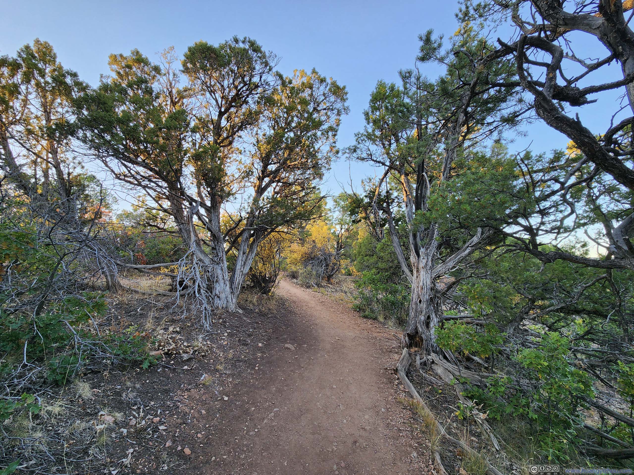
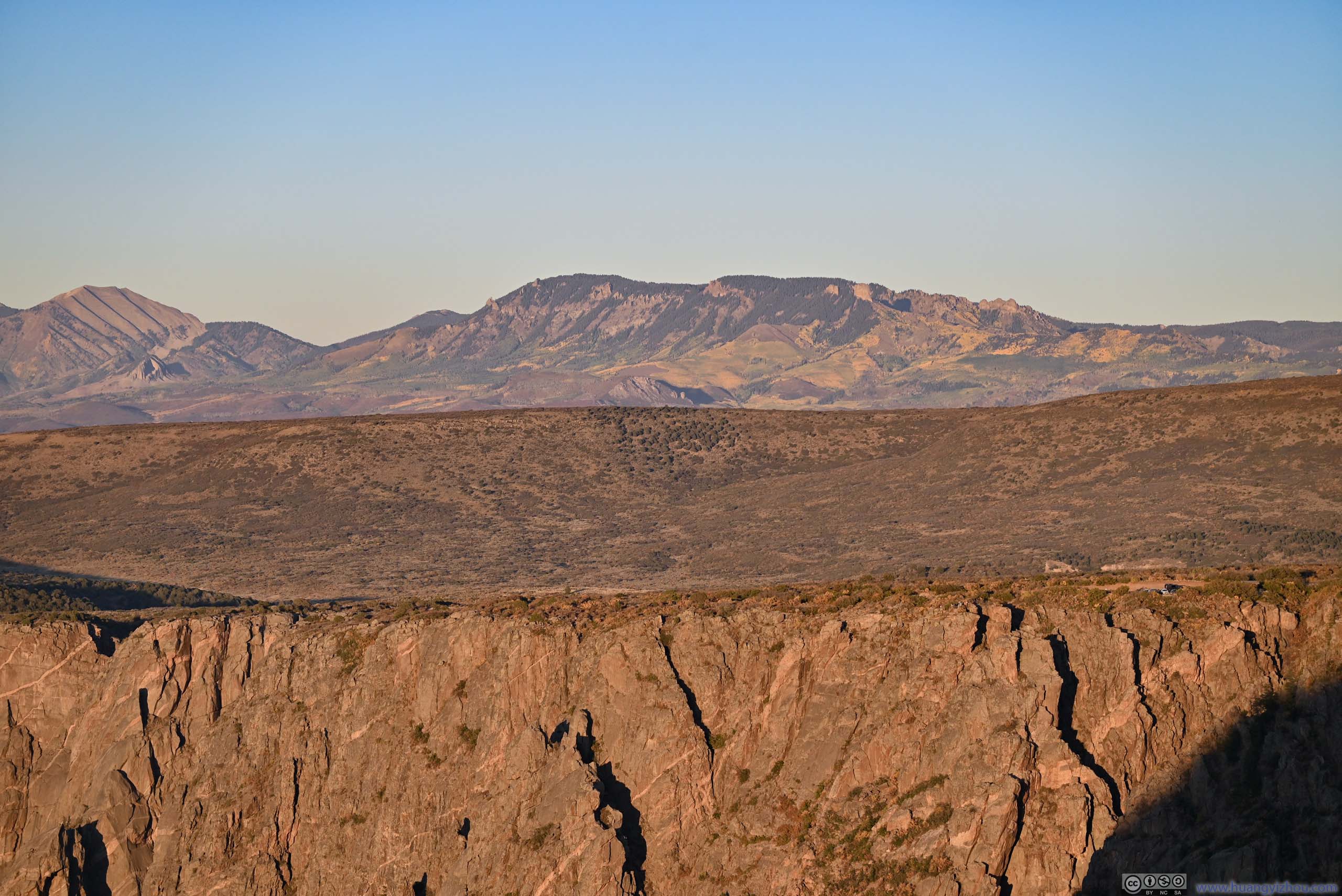
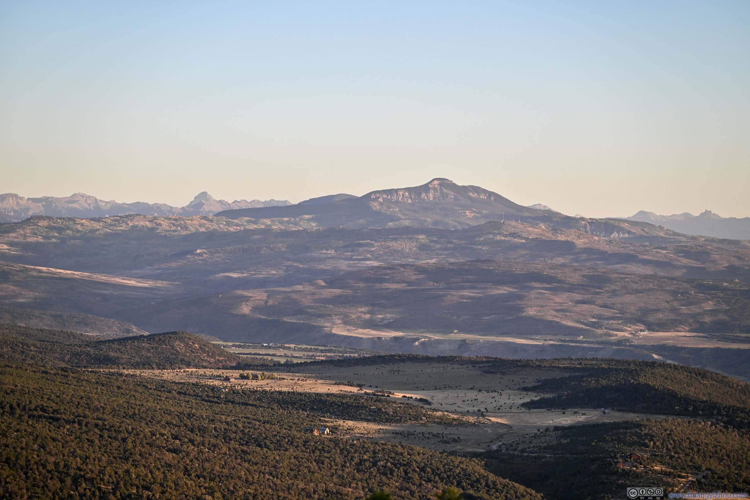
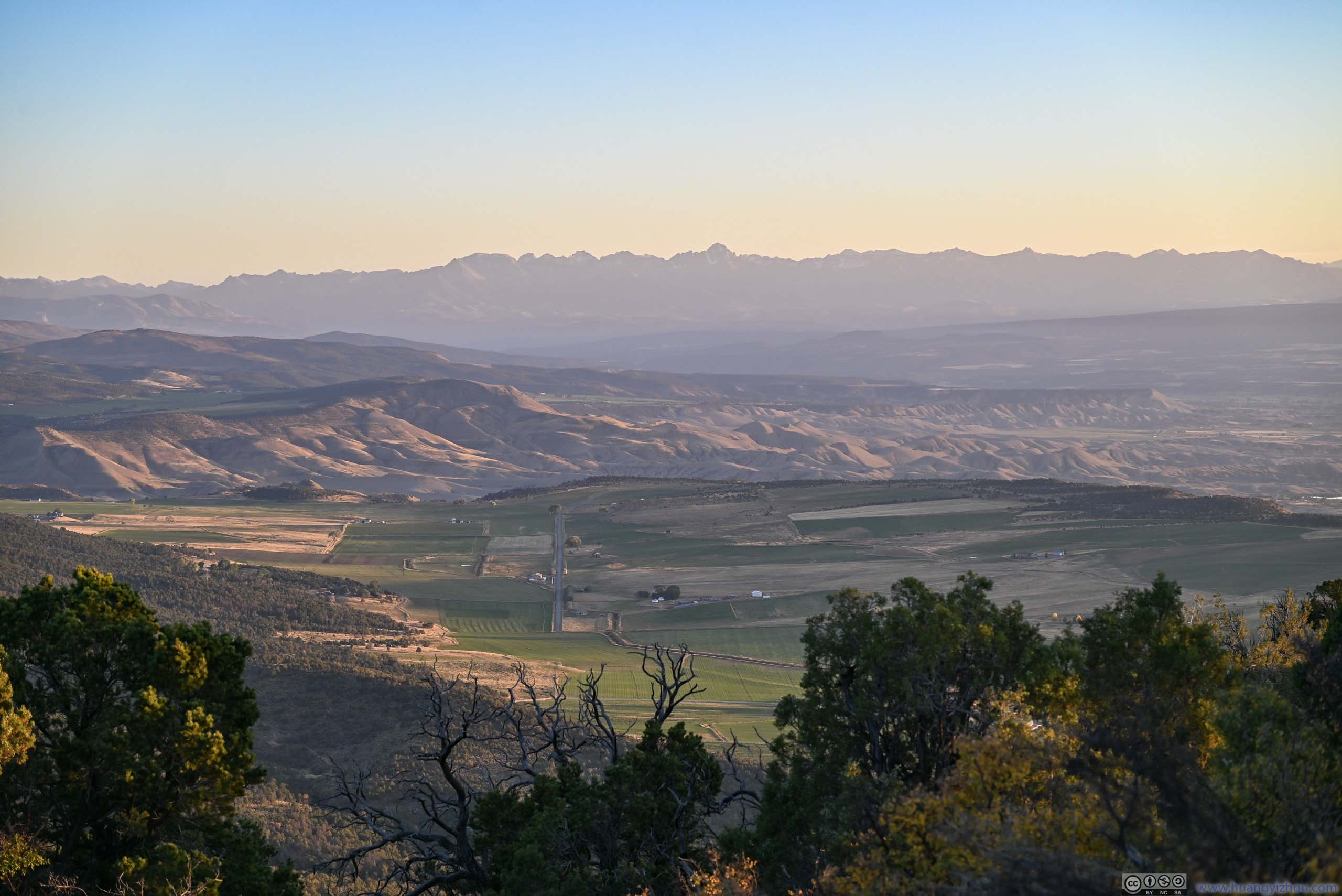
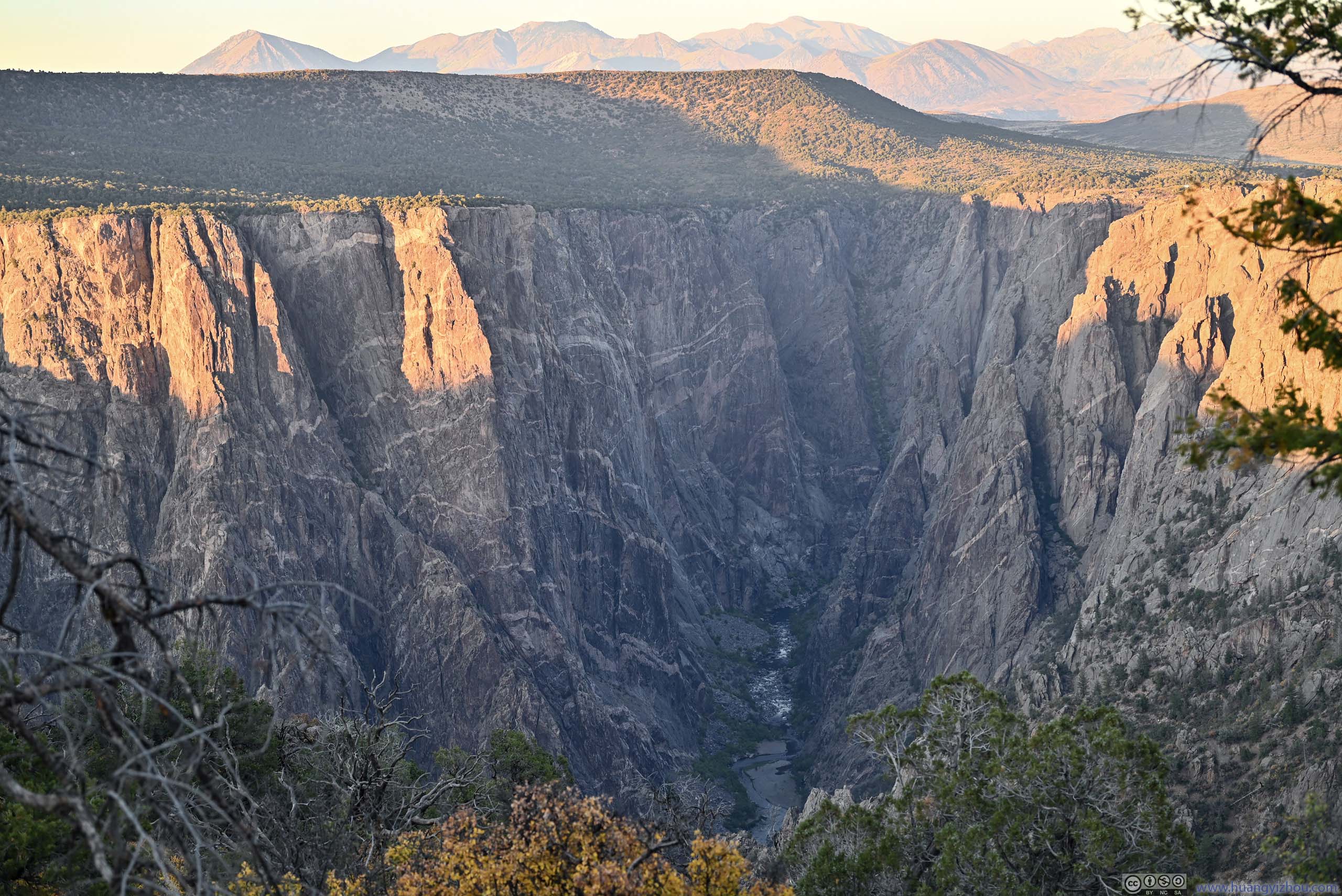
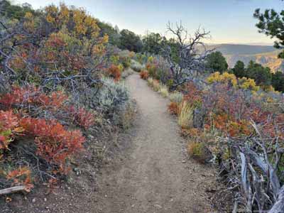
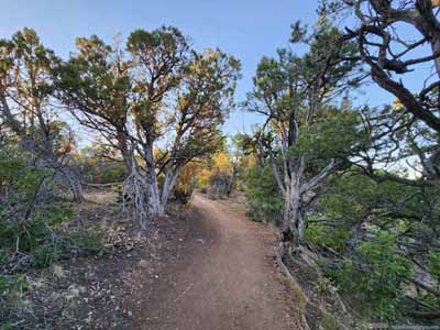
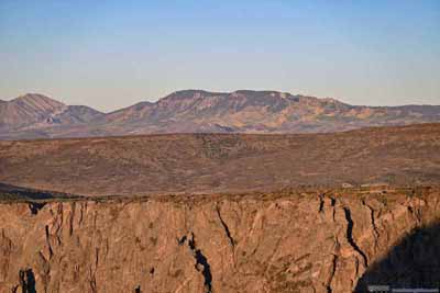
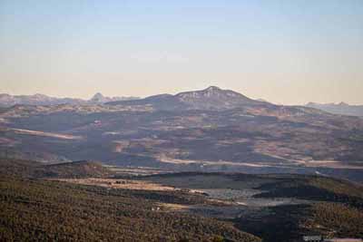
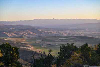
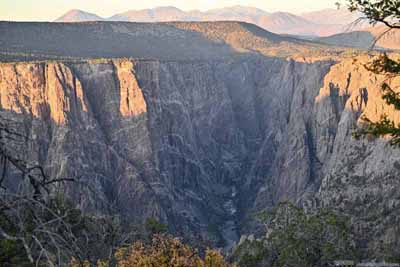
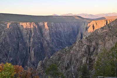
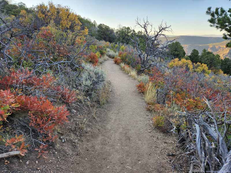
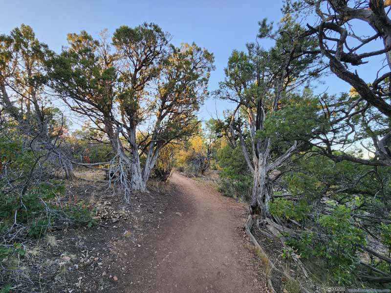
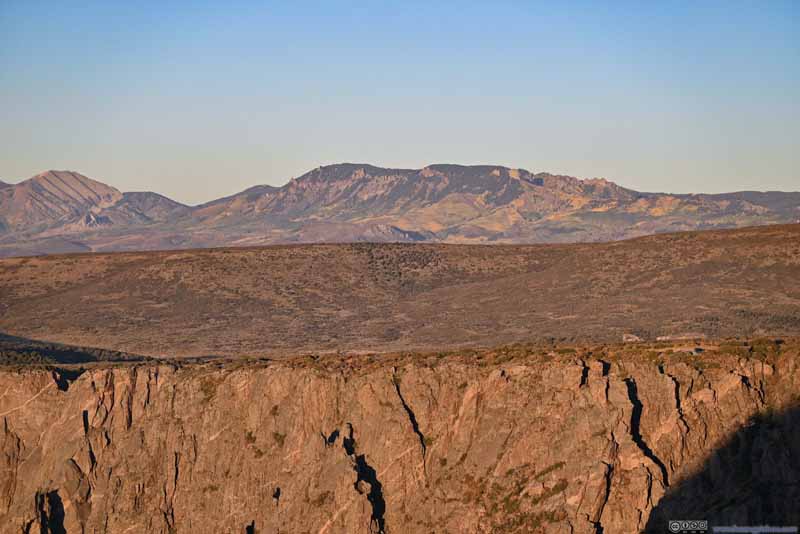
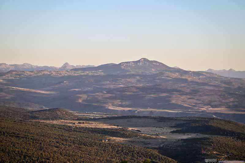
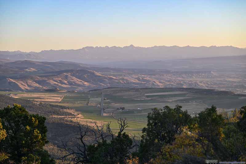
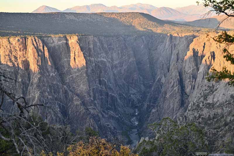
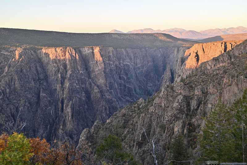
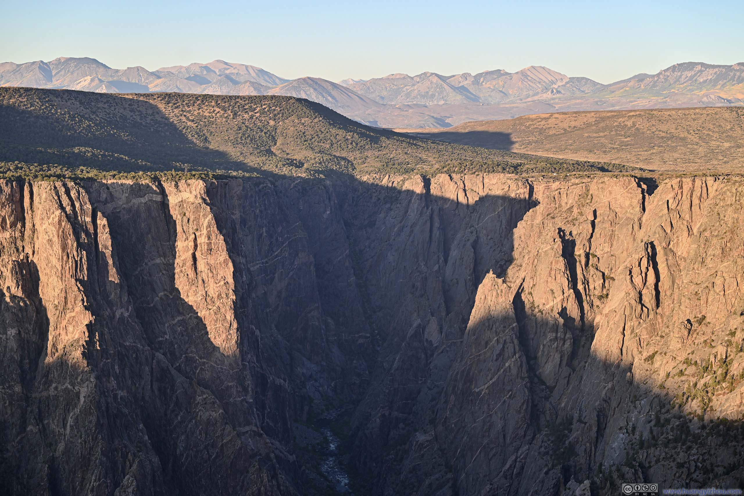
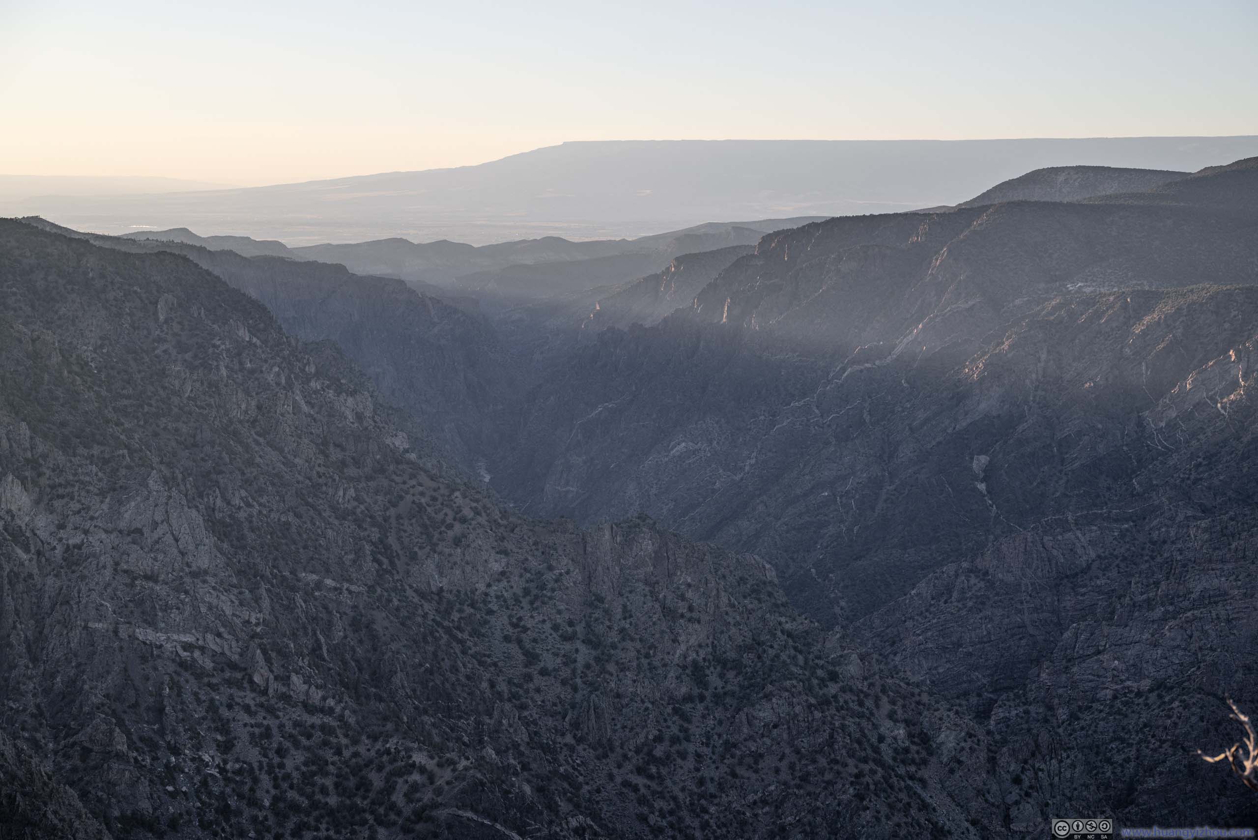
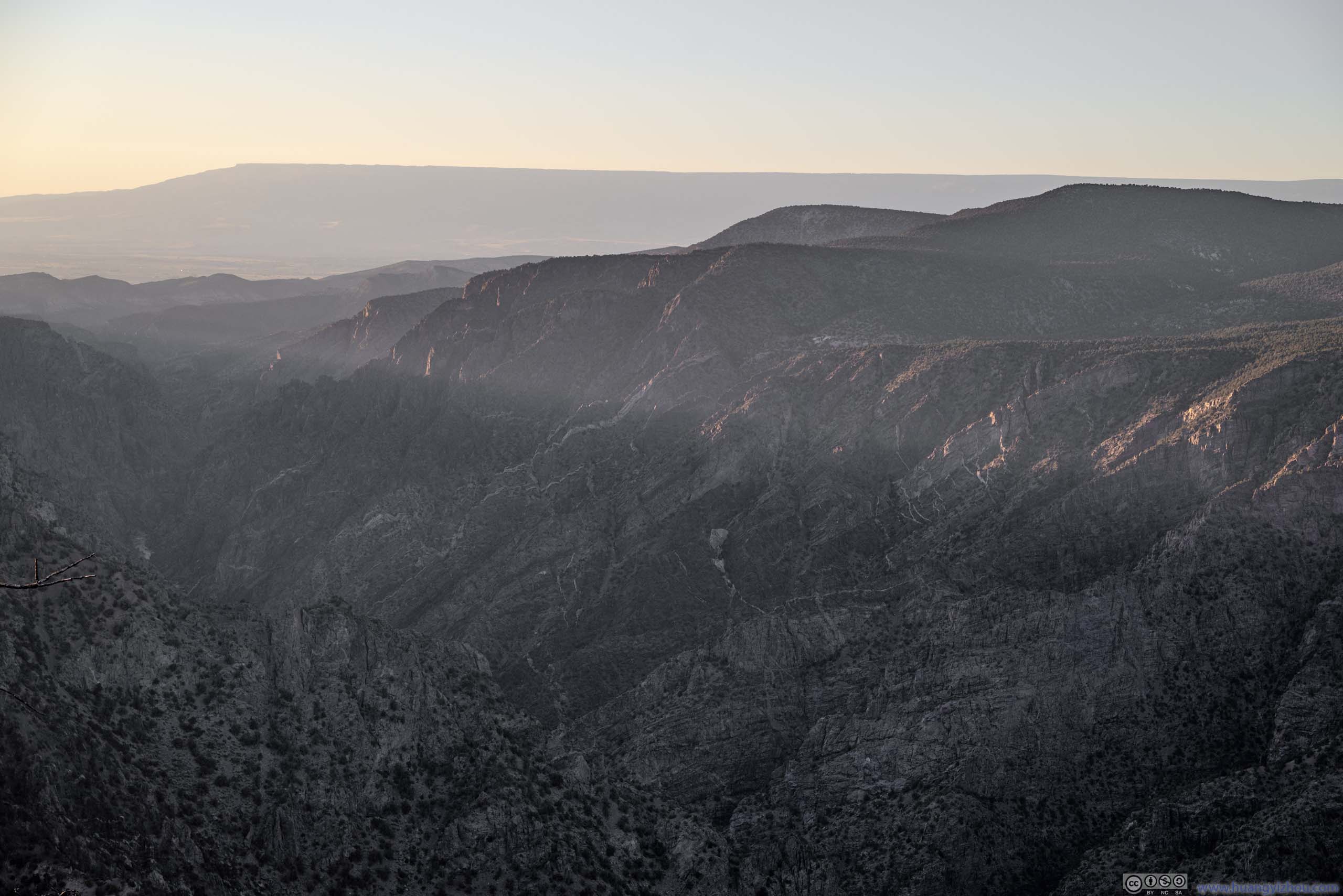
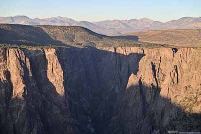
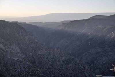
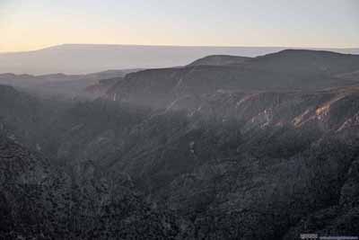
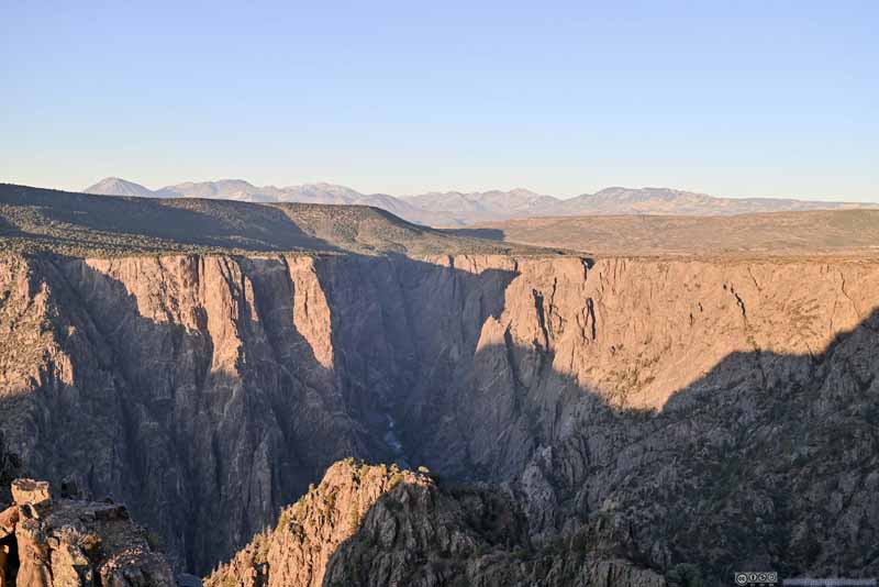
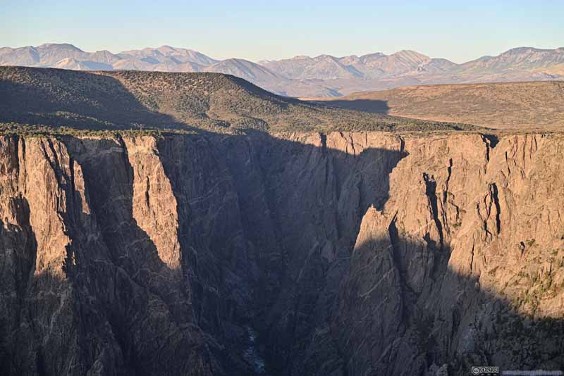
While Warner Point featured the greatest depth of the Gunnison Canyon compared to the overlooks earlier, it's further laid back from the canyon, so it didn't have the feeling of a sheer dropoff. In addition, further west Gunnison Canyon no longer featured steep walls (p3-4 below) that kept me captivated for the day. Given that the hike to Warner Point was significantly longer than other overlooks, unfortunately this was my least favorite of the day.
Sunset View
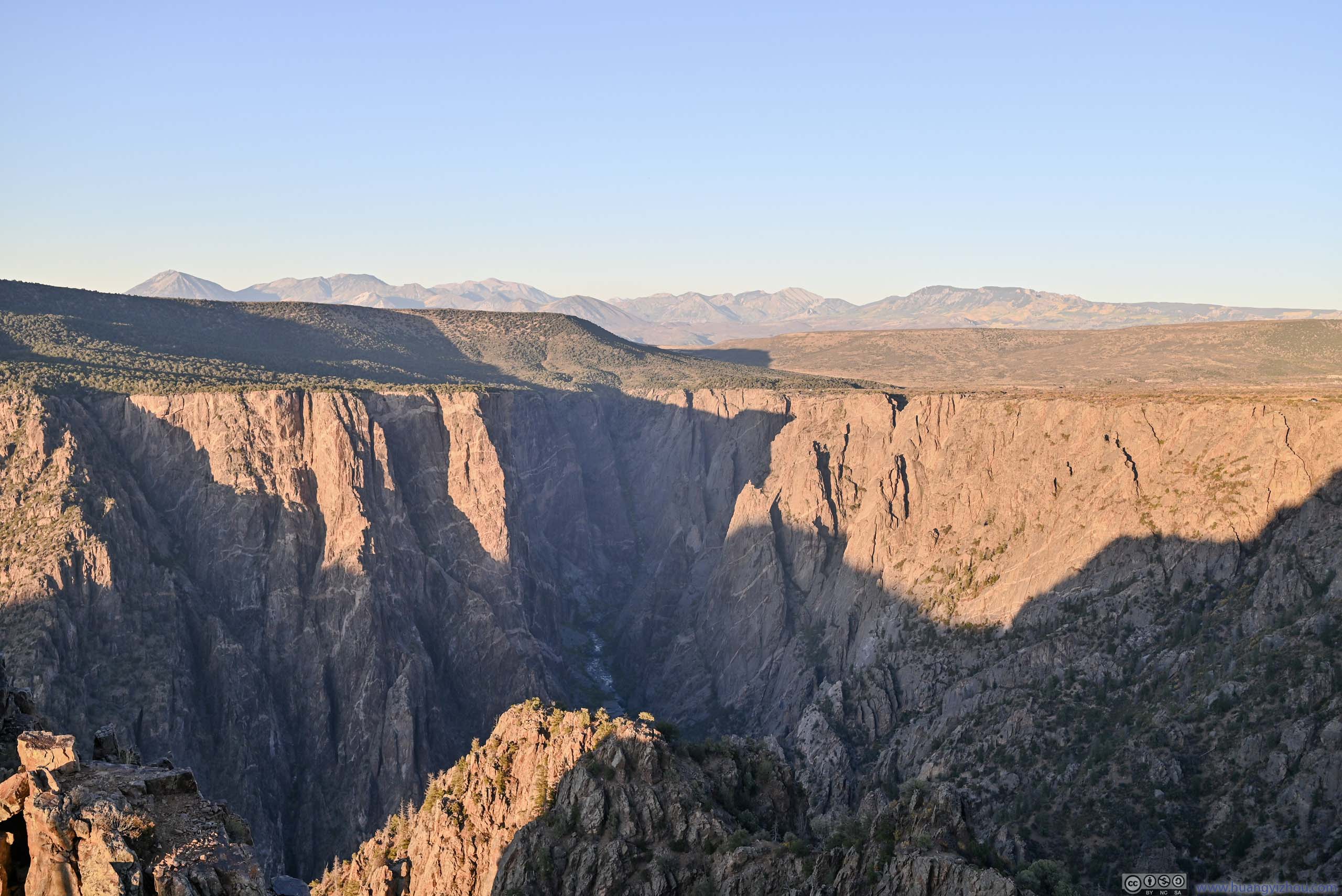
It's approaching sunset time, and since I was disappointed by what Warner Point had to offer, I decided to watch sunset at "Sunset View". After racing back from Warner Point, I pulled into the last parking spot at "Sunset View", right in time for the sunset.
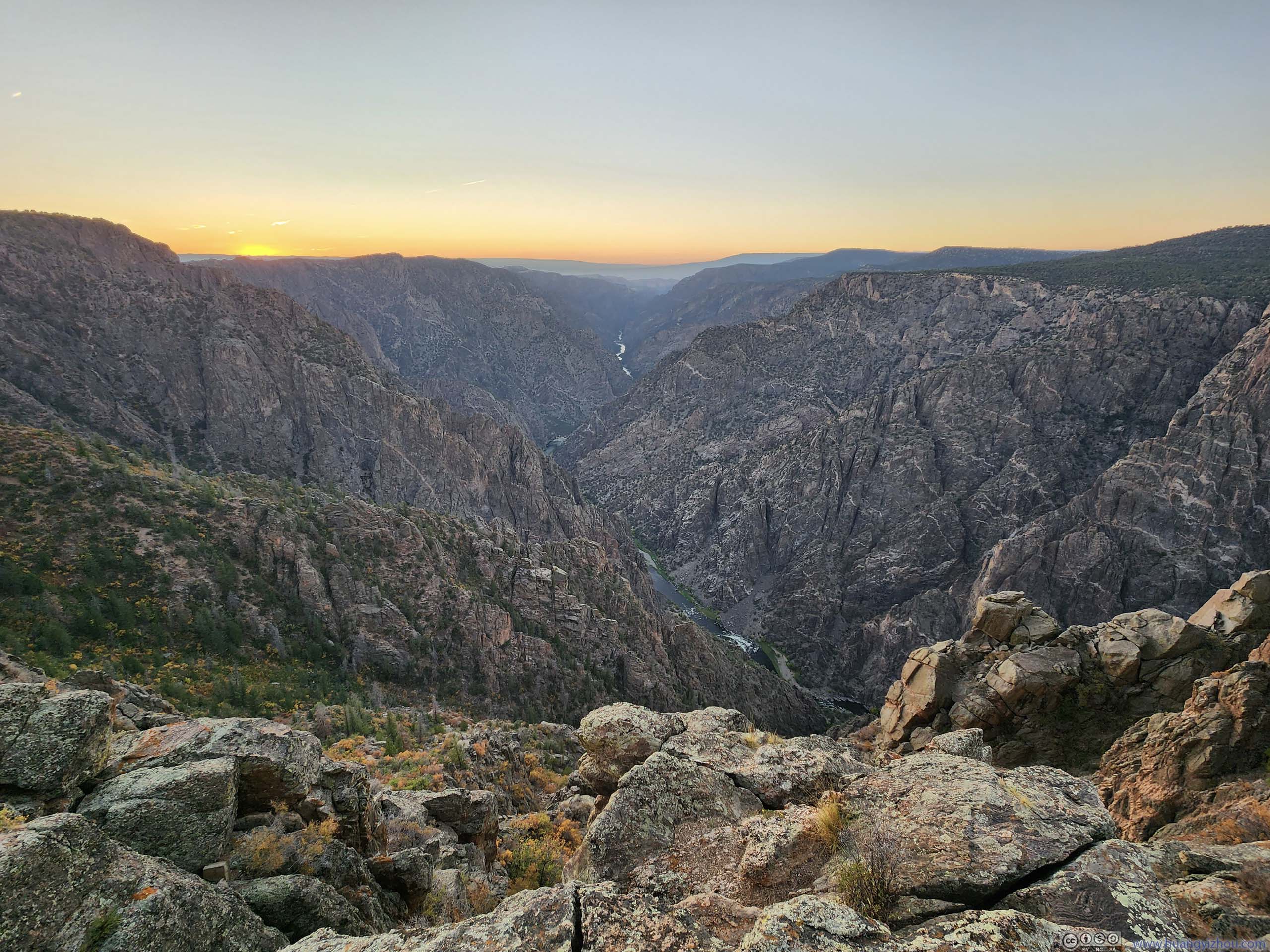
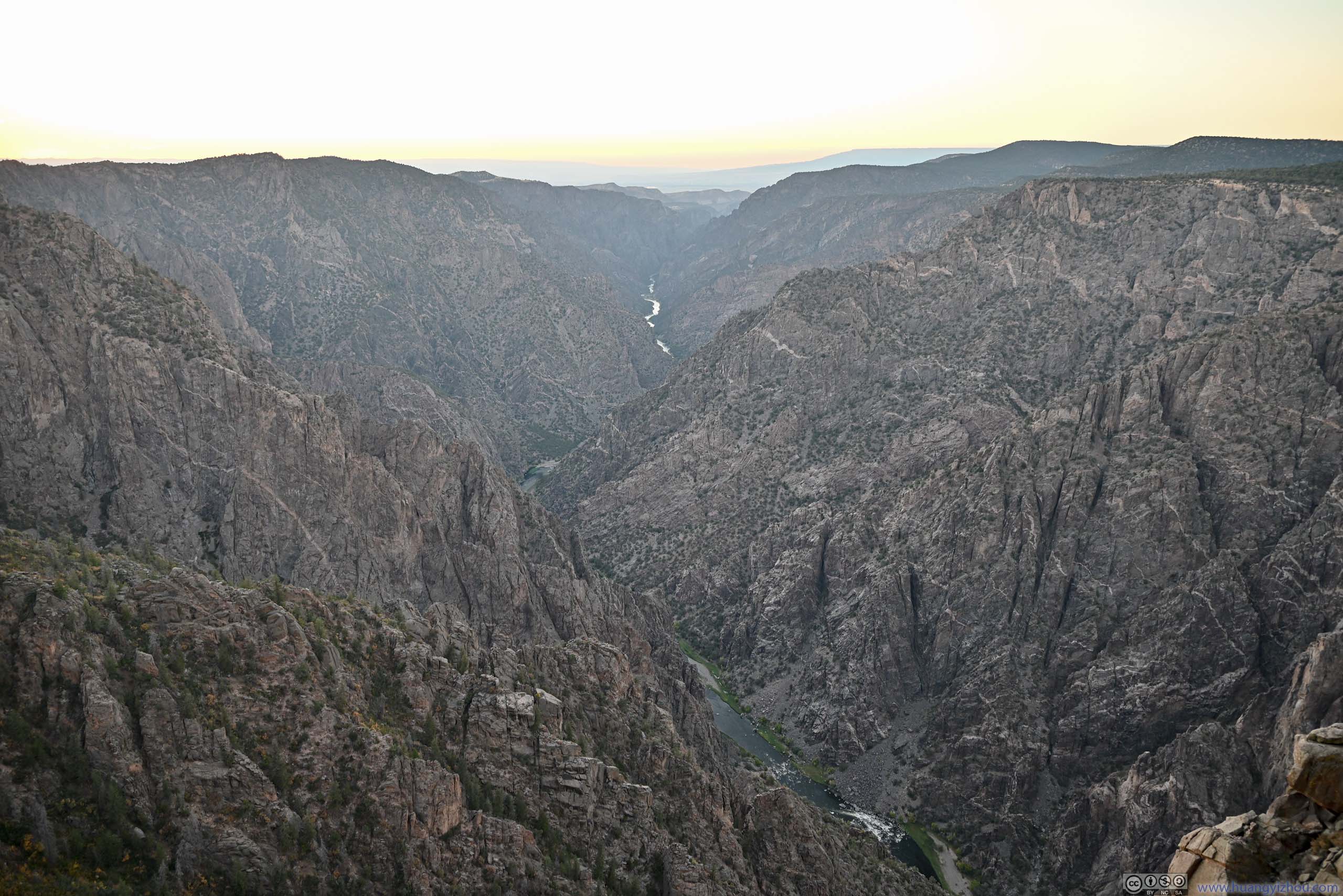
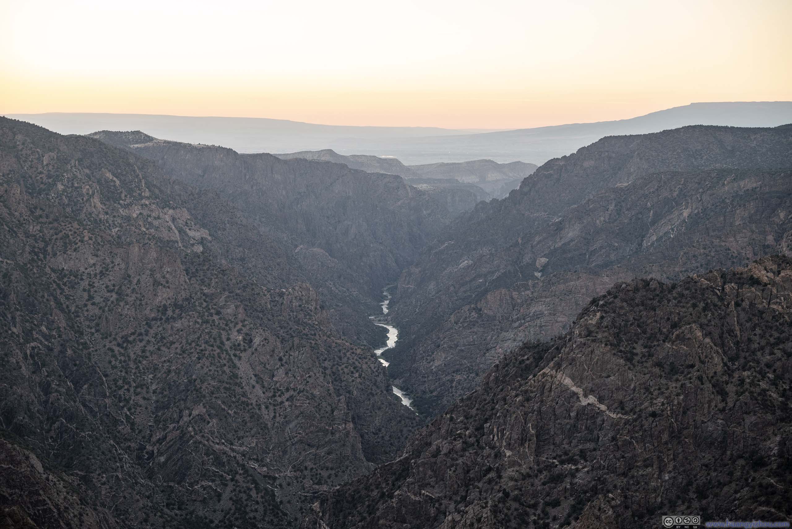
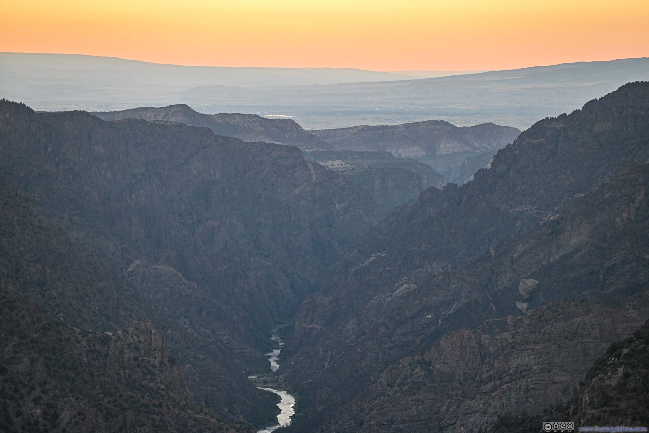
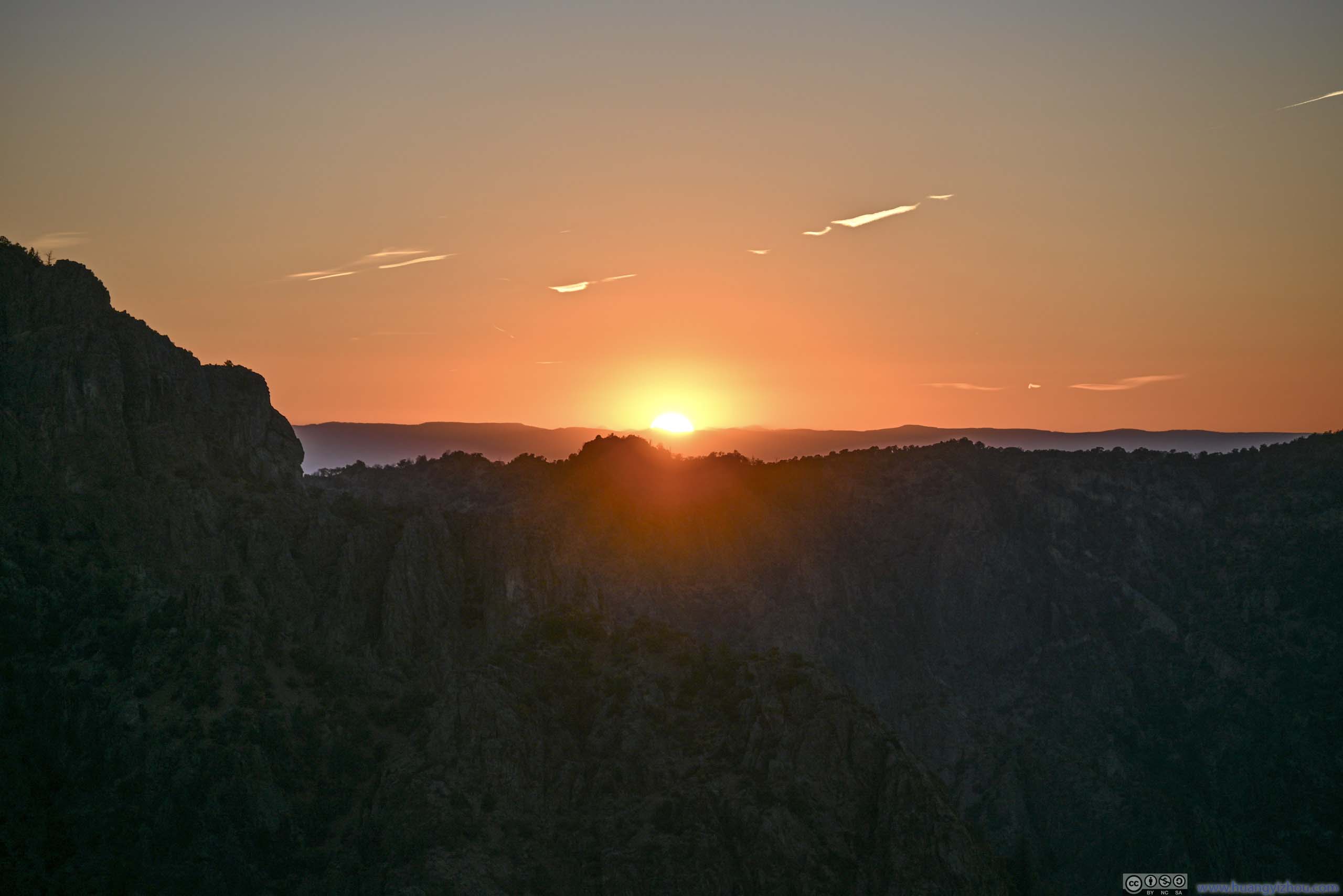
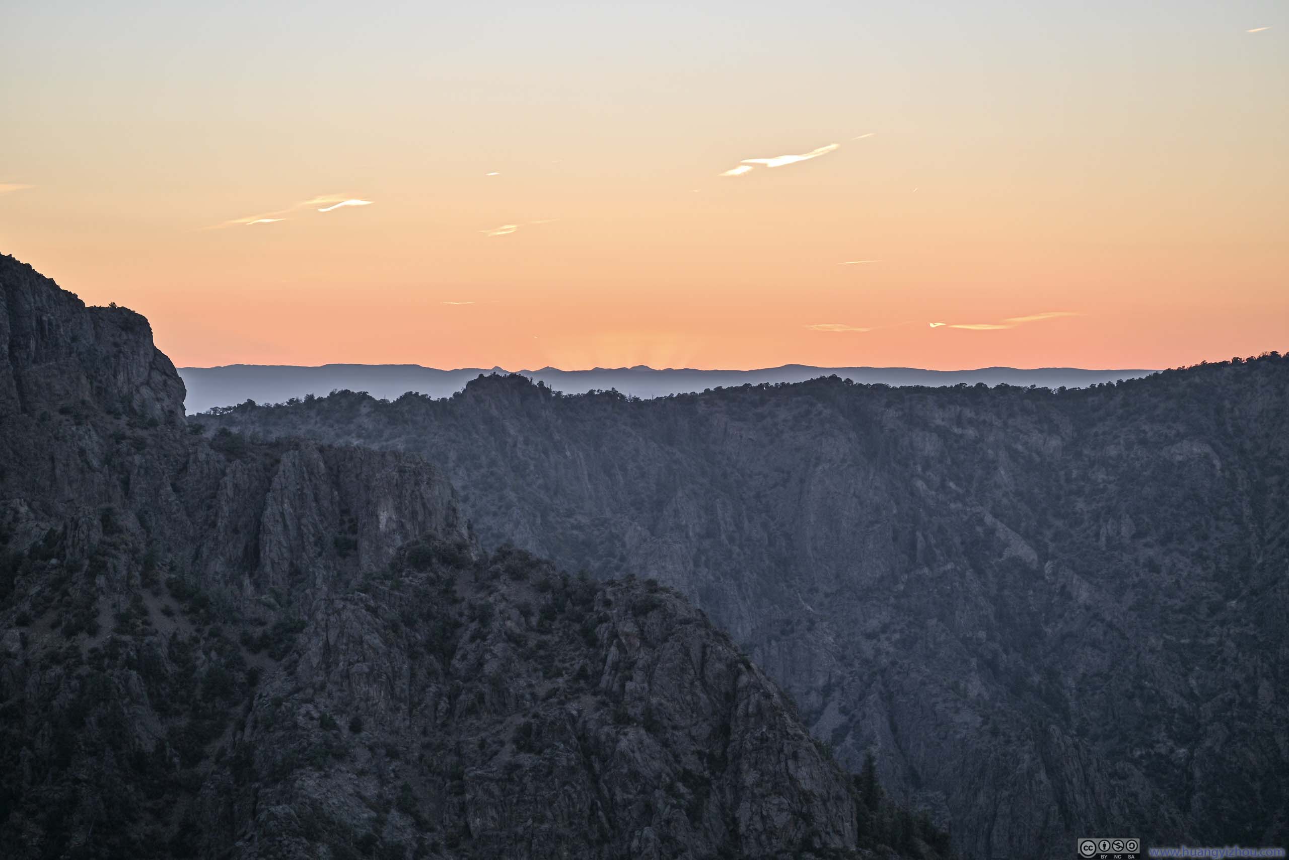
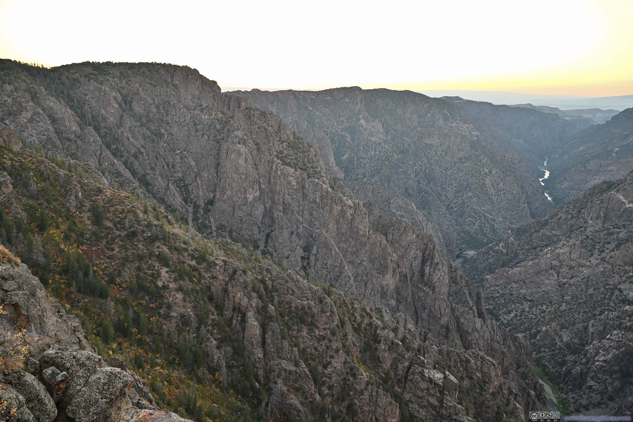
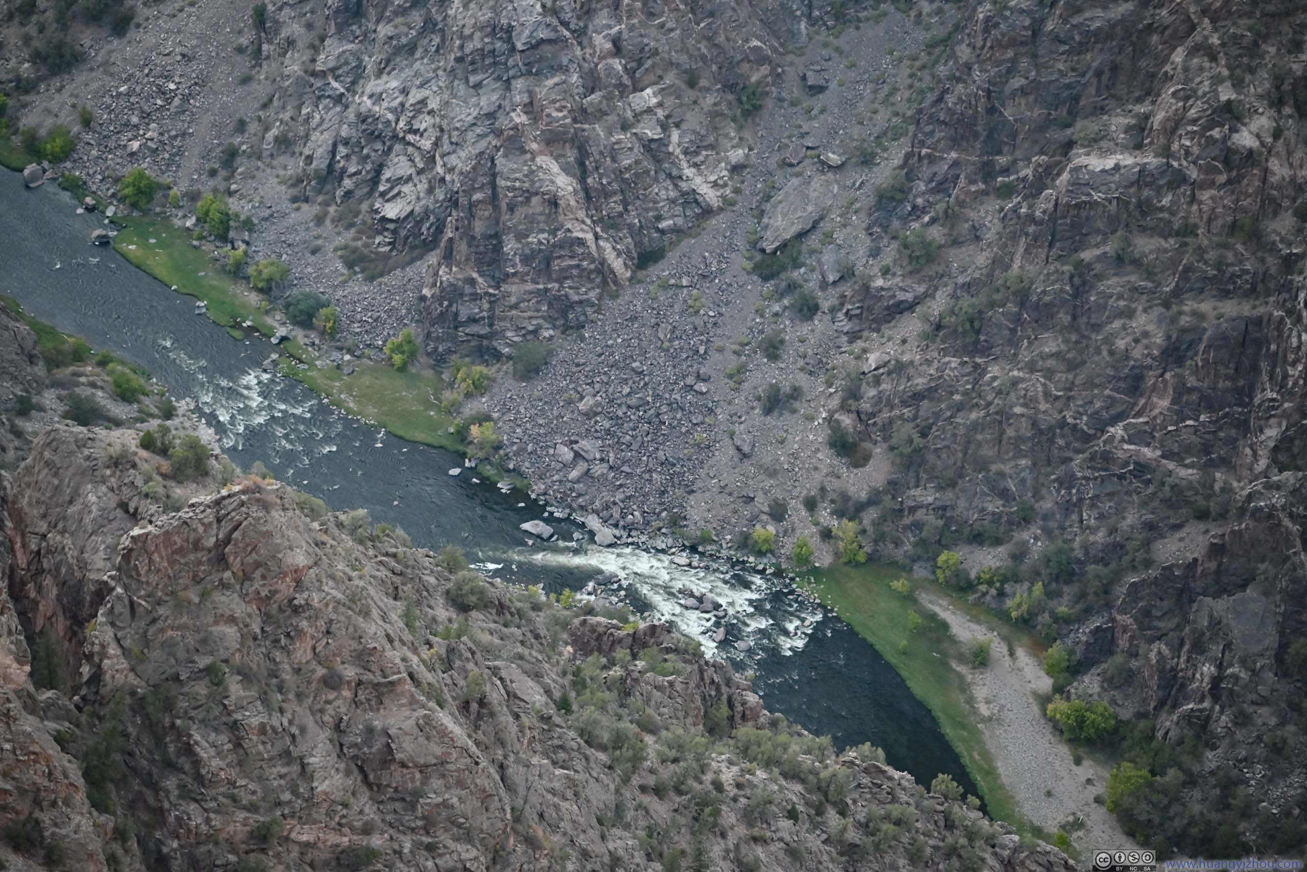
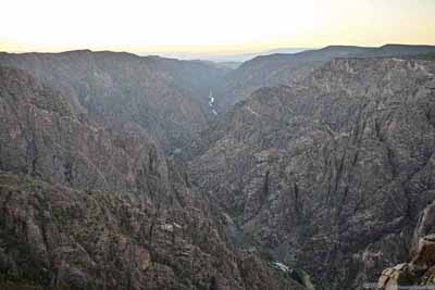
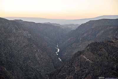
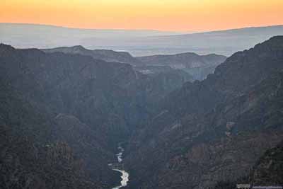
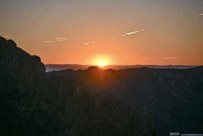
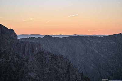
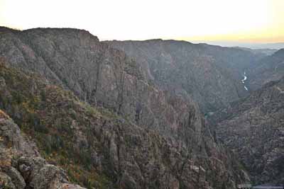
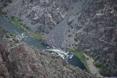
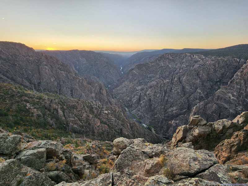
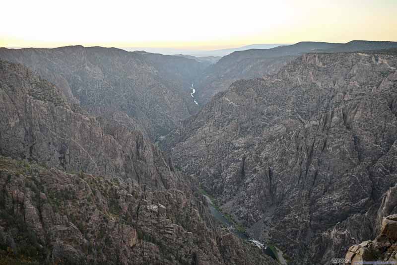
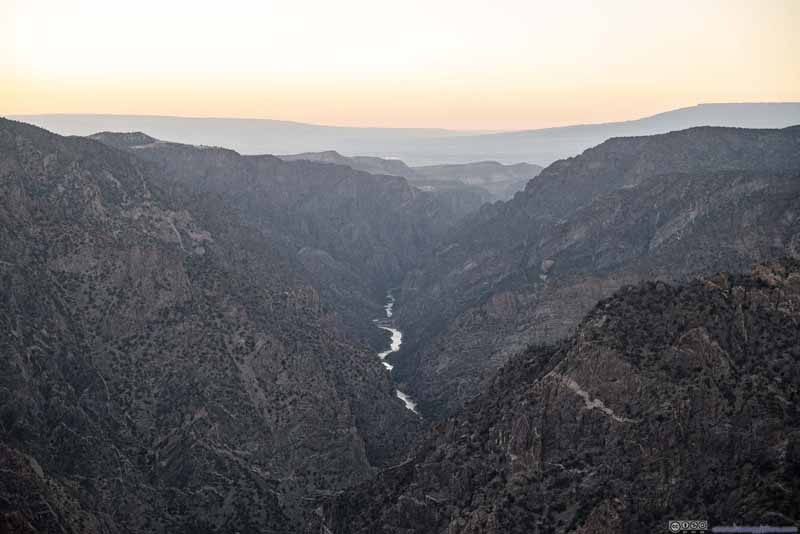
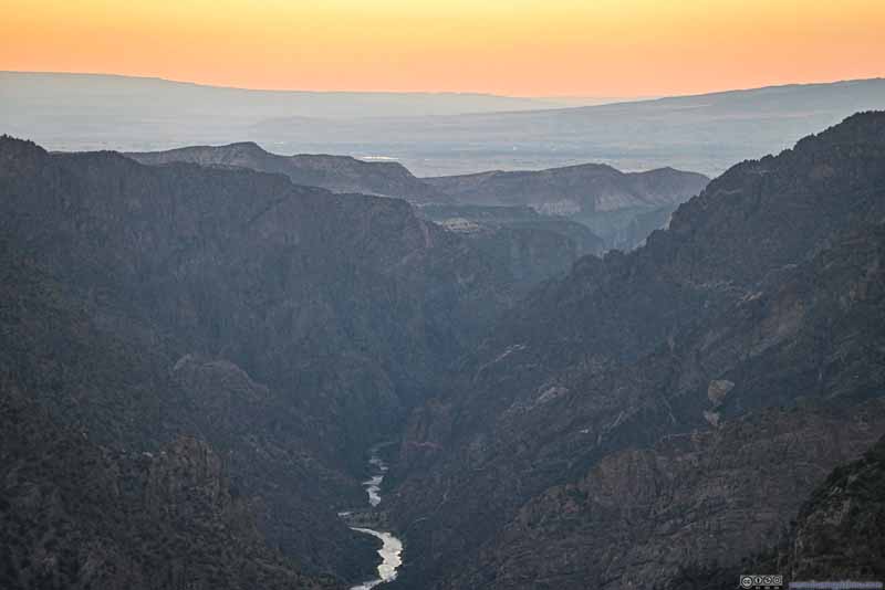
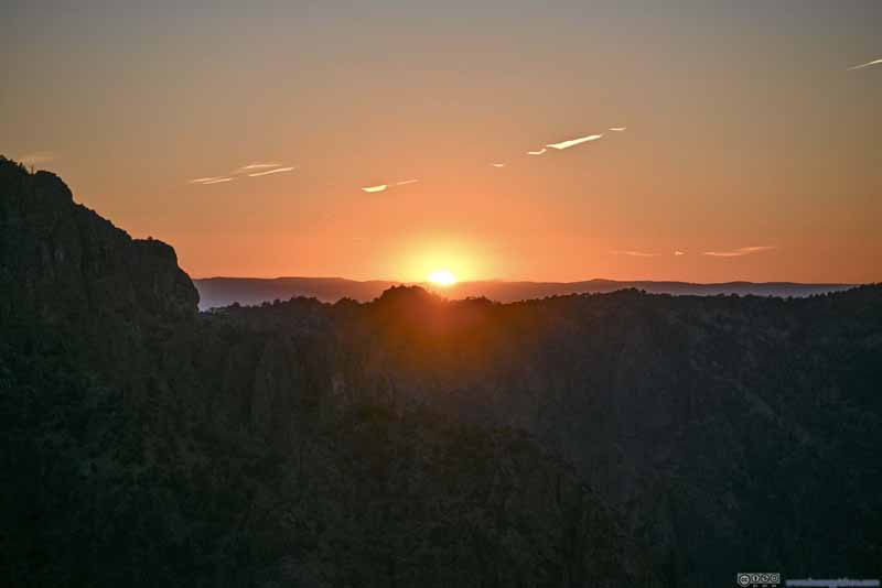
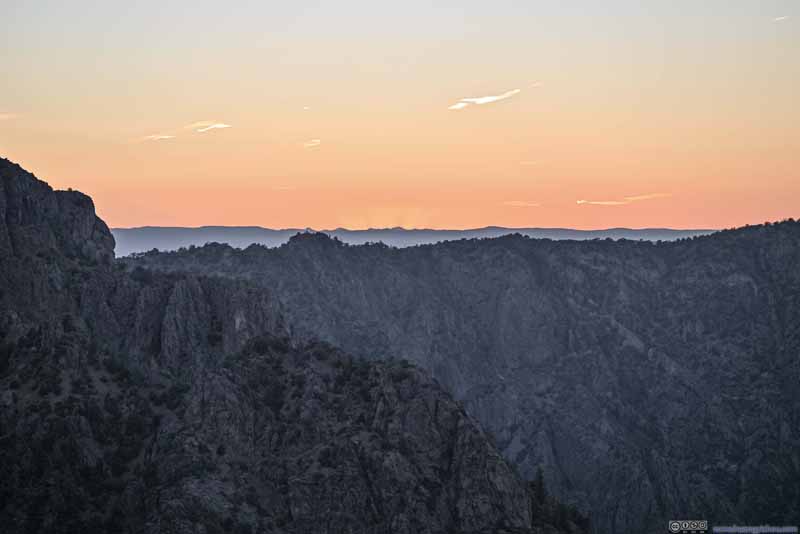
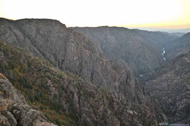
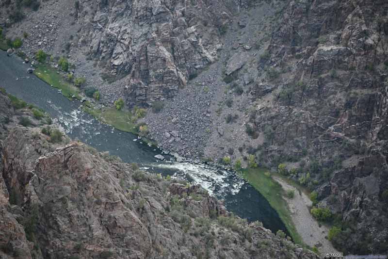
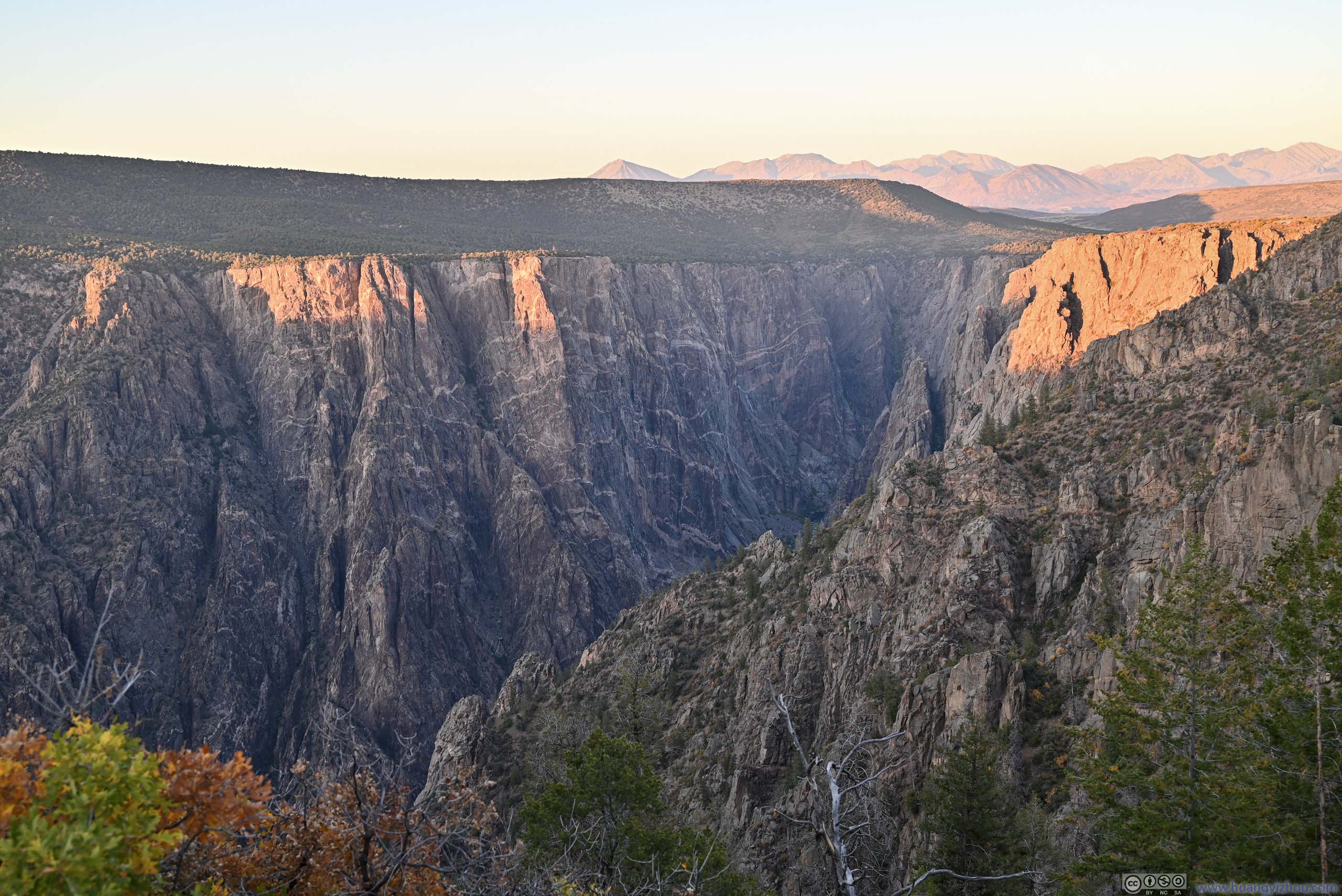
I felt the views here were better than Warner Point, in that more of Gunnison River was visible. I envisioned the view would be more spectacular had the sun set directly above Gunnison River/Canyon. Here the river flew west-northwest and the sun set strictly towards the west (near autumnal equinox). For this season, I figured maybe a better spot to watch the sunset was Cedar Point / Dragon Point.
Chasm View
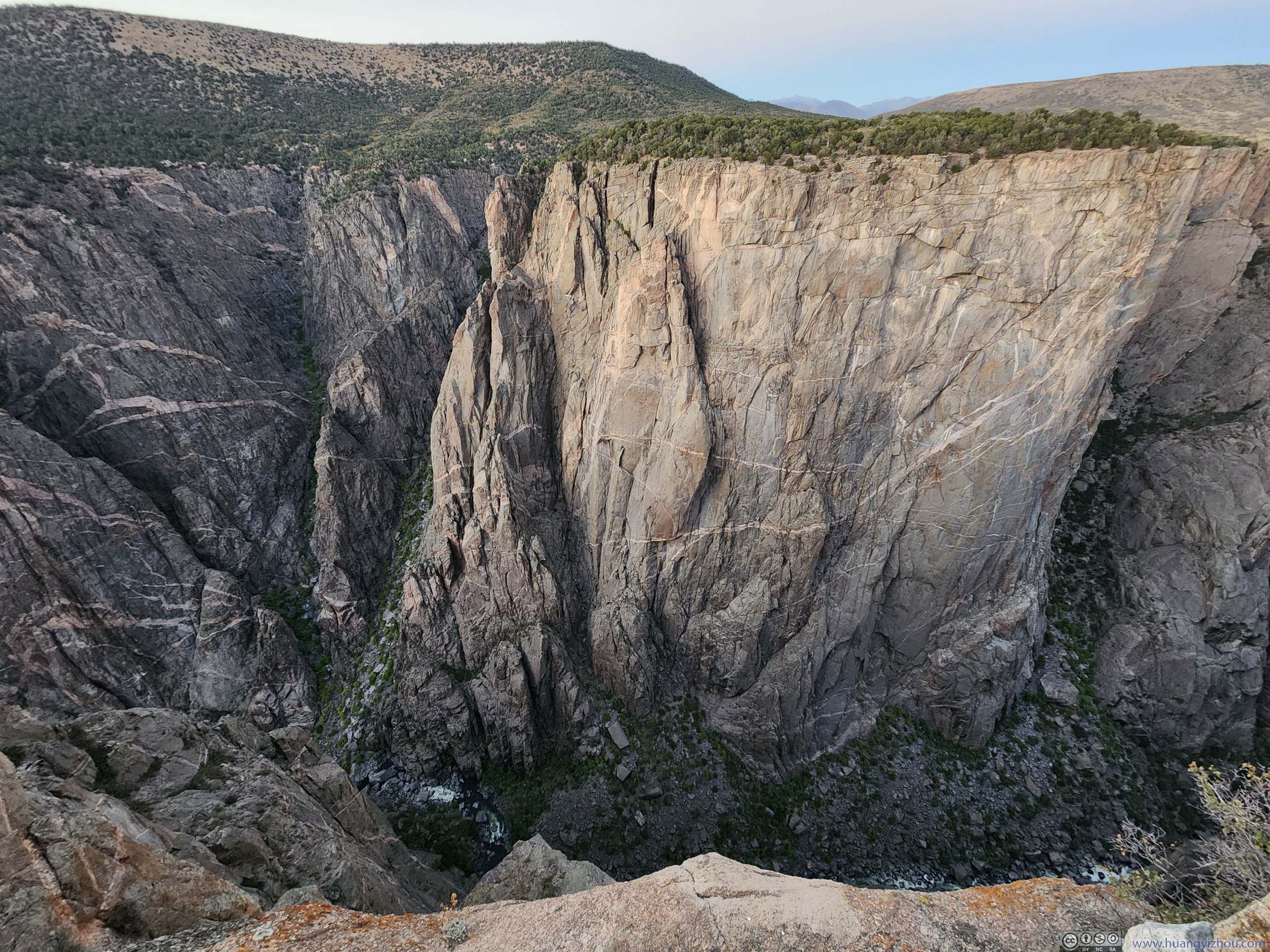
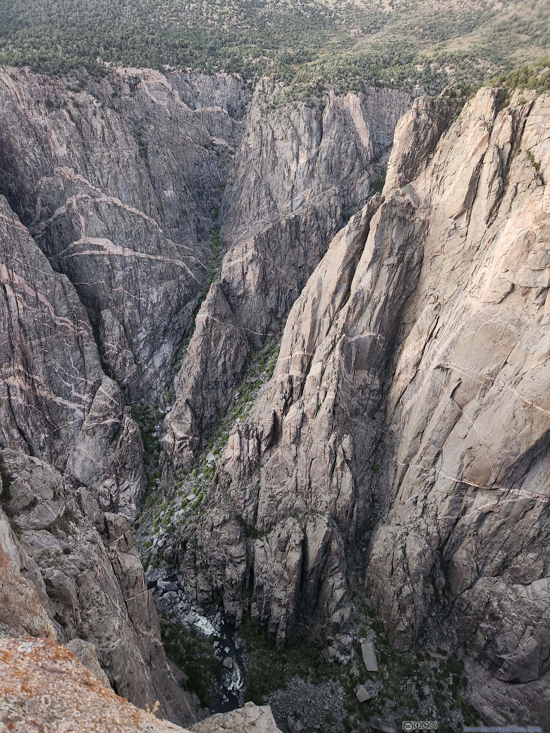
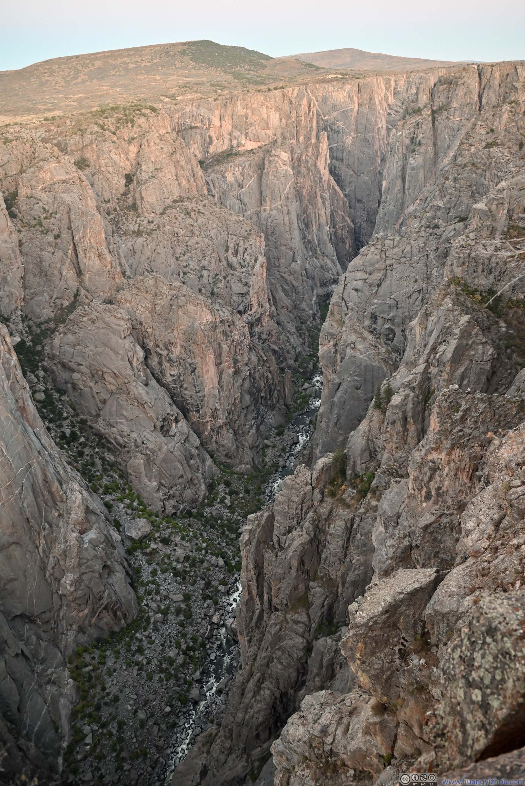
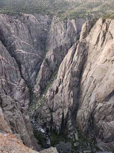
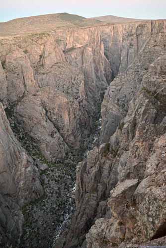
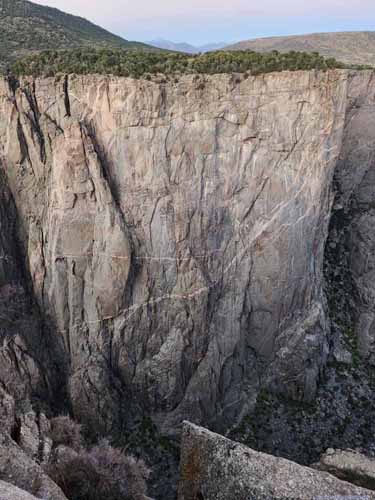
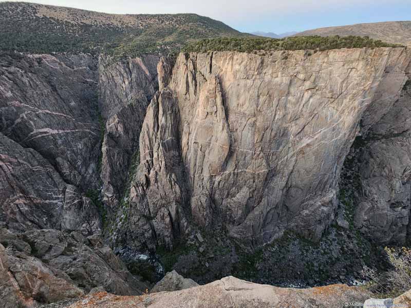
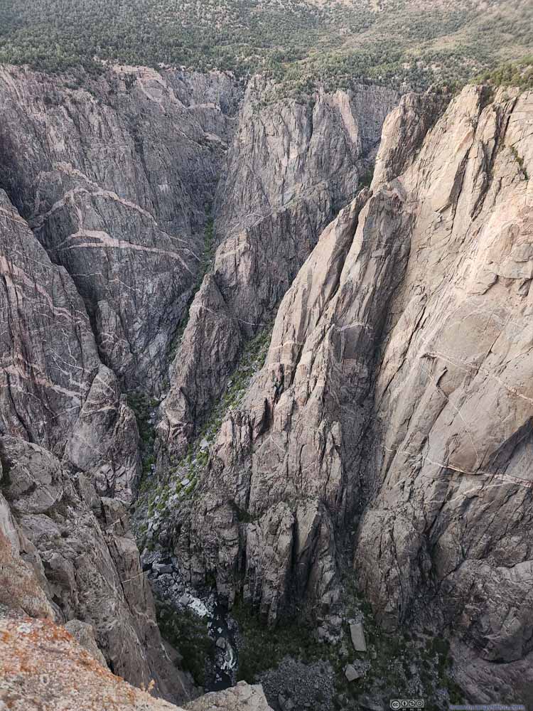
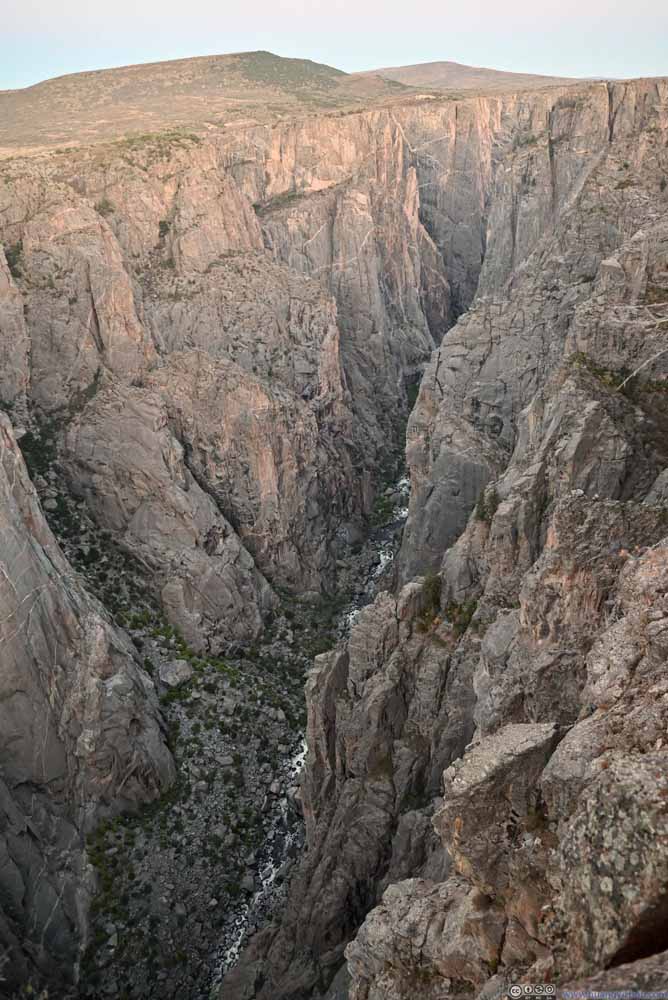
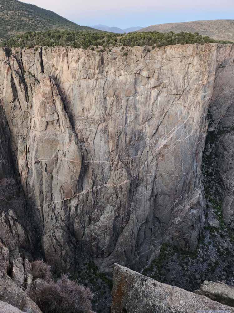
In the twilight hours after sunset, I made a final stop at Chasm View (since this time I could find parking). This was the narrowest point of the canyon, with its two rims separated by 400 meters (and the river almost 600m below), hence the name "chasm". A finishing touch for my day at Black Canyon of Gunnison.
After that, I headed out of the park and back to Montrose where I spent the night.
END