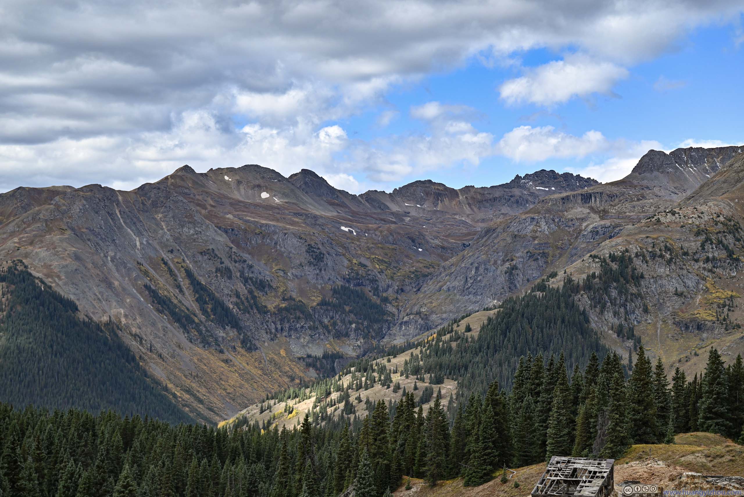
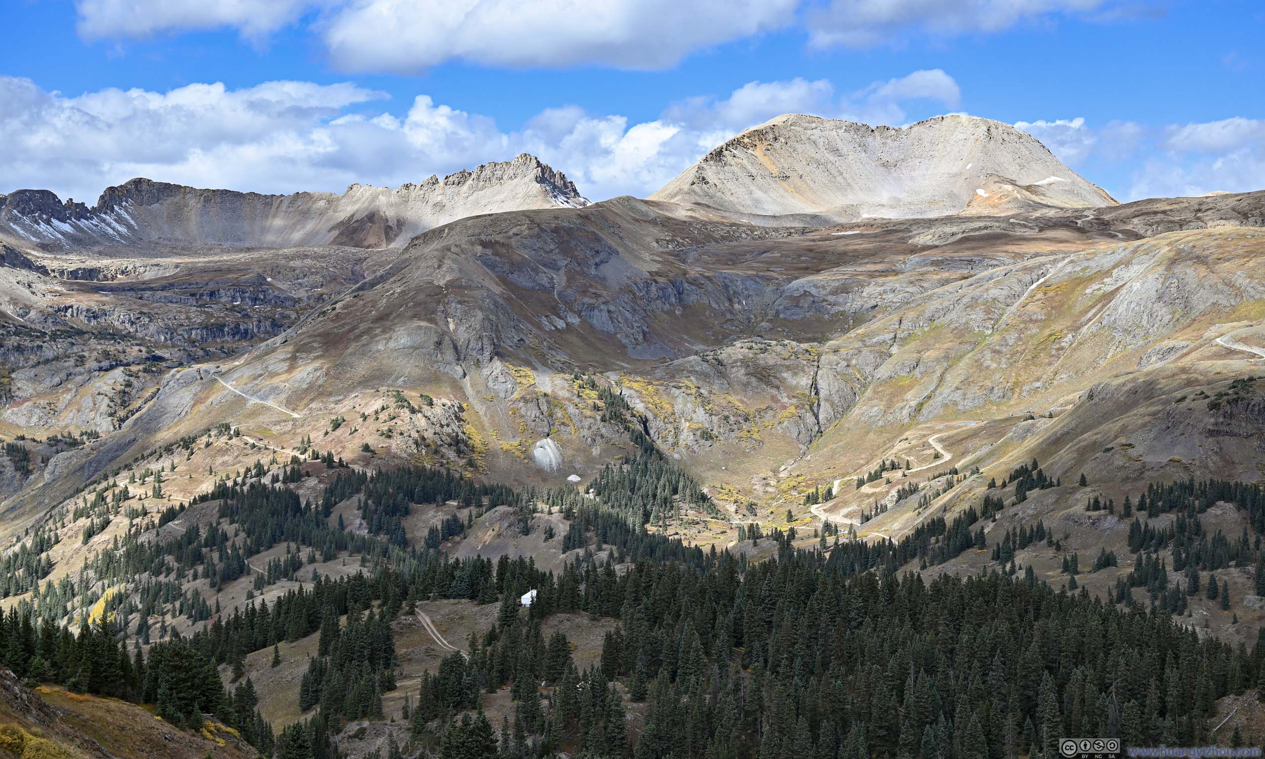
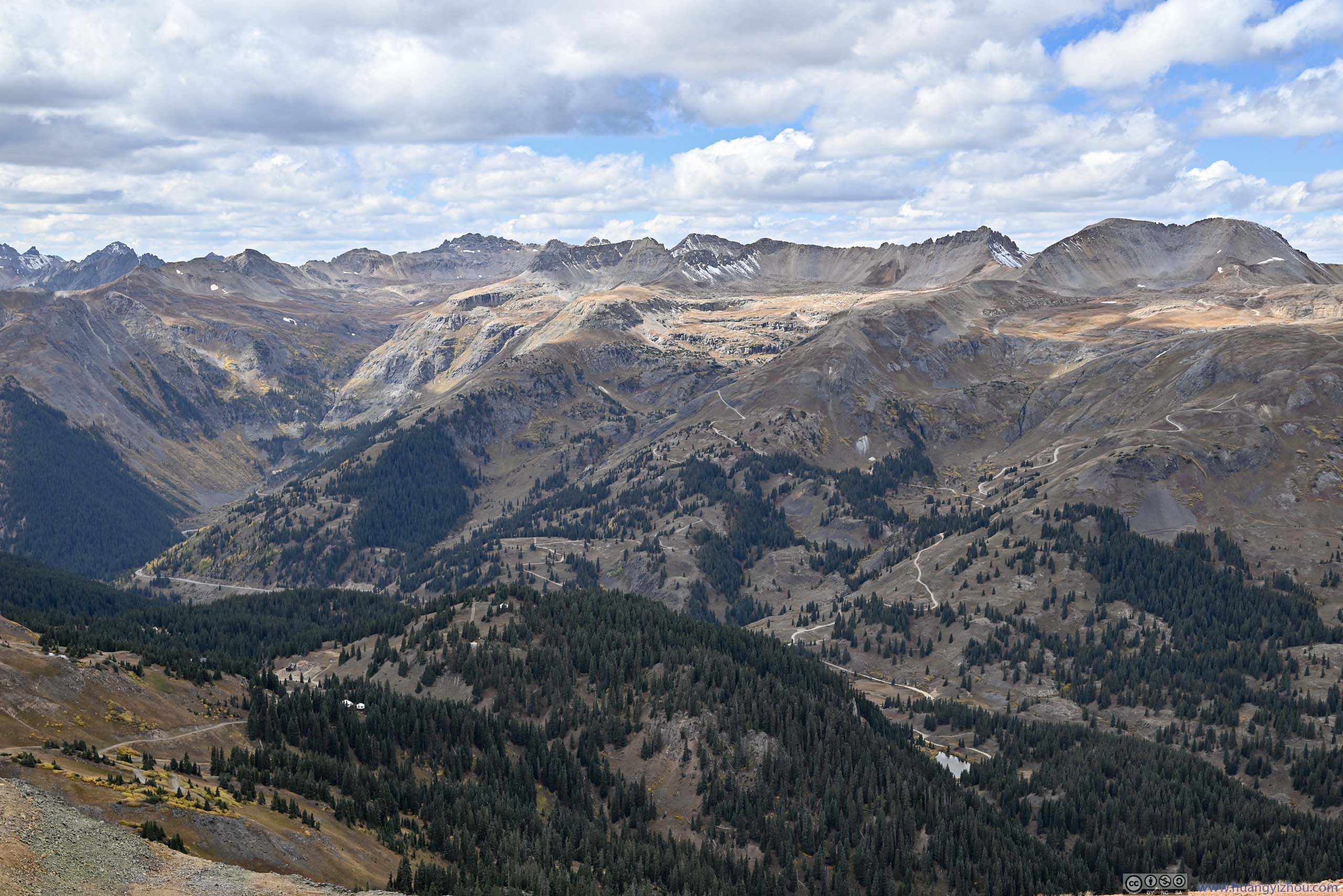
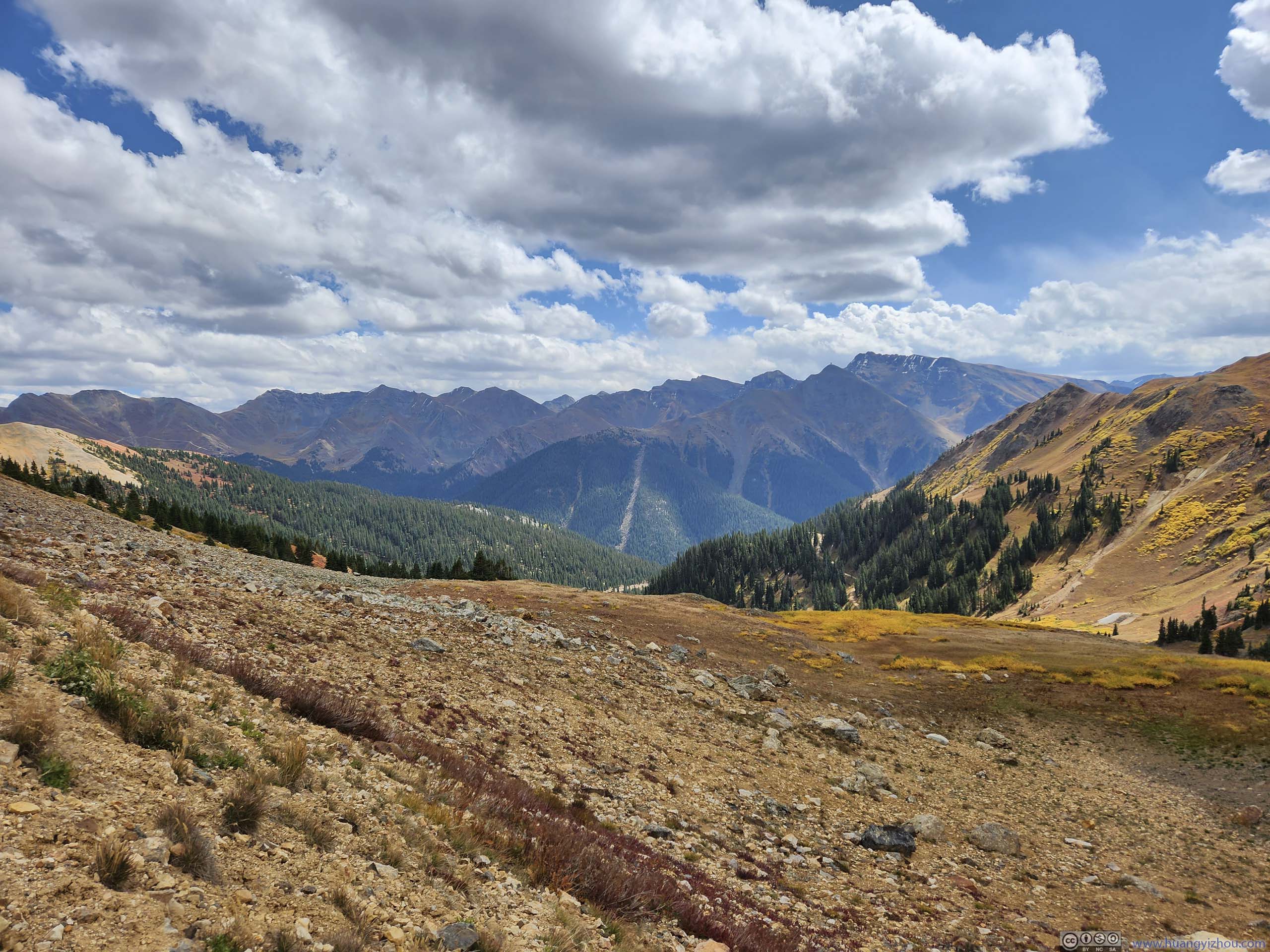
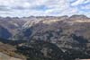
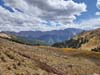
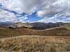
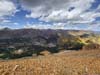
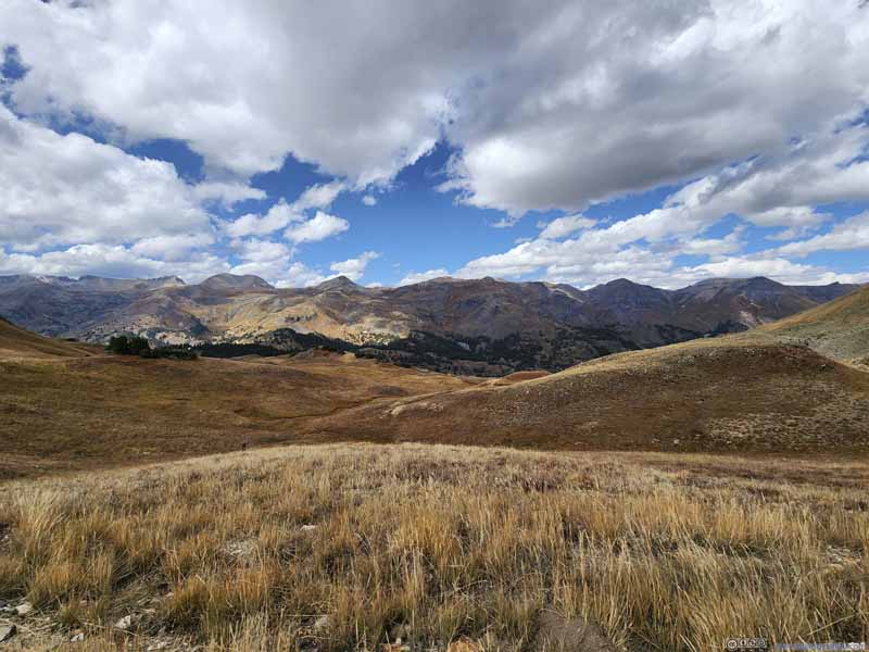
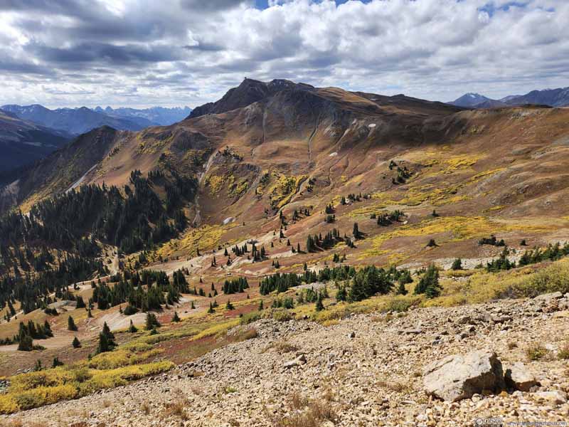
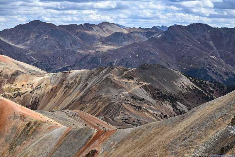
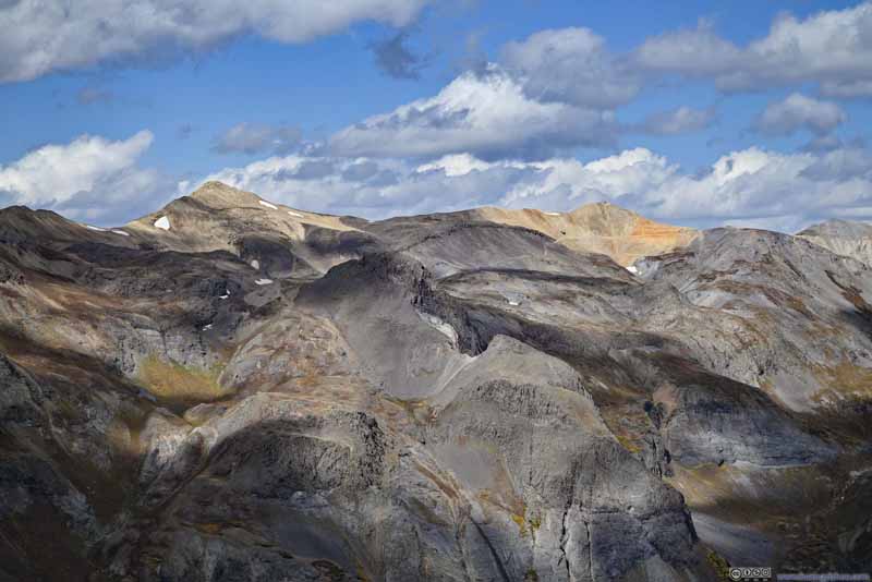
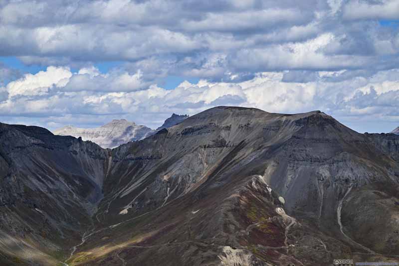
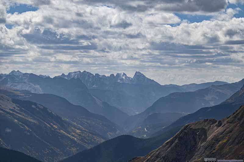
Day 12 of Autumn 2023 Trip to Mountain States, Red Mountain 3
The twelfth day of my autumn 2023 trip to the mountain states. Today I climbed Red Mountain 3, and enjoyed the most vivid colors of San Juan Mountains from its summit.
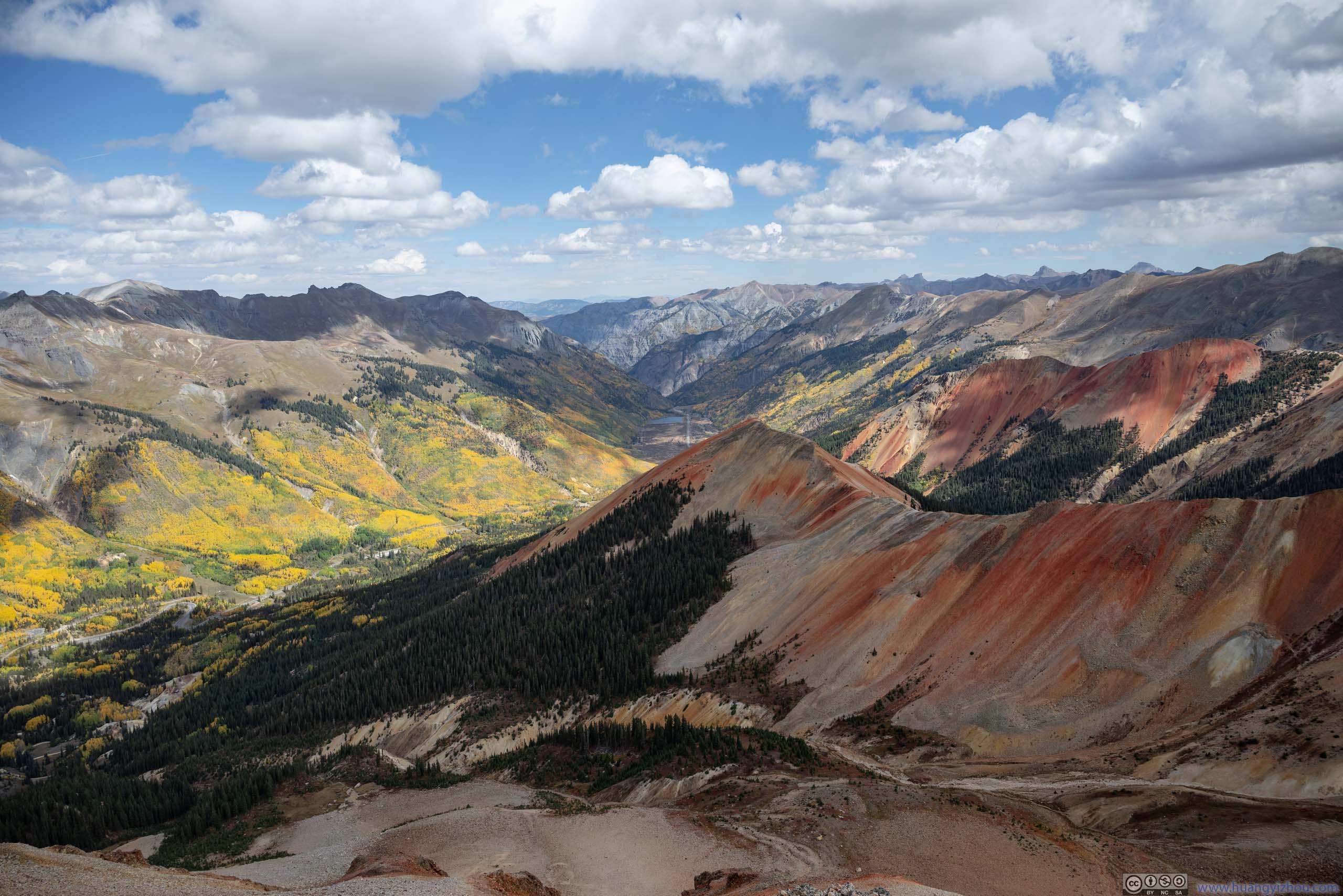
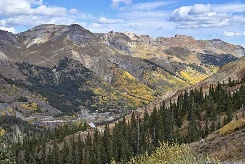
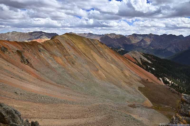
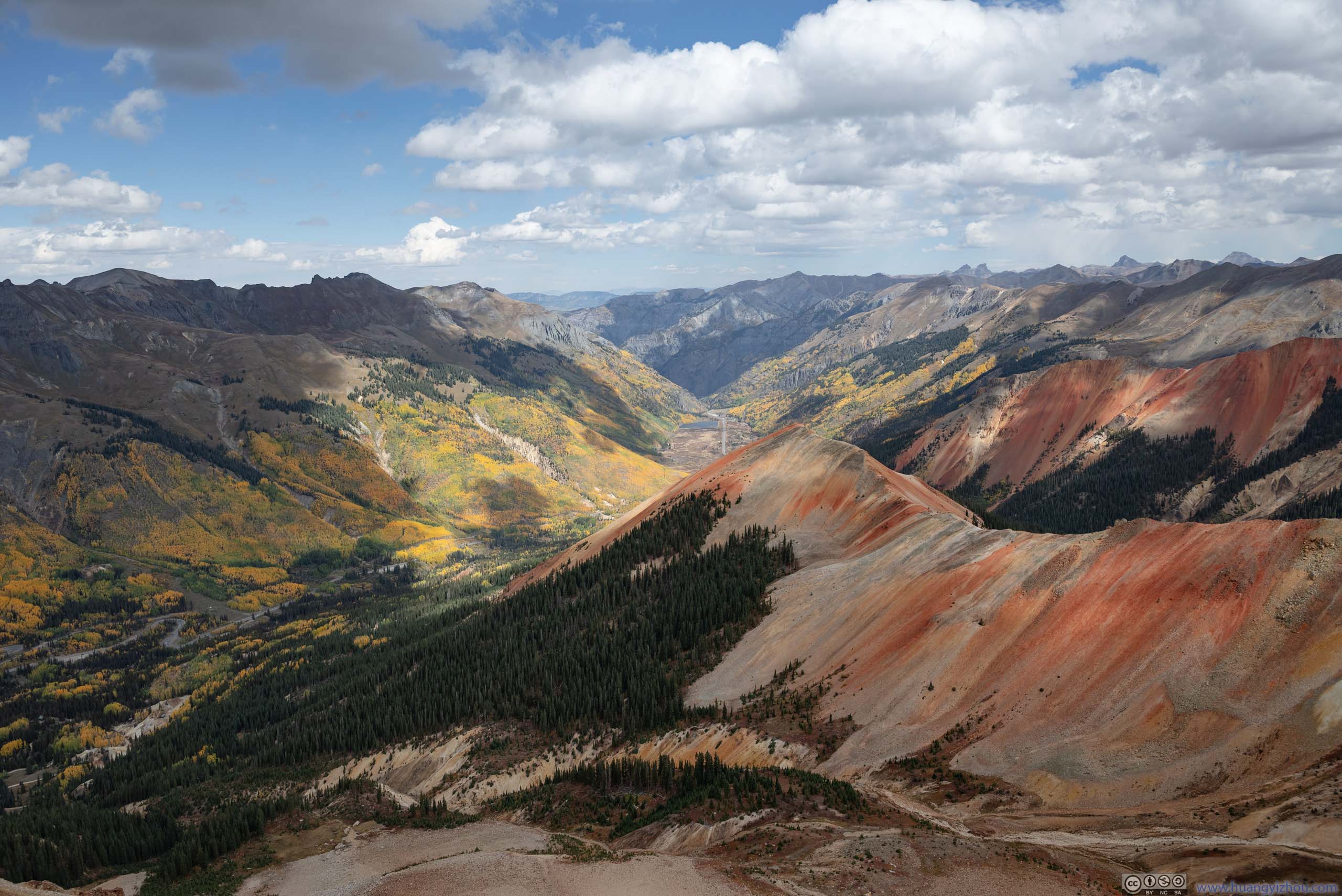
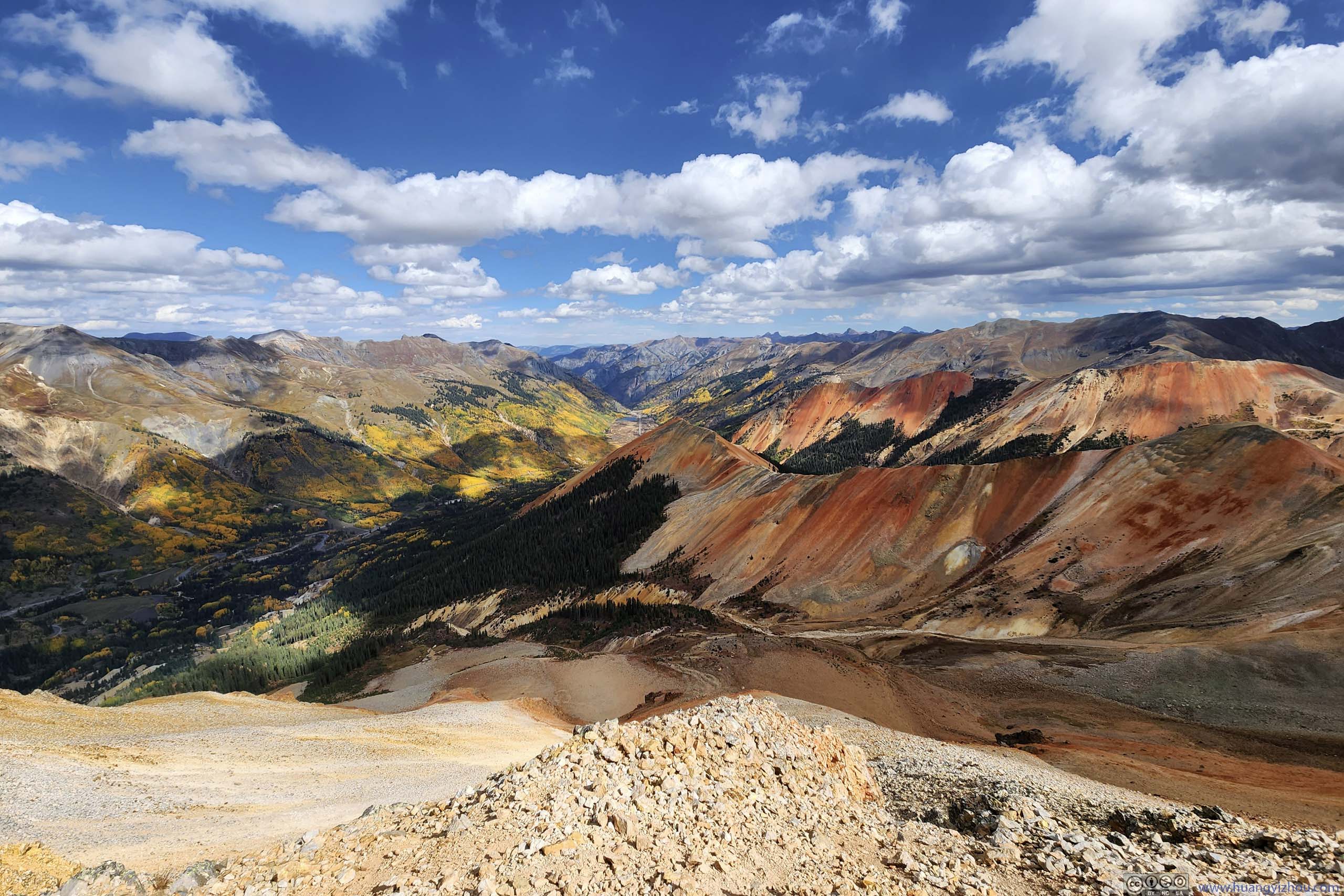
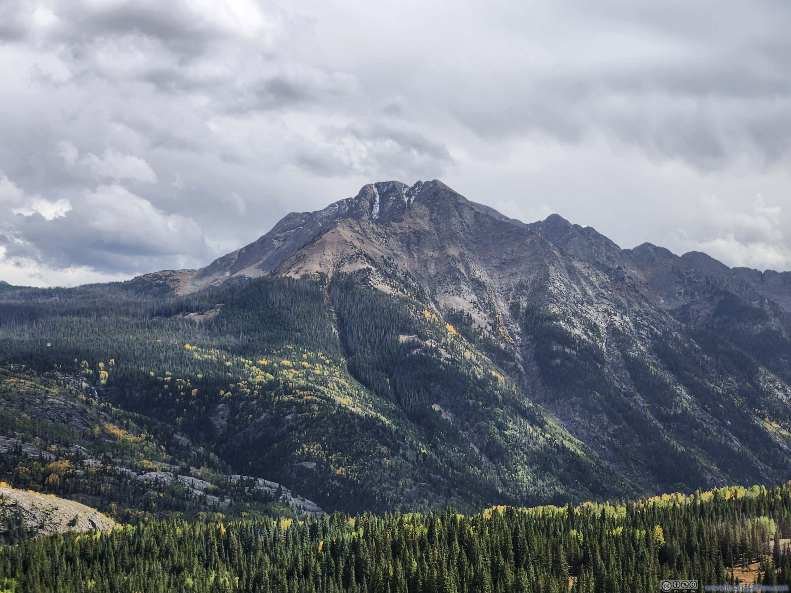
Blend of Colors from Red Mountain Summit
As discussed in the previous post, the weather forecast indicated strong winds for today, so I climbed the technical Snowdon Peak the previous day, and planned the easier Red Mountain 3 today. (The intense scrambling on Snowdon Peak meant I developed a mild shoulder ache last night, which meant I couldn’t take on challenging peaks for the coming days).
Red Mountain 3 Hike
I left Silverton at around 9:30am in the morning. After a relatively short drive, I reached the trailhead for Red Mountain 3 and started my hike at around 10am.
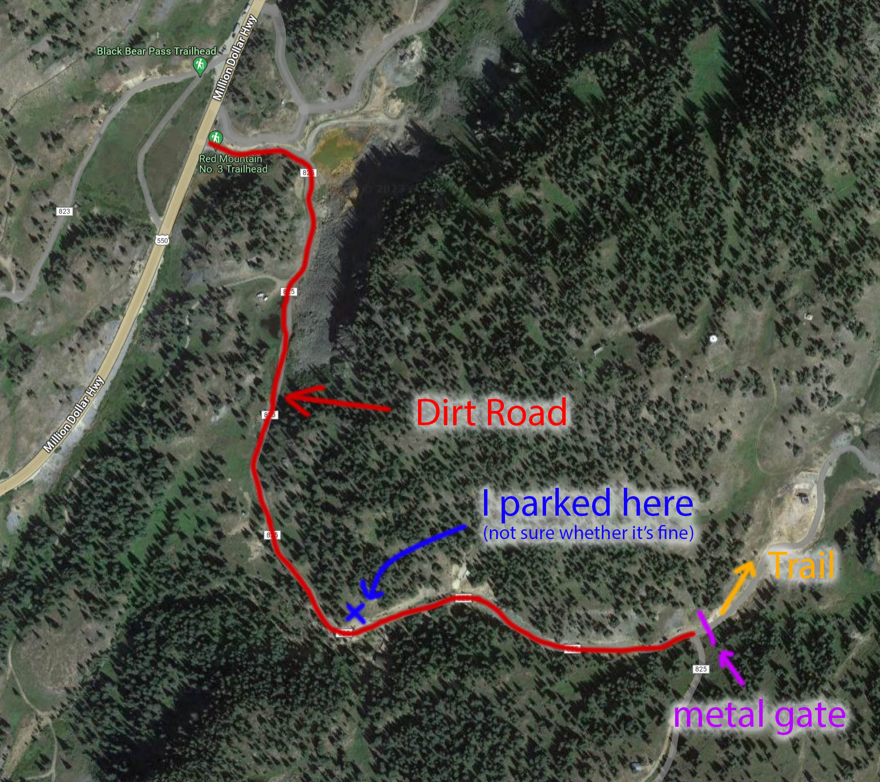
Parking Map
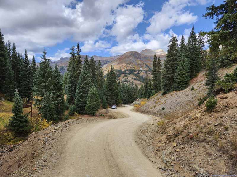
The entire "trail" towards the summit of Red Mountain 3 was actually a rugged gravel "road". The lands around Red Mountain 3 were privately owned, whose owner set up a metal gate (pink) to keep motor vehicles out, though hikers were "welcomed" to use the trail. From the metal gate, it's a 6.9km out-and-back with 435m elevation gain to the summit of Red Mountain 3. The gate was an additional 1.1km from Million Dollar Highway through a public dirt road (red line above). Most people with high clearance vehicles parked next to the metal gate. I attempted to drive the dirt road with a low-clearance vehicle, and about two-thirds of the way in, I found it's getting worse in shape, so I parked at a turnout along the road (blue cross). It's a large turnout, but opposite of some residential building, so I wasn't completely sure whether it's fine.
And here's GPS tracking:
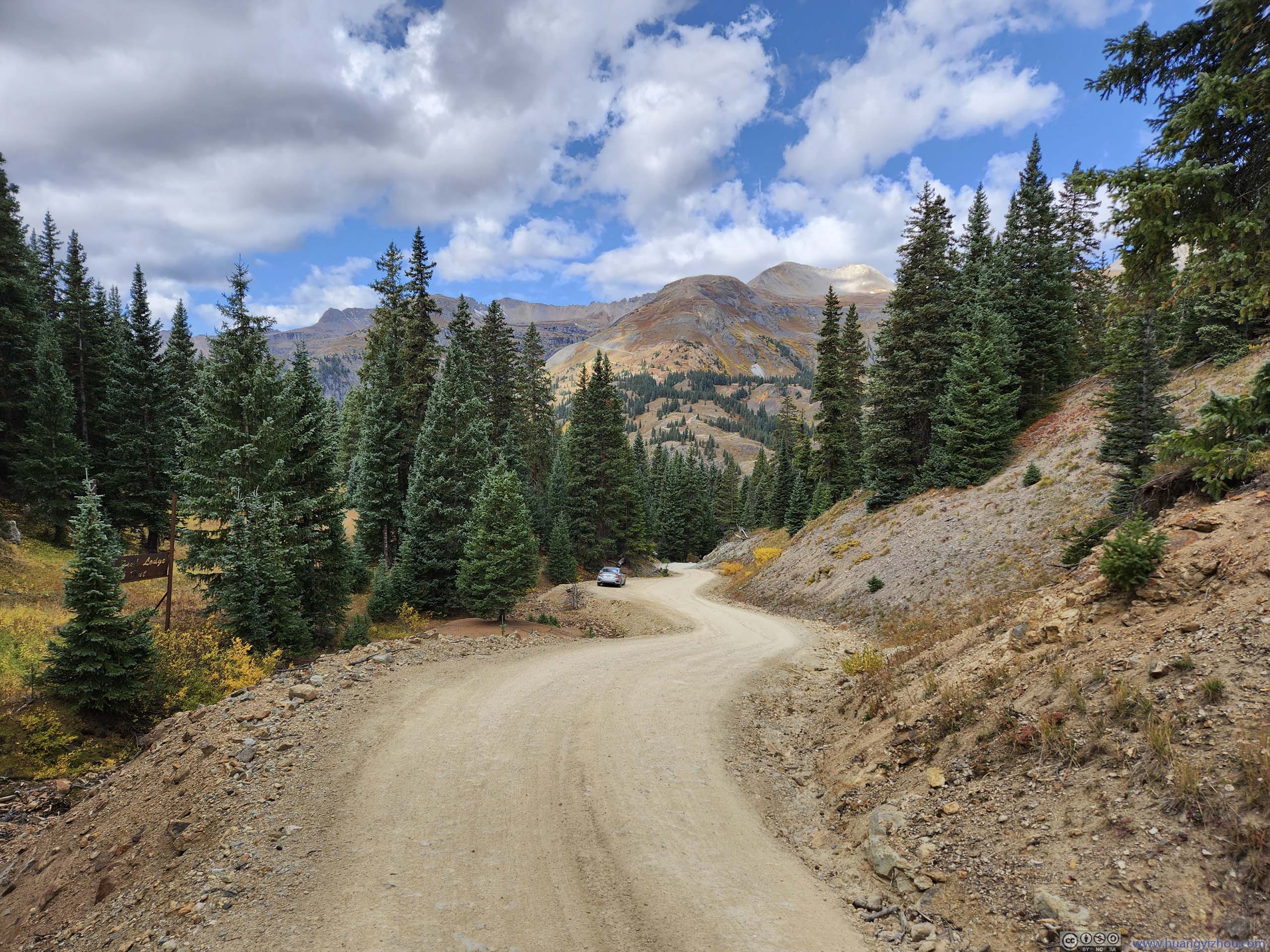
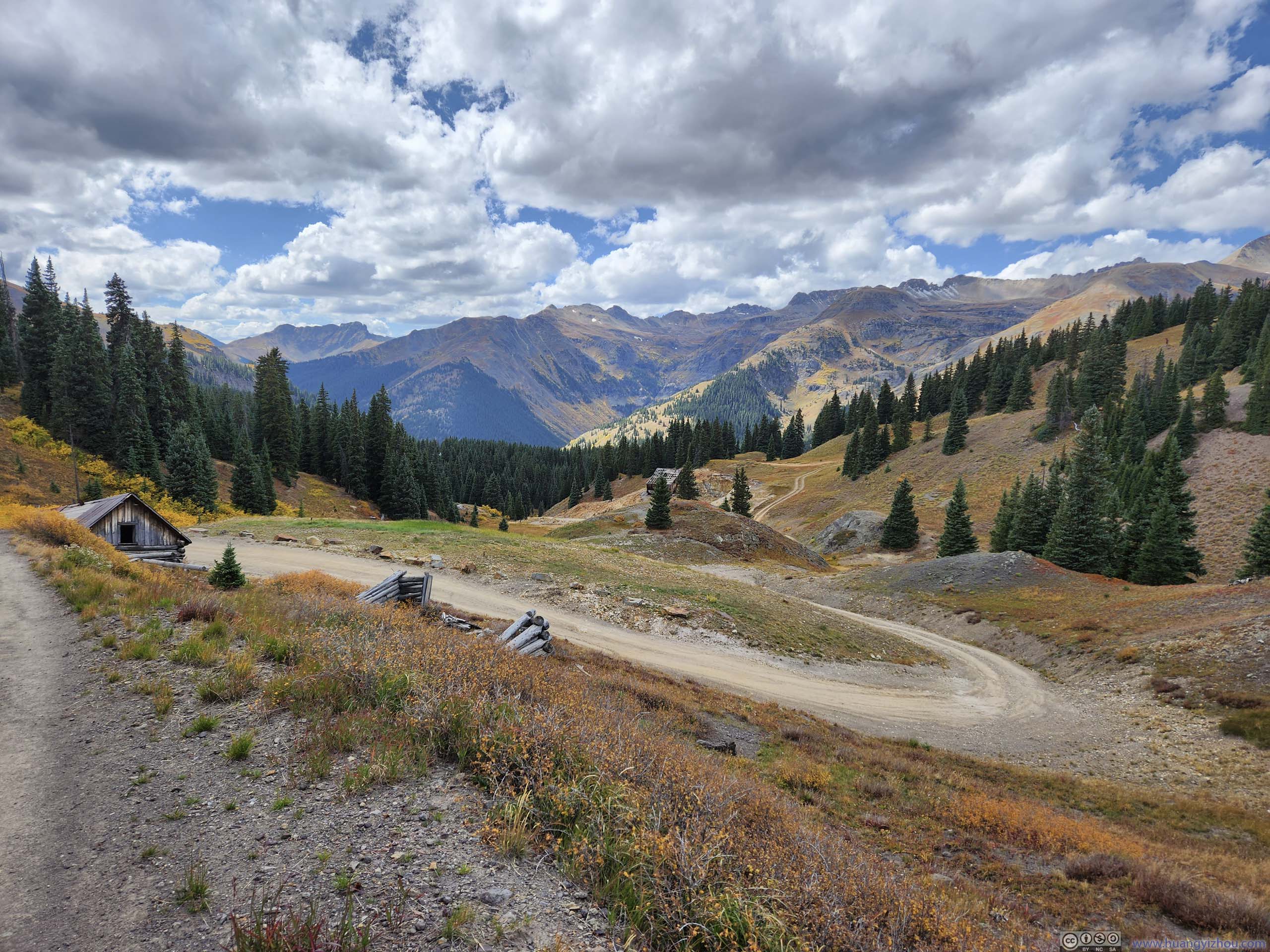
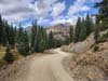
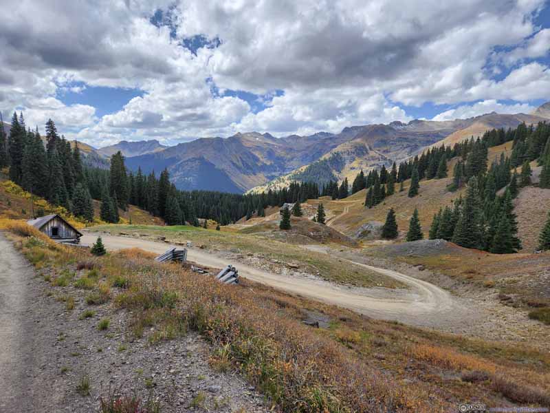
Dirt Road
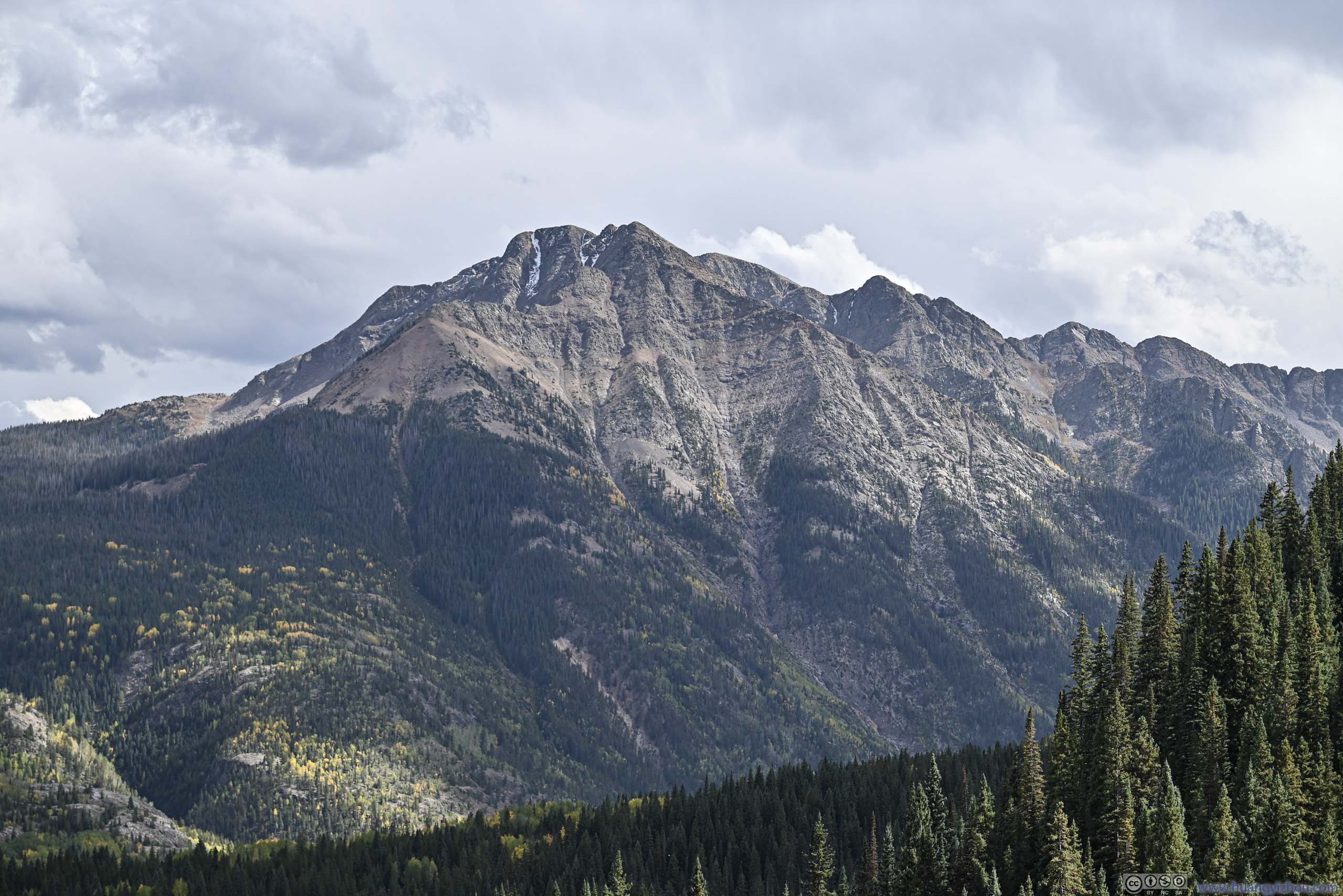
Trico Peak across Valley
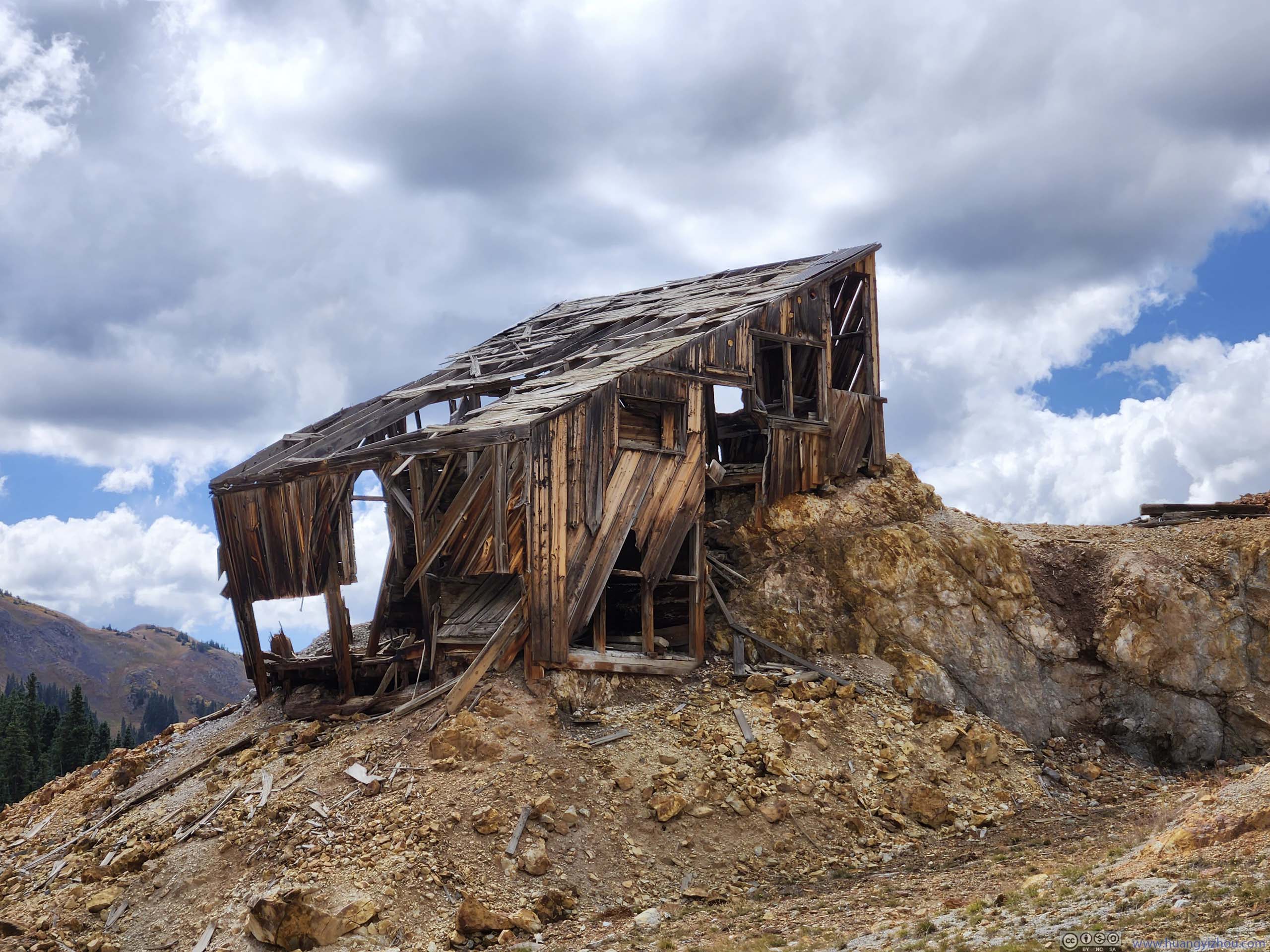
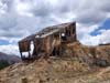
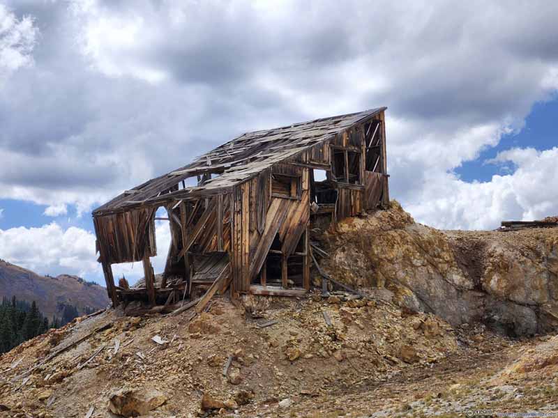
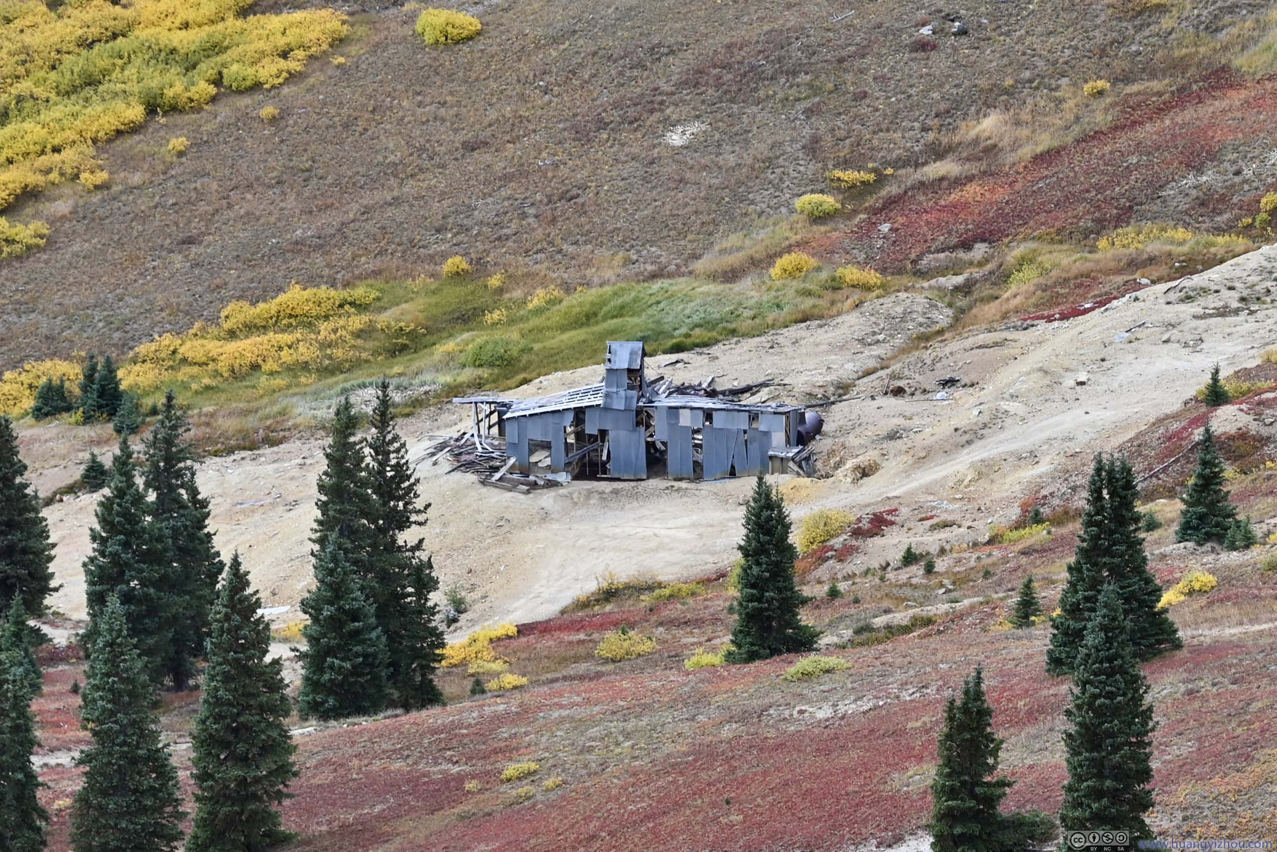
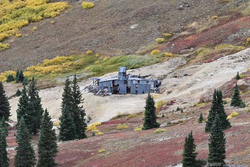
Mining Relics along Trail
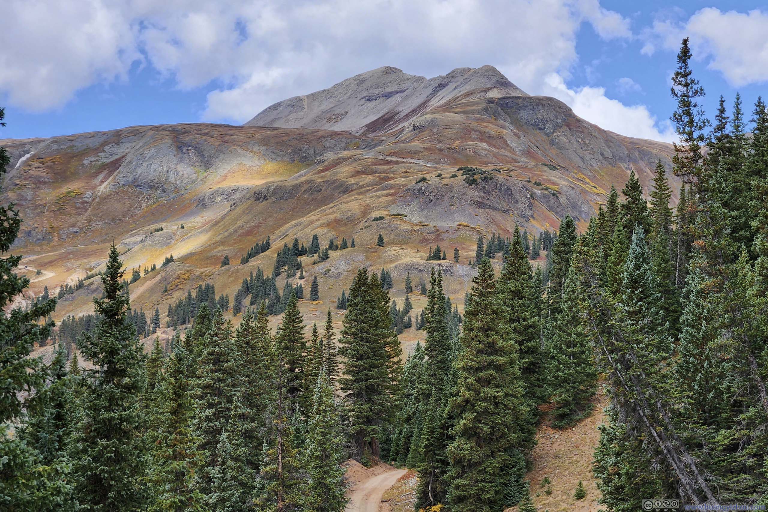
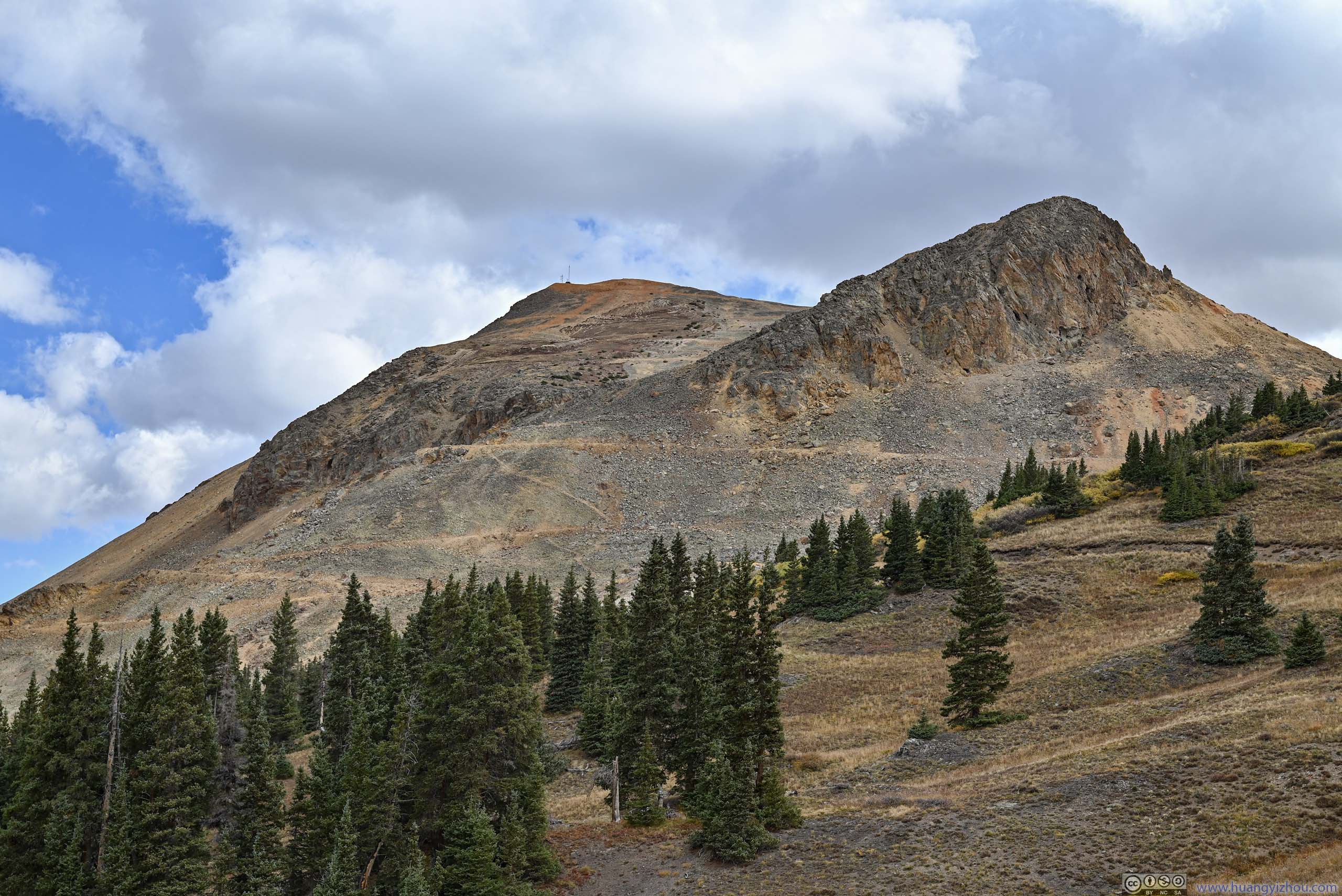
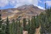
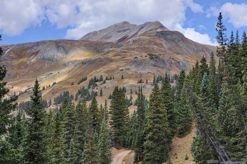
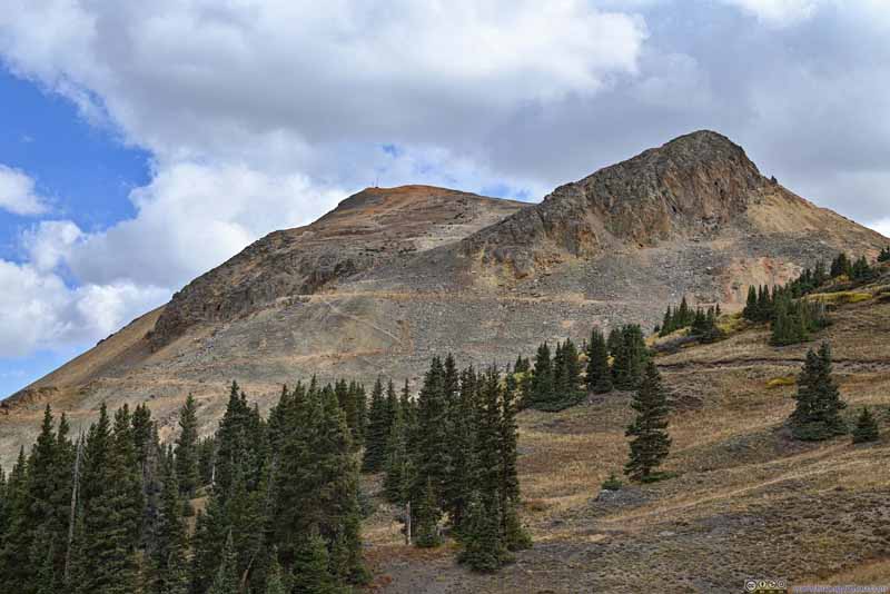
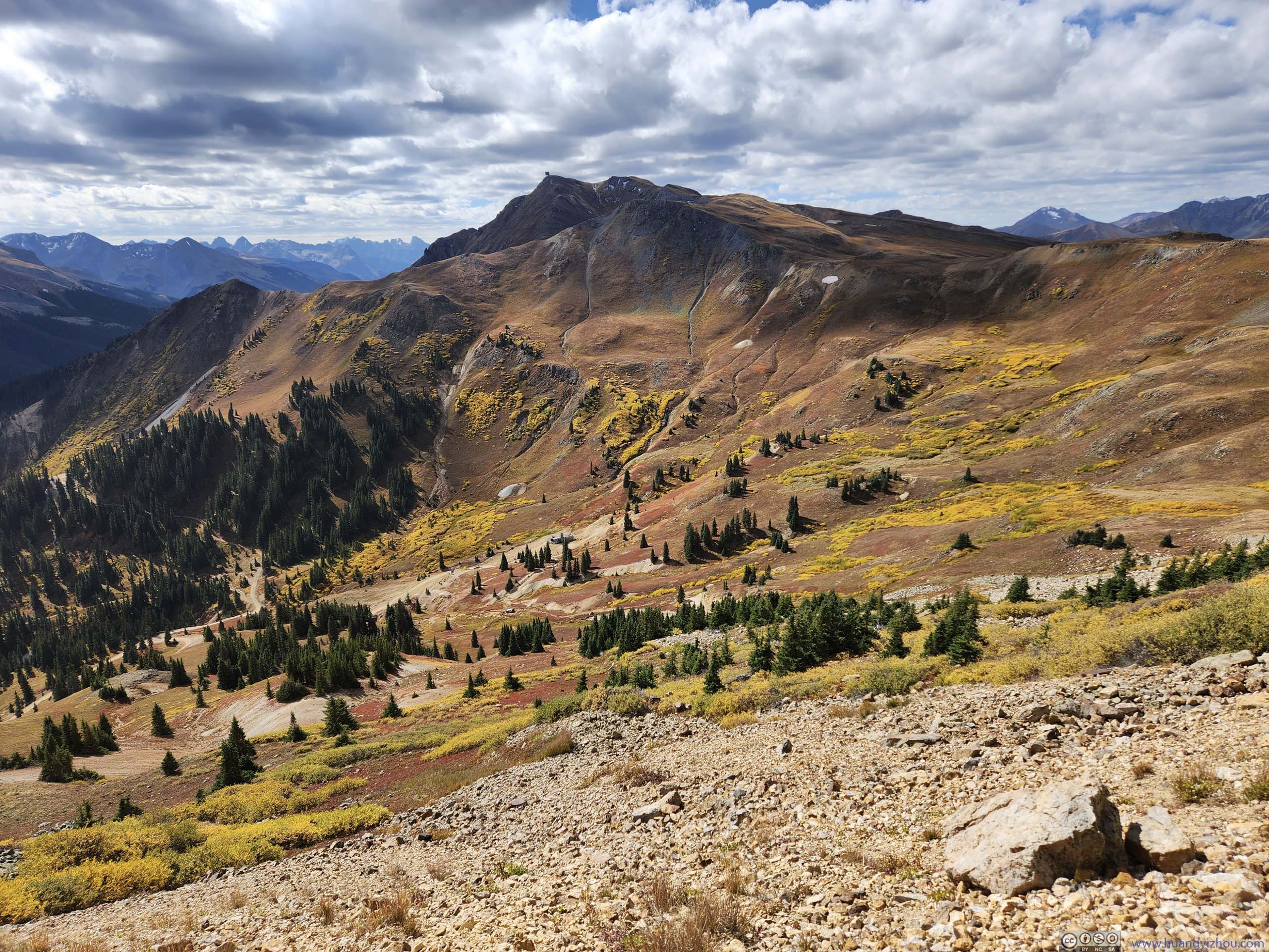
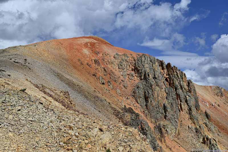
Red Mountain 3 from Trail
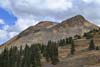
Trail against Mountainous Backdrop
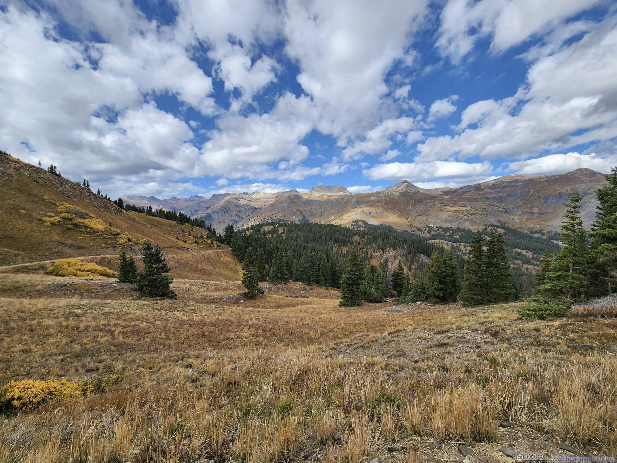
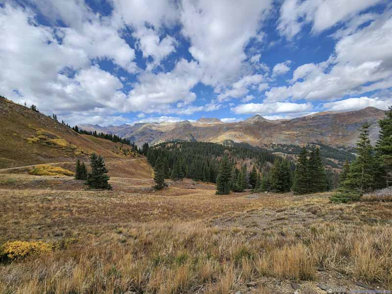
Trail through Open Field
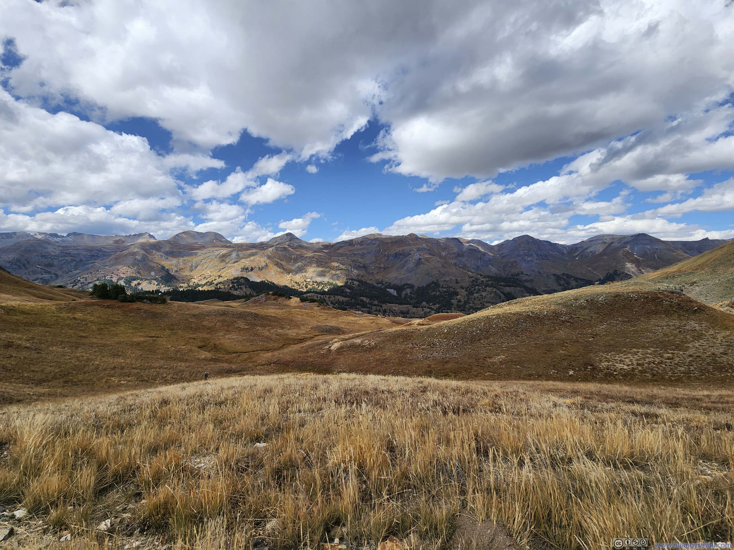
Since the "trail" was actually a gravel road, it's a straightforward (despite uphill) stroll and I was making good progress, among the awesome sights of mountains.
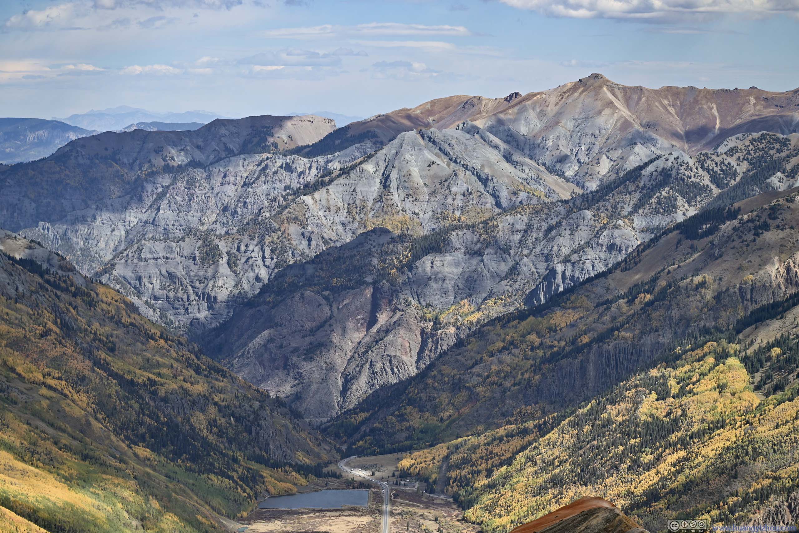
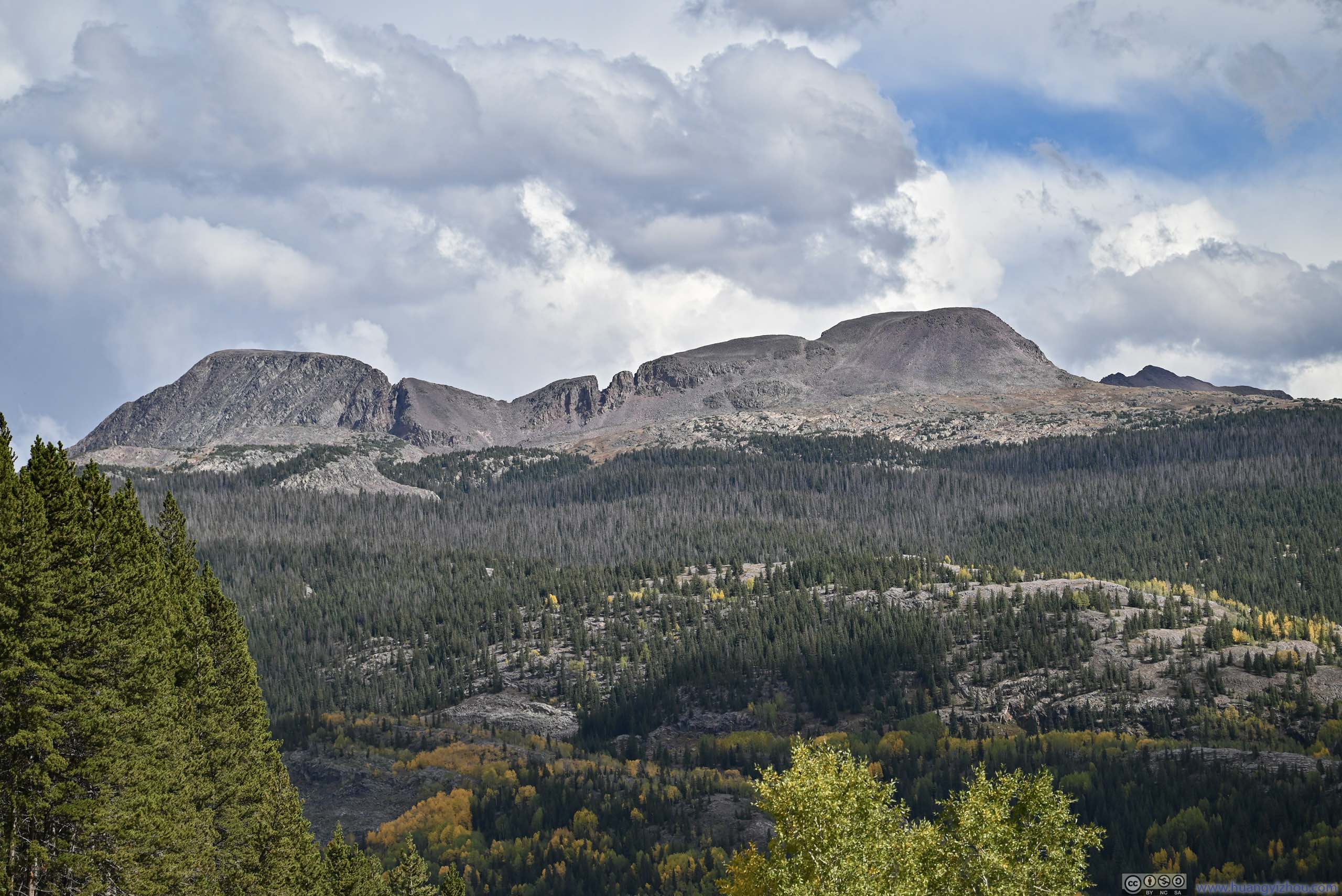
Mountains across Valley
Mountains across Valley
Three Needles Peak in the background center, Black Bear Pass Road winding up the mountain in the right.
Mountains across Valley
Mountains to the East Across Cement Creek Valley.
Mountains across Valley
Mountains across Valley
Potosi Peak and Hayden Mountain across Valley
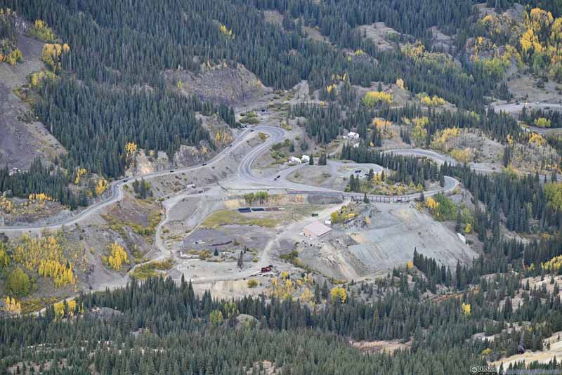
Mining Relics near Red Mountains
McMillian Peak
Mining Relics on Side of McMillian Peak
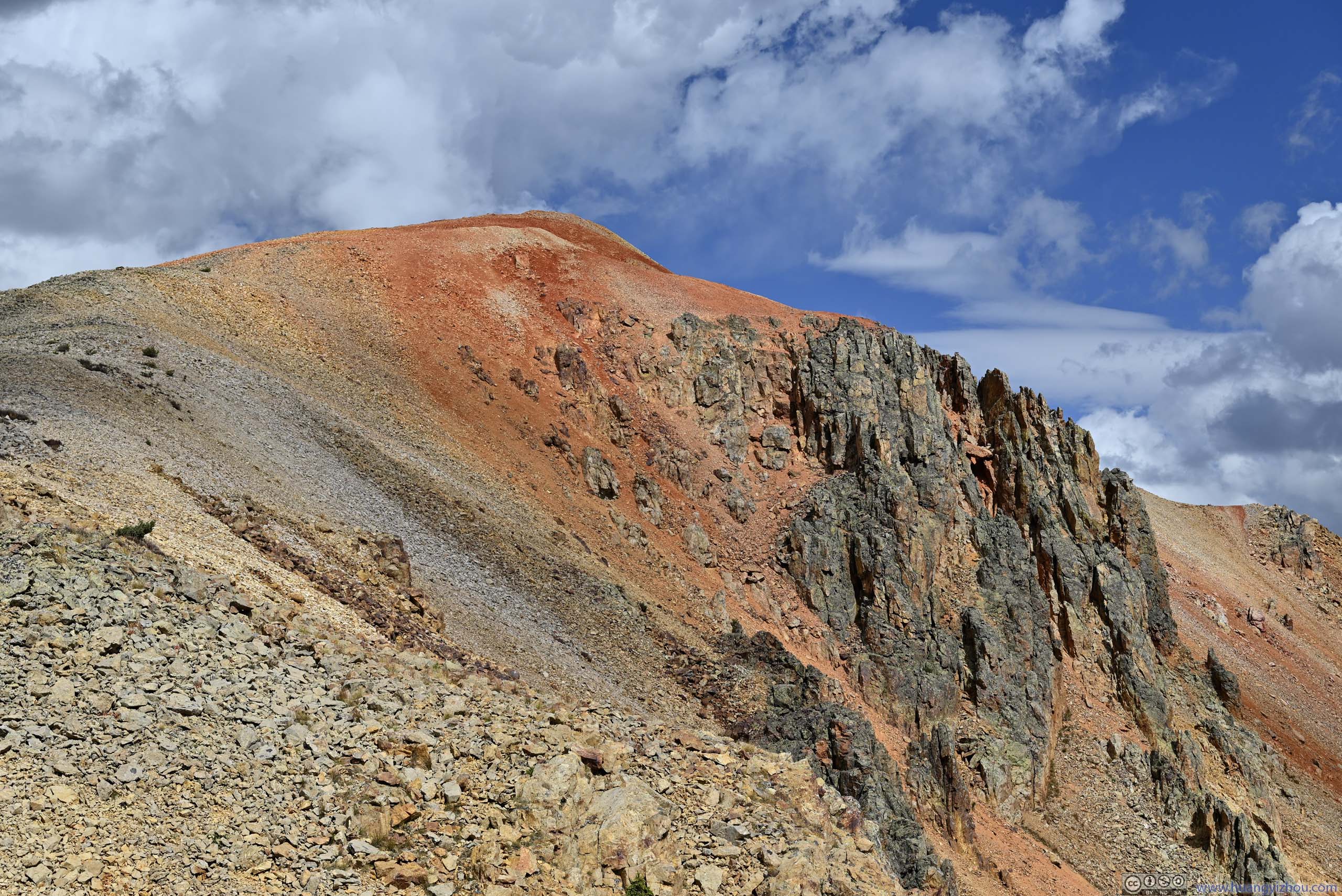
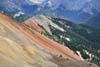
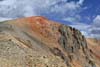
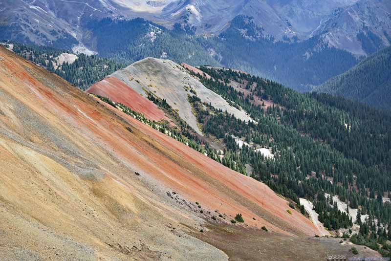
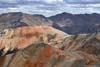
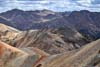
The Red Mountains were named for the red colors (from iron oxide) along their slopes. About 300m from the summit, I got a preview as ribbons of various shades of red lined a small hill to the east.
Side of Red Mountain in Vivid Colors
Side of Red Mountain in Vivid Colors
Ridge
Side of Red Mountain in Vivid Colors
Summit of Red Mountain 3
Finally, I made it to the summit of Red Mountain 3 just before 11:30am.
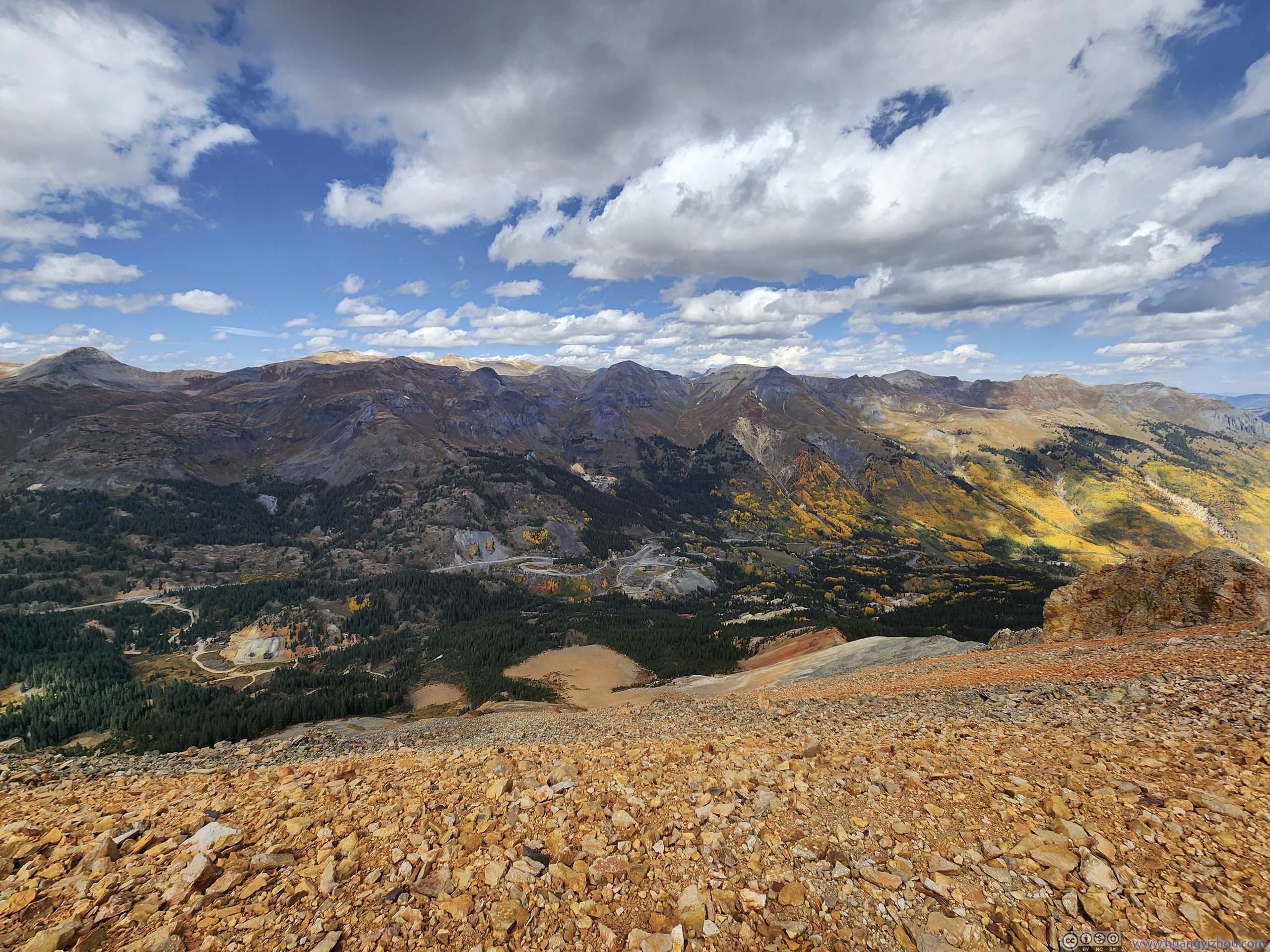
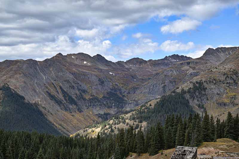
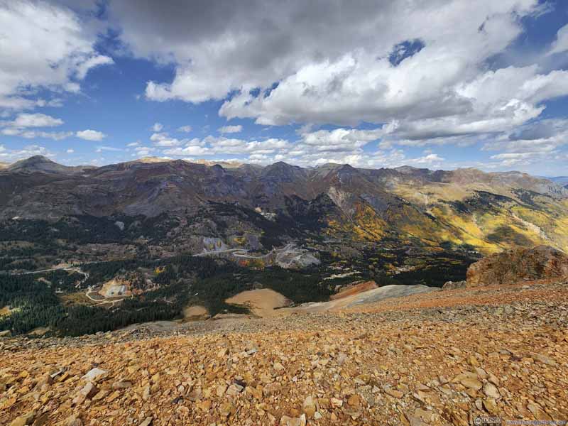
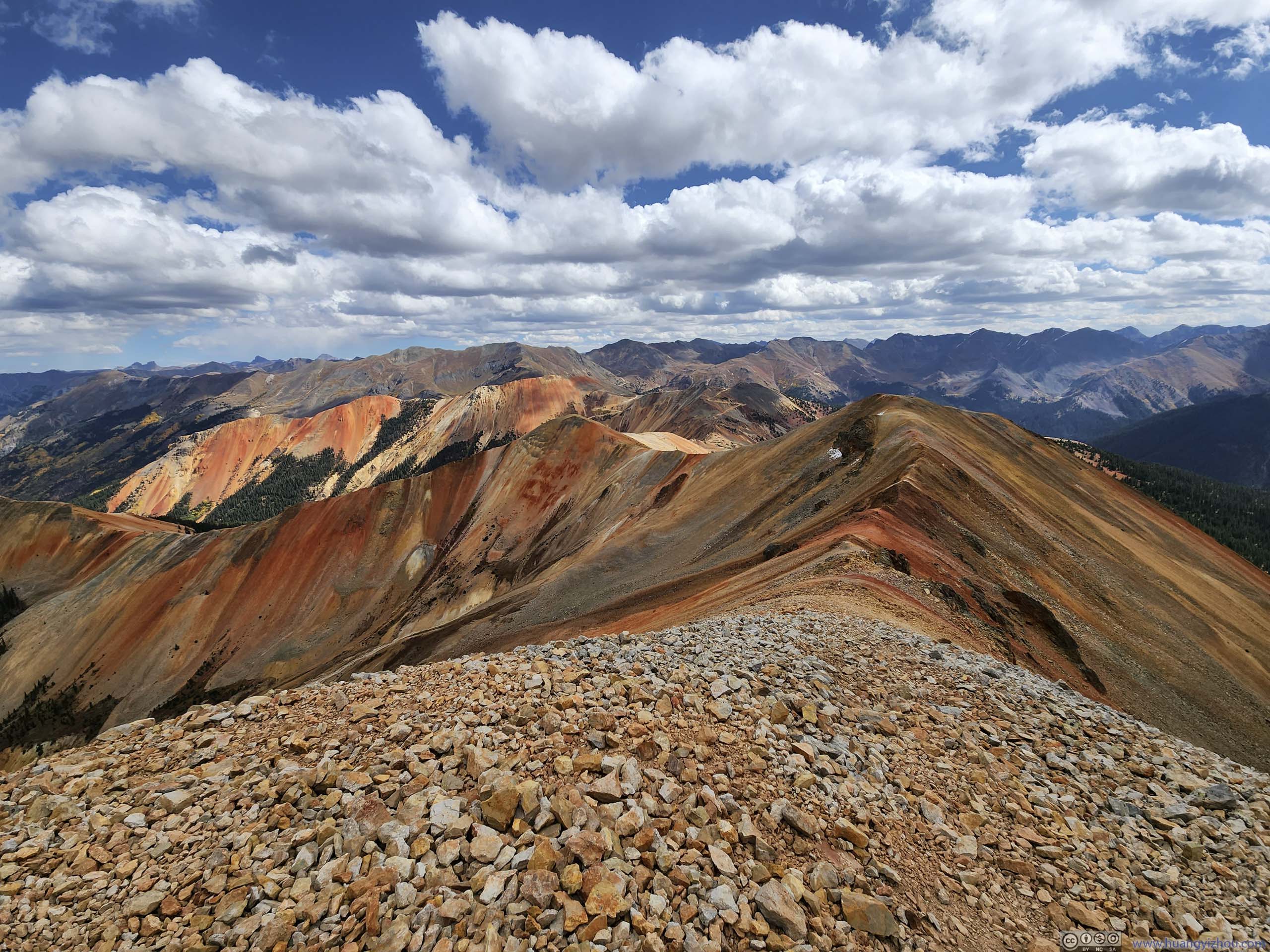
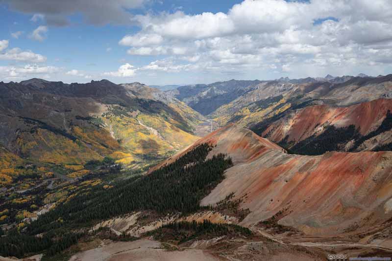
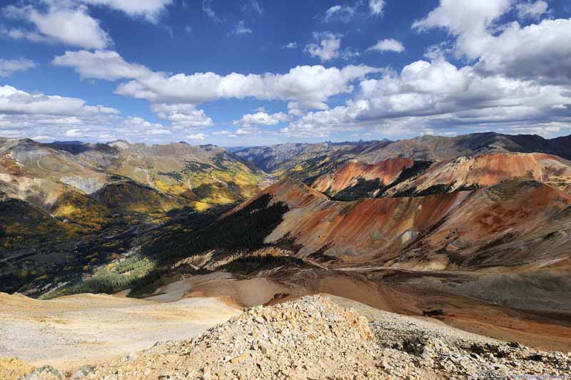
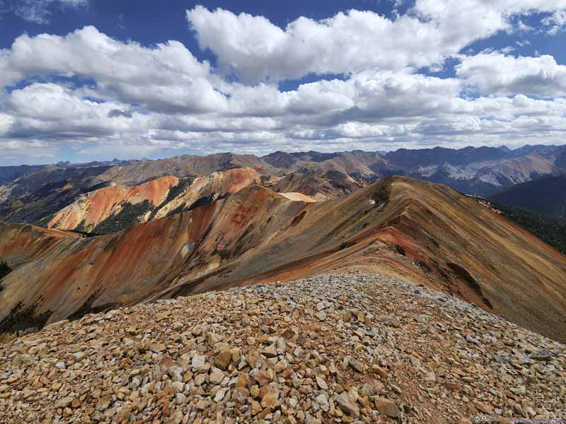
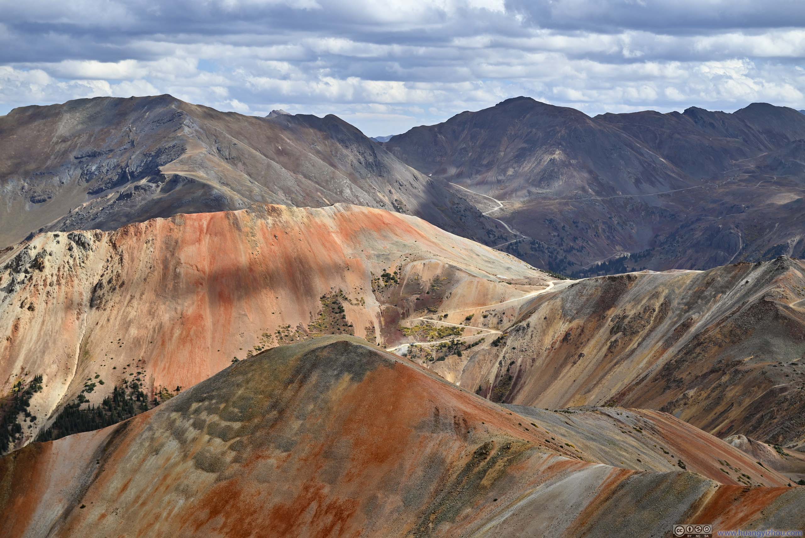
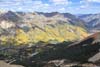
The Red Mountains were a series of three peaks named for their mineral colors. Red Mountain 3 was the highest and southernmost of the group. Looking north from the summit of Red Mountain 3, the remaining two Red Mountains dominated the right half of the frame with their striking red colors, while the left half of the frame were the forests before Hayden Mountain going through the transition from green to amber. With scattered white clouds dotting the blue skies, one could hardly find a better symphony of colors.
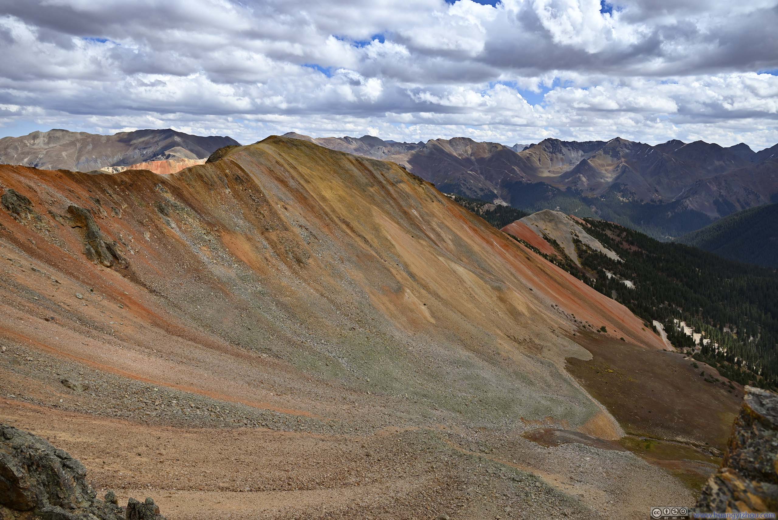
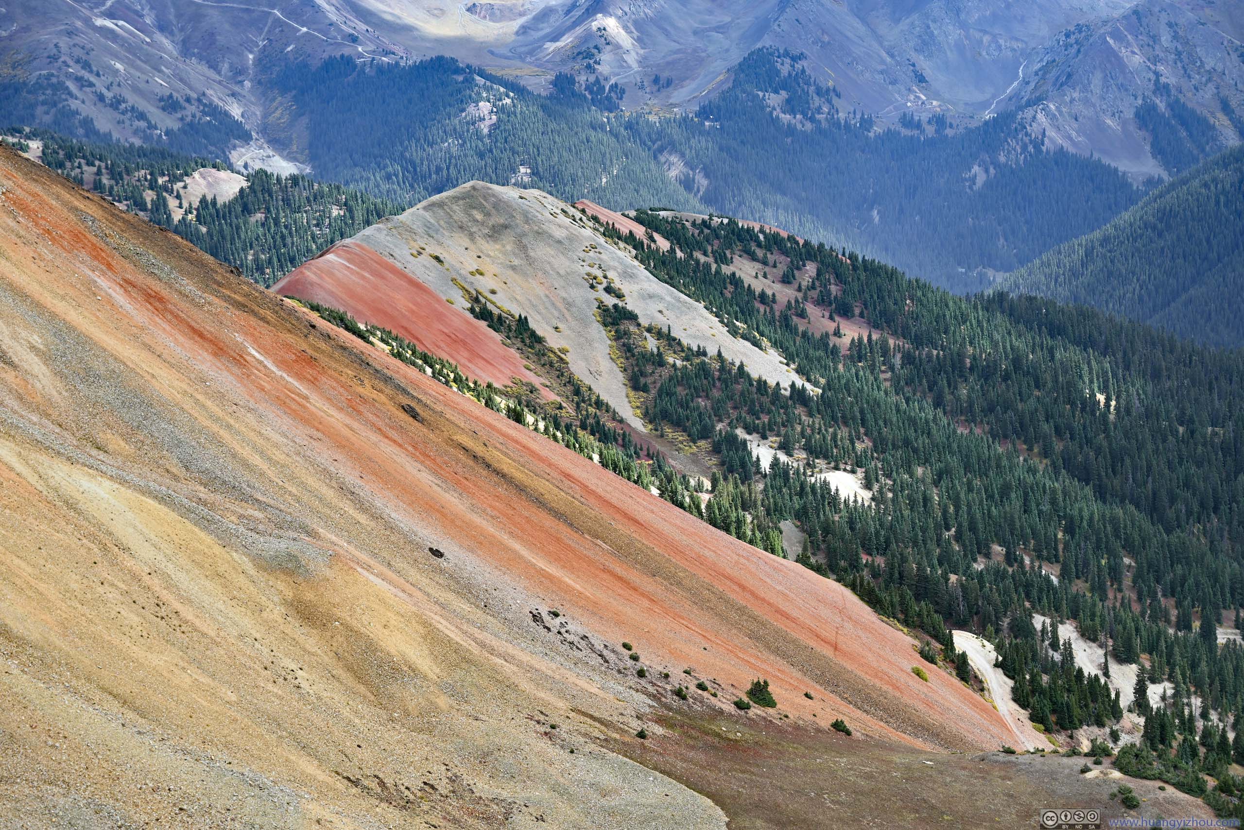
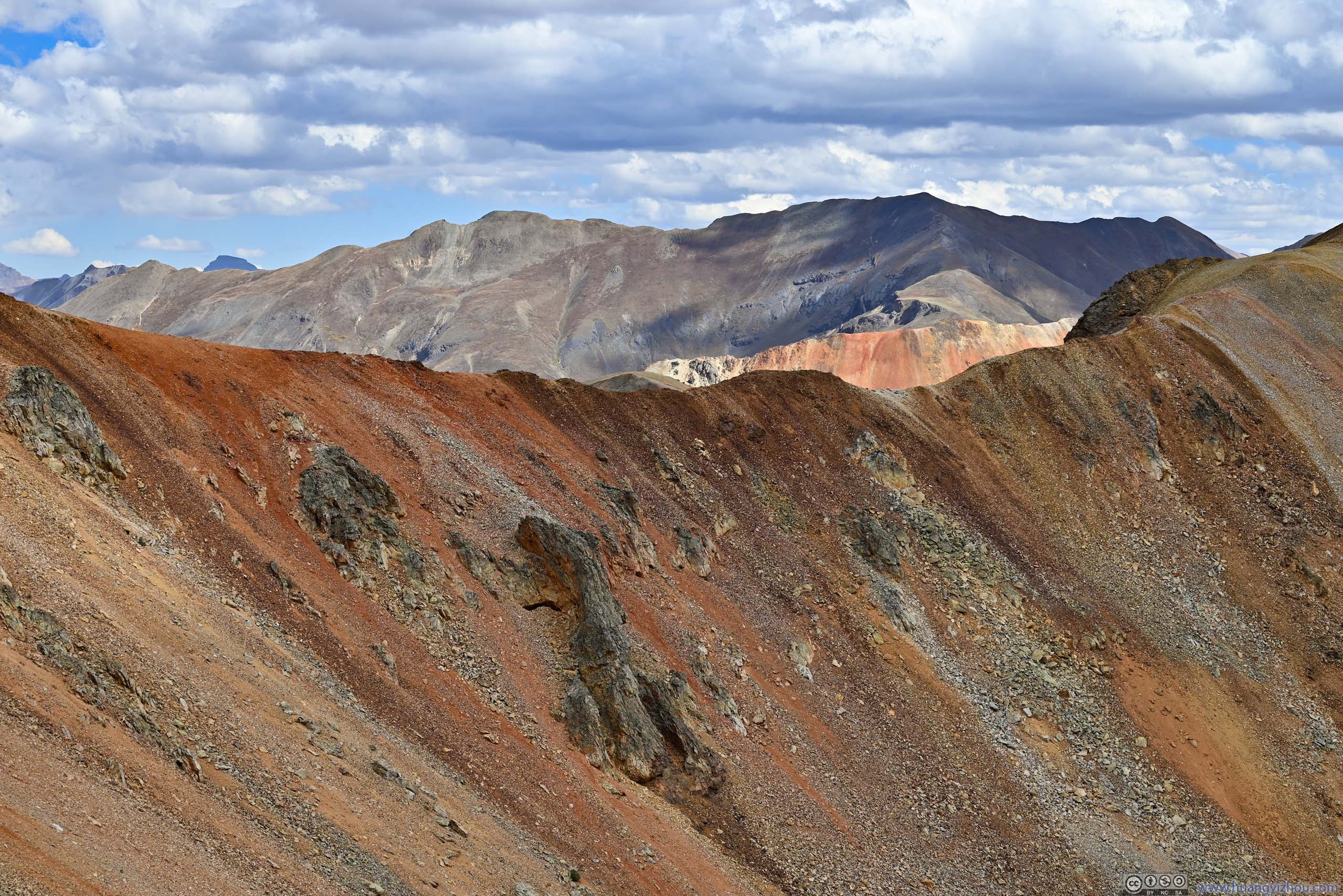
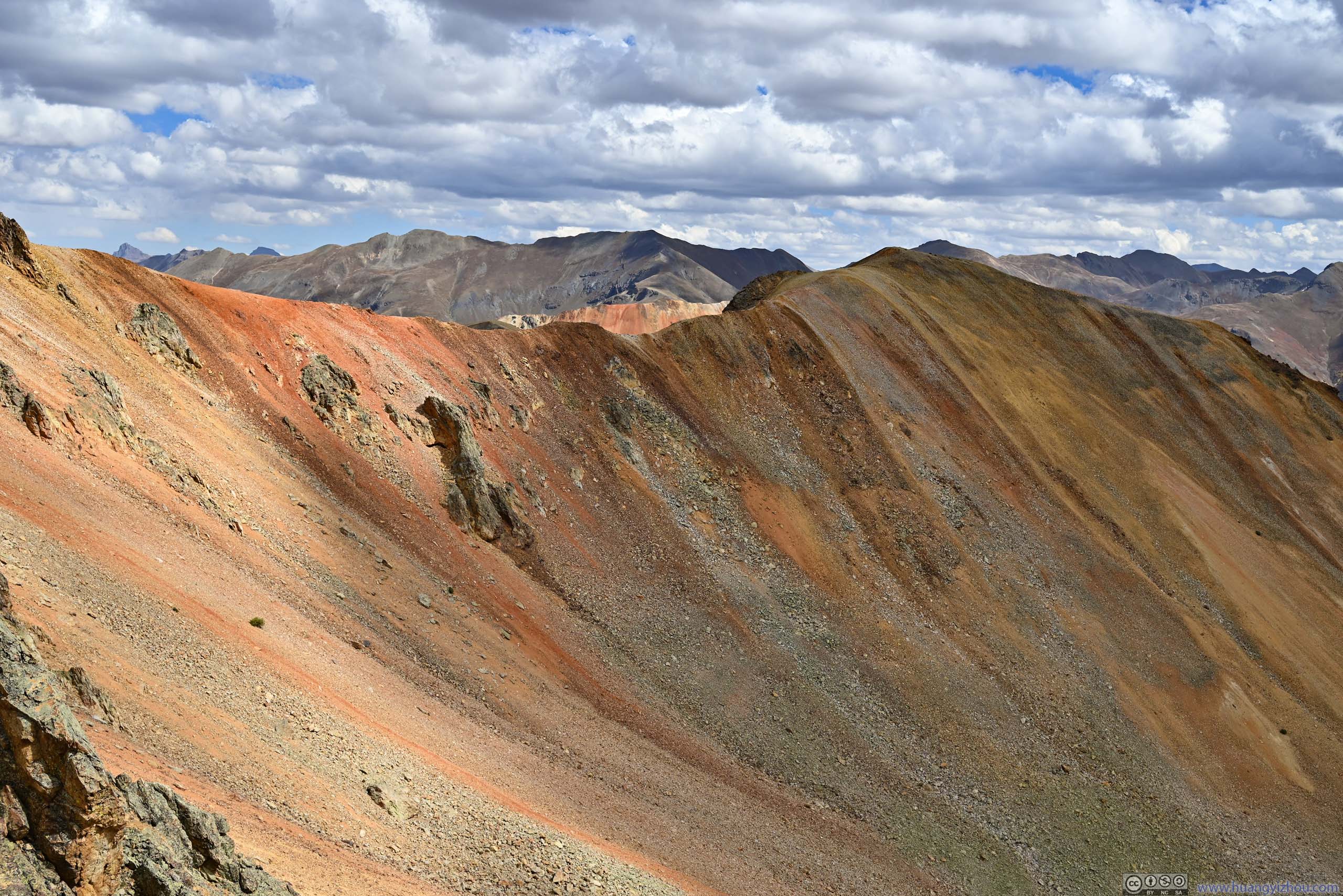
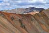
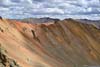
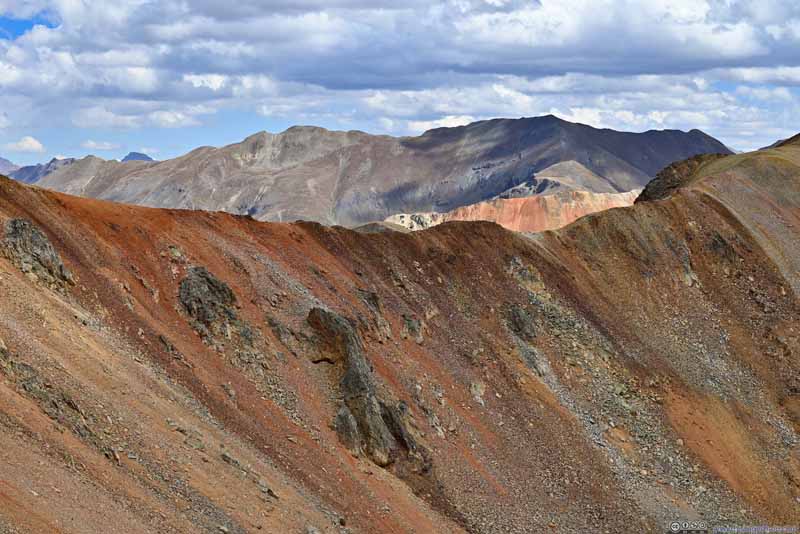
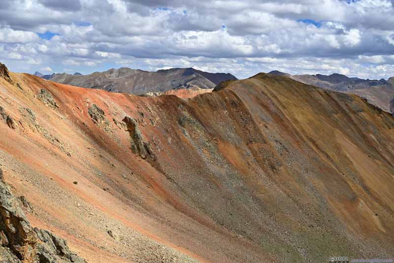
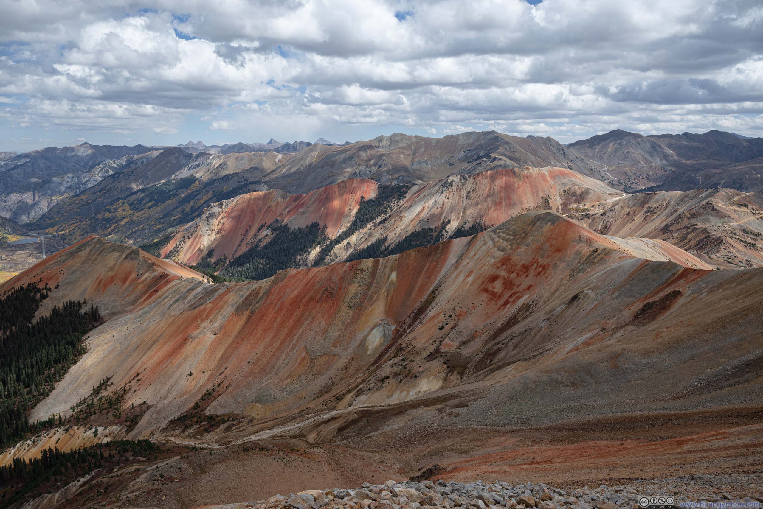
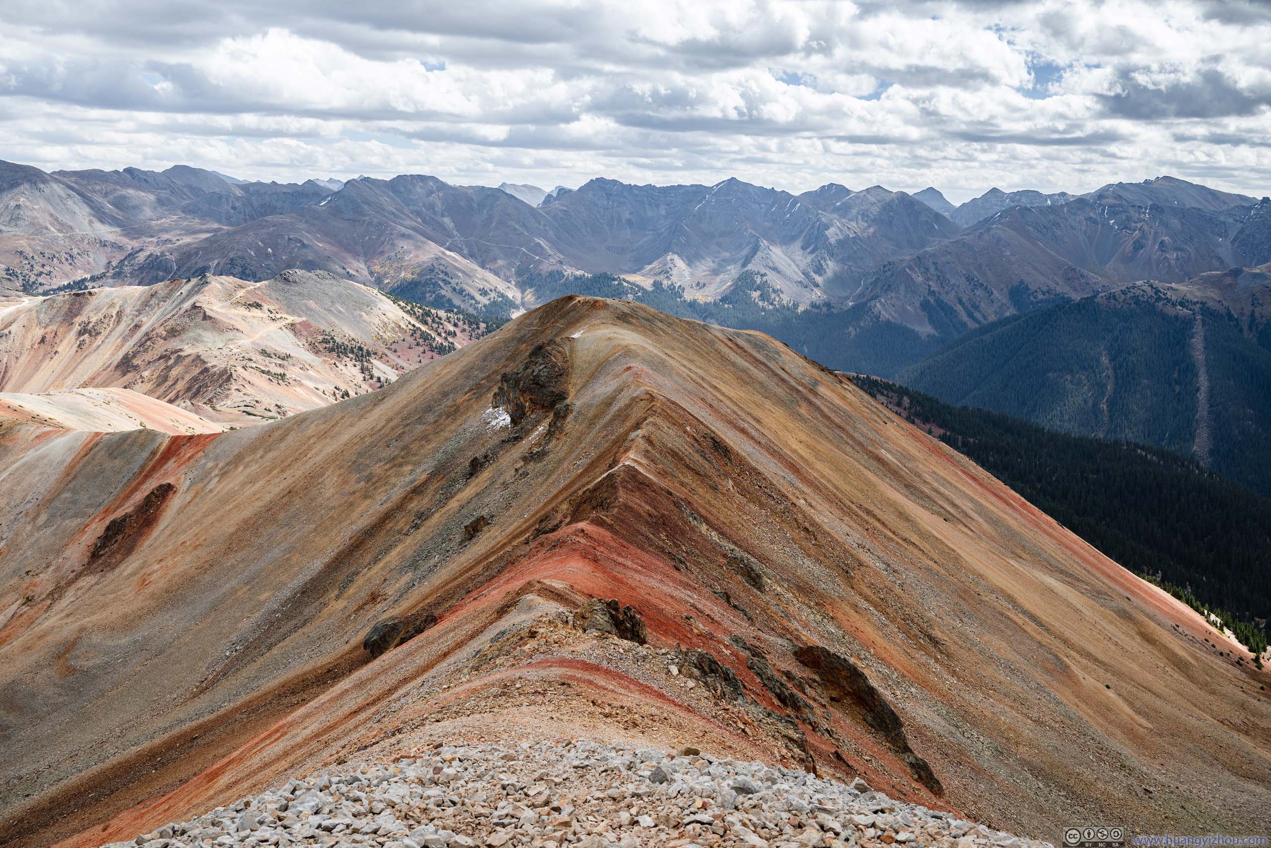
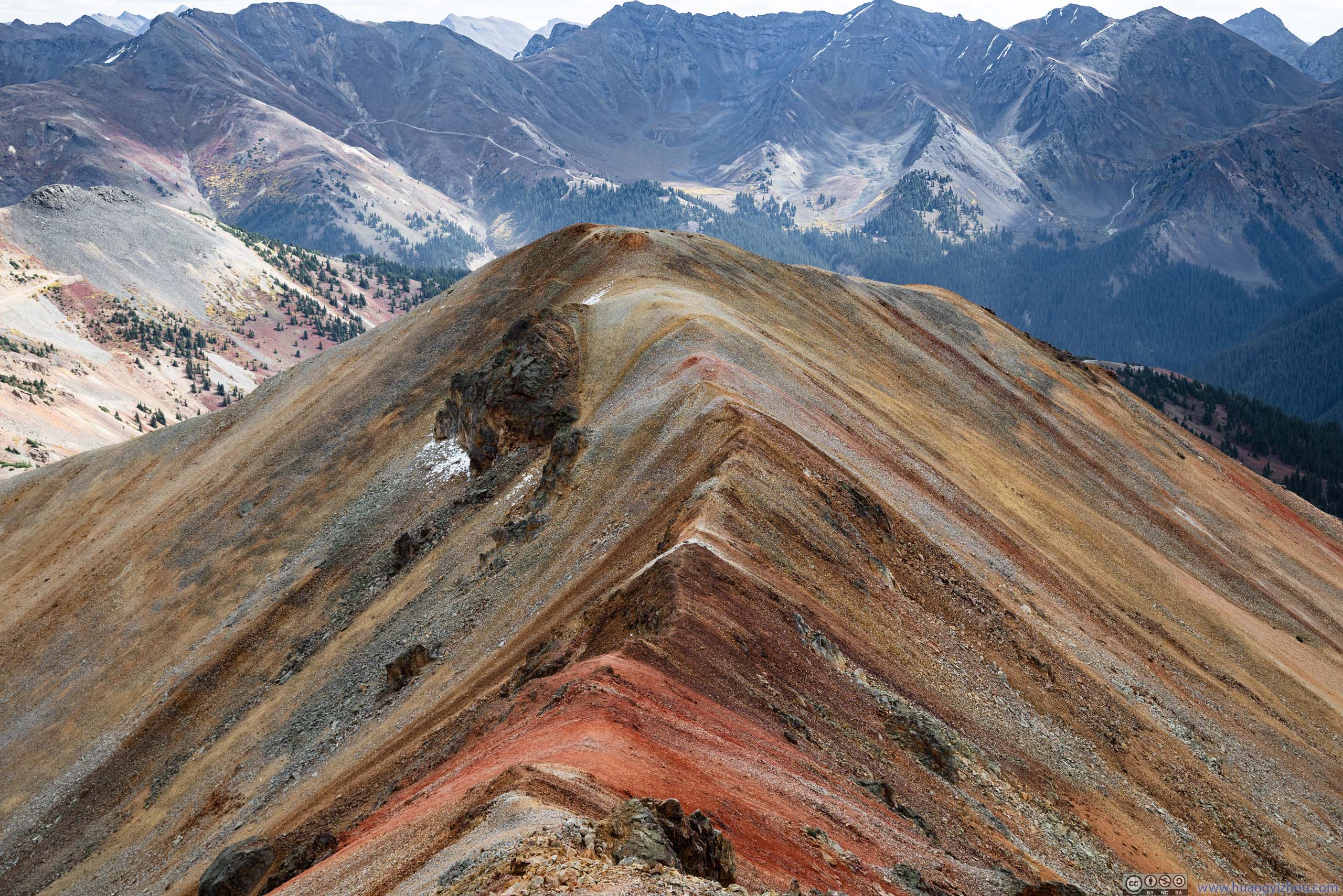
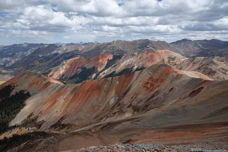
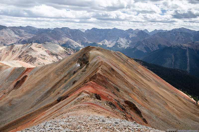
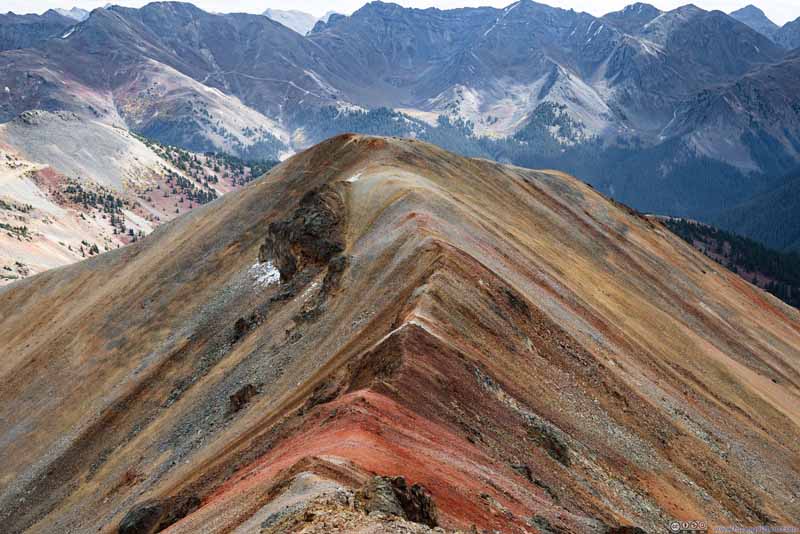
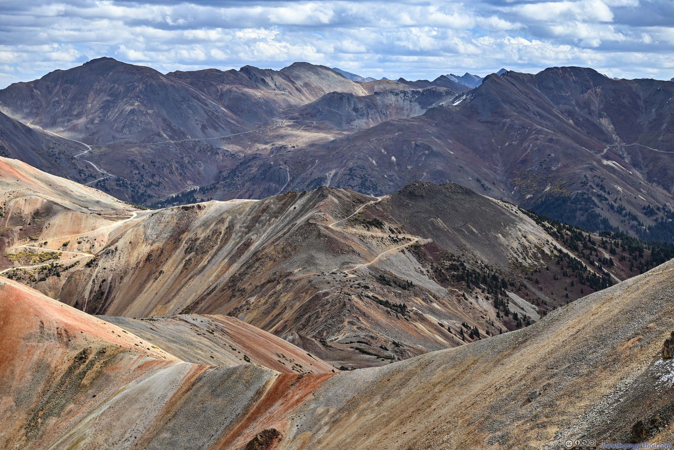
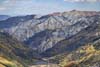
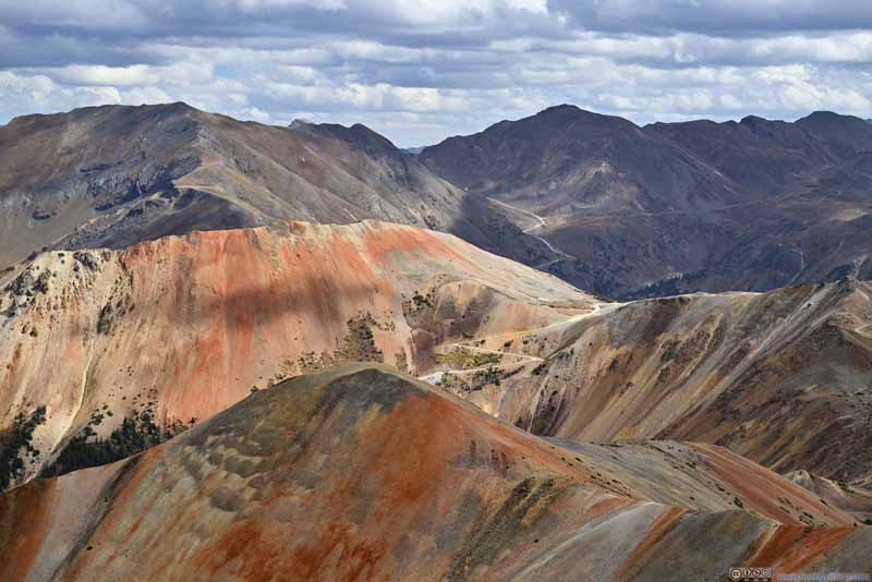
Towards the east, a ridge led to the remaining two Red Mountains. This was the same ridge as previewed earlier from the trail, one that's covered in ribbons of colors (p4-6 below). It's like the rainbow mountain of Peru, only that the ribbons of colors here didn't have as distinct boundaries and were sometimes interrupted by boulders. On the flip side, the majestic backdrop of San Juan Mountains more than made up the intensity of the scene.
Blend of Colors from Red Mountain Summit
Blend of Colors from Red Mountain Summit
Red Mountain 1 and 2 before Distant Uncompahgre Mountains
Ridge in Vivid Colors
Ridge in Vivid Colors
Red Mountain 1 and 2 before Distant Uncompahgre Mountains
While it's possible to venture further east along the ridge towards the other two Red Mountains, and I'd love to explore the different shades of red that decorated the landscape, unfortunately, I should mention the main spoiler of the day, wind, which was strong in the forecast. As I neared the summit and rose higher than the shelter of McMillian Peak to the south, I felt its strength. And the wind was so overwhelming at the summit, that it was at times hard to breathe. Luckily, the views to the north (above) were captured from a small area off the summit with some shelter from the wind. But as soon as I ventured towards that ridge, the overwhelming wind managed to keep me back. Should I mention the wind was from the south, the same direction as Mount Eolus, named after the Greek God of the wind?
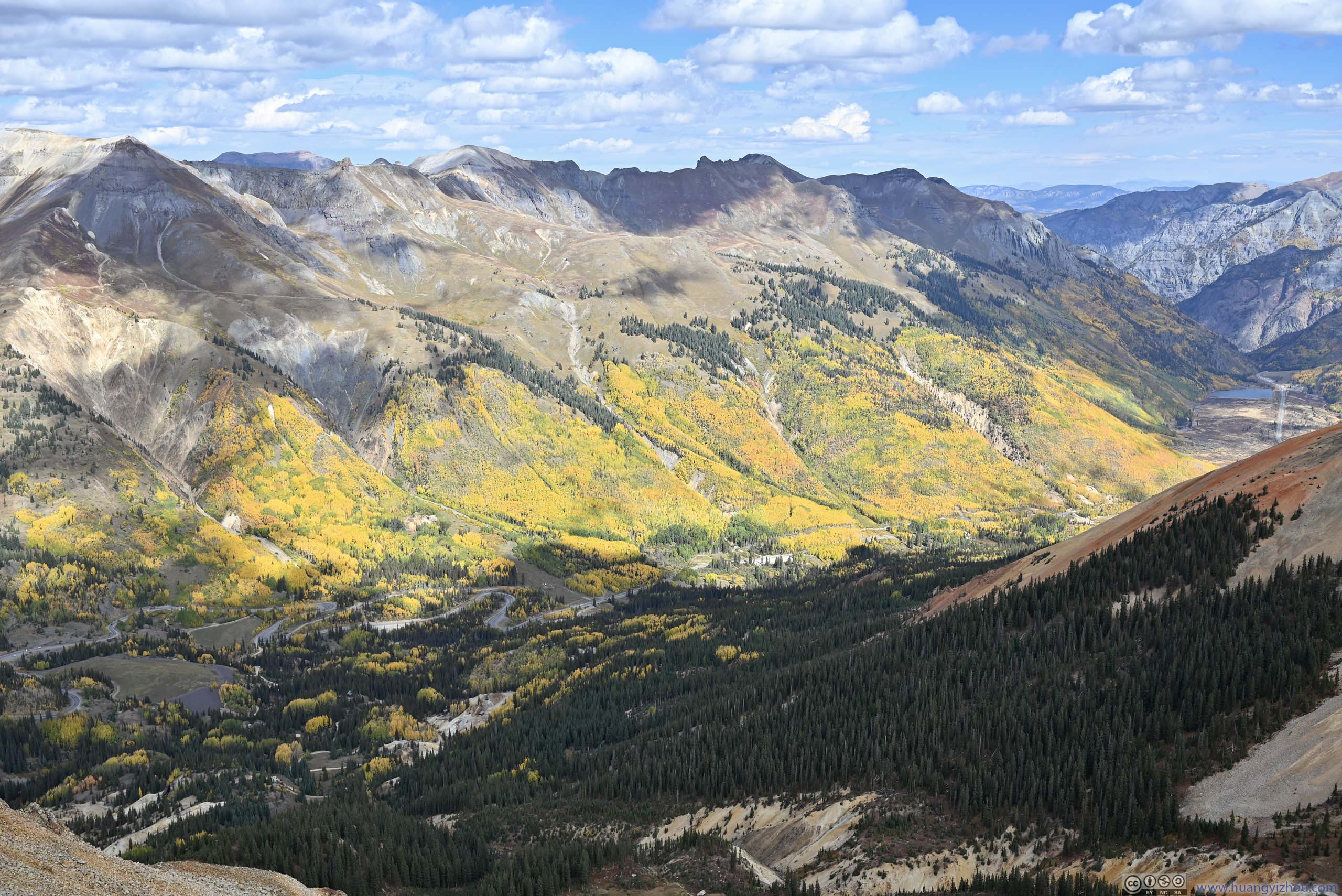
Foliage along Hayden Mountain
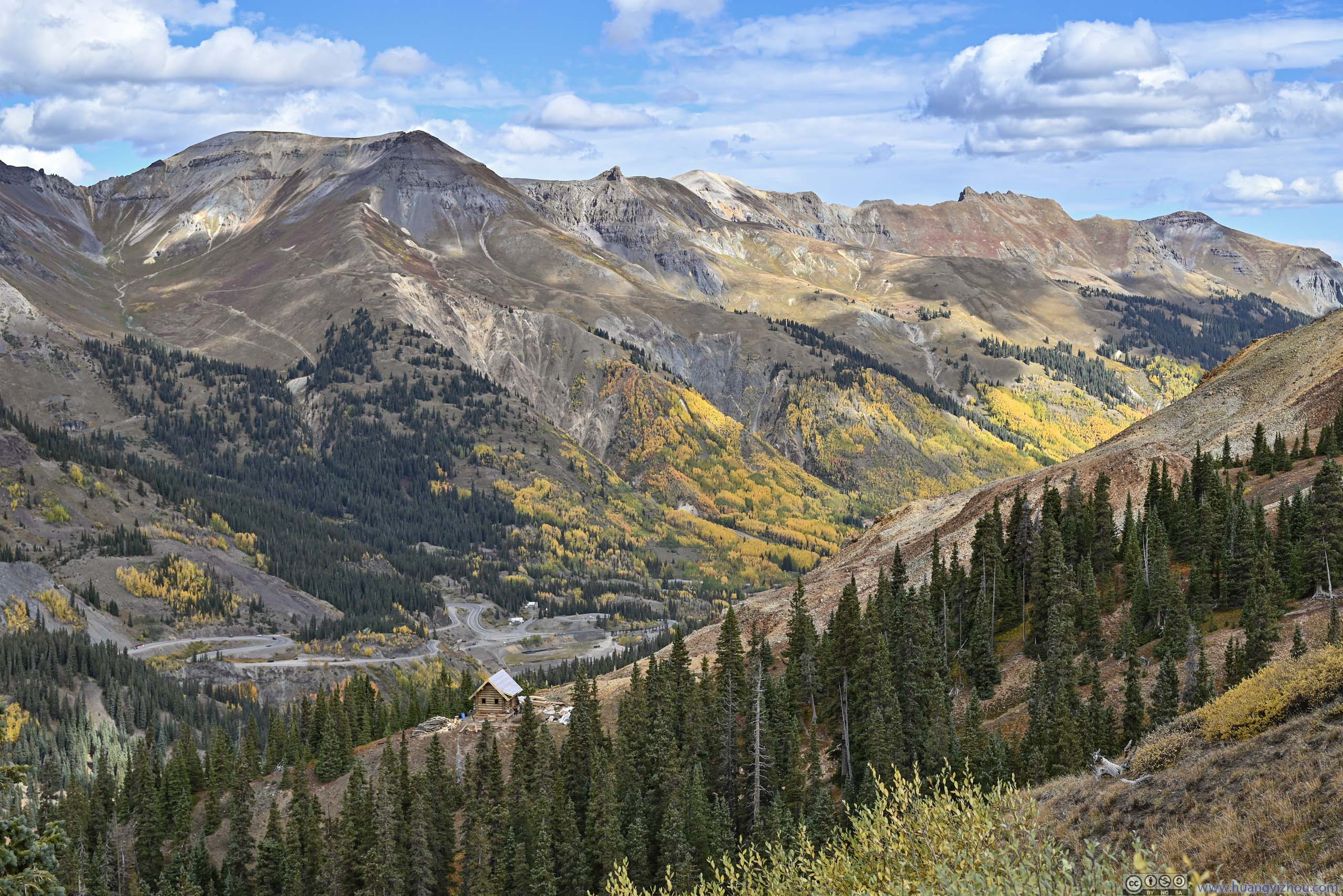
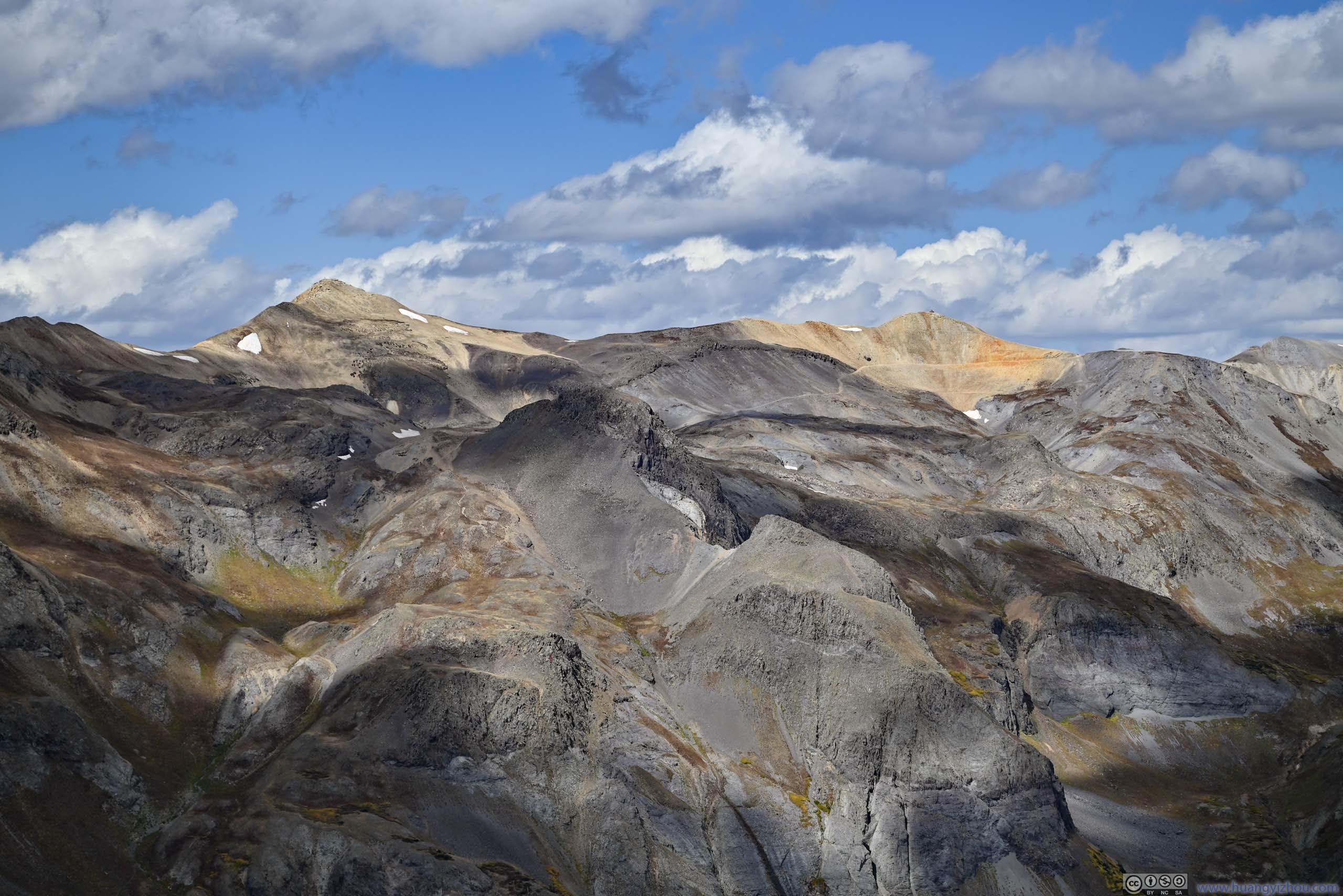
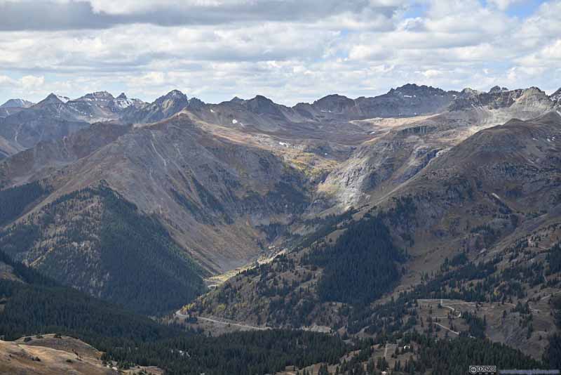
Mountains to the North The ones that surrounded Ouray.
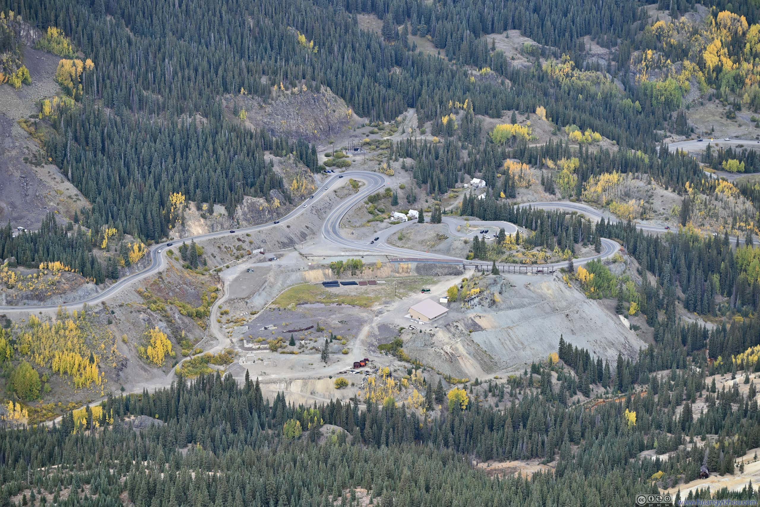
Dirt Roads around Corkscrew Pass
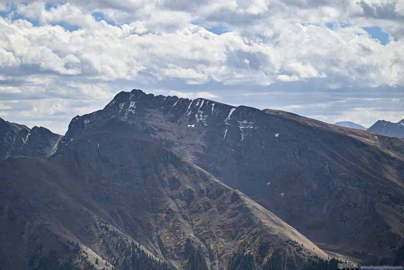
Mountains to the East Hurricane Peak and Handies Peak in the background.
Telluride Peak among Mountains
Cirque Mountain and Teakettle Mountain The two mountains of Sneffels Range in the background.
Distant Needle Mountains
Silverton West Group Mountains Vermilion Peak, Ulysses S Grant Peak and Lookout Peak.
Storm Peak
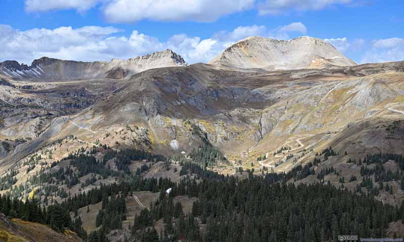
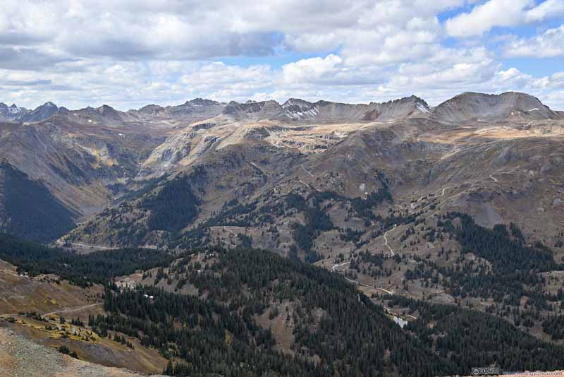
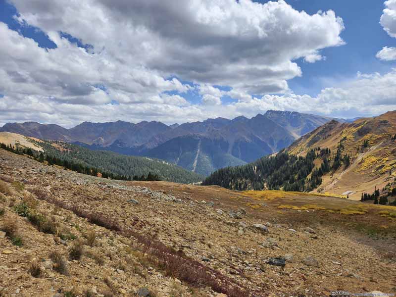
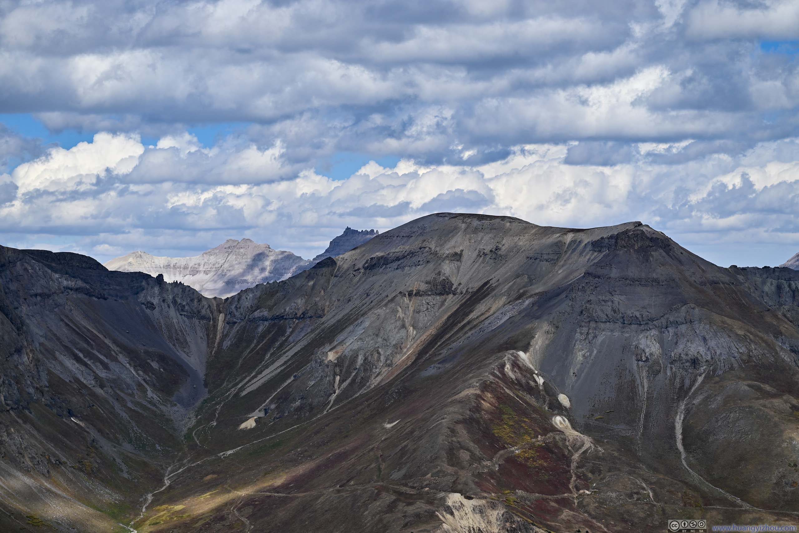
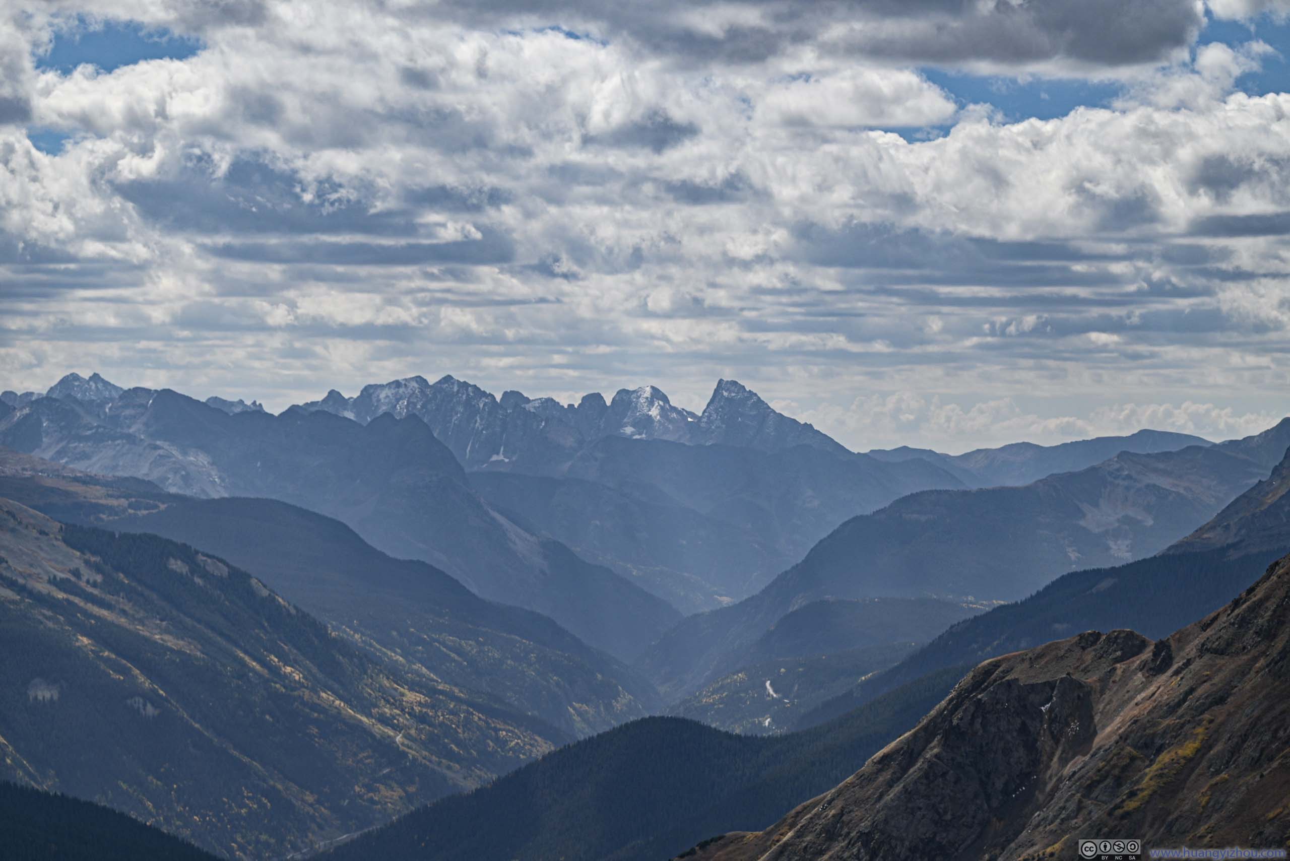
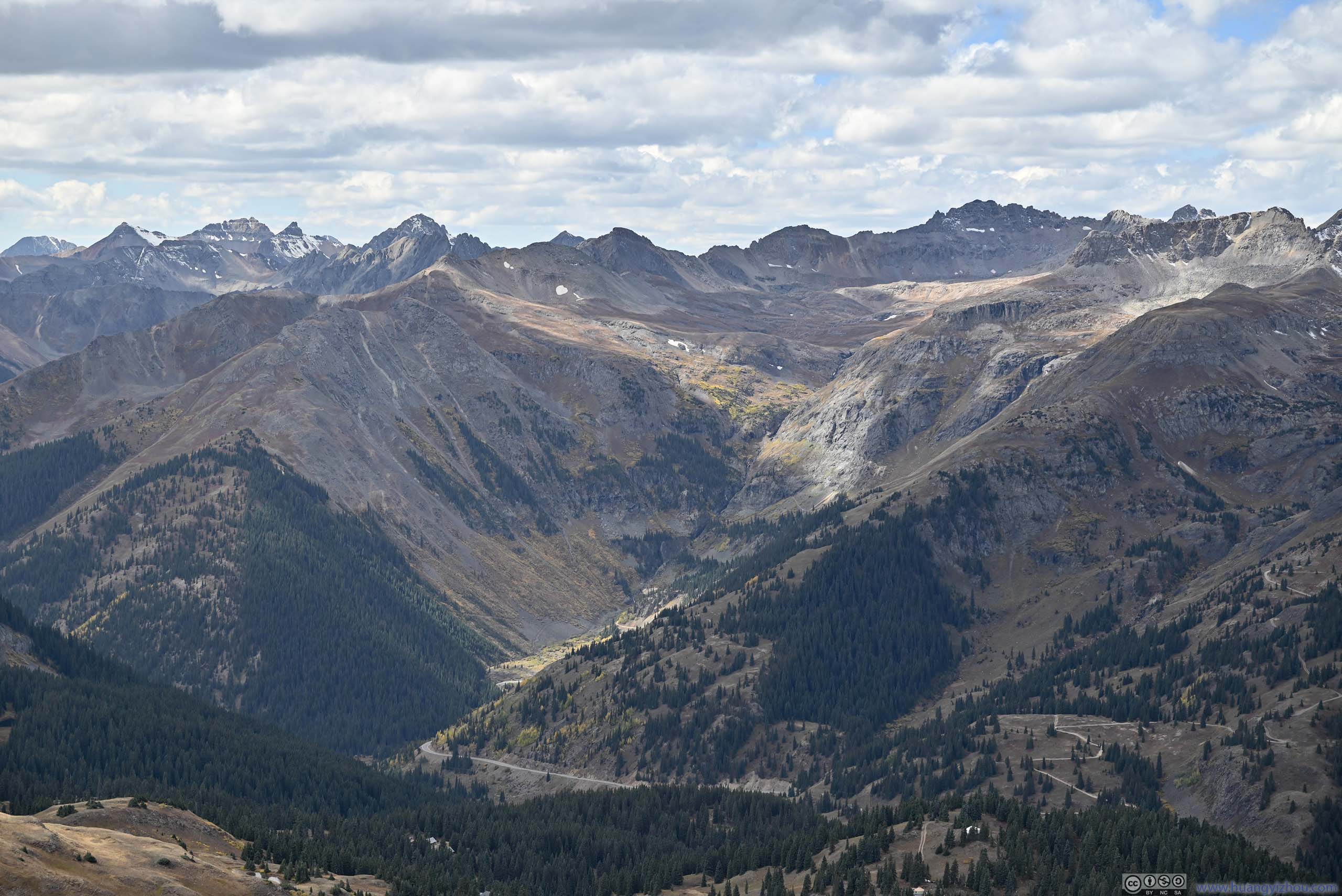
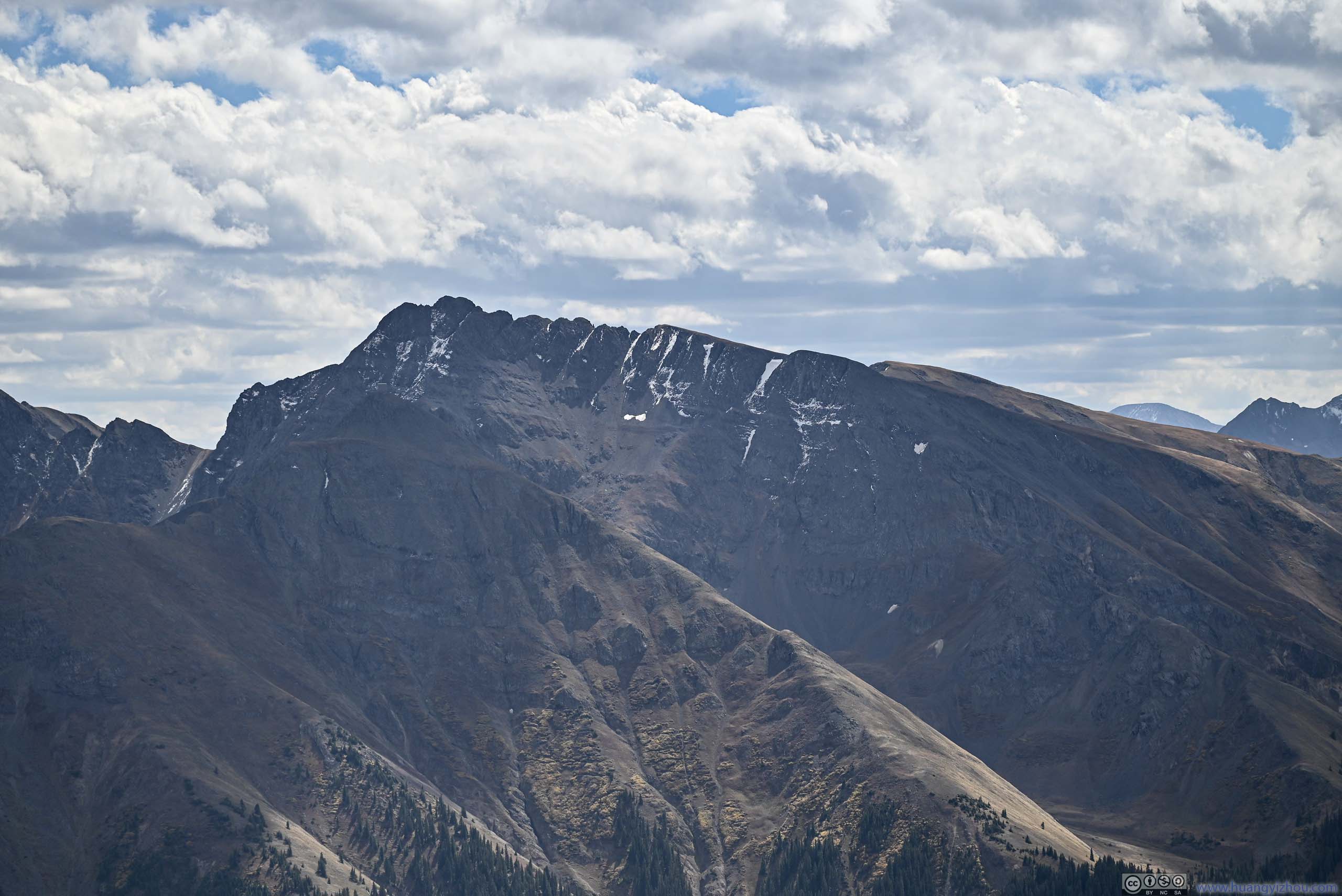
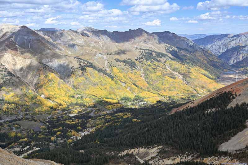
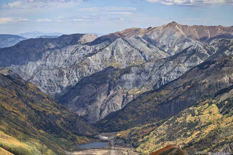
View from Red Mountain 3 Summit Towards the north (top) and west (bottom).
In the end, I spent just over half an hour at the summit of Red Mountain 3, before starting to head back down.
I felt the wind picked up during my descent (it could also be that I was walking into it), that from time to time, I had to walk backwards just that I could breathe better.
In the end, it's about 1:15pm by the time I got back to my car. It's still early in the day, so I decided to head to Silverton for lunch before continuing towards Durango.
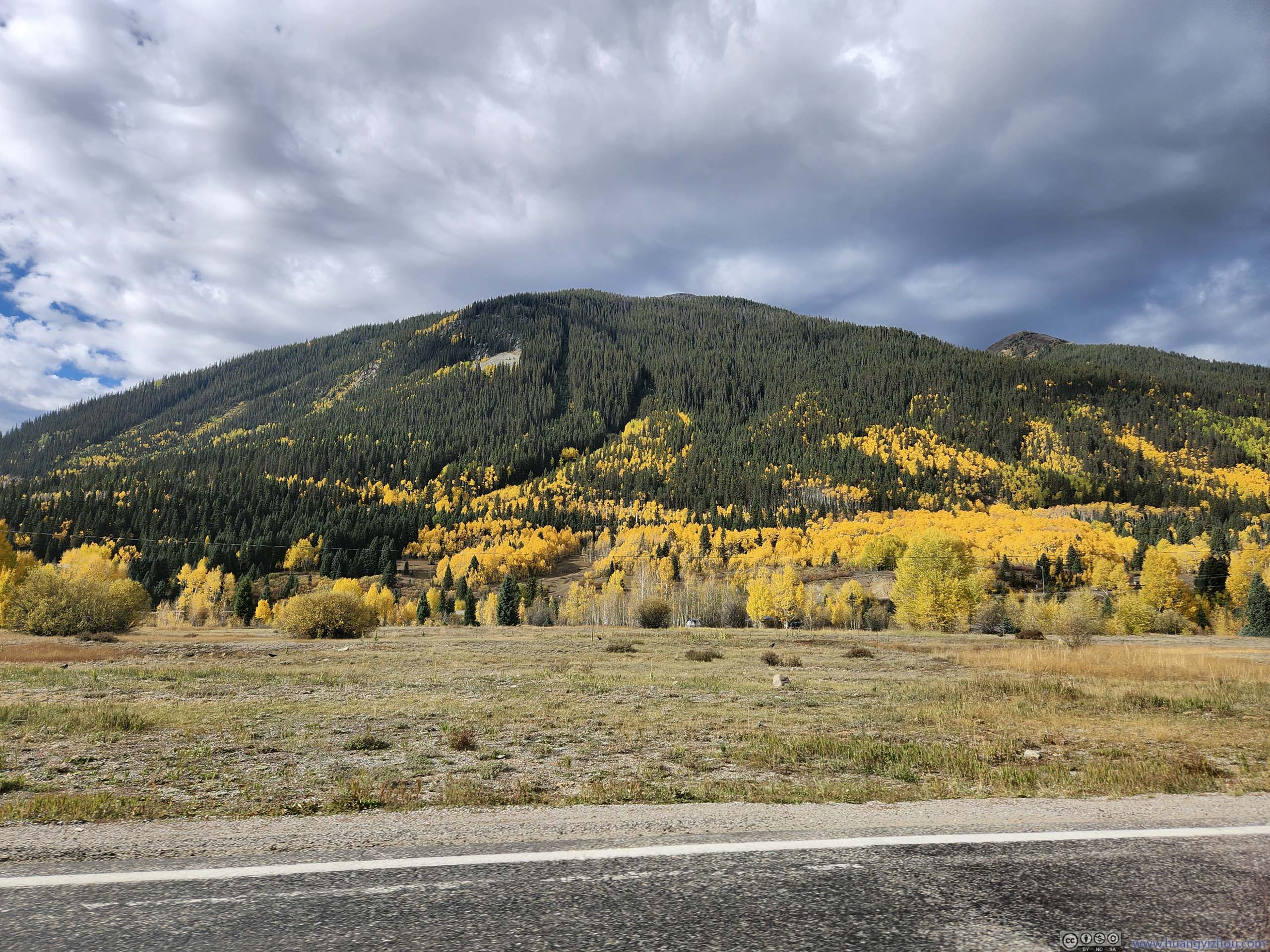
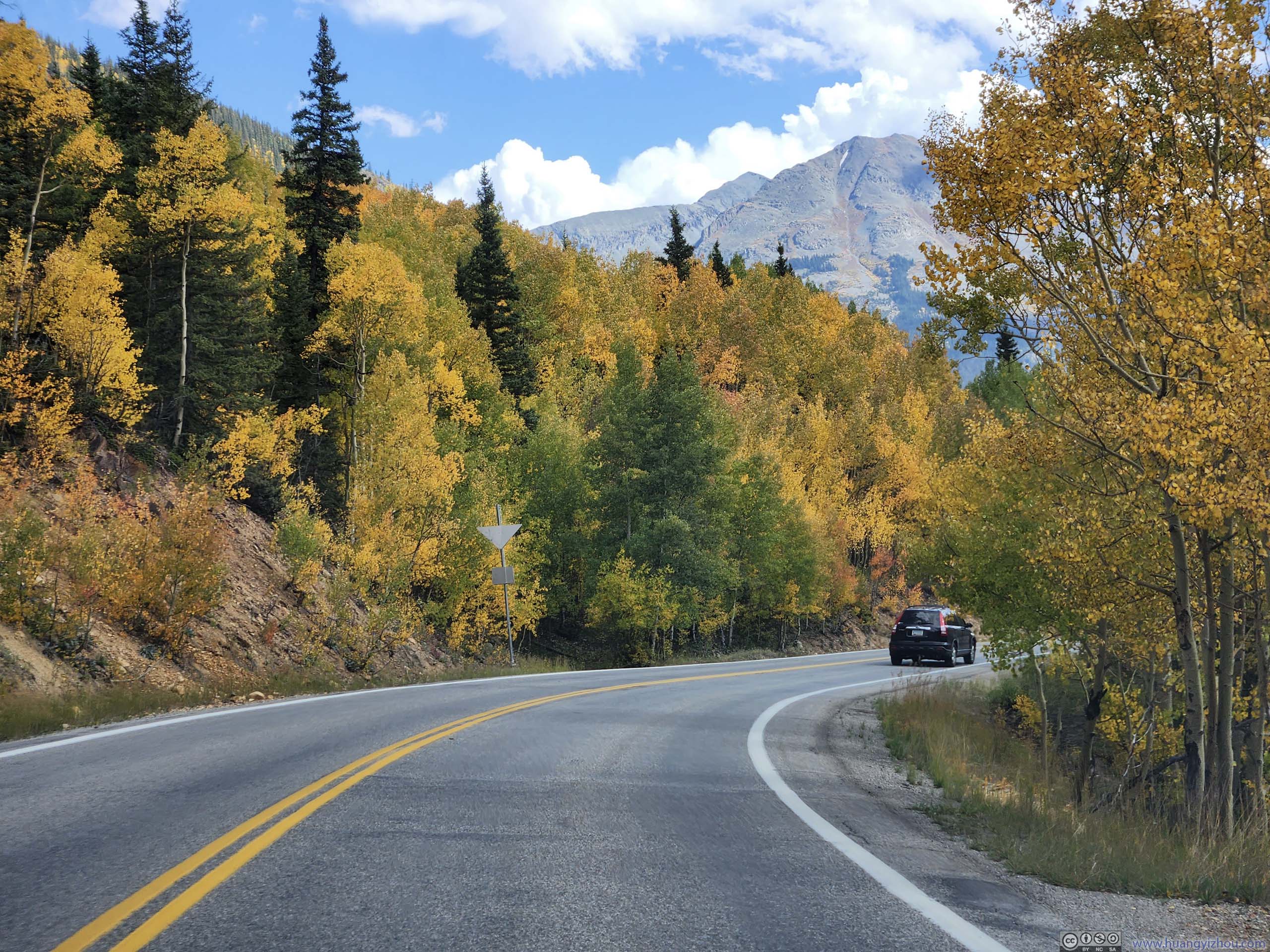
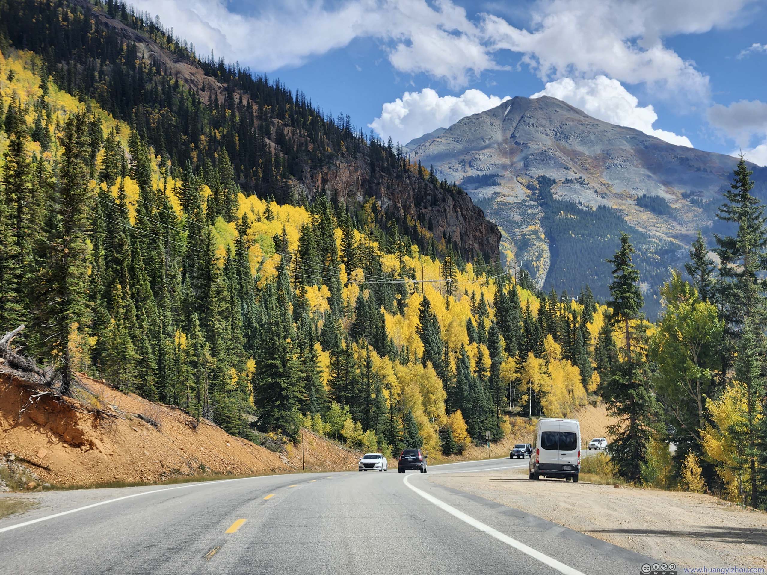
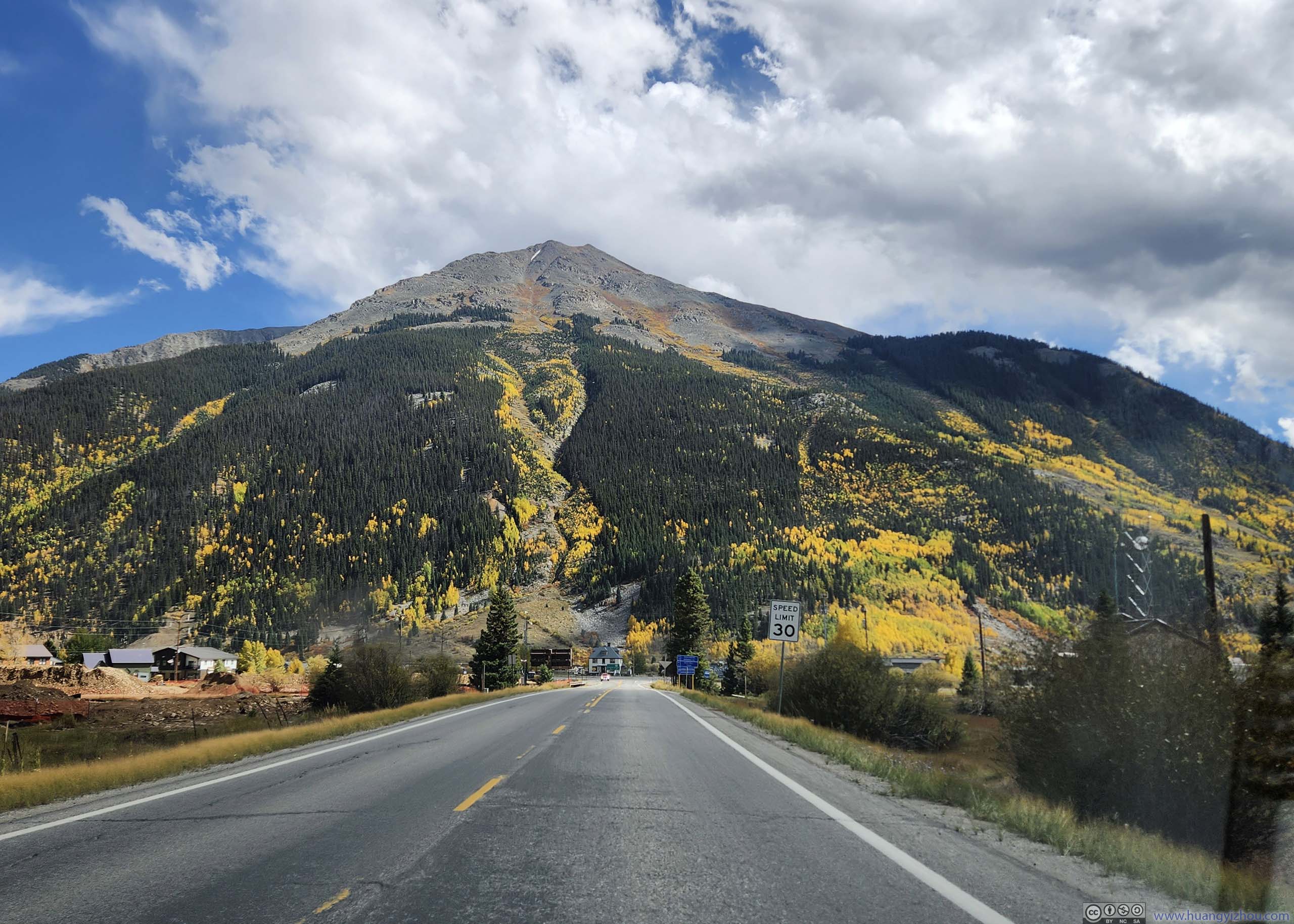
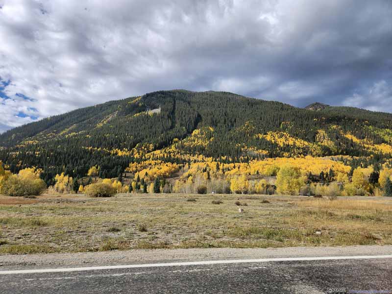
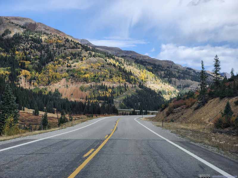
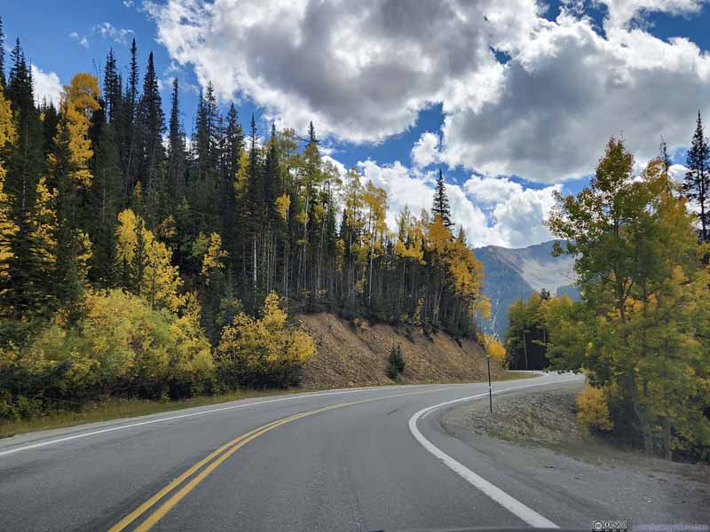
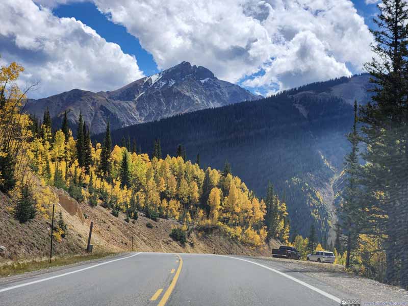
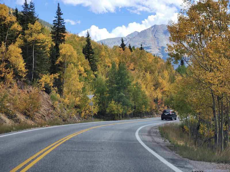
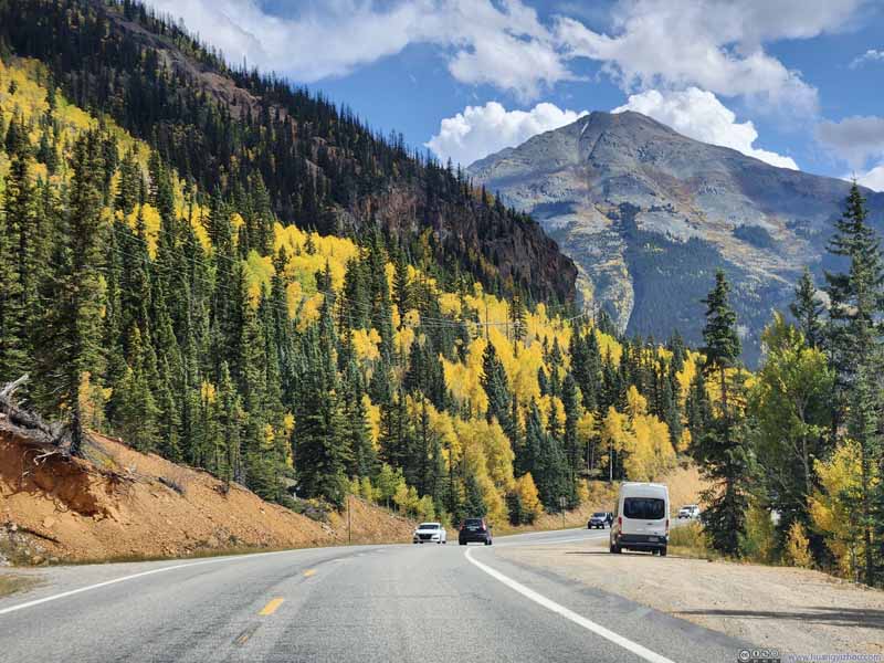
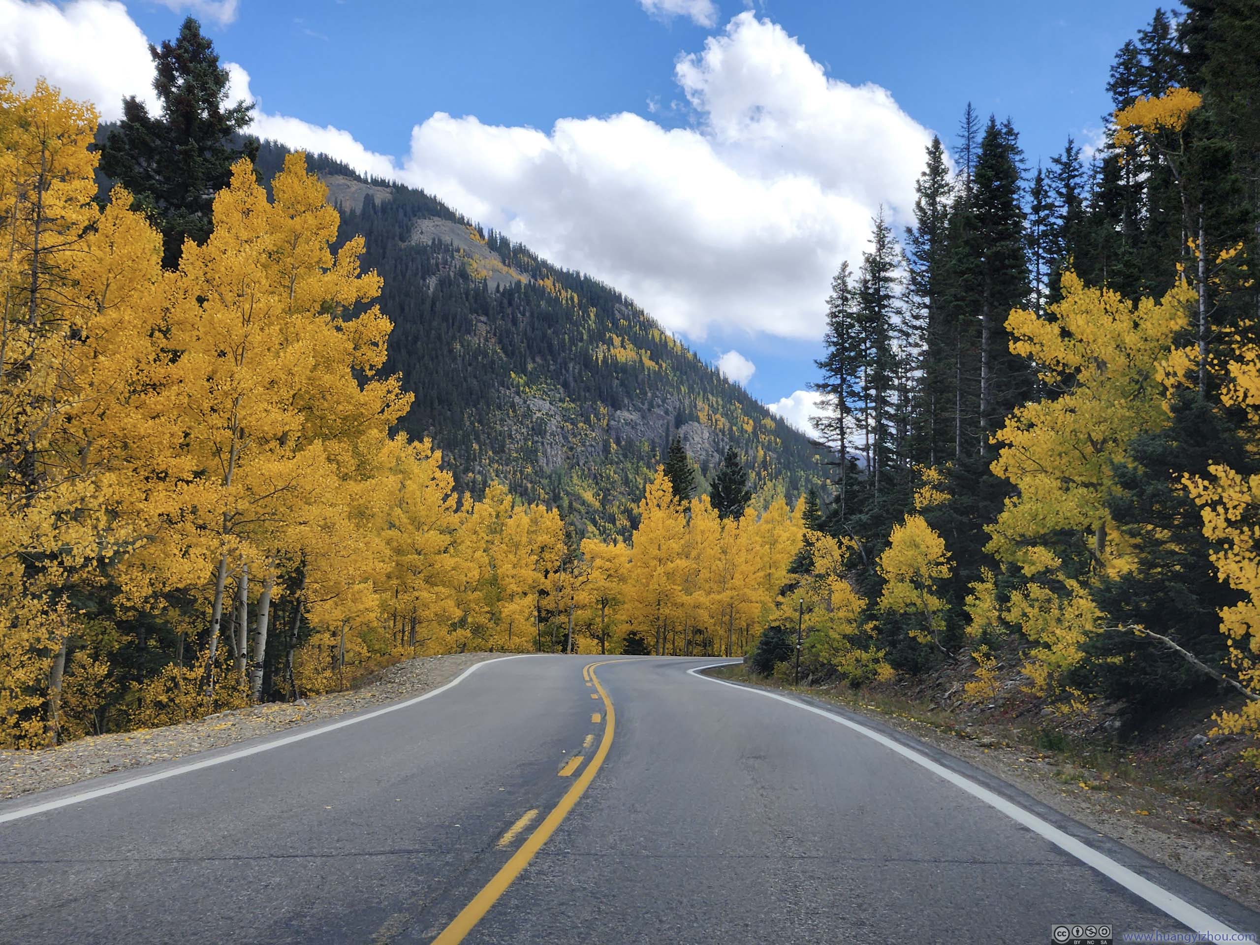
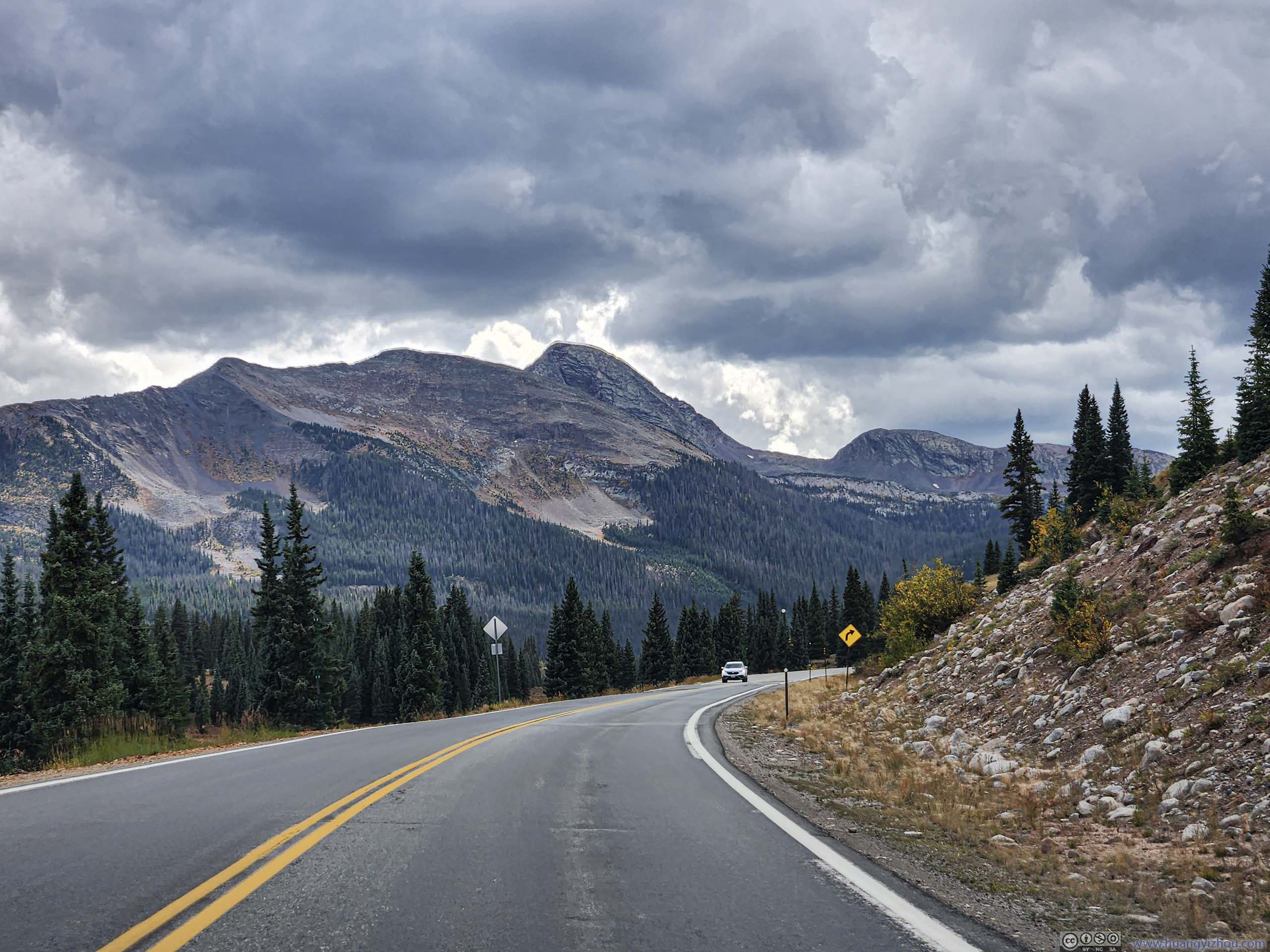
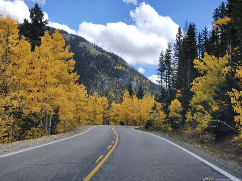
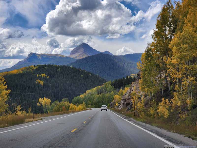
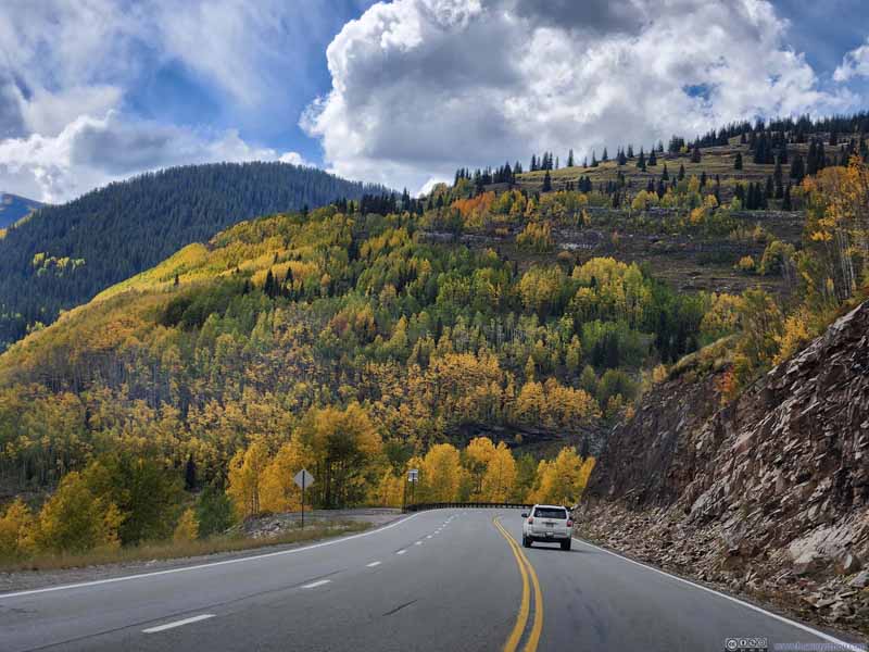
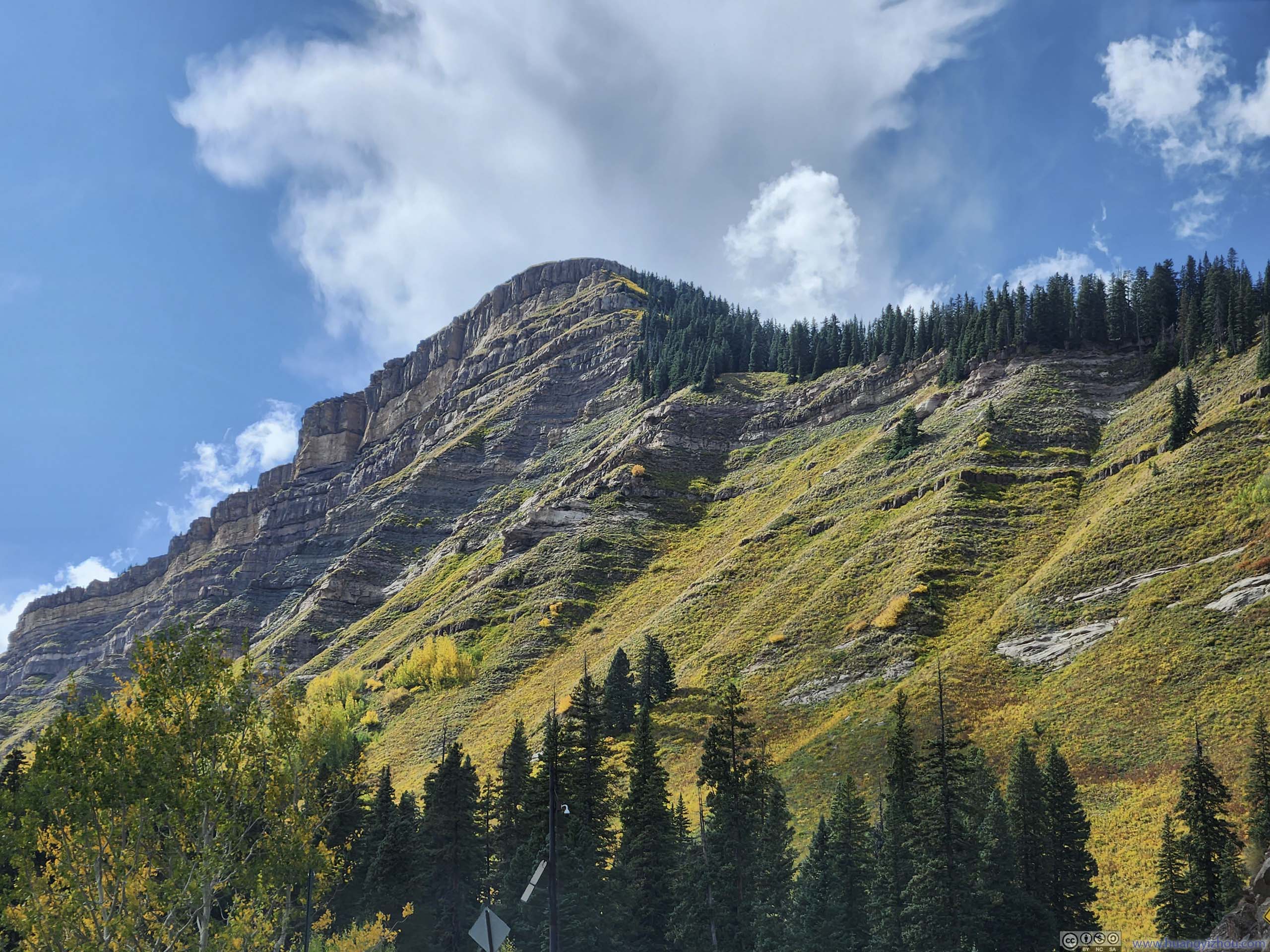
The foliage along the way was stunning as usual.
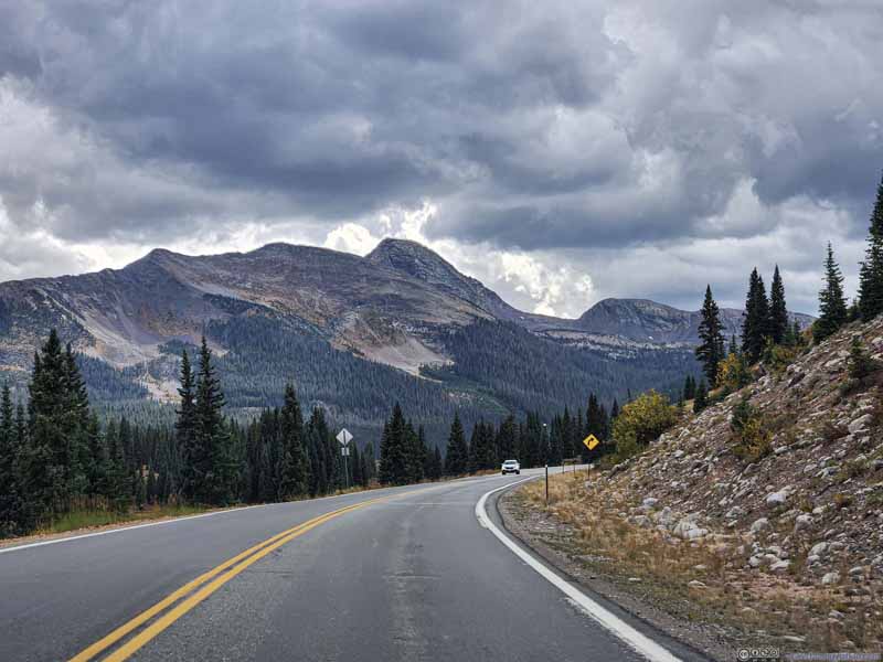
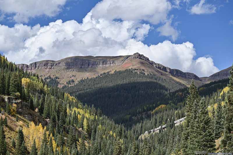
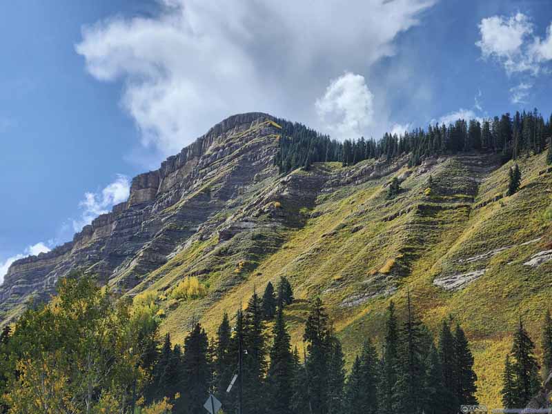
Mountains outside Silverton
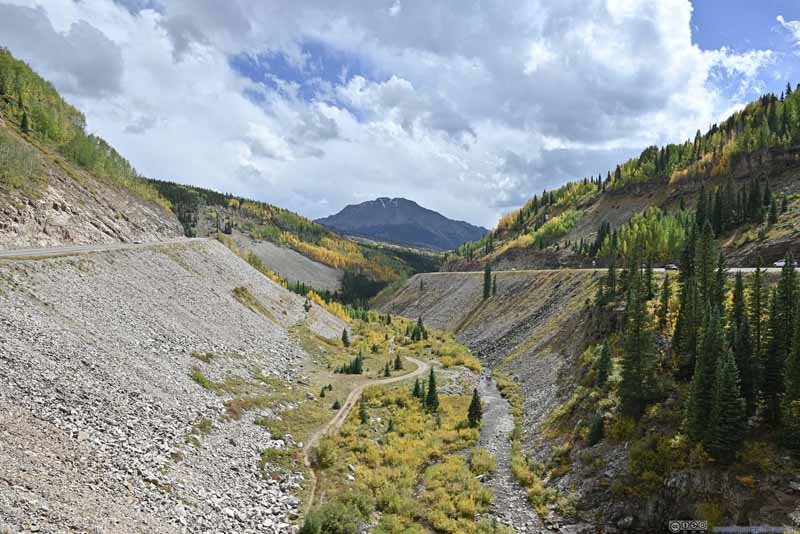
Mountain Road
Foliage along Road
Foliage along Road
Foliage along Road
Foliage along Road before Sultan Mountain
Foliage along Road
Kendall Mountain from Million Dollar Highway
Kendall Mountain from Million Dollar Highway
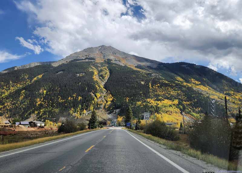
Silverton
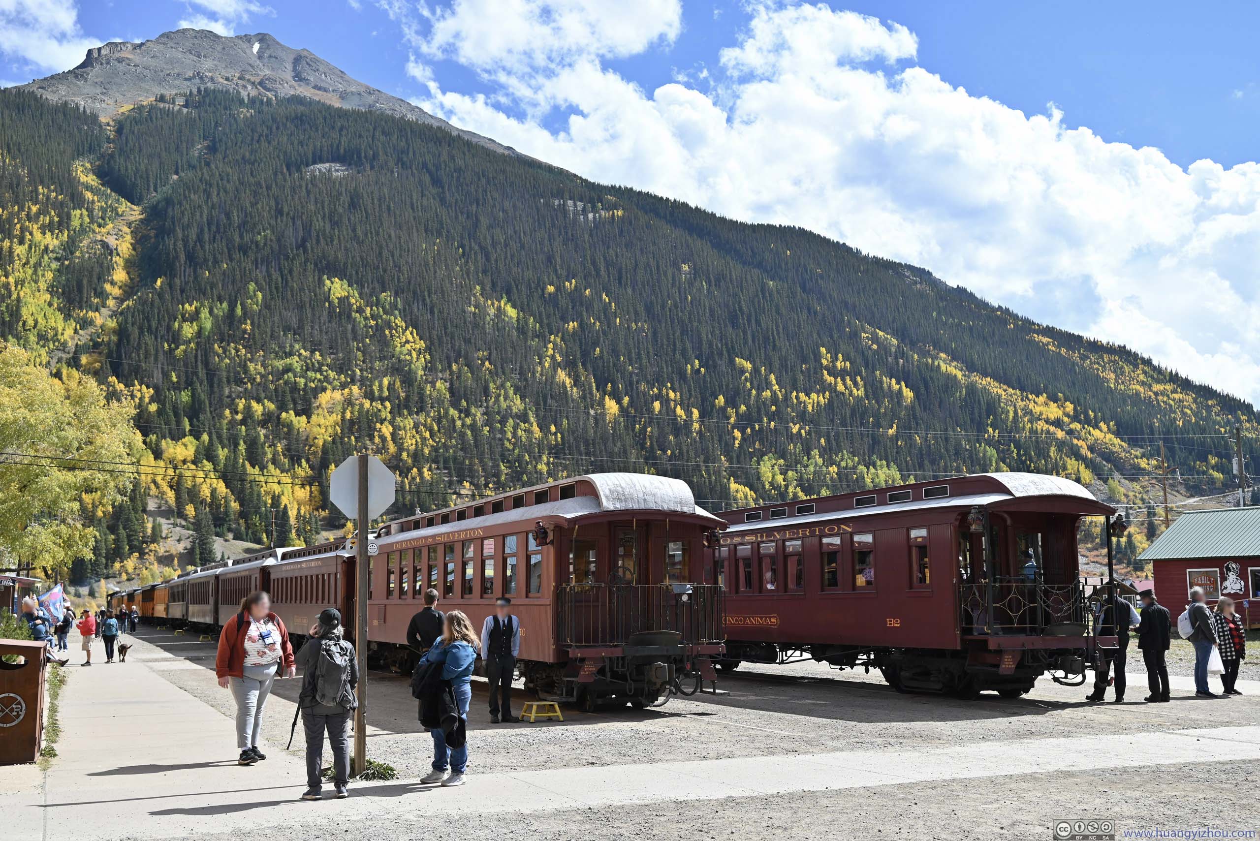
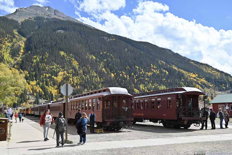
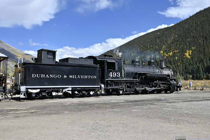
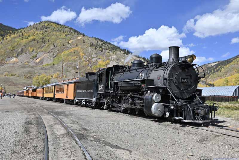
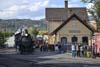
By the time I returned to Silverton where I spent the previous two nights, it's a bustling scene that I'd never seen earlier. It turned out to be the time where the daily trains from Durango made their visits.
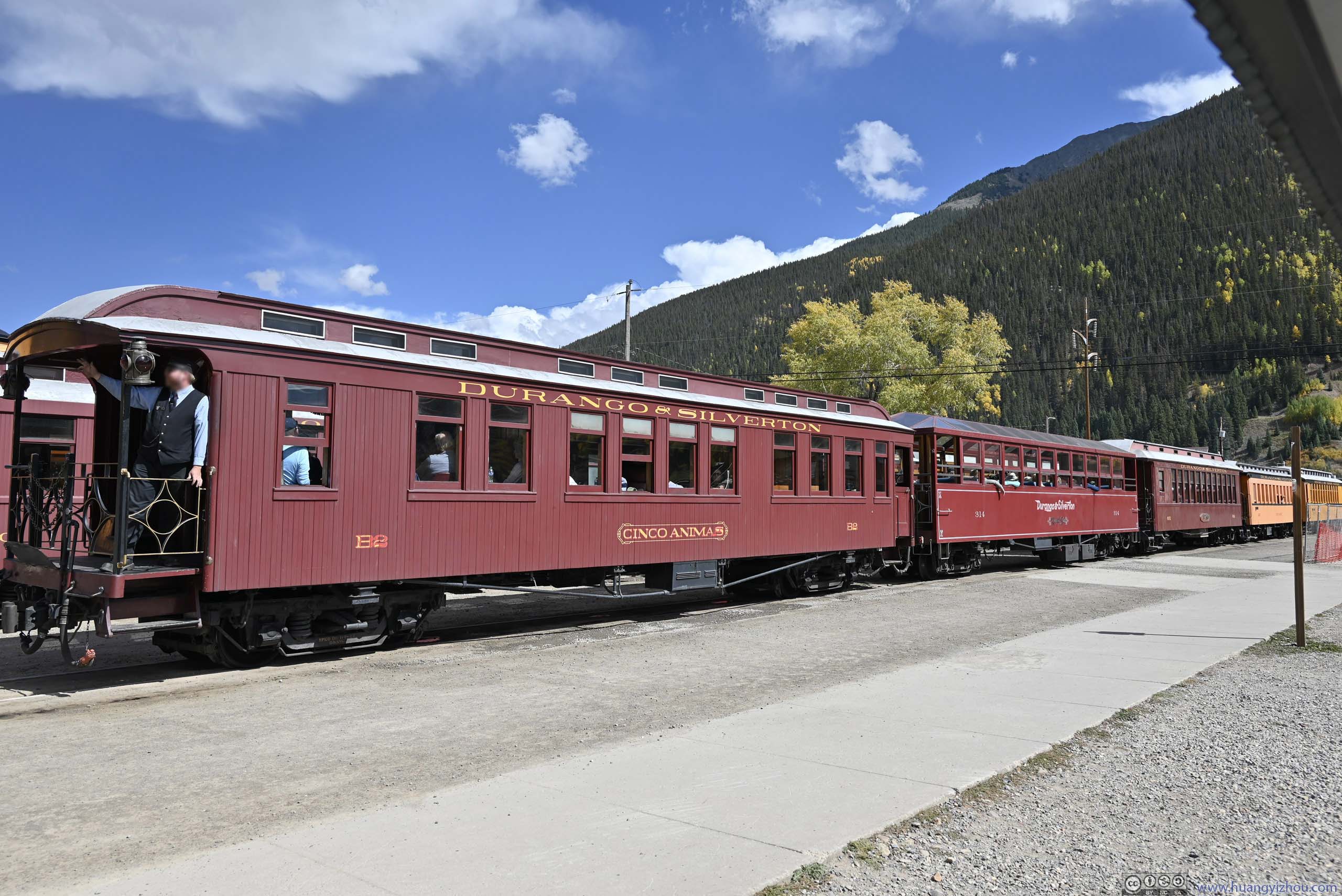
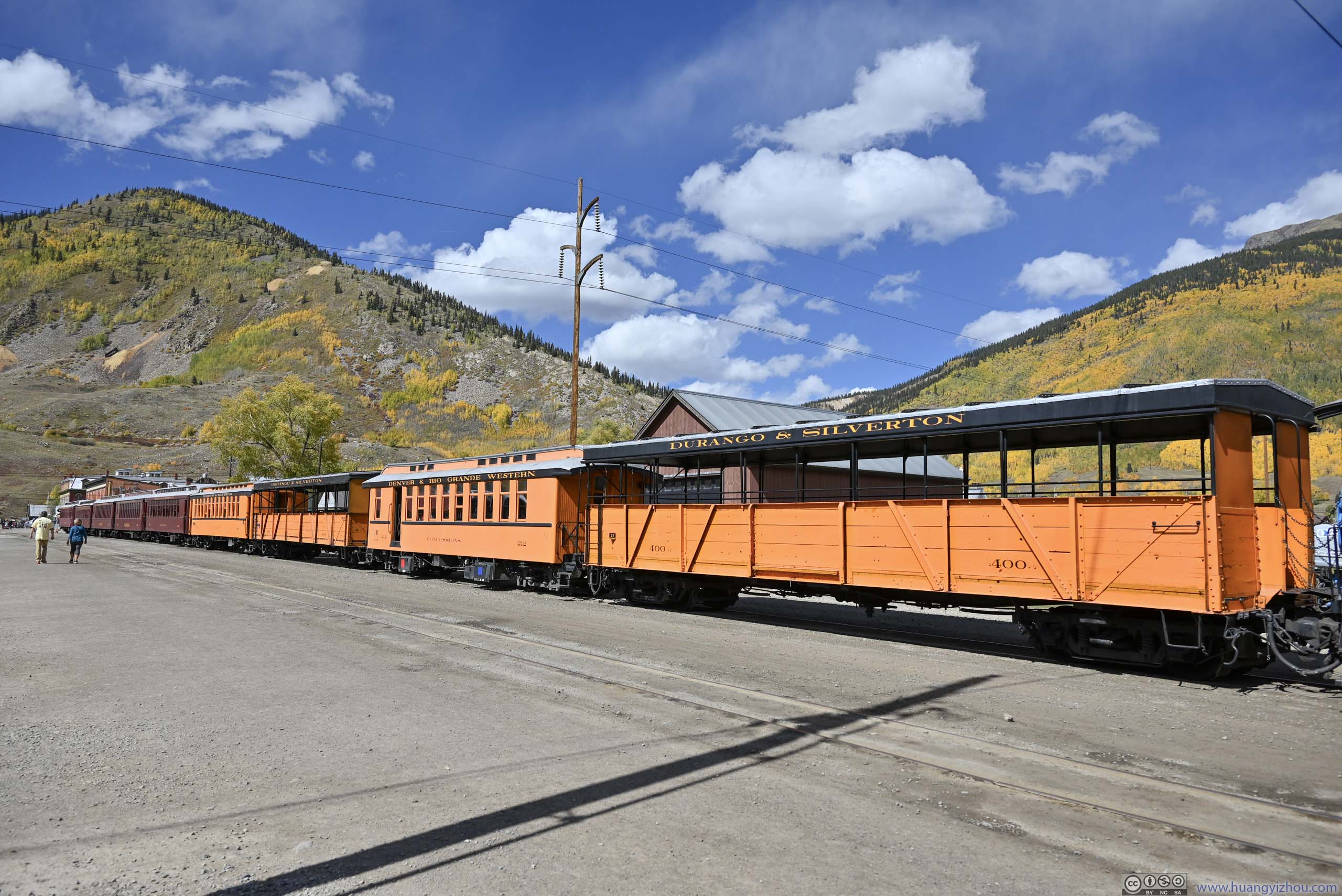
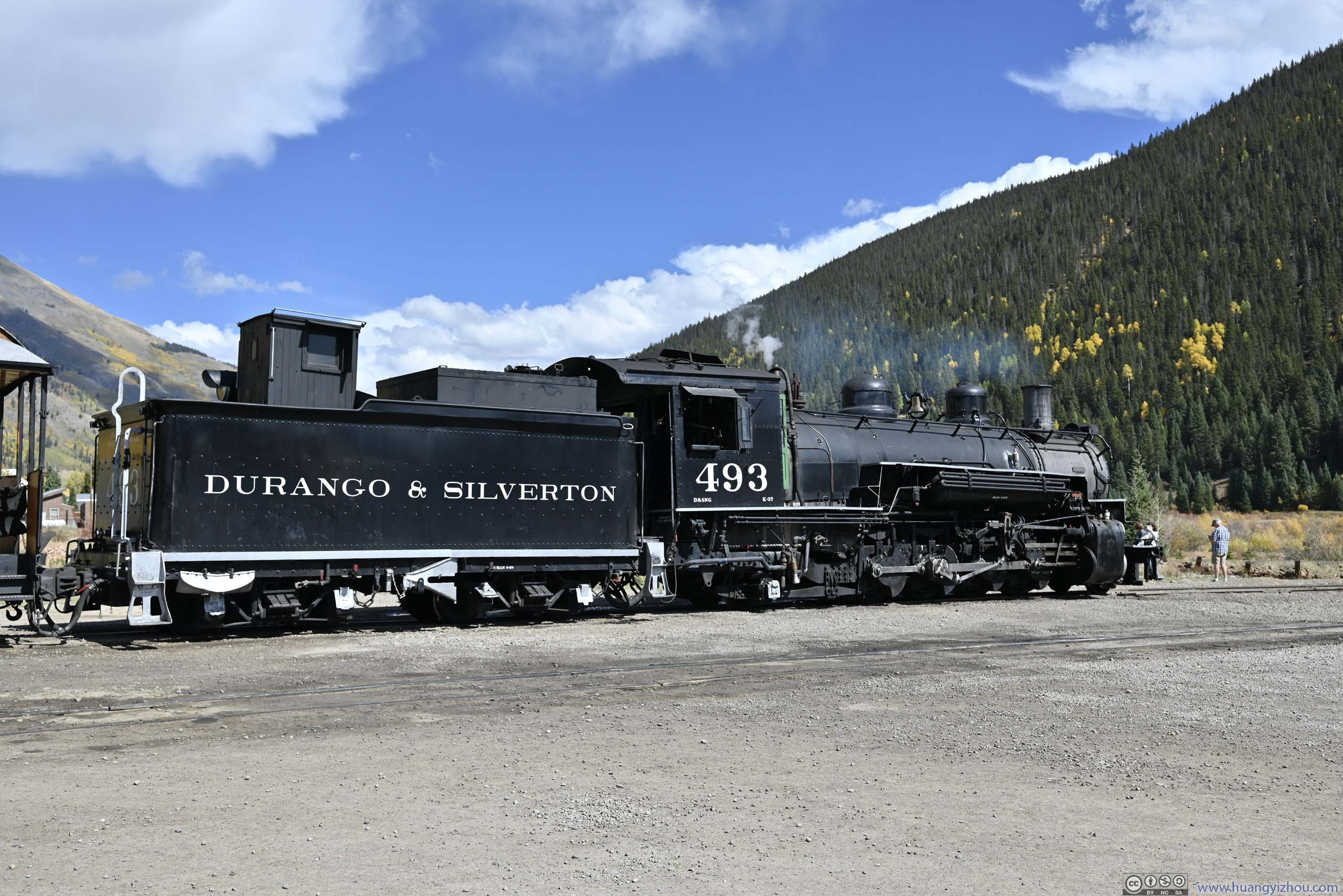
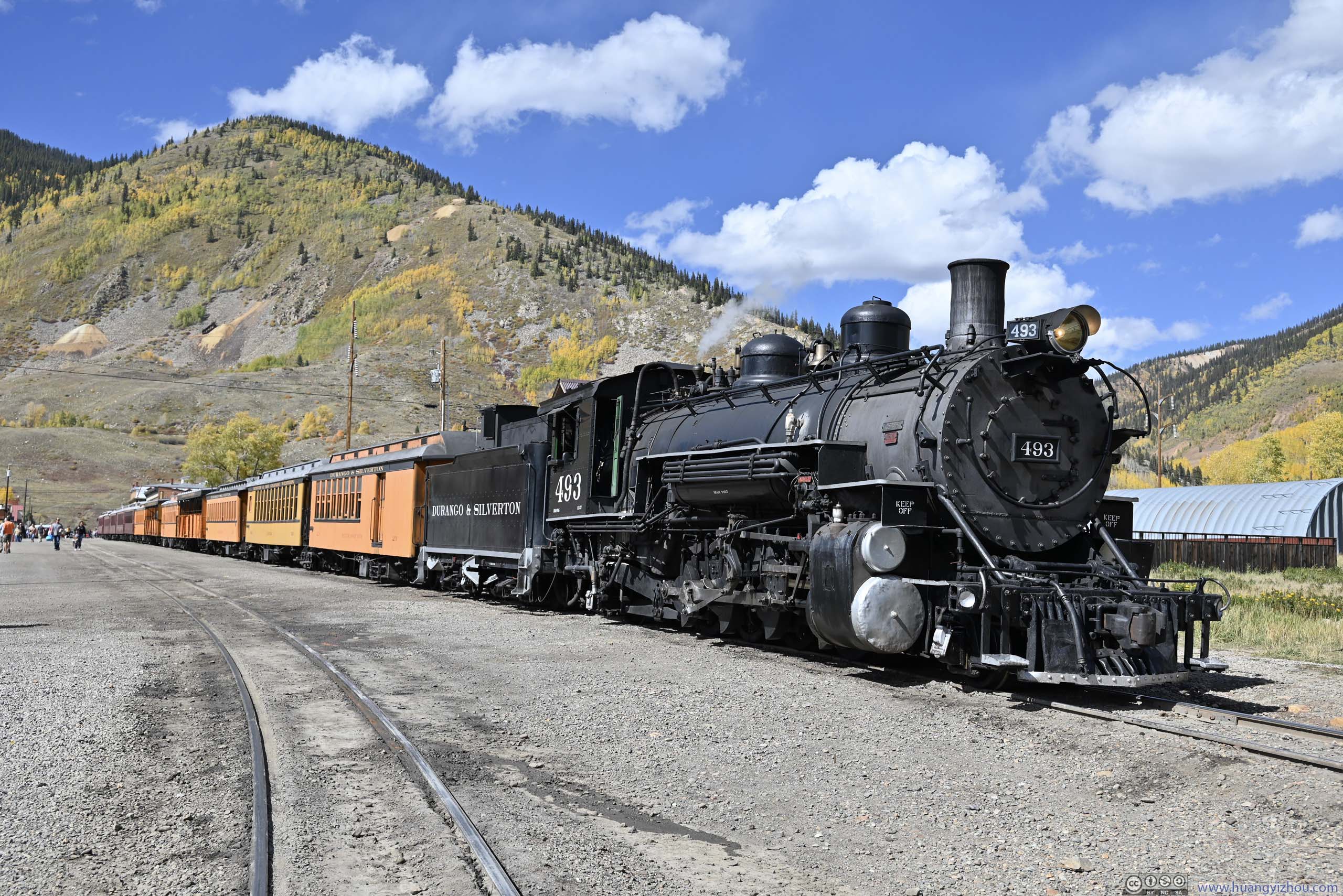
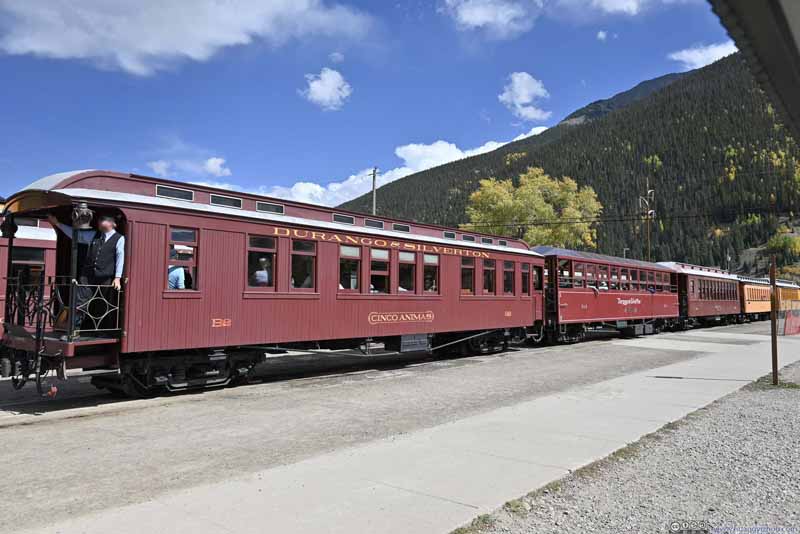
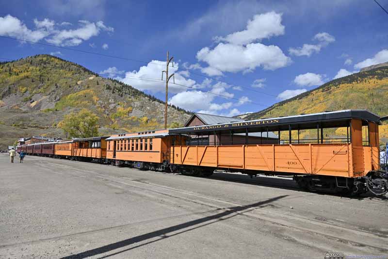
The trains were part of "Durango and Silverton Narrow Gauge Railroad", connecting Silverton and Durango. The tracks were constructed in the 1880s, connecting the mining town of Silverton to Durango, where relative flat landscape and abundance of coal were ideal for railway operations. The choice of narrow gauge (914mm) over standard gauge (1435mm) was to allow easy construction along the twisty Animas River canyon. Nowadays, the trains were only for sightseeing, and travelled through parts of Animas River Canyon otherwise with no road access.
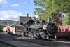
Narrow Gauge Trains at Silverton
Narrow Gauge Train at Silverton This one was departing for Durango as I took this photo, with its conductor waving to people.
Narrow Gauge Train at Silverton
Steam Locomotive
Narrow Gauge Train at Silverton
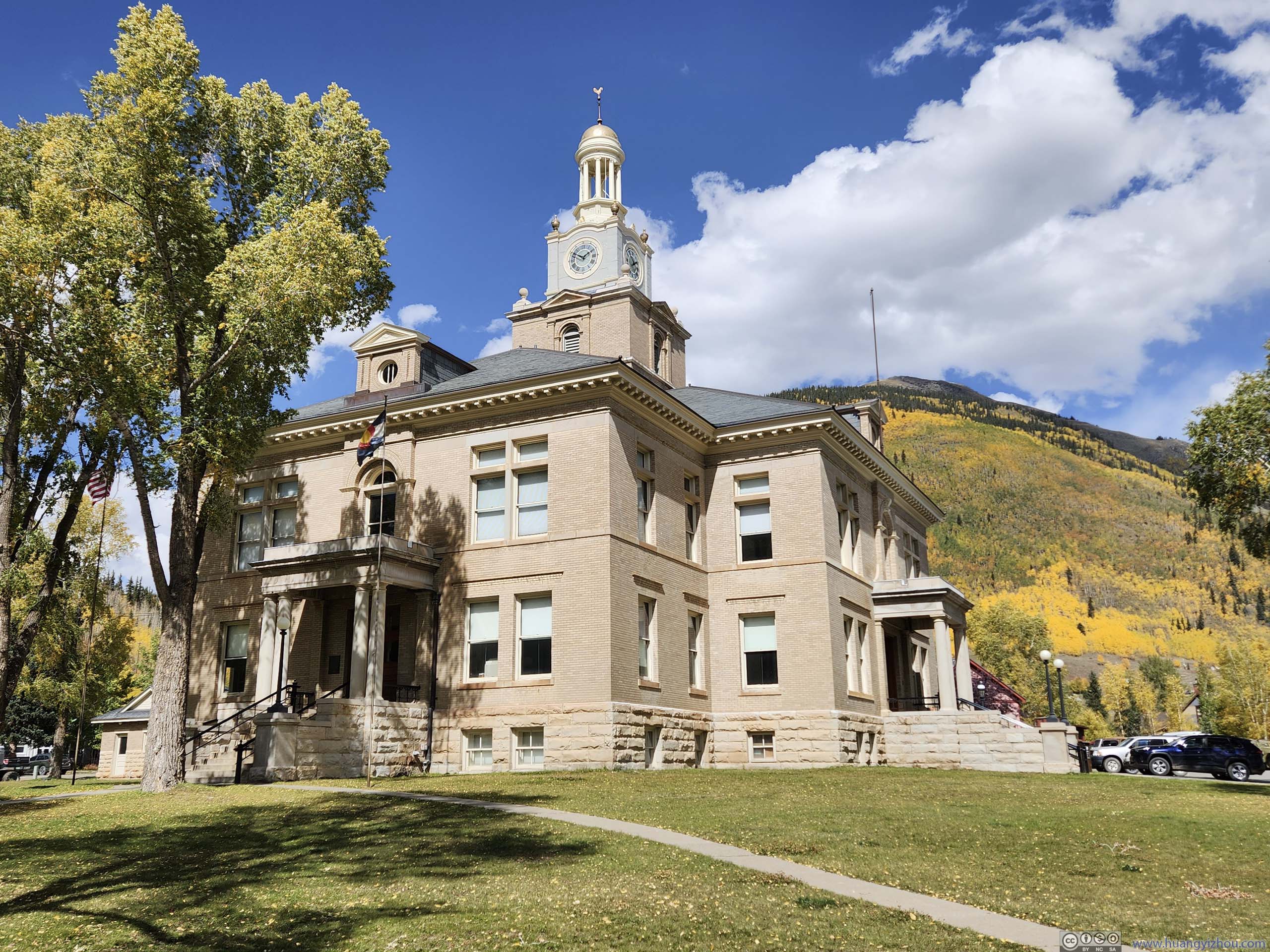
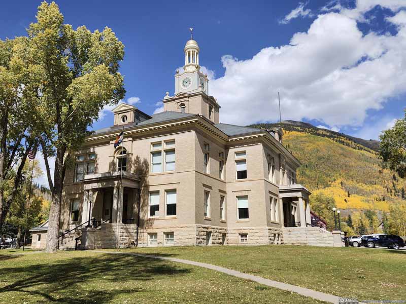
San Juan County Courthouse
While in Silverton, I happened to witness the 2pm train's departure (p2 above). Later in Durango, I watched the same train pull into the station.
Between Silverton and Durango
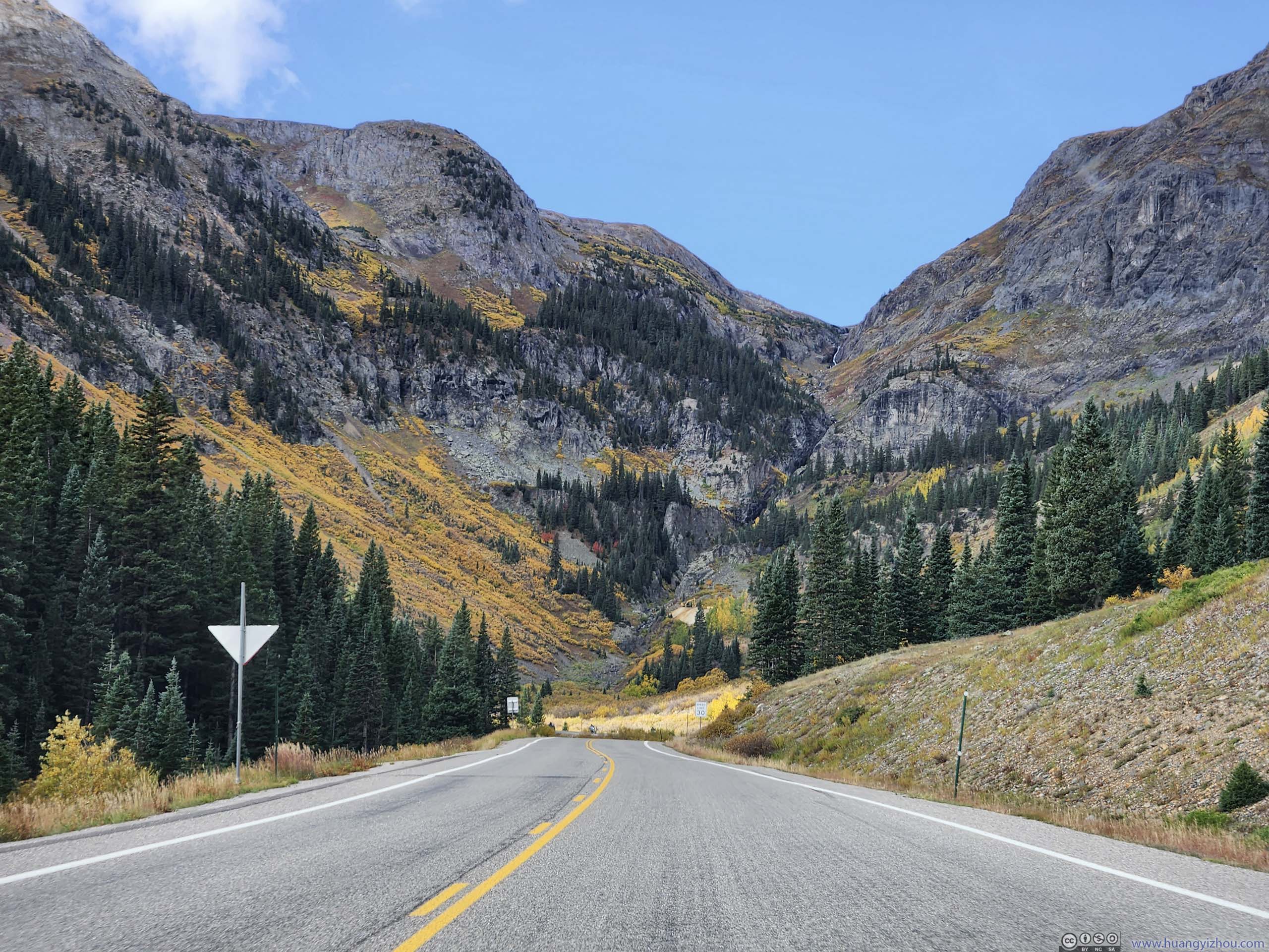
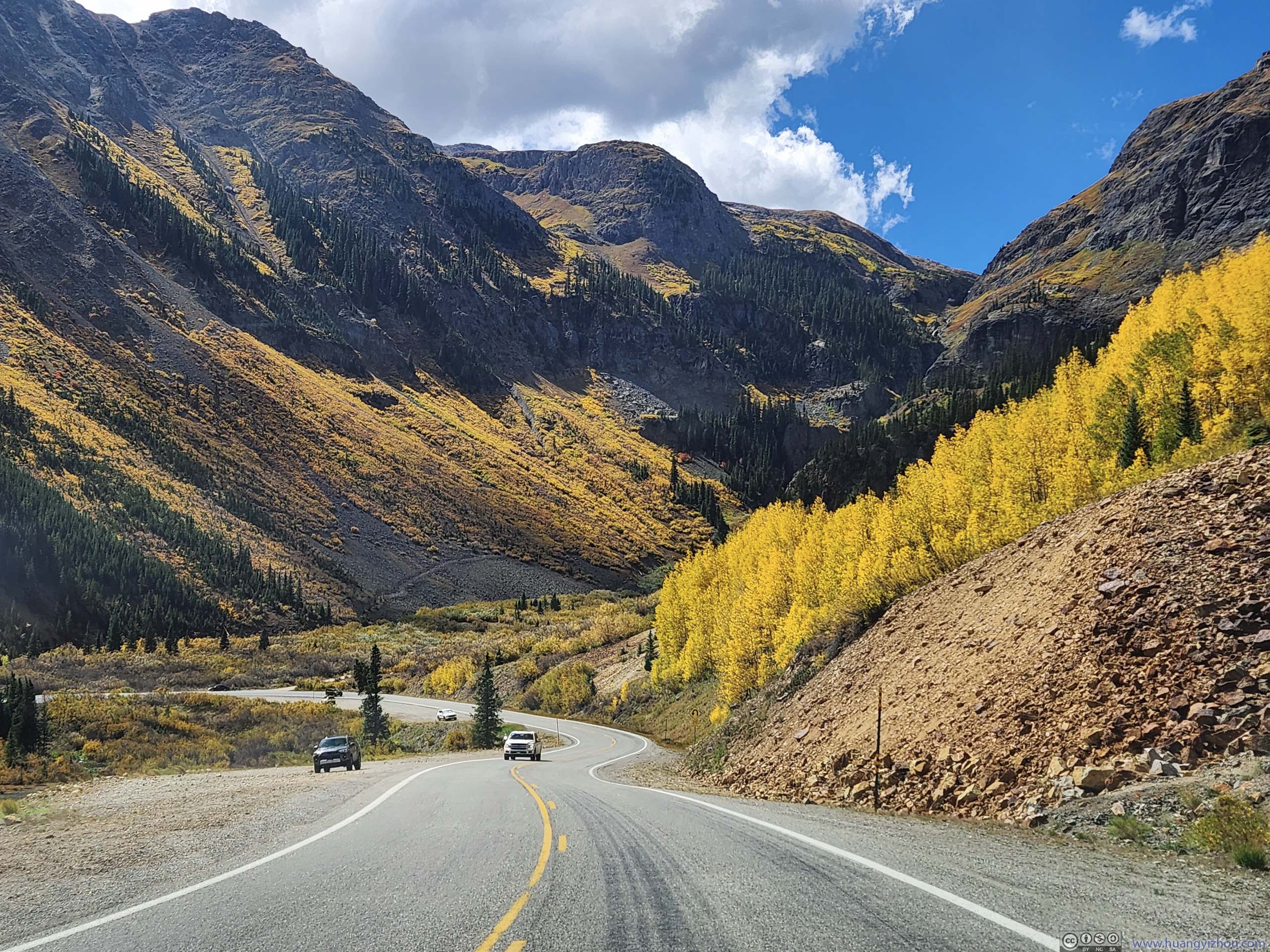
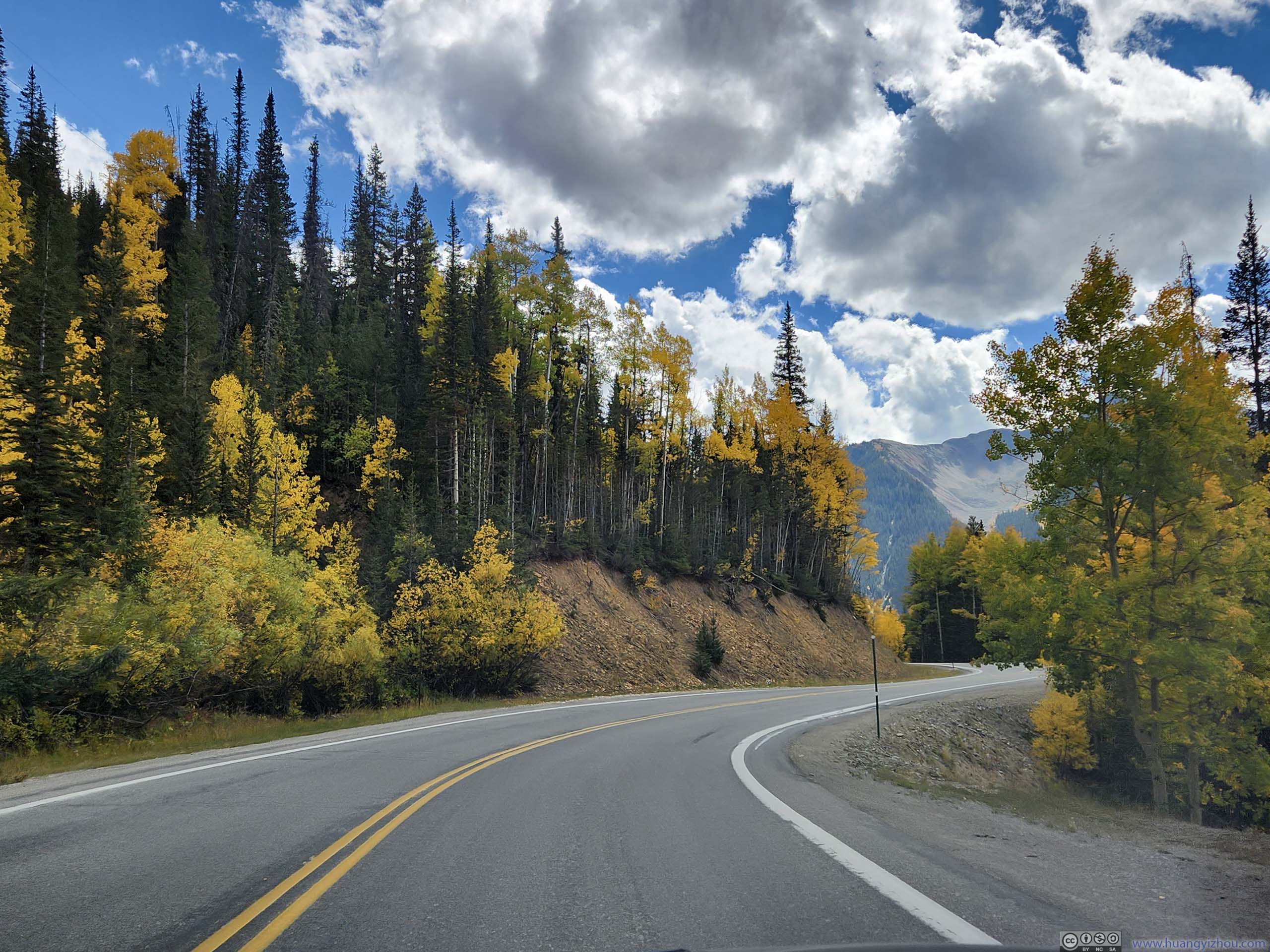
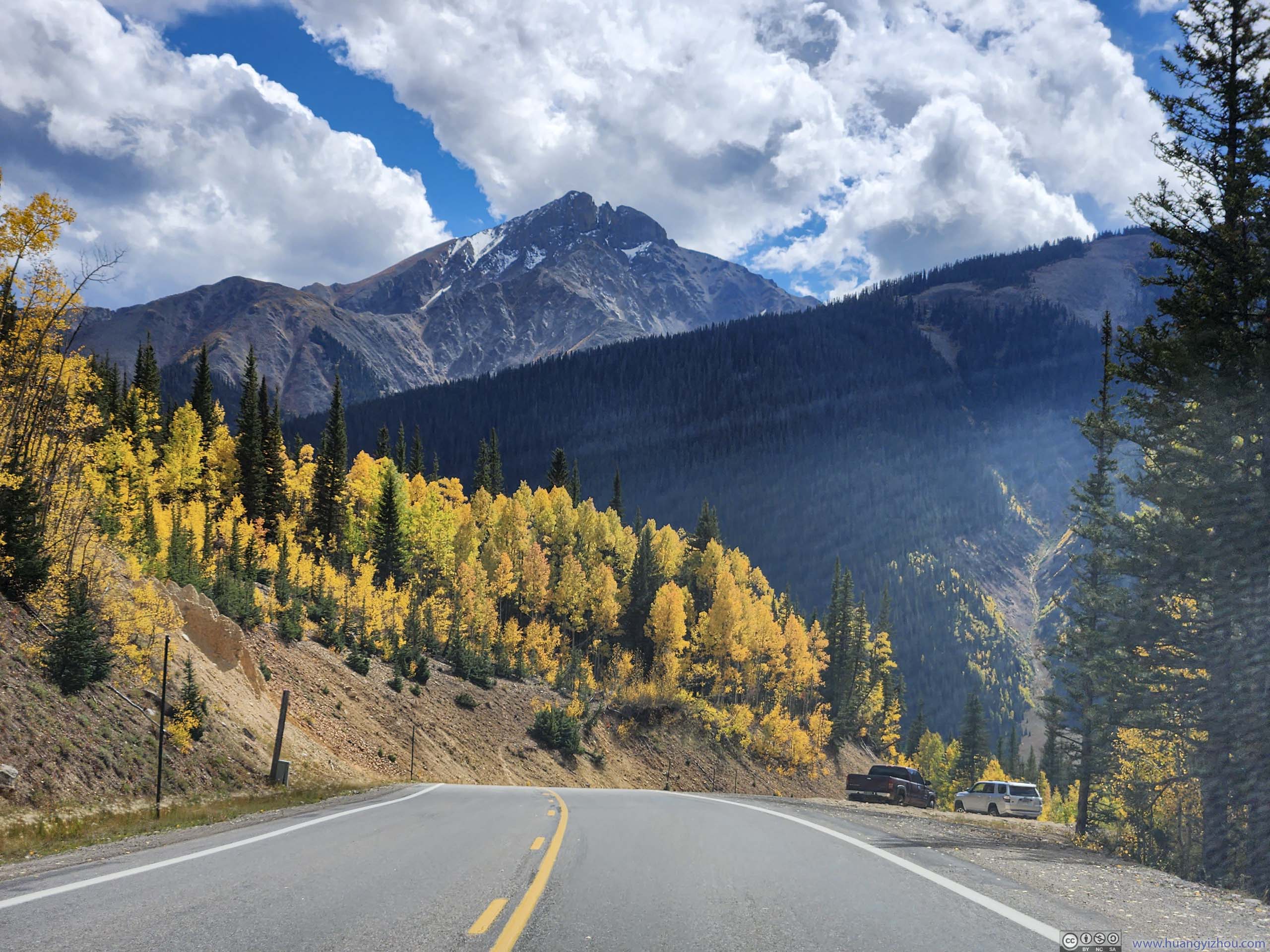
Below is a timelapse video from my windshield-mounted GoPro, recording my entire drive from Silverton to Red Mountain trailhead, and then back south towards Durango.
0:03 Leaving Silverton, heading north.
2:13 (after my hike) Leaving Red Mountain Pass, heading south towards Silverton.
4:35 Leaving Silverton, heading south.
6:22 Molas Pass, second of the three mountain passes along San Juan Skyway between Ridgeway and Durango.
7:02 Lime Creek Crossing. I made a stop here to photograph the imposing Twilight Peak to the south.
7:46 near Coal Creek Crossing. Another stop that I made to watch Twilight Peak.
8:05 Coal Bank Pass. The last of the three mountain passes between Ridgeway and Durango.
The video ends after I have descended from Coal Bank Pass around Purgatory Resort, when I ran into some drizzle.
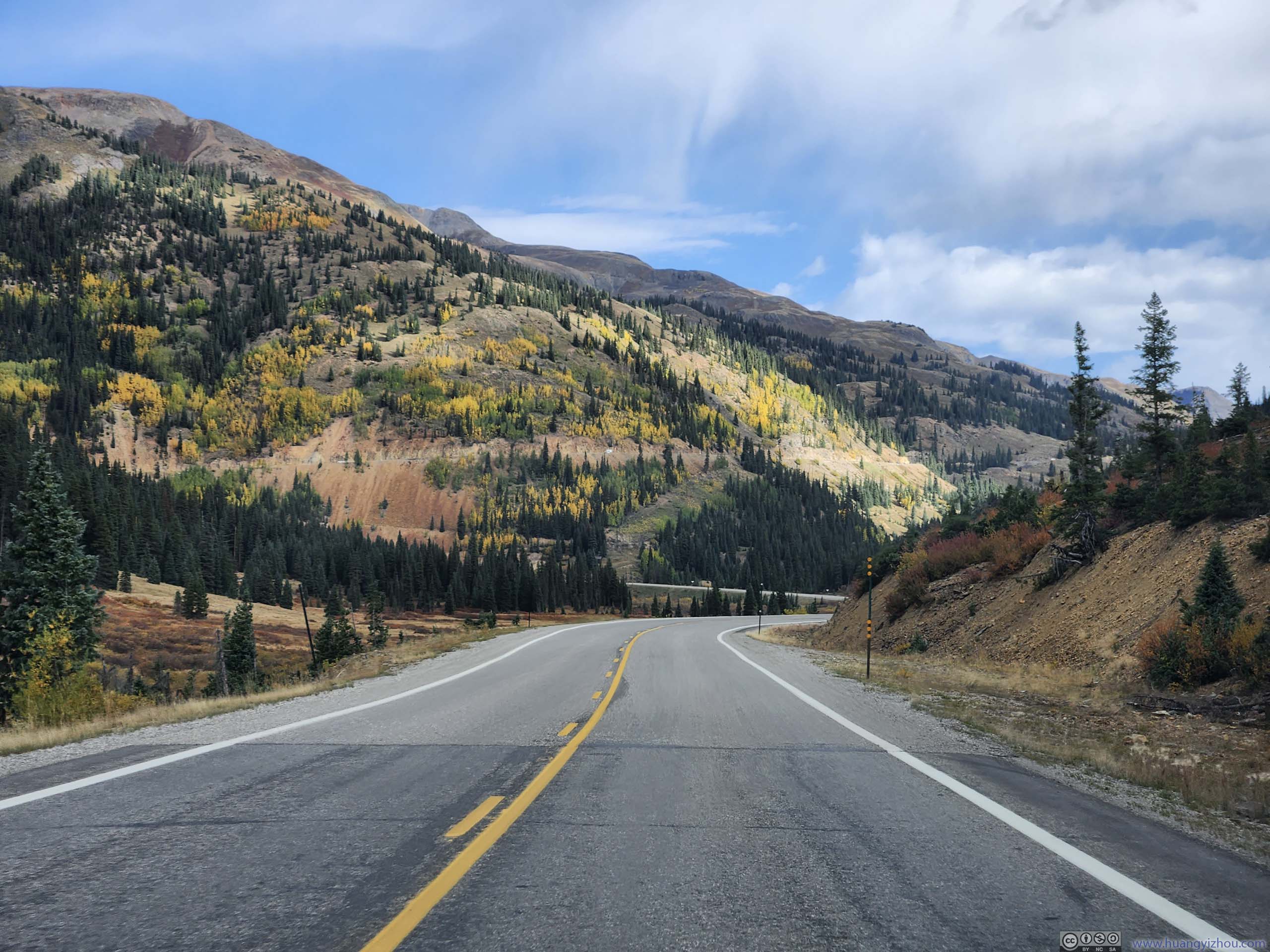
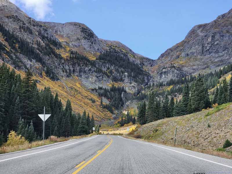
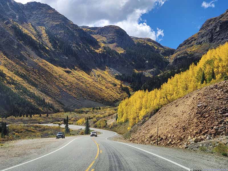
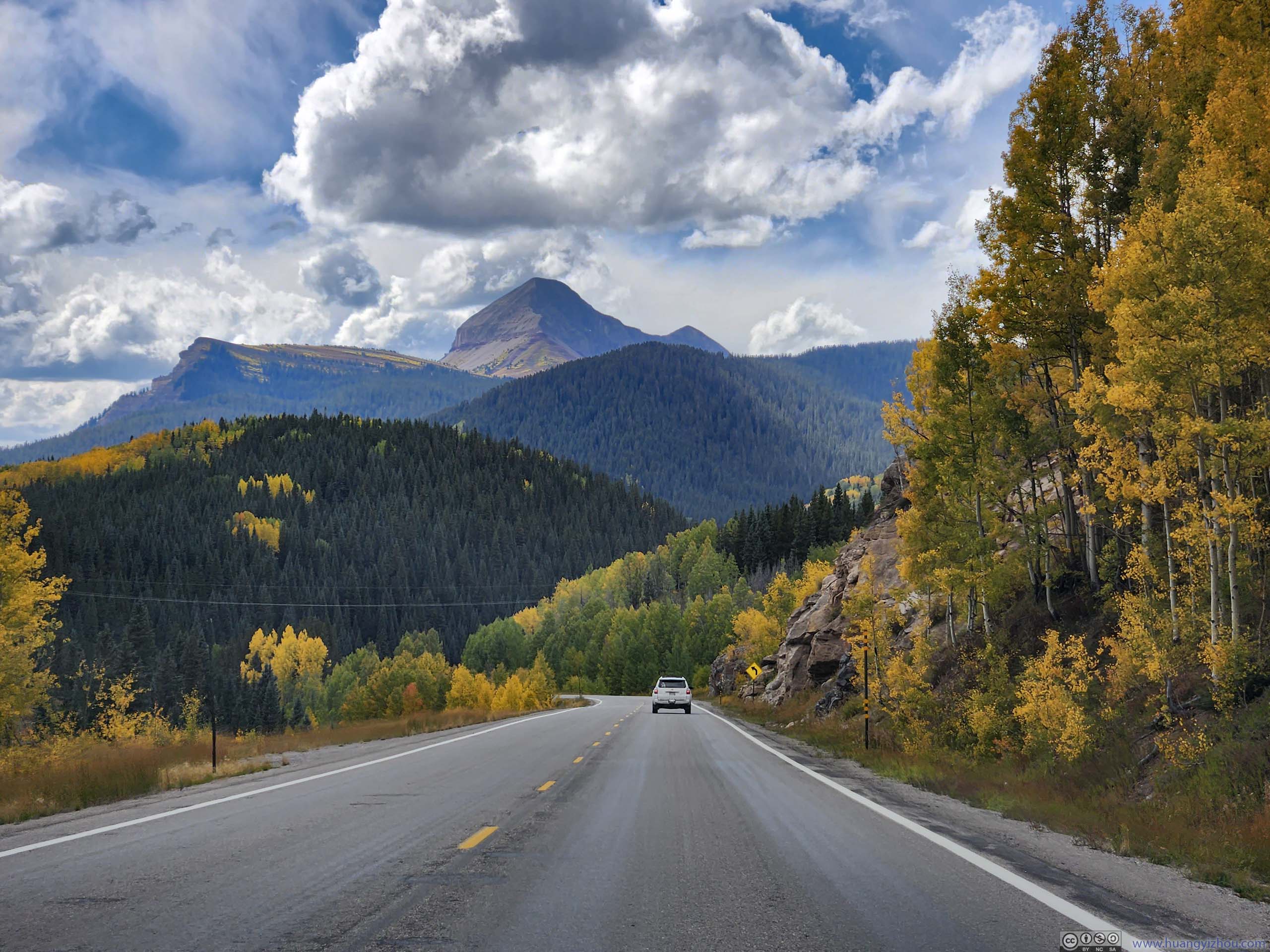
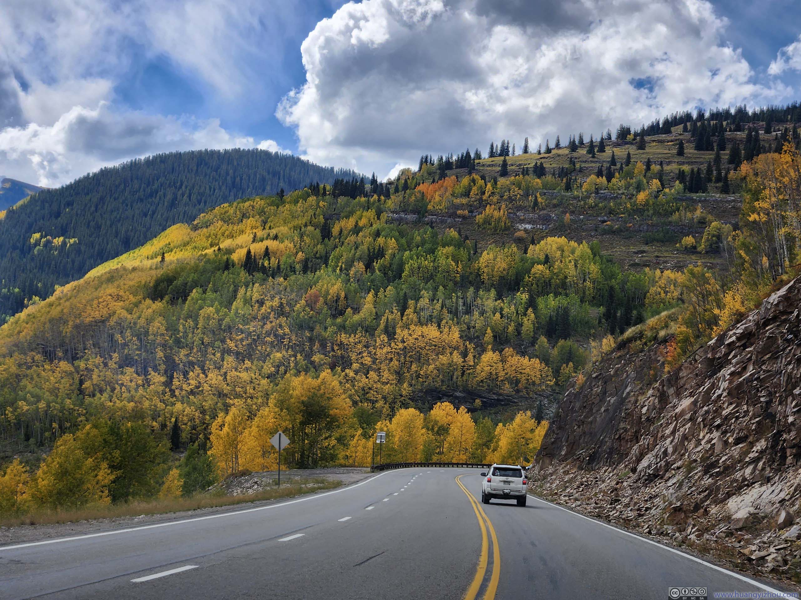
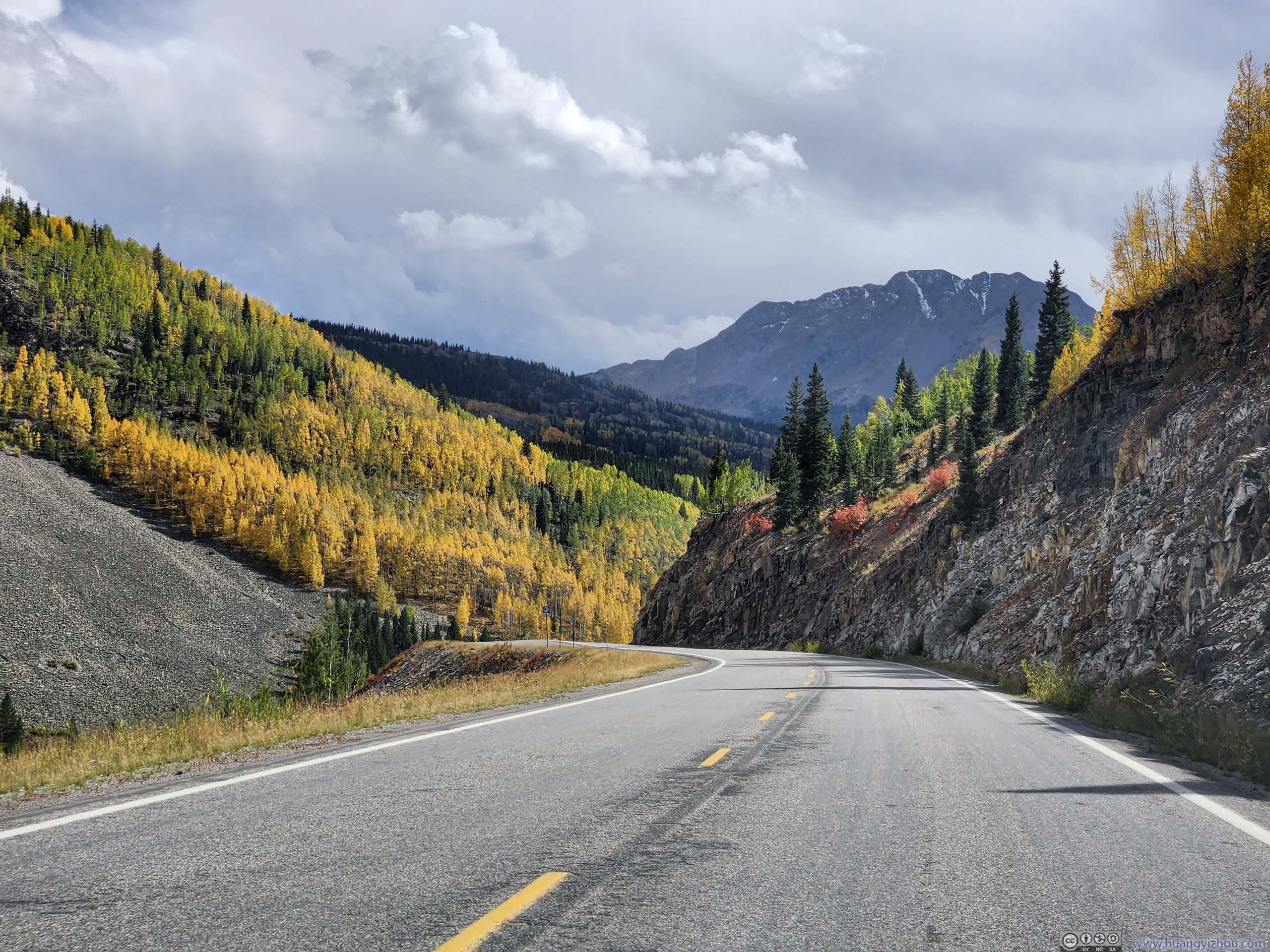
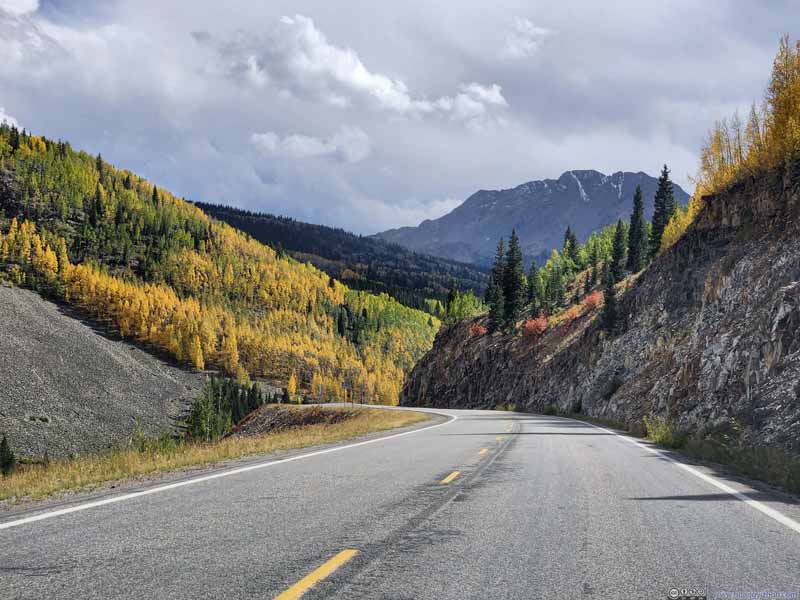
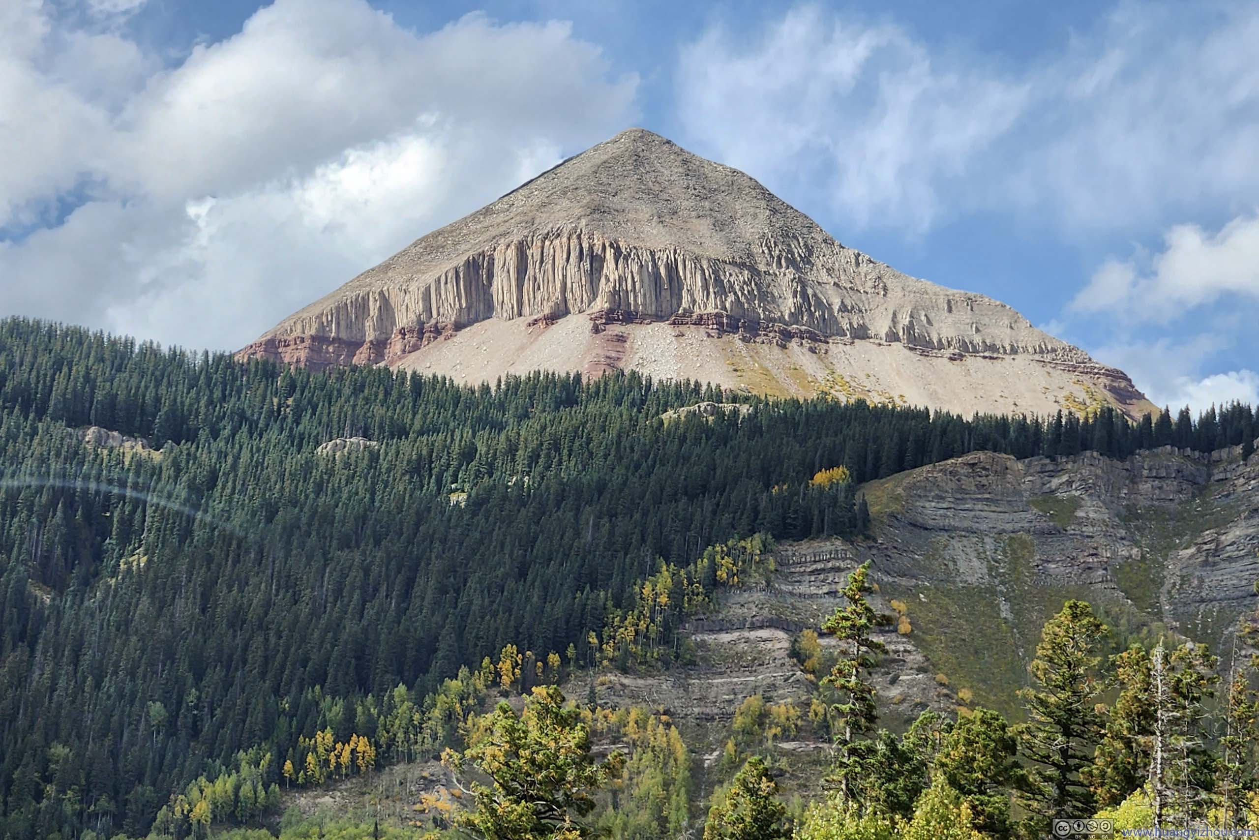
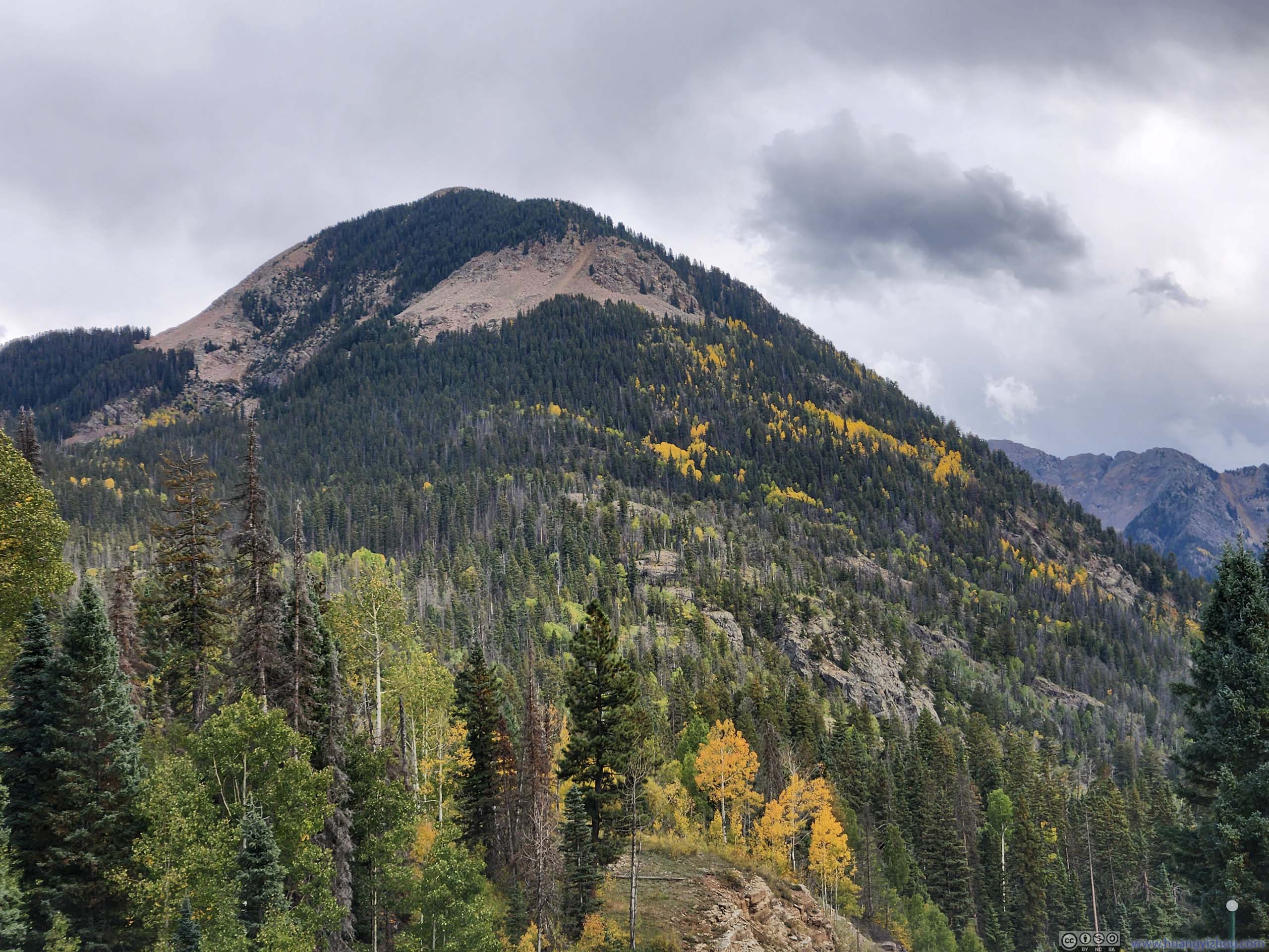
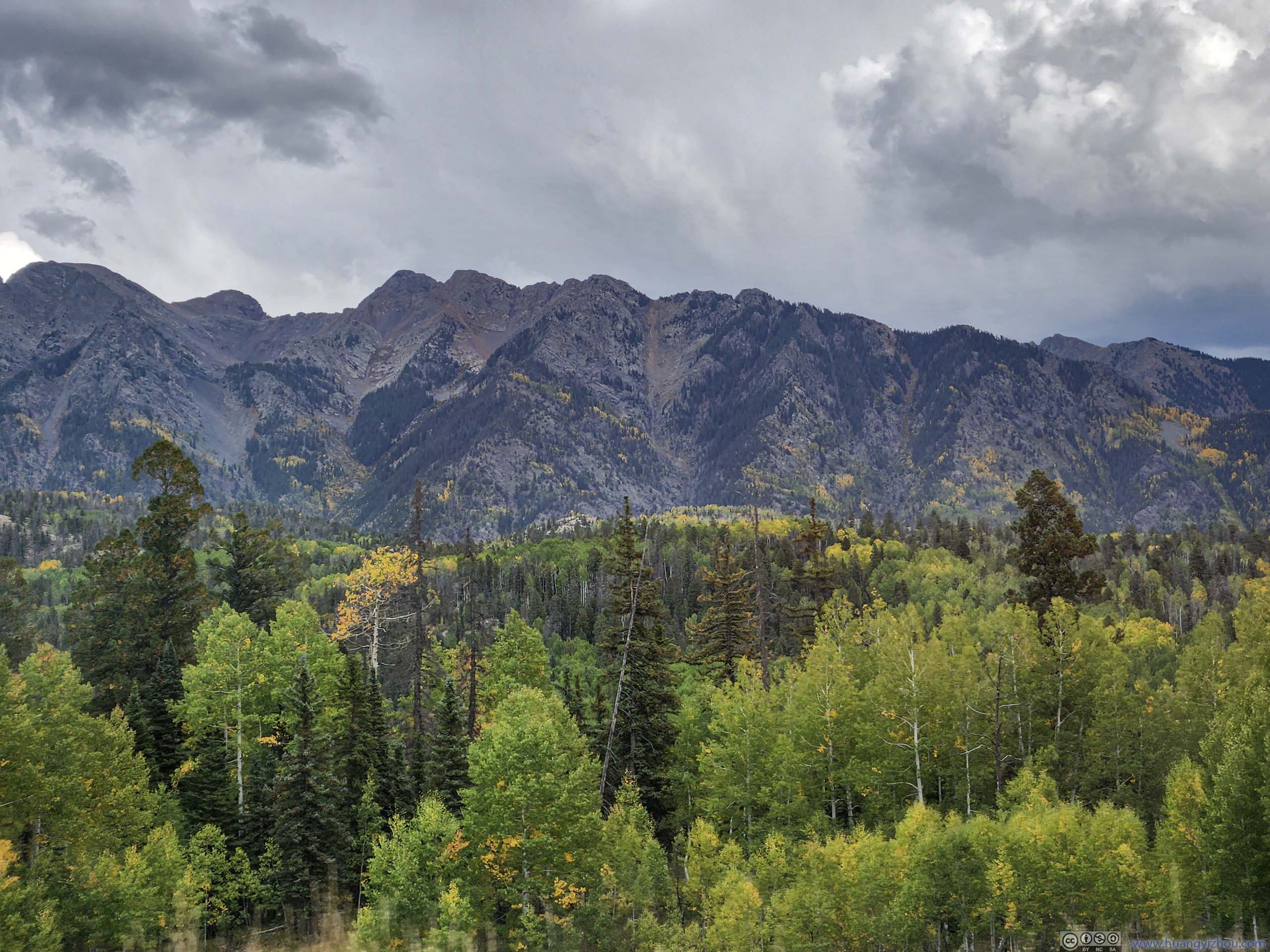
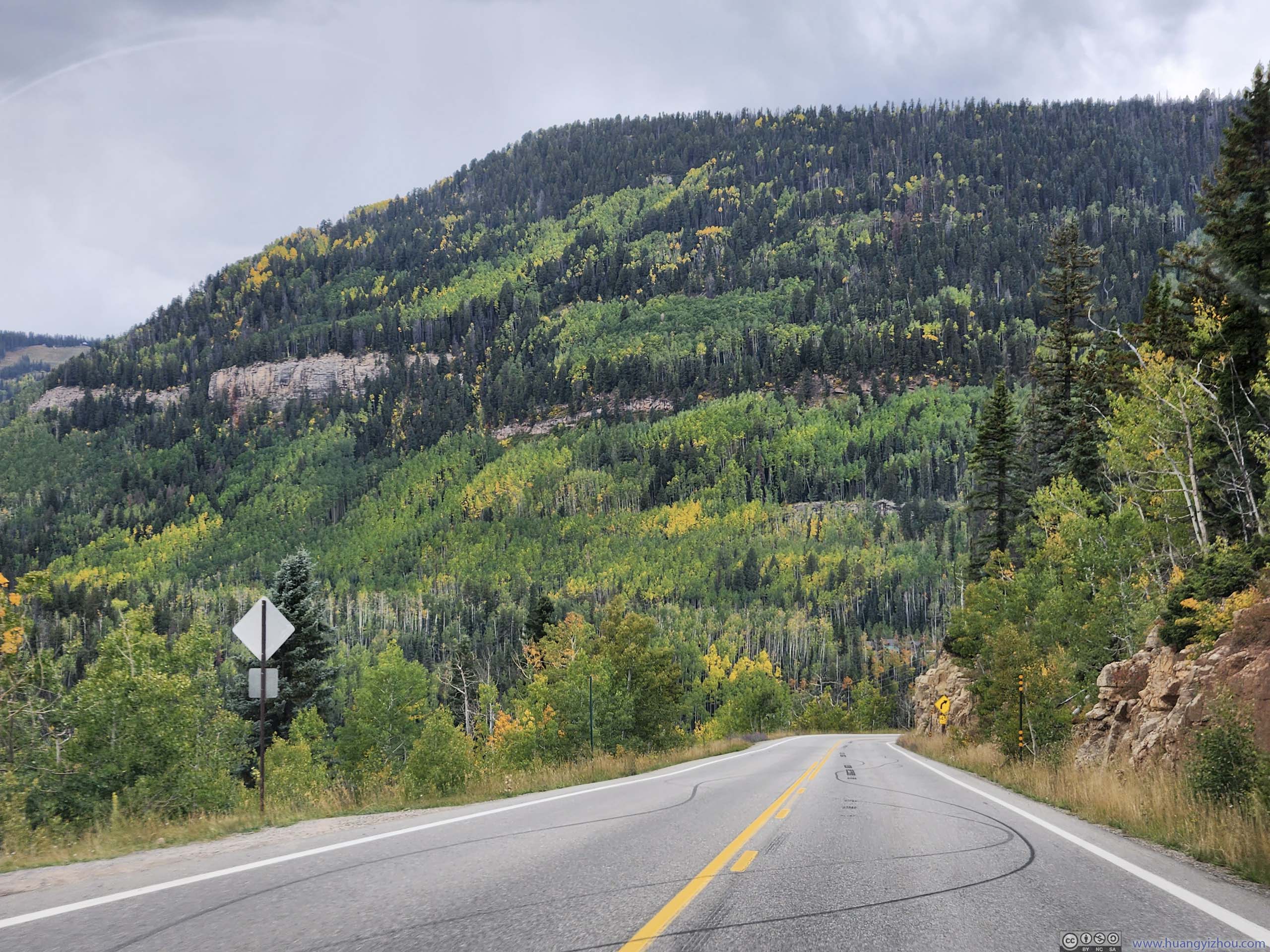
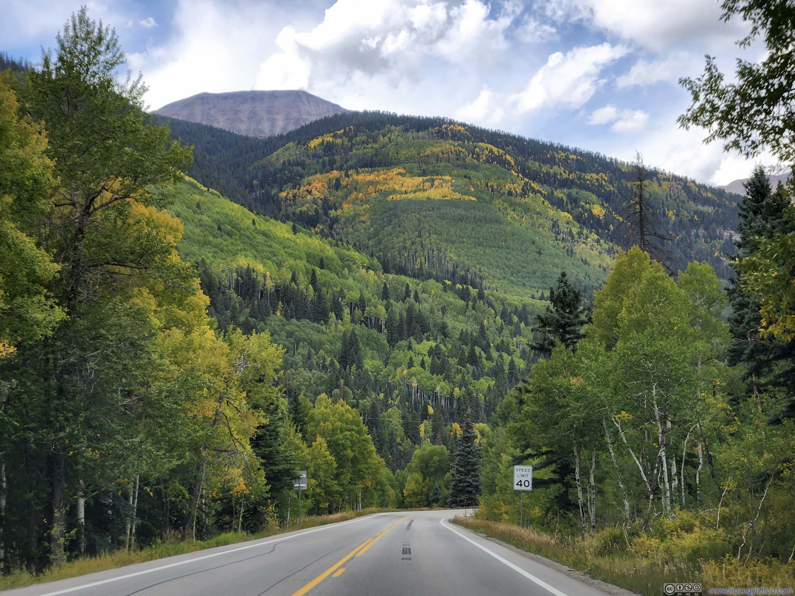
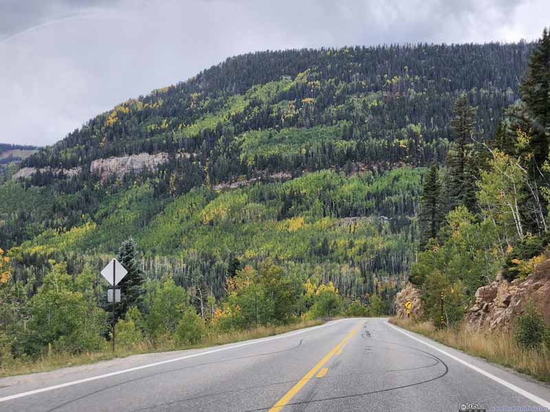
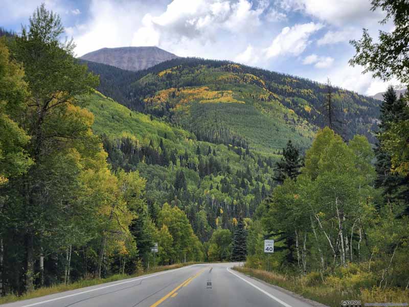
After lunch in Silverton, I headed further south. Before Coal Bank Pass, the foliage along the road was still stunning.
Foliage along Road
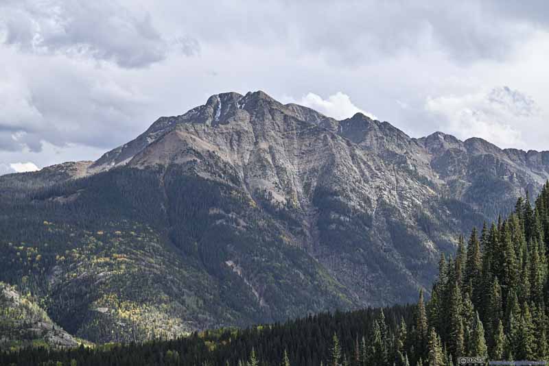
Snowdon Peak from Road
Mountain Road with Foliage
Foliage along Road
Foliage along Road
Twilight Peak
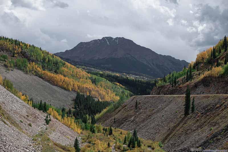
As usual, I made a few stops along the way to appreciate the scenery. The highlight of this leg of the road was Twilight Peak, a prominent mountain across a valley from the road. The soft afternoon sun through the clouds was good at revealing textures among its rocks.
Twilight Peak beyond Lime Creek
Twilight Peak beyond Lime Creek
The road made a hairpin turn here crossing Lime Creek. The shape of the road framed Twilight Peak perfectly.
Mountain
Twilight Peak
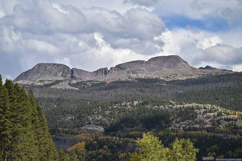
Snowdon Peak and Needles Peak N2 I summitted Snowdon the previous day.
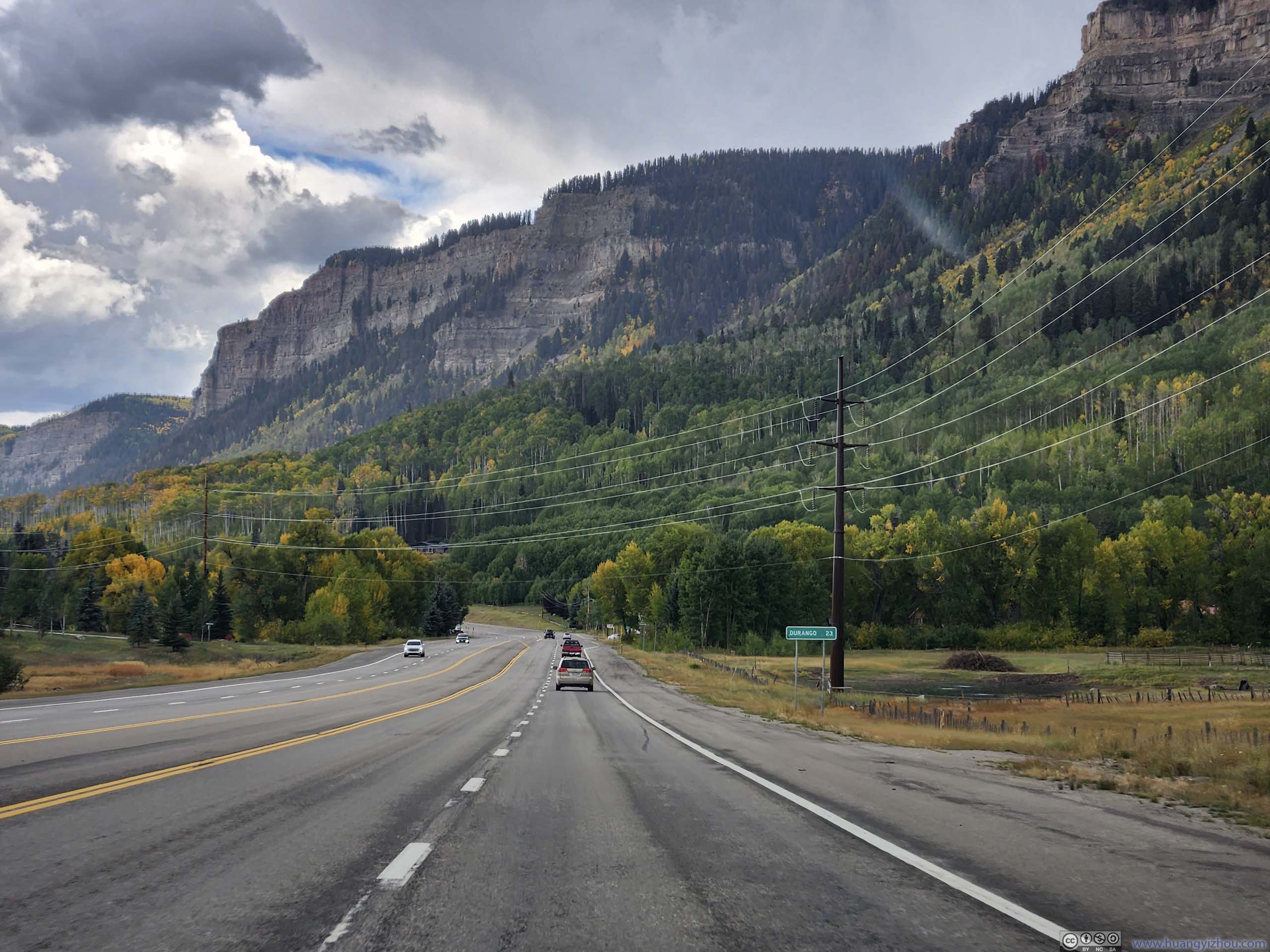
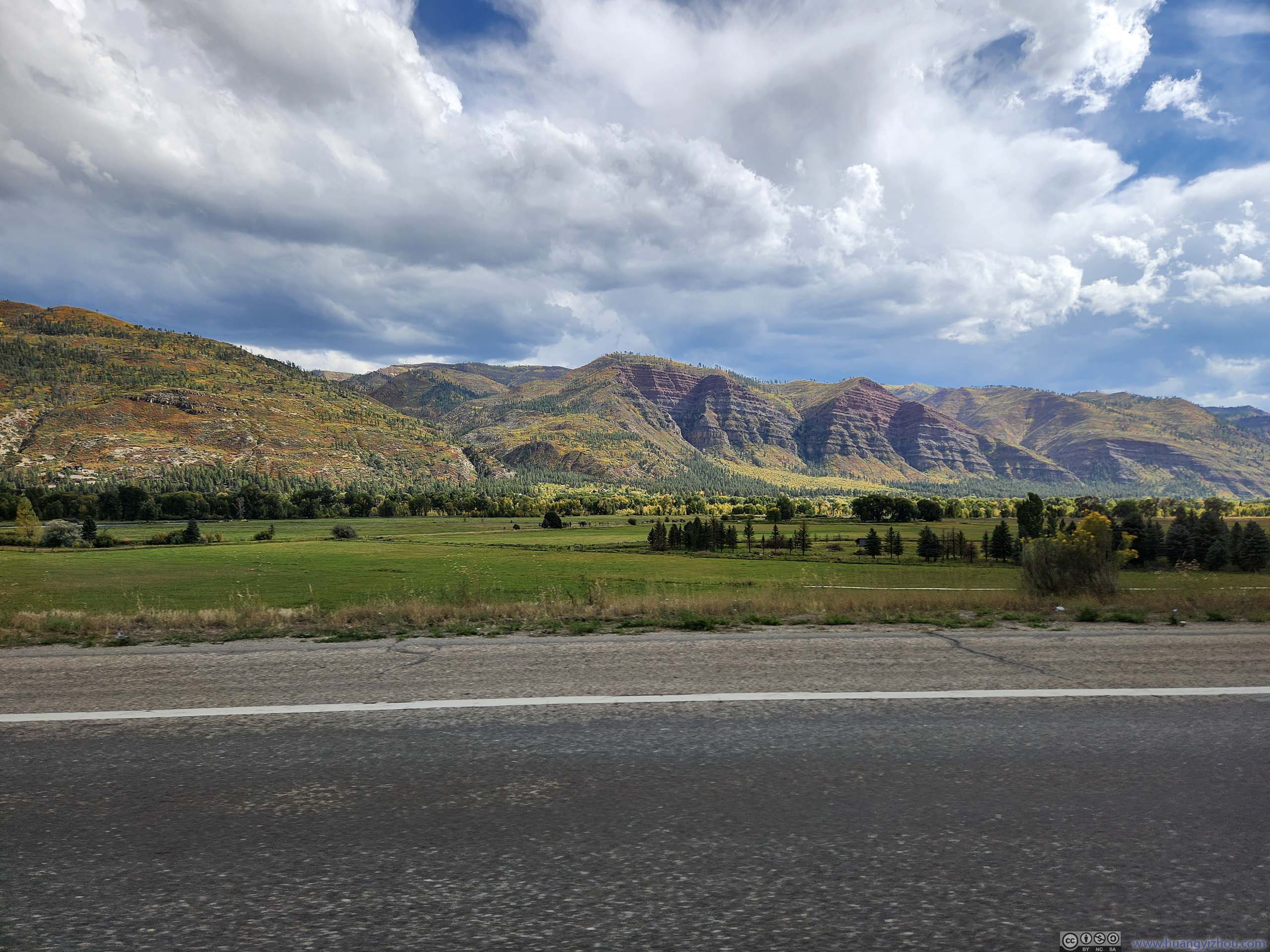
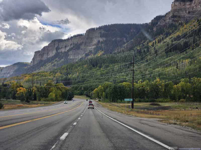
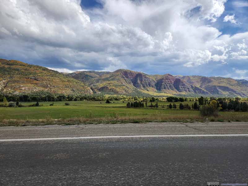
Continuing on, I felt the views along the road remained spectacular before Coal Bank Pass. After that, the mountains seemed to retreat further back from the road, and the foliage seemed to disappear given the lower elevation, so I wasn't as impressed.
Hill
Engineer Mountain
Potato Hill
West Needle Mountains
Road
Road
Cliffs along Road
Hills along Road
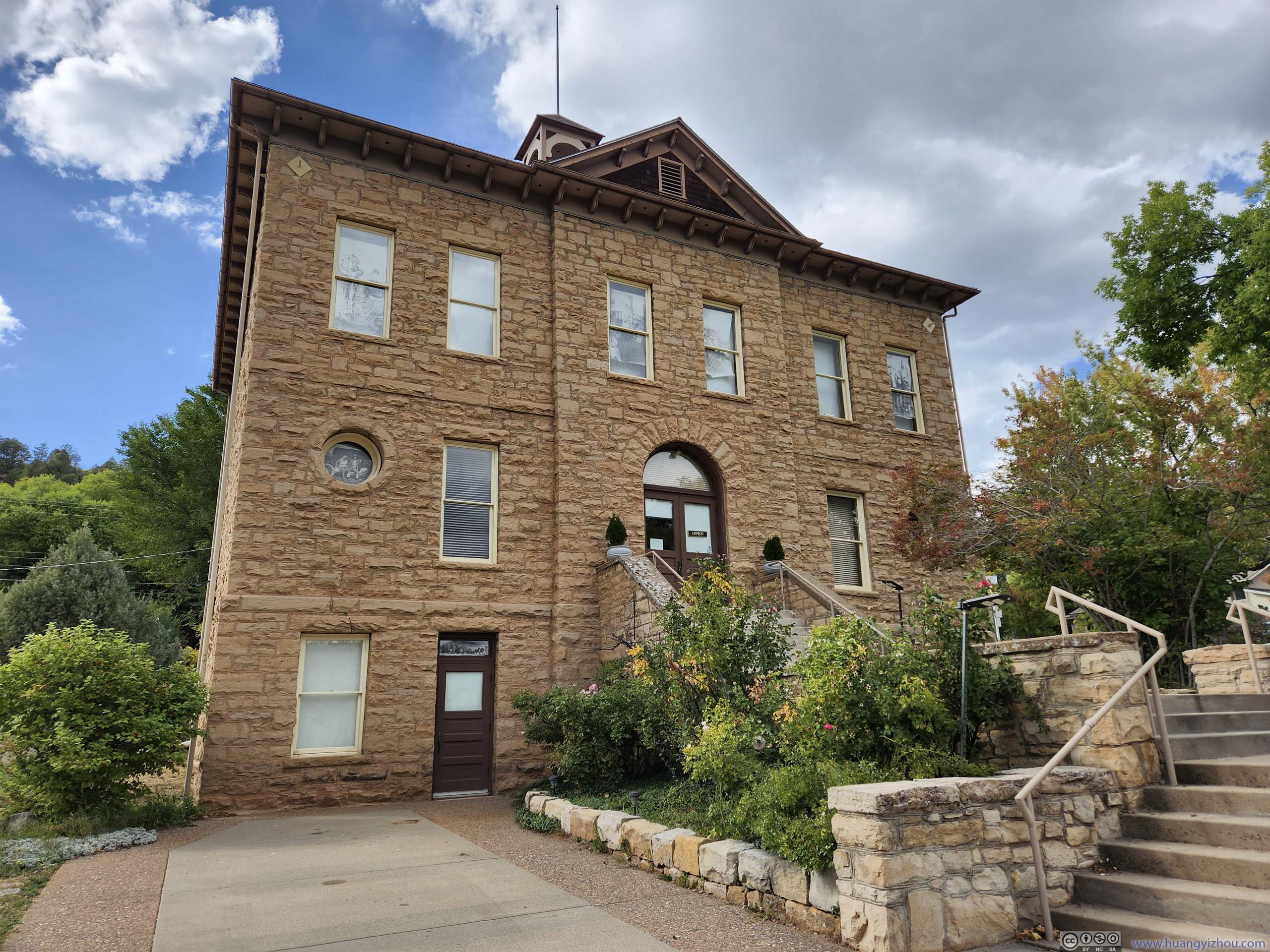
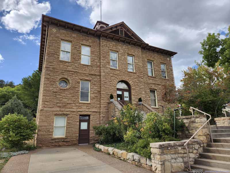
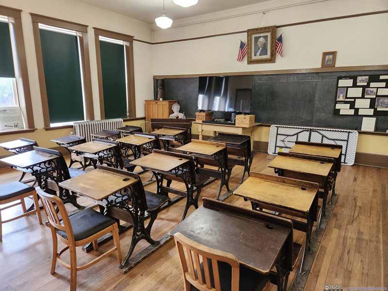
Before reaching Durango, I made a stop at Animas Museum. The museum sat in the former school that dated back into the 1880s. Back then this was a ranching town called "Animas City". A few years later "Durango" was created as a railway town with a railway link to Silverton, legends believed Animas City wanted too much money from the railroad, so the railway company decided to create a city of its own, so as to benefit from its ample level land and sale of real estate in the new town.
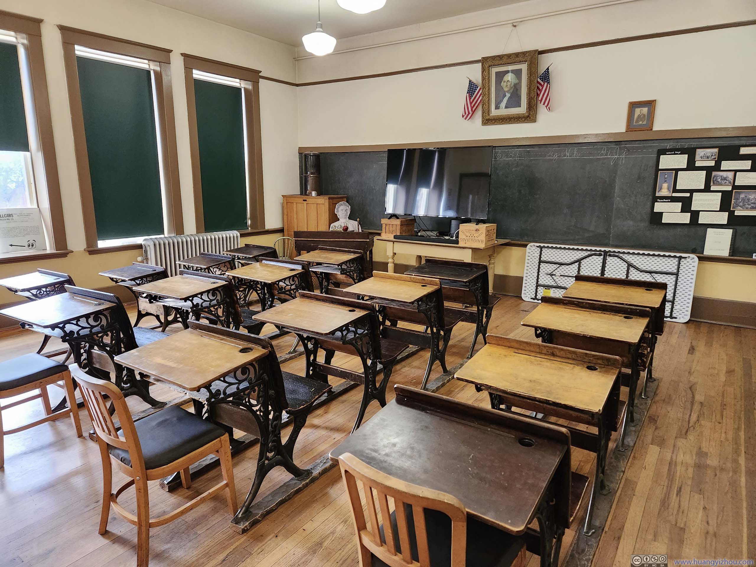
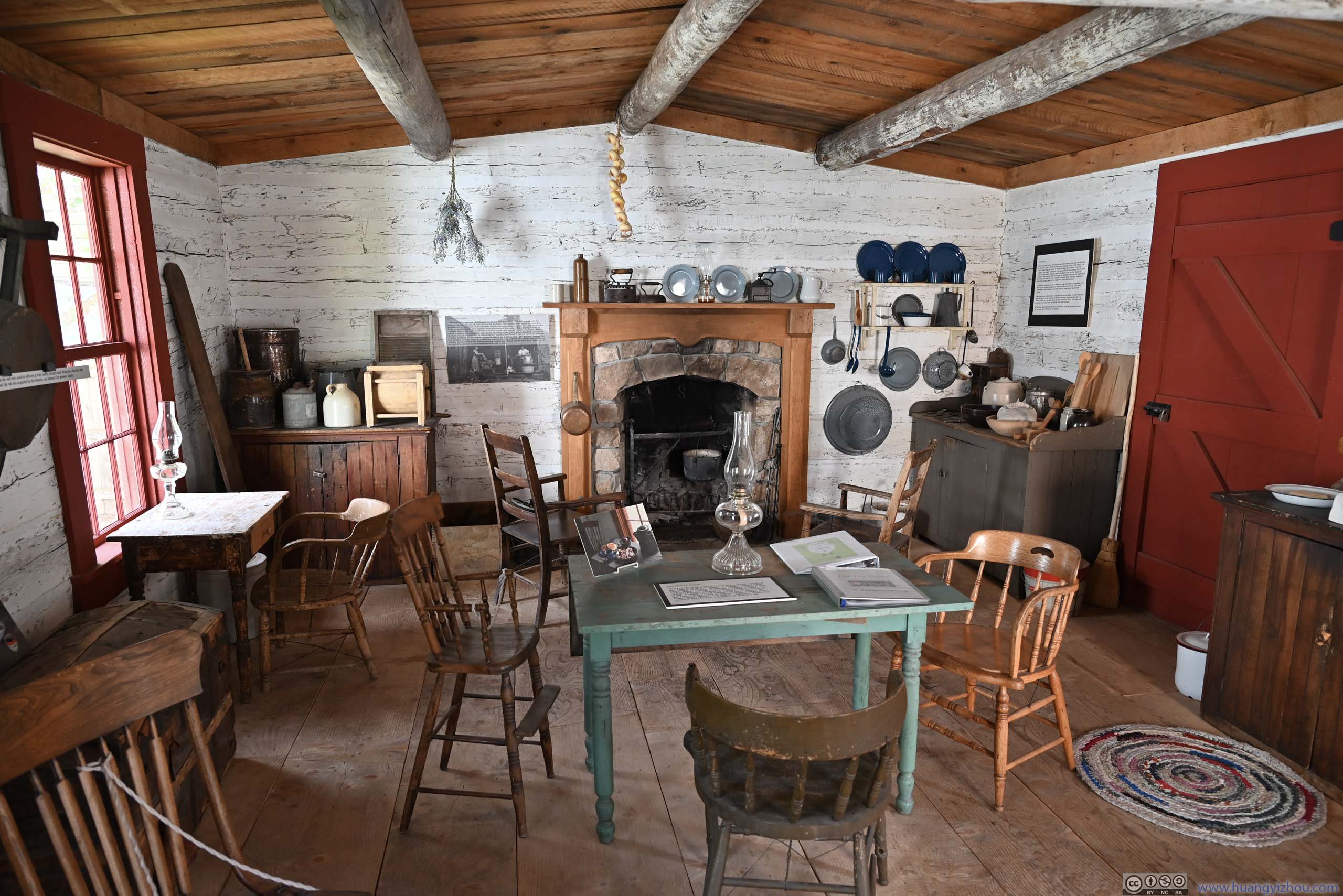
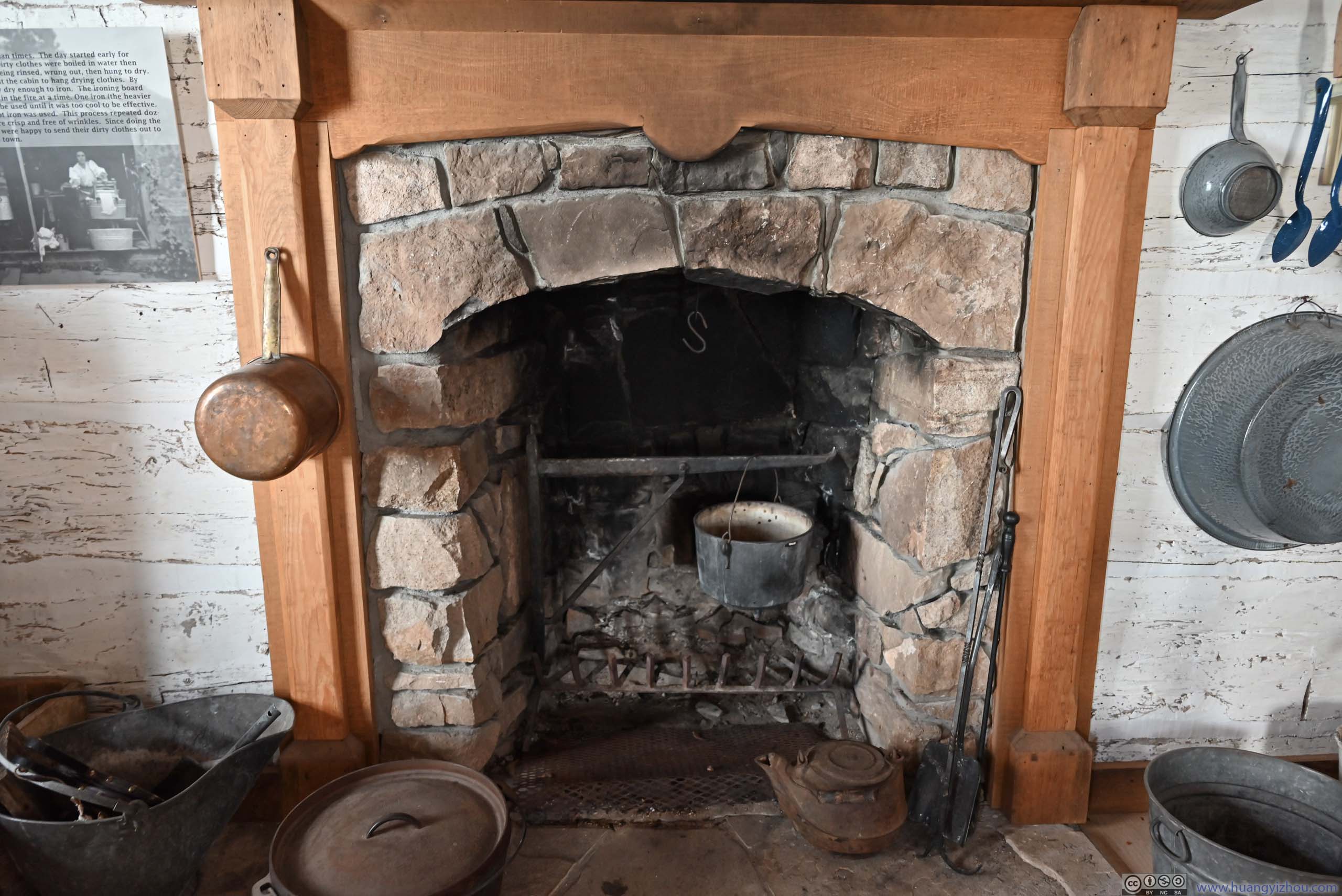
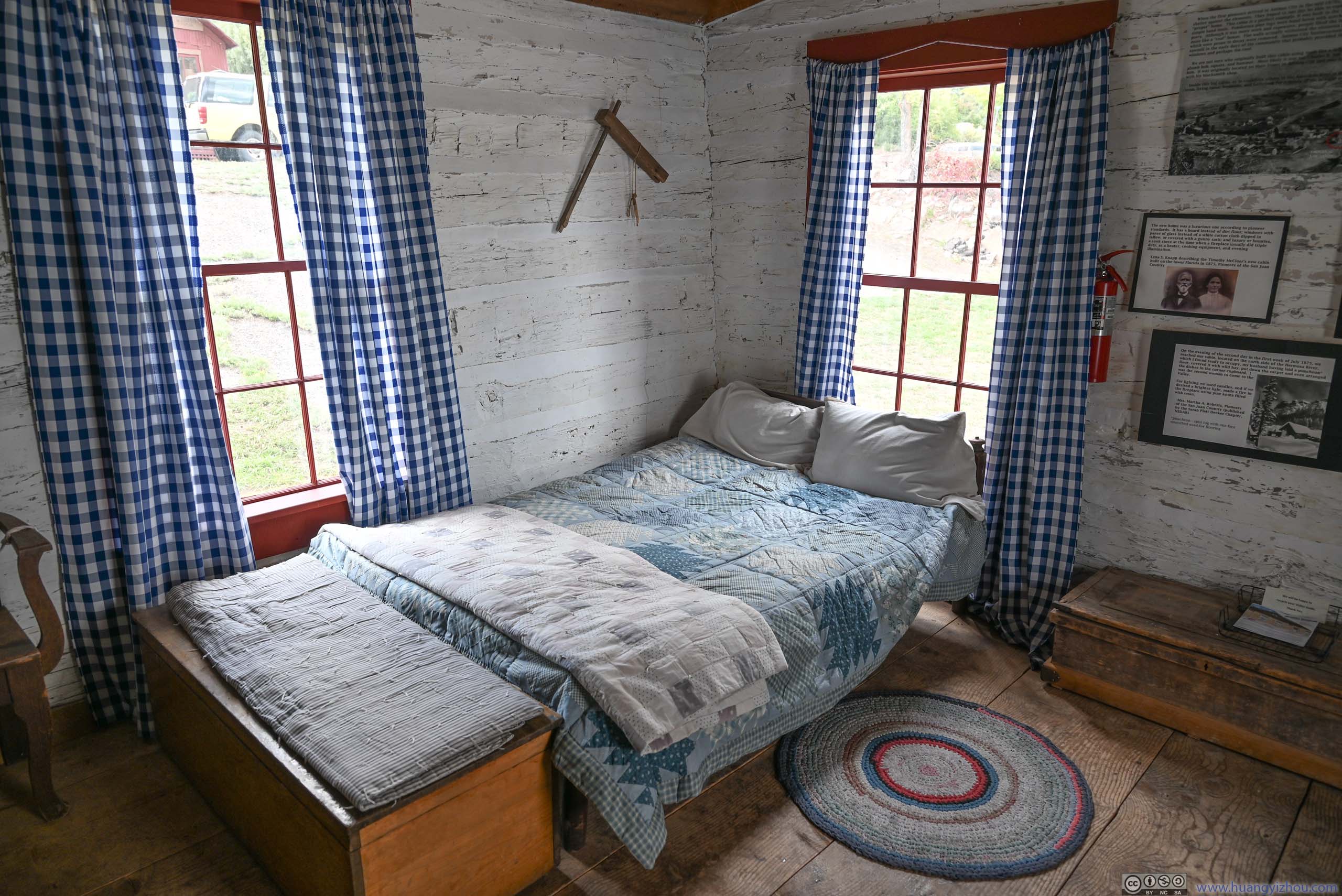
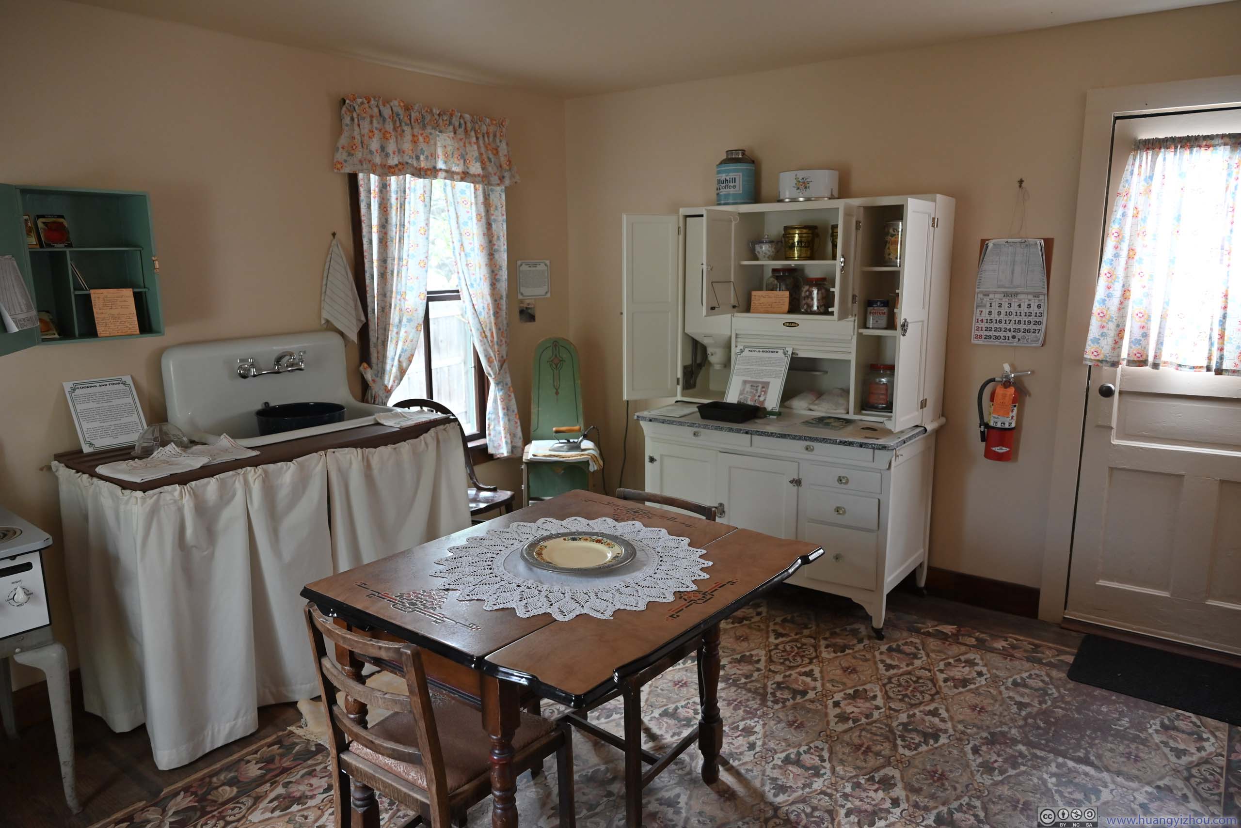
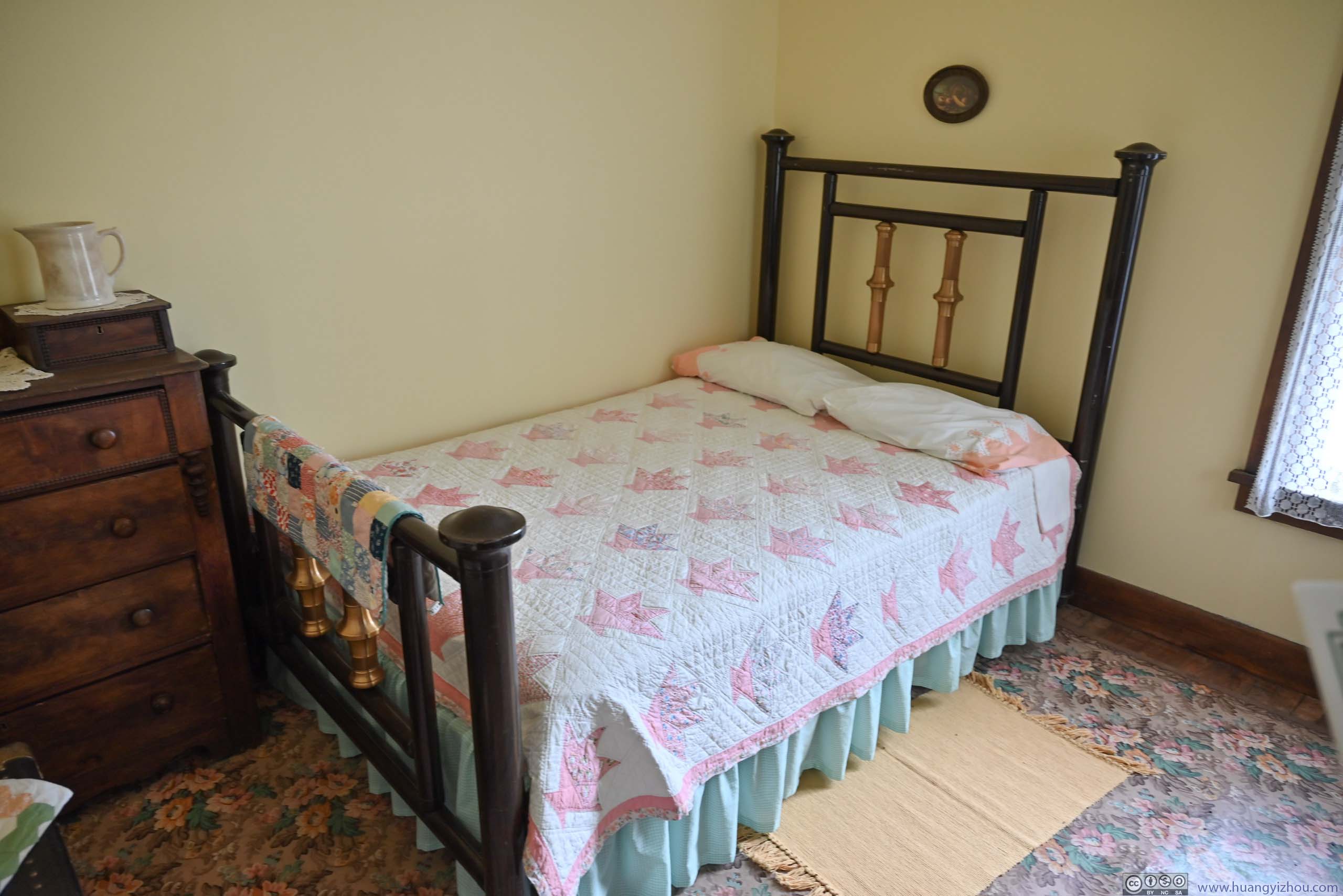
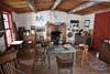
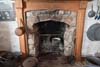
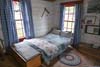
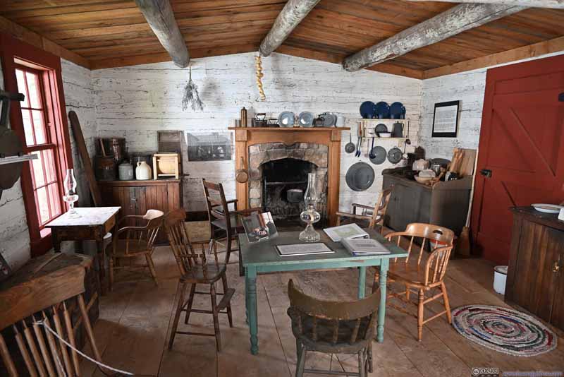
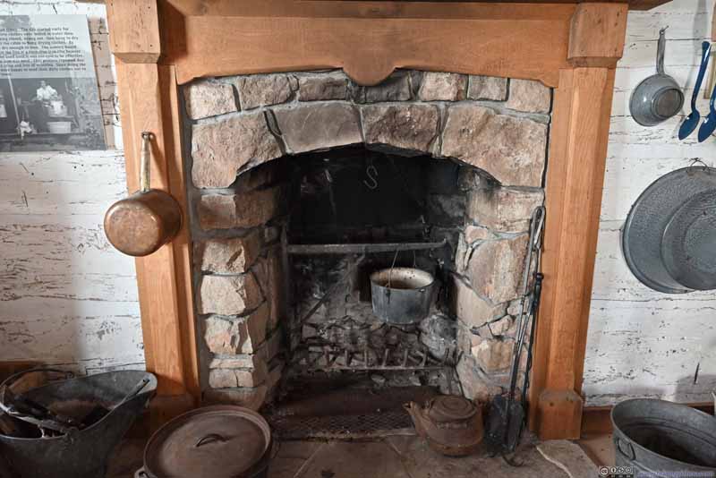
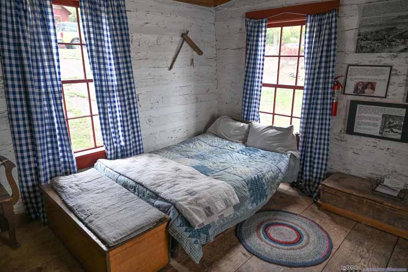
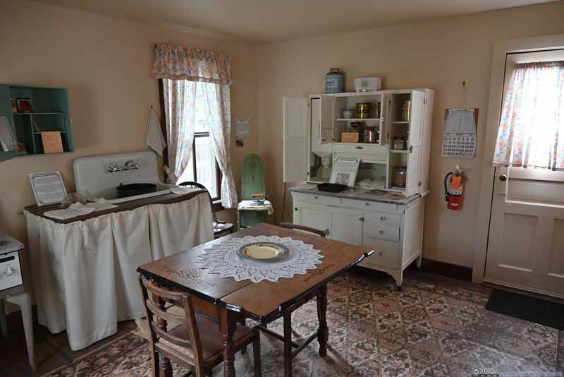
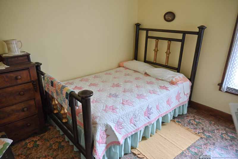
There were some exhibits in the museum, mostly text and picture based, mostly relating to the lawless / wild-west image of the town in the 1880s, and how it rose and fell with the railway going forward. Next to the museum building, two houses showcased the typical living conditions in the region, one for the ranching era in the 1870s and one in the 20th century.
Museum Exterior A former school building.
Recreated Classroom
Log Cabin From earlier settlers in the 1870s.
Kitchen From earlier settlers in the 1870s.
Bed From earlier settlers in the 1870s.
Living Room Another preserved house that's more modern.
Bed Another preserved house that's more modern.
After that, I headed for Durango. It's approaching 5pm in the afternoon, and the only attraction that remained open was Durango & Silverton Narrow Gauge Railroad's (D&SNG) museum, which offered free admission.
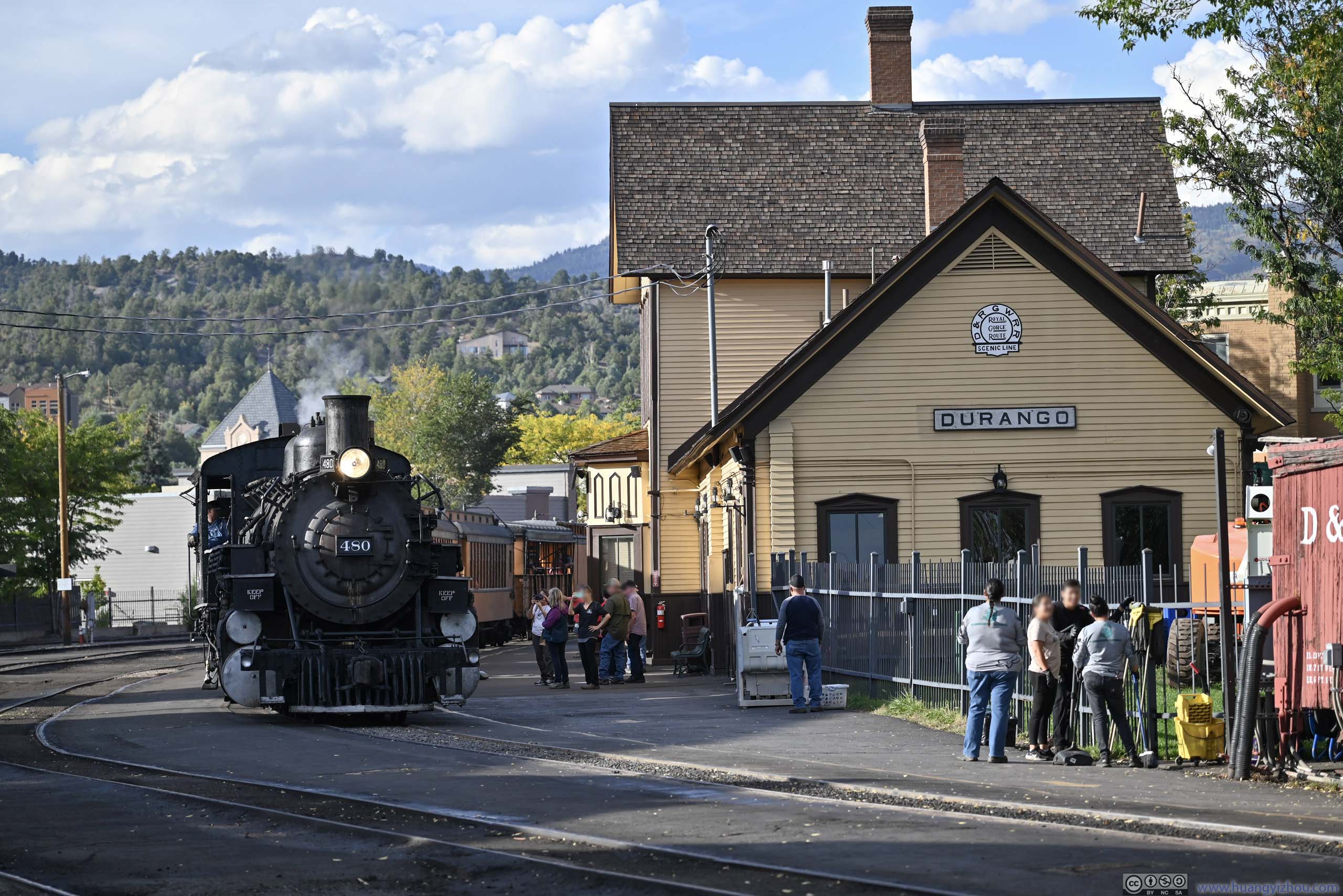
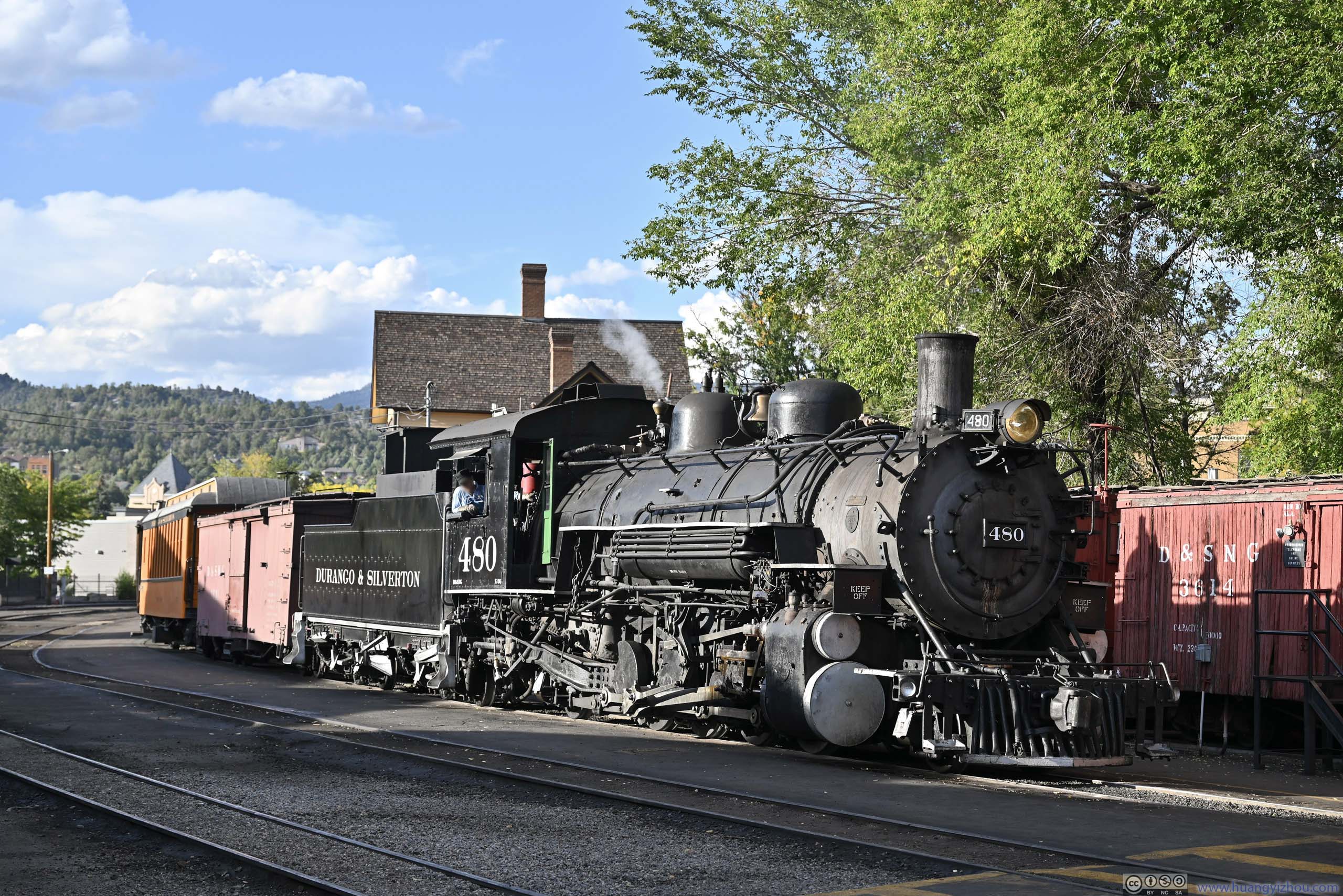
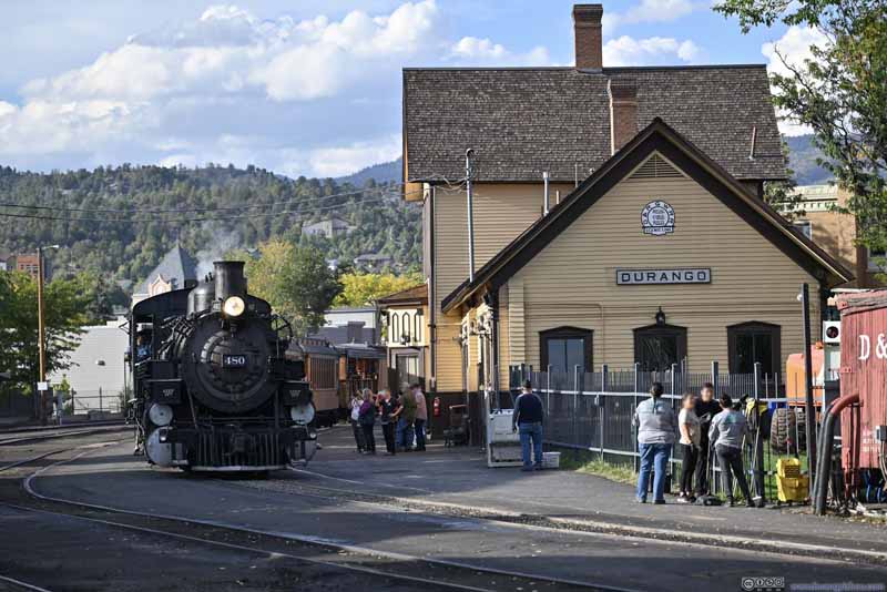
While I was touring the museum, one staff informed me a train was pulling into the station, so I headed out to watch the spectacle (p2-3 below). It turned out to be the same train whose departure from Silverton I witnessed at 2pm earlier today.
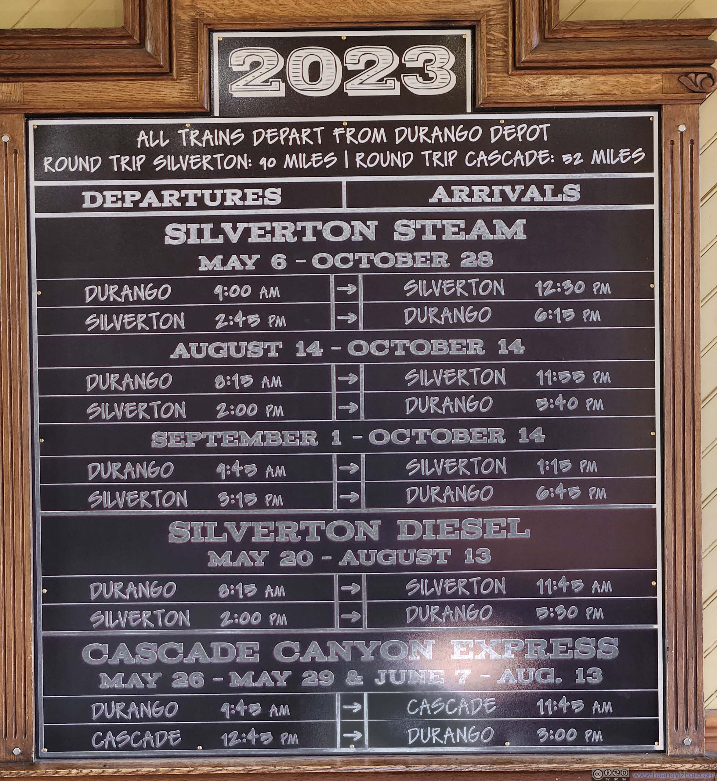
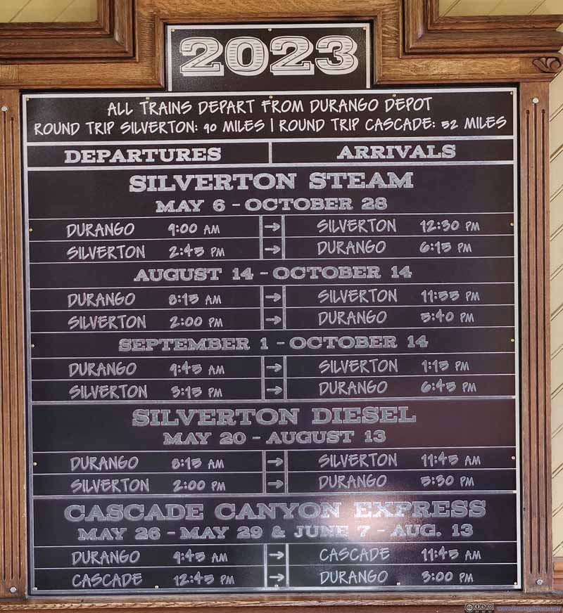
Timetable Three daily trains operated during the peak foliage season.
Train Arriving at Durango
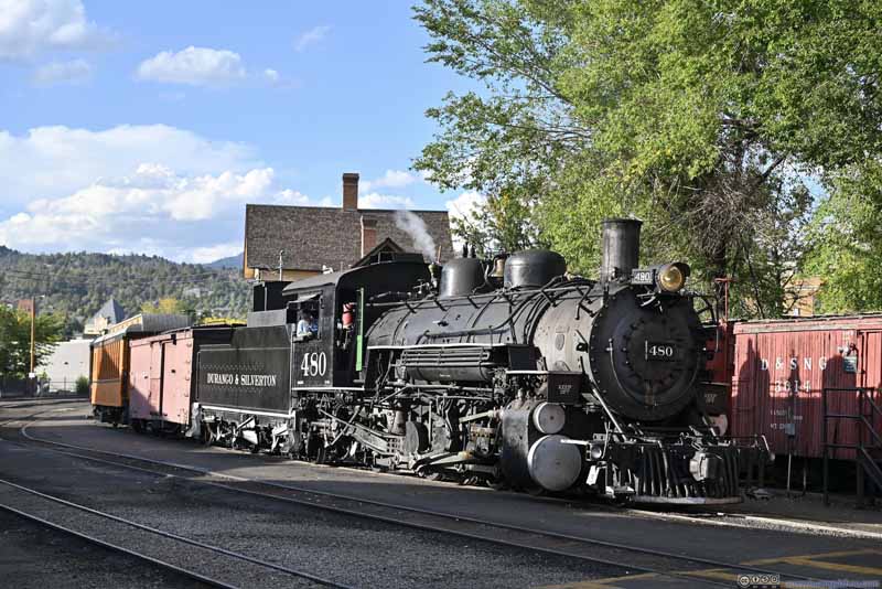
Train Arriving at Durango
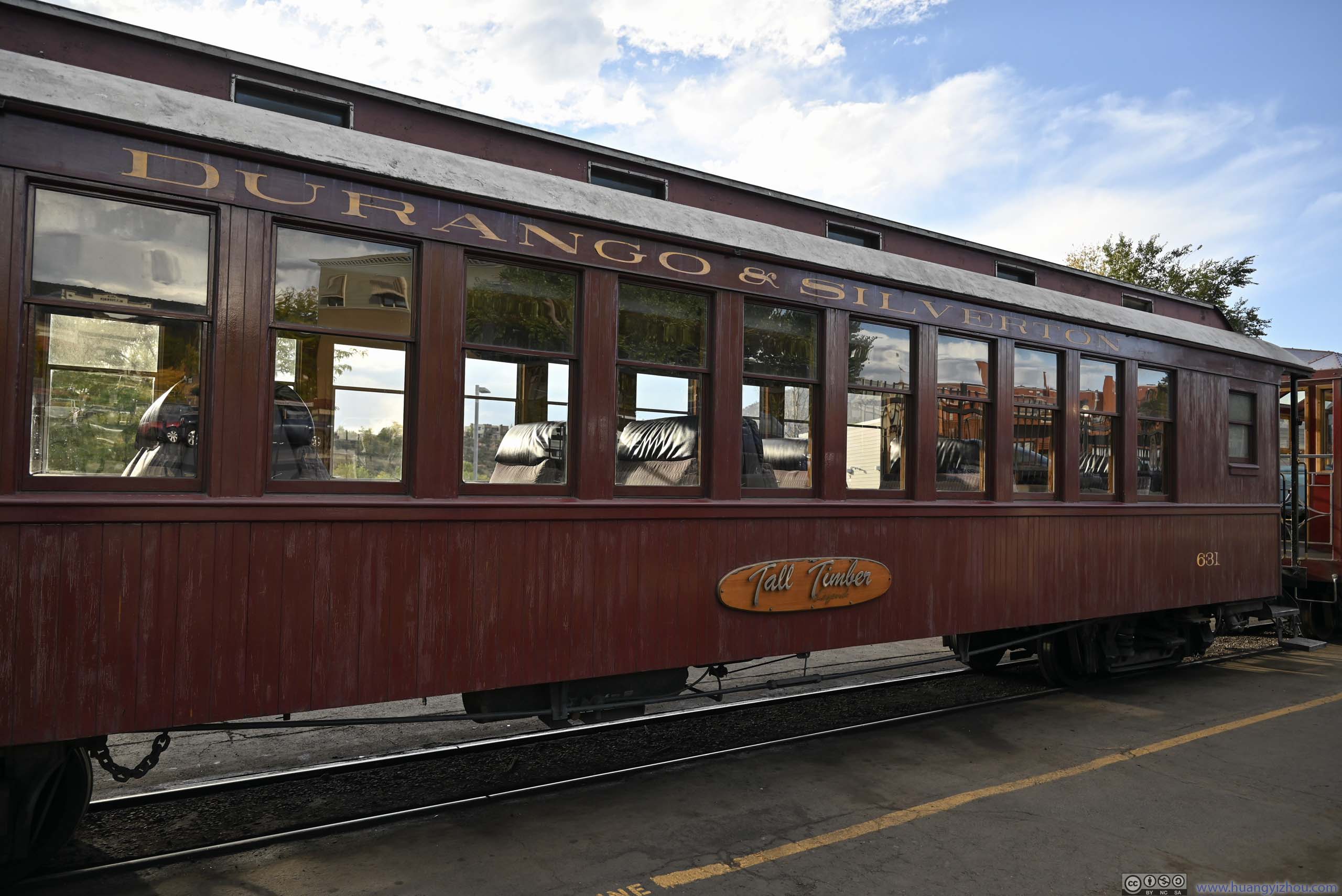
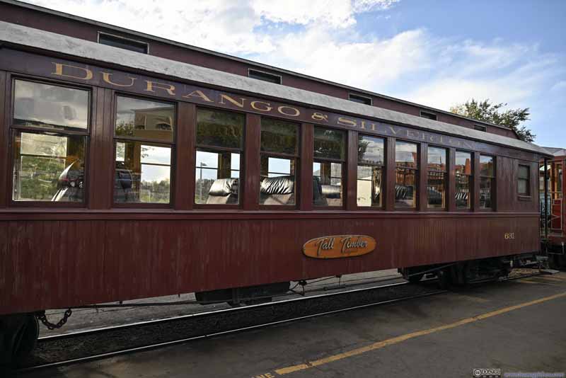
Train Car
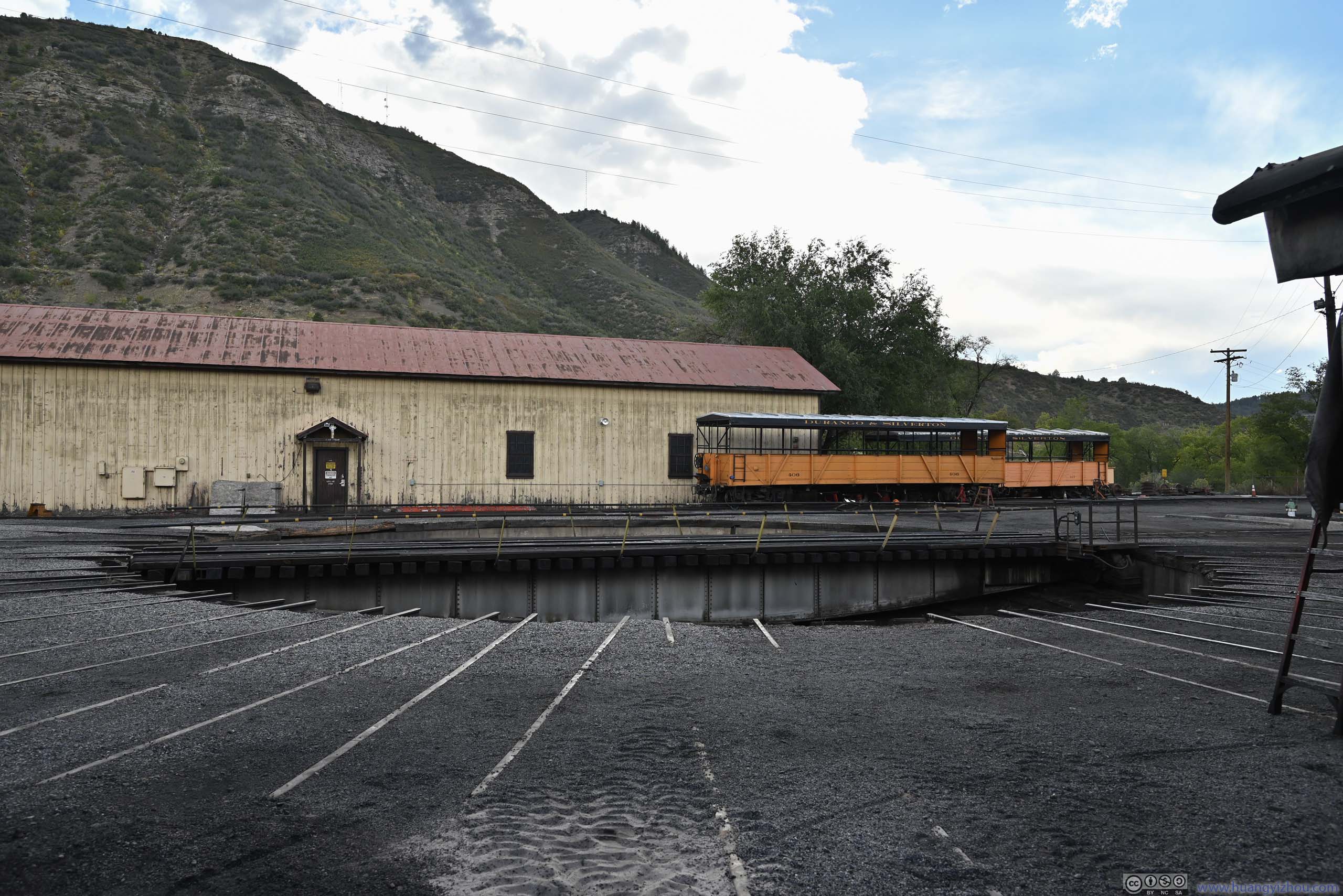
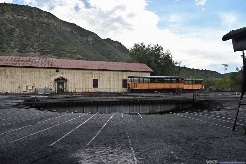
Turntable
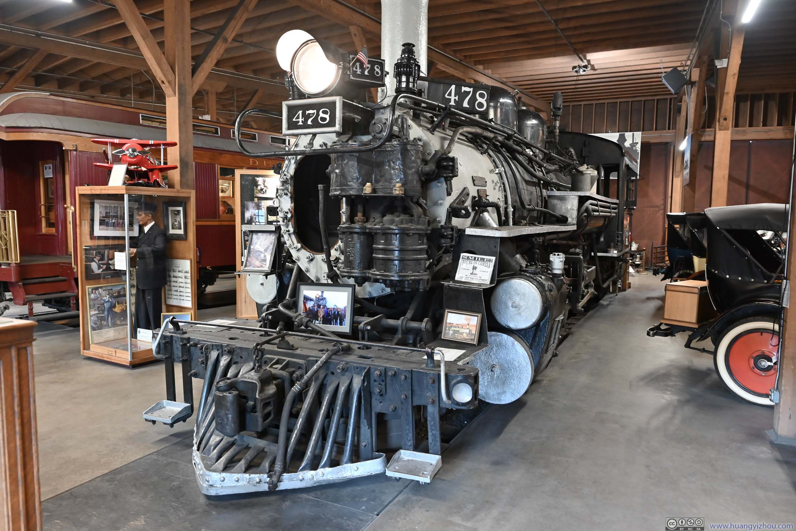
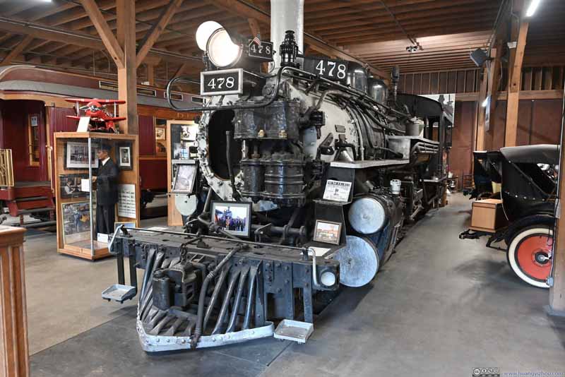
Locomotive
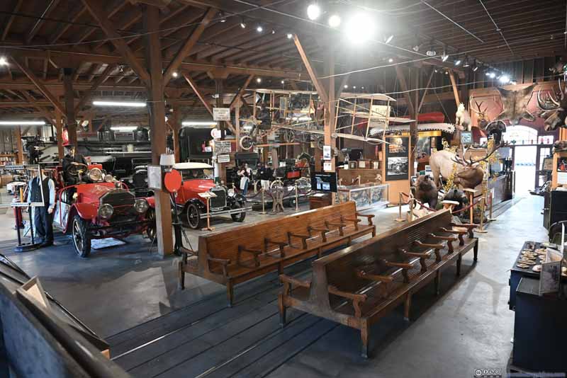
As for the museum itself, of course there was lots of railway stuff, like locomotives that used to run on the D&SNG line, the train carts, and so on. However, I felt the museum curator enjoyed scavenge-hunting, and liked to brag that "we obtained relic X for only Y dollars!" with "X" being benches for waiting rooms, train carts and so on.
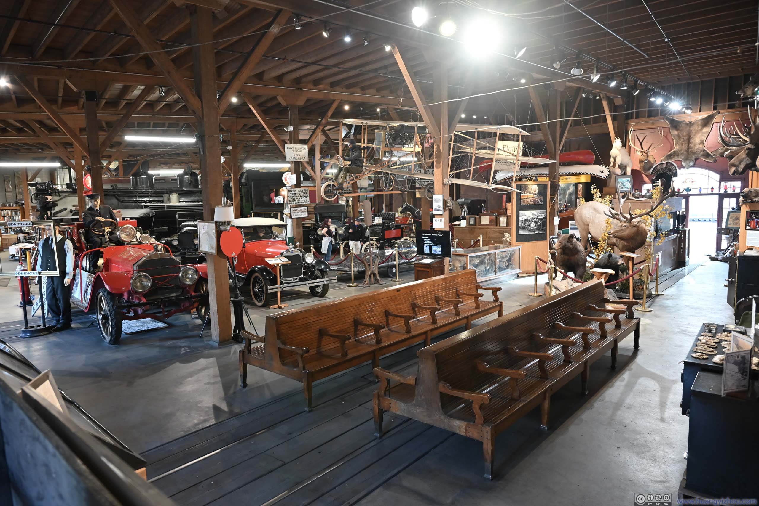
Exhibits
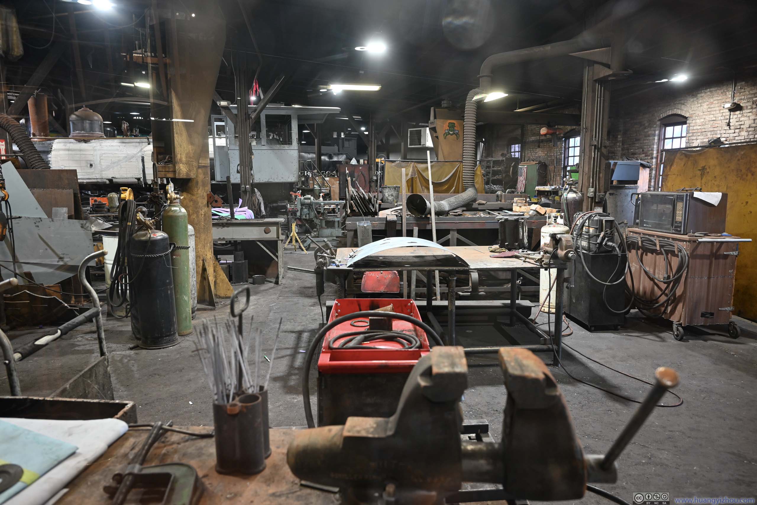
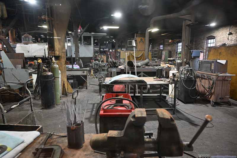
Maintenance Shop Closed to visitors. I took this photo through a window.
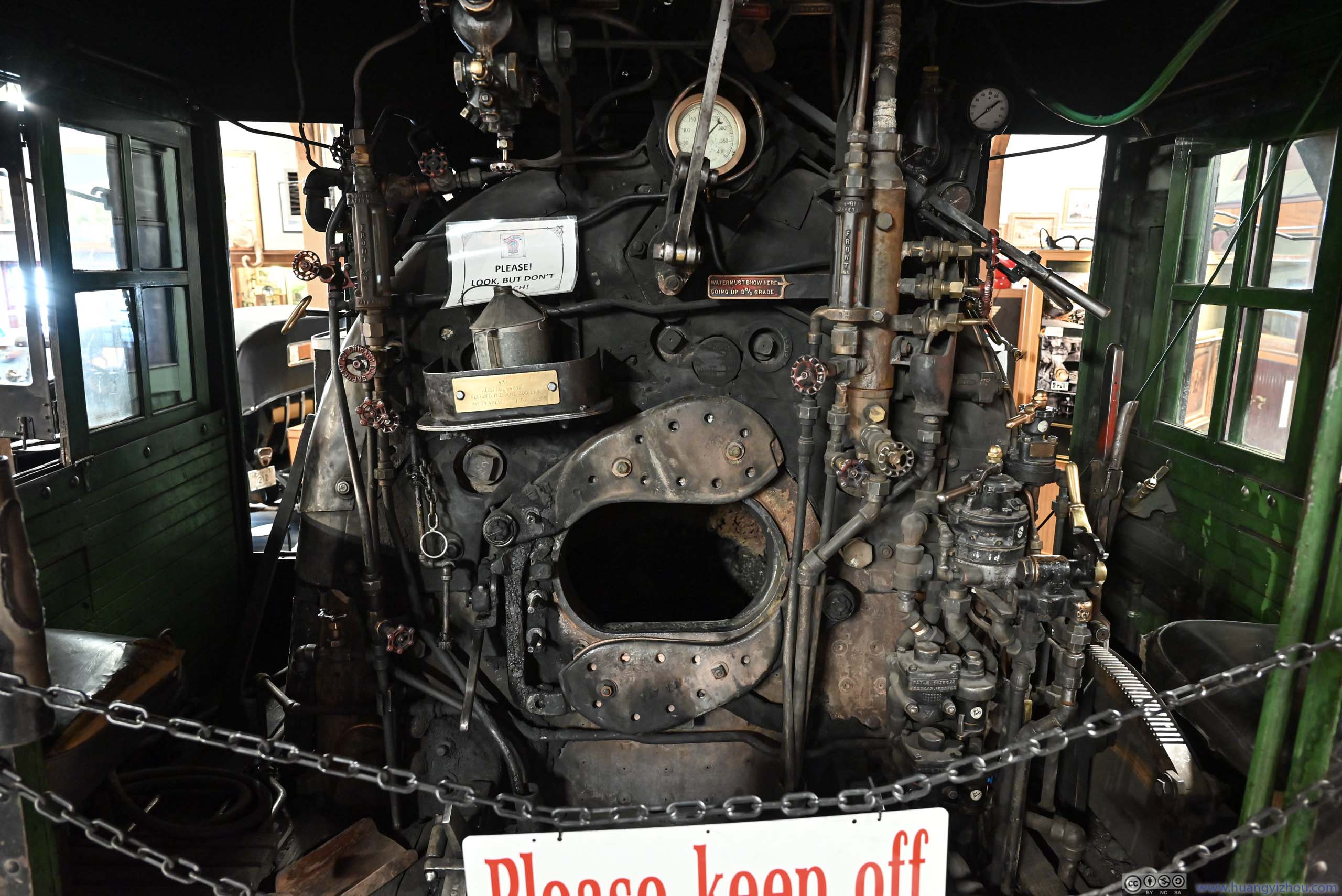
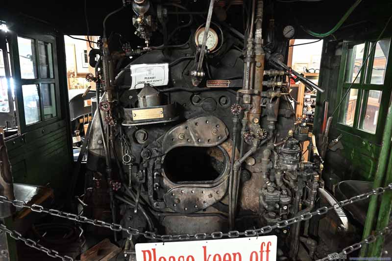
Locomotive Operator Interface
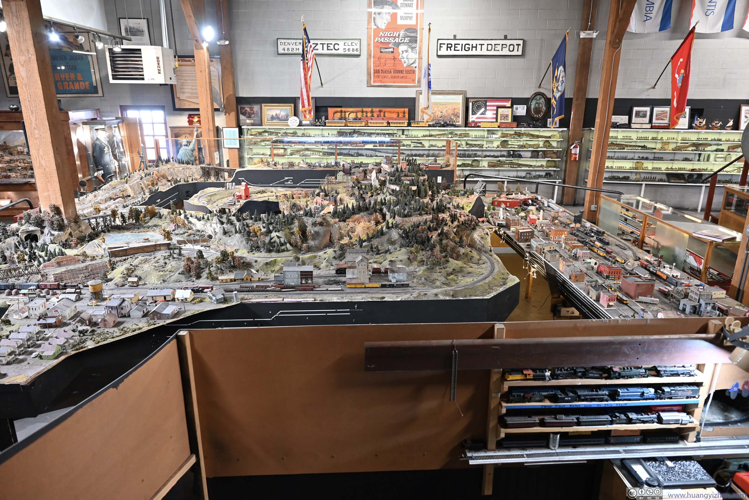
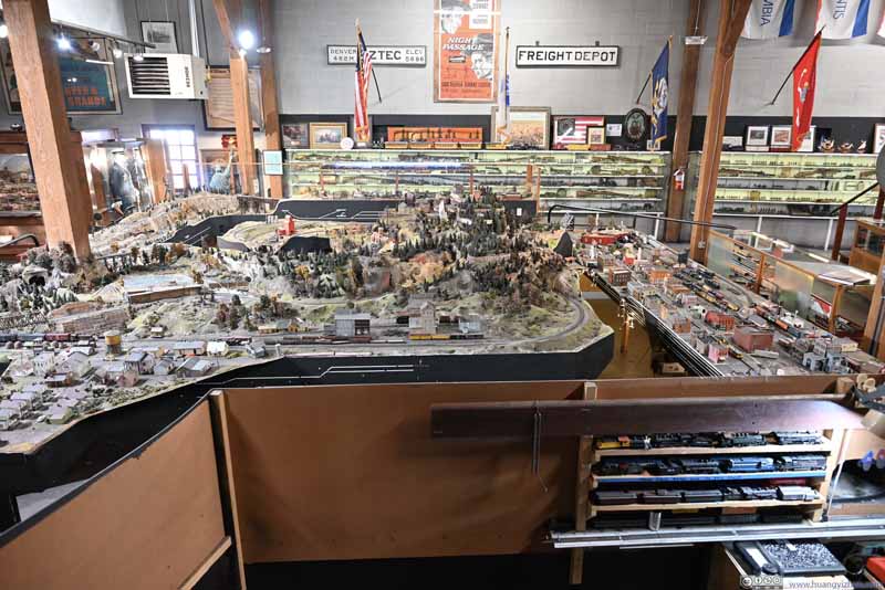
Model Train
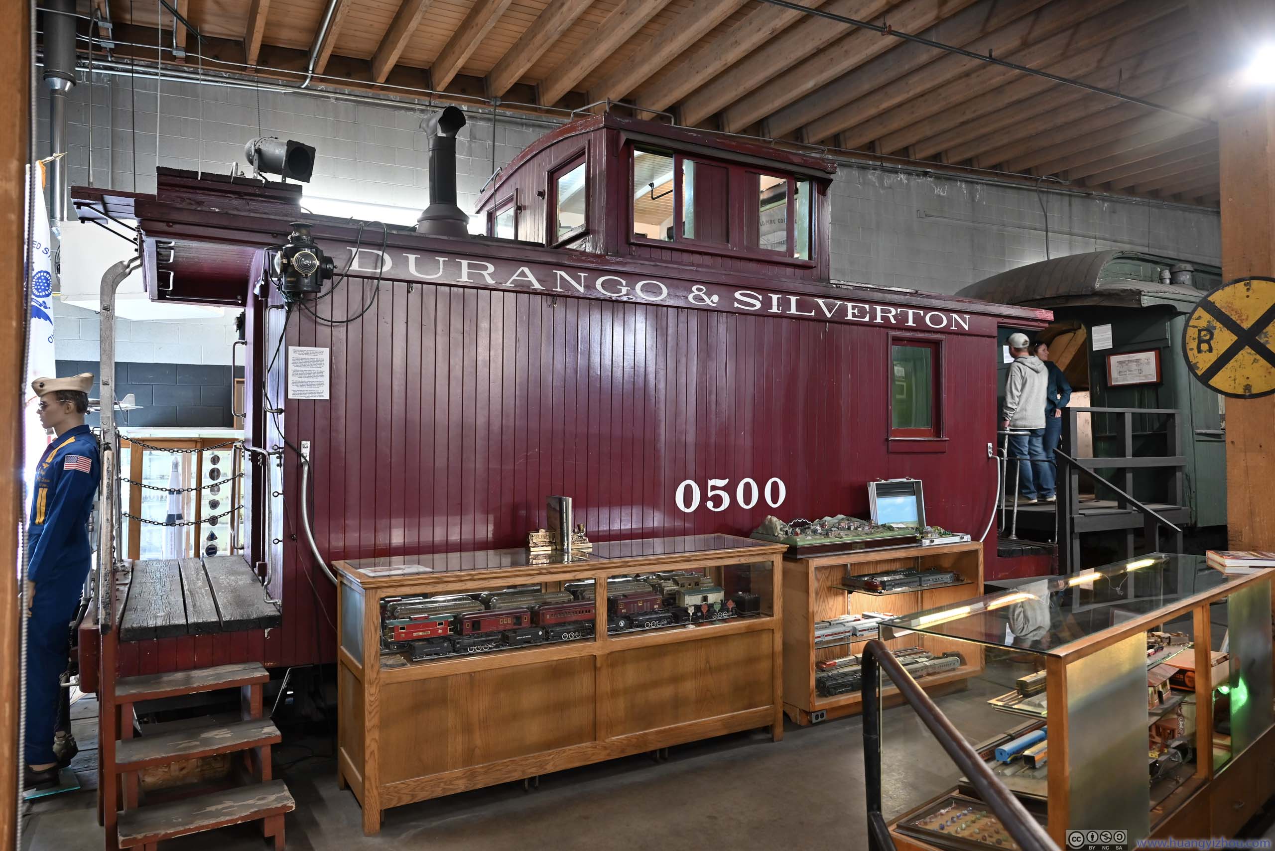
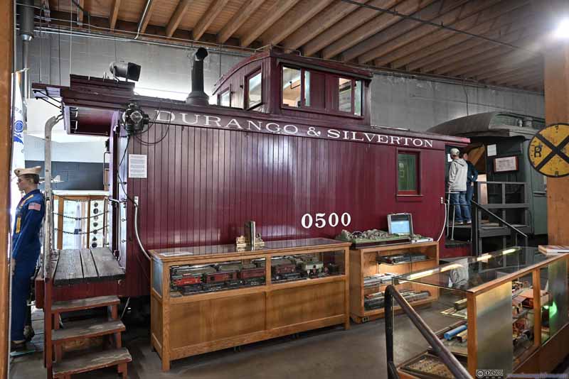
Denver & Rio Grande Western Caboose
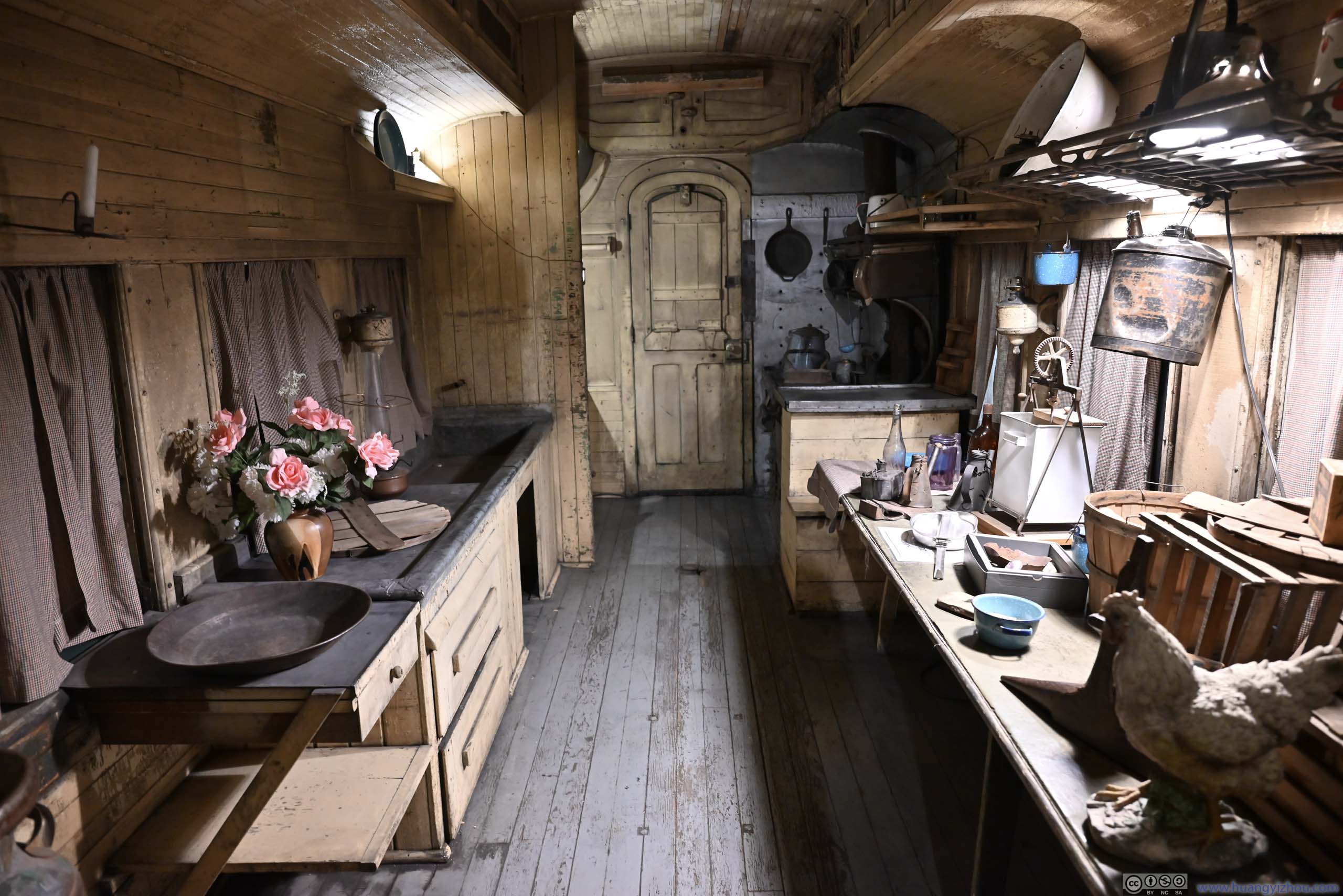
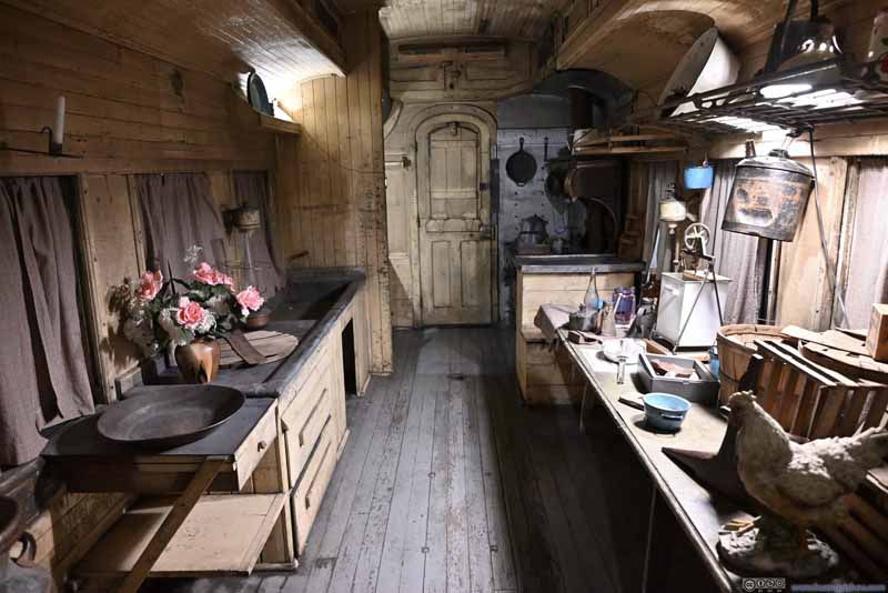
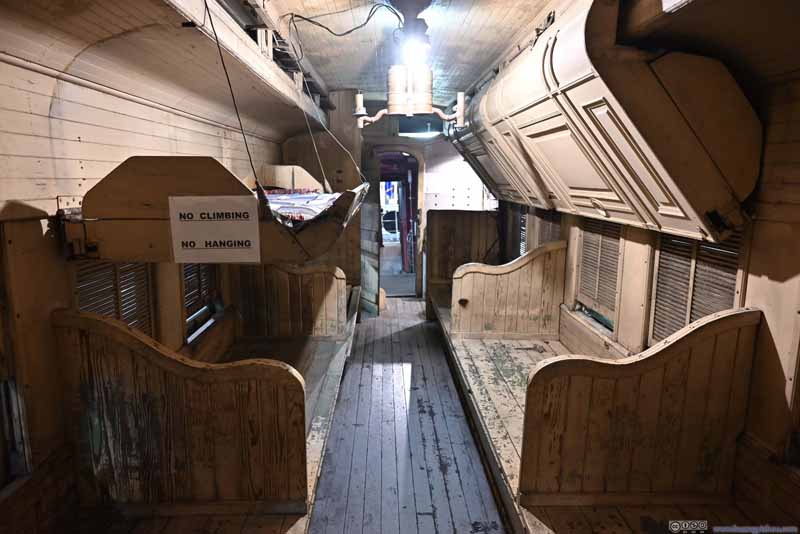
Communal Kitchen onboard Emigrant Sleeper
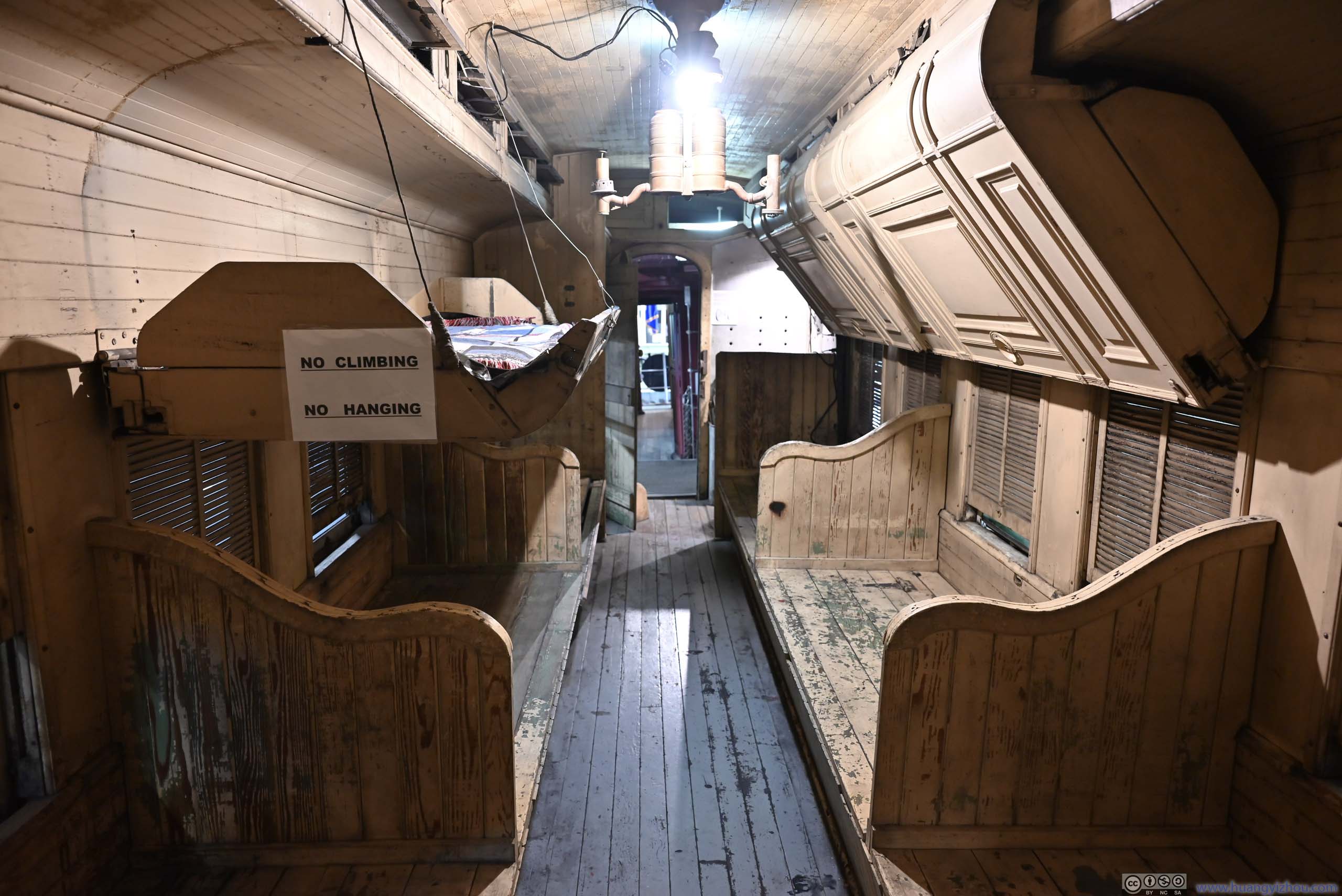
A low-cost travel option where travelers were expected bring their own bedding and meals which could be prepared here.
Emigrant Sleeper Interior
My day concluded after the tour of D&SNG museum.
END