Day 3 of Summer 2024 Trip to Colorado, Huron Peak via Lulu Gulch Loop
The third day of my summer 2024 trip to Colorado. I wanted to include a 14er in this trip to Colorado, so I picked Huron Peak today and climbed it following the loop trail through Lulu Gulch.
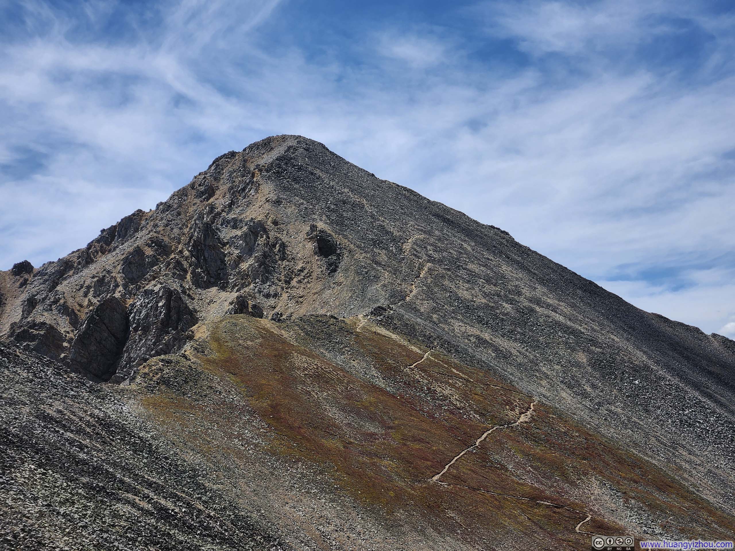
Since I made this trip to Colorado primarily for outdoor adventures during the prime mountaineering season, I knew I would leave with a sense of regret if I didn't include a 14er in my trip. Today was the last day with good weather to attempt one. There were several mountains over 14000 feet near my lodge in Leadville to choose from. Mount Elbert was probably too popular to find parking, Mount Massive was too close to the two peaks I visited the previous day, La Plata Peak with its Ellingwood Ridge was too technical, and Missouri Mountain / Mount Belford / Mount Oxford, which could potentially form a loop, would be too long. So, I decided on Huron Peak.
The standard route to Huron Peak started from South Winfield Trailhead. After leaving US24, the village of Winfield was accessed via a 12-mile unpaved road. The first 1/3 of that unpaved road was in reasonable condition, the remaining 2/3 were in my opinion, bumpy and rife with potholes. Beyond the village of Winfield, the final 2 miles to the trailhead was poorer in condition that they were typically recommended for high-clearance vehicles only.
Since I didn't have a high-clearance vehicle and found the idea of walking back and forth along this road unappealing, I researched alternative routes. I discovered that Huron Peak could also be accessed via Lulu Gulch. By combining the Lulu Gulch variant with the standard route, I could create a loop, allowing me to enjoy more scenery and only traverse the high-clearance road once.
There didn't seem to be any technical preference for the direction of the loop, so I chose to go clockwise, hoping that after descending from Huron Peak, I might hitch a ride along the high-clearance road. (Unfortunately, that didn't happen.)
The Trip
On the morning of Sept 1, I left my Airbnb in Leadville and headed for the trailhead of Huron Peak. Once off US24, it's a bumpy ride as I carefully and slowly navigated around some (but not all) potholes. It took me about an hour to reach Winfield from US24, during the process I was overtaken by a few cars that were better suited for off-road. After the village of Winfield, the road made a left turn, which was soon followed by a large parking lot on the left. However, I continued driving for about 500m past the parking lot until I felt my rental sedan could no longer handle the rough road, and found an open area along the road to pull over.
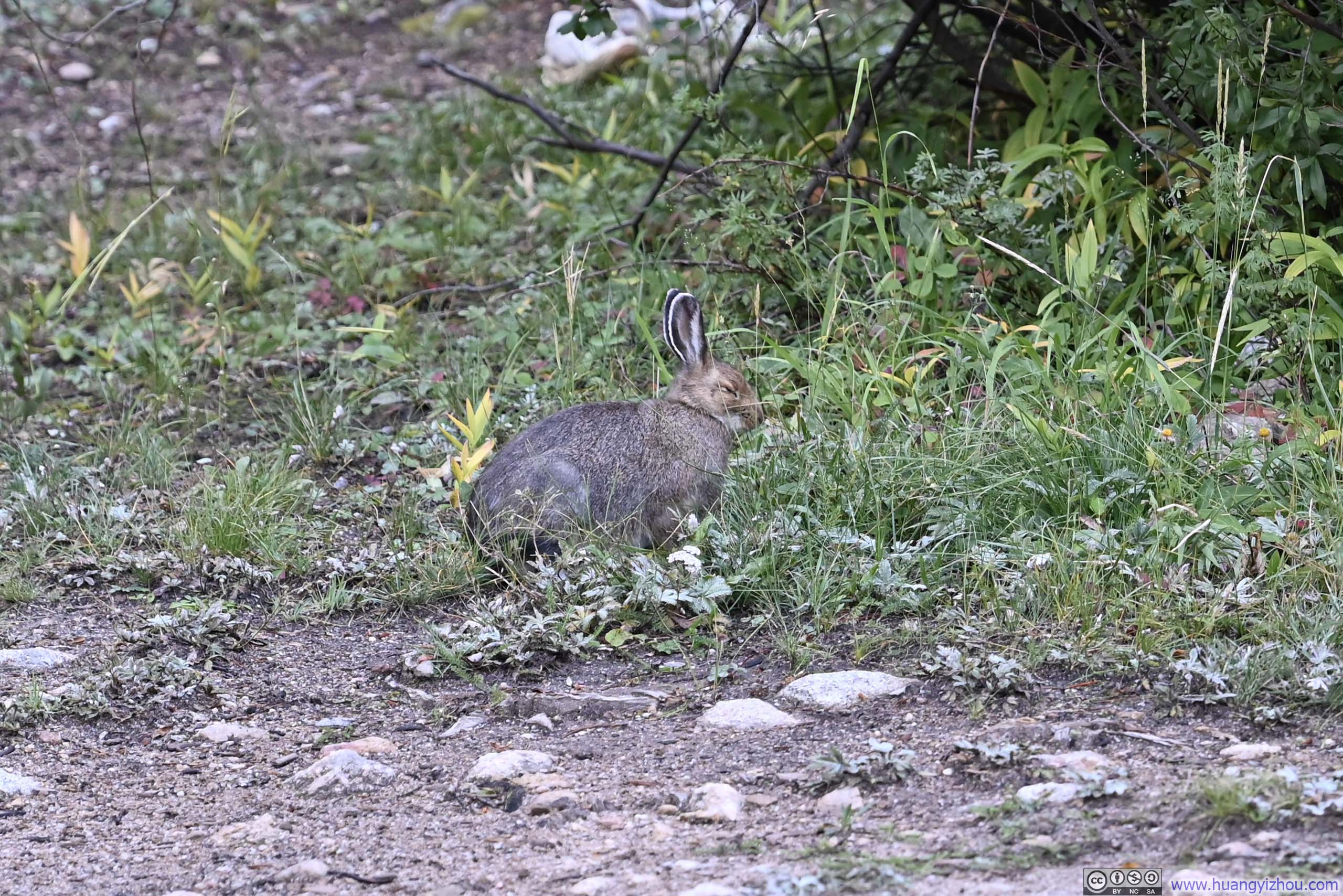
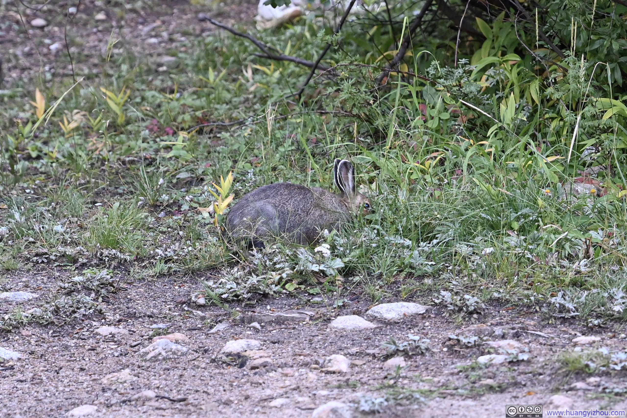
In the bushes, next to where I parked.
Here's GPS tracking of my hike:
After some warmup, I started the hike at 8:45am. About 500 meters in, I reached a fork where the road to Lulu Gulch branched off from the main road. The intersection was not hard to spot, as Lulu Gulch Road was otherwise fenced off.
This intersection was 1km from the large parking lot, and I used my car to save myself half the walking, not bad.
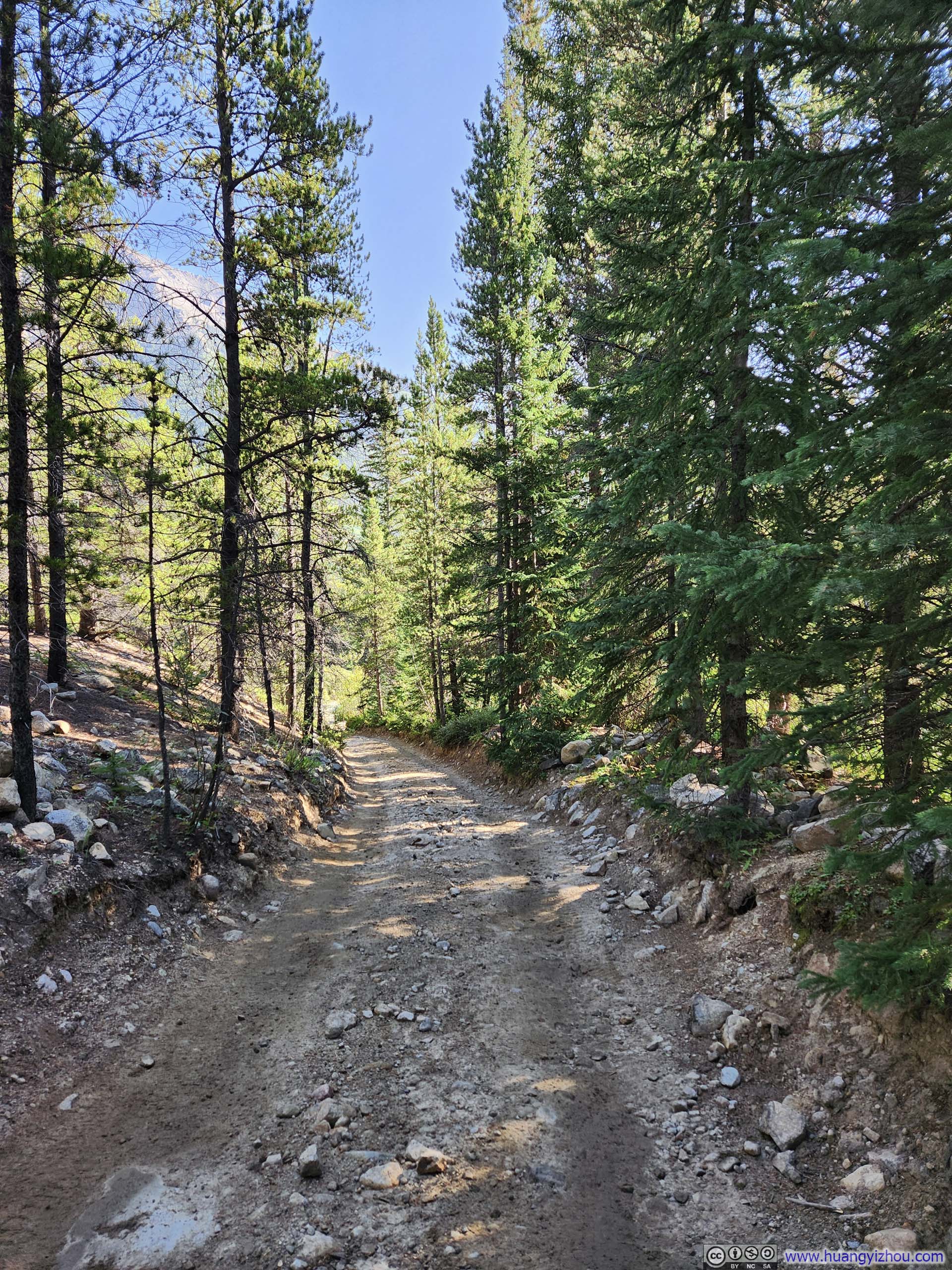
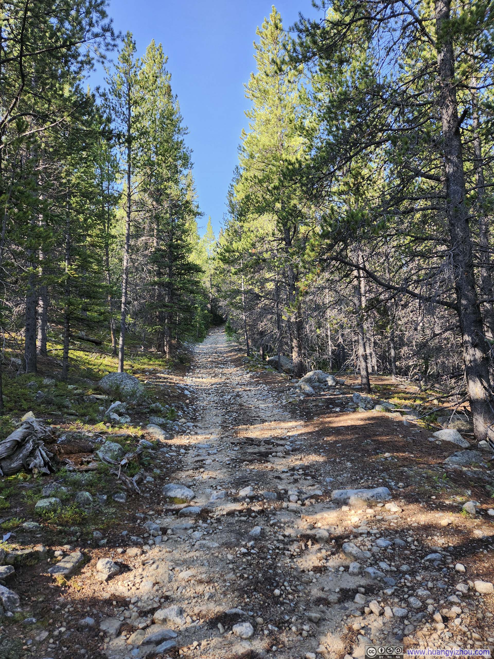
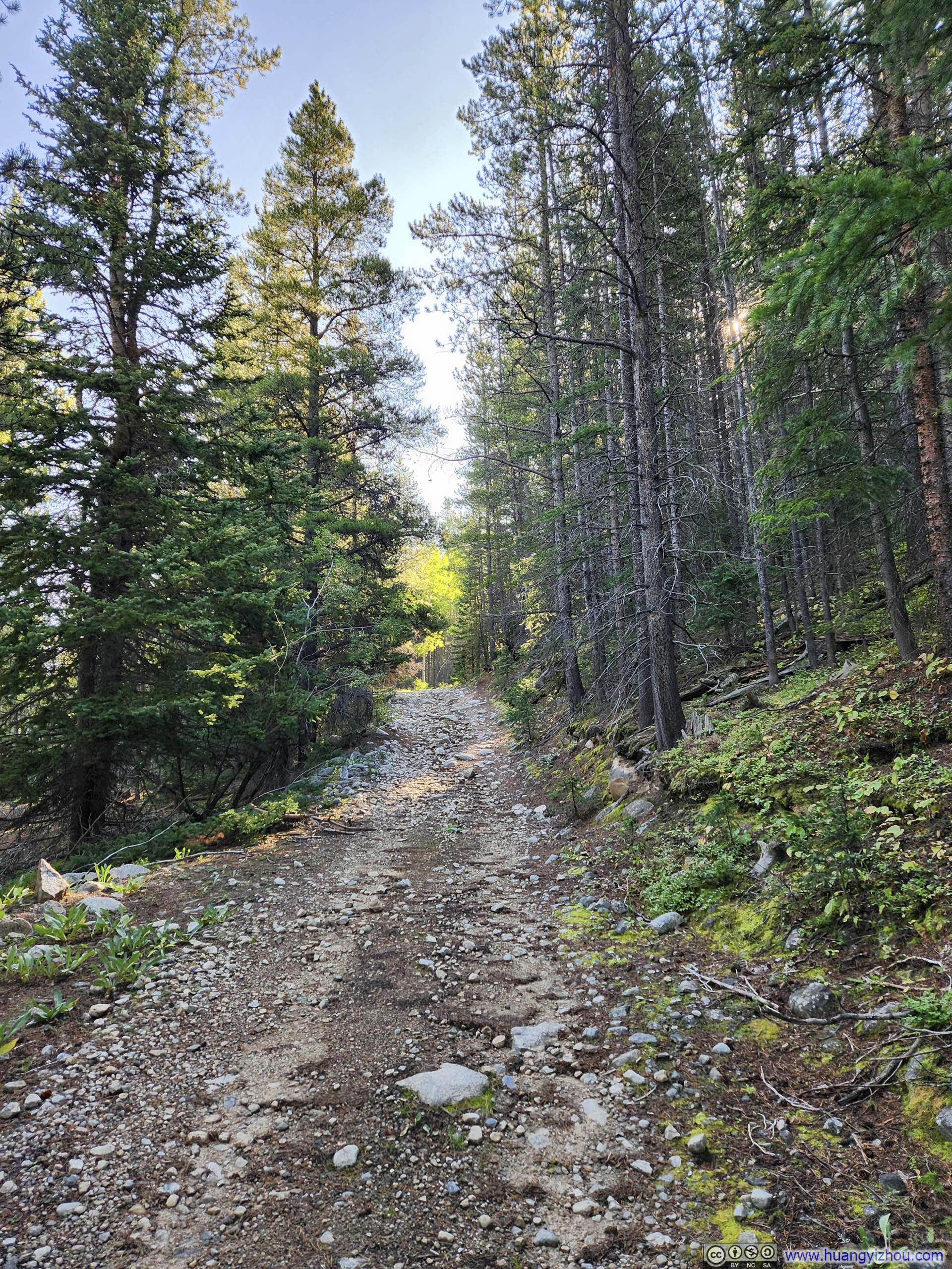
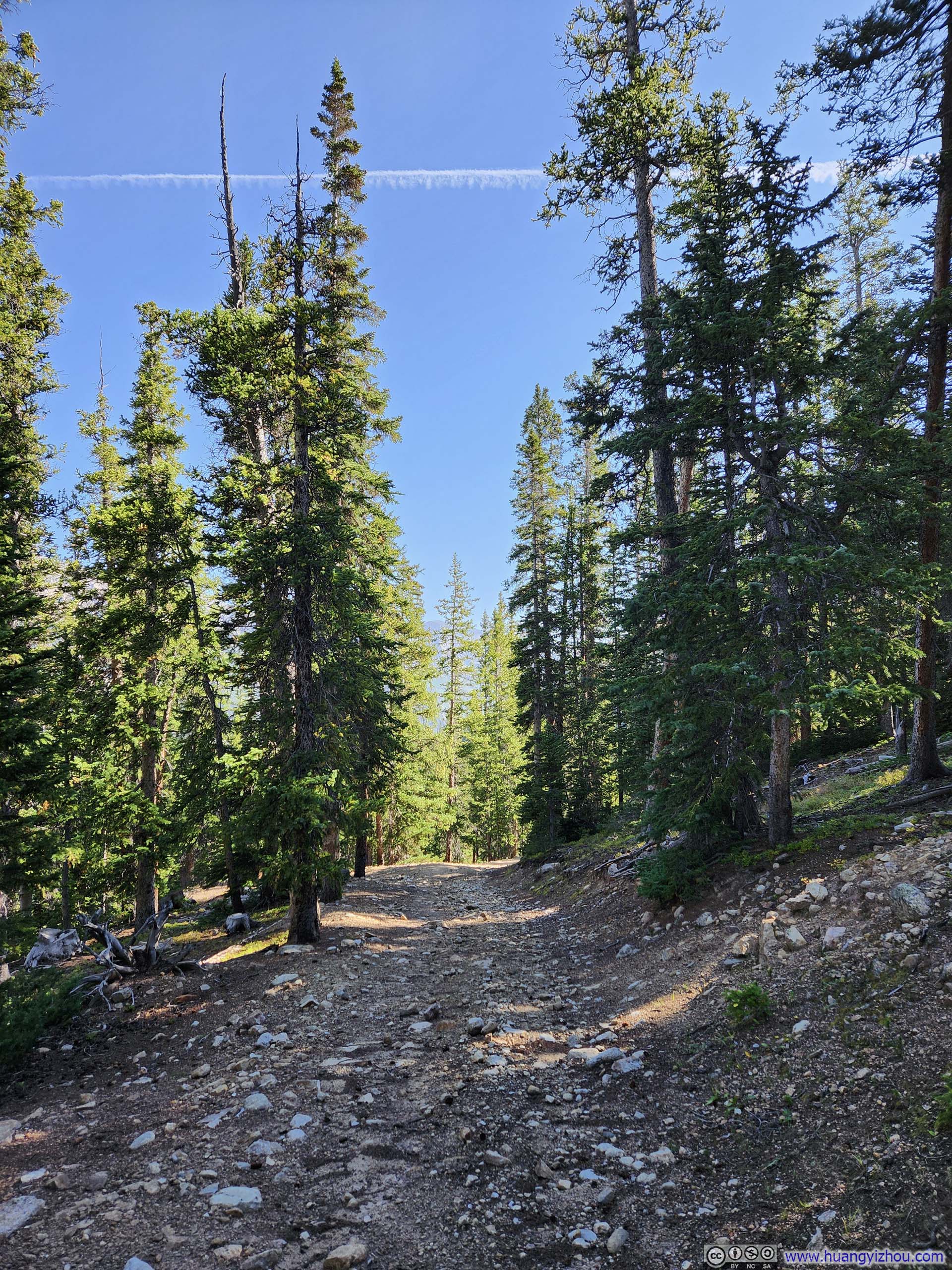
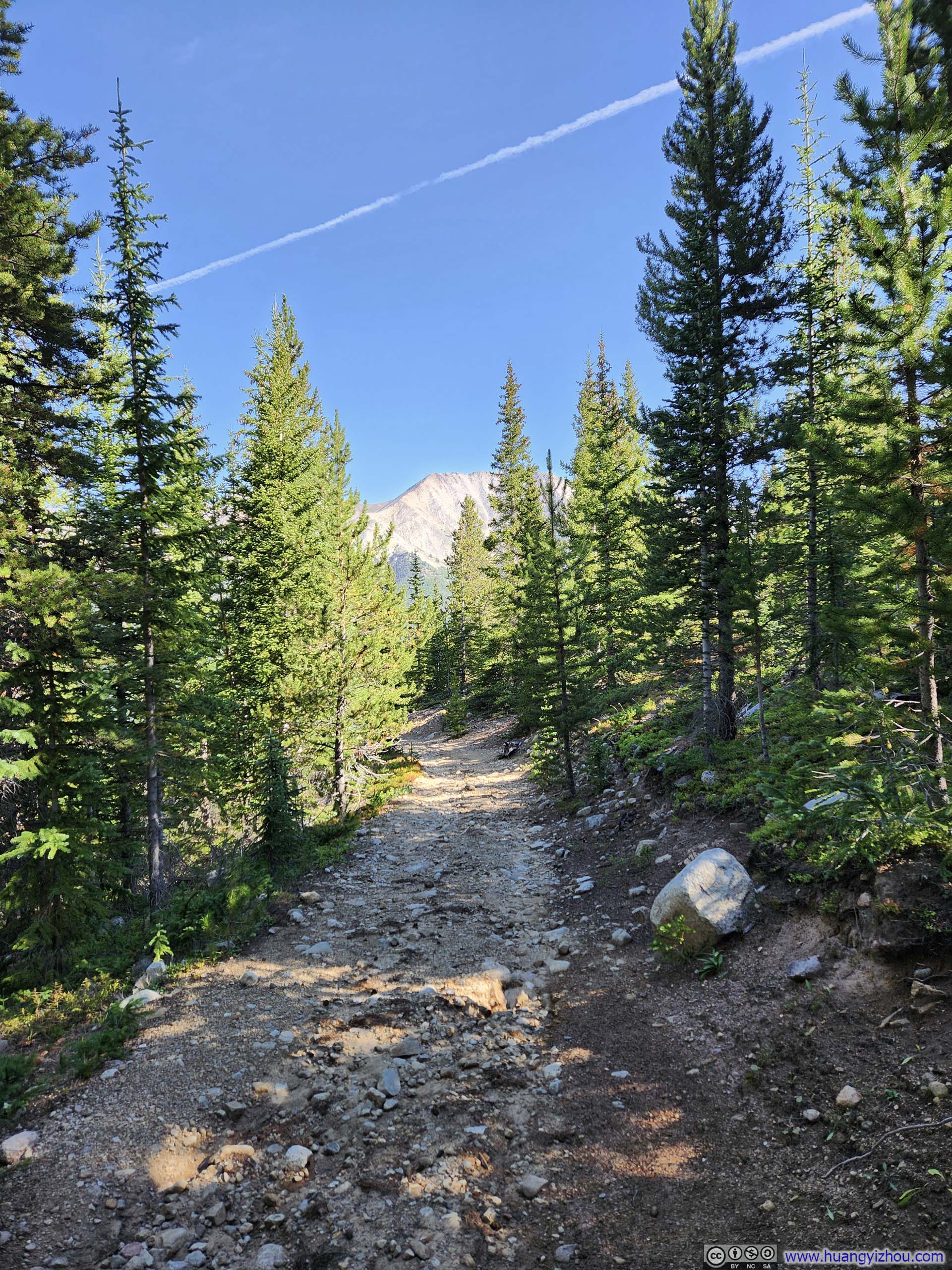
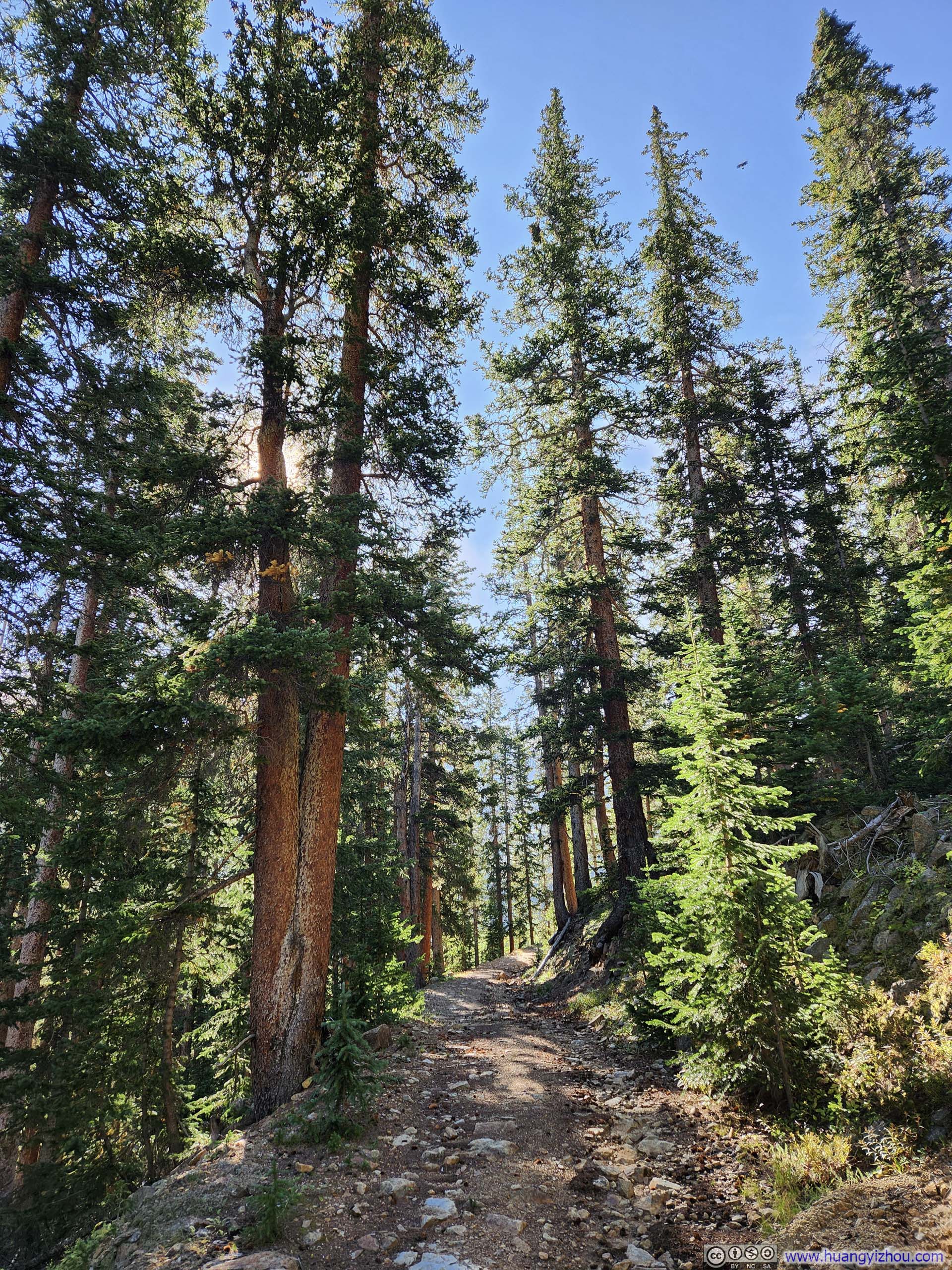
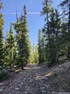
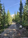
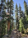
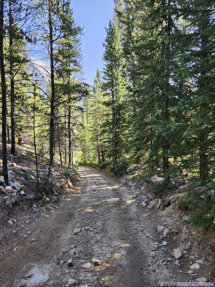
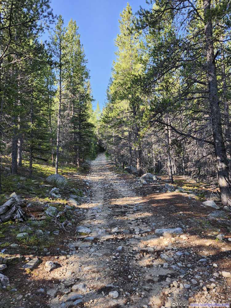
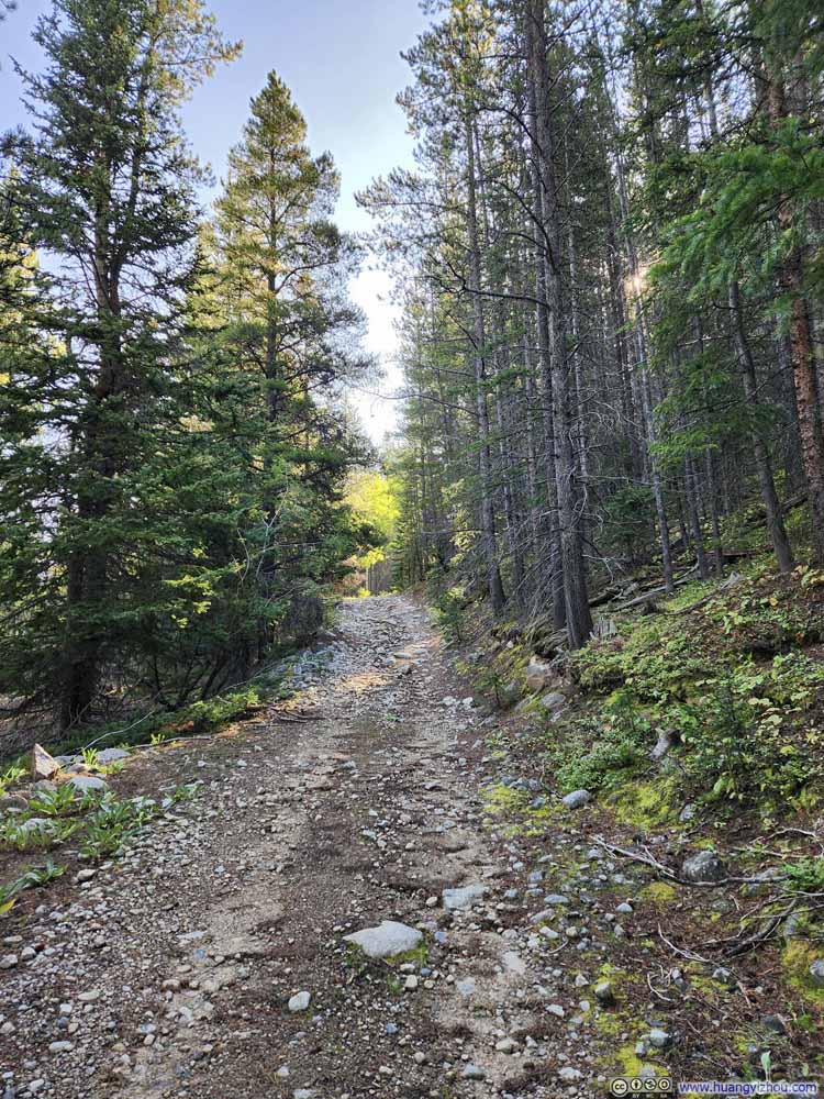
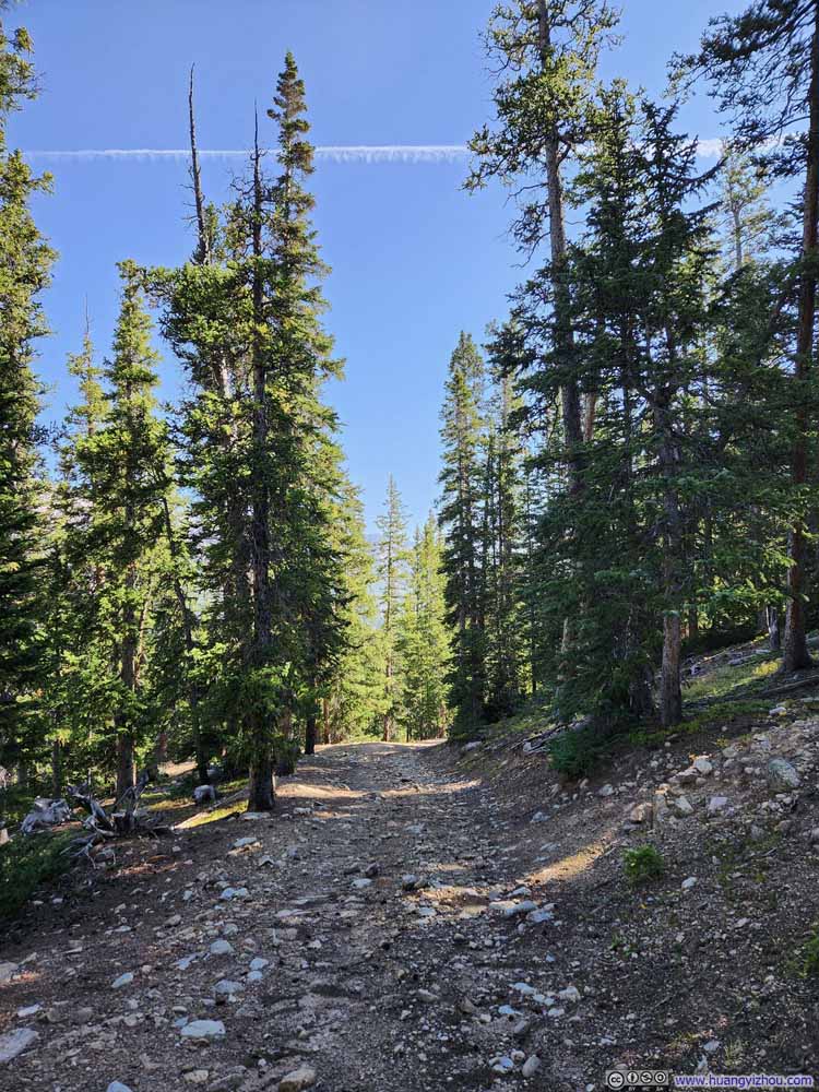
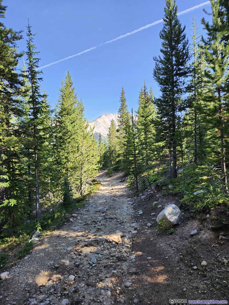
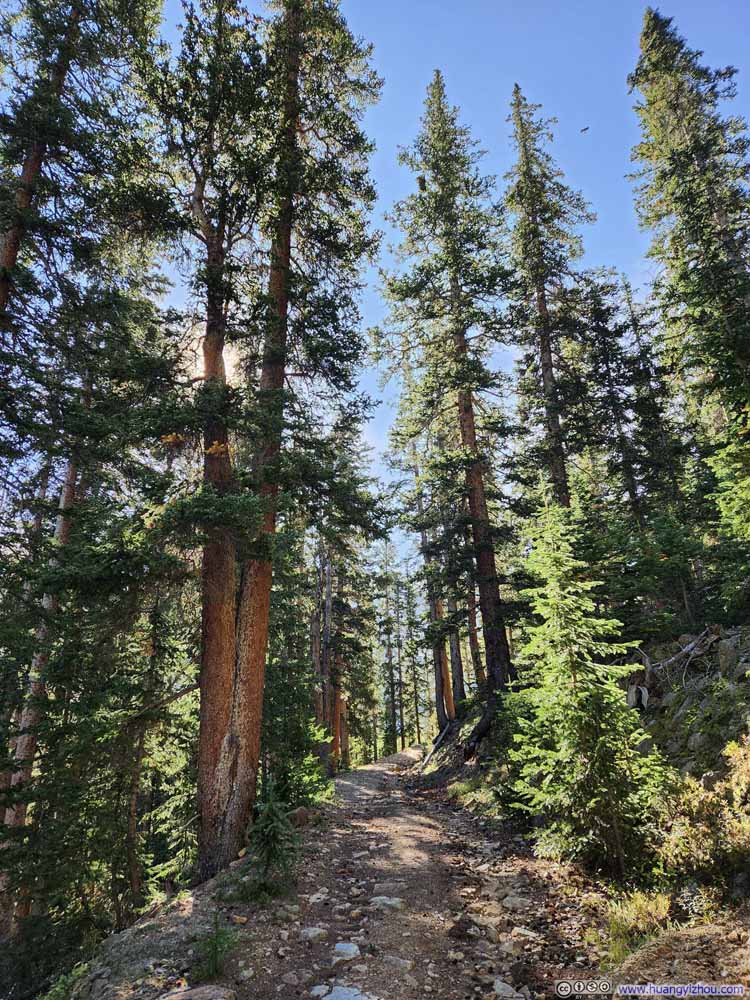
The road to Lulu Gulch went through a few switchbacks in the woods, until it narrowed to a trail and views of Lulu Gulch emerged out of the trees.
I found it reassuring that, once out of the woods, the mountains surrounding Lulu Gulch were the same ones I was about to pass through on my way to Huron Peak. It's as if a clear roadmap had been presented in front of me.
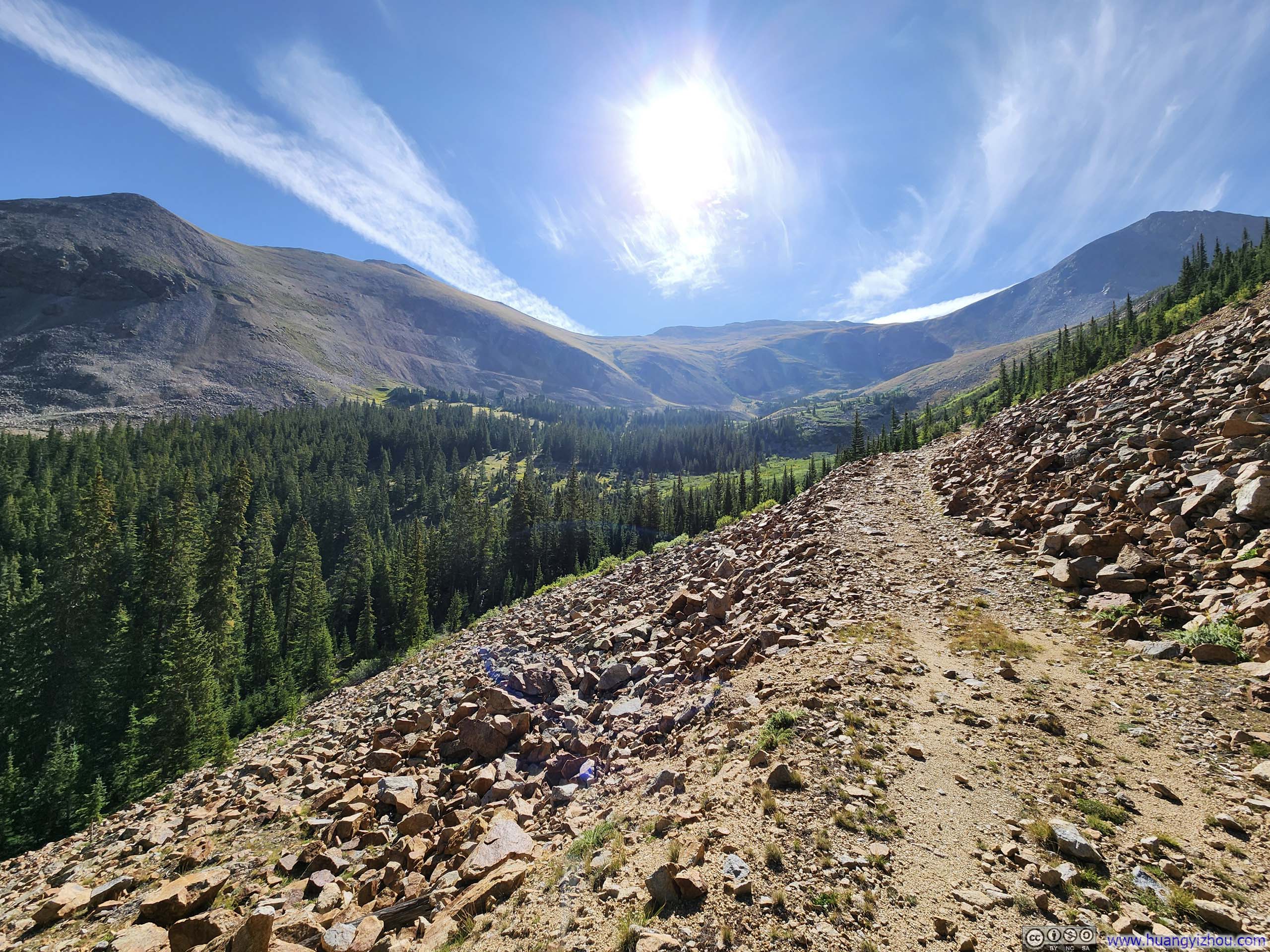
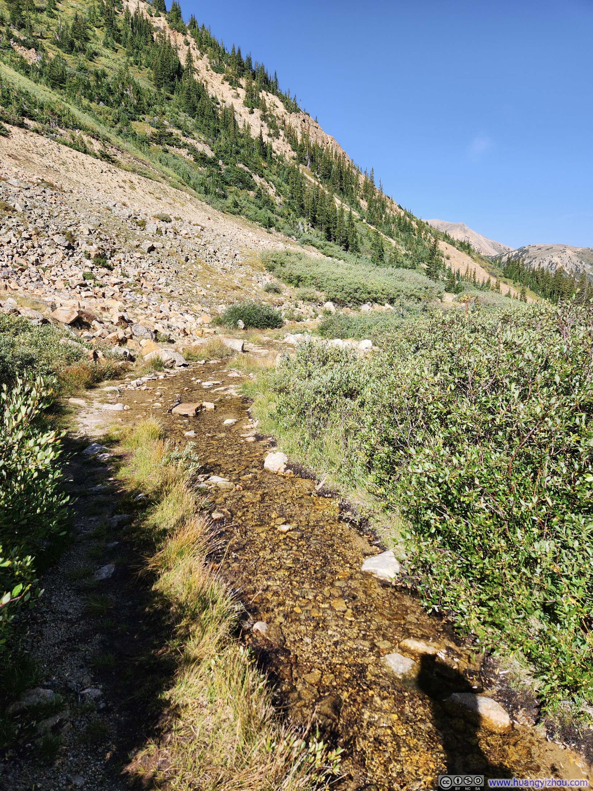
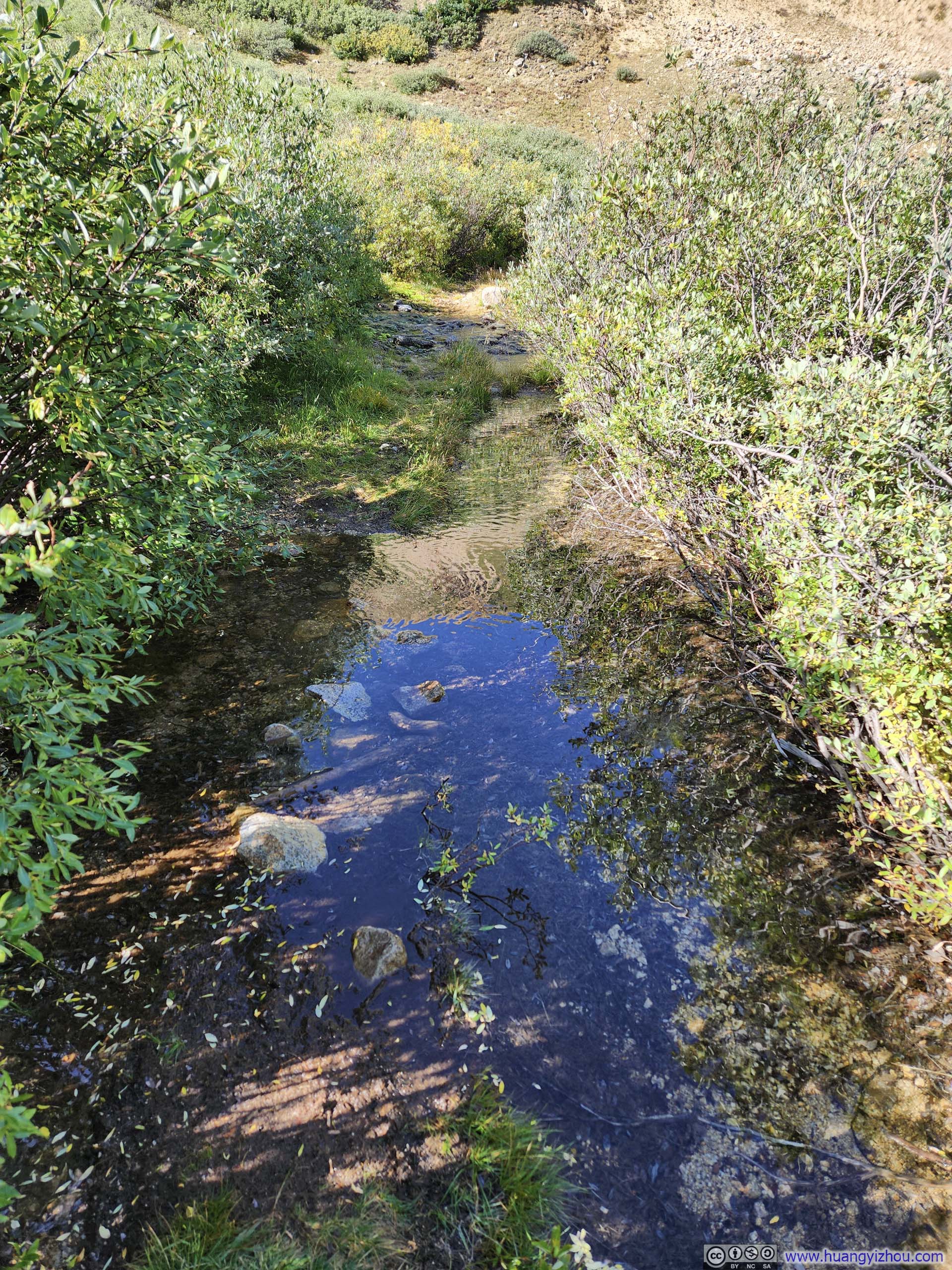
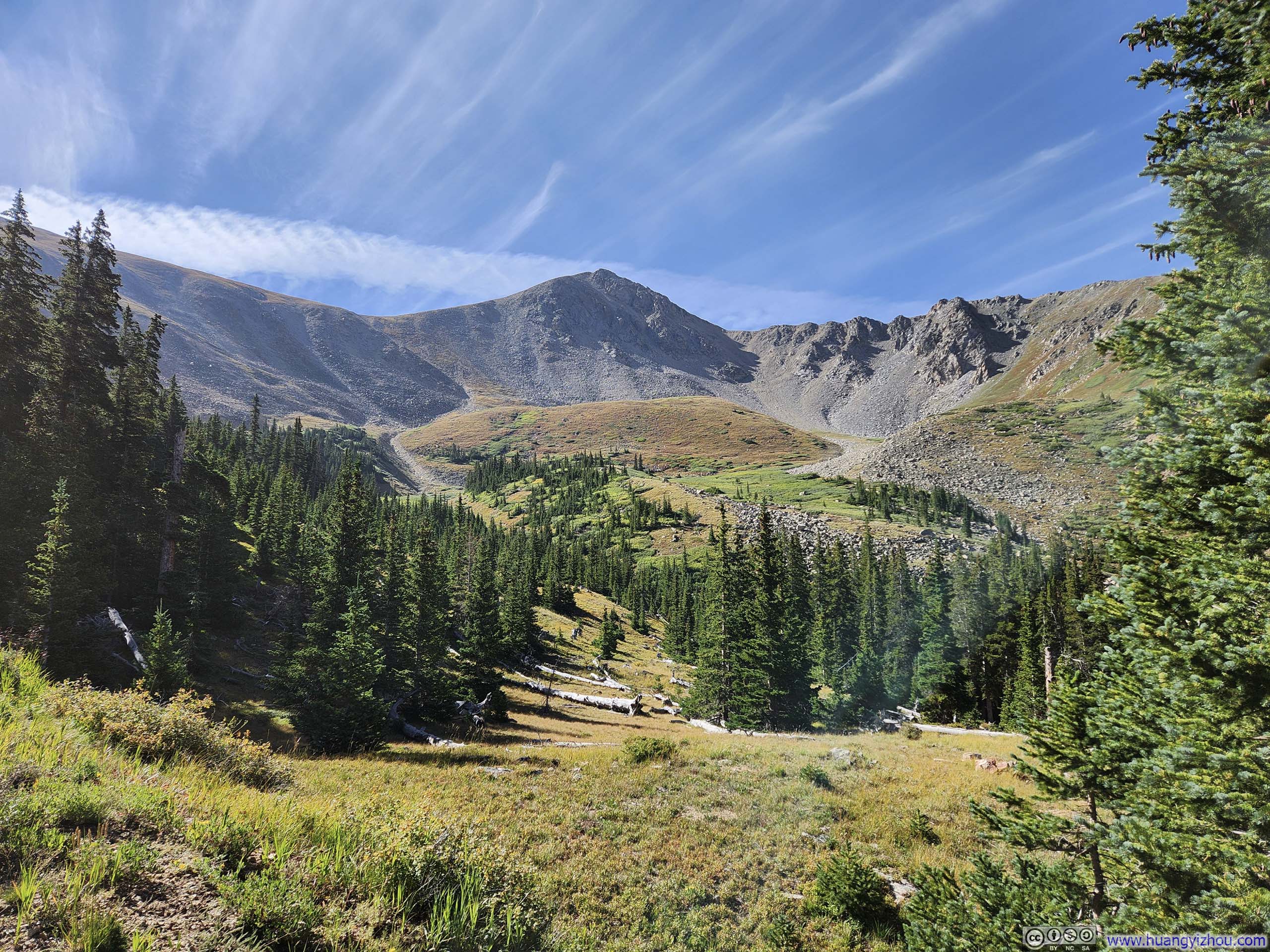
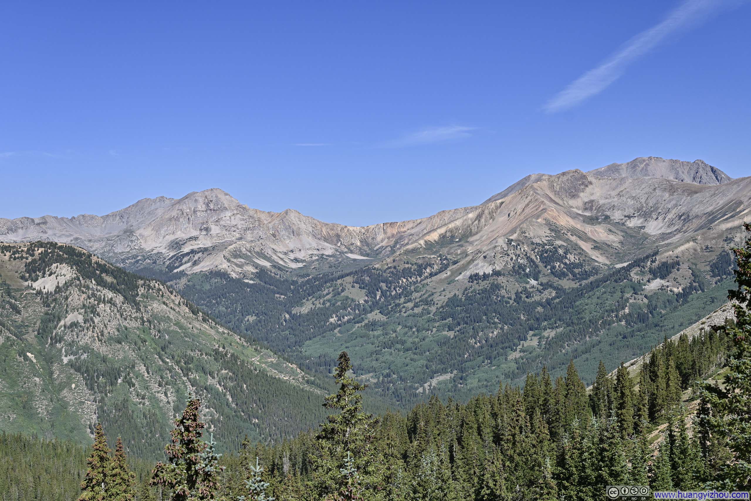
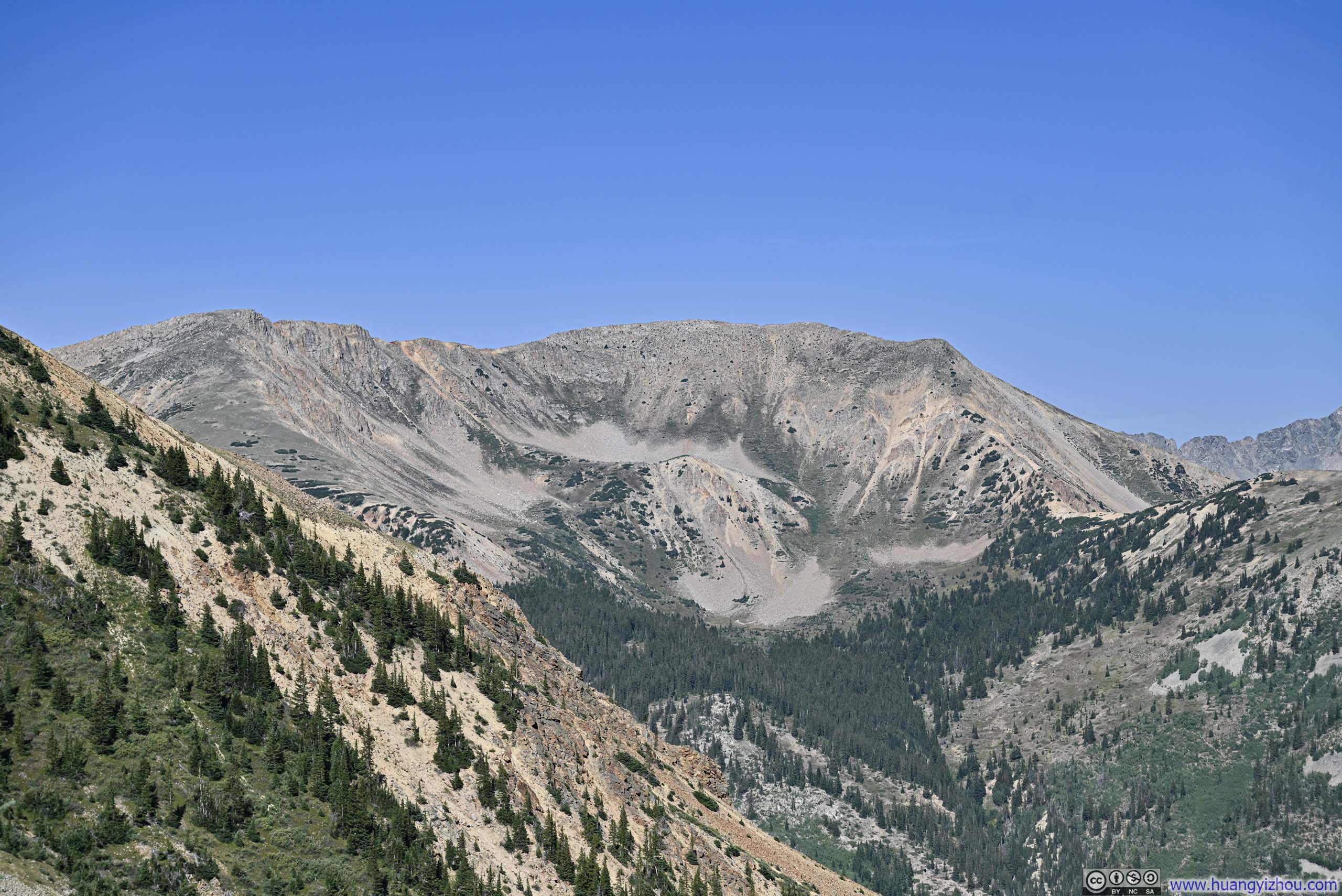
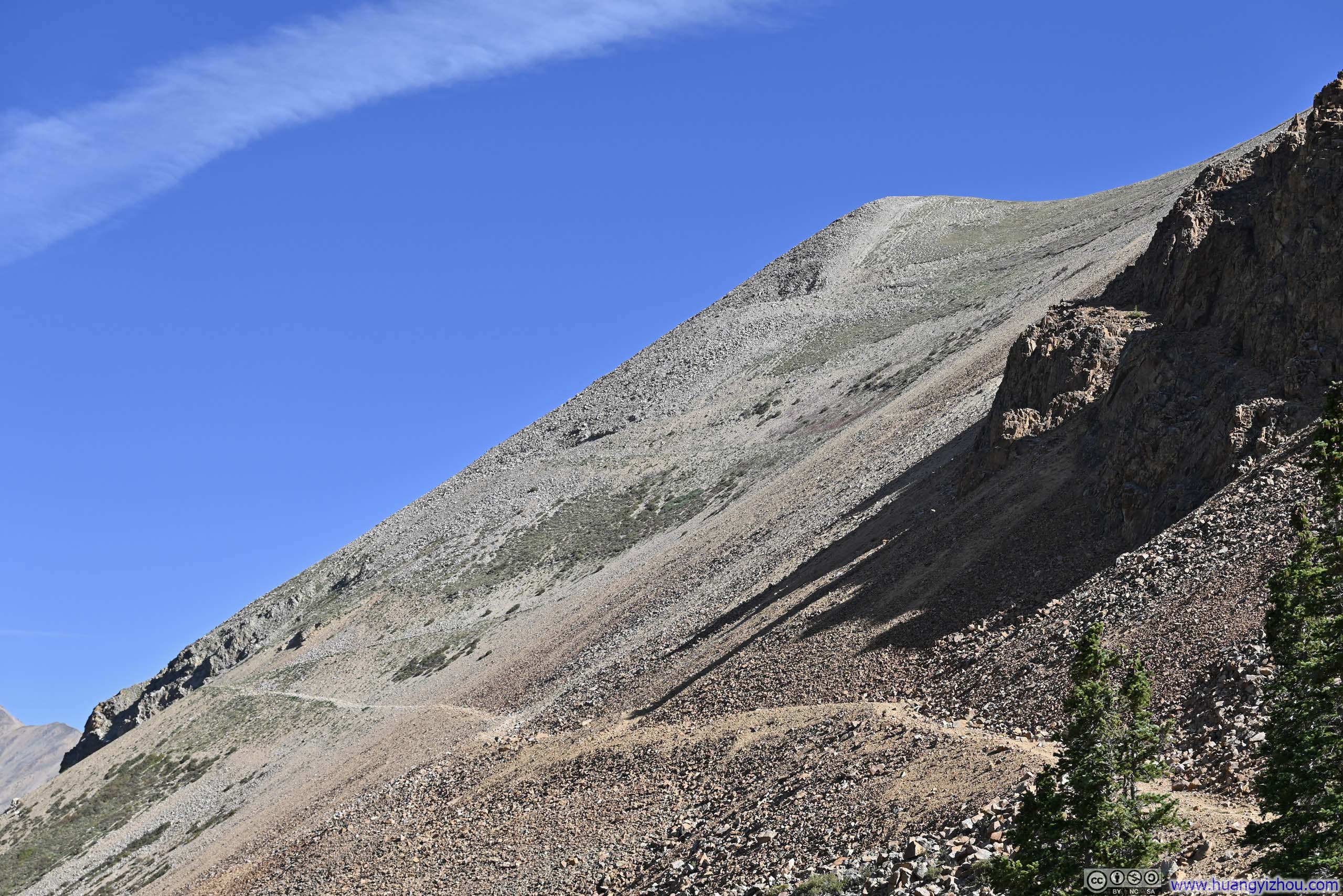
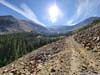
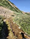
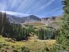
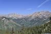
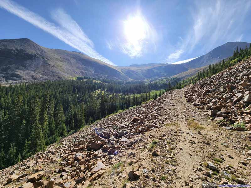
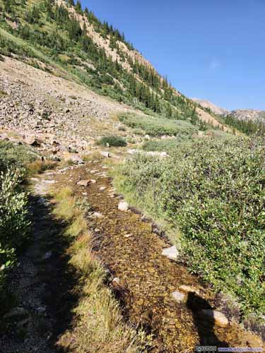
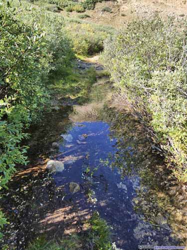
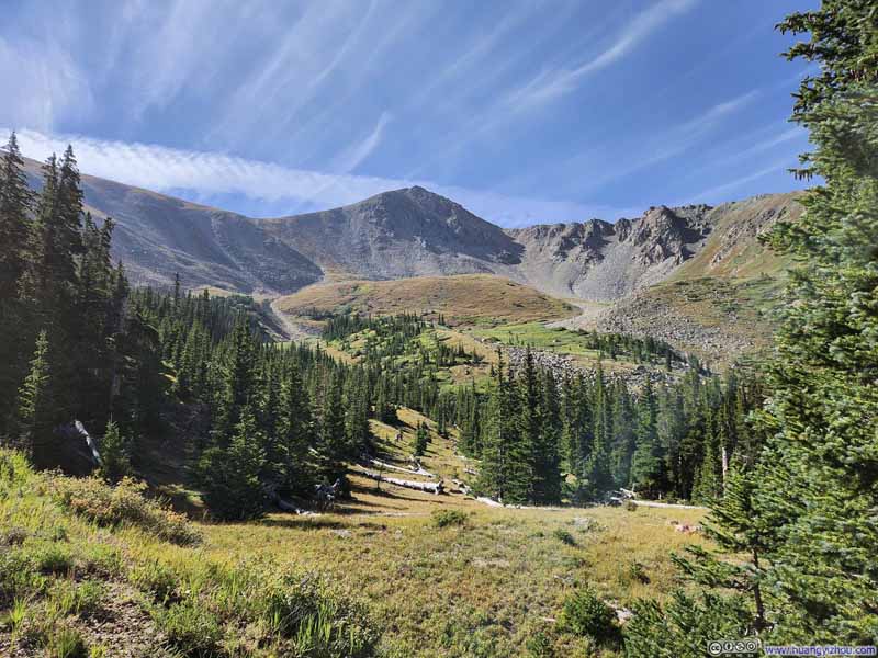
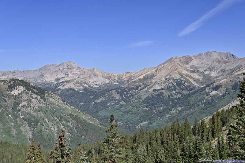
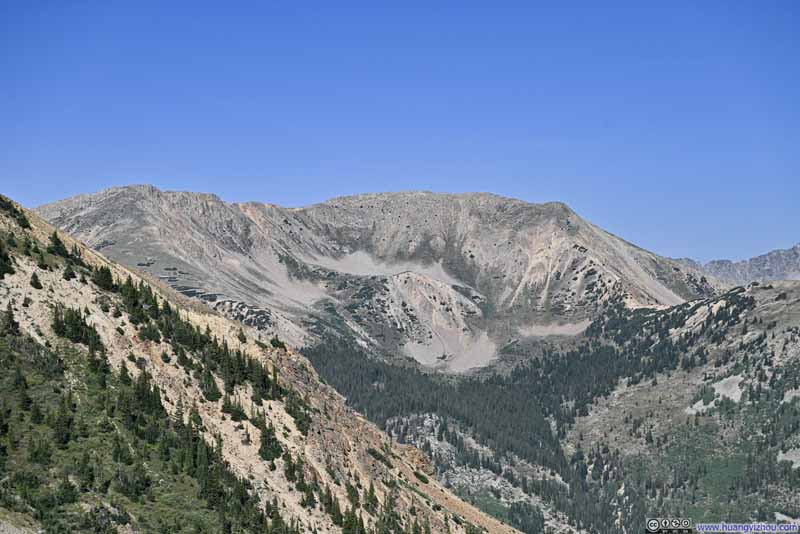
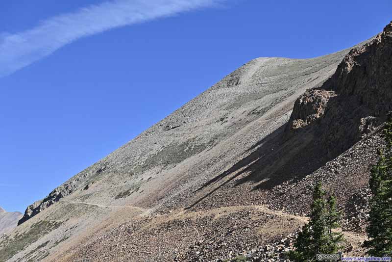
Once in Lulu Gulch, I followed the "standard" route as described by AllTrails. This path included a few switchbacks before crossing Middle Mountain to reach Browns Peak. Unbeknownst to me, there is also a "direct" route, detailed by 14ers.com (the Browns Peak variation). This alternative is shorter and steeper, requiring more off-trail hiking on talus fields.
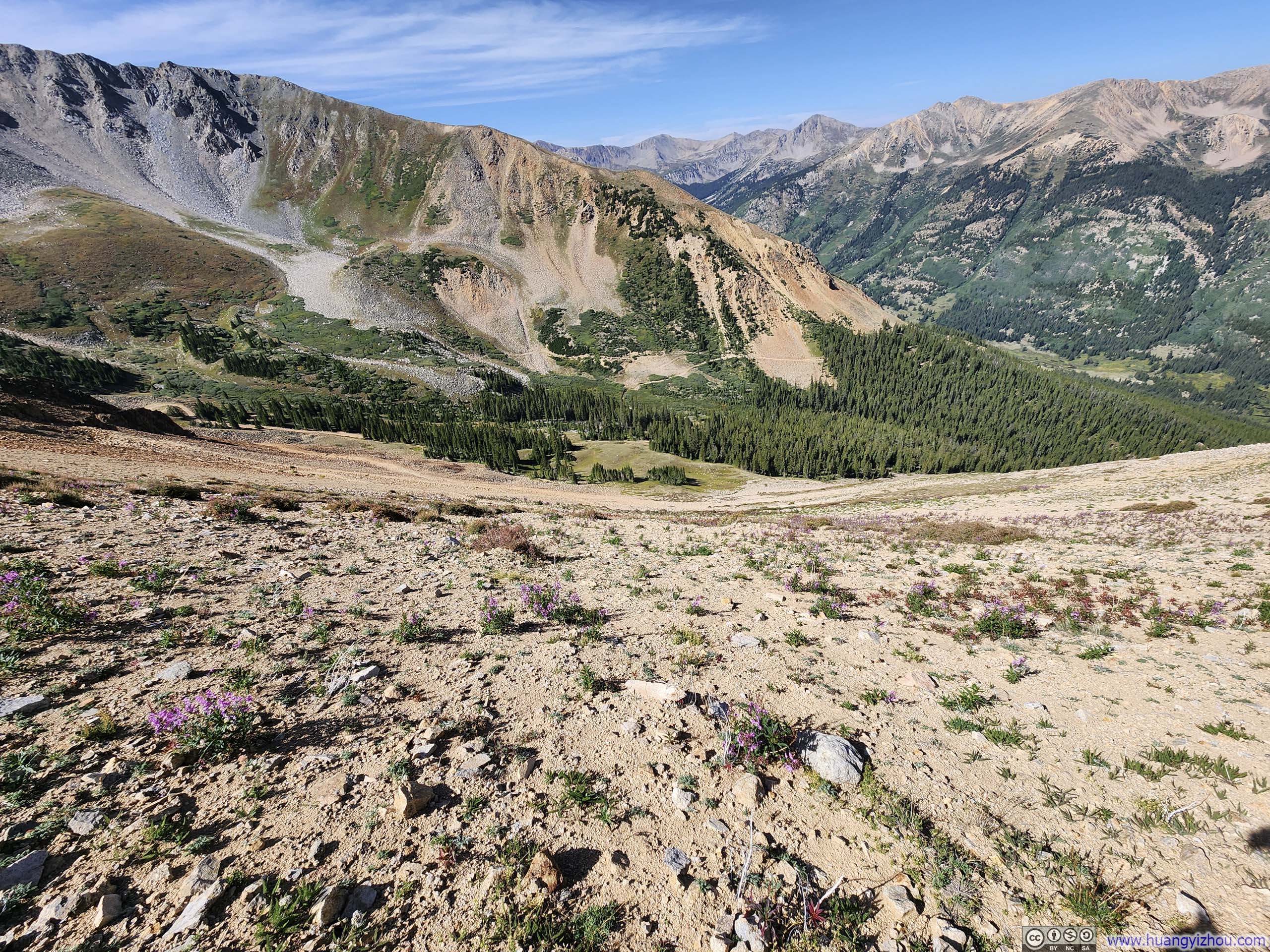
Scenery-wise, I thought the "standard" route was certainly better. The beautiful views of mountains ahead somewhat eased the effort of climbing the switchbacks (slideshow below).
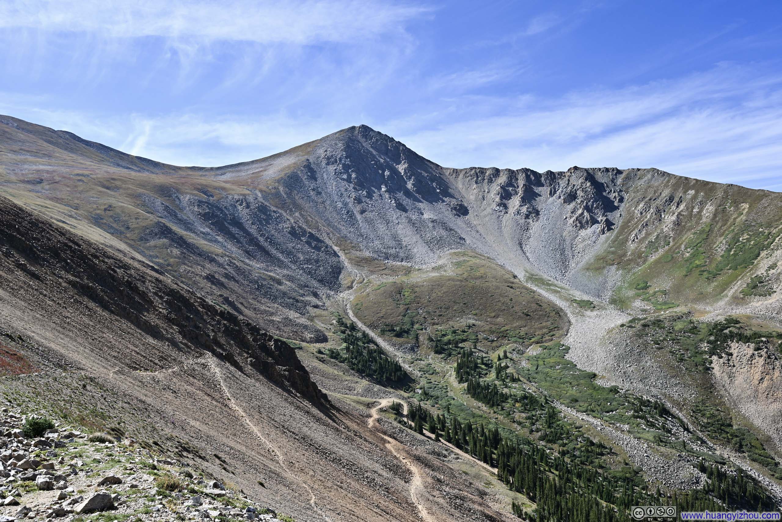
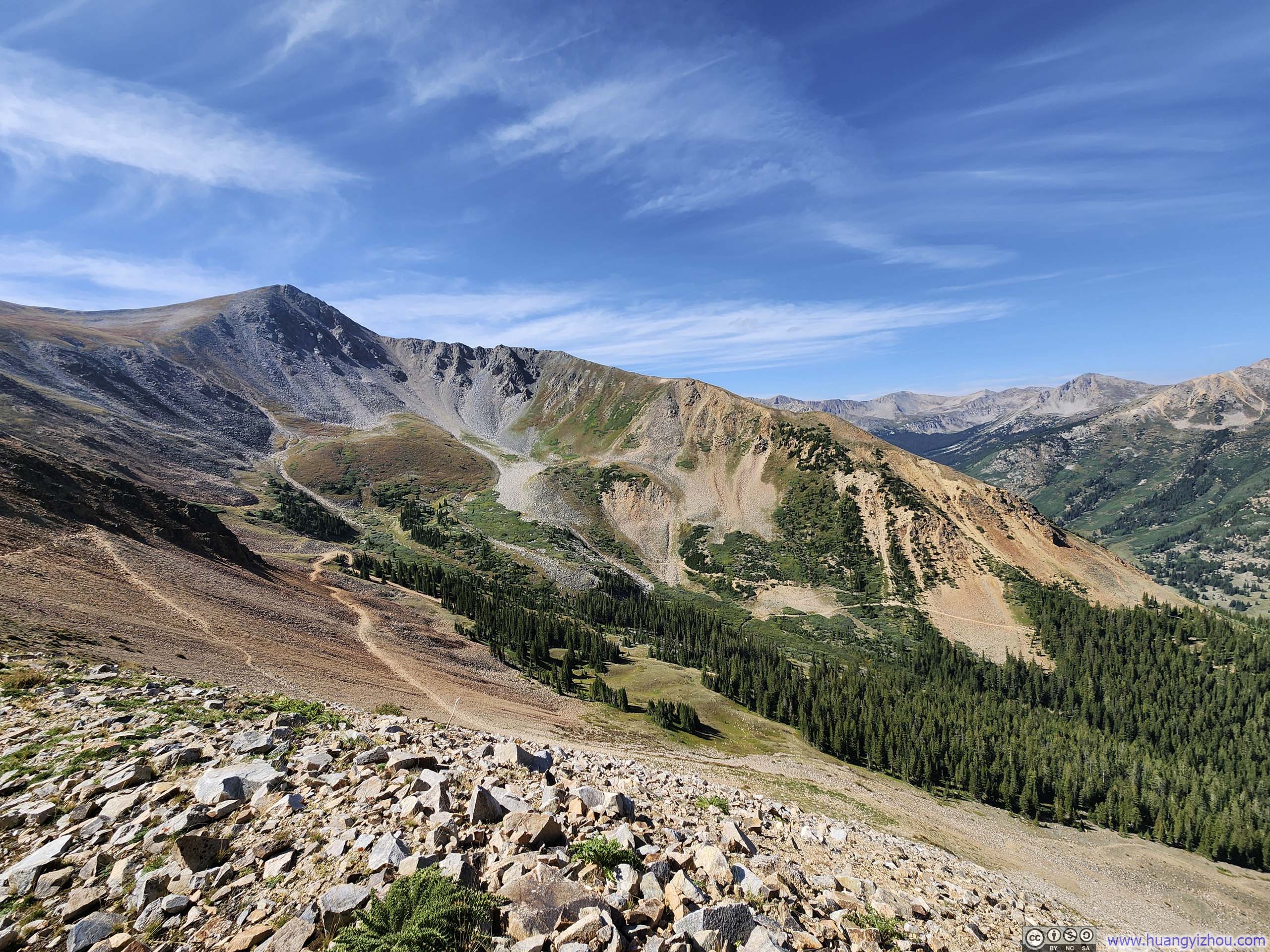
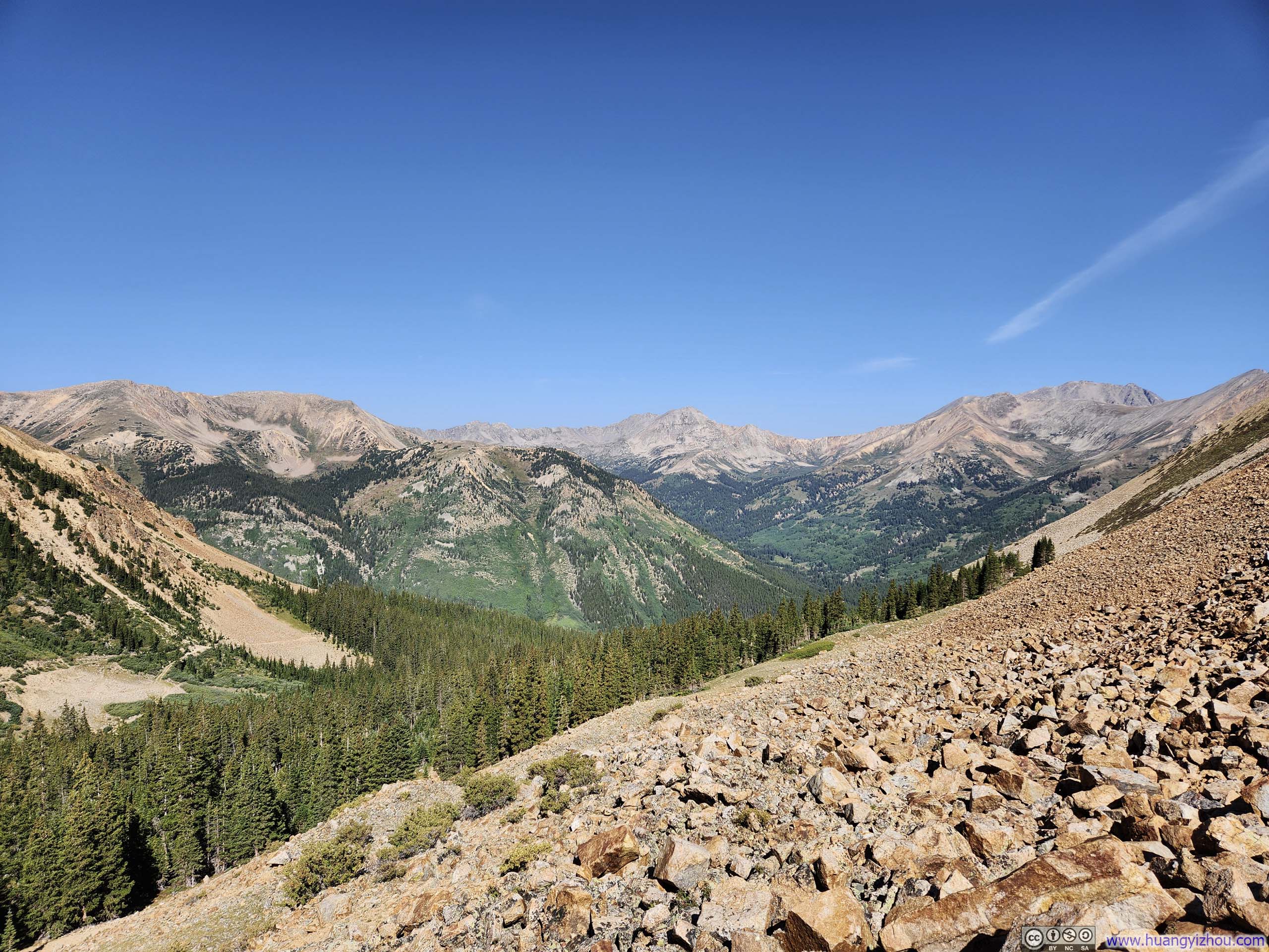
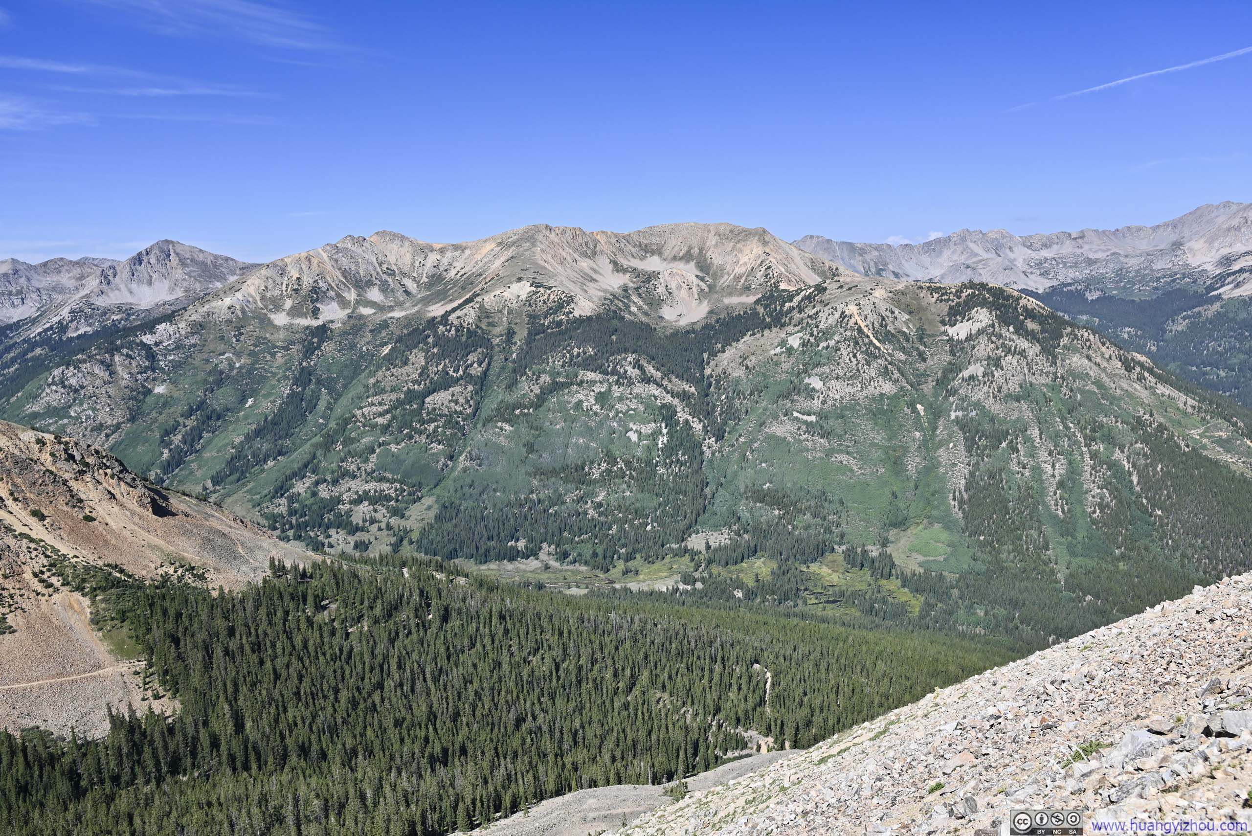
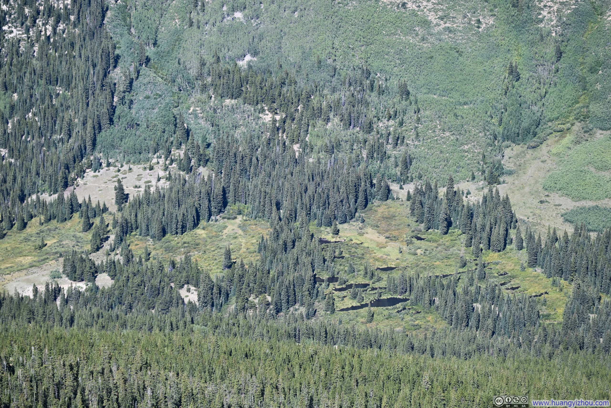
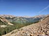
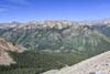
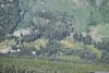
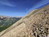
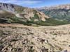
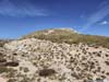
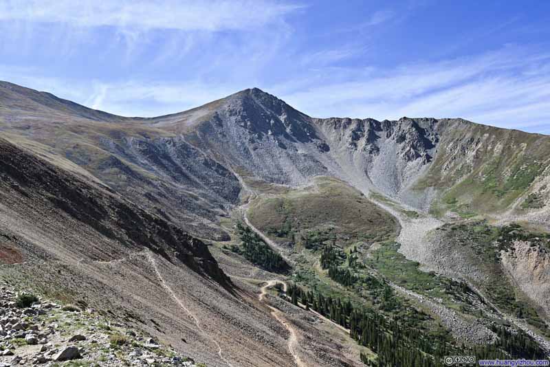
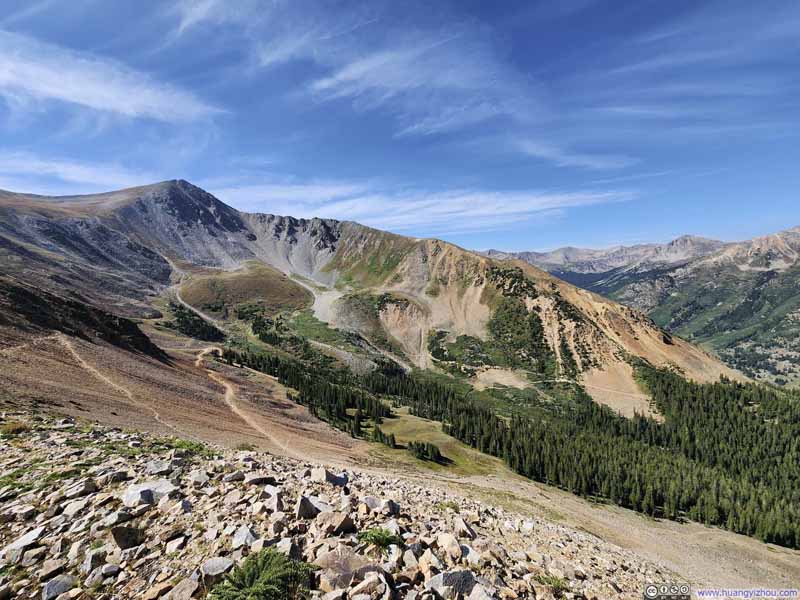
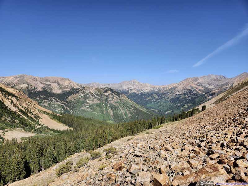
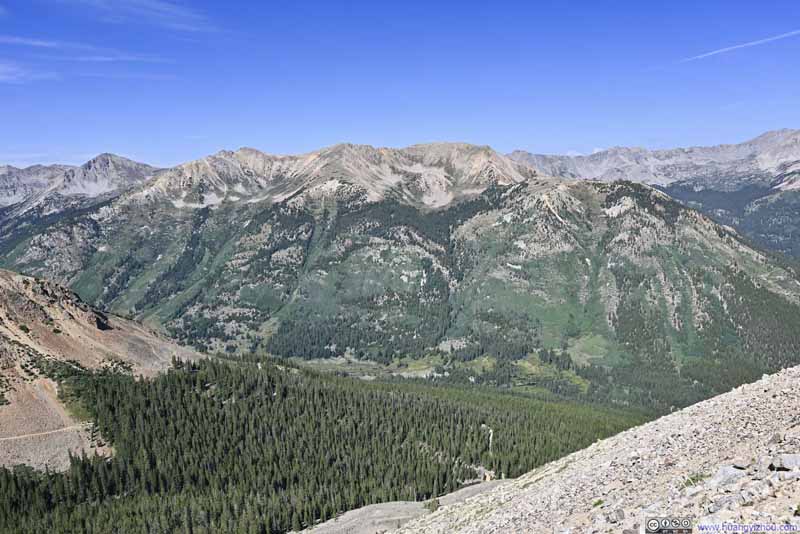
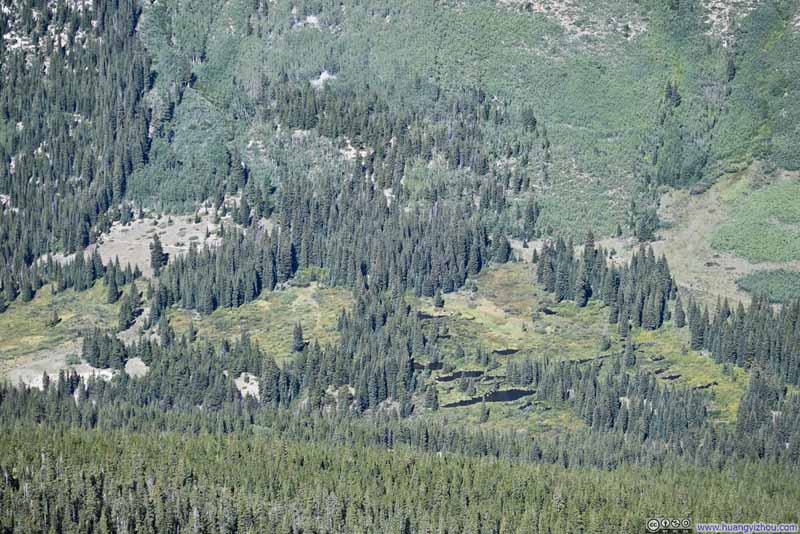
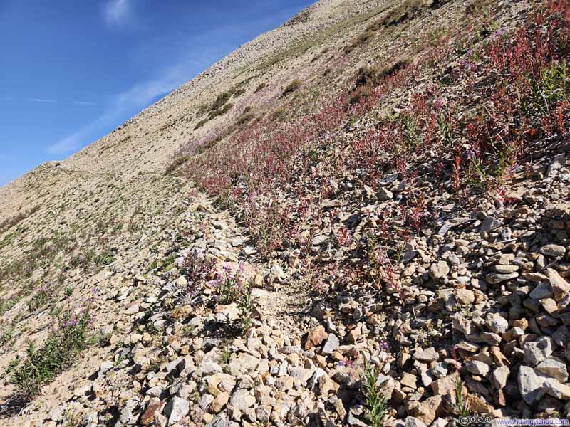
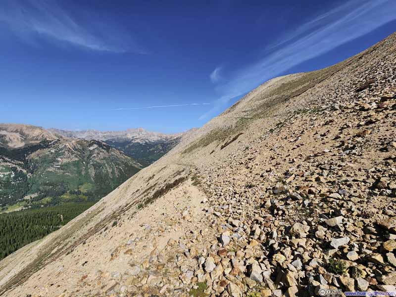
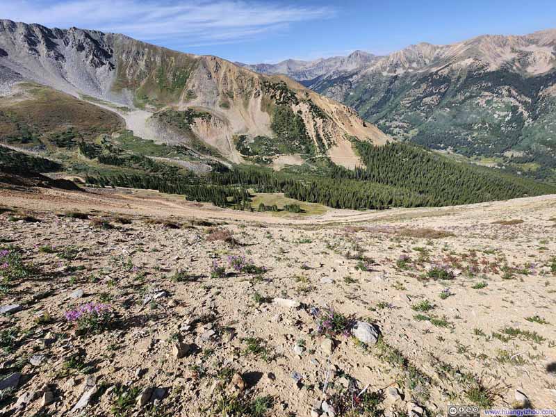
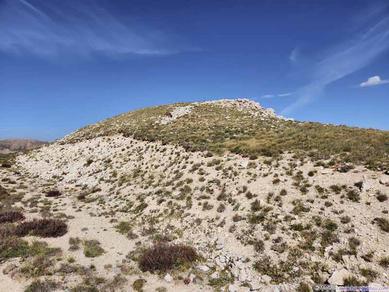
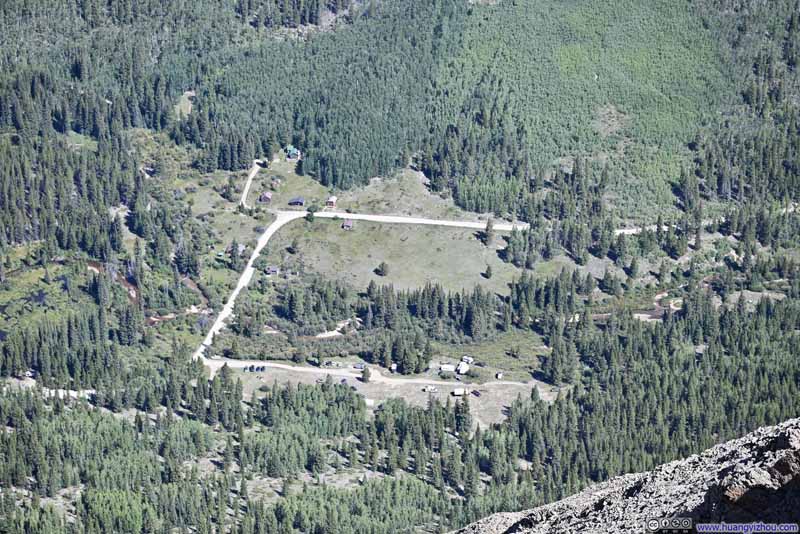
Just a few steps away from the top of the switchbacks, there was an overlook (last photo of the slideshow above) with gorgeous views. A stunning range of mountains stretched across the valley, with the village of Winfield nestled at its base. The depth of the valley was a testament to the progress I had made.

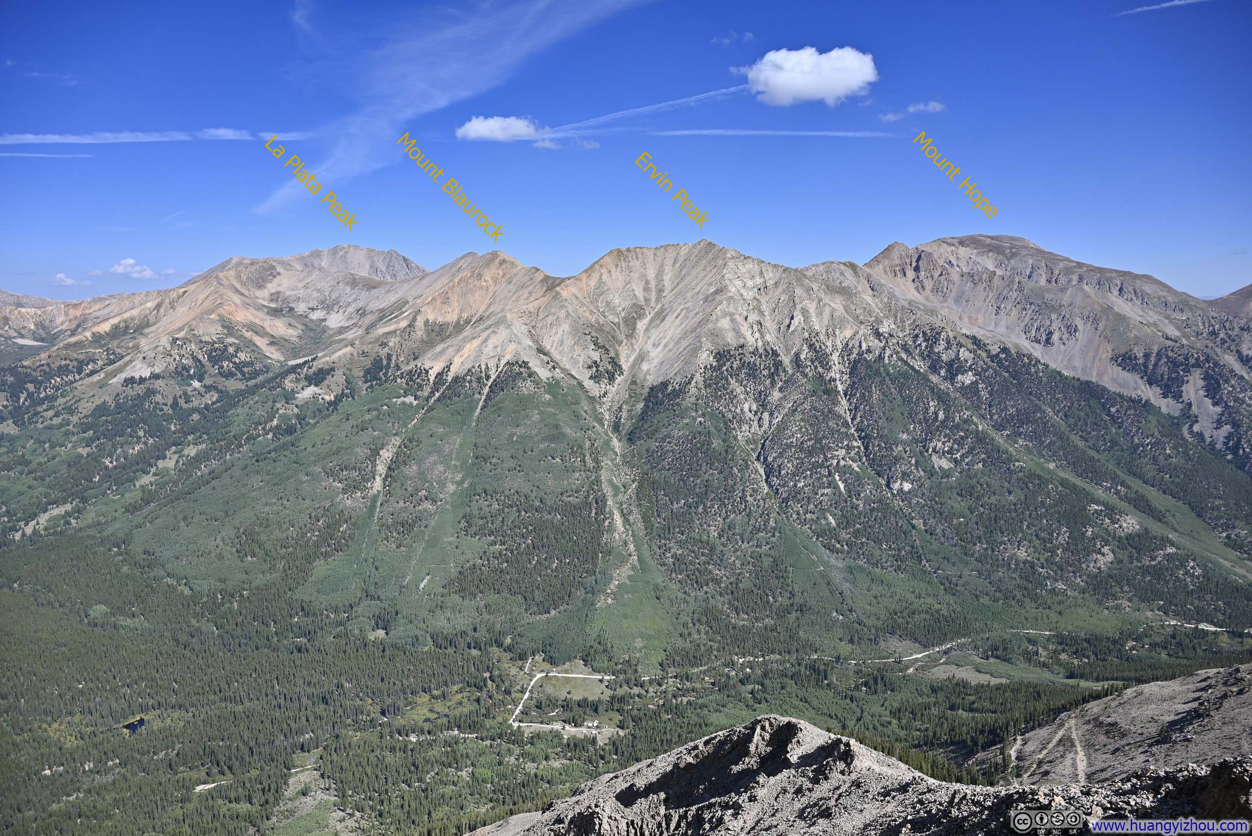
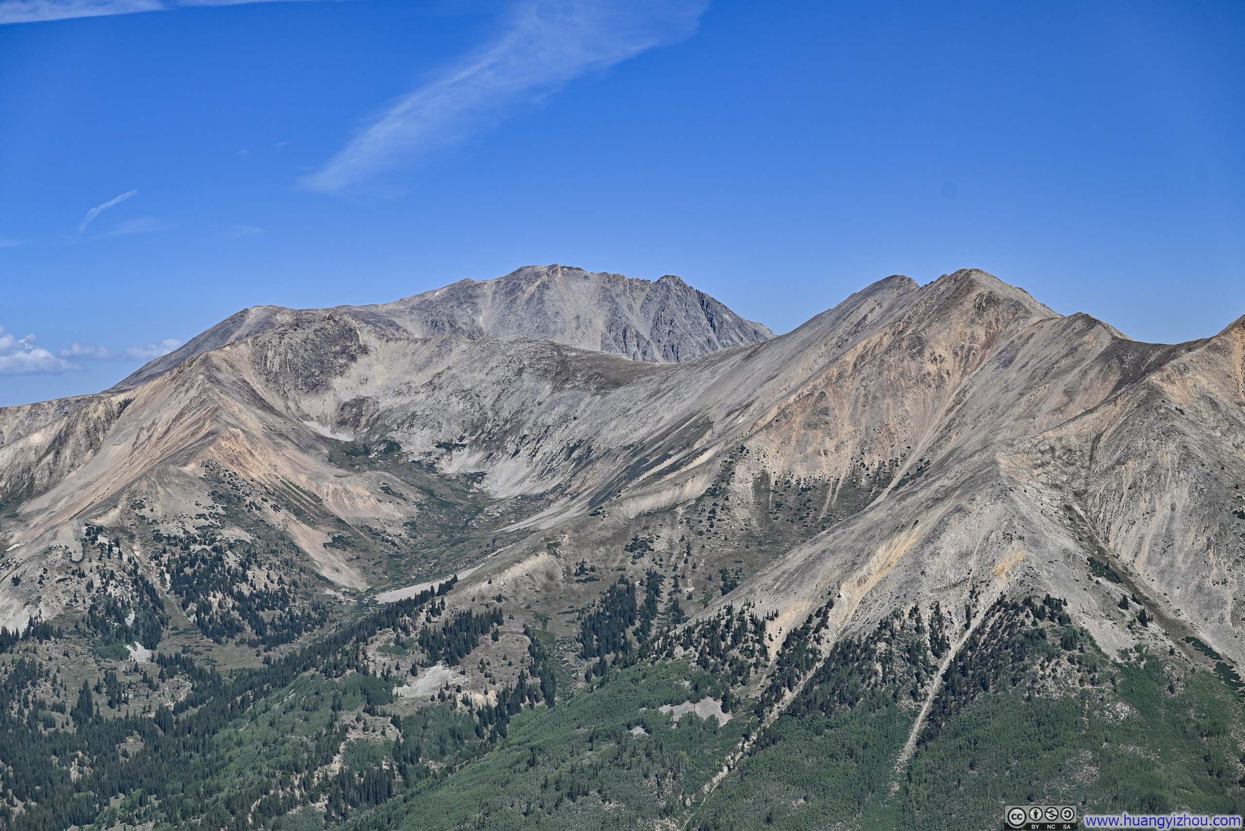
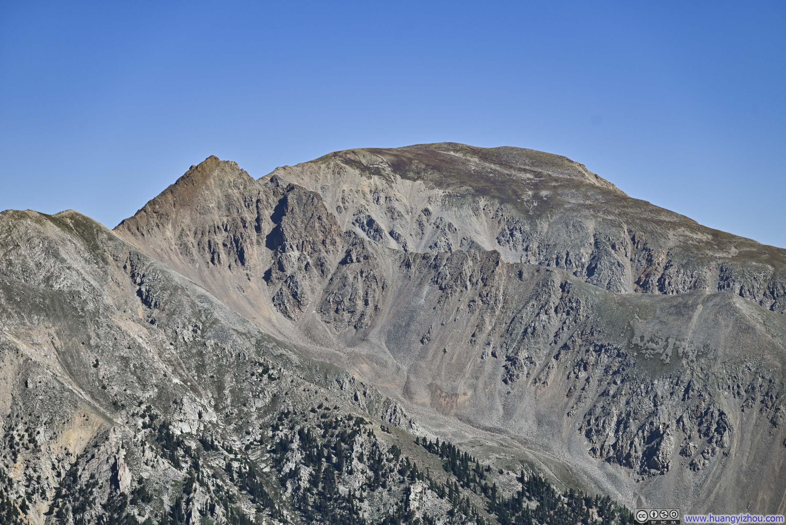
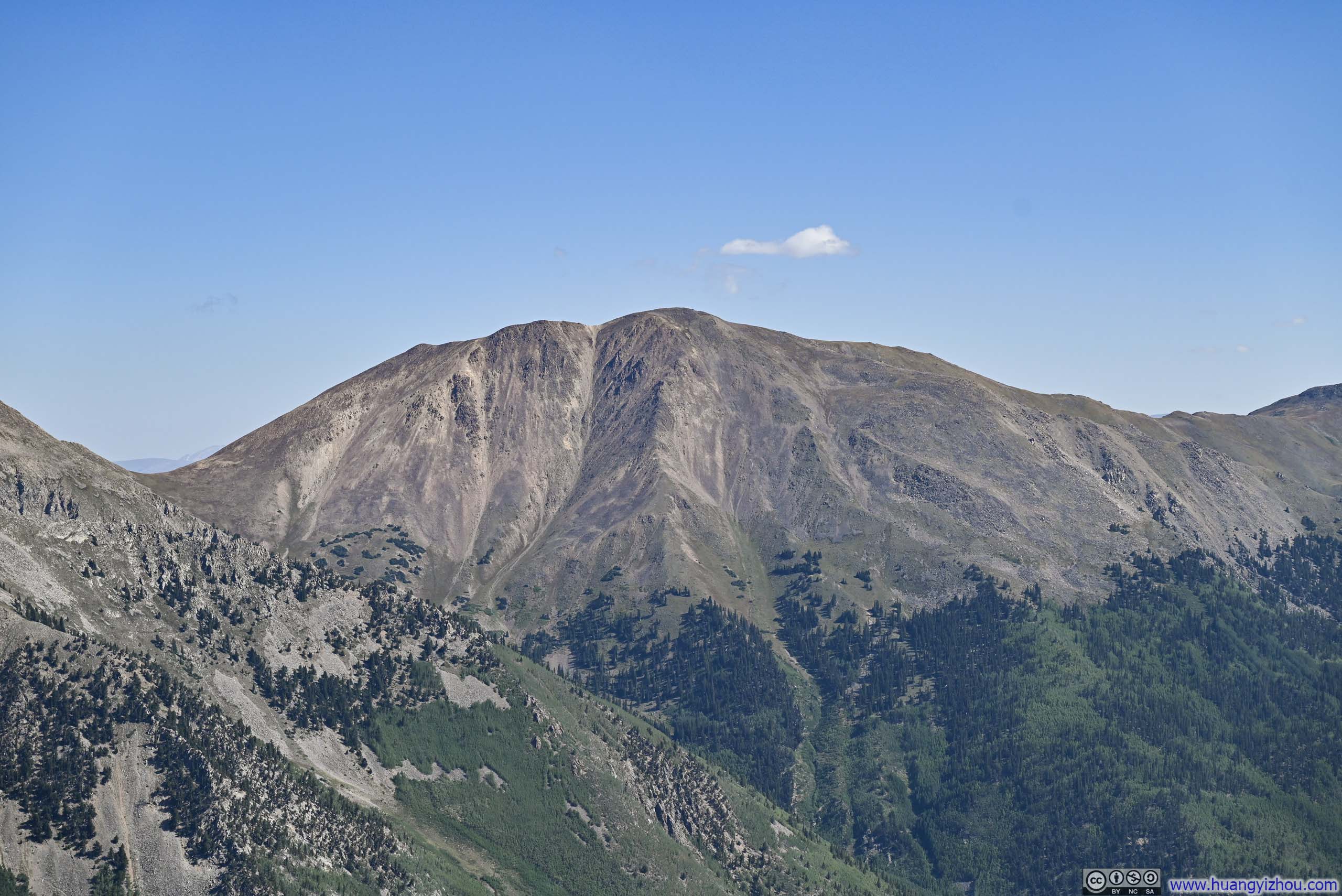
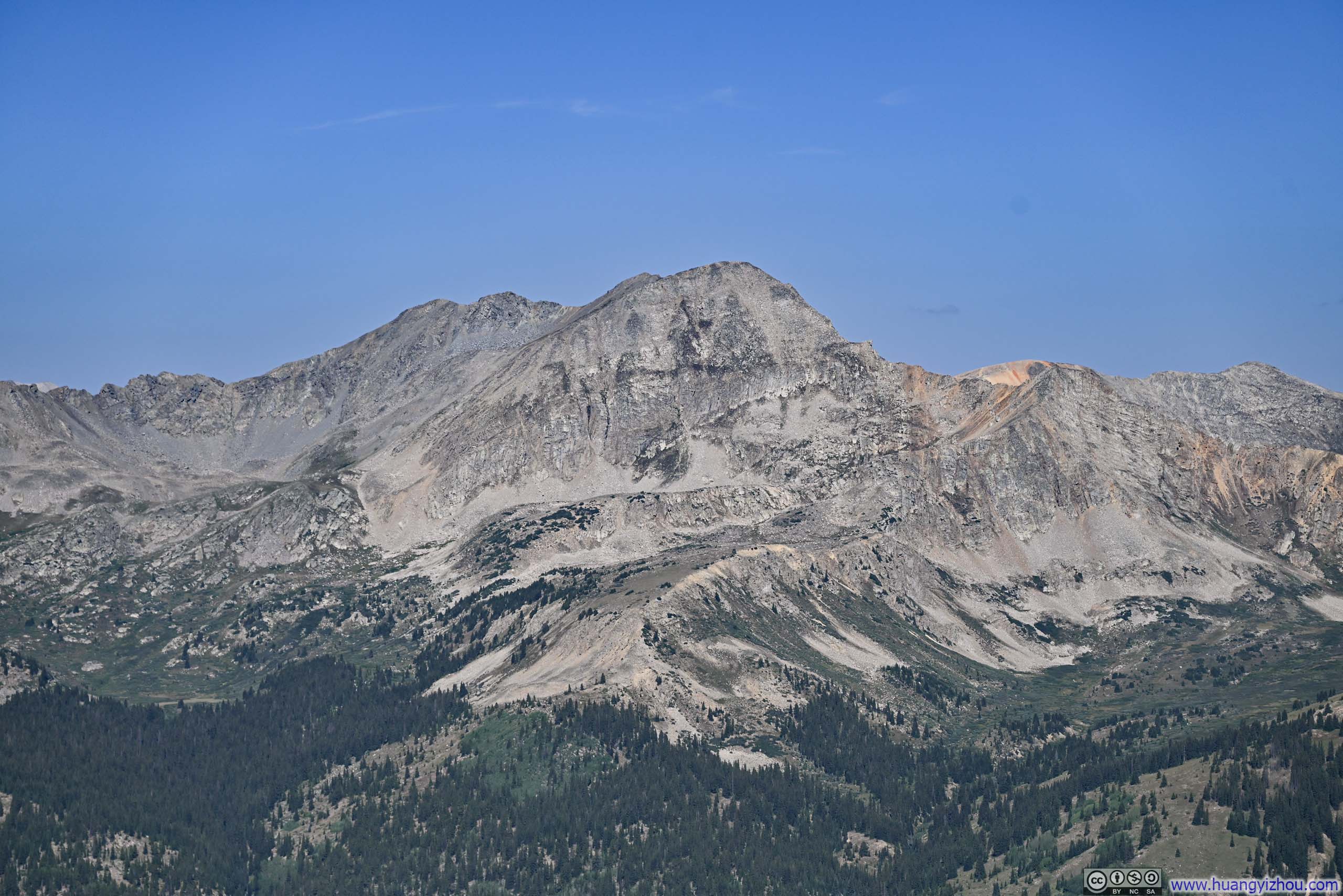
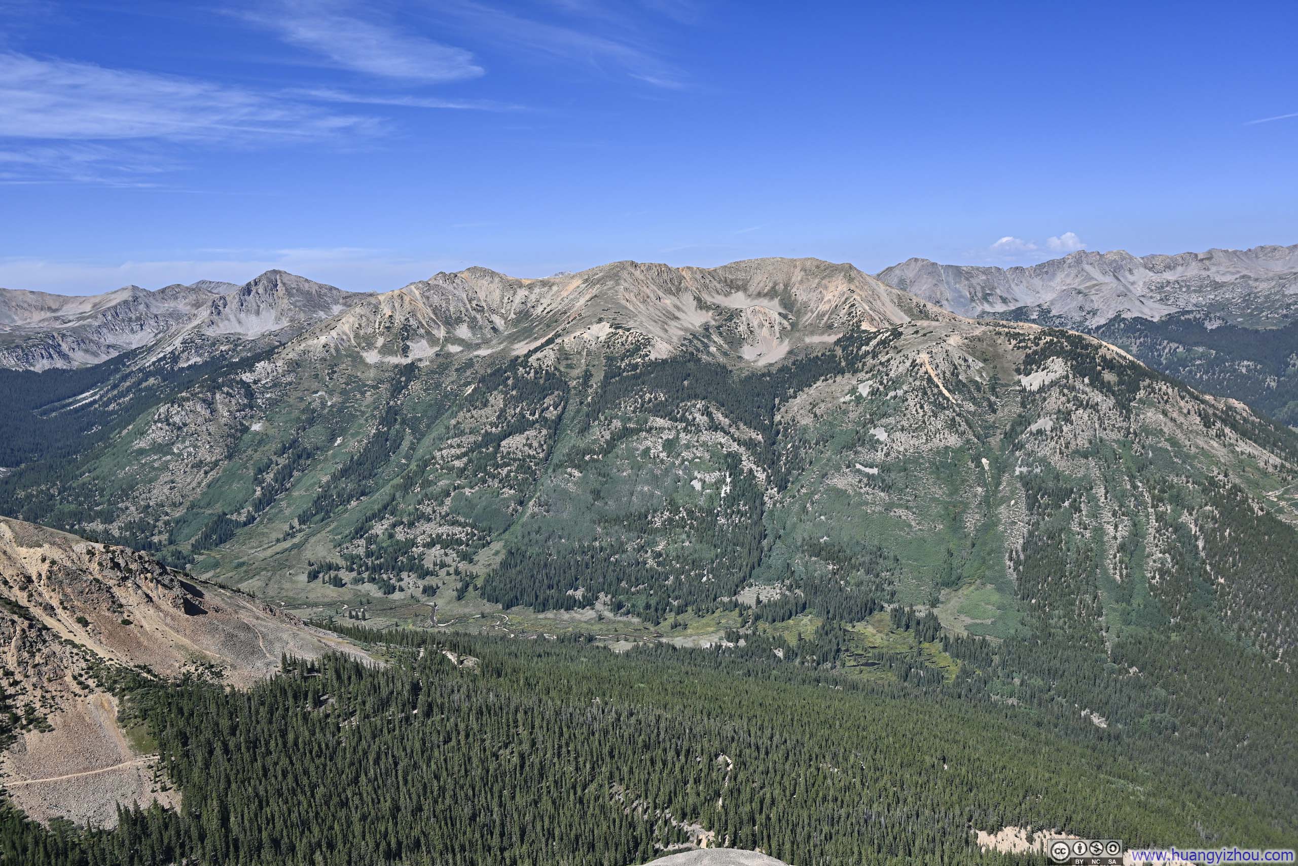
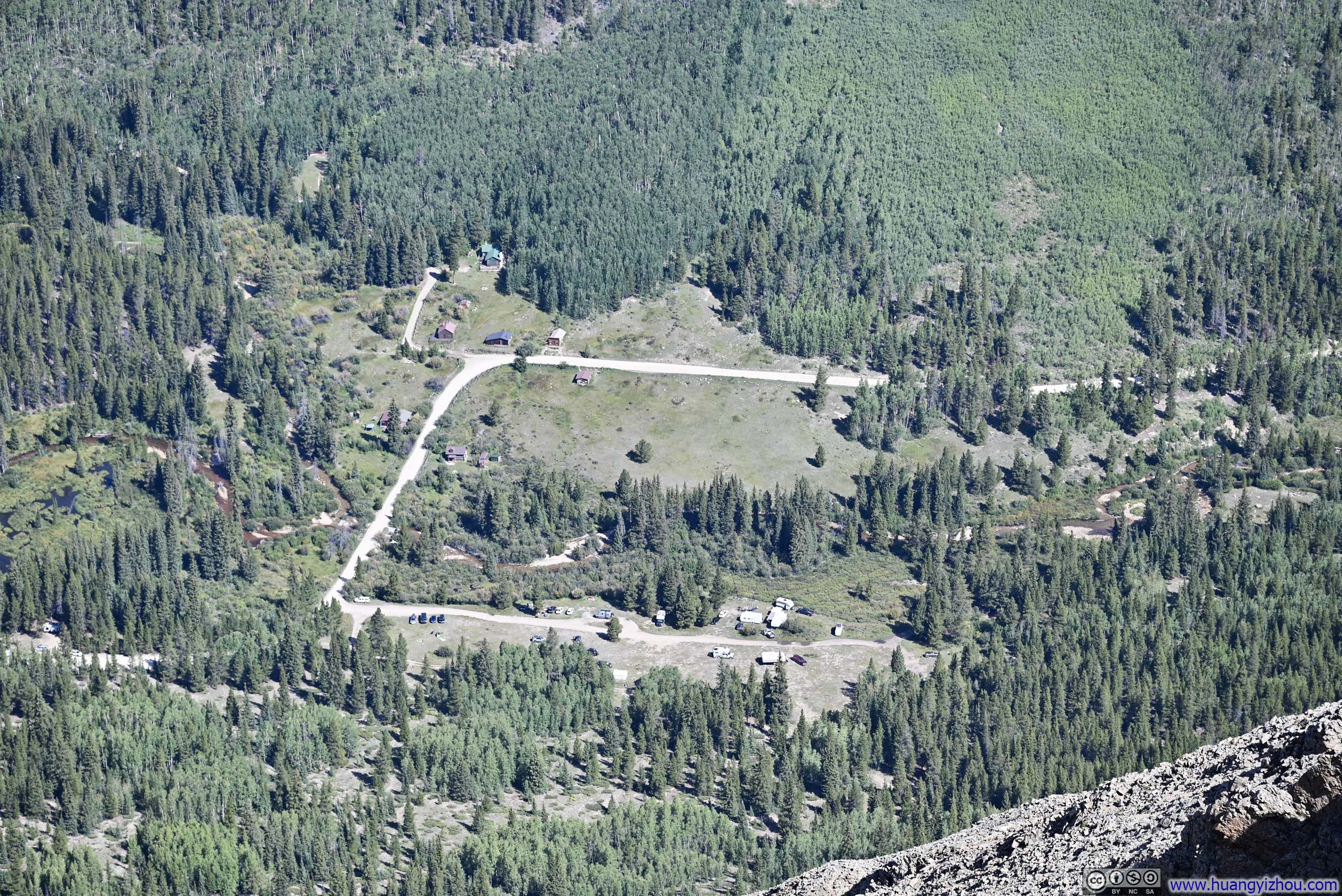
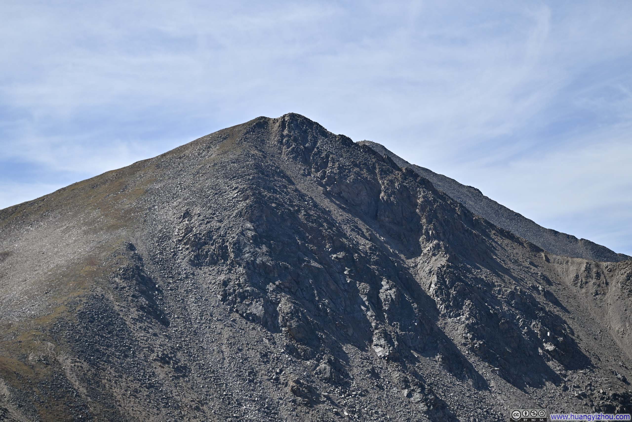
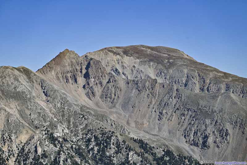
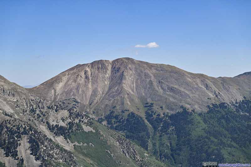
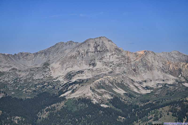
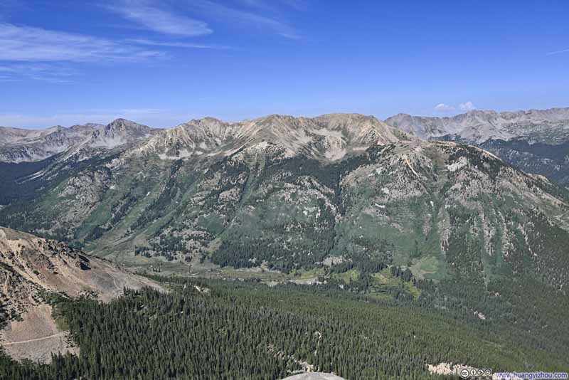
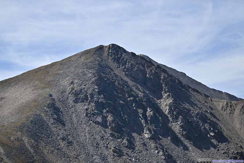
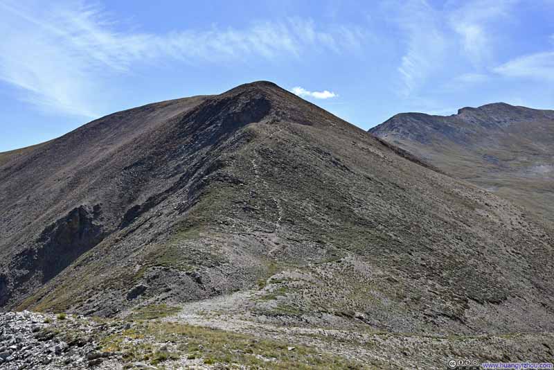
Leaving the overlook, the trail largely followed a ridge towards Middle Mountain.
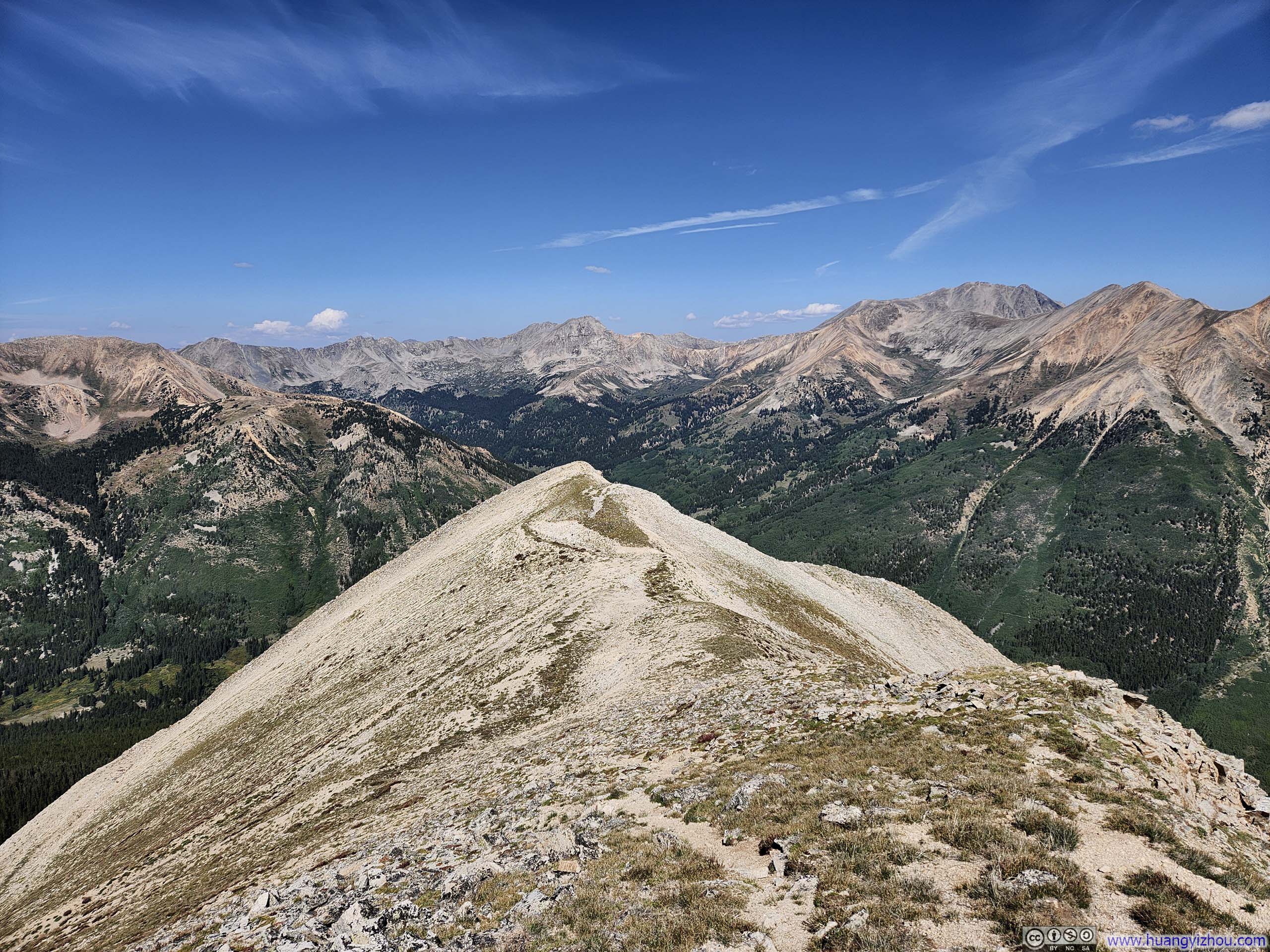
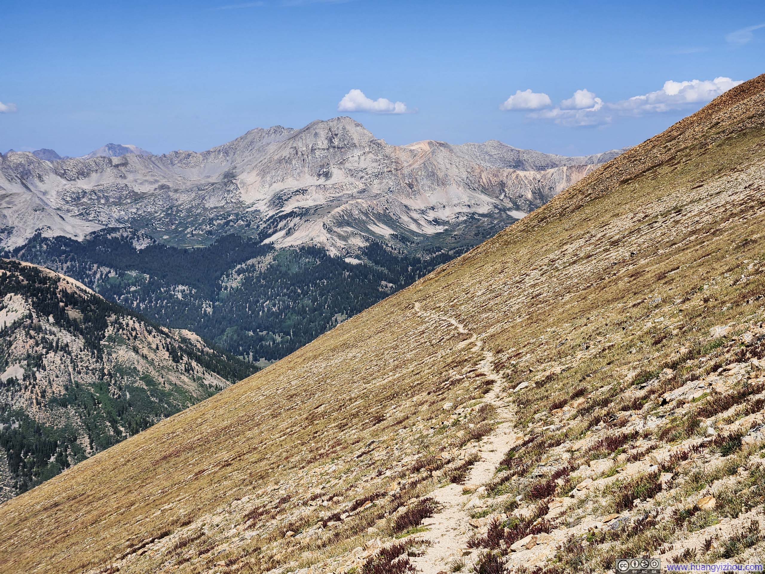
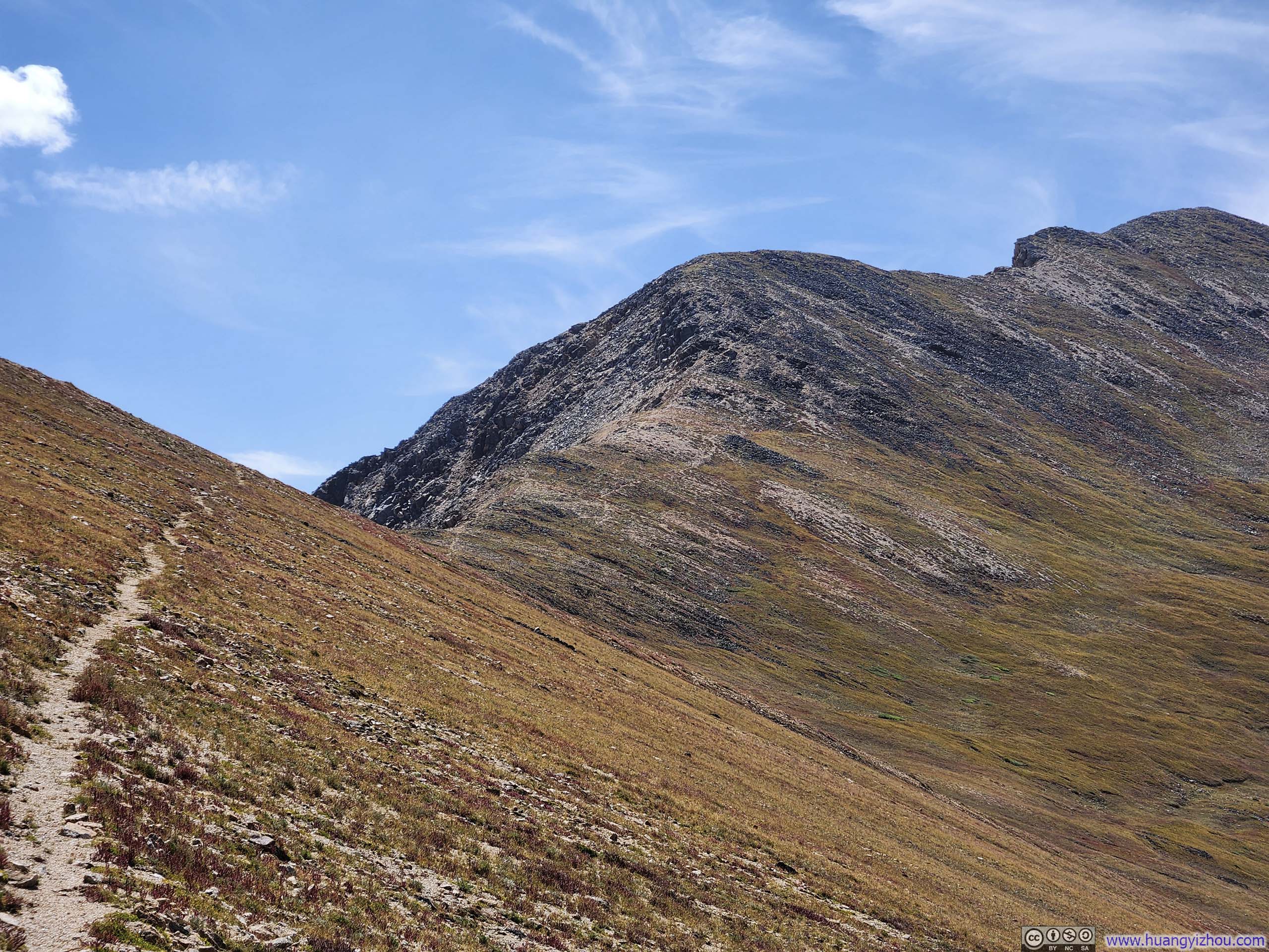
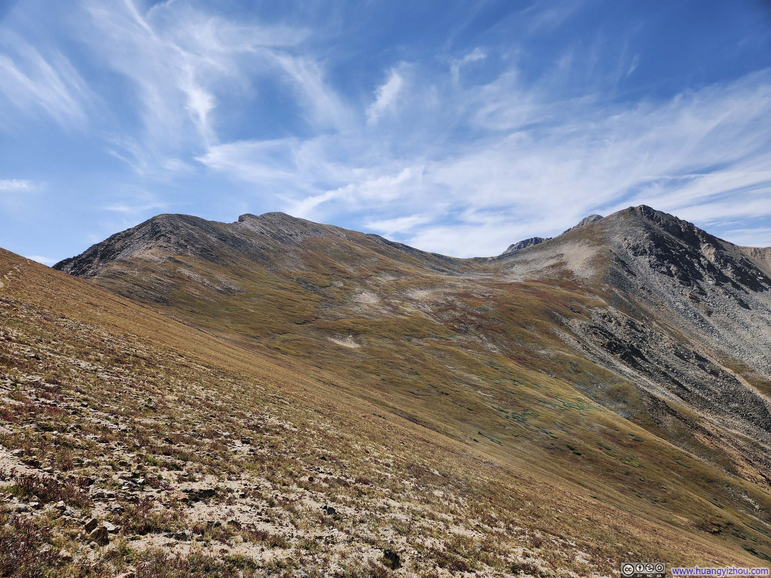
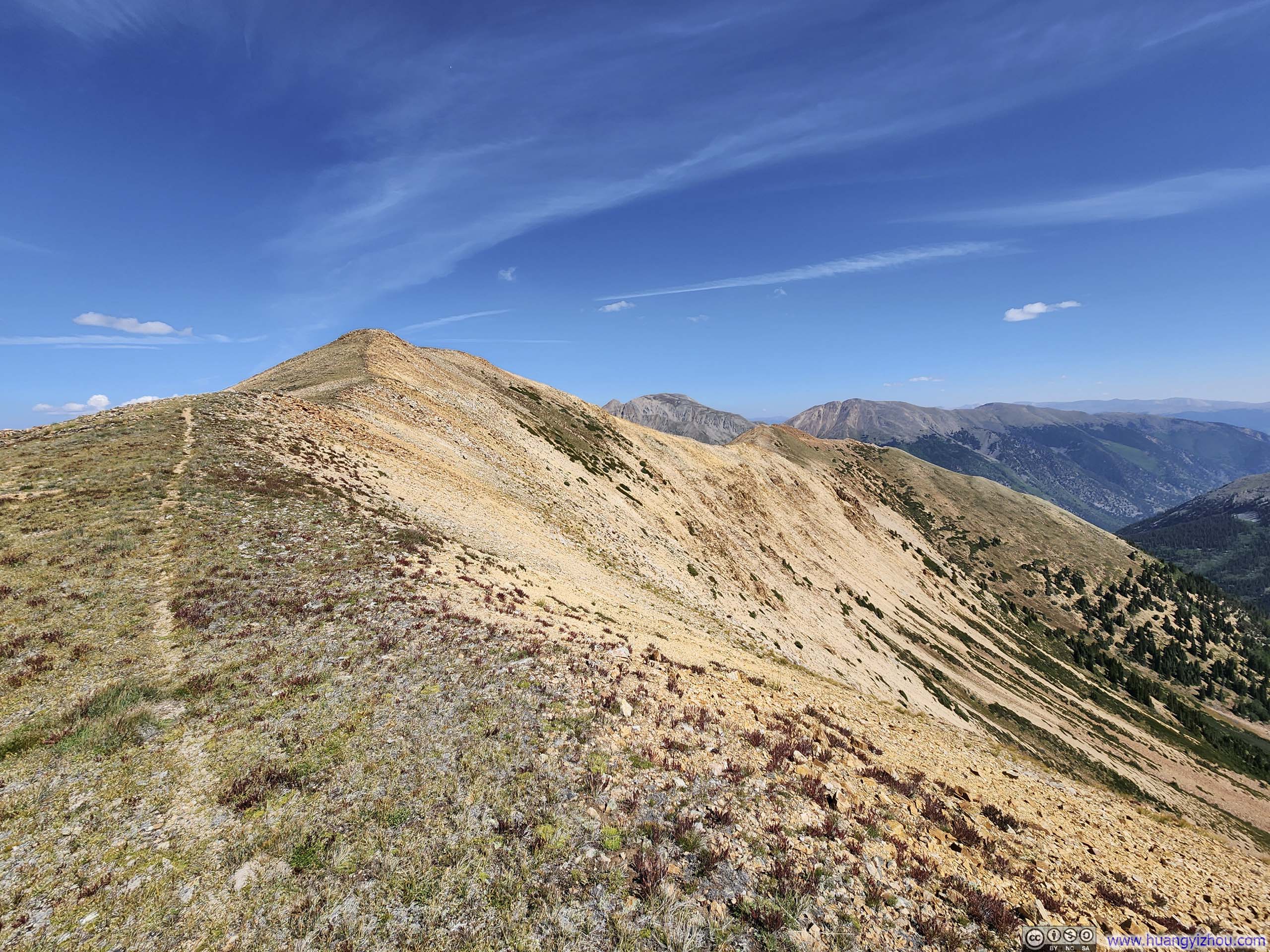
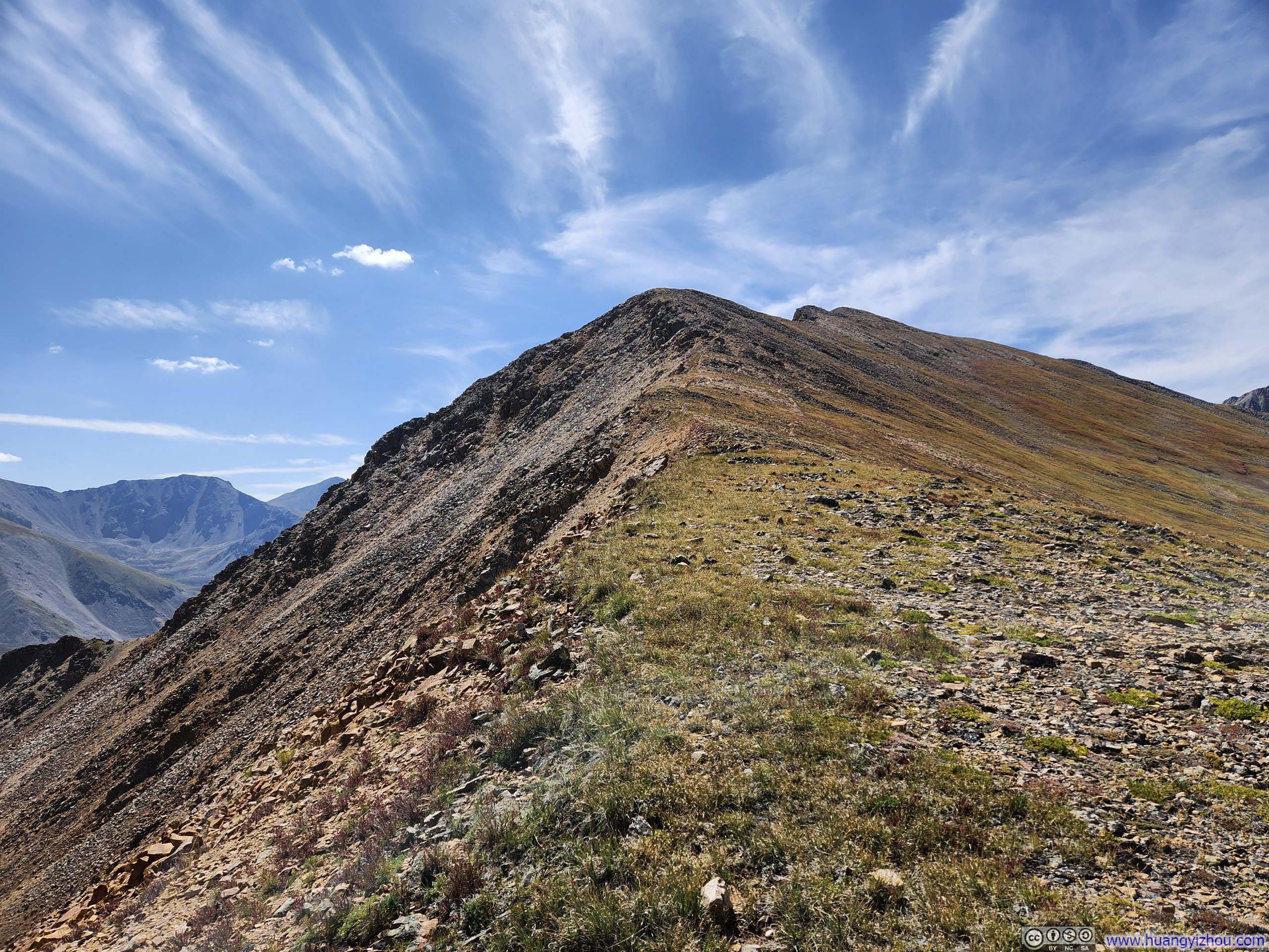
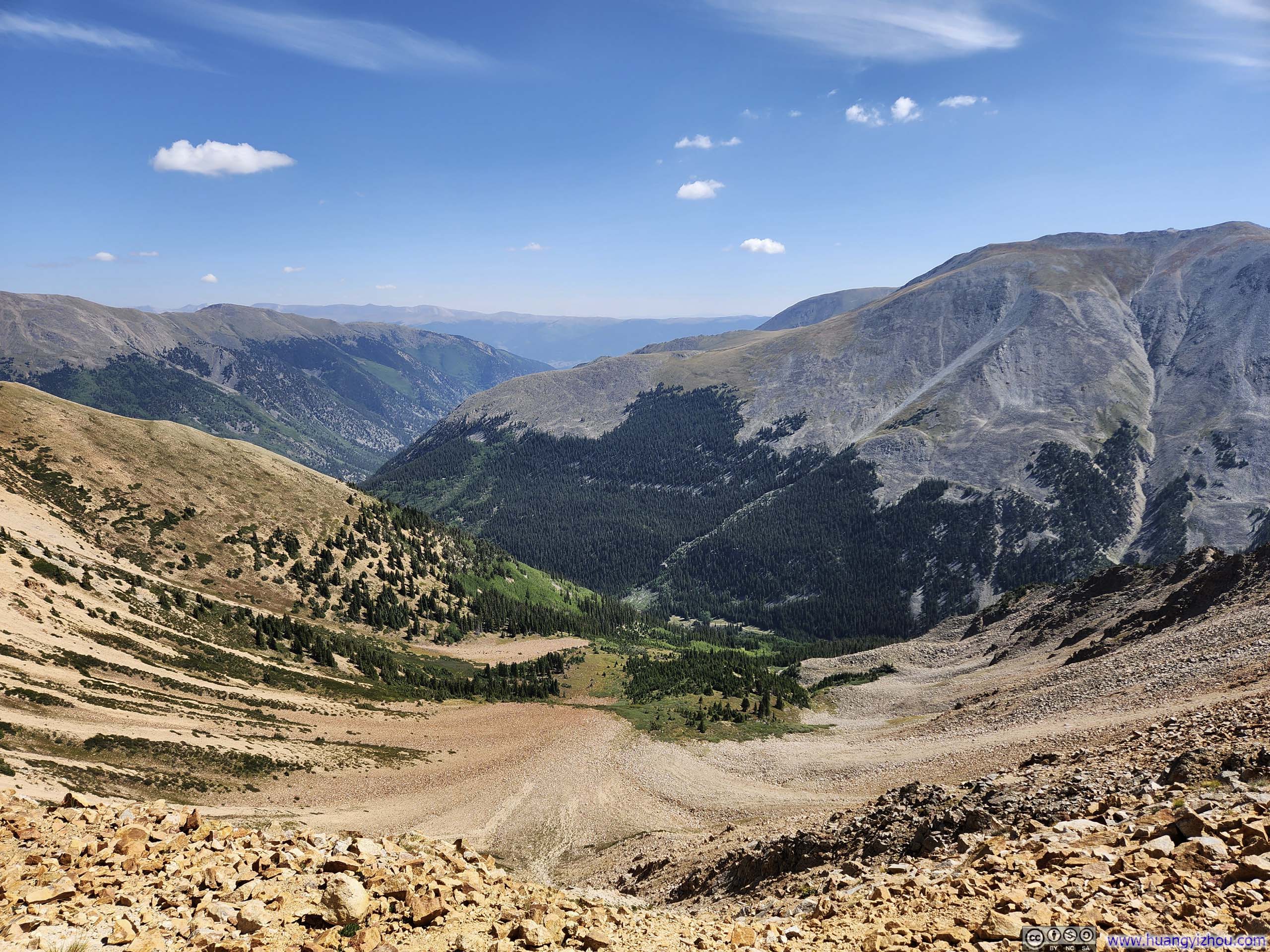
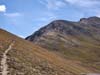
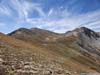
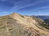
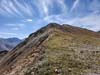
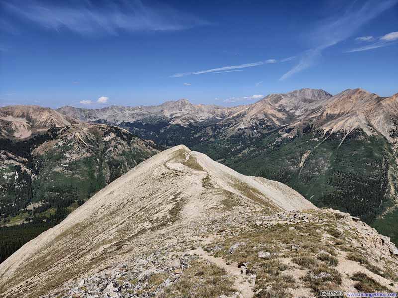
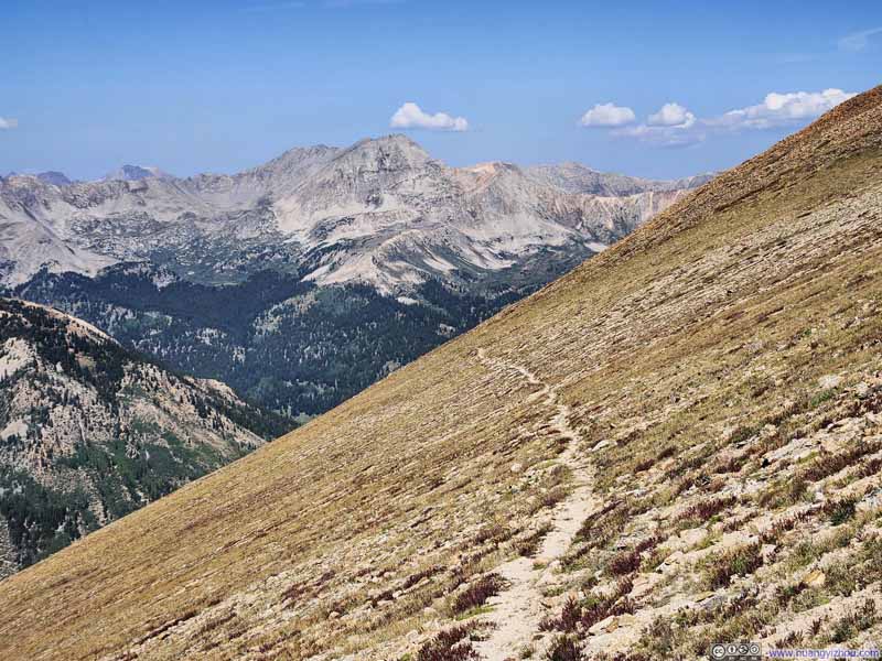
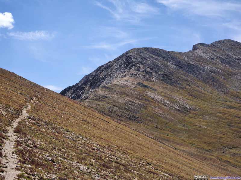
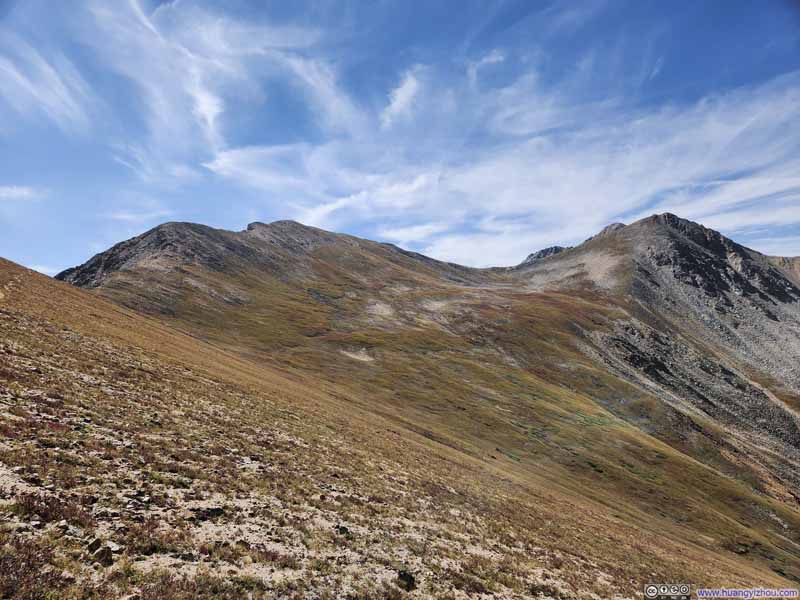
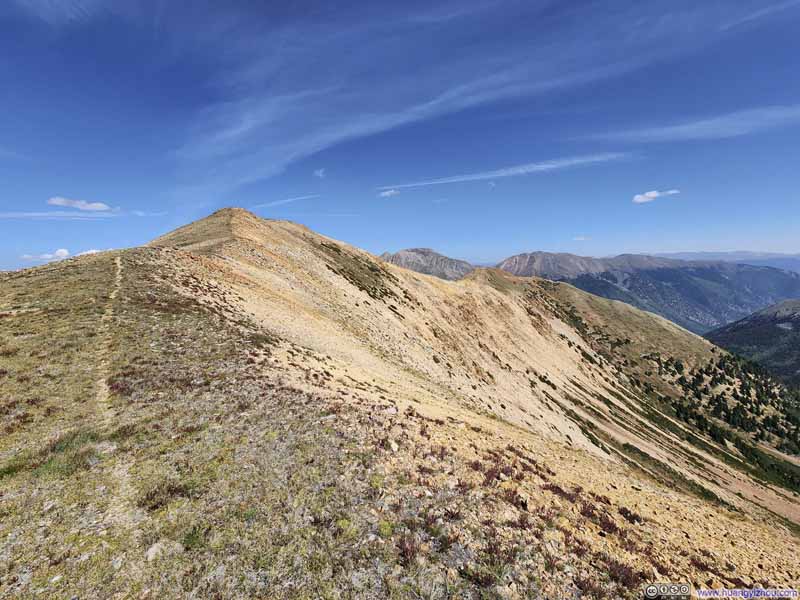
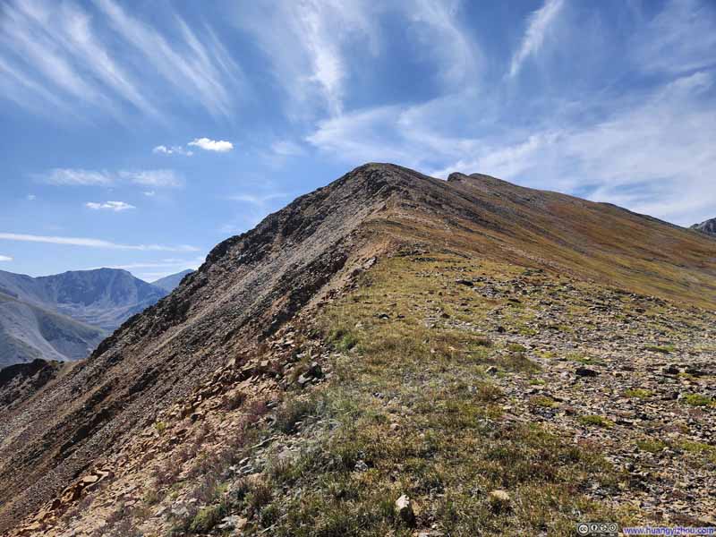
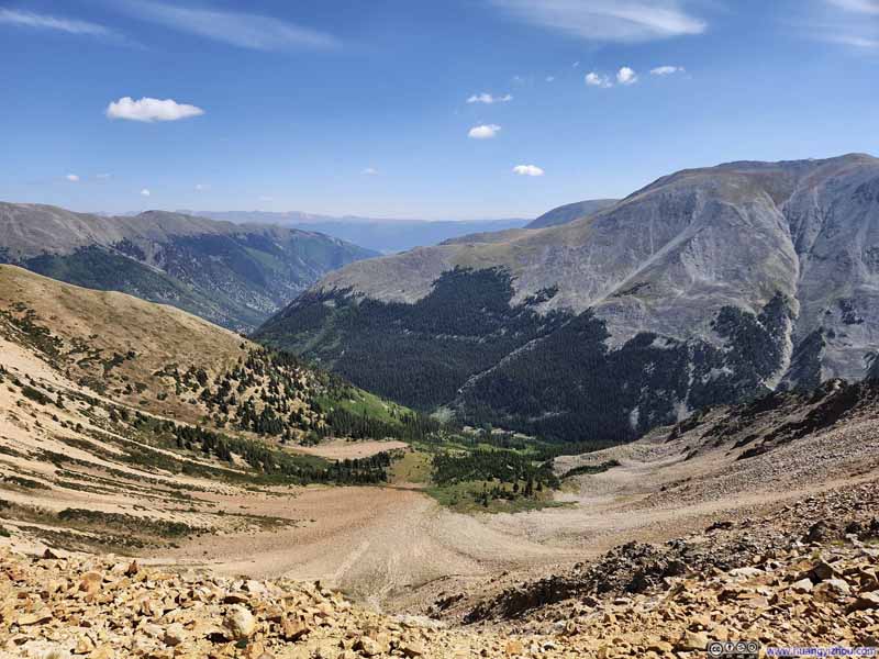
Just as the trail passed next to Middle Mountain, I started to feel a bit uneasy, as if my body and legs were reluctant to move. This was likely due to the altitude, although at that time I was below 4000m / 13000ft, and I was under the impression that I should be better than that. Additionally, the trail grew faint after leaving Middle Mountain. Whatever faint traces that I could find led to a small hill (UN13462).
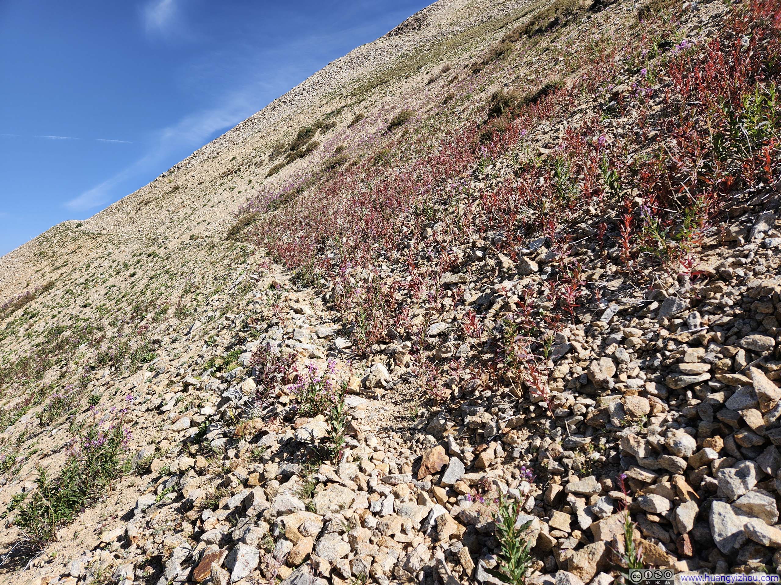
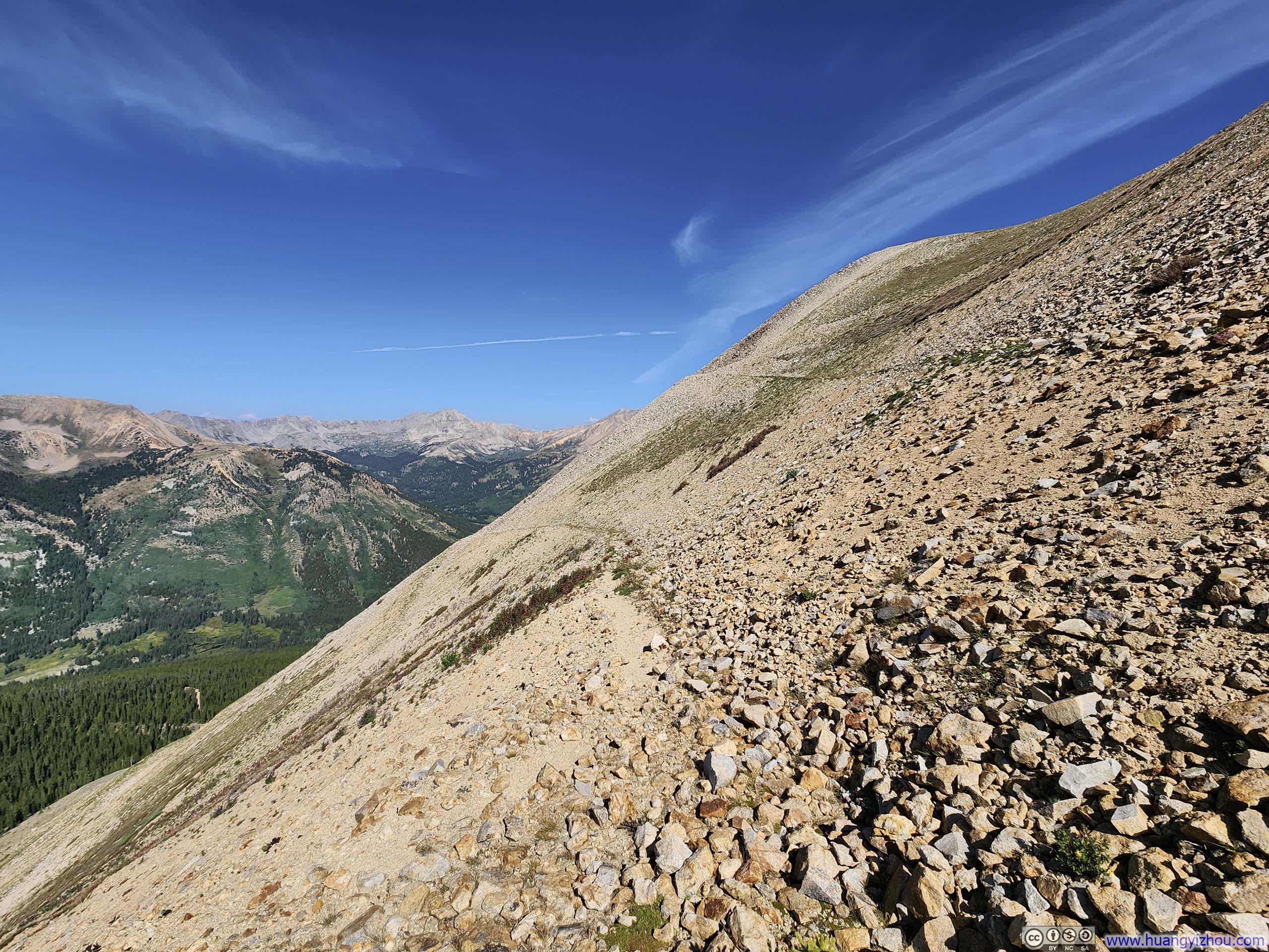
Given the state of my body, I decided not to follow the trail up and over UN13462. Instead, I would aim for the saddle point between UN13462 and Browns Peak, essentially sidehilling across UN13462. This was the AllTrails route. The side of UN13462 was rocky, but the camber was small. Crucially, the relatively lack of elevation gain meant it wasn't straining my body.
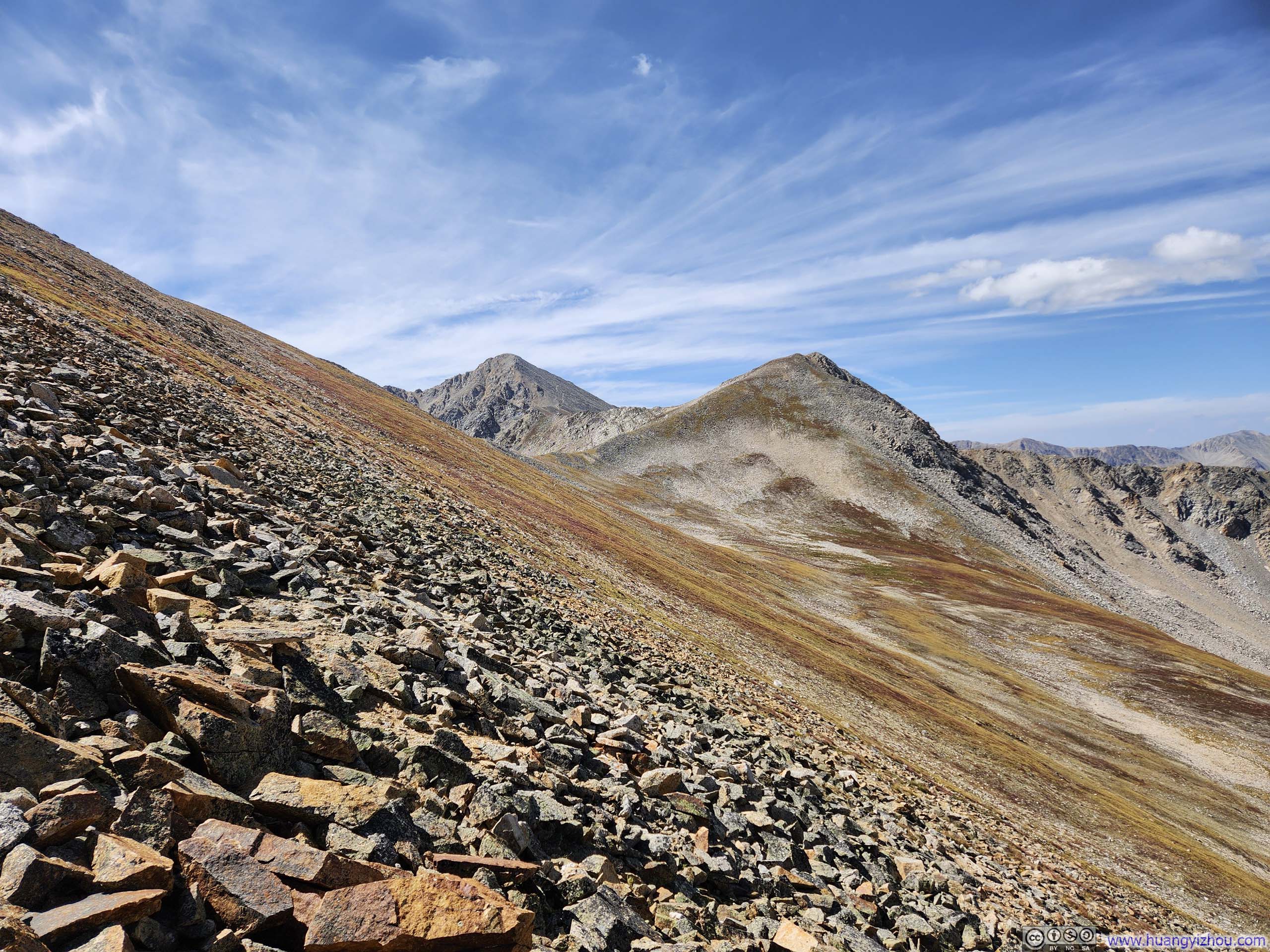
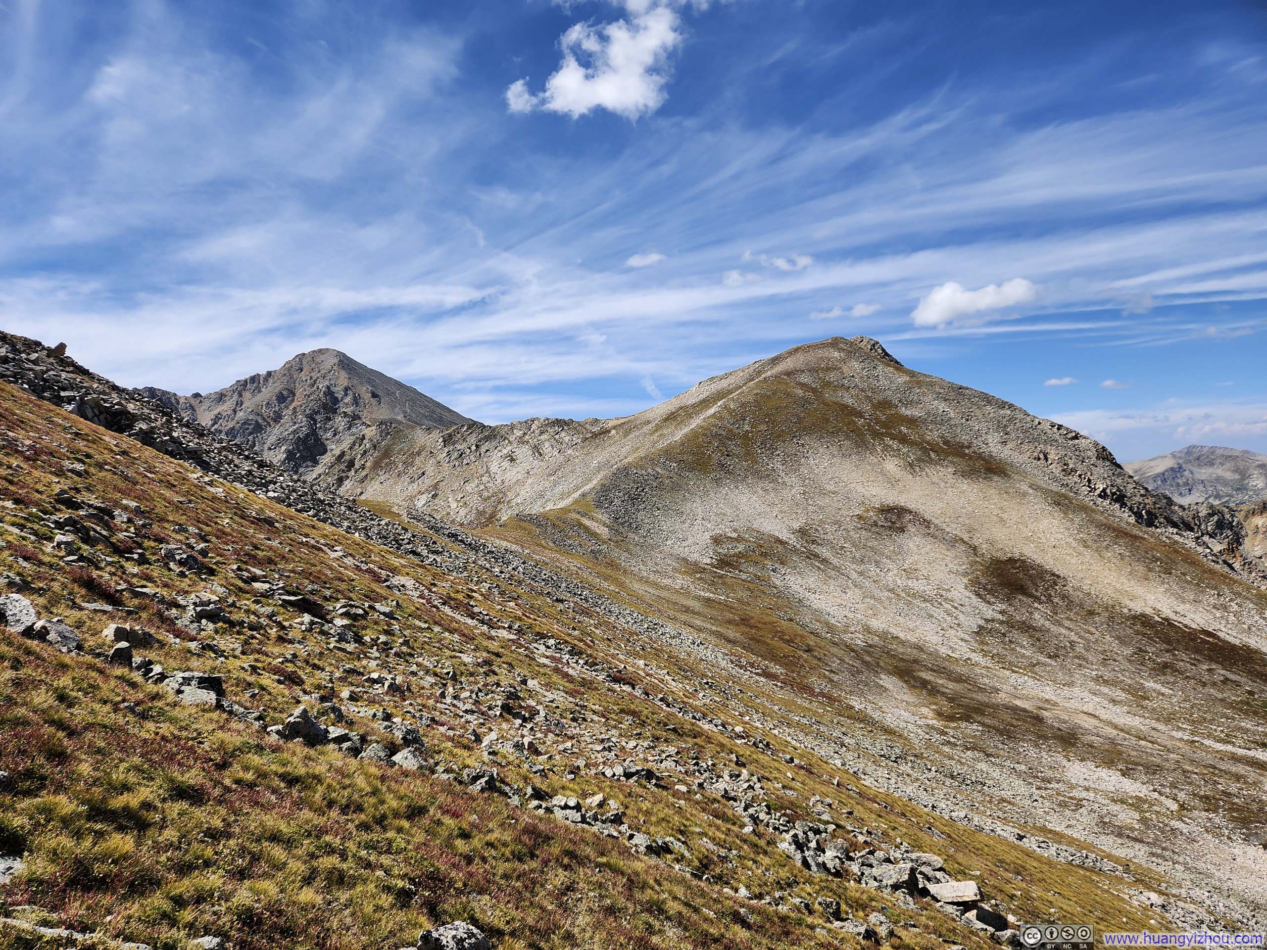

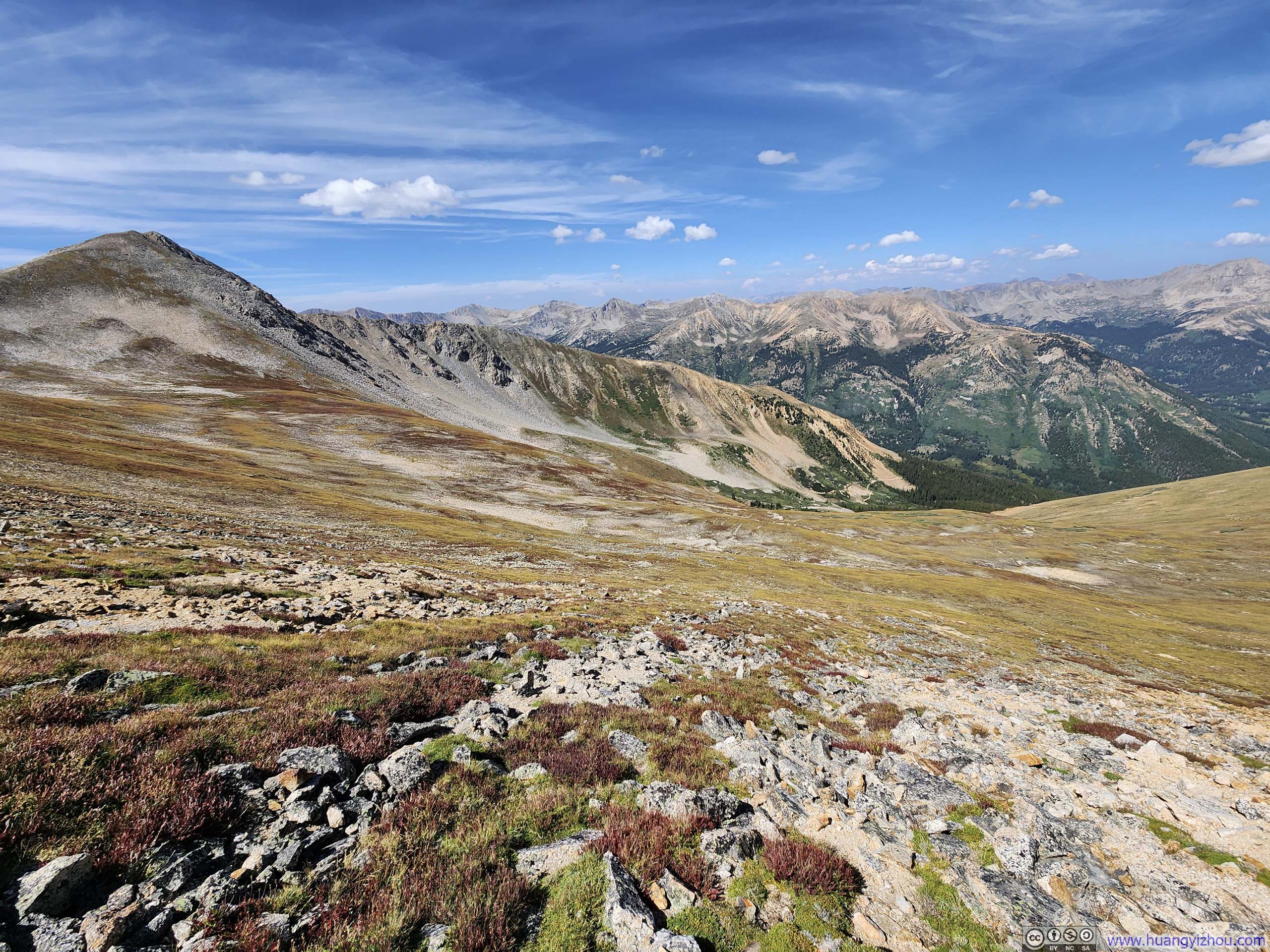
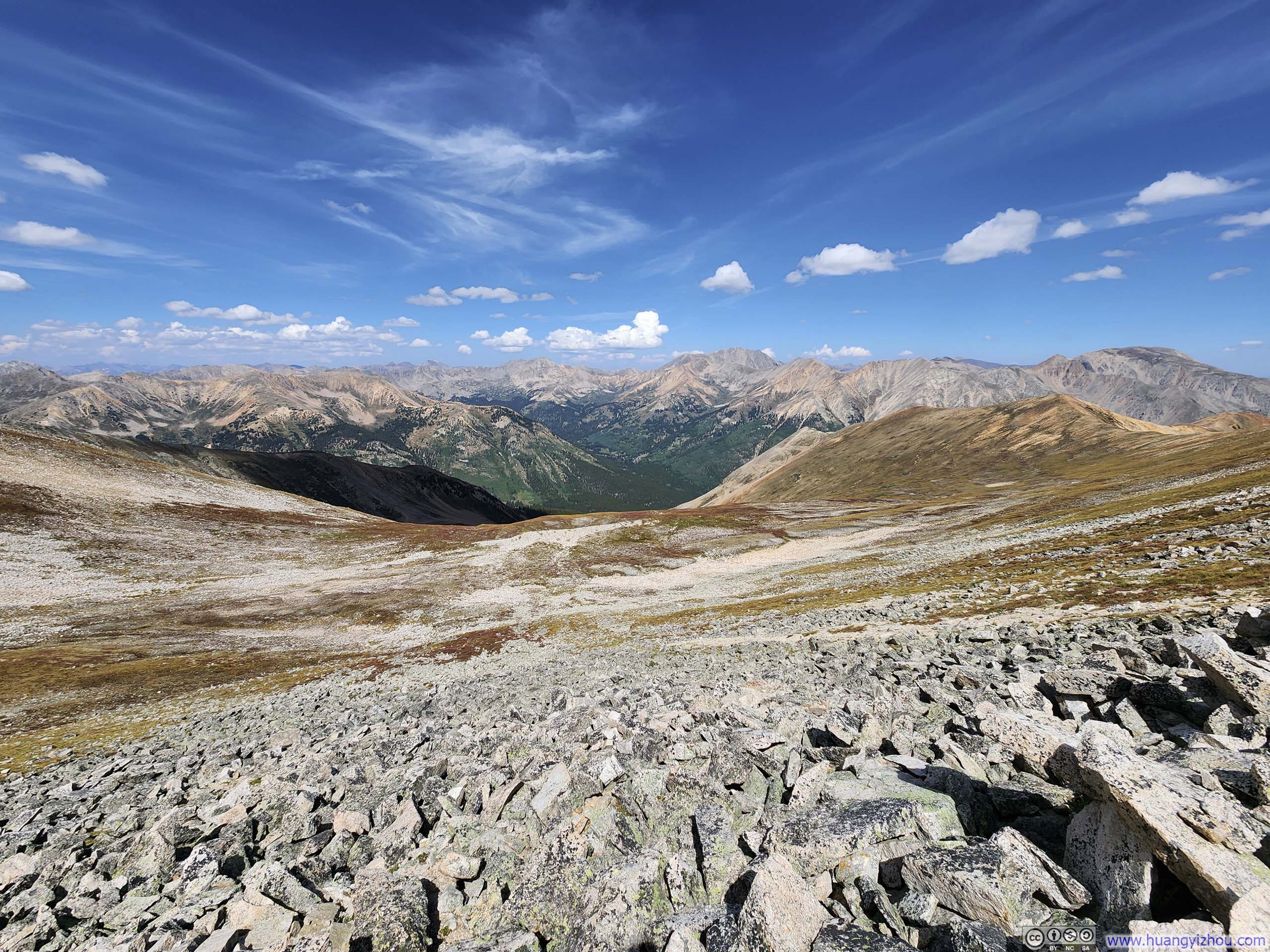
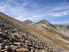
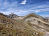
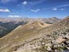
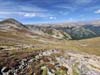
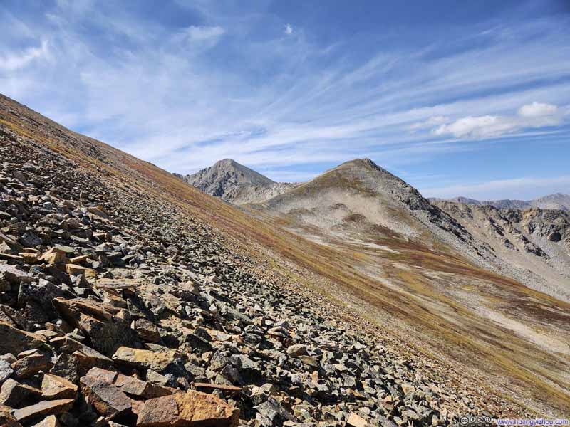
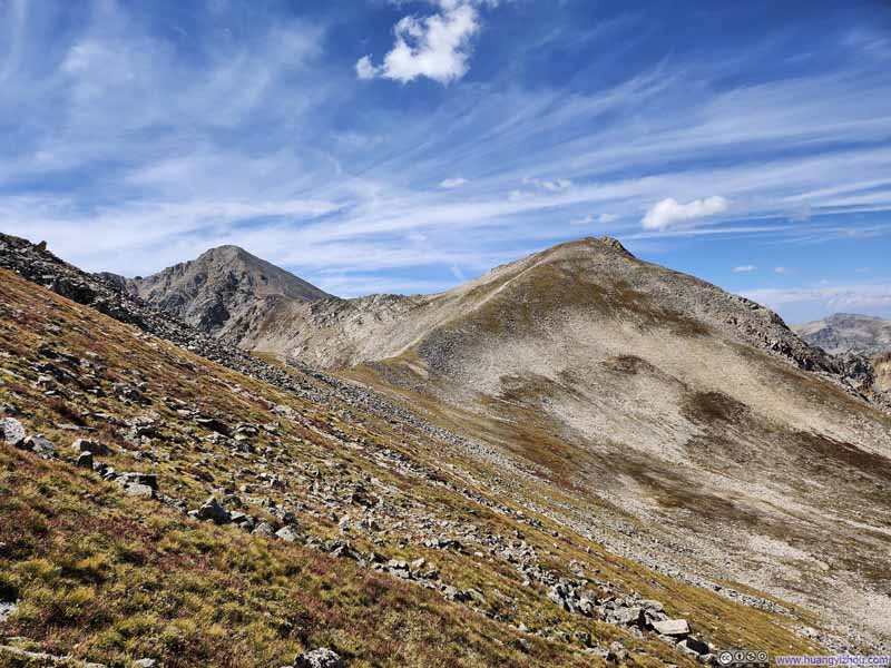
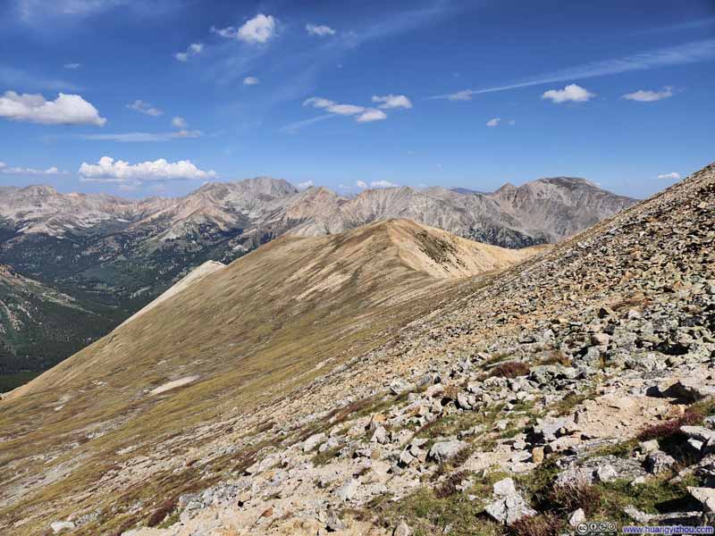
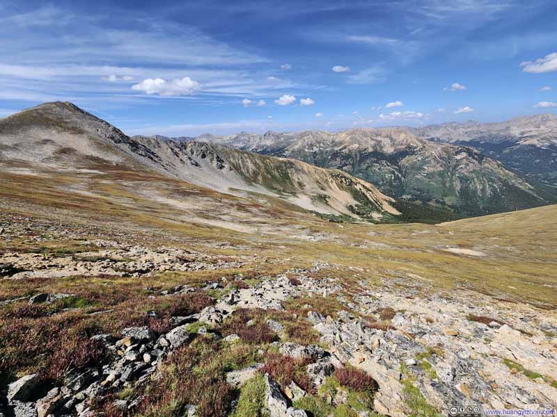
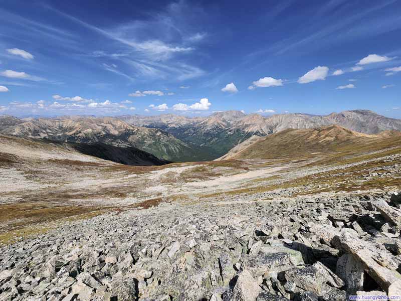
At the saddle point between UN13462 and Browns Peak, I stopped and took a 10-minute break. Somehow, I felt completely rejuvenated afterward, as if the altitude sickness had vanished.
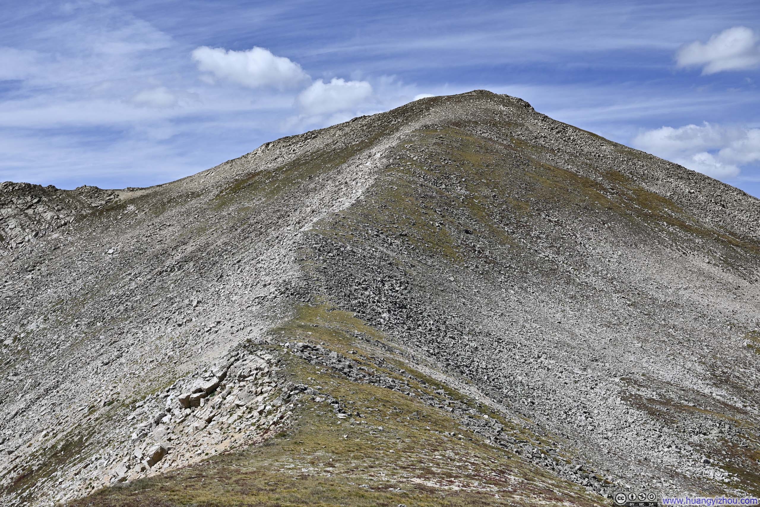
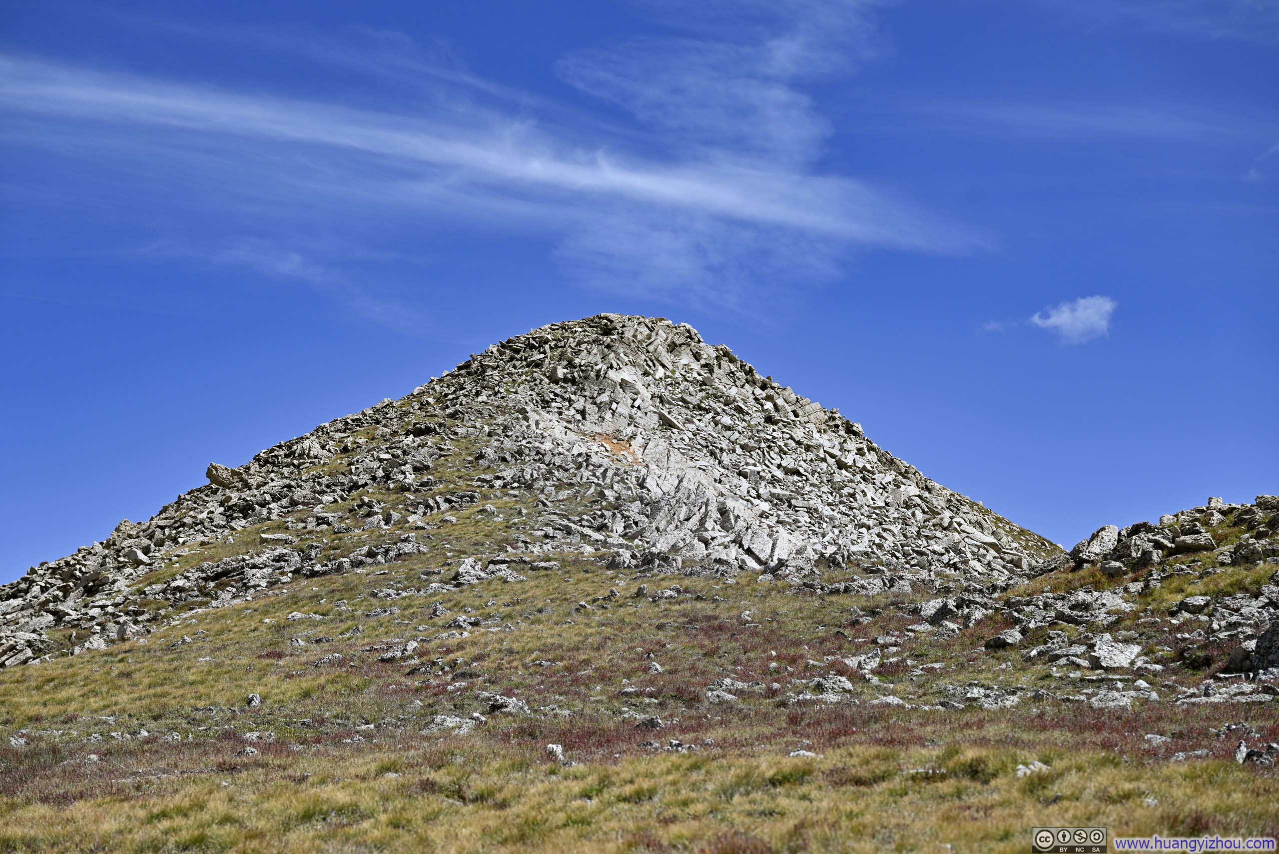
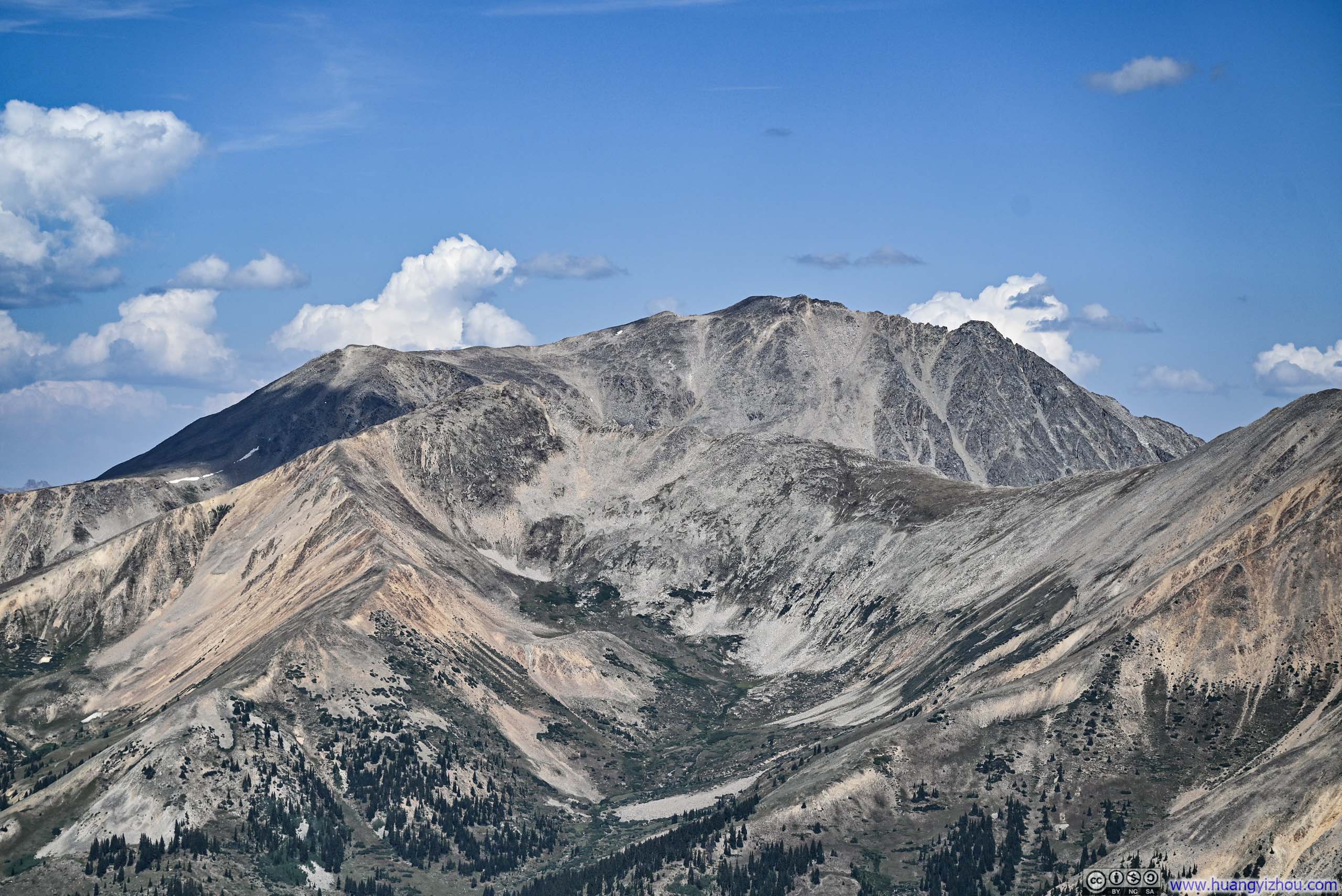
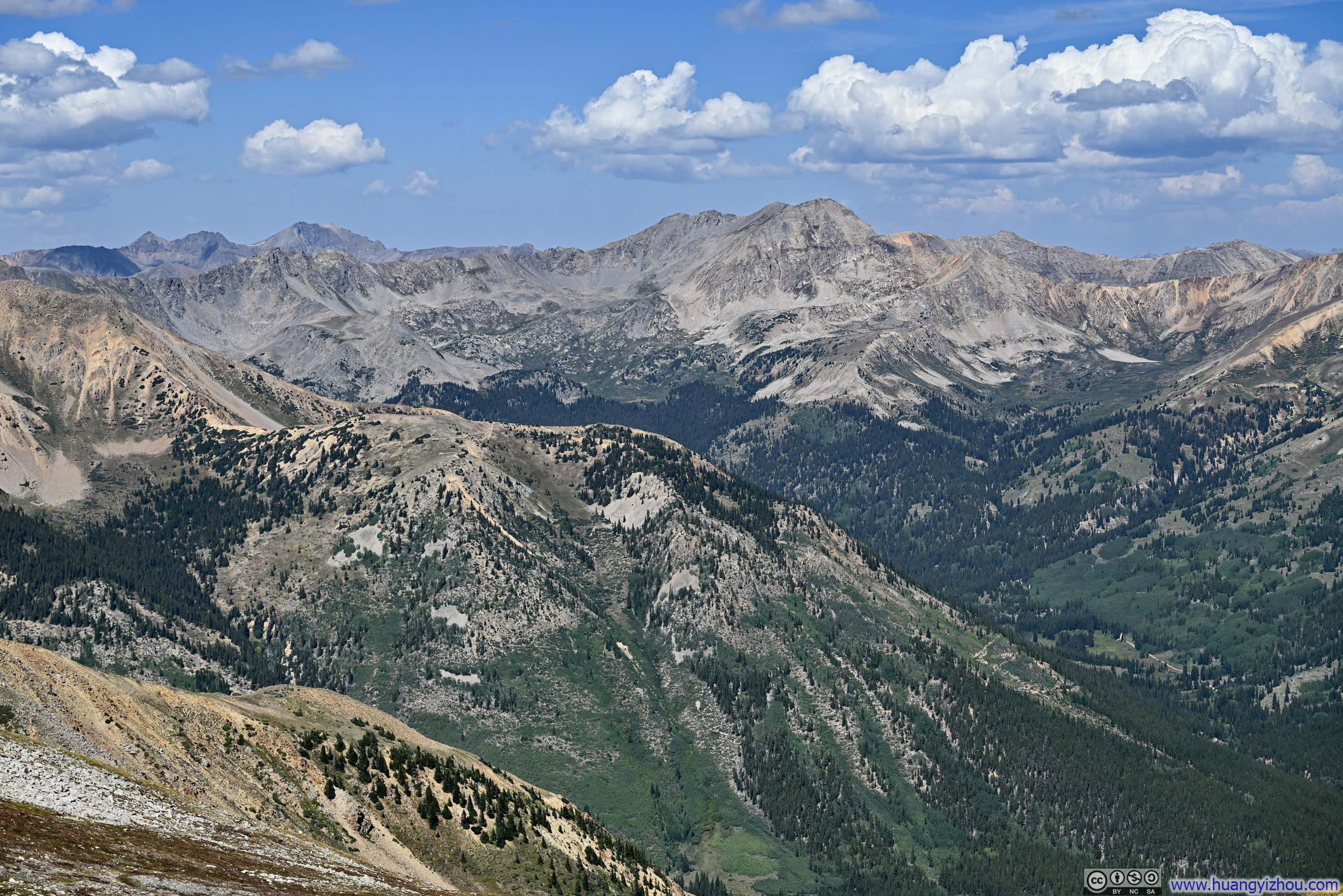
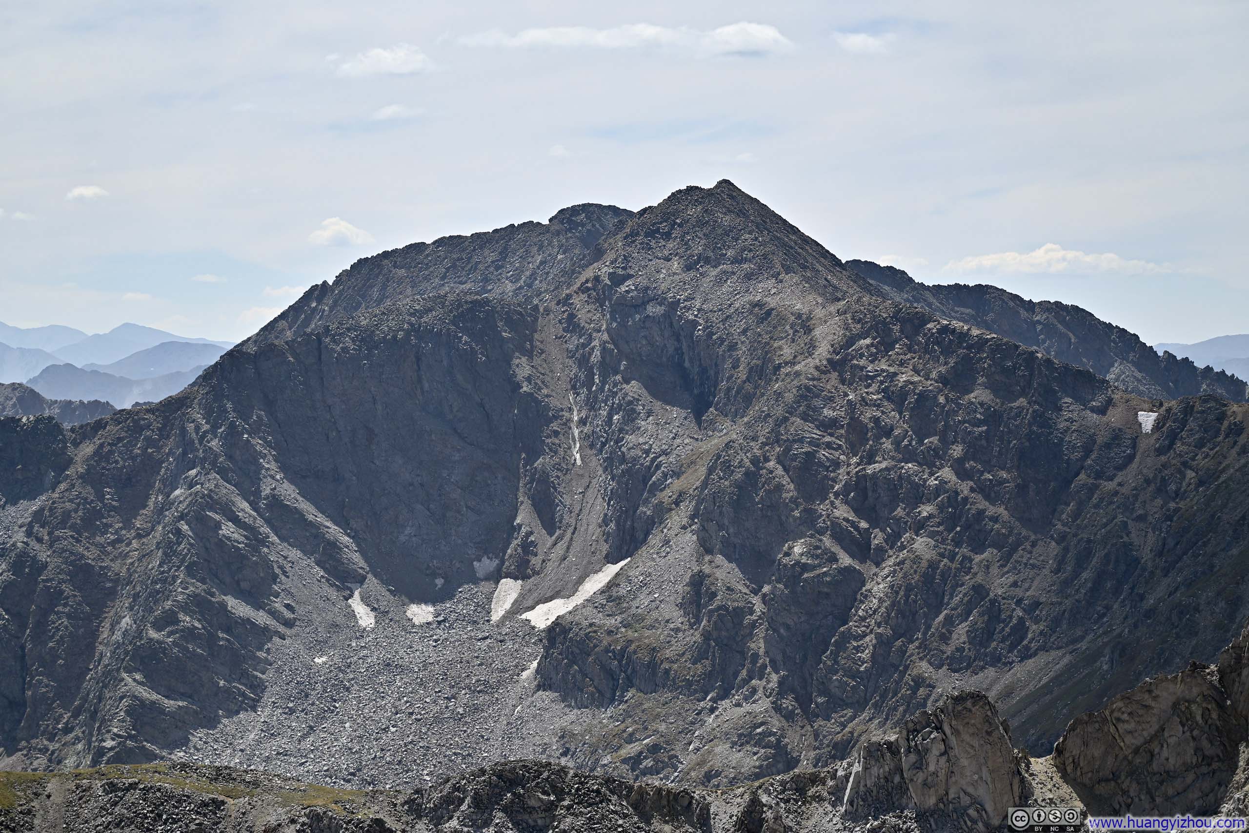
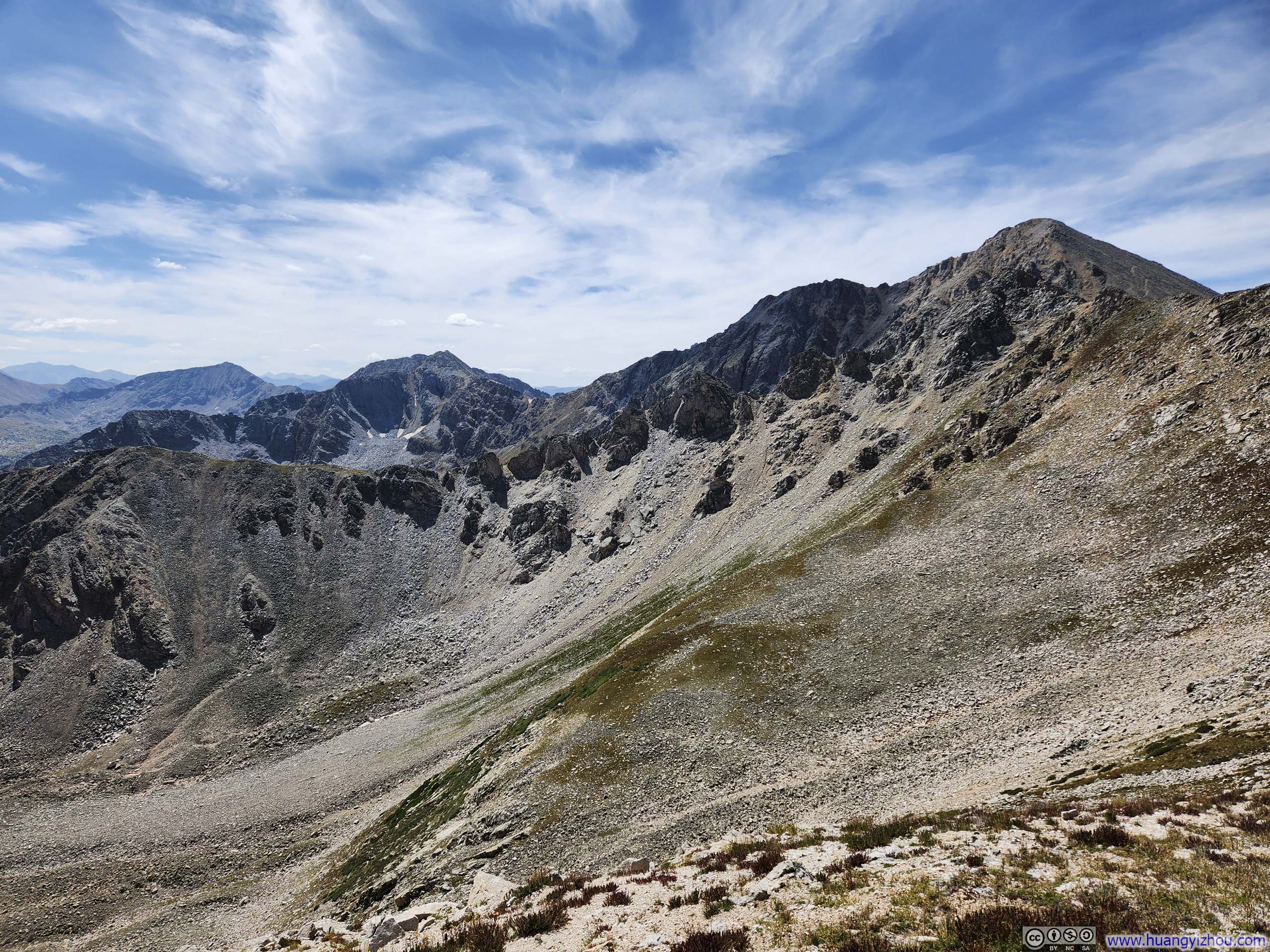
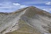
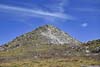
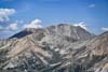
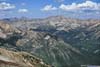
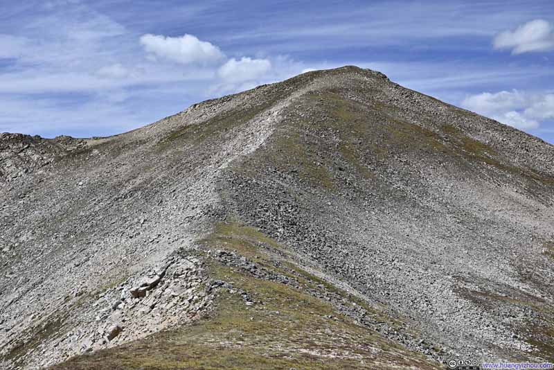
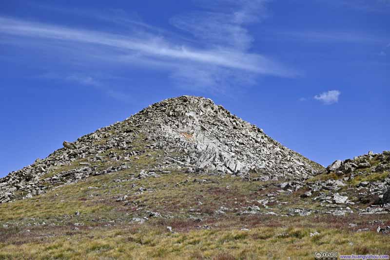
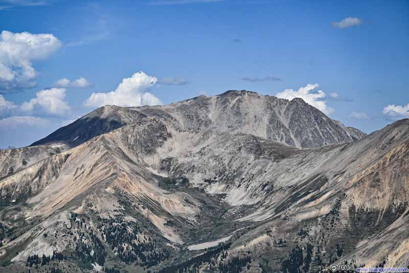
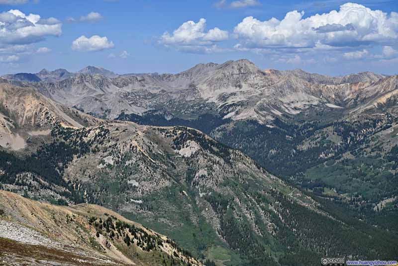
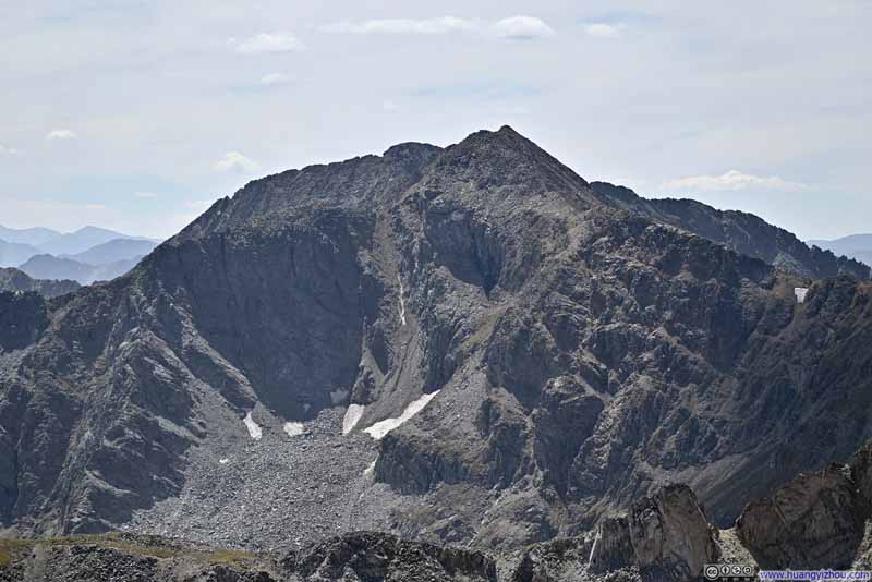
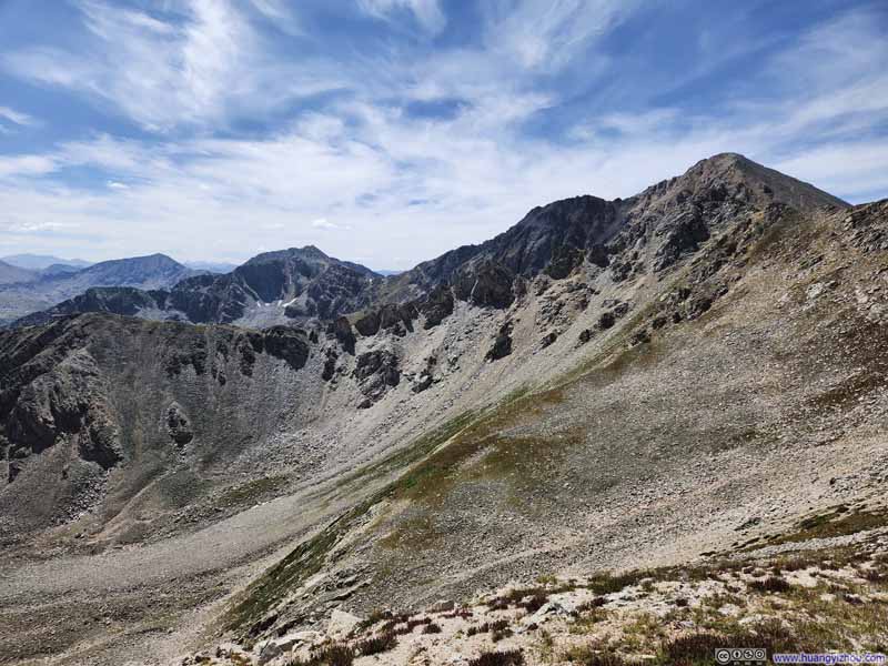
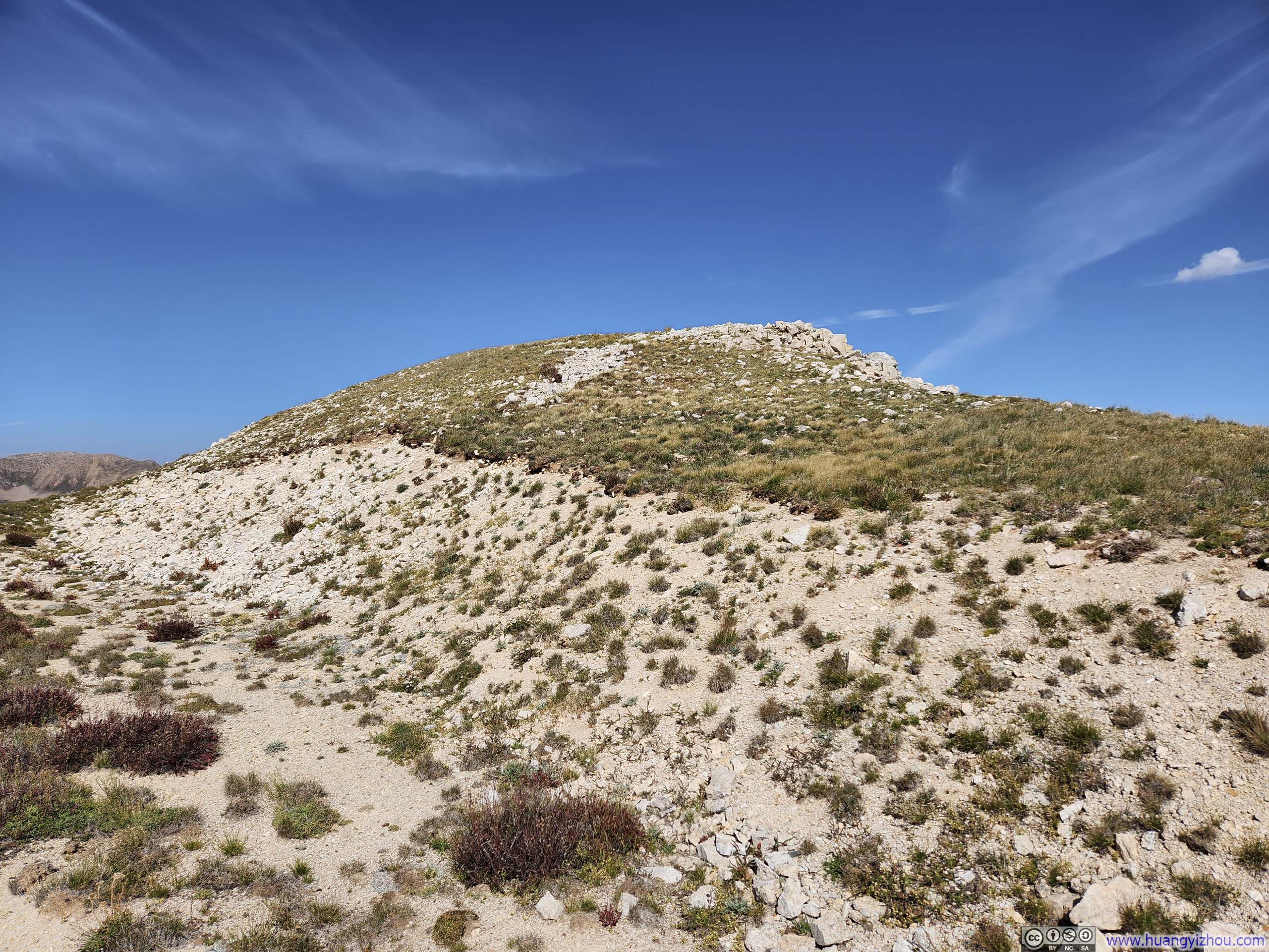
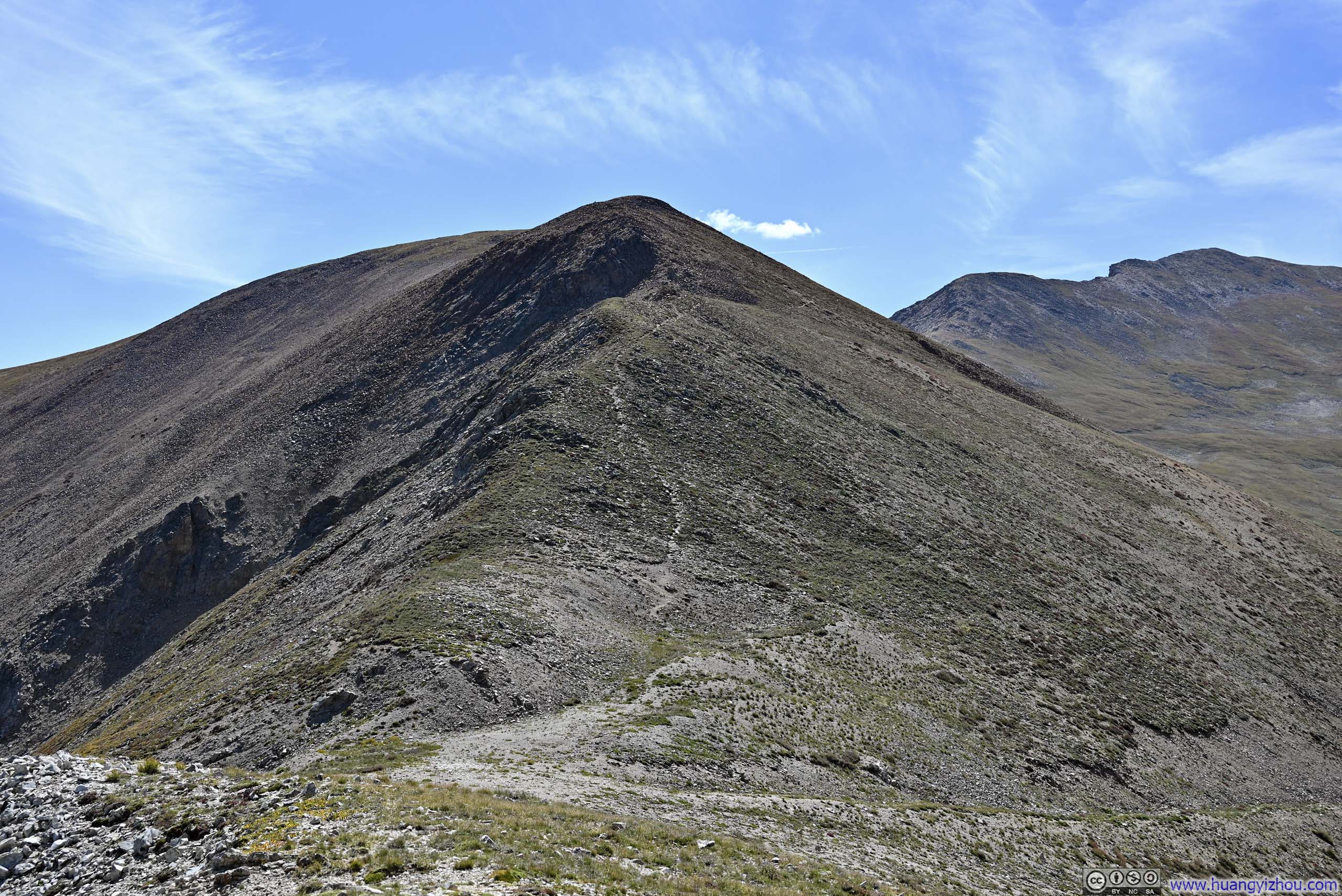
Leaving the saddle point, I decided to sidehill across Browns Peak rather than climb over it, saving myself some energy. With Browns Peak behind me, for the first time of the day, I saw Huron Peak in its entirety.
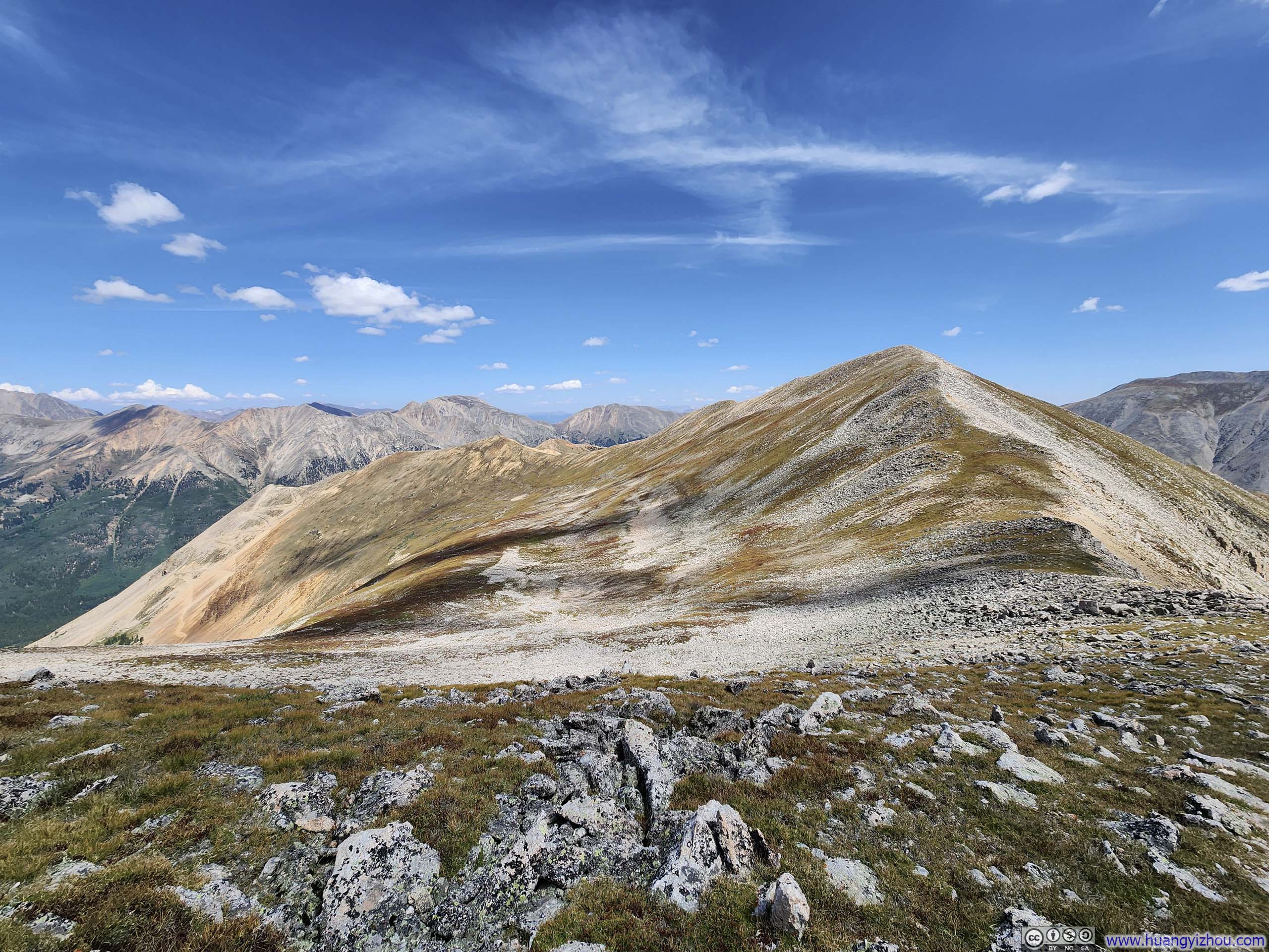
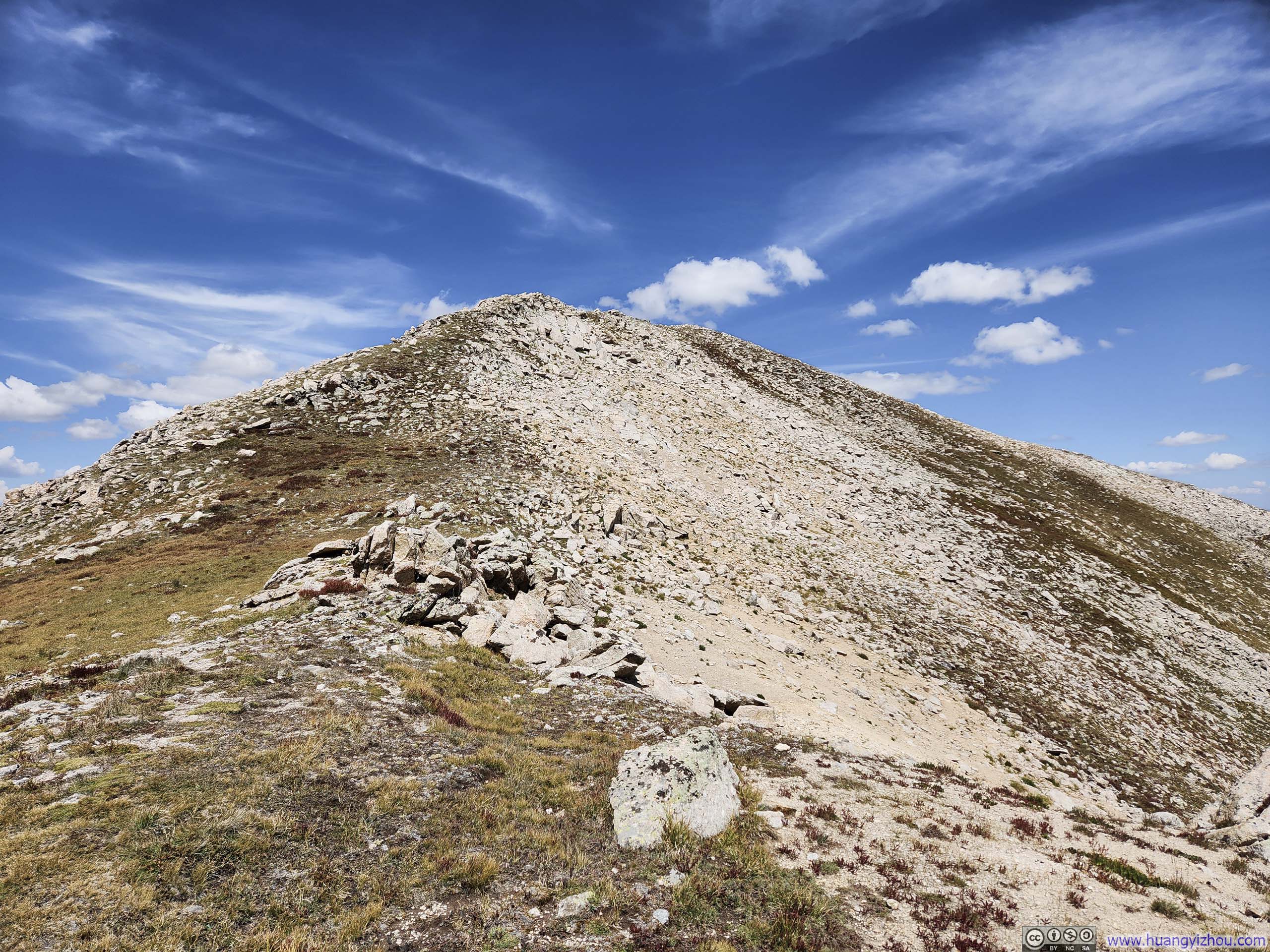
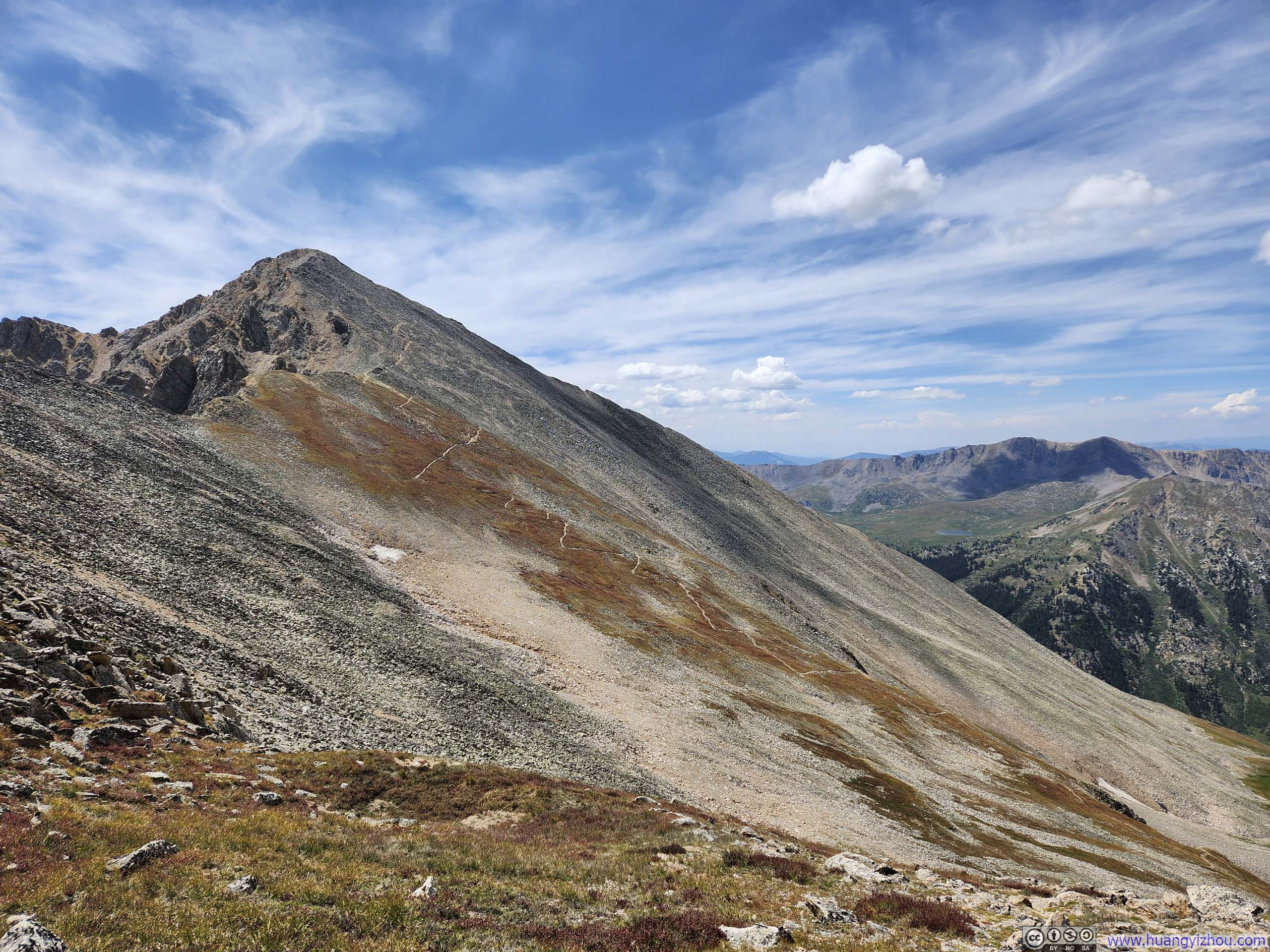
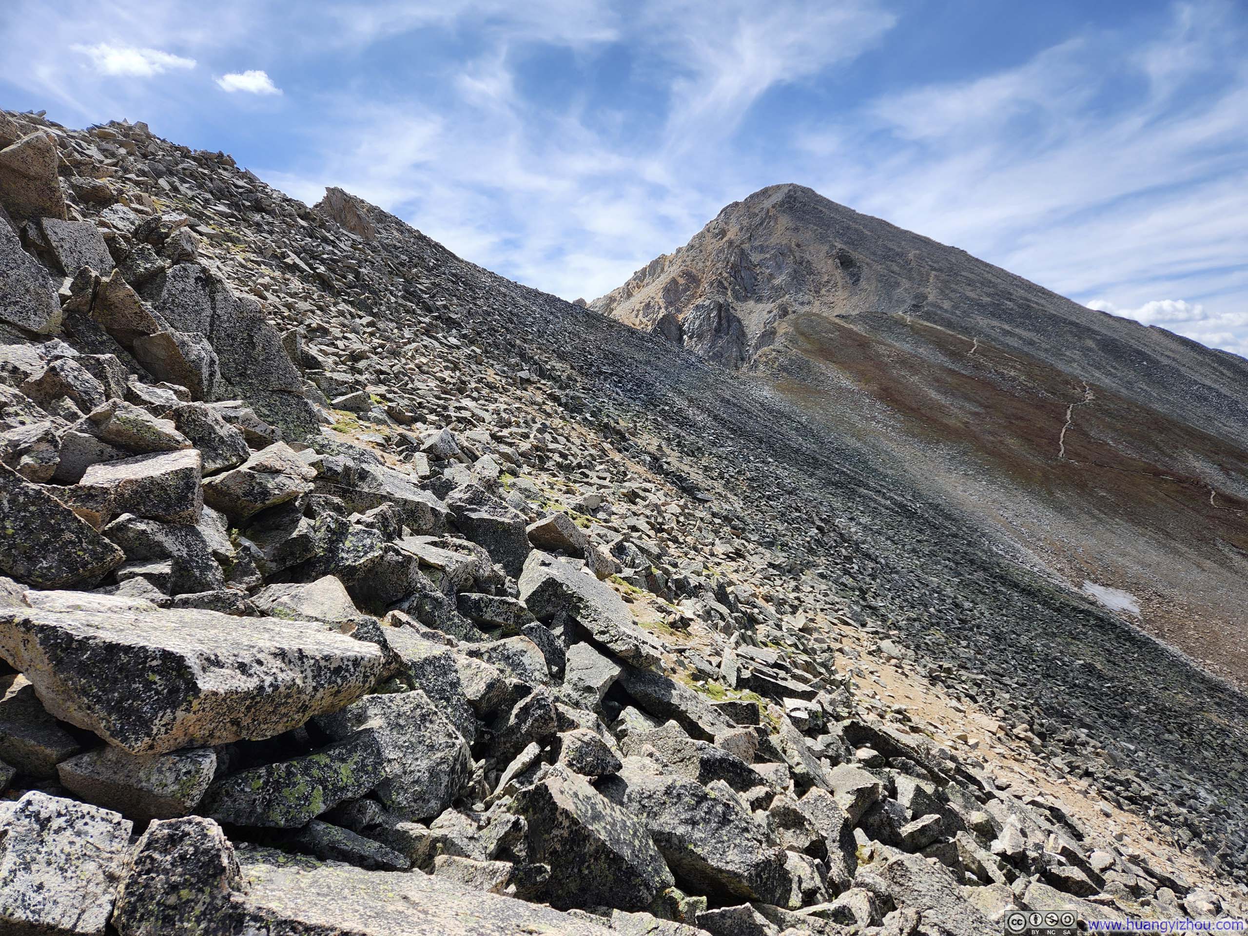
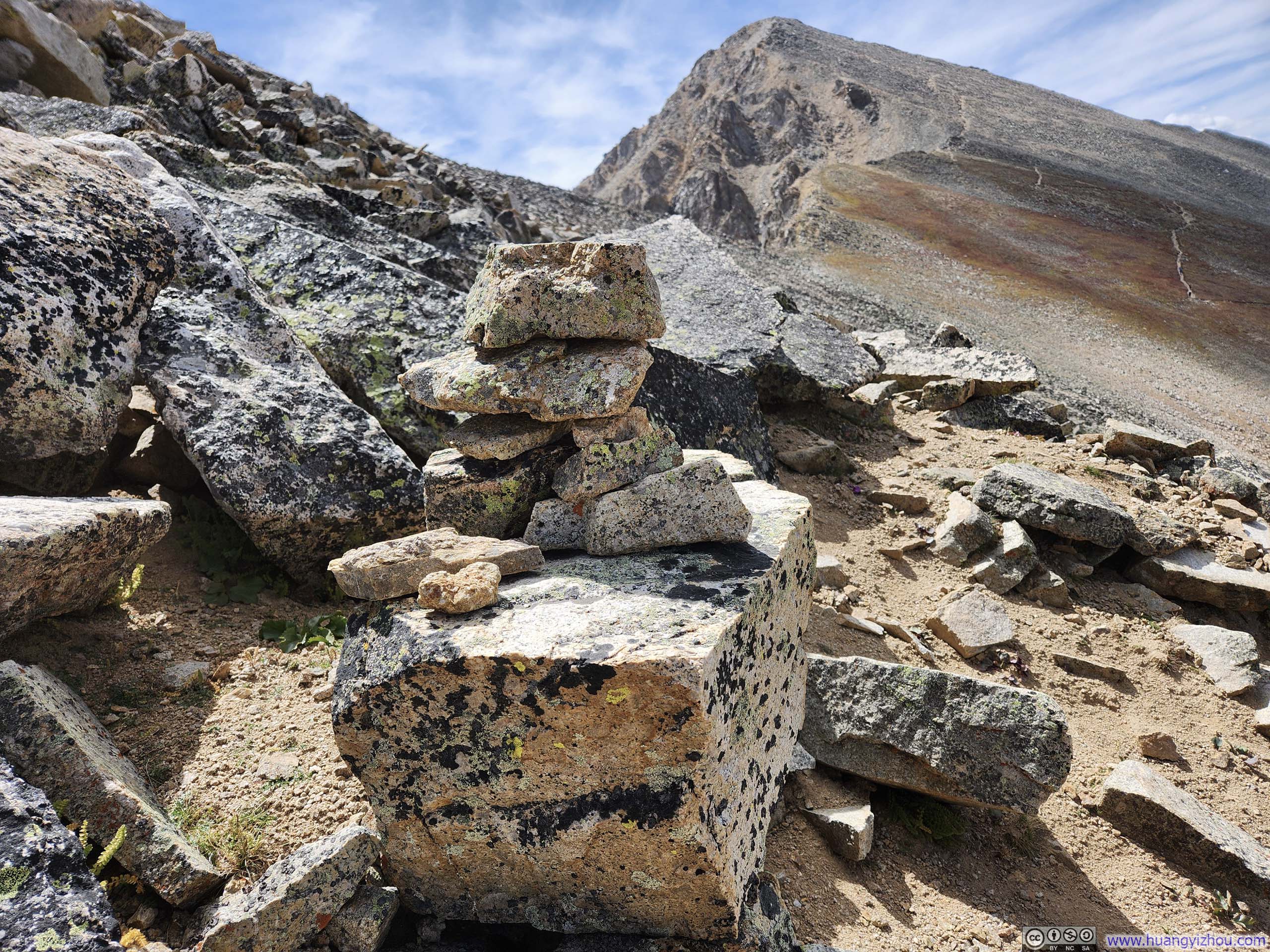
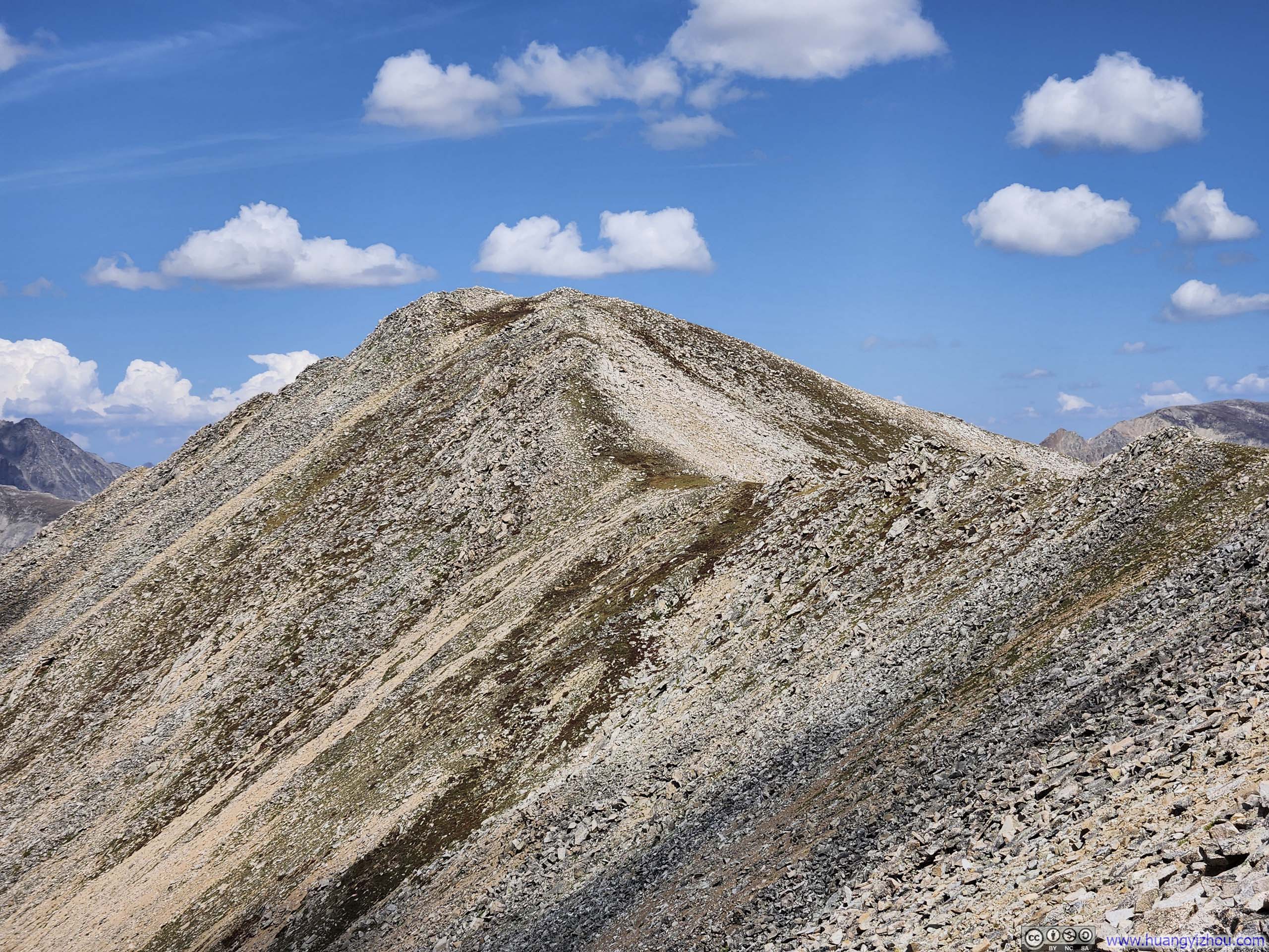

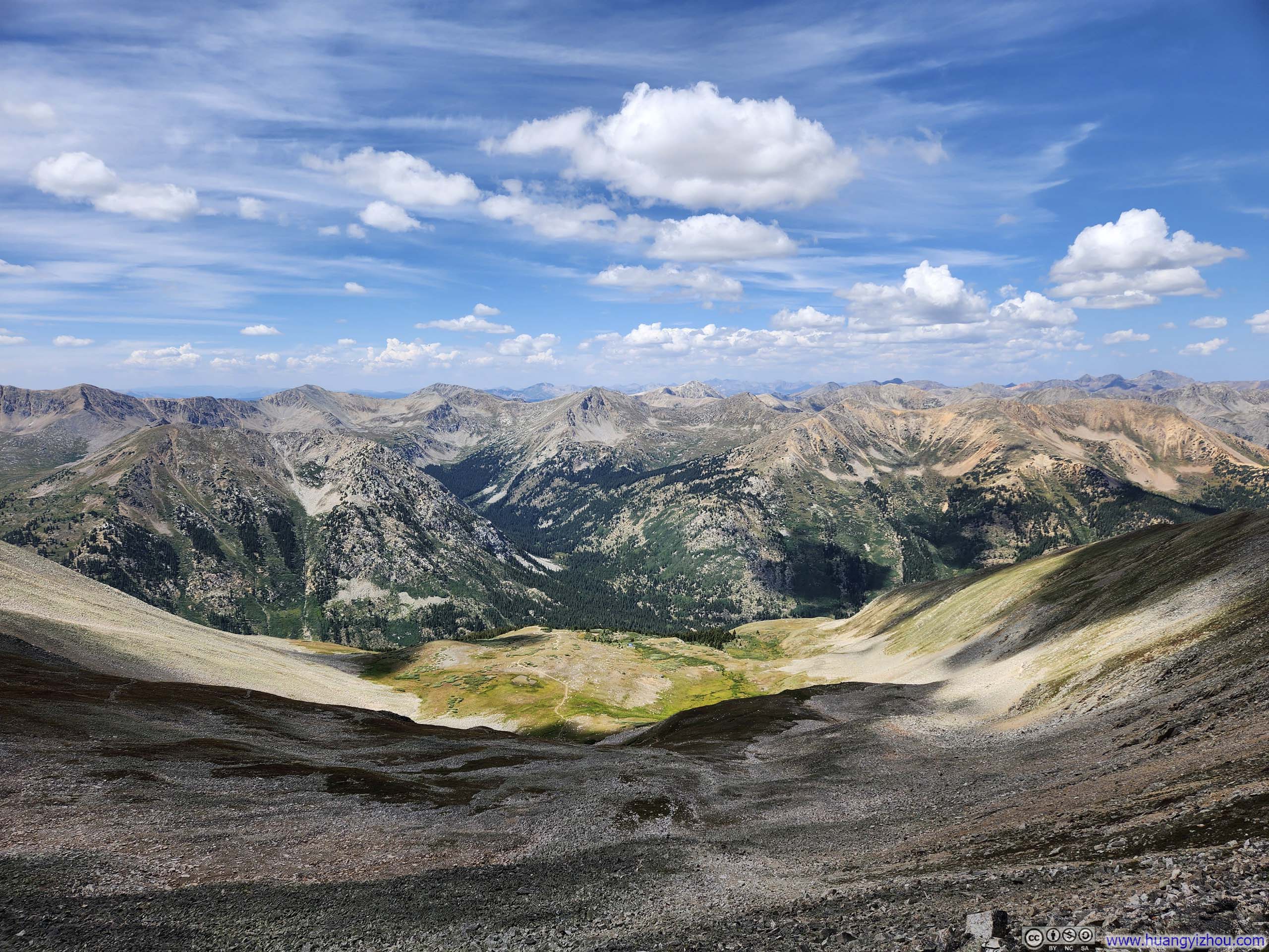
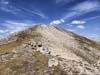
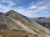
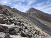
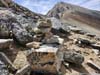
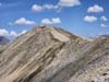
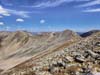
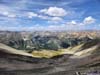

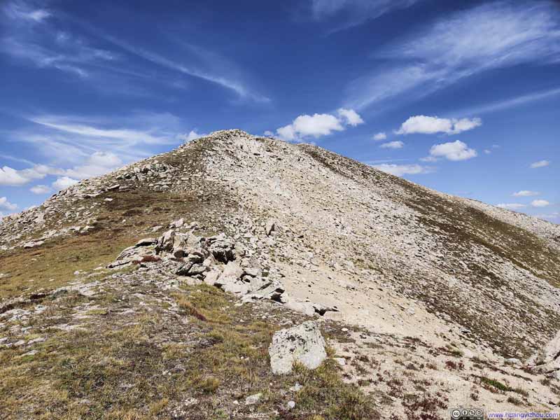
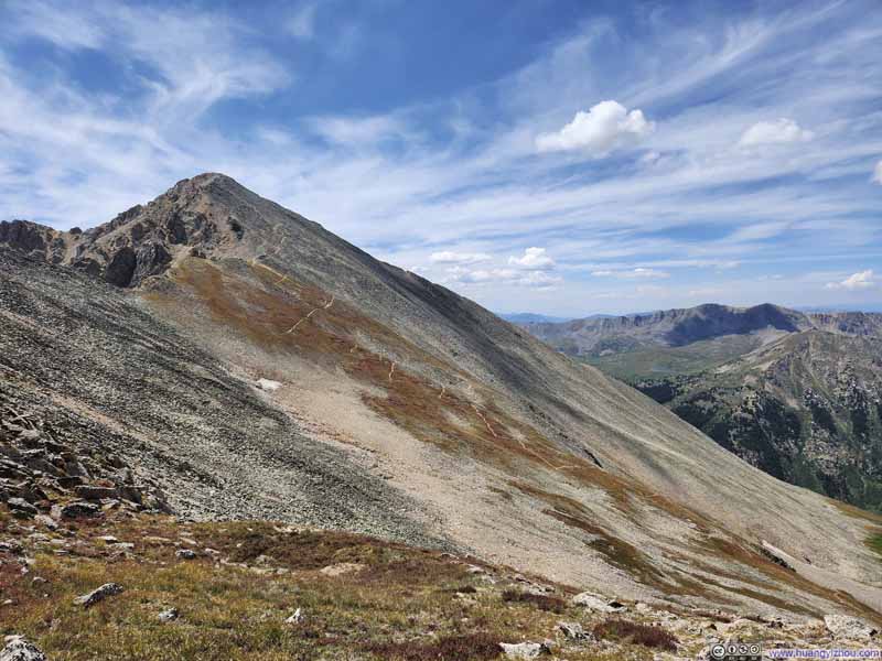
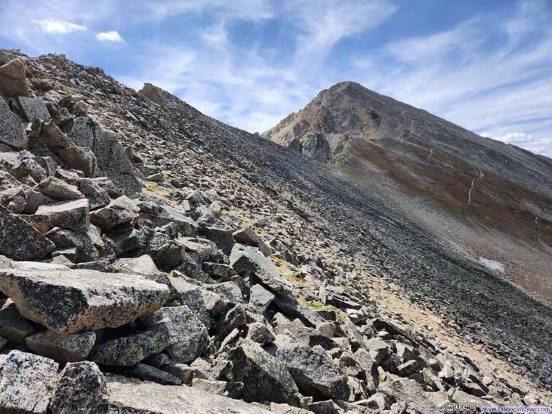
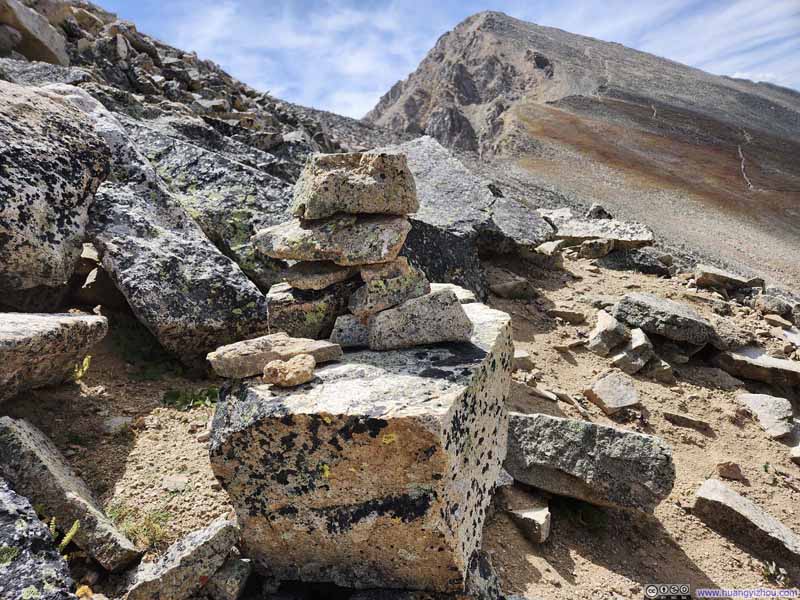
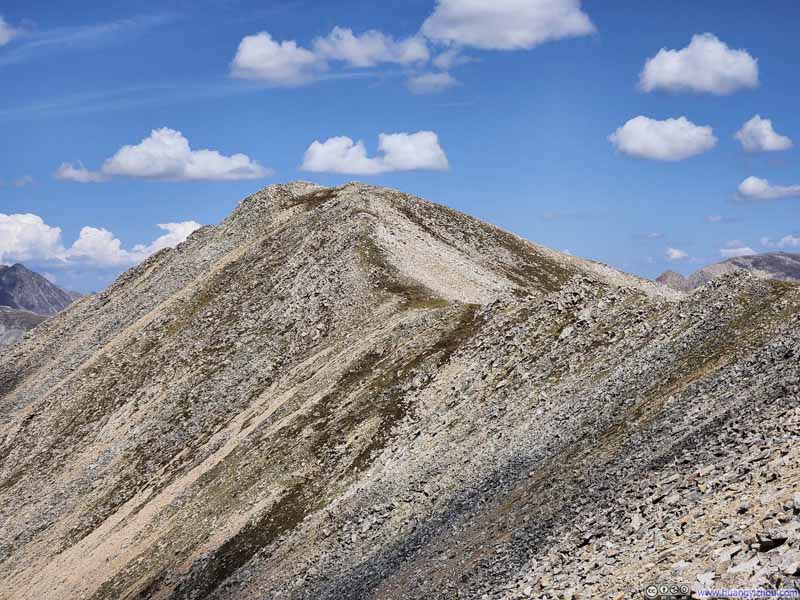
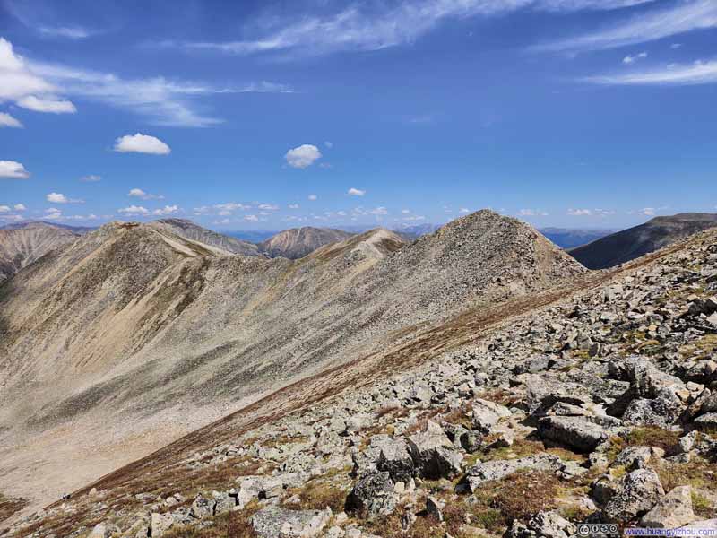
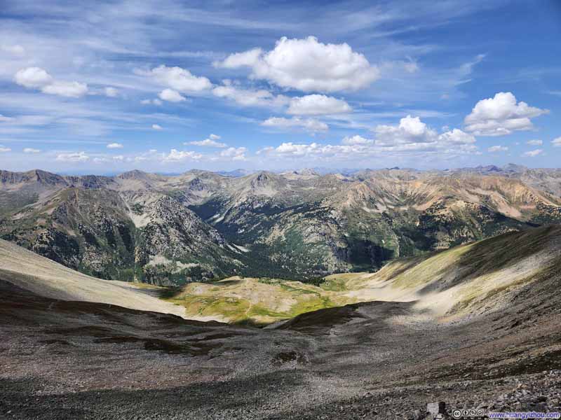
Finally, at 12:35pm, I joined the standard route to Huron Peak. It seemed I was the only person that day to summit Huron Peak via Lulu Gulch, which puzzled me. This variation wasn't that much longer if one had a low-clearance car, and it came with more diverse scenery along the way. I could hardly think of the brief off-trail sections on rocks to be a deterrent.
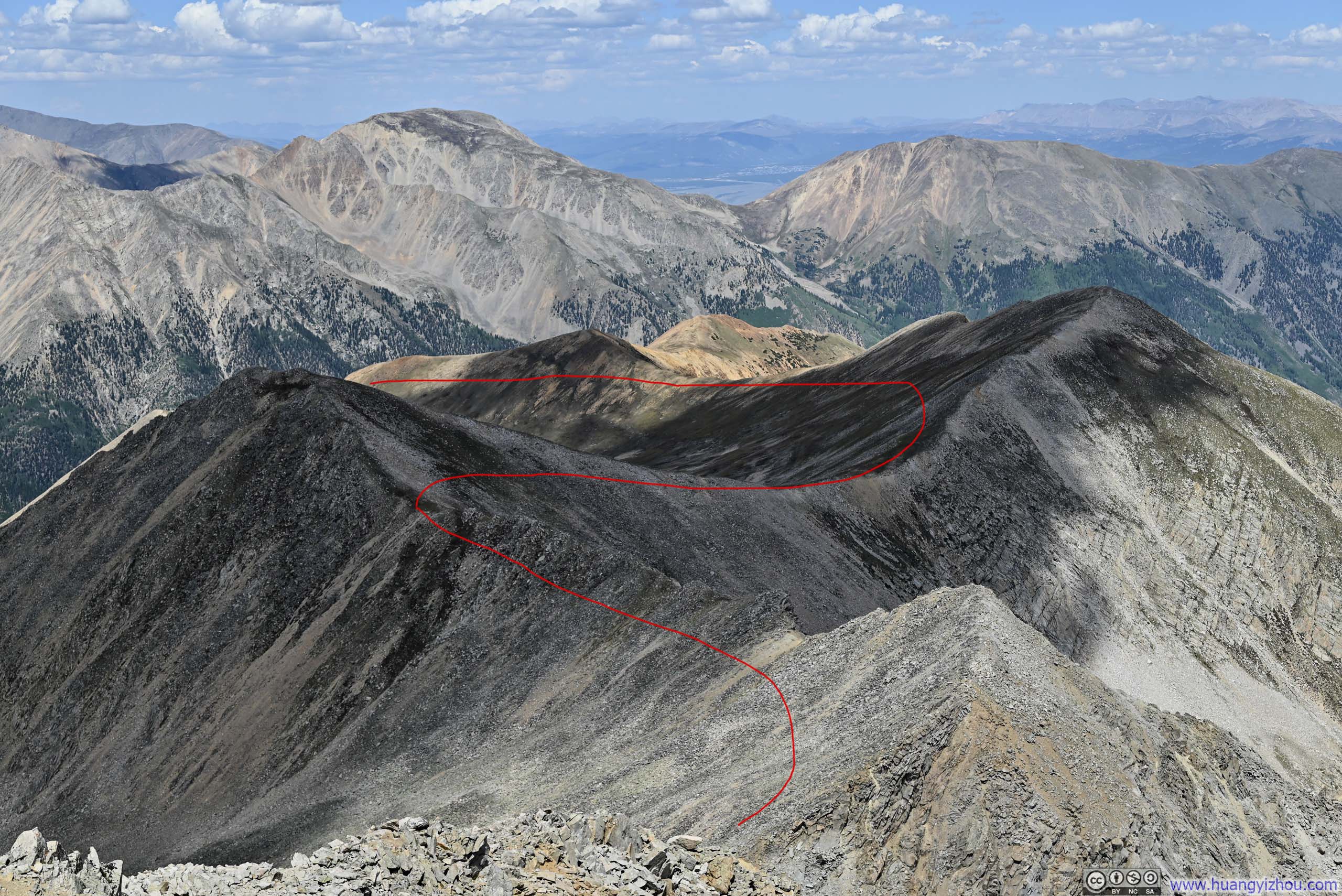
At this time, there was 400m (0.2 miles) of trail with 150m (500 ft) of elevation gain ahead of me. I launched my drone, which followed me for this homestretch before Huron Peak's summit. Here's a video:
Summit of Huron Peak
Just past 1pm, I reached the summit of Huron Peak. I wanted to follow my tradition and use a drone helix video to commemorate the moment. Unfortunately, my drone seemed to have a mind of its own and refused to follow the pre-set flight paths.
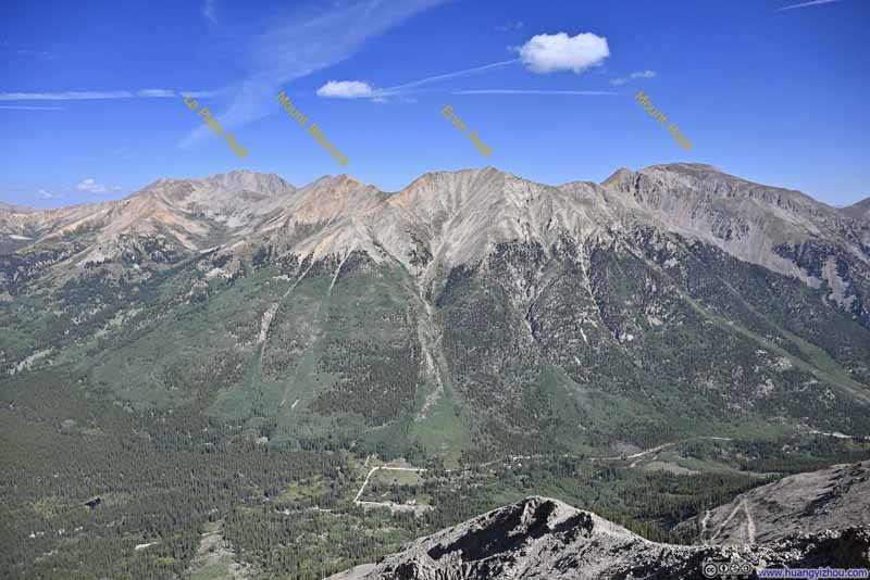
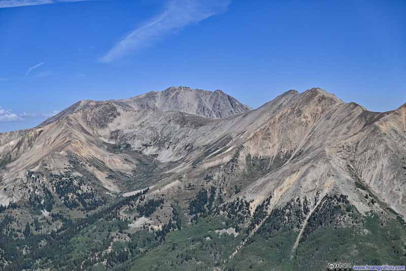
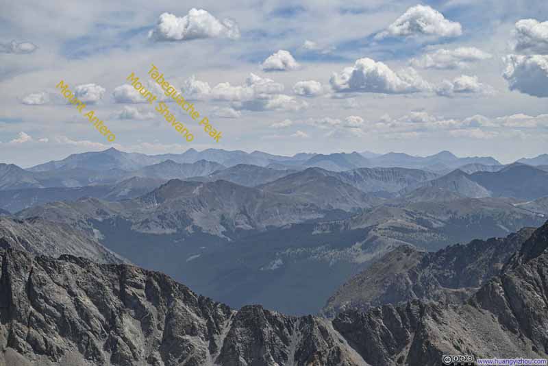
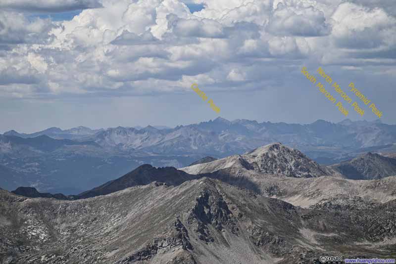
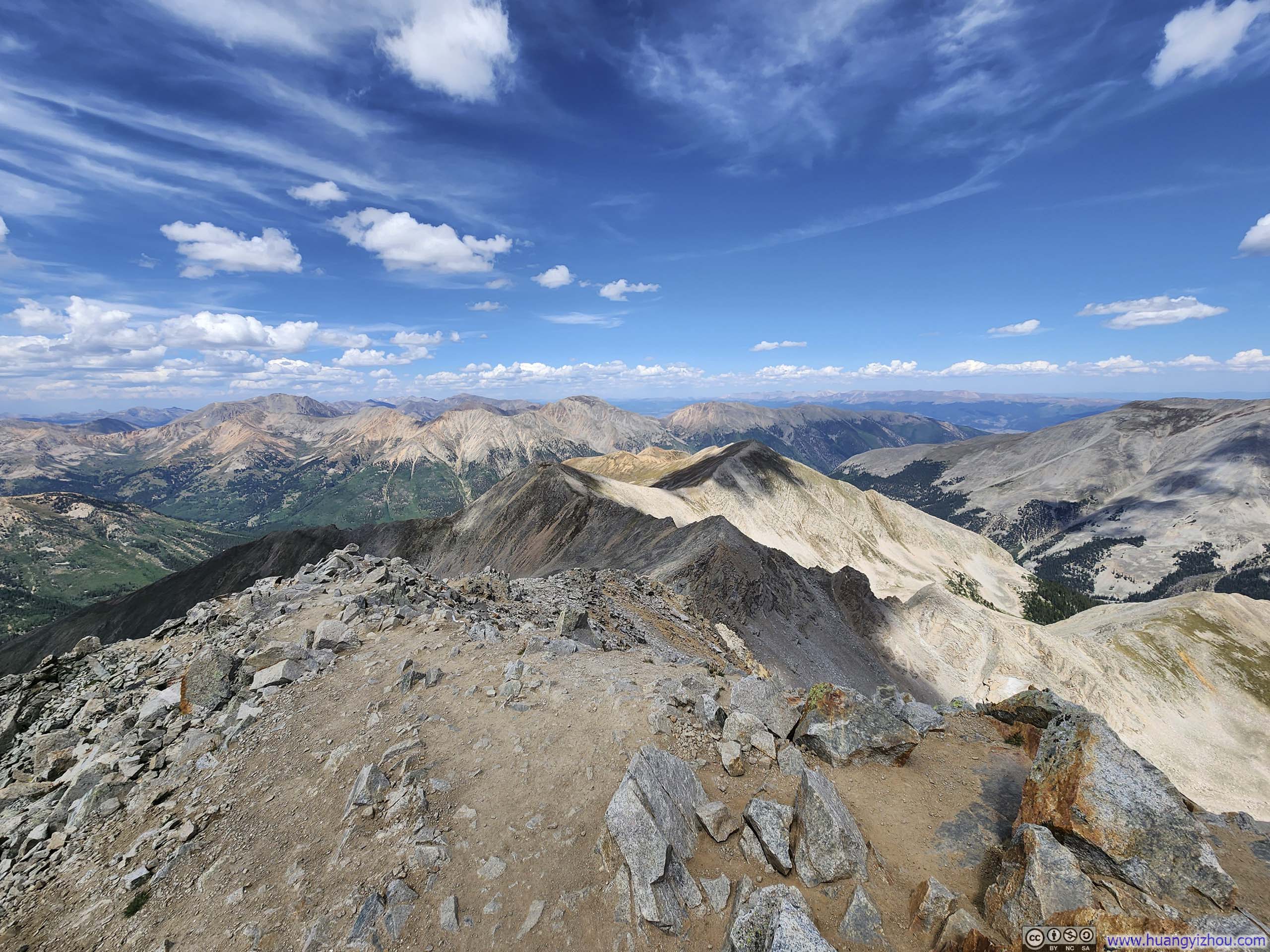
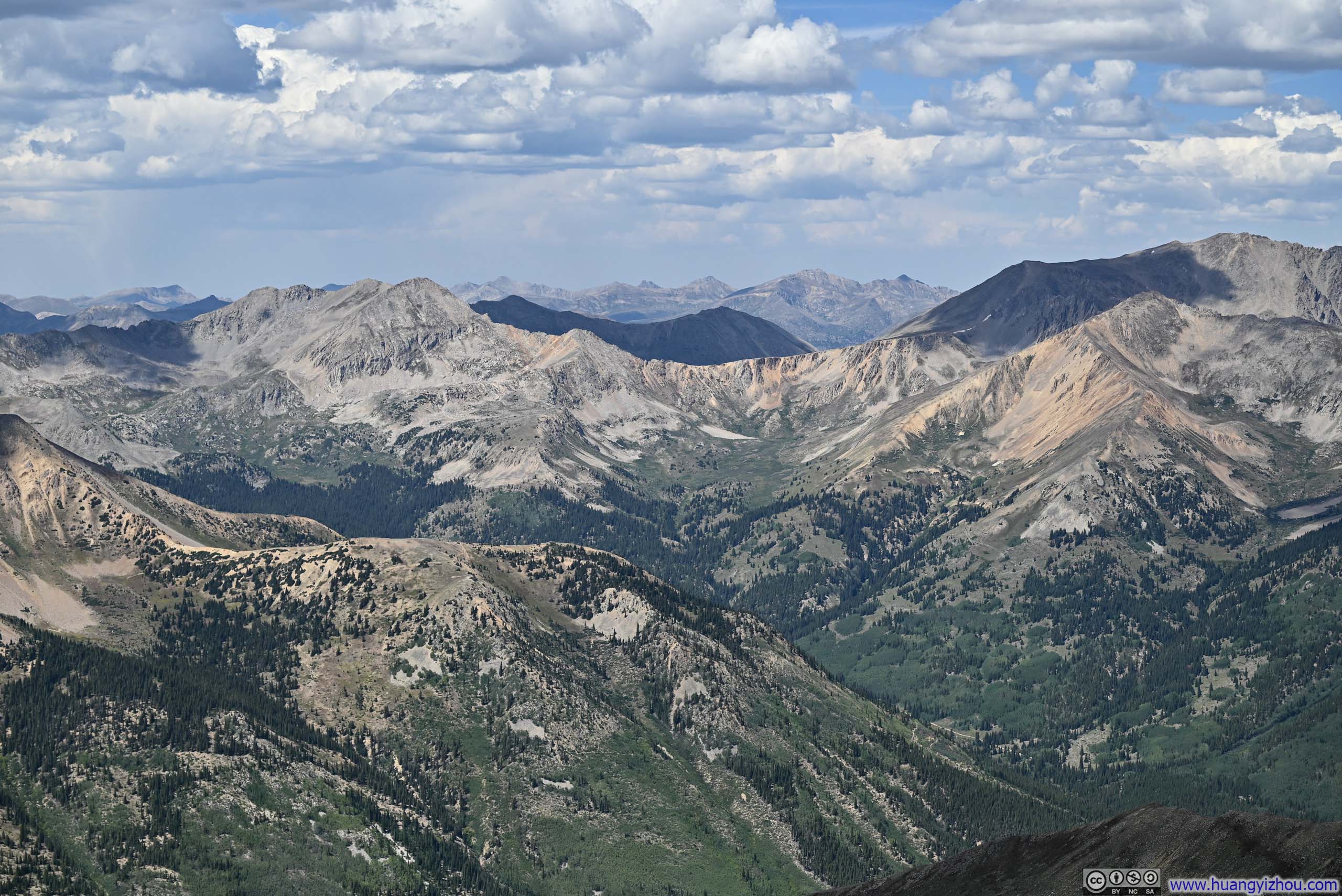
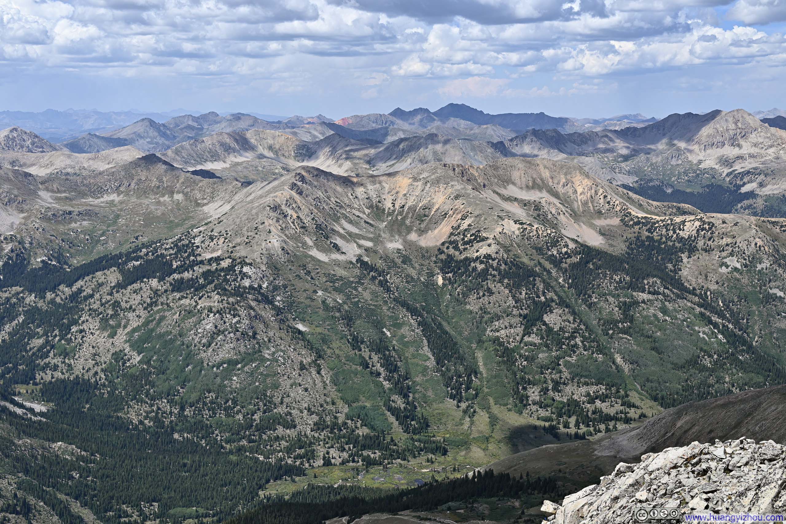
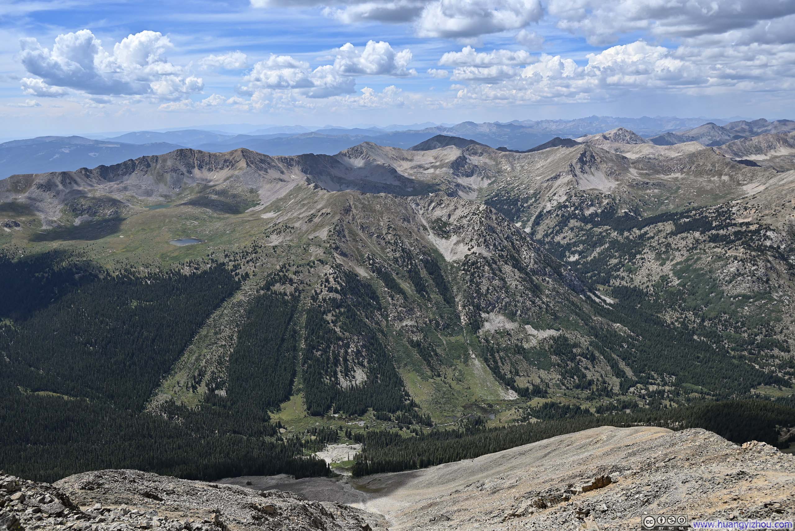
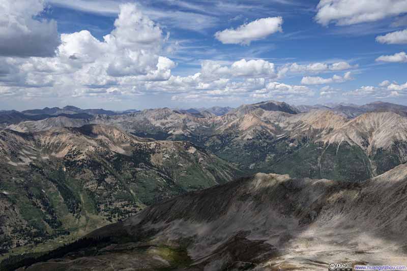
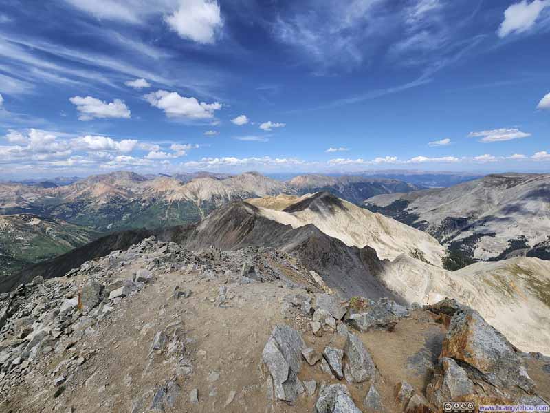
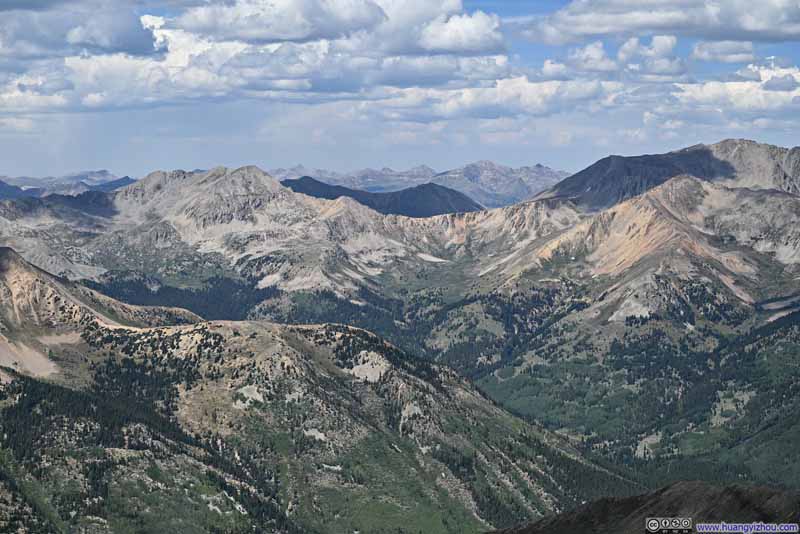
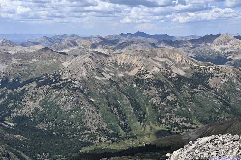
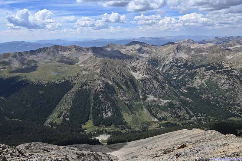
Despite this minor setback, I was thrilled to have reached the top of Huron Peak and was rewarded with breathtaking views. It felt like I was at the heart of the Colorado mountains, as I identified 16 of the state's 14ers around me (slideshow below). It's as if they were welcoming me to the club, after a 2-year hiatus.
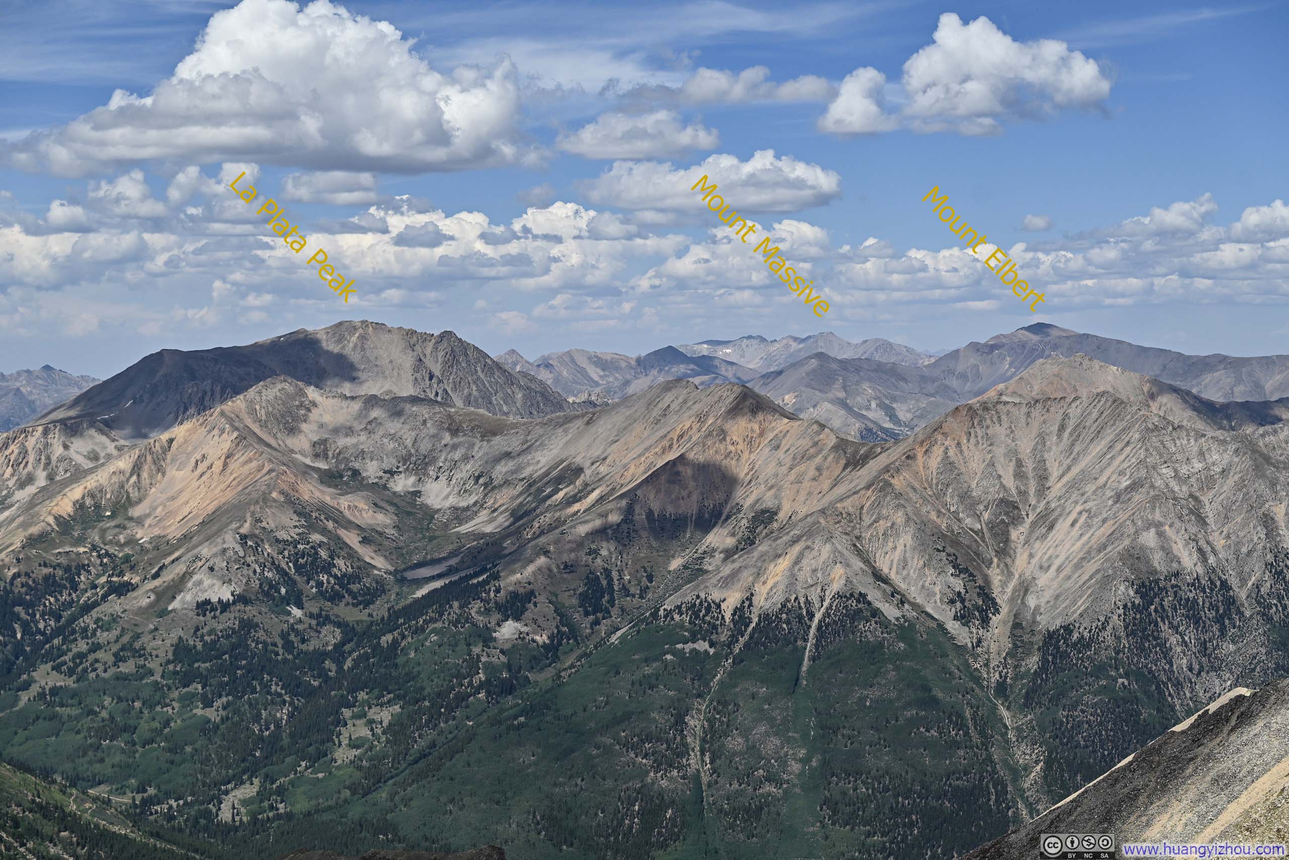
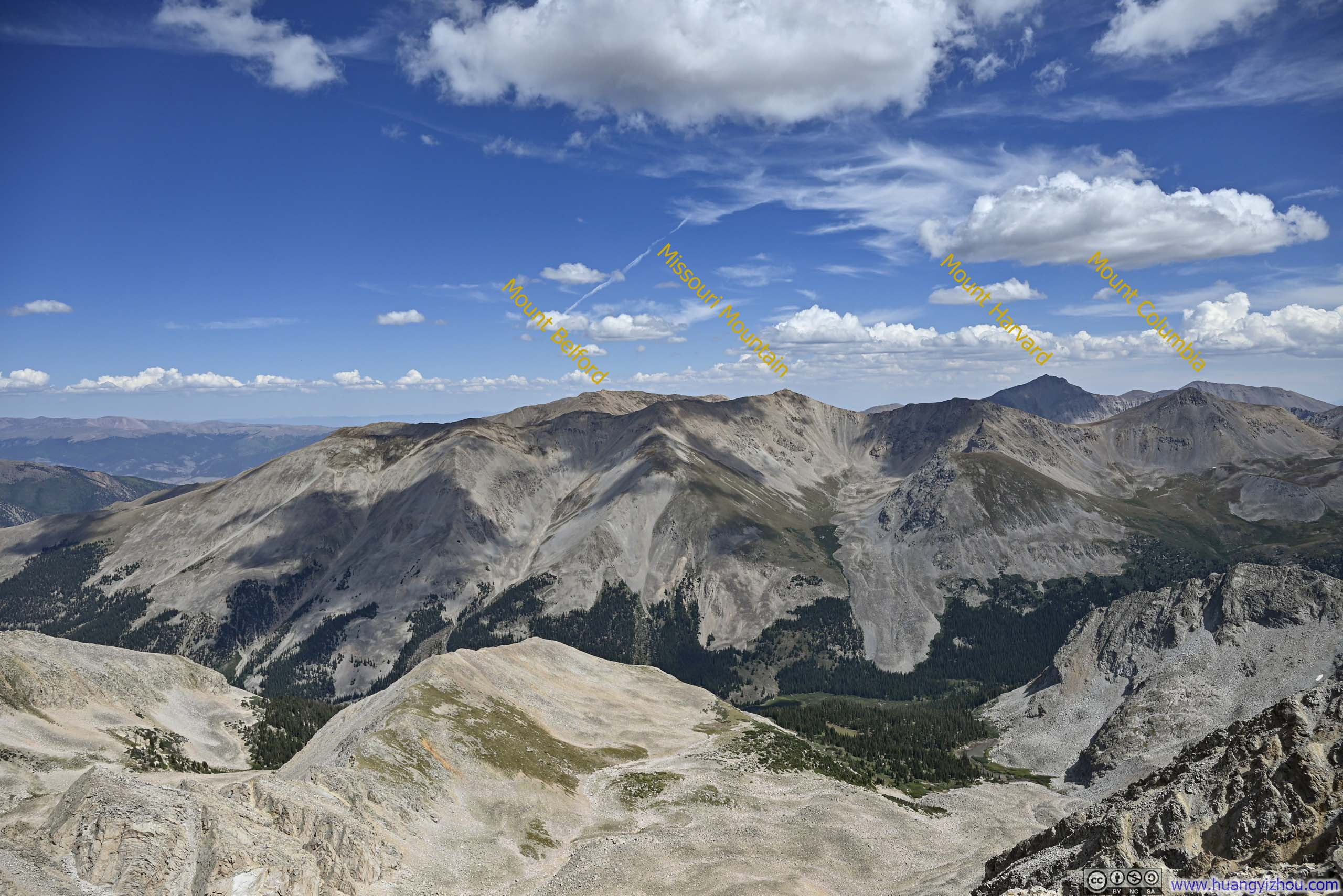
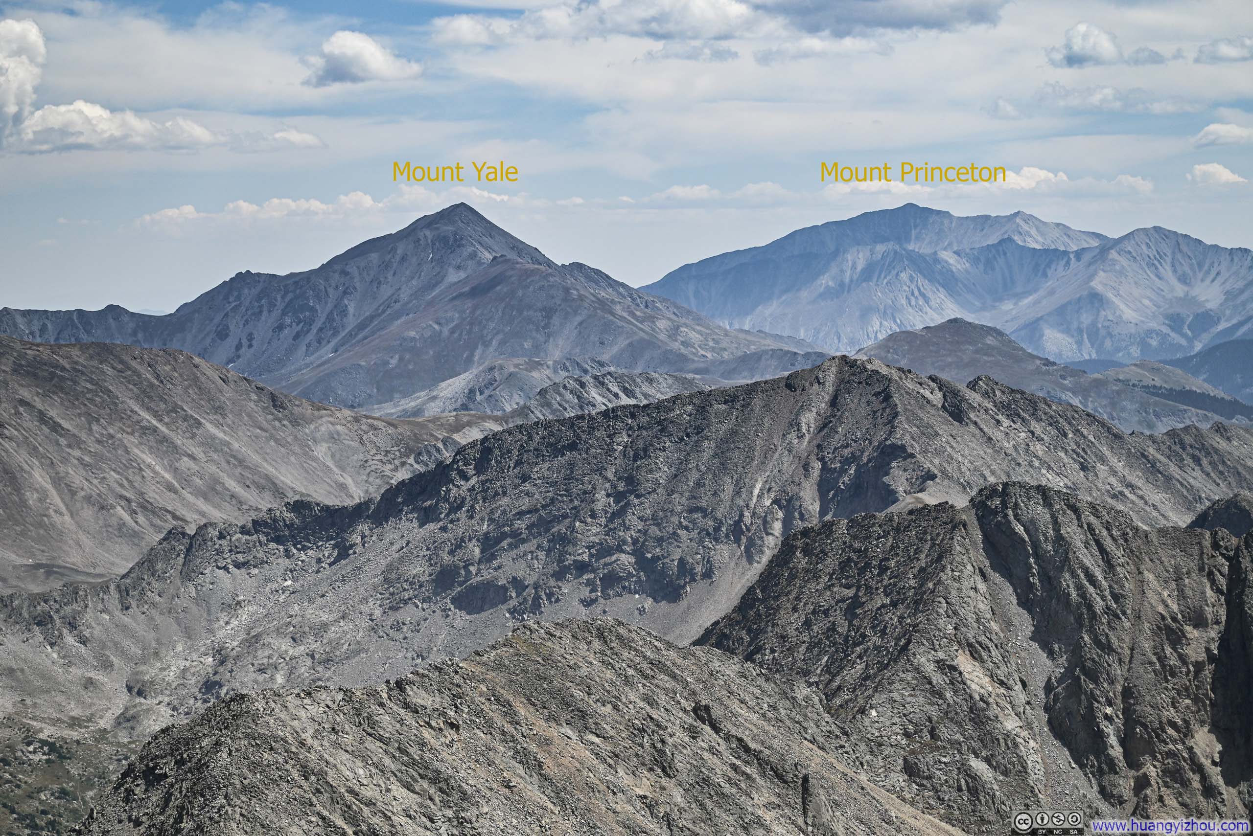
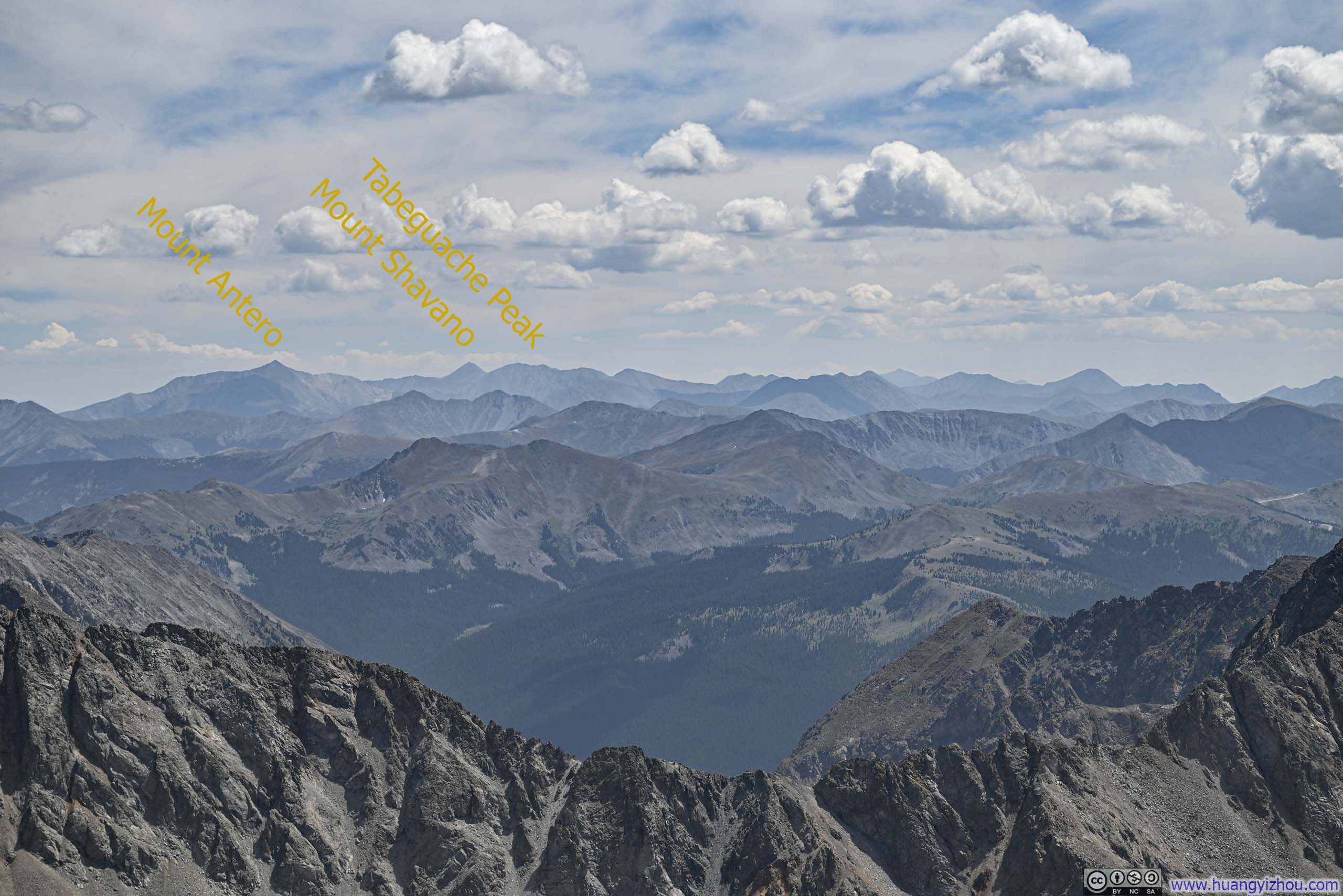
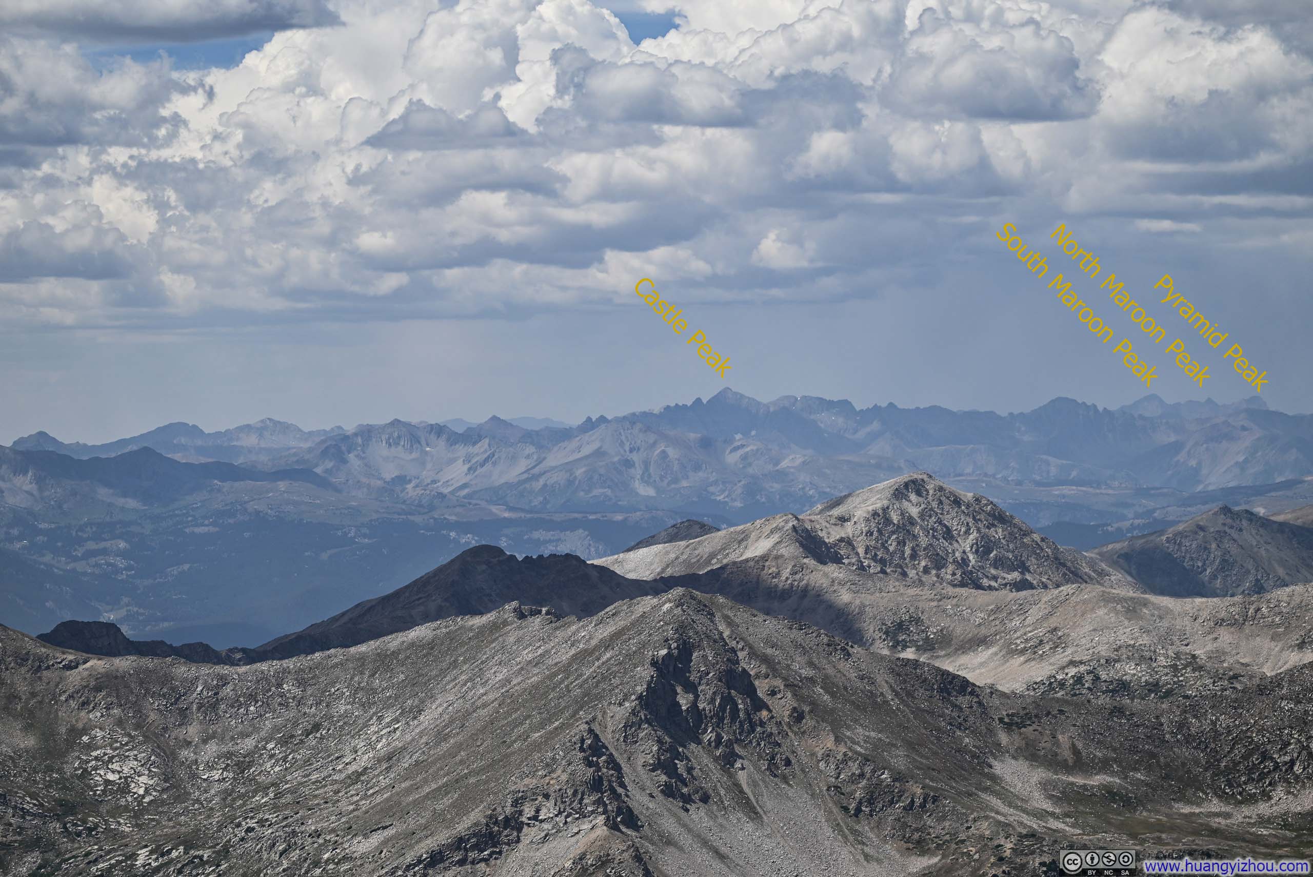
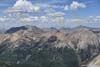
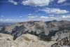
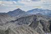
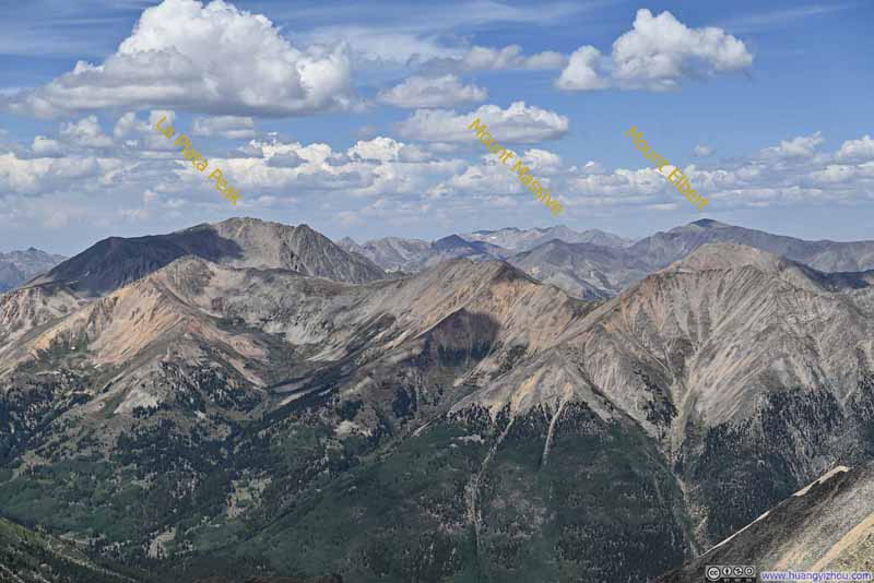
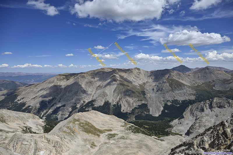
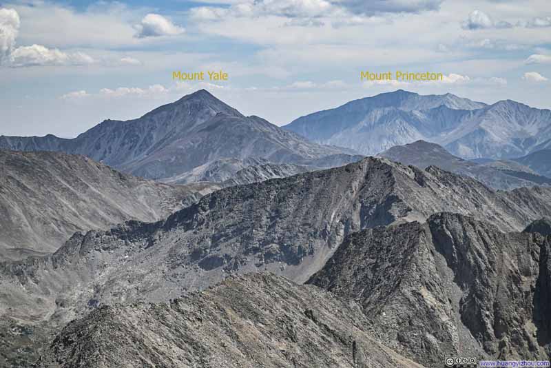
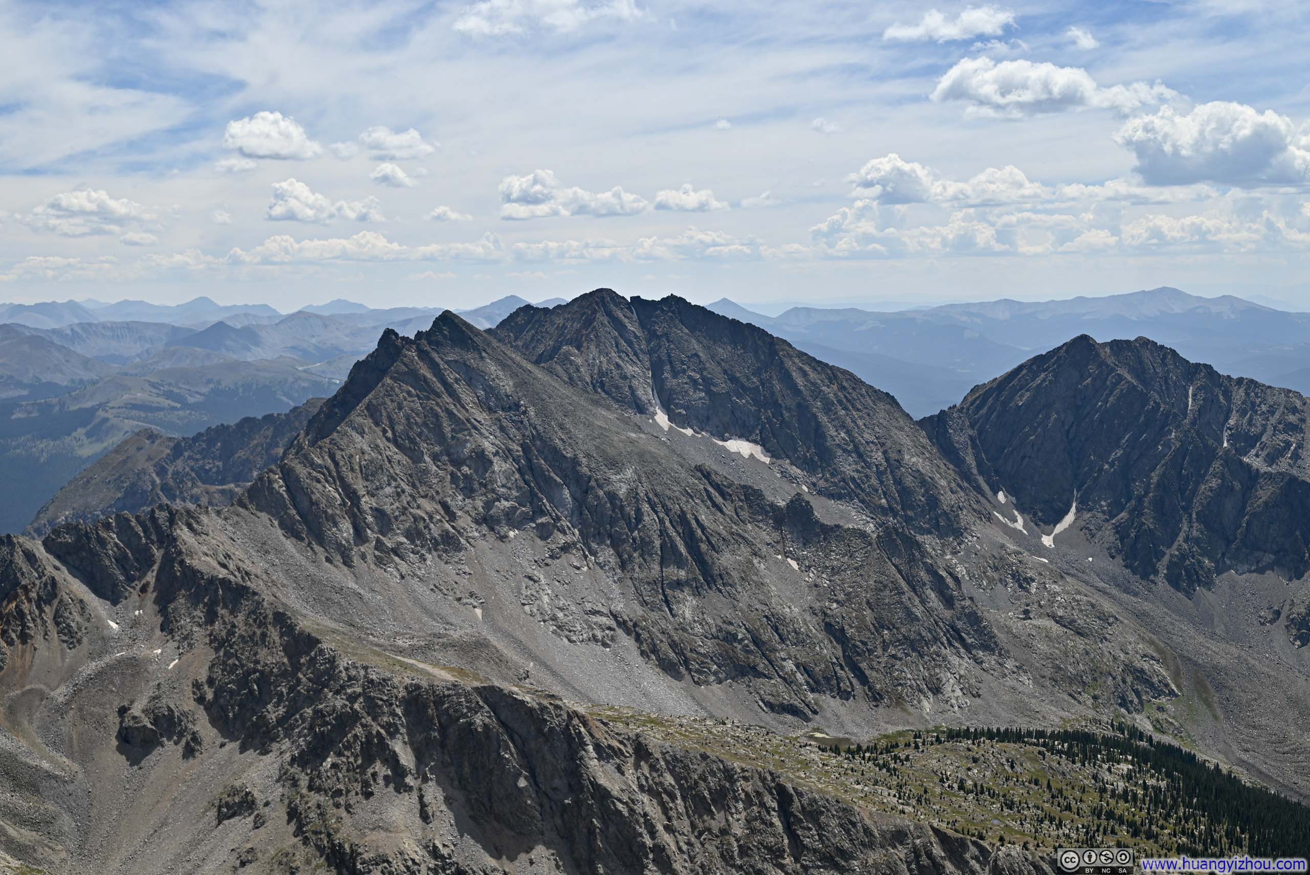
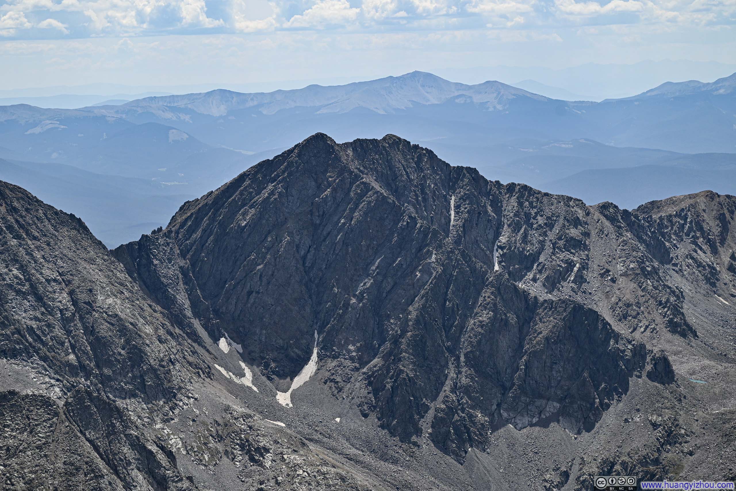
Additionally, there were some other noteworthy mountains, such as the rocky faces of the Apostles that looked both solemn and inviting.
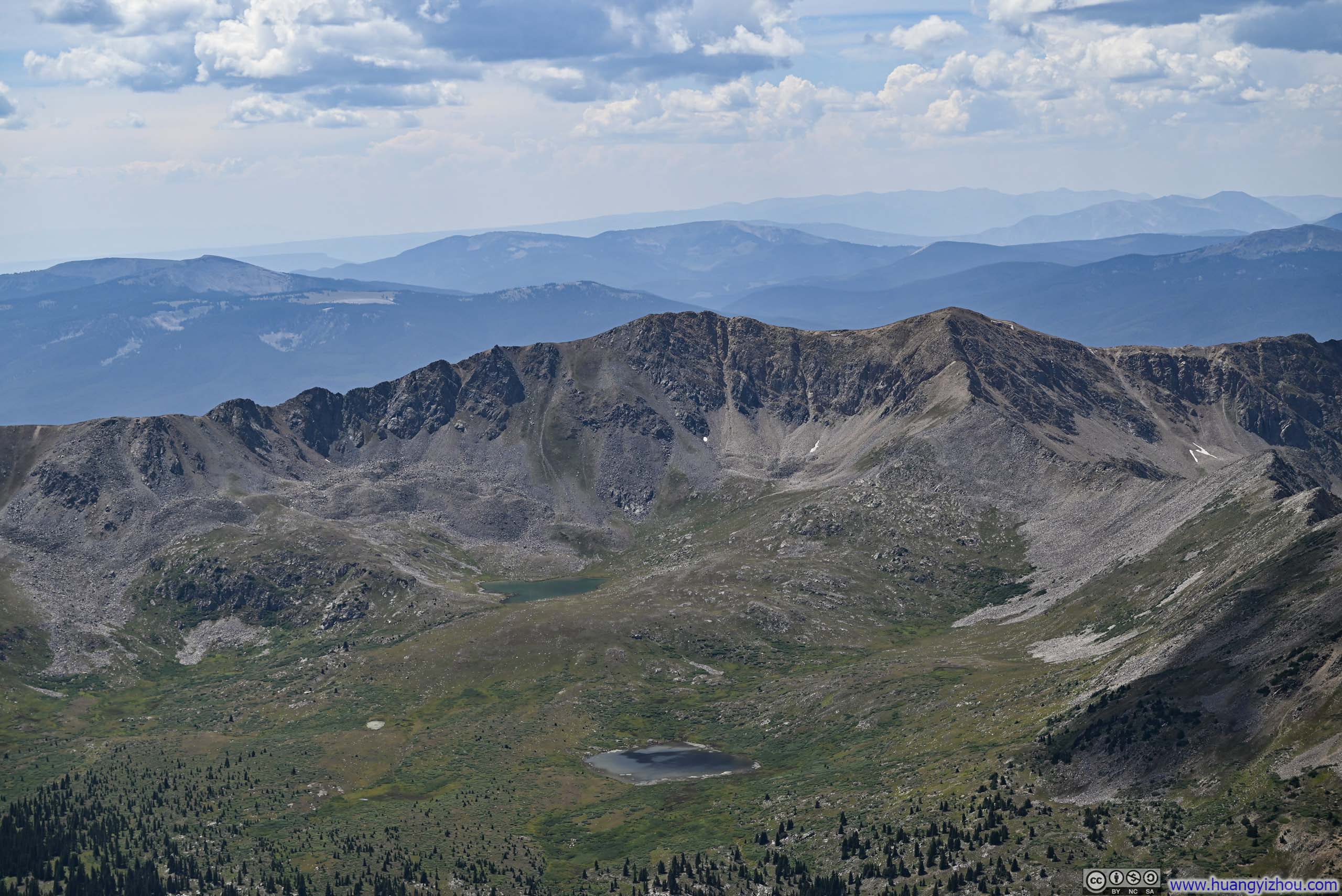
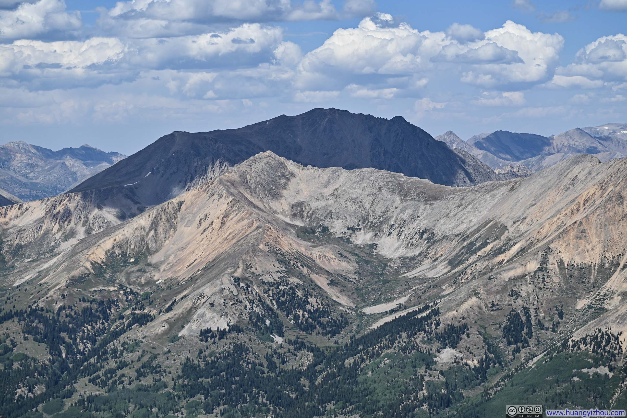
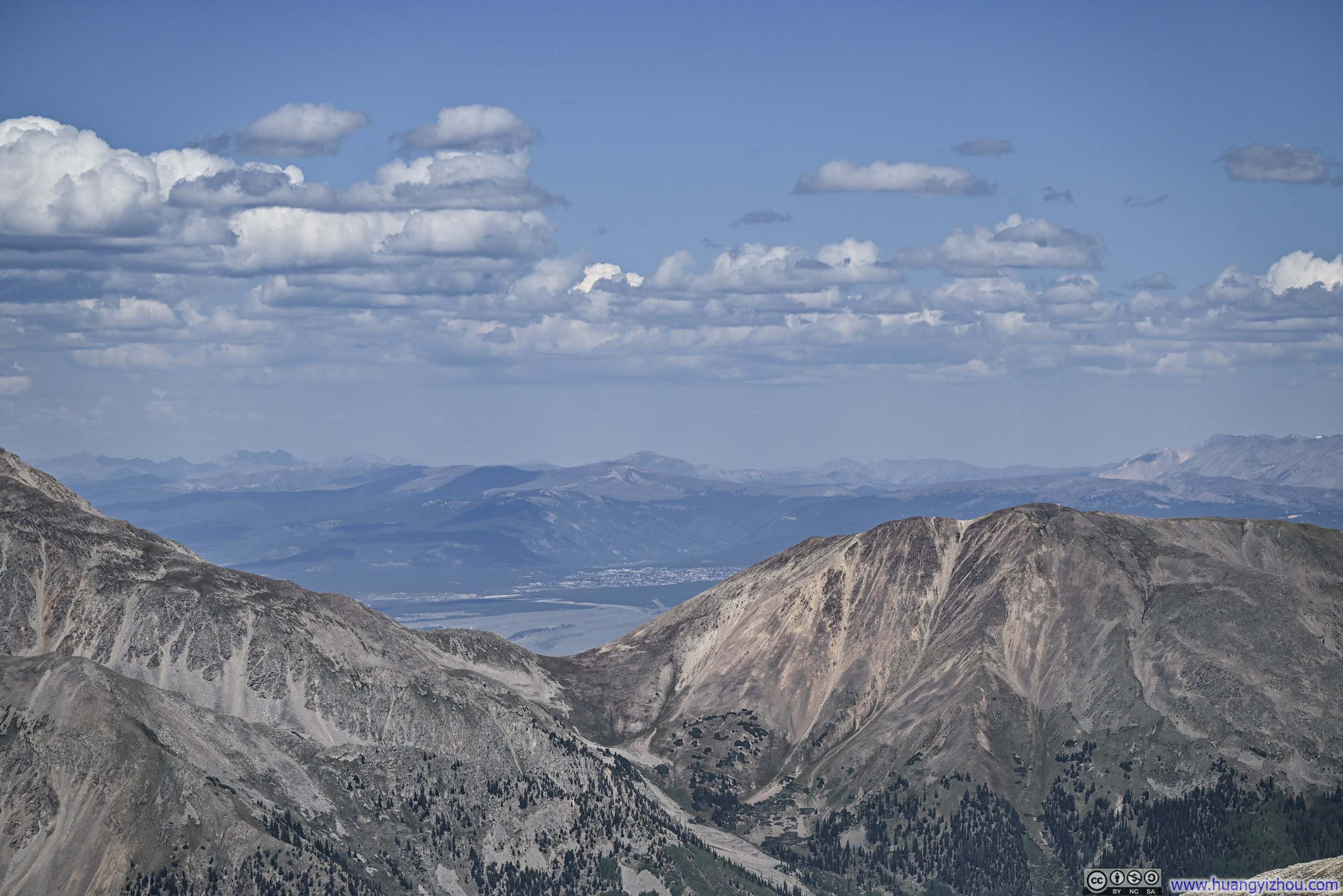
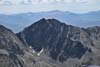
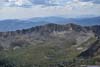
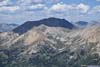
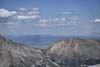
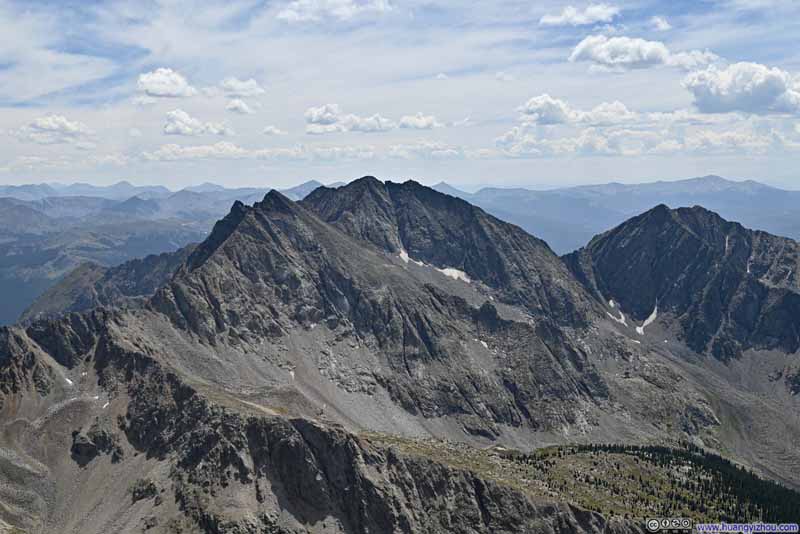
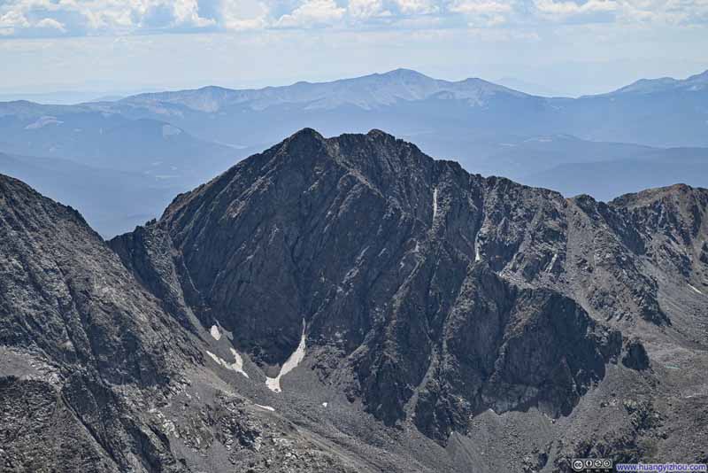
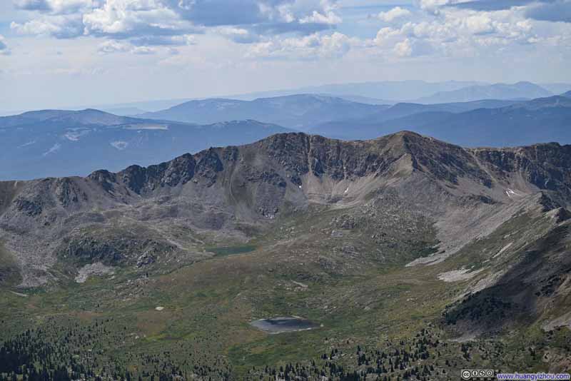
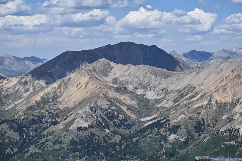
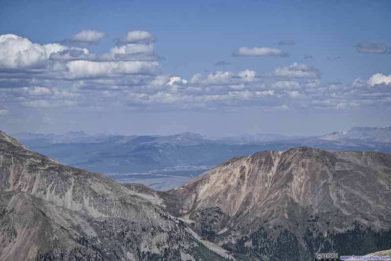
In comparison, the mountains to the west were generally more approachable, with deep valleys allowing lush trees and forests to decorate their slopes below the treeline.

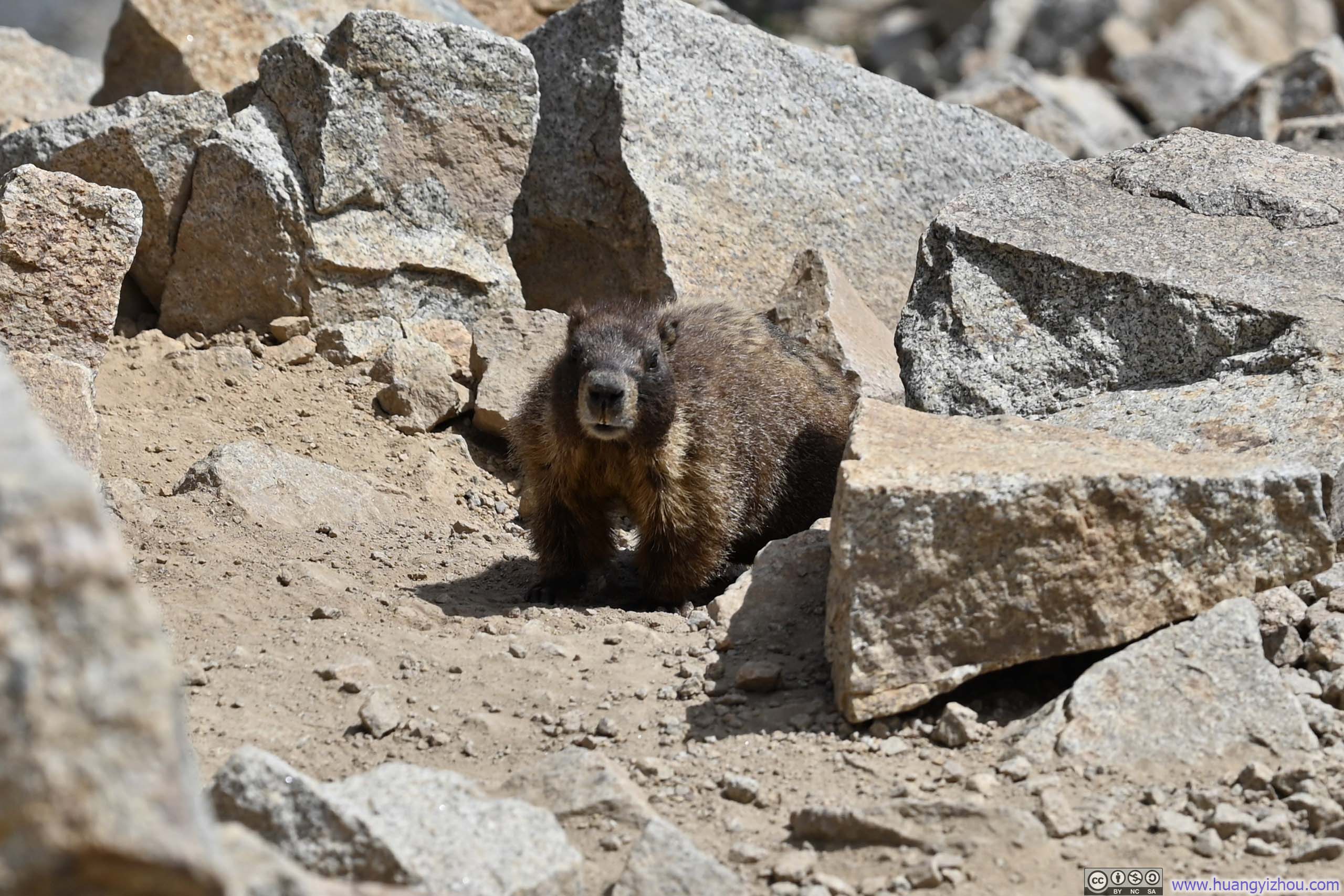
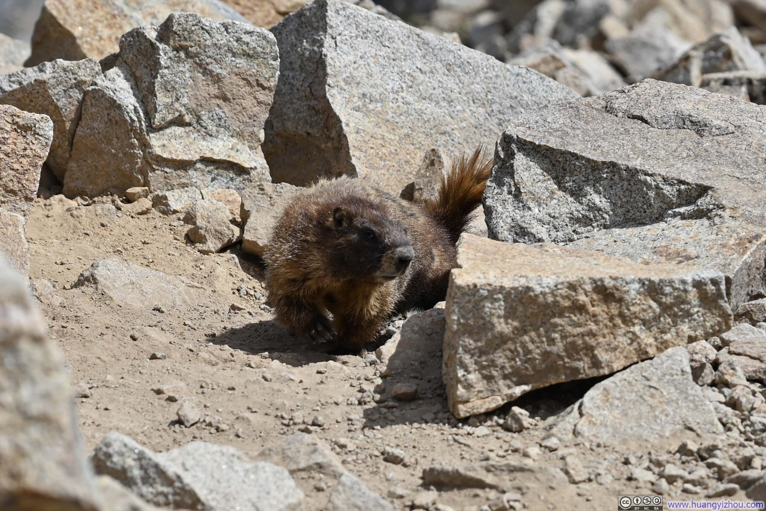
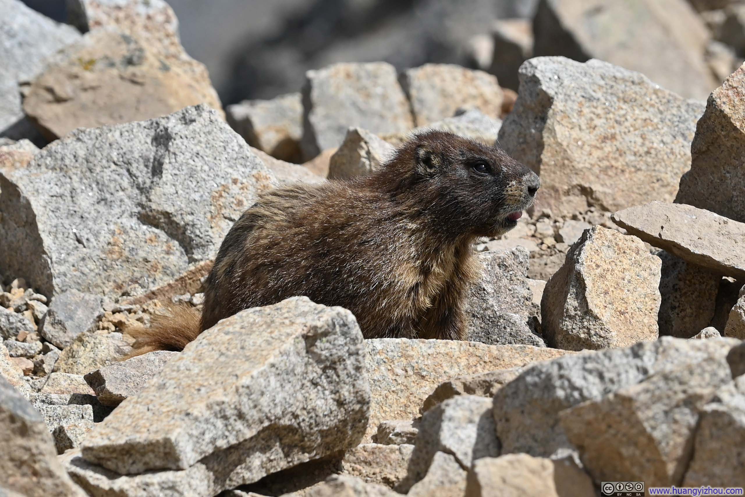
Marmot
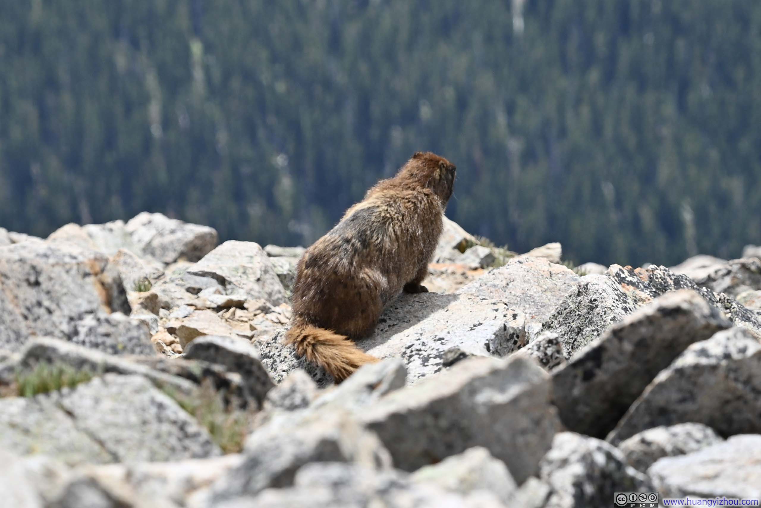
I was joined by this creature on the summit of Huron Peak. It didn't seem tired at all as it kept running around all the time.


Views around Huron Peak
from the ground (top) and from my drone (bottom)
I stayed at the summit of Huron Peak for about an hour before starting my descent just after 2pm. After reaching the trail intersection from Lulu Gulch, the standard route of Huron Peak featured numerous switchbacks through an alpine tundra that had already donned its autumn colors. This was one of the rare occasions when I actually enjoyed the switchbacks: the gradient of the trail wasn't steep enough to require my full attention, so it's a comfortable stroll watching the pleasing colors of vegetation around me.
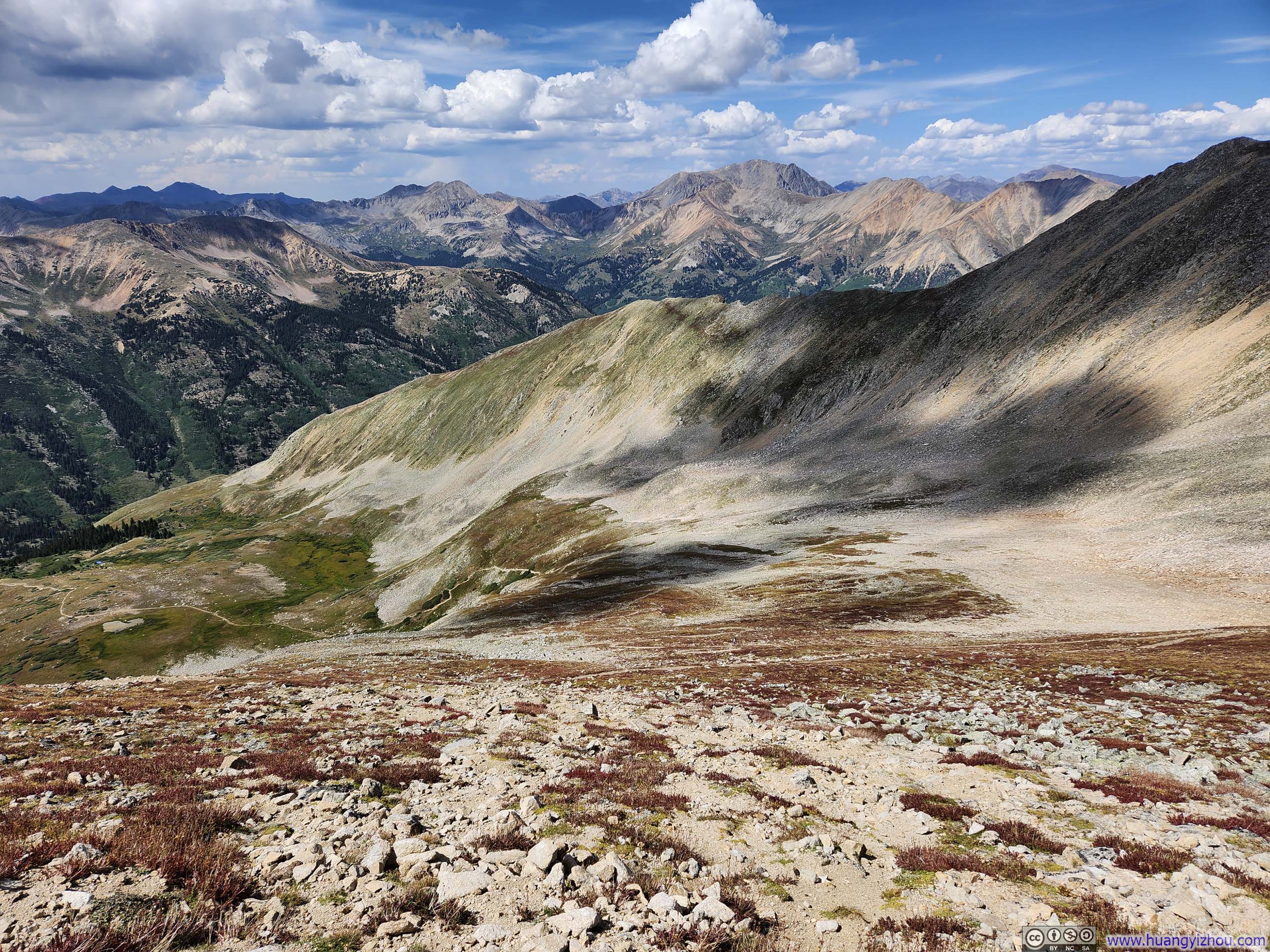
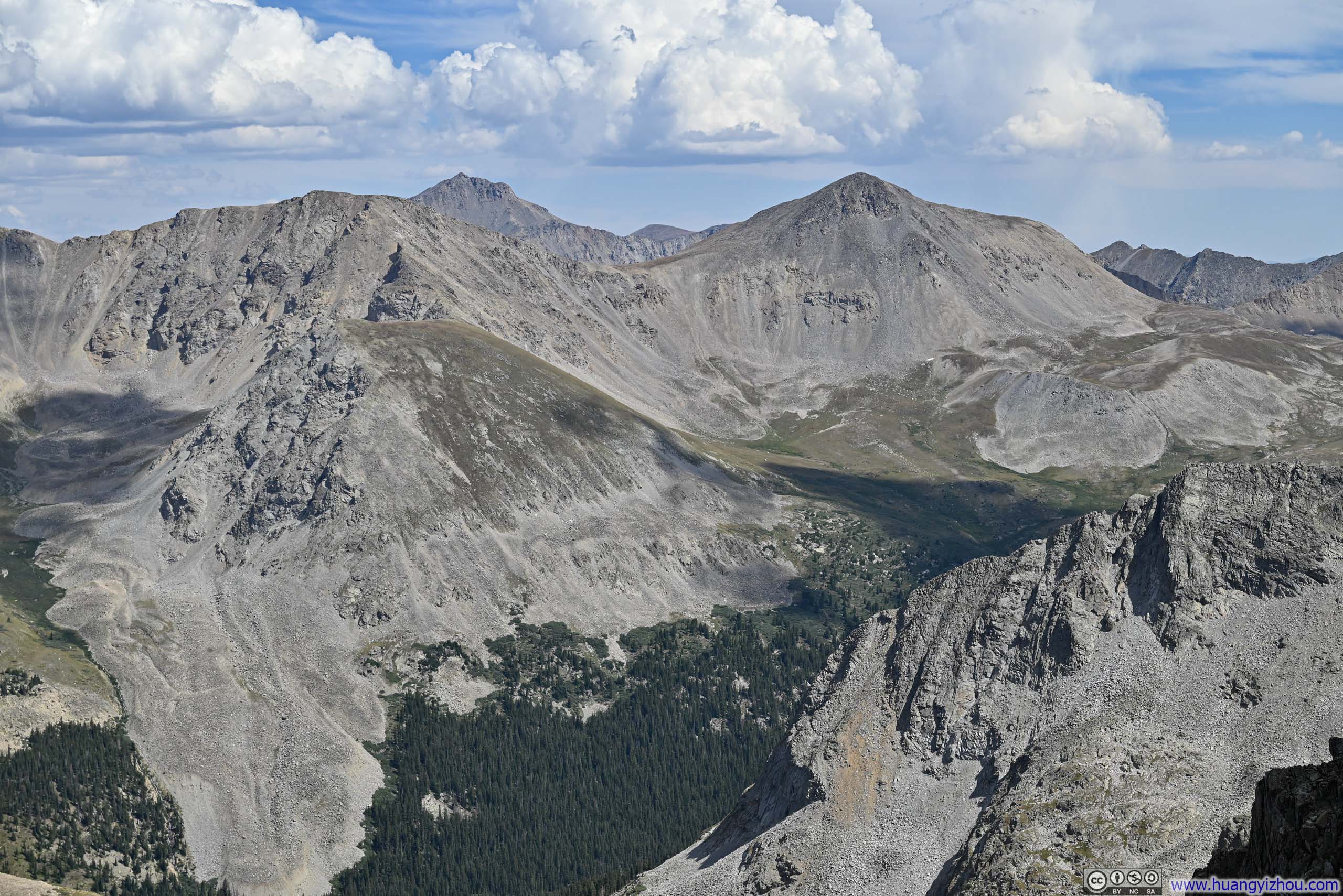
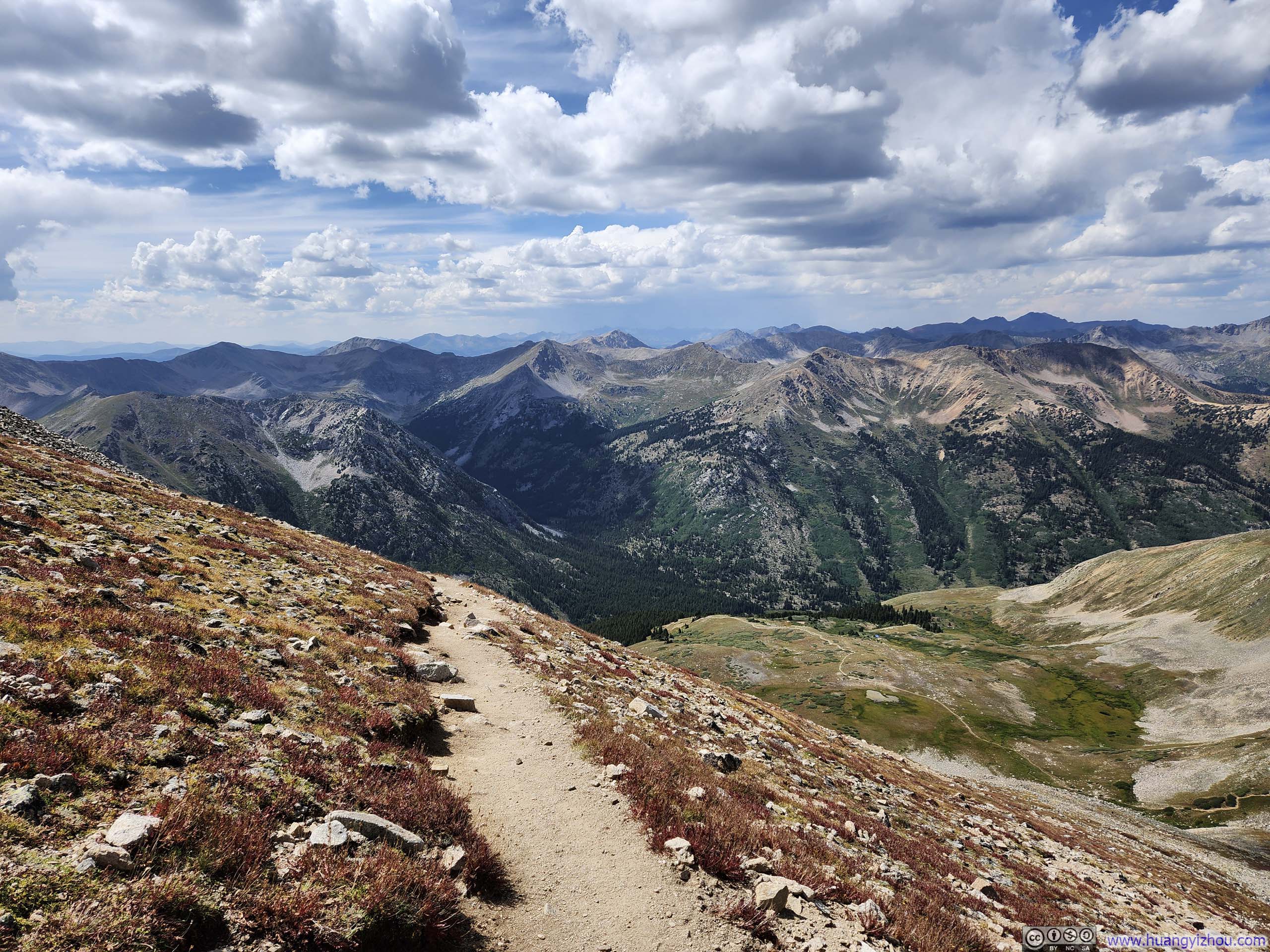
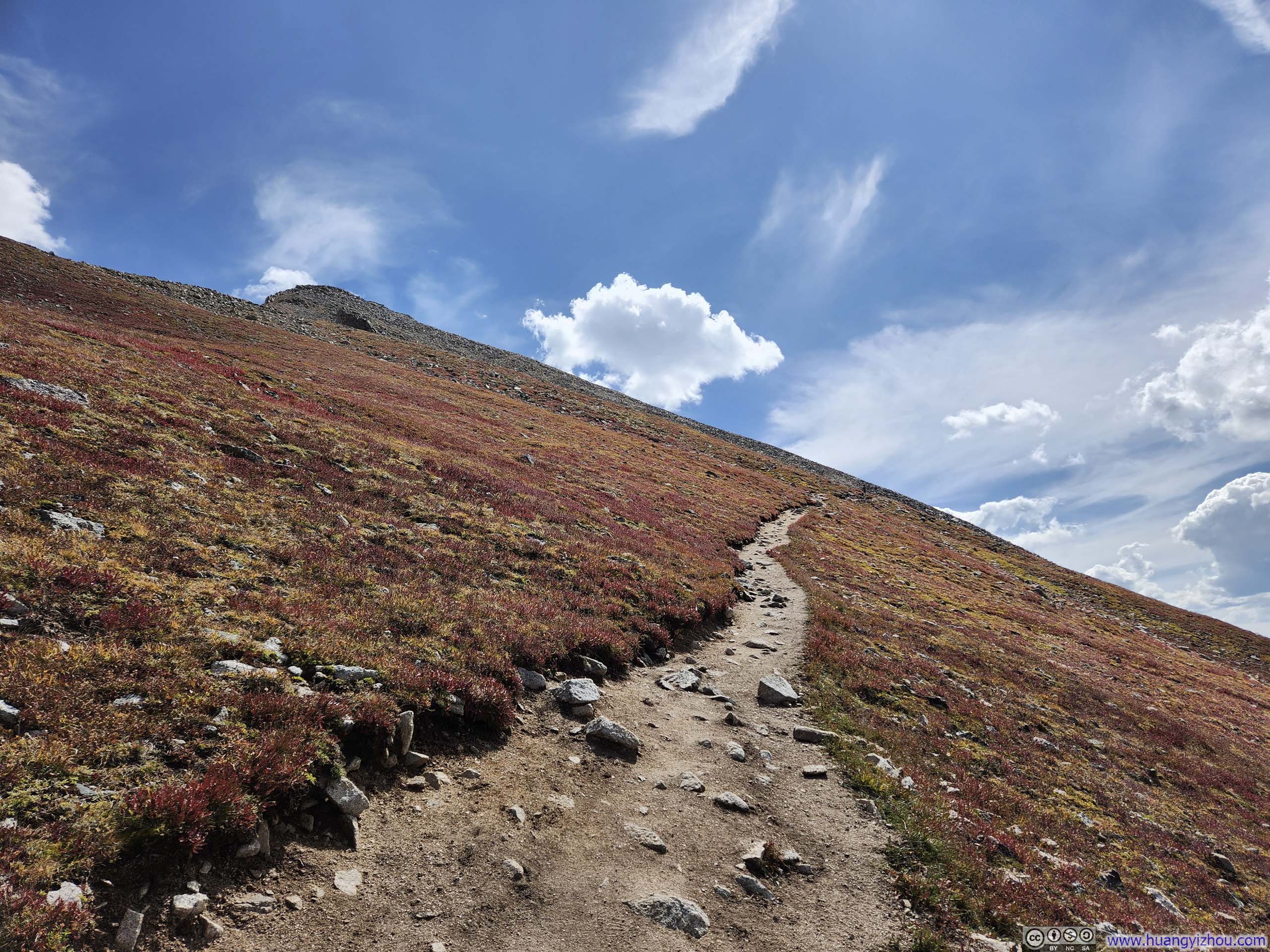
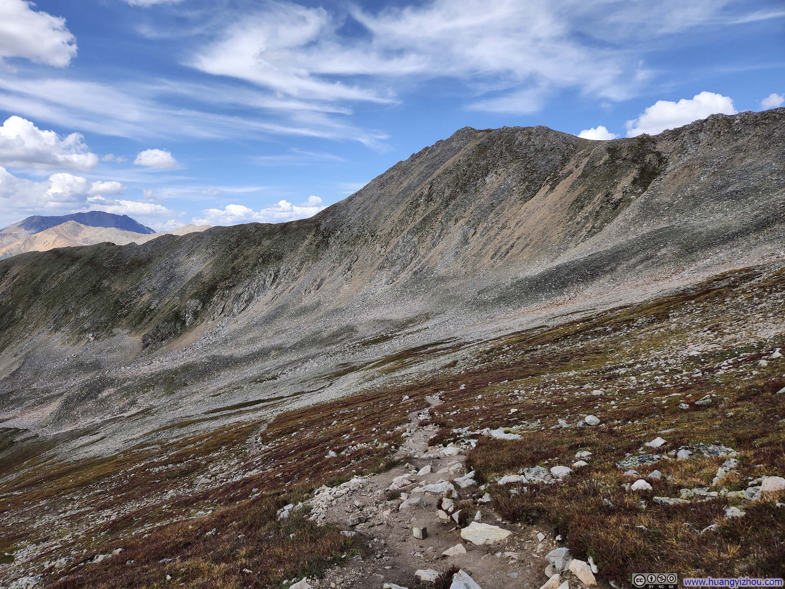
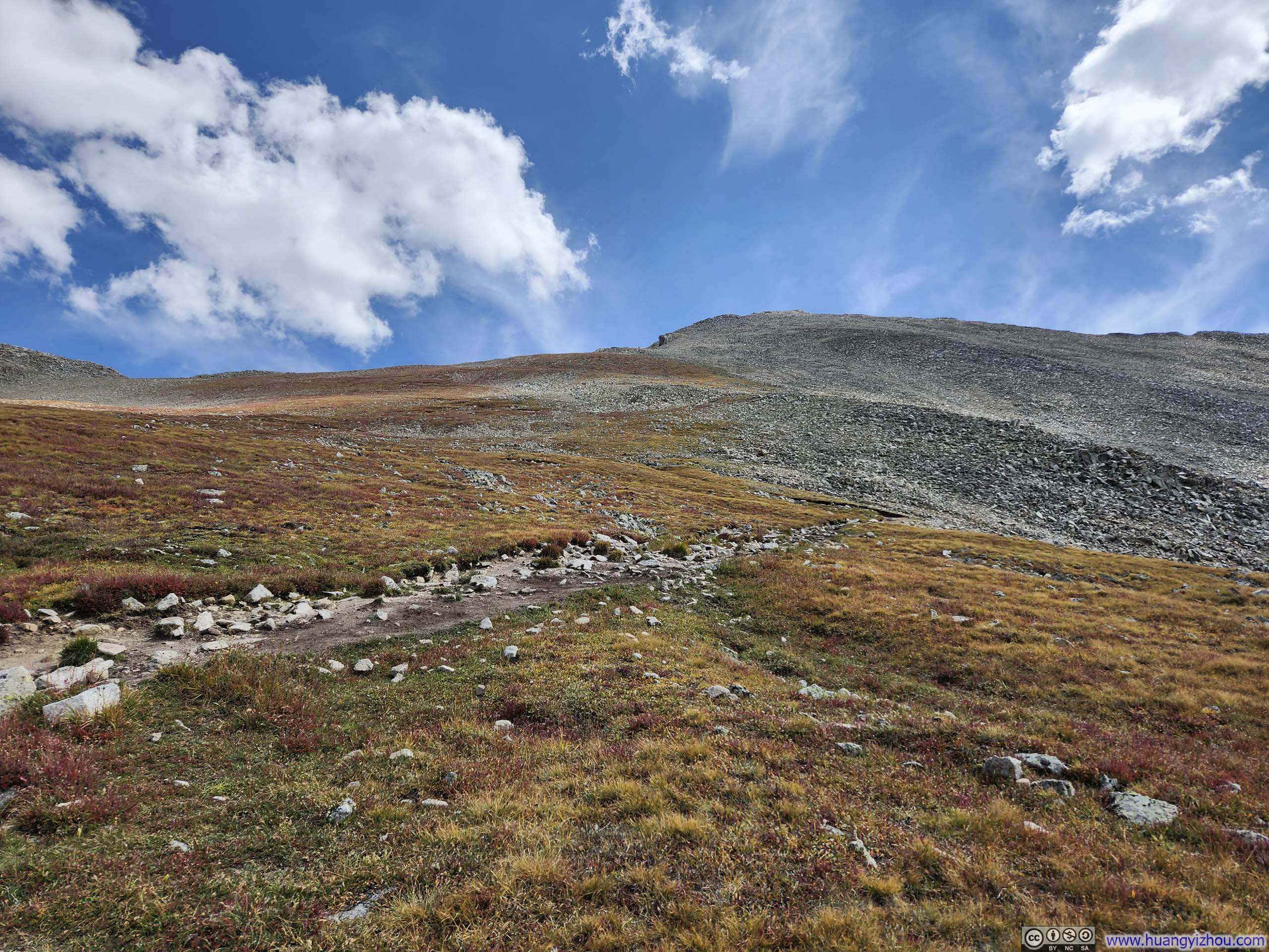
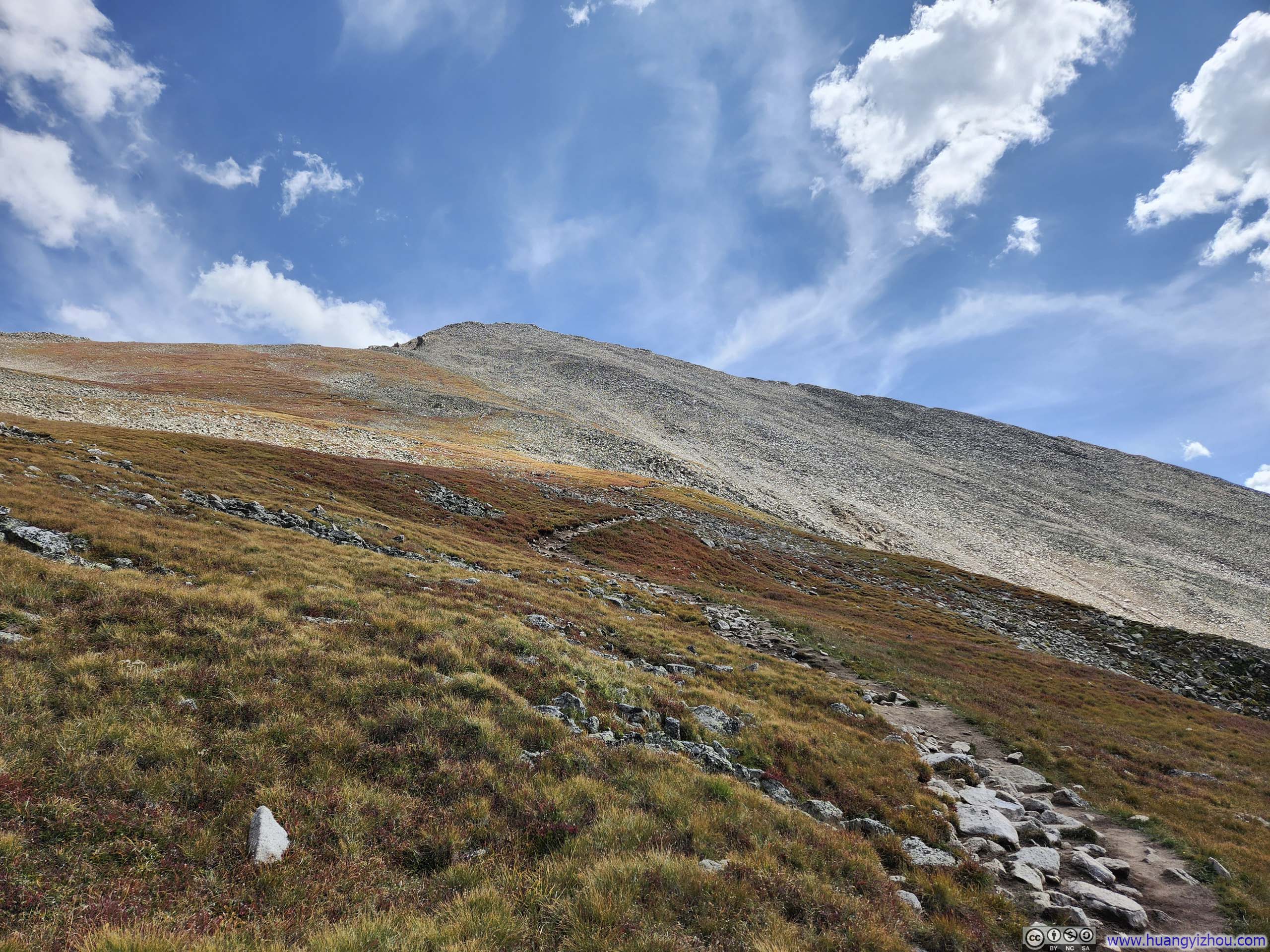
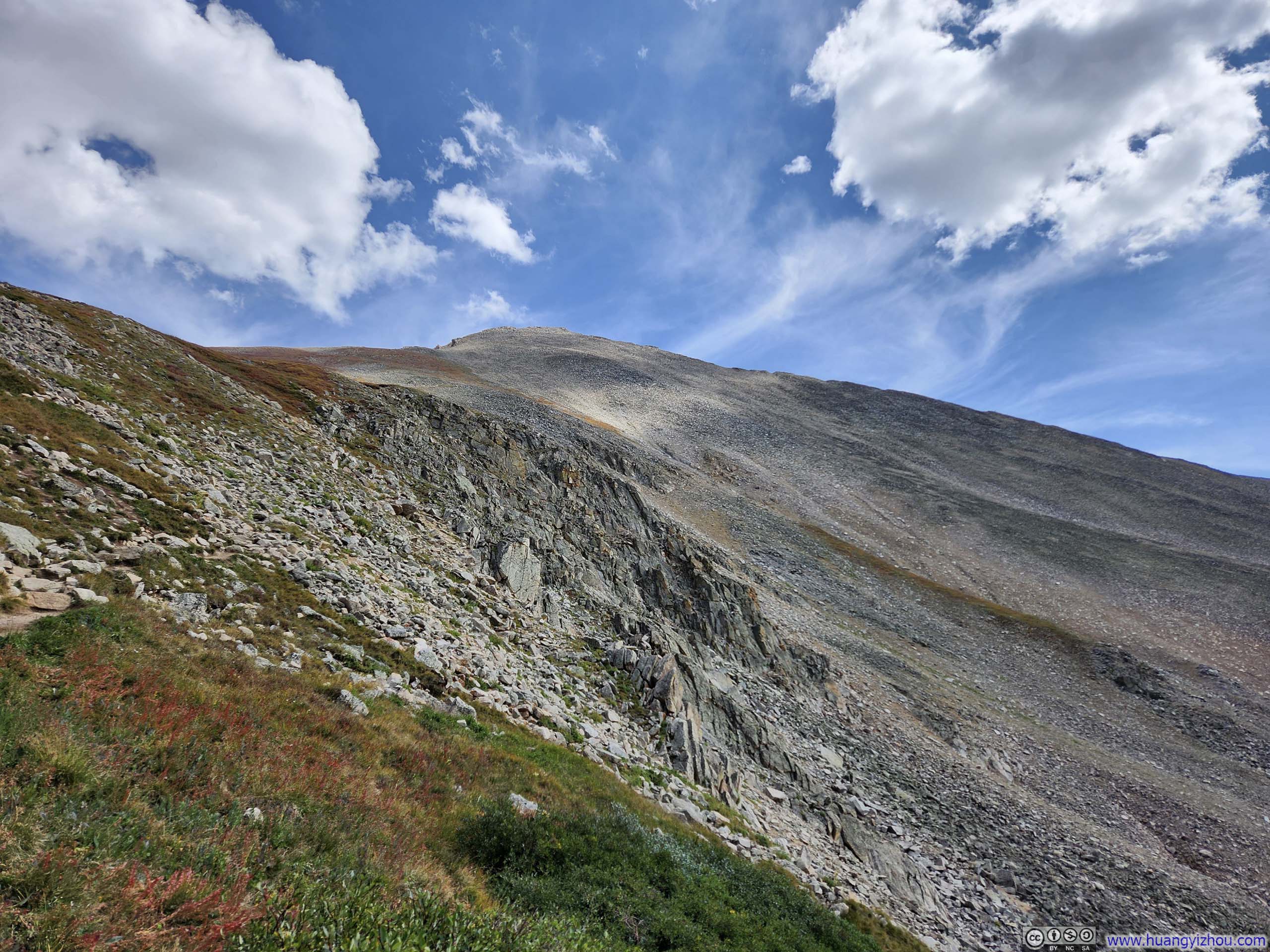
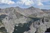
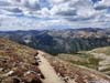
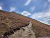
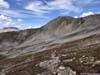
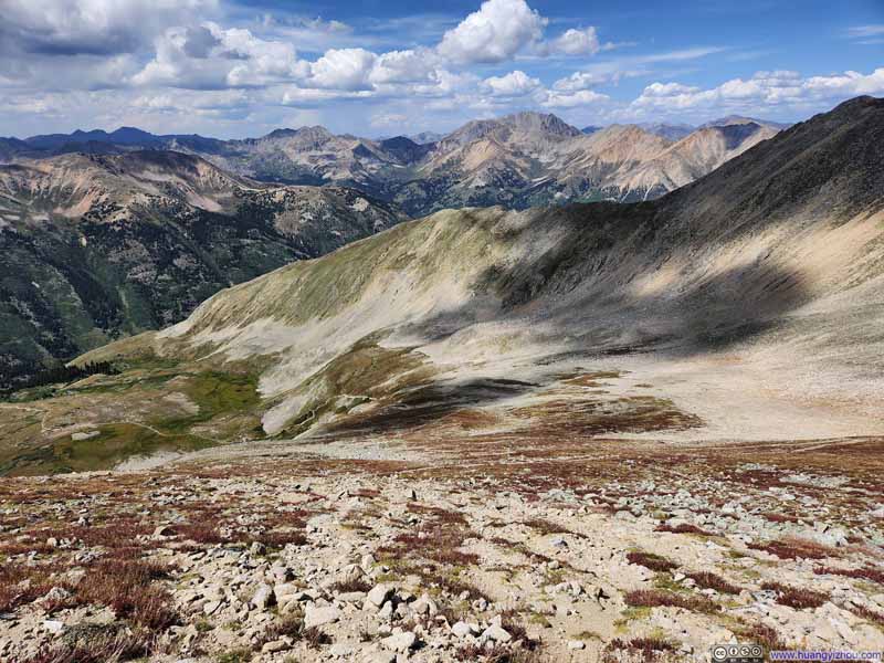
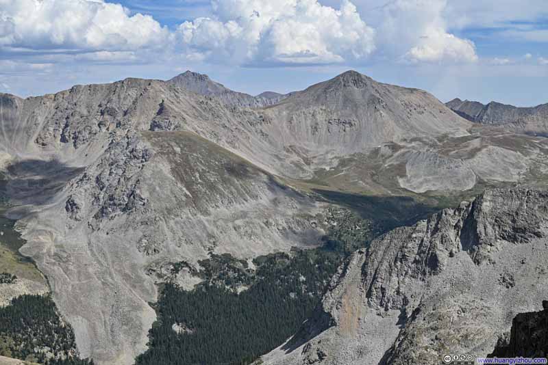
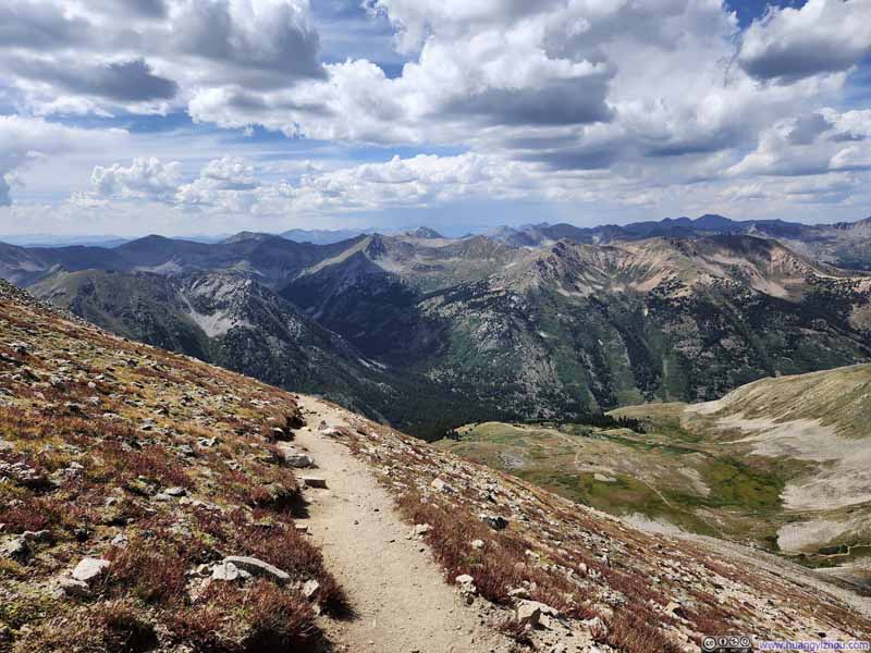
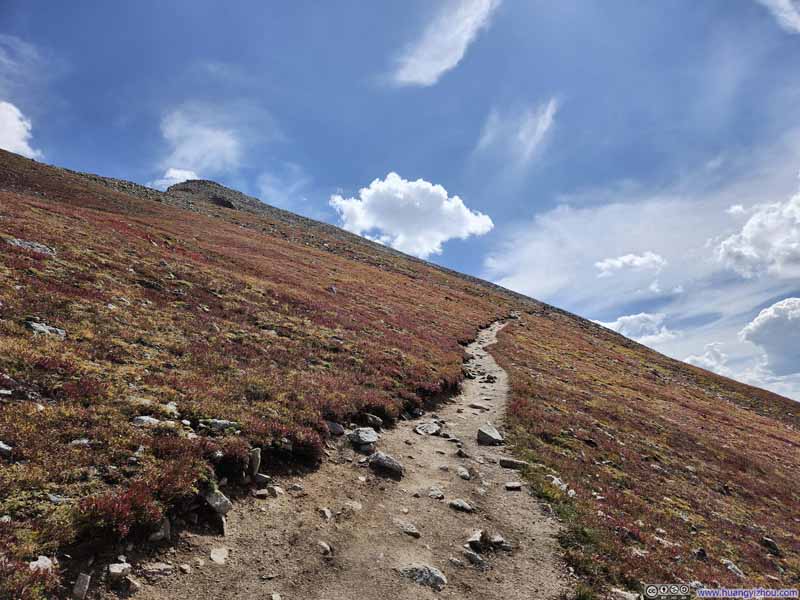
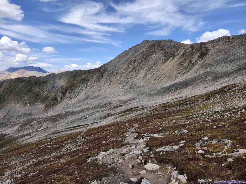
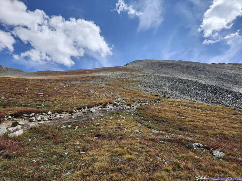
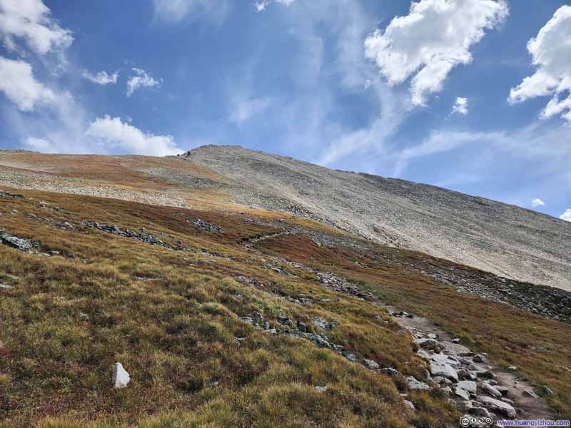
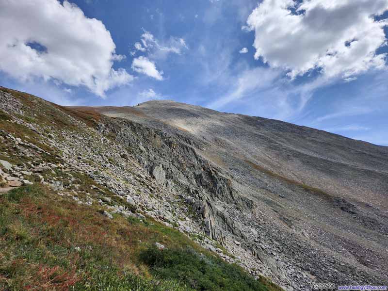
As I descended to a lower elevation, the colors around the trail shifted back to green. Just before reaching the treeline, I enjoyed one last expansive view of the surrounding mountains, from La Plata Peak to the north to the Apostles to the south.

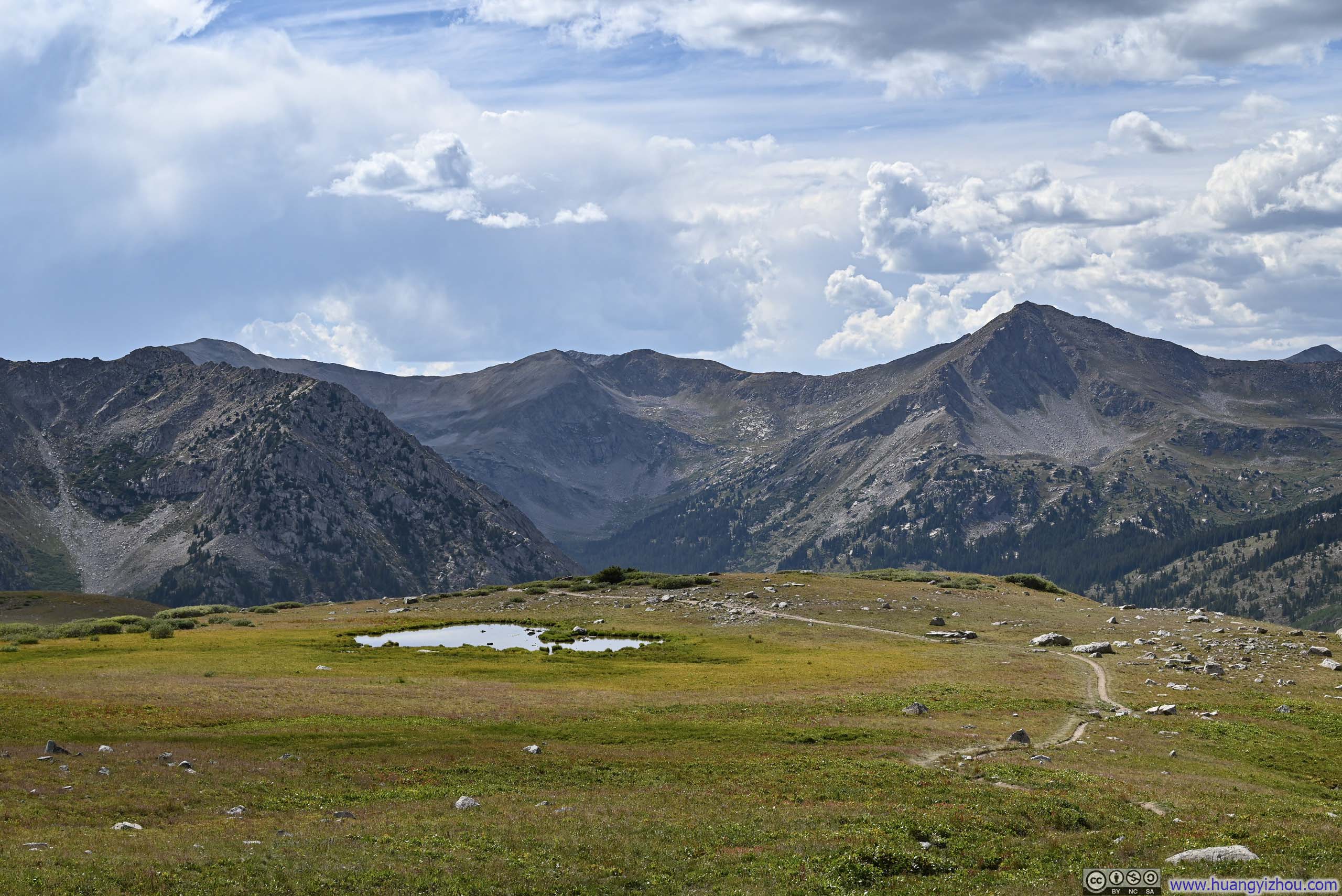
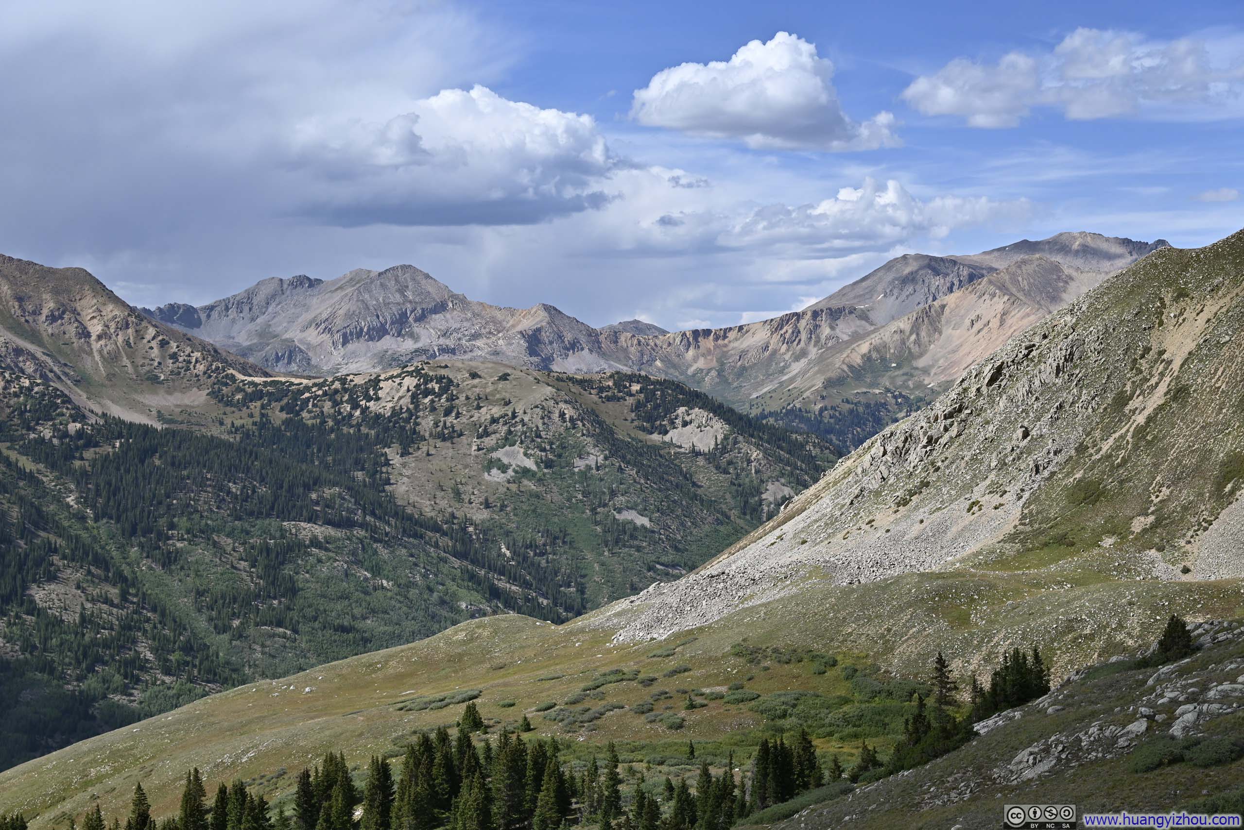
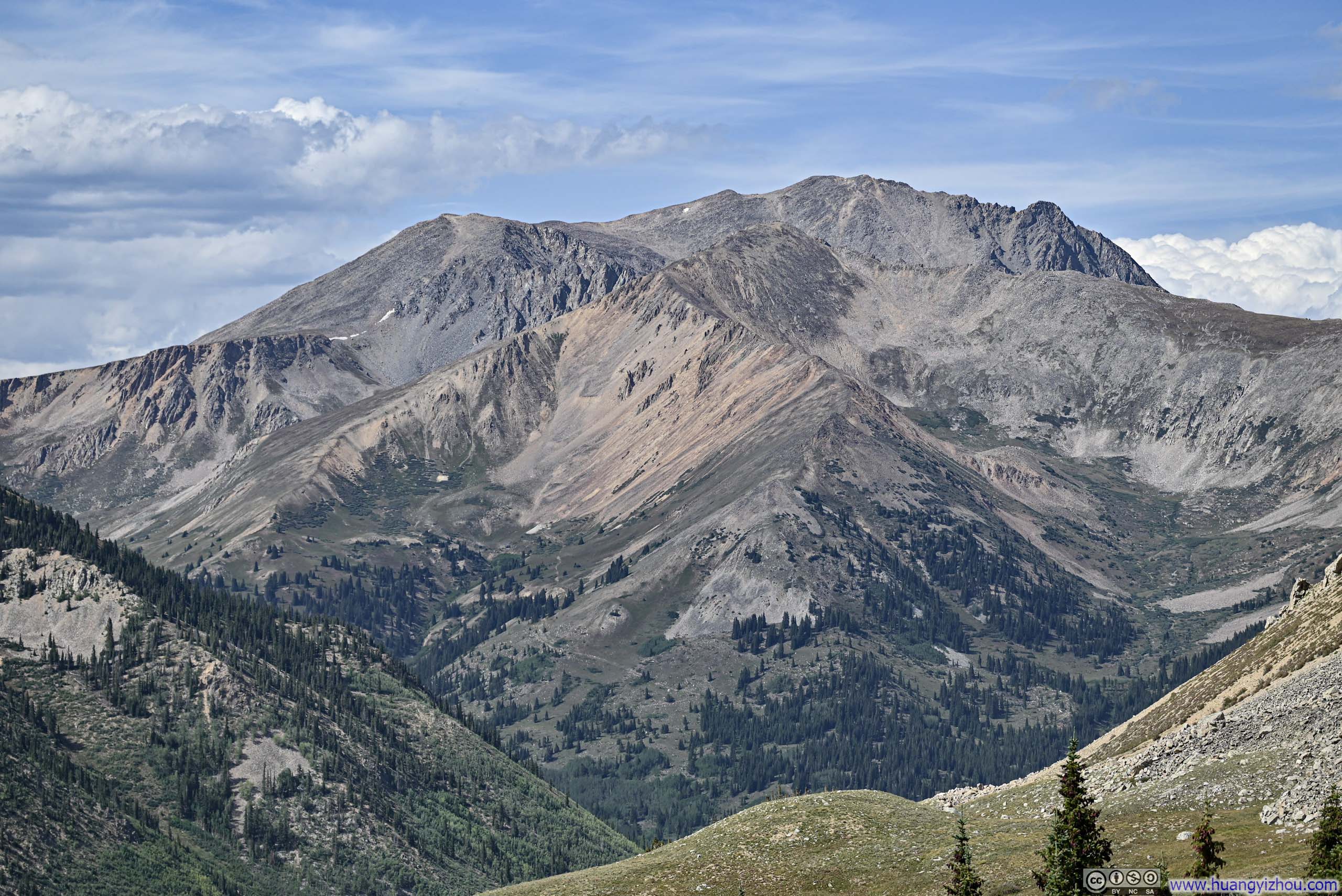
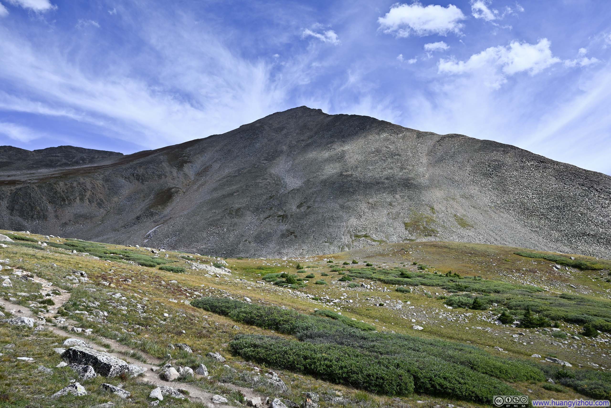
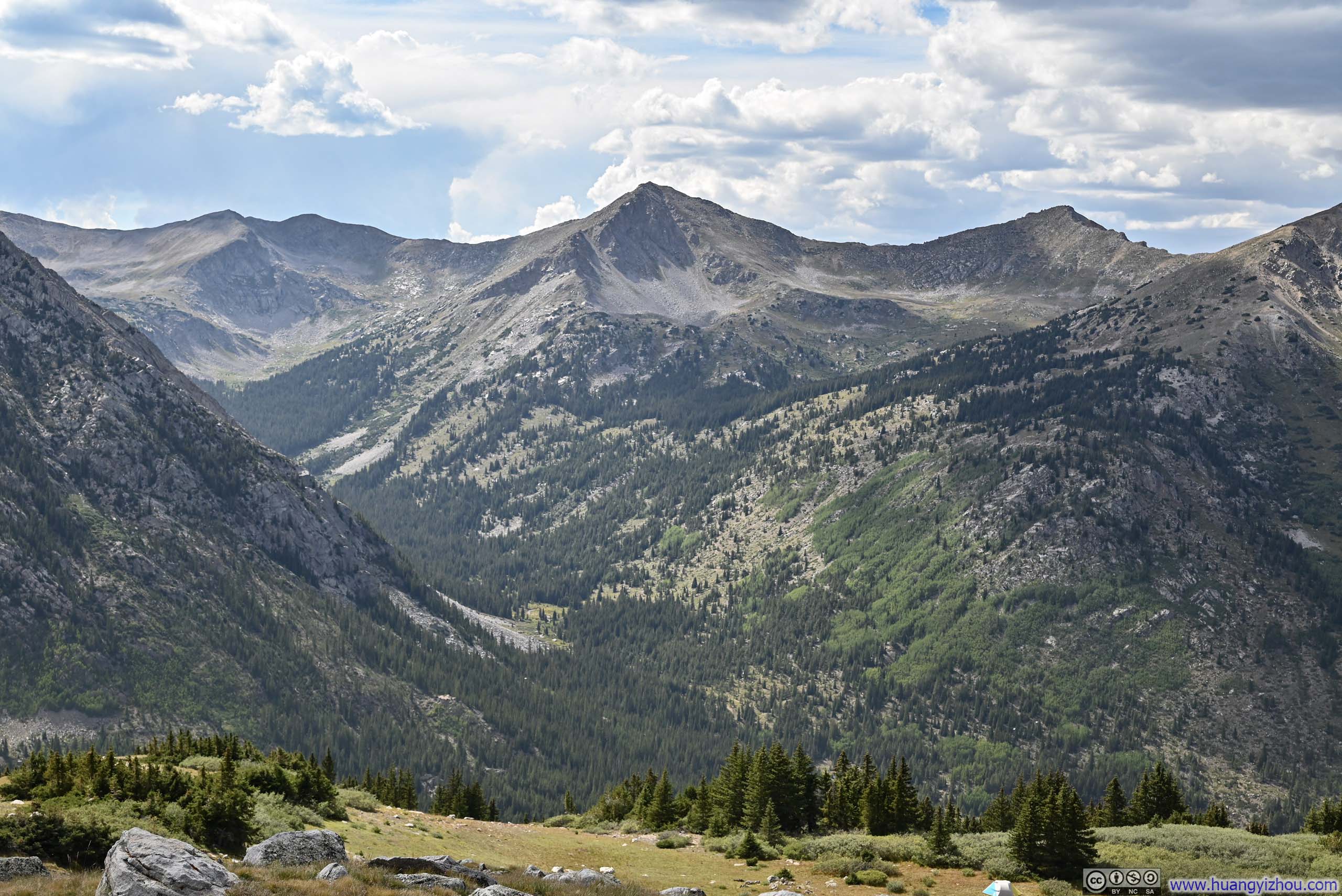
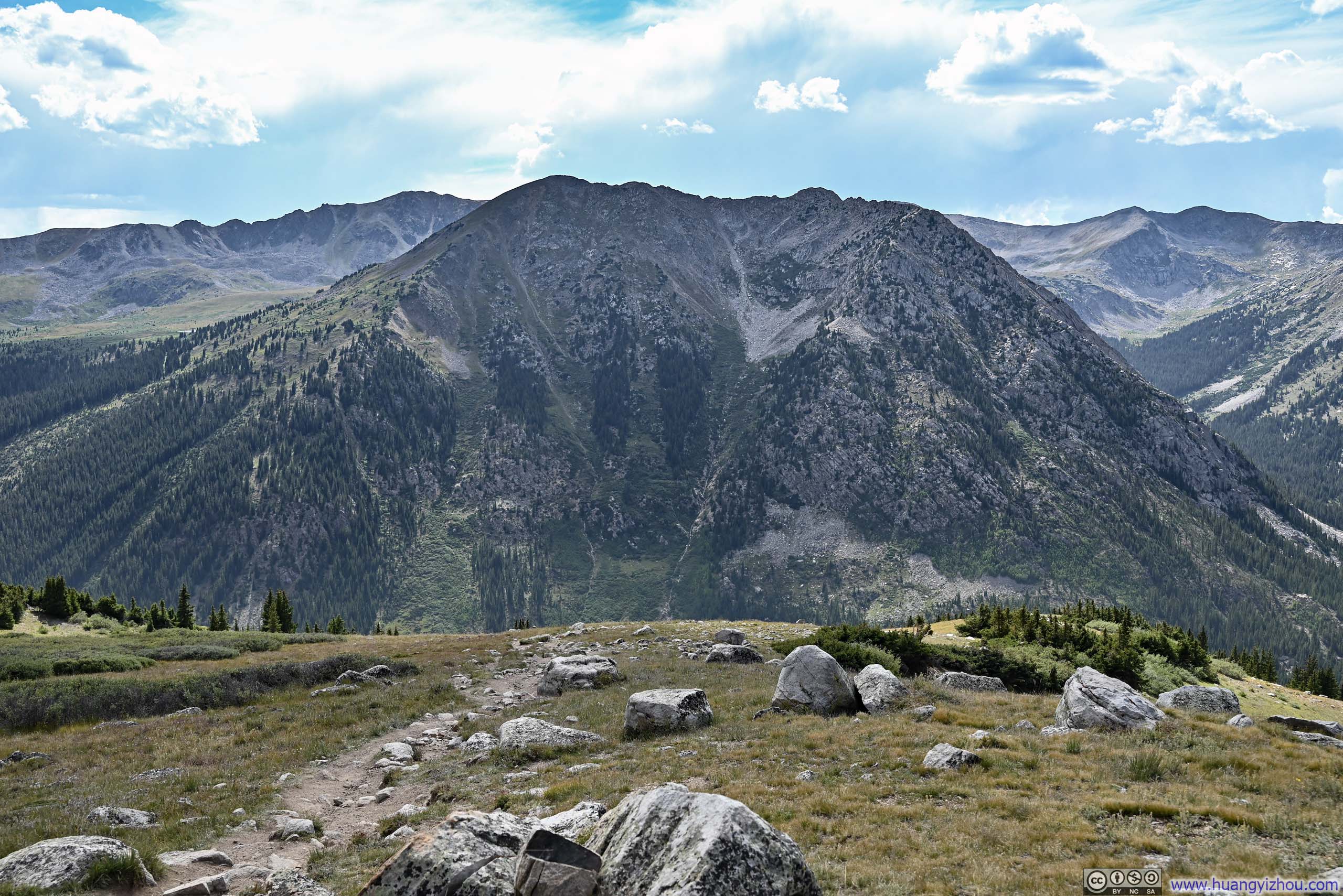
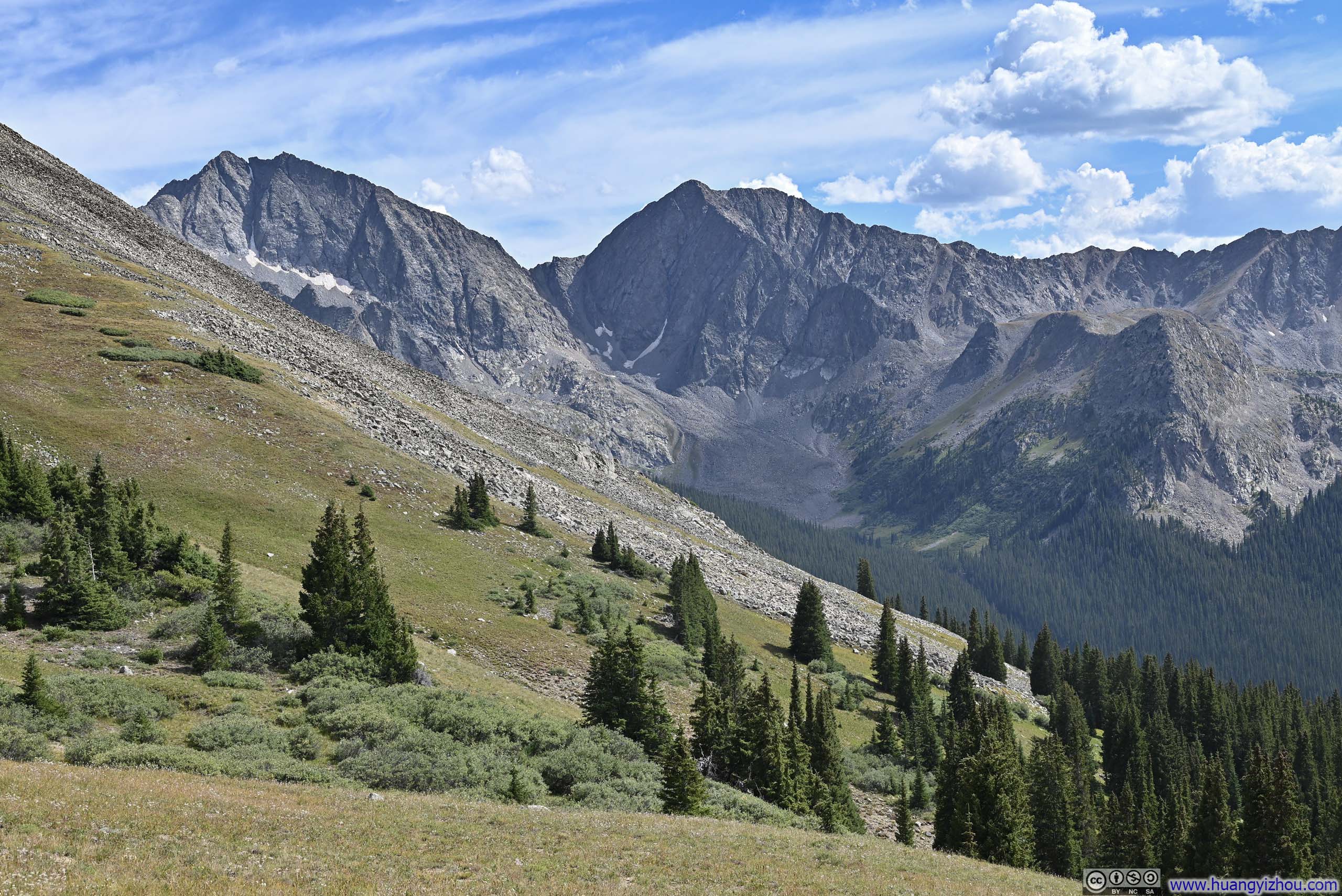
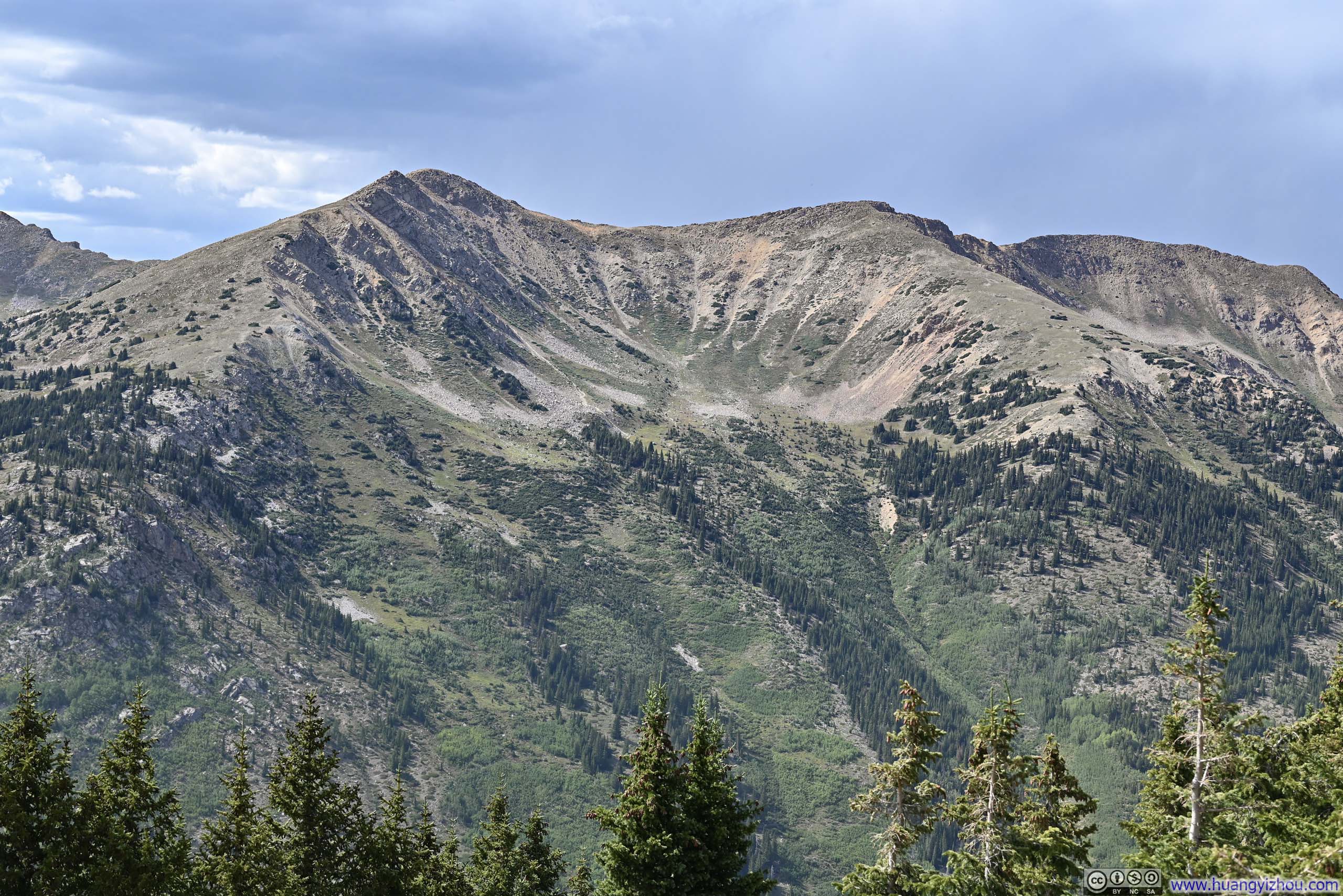
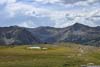
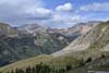
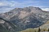
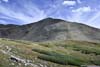
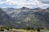
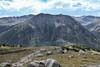
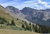
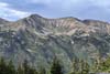
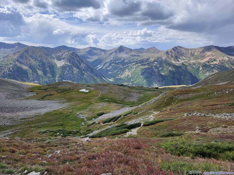
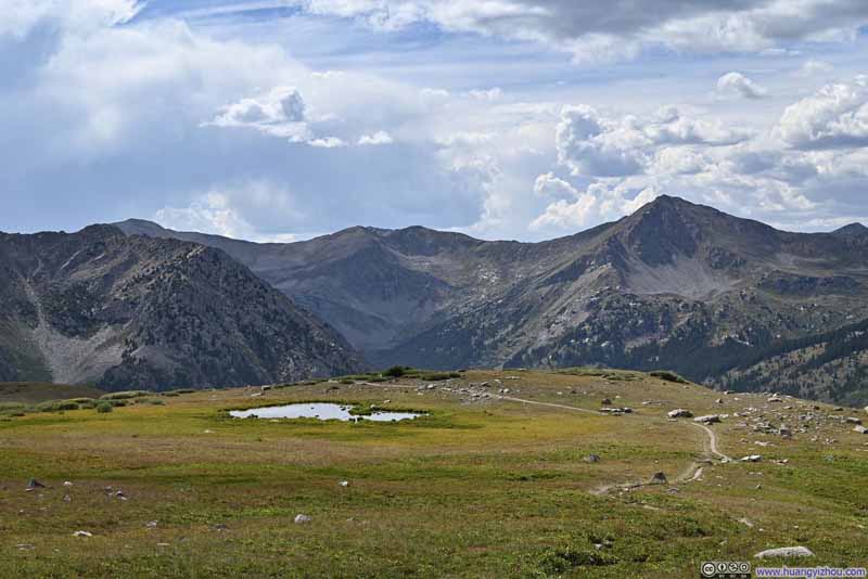
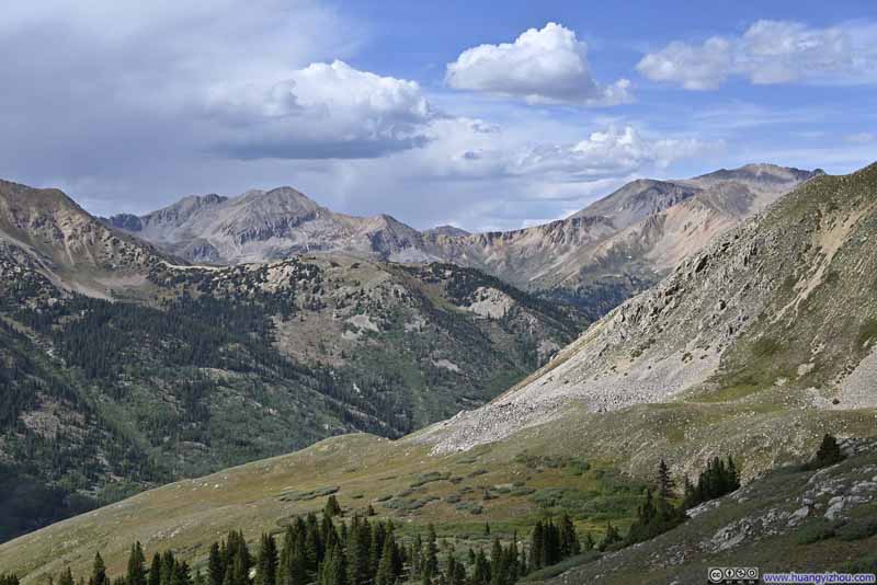
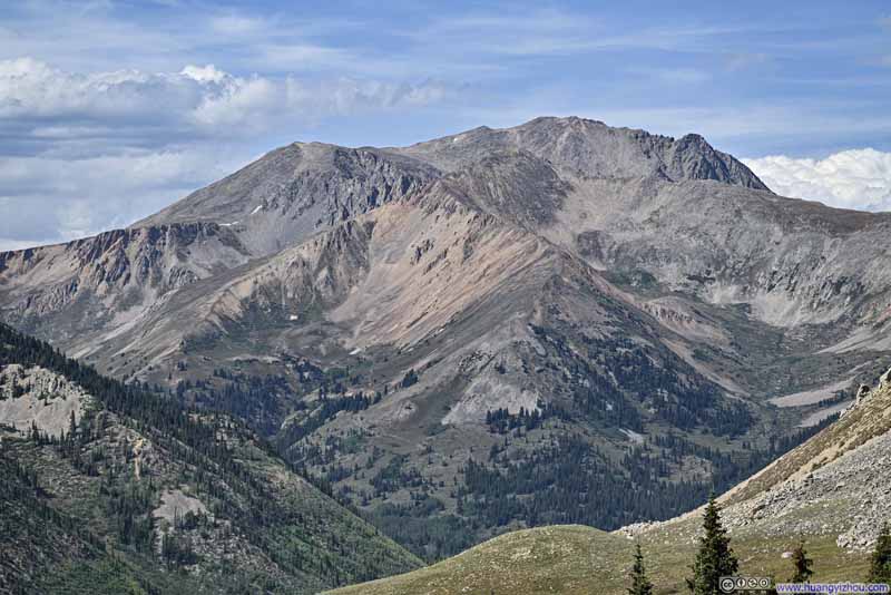
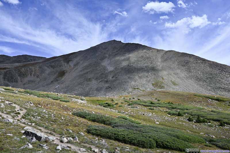
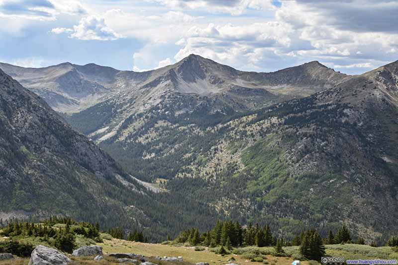
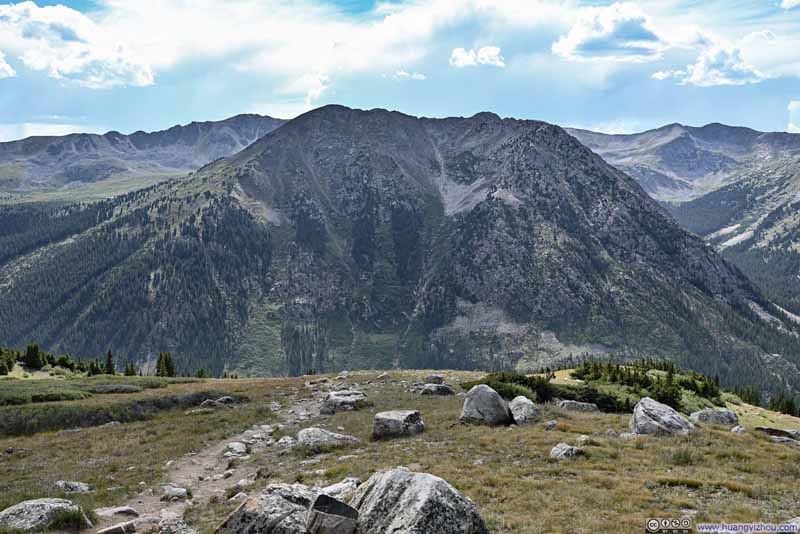
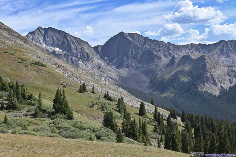
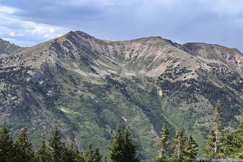
Once below the treeline, the trail again entered a series of switchbacks as it descended the steep western face of Huron Peak. At one point, slightly off the trail where the trees were sparse, I found a spot to rest my legs on some rocks while enjoying glimpses of the mountains.
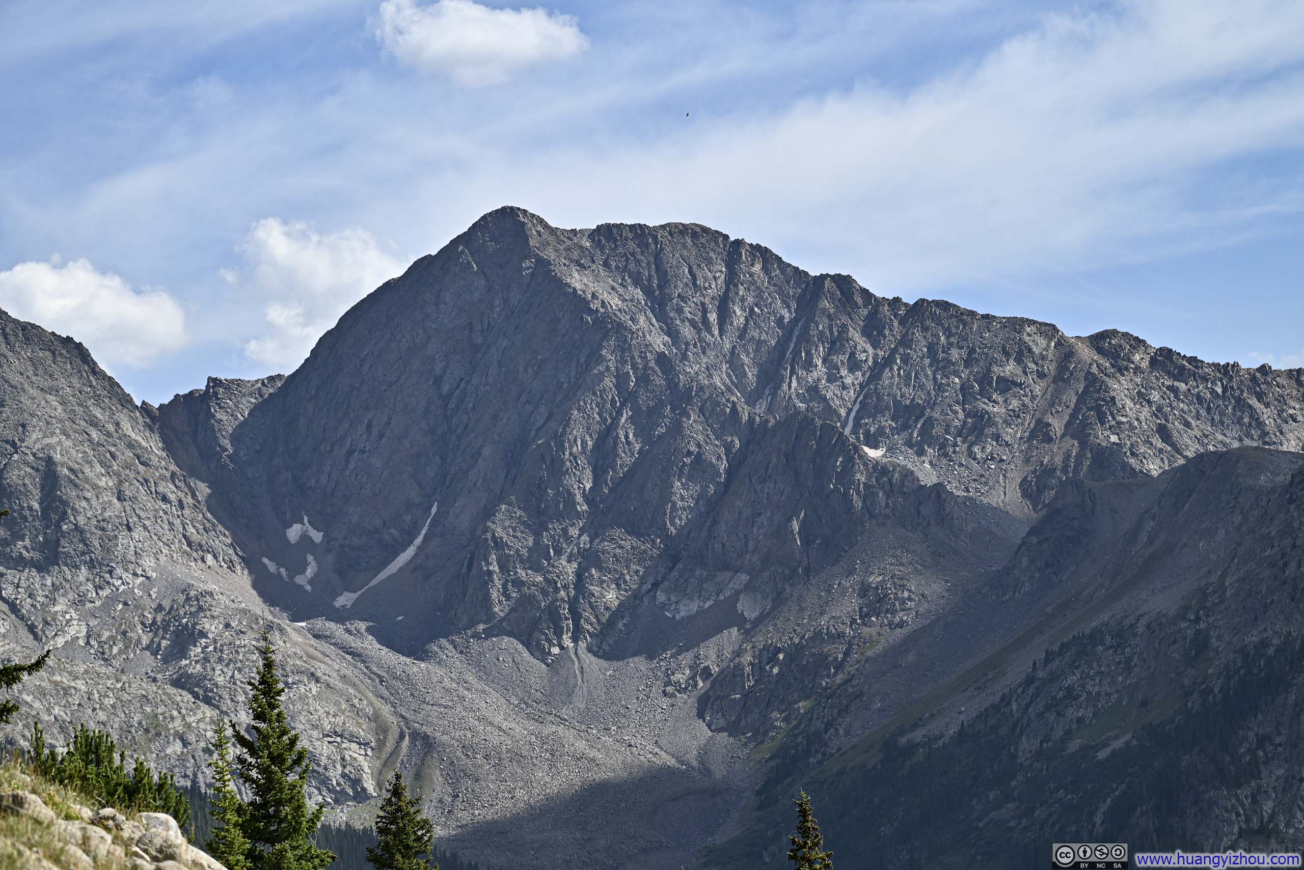
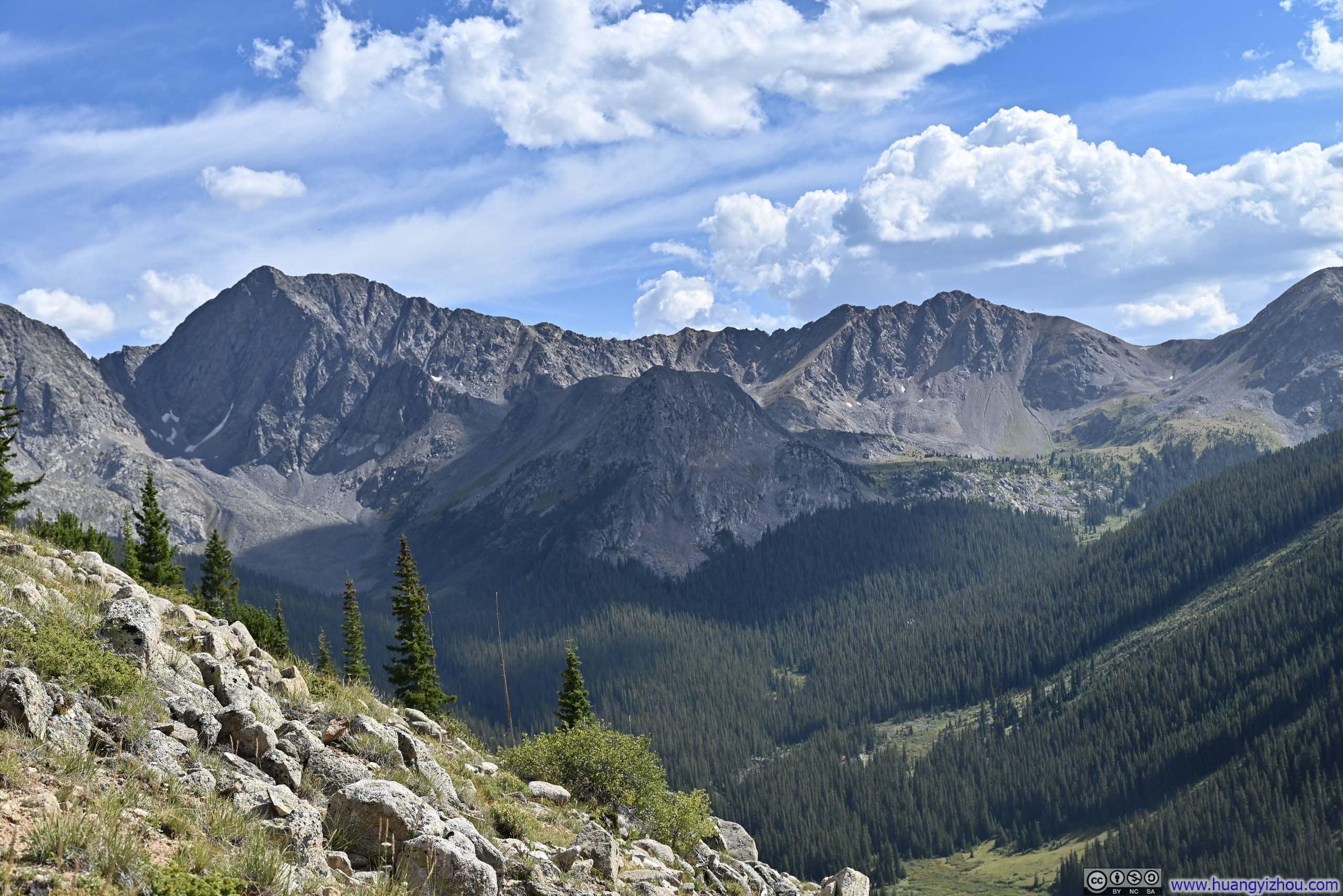
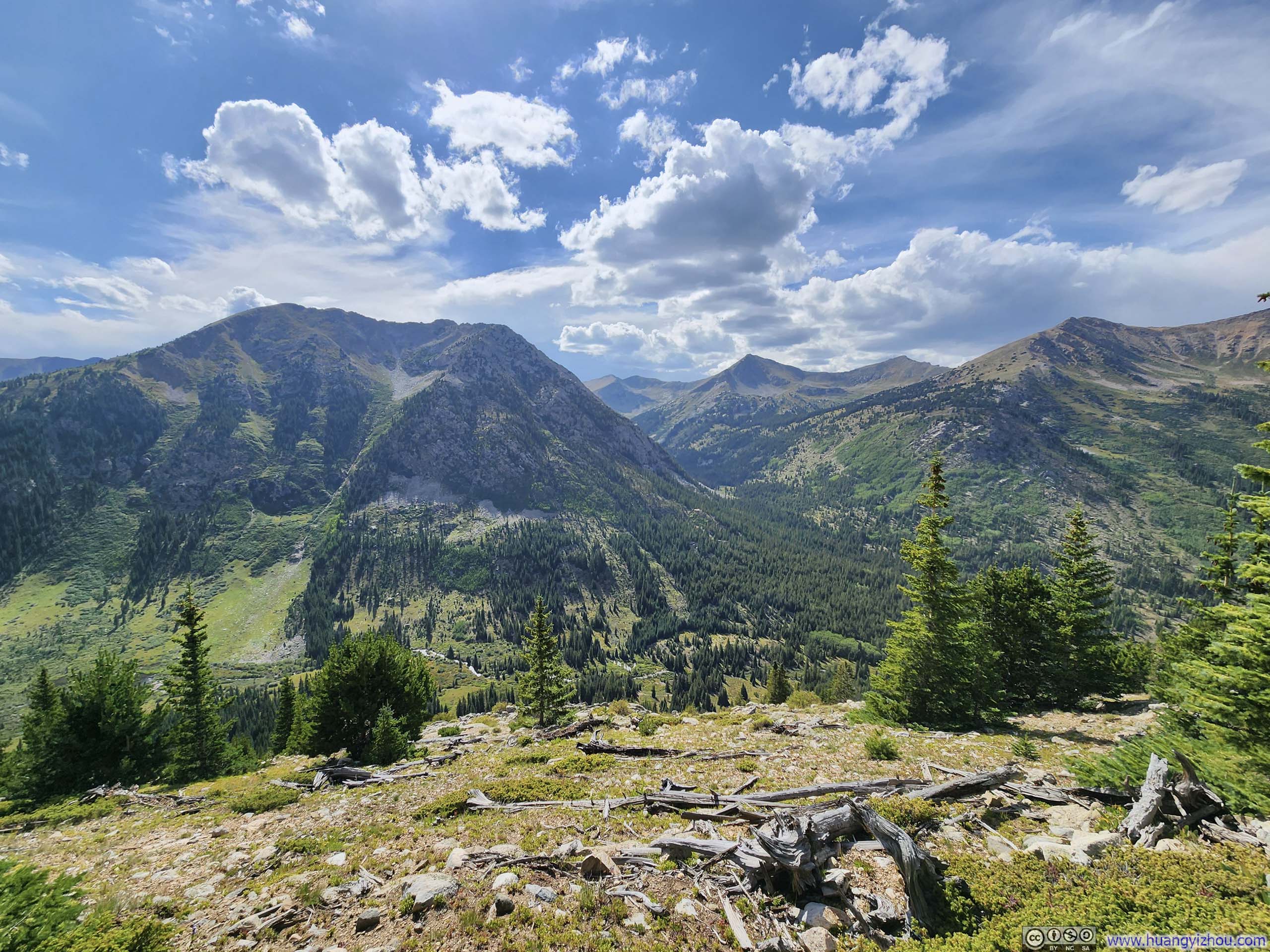
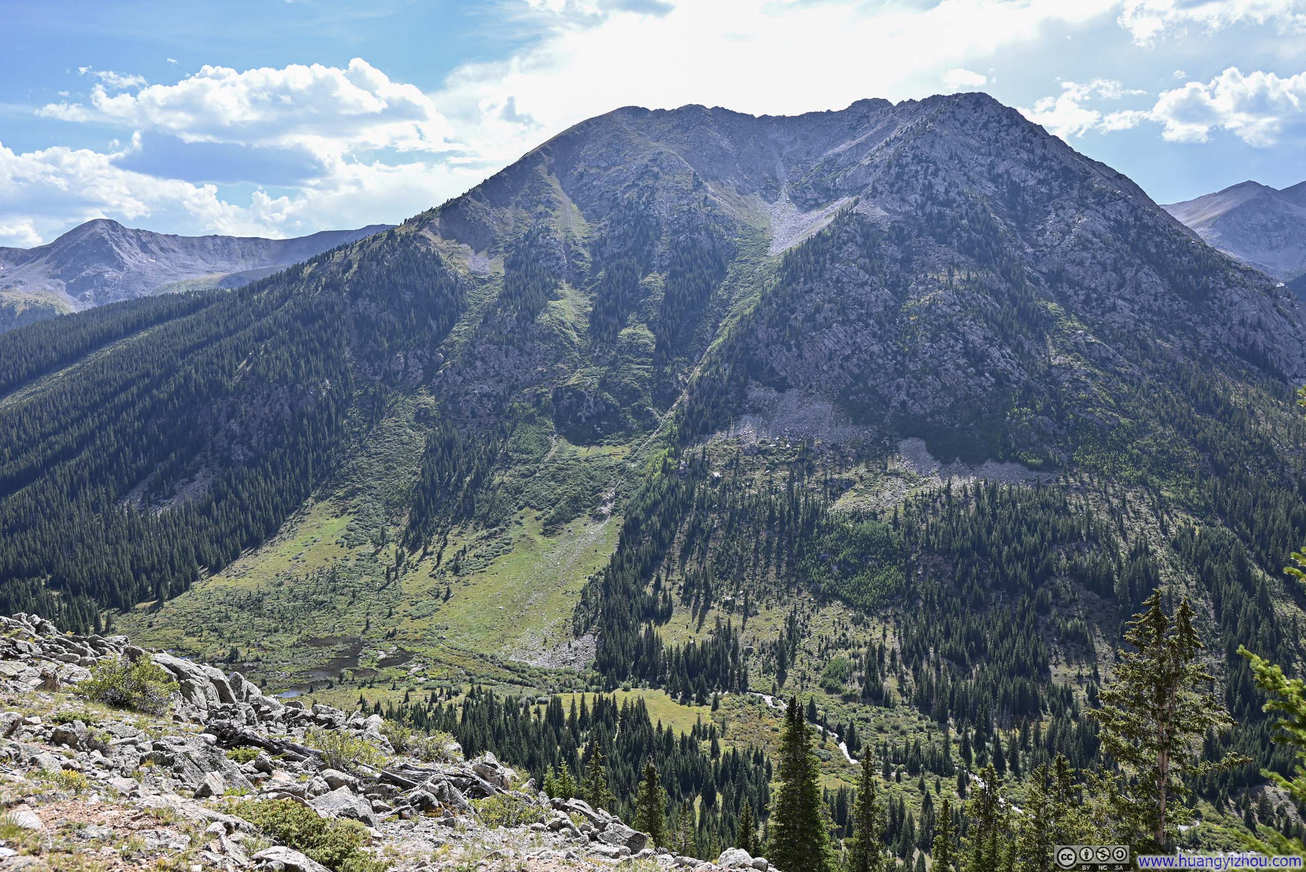
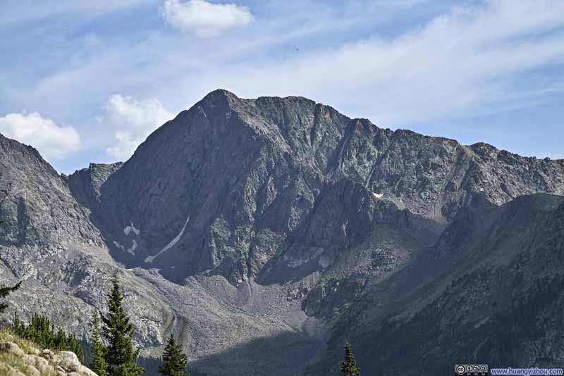
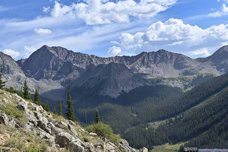
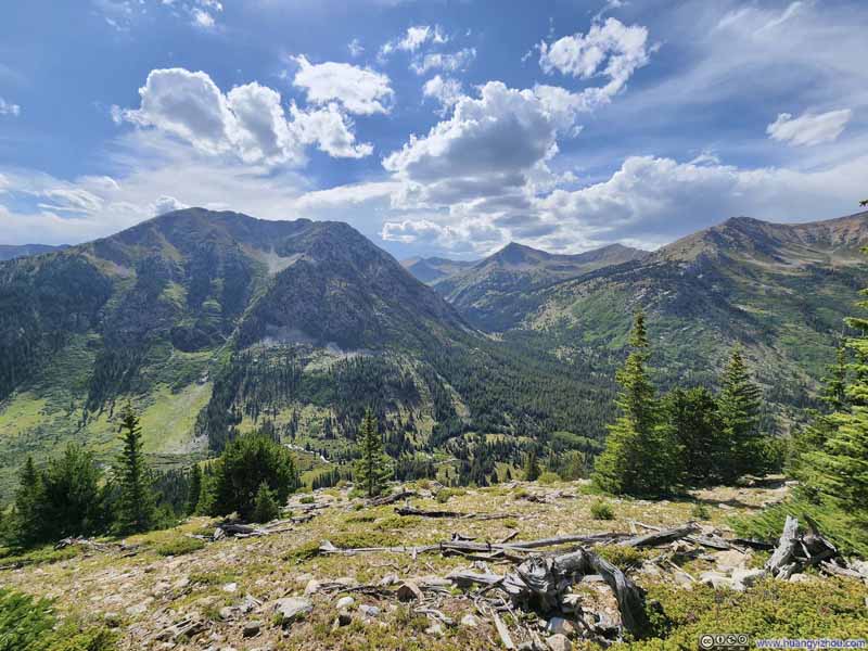
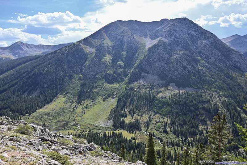
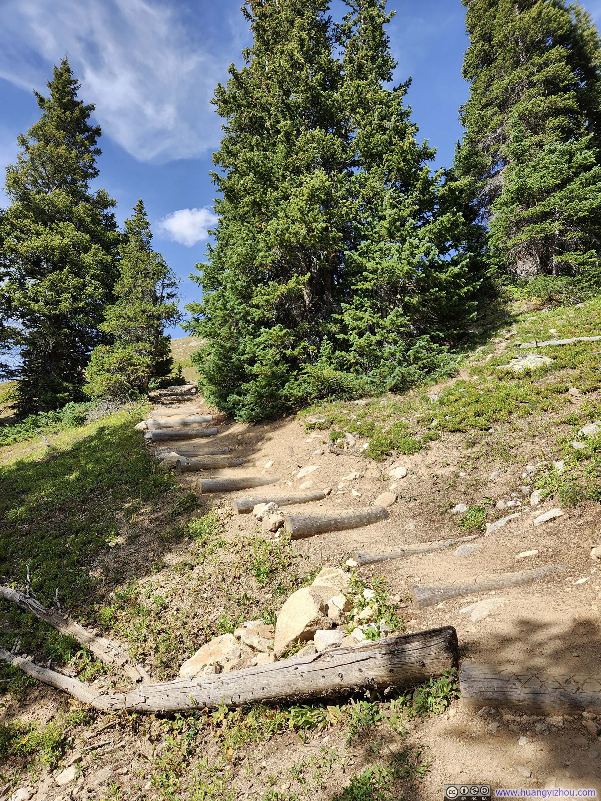
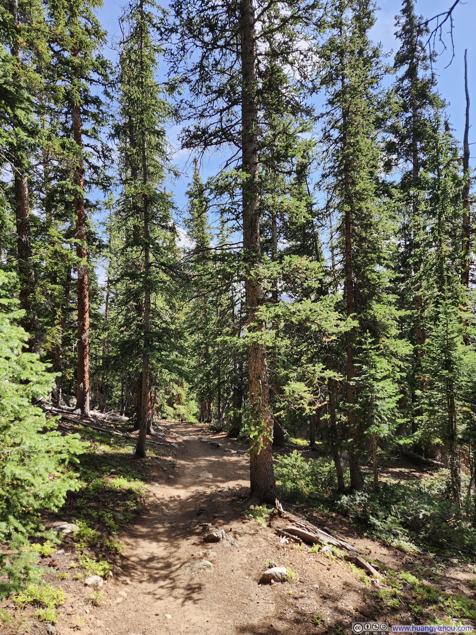
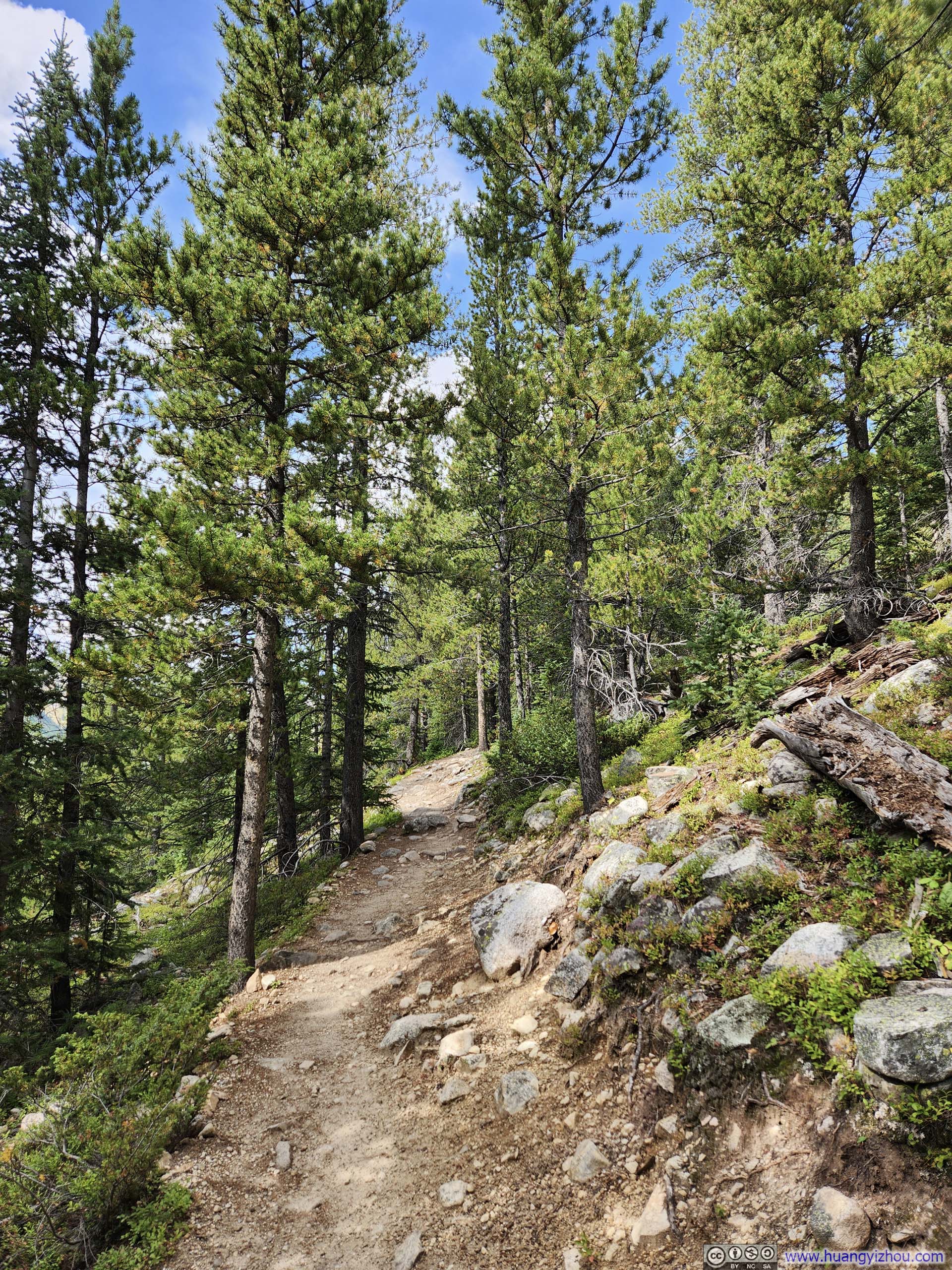
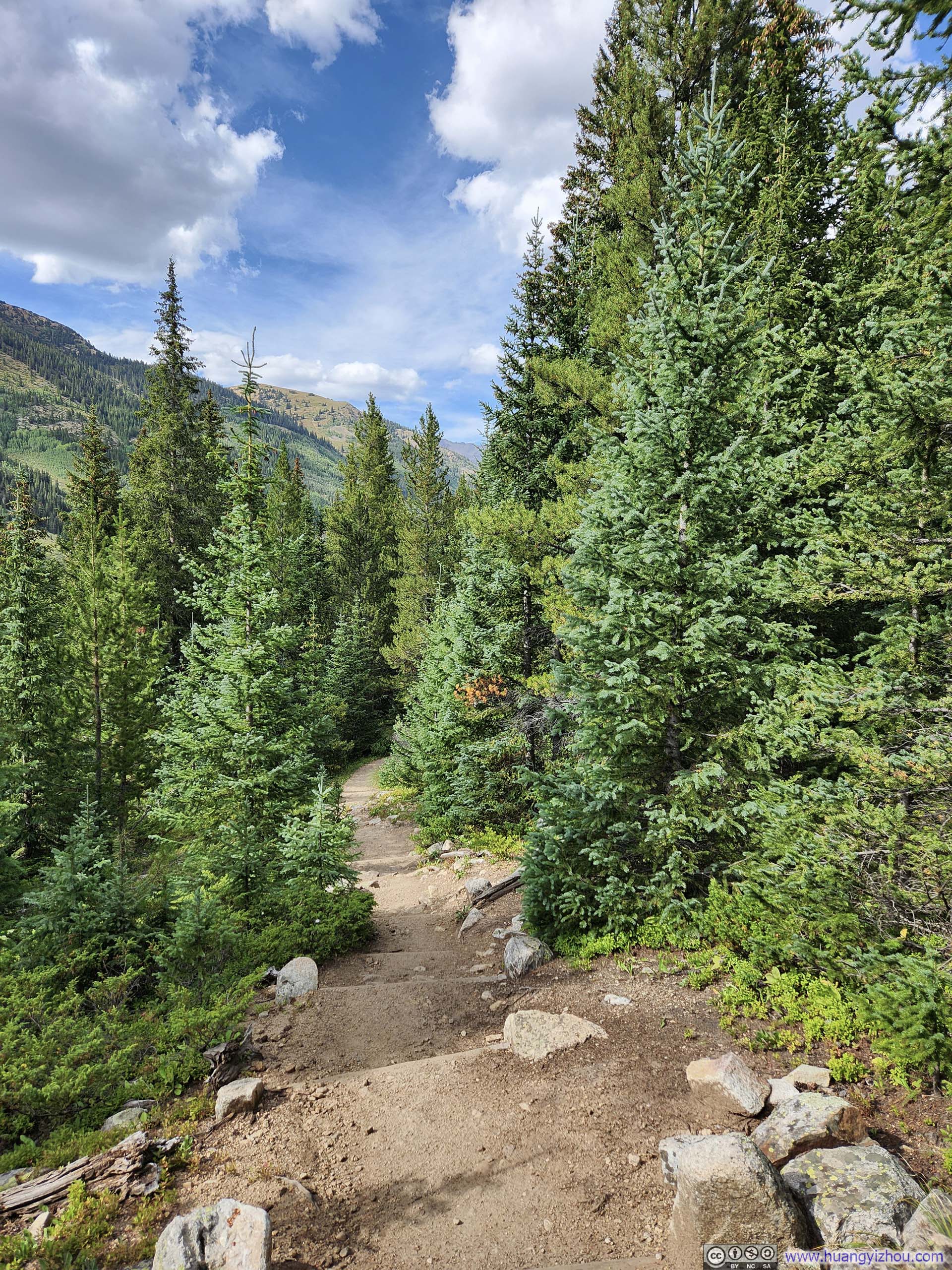
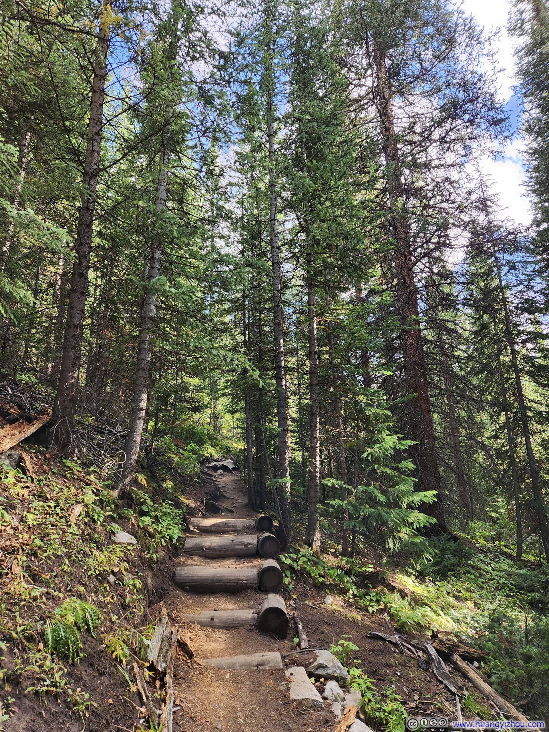
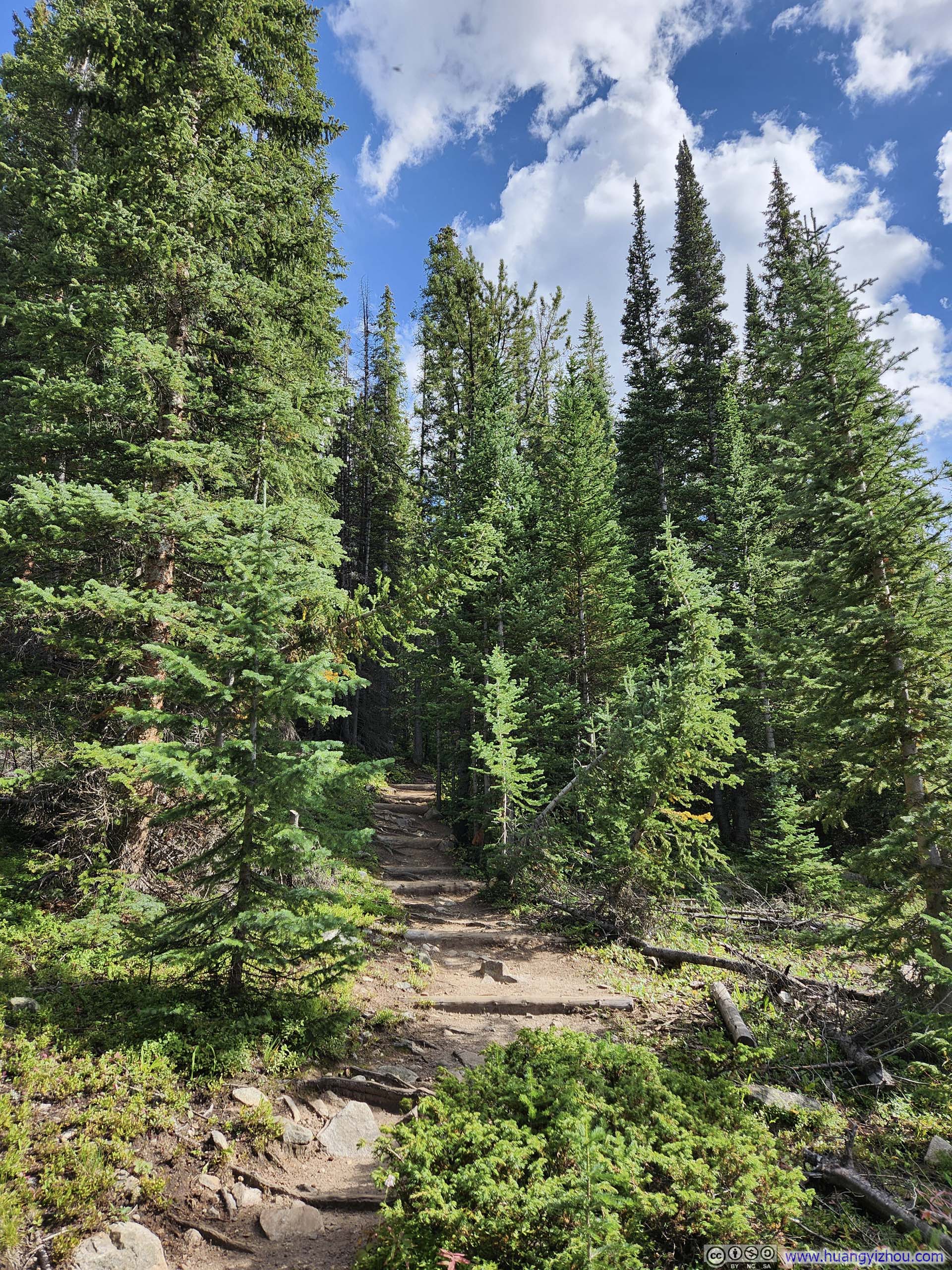
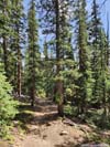
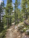
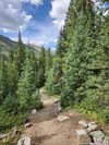
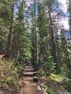
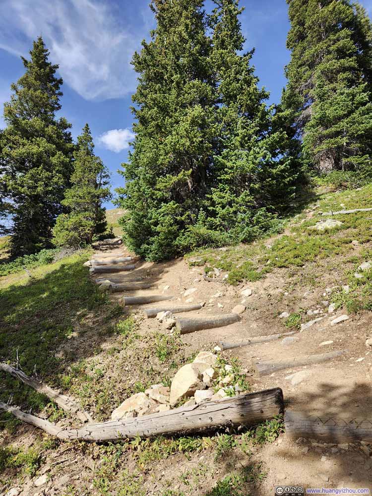
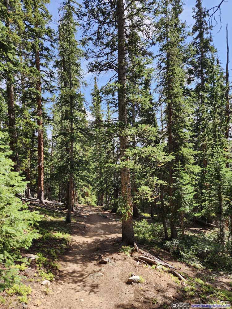
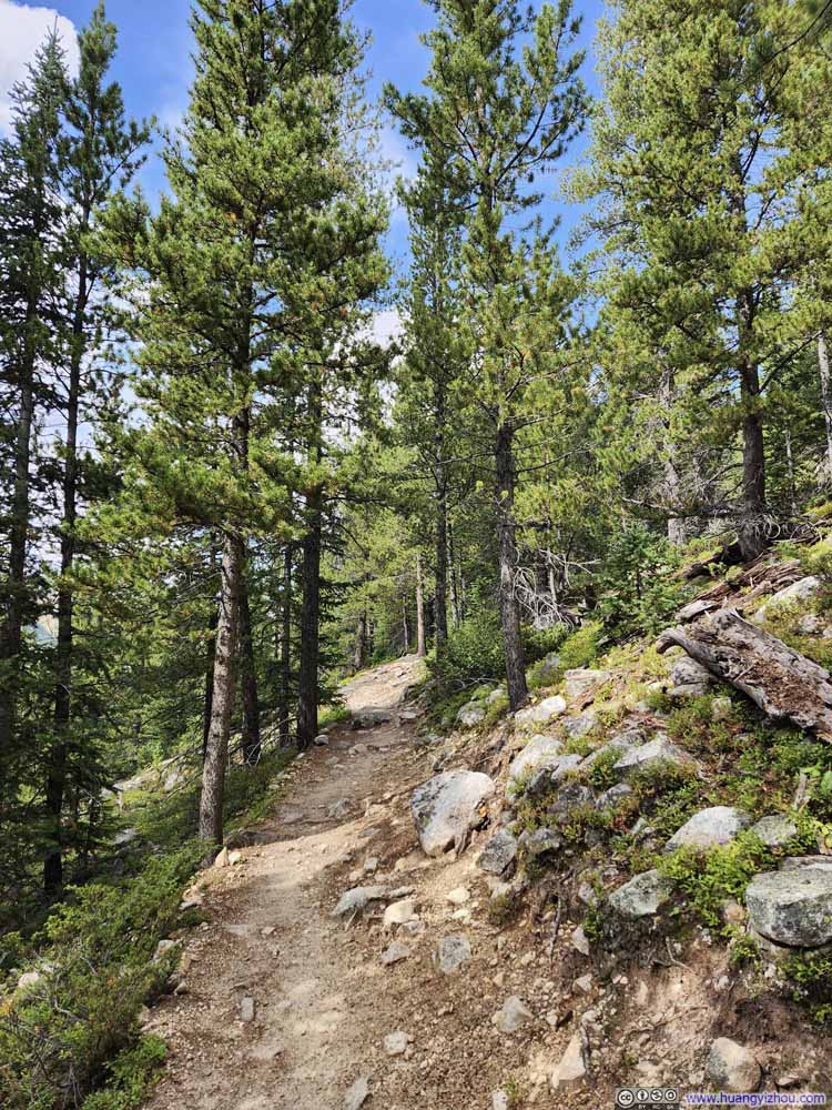
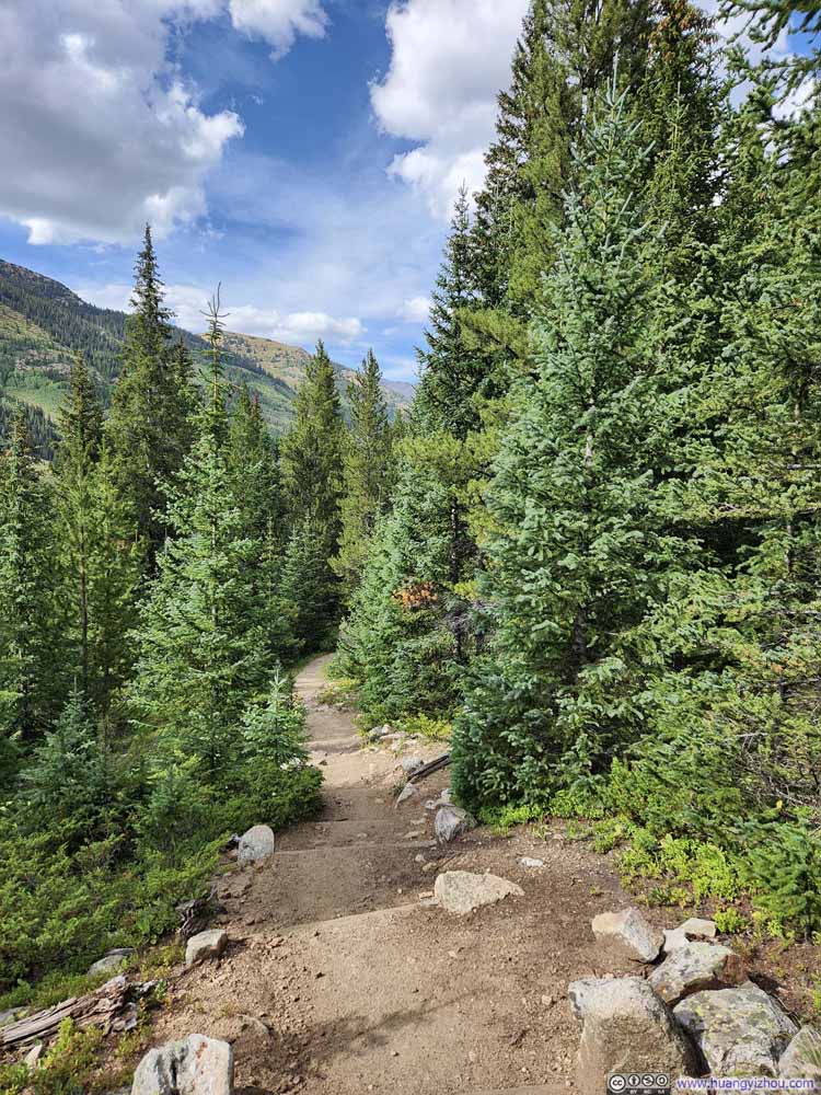
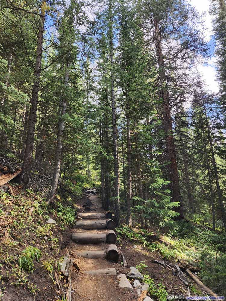
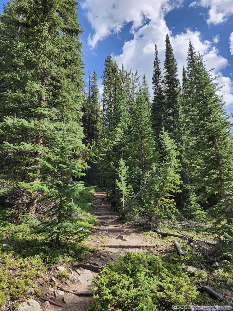
At about 4:30pm, I reached the South Winfield Trailhead, which was the standard trailhead for Huron Peak. This was 2.9km (1.8mi) from where I parked. Since no one else was finishing their hikes at the same time, I couldn't hitch a ride and had to walk back to my car. Honestly, the walk along Clear Creek Valley wasn't that bad, especially the initial part where I found myself in a lush meadow dotted with pine trees that offered open views. It reminded me of the previous day in North Fork Lake Creek Valley, where I could unwind after a hectic day.
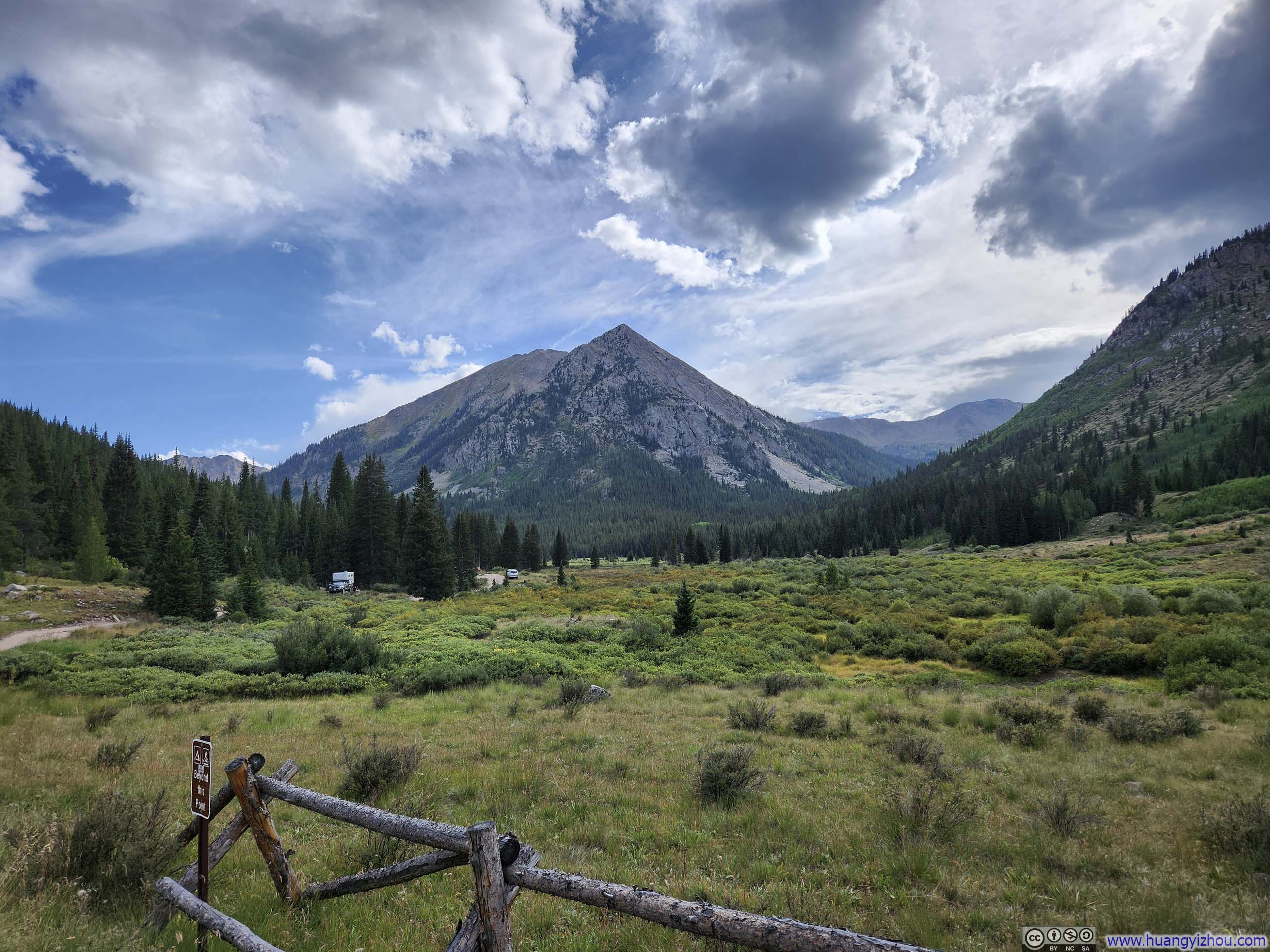
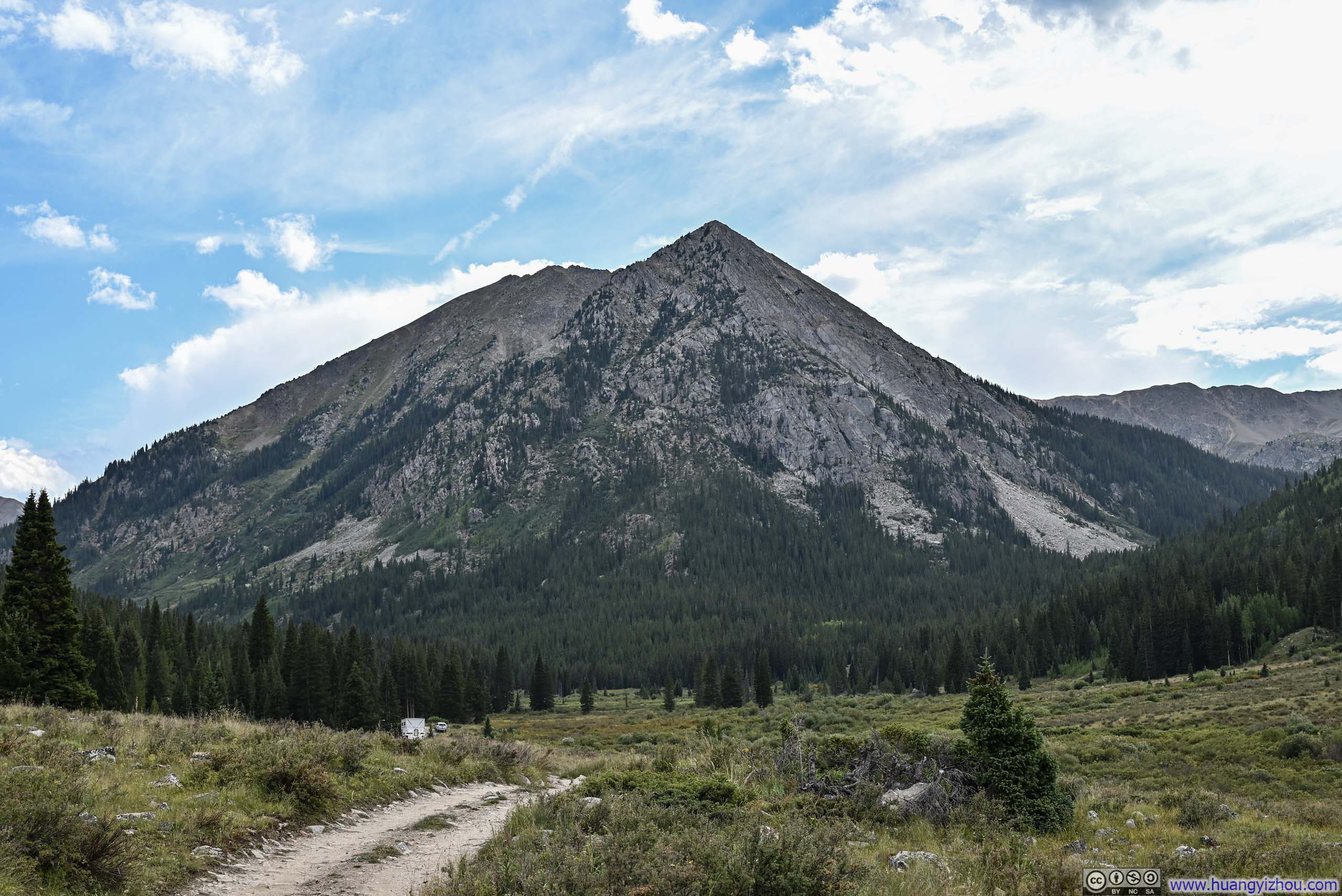
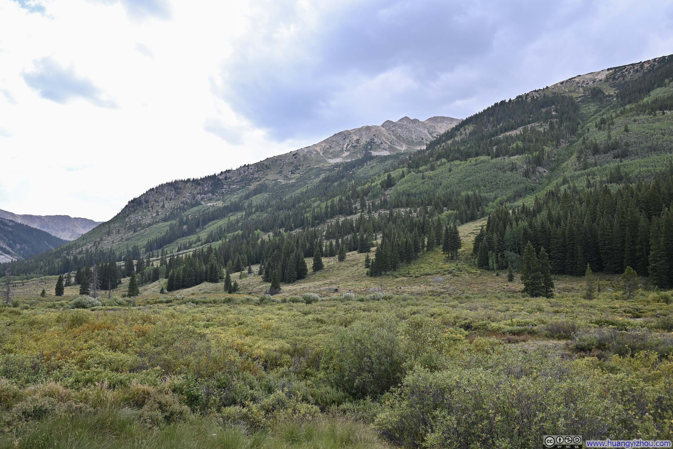
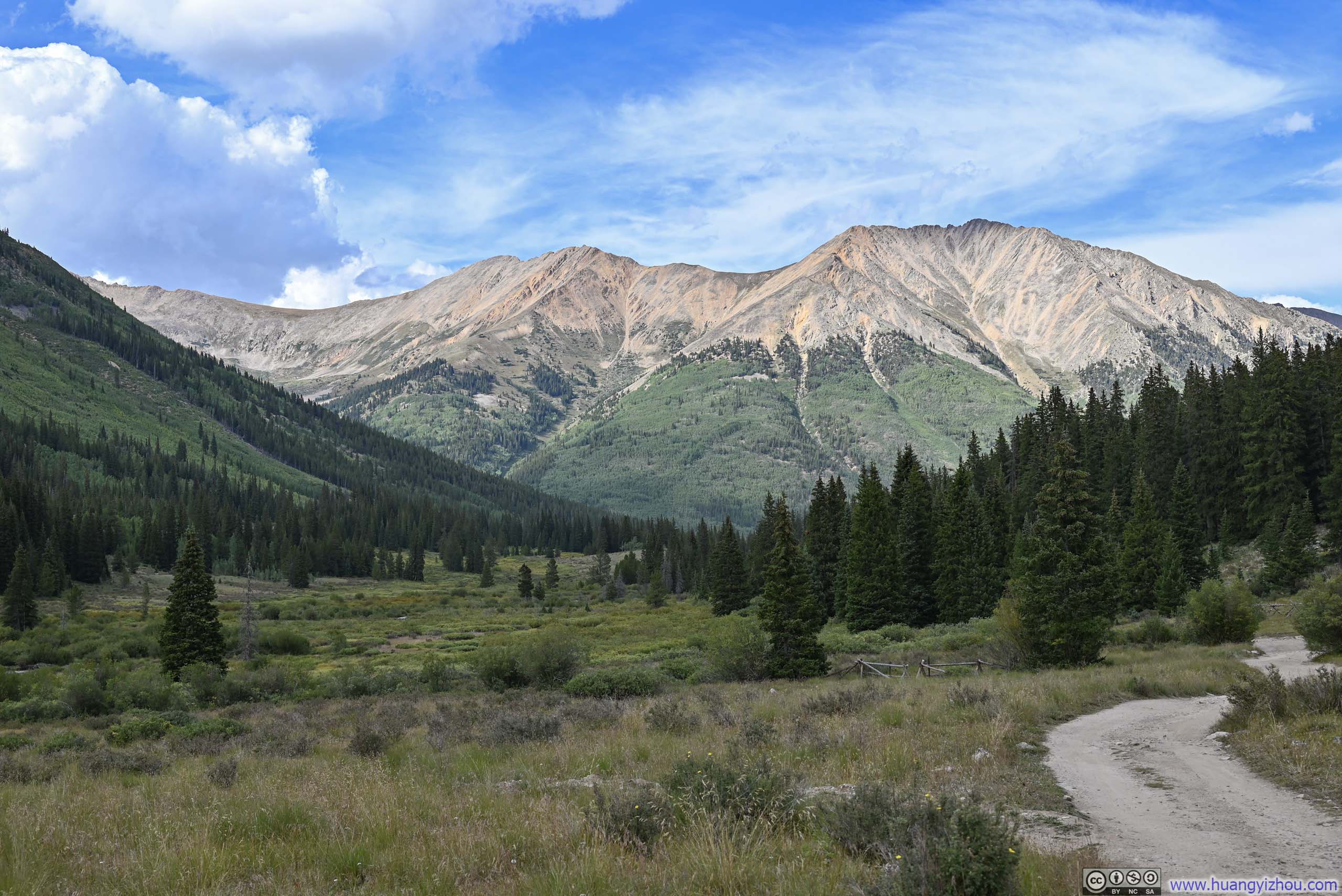
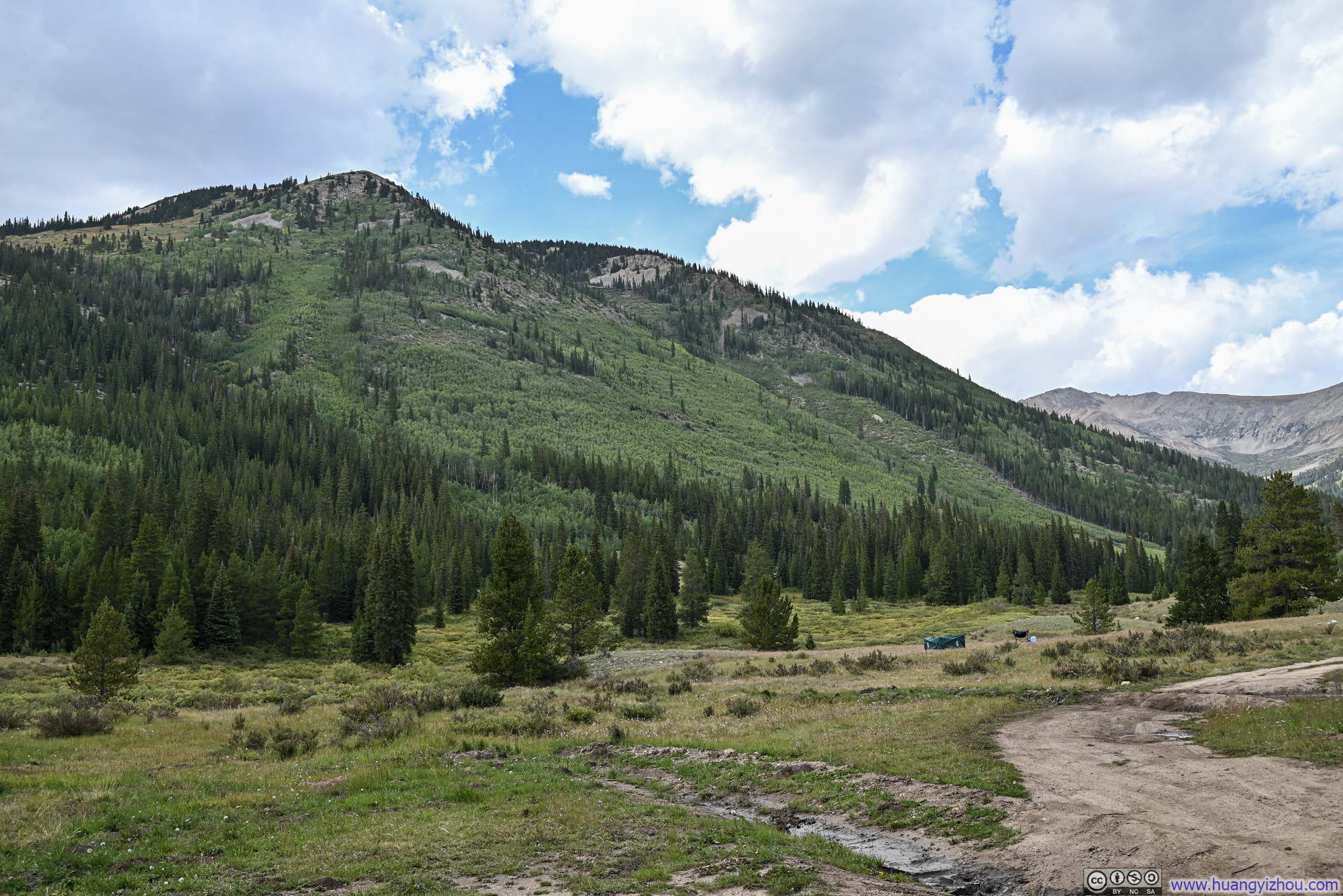
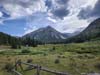
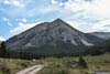
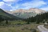
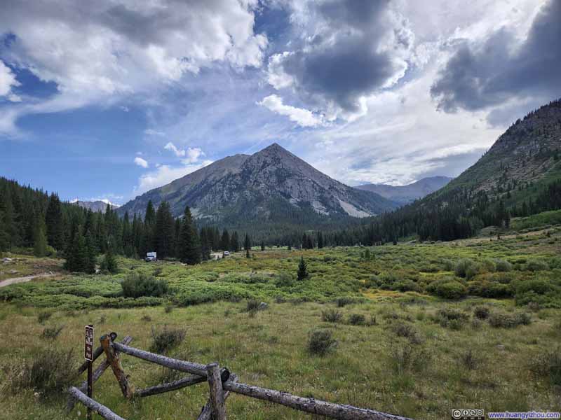
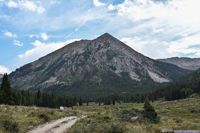
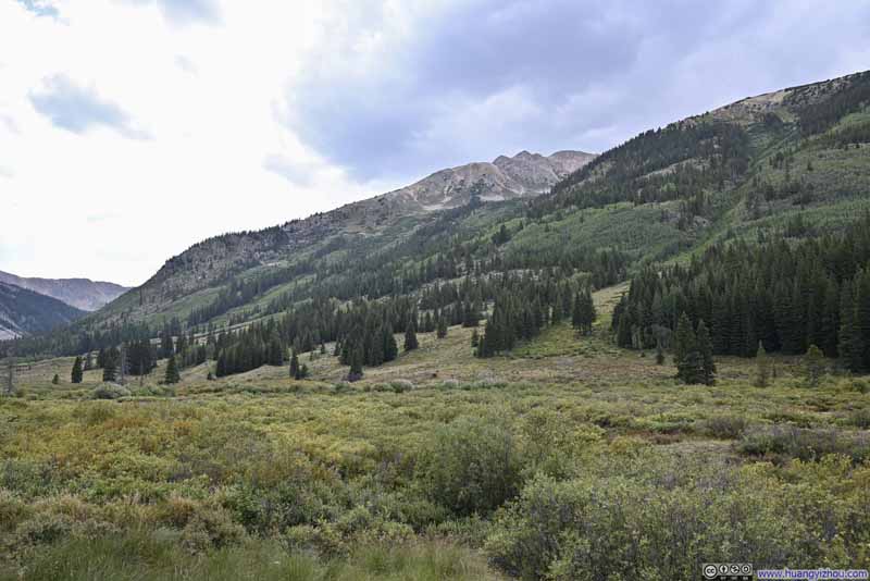
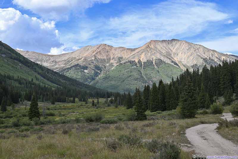
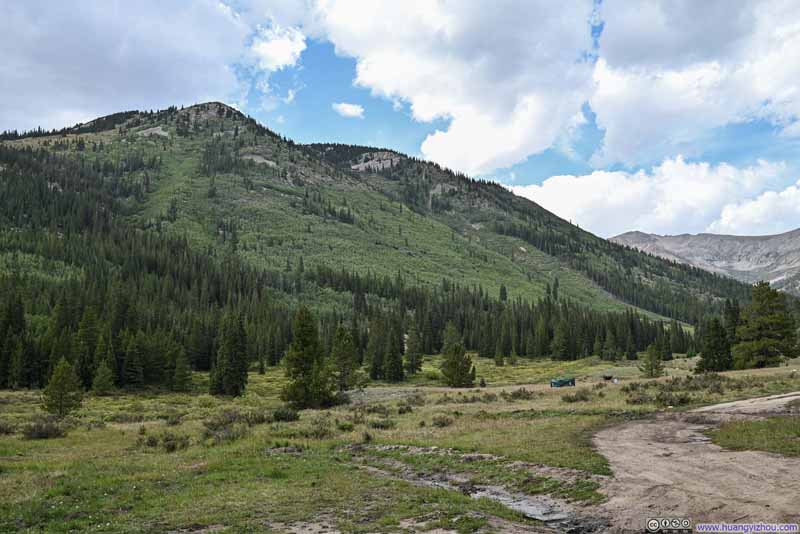
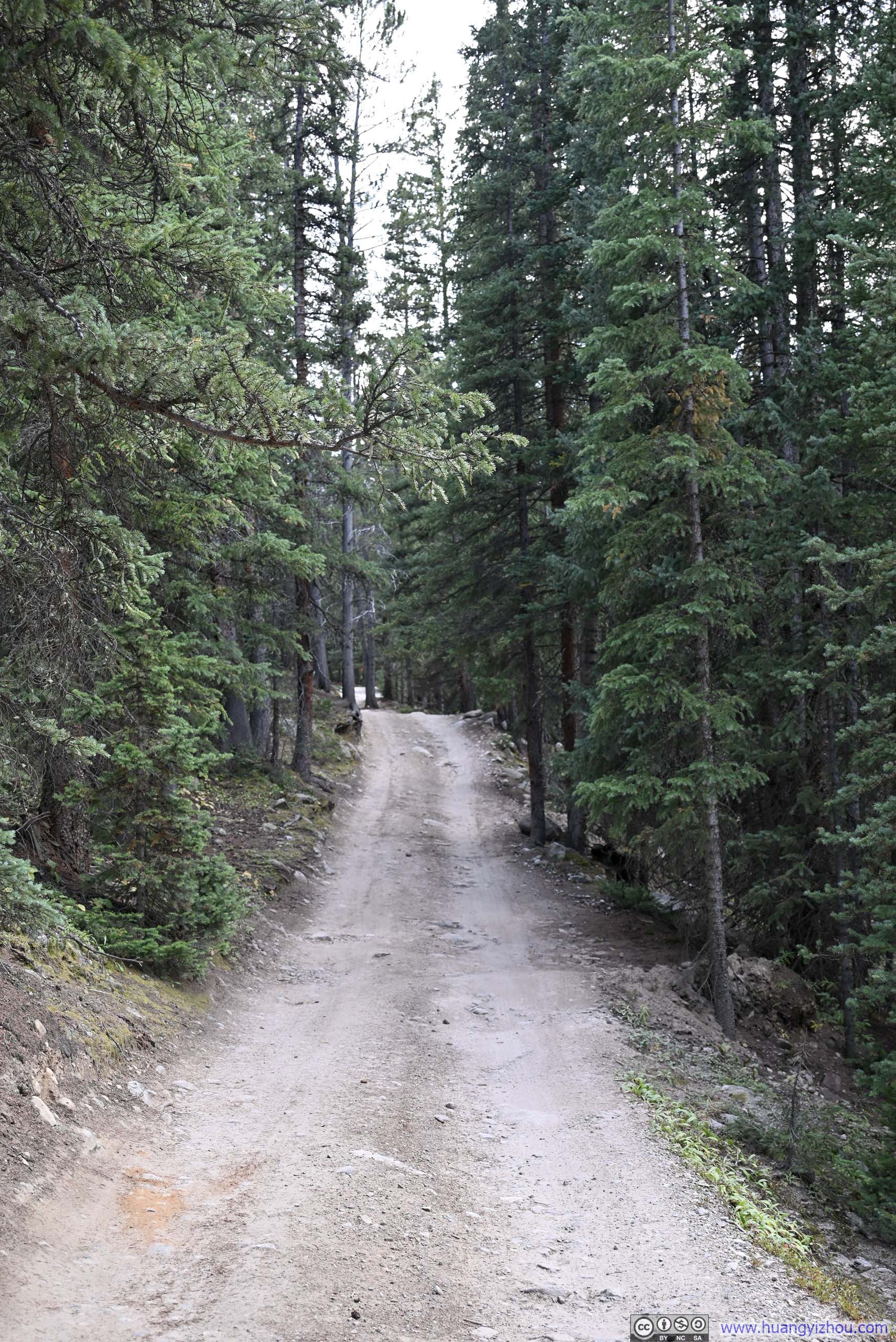
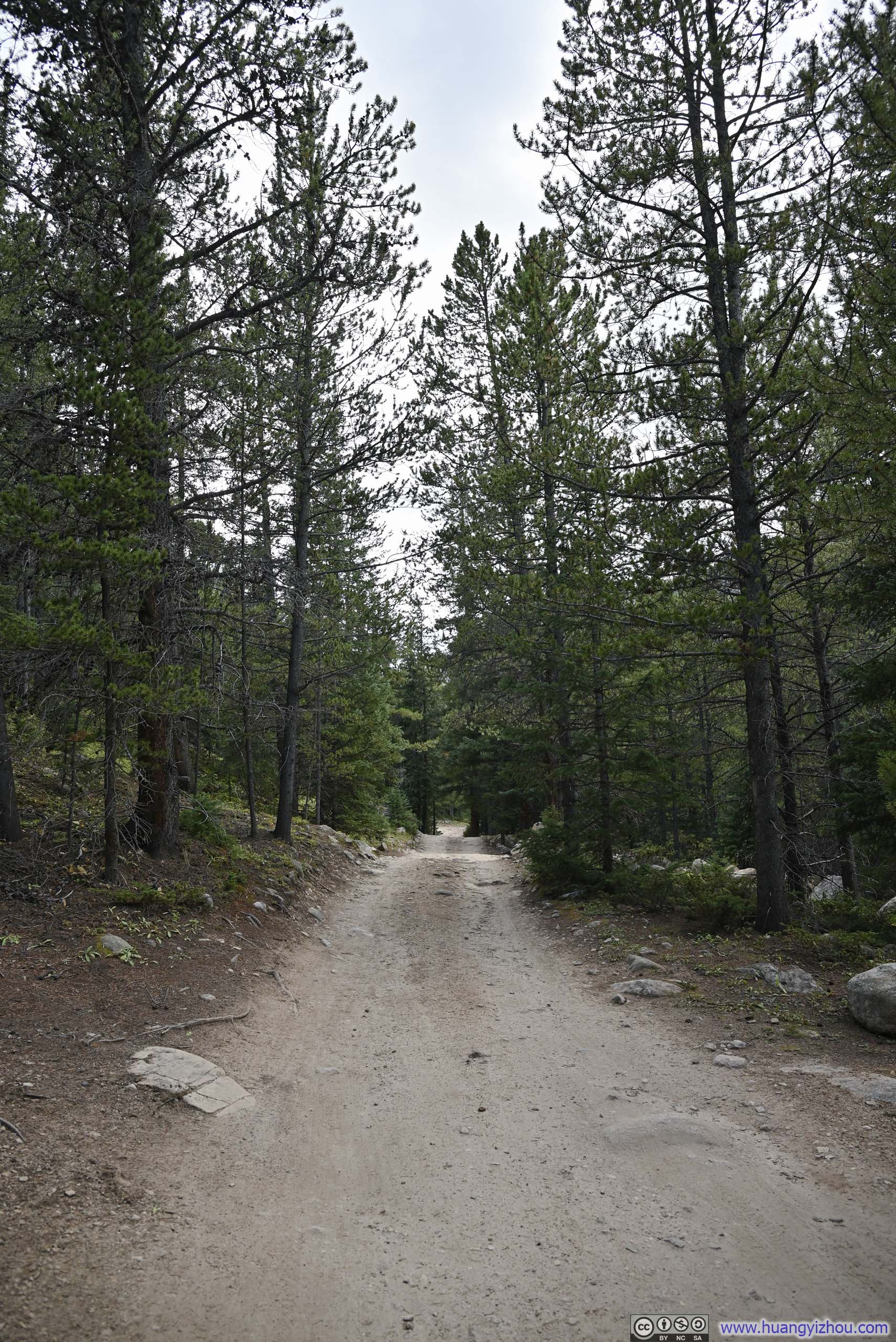
In the end, I got back to my car at 5:10pm. Including all rests, I finished this hike in under 8.5 hours. After that, I crawled out of the gravel road and returned to Leadville, calling it a day.
END