Day 1 of 2024 Thanksgiving Trip to Las Vegas, Hoover Dam and Promontory Point
During my previous visit to Las Vegas, I found I didn't like the city with the sense of decadence that came with it. So for this trip, I opted to explore natural attractions around Las Vegas. One of the highlights would be Death Valley National Park, which I managed to secure a campsite from Monday Nov 25 to Wednesday Nov 27. Additionally, I booked my rental car from a shop in the city of Henderson, as it's much cheaper than the airport (after factoring in the rideshares to and from the rental there).
For this day, Sunday Nov 24, I decided to take it easy and check out Hoover Dam, which was not far from Henderson. Since the dam alone wouldn't fill my entire day, I also included a short hike to the nearby Promontory Point, with sweeping views of Lake Mead.
After picking up the rental car and grabbing some snacks from a nearby grocery store, I arrived at Hoover Dam around 10:30 a.m. The dam offered two types of tours: the "Power Plant Tour" and the "Power Plant + Dam Tour." The latter could only be booked on-site on a first-come-first-served basis. I was initially worried that the dam tour might sell out, yet it turned out to be widely available for this Sunday before Thanksgiving.
Once there, instead of the next available tour, I chose to book the last tour of the day, at 3:30pm, a decision I immediately regretted. I was probably thinking that this would give me the most daylight to hike to Promontory Point: in the unlikely event that the hike took longer than expected, I could always forgo the tour and use the extra daylight to ensure a safe return. Then I realized sunset was about the same time when the tour ended, hence the marginal benefit of any additional safety net was hardly justified by the increased inconvenience (and the additional parking fee🫠).
Just to show how zoned-out I was at the moment, I forgot my hat at the security checkpoint. Though later in the afternoon I was able to retrieve it. (I probably embarrassed myself a lot in the process.)
As for the hike, this was a trimmed down version from the blogpost by Stav is Lost (following the "easier alternative" on its map). Since the trail wasn't on any established maps, I was a bit apprehensive about route-finding before setting out. In the end, it turned out that route-finding wasn't an issue at all.
Here's GPS tracking:
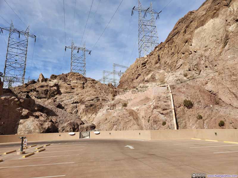
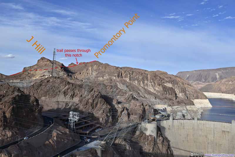
The trail started conveniently from the parking garage of Hoover Dam and followed Railway Tunnel Trail. At some point, it left Railway Tunnel Trail and climbed over a small hill, ran parallel along some fences before reaching the foot of J Hill.
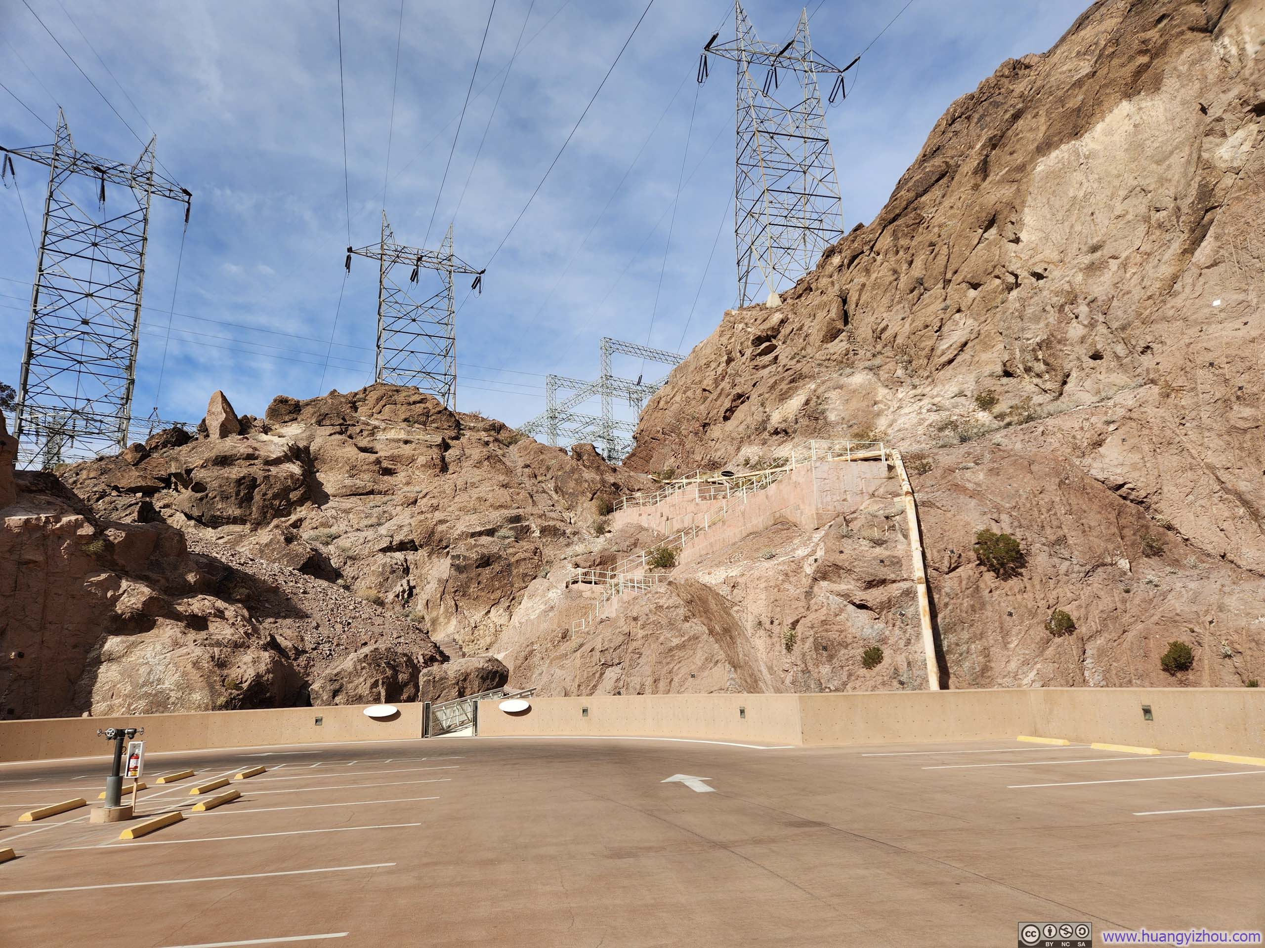
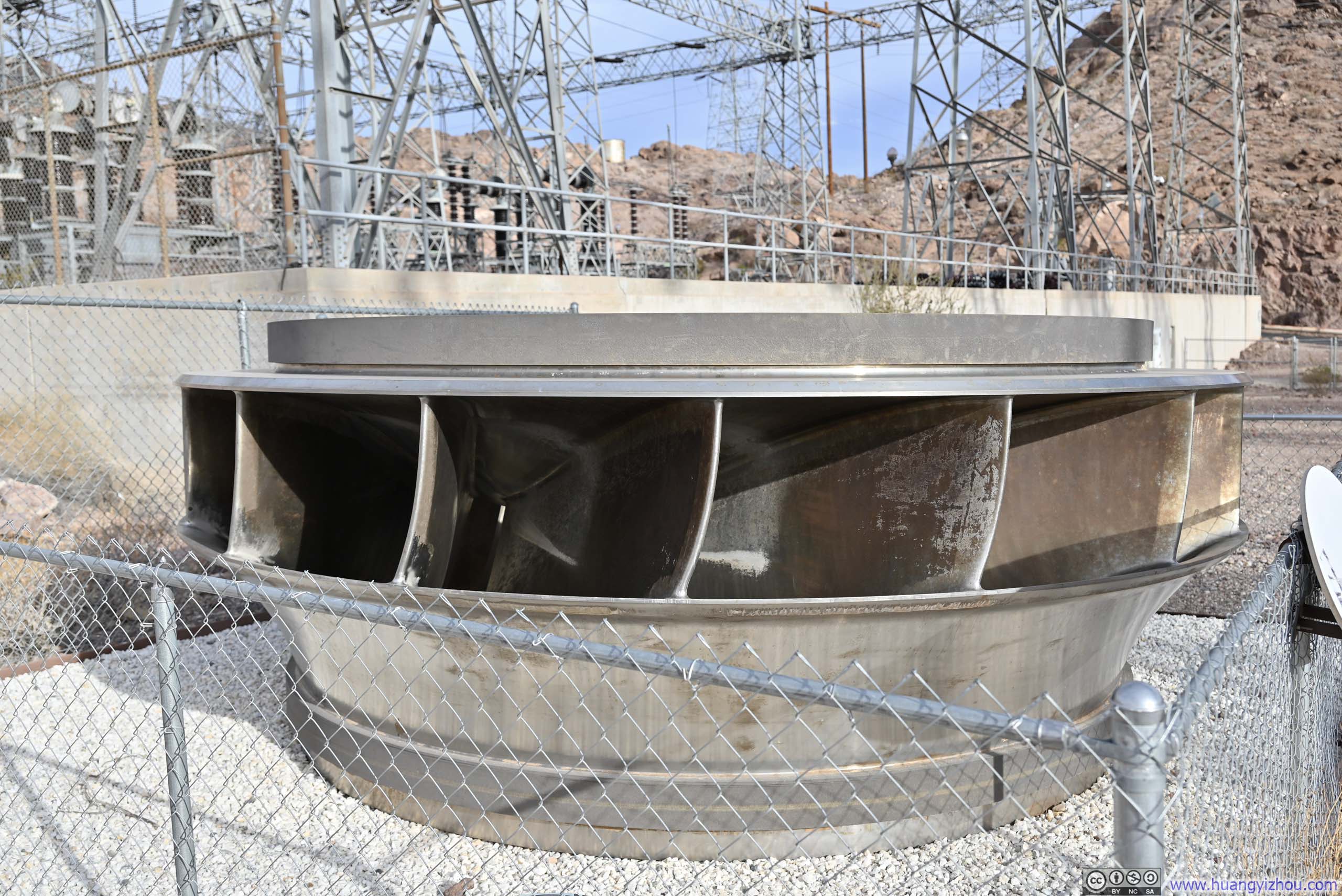
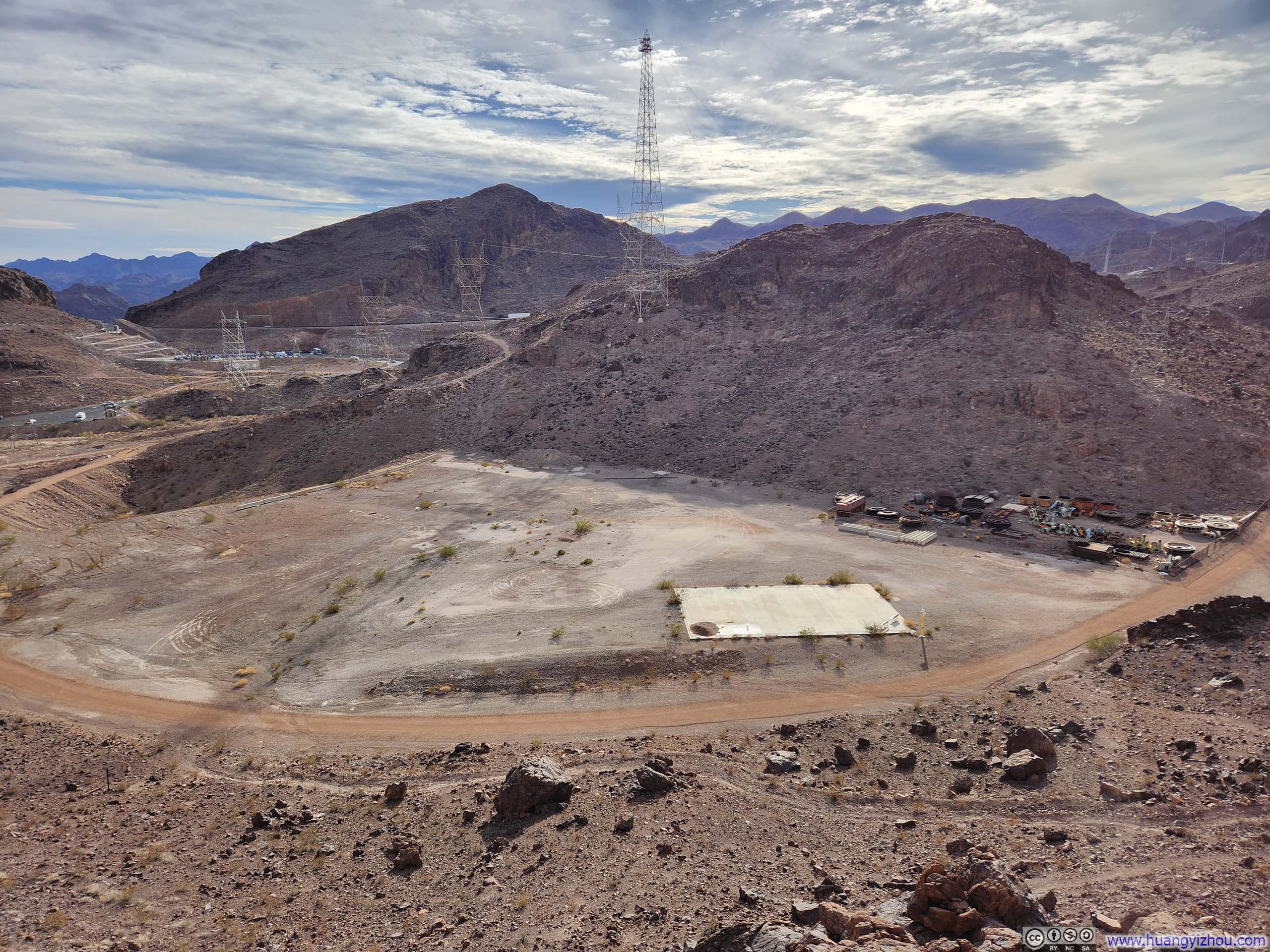
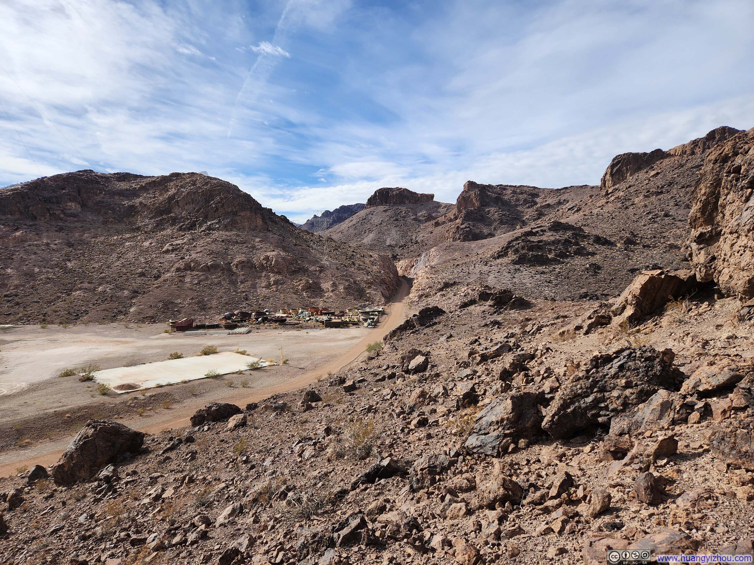
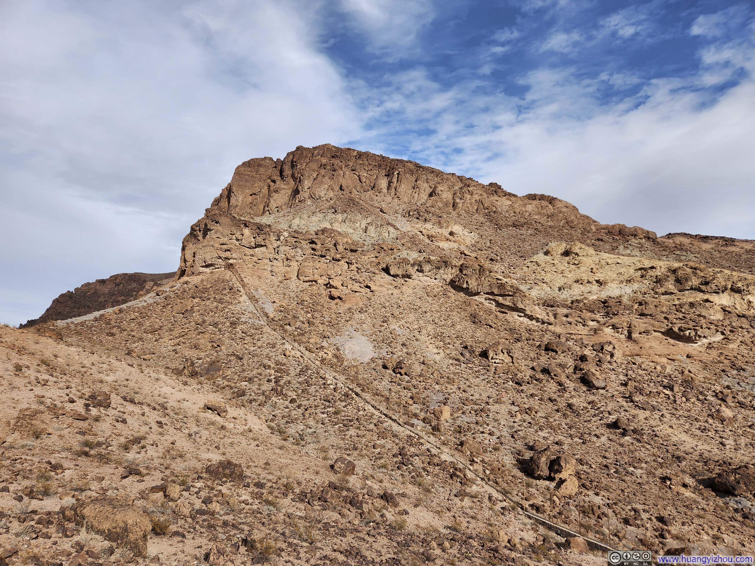
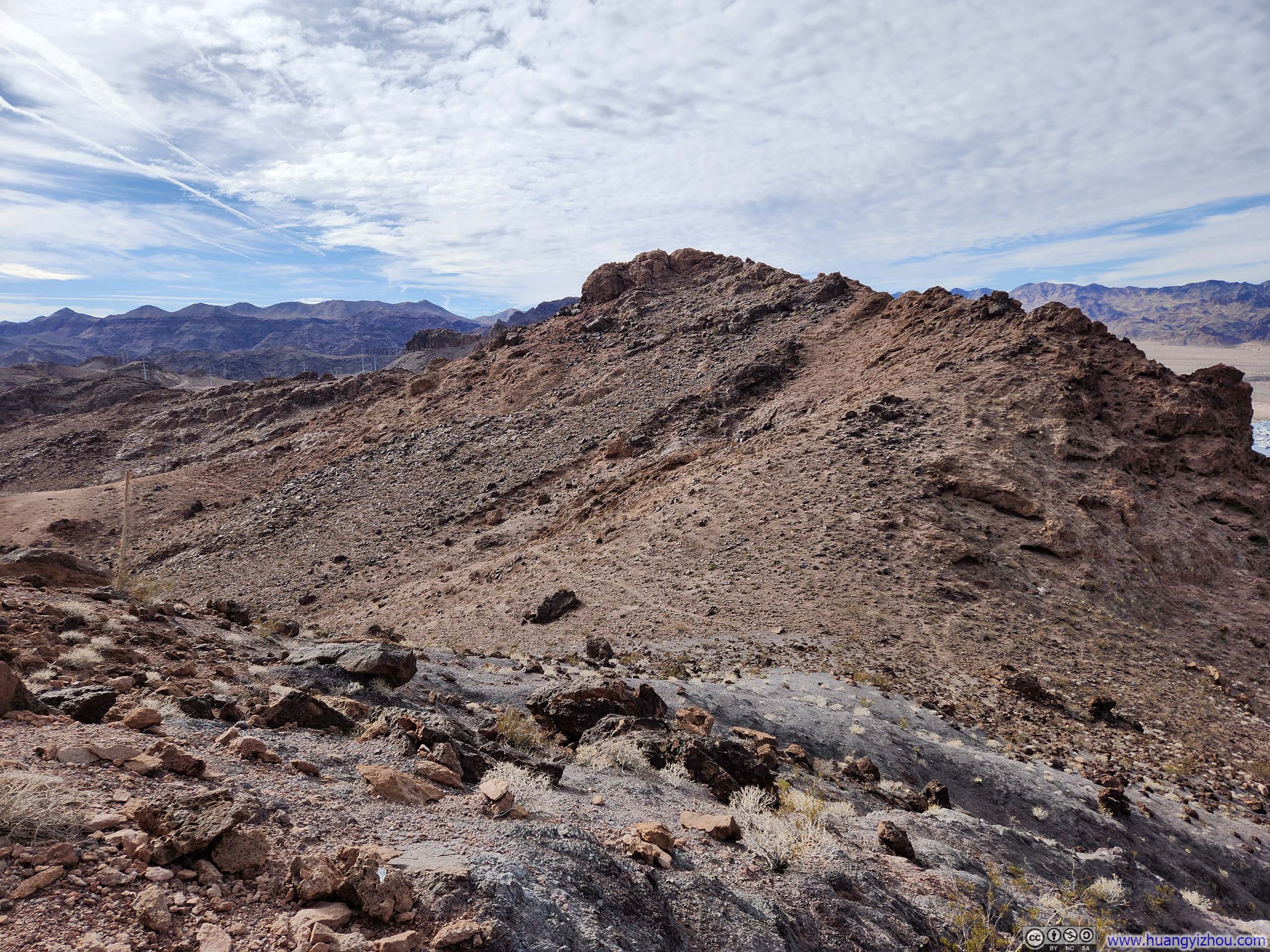
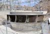
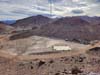
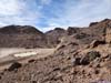
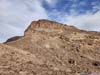
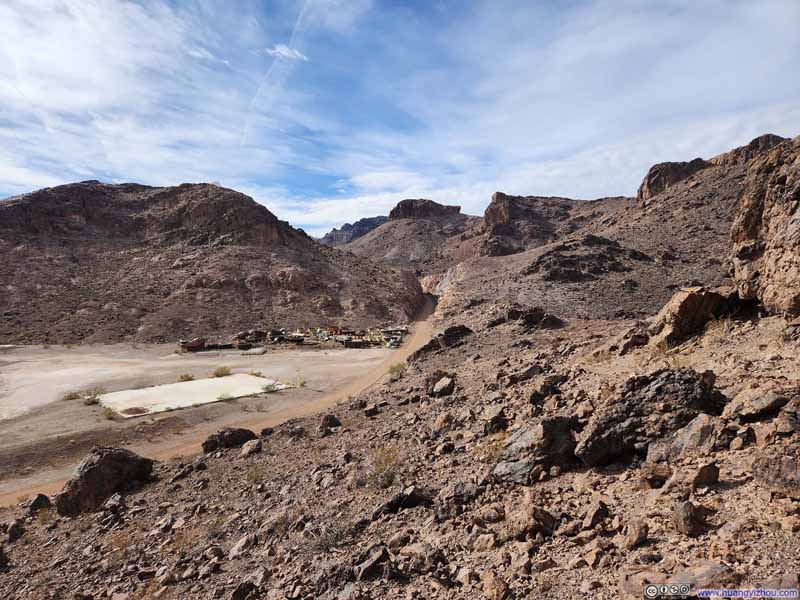
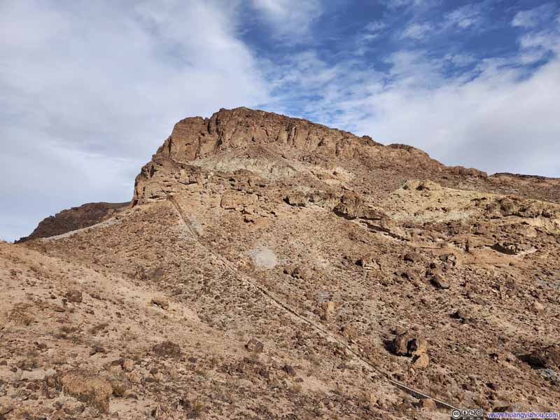
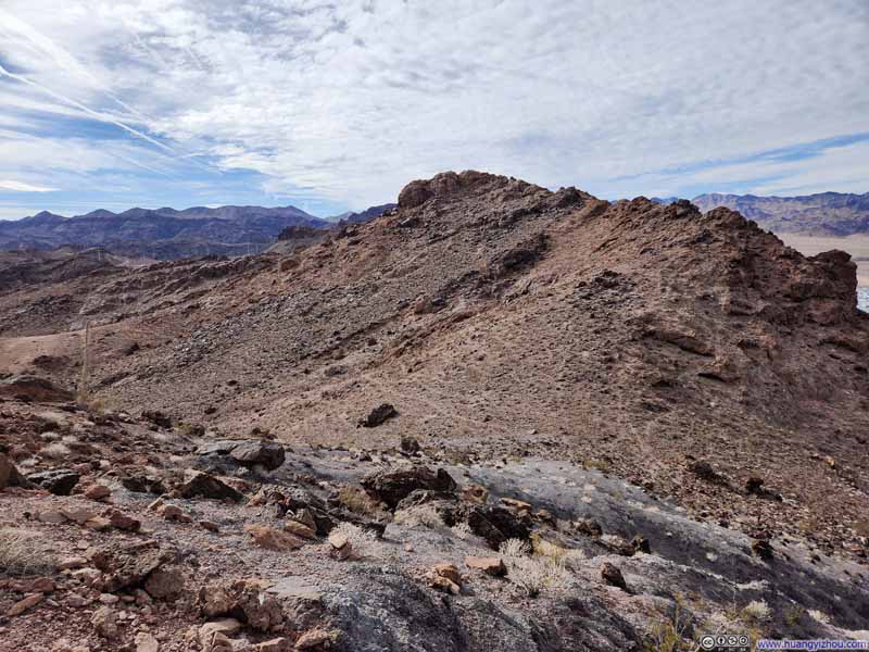
Then it's a bit like the my hike to UN13291 in Colorado back in August, where the trail traversed the foot of some steep cliffs before finding a saddle point that it could ascend onto. Coincidentally, both were inspired by the same Stav is Lost blog. I would rate the path to Promontory Point at YDS Class 2, but it was much less exposed than the one to UN13291. Below is the approximate route.
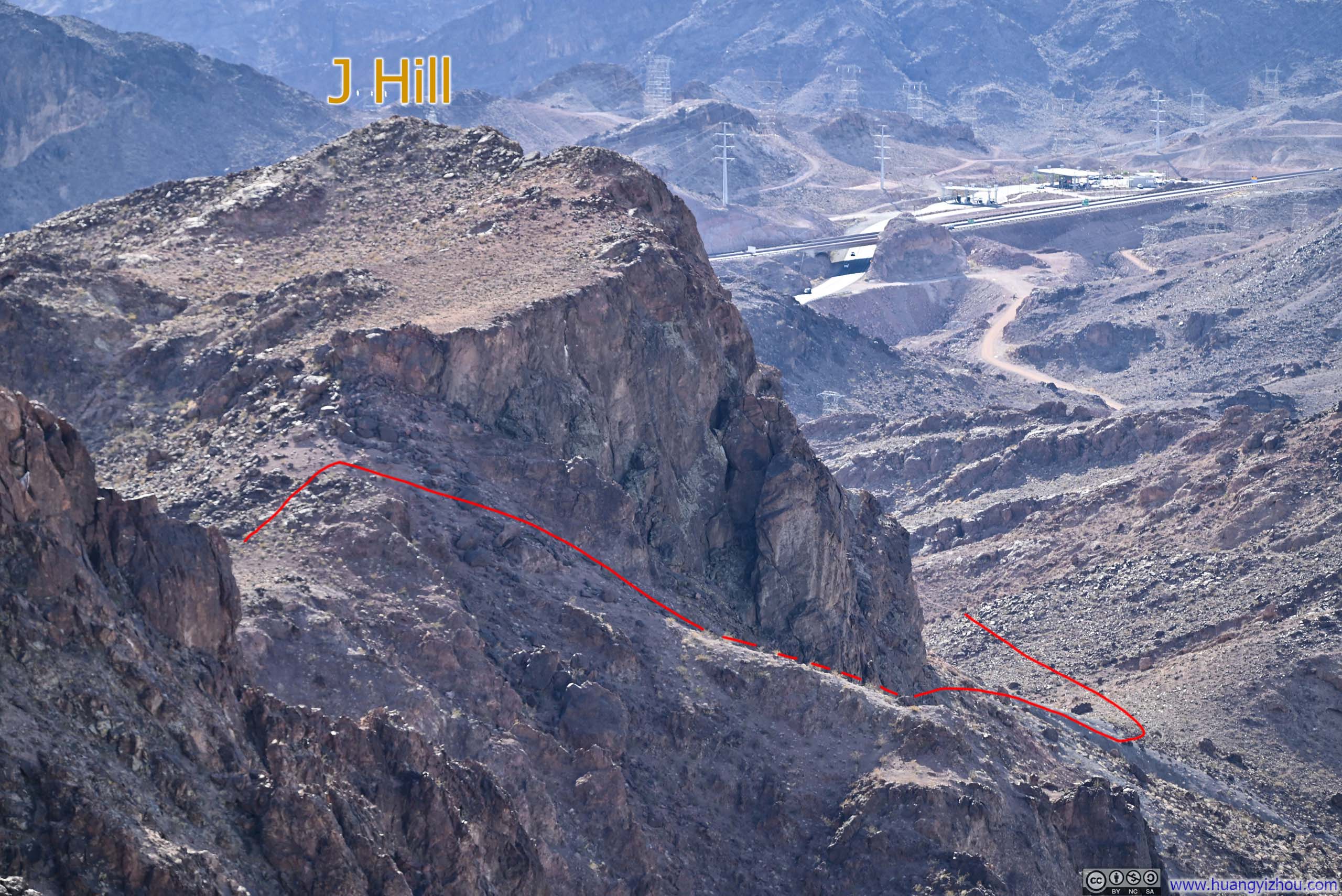
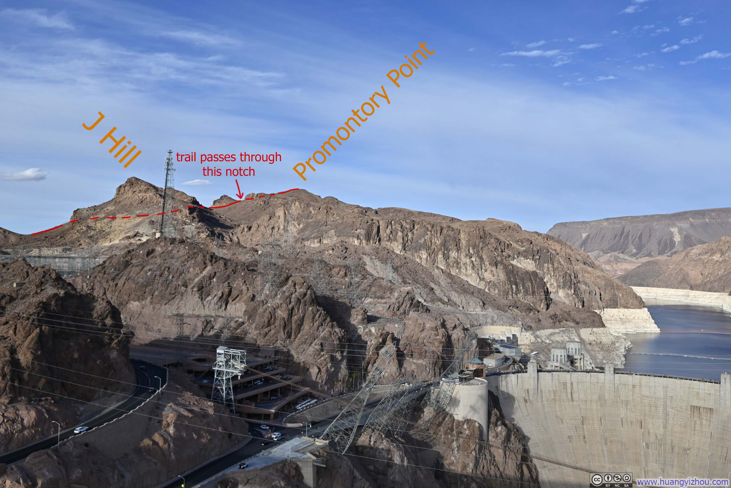
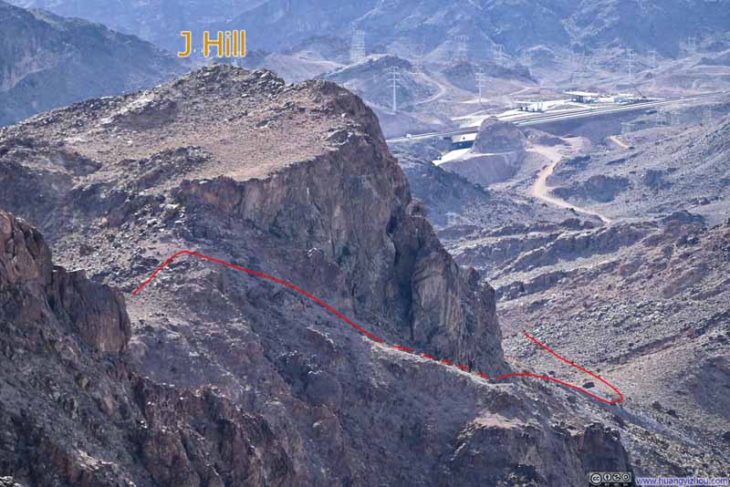
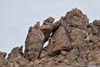
Despite the lack of clear markings, the trail wasn't hard to follow. Perhaps the only bit of route-finding was on the way back, one should try to stay close to the cliff. The few outstanding boulders (p3 below) could serve as reliable landmarks for guidance.
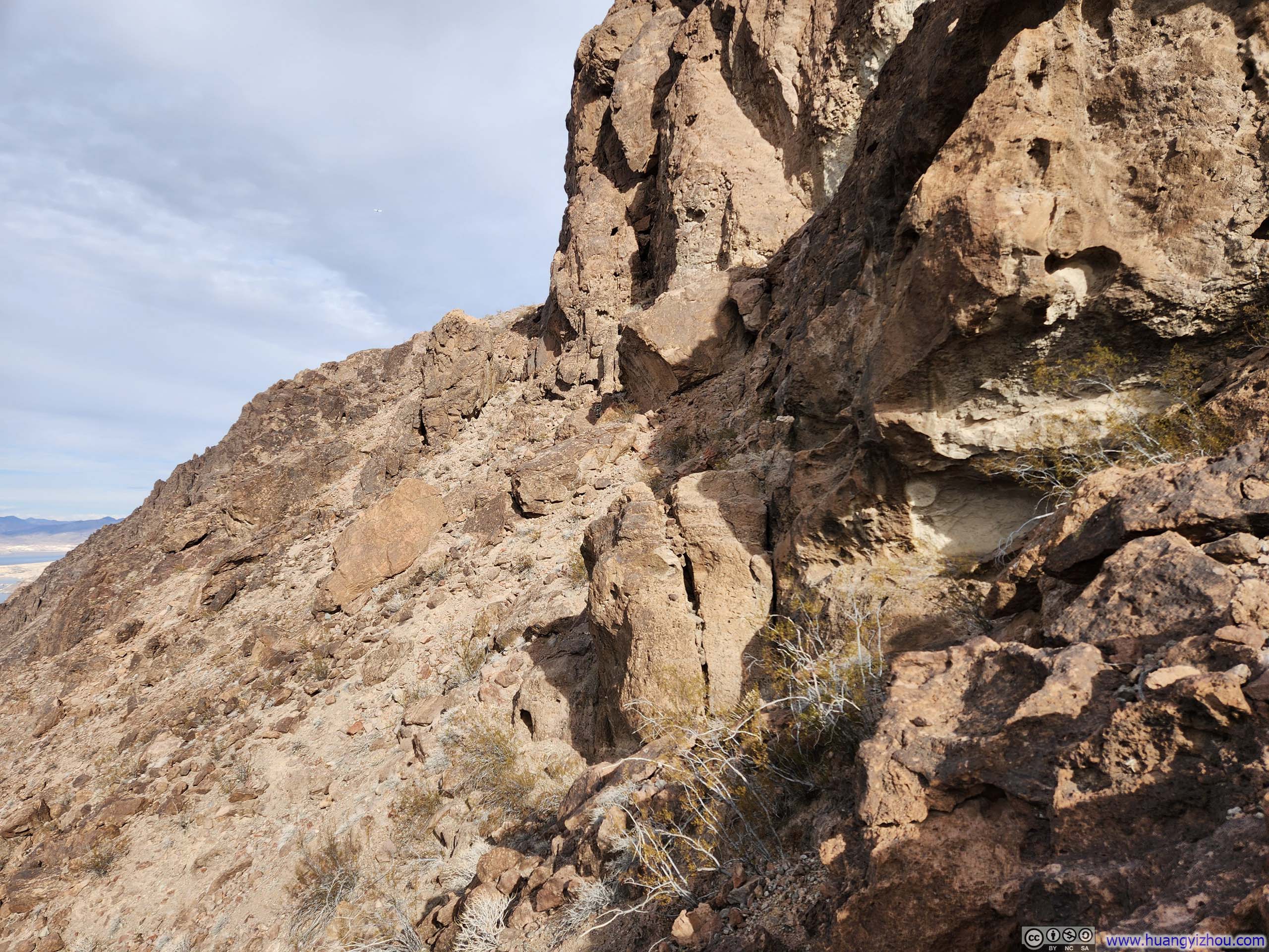
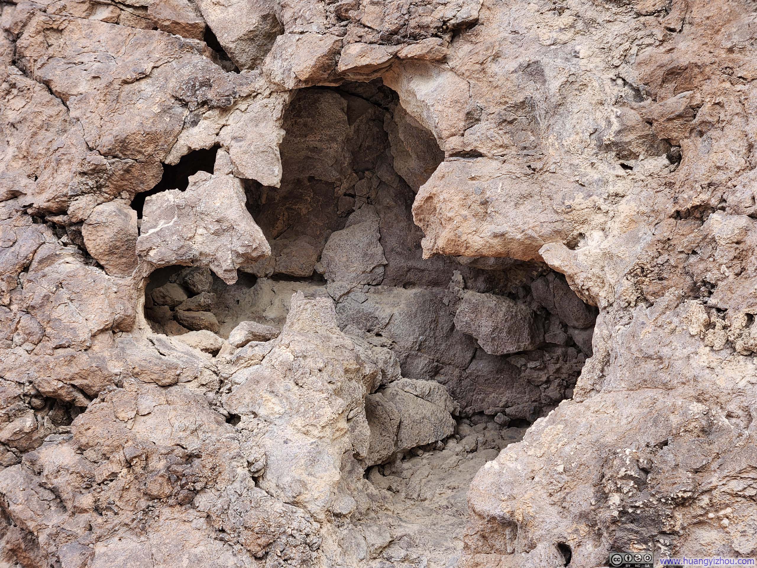
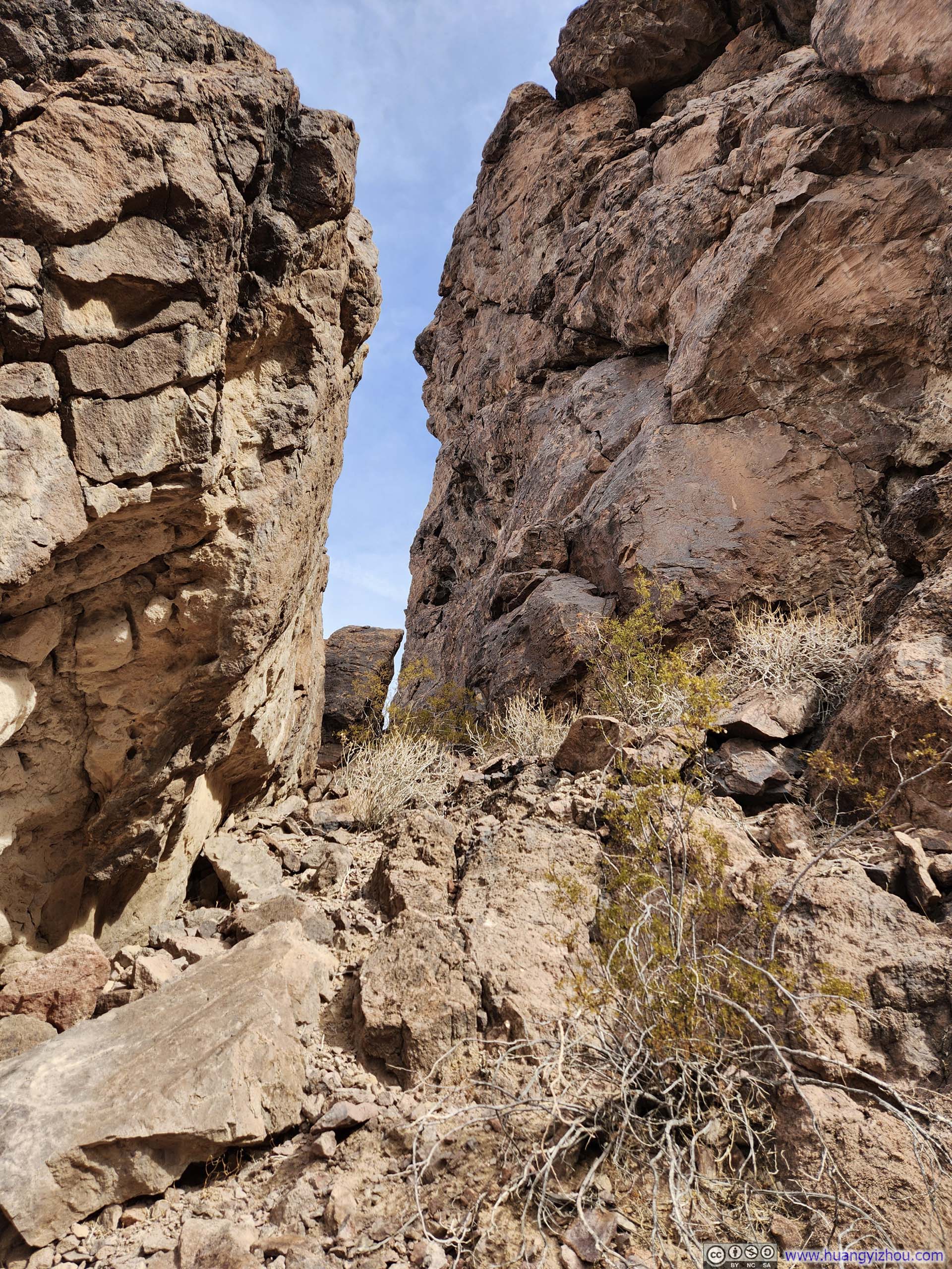
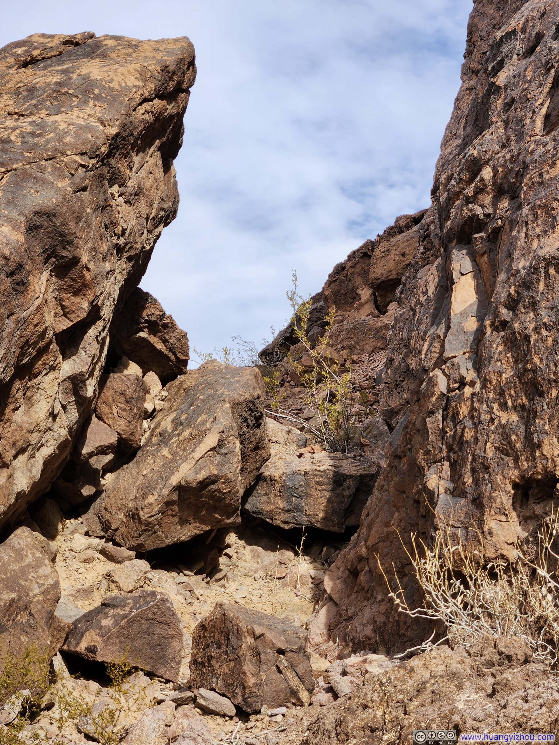
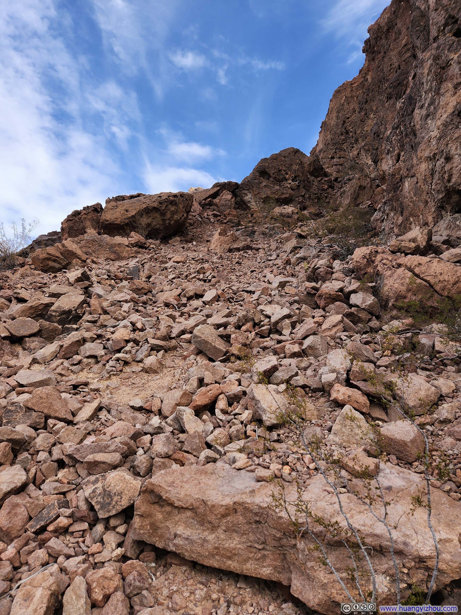
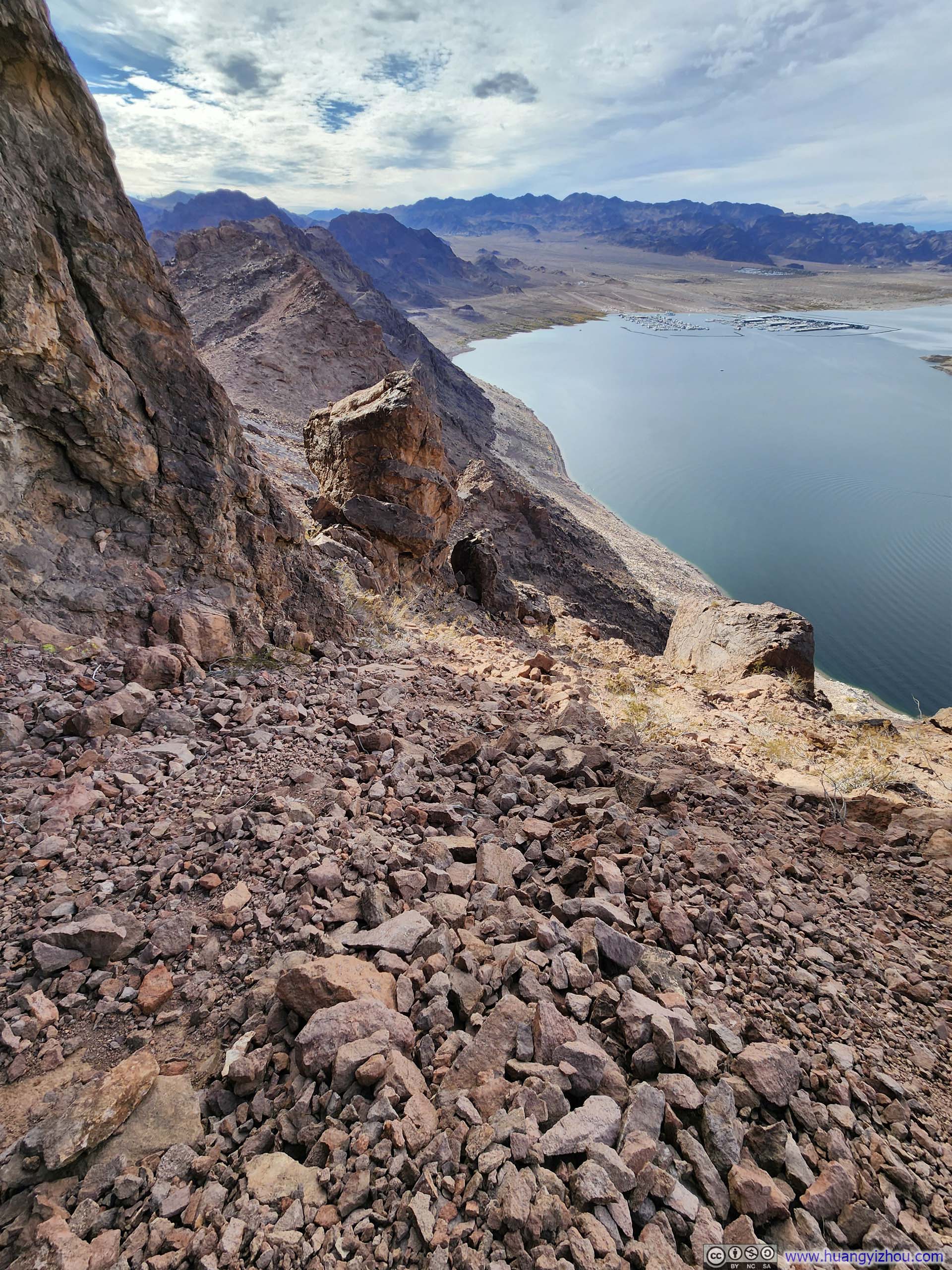
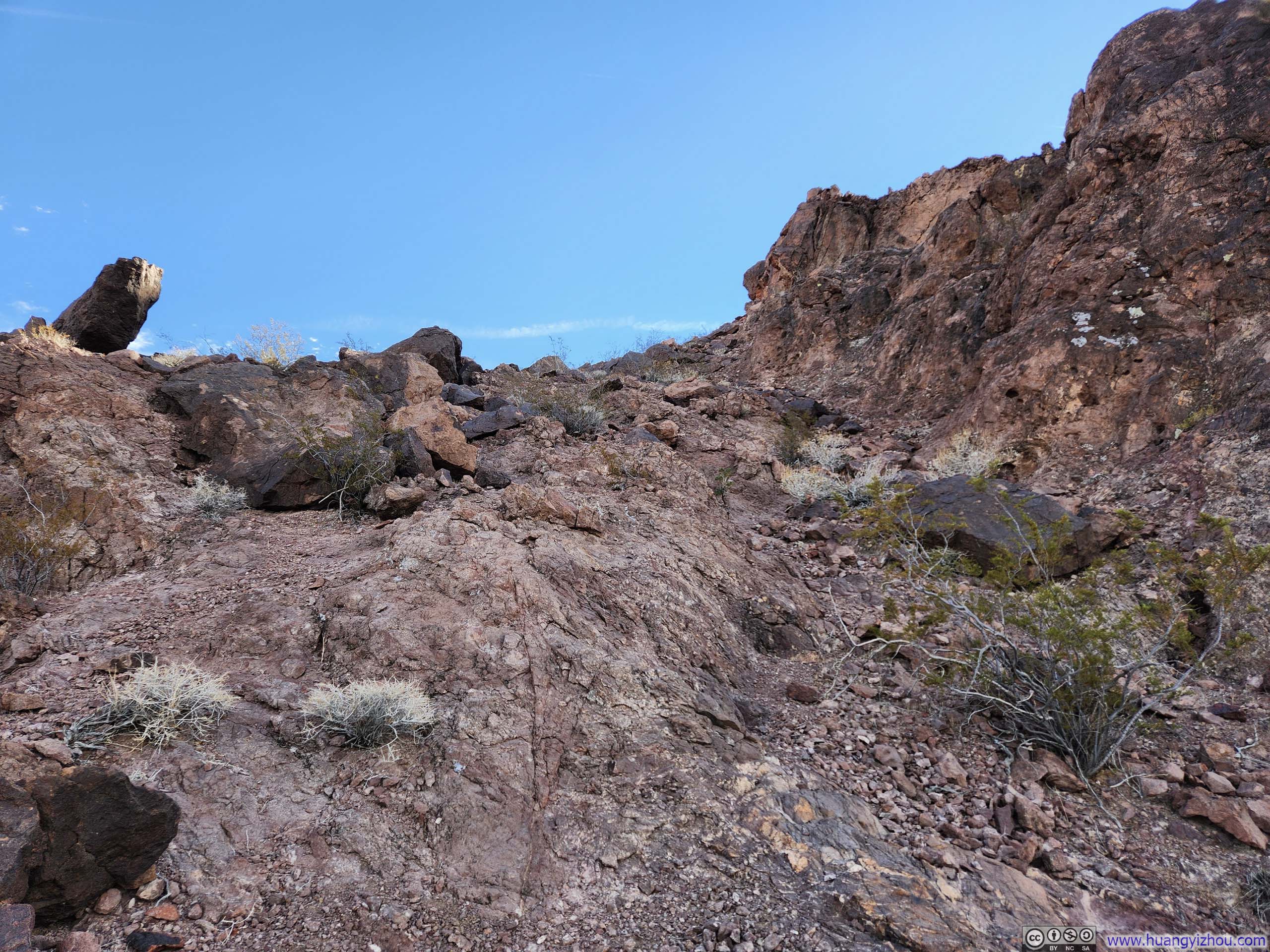
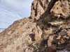
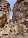
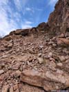
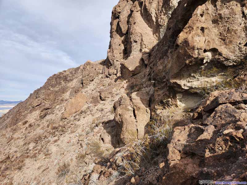
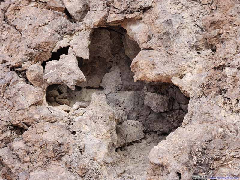
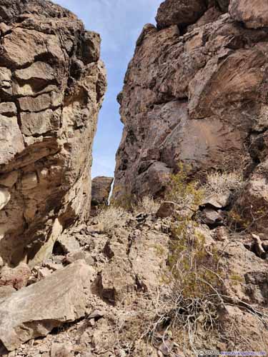
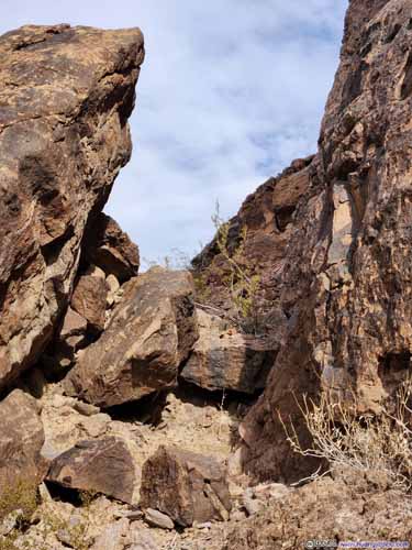
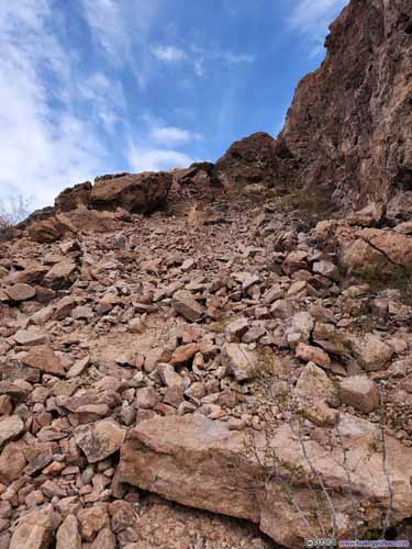
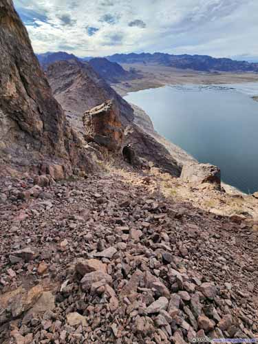
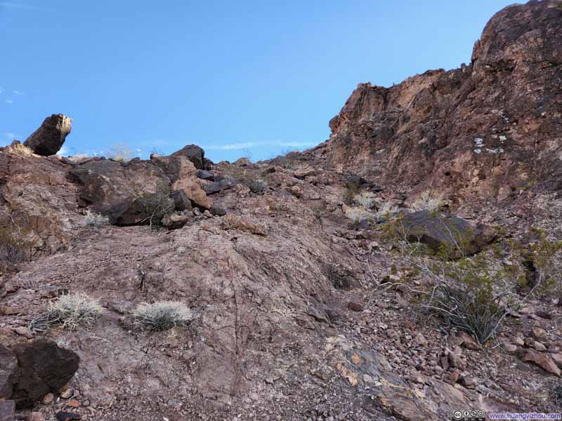
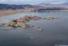
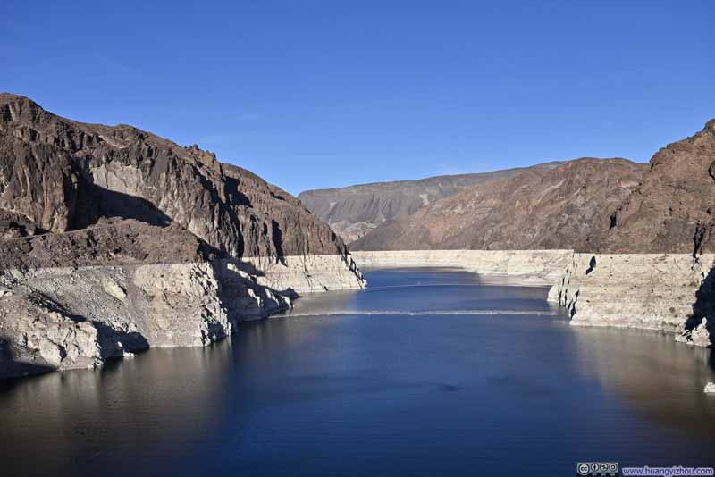
Along the way, there were pleasing views of Lake Mead below.
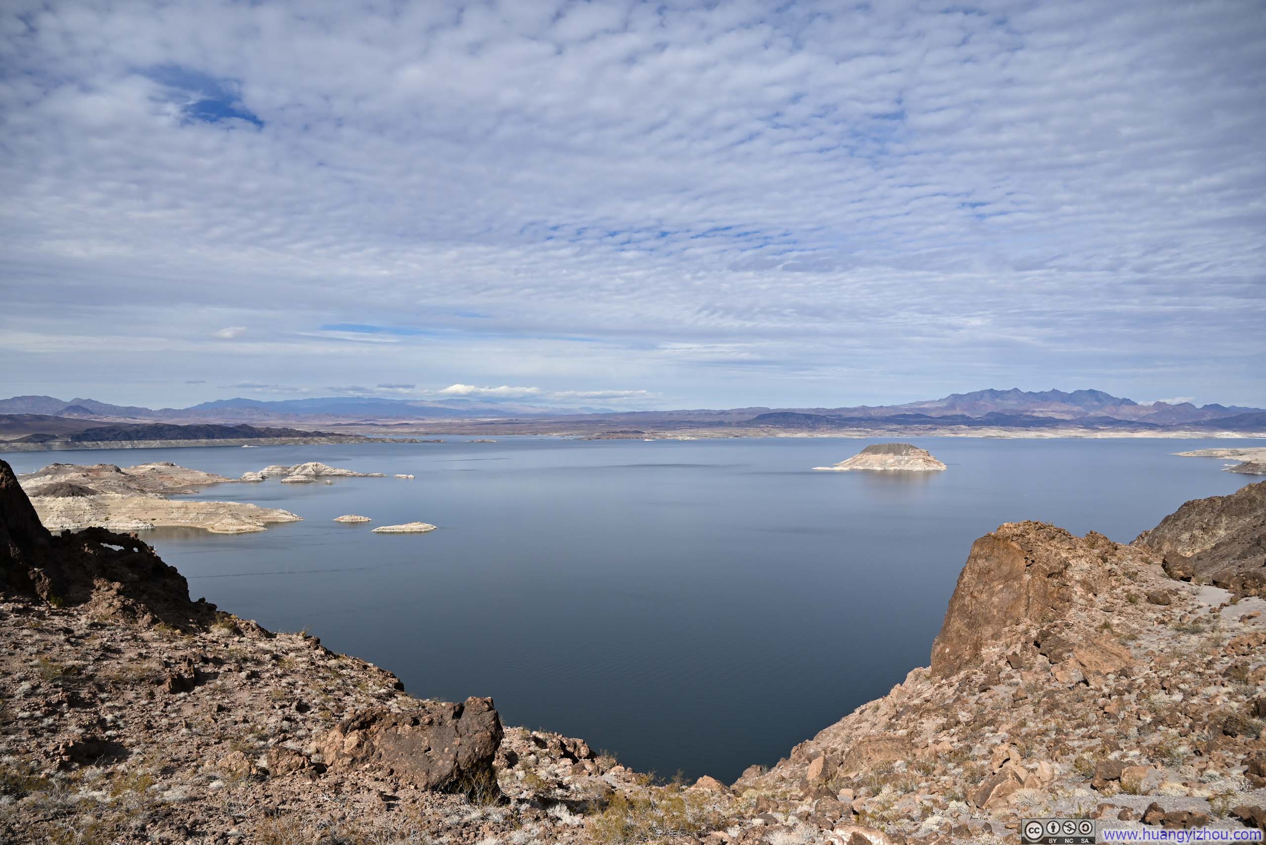
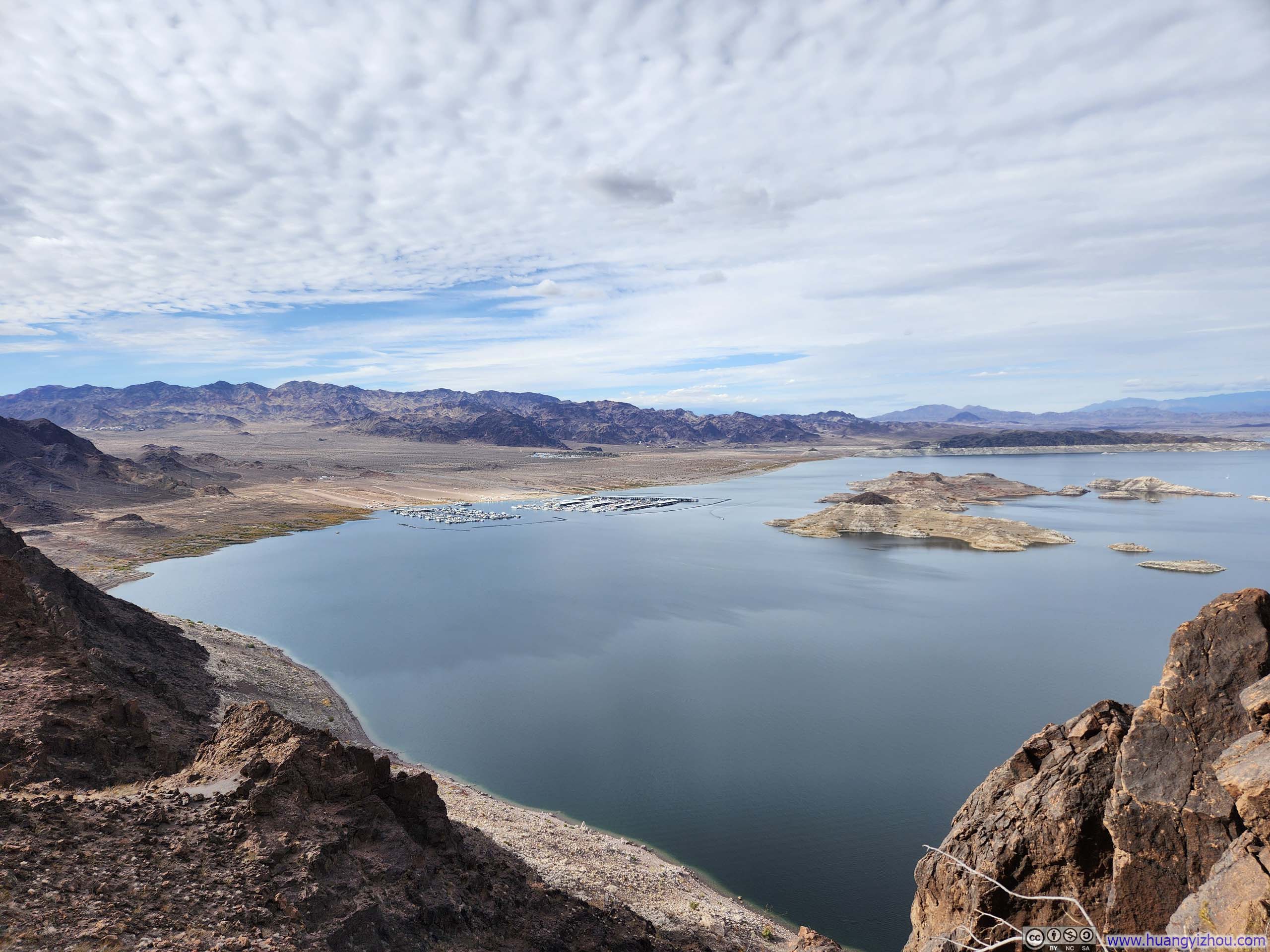
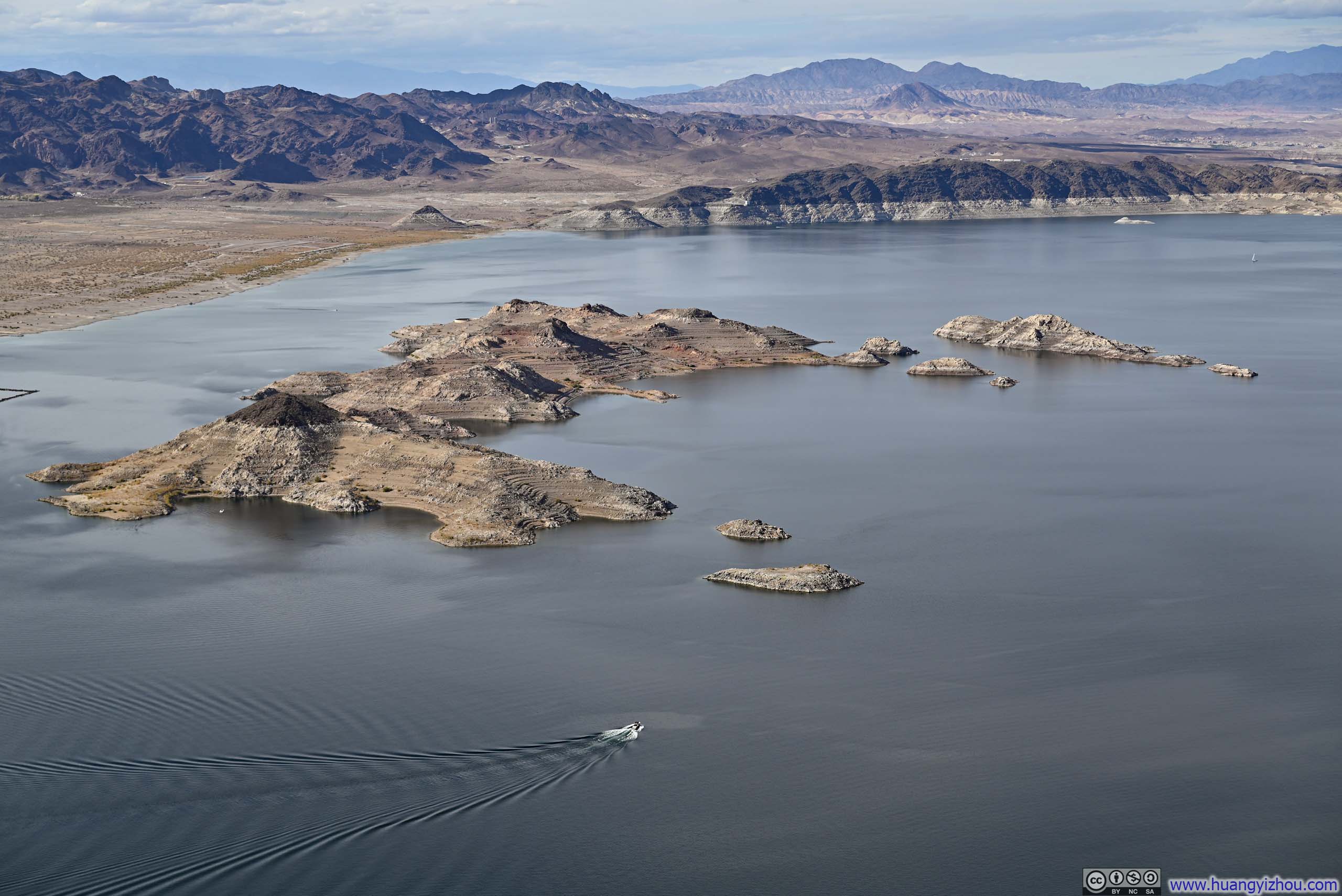
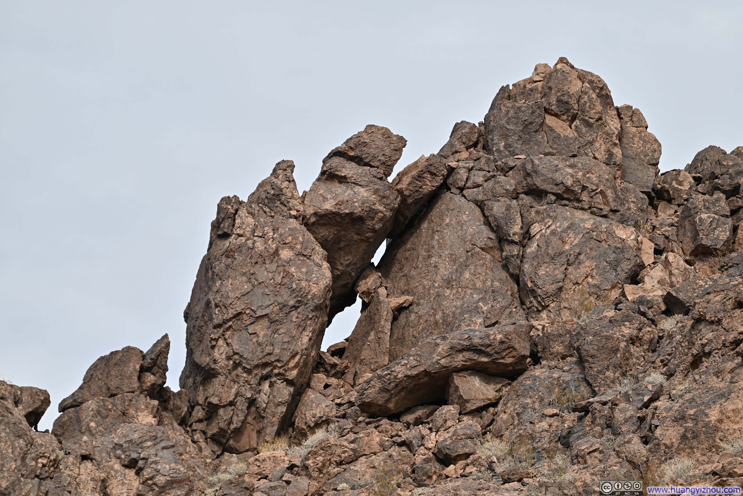
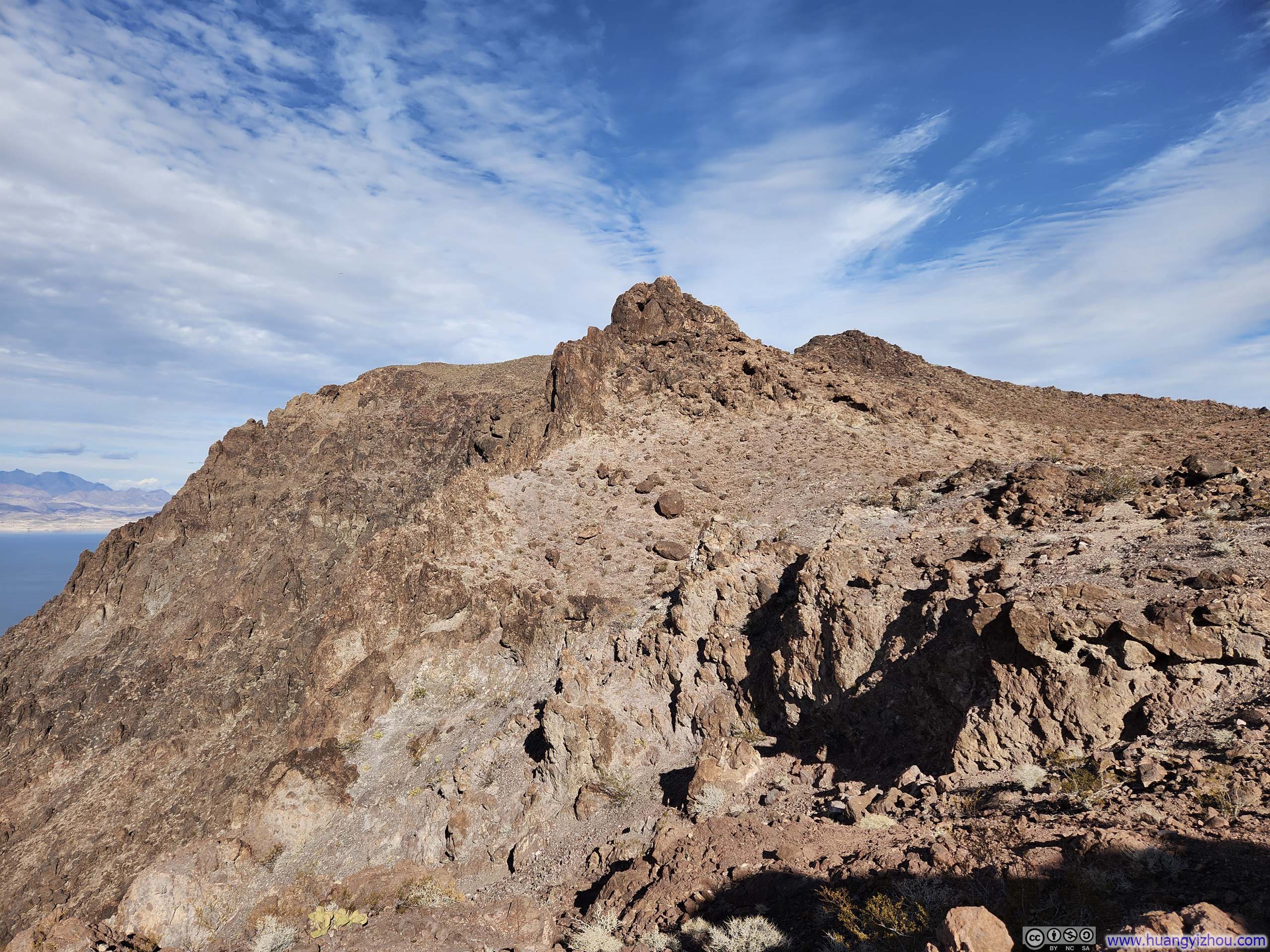
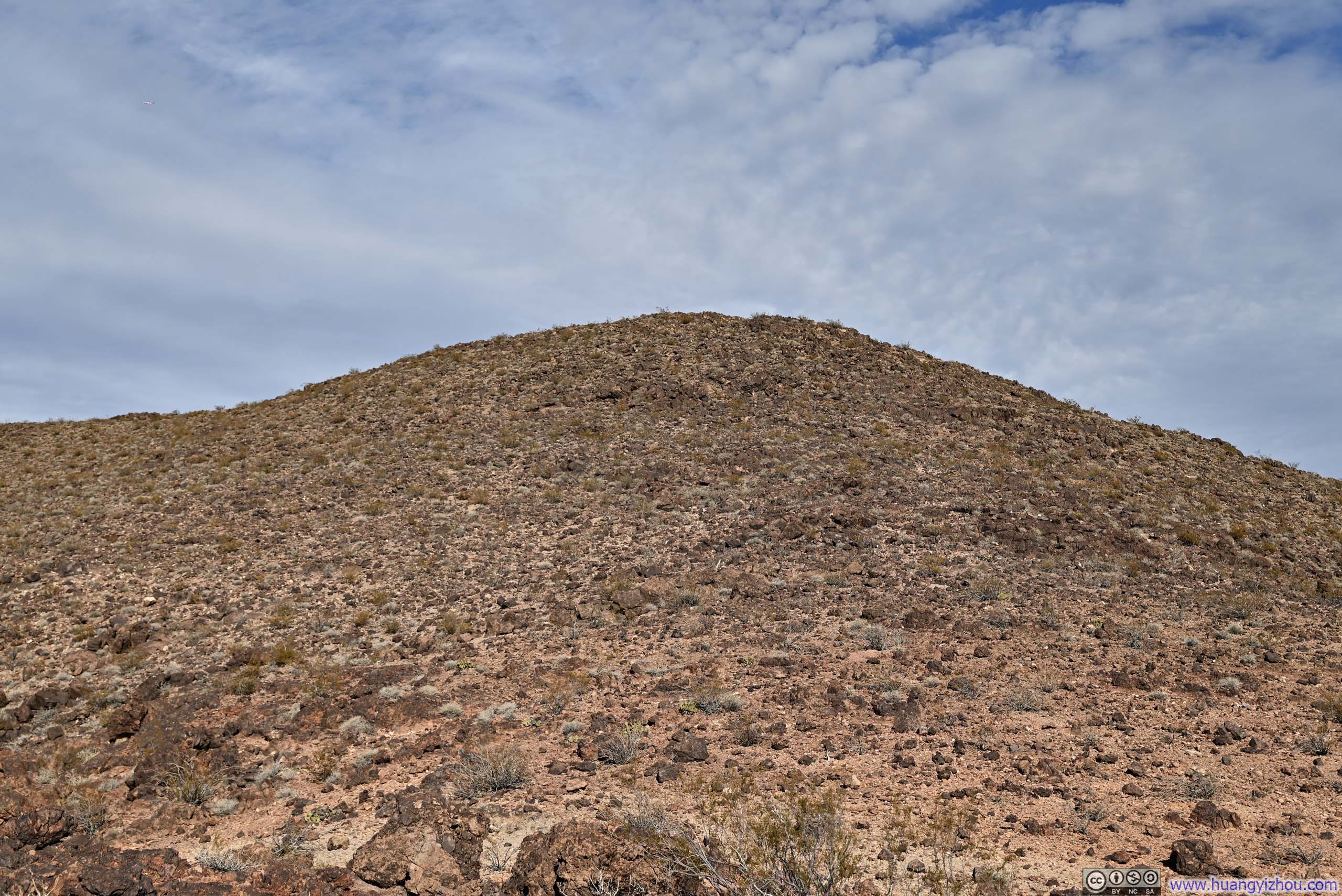
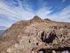
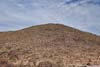
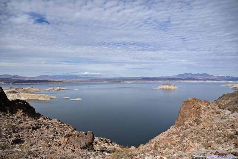
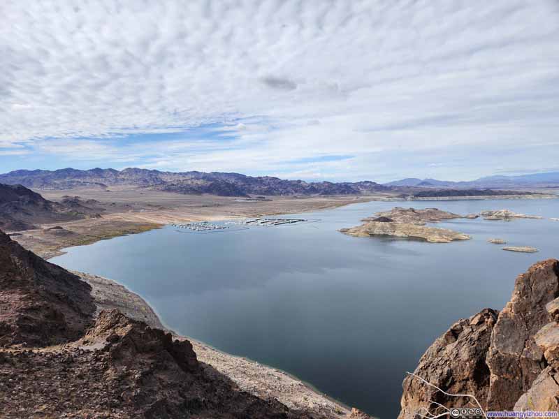
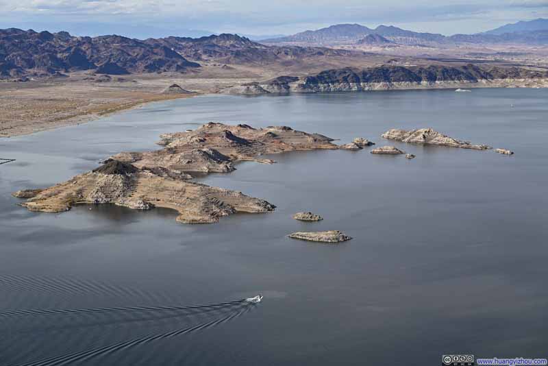
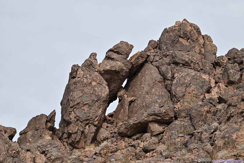
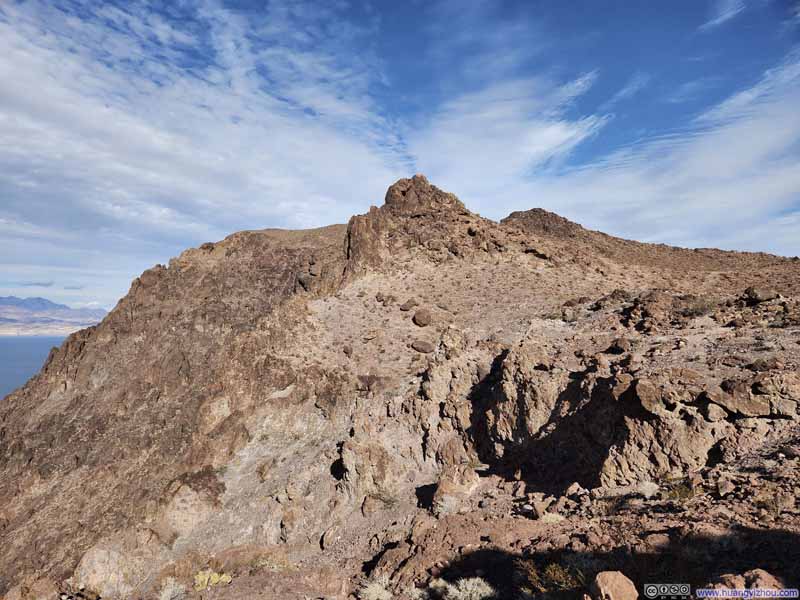
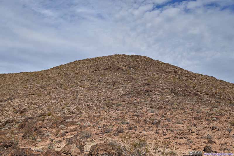
Leaving the base of steep cliffs, the remainder of the trail leading to Promontory Point was very straightforward.
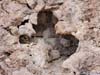
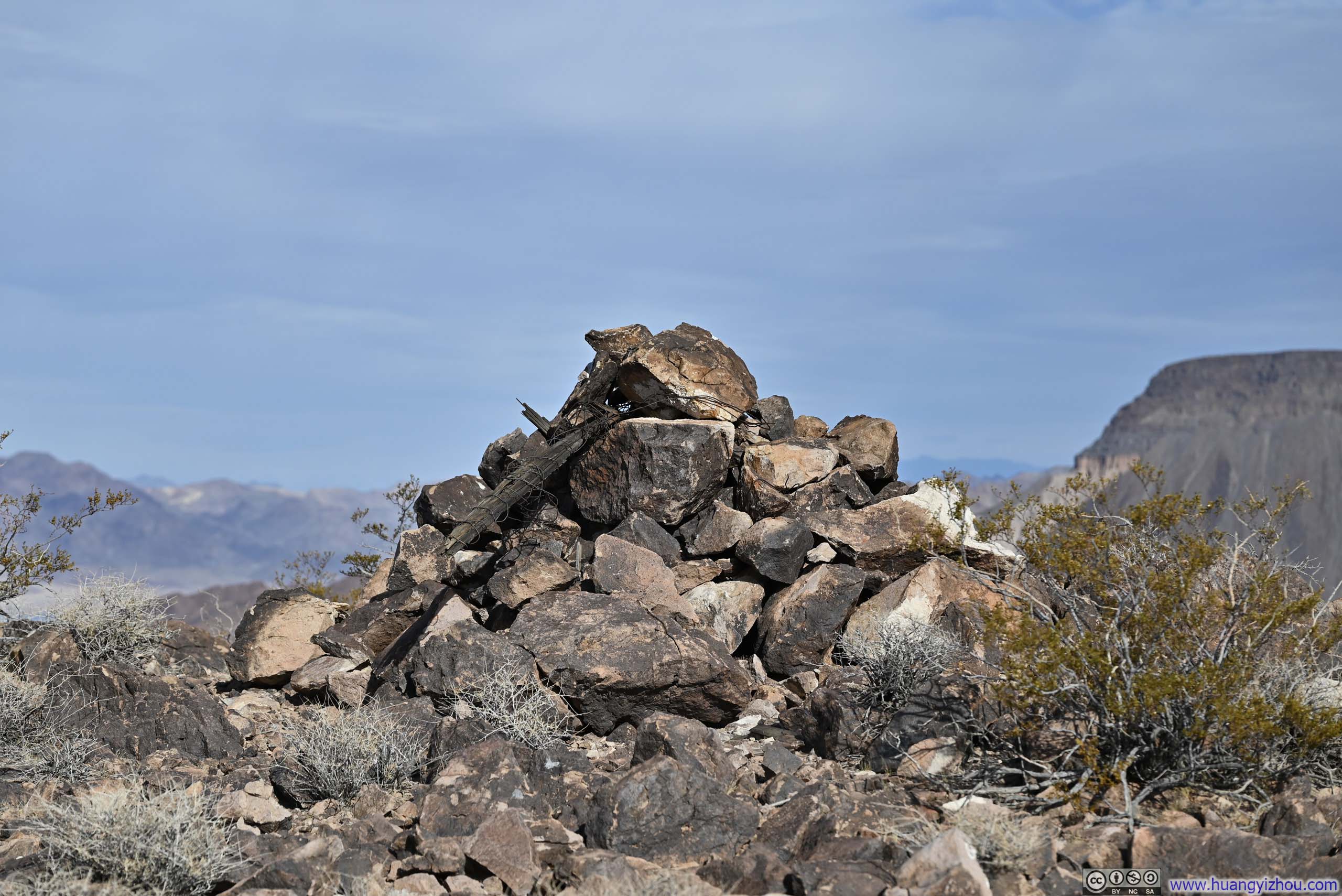
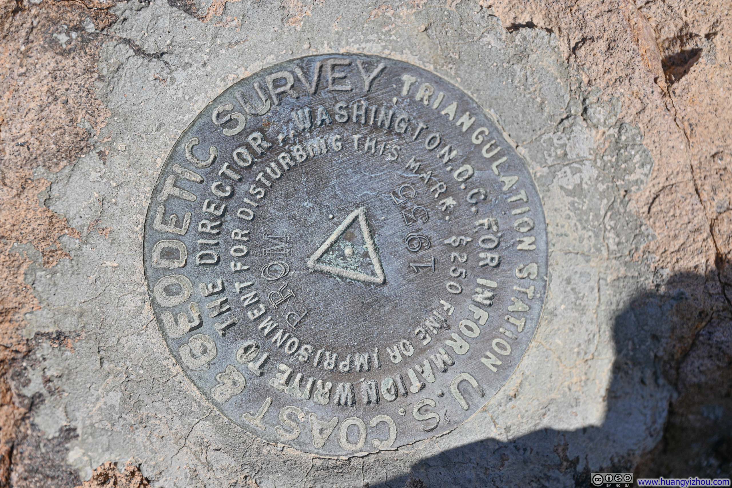
However, it was a bit ambiguous as to where "Promontory Point" exactly was. There was a pile of rocks (p1 below), next to which was a USGS survey marker (p2 below). 140m (450ft) towards Lake Mead from that spot, there was a stick marking a location with better views of Lake Mead. Finally, "Promontory Point" as indicated by OpenStreetMap was neither of the two spots above.
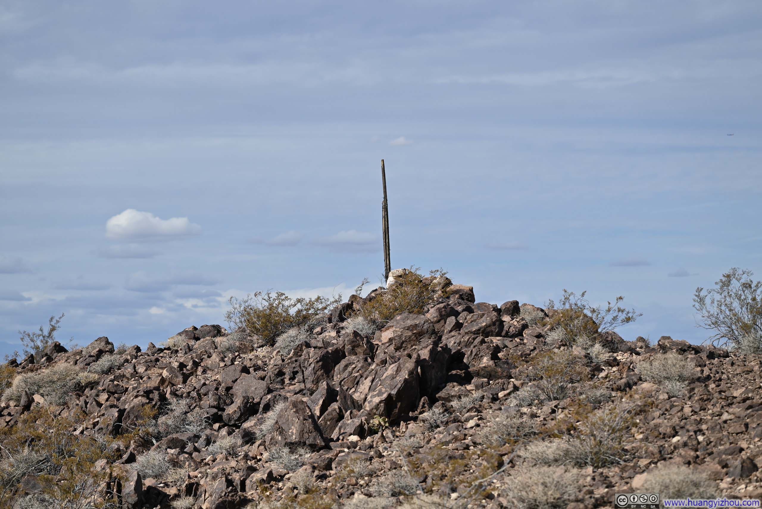

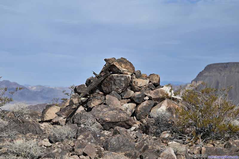
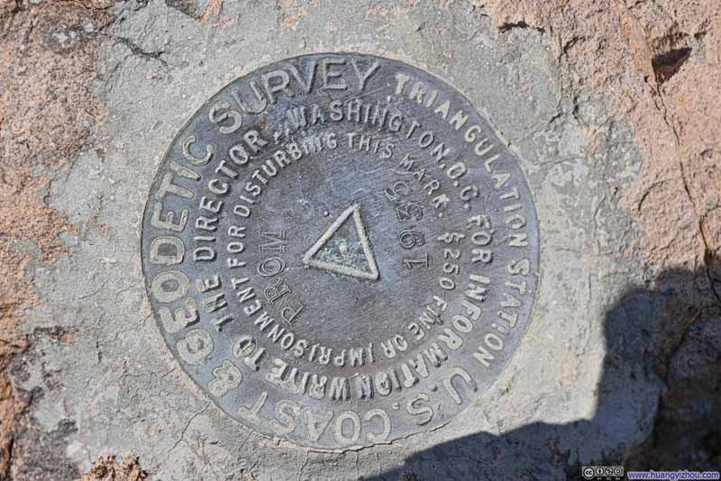
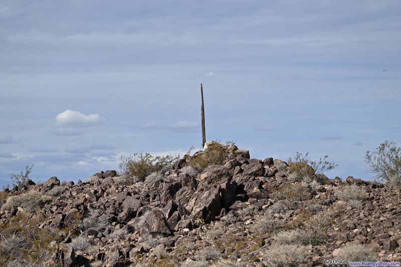
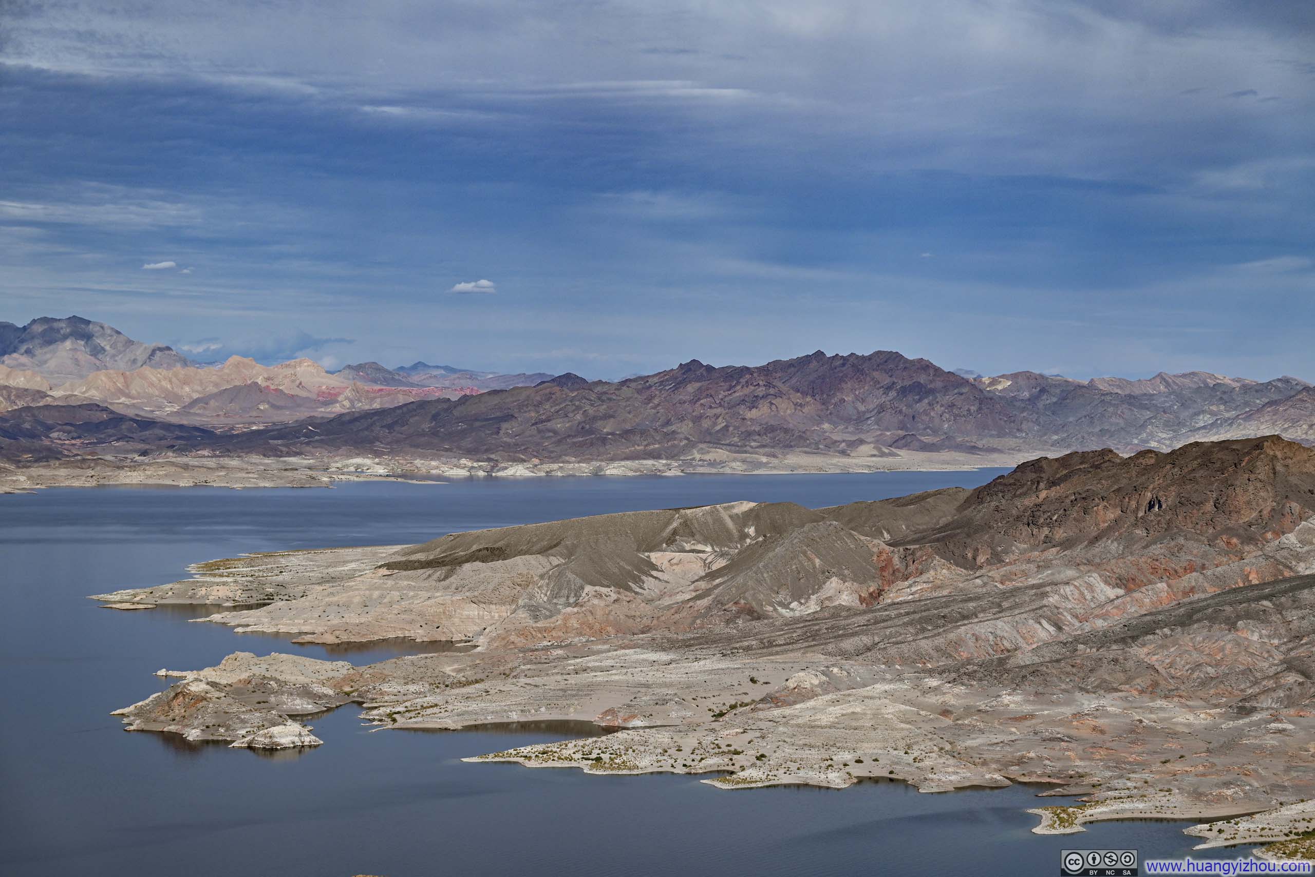
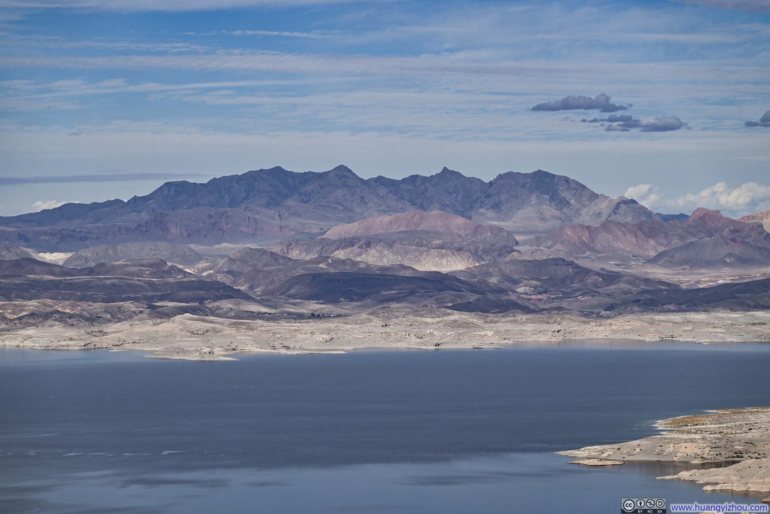
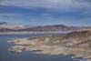
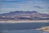
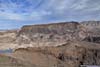
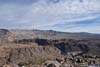
Terminologies aside, Promontory Point offered sweeping views of the tranquil waters of Lake Mead below. It's only a relatively short hike from the popular Hoover Dam, but it offered a sense of seclusion and serenity.
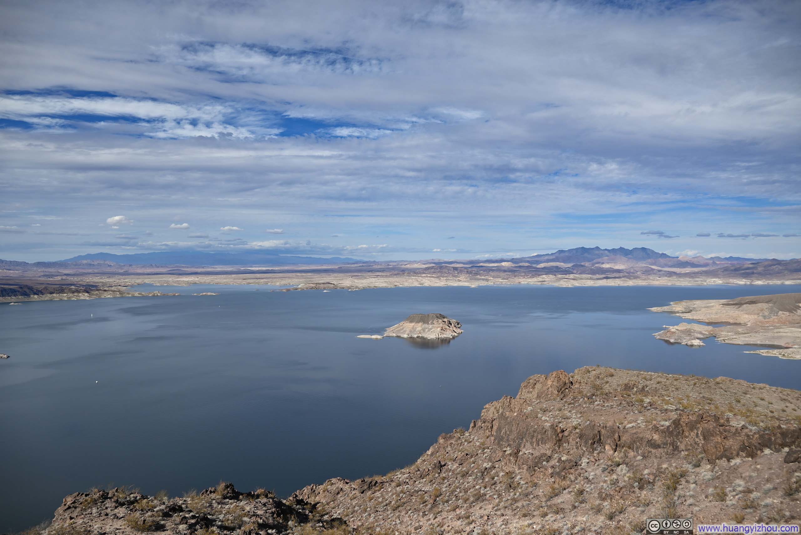
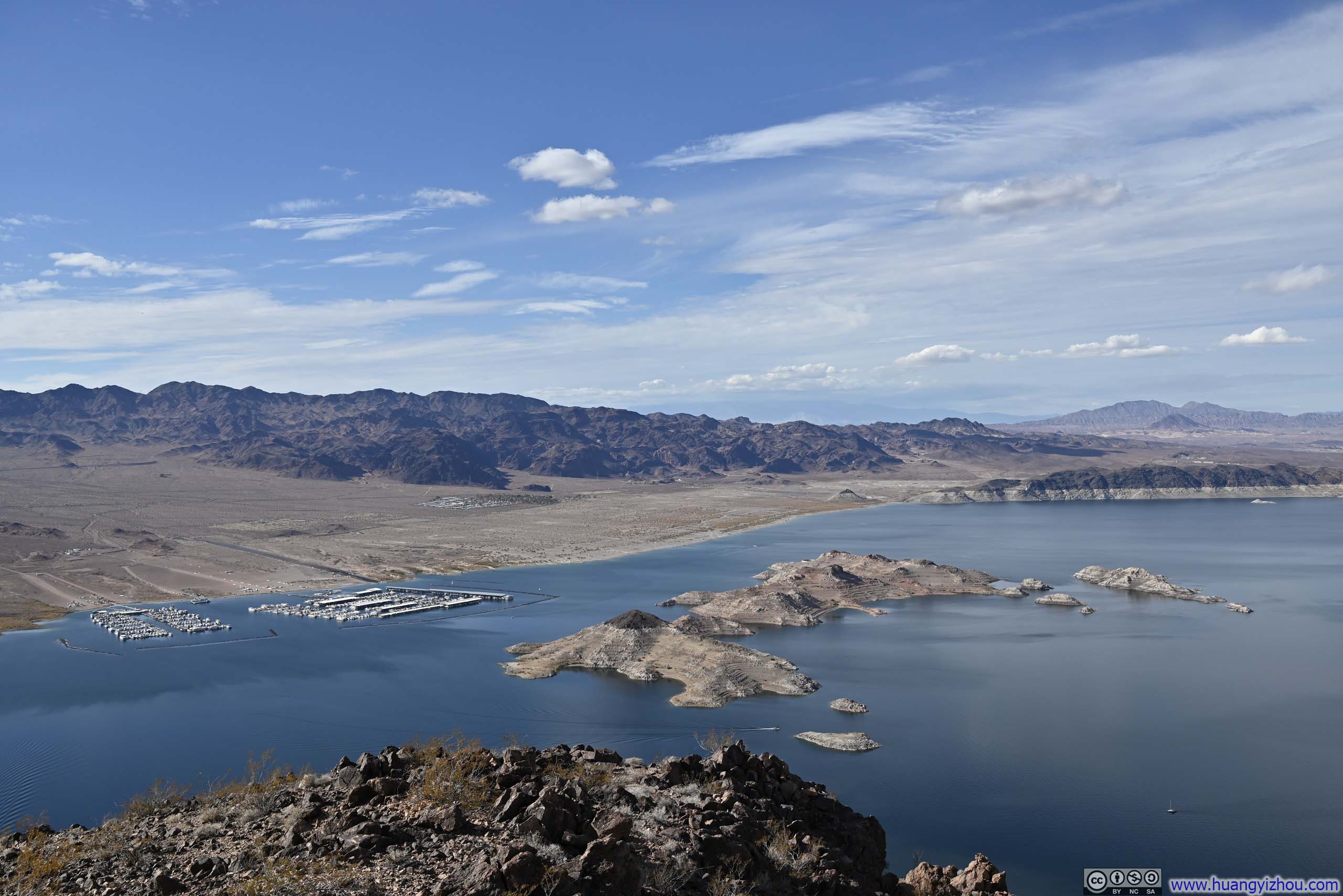
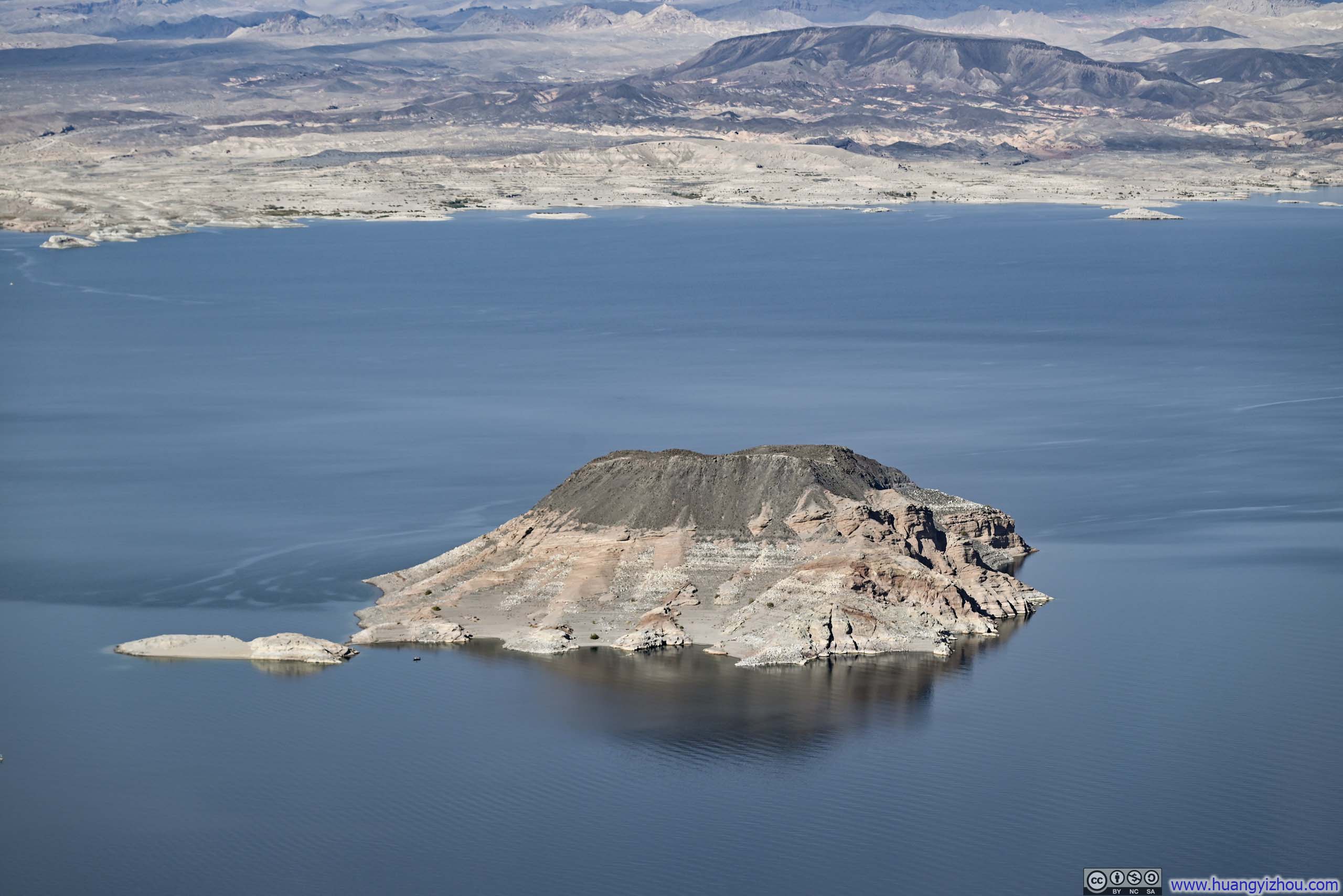

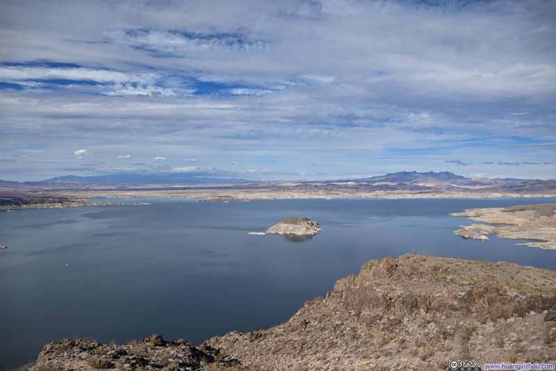
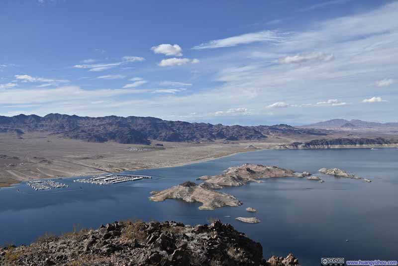
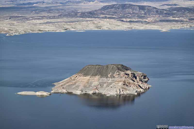
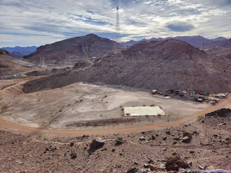
Additionally, Lake Mead was surrounded by mountains, like Promontory Point which I was standing on.
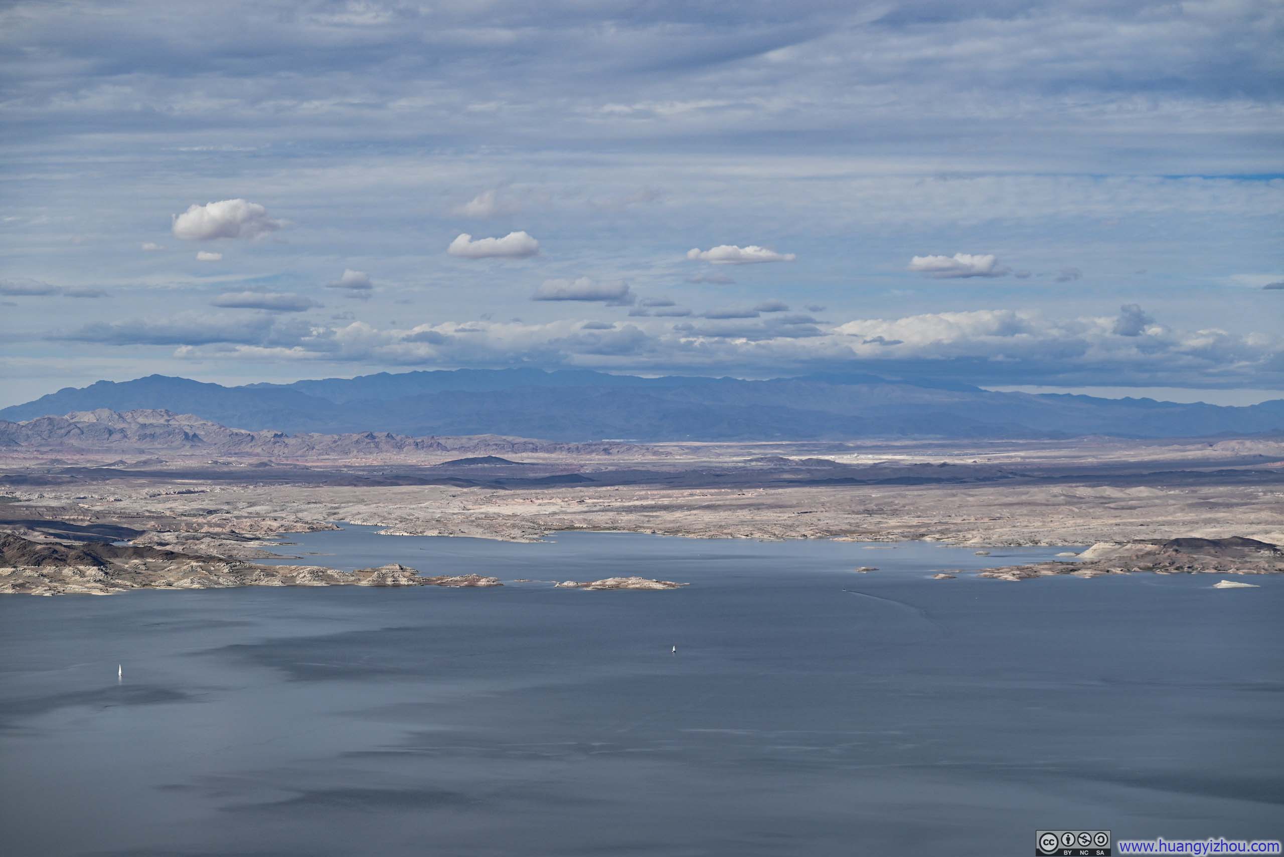
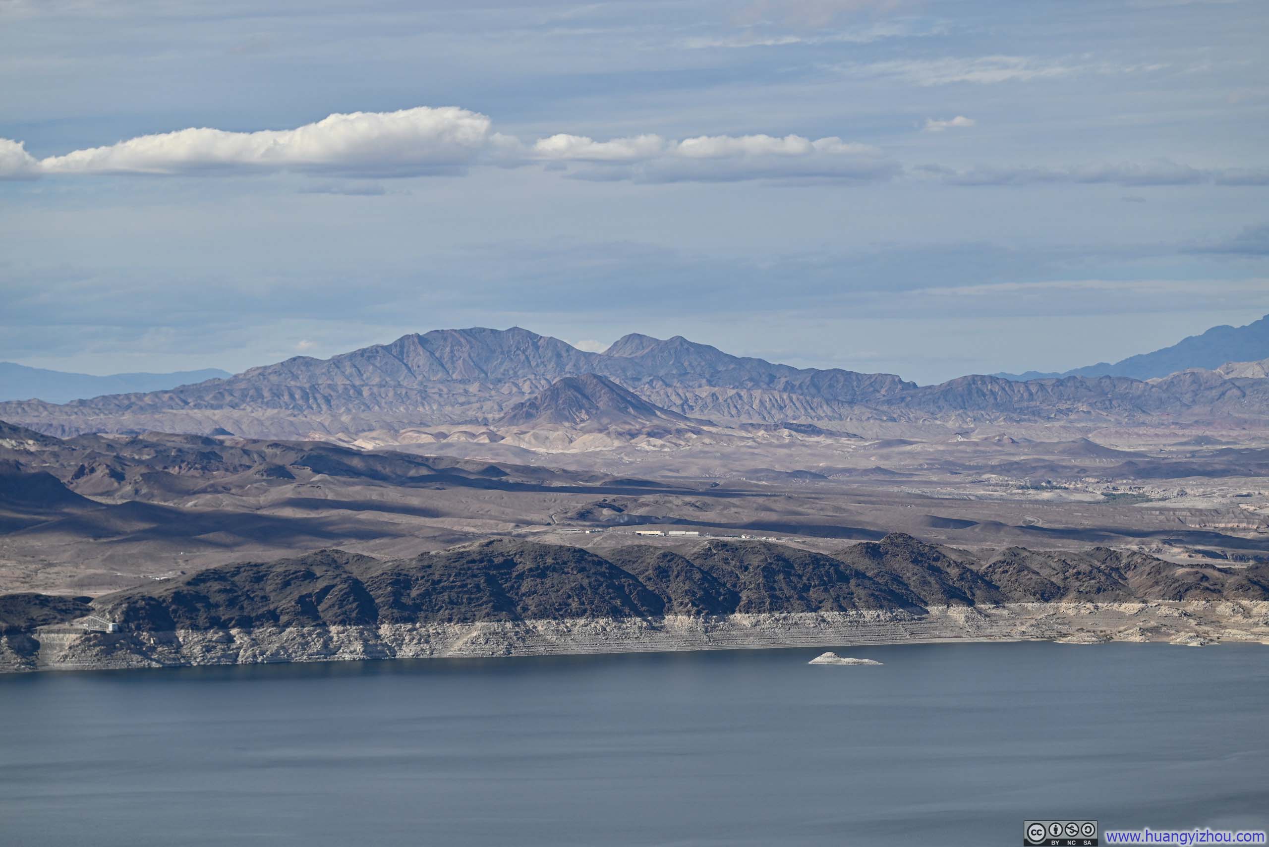
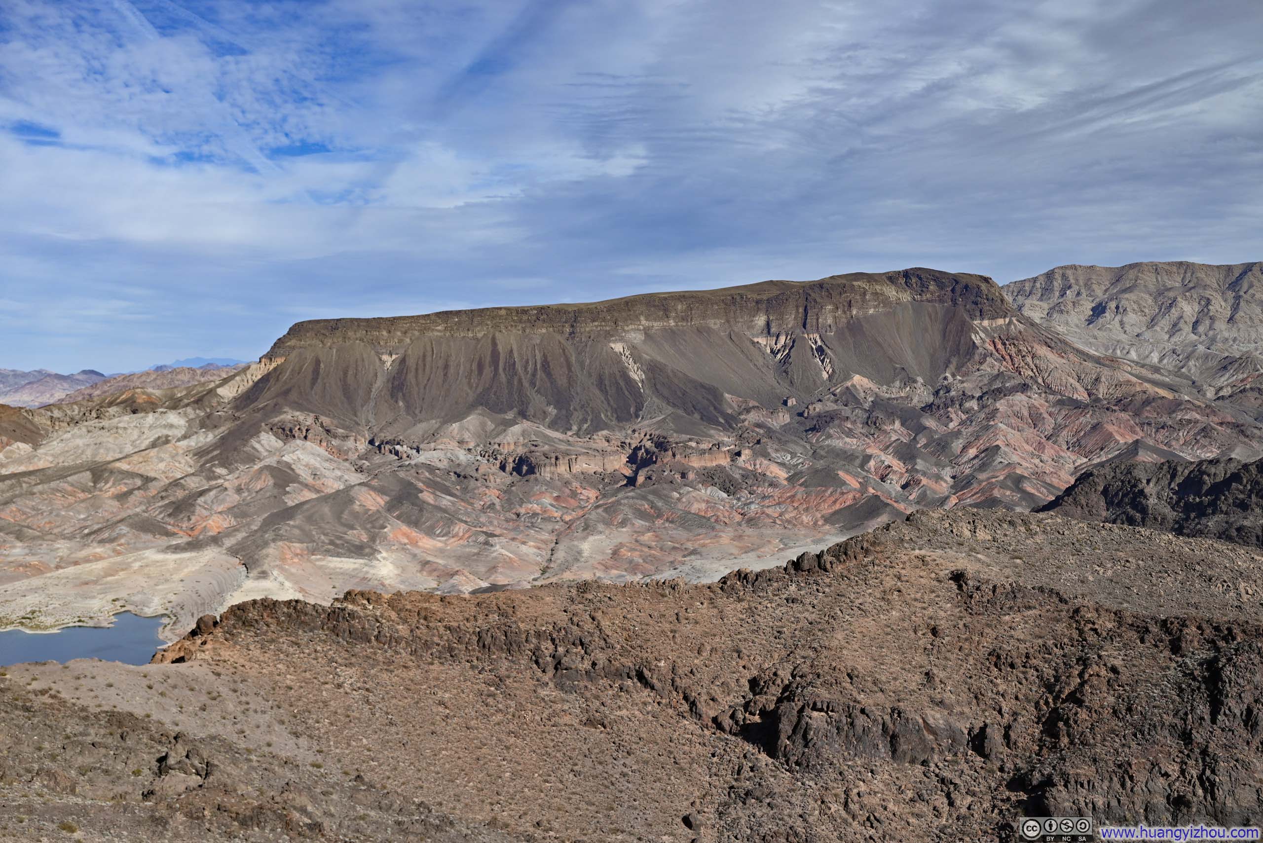
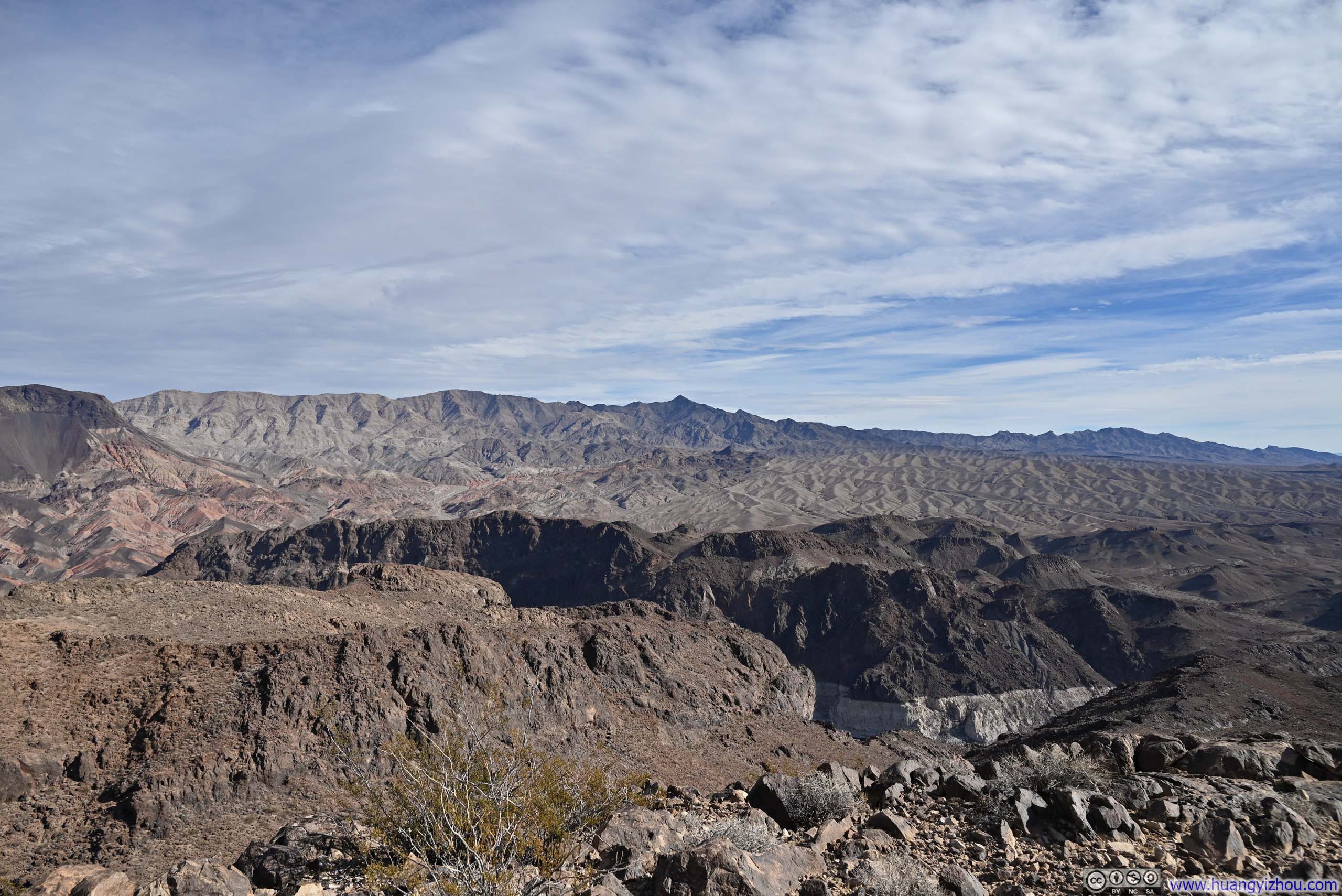


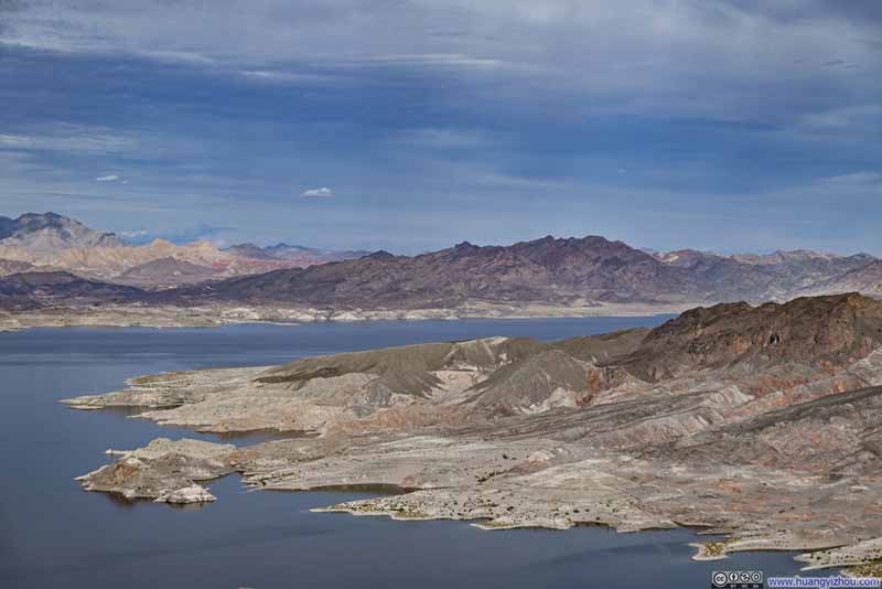
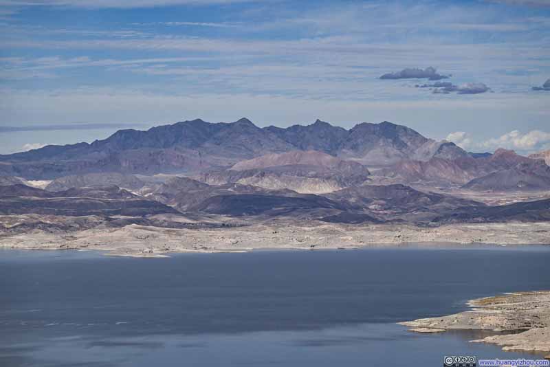
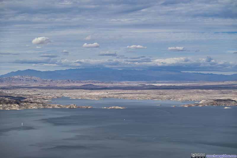
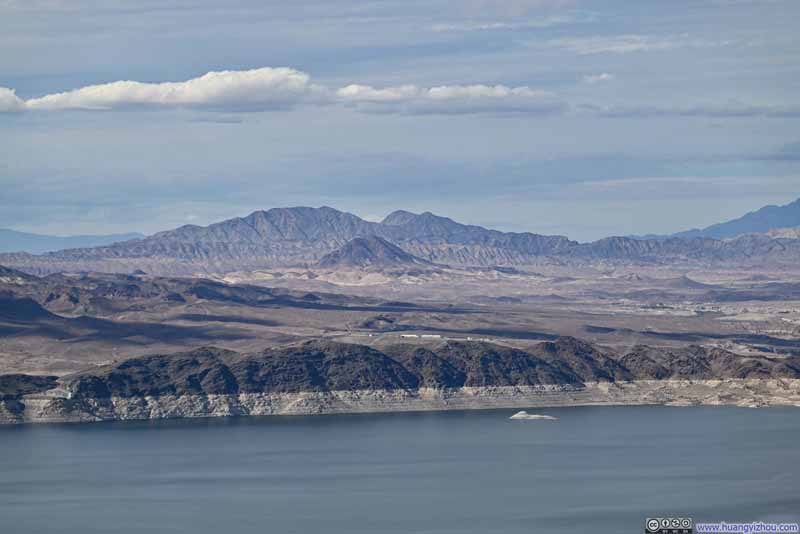
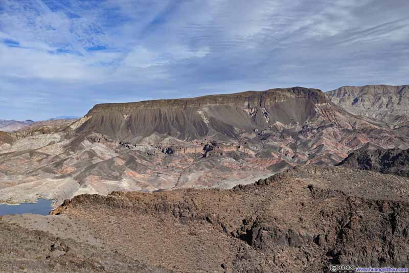
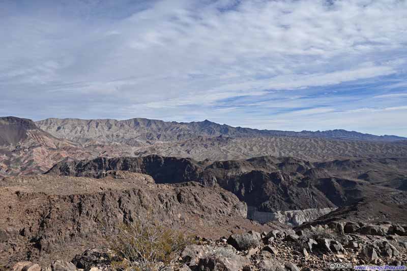
A minor disappointment was that the summit of Promontory Point was quite buggy (while the trail was largely bug-free), another instance of them hilltopping.

11 seconds, 2160p60fps, 10Mbps for H265 / 11Mbps for H264, file size around 16MB.
In the end, I spent about 25 minutes at Promontory Point before making my way back, and reached the parking lot where I started at 2:10pm. Overall, this hike took me just under 3 hours, which meant I had some time left before my tour of Hoover Dam. So next I headed for the bridge over Colorado River that overlooked Hoover Dam.
The parking lot for the bridge was a short drive from Hoover Dam itself. It's not huge and I had a short wait for a parking spot to open up. After that, it's a short, paved trail (ADA options available!) to get onto the bridge.
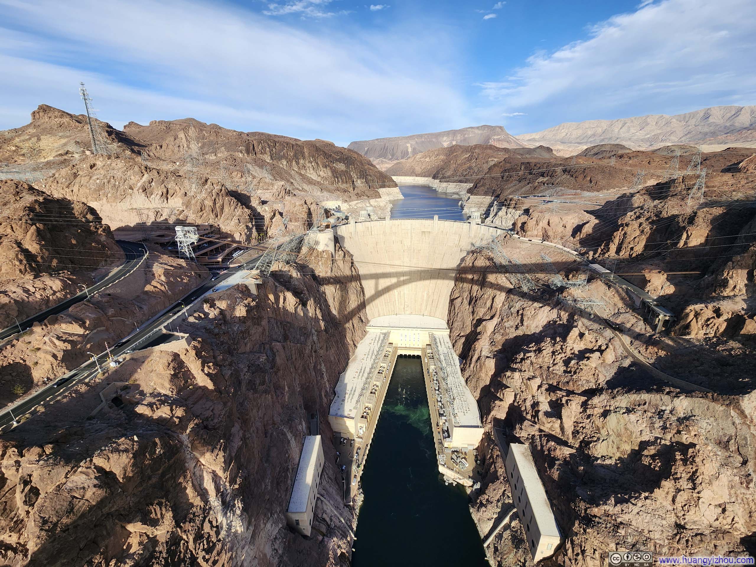
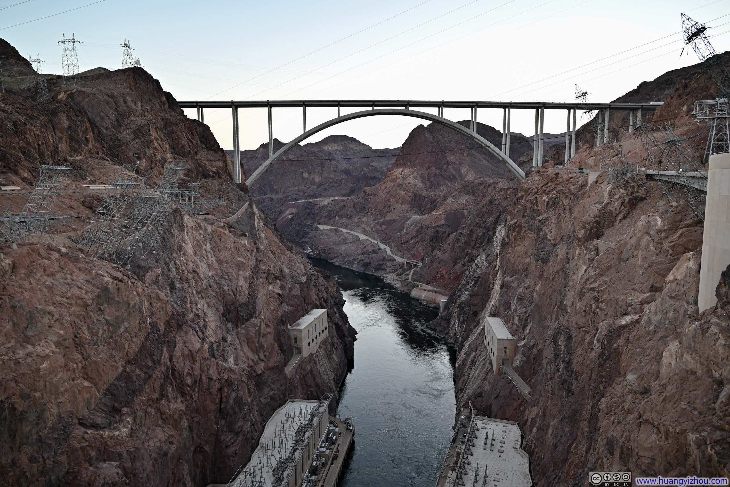
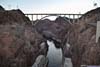
The bridge was opened in 2010, which was very new by US standards. It was arguably the best vantage point to take in Hoover Dam and its surrounding deep canyons as a whole. (I imagine its opening may have stolen some business from helicopter tours.)
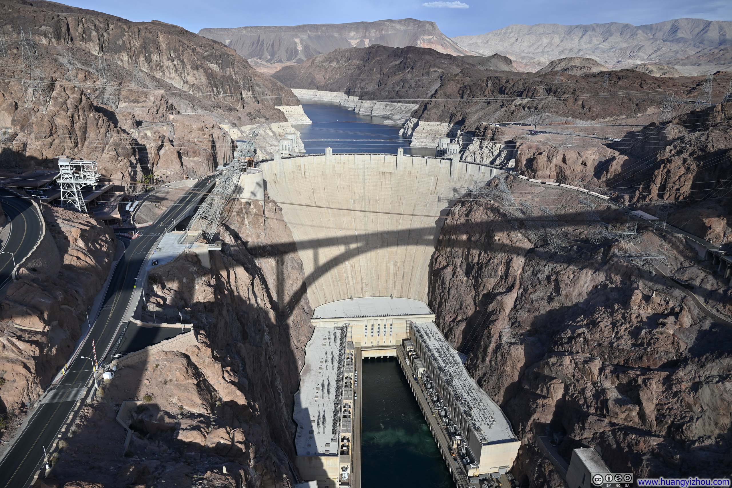
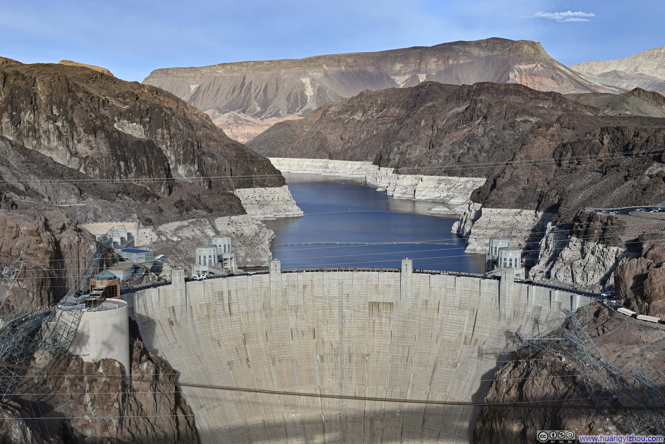
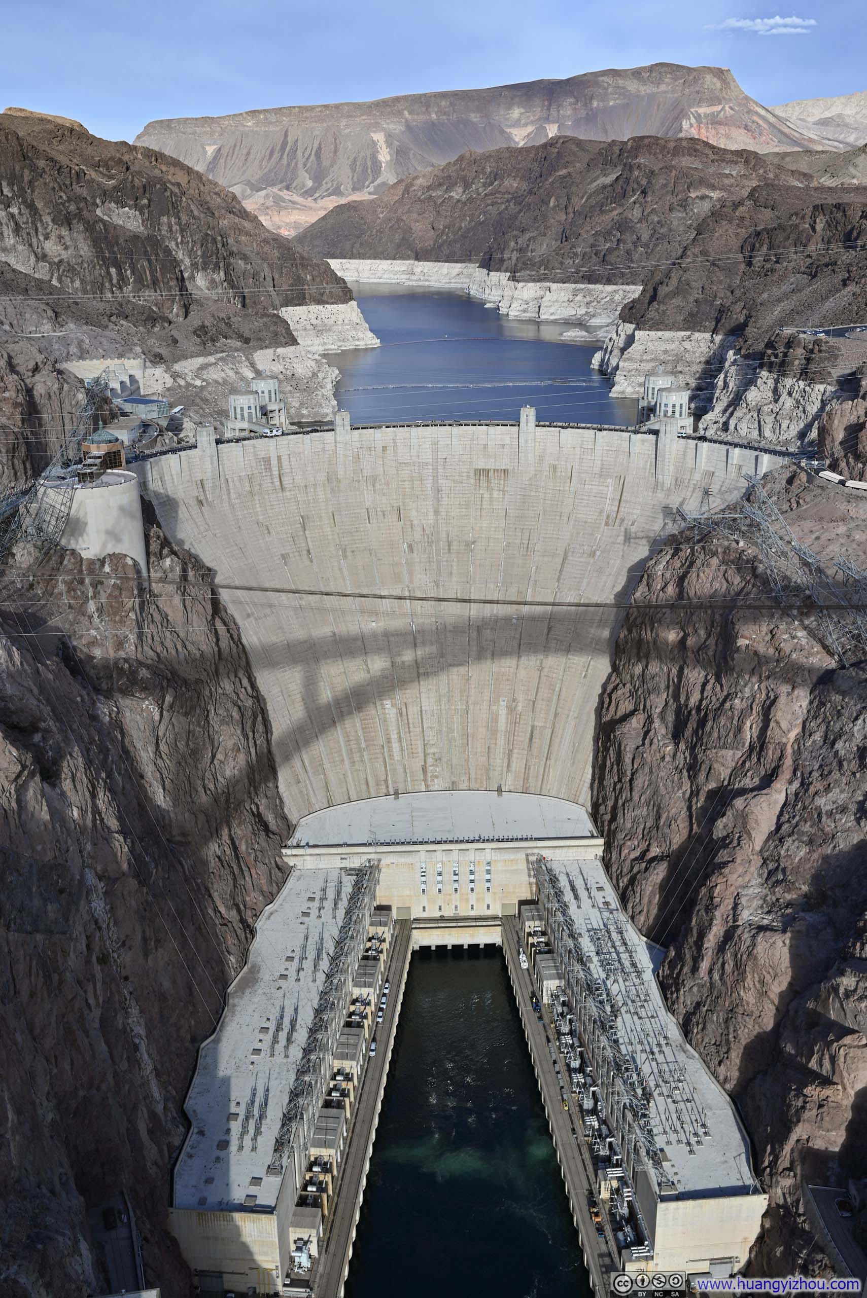
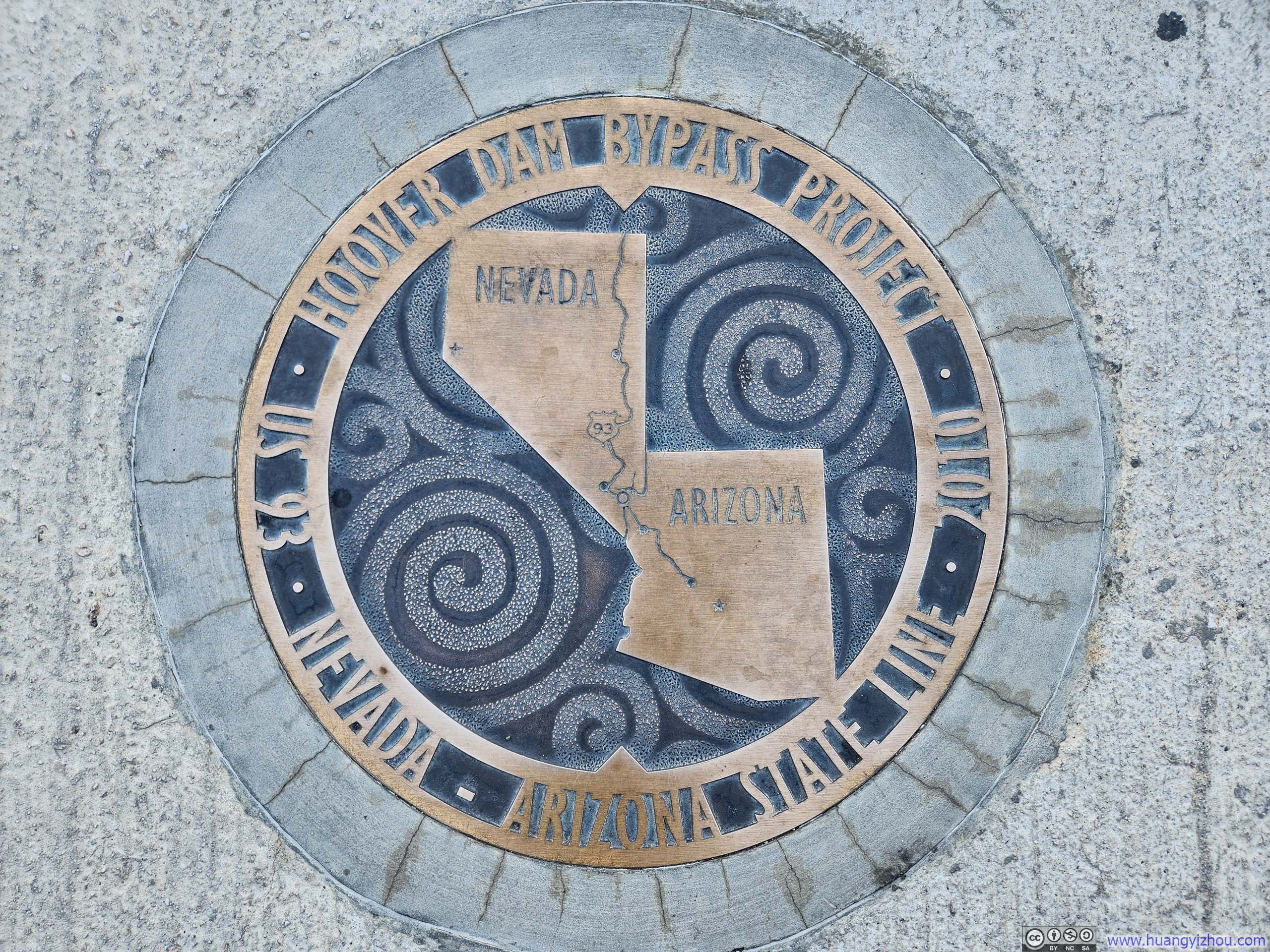
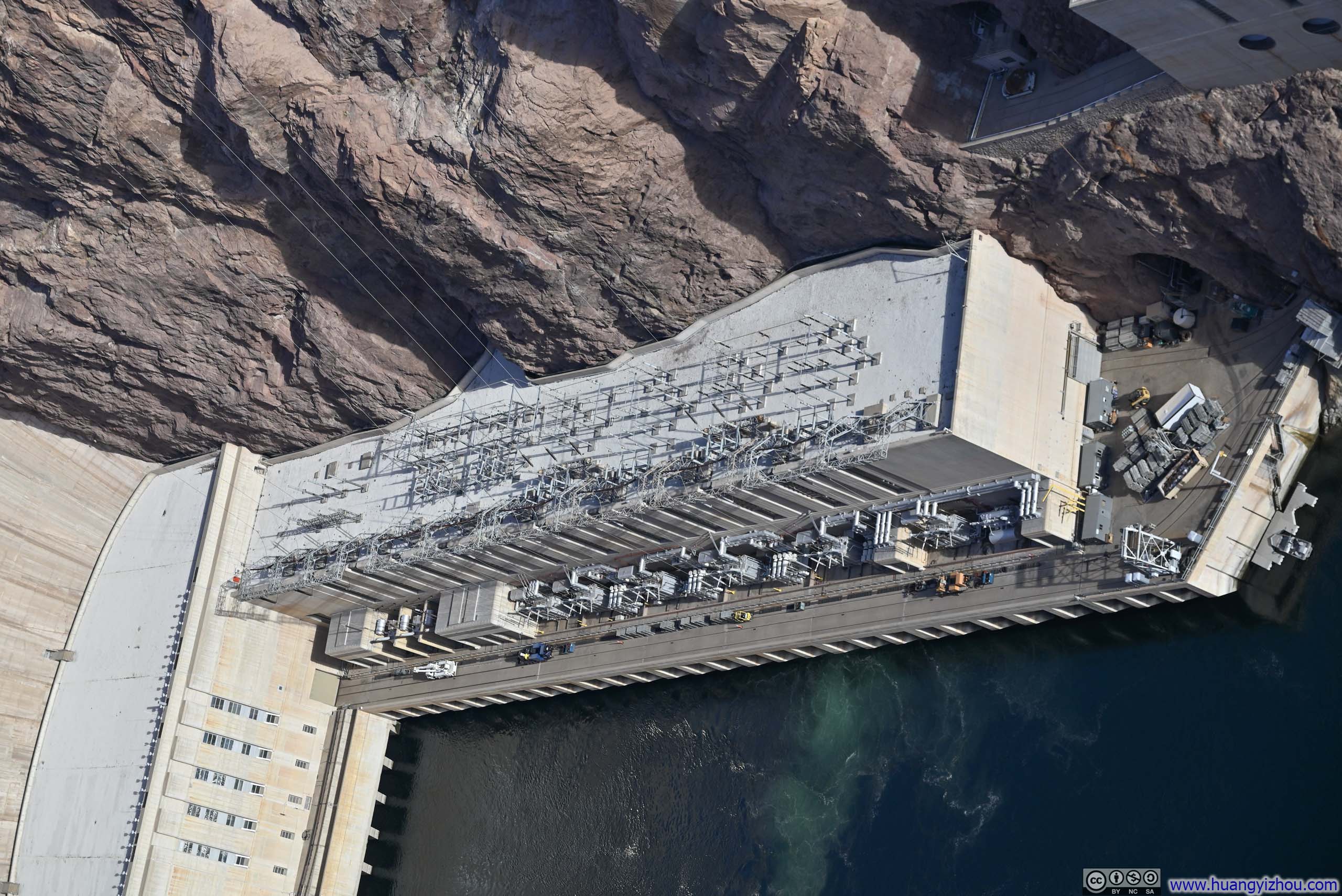
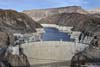
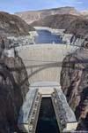

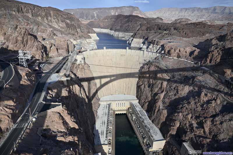
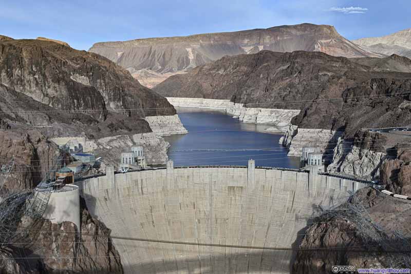
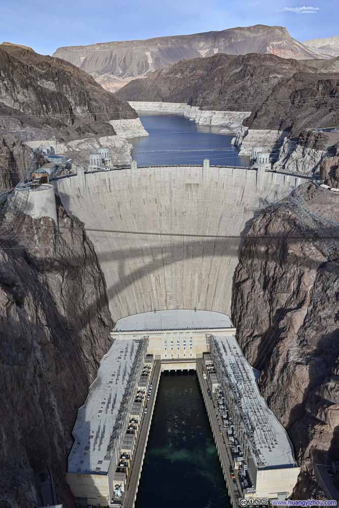
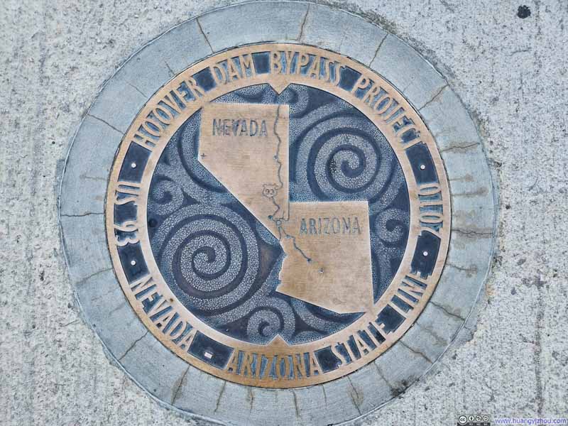
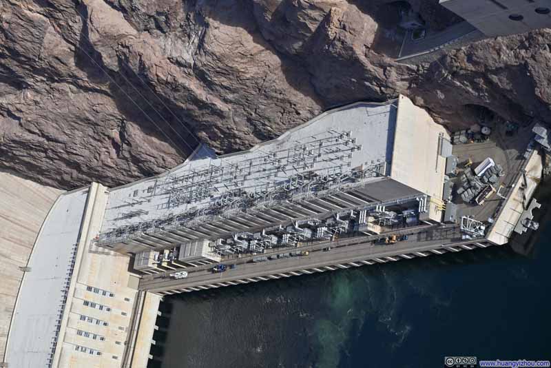
After the visit to the bridge, I still had some time left before my Hoover Dam Tour. So I took a short stroll around.
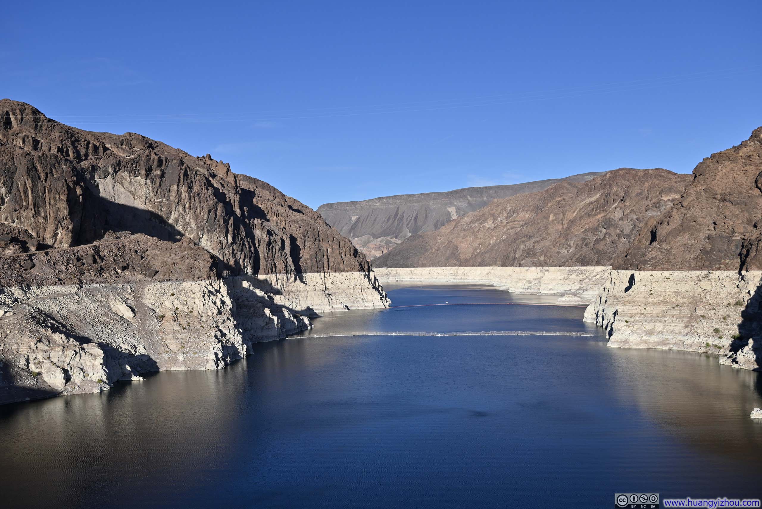
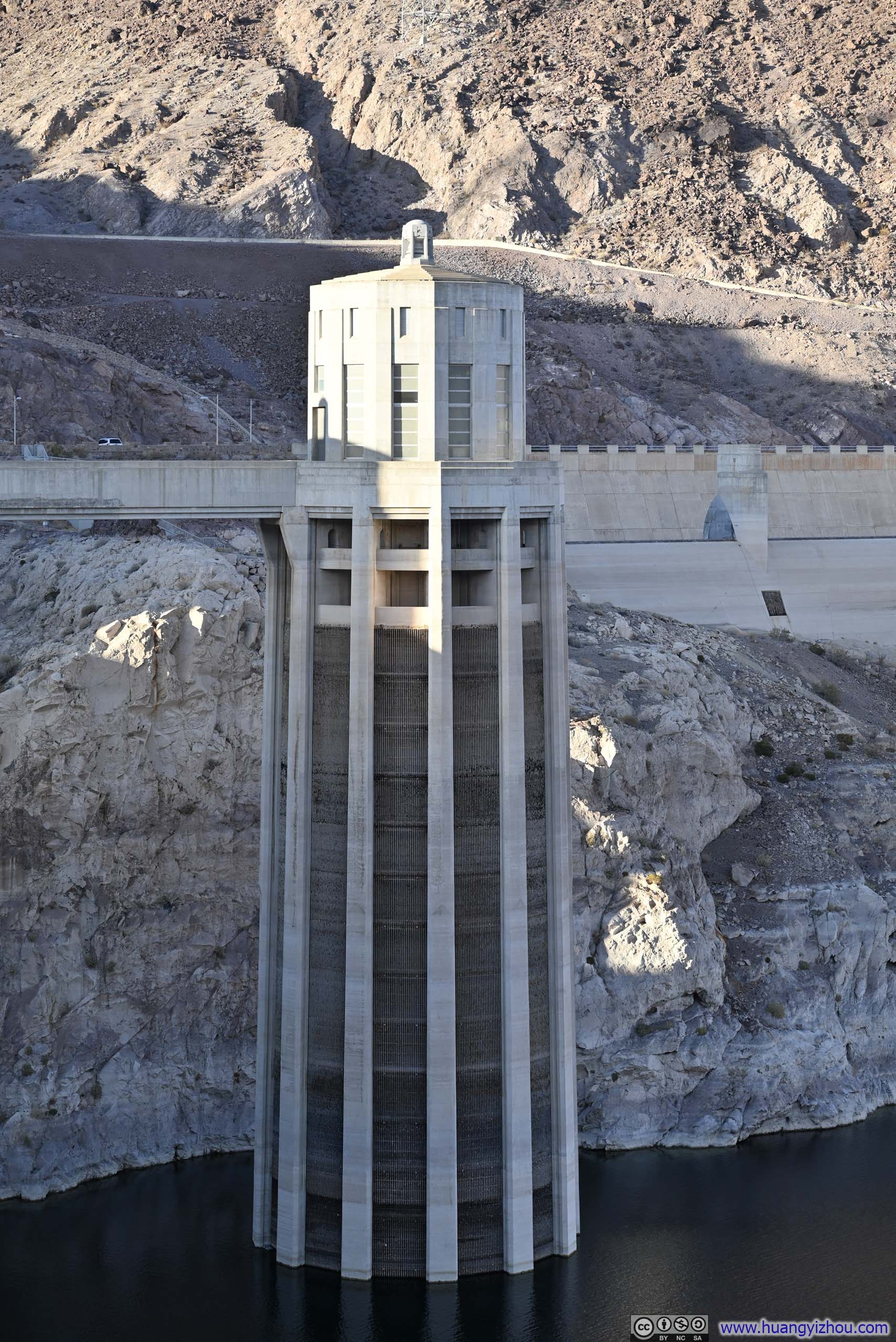
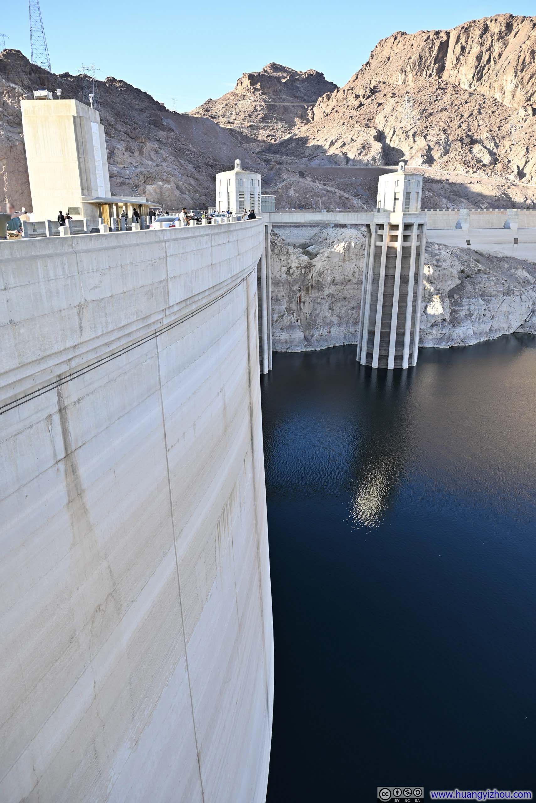
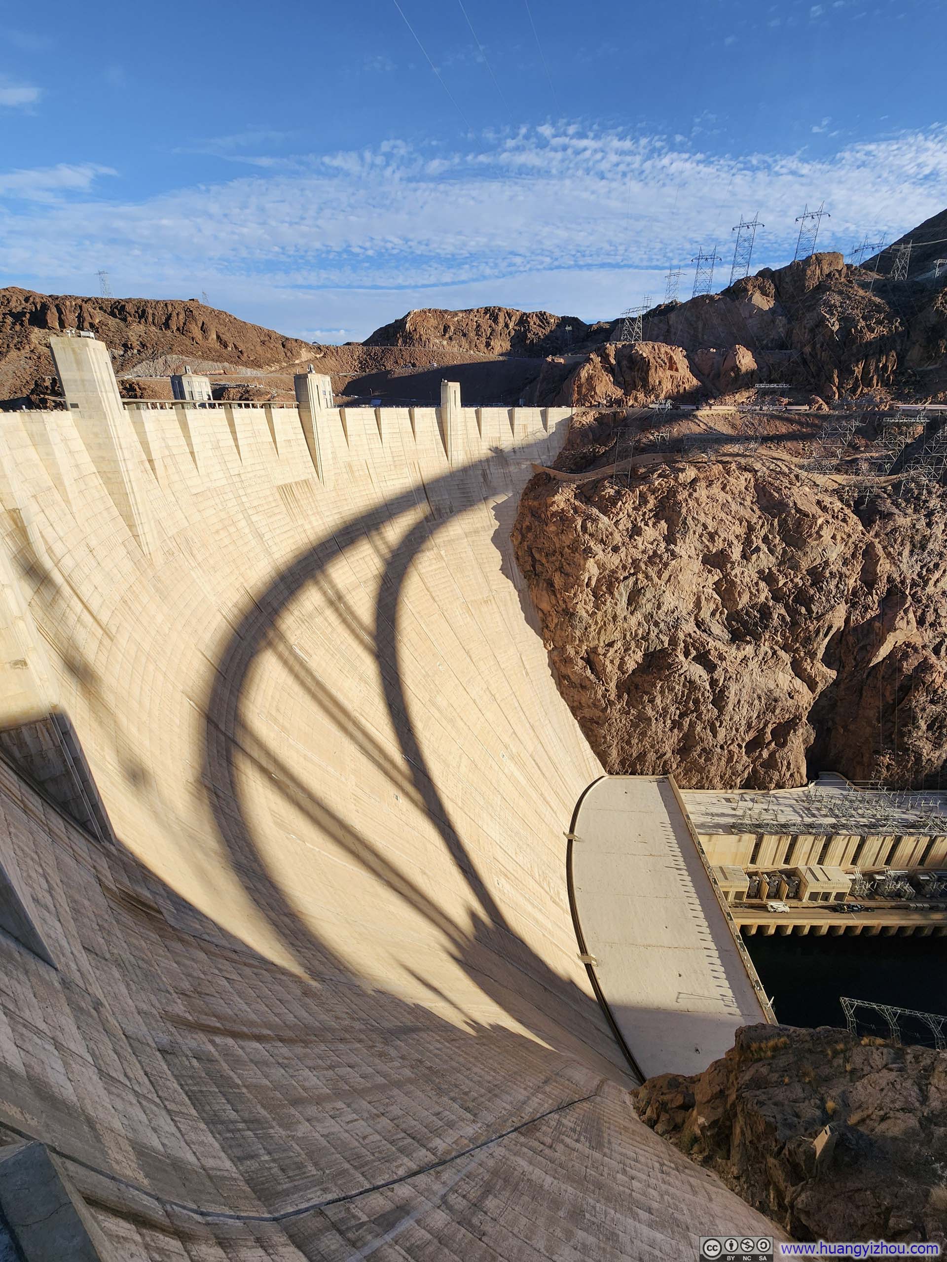
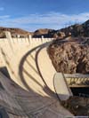
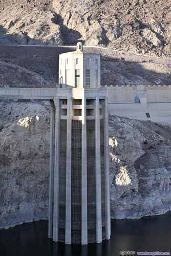
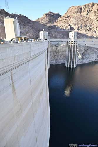
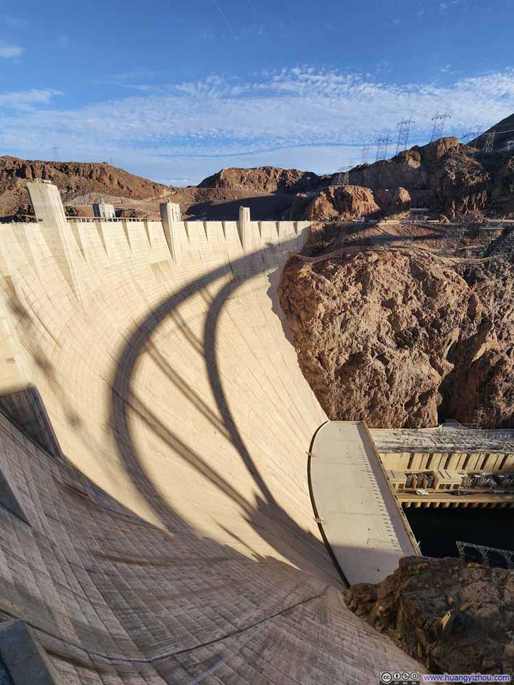
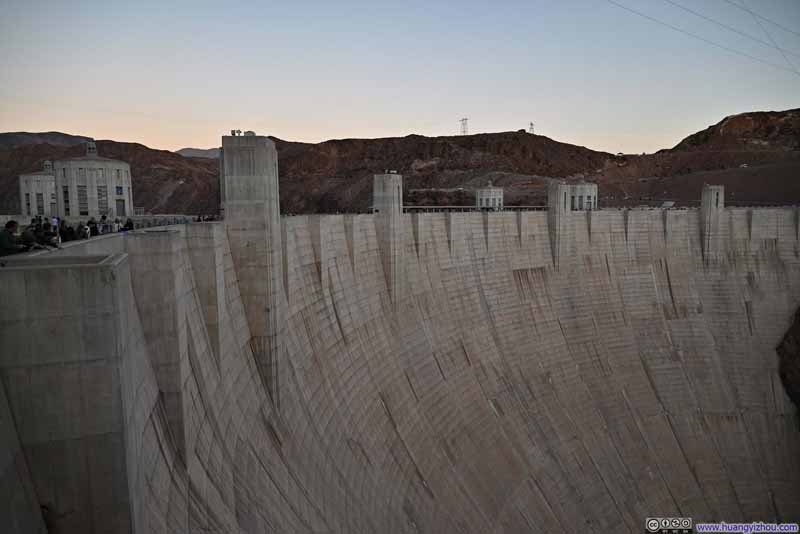
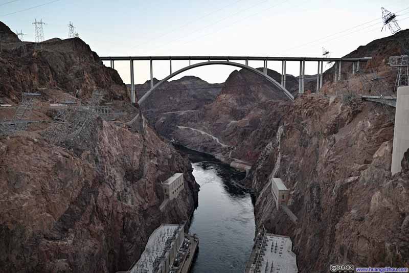
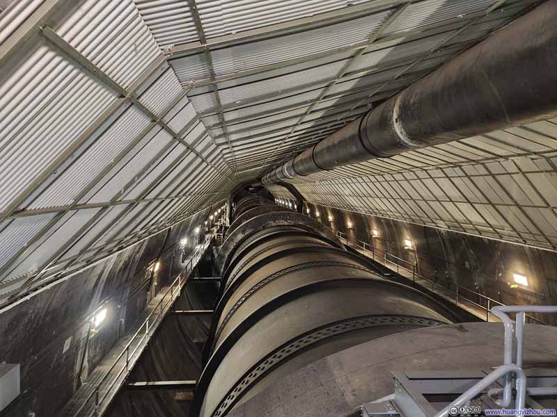
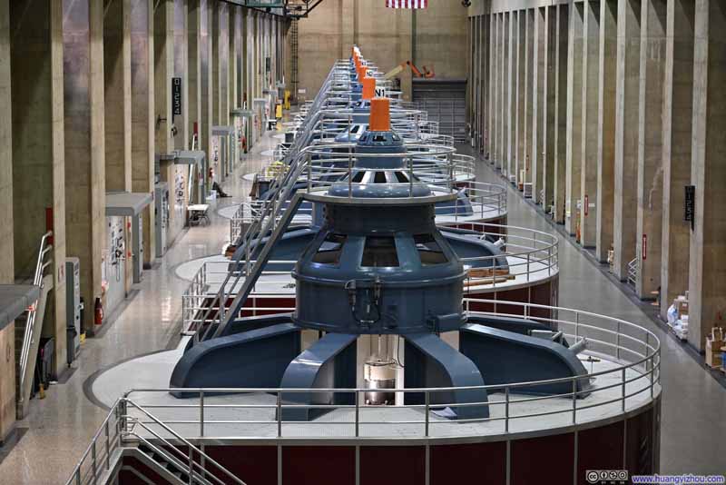
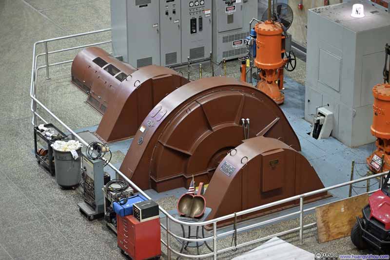
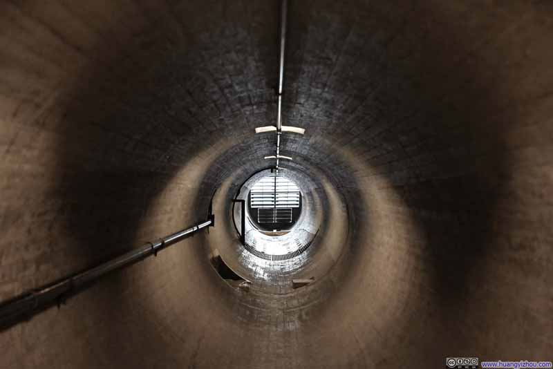
Then it's the tour of Hoover Dam, consisting of 4 parts:
- The diversion tunnel, originally used to redirect the Colorado River during the dam's construction and later repurposed to channel water between the intake towers and the generators. (p1 below)
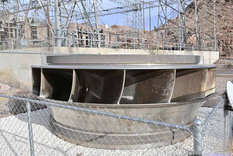
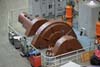
- The generator room where an array of 8 generators was housed. (p2-3 below)
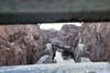
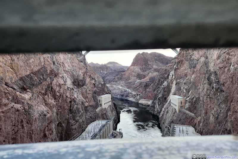
- The ventilation tunnel that provided fresh air to the facility, with views of Colorado River below. (p4-5 below)
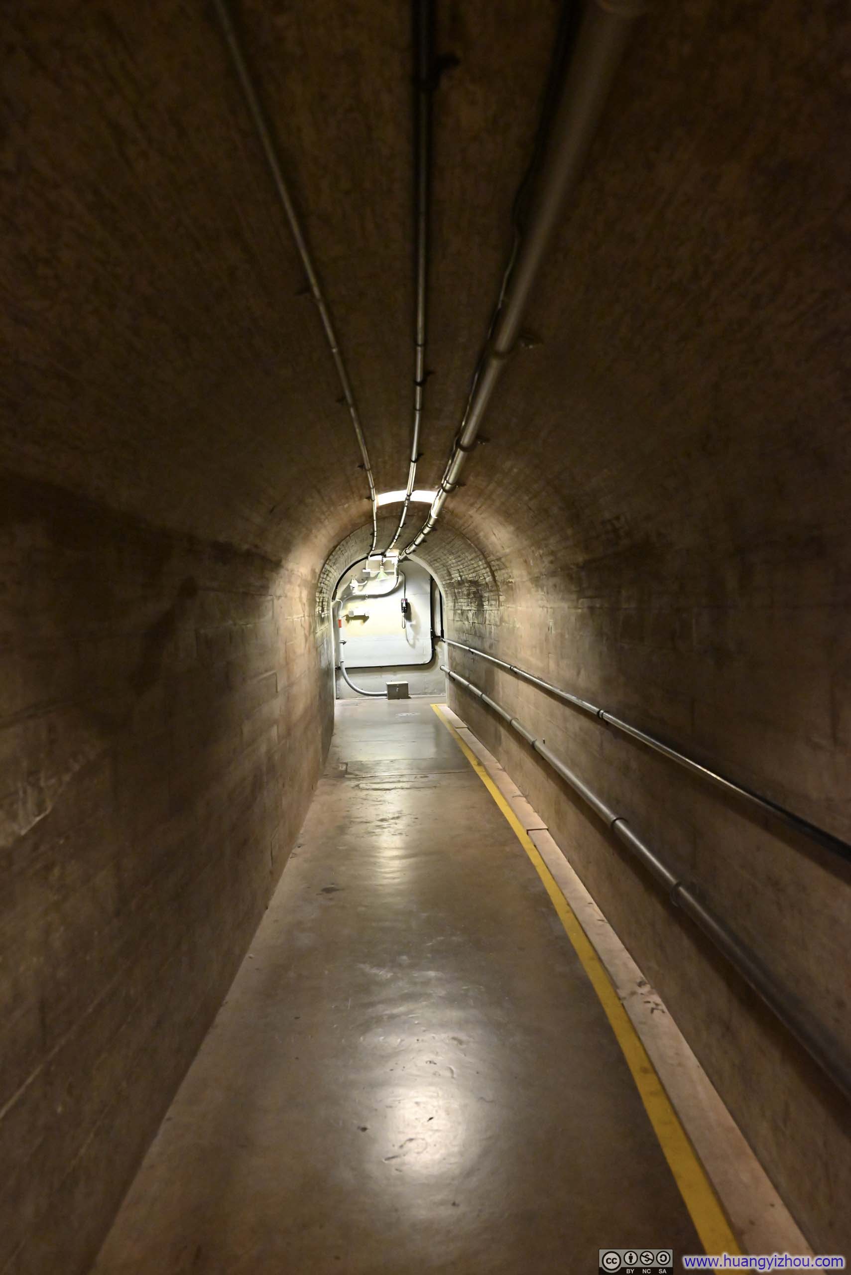
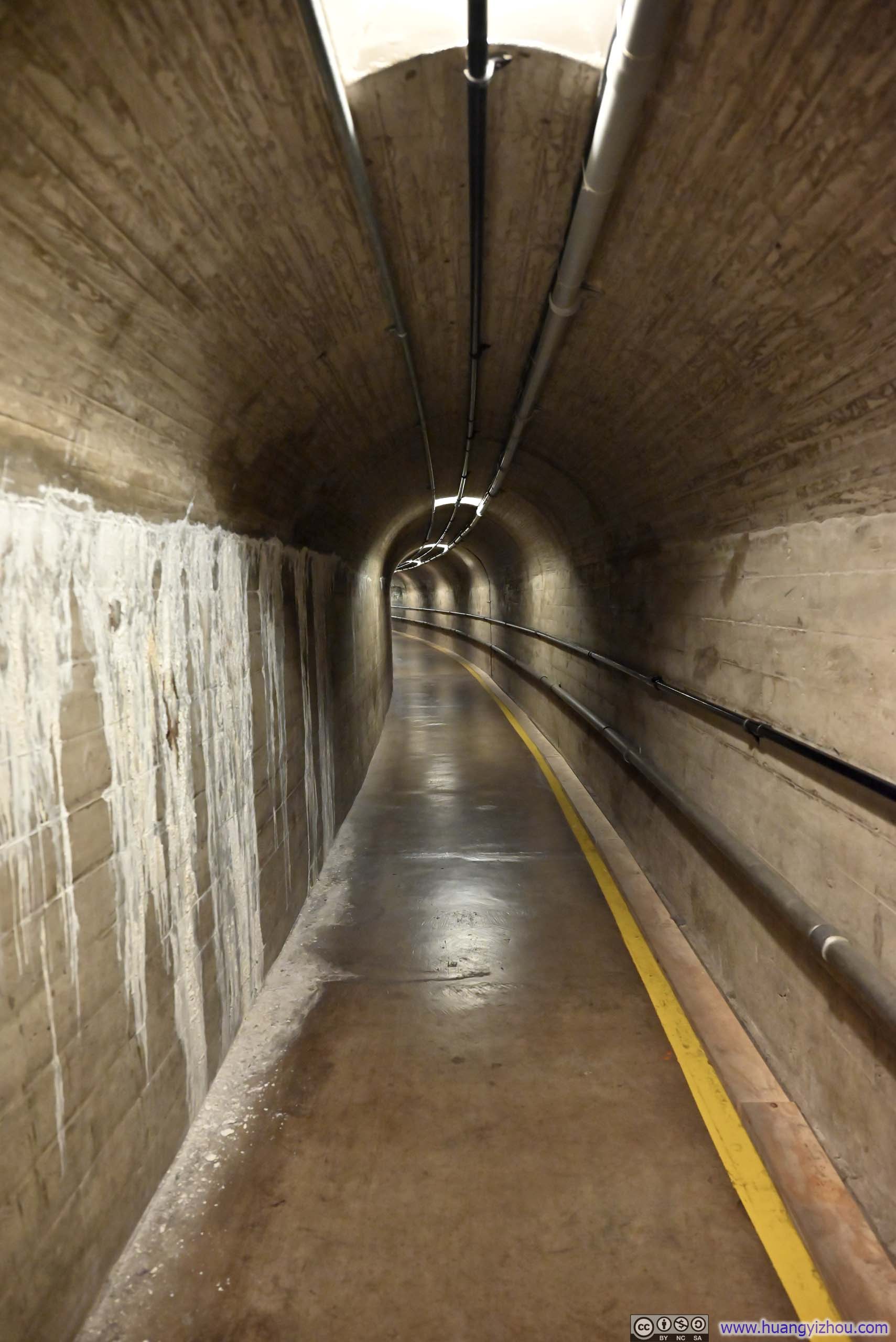
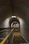
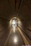
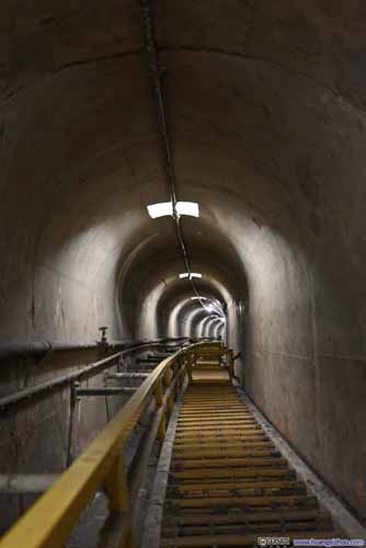
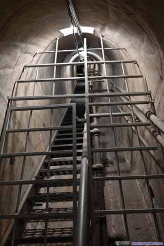
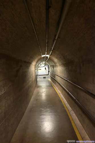
- Passages inside Hoover Dam. (p6-7 below)
The "Power Plant Tour" included the first 2 parts above. Notably, the ventilation tunnel, with its low ceiling and curved floor, was not wheelchair accessible. (This likely explained why the tours were split into two options, allowing the "Power Plant Tour" to accommodate wheelchair users.)
Since the tour involved a lot of elevator rides, my tour guide told a lot of anecdotes of the dam while waiting for elevators. For instance, the dam was designed with hosting visitors in mind, so the passages around the generator room were paved with beautiful floorings (while the floor of service tunnels wasn't as glamorous). Also, before 9/11, they could take visitors to "pretty much anywhere in the dam as they liked", which was no longer the case nowadays.
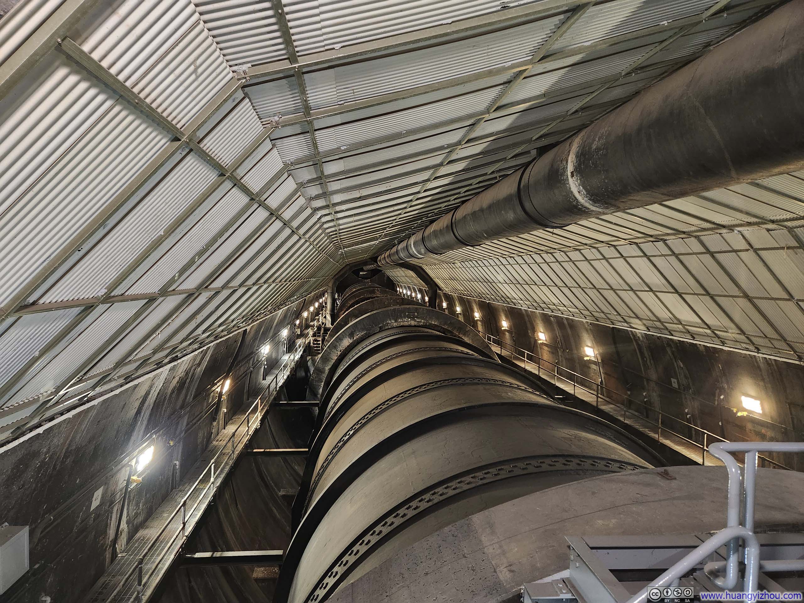
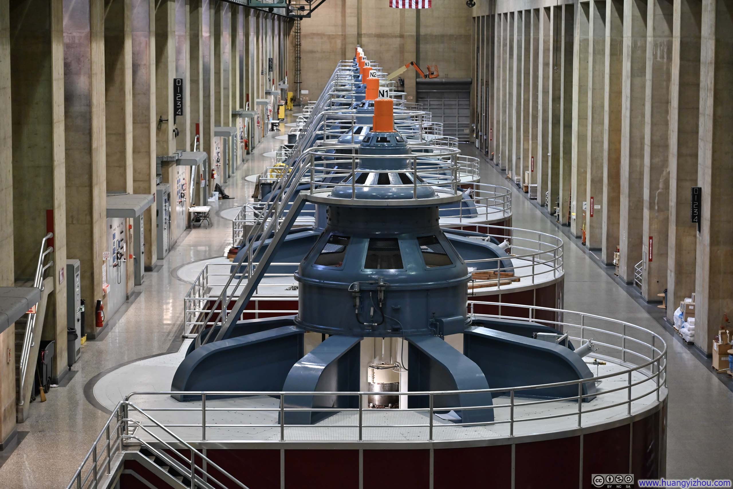
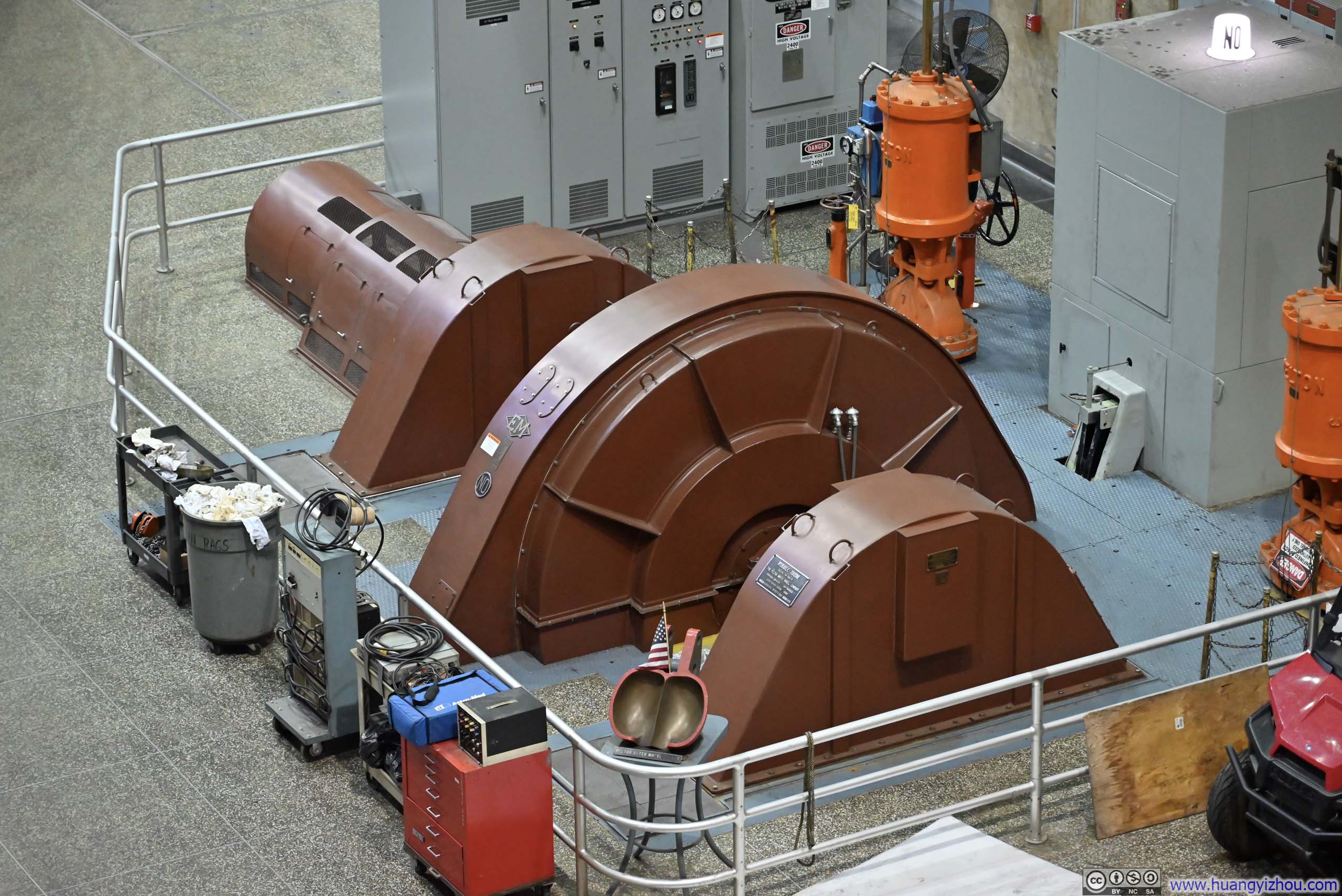
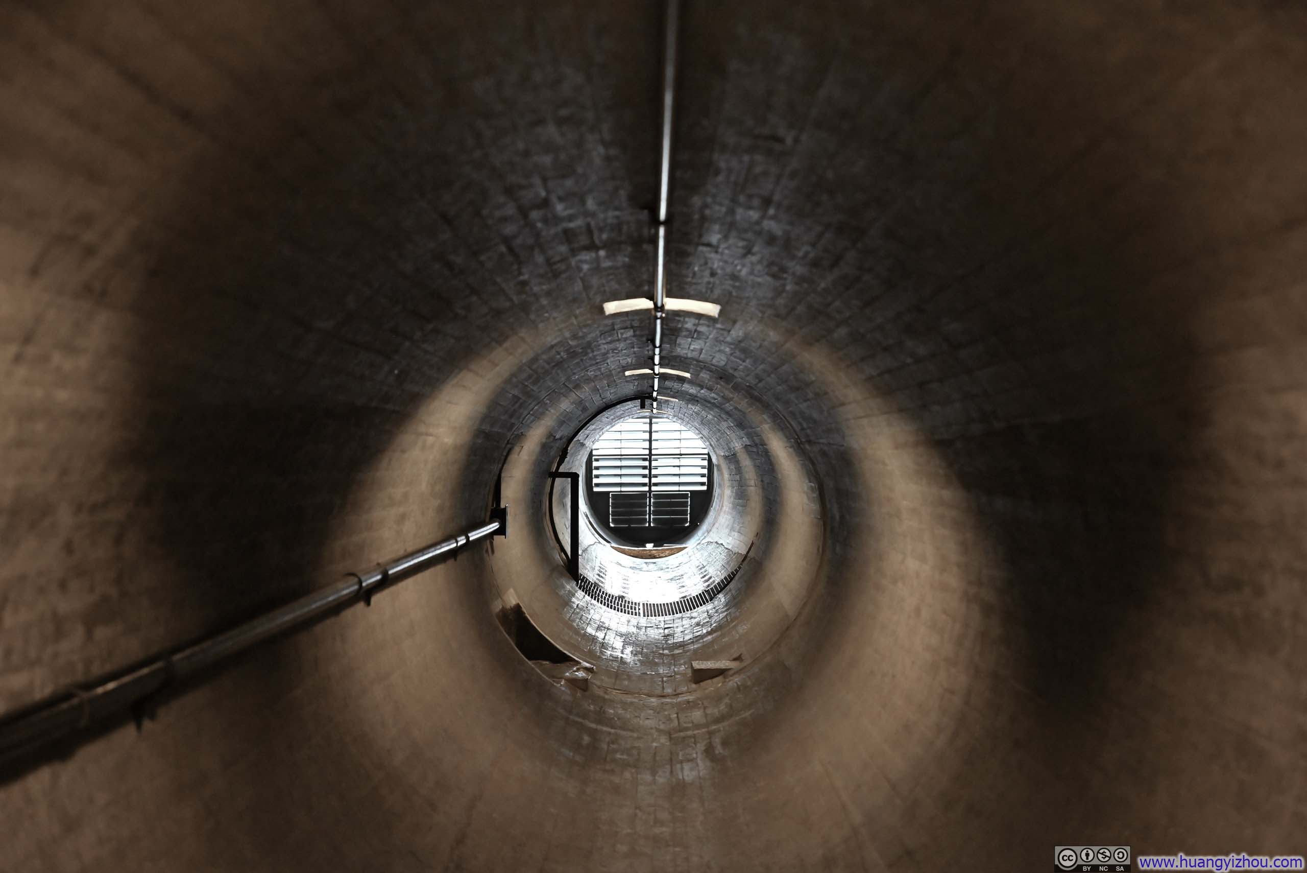
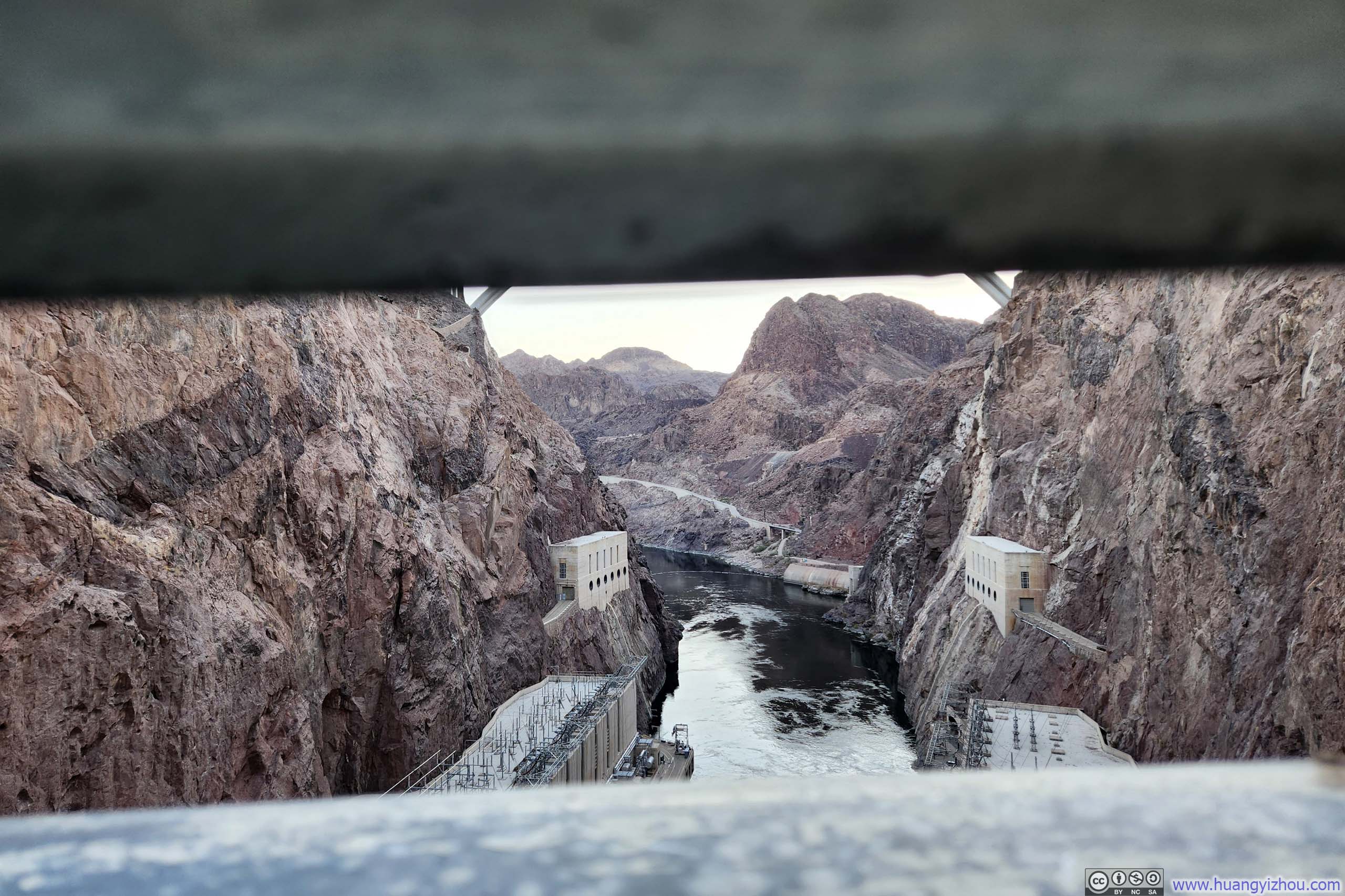
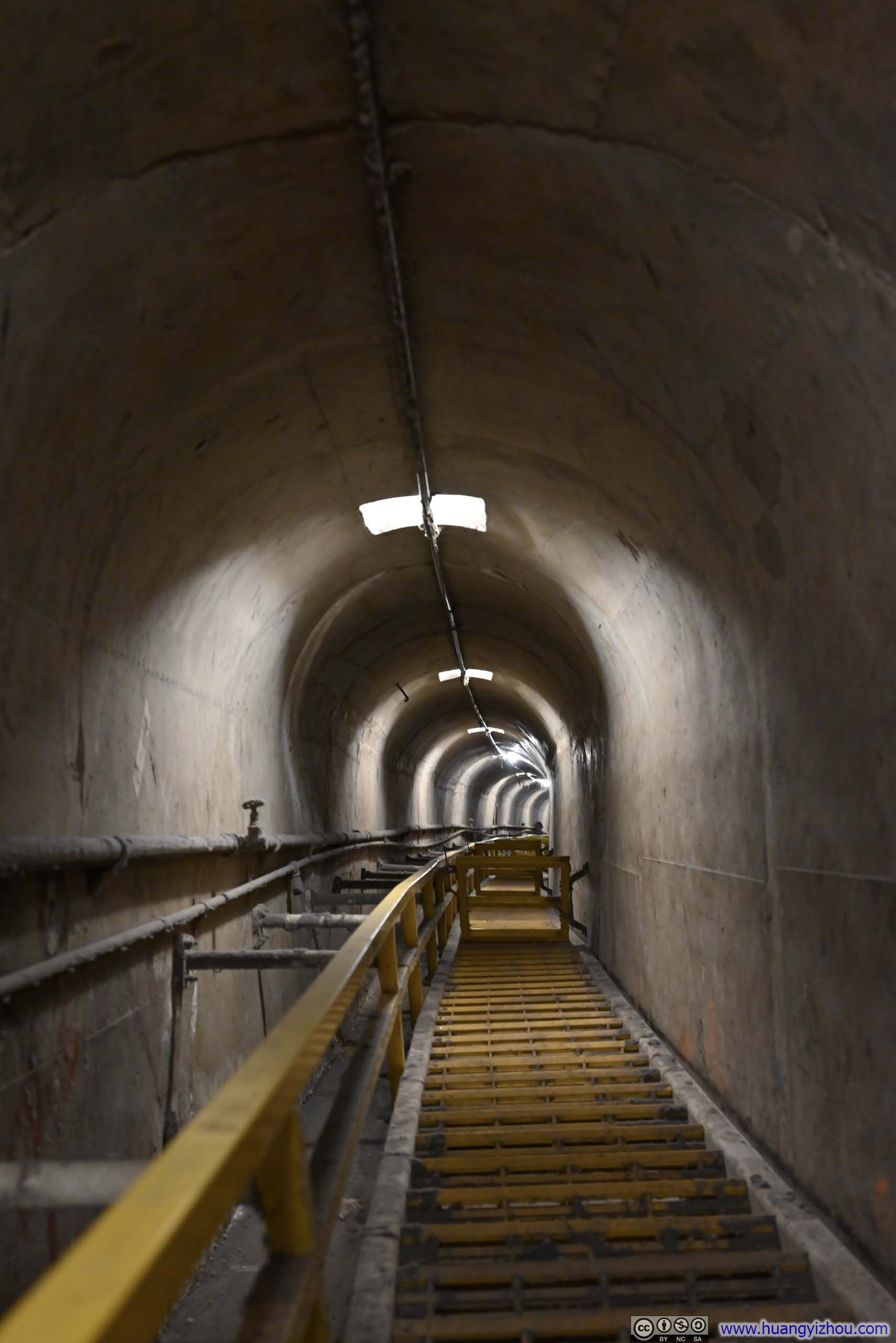
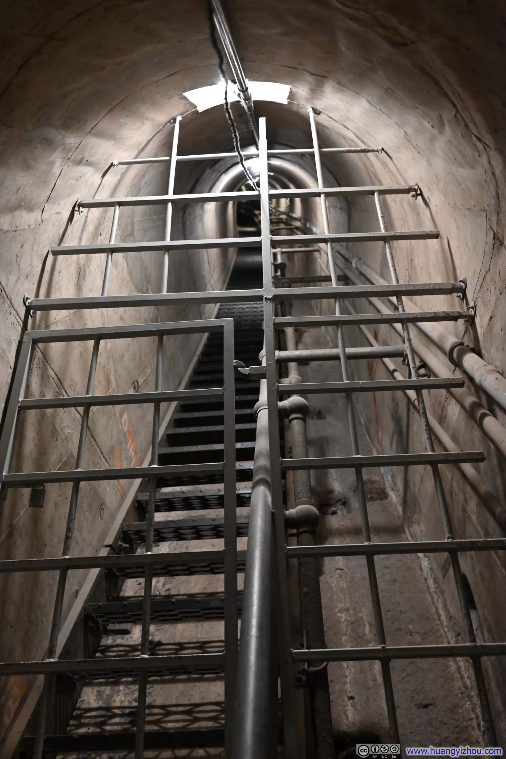

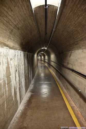
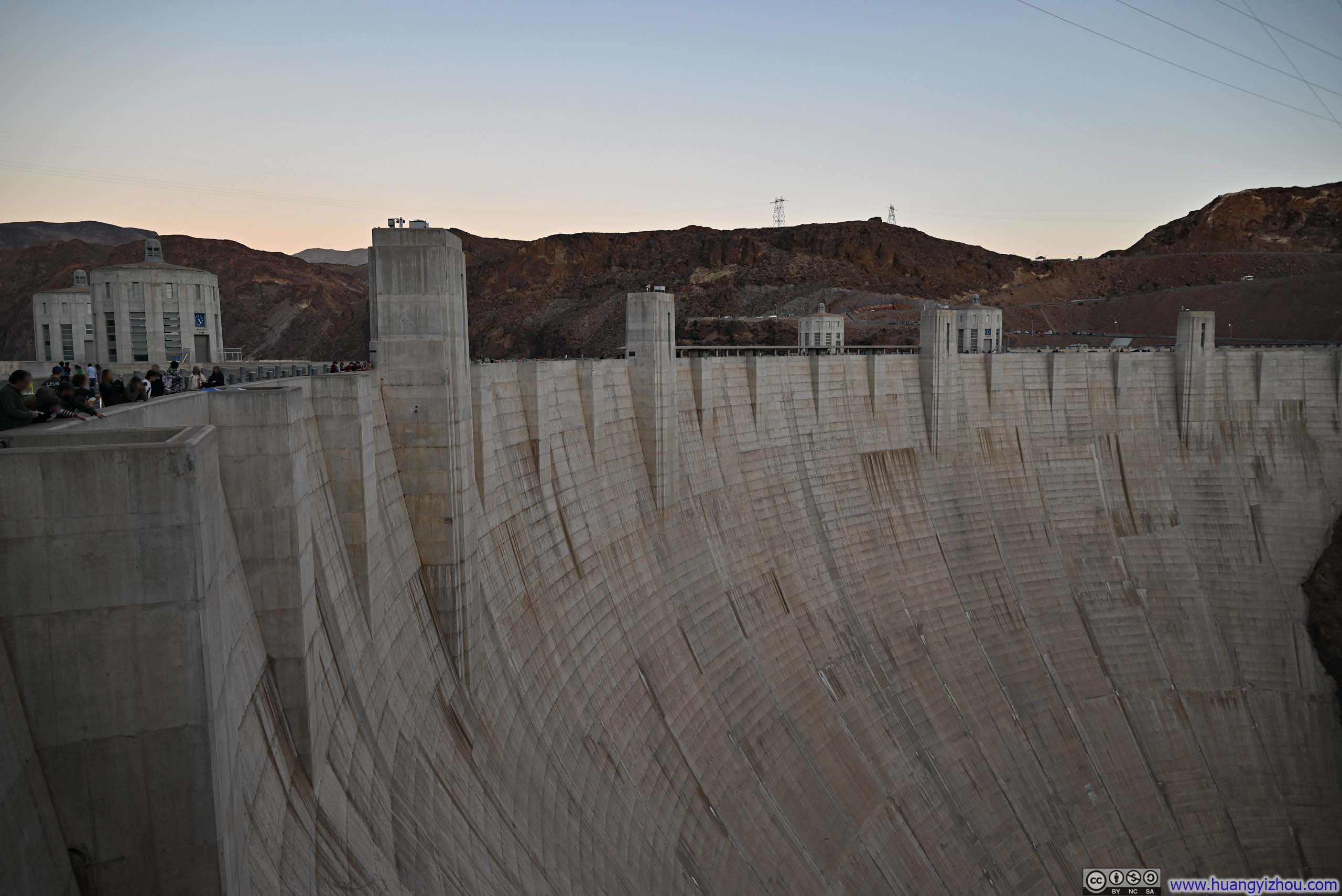
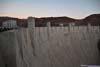
After the conclusion of the Hoover Dam tour, it's sunset time. I took a few final photos of this impressive structure before making my way back to Las Vegas, calling it a day.
END