Day 6 of 2024 Thanksgiving Trip to Las Vegas, Mt Wilson
The sixth day of my 2024 Thanksgiving trip to Las Vegas. Today I climbed Mt Wilson, part of Rainbow Mountain Wilderness on the western outskirts of Las Vegas. Unfortunately, I underestimated its commitment and ran out of daylight in the end.
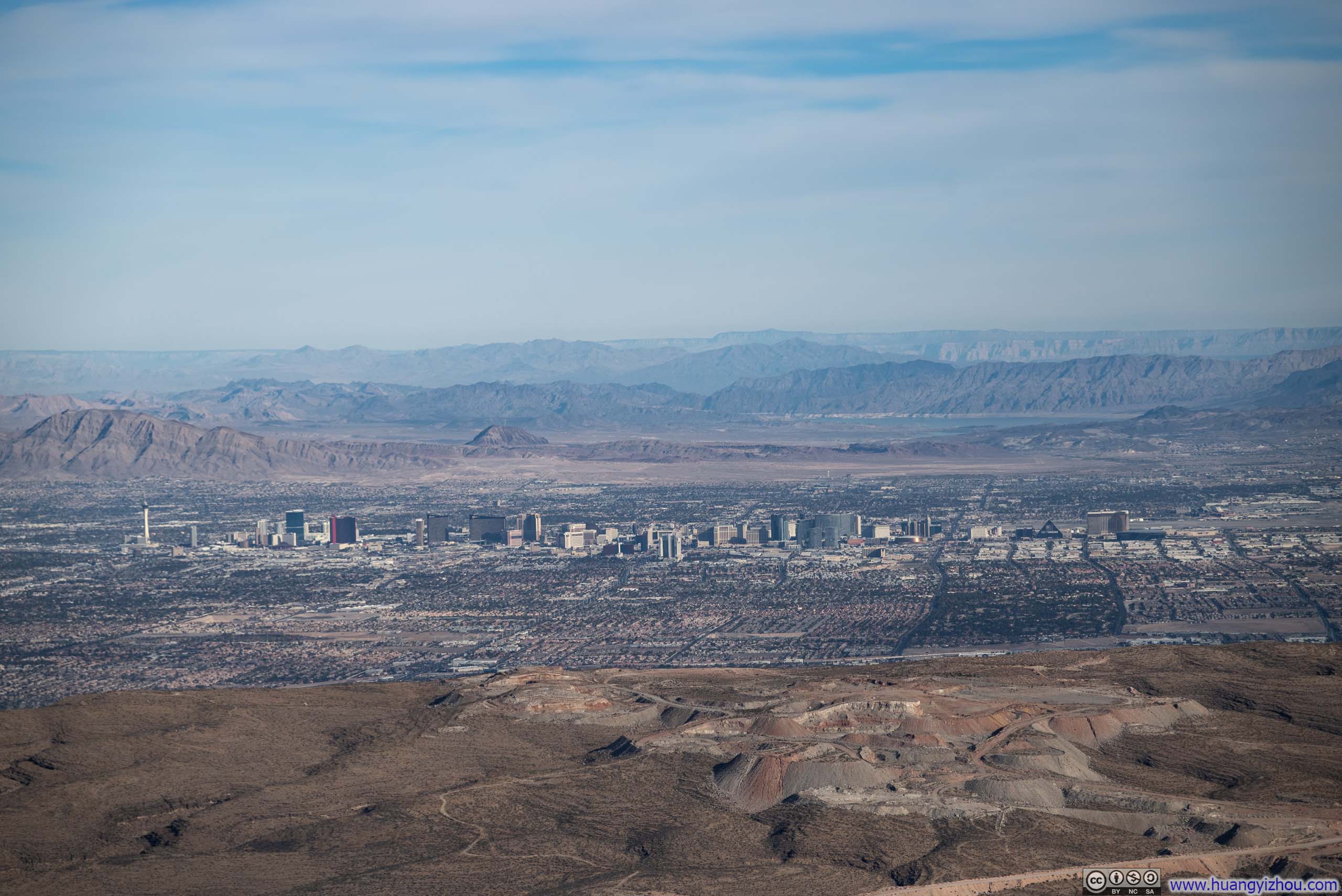
Lake Mead visible in the background.
Just a short drive from Las Vegas lies Rainbow Mountain Wilderness, a breathtaking array of majestic peaks sculpted from vividly colored Aztec Sandstone, the same rock formation I admired the previous day at Valley of Fire. At an elevation of 2155m (7071ft), Mt Wilson was the highest of Rainbow Mountain Wilderness, which could be climbed via a "trail".
The "trail" first traversed First Creek Valley, located to its south, before turning around towards the northeast and reaching its peak. The "trail" in First Creek Valley was commonly rated as YDS class 3 (though I saw some accounts suggested it was closer to class 2), promising an exciting challenge for this journey. Along with tomorrow’s planned ascent of Fletcher Peak, these would be the only two day hikes of this trip, though I would soon discover, Mt Wilson proved far more demanding than anticipated.
Just like most other hikes in this trip, I deliberately kept preparations minimal to preserve the joy of discovery. So I sampled one datapoint on AllTrails on the amount of time it would take to hike Mt Wilson, which was 5.5 hours. It turned out that, instead of an average, I sampled a minimum. In the end, this hike took me 8.5 hours, despite at an elevated pace.
Blissfully ignorant of the strenuous hike that awaited me on the Mt. Wilson trail, and hampered by my perpetual struggle with early rising, I reached First Creek Trailhead at 9:30am, 3 hours after sunrise. Shortly afterwards, I started my hike.
Here's GPS tracking:
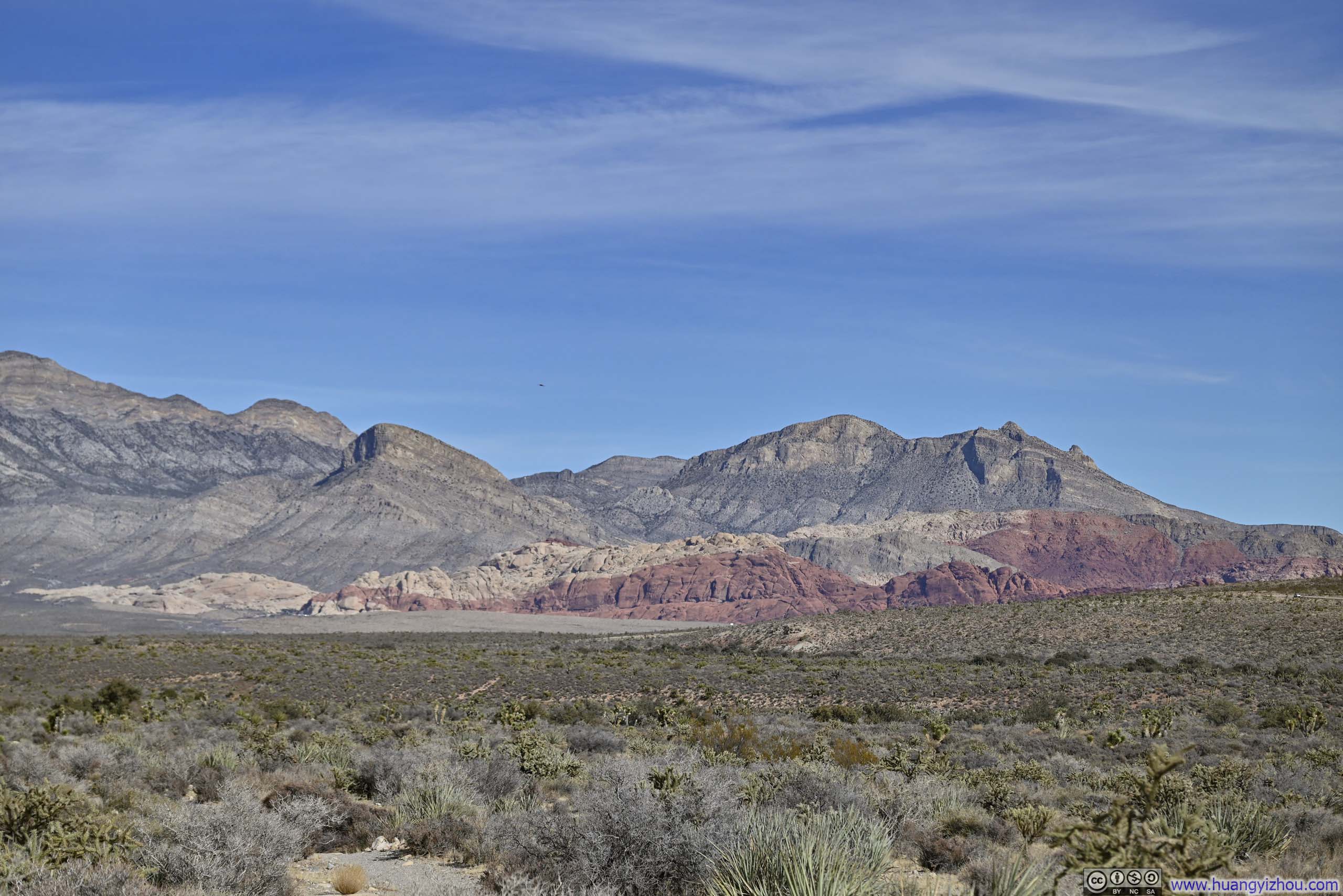
The first 1/3 distance of the hike was a comfortable stroll in an open field as the trail made its way to the base of Rainbow Mountains. It was truly delightful to observe these majestic formations, with their intricate rock textures and distinctive bands of crimson sandstone catching the gentle light of the morning sun.
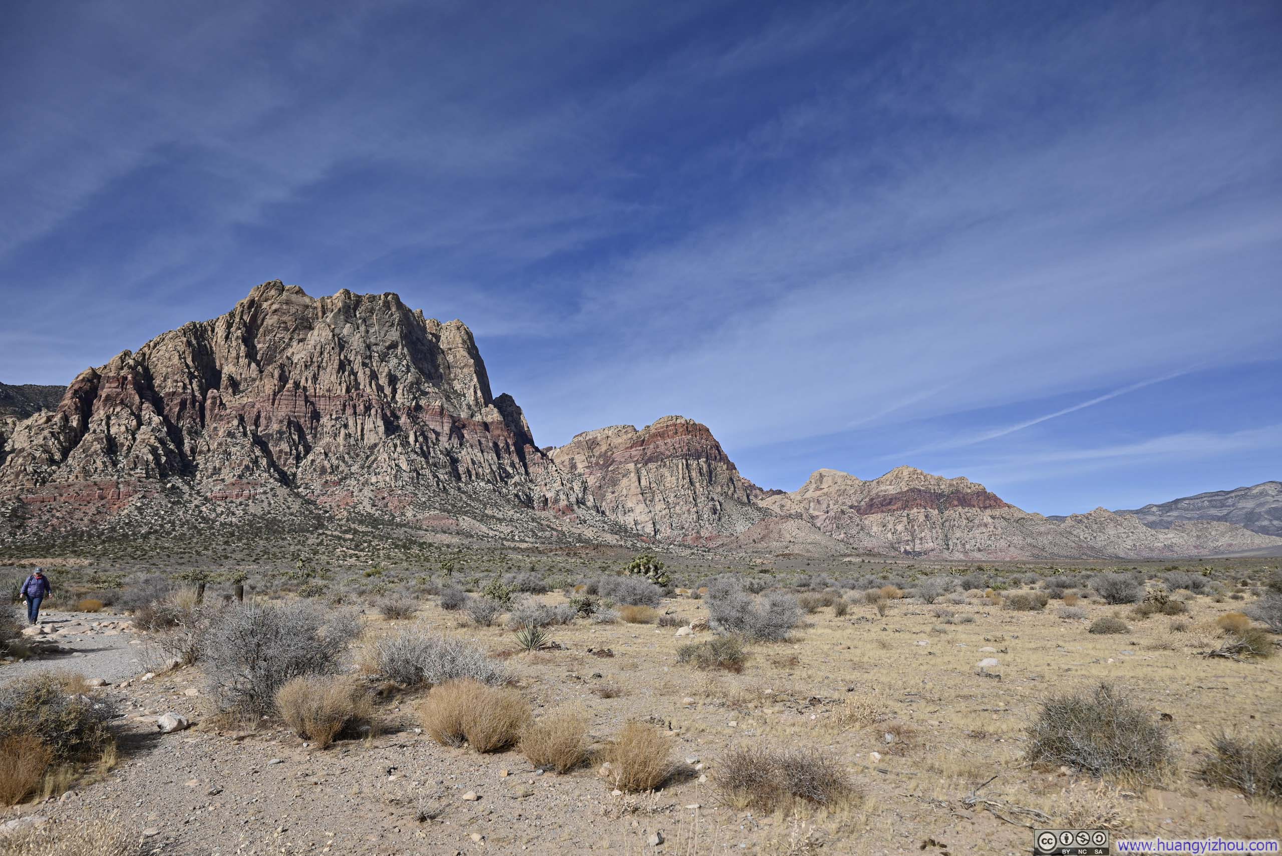
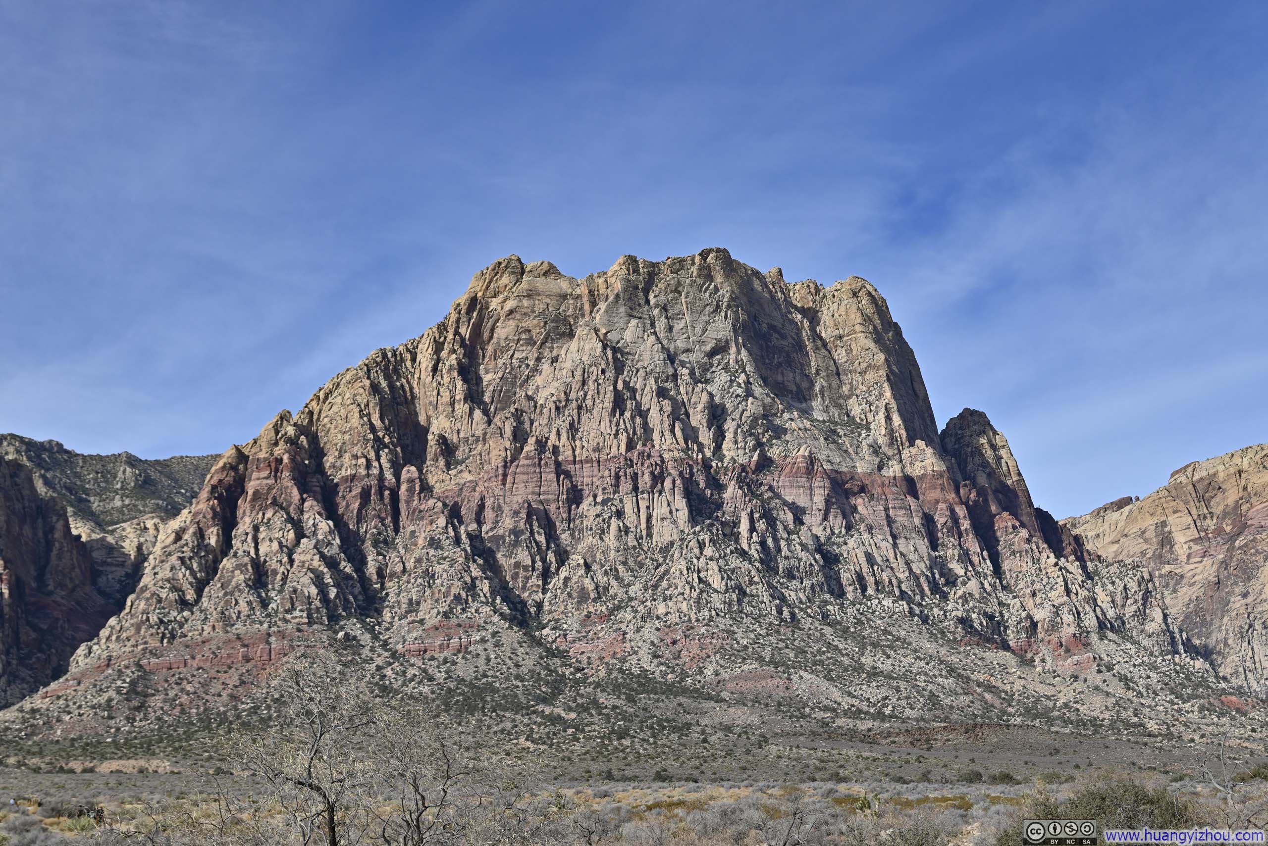
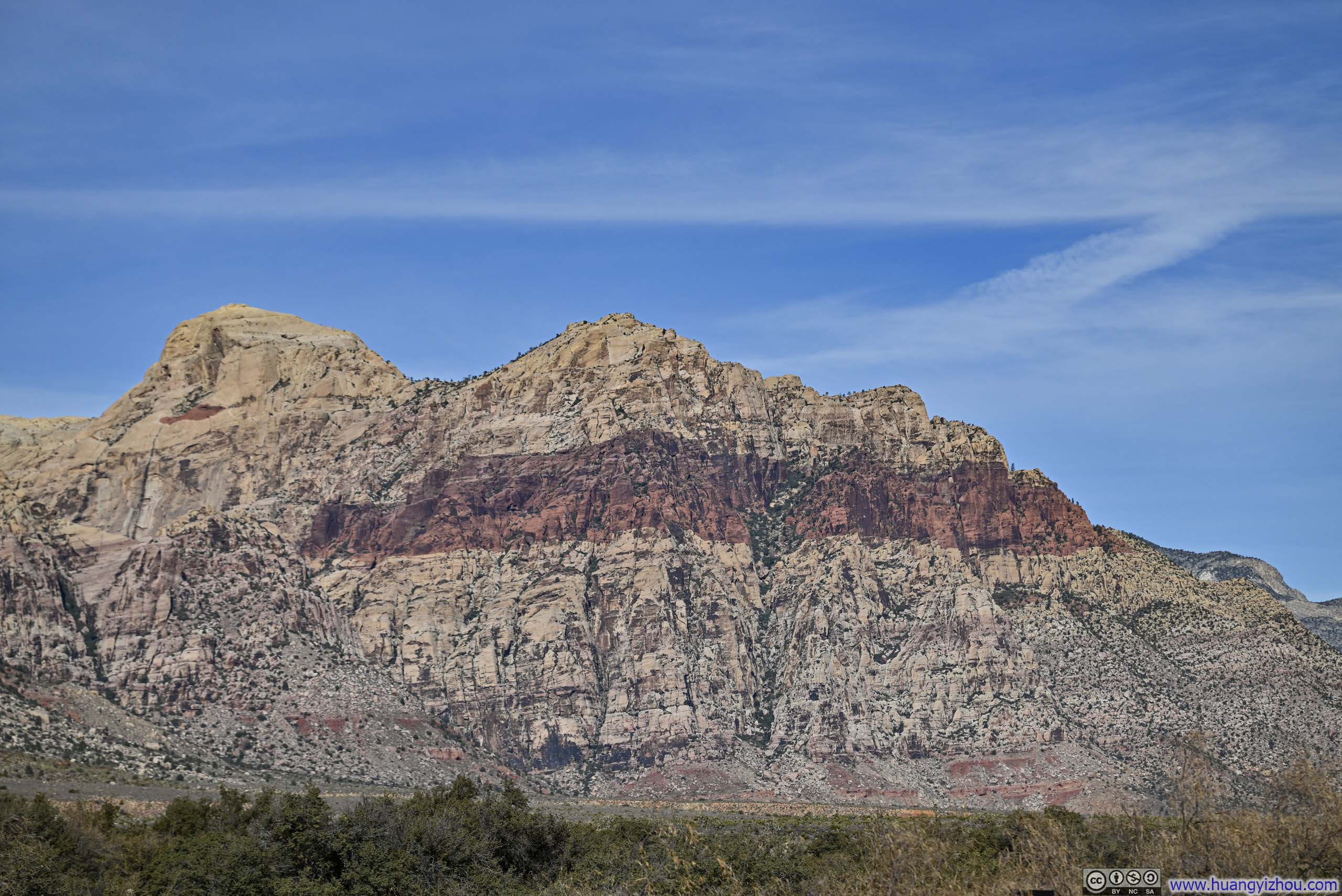
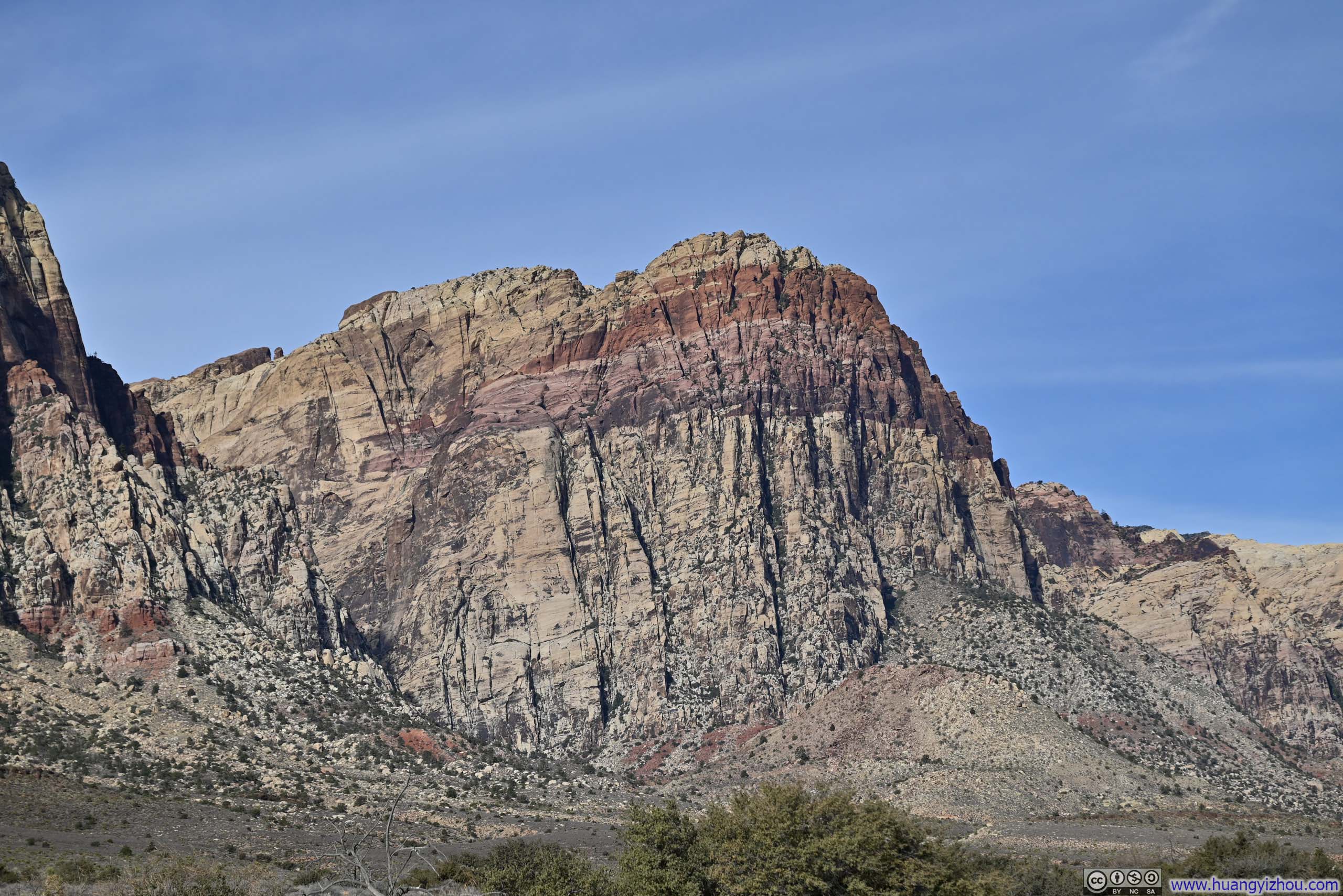
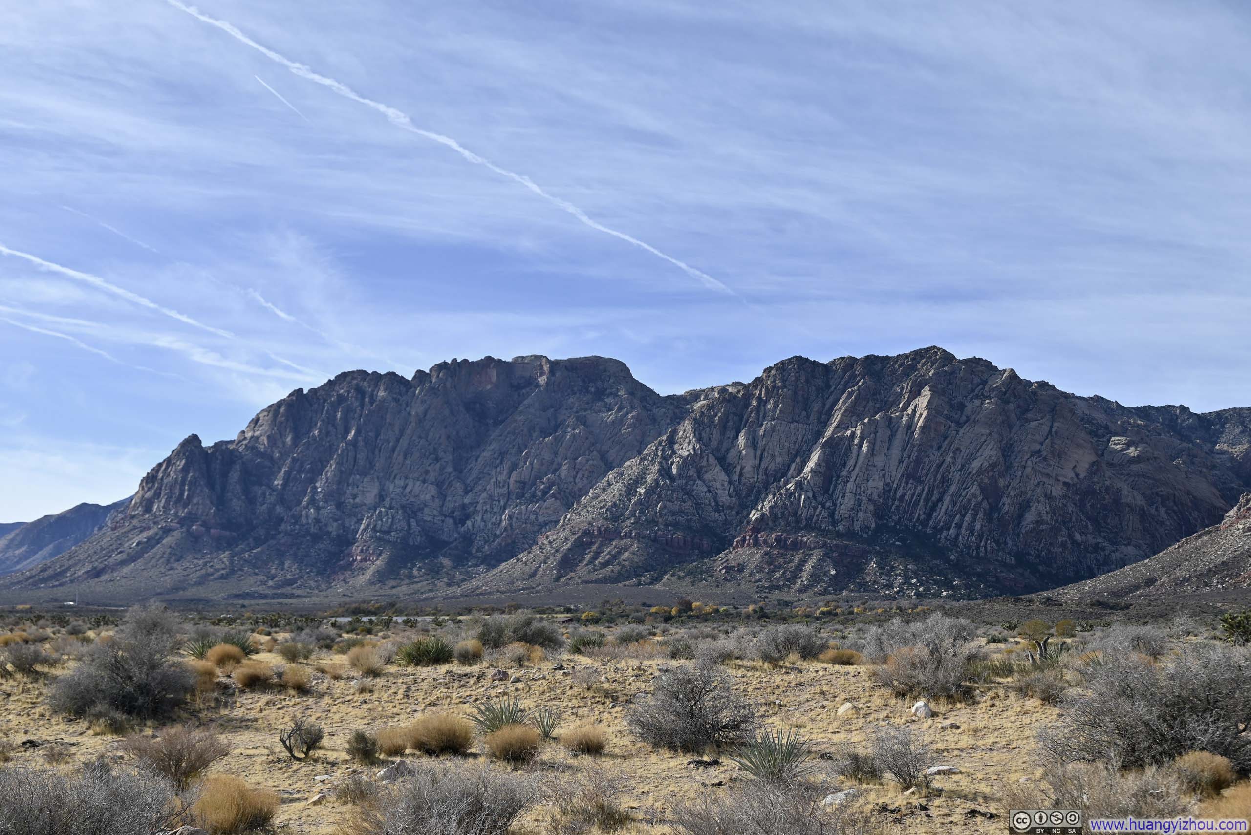
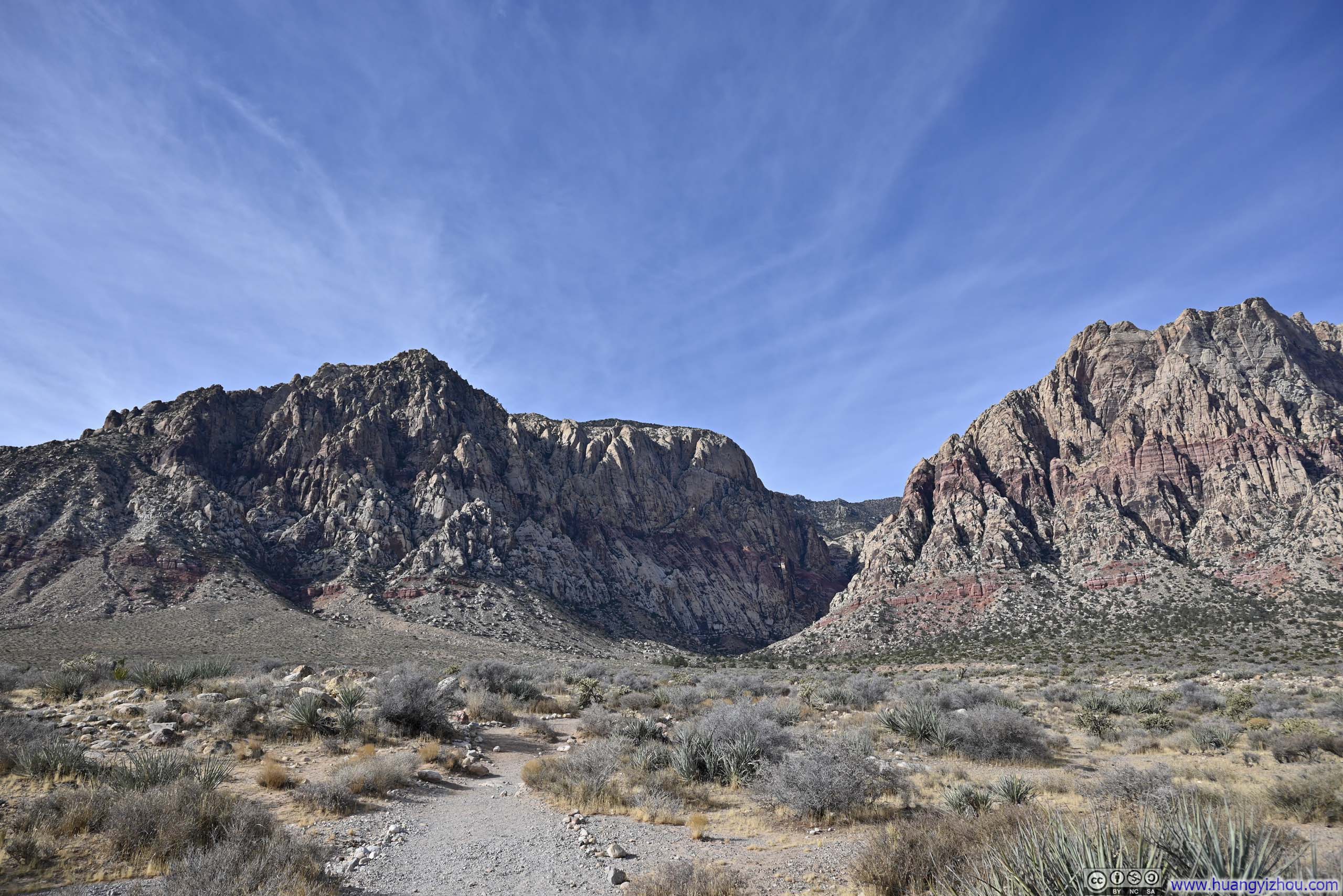
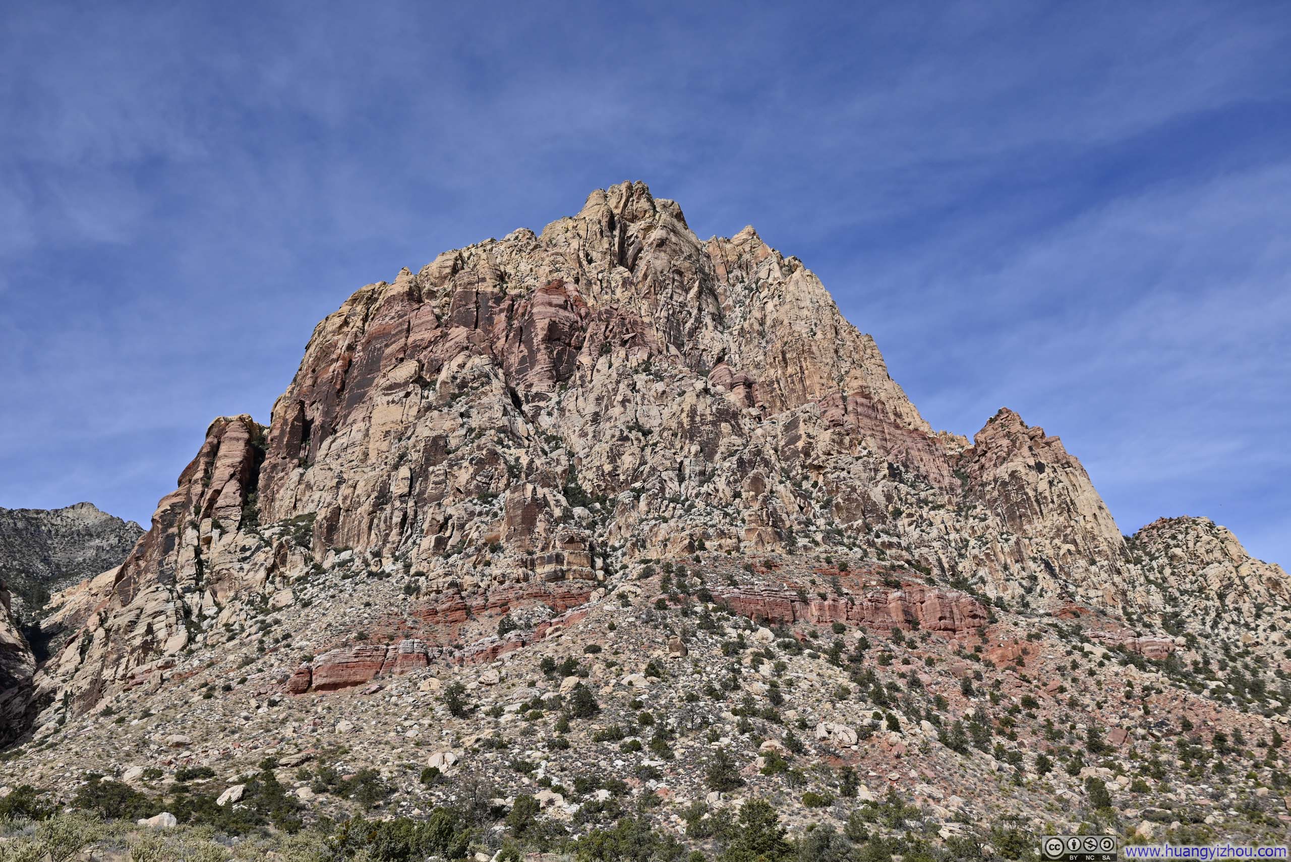
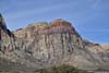
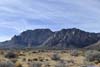
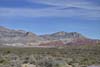
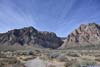
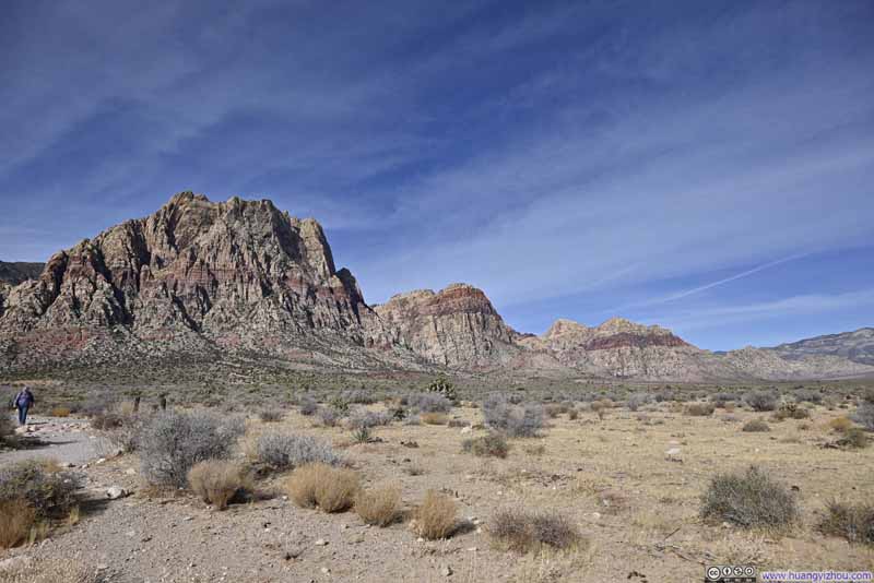
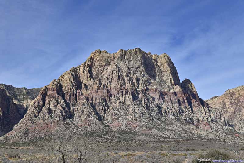
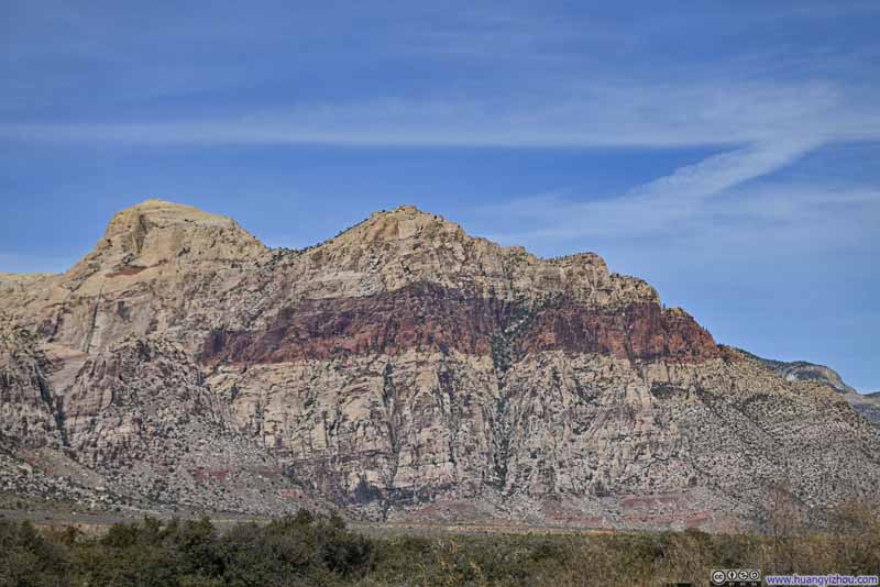
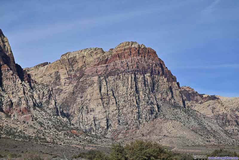
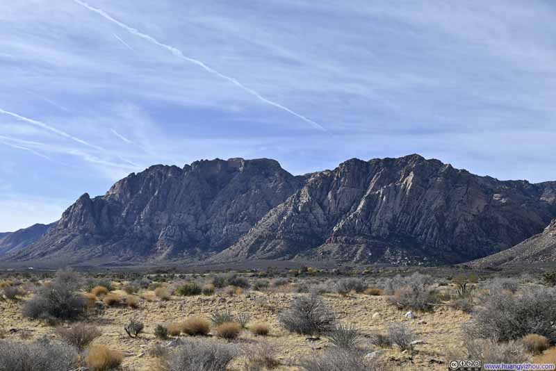
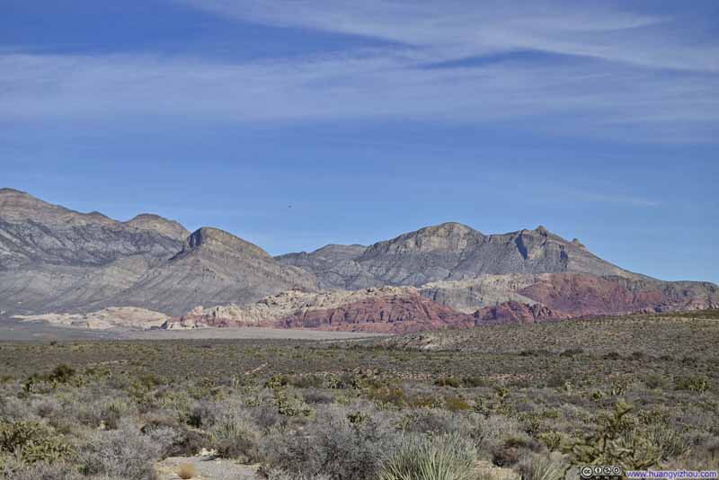
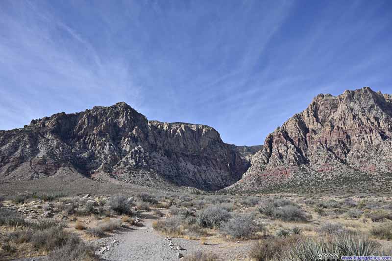
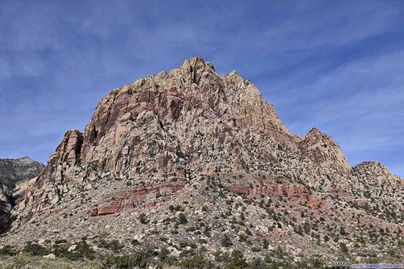
Then the trail entered the First Creek Valley, nestled between Indecision Peak to the south and Mt. Wilson to the north. (I had to say that's a rather uncreative name.) That's where the unpleasant part of this hike arrived, as the trail disappeared into the landscape, loosely following a creek through the valley floor.
The valley was full of boulders, presumably dislodged from the surrounding mountains, necessitating frequent use of both hands and feet to scramble up, over, and around these obstacles. Additionally, the presence of water fostered a lush tangle of vegetation in the valley, complicating route-finding efforts as it was very hard to see more than a few steps ahead and decide which route to take. (This challenge was particularly pronounced near the mouth of the valley, where its breadth was at its greatest during my ascent.) Occasionally there were cairns to guide the way, but they were hard to spot in such dense surroundings.
With much scrambling along the trail, I stowed my hiking poles to the back of my backpack. This solution, however, presented its own challenges as the poles frequently snagged on low-hanging branches while I ducked beneath them, adding a touch of vexation to the journey. (I discovered during my descent that using the poles, instead of hands, for stability during scrambling, proved significantly more efficient.)
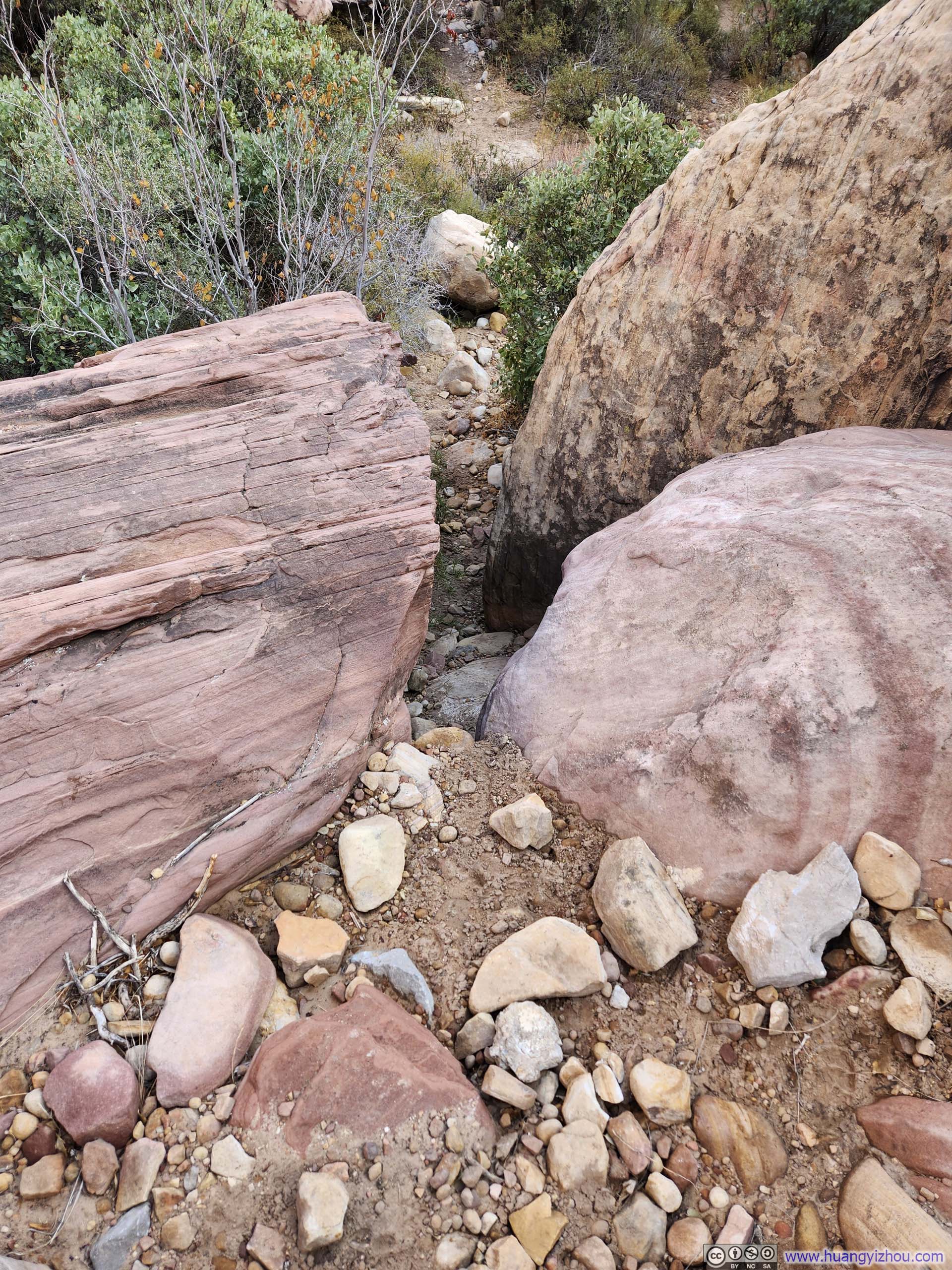
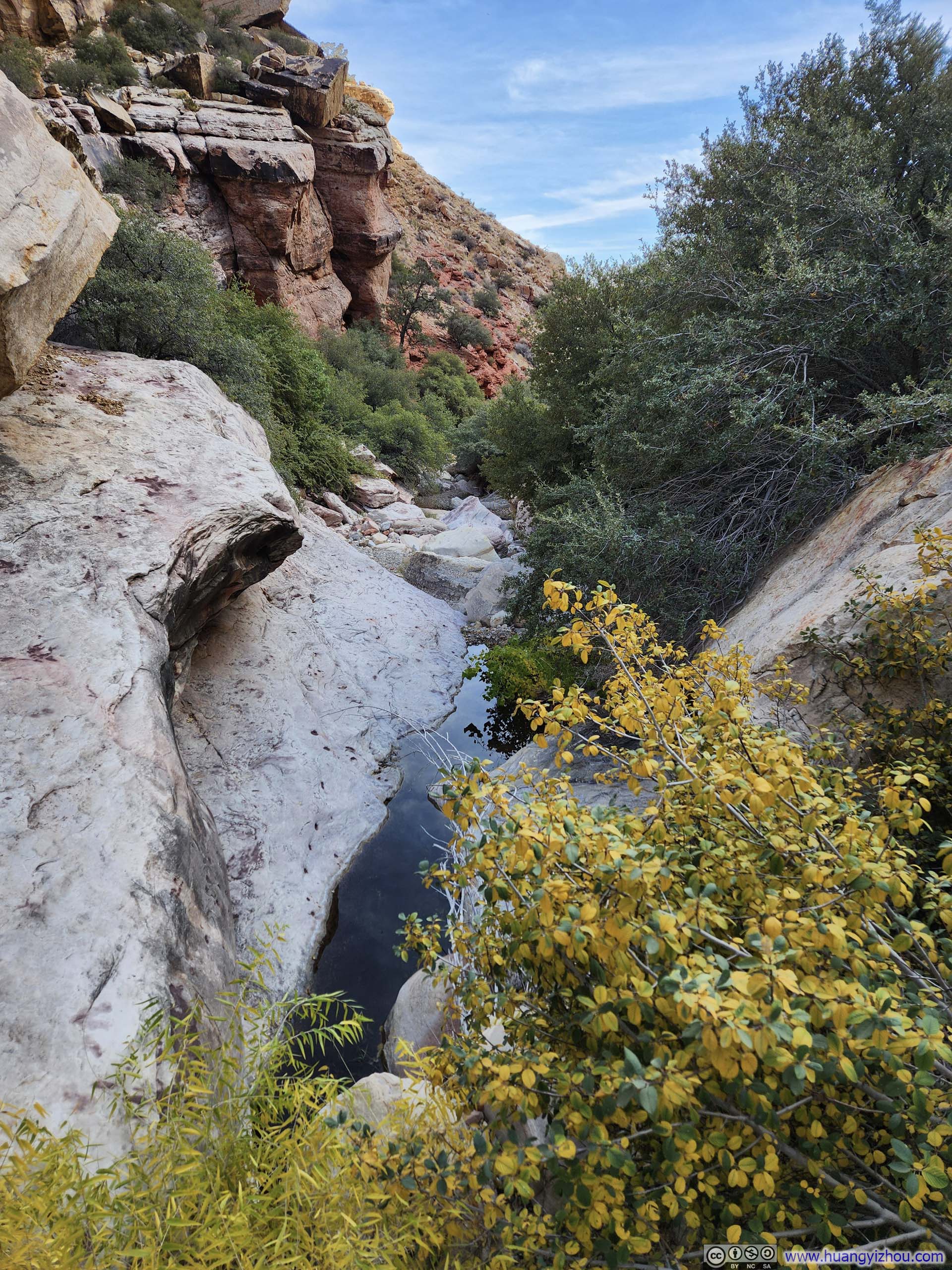
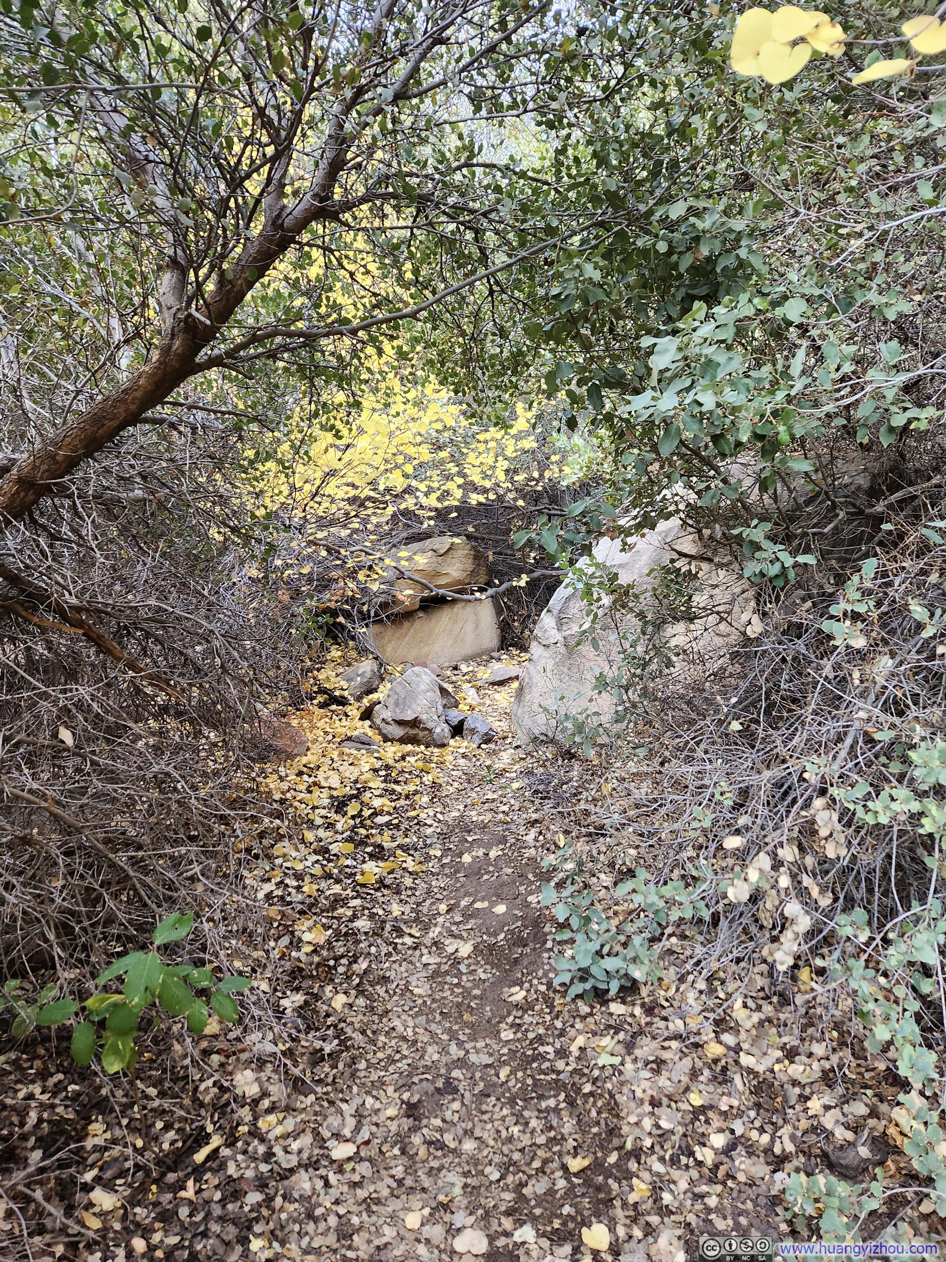
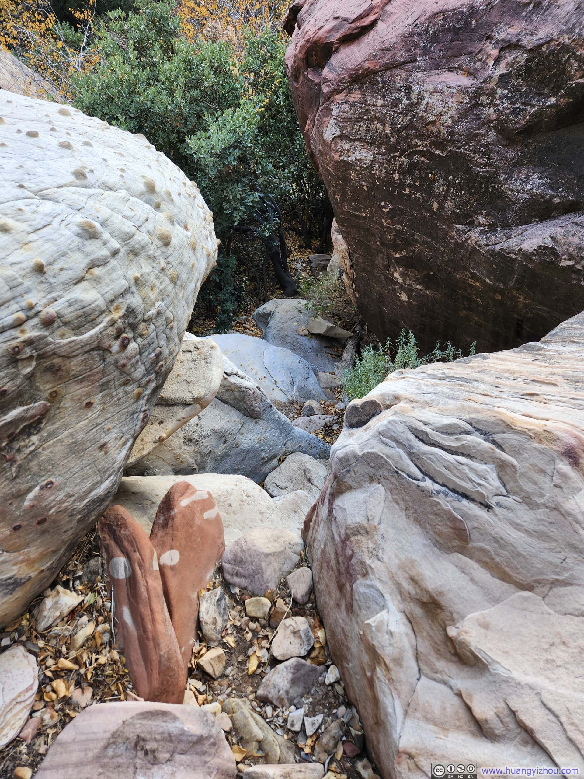
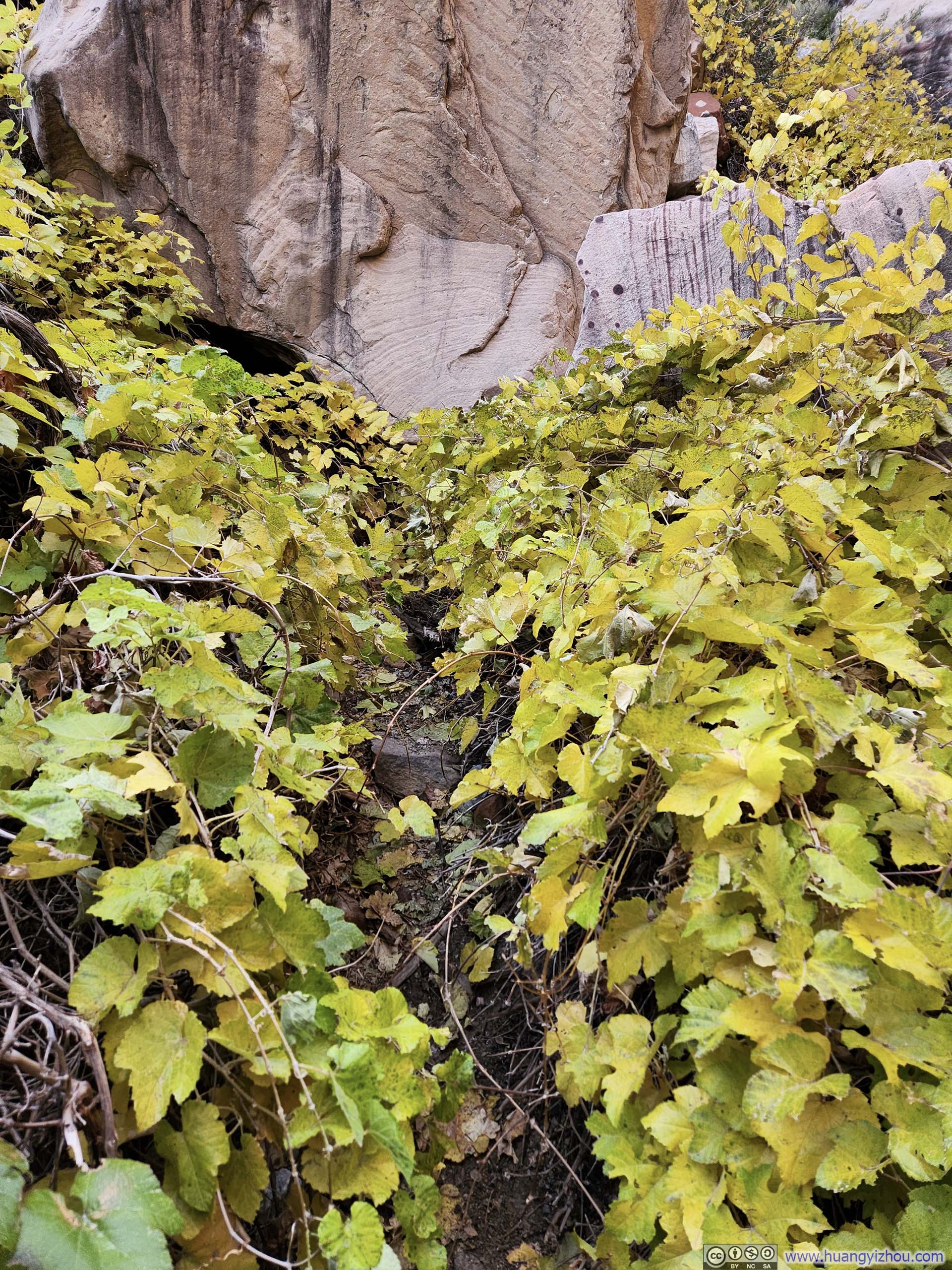
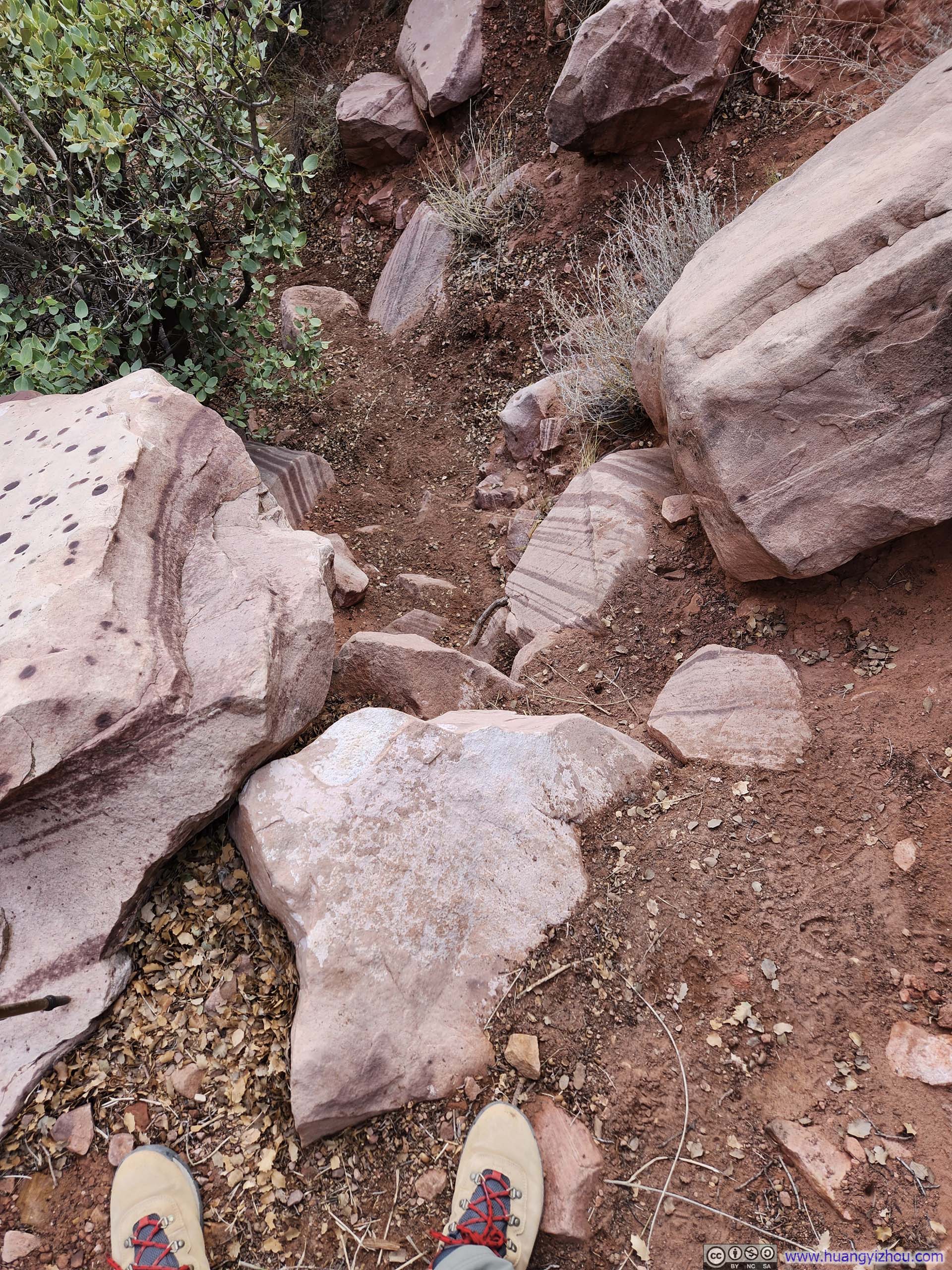
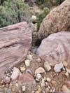
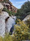
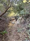
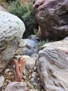
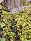
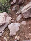
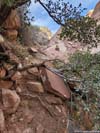
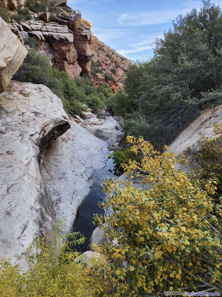
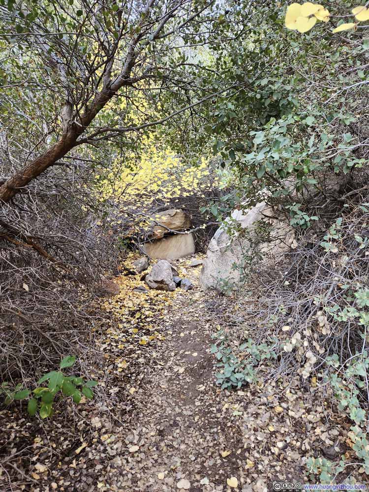
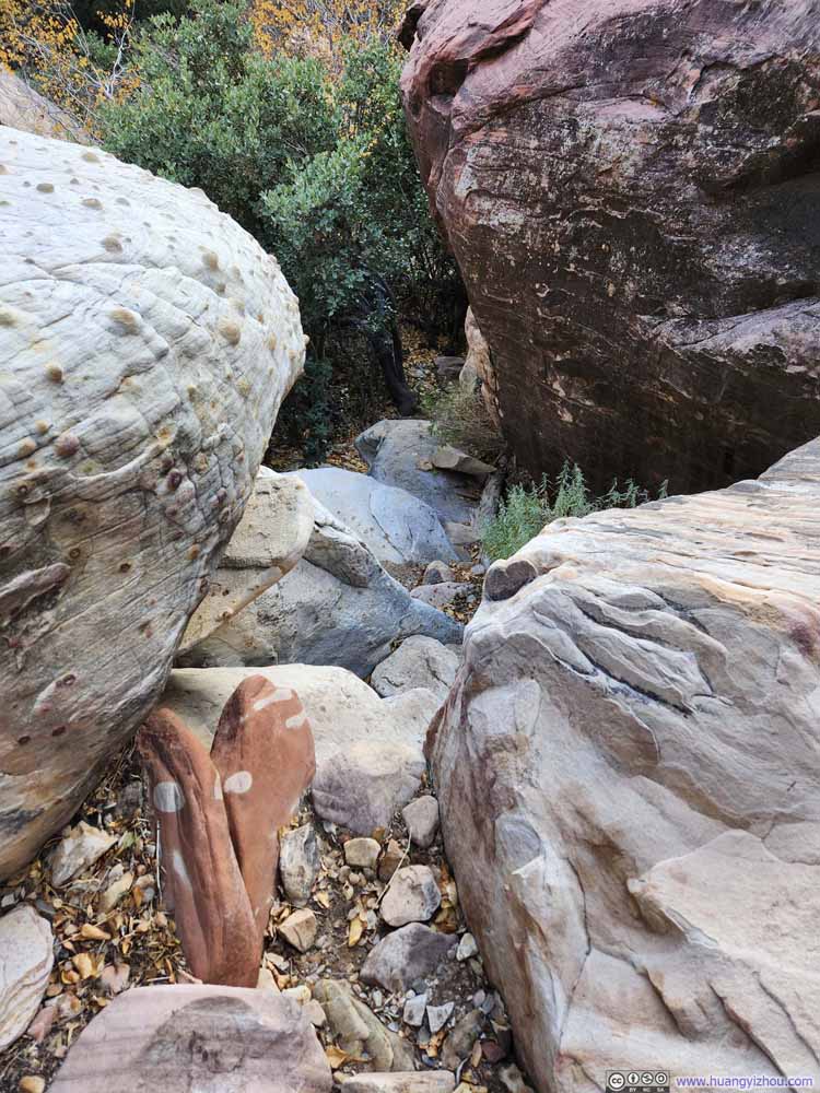
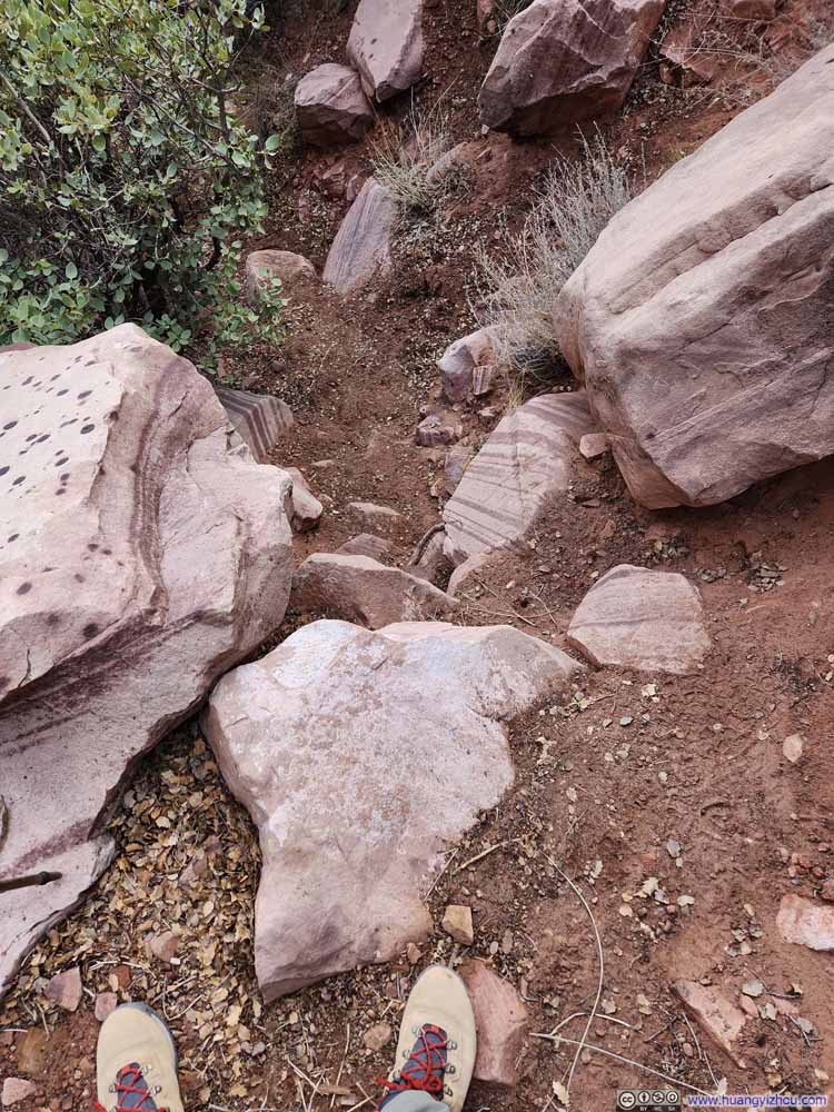
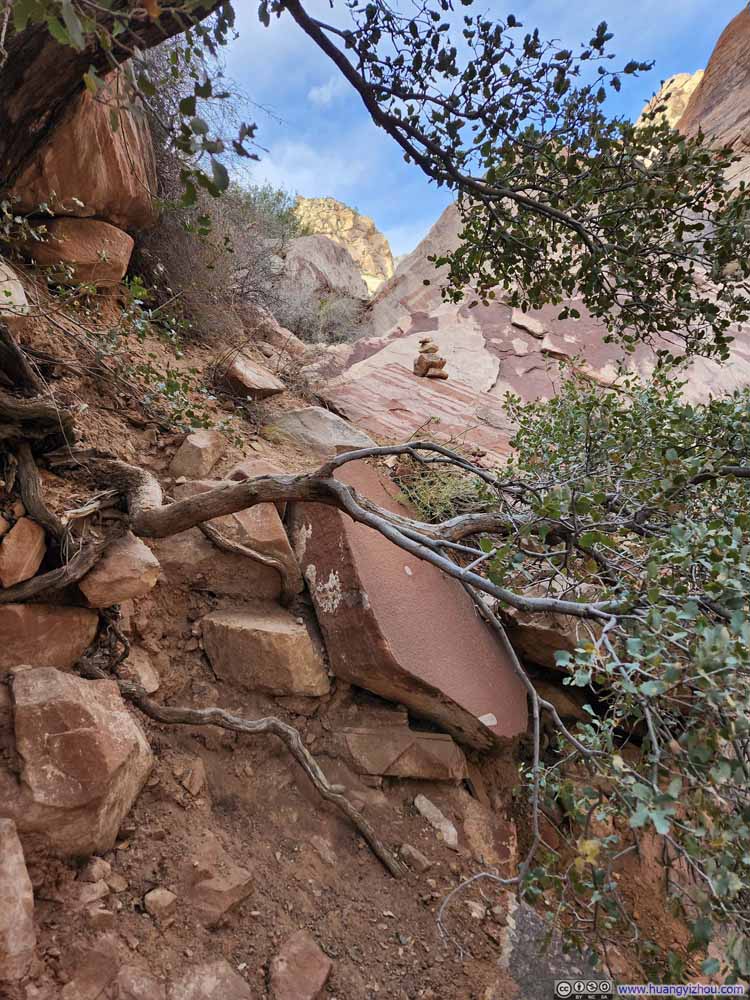
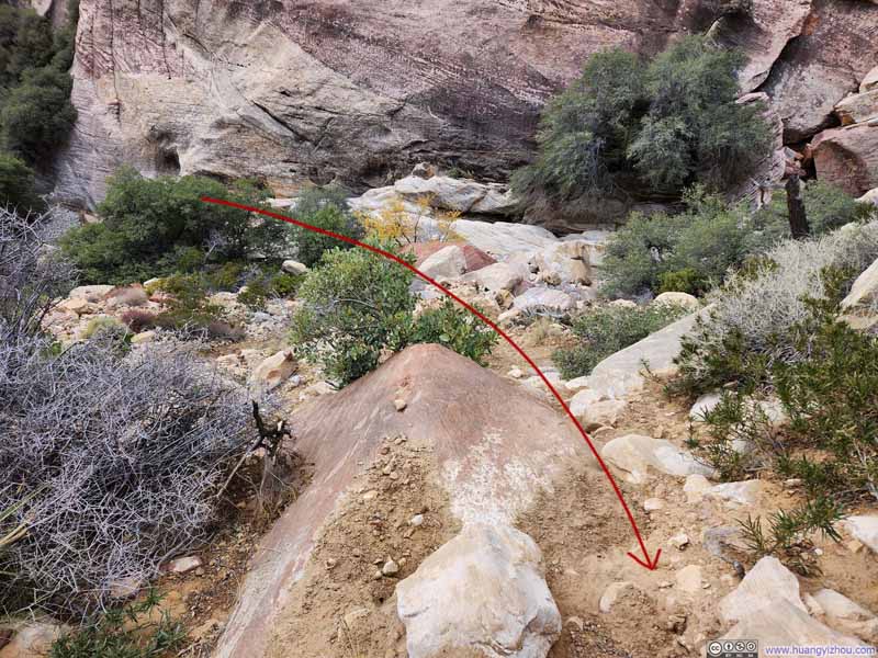
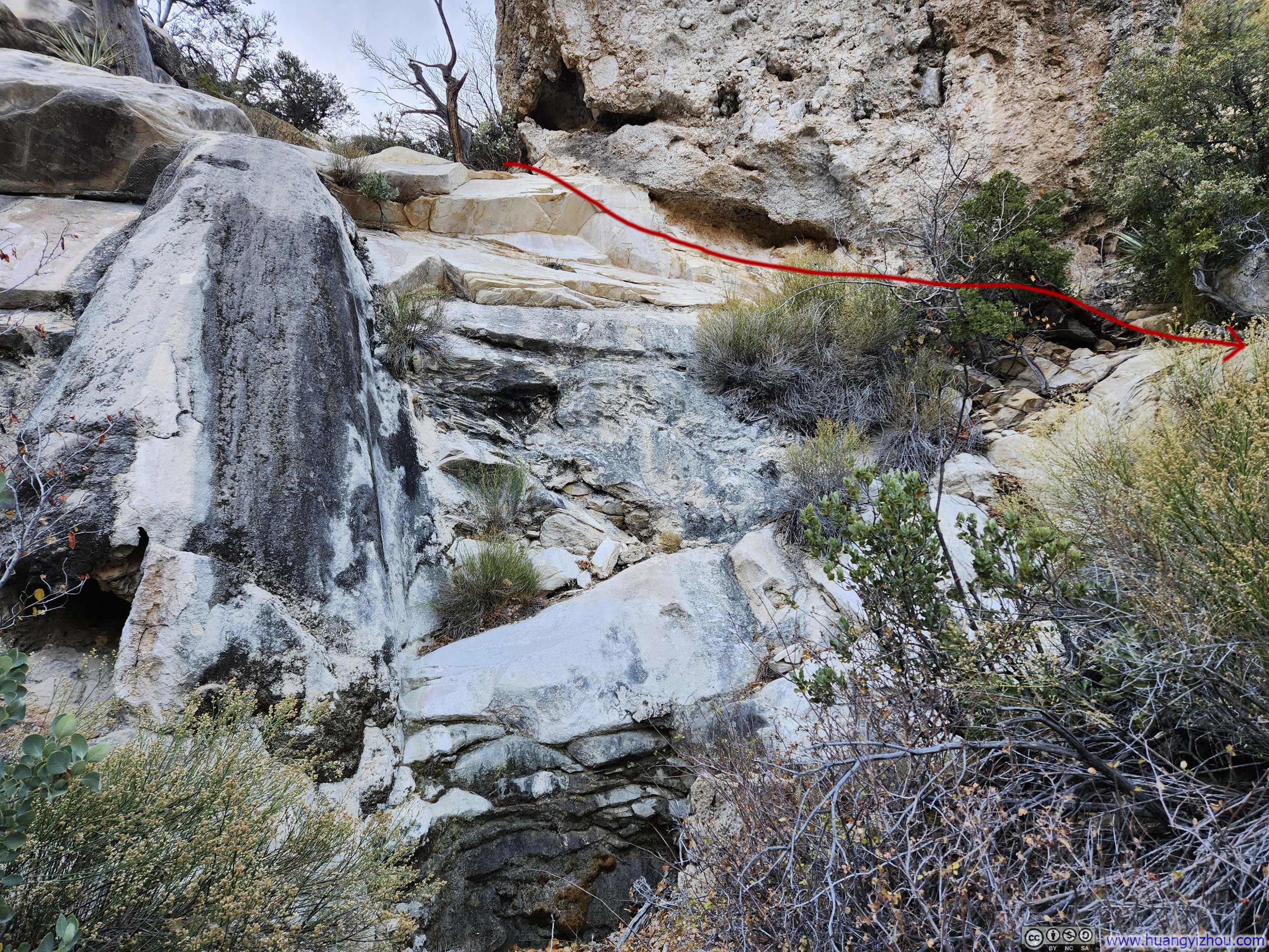
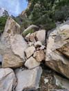
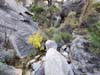
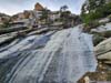
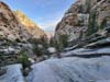
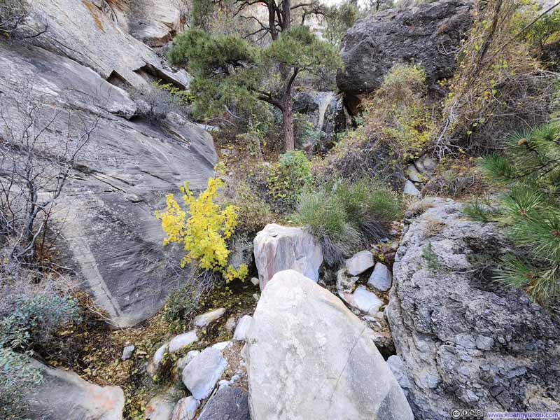
Below were some route-finding challenges about halfway into First Creek Valley, where the valley significantly narrowed. Essentially, the creek which the "trail" had been following reached a dry fall, necessitating a detour to the north (p1-2 below). This turn was quite evident during my ascent, but on my descent, I was probably short on time and had hoped to catch the most direct route back to the parking lot, so it wasn't until I was perched atop of that cliff/dry fall (p3 below) that I realized I had to trace a few steps back and navigate around it.
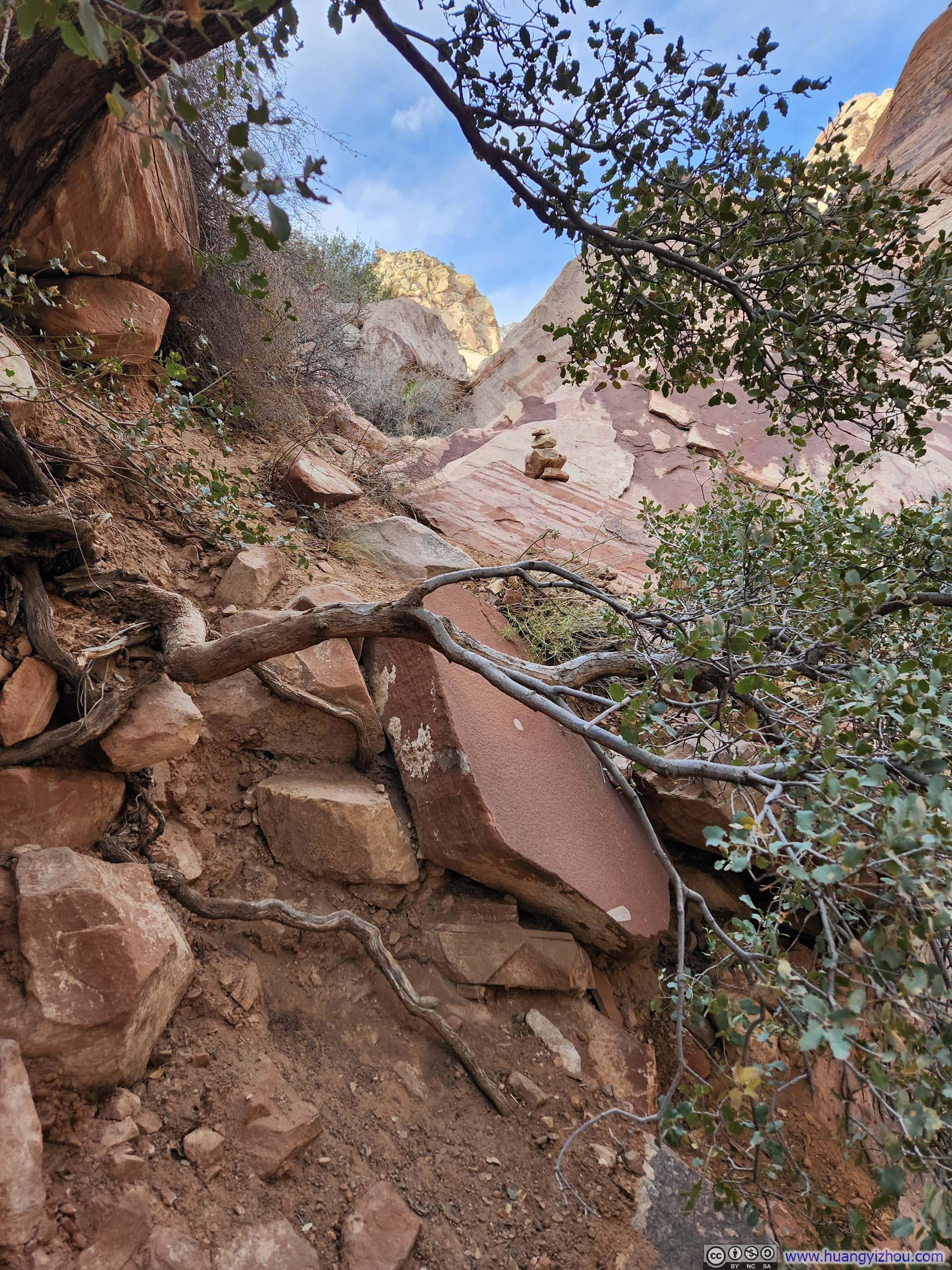
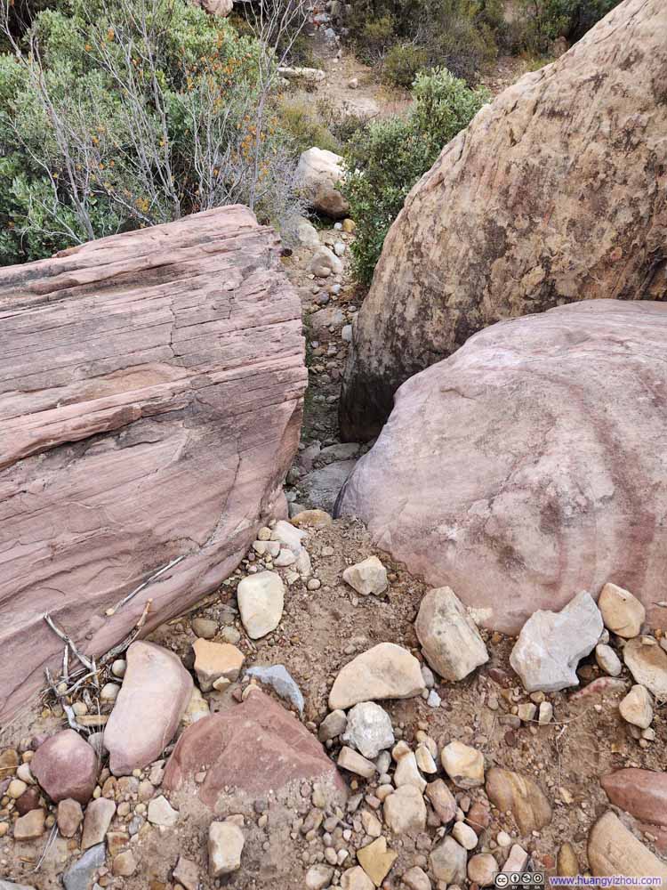
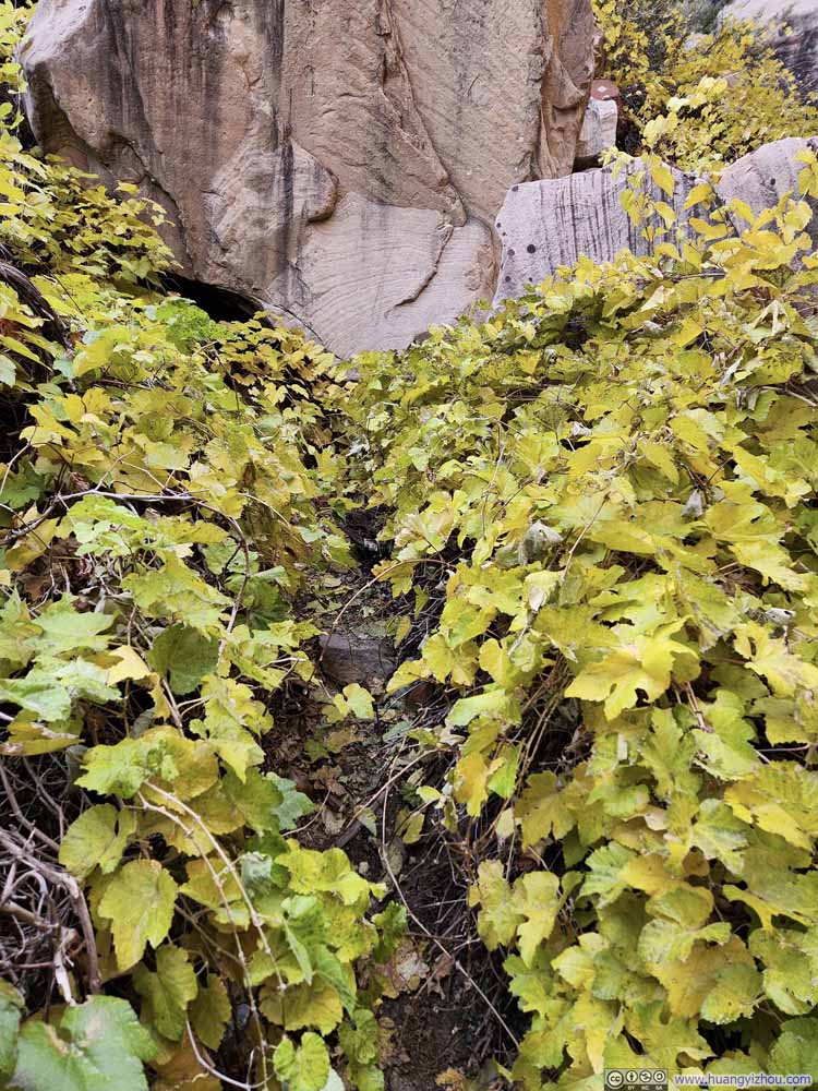
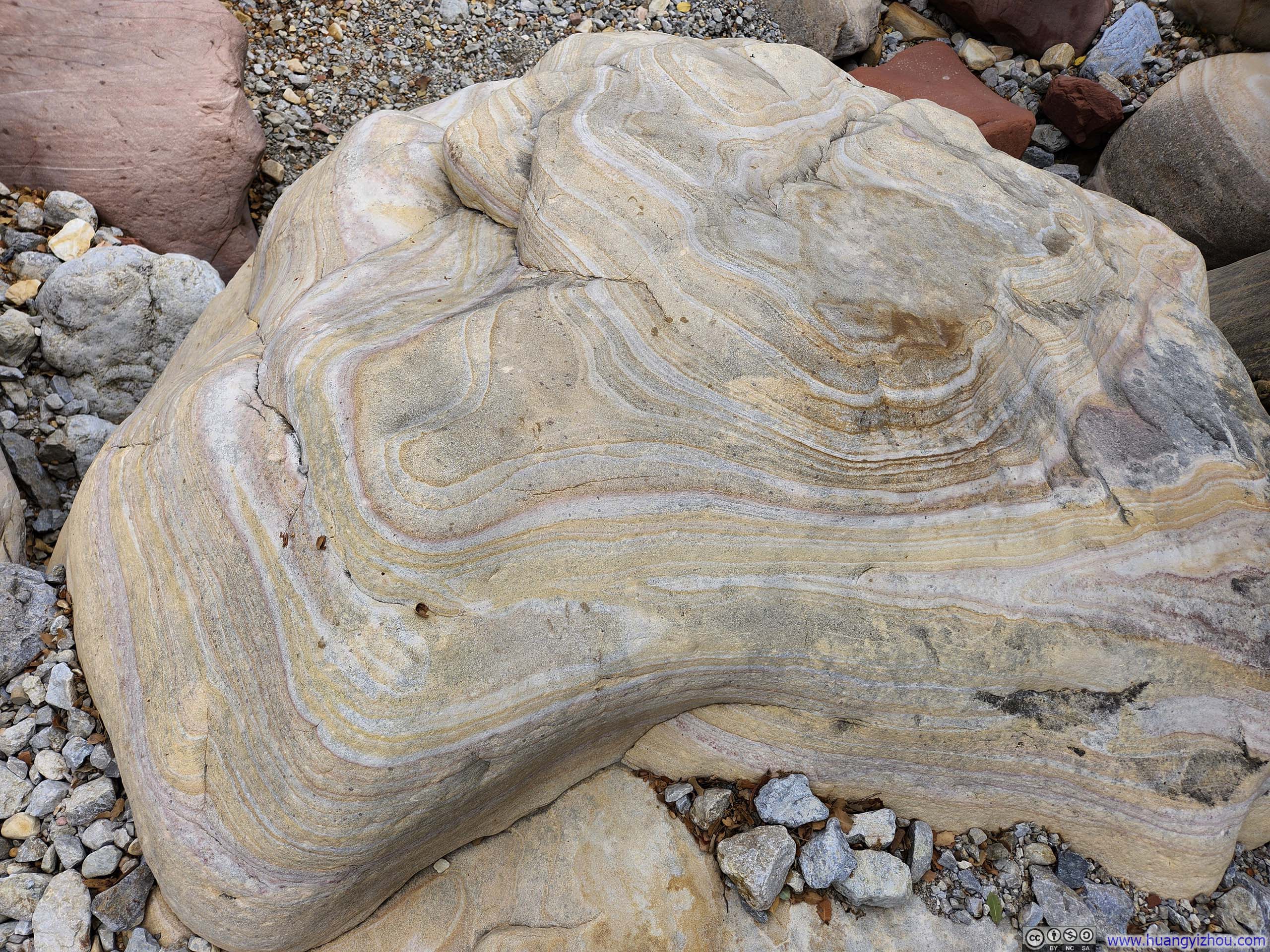
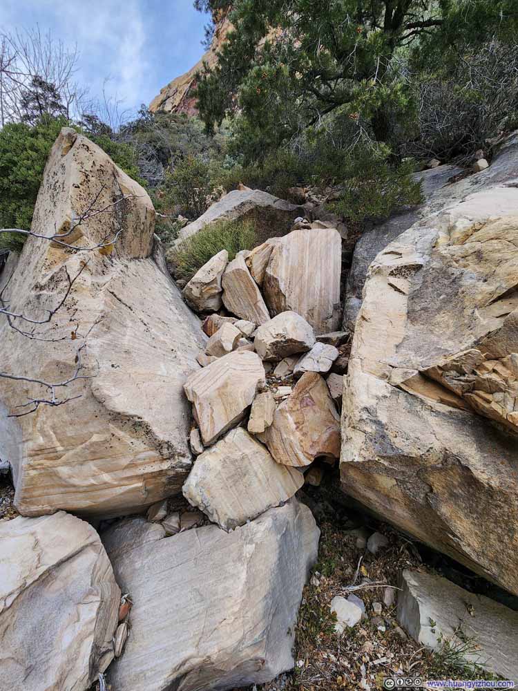
However, after the detour on my way up, the "trail" quickly made its way back to the valley floor, which was very hard to follow. Instead, I stayed at higher elevation for longer, which required me to navigate through and over several giant boulders (p4 below).
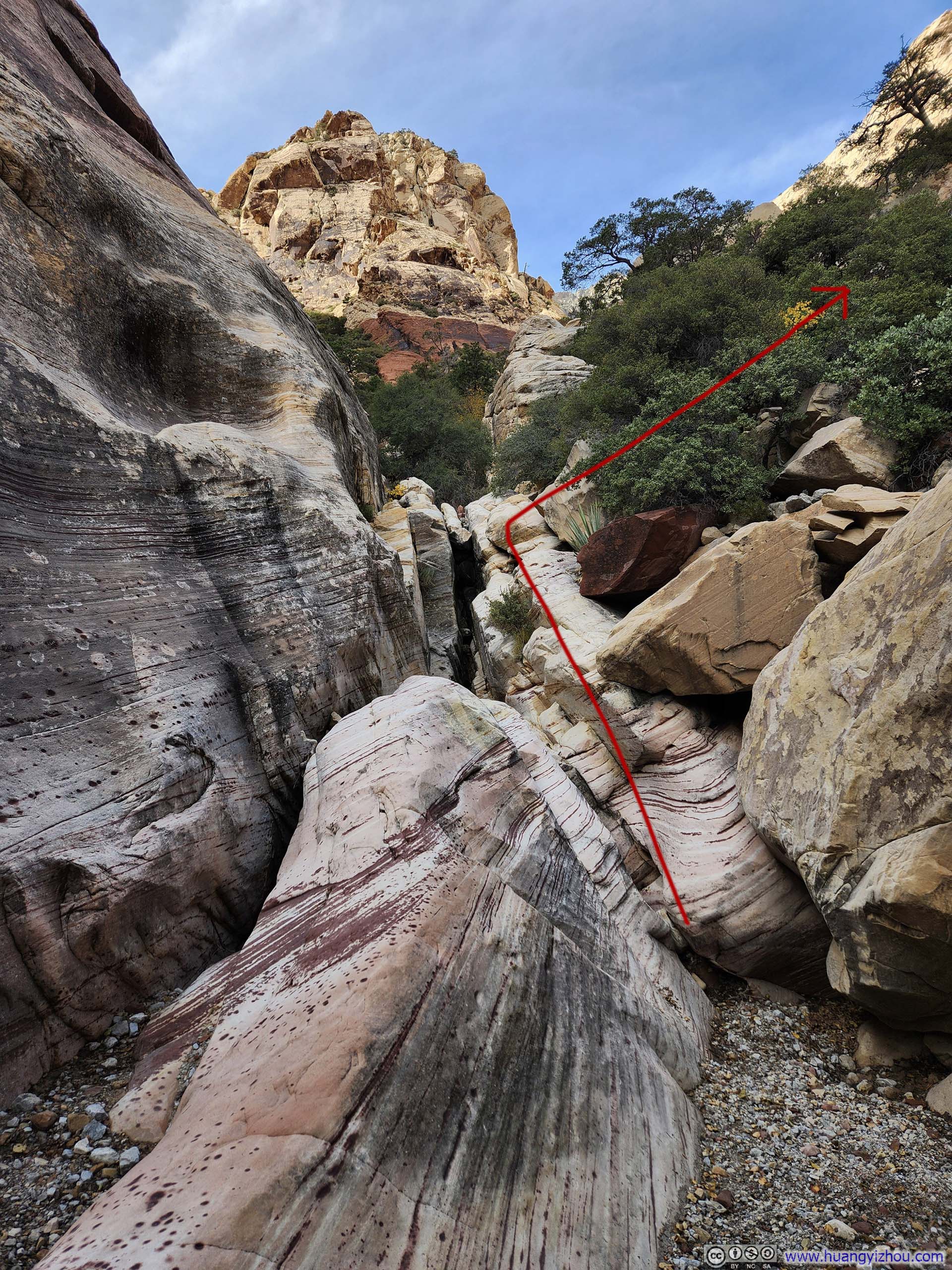
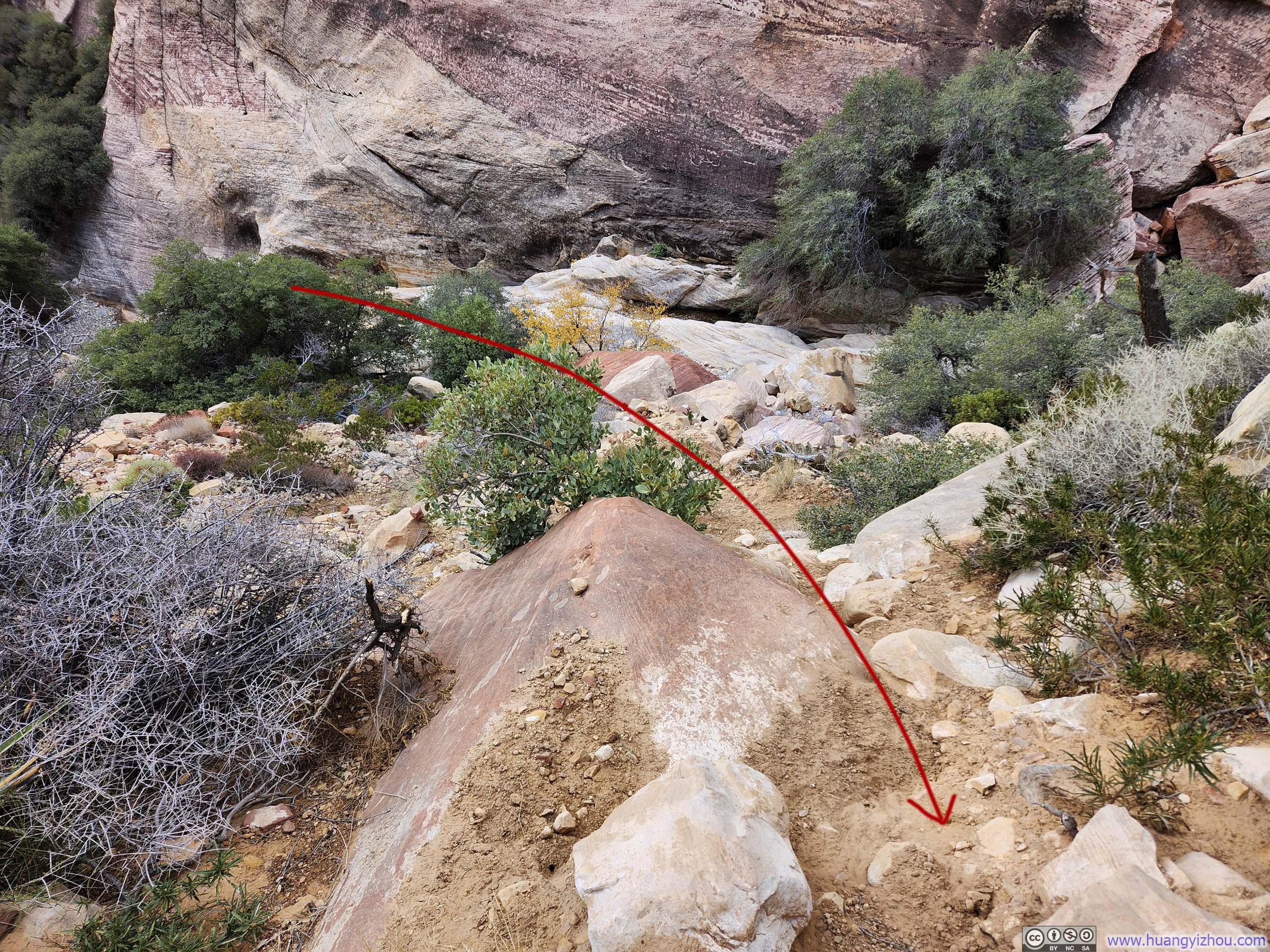
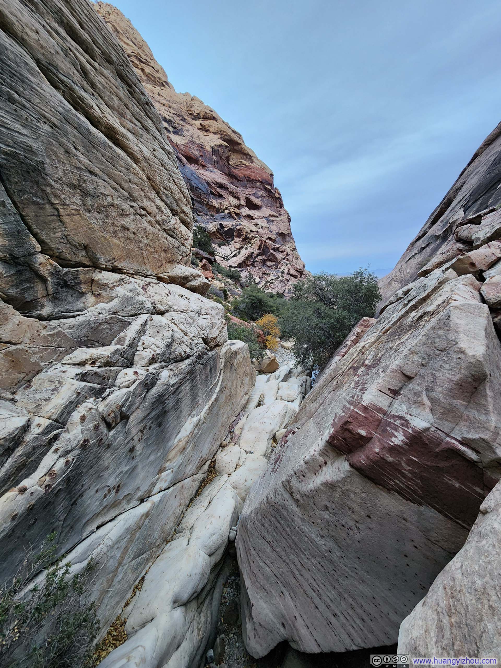
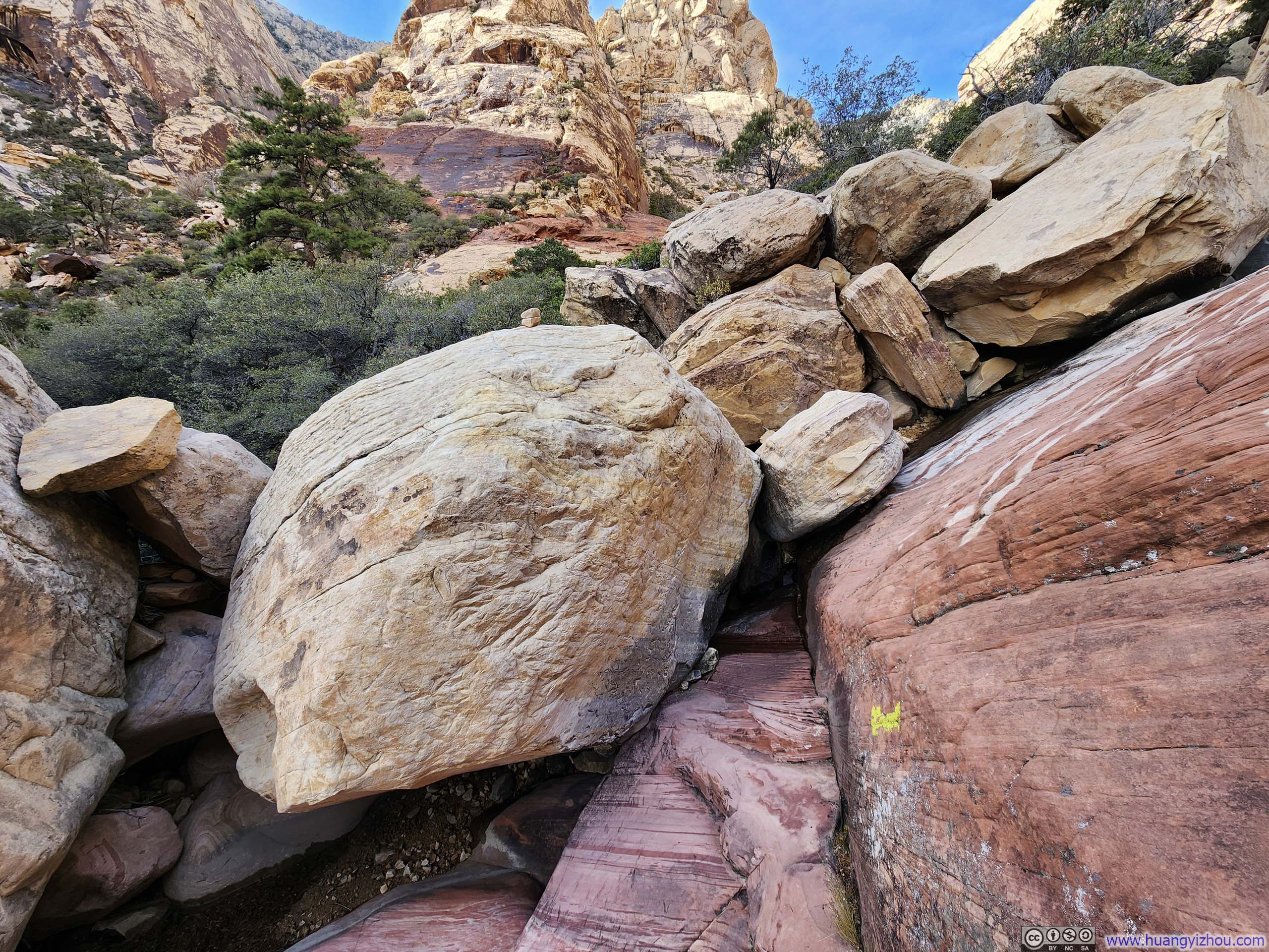
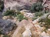
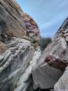
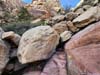
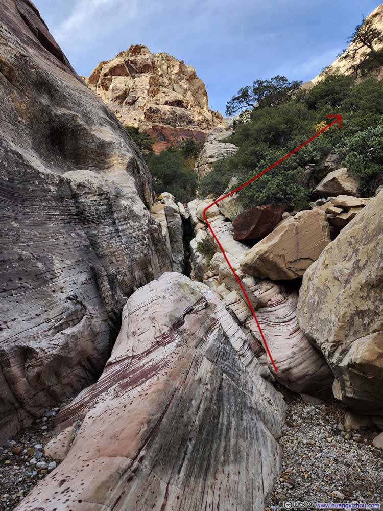
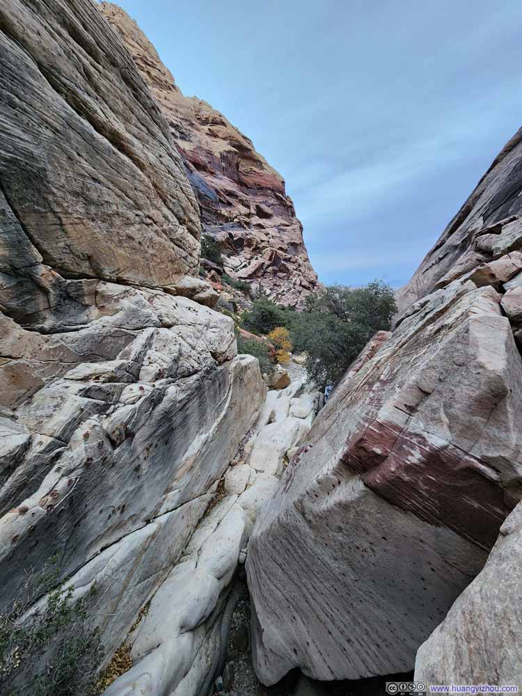
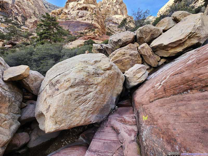
After that there was a somewhat steep section on rock surfaces, alongside the creek, so it's imperative to step on dry portions of the rock.
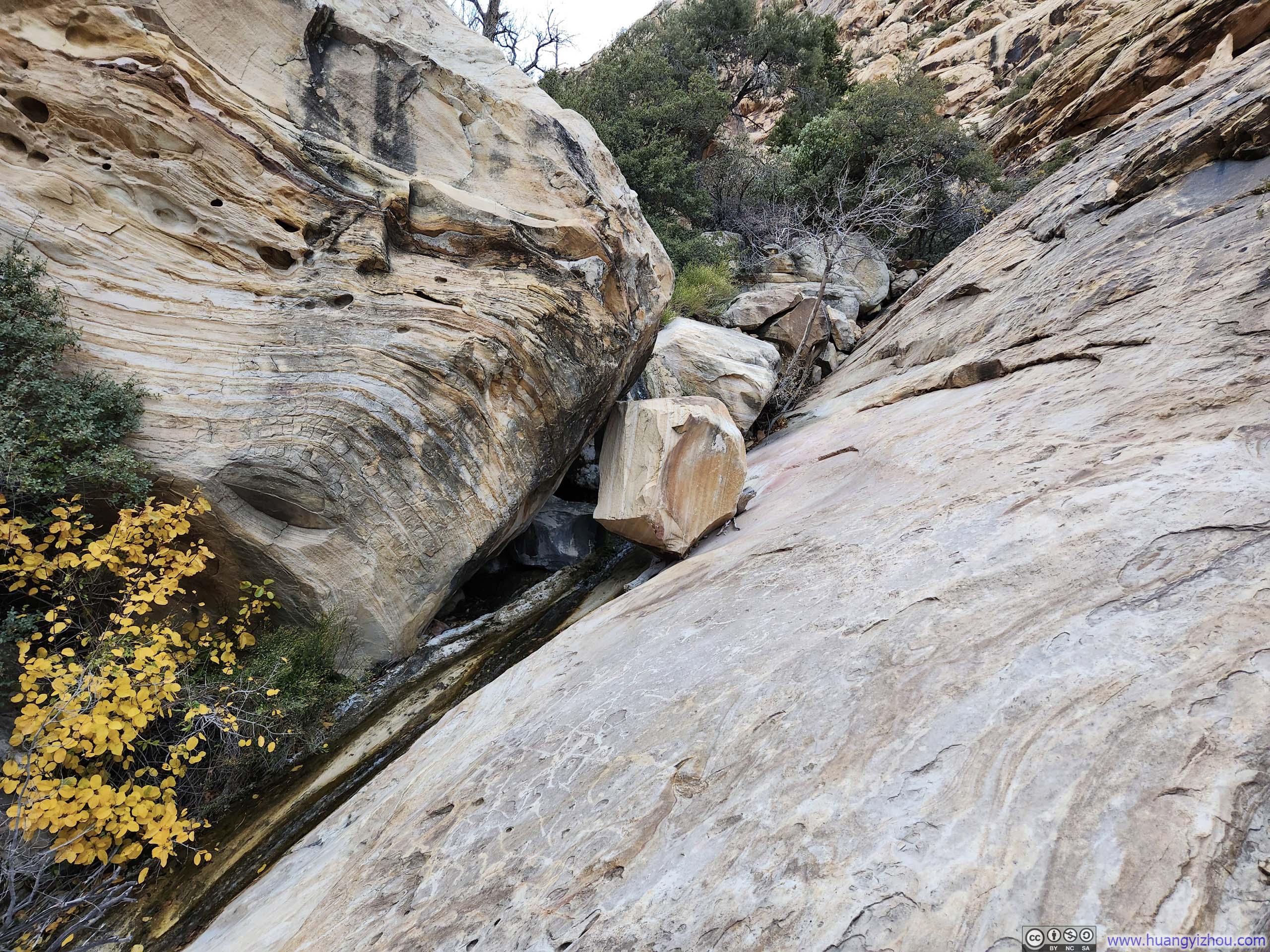
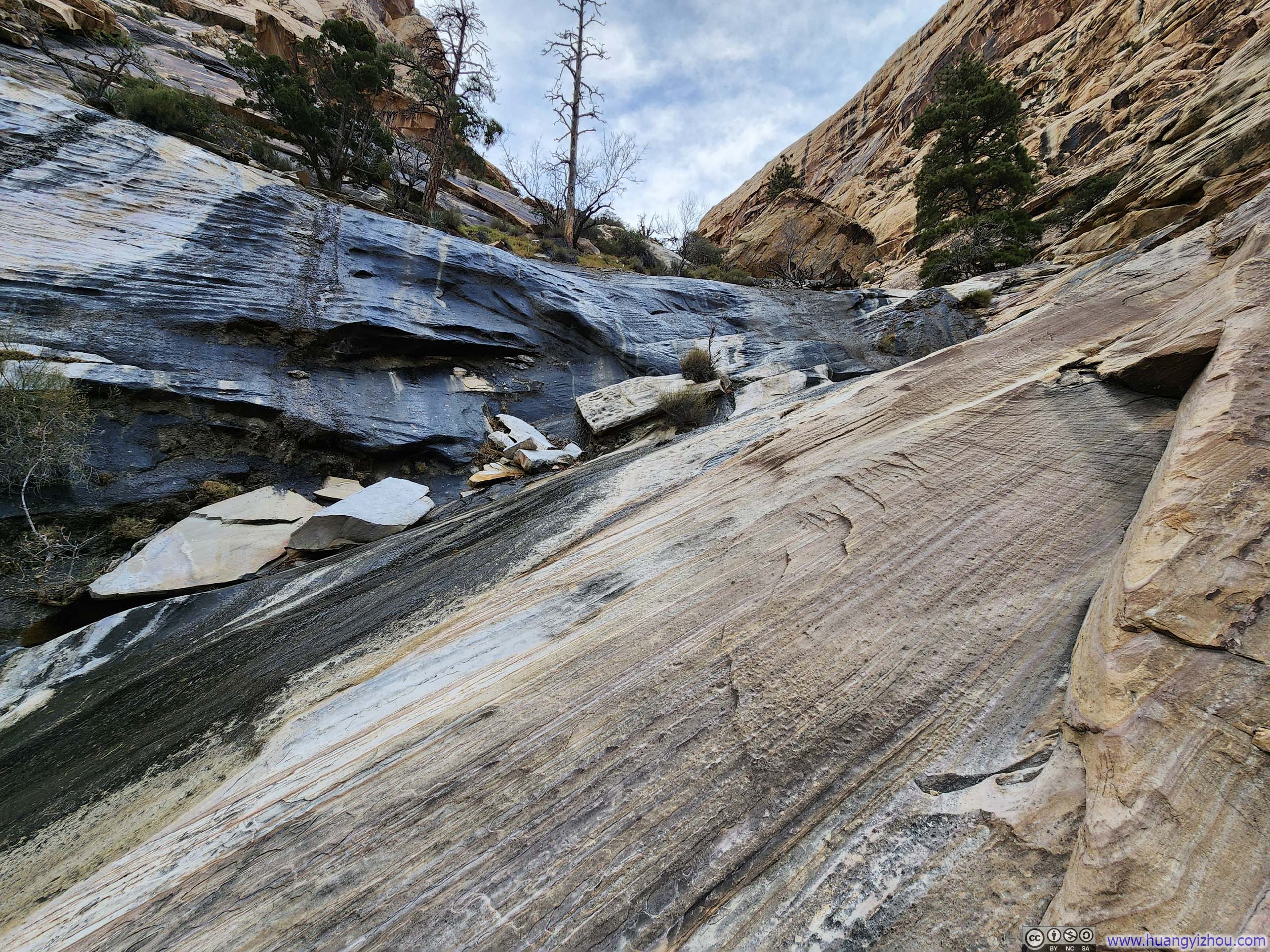
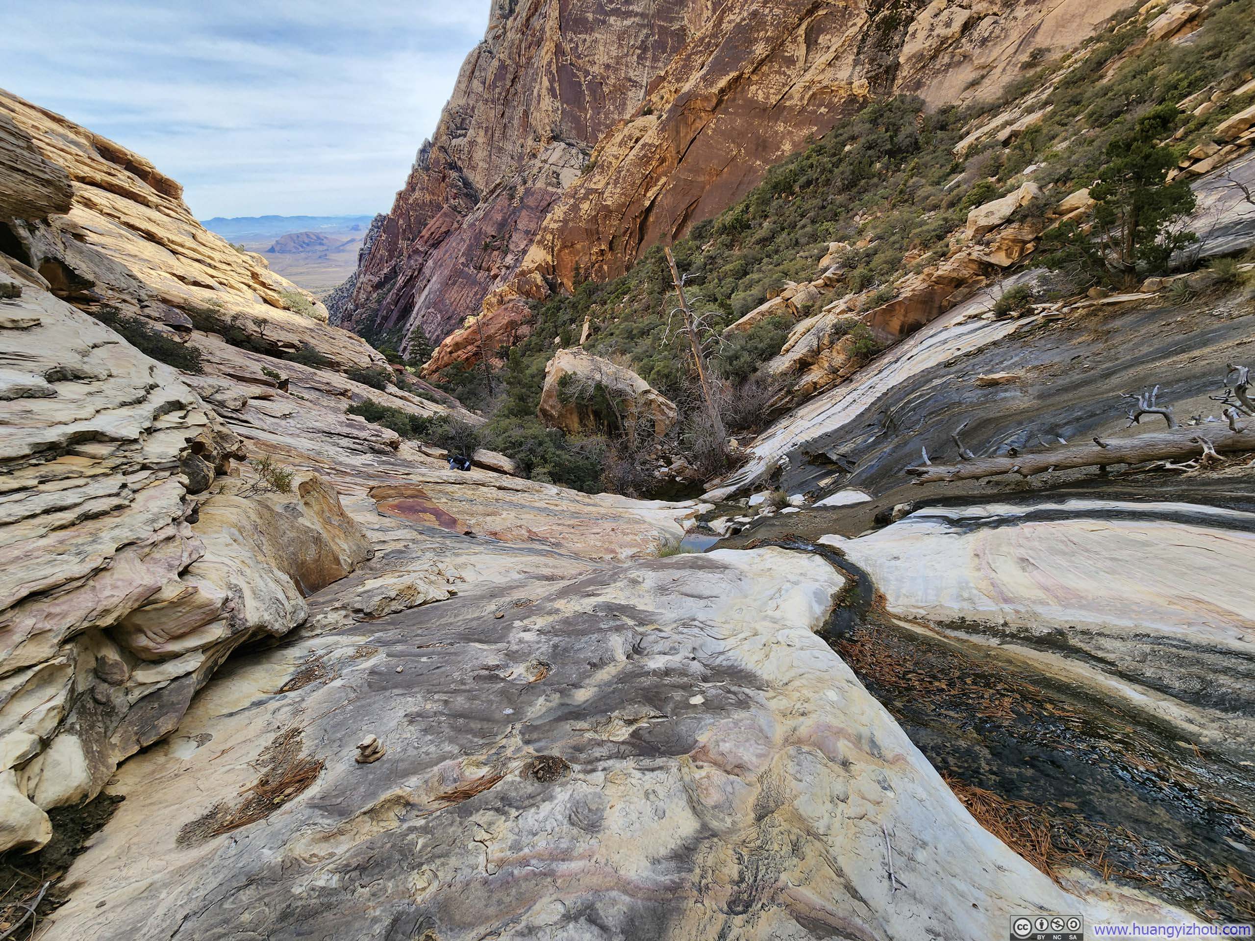
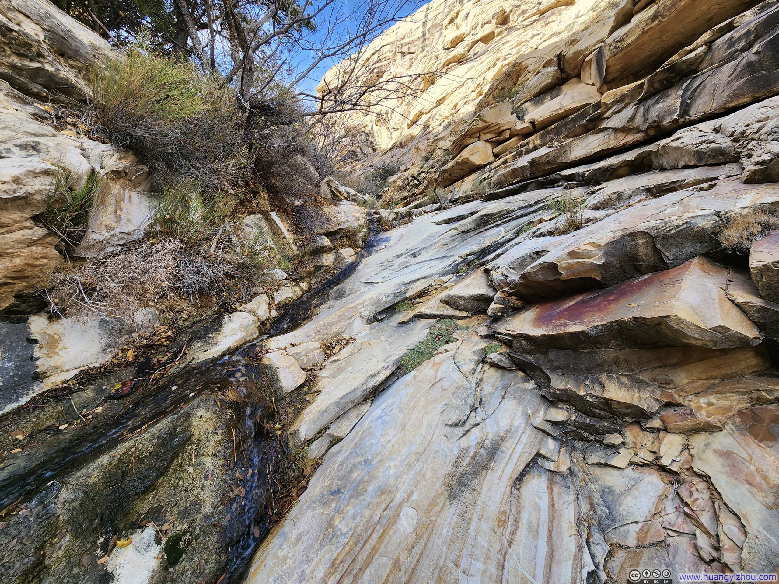
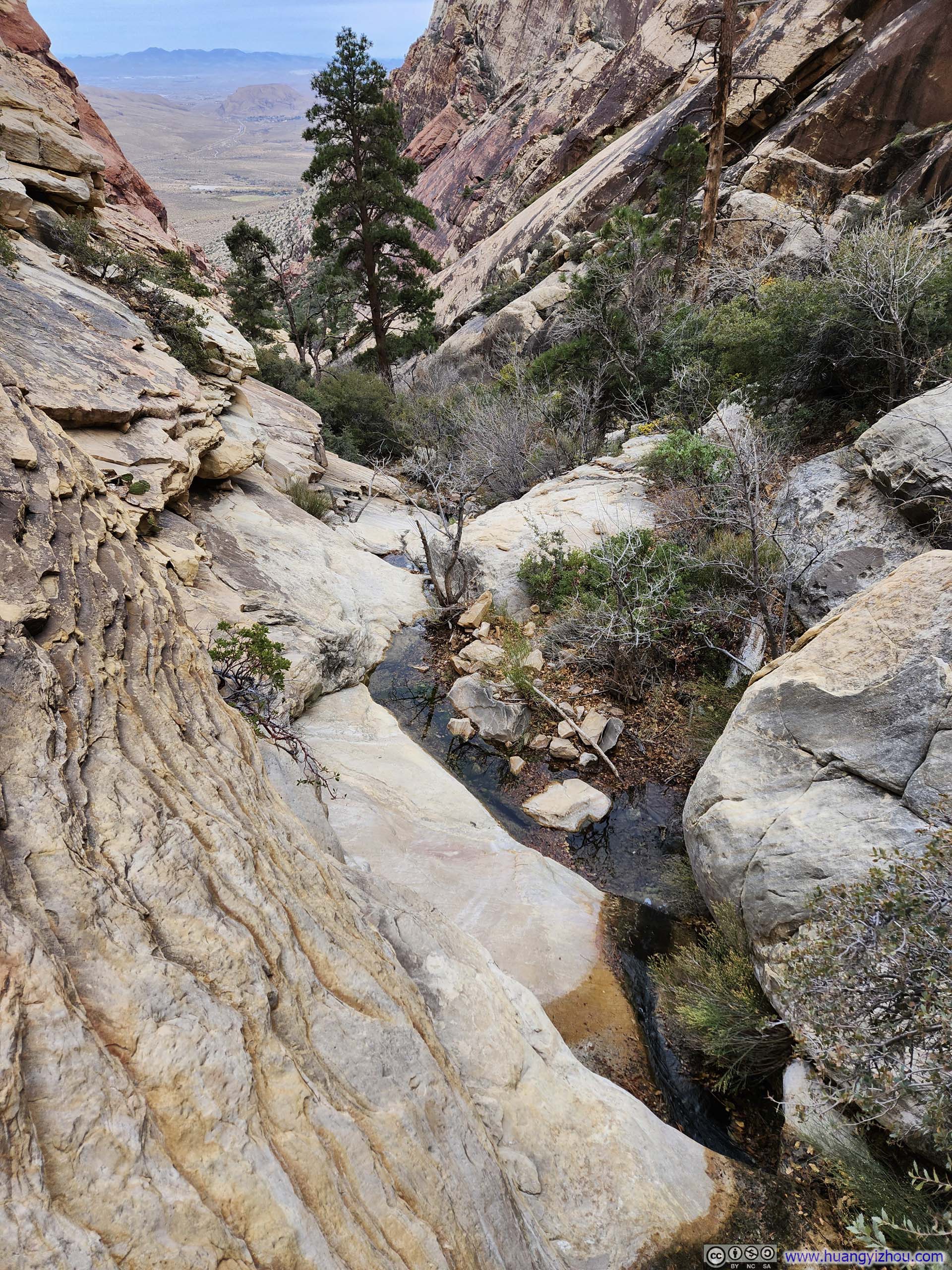
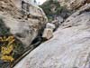
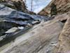
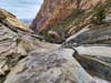
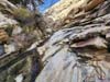
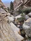
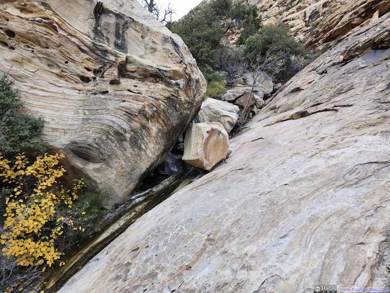
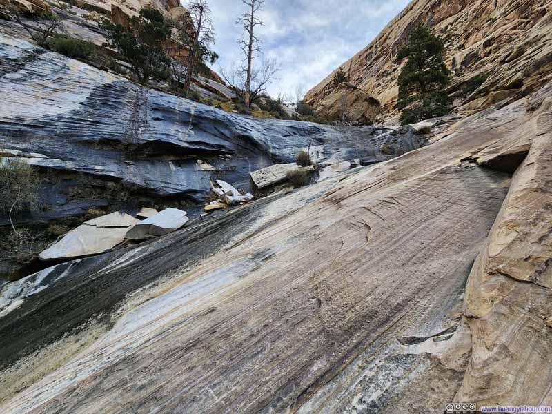
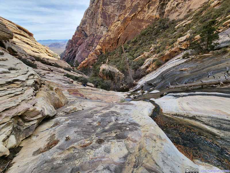
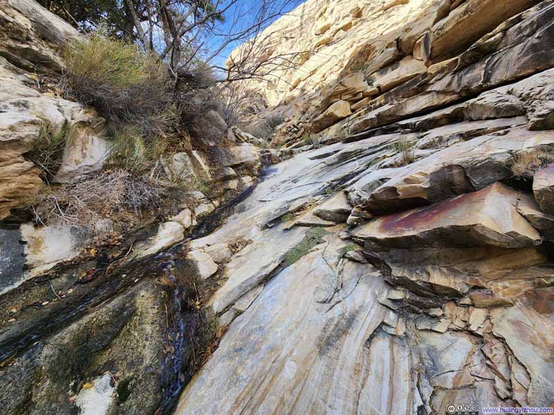
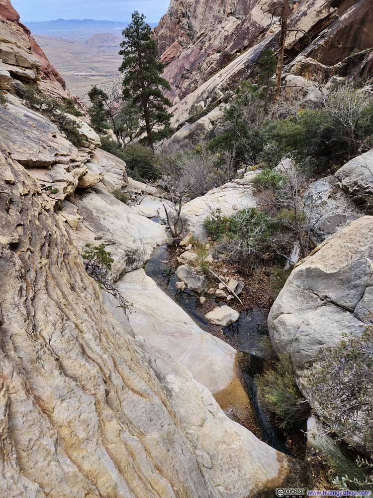
At this moment, I realized I was probably going to run out of daylight at the end of the hike as I was traversing through First Creek Valley at a slower pace than I anticipated. (I only left the trailhead 7 hours before sunset.) Nevertheless, I decided to press on, knowing that the final part of my hike would be through an open field, where my mobile phone's illumination would prove sufficient if necessary. Also, it felt to me that the trail had taken such a toll on me, with my hiking poles being caught in tree branches and finding my way through the labyrinth of boulders and bushes, that I wanted to take my revenge on it by finishing it up. That also meant for the rest of the day, I was pushing at an elevated pace which I didn't usually hike at.
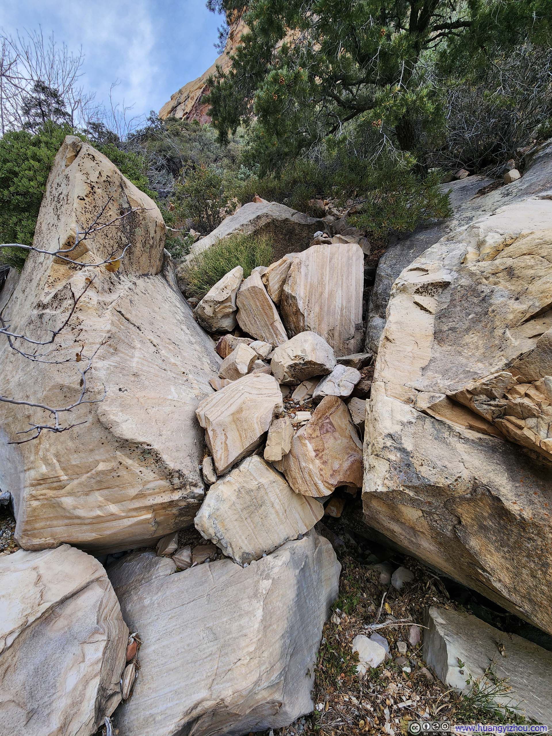
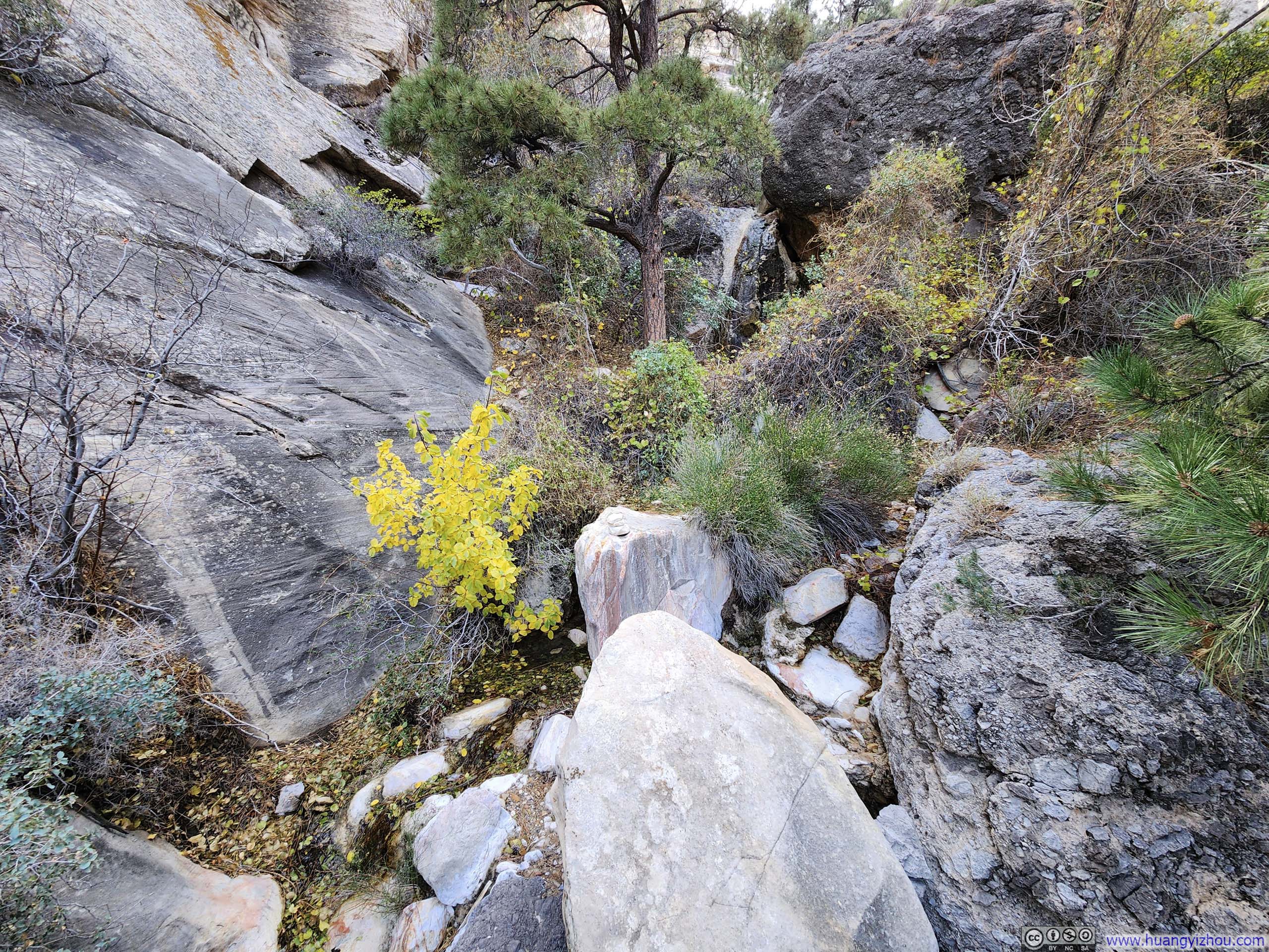
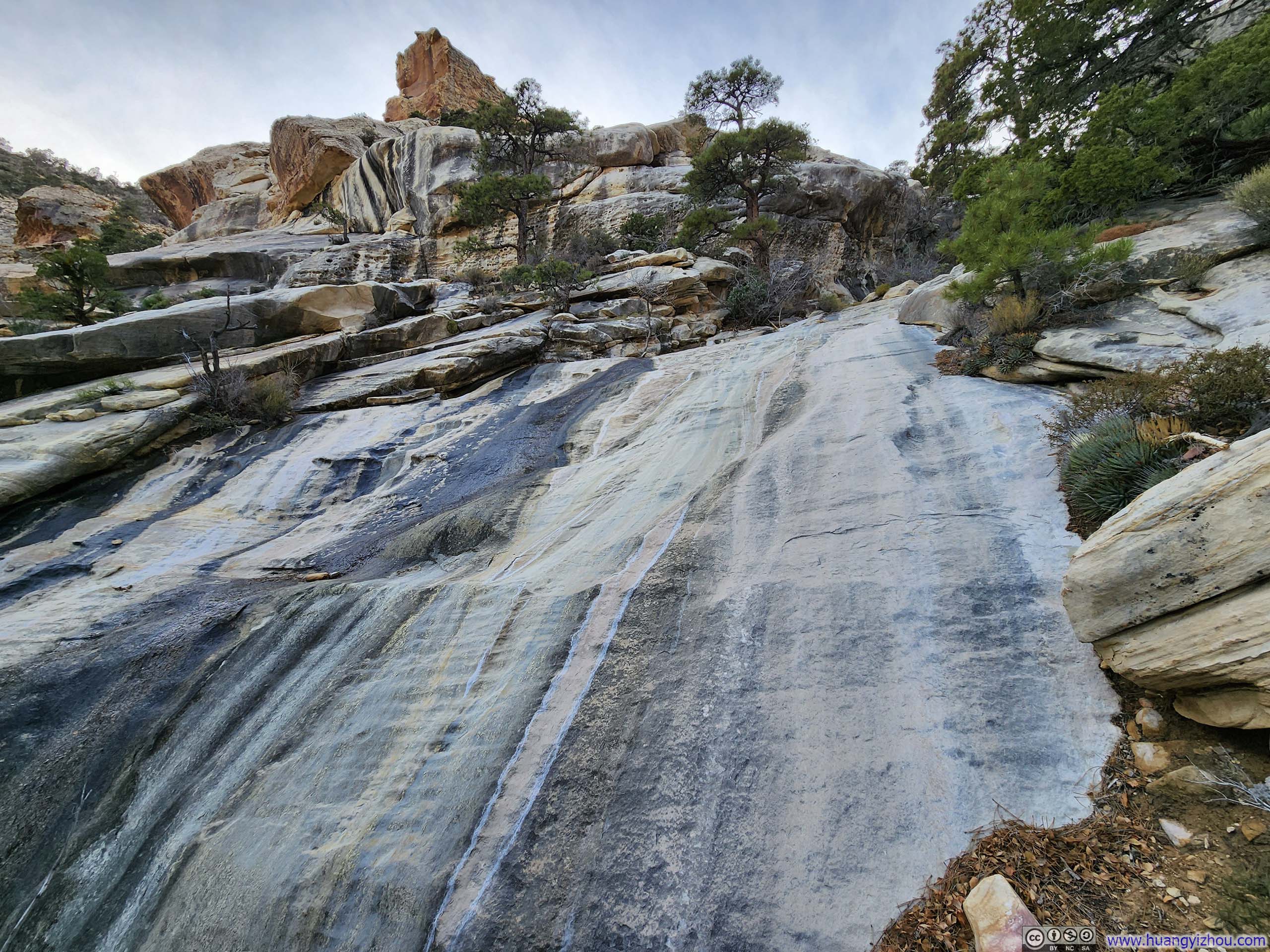
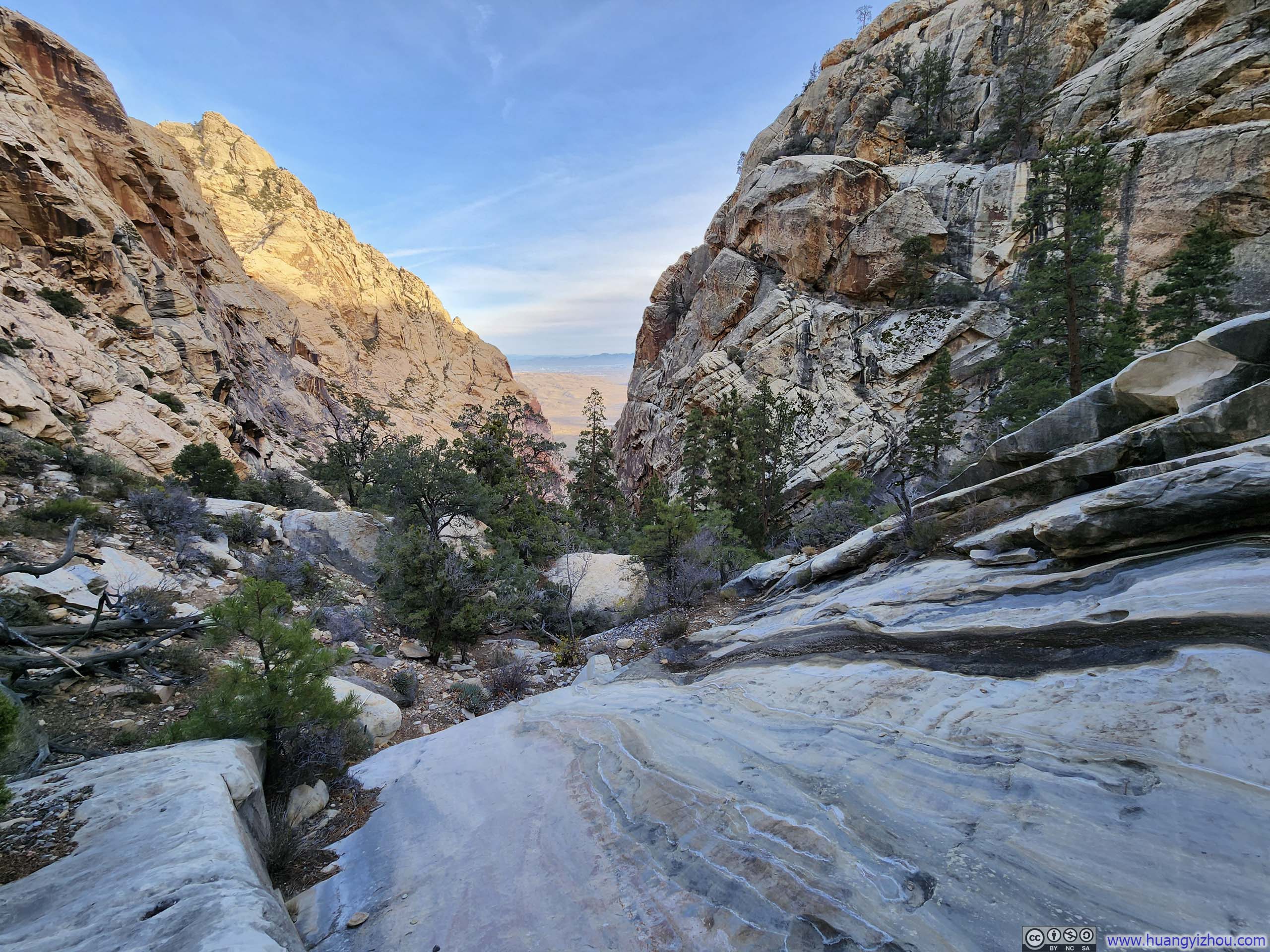
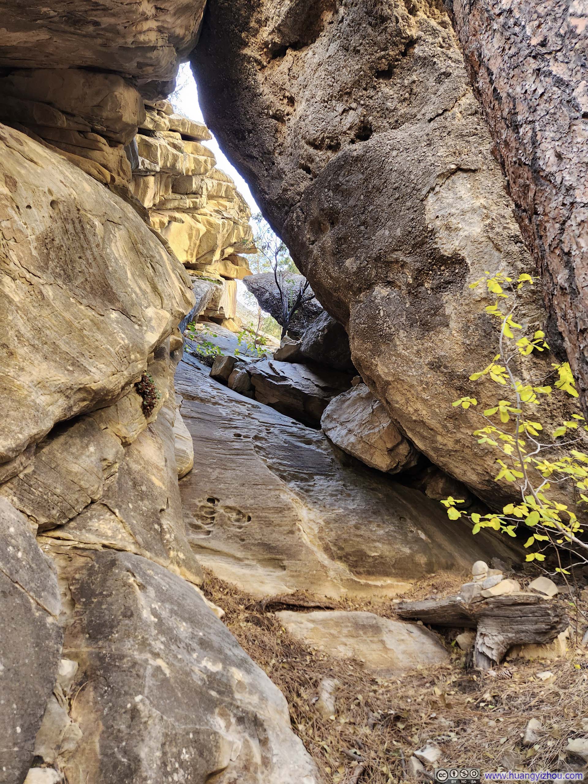
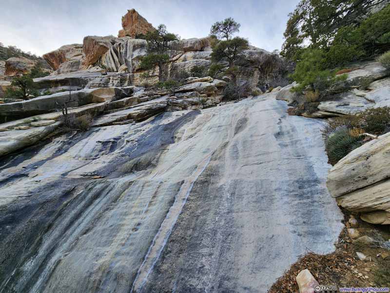
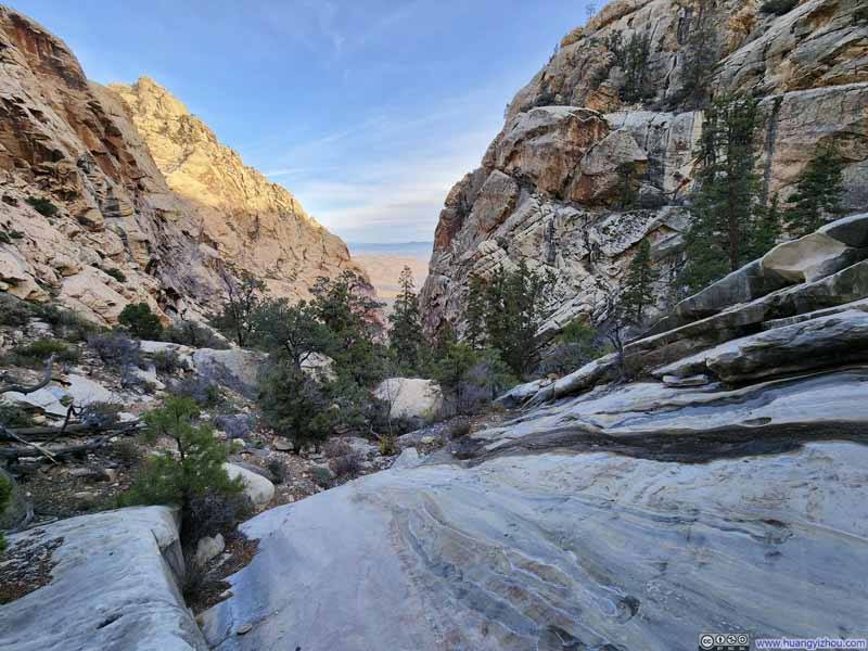
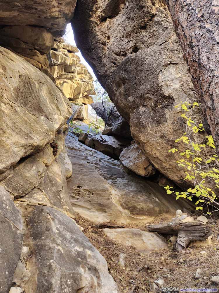
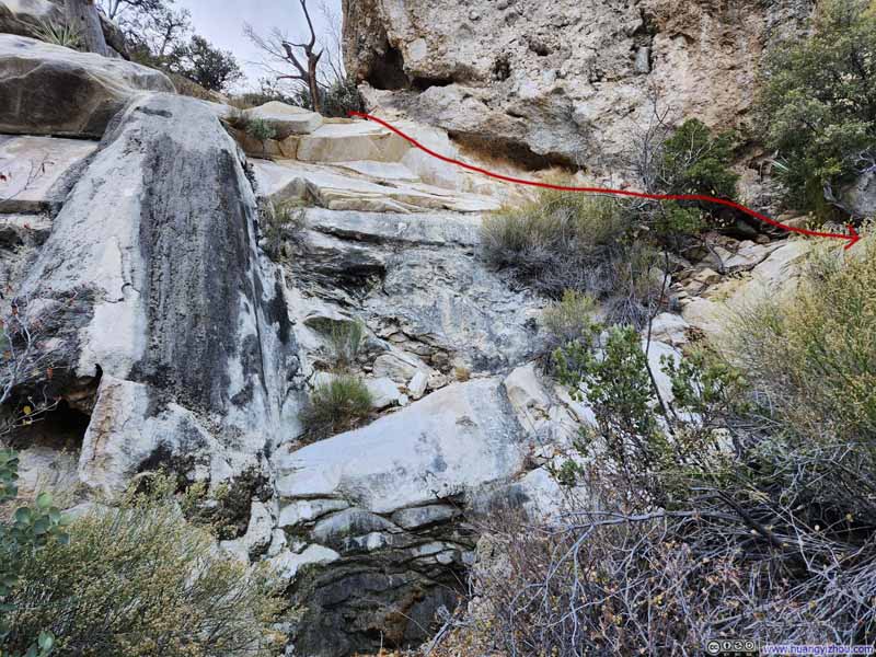
Finally, after spending about 2.5 hours in the valley, I came out of it and turned towards Mount Wilson. There was still considerable distance and elevation gain to cover, but I was heartened to find that the trail from this point onward was clear and easy to follow.
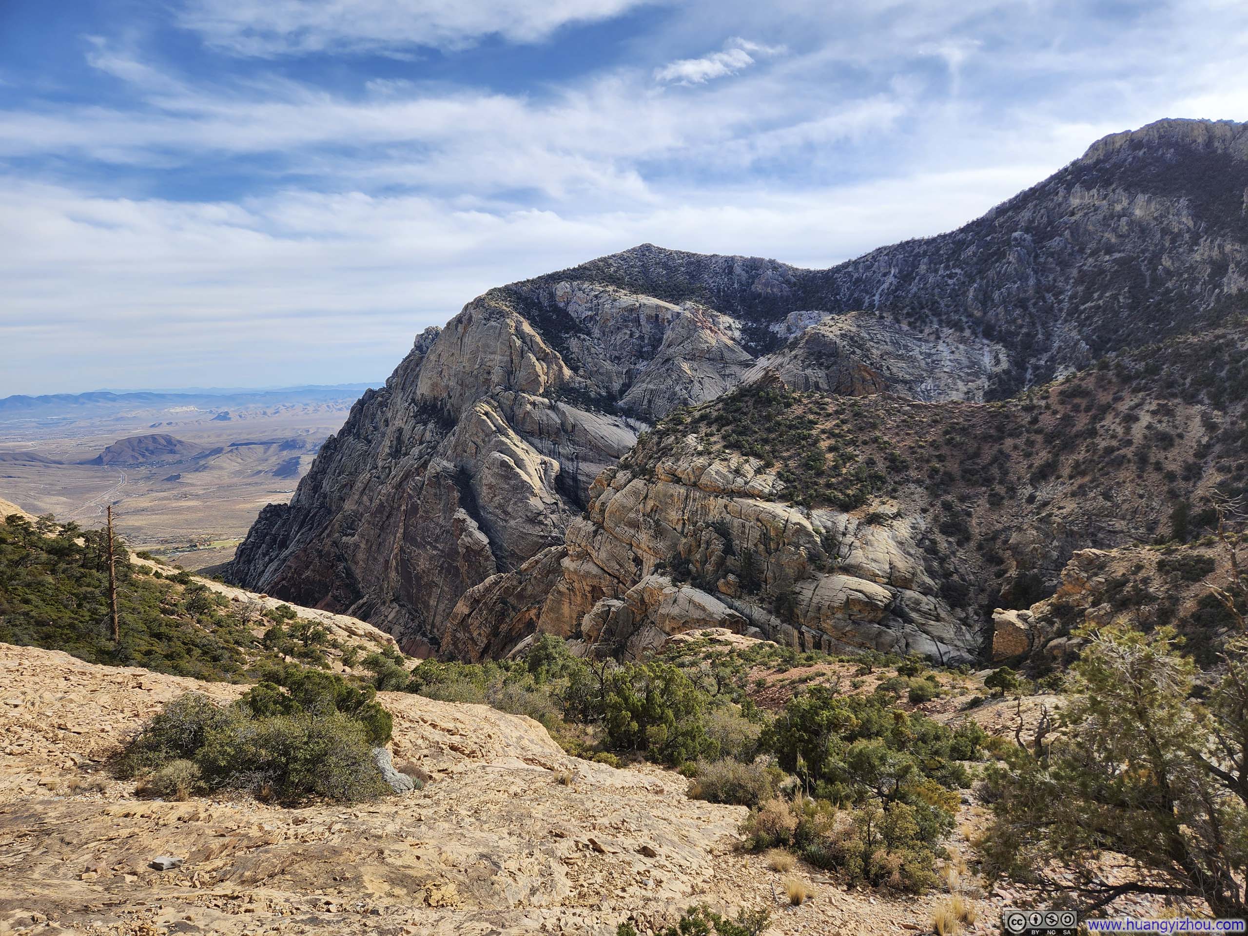
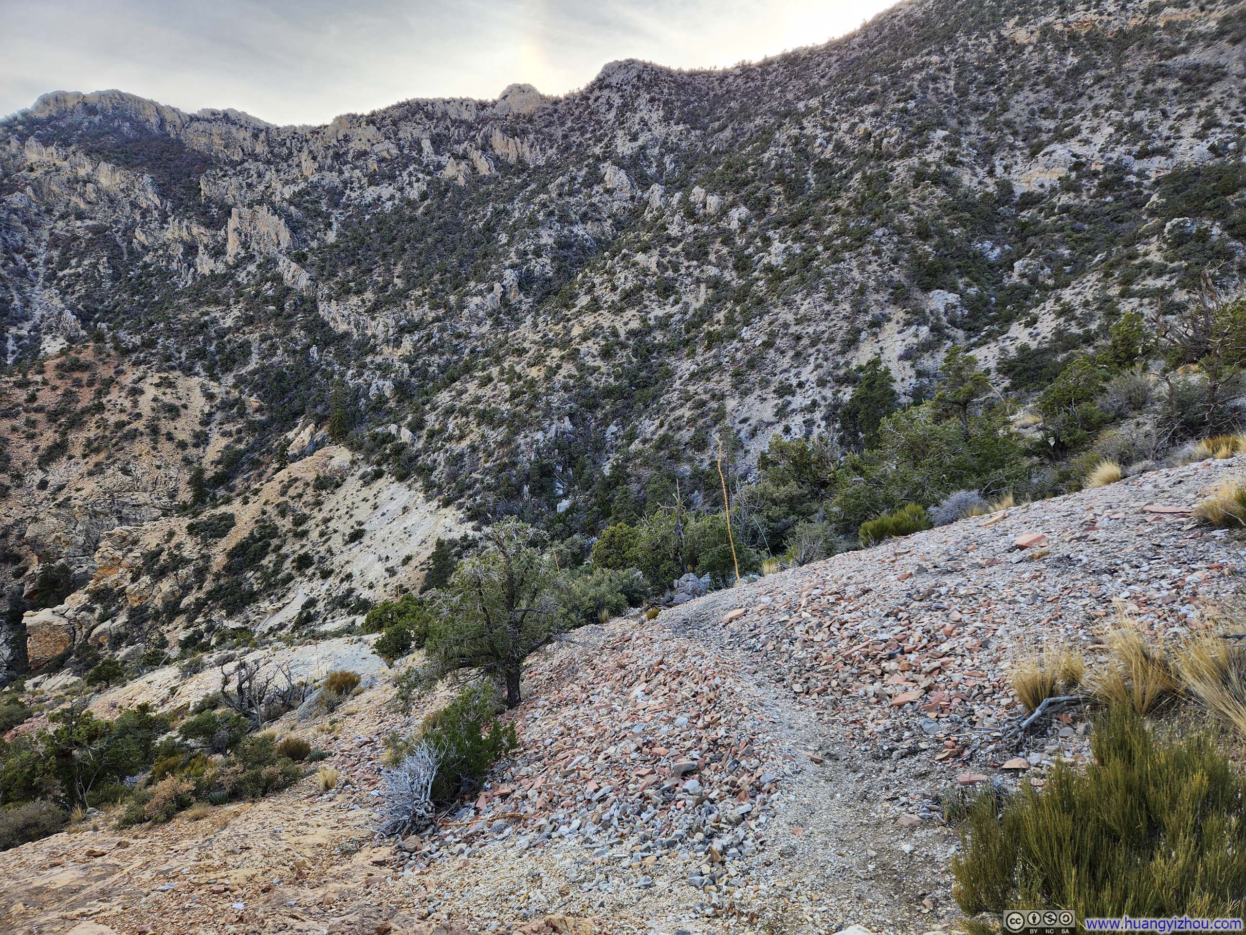
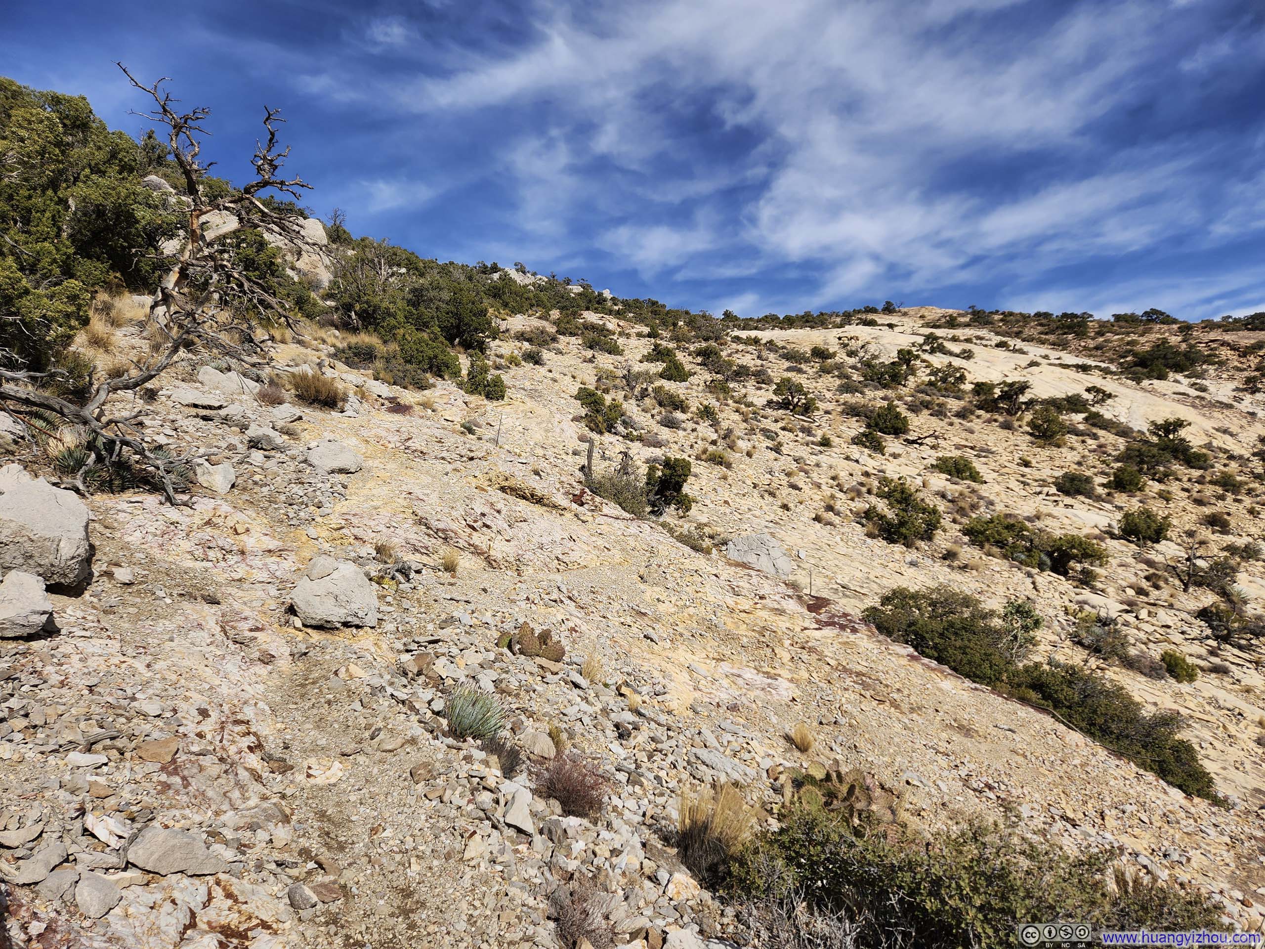
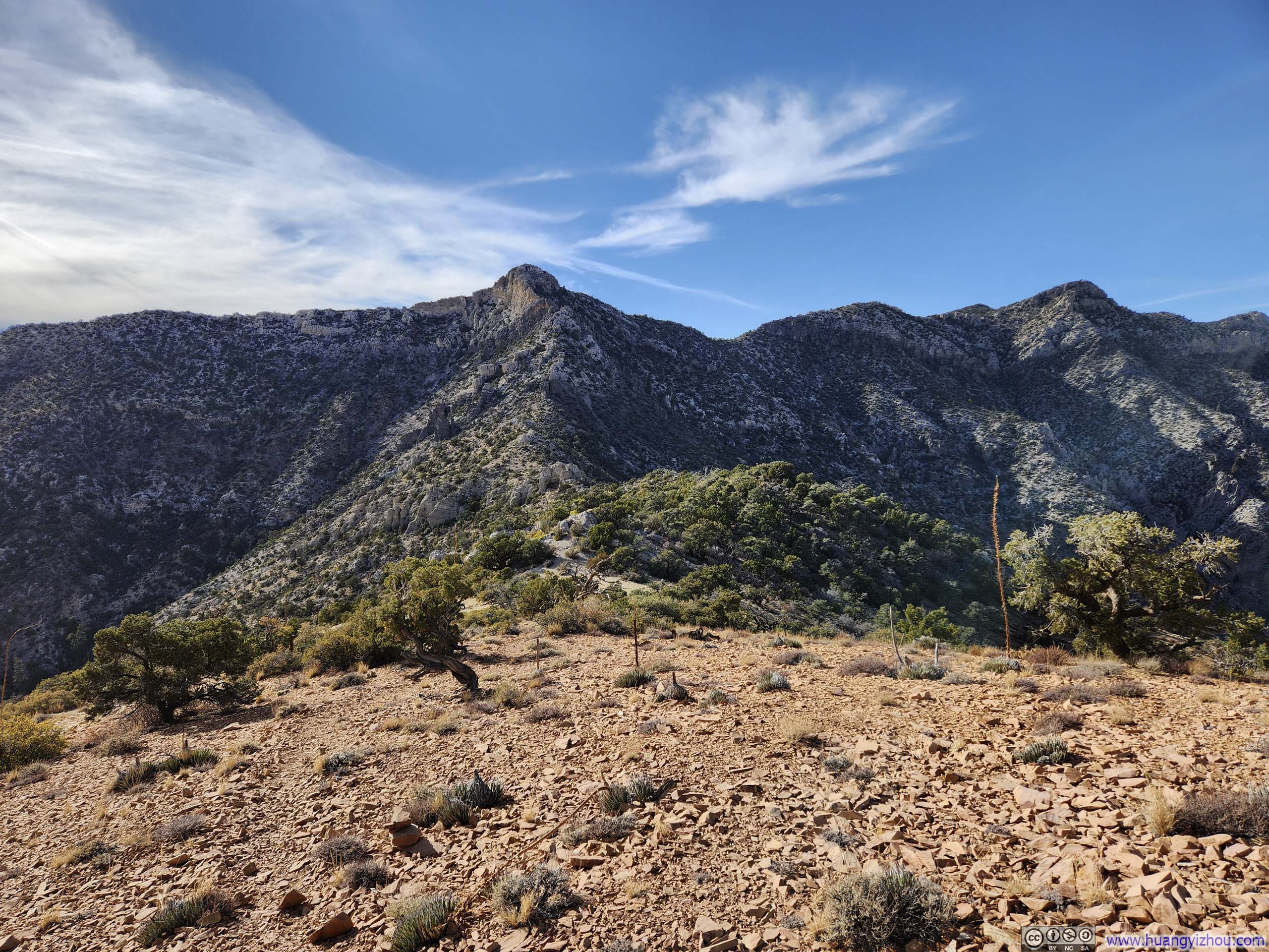
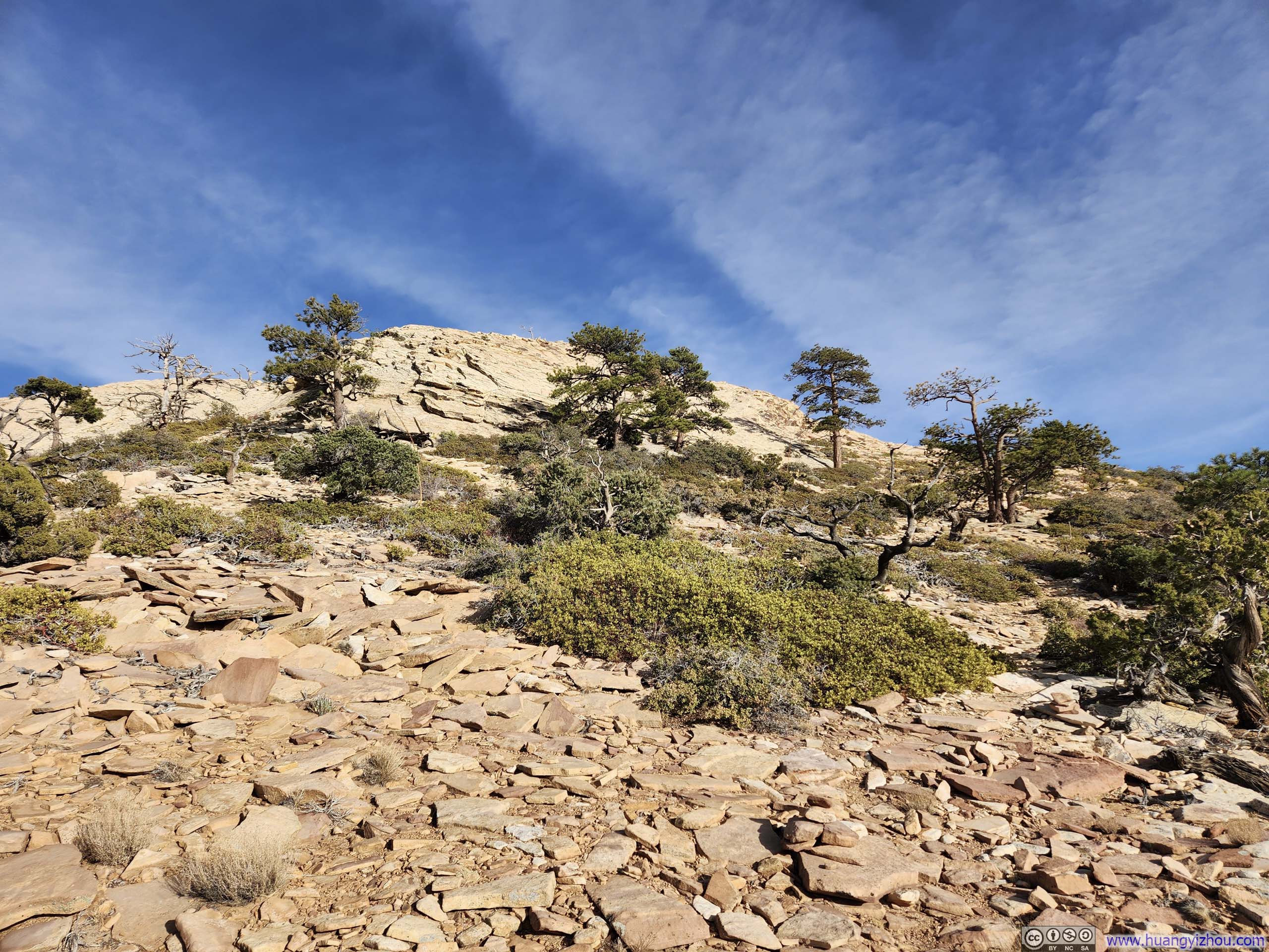
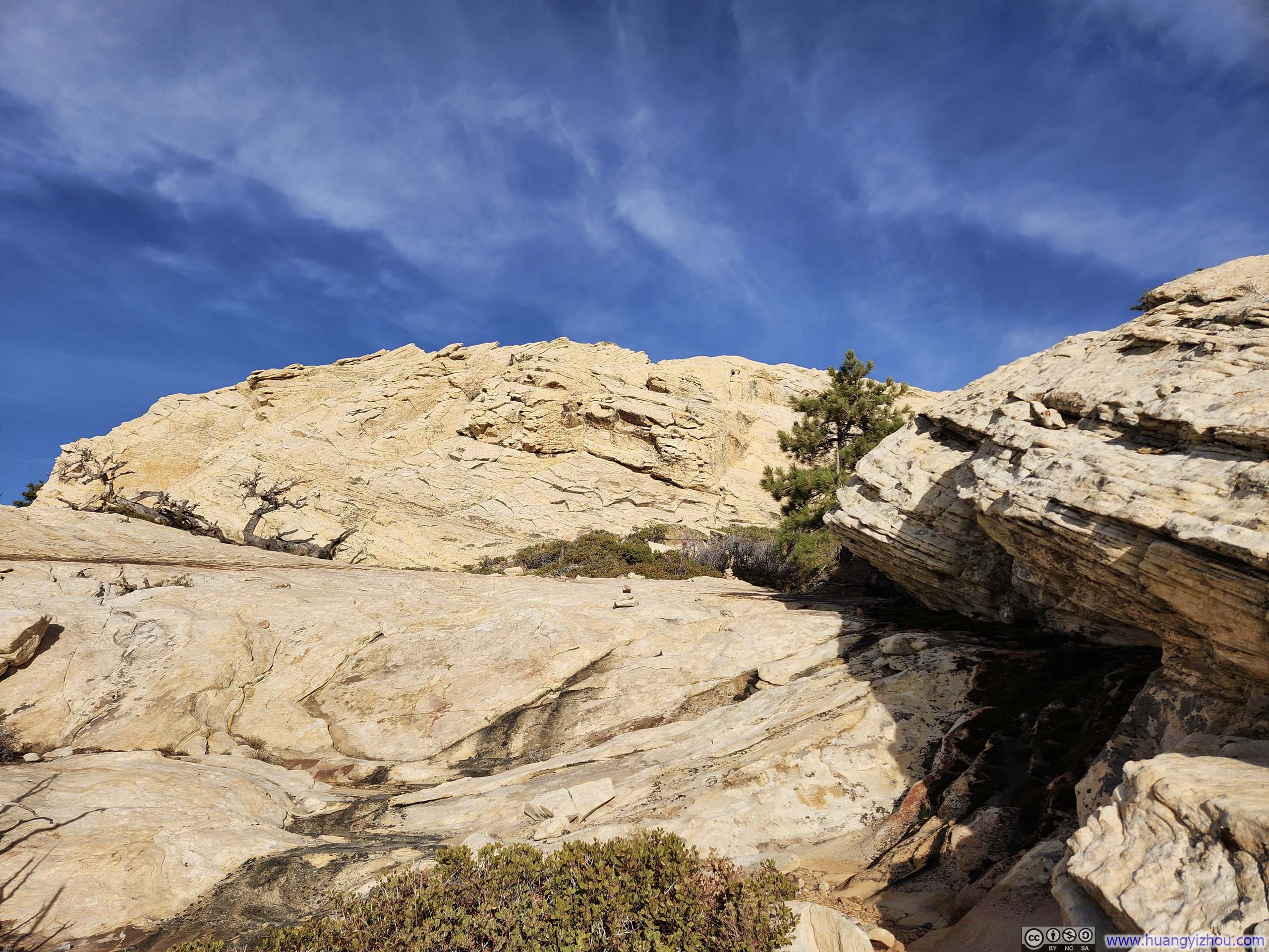
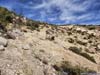
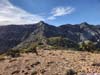
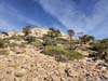
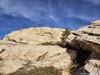
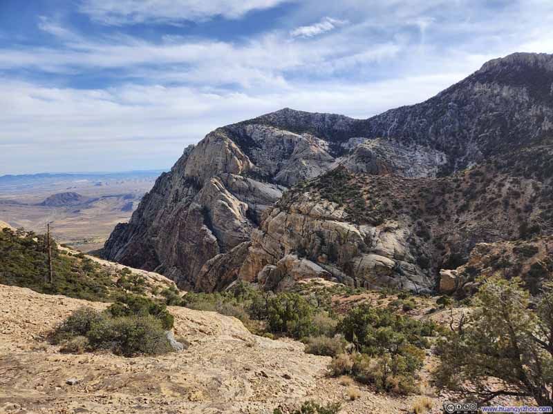
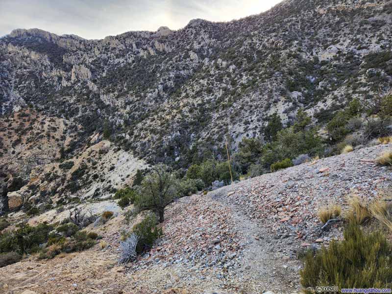
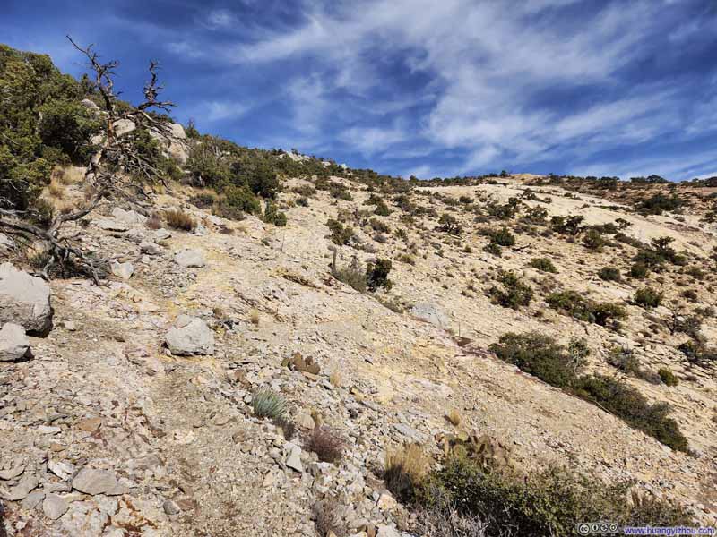
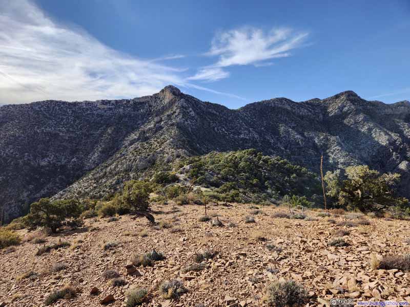
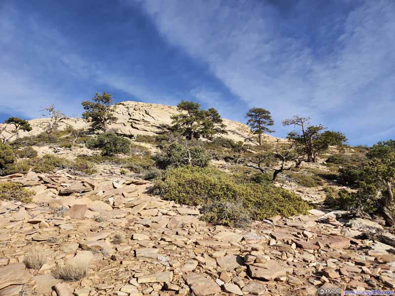
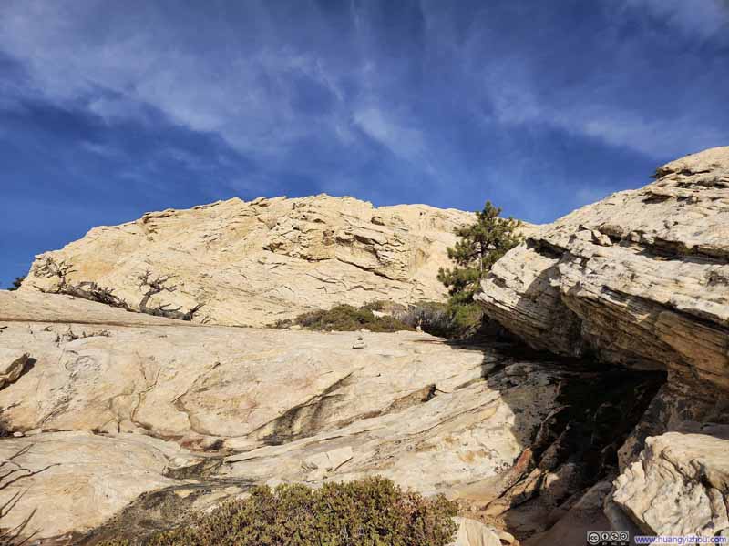
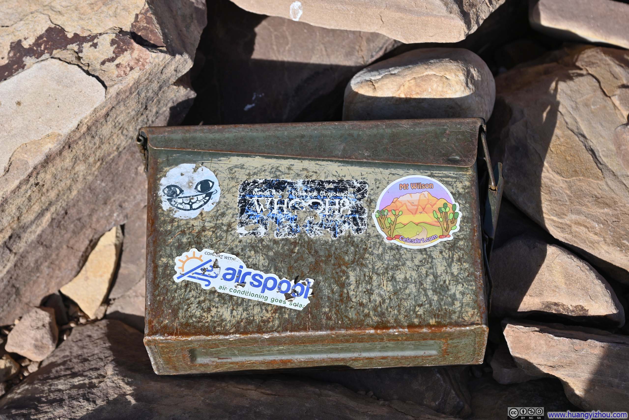
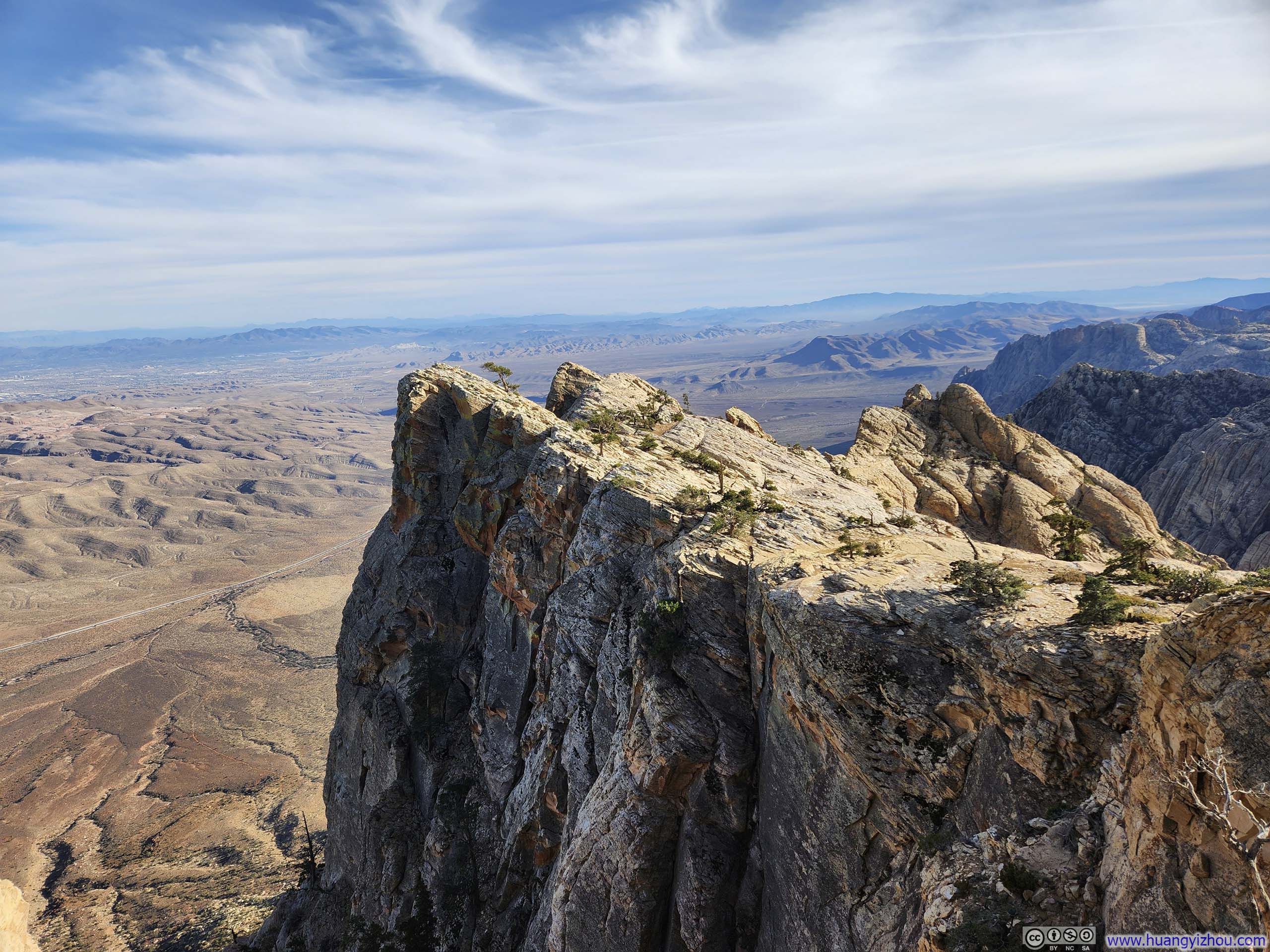
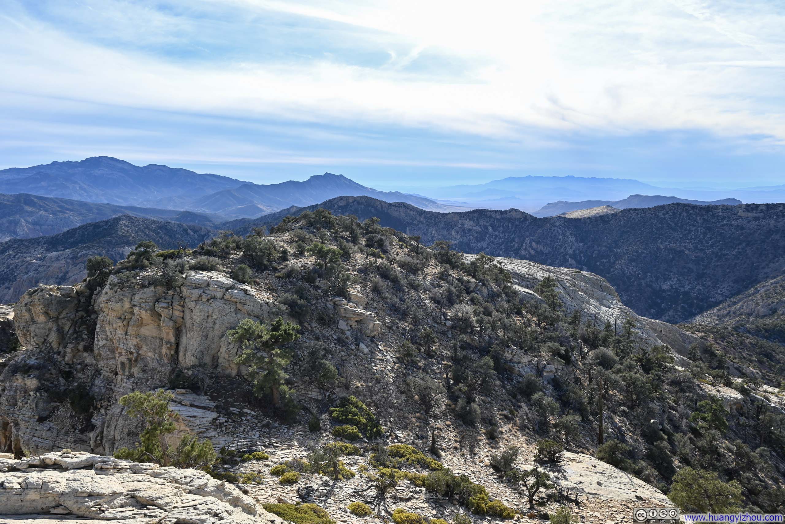
Finally, I reached the summit of Mt Wilson at 1:50pm. Since the Rainbow Mountains rose abruptly from the relatively flat Las Vegas Valley, the summit of Mt Wilson offered sweeping panoramic views of the entire metropolitan area, with the gleaming highrises of Las Vegas Strip parading the center stage amidst the tapestry of sprawling suburbs, and glimpses of Lake Mead shimmering in the distance. I would say, it's sure a view worthy of all the efforts navigating through First Creek Valley.
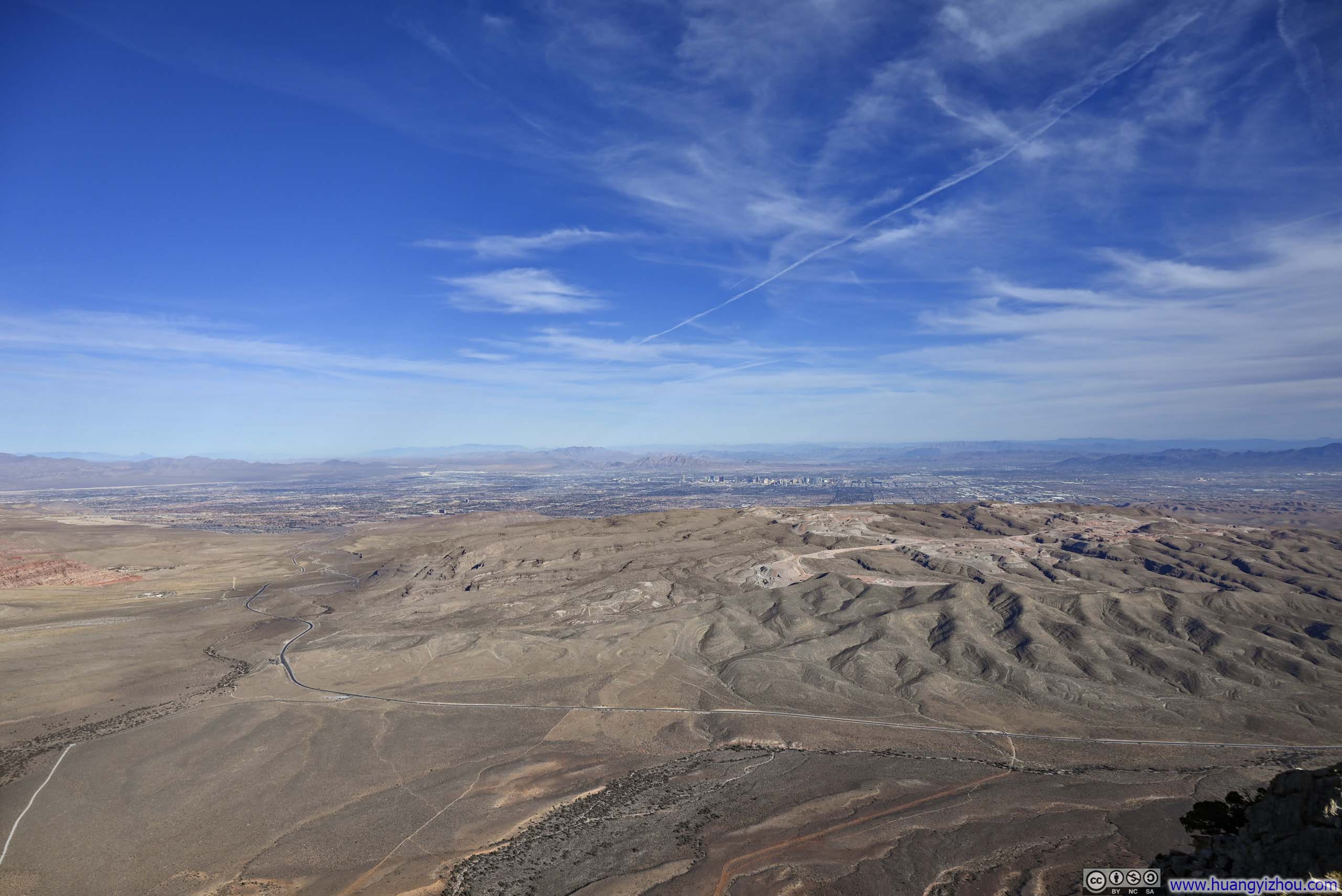
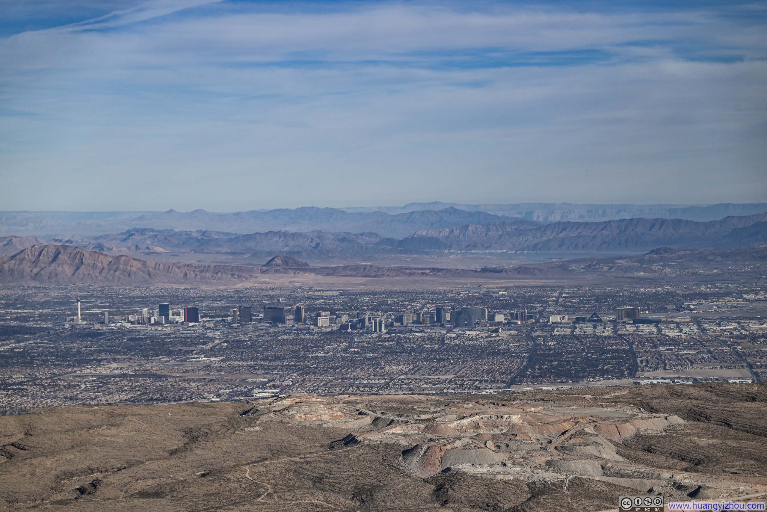
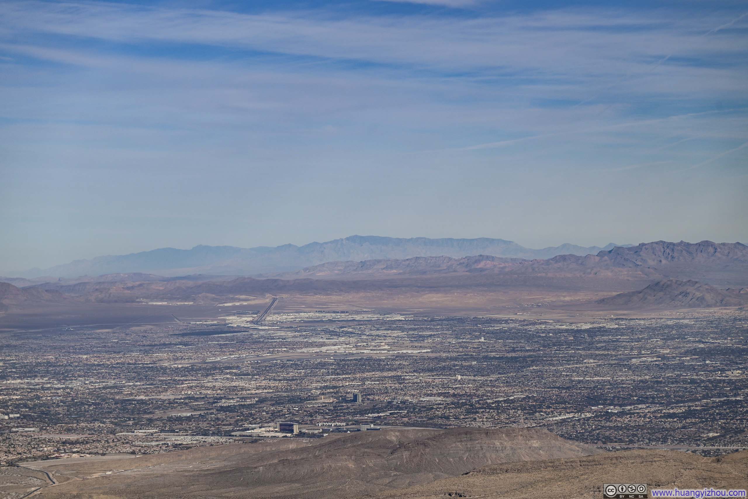
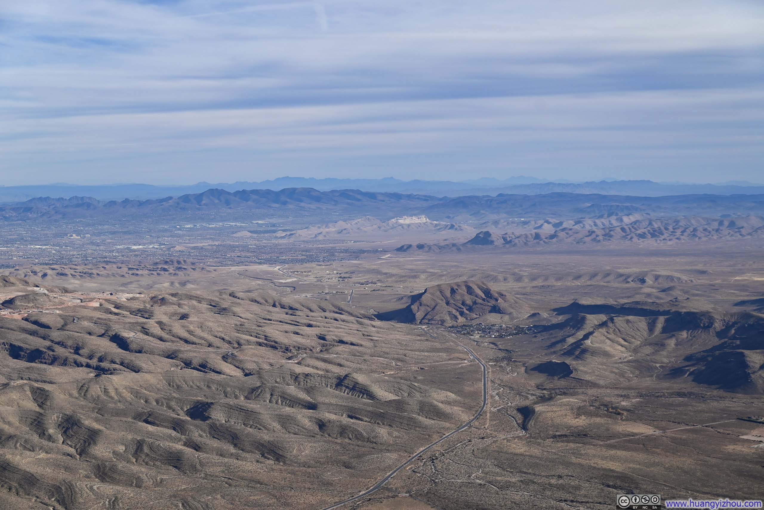
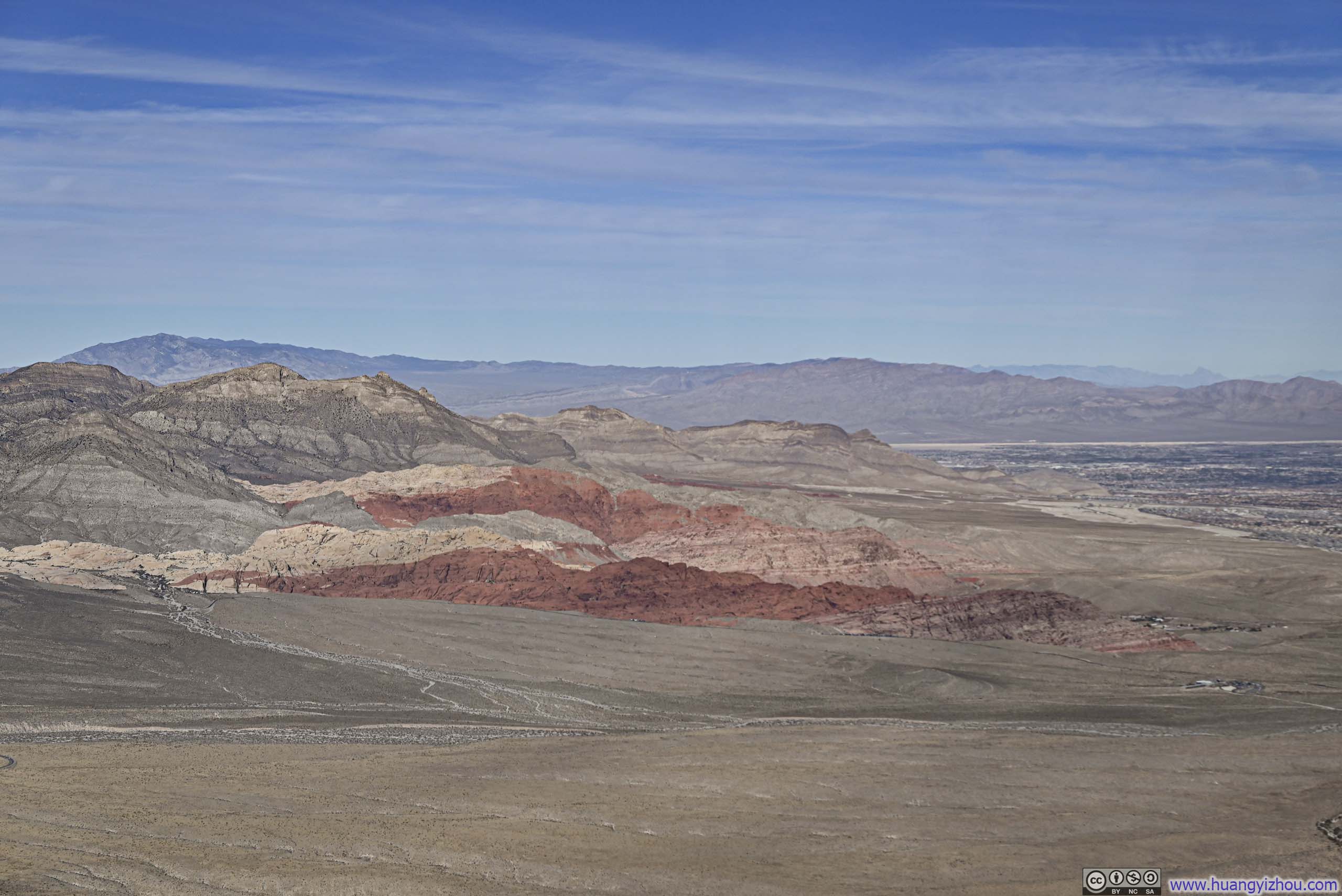
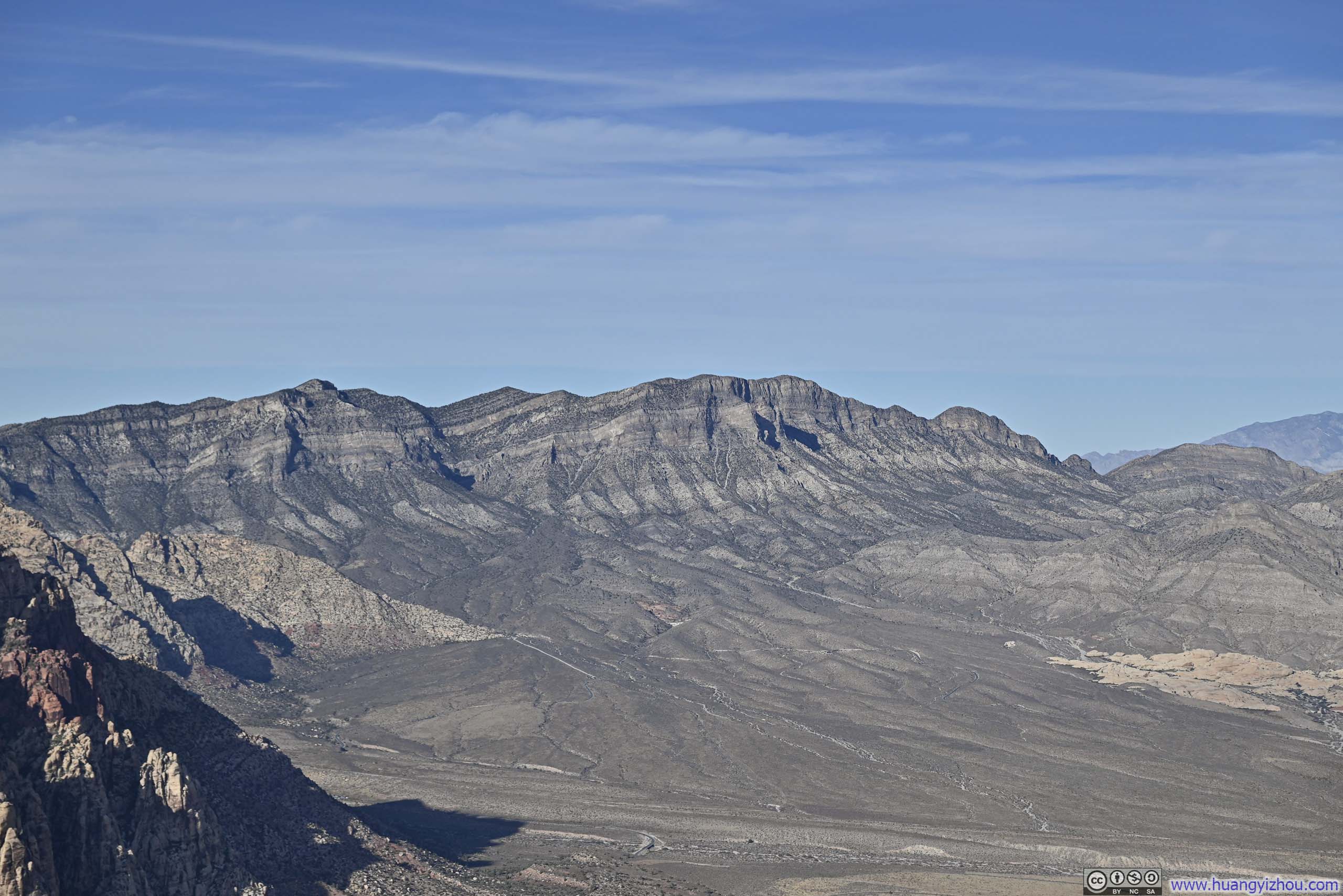
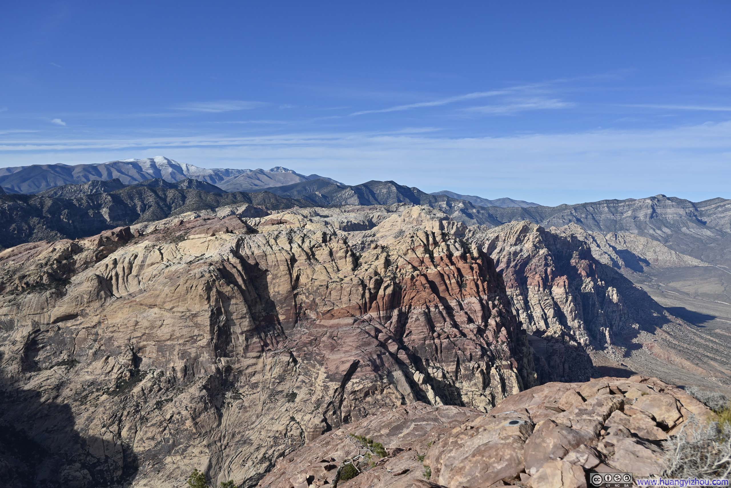
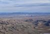
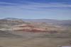
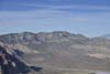
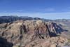
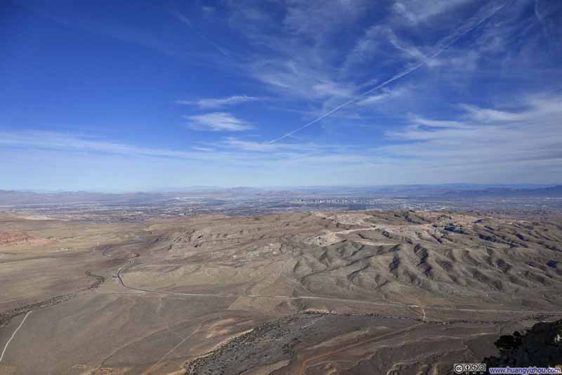
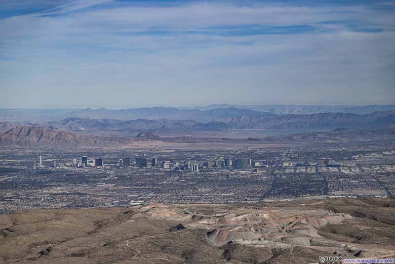
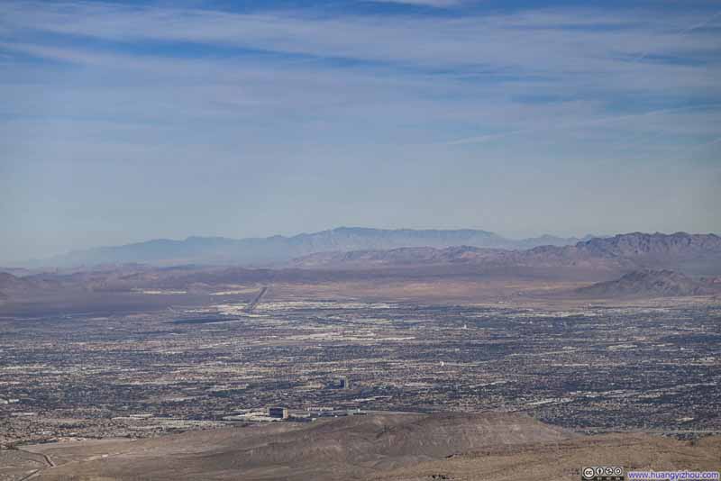
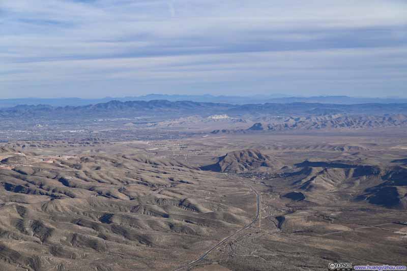

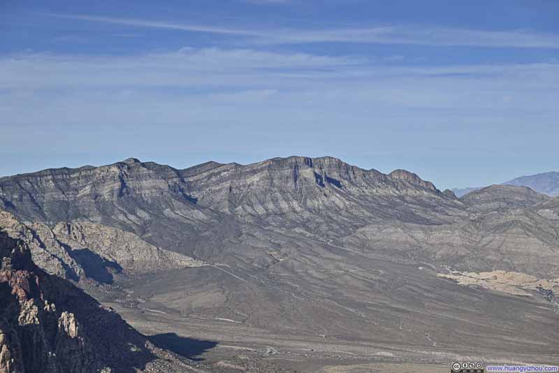
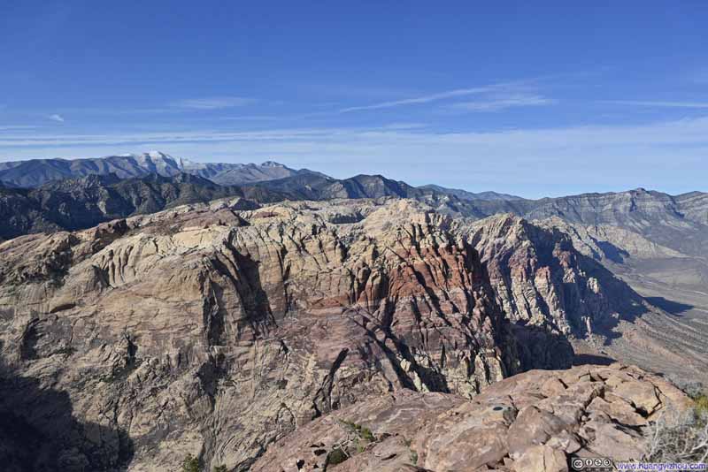


View from Mt Wilson Summit
The vast expanse to the east, taken at 54mm (top) and 120mm (bottom).
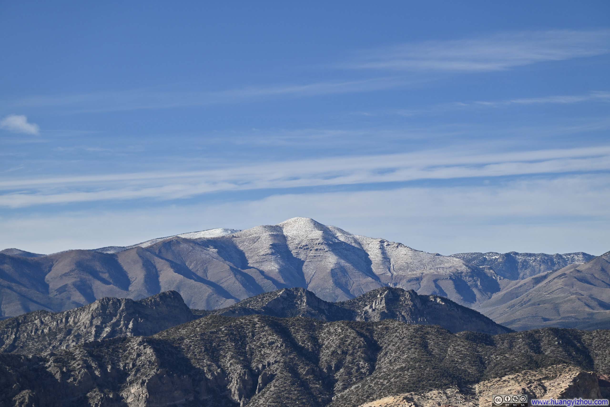
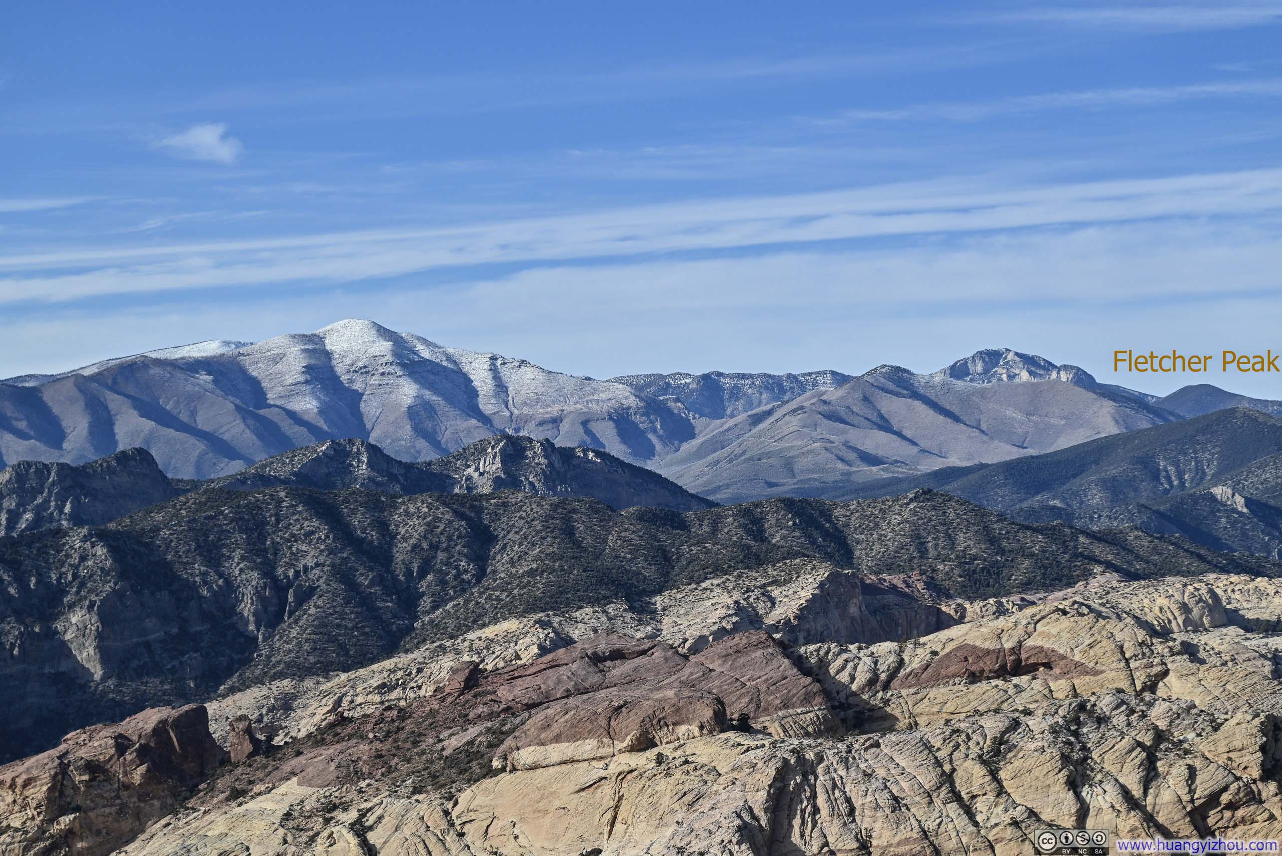
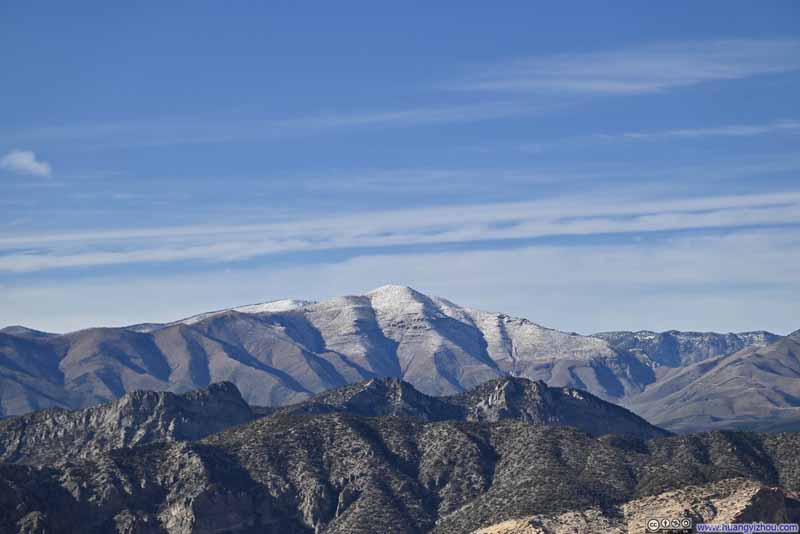
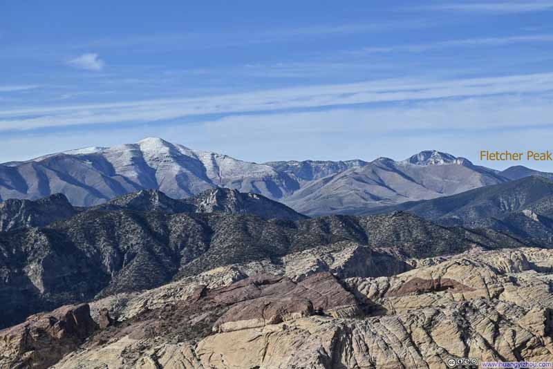
In addition, the summit of Mt Wilson offered views of snow-capped Spring Mountains to the north, which I would check out the next day. Nearby, the south peak of Mt Wilson was a convenient tag-on for many hikers, but that's out of the question since I was mindful of fading daylight towards the end of my hike. Ultimately, I lingered at the summit for about only twenty minutes, enough time for some snacks and a few photos to savor the moment, before beginning my descent.
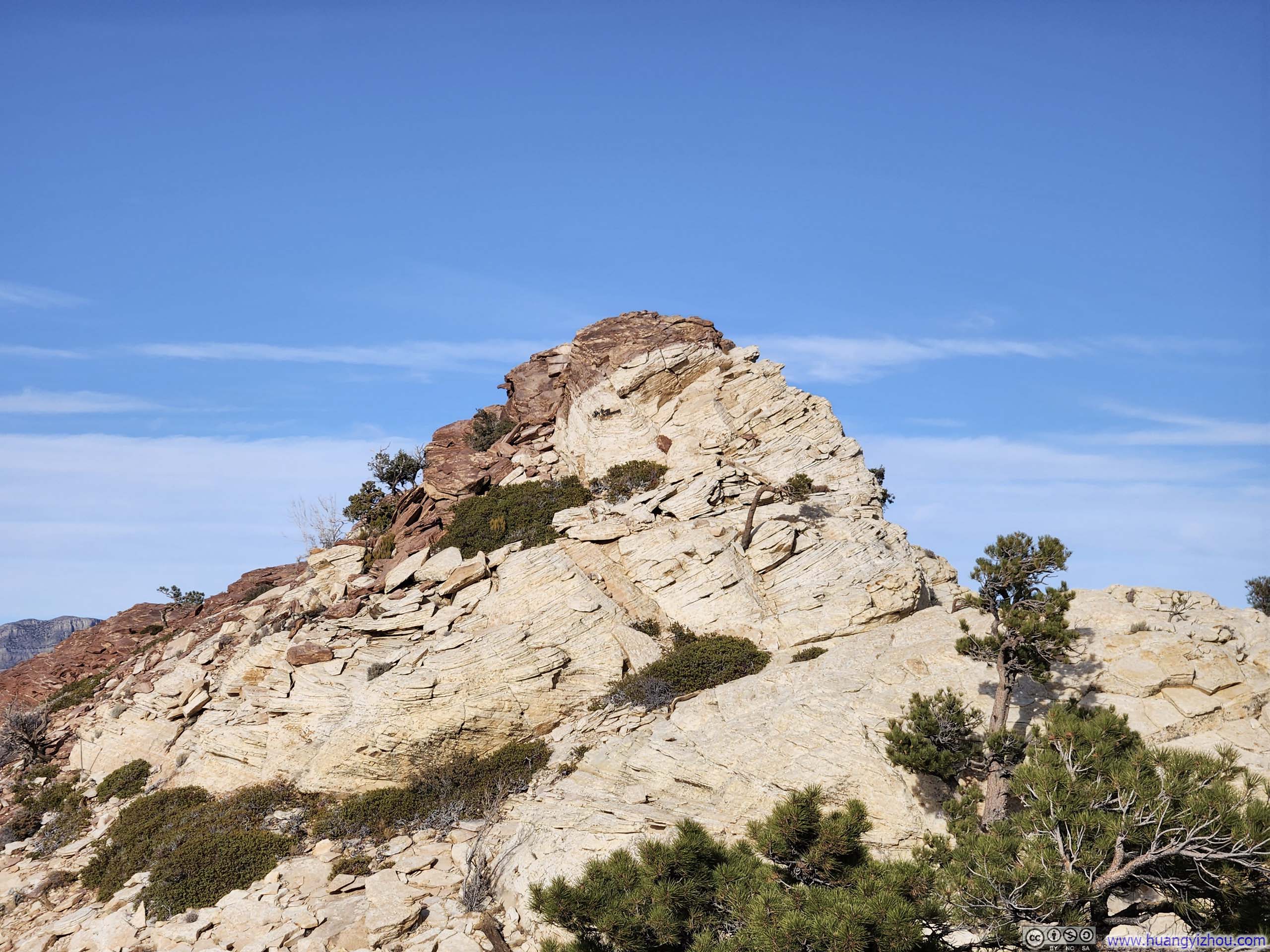
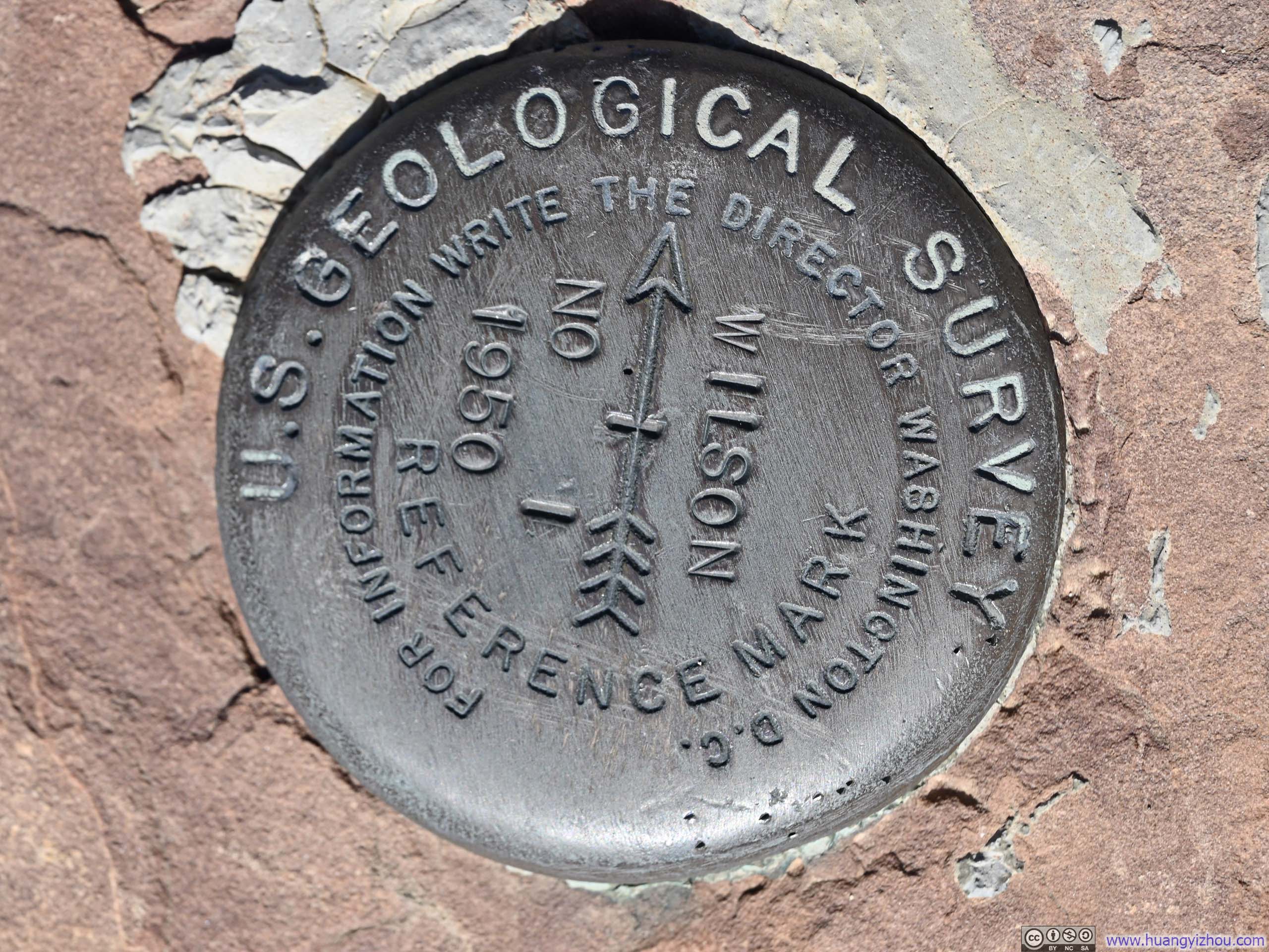

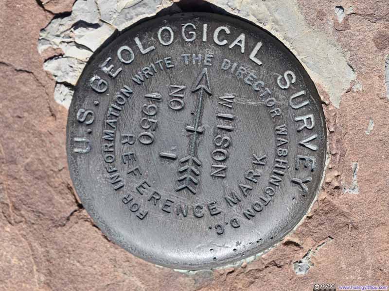
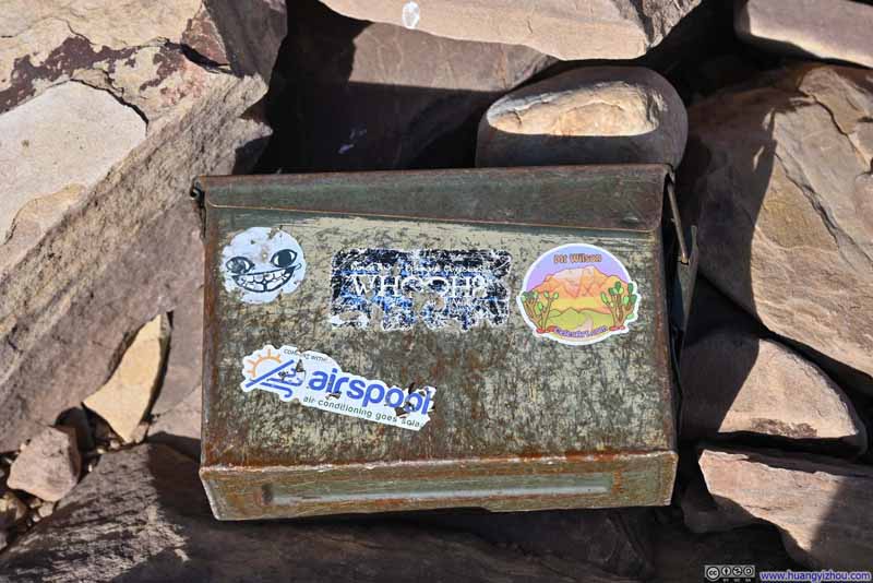
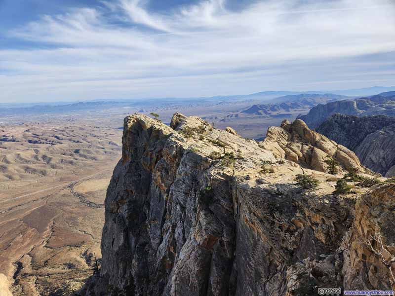
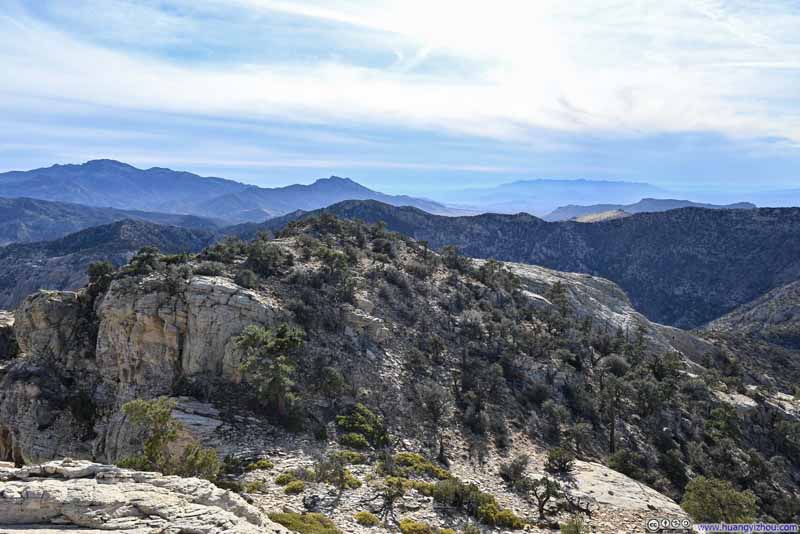
As previously mentioned, I used (instead of stowed) my hiking poles while descending through the valley, which turned out to be quite handy. About 3/4 of the way through the valley, I ran out of daylight and had to rely on my cell phone's flashlight. Fortunately, by that point, I had already passed the more technical sections of the valley, so this limited illumination sufficed.
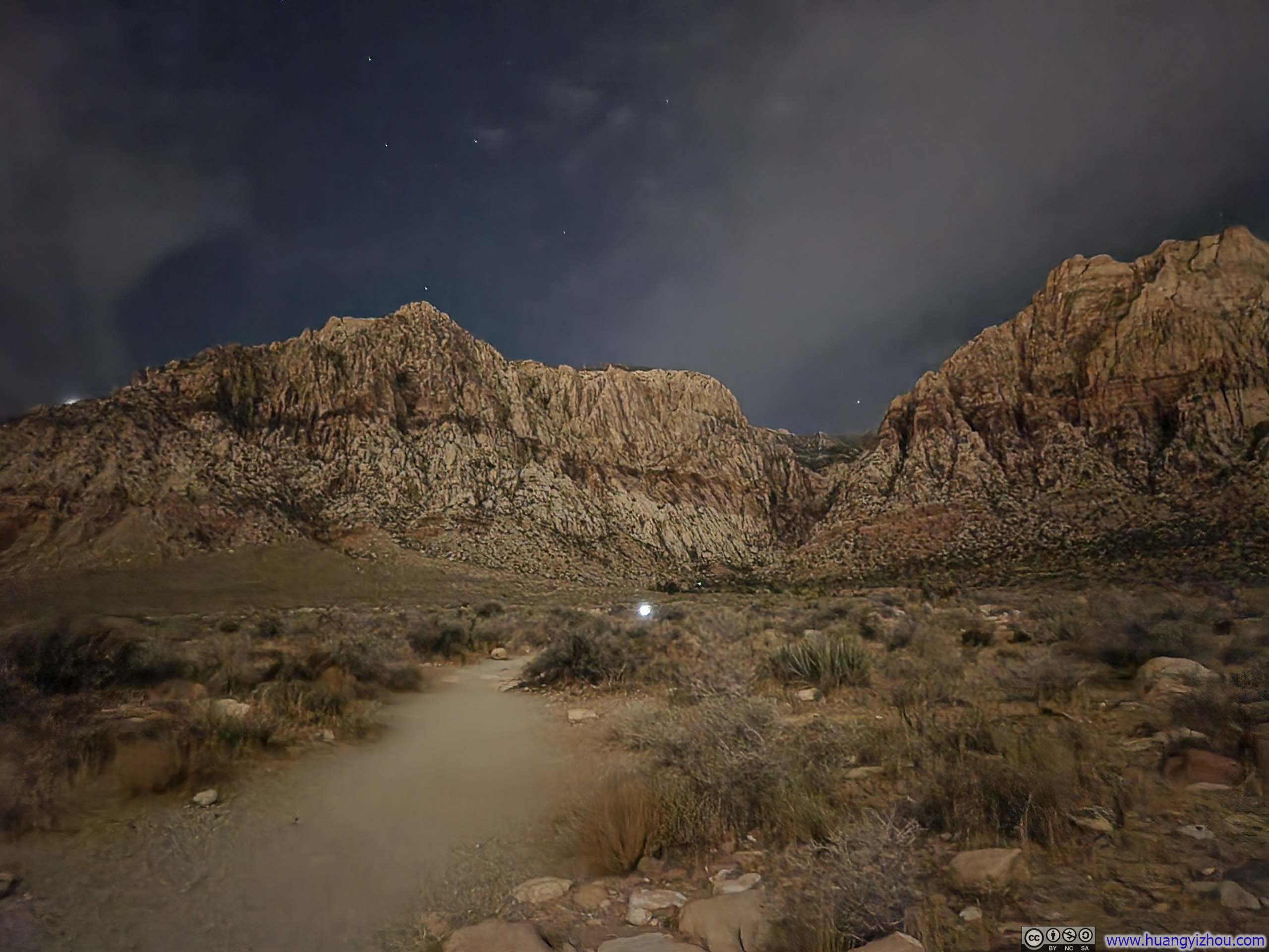
In the end, I was back in my car at 6:10pm, concluding the hike.
END