Hiking Baldface Circle
Late August 2025, I headed to New Hampshire and hiked its popular Baldface Loop.
Unlike last year, it turned out that summer weekends this year were very busy for me. As a result, this hike of Baldface Loop on Aug 23 was the only "local" hike in the northeast that I took in the entire July-September period.
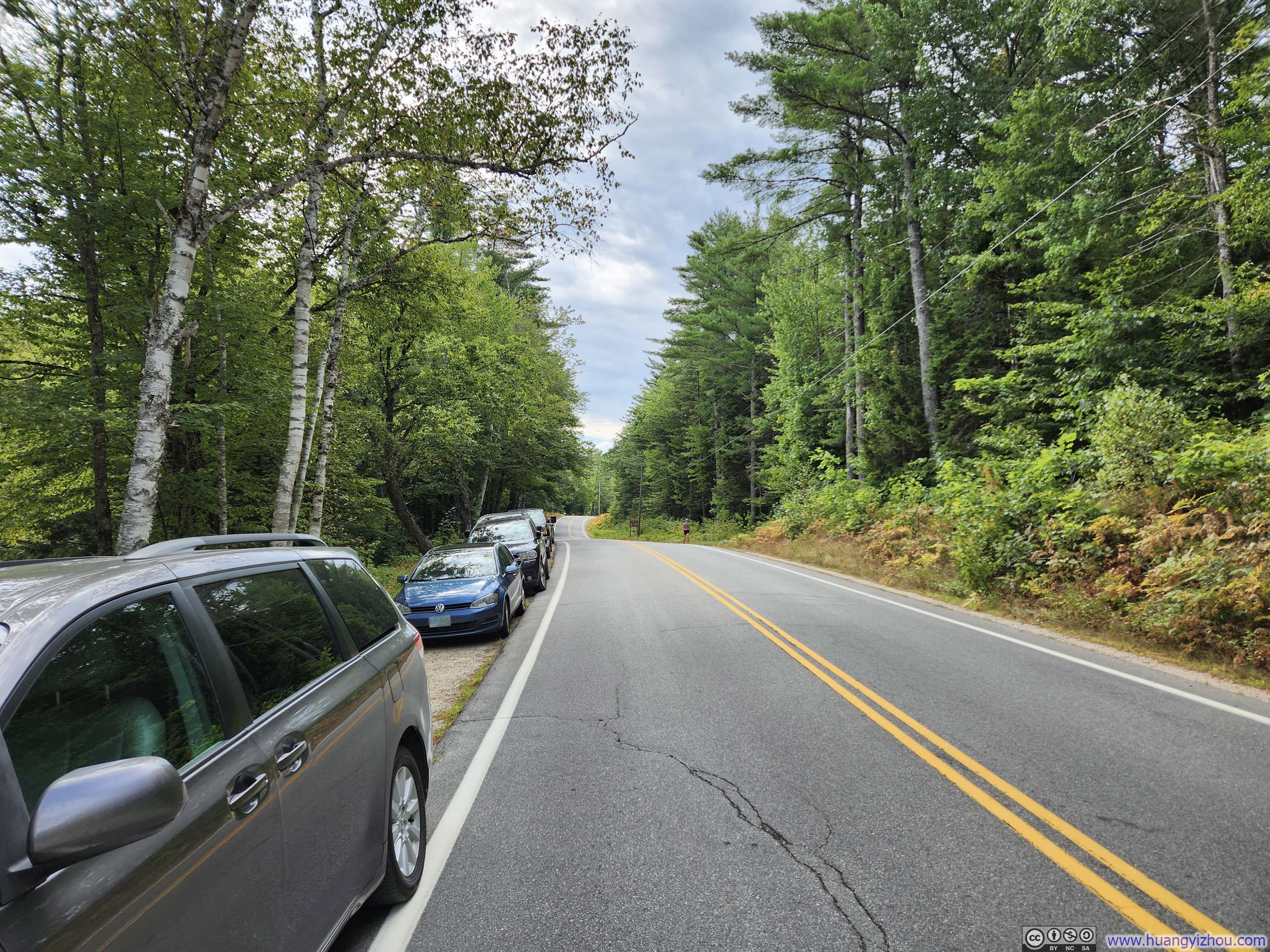
Located on the northeastern part of New Hampshire's White Mountains, the trailhead for this hike was a bit of out the way for me to reach from Boston, taking me a 3-hour drive instead of the more typical 2-hour one to reach the range's more accessible areas, such as Franconia Ridge or Waterville Valley. (This extended driving time might well reflect my gradual depletion of worthy outdoor destinations closer to home.) (Also, I had been stuck behind some slow traffic for much of NH Route 16 since Rochester, which certainly didn't make for the most enjoyable morning.)
After some warmup, I started the hike at 10:45am. Here's GPS tracking:
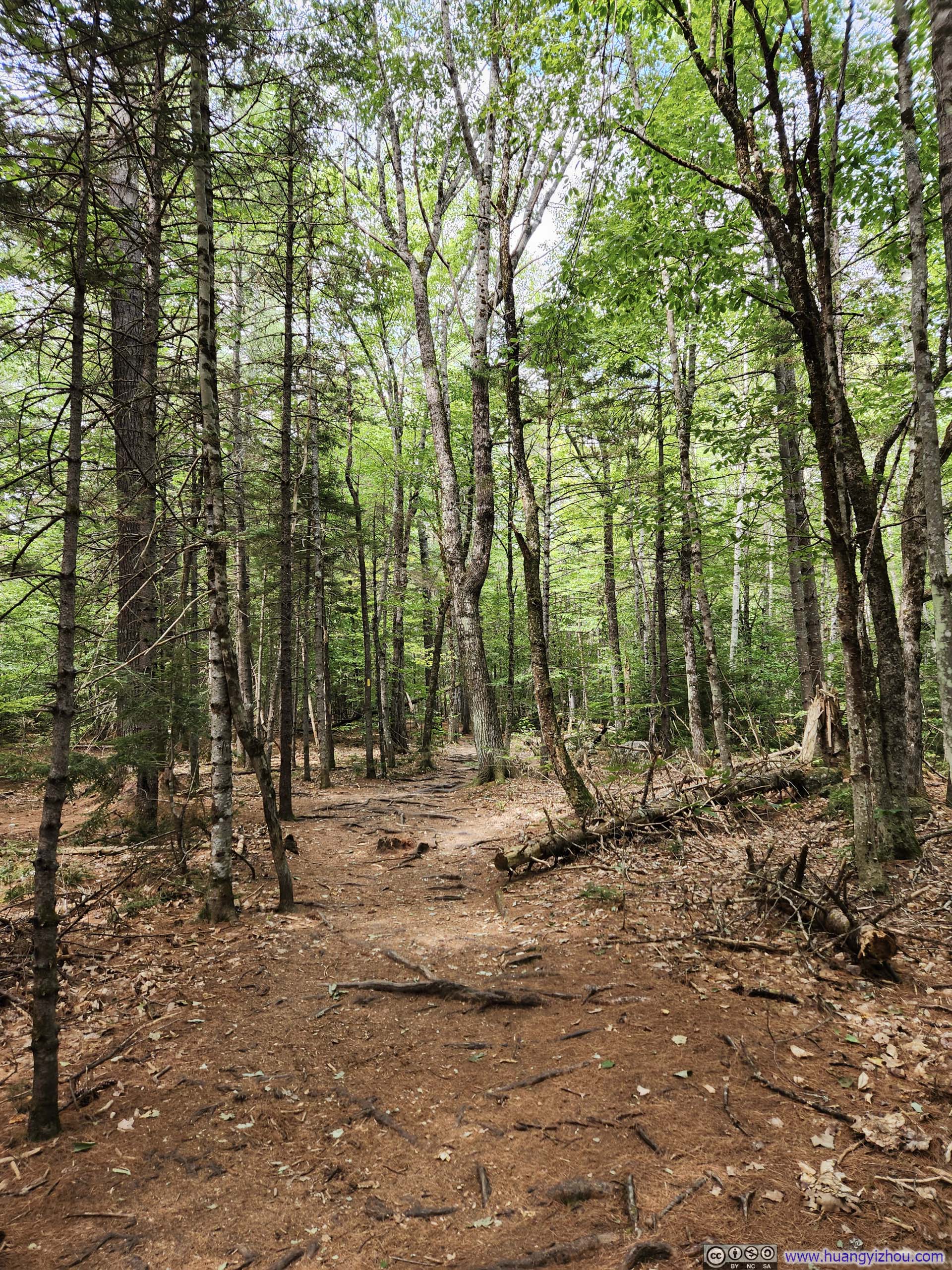
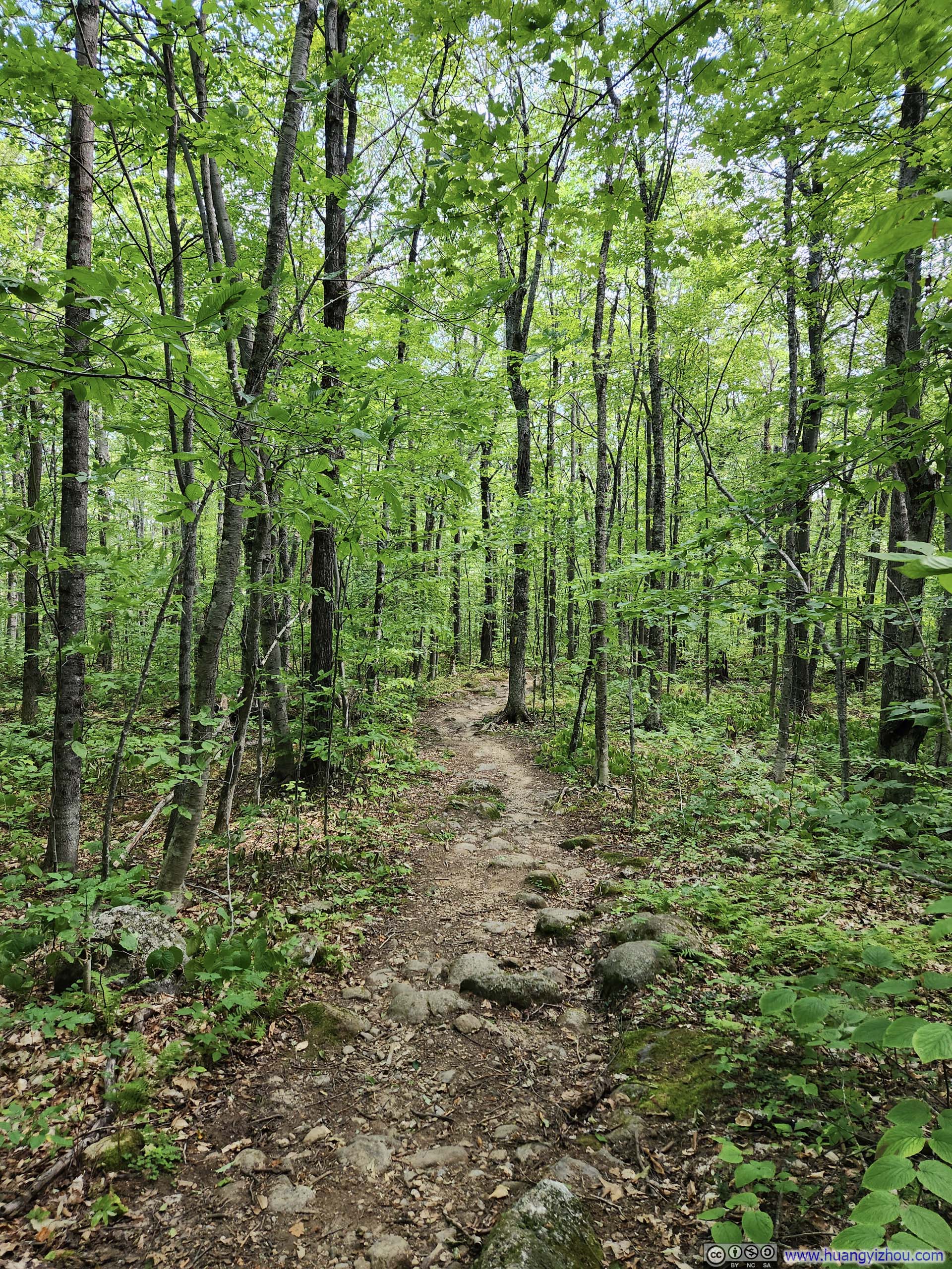
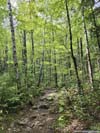
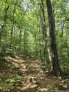
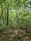
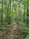
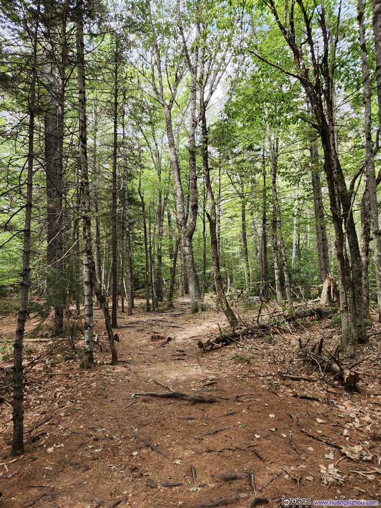
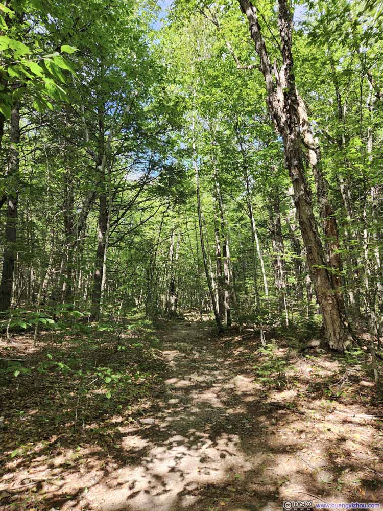
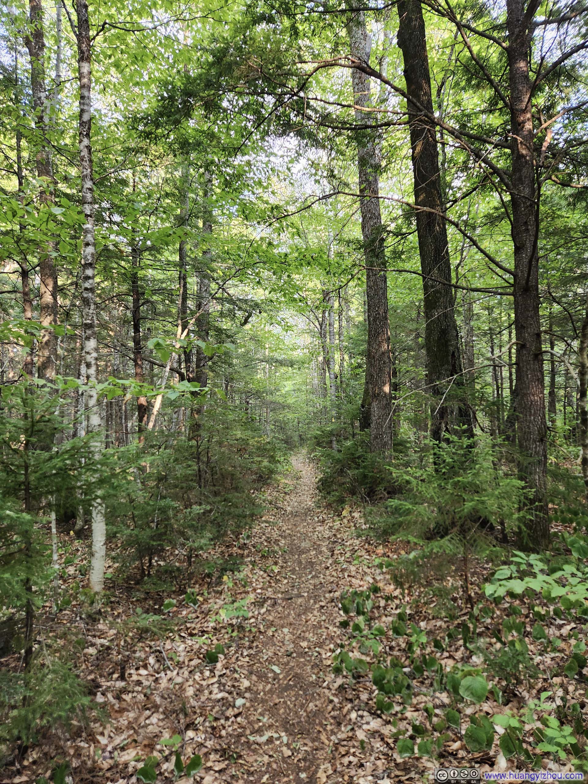
The trail started as a casual walk in the woods for about 1.2km (0.7mi) to an intersection near Emerald Pool, before forking into two branches. I made a slight left here, opting to traverse the loop clockwise—the recommended direction, as it would take me upward along the most technical "ledges" section toward South Baldface.
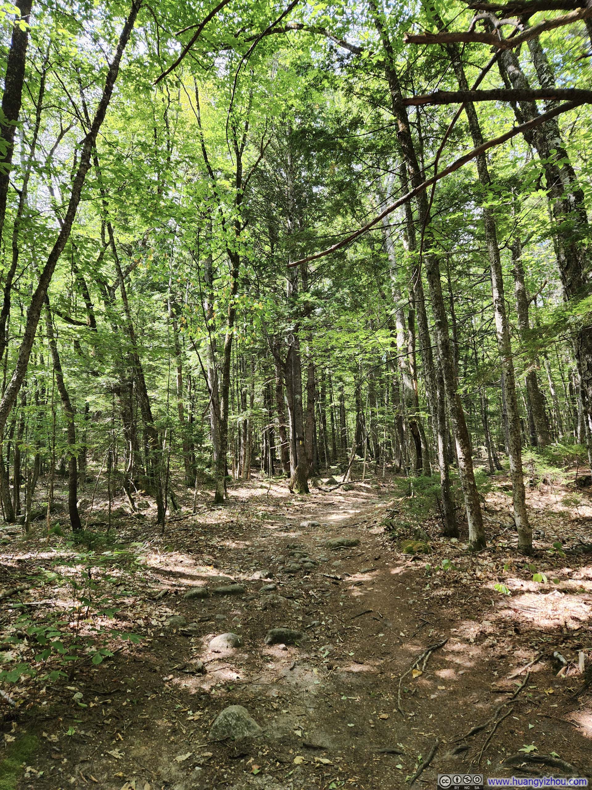
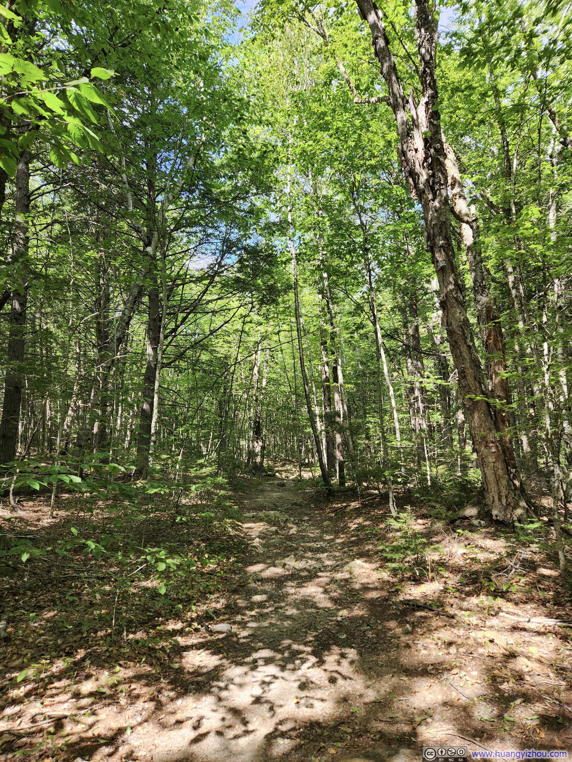
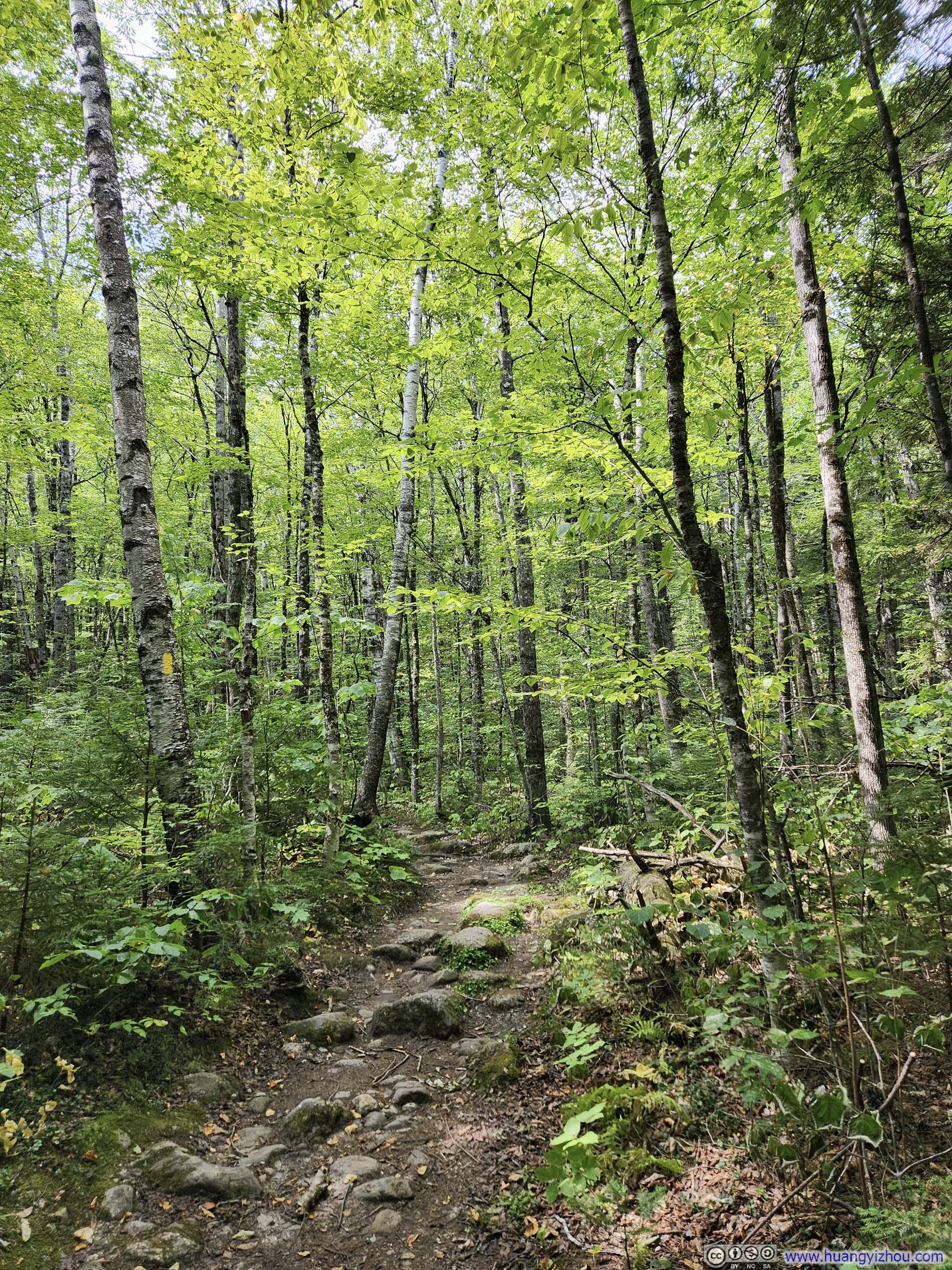
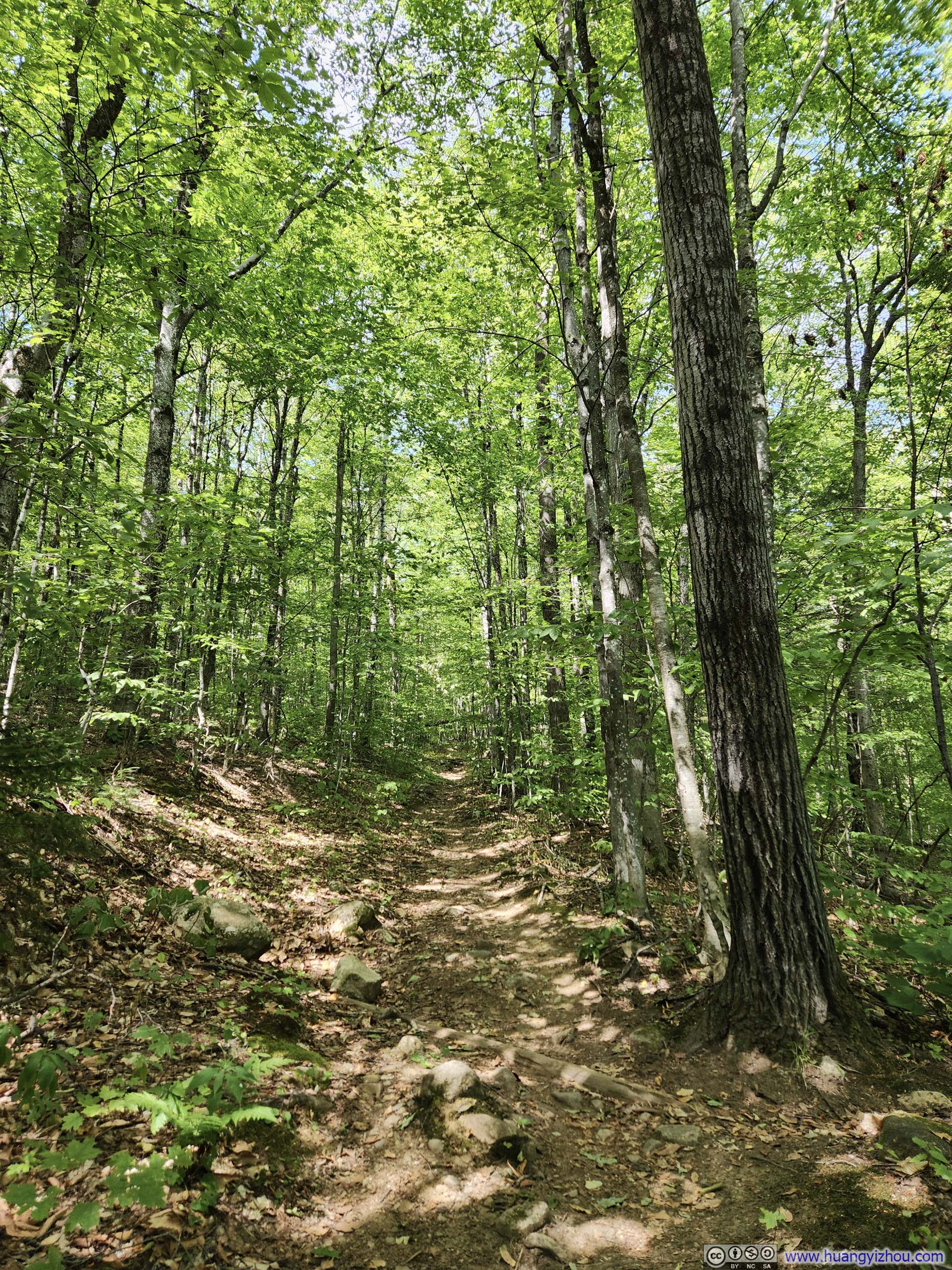
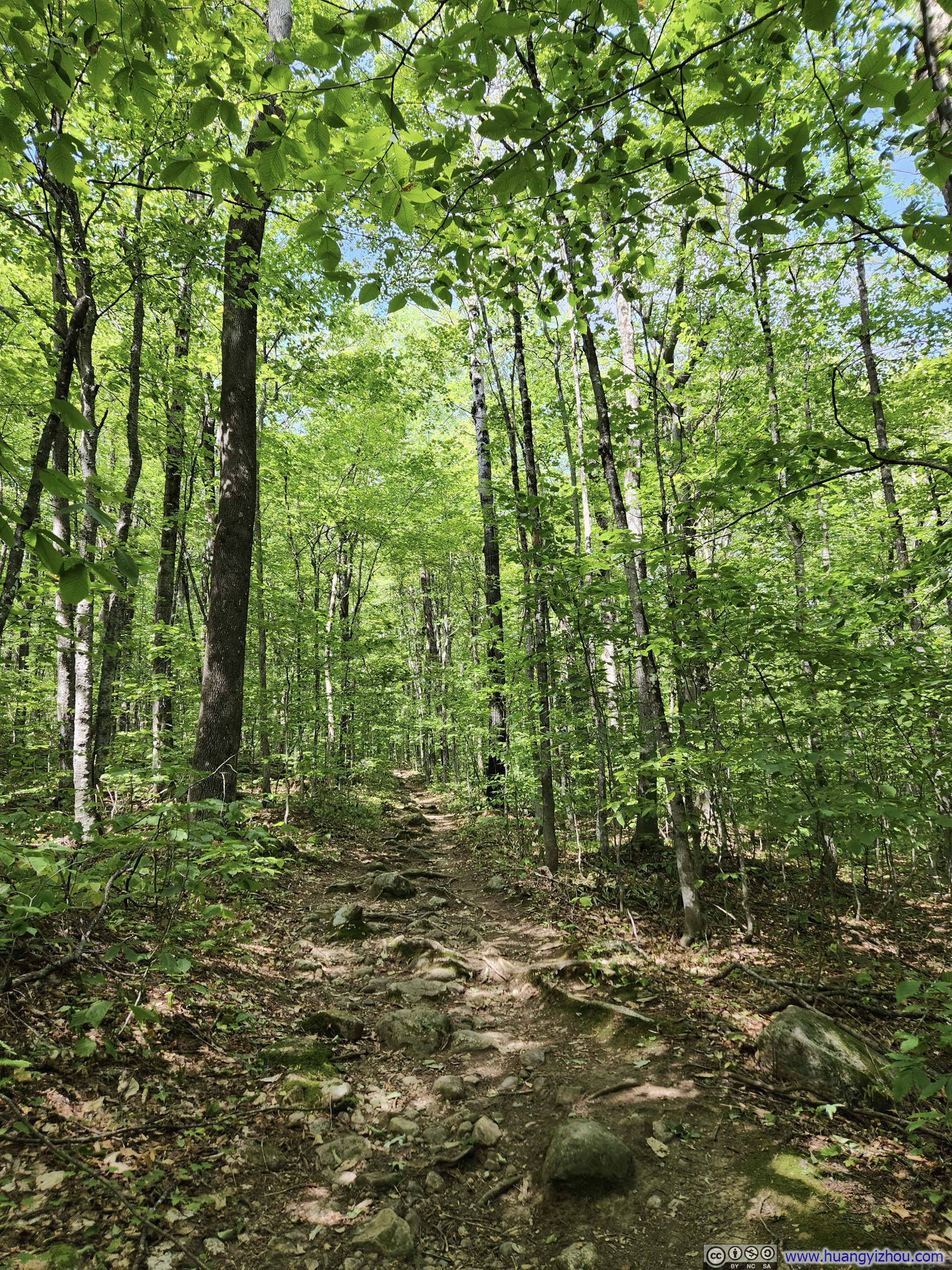
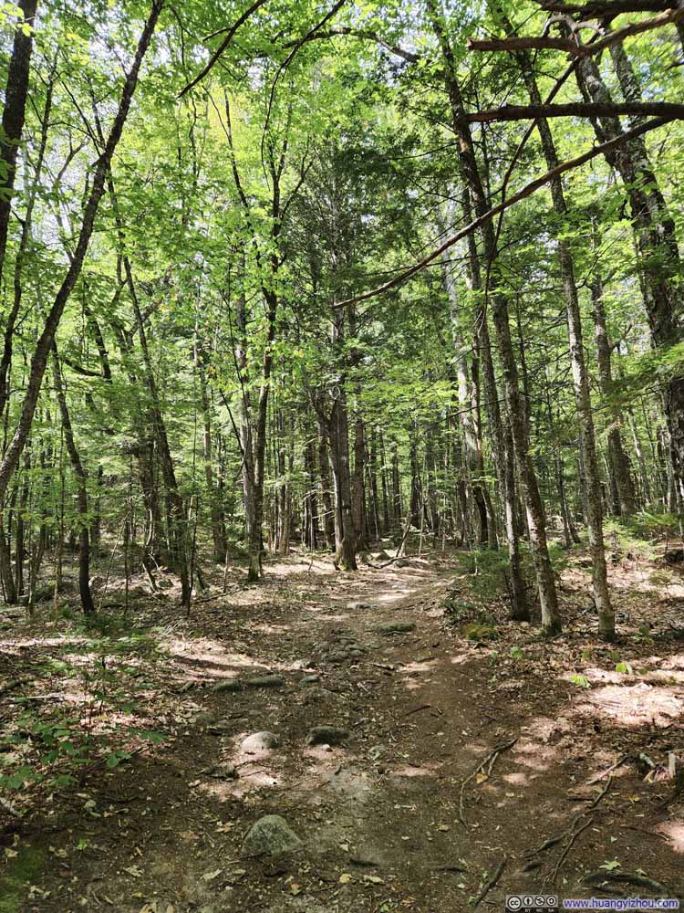
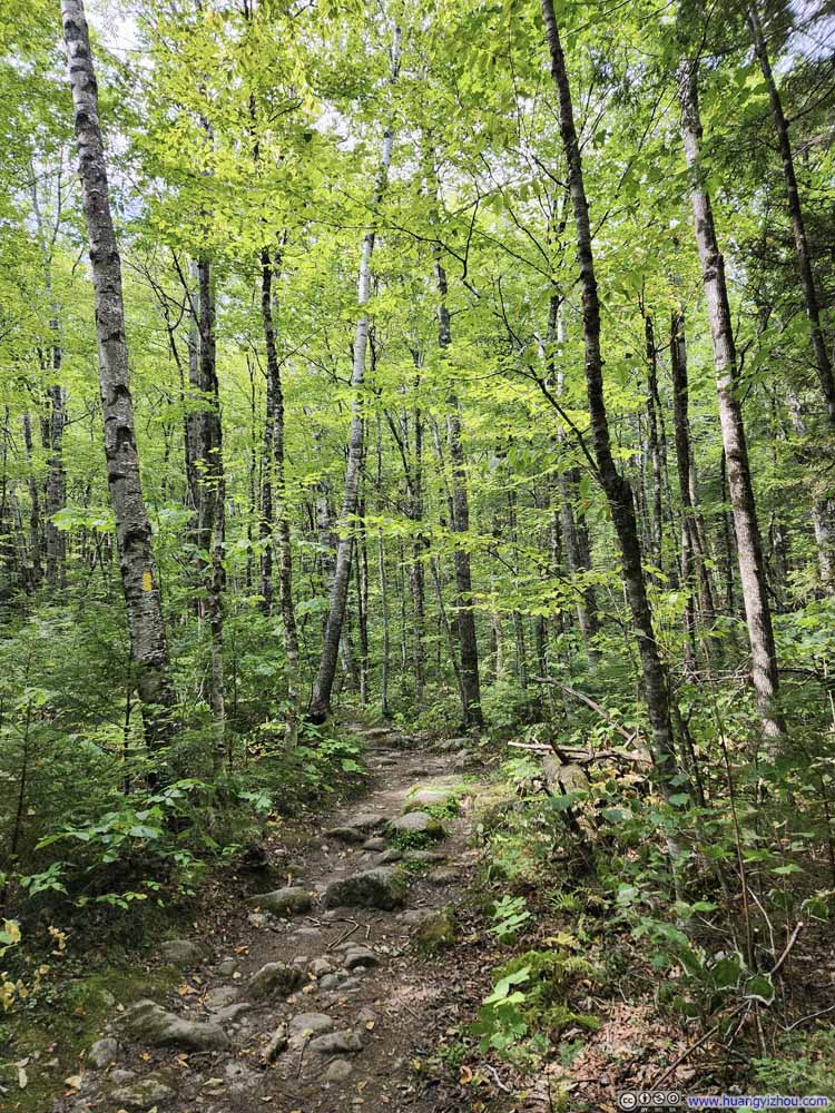
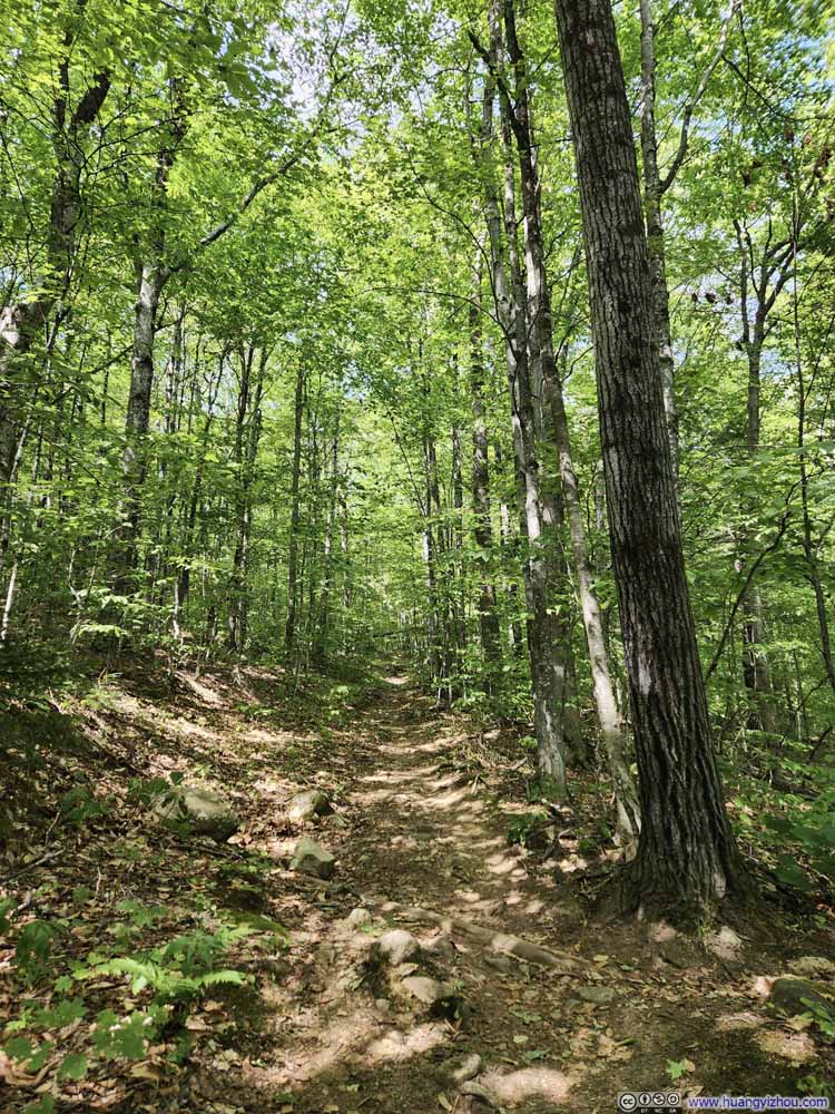
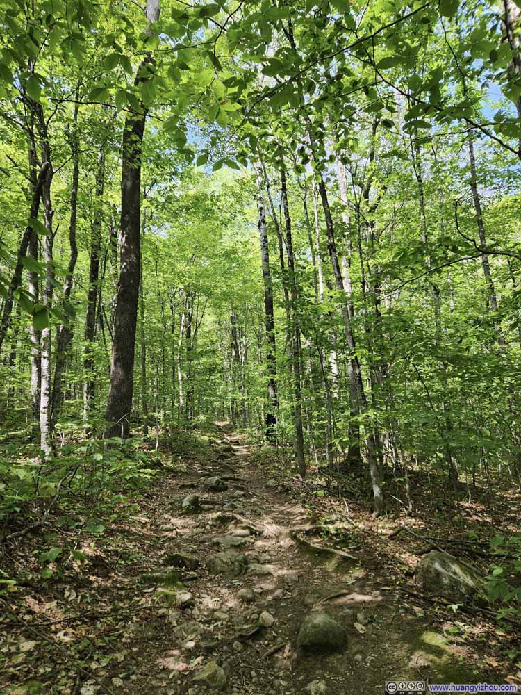
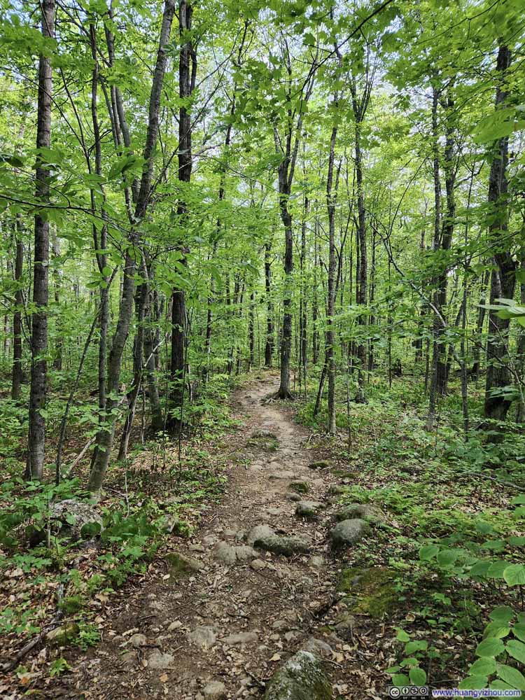
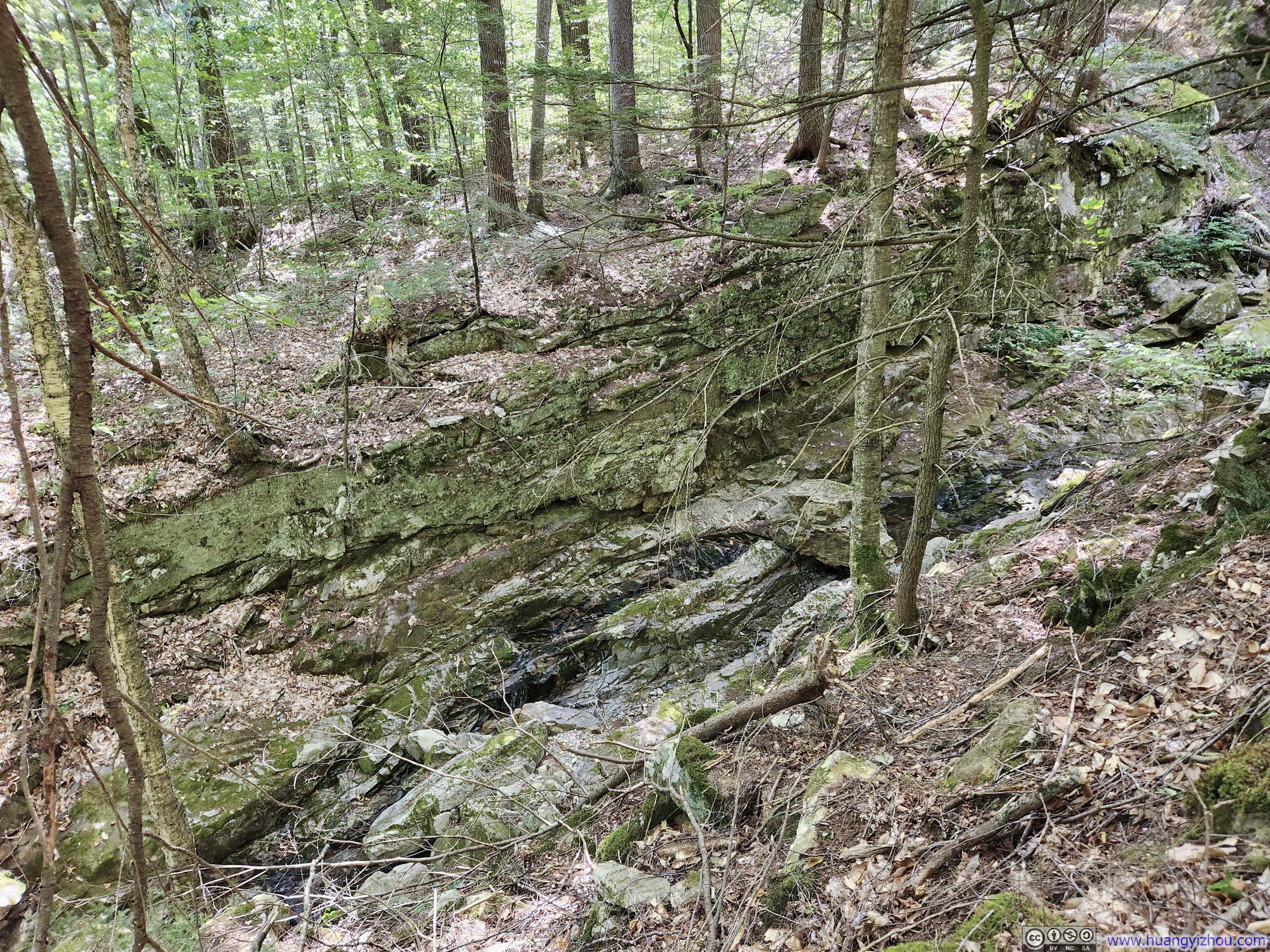
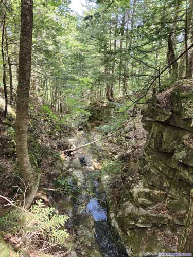
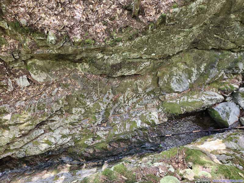
About 1.9km (1.2mi) into the hike, the trail forked again, presenting an option to visit Chandler Gorge—a detour I decided to take. The trail to Chandler Gorge was a bit narrower than the main trail, and much steeper immediately leaving the gorge. As for the gorge itself, time had softened its granite walls with a verdant covering of mosses and vegetation, rendering it rather unassuming until one drew quite near. A modest overlook afforded views to appreciate the gorge's geometry, though the attraction was admittedly brief. Overall, I wouldn't regret it had I skipped the gorge along the main trail to South Baldface.
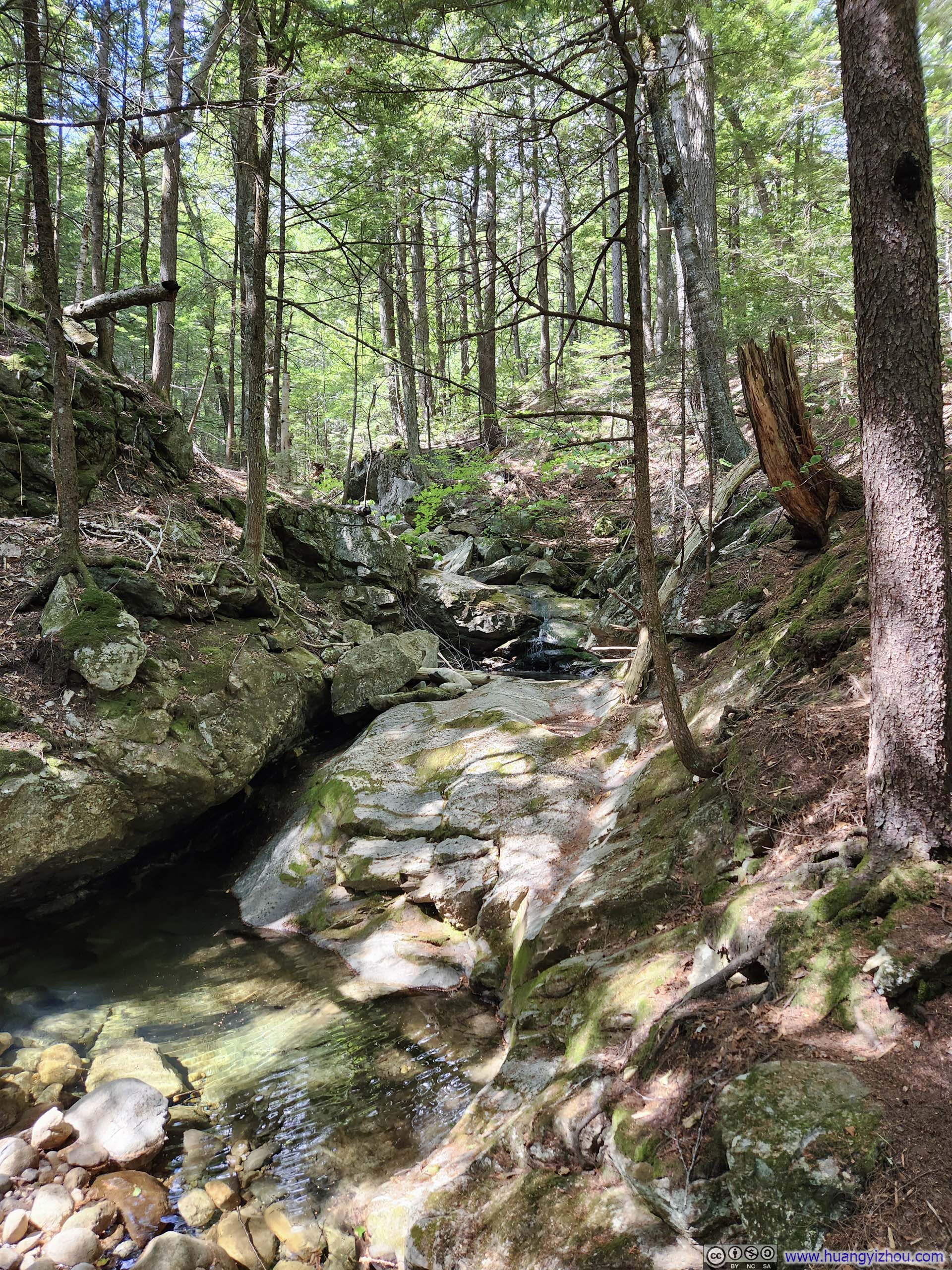
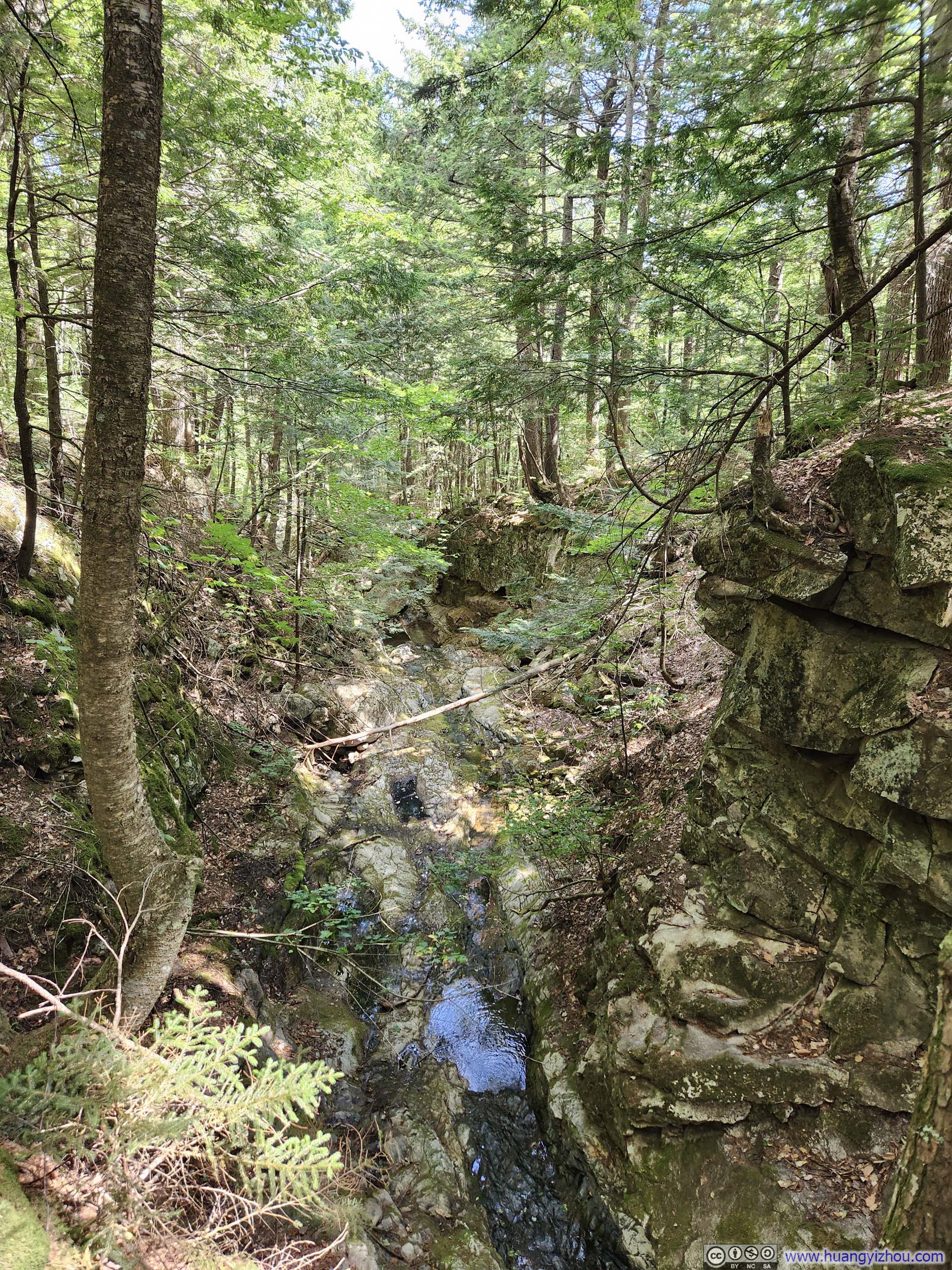
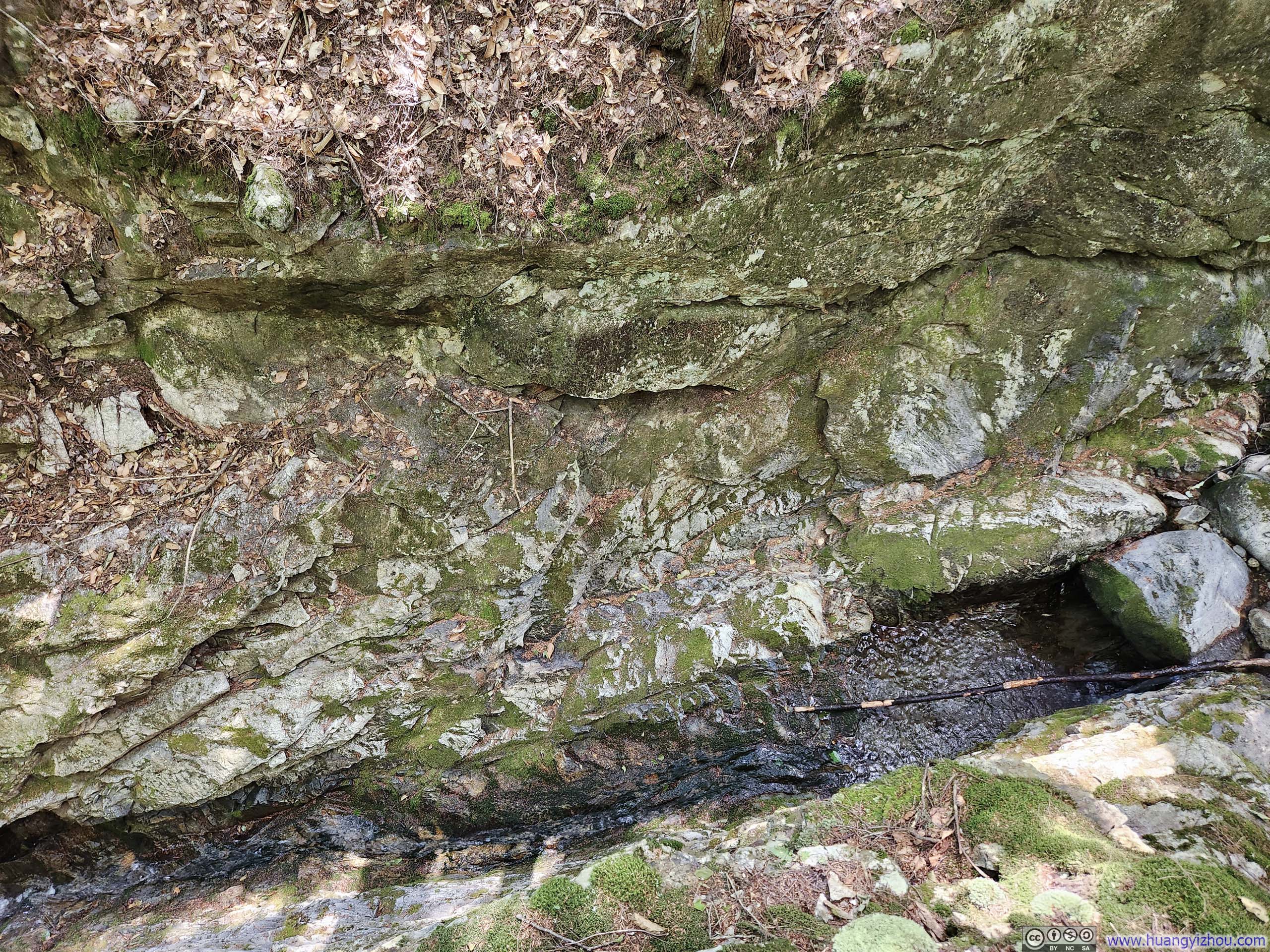
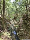
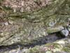
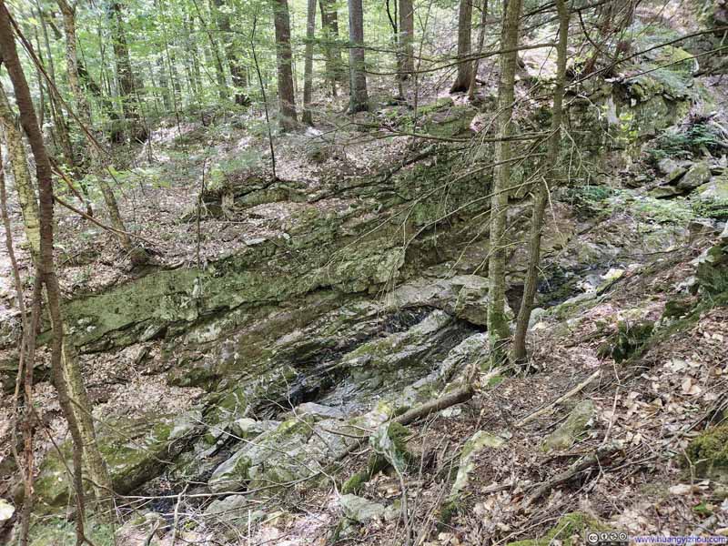
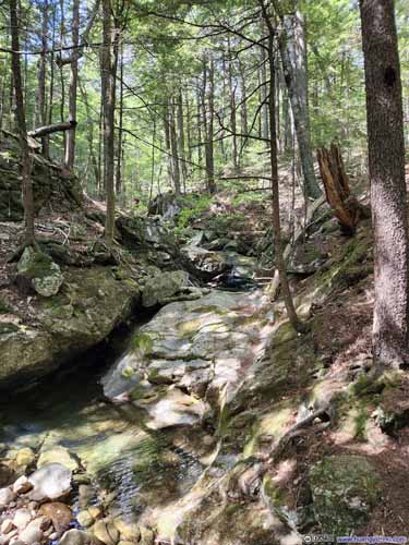
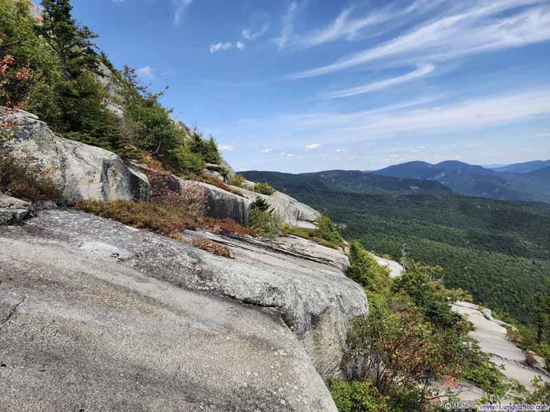
Including the detour to Chandler Gorge, my casual walk in the woods ended when I reached South Baldface Shelter, about 4.5km (2.8mi) from the trailhead. The section of the trail after that was named "Ledges", a steep ascent requiring some scrambling (entry level YDS class 3).

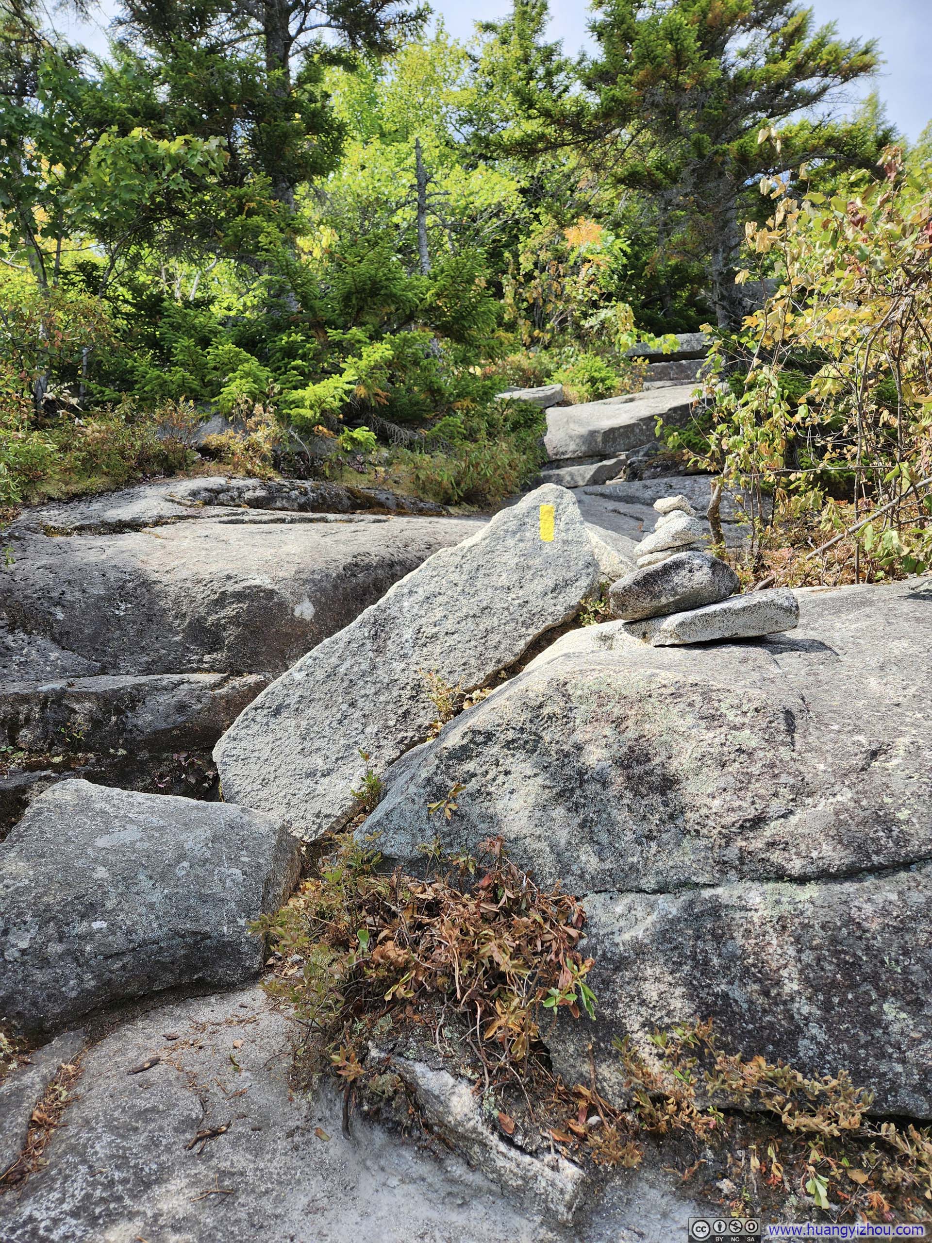
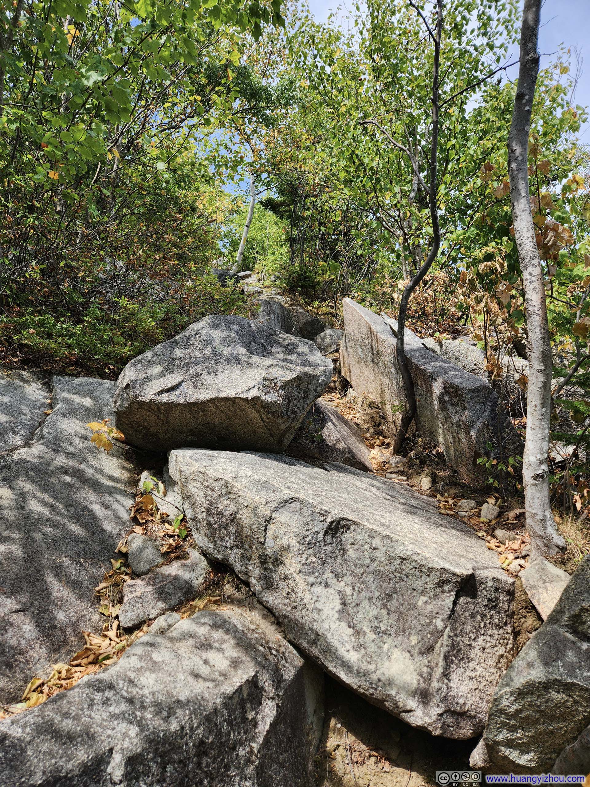
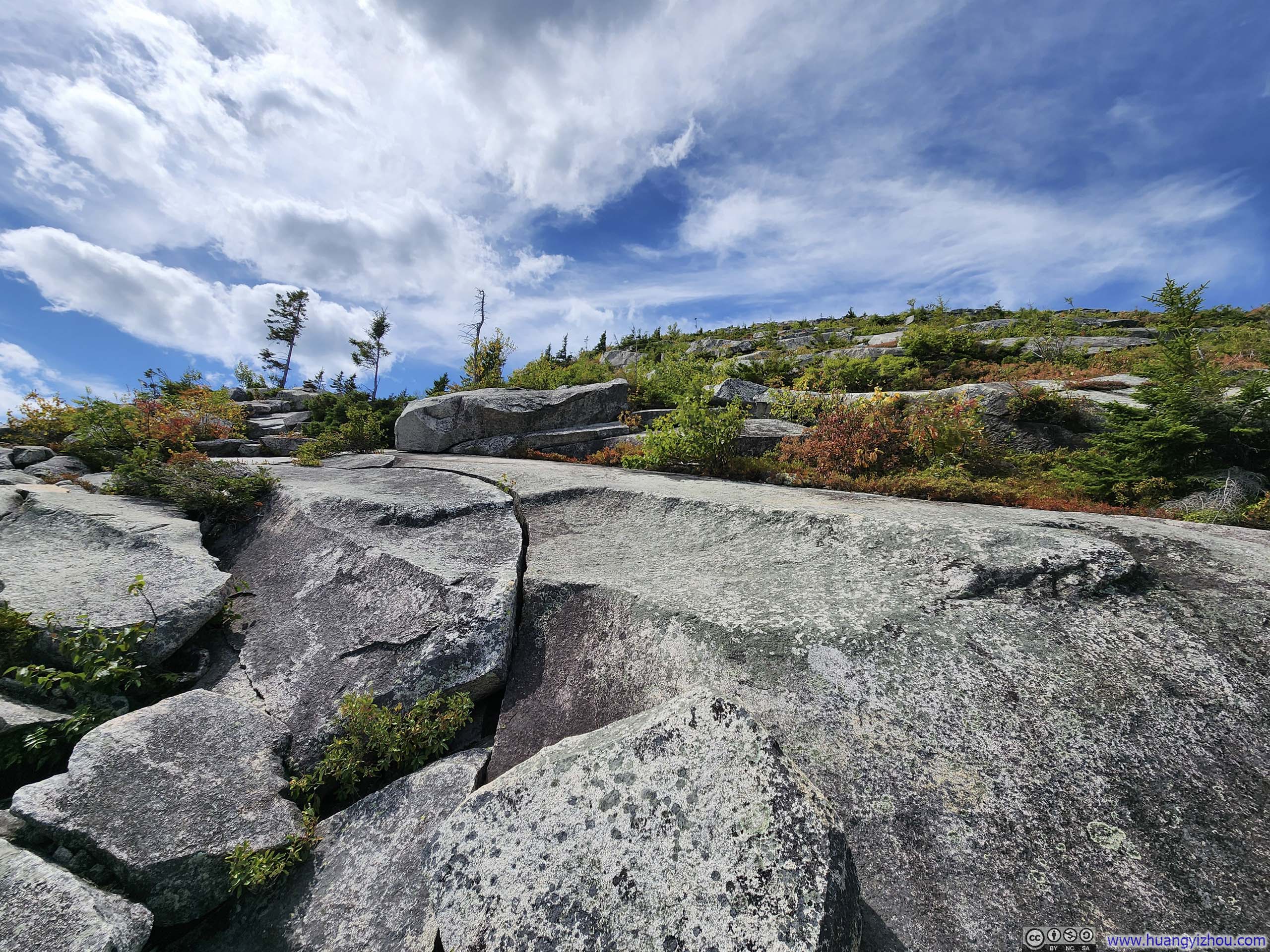
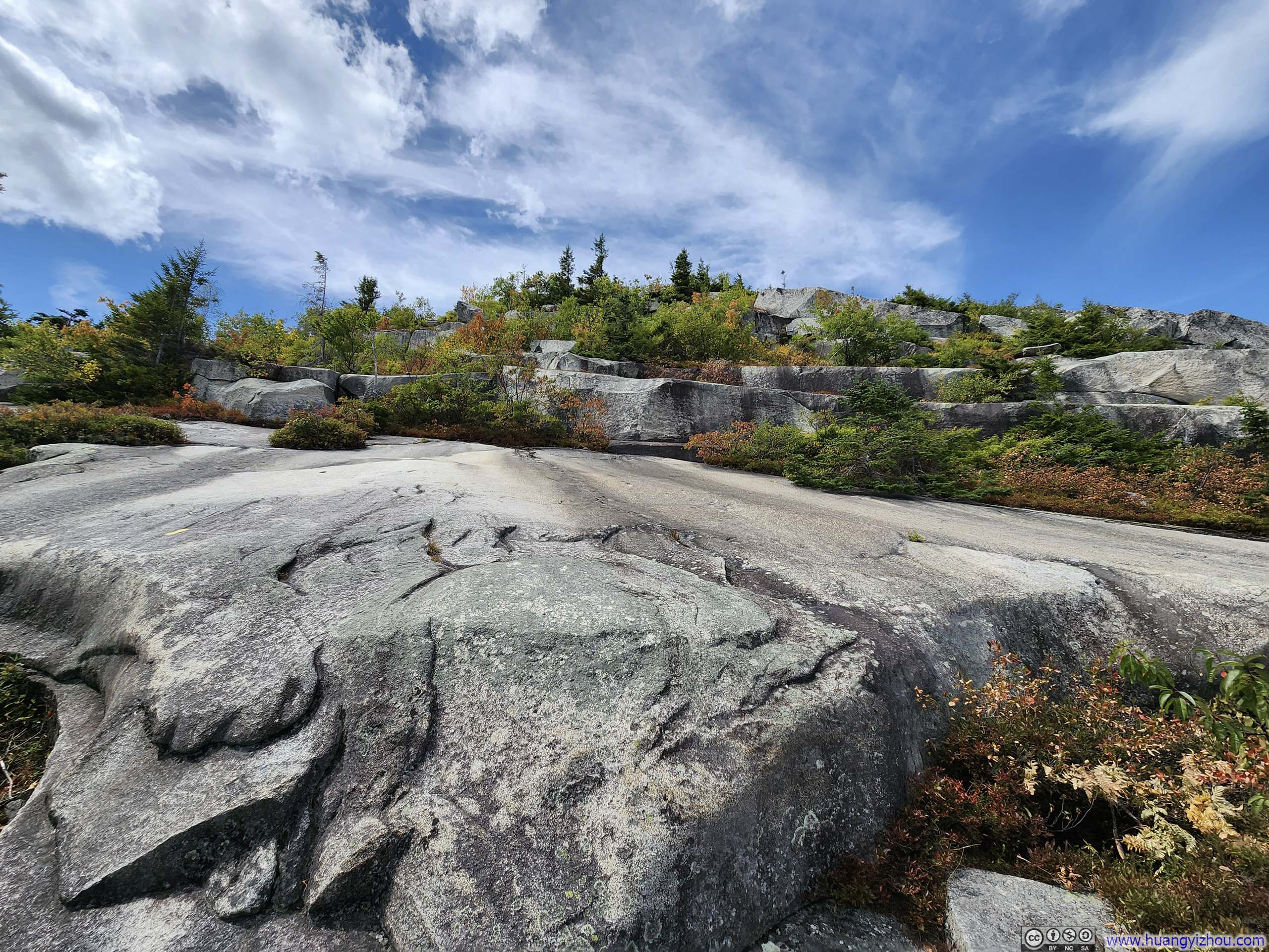
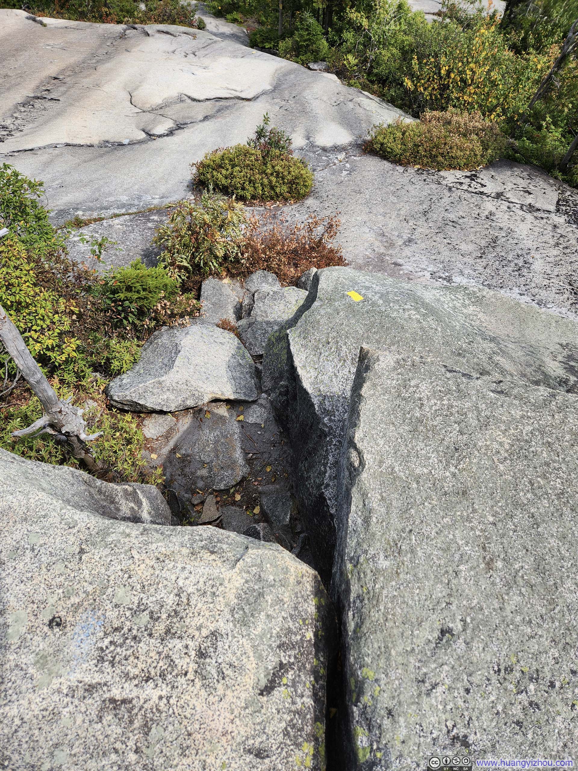
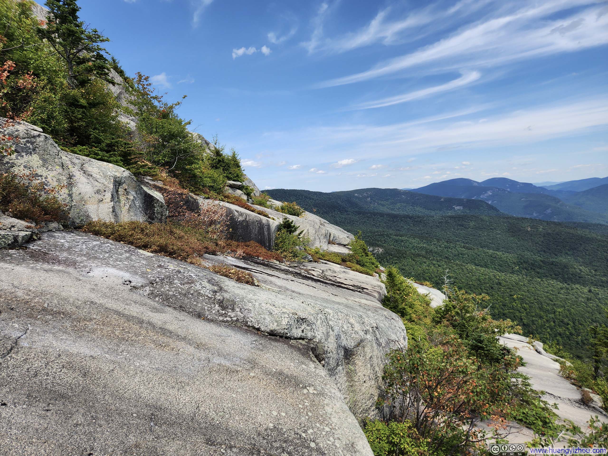
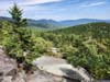
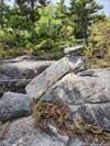
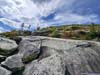
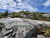
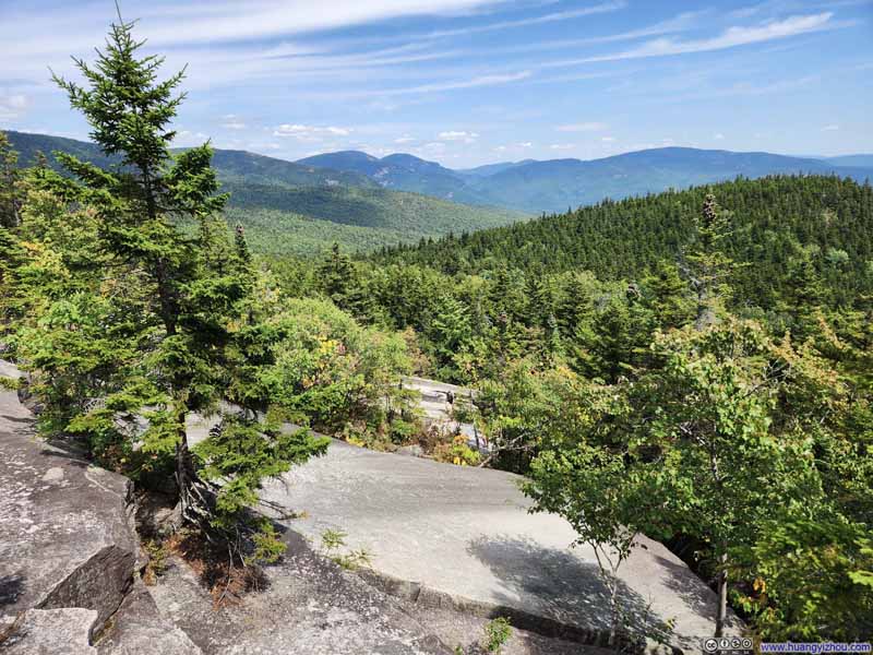
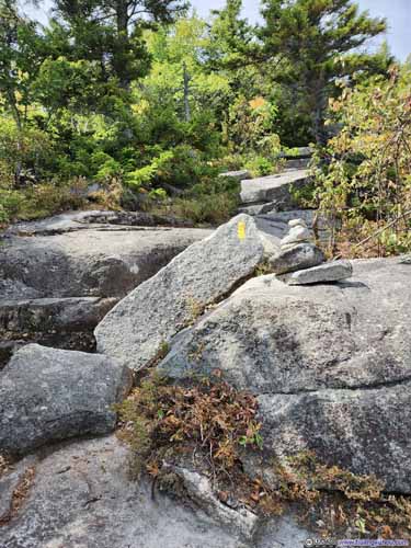
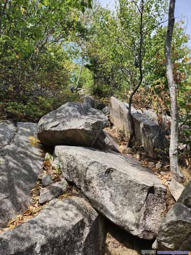
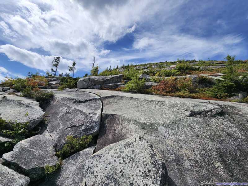
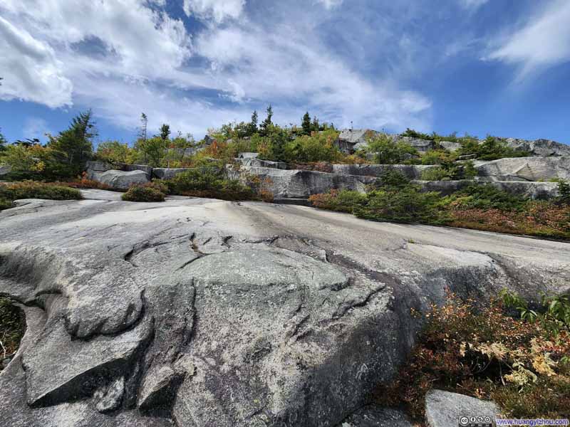
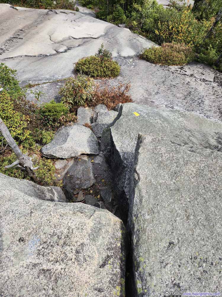
I tried to use my drone to record my climb through the "Ledges". However, the trees scattered throughout its lower sections made it difficult for the drone to properly follow my progress. I had this brief video below:
2 minutes and 23 seconds, 2160p24fps, H265 only, 14Mbps/259MB file size.
The intense climb of "Ledges" lasted for 200m of vertical height. A short while later, I reached the intersection with Baldface Knob Trail—part of the longer Baldface Loop that bypassed the technical "Ledges" section. From there, it was a delightful walk through alpine landscape to the summit of South Baldface.
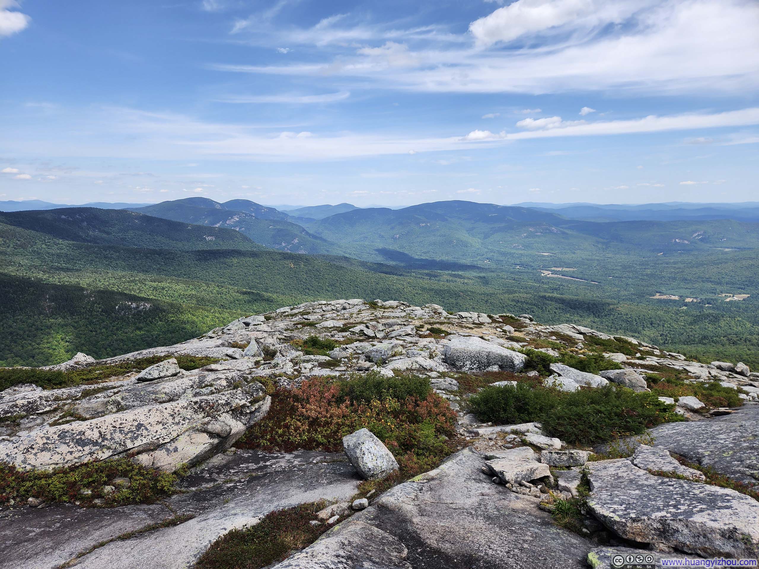

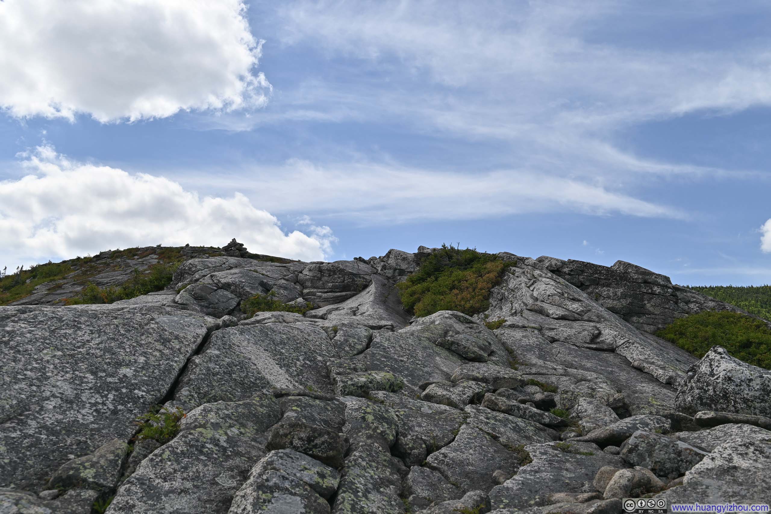
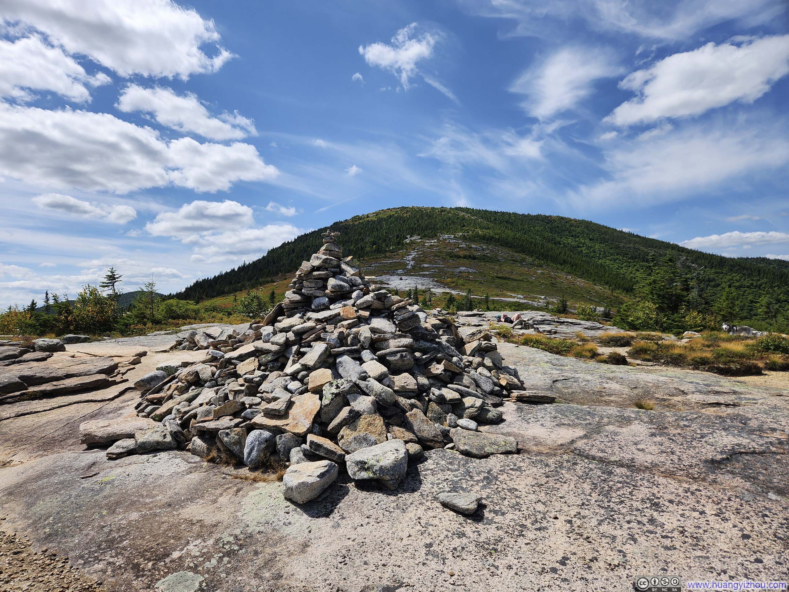
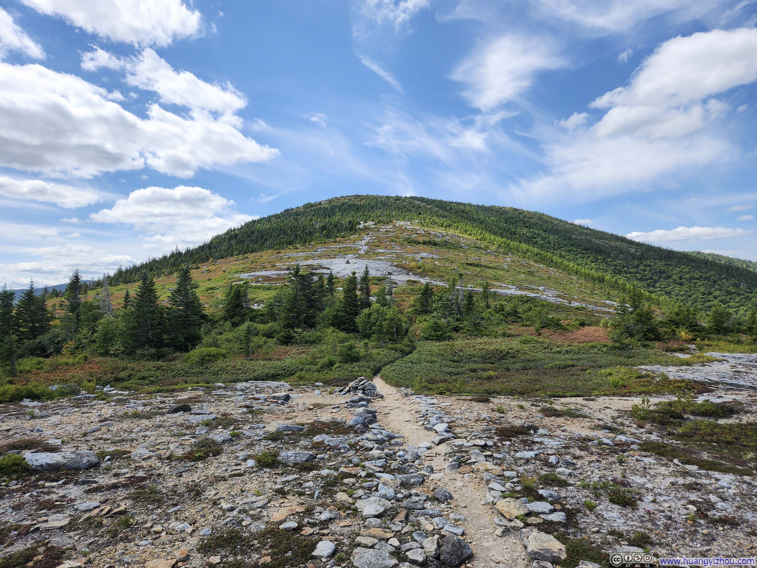
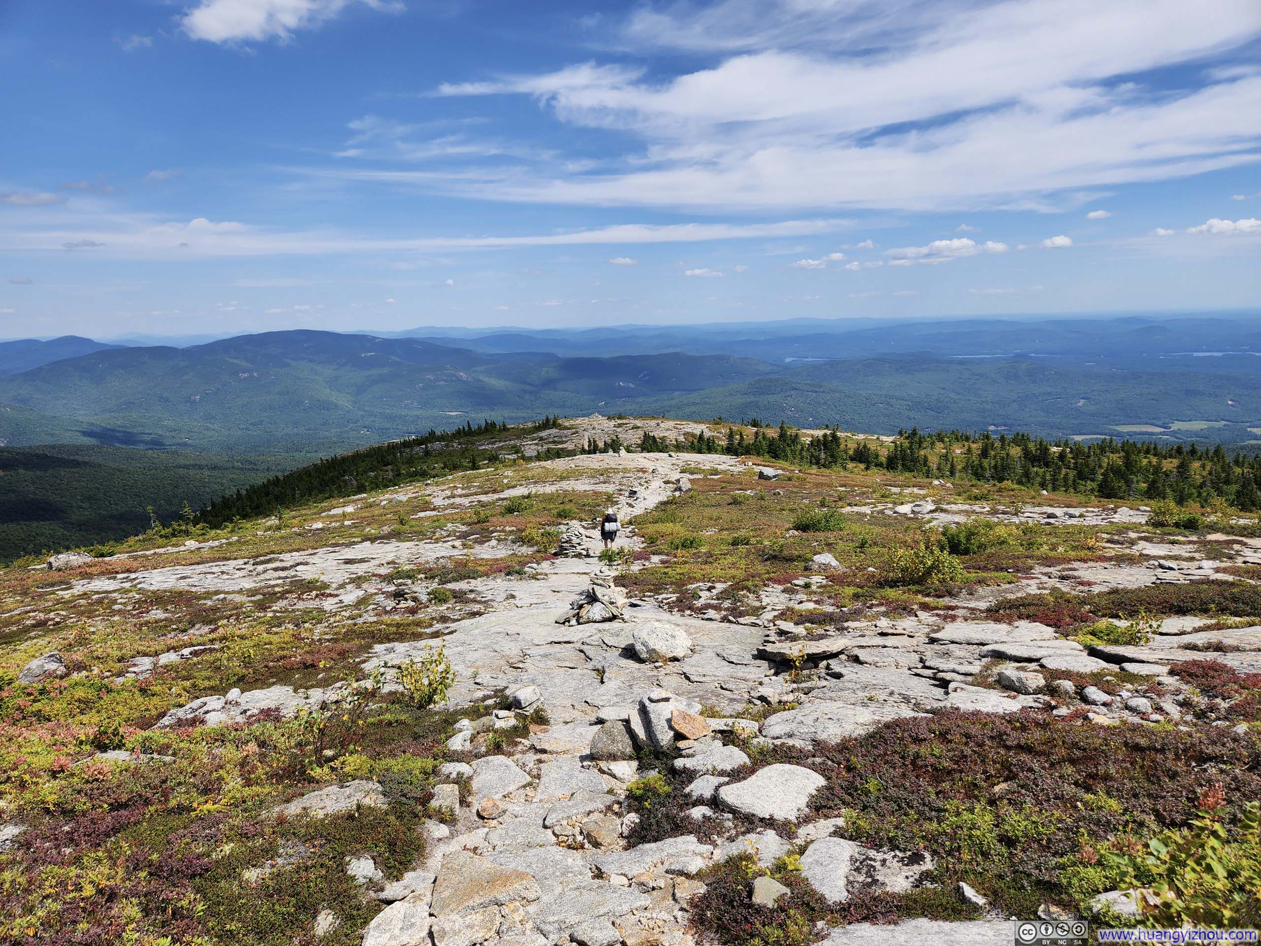
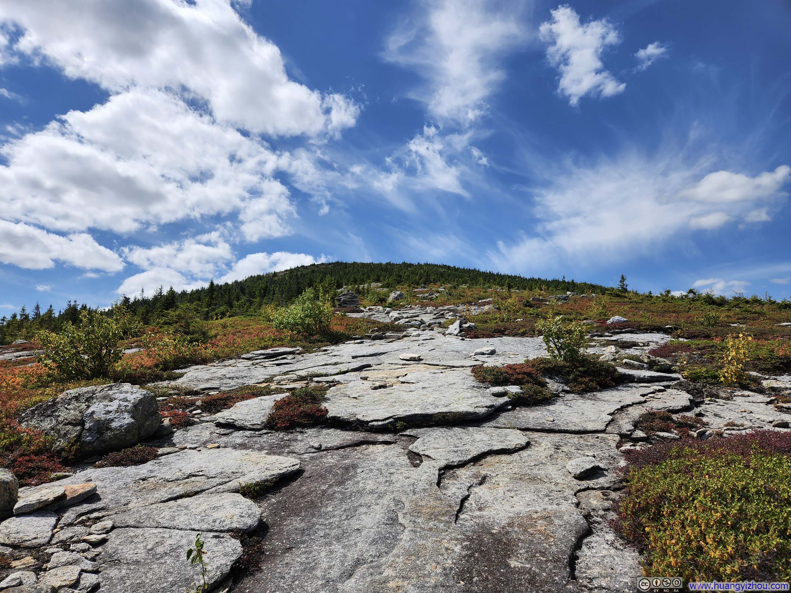
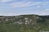
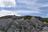
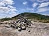
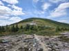
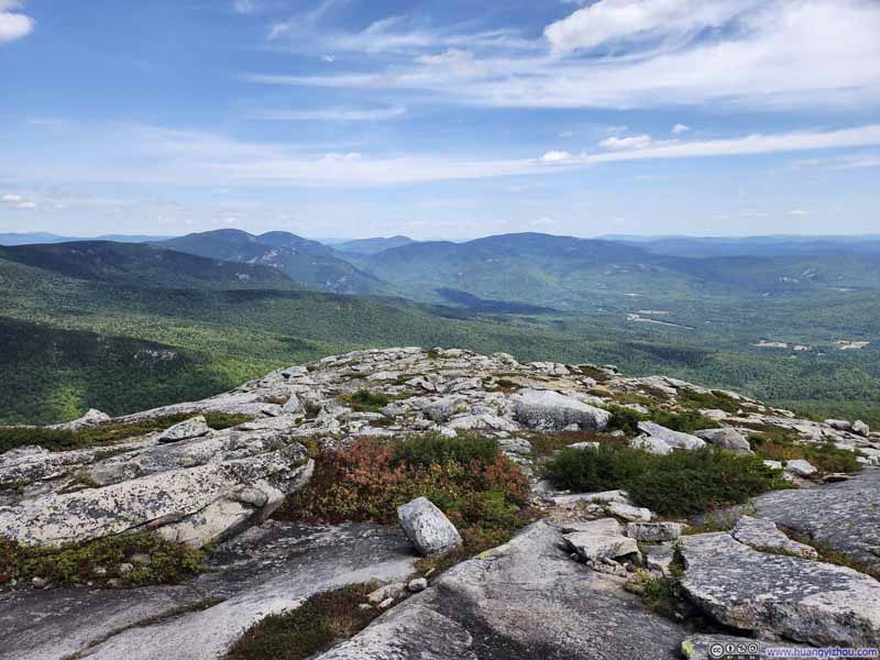


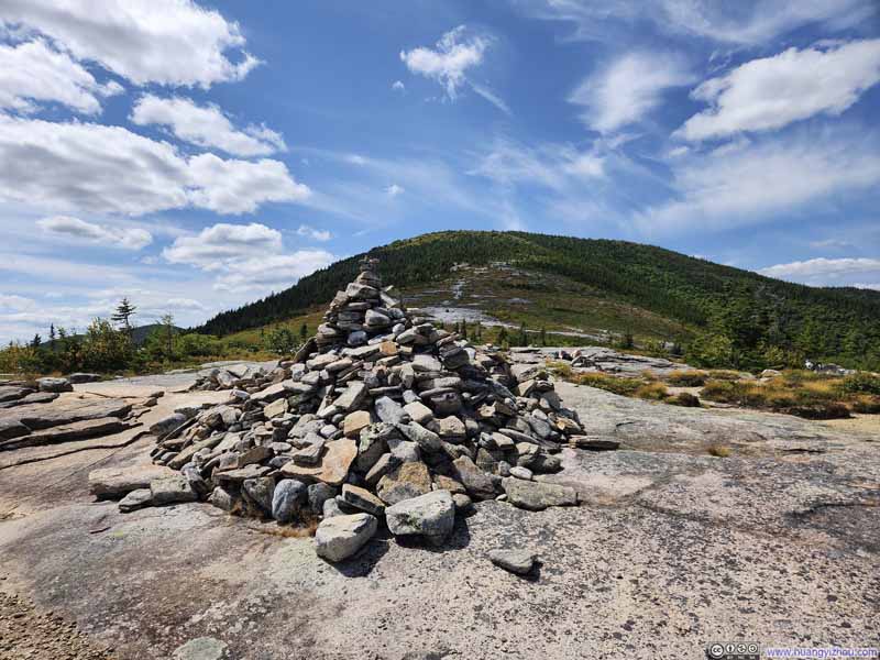
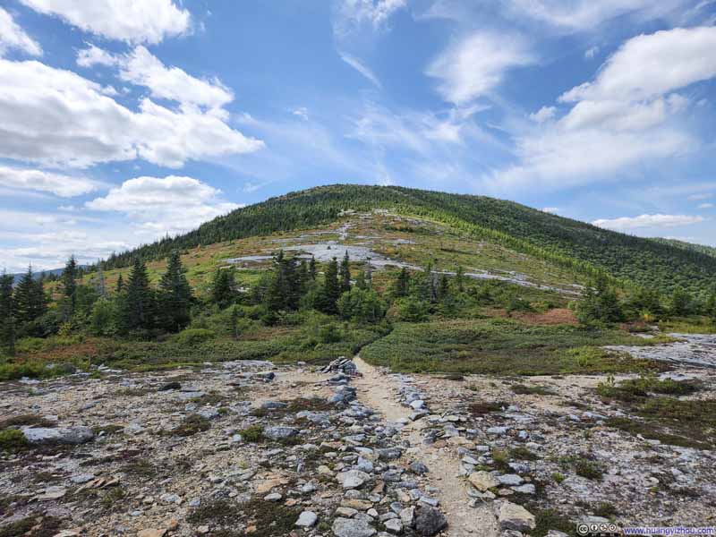
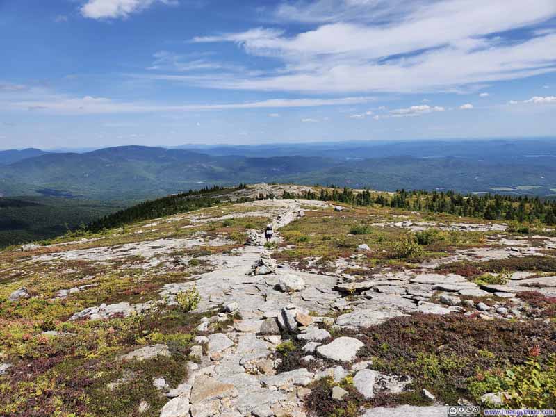
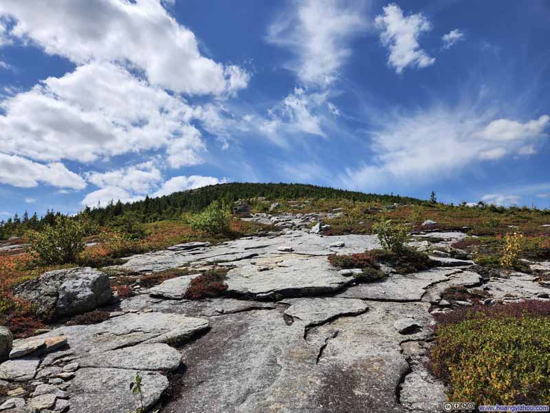
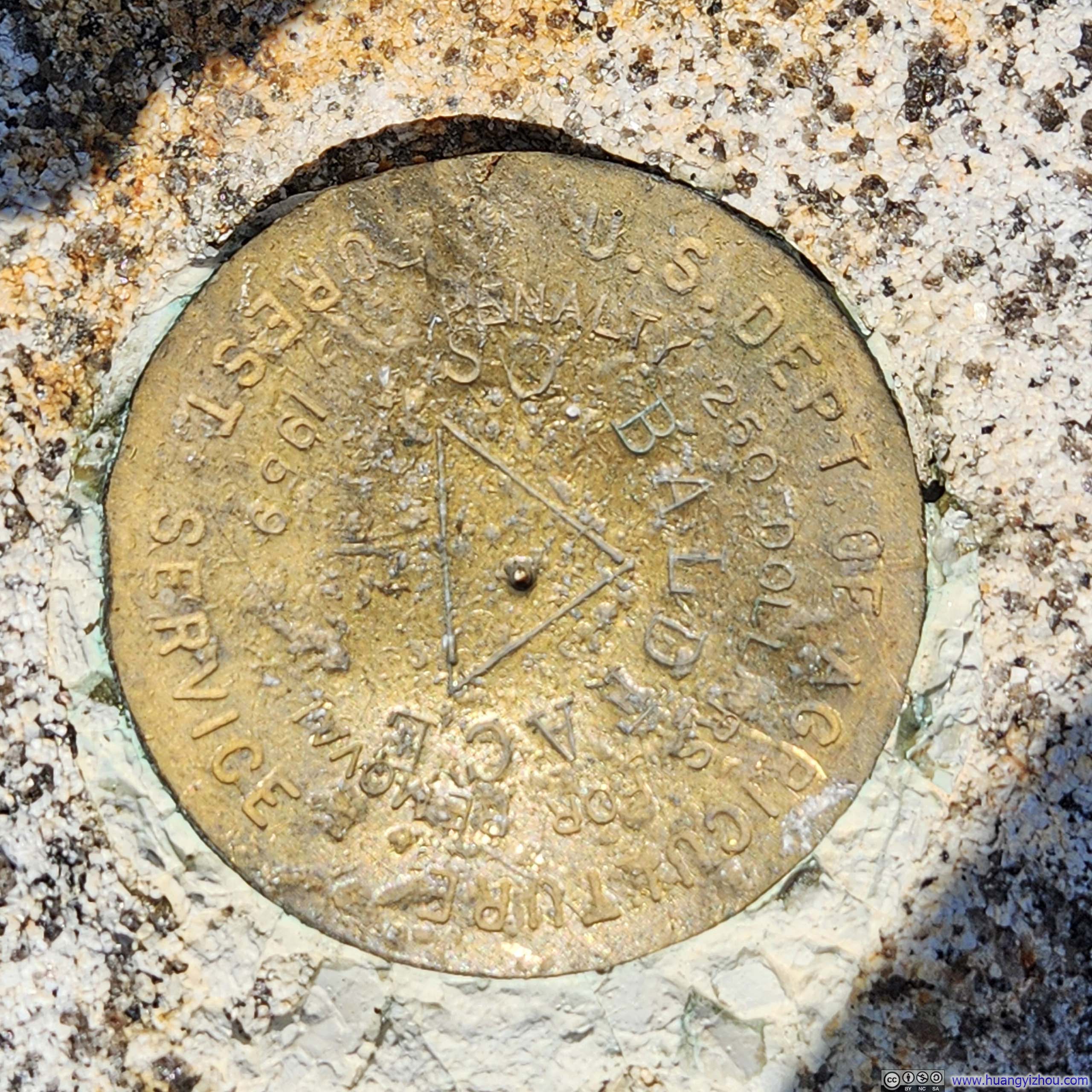
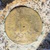
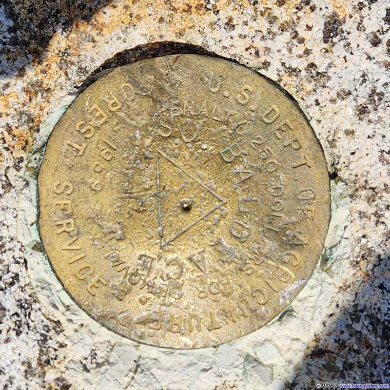
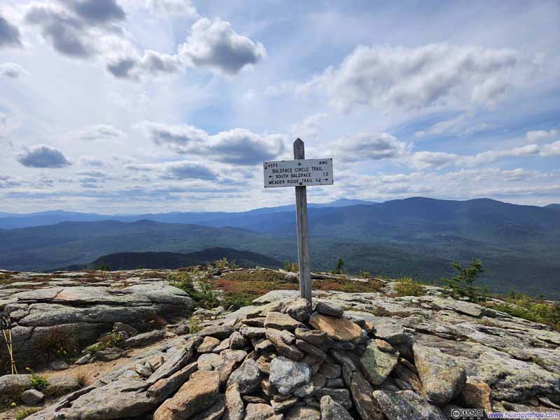
I reached the summit of South Baldface just before 1:30pm. The summit was a bit buggy, but the wind that day largely kept them at bay.
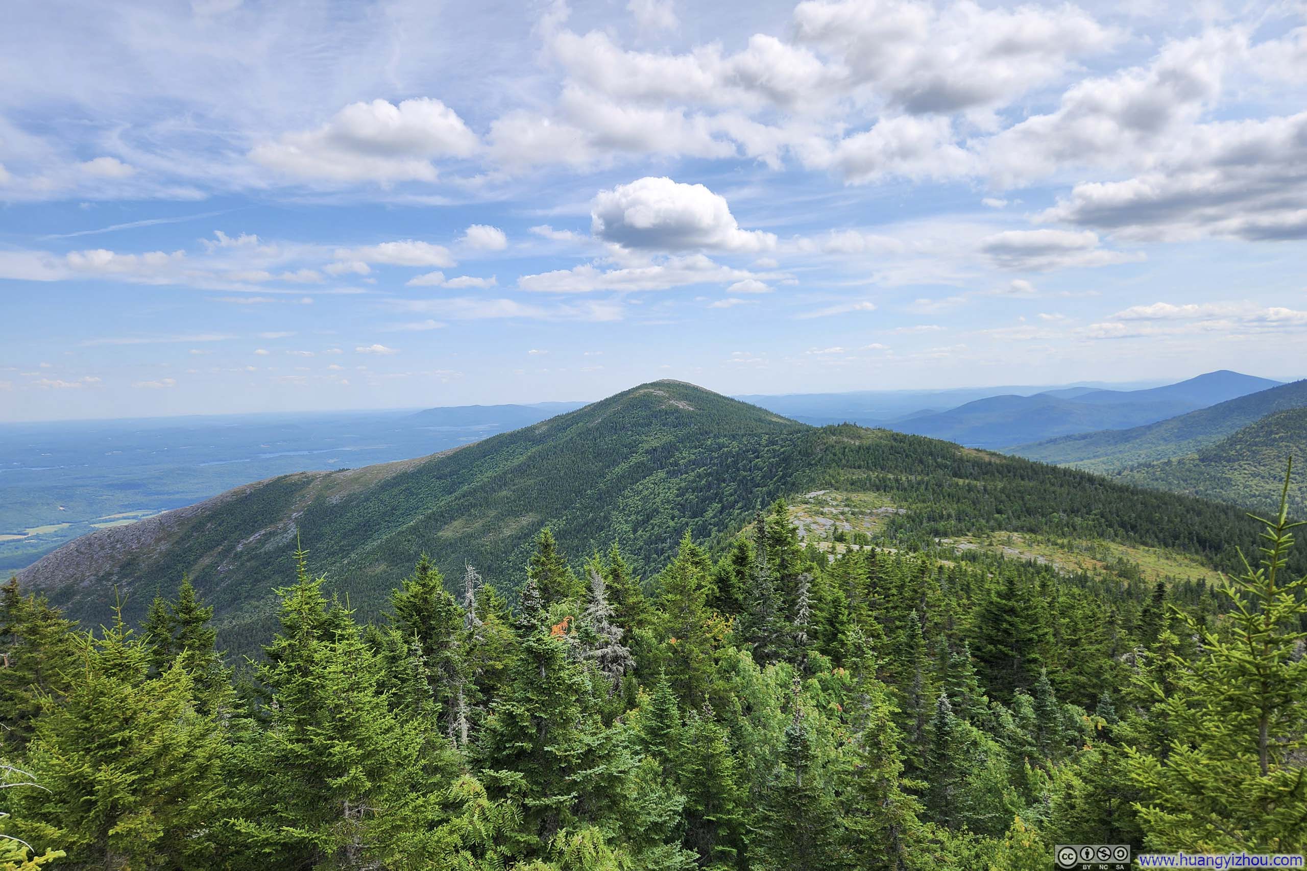
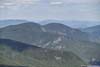
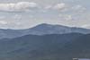
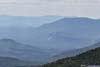
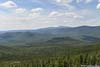
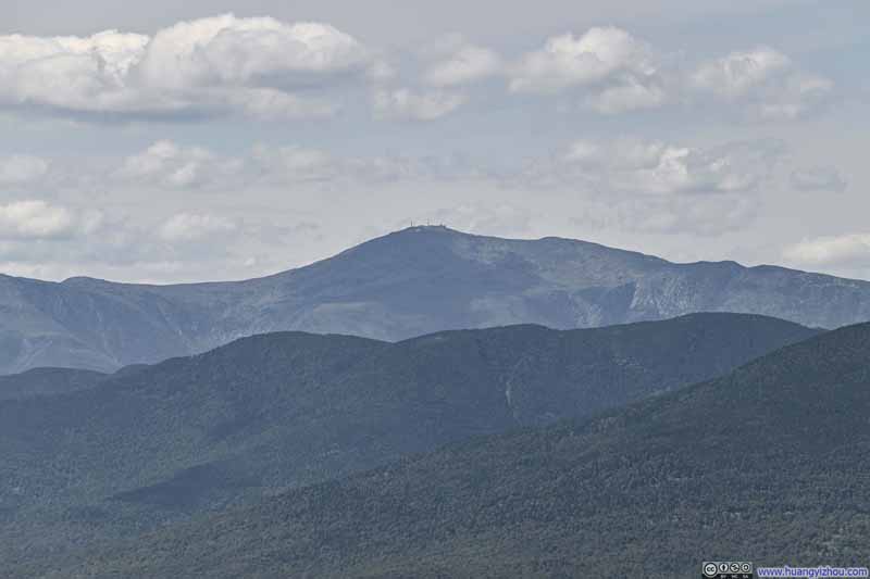
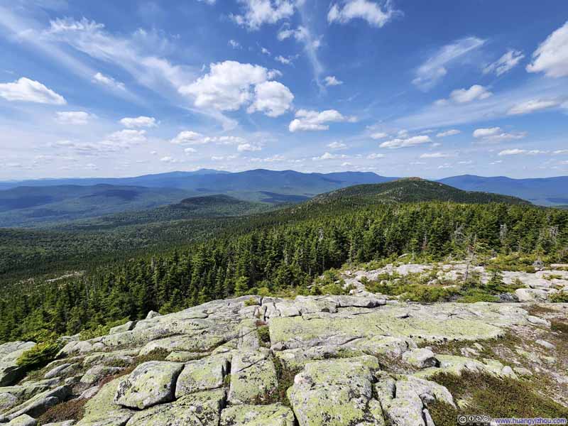
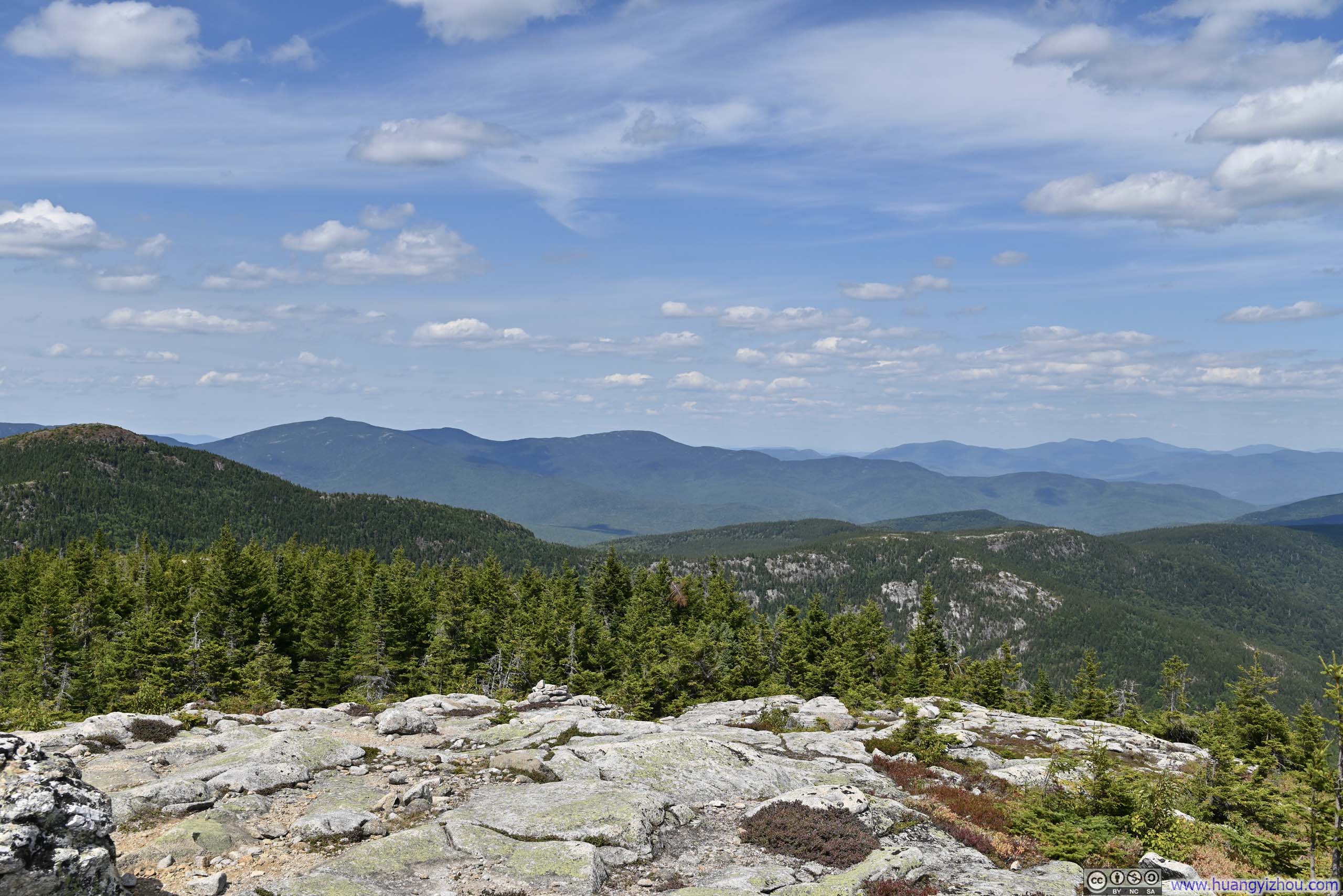
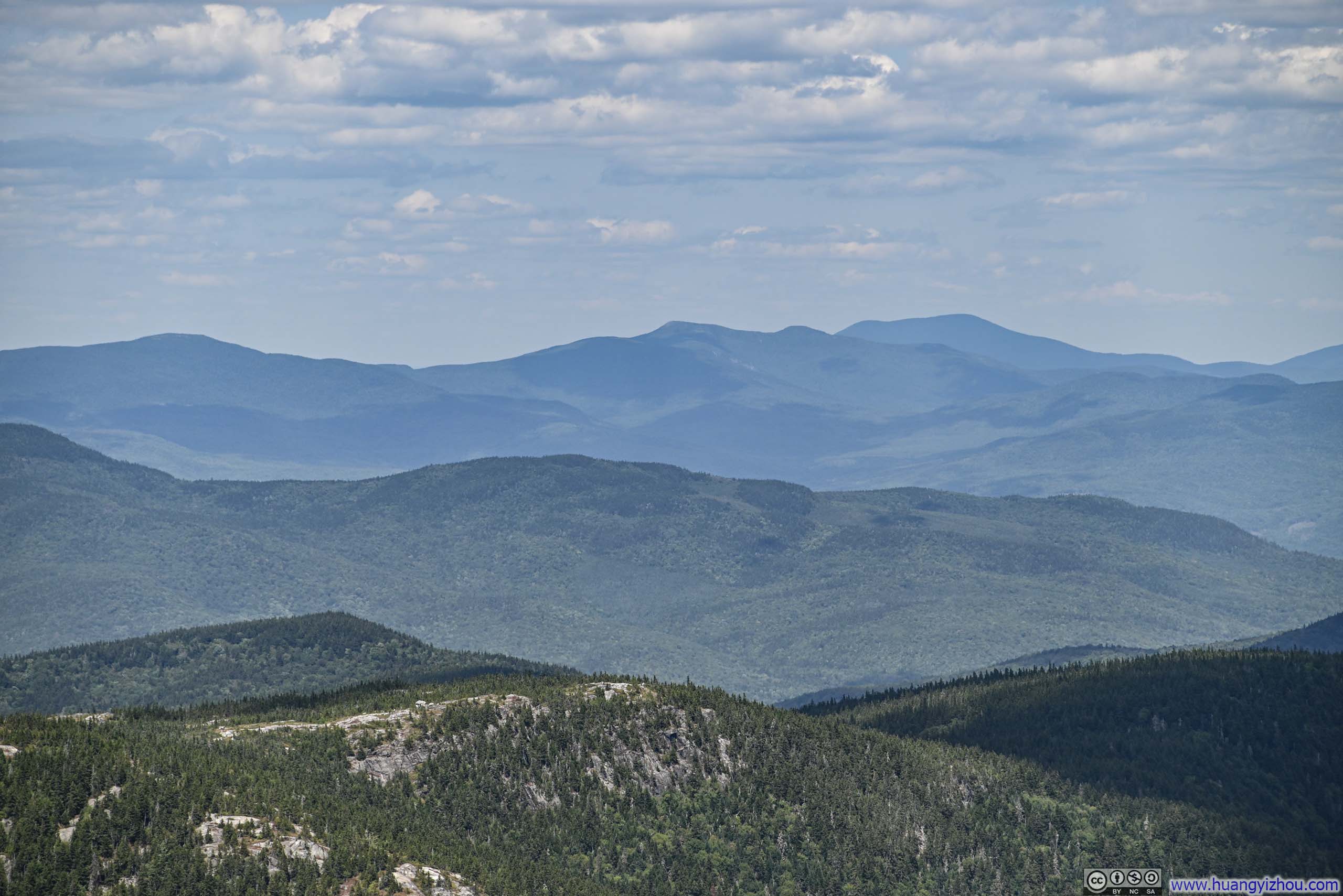
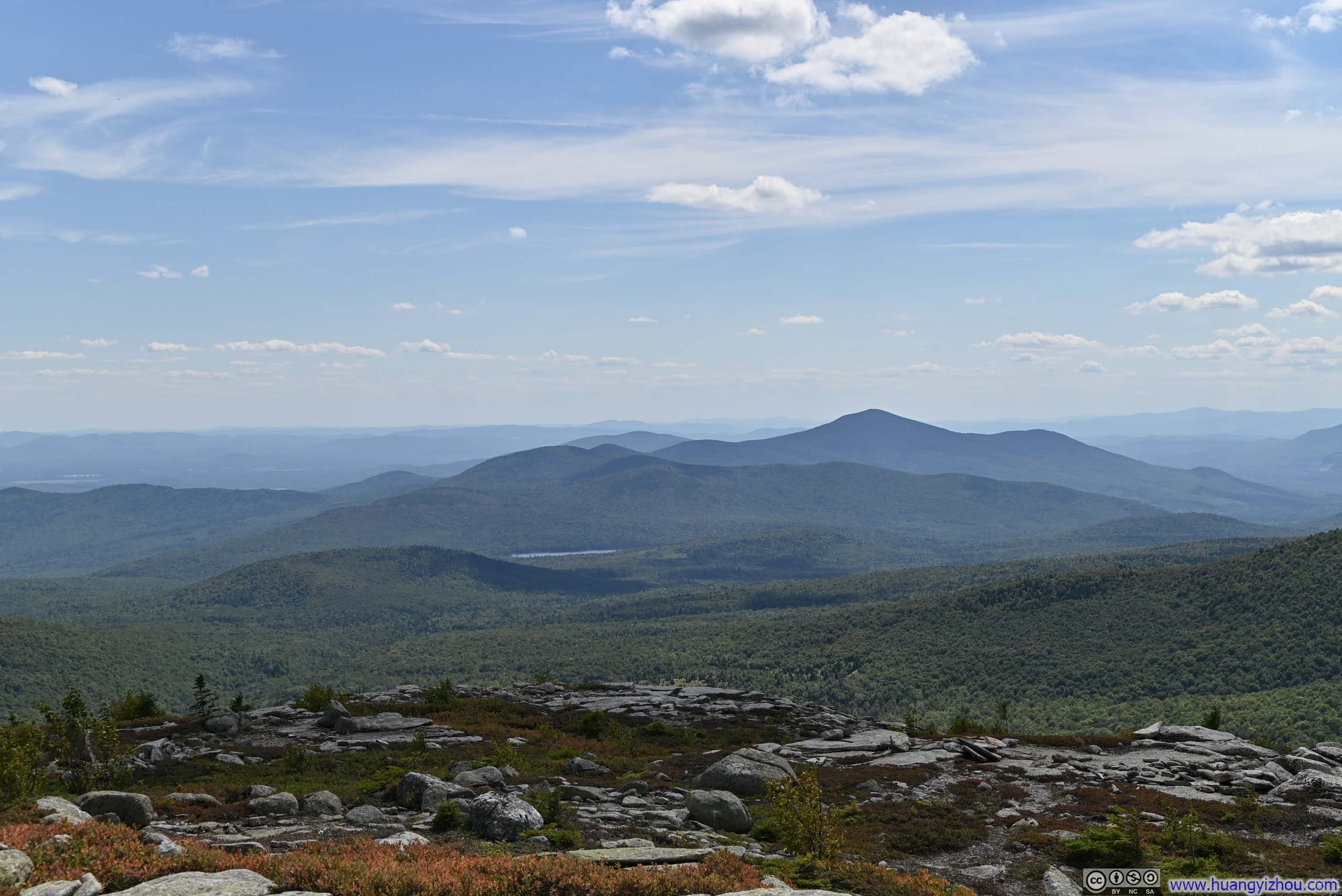
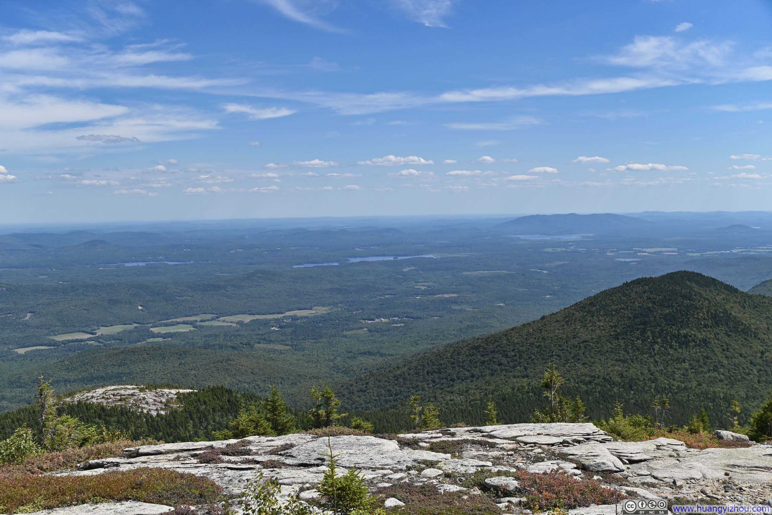
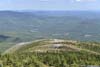
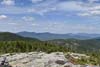
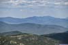
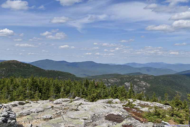
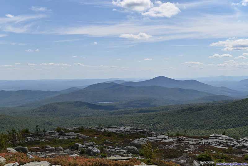
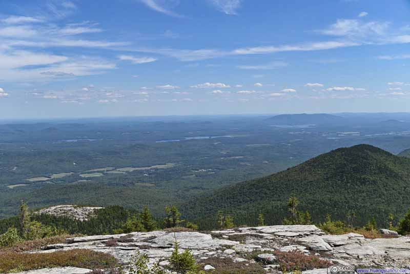
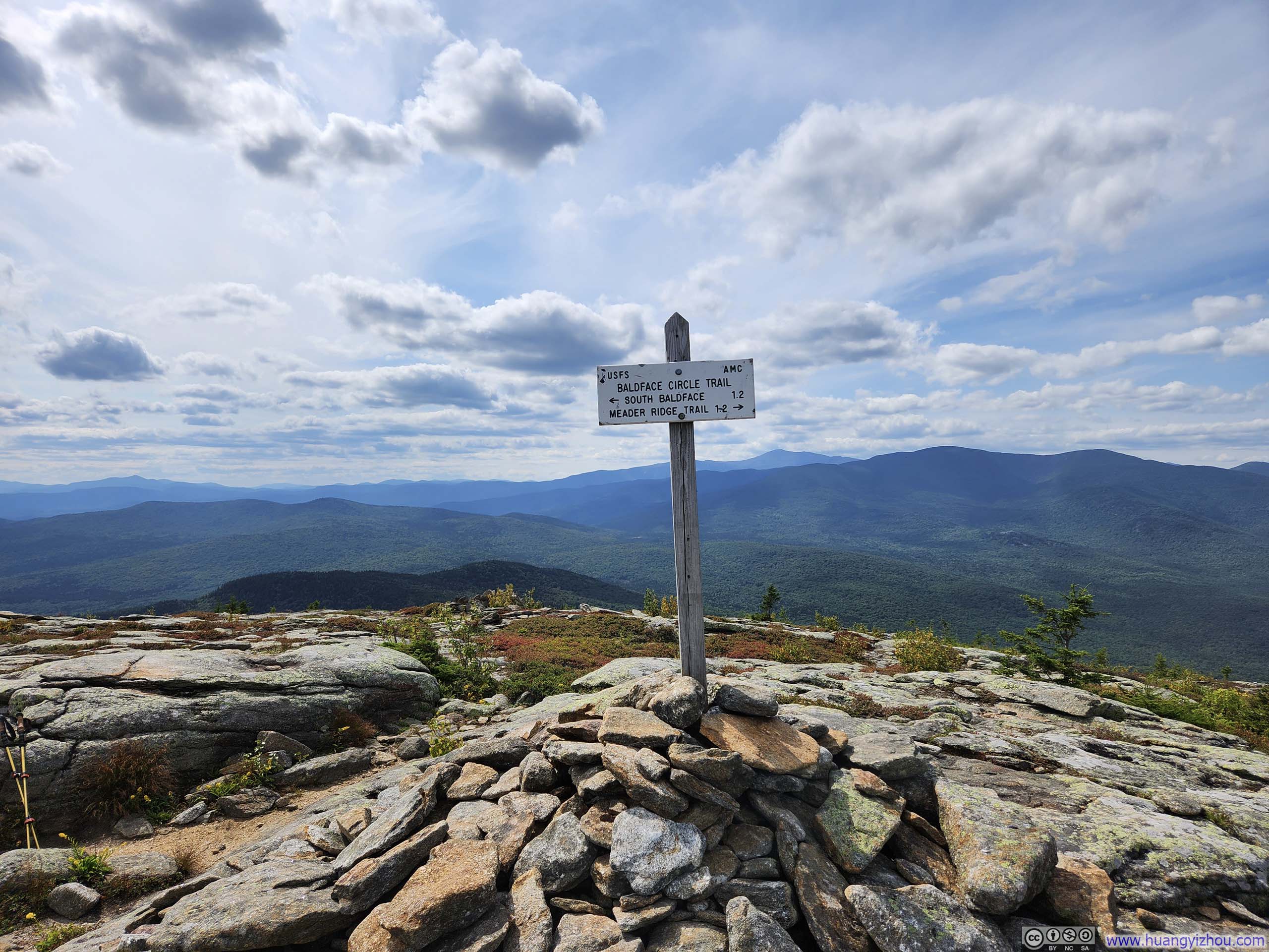
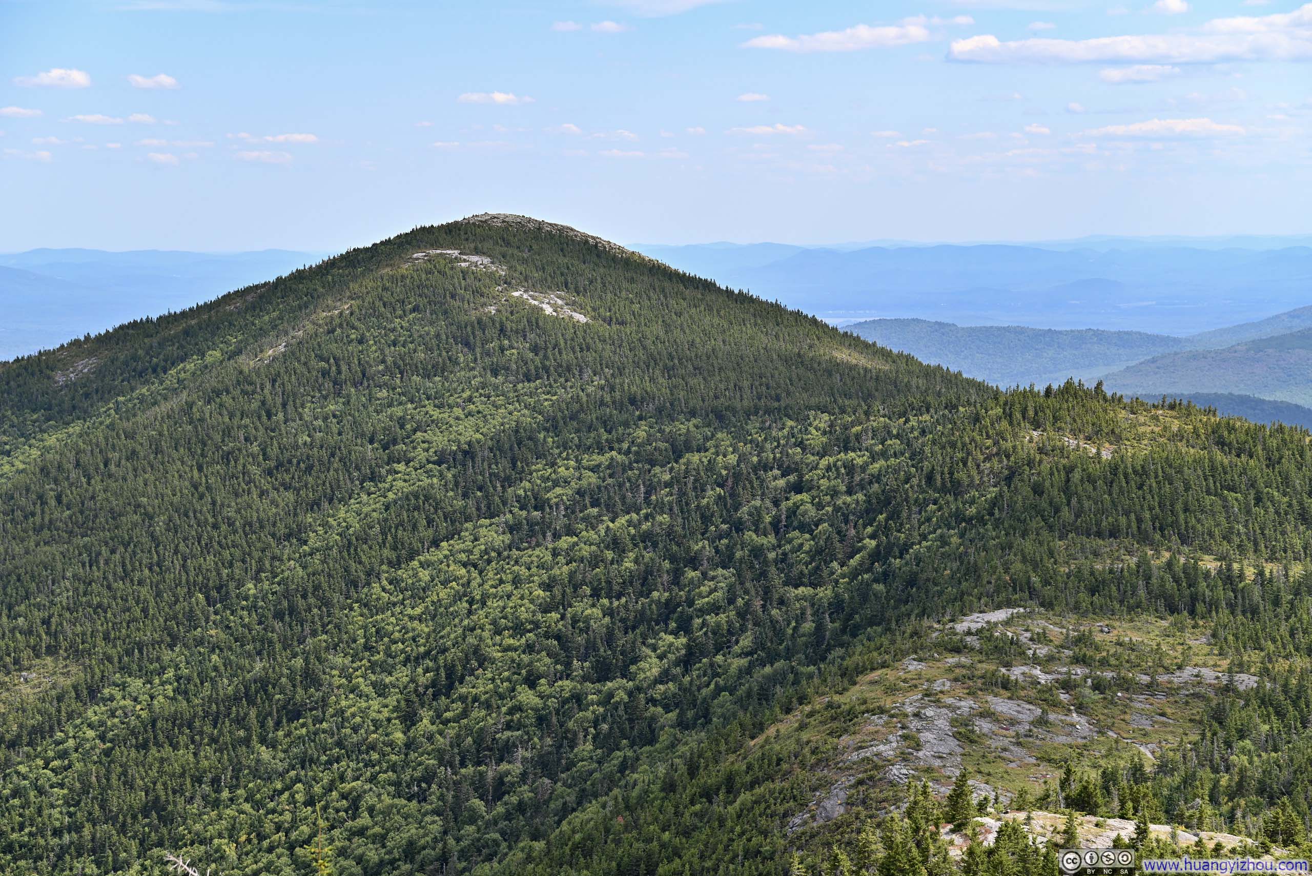
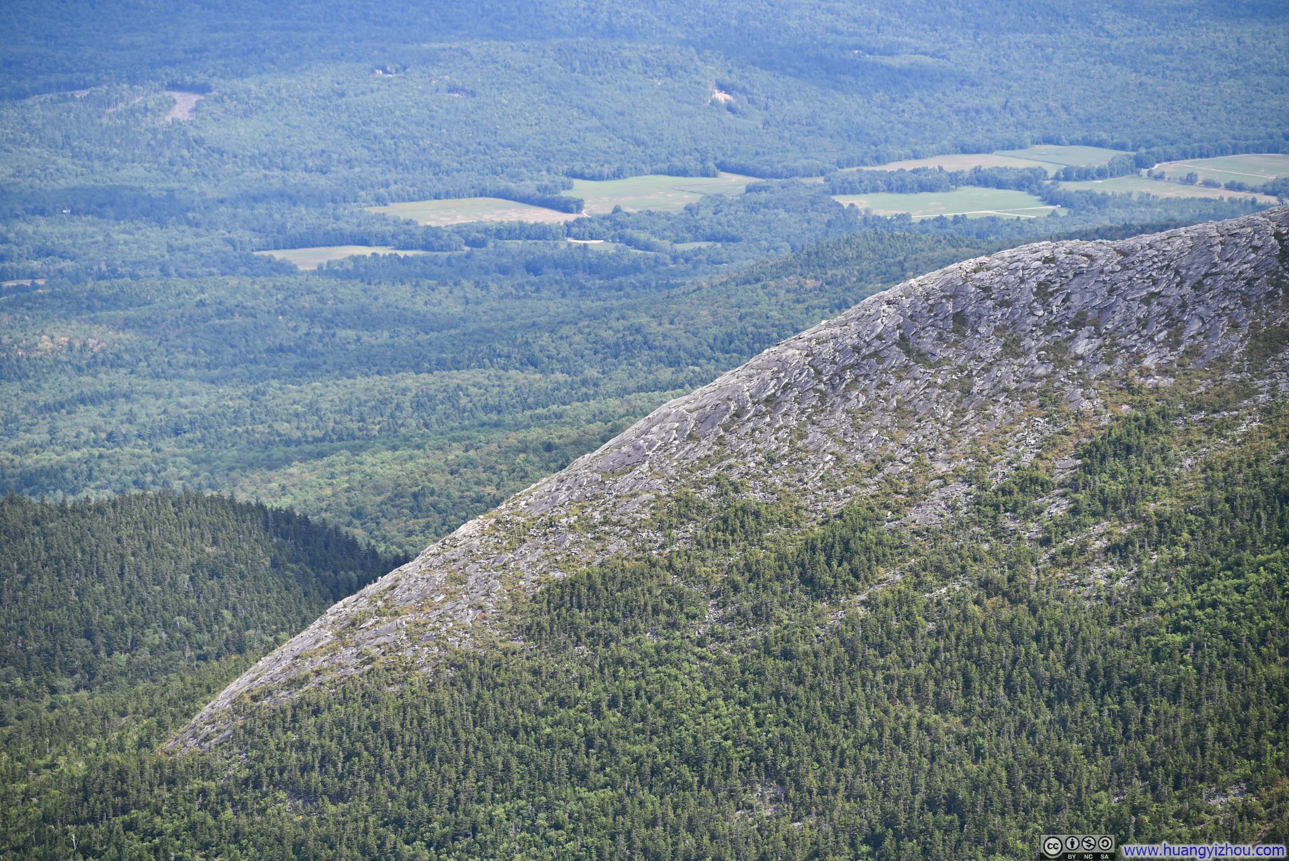
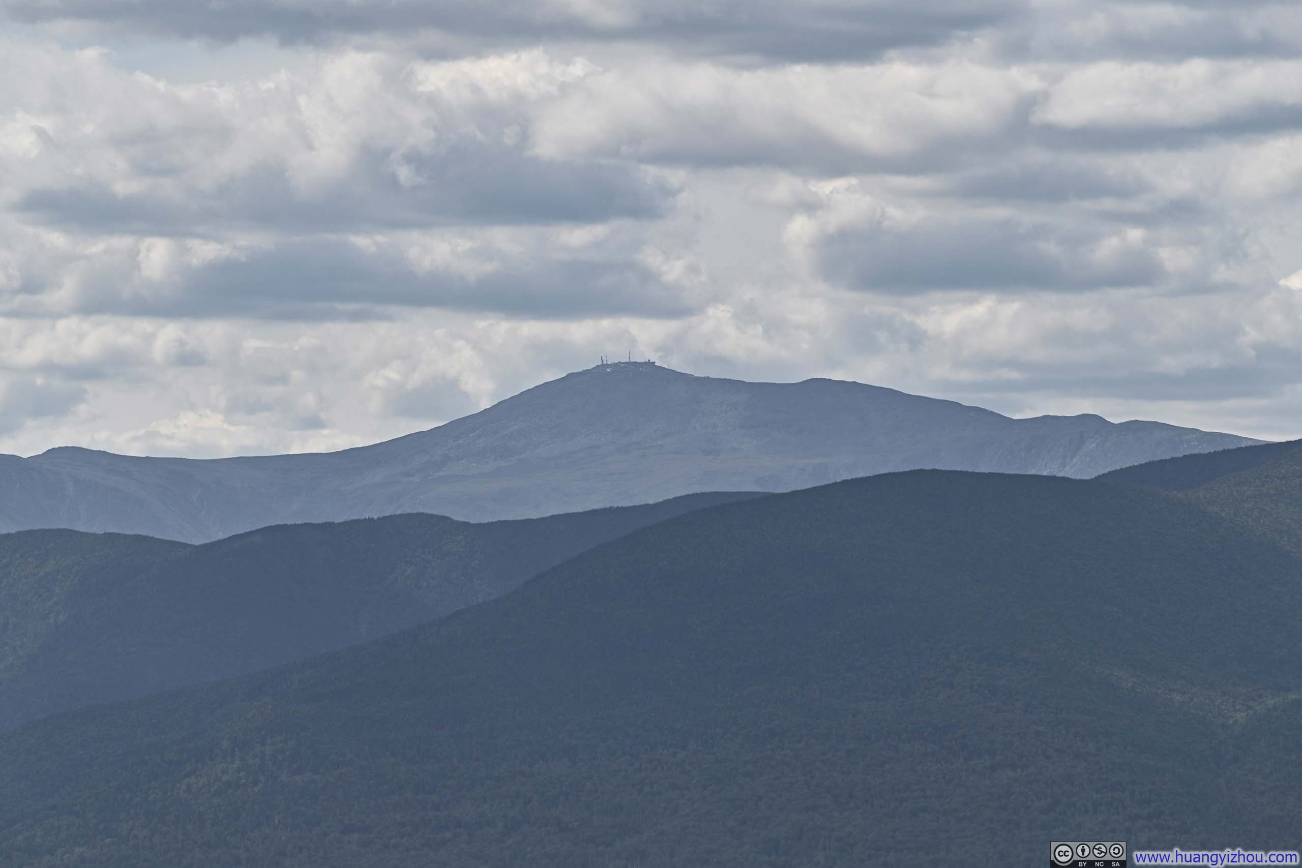
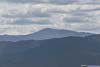
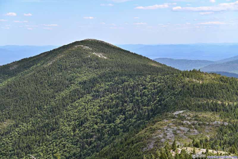
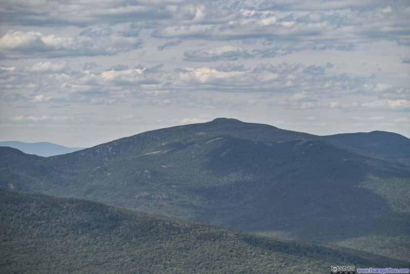
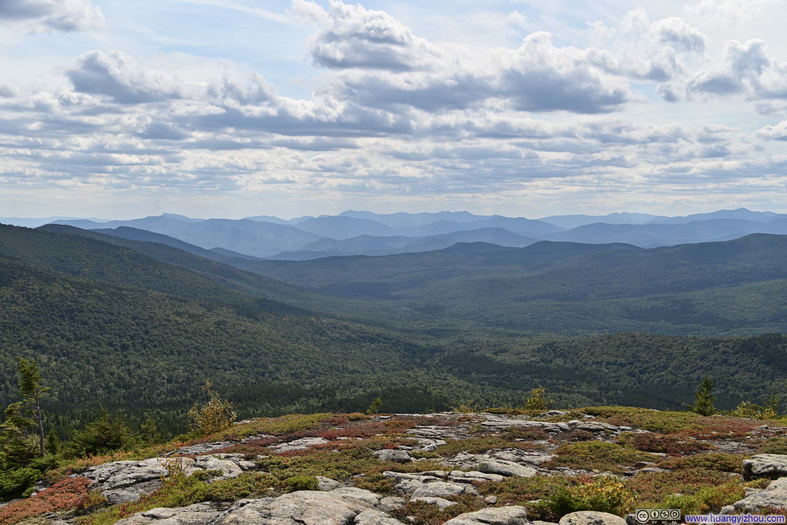
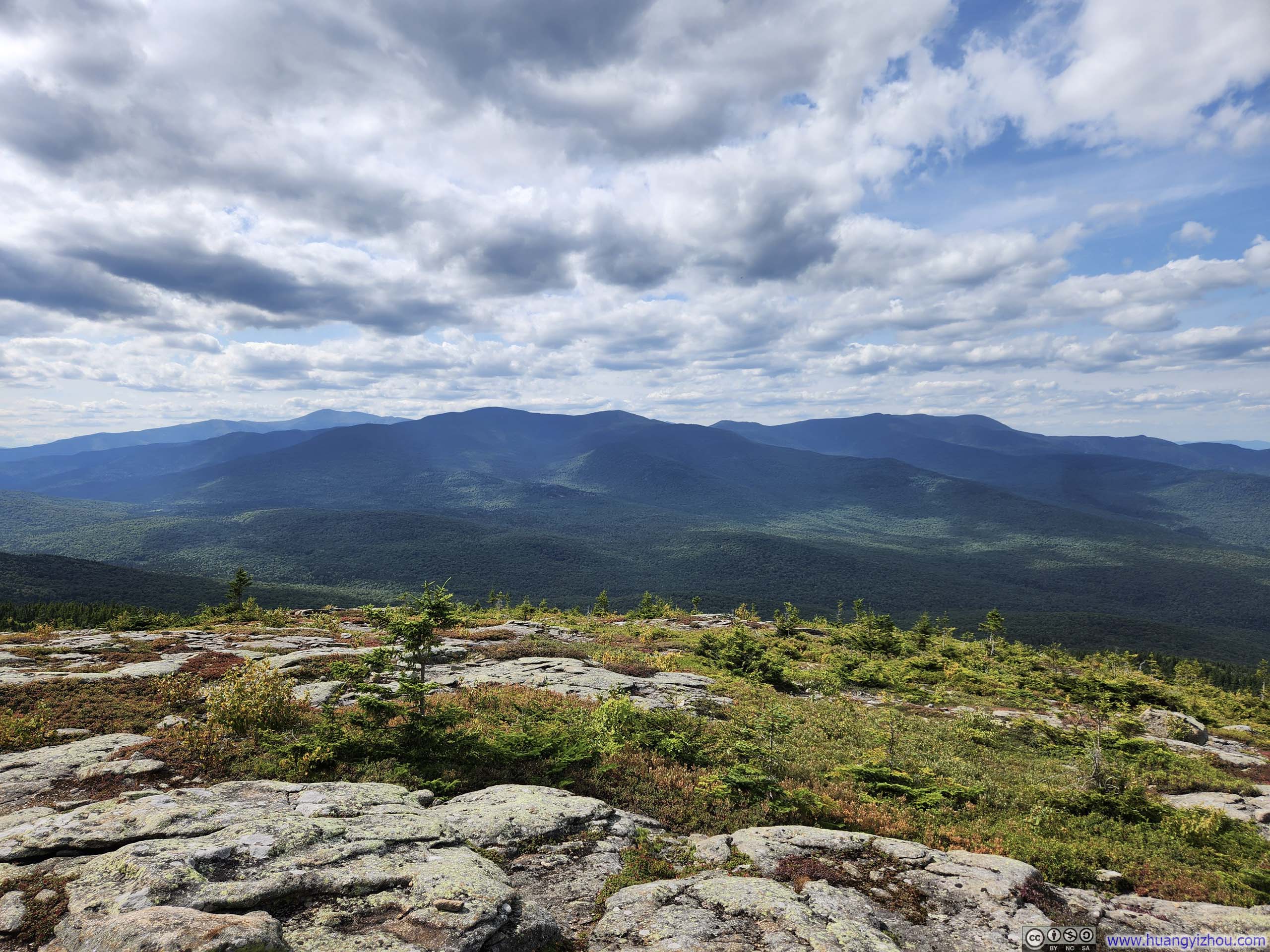
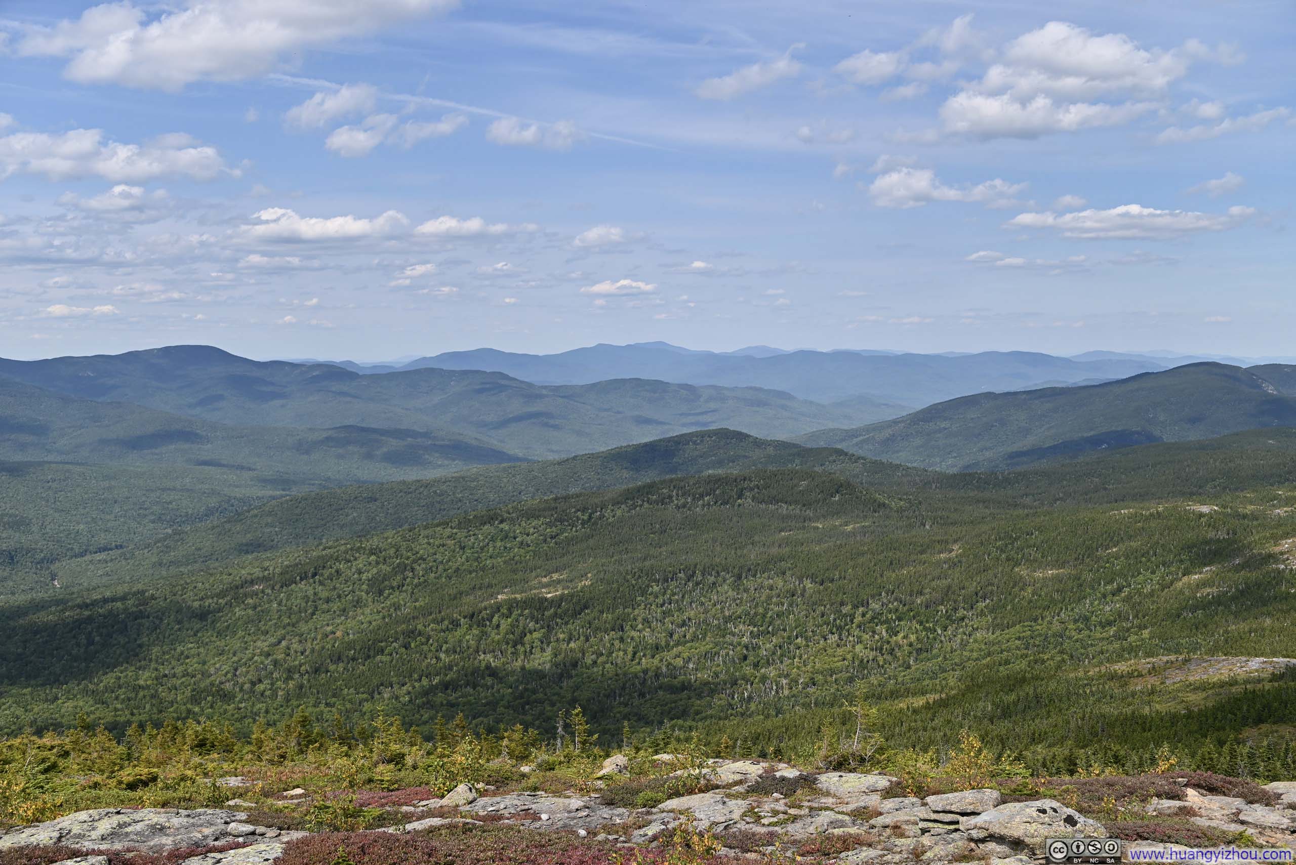
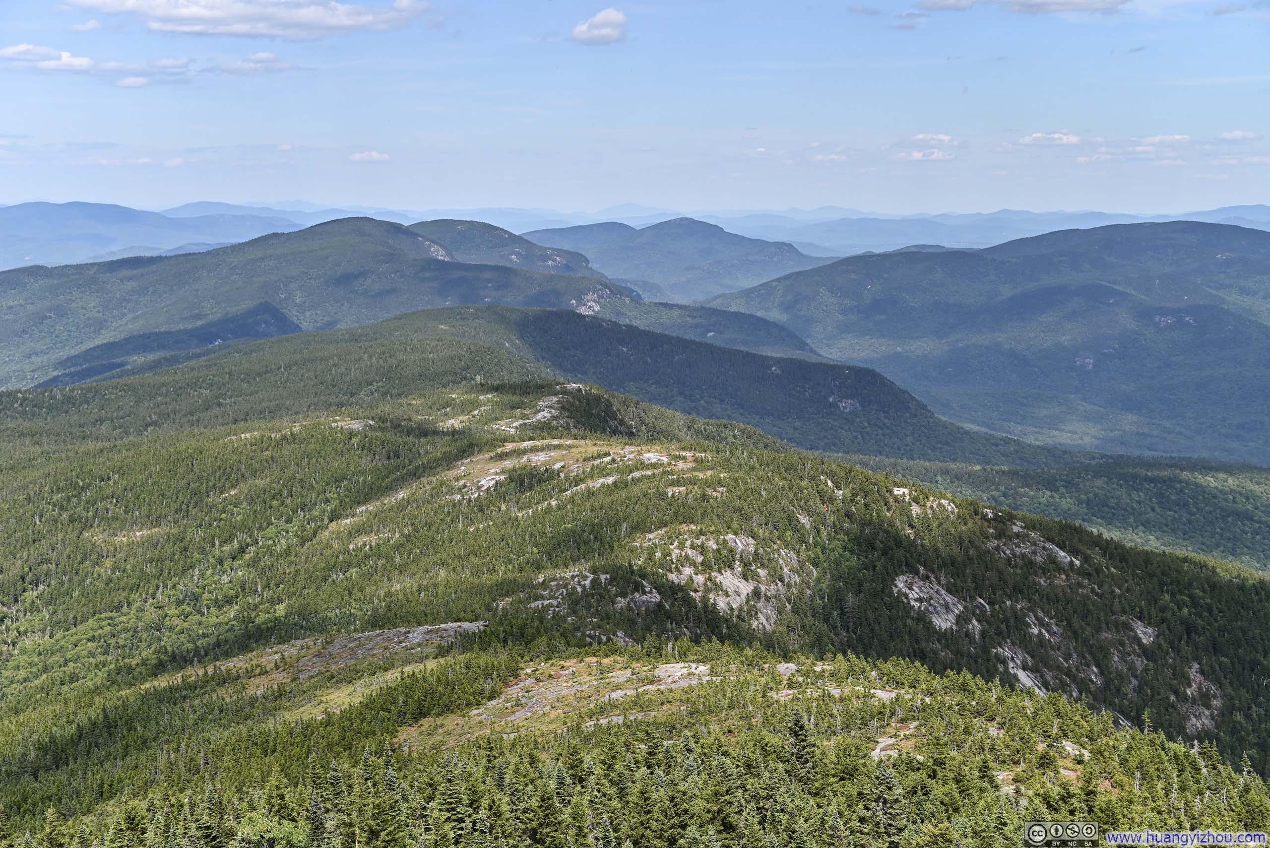
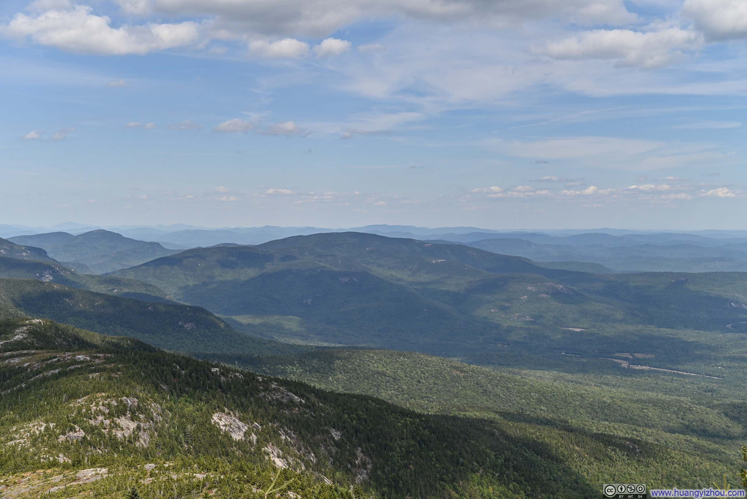
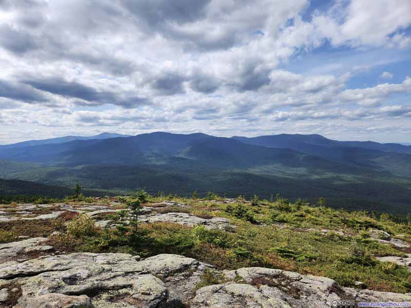
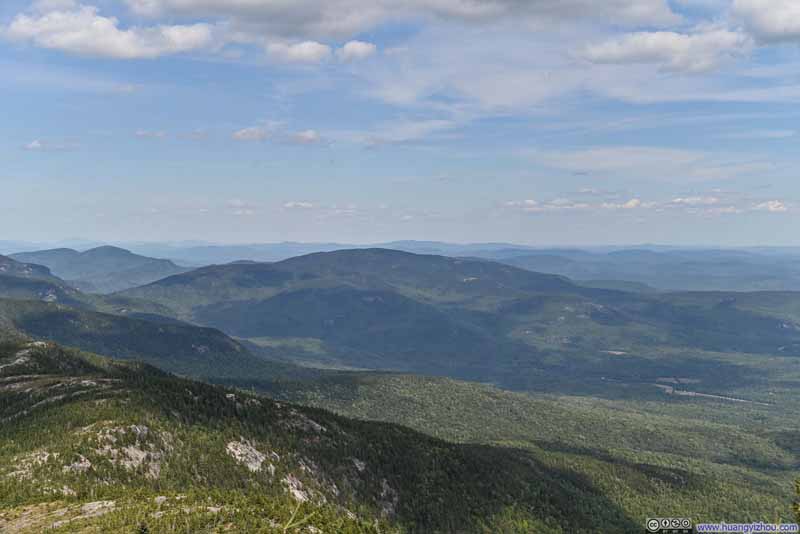
The panoramic views revealed my first glimpse that day of the mountains stretching westward toward the heart of the White Mountains, where distinctive peaks traced their silhouettes along the horizon—a striking contrast to the plains and ponds sprawling to the southeast. In the foreground, I could trace the final section of trail winding through sparse alpine vegetation below toward South Baldface, while in a different direction, North Baldface rose amid groves of fir, marking both the progress I had made and the next objective that lay ahead.

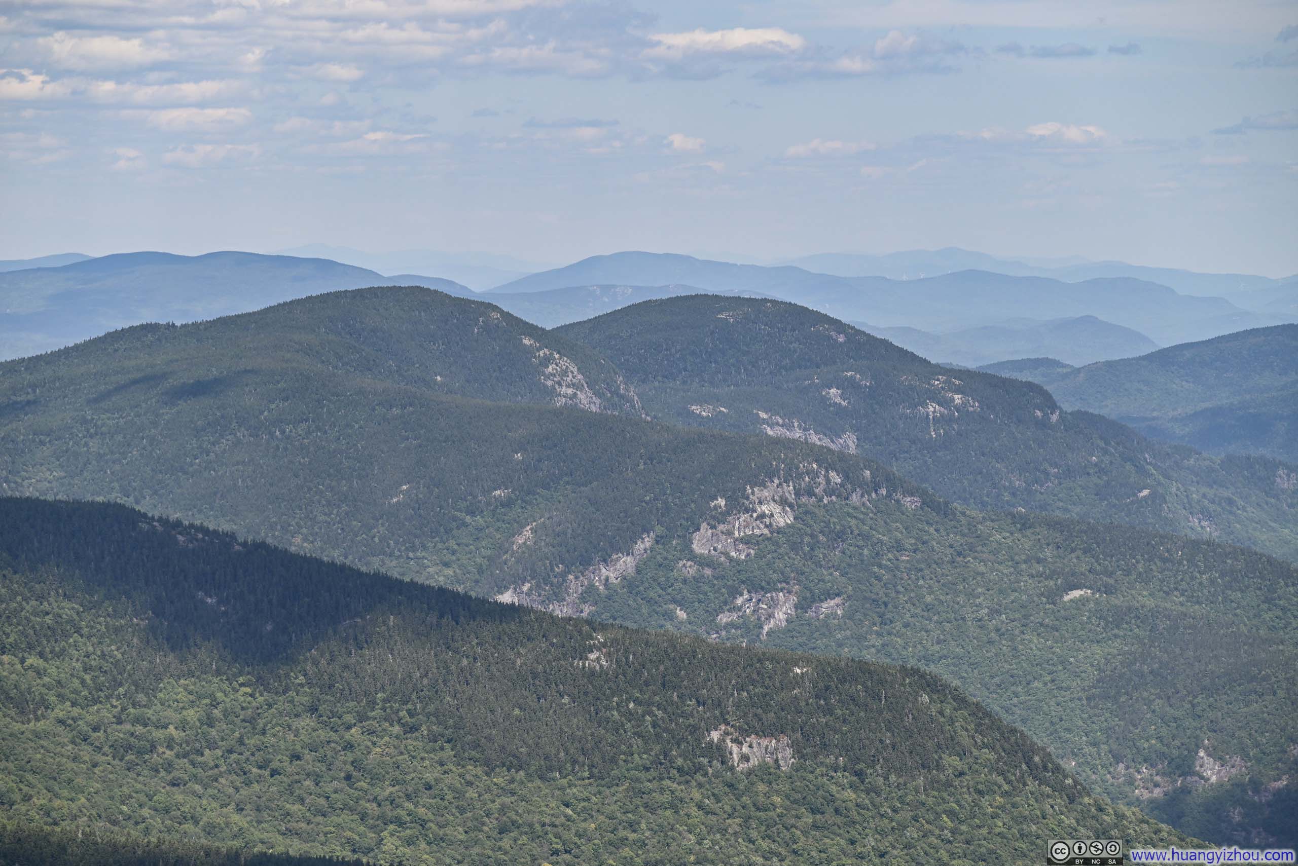
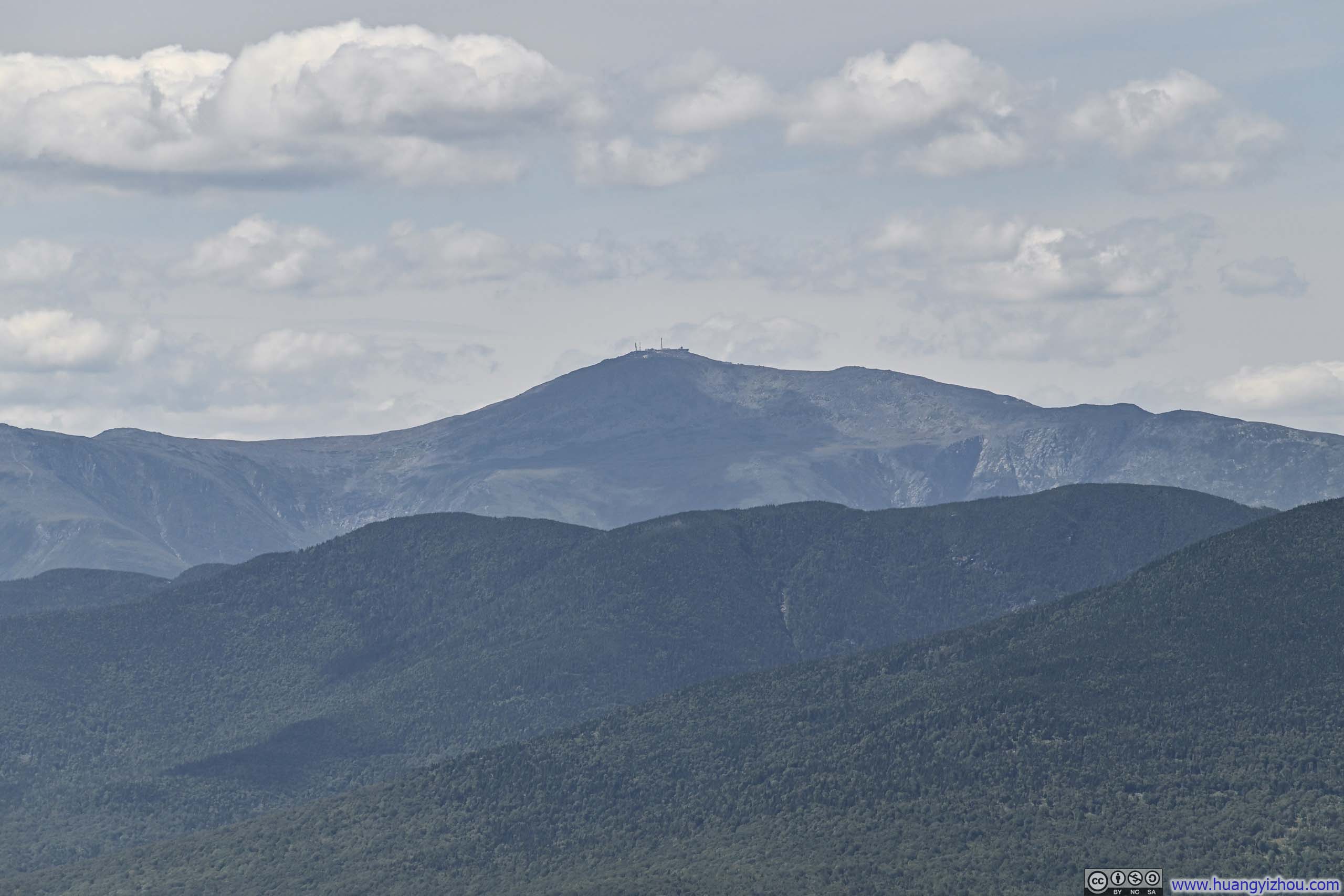

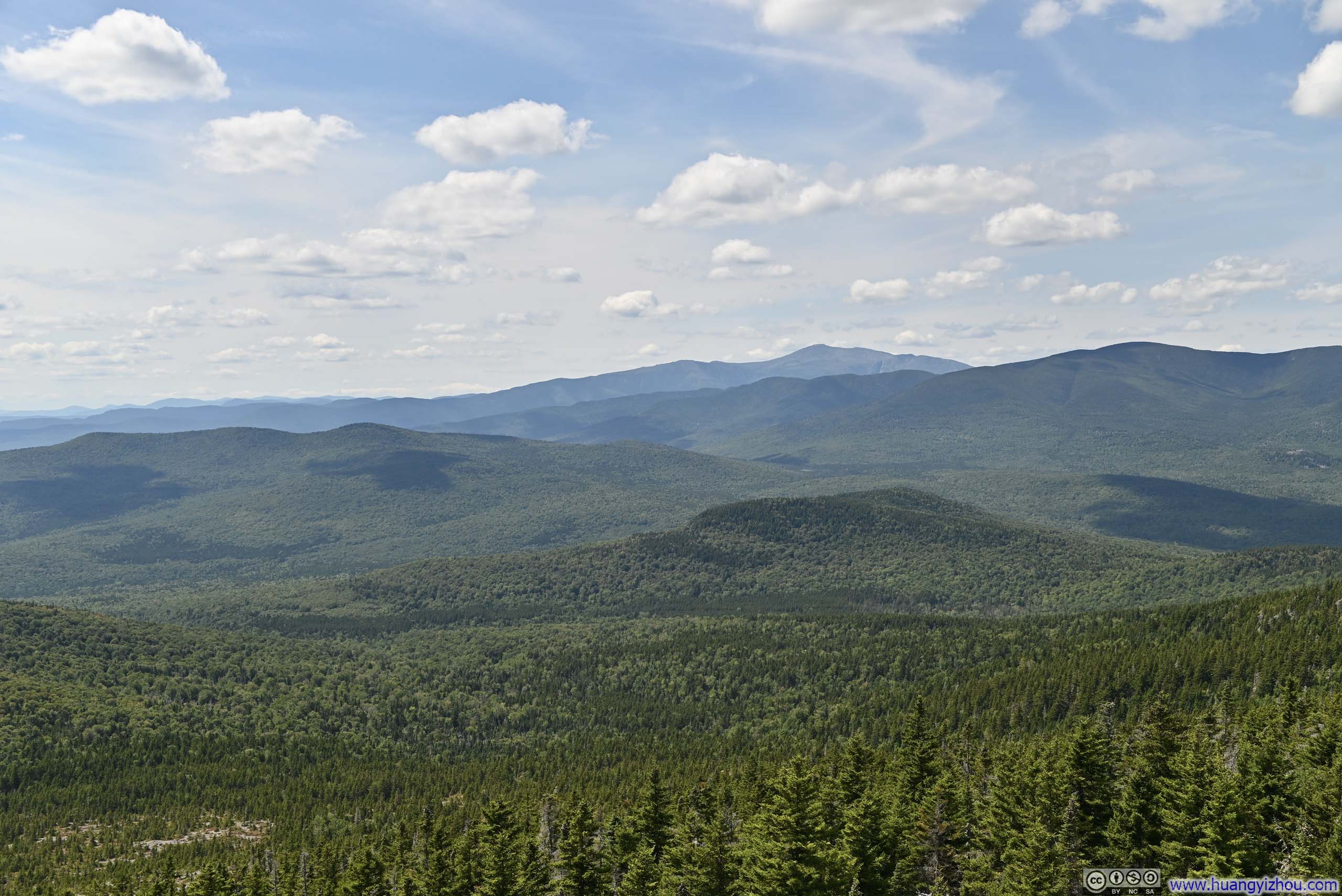
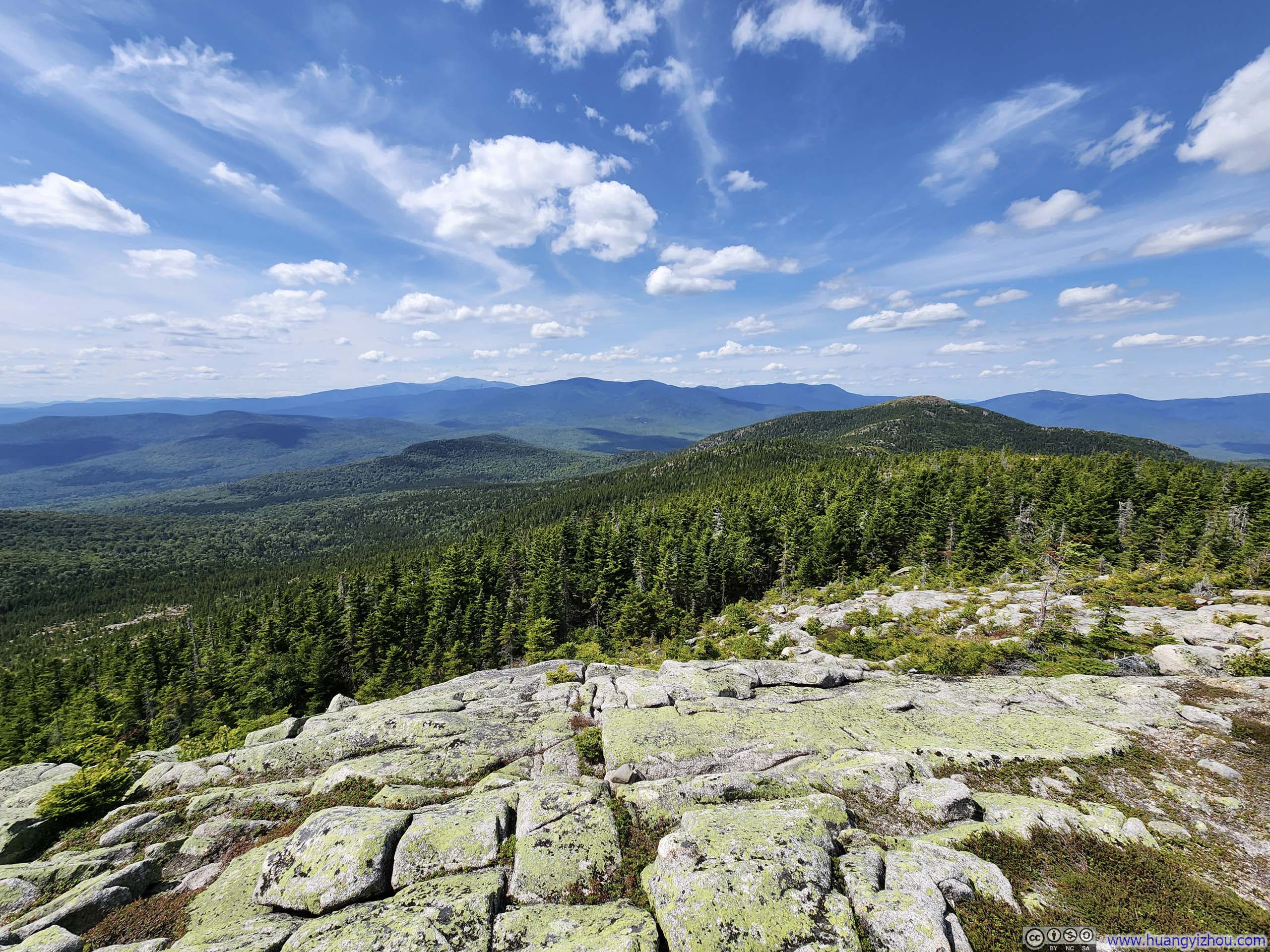










Here's a video from South Baldface:
14 seconds, 2160p60fps, H265 only, 20Mbps / 38MB.
After a 25-minute break at South Baldface, I set out towards North Baldface at 1:50pm.
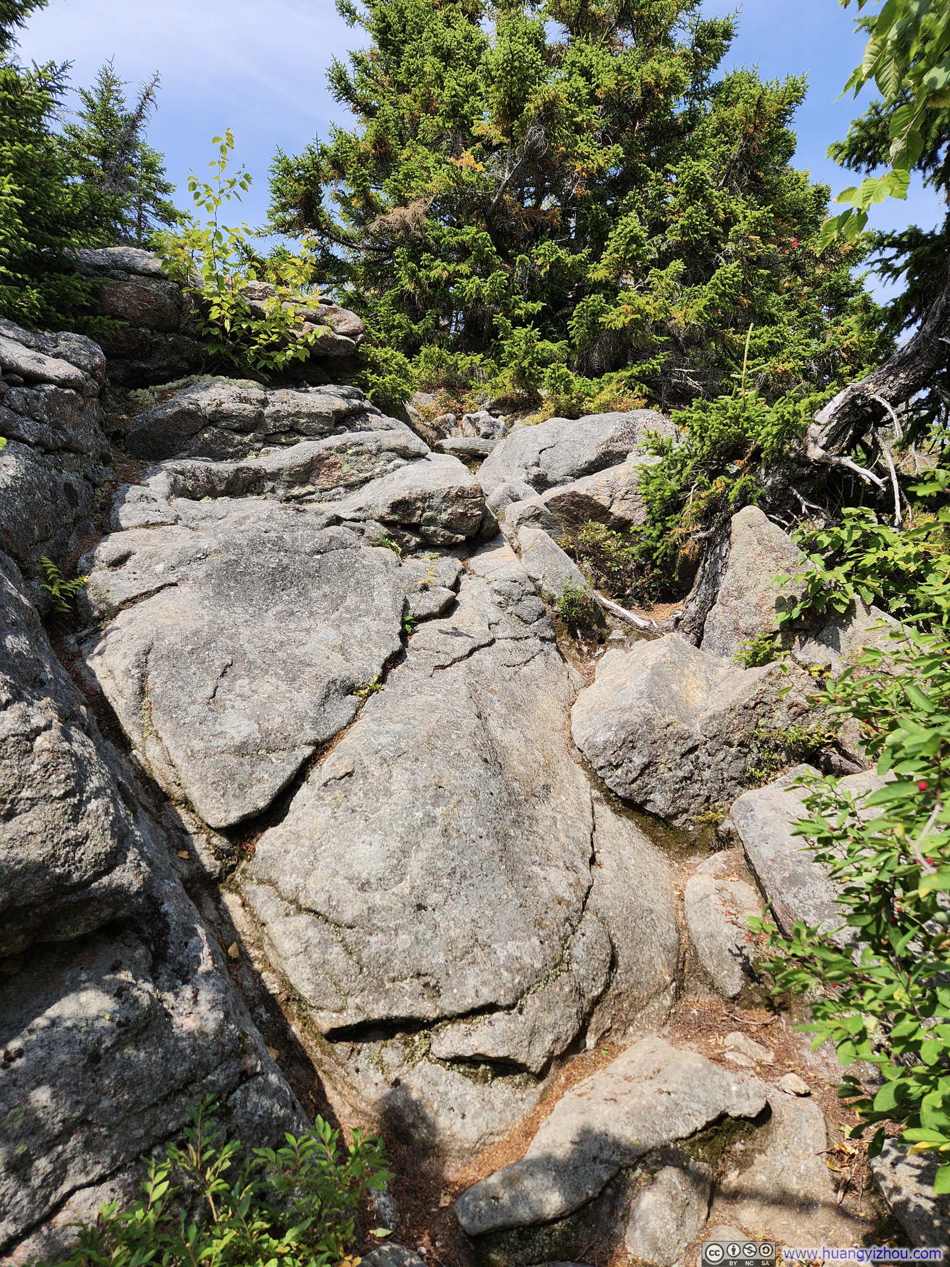
The trail traveled through a good mixture of woods and alpine tundra between the two peaks. There were a few scrambling moves right before North Baldface, though they proved neither as extensive nor as technical as the "Ledges" before South Baldface.
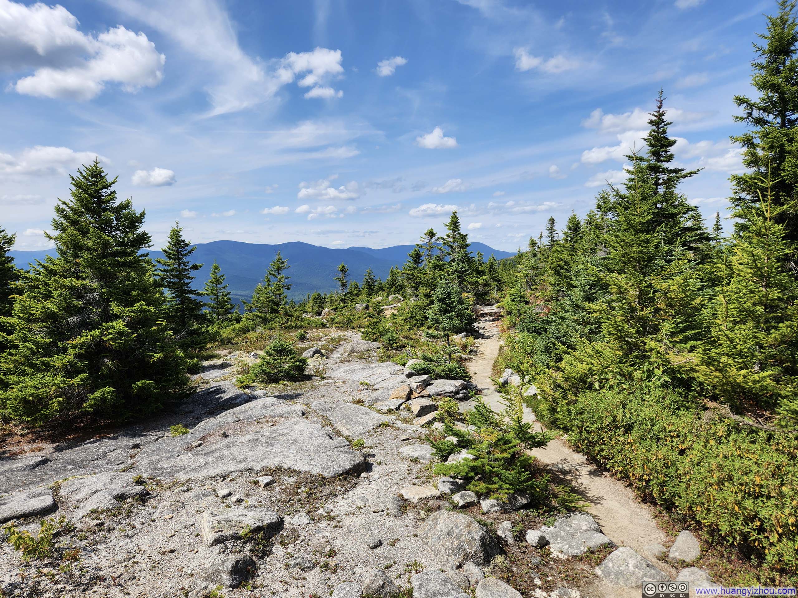
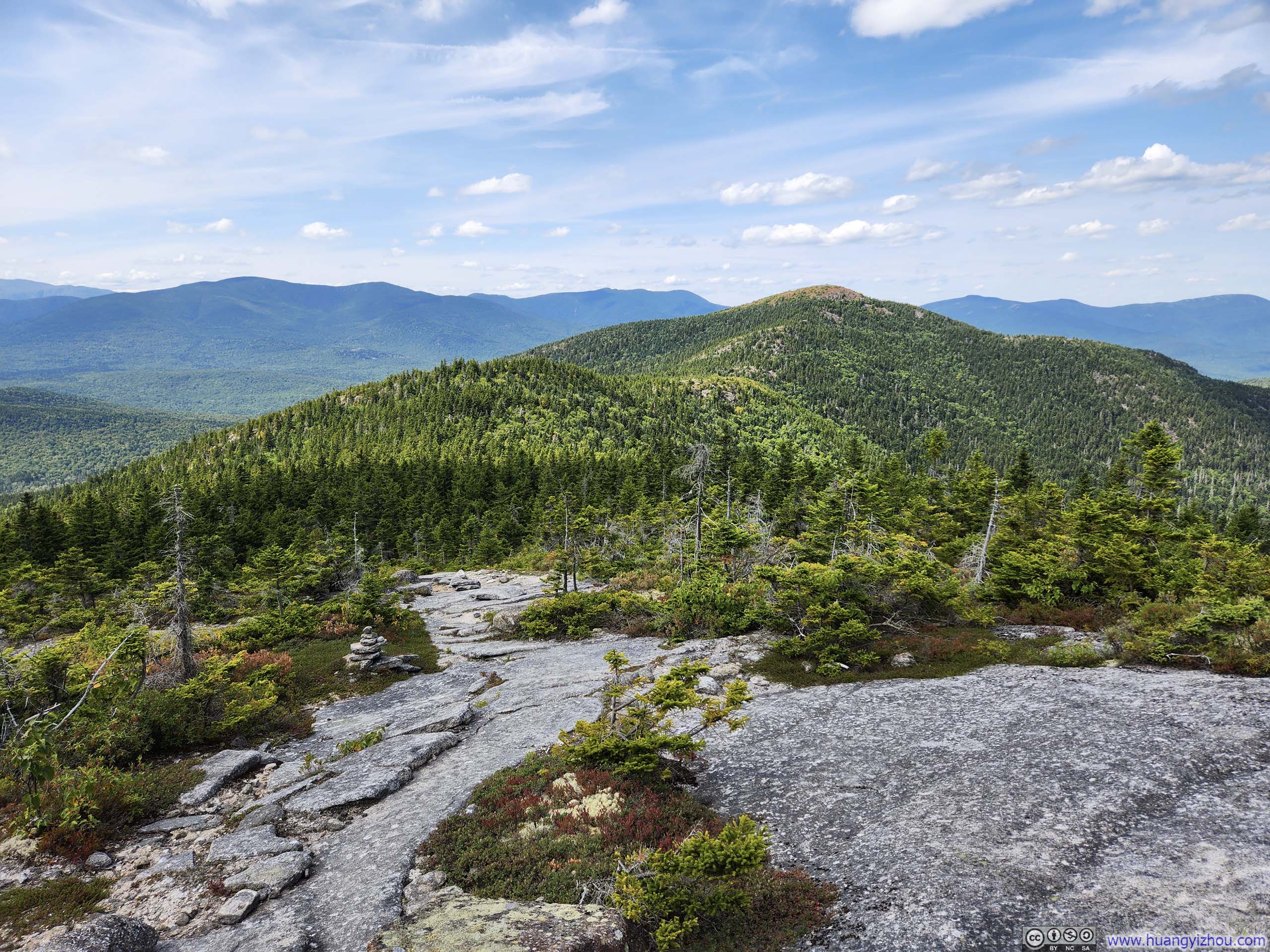
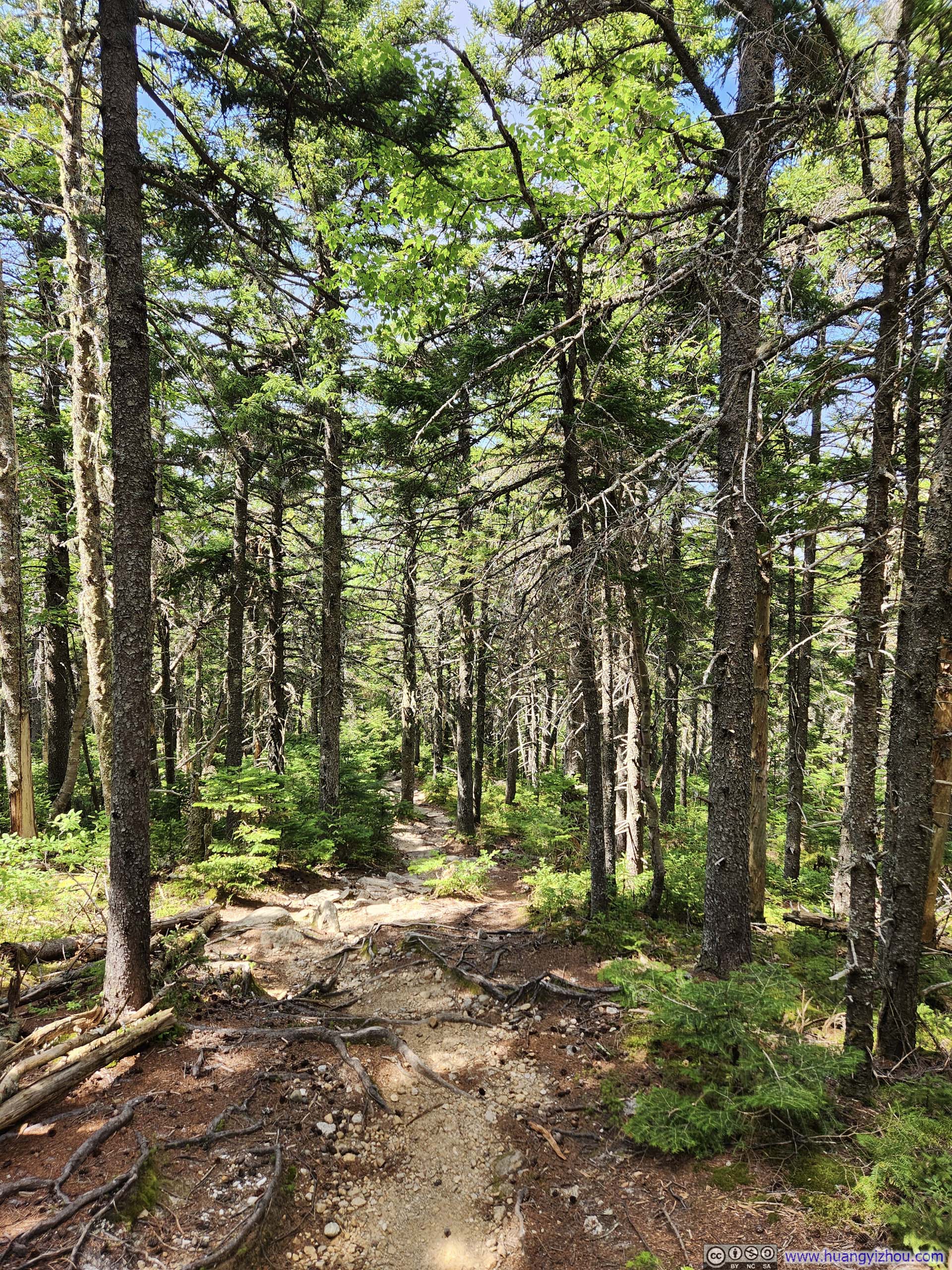
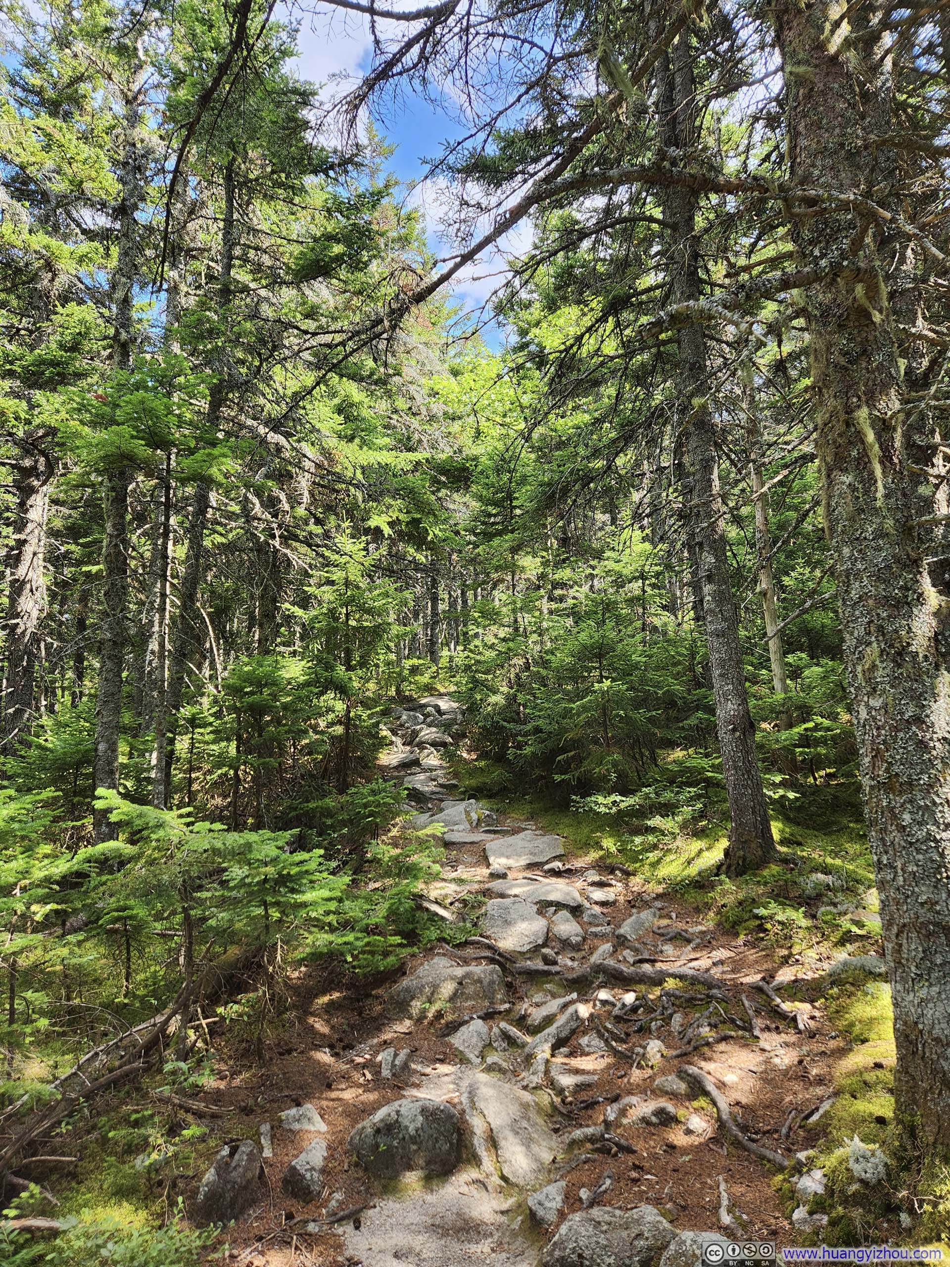
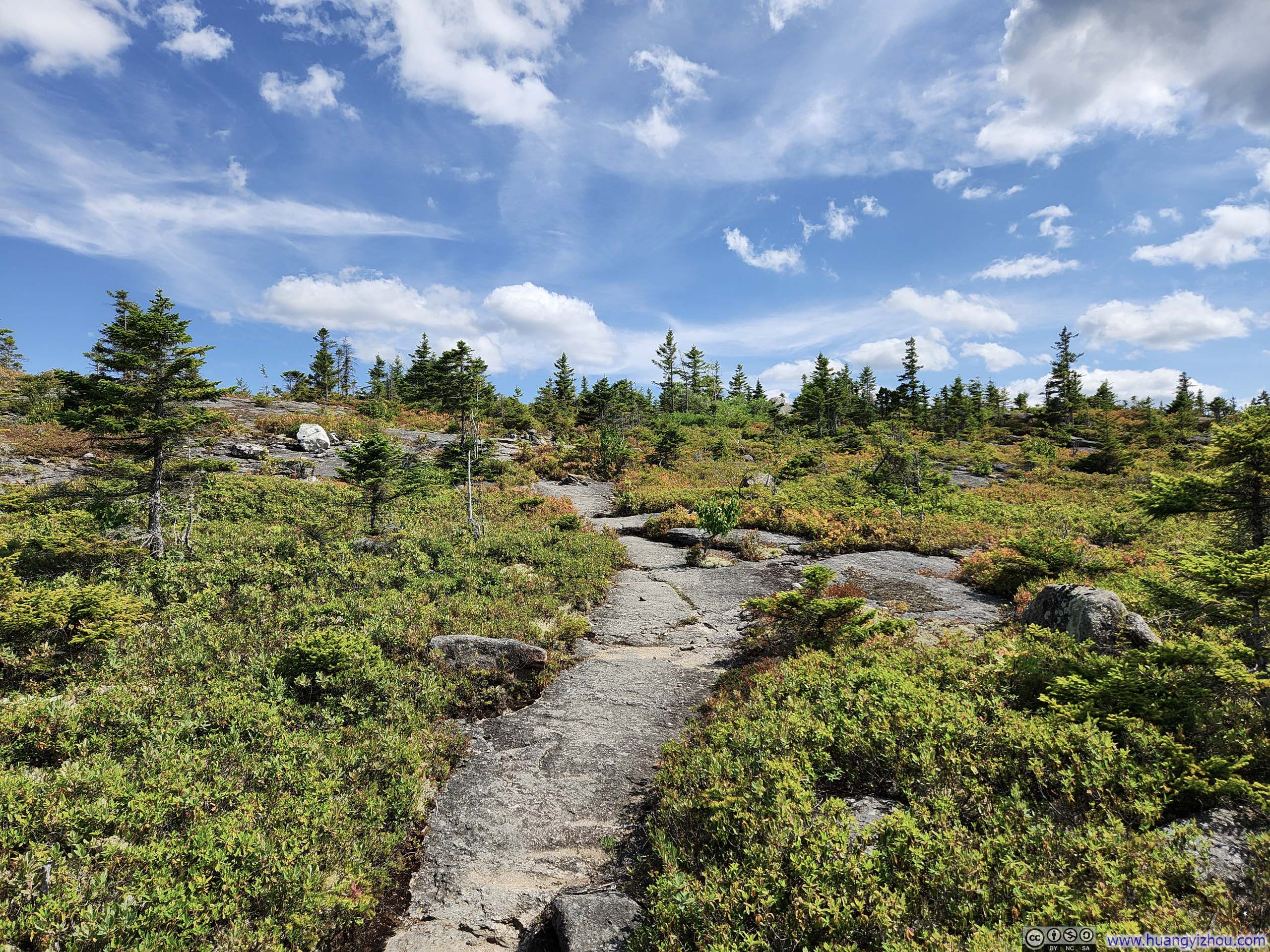
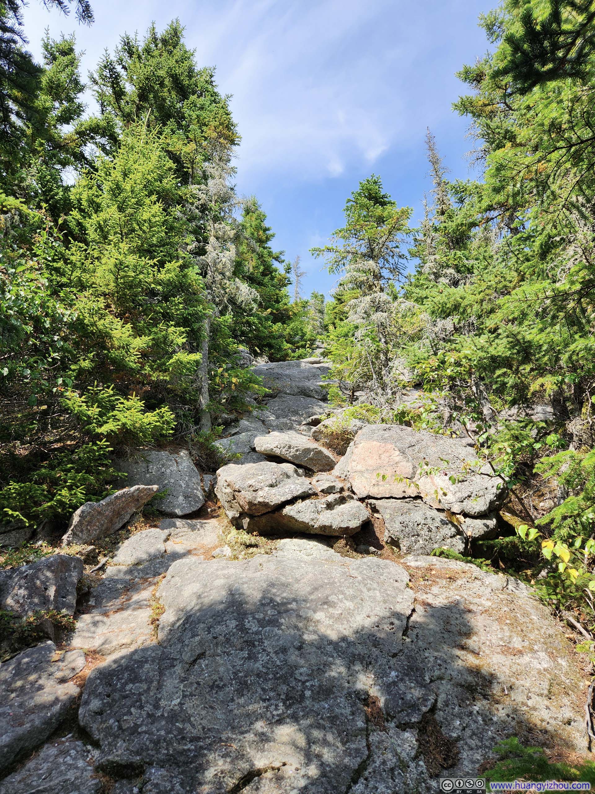
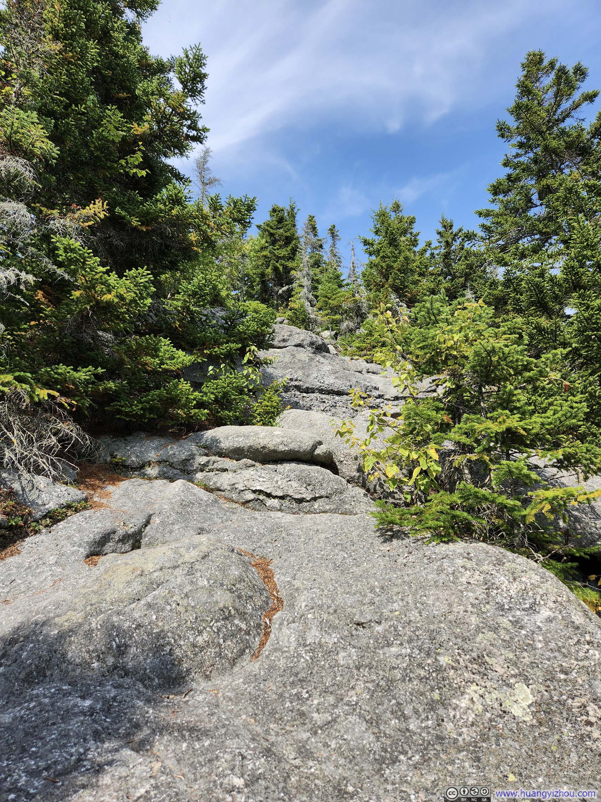
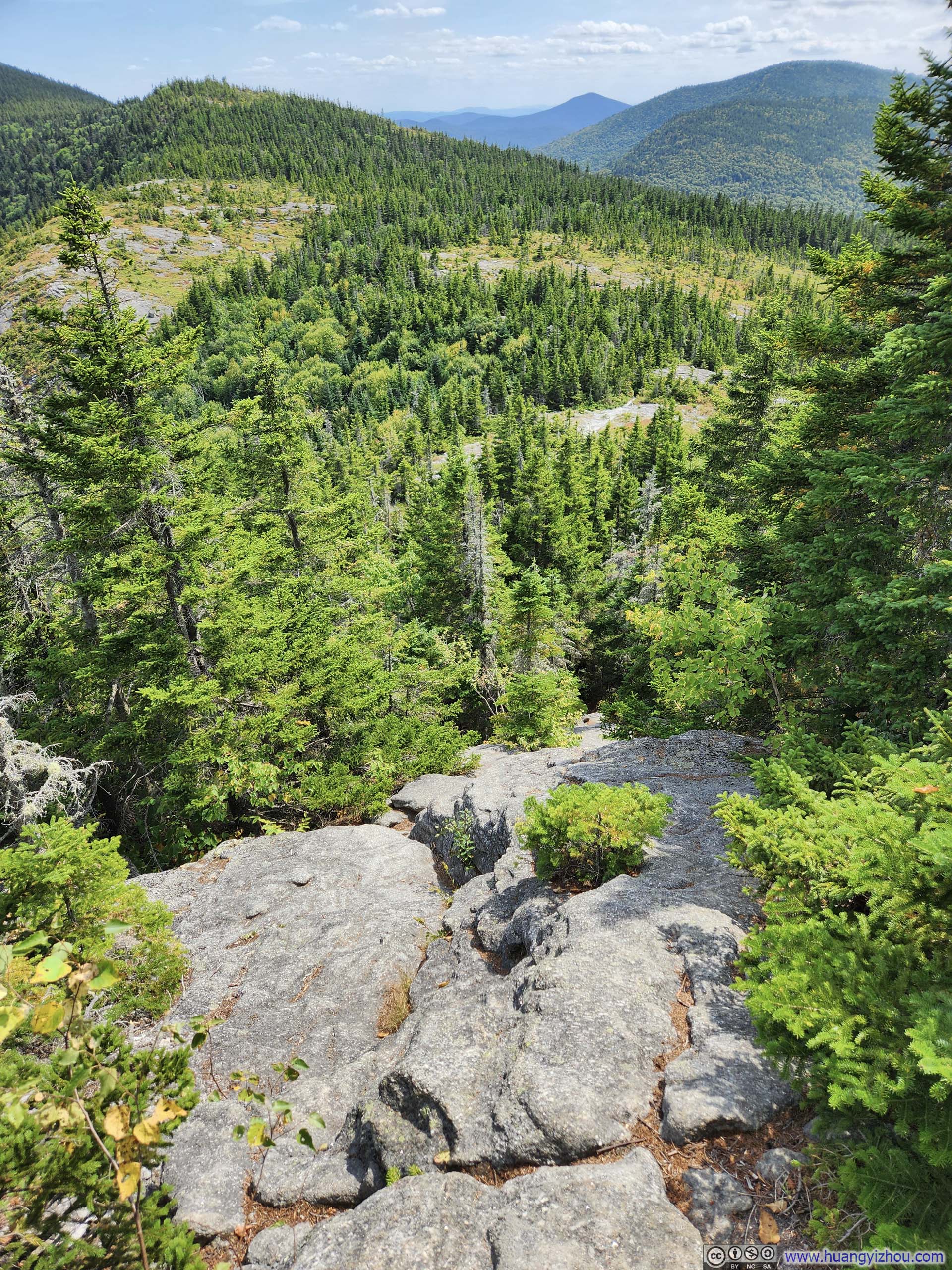
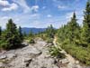
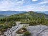
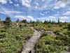
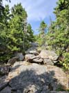
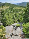
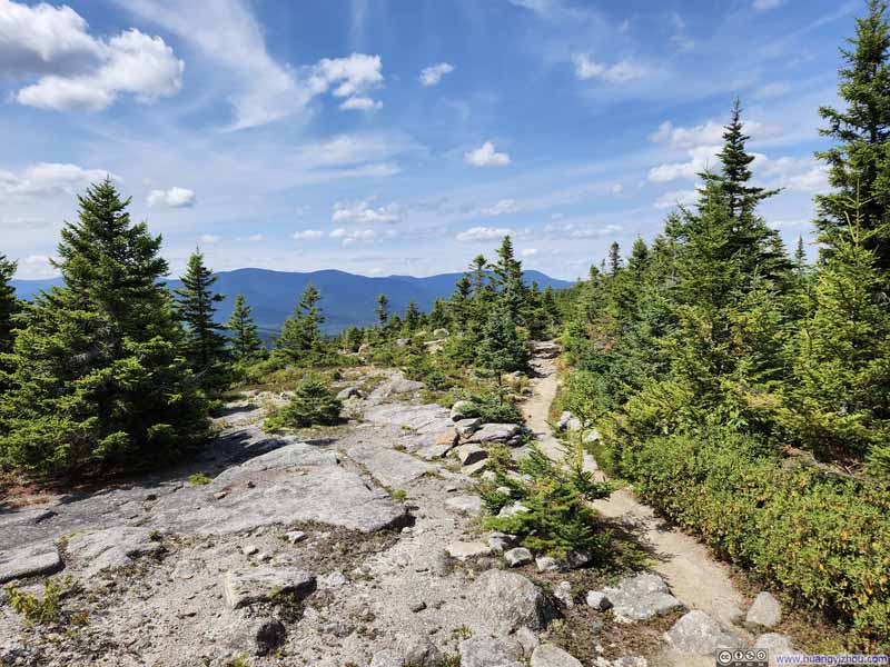
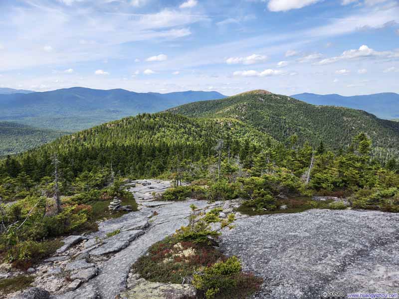
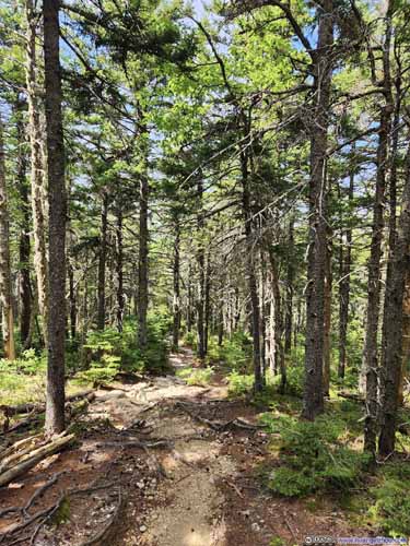
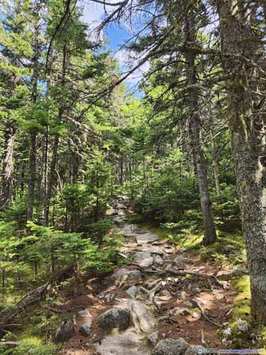
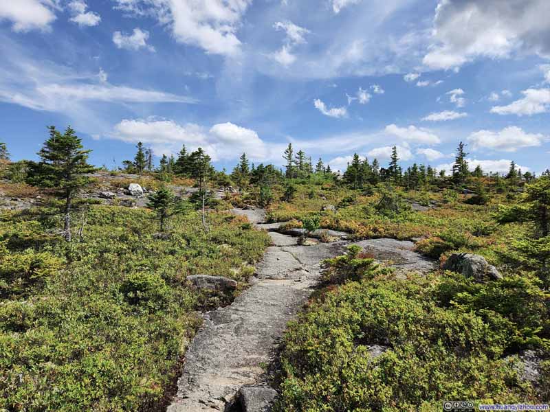
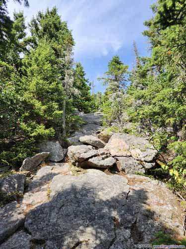
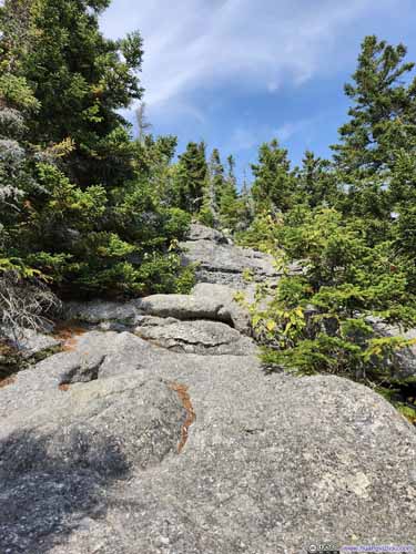
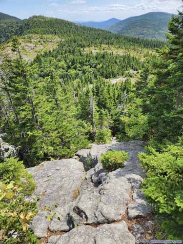
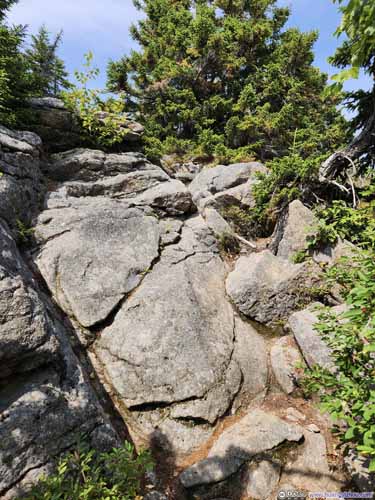
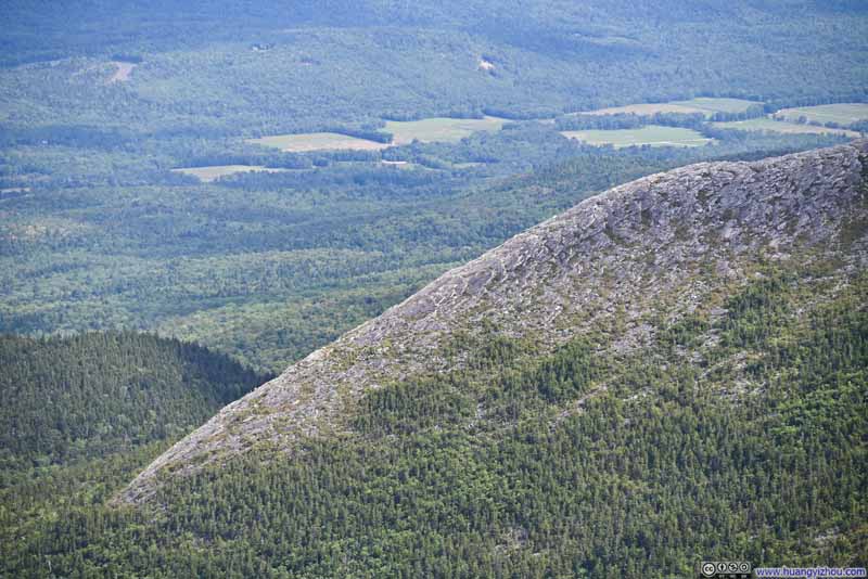
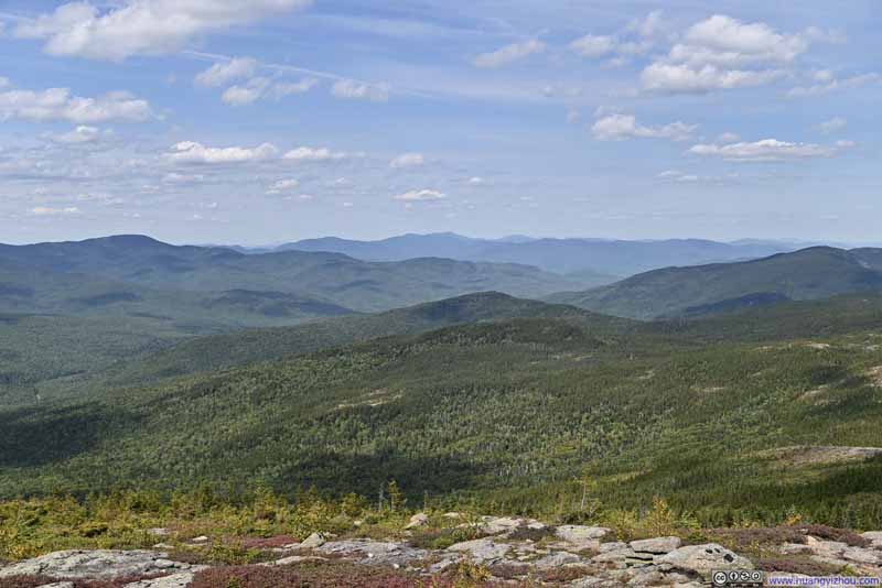
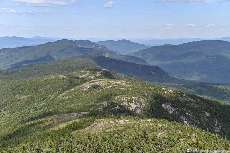
45 minutes after leaving South Baldface, I reached North Baldface. Like its southern counterpart, the summit offered panoramic views—largely of the same surrounding mountains, though from a subtly shifted perspective.
And just like its southern counterpart, a few exposed patches of rock pointed out my path forward, following a gentle ridgeline to Eagle Crag.
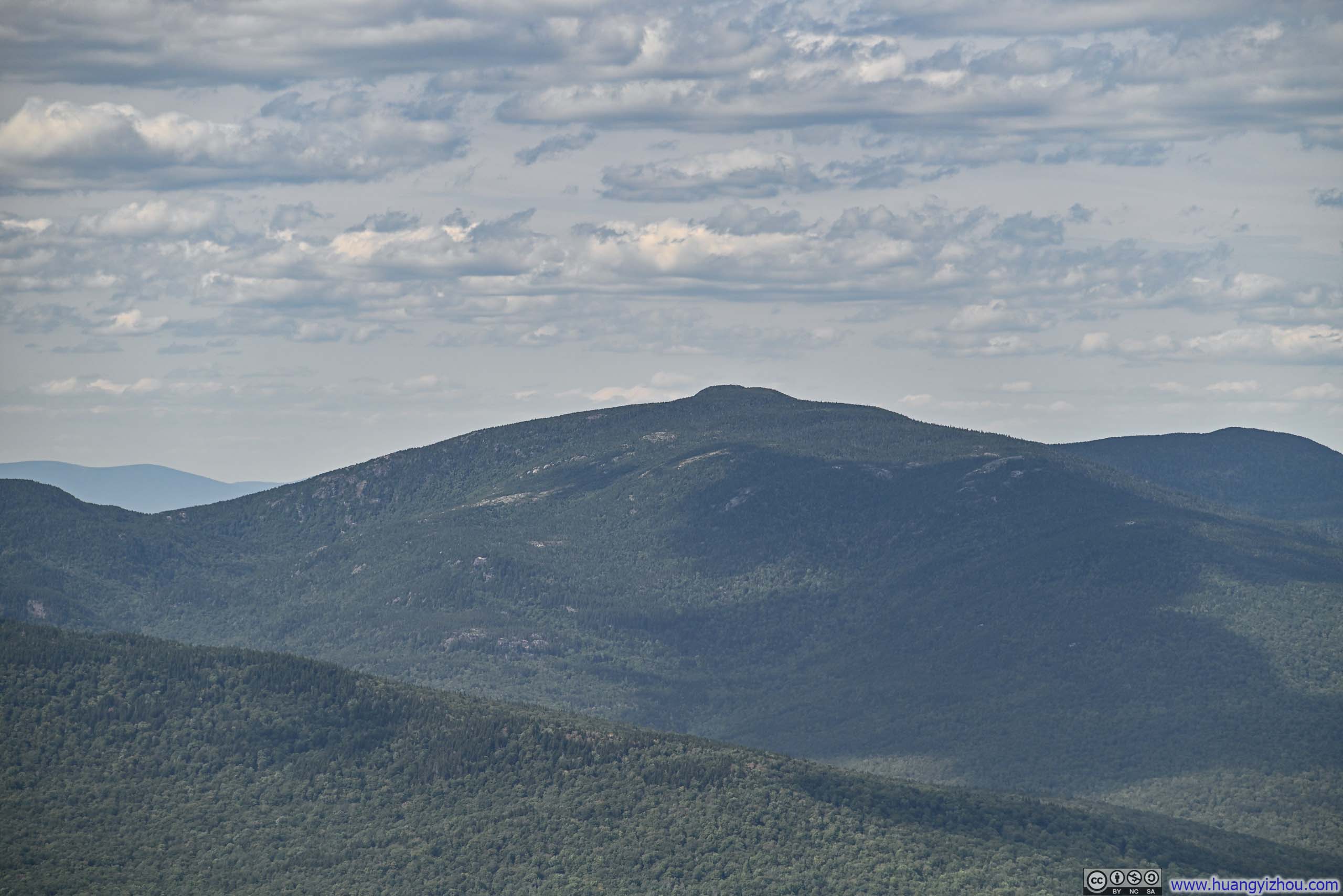

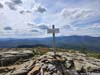
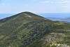










Here's a video from North Baldface:
13 seconds, 2160p60fps, H265 only, 20Mbps / 34MB.
After a 25-minute break, almost identical to the one I had on South Baldface, I resumed my hike.
Several trails offered descent routes from North Baldface. I opted for the northernmost option of "Baldface Circle Trail", which brought me closest to Eagle Crag. (Even so, a detour to Eagle Crag would add 450 meters to my total distance.) Along the way, I encountered another hiker who had ascended via the Bicknell Ridge Trail, which he described as having "very beautiful views."
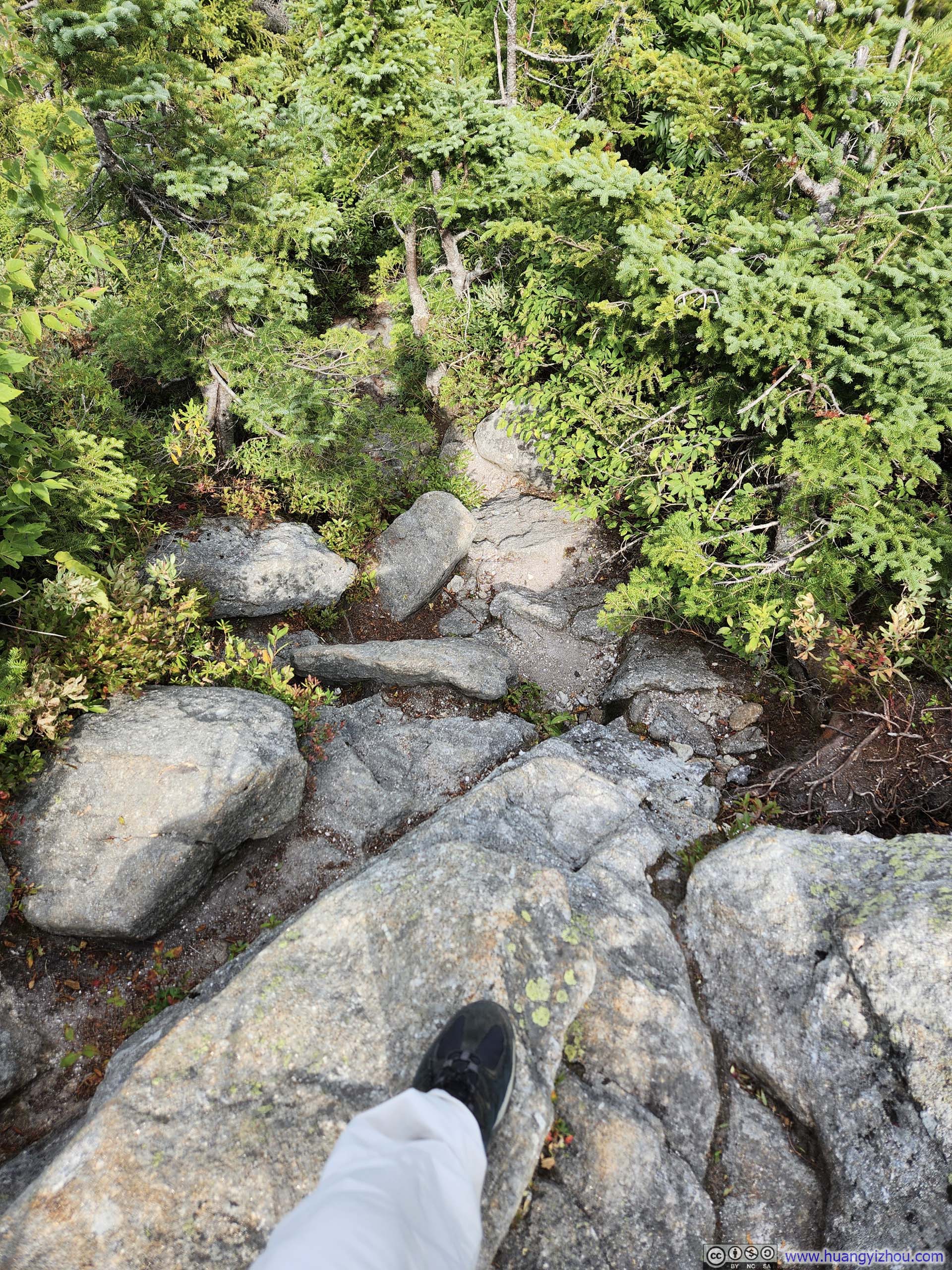
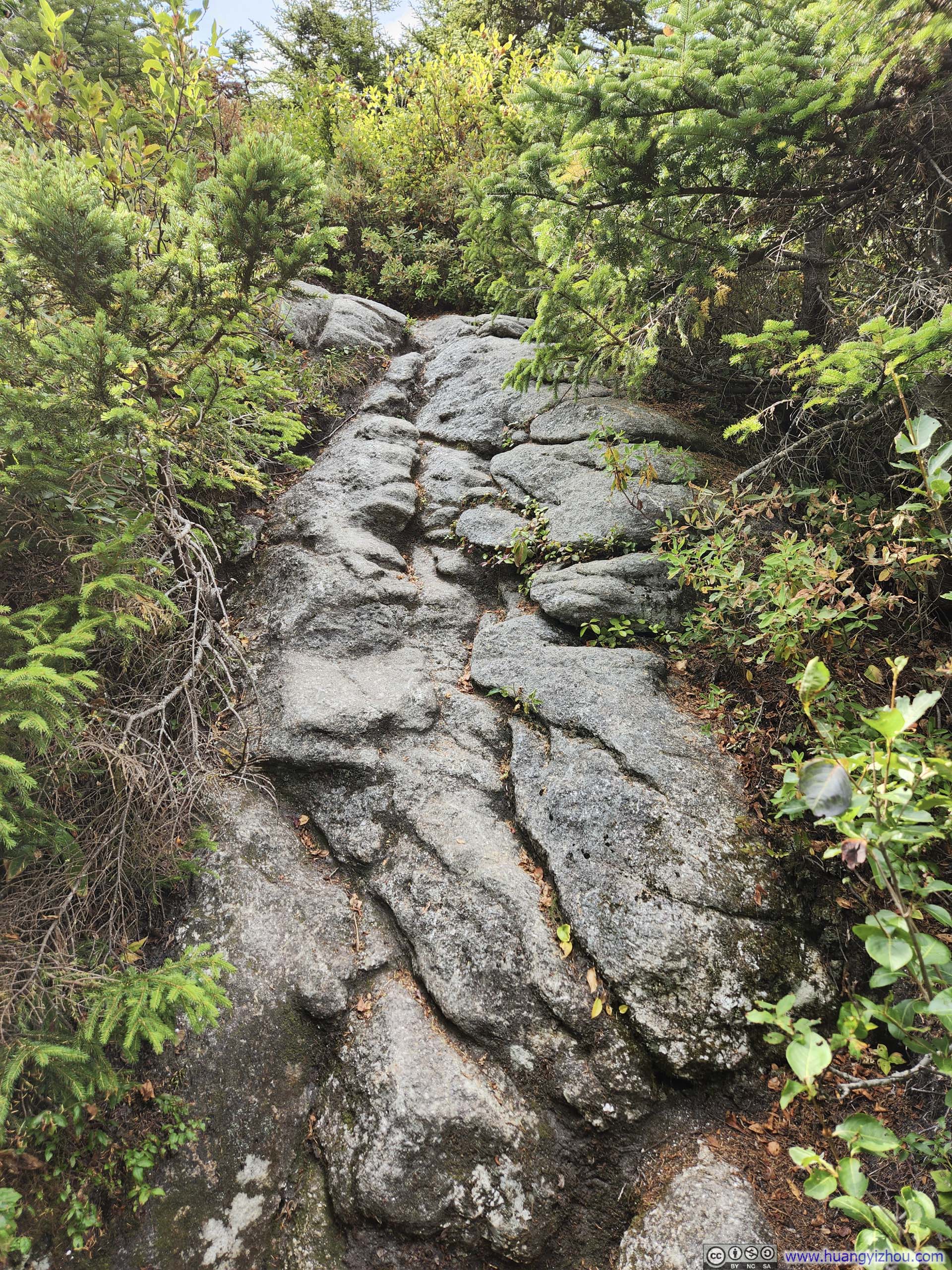
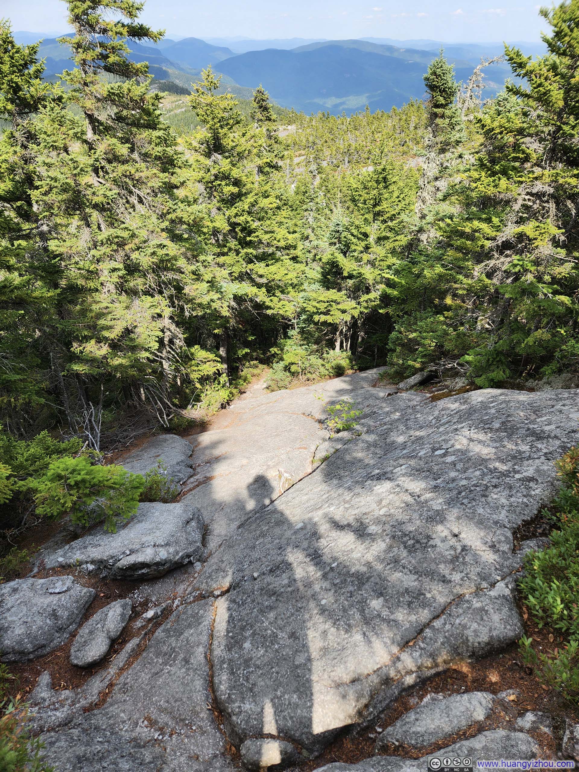
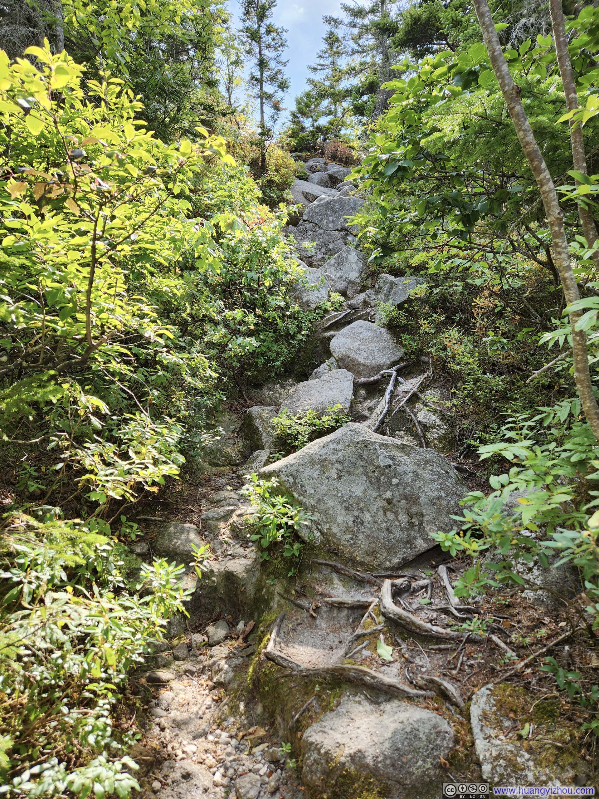
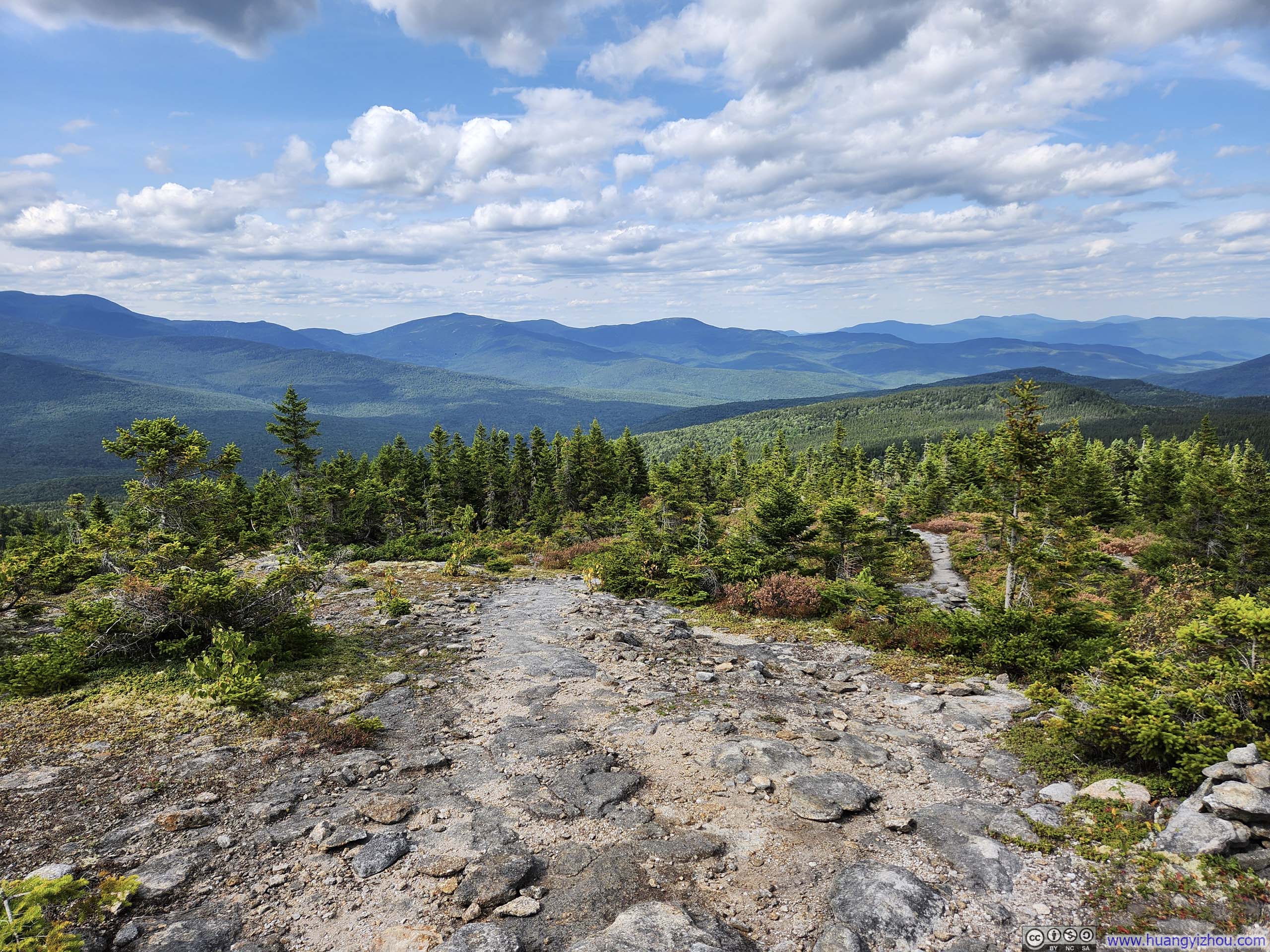
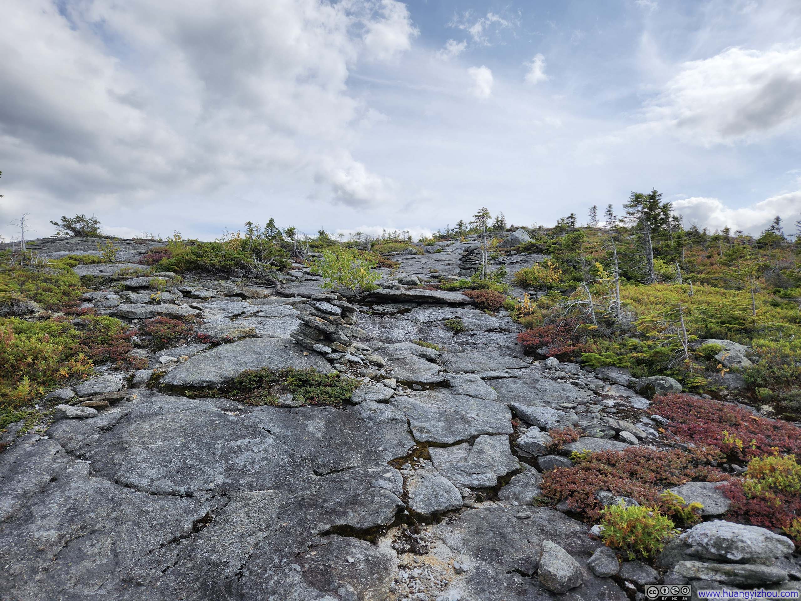
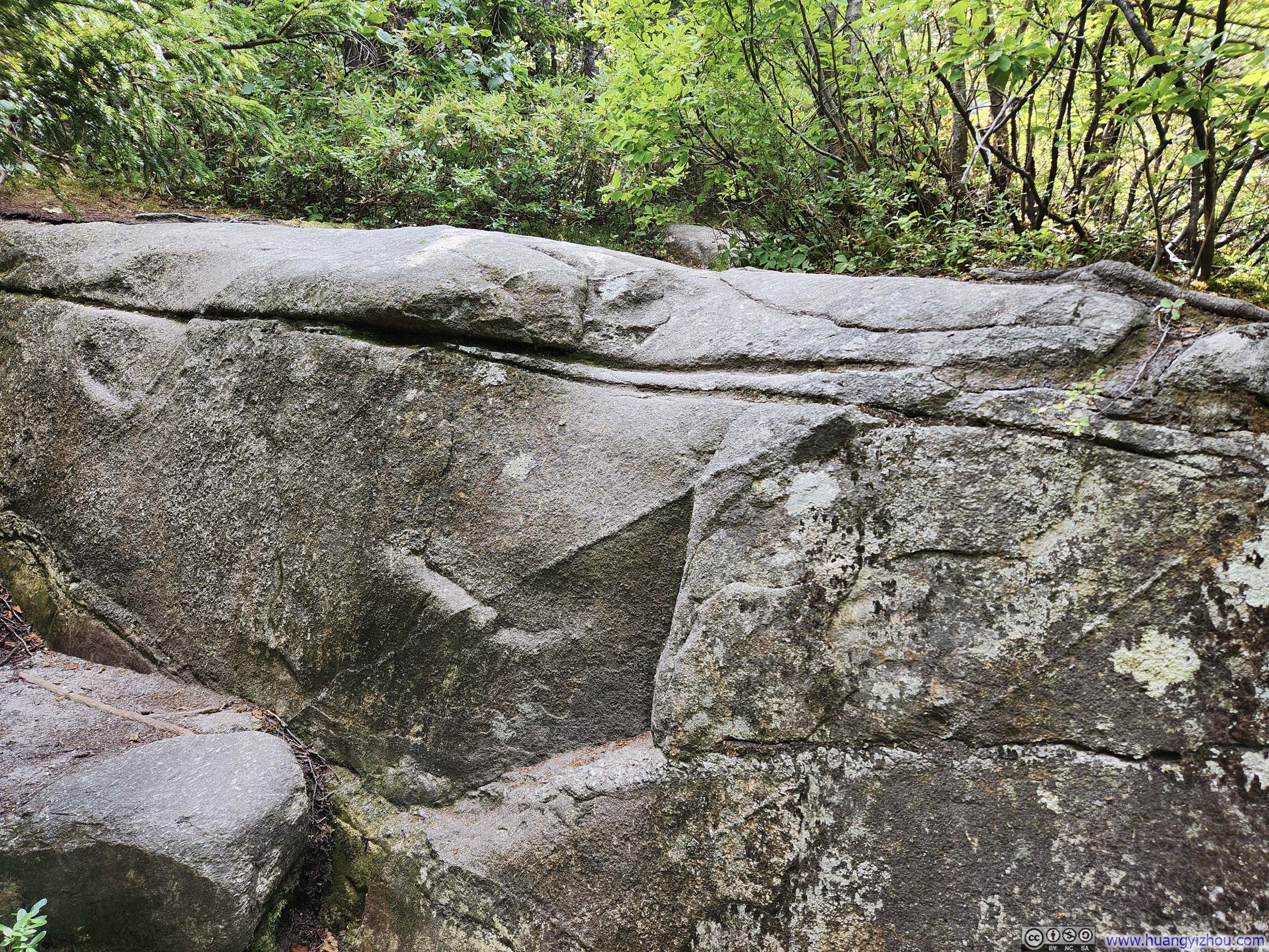
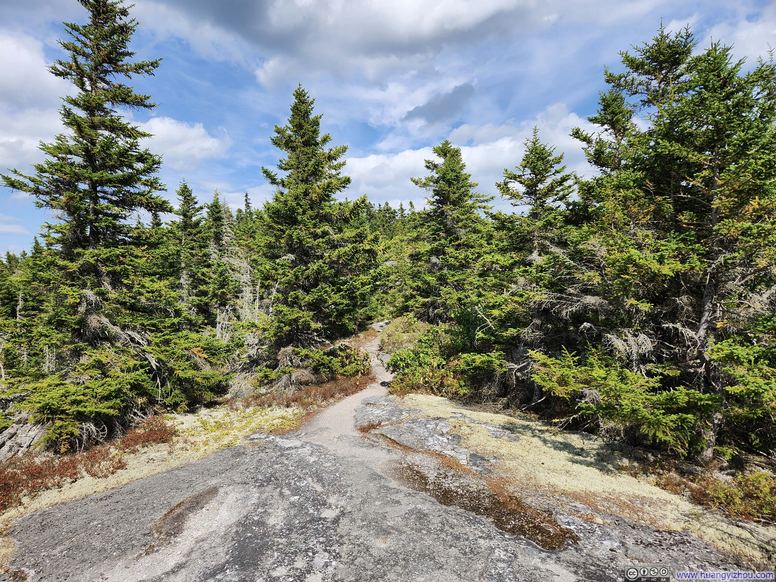
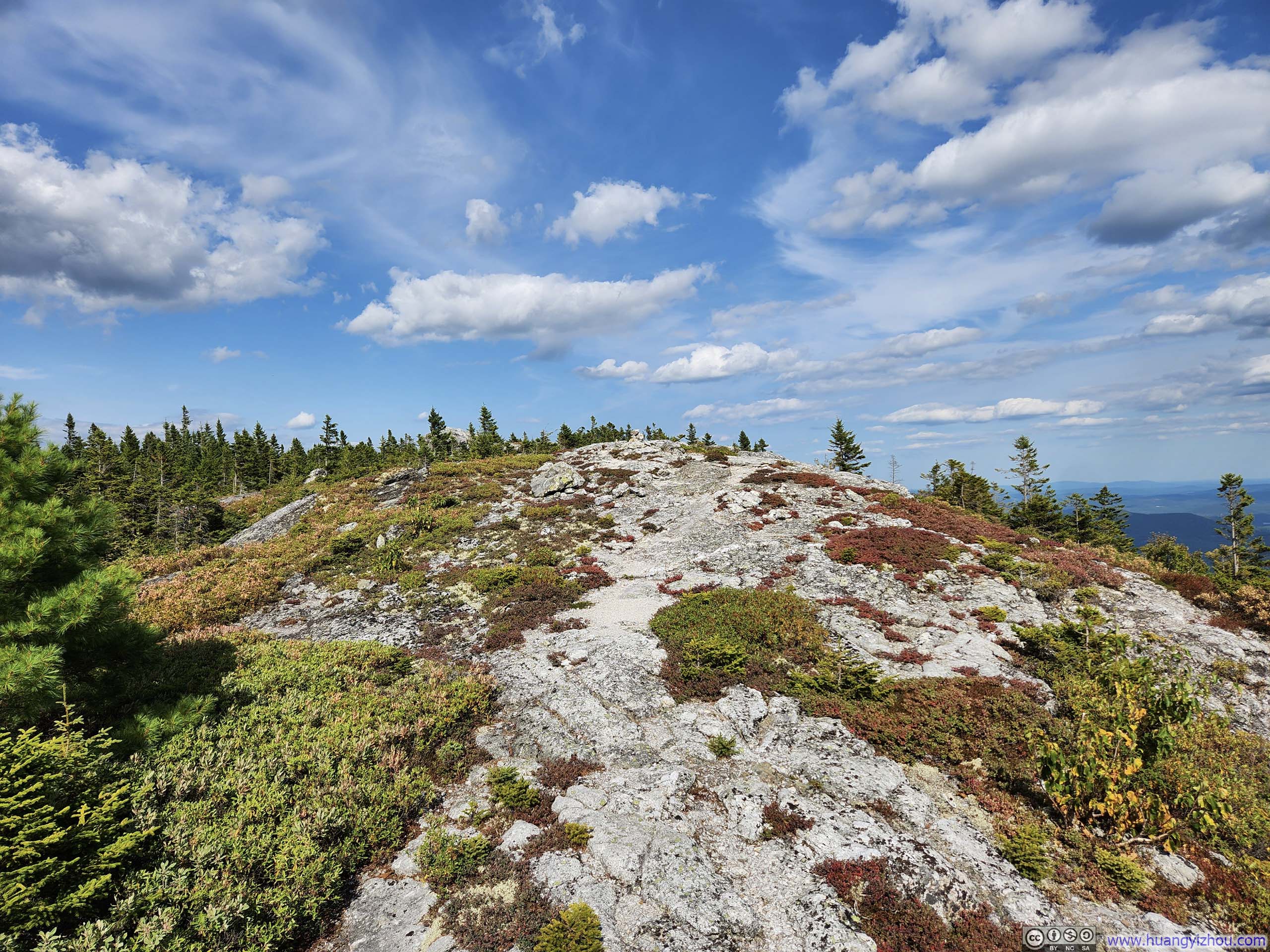
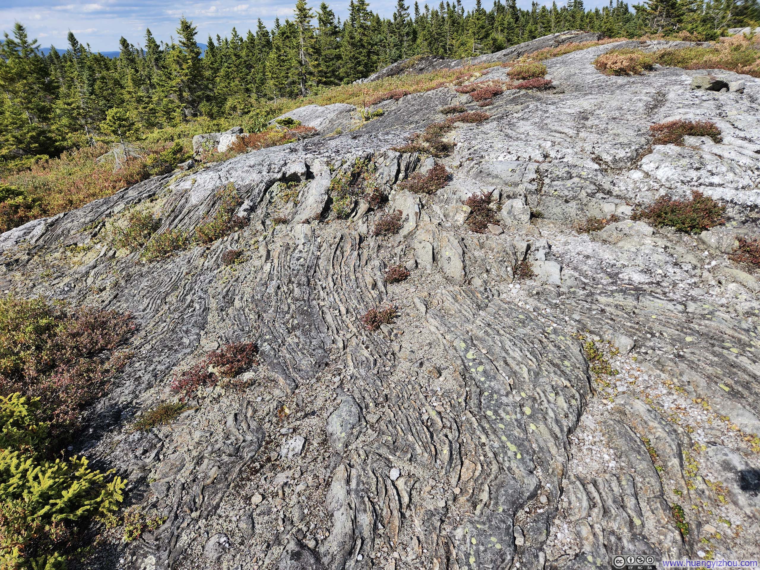
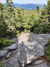
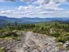
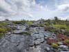
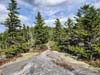
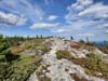
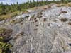
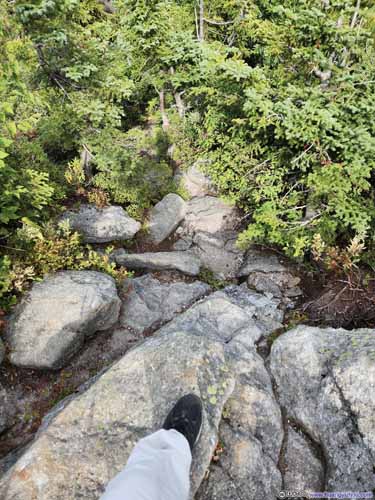
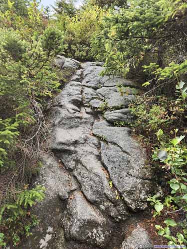
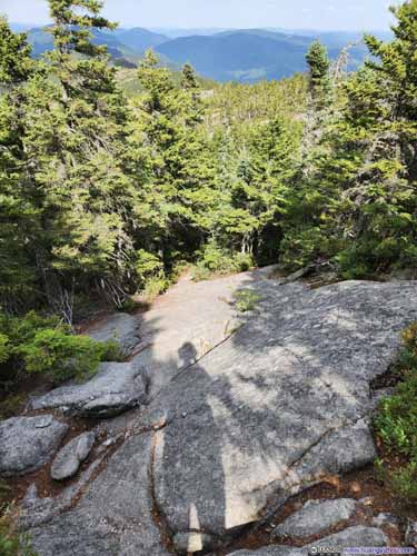
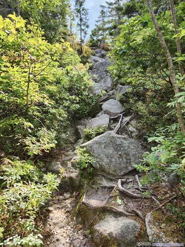
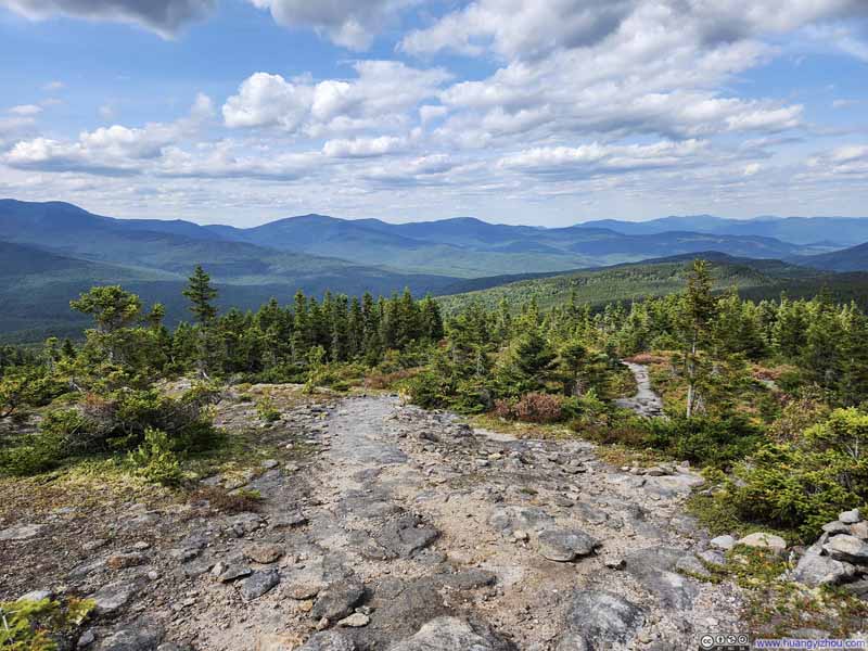
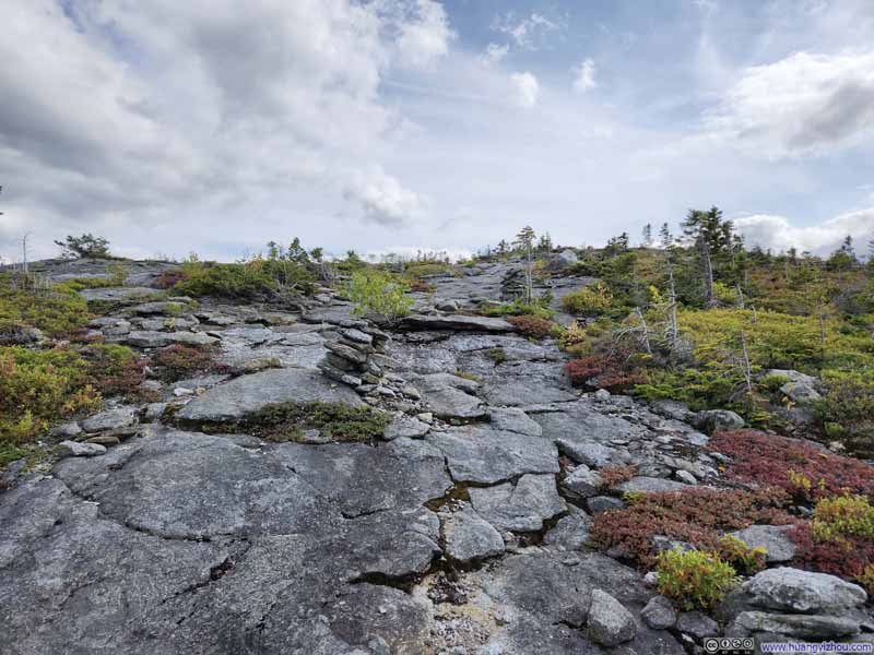
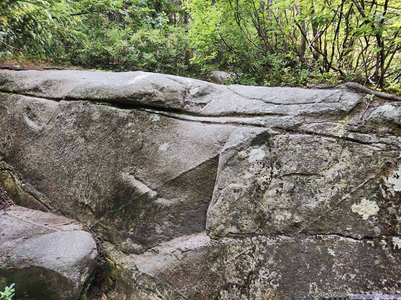
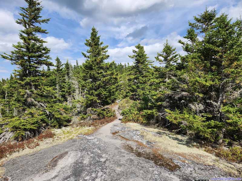
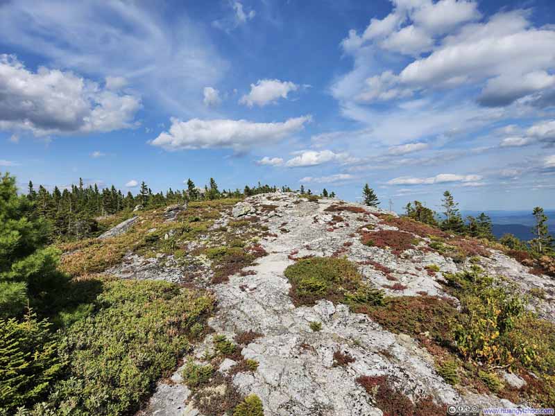
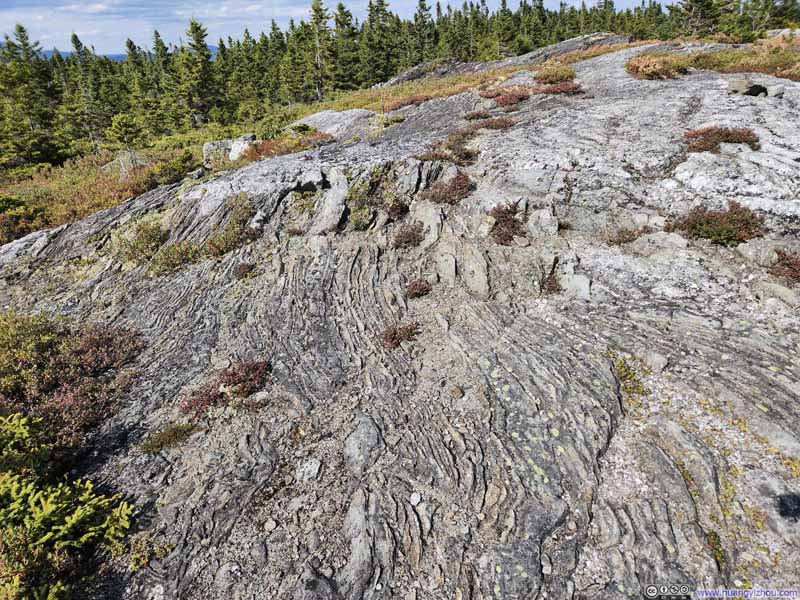
Between North Baldface and Eagle Crag, the trail wove through varied patches of woodland, occasionally opening to reveal vistas of the mountains flanking Wild River Valley to the north.
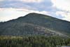
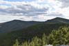
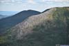
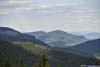
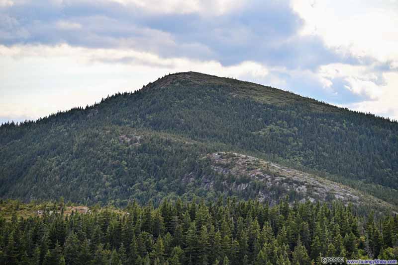
I reached Eagle Crag around 4pm. Unlike the two earlier summits with their panoramic views, Eagle Crag only offered a 180-degree view to the south. But what it lacked in scope, it made up for in narrative. From this vantage point, I could trace the entire arc of my day's journey: the ascent from the Ledge to South Baldface, and the continuation onward to North Baldface, and then back down here.

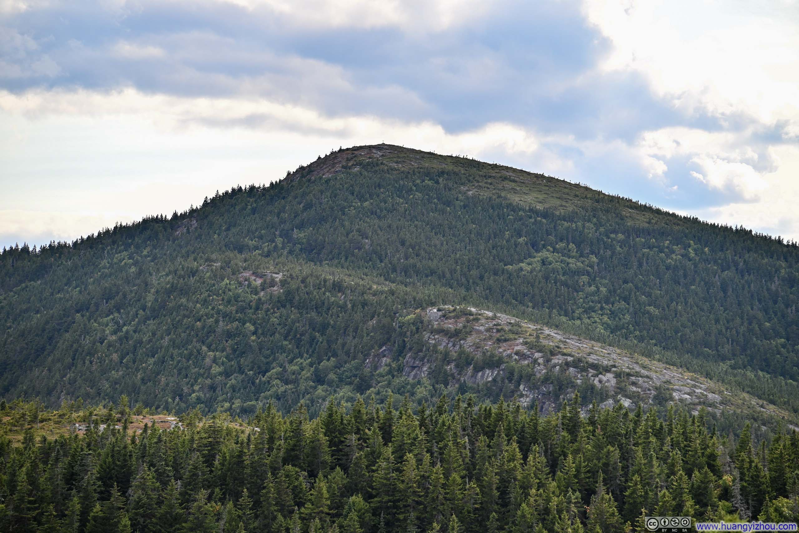

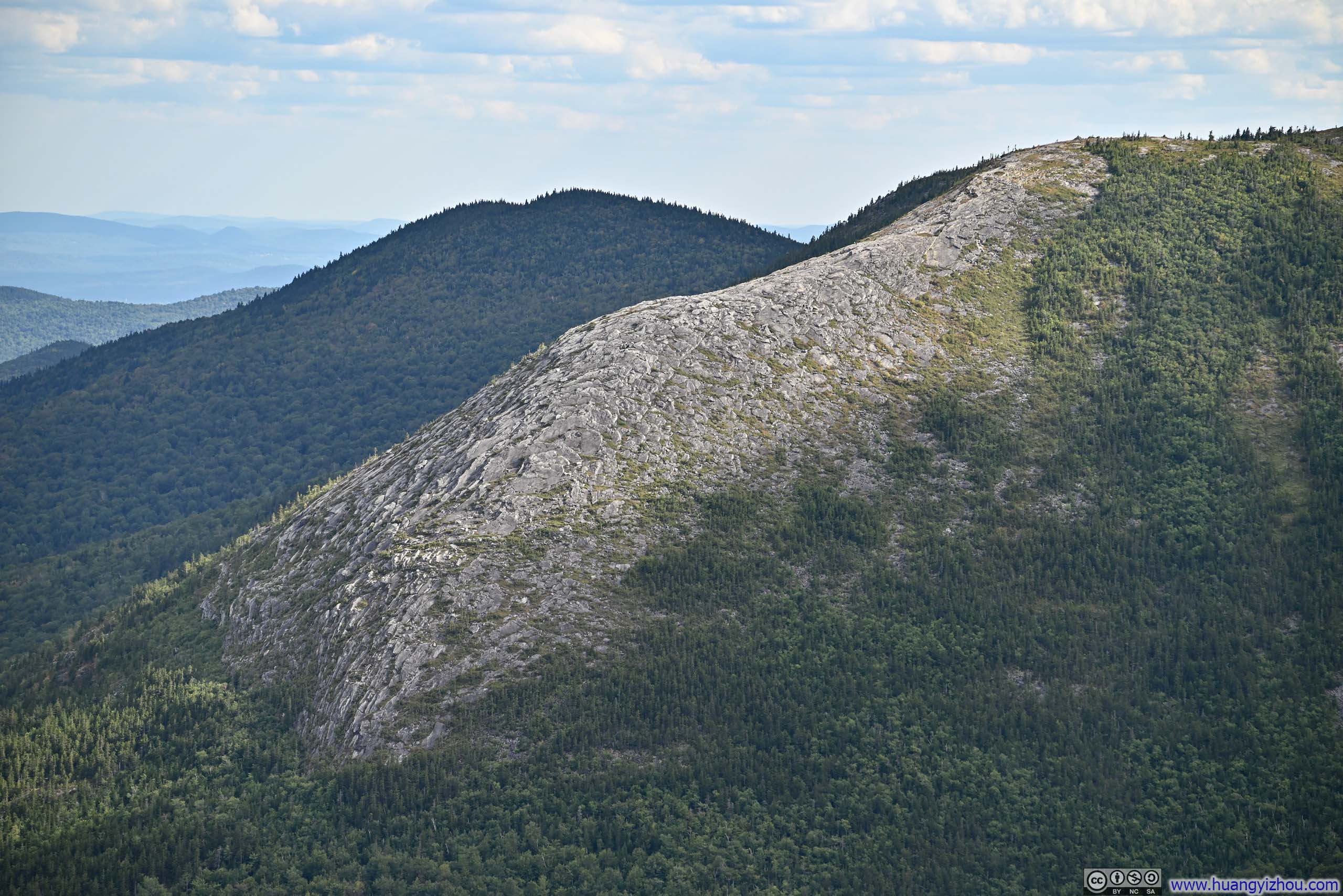






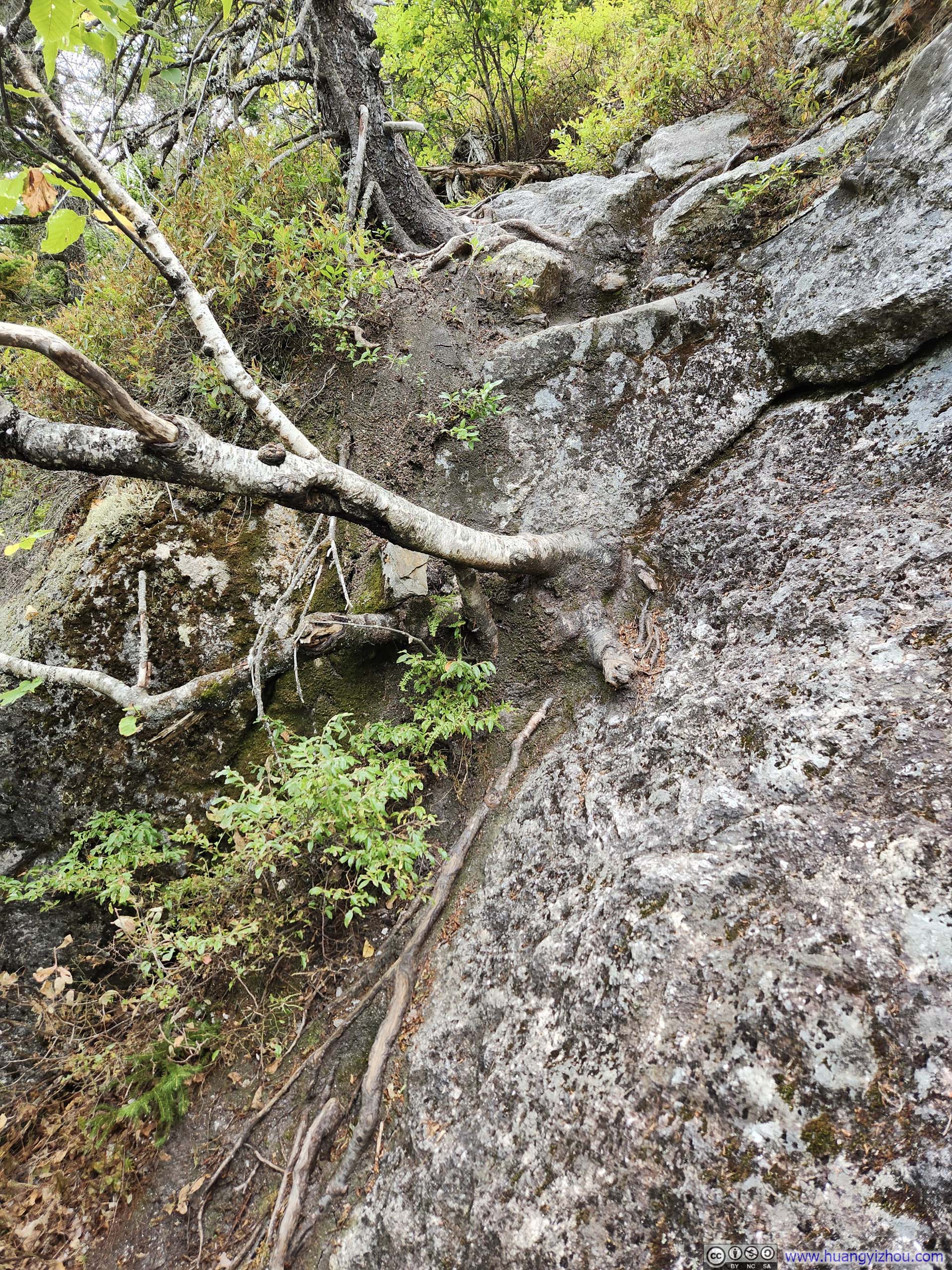
I stayed at Eagle Crag for about 15 minutes before heading down. Leaving Eagle Crag, there was a short but steep section of trail, before it eased up into a typical stroll in the woods.
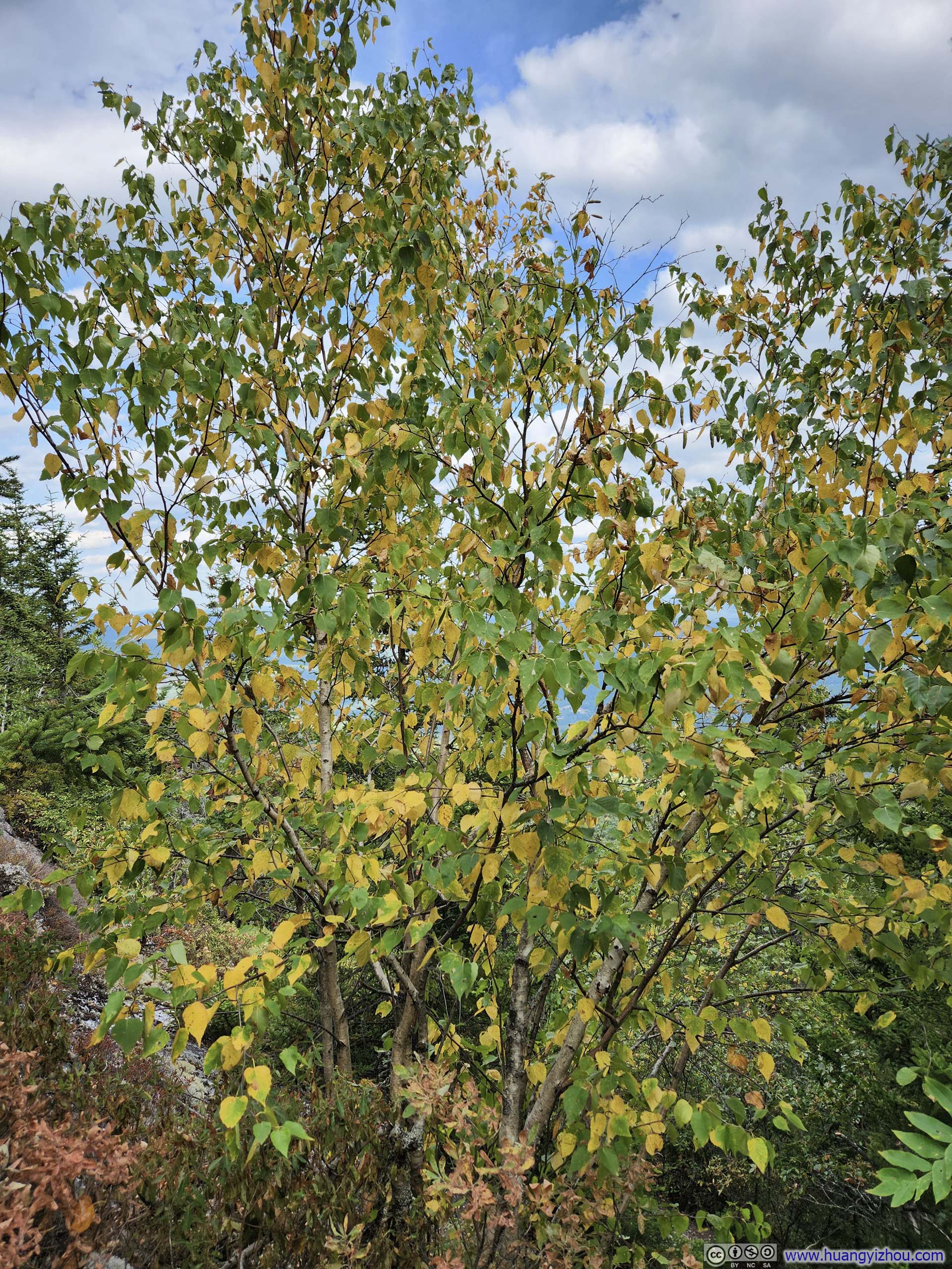
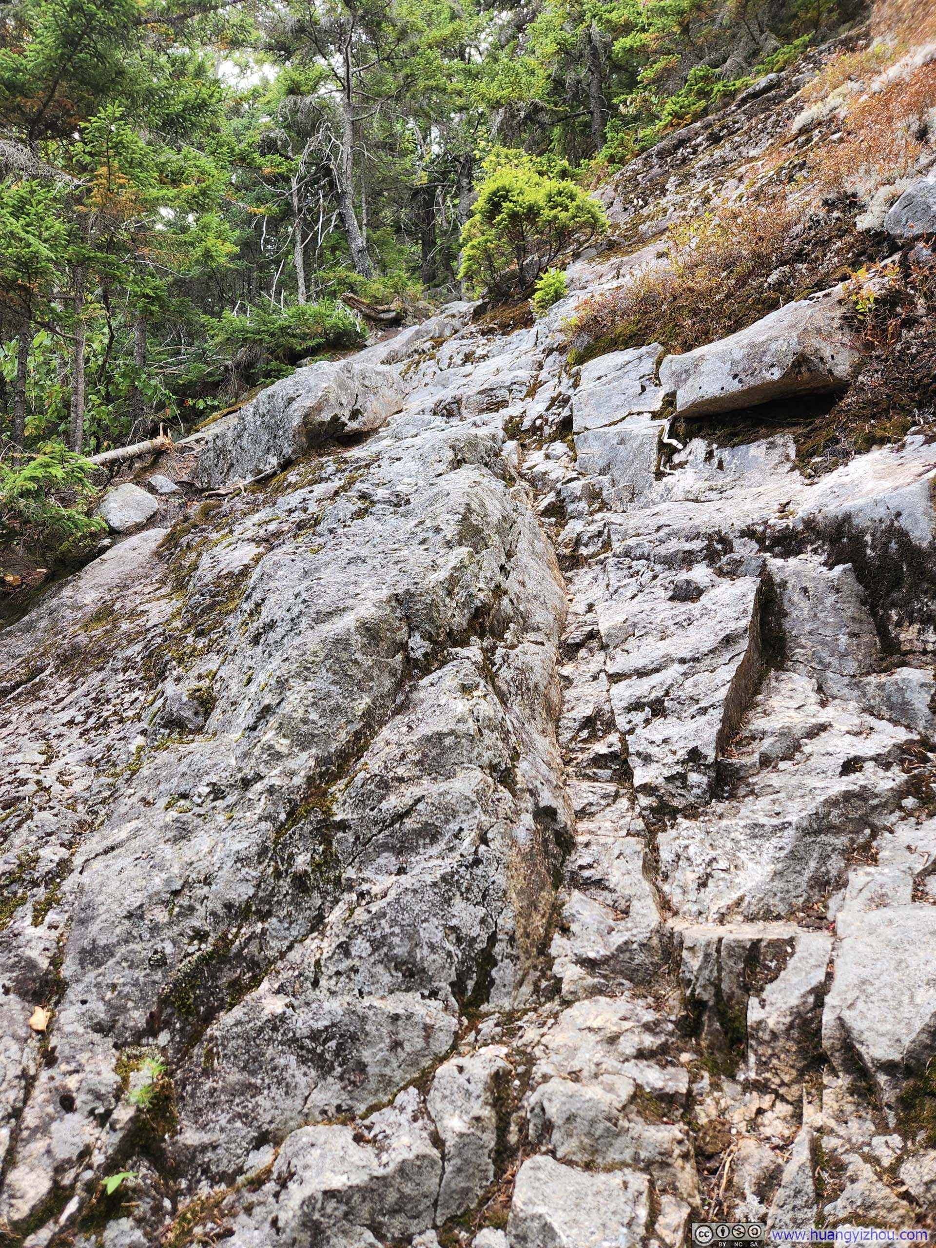
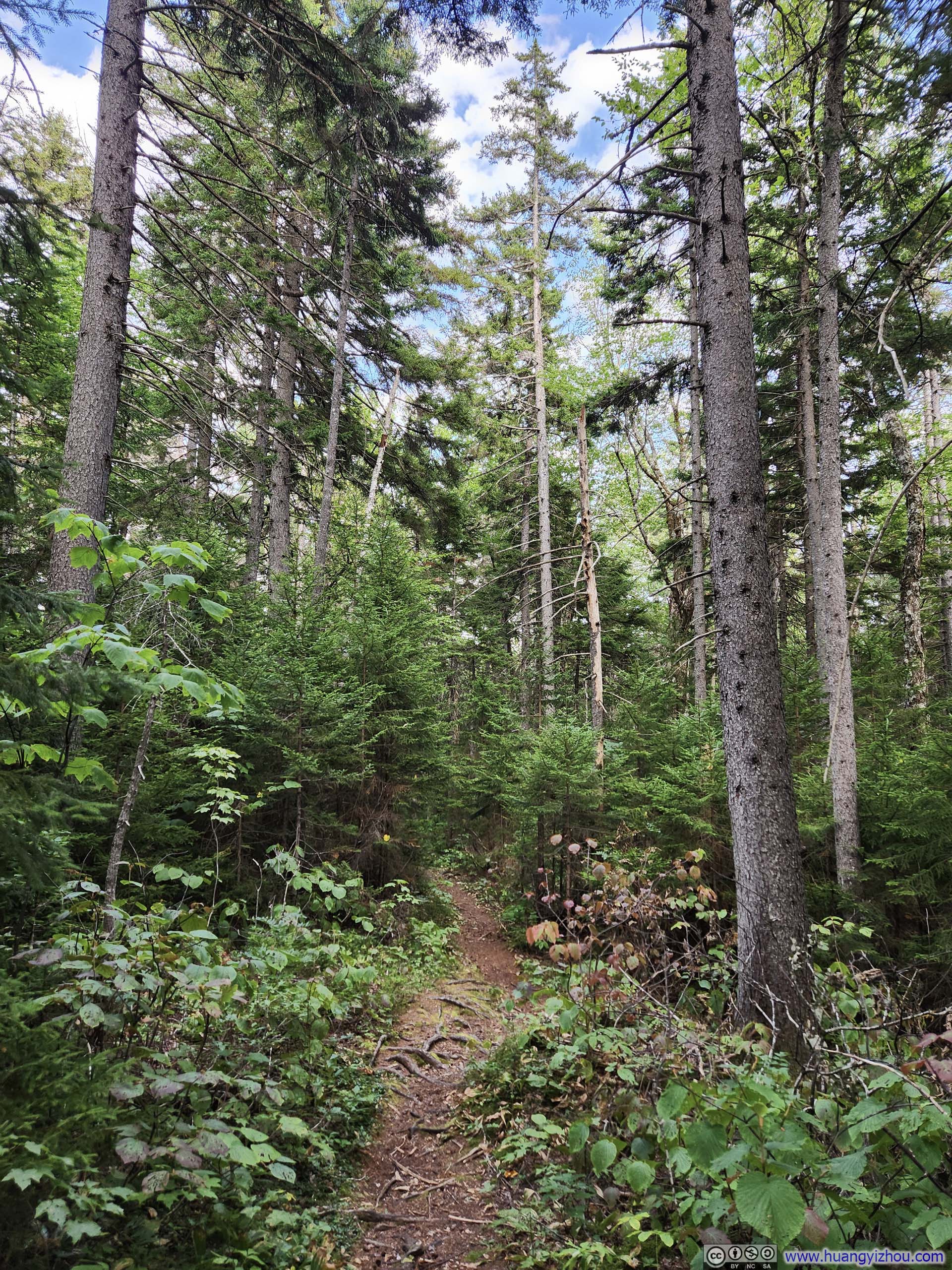
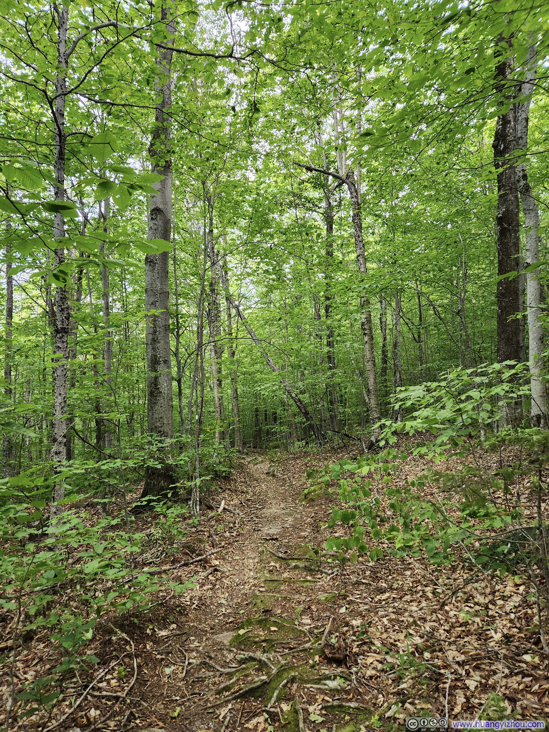
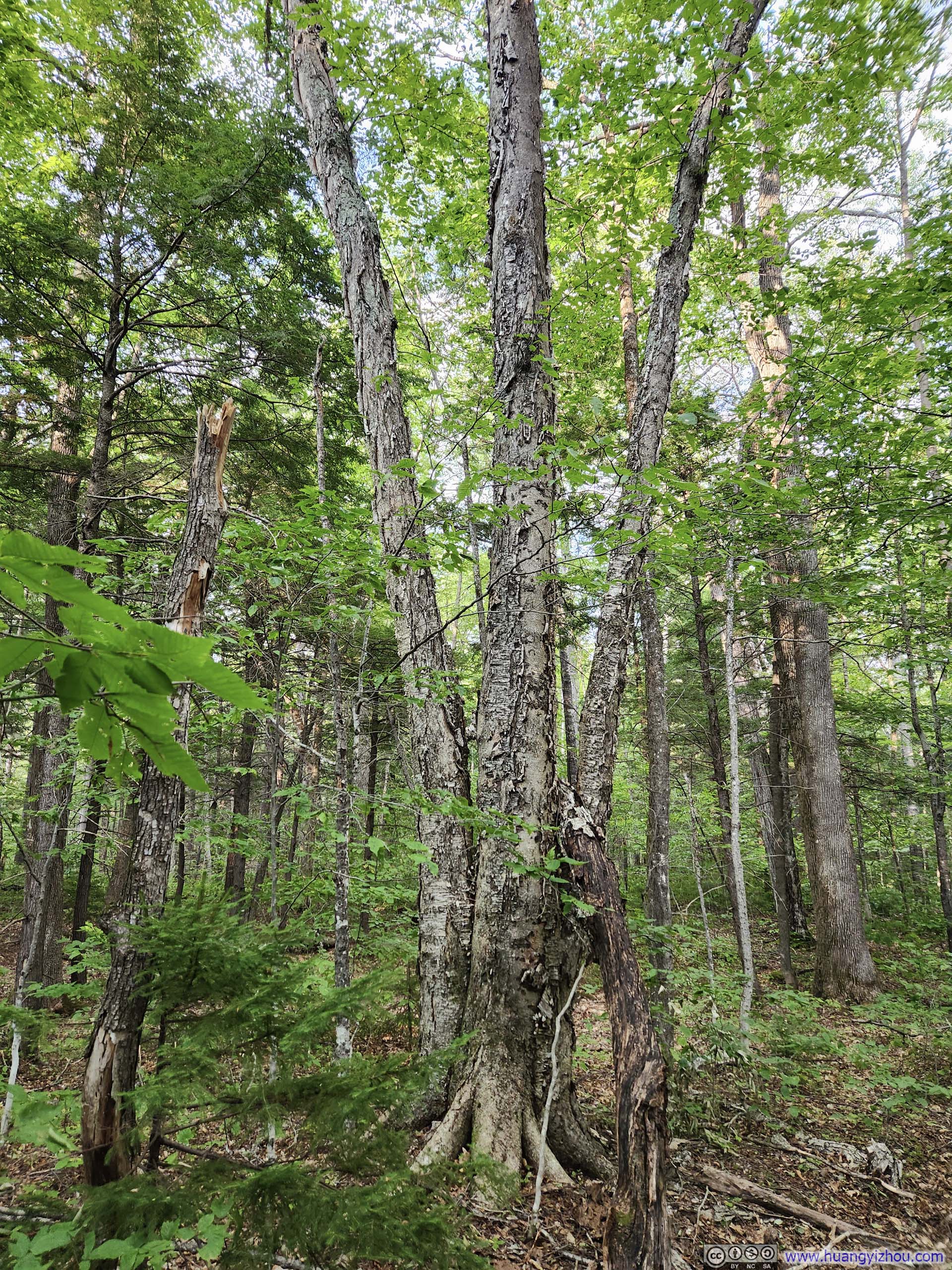
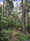
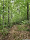
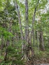
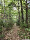
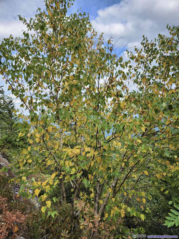
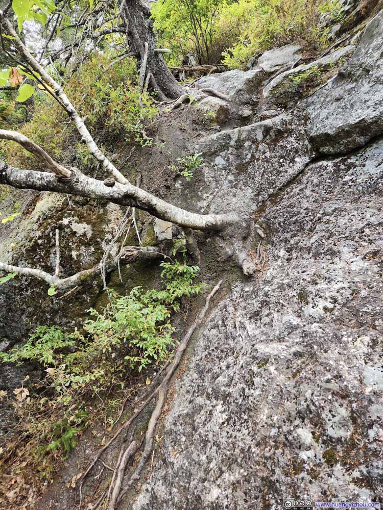
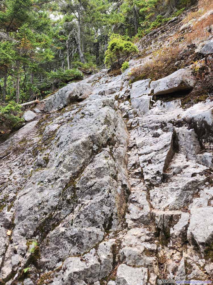
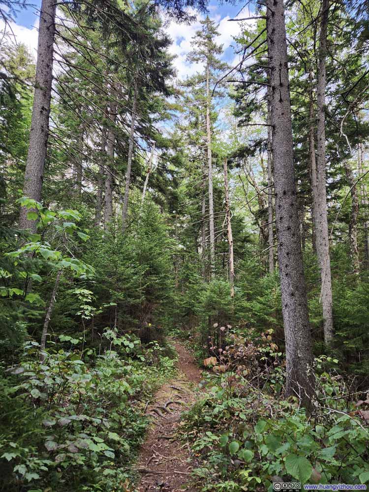
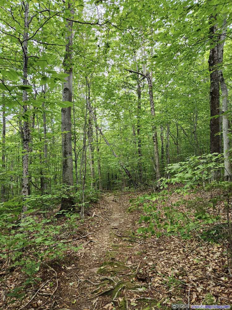
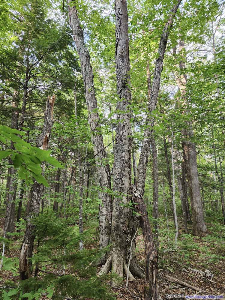
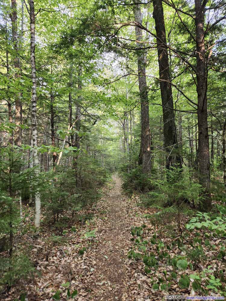
Overall, the day felt very hot in the woods, and I had to ration water from early on in the hike. I started the hike with 6 bottles of water. Ideally I should have brought 7.
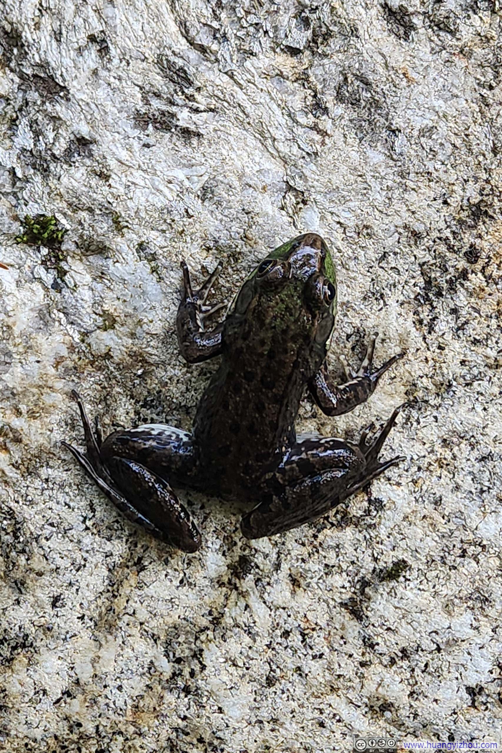
This one wasn't shy about my camera.
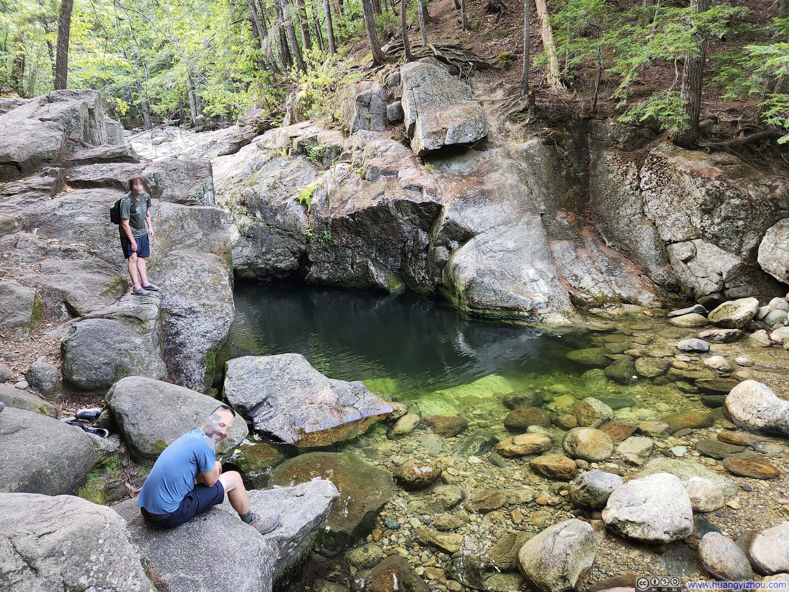
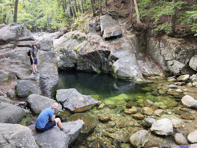
Back at the first(last) trail intersection, I decided to take a short detour to Emerald Pool, which was located after a waterfall along Charles Brook. Viewed from above, the pool plunged to remarkable depths—a striking contrast to the shallow, pebble-strewn riverbed surrounding it, and thus the source of its evocative name. It would have made for a perfect swimming spot, had I brought towels and a change of clothes.


In the end, I got back to my car at 6:25pm, concluding the entire hike in 7 hours and 40 minutes.
END