Day 5 of 2025 Labor Day Trip to California, Matterhorn Peak of Sierra Nevada
The fifth day of my 2025 Labor Day trip to California. After getting some rest the previous day, today I took on Matterhorn Peak that lay on the boundary of Yosemite National Park and Toiyabe National Forest.
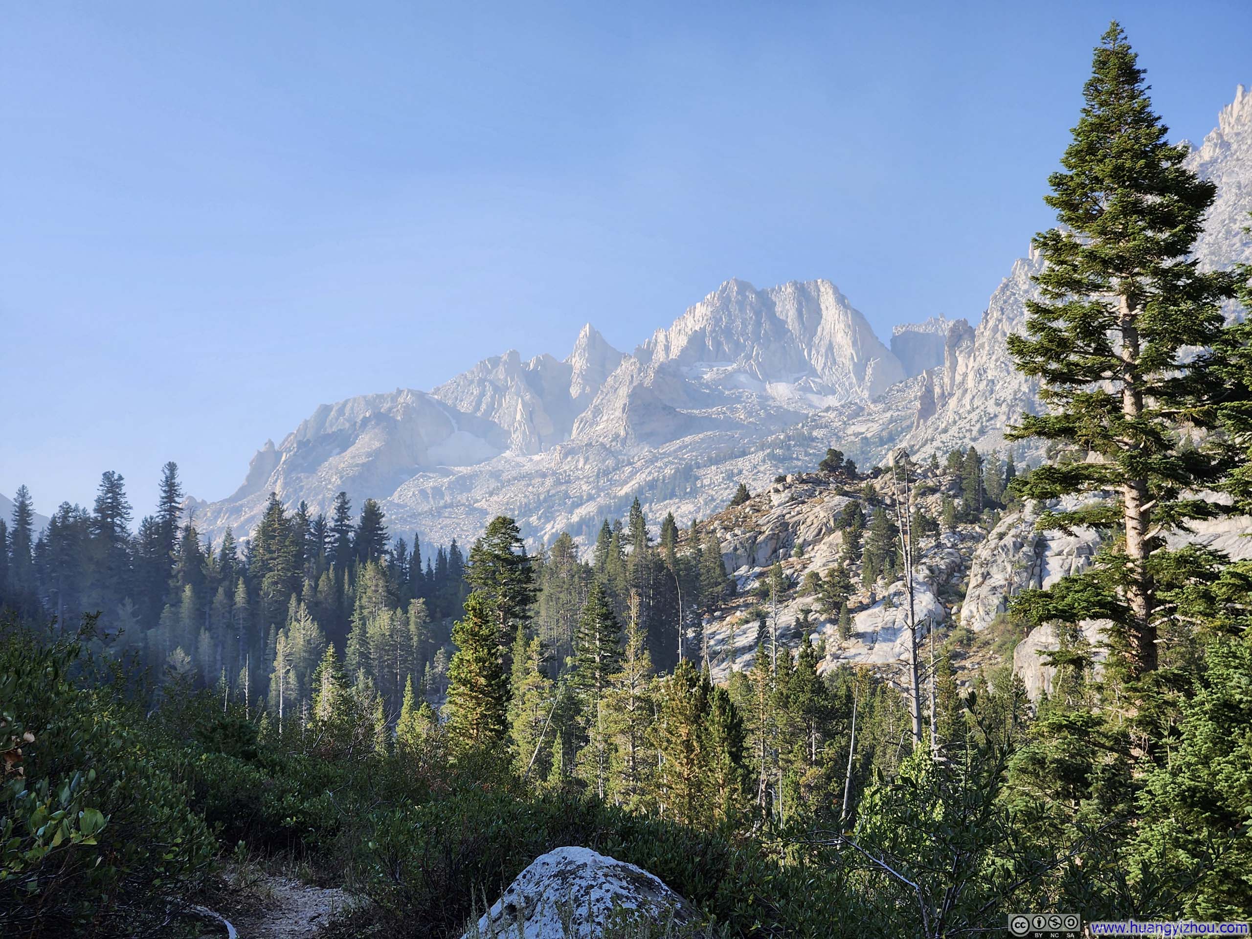
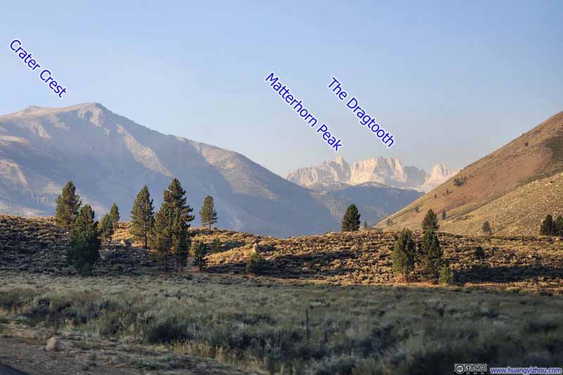
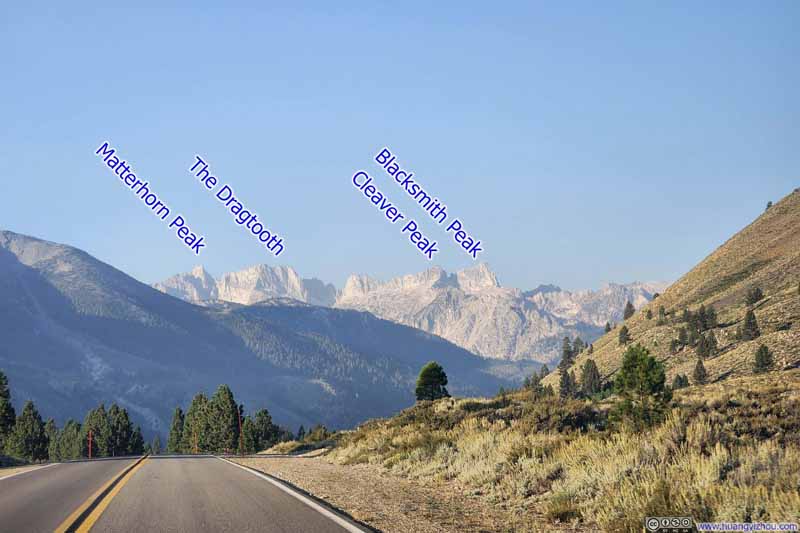
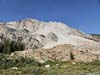
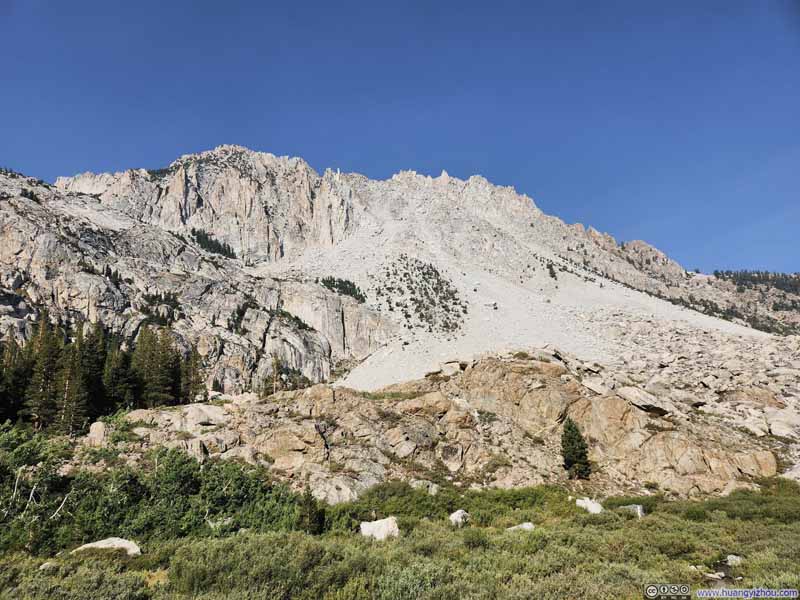
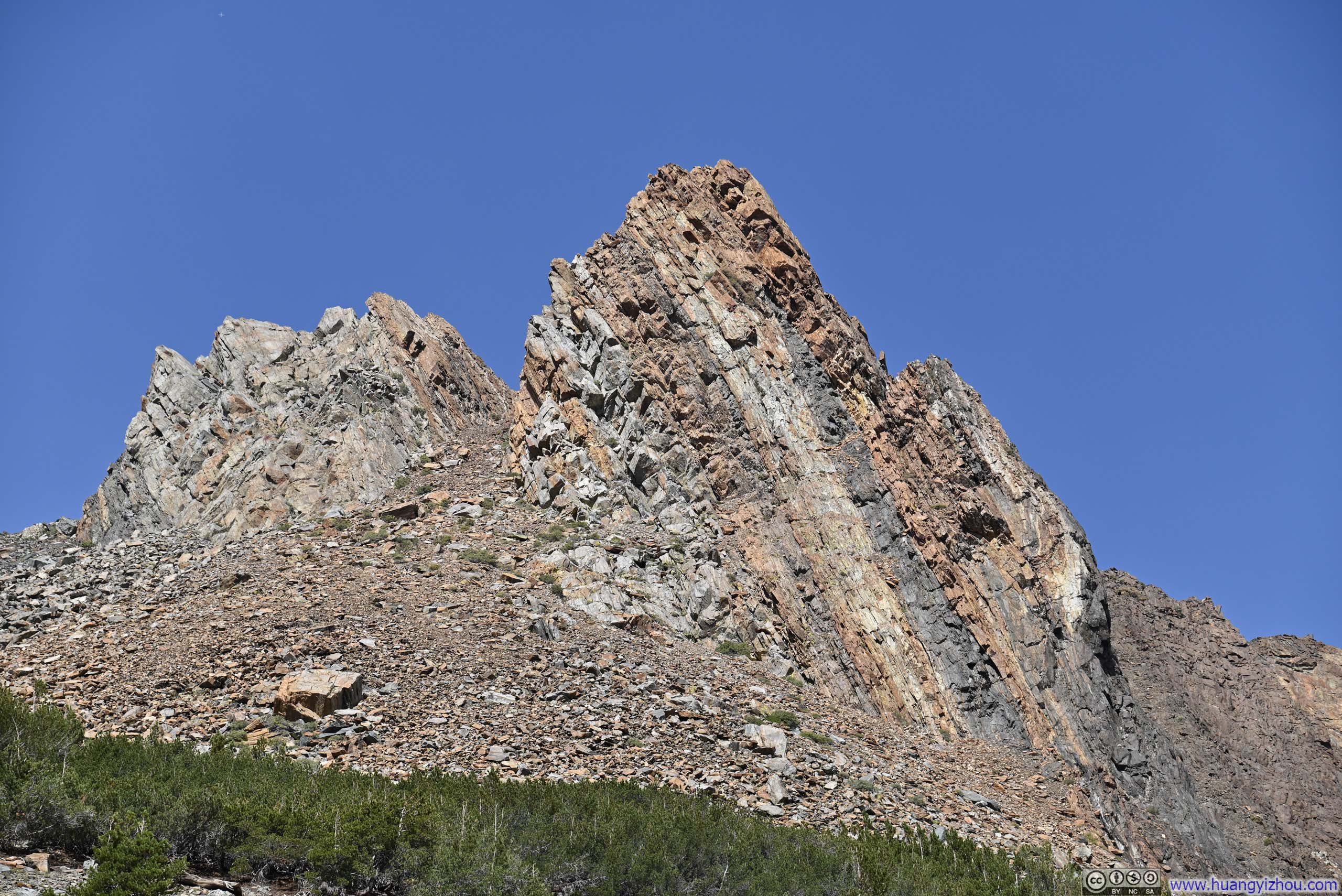
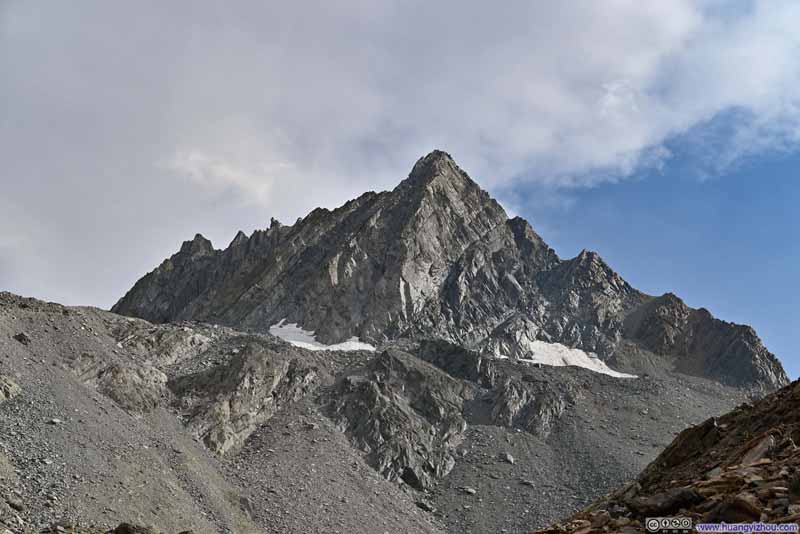
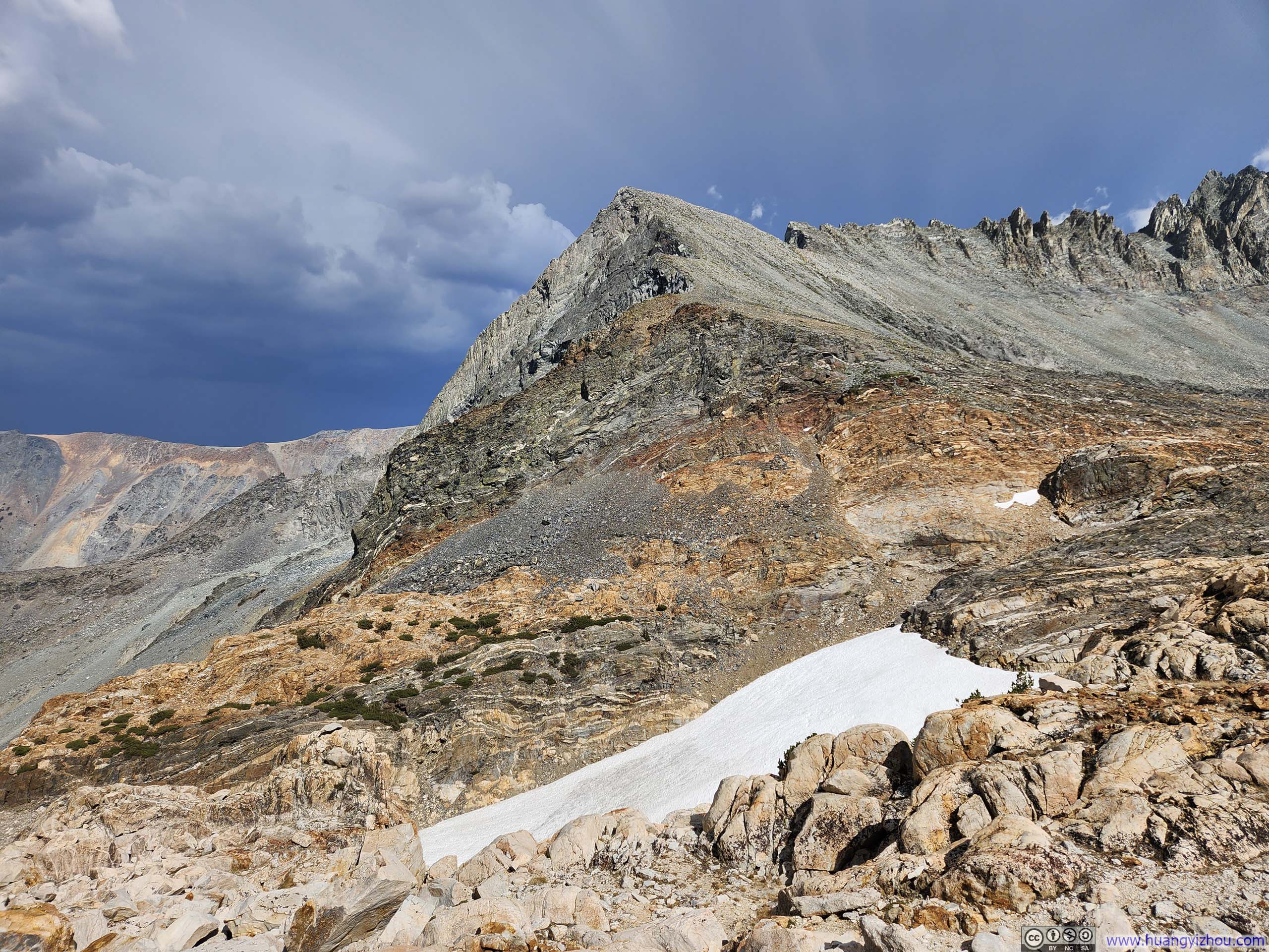
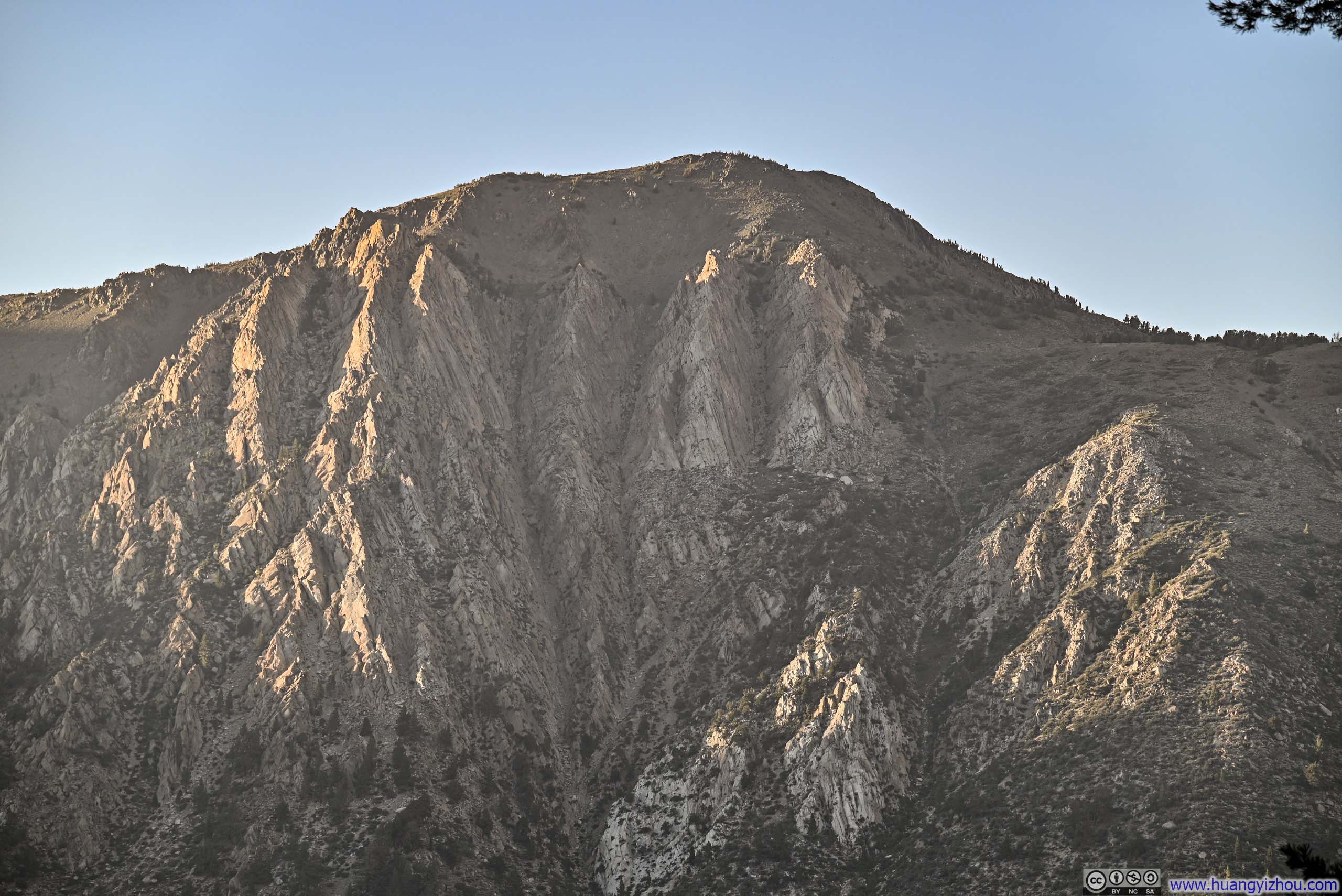
Matterhorn Peak was the tower in the center.
As mentioned in my previous post, the Garnet Fire altered my plans, redirecting me from Kings Canyon to Bridgeport for the day. I found myself weighing three options: Mount Conness, Excelsior Mountain, or Matterhorn Peak. Of these, the trail to Matterhorn Peak was the most ambitious, 20 kilometers round-trip with 1570 meters of elevation gain (12.5 miles, 5,150 feet), about 50% more than the other two candidates. Yet I felt adequately rested from the previous day, and the peak's storied name, borrowed from that imposing peak straddling the Italian-Swiss border, proved irresistible. I decided to attempt it.
September 5: Hike to Matterhorn Peak
The journey to Matterhorn Peak encompassed varied terrains: a leisurely stroll through forest shade, some bushwhacking through dense undergrowth, some rock-hopping across a talus field, occasionally getting lost where errant boulders interrupted tranquil meadows, more rock-hopping, fighting altitude thickness through a scree field, and finally, a few scrambling moves near the summit.
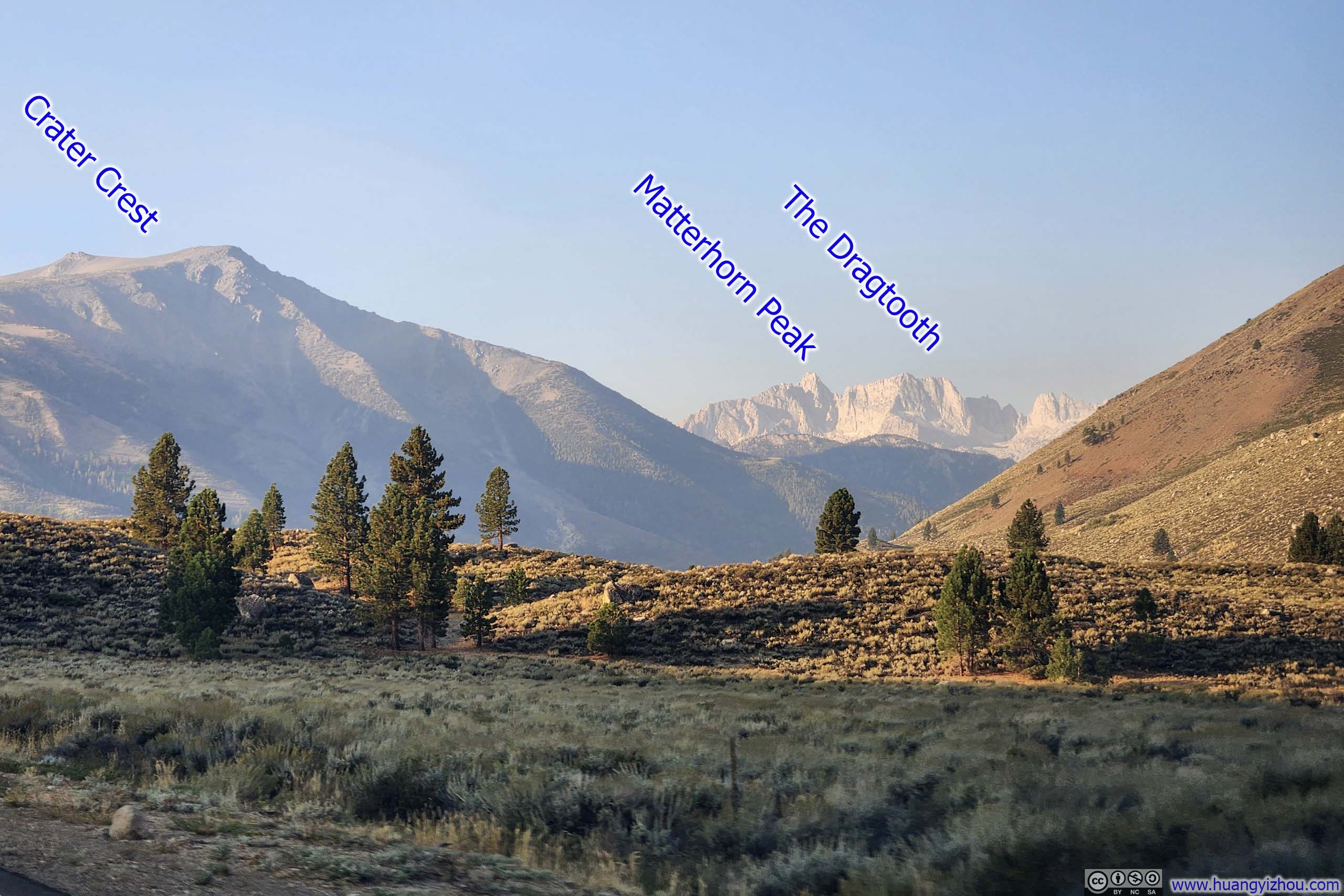
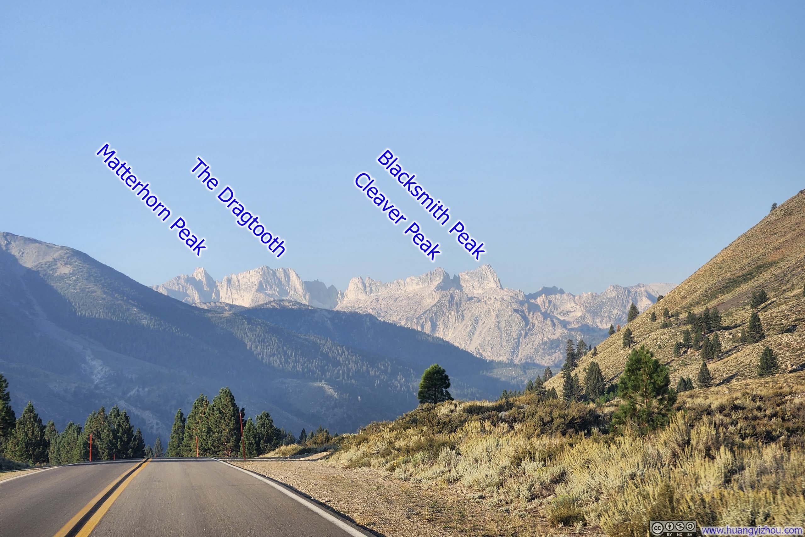
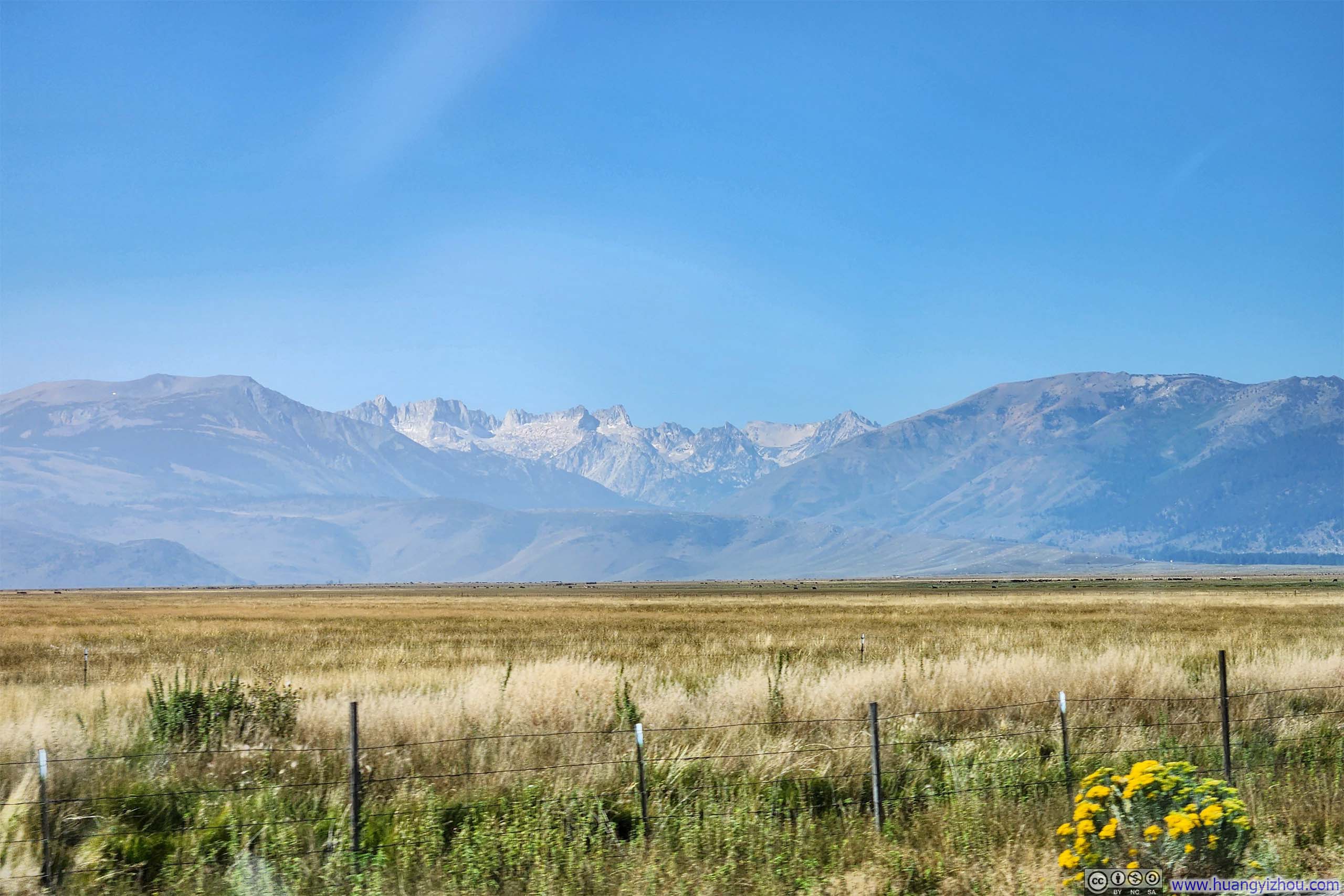
Matterhorn Peak was the tallest and southernmost peak of the craggy and serrated "Sawtooth Ridge", which, delightfully, was visible from the access road. The trailhead for this hike was located at Annett Mono Village, a modest resort and campground. Parking was free and no registration was needed for day hikes.
After some warmup, I started the hike at 7:50am. Here's GPS tracking:
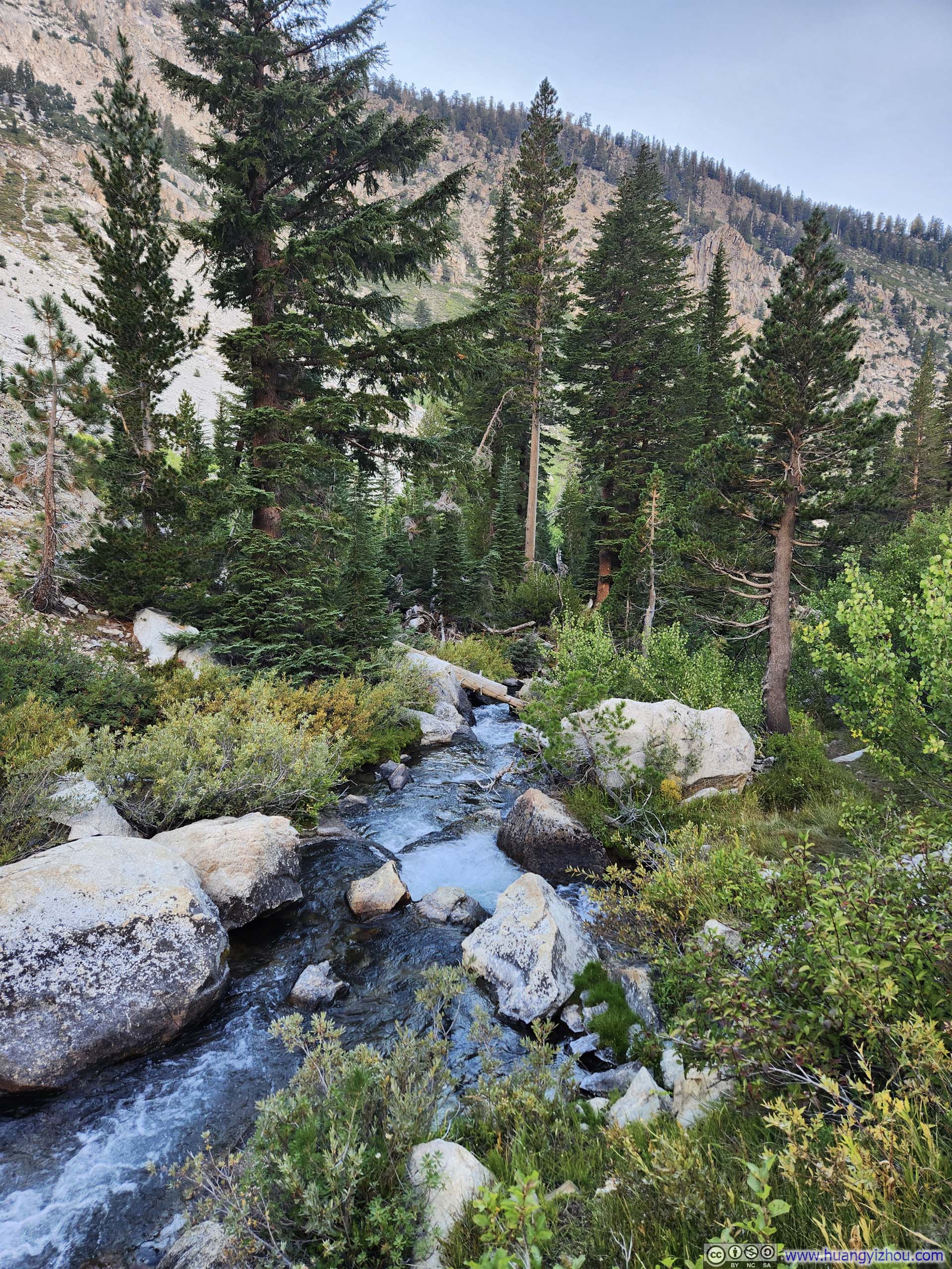
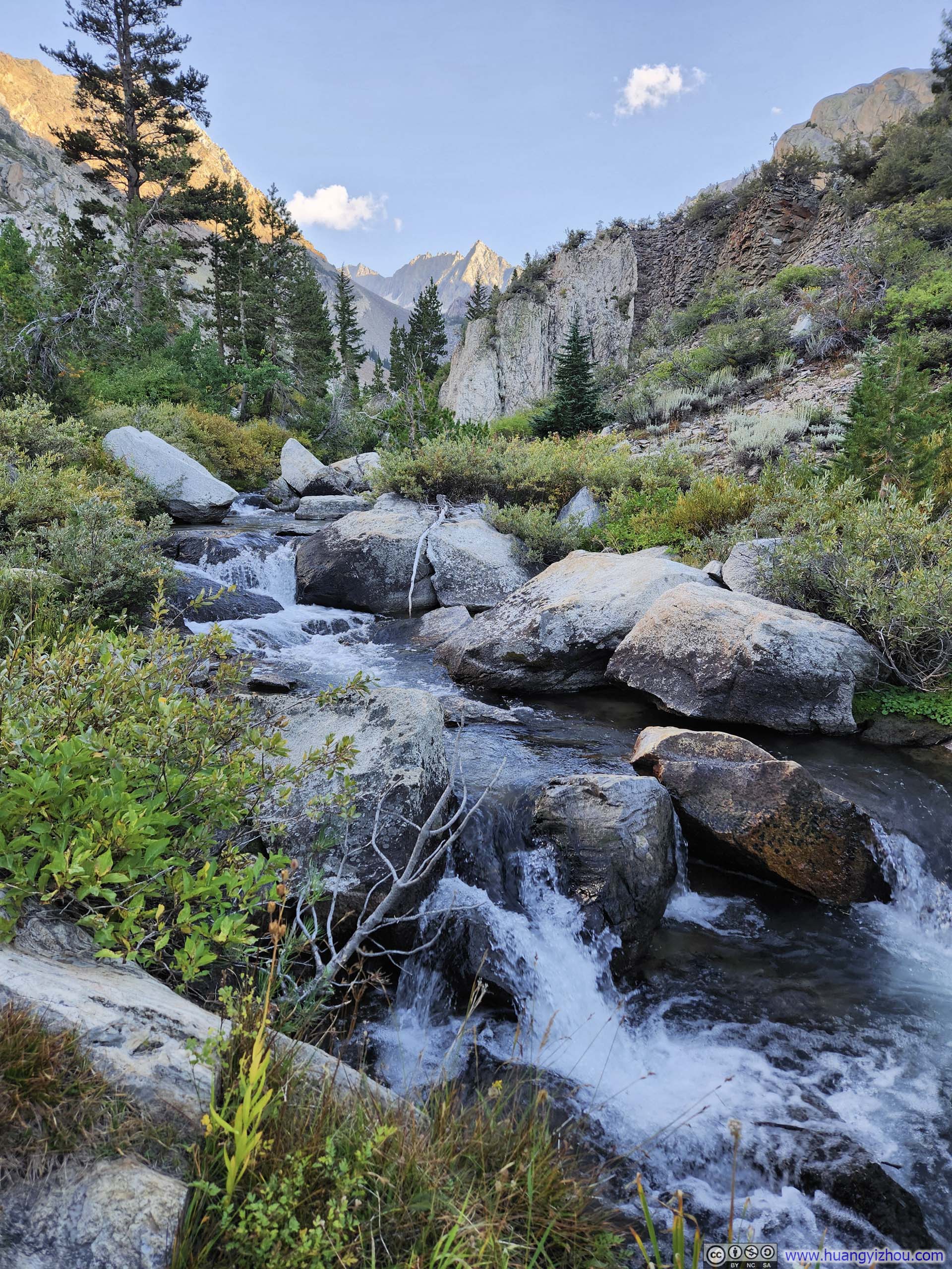
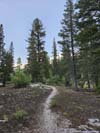
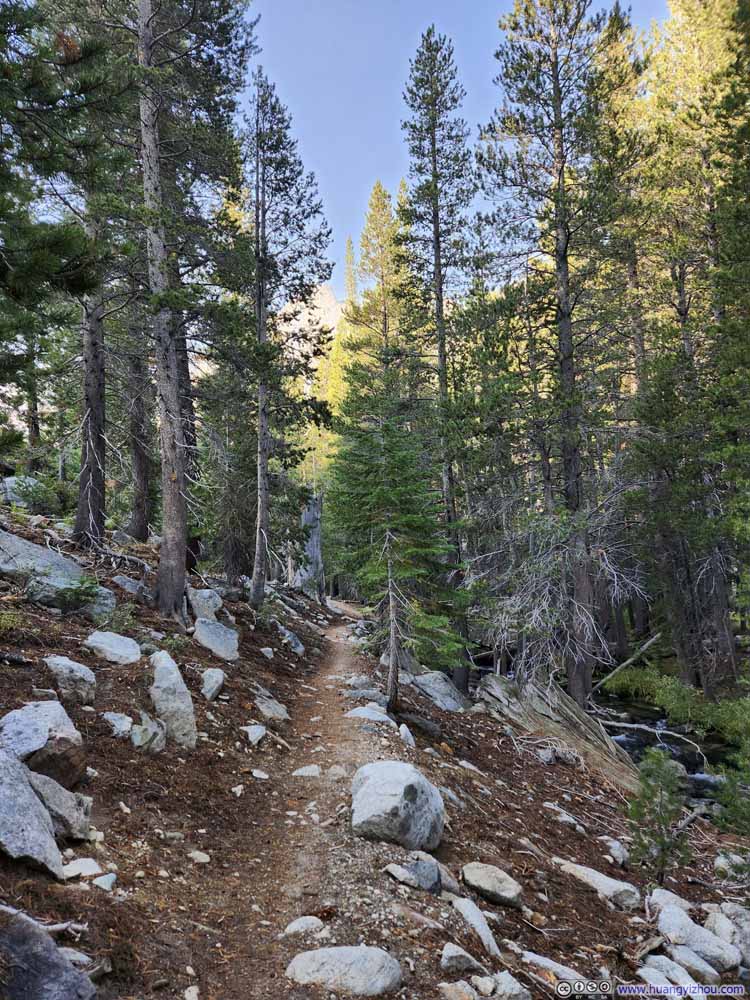
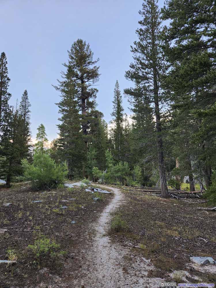
The trail to Matterhorn Peak traced Horse Creek upstream to its headwaters near Horse Creek Pass, then veered westward for the final ascent to the summit. Near the trailhead, where the creek tumbled through a succession of steep cascades, the path wound upward in switchbacks to ease the climb. Here, the journey began as little more than a leisurely stroll through the forest.
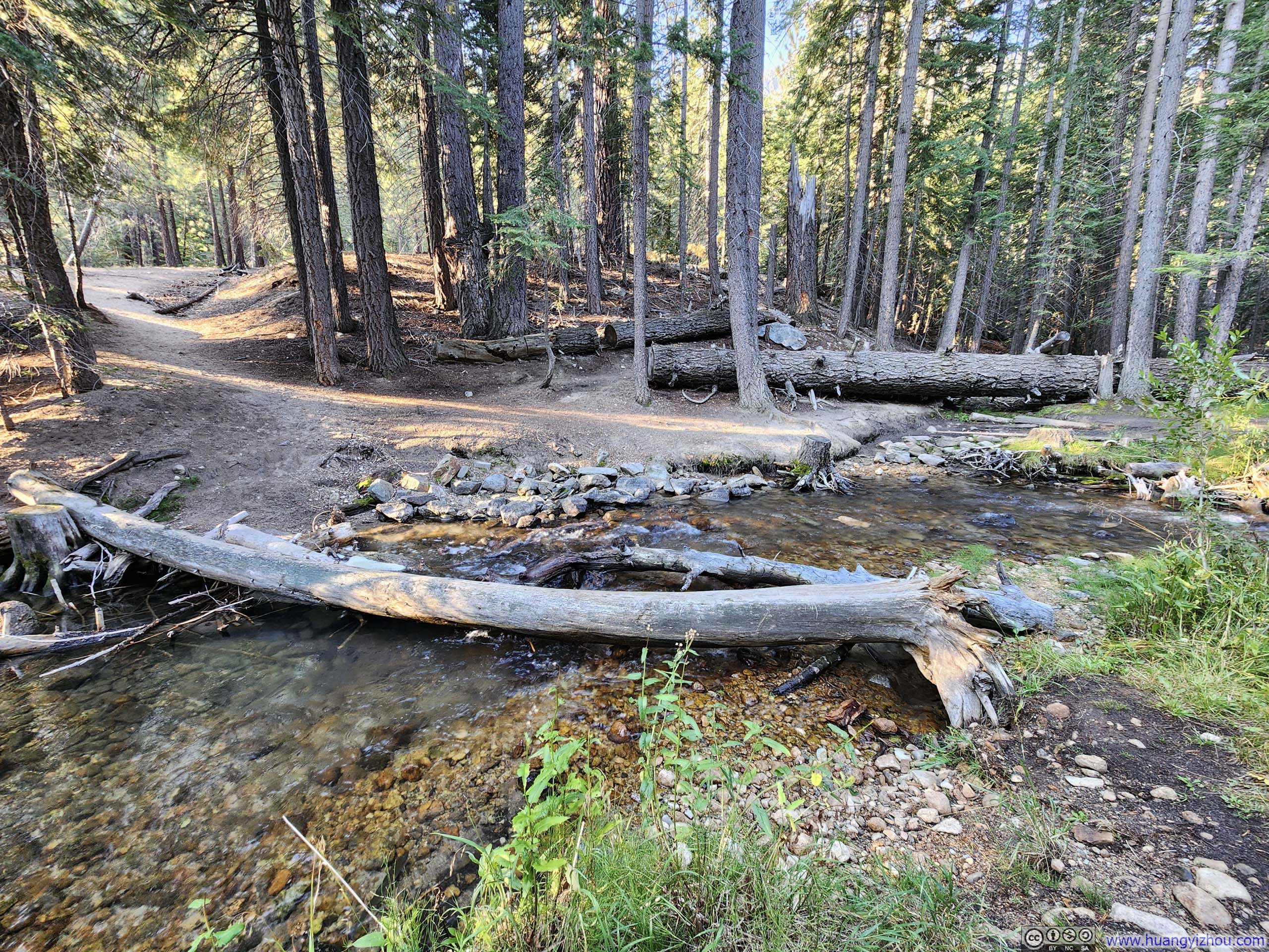
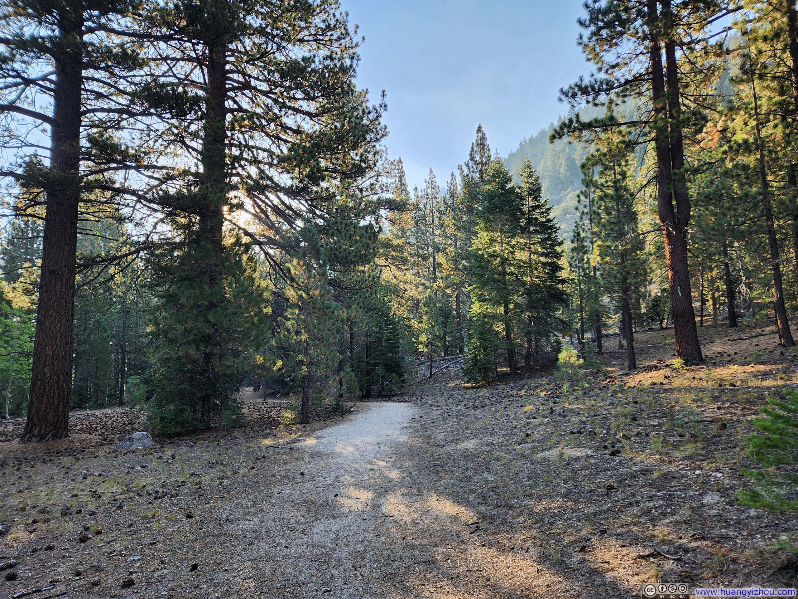
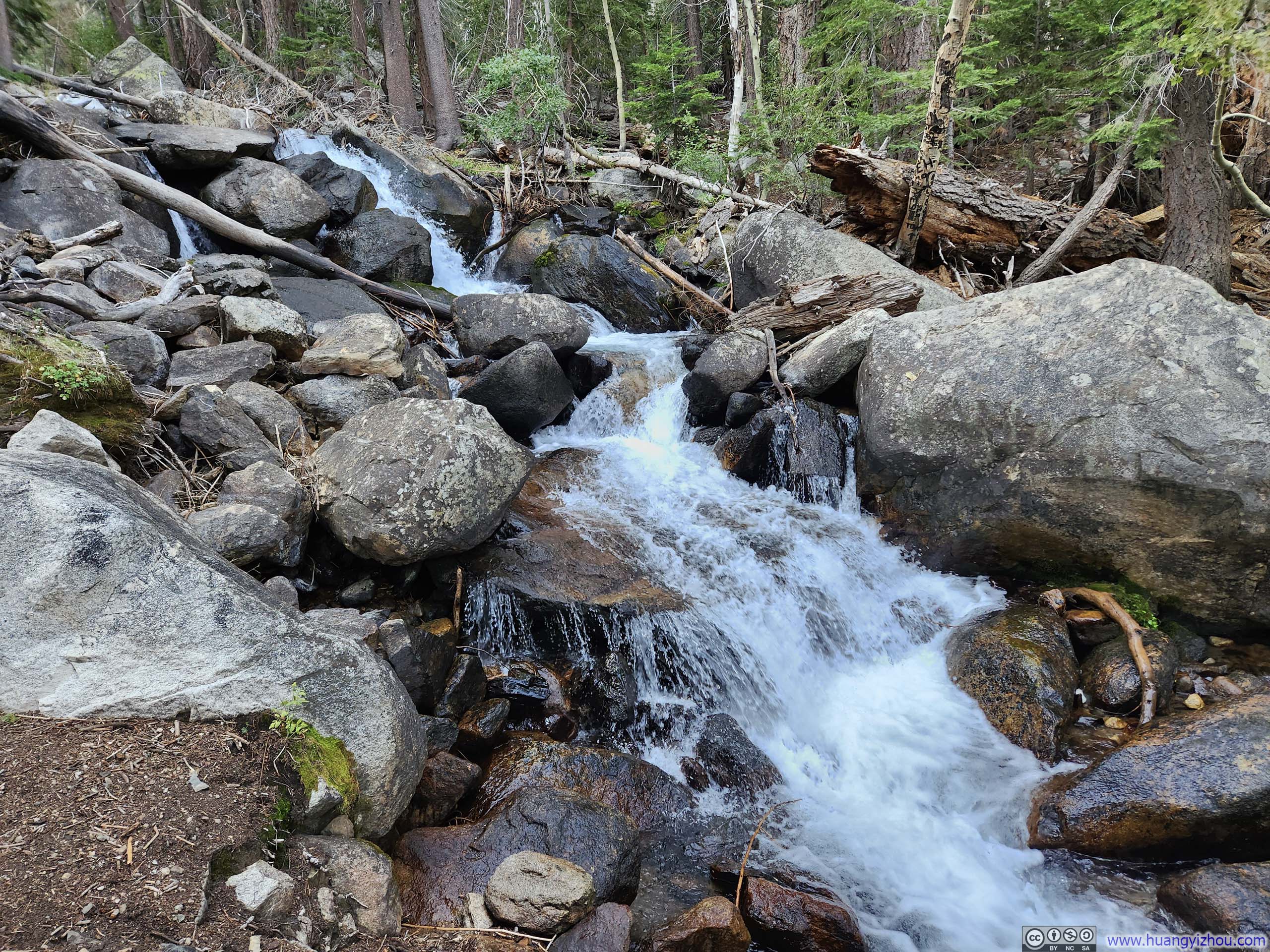
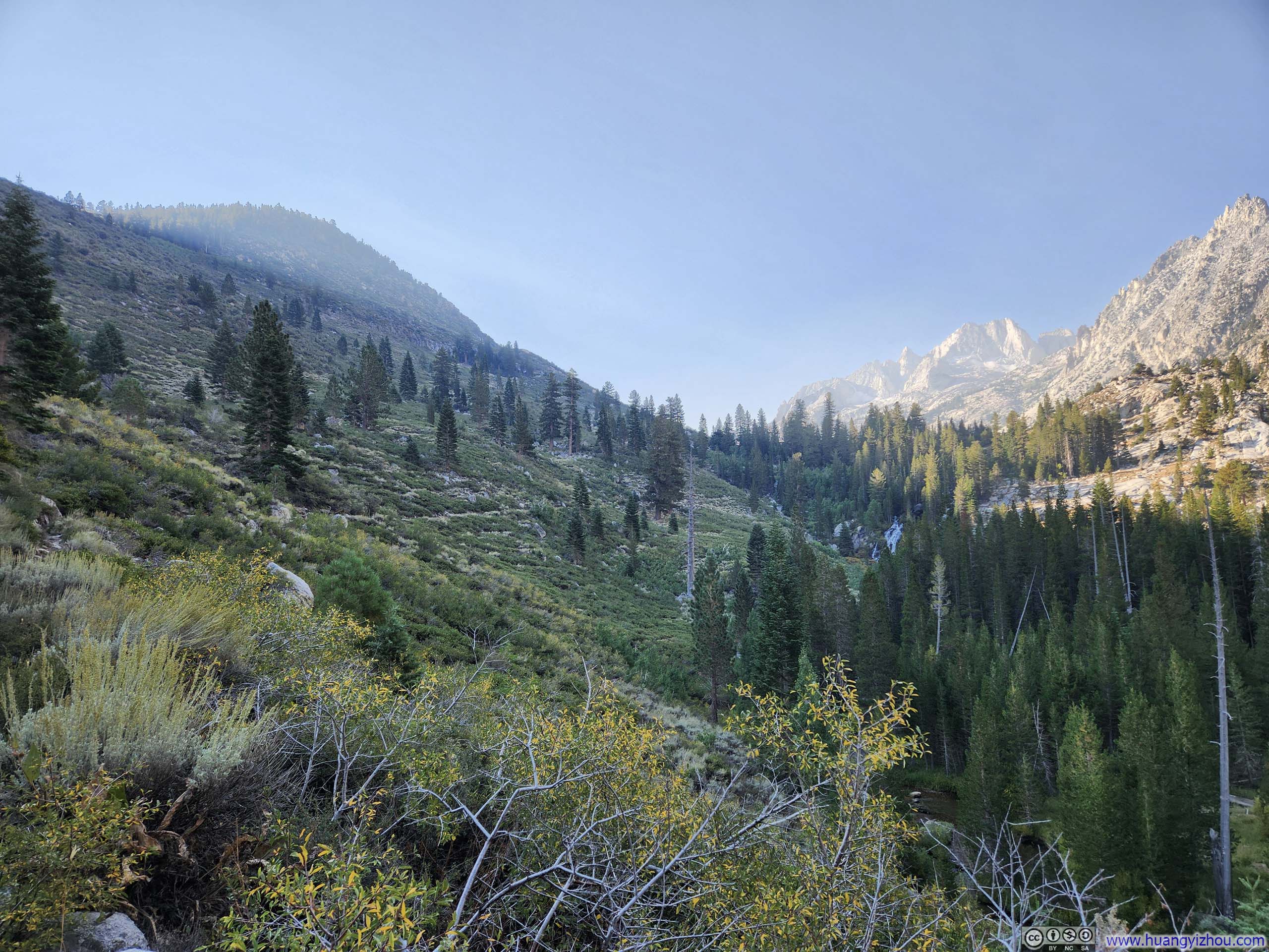
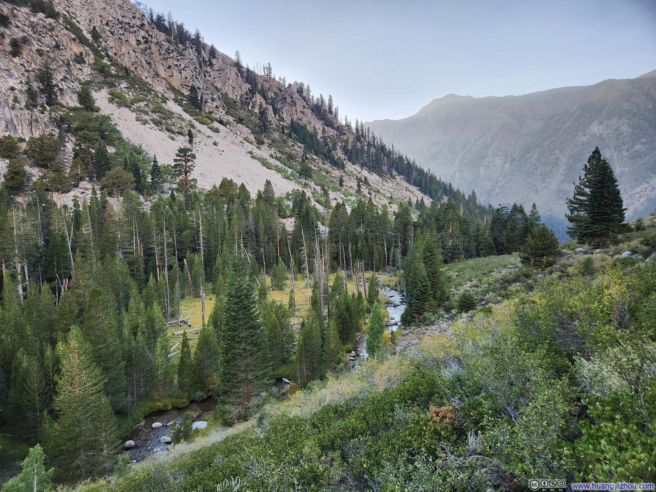
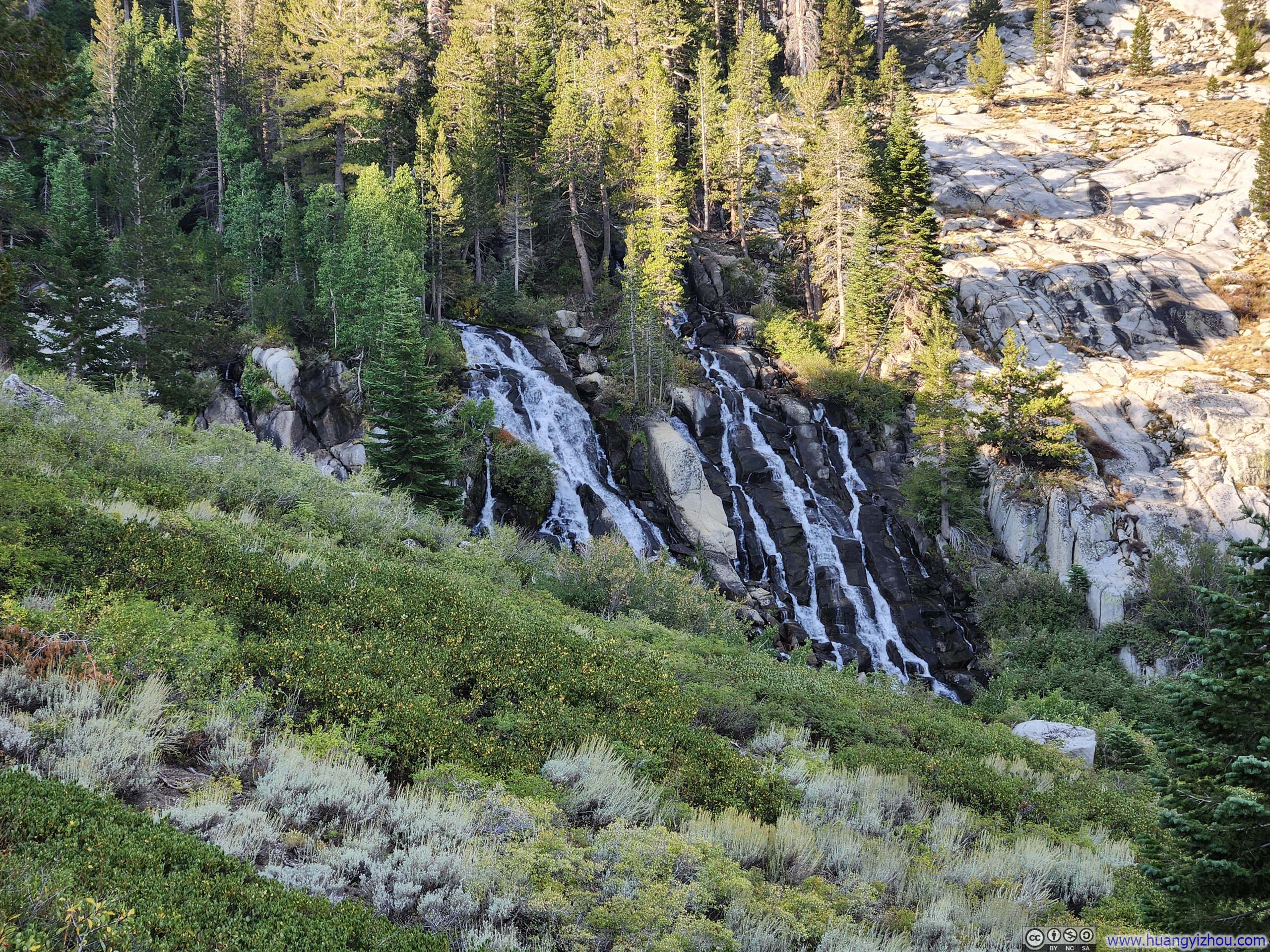
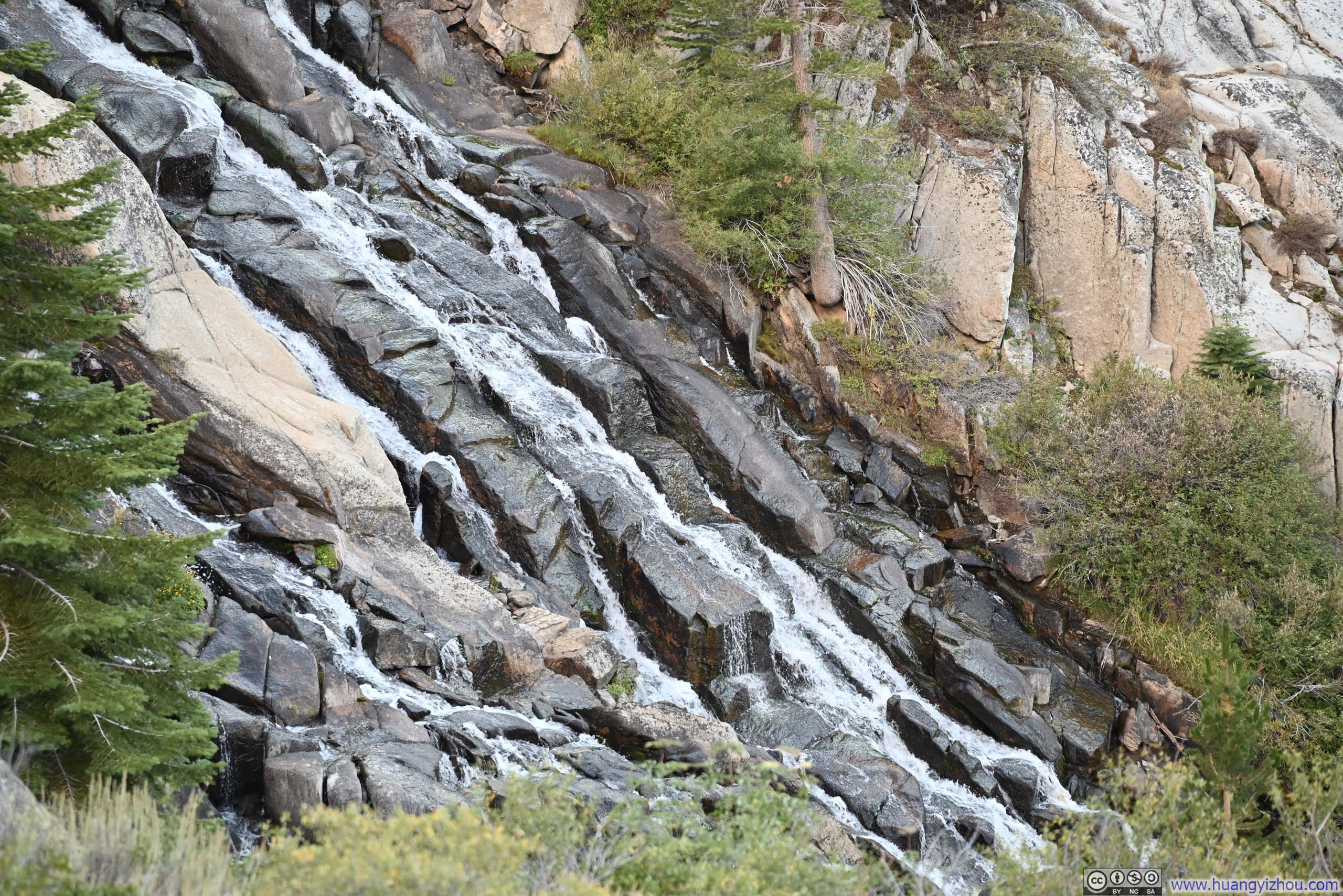
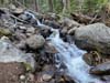
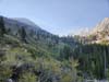
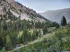
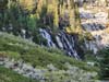
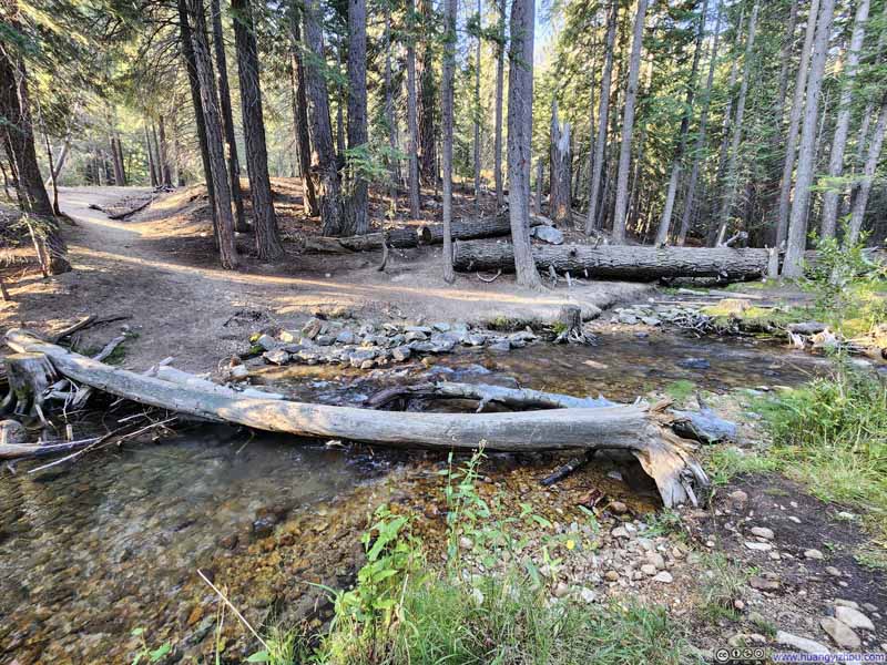
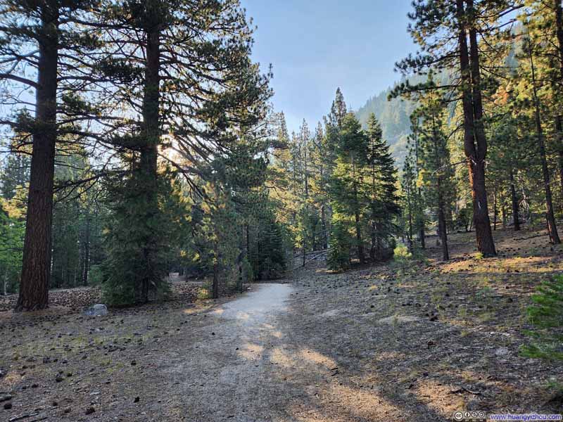
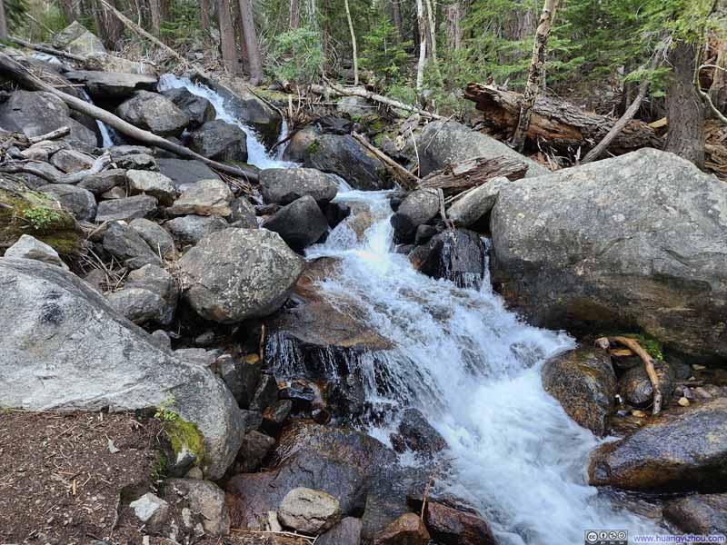
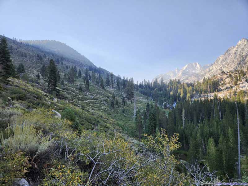
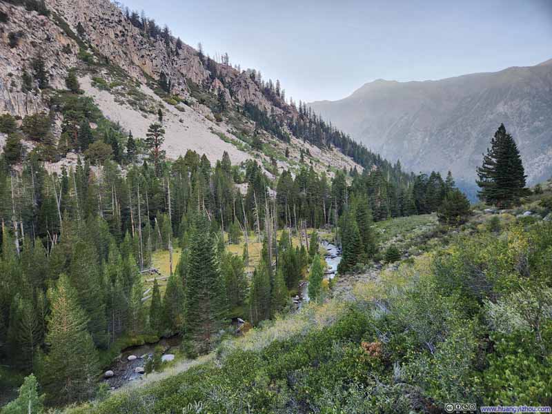
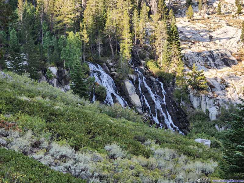
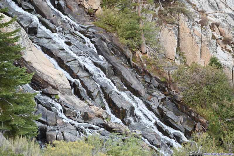
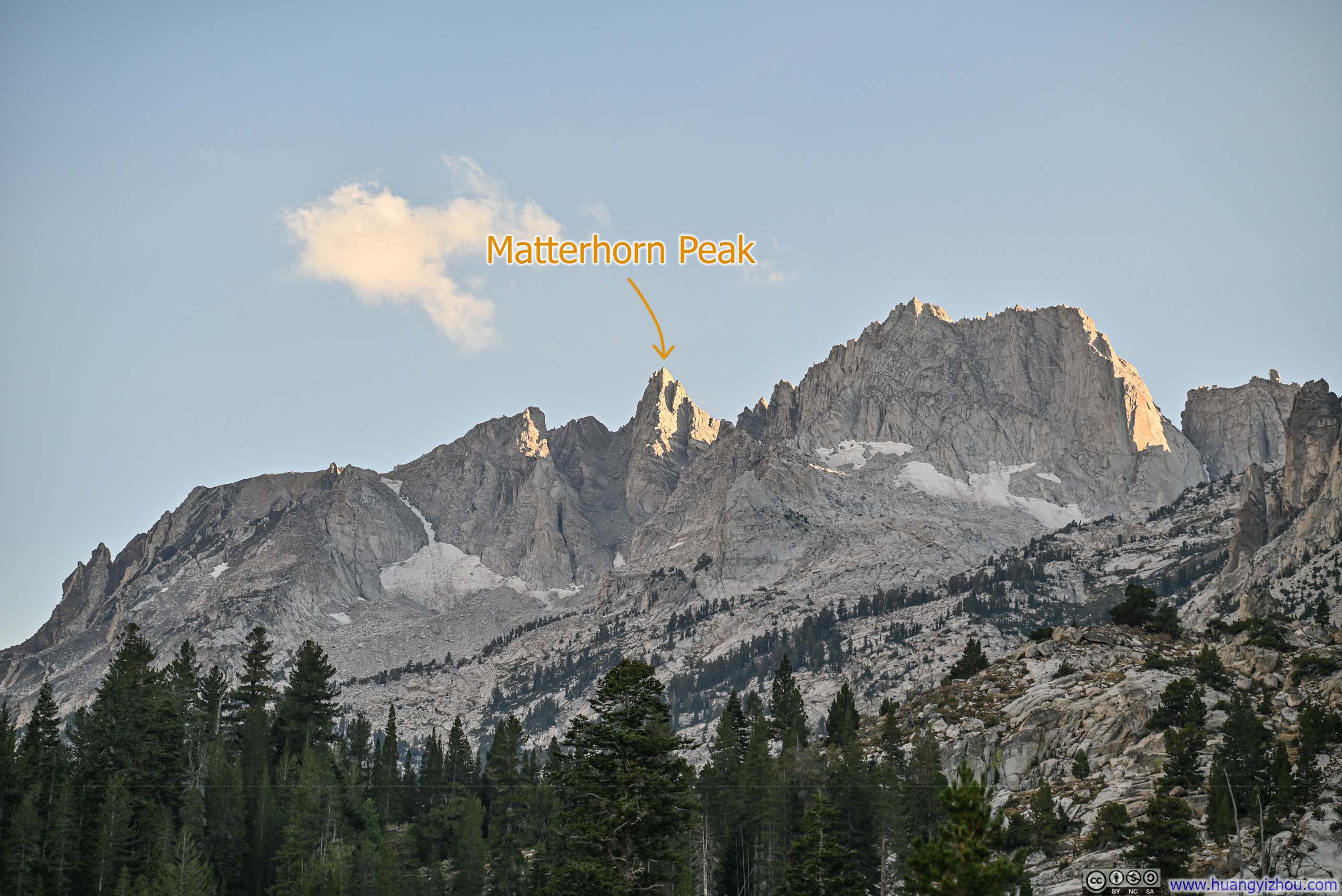
After climbing through the switchbacks, there was a section of mostly flat trail that followed the tranquil waters of Horse Creek closely.
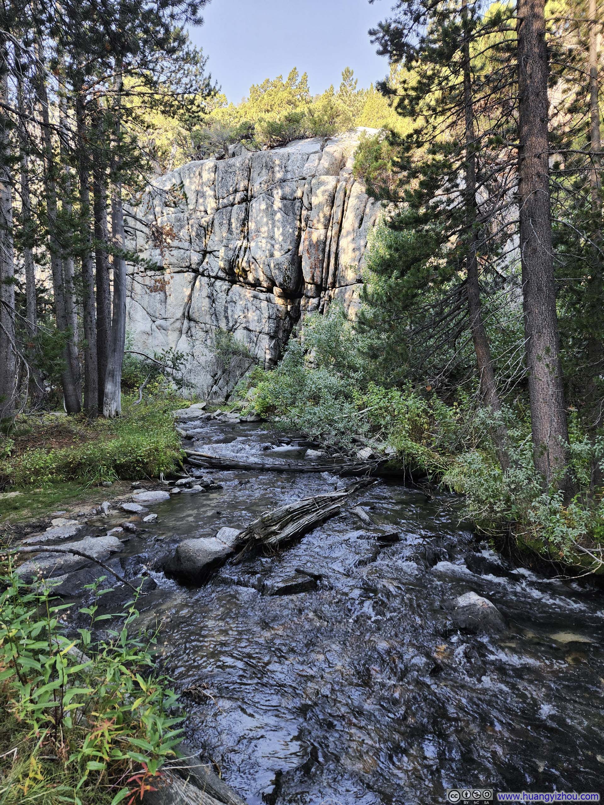
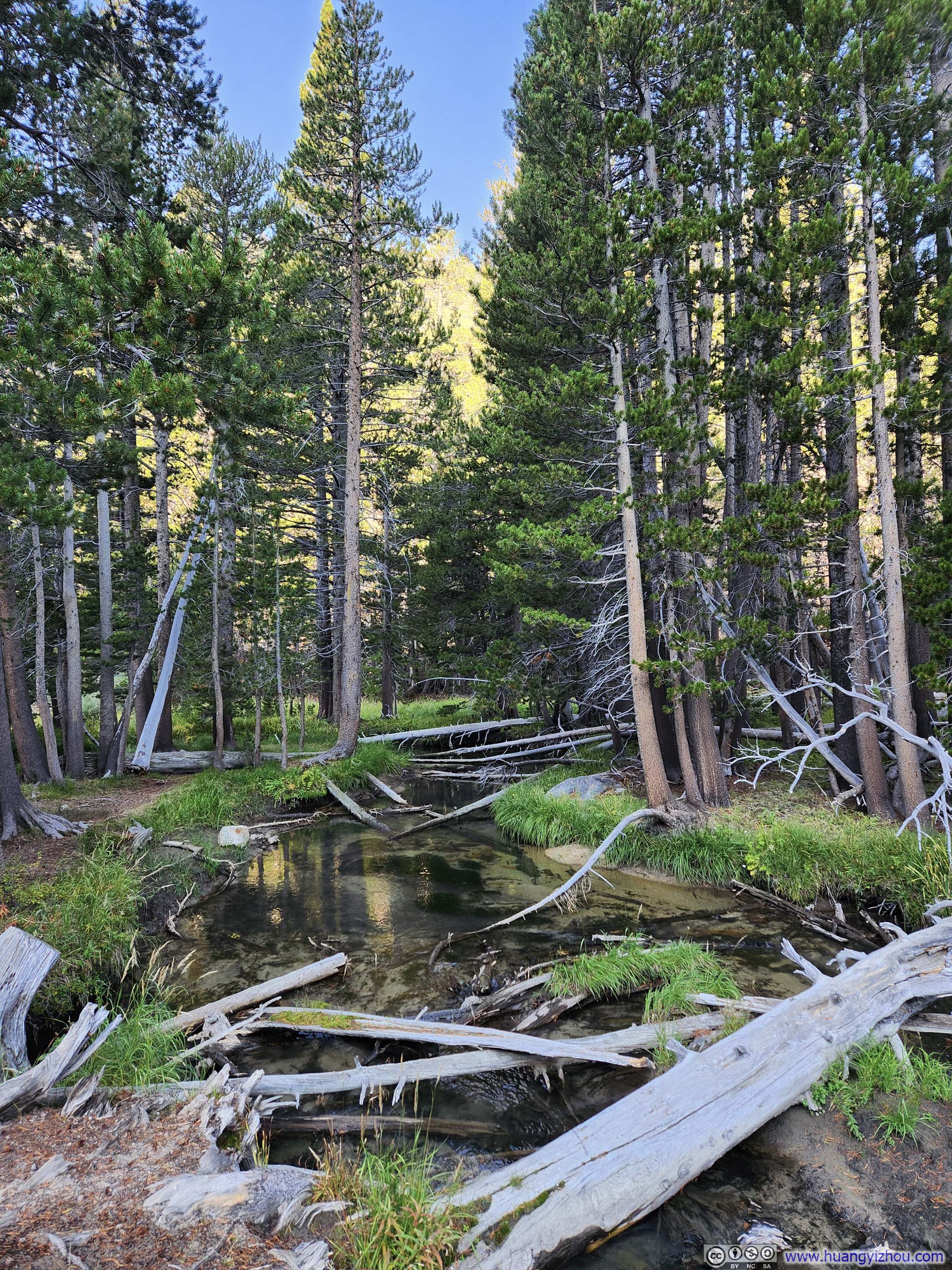
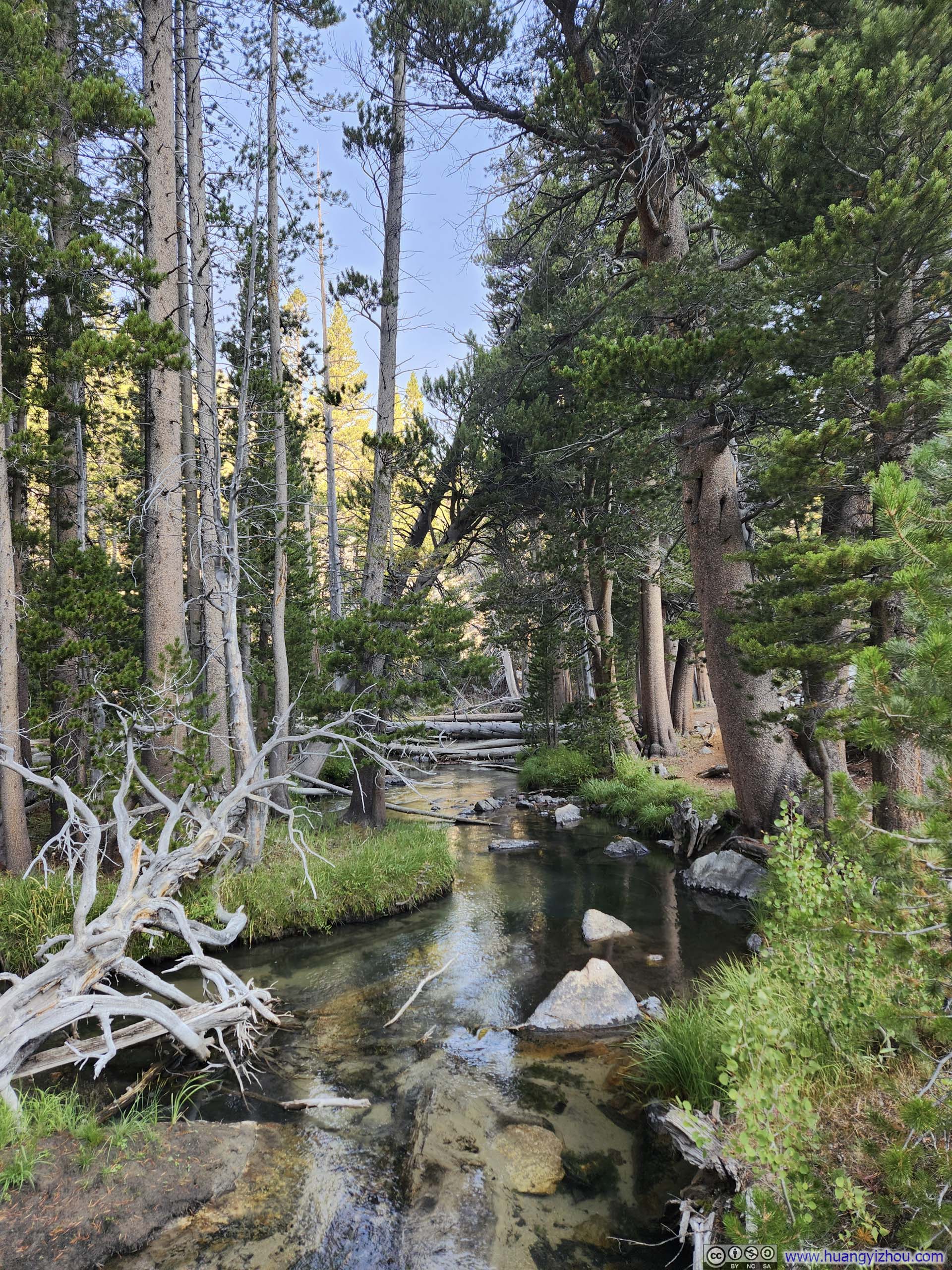
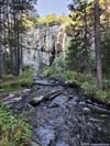

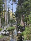
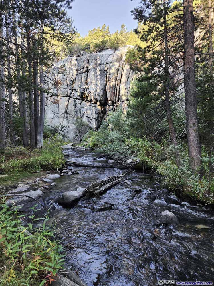
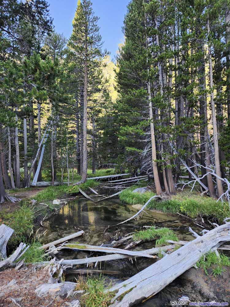
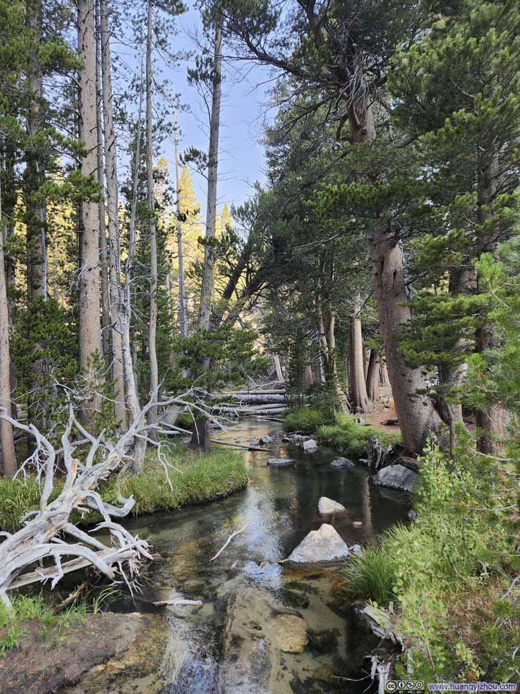
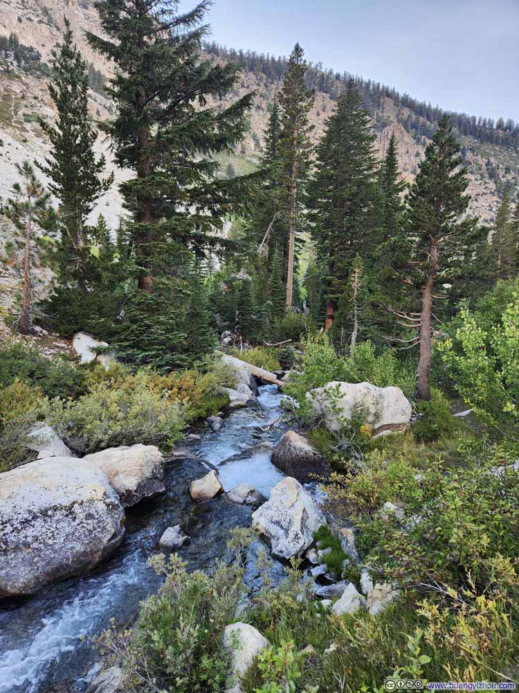
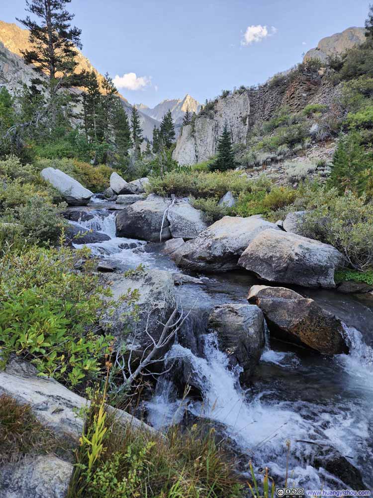
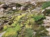
Continuing onward, the vegetation along the trail gradually transitioned from high trees to shallow scrub. Around 4.5km (2.8mi) from the trailhead, this shift created a particularly troublesome stretch where the bushes grew to roughly human height—an awkward dimension that left the path severely overgrown (p3-4 below). I had to force my way through the encroaching branches, which wasn't pleasant. At times, the path itself became nearly indiscernible, as the vegetation formed a labyrinthine maze at every turn. On my way back, I attempted to circumvent this bushwhacking by detouring off-trail to walk along the rocks to the east, though this strategy met with only partial success, as certain sections of dense growth proved inescapable.
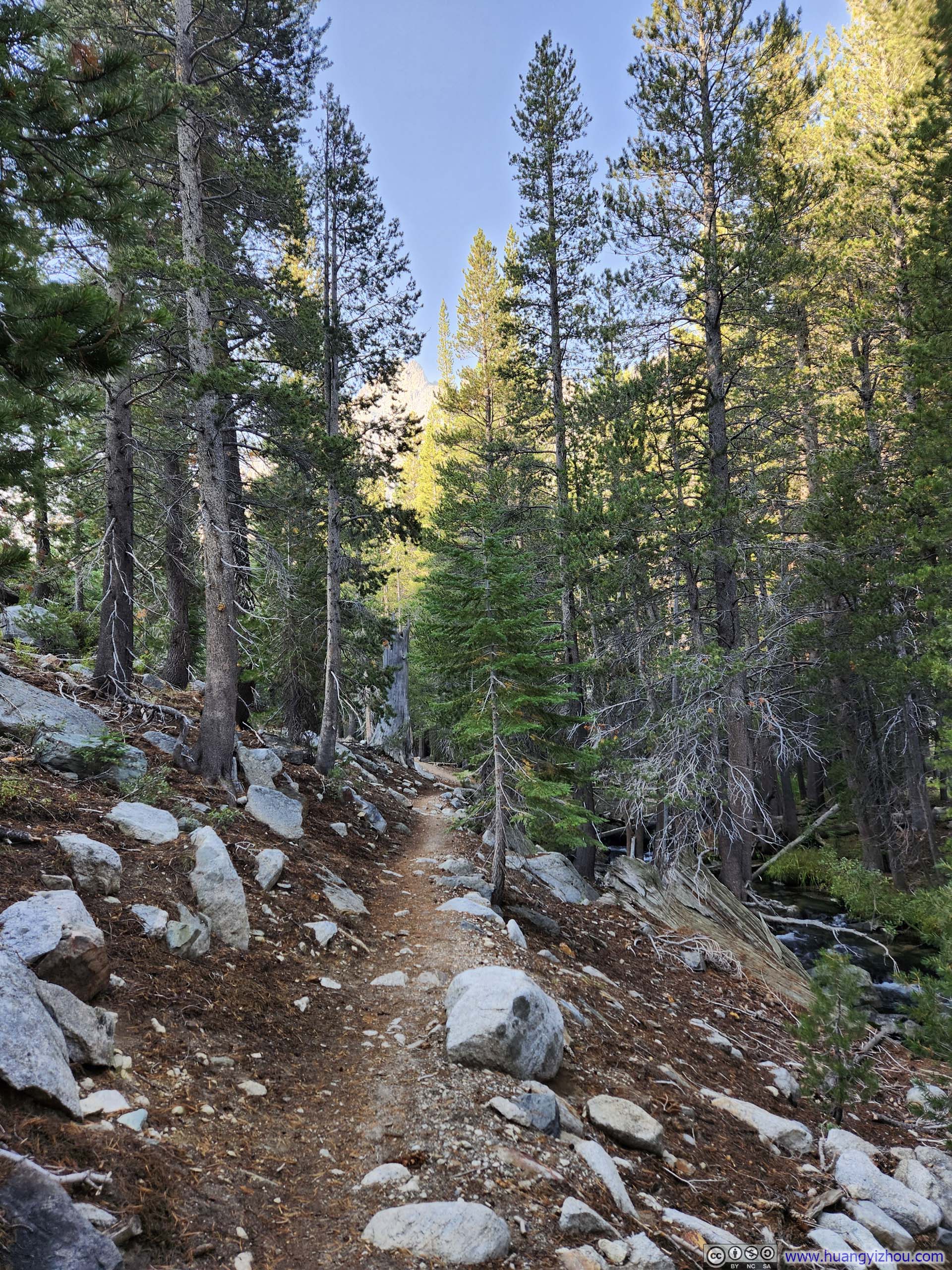
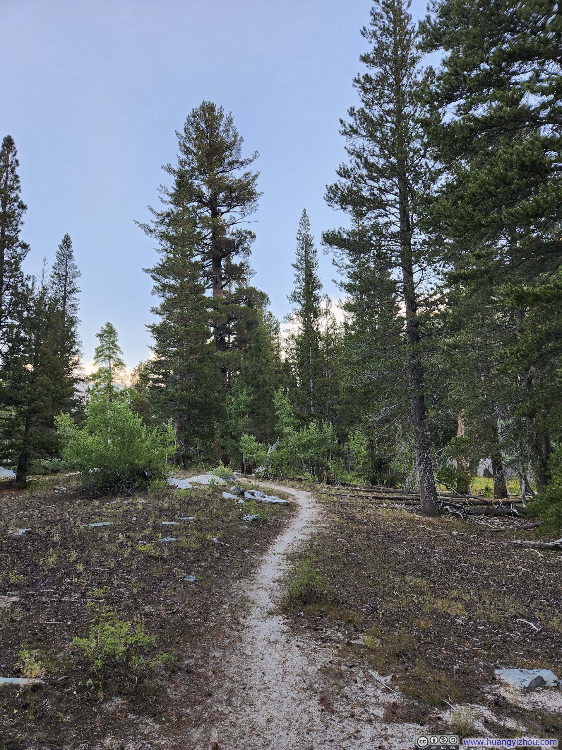
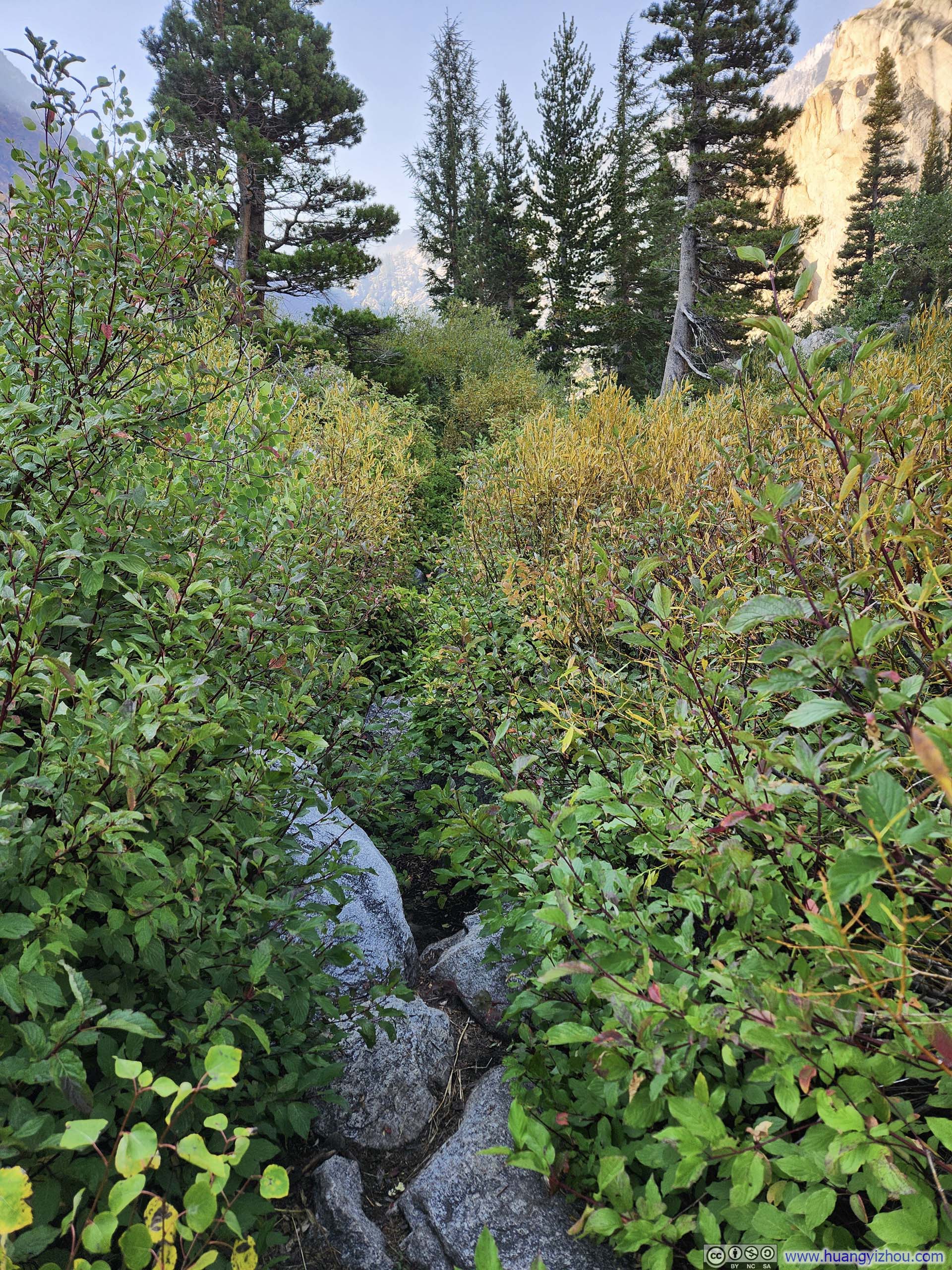
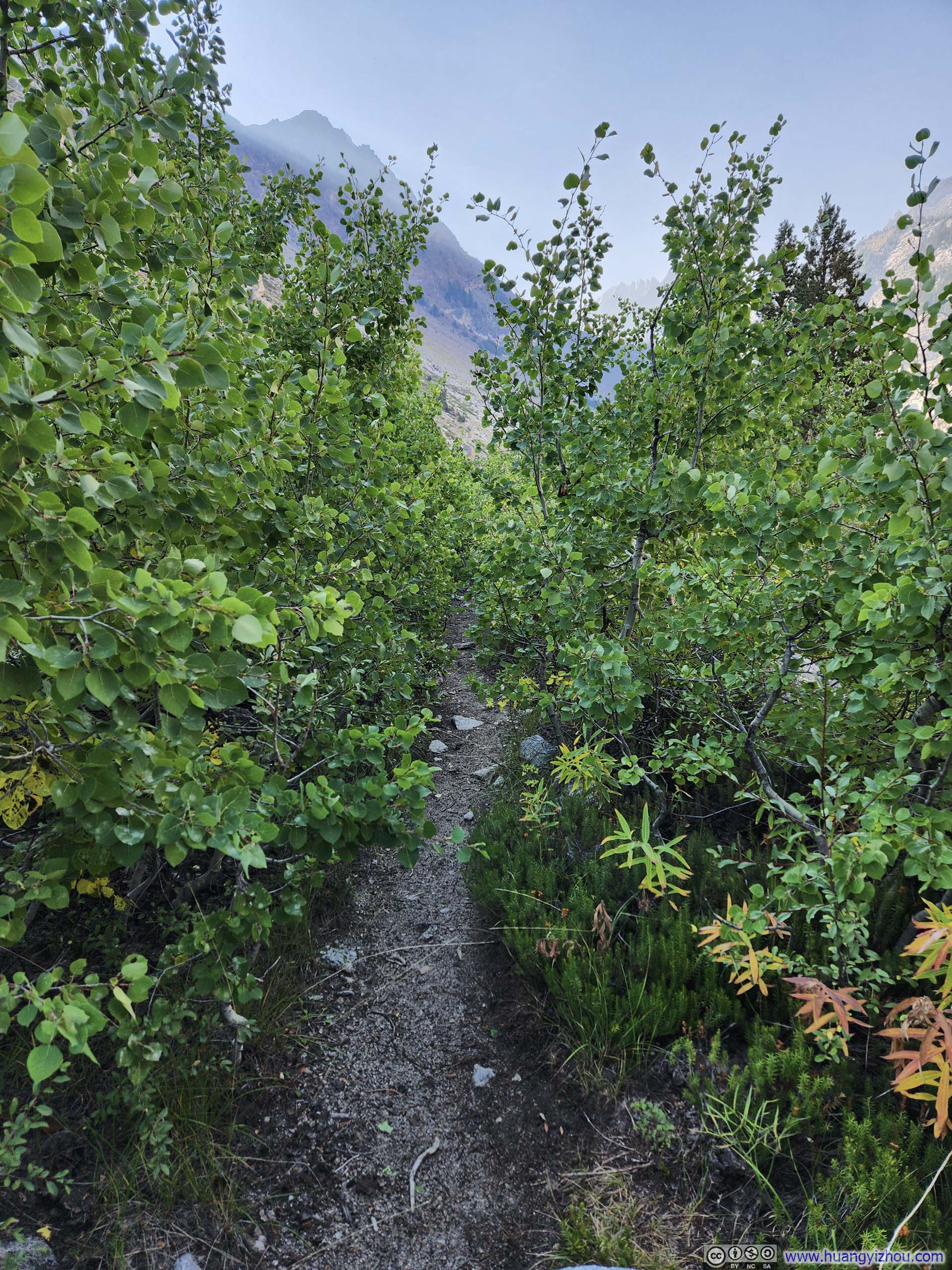
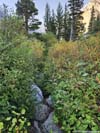
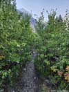
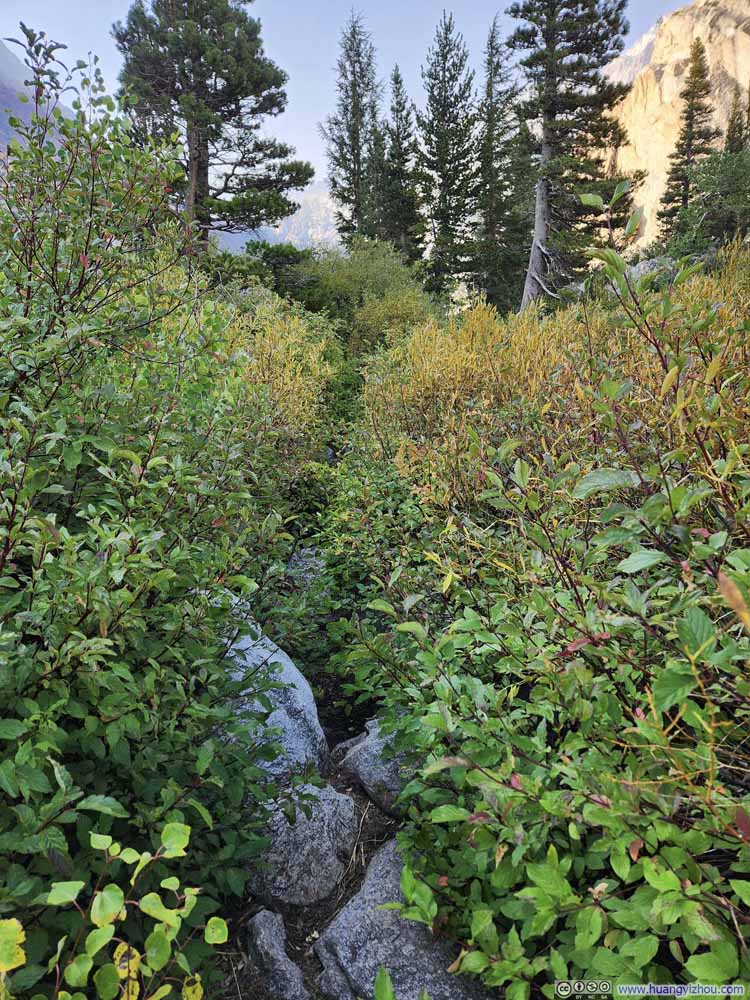
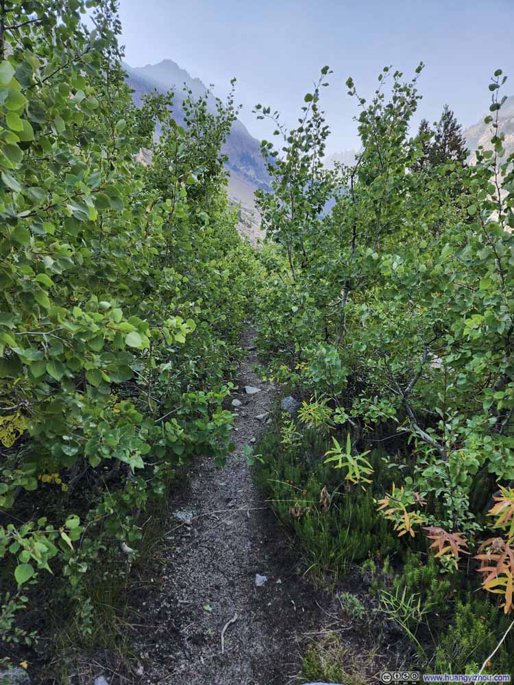
Fortunately, the bushwhacking section proved brief before the trail emerged onto the rocky terrain along Horse Creek. What lay ahead was a formidable slope—a vast expanse of steep rocky field rising at roughly a 40% gradient (p7 below, about 5.8km/3.6mi from trailhead). Horse Creek flew underneath those rocks, hidden from sight. The trail grew faint along the slope's face, which I missed during my ascent. (It ended up being a similar rock hopping experience, whether one followed the official trail or not.)
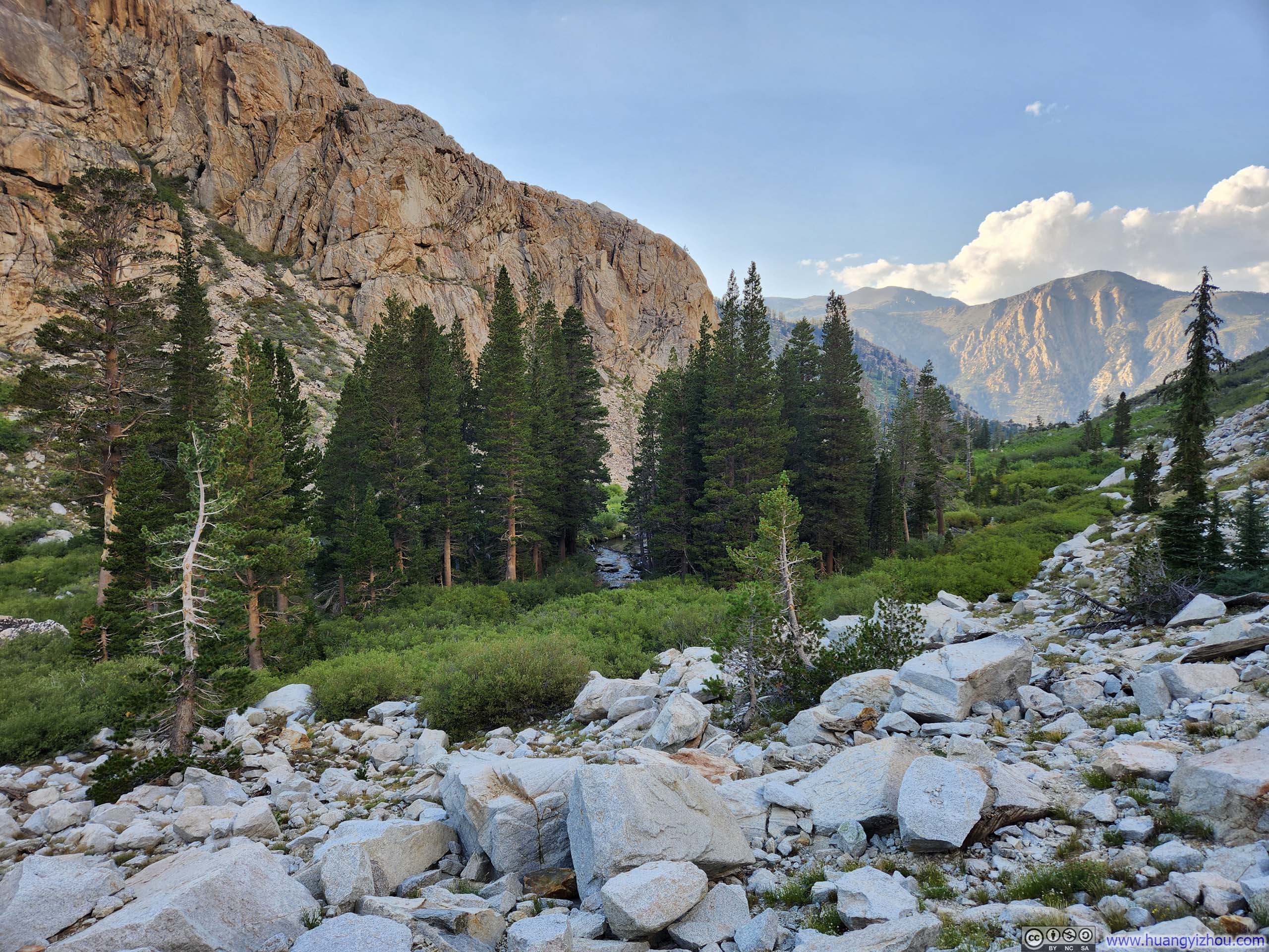
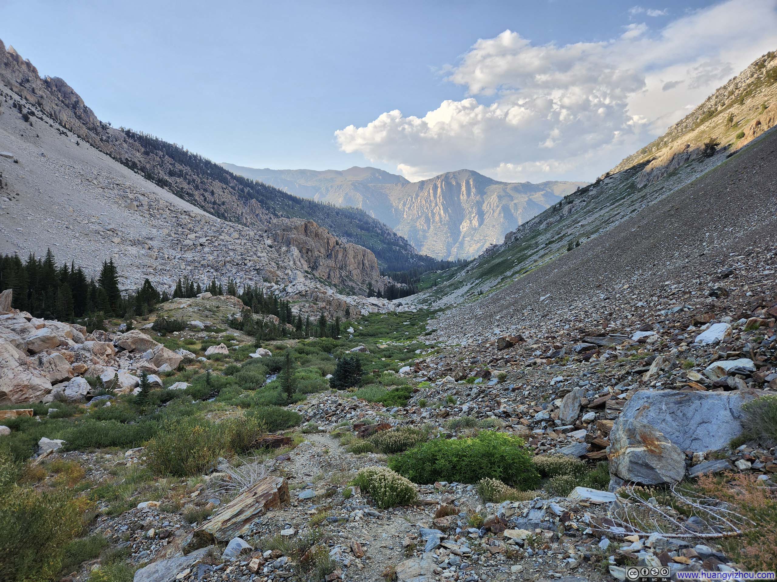
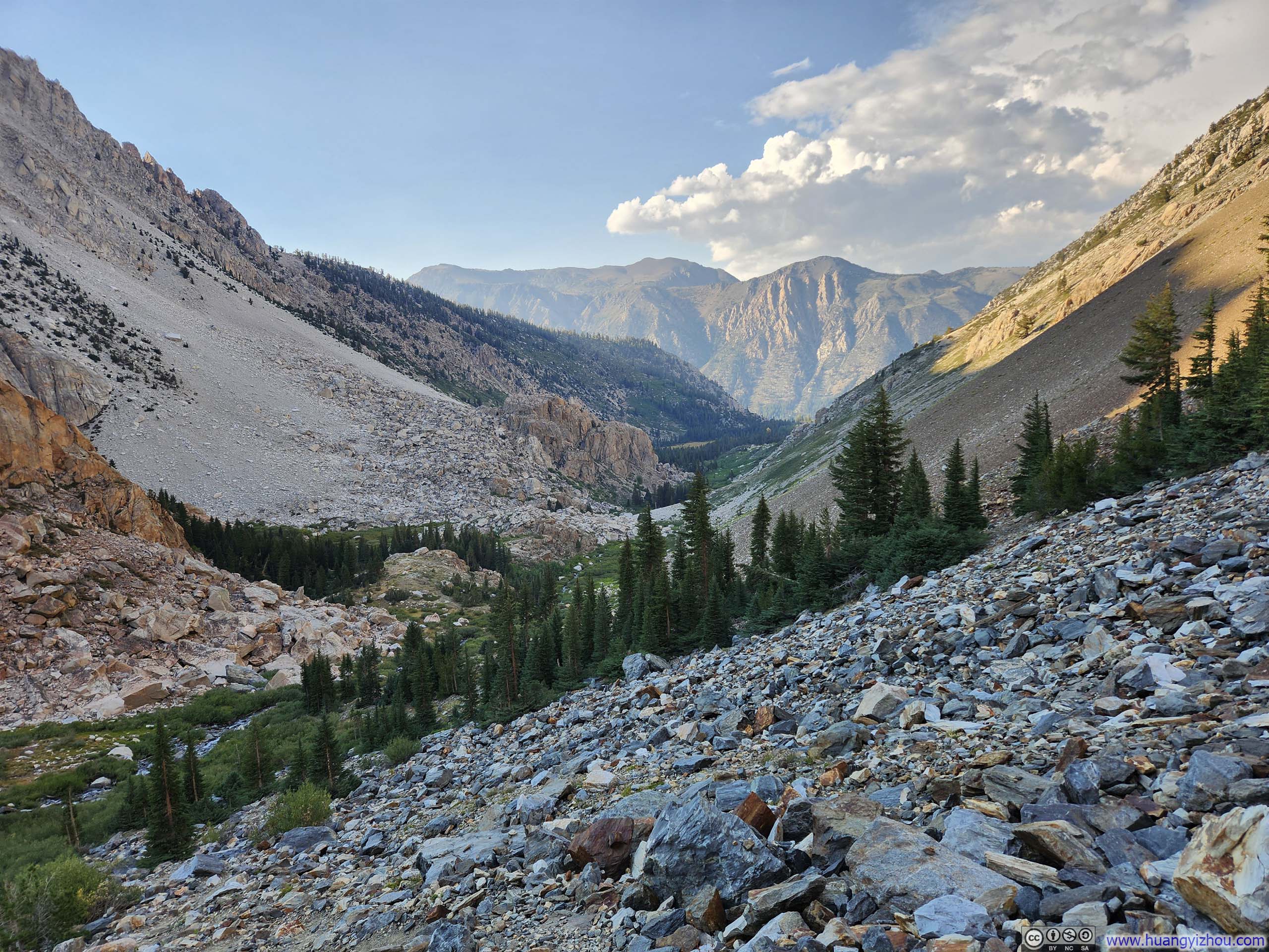
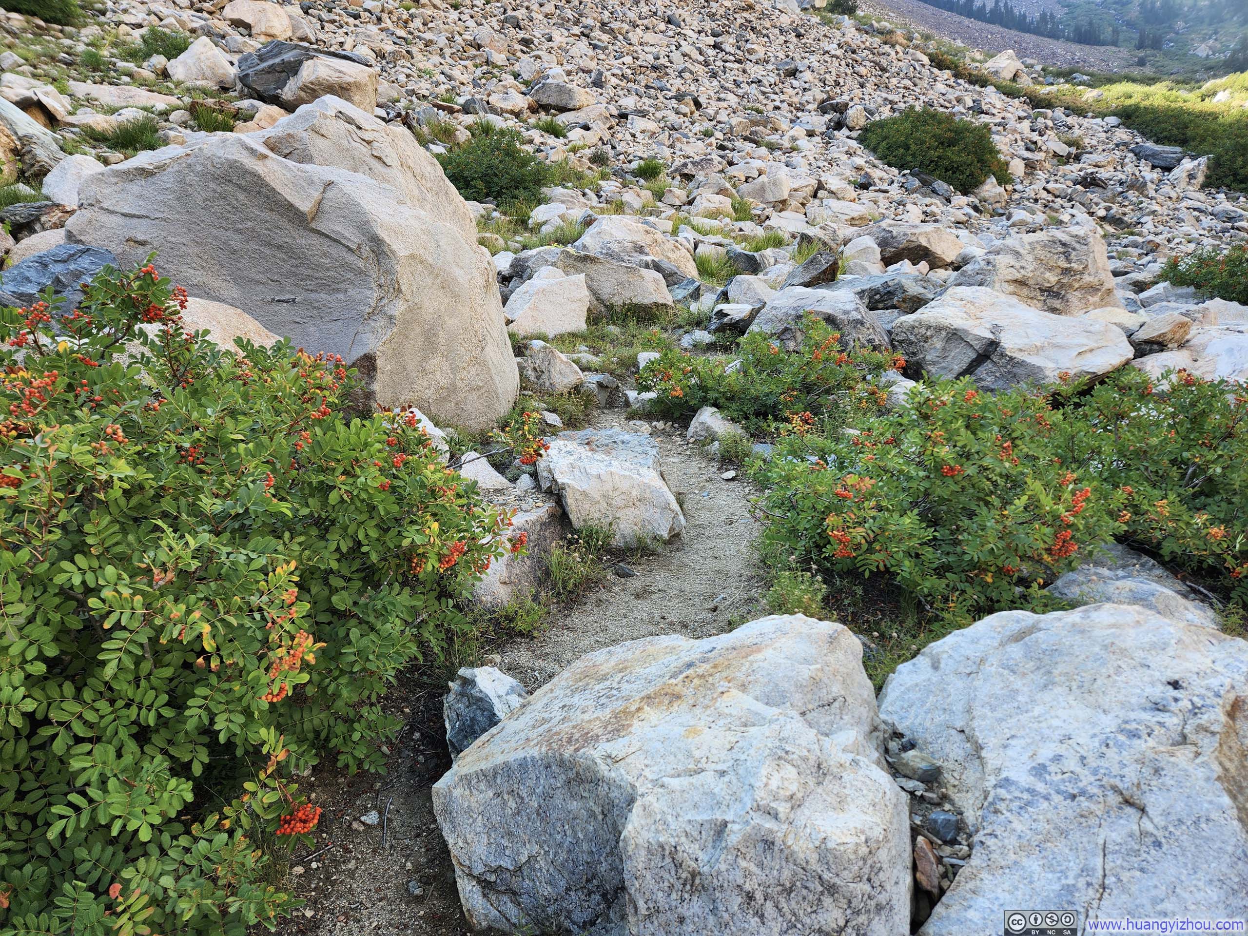
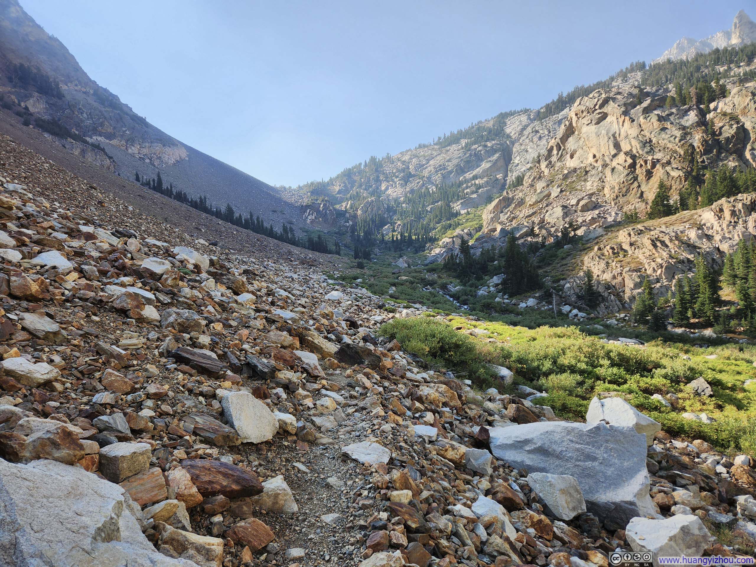
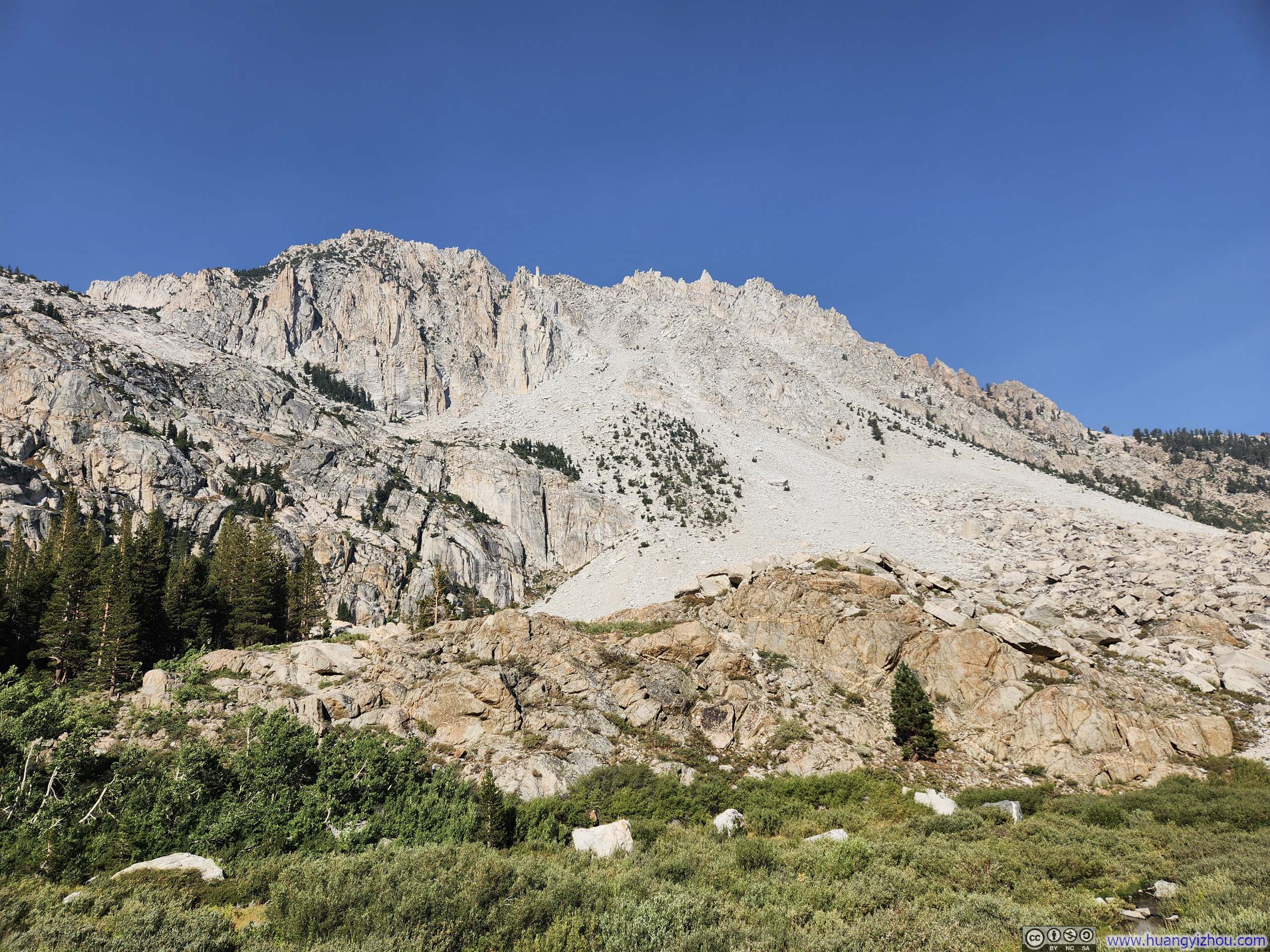
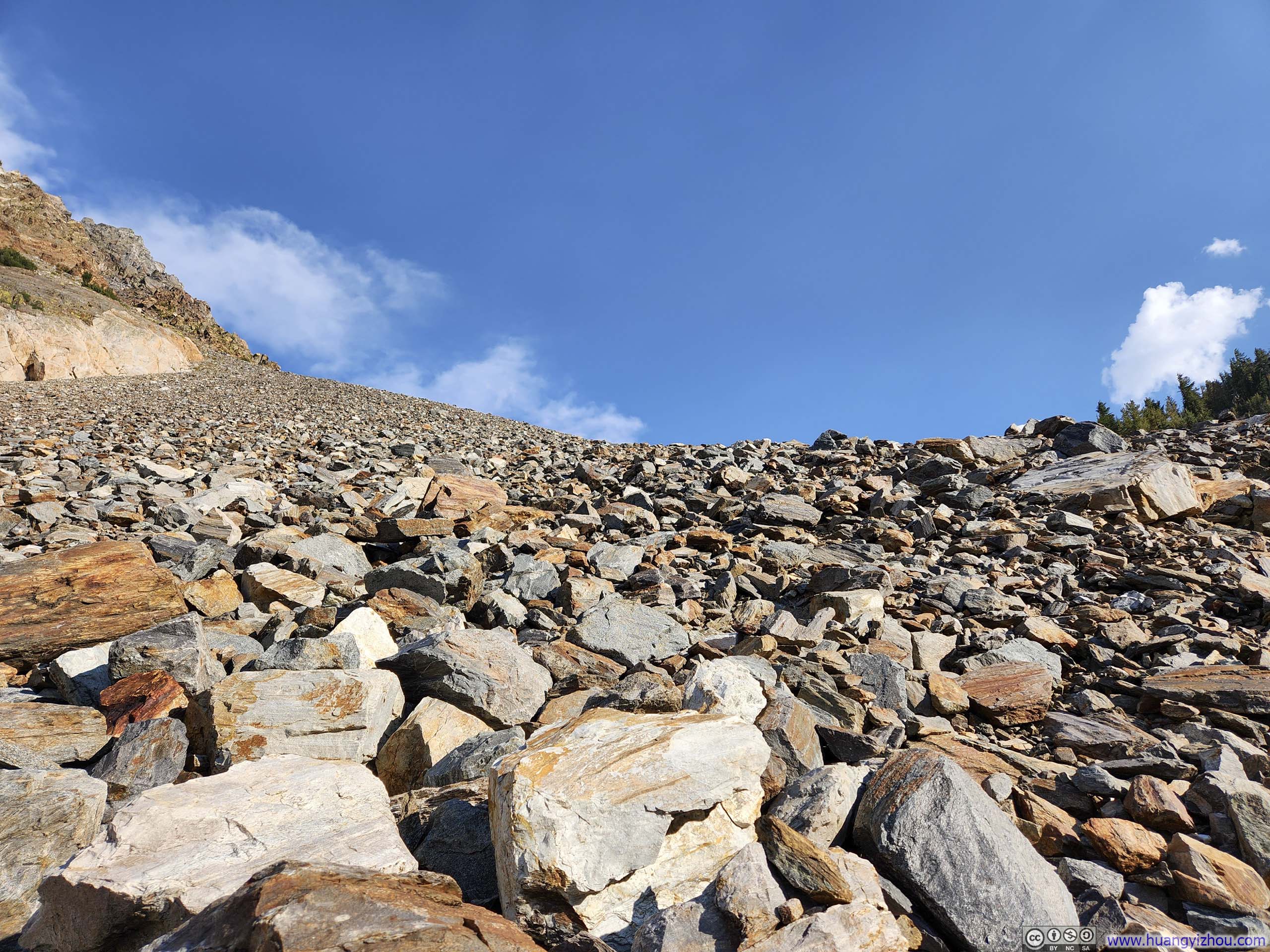
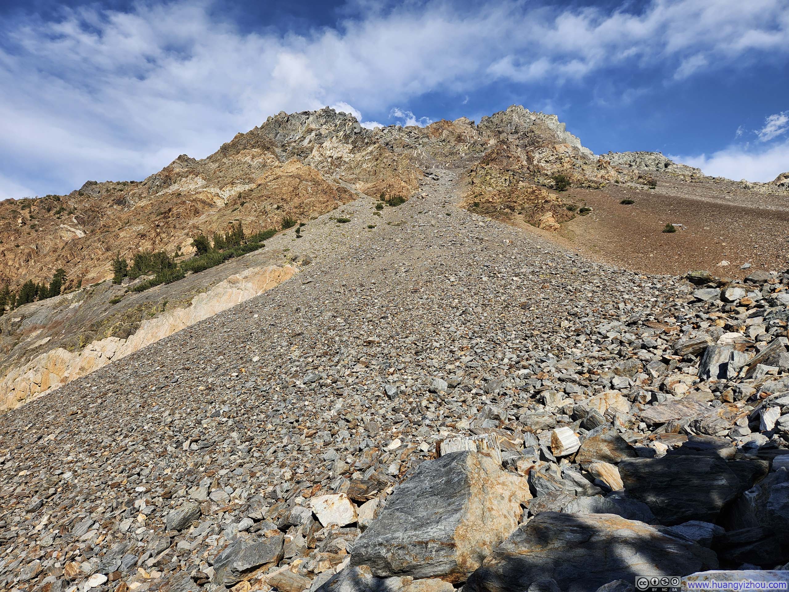
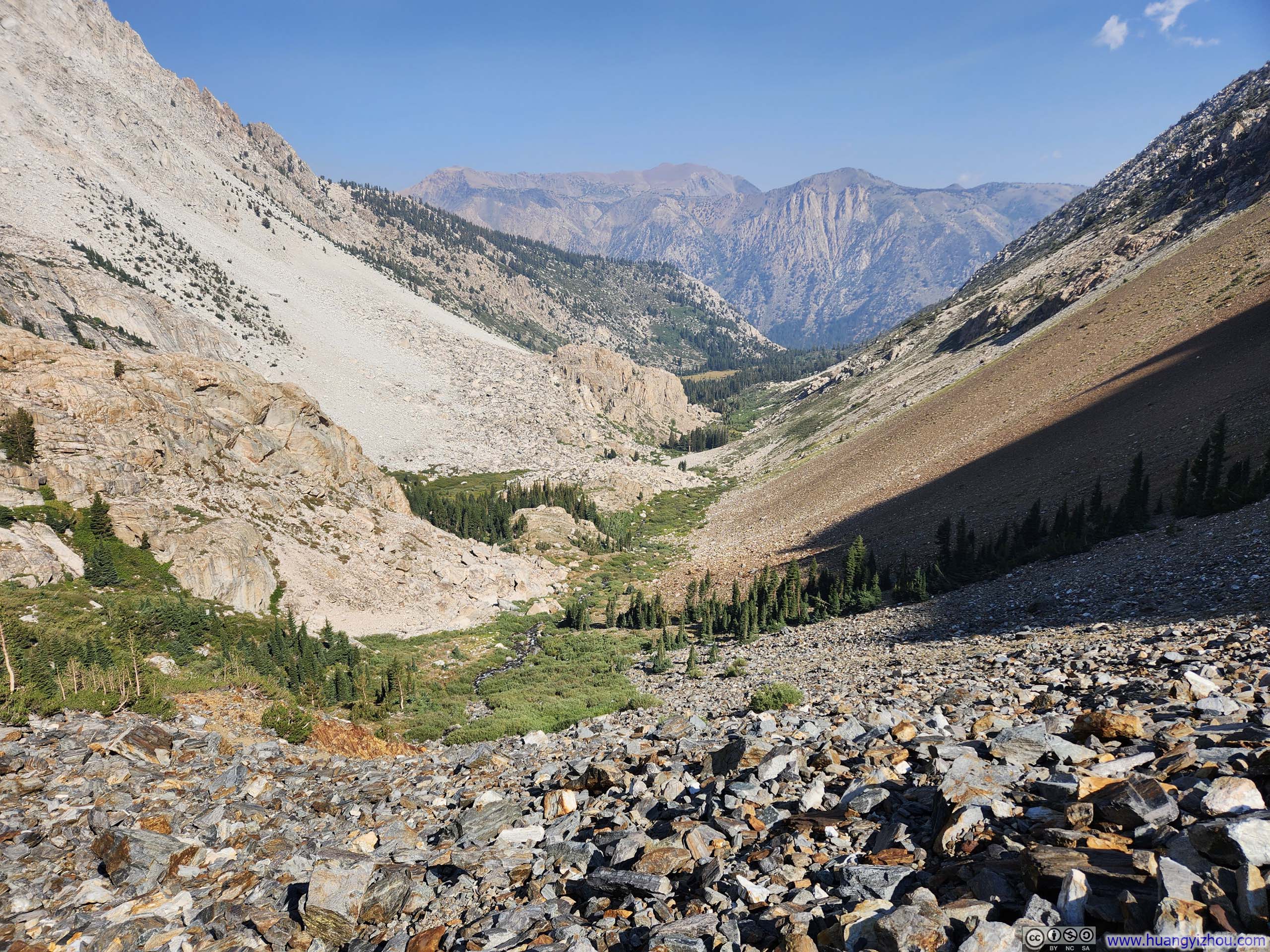
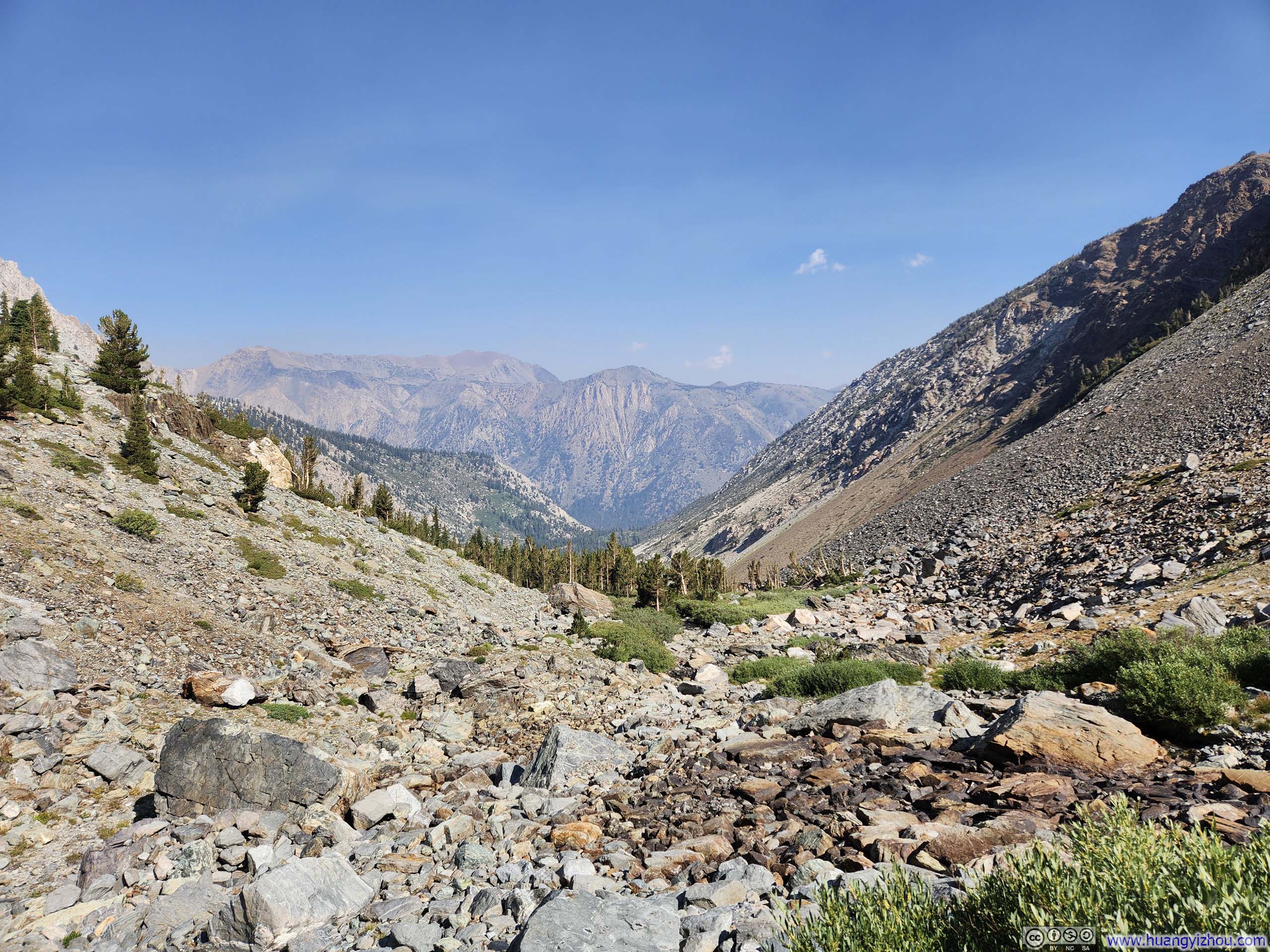
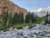
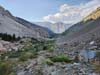
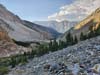
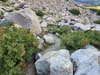
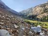
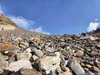
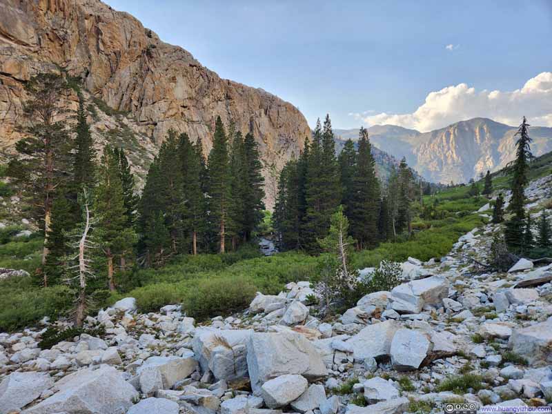
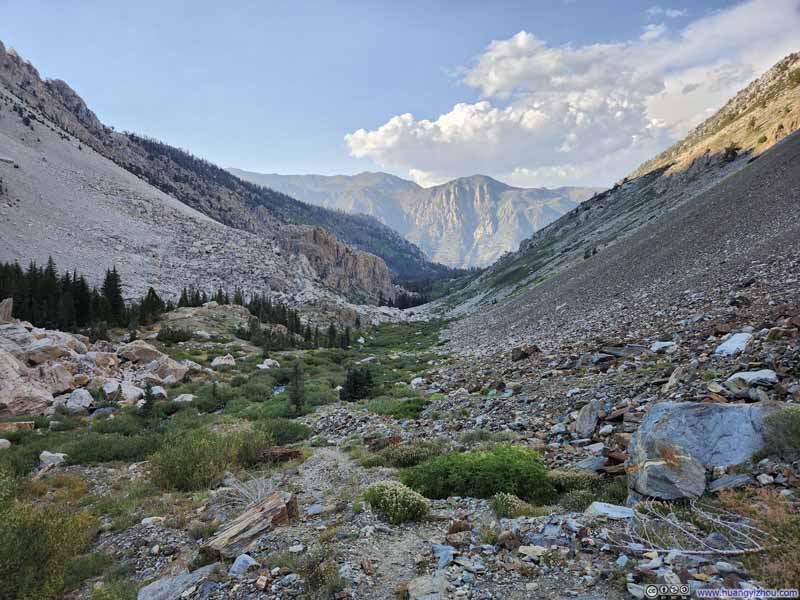
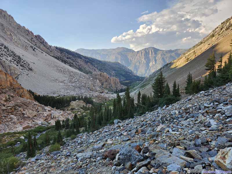
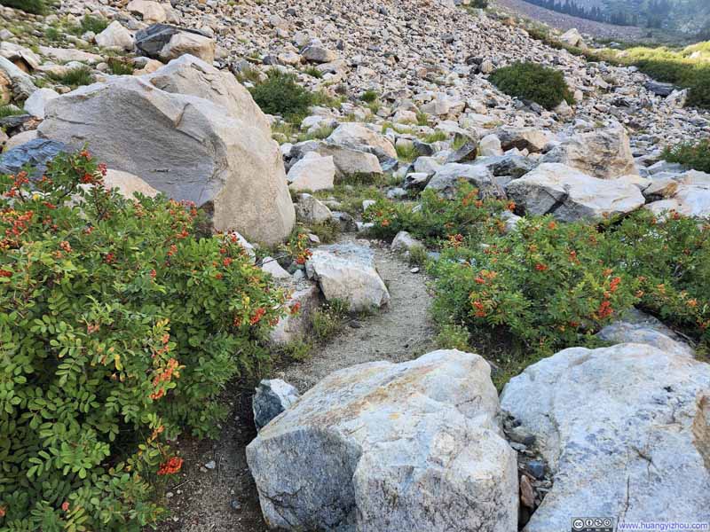
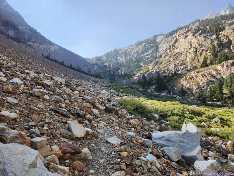
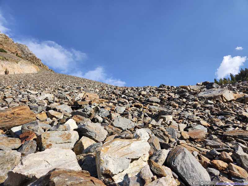
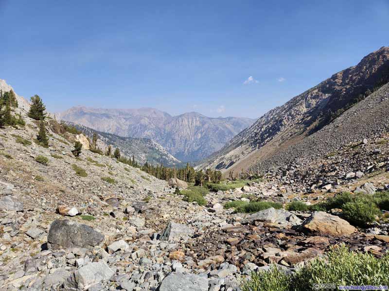
the trail briefly plunged into wooded terrain, where gravel had supplanted the dirt of the earlier switchbacks. Here, the path grew faint and elusive, its course obscured by the loose stone underfoot. Giant boulders encroached upon the trail in places, forcing me to pick my way over and around these ancient sentinels. Mercifully, these obstacles proved short-lived, and soon the trail reunited with Horse Creek—though the waterway had dwindled to little more than a scattering of shallow and seemingly disconnected puddles.
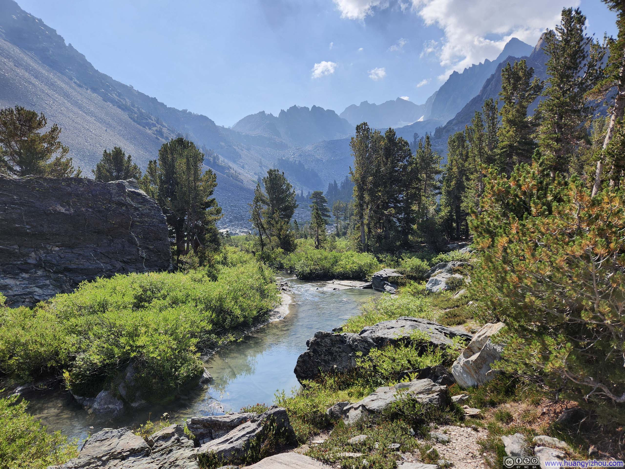
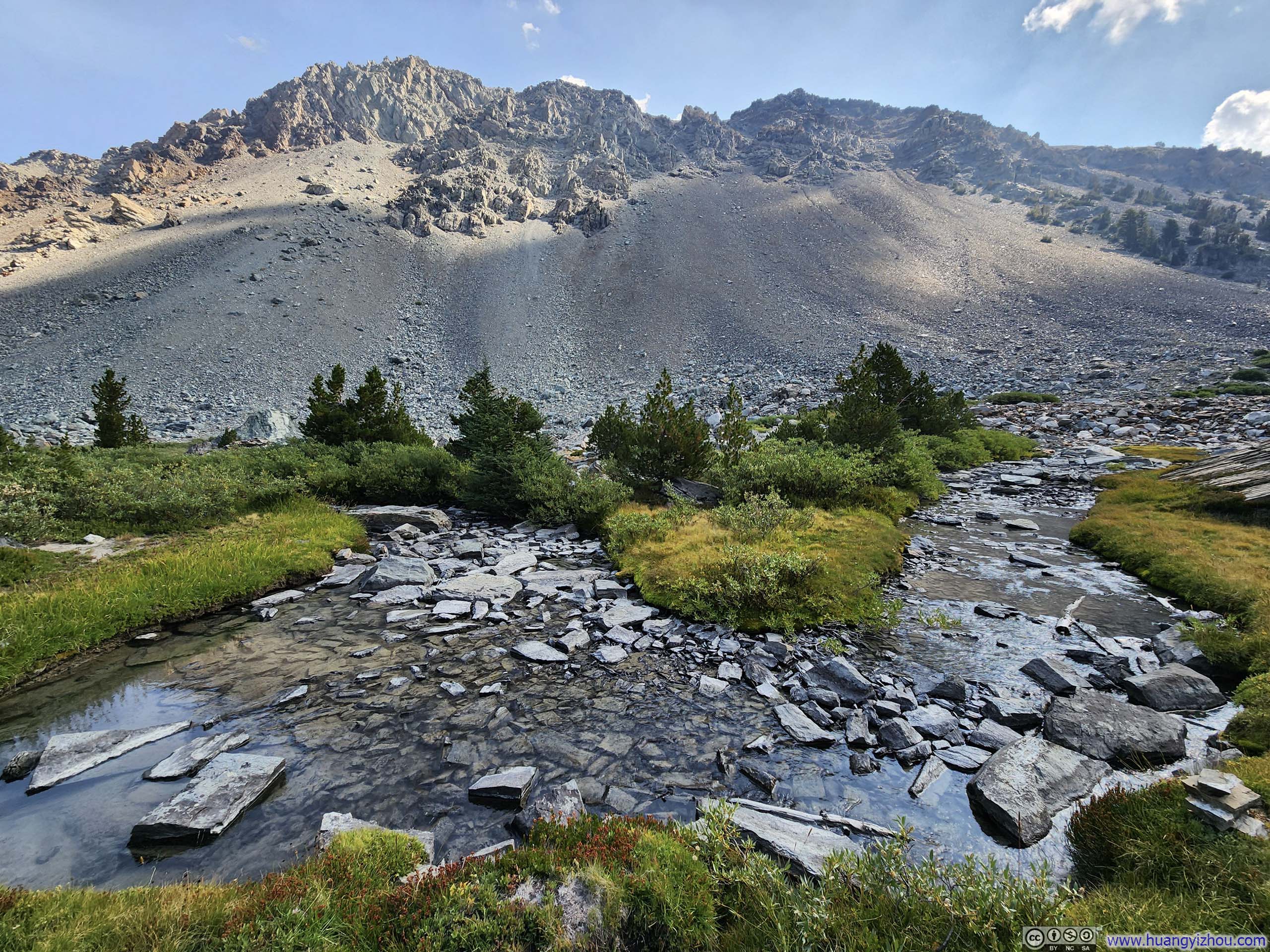
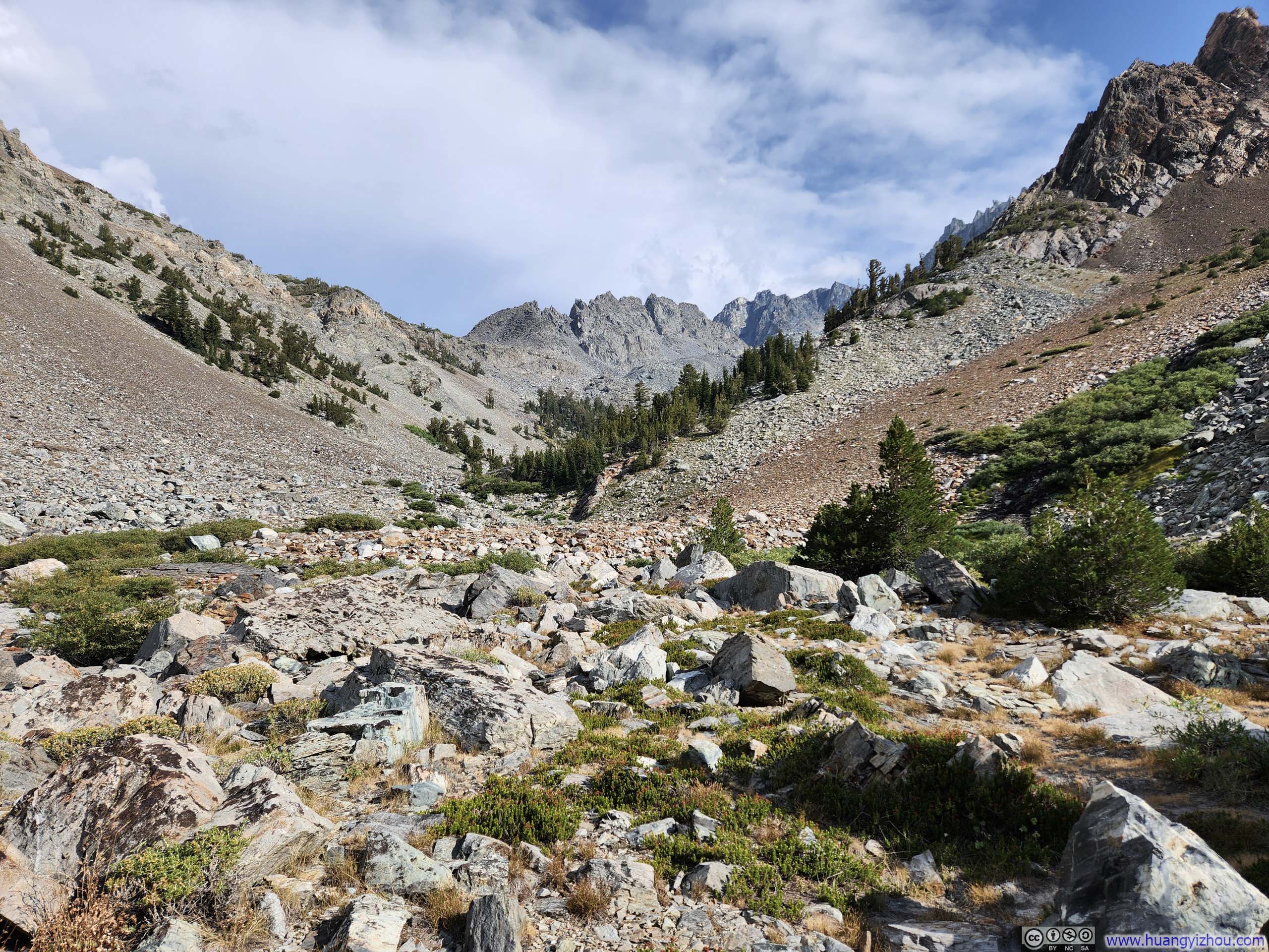
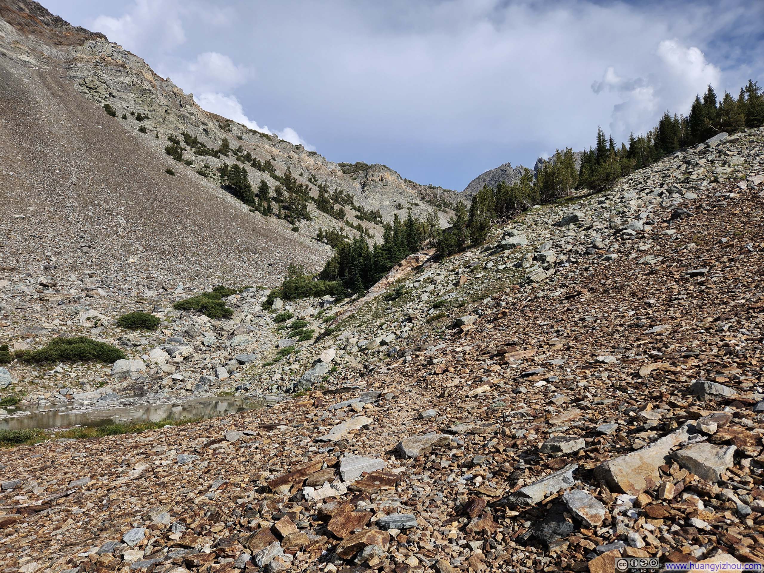
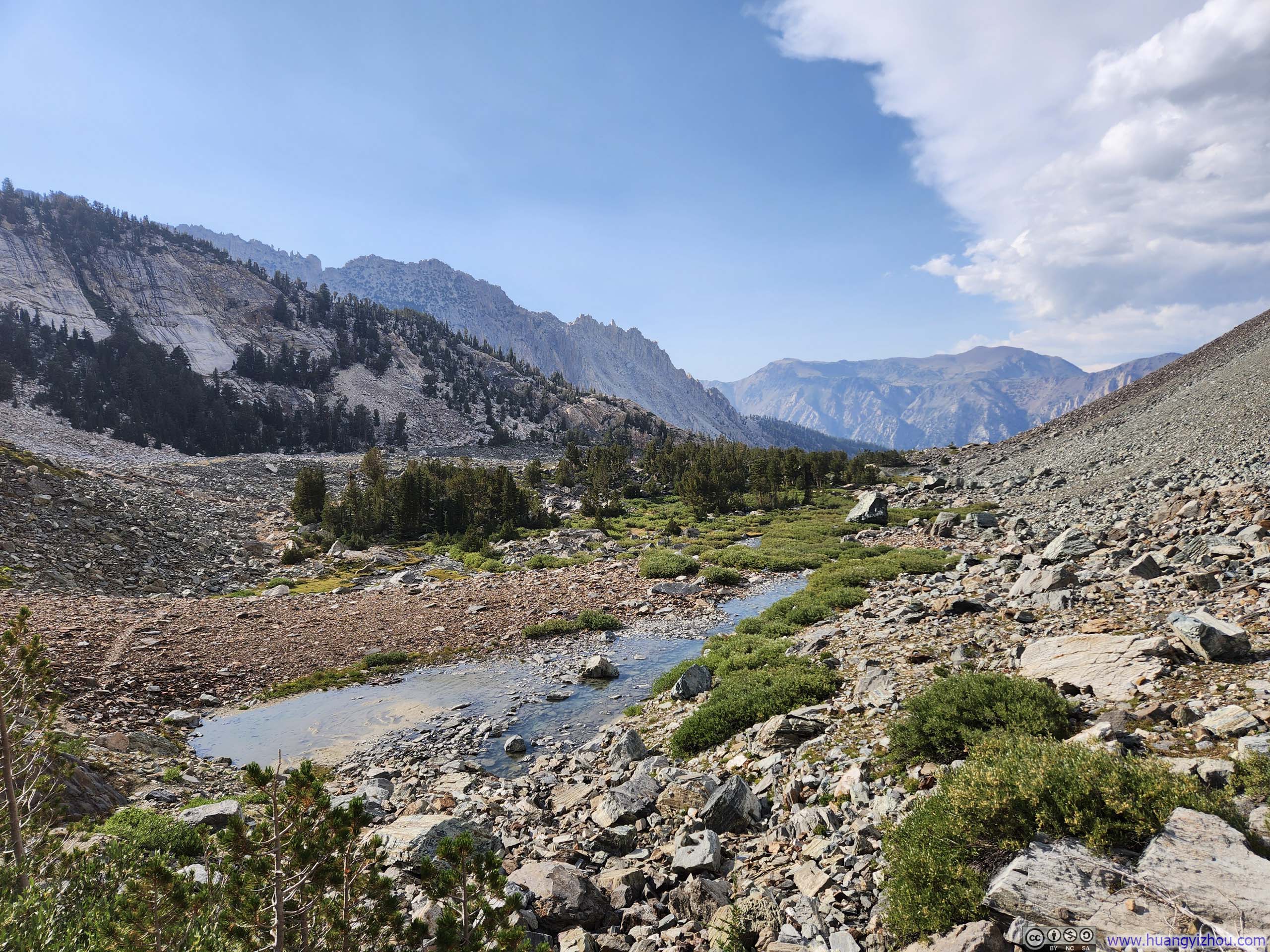
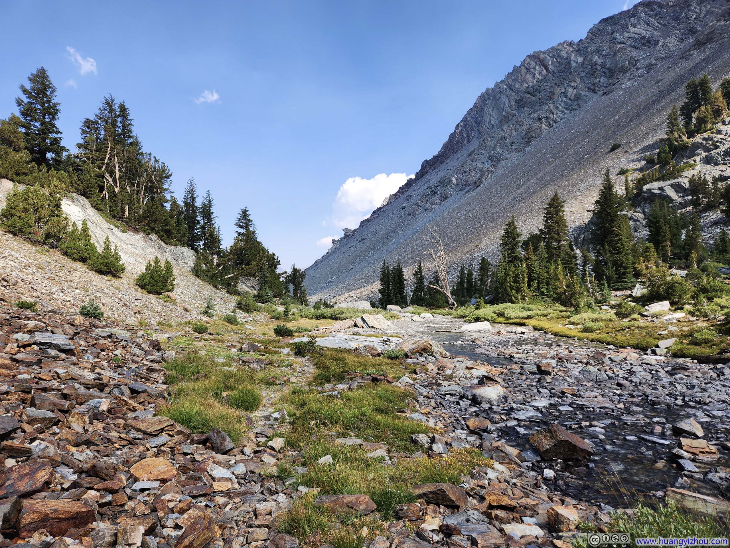
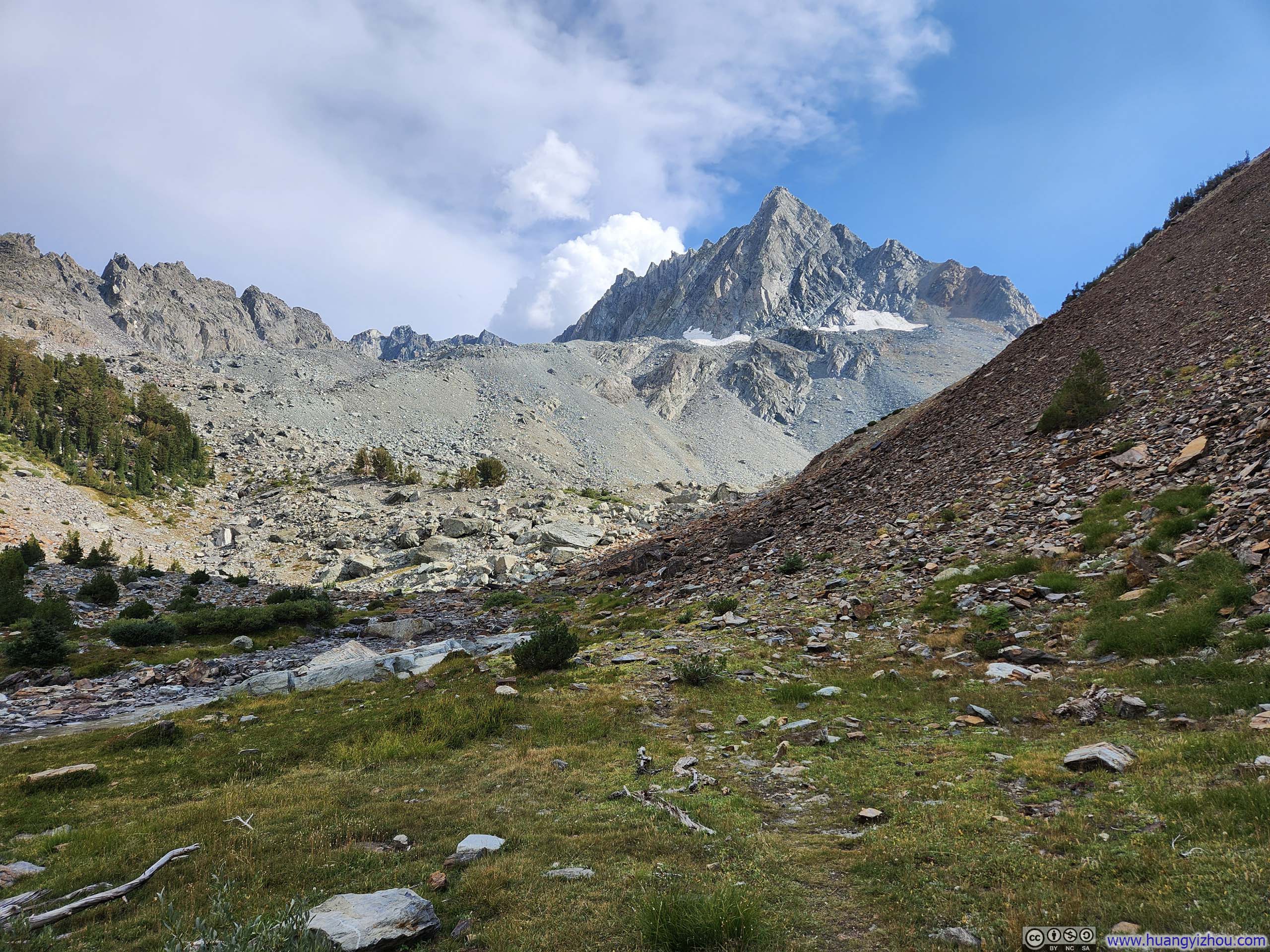
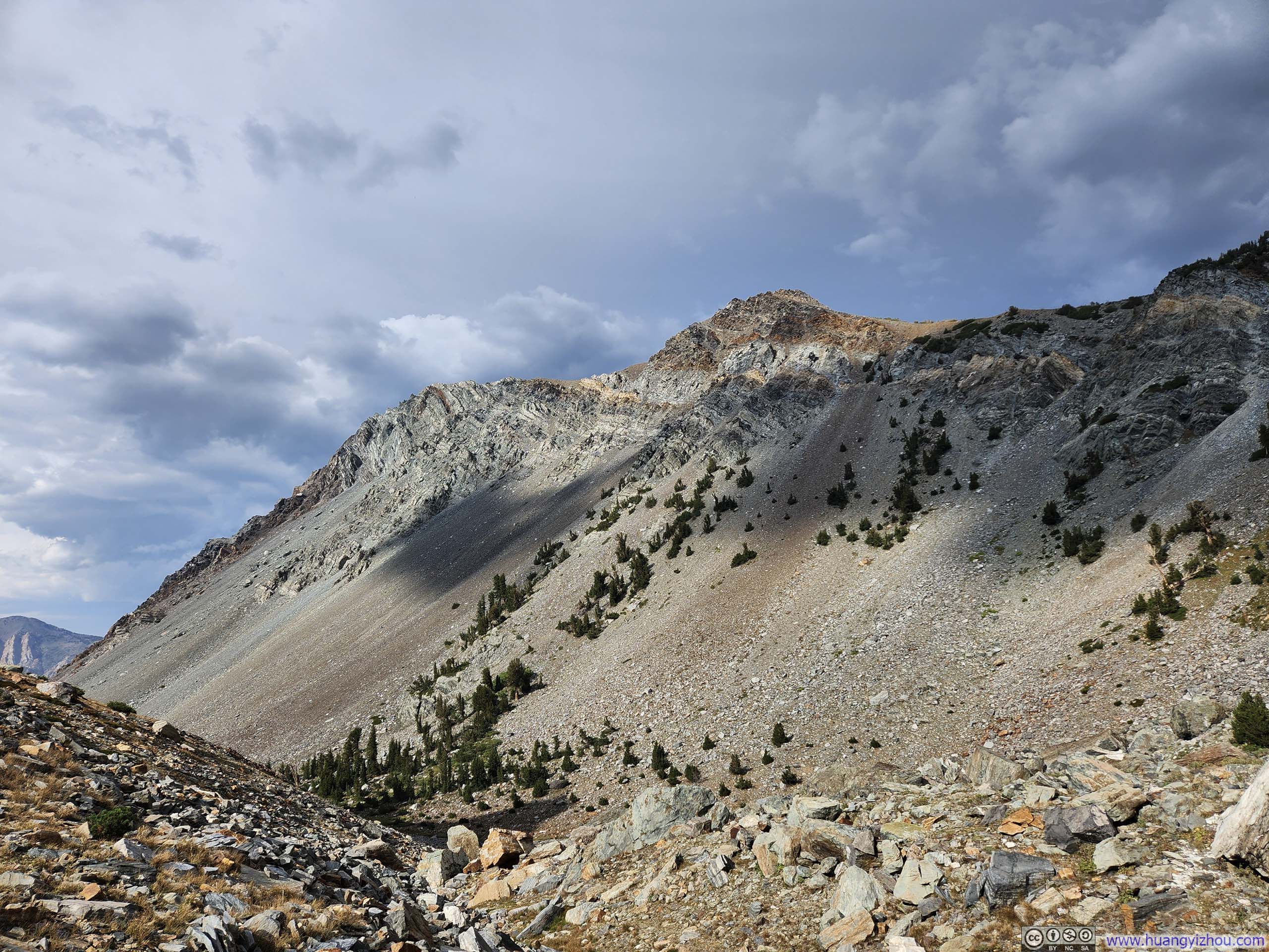
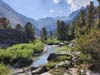
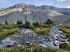
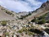
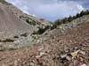
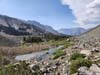
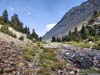
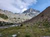
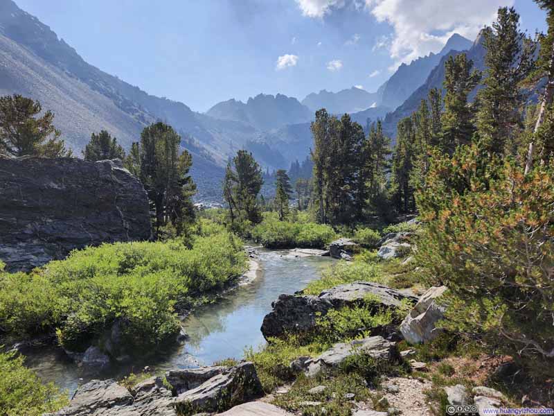
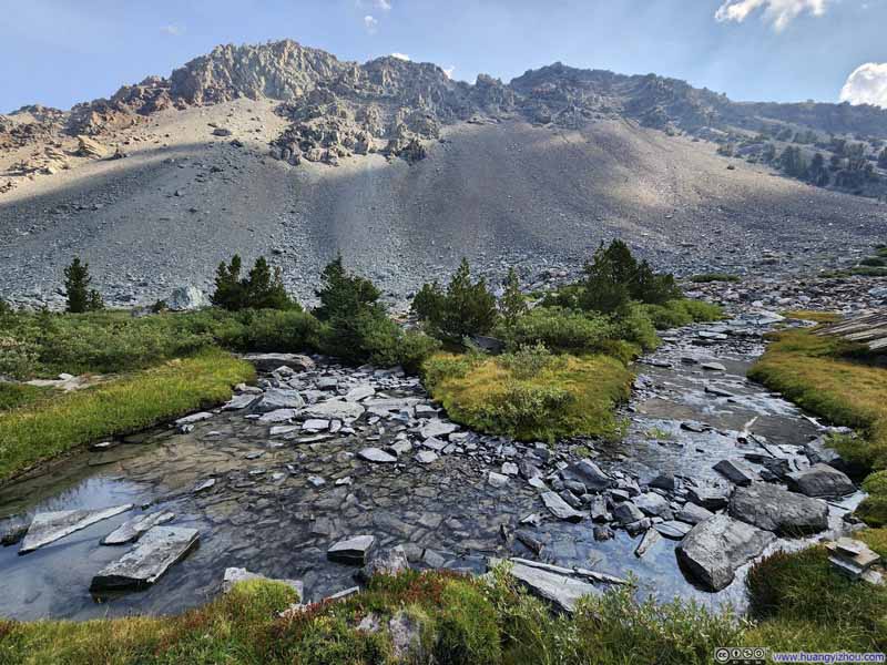
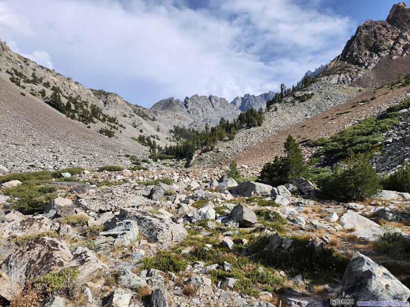
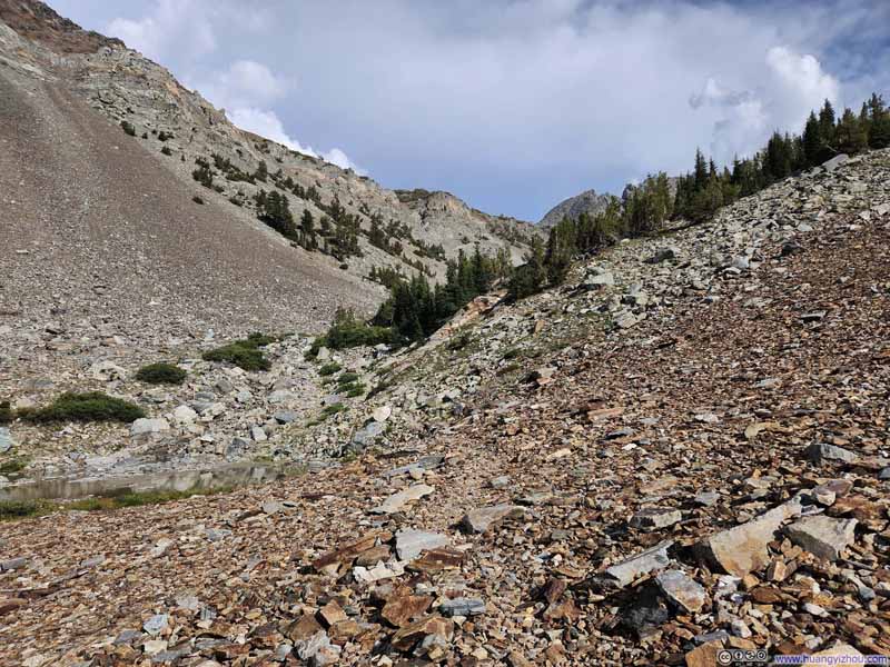
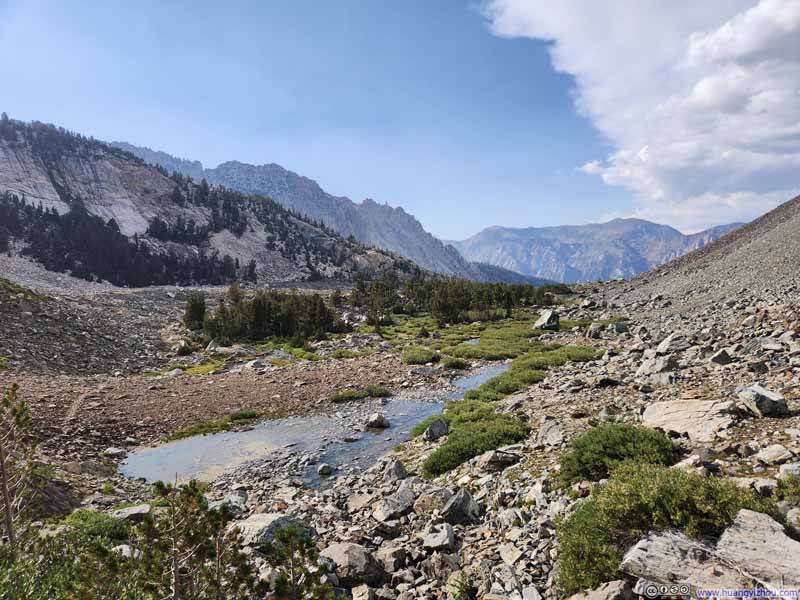
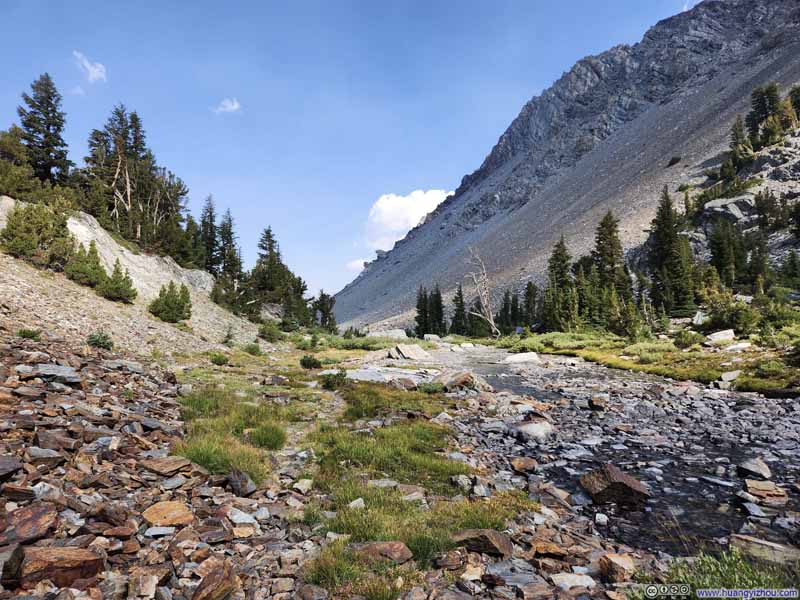
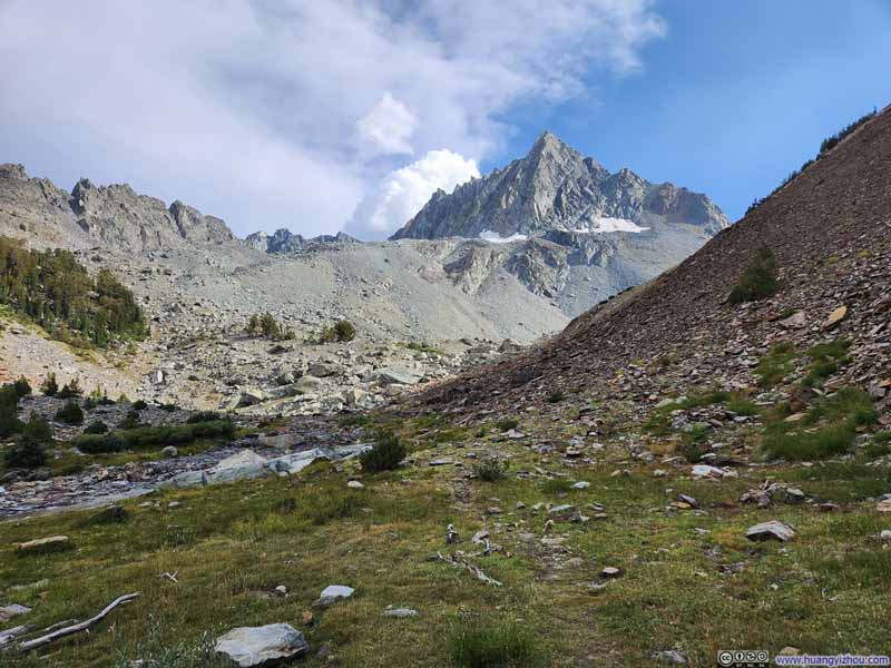
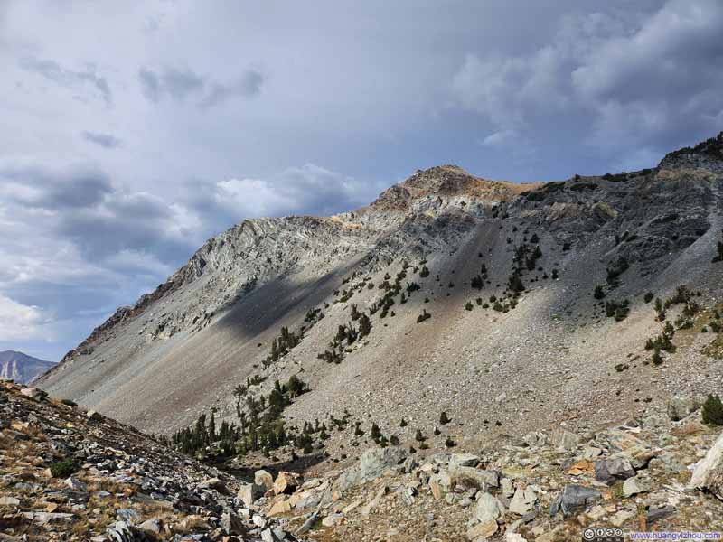
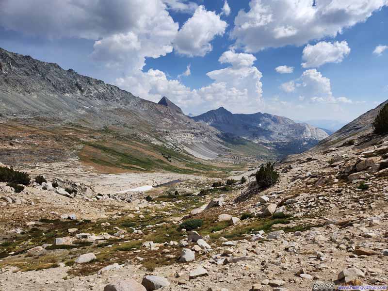
Eventually, Horse Creek vanished altogether as the trail ascended toward Horse Creek Pass, the saddle point of Horse Creek Peak to the east and Matterhorn Peak to the west, separating Toiyabe National Forest to the north and Yosemite National Park to the south. The path grew increasingly elusive and frequently dissolving into the rocky landscape. Whenever I lost sight of any discernible trail, I simply picked my way across the stones in the general direction, a strategy that proved largely sufficient.
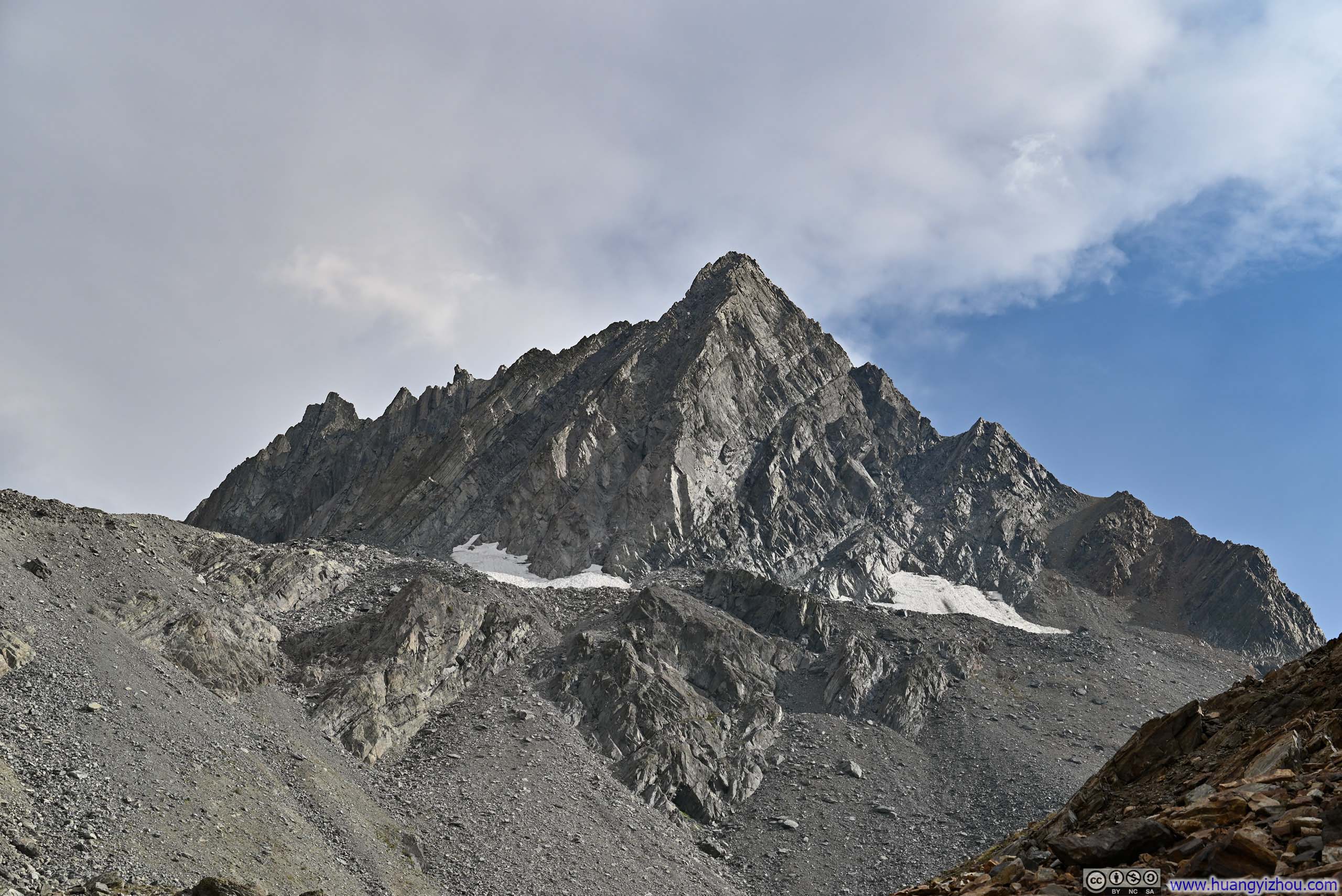
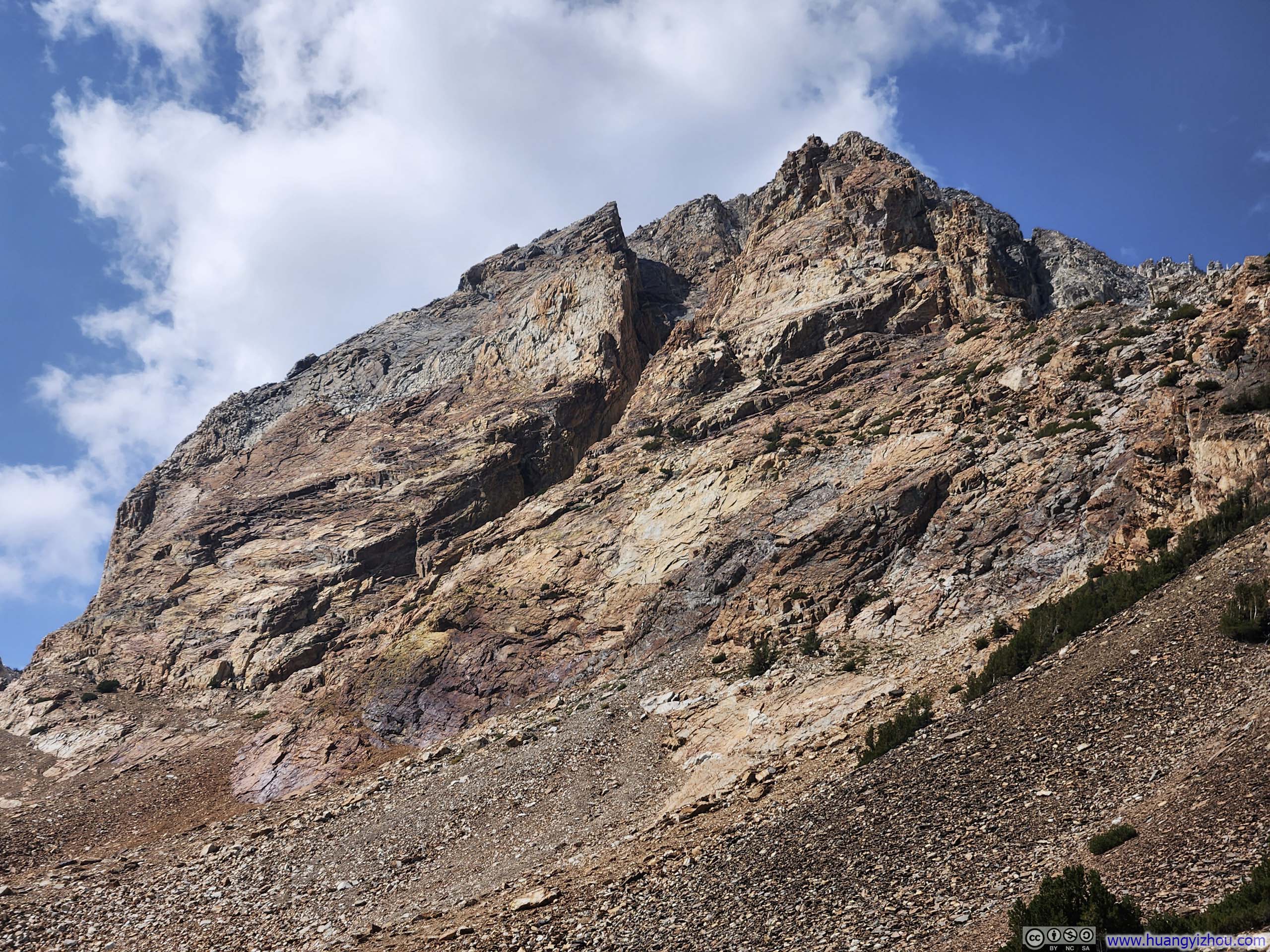
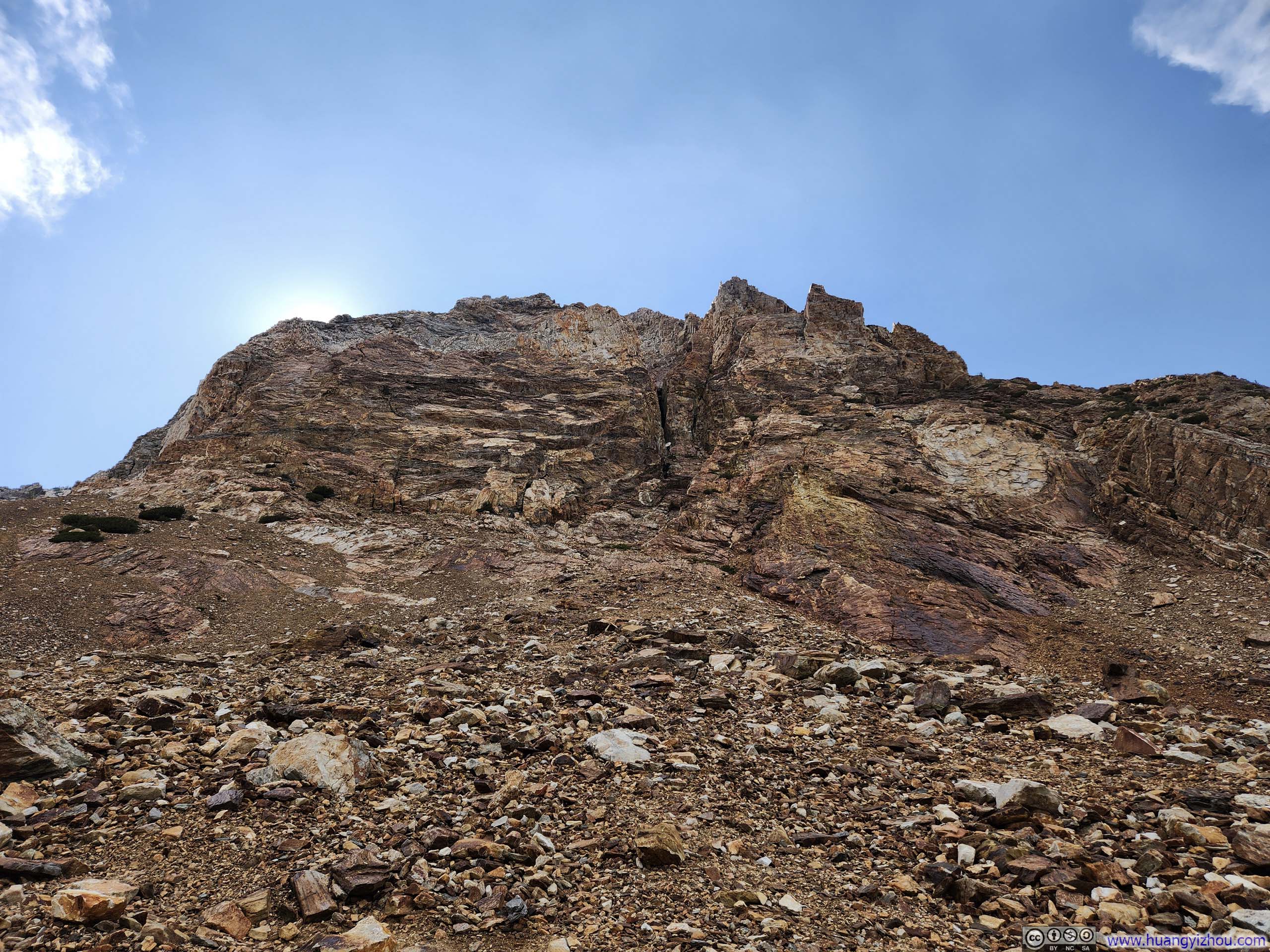
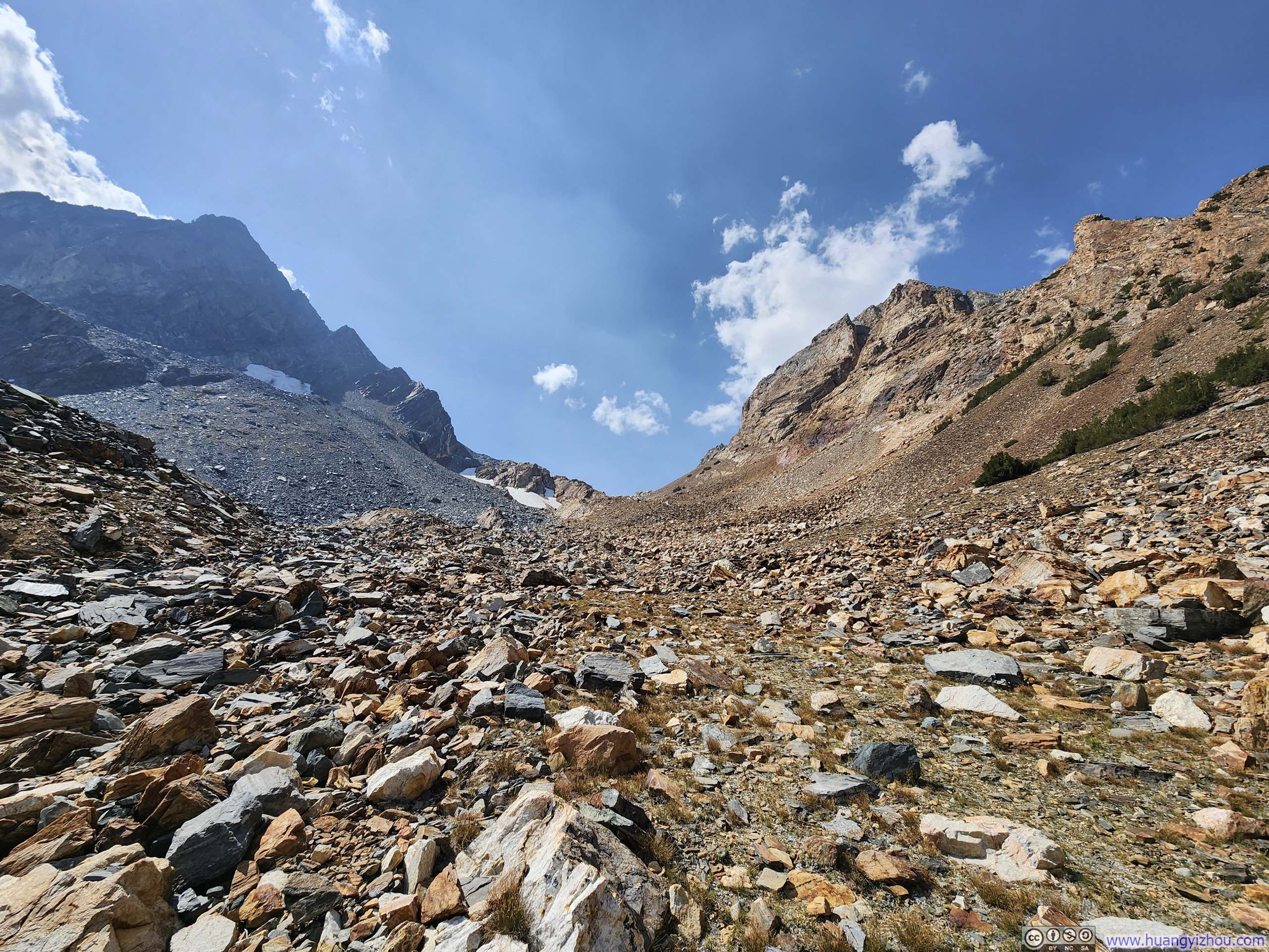
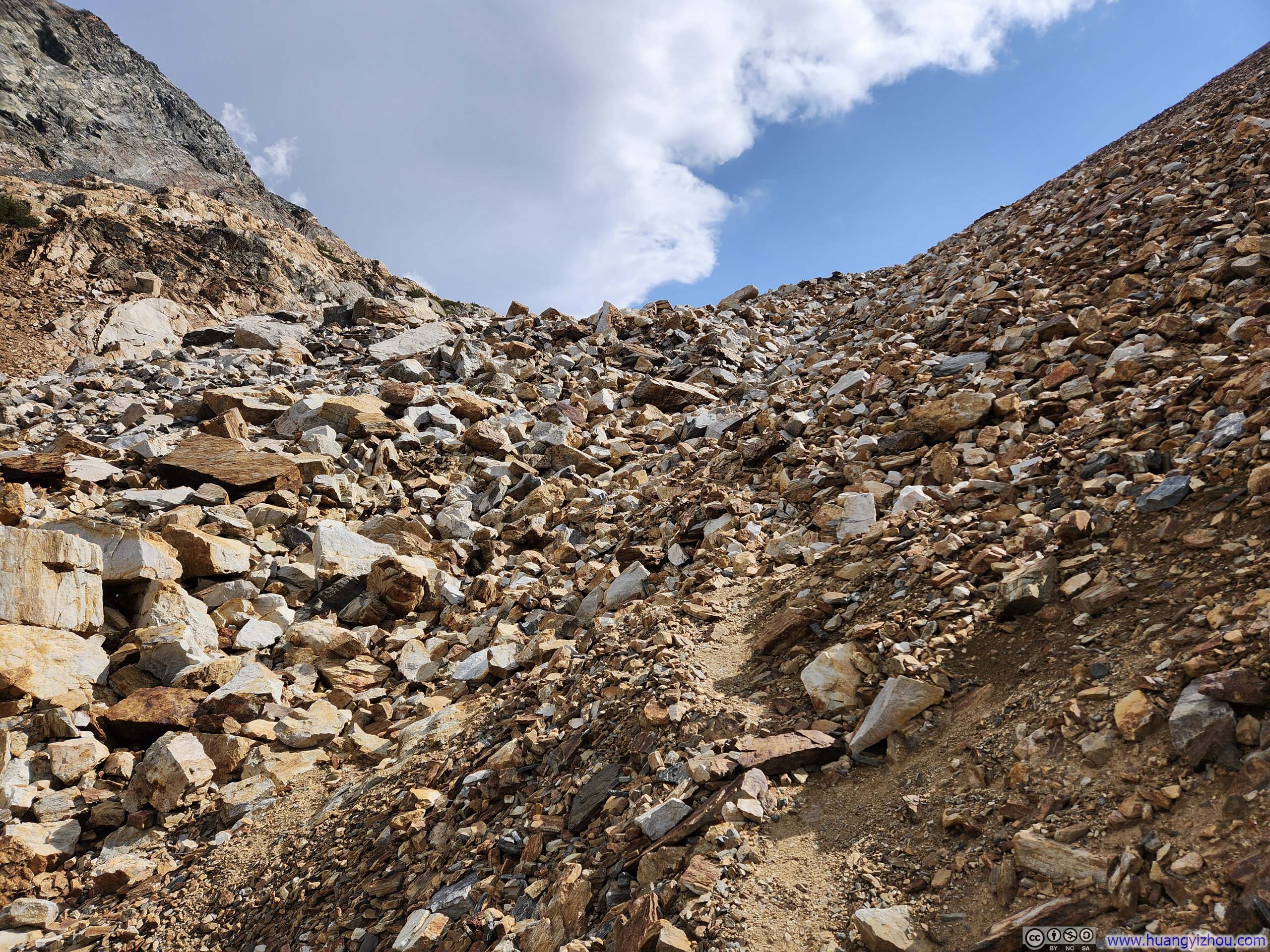
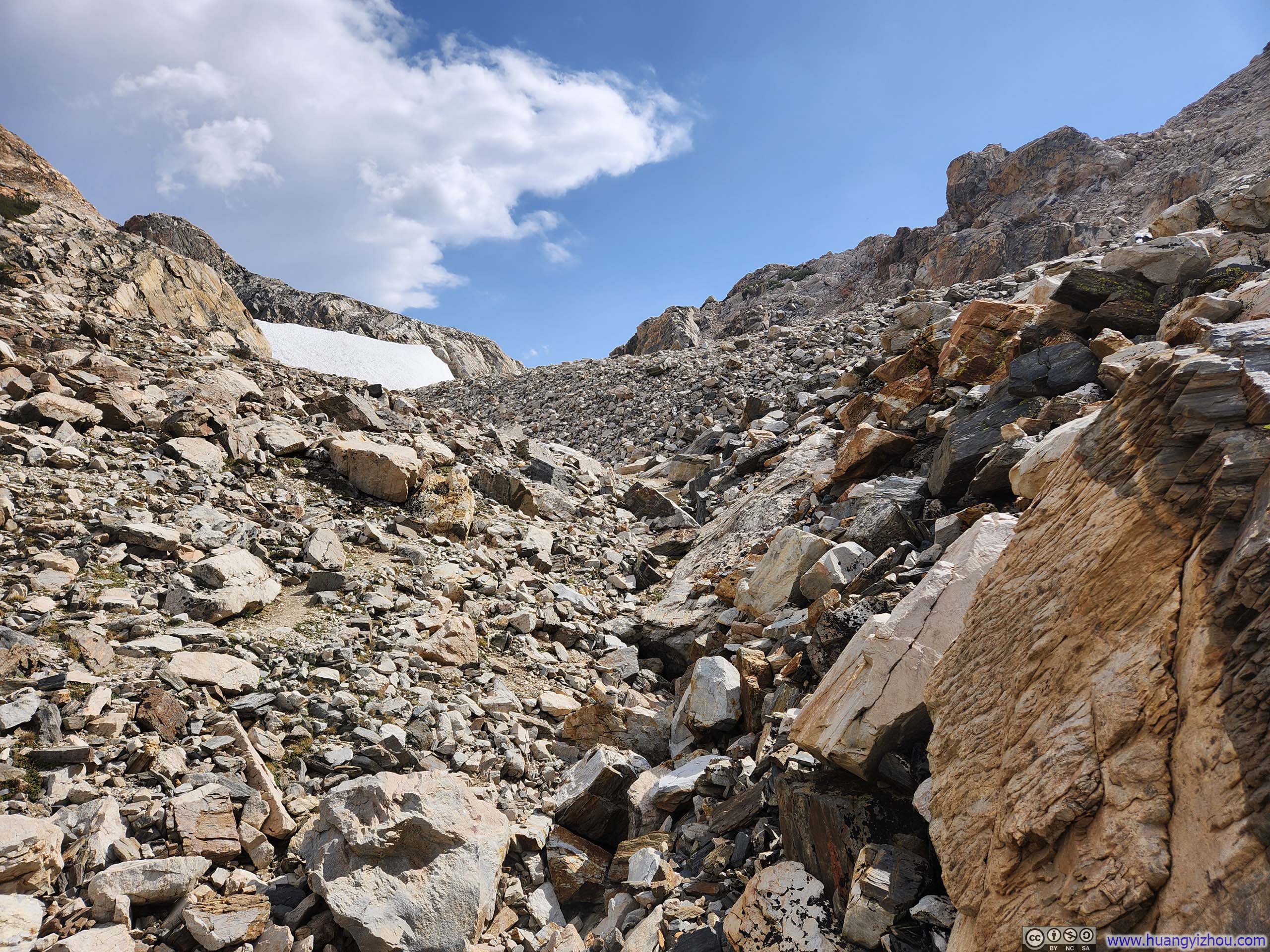
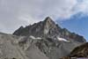
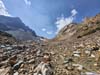
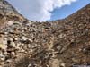
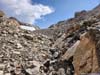
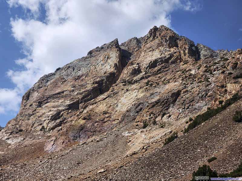
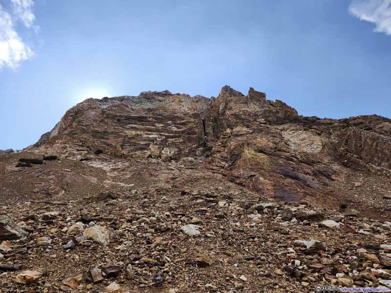
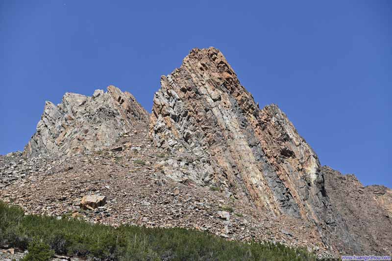
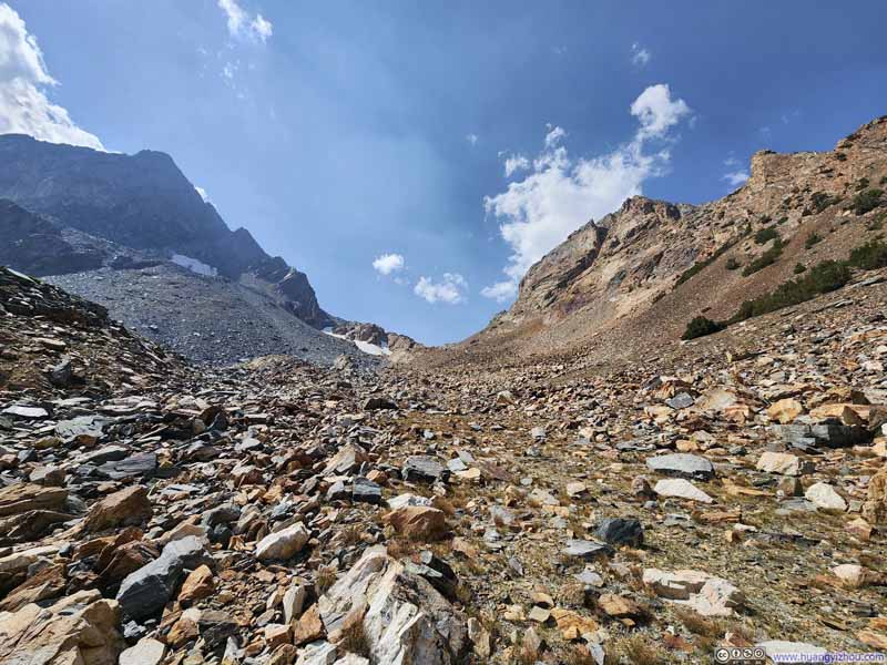
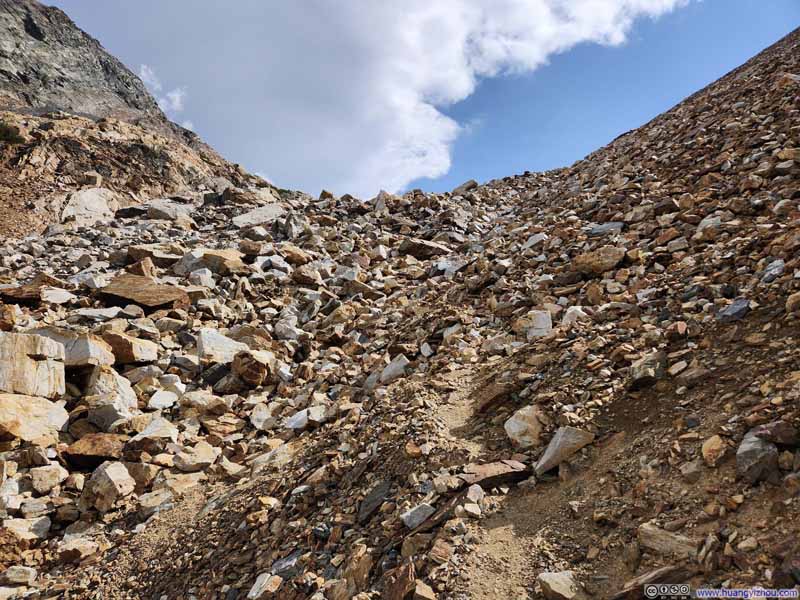
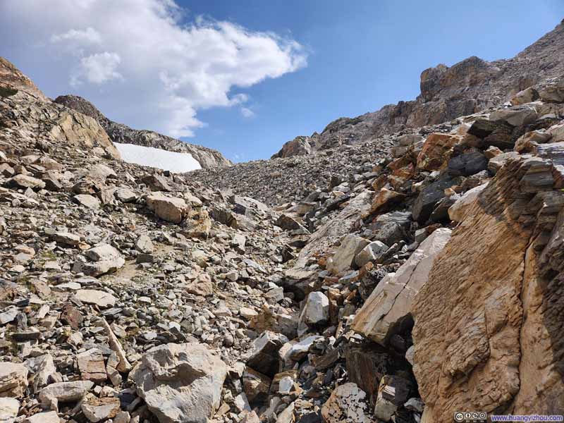
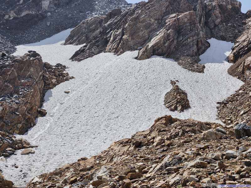
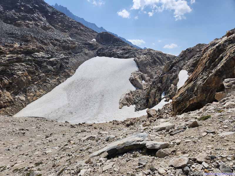
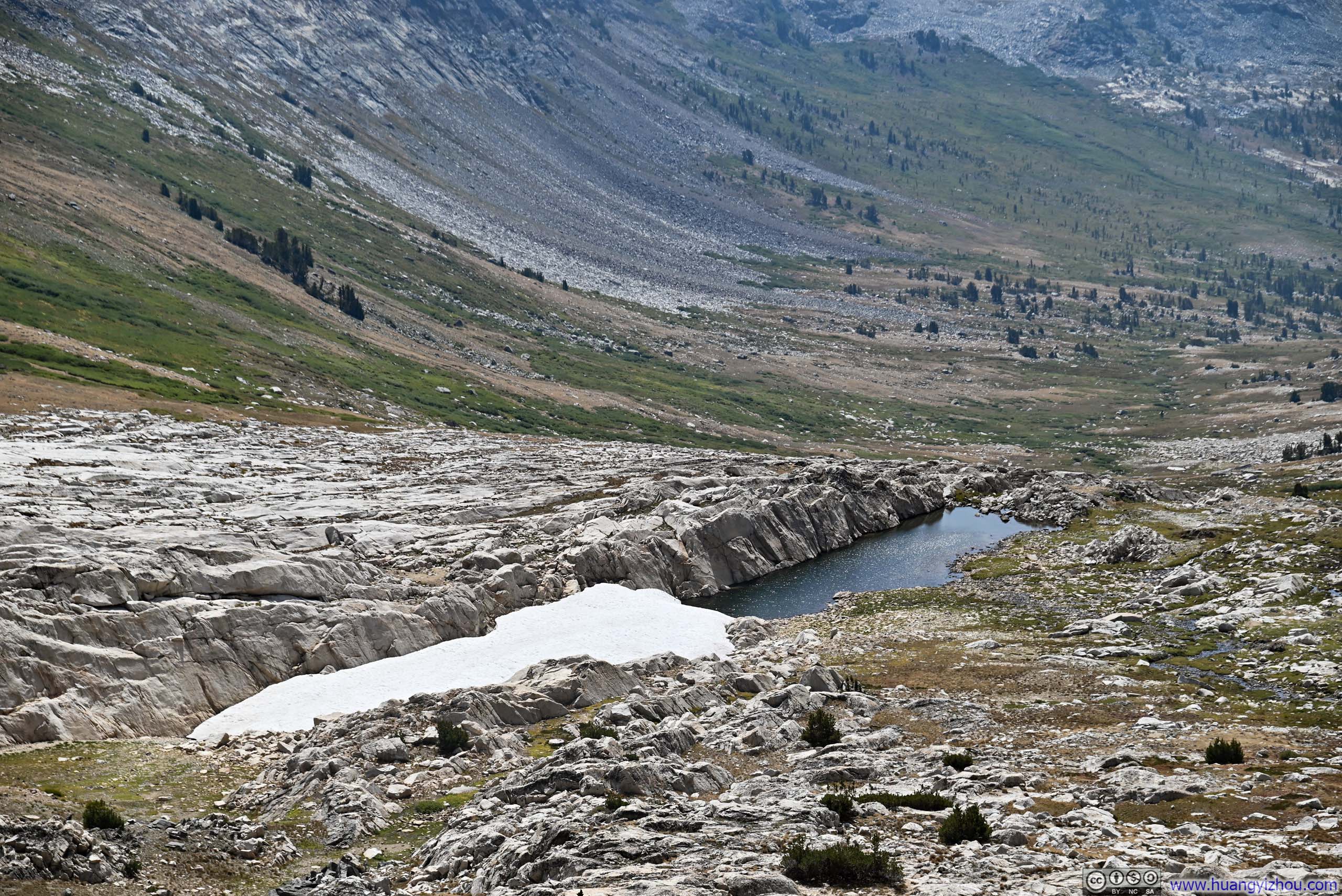
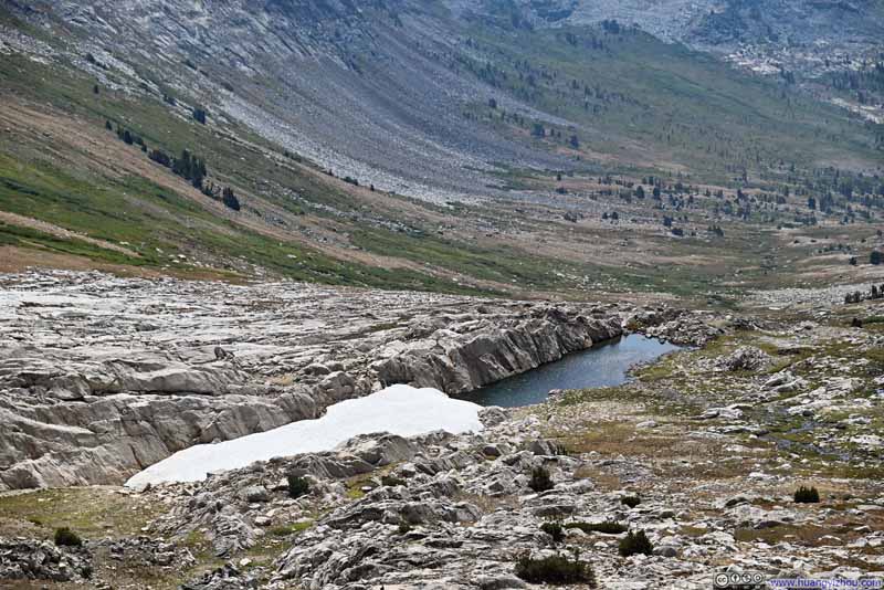
It's worth noting that near Horse Creek Pass, two route variations existed. The first, documented on AllTrails, reached the actual saddle point at Horse Creek Pass before turning west toward Matterhorn Peak. The second variation, apparently more popular on summitpost.org and the one I followed, turned west earlier, bypassing Horse Creek Pass entirely. This alternative likely gained favor because it circumvented a snow patch (p3-4 below), making it both safer and more direct.
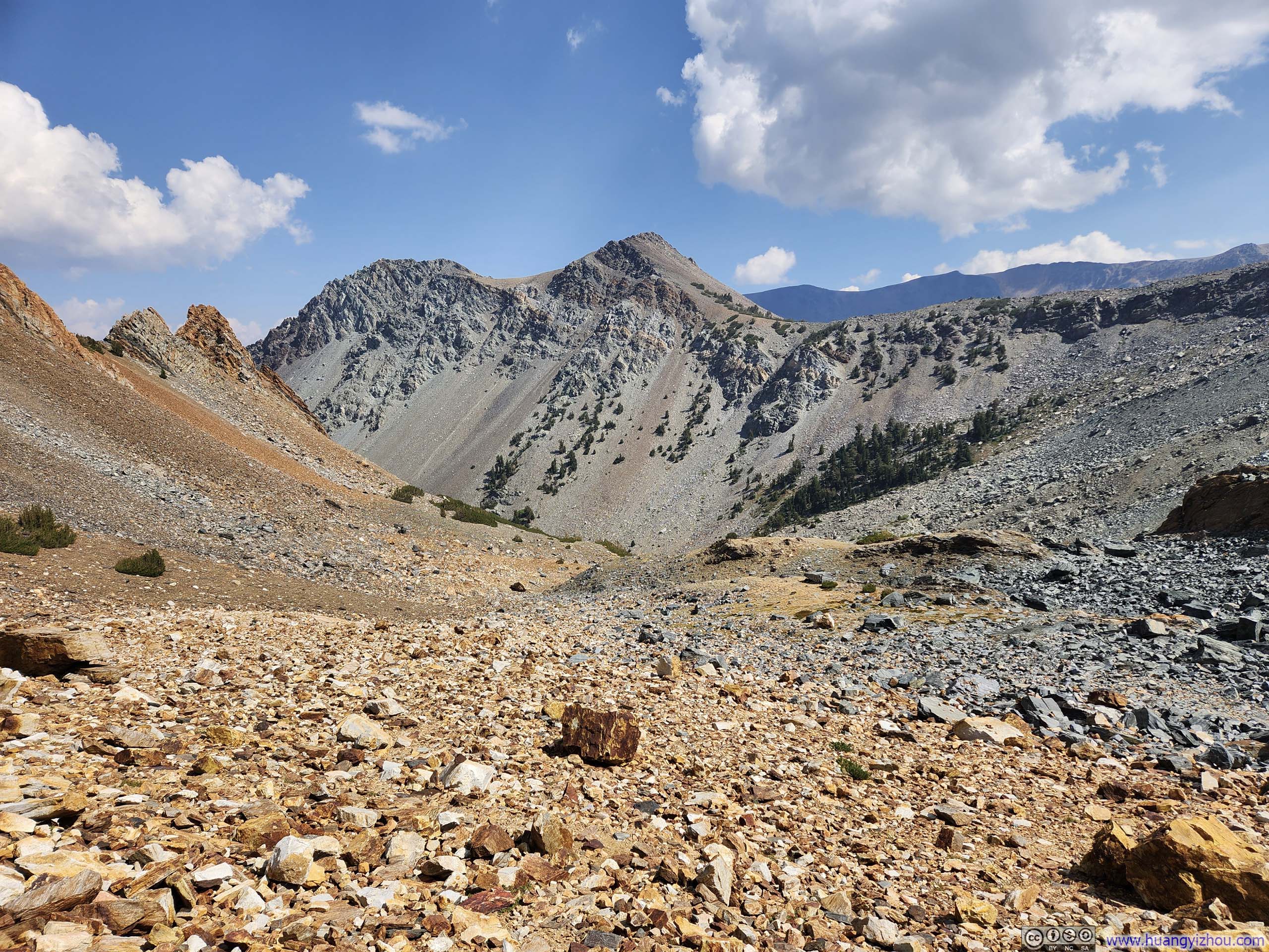
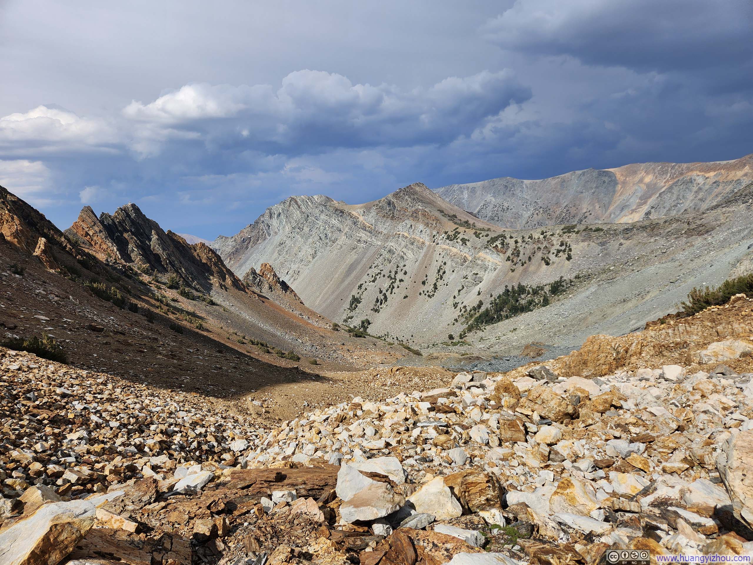
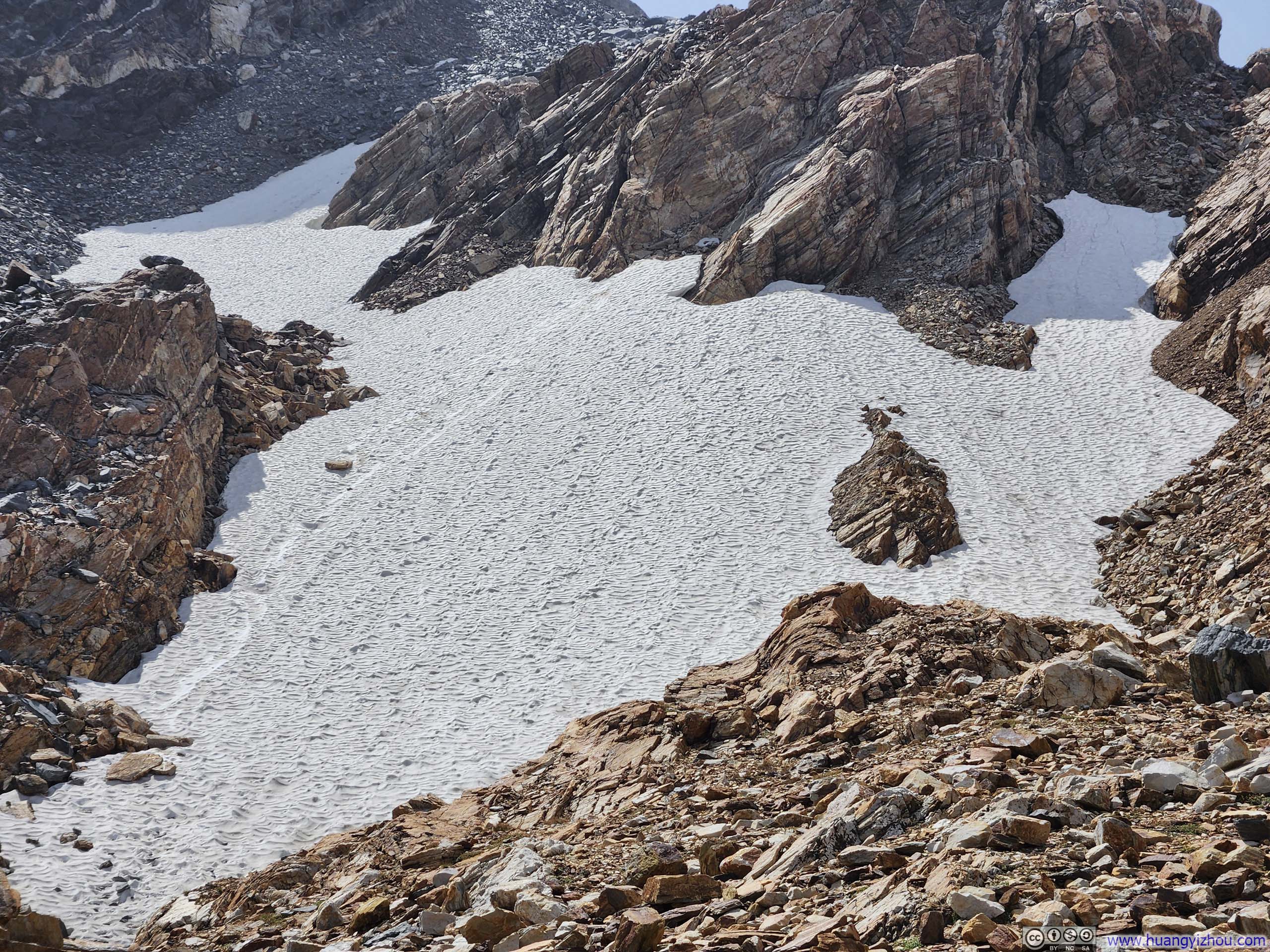
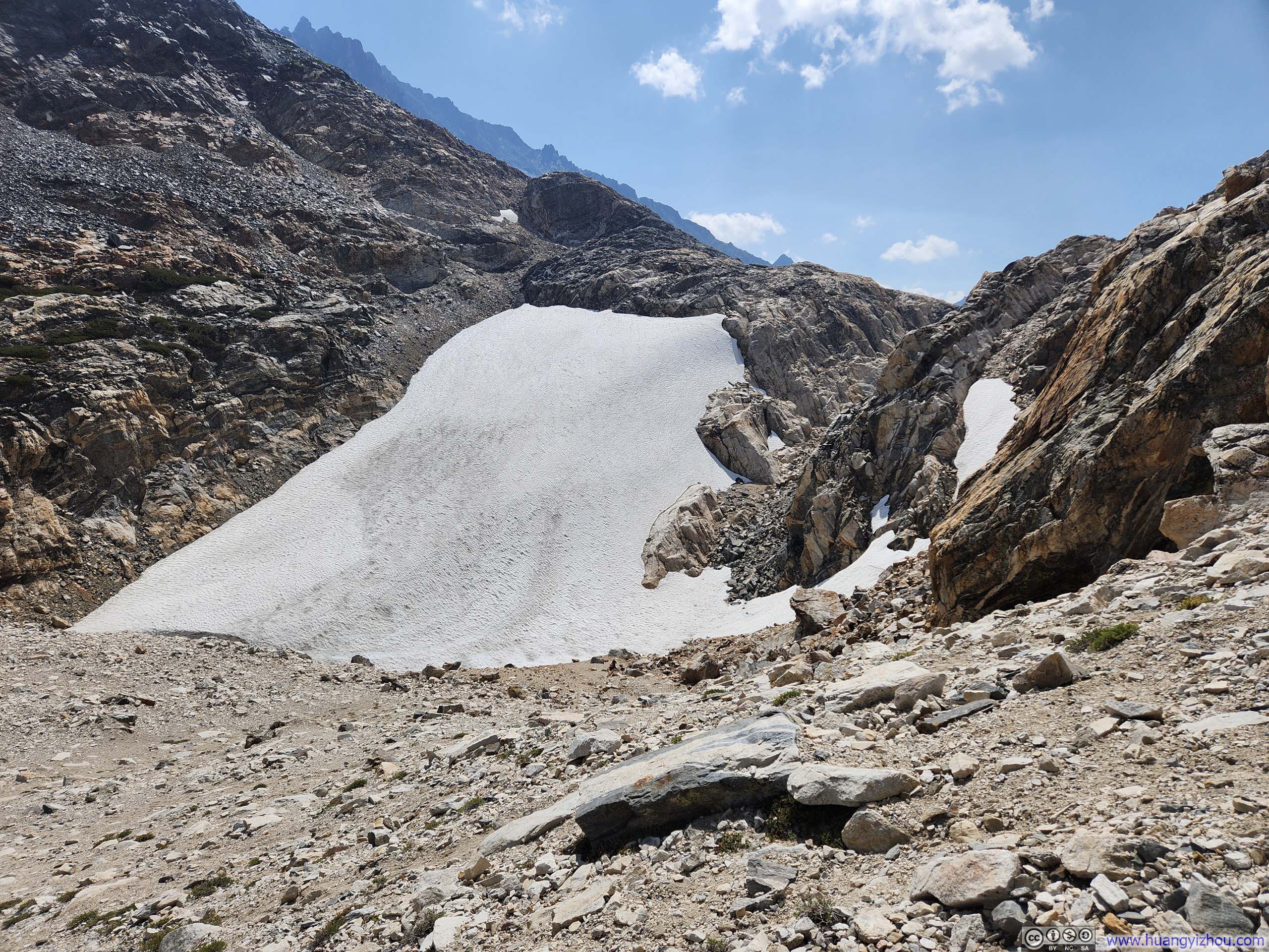
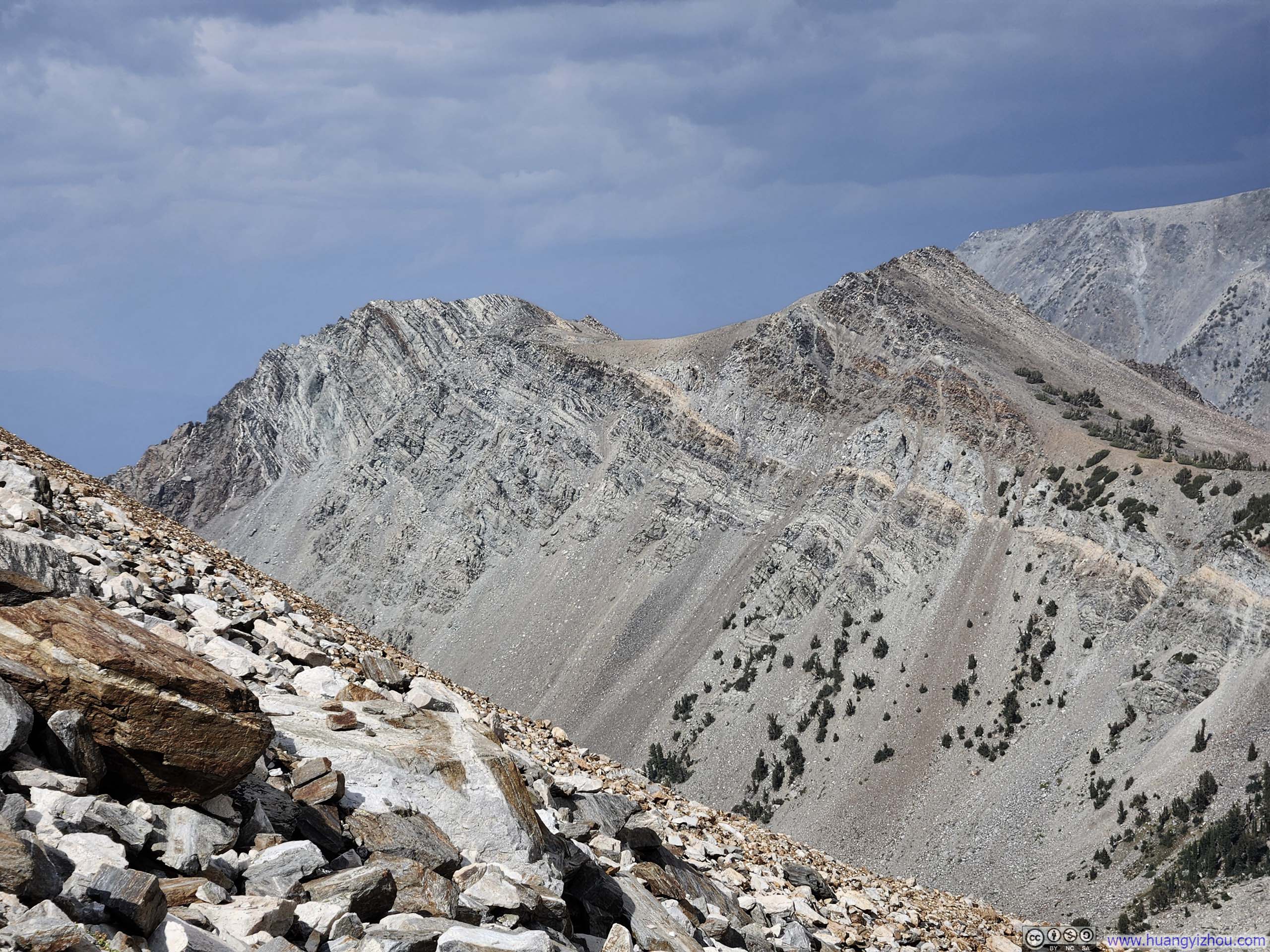
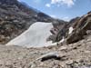
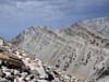
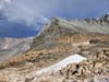
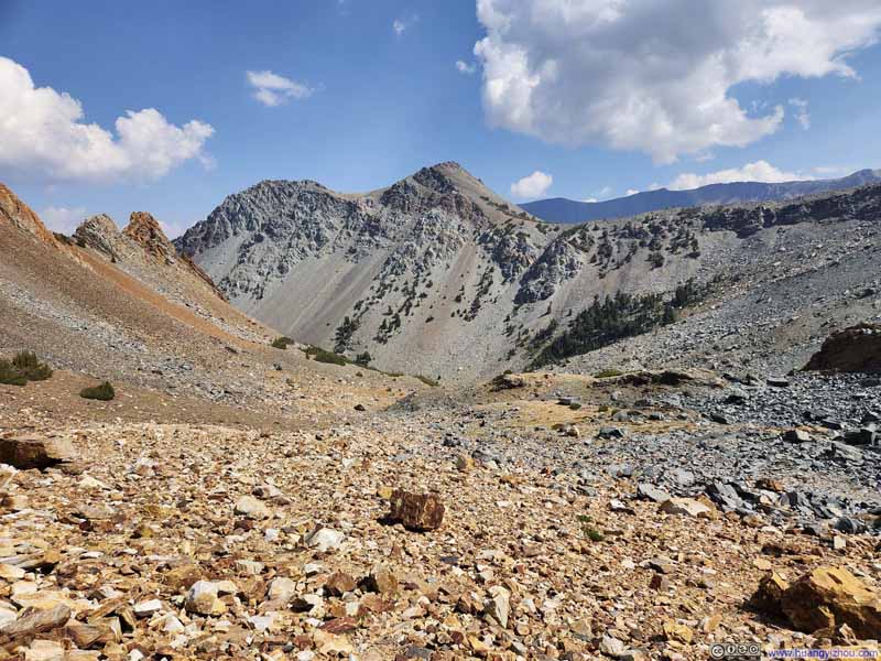
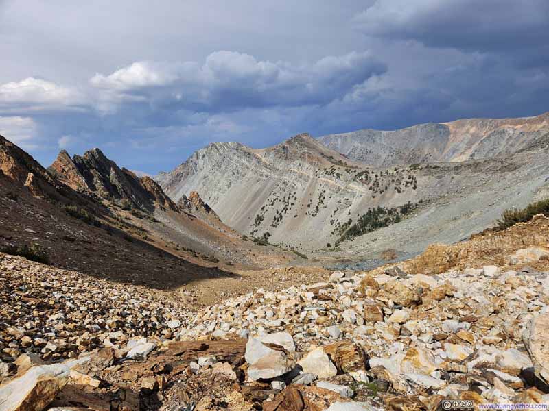
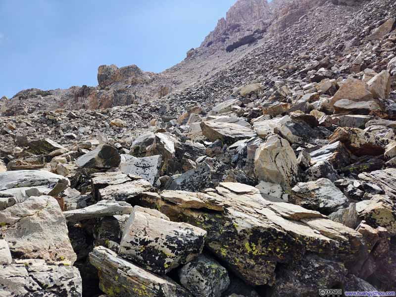
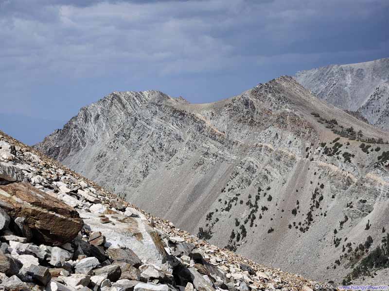
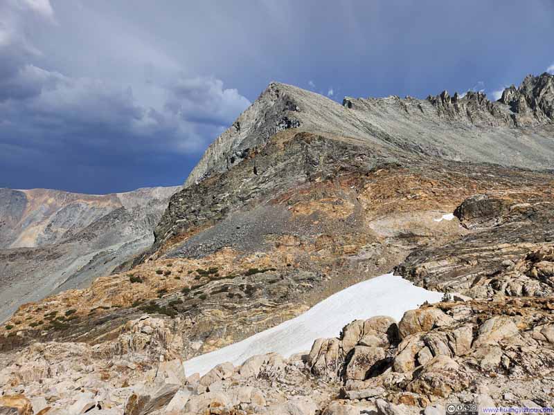
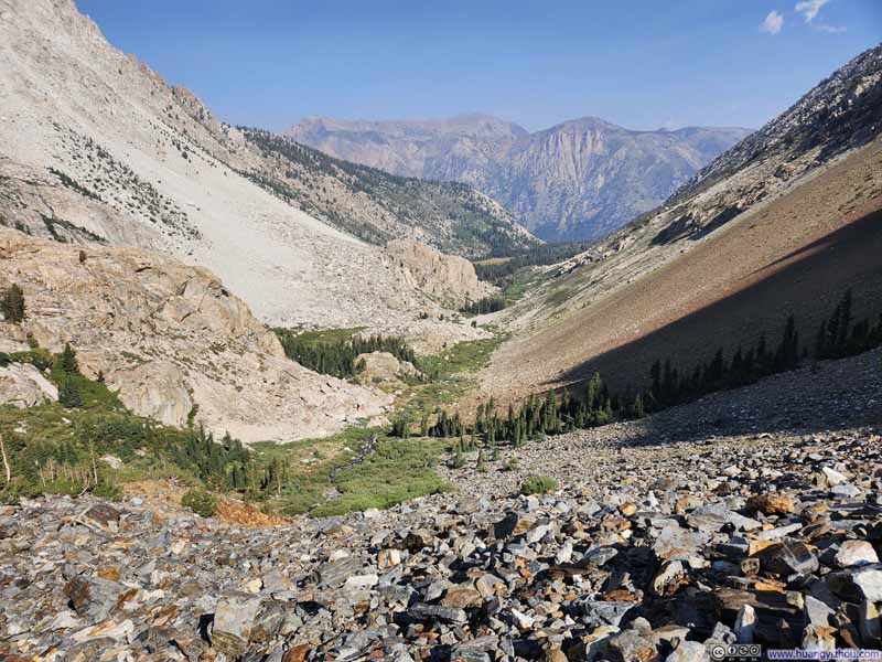
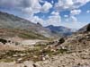
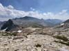
I reached my version of "Horse Creek Pass" (the boundary of Toiyabe National Forest and Yosemite National Park) just before noon. There, I paused to rest, drinking in the views of Spiller Creek Valley—its meadows a pleasing tapestry of verdant green and autumn brown, the pine trees scattered around, and the serrated granite peaks soaring above in silent majesty. And of course, my destination of Matterhorn Peak just behind them.
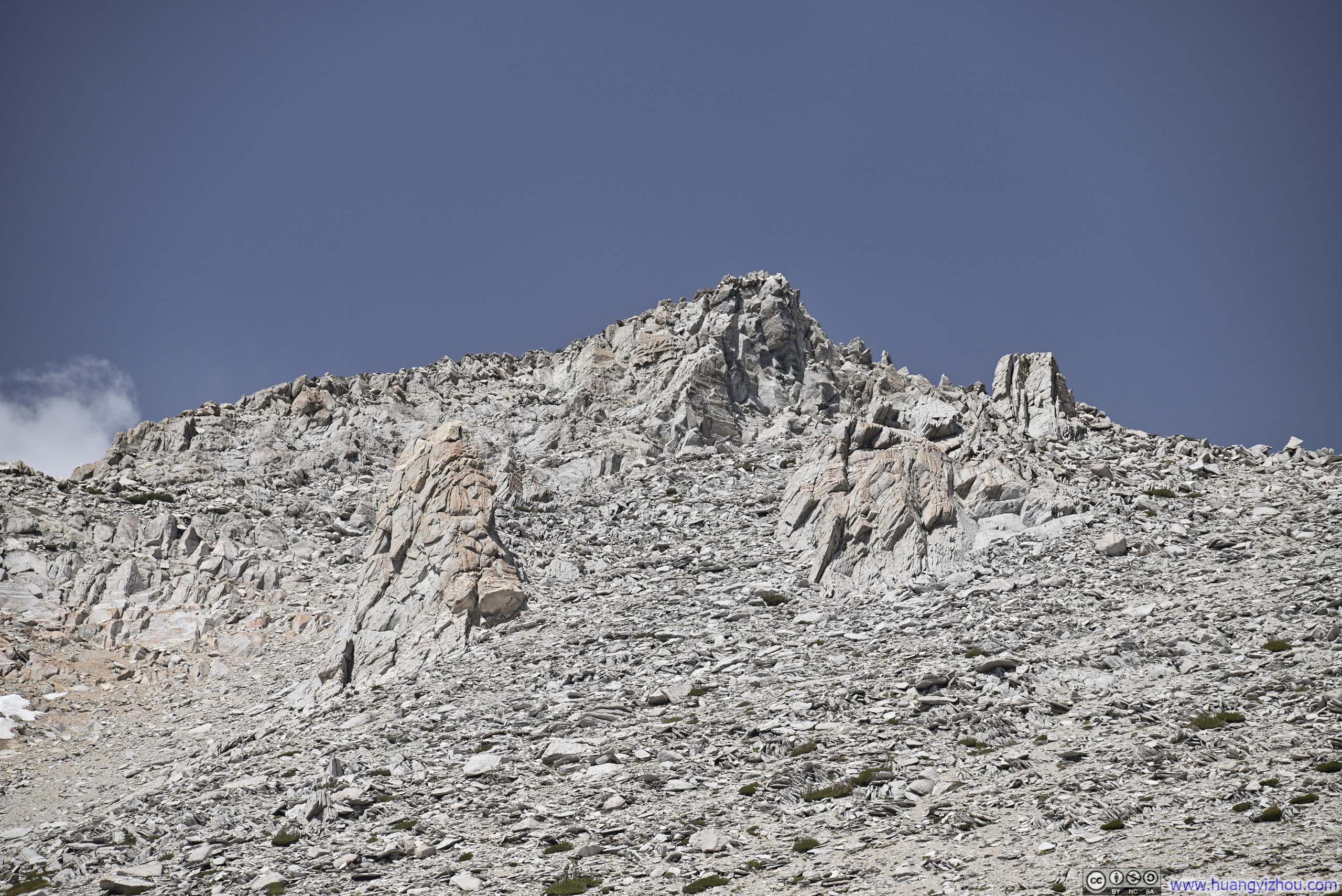
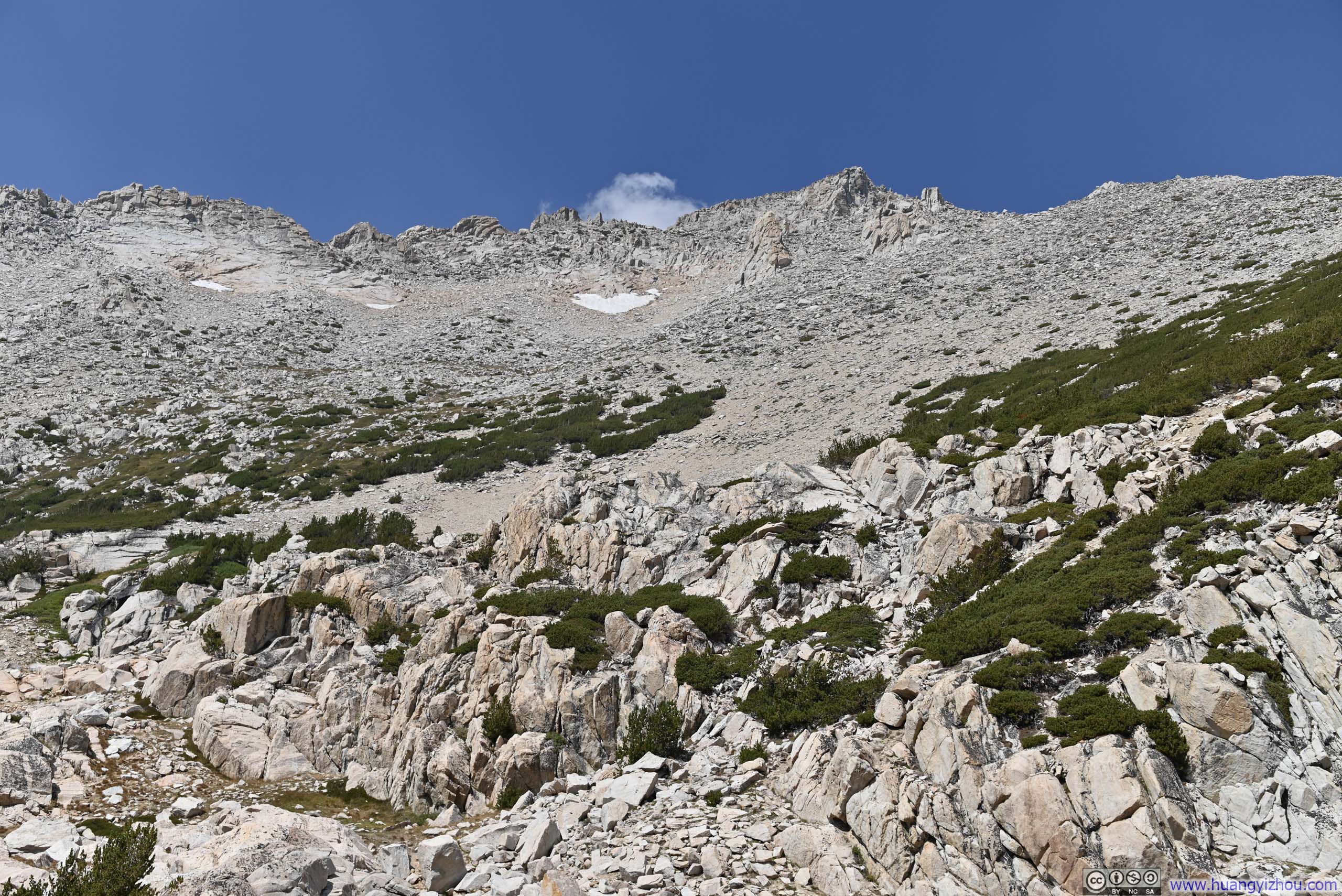
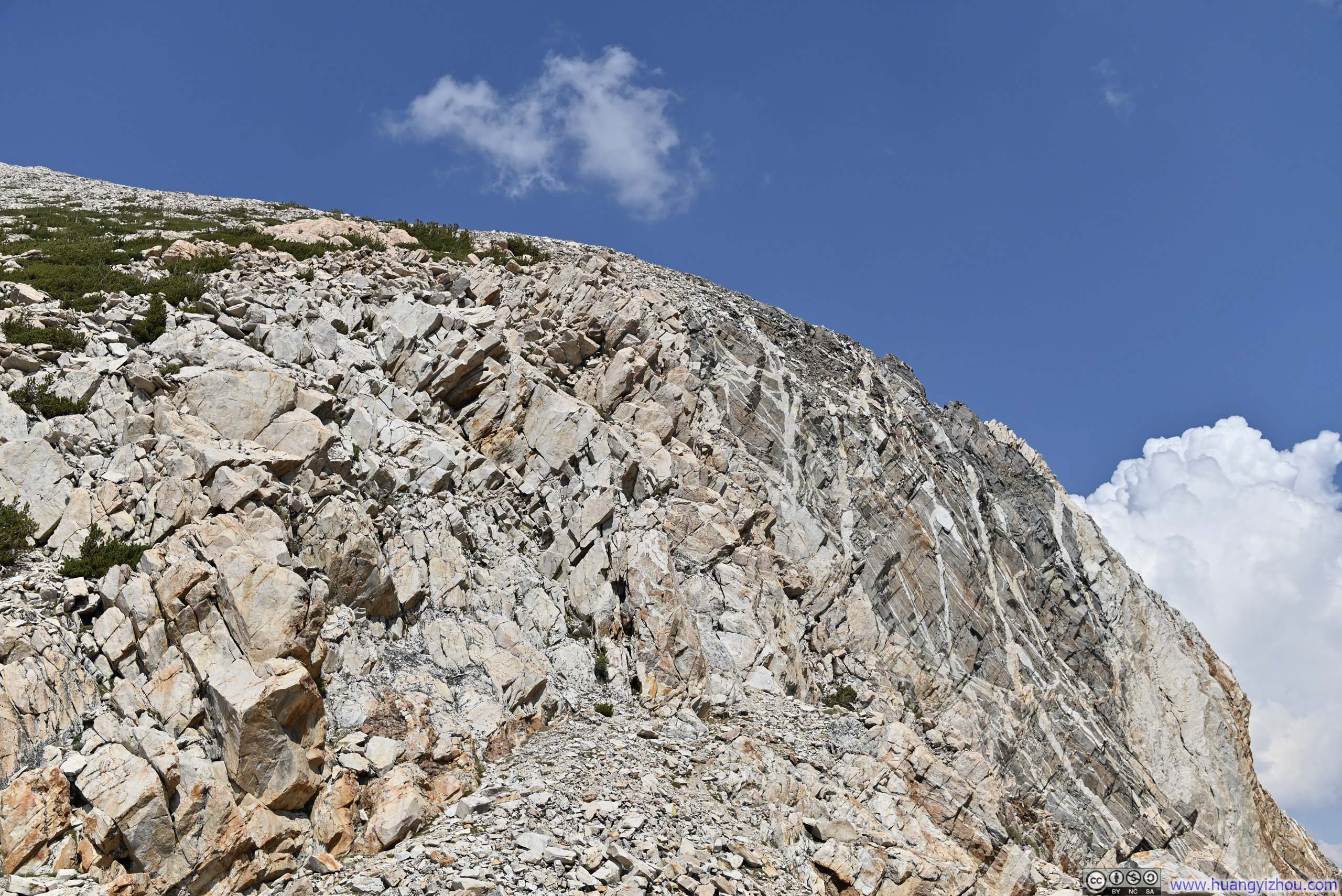
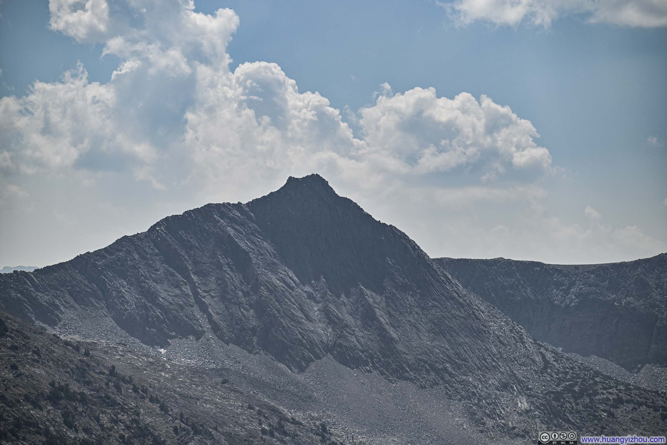
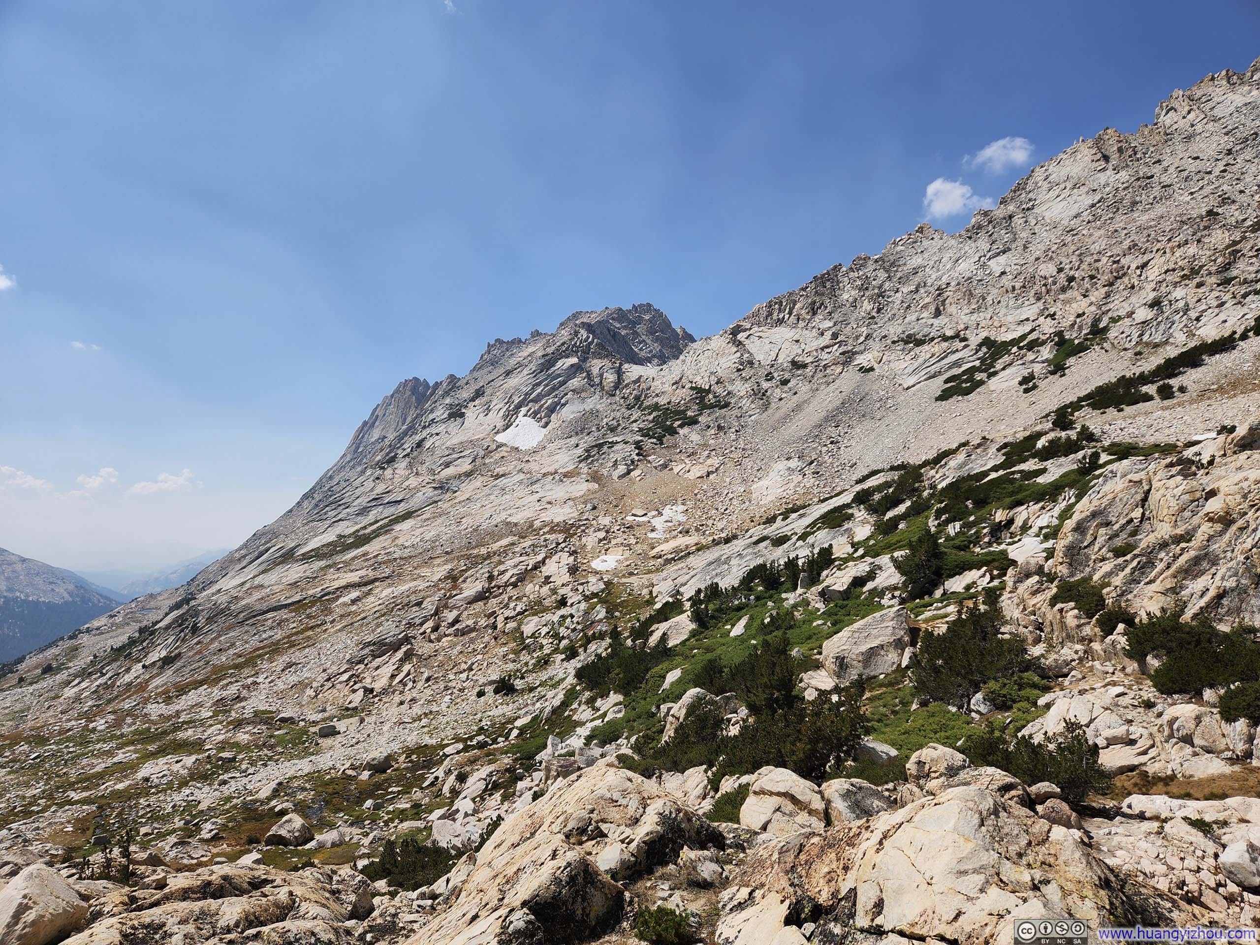
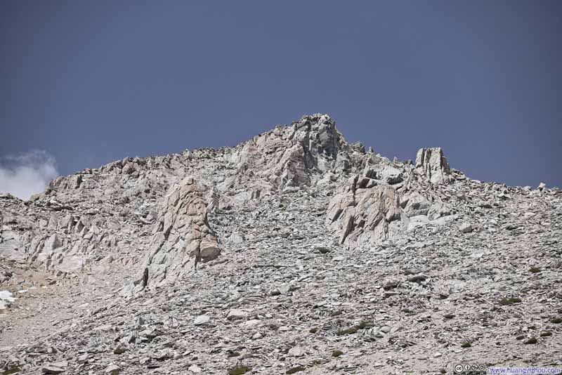
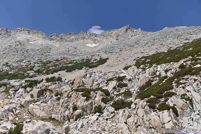
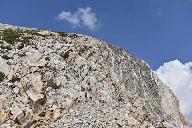
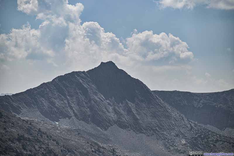
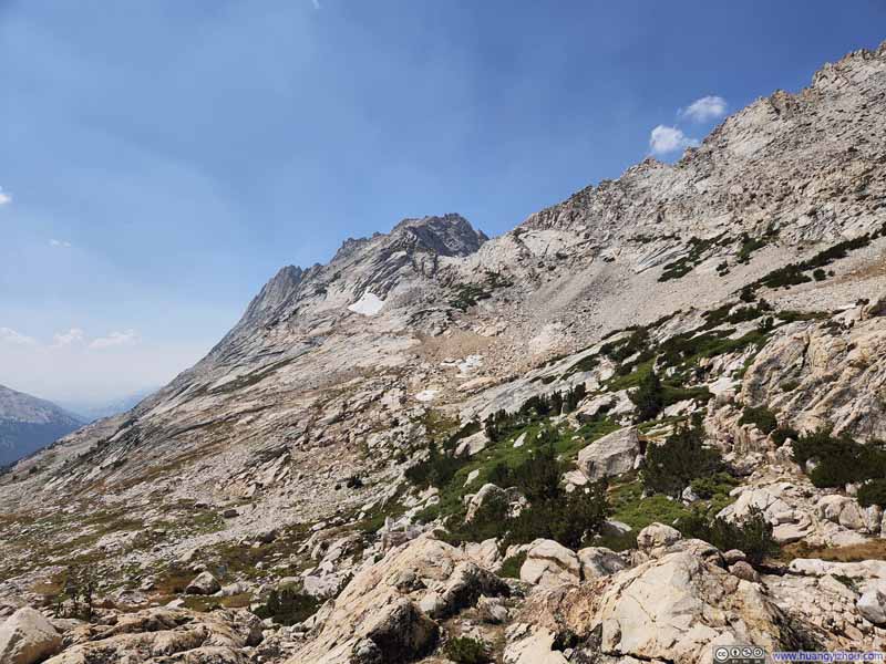
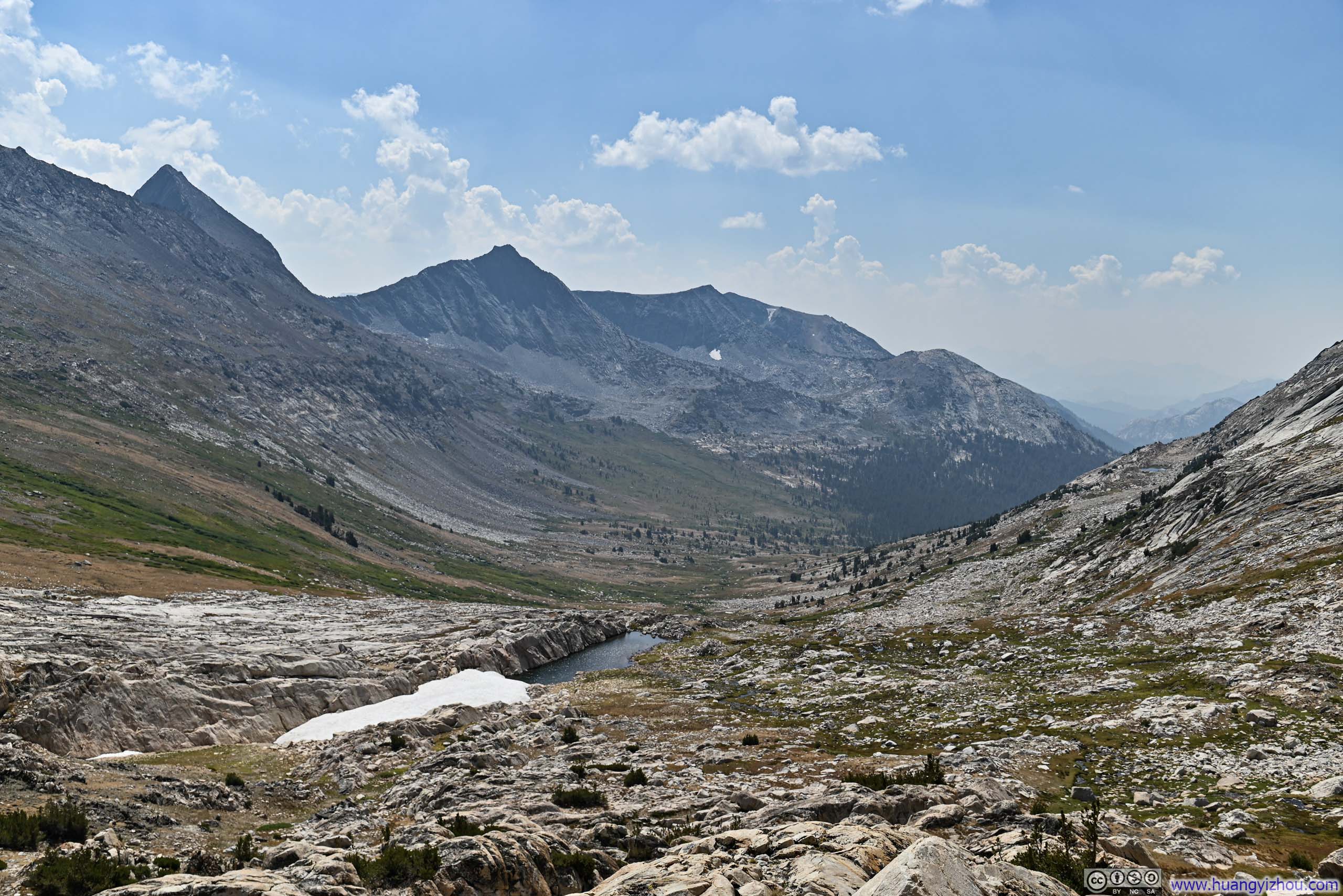
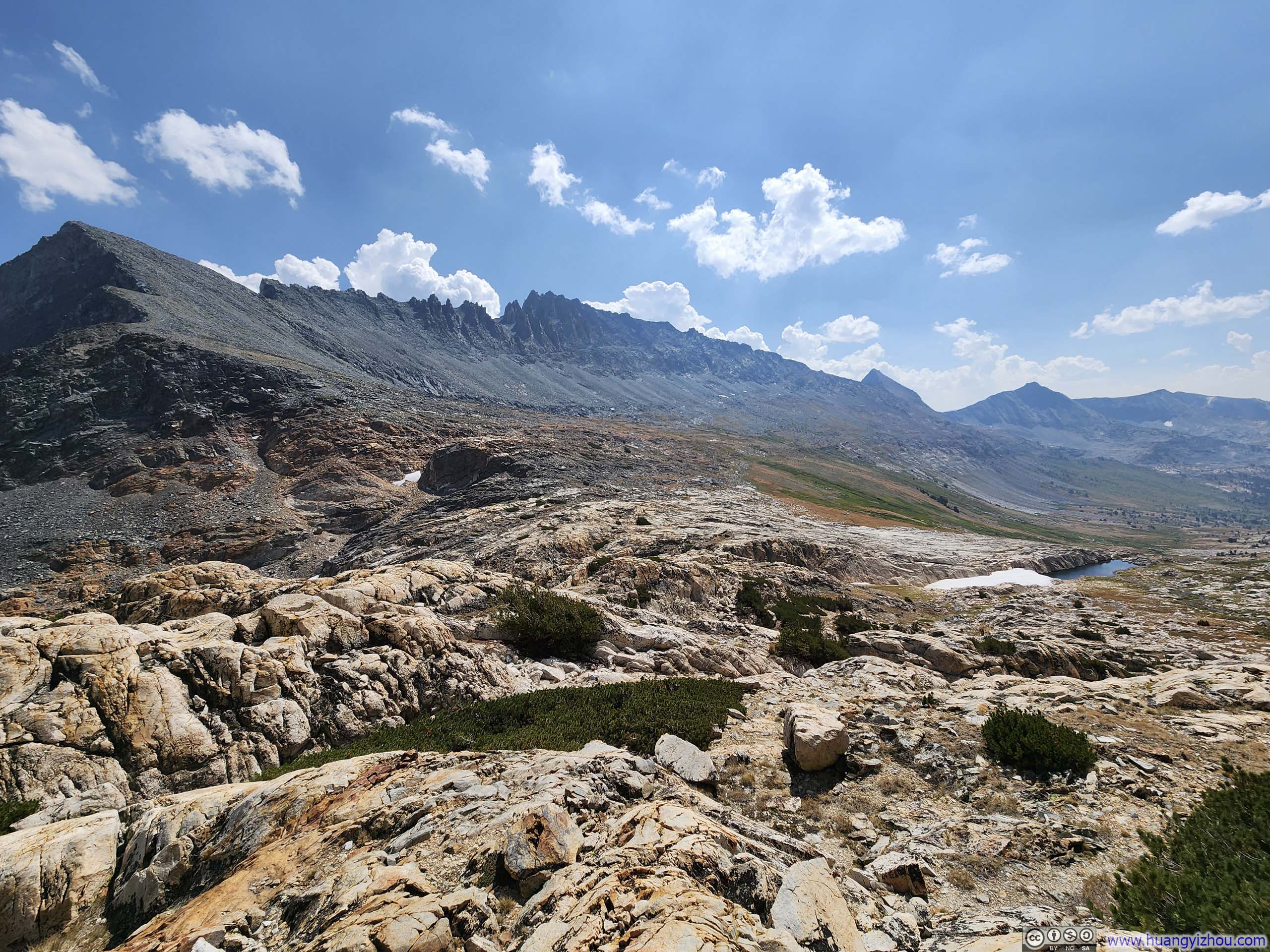
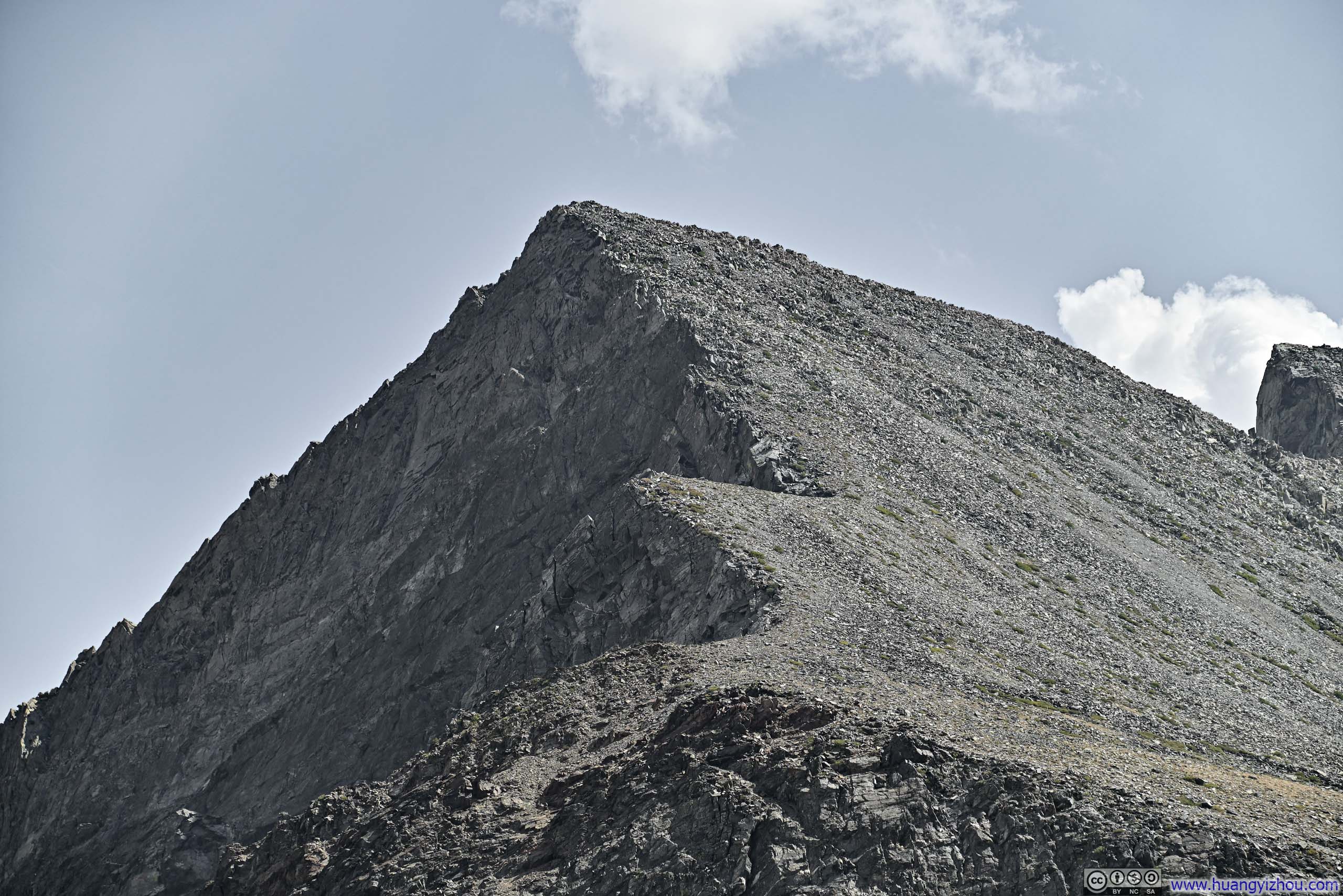
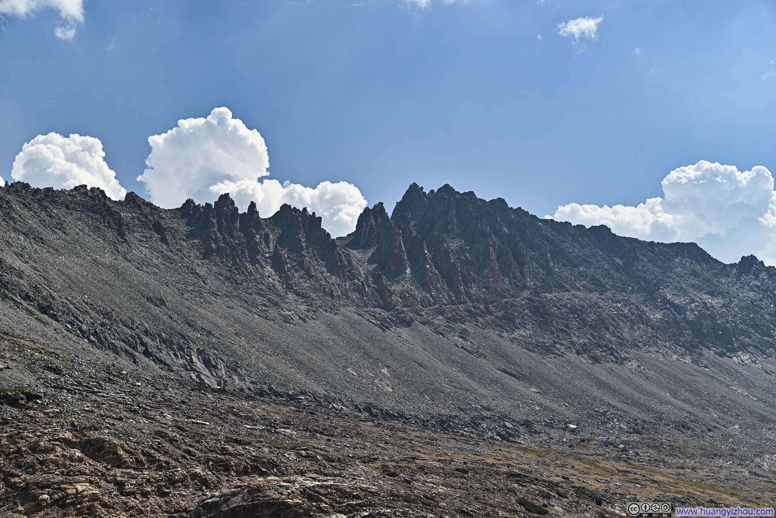
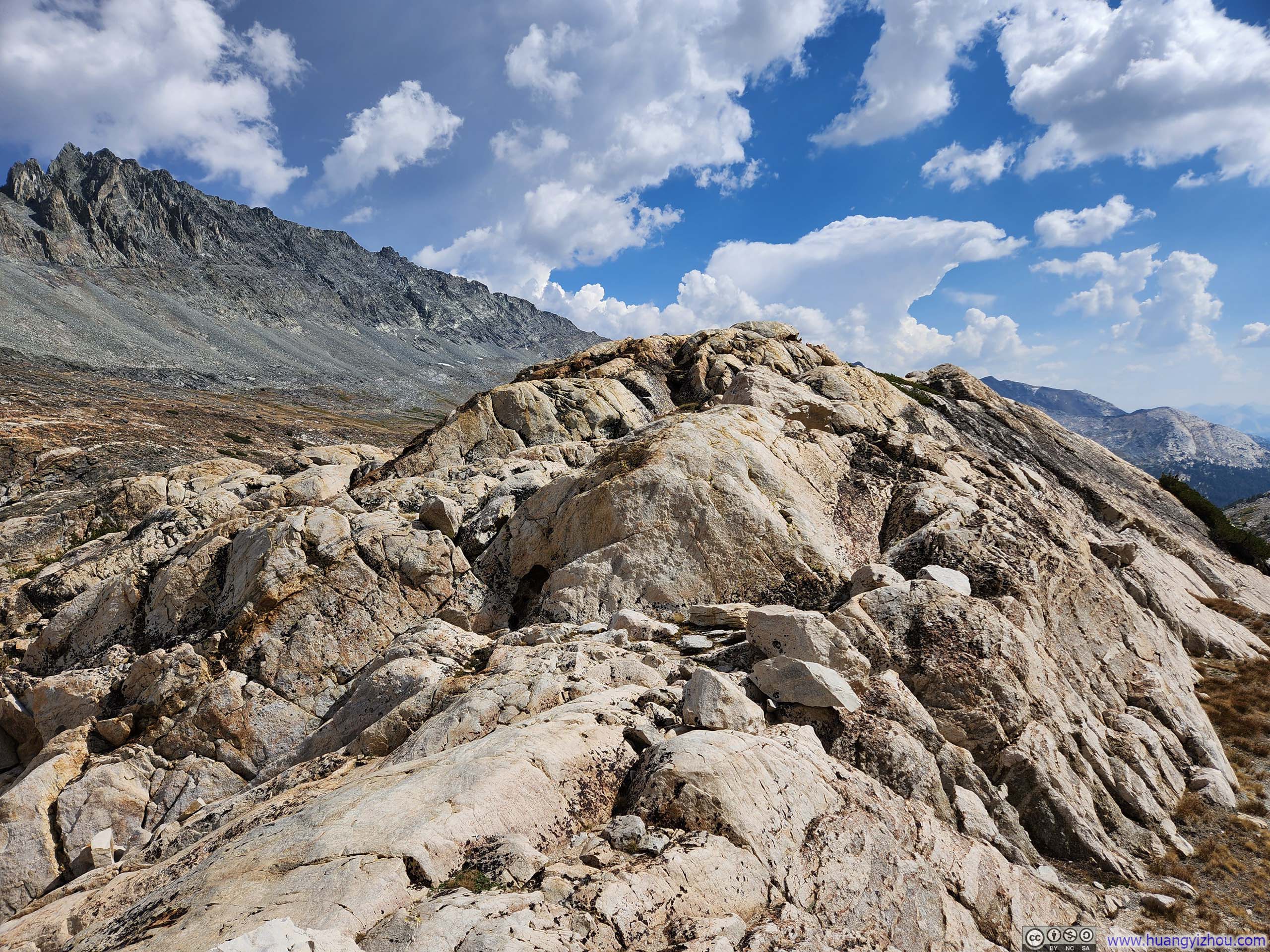
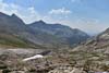
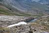
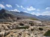
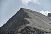
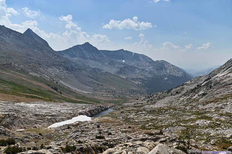
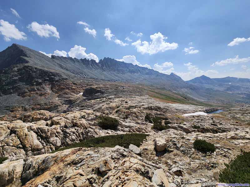
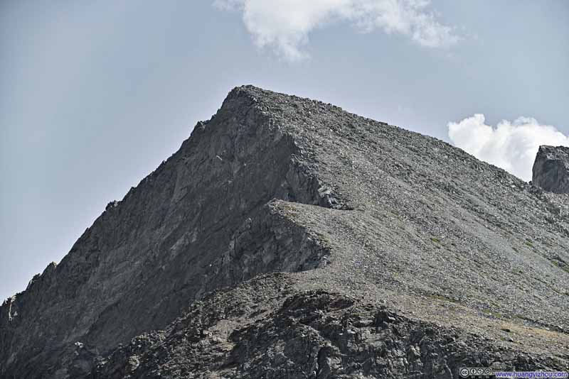
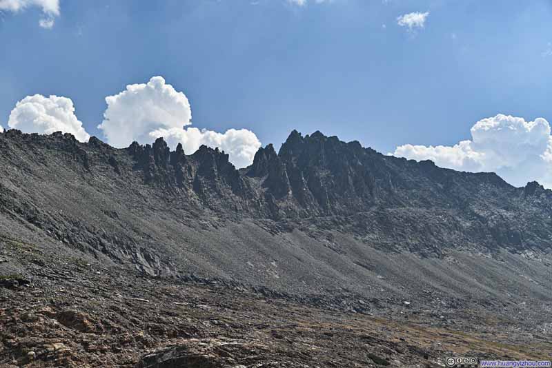
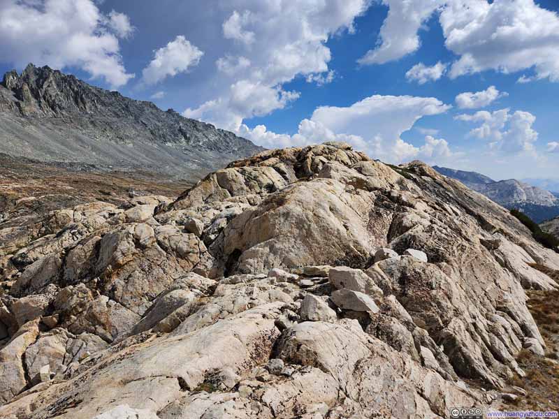
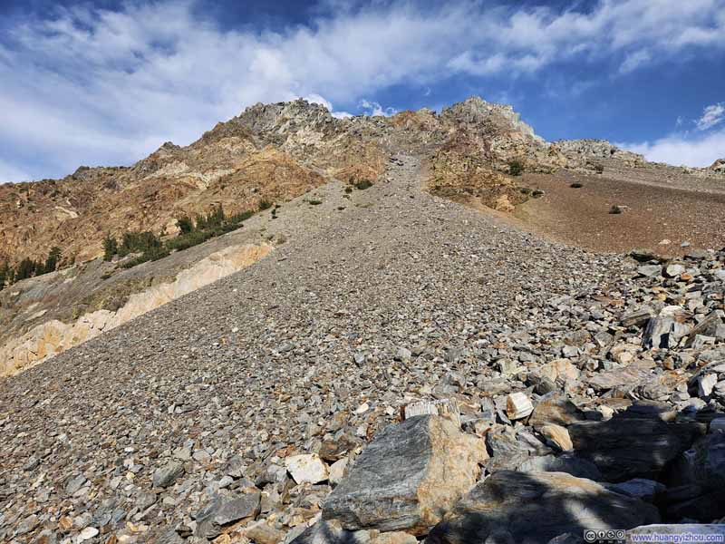
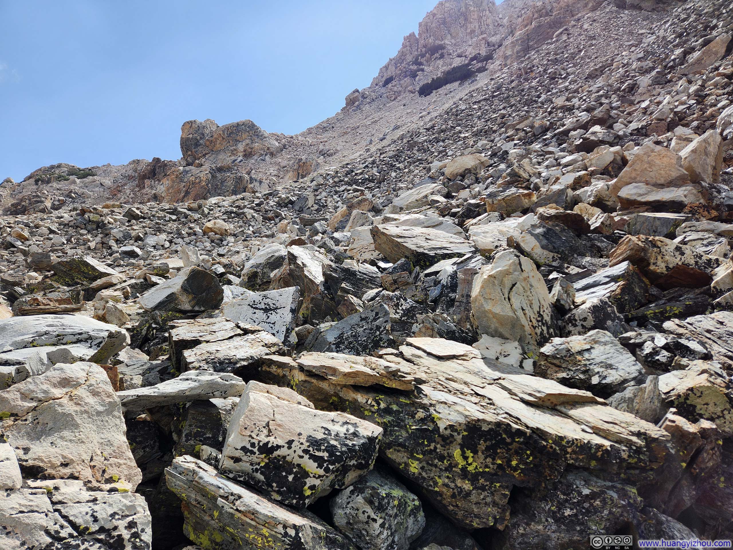
Finally, it's the homestretch toward Matterhorn Peak. Expectedly, there was no obvious trail. I simply followed the general direction along the path of least resistance. The southeastern face of Matterhorn Peak presented a mixture of small scree and larger rocks, the scree posed somewhat of a traction issue, though nowhere as bad as the scree field before Sawtooth Pass 4 days prior. The final ascent averaged a 45% (tangent) gradient, making for quite a workout as I battled the thin air at altitude.
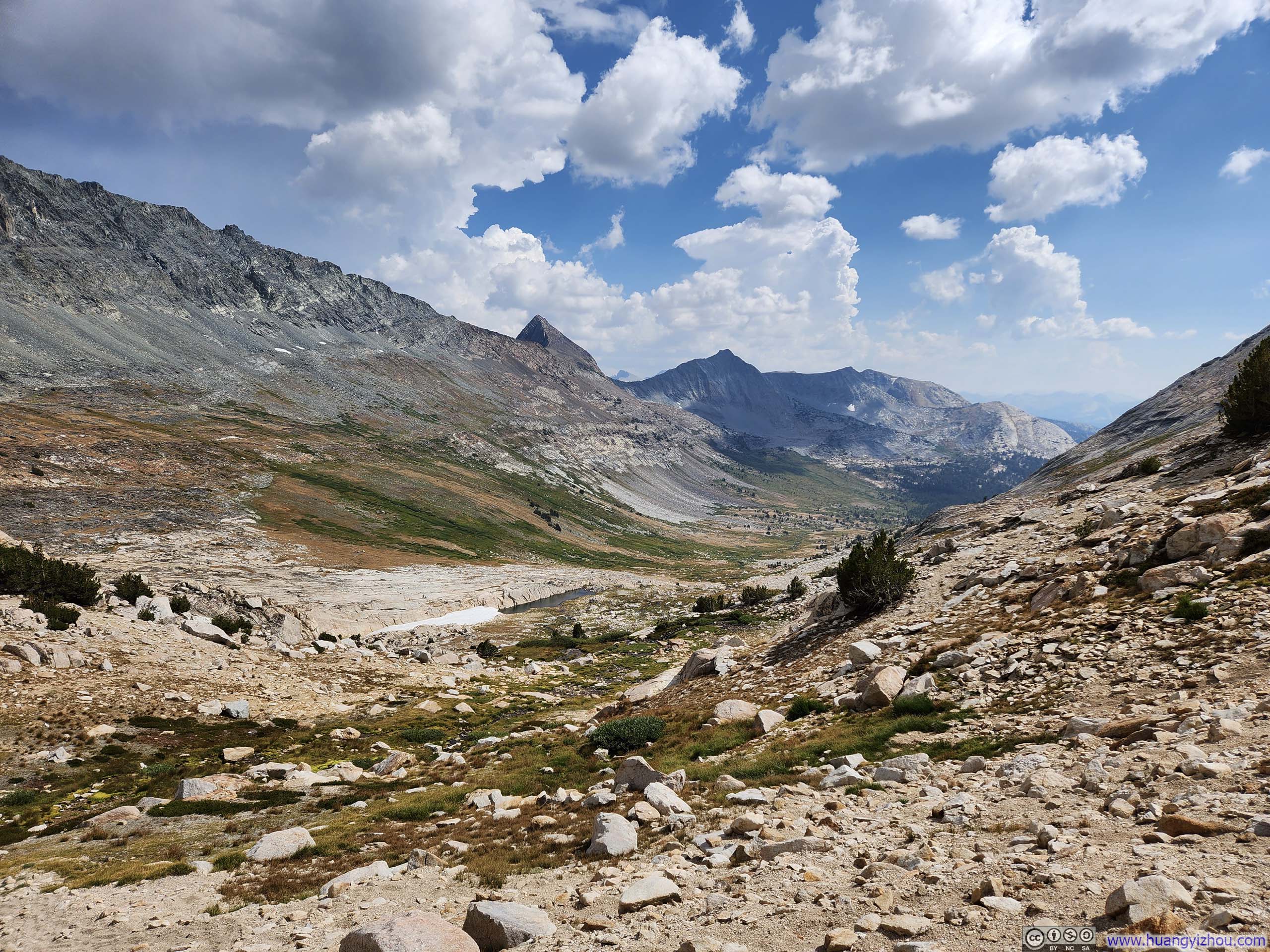
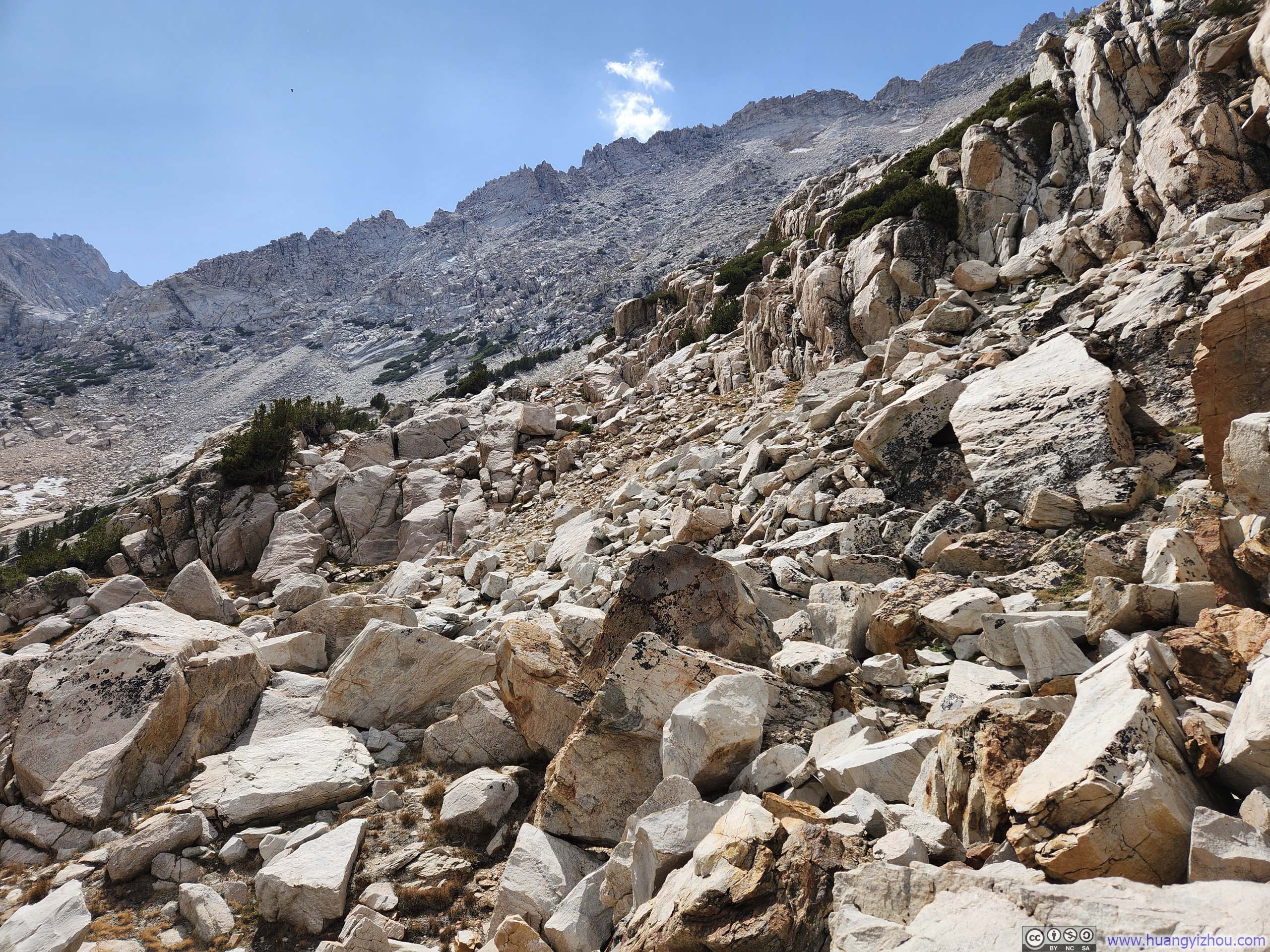
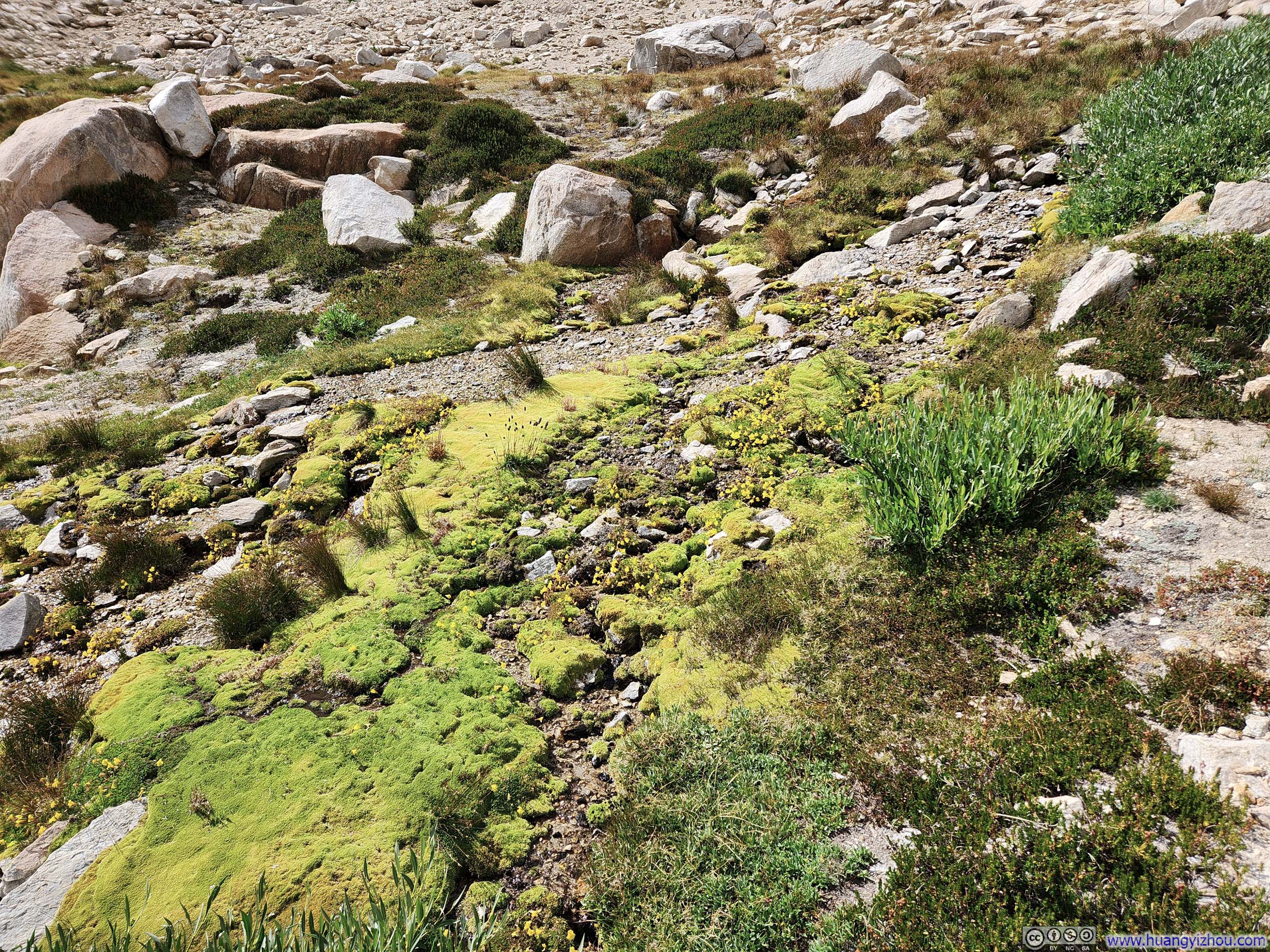
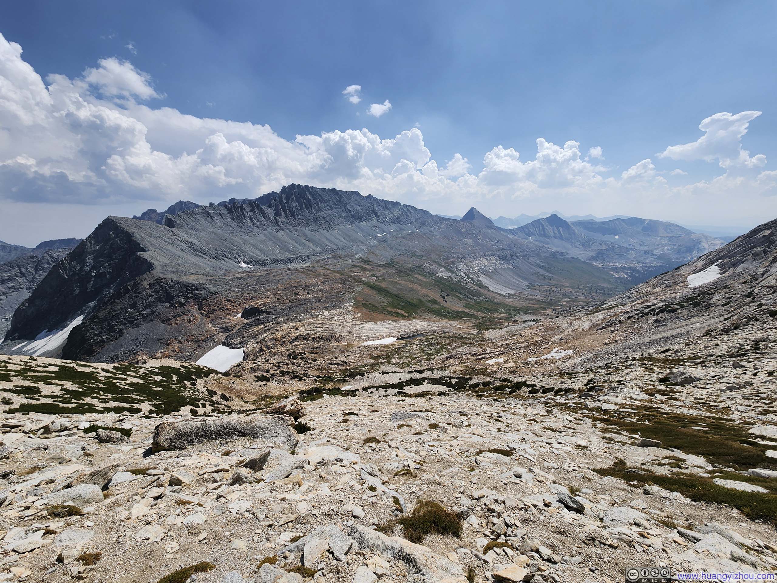
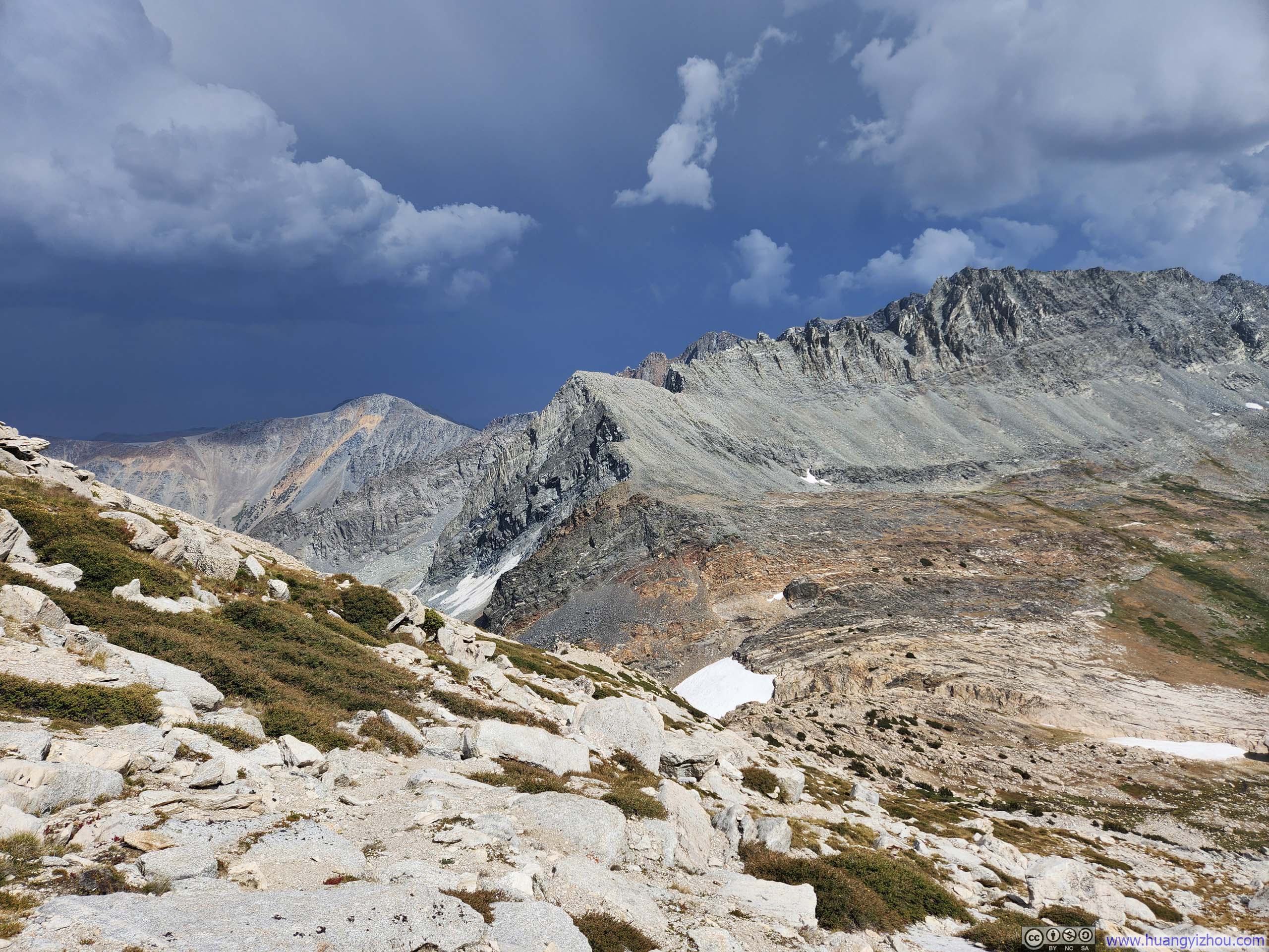
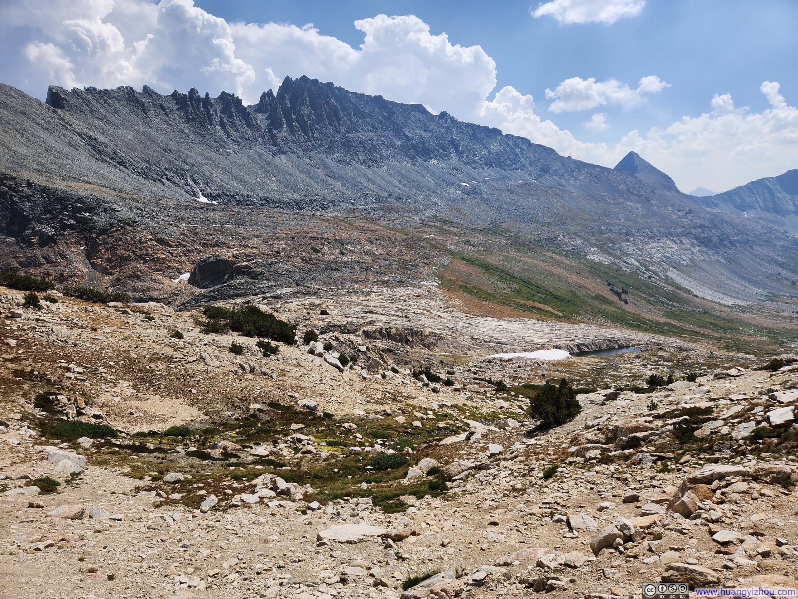
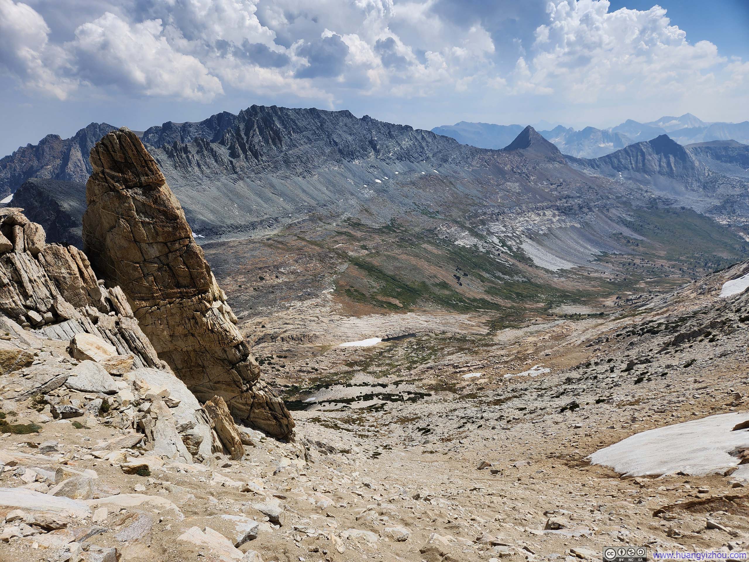
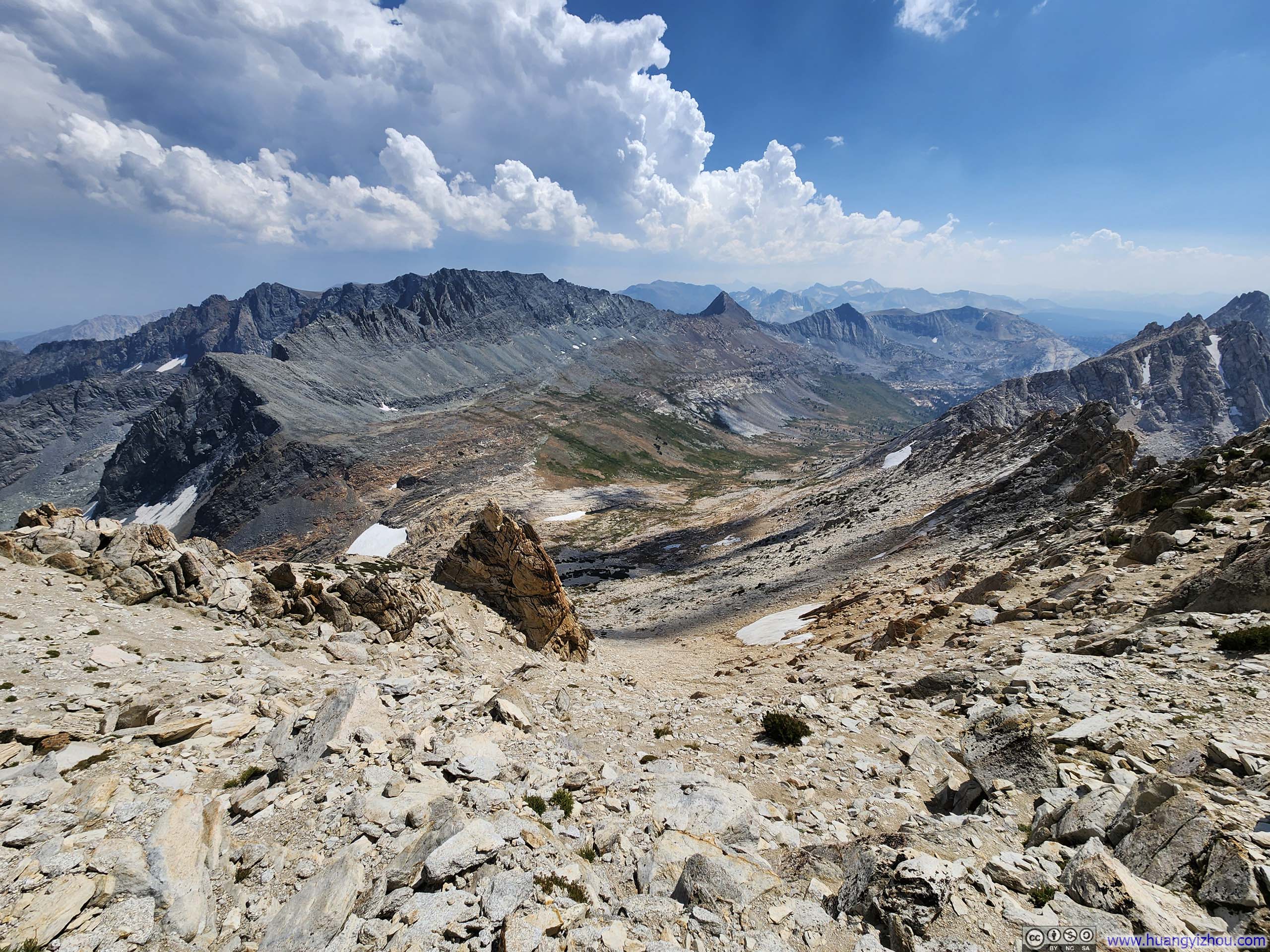
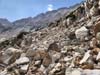
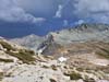
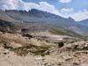
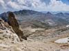
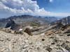
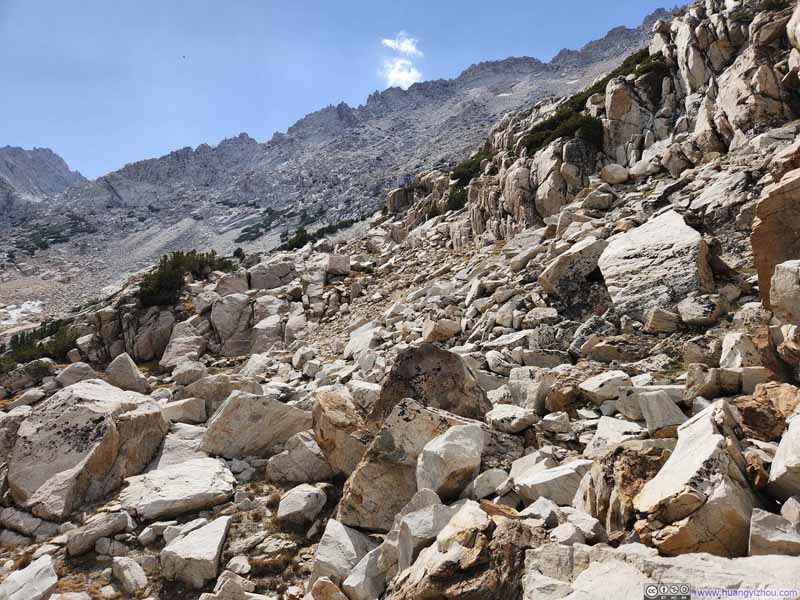
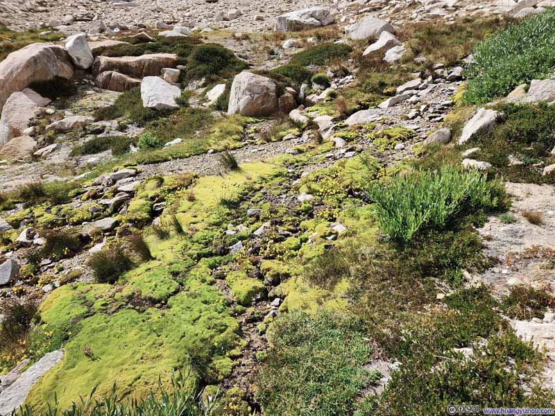
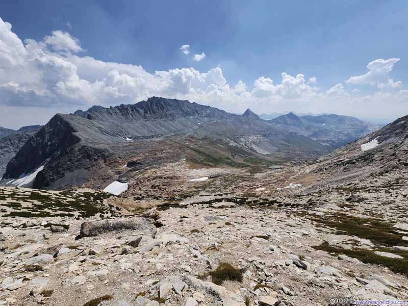
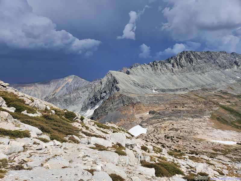
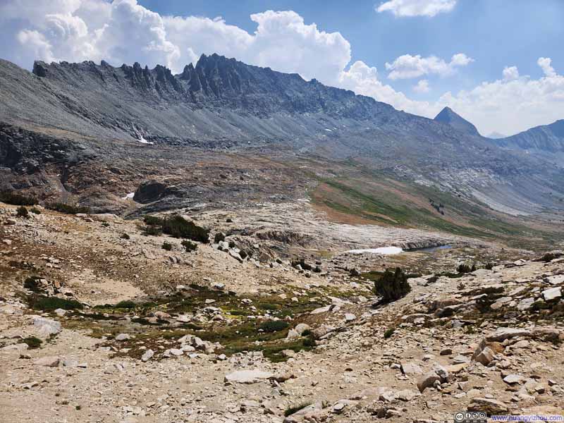
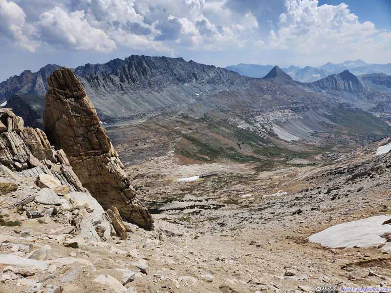
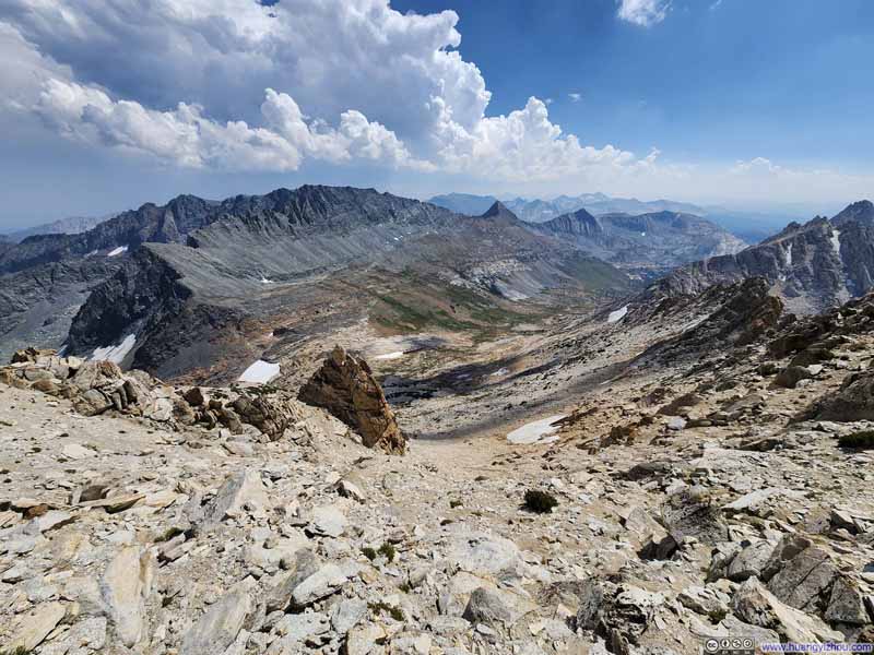
I saw some online posts rating Matterhorn Peak as YDS Class 2. However, I recalled making a few moves near the top that were unmistakably Class 3. (Again, there was no trace of an established trail near the top.)
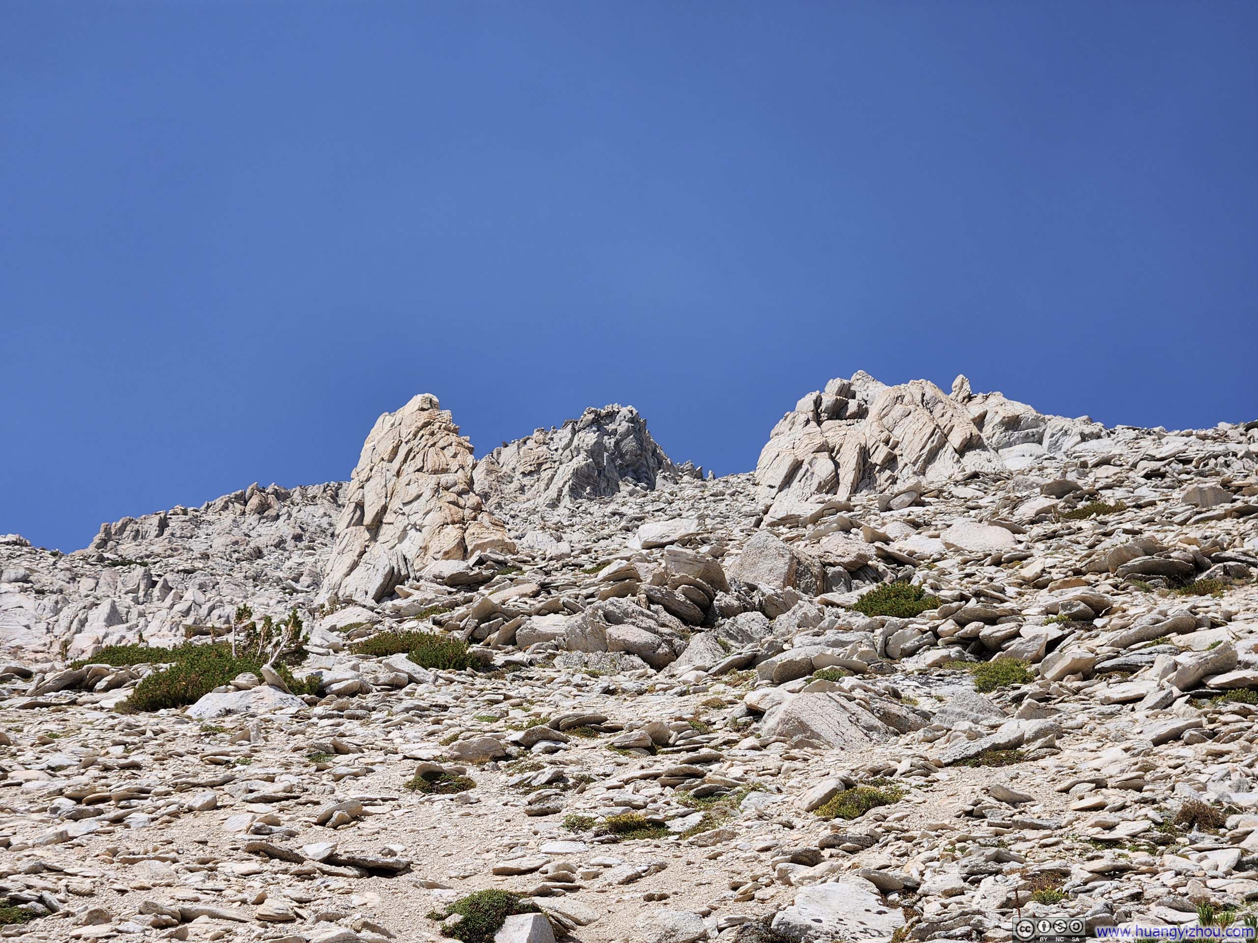
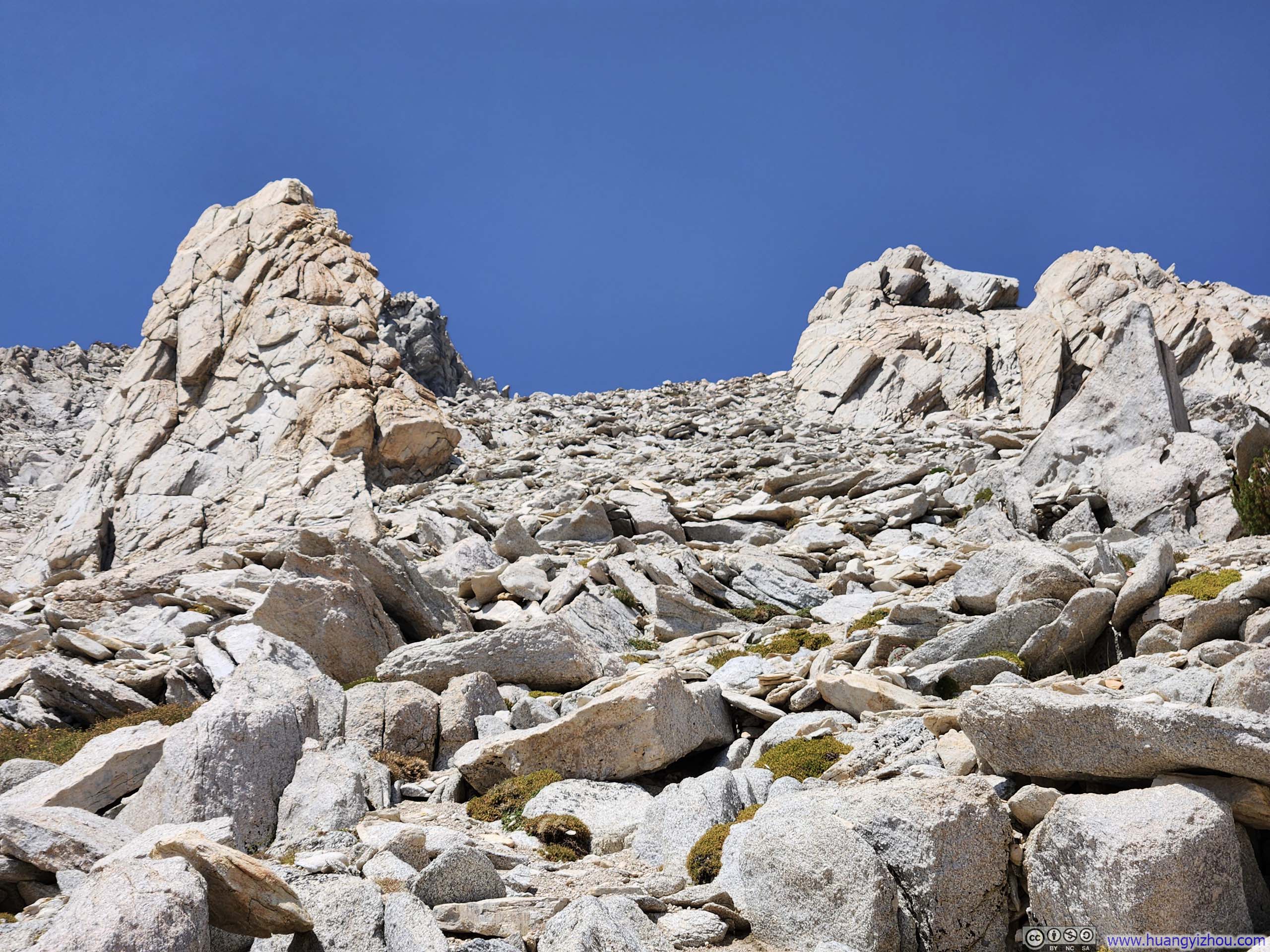
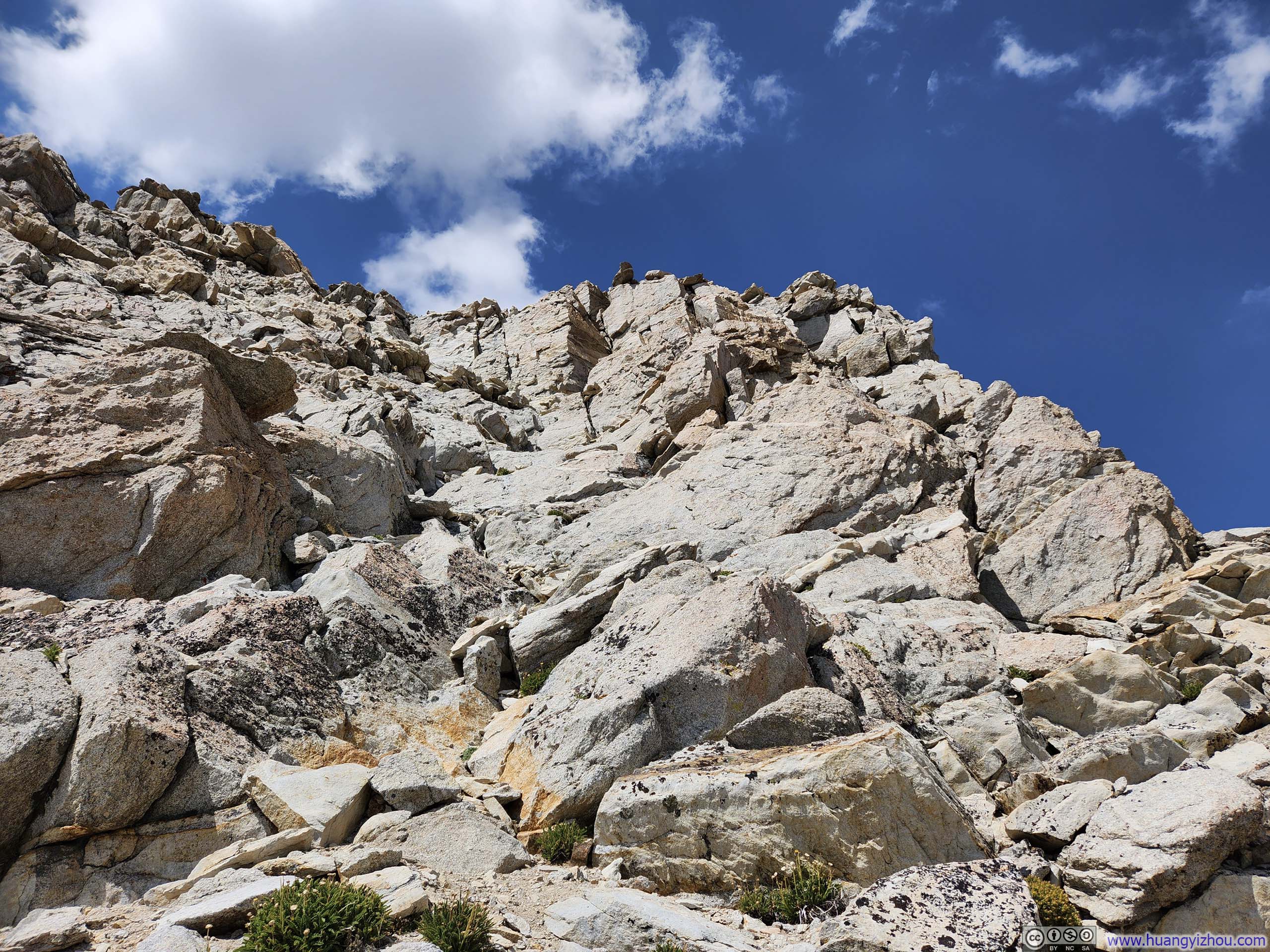
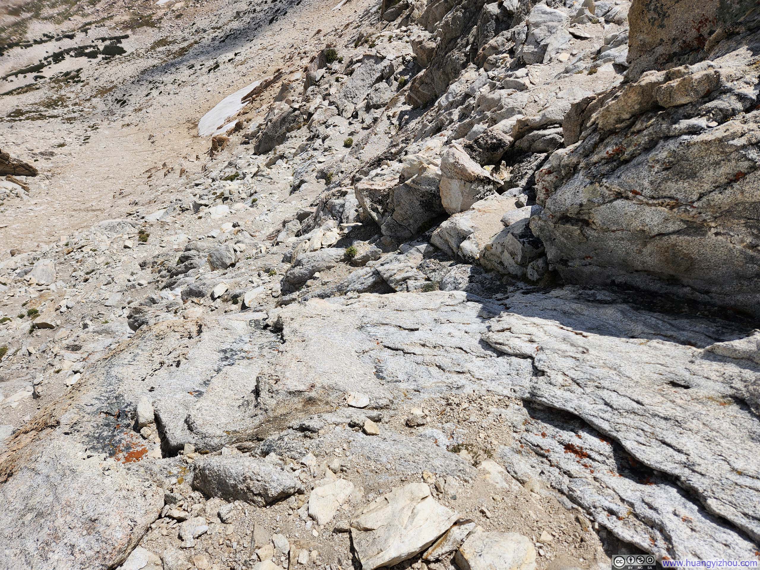
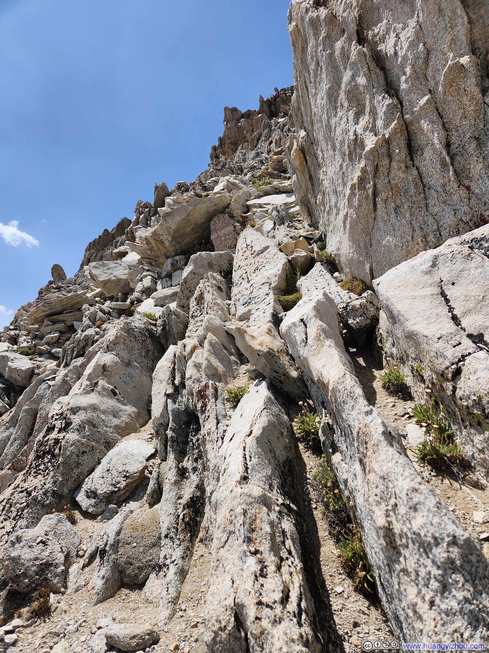
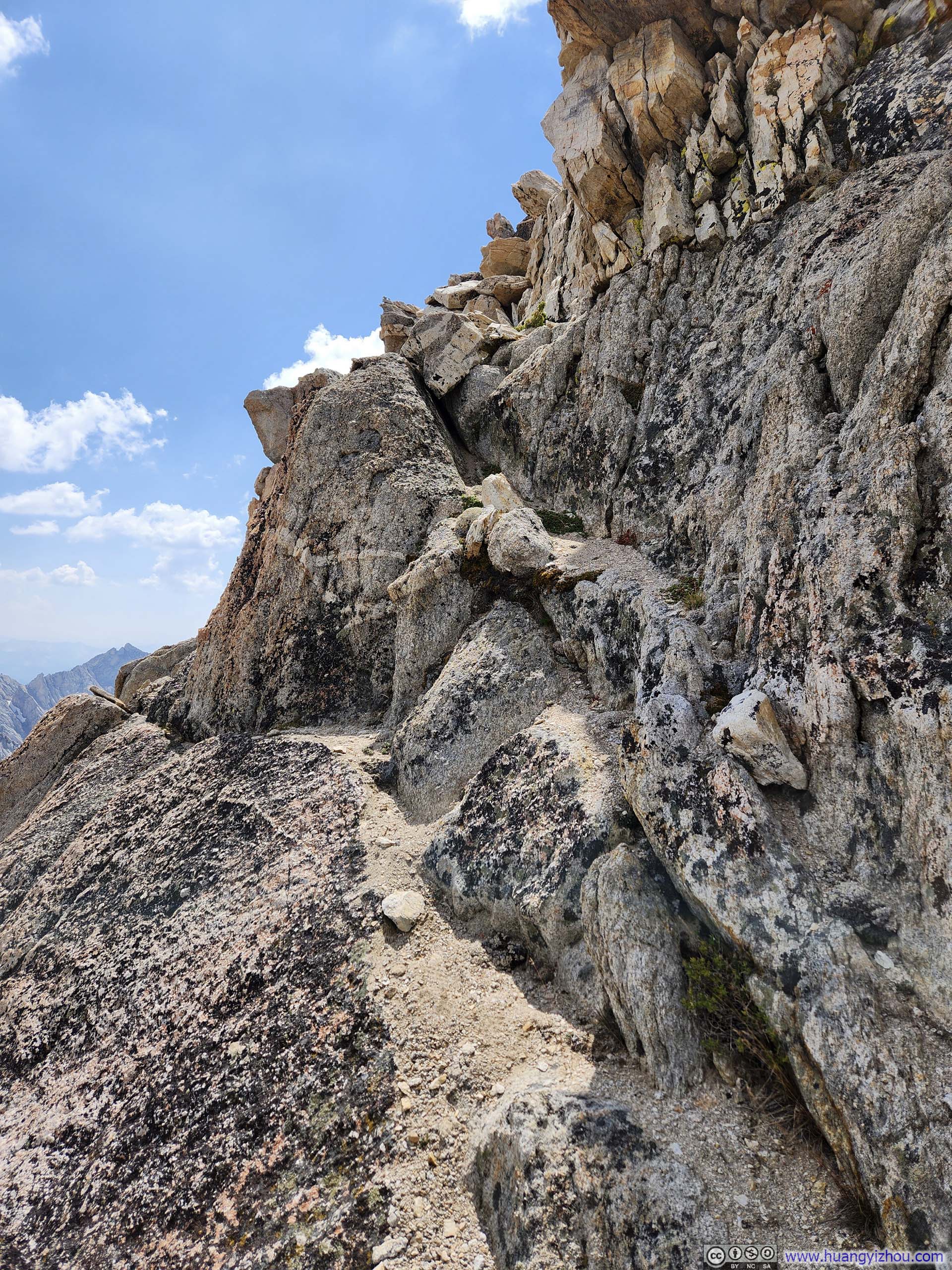
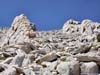
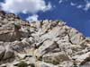
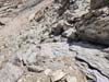
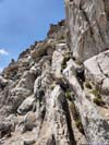
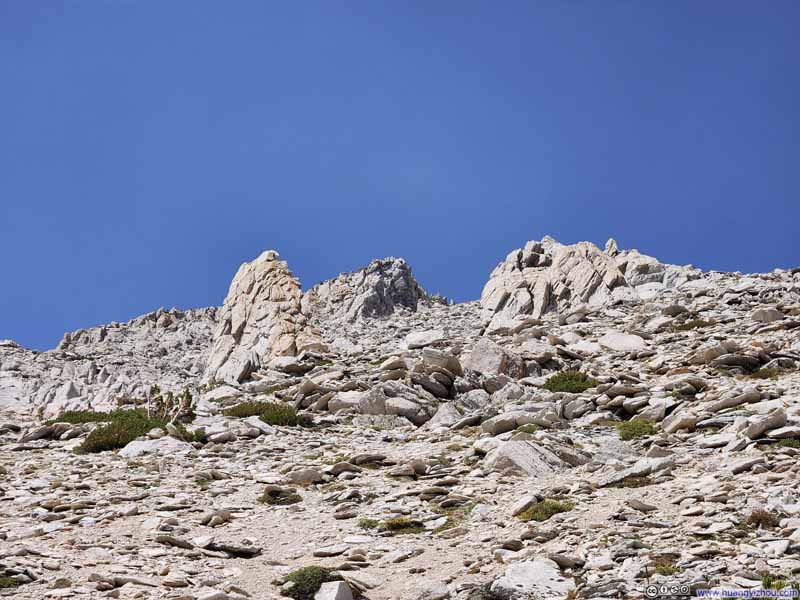
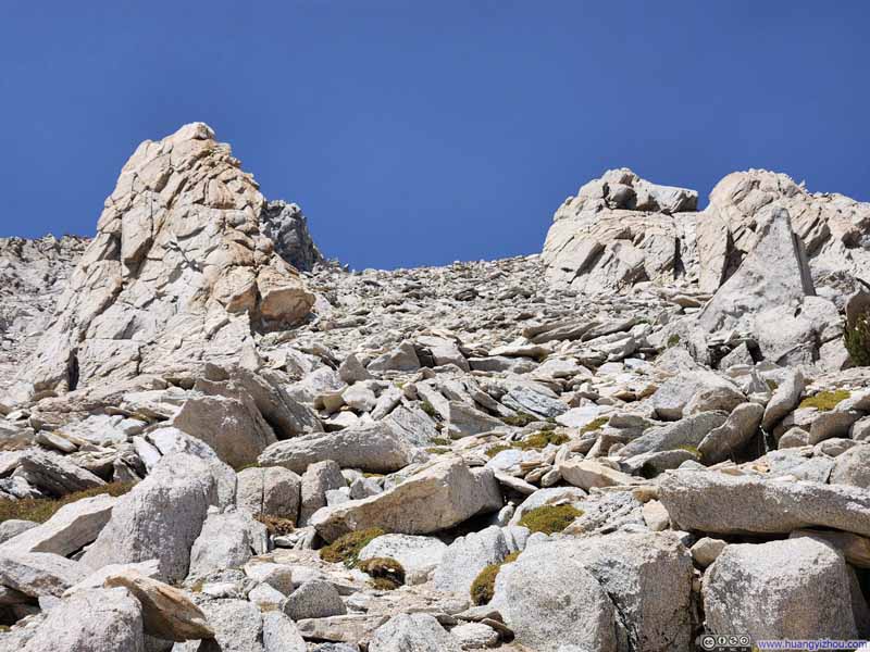
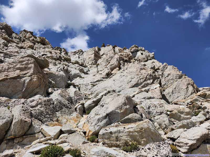
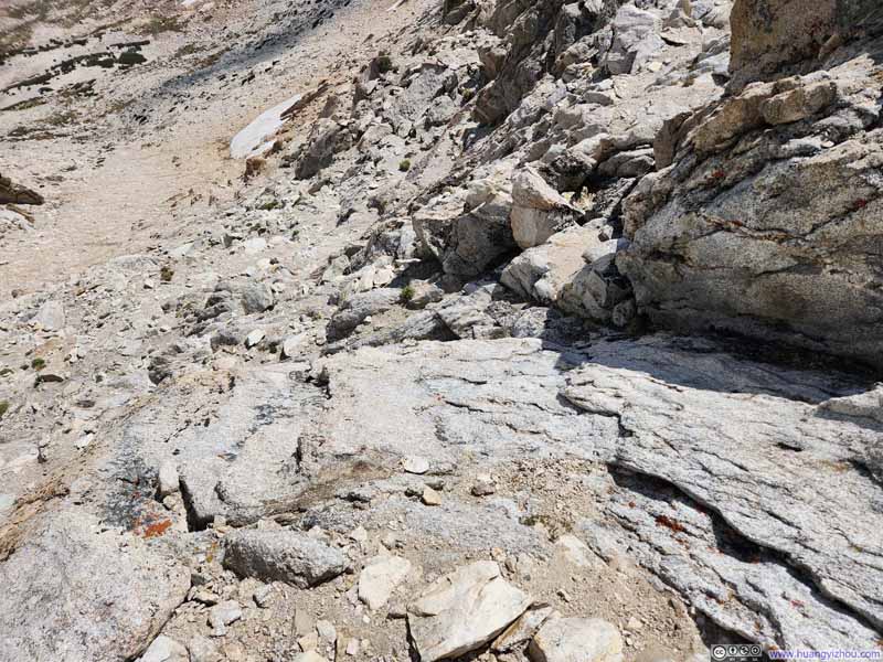
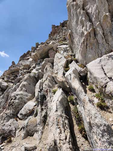
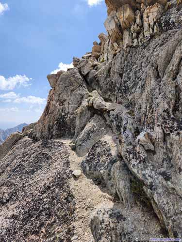
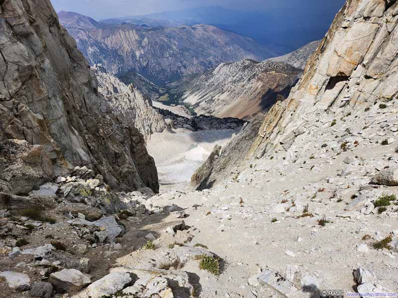
For the easiest approach, one should aim slightly to the south of Matterhorn Peak, then traverse the final 30m (100 ft) of ridge to reach the summit. The peak's summit was directly above a couloir (which I detoured to visit during my descent, see p3-4 below), creating an exceptionally steep face. By veering southward, the exposure became far more manageable.
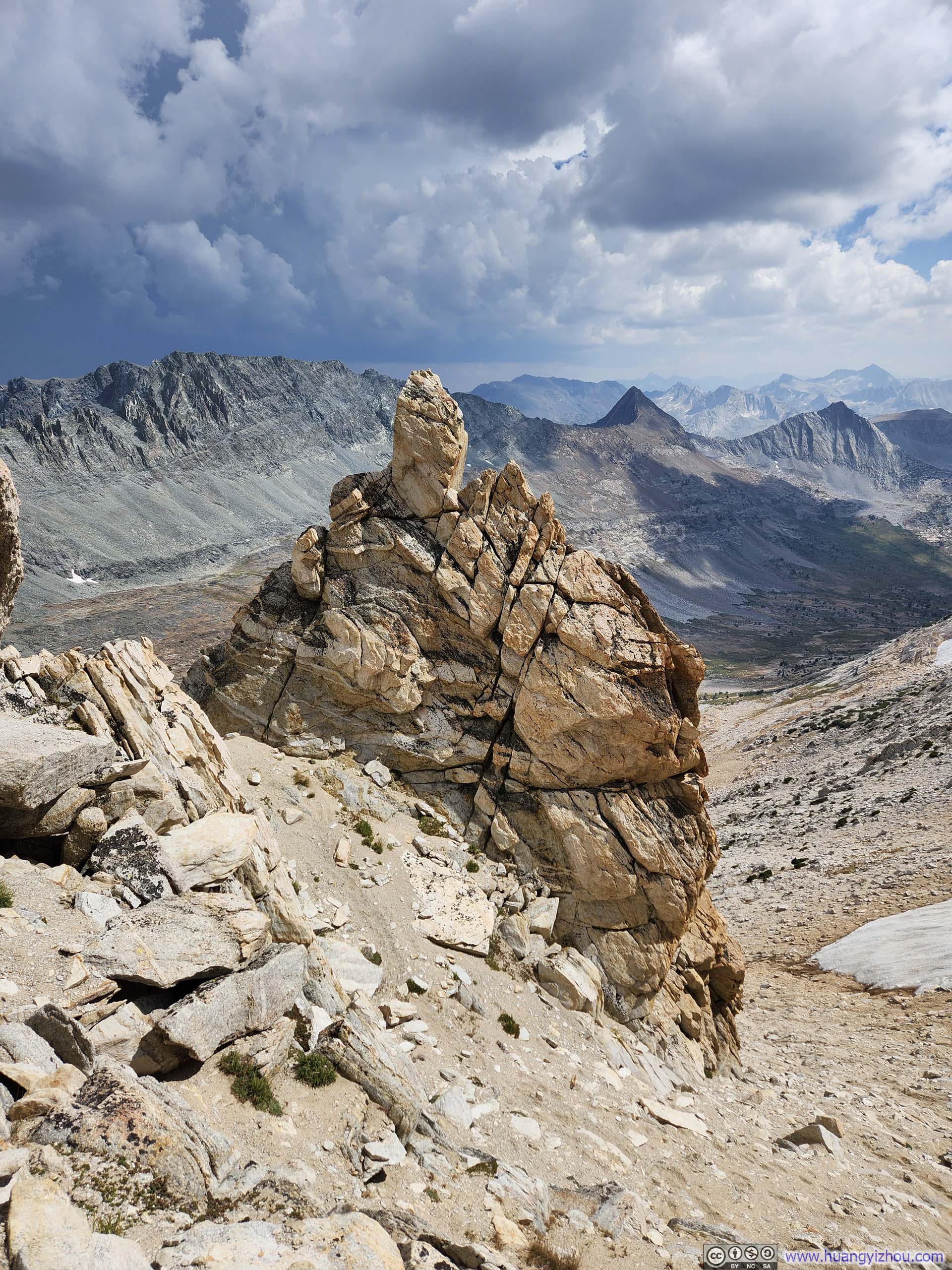
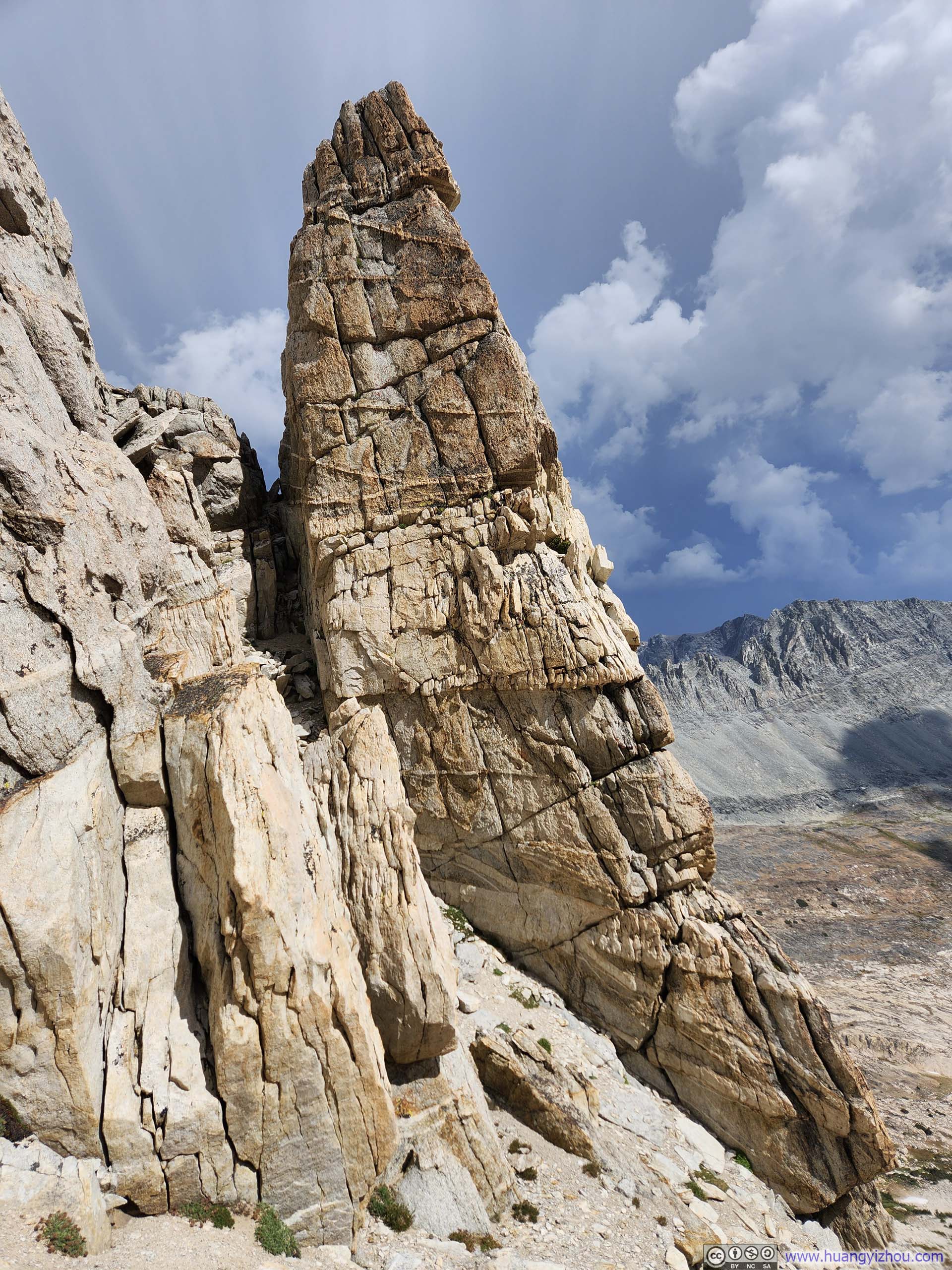
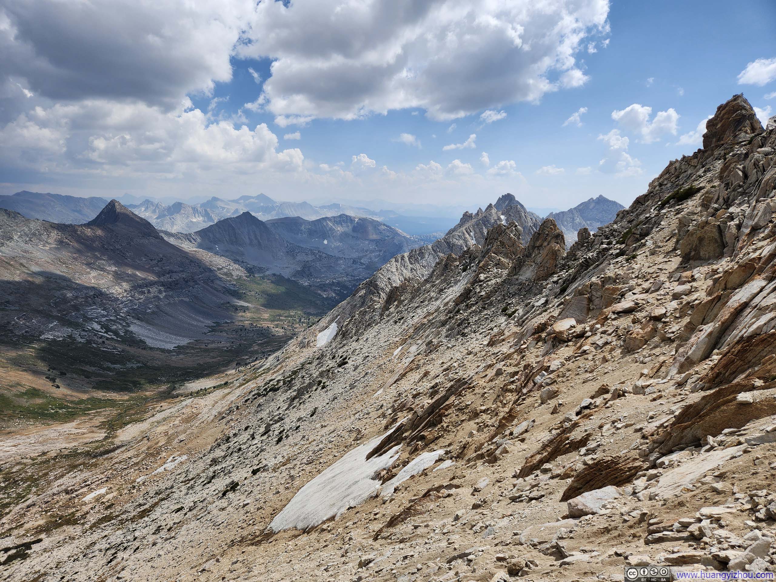
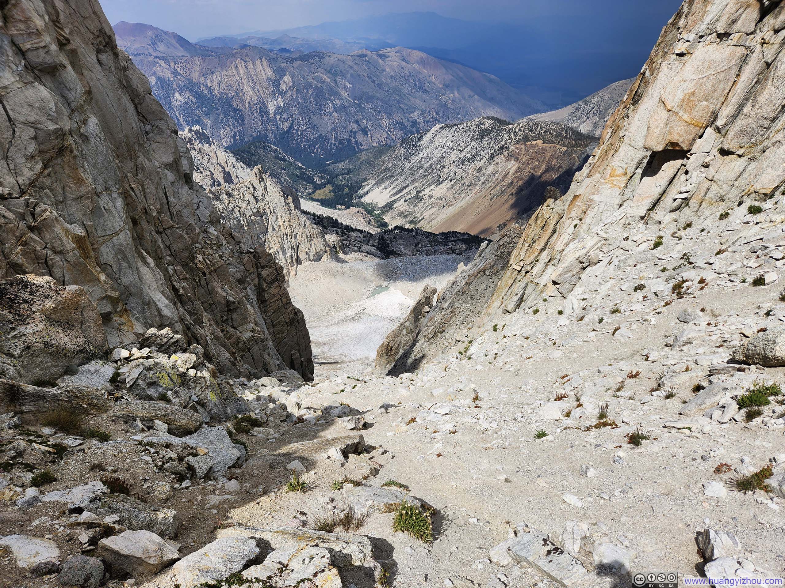
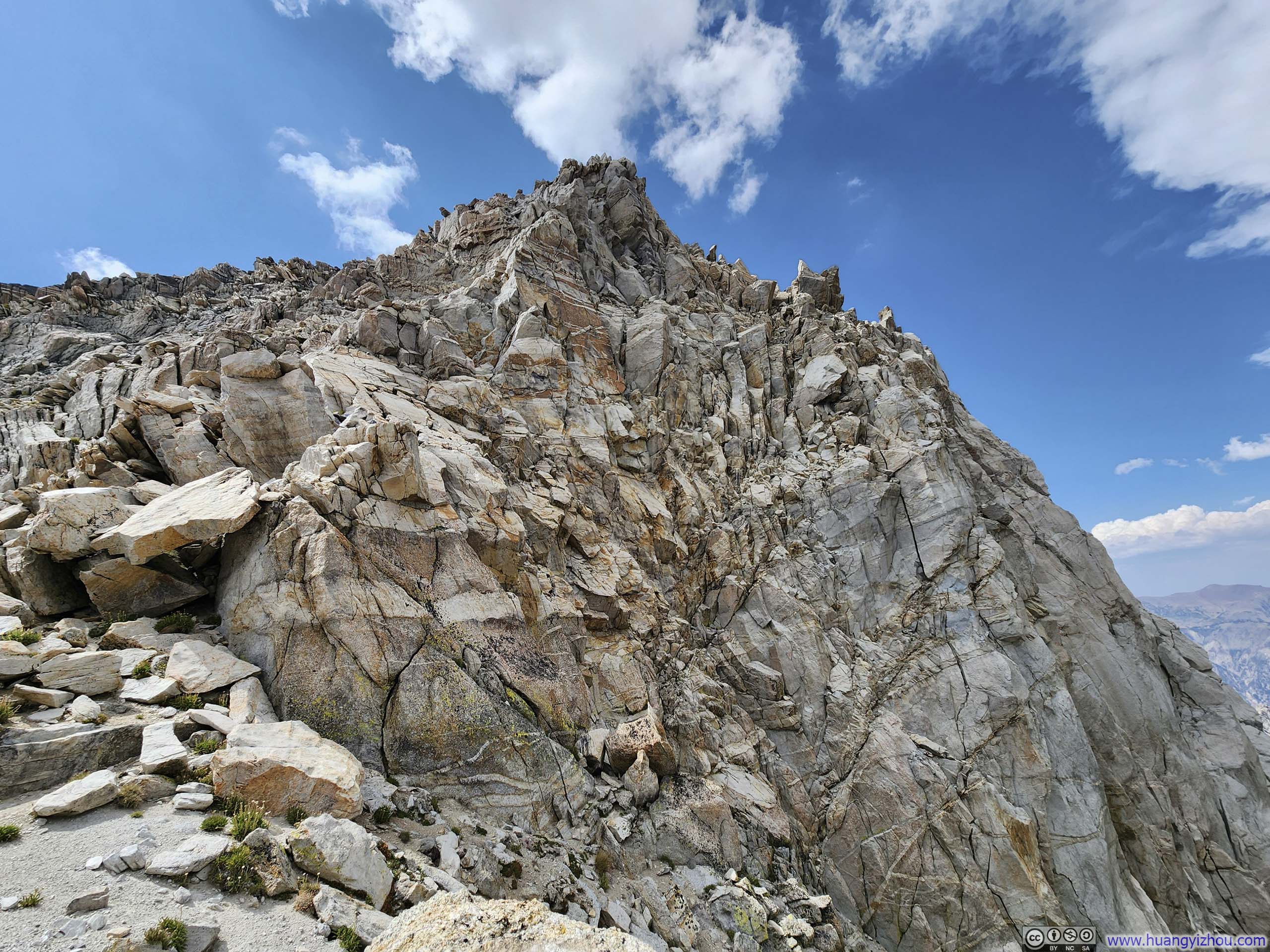
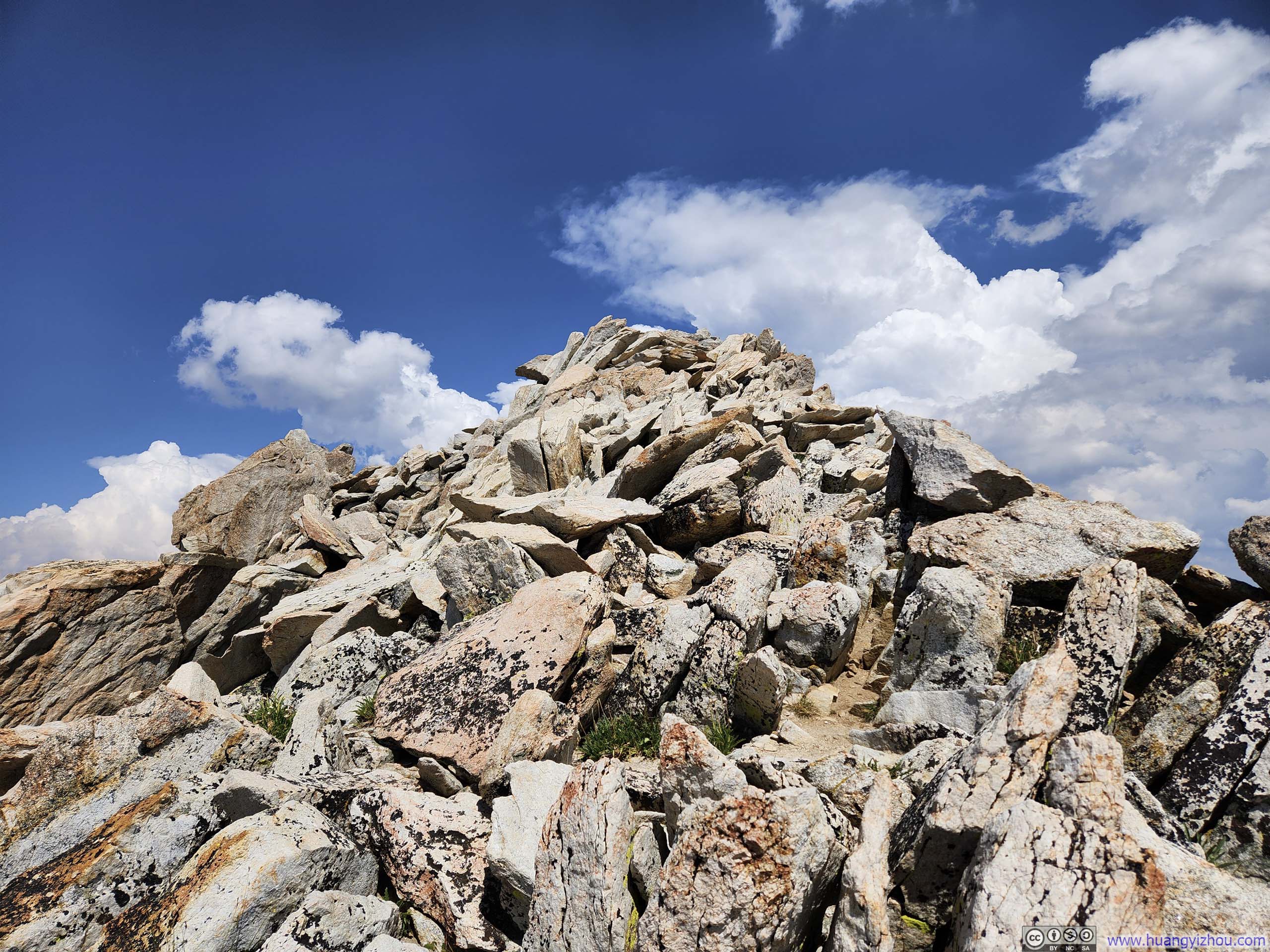
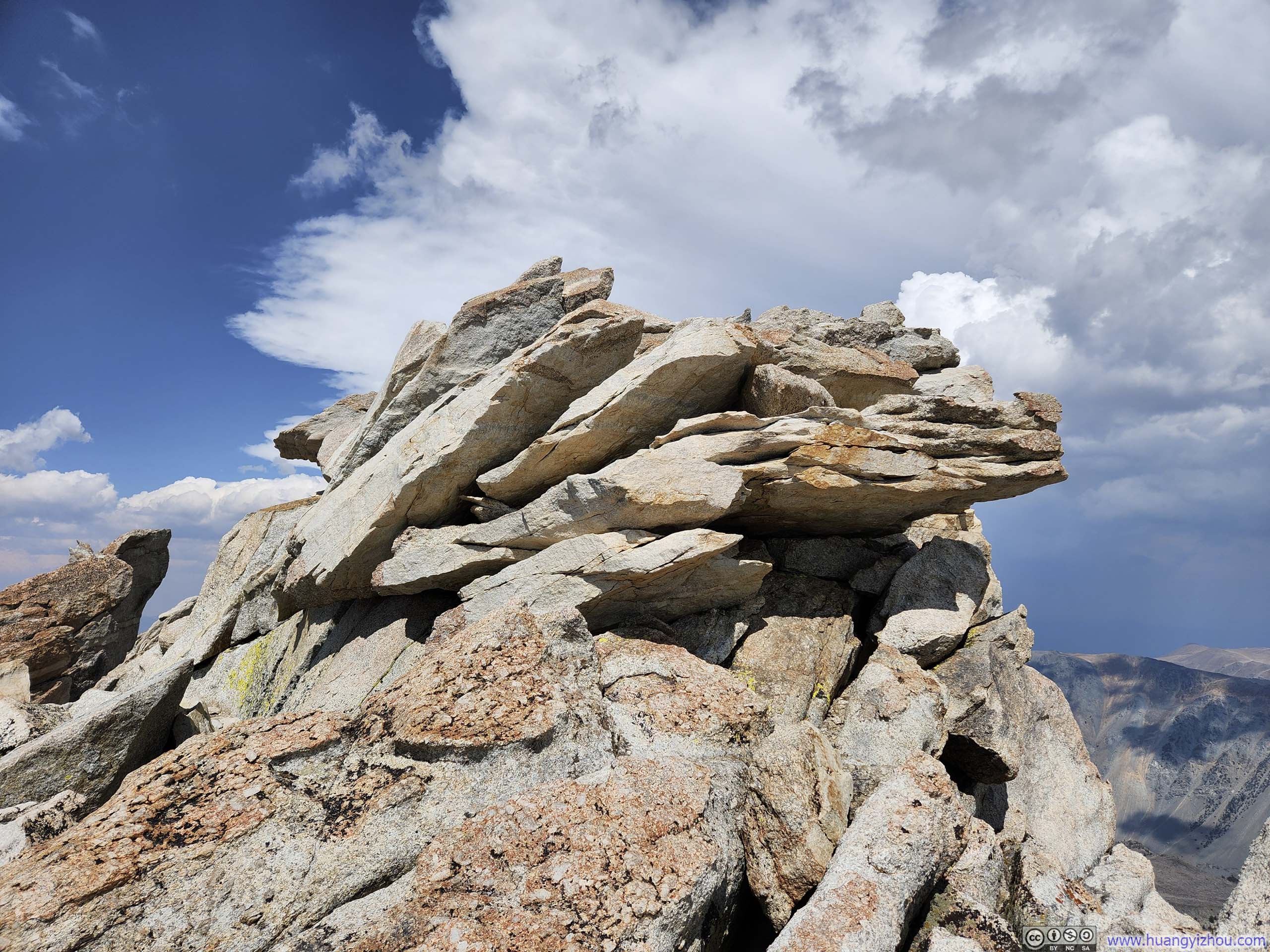
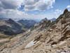
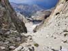
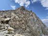
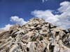
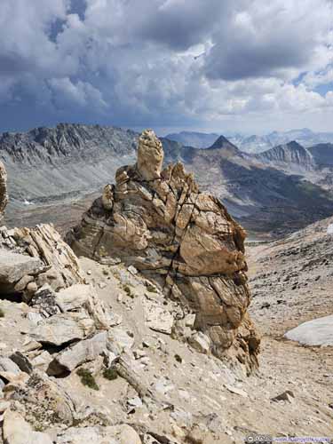
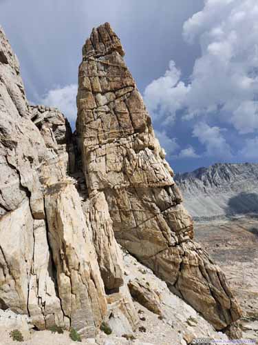
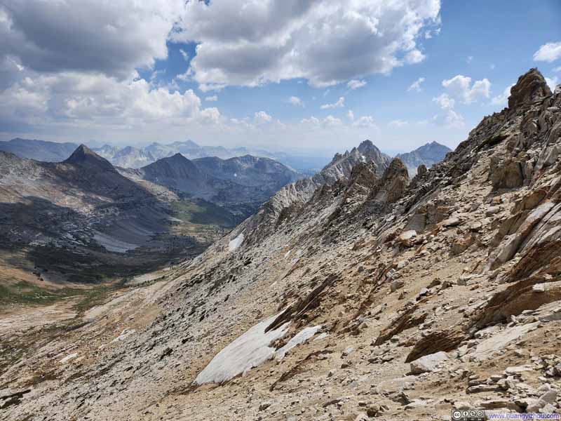
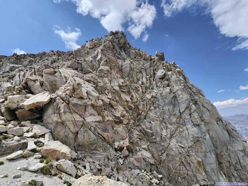
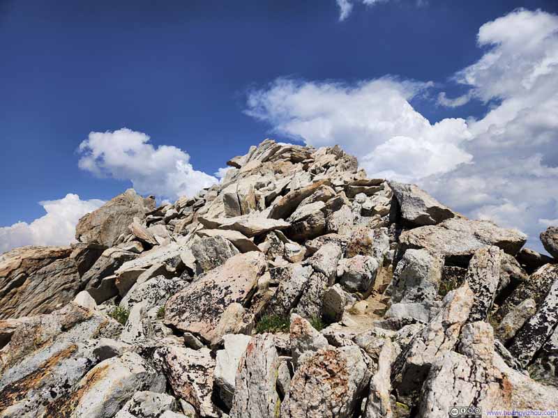
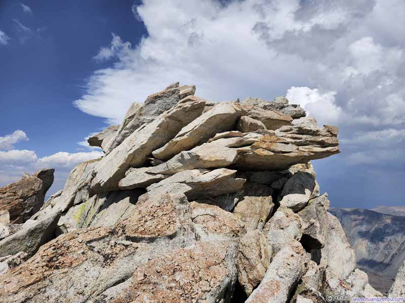
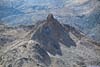
Finally, I reached the summit of Matterhorn Peak at 1:40pm. The true summit was a bit exposed, but there were safer areas just a few steps away.
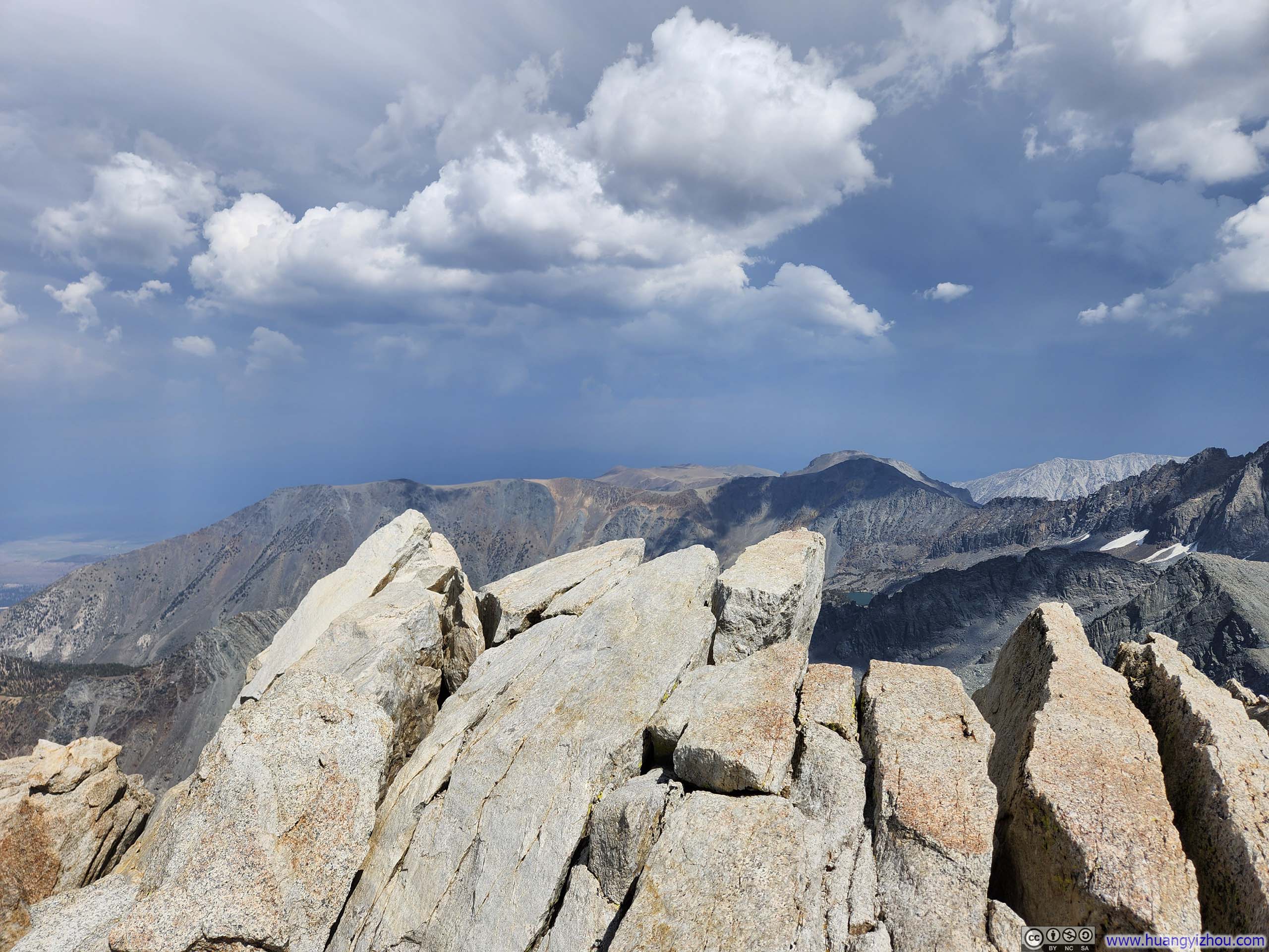
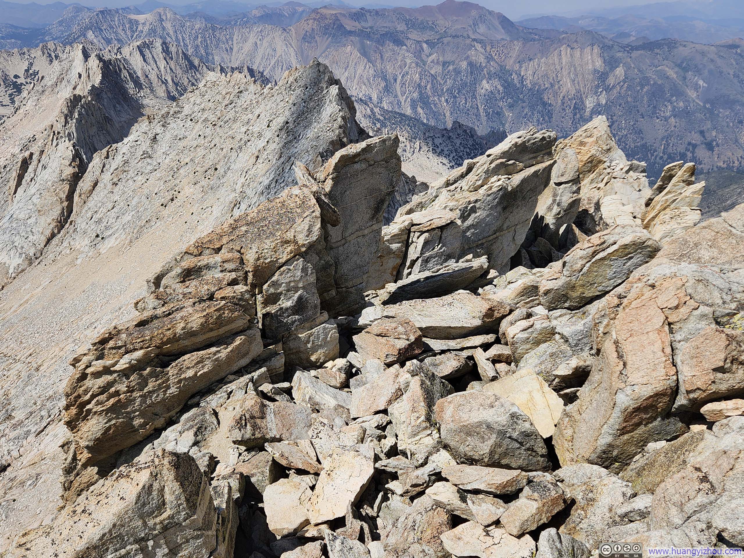
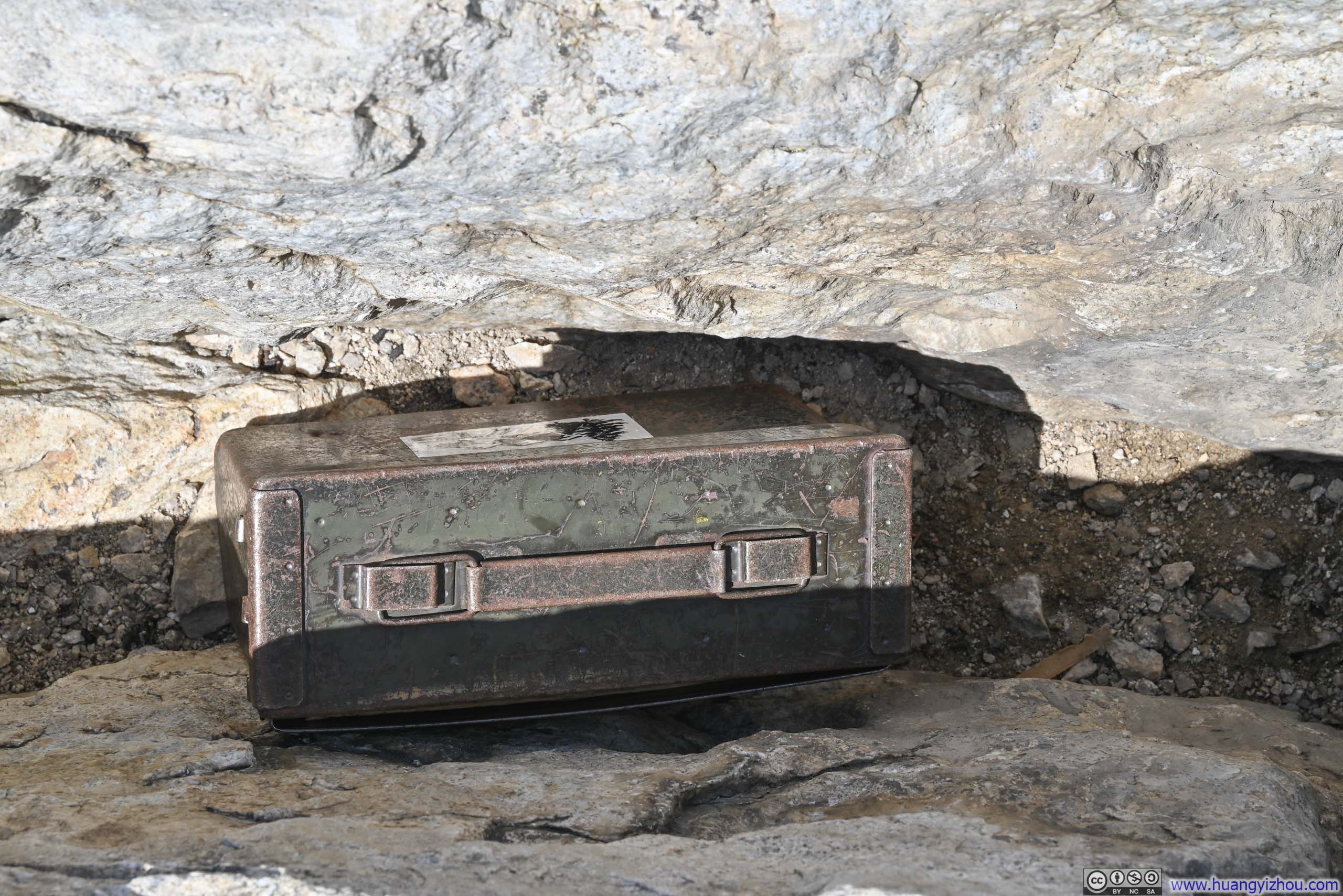


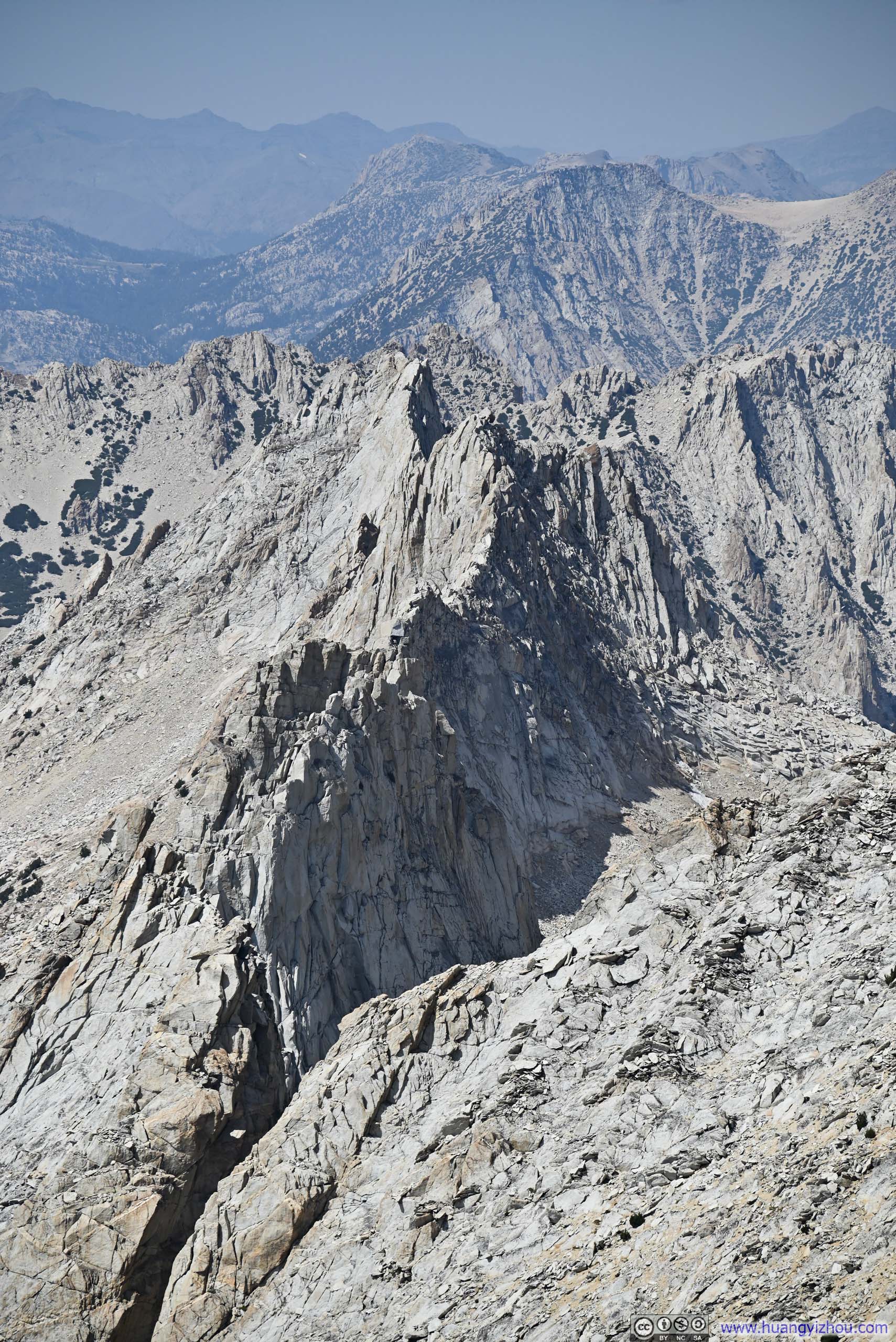
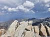
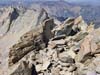
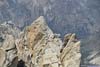
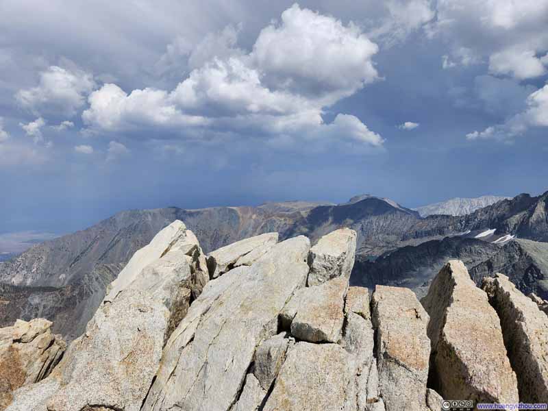
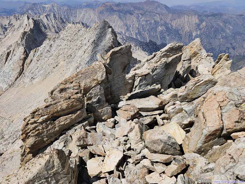
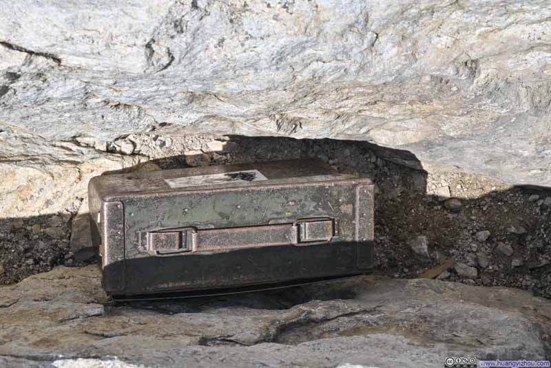

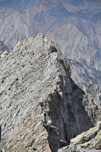
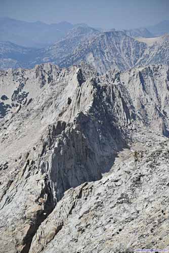
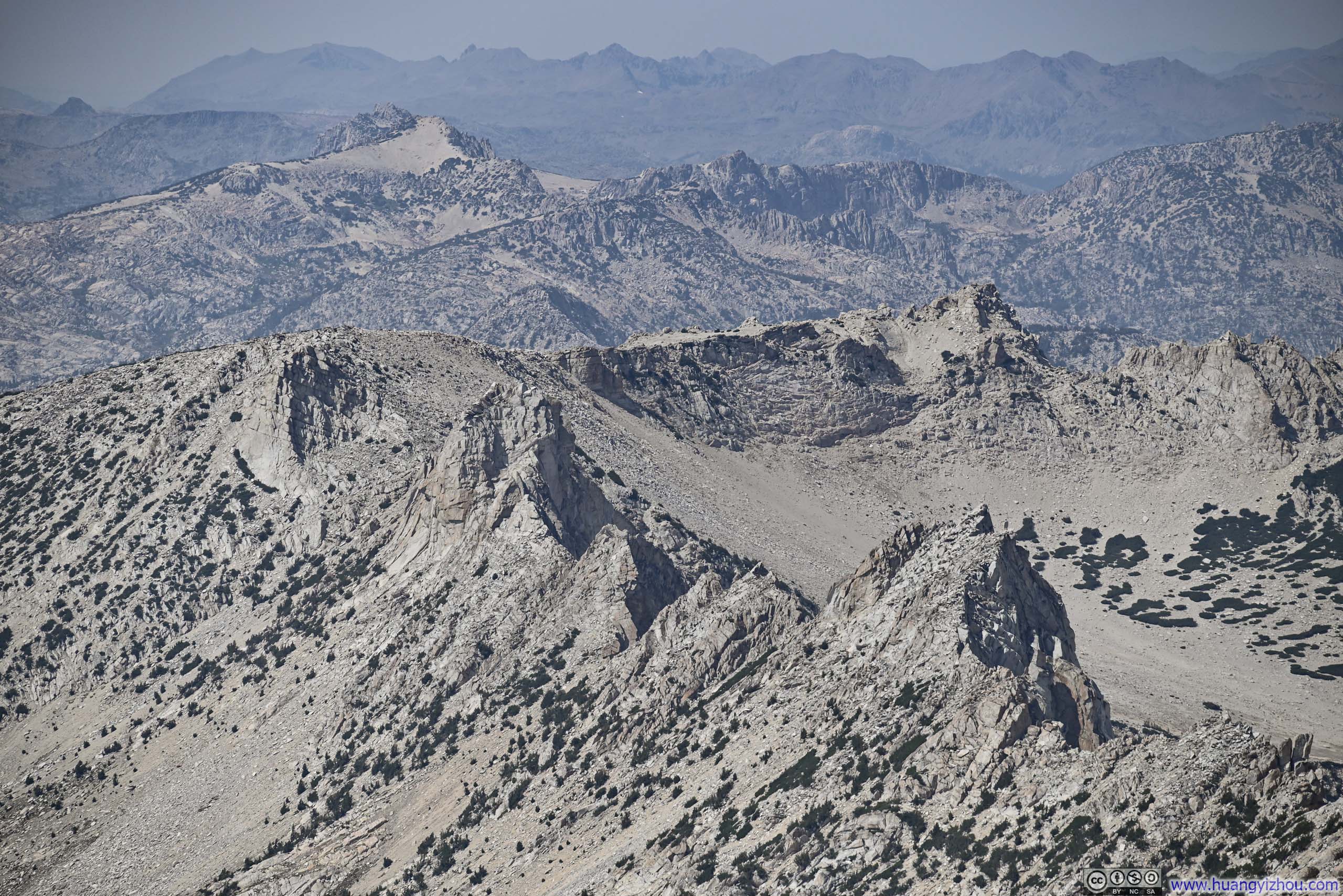
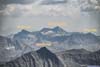
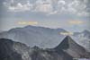
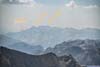
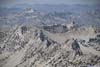
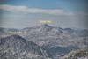
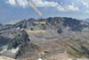
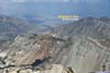
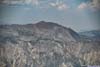
The summit of Matterhorn Peak offered panoramic views of endless peaks and valleys lining the horizon, giving me the sense of standing at the center of a universe called "Sierra Nevada." This feeling of centrality was enhanced by Matterhorn Peak's prominence (it was the northernmost 12,000-foot peak in the Sierra Nevada), and by the various ridgelines extending from it to divide watersheds—as if a king were apportioning territories among his vassals.
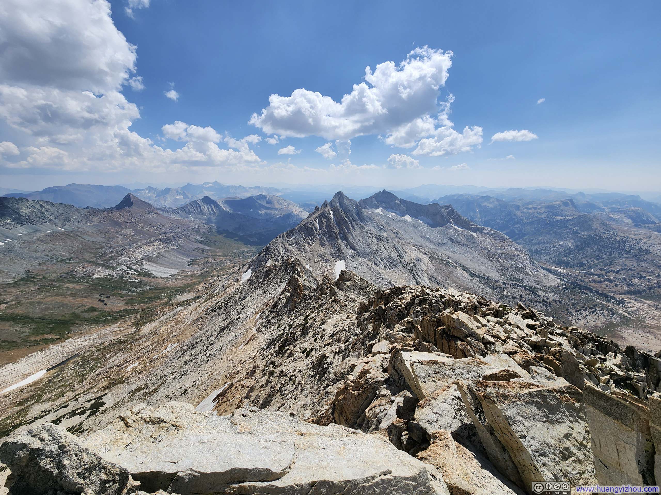
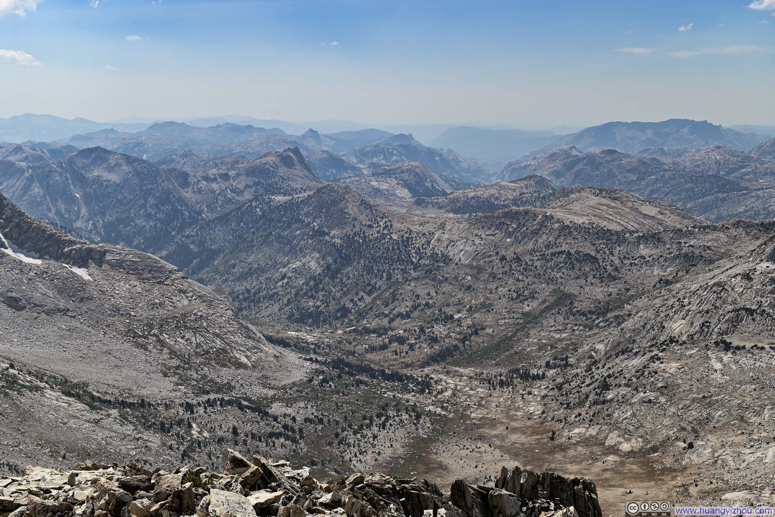
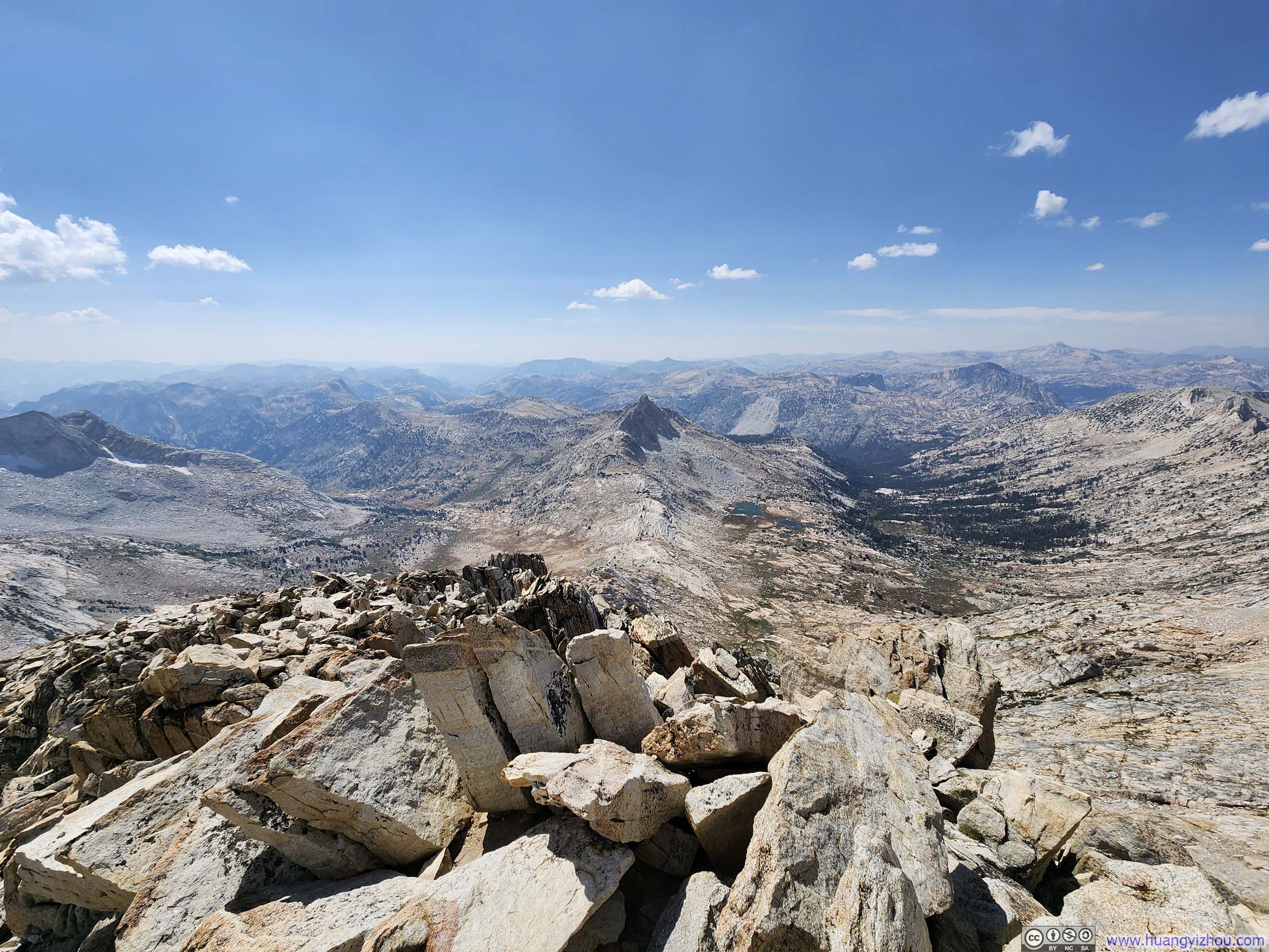
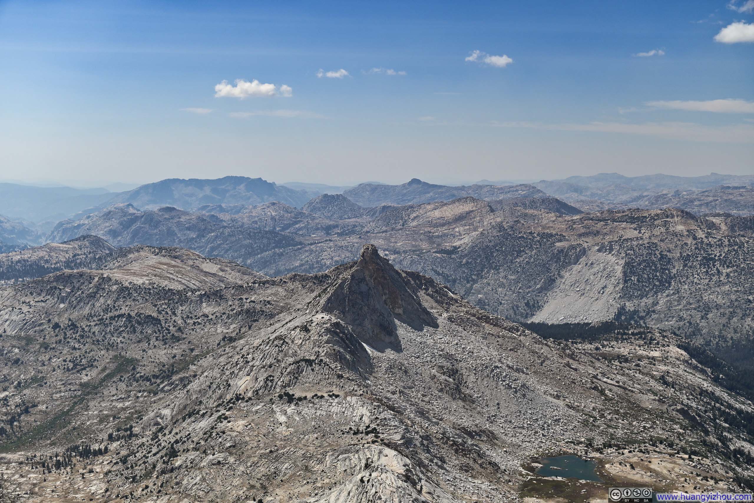

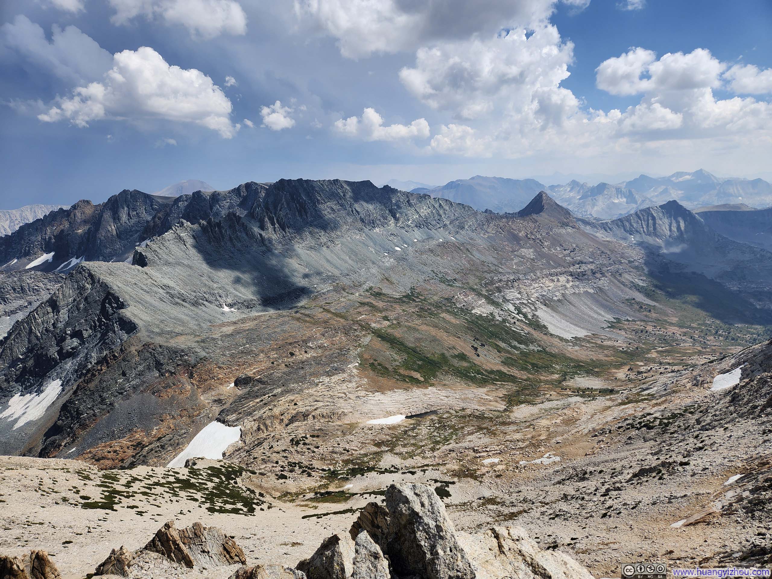
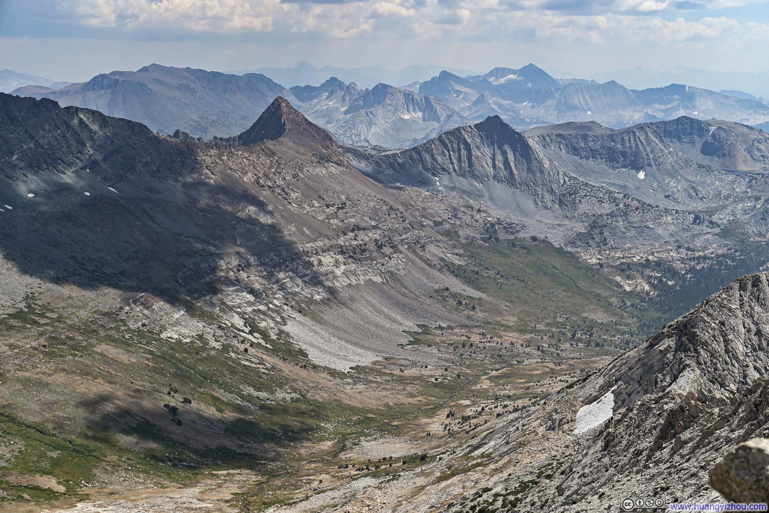

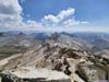
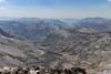
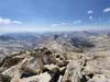
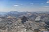
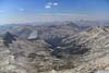
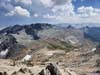
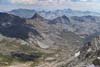
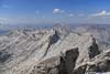
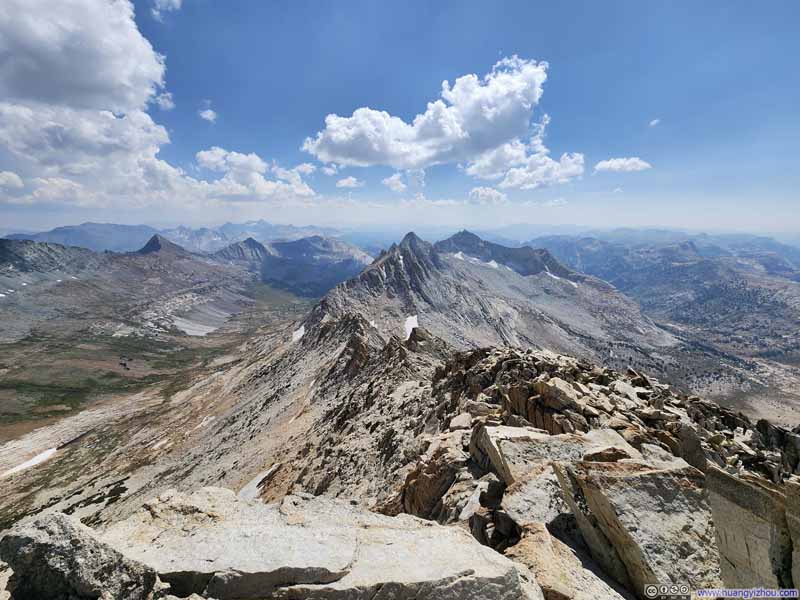
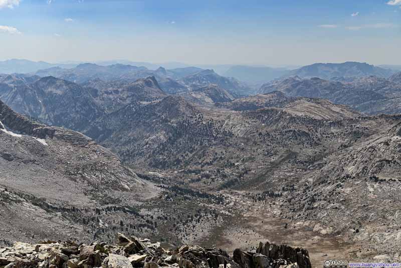
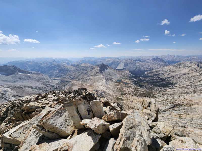
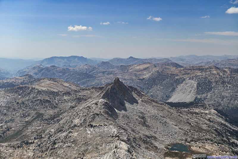
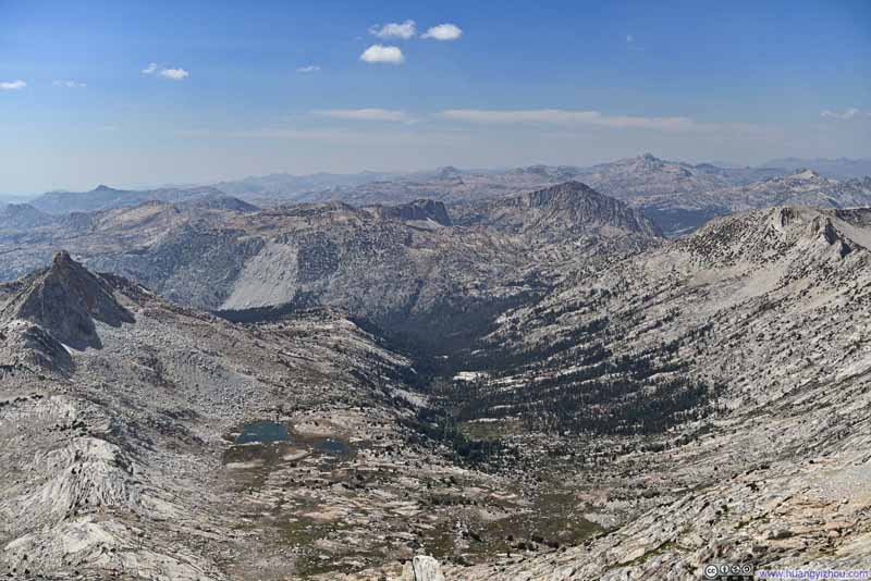
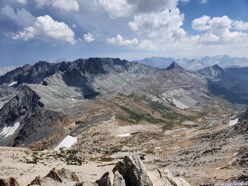
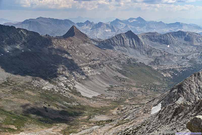
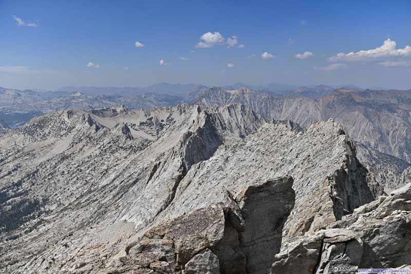
Unfortunately, while visibility remained generally good that afternoon, distant southern views were still hazy, likely remnants from the Garnet Fire. Nevertheless, I could still discern the contours of several peaks, including the other two candidates for my hike this day: Mt Conness and Excelsior Mountain.

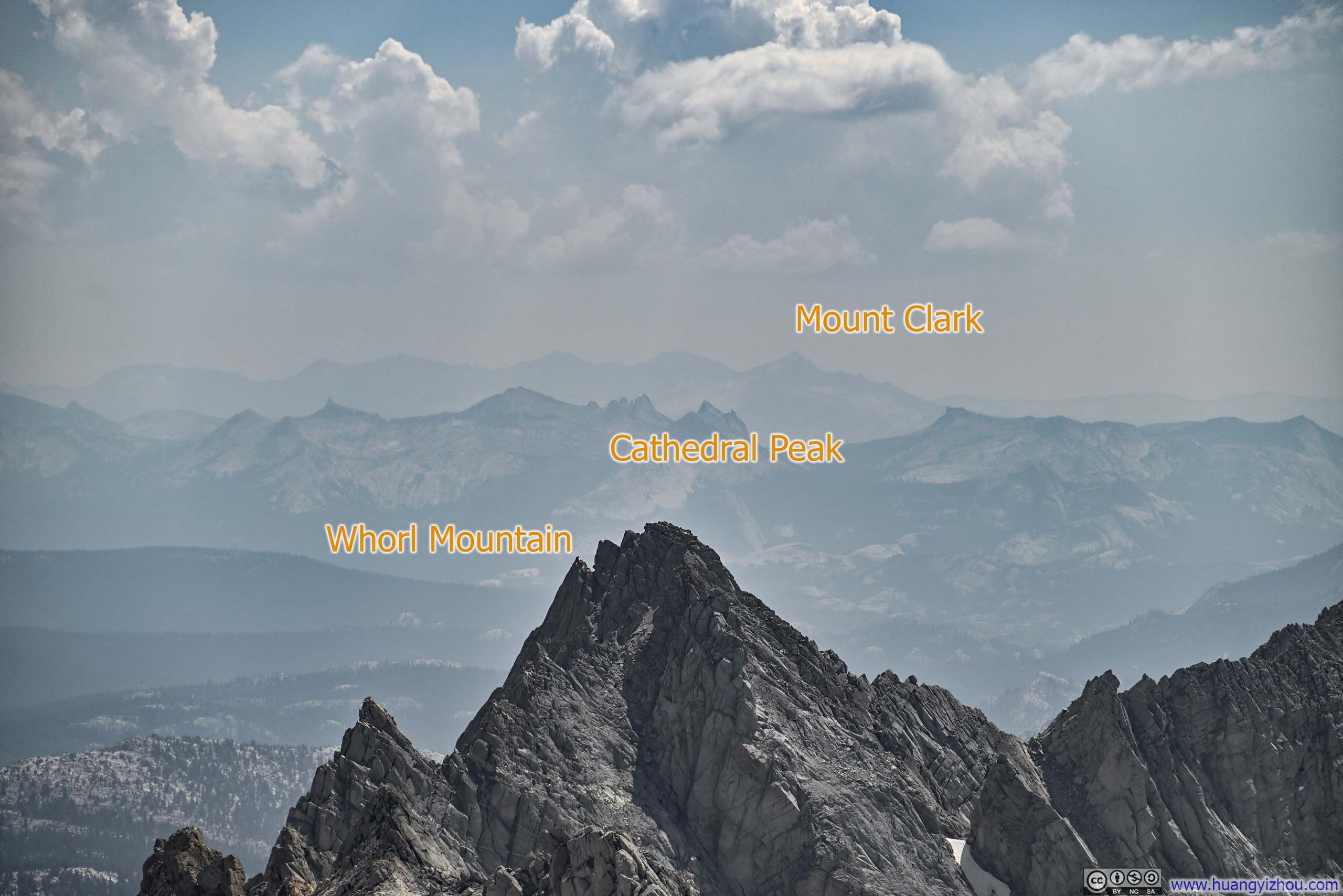
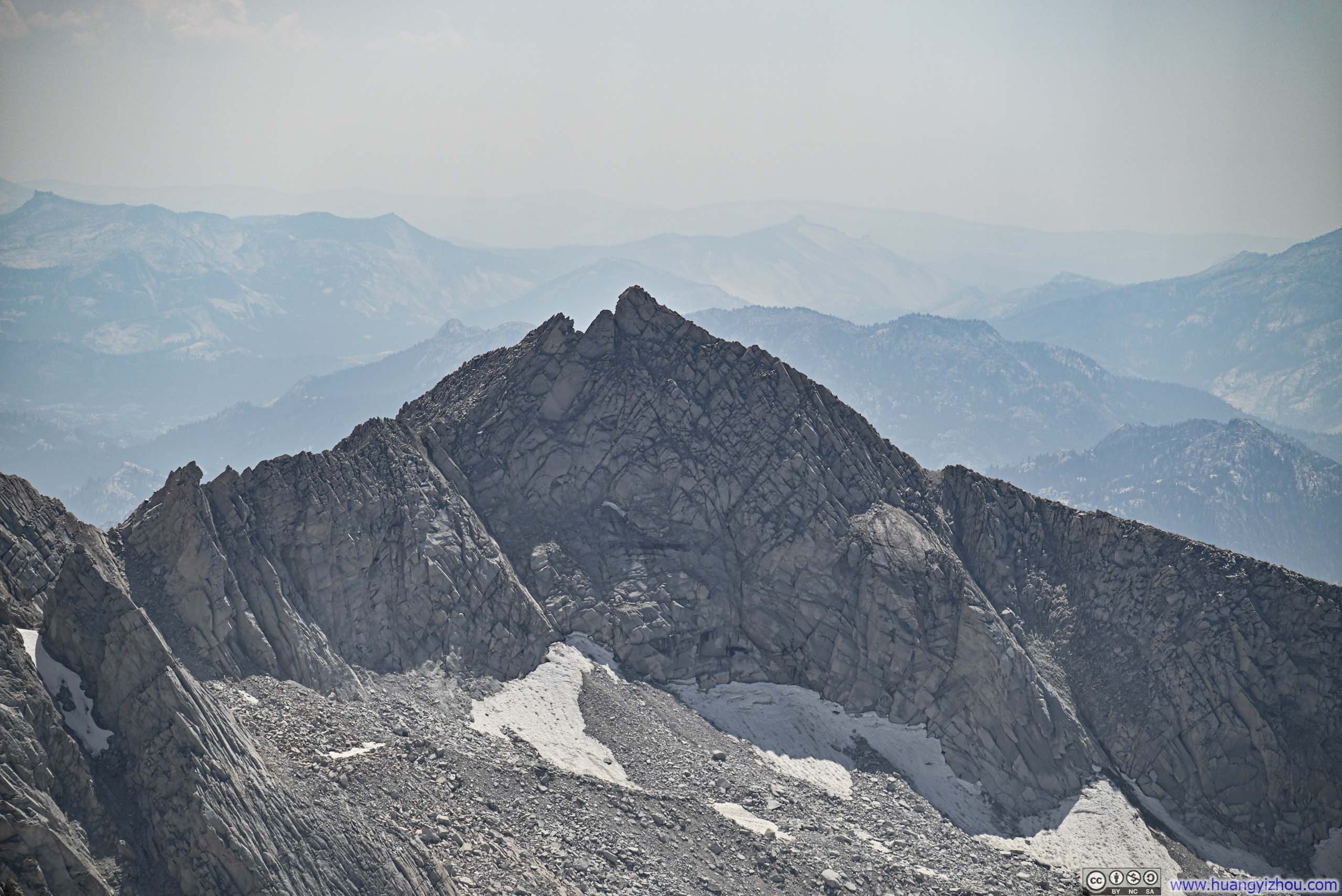
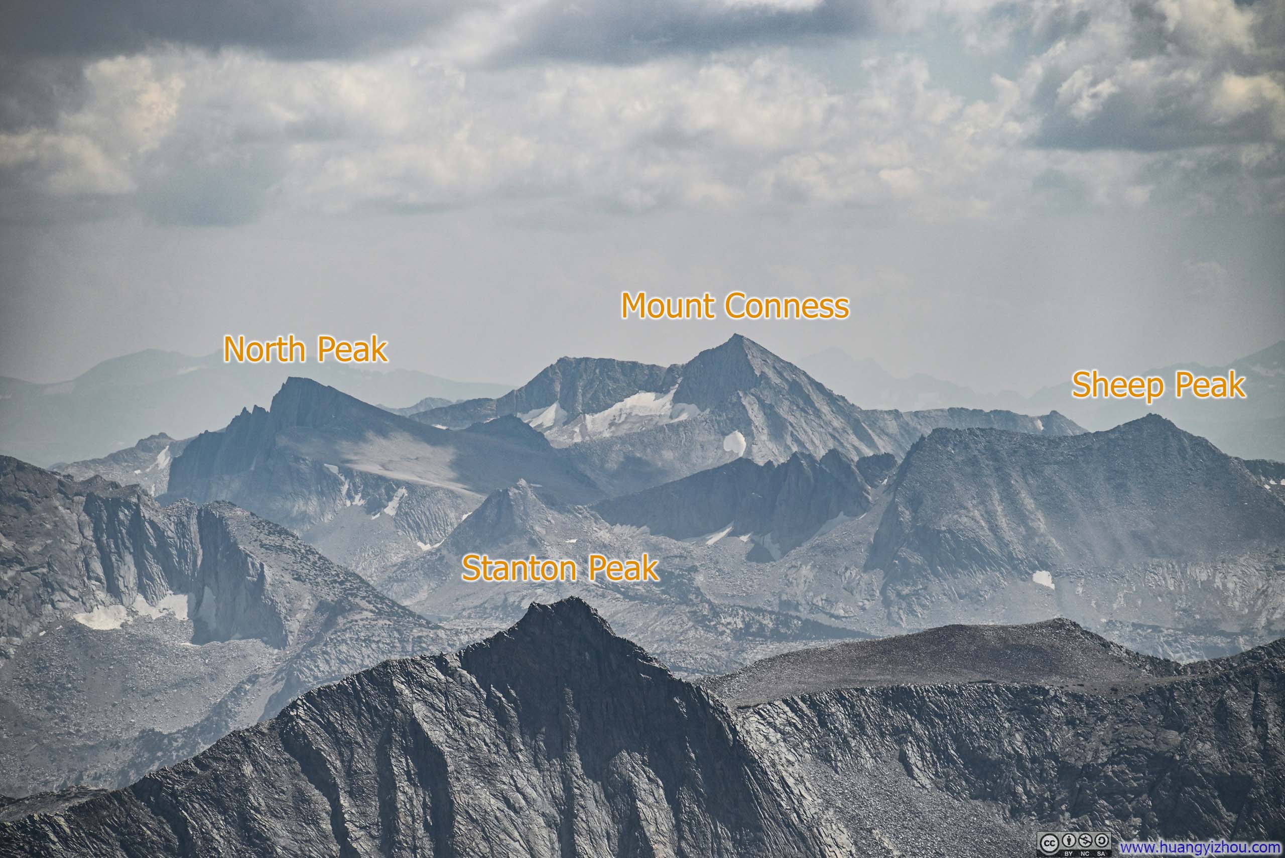
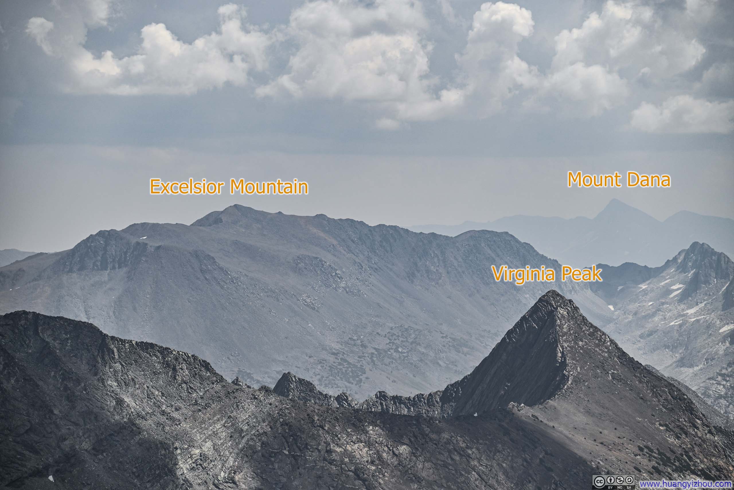


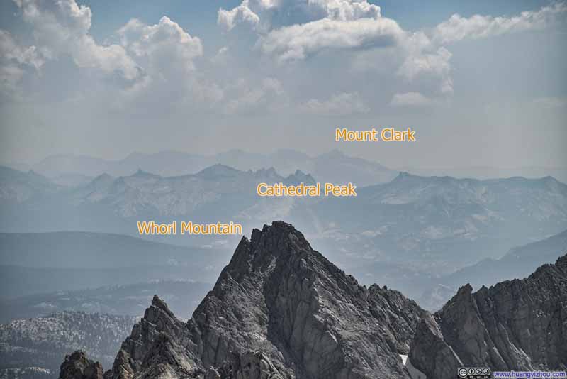
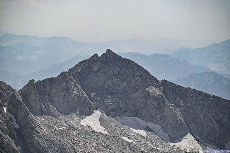
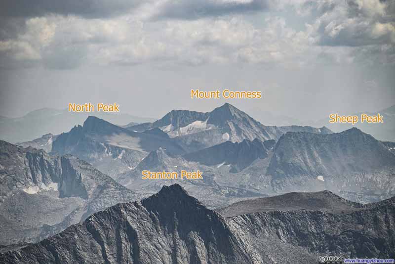
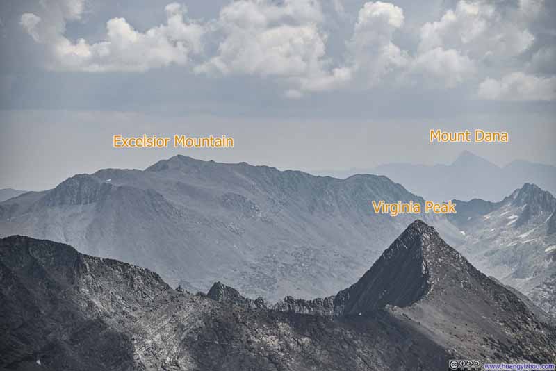
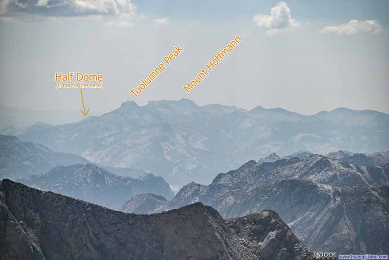
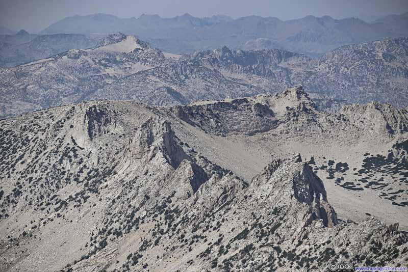
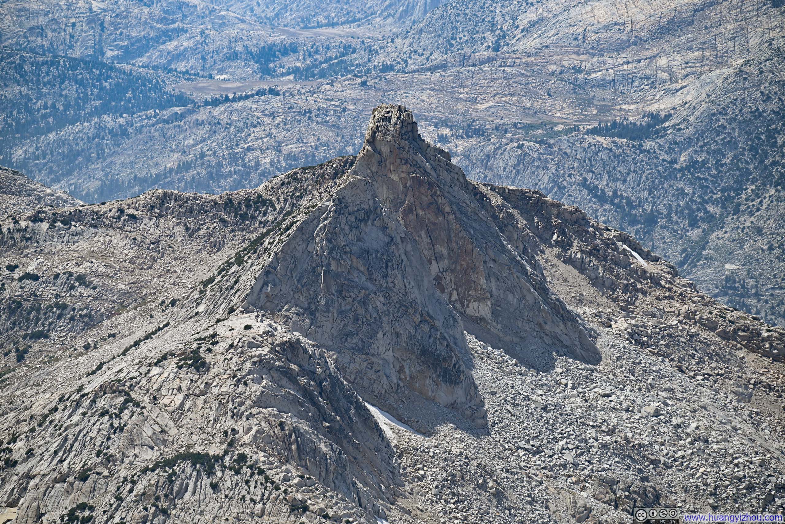


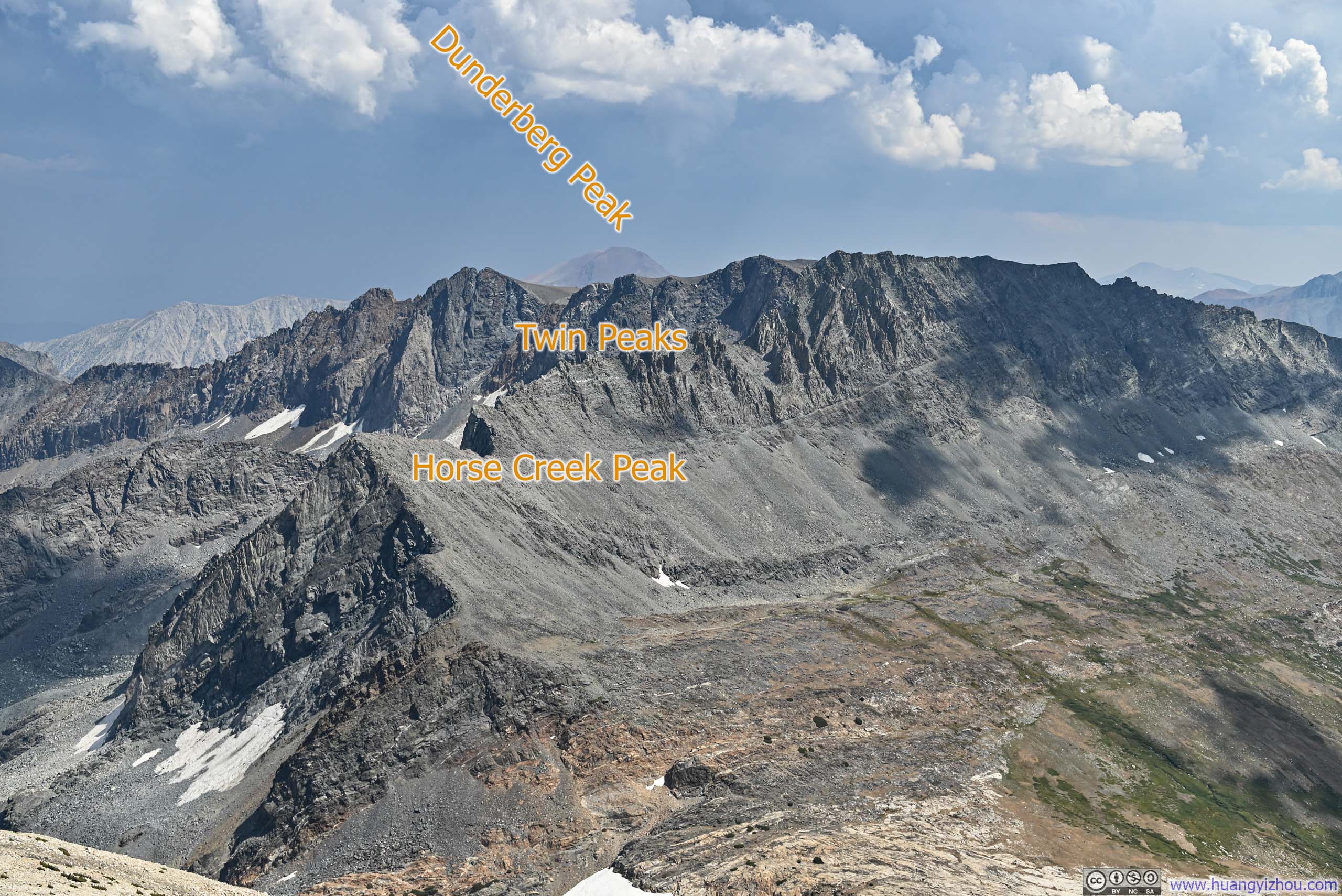
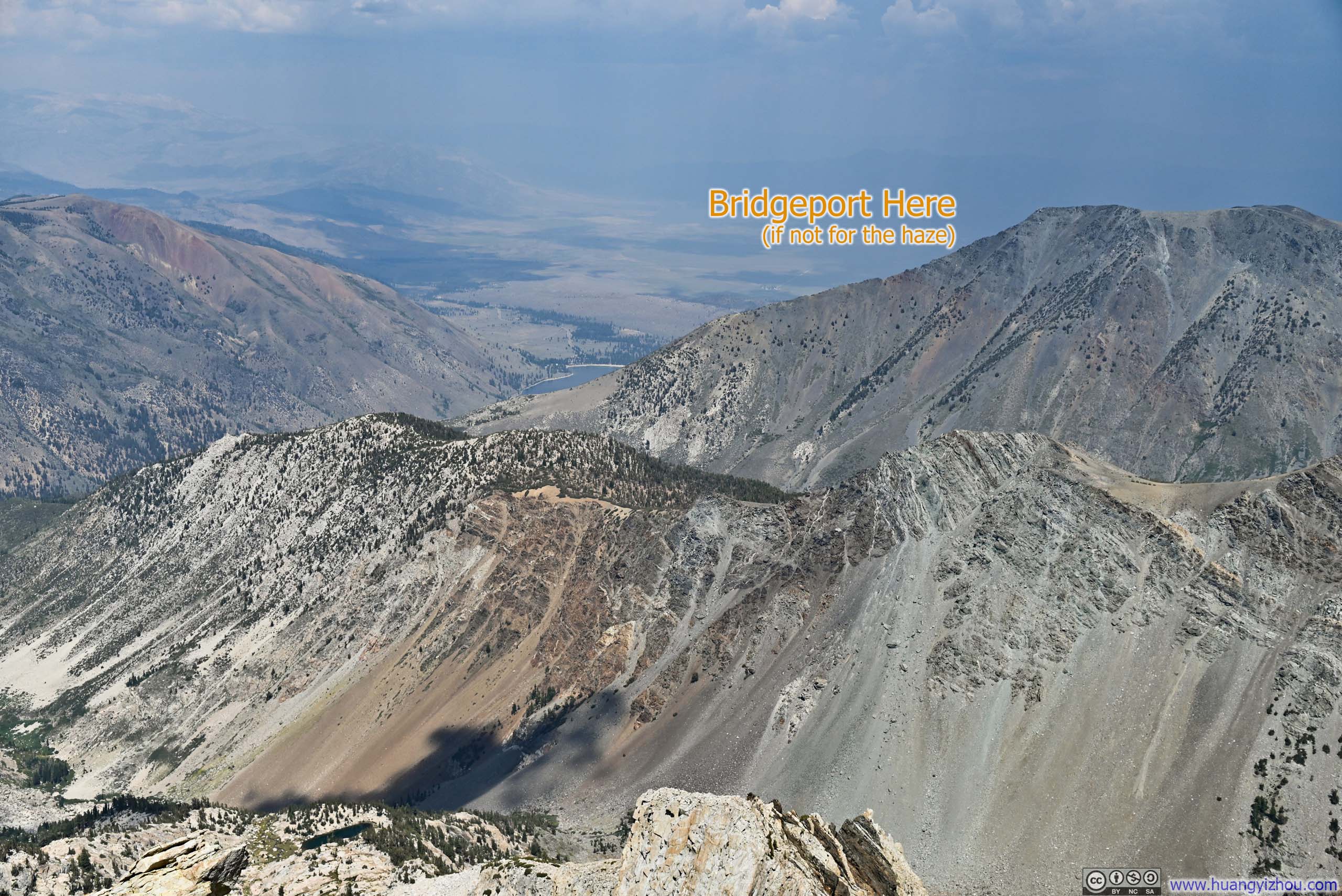
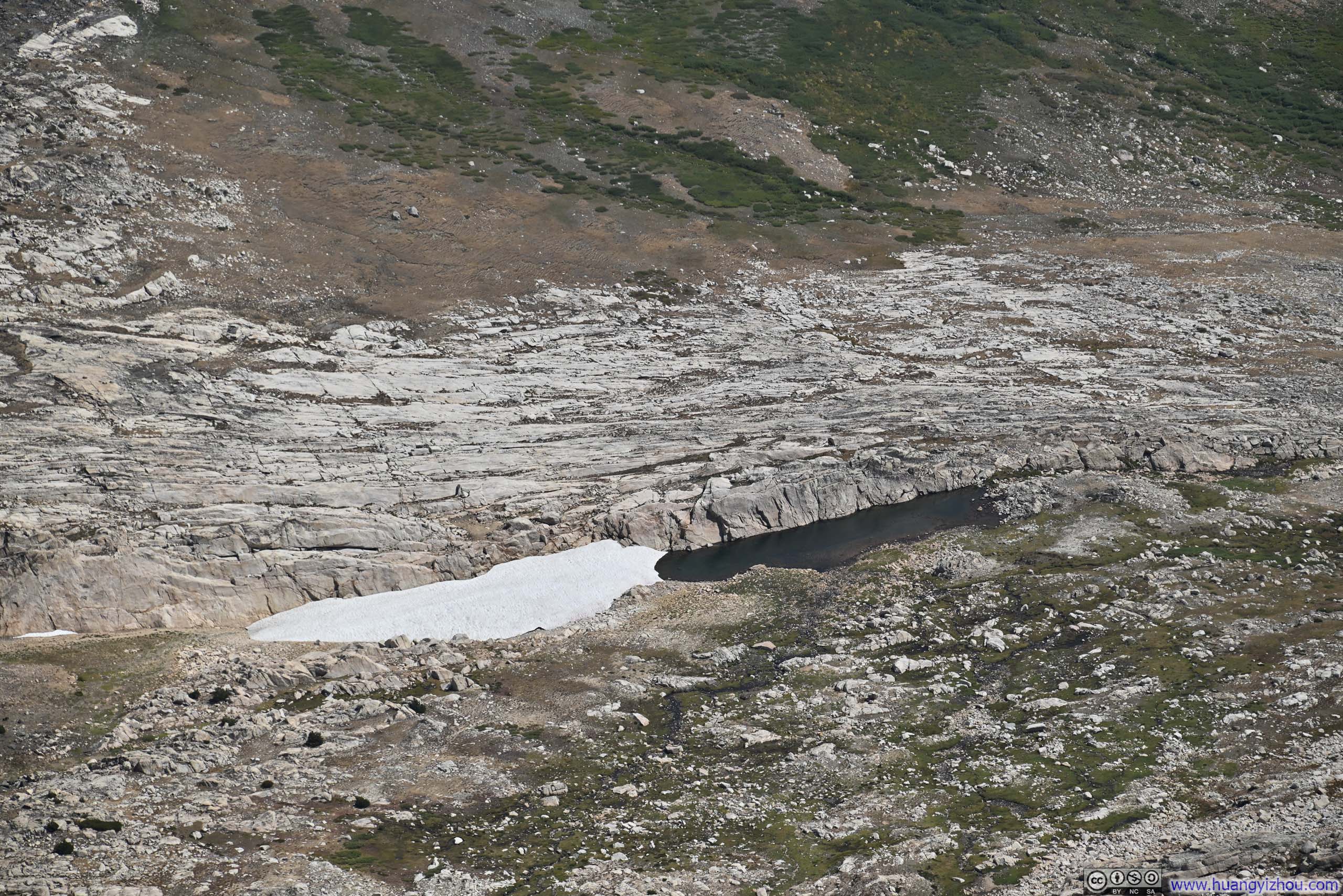
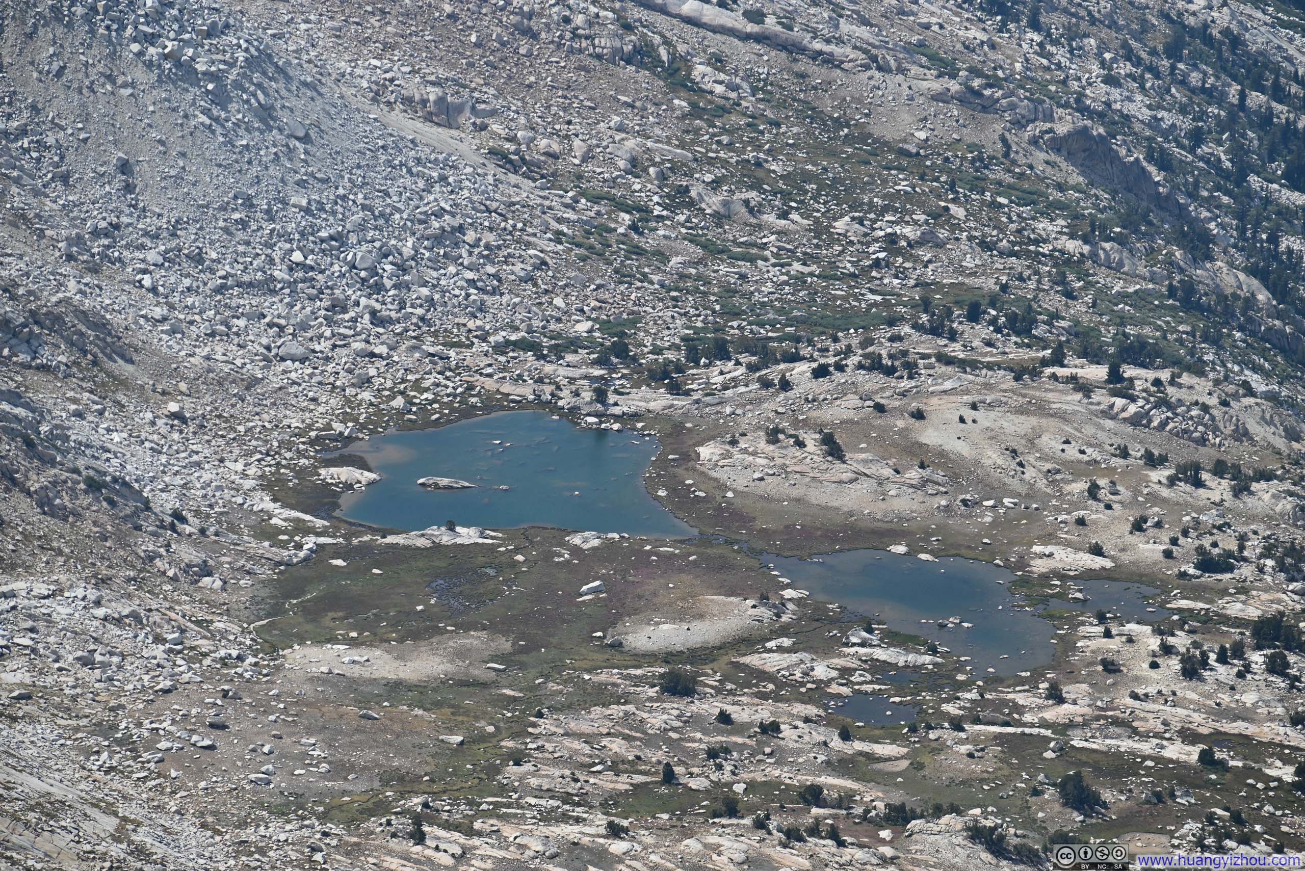
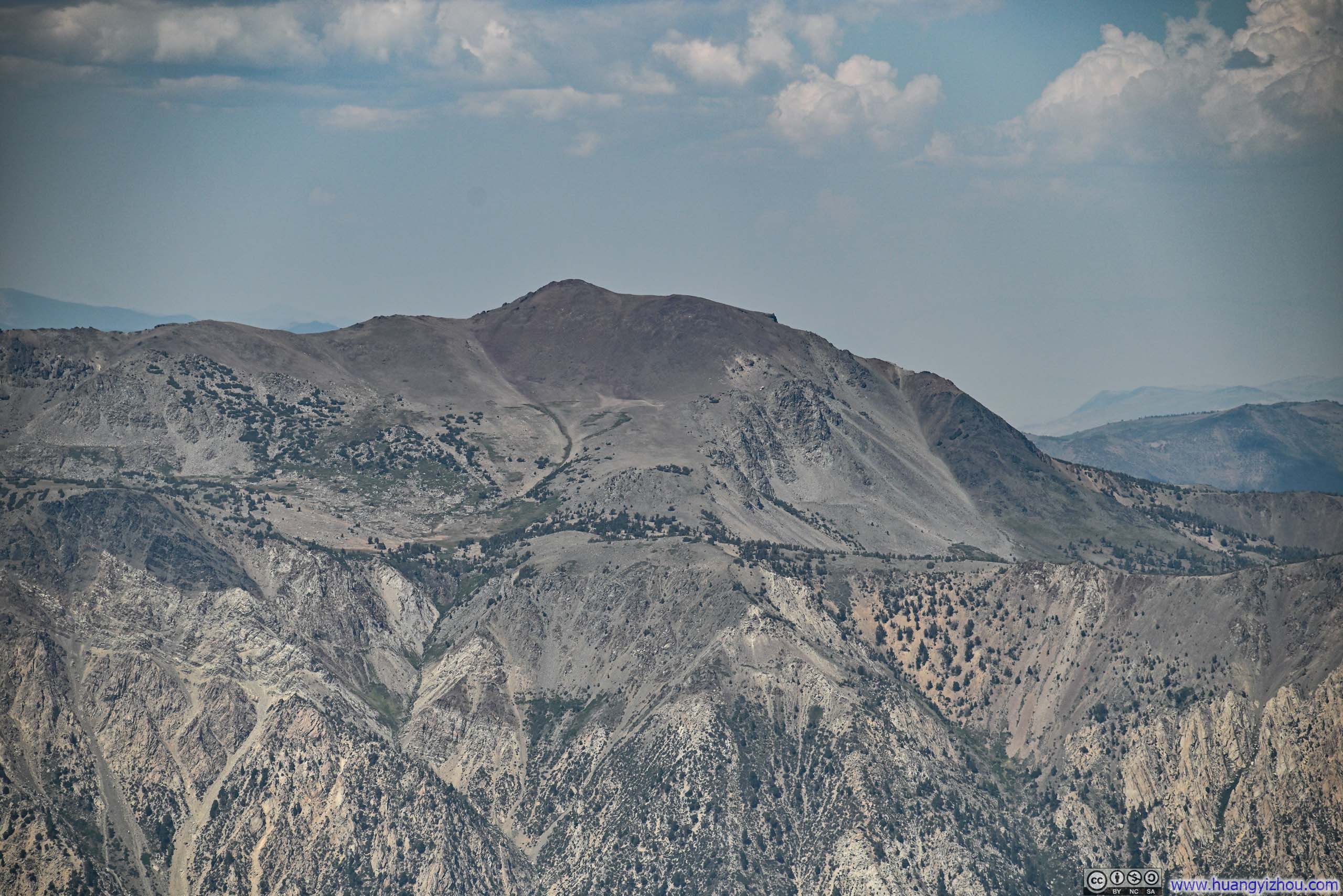
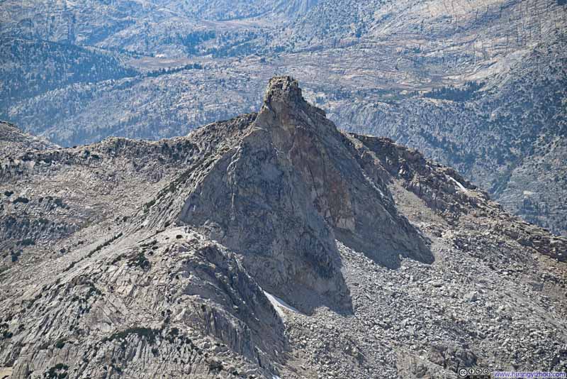
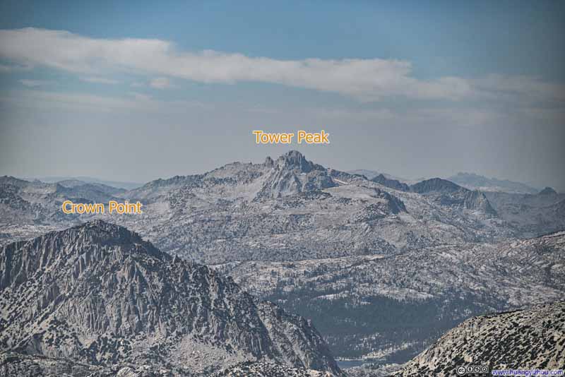
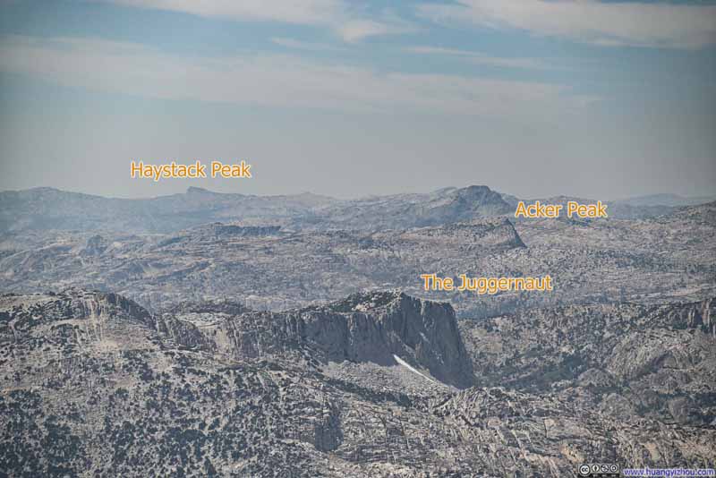
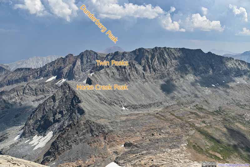
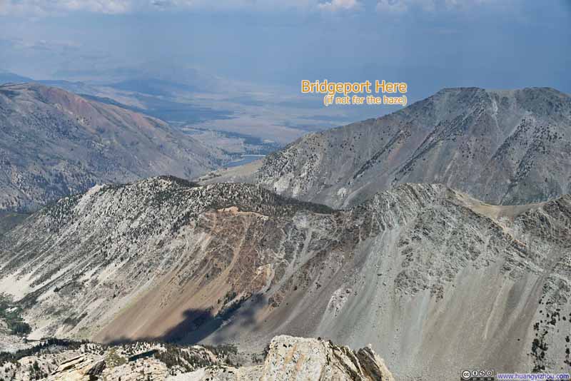
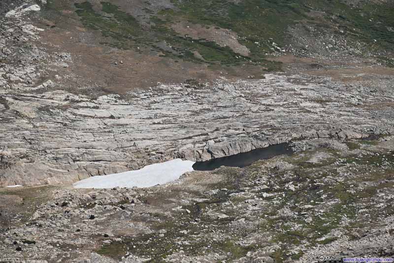
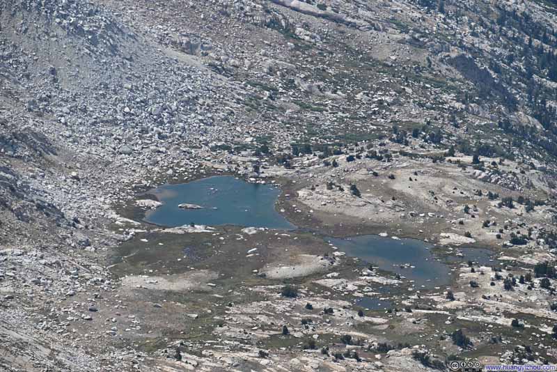
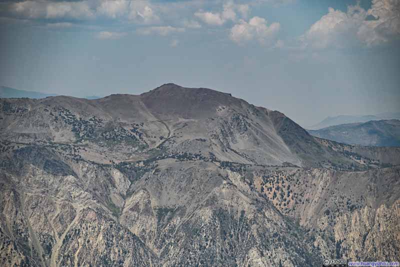

As usual, there was video to commemorate the moment:
15 seconds, 2160p60fps, H265 only, 20Mbps/40MB file size.
I stayed on the summit of Matterhorn Peak for about half an hour before starting my descent at 2:10pm.
While descending from Matterhorn Peak, I noticed the eastern skies darkening ominously. My concern deepened as the rumble of thunder reached my ears, prompting me to expediate my descent. (This caught me somewhat off guard, as the weather forecast had indicated minimal chances of rain/storm that day.) The clouds loomed menacingly to the east, roughly over Excelsior Mountain and Mt Conness, the other two candidates for my hike that day. Fortunately, the wind never pushed the clouds in my direction, and I remained dry throughout the remainder of my descent.
I combined most of the photos taken during my descent into the slideshows earlier. So fast forward to the end of the day, where I felt the tranquil waters of Twin Lakes and the mountains across them bathed in soft twilight colors deserved an exhibition of their own.
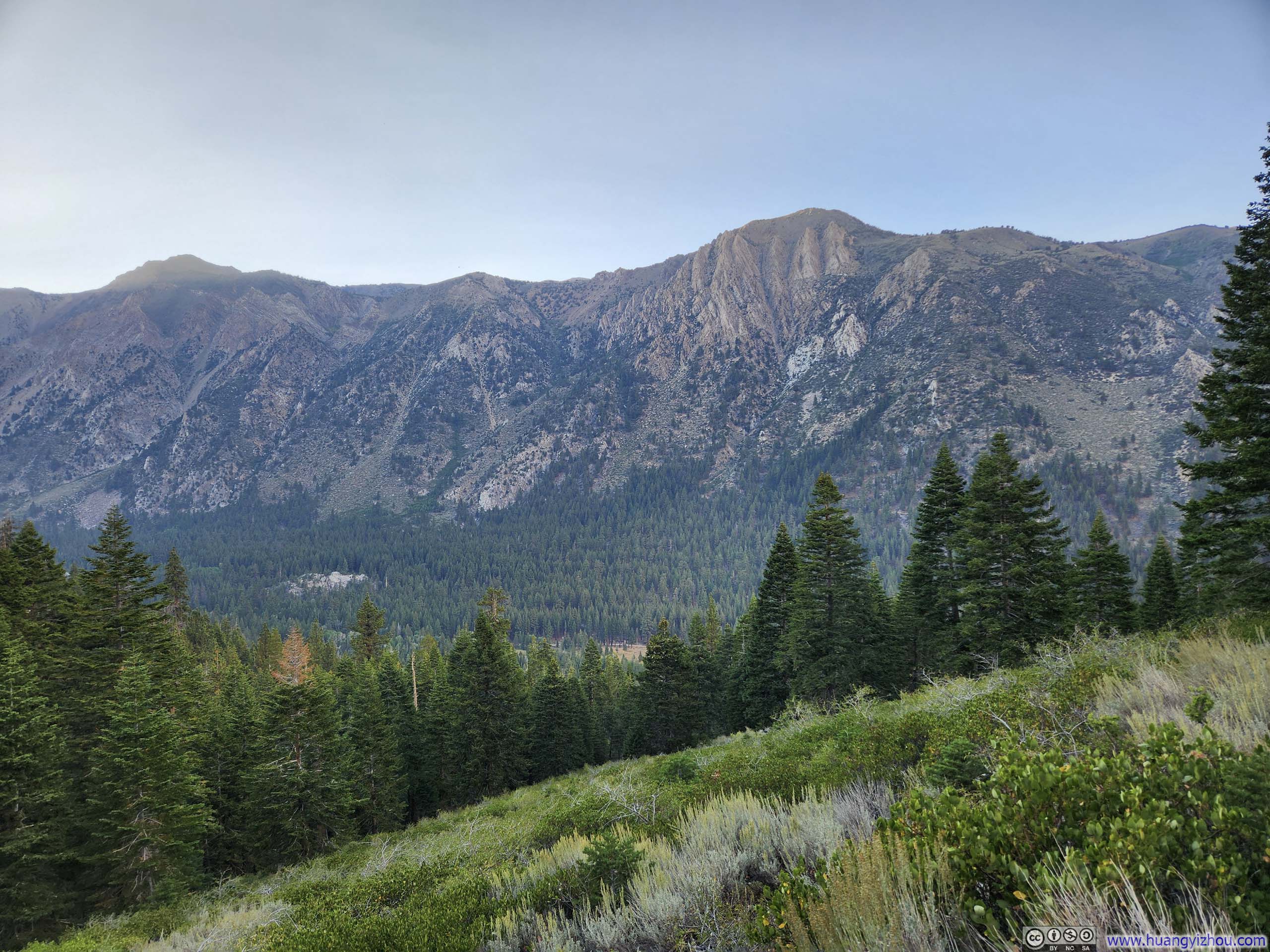
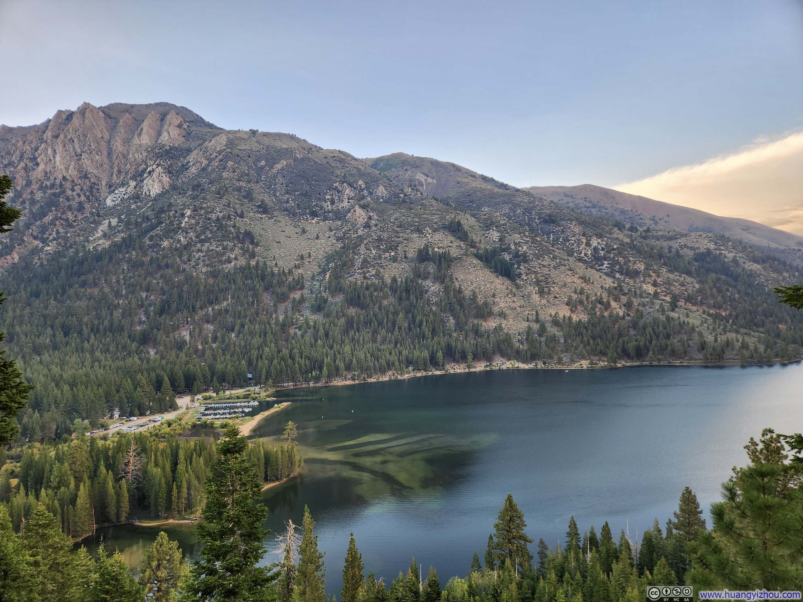
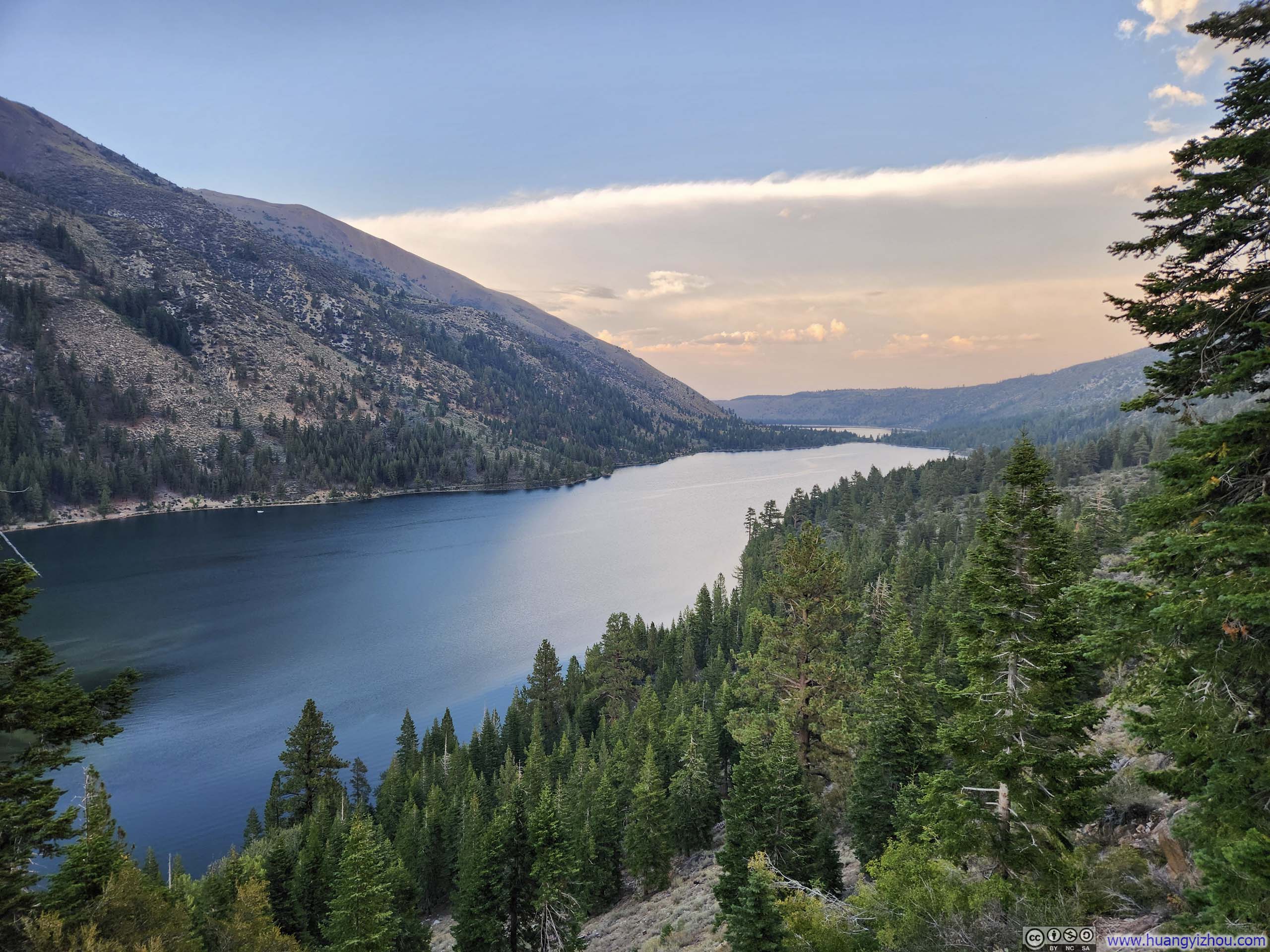
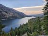
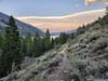
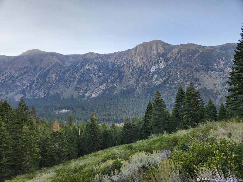
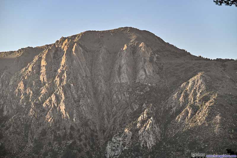
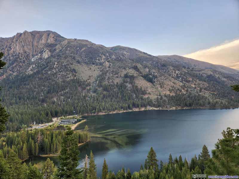
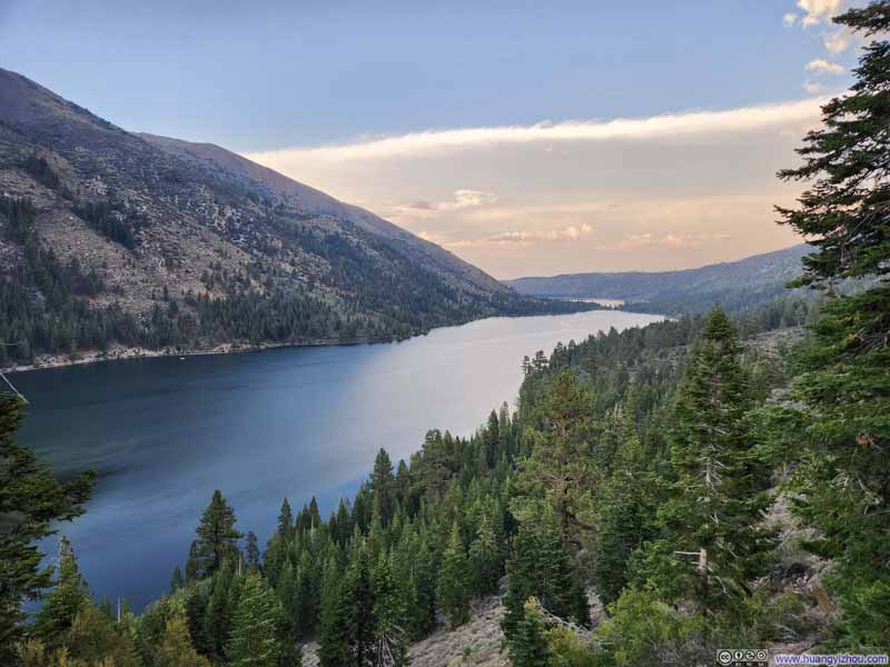
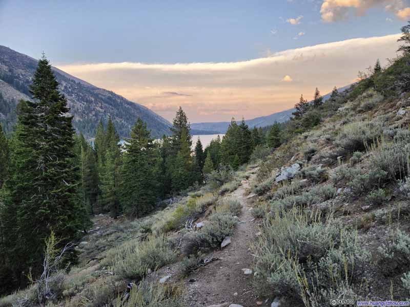
Finally, I got back to the trailhead at 7:17pm, concluding the hike in 11.5 hours.
September 6: Driving back to San Francisco
I didn't have much planned for the next day, September 6, except driving back to the San Francisco Bay Area from Bridgeport. This drive was expected to take 4 hours through Stanislaus National Forest, affording me ample opportunities to pause along the way and savor the scenery. However, I found that Stanislaus National Forest offered fewer notable attractions than the Tioga Road I had taken through the Sierra Nevada two days prior. so I combined this day's activities with the previous day's post.

The most notable attraction along the way was undoubtedly Leavitt Falls, a striking multi-tiered waterfall complete with its own observation deck. Upon stepping out of the car, I initially overlooked the observation deck and instead followed a faint trail through the woods to a clearing above a cliff that offered an excellent view of the waterfall and the pond below it (left). On my return, I discovered the observation deck, which provided an altogether different perspective—revealing additional tiers of the falls visible upstream (right).
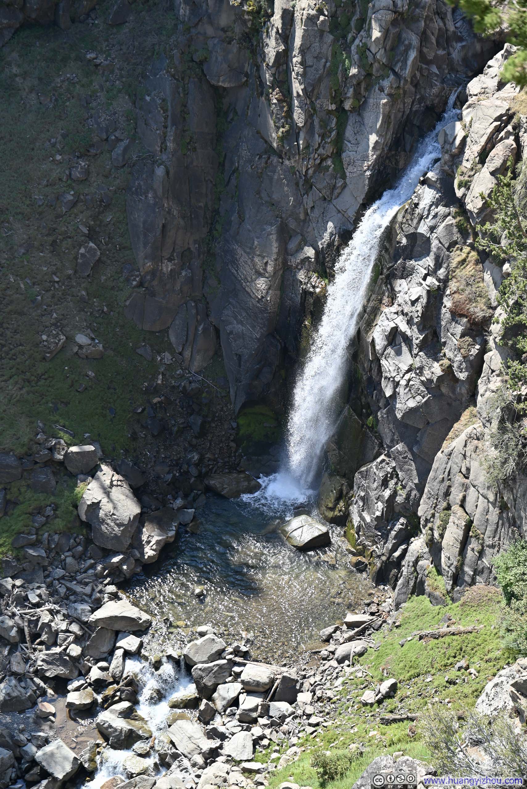
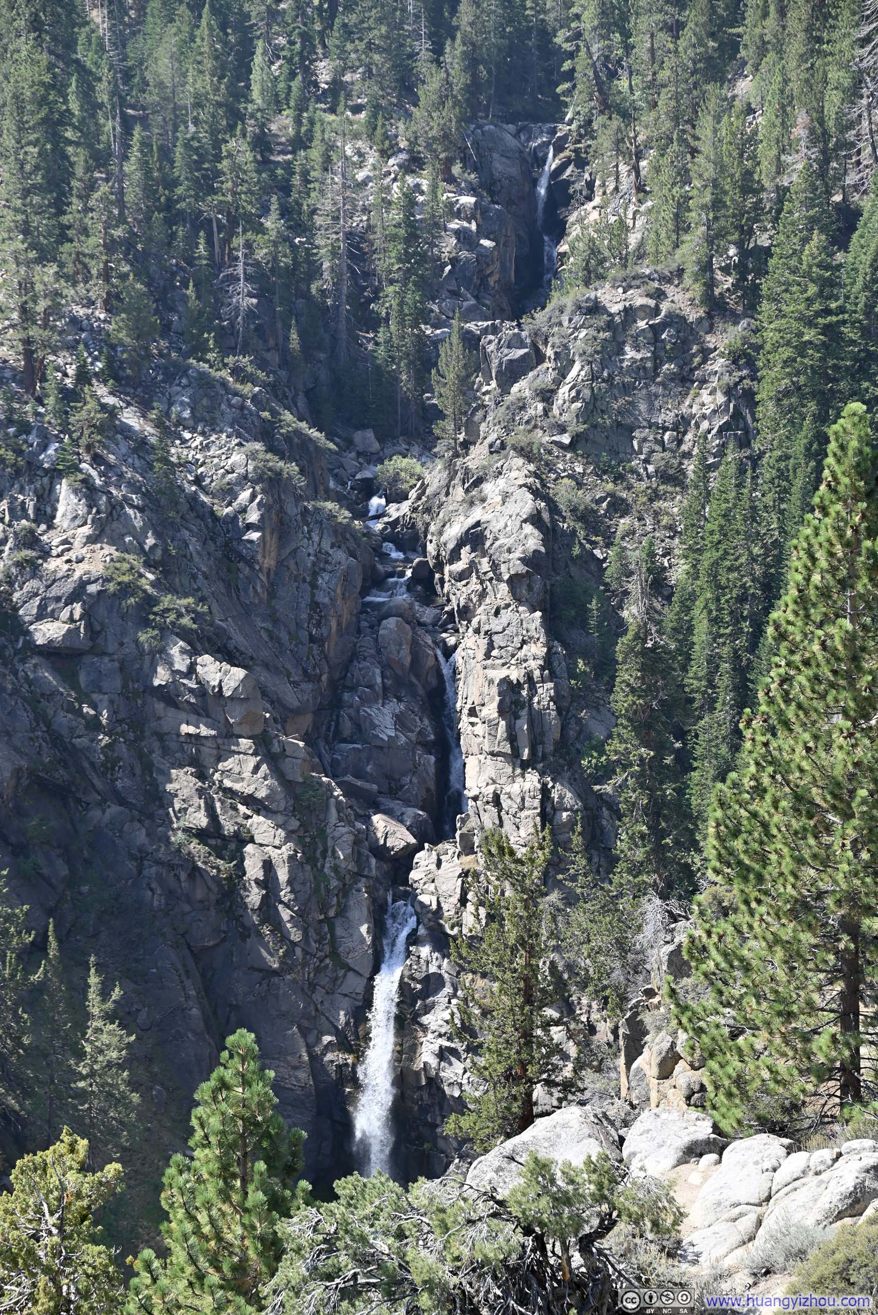
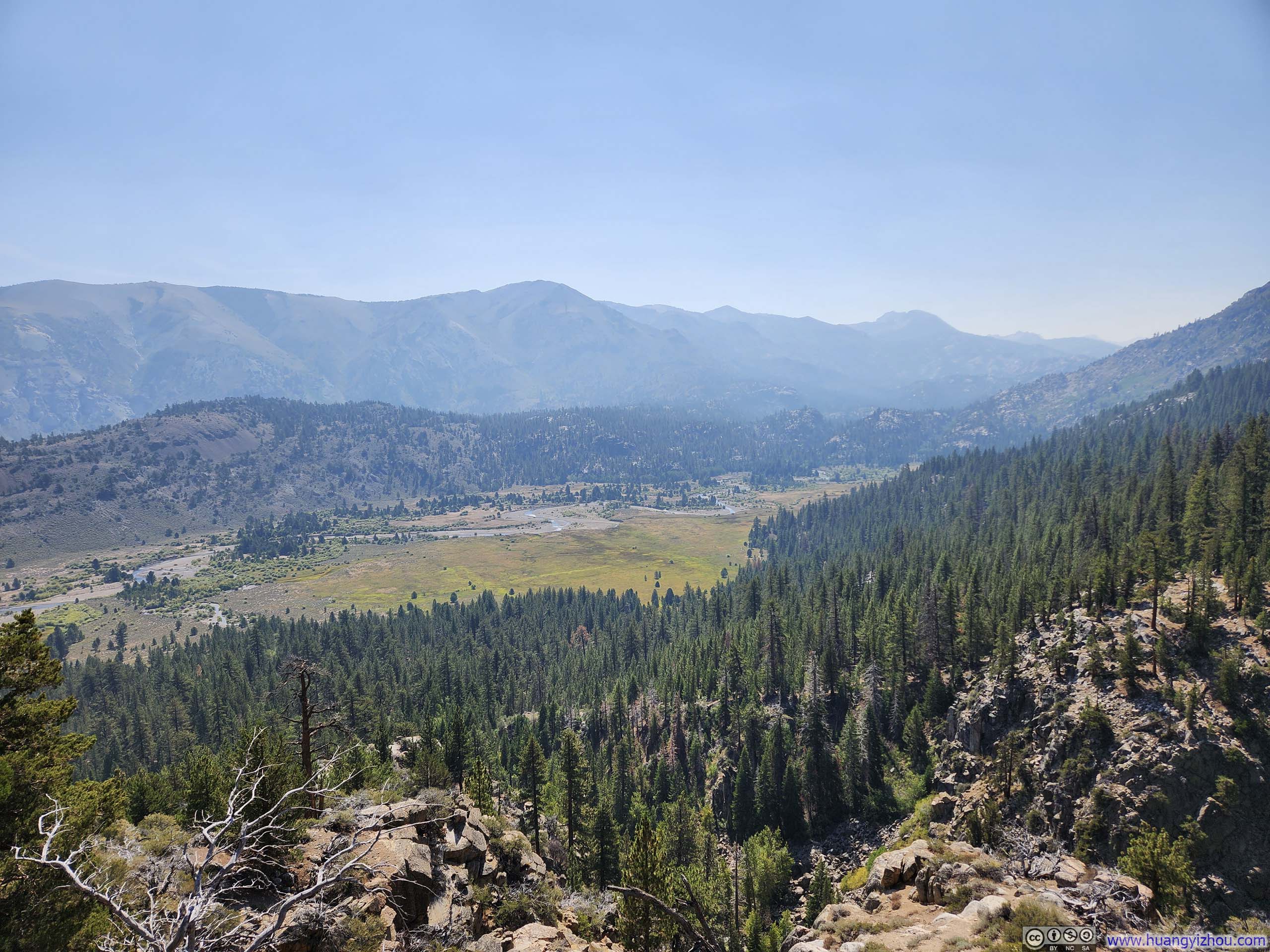
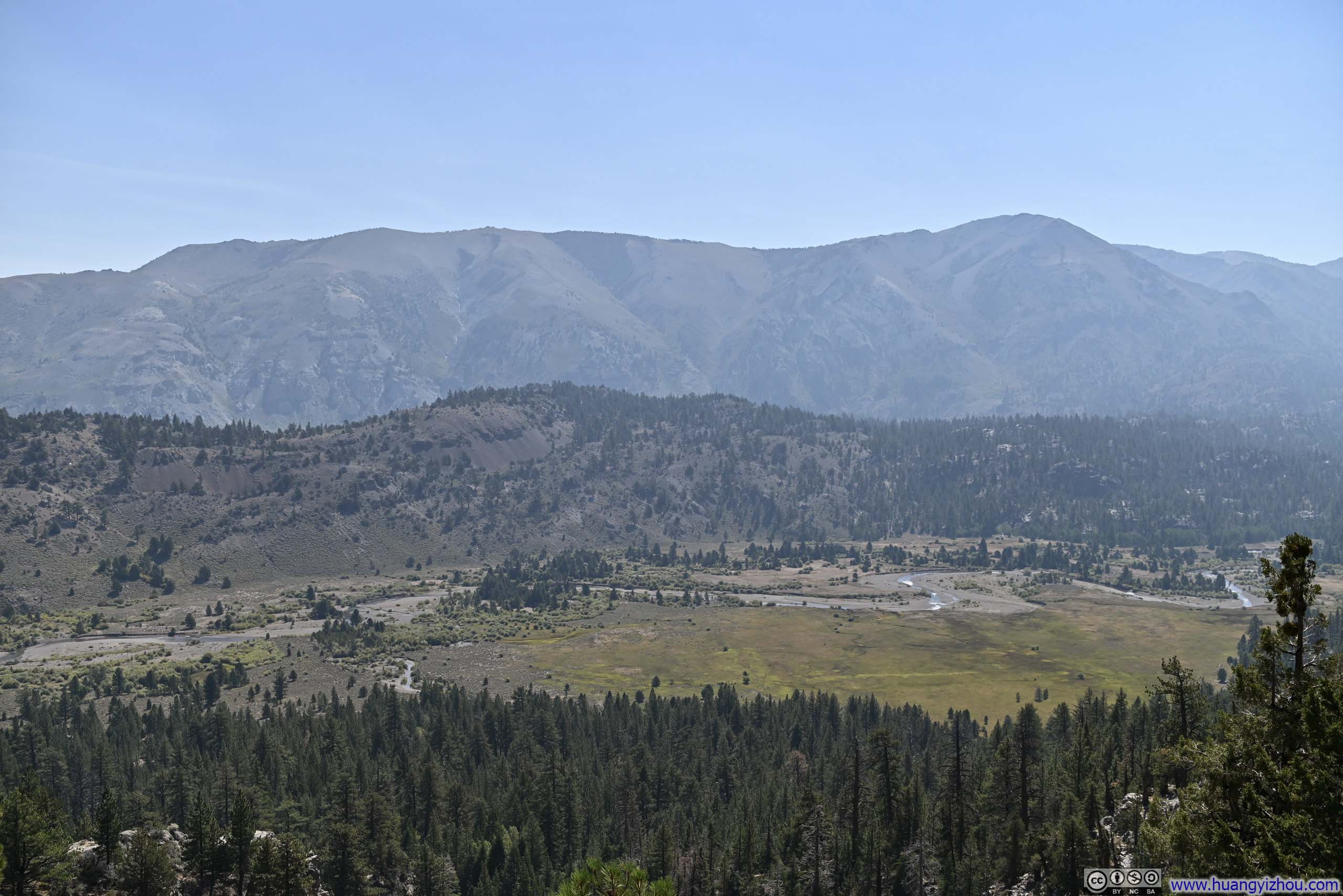
Additionally, the observation deck offered views of Leavitt Meadow below.
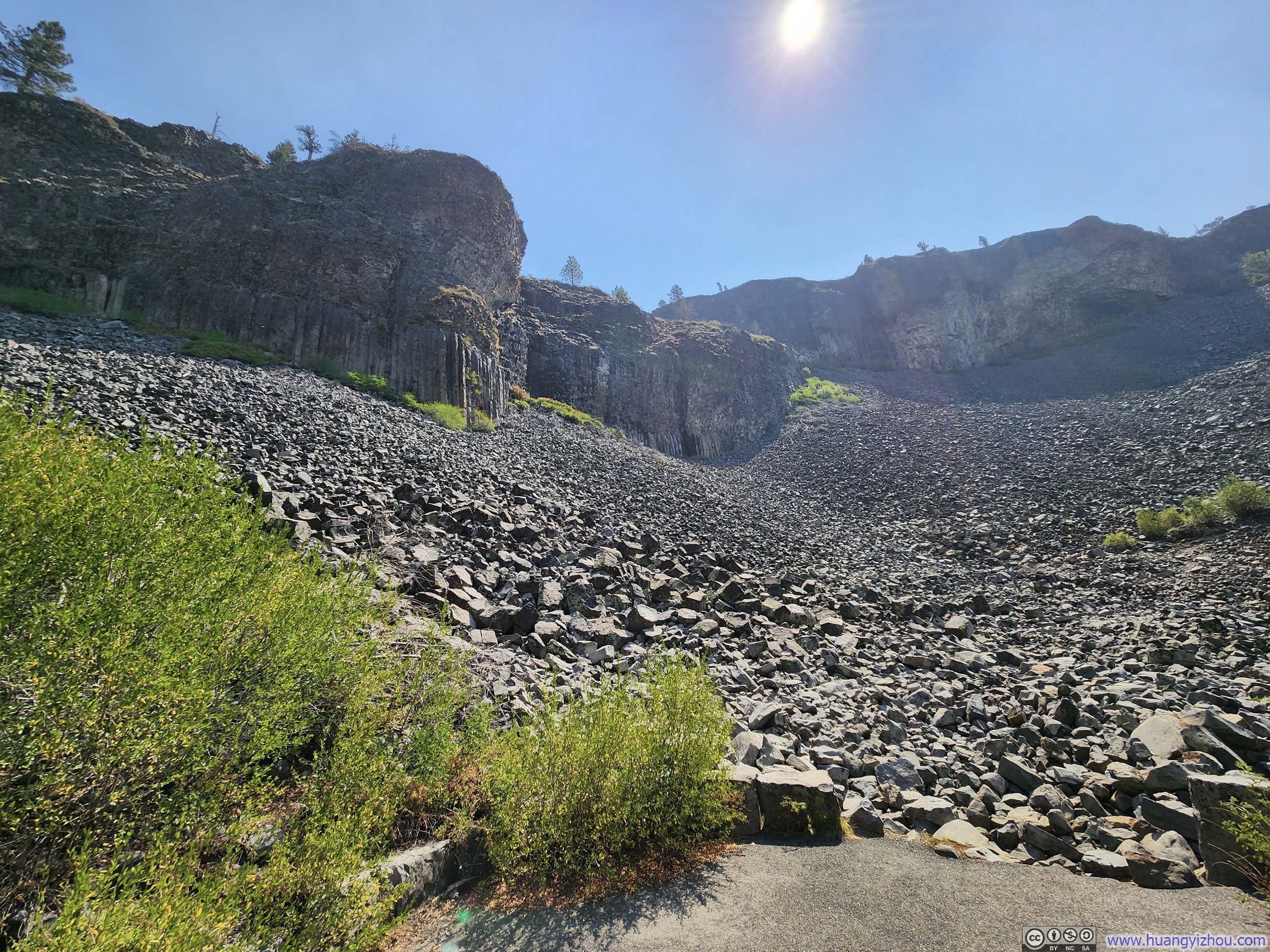
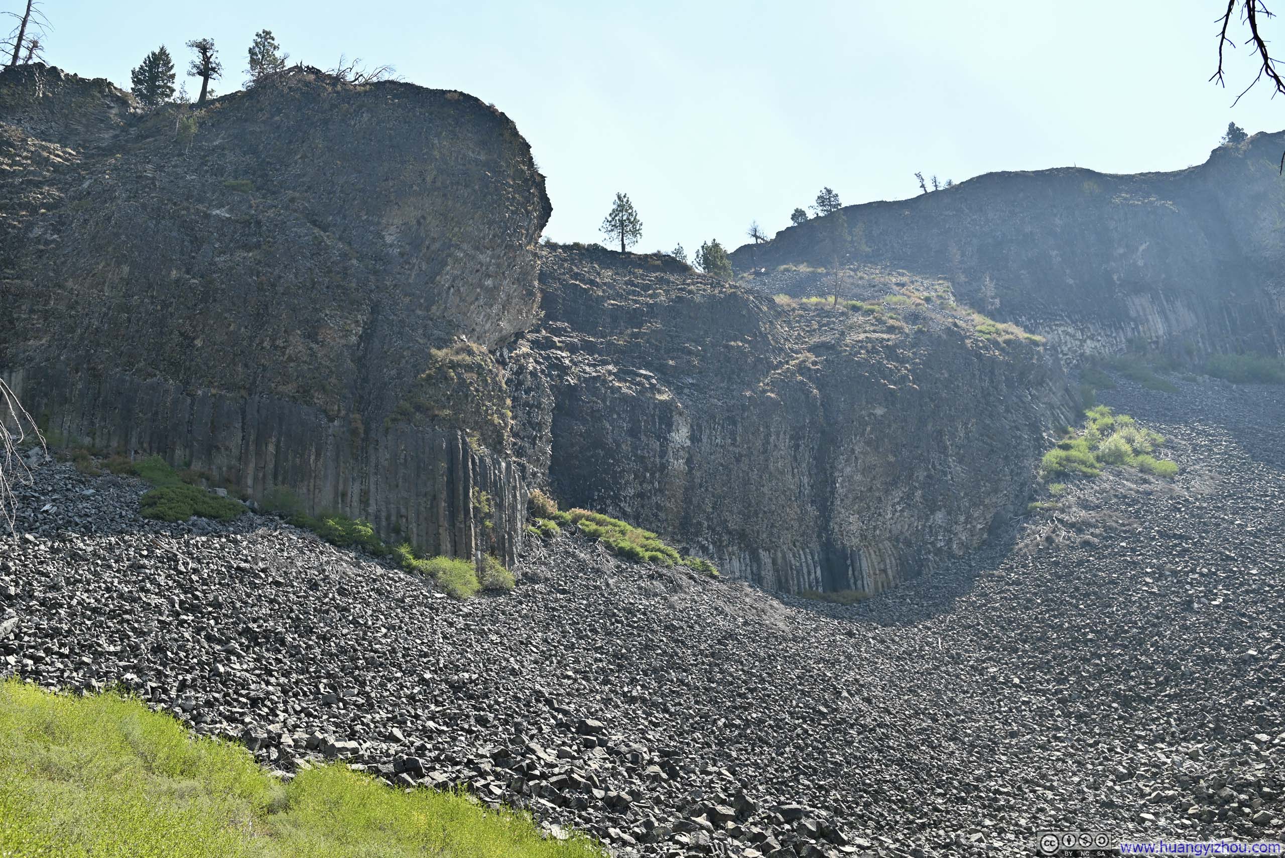
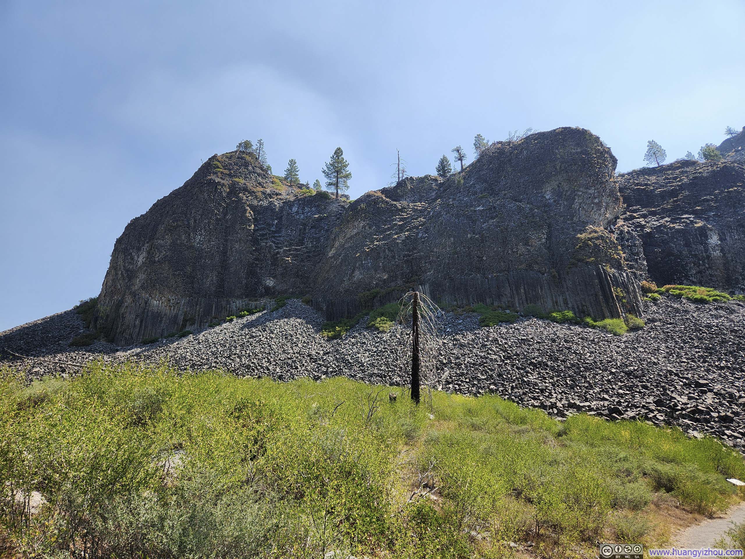
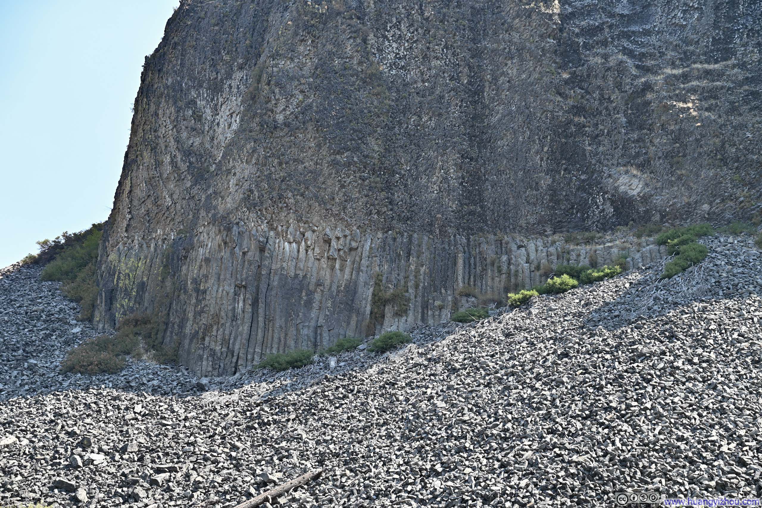
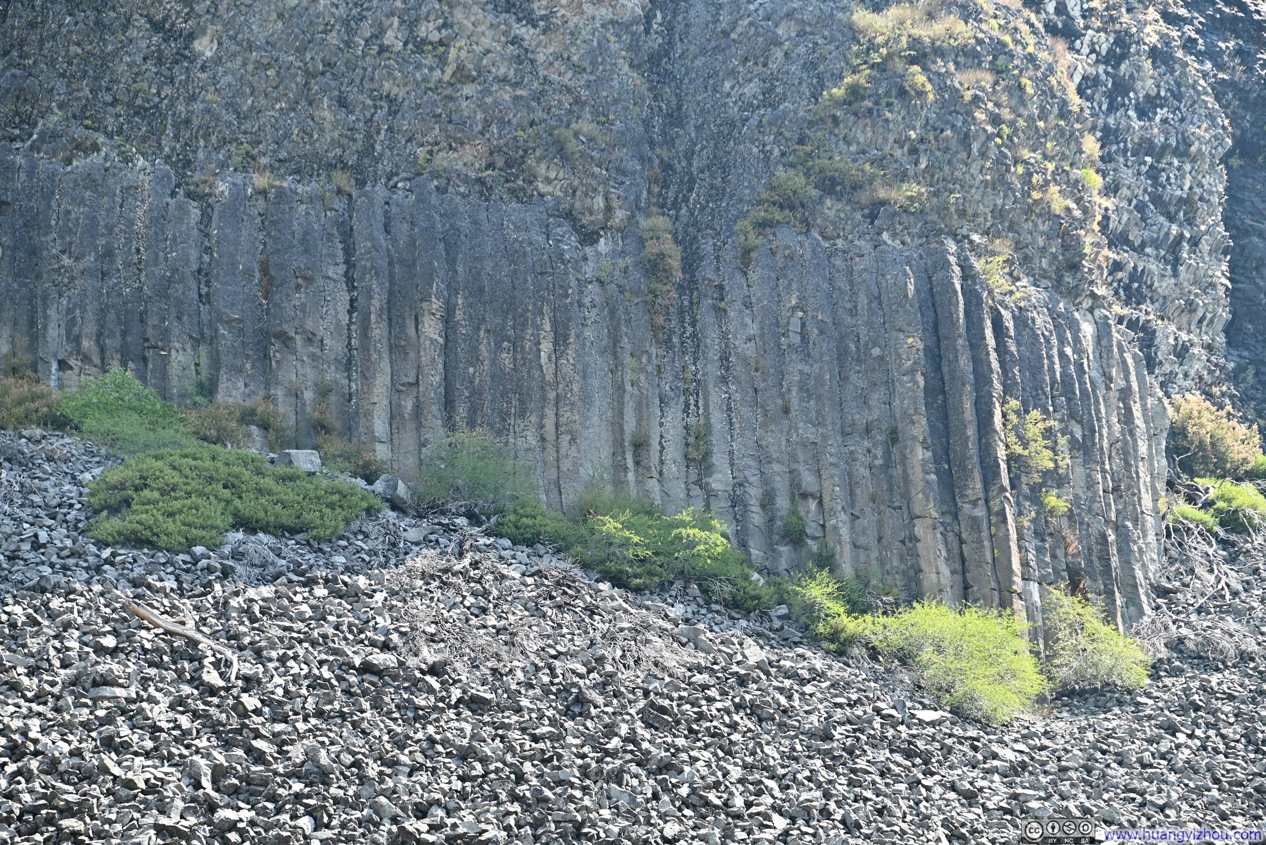
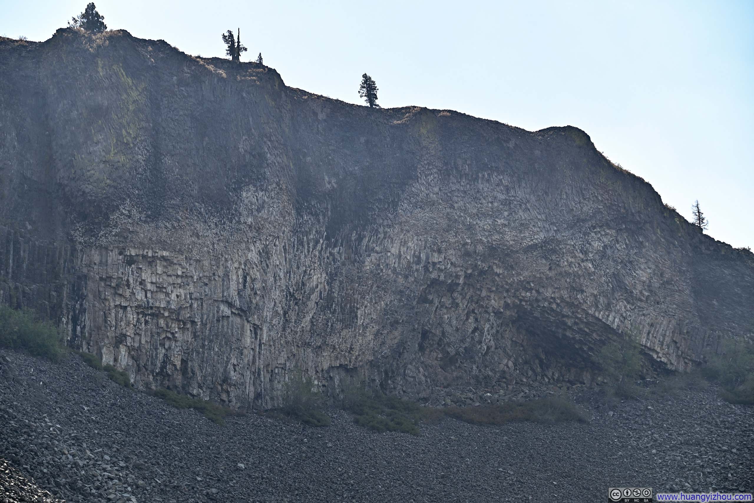
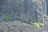
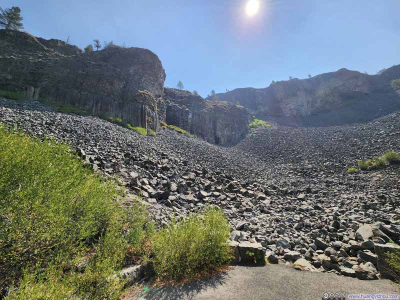
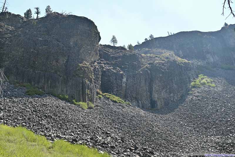
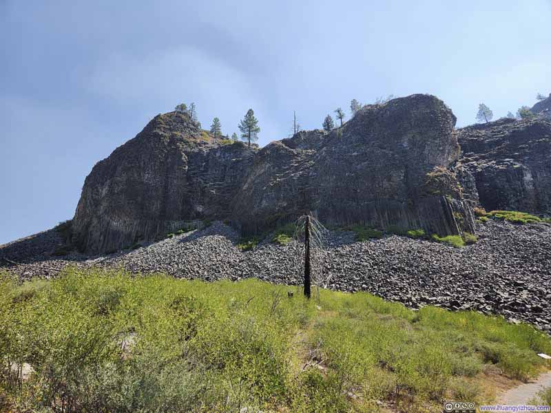
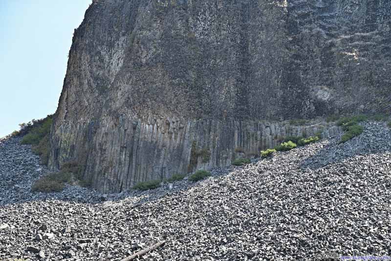
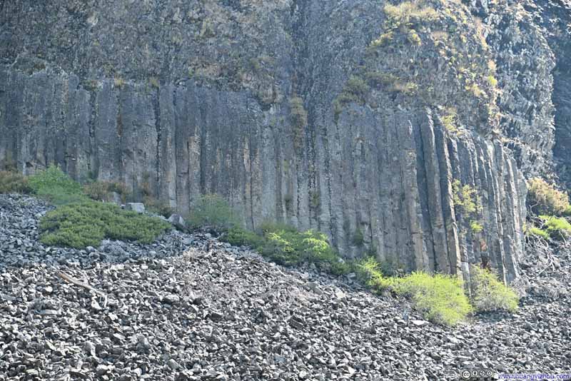
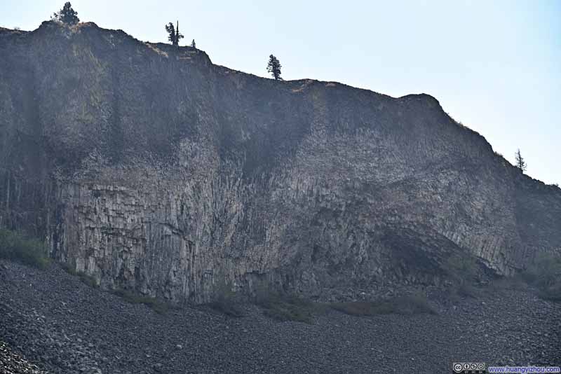
Continuing on, the next attraction was "Column of the Giants," a columnar basalt formation accessible via a short trail. These formations were created when a lava flow was blocked by a natural dam. As the lava cooled, internal forces produced hexagonal fissures throughout the rock. Two distinctive layers of basalt were visible: the bottom layer displayed more regular, perpendicular columns, while the upper layer featured columns pointing in more random directions. This variation likely resulted from two separate lava flows occurring at different times.
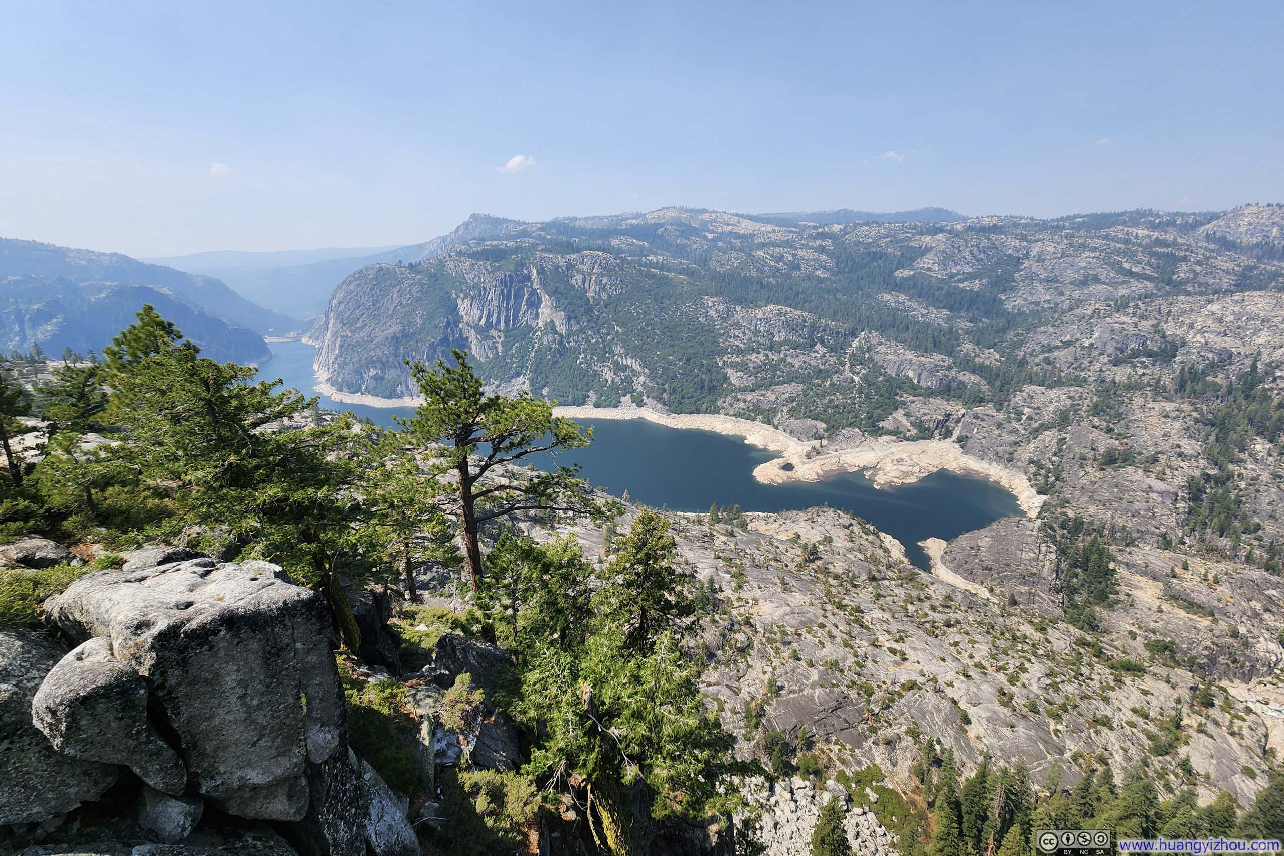
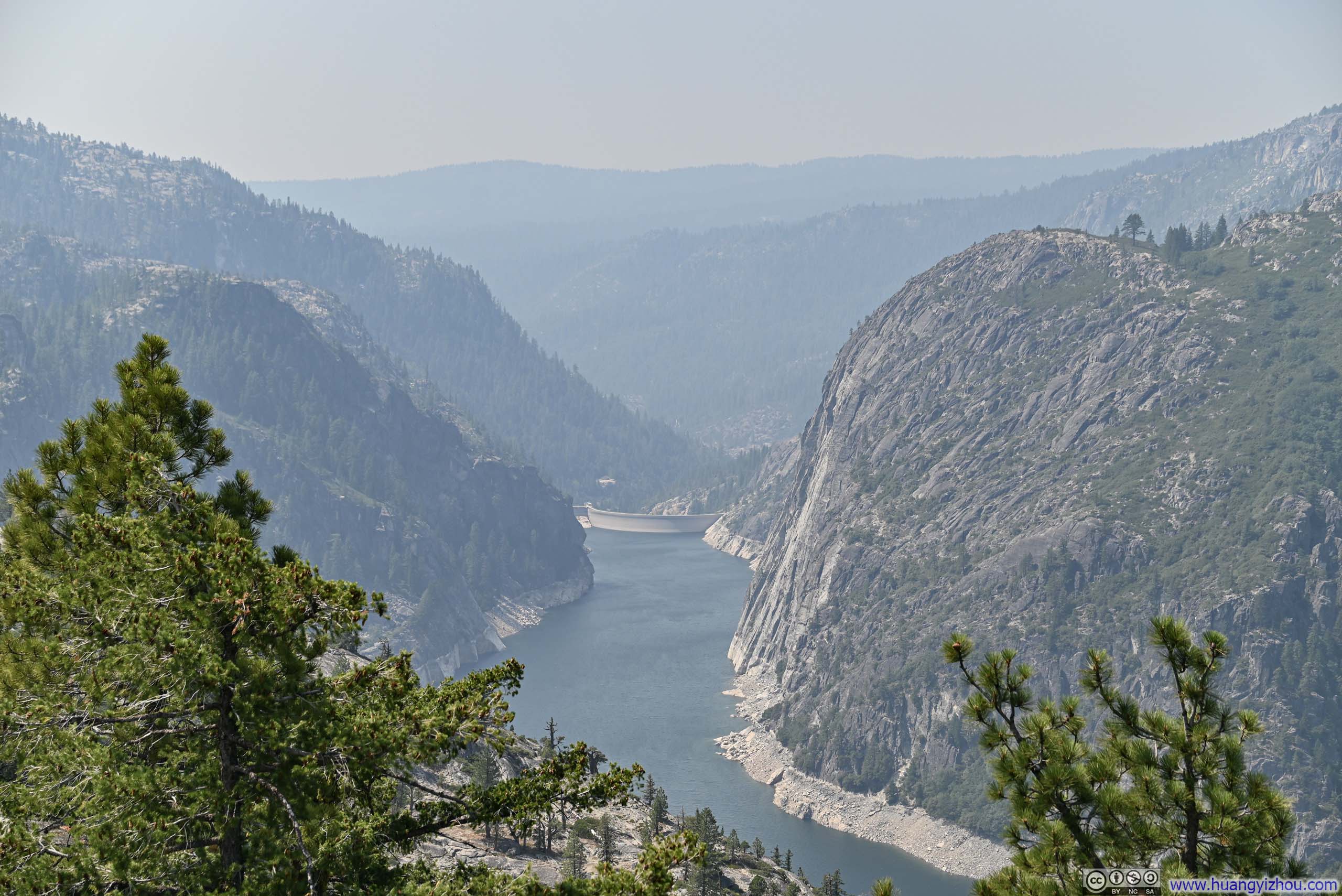
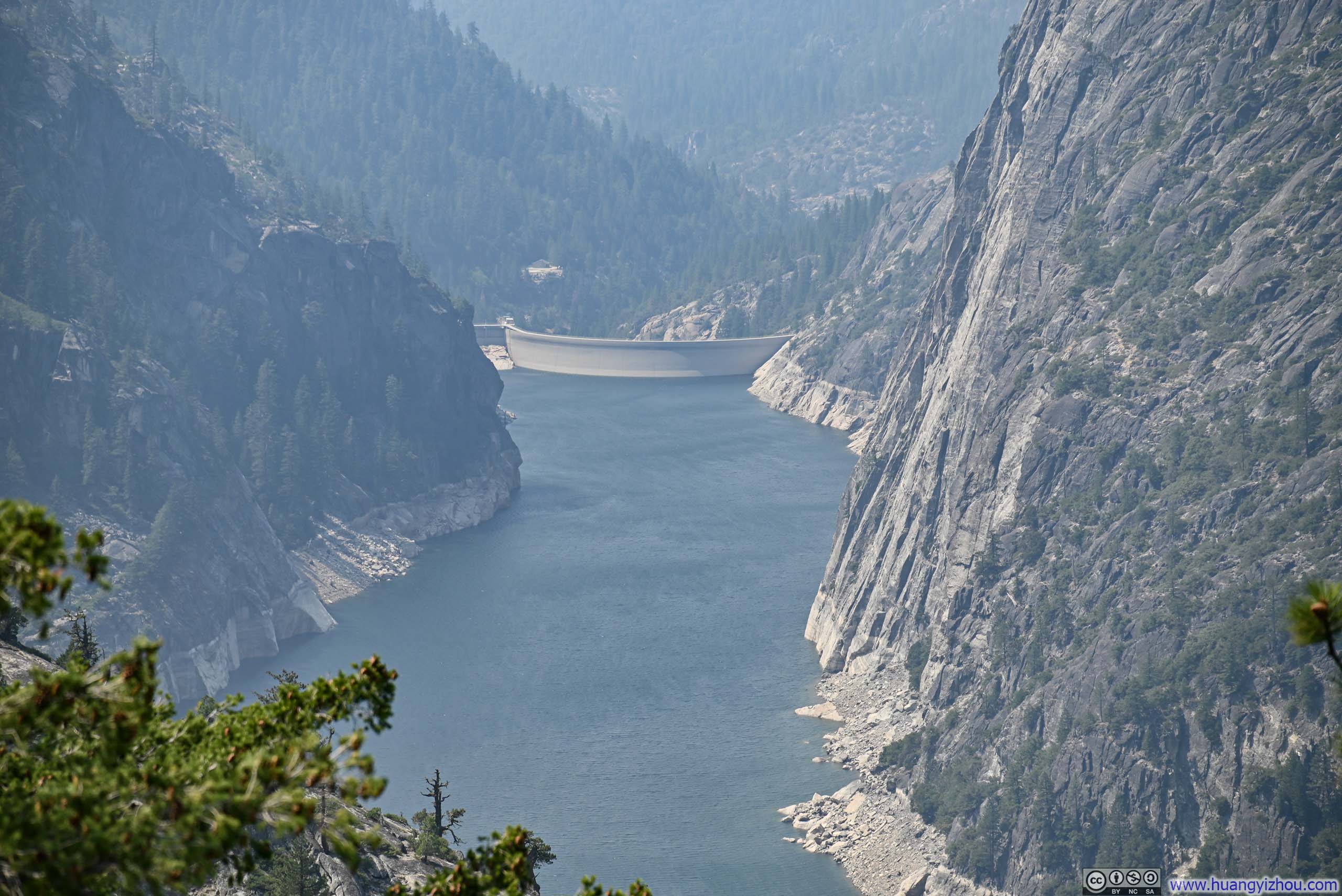
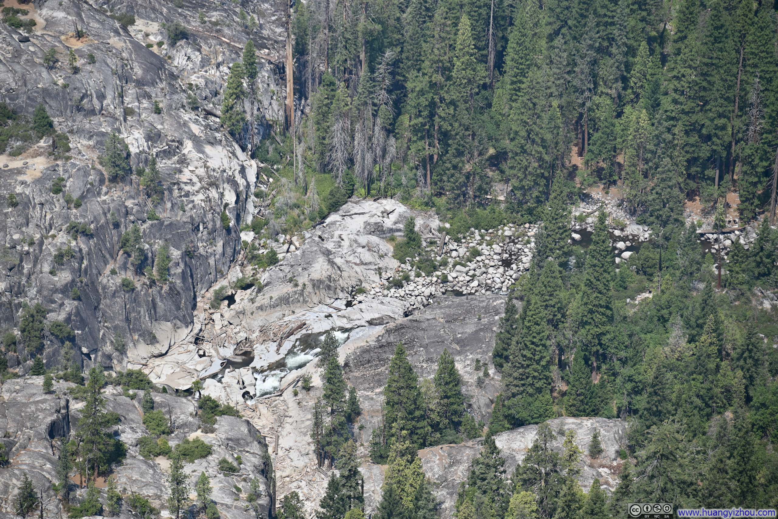
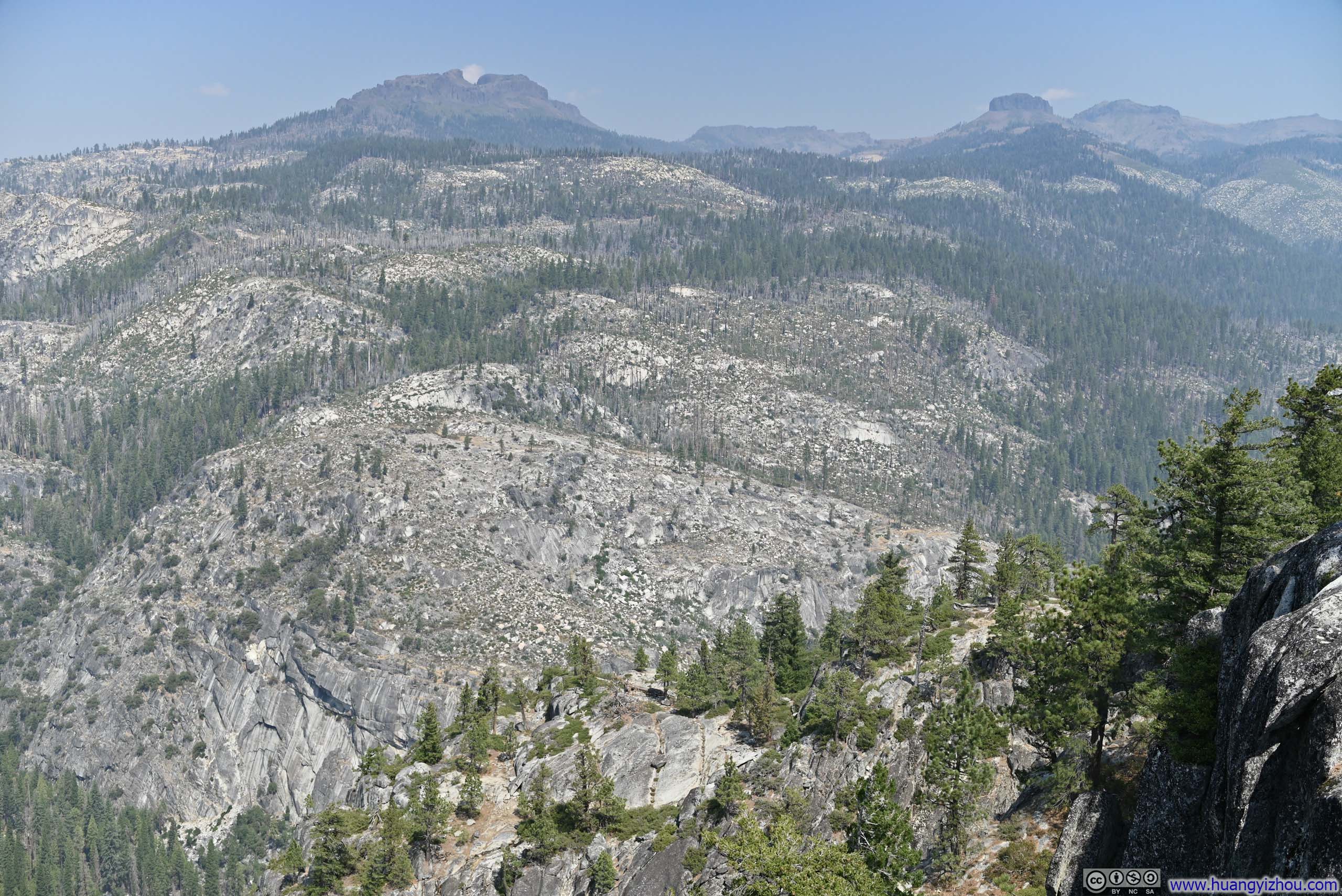
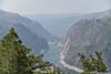
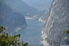
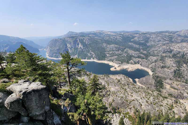
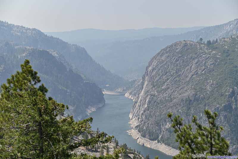
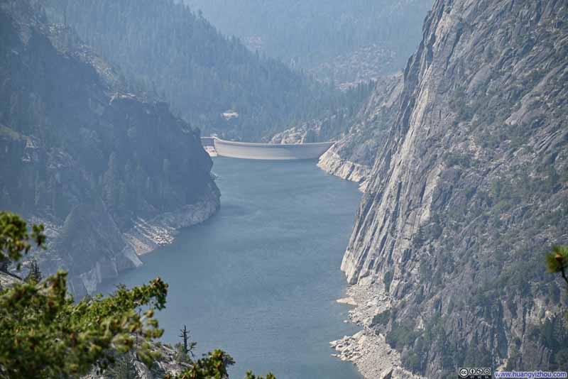
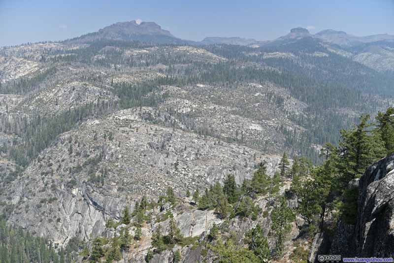
Finally, I made another stop at Donnell Vista. Though it hadn't been part of my original itinerary, a "scenic overlook" sign along the road piqued my curiosity, and I'm glad I followed it—the views did not disappoint. After a brief walk from the parking lot, the vista revealed Donnell Lake, a reservoir formed by a dam, its shores lined with granite cliffs that bore some degree of resemblance to Yosemite Valley.
That was the end of the (remotely) scenic part of my drive. After that, I continued driving towards the coast and reached the Bay area just in time for a dinner with some friends, after which I made it to the airport for the flights home.
END