Day 1 of 2026 Trip to the Rockies, Lake Peak
The first day of my 2026 trip to the Rocky Mountains. I climbed Lake Peak, a prominent, scenic, and accessible mountain outside Santa Fe.
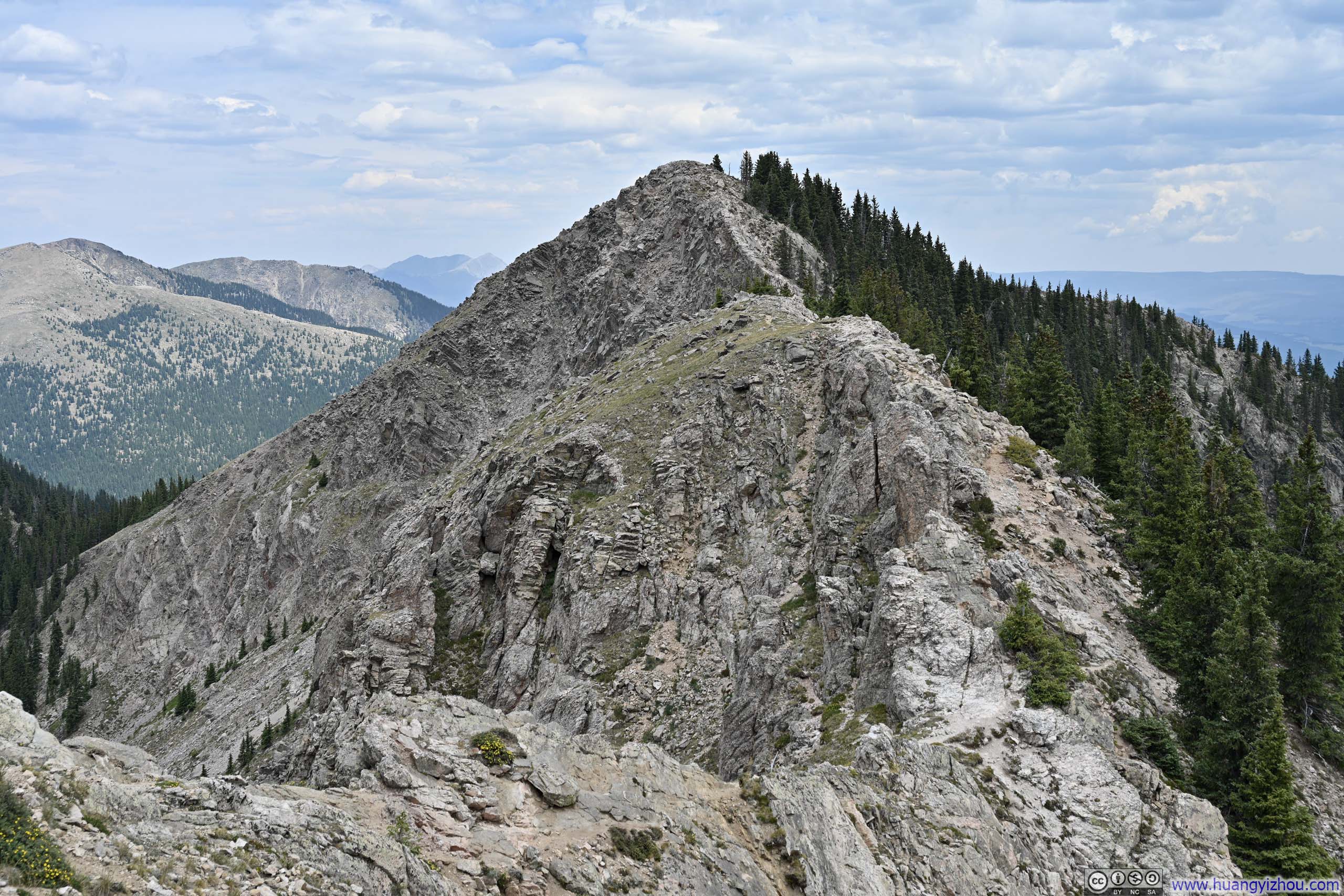
For this trip to the Rocky Mountains, I had planned to tackle a few Colorado 14ers toward the latter part of the journey. Having flown in from sea level the previous night, I was seeking some acclimatization on this first day. At a summit elevation of 3782m (12409ft), Lake Peak outside Santa Fe seemed like the perfect candidate.
The standard route to Lake Peak follows Ravens Ridge and Deception Peak (AllTrails link). As a 10.3km out-and-back with 772m of elevation gain, it fell somewhat short of my typical day hikes. Therefore, I had in mind the longer Winsor Loop (AllTrails link) as an alternative. It turned out that this longer 17.1km loop with its 913m of elevation gain provided the perfect workout.
The trailhead for this hike was located in the Santa Fe Ski Basin, reached via a series of winding mountain roads after leaving Santa Fe. Since my arrival the previous night had been heavily delayed, I endeavored to get a good night's sleep and was in no particular hurry to set off this morning. Consequently, it was 10:22 by the time I set off from the trailhead.
Here's GPS tracking:
Upon departure, the trail made a few switchbacks as it gained elevation. Just before the boundary of Pecos Wilderness, there was an intersection where I turned right onto the Ravens Ridge Trail.
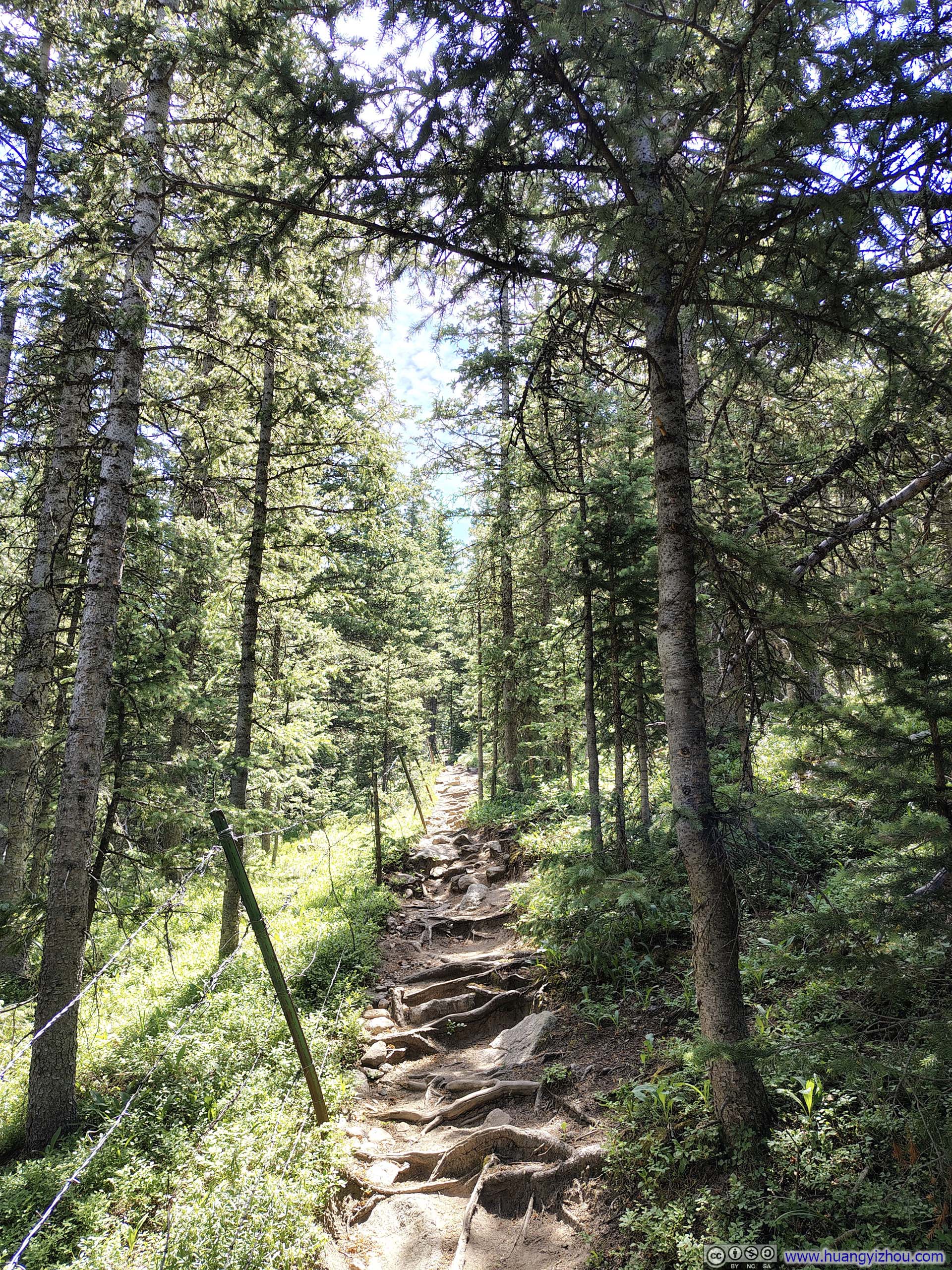
While the initial section of the trail had been in excellent condition, Ravens Ridge began in a rather rooted manner. Interestingly, the trail initially ran parallel to a line of fences, whose purpose somewhat puzzled me.
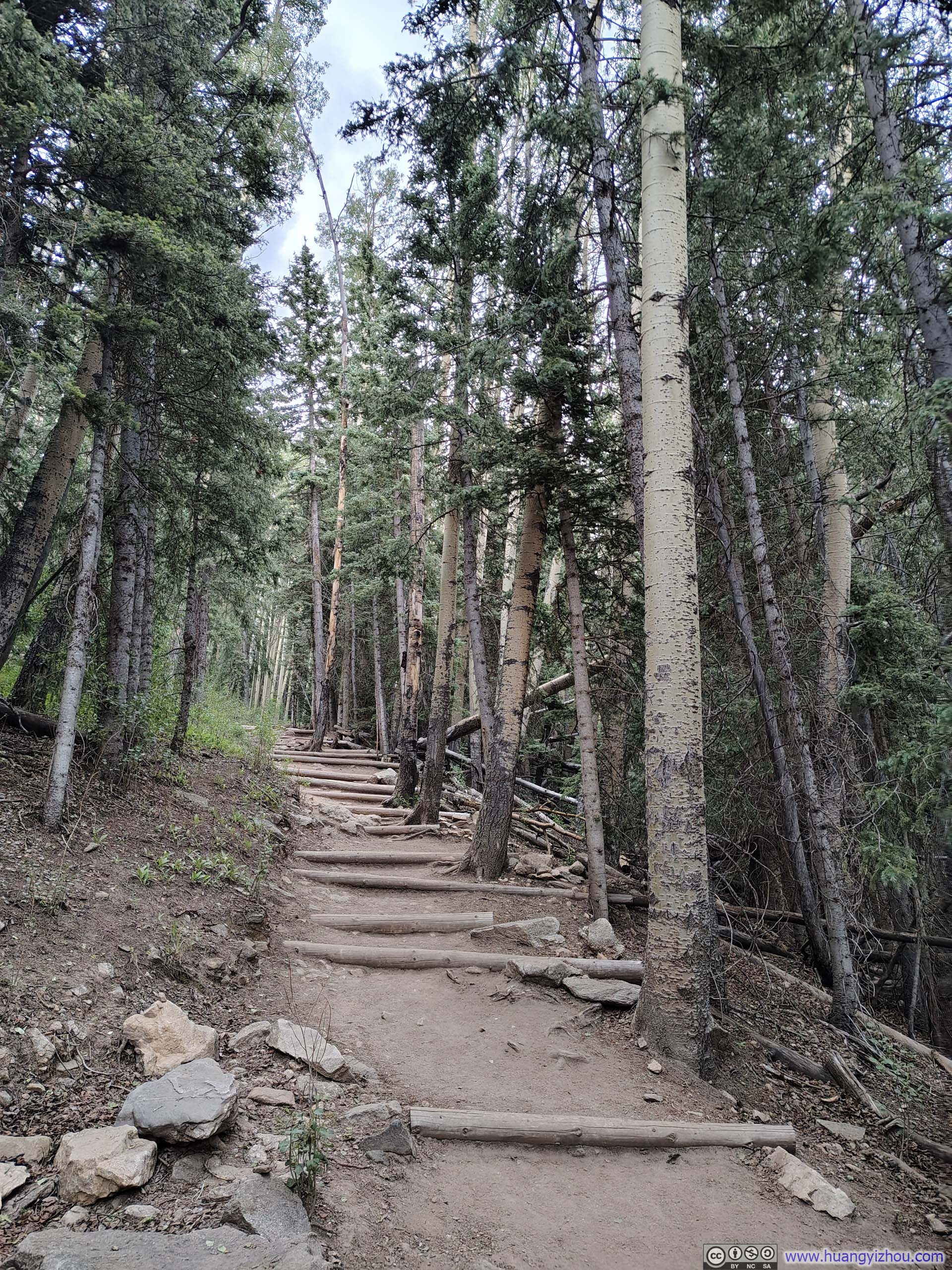
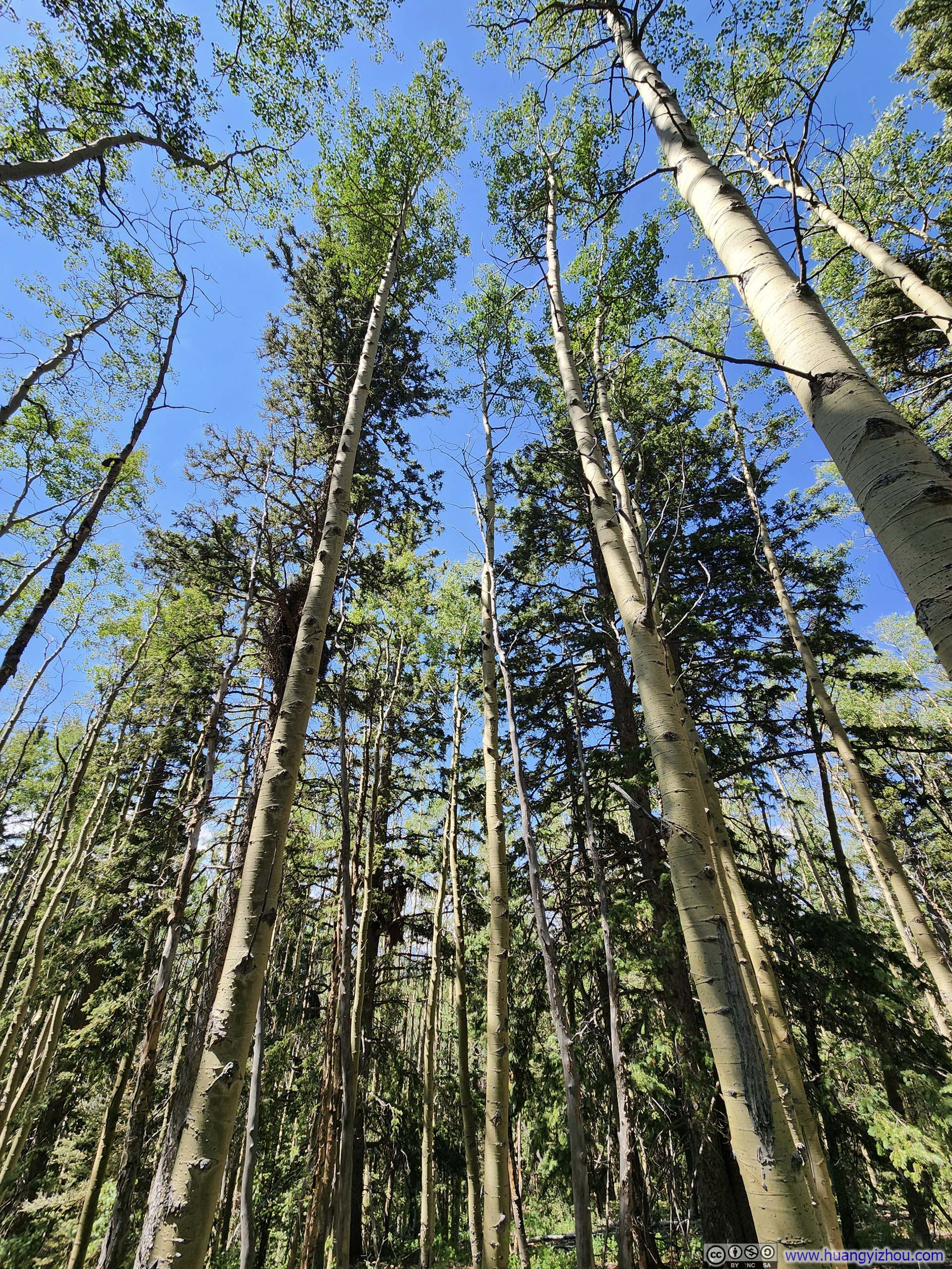
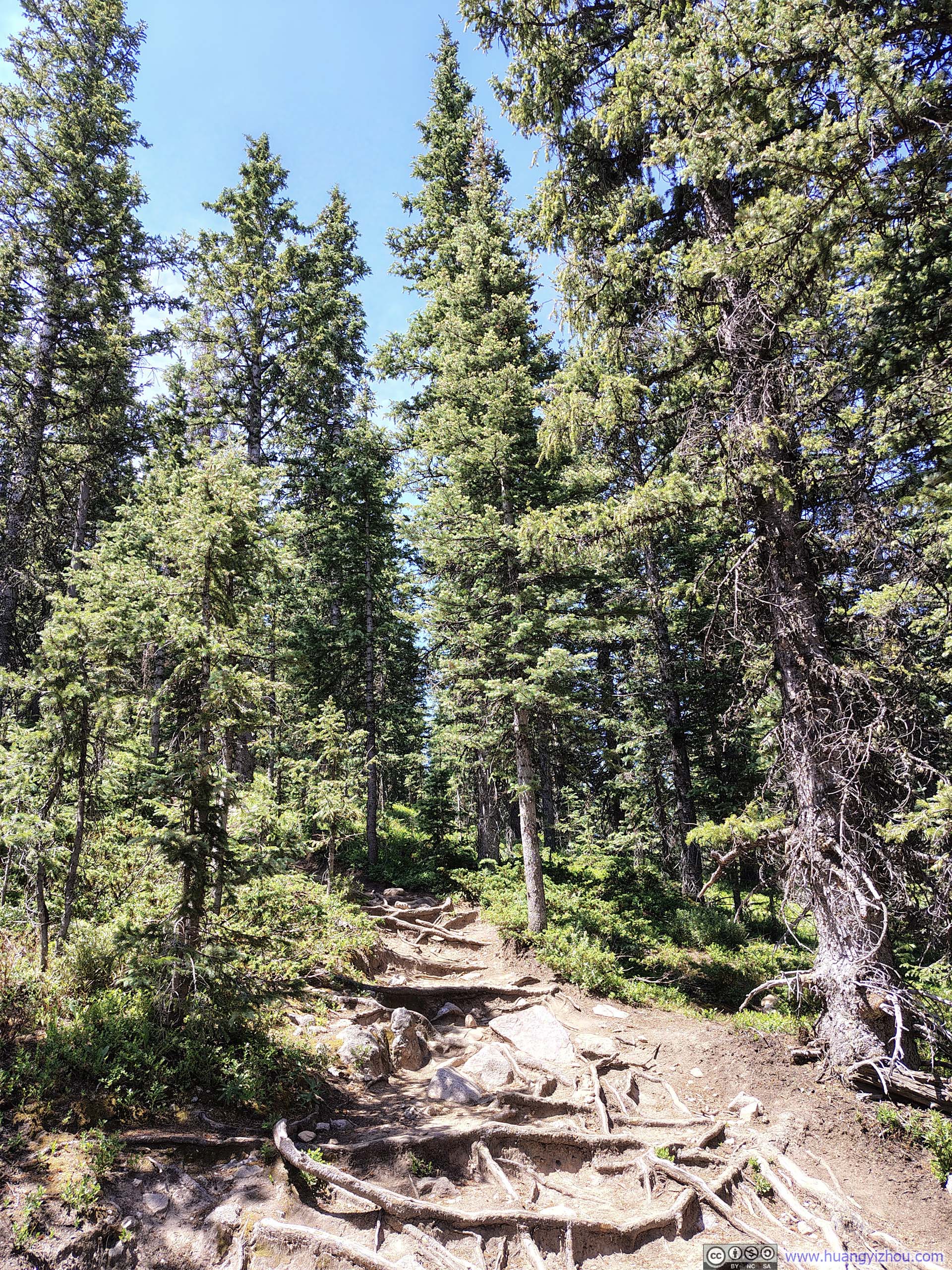
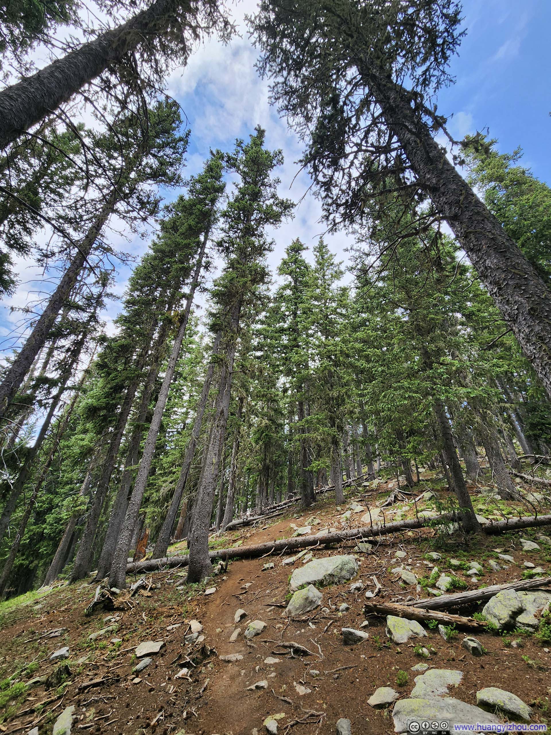
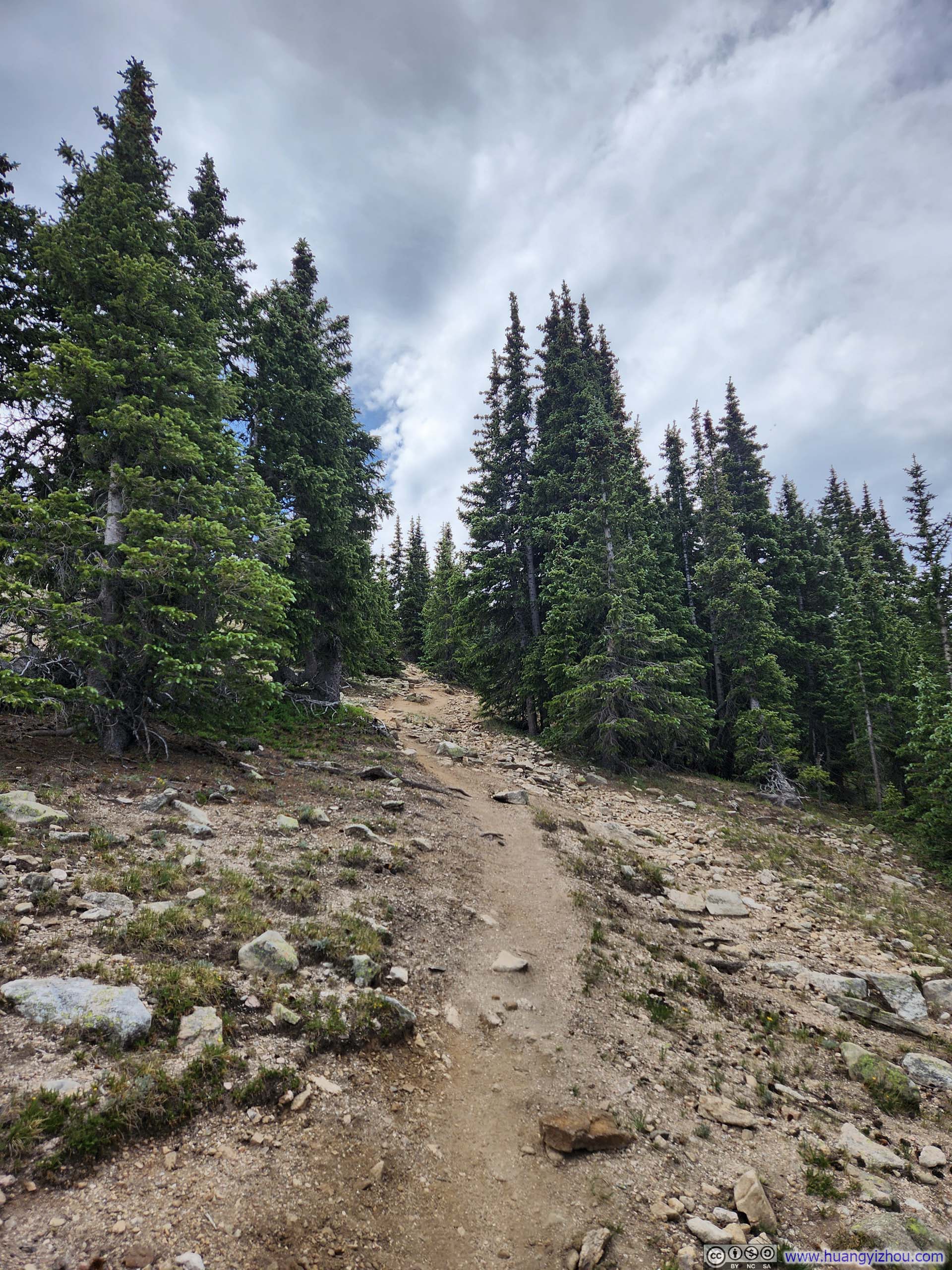
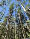
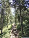
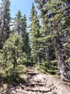
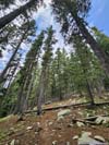
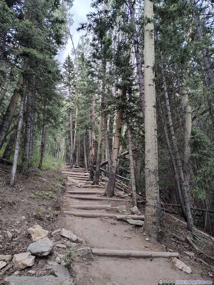
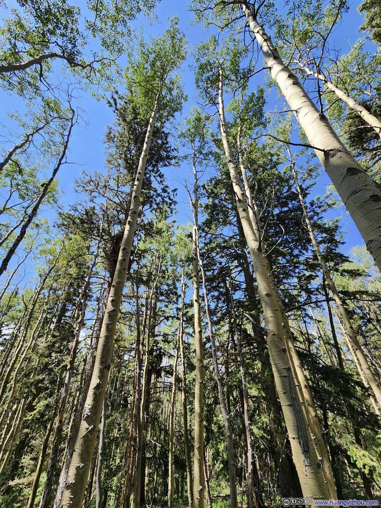
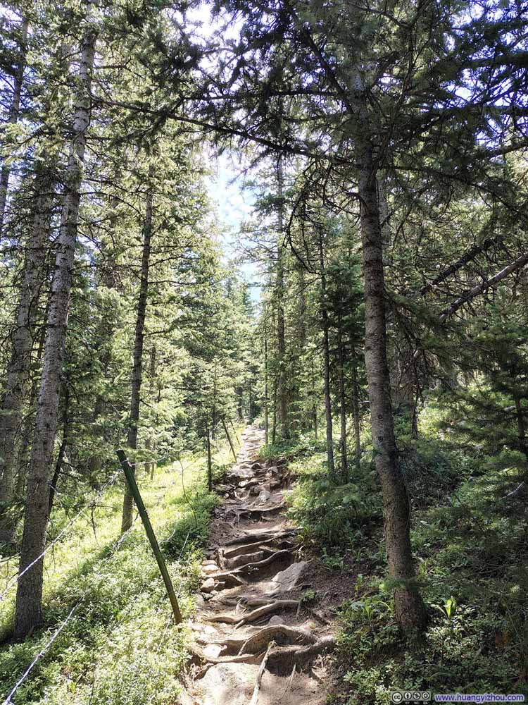
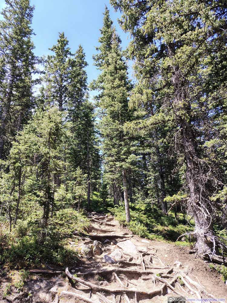
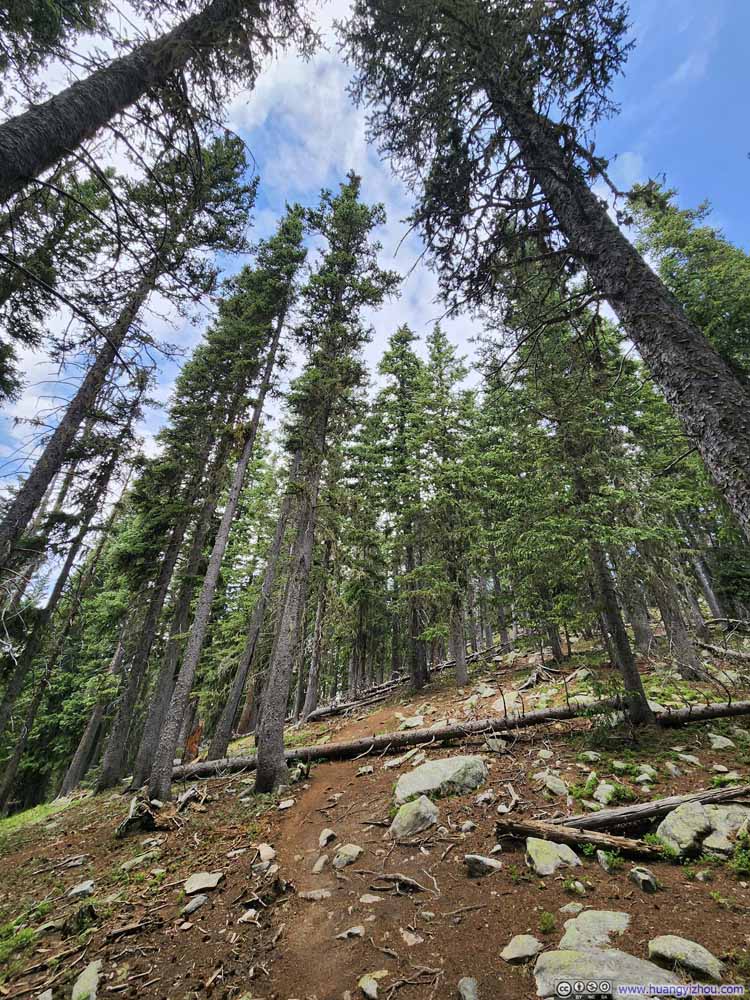
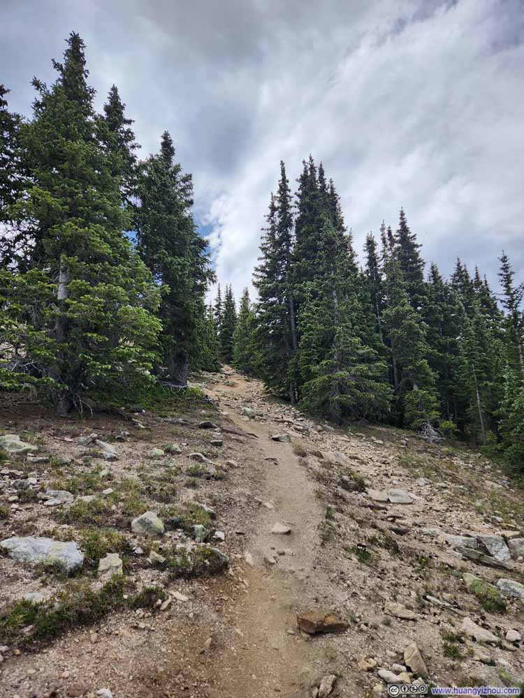
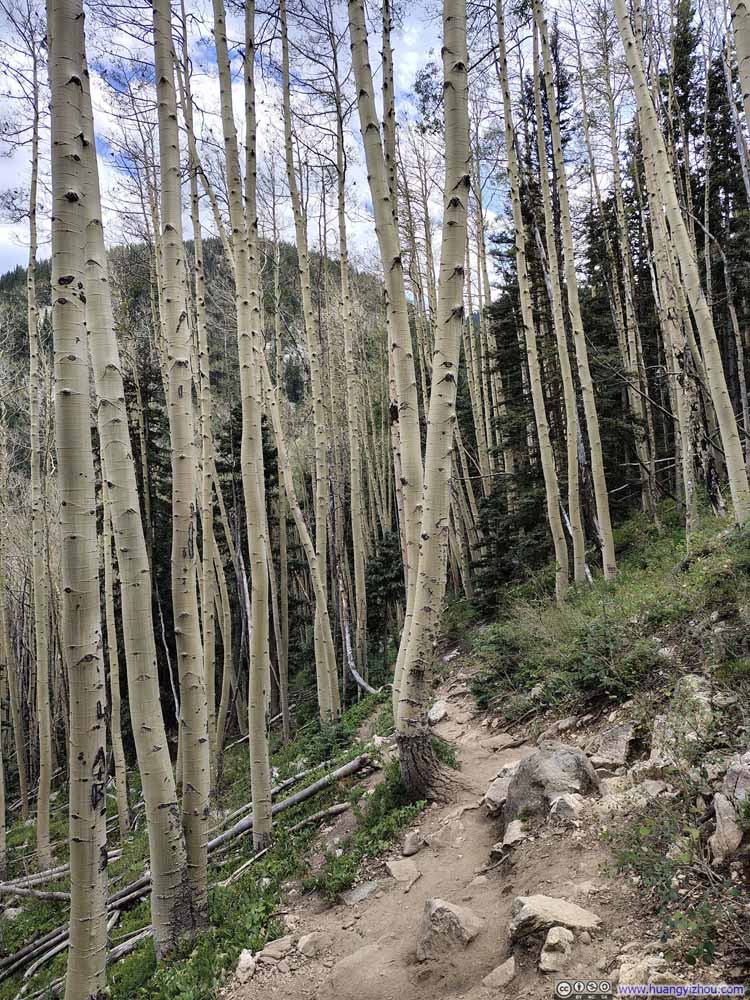
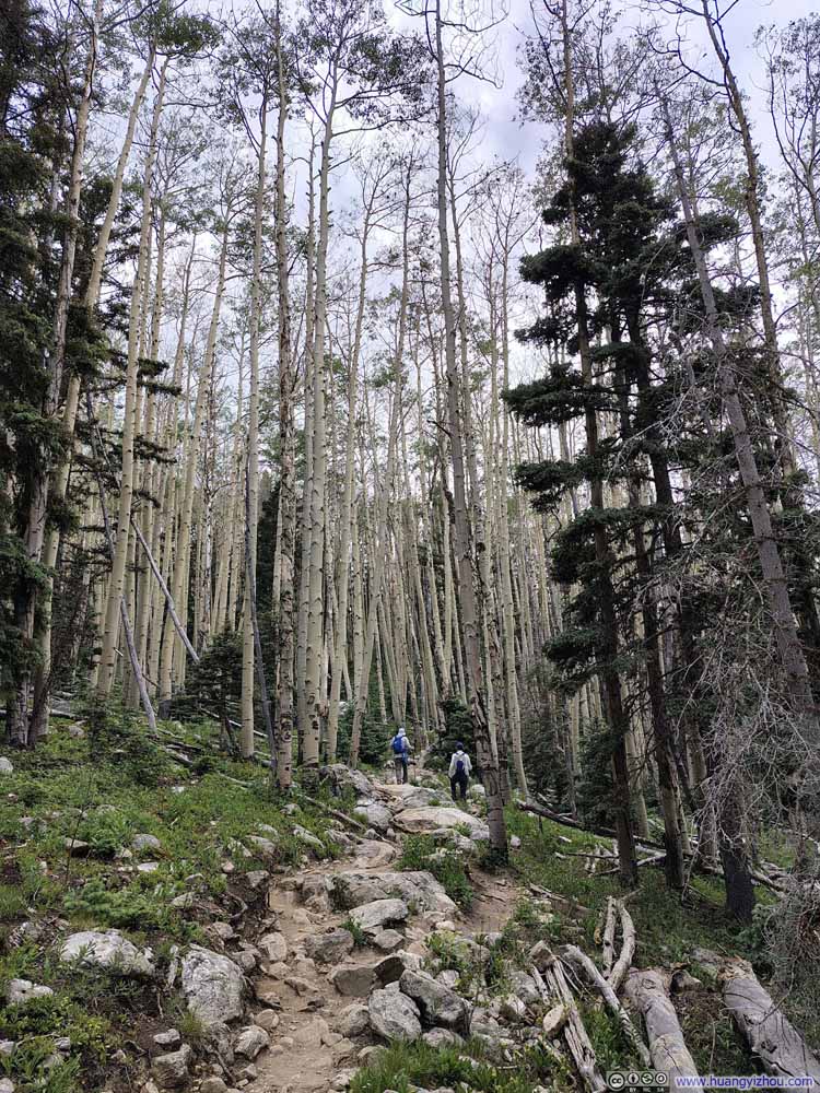
After watching the landscape of aspen trees from lower elevations gradually give way to pine trees as I traced Ravens Ridge Trail upwards, the path reached a modest overlook with views of the Rio Nambe Valley below. Beyond that, the massive scale of Santa Fe Baldy became the permanent backdrop for the day above the tree line. This vantage point also offered my first glimpses of Lake Peak.
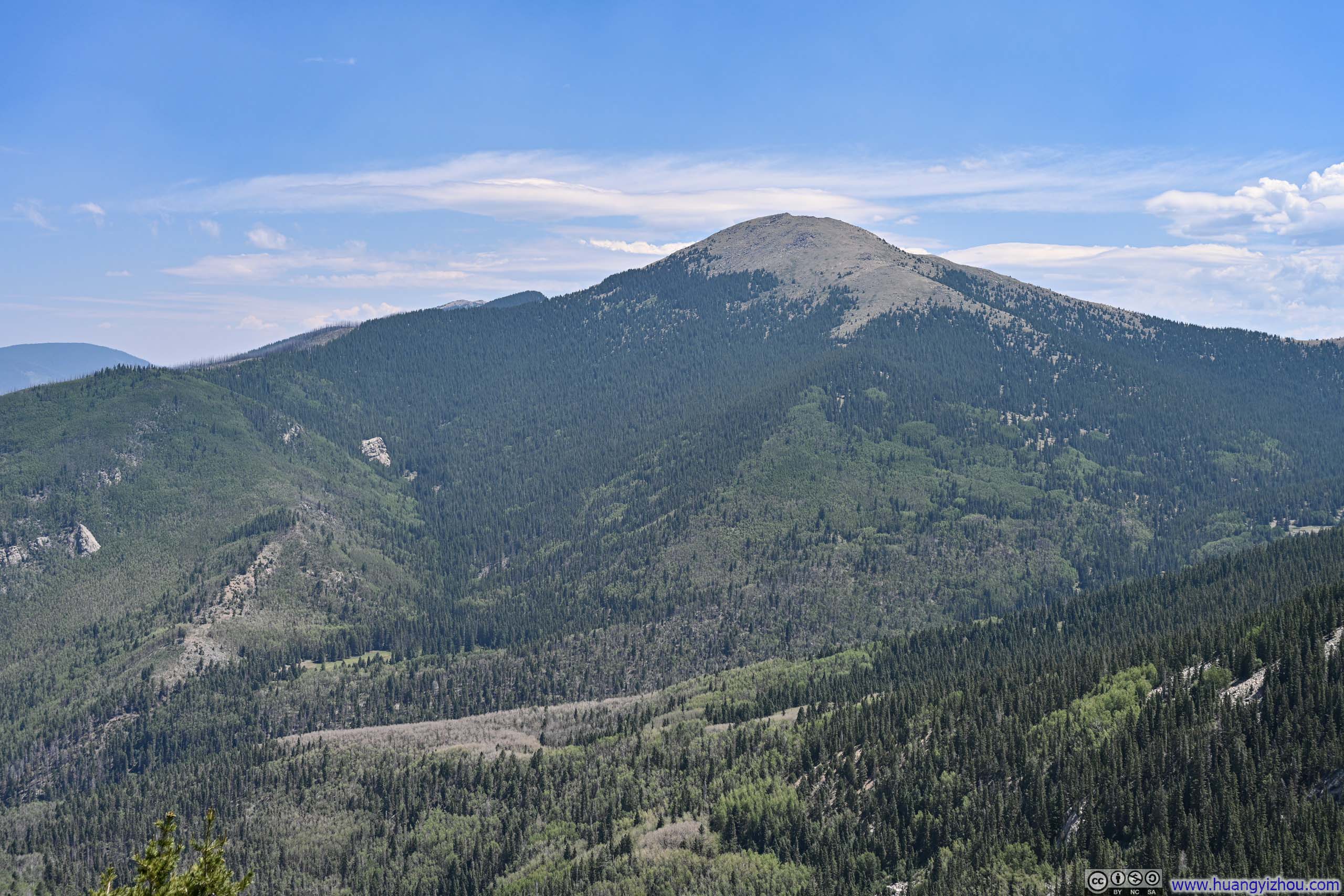
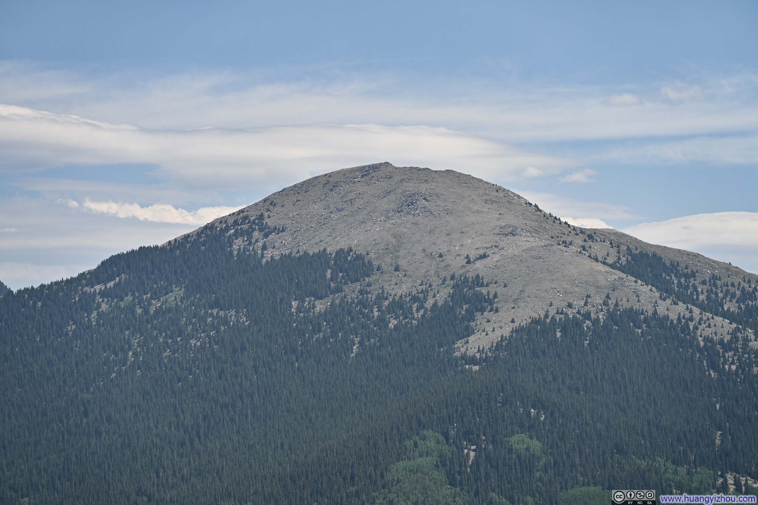
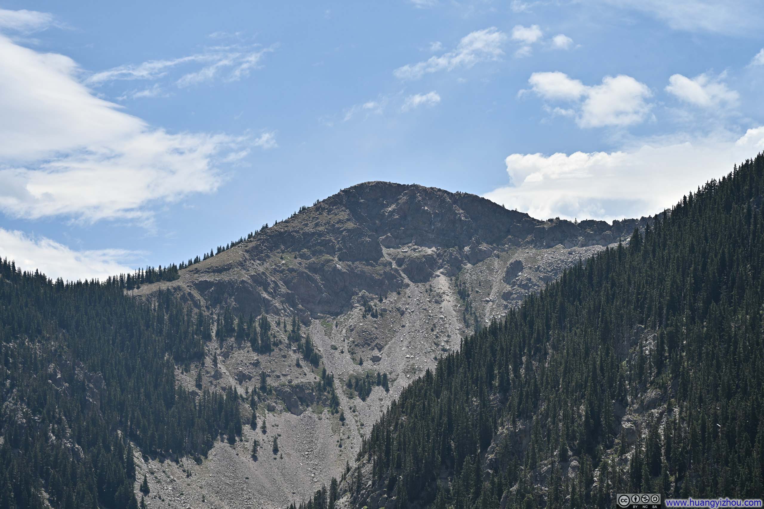
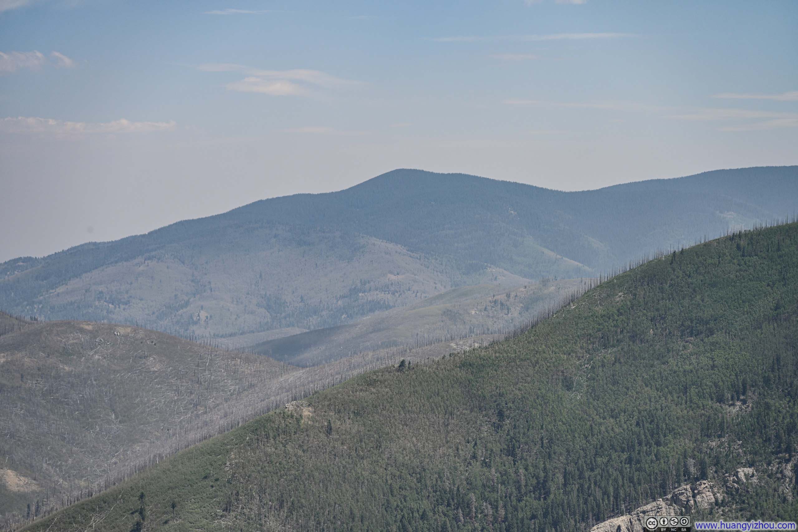
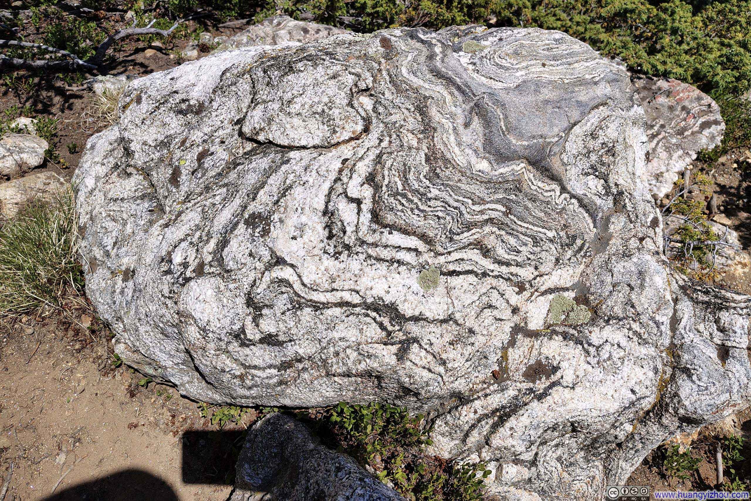
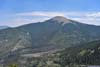
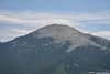
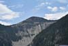
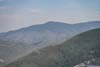
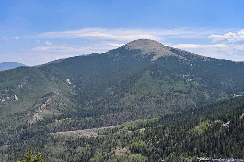
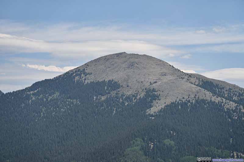
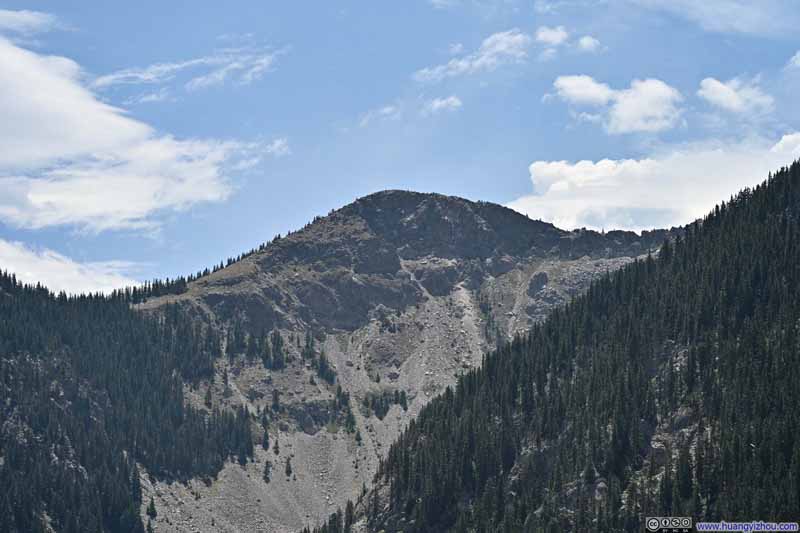
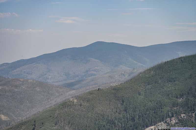
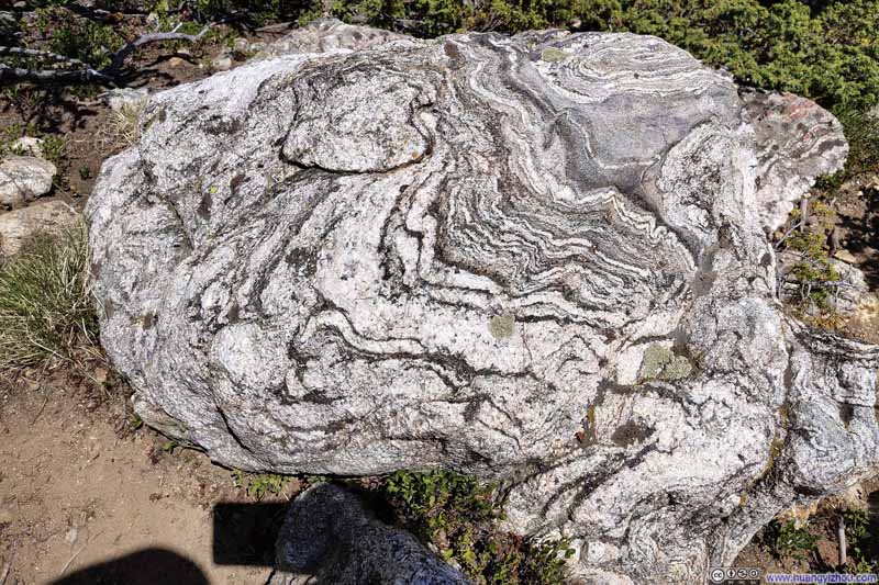
I took a short 10-minute snack break at this overlook before continuing onward. This was also where the Ravens Trail made an obvious turn to the south. The portions of the trail near this overlook were the steepest of the entire day, and there were many paths running in parallel with no obvious markings indicating which was the official route. Nonetheless, I believed most of these diverging paths would eventually merge back together.
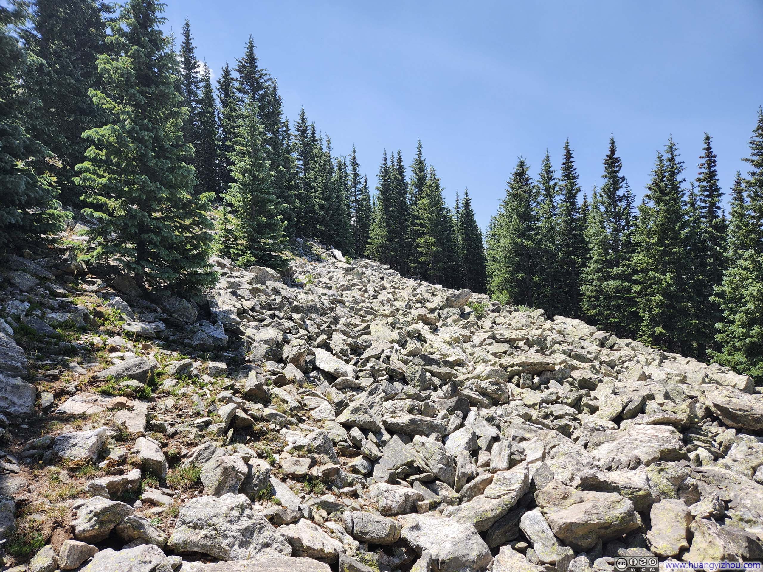
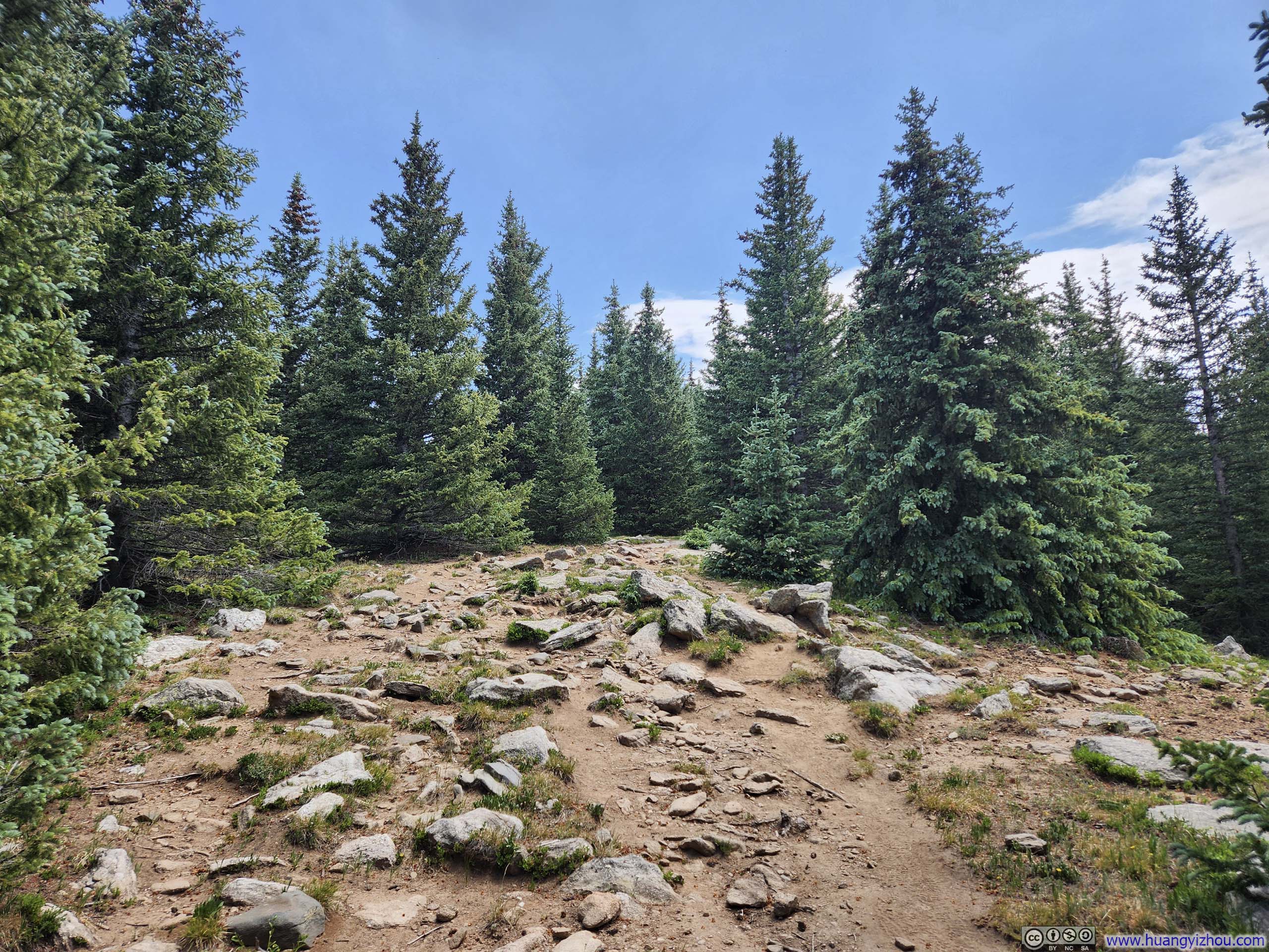
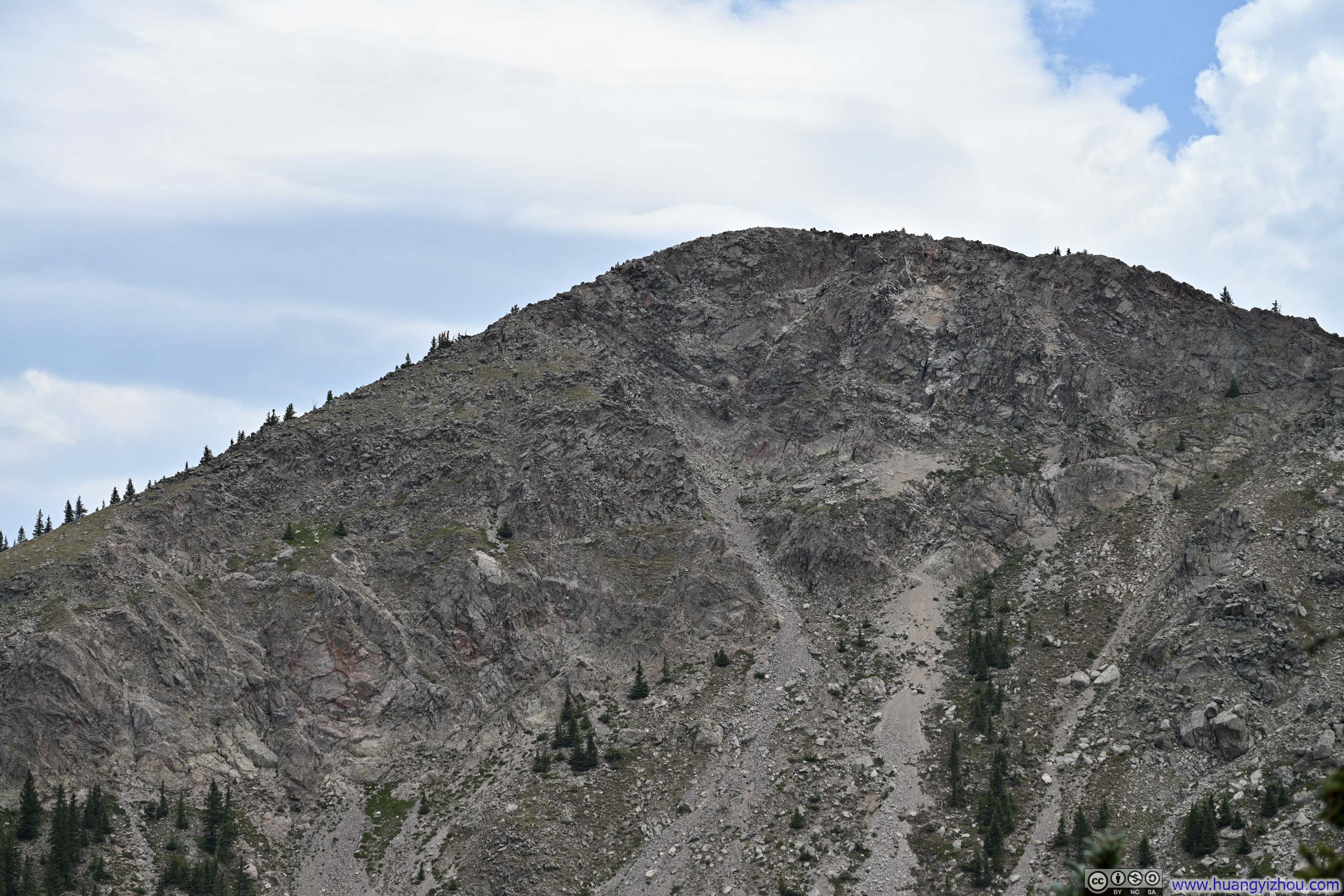
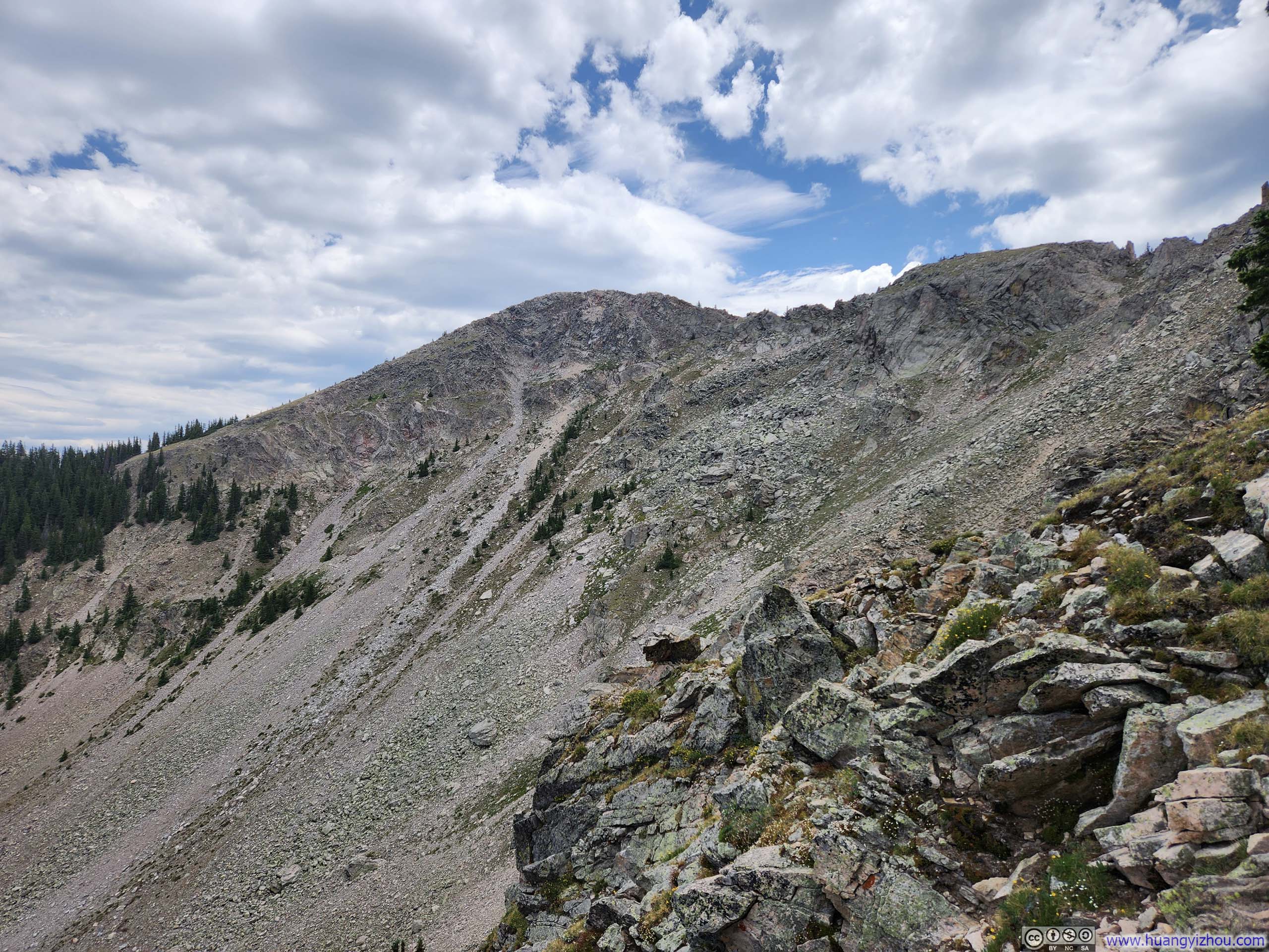
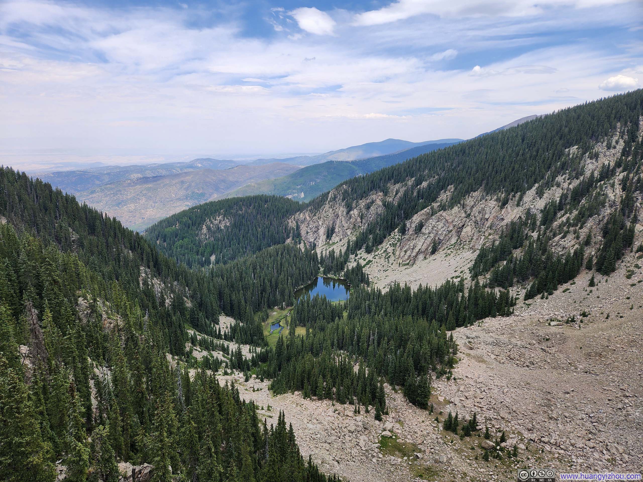
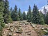
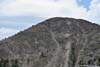
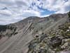
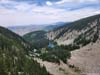
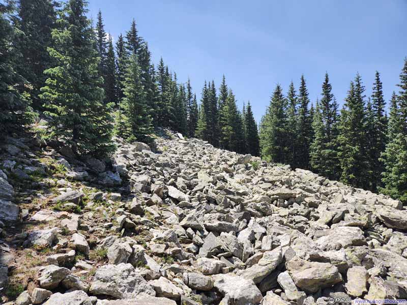
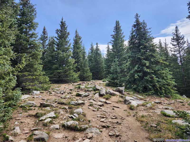
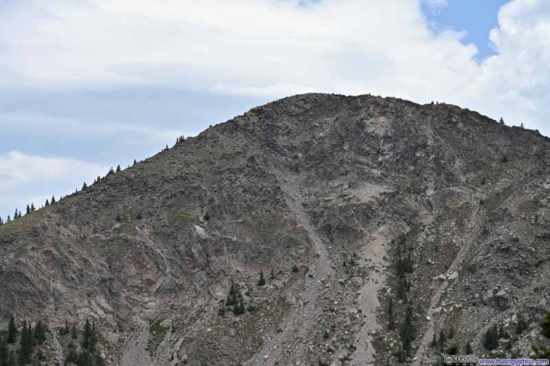
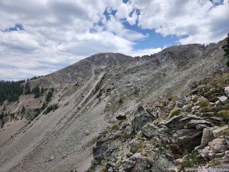
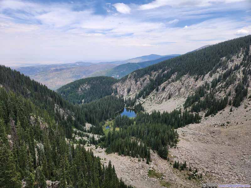
Farther up the trail, a handful of modest overlooks offered much the same view. Before long, the climb began to ease as I rose above the tree line.
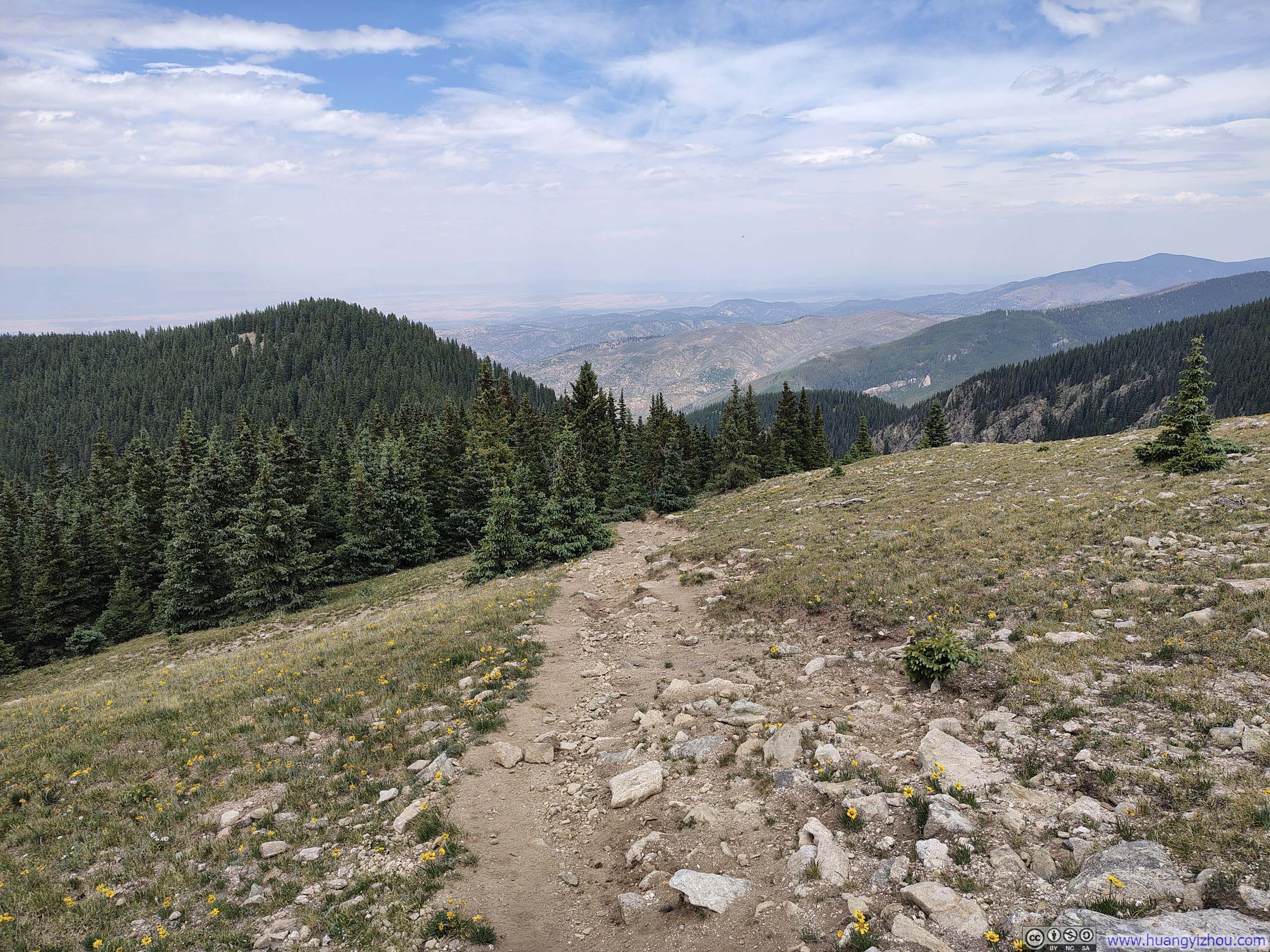
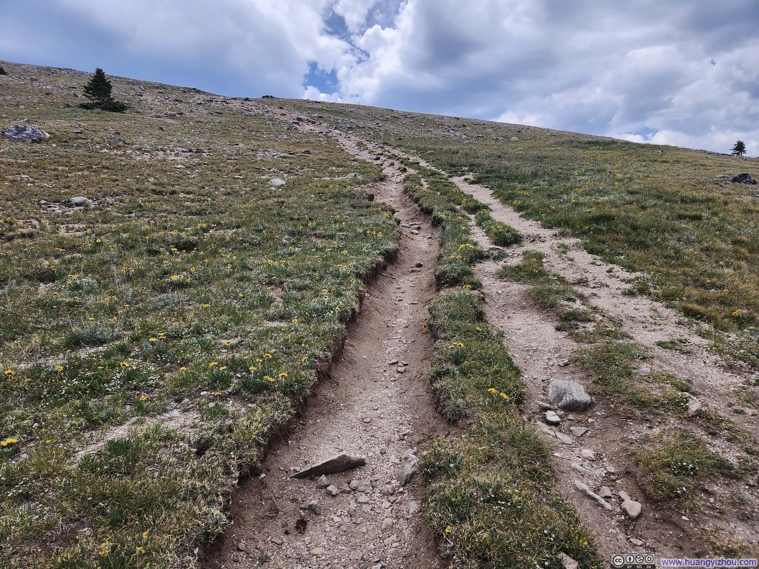
Finally, I reached Deception Peak at 12:26pm, just over 2 hours after leaving the trailhead. It was a somewhat buggy hike the entire way, I was fortunate enough to escape their bites.
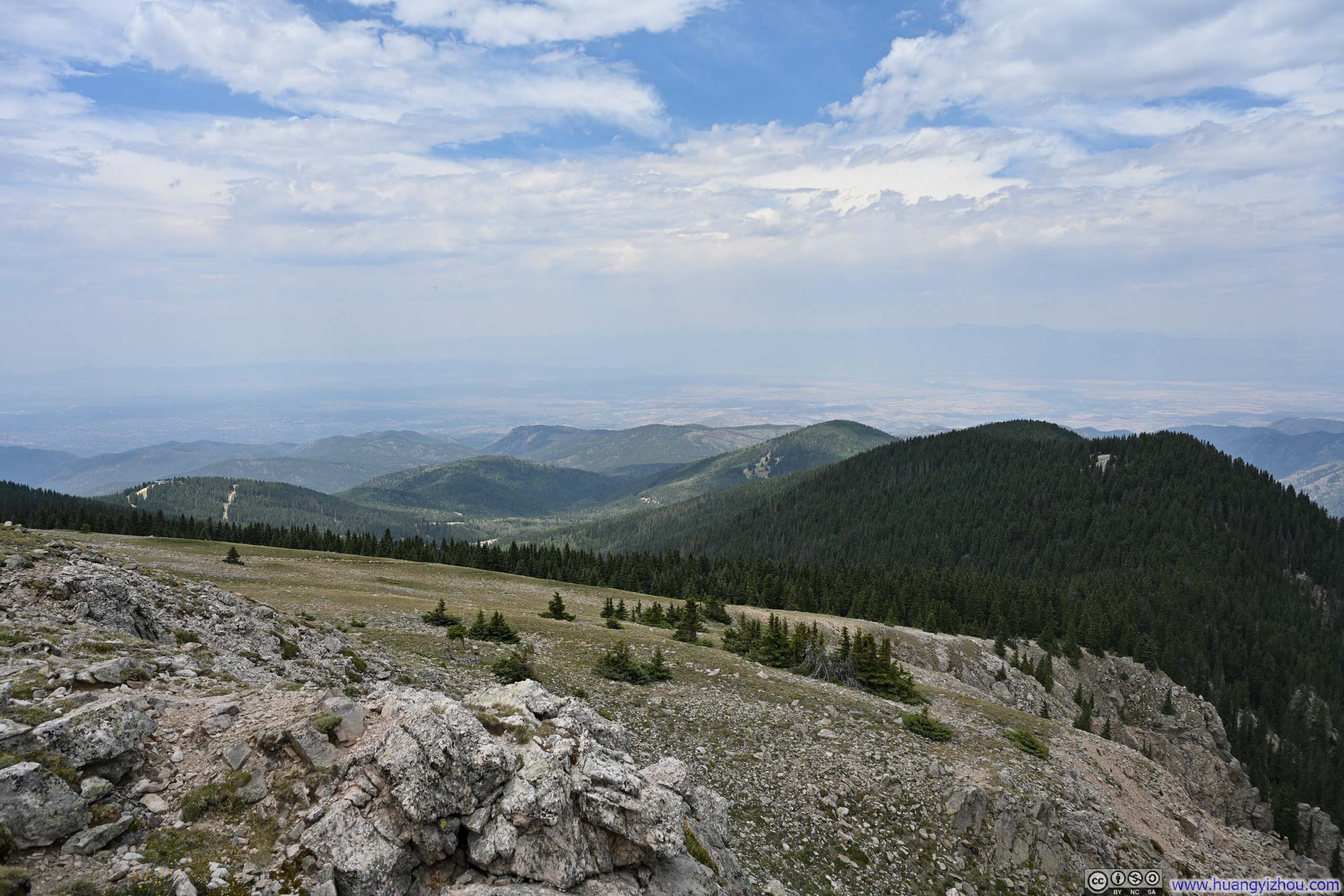
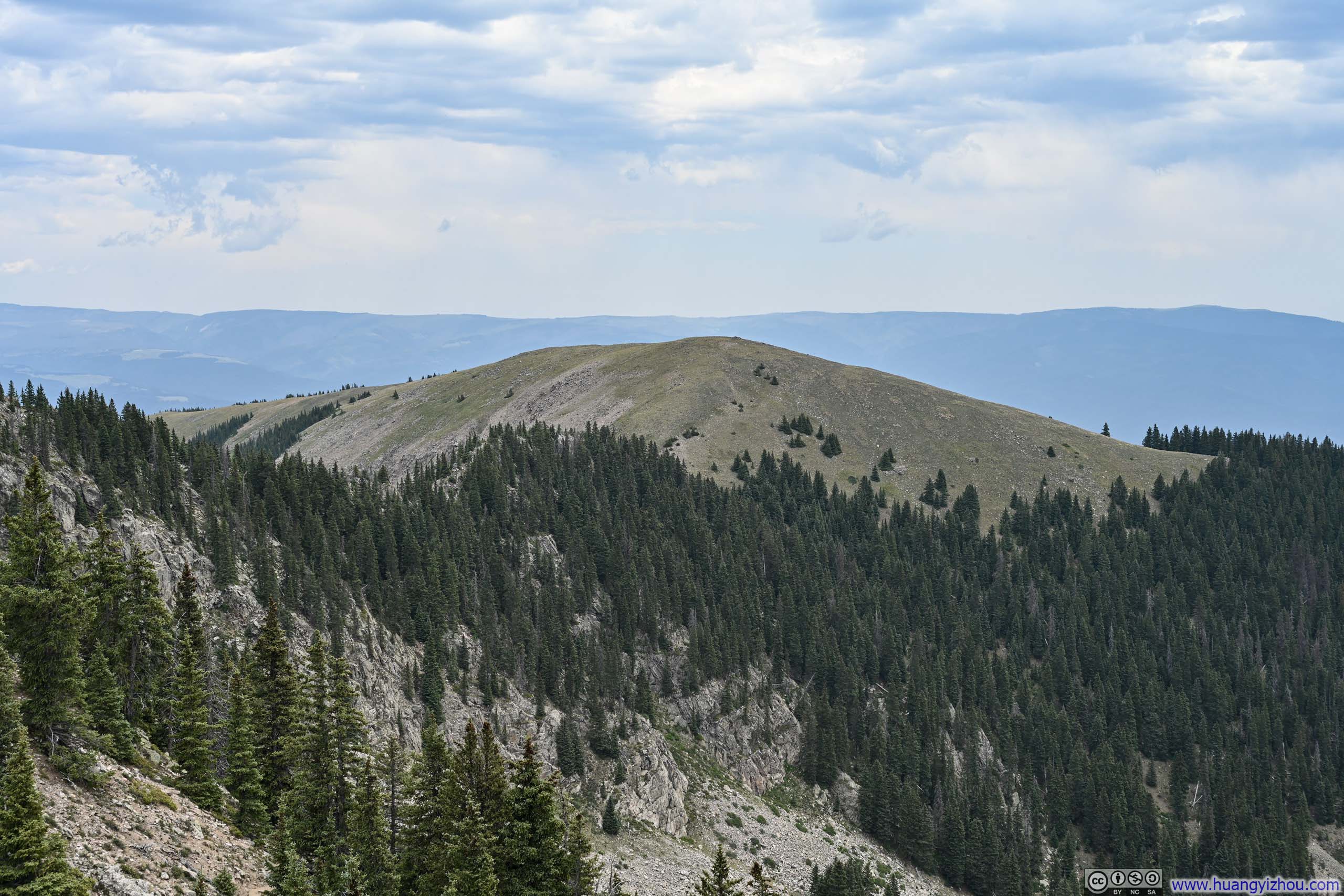
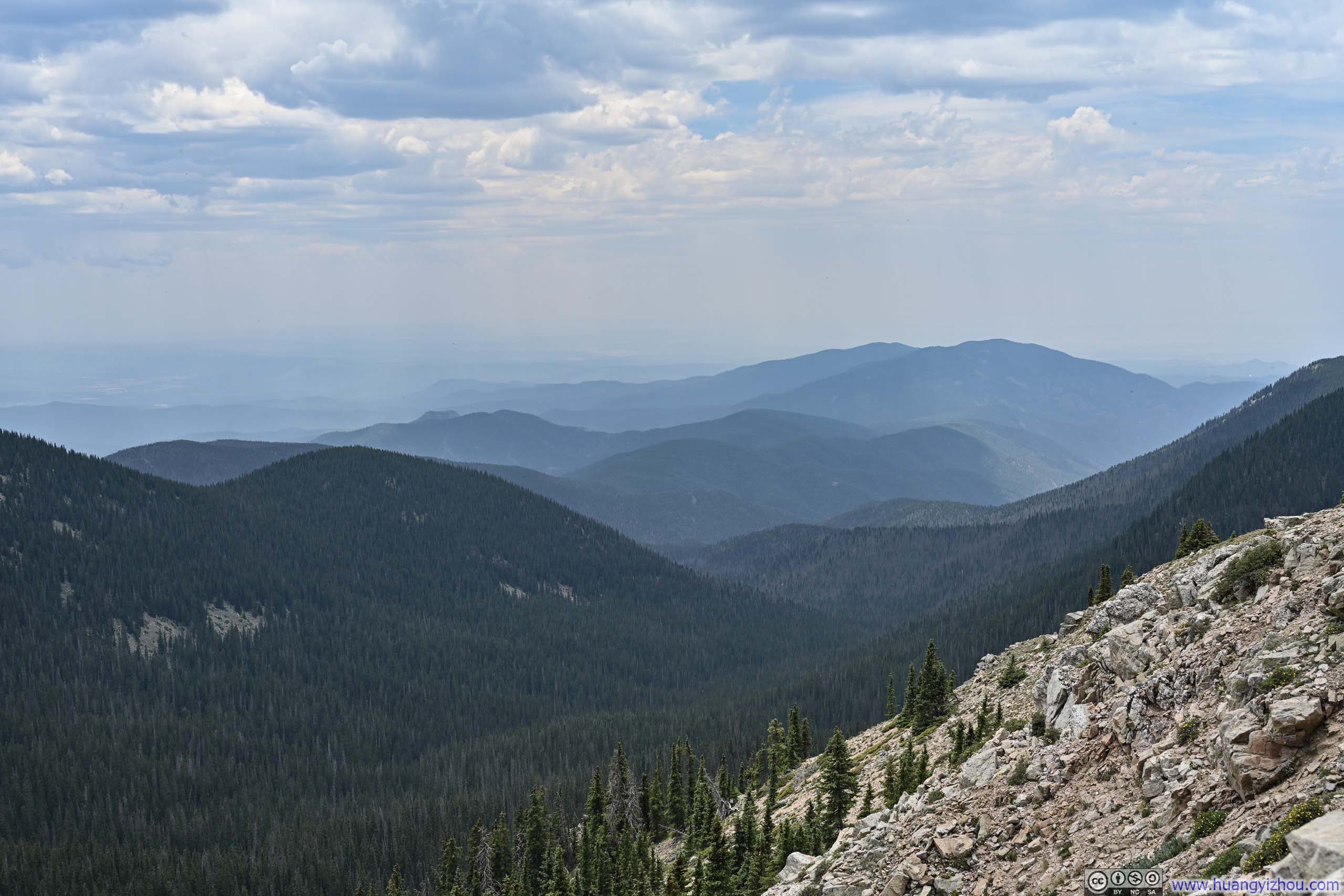
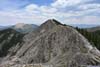
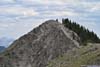
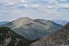
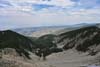
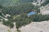
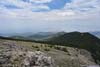
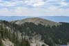
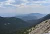
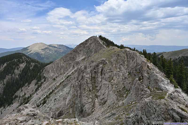
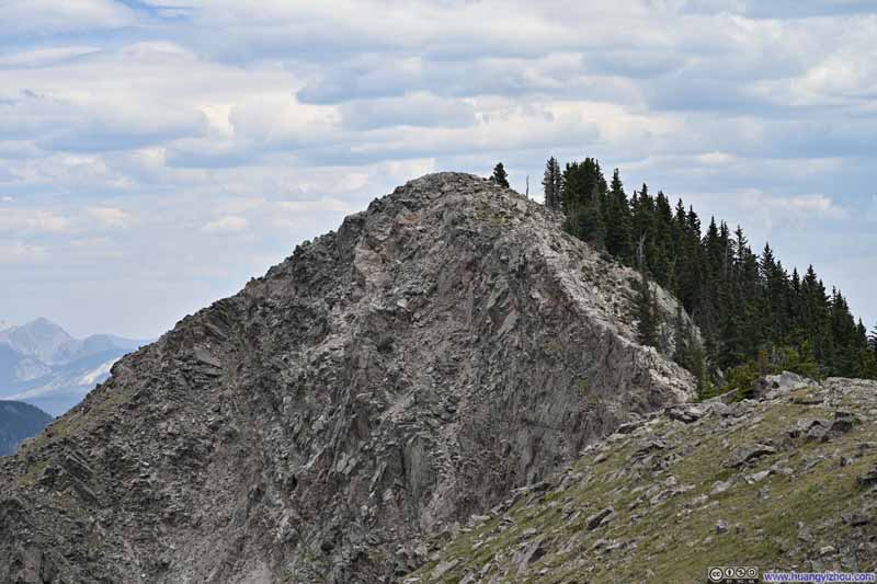
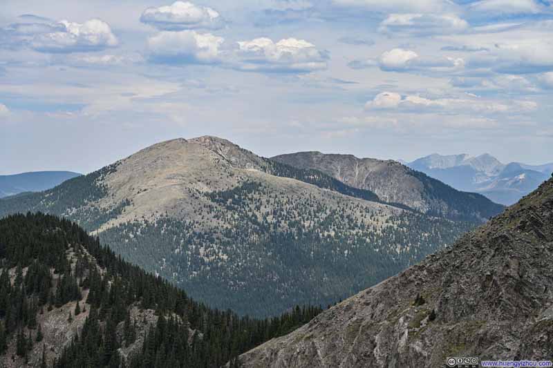
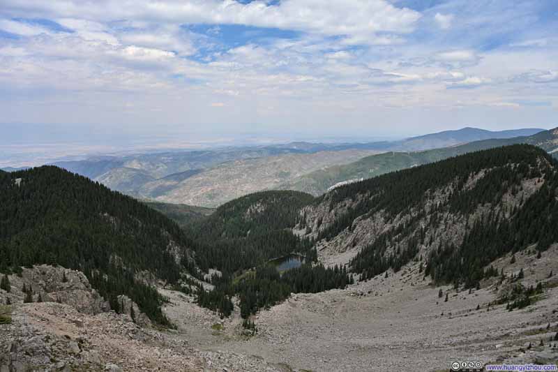
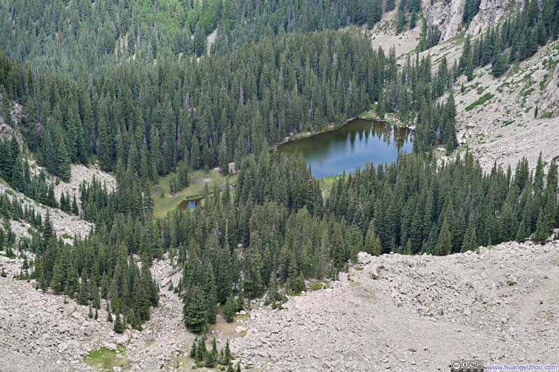
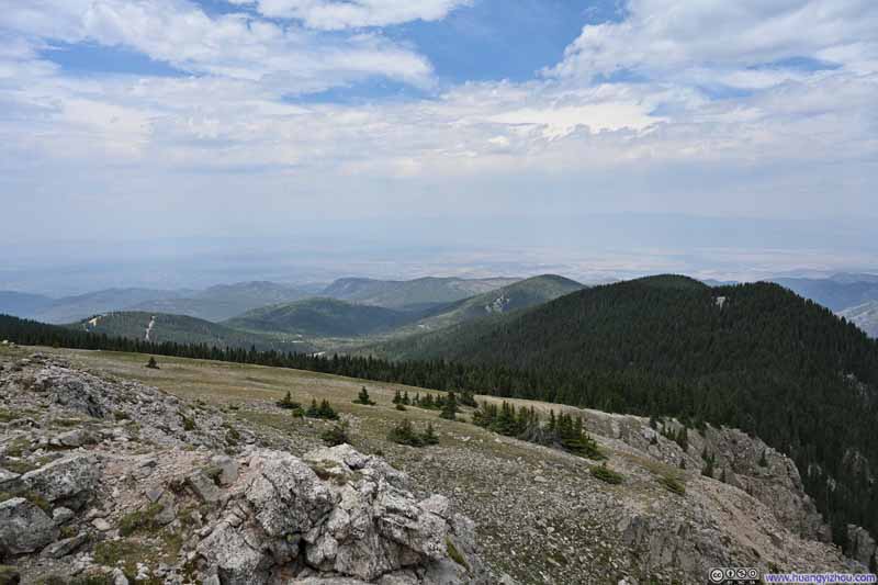
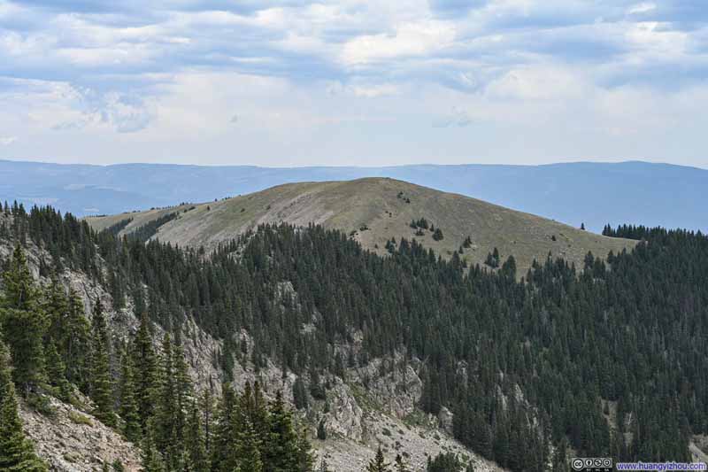
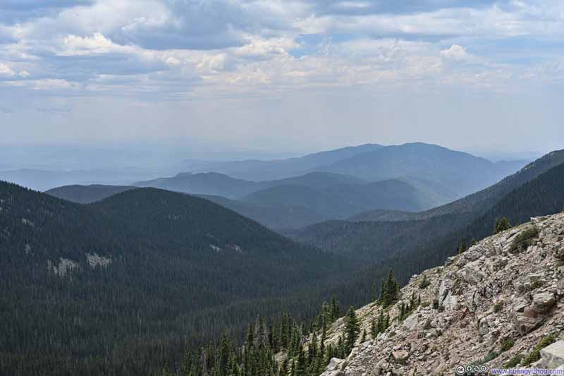
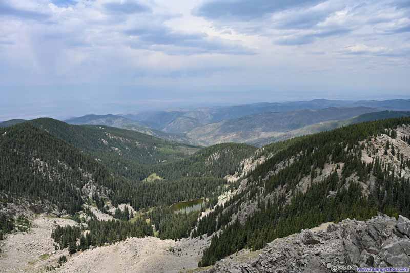
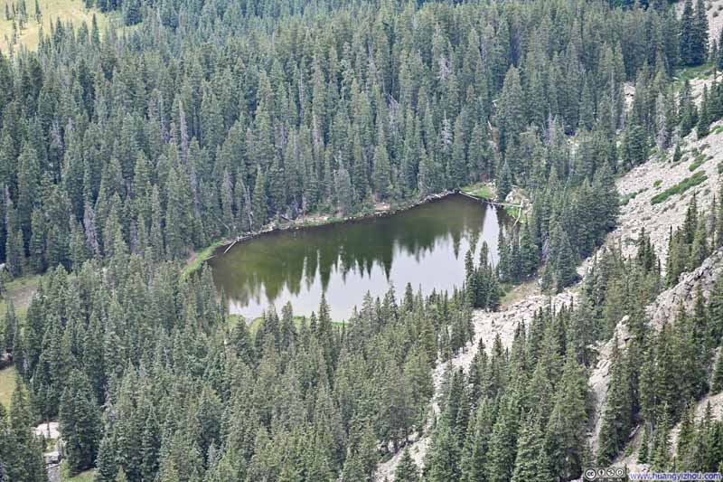
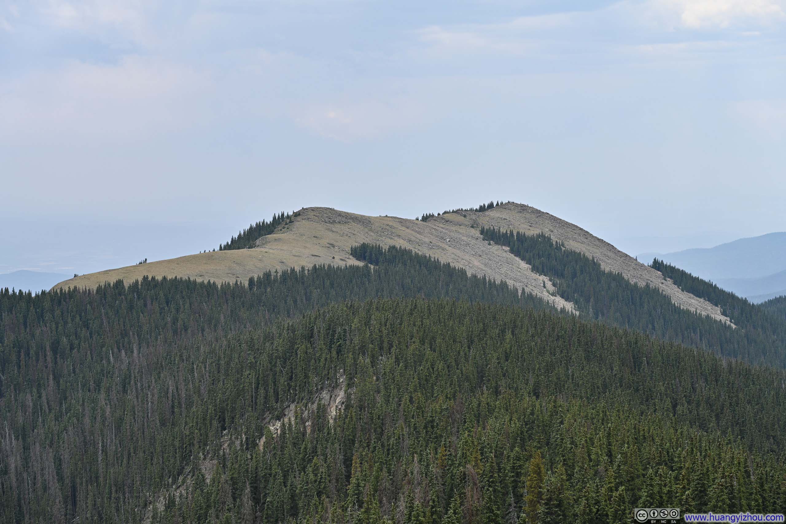
As for the views, the most striking was undoubtedly the jagged ridgeline leading toward Lake Peak, with Santa Fe Baldy rising behind it, and Nambe Lake spreading out below. The peak's rocky north face contrasted beautifully with its tree-clad eastern slopes, offering the perfect balance of colors in this alpine vista.
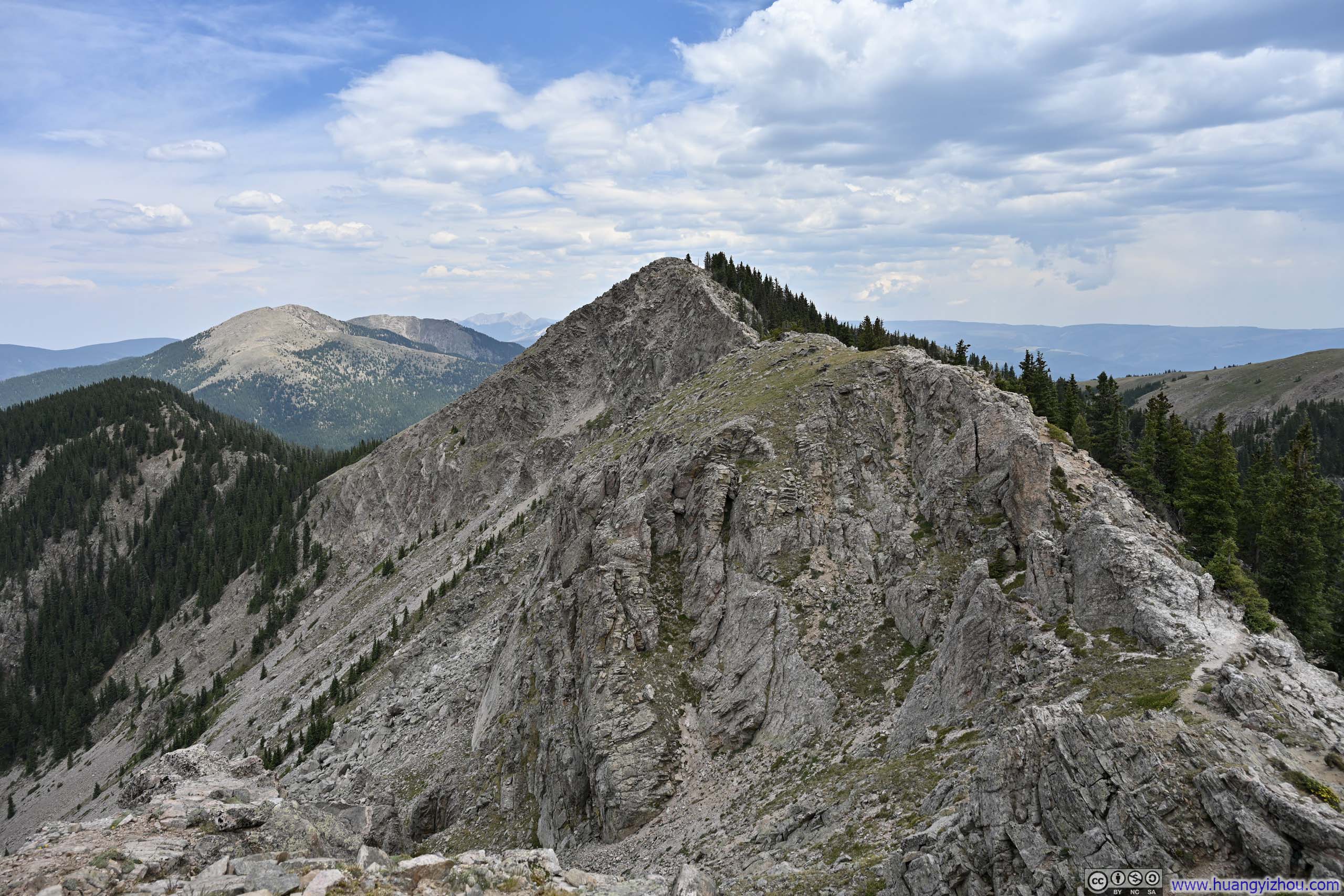
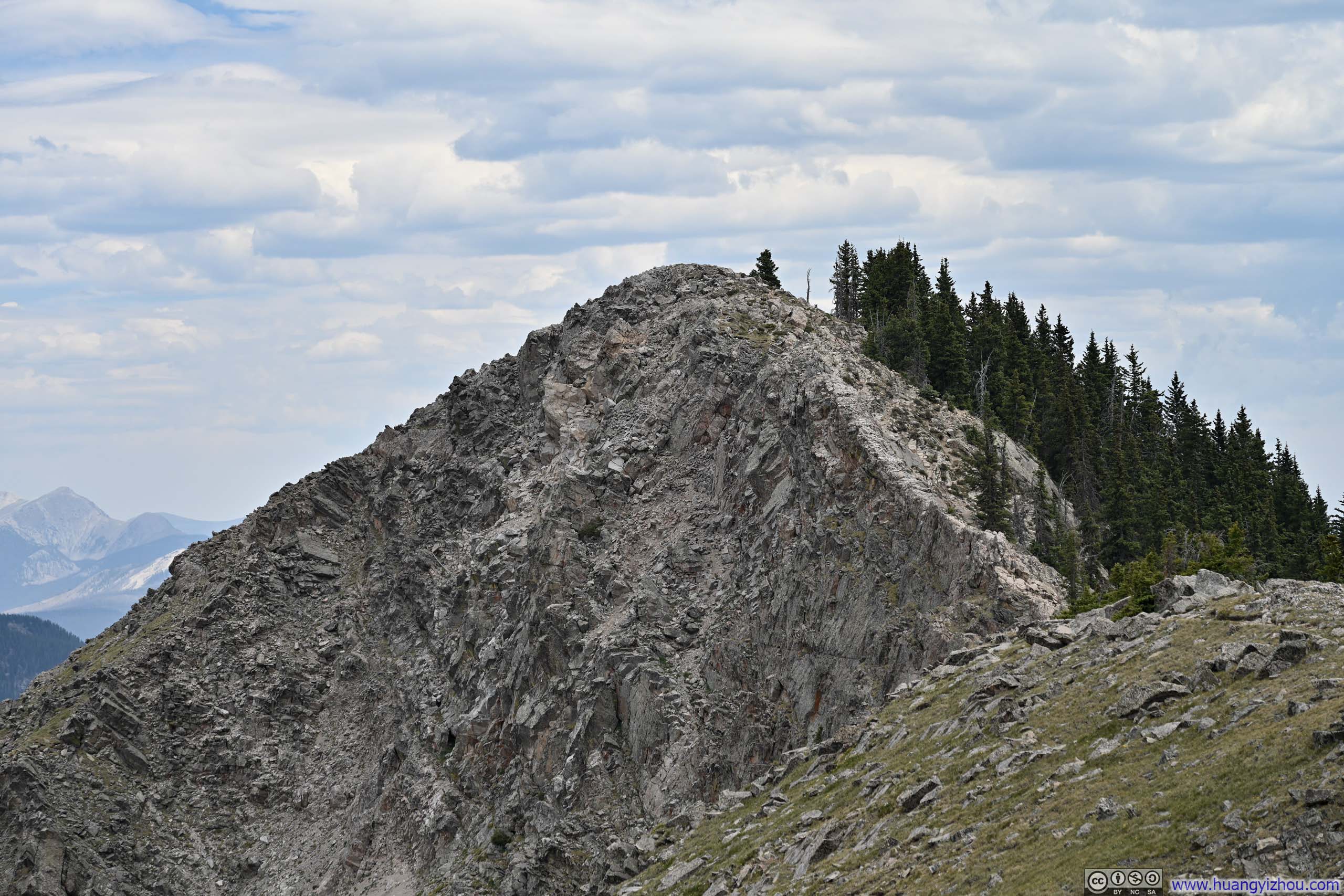
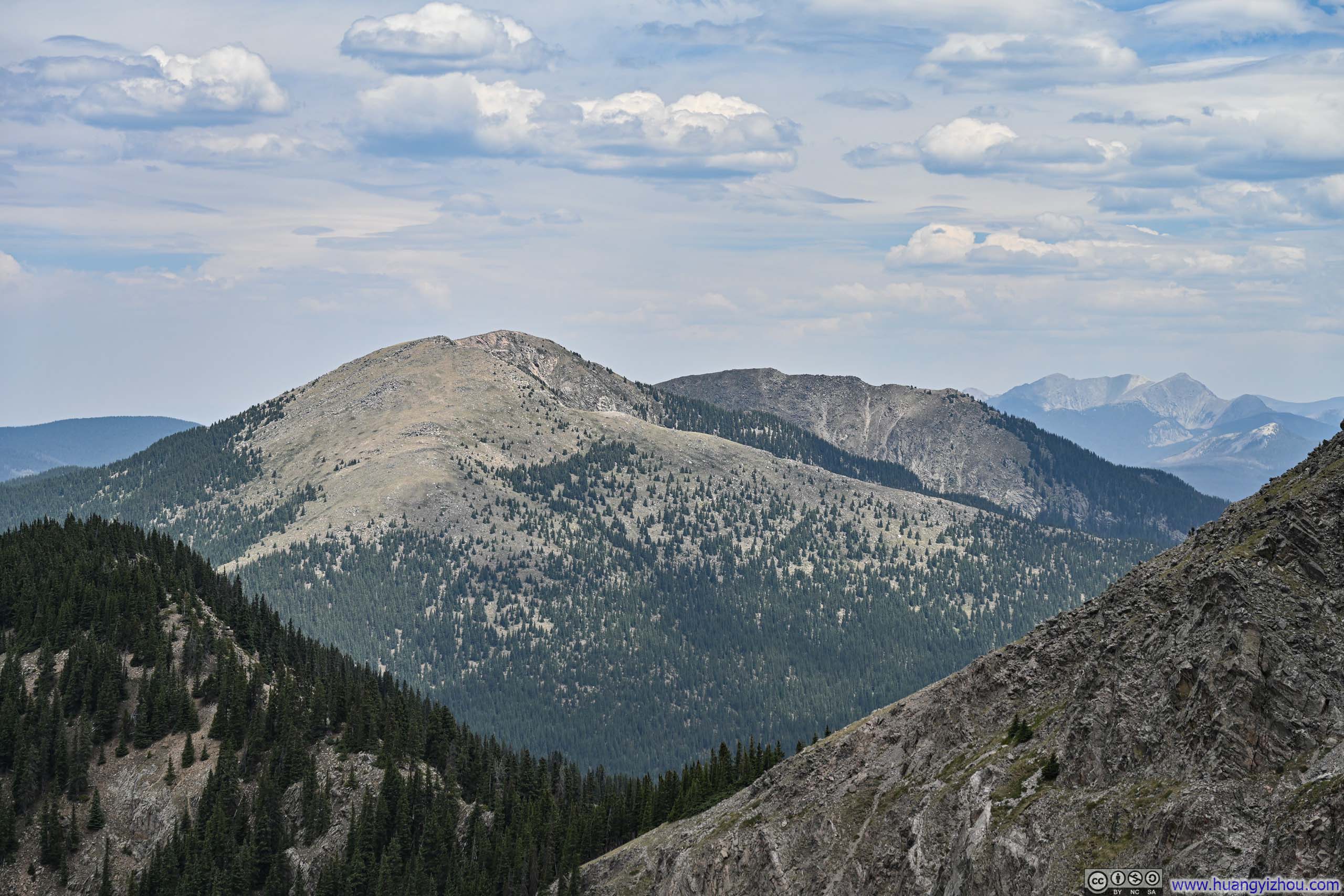
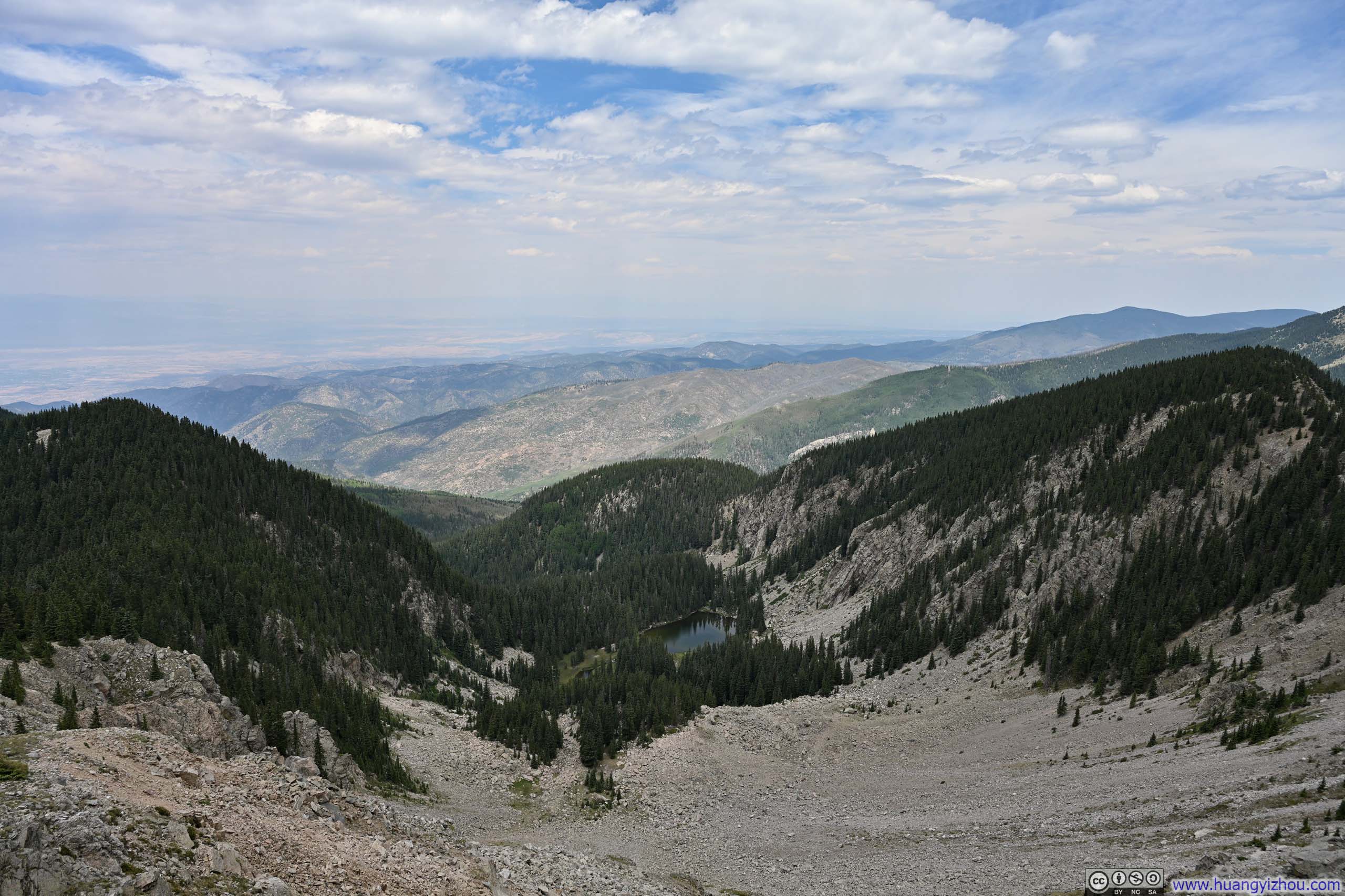
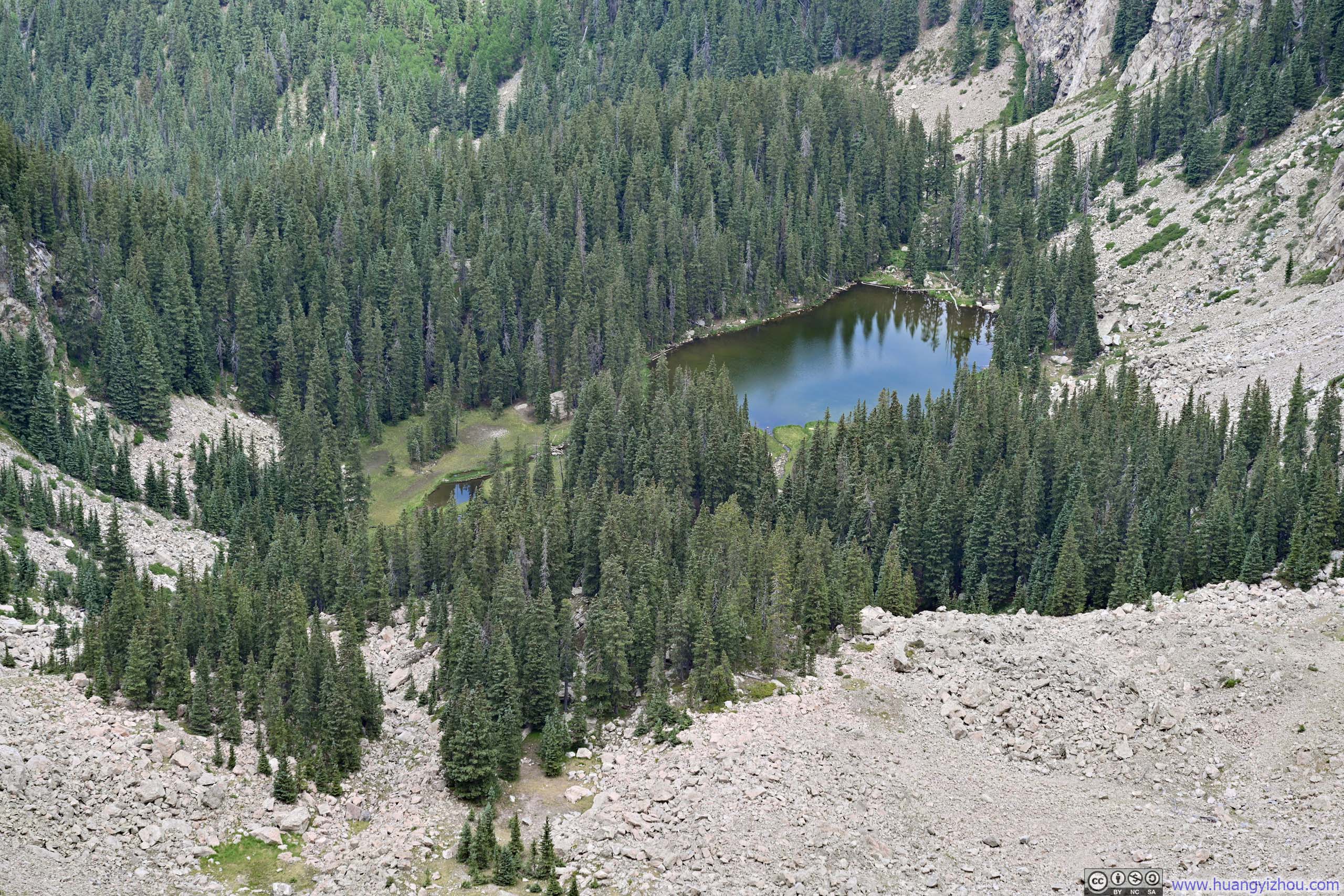

Here's a video from Deception Peak:
16 seconds, 864*1920 resolution, H265 only, 6Mbps/13MB file size.
After a brief 8-minute break, I pressed on toward Lake Peak.
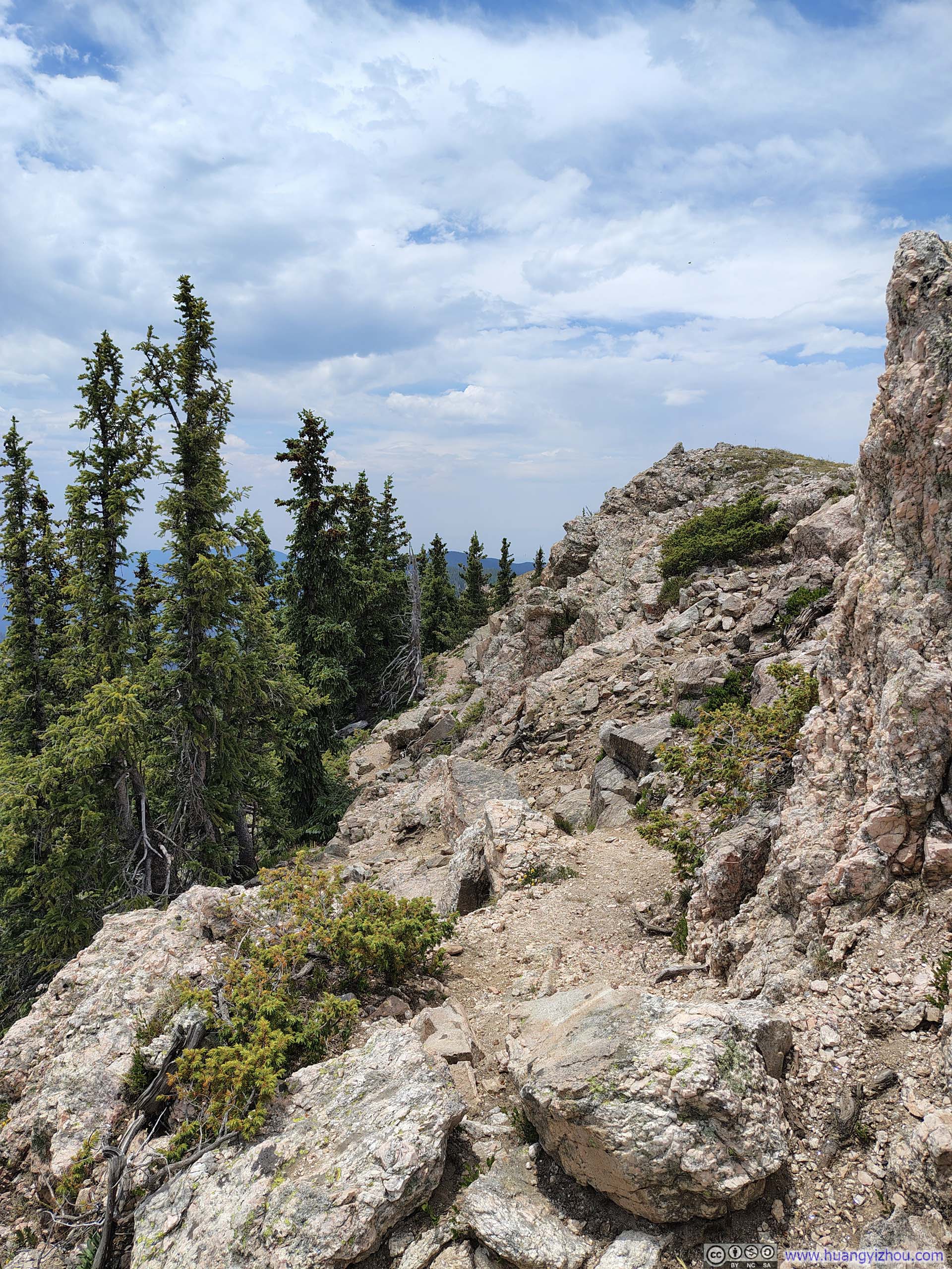
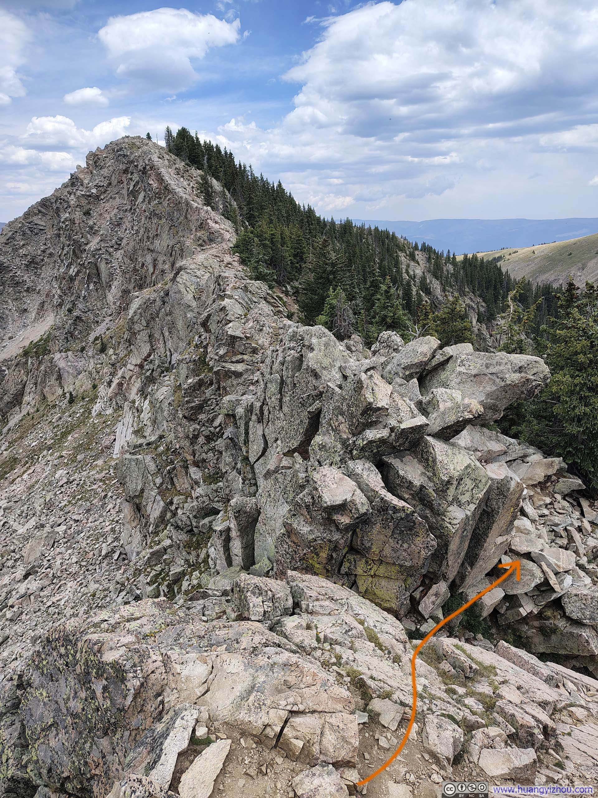
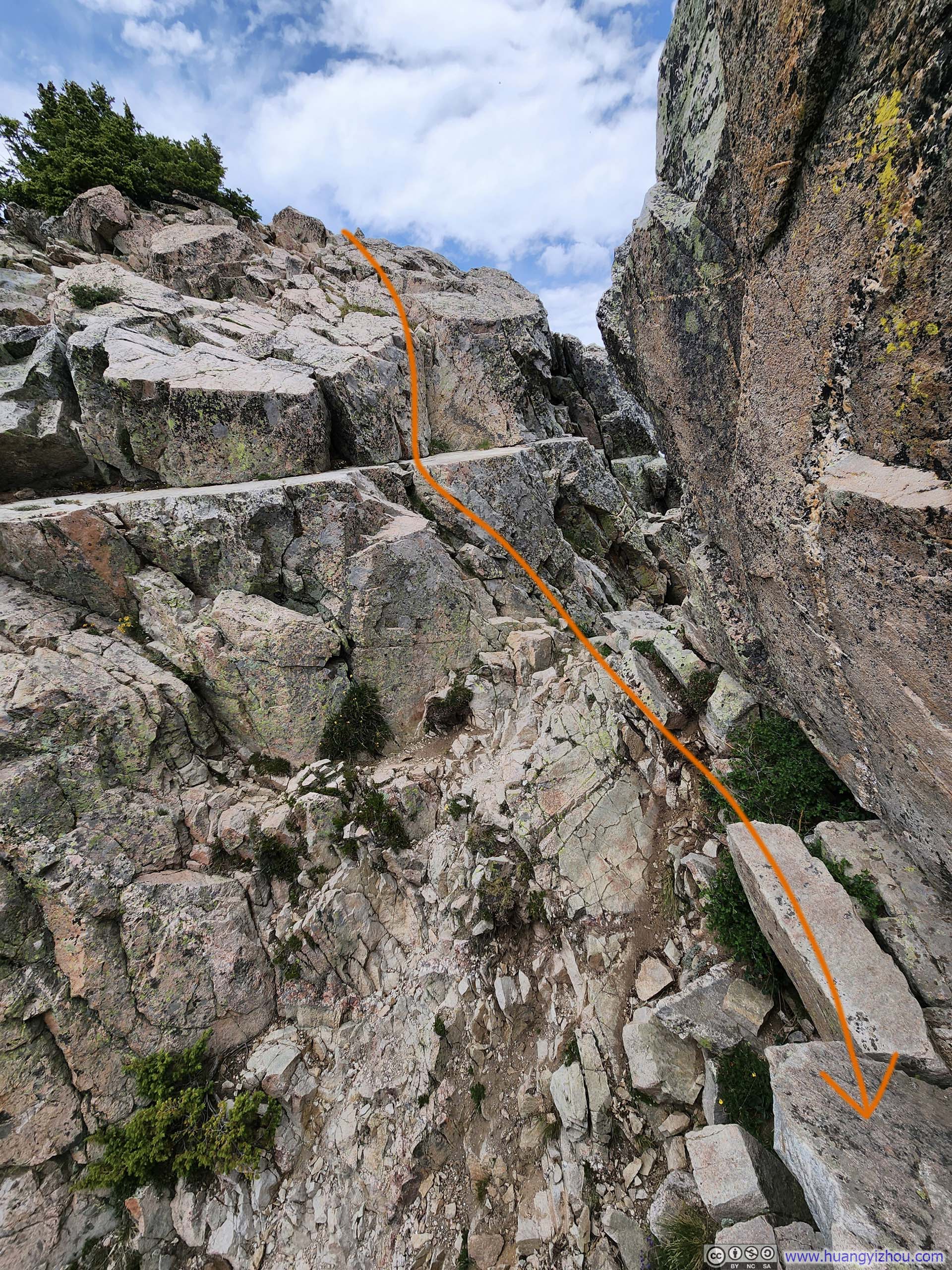
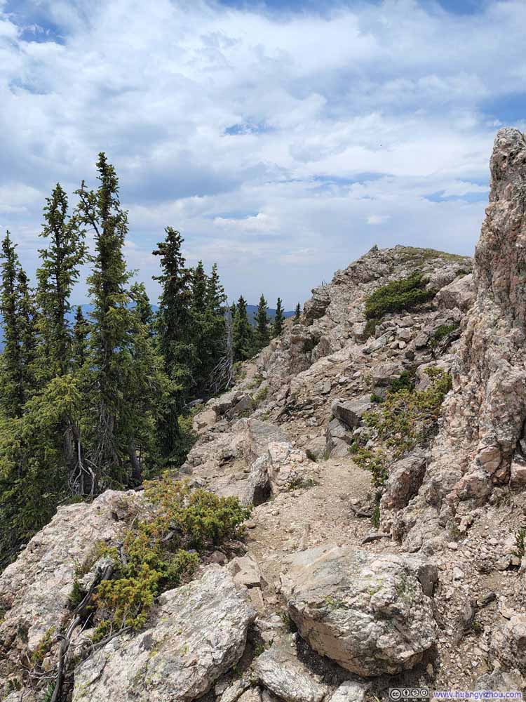
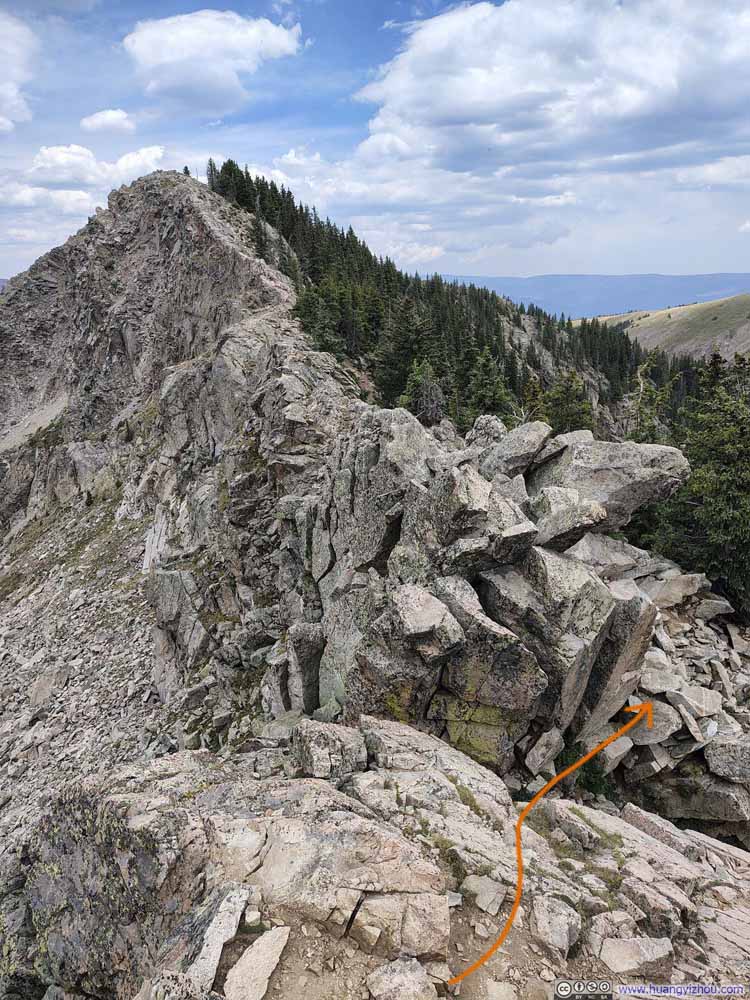
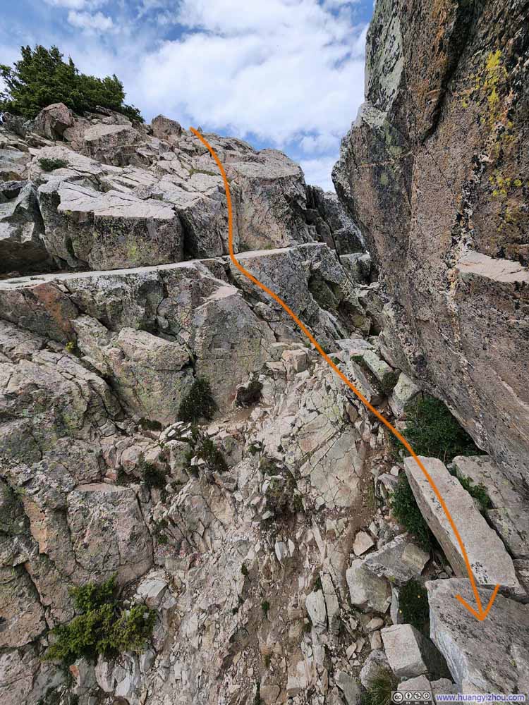
The serrated ridgeline between Deception Peak and Lake Peak demanded occasional scrambling (slideshow below). To me, these moments struck the perfect balance in difficulty, just enough exhilaration to quicken the pulse and ready the nerves for the more formidable scrambles that awaited later in this trip.
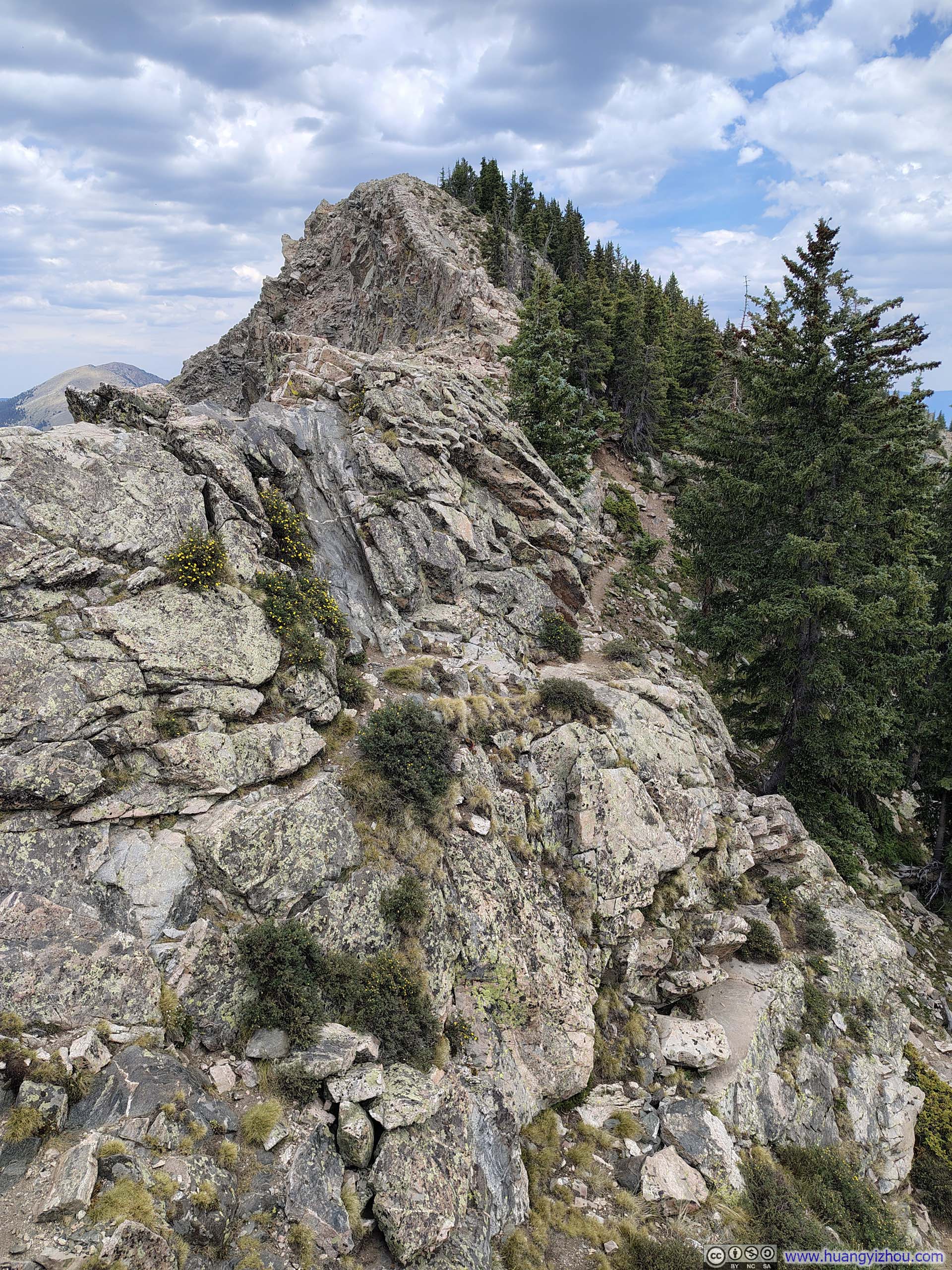
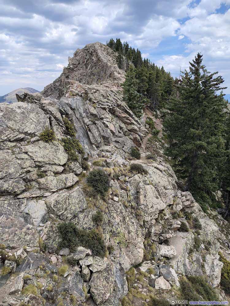
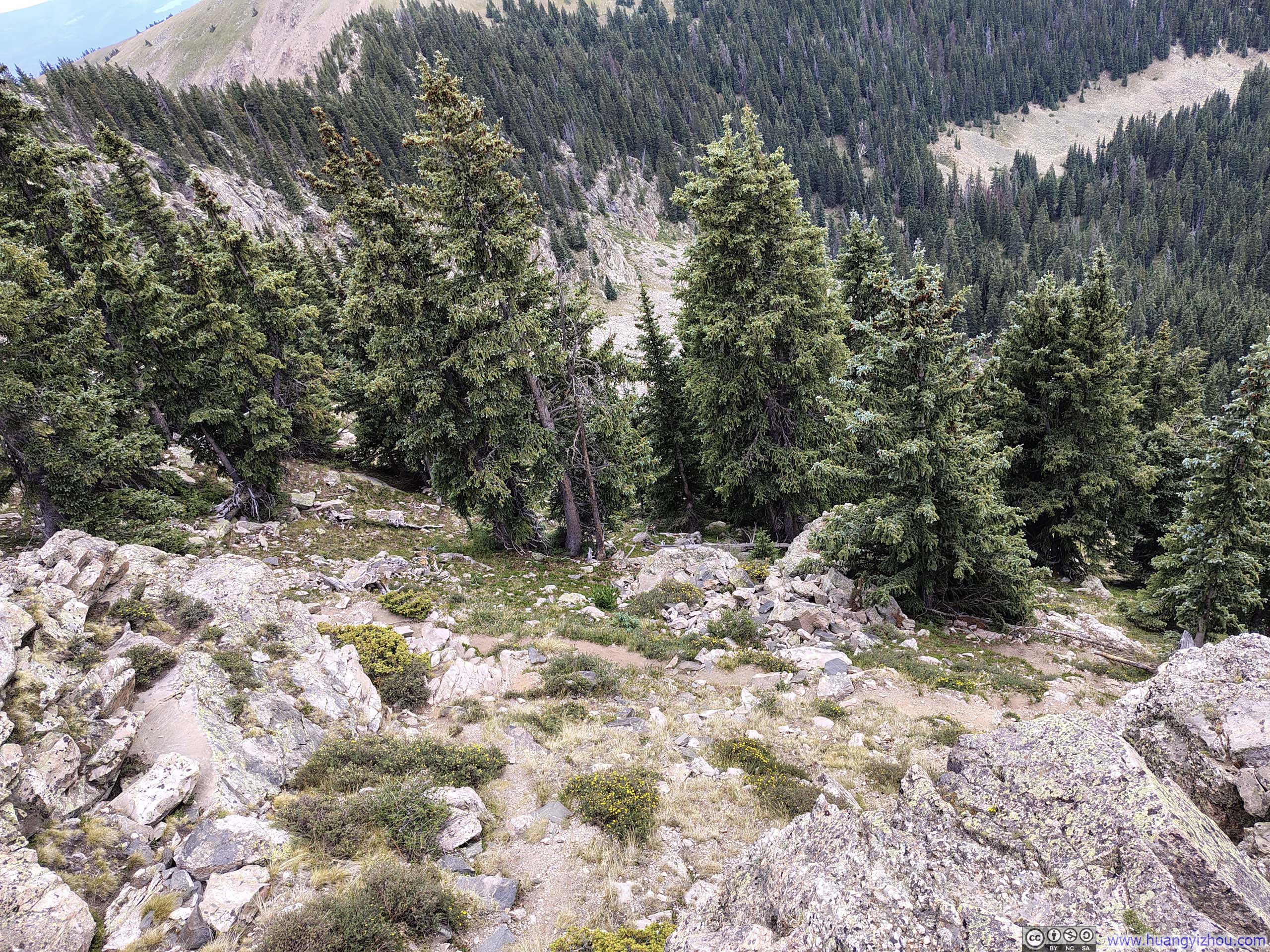
A short while later, I reached Lake Peak.
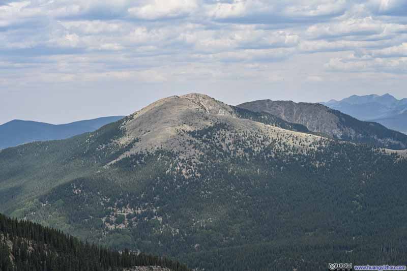
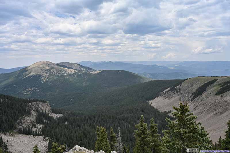
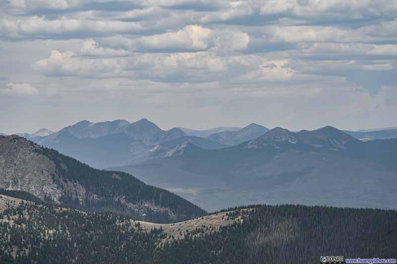
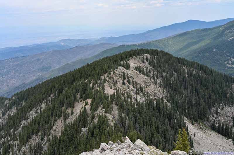
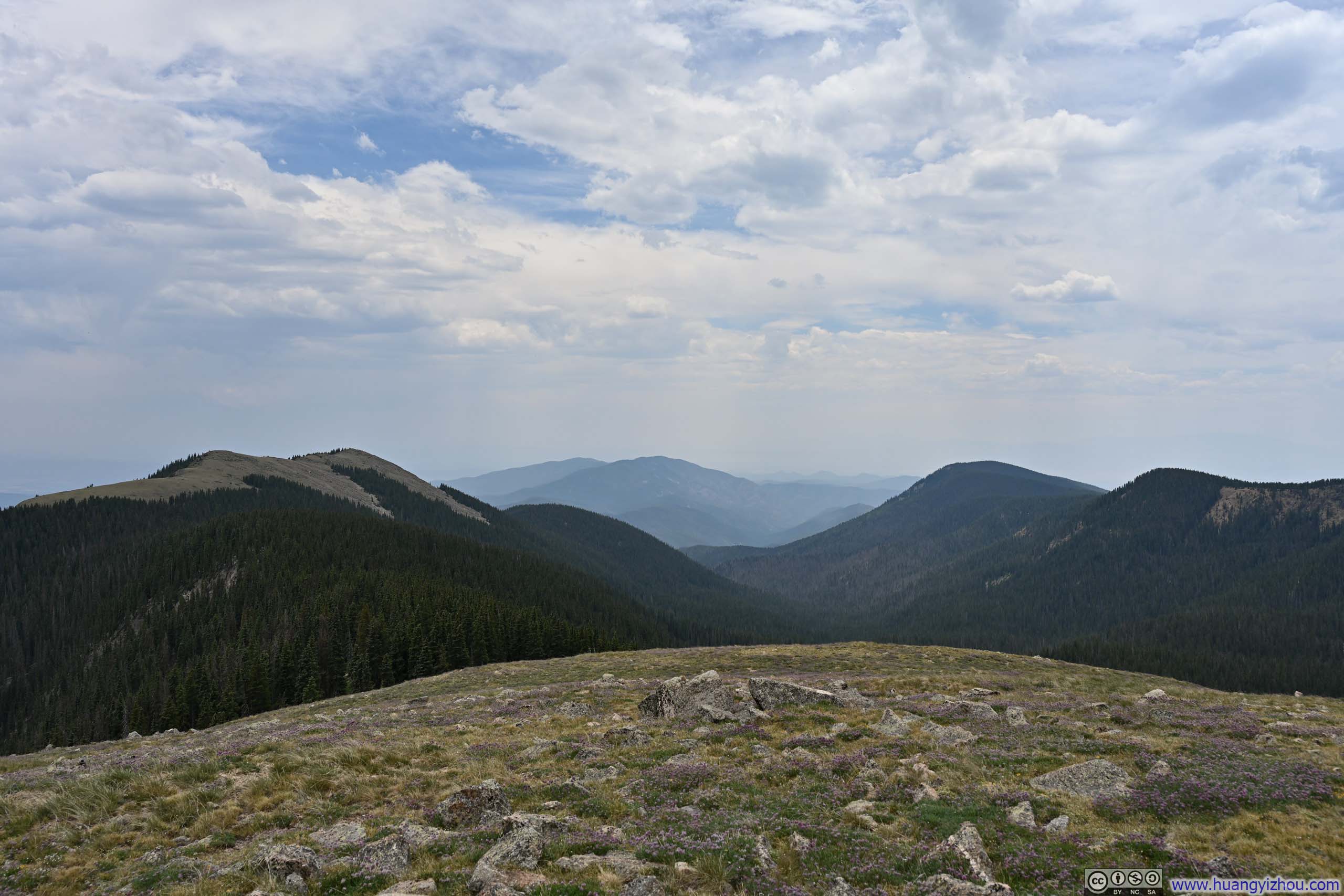
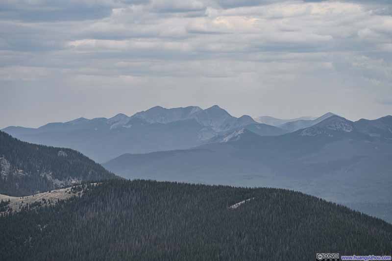
Compared to Deception Peak earlier, Lake Peak was slightly more prominent, lending it a more quintessential "peak" character (by contrast, Deception Peak felt more like a scenic overlook). As for the views, they were similar to those from Deception Peak(the two summits were less than 300m/1000ft apart), except that the views toward Santa Fe Baldy was less obstructed, and the distant Truchas Peaks emerged more clearly into view. Speaking of the Truchas Peaks, they appeared particularly solemn and imposing beneath the gloomy sky. I had plans to climb Wheeler Peak, New Mexico's highest mountain, two days later; for a moment, I mistook the Truchas Peaks for Wheeler Peak, as they lay in roughly the same direction and shared a similar sense of prominence.
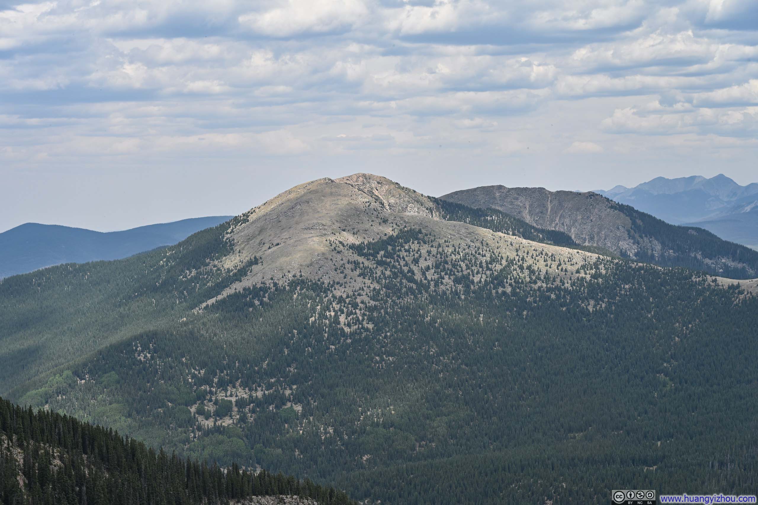
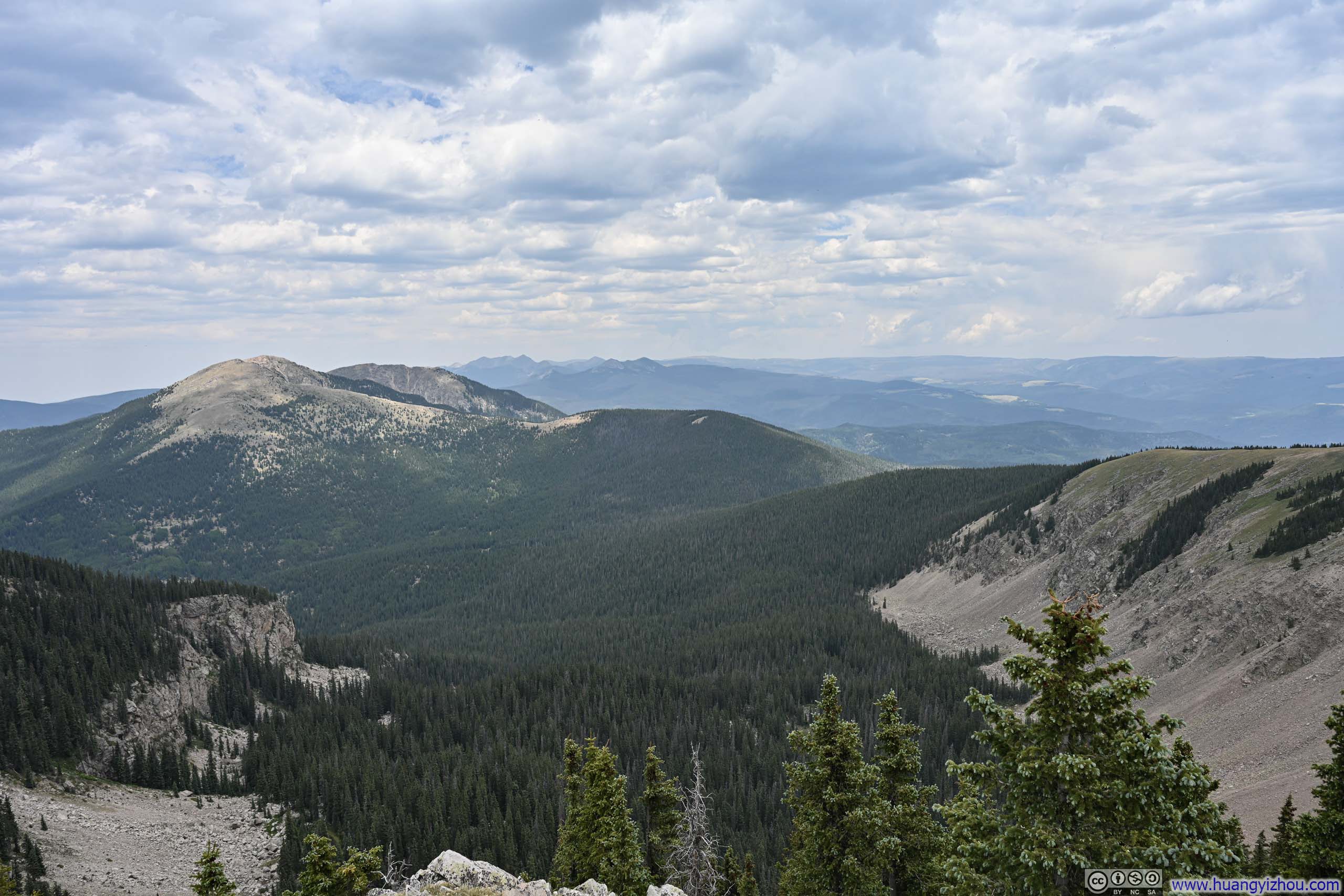
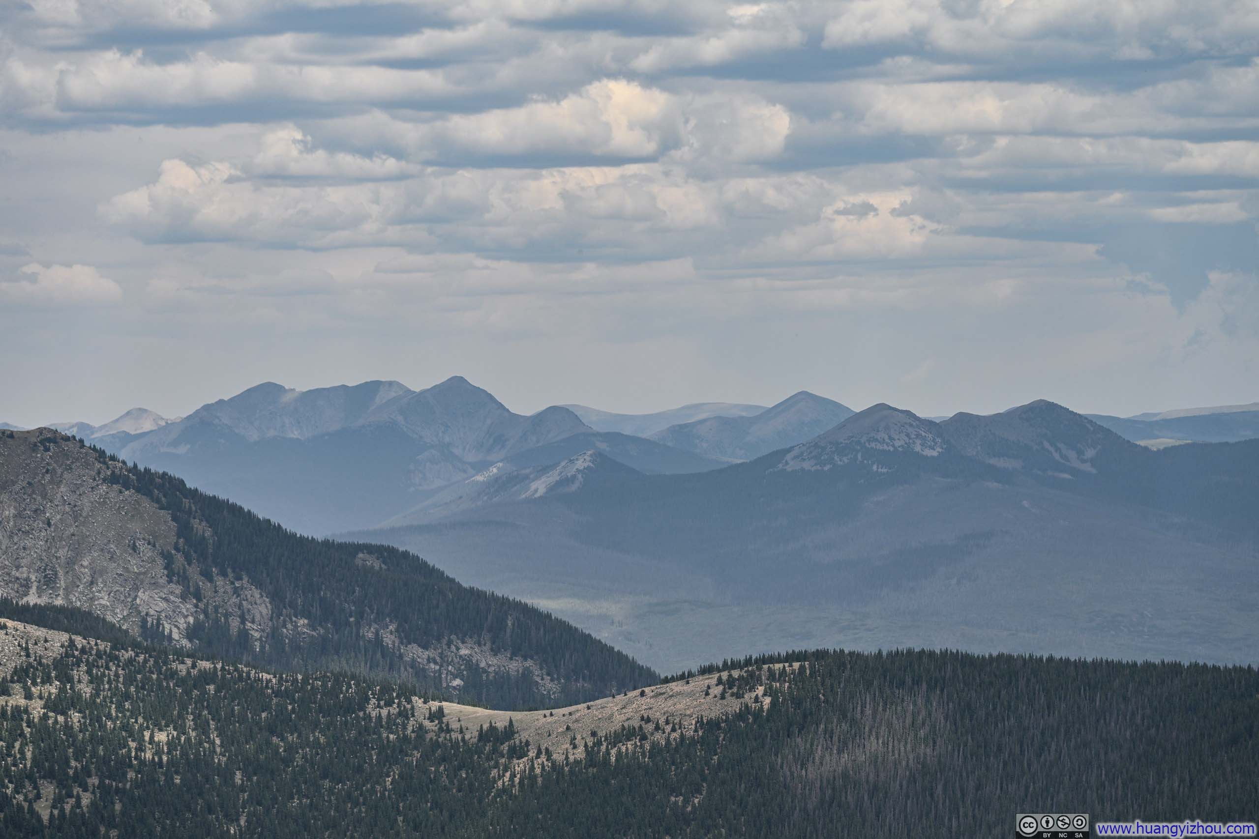
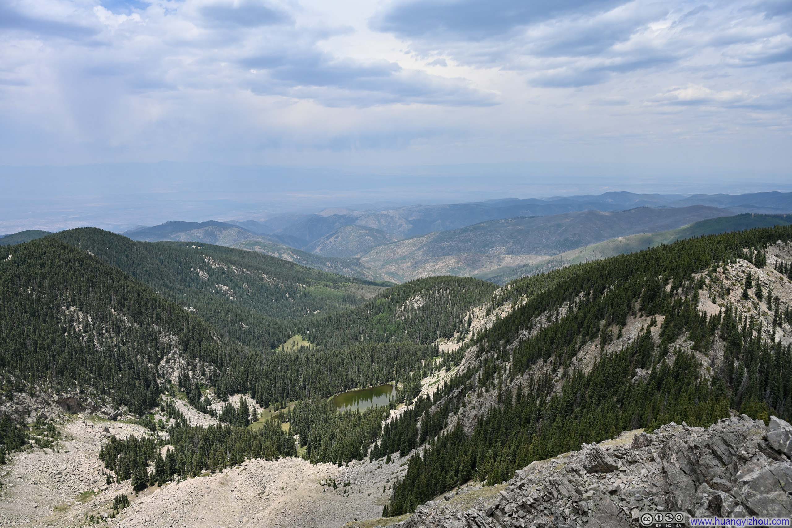
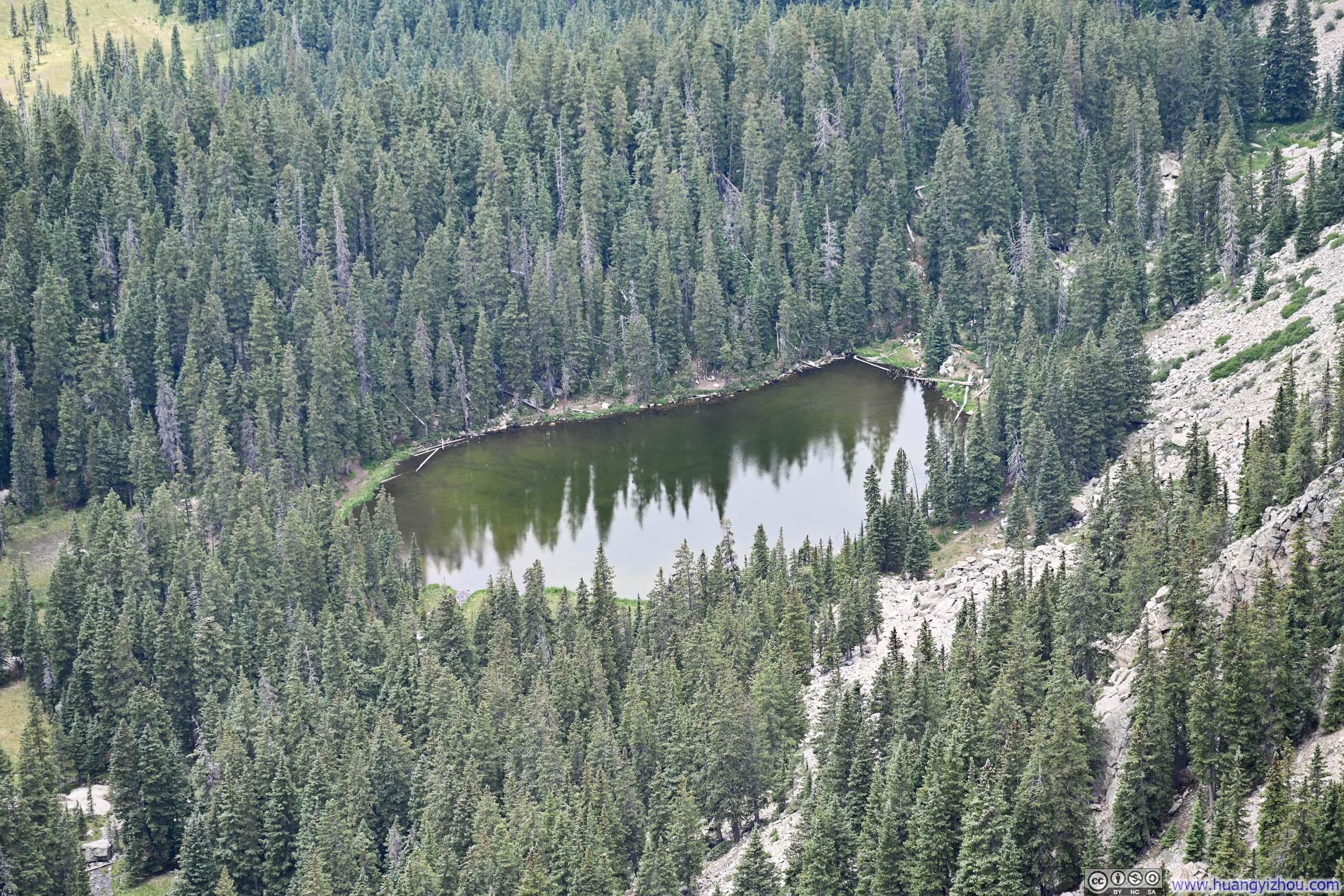
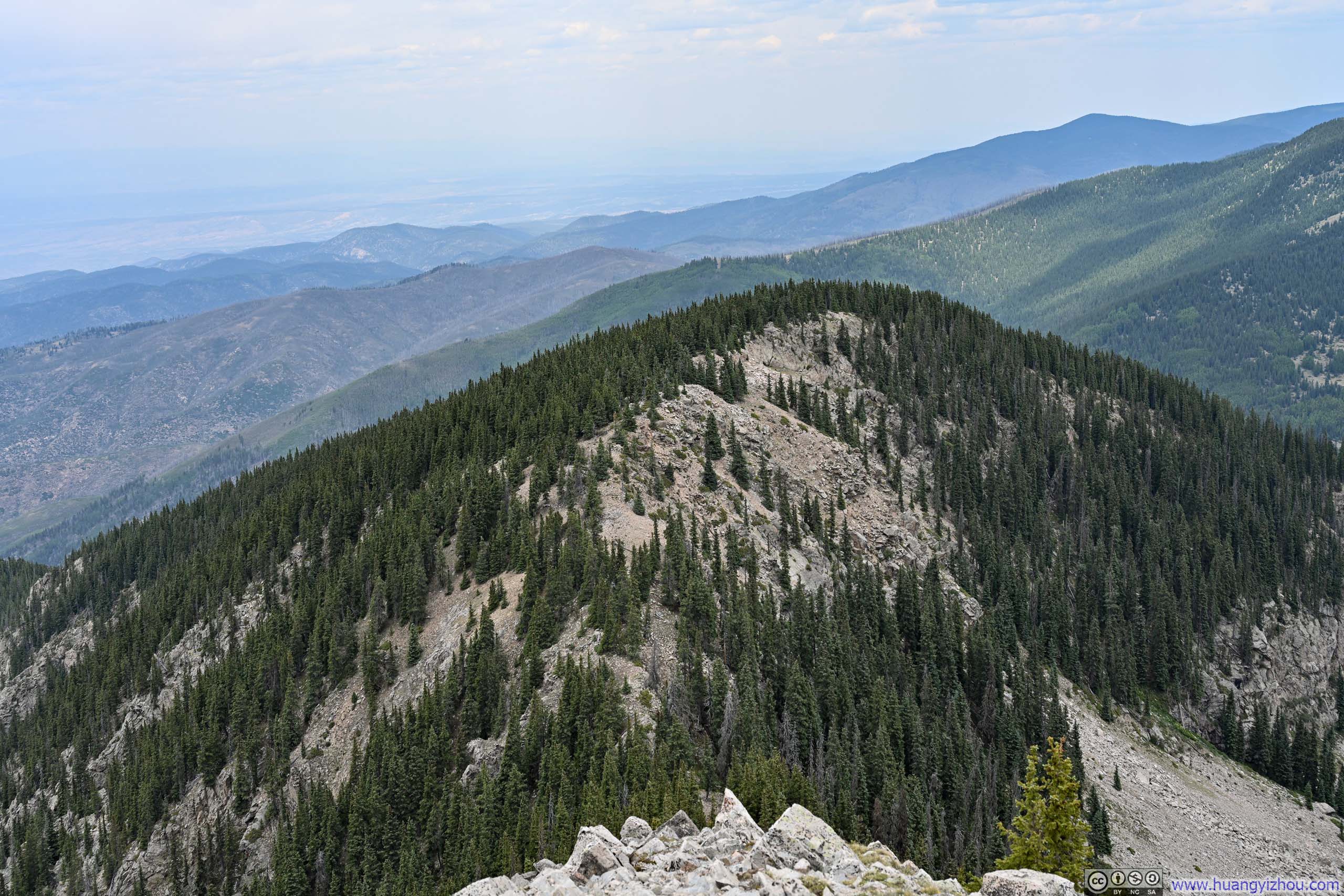
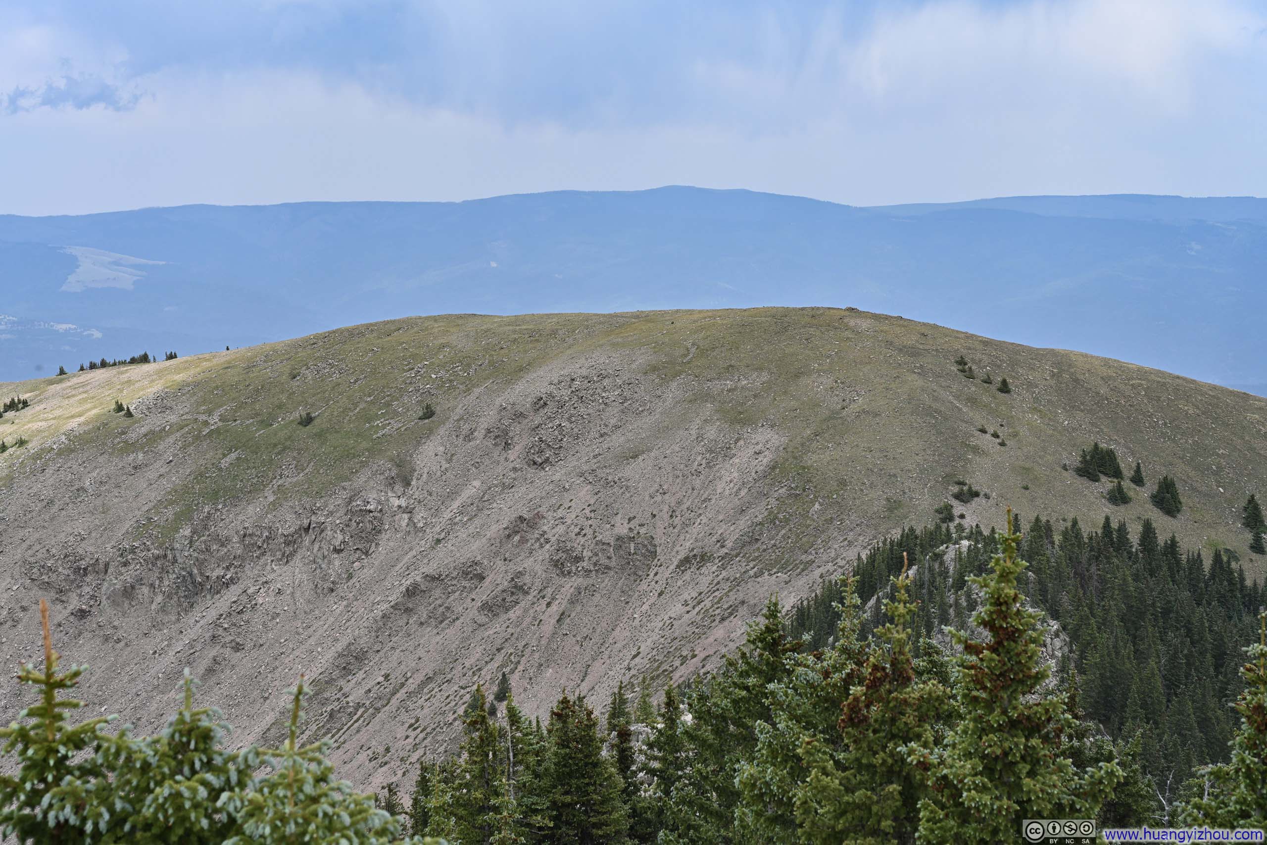
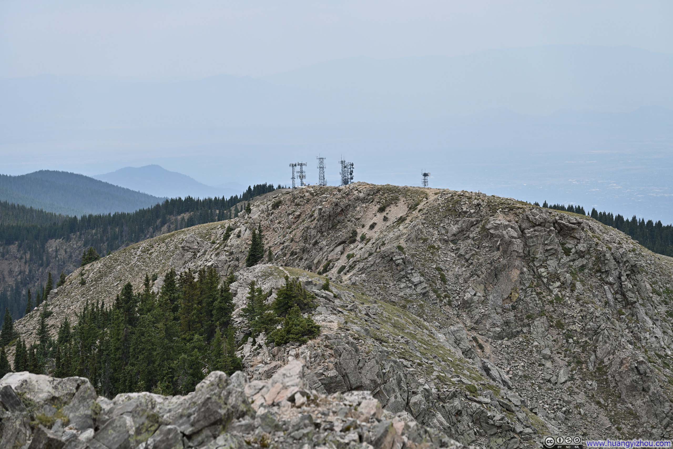
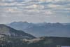
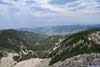
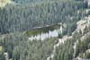
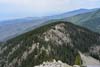
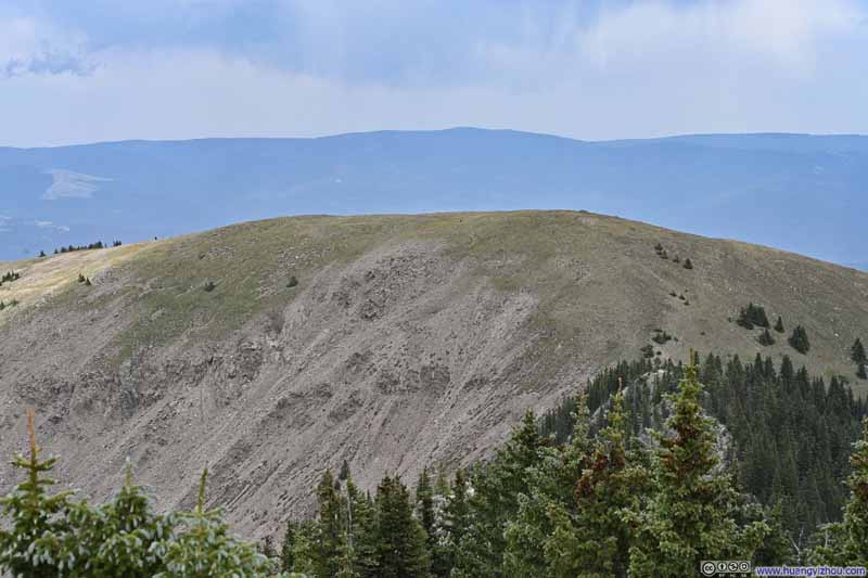
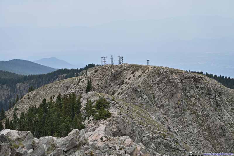
I took a longer, 35-minute break at the summit of Lake Peak, partly drawn by the superior views than those from Deception Peak earlier, partly occasioned by a chance encounter with another group of hikers that blossomed into a friendly chat.

Here's a video from Lake Peak:
12 seconds, 864*1920 resolution, H265 only, 6Mbps/10MB file size.
By the time I left Lake Peak, it was 1:20pm. I judged I still had sufficient vigor to undertake the longer Winsor Loop; so rather than retracing my steps, I pressed on toward Penitente Peak.
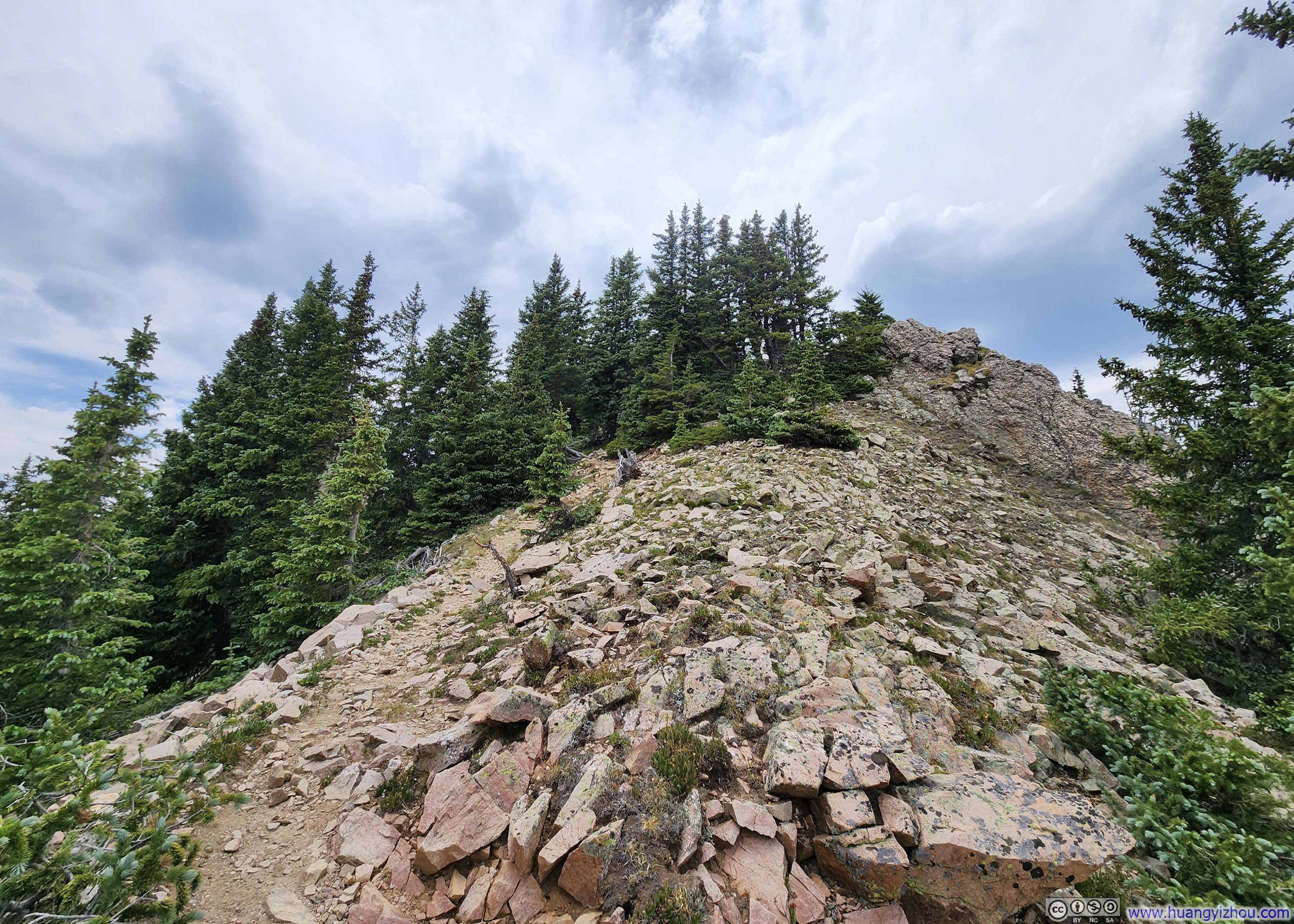
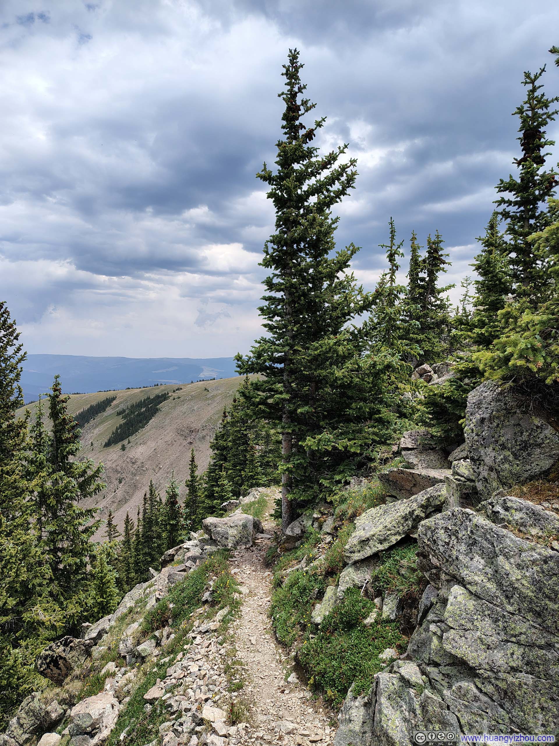
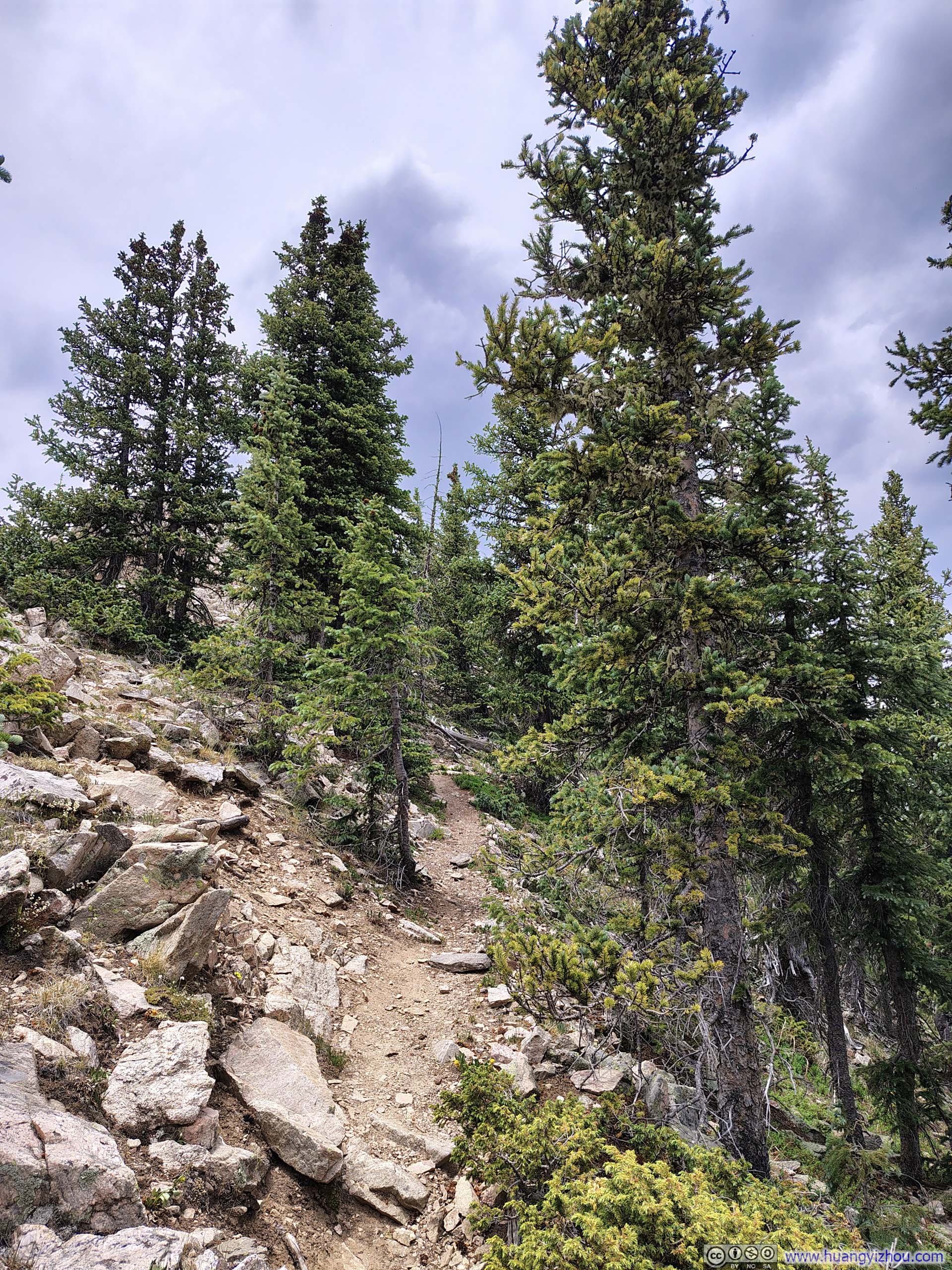
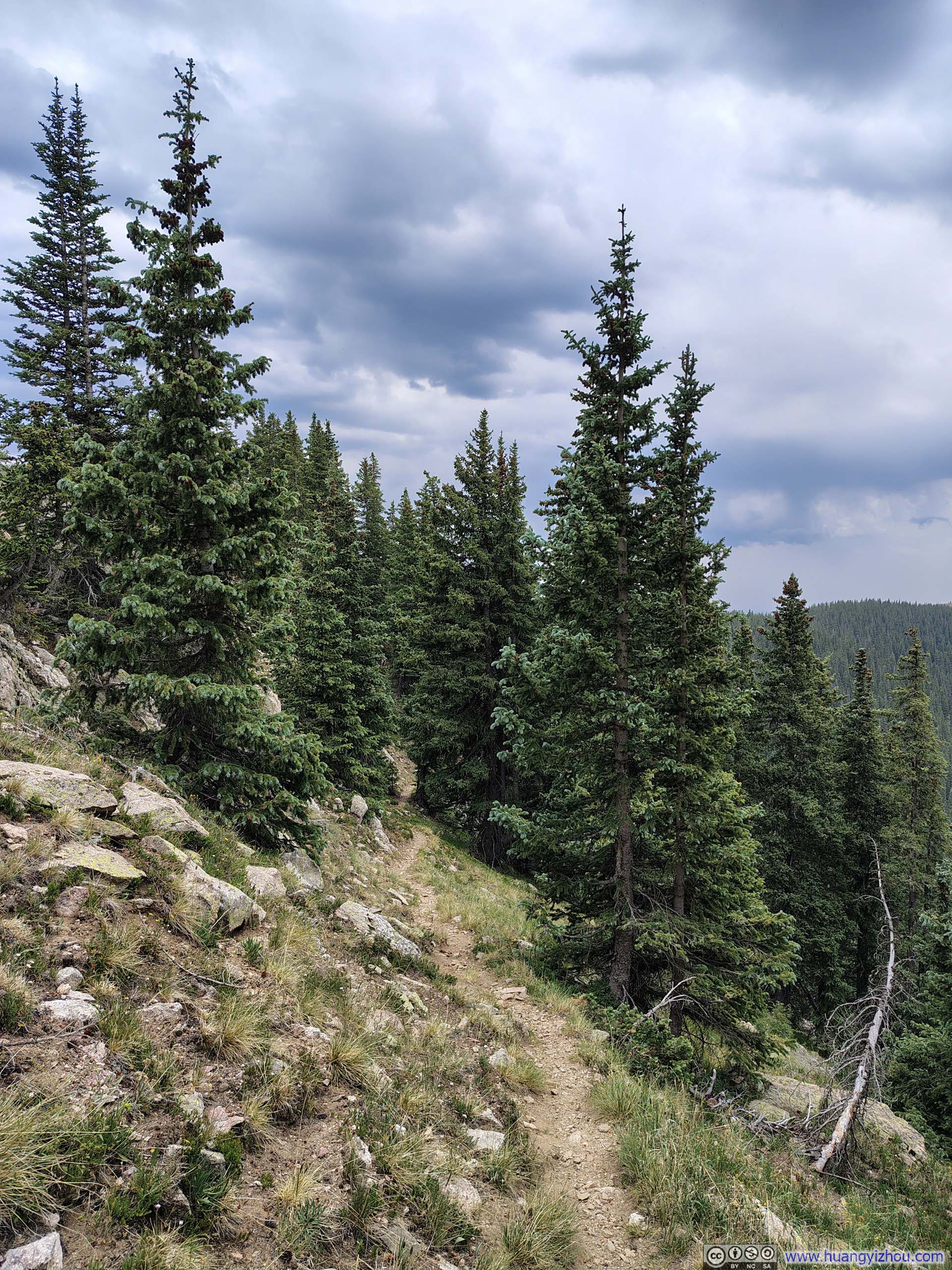
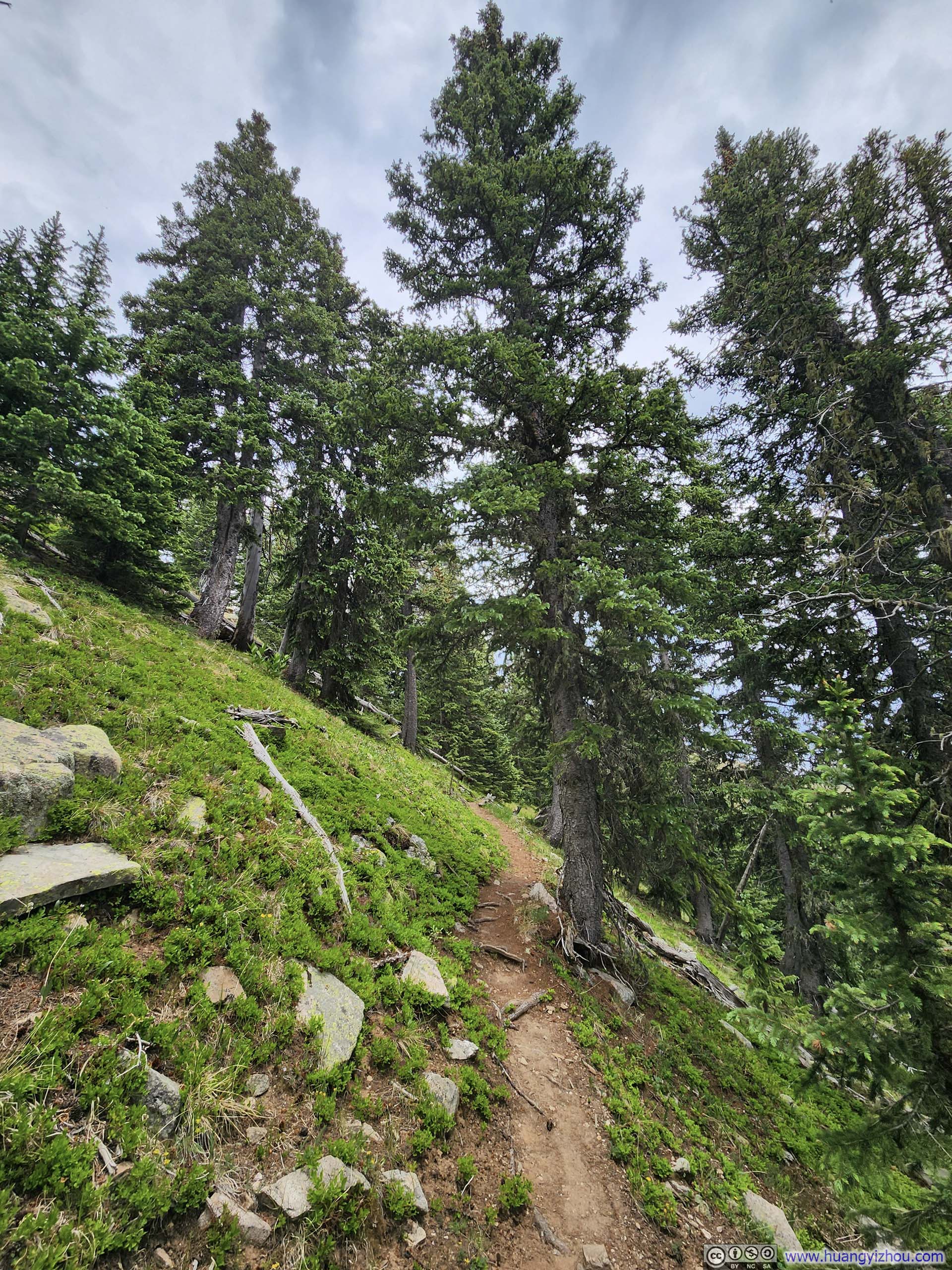
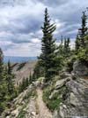
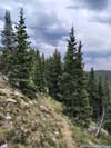
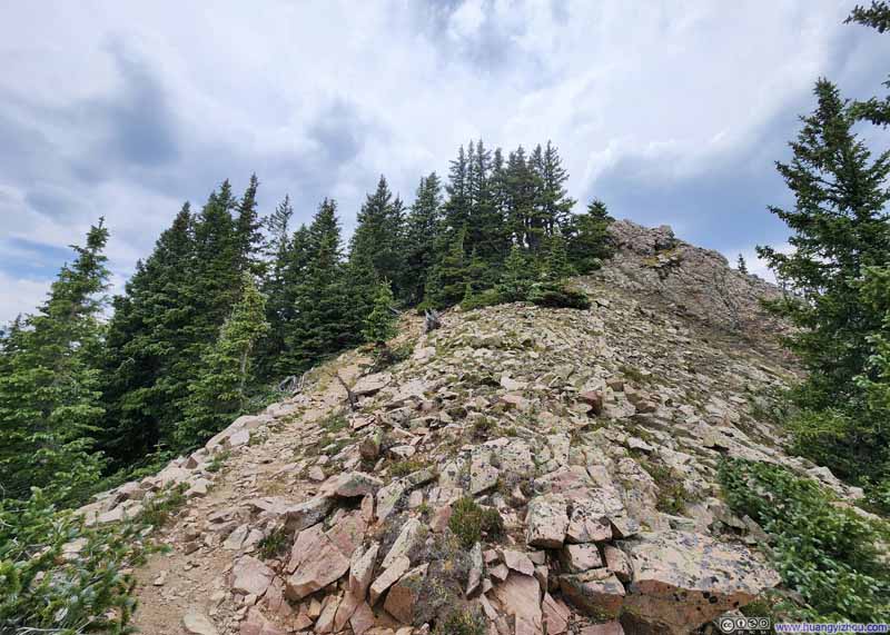
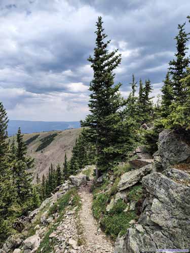
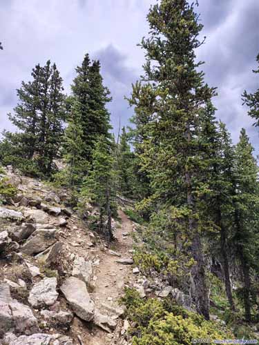
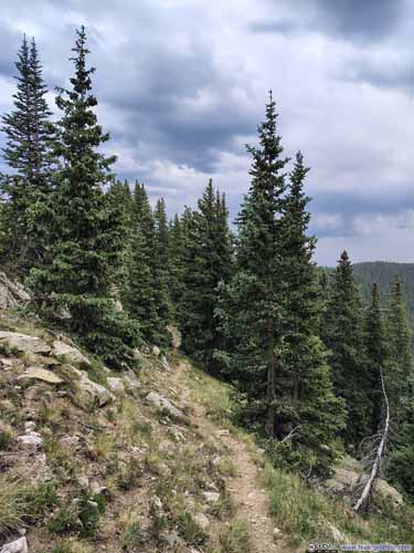
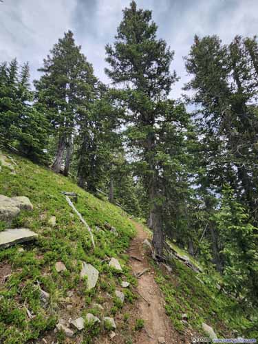
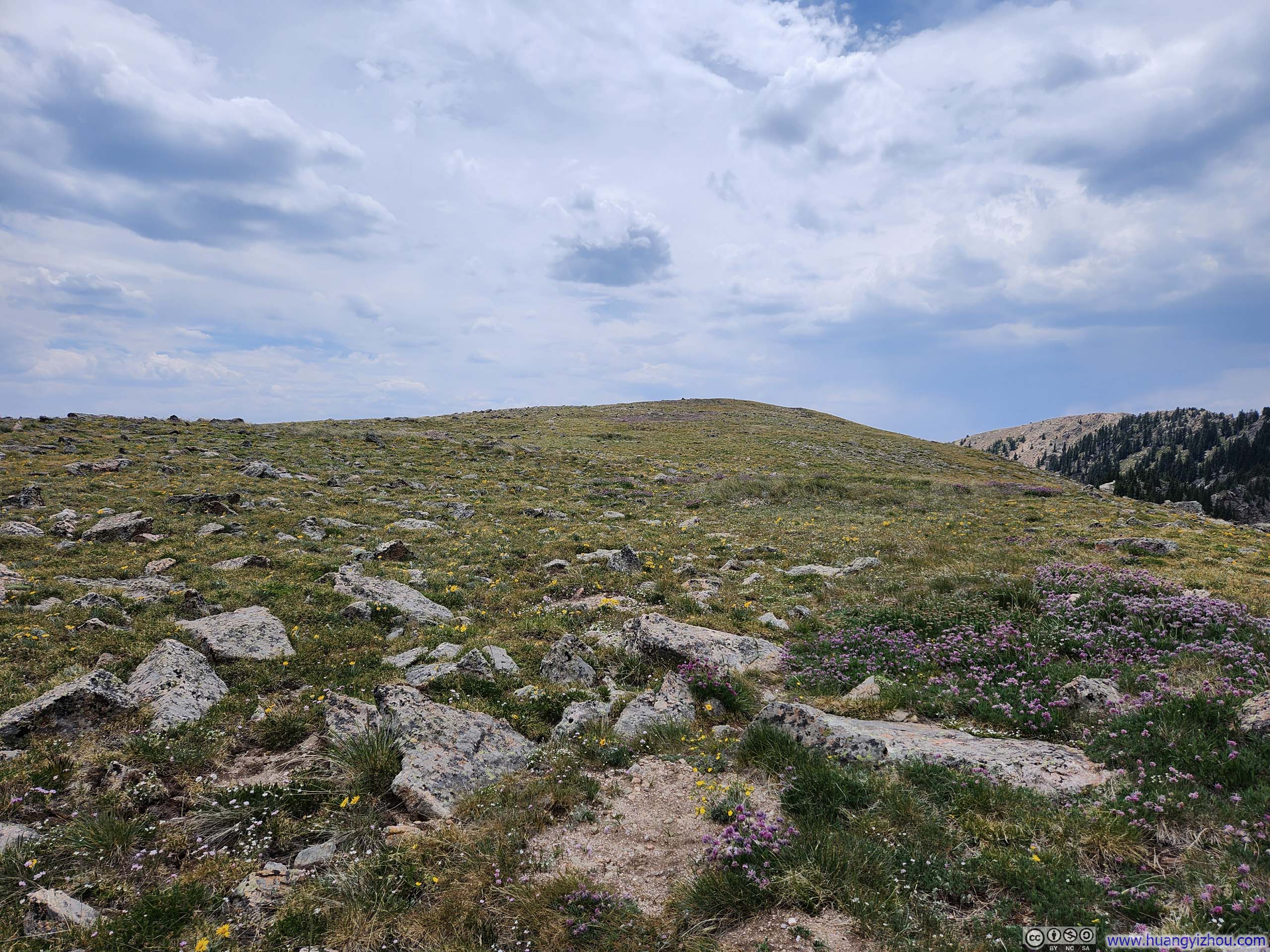
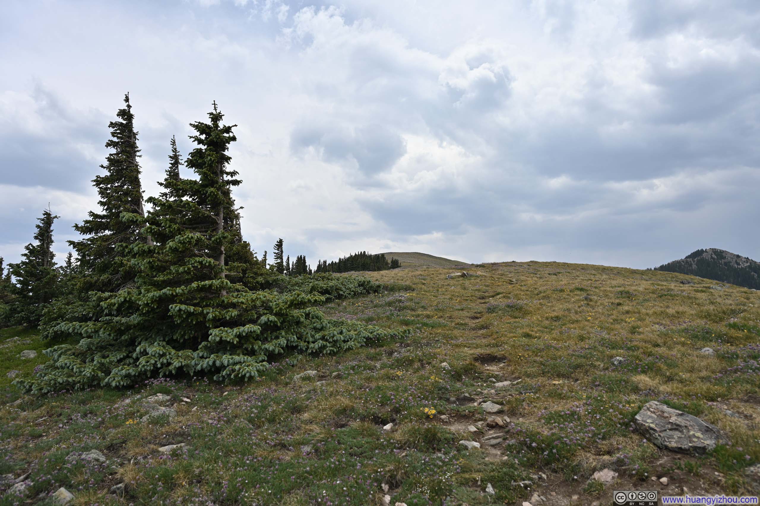
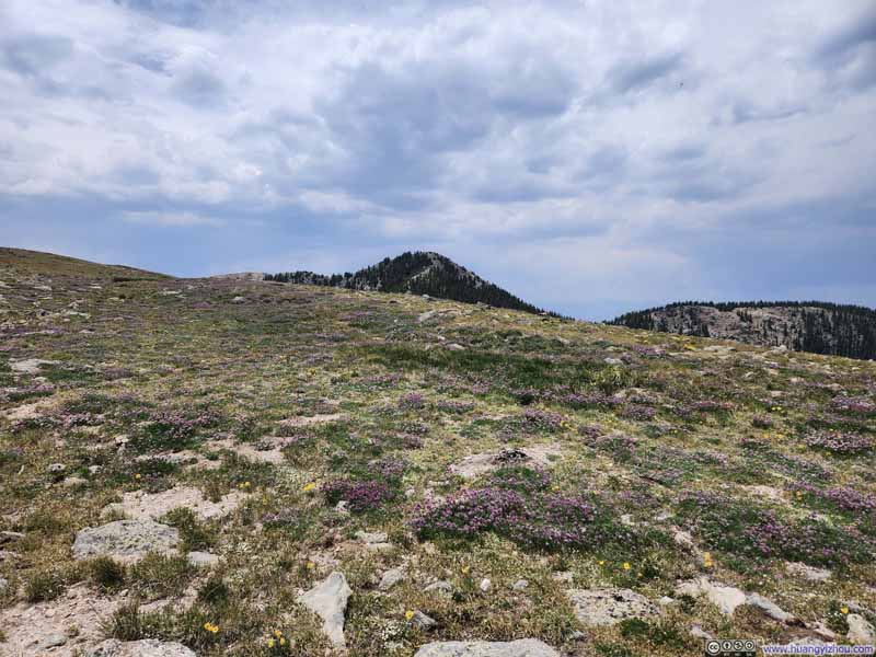
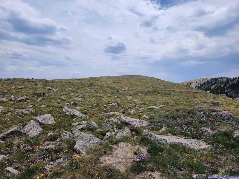
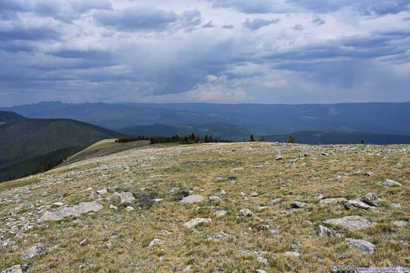
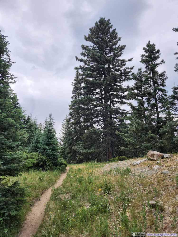
The short trail linking Lake Peak and Penitente Peak started out among trees, but that ended at the saddle point between the two peaks. What greeted me ahead was a wide open field of Penitente Peak's summit, tenderly arrayed with the season’s wildflowers.
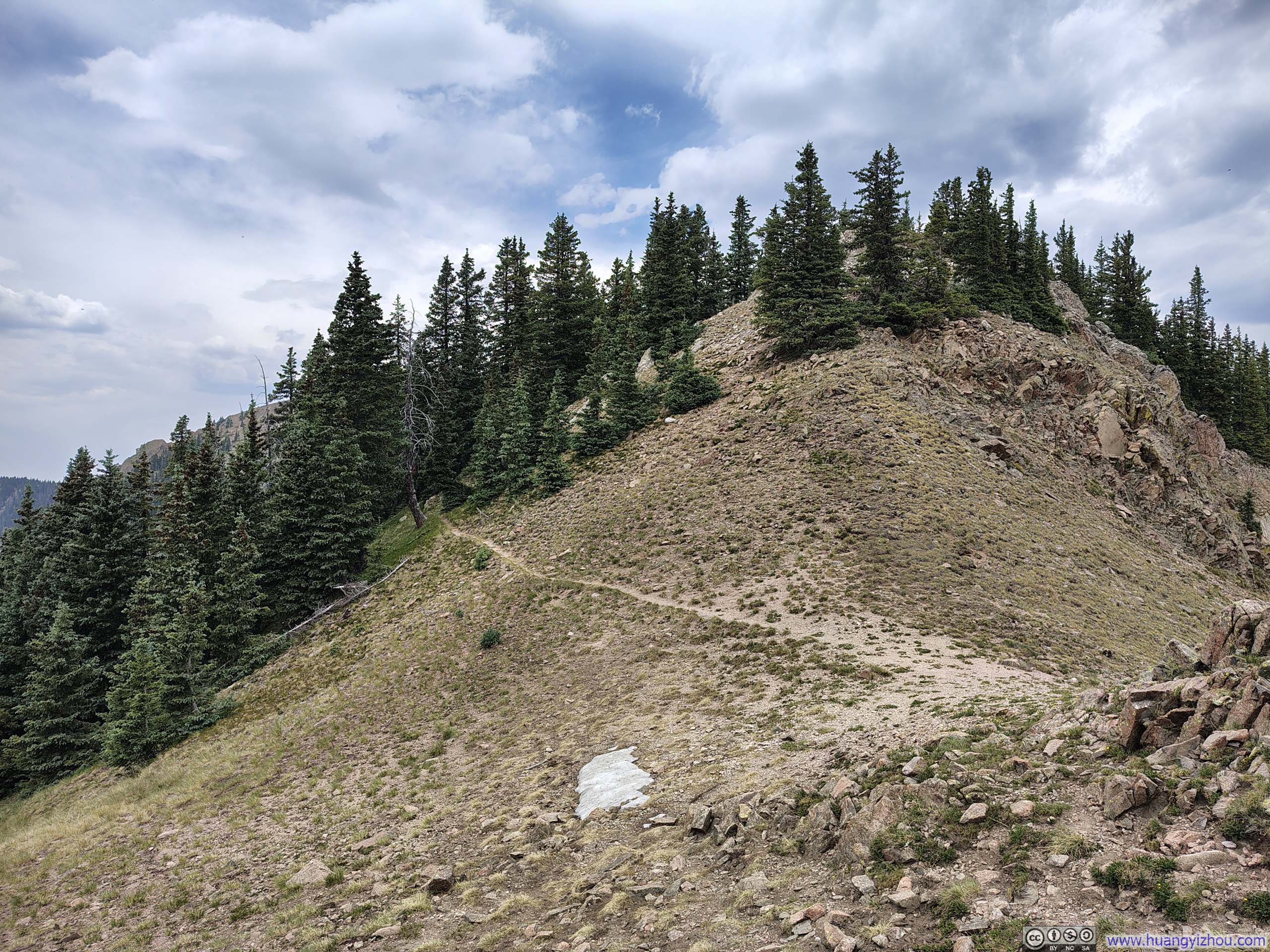
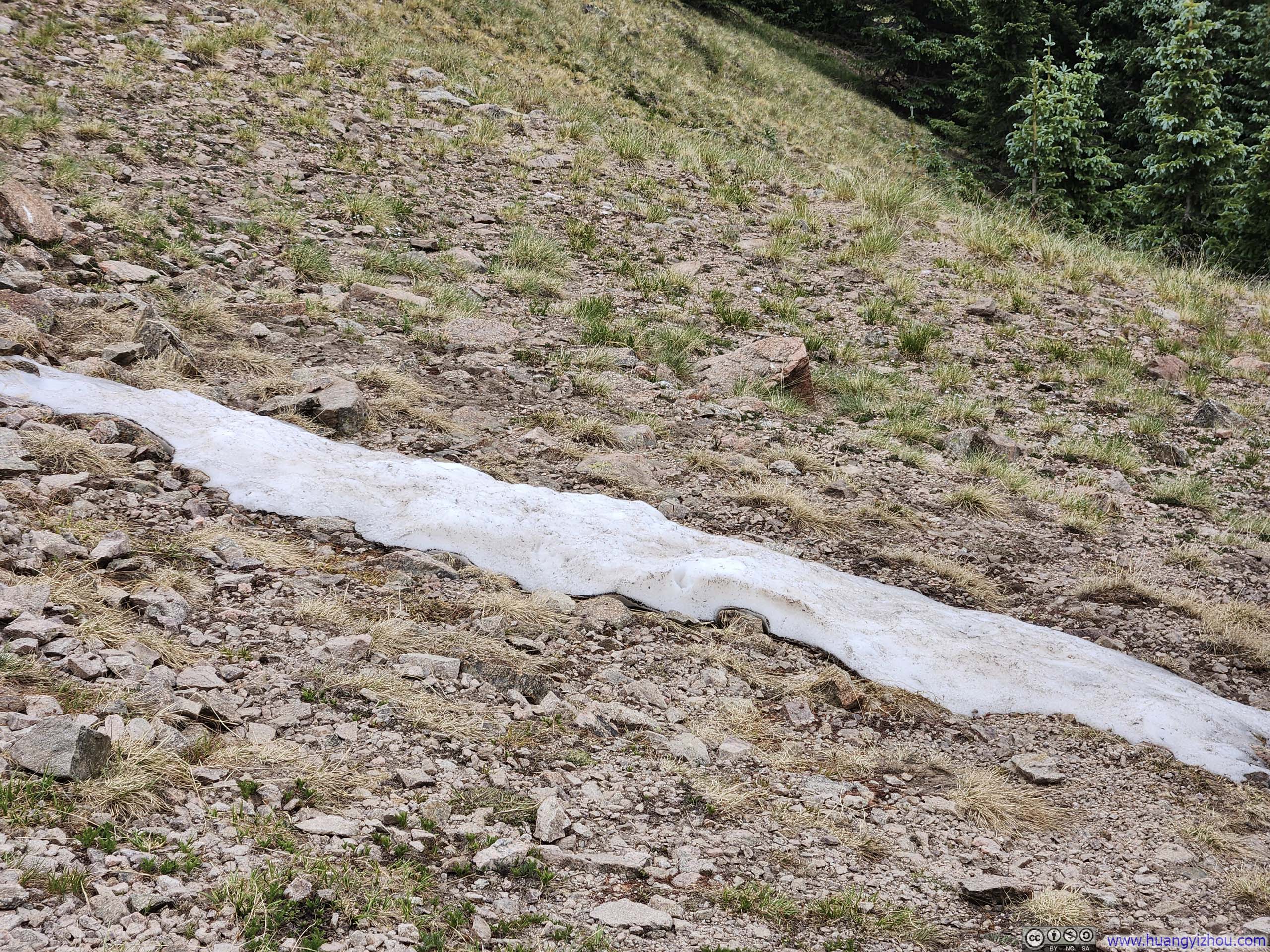
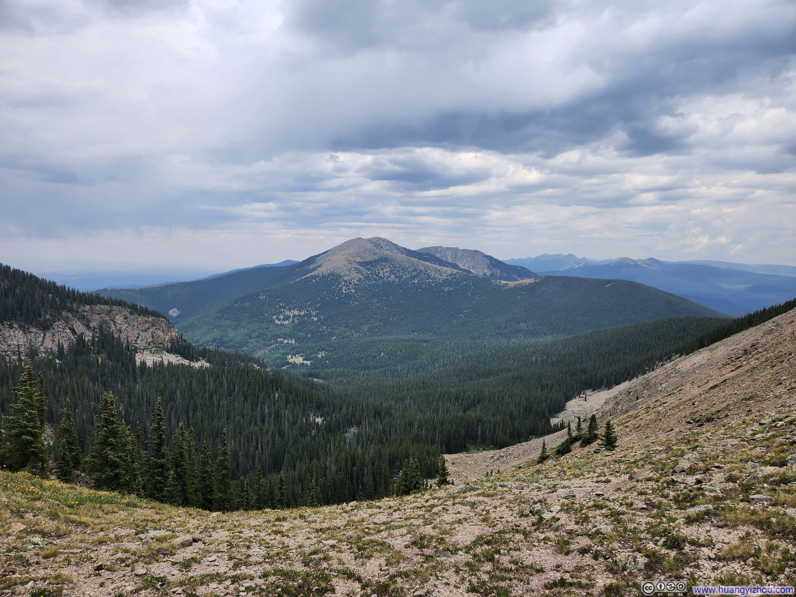
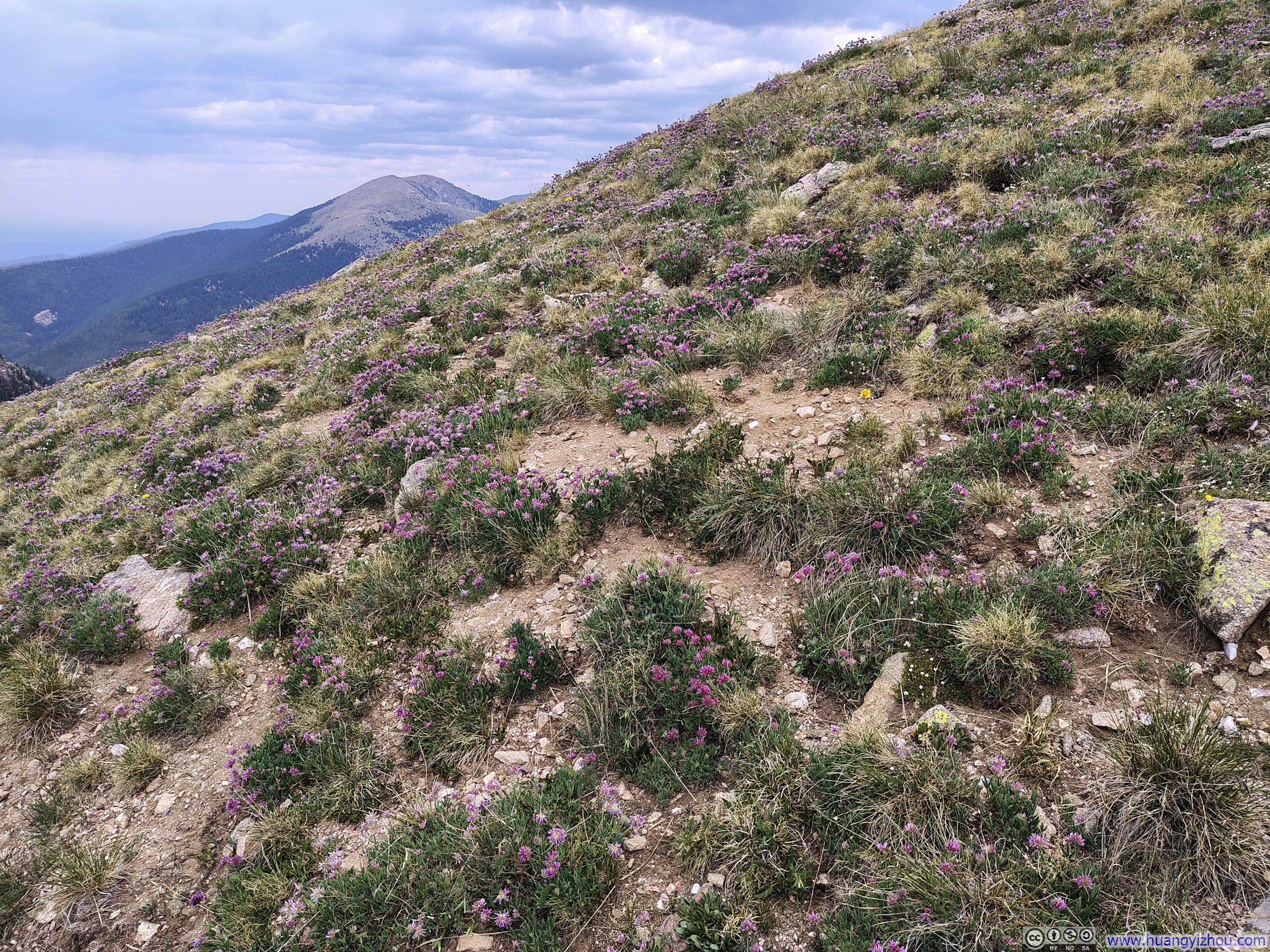
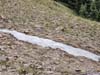
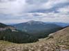
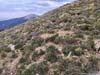
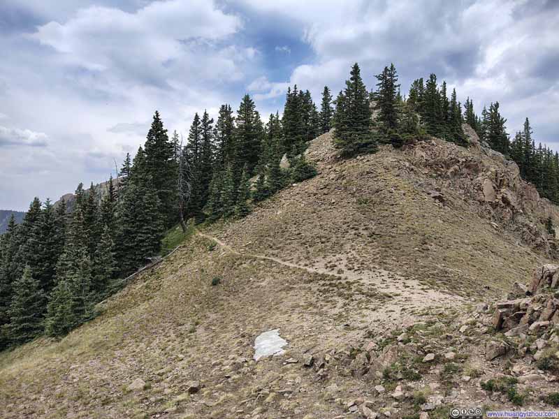
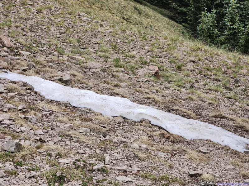
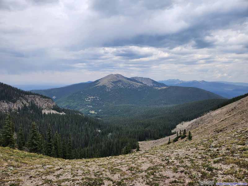
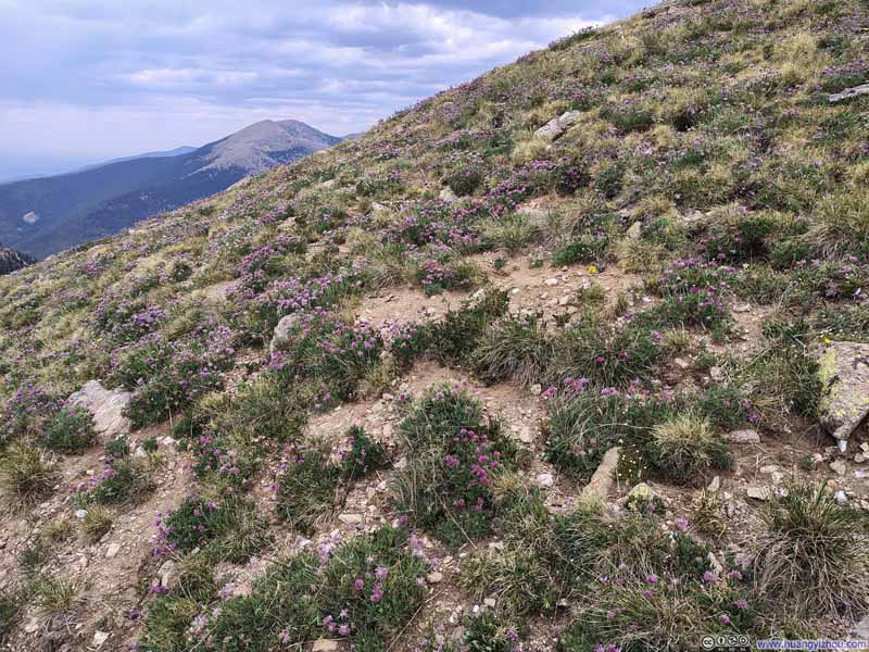
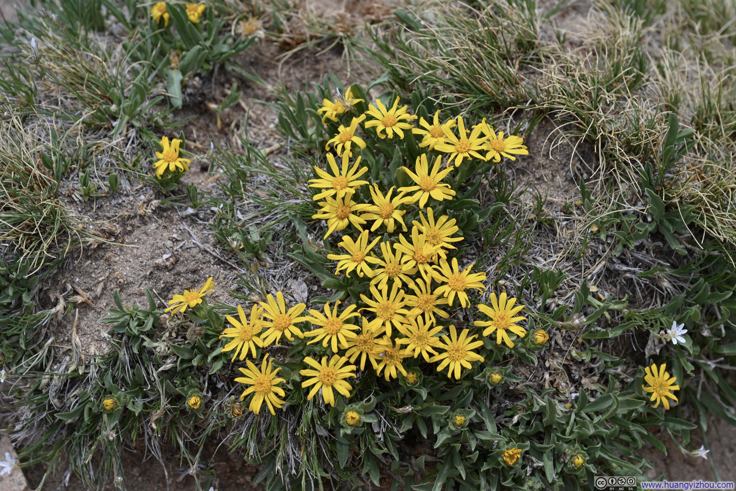
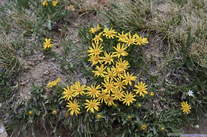
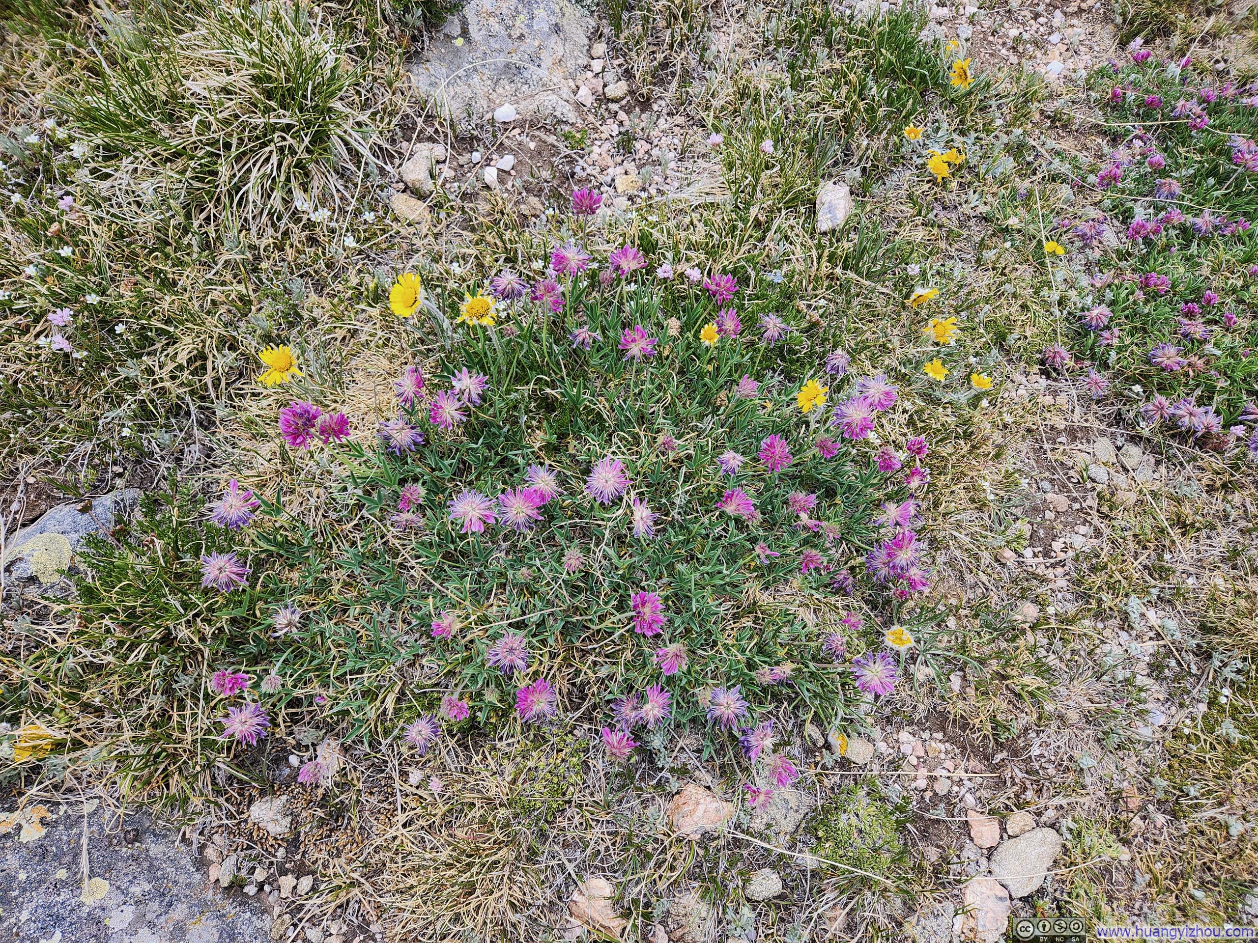
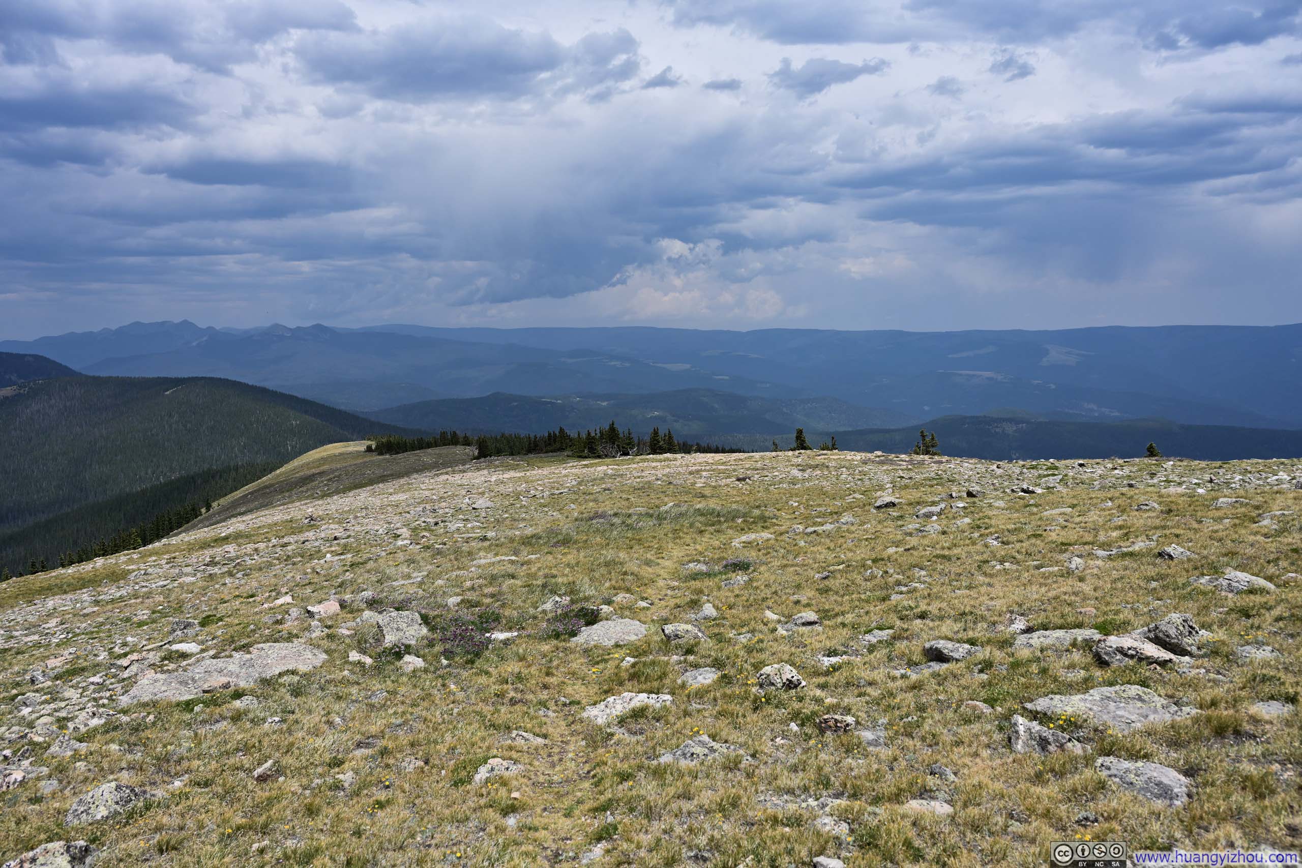
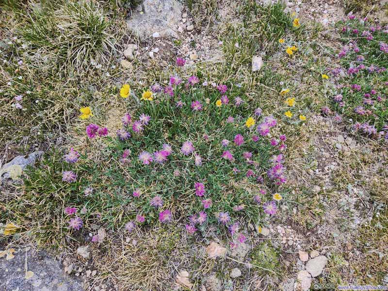
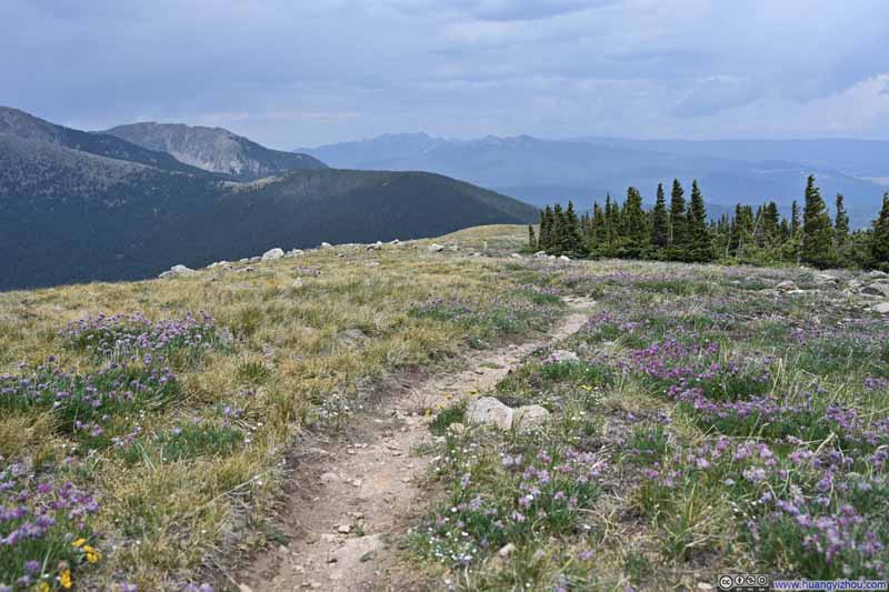
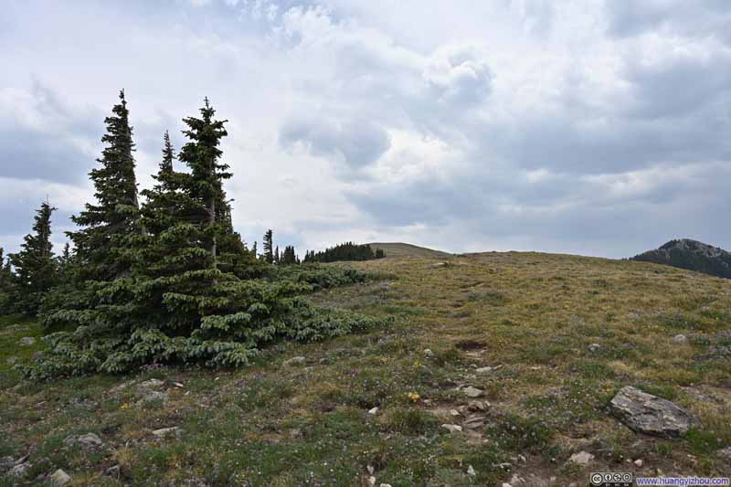
Penitente’s summit asserted itself less than those of its two predecessors; had it not been for the modest pile of rocks marking the very point (p4 below), it would have all but merged into the landscape. Scenery-wise, there was the addition of the wooded southeastern faces of the earlier peaks, but otherwise it was very similar to the two peaks earlier. Yet the mingled hues of the wildflowers crowning the field distinguished it with a quiet, engaging delight. And though neither Deception nor Lake Peak could be accounted remarkable among the mountains I have ascended, that meadow of enchanting blooms was quite sufficient in its captivity.
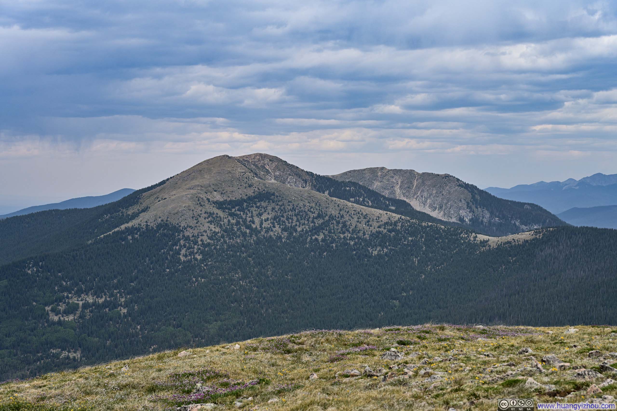
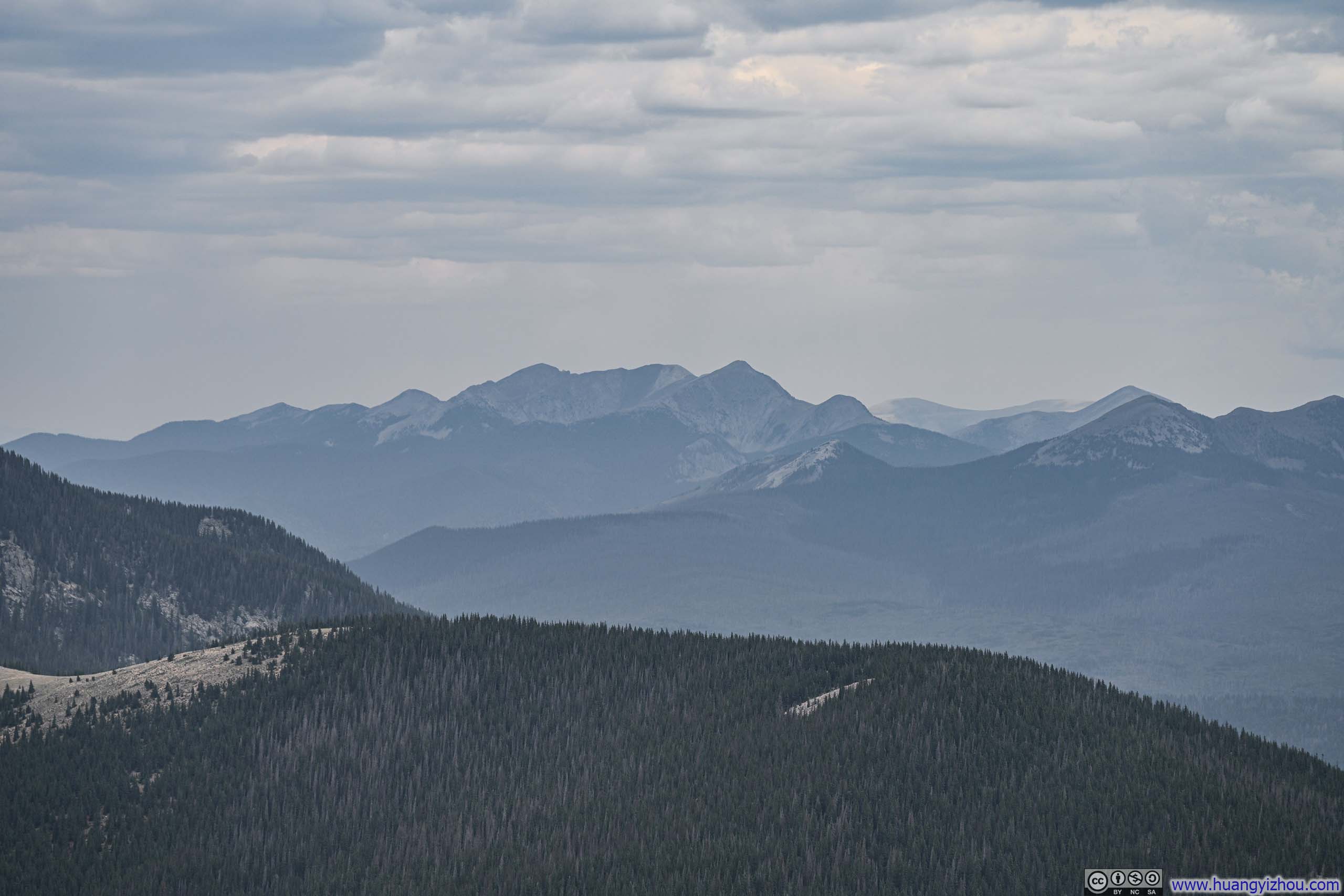
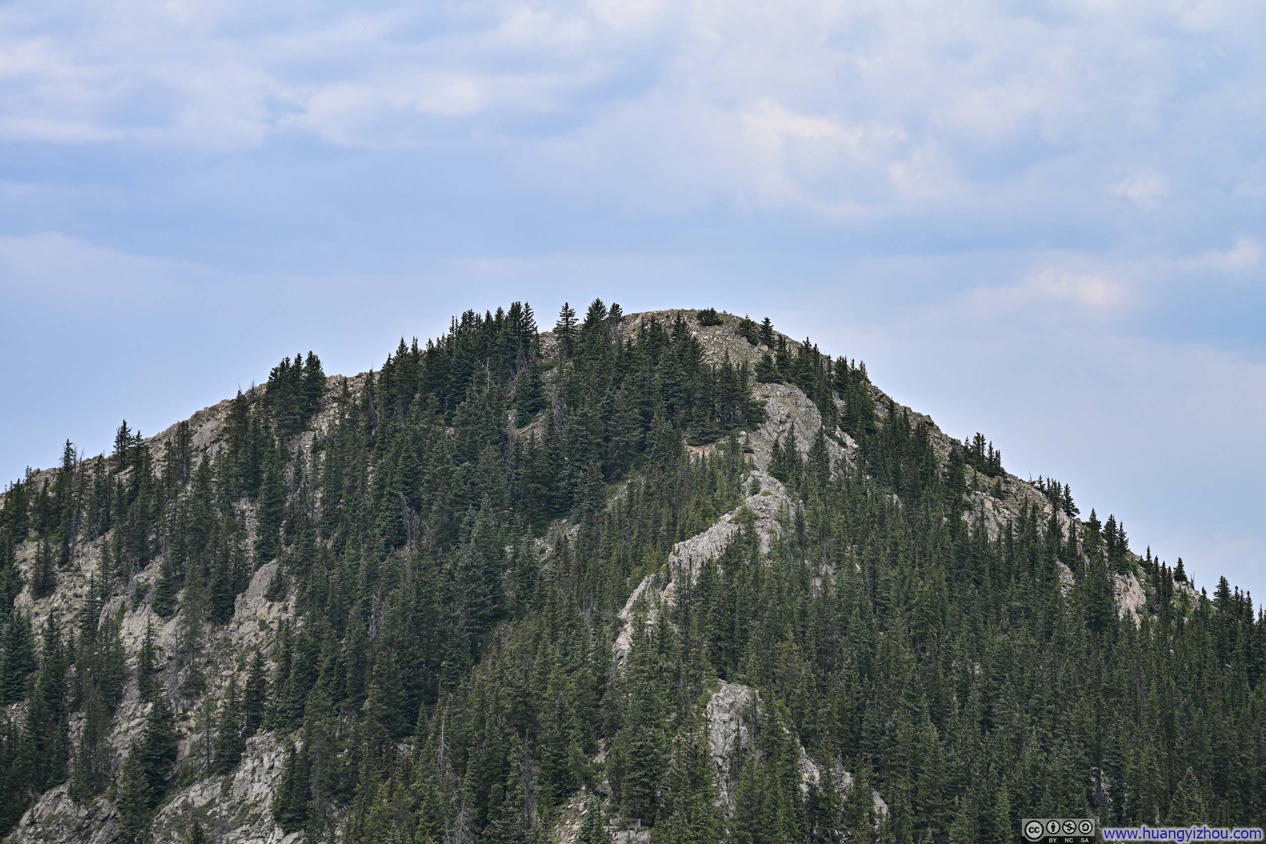
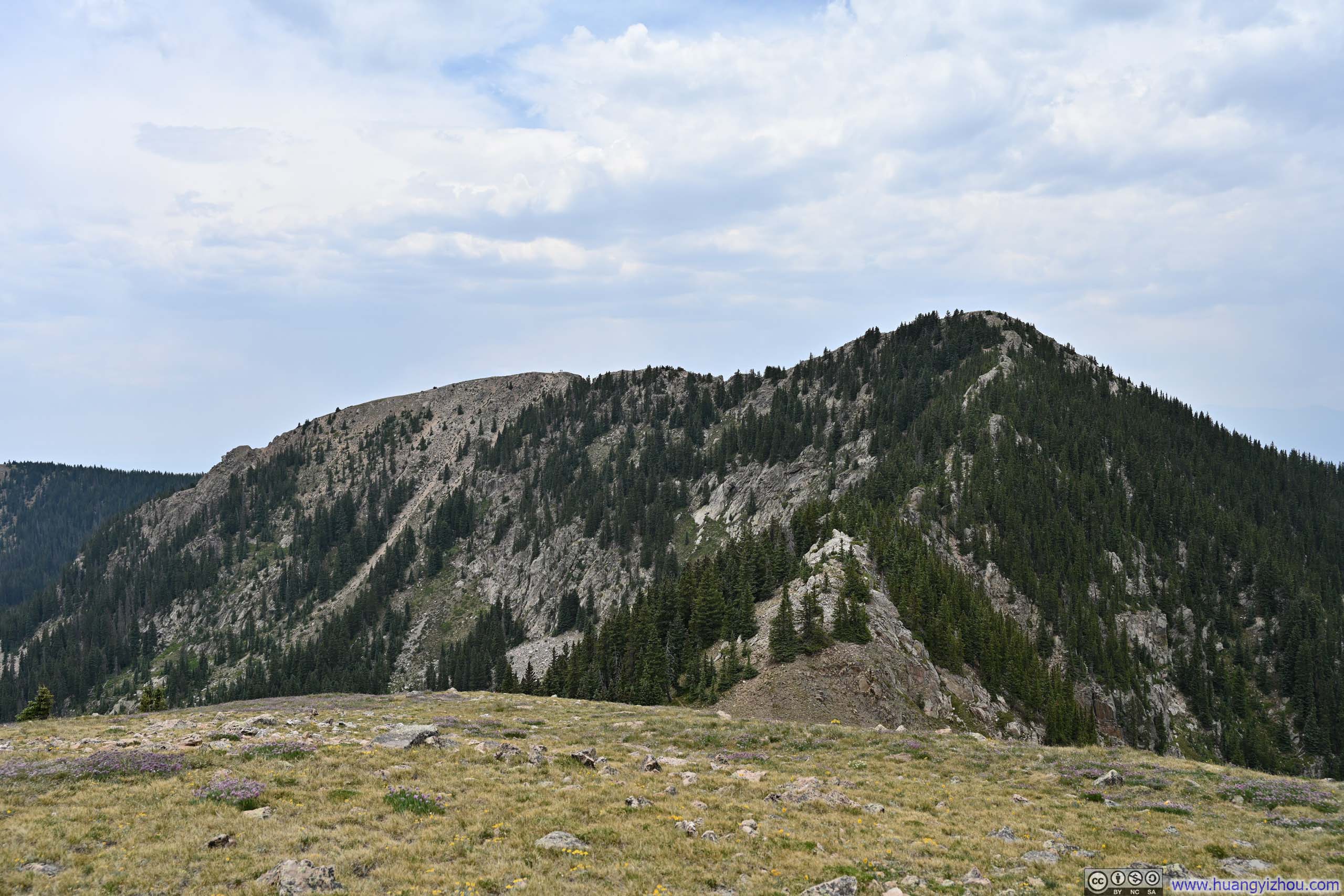
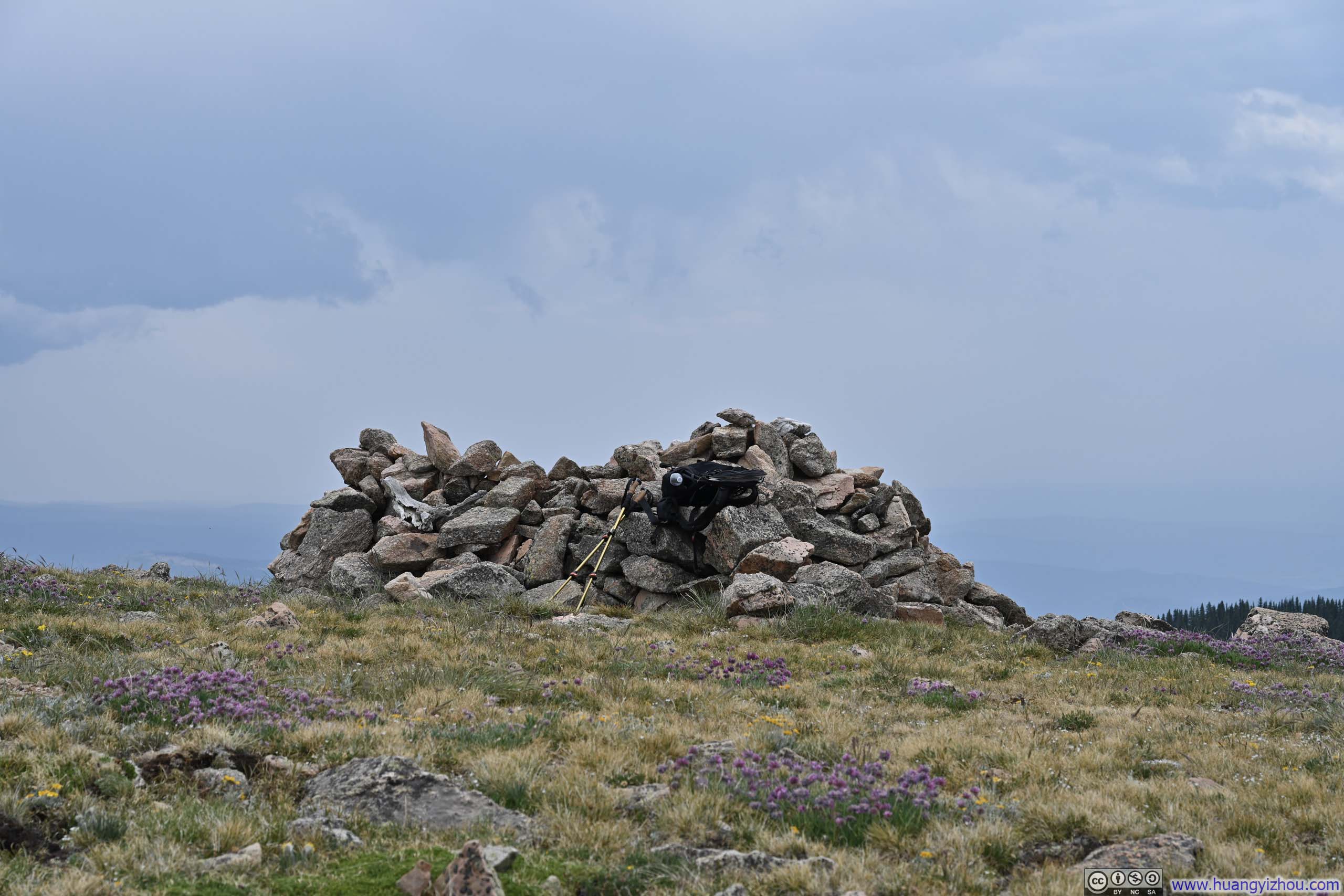
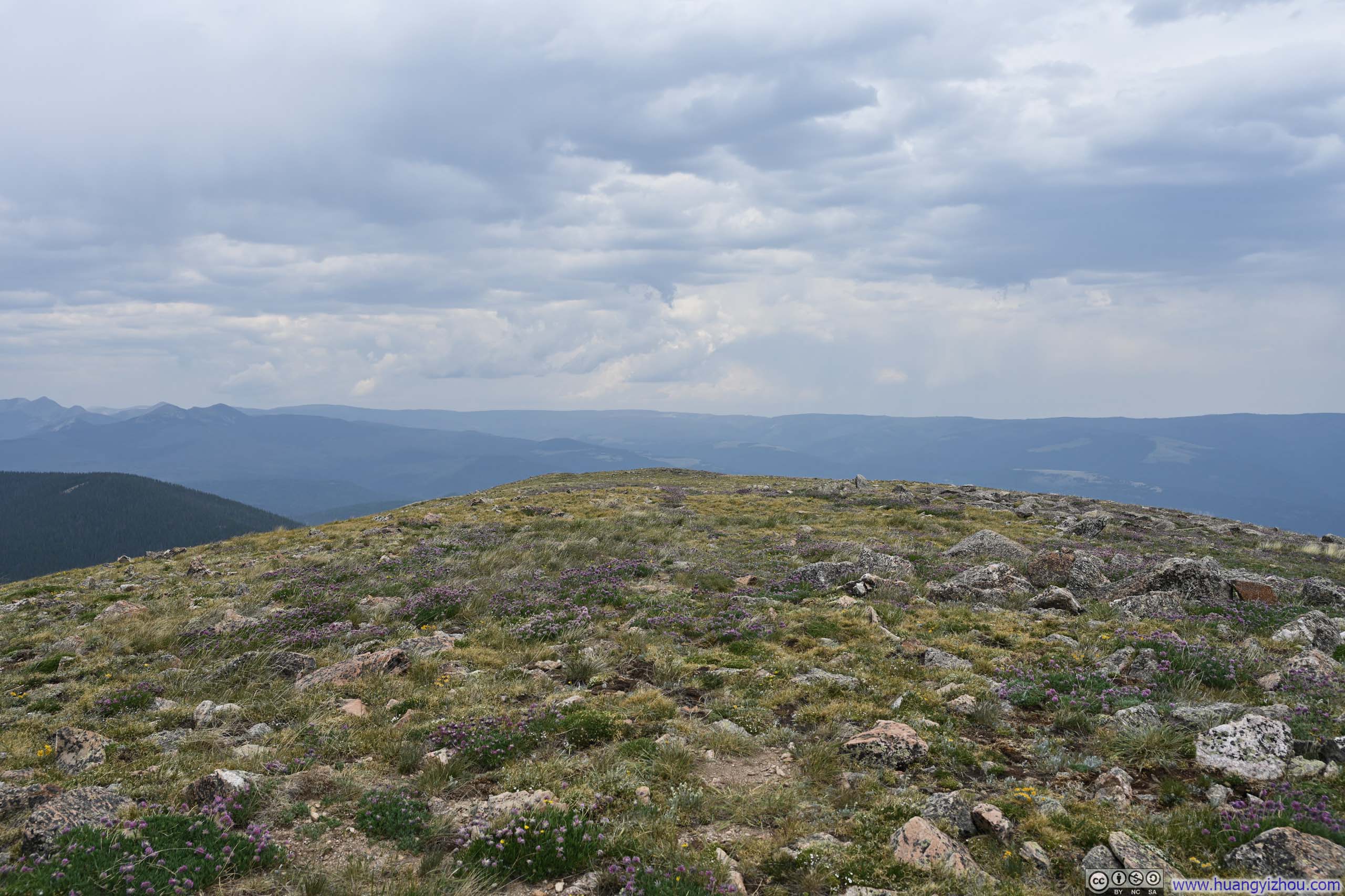
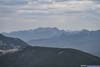
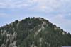
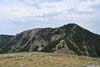
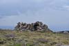
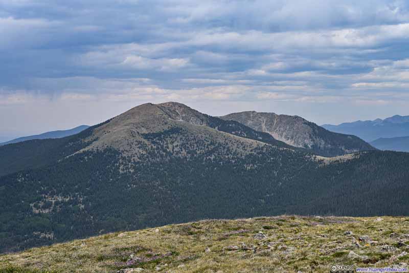
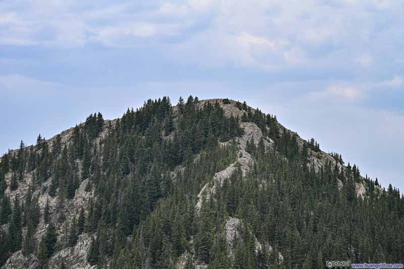
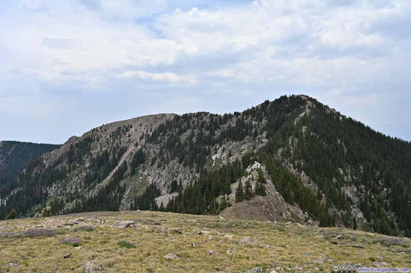
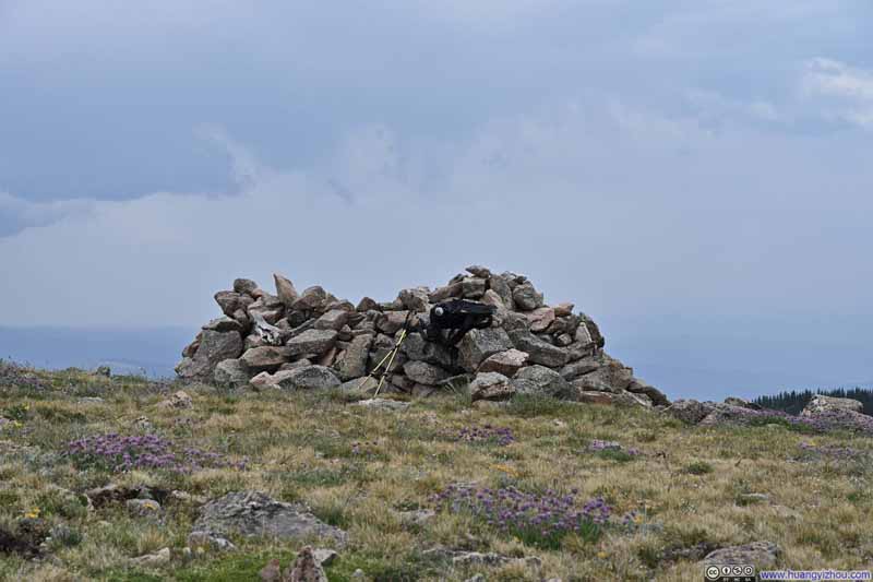
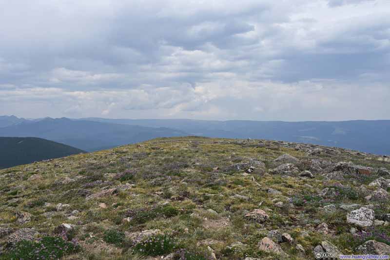
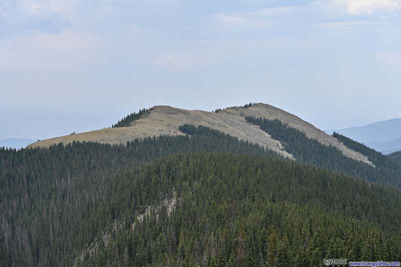
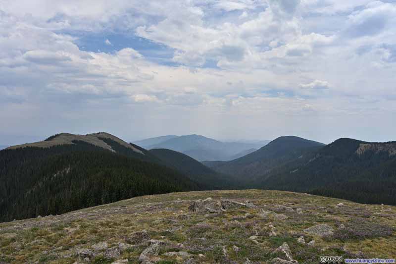
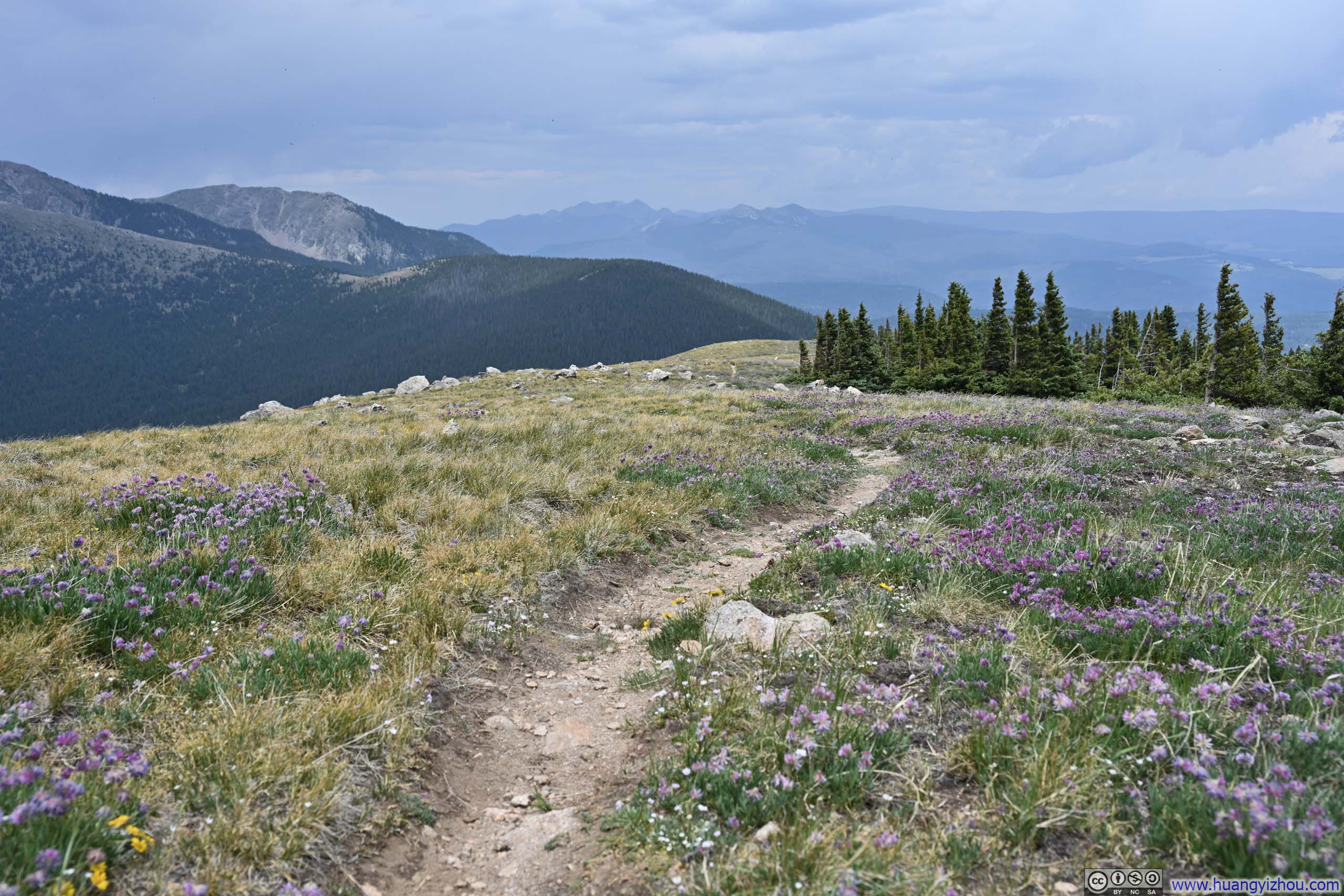
Leaving Penitente Peak, I found that for the first few paces the exuberance of the alpine meadow had, as it were, obliterated the scant traces of the way; so that I was left to wander, in the absence of any certain path, along the general course indicated upon the map.(The wildflowers, I must own, were rather exacting upon my photographic endeavours.) Eventually, the trail revealed itself among the fields, though the blossoms continued undiminished until the tree line.
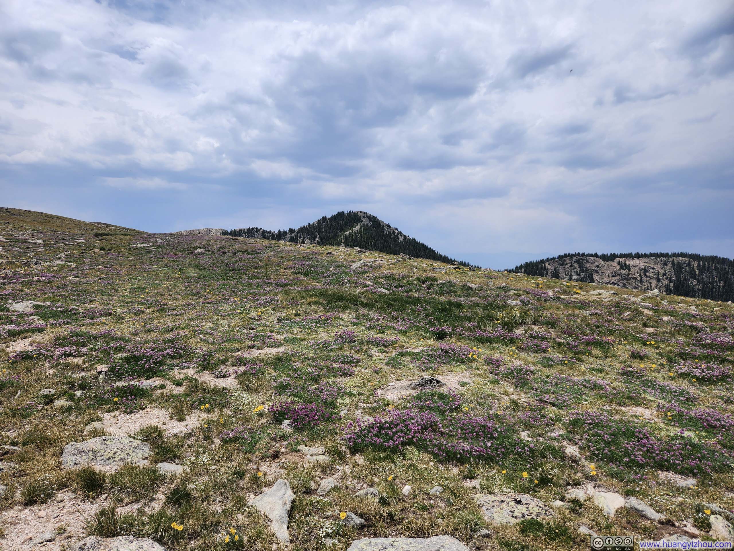
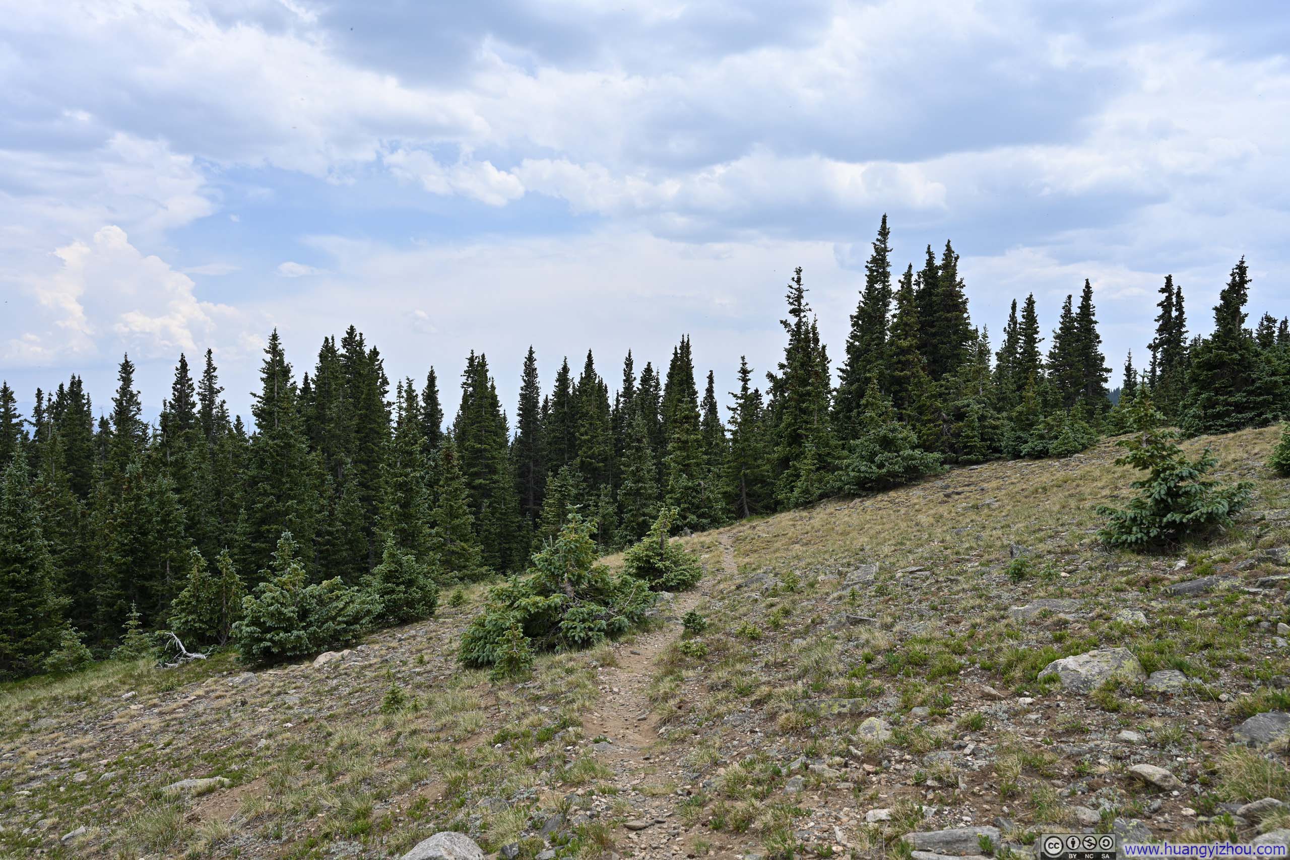
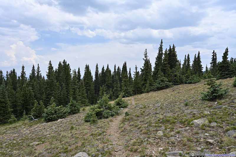
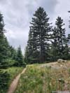
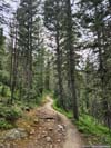
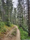
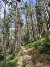
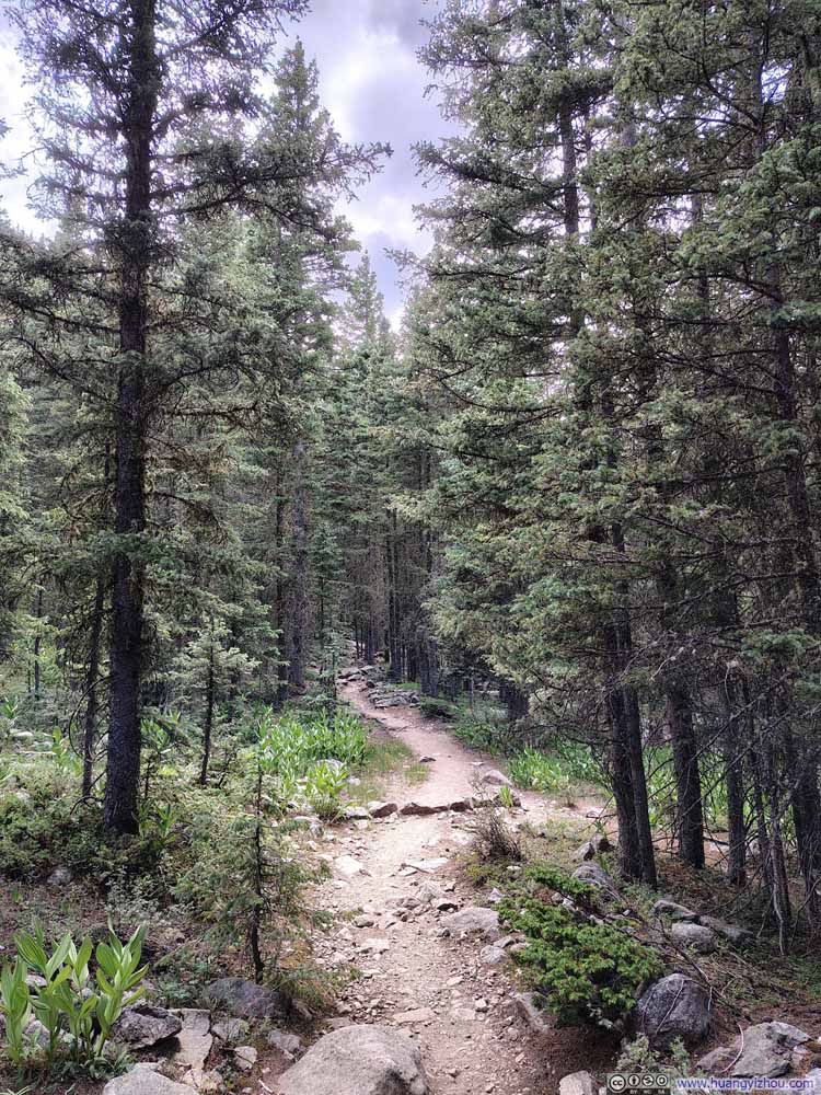
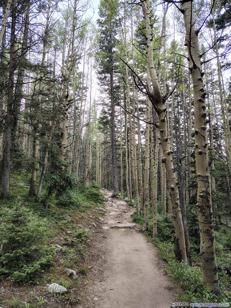
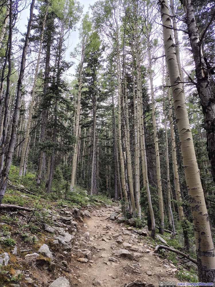
Once back in the woods, the descent became rather unremarkable.
Notably, whereas I had encountered only one other group on Lake Peak earlier, here along the Winsor Trail I passed numerous parties of hikers, many of them seemingly on backpacking trips to Santa Fe Baldy.
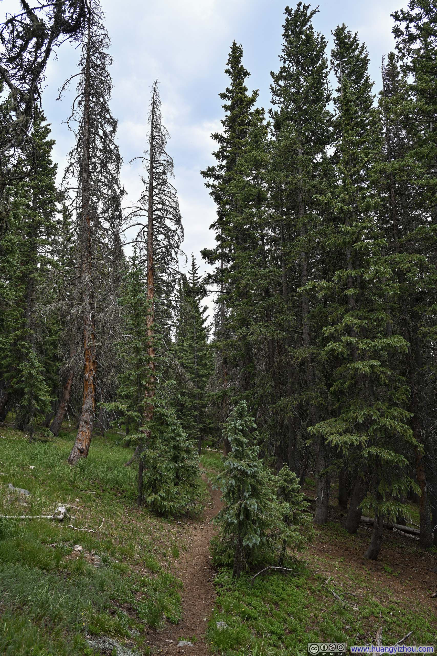
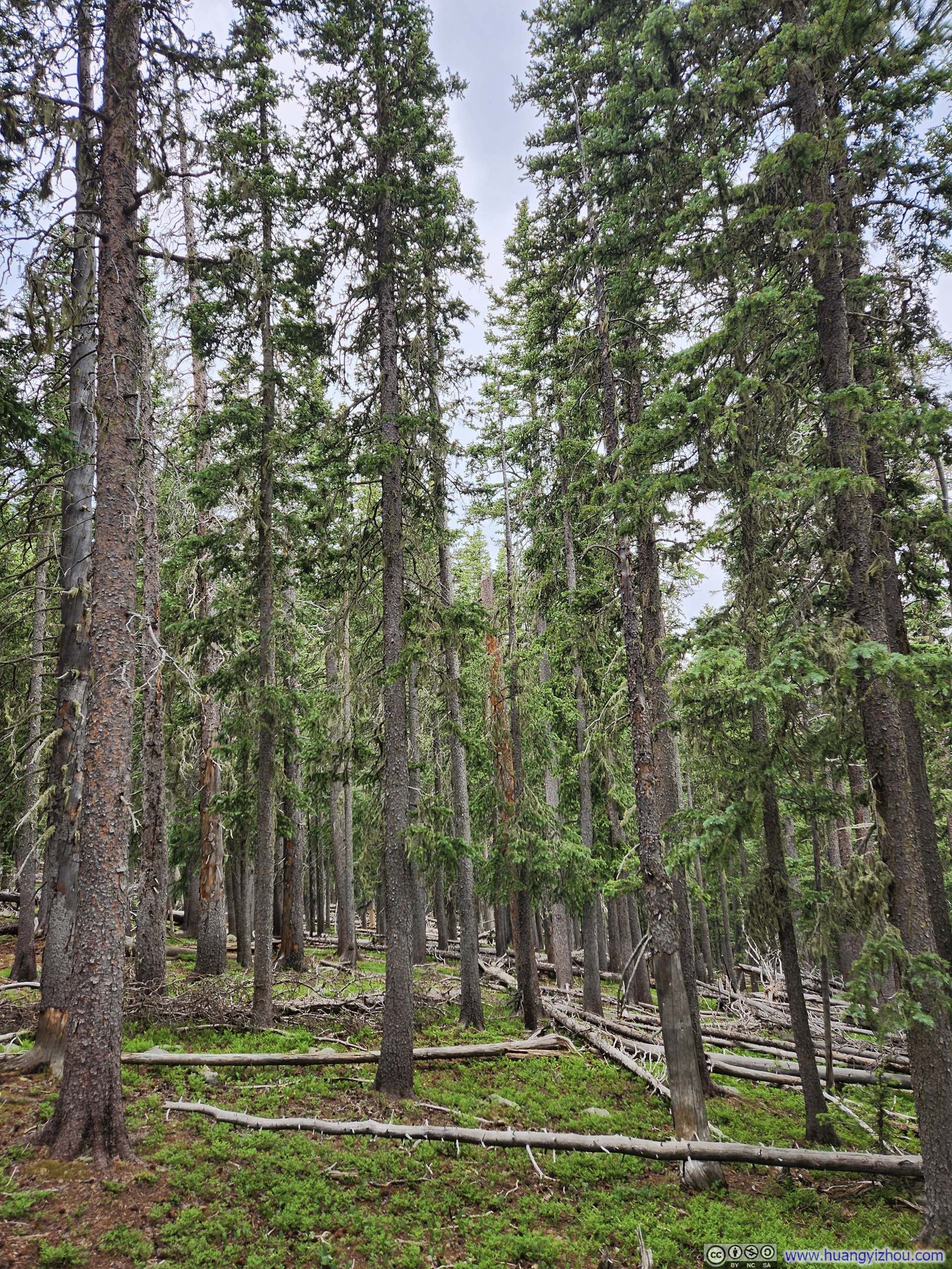
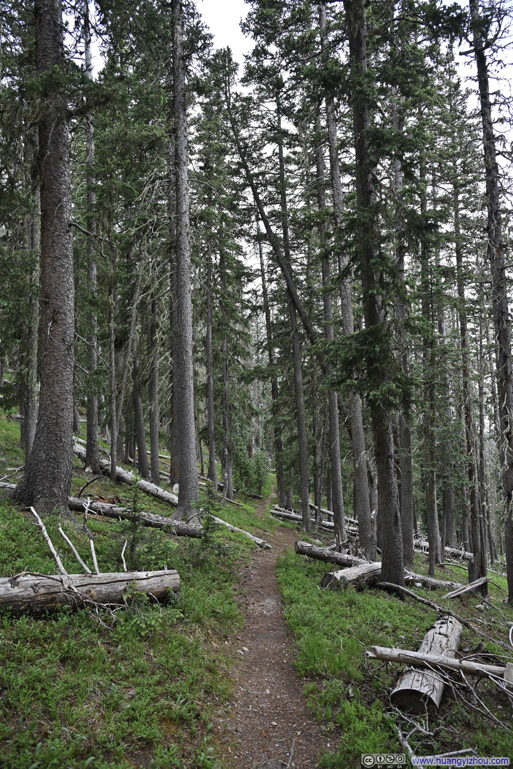
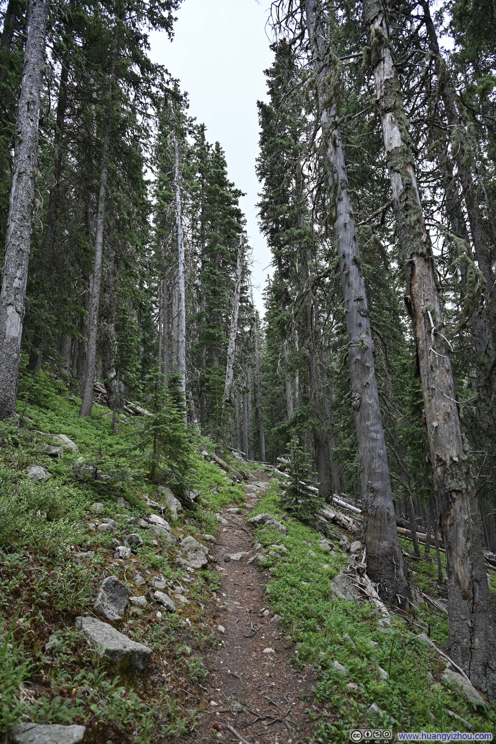
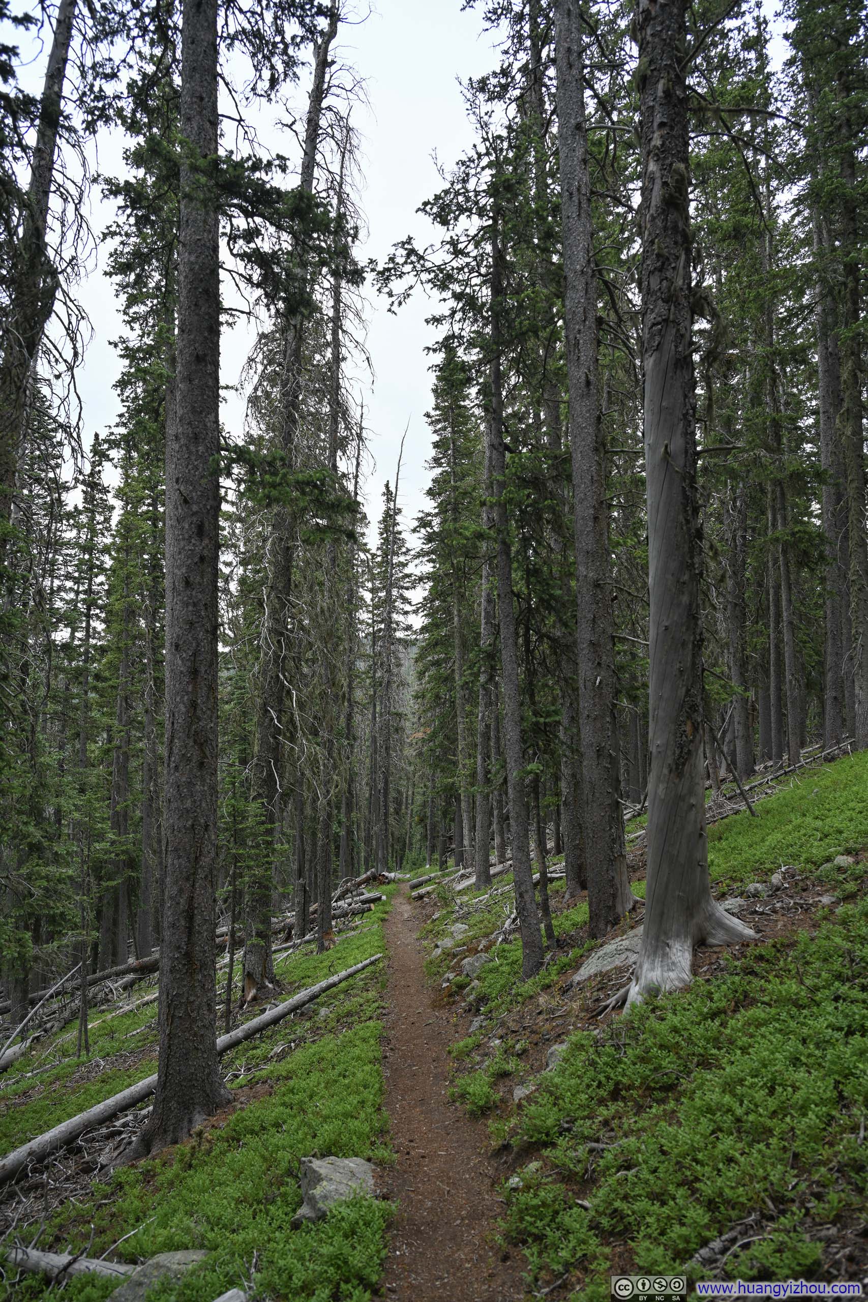
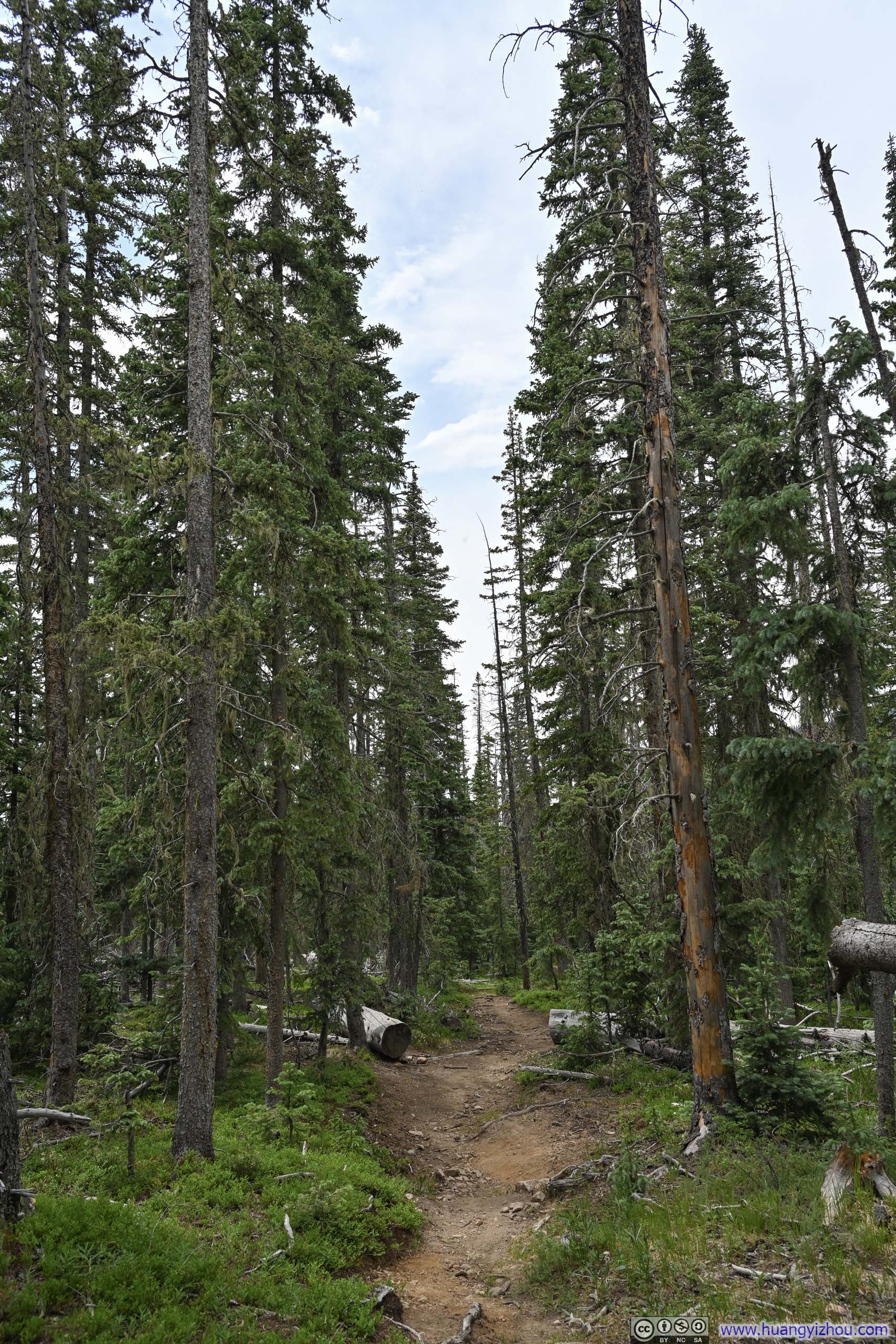
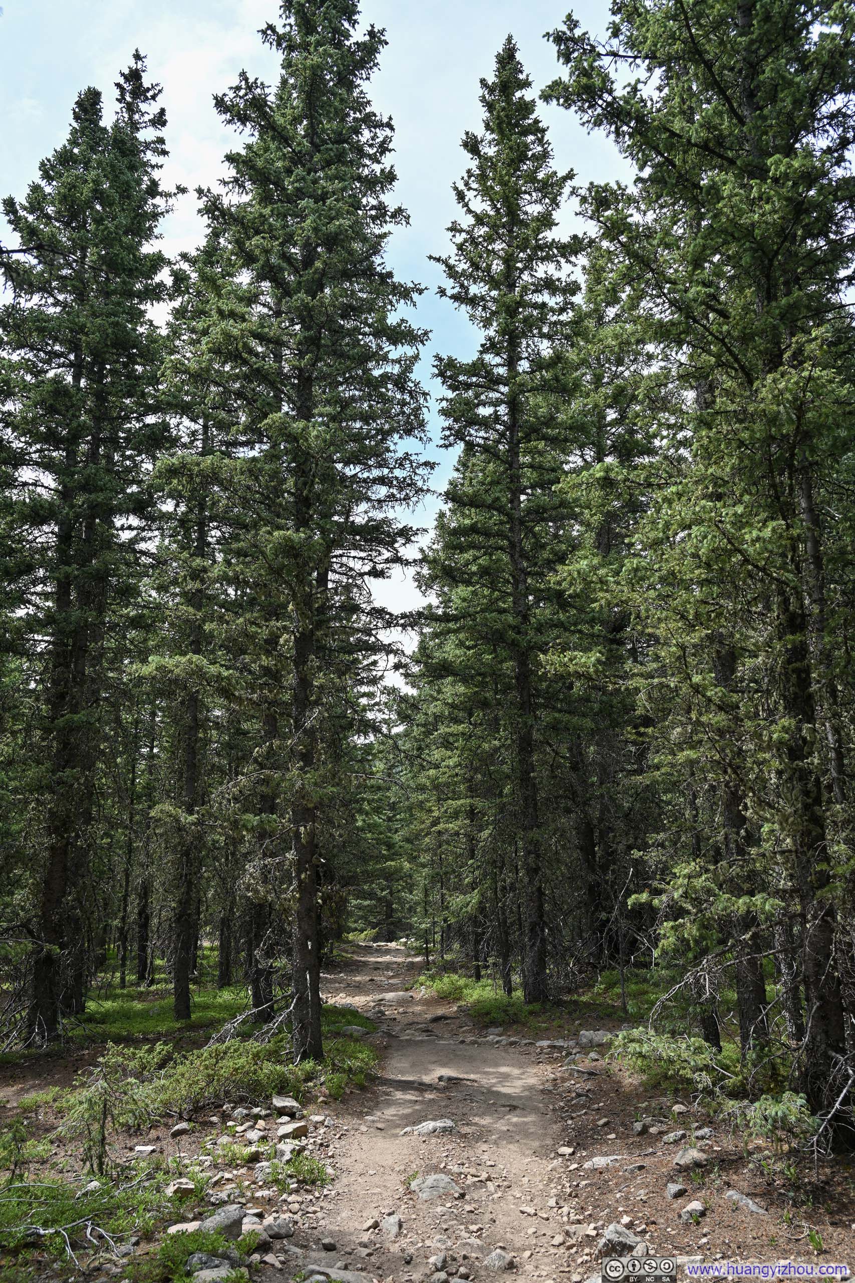
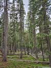
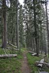
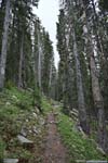
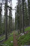
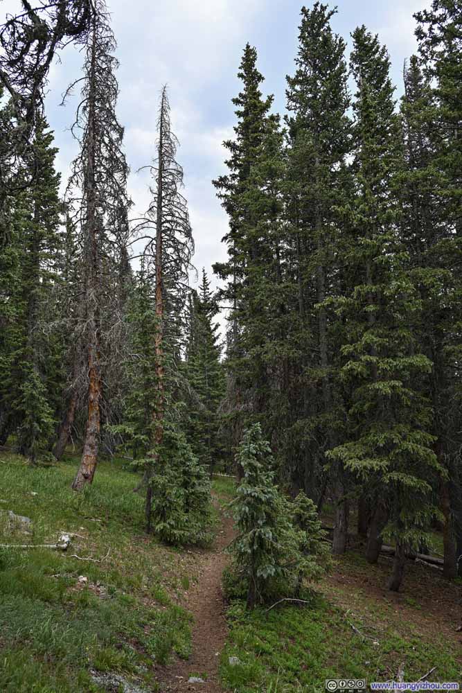
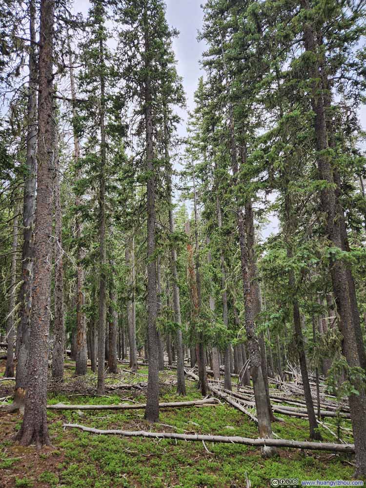
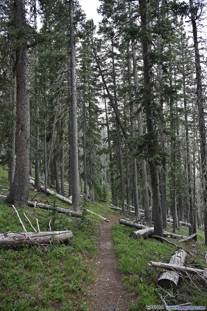
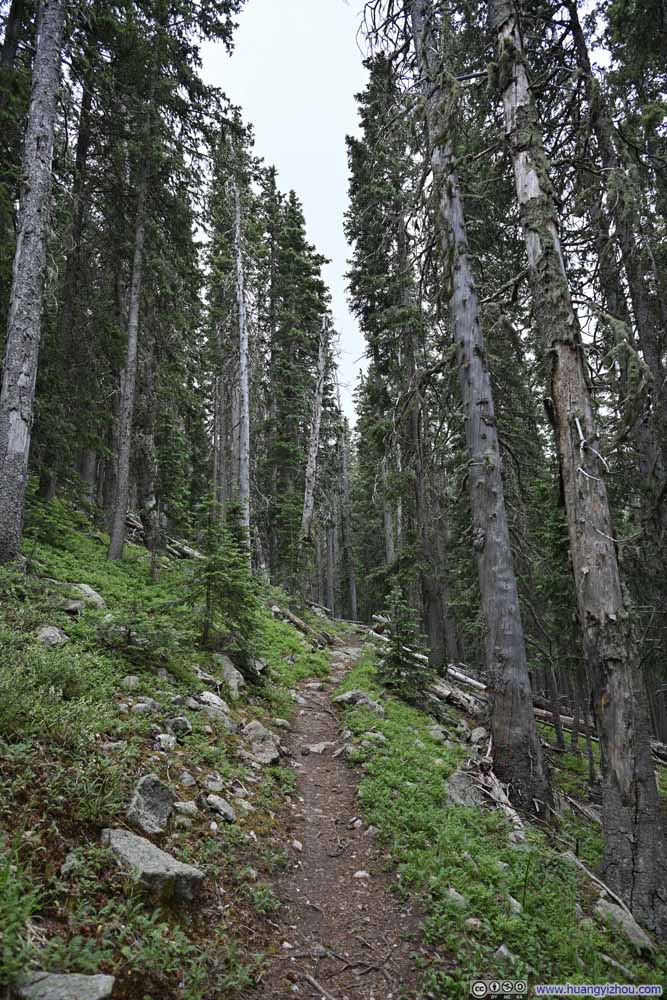
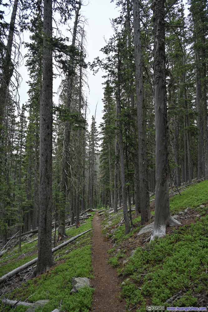
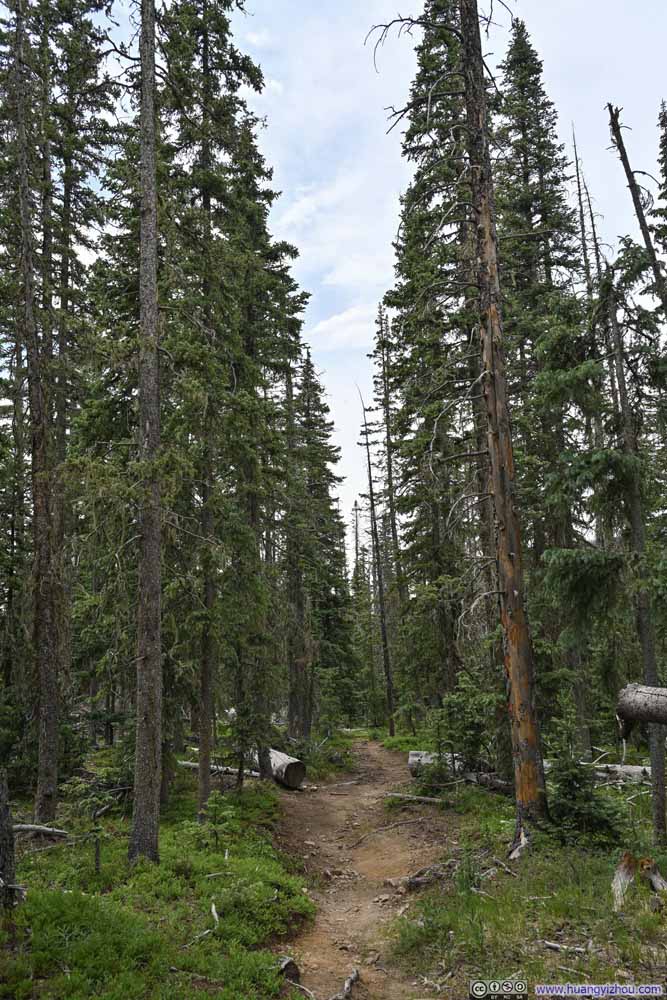
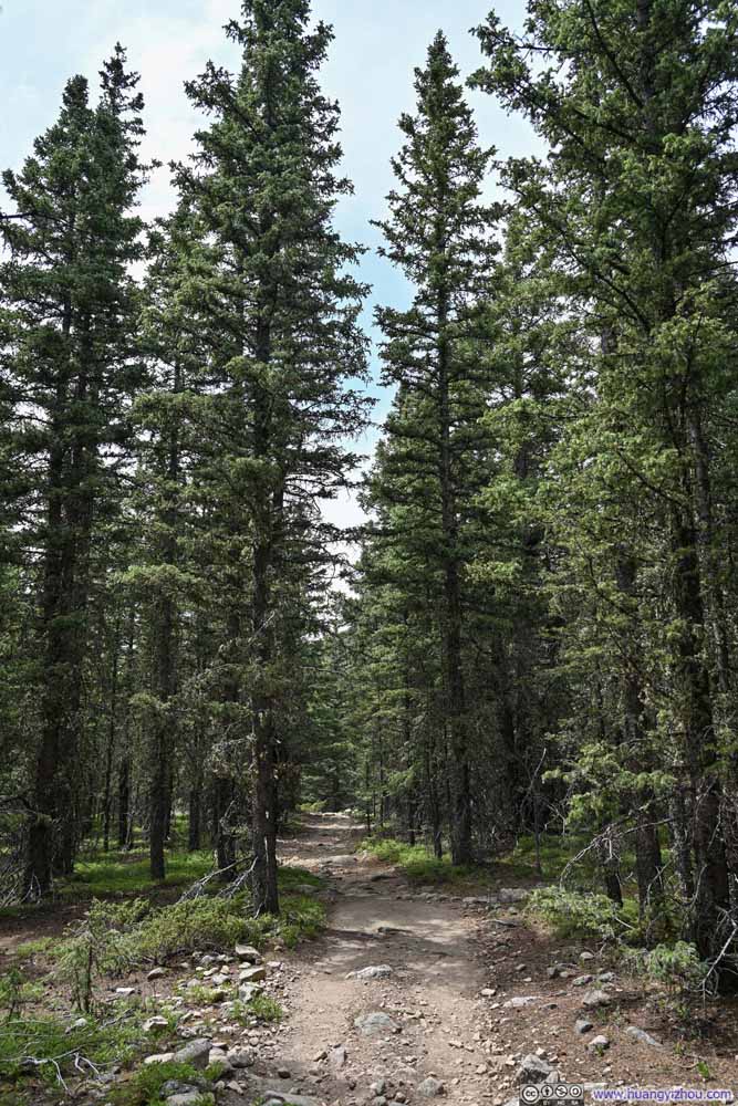
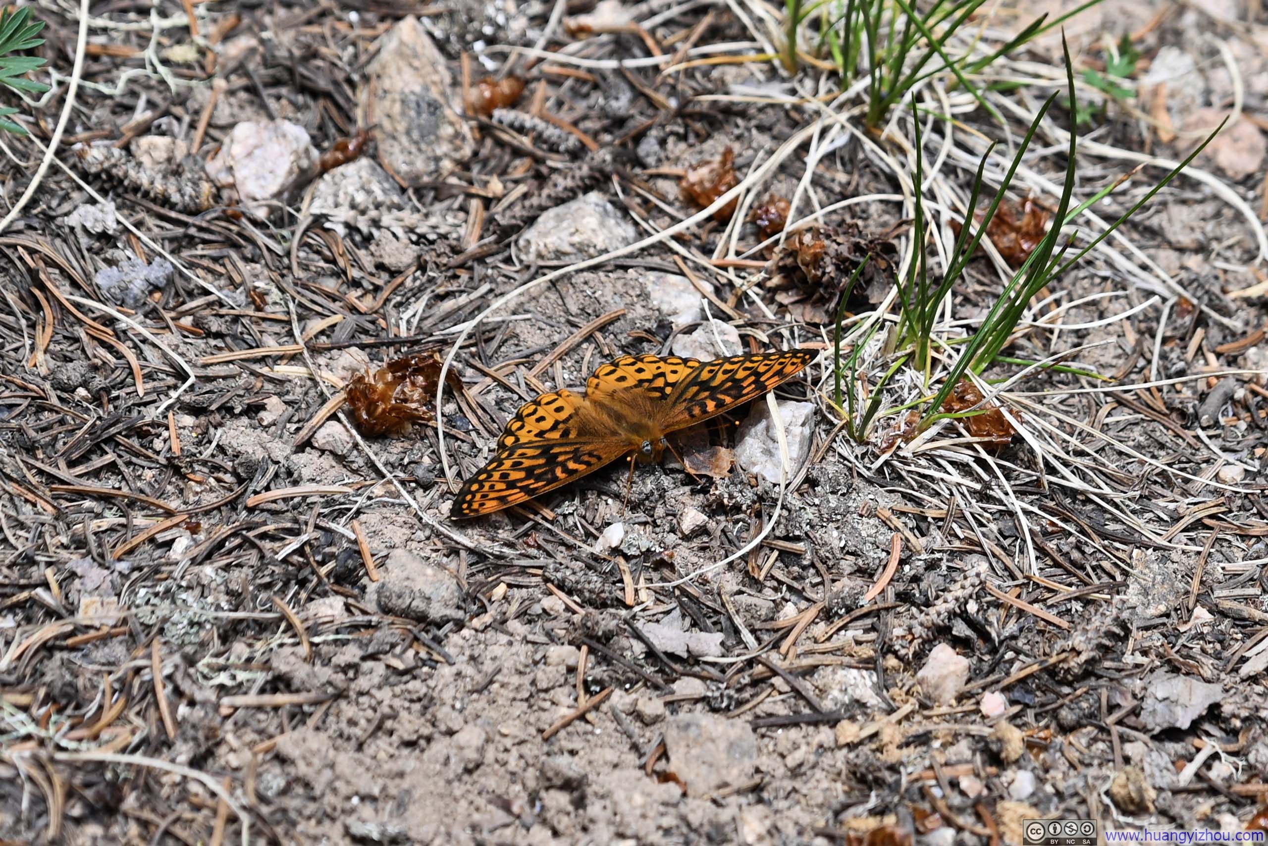
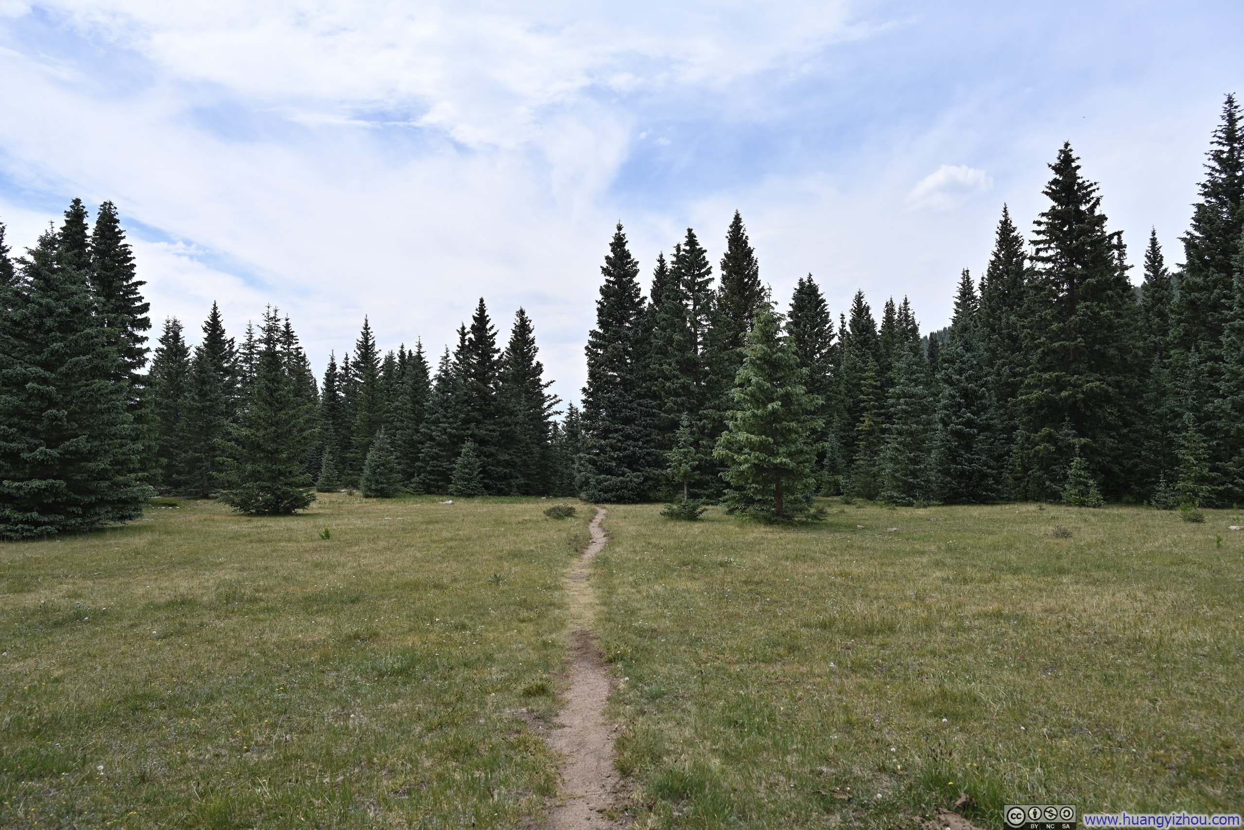
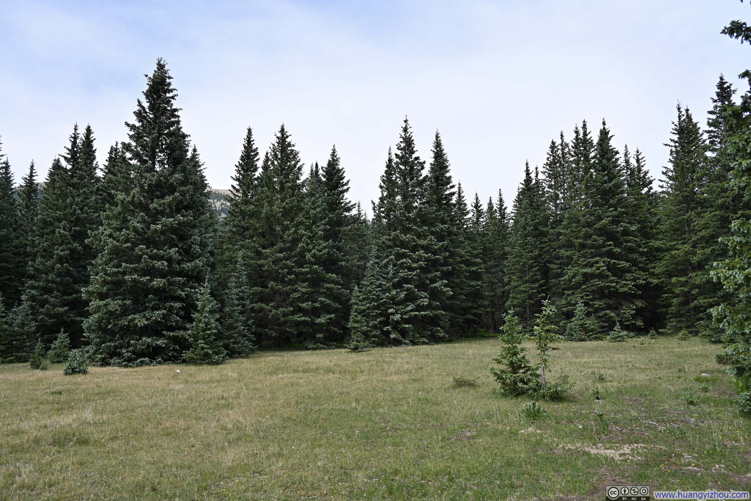
Unlike pine trees in the woods, here the leaves could extend all the way to the ground.
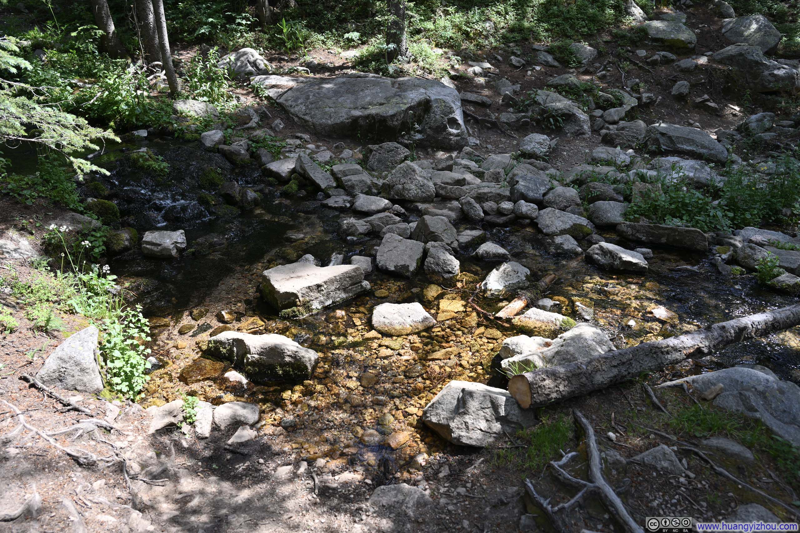
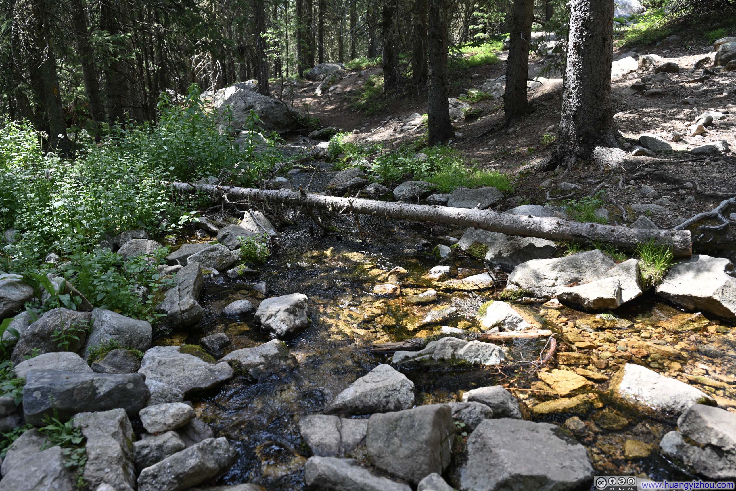
Farther down the trail, I spotted a few cattle grazing beside the path. They seemed wholly unafraid of human company.
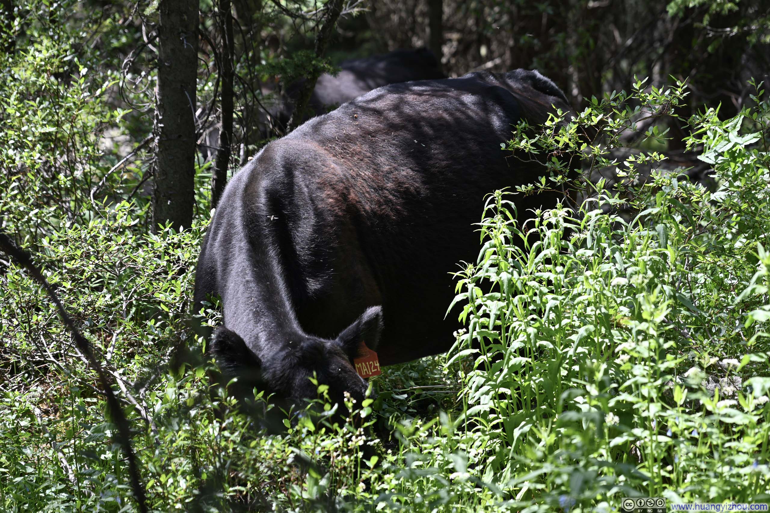
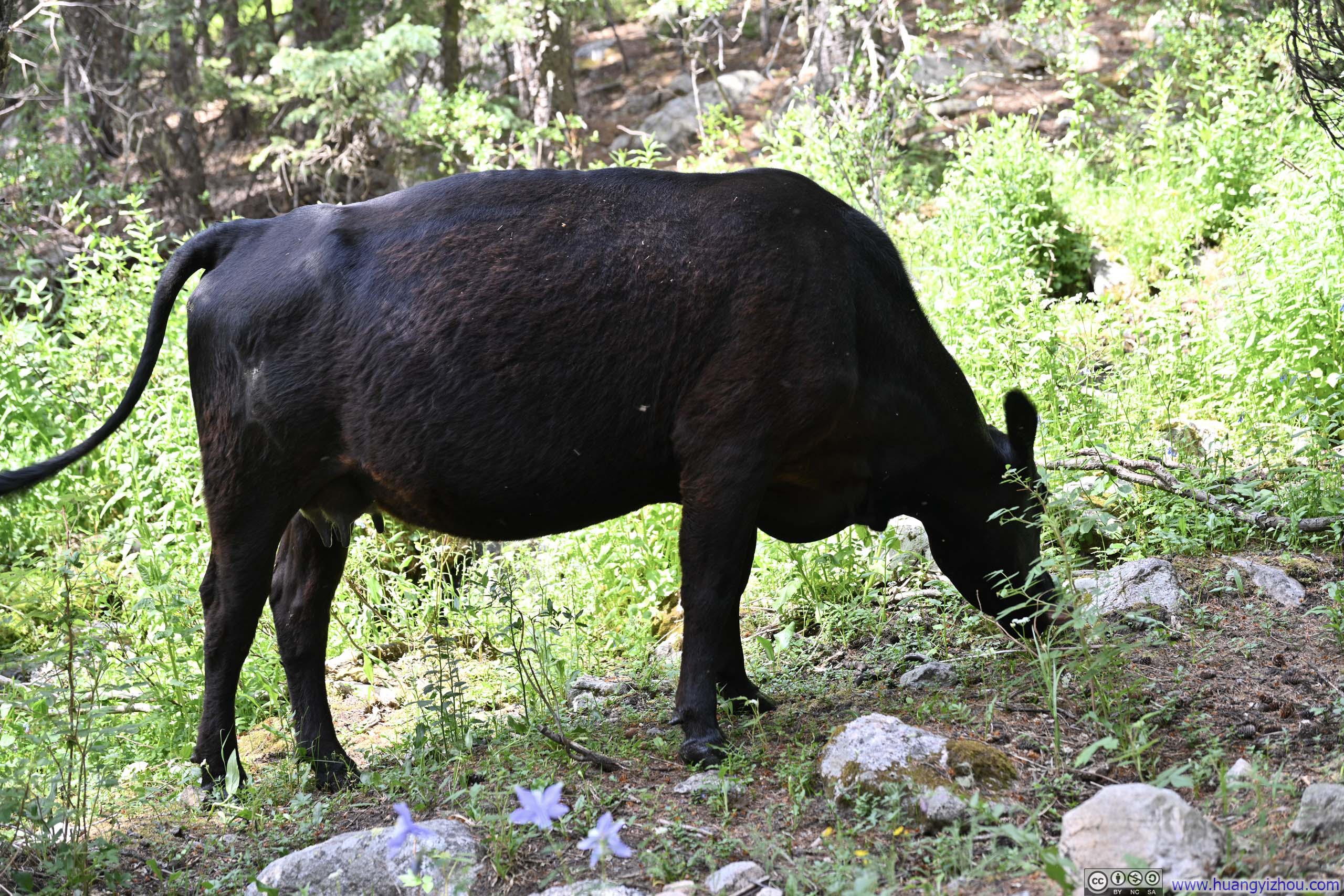
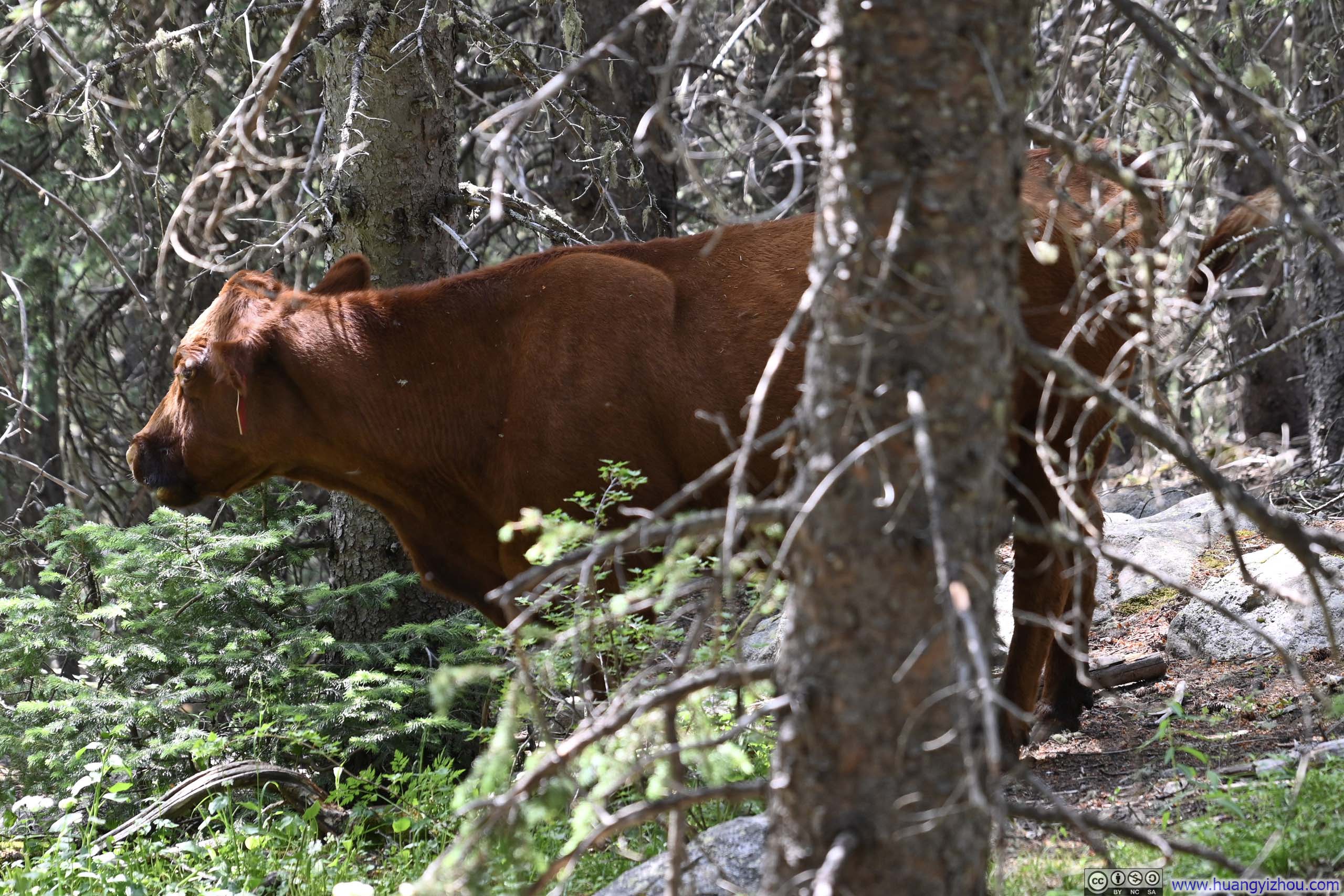
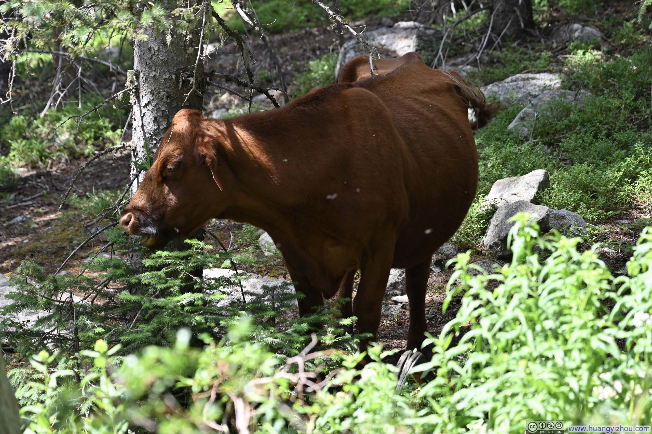
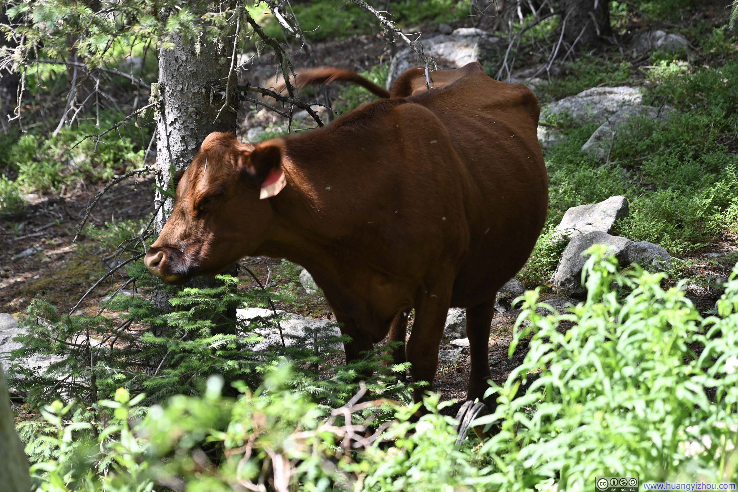
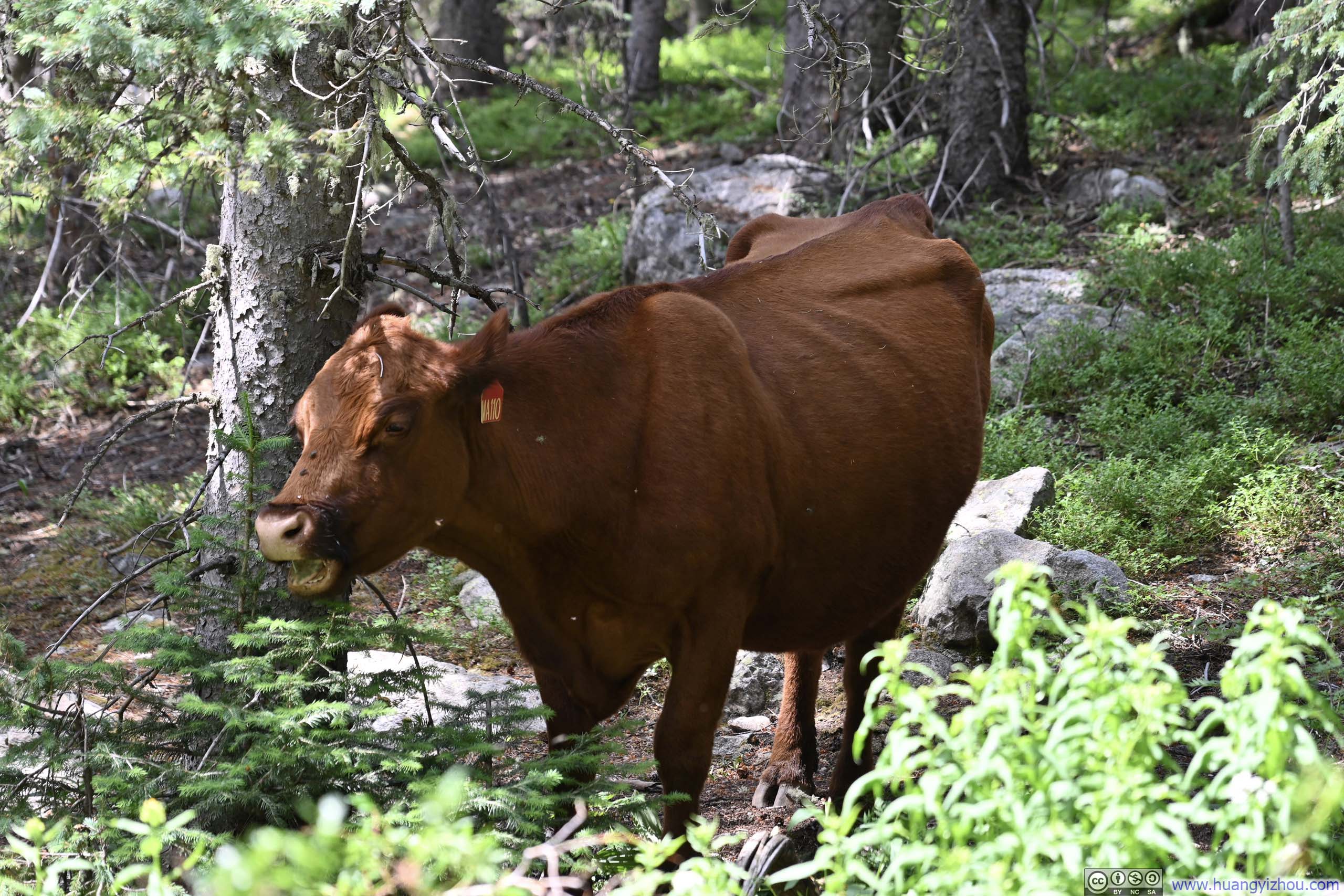
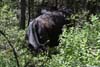
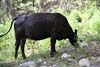
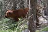
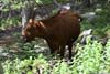
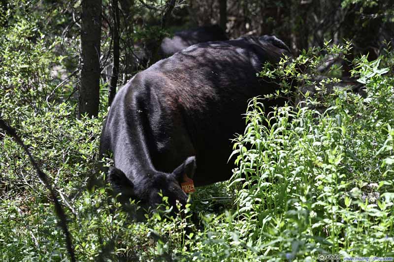
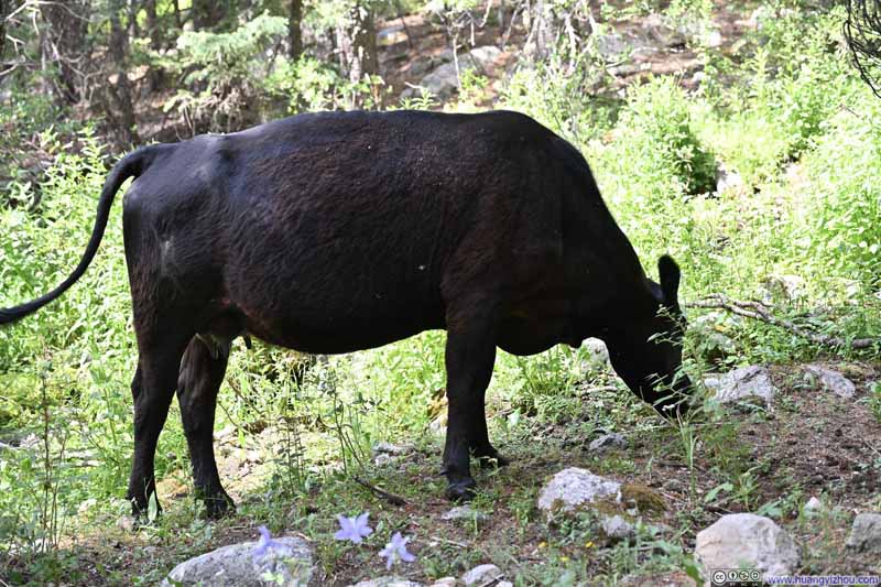
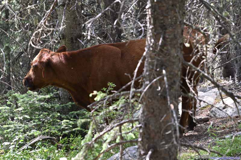
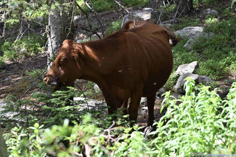
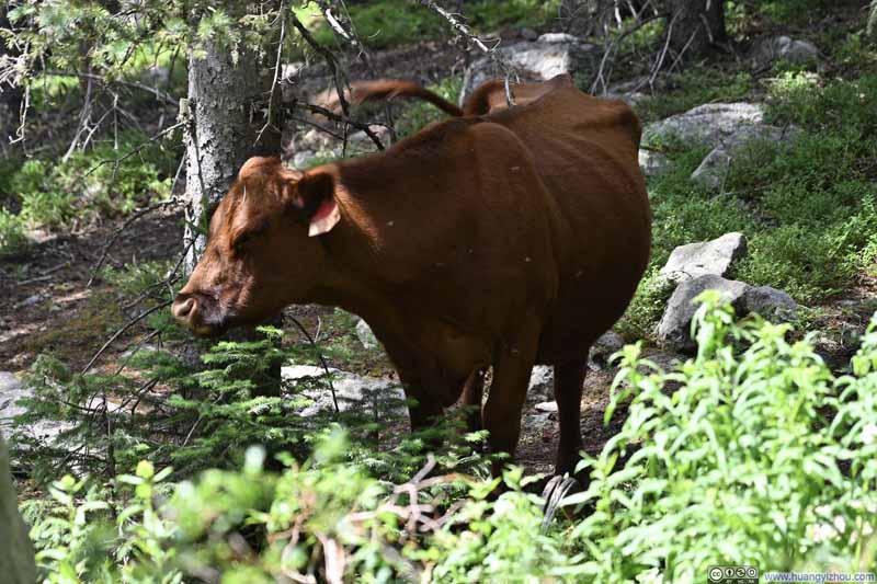
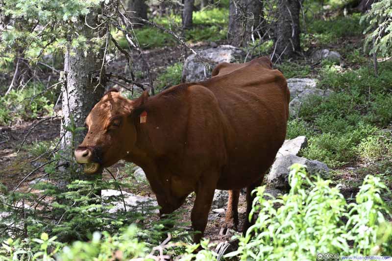
The uneventful stroll along the trail continued. After crossing the Rio Nambe, the path climbed gently toward the initial intersection before descending once more to the trailhead.
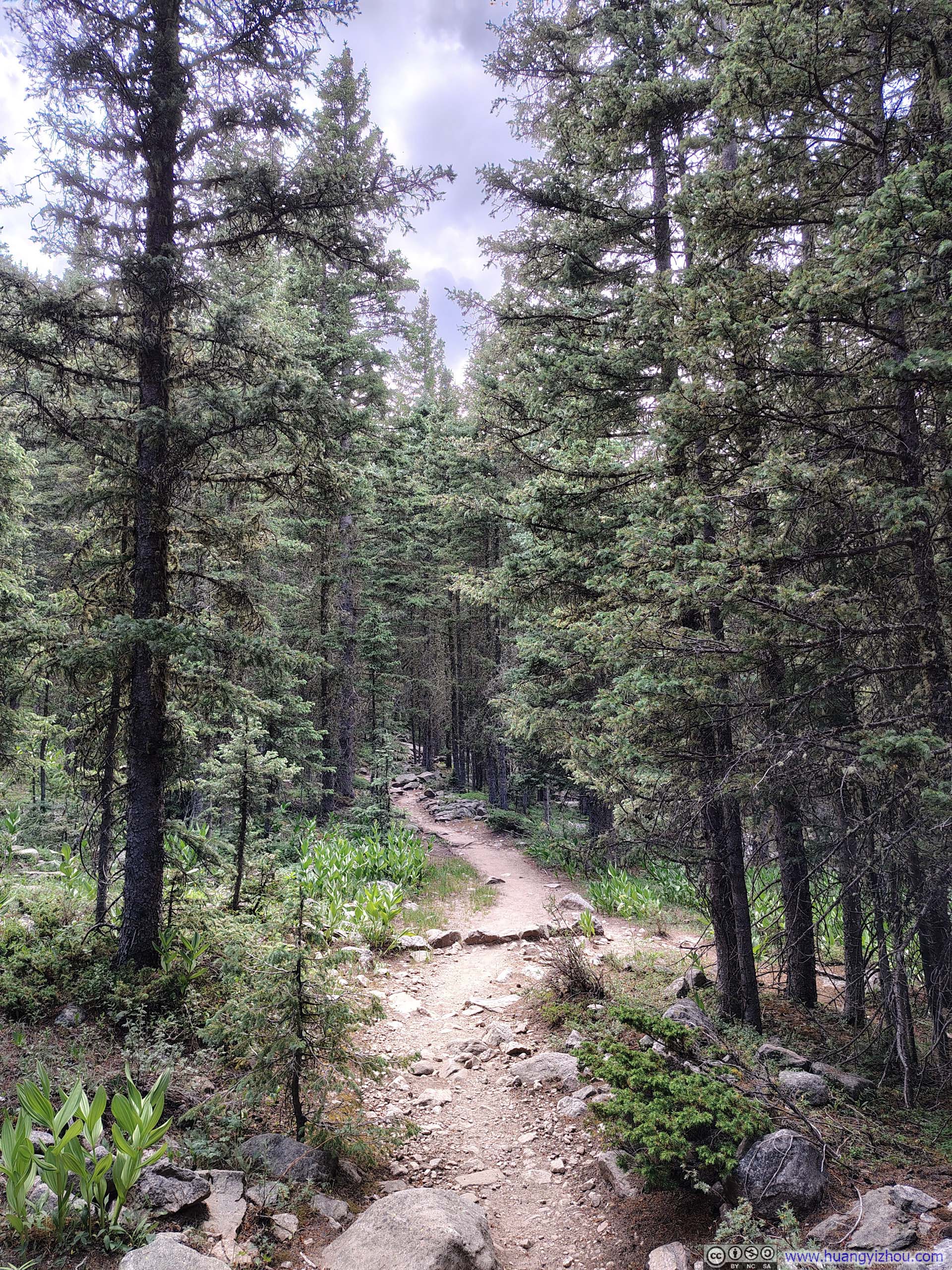
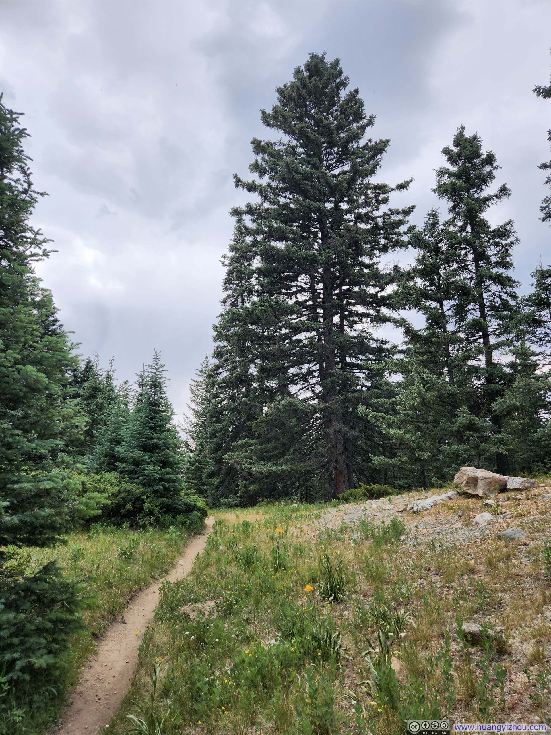
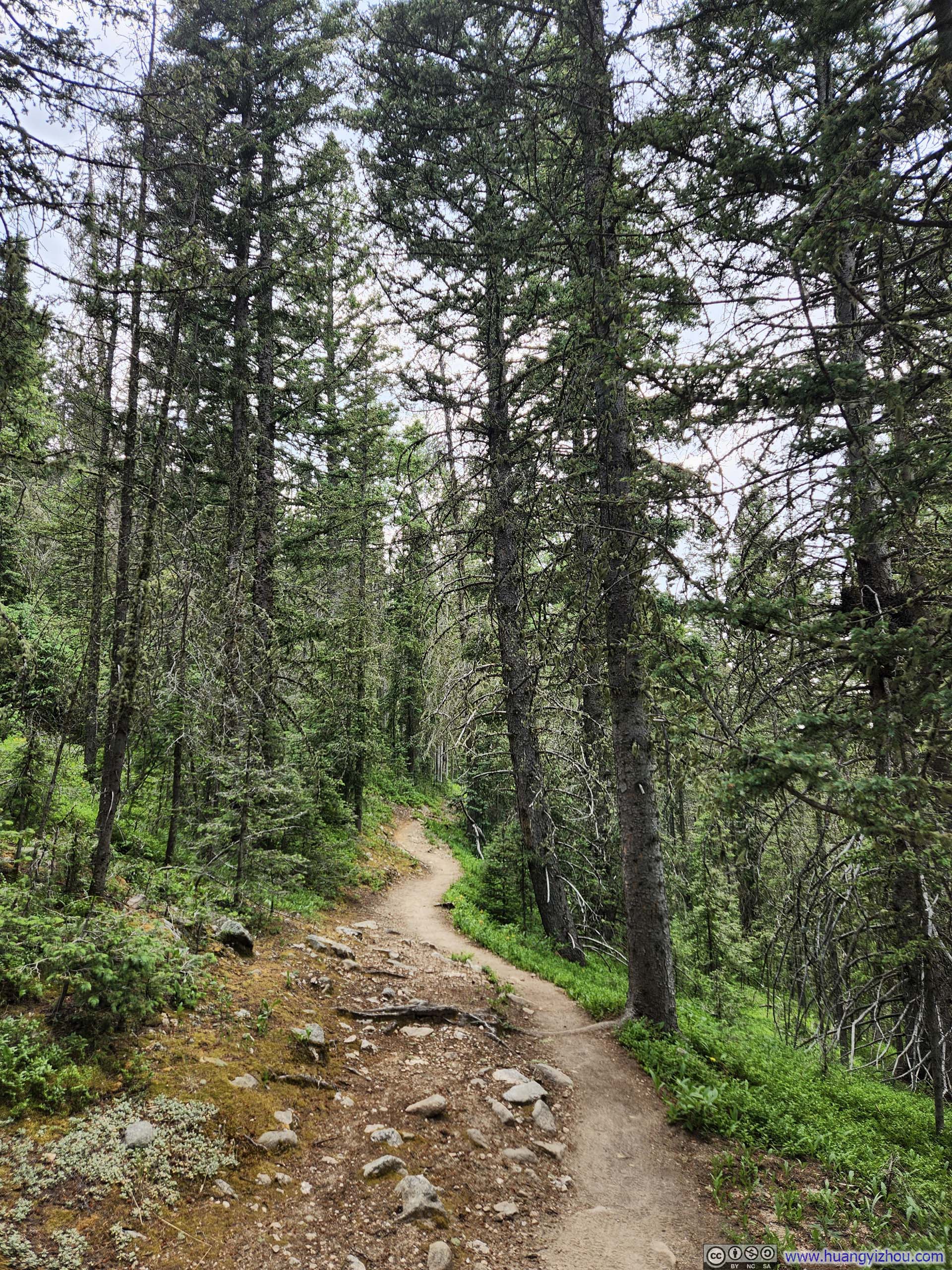
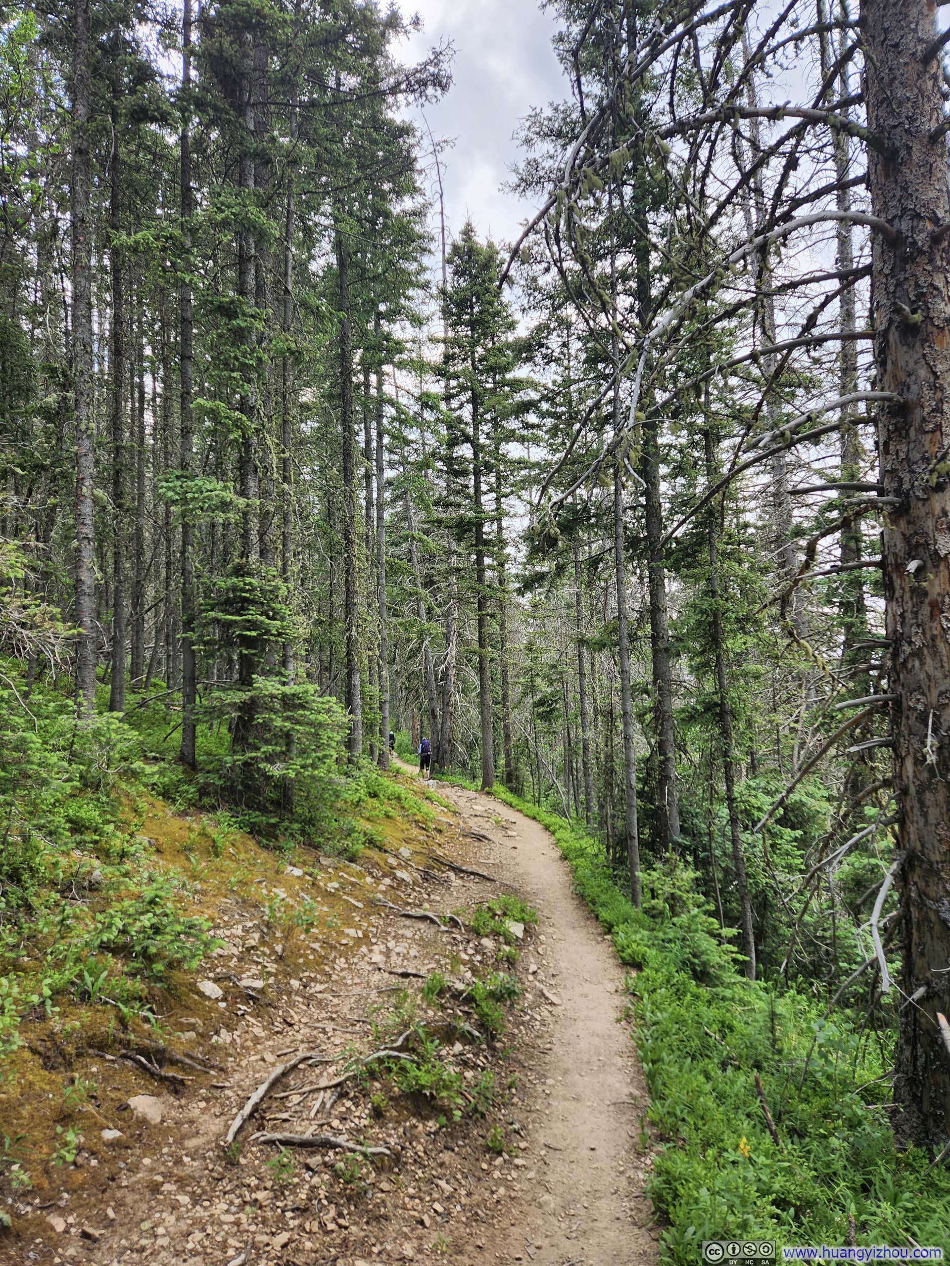
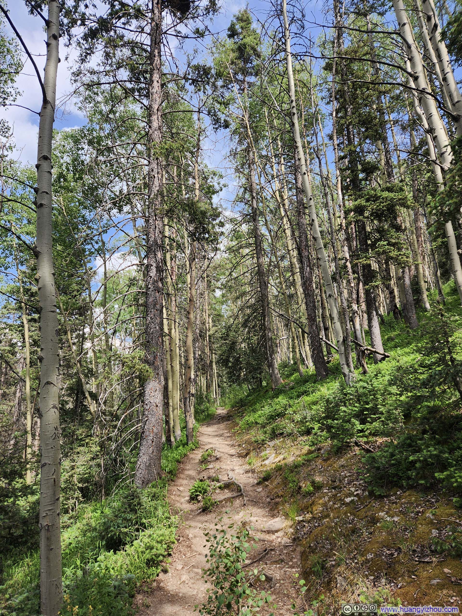
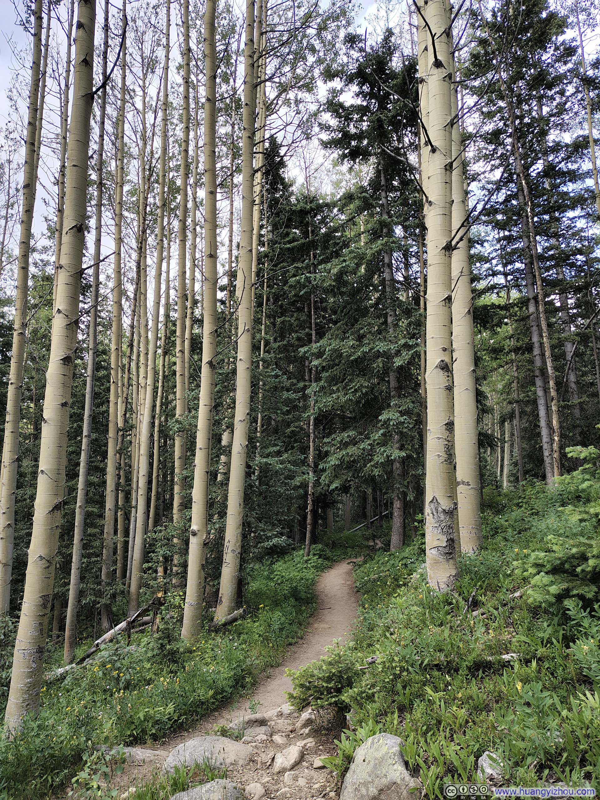
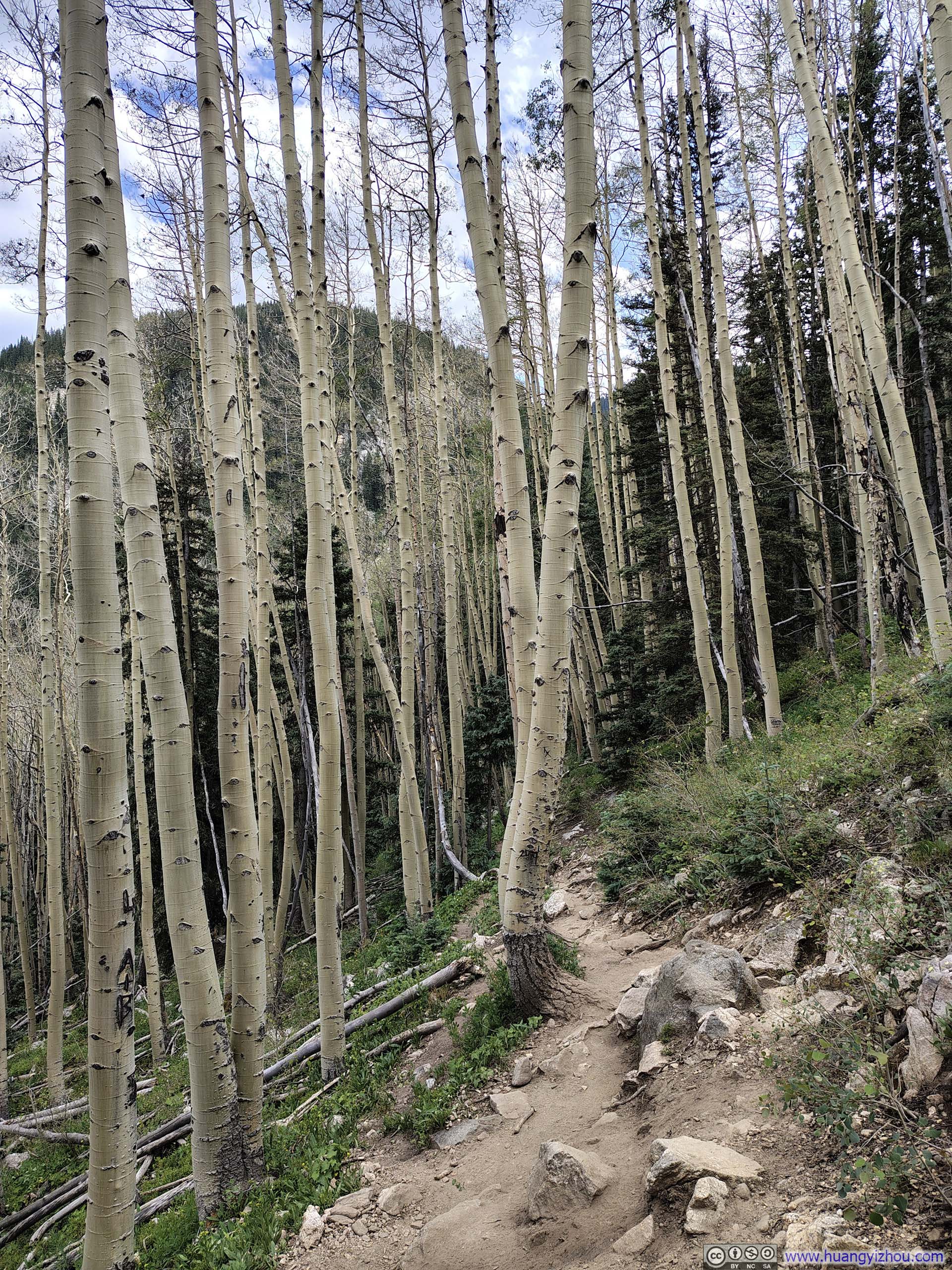
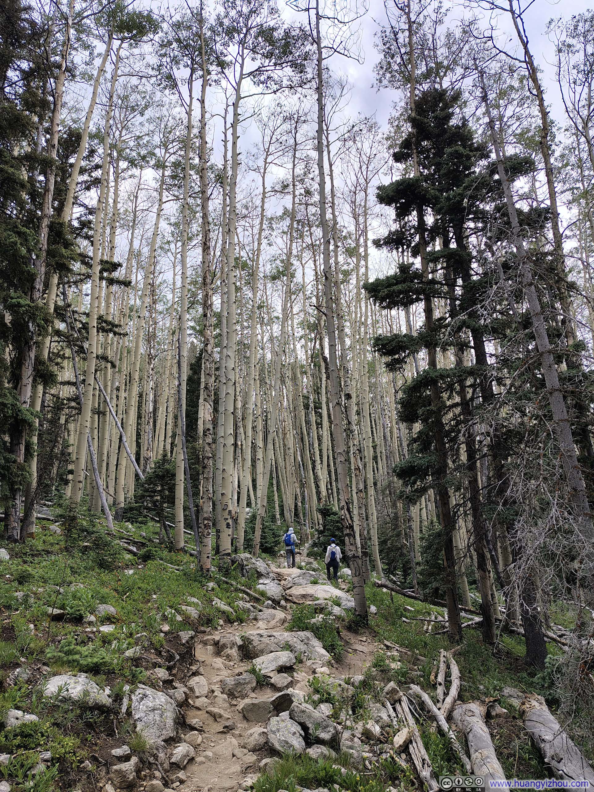
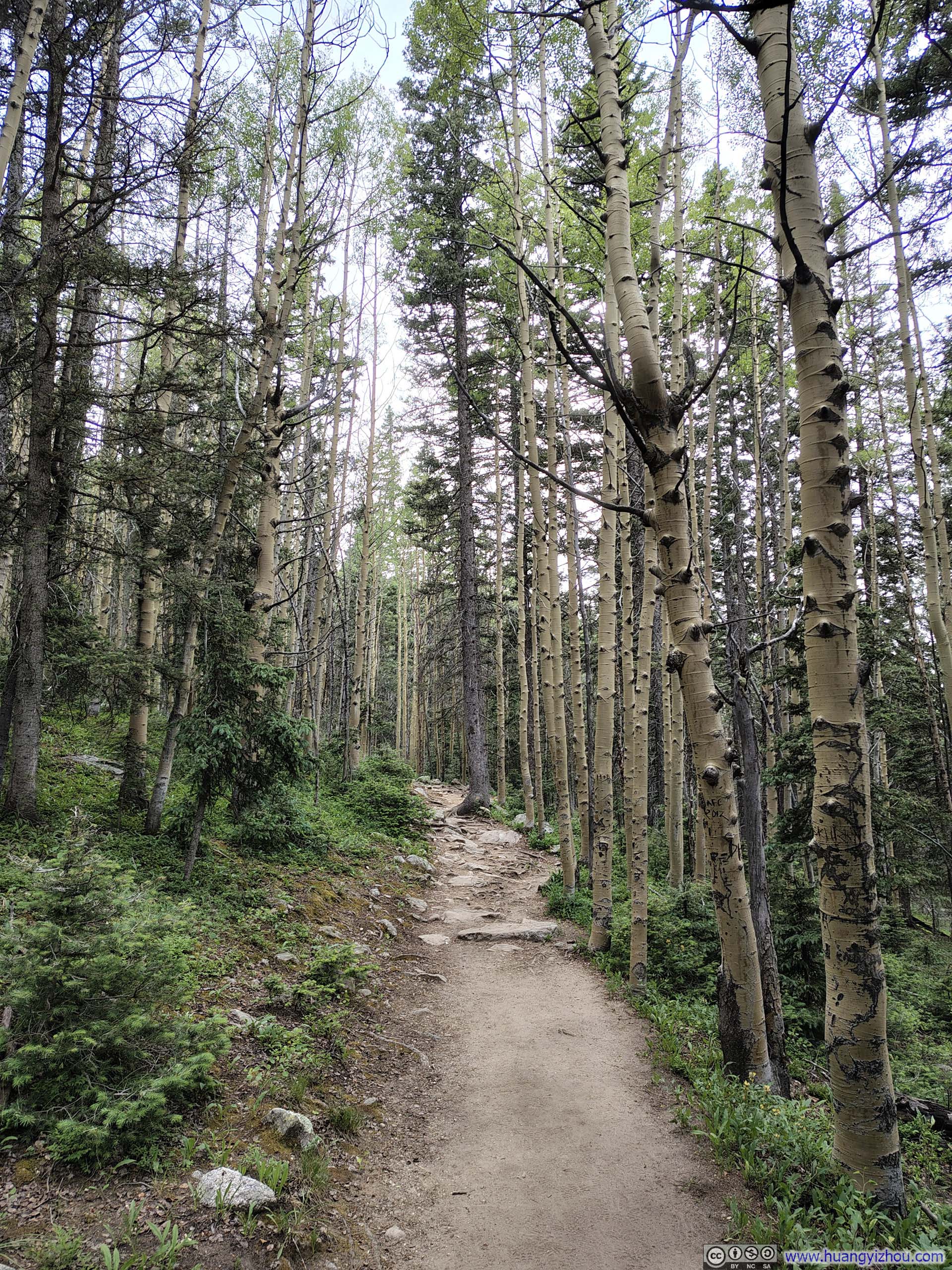
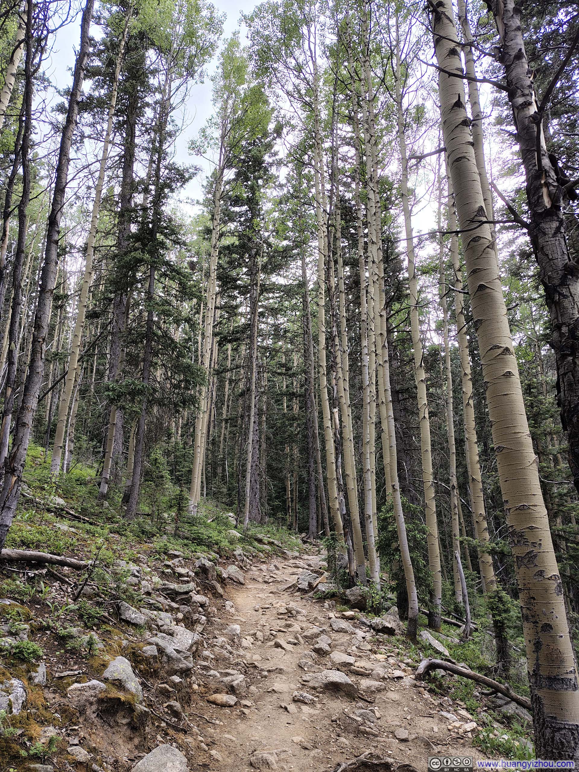
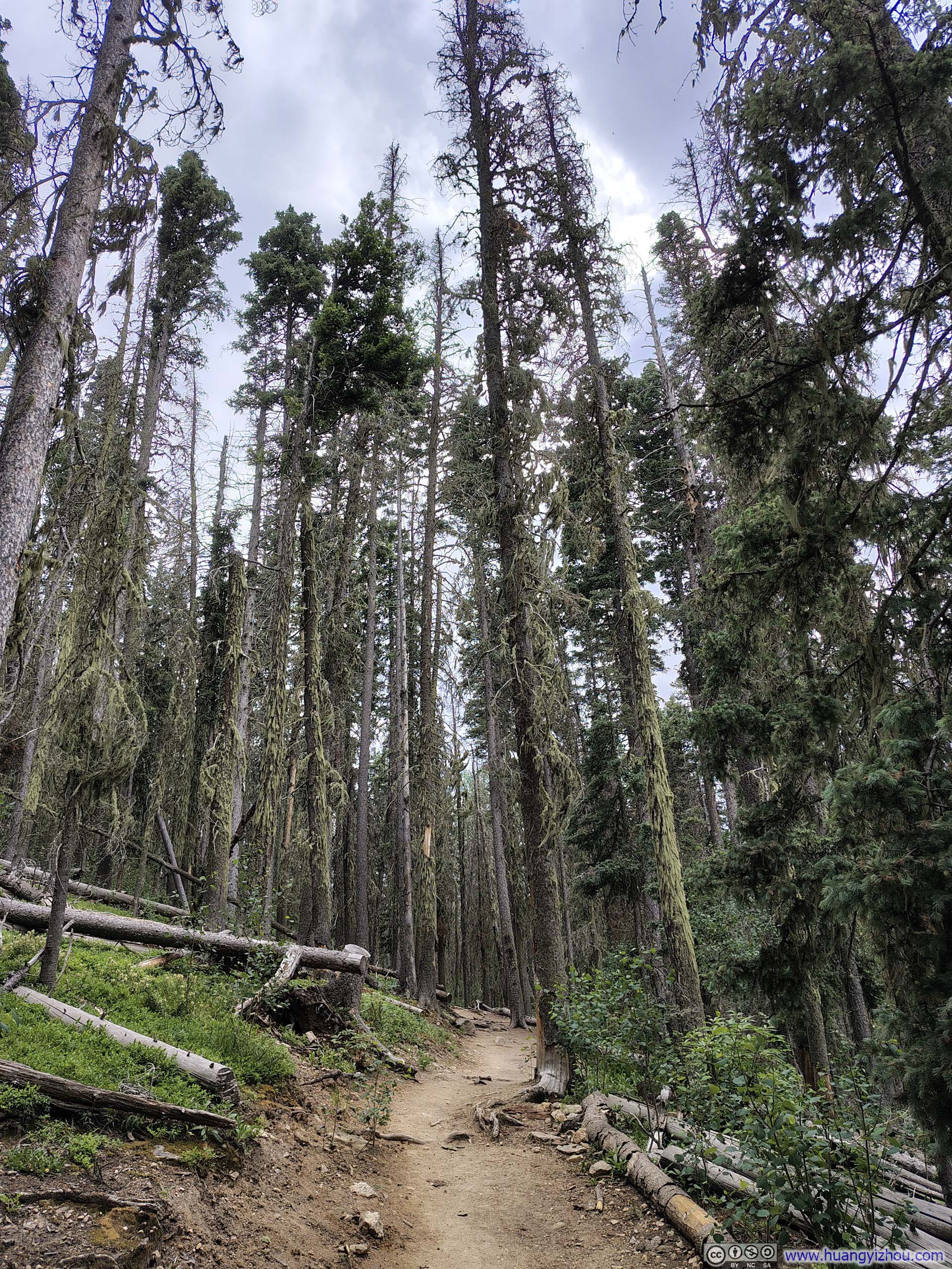
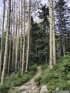
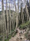
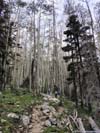
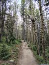
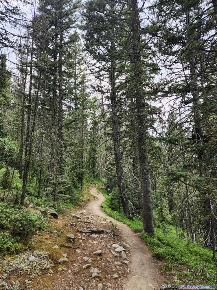
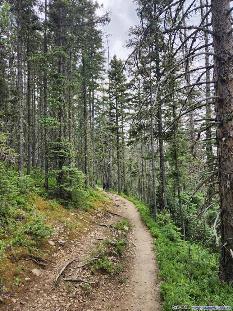
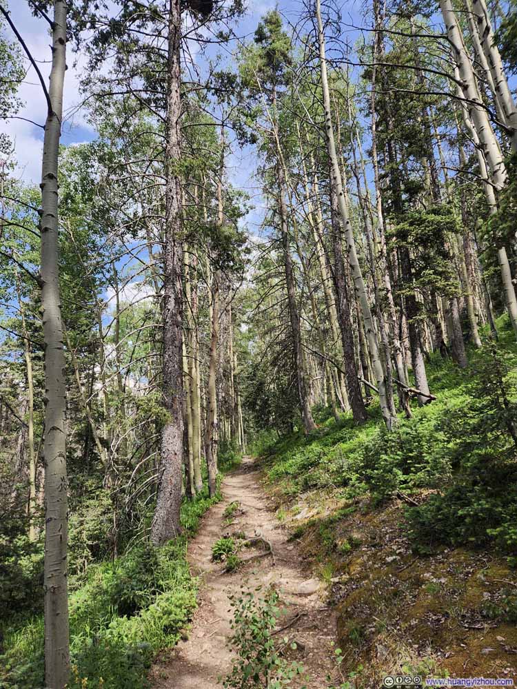
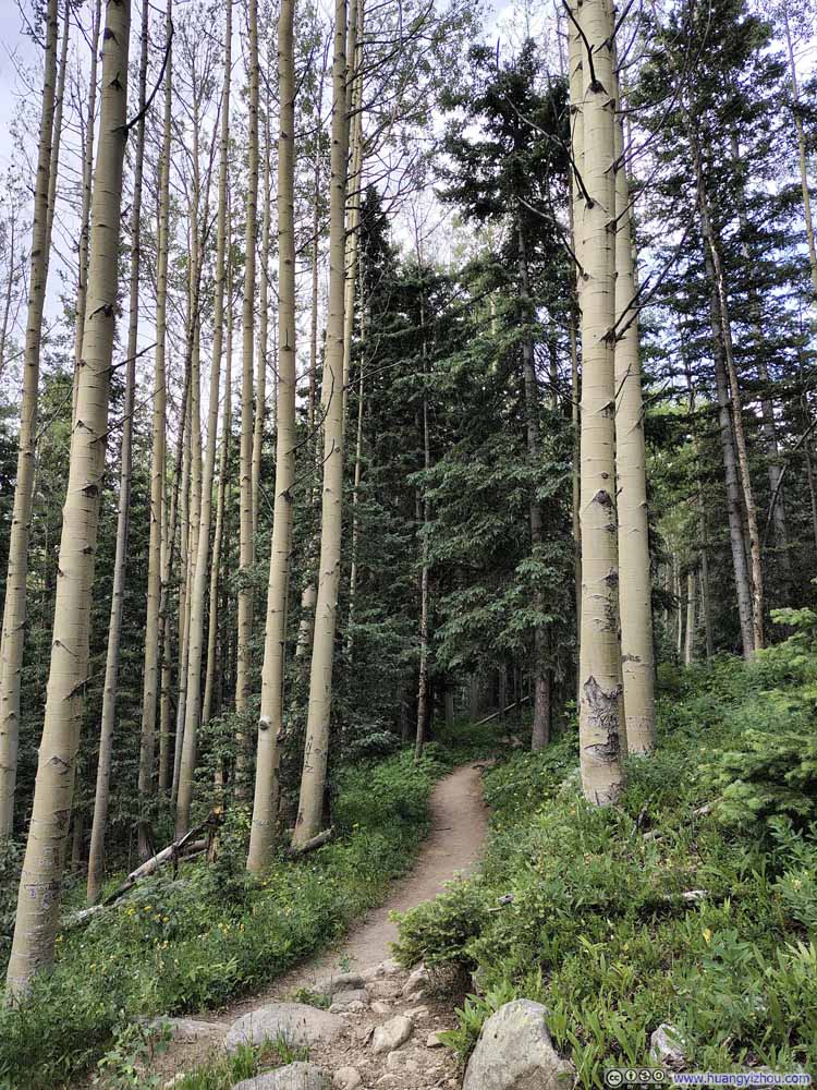
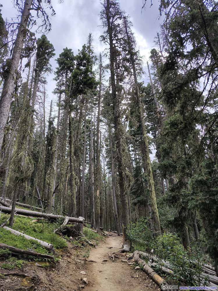
Eventually, I got back to the parking lot just before 5pm, just as it started to drizzle. (That morning’s forecast had promised only a slight chance of afternoon rain, and even if it did rain, it was expected to be light, so I hadn’t let it alter my plans.) As it turned out, the rain was both light and brief.
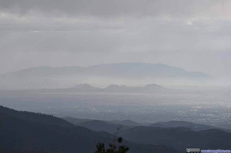
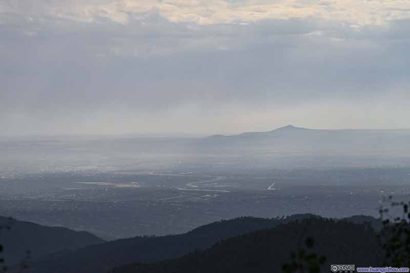
On the drive back to Santa Fe, I stopped at the Vista Grande Overlook, where the western plains stretched out before me. Though the afternoon was somewhat hazy, the mountain silhouettes still made for a pleasing sight.
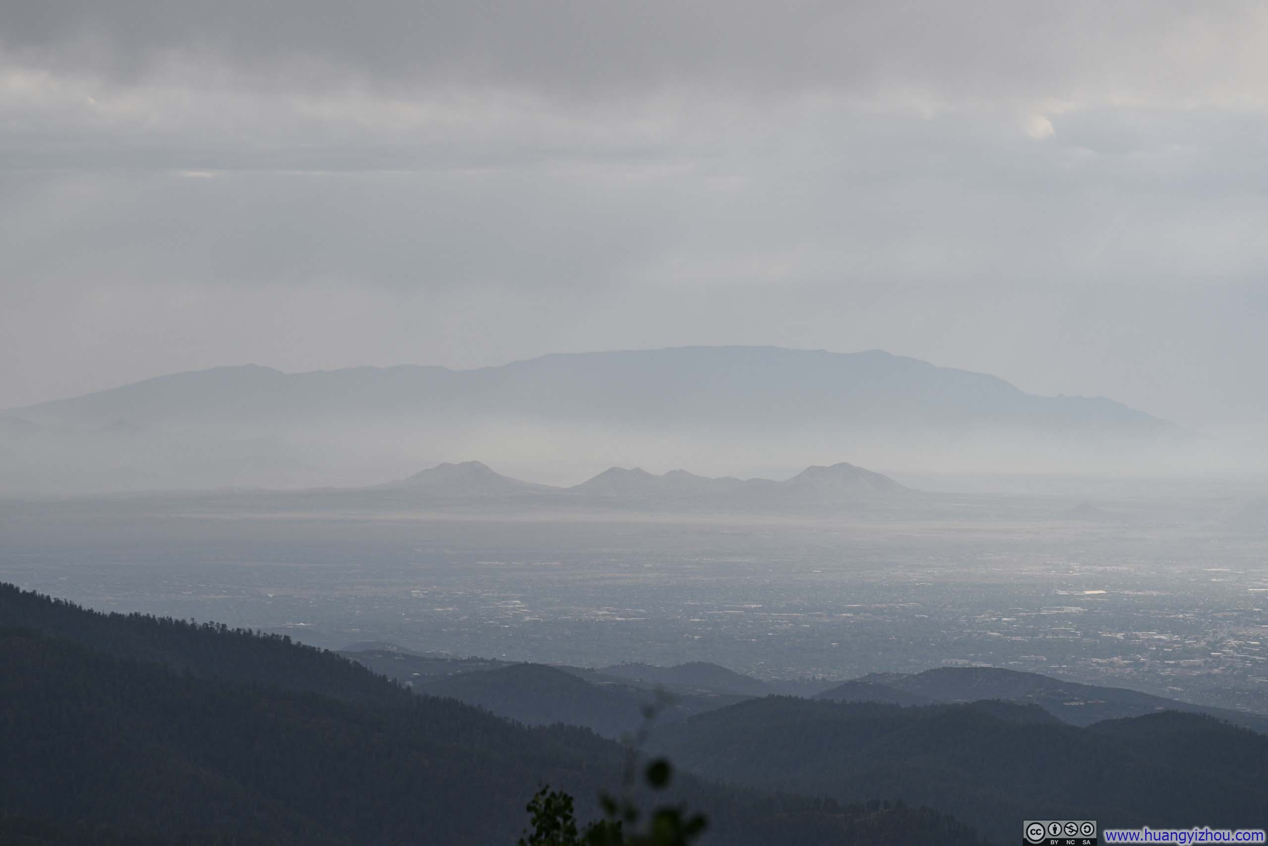
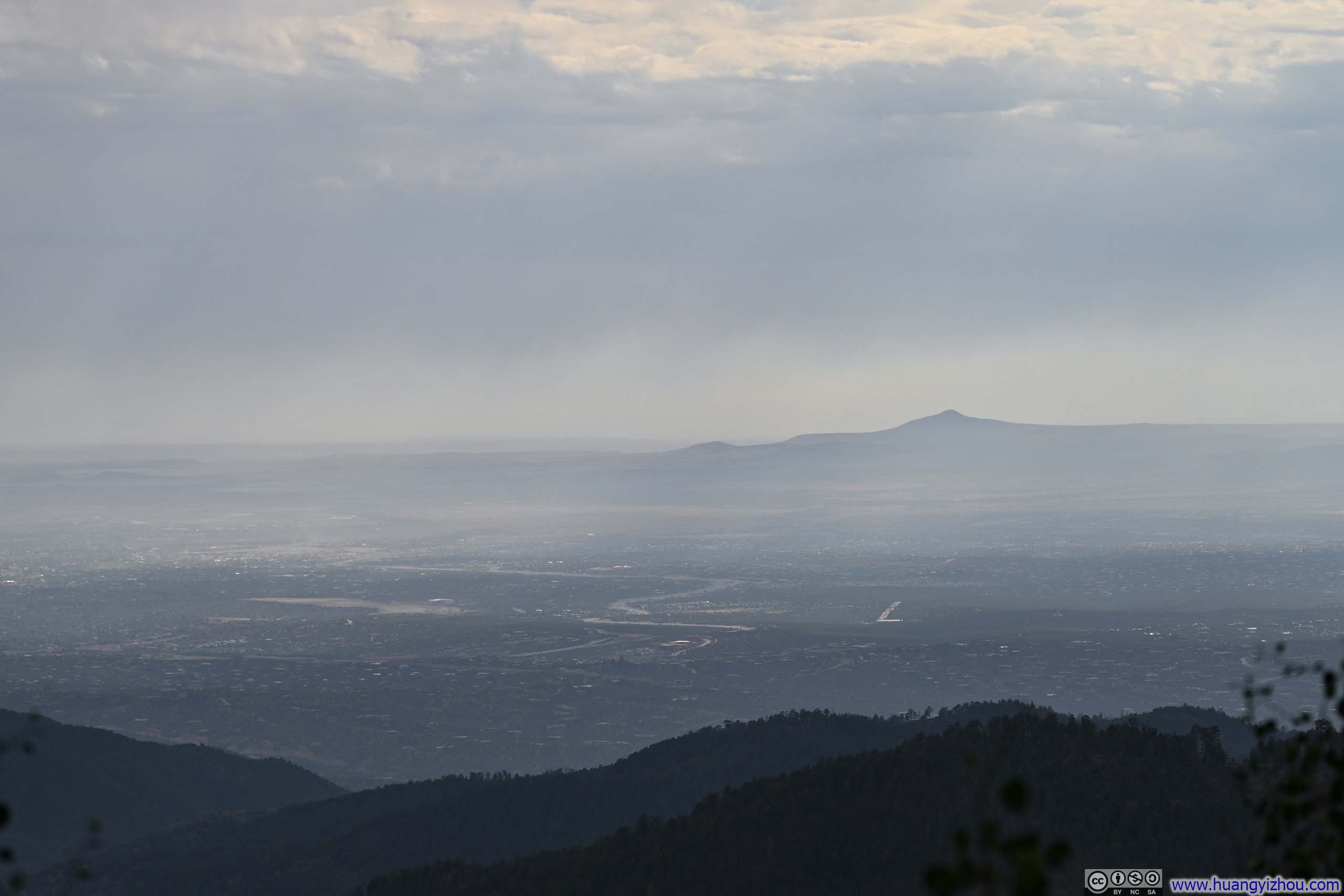


After that, I drove back to Santa Fe and called it a day.
END