Day 4 of 2026 Trip to the Rockies, Driving to Lake City
Taos Pueblo
The previous day, after climbing Wheeler Peak, I decided that time and weather were not on my side for a visit to Taos Pueblo, so I made it the first stop of today's road trip from Taos to Lake City.
This was the oldest continuously inhabited city in the United States, with some of its adobe architecture dating back to the 1000s, holding a distinct historical weight.
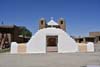
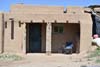
The actual "city" part wasn't that huge by today's standards. From a visitor's perspective, it consisted of a community church, a central plaza lined with souvenir shops, two multi-story adobe structures flanking the north and south sides, and a few alleyways, some of which off-limits to tourists. Yet, despite its modest scale, it was likely the best-preserved adobe architecture I encountered on this trip (those big houses were genuinely multi-story, and made for some dramatic photos against the Sangre de Christo Mountains).
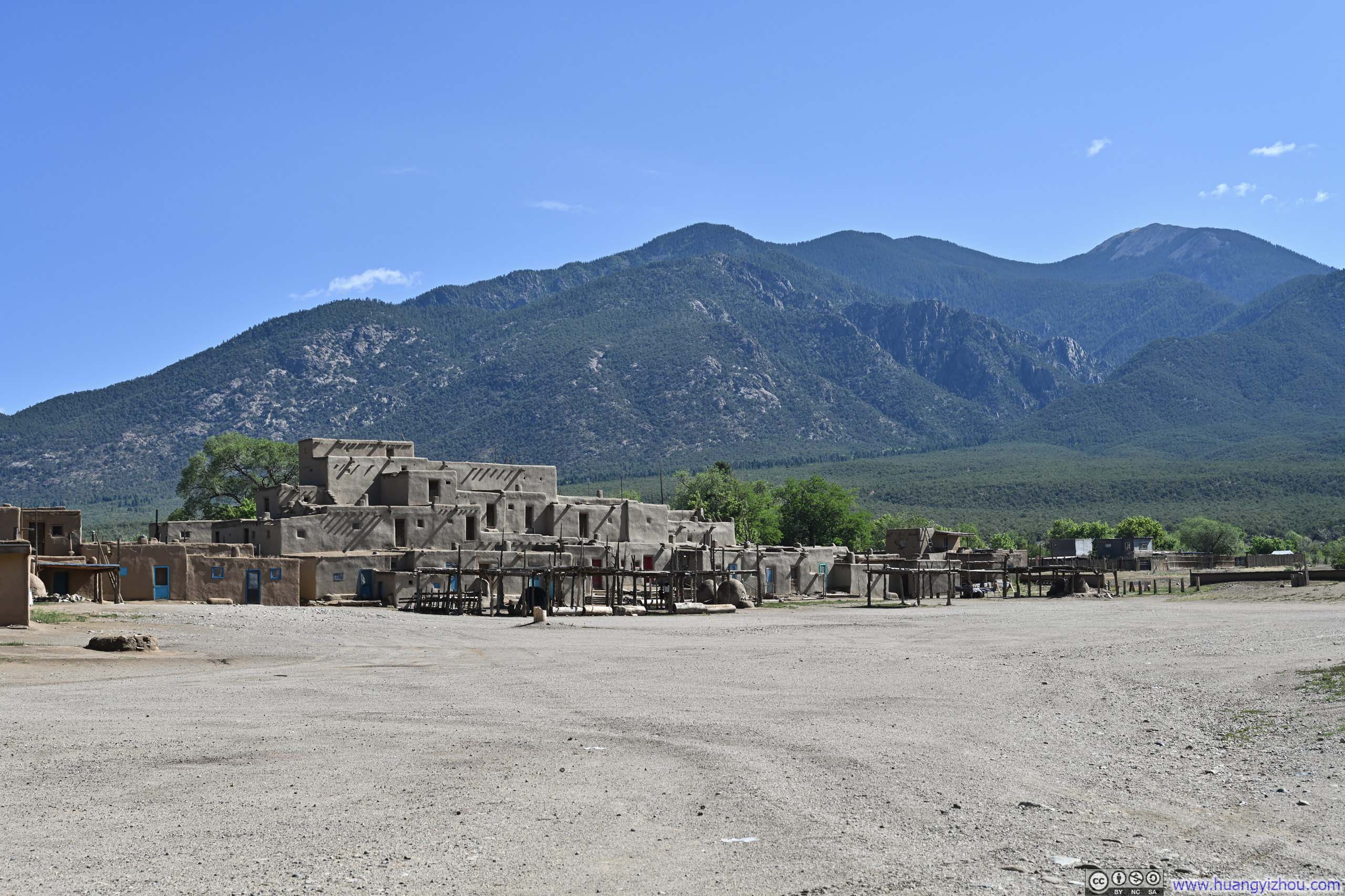
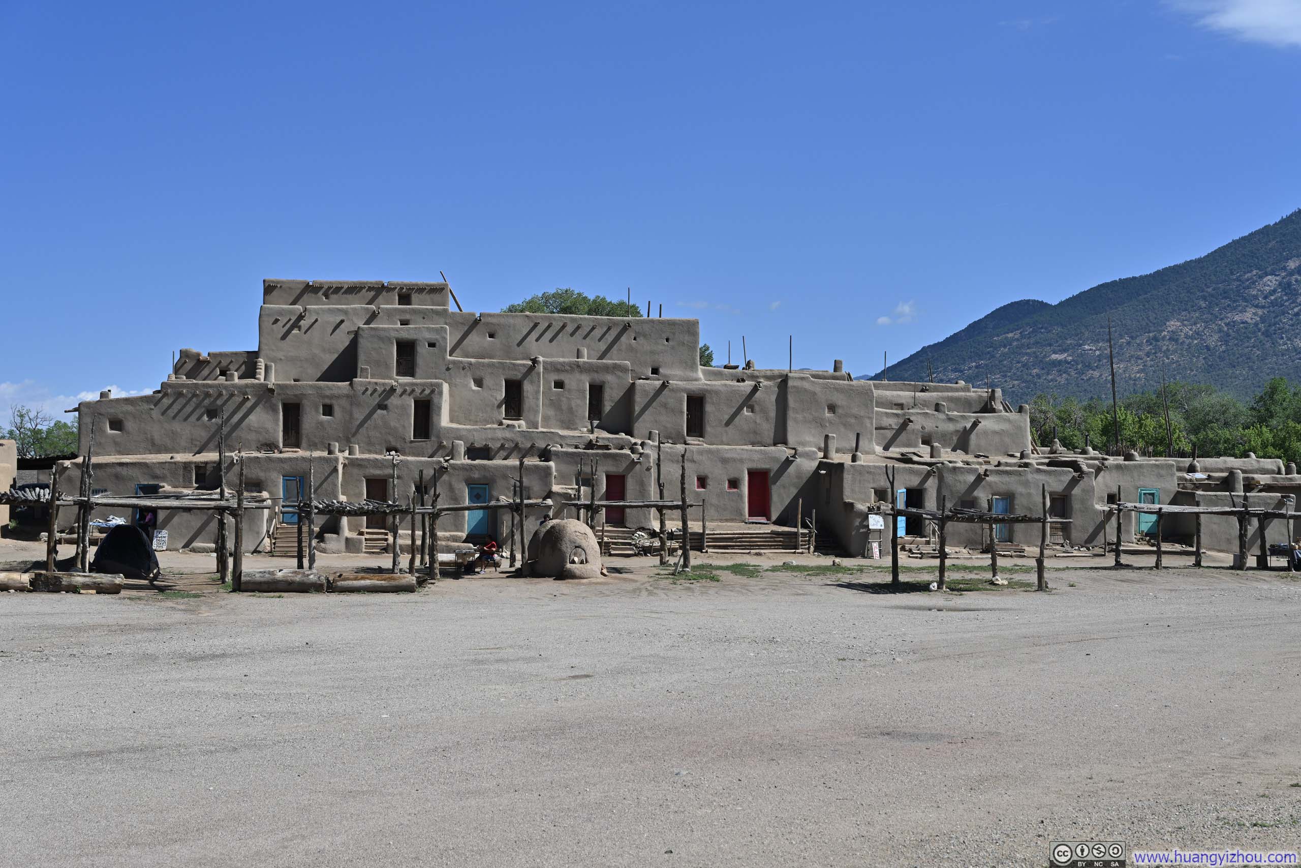
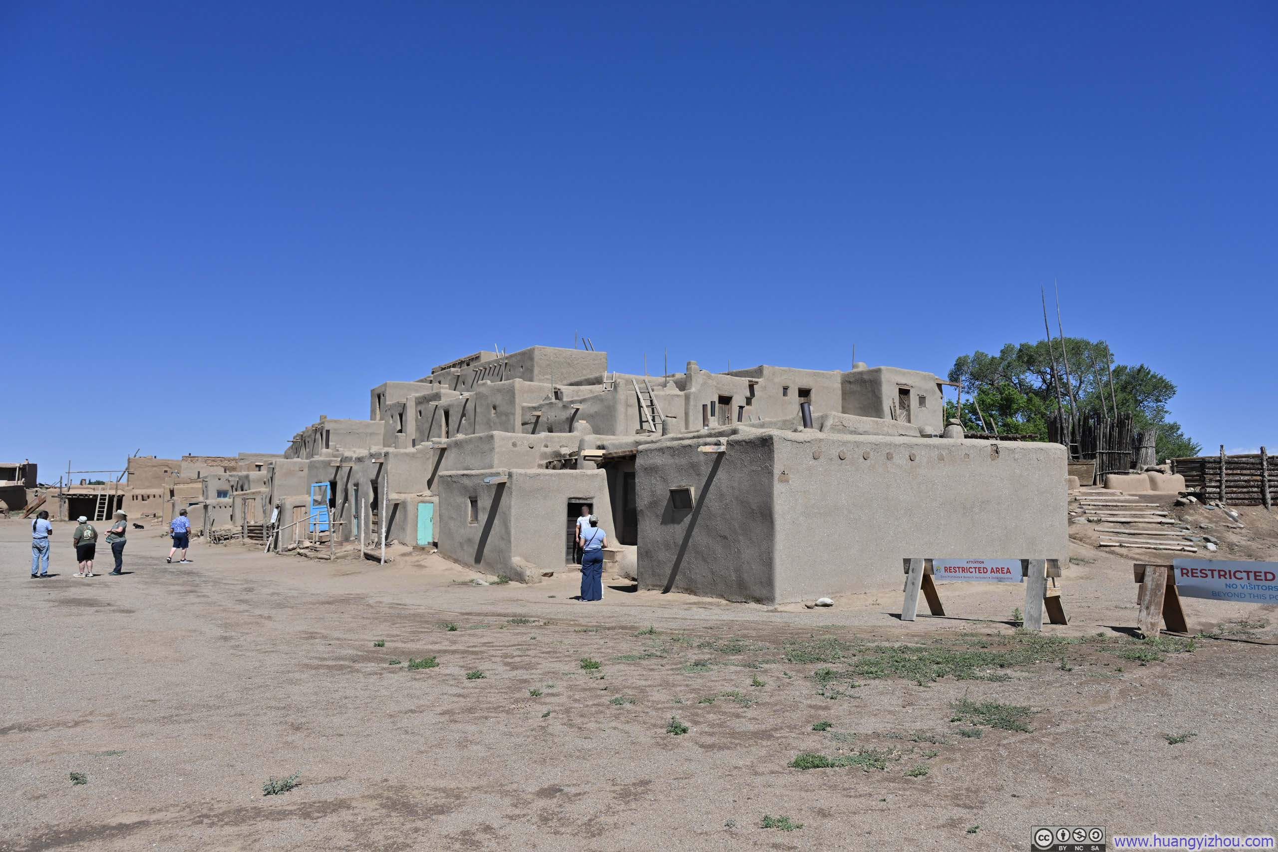
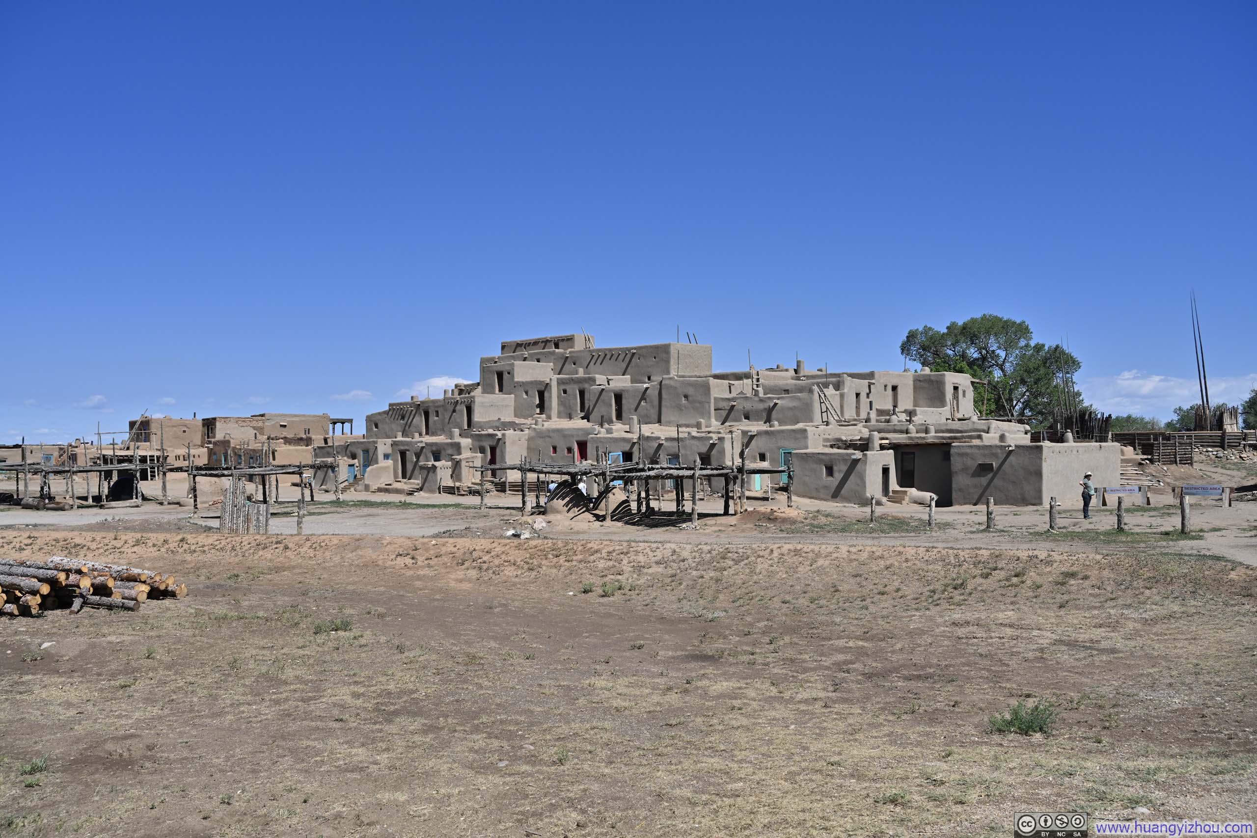
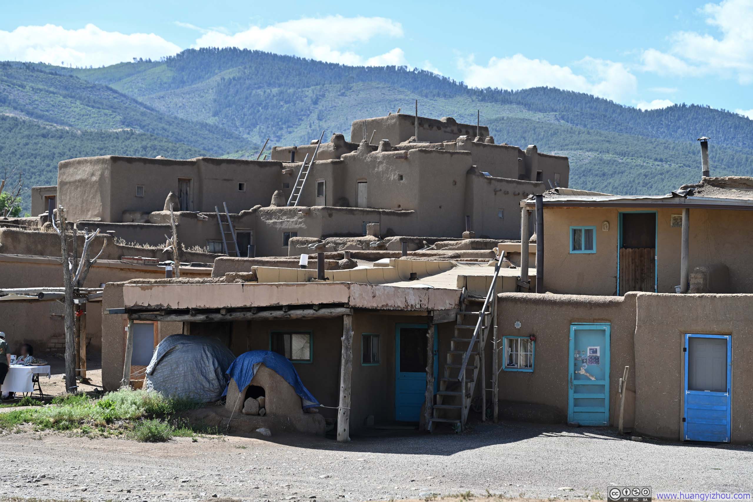
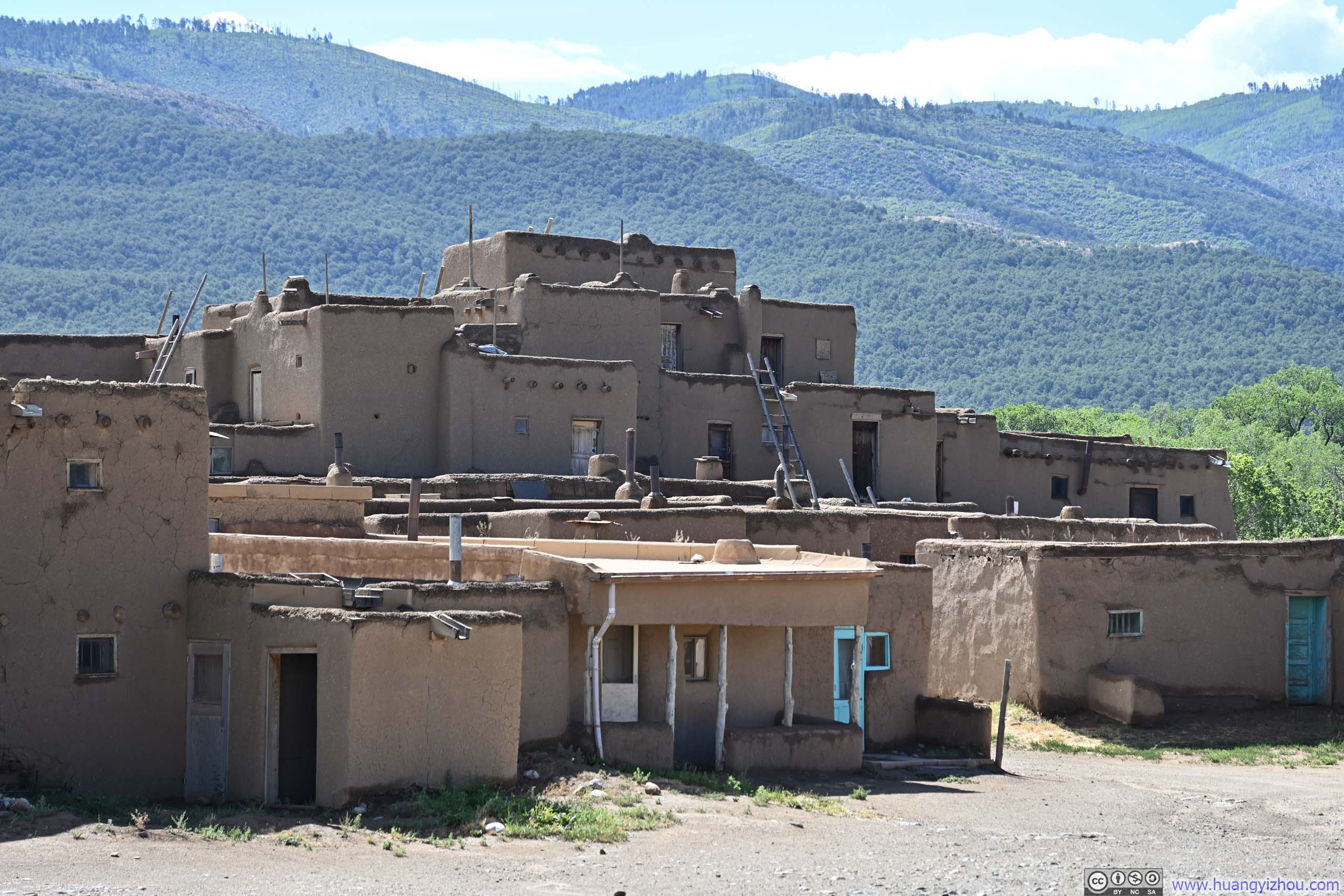
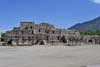
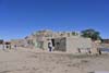
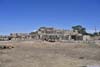
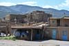
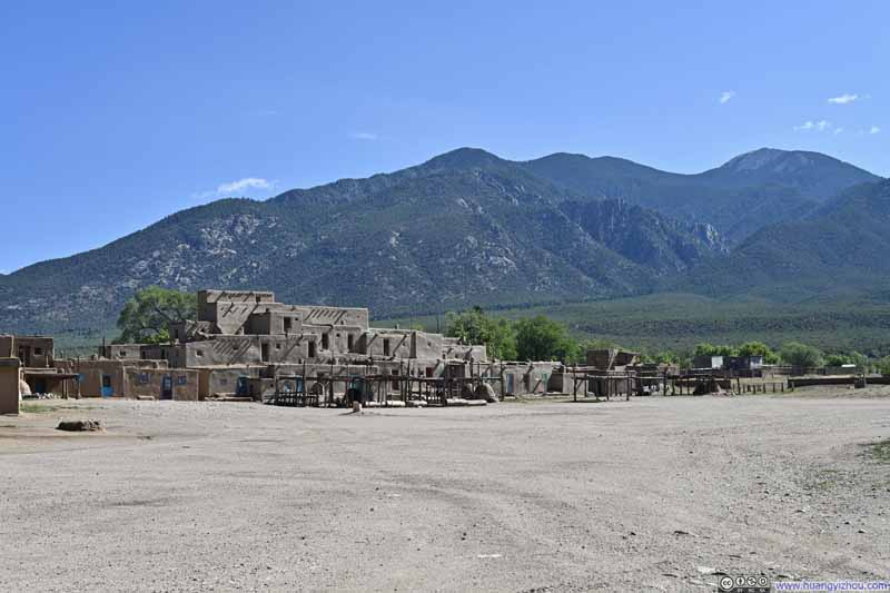
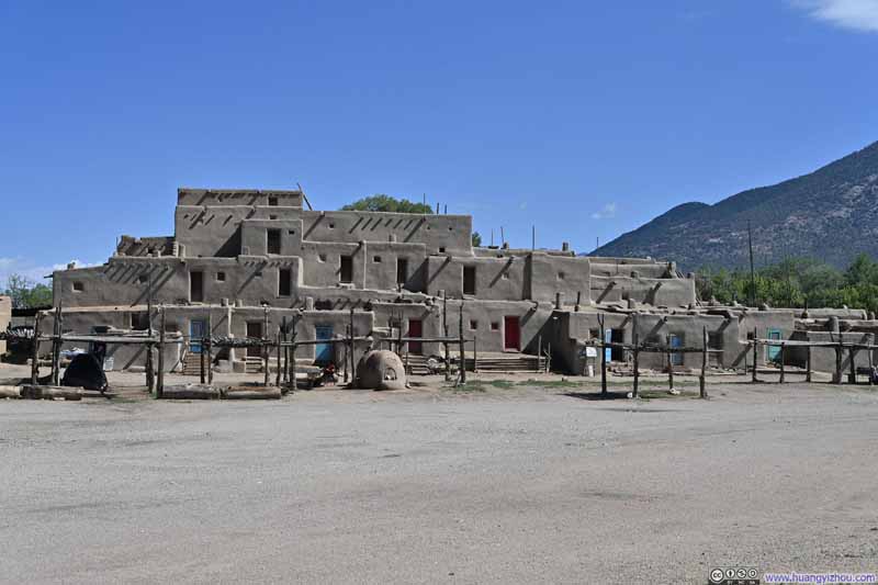
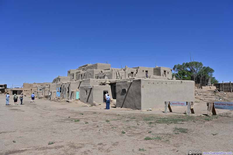
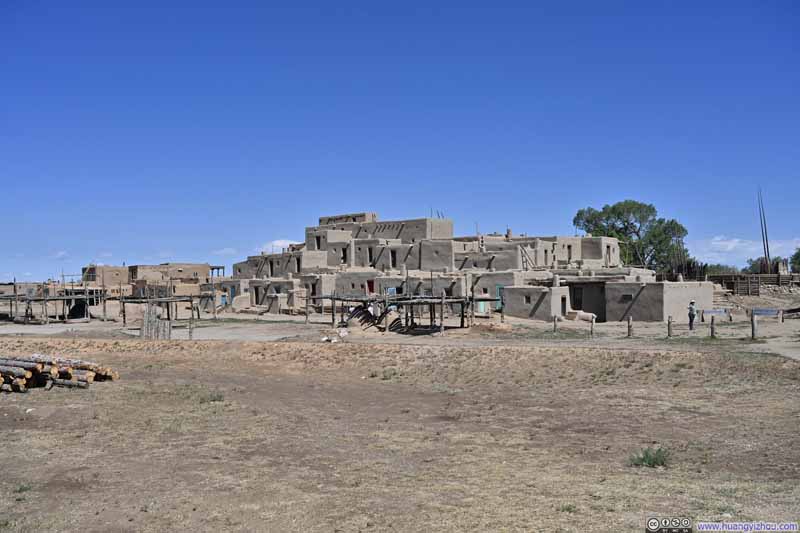
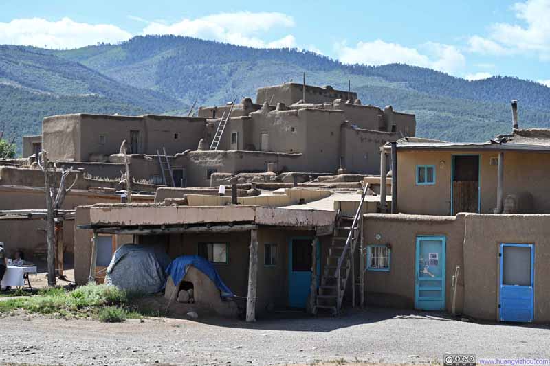
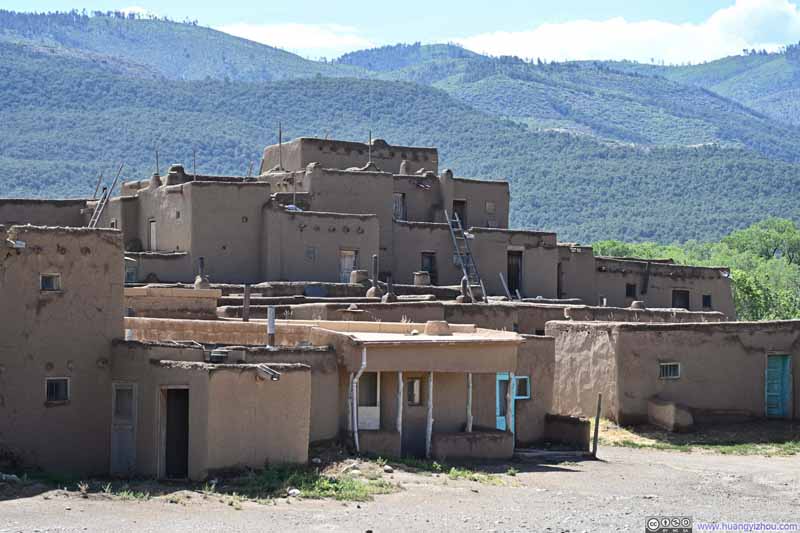
While some houses still held residents, either seasonally or year-round, they were clearly in the minority; many had been converted into impromptu shops. After visiting a few such dwellings, I could easily understand why: these homes lacked modern amenities like electricity and plumbing, and the adobe architecture required constant maintenance, with regular remudding of the exterior and perpetual dusting of the interior.
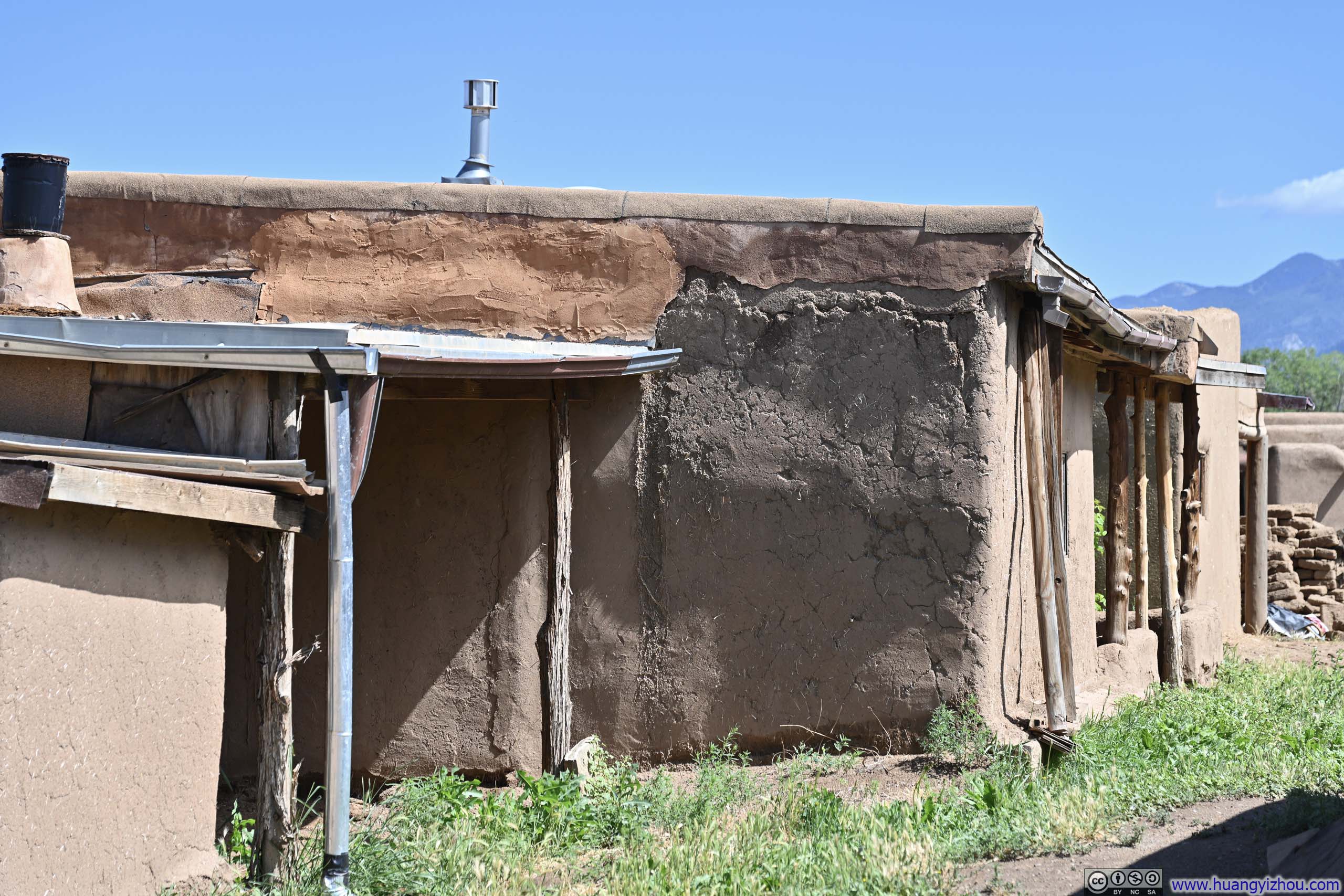
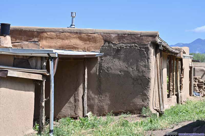
It wasn't just Taos Pueblo, throughout this trip in New Mexico, the adobe structures I had seen all shared a certain quality of not being entirely rigid or reliable. The walls and columns weren't perfectly vertical, the beams not quite horizontal. Part of me was convinced these buildings had stood for centuries and would likely continue to do so, yet another part couldn't help but perceive a sense of the amateur in their construction, especially when I saw cracks in the walls, suggesting that perhaps their maintenance check was due (p5-6 below).
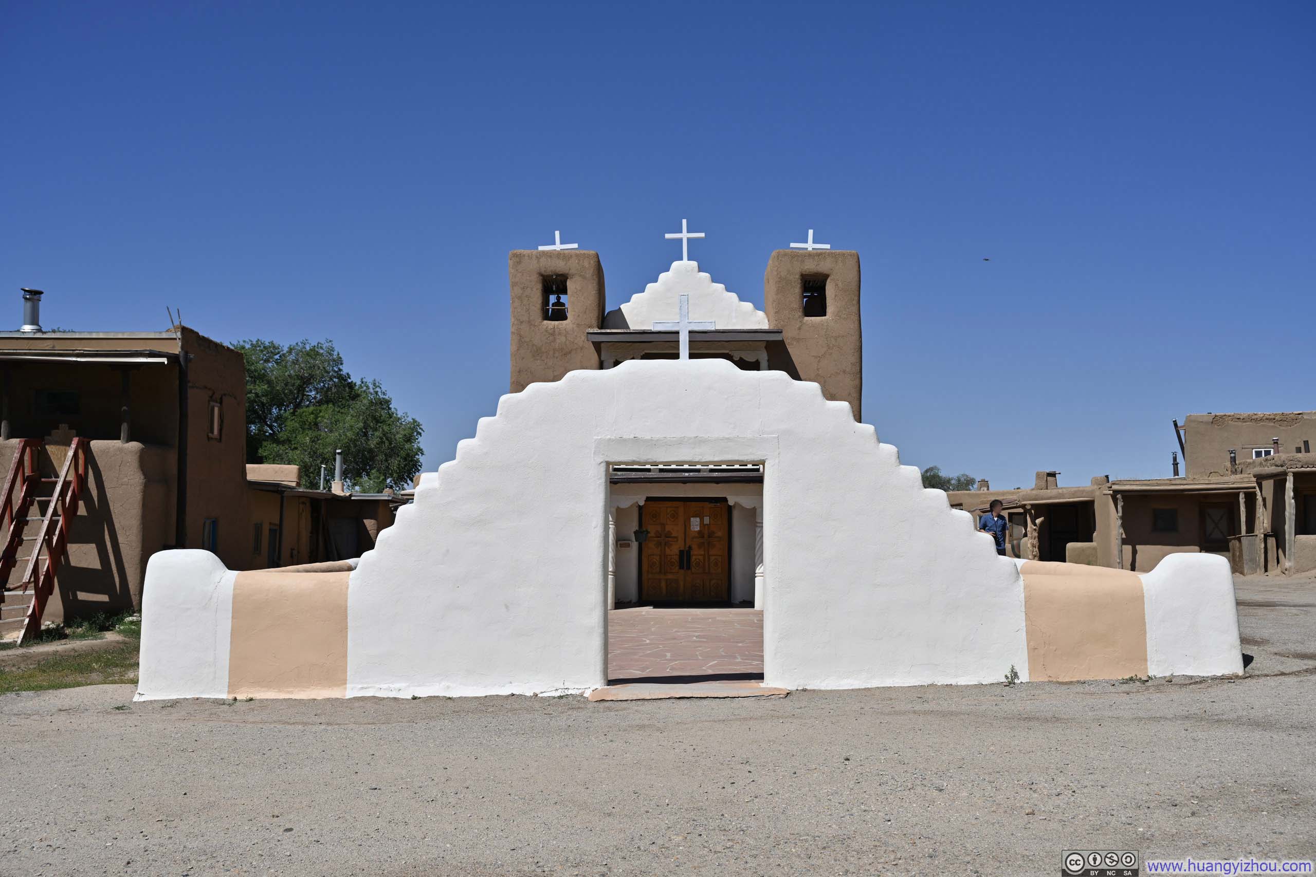
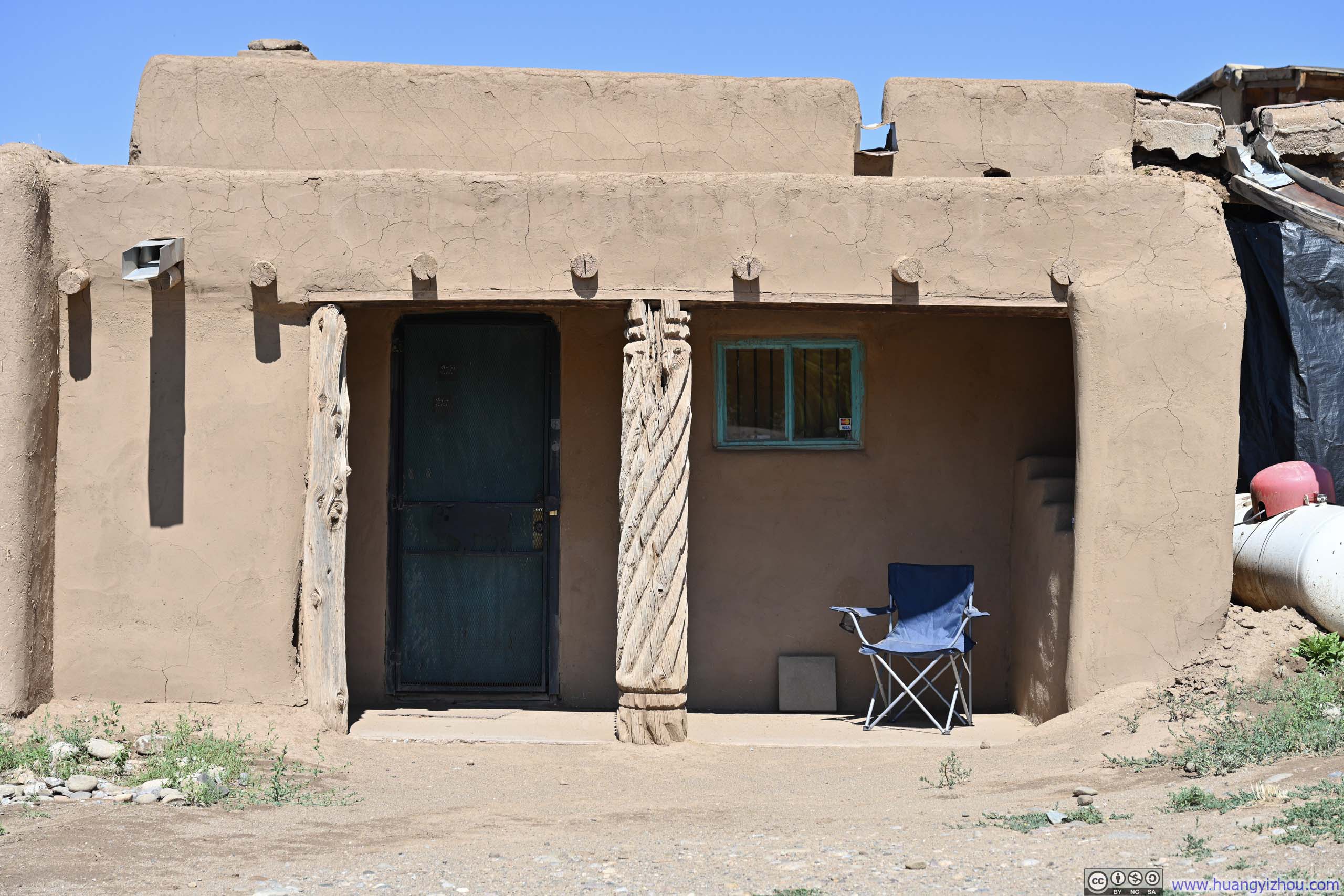
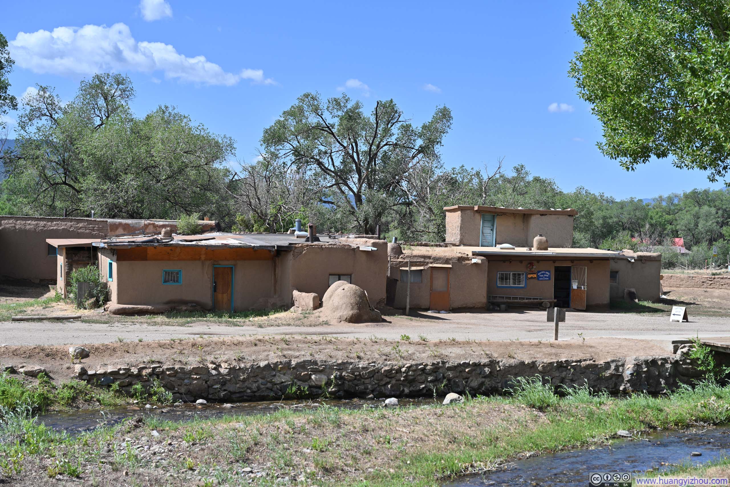
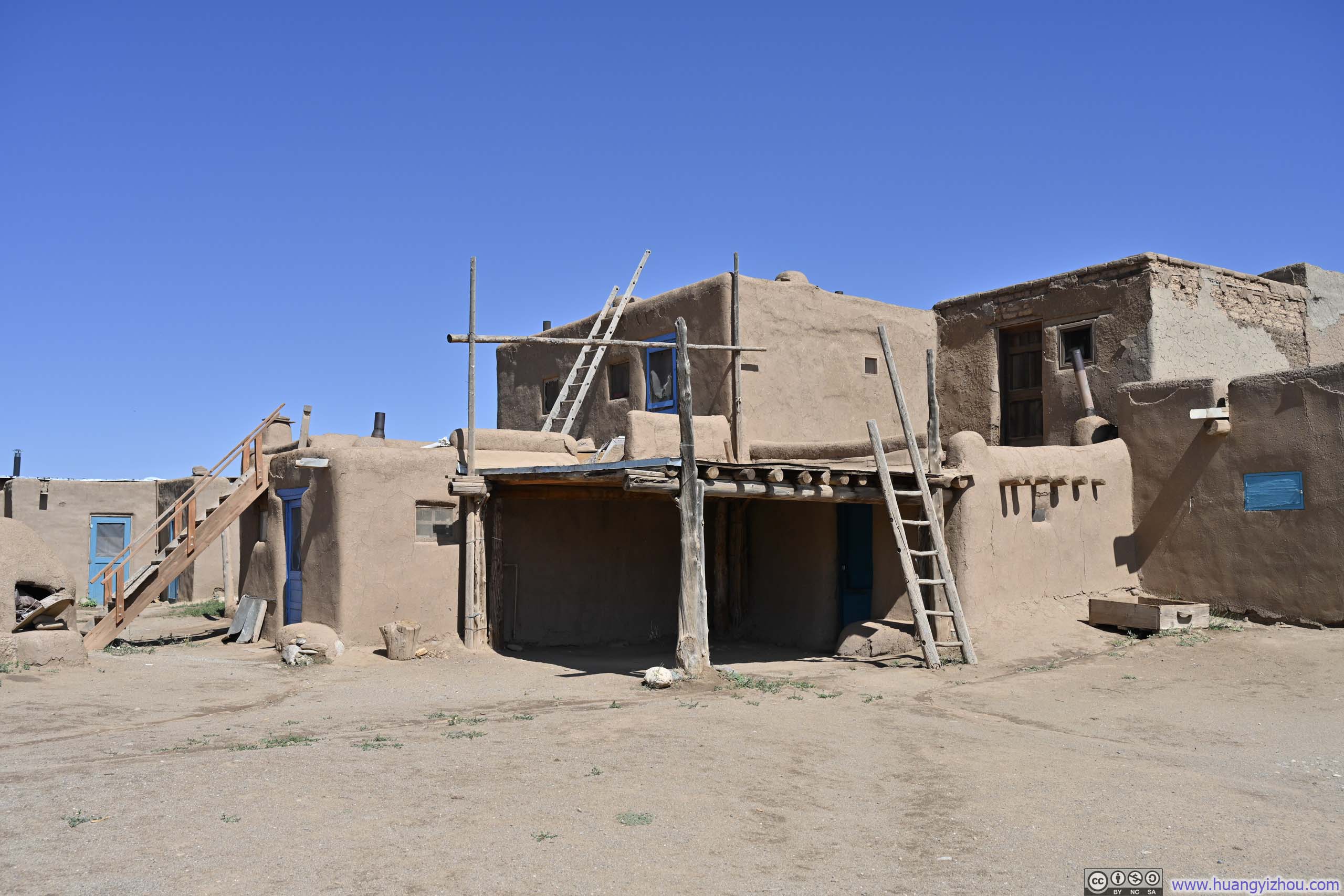
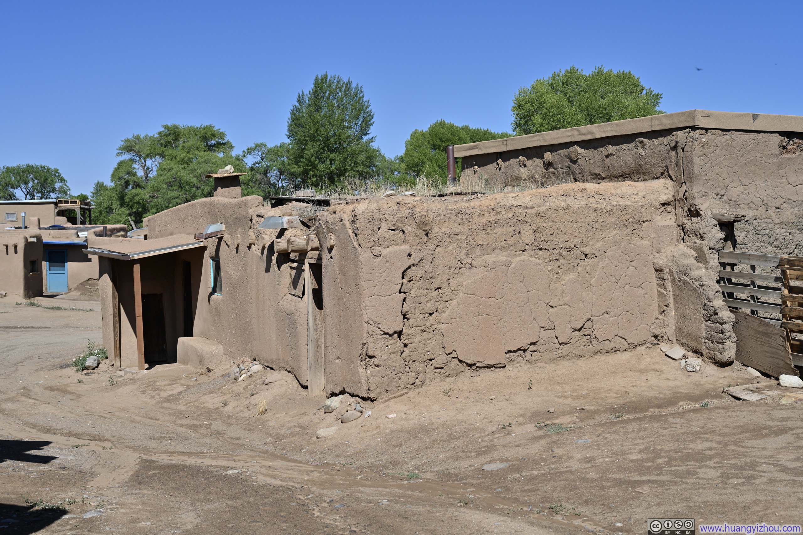
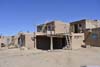
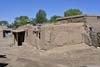
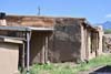
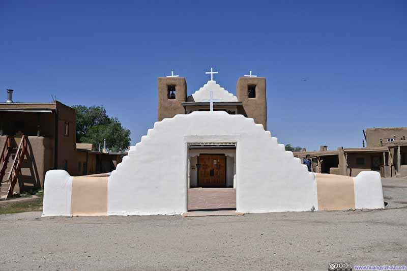
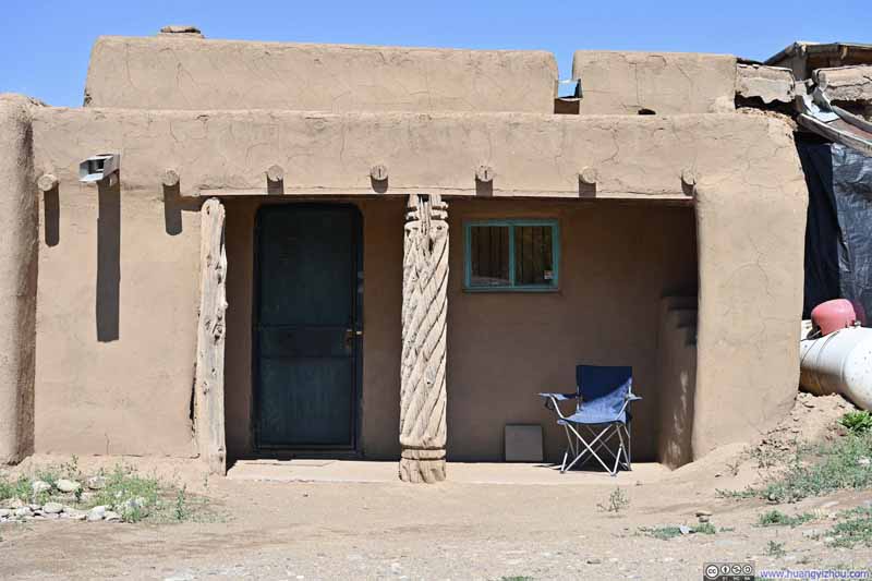
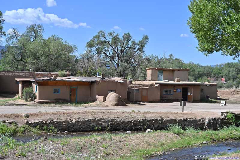
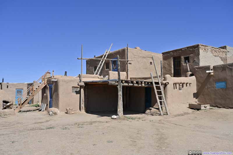
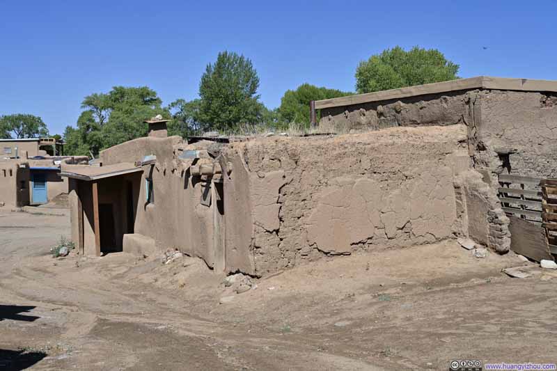
On the other hand, I sensed that the people of Taos Pueblo, particularly the merchants, embraced a relaxed, laid-back approach to life. Although the pueblo was open from 9 to 4, by the time I departed around 10:30 that morning, many shop owners were only just beginning their day.
After leaving Taos, I had two route options to Lake City: the western route via US64-US285, and the slightly longer eastern route via NM522-CO159, both of which converged at Alamosa. I decided to take the eastern route toward Lake City, stopping at Wild River and La Junta Point along the way, with plans to return via the western route a week later.
Wild River Recreation Area
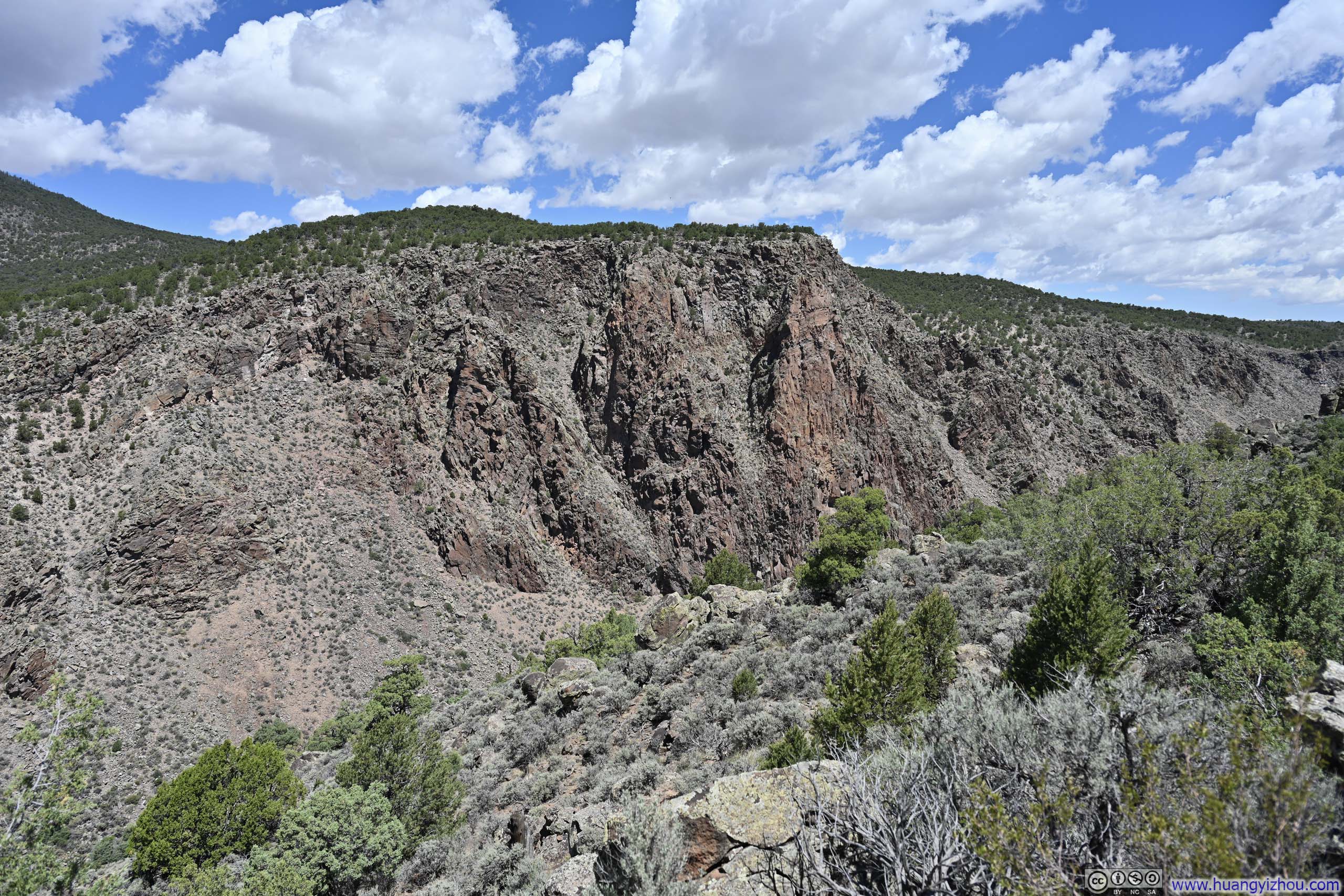
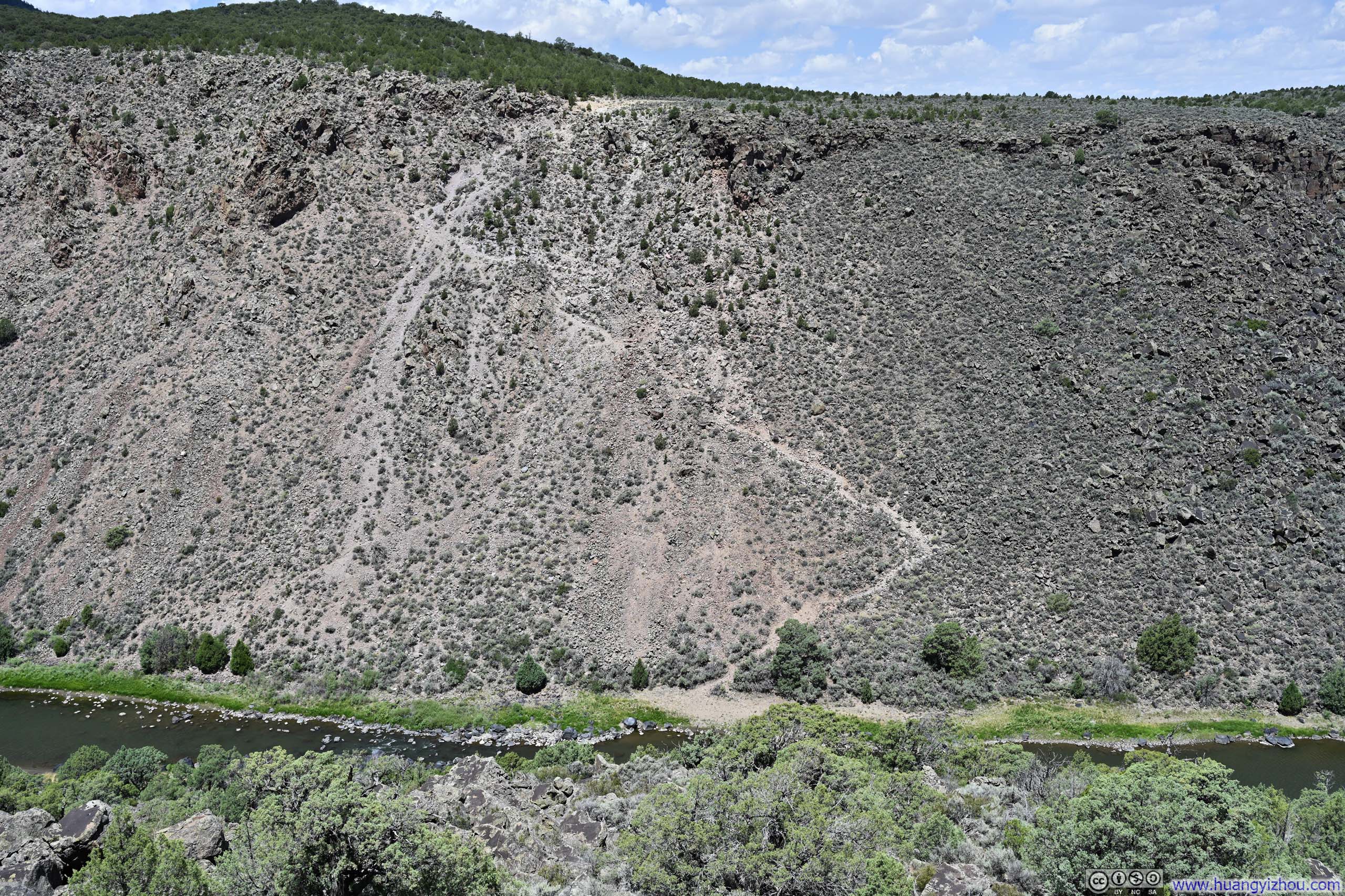
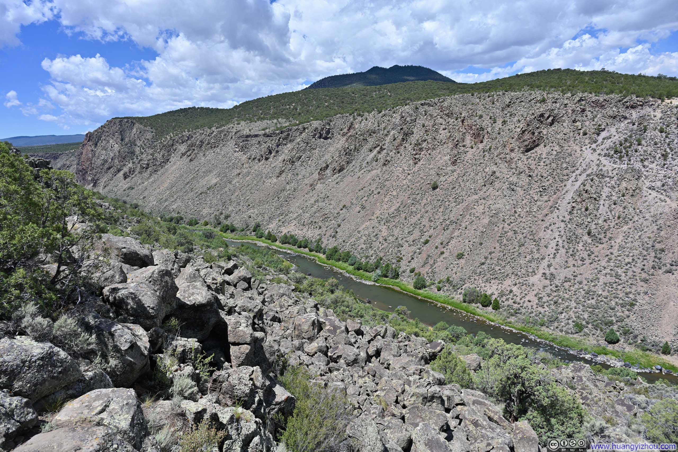
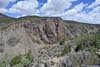
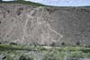
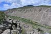
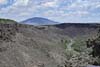
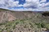
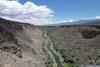
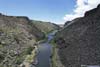
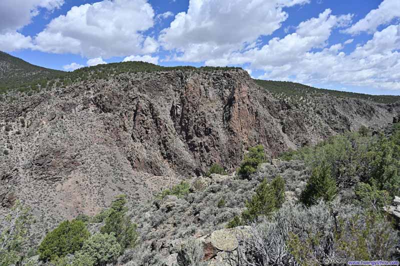
Unfortunately, roadwork was underway in the Wild River Recreation Area (on a Saturday!), with a traffic-light flagger controlling access into a one-lane road. I waited 16 minutes behind a lifeless traffic light frozen on red before my patience ran out. With lots of driving left in the day, I decided to abandon the attempt. Instead, I briefly explored the overlooks accessible before the roadwork (Chiflo Campground and Sheep Crossing), leaving La Junta Point with its view of the confluence of the Rio Grande and Red River to a future visit.
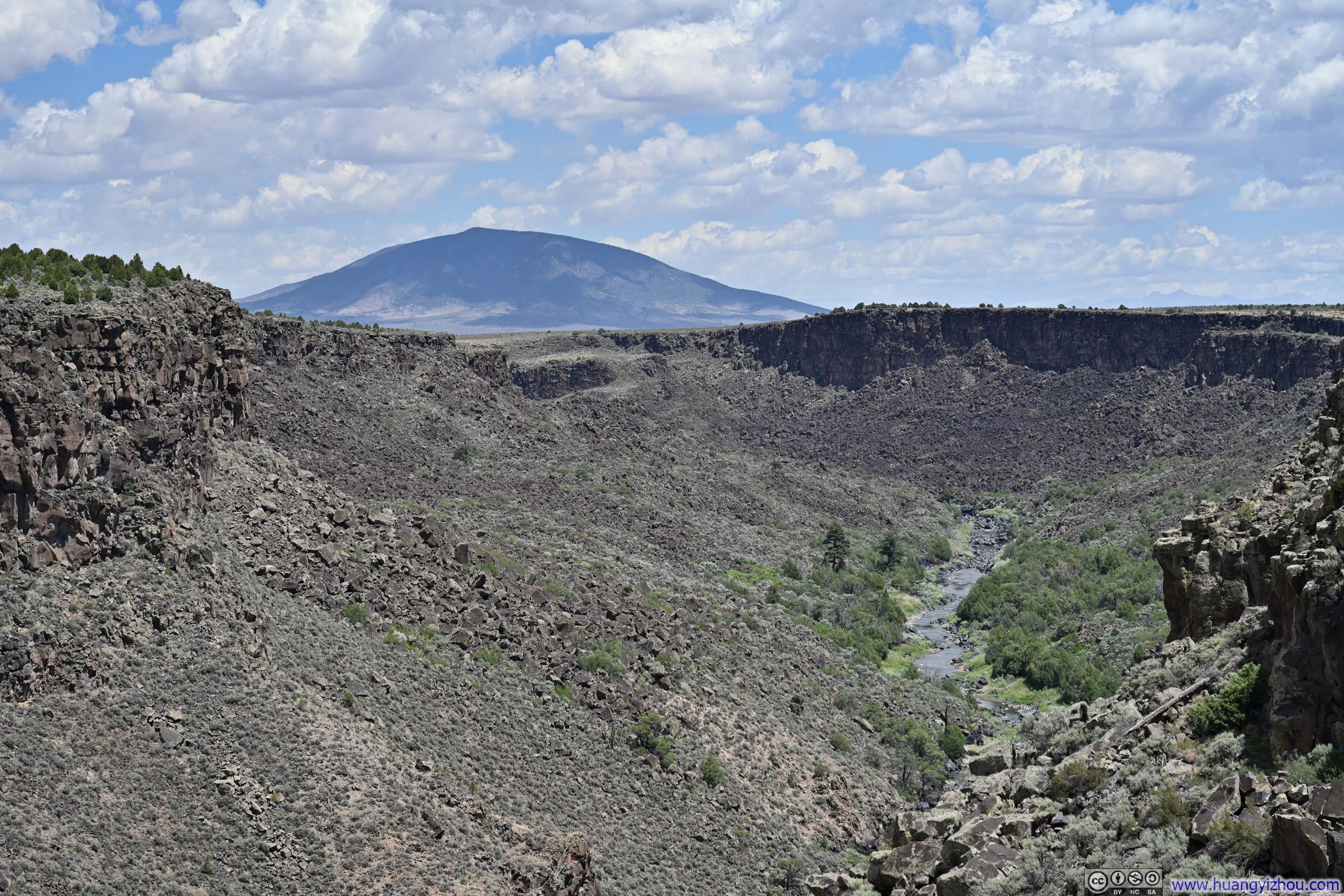
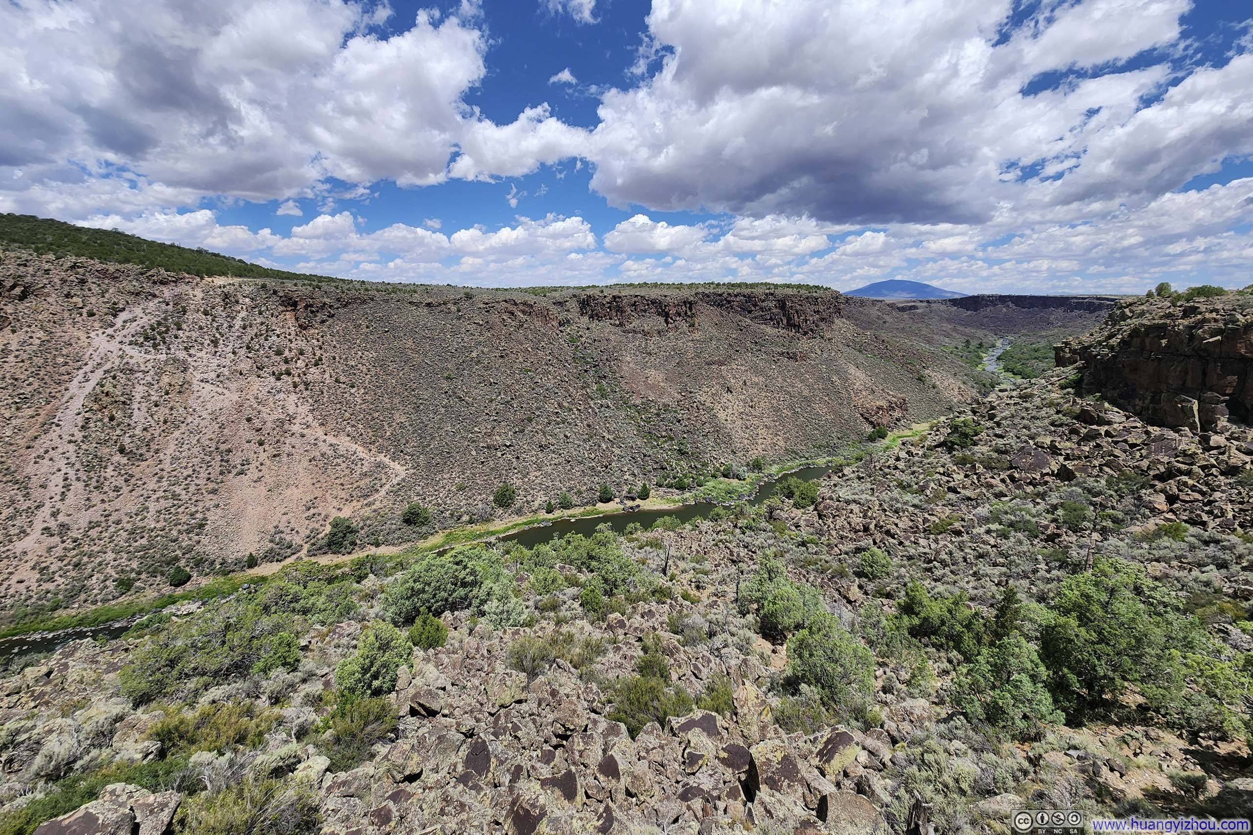
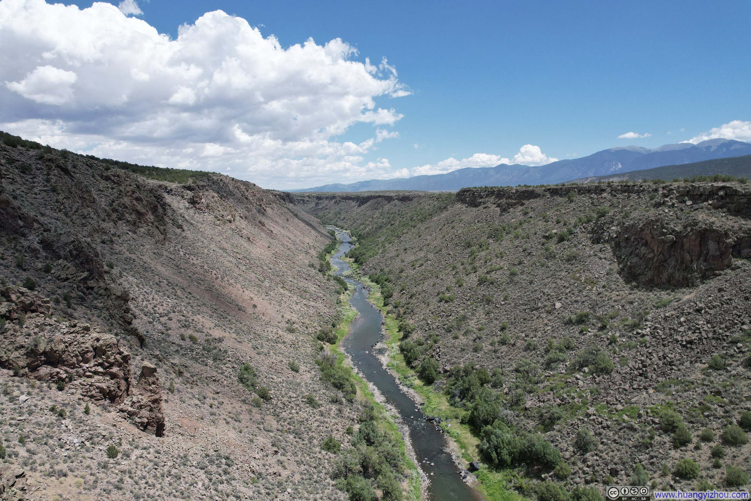
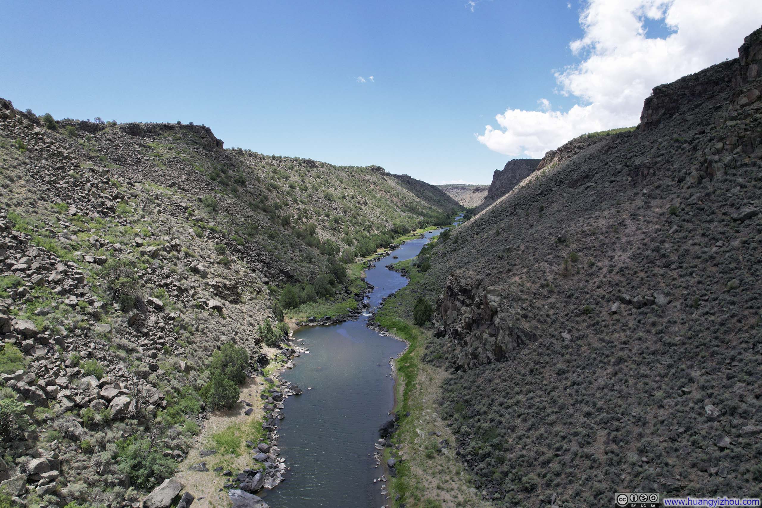
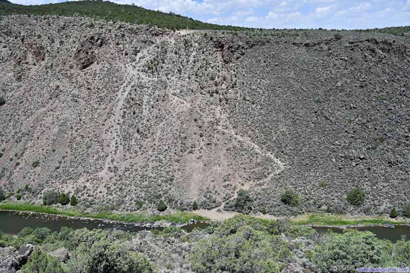
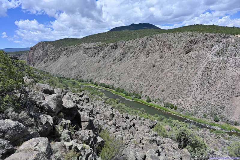
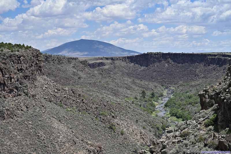
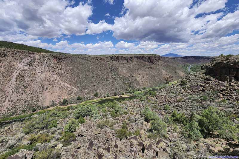
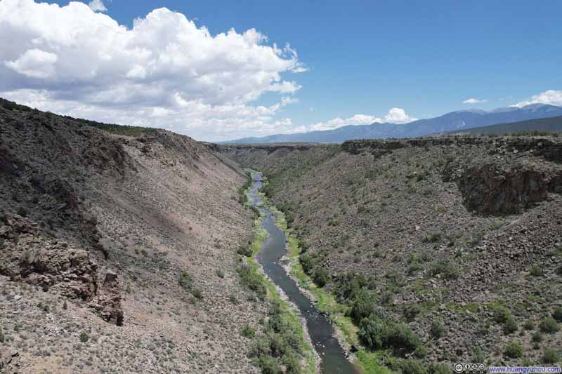
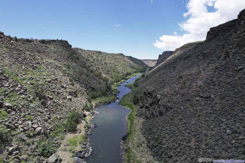

And here's a video from my drone:
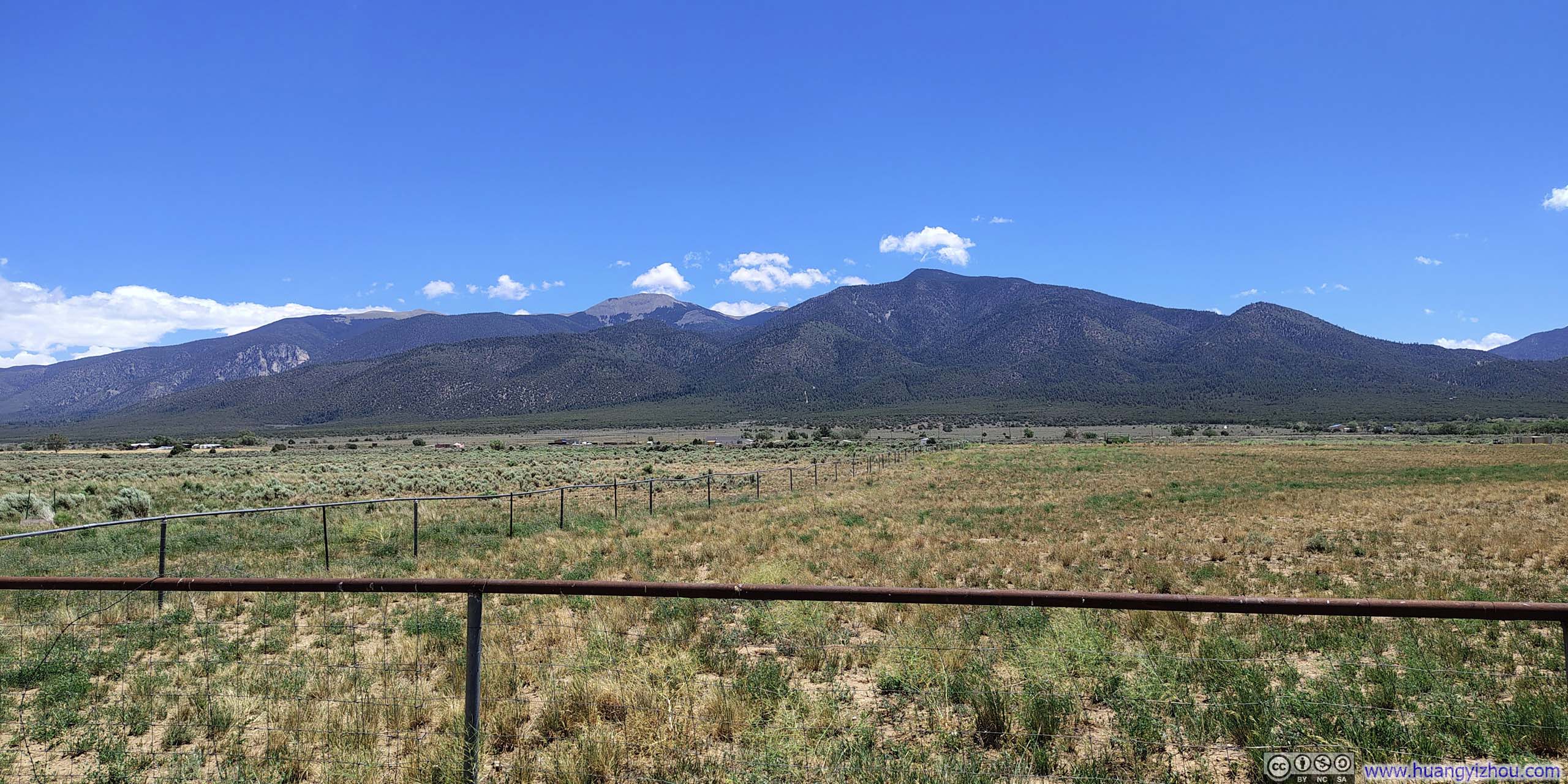
Captured on my way leaving Wild River Recreation Area.
Just over an hour of driving later, I was at the town of San Luis, the oldest continuously occupied town in Colorado. It was about 1pm in the afternoon. After a proper lunch in town, I decided to check out the Shrine of the Stations of the Cross, located on a small mesa overlooking the city.
Shrine of the Stations of the Cross
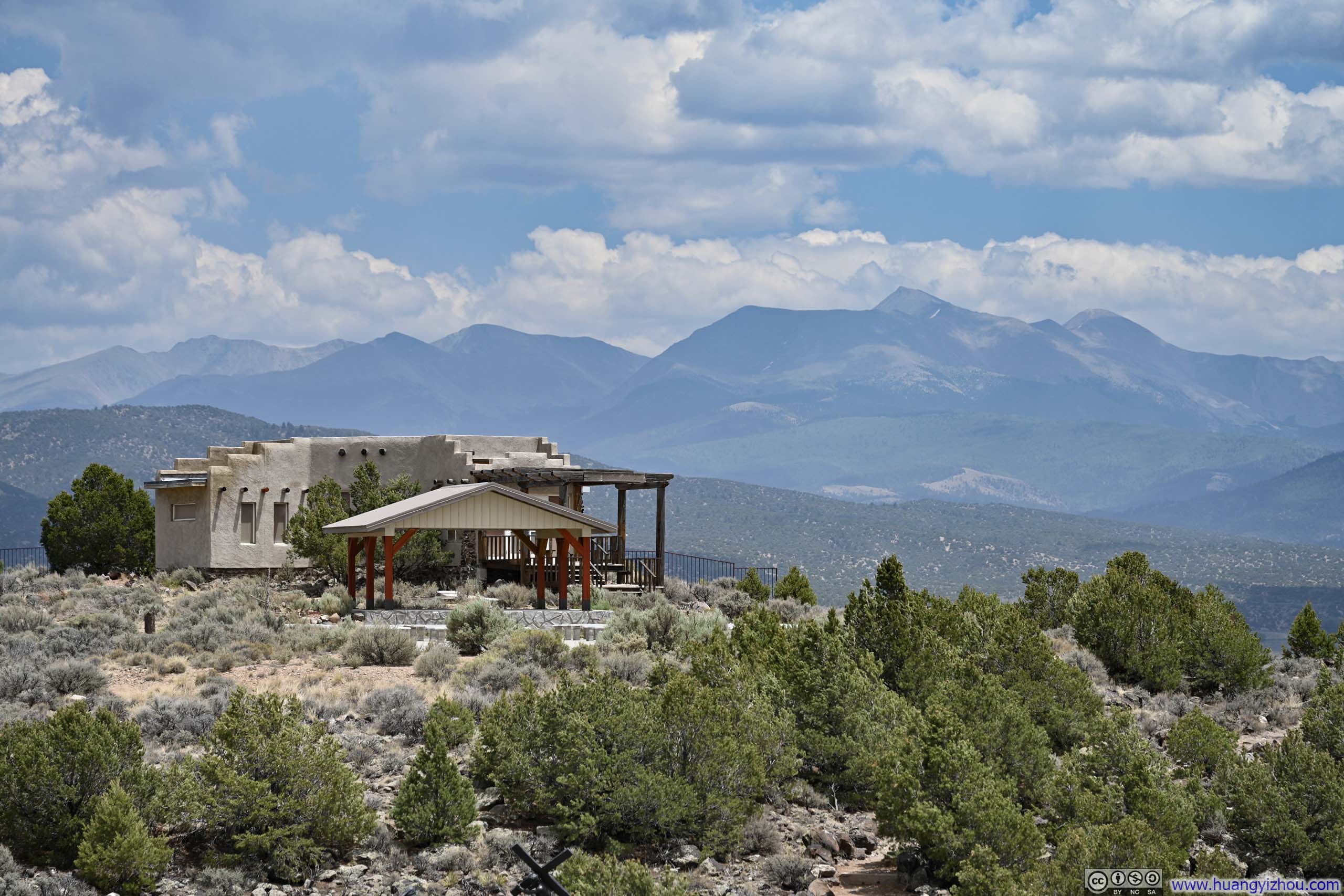
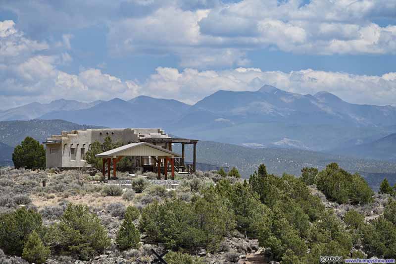
A short, 0.7km (0.5mi) trail led upward toward the church, its path lined with statues depicting scenes from Jesus' final day and culminating in His resurrection at the top, hence the name "Stations of the Cross". Though constructed in the 1980s, the building maintained the traditional pueblo-style architecture externally while presenting a surprisingly neat, modern feel.
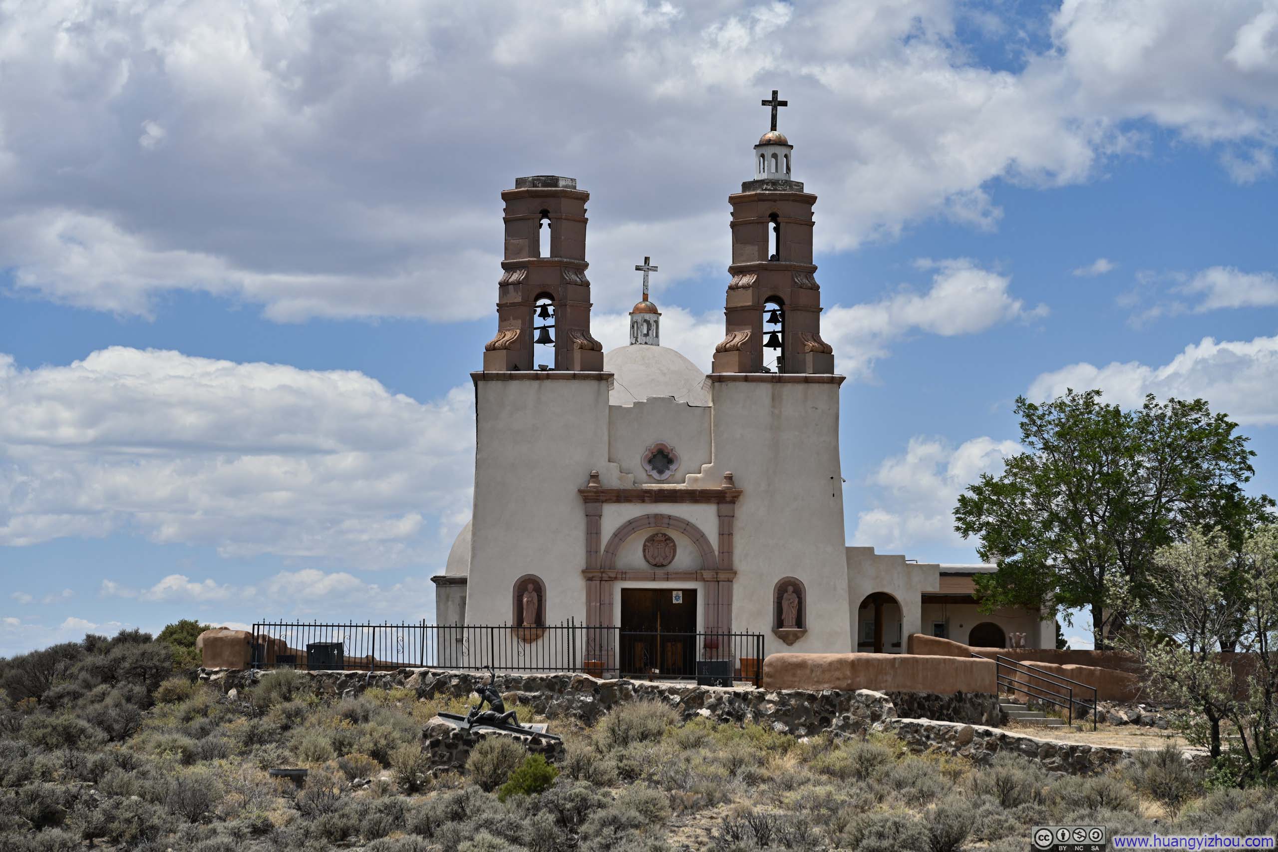
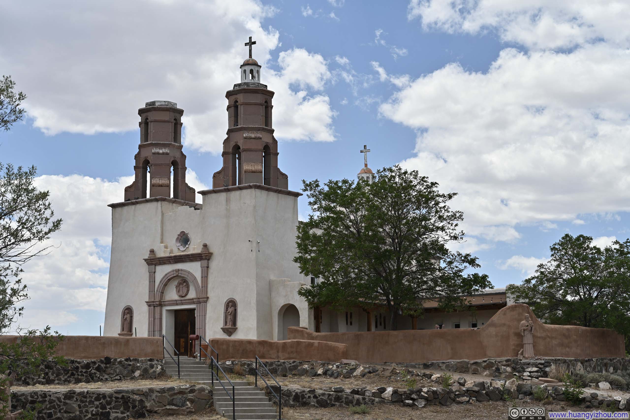
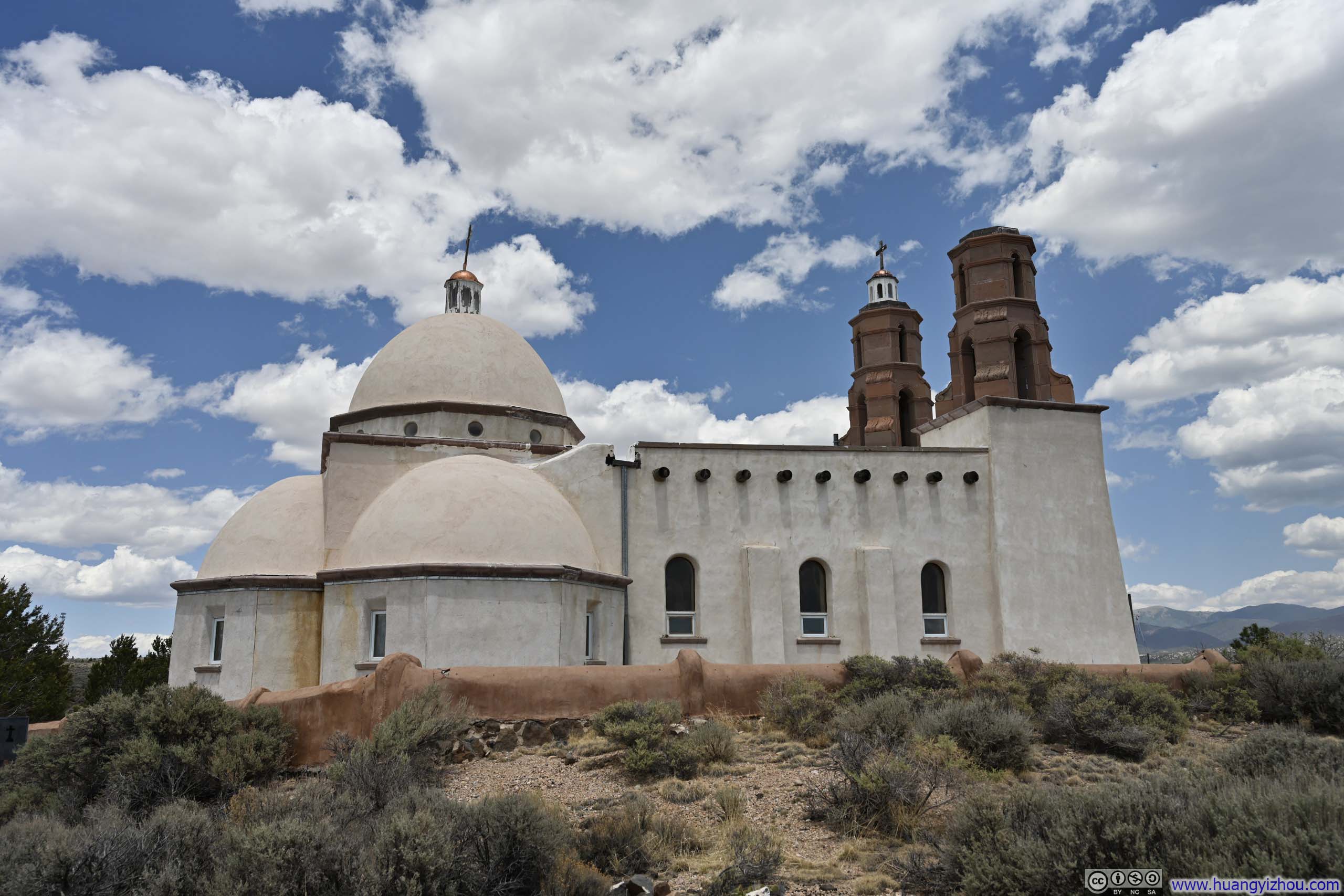
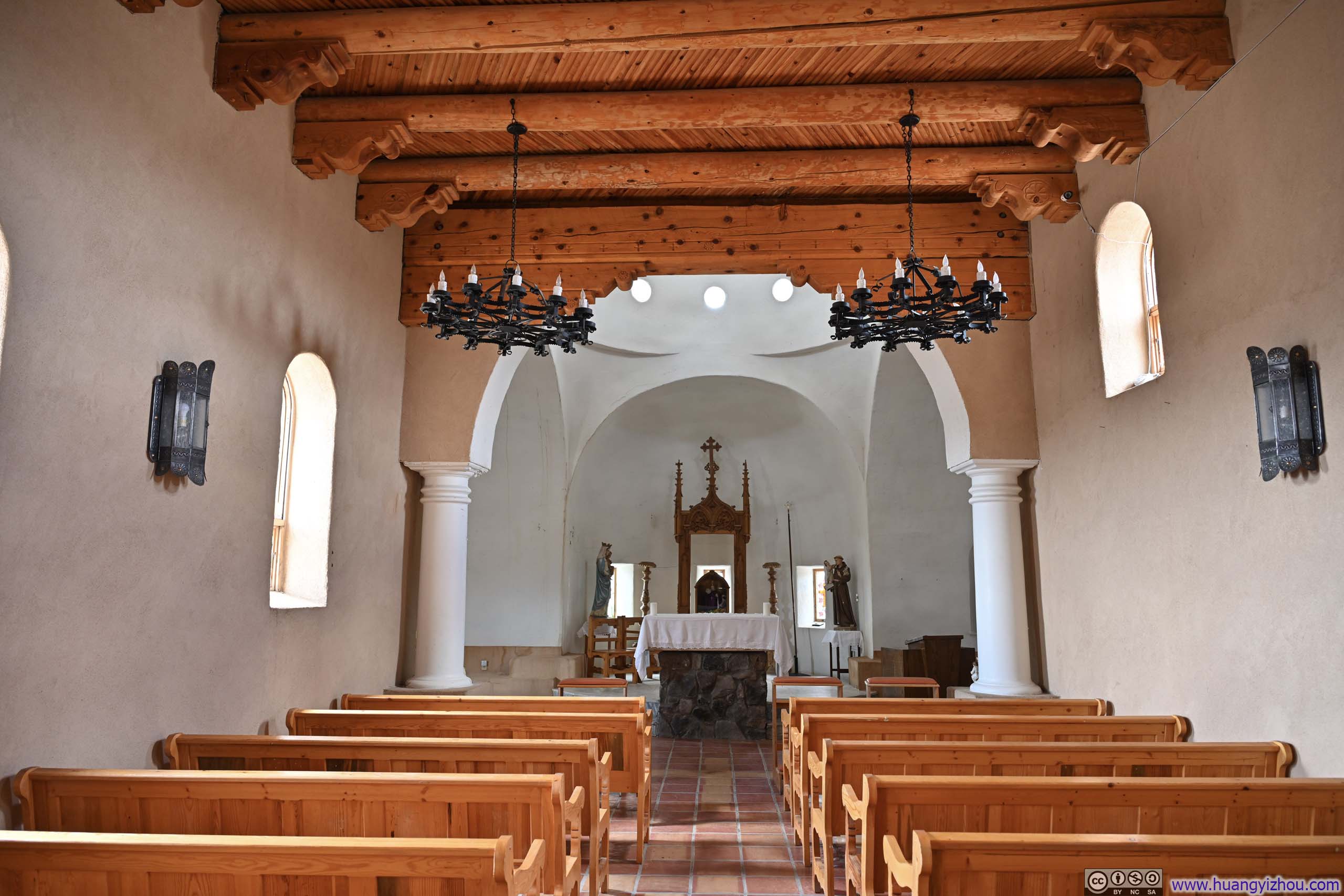
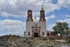
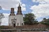
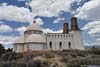
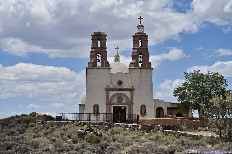
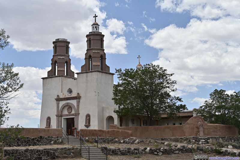
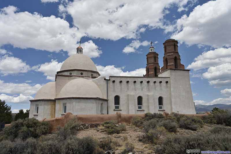
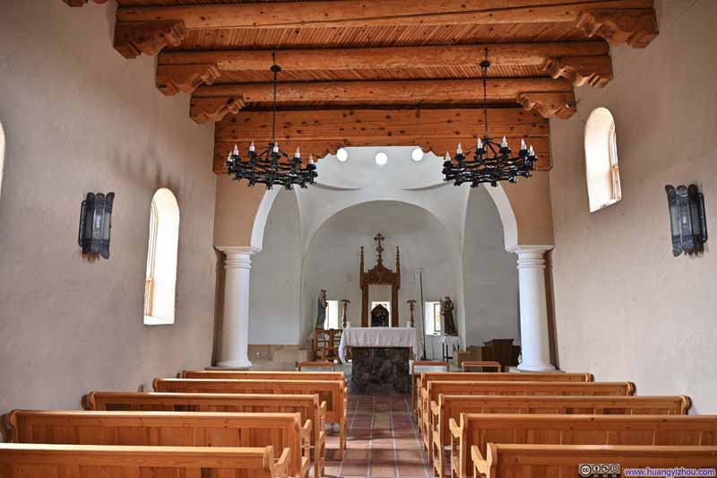
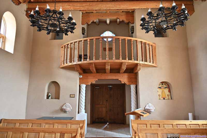
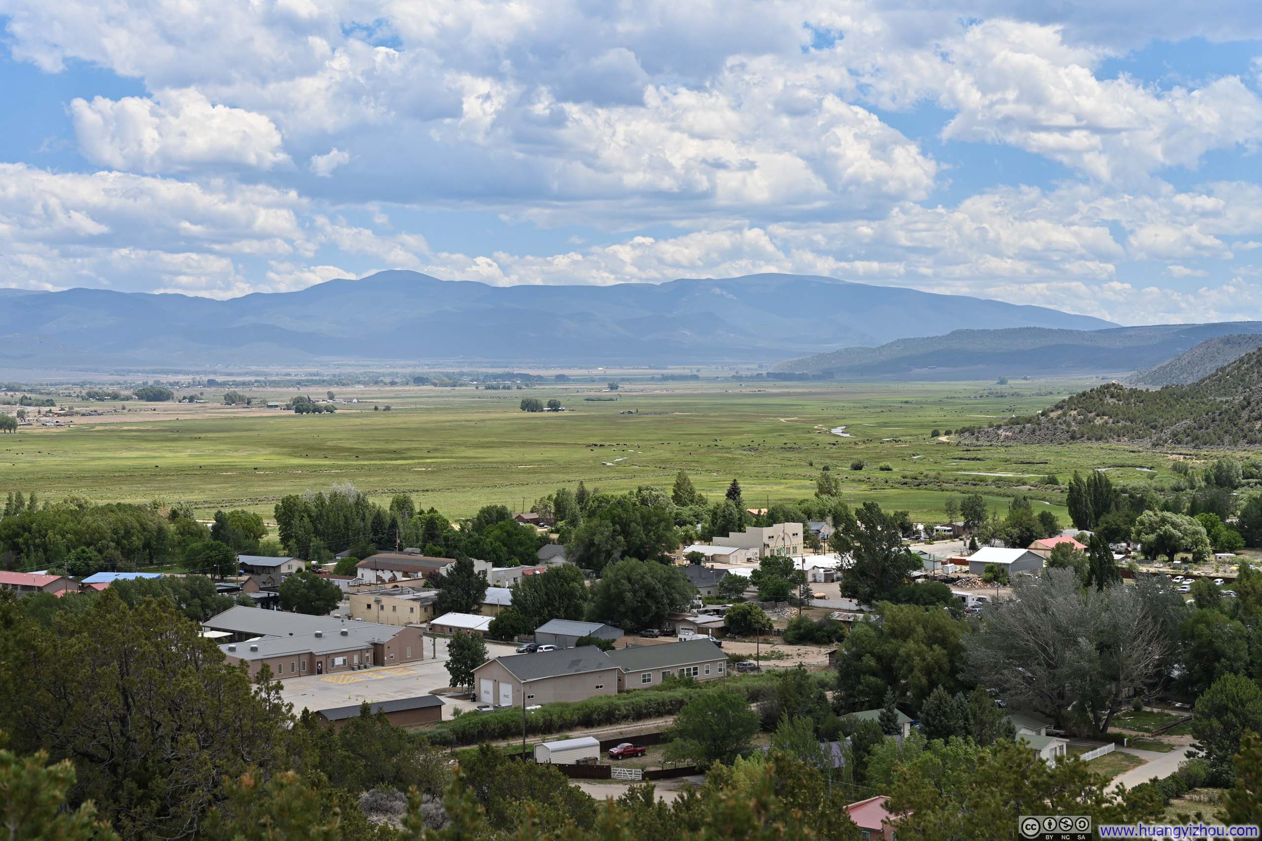
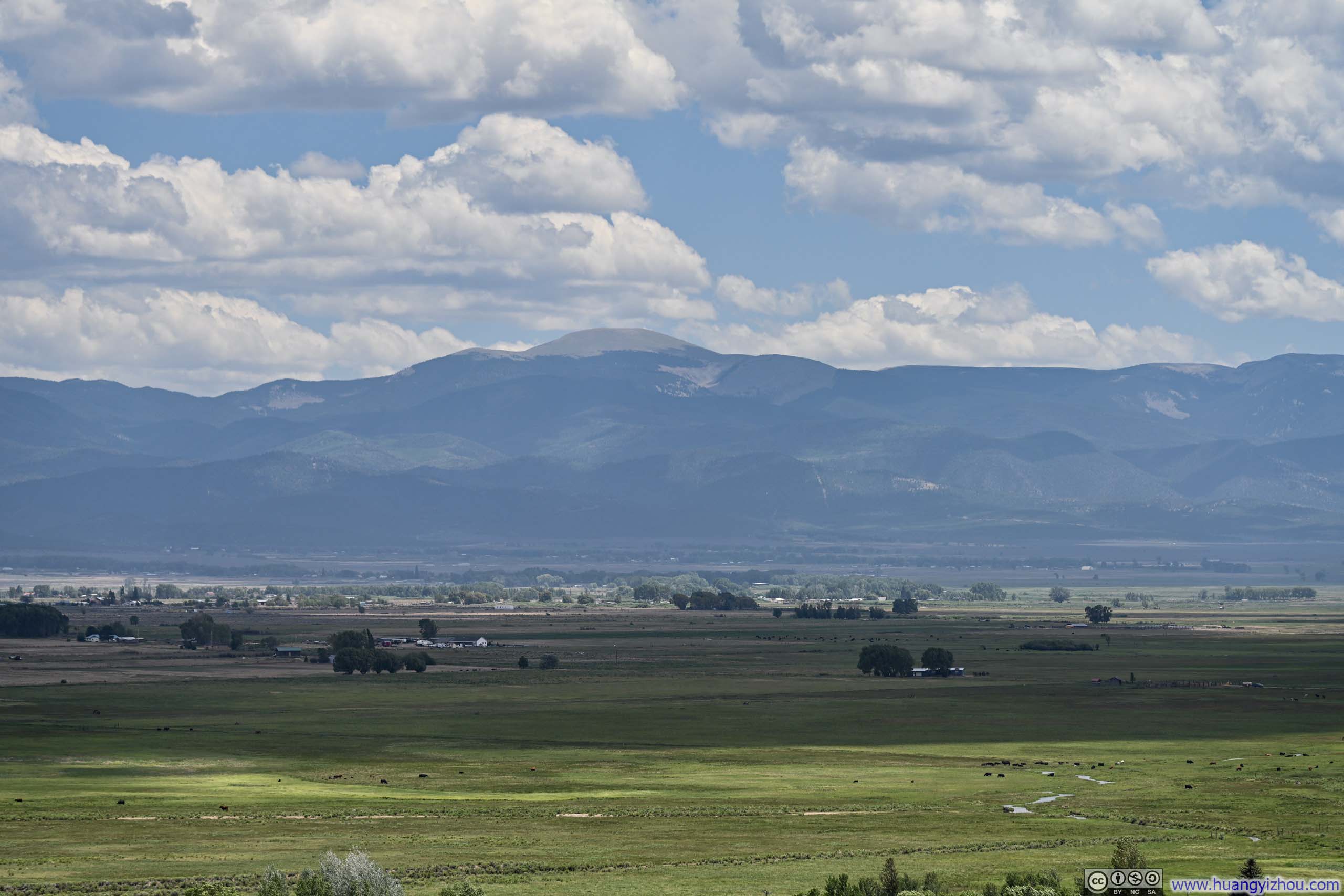
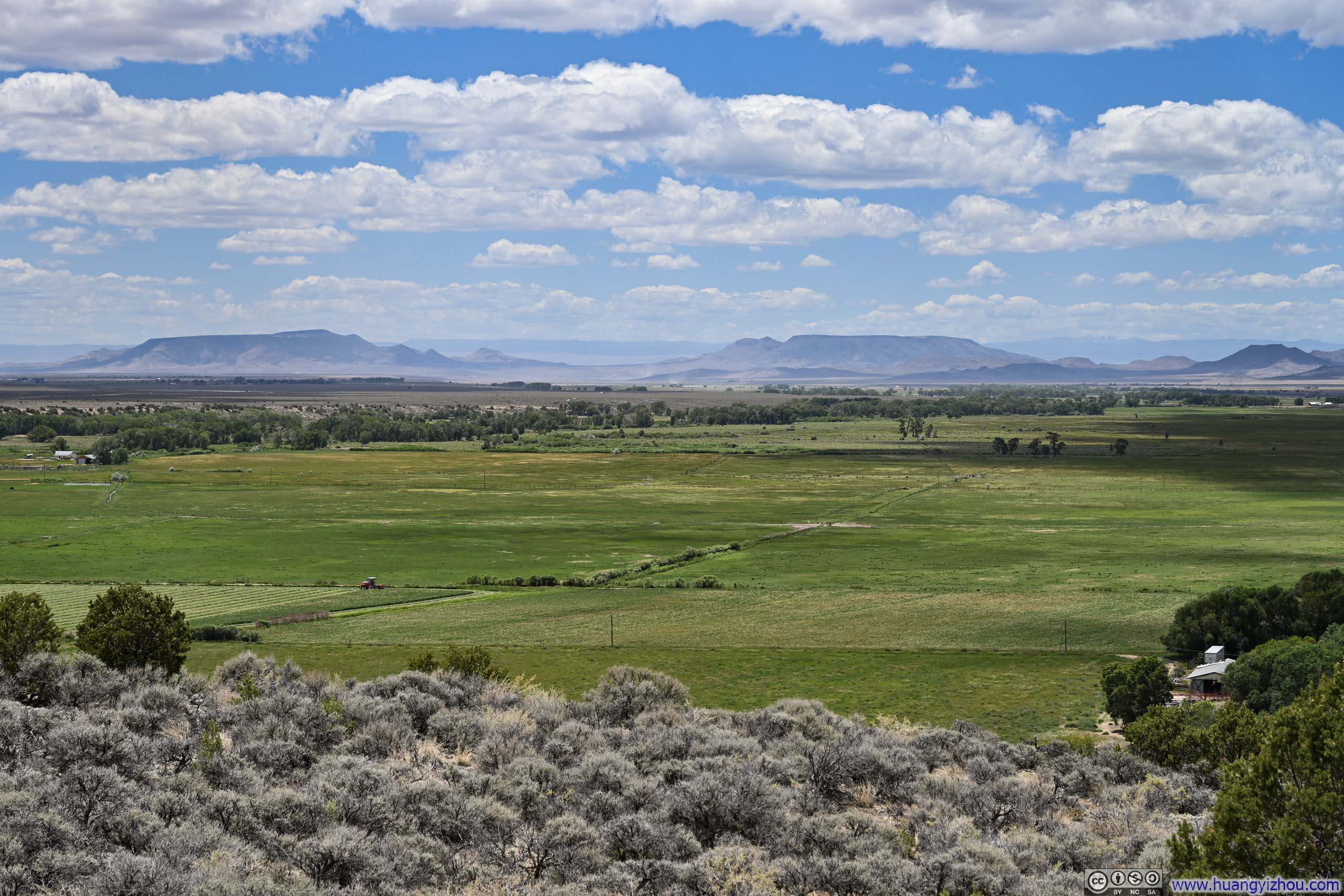
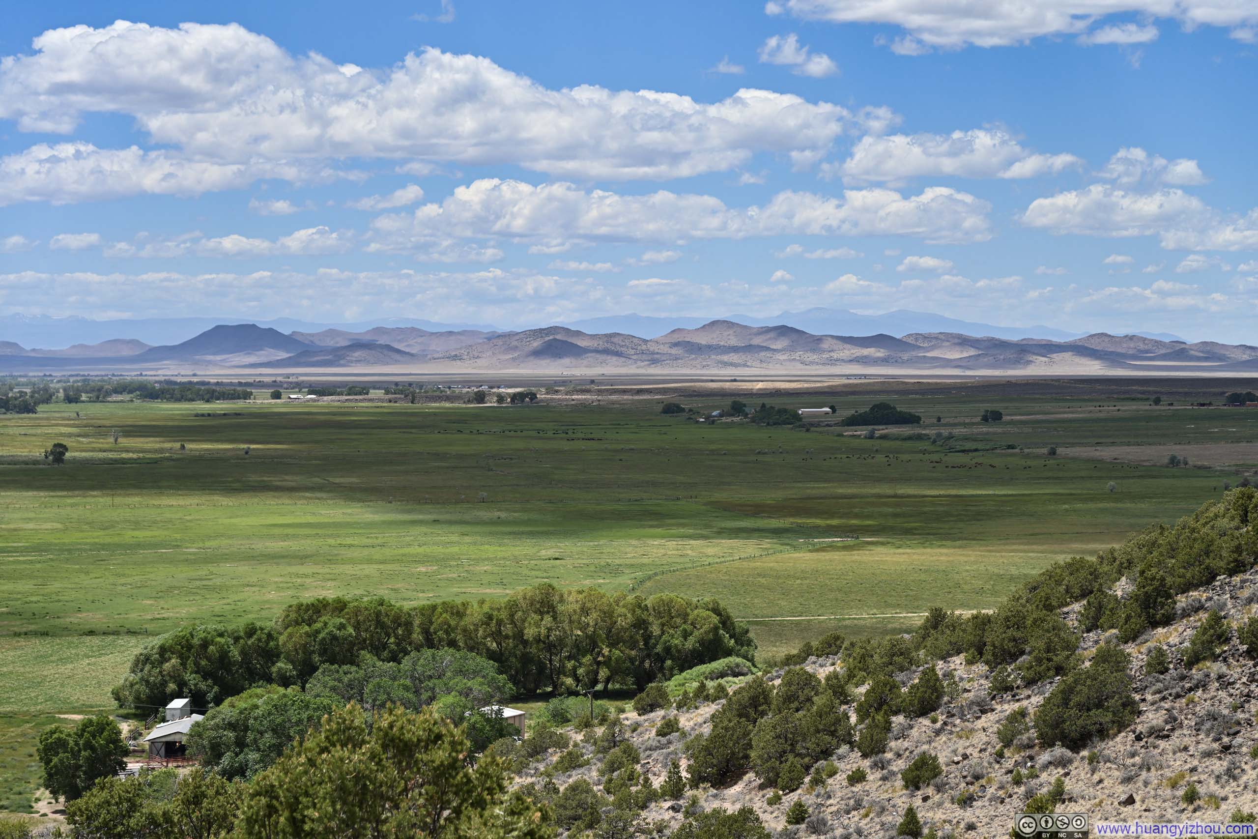
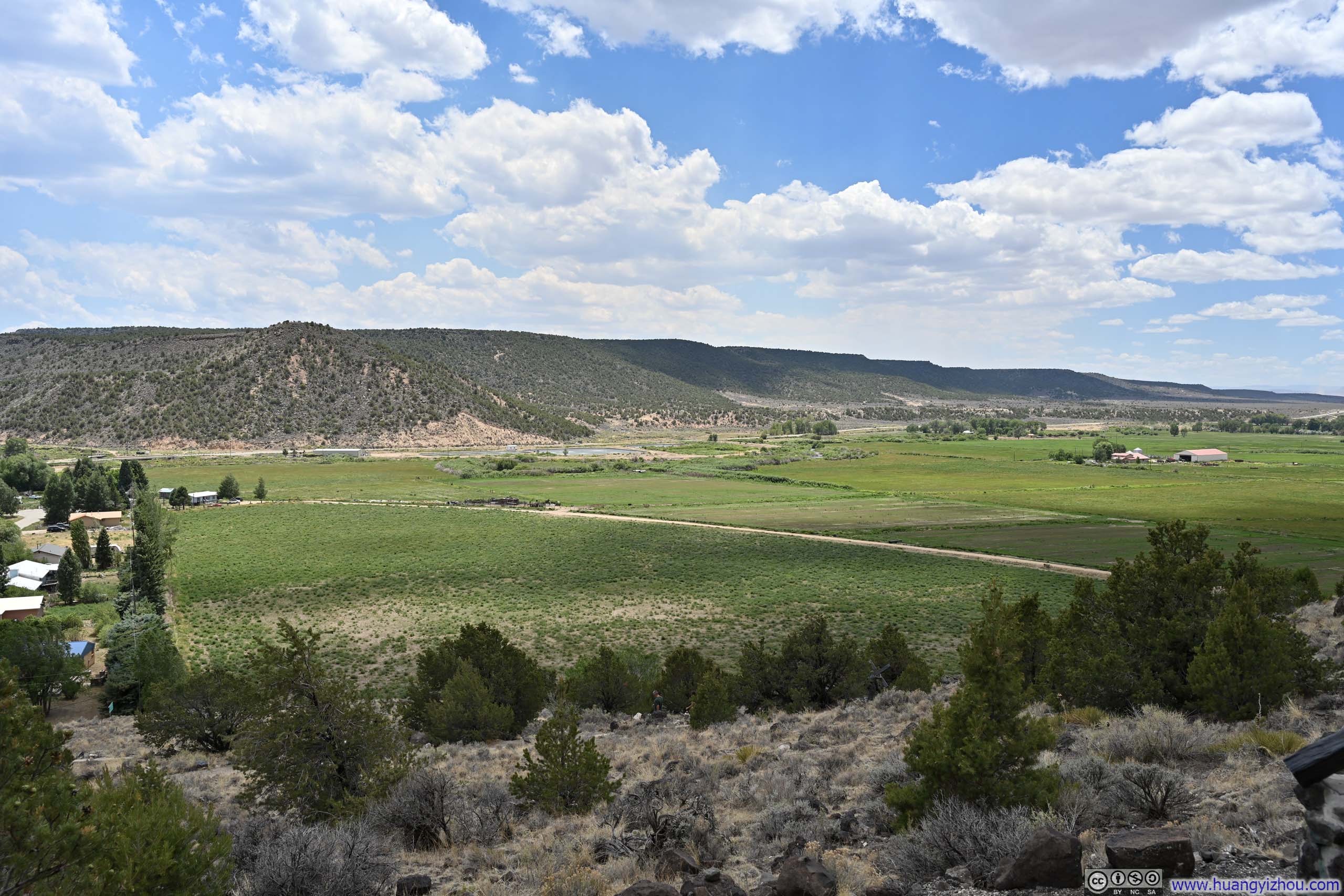
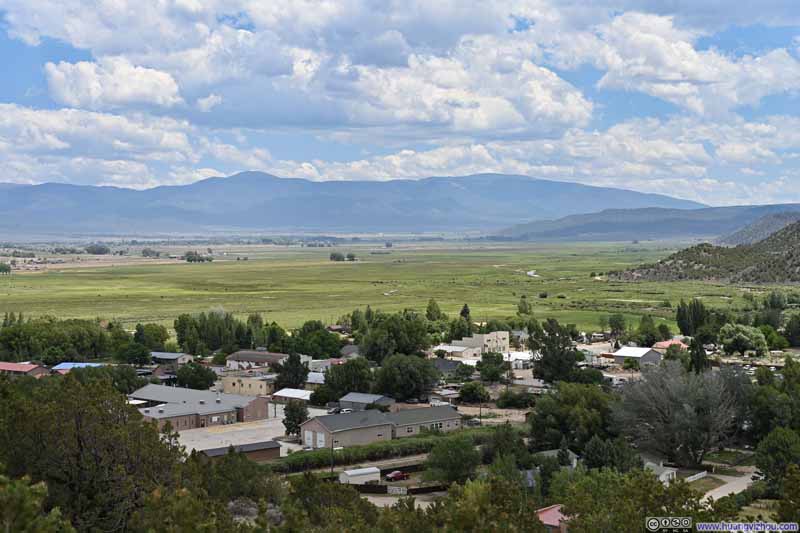
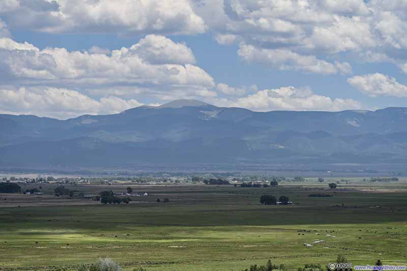
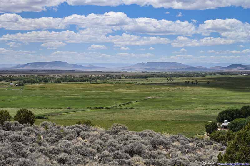
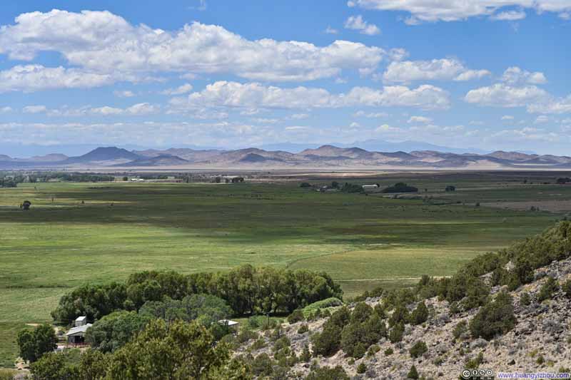
From the mesa's peak, the view opened onto lush farmlands stretching outside San Luis, against the backdrop of the soaring Sangre de Christo Mountains.
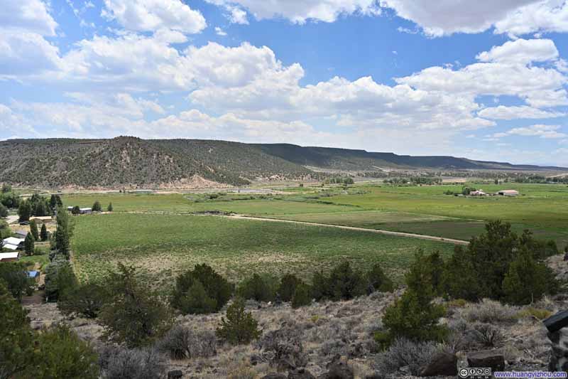
Fort Garland
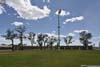
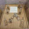
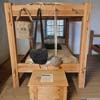
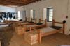
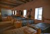
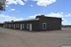
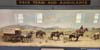
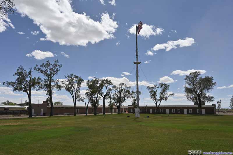
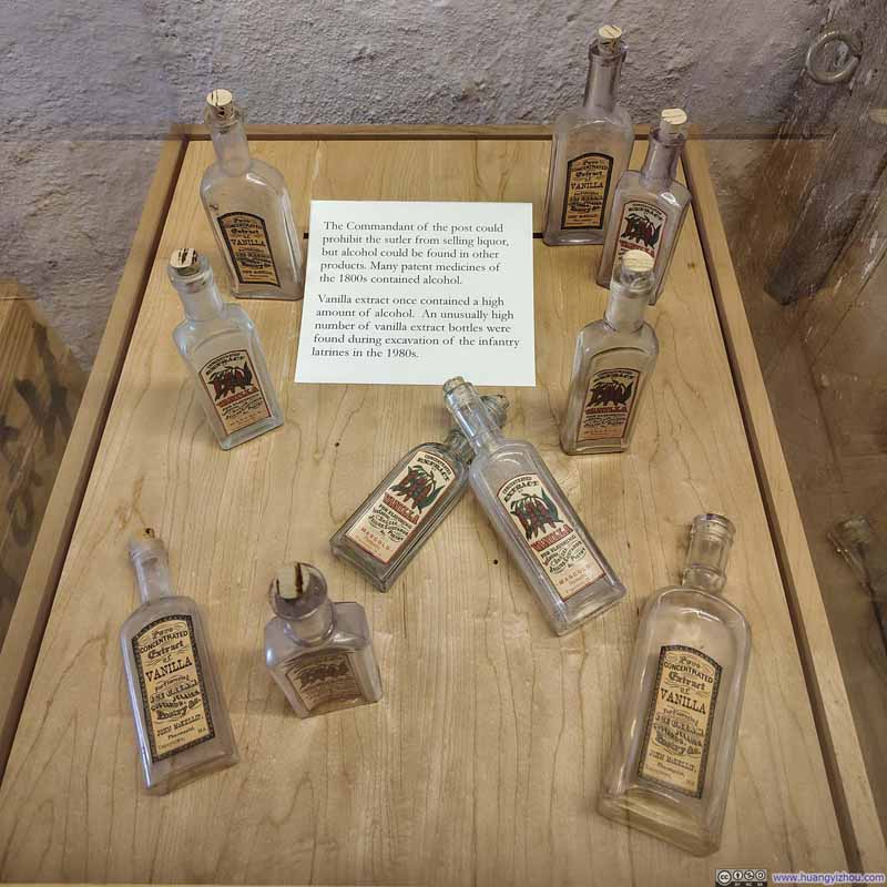
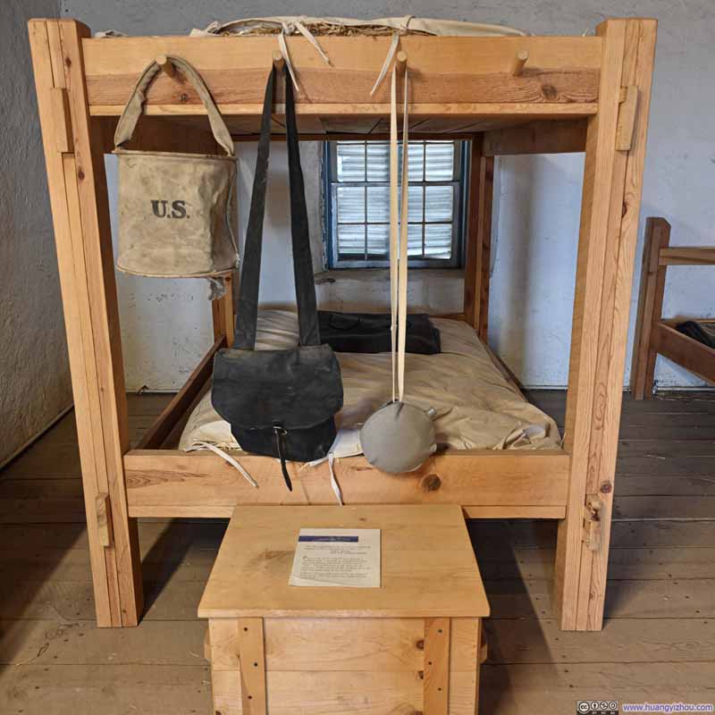
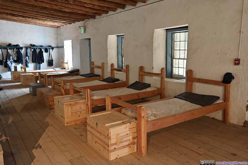
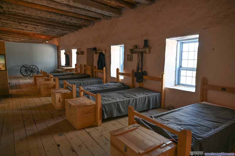
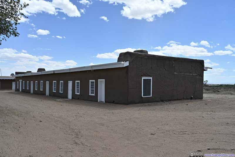
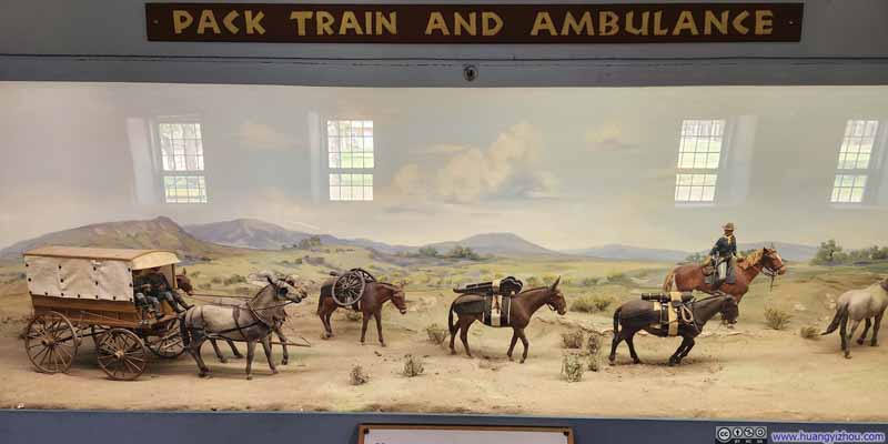
Operating from 1858 to 1883, this United States Army post was established to protect white settlers from Native American peoples in the San Luis Valley. The fort stood alone in its mission to guard this entire vast region, leaving it perpetually overextended. Within its boundary, both infantry and cavalry maintained separate lives, dwelling in distinct barracks and dining in separate halls, a segregation that spoke to their mutual disdain. When the Civil War erupted, the fort’s soldiers were dispatched to decisive engagements at Valverde and Glorieta Pass, conflicts that ultimately extinguished Confederate ambitions in the Southwest.
The current buildings in the fort were refurbished in the 1950s and opened as a museum, as they continued to preserve these layered histories of frontier hardship and martial distinction.
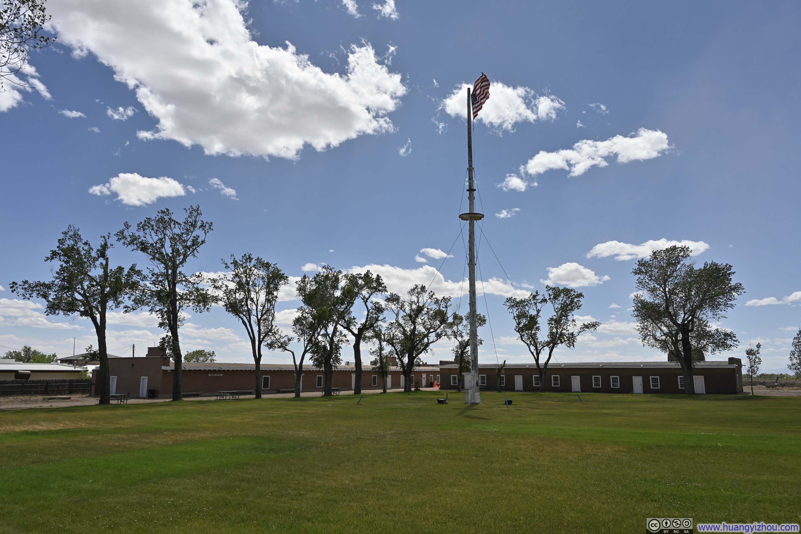
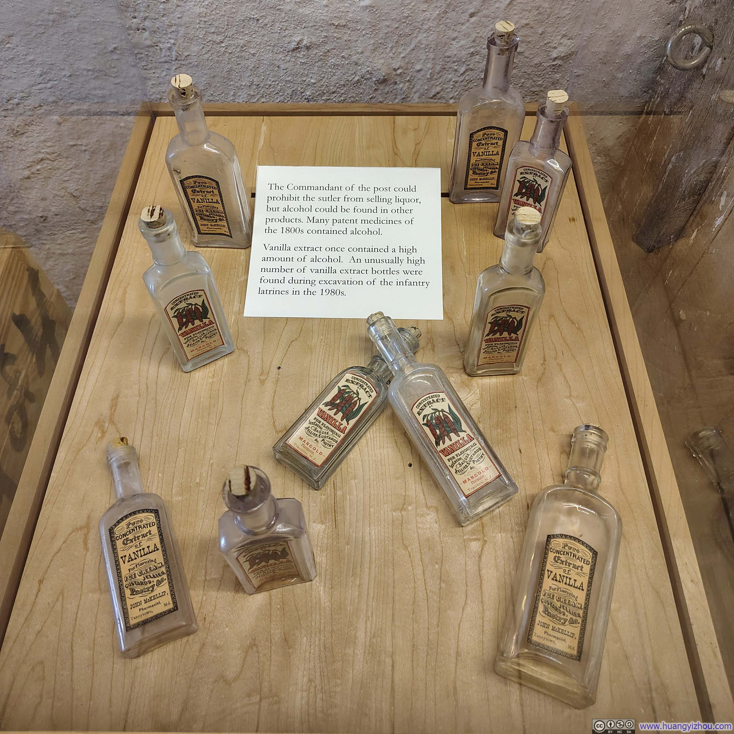
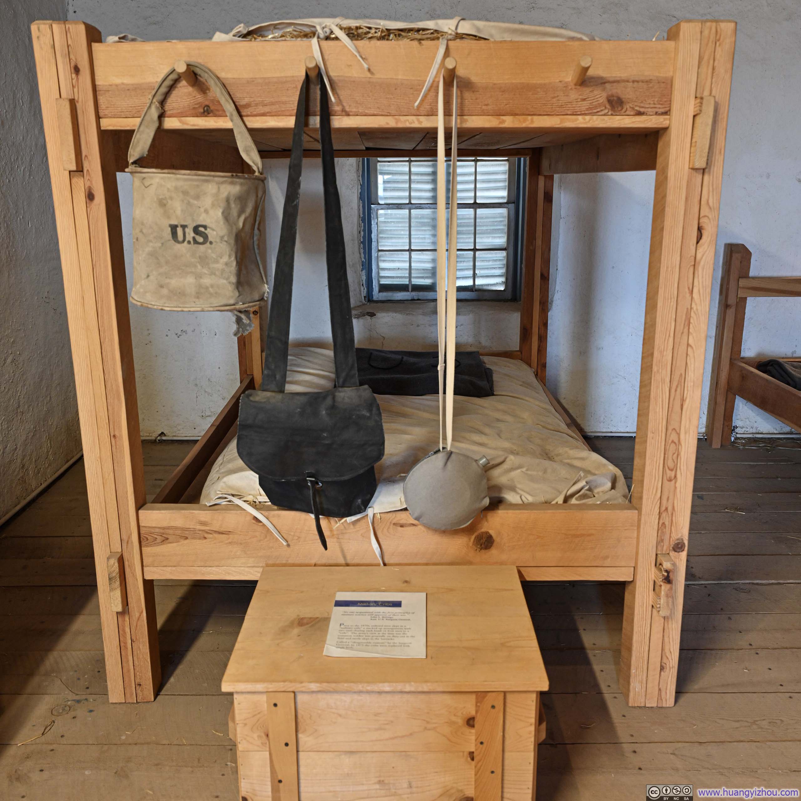
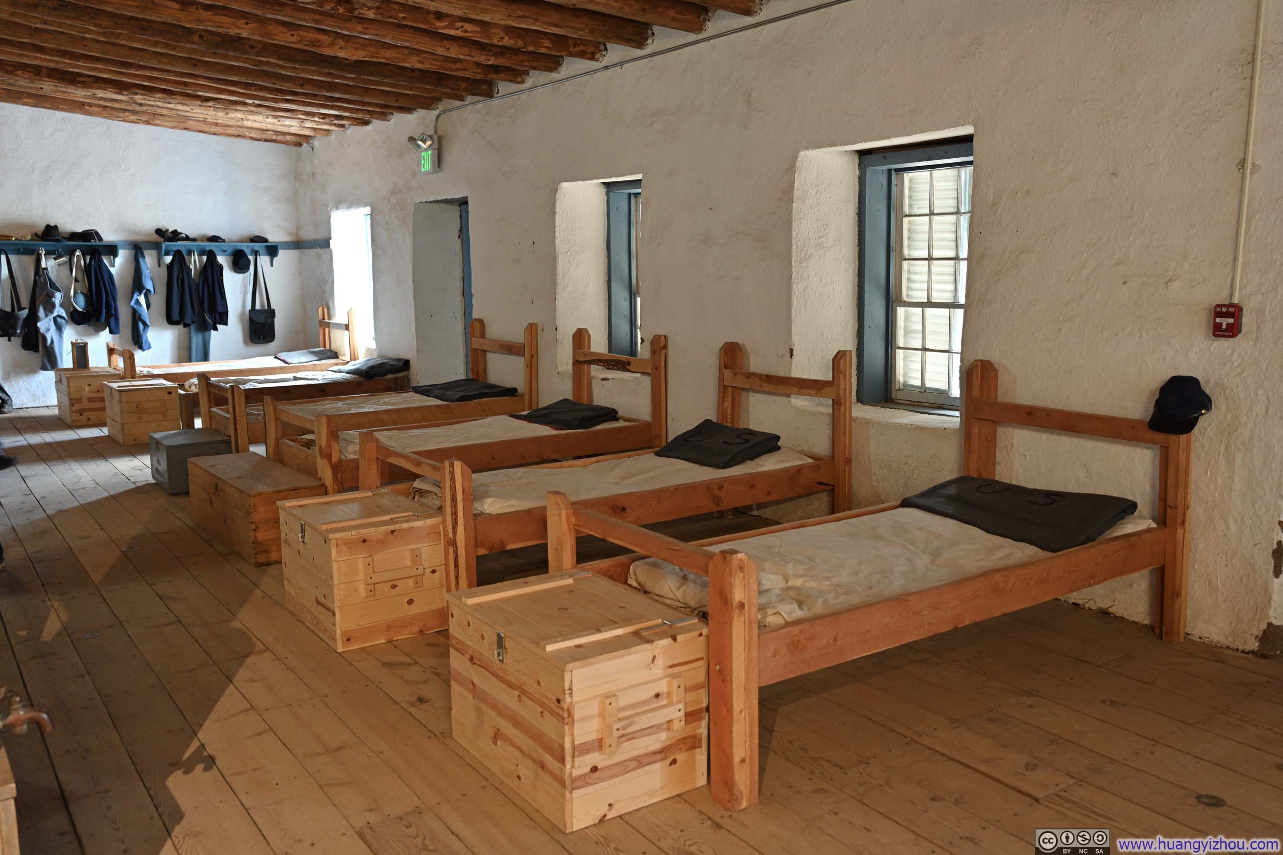
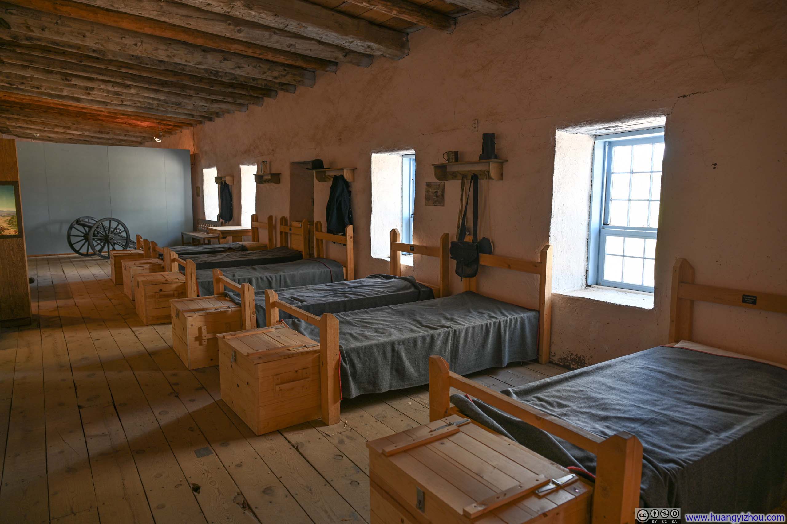
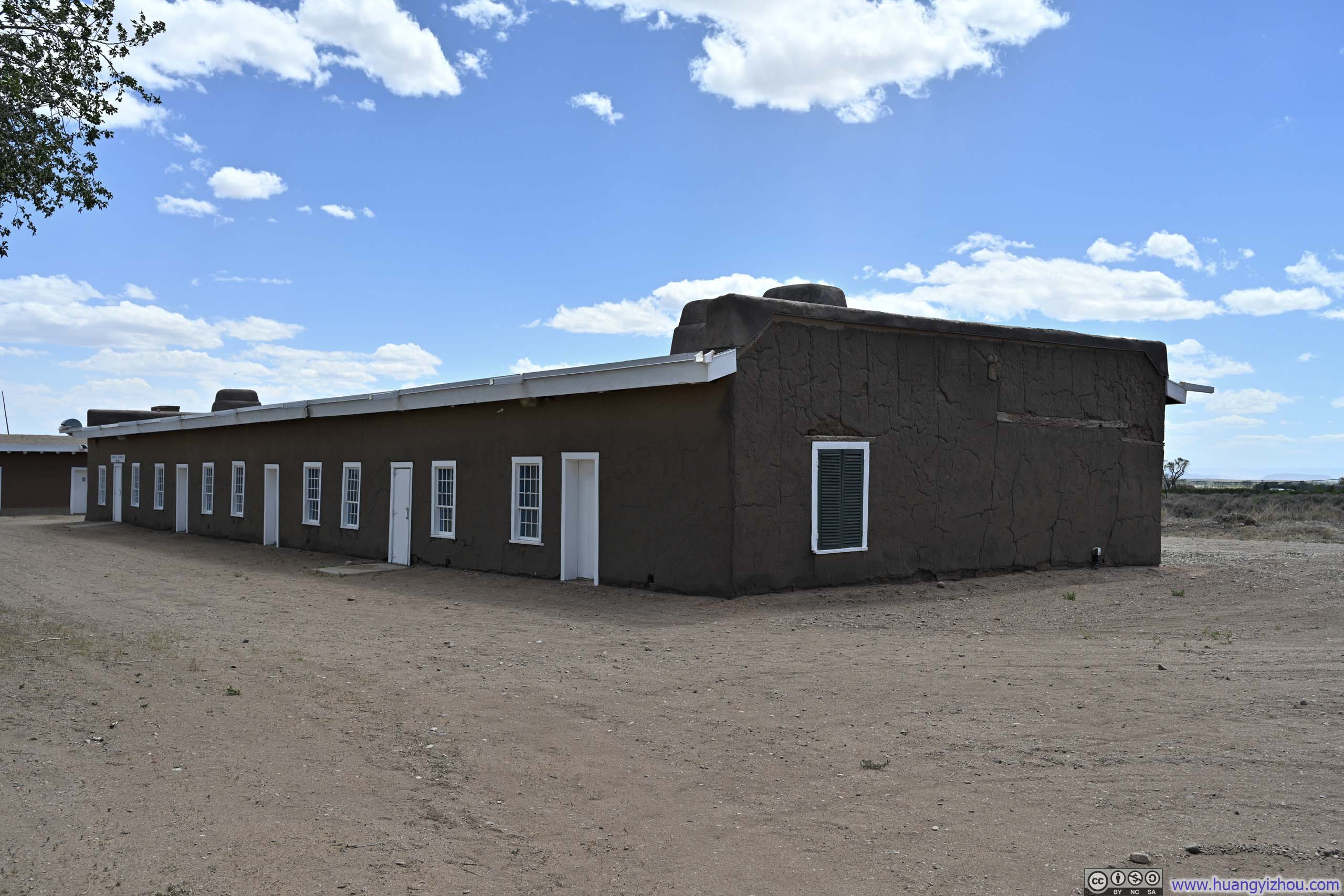
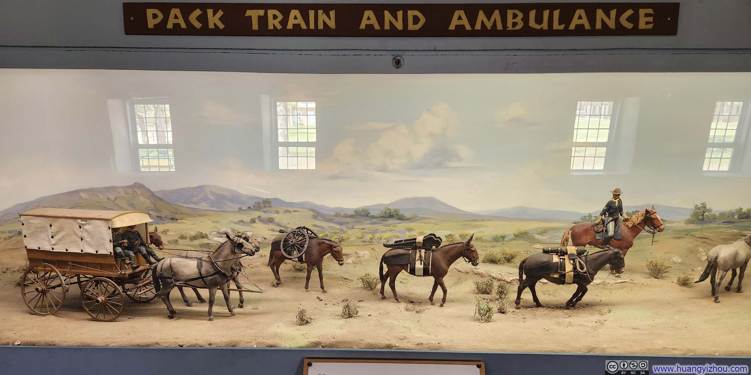
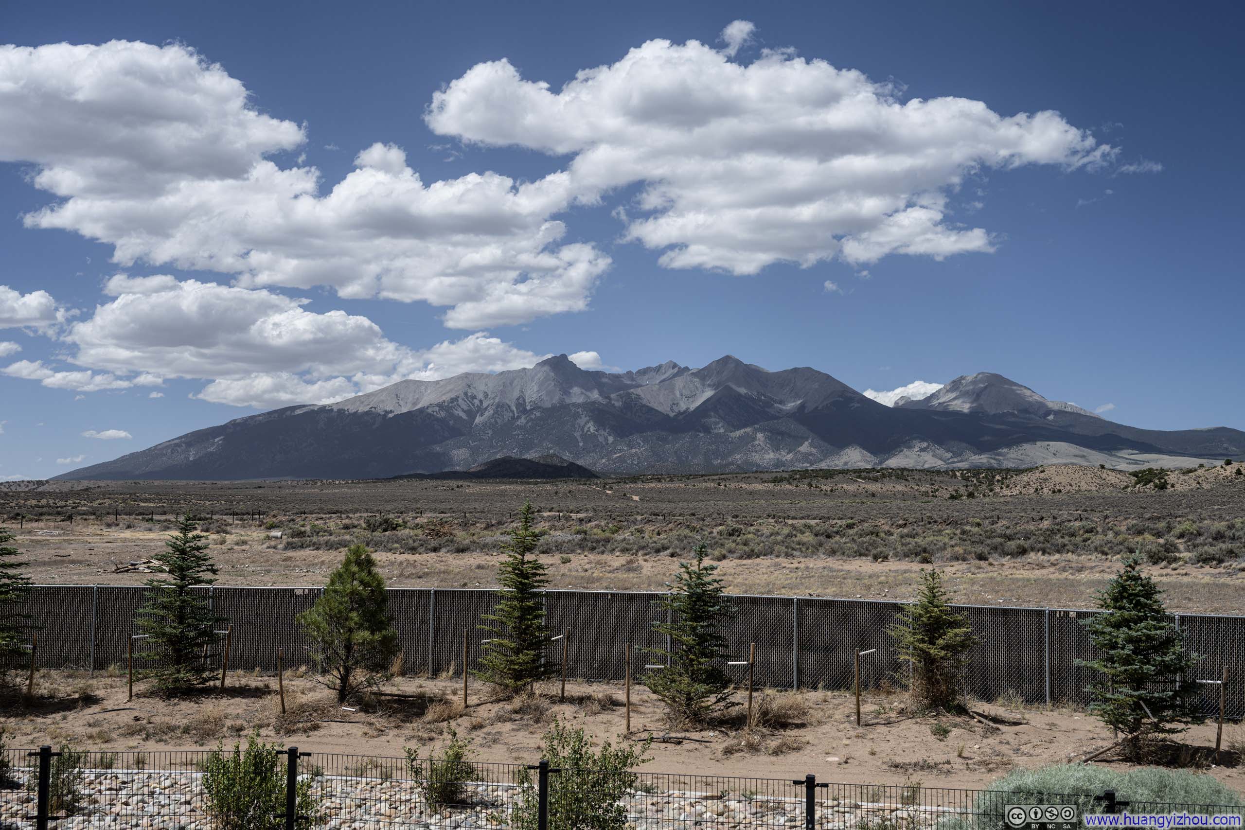
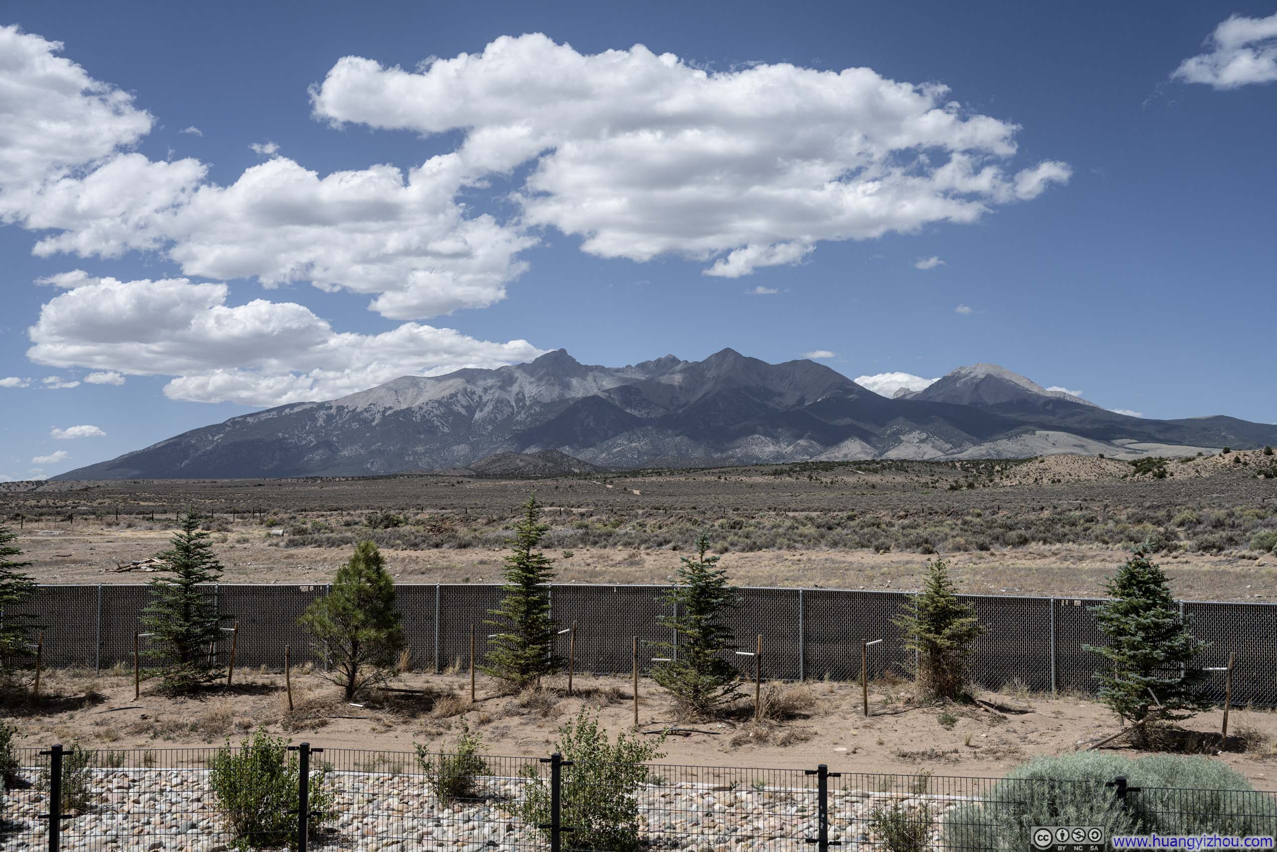
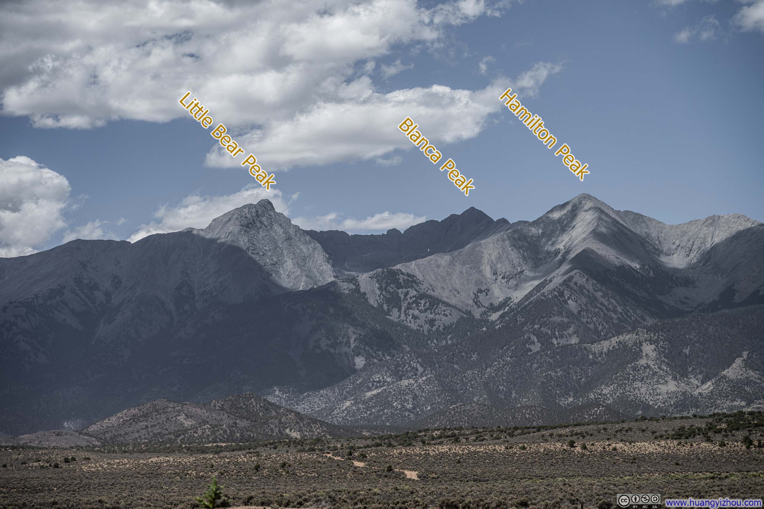
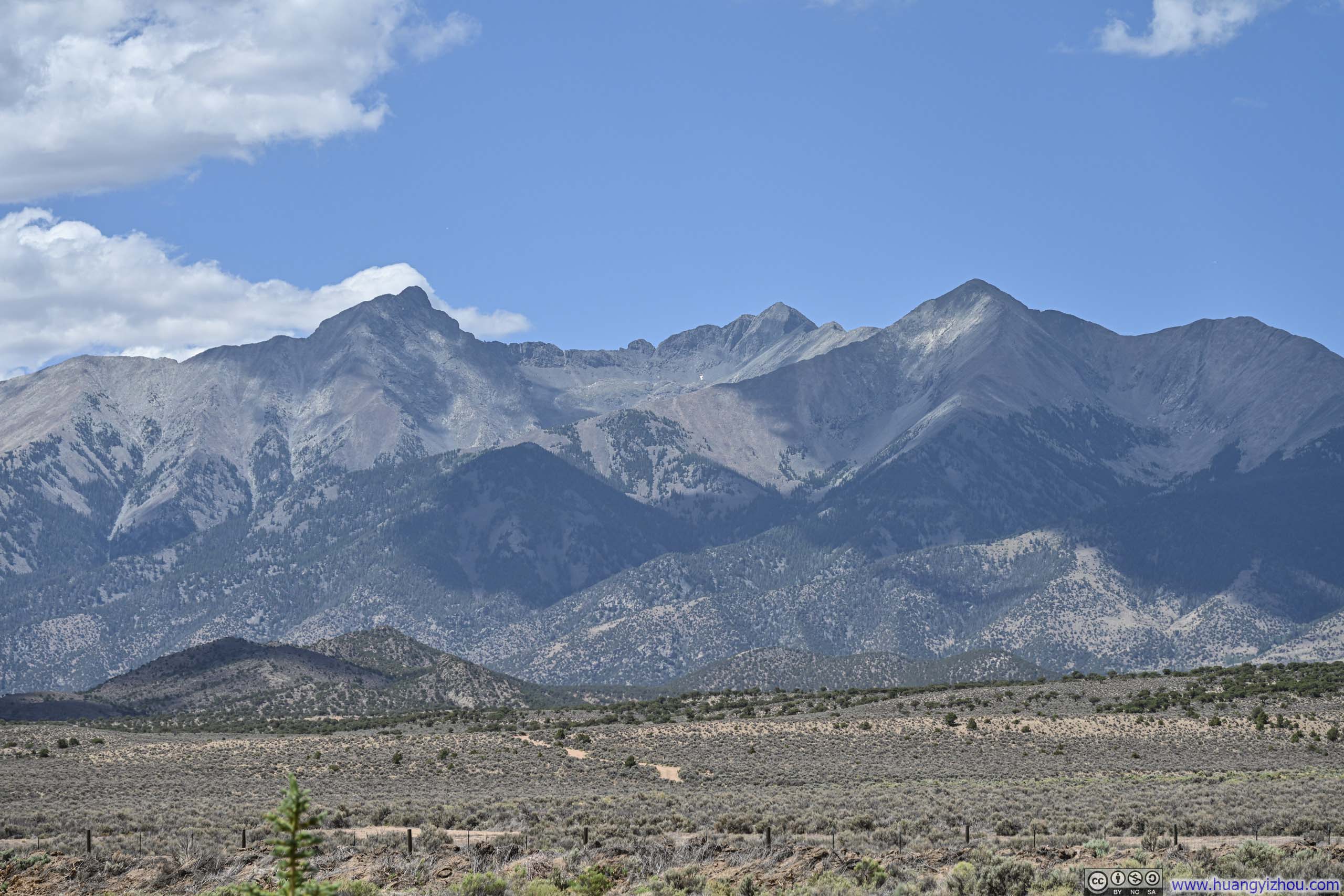
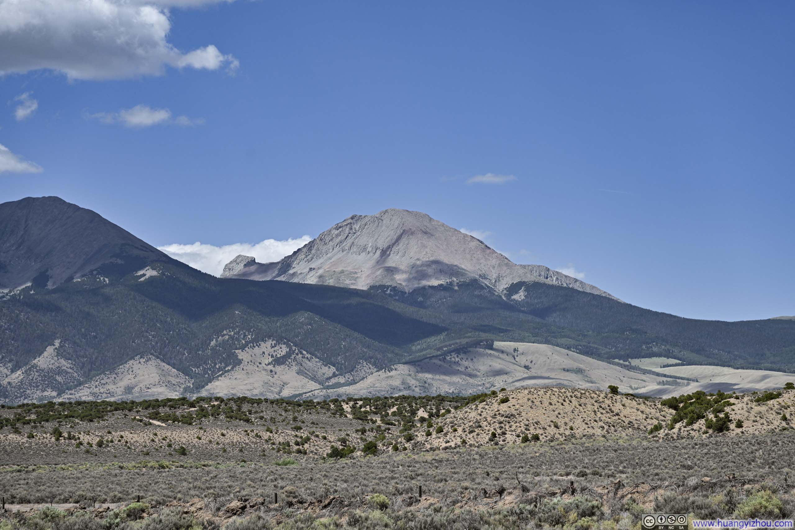
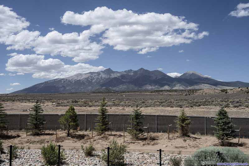
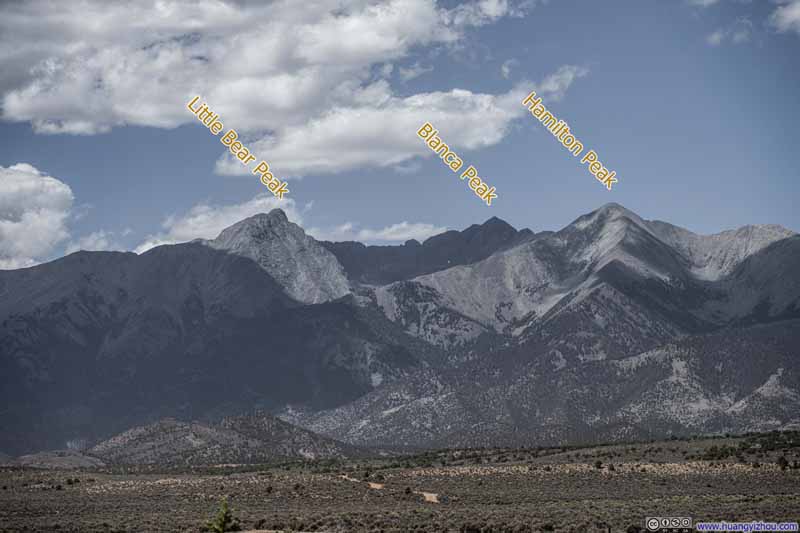
To the north of Fort Garland rose the imposing Sierra Blanca Massif. I found a parking lot along the road, pulled over, and watched shadows race across its granite crown. Among this cluster stood three 14ers: Little Bear Peak and Blanca Peak, linked by a treacherous traverse, and somewhat apart from them, Mt Lindsey holding its own solitary ground.
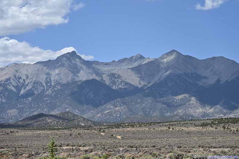
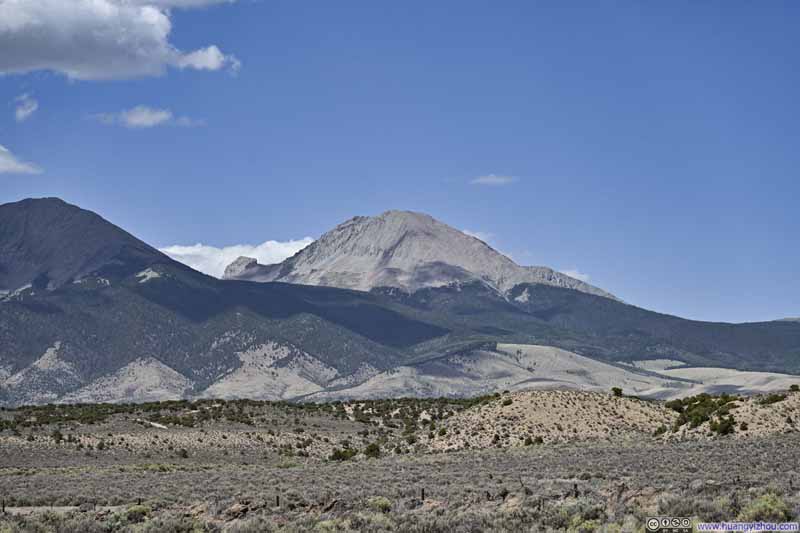
After that, I continued driving towards Lake City. I made a brief stop in Alamosa to refuel and stock up on supplies before heading further west. The road remained mostly straight and level until South Fork; after that, it became clear that I was driving among the San Juan Mountains.
It was 5:20pm by the time I passed South Fork. Since I had planned to have an entire day to drive from Lake City to South Fork five days later, I made only a few stops along the way before reaching Lake City.
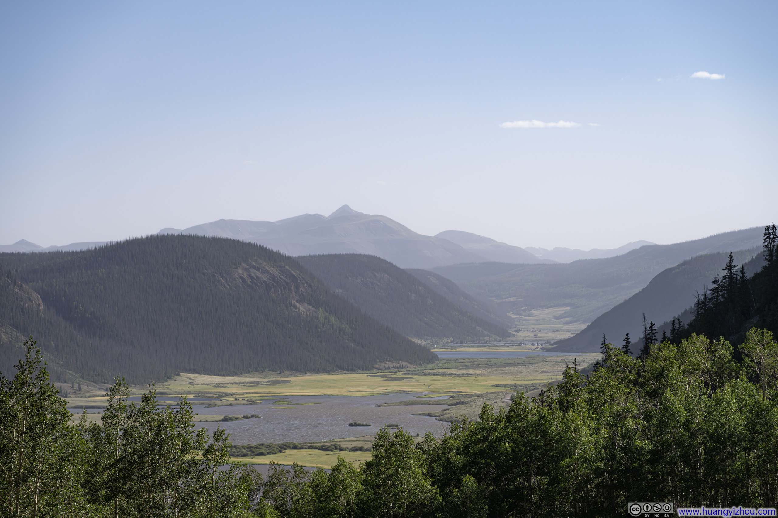
Rio Grande Pyramid as the prominent peak in the background.
Windy Point Observation Site
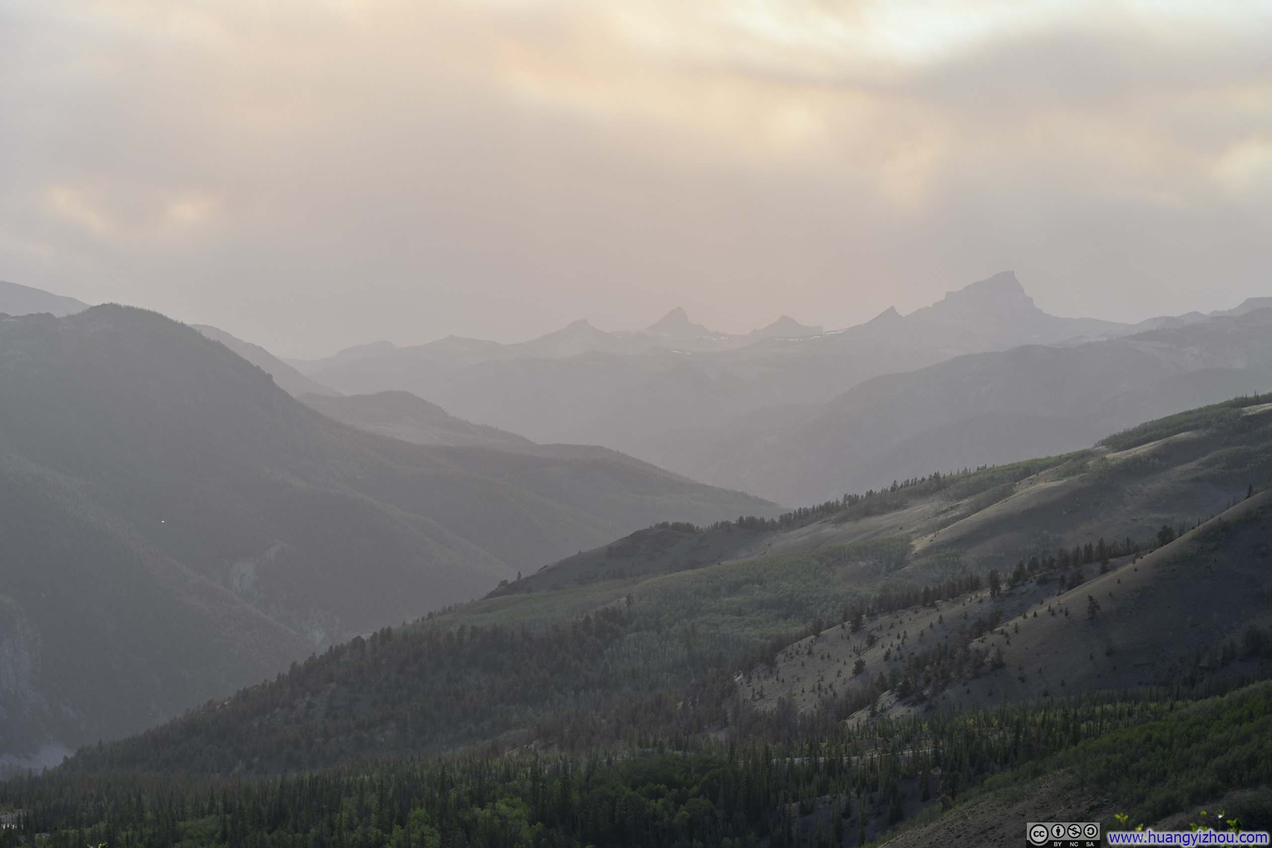
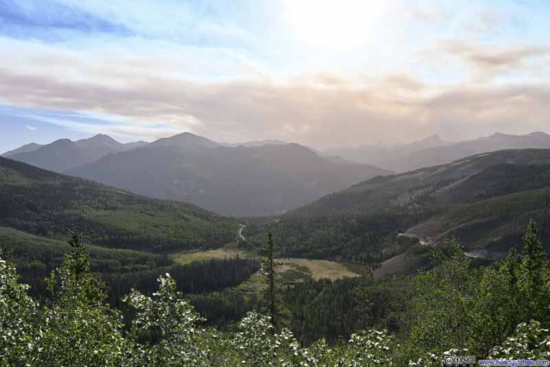
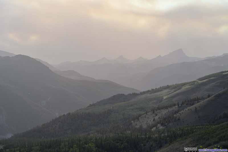
This was a major vista point as I neared Lake City, where the views of the San Juan Mountains took center stage. Among them were Wetterhorn Peak, Matterhorn Peak, and Uncompahgre Peak (p2 below), three prominent spikes soaring skyward. Wetterhorn Peak and Uncompahgre Peak were 14ers, and I had plans to climb both of them in the coming days. But that very afternoon, under the blue sky, thick, fiery clouds loomed over these mountains, casting a hazy tone on their silhouettes. Unbeknownst to me, just beyond these mountains, the Gold Mountain Fire had started hours earlier to the north of Ouray, and the orange clouds, if not a direct result of the fire, would nonetheless foreshadow my next few days of mountaineering.
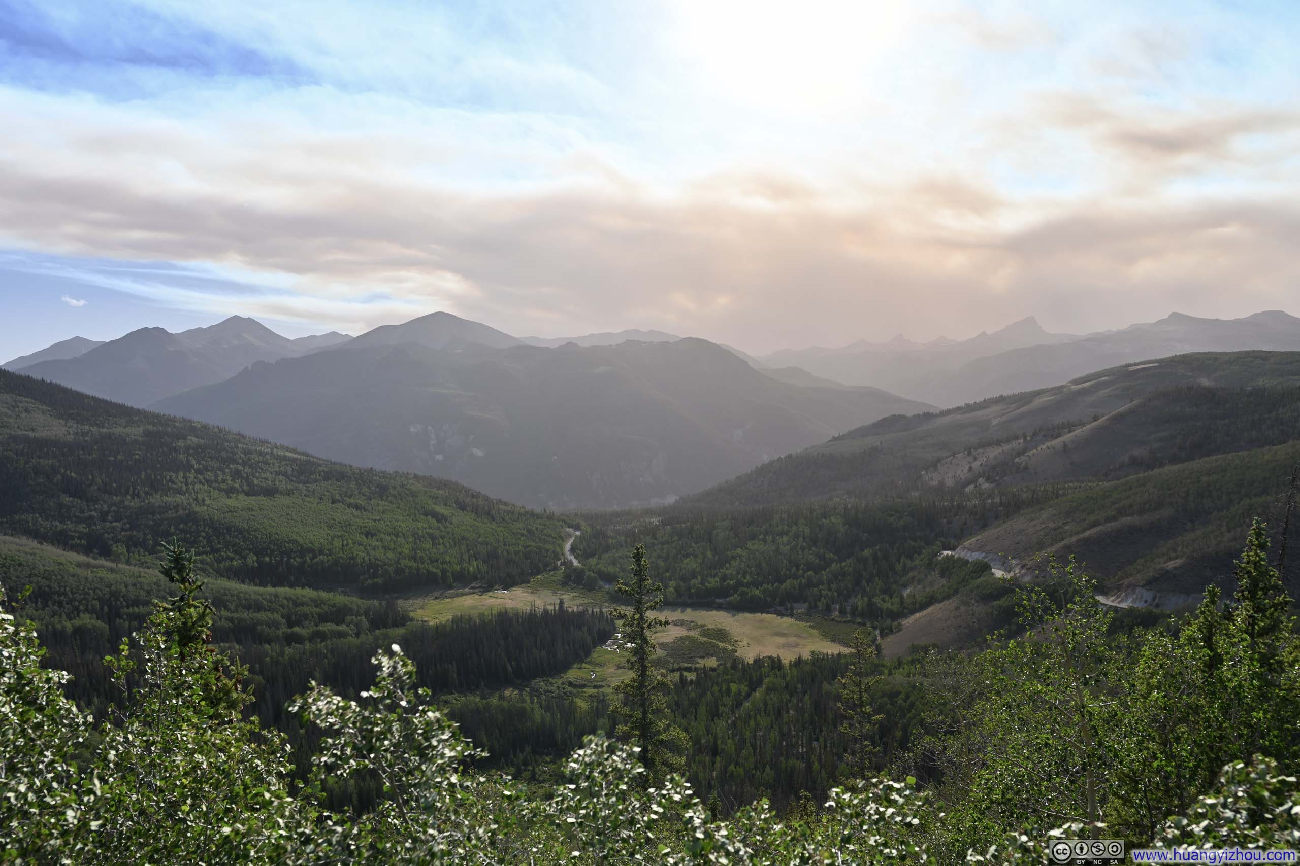
In the end, I reached Lake City shortly after 7pm, checked into a hotel for the next 5 nights, and called it a day.
END