Day 7 of 2026 Trip to the Rockies, Handies Peak
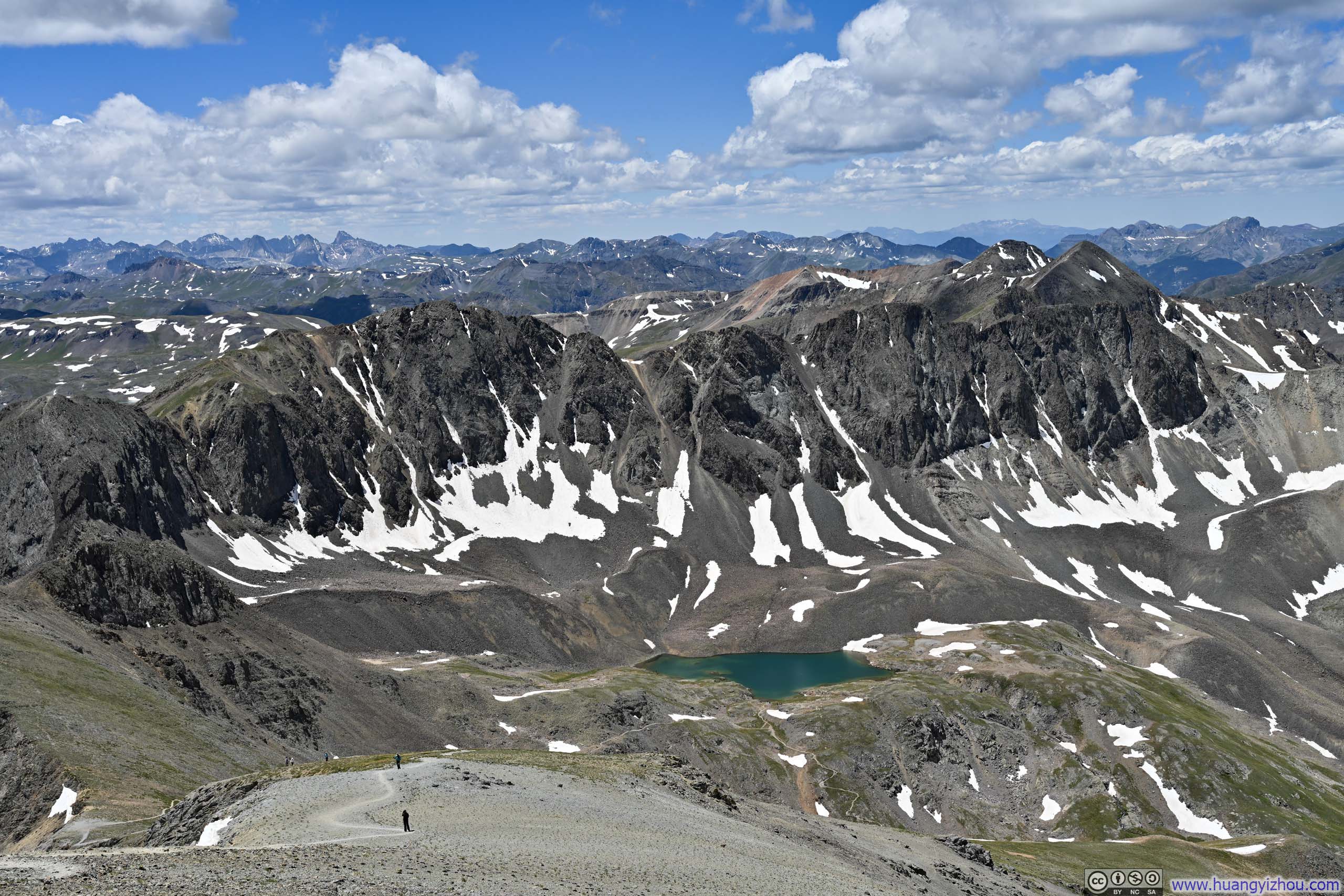
Of the 4 full days I had planned for hiking around Lake City, I had spent the previous two summitting Uncompahgre Peak and Wetterhorn Peak. My original itinerary accounted for one rain day and one day for Handies Peak. There were two routes to reach Handies: the standard, shorter southwest slopes route from American Basin, or the longer east slopes route via Grizzly Gulch. In the event of a rain day, my plan was to hike up Grizzly Gulch and descend via American Basin, then walk the road back to the Grizzly Gulch Trailhead. This combination involved 10.9km of hiking, plus 7.3km of walking along a gravel road (which I could theoretically hitchhike), with 1110m of elevation gain. Both figures were smaller than those of my other option, the Redcloud Peak and Sunshine Peak combo, for which the standard route was 19km with 1400m of elevation.
However, two developments changed my calculations. First, while the Grizzly Gulch Trailhead was accessible to most vehicles, reaching the American Basin Trailhead required a proper off-road vehicle, and I happened to have a Jeep Wrangler that was up to the task. Second, with no rain in the forecast for the week, I decided to fill all four days with hikes, which naturally meant reserving the most physically demanding [Redcloud and Sunshine Peaks] for tomorrow, the final day. This meant that for today, I preferred to take it easier by tackling Handies Peak from American Basin.
From Lake City, after passing Lake San Cristobal, Cinnamon Pass Road became unpaved, yet remained in surprisingly good condition. (The other day, while driving back, I watched a FedEx delivery truck speeding down it and pulling away from me.) The road deteriorated significantly after 8 miles, past the junction with Cottonwood Creek Road. Beyond the Grizzly Gulch and Silver Creek Trailhead, conditions worsened further, where the final 4.5 miles before the American Basin Trailhead required careful driving and route-picking.
About 0.7 miles from American Basin's upper trailhead sat a lower trailhead that was very visible on satellite maps. The road connecting these two points was exceptionally rough. Approaching the upper trailhead, I had been following two other Jeep Wranglers. They tackled the terrain without issue, but I wasn't so confident at one or two spots along the way. Despite reaching the upper trailhead unscathed, in hindsight, I would have been perfectly content to park the Wrangler at the lower trailhead and walk that short stretch.
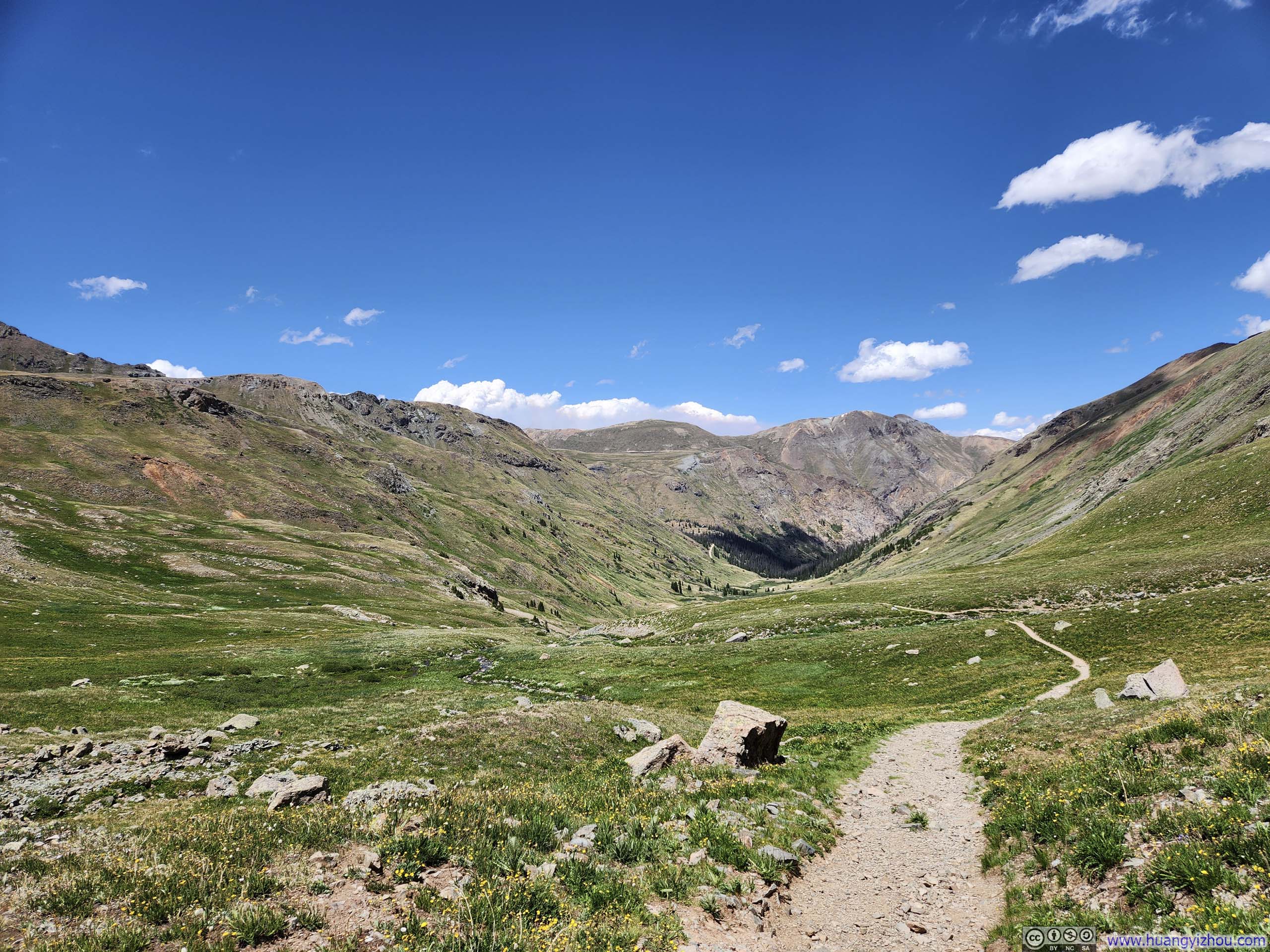
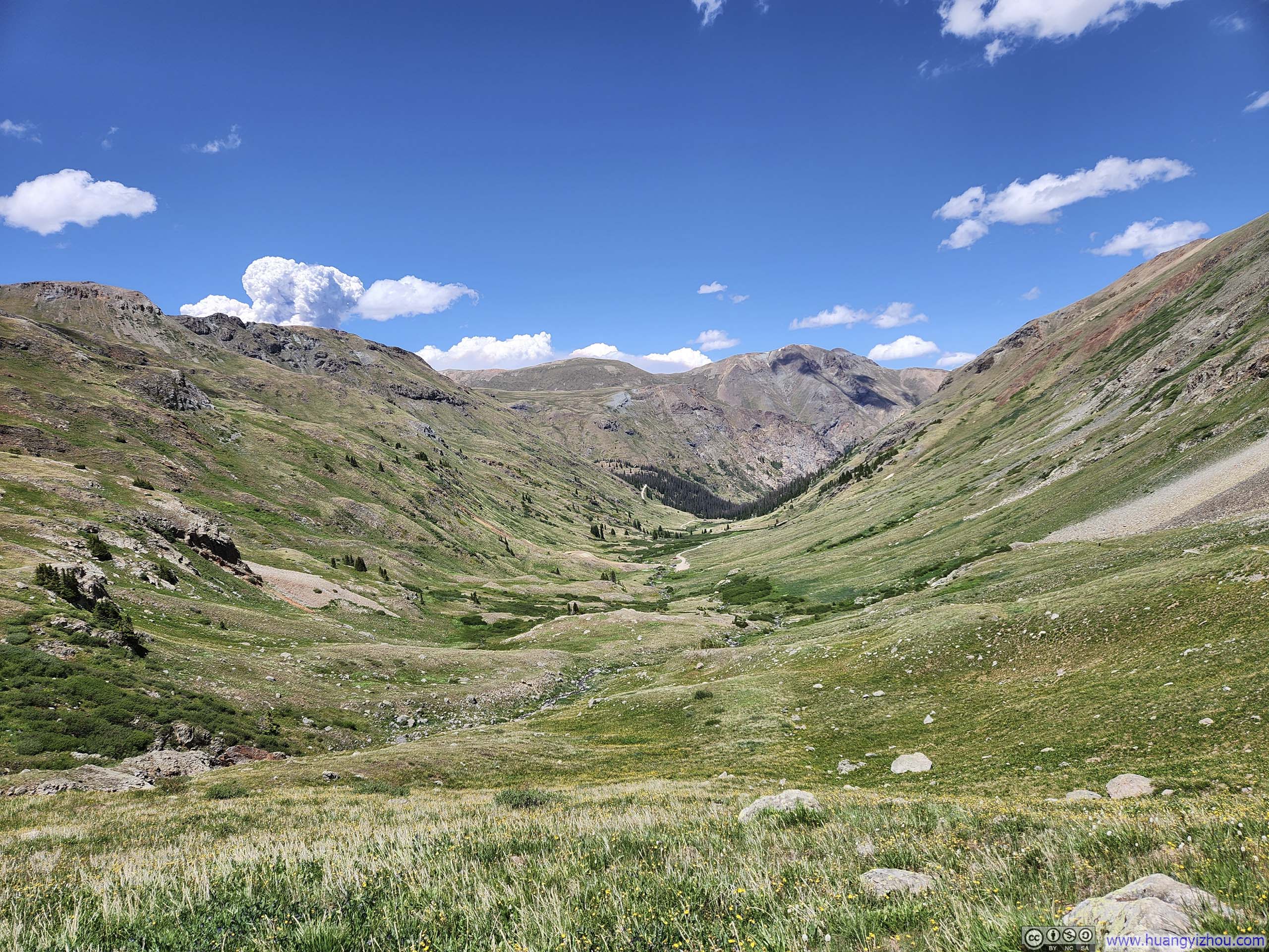
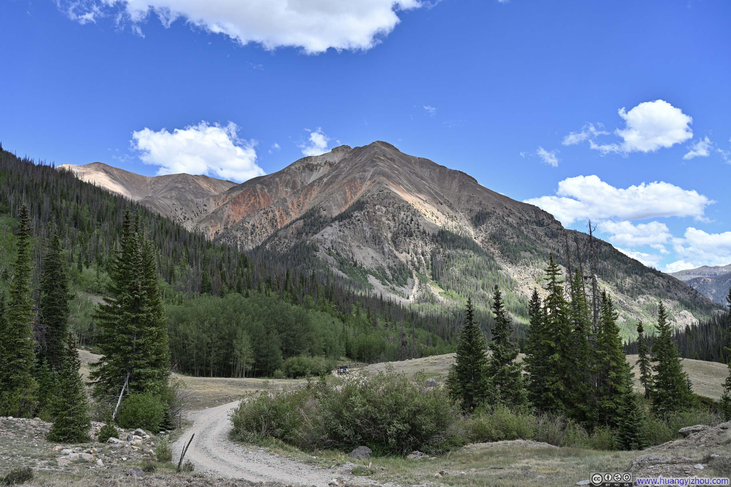
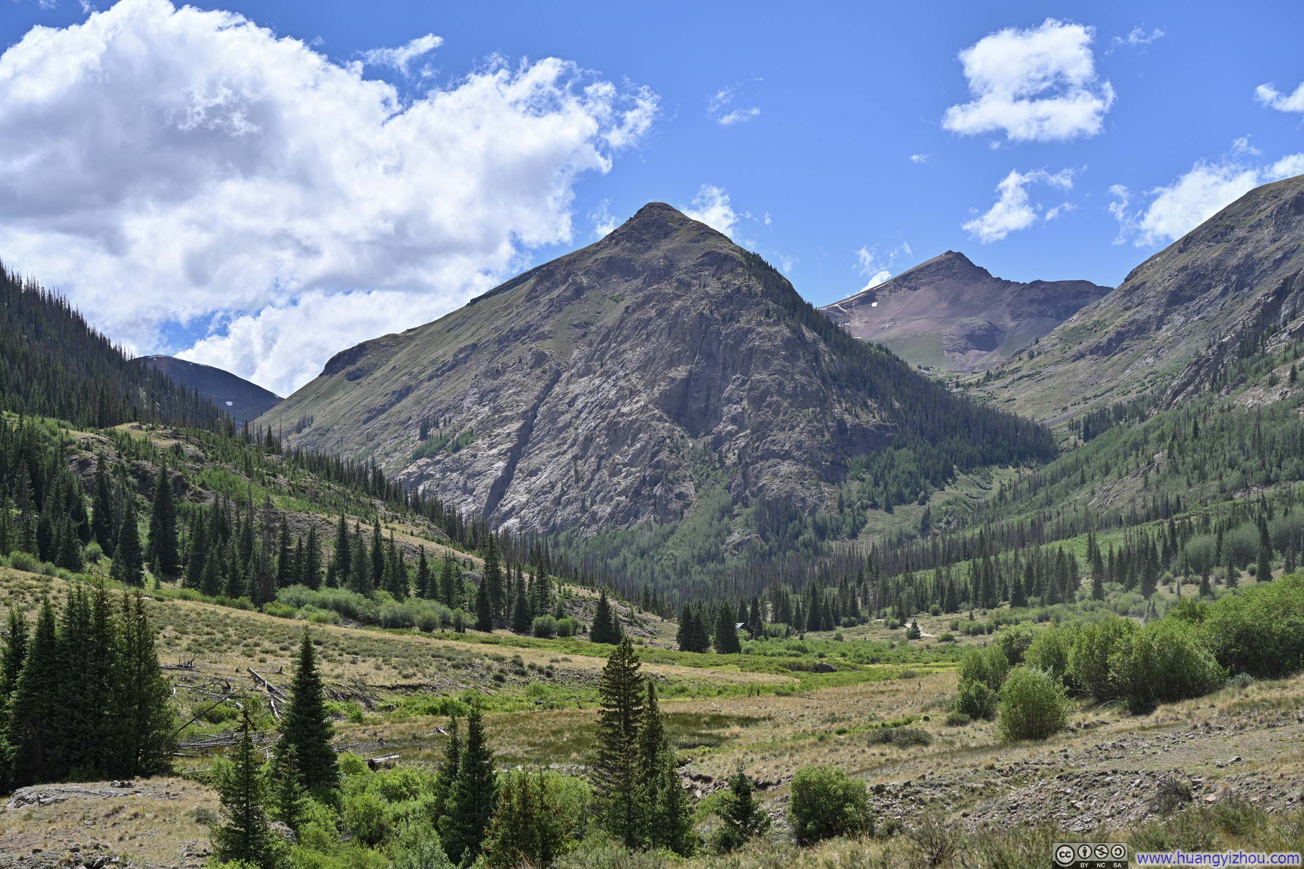
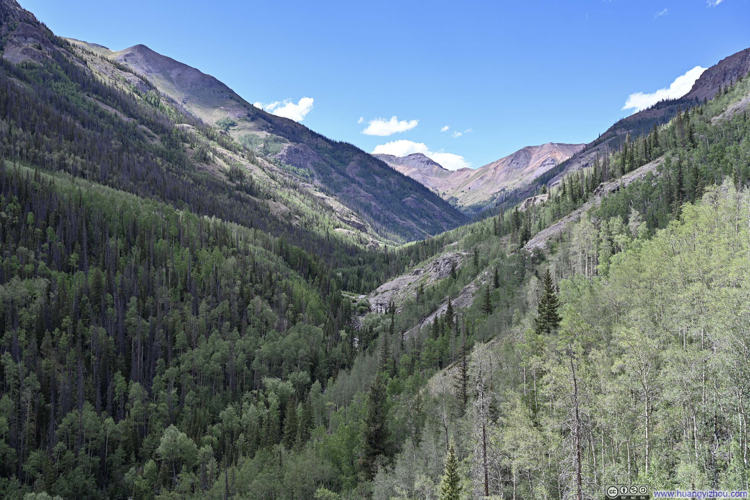
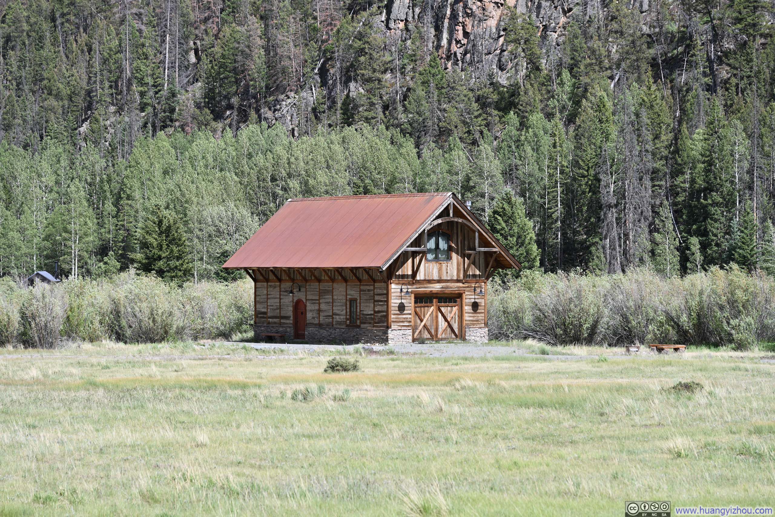
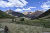
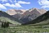
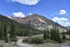
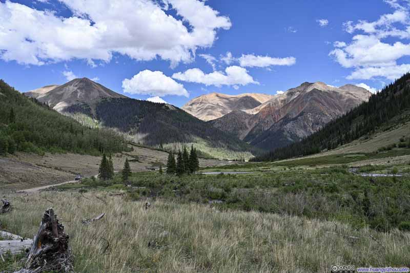
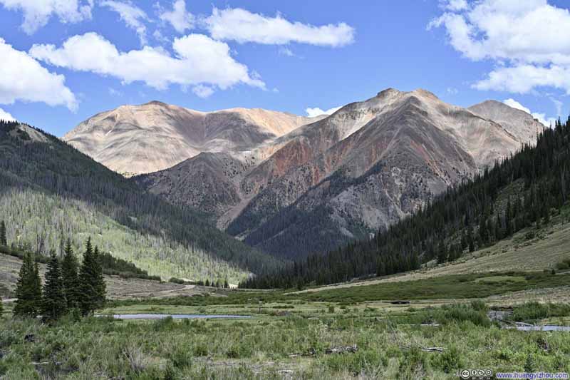
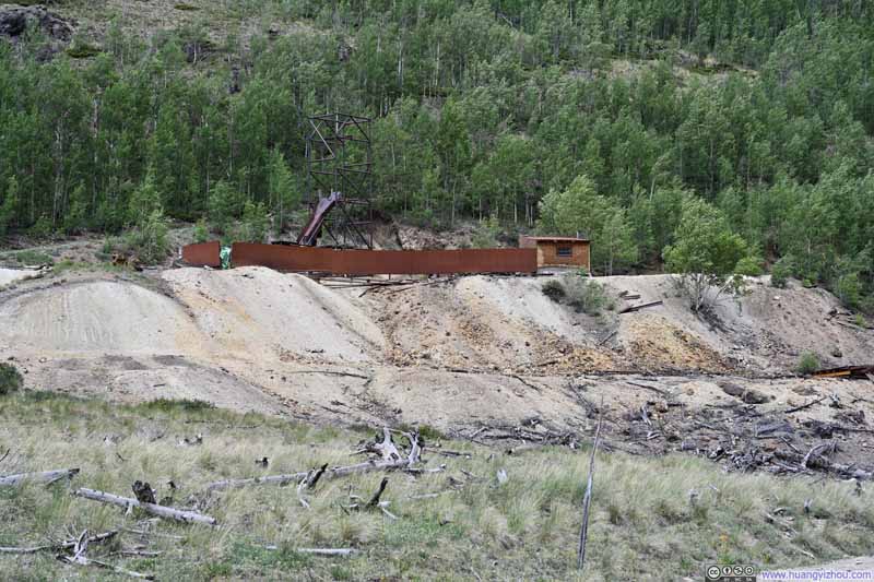
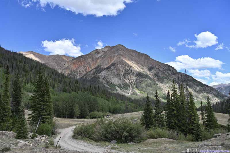
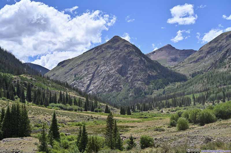
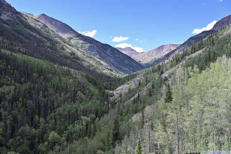
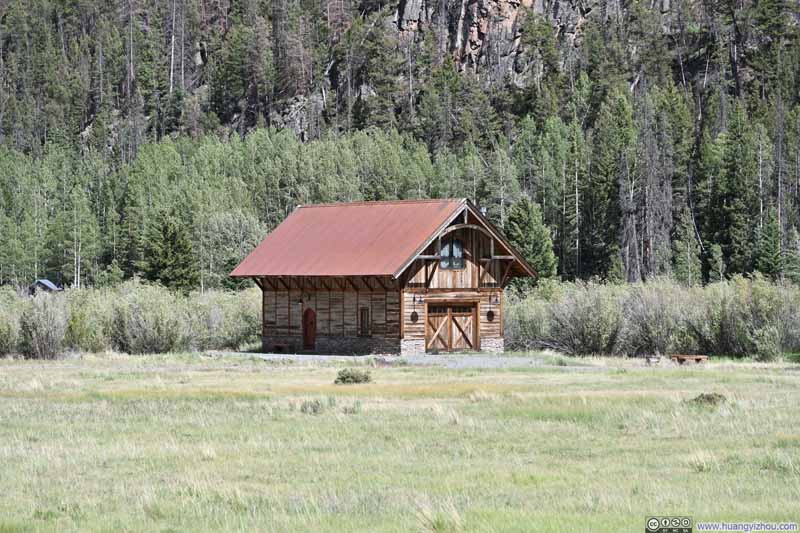
Unlike Engineer Pass Road, Cinnamon Pass Road wound through several valley meadows where the views opened up spectacularly. Consequently, I stopped to capture a few photos along the way.
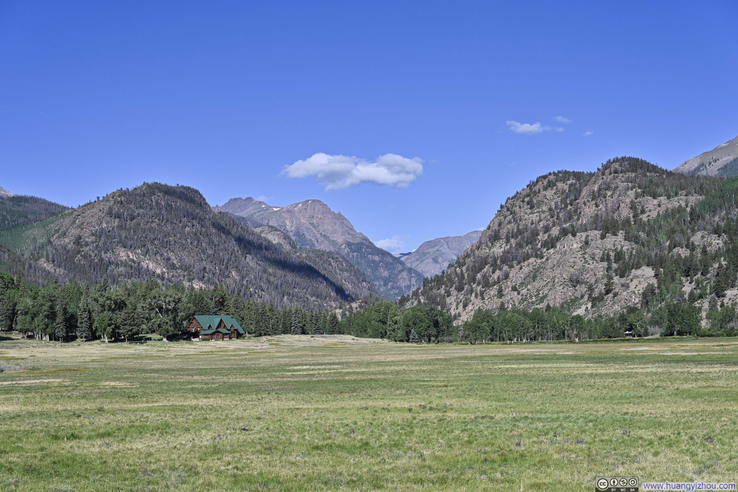
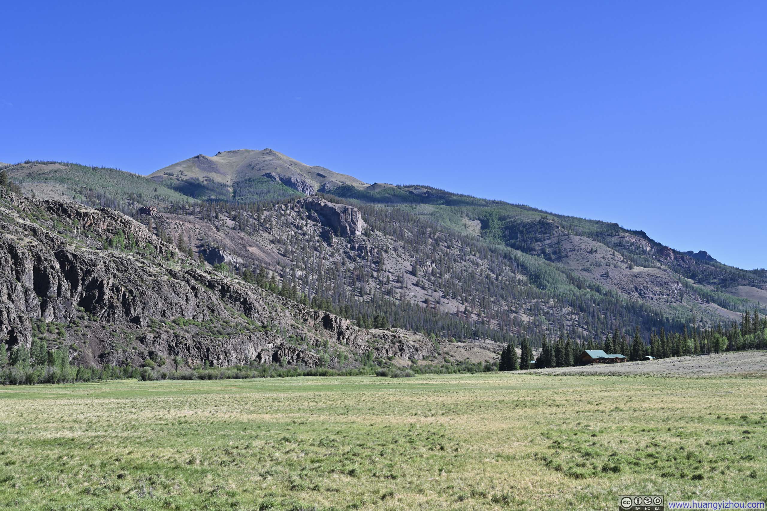
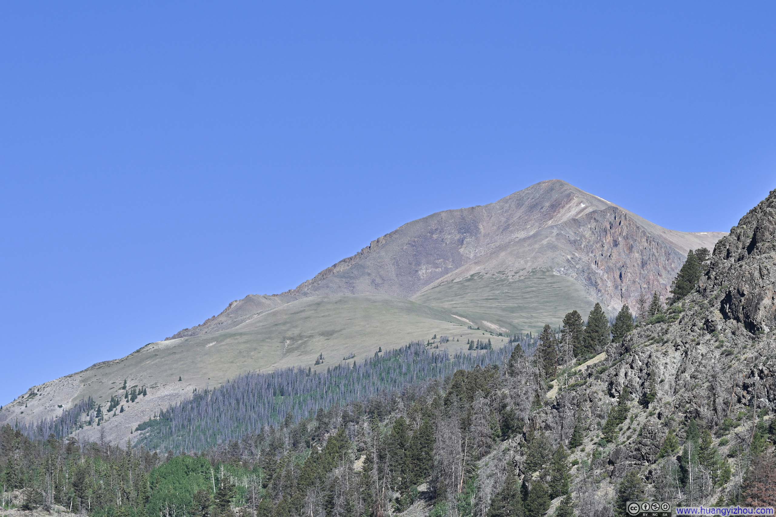
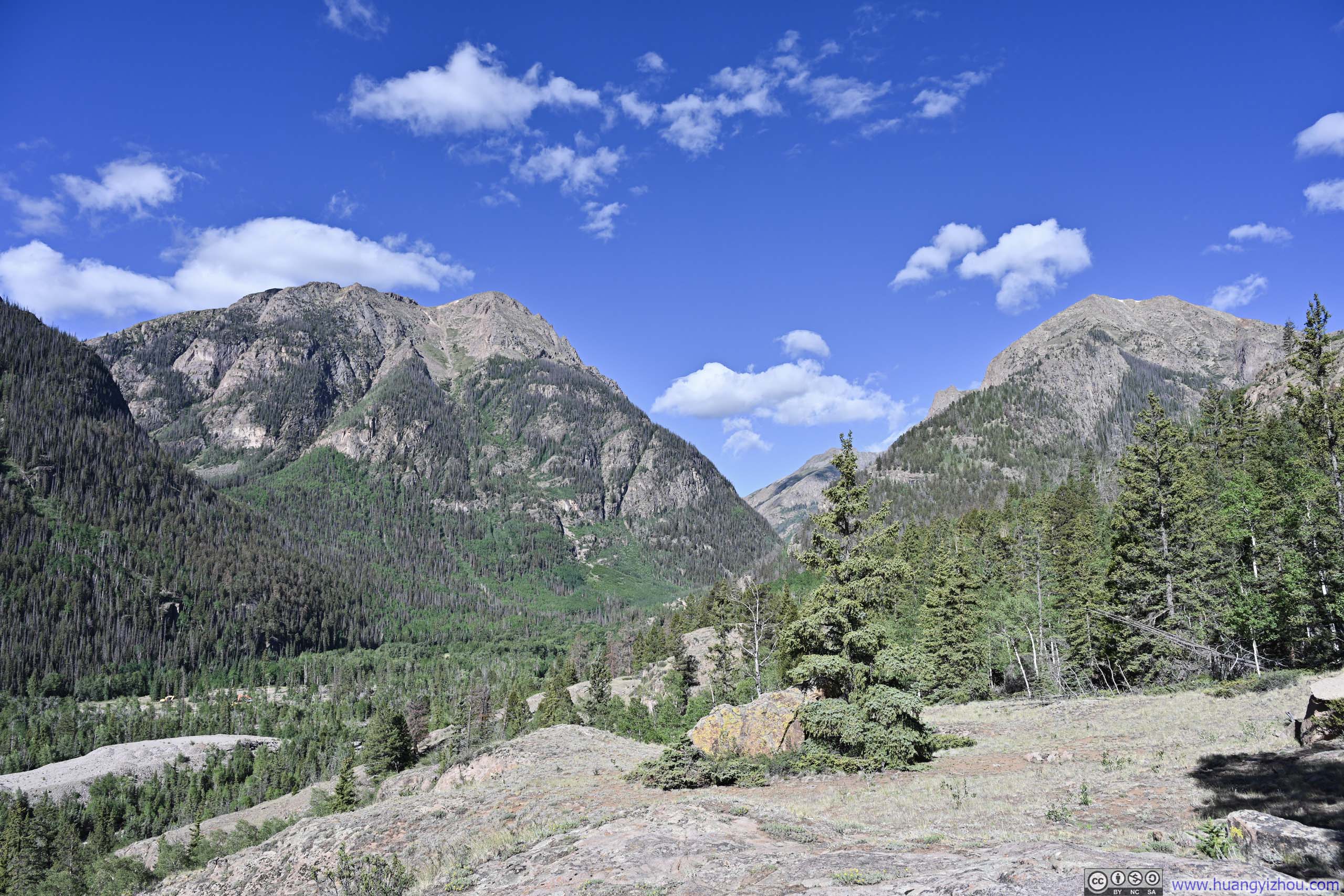
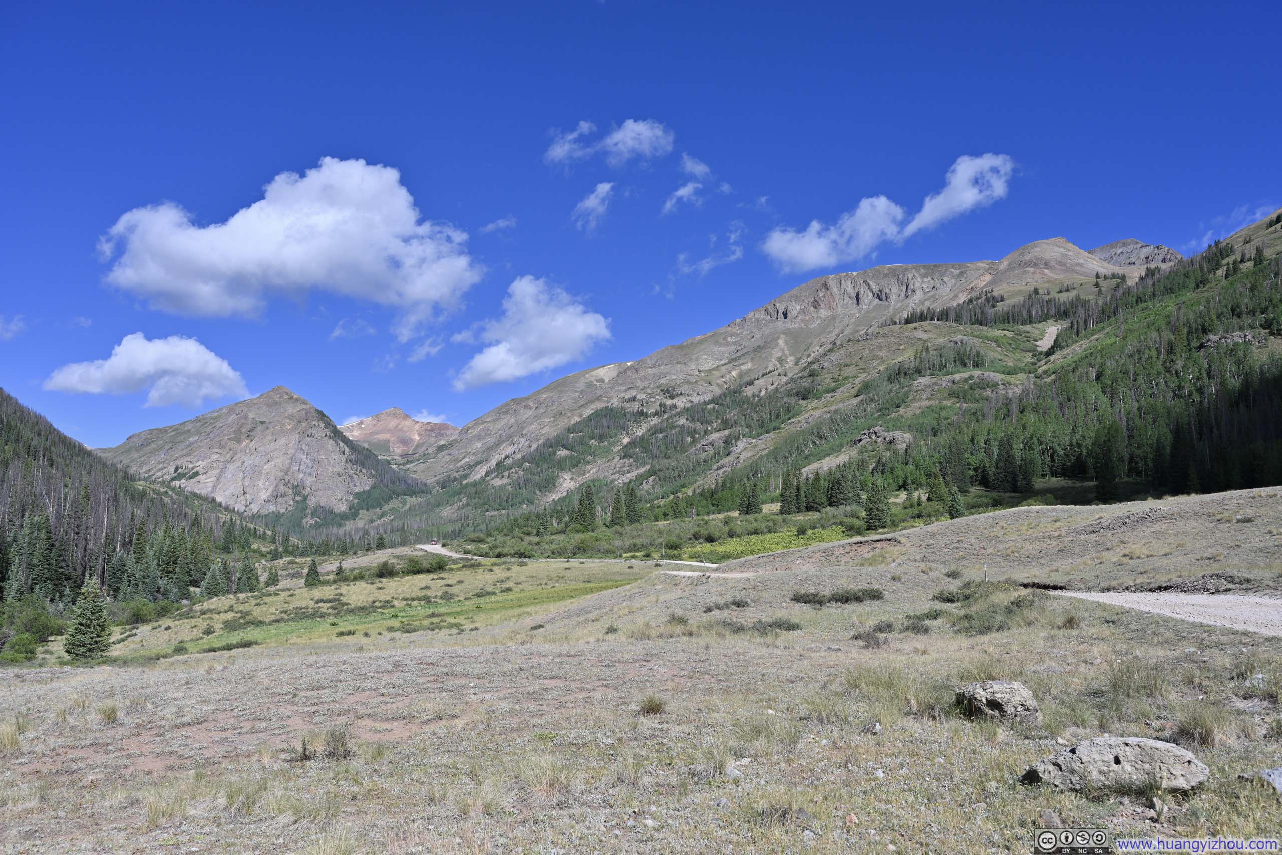
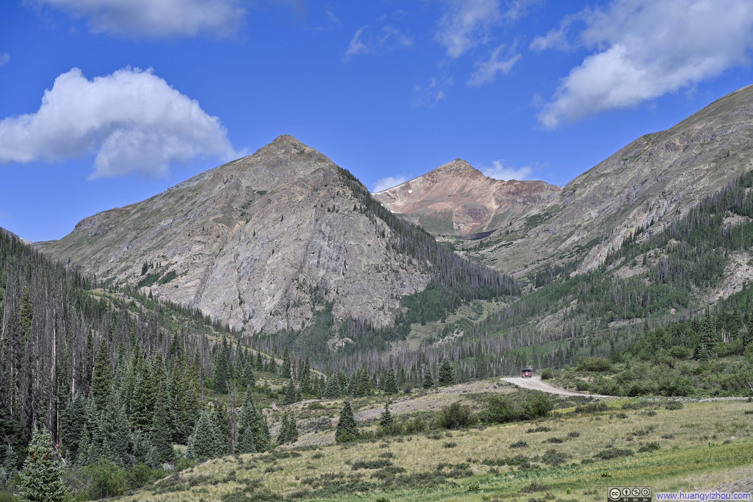
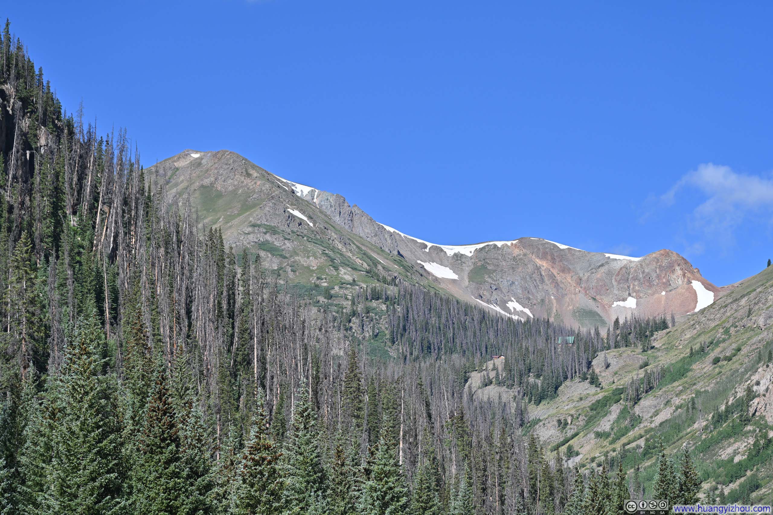
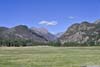
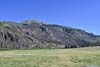
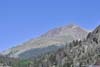
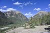
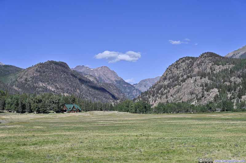
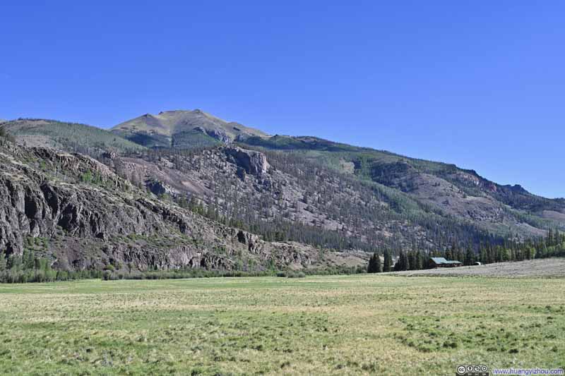
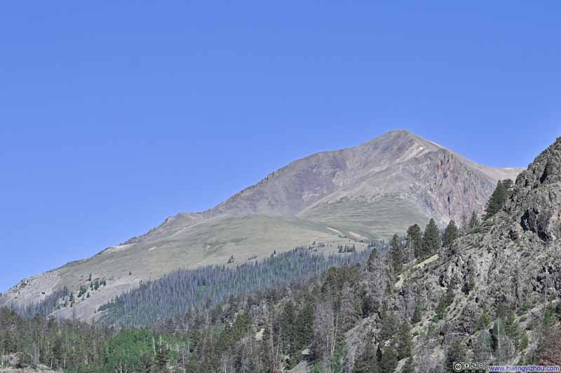
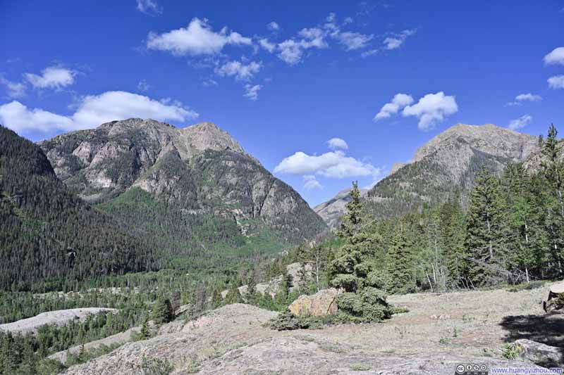
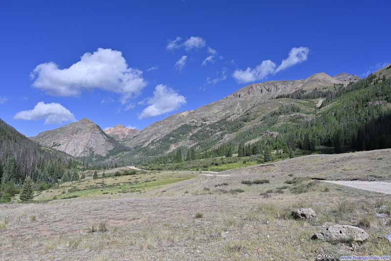
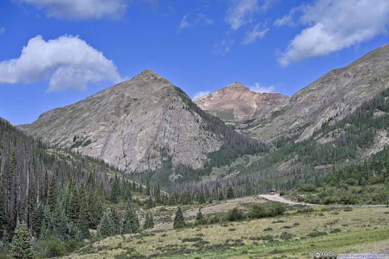
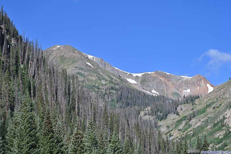
Factoring in the photo breaks, it took me 1.5 hours to reach American Basin's upper trailhead from Lake City. Despite this being a Tuesday, the parking lot was surprisingly crowded when I arrived, as a wedding preparation was underway. (I had to admit, the snow-draped American Peak made for a spectacular backdrop.) After some warmup, I started my hike at 10:10am. Here's GPS tracking:
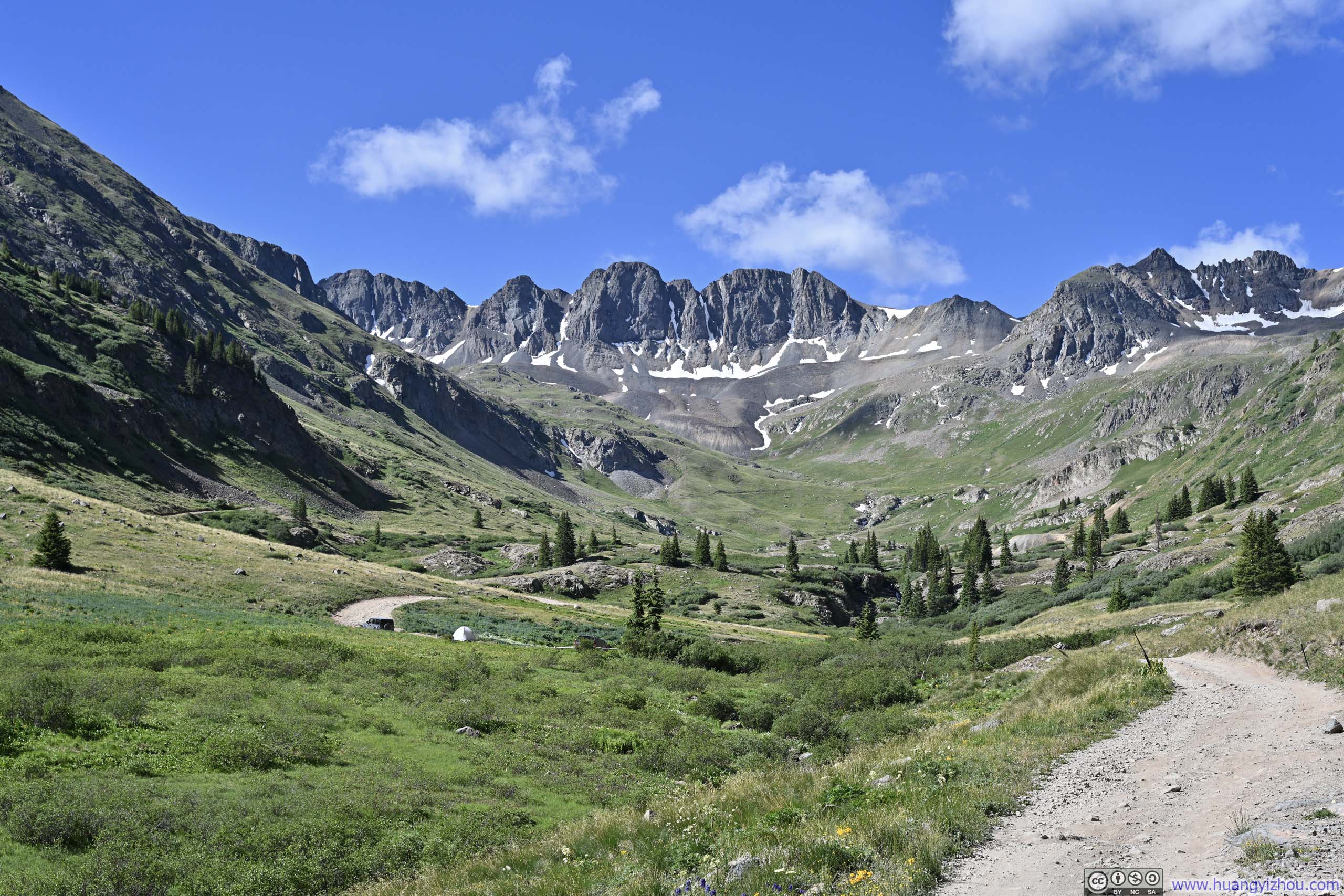
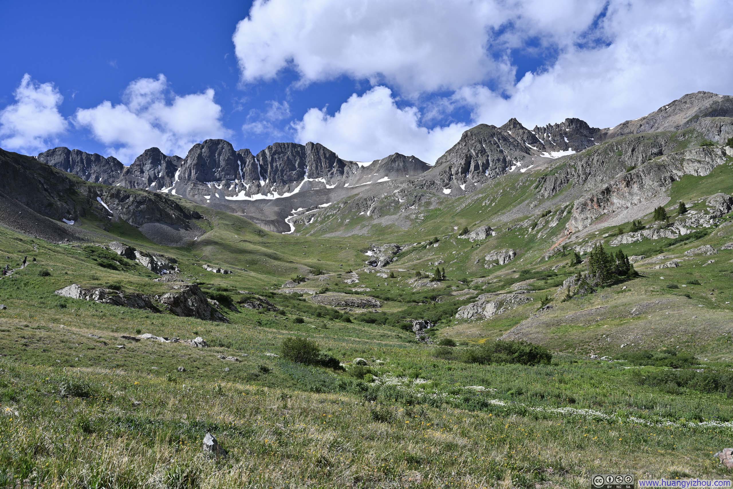
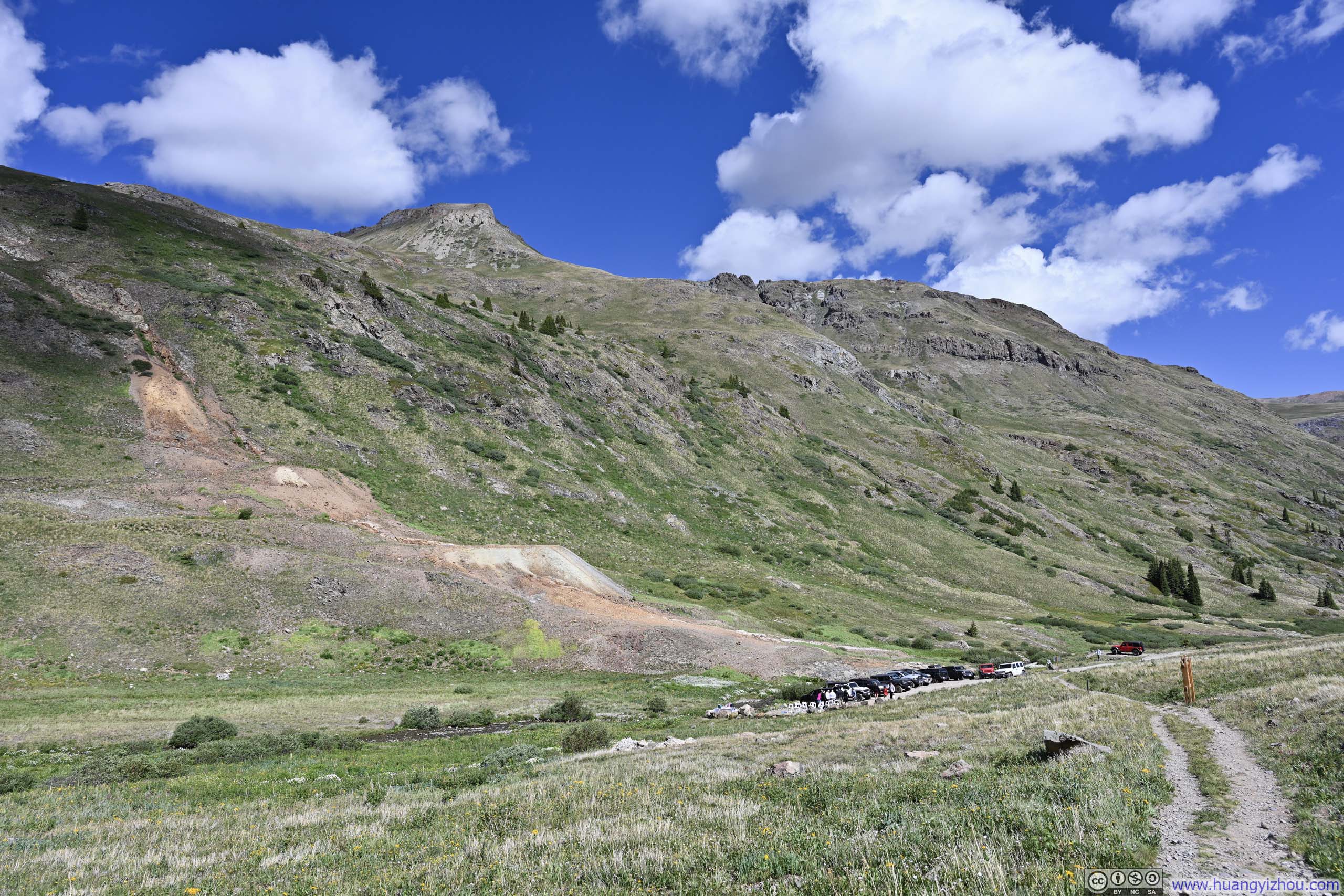
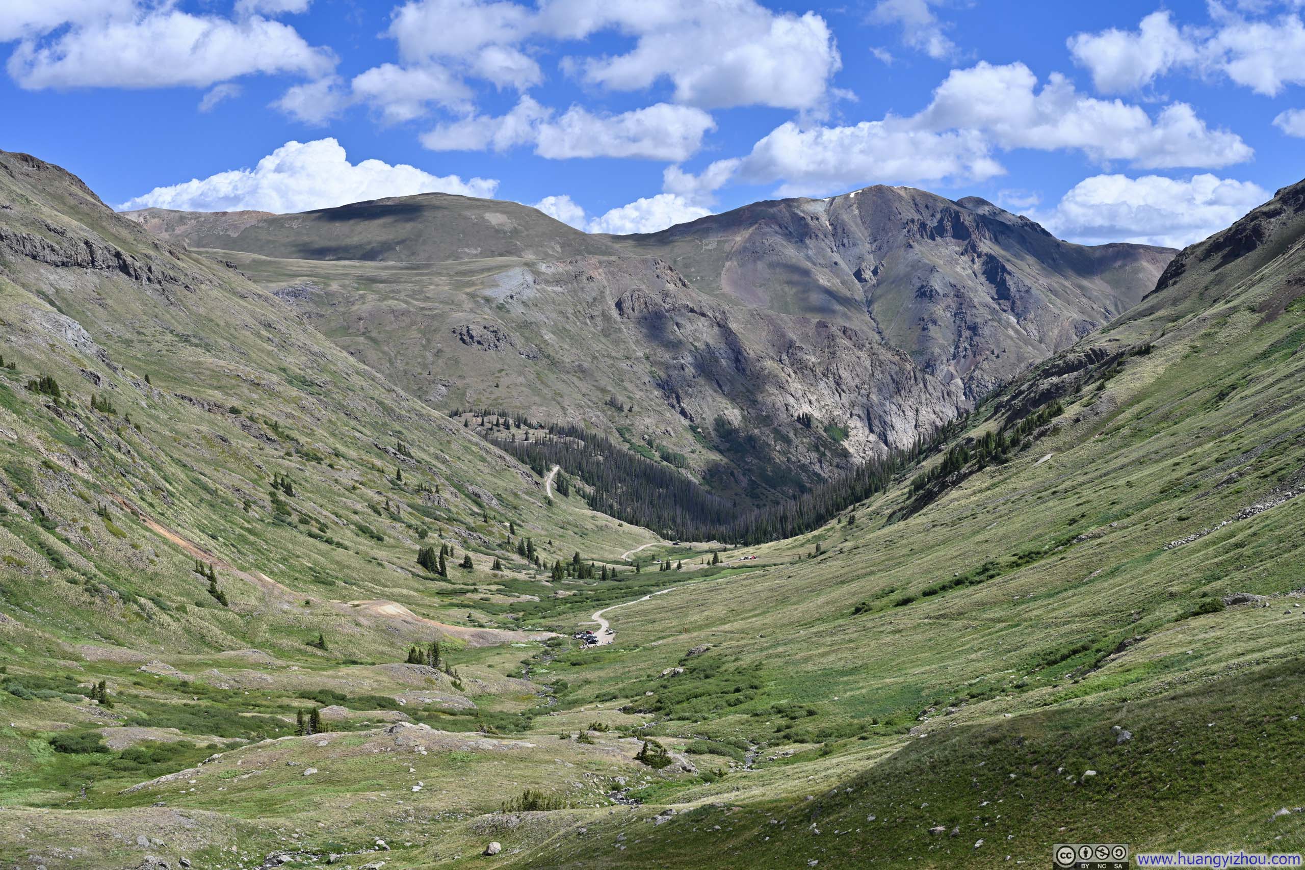
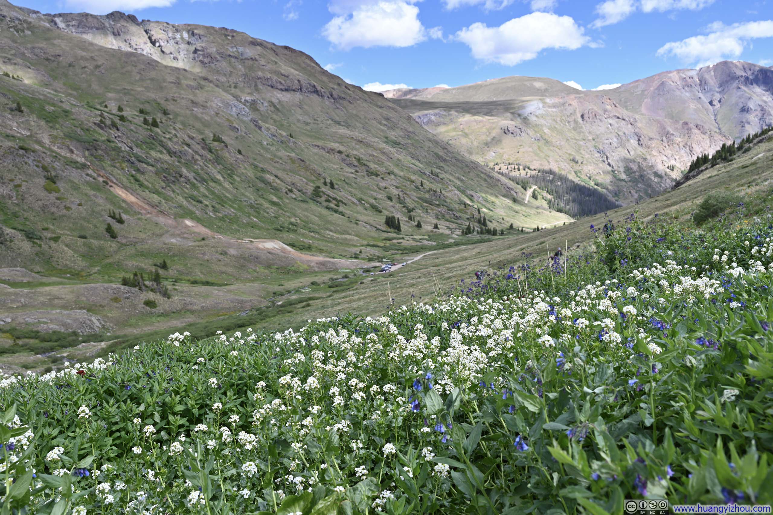
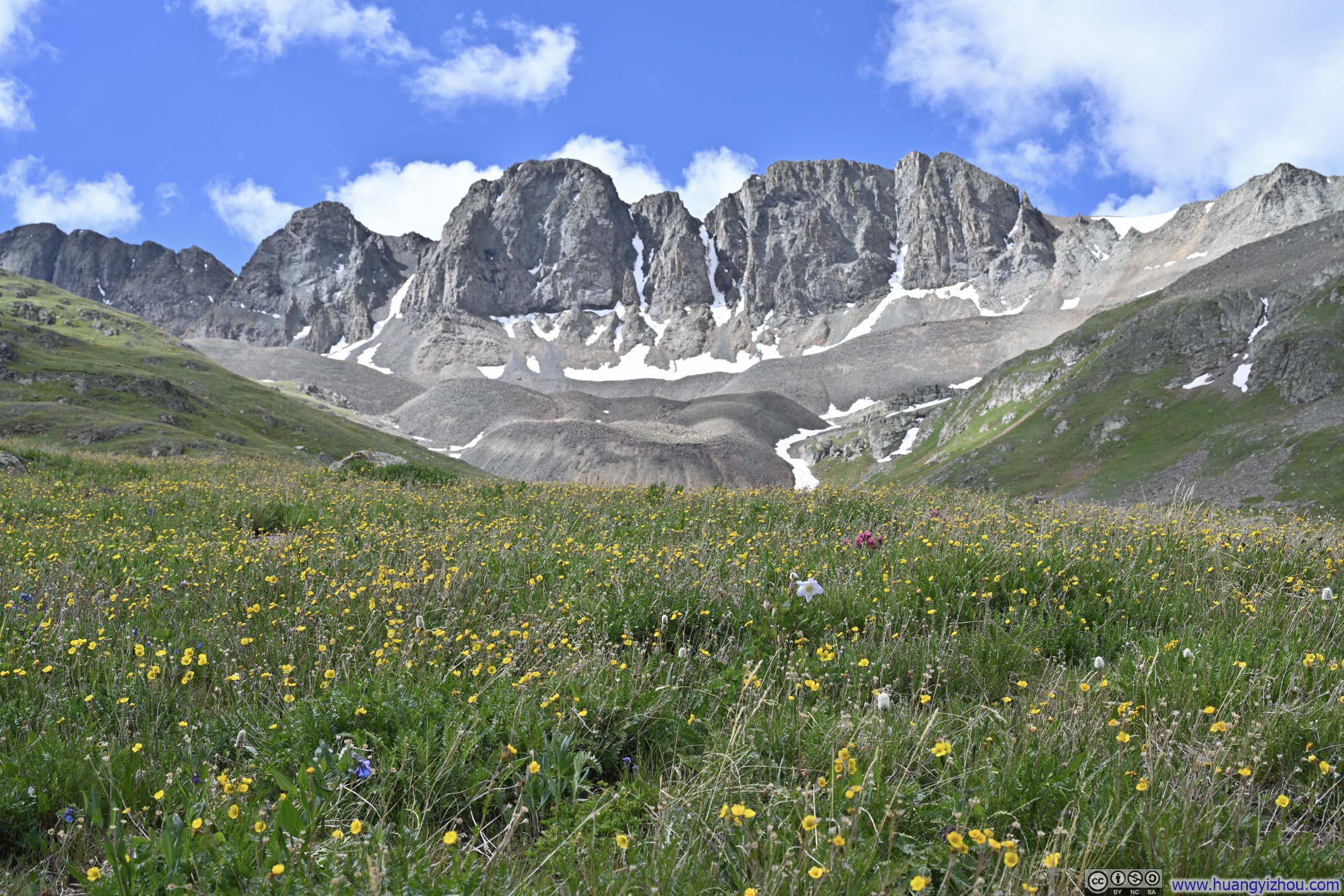
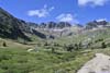
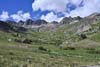
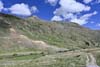
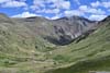
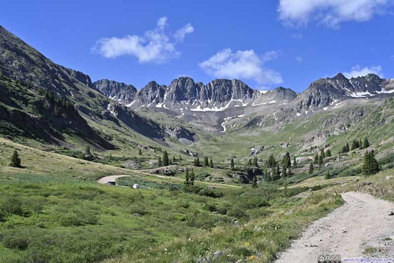
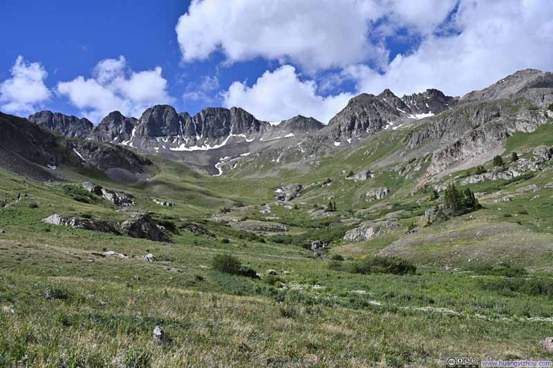
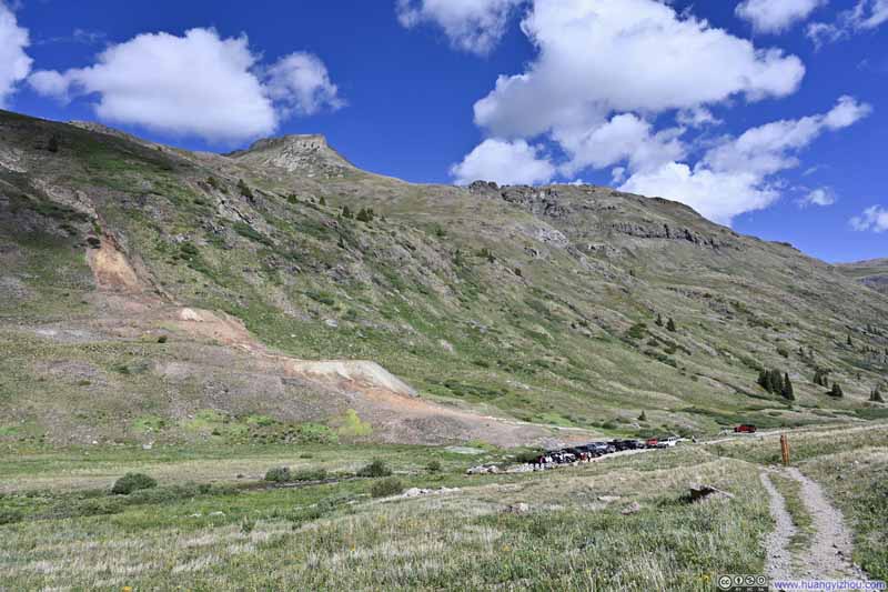
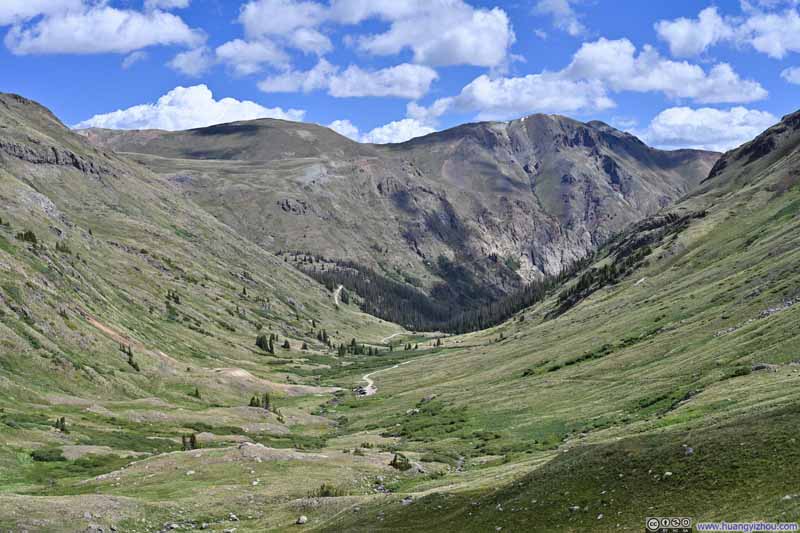
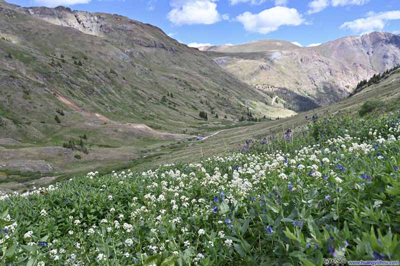
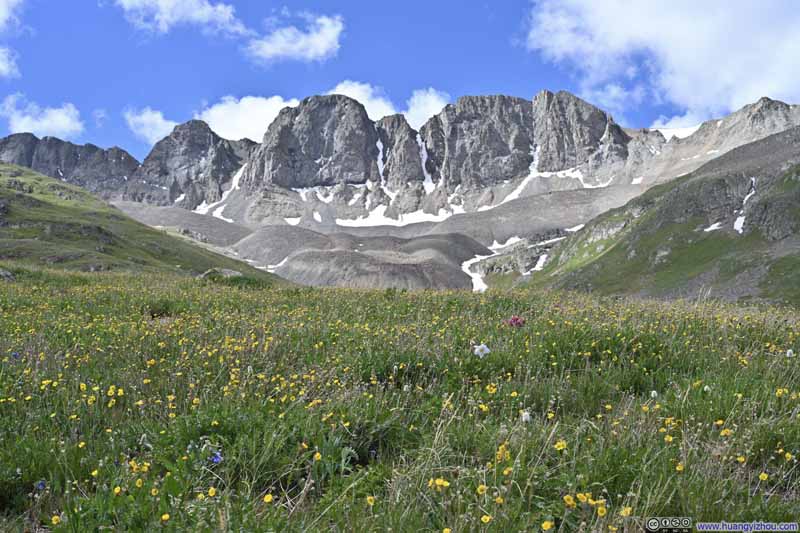
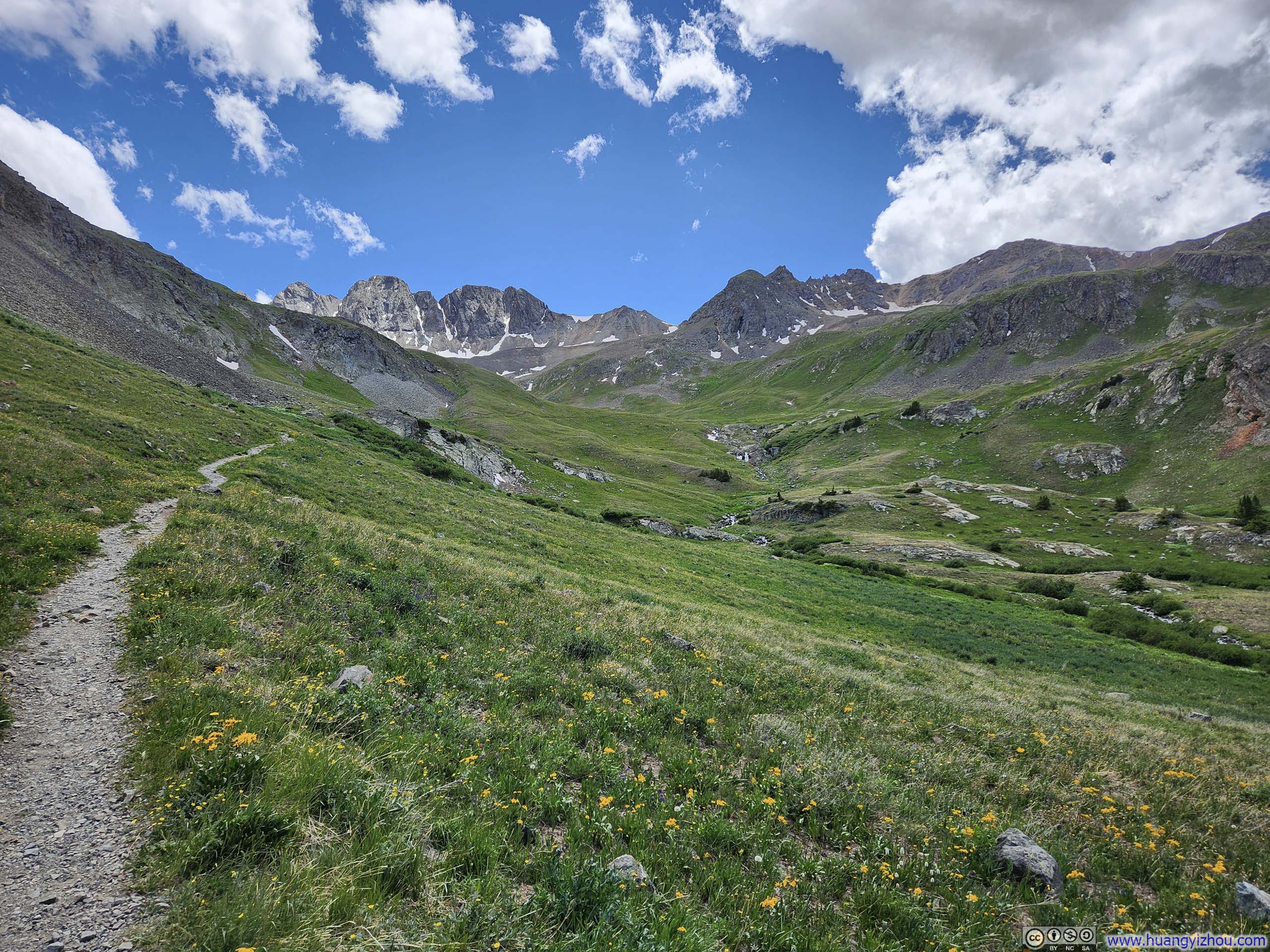
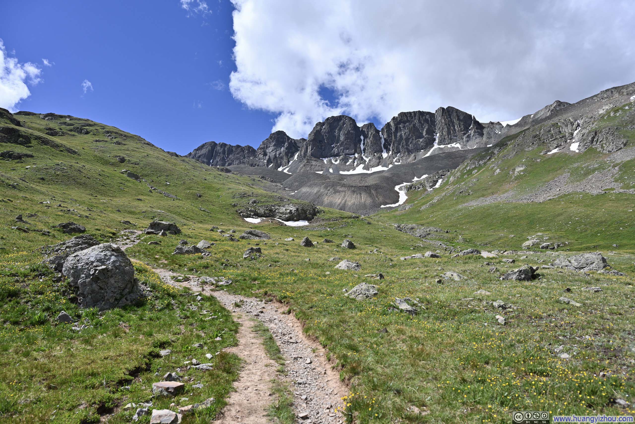
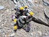
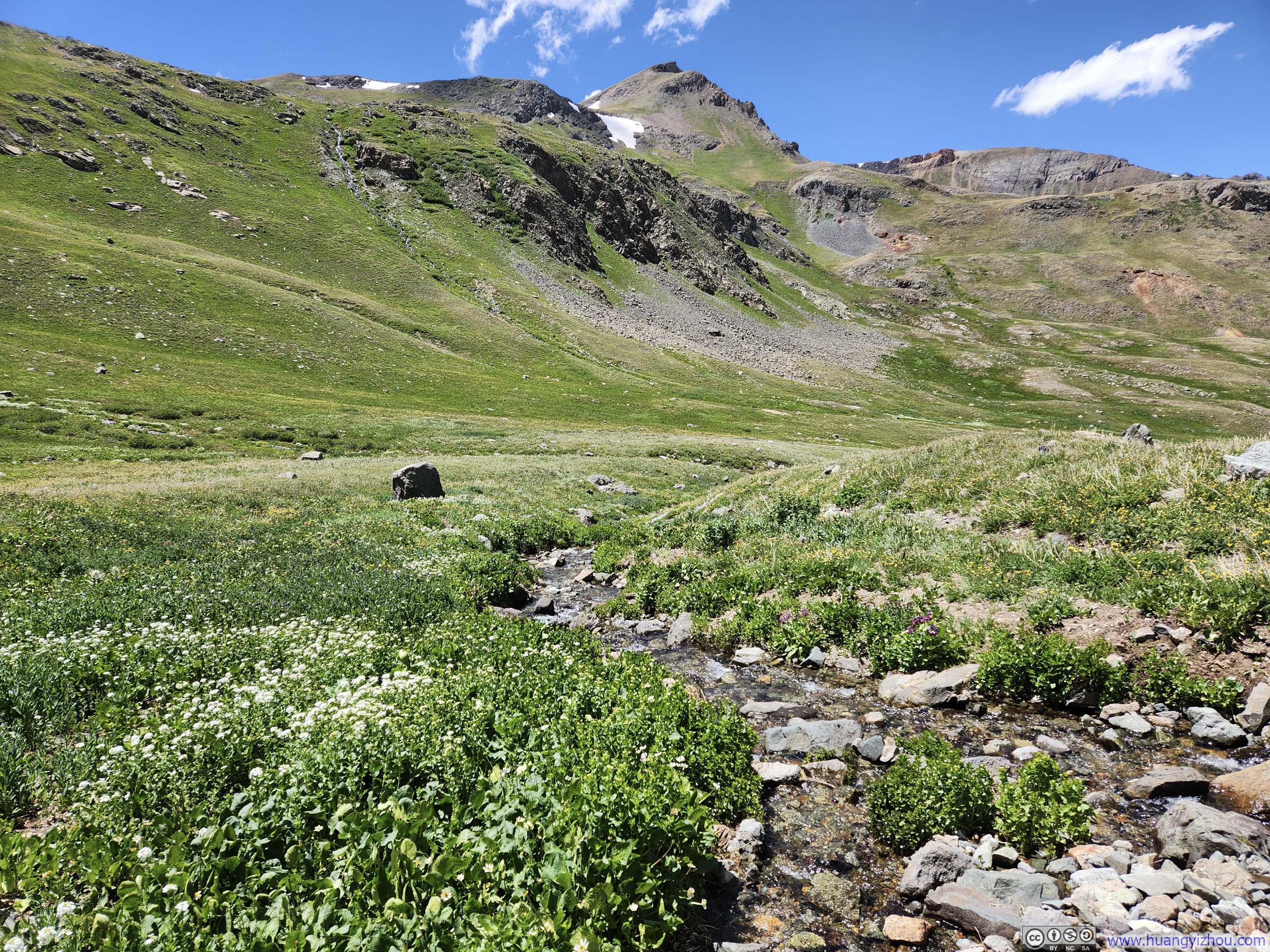
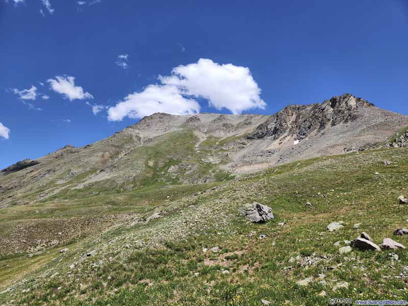
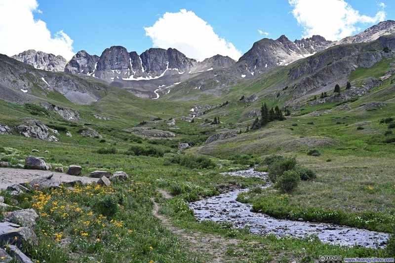
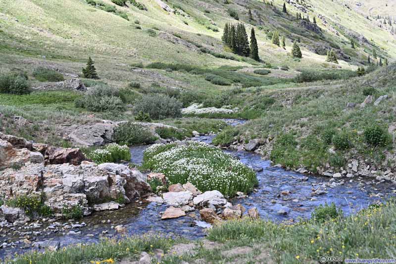
The stretch of the American Basin Trail between the trailhead and Sloan Lake was likely the most scenic of this entire trip to the Rockies. Starting above the treeline, the path offered unobstructed vistas the entire way. Blooming wildflowers lined the path, while the granite cliffs of American Peak rose ahead like an imposing wall. Sparse veins of snow streaked the rock, lending the view a welcoming and refreshing contrast. Although it was only June, the previous winter’s dismal snowfall meant that few traces of snow still lingered on the mountains.
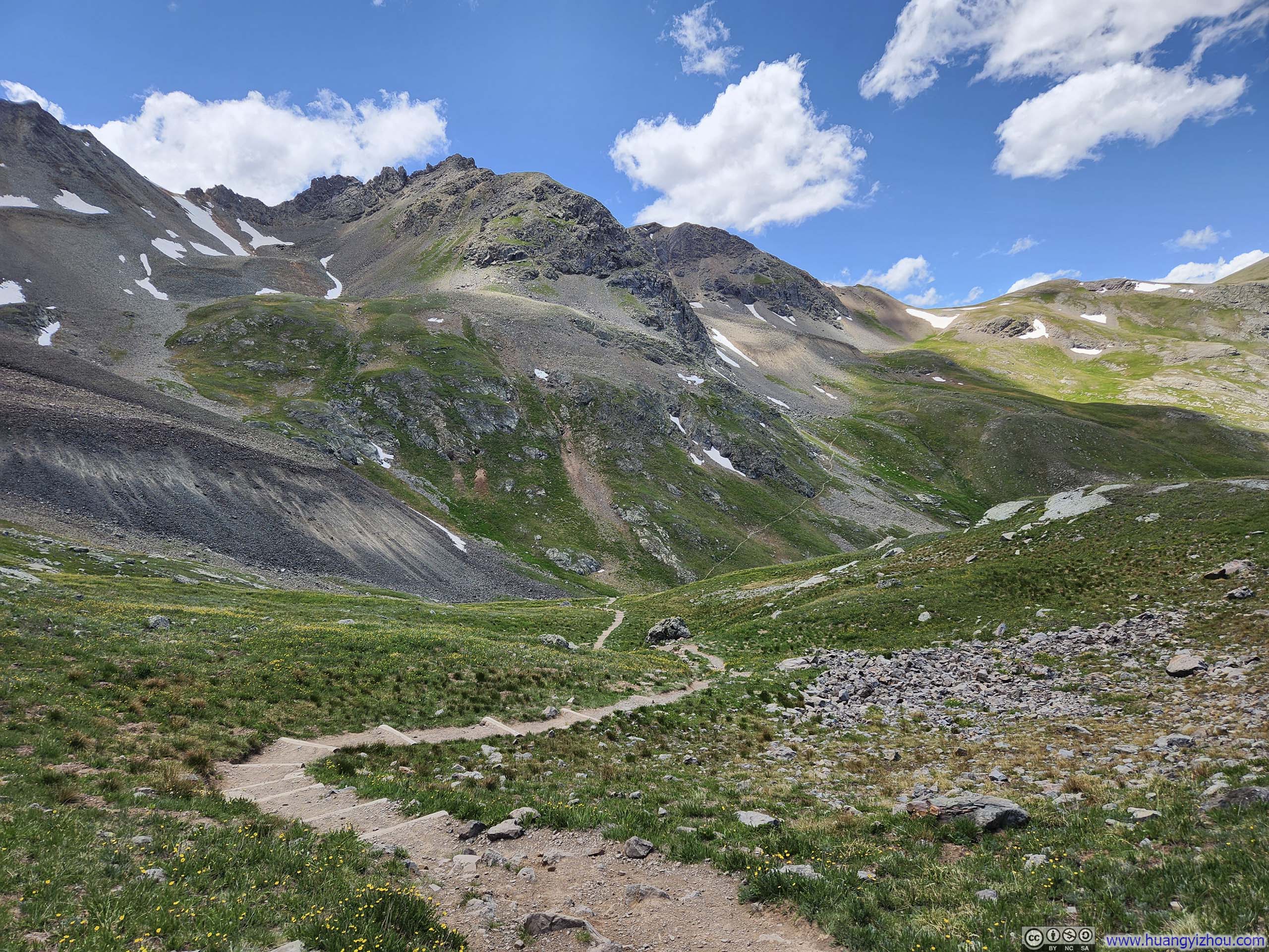
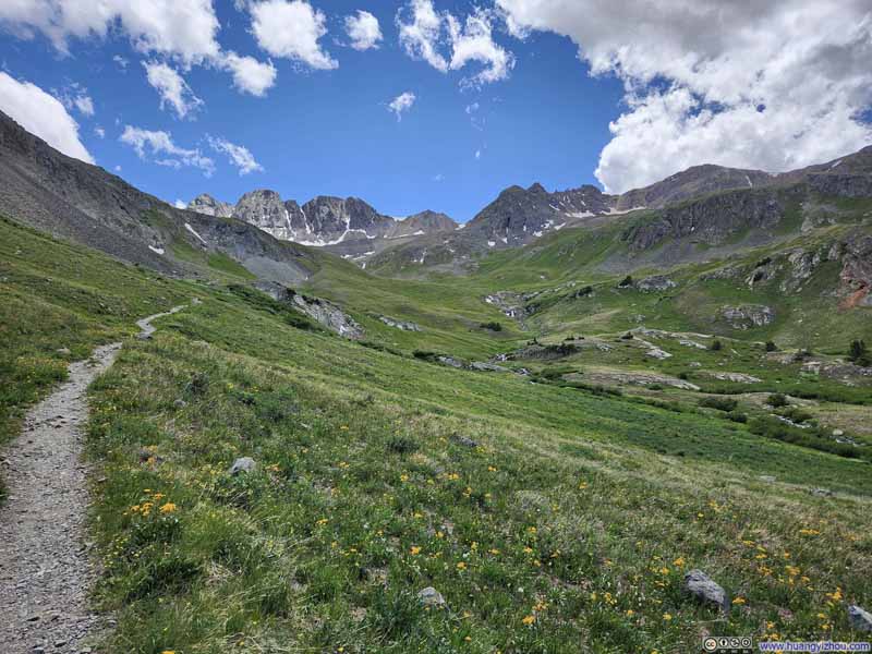
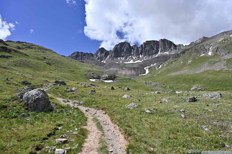
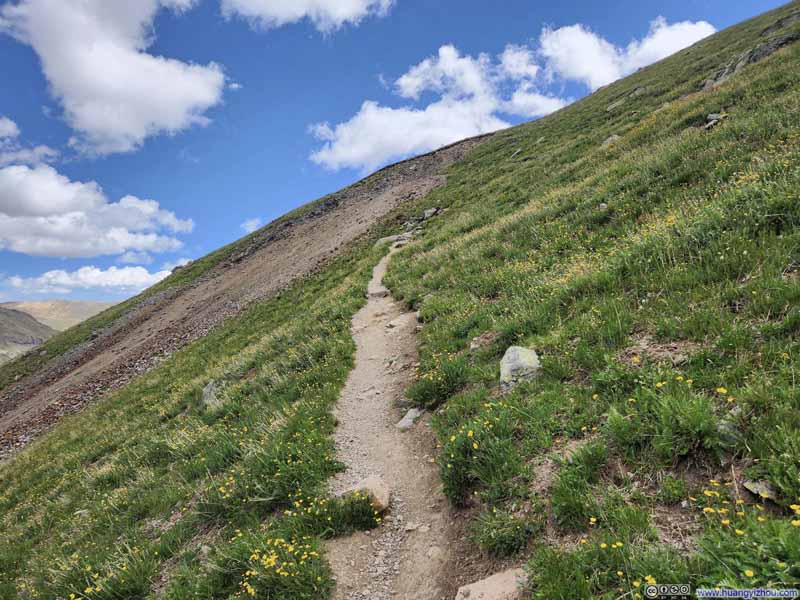
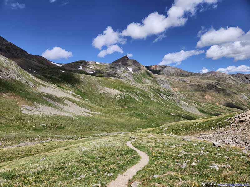
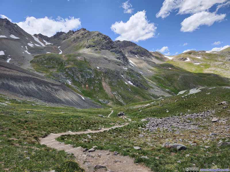
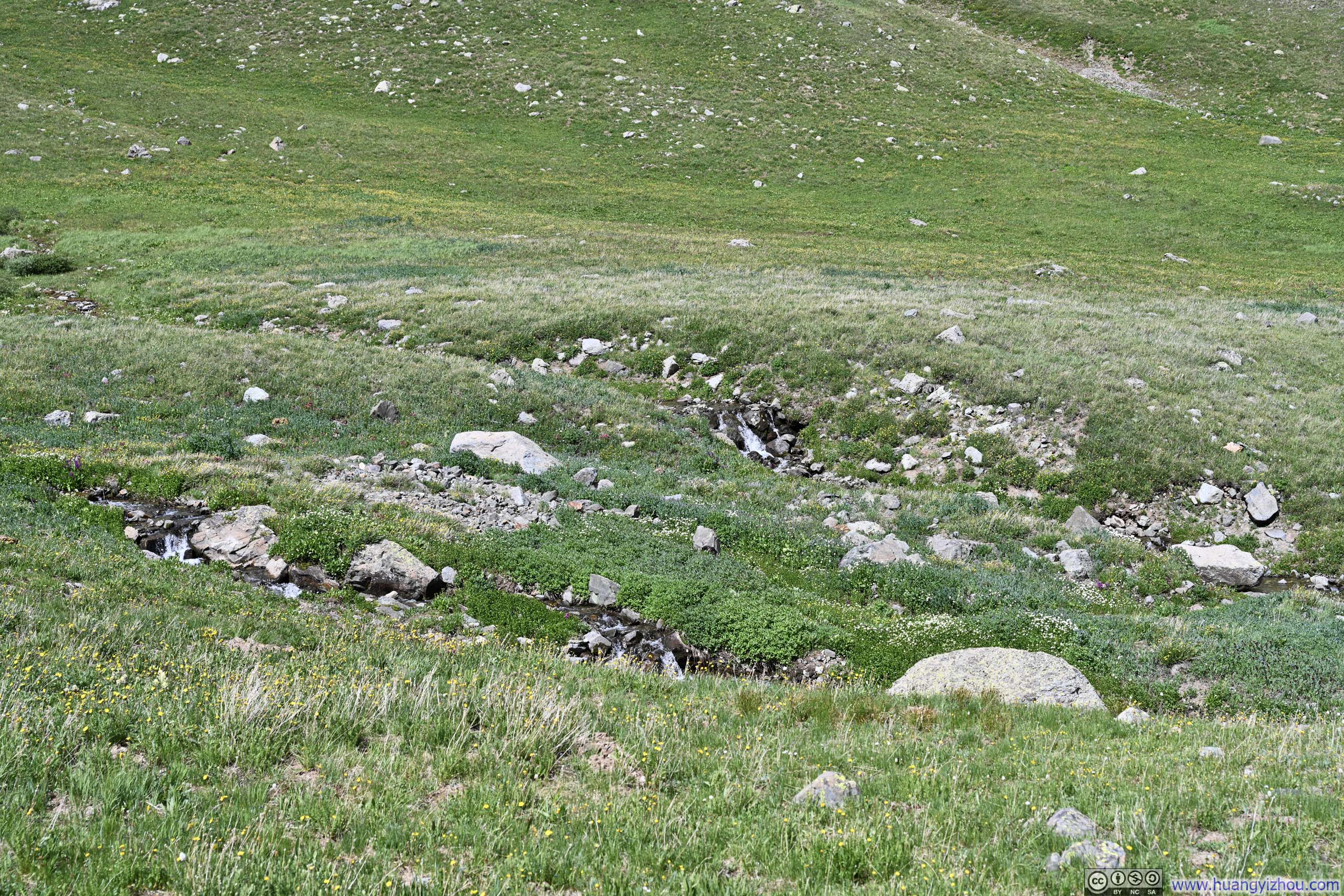
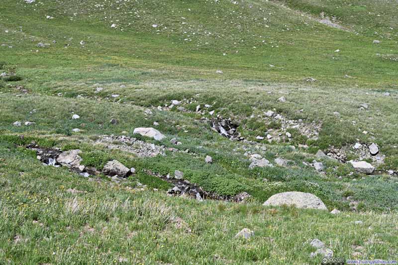
Further up, the trail wound through a small basin where melting snow had awakened the landscape into vivid patches of new growth, as if on an artist's palette.
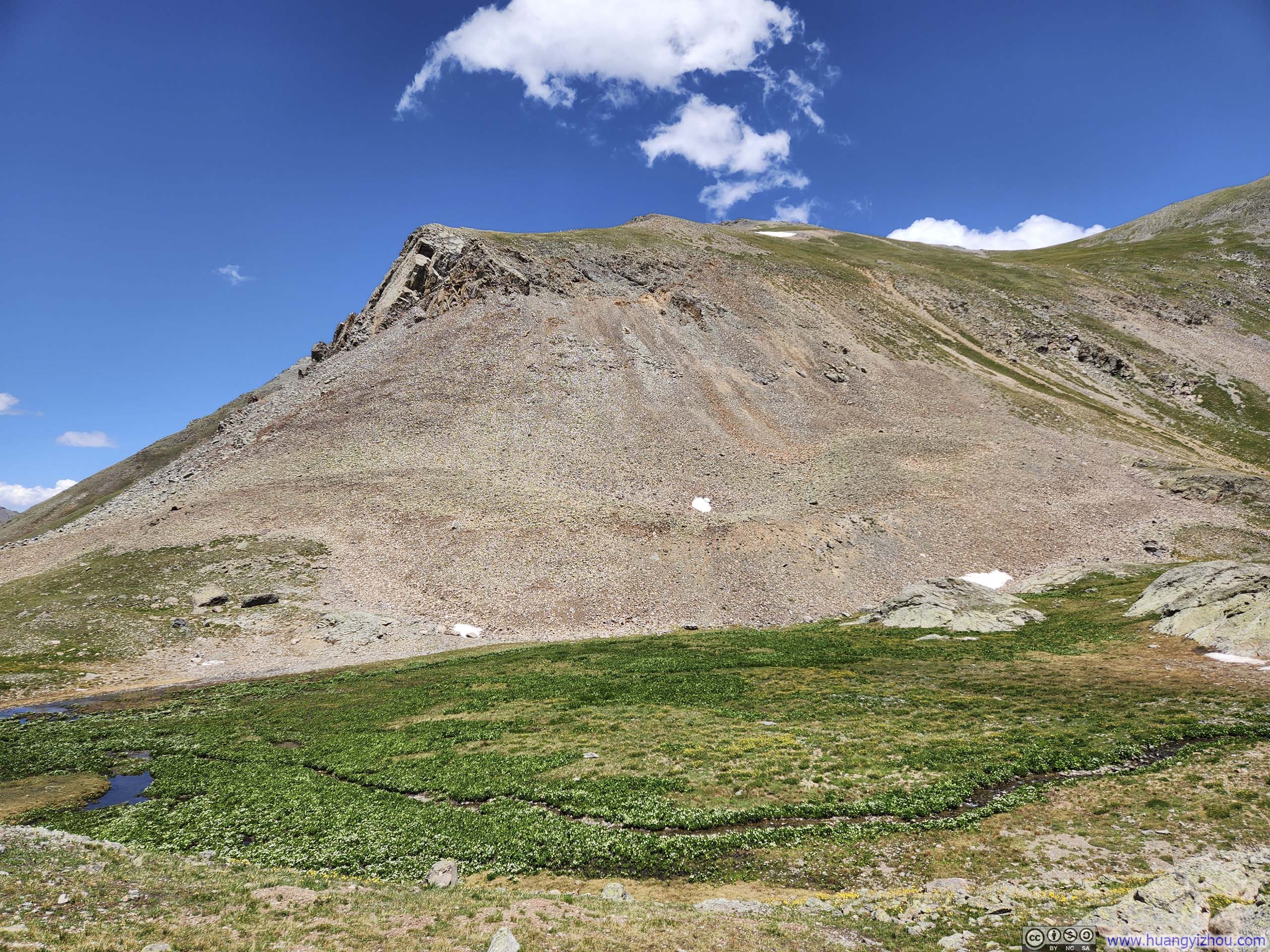
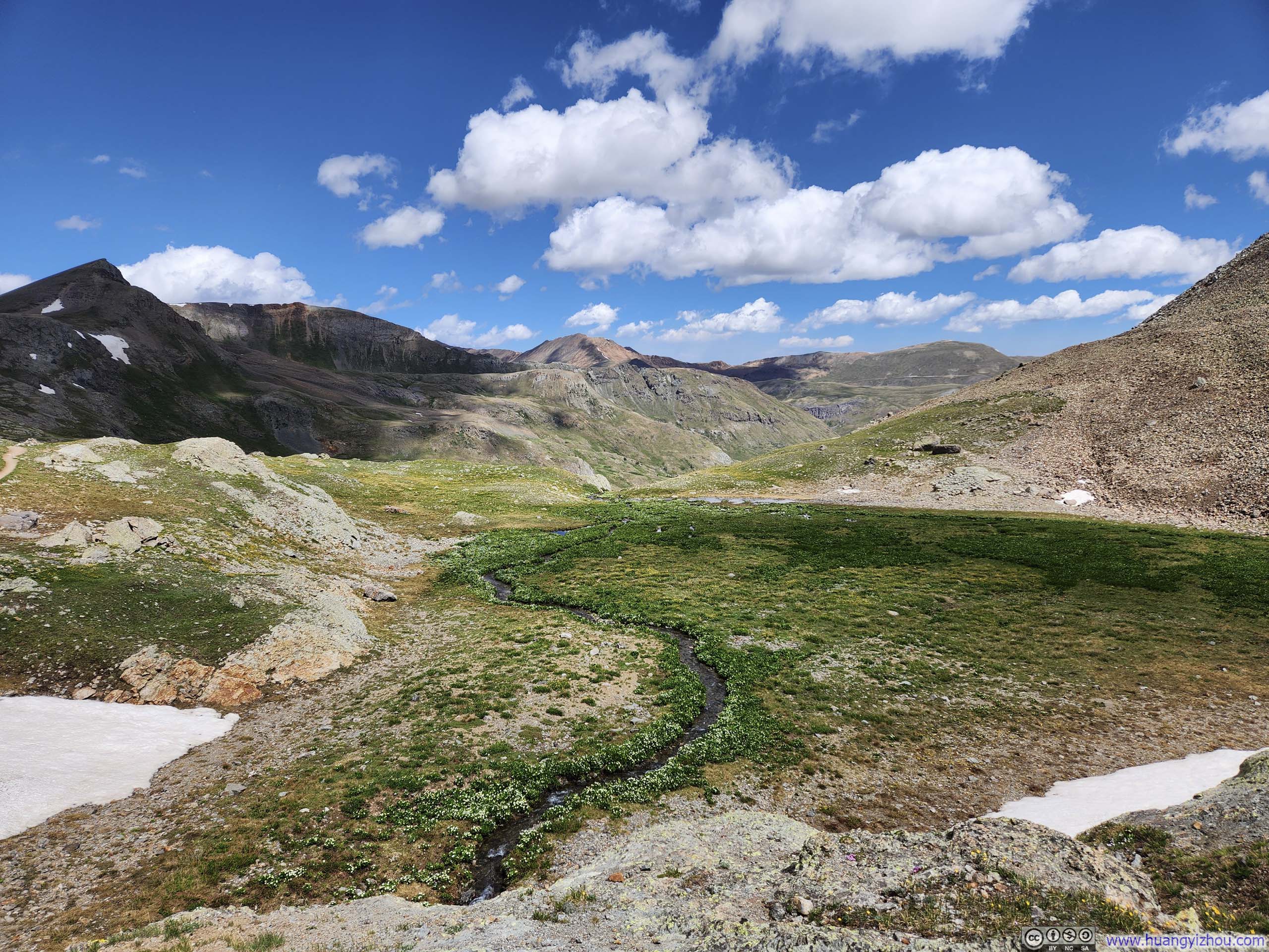
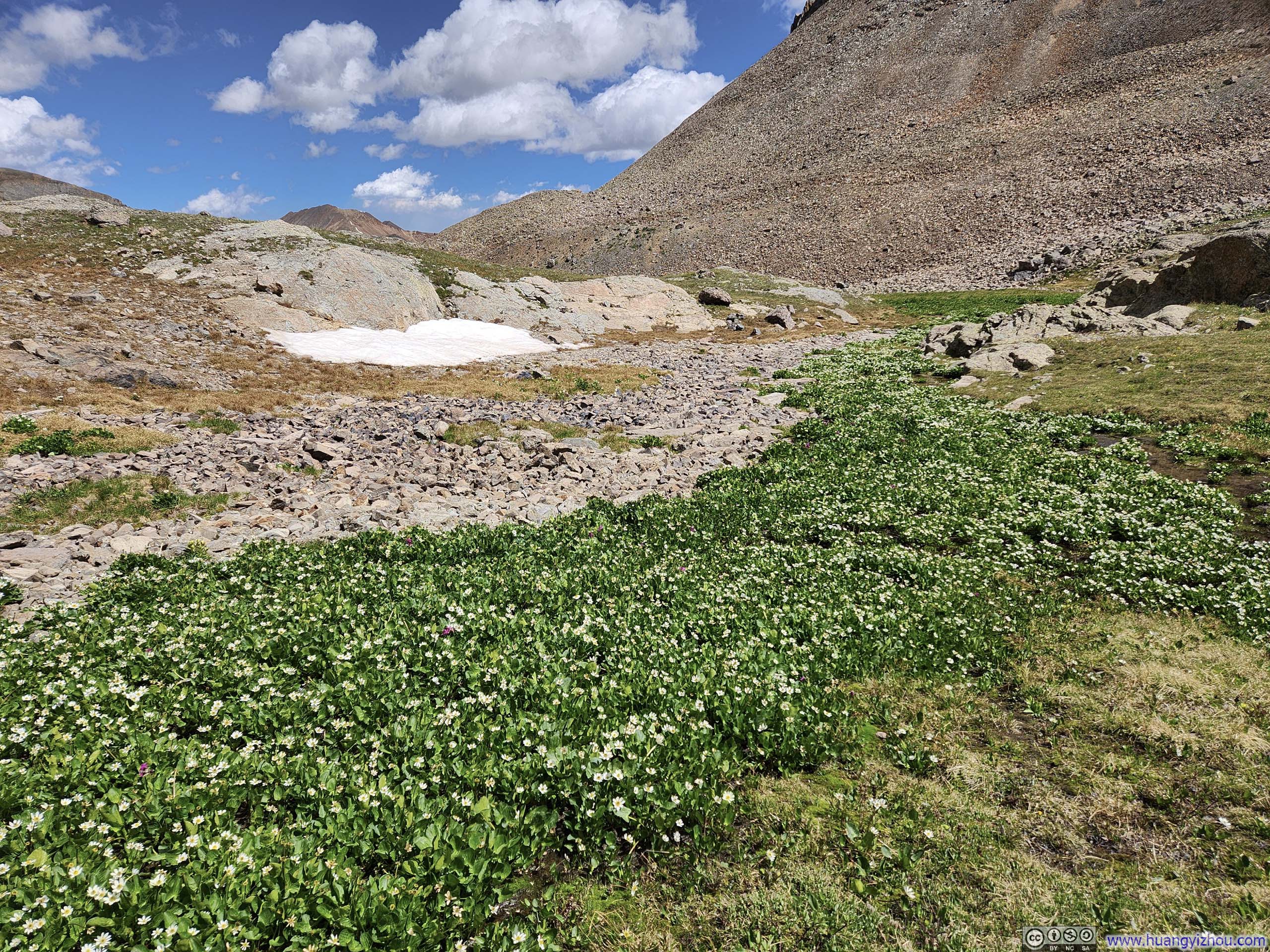
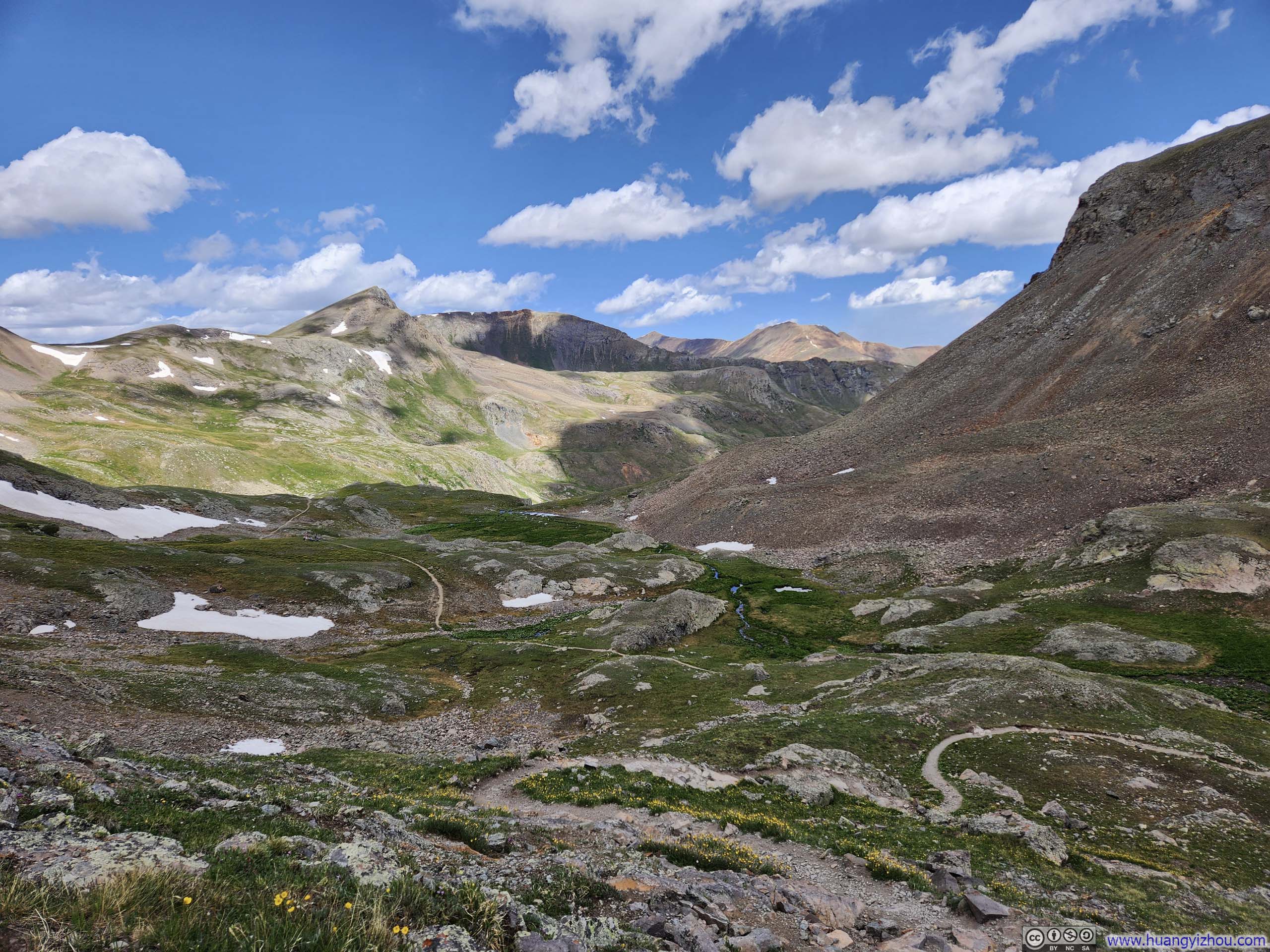
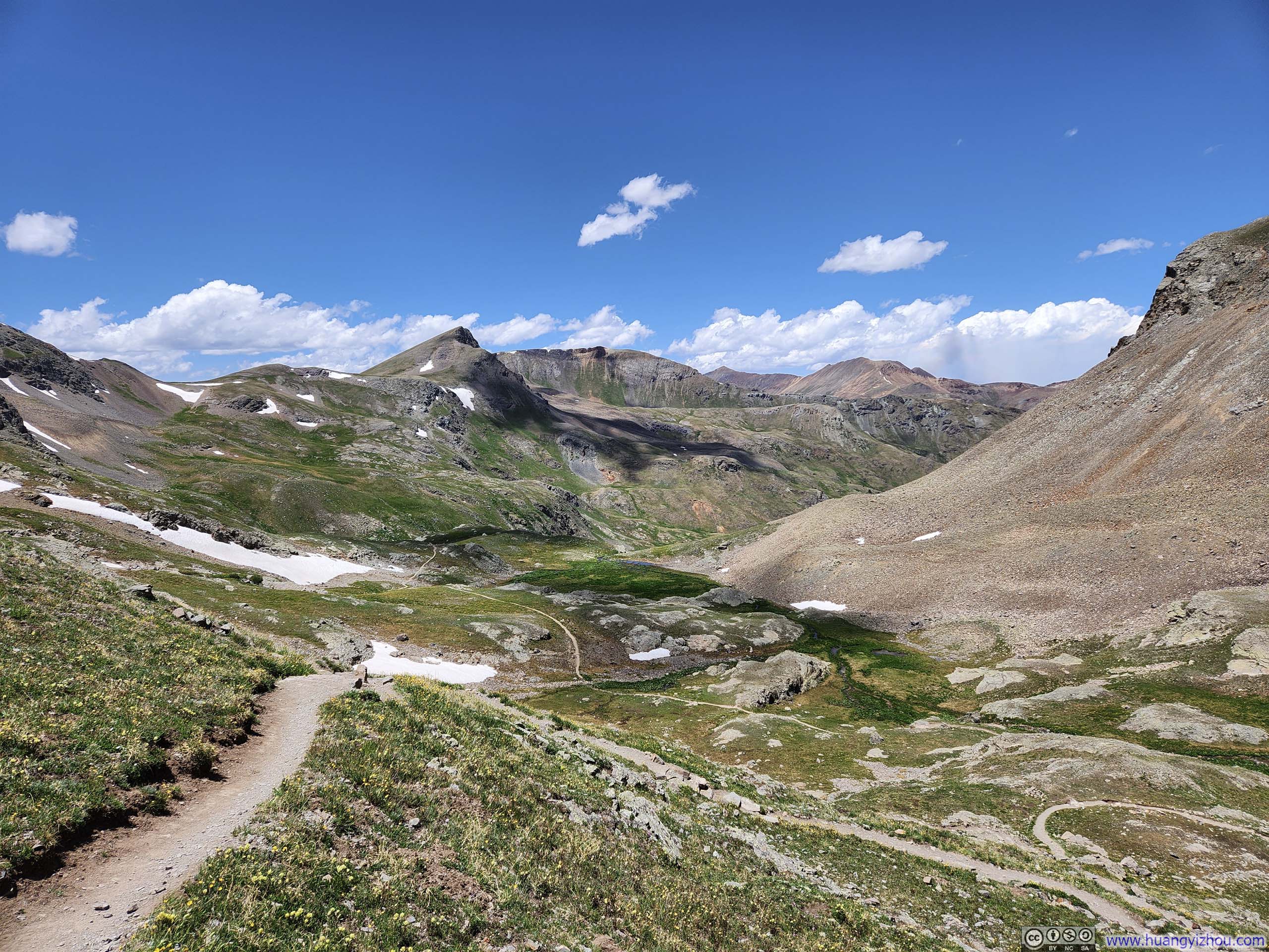
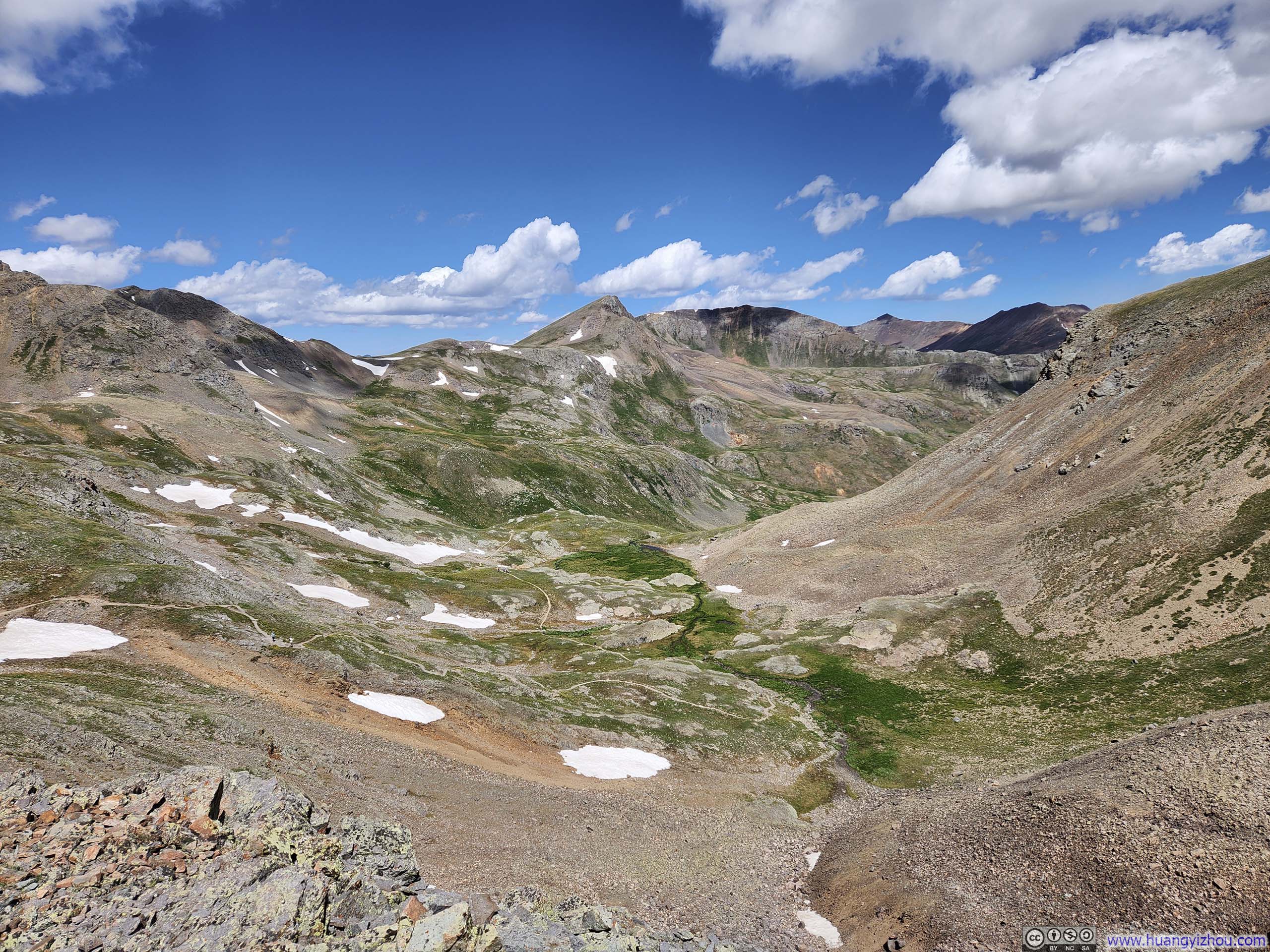
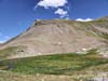
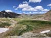
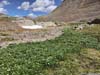
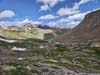
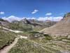
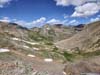
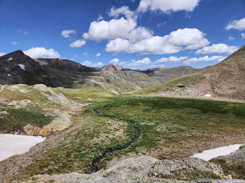
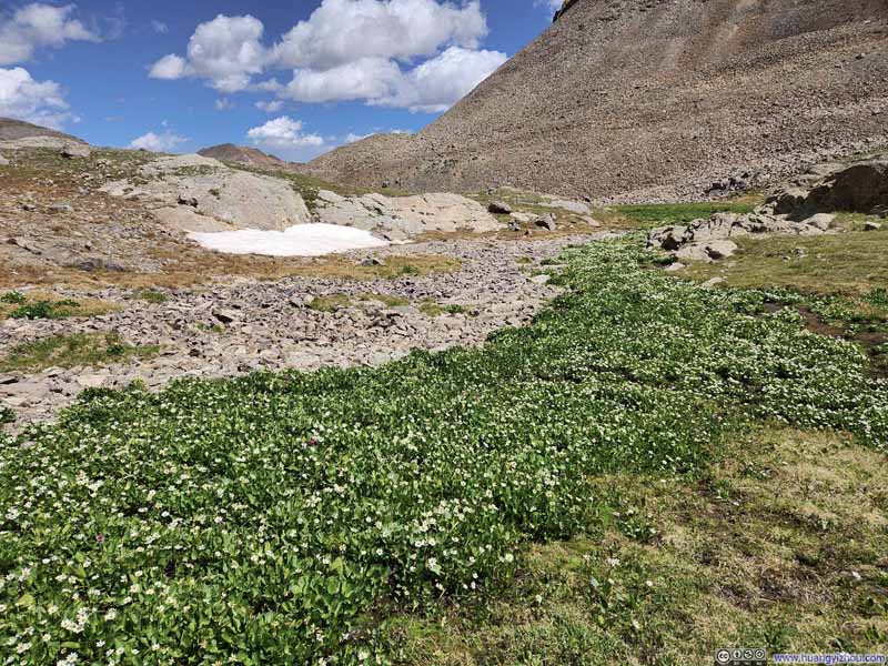
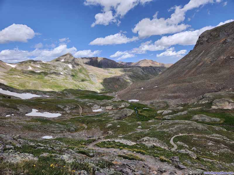
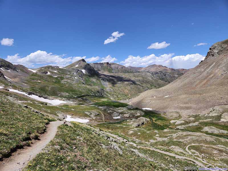
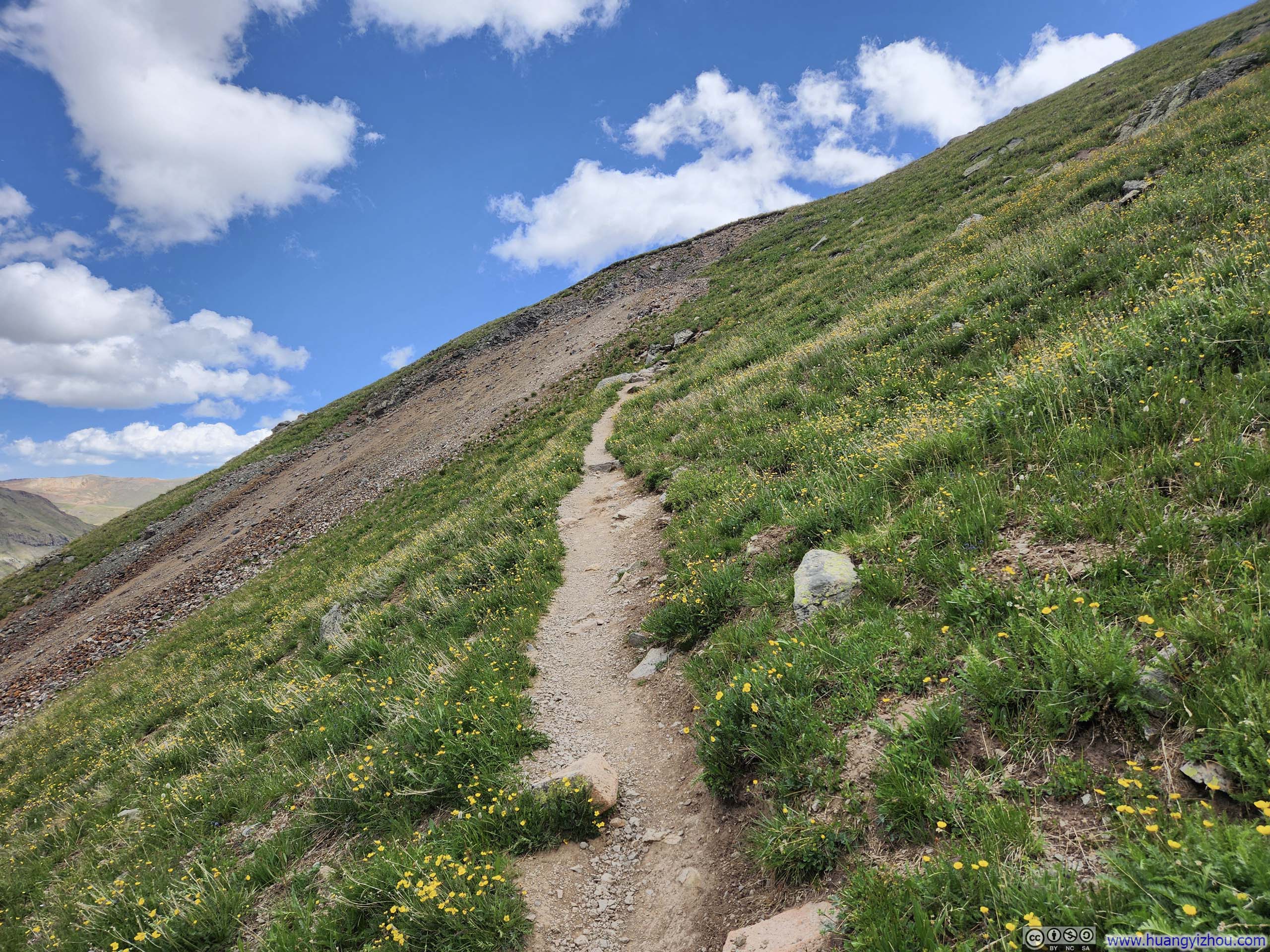
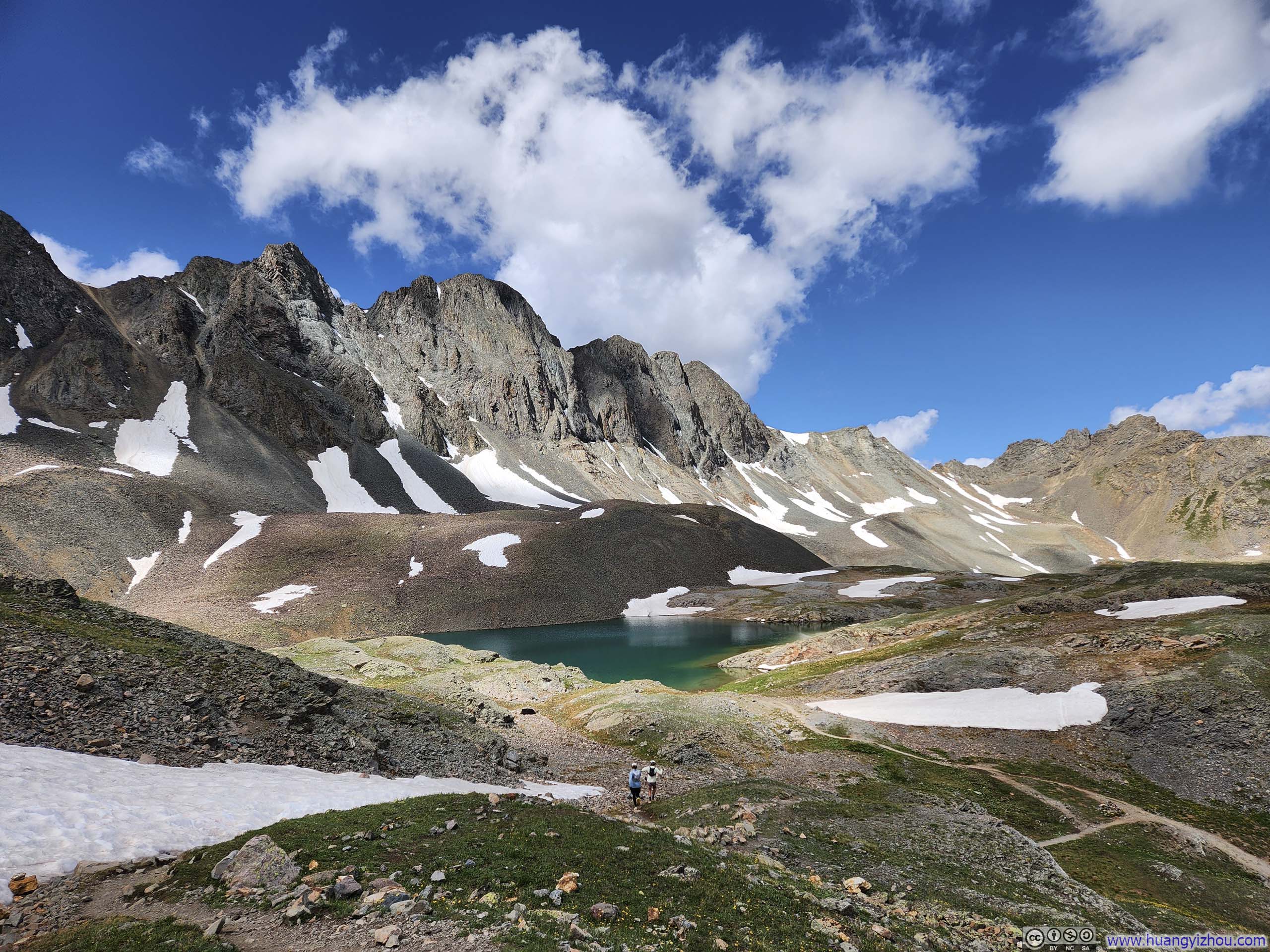
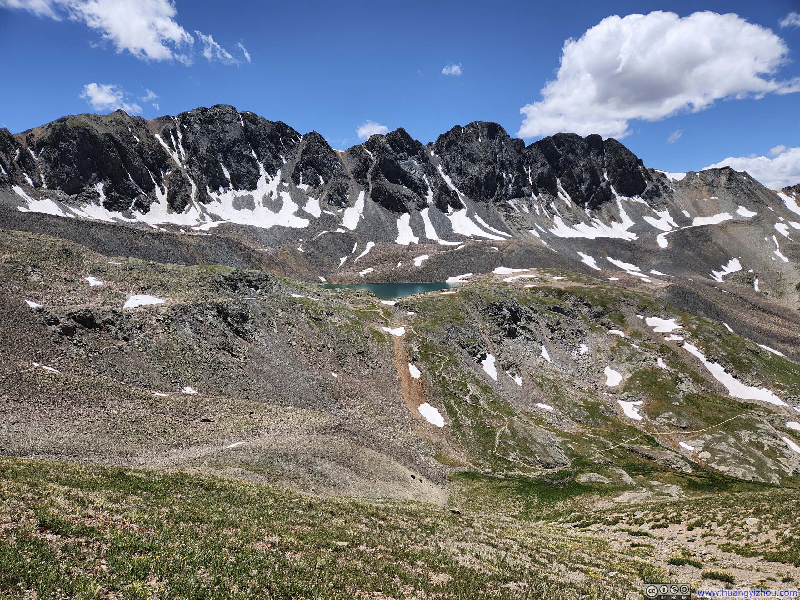
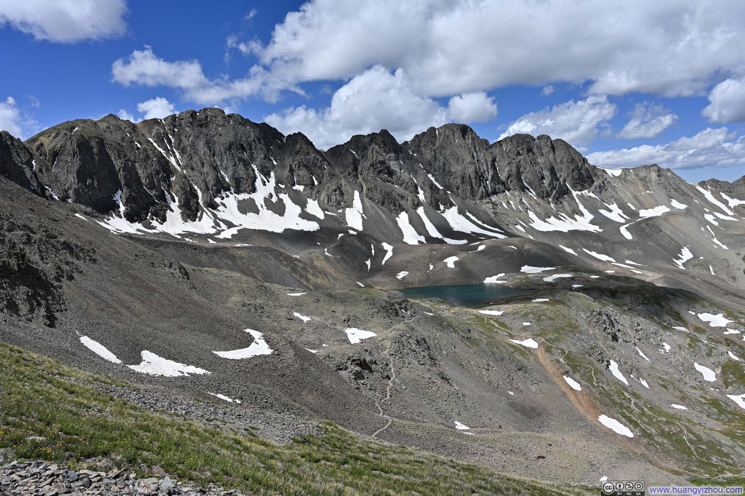
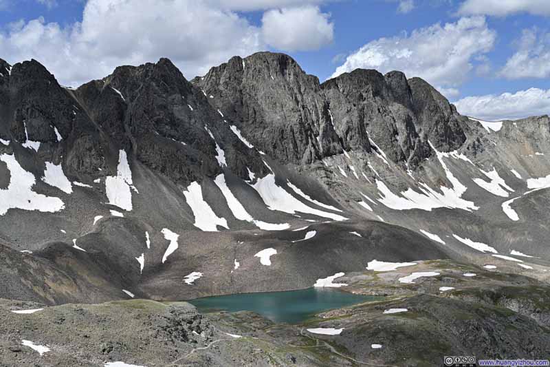
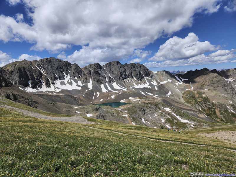
Shortly after, I passed the turnoff to Sloan Lake, which I decided to visit during my descent. (Nonetheless, the spectacular view of American Peak towering over the emerald waters of Sloan Lake was a constant fixture from this point onwards.) Beyond the junction, a series of switchbacks led up to a saddle between Handies Peak and an unnamed hill to the south.
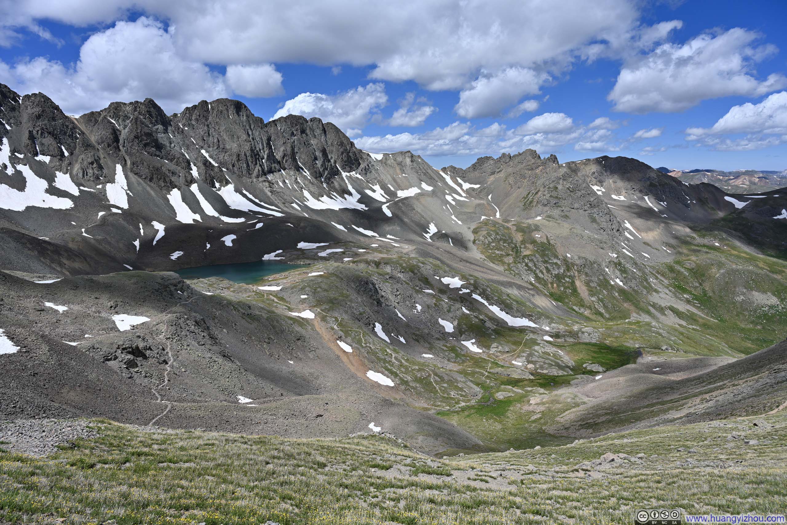
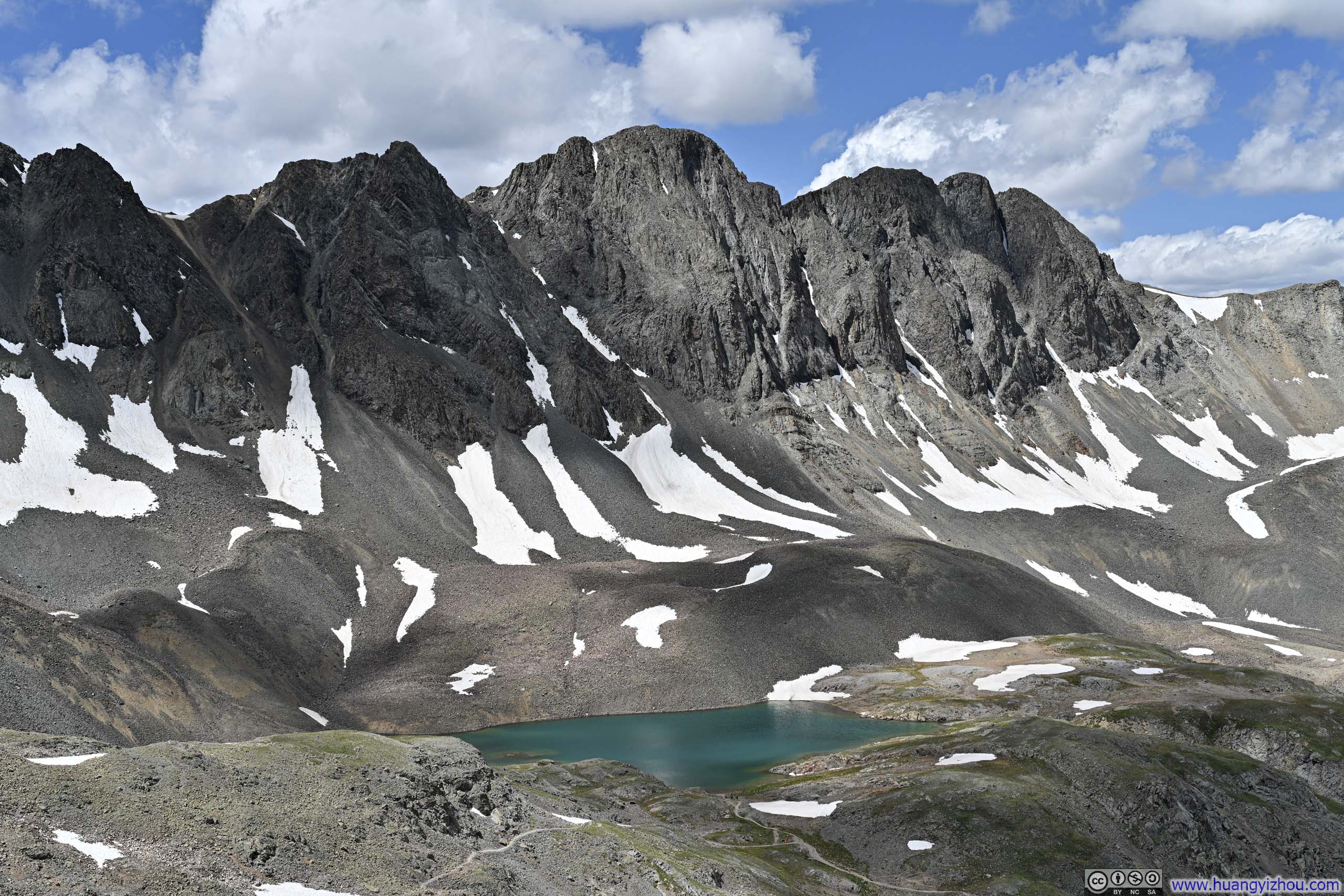
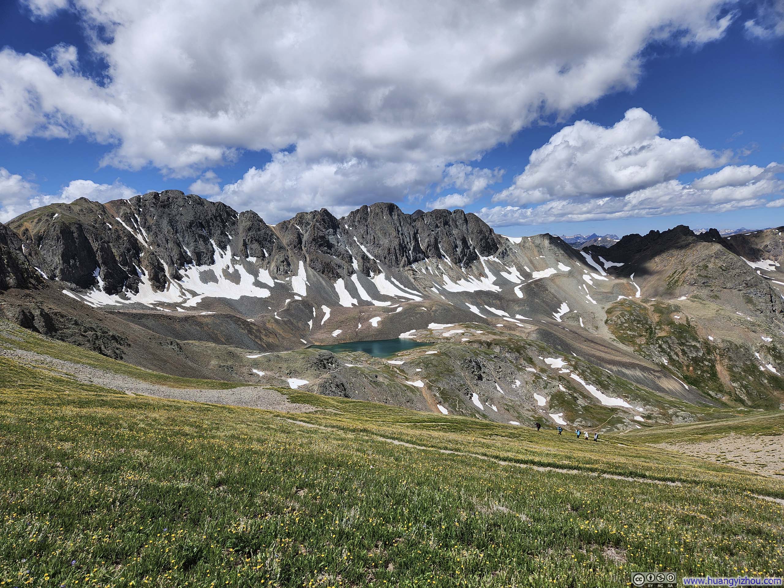
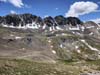
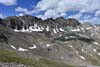
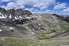
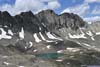
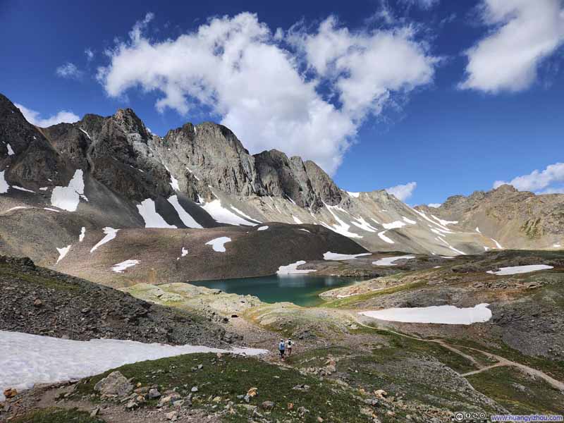
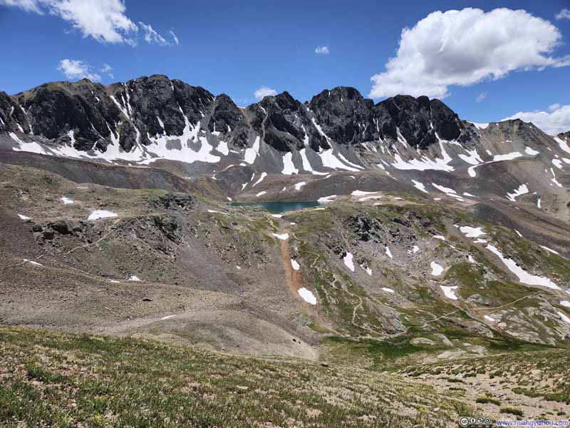
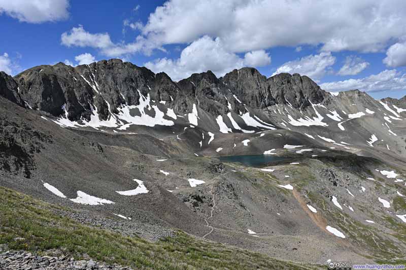
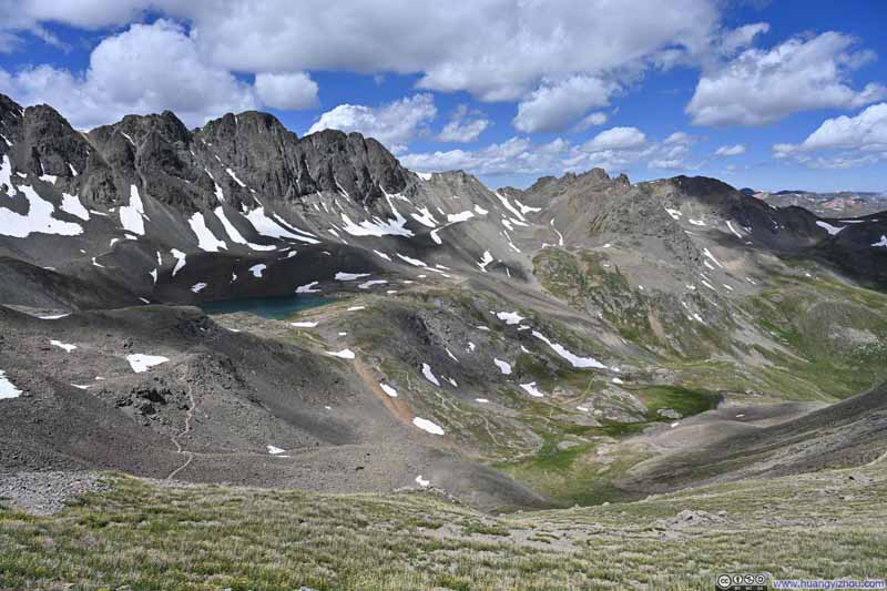
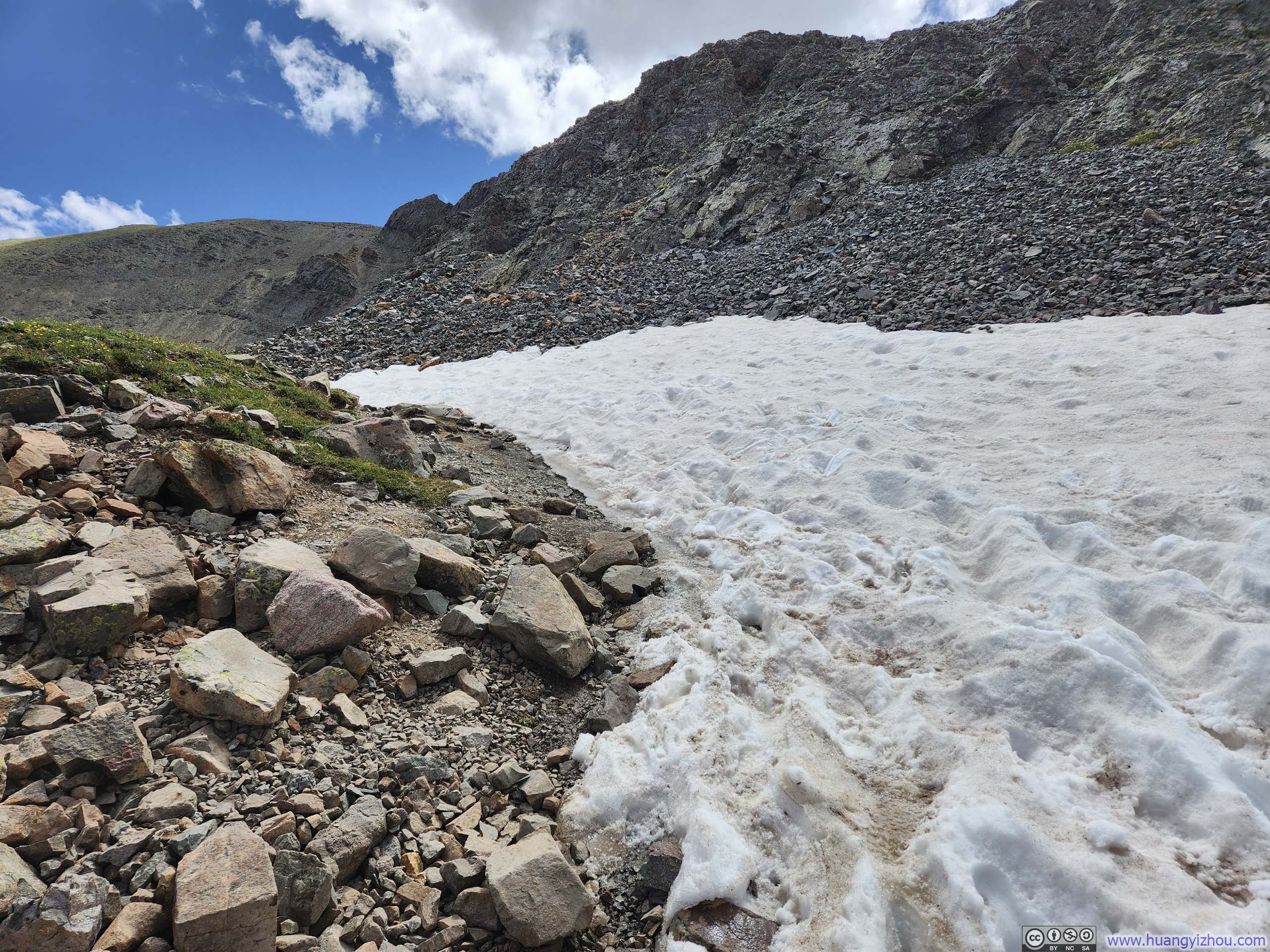
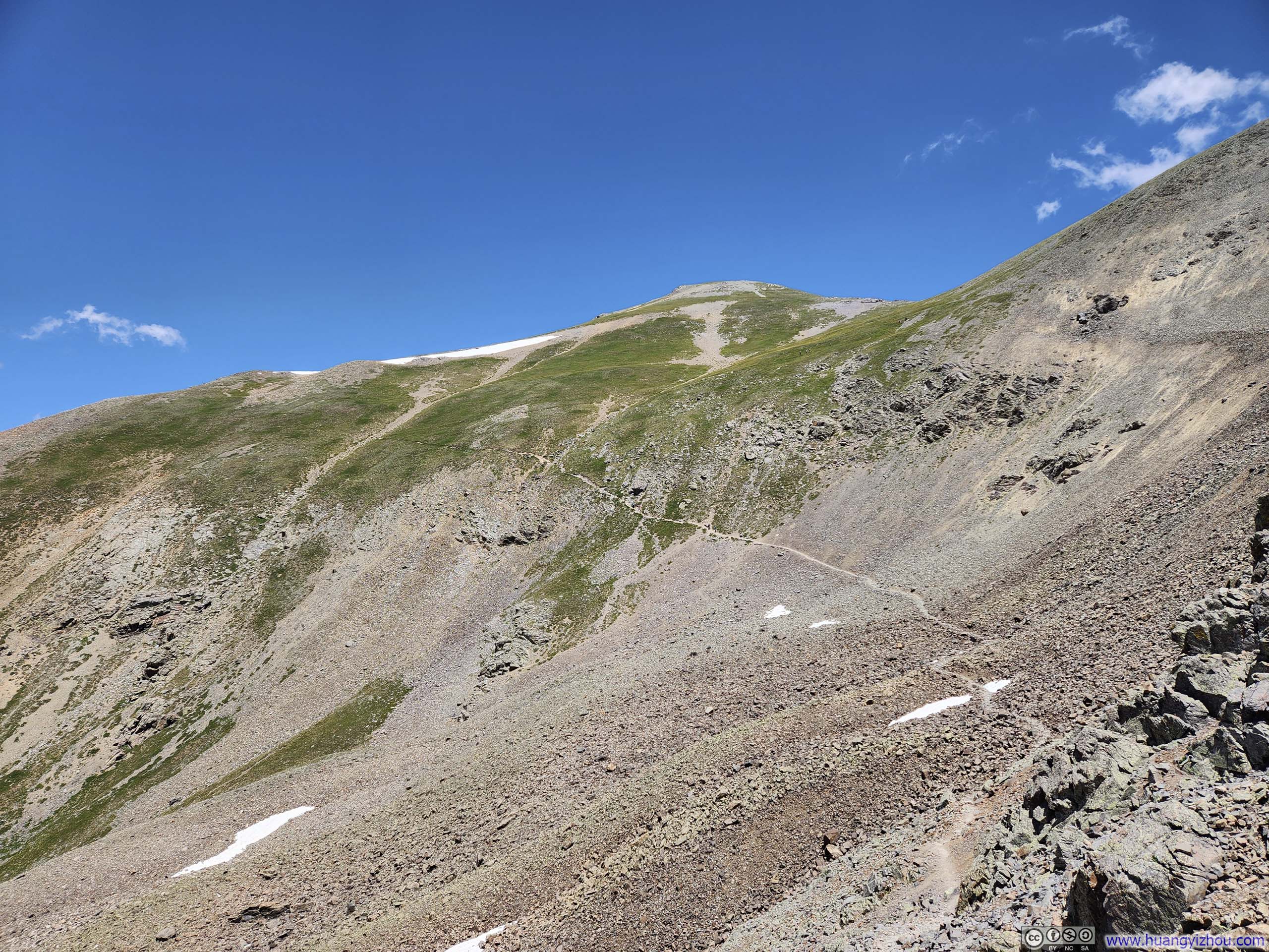
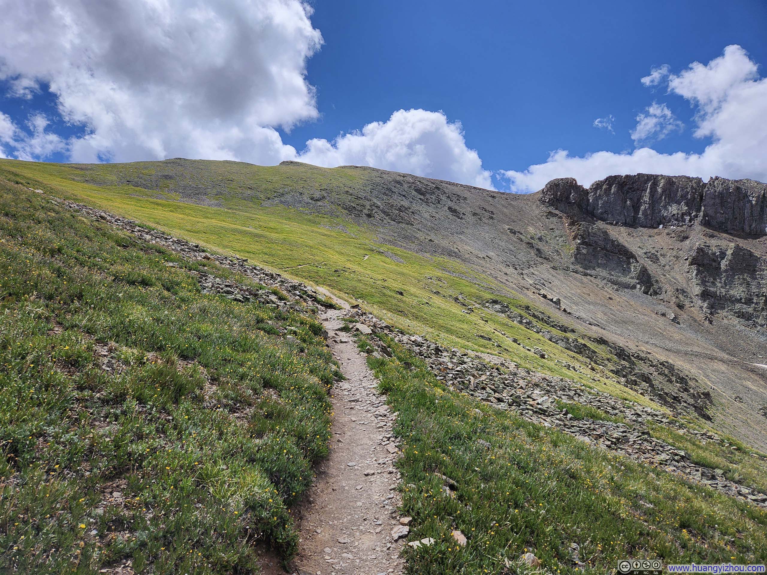
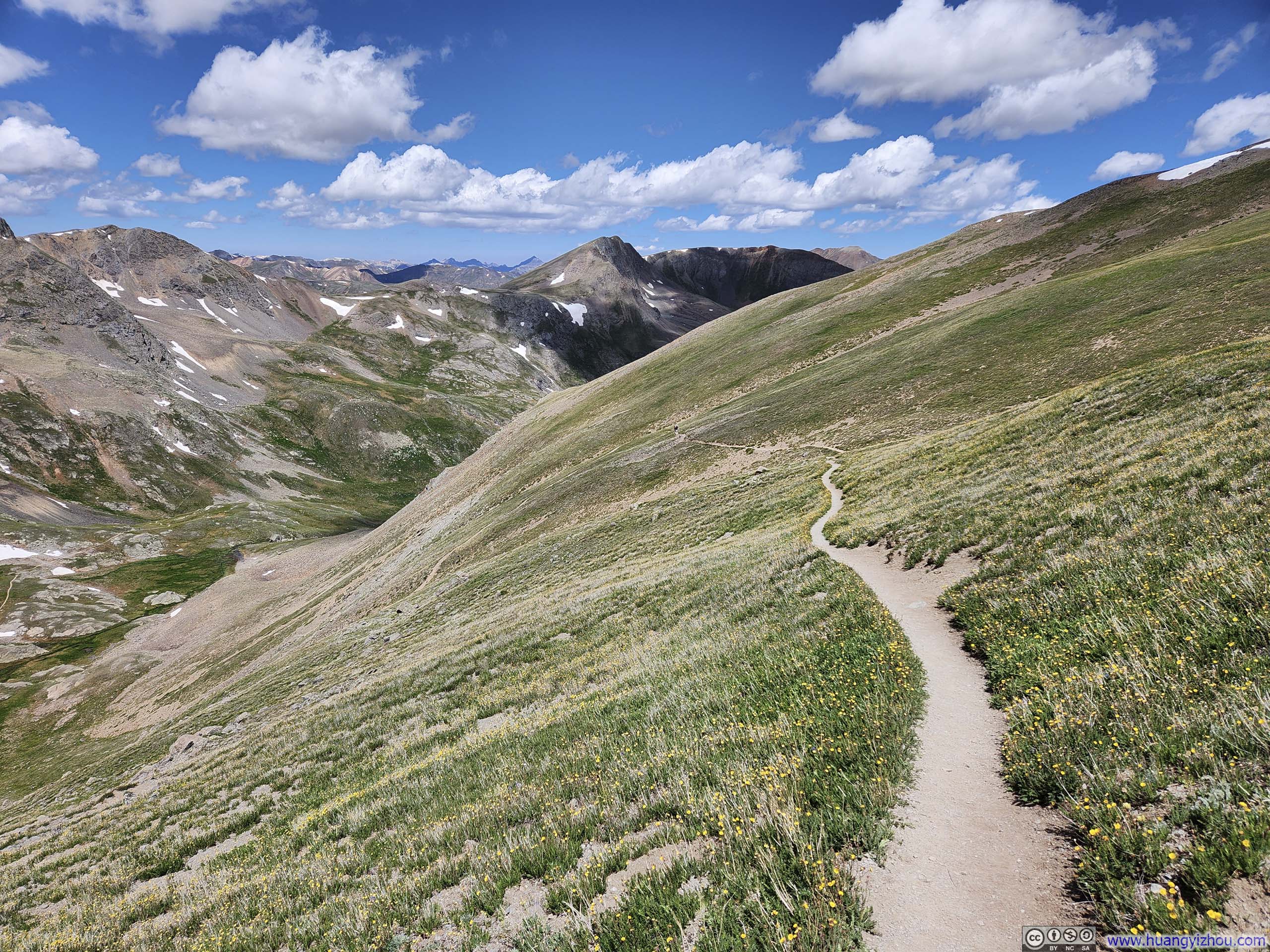
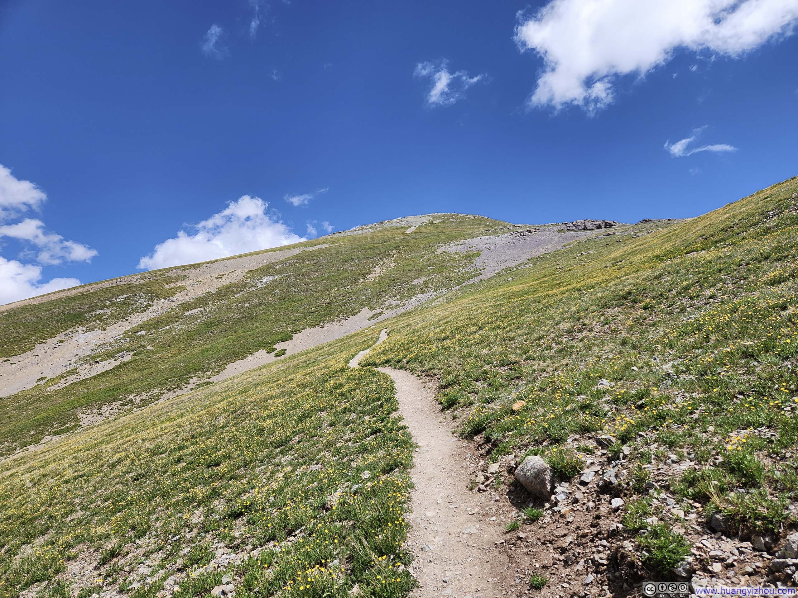
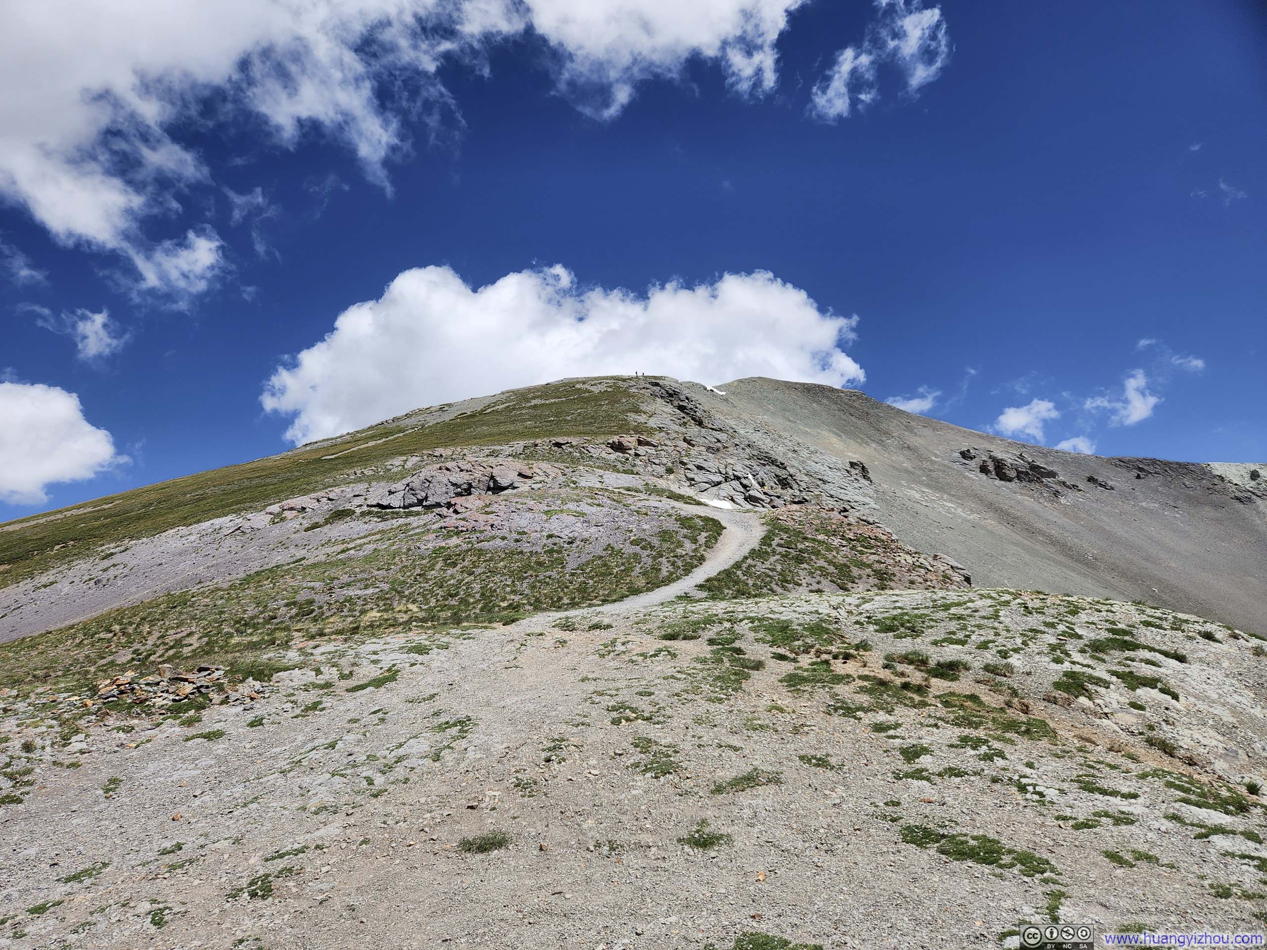
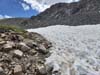
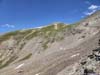
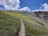
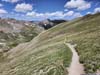
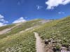
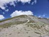
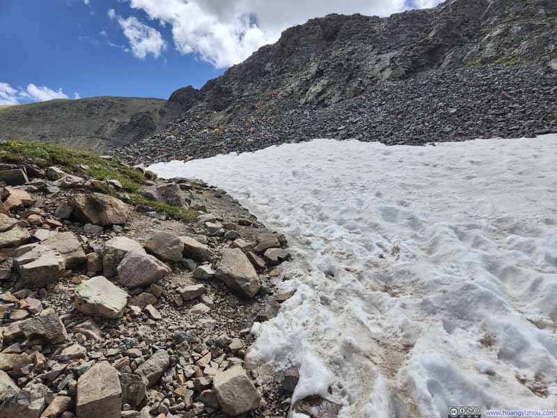
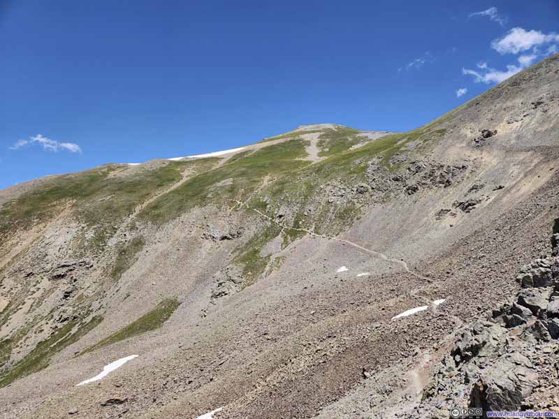
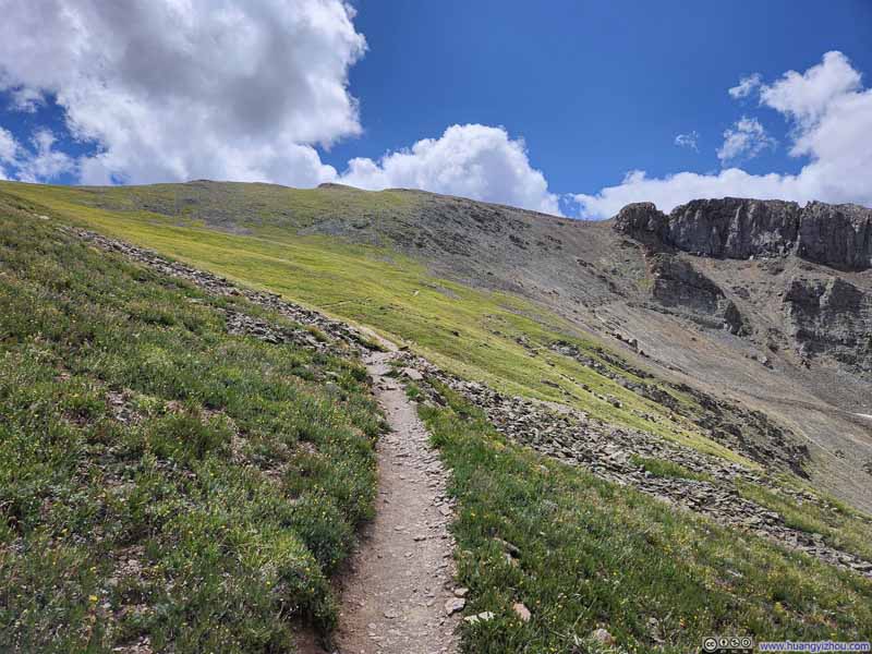
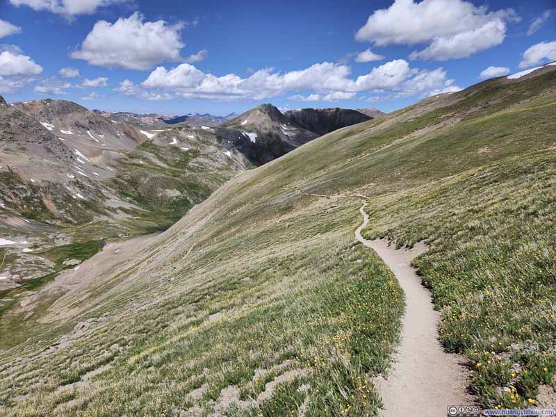
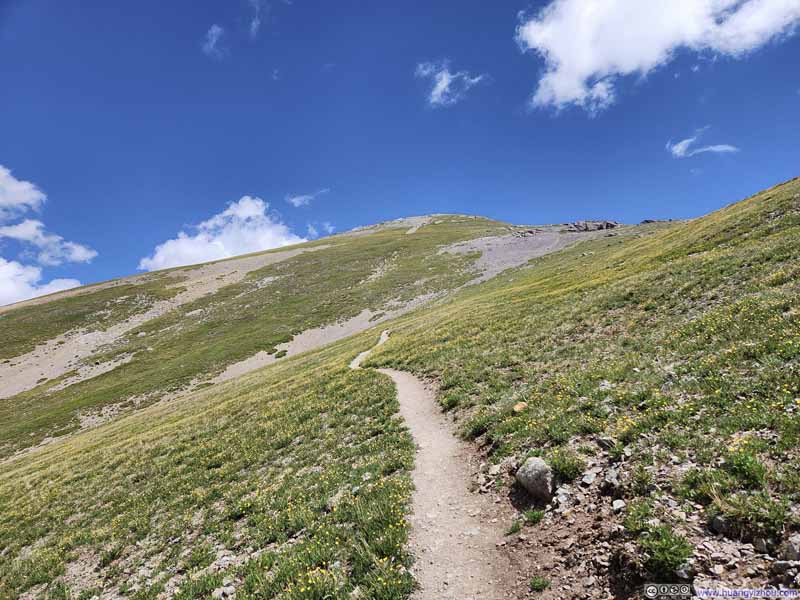
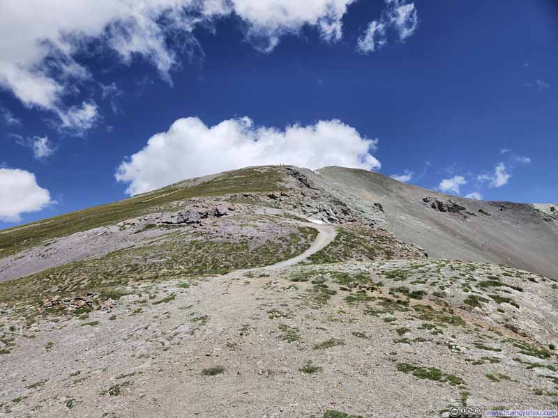
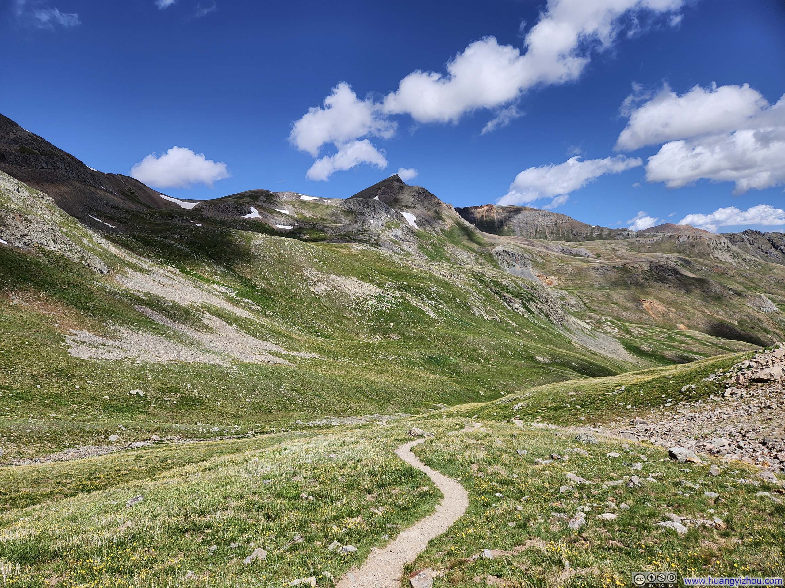
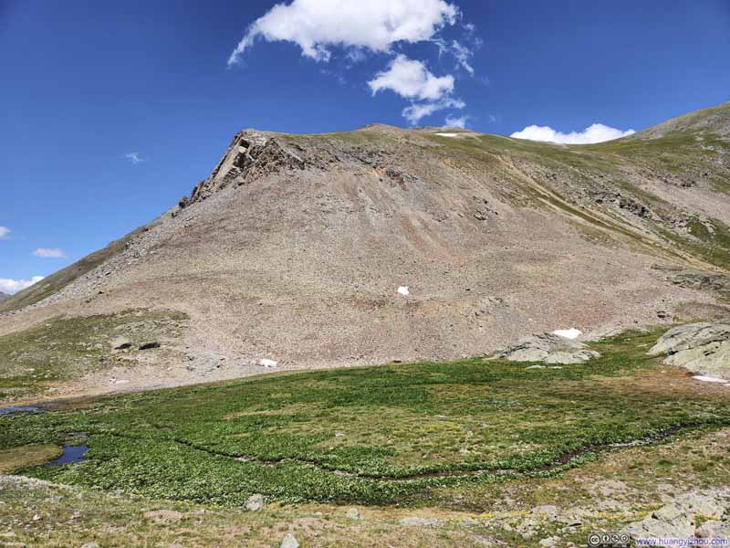
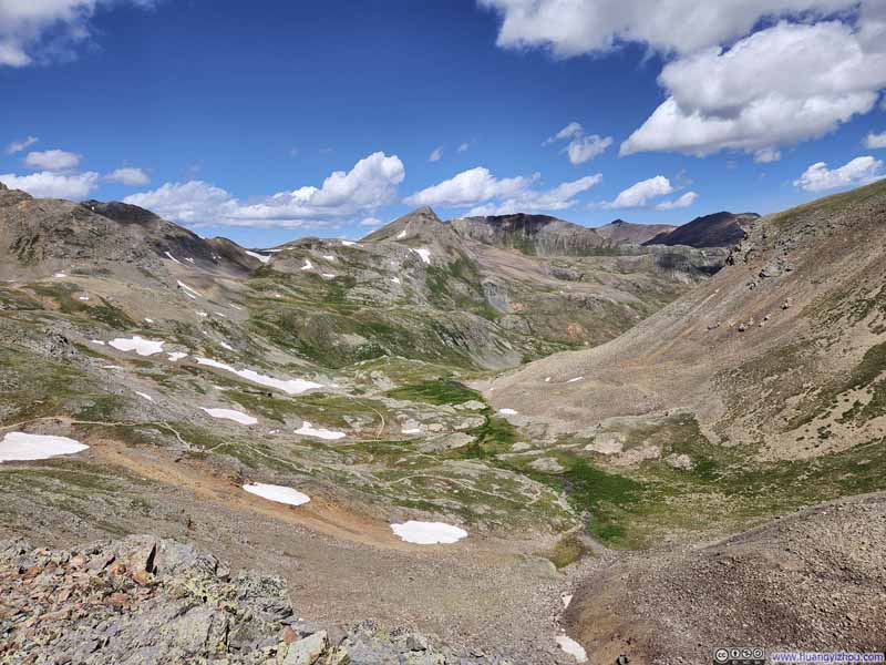
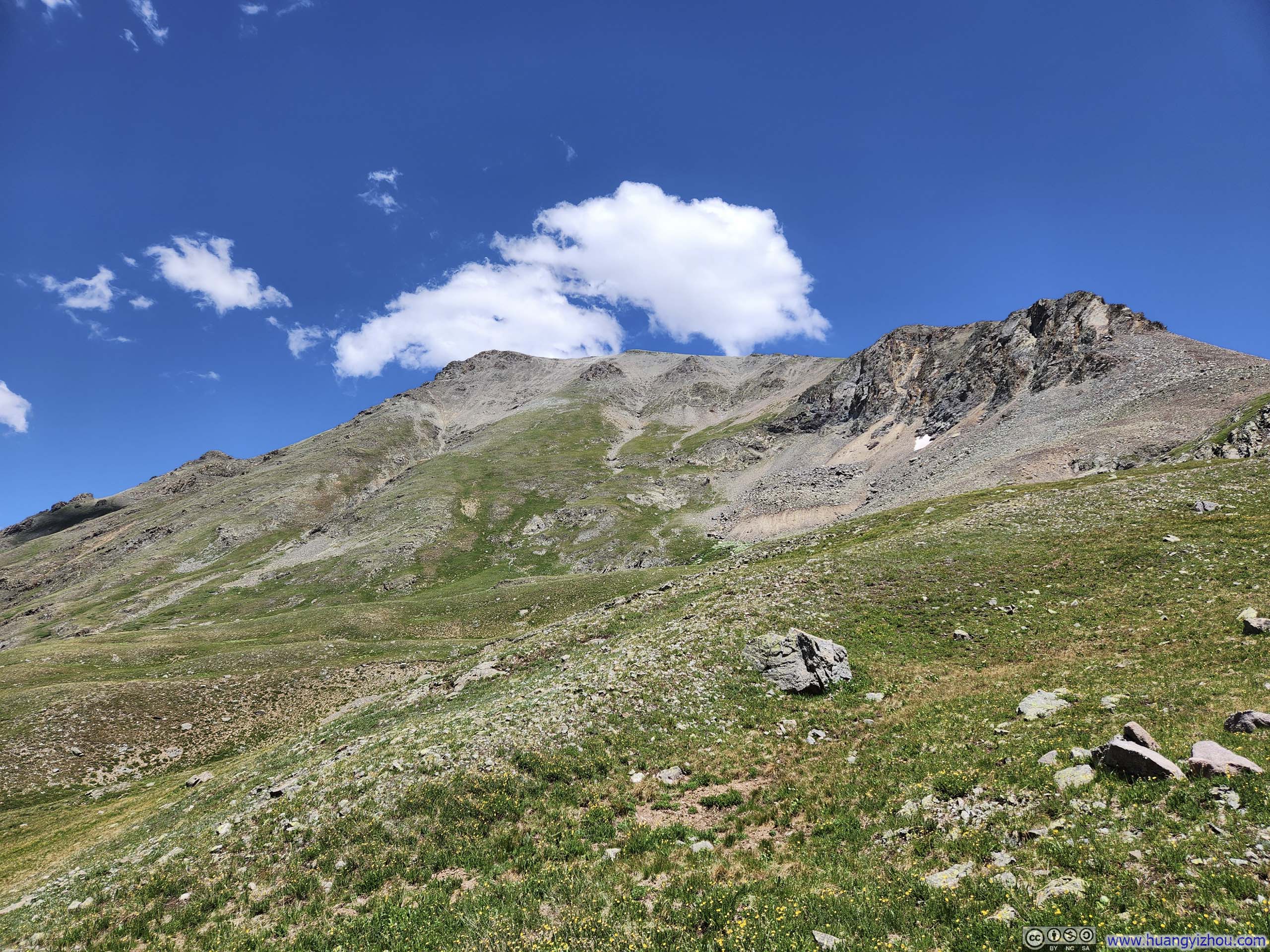
The saddle offered views of Boulder Gulch Valley to the east. Due to its steeper slopes, the valley was noticeably less verdant than American Basin. It also marked the final stretch toward the summit, where the surrounding vegetation gradually gave way to bare scree.
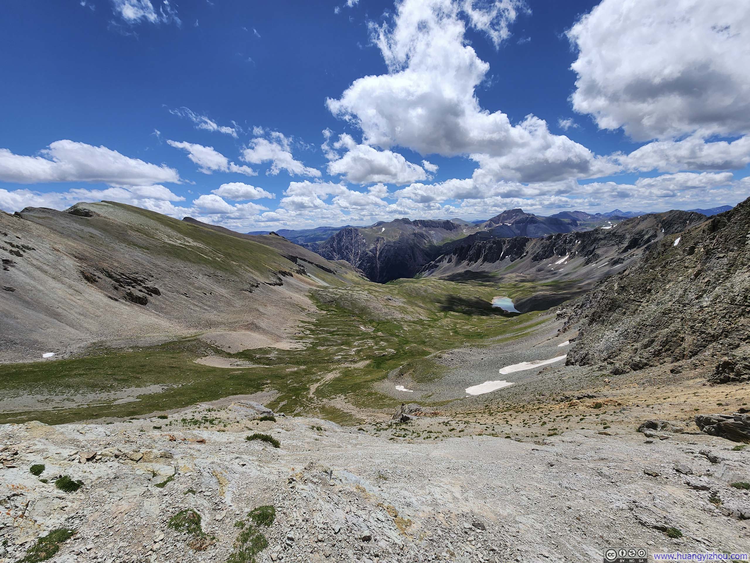
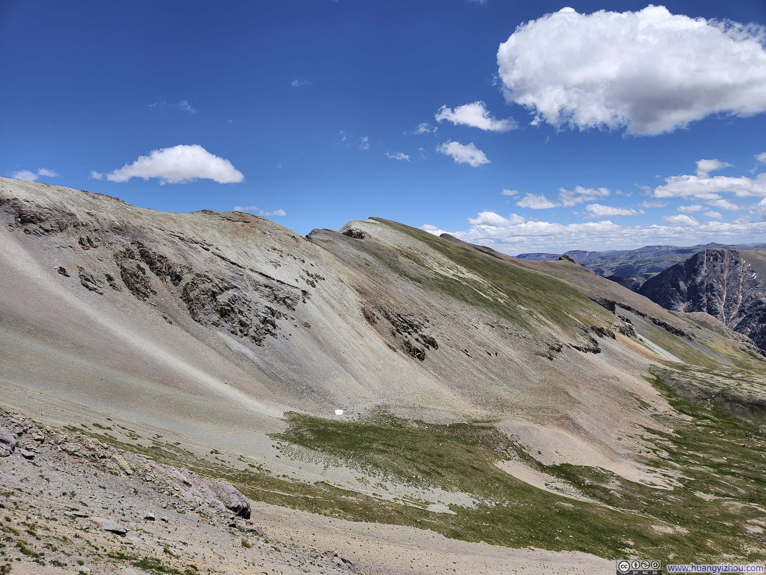
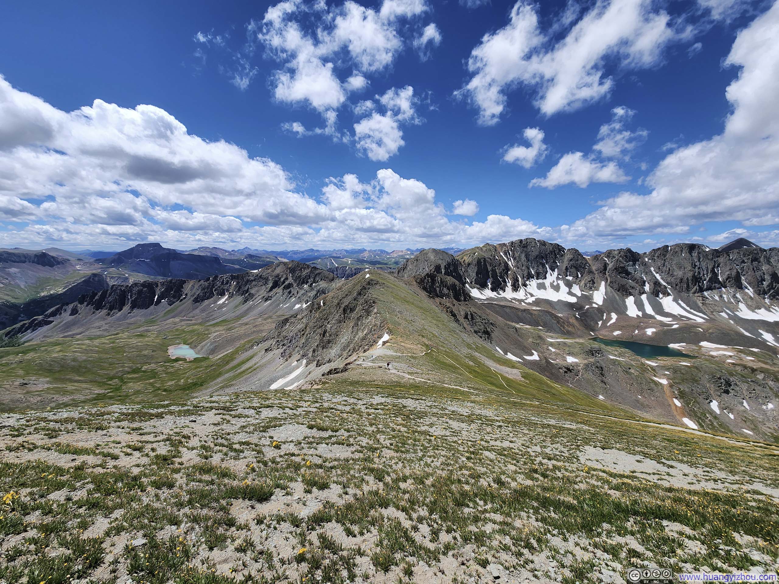
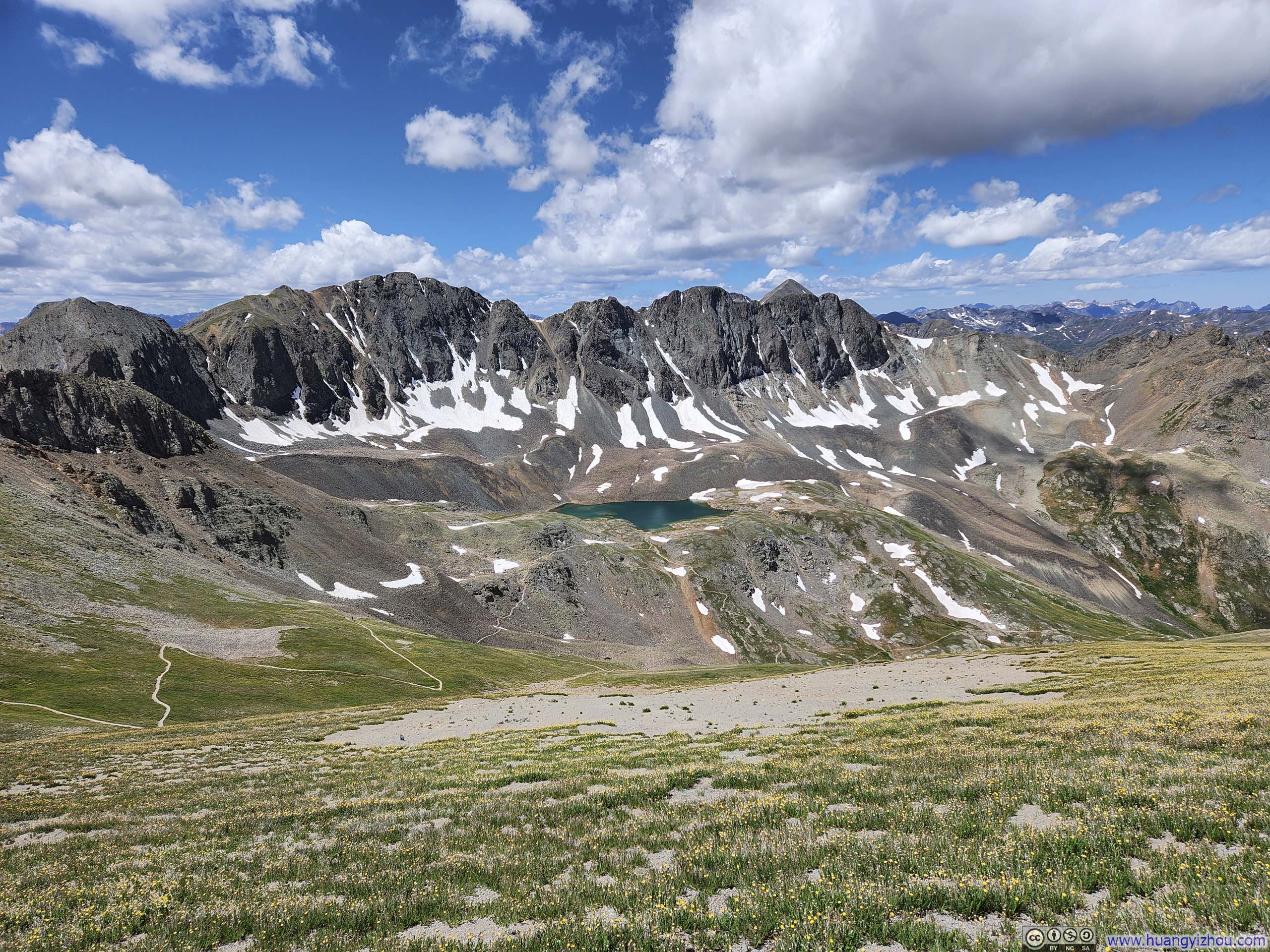
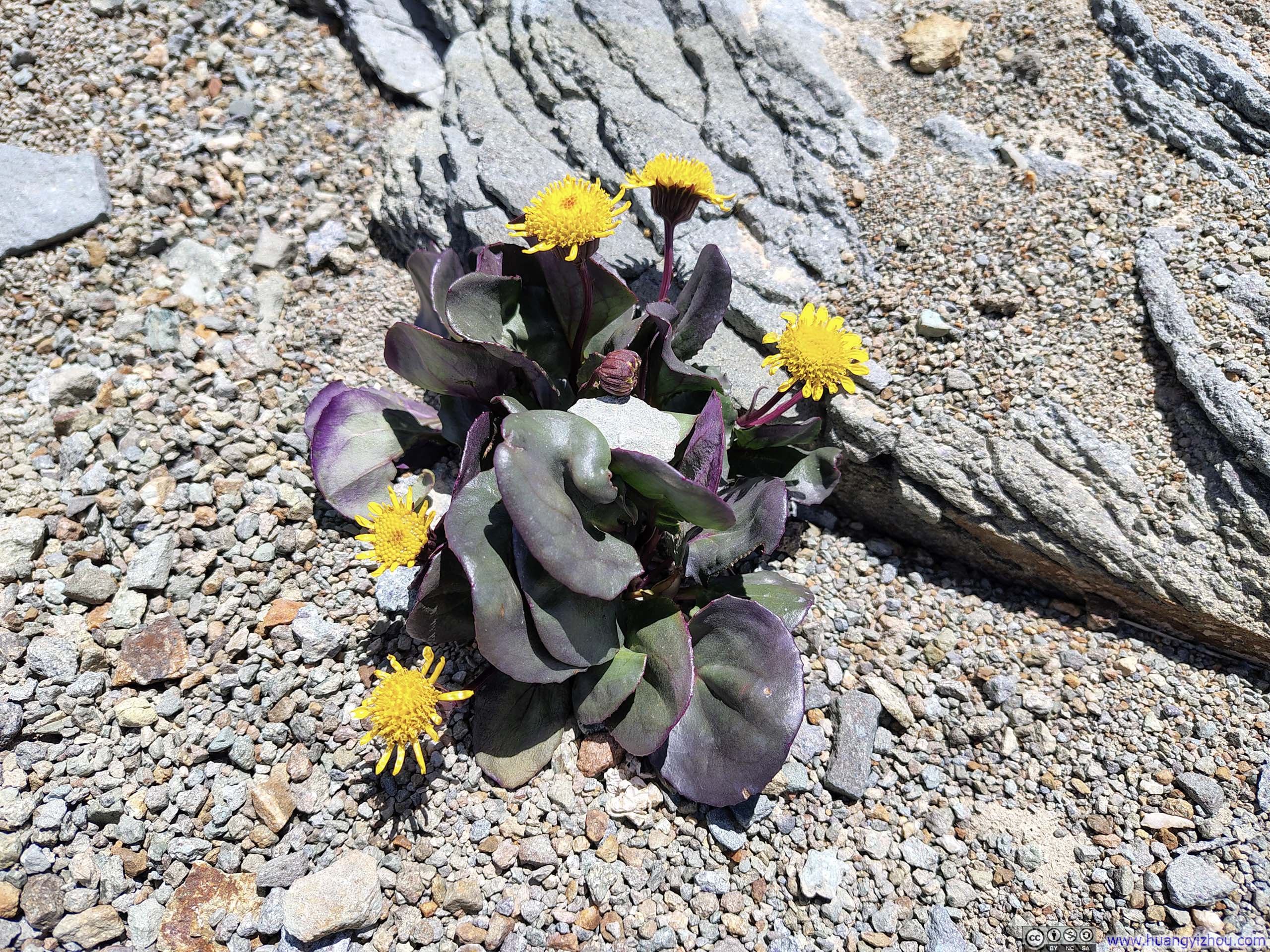
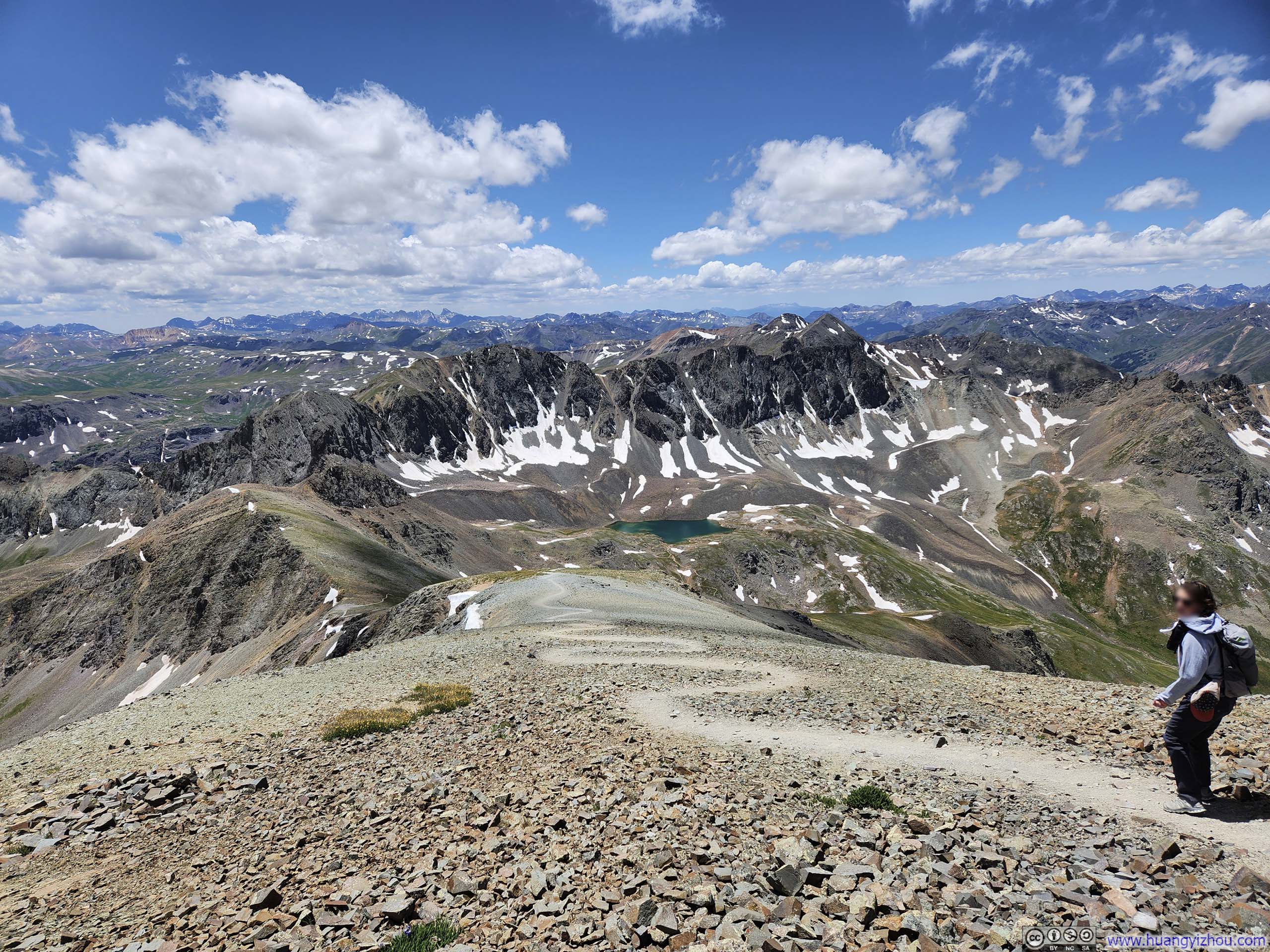
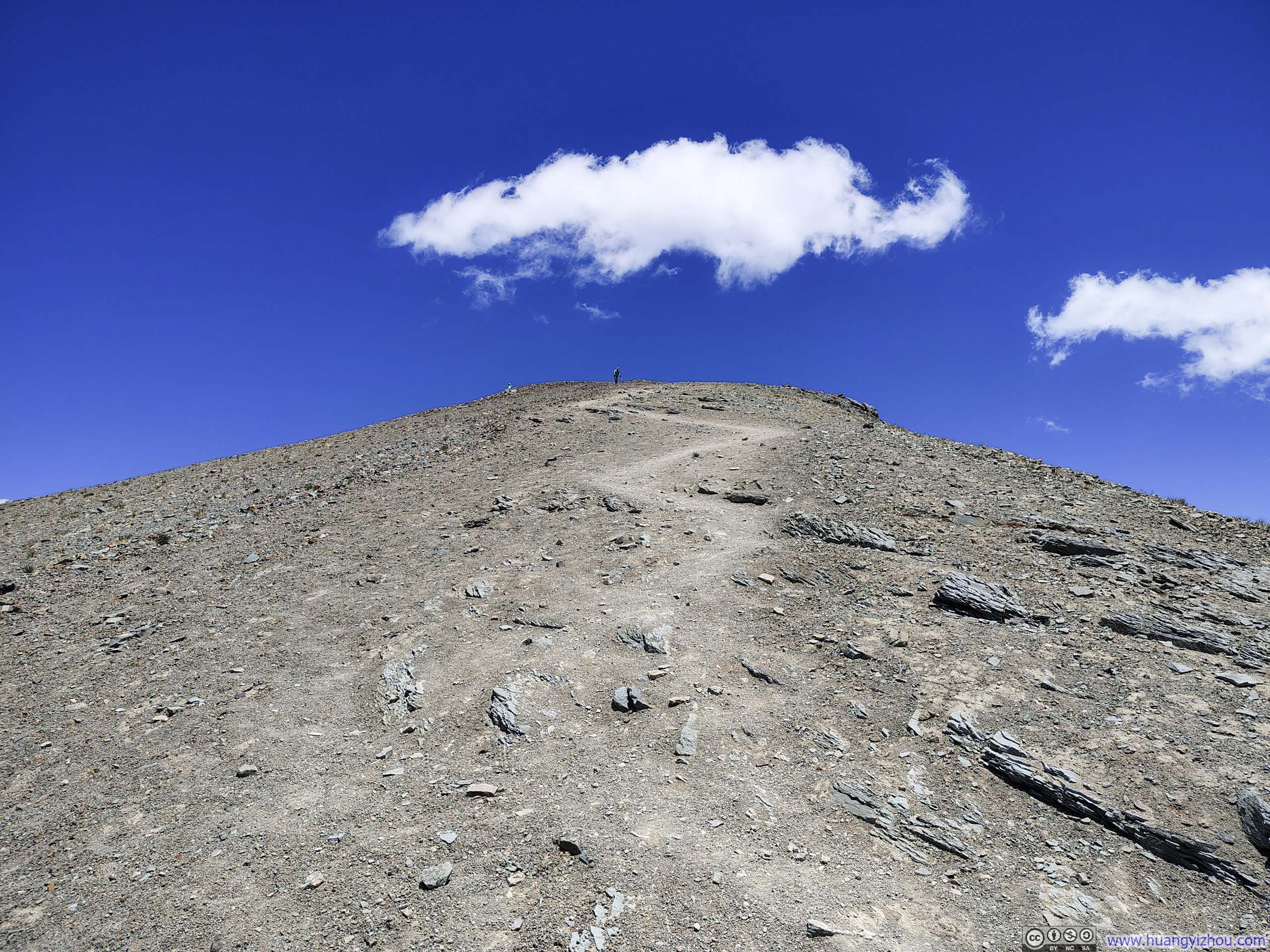
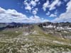
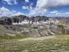
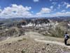
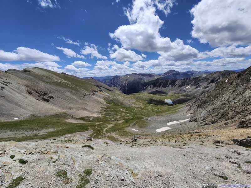
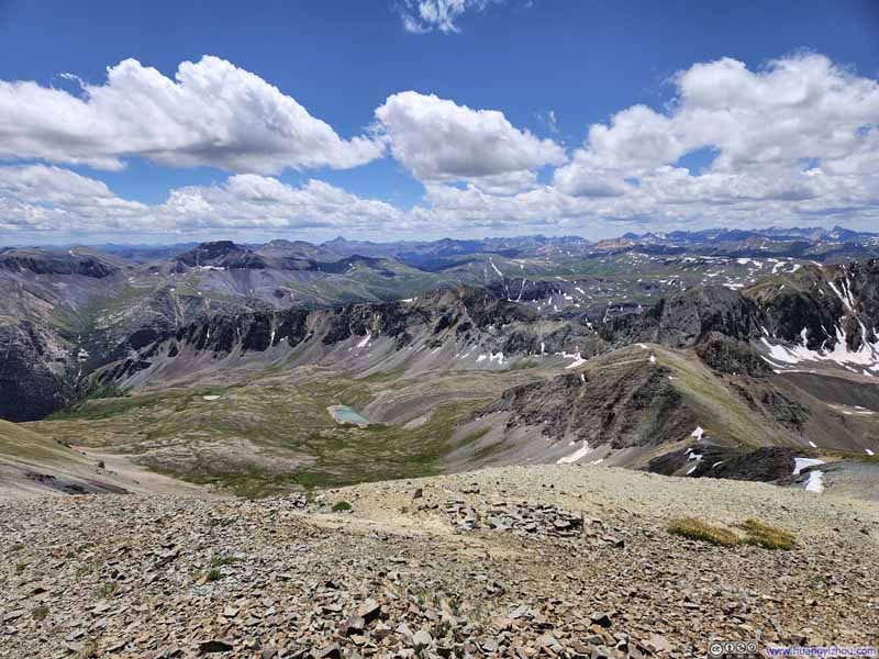
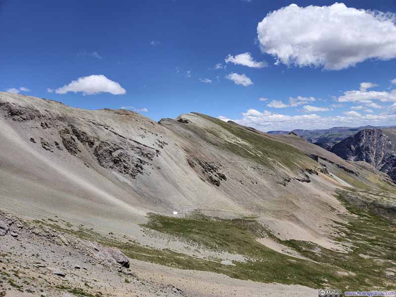
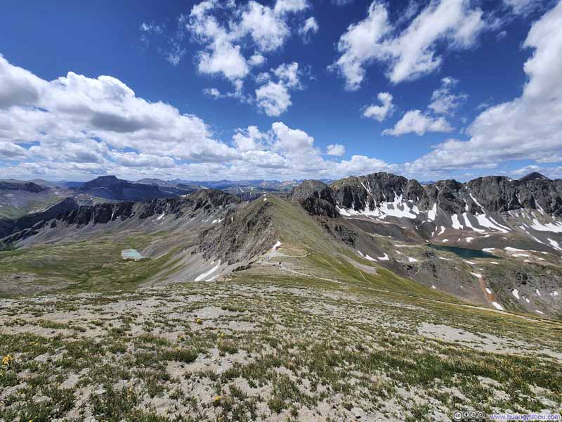
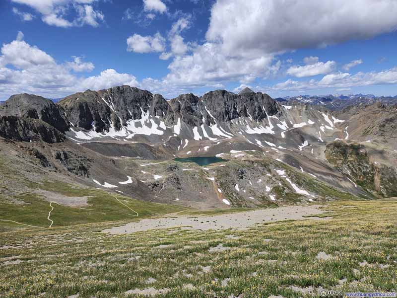
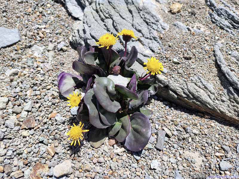
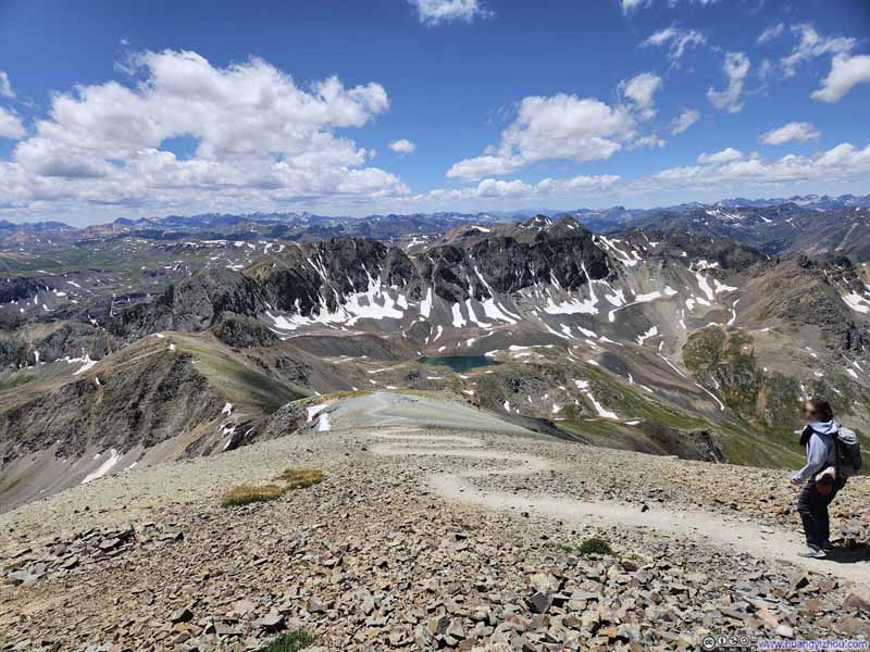
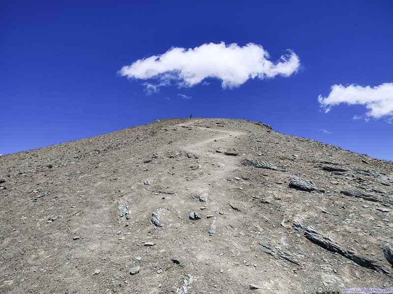
About 340m (1100ft) from the summit, I launched my drone to document me conquering the final homestretch leading towards Handies Peak's summit. Here's the video:
Finally, I reached the summit of Handies Peak just past noon, completing the climb in less than 2 hours after leaving American Basin's upper trailhead.
Unfortunately, today's weather wasn't great, as relatively strong winds made for a chilly summit experience. Although, it was nowhere as bad as my encounter with Uncompahgre Peak two days ago: today the winds were slightly milder and the approach was also more sheltered. While the weather forecast had indicated a clear sky, the presence of scattered clouds above casted drifting shadows on the ground below. A welcomed variation to the skies, but it also posed some challenges in photographing the landscape below.
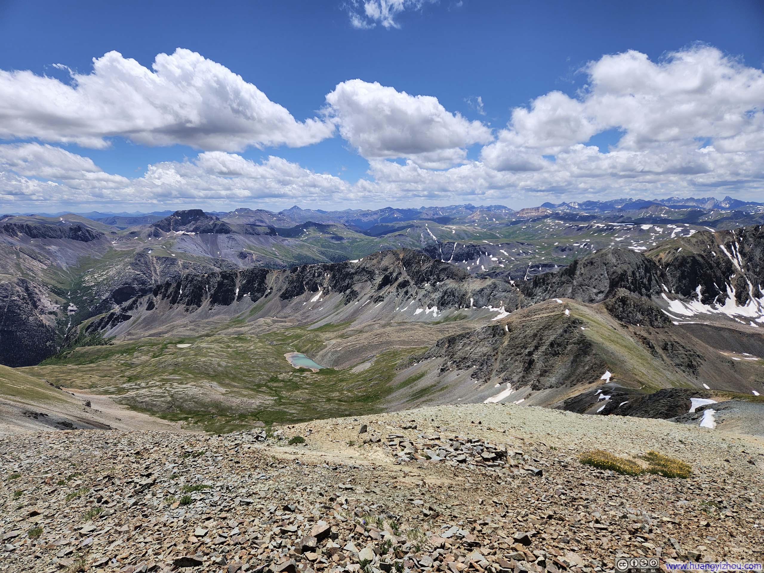
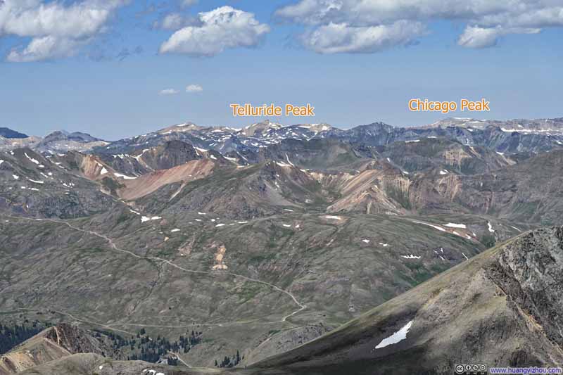
In terms of the views, apart from the snow-dressed American Peak rising above Sloan Lake nearby, I appreciated the proximity of Handies Peak to the more colorful parts of San Juan's. From Redcloud Peak to the north and the ones around Cinnamon Pass further west to the Red Mountains, the landscape had enough orange and red components to complement the blooming wildflowers and verdant meadows in the lower American Basin, making the views enchanting and not overwhelming.
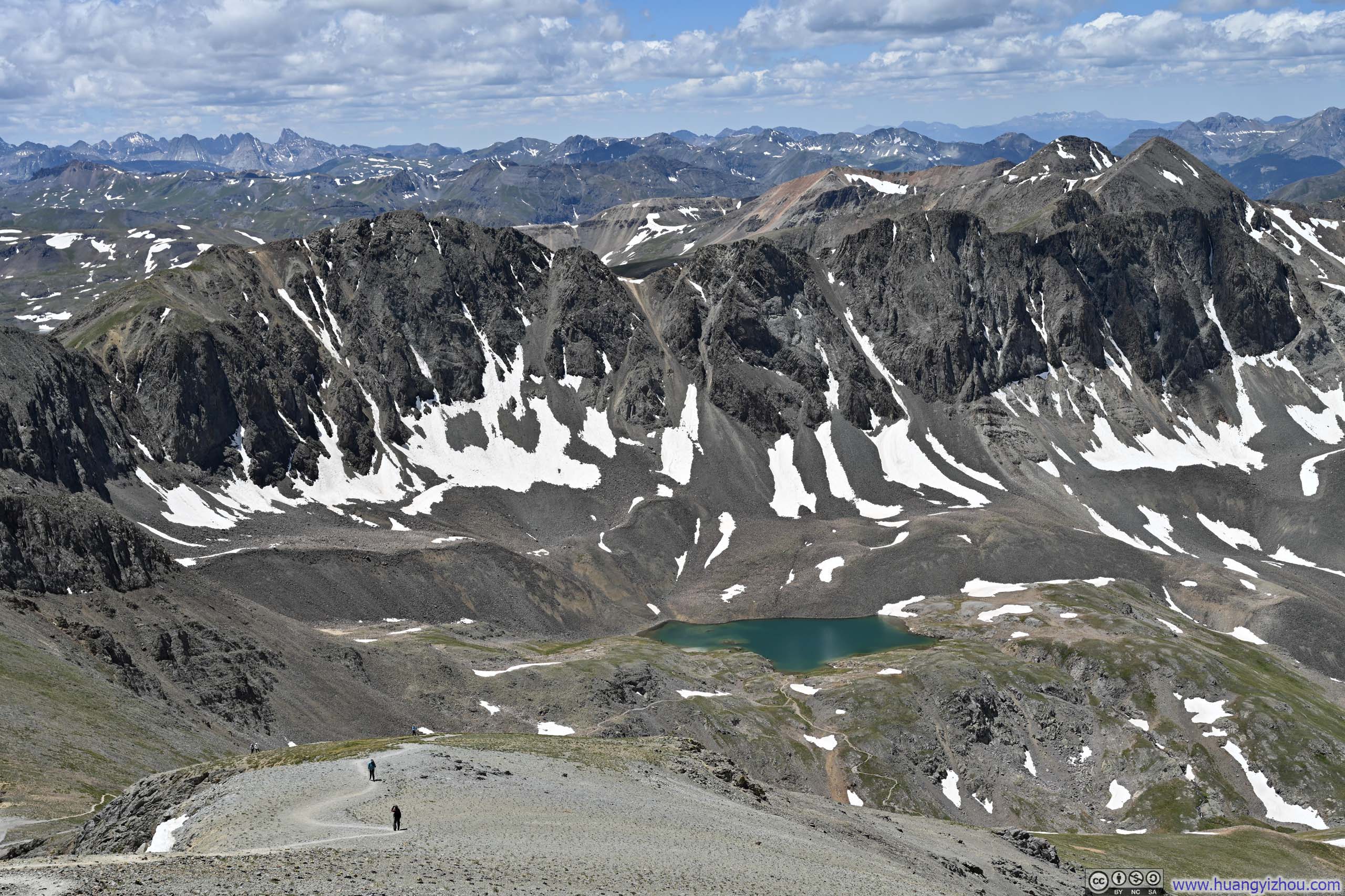
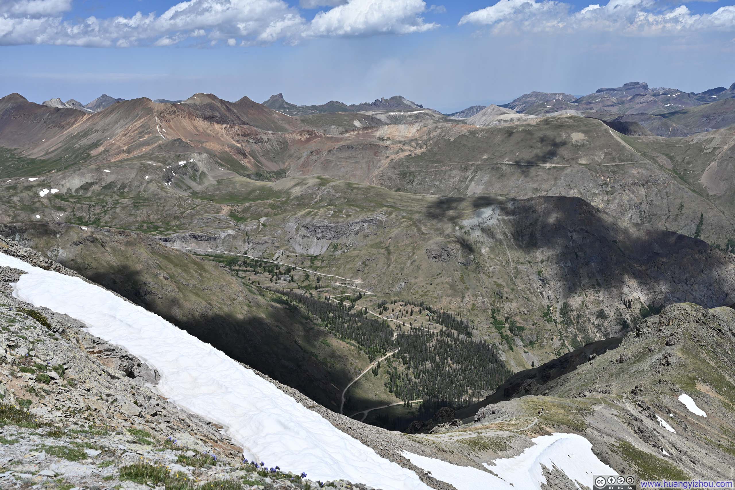
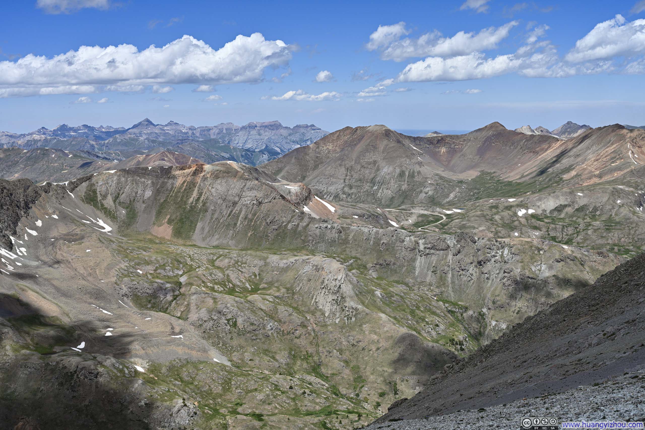
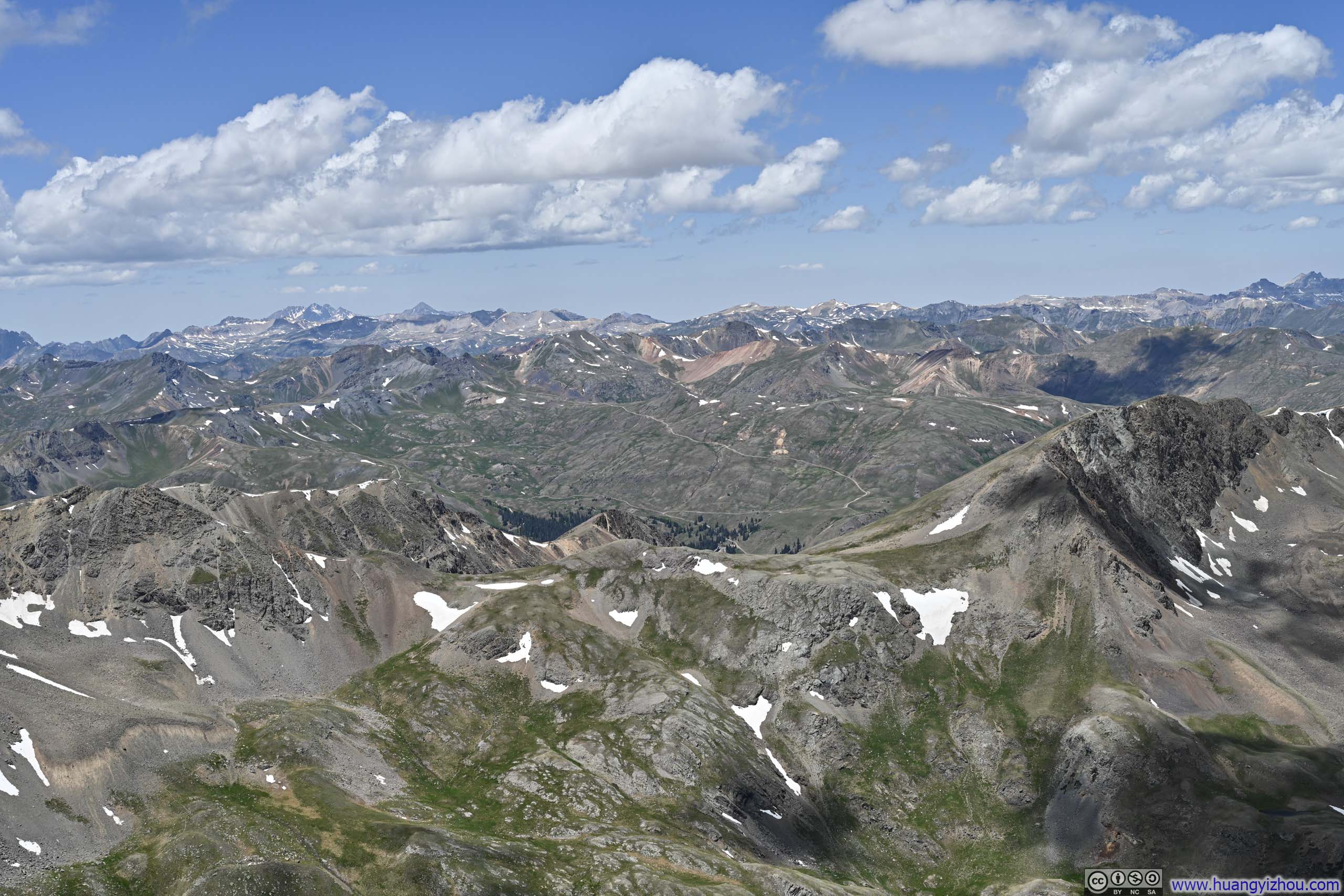
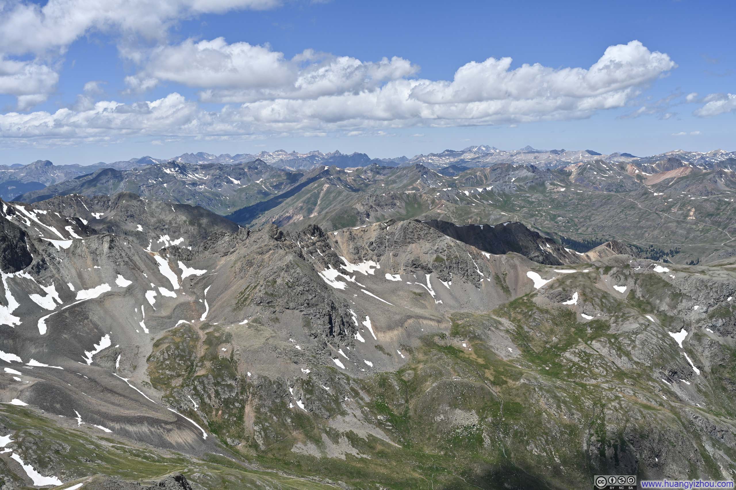
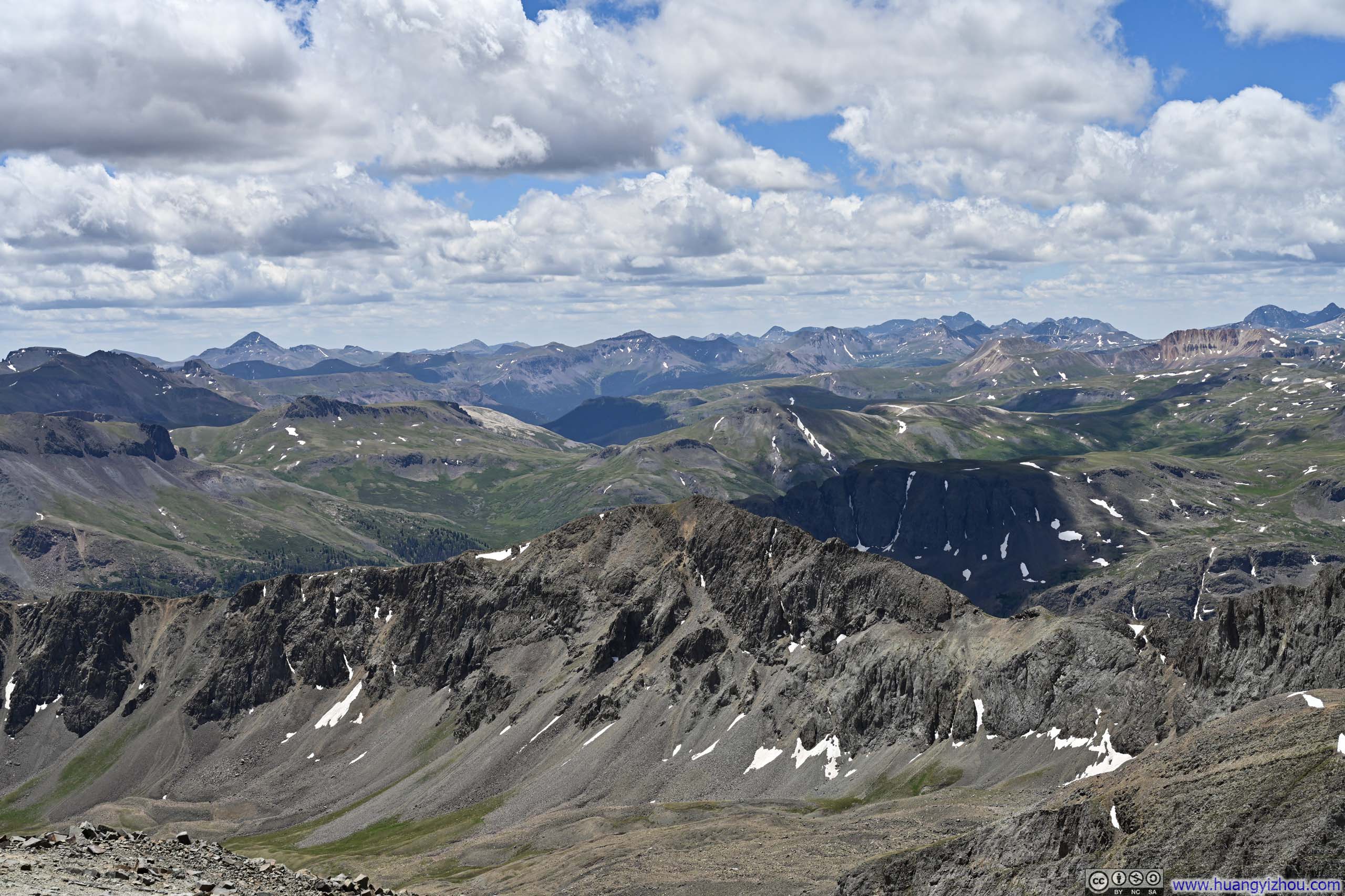
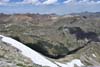
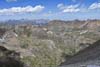
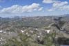
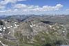
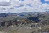
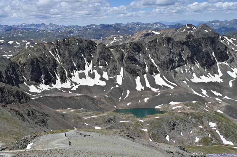
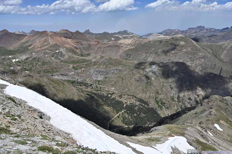
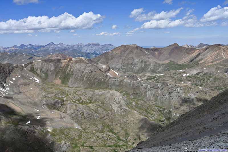
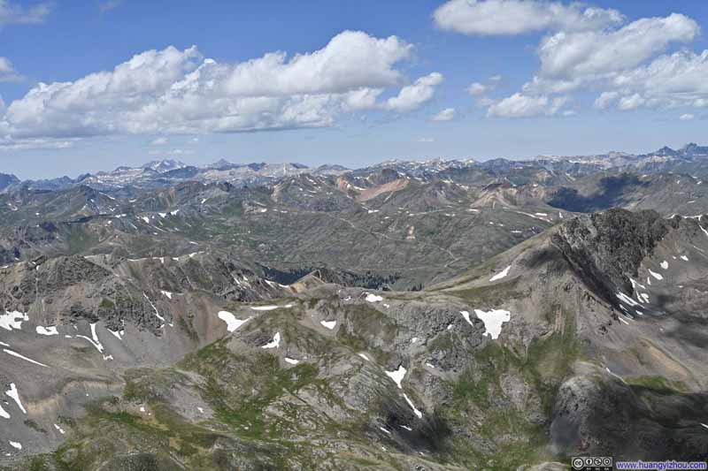
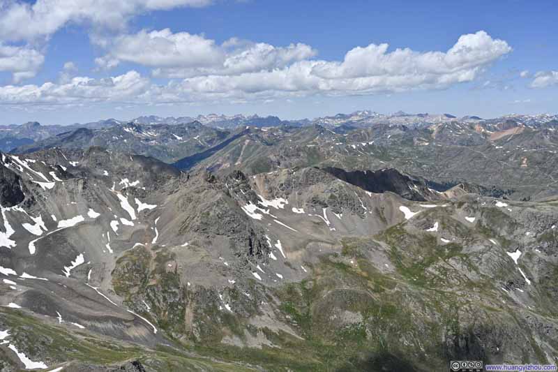
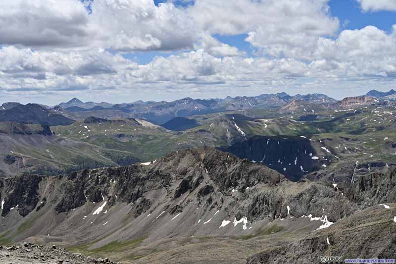
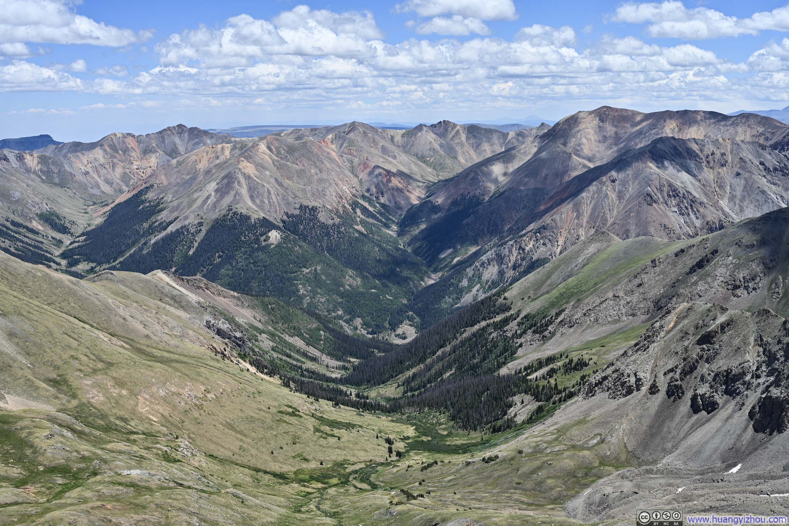
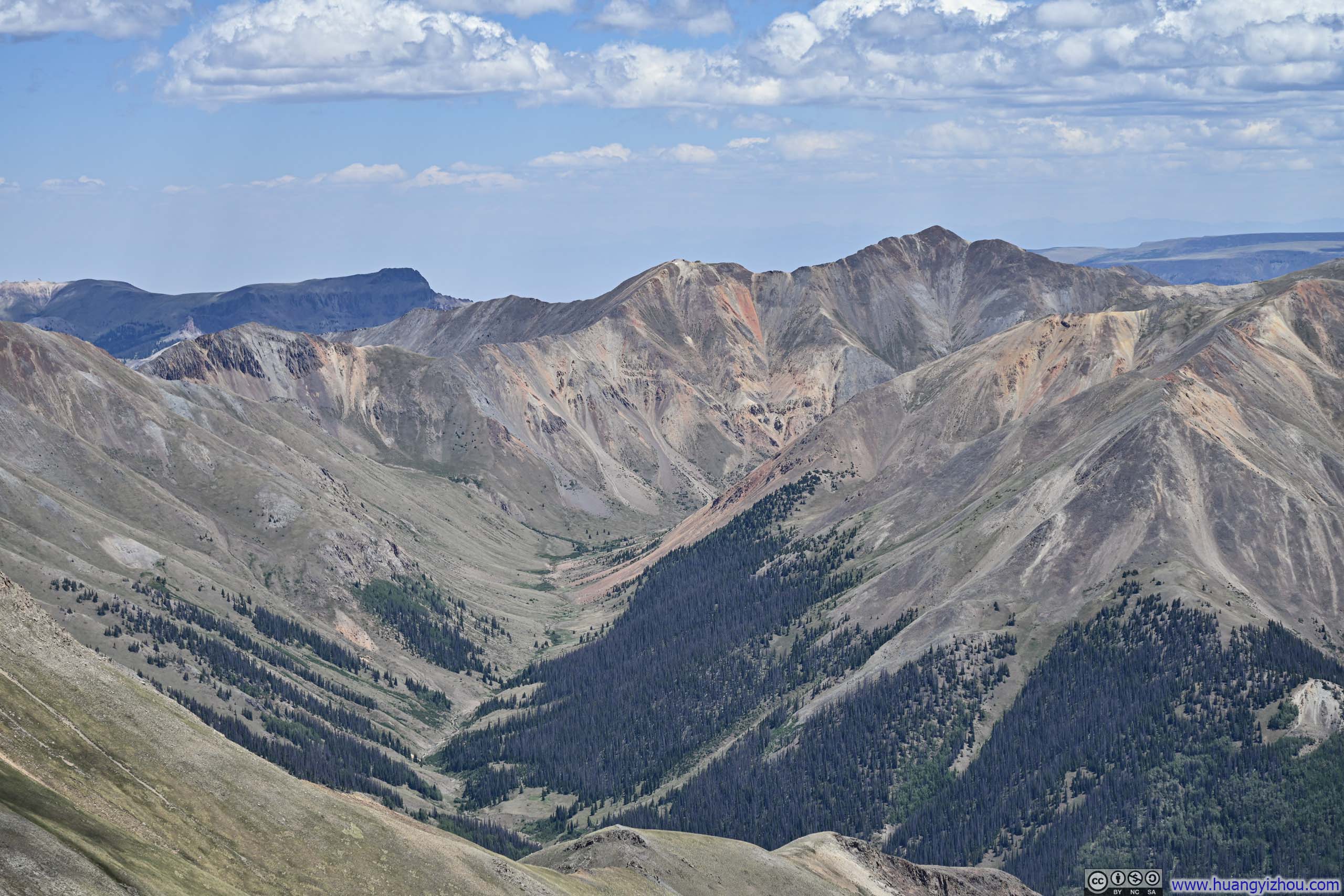
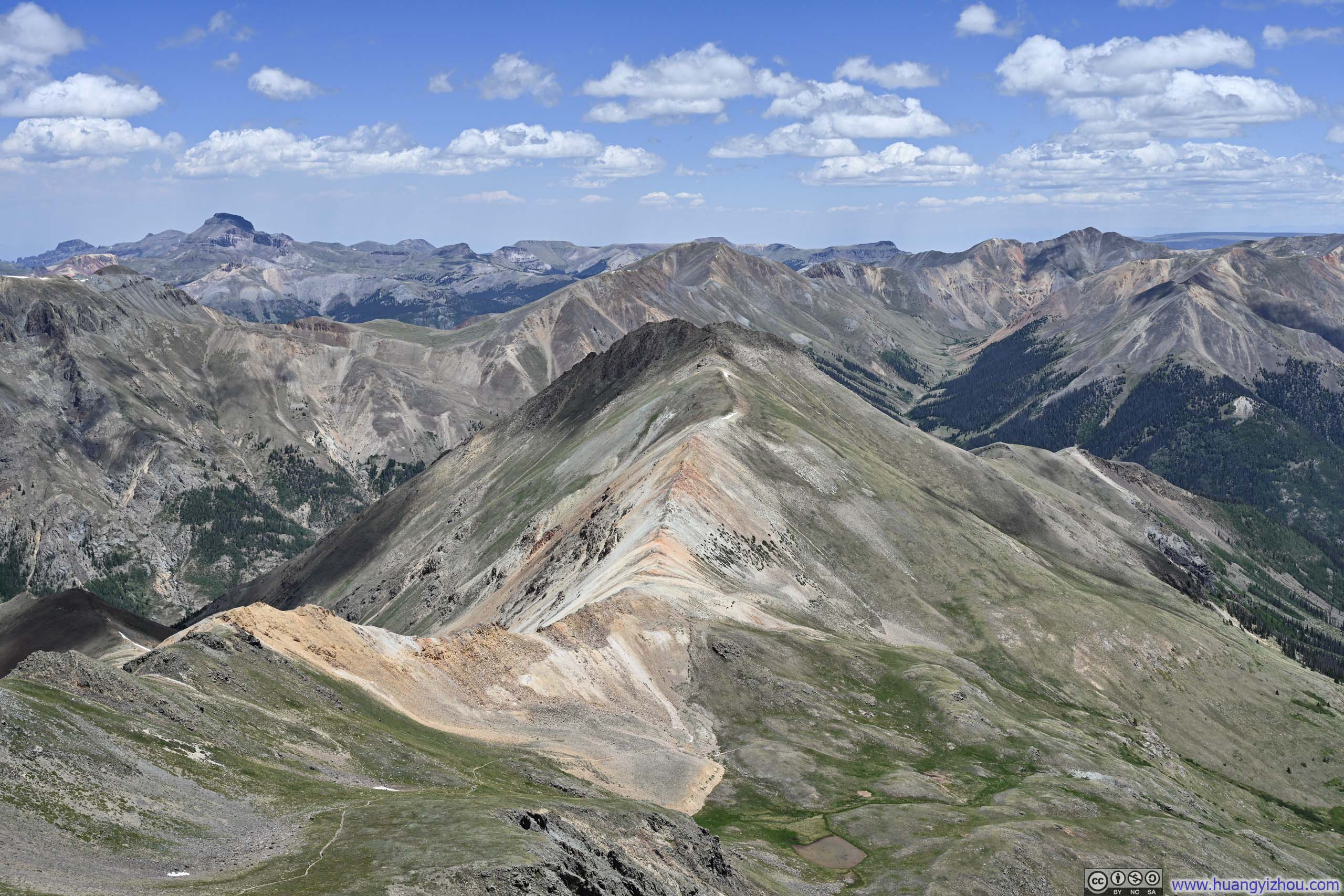
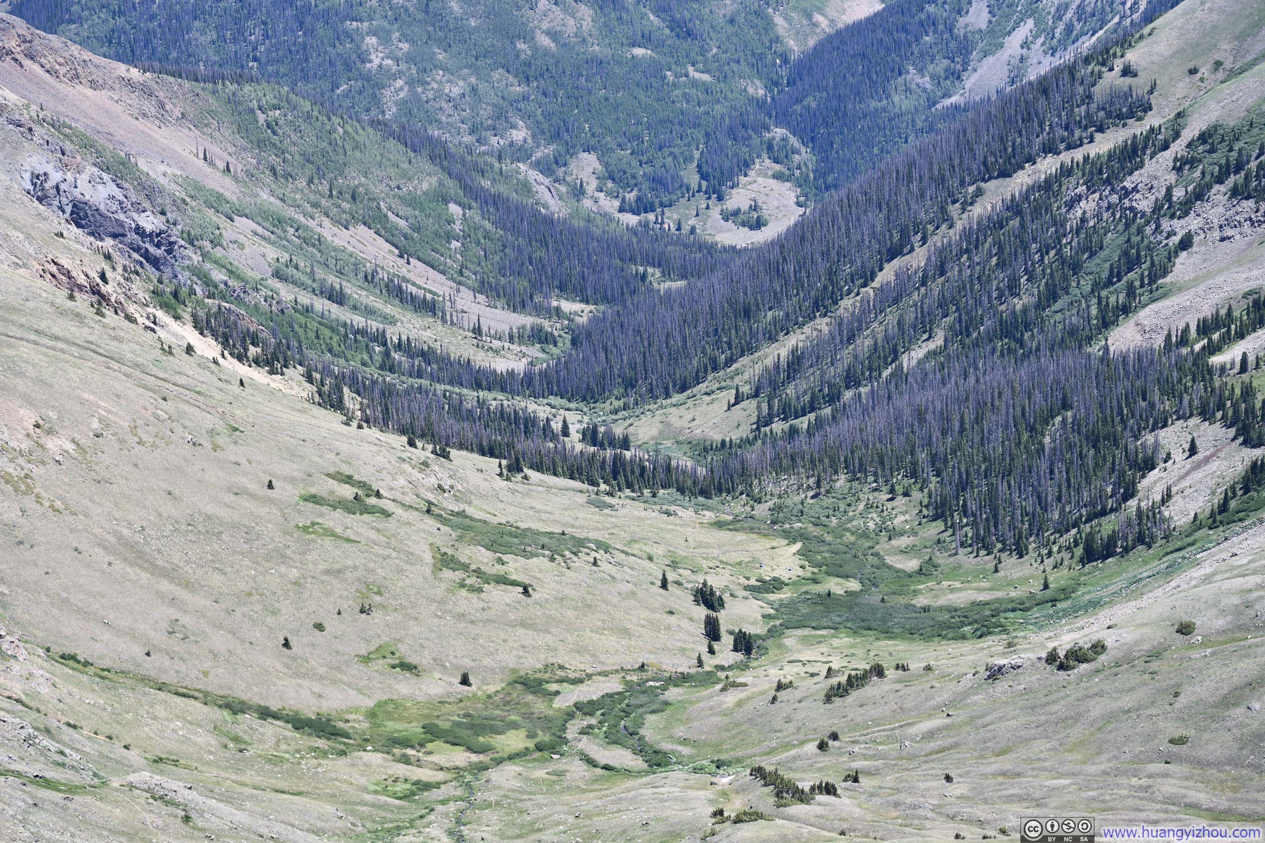
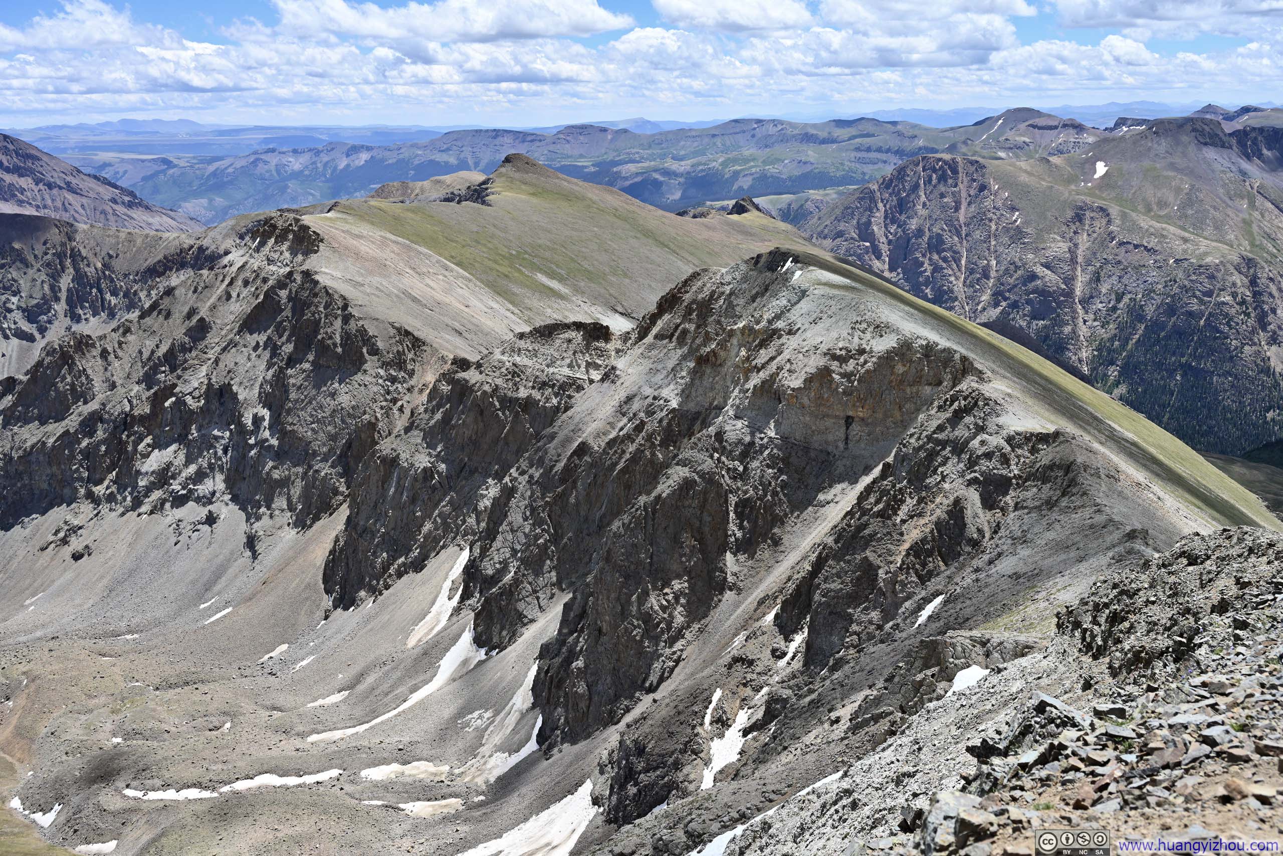
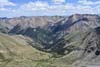
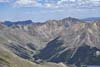
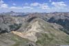
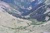
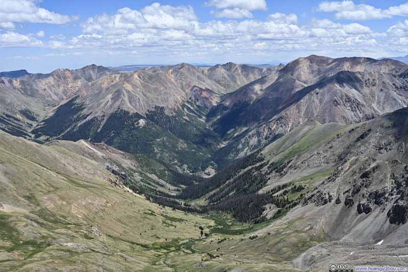
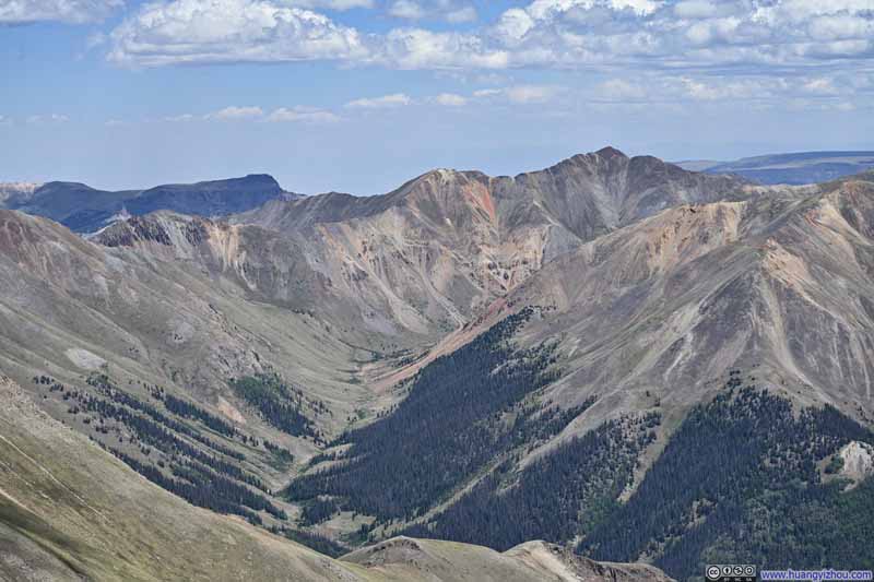
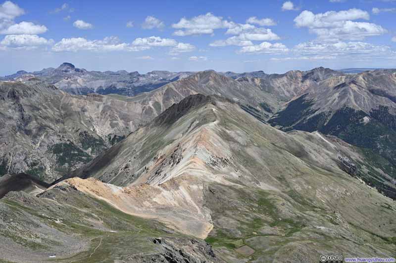
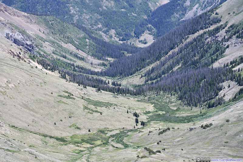
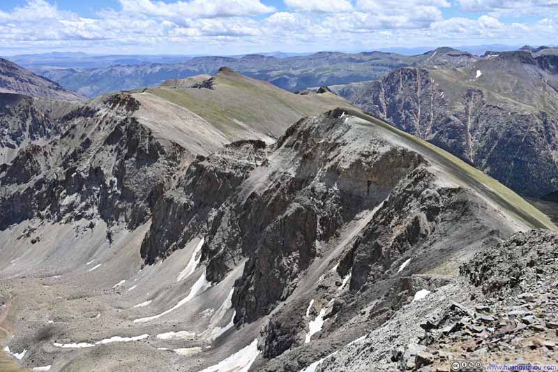
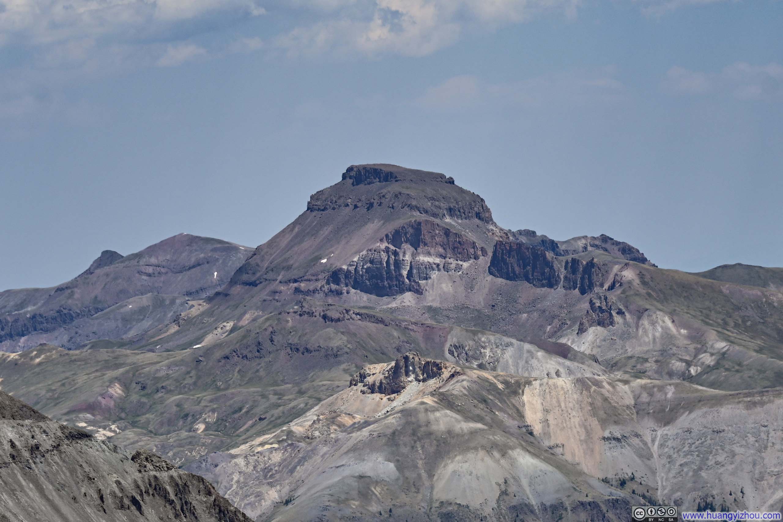
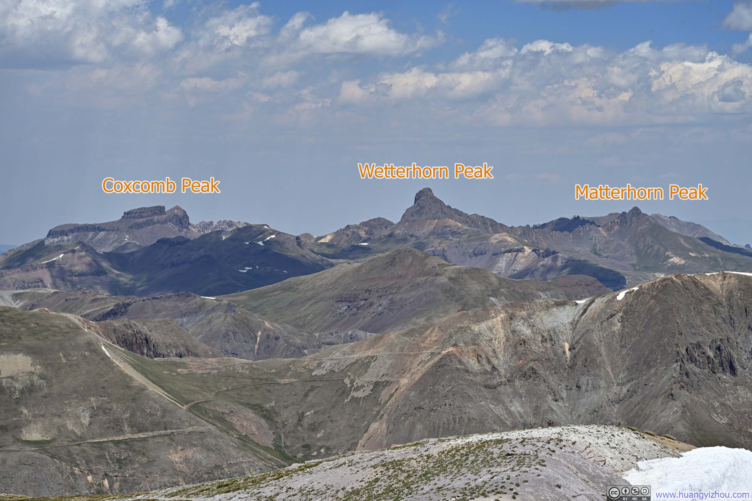
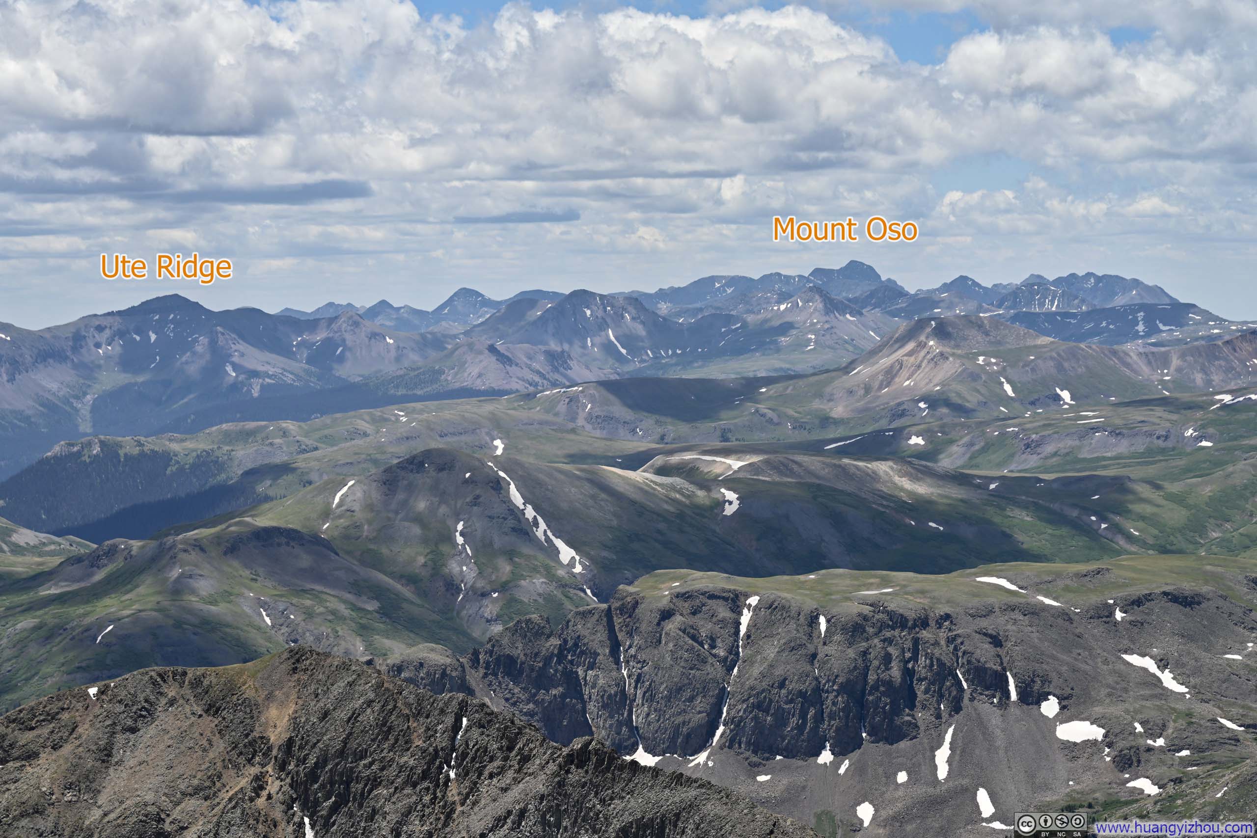
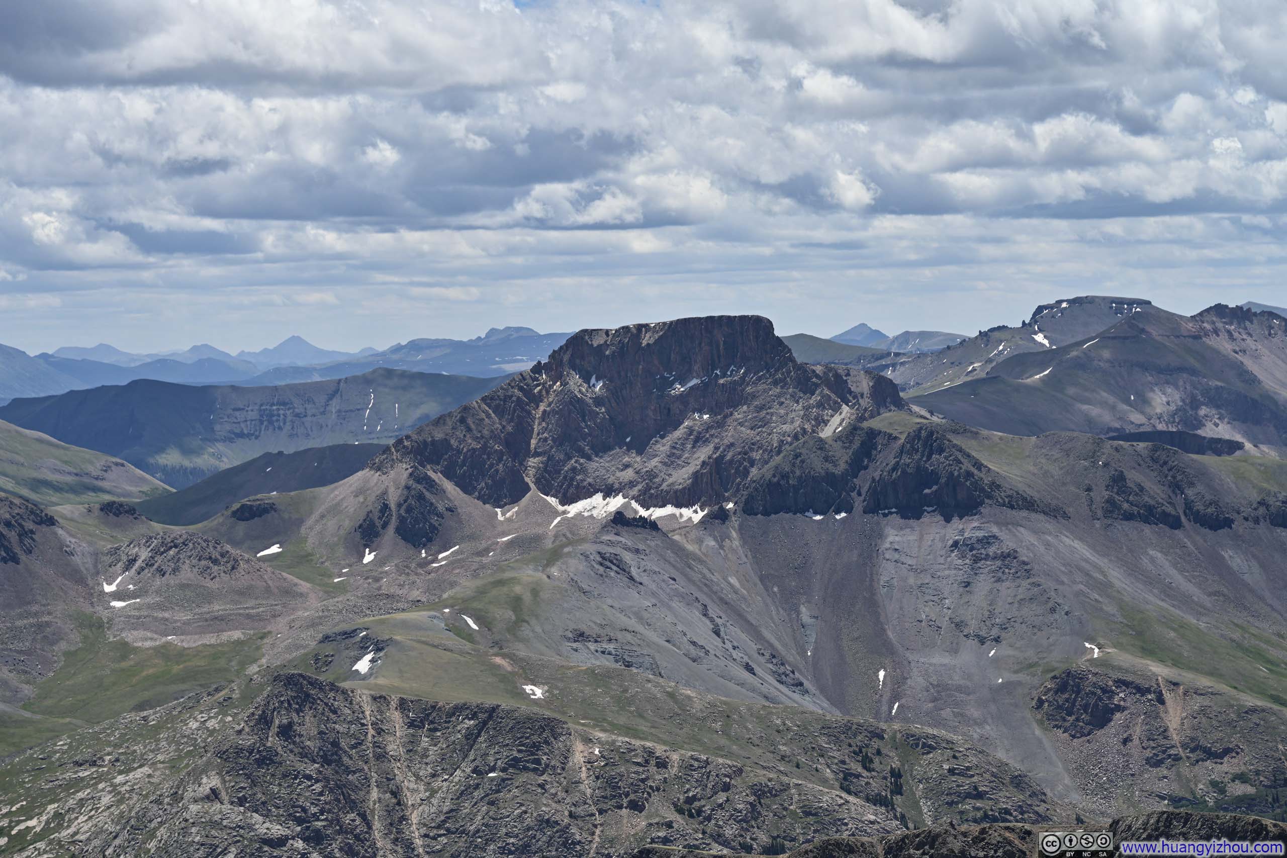
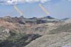
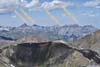
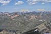
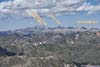
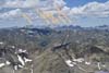
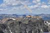
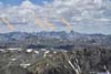
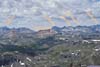
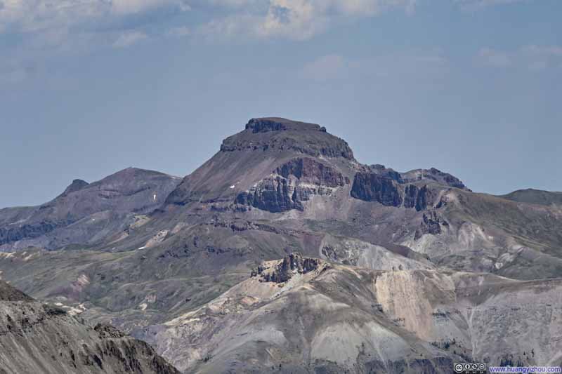
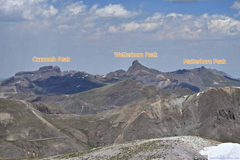
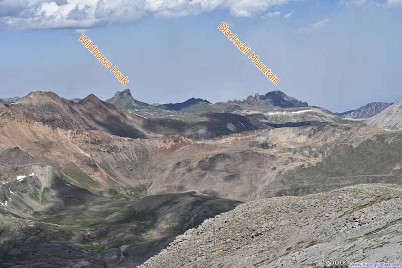
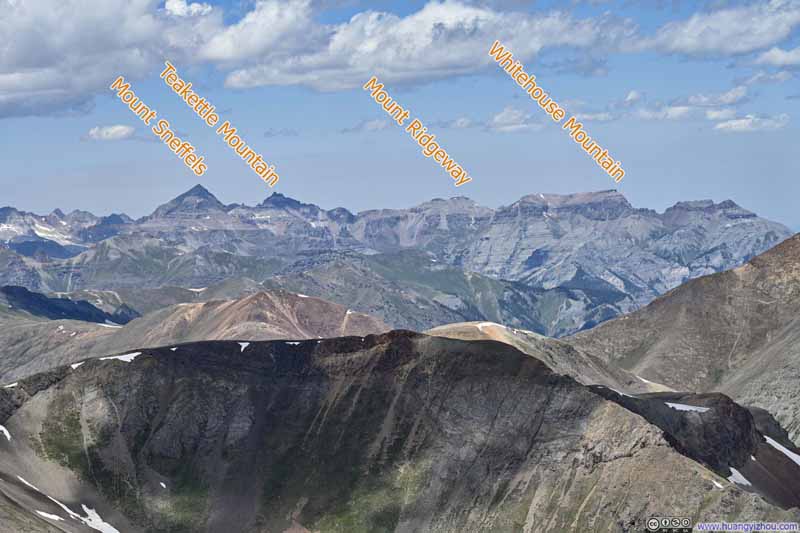
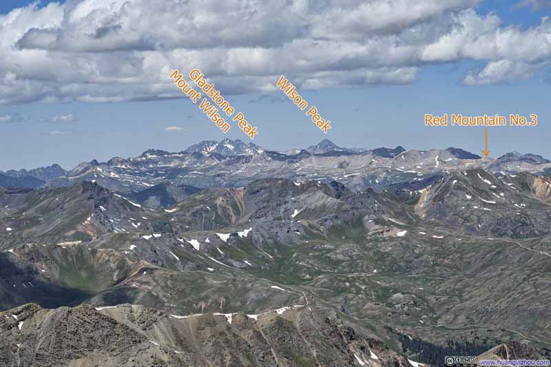
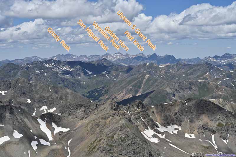
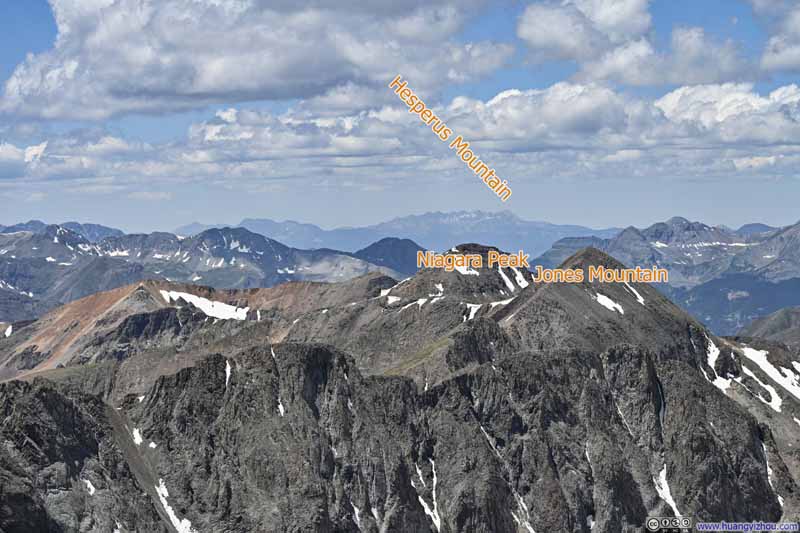
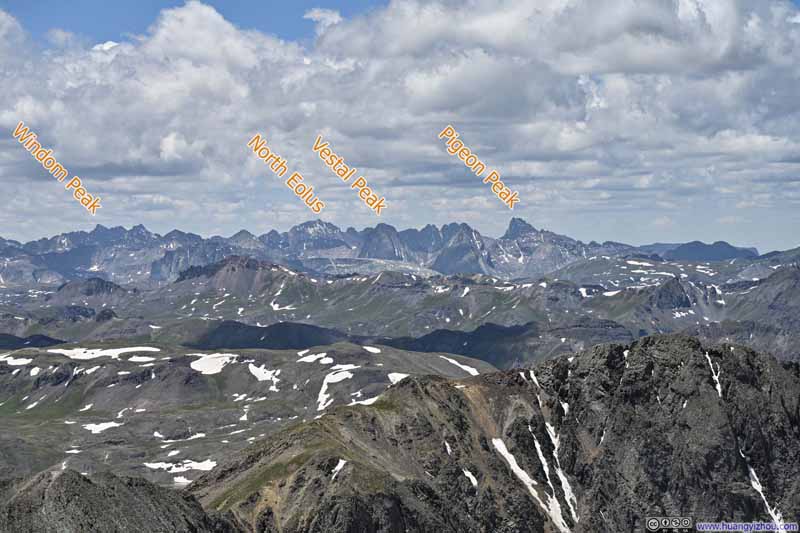
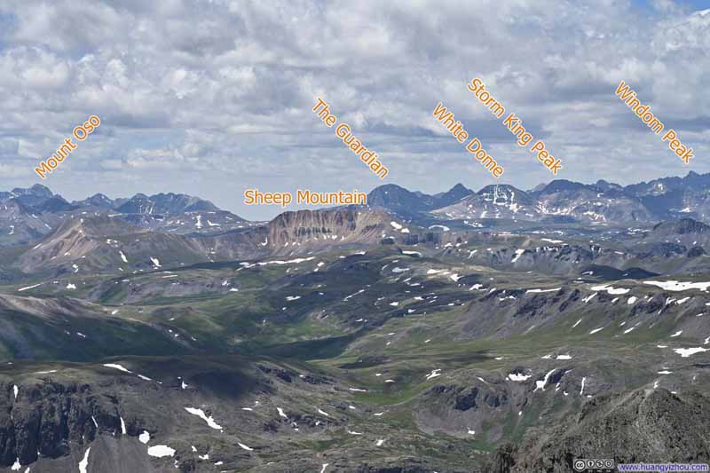
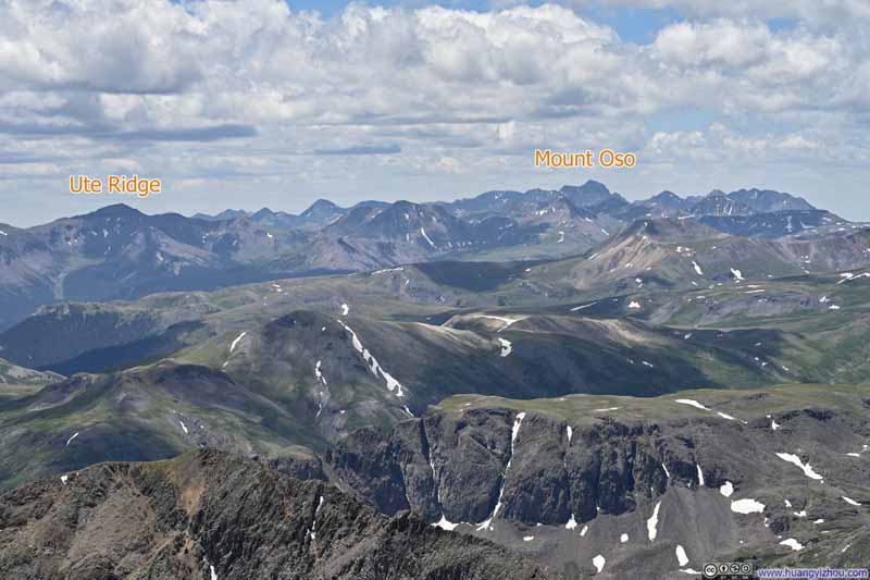
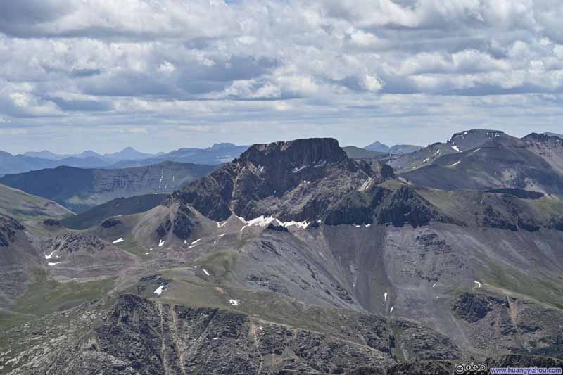
And below is a slideshow of the prominent mountains visible from Handies Peak, including Uncompahgre Peak (p1) and Wetterhorn Peak (p2) that I climbed in the previous two days, Sneffels Group (p4), Wilson Group (p6) and Needle Mountains (p9) where 14ers congregate, and many others in between.
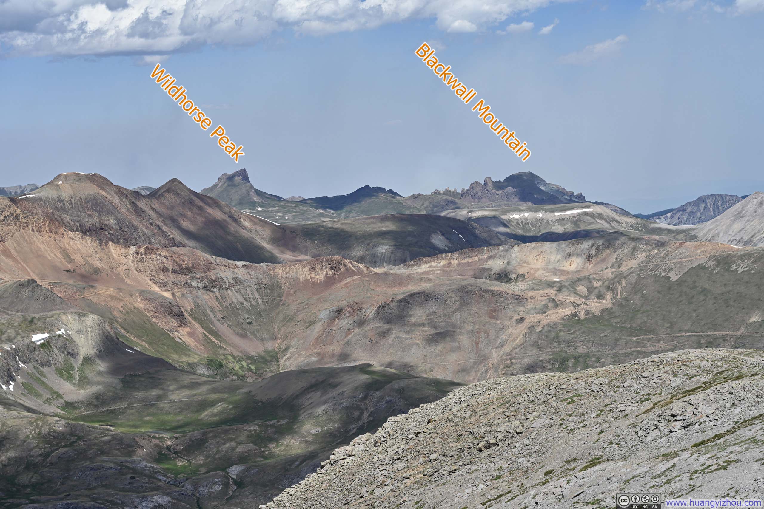
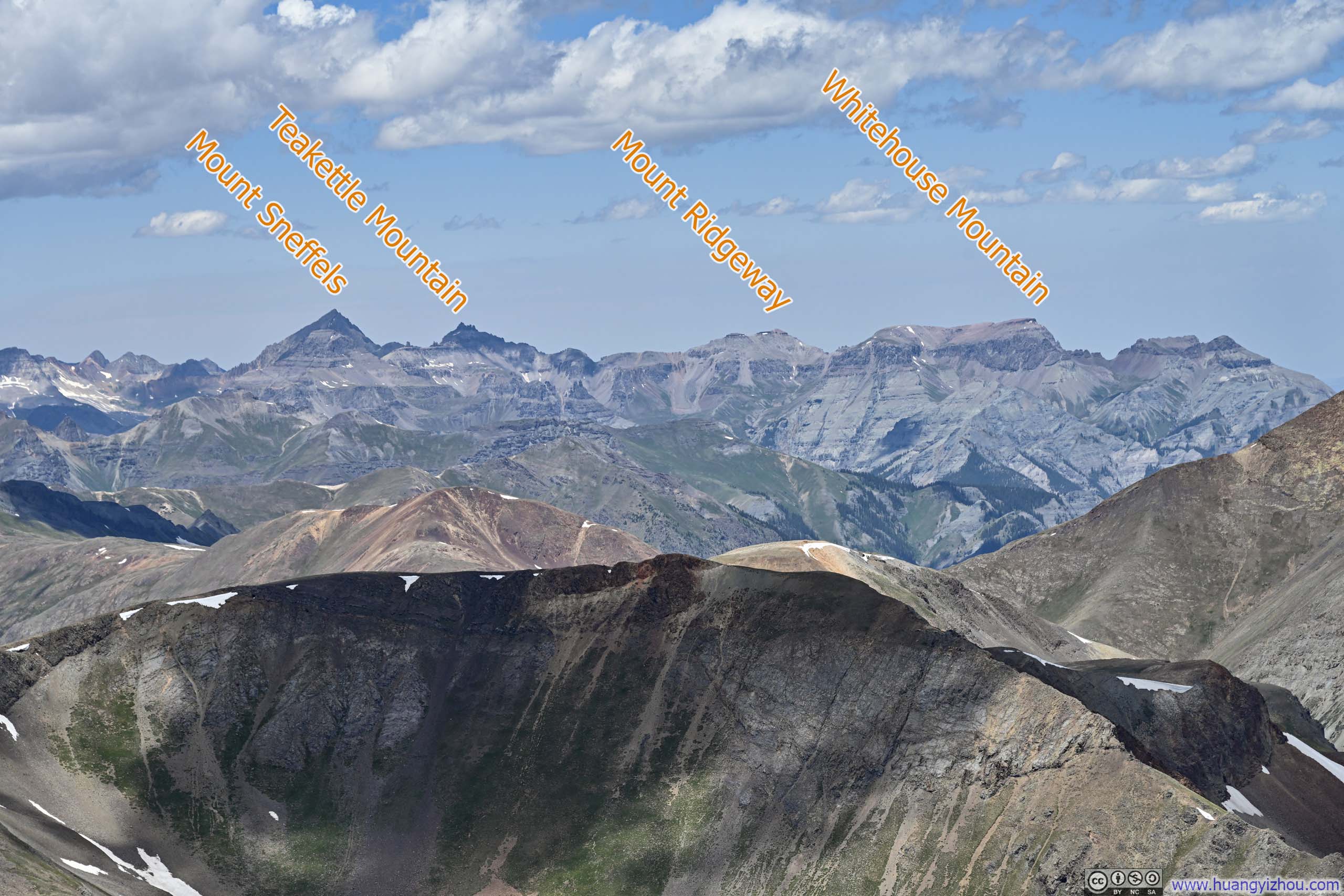
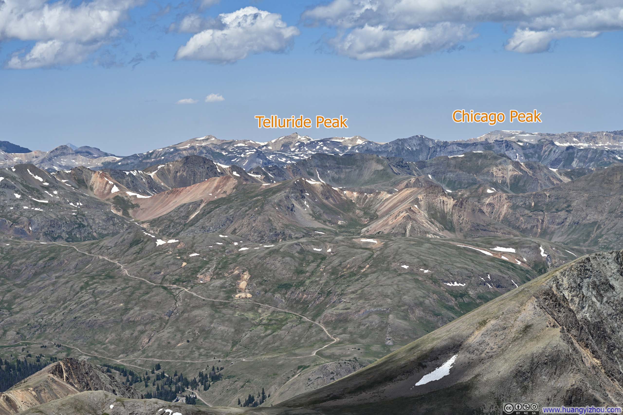
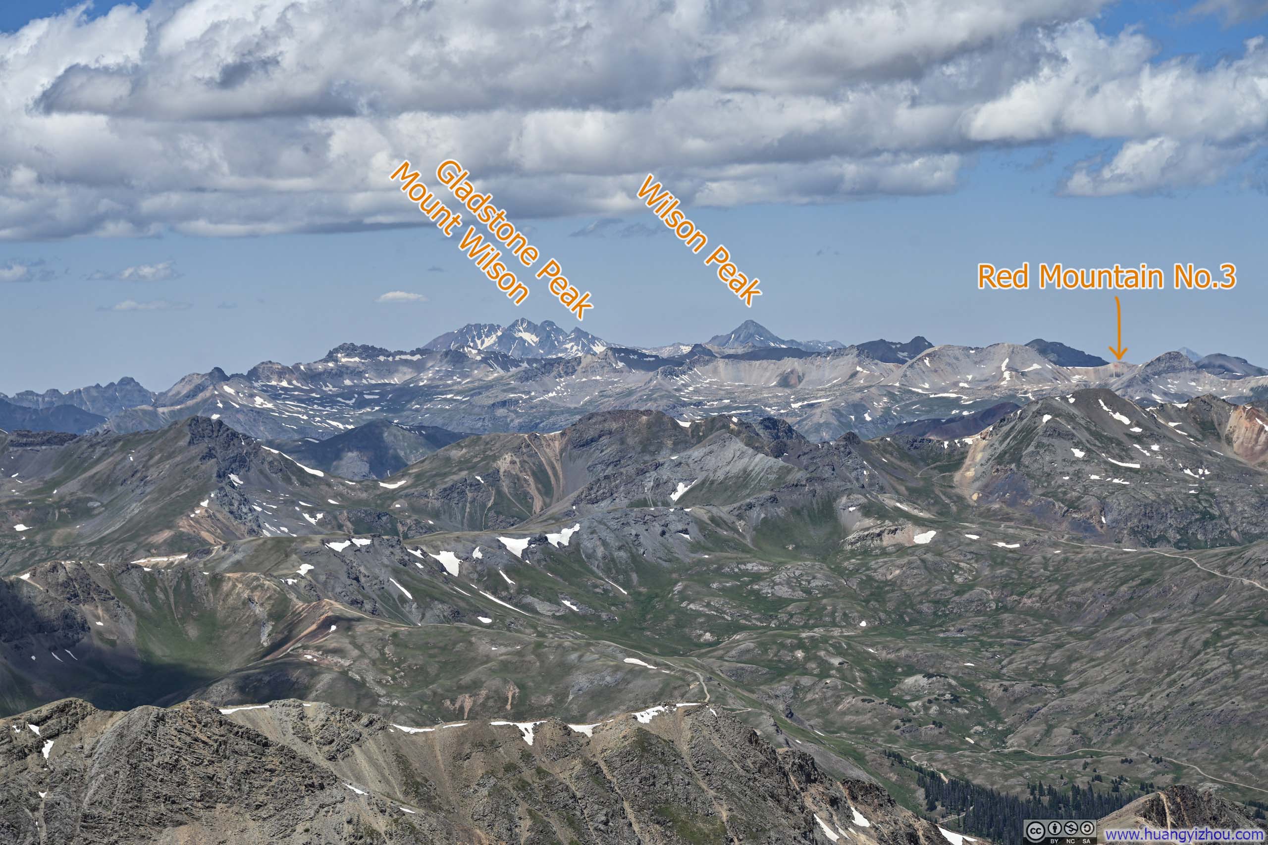
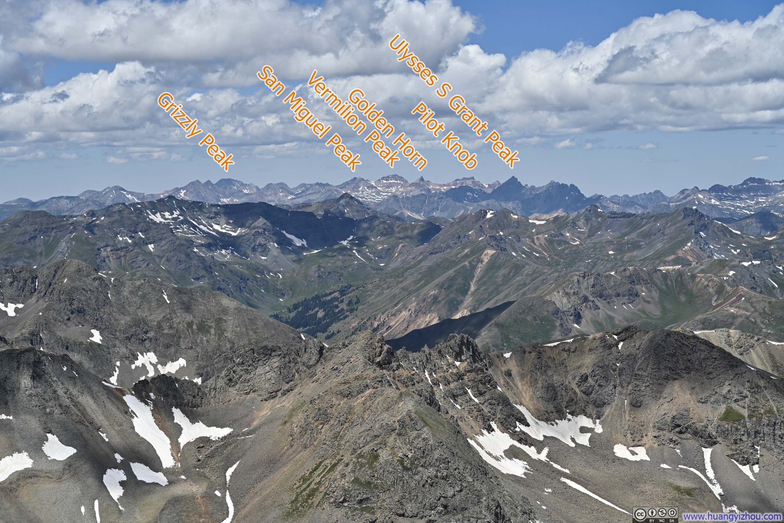
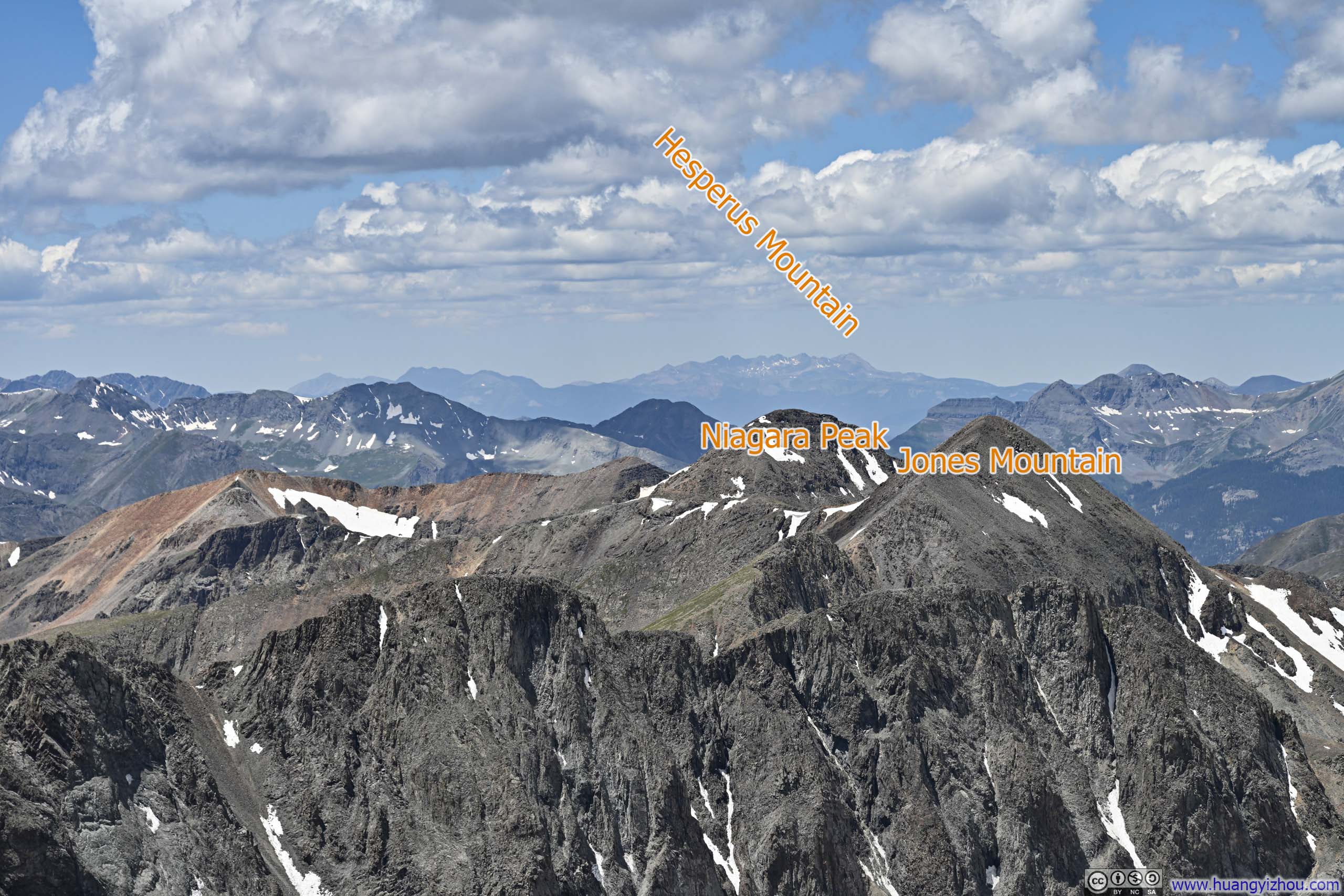
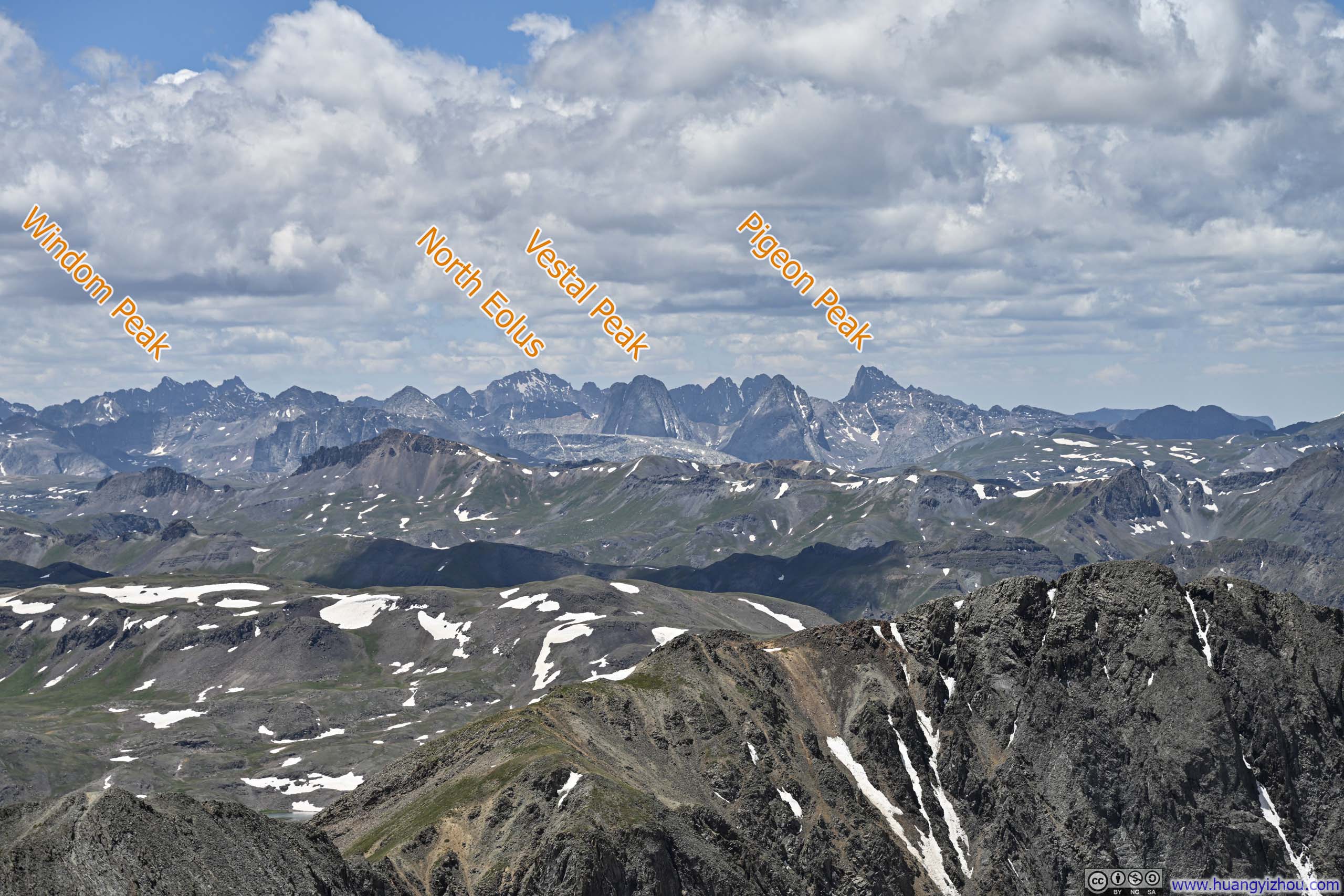
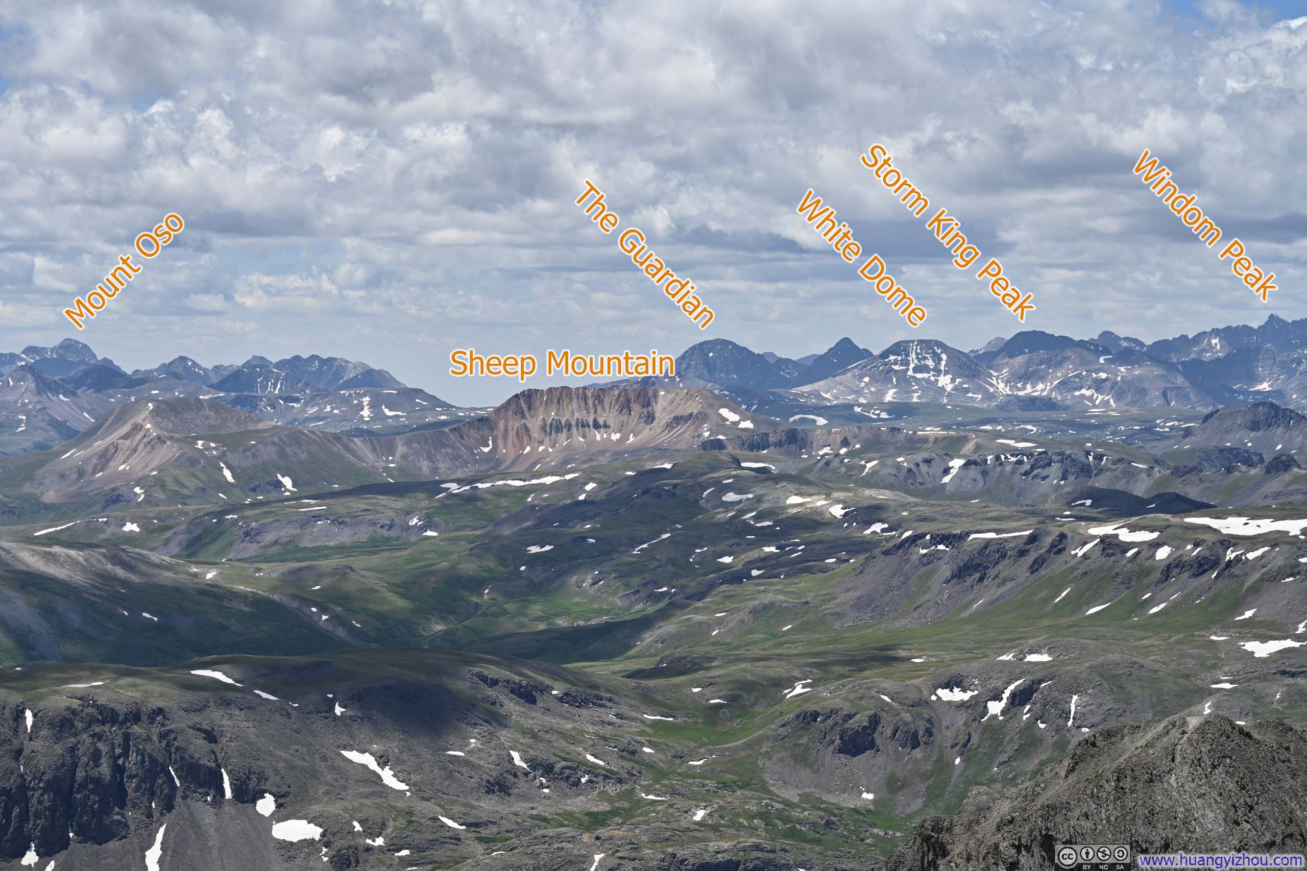
Here's a video I captured from the summit of Handies Peak:
11 seconds, 2160p60, H265 only, 20Mbps/29MB file size.After spending about 40 minutes on Handies Peak, I started my descent at 12:45pm.
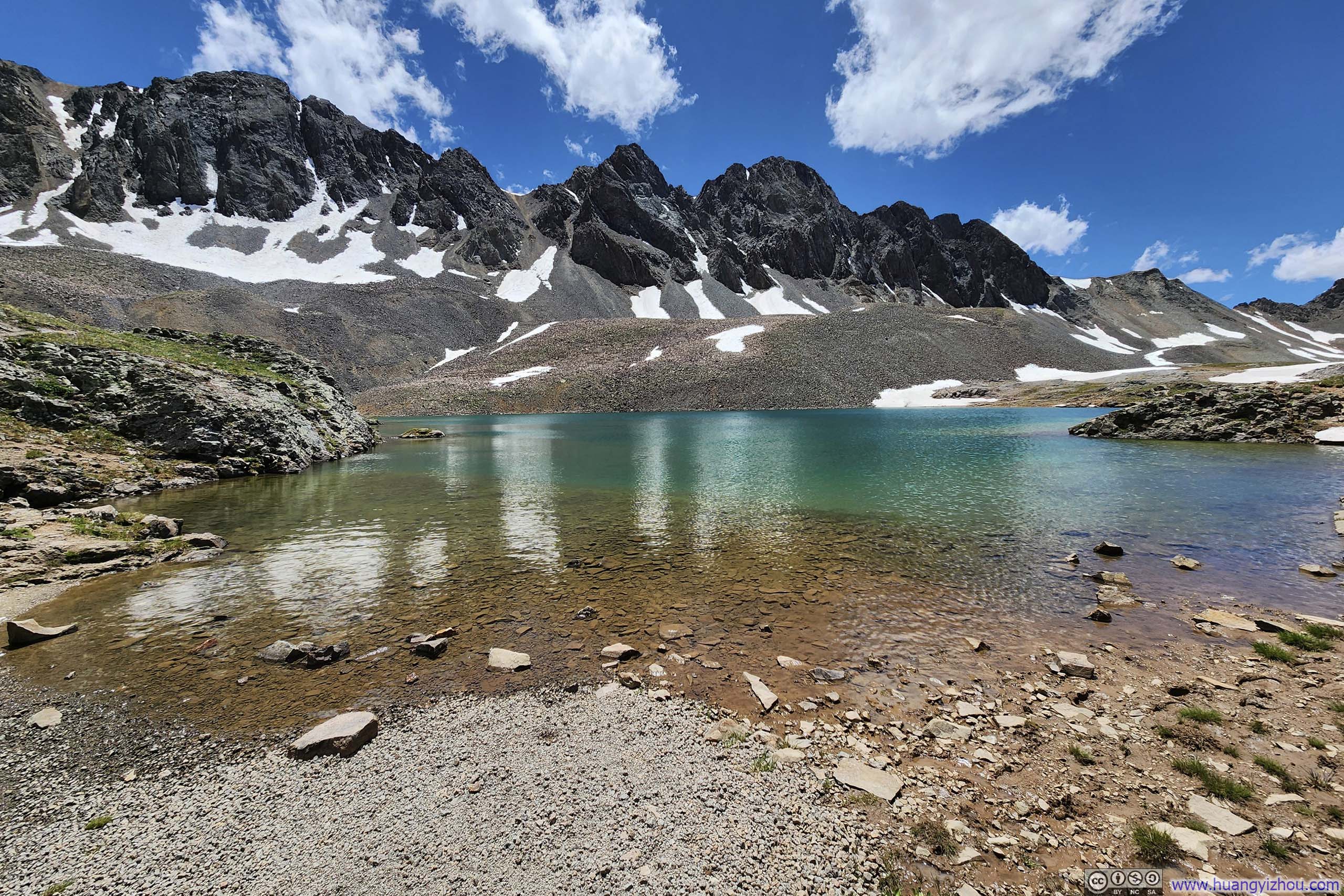
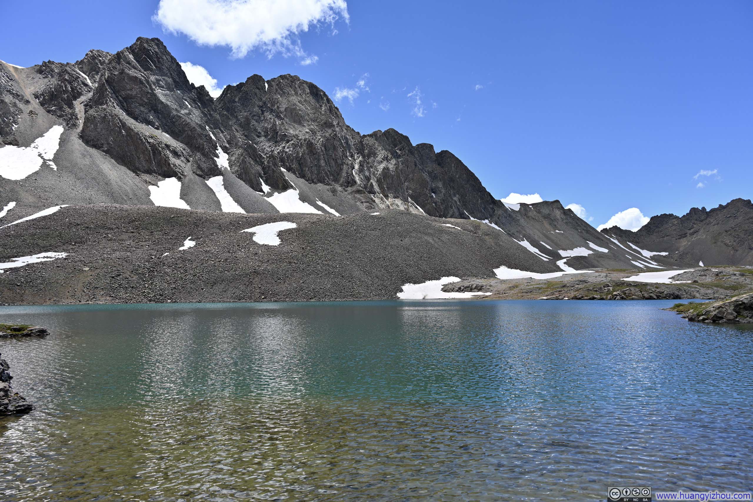
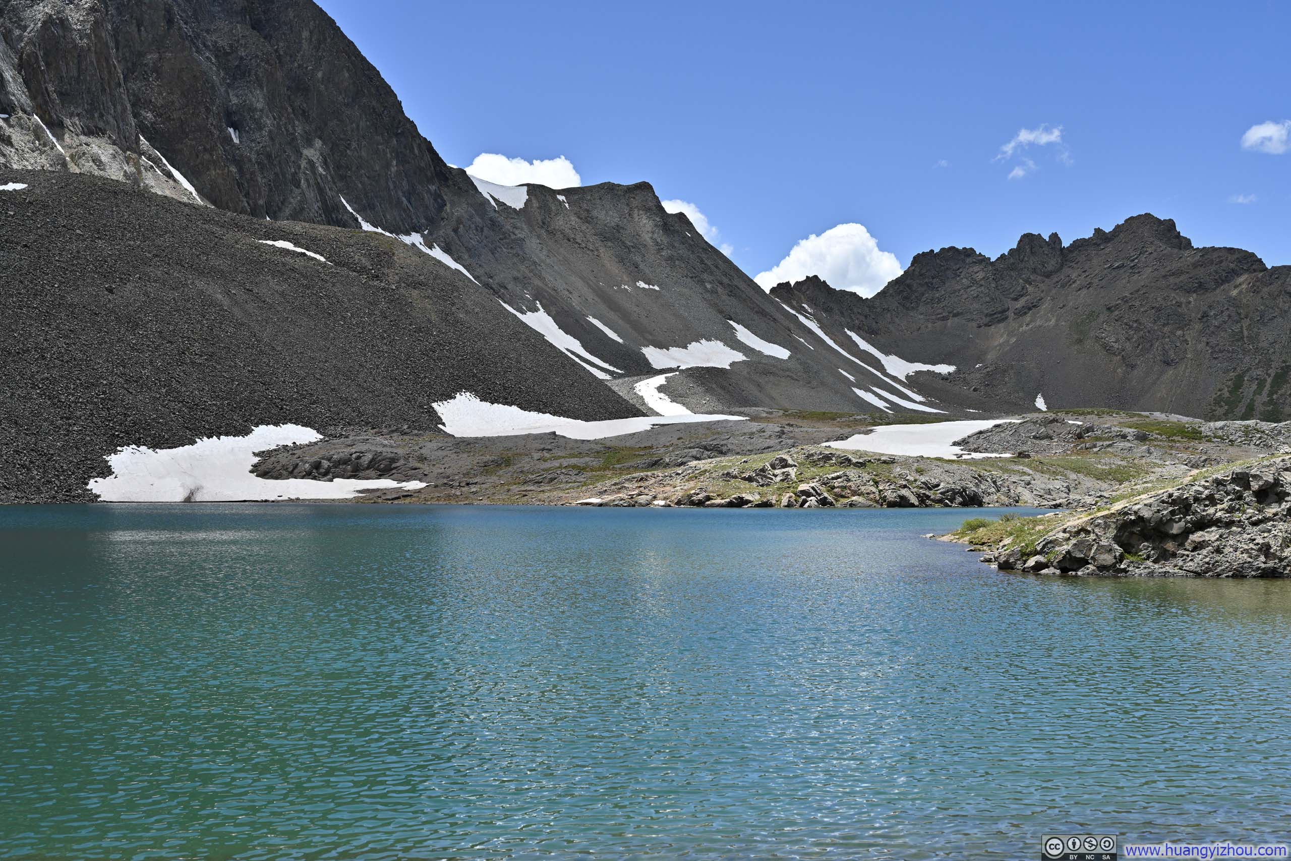
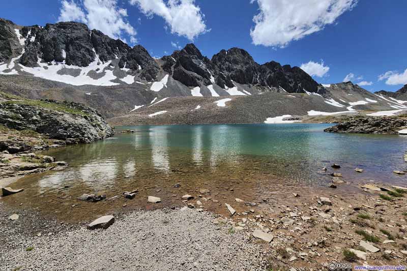
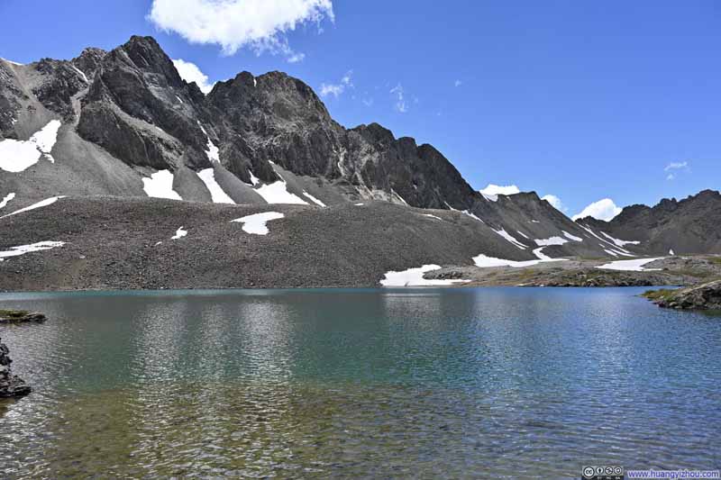
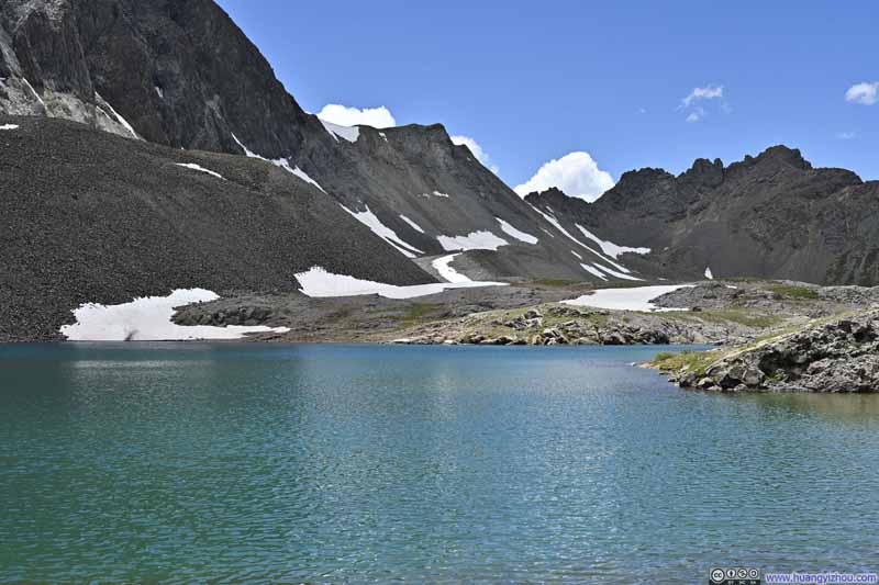
As mentioned earlier, I took a short detour to seek out Sloan Lake, an alpine lake of crystalline waters cradled beneath American Peak, and the headwaters of Lake Fork Gunnison River. It seemed that most people skipped this lake on their ways to and from Handies Peak, leaving me to enjoy some quiet moments by myself.
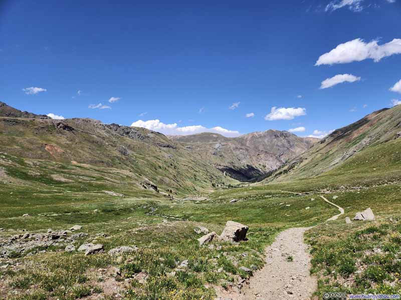
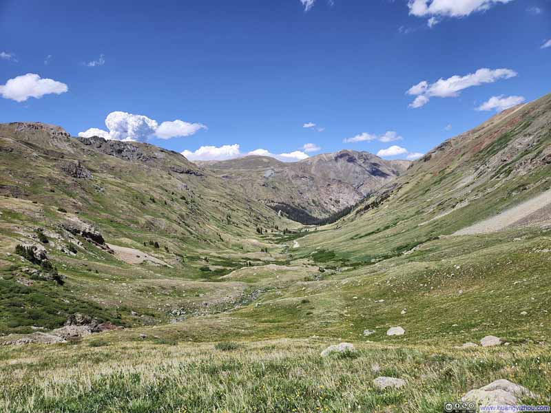
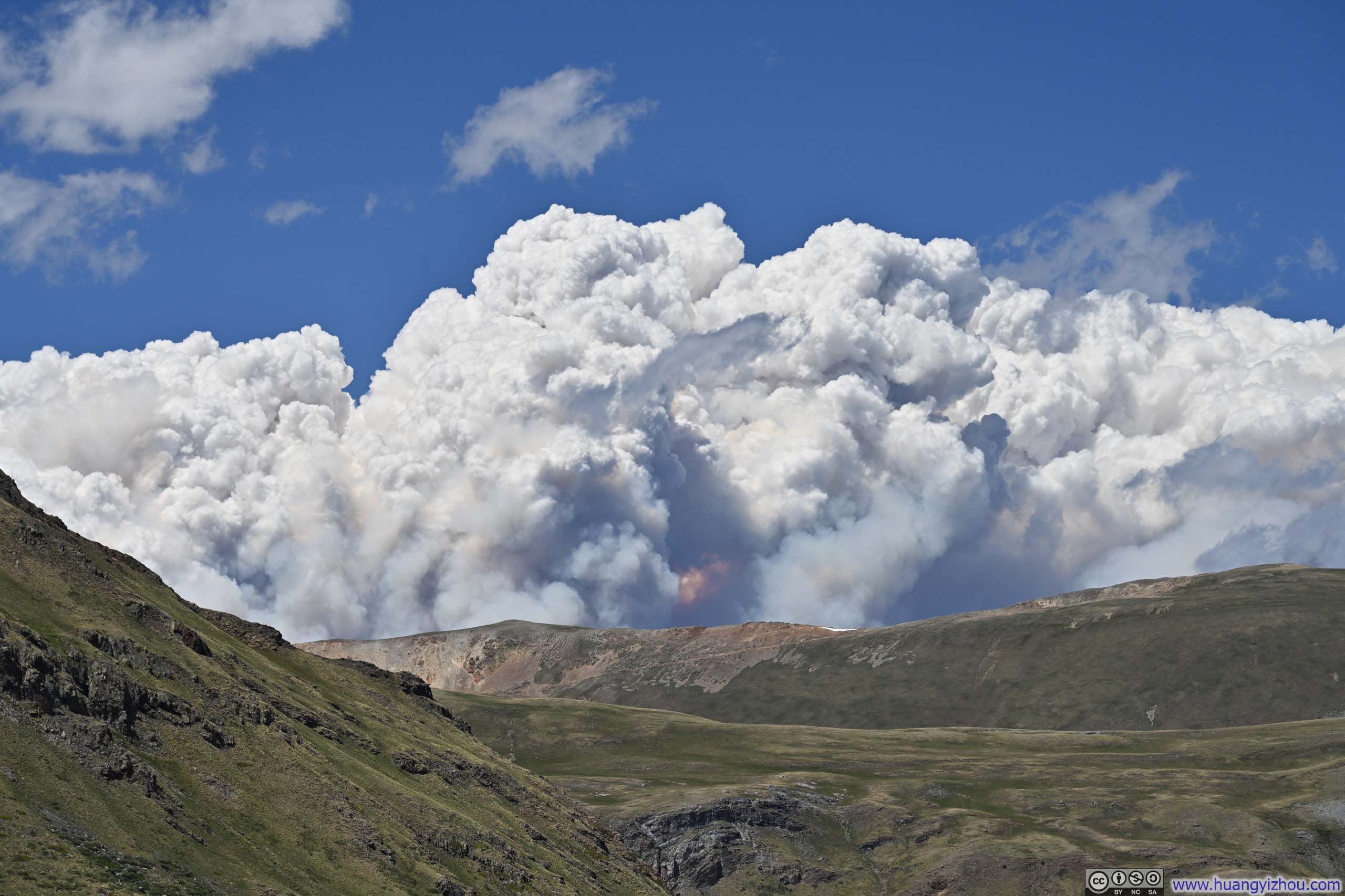
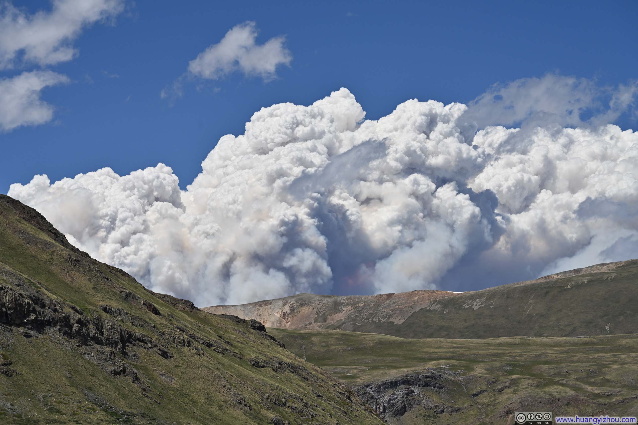
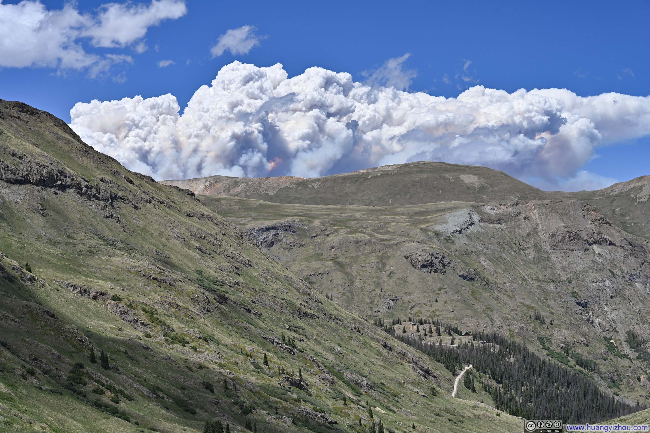
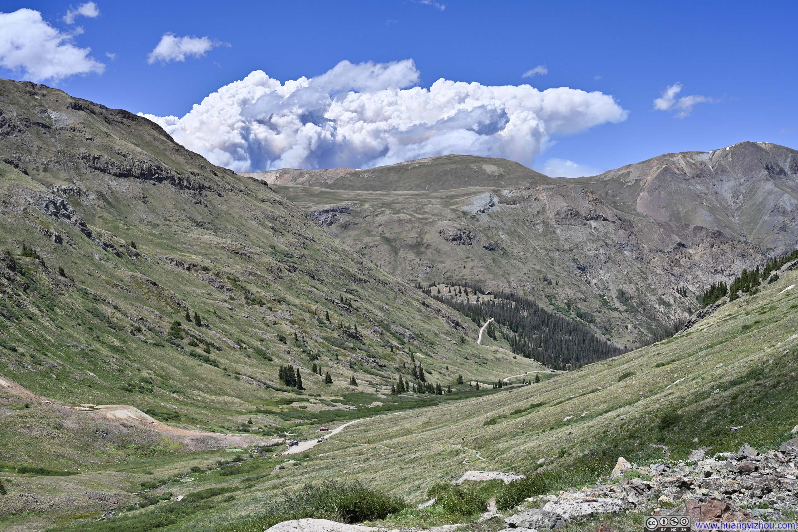
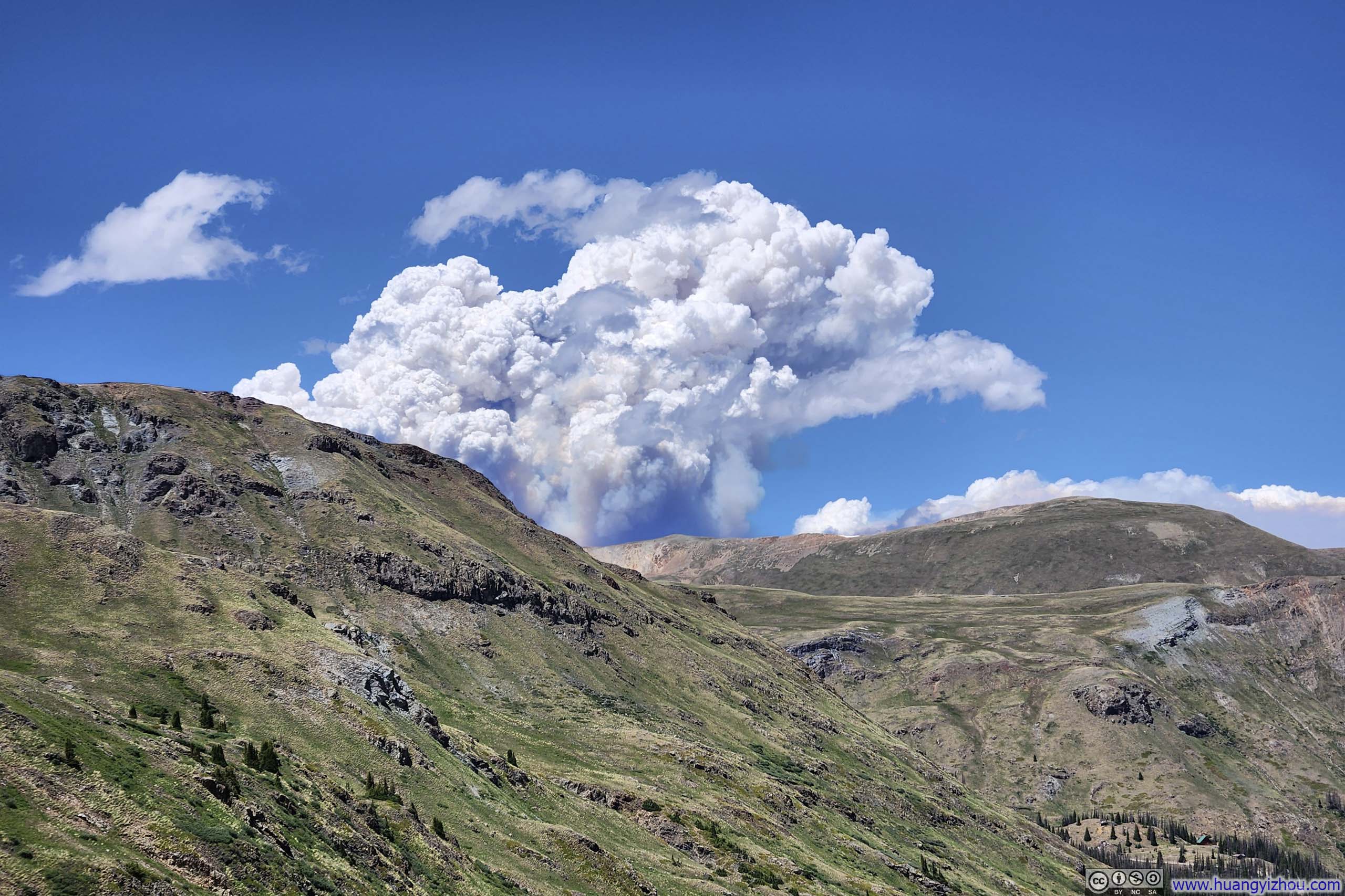
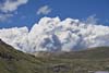
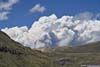
As I approached the trailhead, a thick cloud of smoke rising above the mountains immediately caught my attention. I knew it came from the Gold Mountain Fire burning north of Ouray, but the sheer scale of the plume, having grown in just a few hours and now looming over the ridgeline, was nonetheless both impressive and humbling. Traces of orange threaded through the white, as though the embers still burned while adrift in the air, ready to bring destruction to wherever they landed next.
High winds over the past few days had driven the fire across the mountainous terrain, and my hike up Wetterhorn Peak the previous day had been greatly marred by the same smoke. It could have been a biblical scene. Fortunately, of the mountains I had planned to climb, I had already climbed Uncompahgre and Wetterhorn that were closer to the wildfire, and given the wind's direction, I knew my climb of Handies Peak today would go unaffected. And so I stood there for a moment, less a participant than an audience, watching this grave spectacle unfold before me.
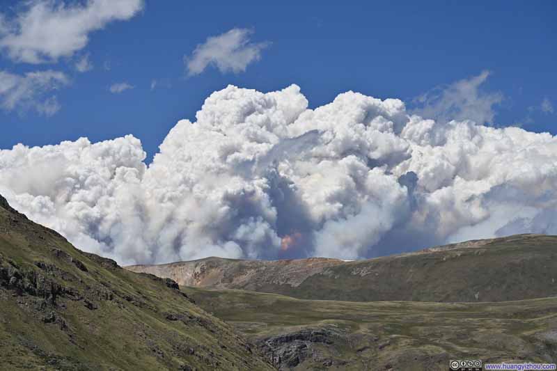
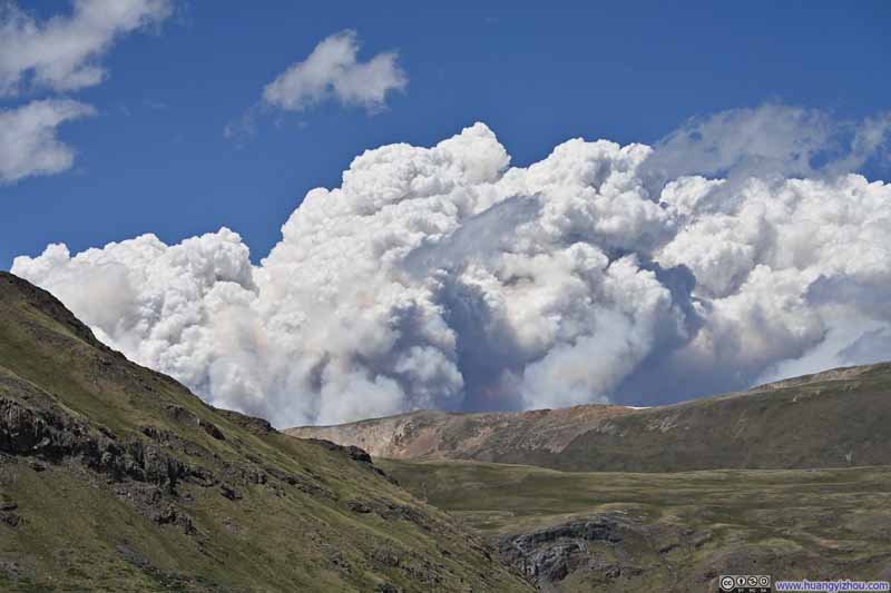
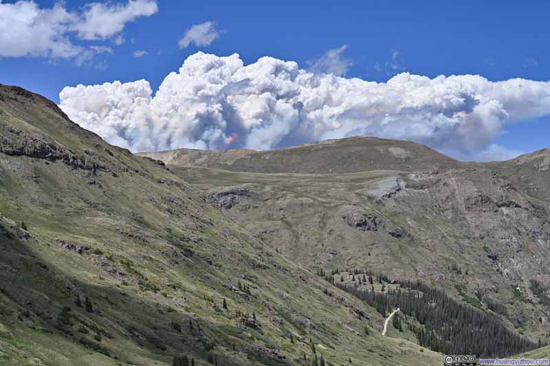
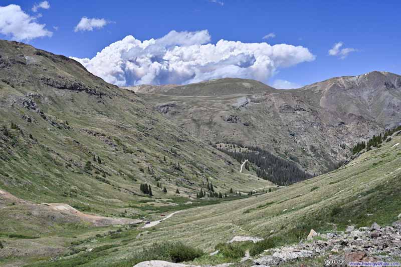
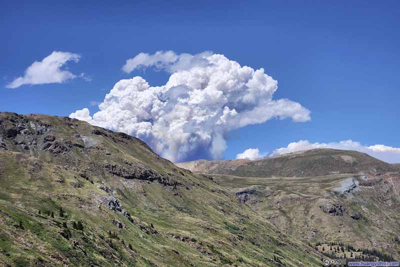
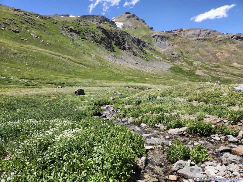
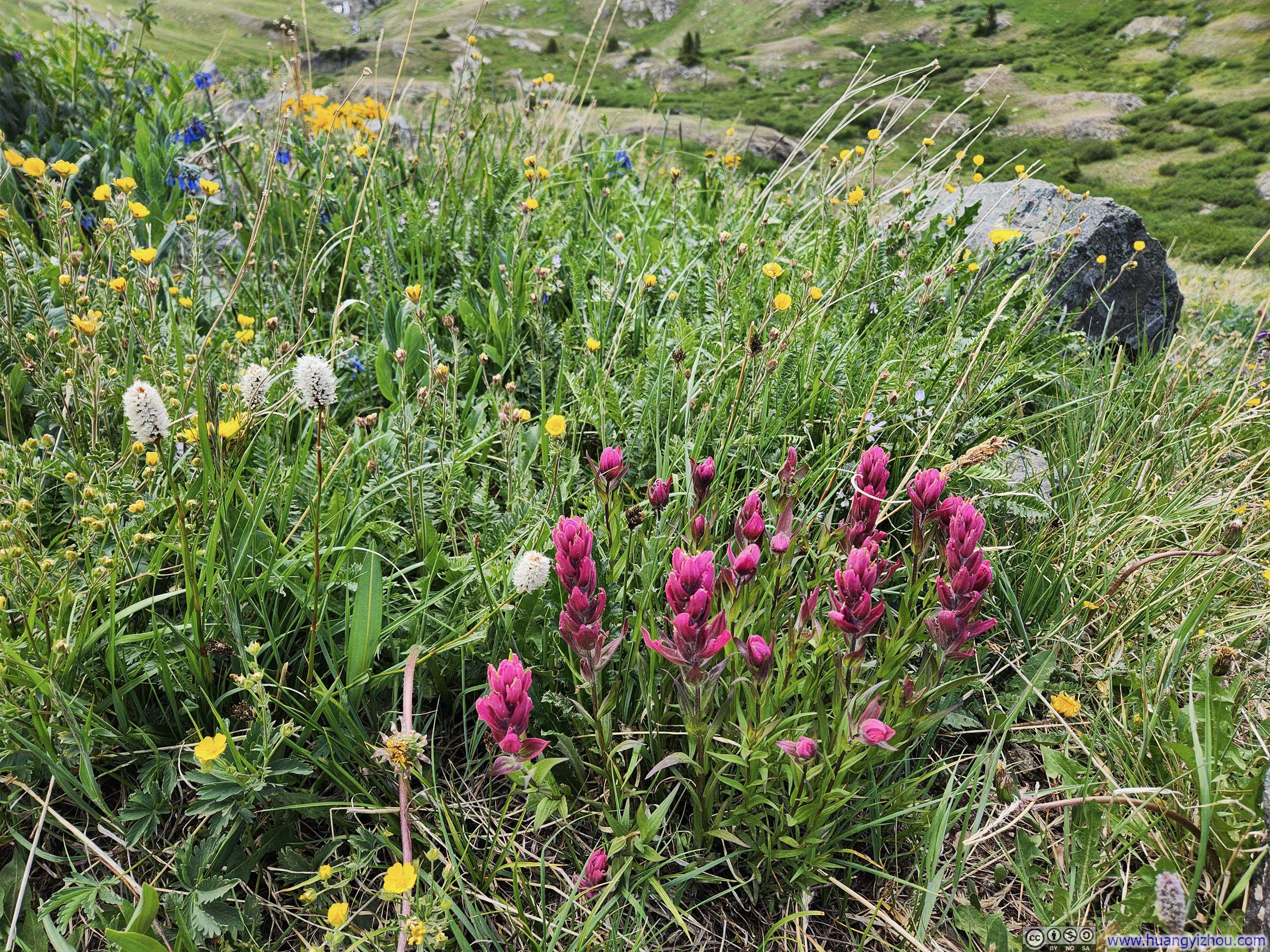
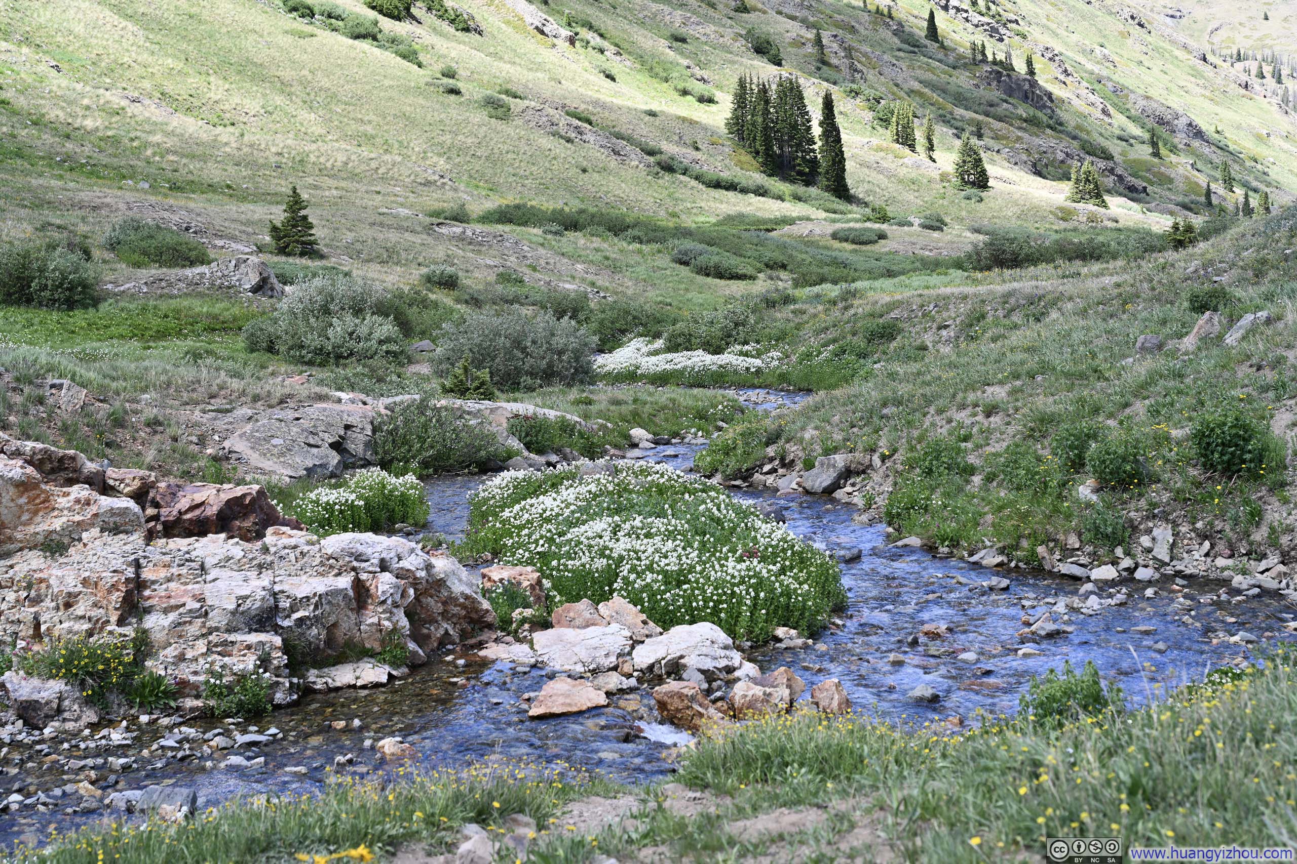
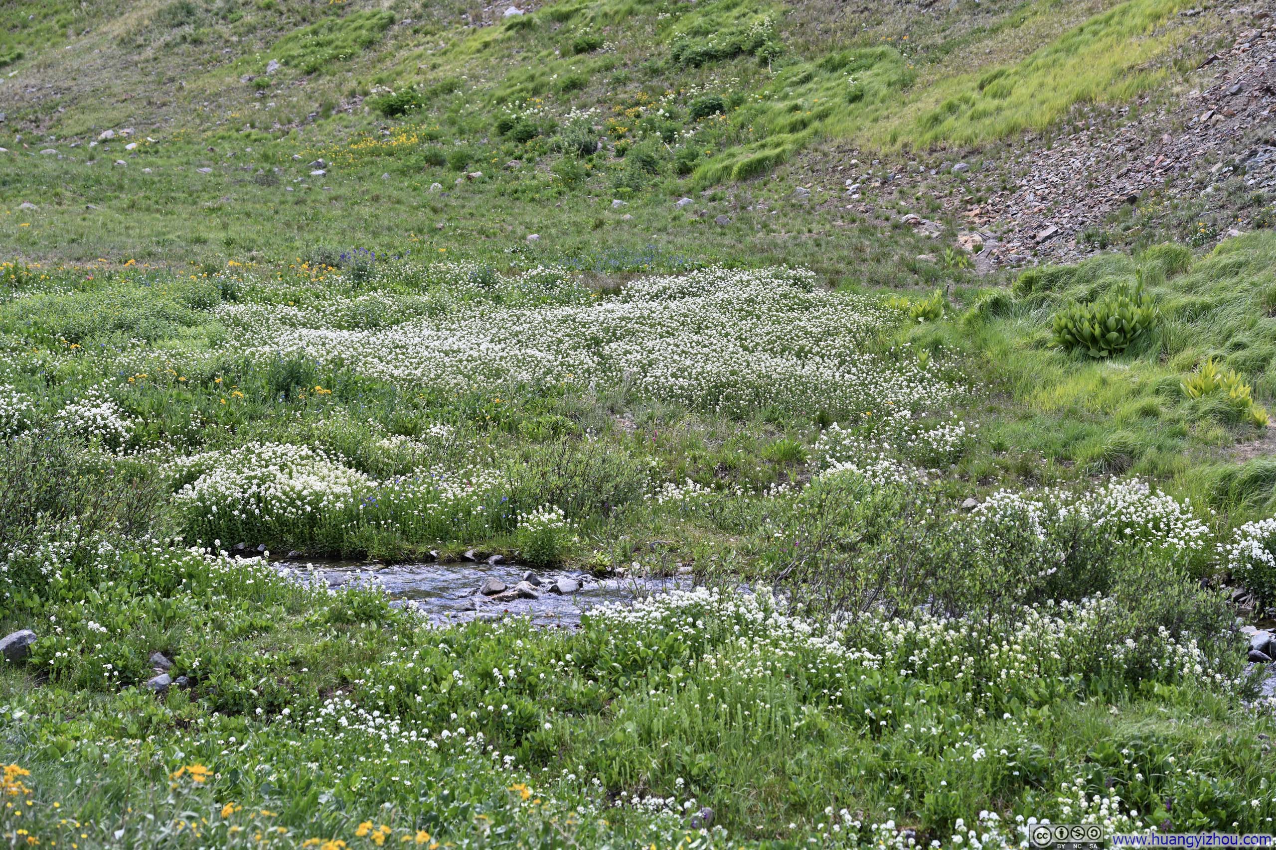
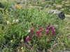
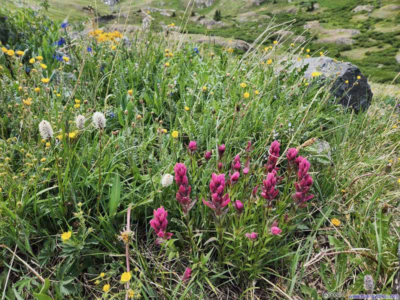
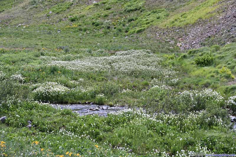
Finally, I got back to the trailhead at 2:37pm. Before continuing on, I paused to take one last look at the wildflowers blooming all around me.
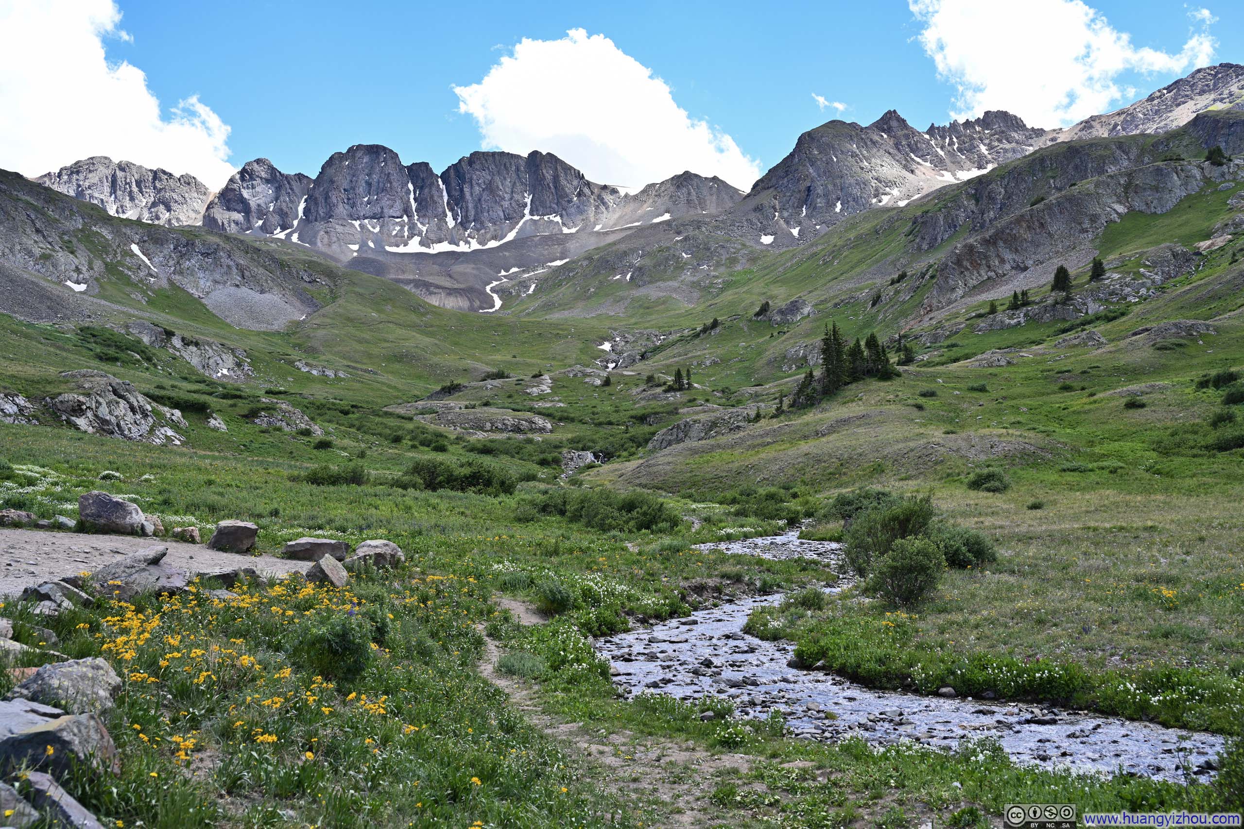
Given that American Basin was very close to Cinnamon Pass and it was still relatively early in the day, driving back to Lake City via the Alpine Scenic Loop presented itself as a feasible option to me. This route would have taken me over Cinnamon Pass and then Engineer Pass, returning on the same Engineer Pass Road I had traveled after hiking Uncompahgre and Wetterhorn the previous two days. A Jeep Wrangler should have been able to tackle that road; however, I ultimately decided against it. The final stretch leading up to the American Basin Trailhead had already pushed the boundary of what I was comfortable doing in the car, and according to online reports, the section approaching Engineer Pass was the worst part of the entire loop, and I had no reliable knowledge of its conditions. Moreover, I felt the views I had taken in on top of Handies Peak, one of the tallest mountains along the loop, should be at least on par if not better than the ones from the loop, which was never part of my plan until getting a Jeep Wrangler.
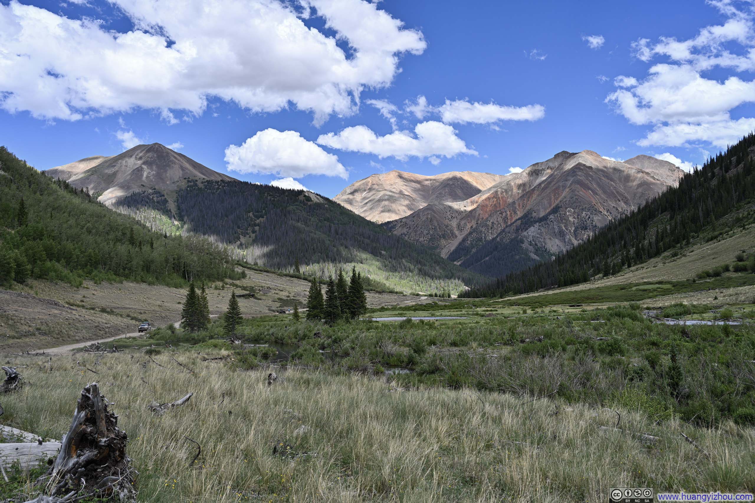
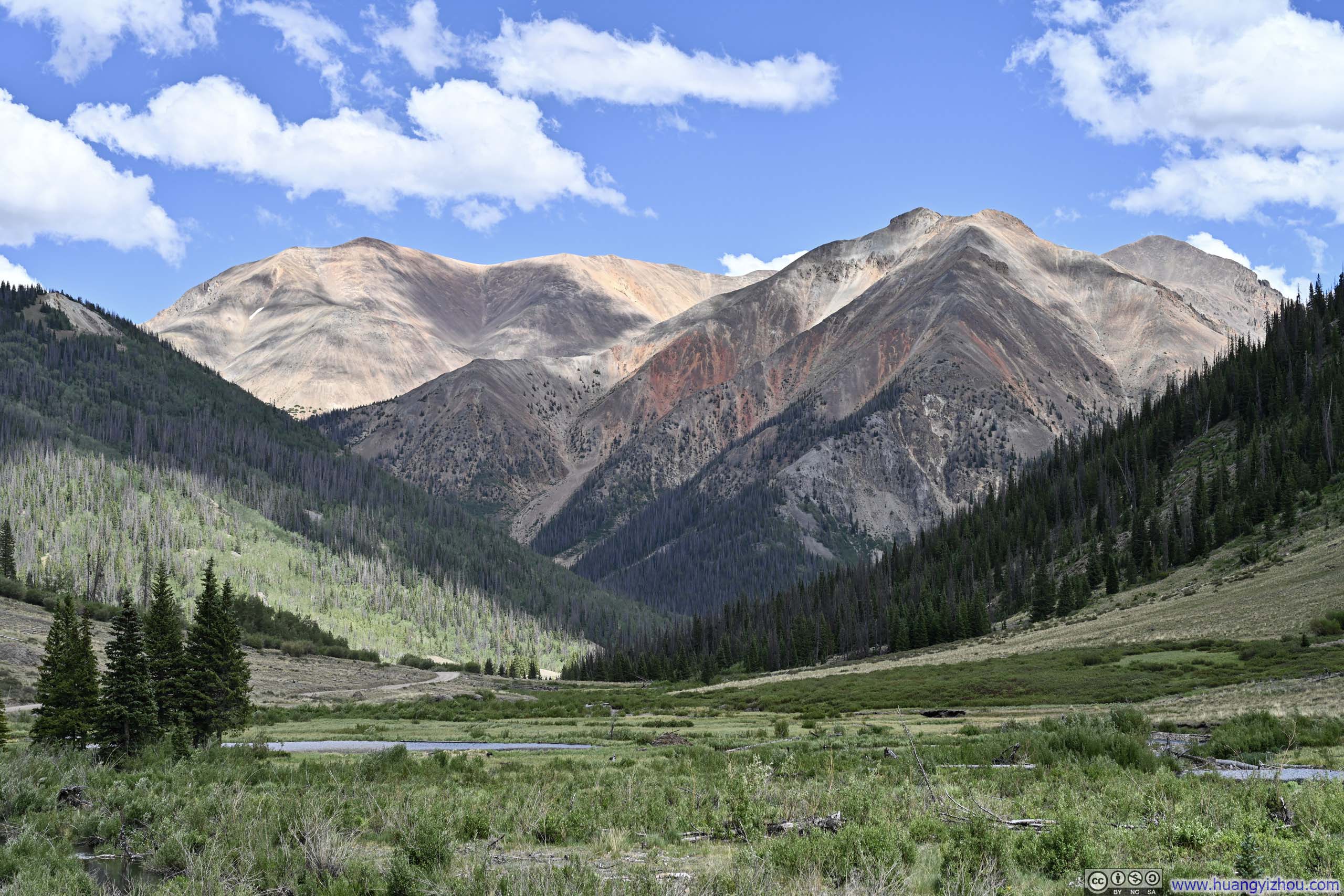
So I simply drove straight back to Lake City via Cinnamon Pass Road, pausing for a few times in Burrows Park to soak in the views. Redcloud Peak and Sunshine Peak, my destinations for the following day, were now gloriously illuminated by the afternoon sun.
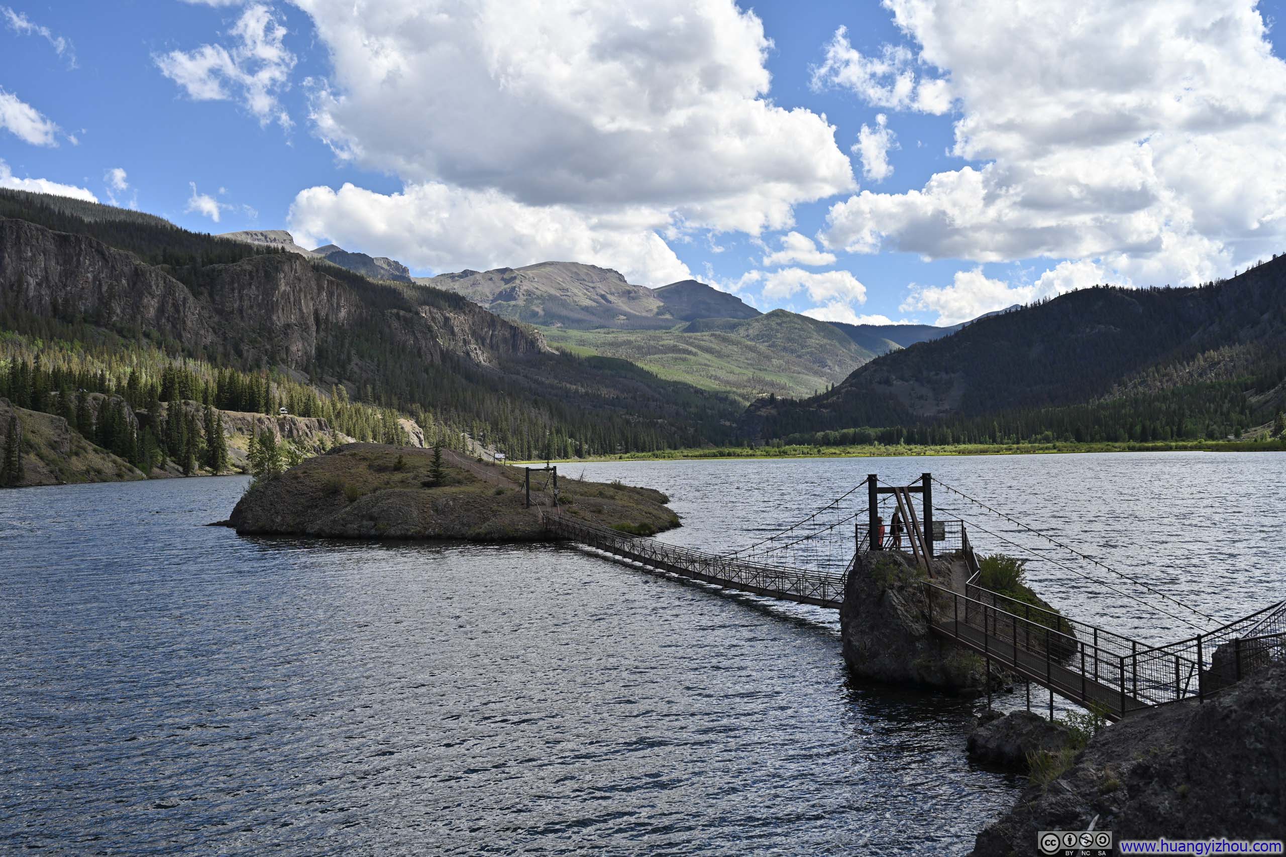
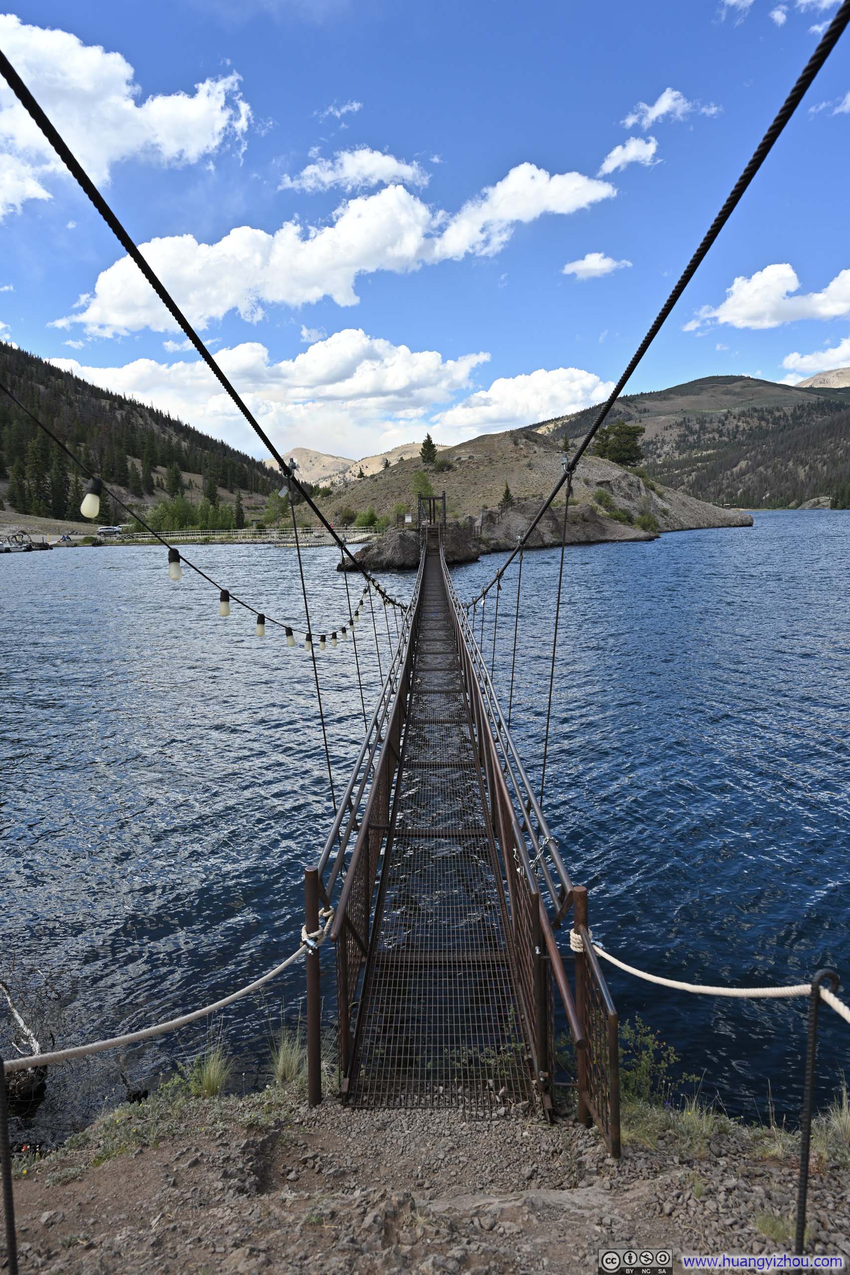
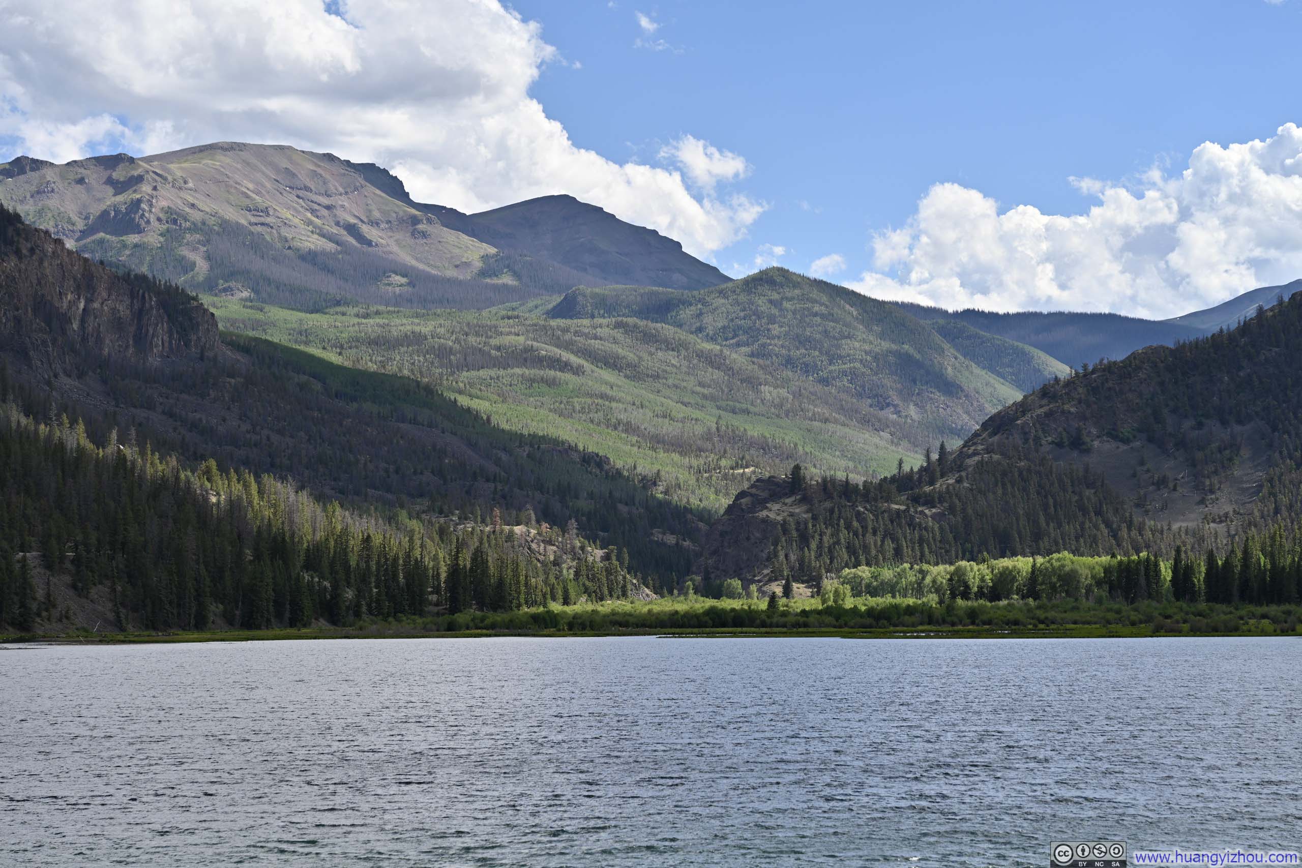
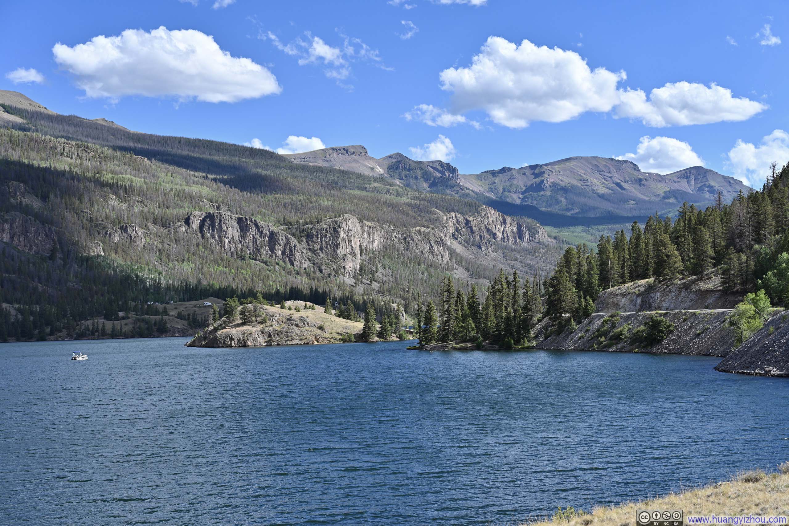
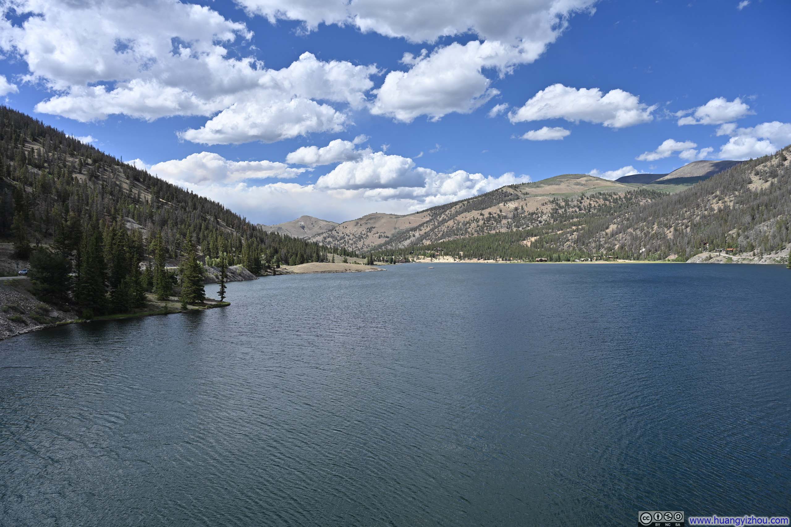
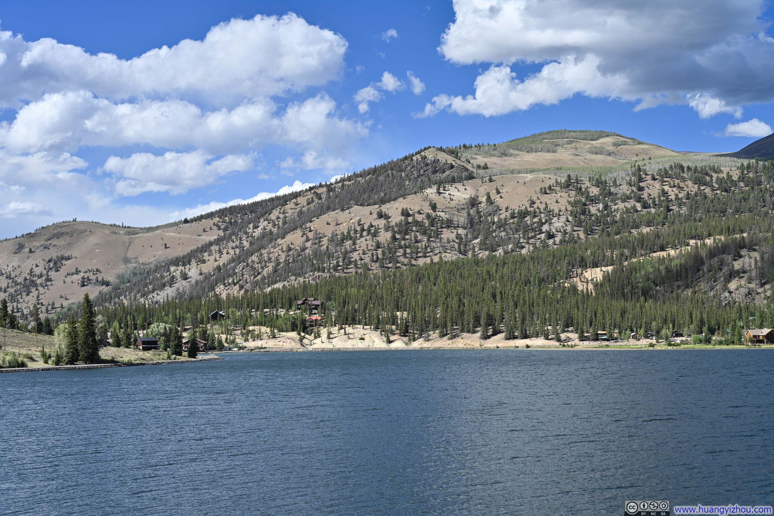
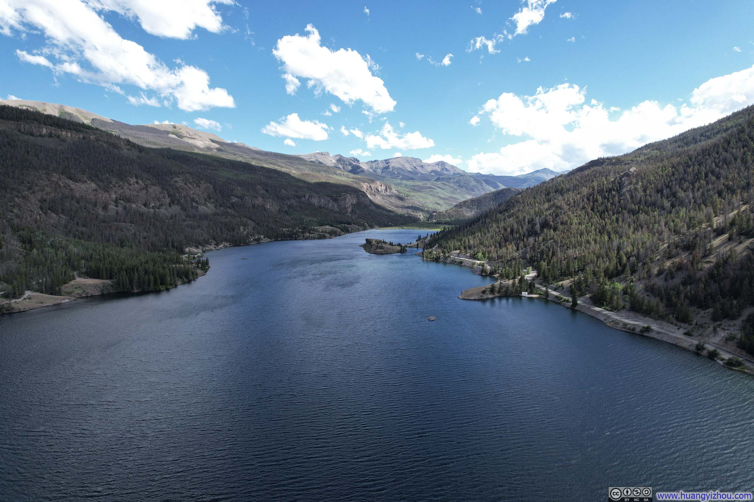
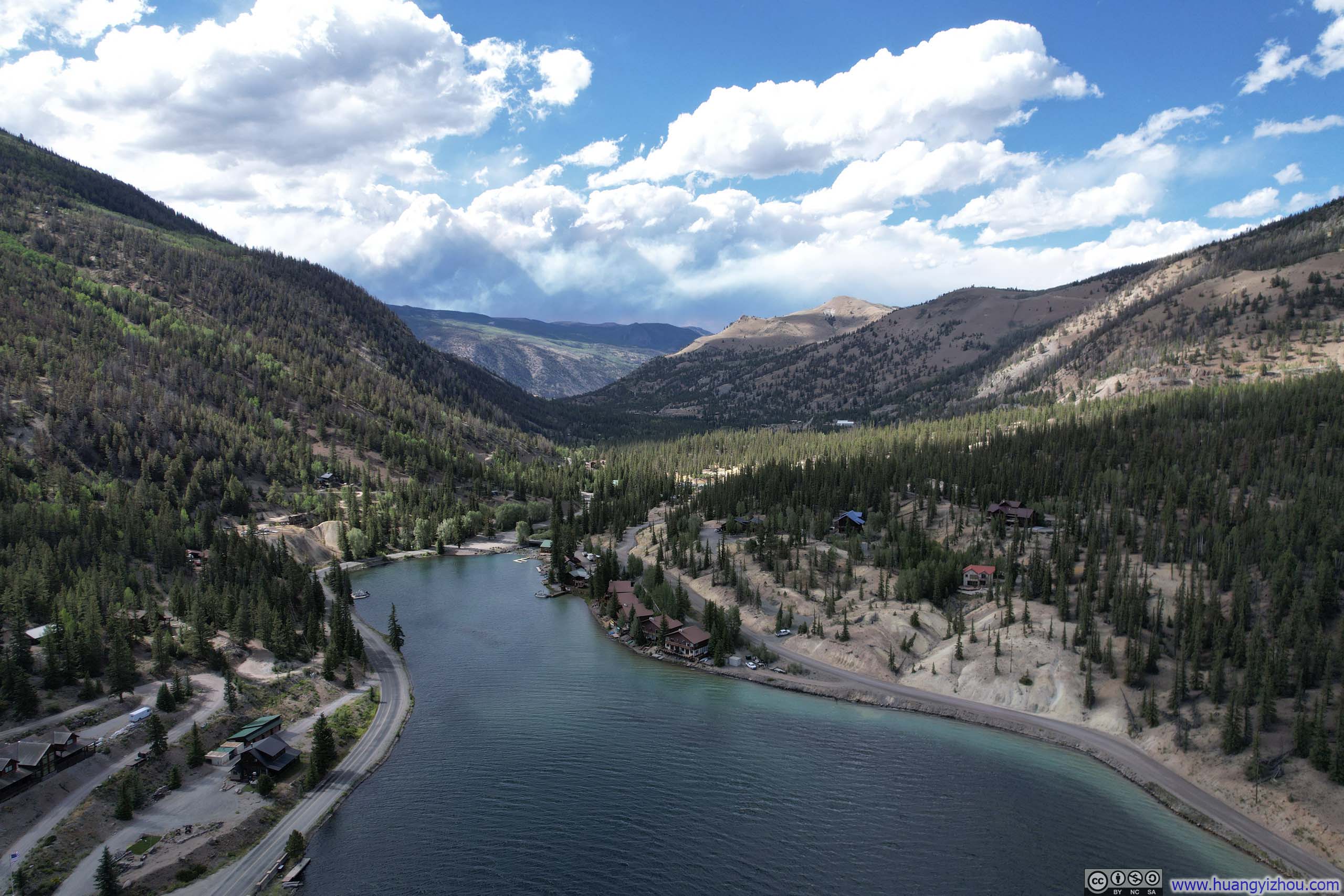
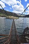
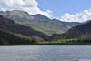
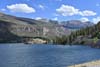
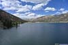
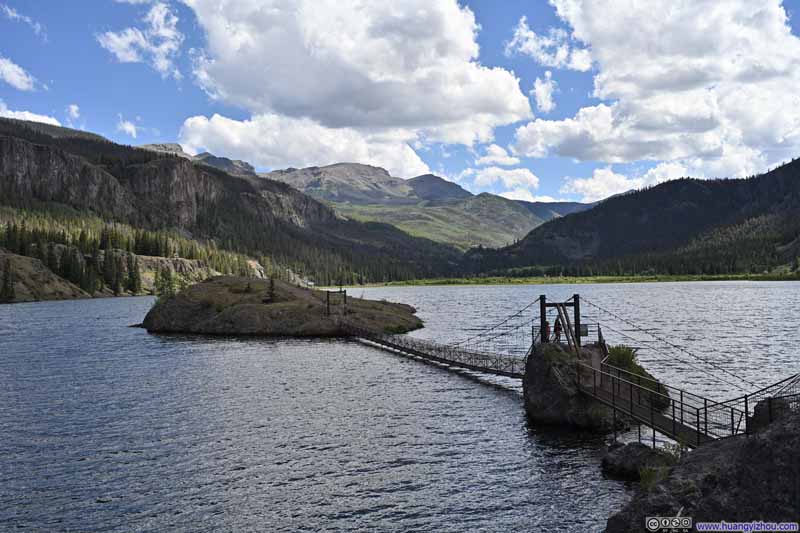
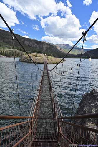
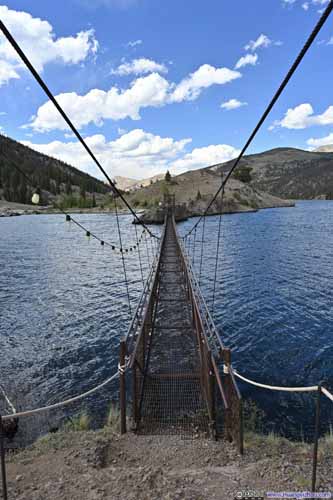
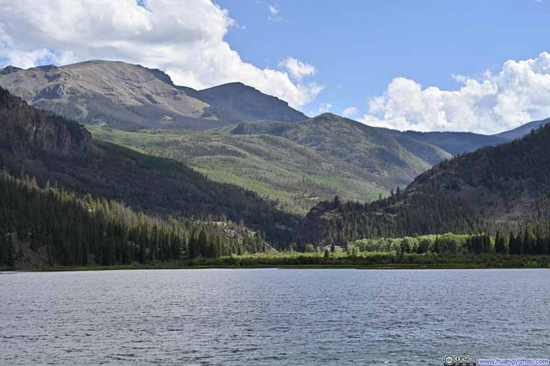
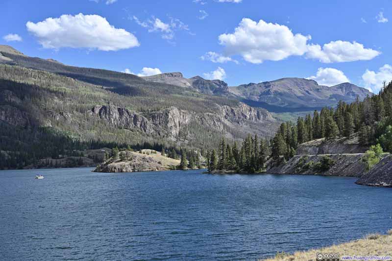
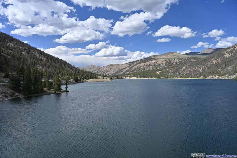
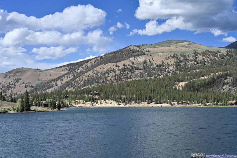
Finally, on my way back, I made a stop along Lake San Cristobal. This lake was formed about 700 years ago when a landslide dammed the Lake Fork Gunnison River. Although it lies a few miles upstream from the town, Lake City was named after this very lake. Today, the lake serves as a picture-perfect postcard image for the village of Lake City.
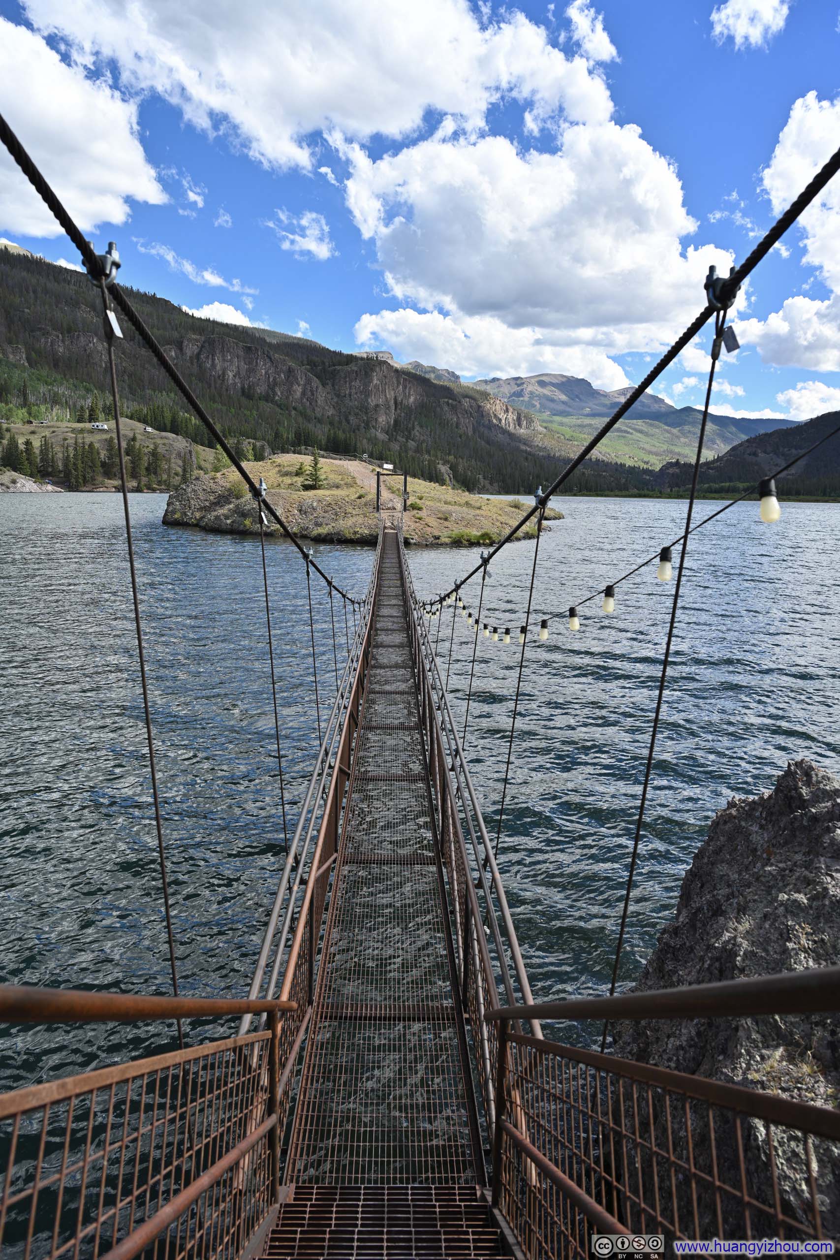
I found this lake to be a fitting introduction to Cinnamon Pass Road, which winds through a valley into the mountains. It begins with this large, peaceful body of water, then transitions to stretches of meadows along the valley floor. Further up, past Cottonwood Creek, the valley narrows and steepens, hemmed in tightly by mountains. A prime vantage point for appreciating the "mouth" of this transition is Goose Island, accessible via a suspension footbridge, from which the mountains command full attention in the view.
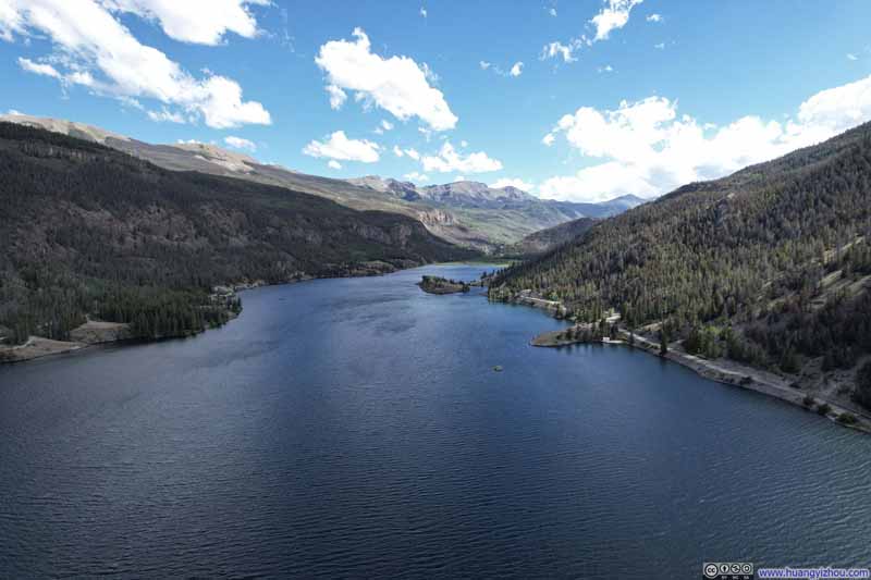
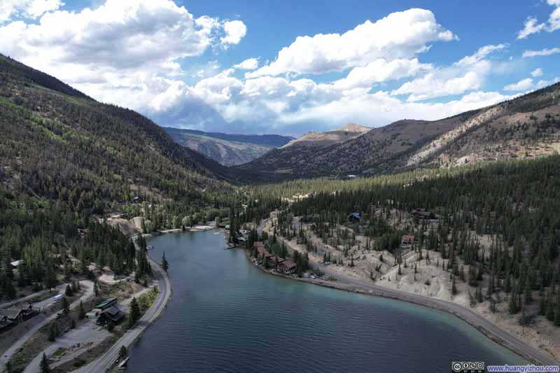

And here's a video of my drone overflying Lake San Cristobal:
After that, I got back to Lake City just past 5pm and called it a day.
END