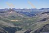
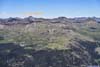
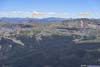
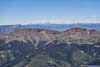
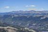
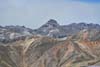
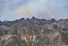
Day 8 of 2026 Trip to the Rockies, Redcloud Peak and Sunshine Peak
The eighth day of my 2026 trip to the Rocky Mountains. I climbed Redcloud Peak and Sunshine Peak, two 14ers in one day.
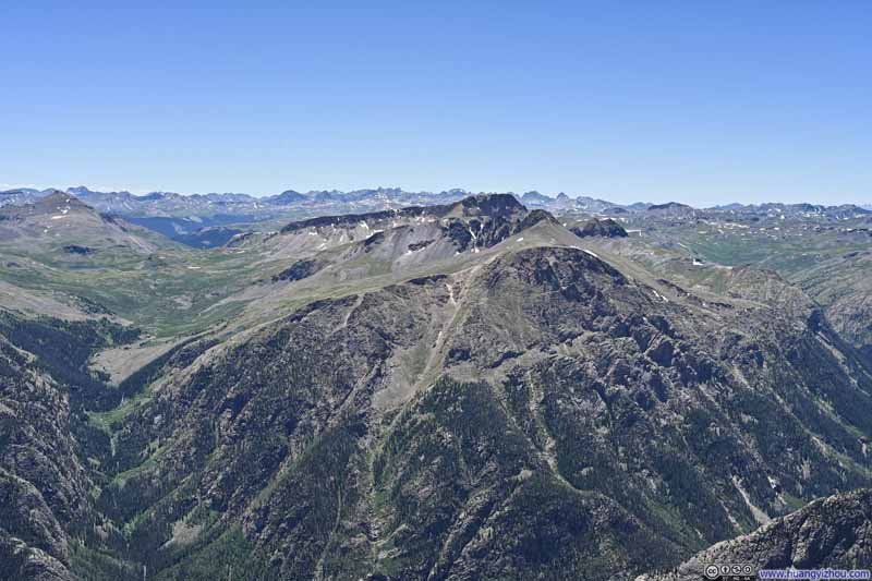
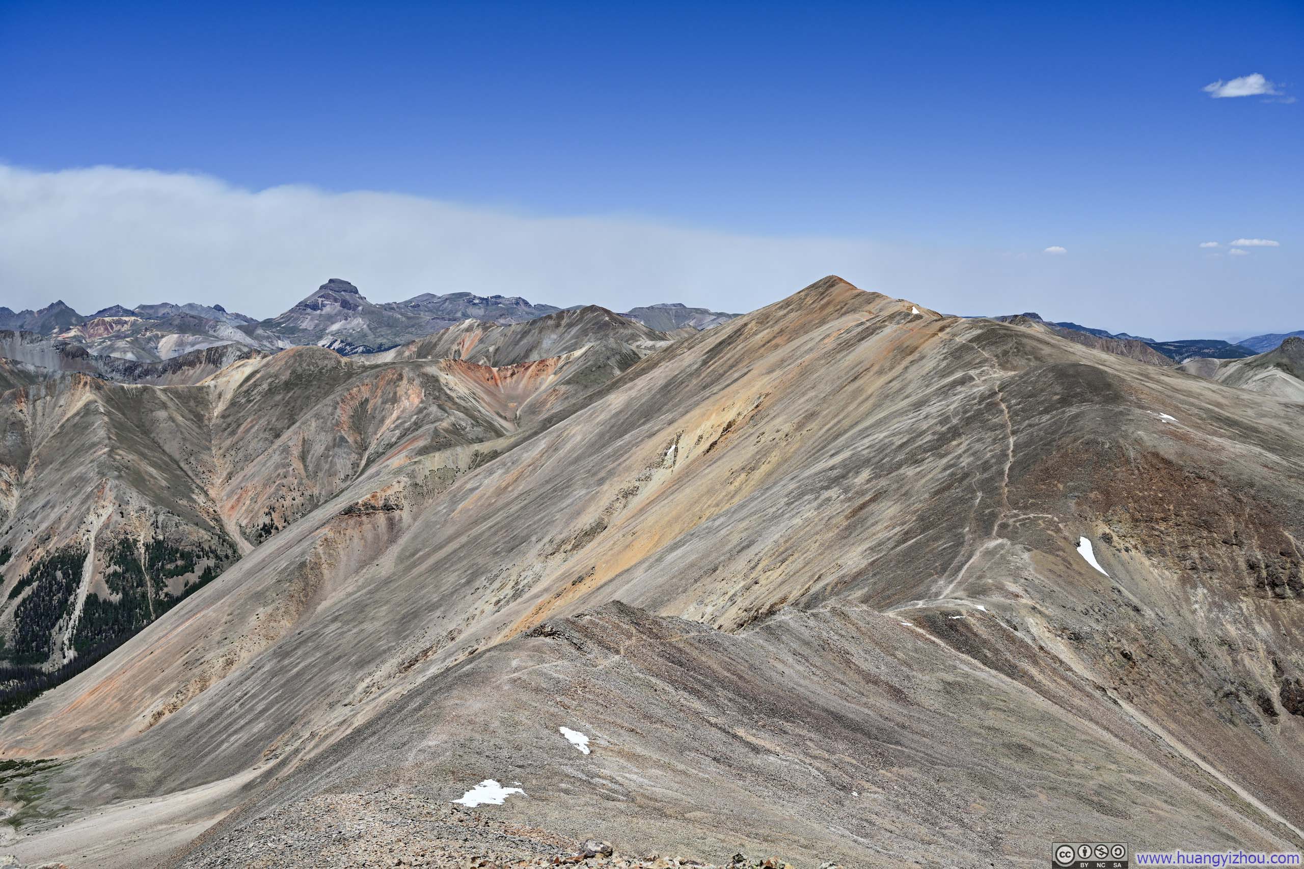
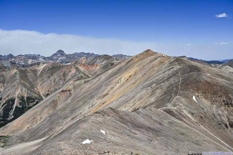
Redcloud Peak from Sunshine Peak
For the final day of my 4 full days of hiking around Lake City, I had planned for the most physically demanding, the combination of Redcloud Peak and Sunshine Peak.
The standard approach to Sunshine Peak was via Redcloud Peak, though an alternative variation existed via its northwest face, forming a potential lollipop loop. While this variation would have shortened the distance and reduced the elevation gain, I had read online accounts describing steep, scree-filled terrain requiring careful route-finding. I ultimately opted for the standard route instead, which was a 19km out-and-back with 1400m of elevation gain (11.8mi, 4600ft).
The trailhead for this hike was Grizzly Gulch / Silver Creek, same as the alternative trailhead for the Handies Peak that I hiked the previous day. (Handies Peak and Sunshine Peak sat on opposite sides of the North Fork Gunnison River.) It took me about 45 minutes to reach this trailhead from Lake City, after which I started my hike at 9:15am. Here's GPS tracking:
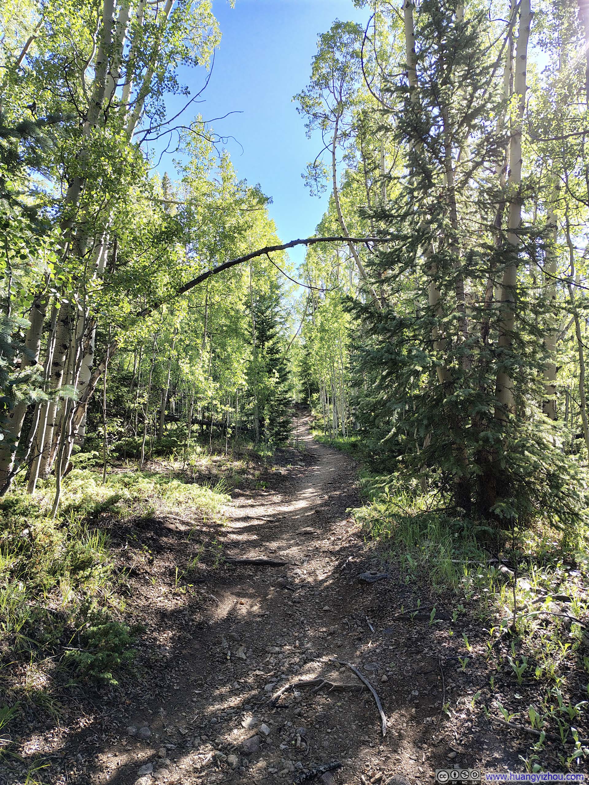
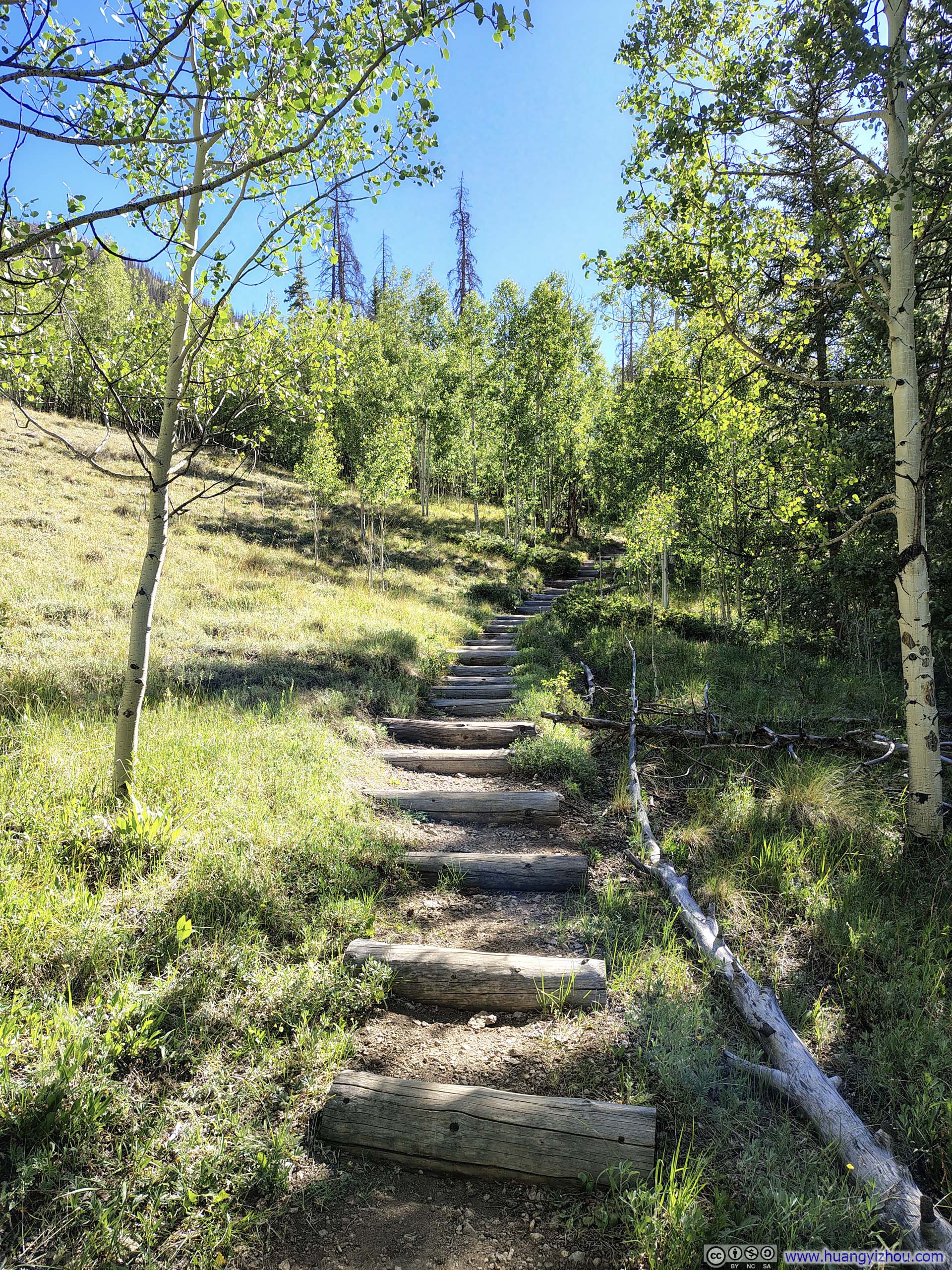
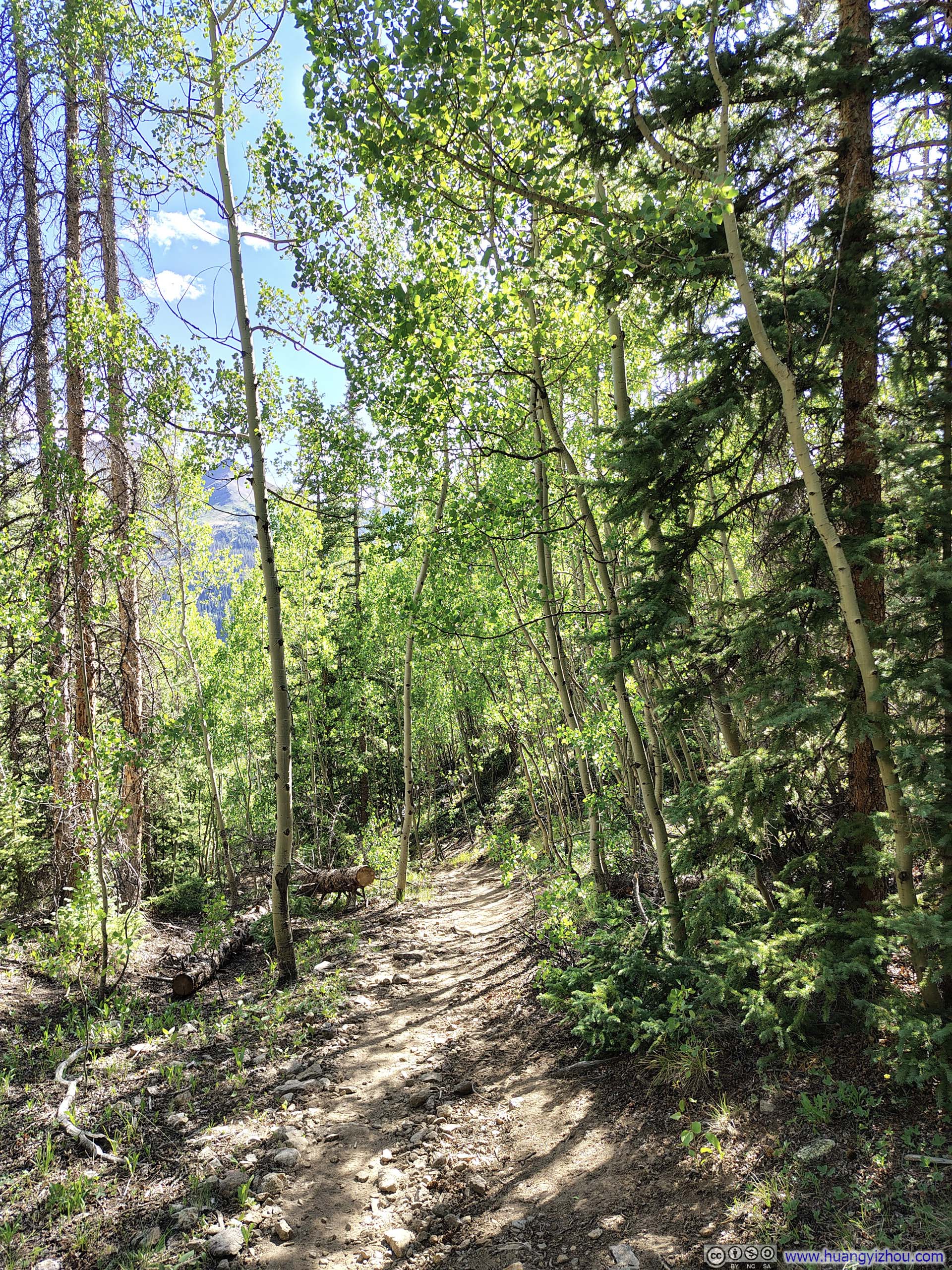
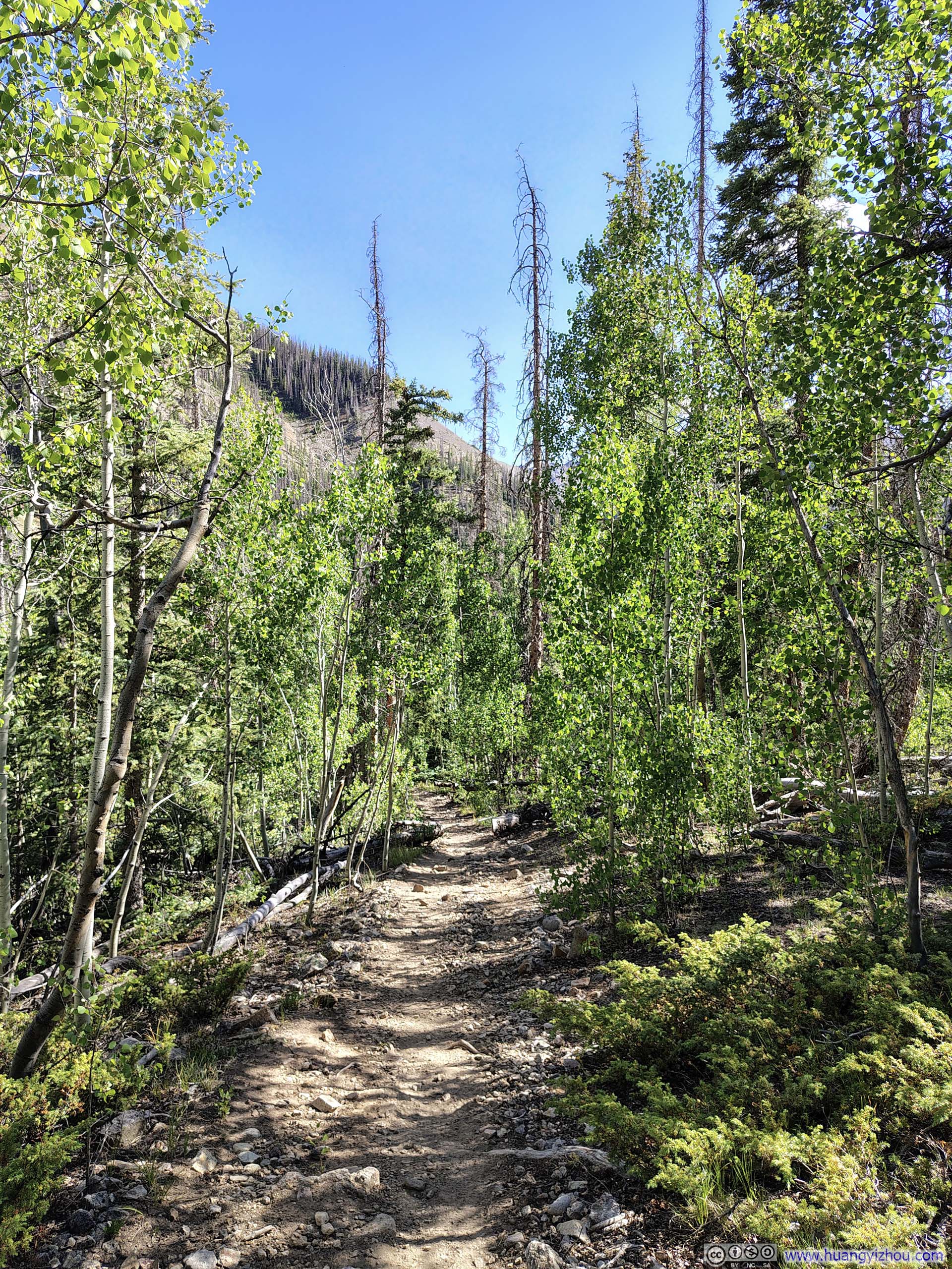
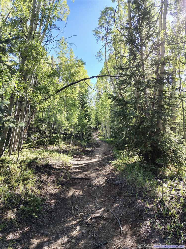
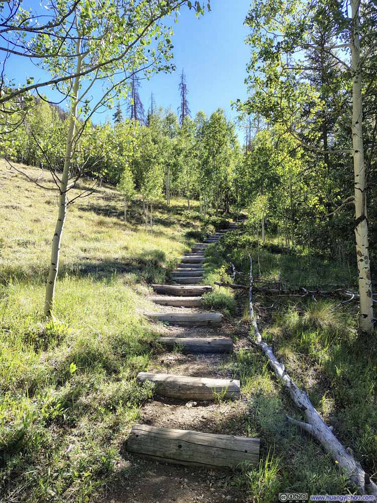
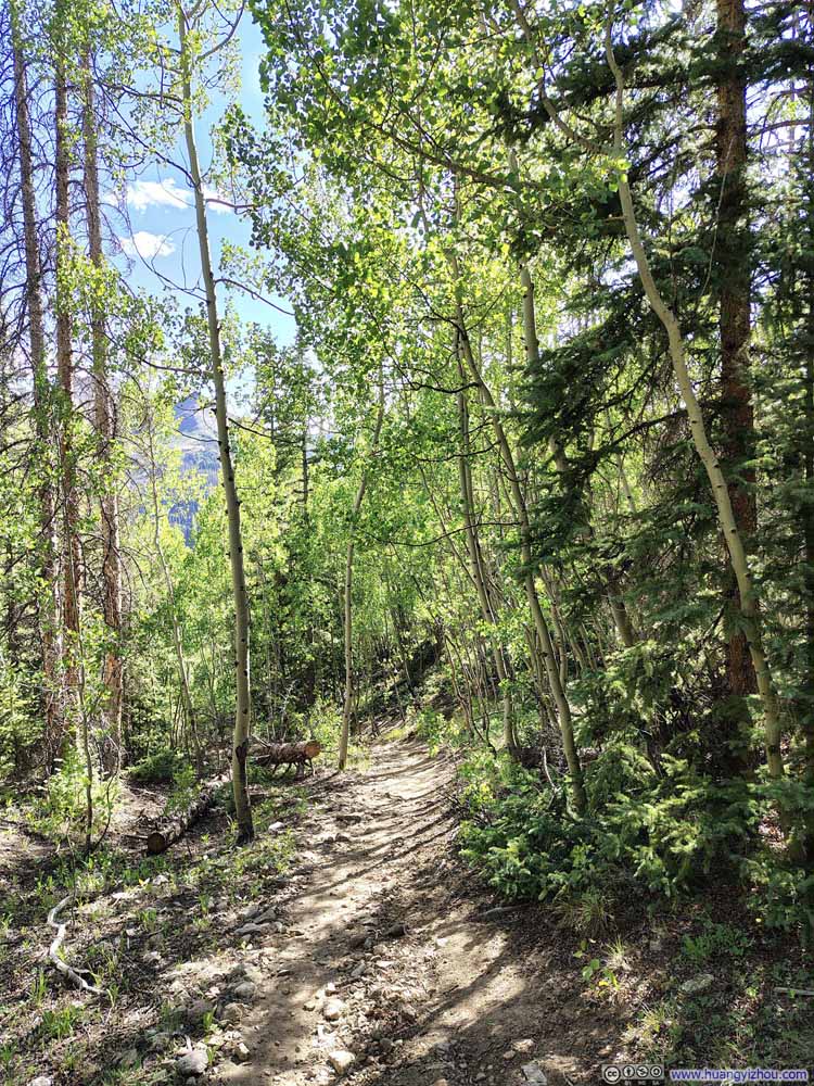
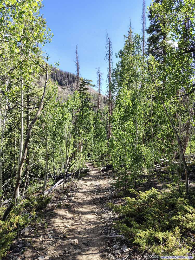
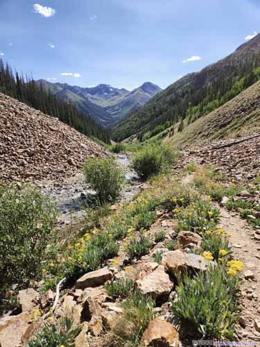
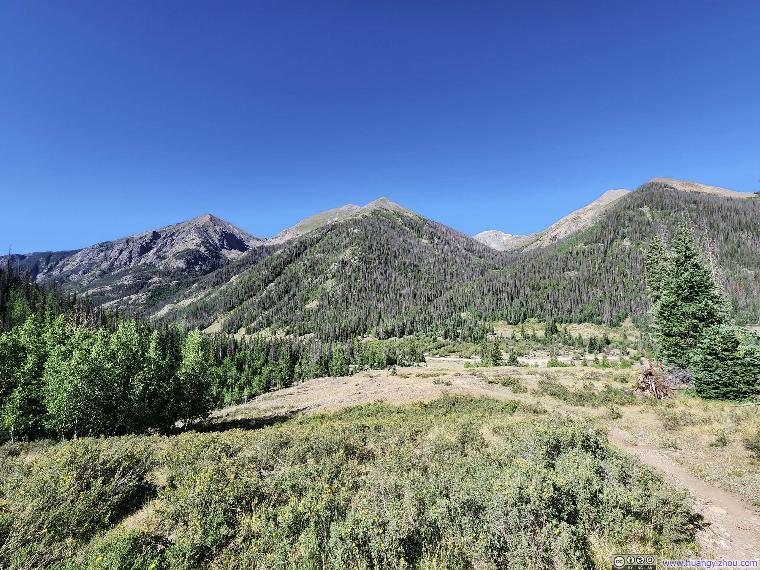
The trail started out as an unremarkable walk in the woods.
Trail
Trail
Trail
Trail
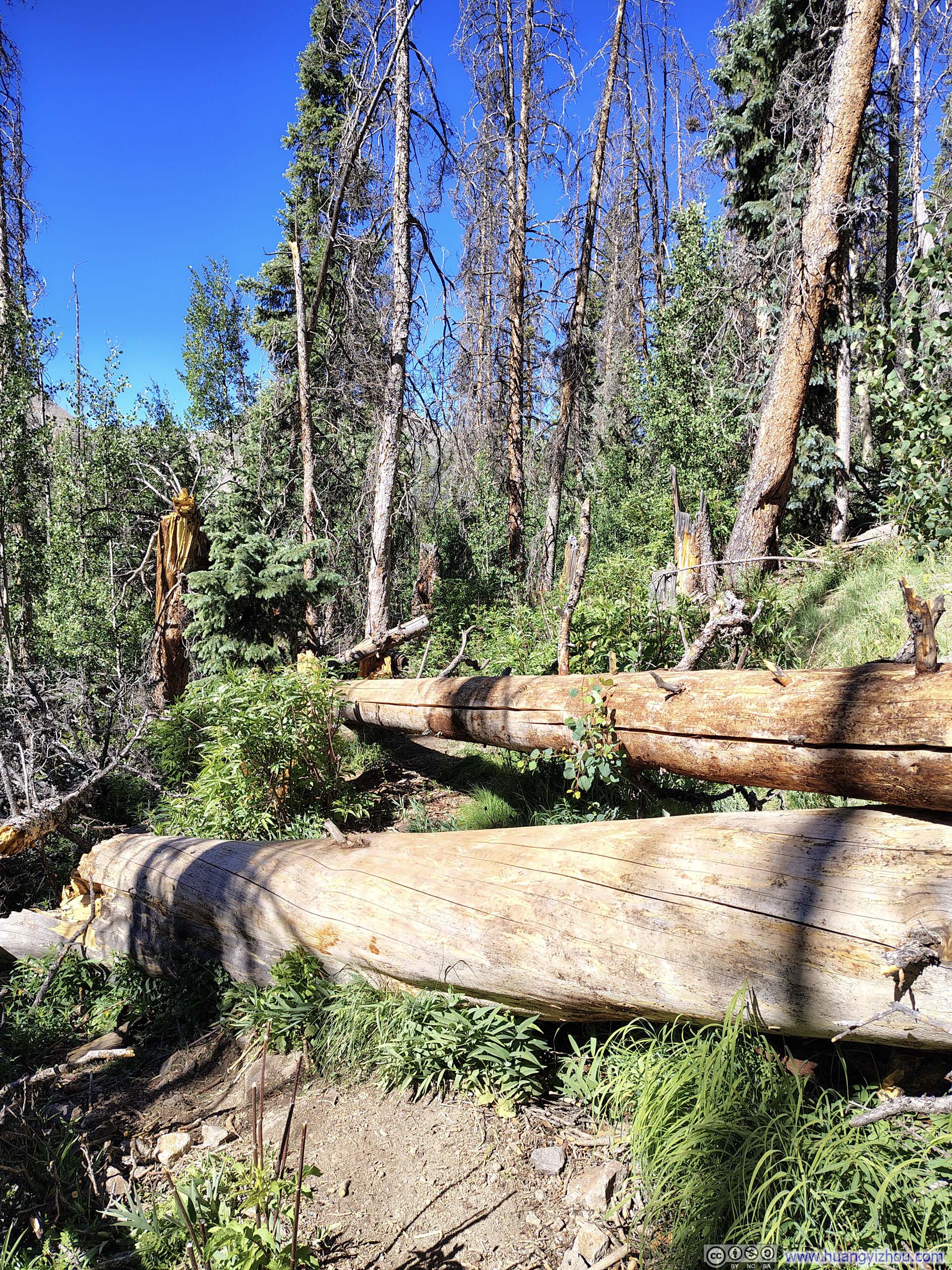
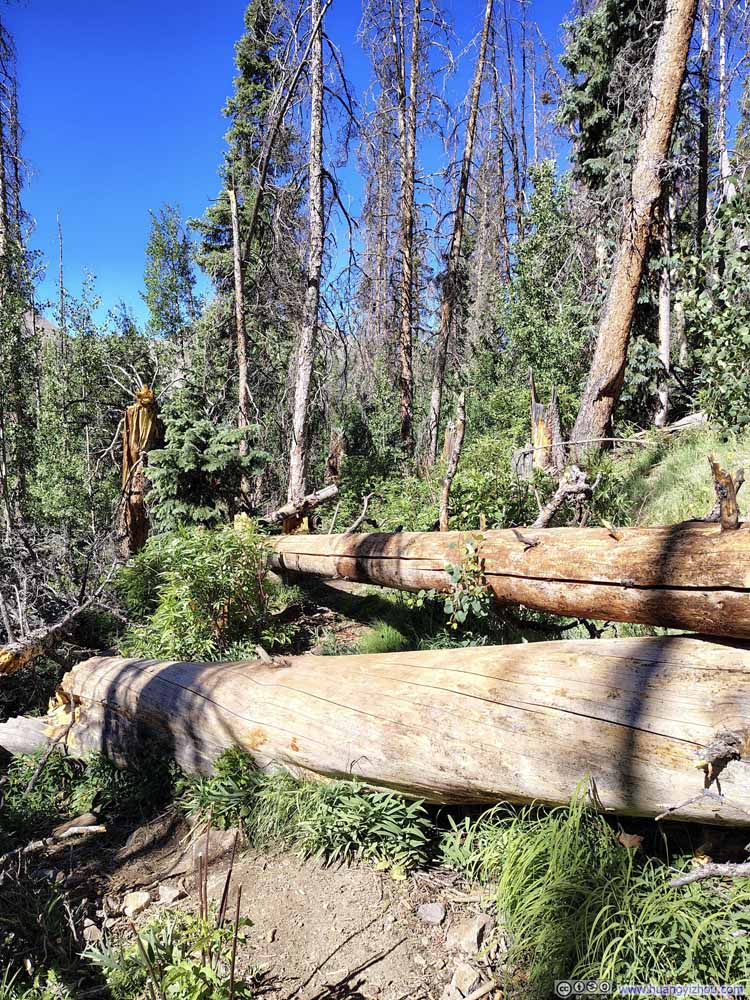
Obstacles along Trail
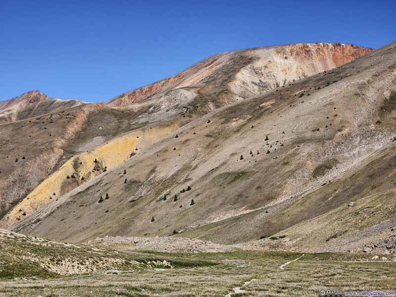
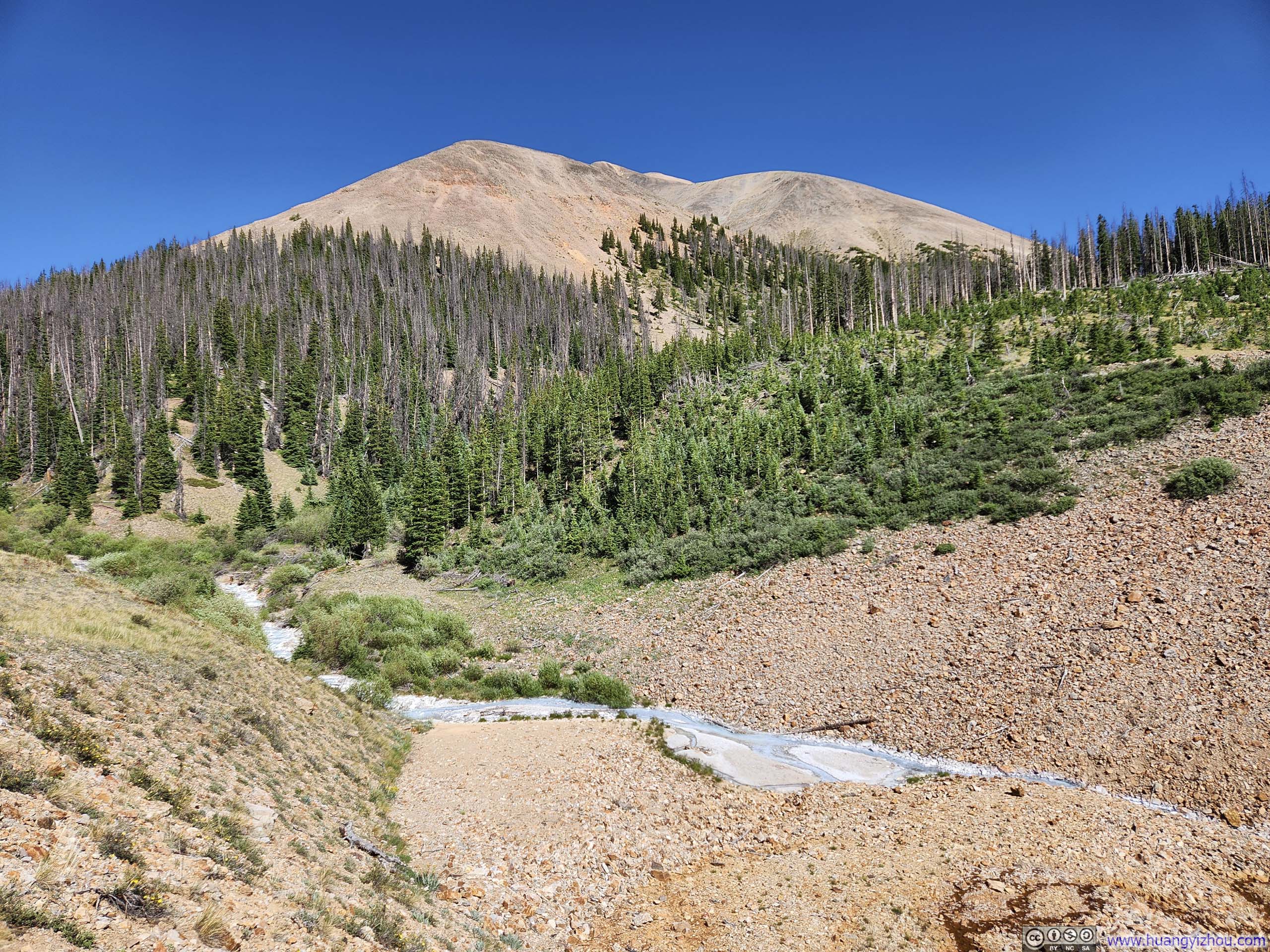
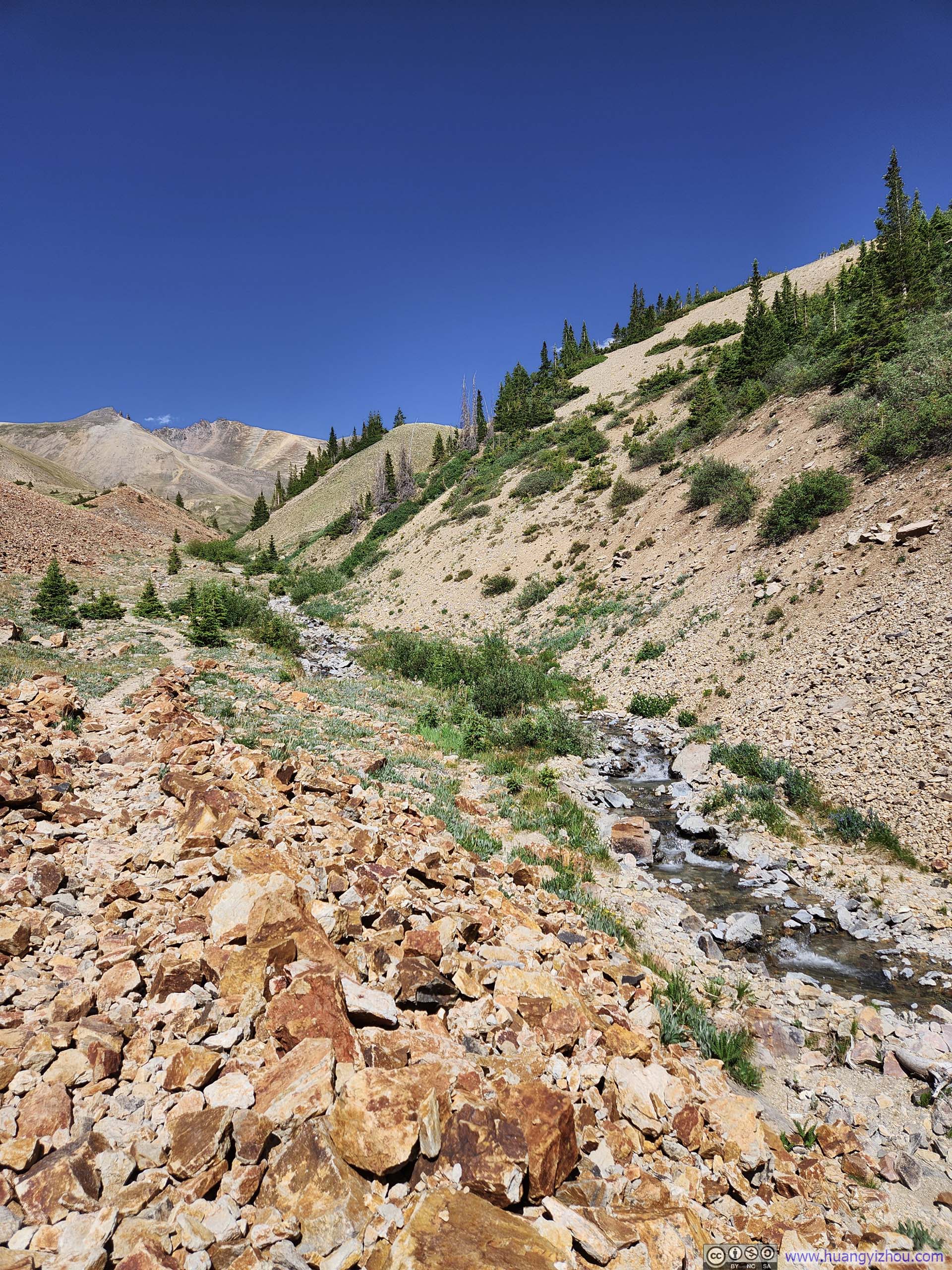
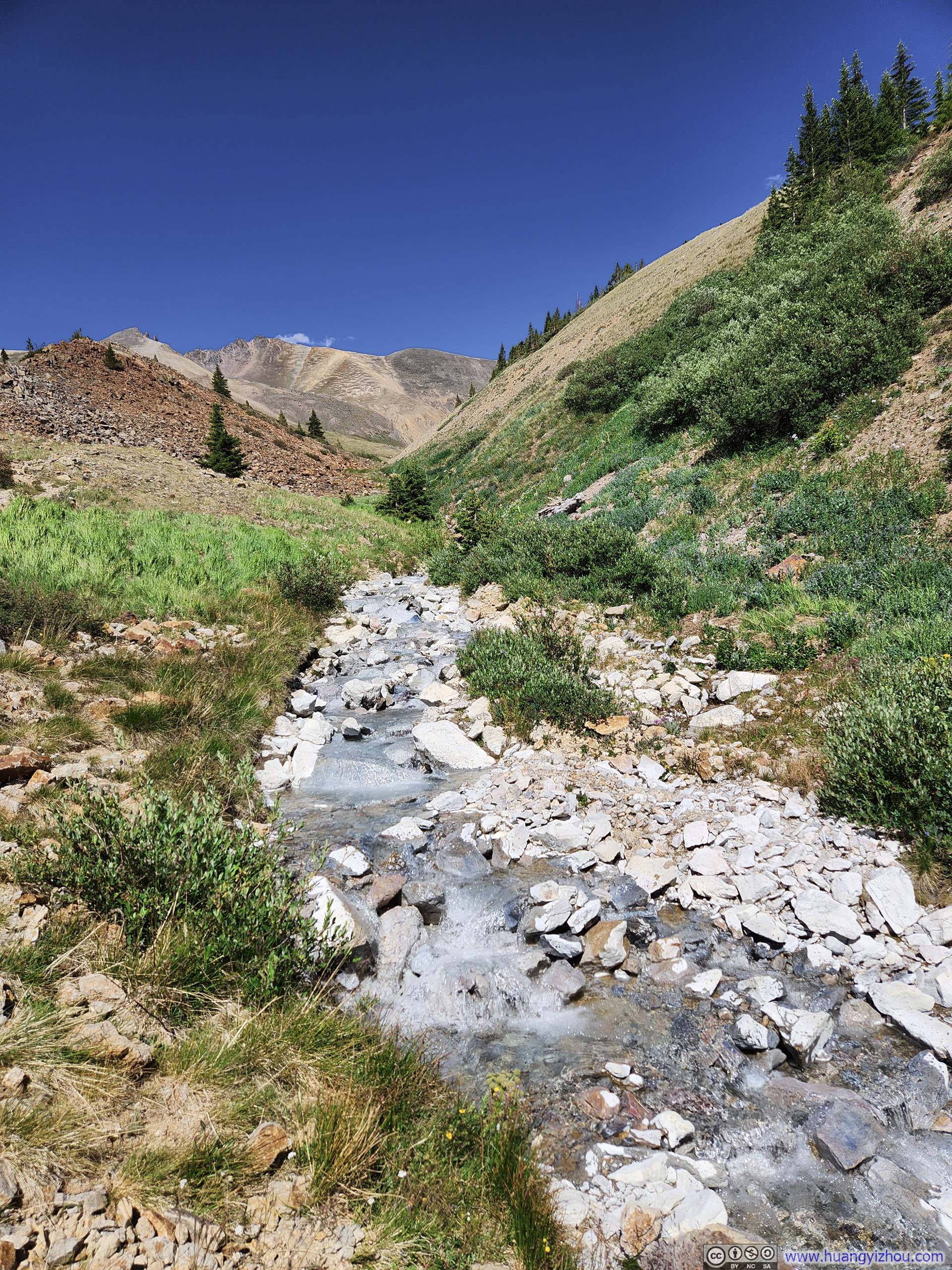
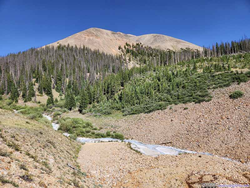
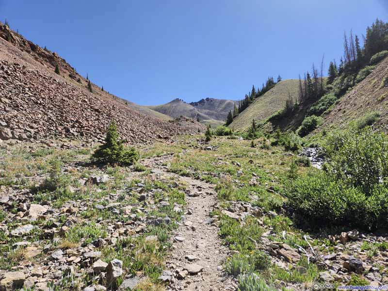
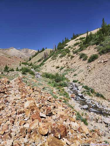
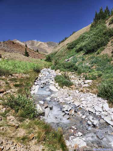
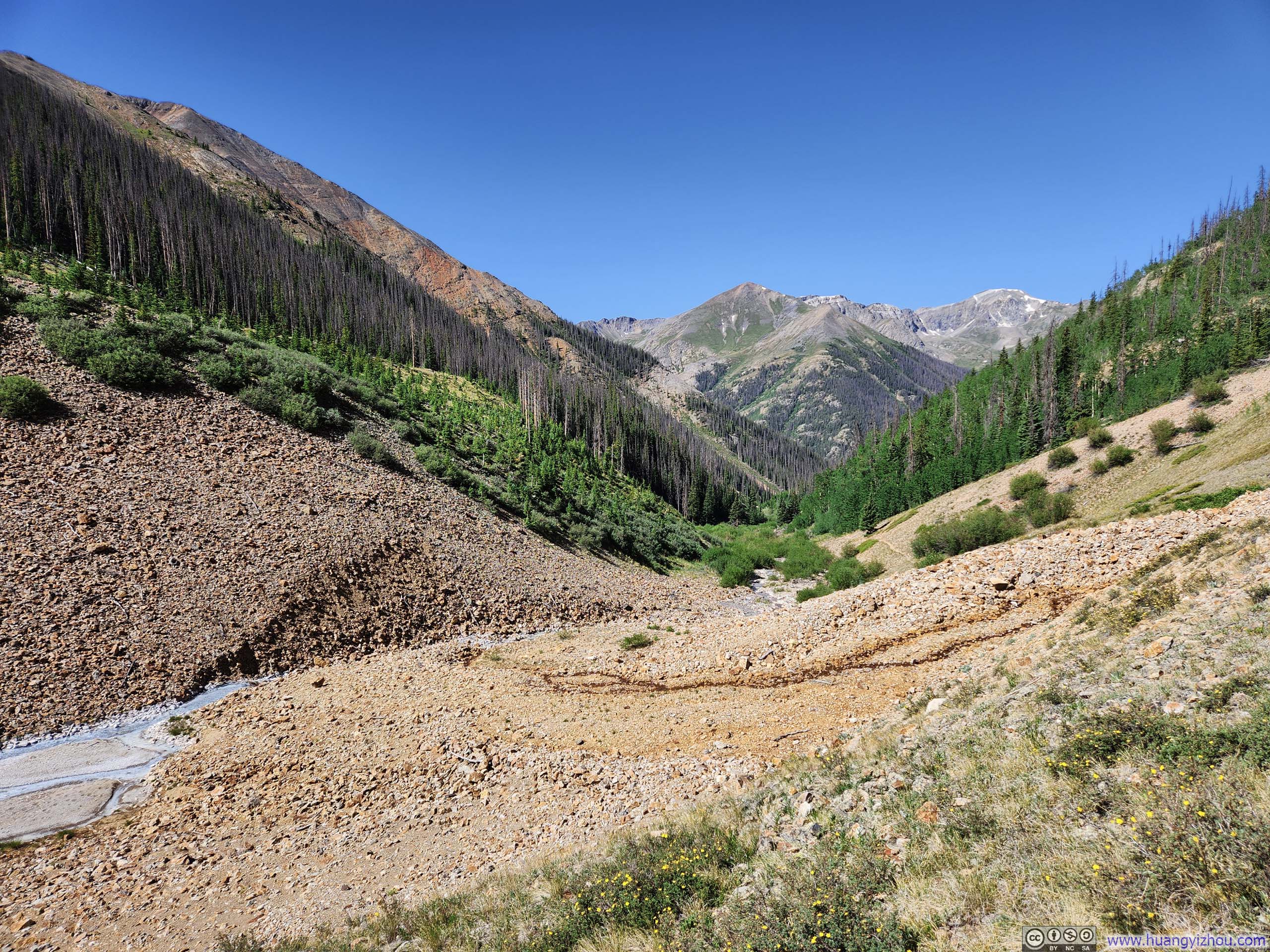
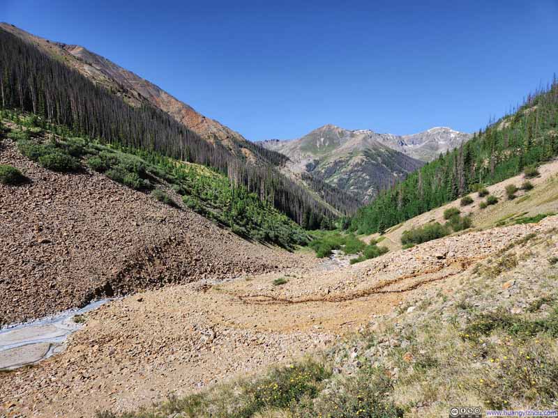
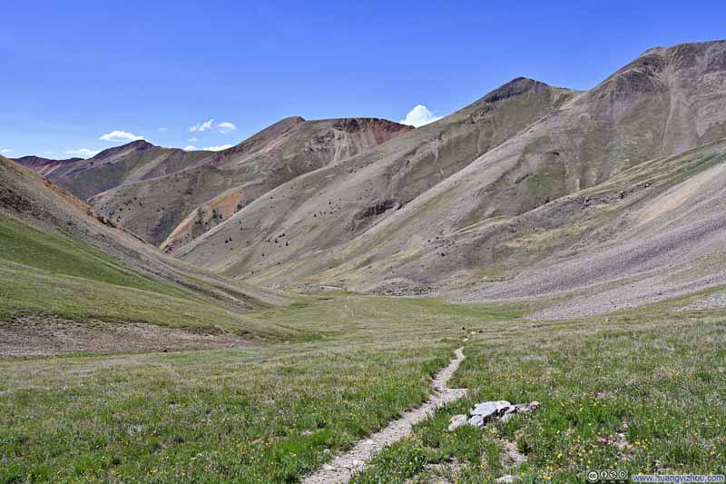
Once out of the woods, the trail found itself following the course of Silver Creek upstream, weaving through the loose, orange-tinged rocks that were the signature of the area's vivid colors. Interestingly, the creek shared the same light blue, muddy hue as Matterhorn Creek two days earlier.
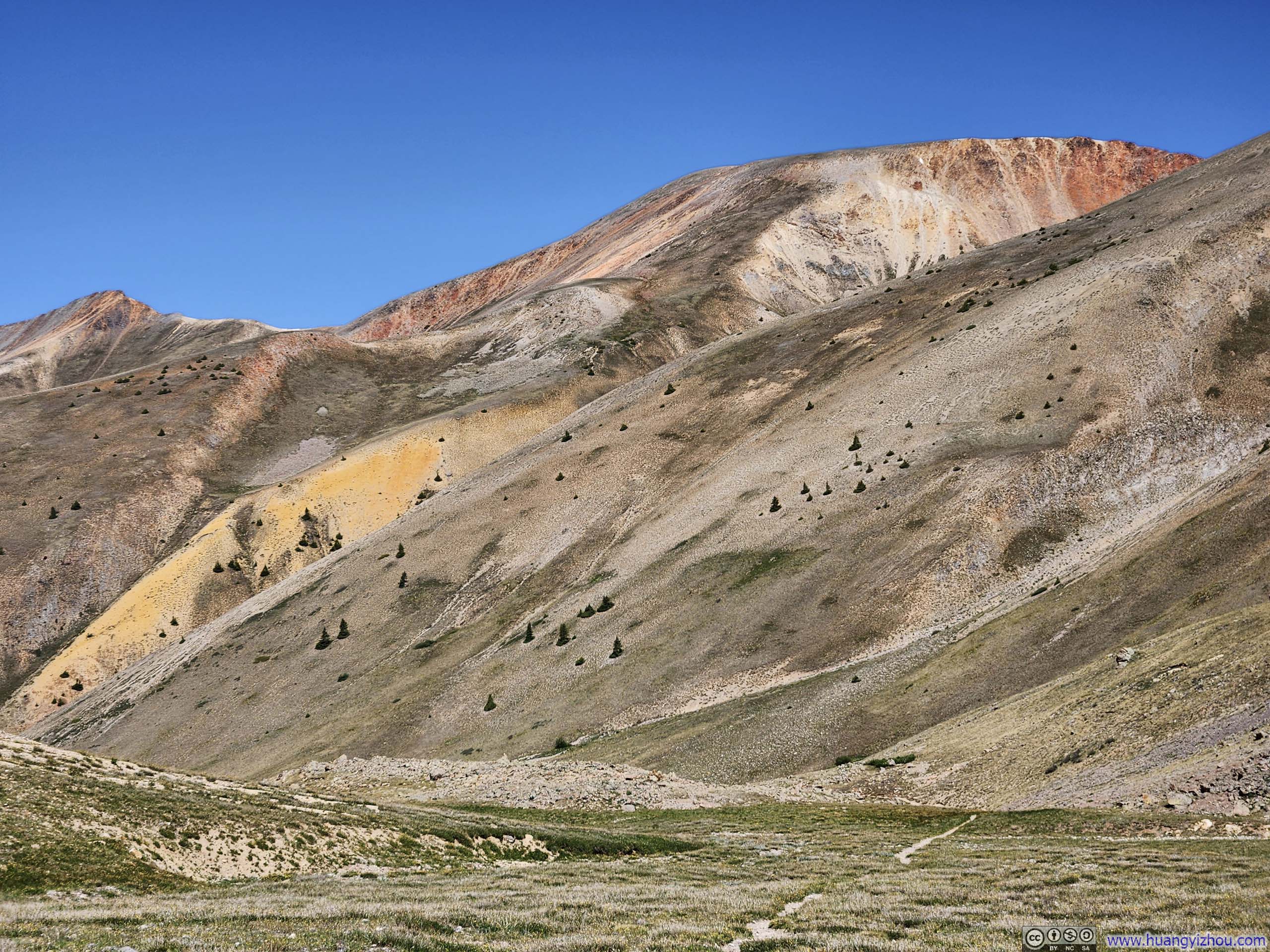
Hillside in Vivid Colors
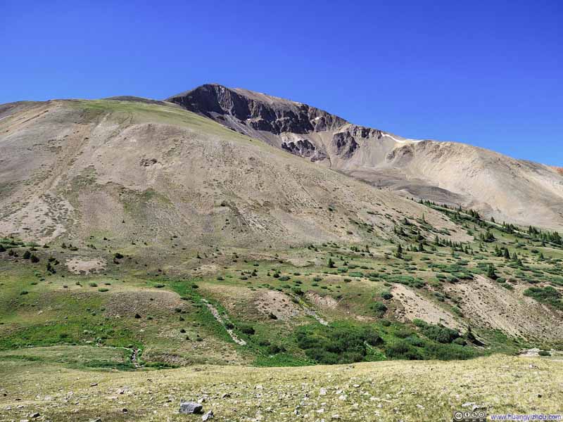
Redcloud Peak from Trail
Trail
Trail
Silver Creek
Flowers along Small Creek
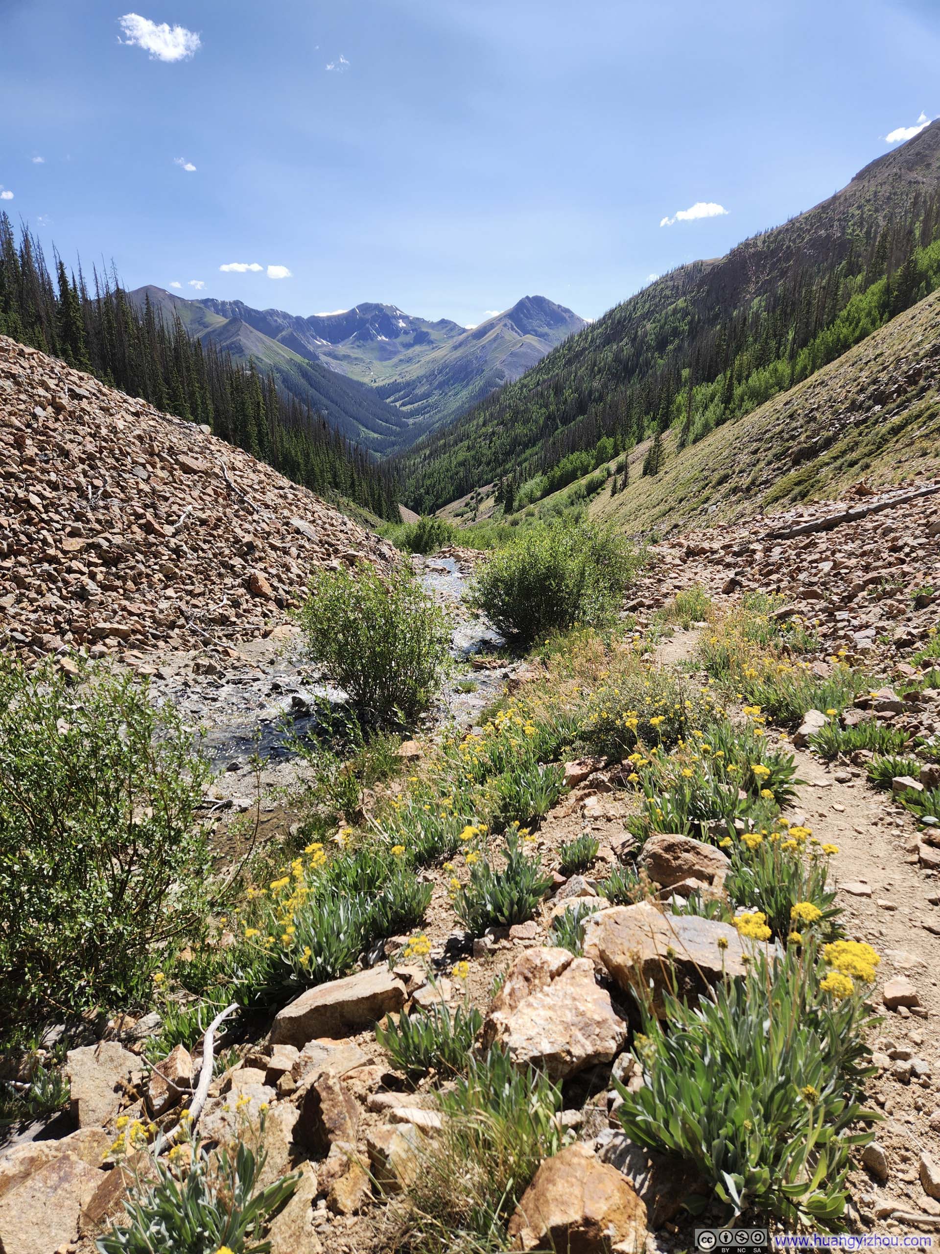
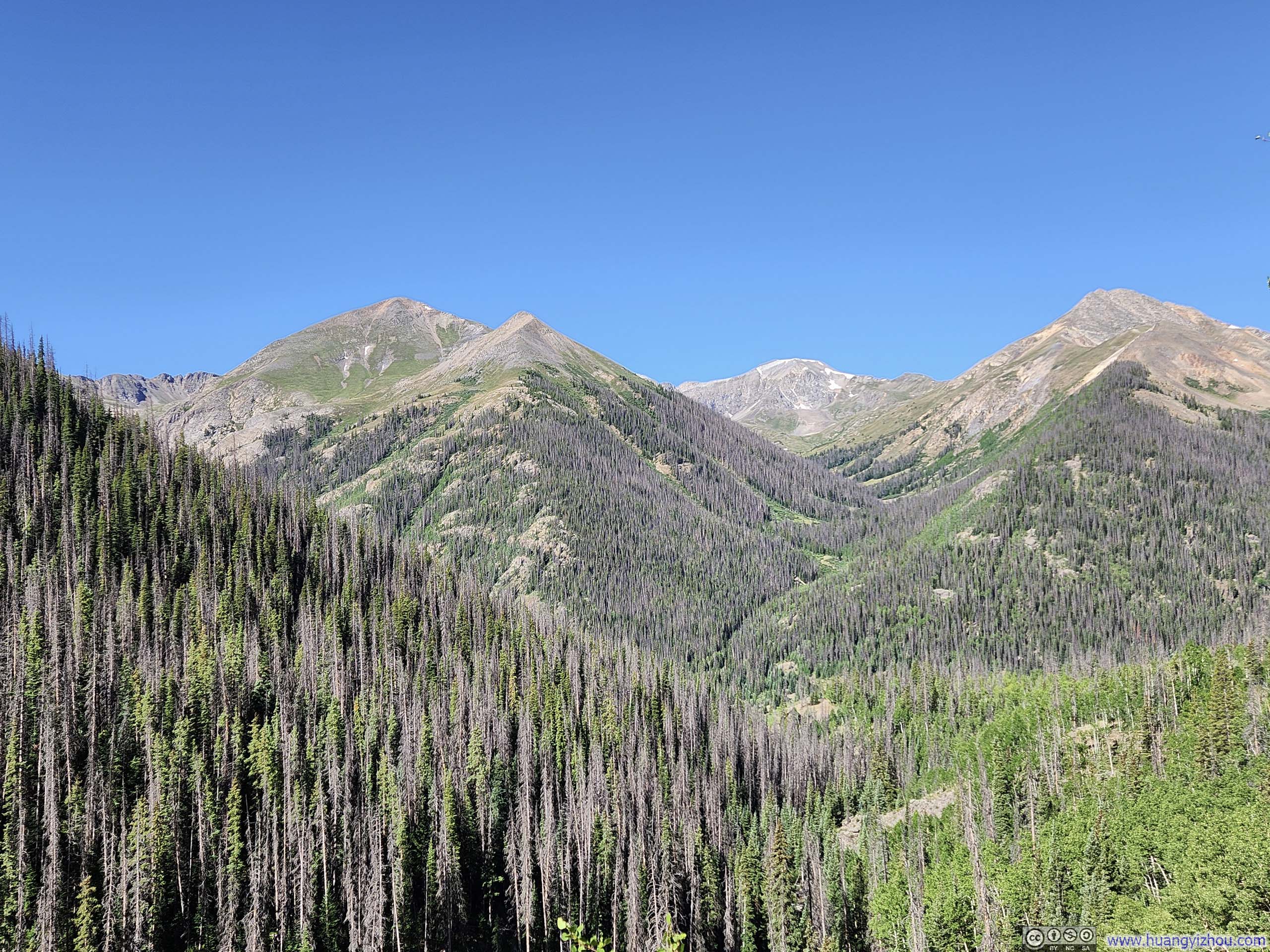
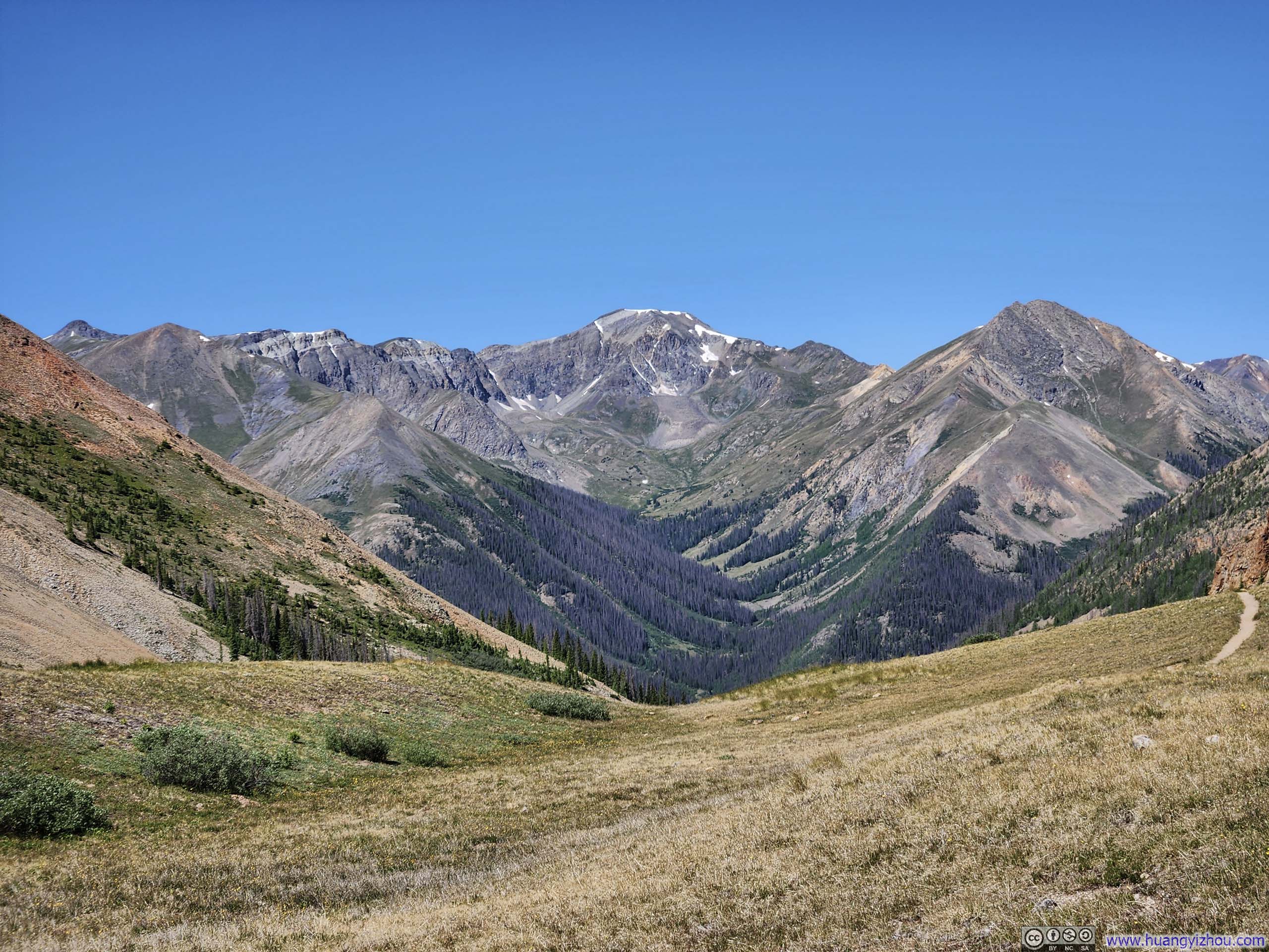
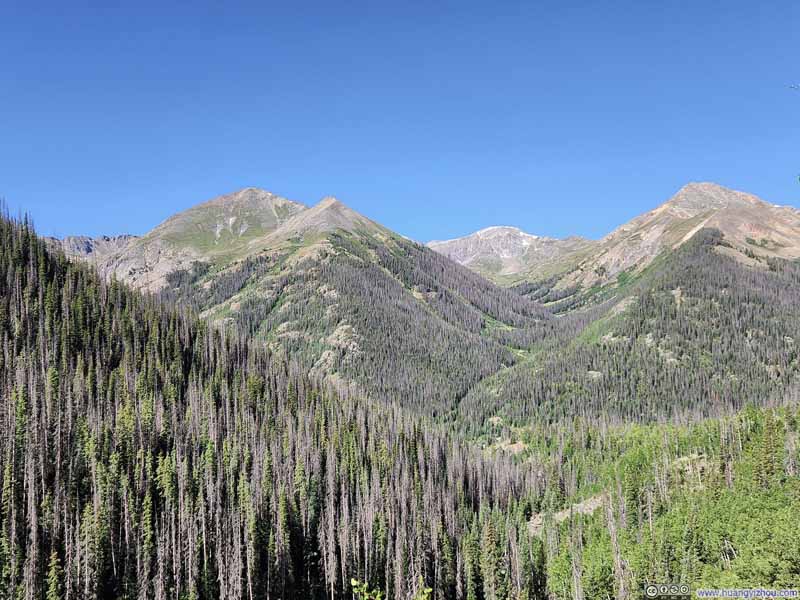
I found the opening stretch of the trail somewhat disappointing. After days of near-perfect terrain, the loose rocks made for tedious going, and what little vegetation clung to life among them felt drab and monochromatic. The deep valley offered little scenery to compensate for the effort, just occasional glimpses of Handies Peak looming behind.
Mountains
Mountains
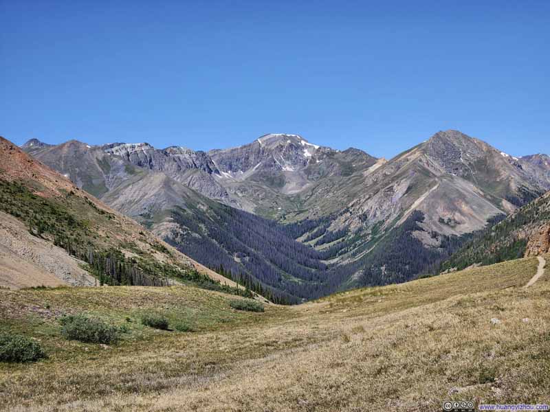
Handies Peak from Trail
Handies Peak across Valley
Handies Peak across Valley and Basin
Flowers along Small Creek against Mountainous Backdrop
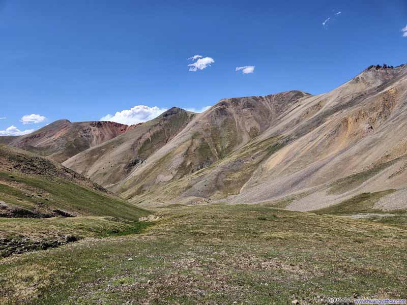
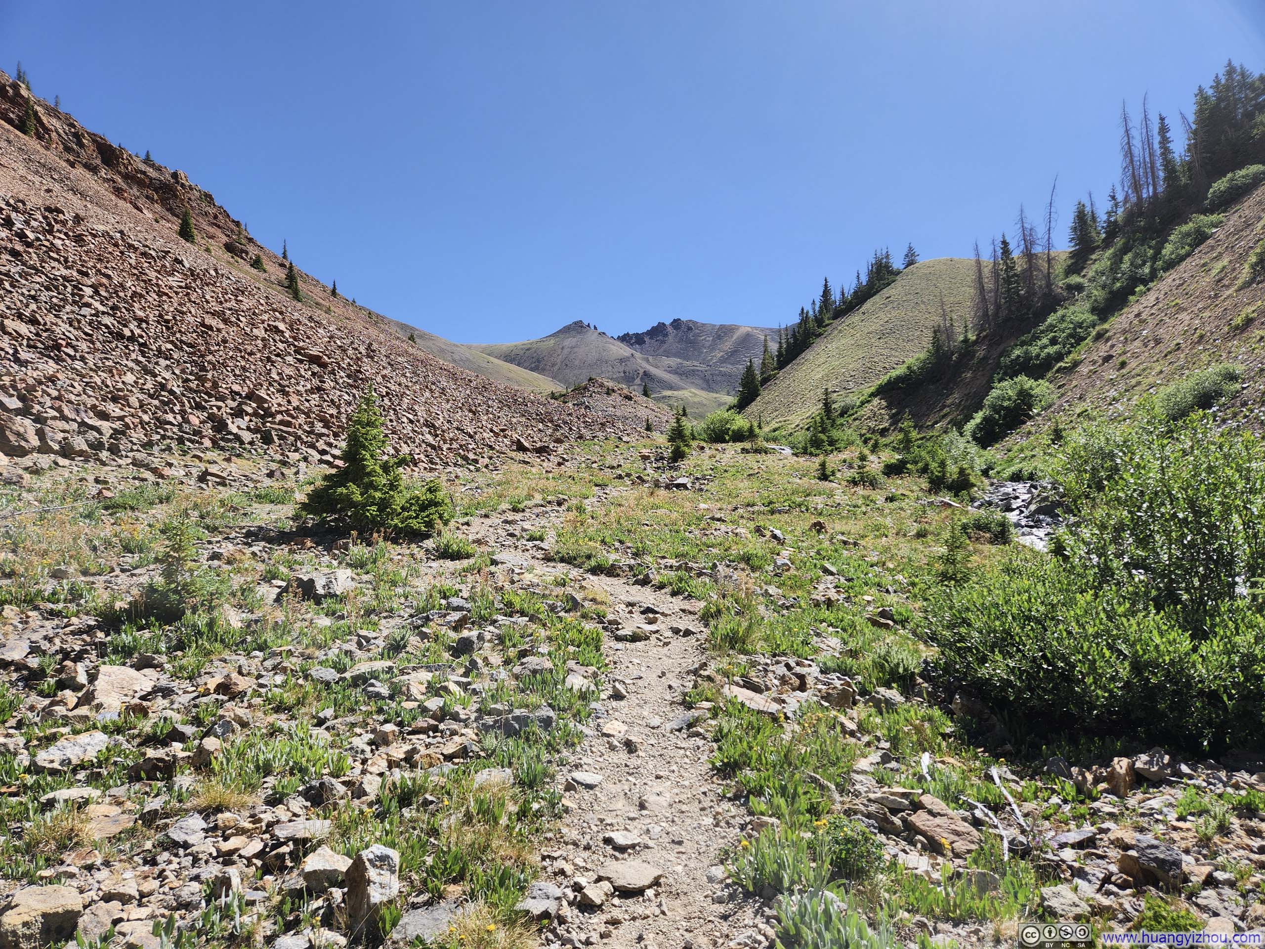
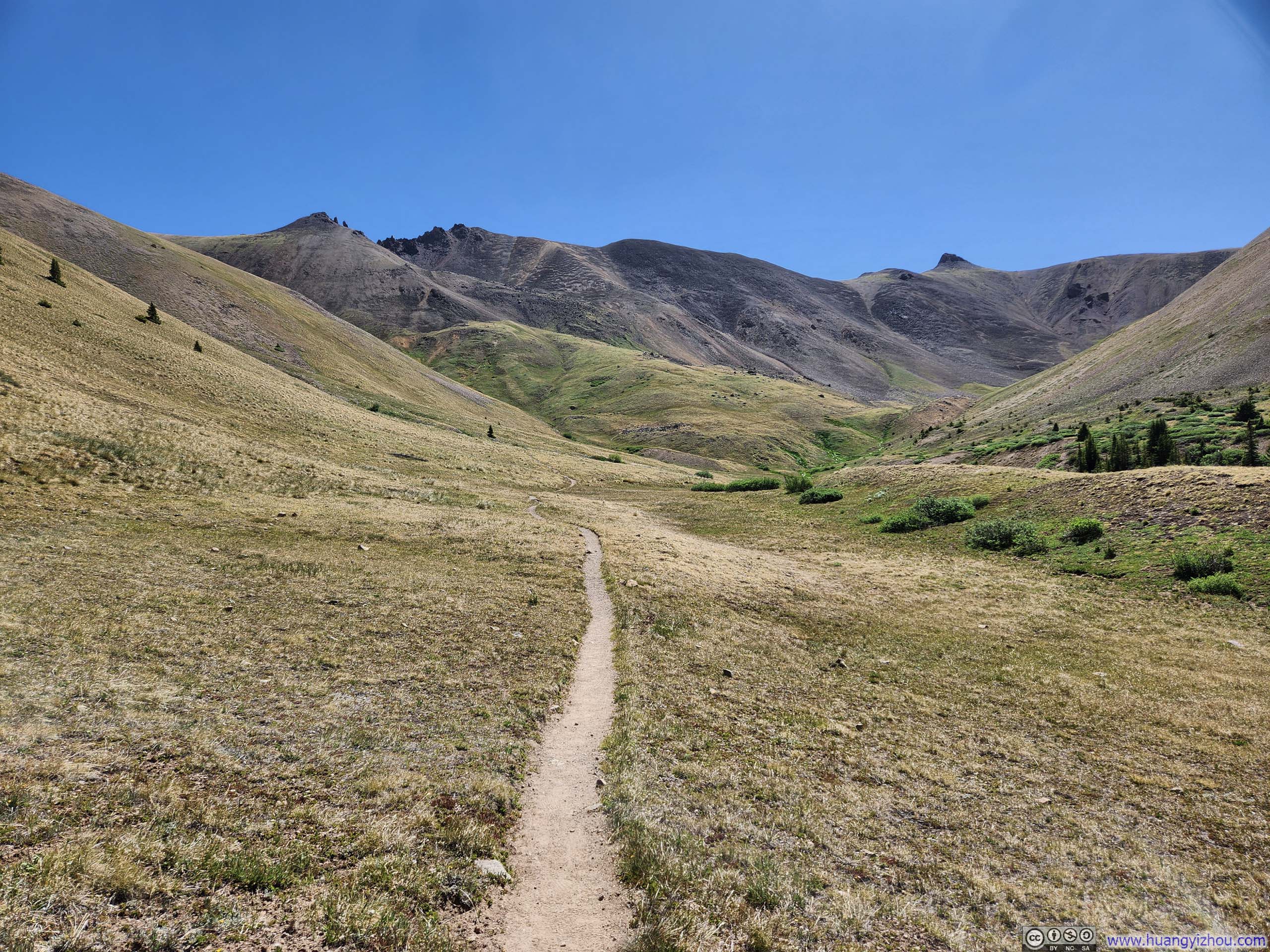
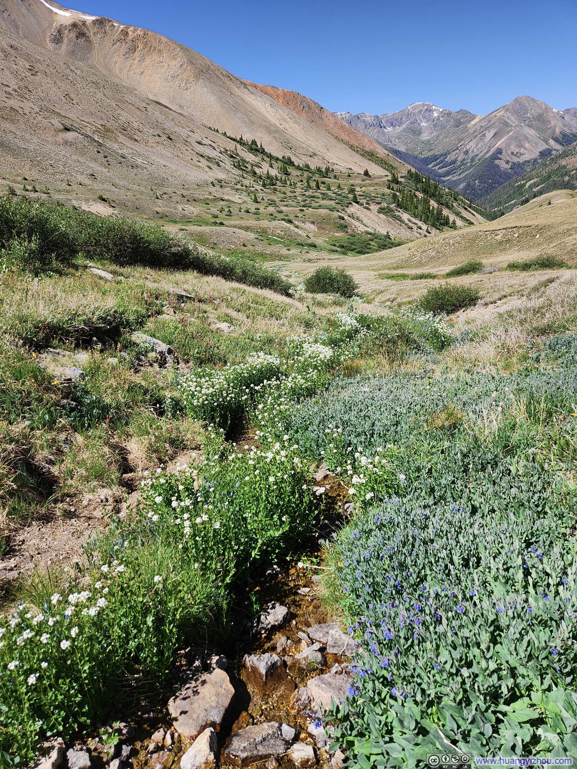
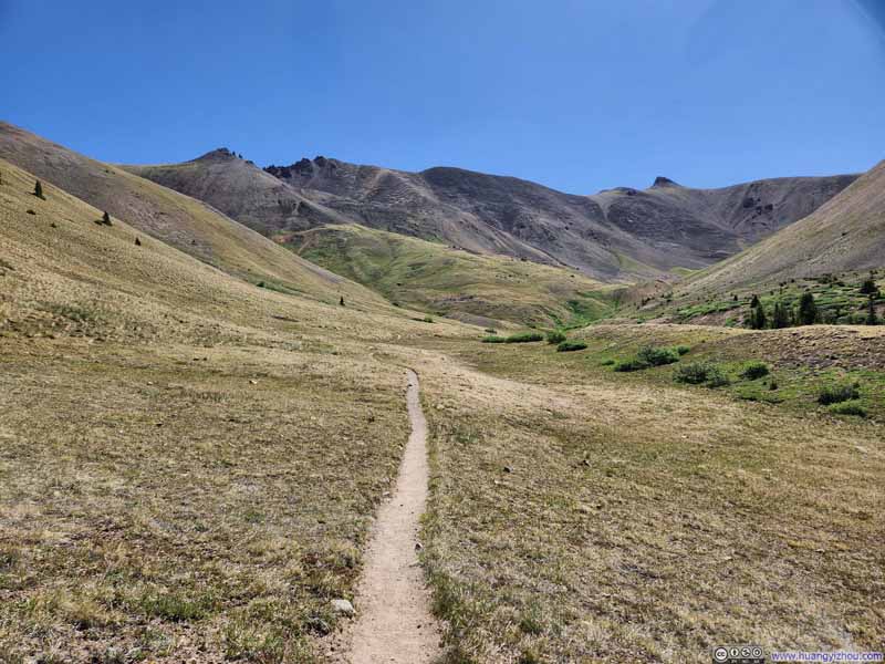
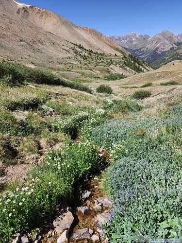
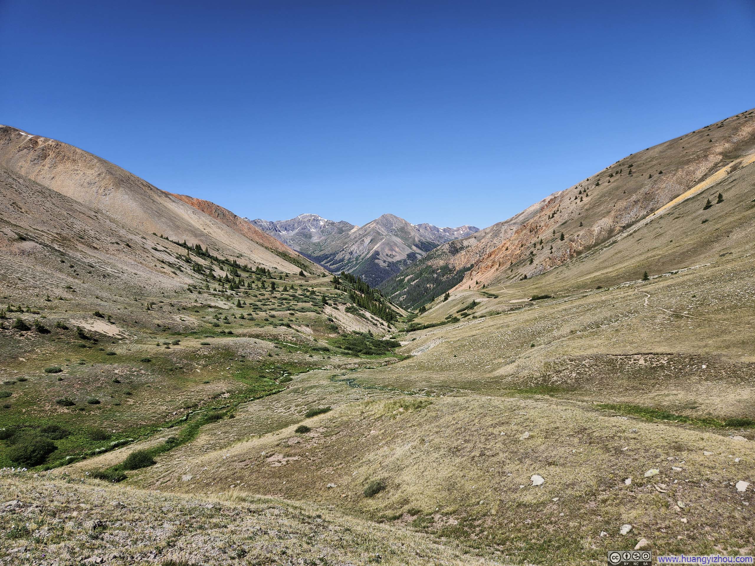
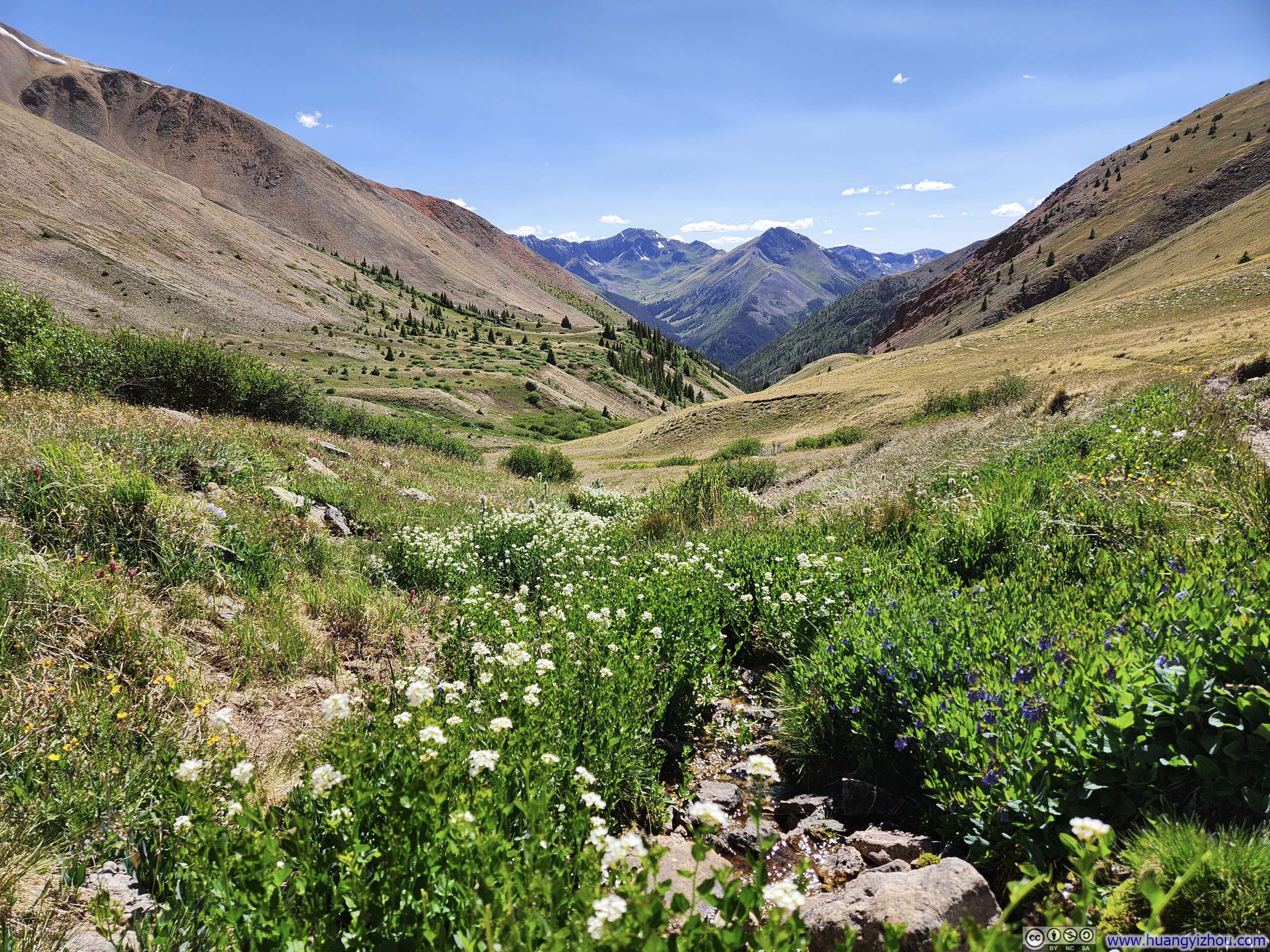
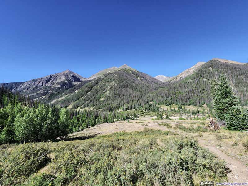
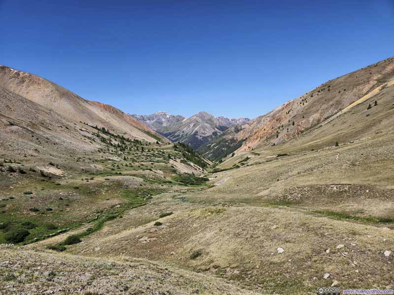
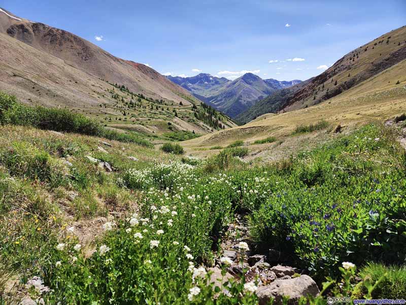
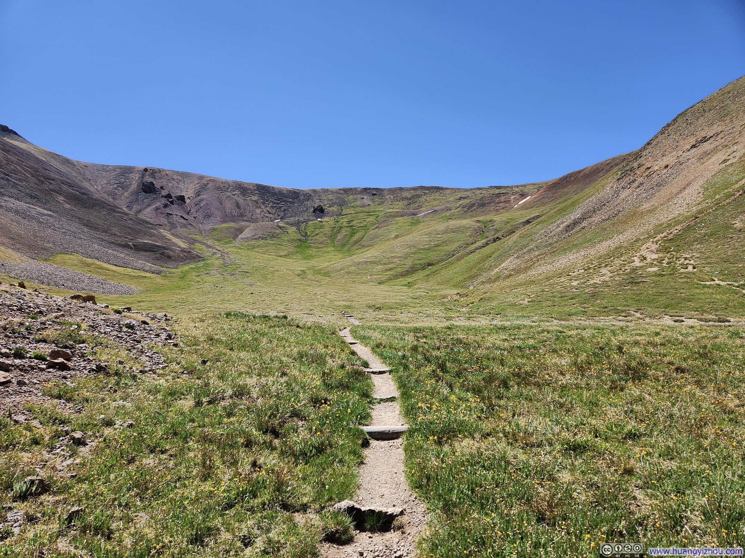
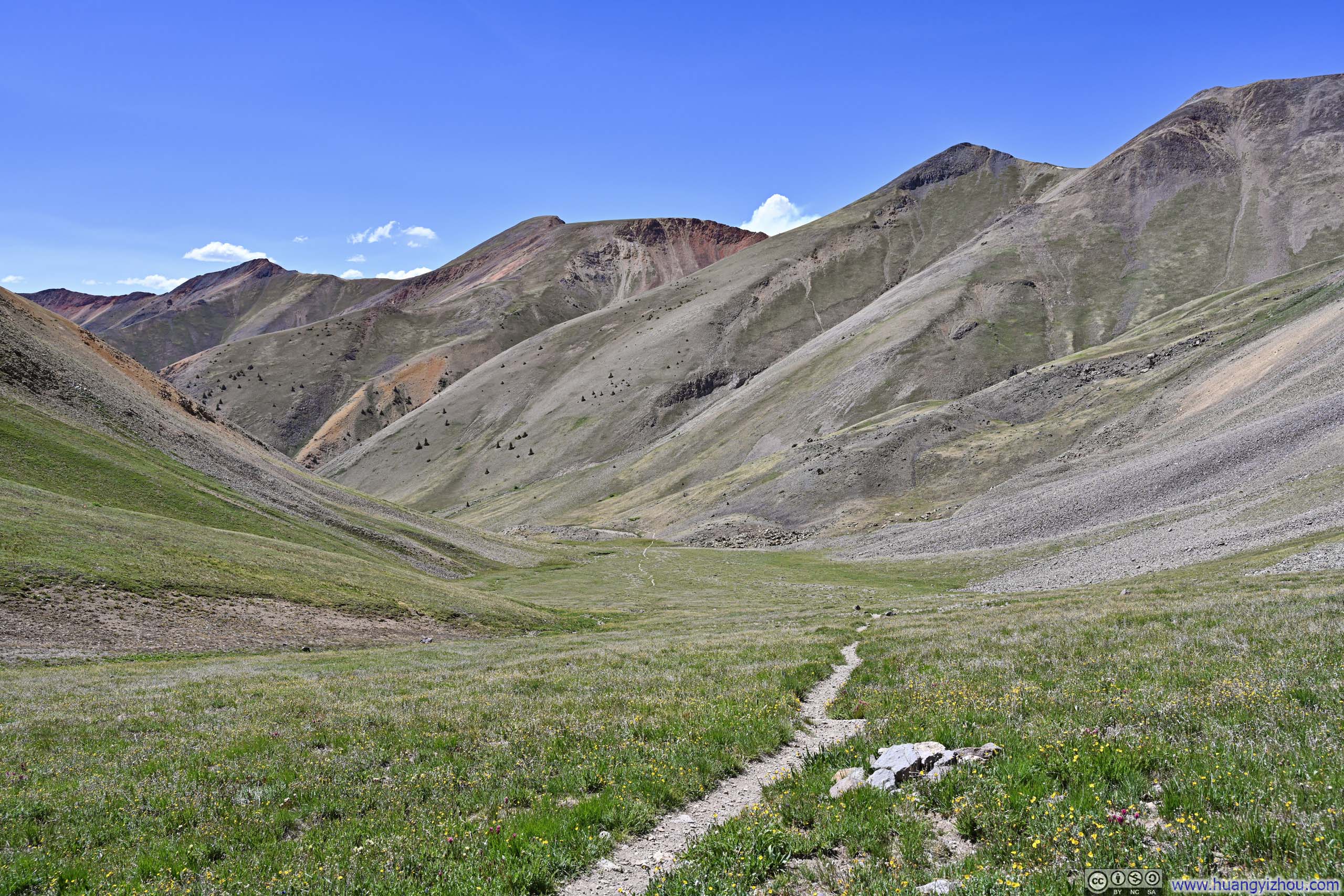
Fortunately, the typical San Juan experience eventually returned, as the trail entered a grassy basin with blooming wildflowers. Despite the slightly hastened pace of elevation gain, I found the progress more enjoyable here.
Redcloud Peak from Trail
Trail through Grassy Field
Trail through Grassy Field to Redcloud Peak
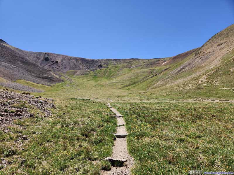
Trail through Grassy Basin
Grassy Basin
Trail
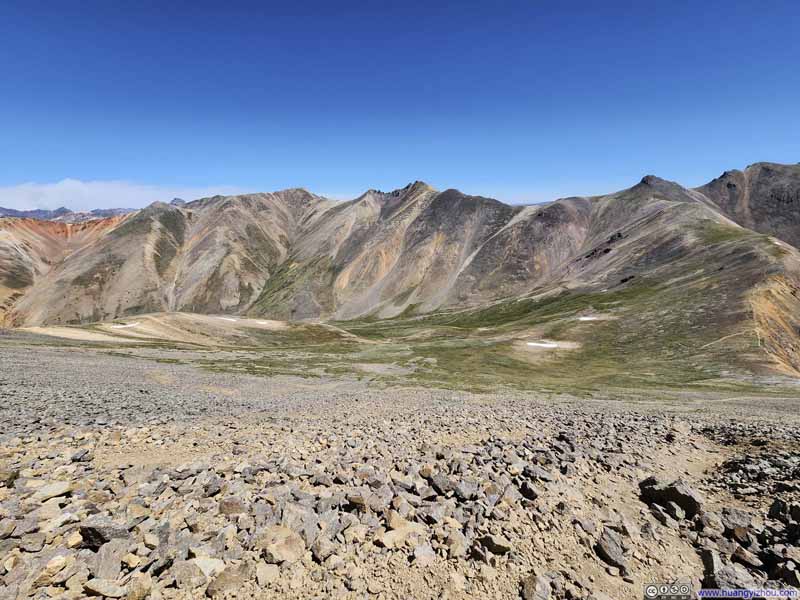
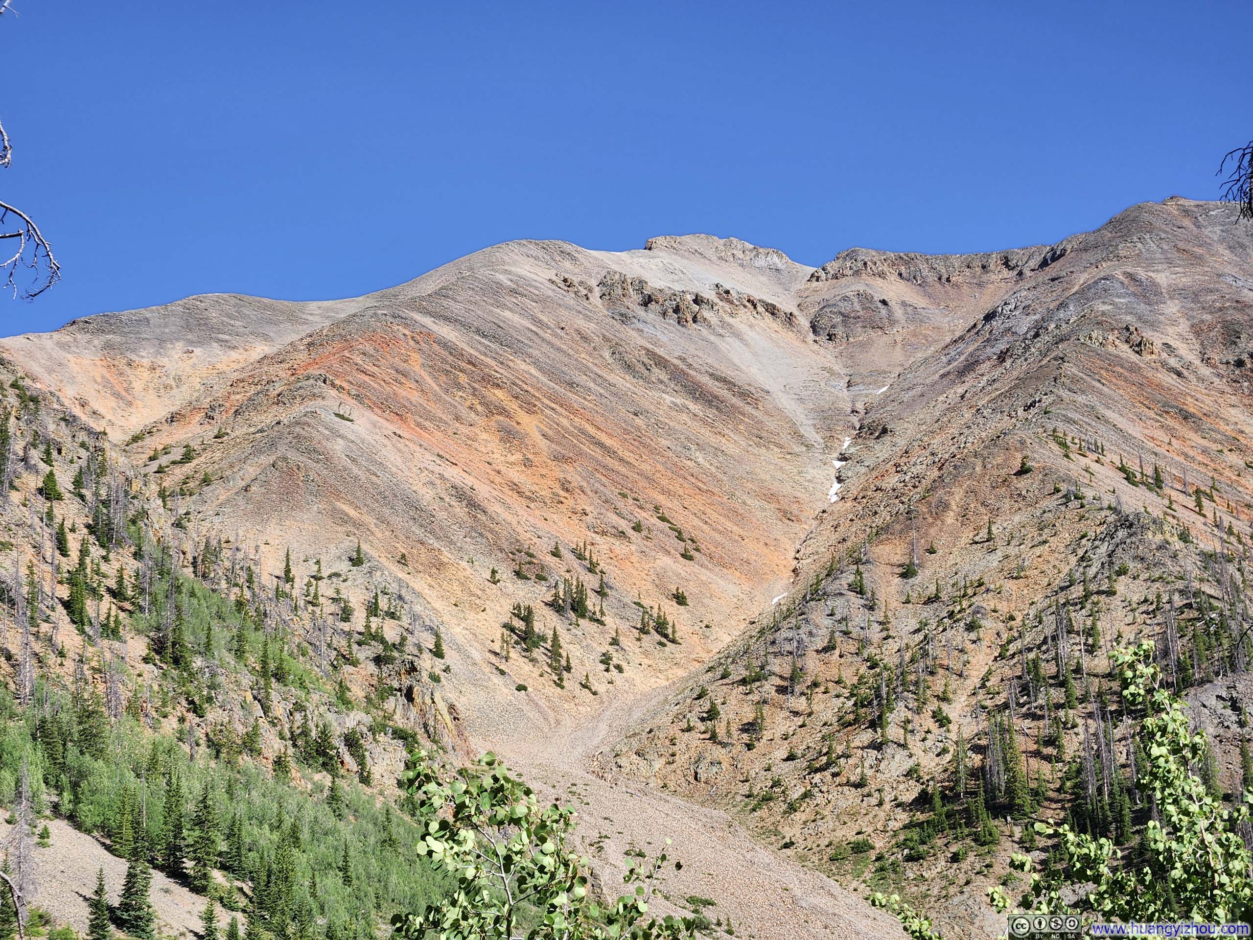
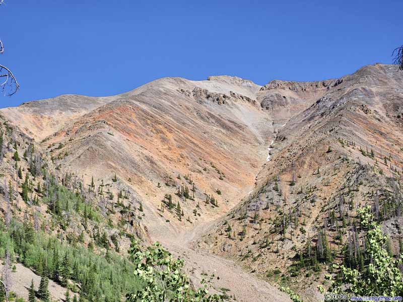
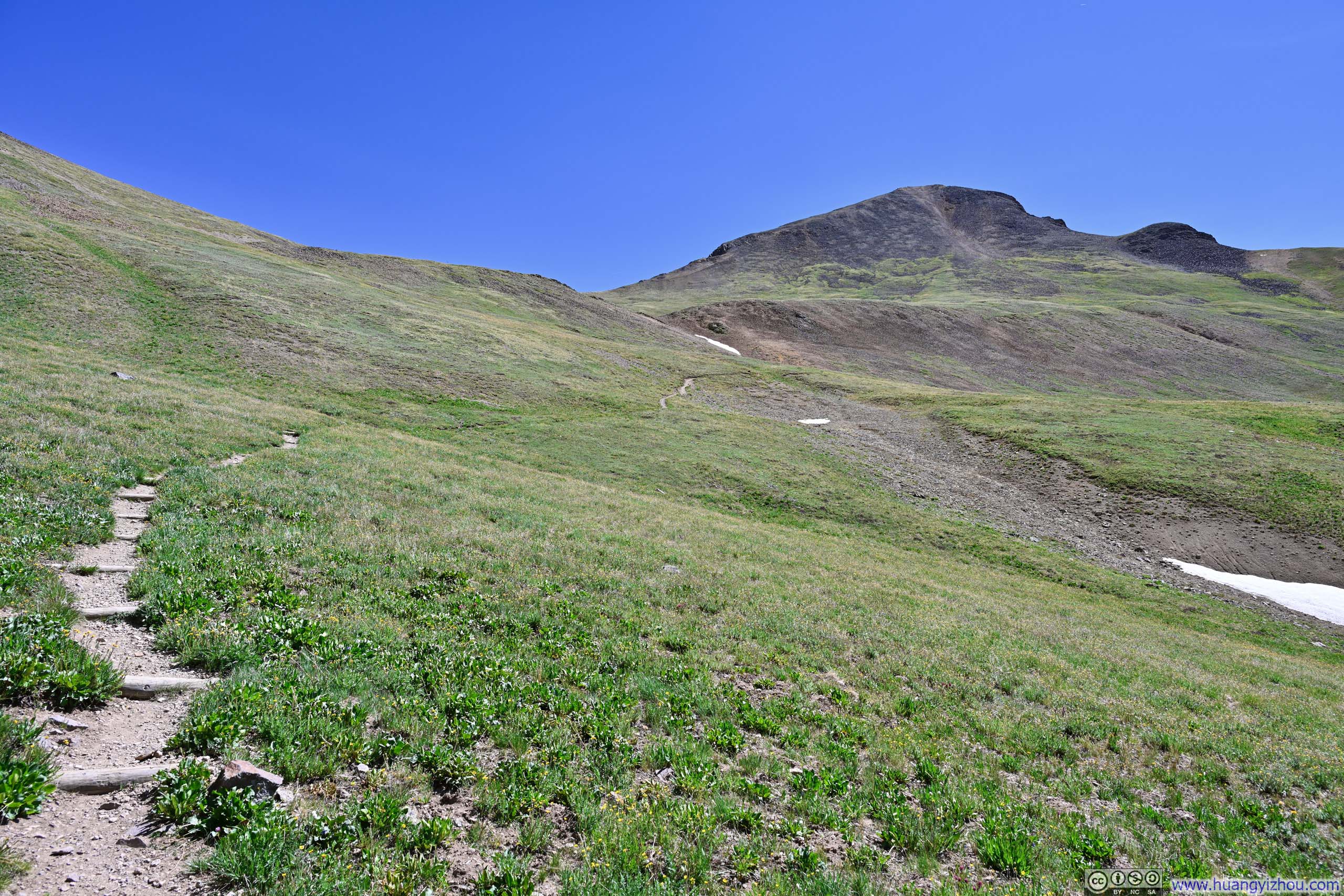
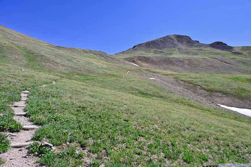
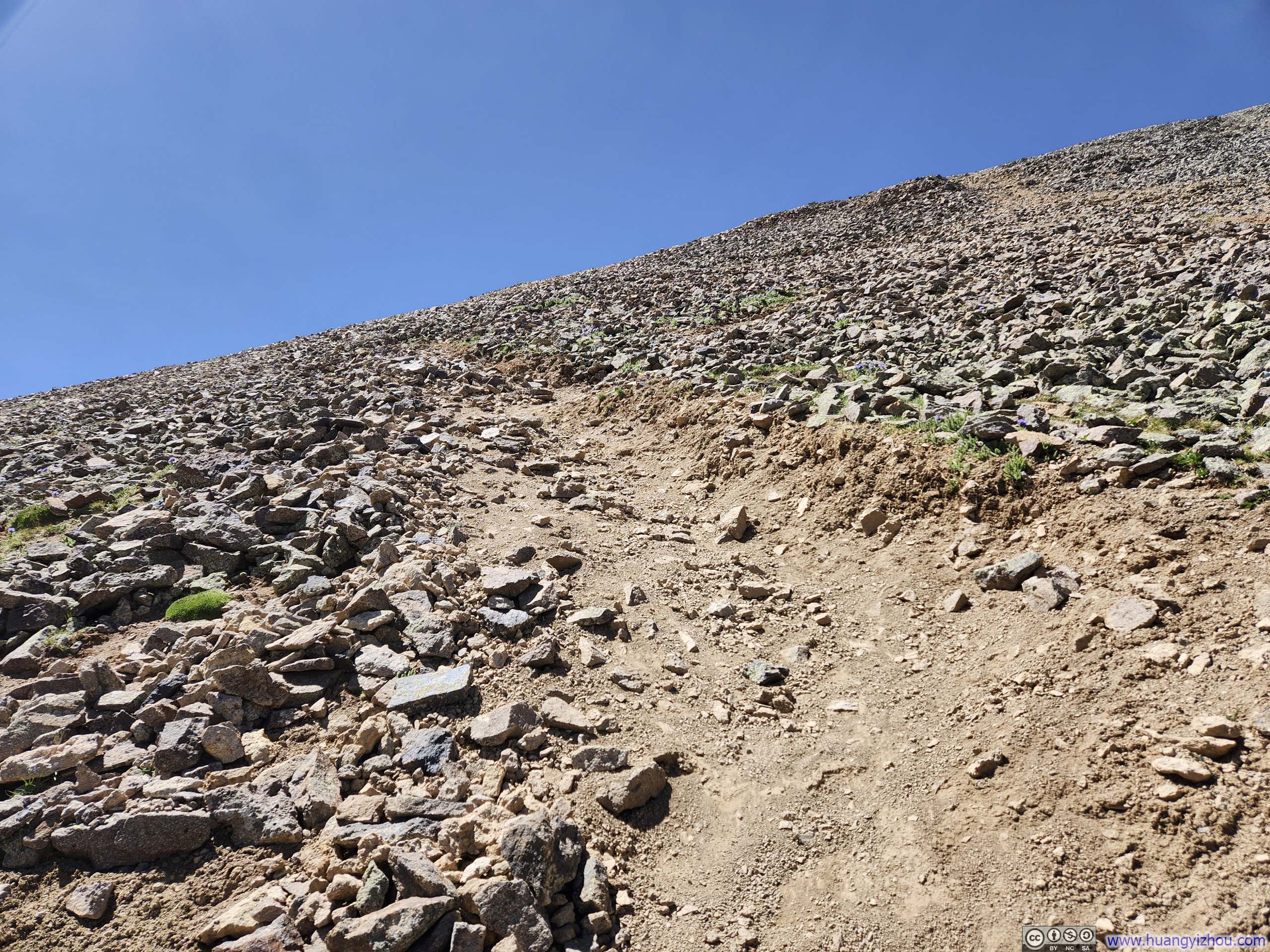
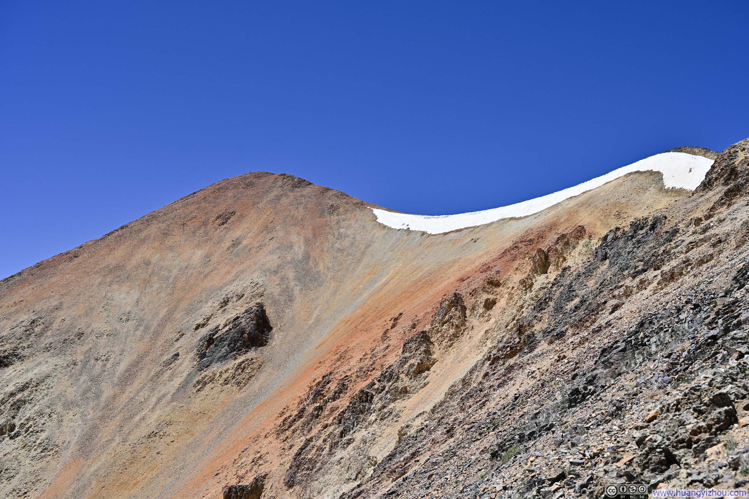
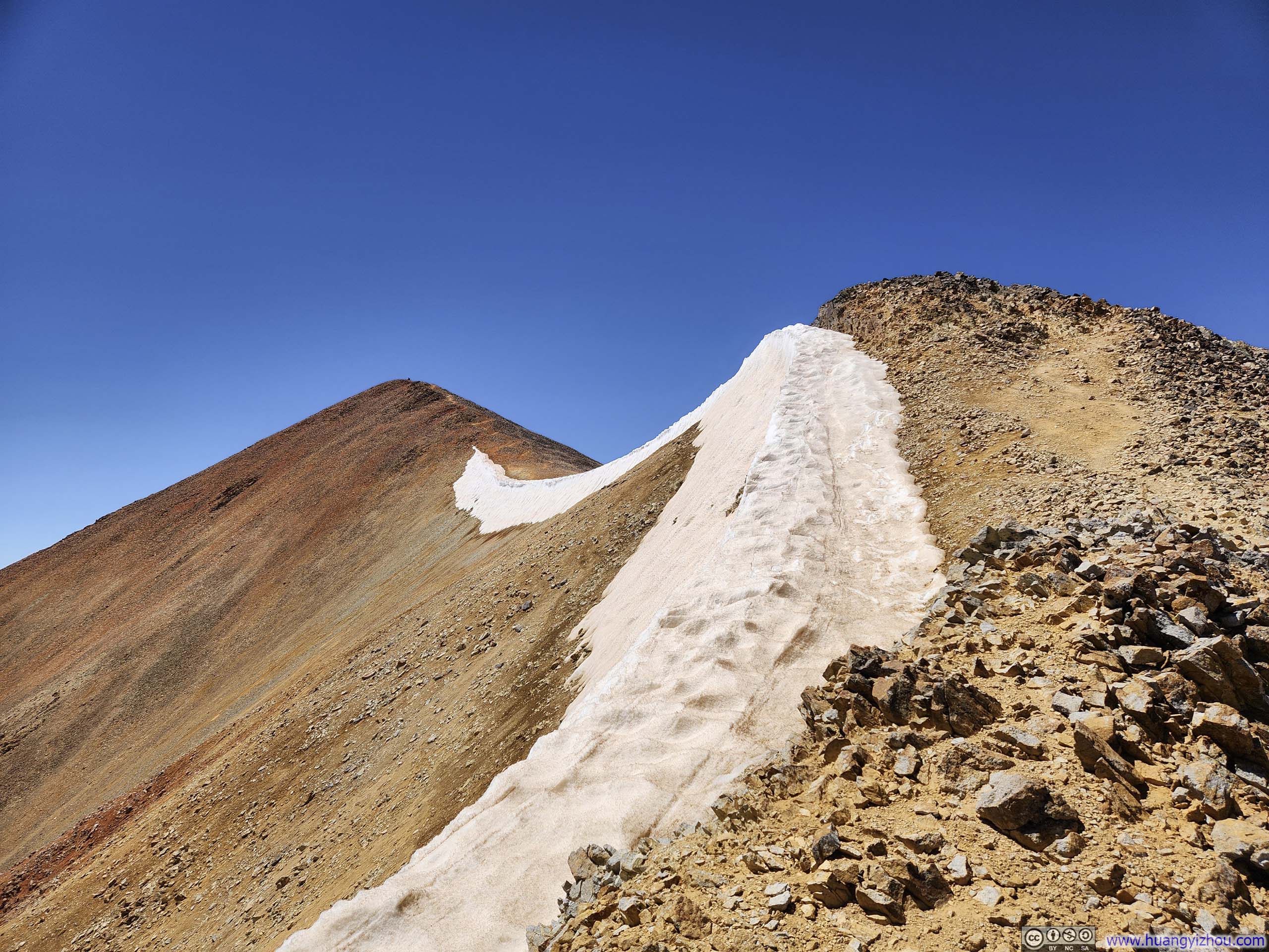
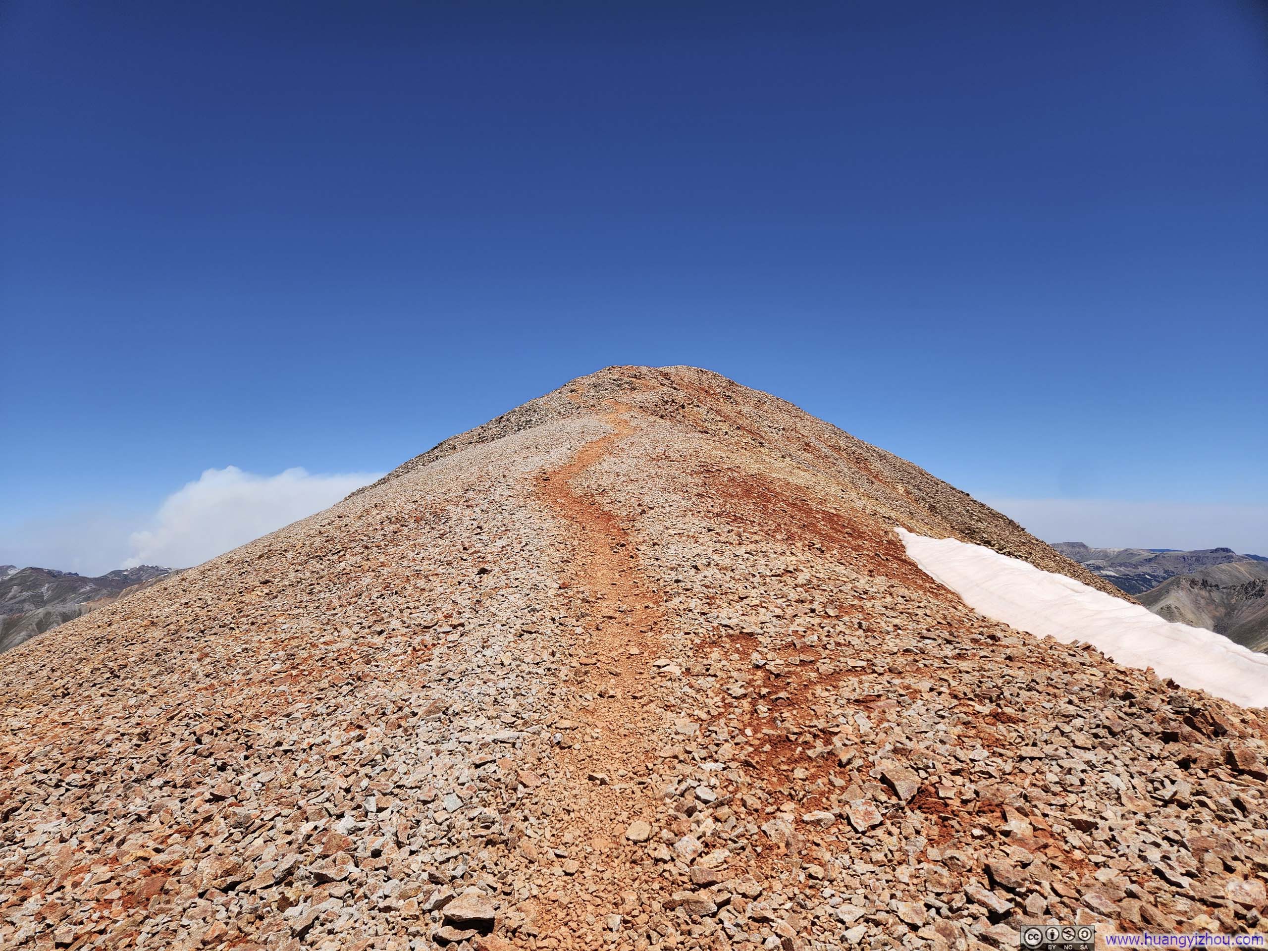
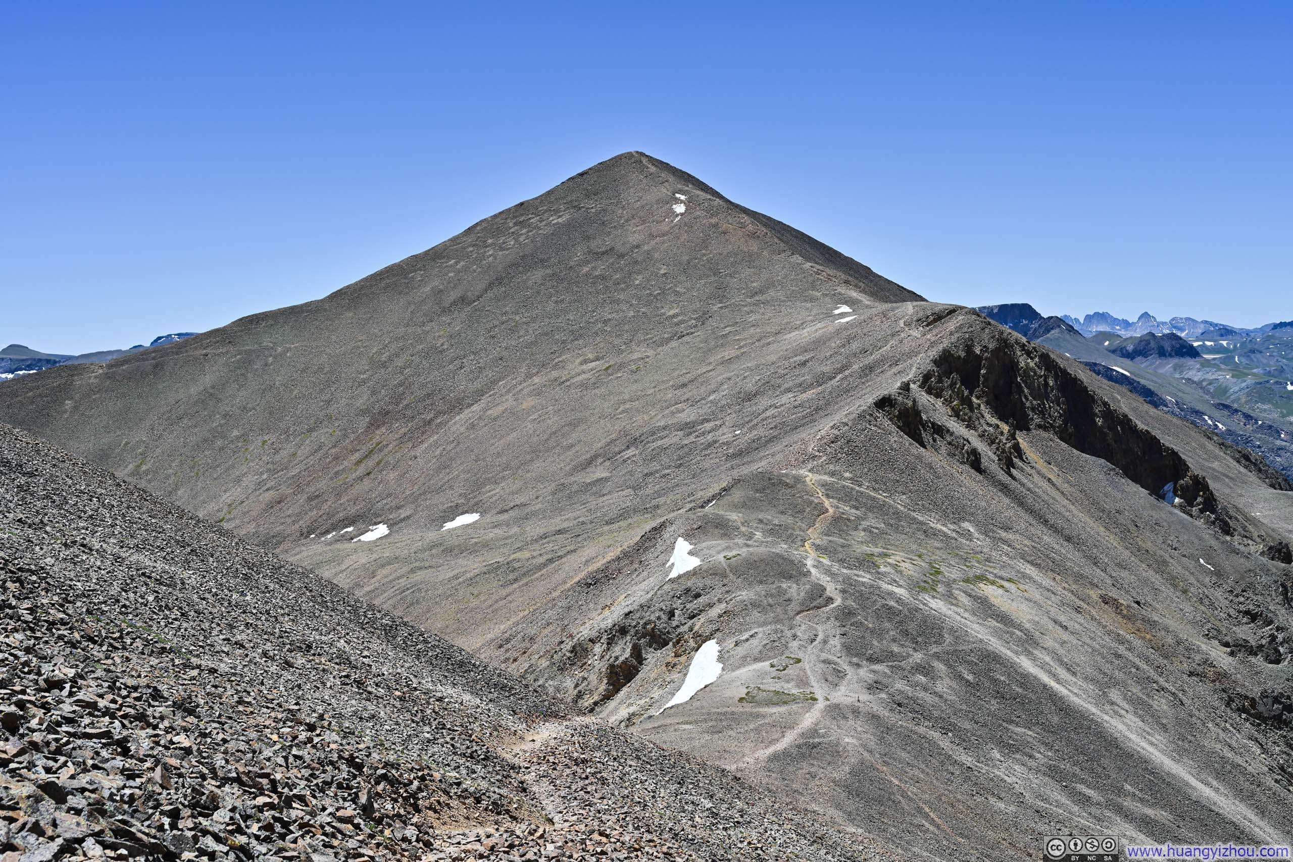
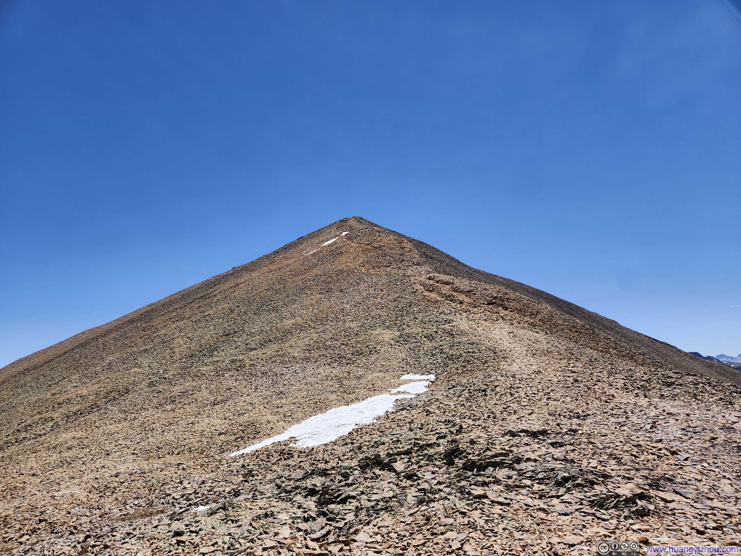
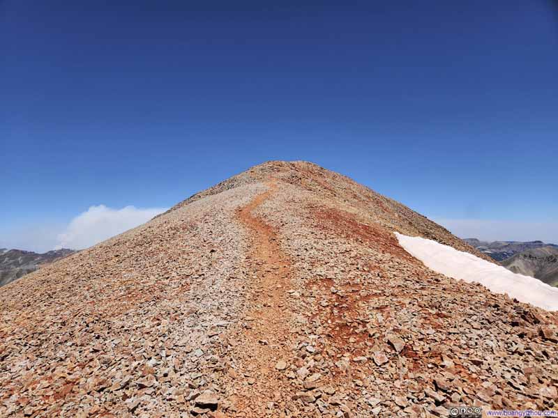
The basin topped out at a saddle between Redcloud Peak and a lower rise to the northeast, where the trail shifted from dirt back to stone. From here the route veered slightly north from the ridgeline to ascend the mountain's steep northeast face. The path across this rocky incline faded at times, though any deviation seemed more navigational challenge than genuine danger. Near the summit, a ribbon of snow lingered beside the trail, a final ceremonial marker befitting the peak's approach. True to its name, the mountain had laid down its own red carpet: stone weathered to deep hues of crimson that seemed to welcome the traveler upward.
Trail to Redcloud Peak
Trail onto Ridge and Redcloud Peak
Steep Trail to Redcloud Peak
Bent Creek Valley
Rugged Summit across Basin
Redcloud Peak
Redcloud Peak
Trail to Redcloud Peak
Trail to Redcloud Peak
Finally, I reached the summit of Redcloud Peak at noon, less than 3 hours after leaving the trailhead.
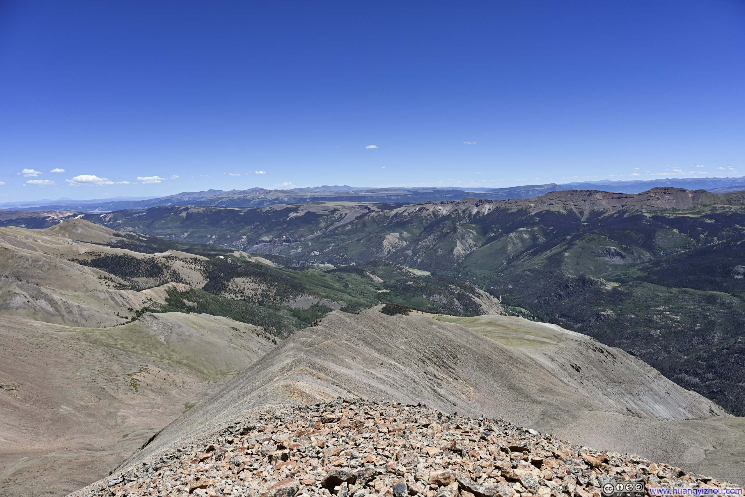
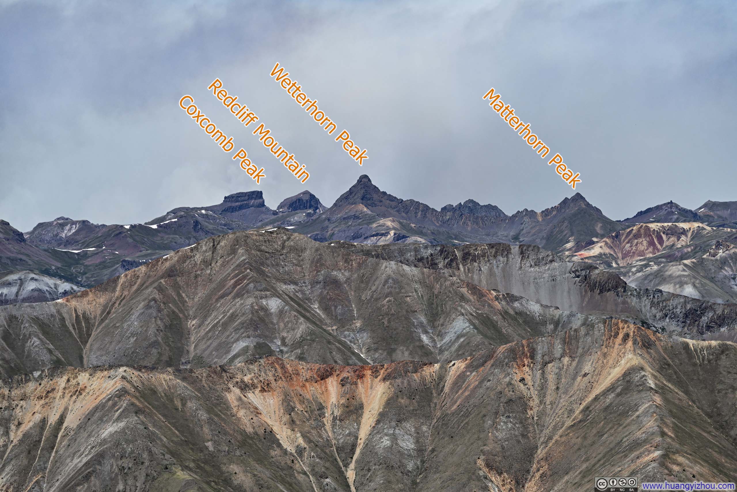
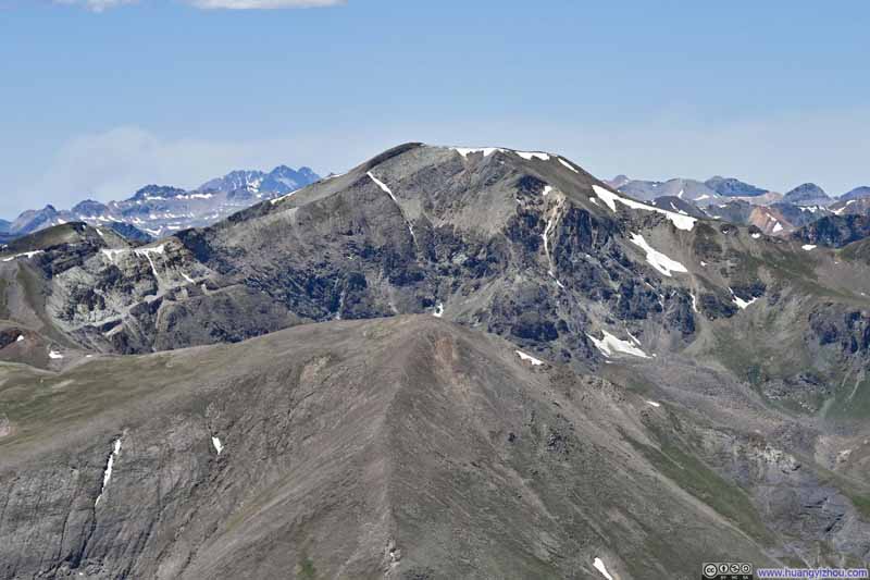
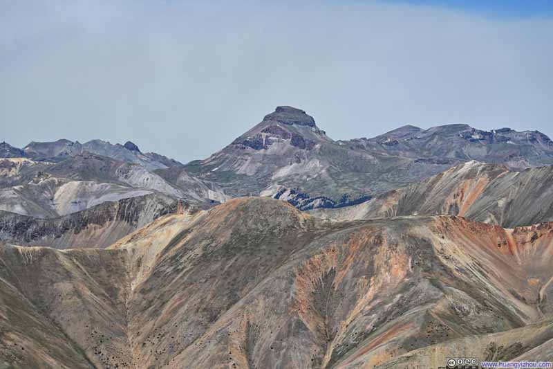
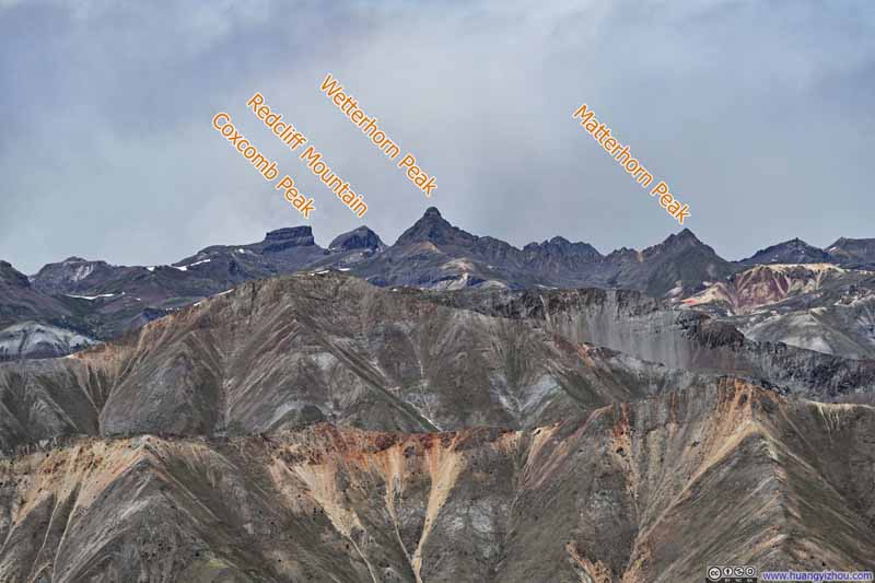
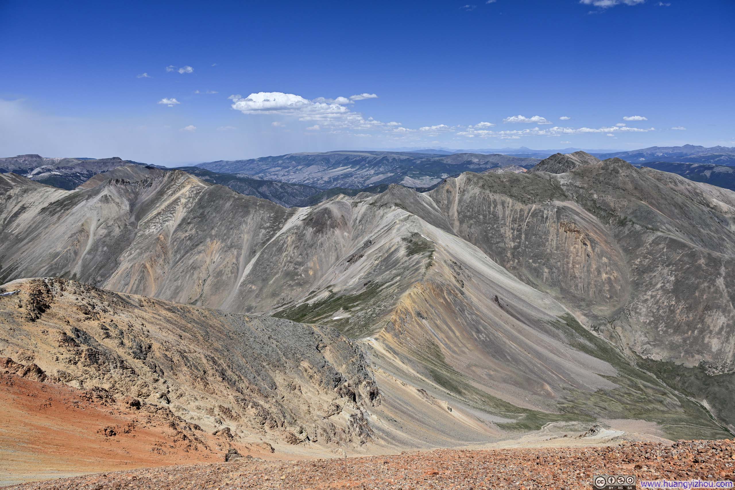
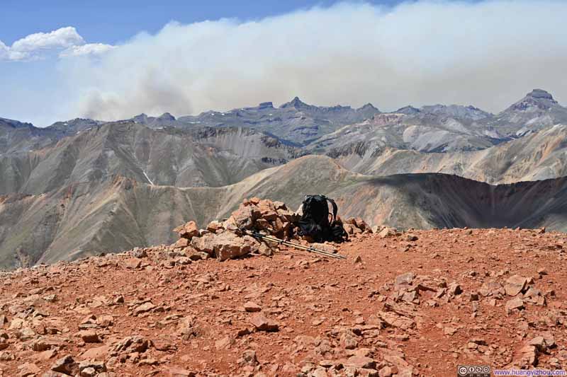
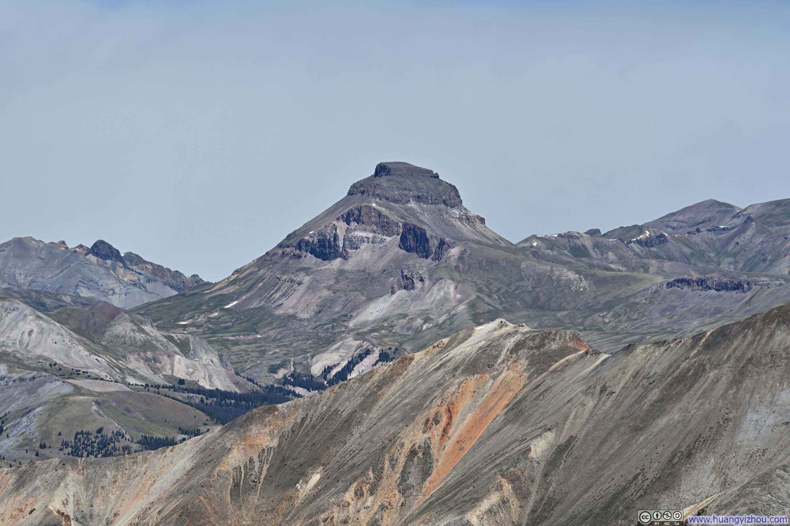
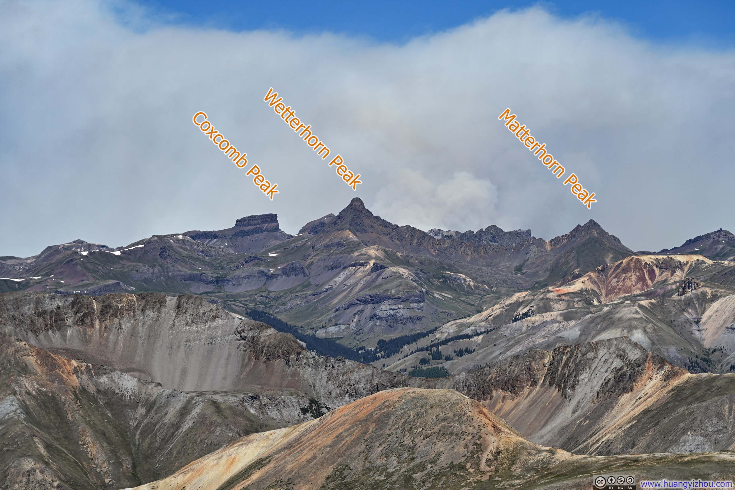
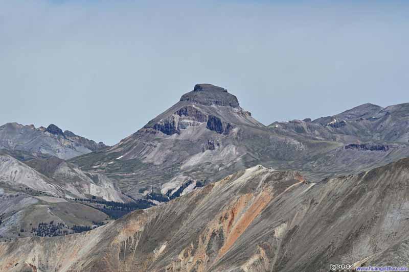
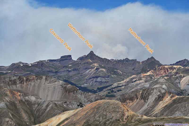
Remarkably spared the winds that had plagued the San Juan Mountains that week, despite forecasts warning of their return, I stood in unexpected stillness. Nearby, iron-rich earth painted the Redcloud Peak's slopes in tapestry reds, while an undulating ridgeline wove an earthy seam southward to Sunshine Peak—my next destination. To the north, fellow 14ers Uncompahgre and Wetterhorn Peaks dominated the skyline until wildfire smoke blurred their backdrop. West lay Cinnamon Pass Road, threading through Burrows Park between ranges where forest yielded to bare earth at an almost uniform elevation, leaving only a few snow-dusted clusters of peaks to punctuate the tranquil view in the background.
Summit of Redcloud Peak
Mountains to the North from Redcloud Peak
Trail from Redcloud Peak to Sunshine Peak
Sunshine Peak from Redcloud Peak
Mountains to the Northwest
Cinnamon Pass Road amid Burrows Park and Mountains
San Juan Mountains to the Southwest
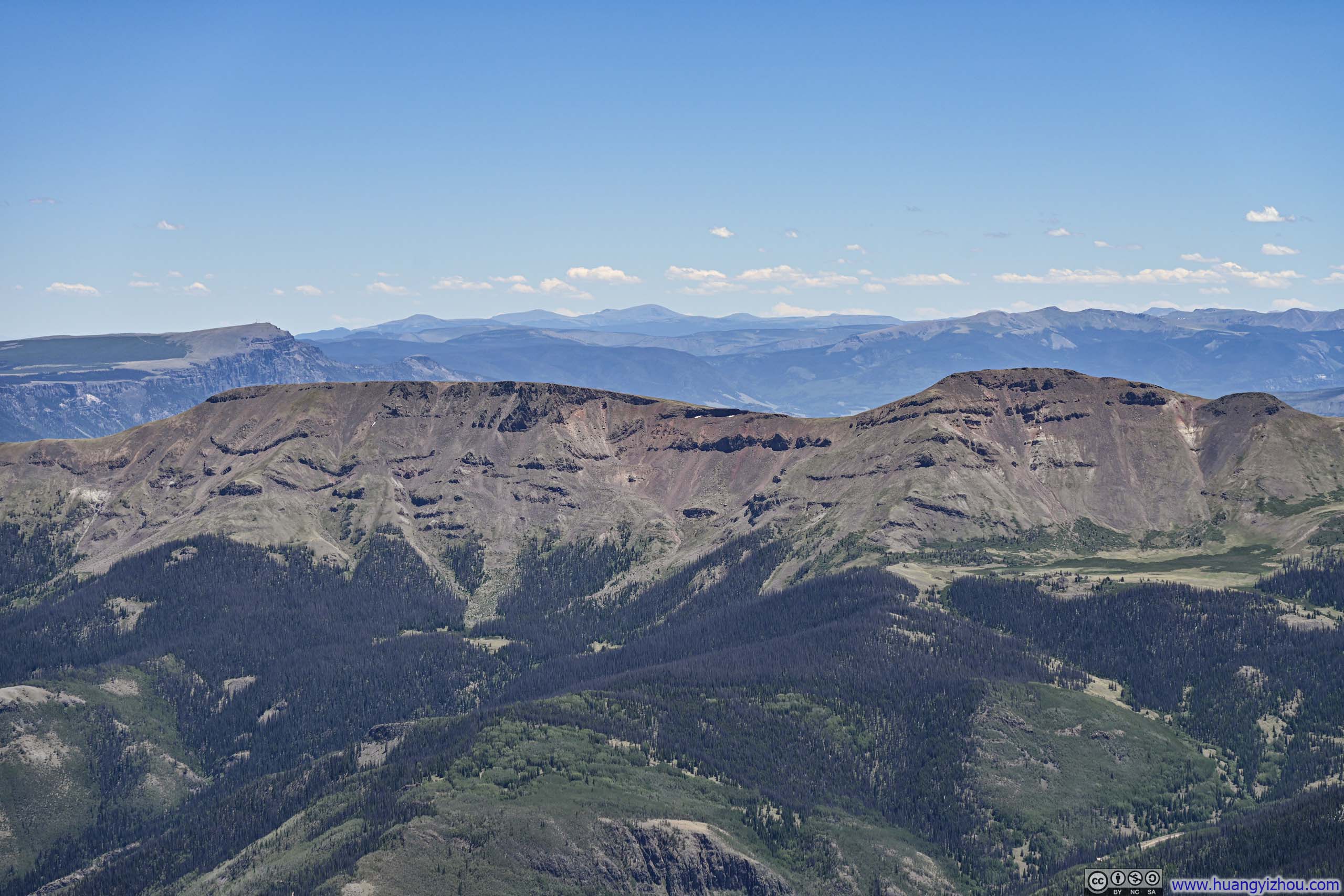
Rolling Hills to the Southeast
Mountains to the Northeast
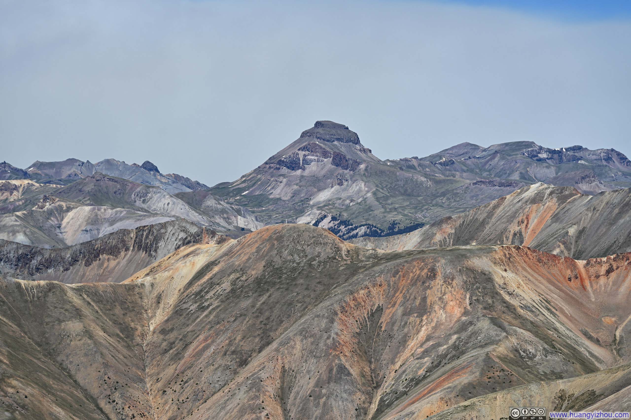
Uncompahgre Peak The highest mountain in the San Juan's.
With Sunshine Peak still on my agenda, I only took a short 15-minute break at Redcloud Peak before continuing on at 12:15pm.
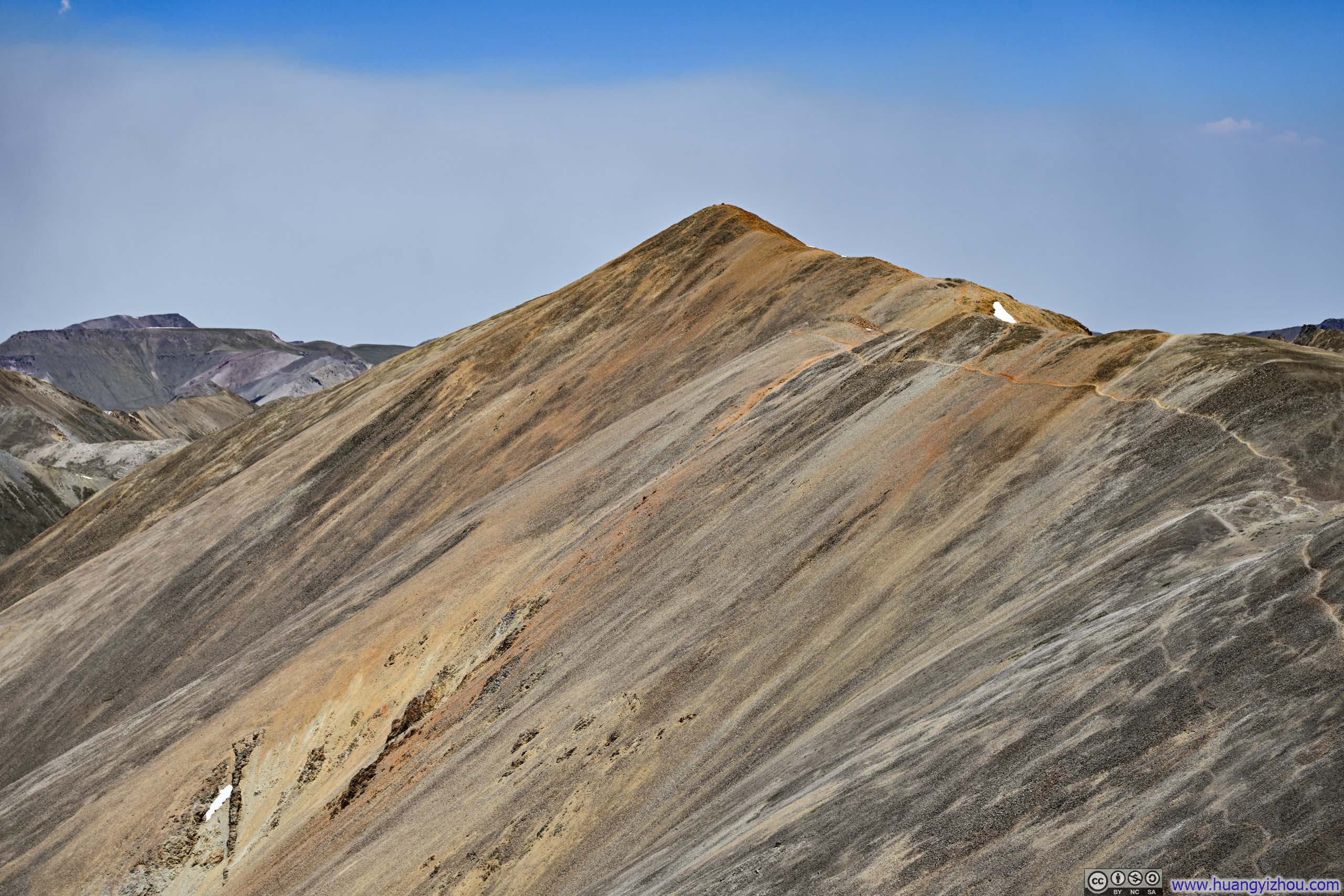
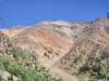
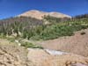
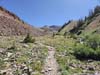
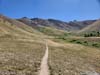
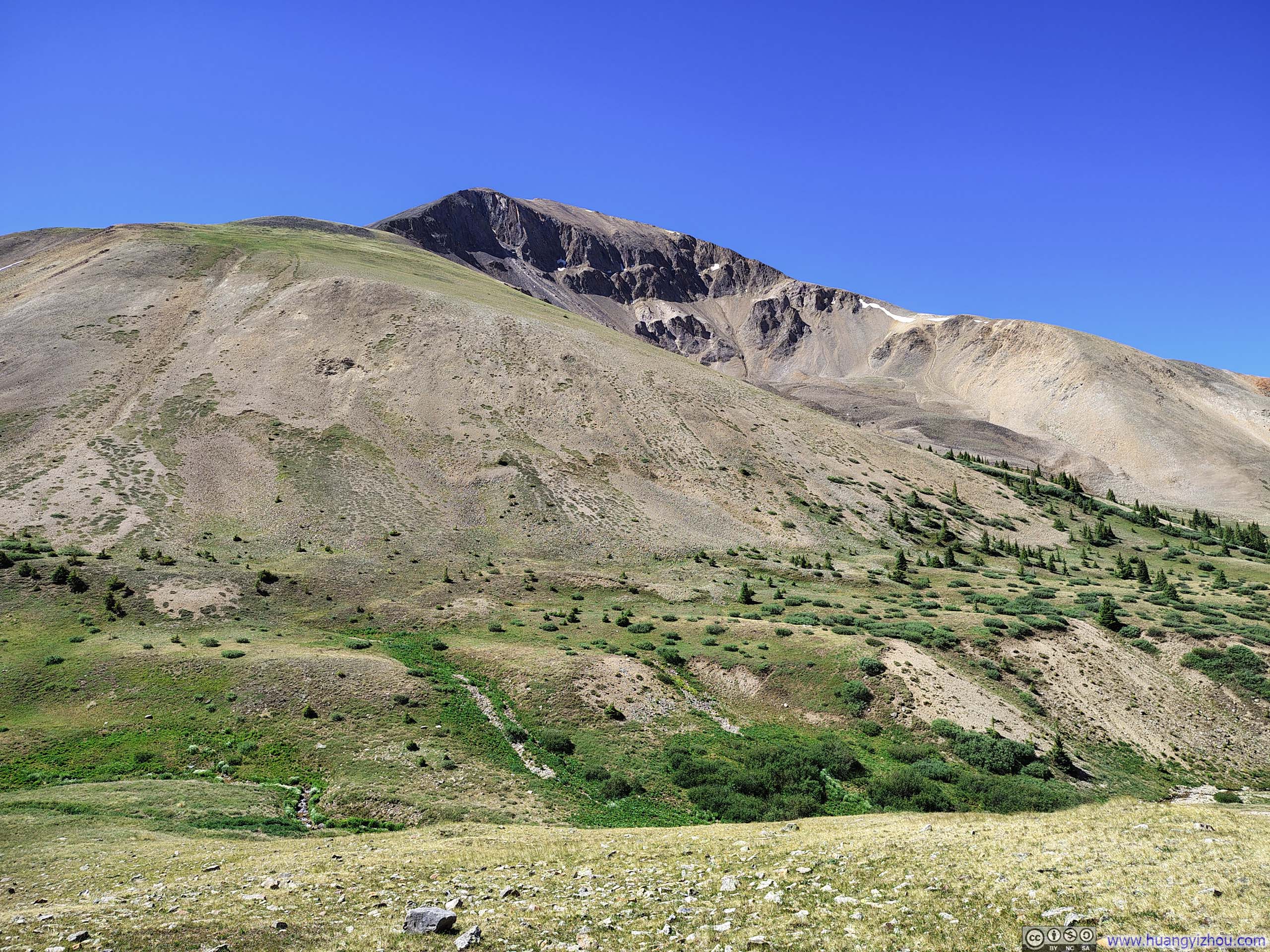
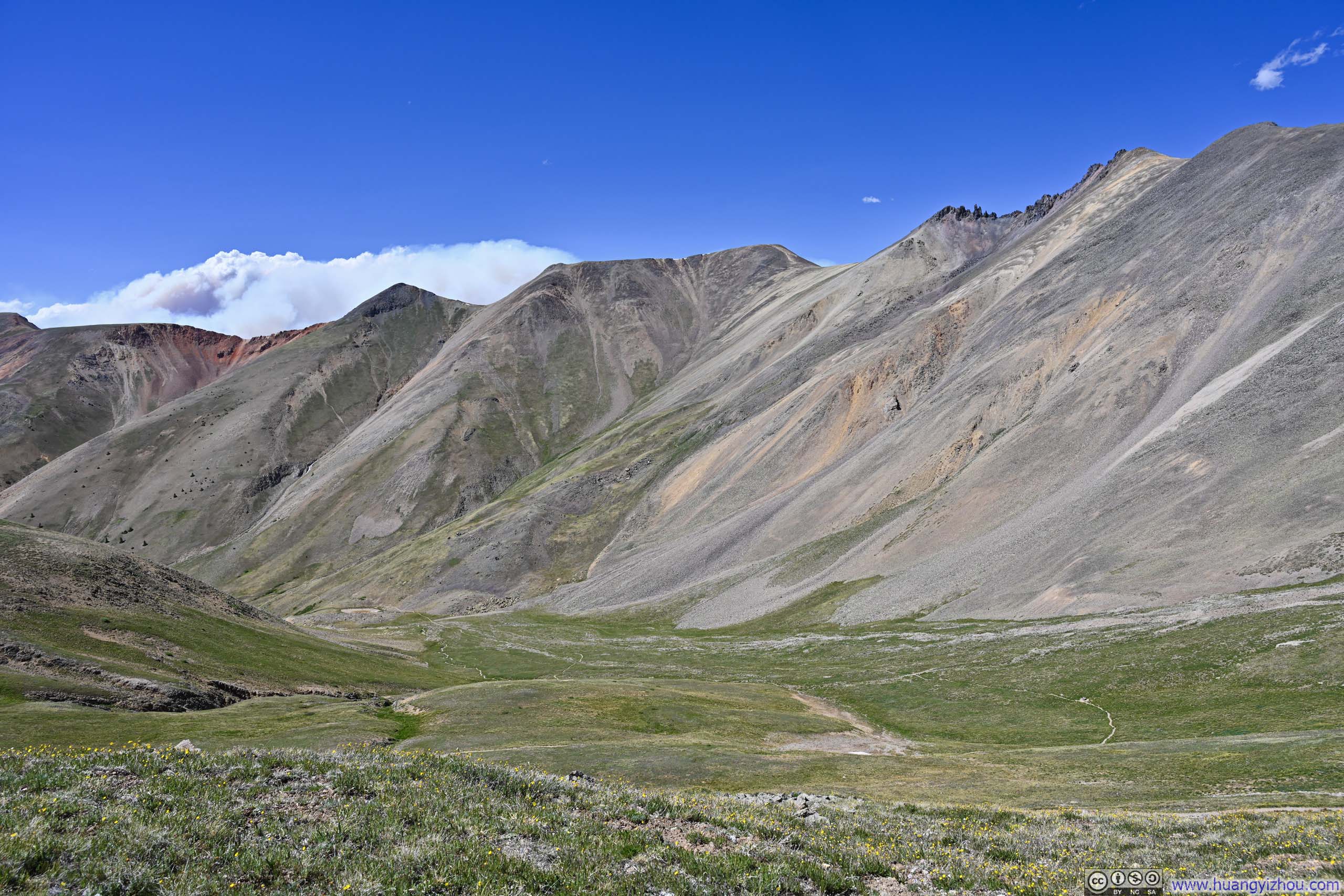
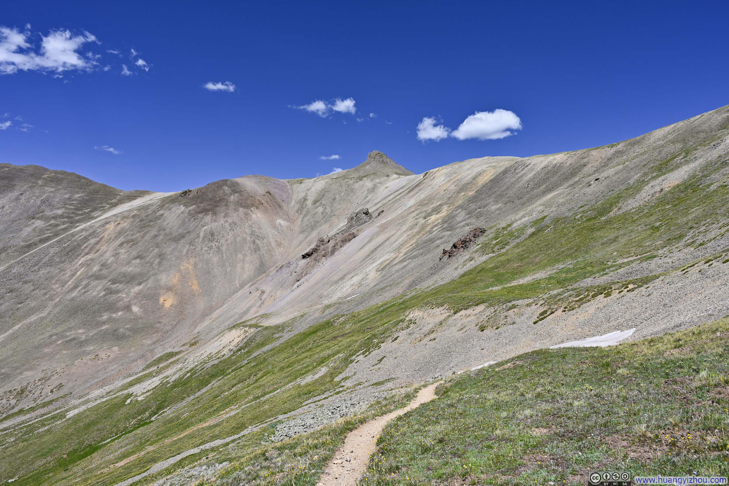
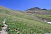
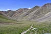
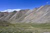
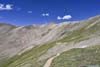
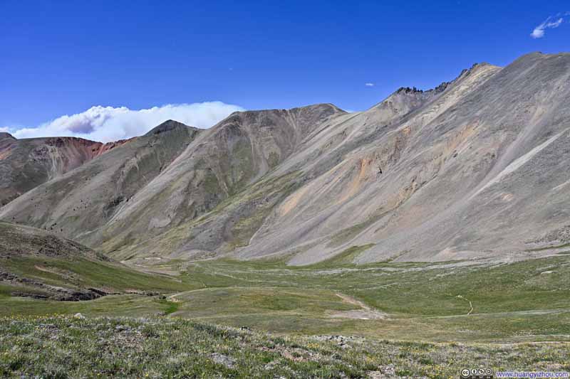
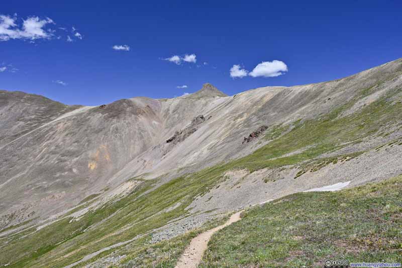
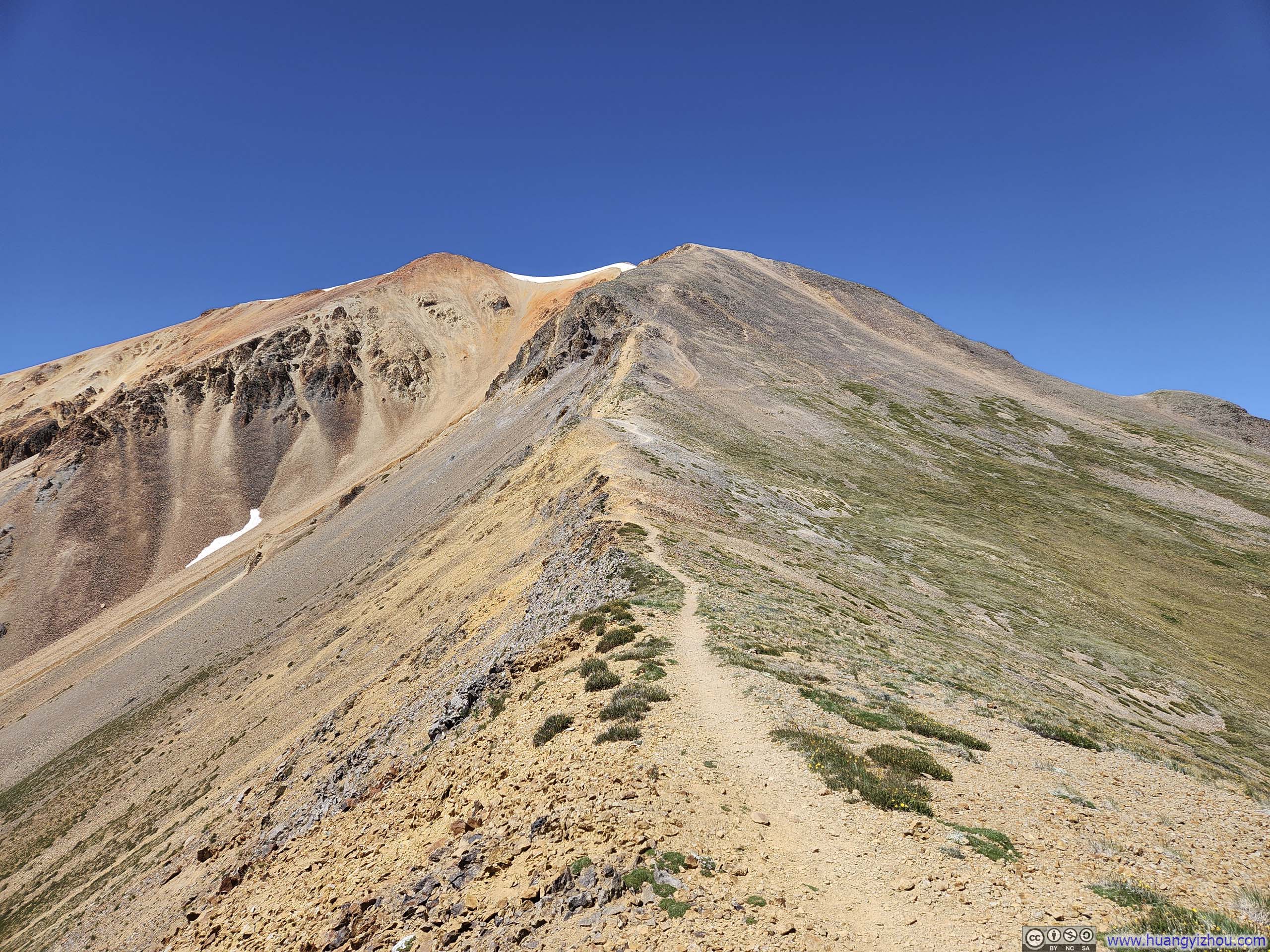
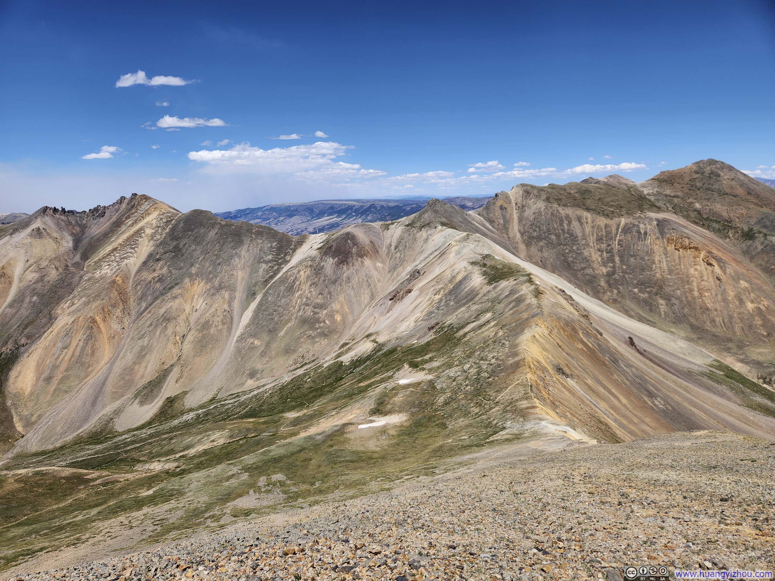
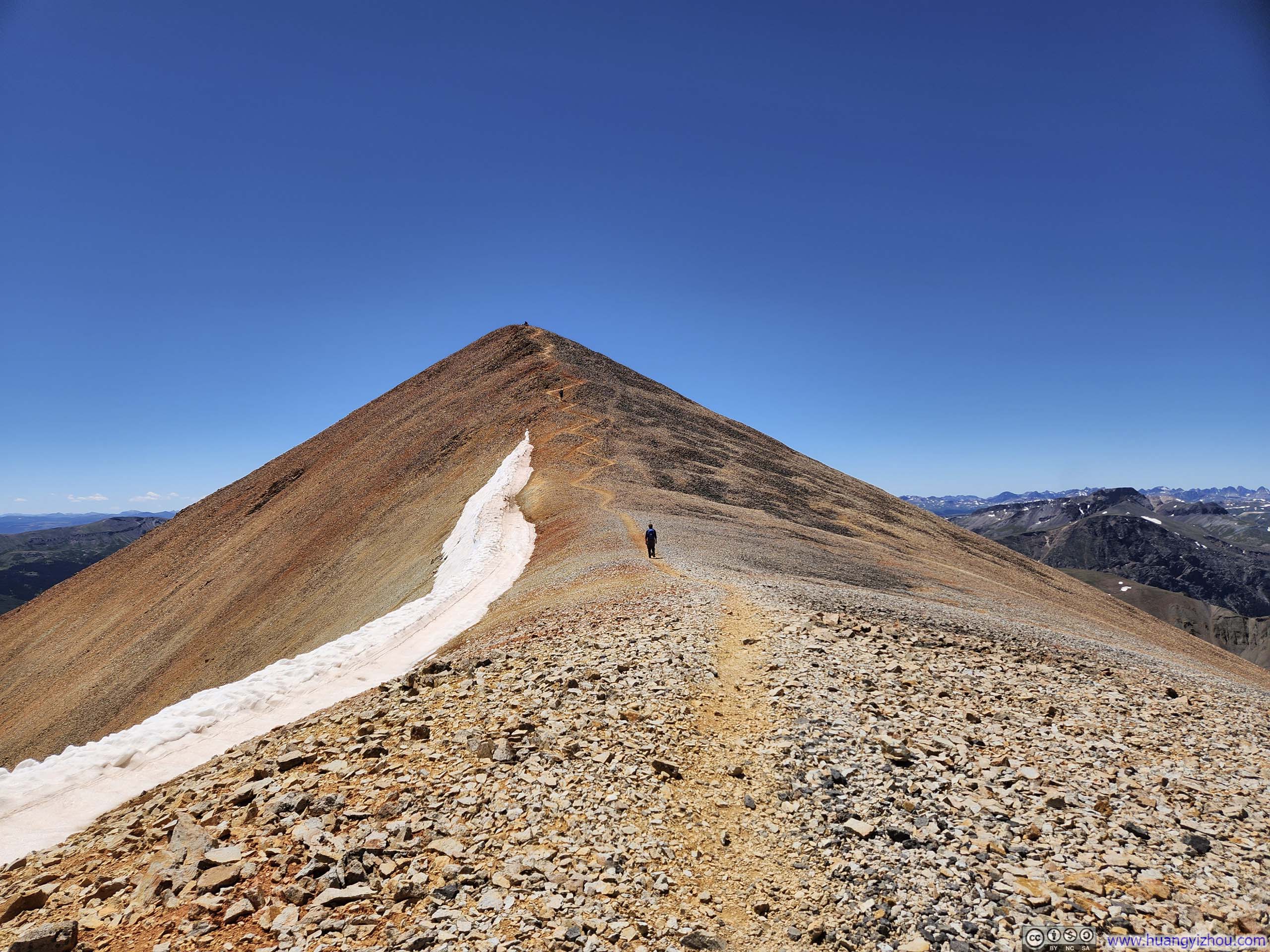
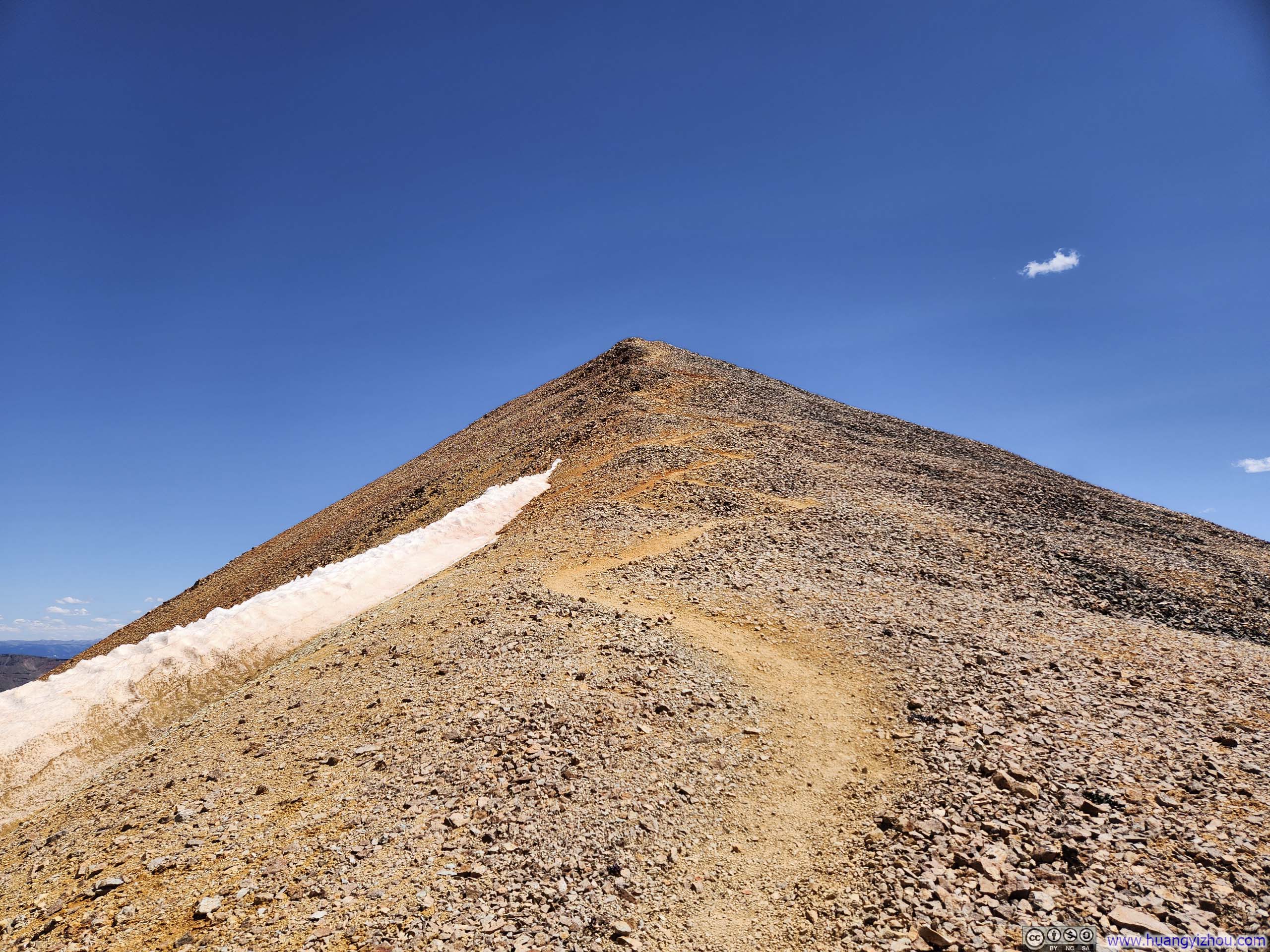
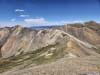
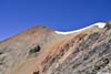
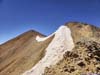
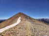
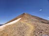
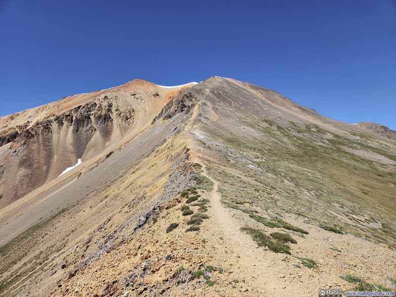
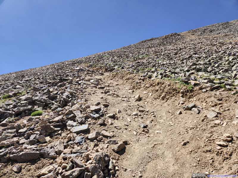
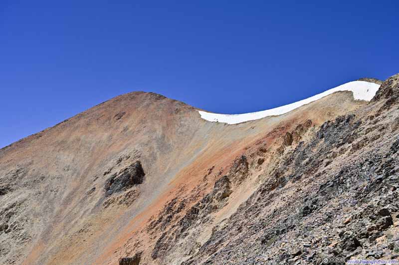
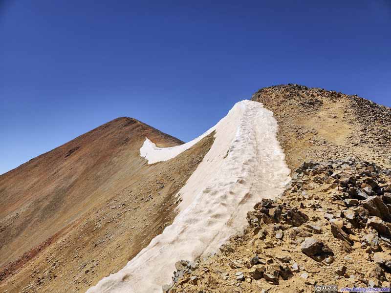
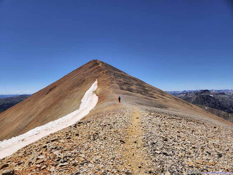
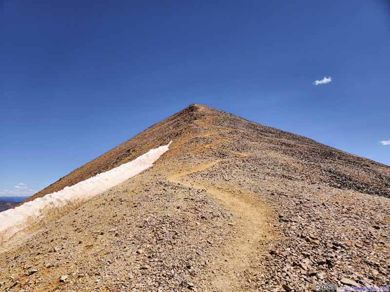
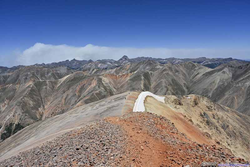
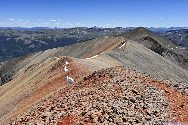
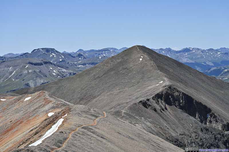
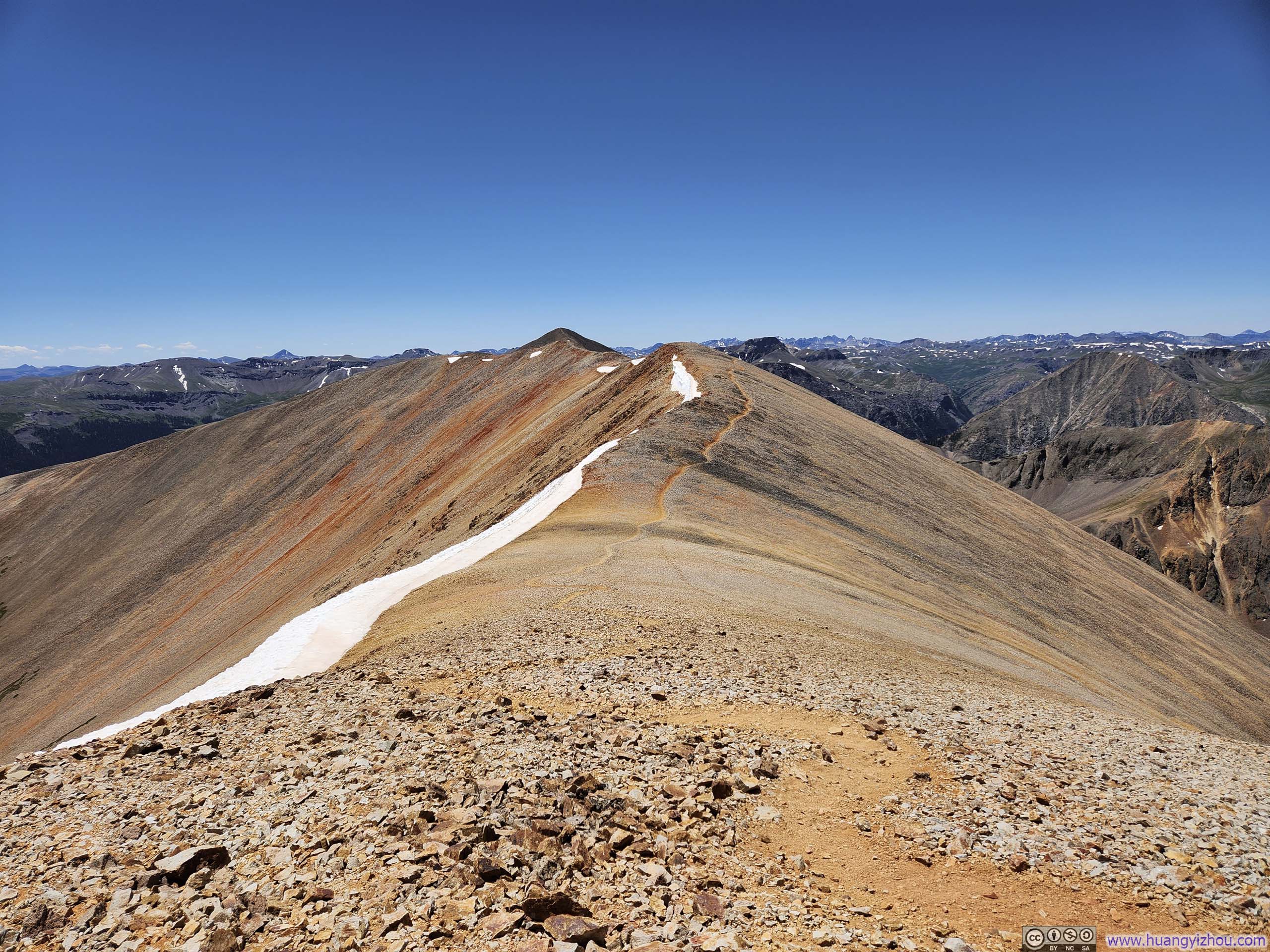
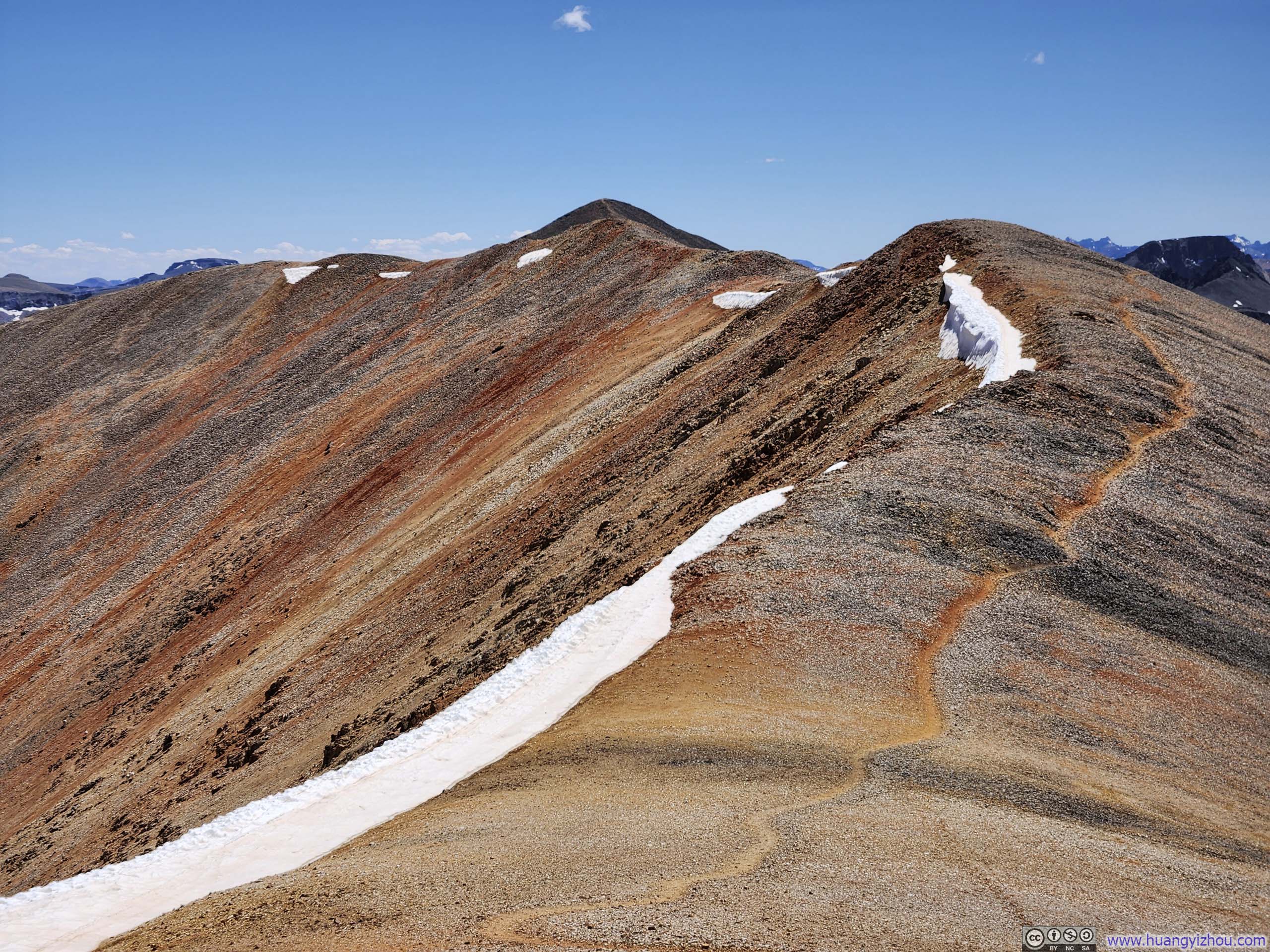
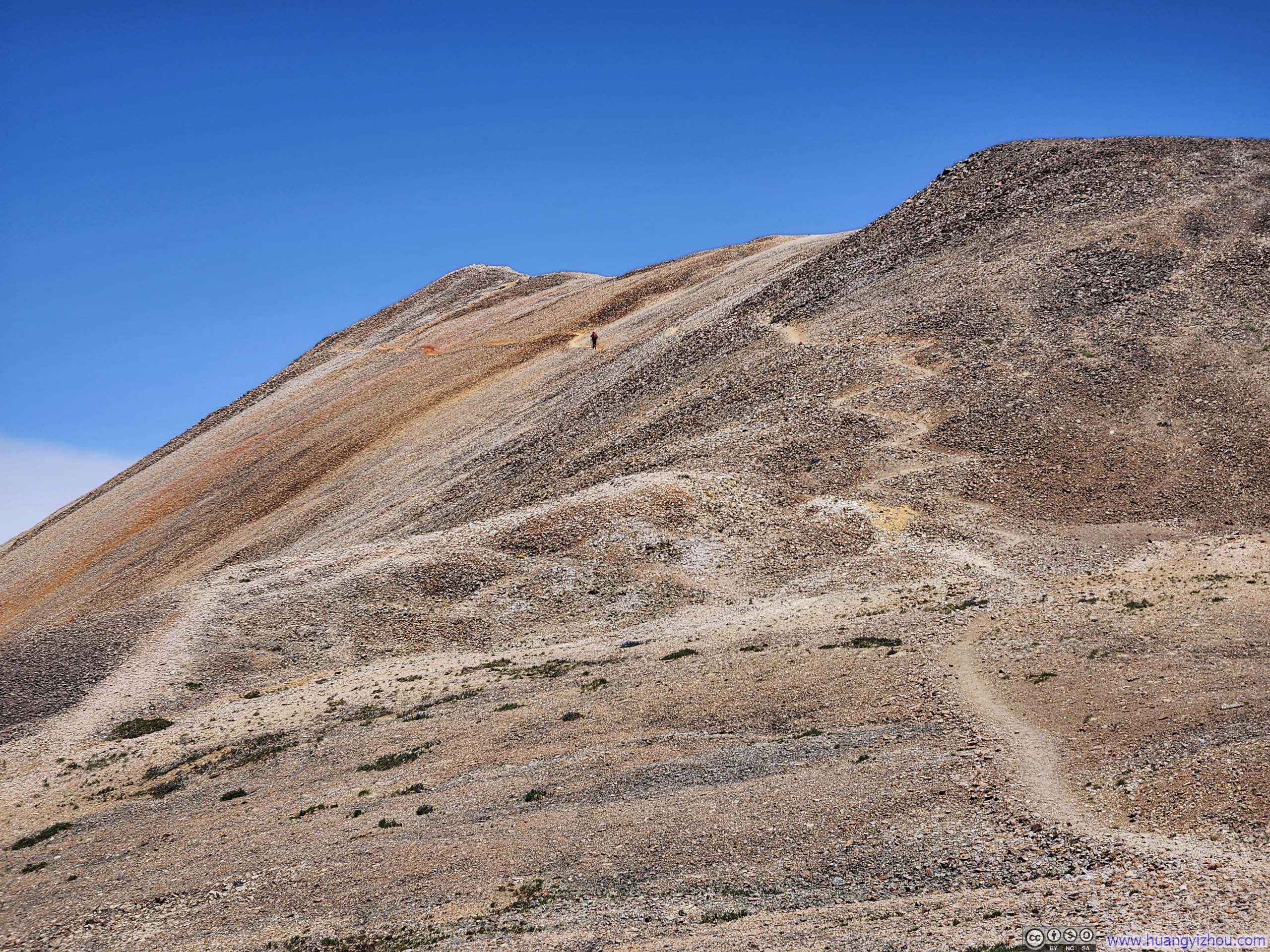
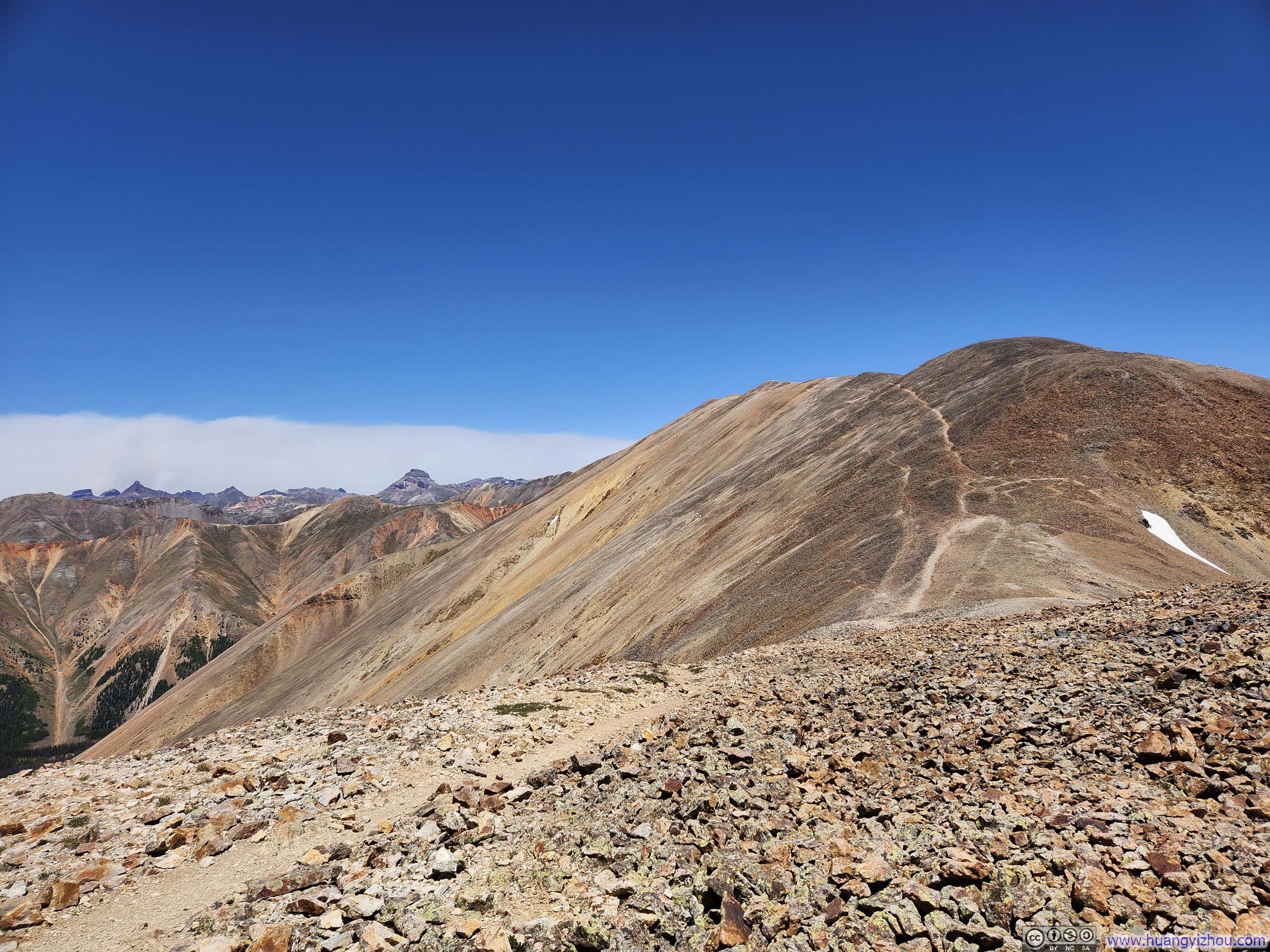
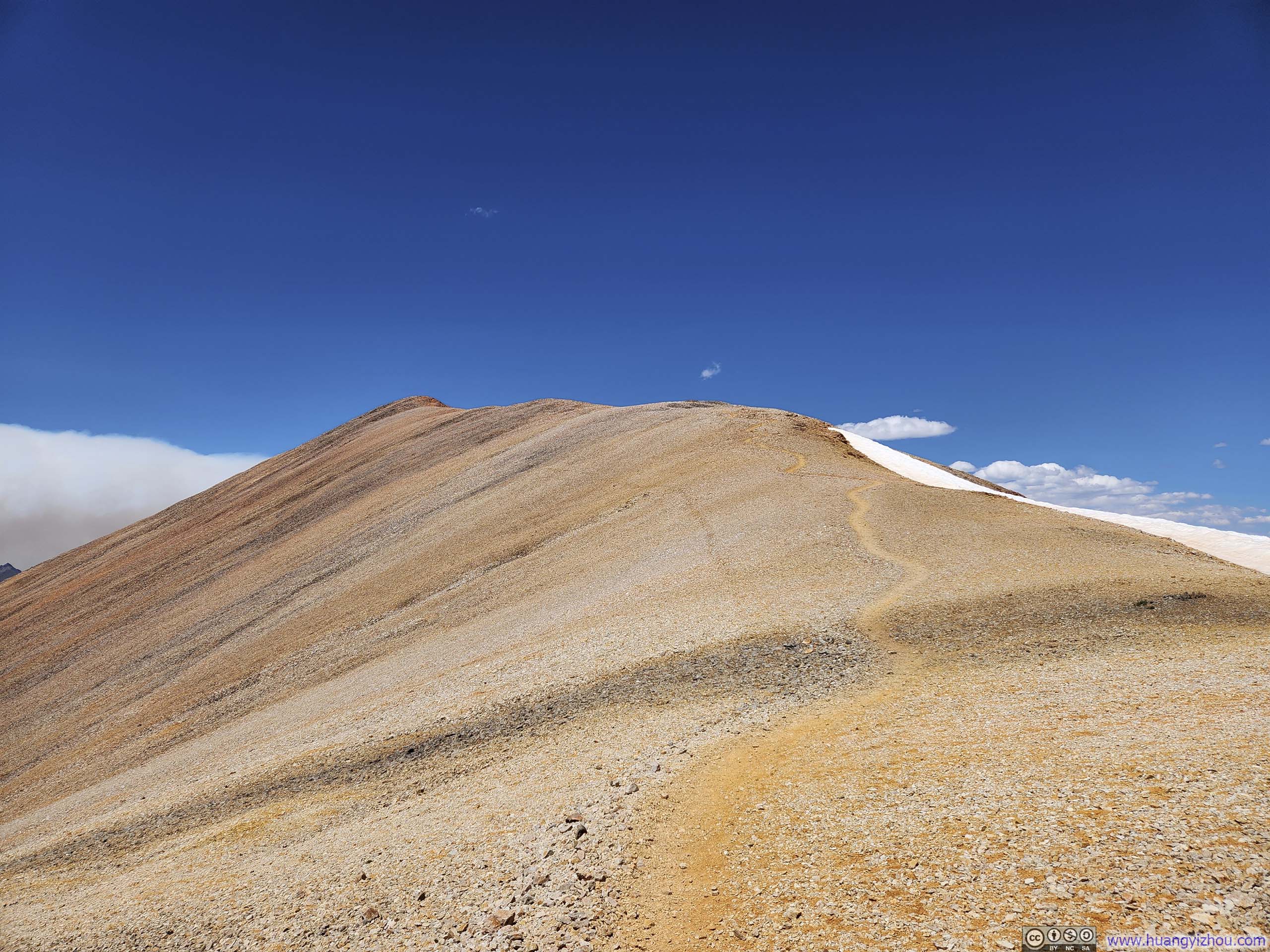
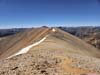
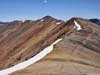
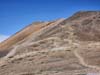
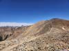
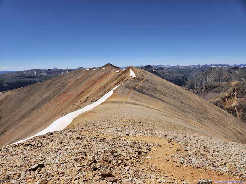
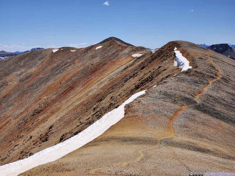
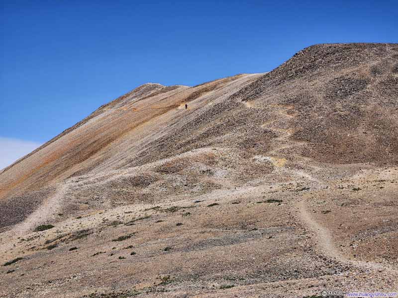
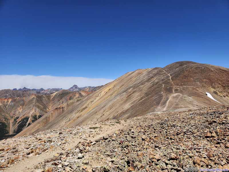
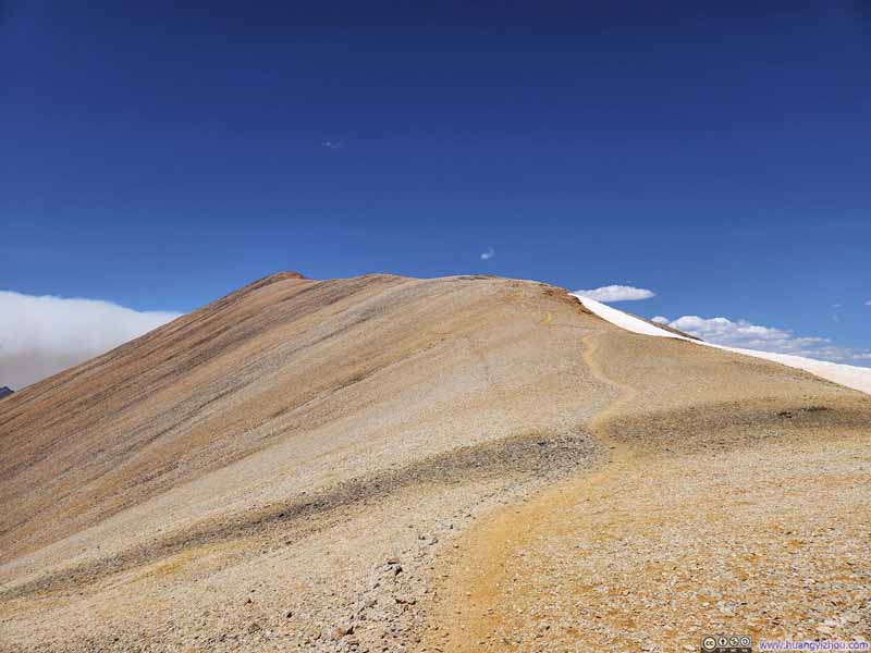
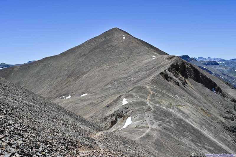
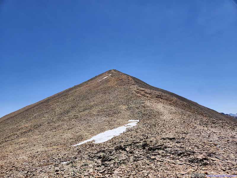
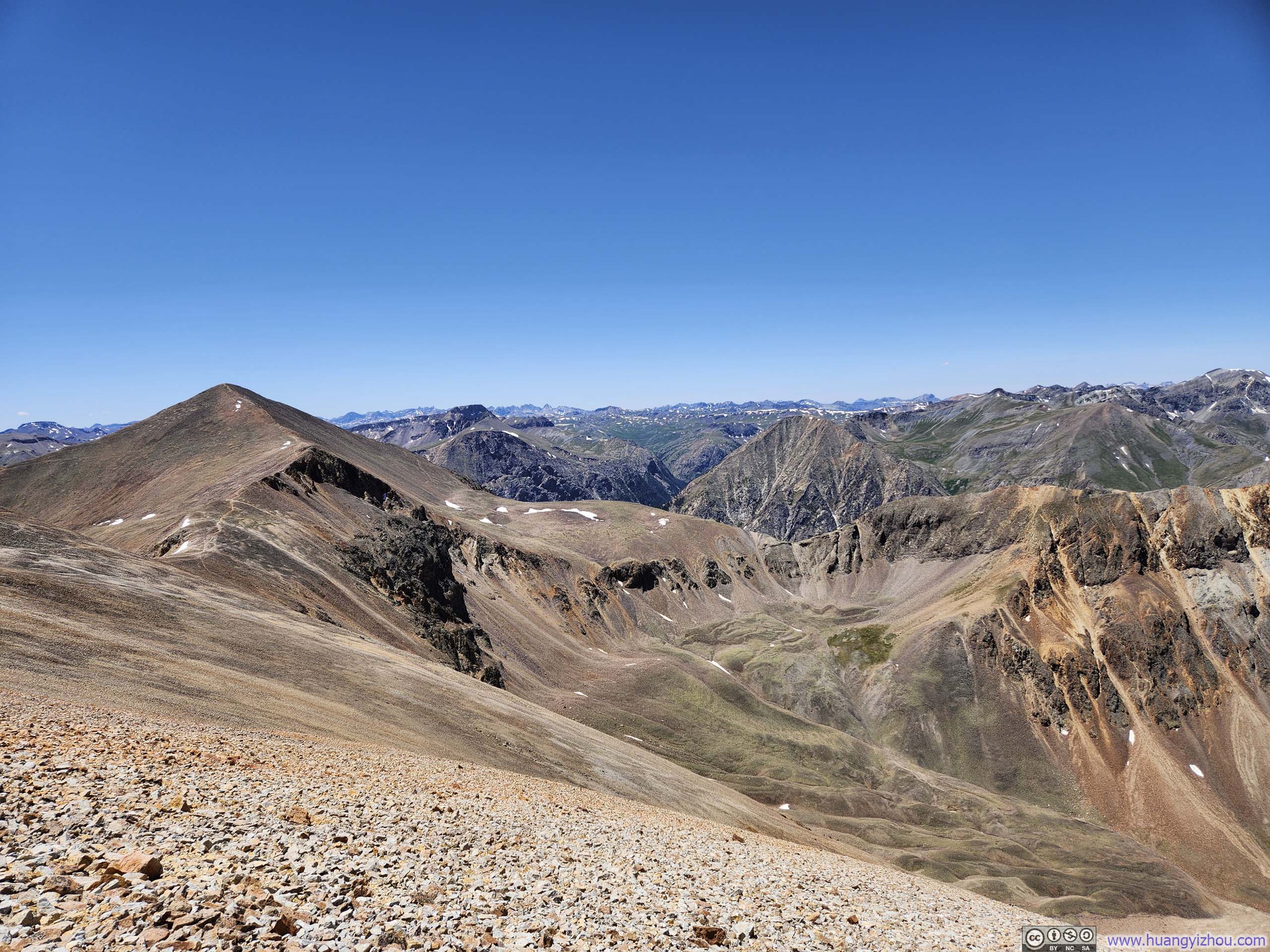
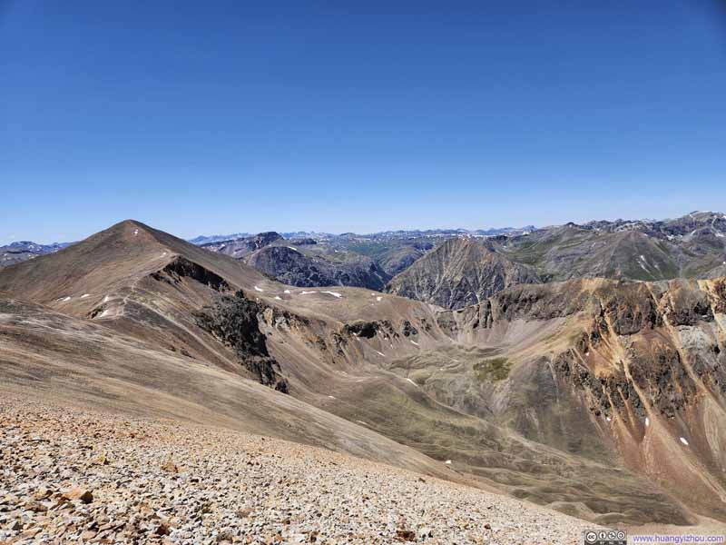
The undulating ridge connecting the two summits presented a gentle rhythm of dips and rises, though mostly downhill at first, followed by the inevitable climb. The route was straightforward and particularly scenic in its early stages, winding through the red rock formations spilling from Redcloud Peak. Though the final push before Sunshine Peak, however, was somewhat physically demanding.
Trail from Redcloud Peak
Trail to Sunshine Peak
Trail to Sunshine Peak
Trail from Redcloud Peak
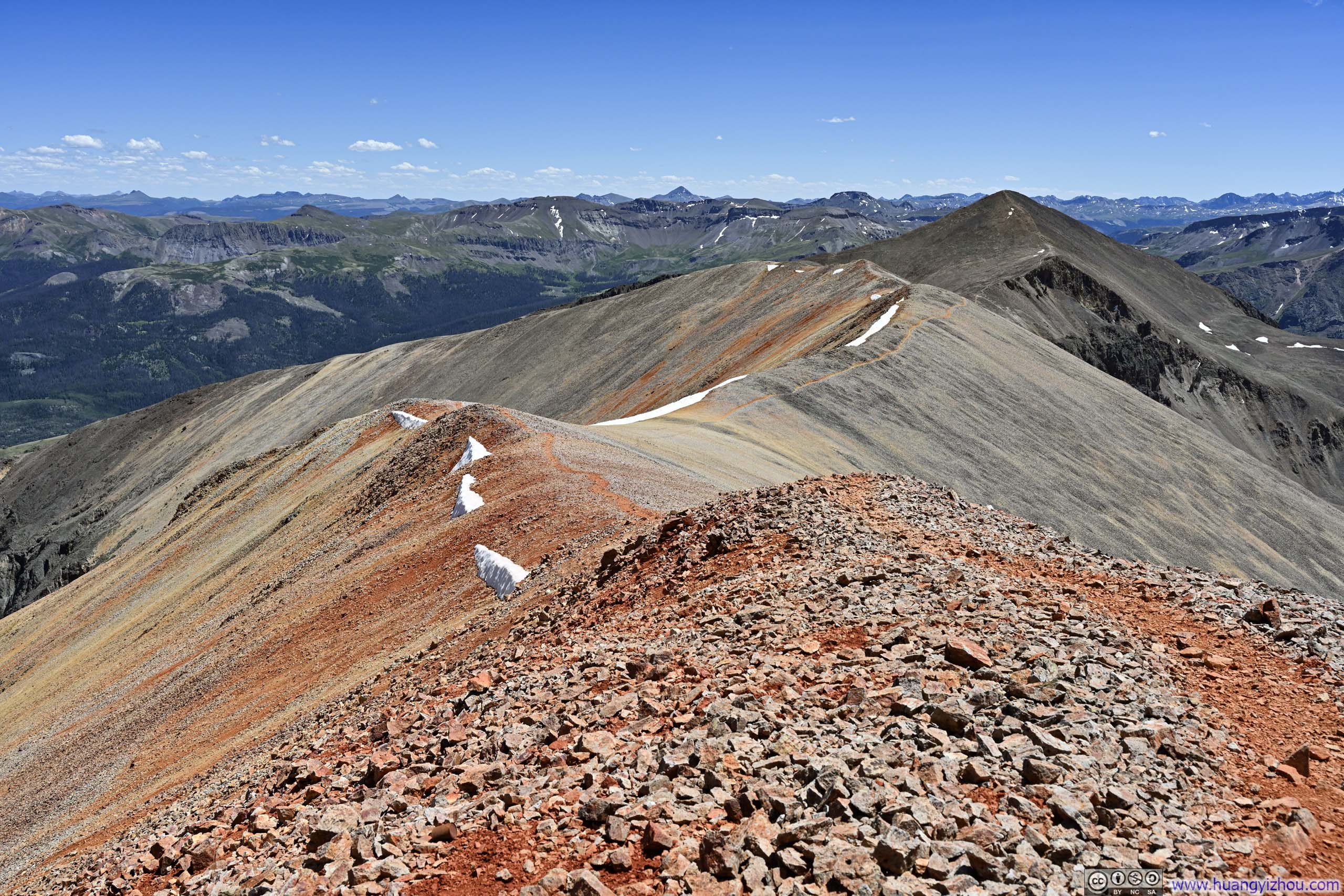
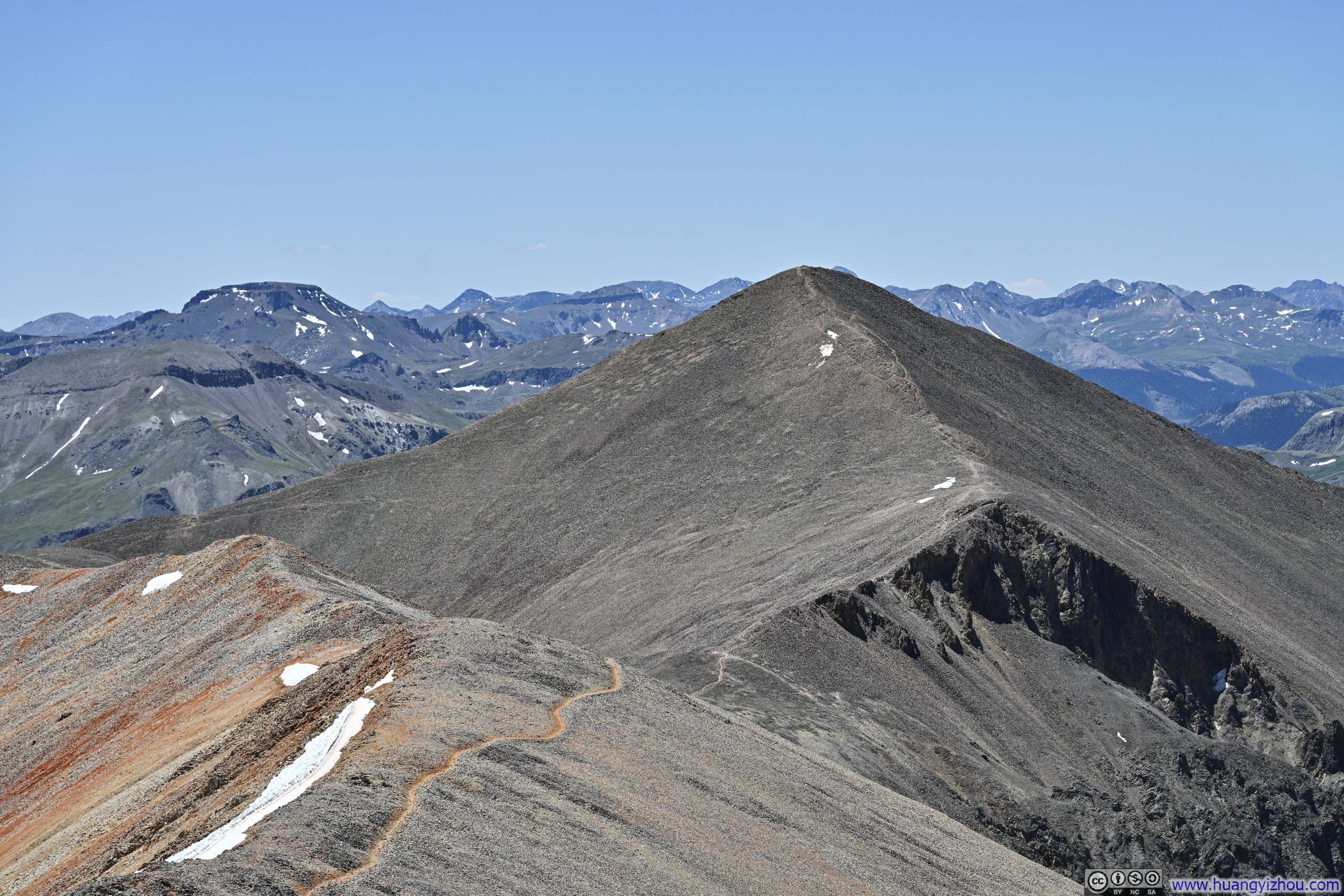
Trail from Sunshine Peak to Redcloud Peak
Trail to Redcloud Peak
Sunshine Peak
Sunshine Peak
Sunshine Peak before San Juan Mountains to the Southwest
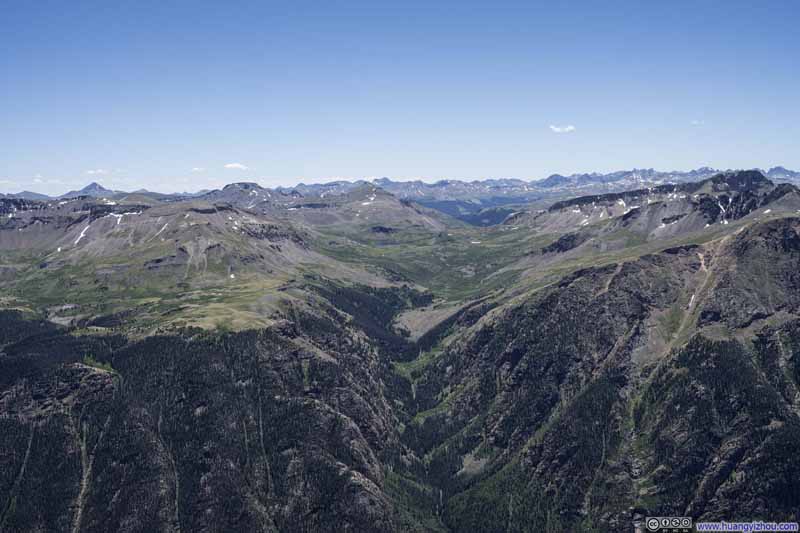
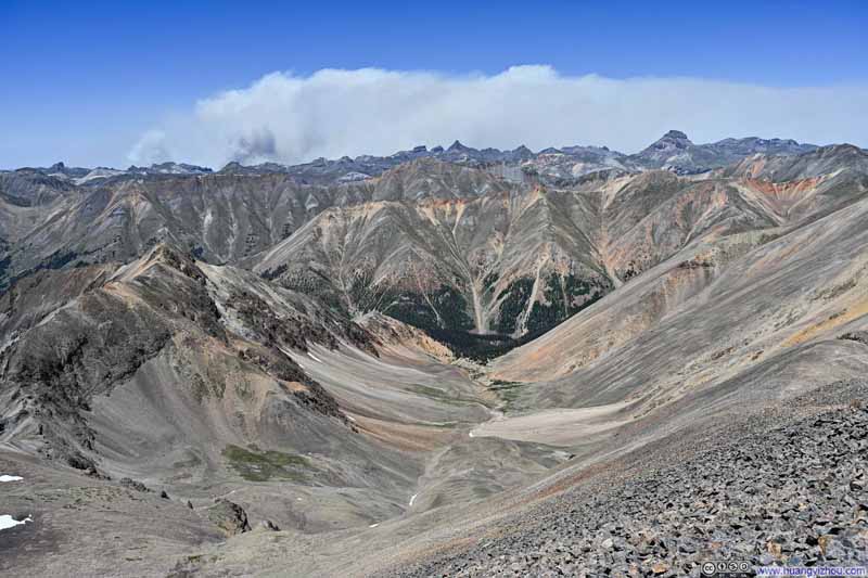
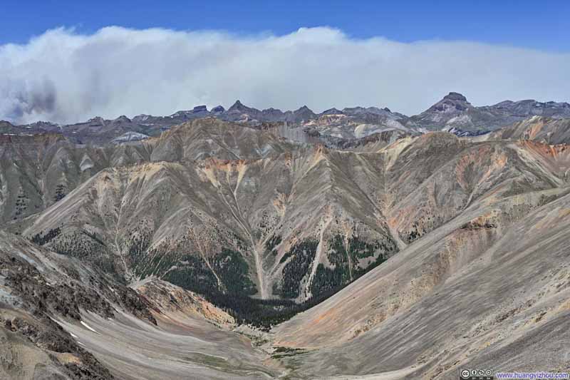
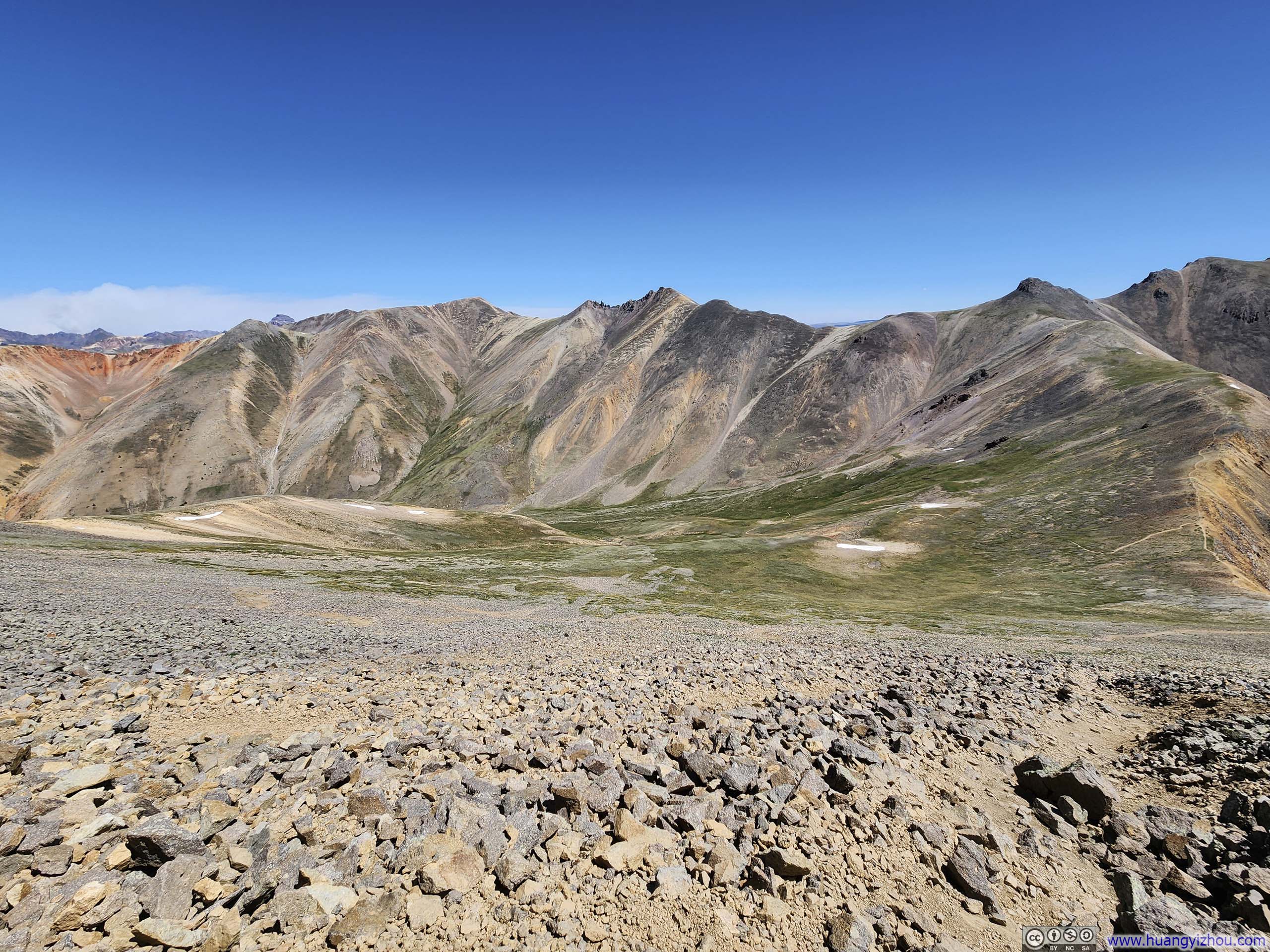
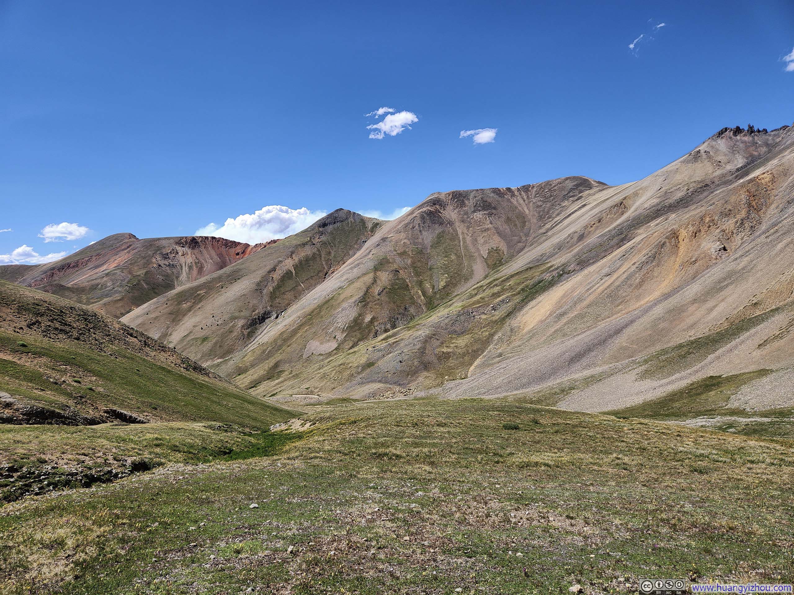
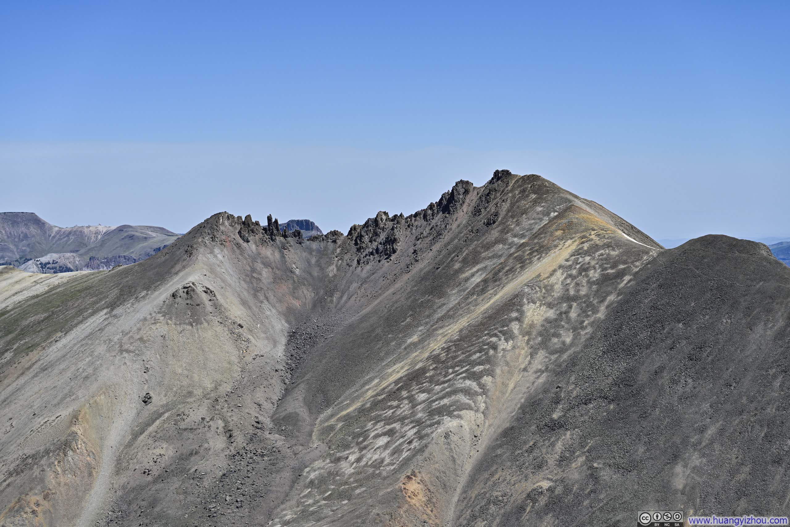
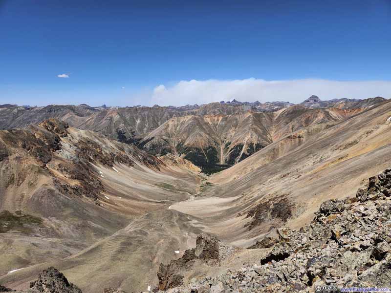
Valley to the North With the more challenging alternative trail to Sunshine Peak.
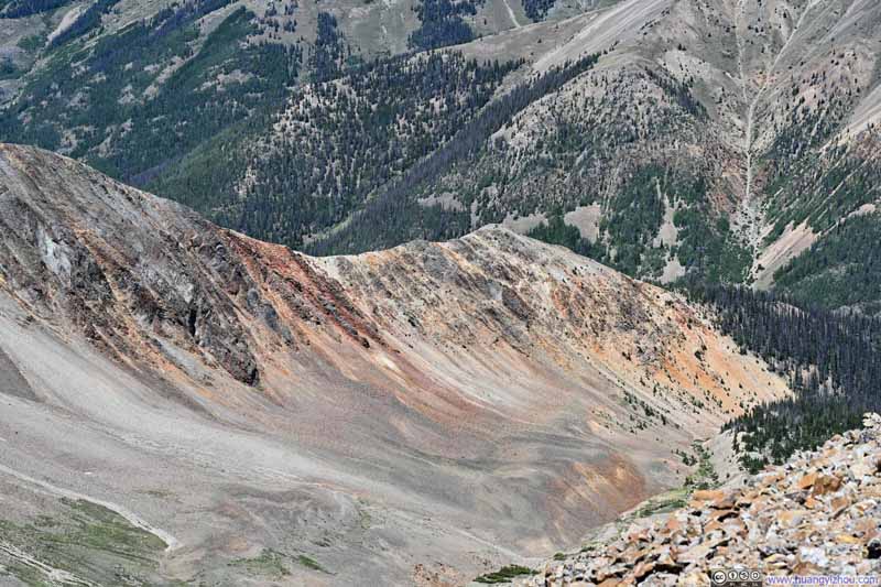
Northwestern Ridge of Sunshine Peak Stripes of red and orange colors.
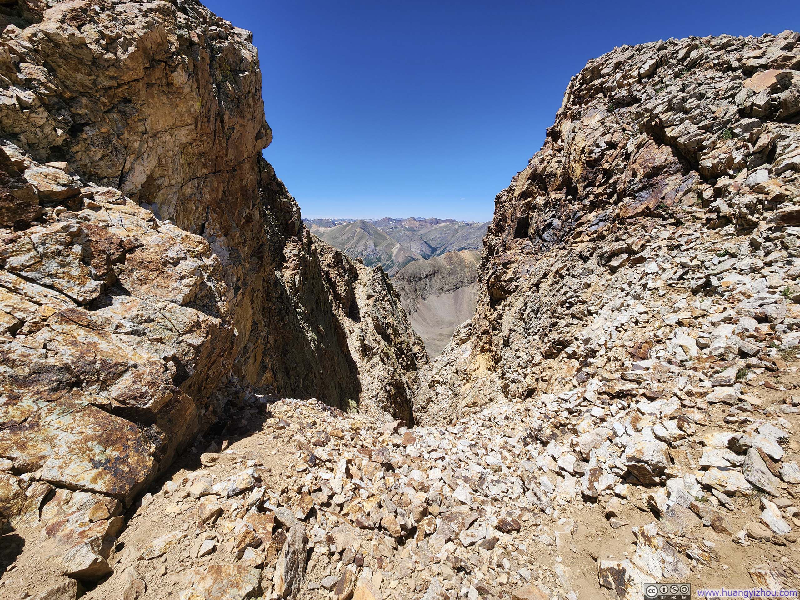
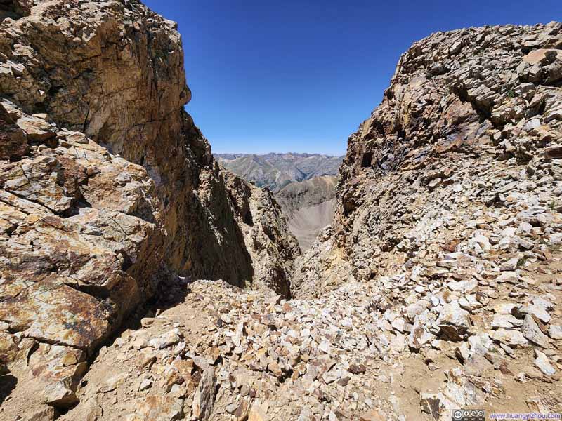
Notch
The alternative route to Sunshine Peak featured a few of these notches with somewhat steep dropoffs.
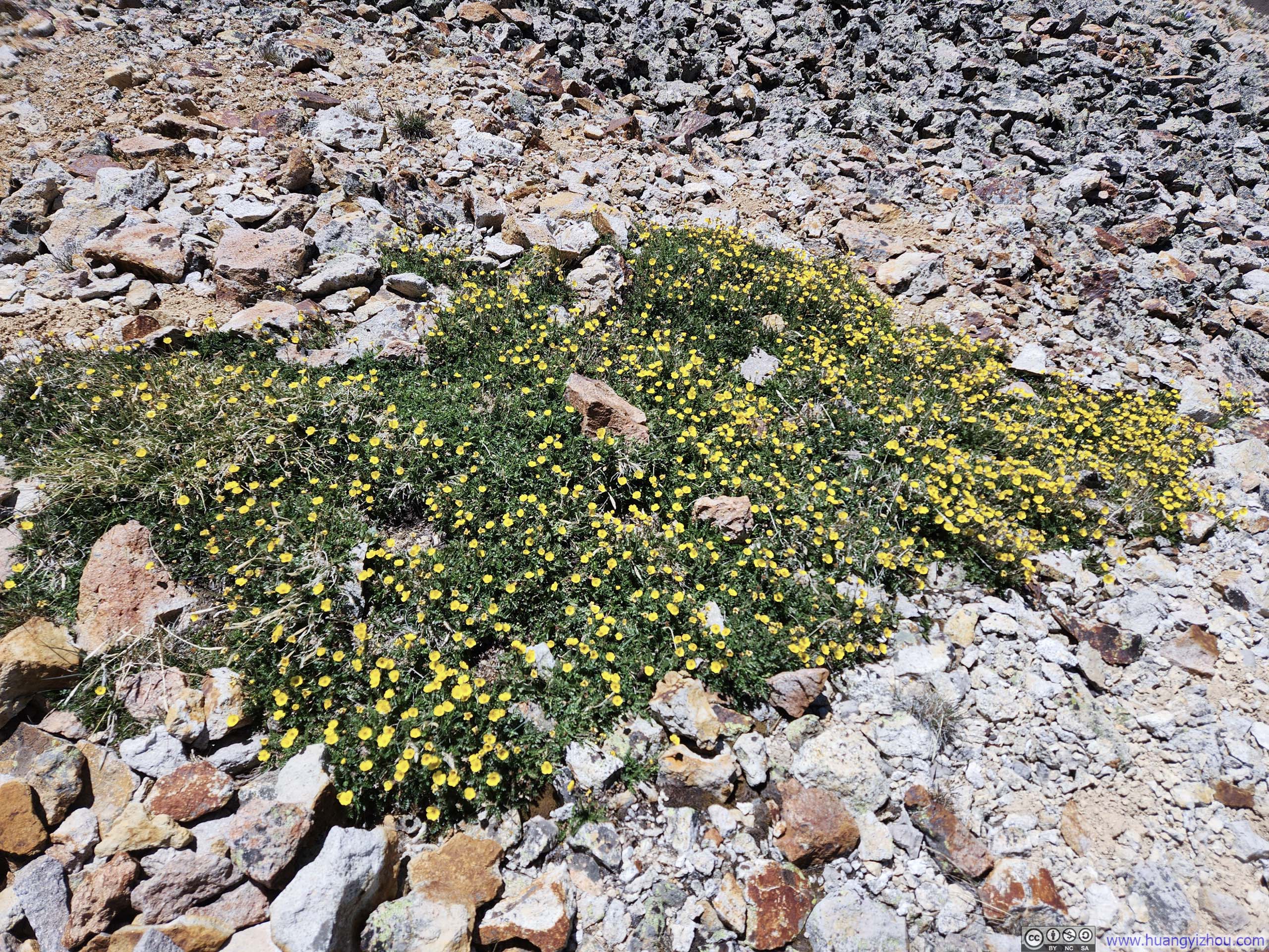
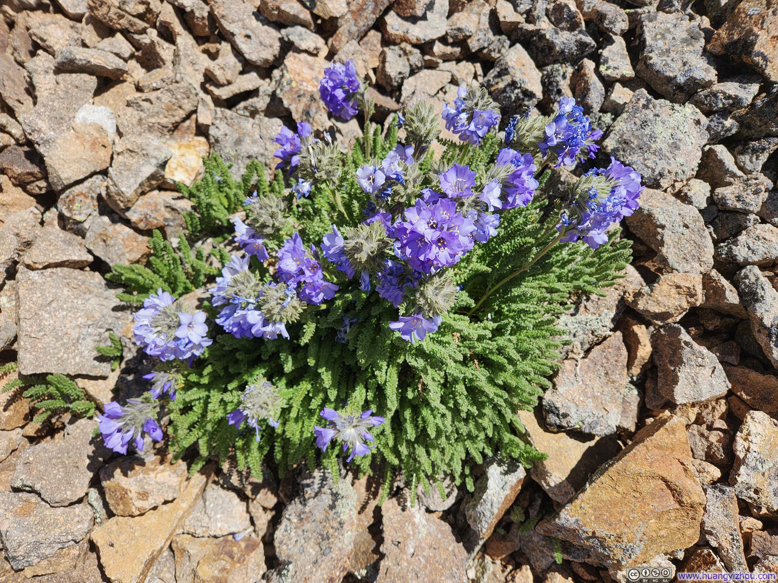
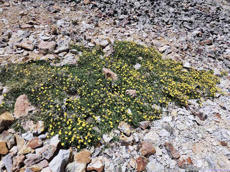
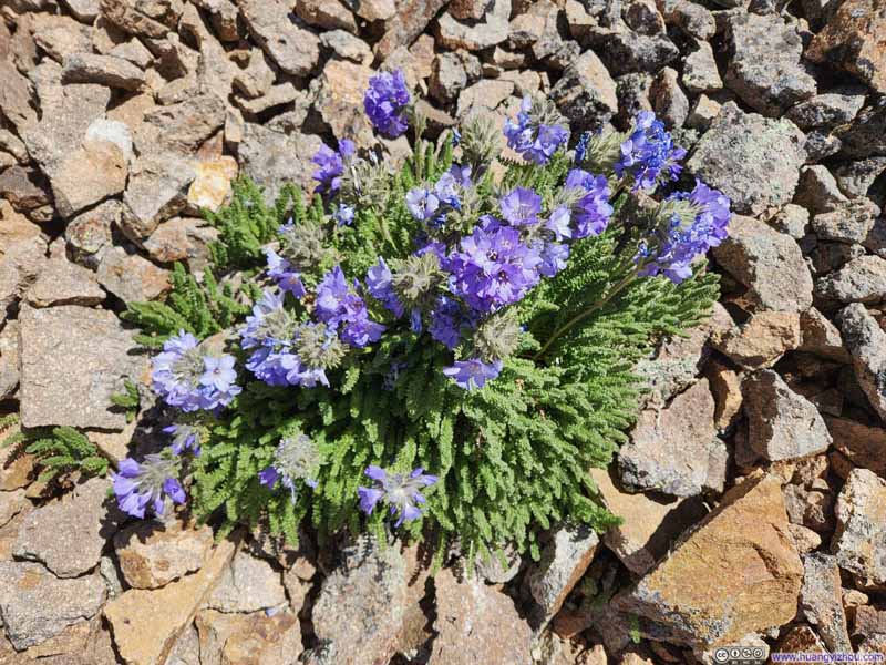
Wildflowers
Wildflowers
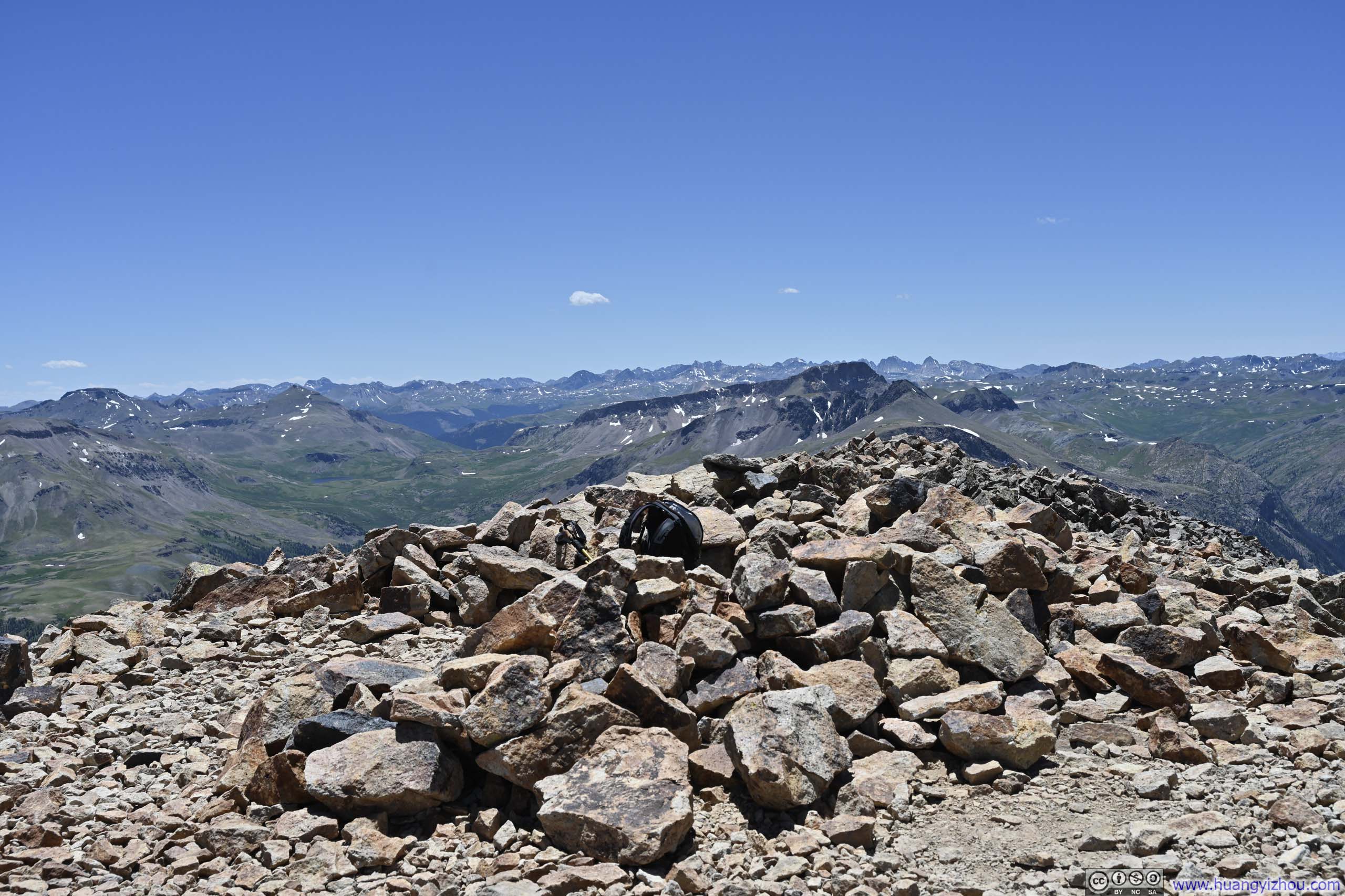
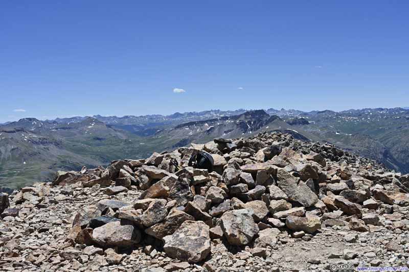
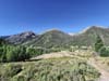
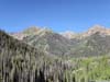
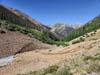
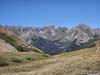
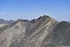
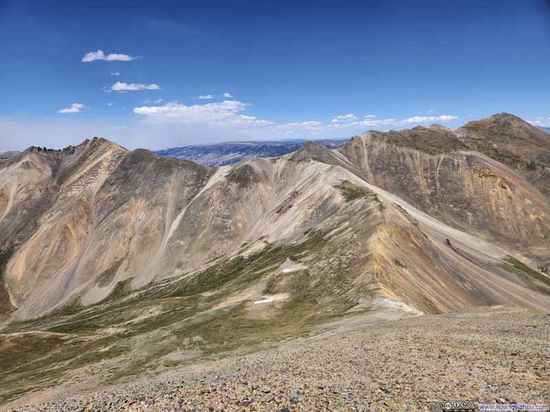
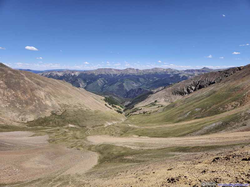
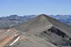
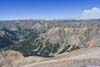
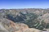
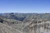
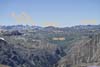
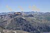
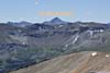
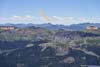
After about an hour, I reached the summit of Sunshine Peak at 1:15pm.
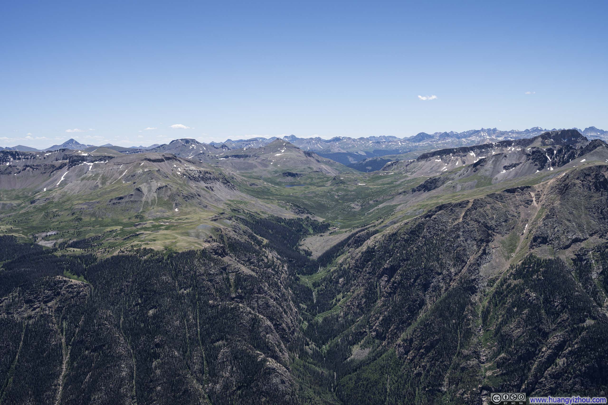
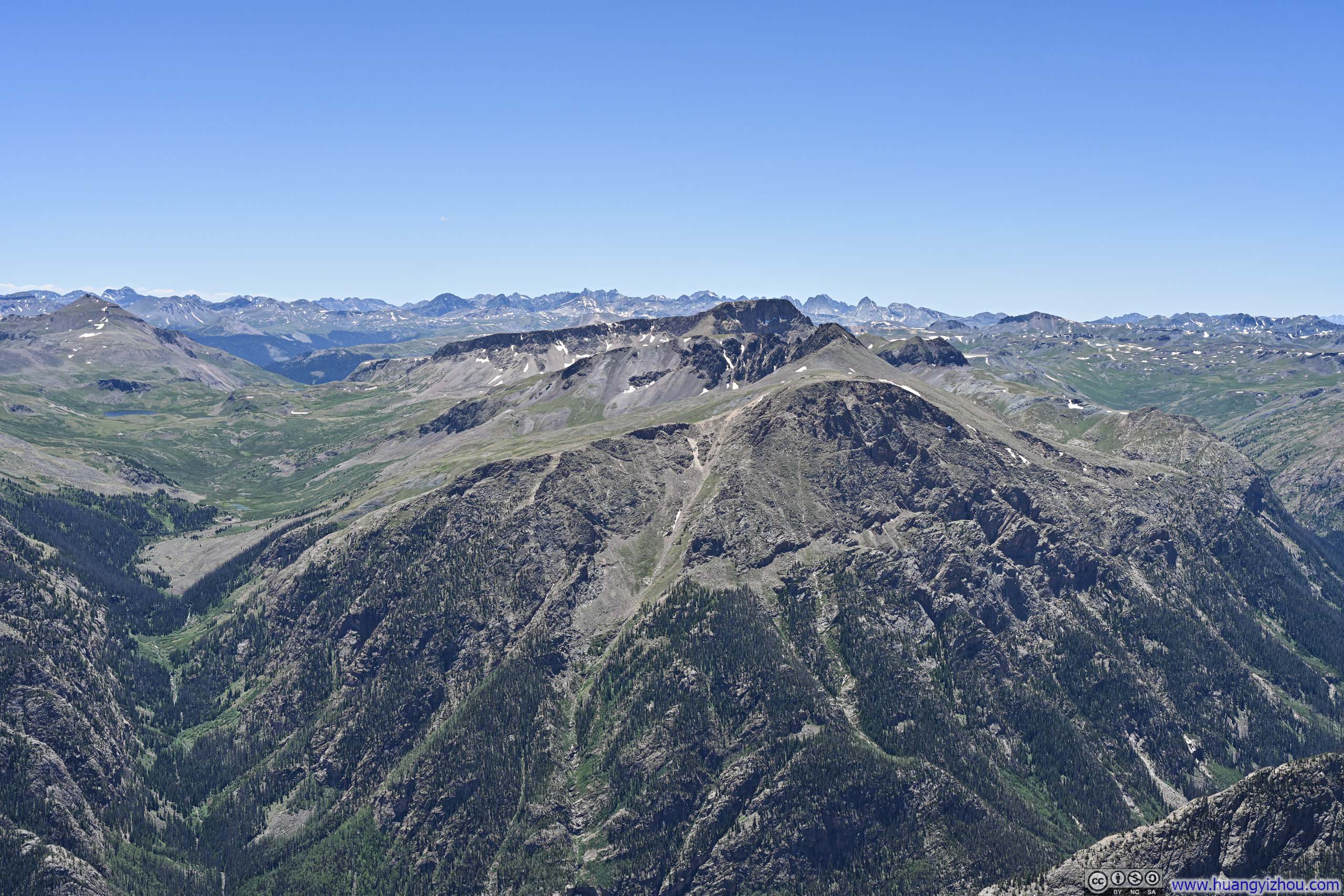
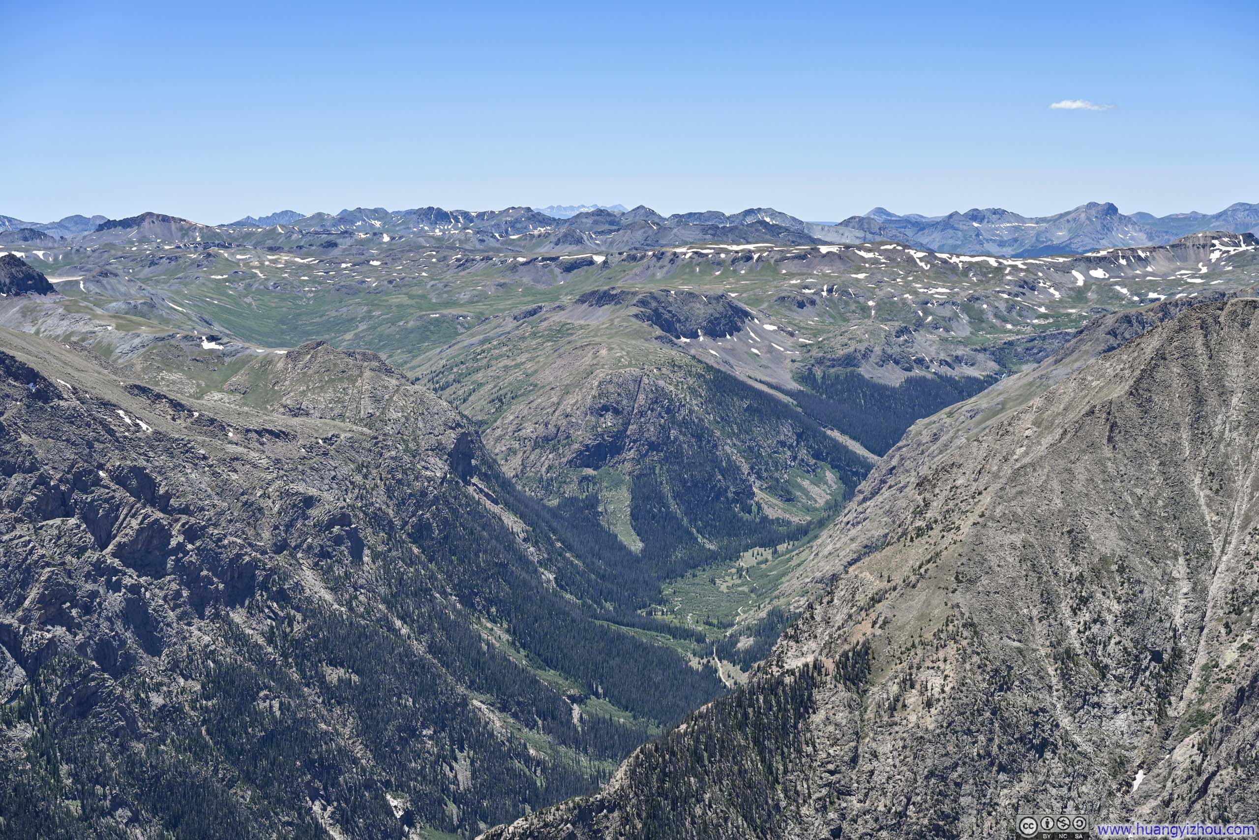
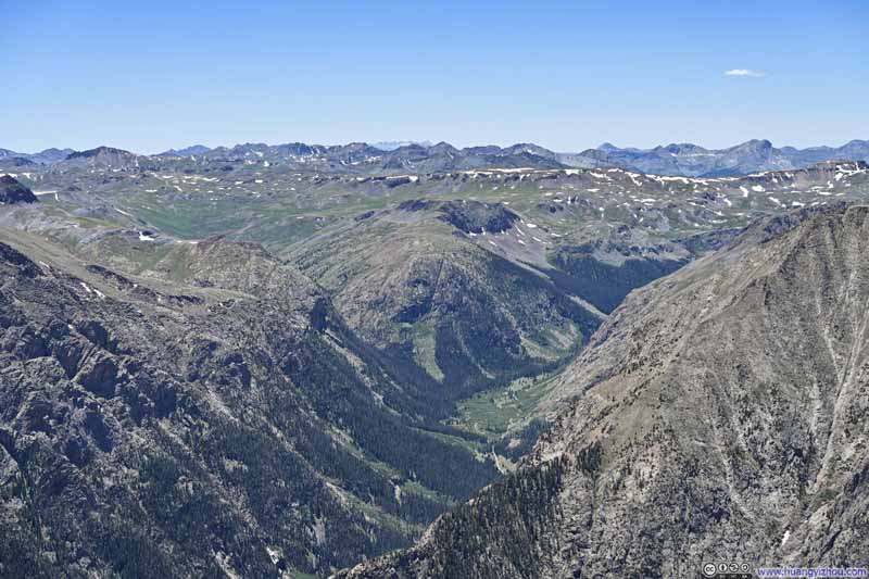
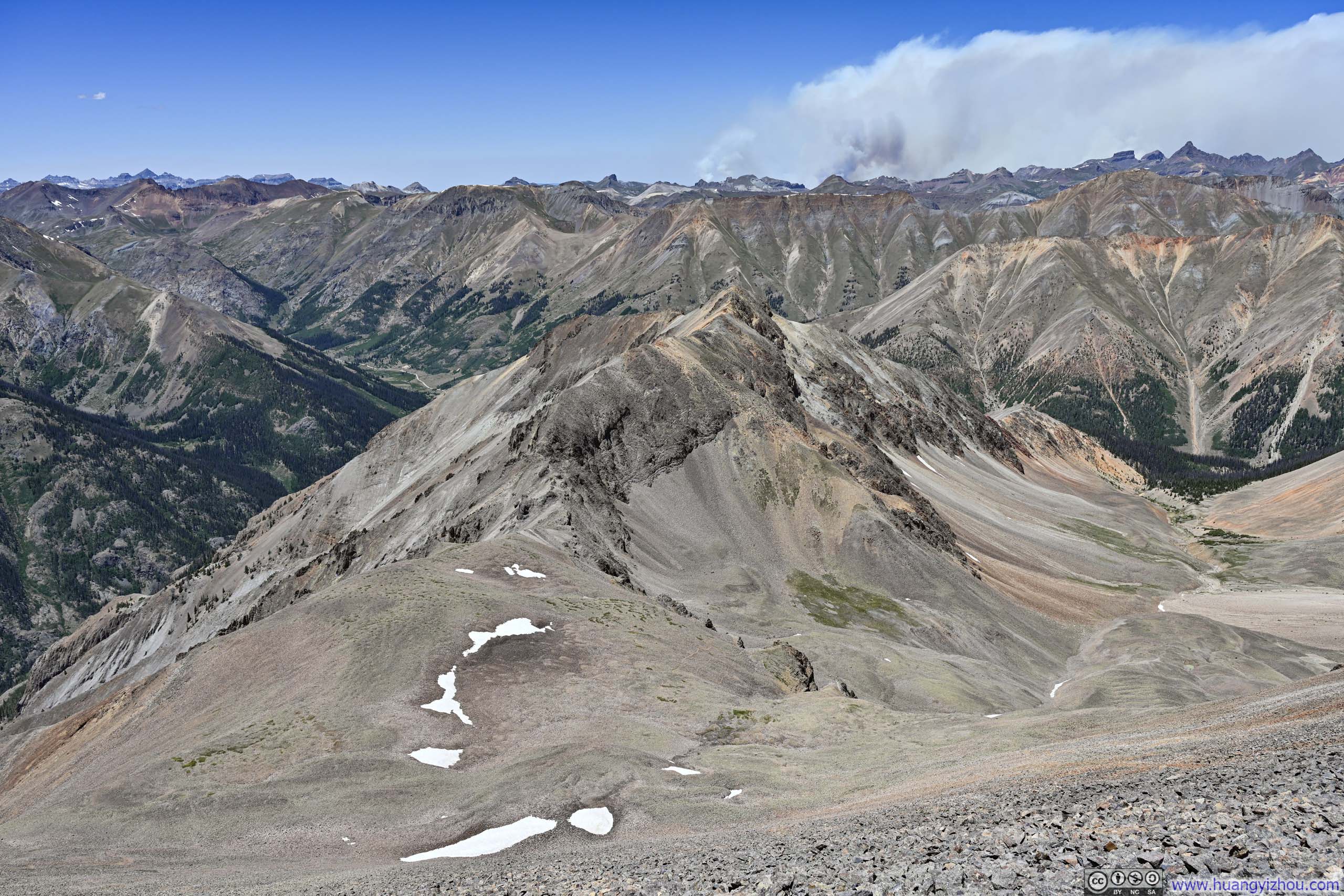
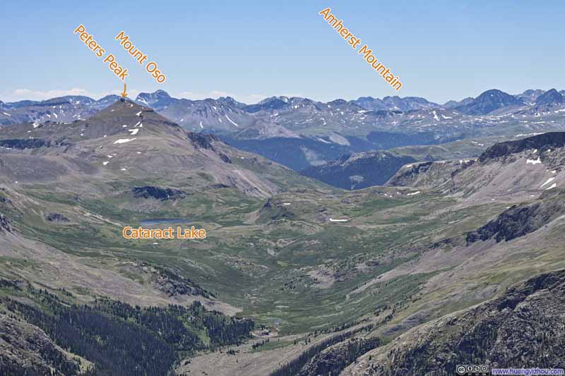
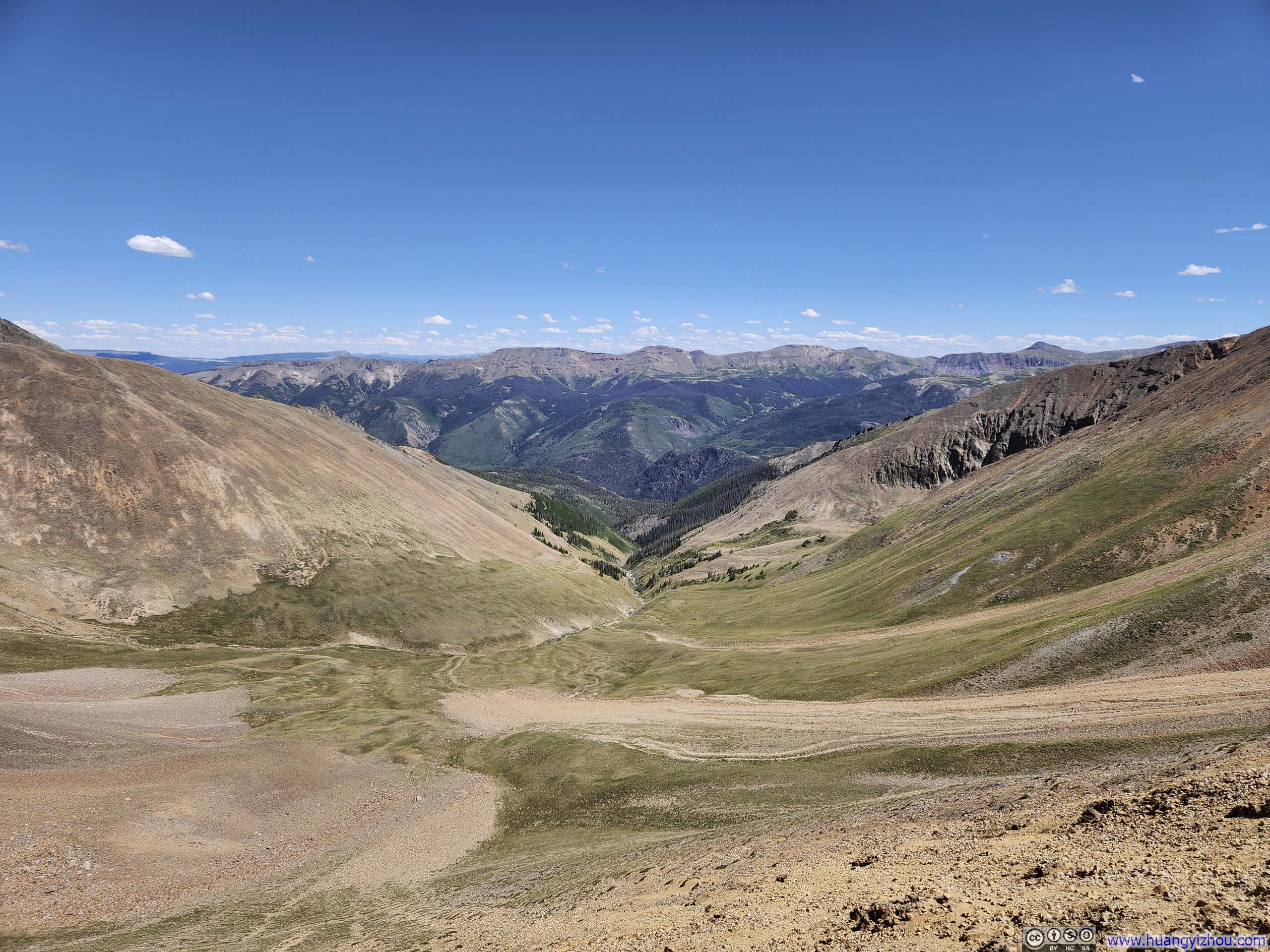
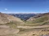
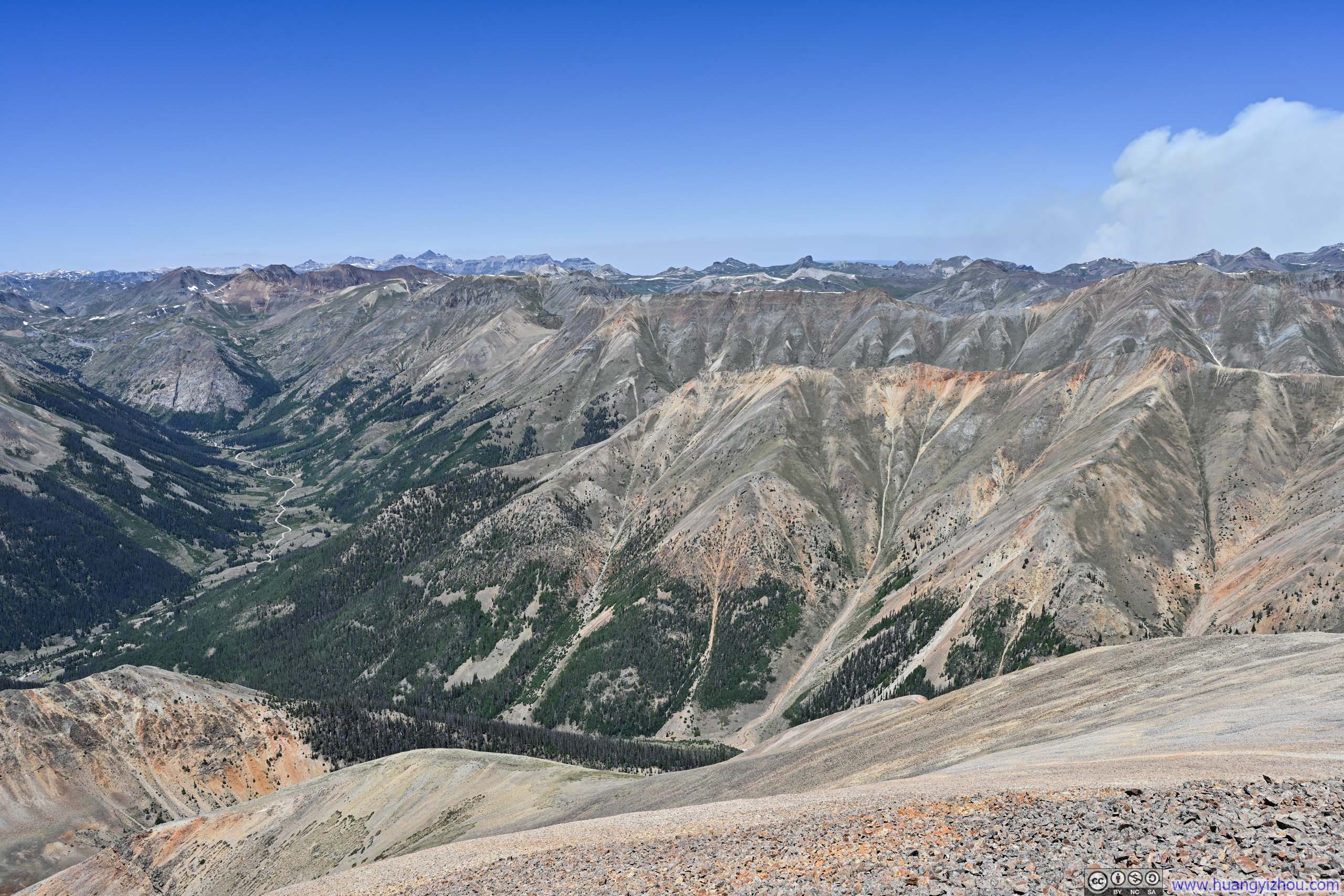
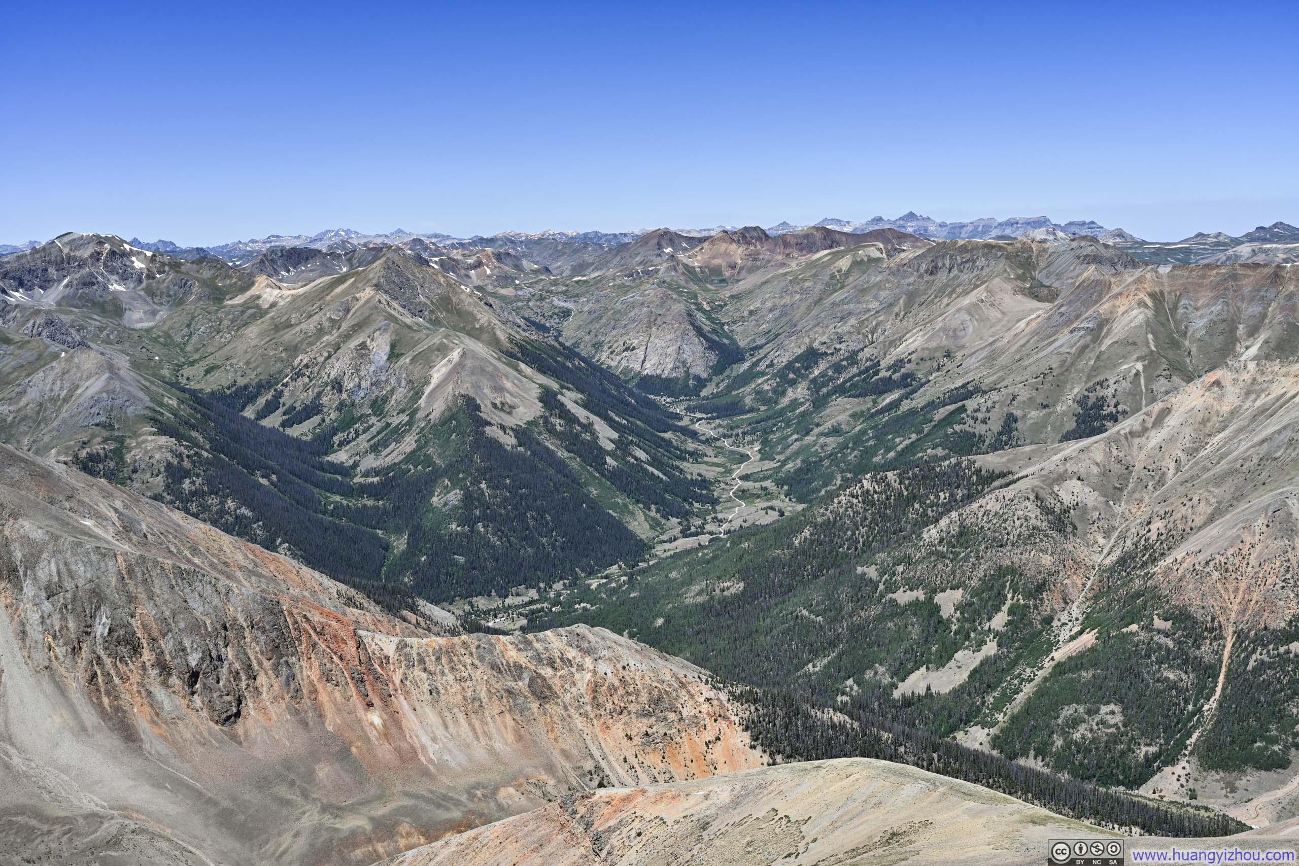
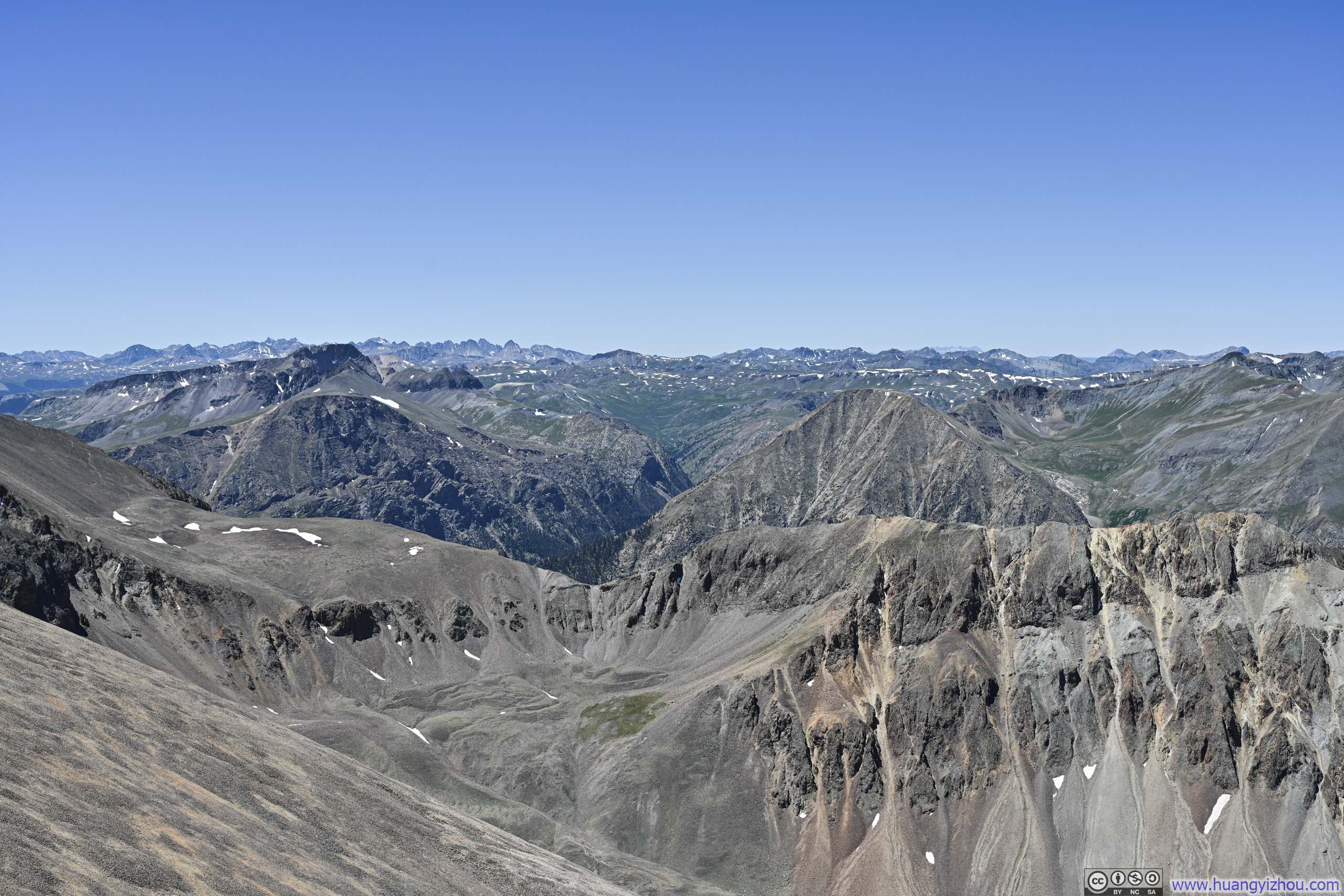
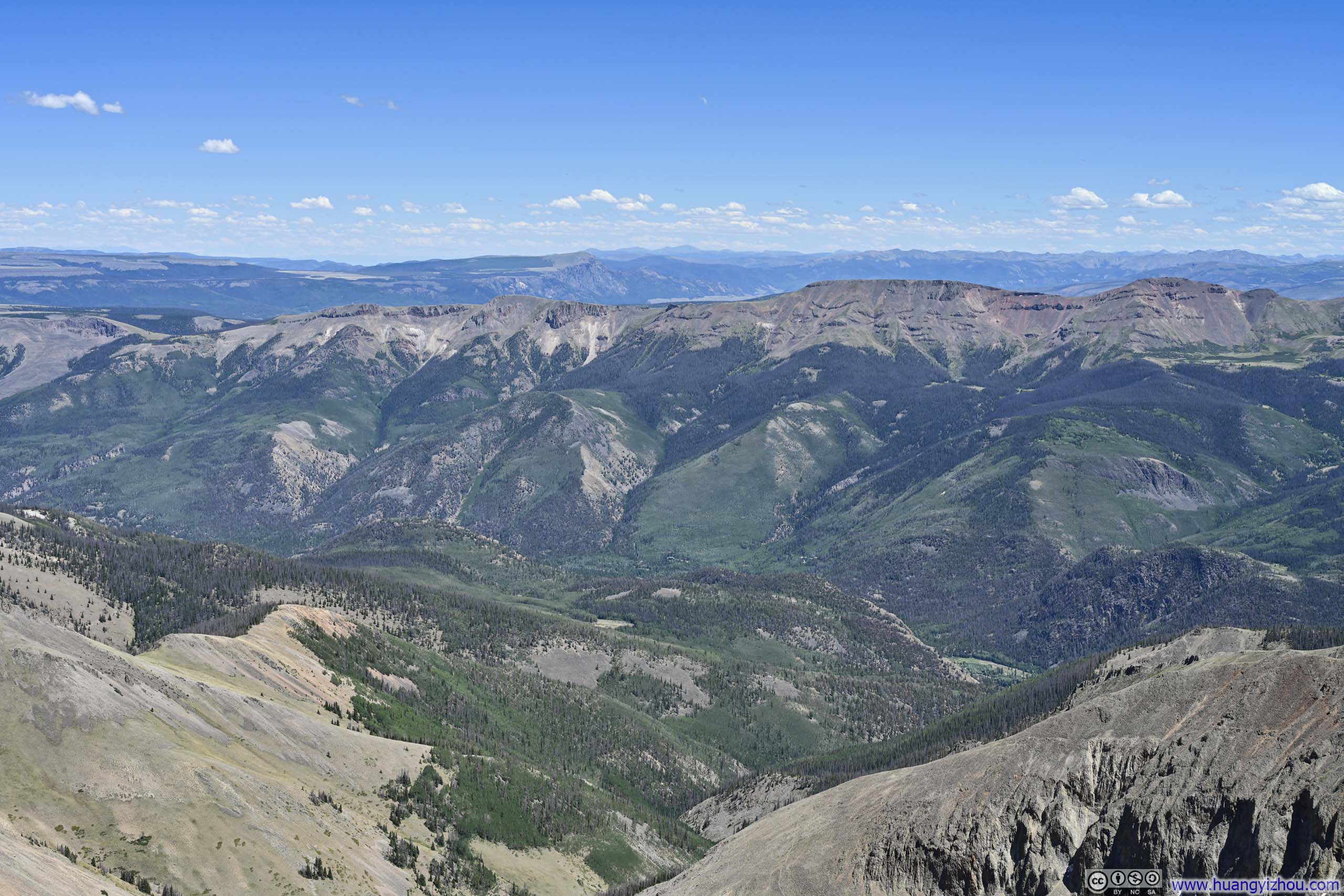
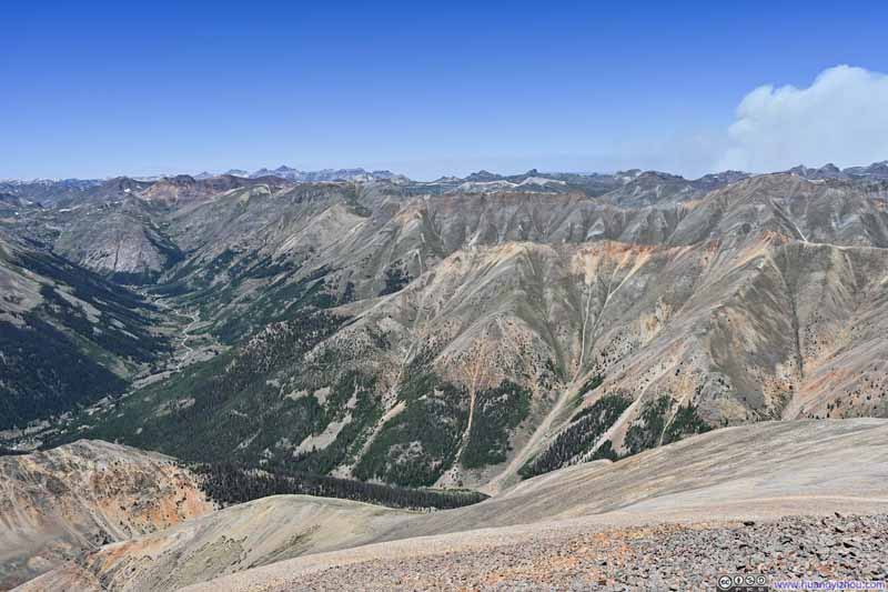
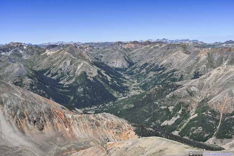
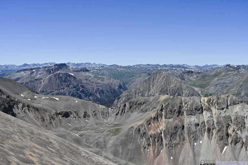
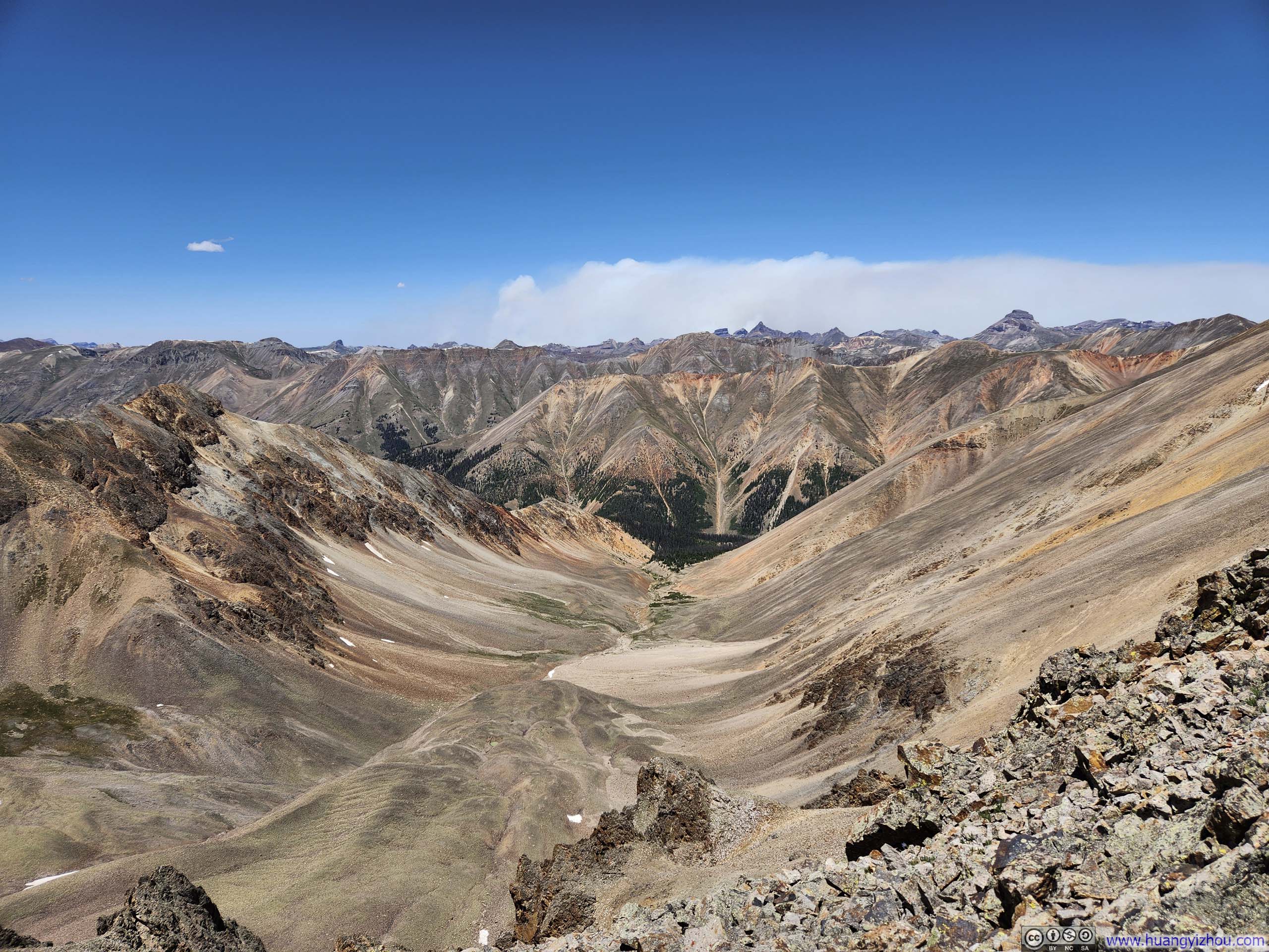
To the south of Sunshine Peak, the Lake Fork Gunnison River Valley lay directly below, plunging more than 1300 meters (4200 feet) to the valley floor. Across the abyss, Cataract Gulch climbed toward an expansive alpine meadow suspended high above the valley floor, a realm seemingly untouched by the noise below. The isolation of this grassy sanctuary lent it a pristine, almost clandestine quality, evoking my imagination as to what reclusive peoples might have matched this landscape, and what obscure folklore might have drifted down to the world below in fragments.
Cataract Gulch and Mountains across Valley
Mountains across Valley
Cottonwood Creek Valley
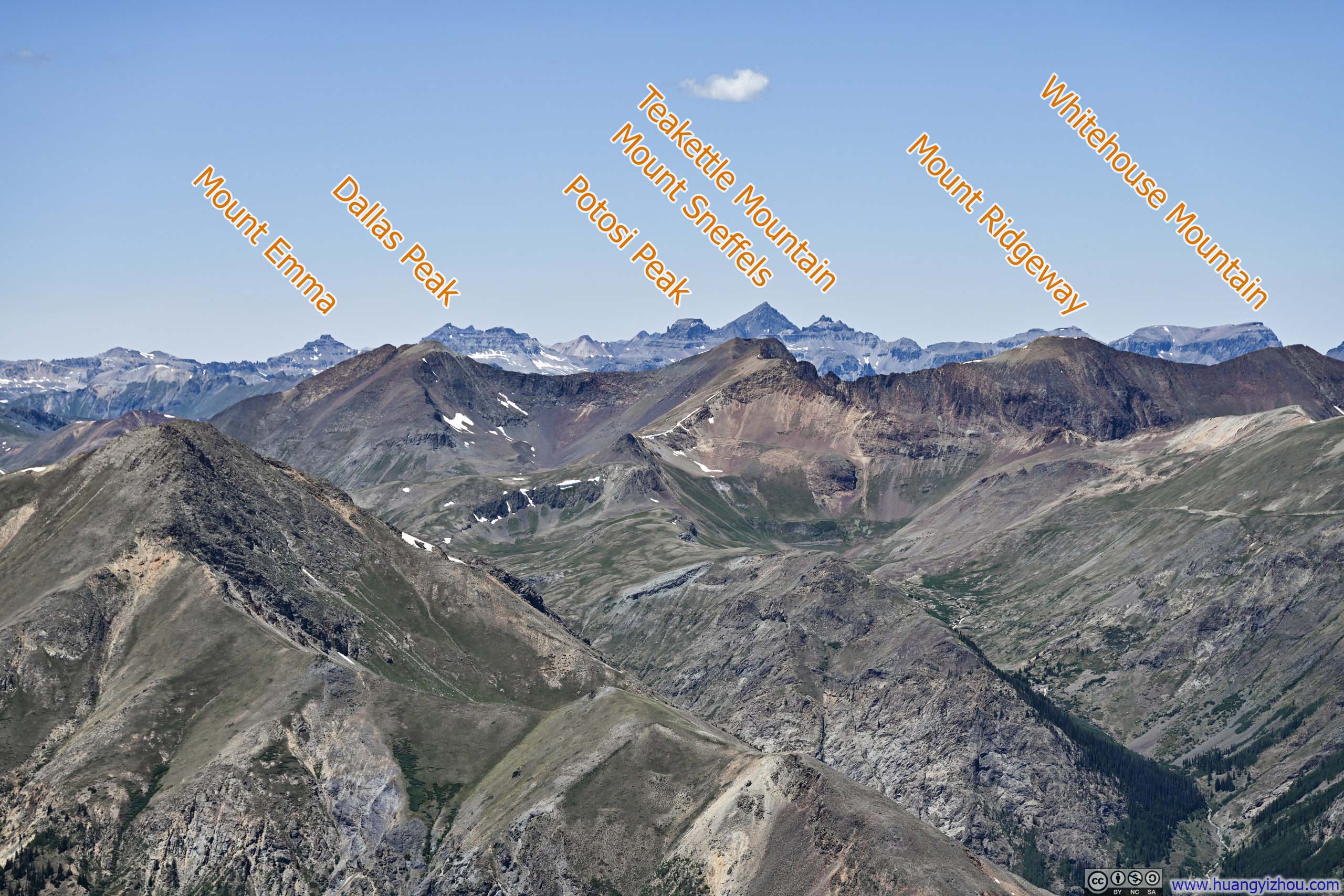
Mountains to the West
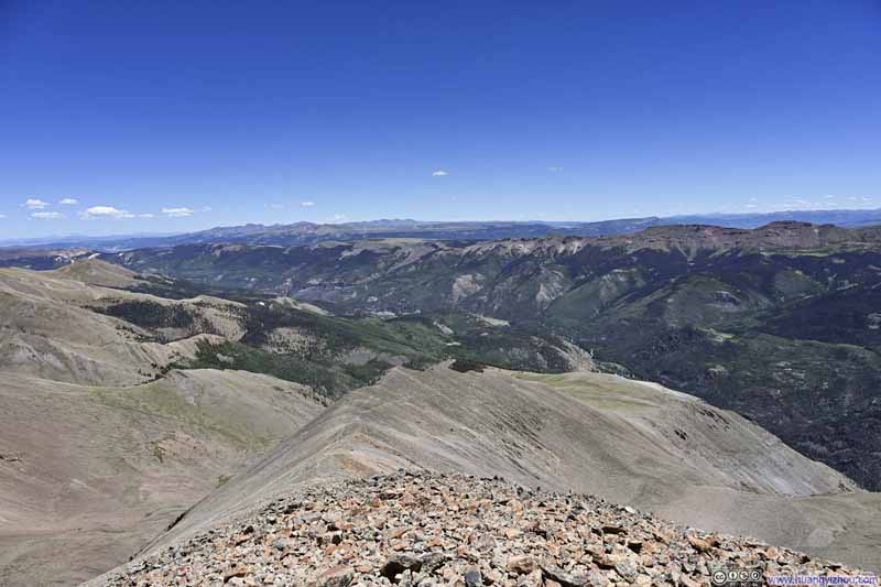
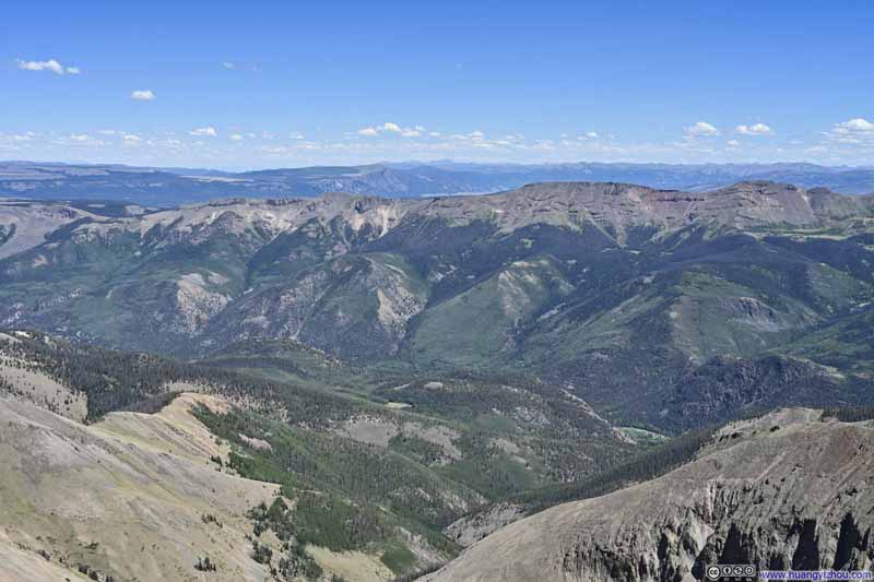
Rolling Hills to the East
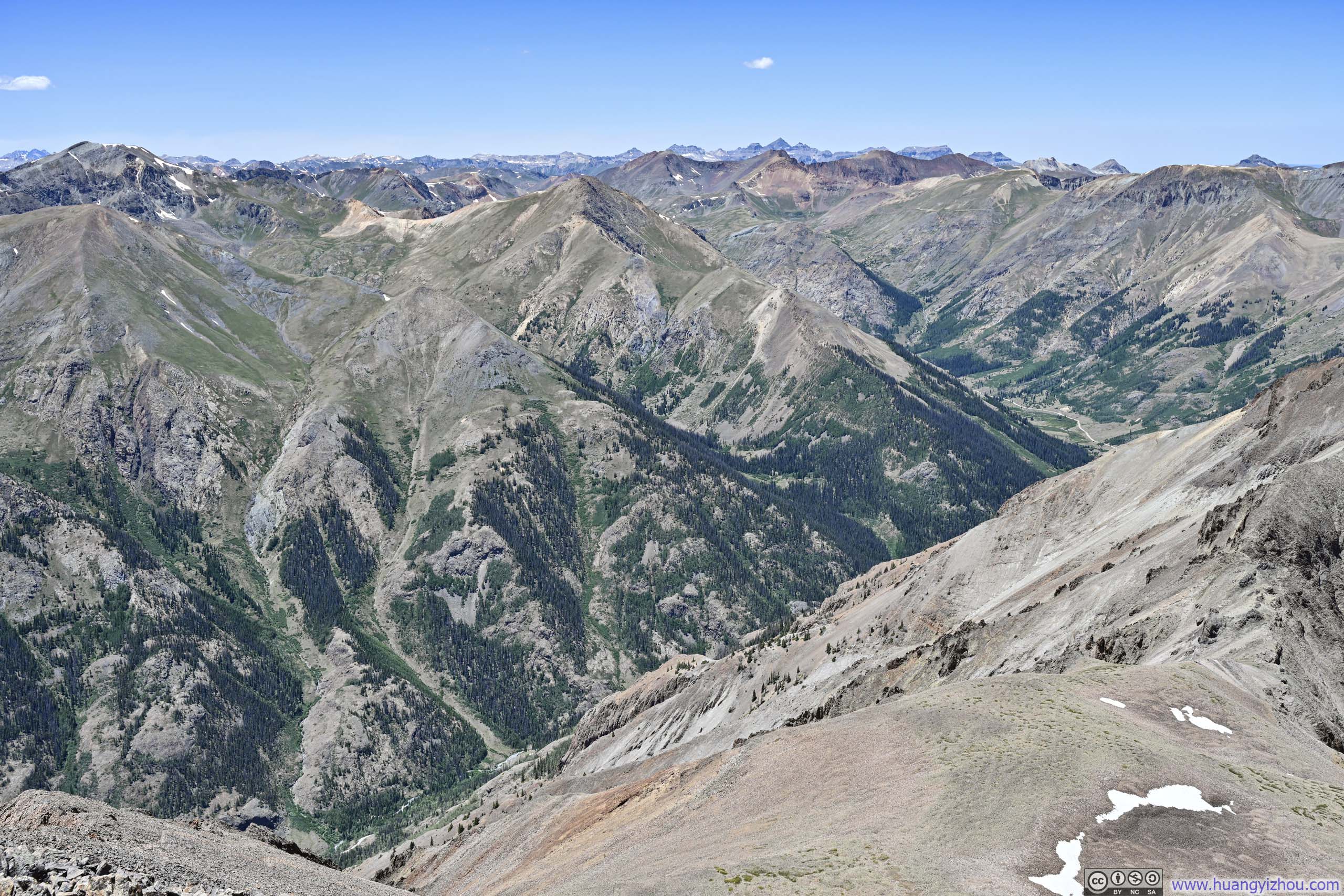
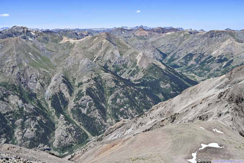
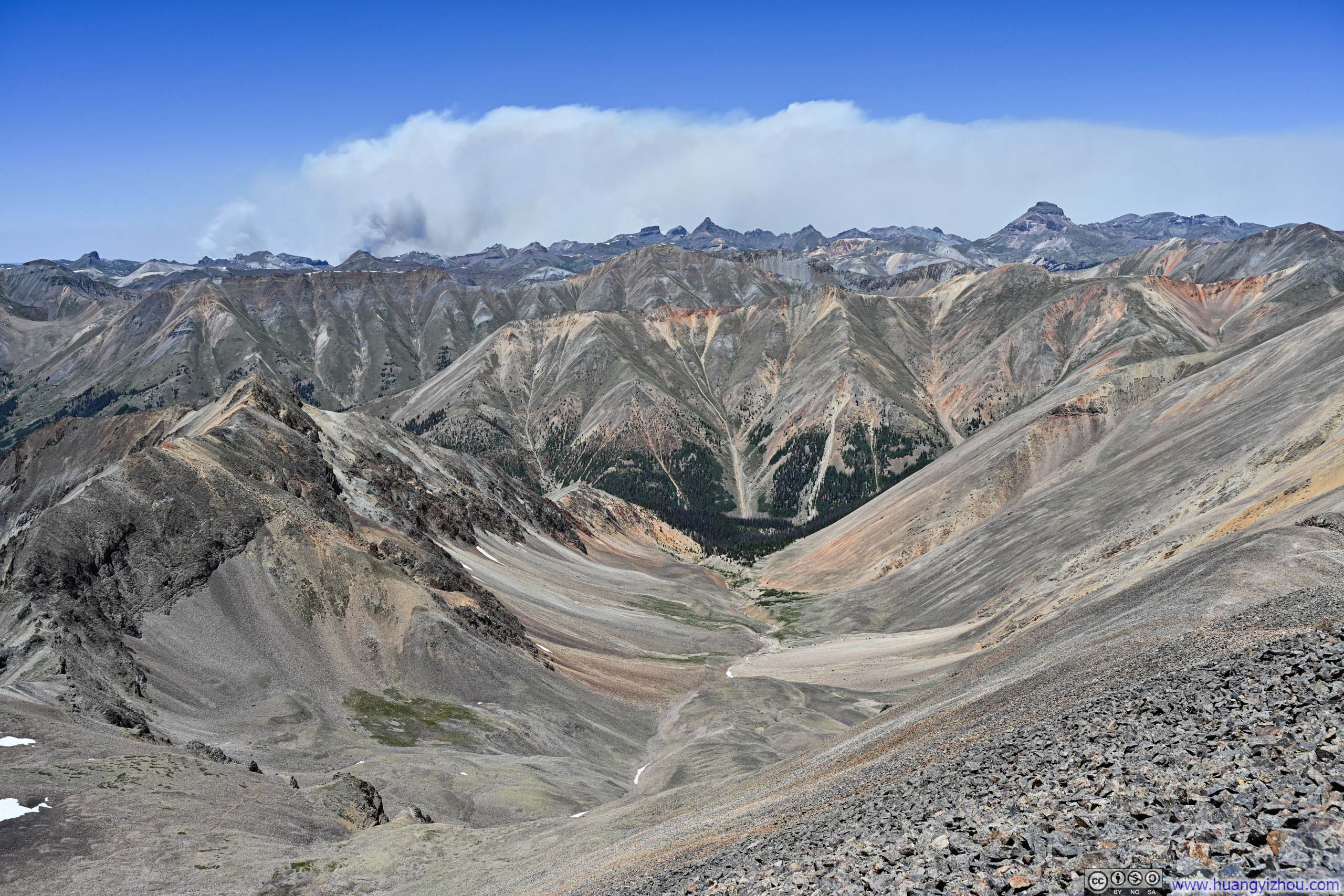
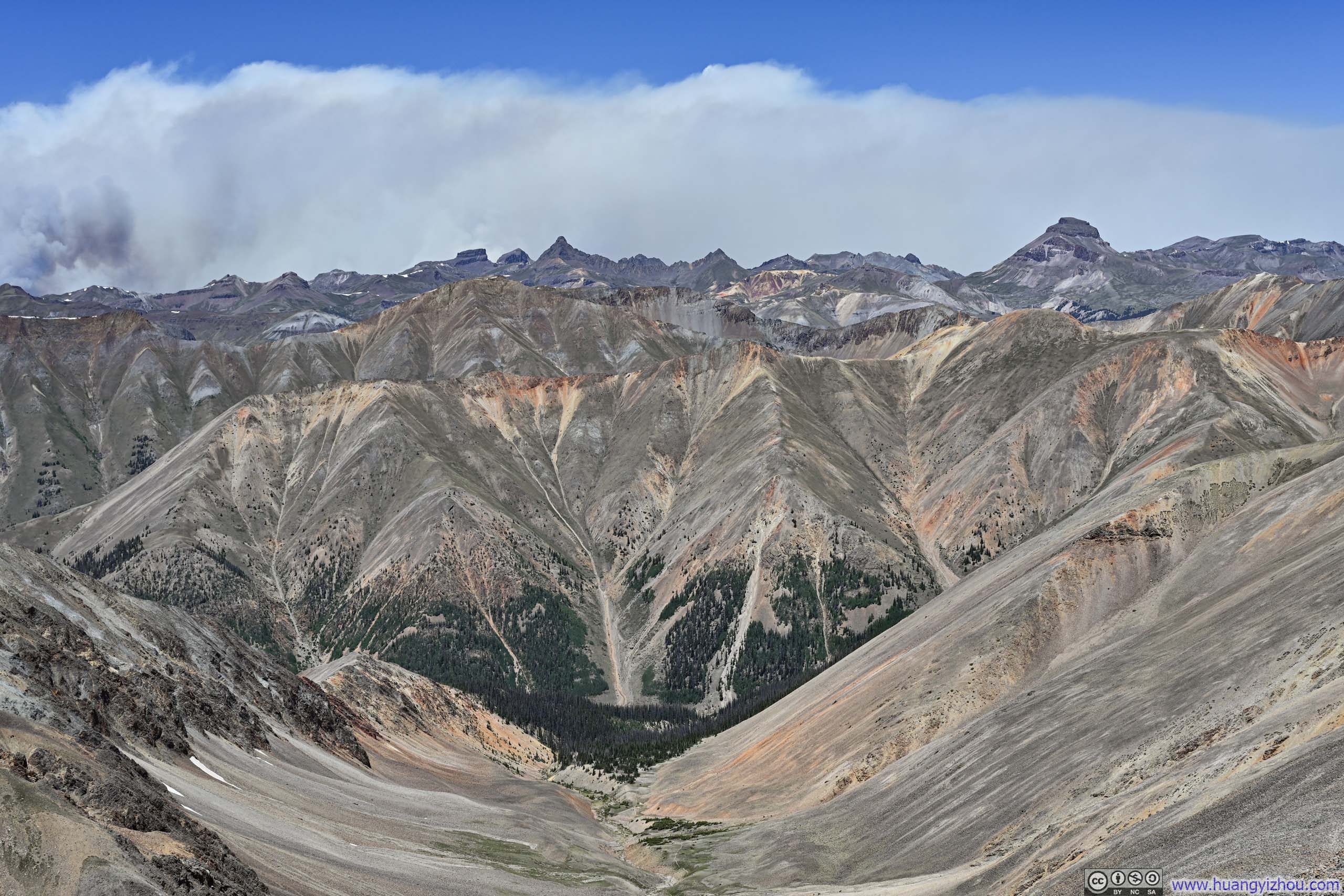
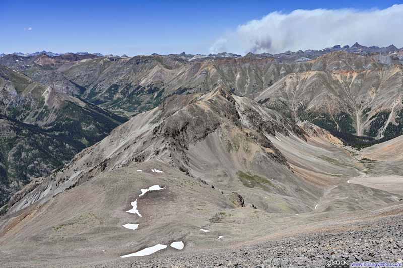
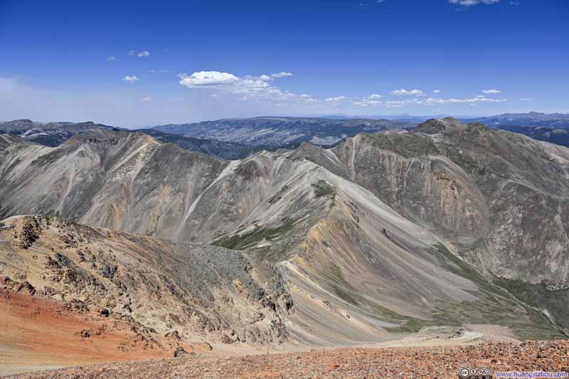
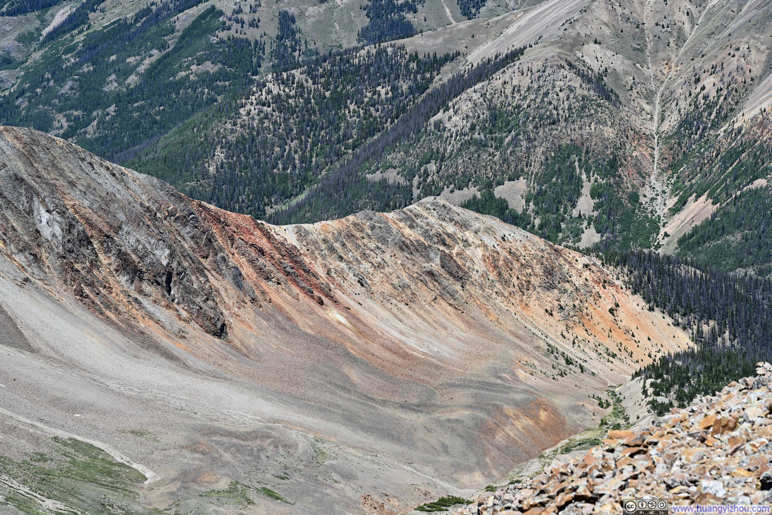
To the north, the slopes of Sunshine and Redcloud Peaks wore vibrant stripes of red and orange, hints of which repeated in the receding ranges beyond them. While the rock comprising Sunshine Peak itself was rather dull, the summit occupied the confluence of two distinct beauties: an otherworldly verdant realm brimming with vitality, and an enchanted rust-colored landscape bearing witness to the passage of time. Handies Peak, which I had climbed the previous day, offered too much of the former; Redcloud Peak, too much of the latter. In this regard, Sunshine Peak alone had the best of both worlds.
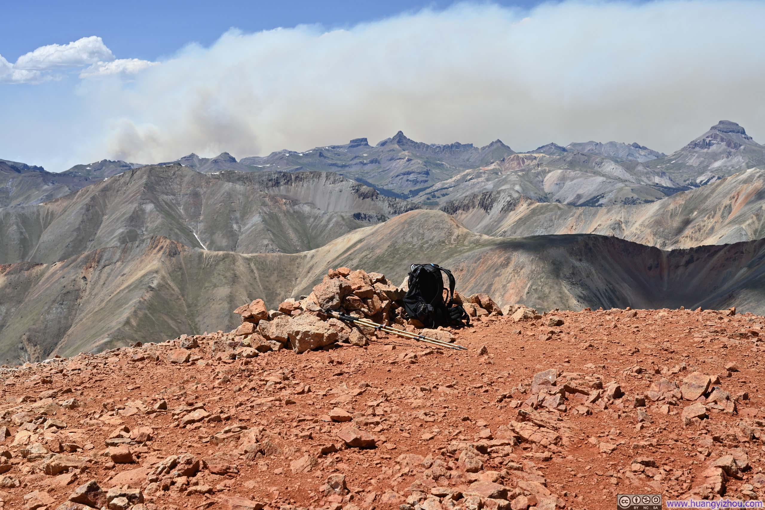
Summit of Sunshine Peak
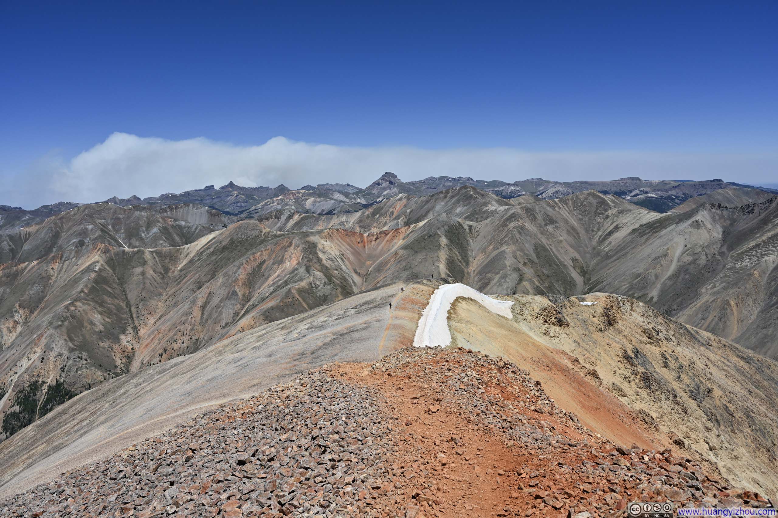
Redcloud Peak from Sunshine Peak
Valley to the North With the more challenging alternative trail to Sunshine Peak.
Mountains to the Northwest
Mountains to the North from Sunshine Peak
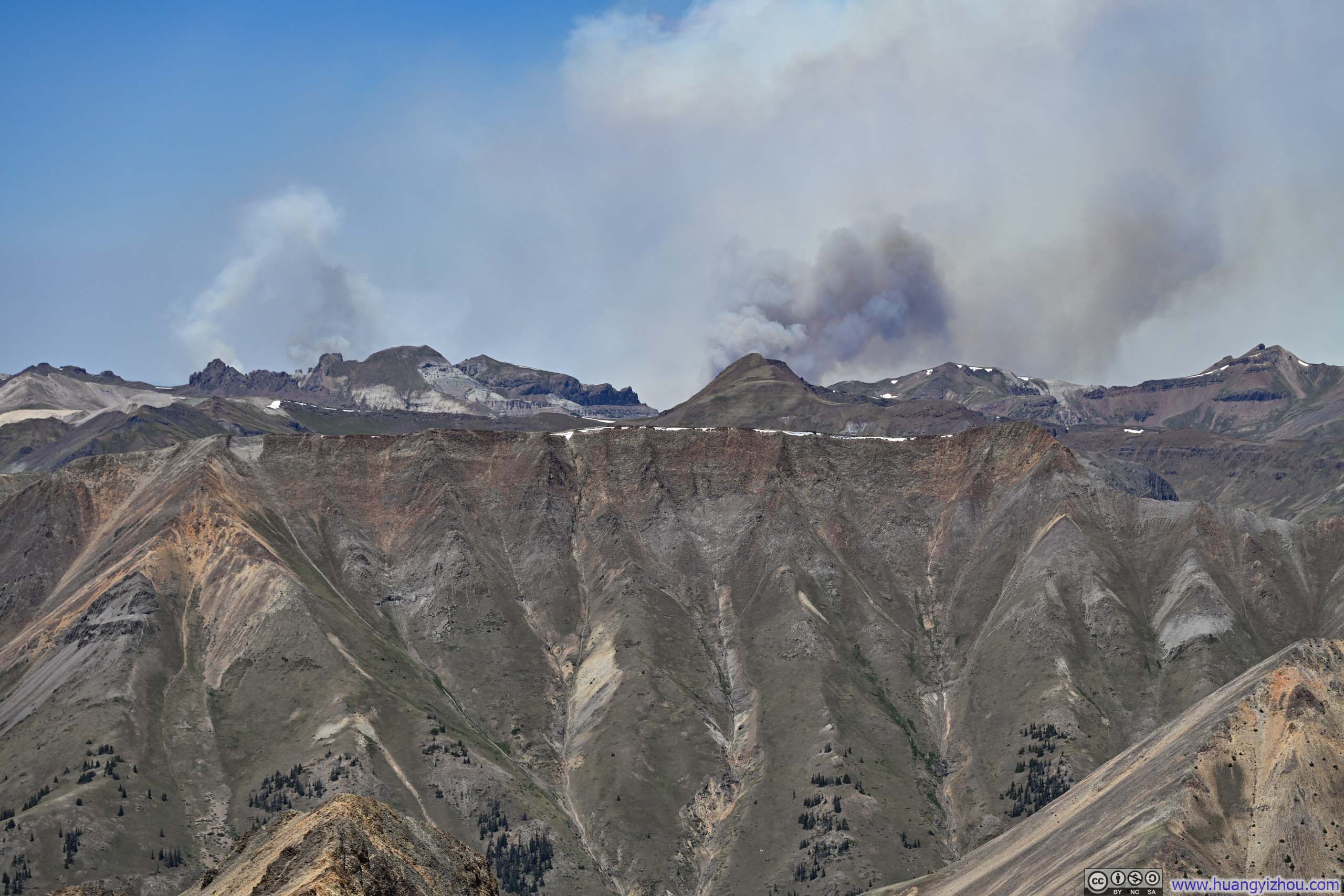
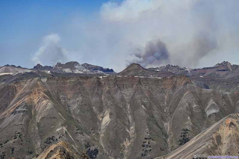
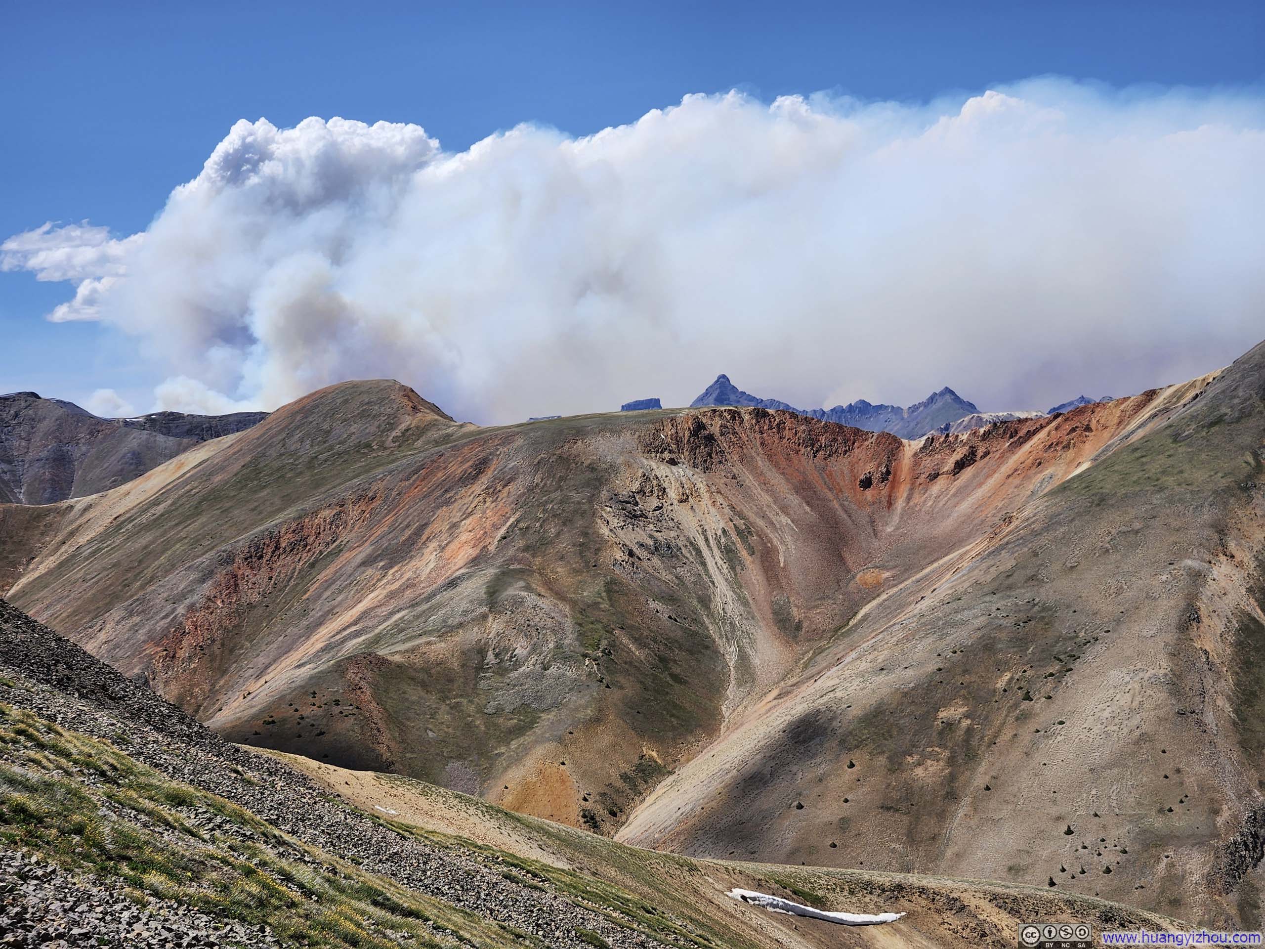
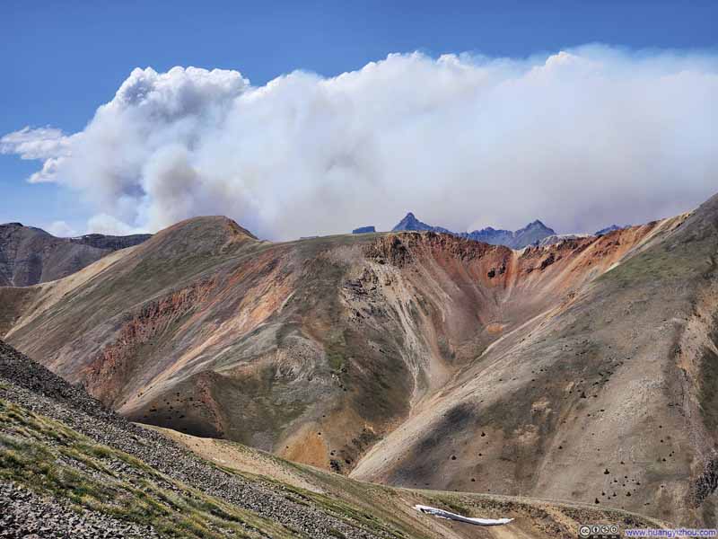
Wildfire Smoke across Mountains
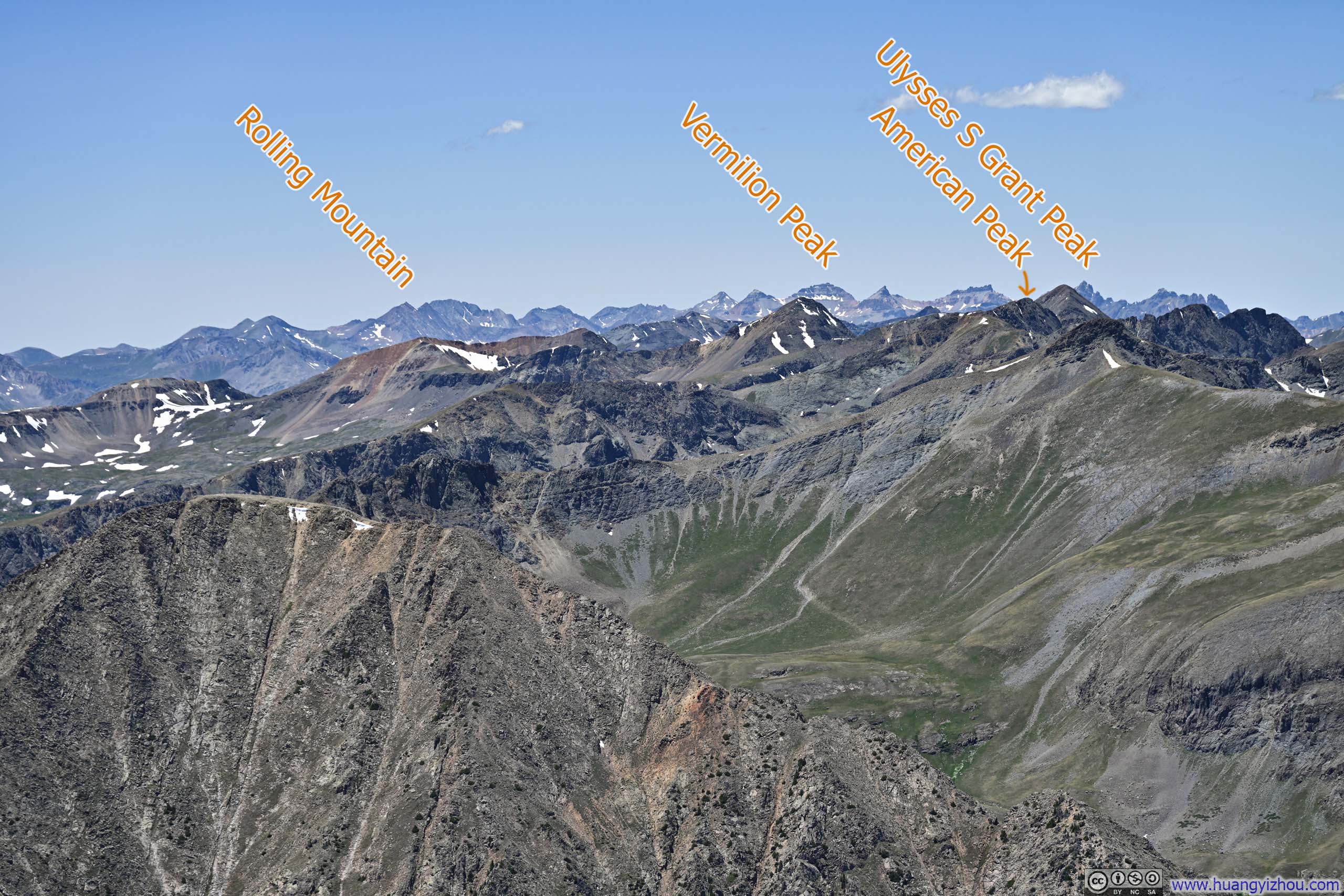
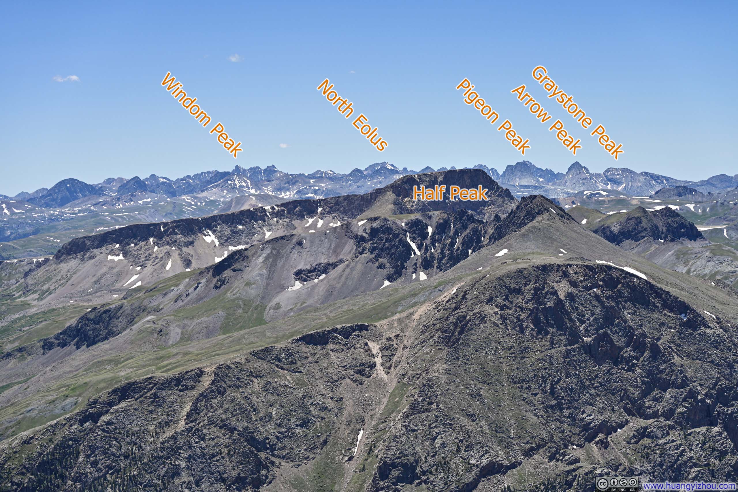
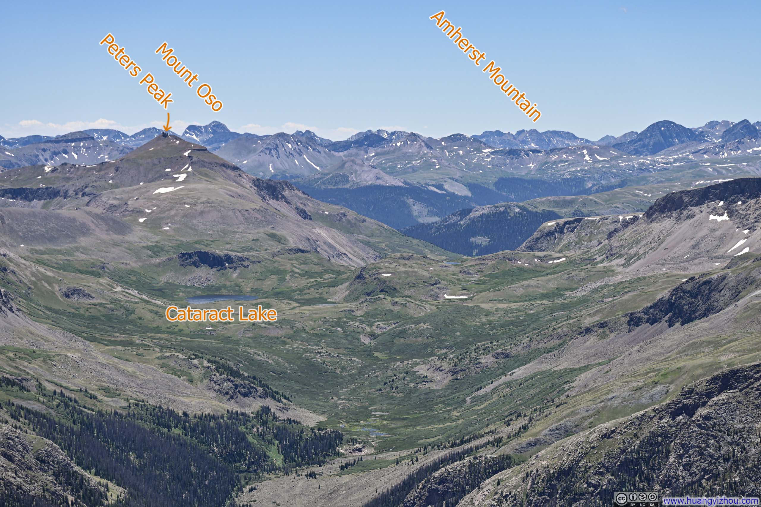
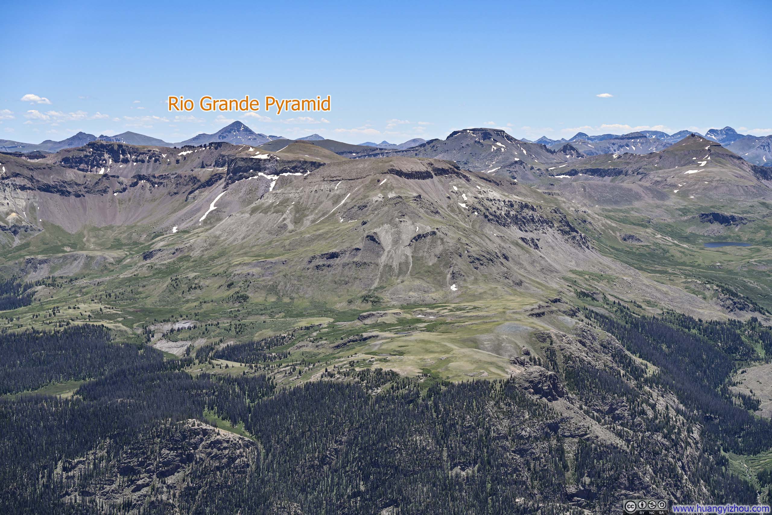
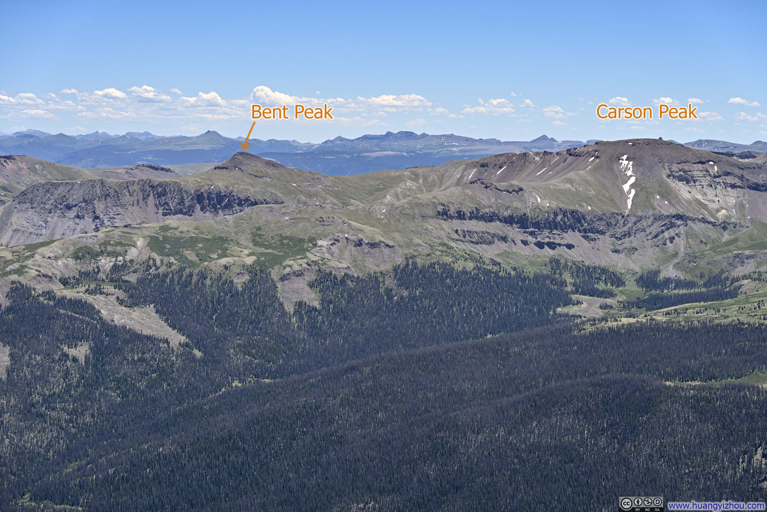
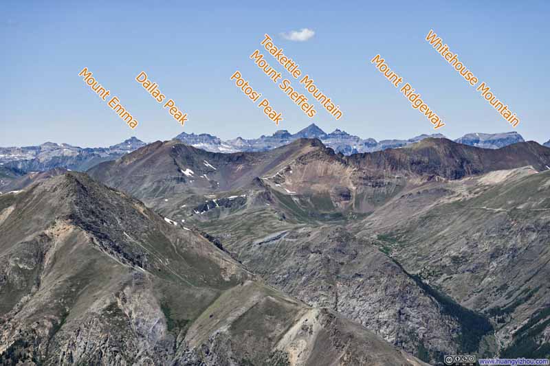
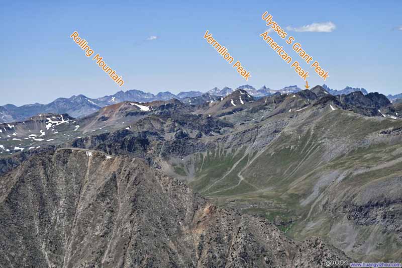
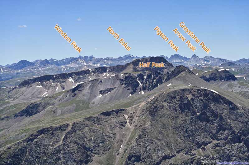
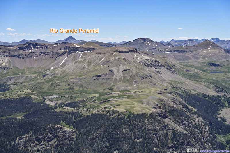
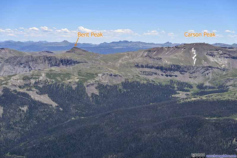
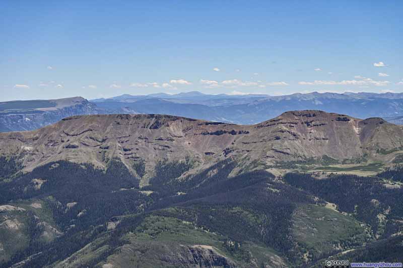
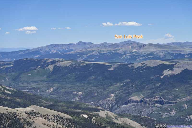
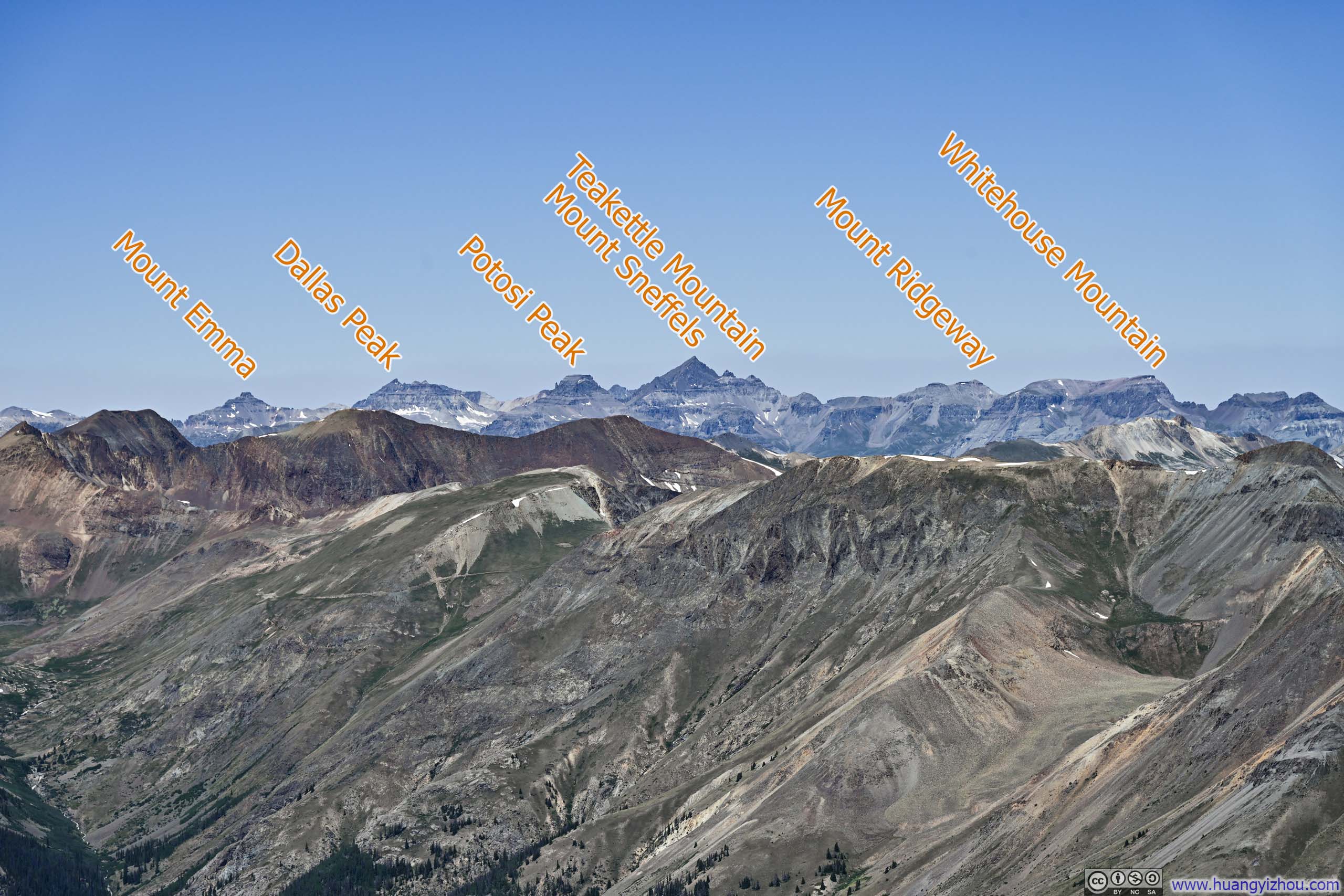
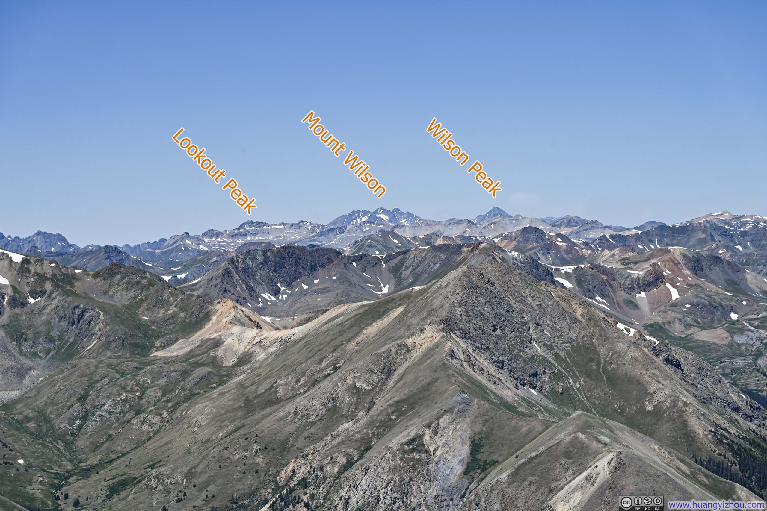
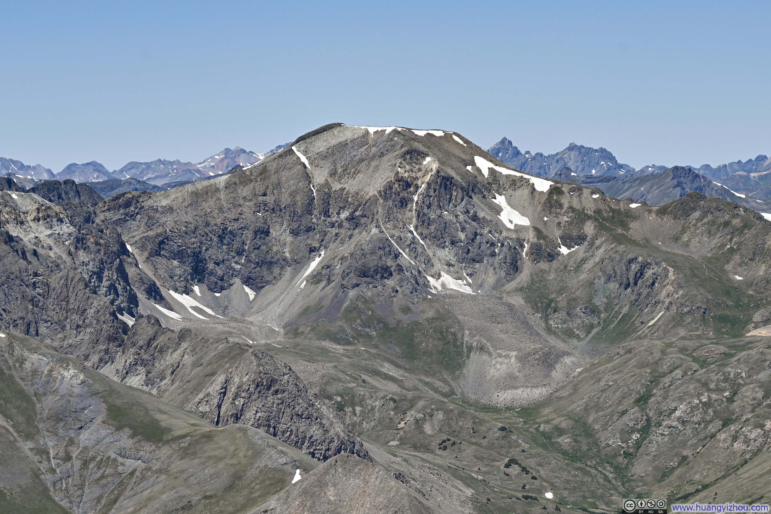
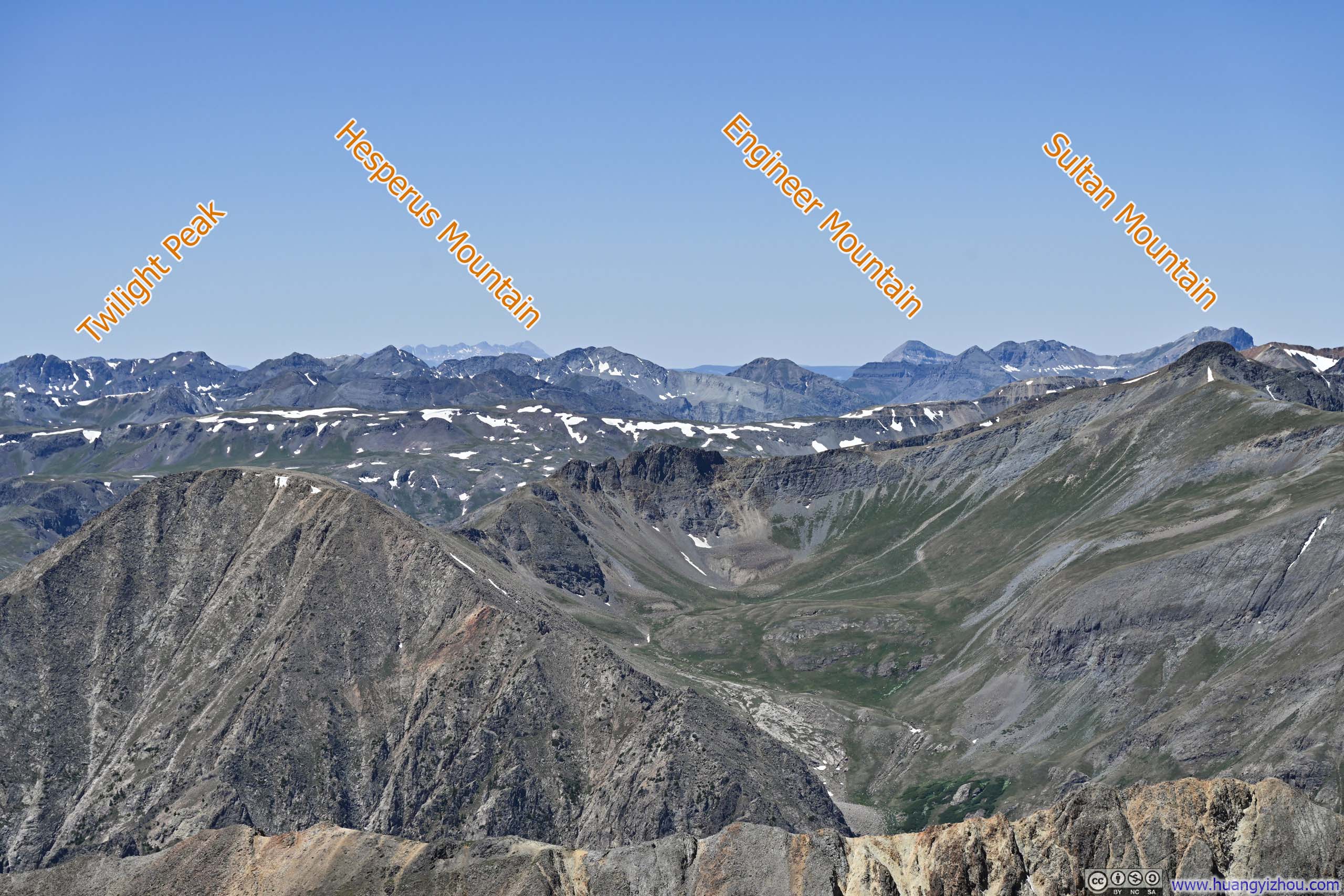
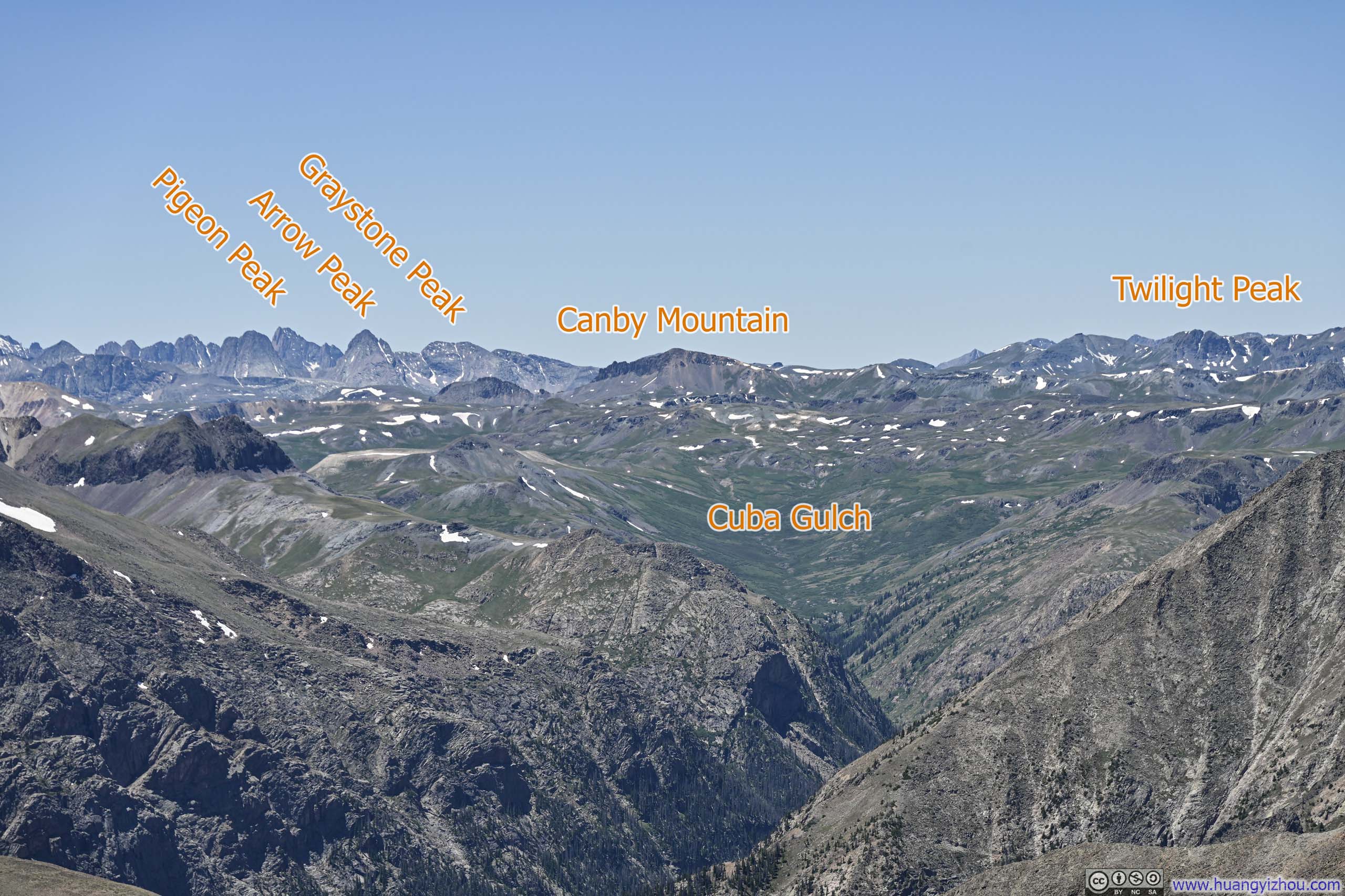
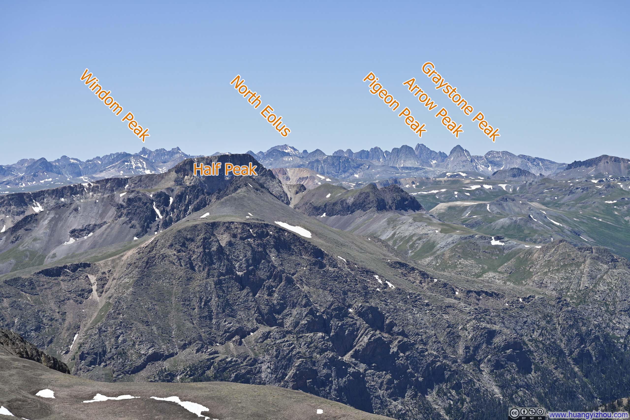
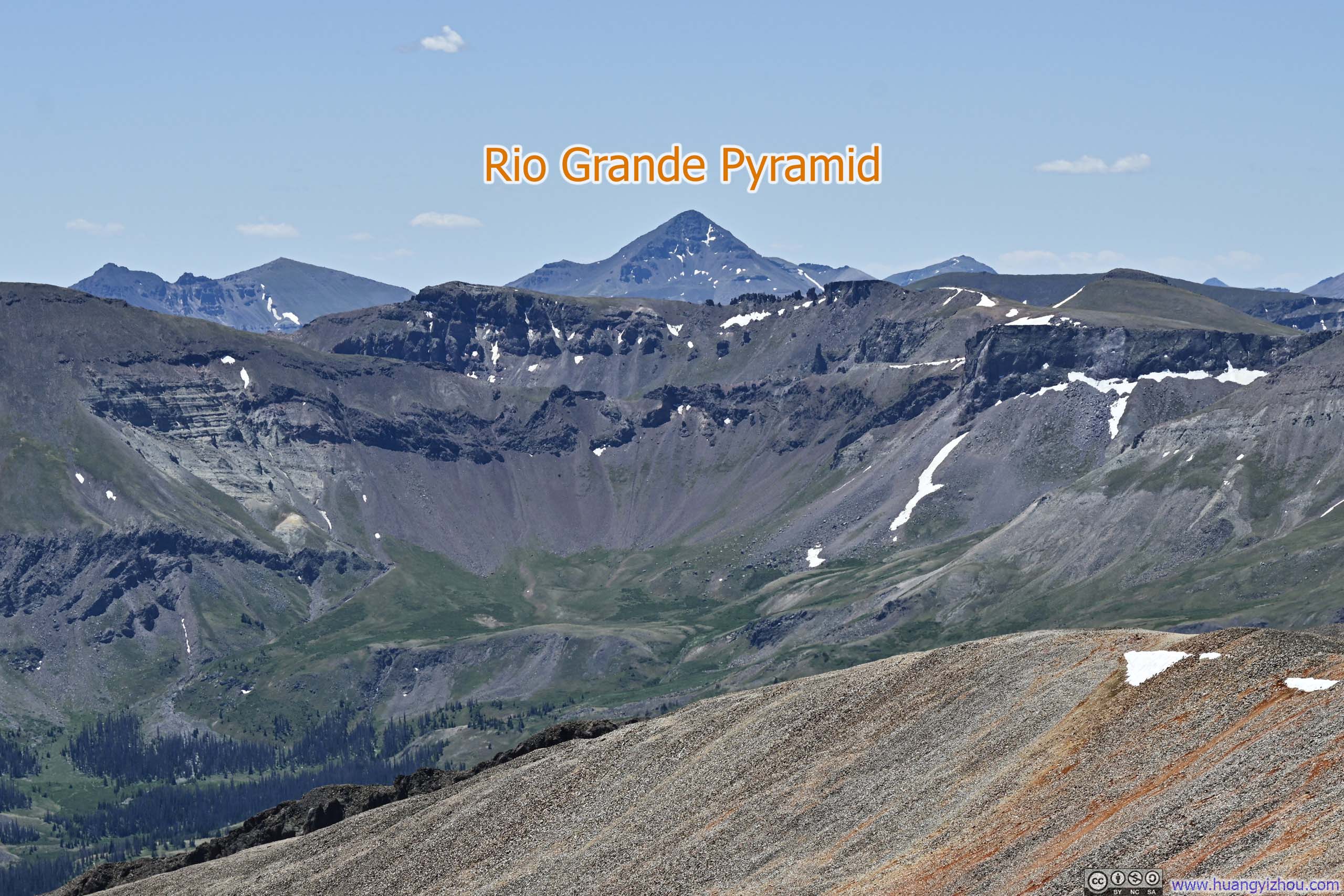
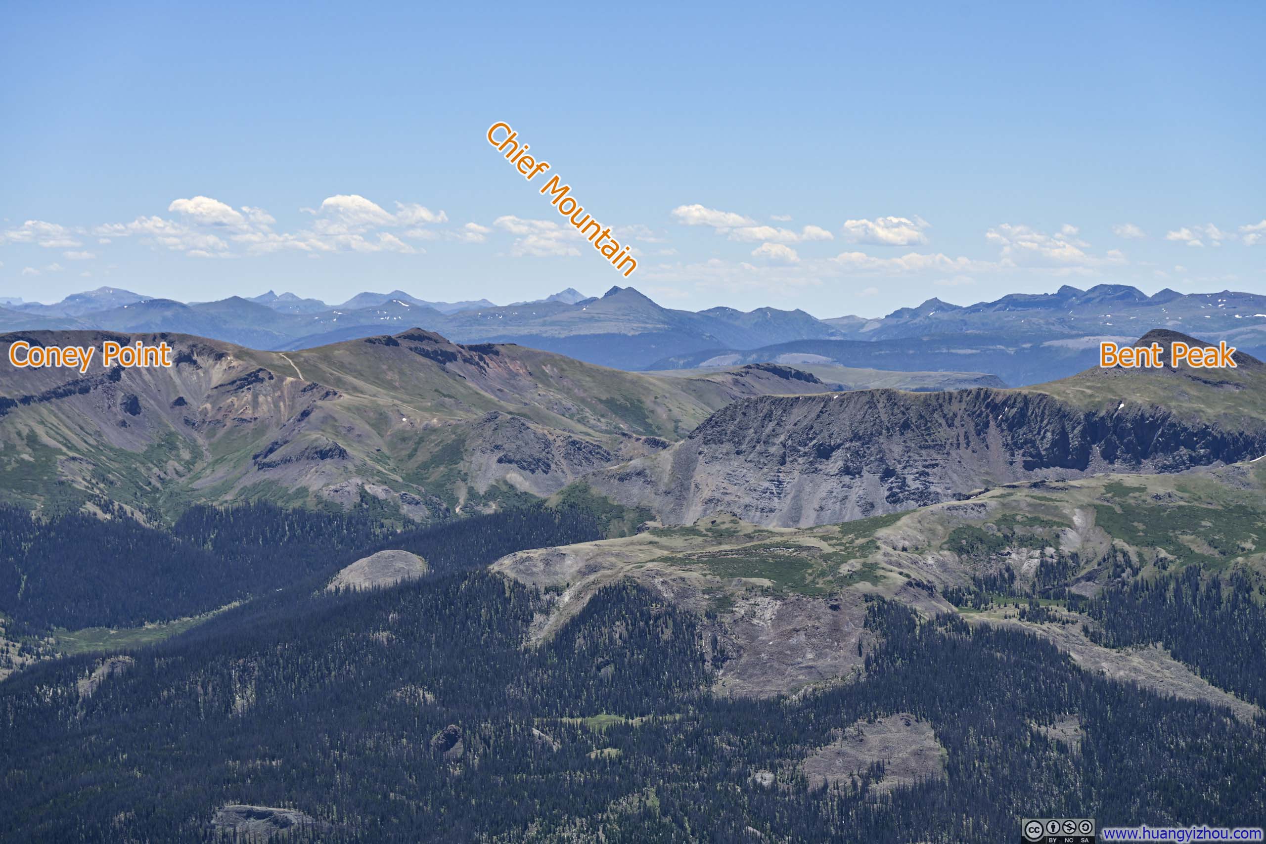
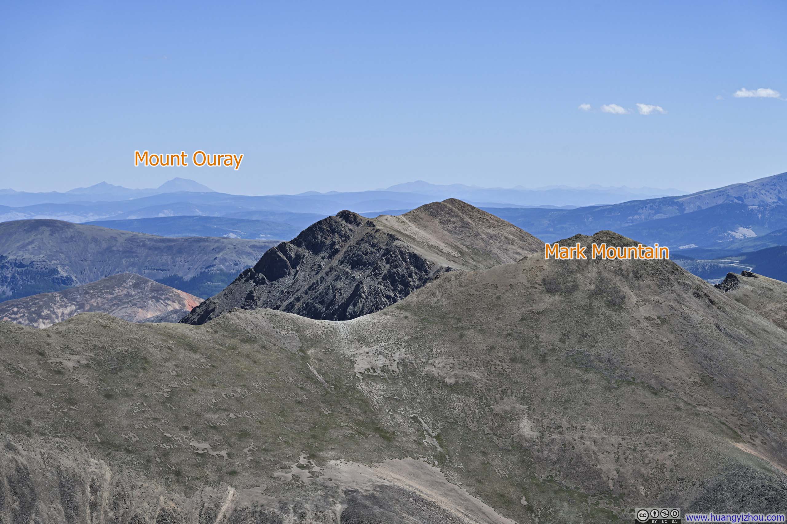
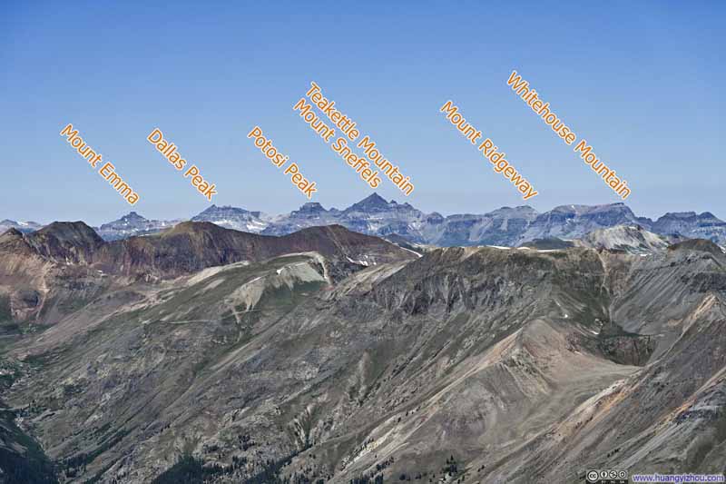
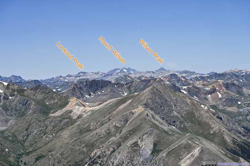
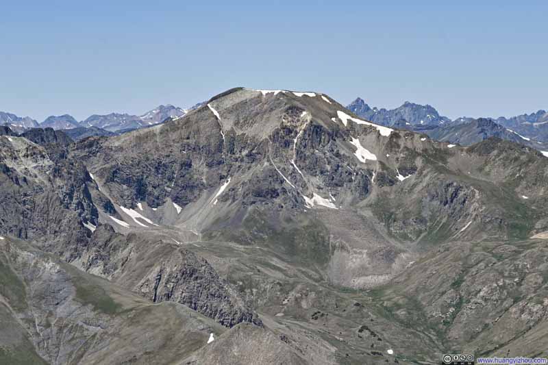
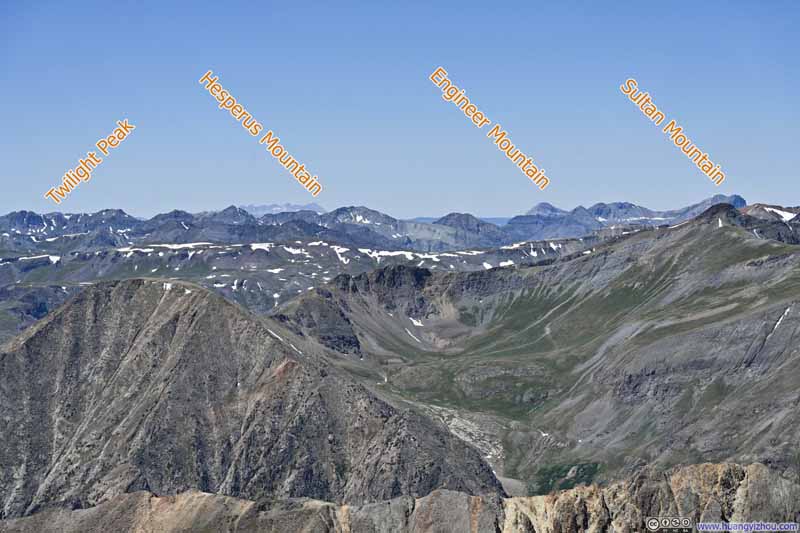
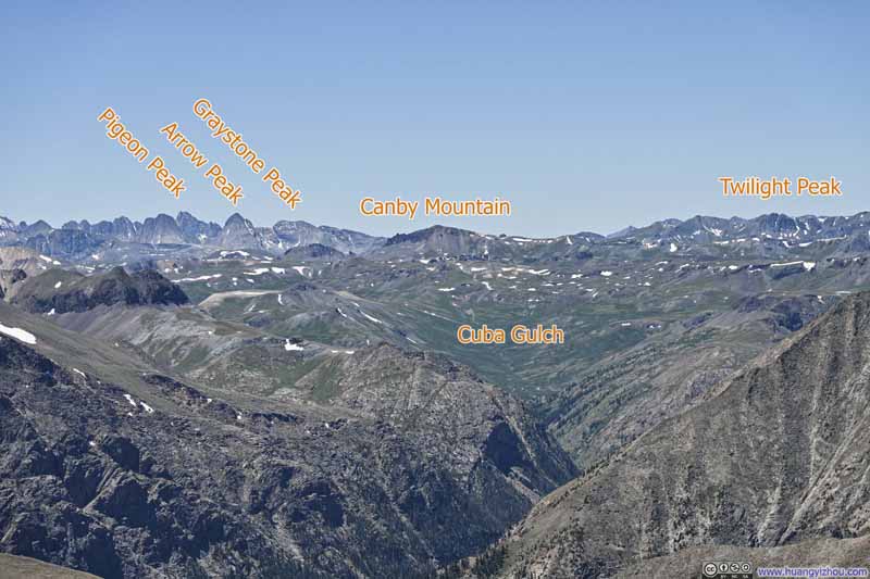
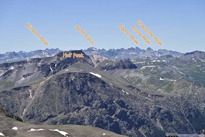
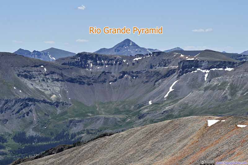
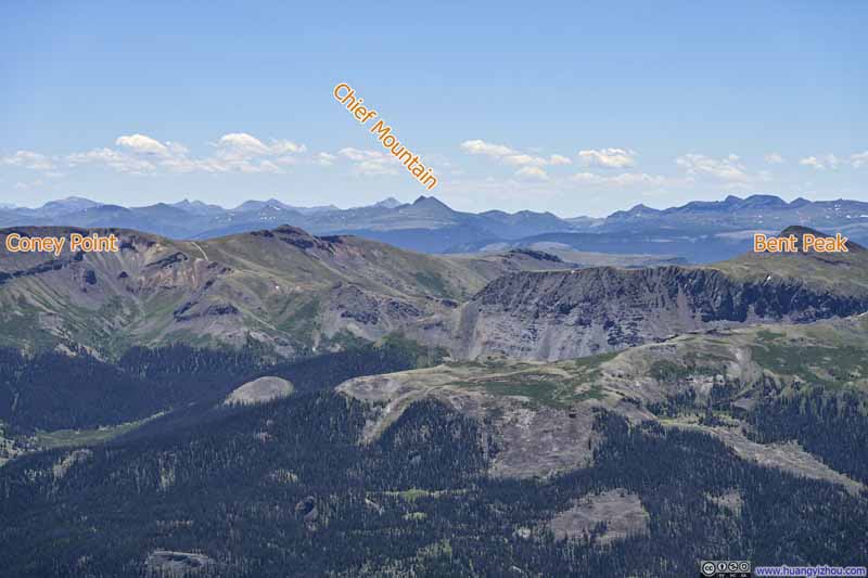
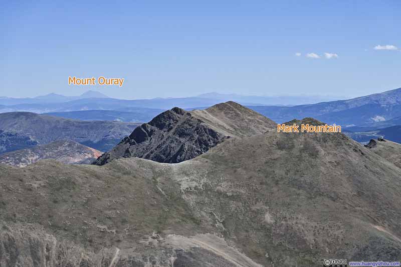
And just like earlier from Redcloud Peak, below is a slideshow of the prominent peaks around that I could identify.
Mountains to the West
Handies Peak
Mountains to the West
Needle Mountains behind Half peak
Meadows and Mountains to the South
Cataract Peak across Valley
Mountains to the South With Hossick Peak in the background.
Ridge to the Southeast Part of Continental Divide.
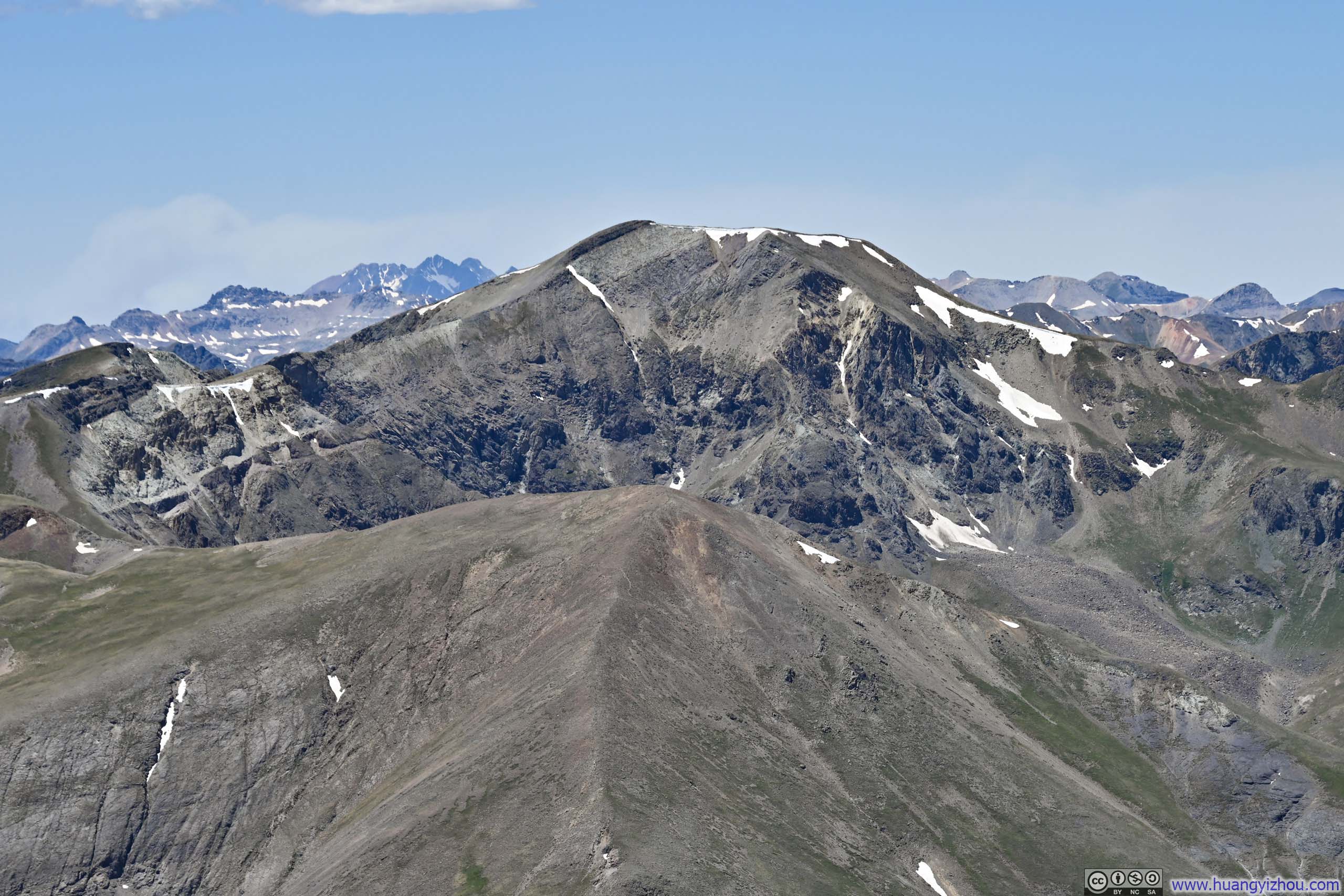
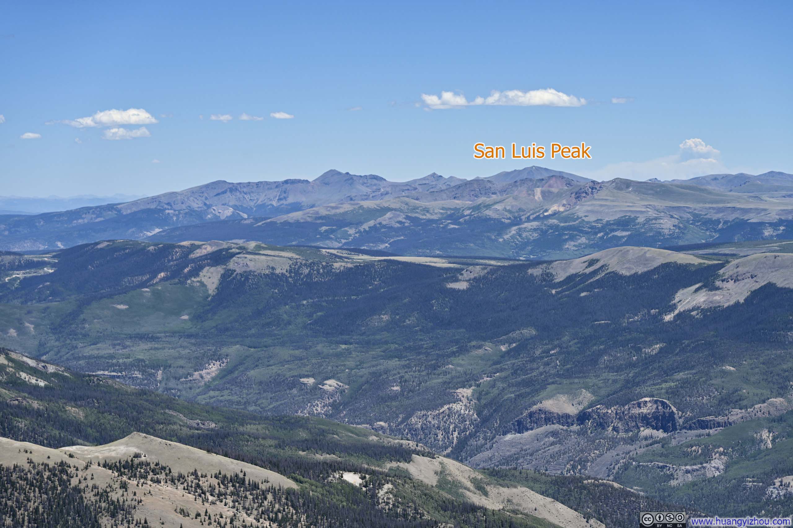
Mountains to the East Another 14er, San Luis Peak, which I was about to climb in 2 days, in view.
I spent about half an hour at Sunshine Peak, before heading back towards Redcloud Peak. Just shy of an hour later, I was back at Redcloud Peak. A quick 10-minute break later, I started my descent from Redcloud Peak.
Mountains across Basin
Grassy Basin
Wildfire Smoke across Mountains
Red Hills
By 5:13 p.m., I had returned to the trailhead. Thanks to the generally good trail conditions in the San Juans, the entire hike had taken me under eight hours, including all breaks.
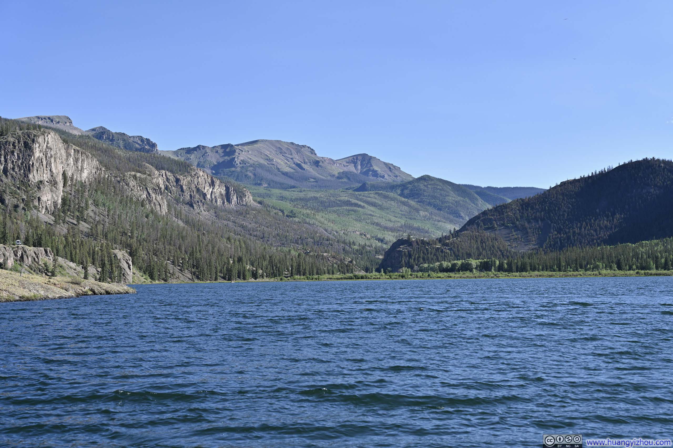
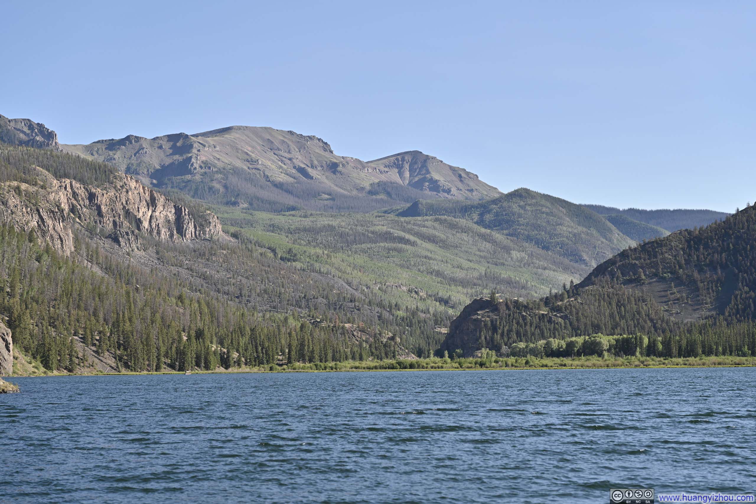
Mountains beyond Lake San Cristobal
The previous day, clouds had gathered over Lake San Cristobal by the time I returned. Today, under clear skies, I made a detour to the same boat ramp and captured these photos.
After that, I drove back to Lake City, concluding the day. END


 After about an hour, I reached the summit of Sunshine Peak at 1:15pm.