Day 10 of 2026 Trip to the Rockies, San Luis Peak
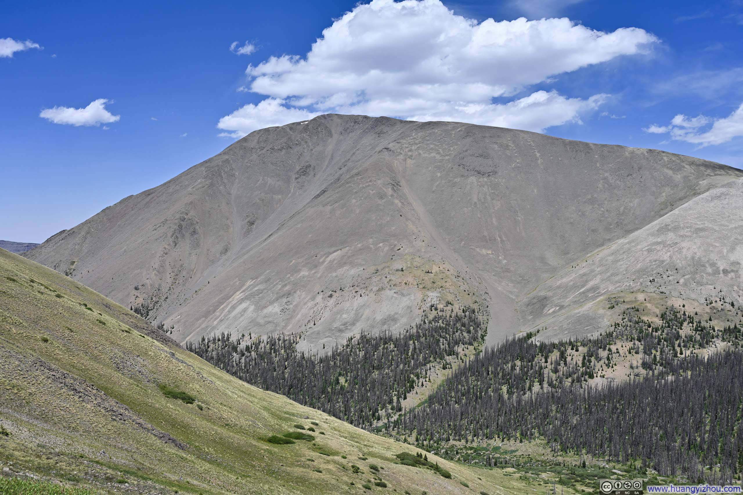
My extended journey through the Rockies was finally drawing to a close, but not before I set my sights on one last 14er in the eastern San Juan Mountains: San Luis Peak.
The peak takes its name from the San Luis Valley, which sprawls across south-central Colorado and dips into northern New Mexico, bordered by the San Juan Mountains to the west and the Sangre de Cristo to the east. The peak likely earned the title "San Luis" for being the highest summit in the San Juans nearest to that valley. I found it somewhat curious, though, that the peak ultimately ended up on the opposite side of the Continental Divide from the valley that named it.
- The "standard" northeast ridge route from Stewart Creek Trailhead, accessed via Gunnison or Saguache.
- The south ridge route from West Willow Creek Trailhead, reached from the town of Creede, which was my objective for the day.
Both routes were rated YDS Class 1. The Stewart Creek approach was deemed the "standard" route, probably because the dirt road leading to its trailhead demanded less vehicle clearance. With a high-clearance vehicle, however, the West Willow Creek approach was shorter, involved less elevation gain, and was closer to civilization, so I saw no reason not to favor it.
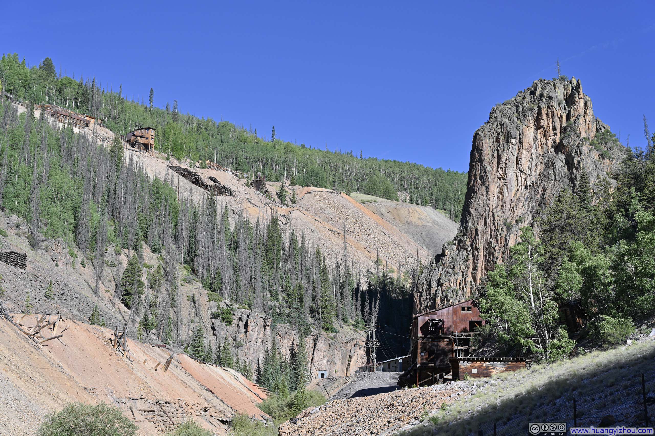
The drive from Creede to West Willow Creek Trailhead offered two options for its first half: the eastern route of FR503 or the western route of CR505-504. Both were unpaved, and together they formed the Bachelor Loop, a scenic drive threading past various mining relics scattered across the area. I took FR503 in the morning and CR505-504 on the return trip. My conclusion? FR503 was in rougher shape, but it offered steeper valleys, more dramatic views, and more prominent mining ruins lining the road.
The most striking of these relics was a building from the Commodore Mine, towering over the road, like an elder statesman quietly bearing witness to the region's boom and bust, a befitting comparison for the valley's stillness as I experienced it.
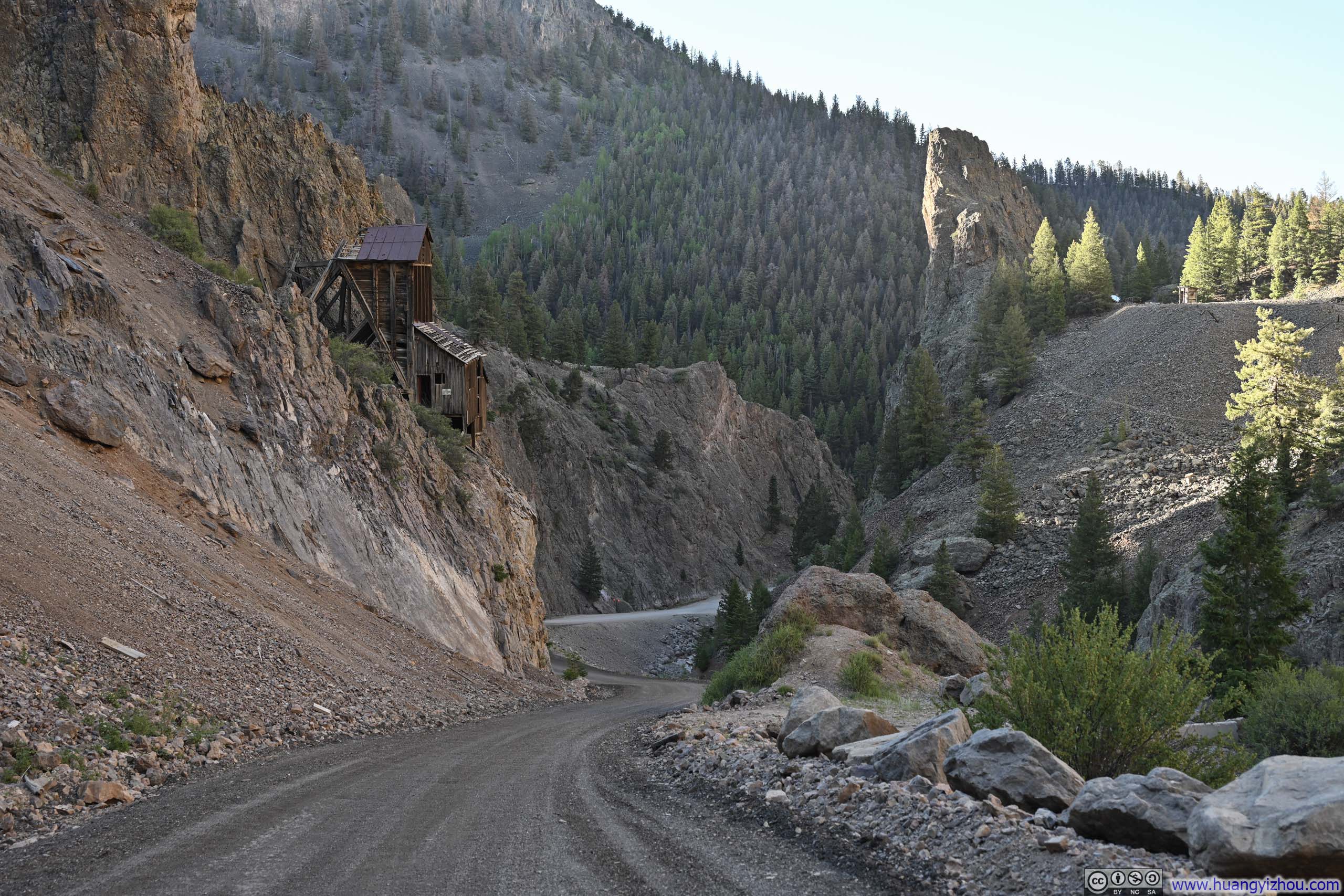
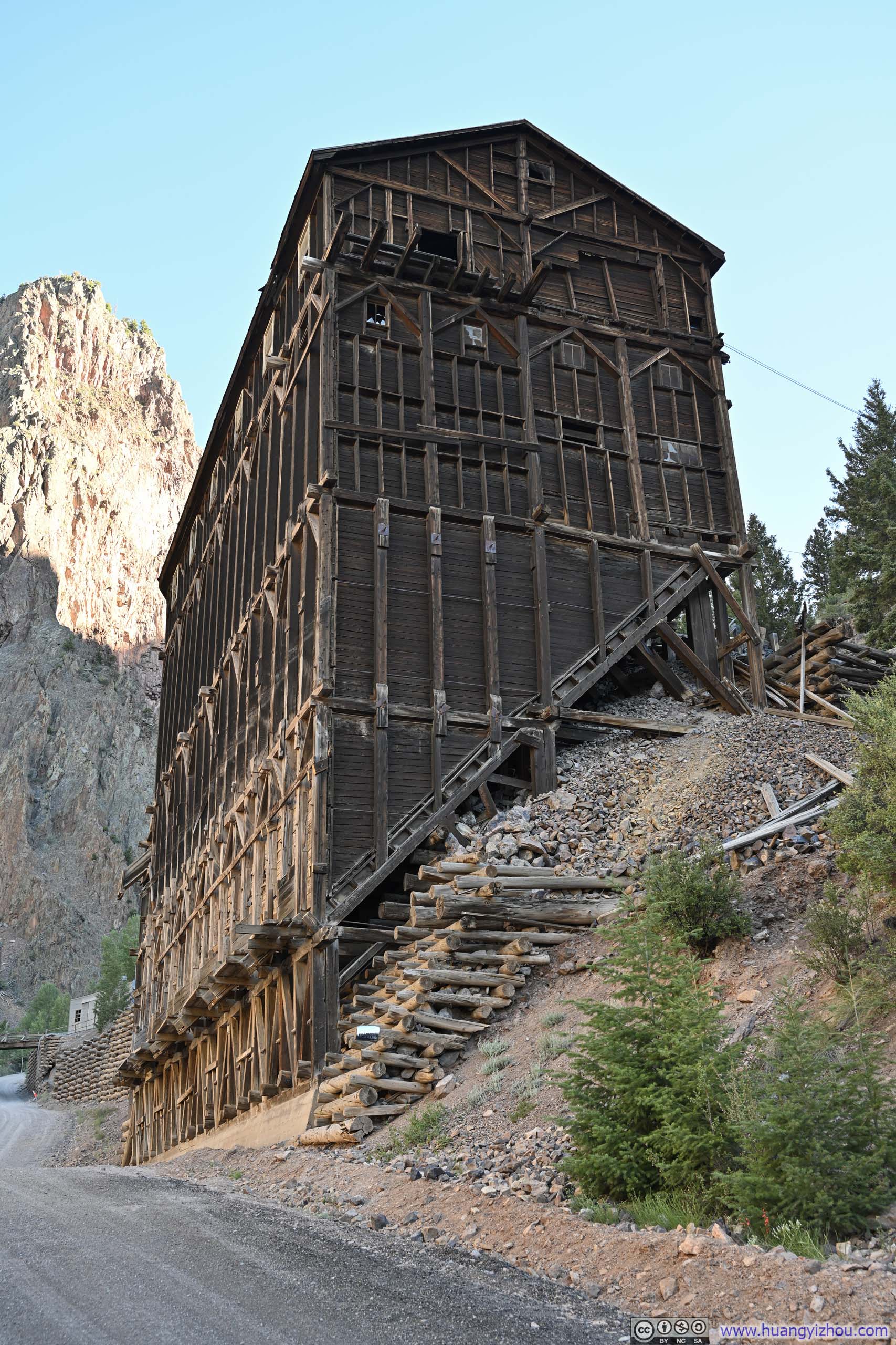
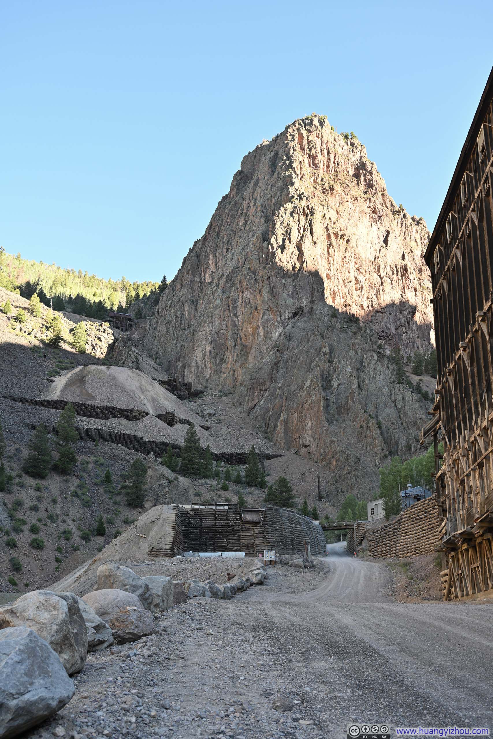
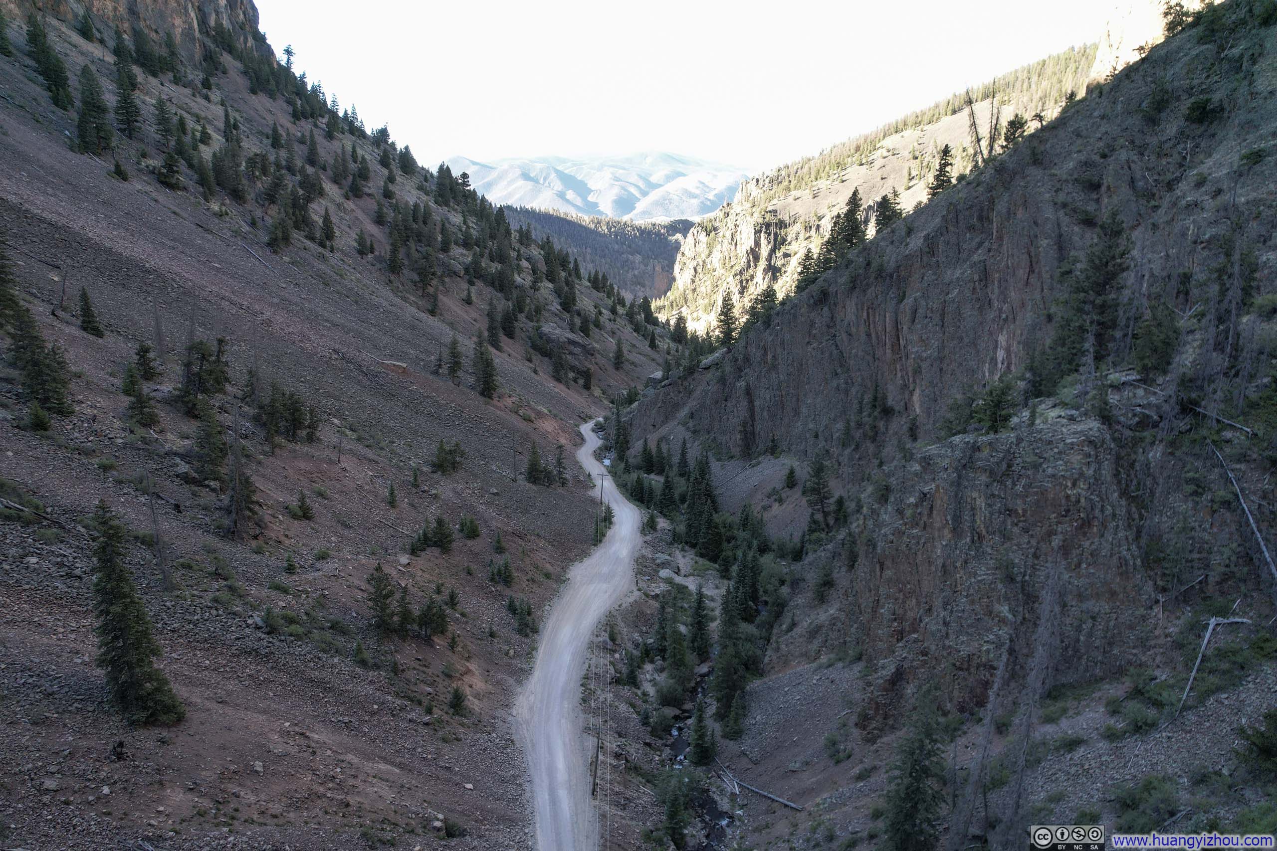
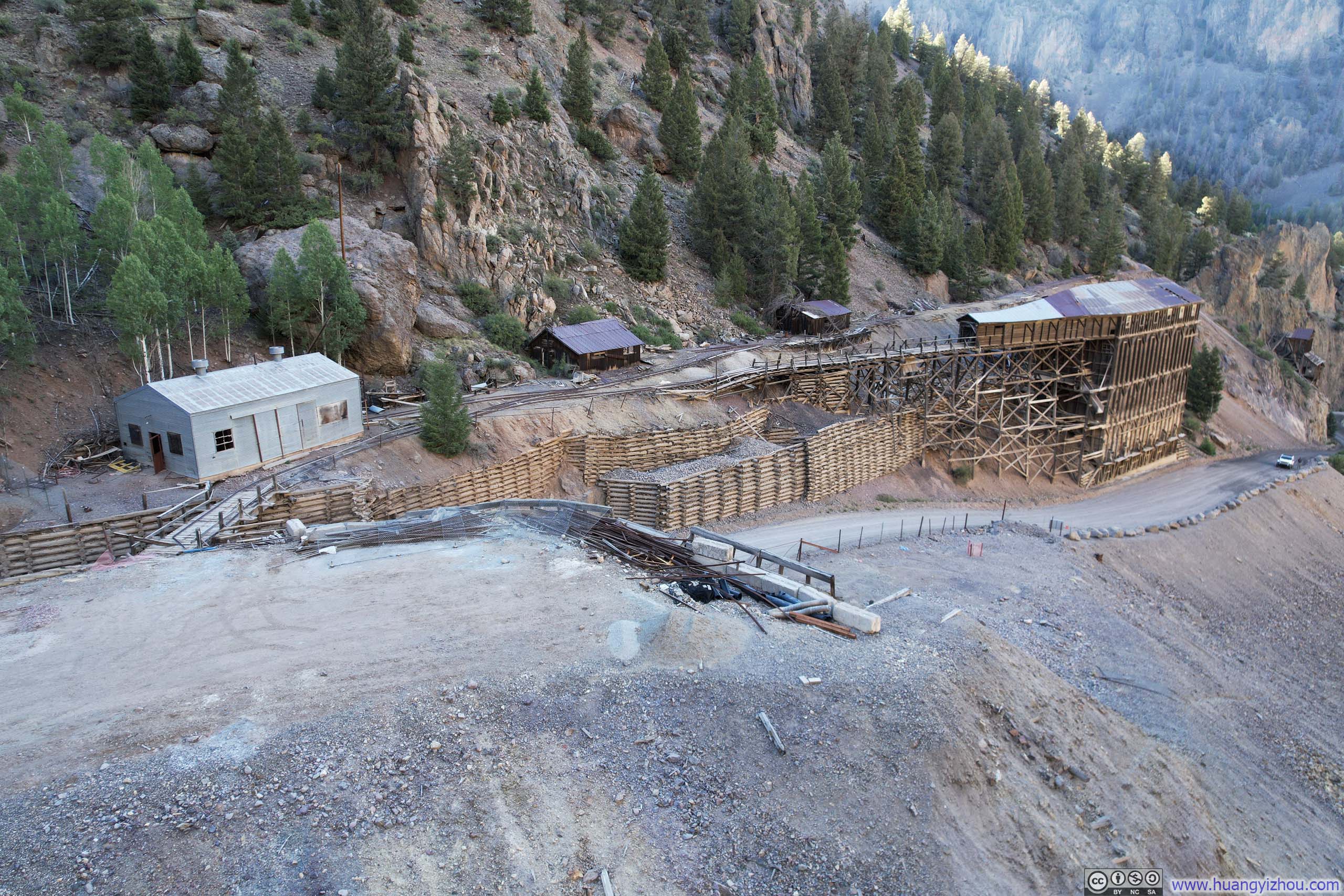
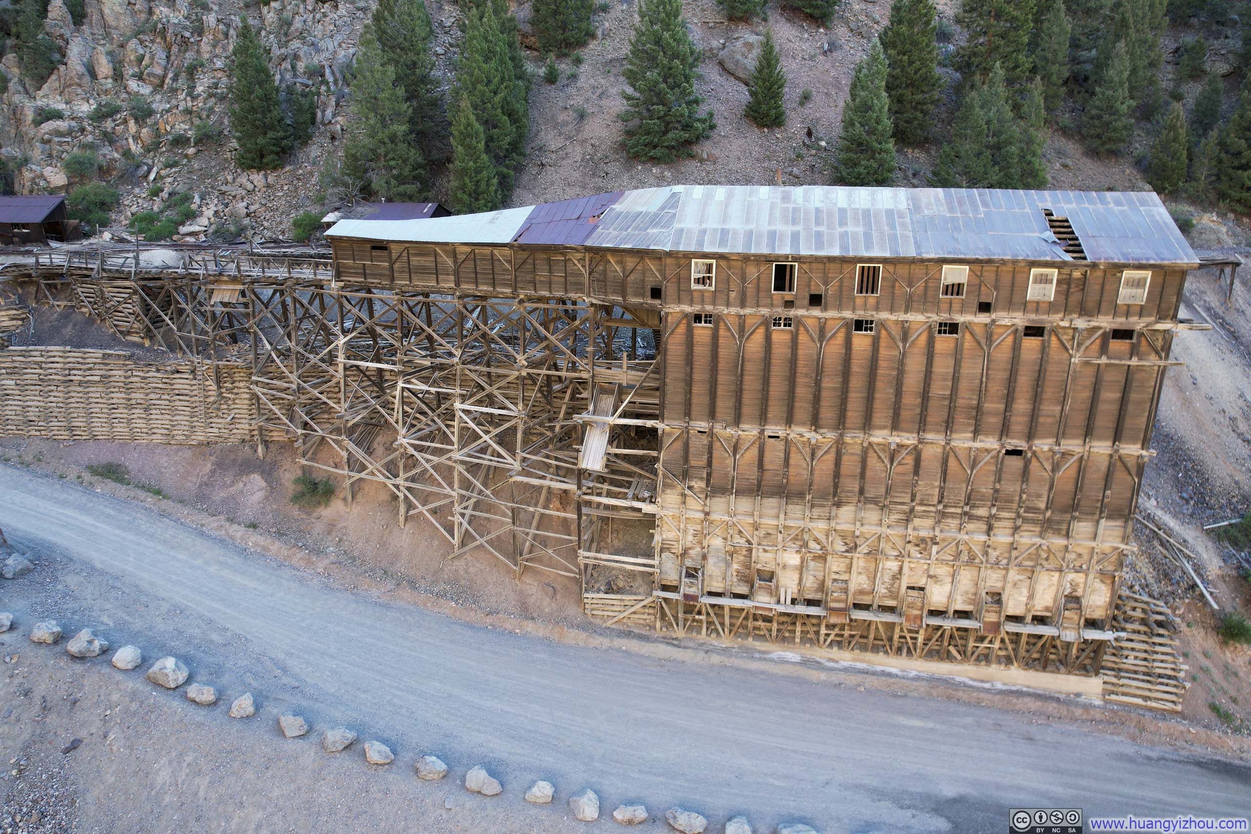
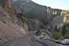

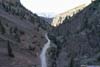
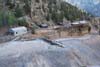
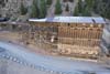
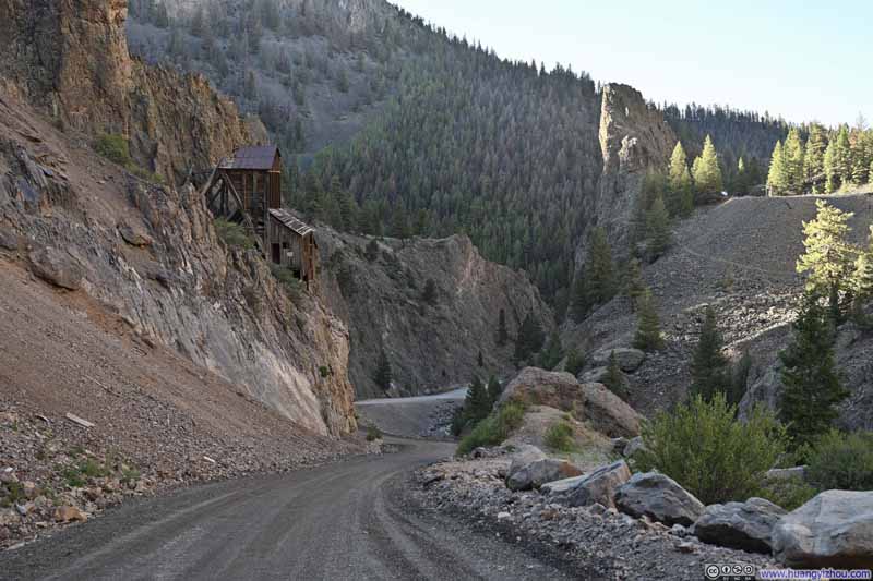
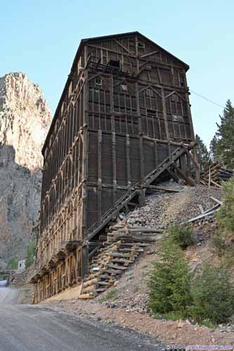
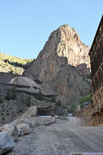
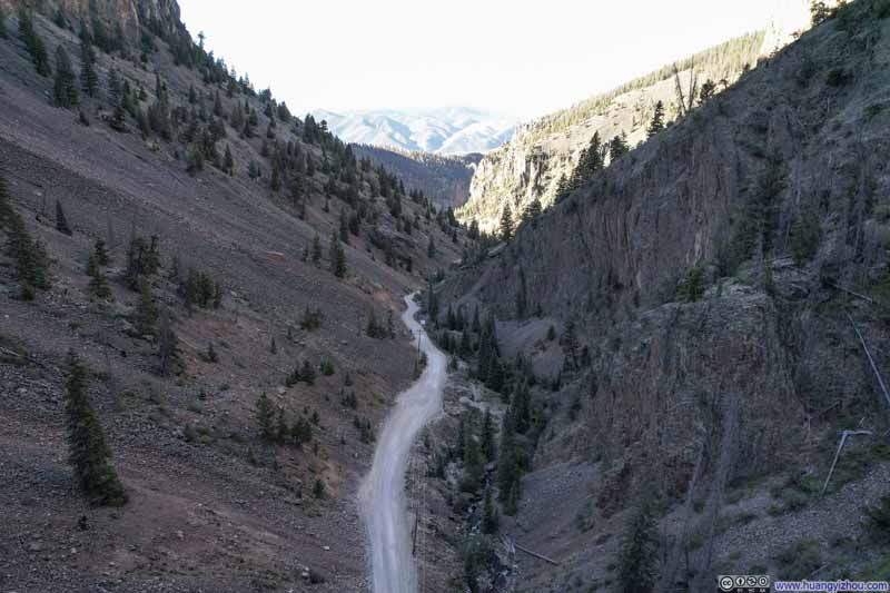
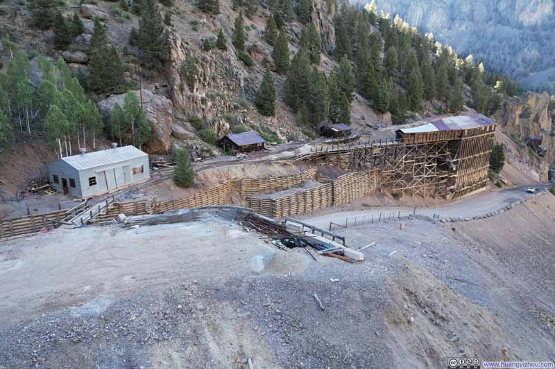
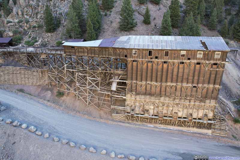
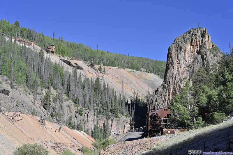
Here, I also launched my drone for an aerial tour, though the morning sun left a high contrast between light and dark in the valley.

Here's a video of my drone flying through the mining valley:
41 seconds, 2160p60, H265 only, compressed aggressively to 12Mbps for 67MB file size.Equity Mine, which appeared to still be operational, lay 2.75km (1.7mi) from the trailhead. I believed a low-clearance sedan like a Toyota Camry could make it that far, but beyond that point, high clearance was essential. Here, the route required a slight left turn to bypass the mine grounds. That bypass stretched 0.9km (0.6mi) and, in my opinion, had the worst road conditions of the entire route. Still, with caution, a high-clearance SUV should manage it. (I vaguely recalled spotting a Volkswagen Atlas at the trailhead.)
After some warmup, I started my hike at 9:08am. Here's GPS tracking:
The entire trail from West Willow Creek Trailhead to San Luis Peak could be roughly divided into four sections:
- A moderately steep climb from the trailhead to the Continental Divide.
- A short descent followed by a gradual ascent through a basin to another pass.
- A very gentle climb to yet another pass.
- The final push up San Luis Peak via the south ridge.
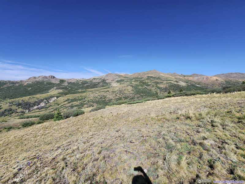
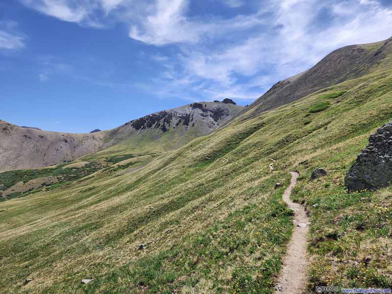
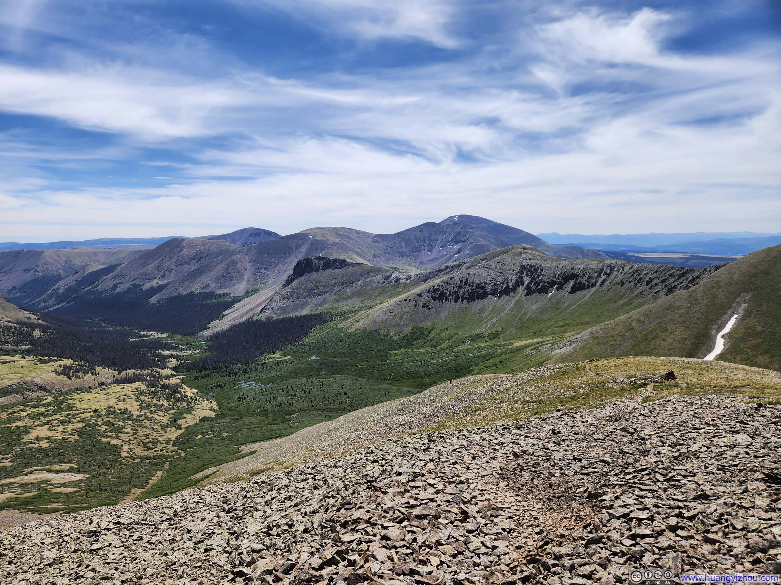
Almost the entire trail stayed above the tree line, treating me to continuous vistas of verdant meadows and valleys. The first section, however, stood out as the most scenically rewarding, perhaps because the views around West Willow Creek Valley felt the most expansive, or perhaps because a faint road traced up and over the grassy hillsides of the peaks across the valley. Just like two days prior on Sunshine Peak, the sight stirred something in me, wondering about what hidden and exotic realms might lie beyond those ridges.
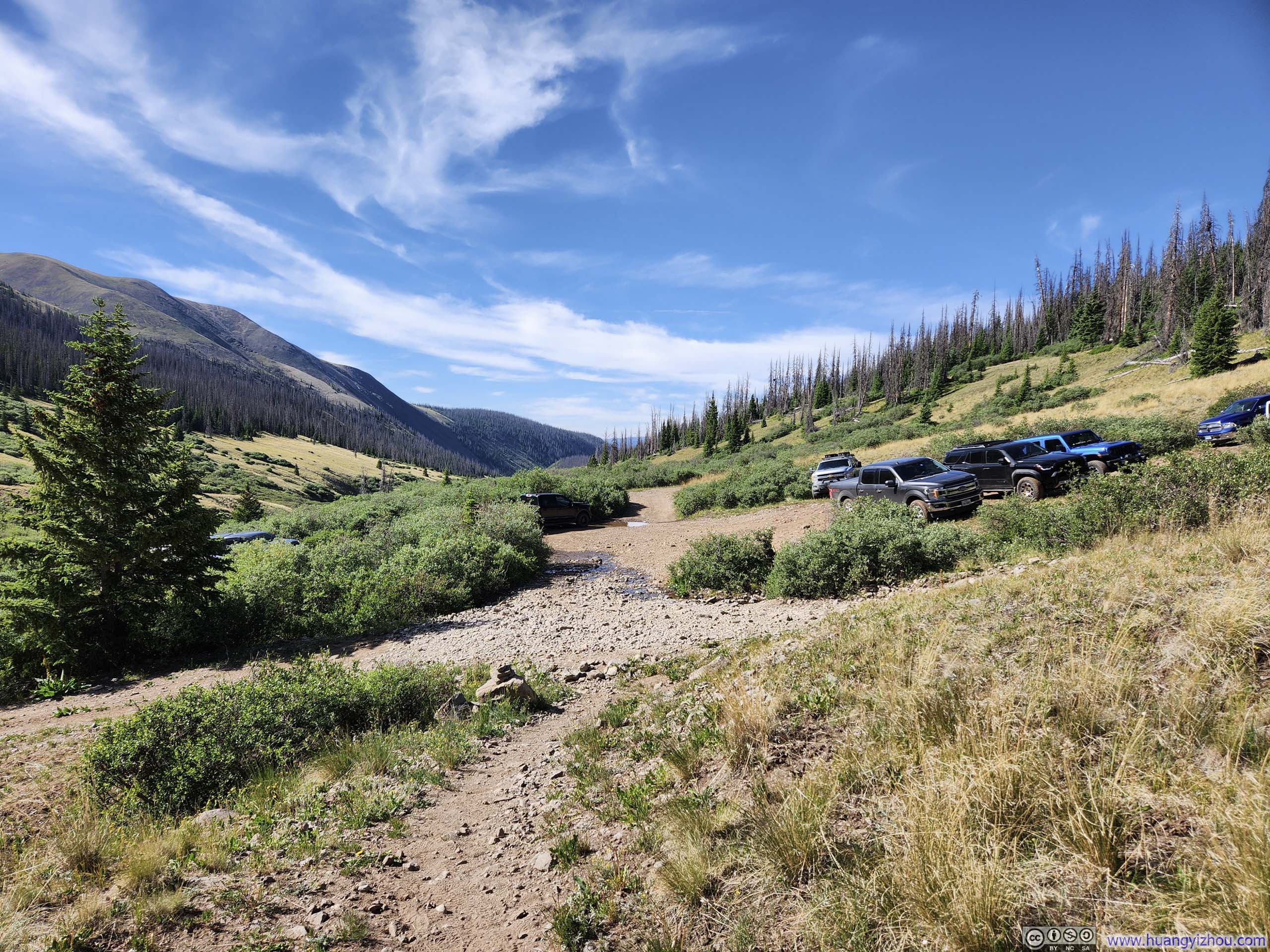
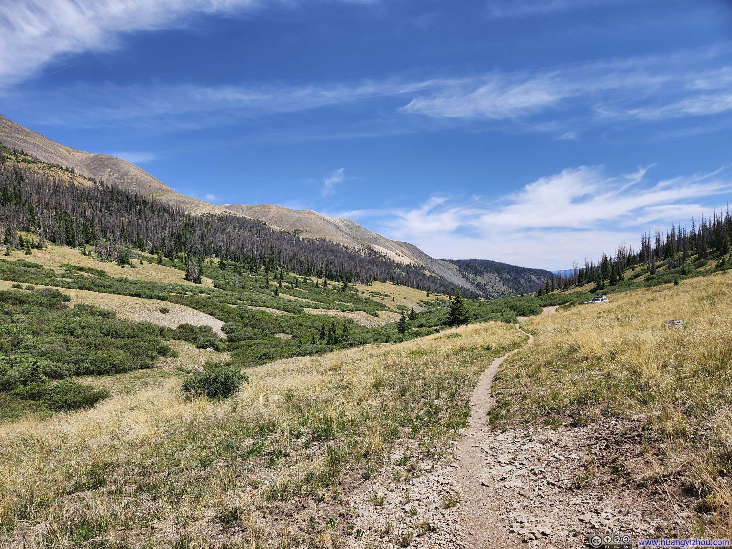
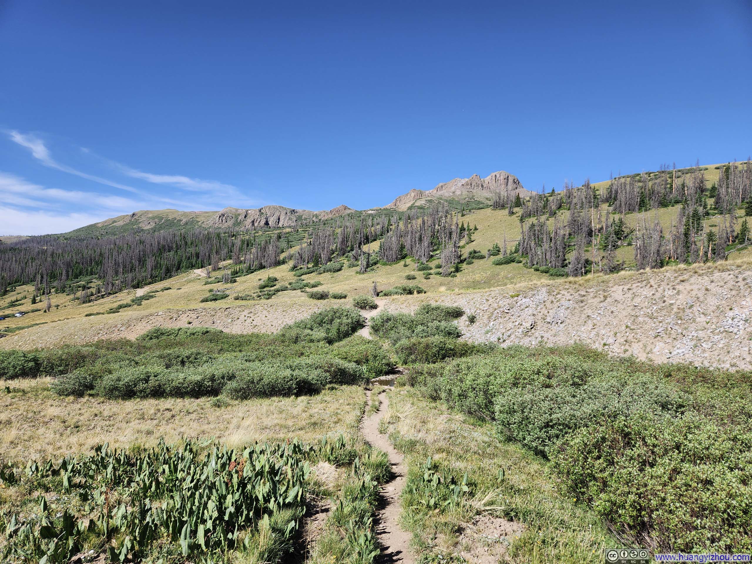
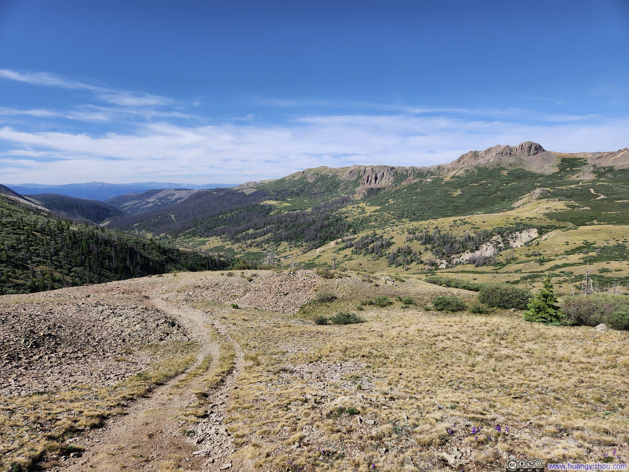
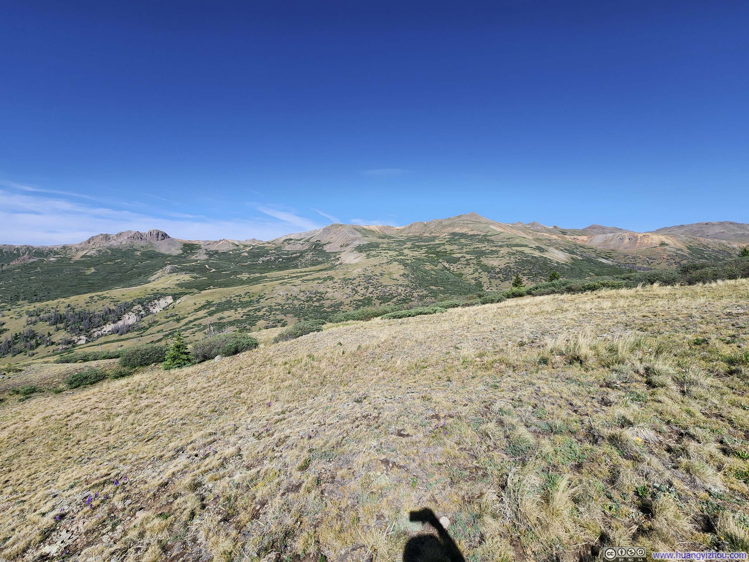
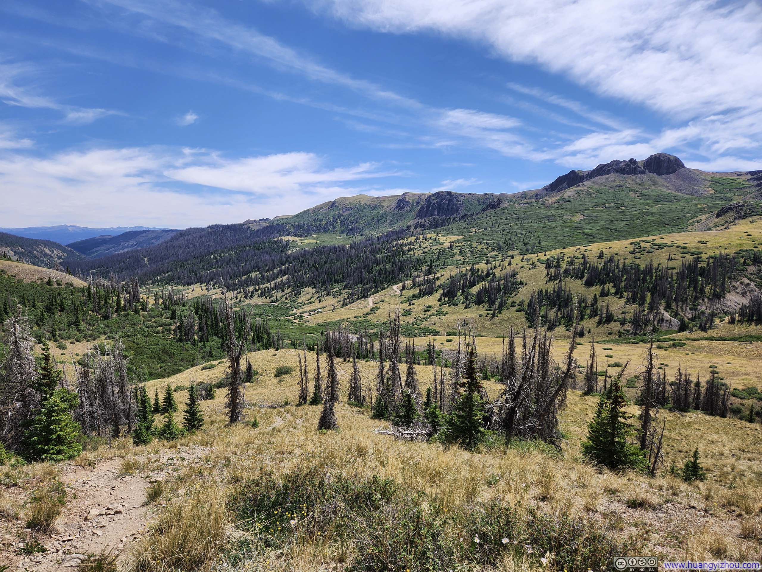
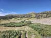
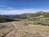
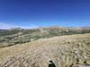
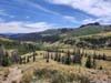
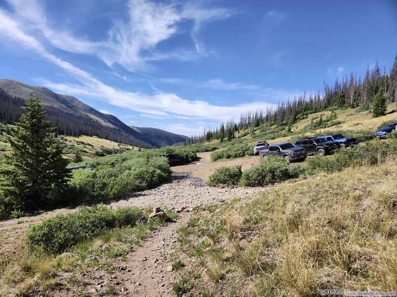
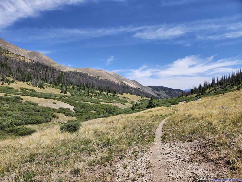
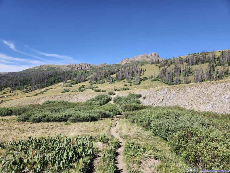
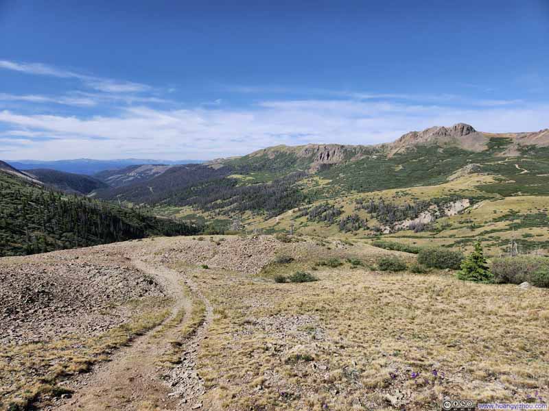
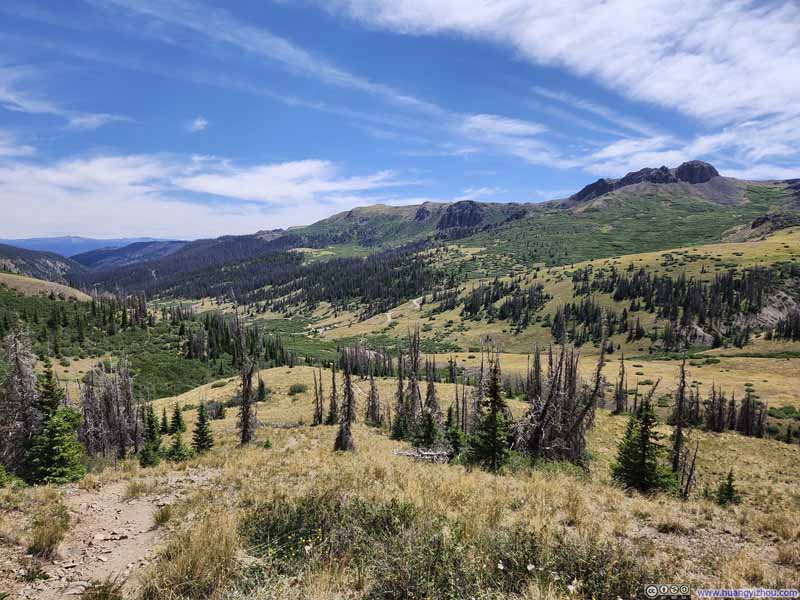
Upon reaching the Continental Divide, spring creek valley popped into view, together with the basin that the trail would travel through next. To the south, the basin was backdropped by a few mountains of Continental Divide, a bit like the soaring walls of American Peak on my way to Handies Peak 3 days ago. However, without American Peak's prominence or its couloirs of snow, these mountains lacked that same dramatic presence.
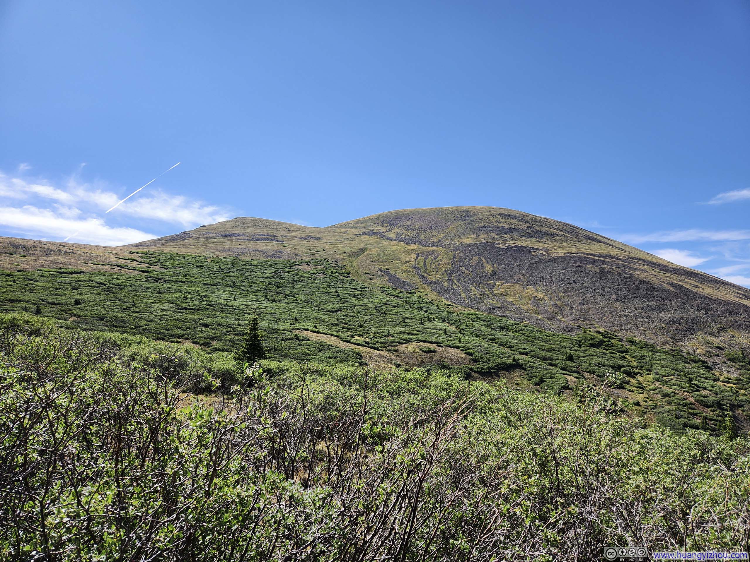
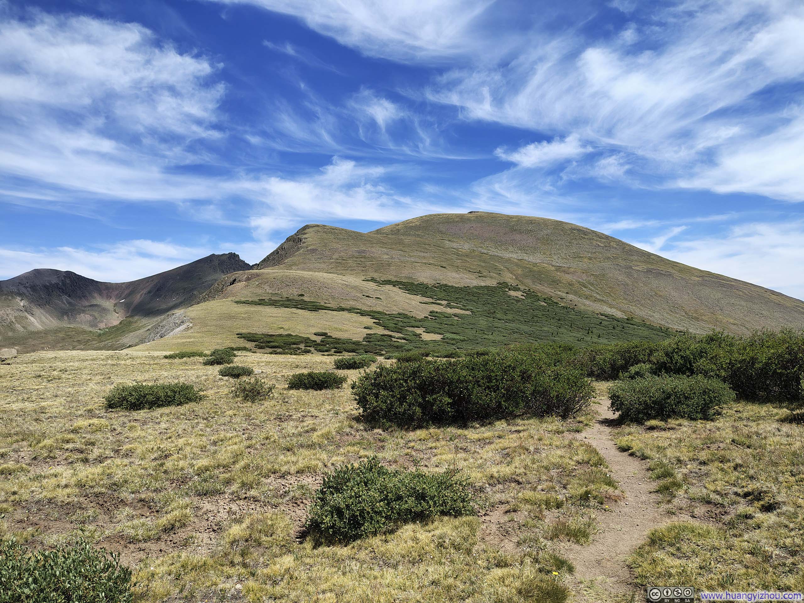
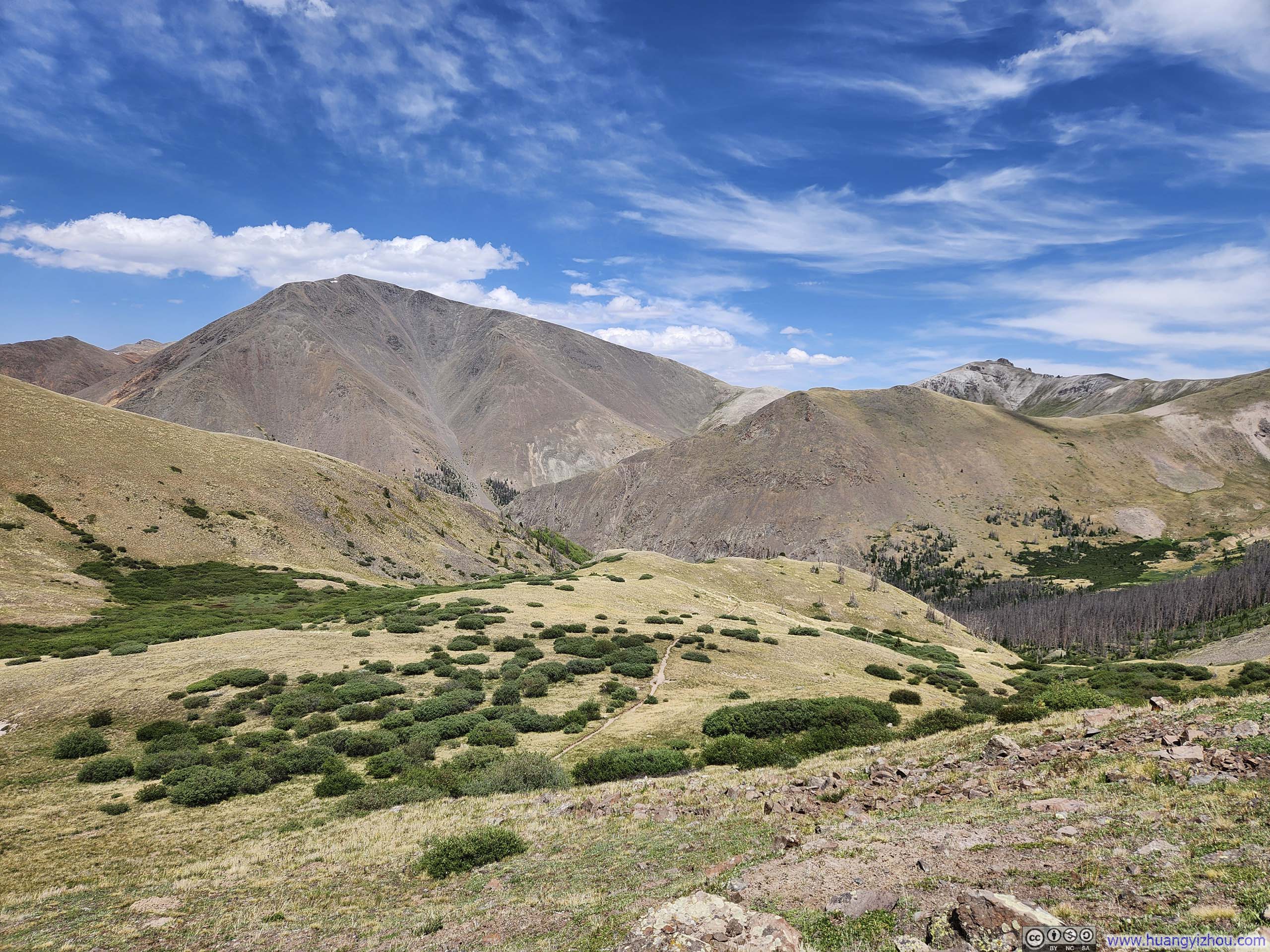
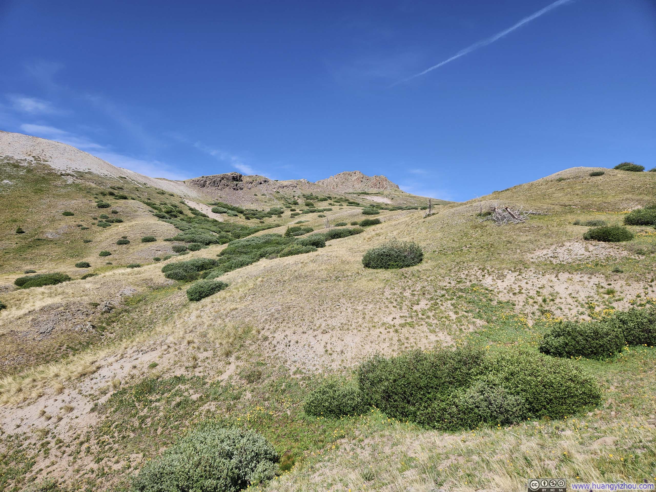
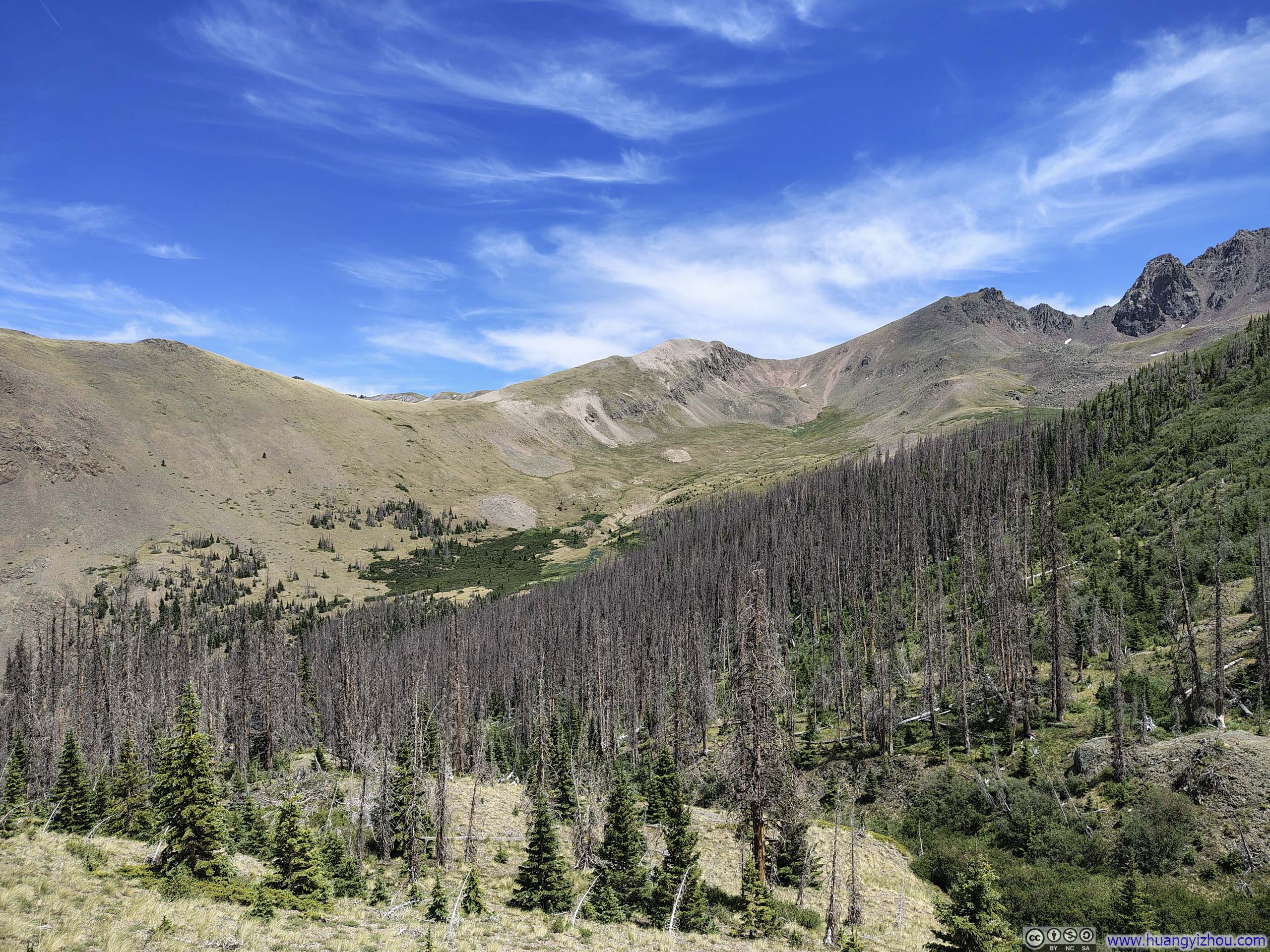
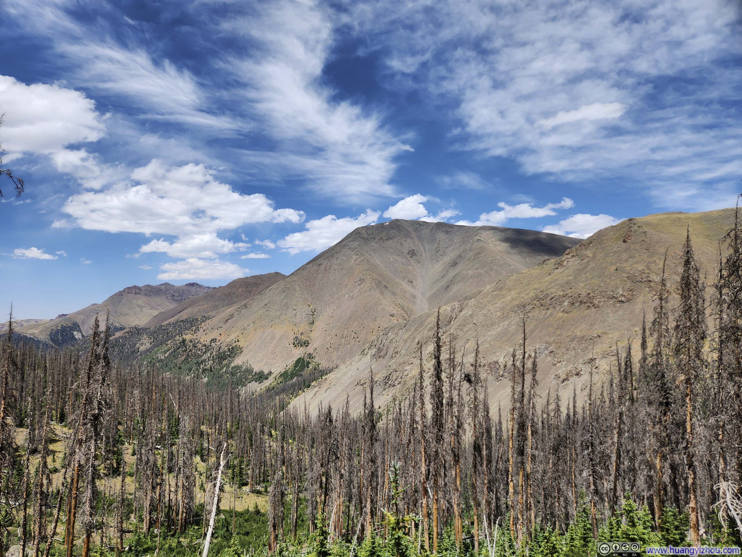
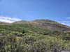
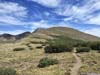
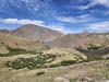
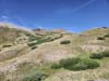
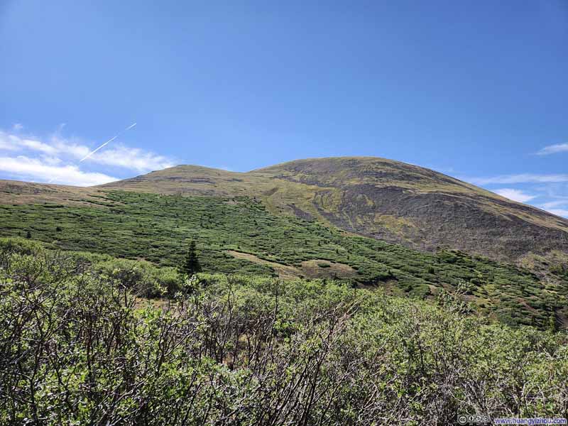
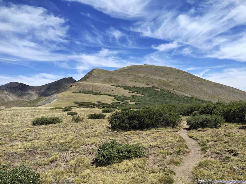
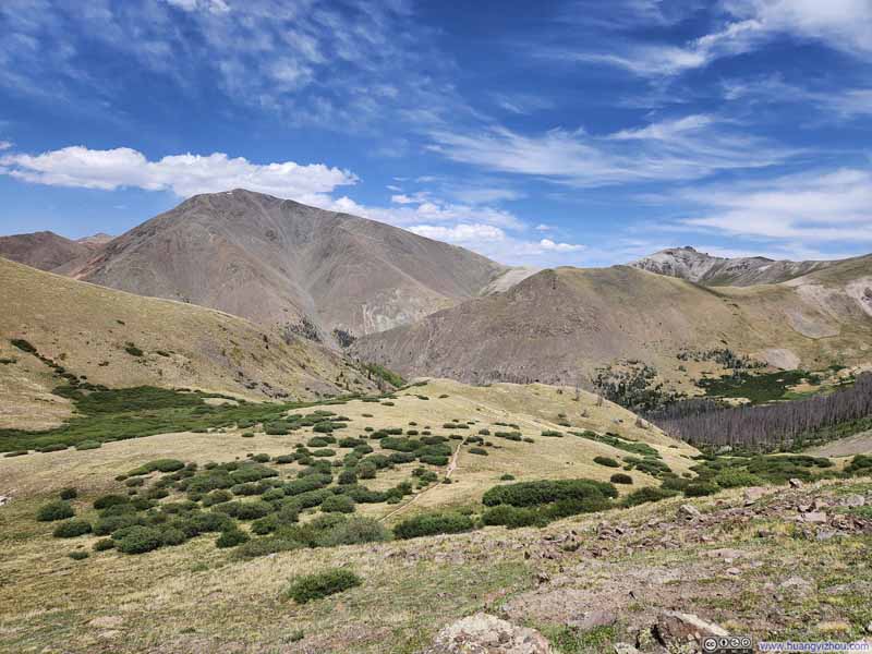
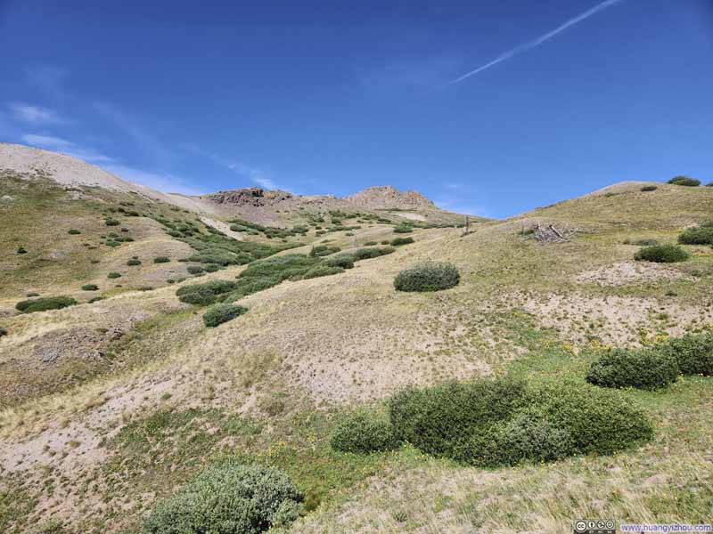
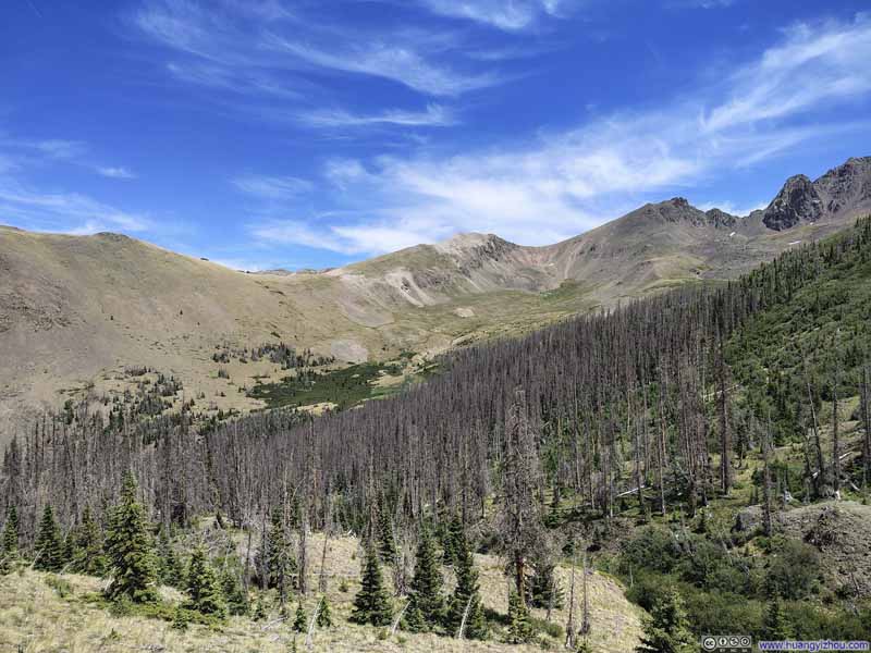
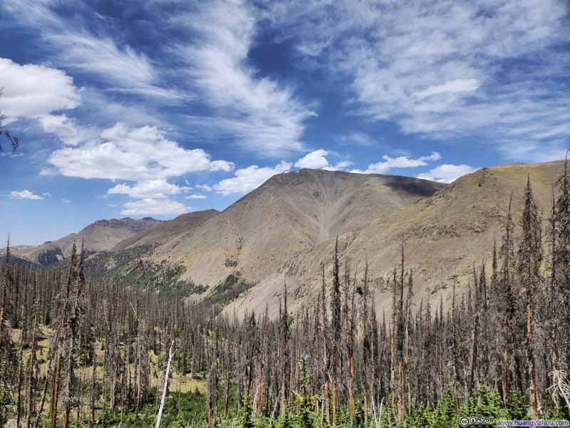
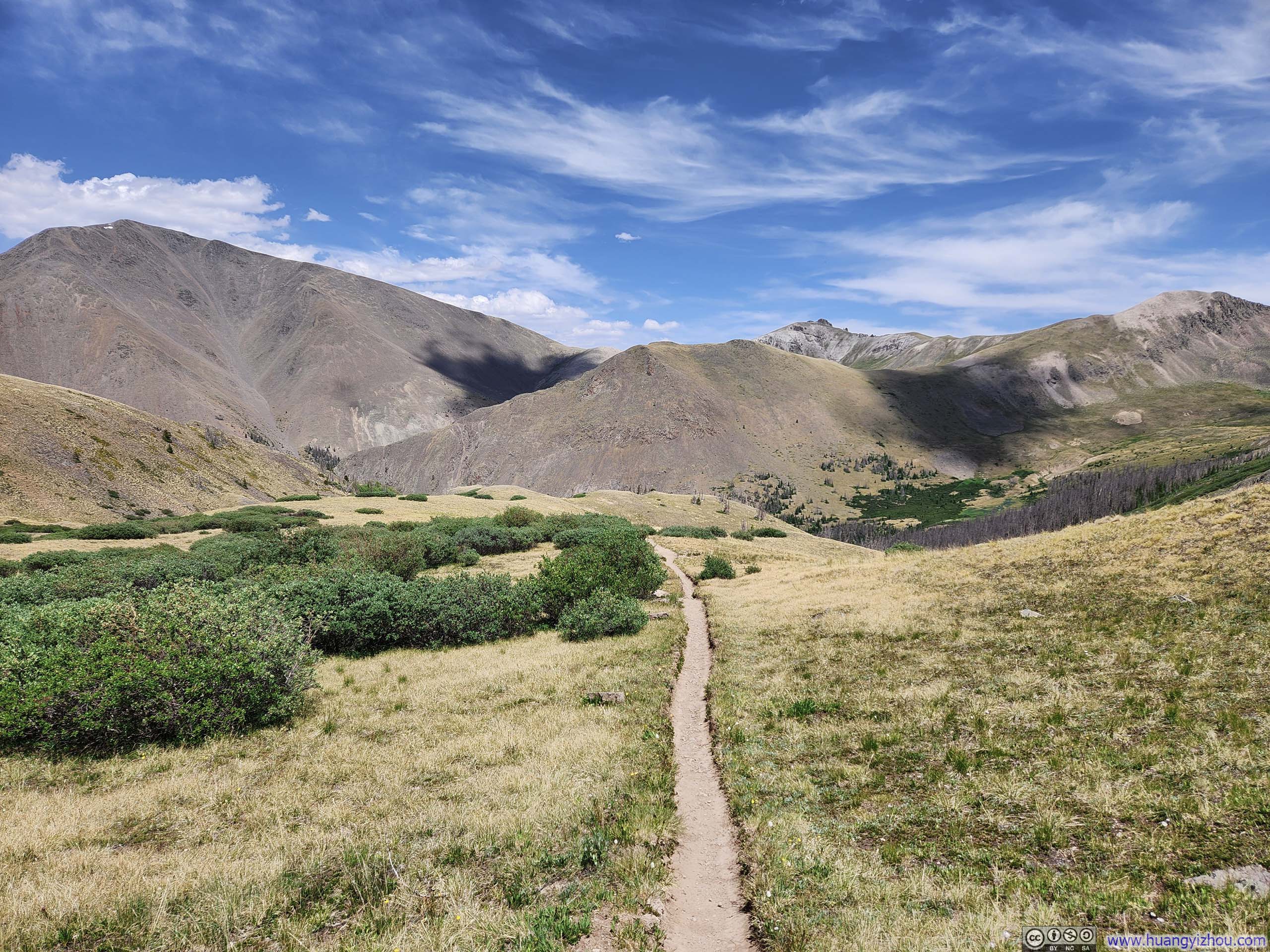
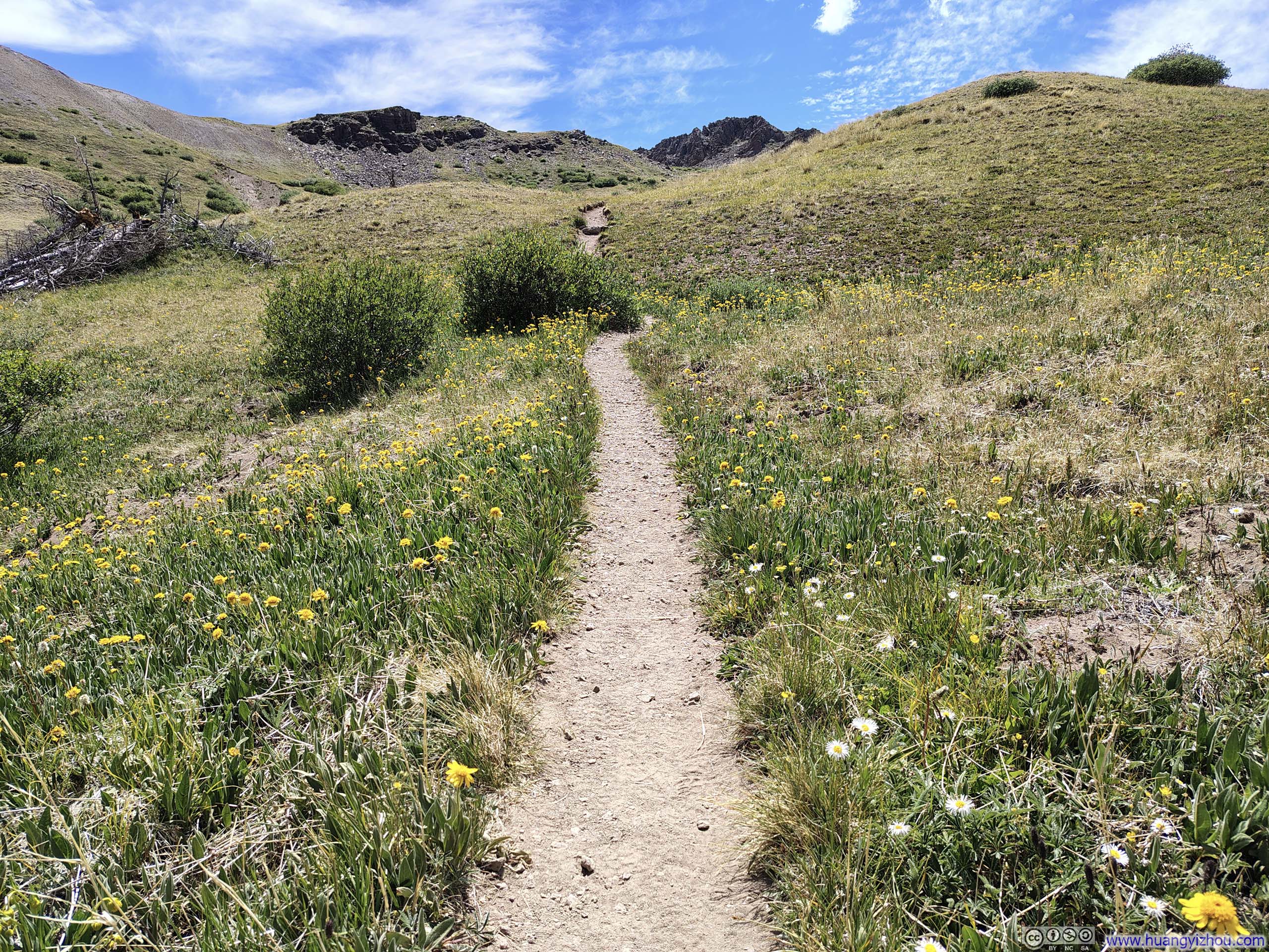
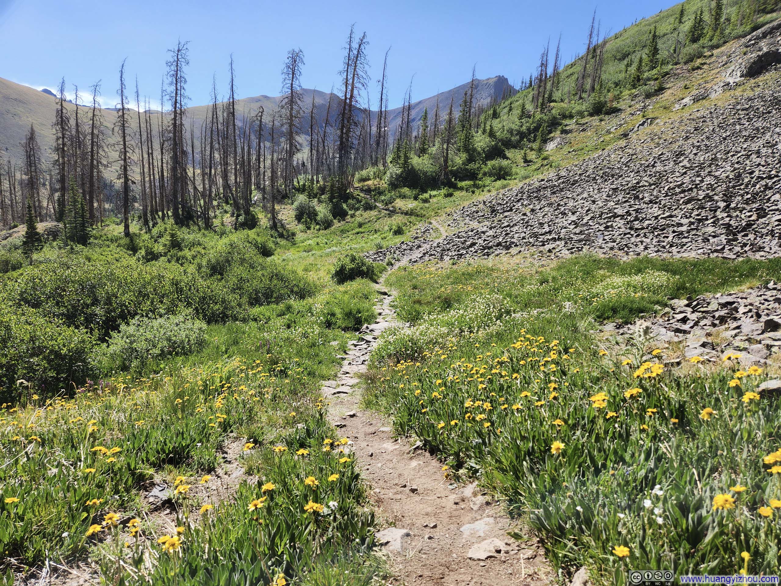
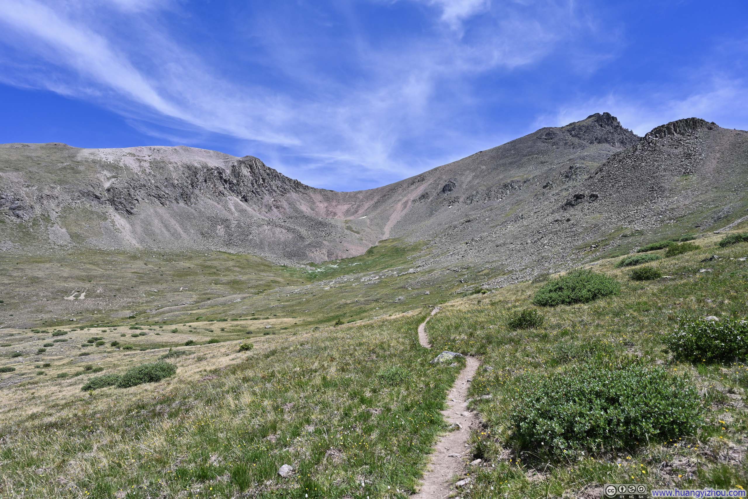
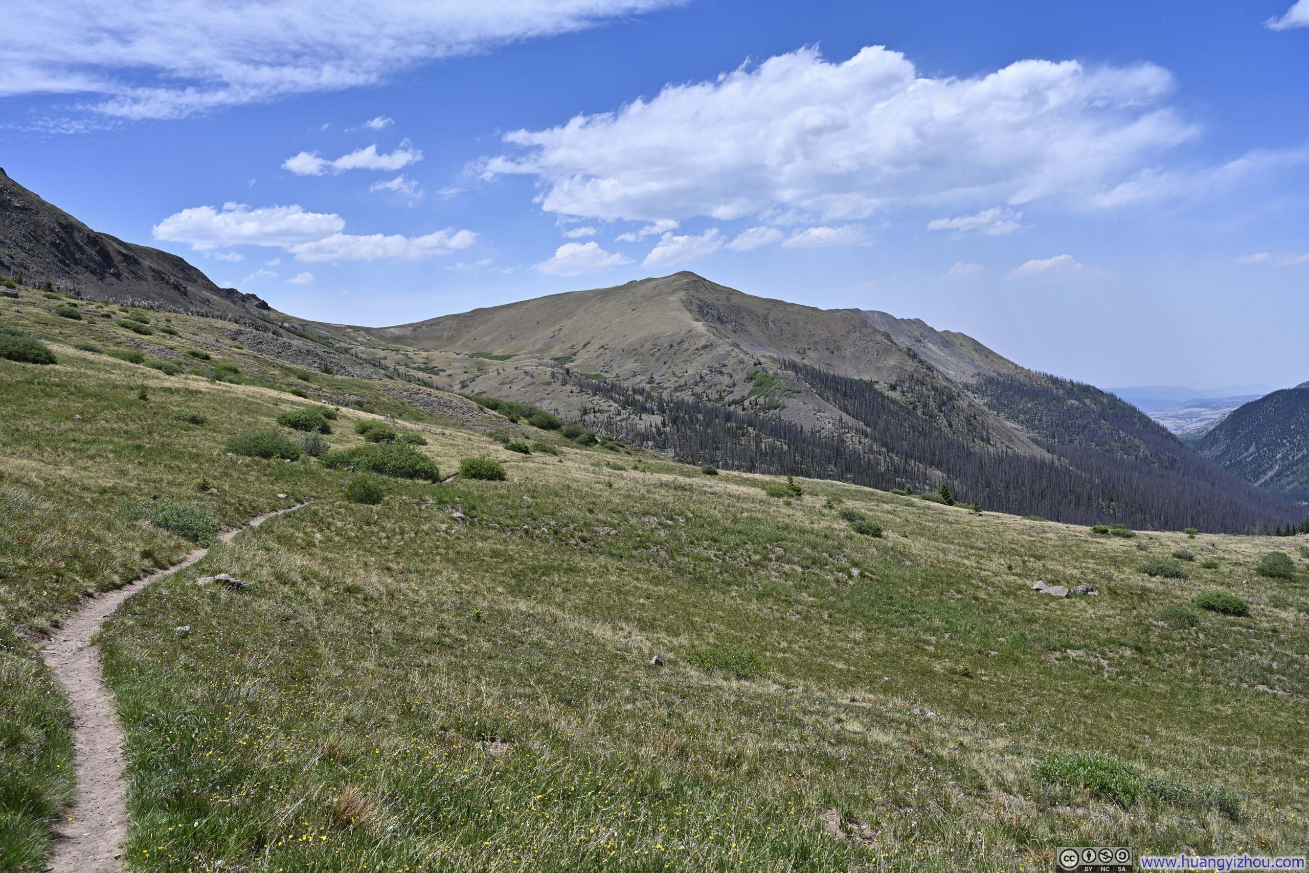
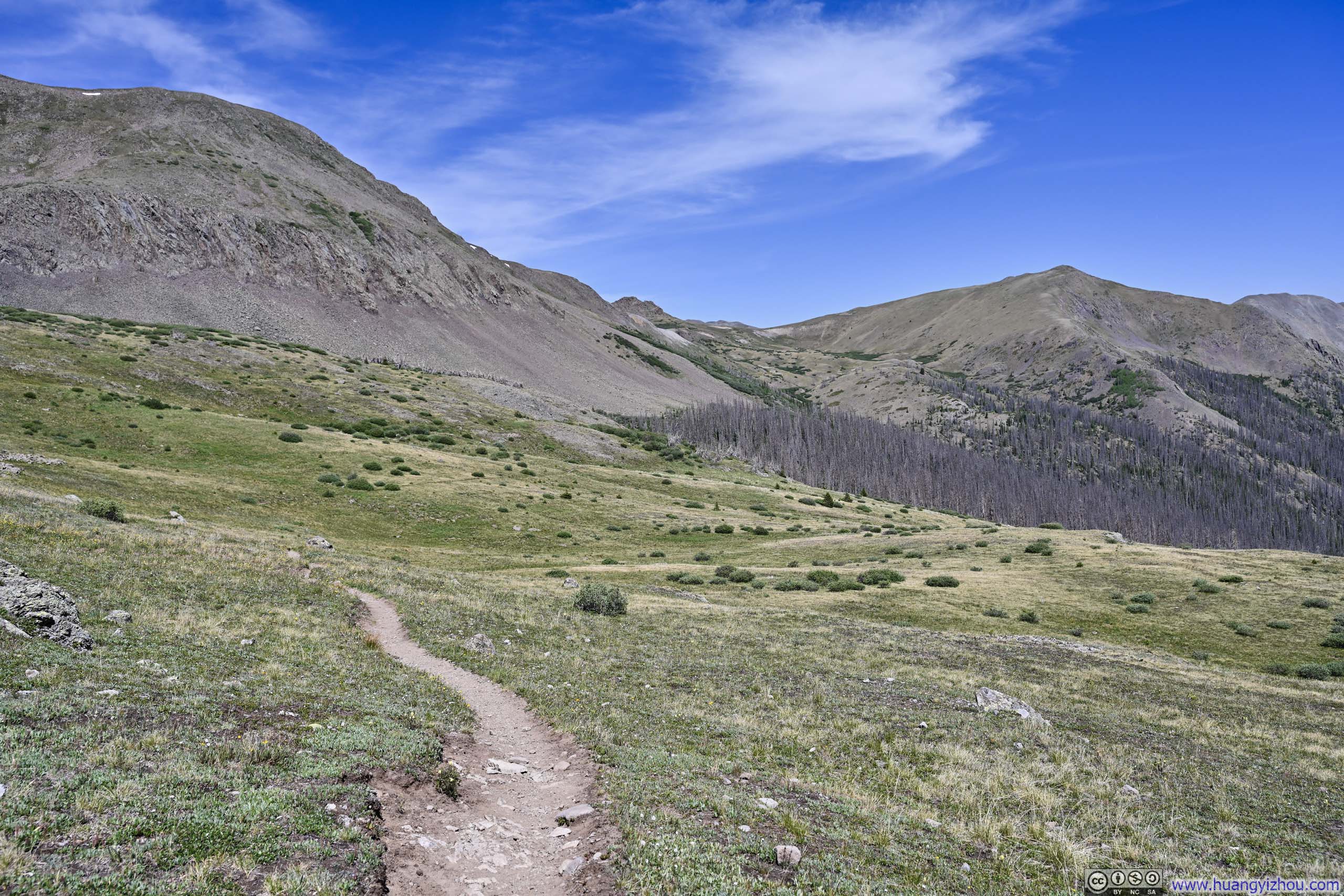
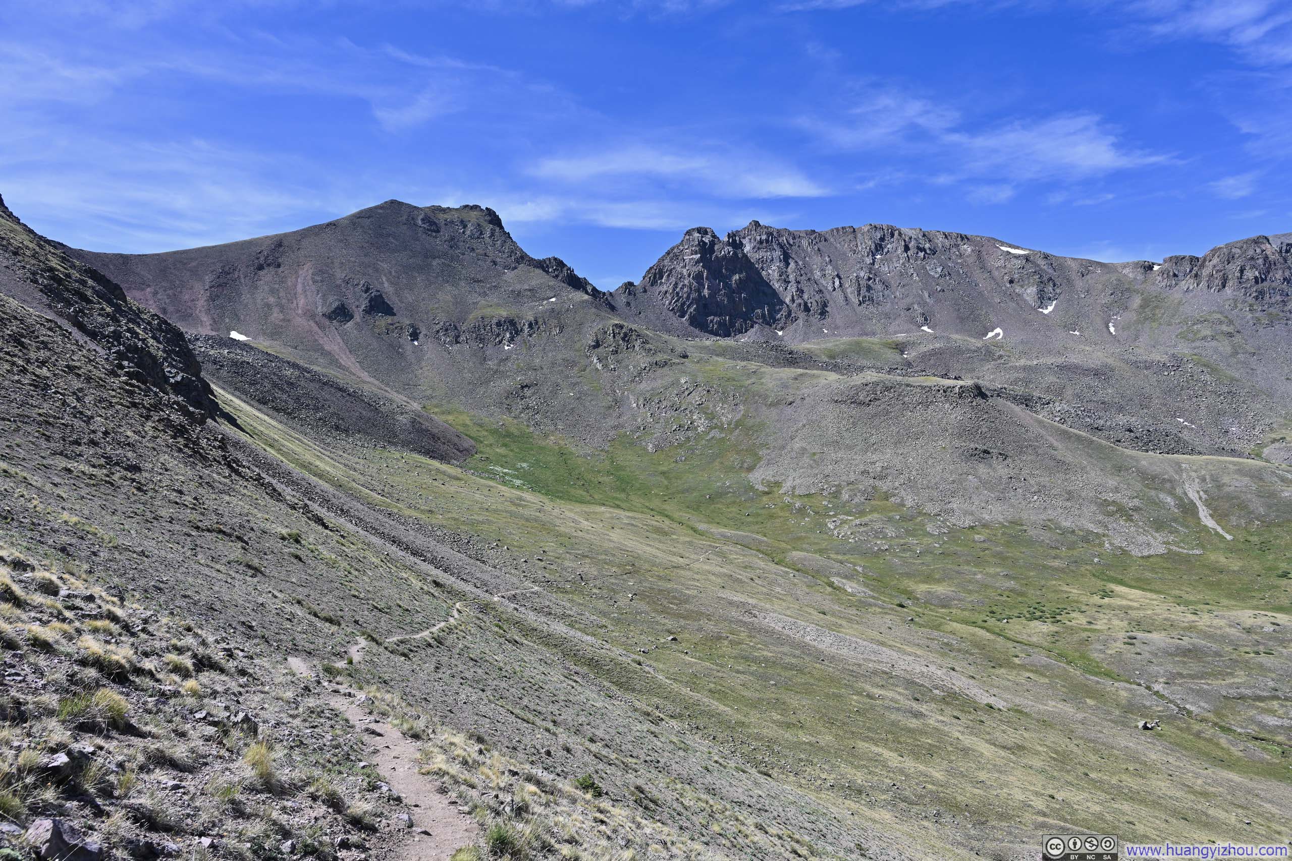
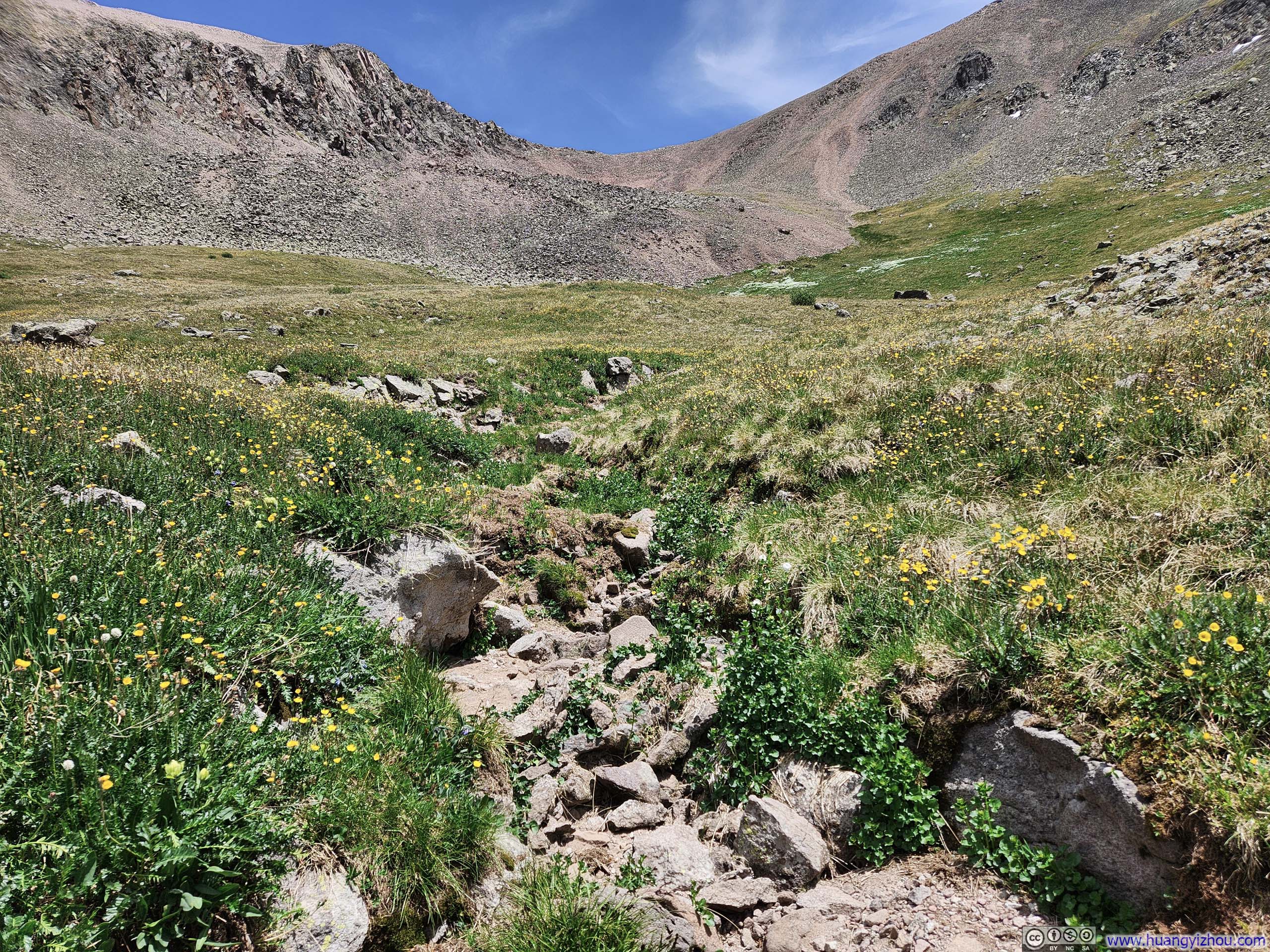
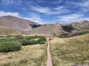
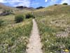
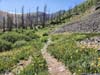
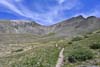
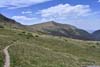
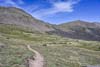
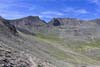
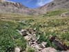
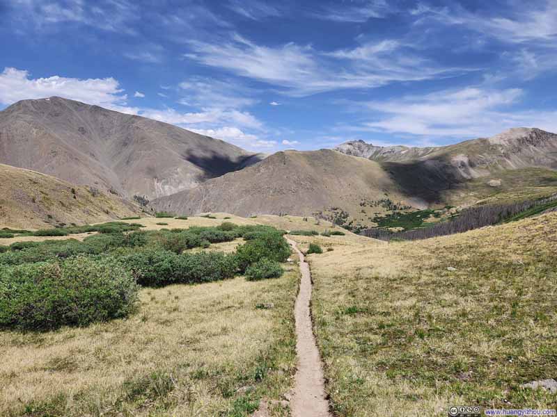
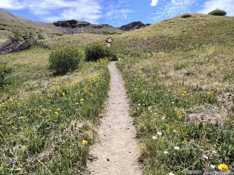
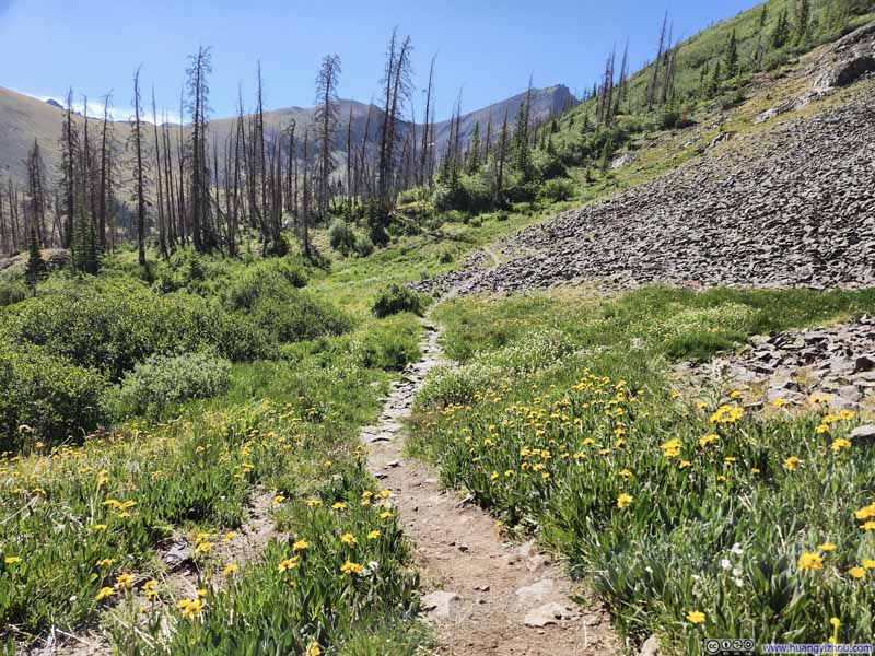
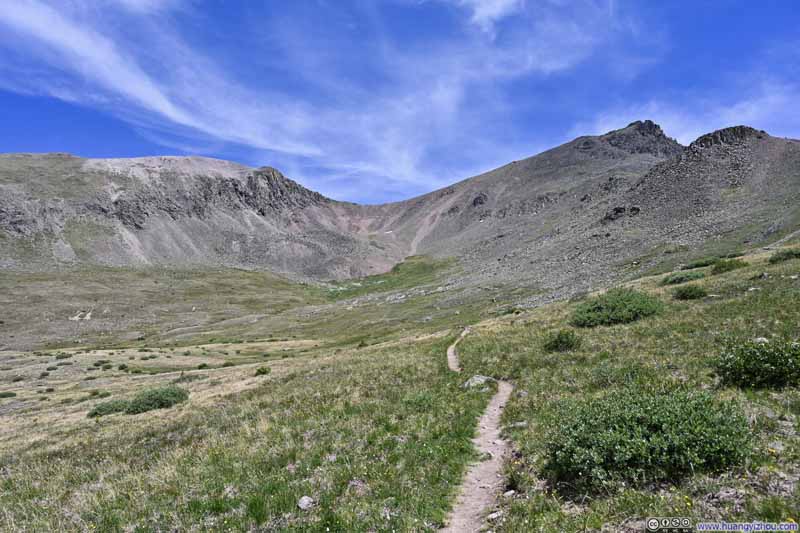
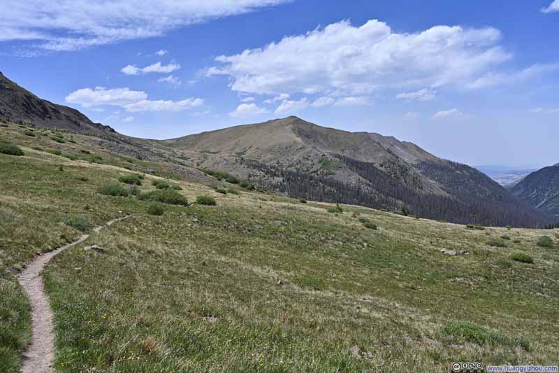
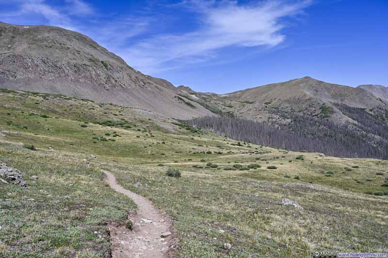
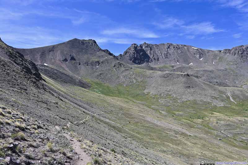
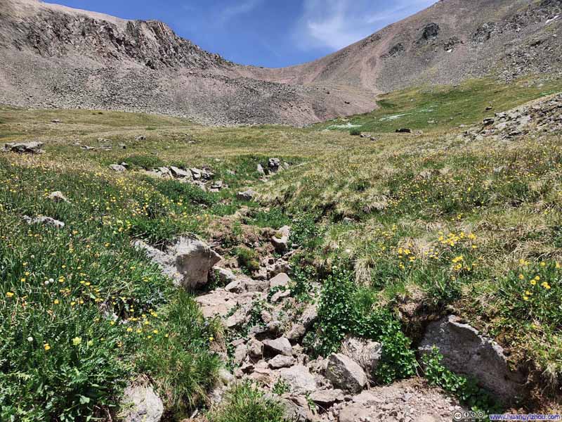
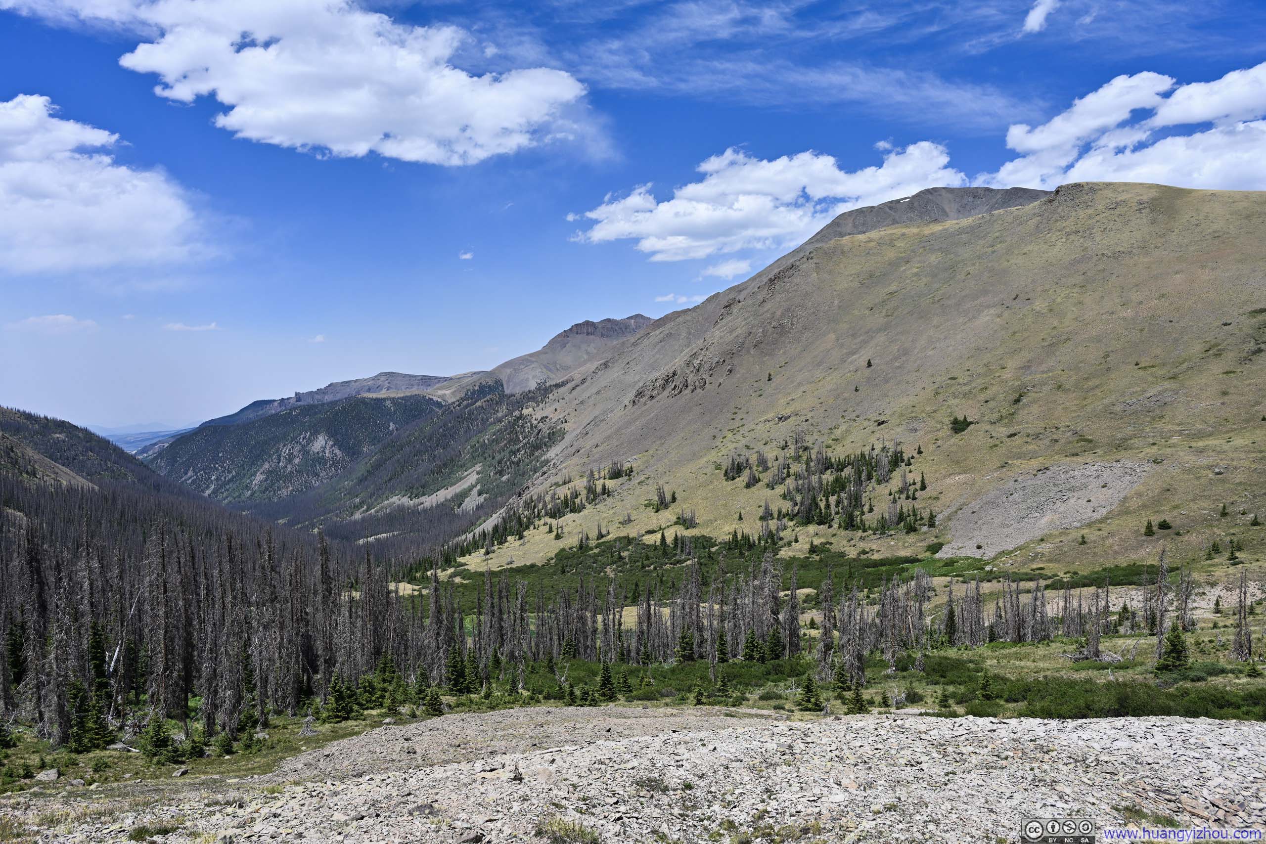
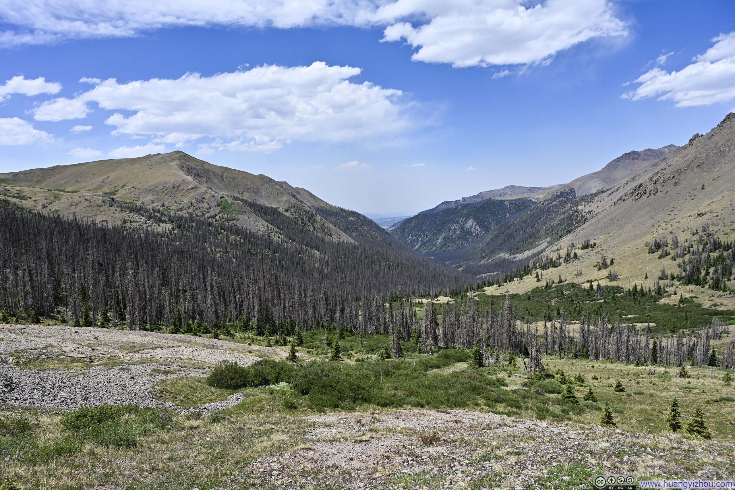
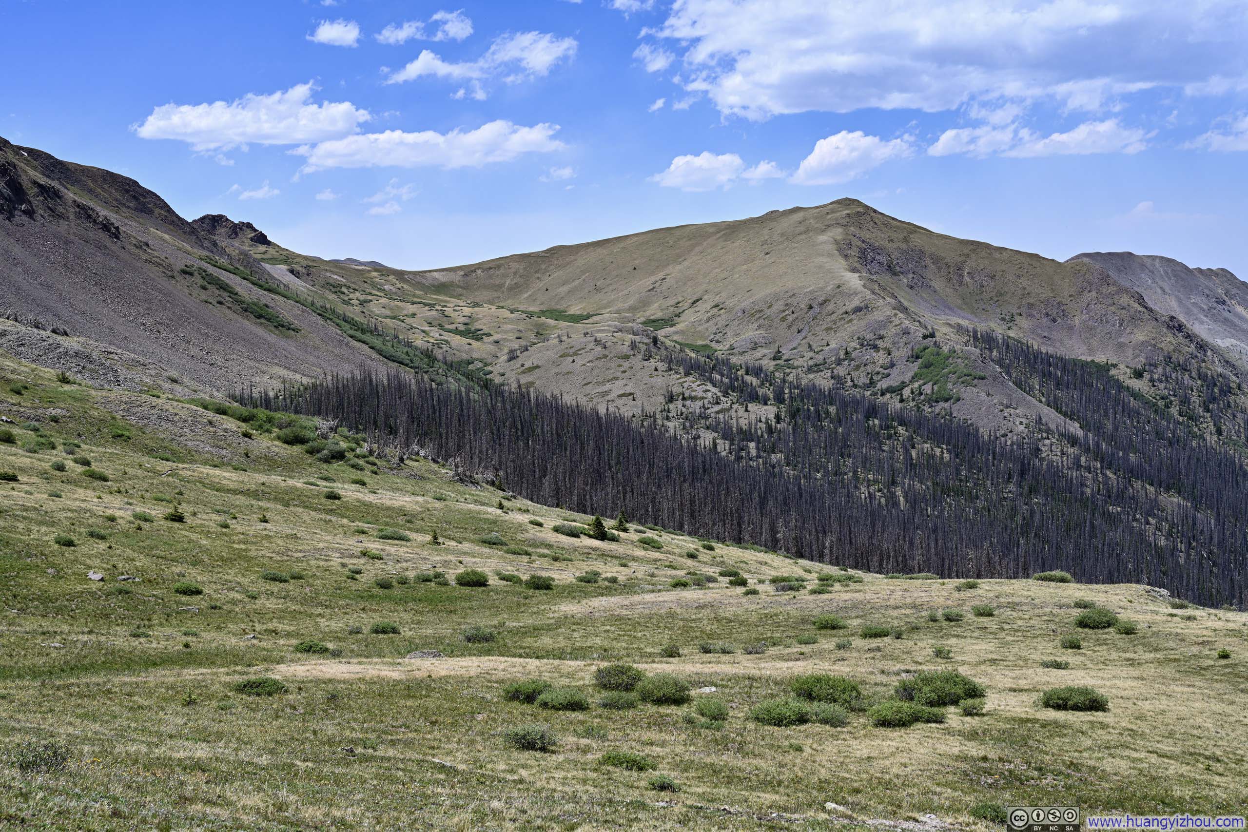
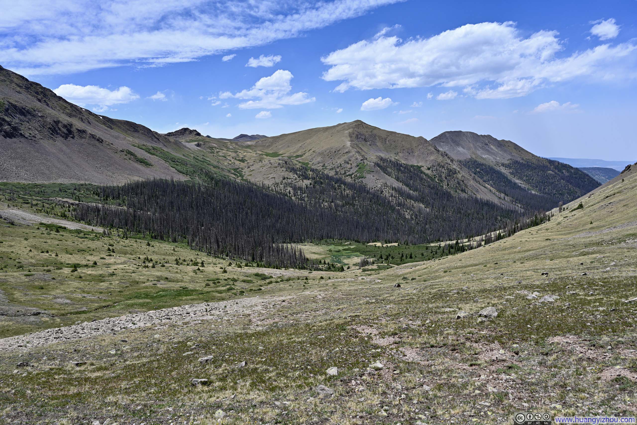
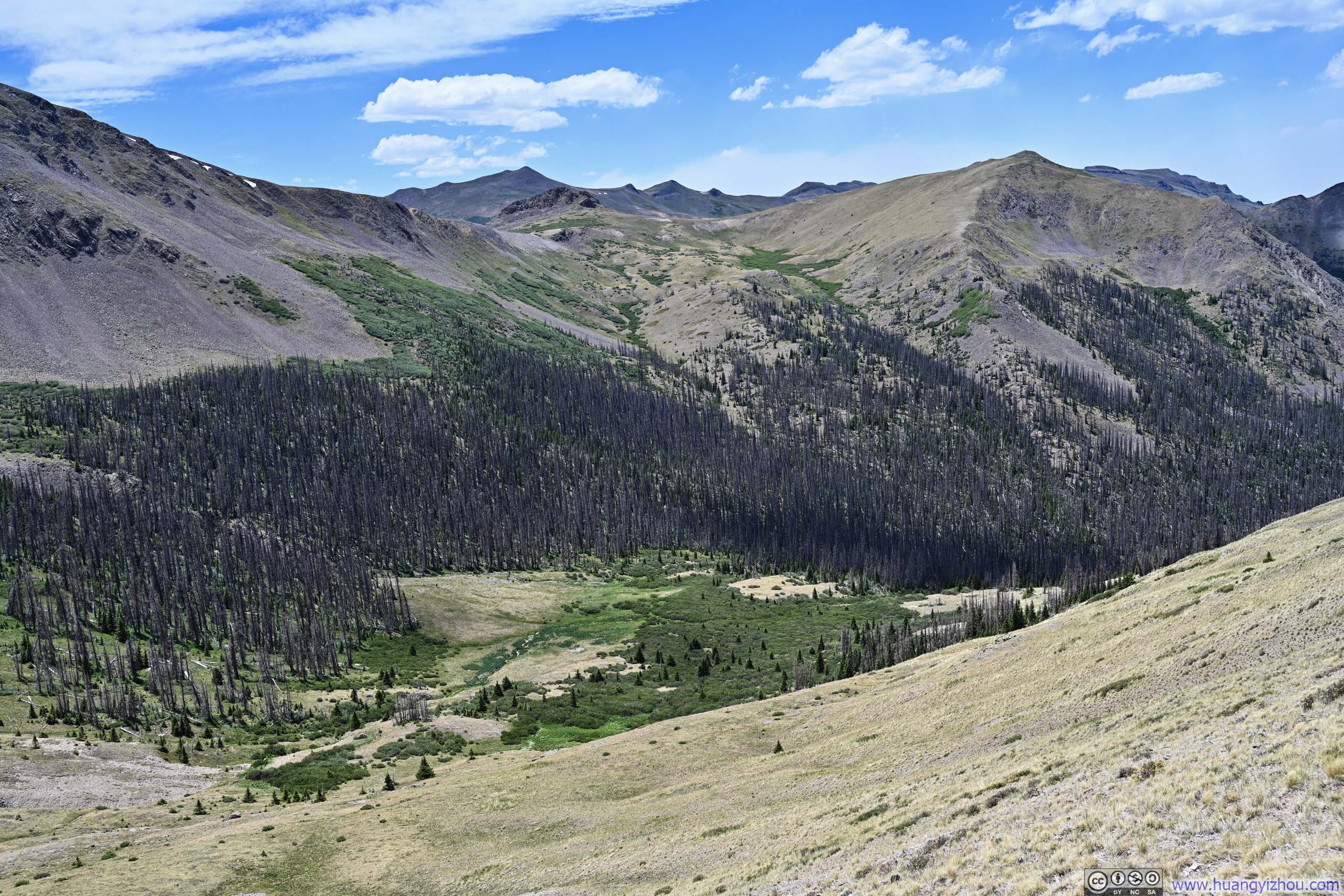
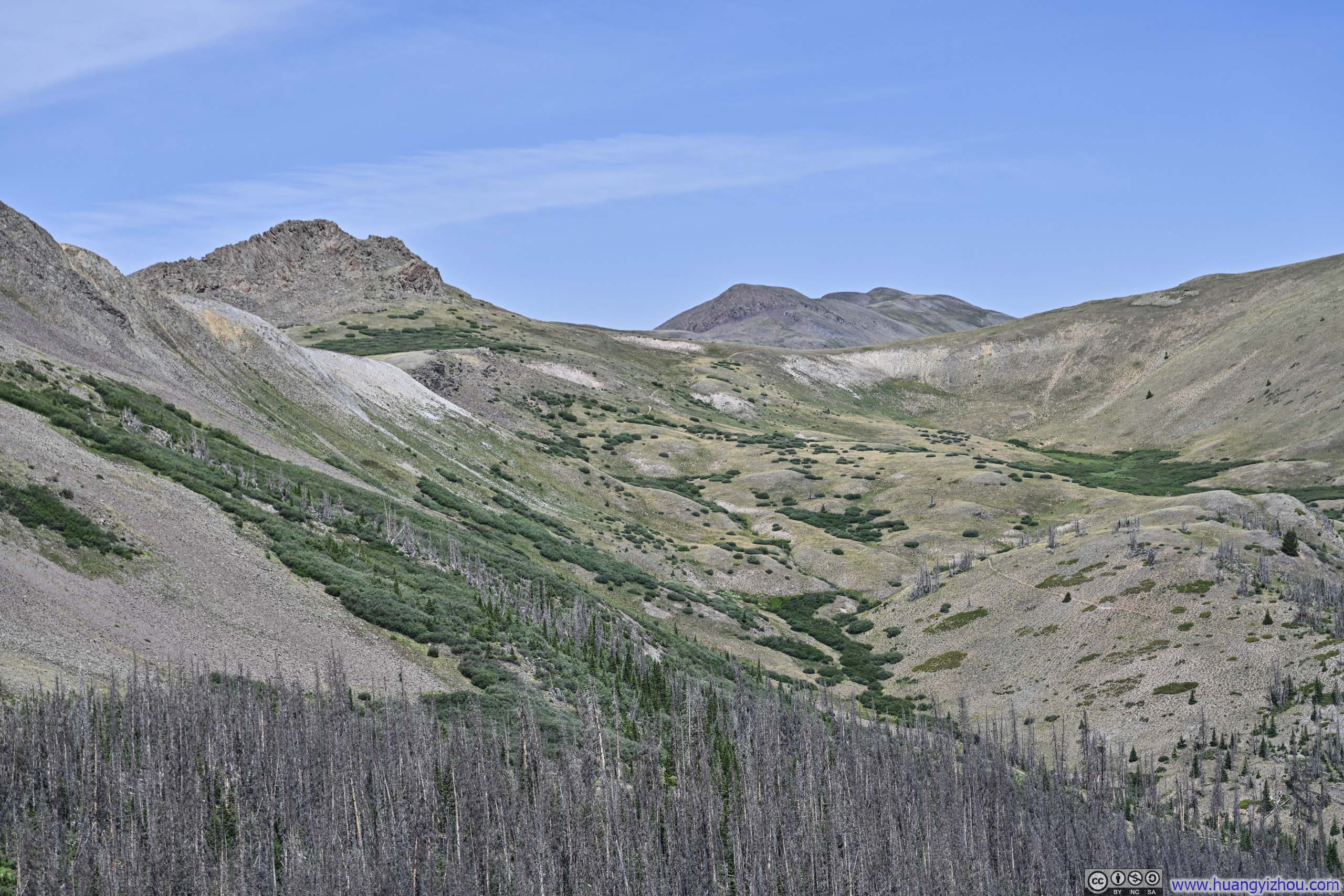
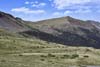
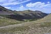
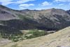
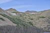
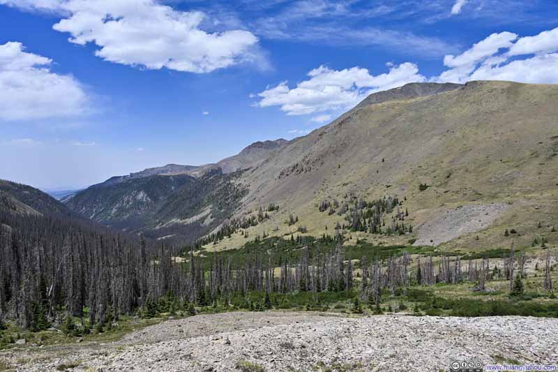
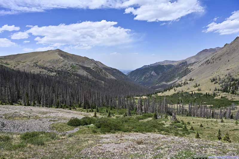
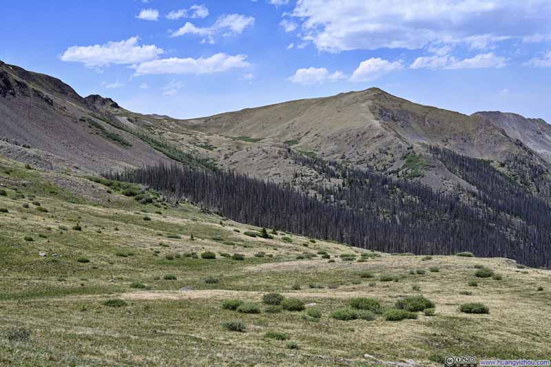
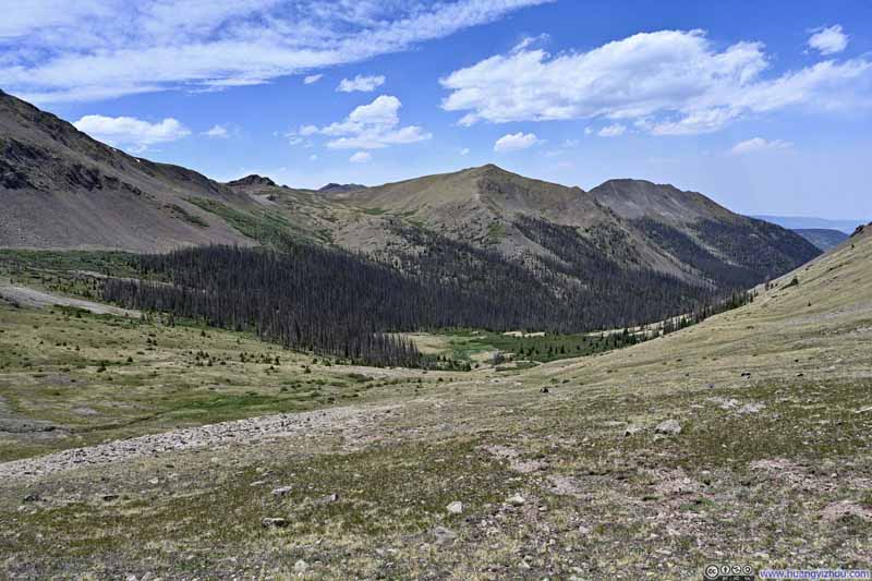
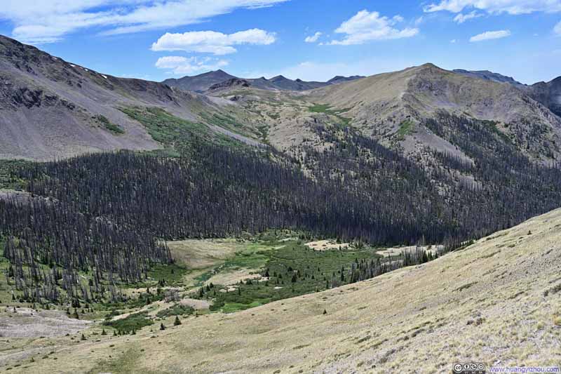
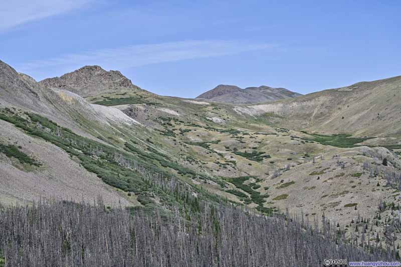
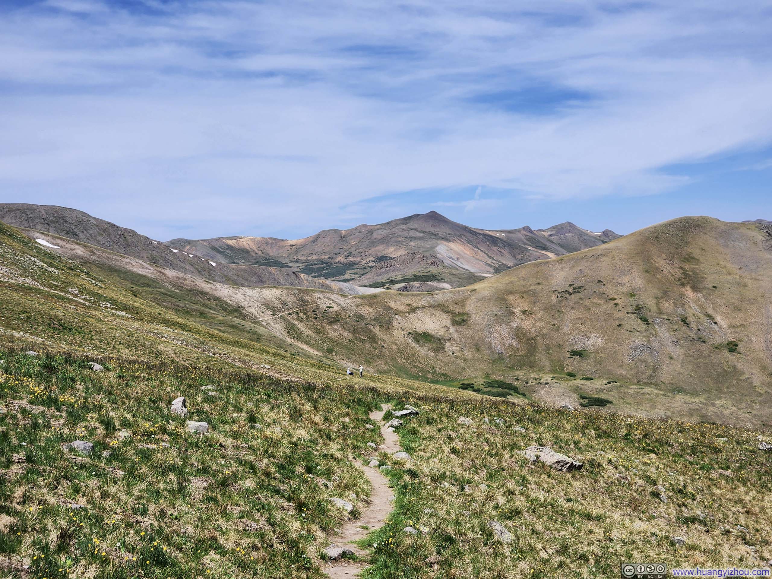
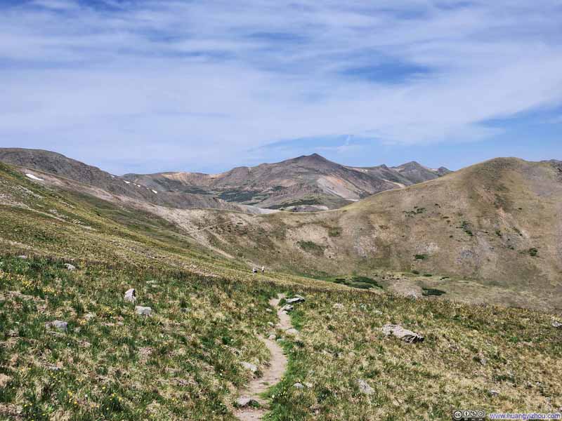
Between the mountain passes, the trail unfolded with a sense of stability. The pace of elevation change was mild, wildflowers bloomed in constant succession, and every few steps revealed the northern valleys from a slightly fresh angle.
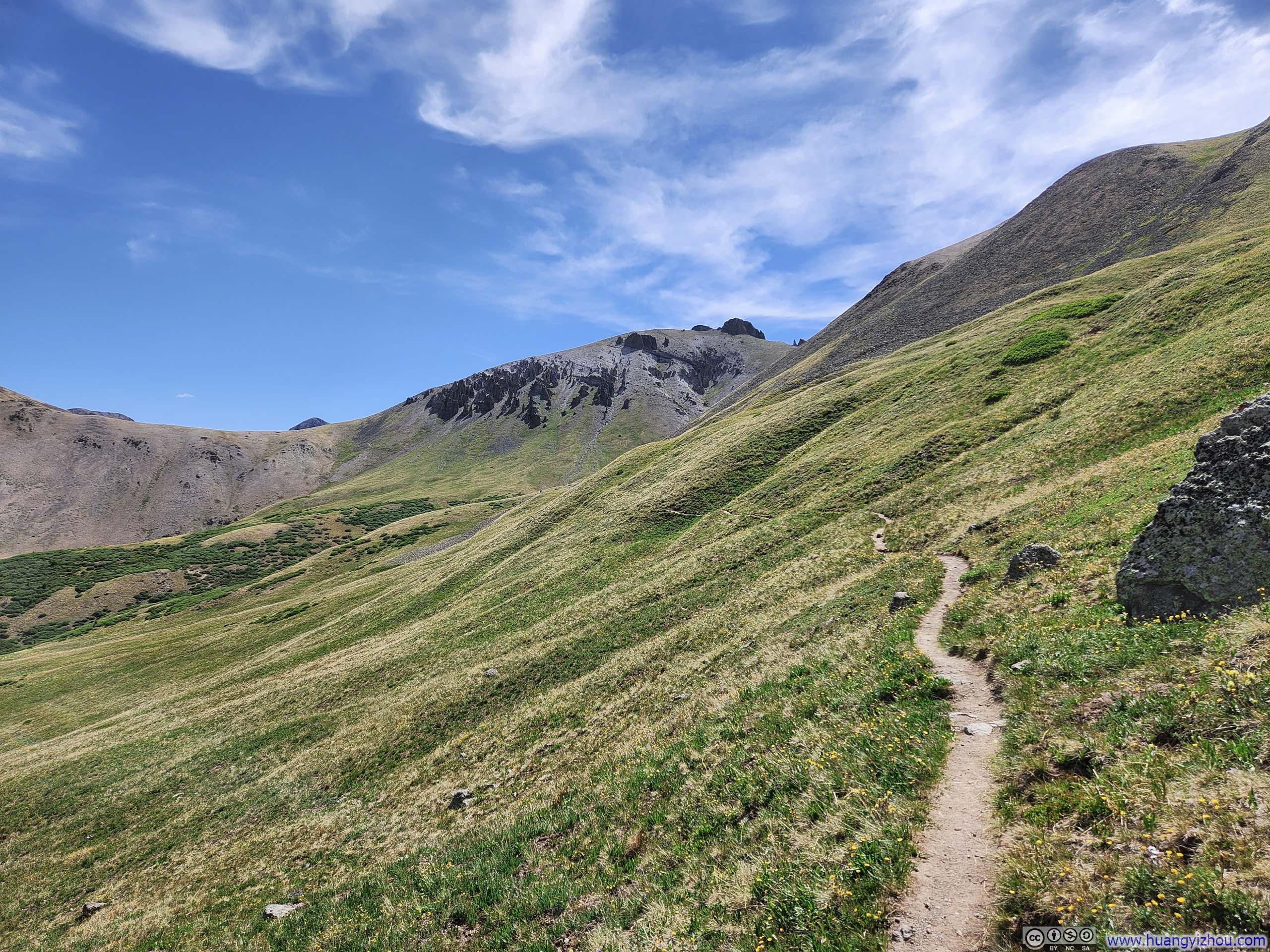
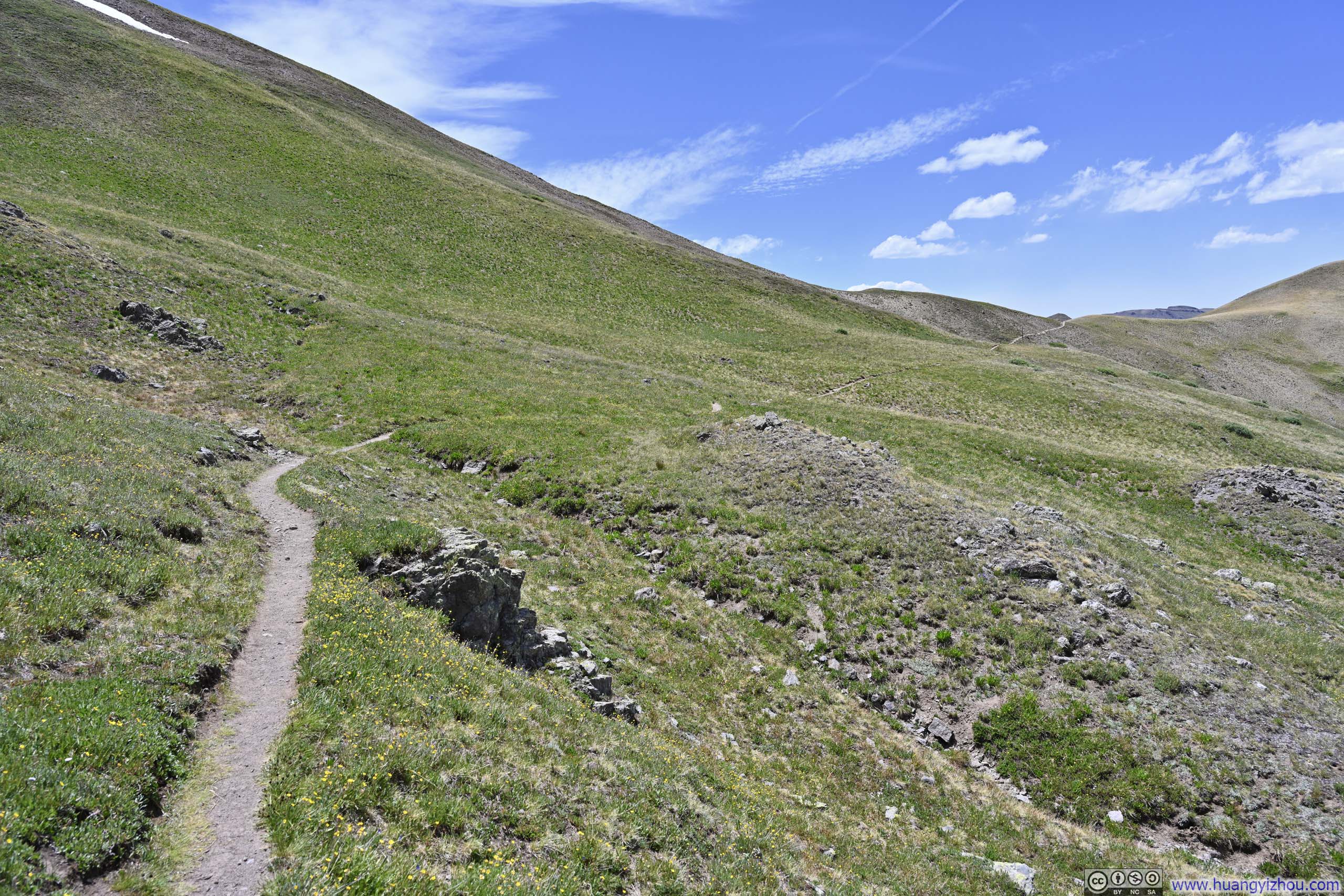
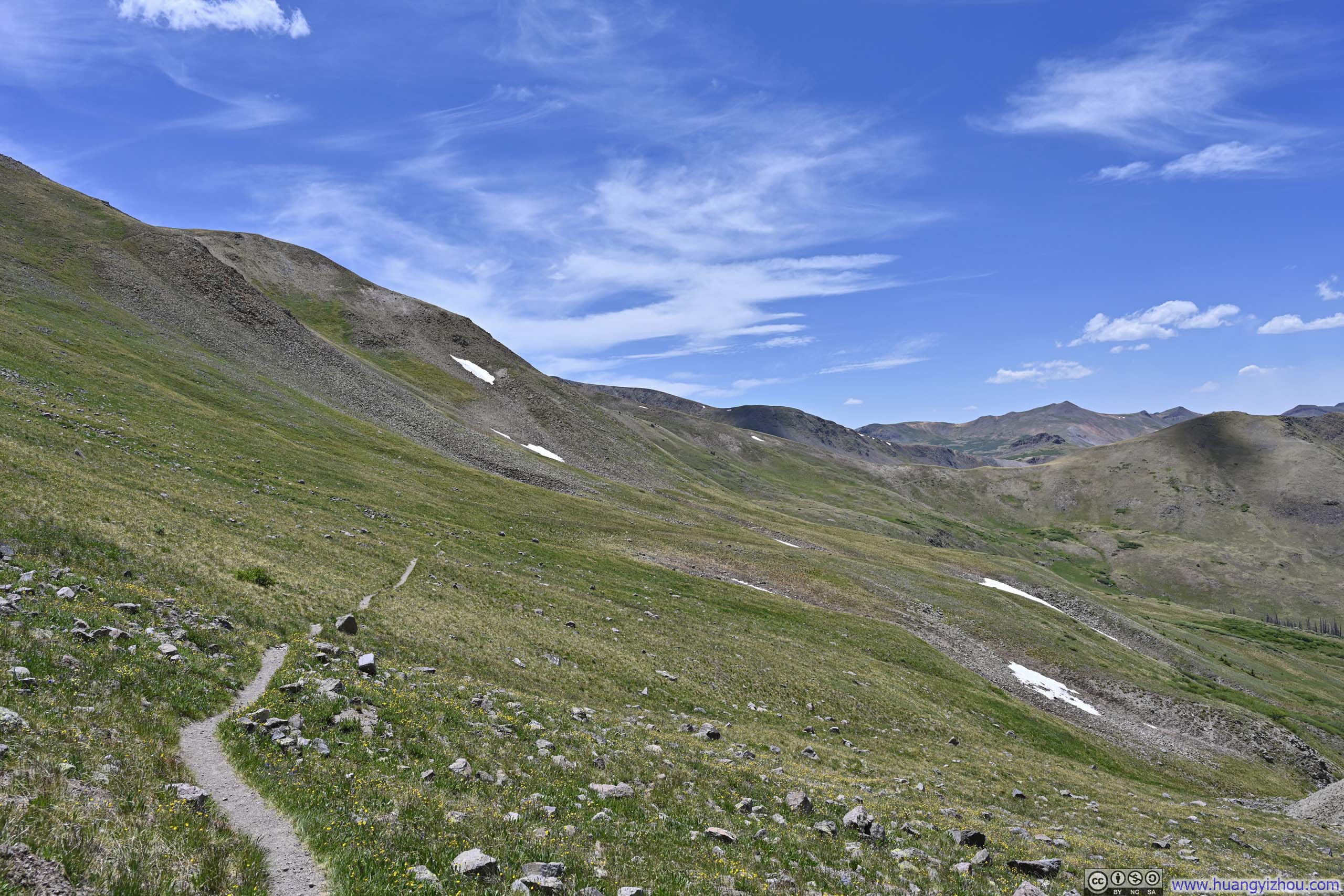
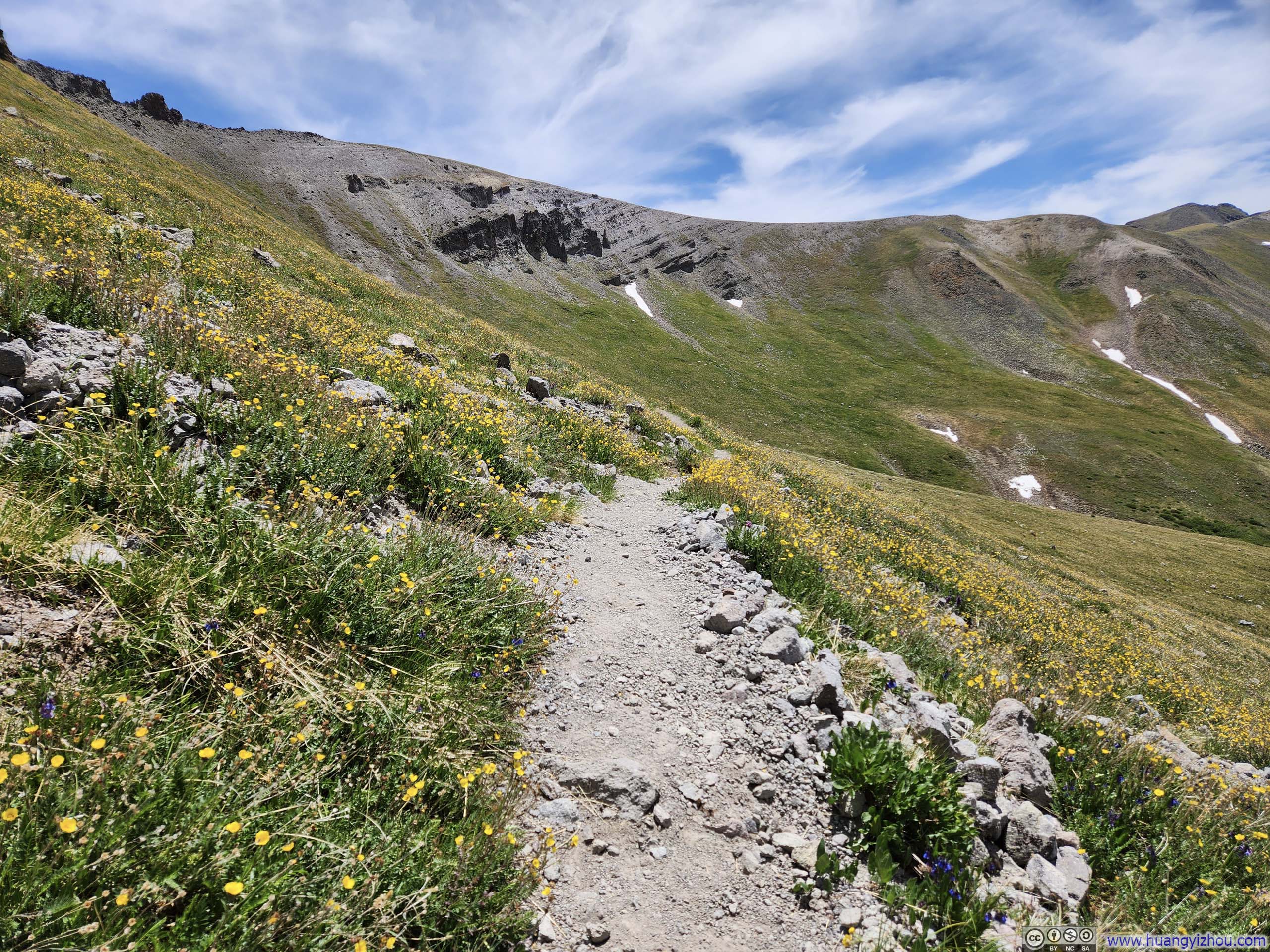
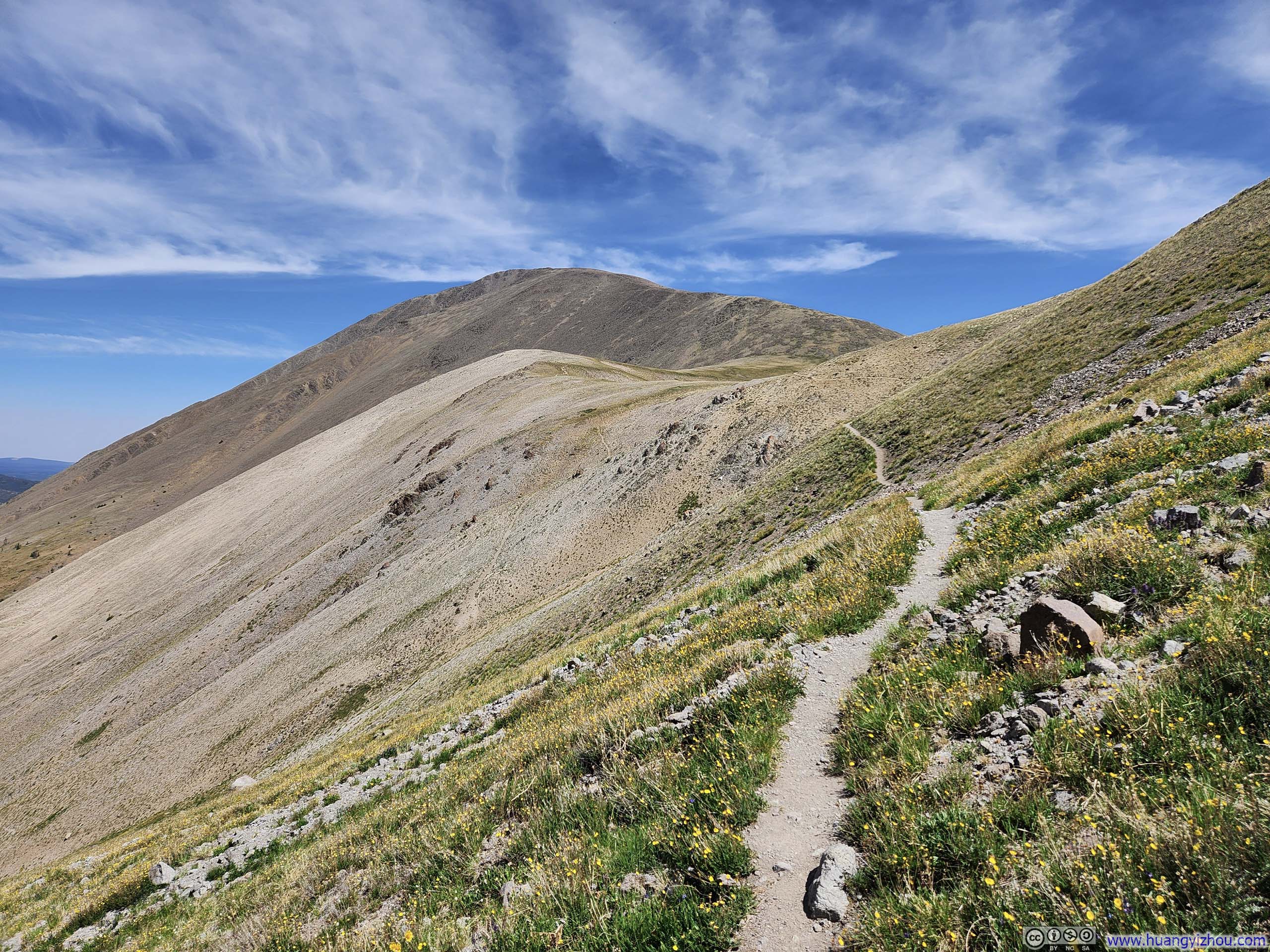
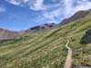
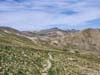
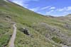
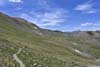
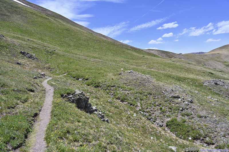
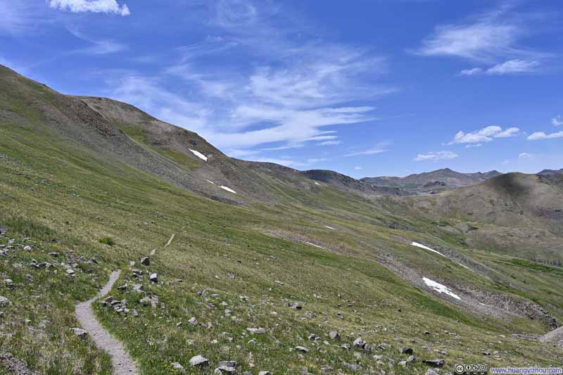
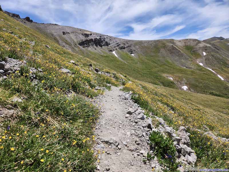
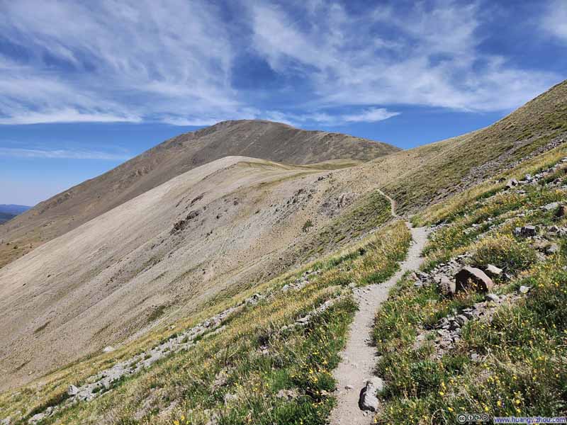
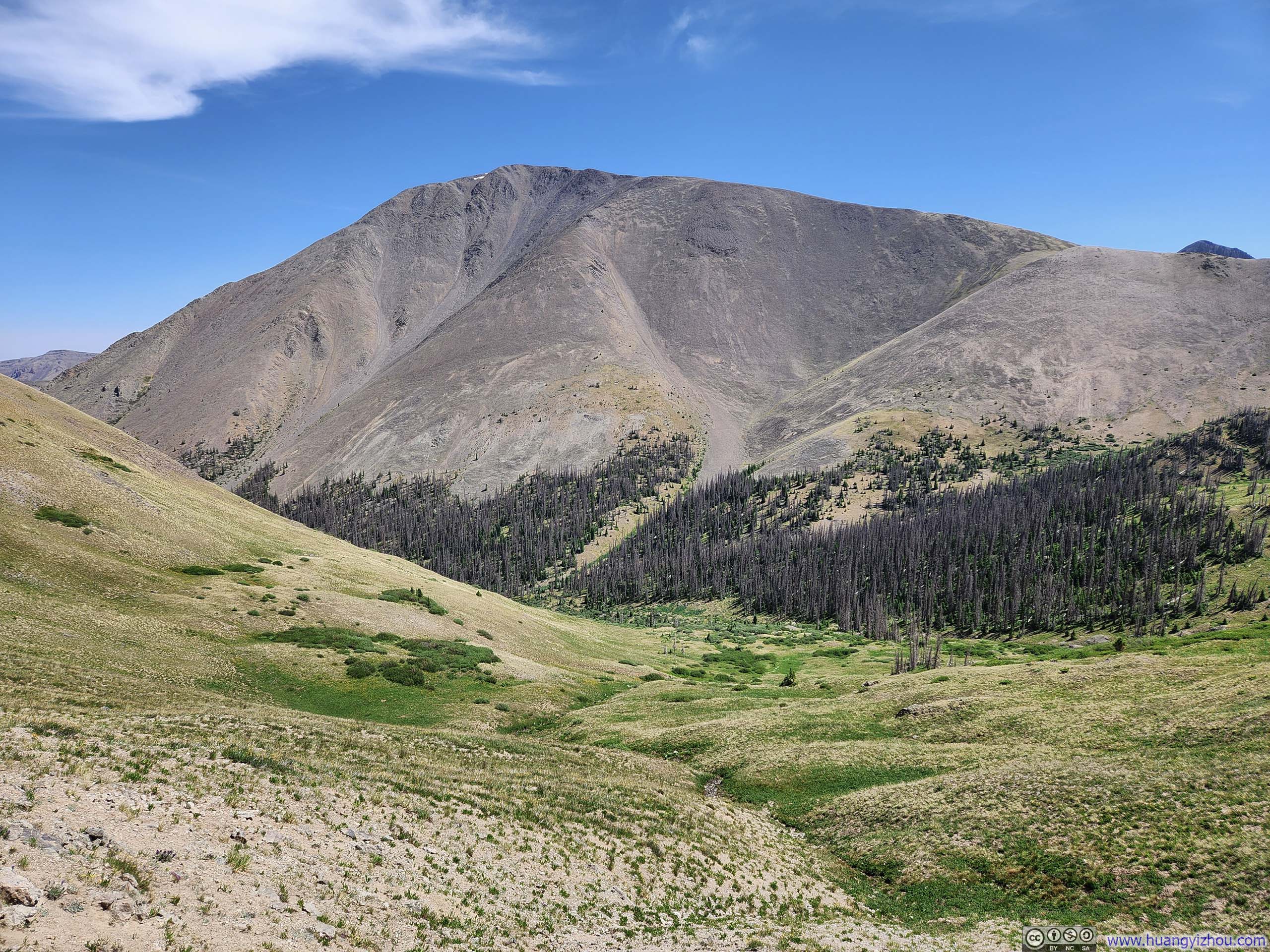
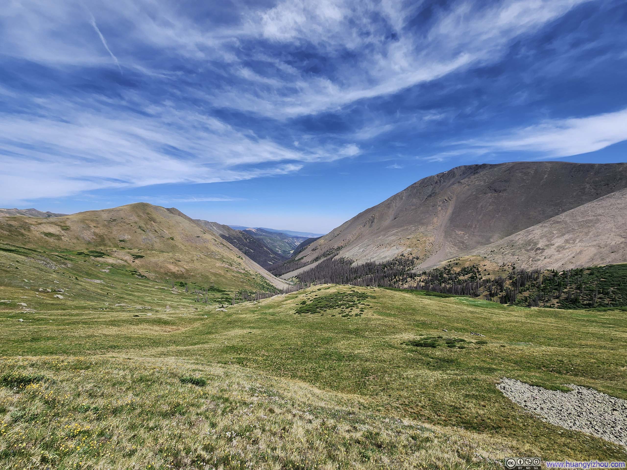
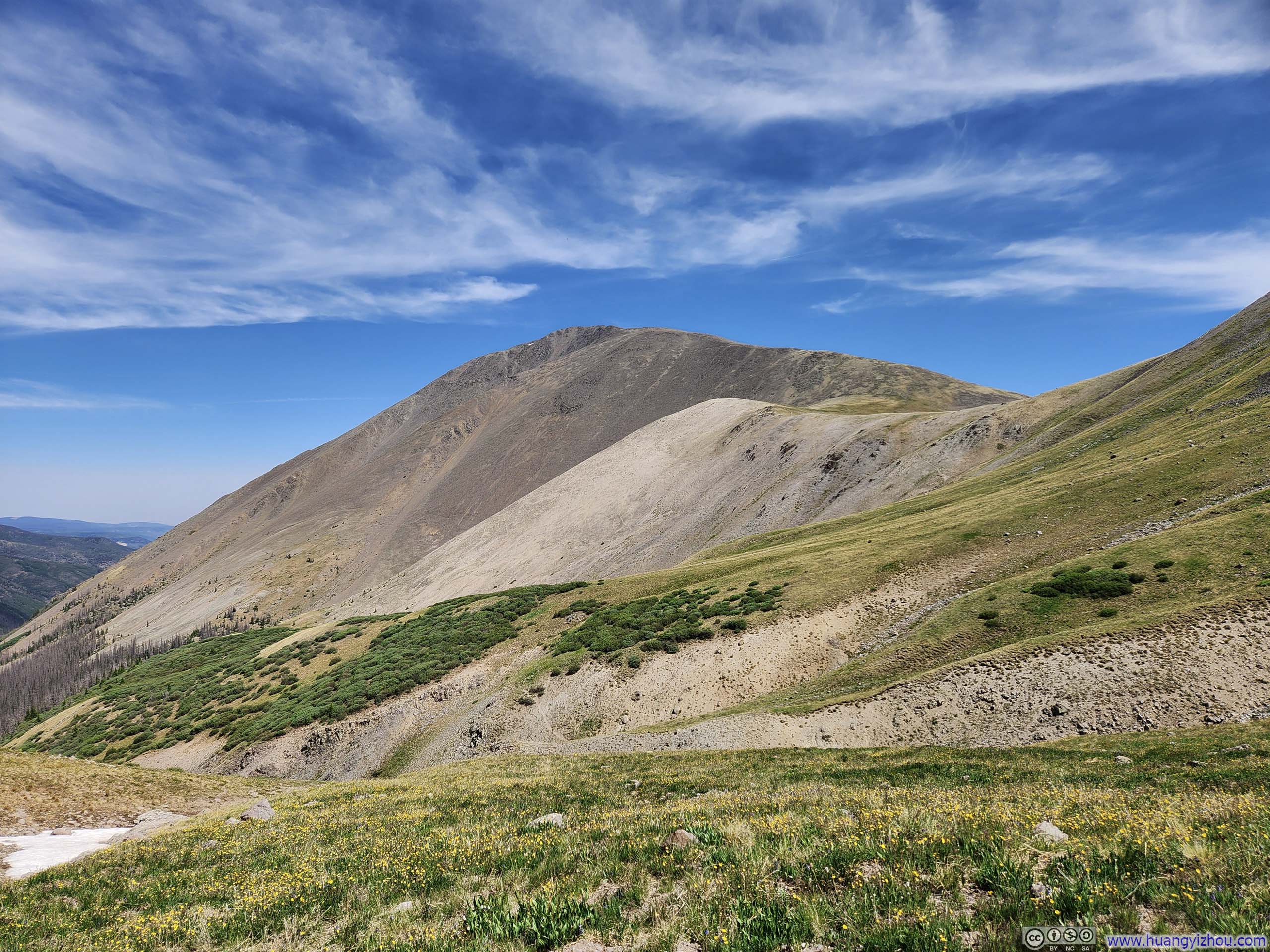
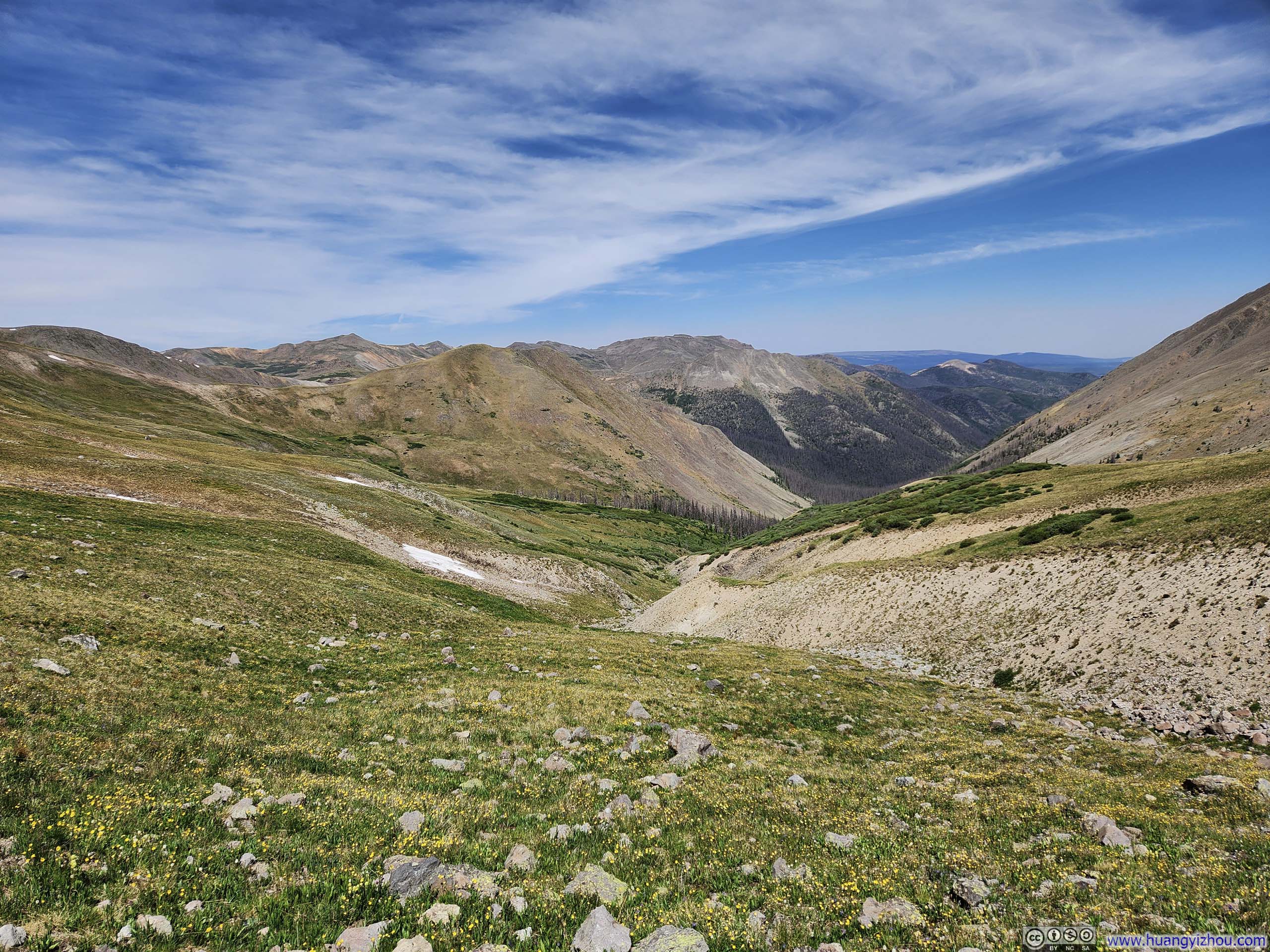
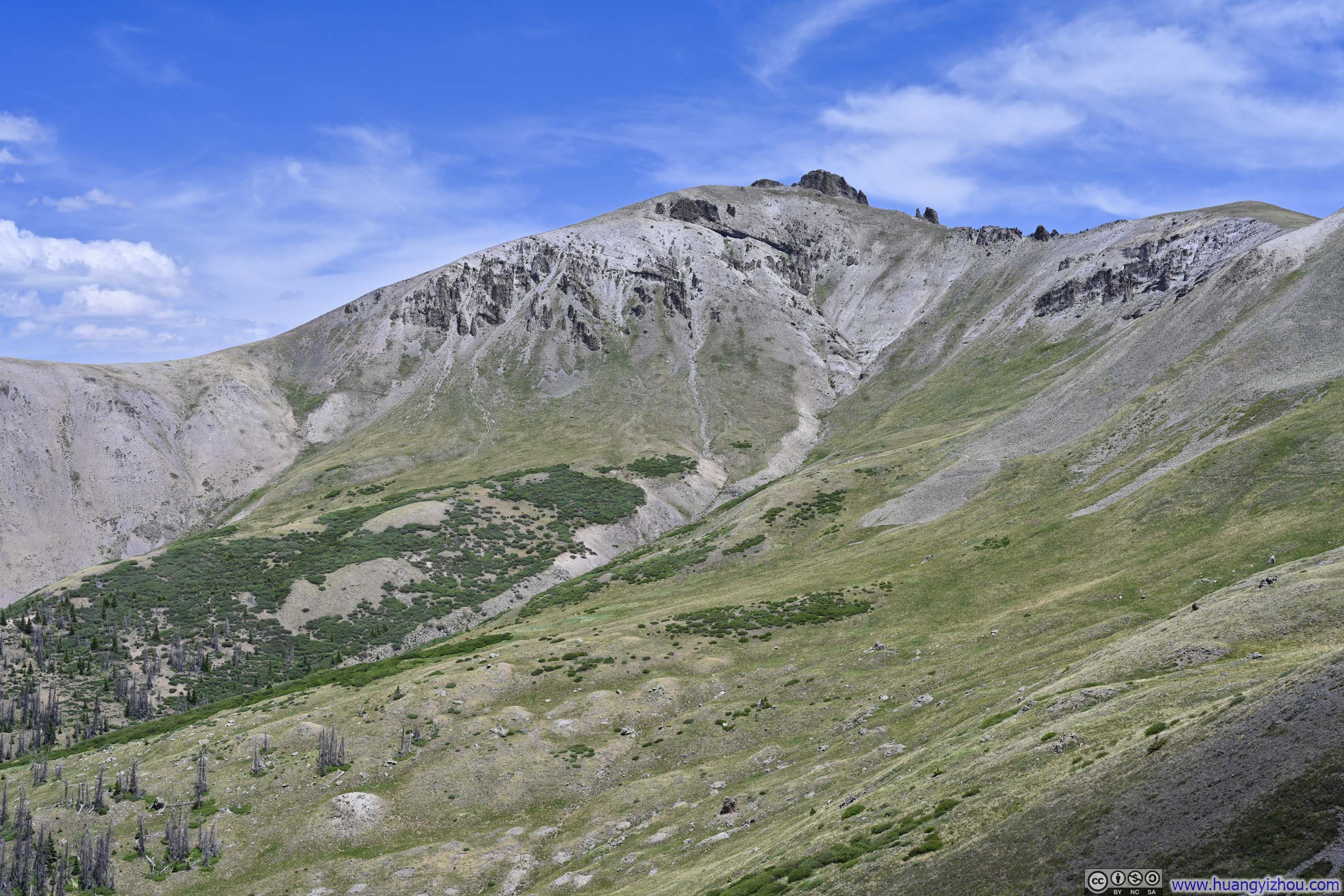
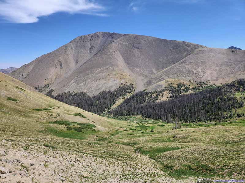
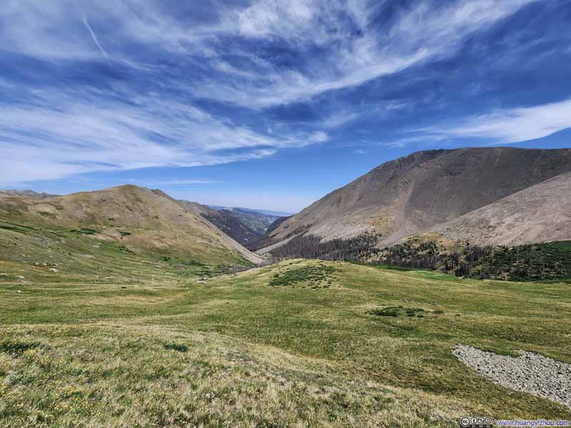
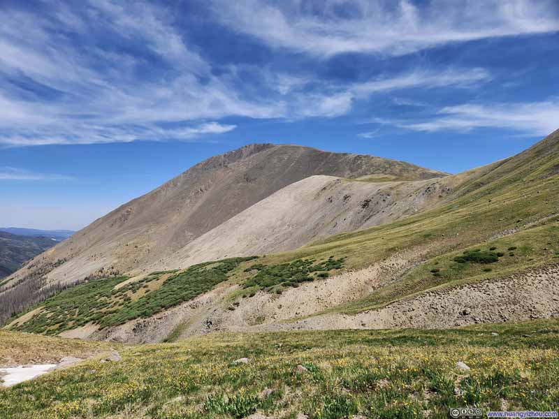
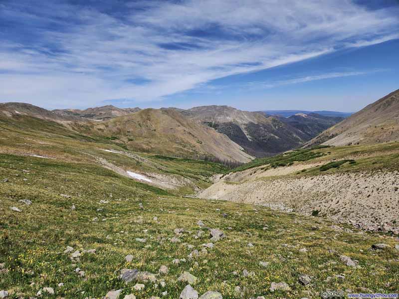
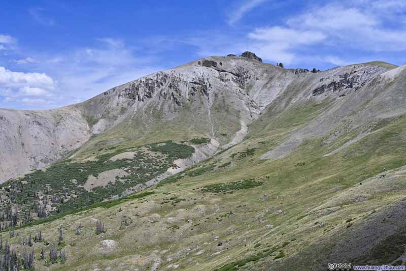
At the final mountain pass, the trail to San Luis Peak diverged from the Continental Divide Trail, with the latter following Cochetopa Creek down the valley. It was at roughly this point that the sparse grasses along the path gave way to bare rock. It was somewhat windy once I gained San Luis Peak's south ridge, though not nearly as bad as my experience on Uncompahgre Peak days earlier.
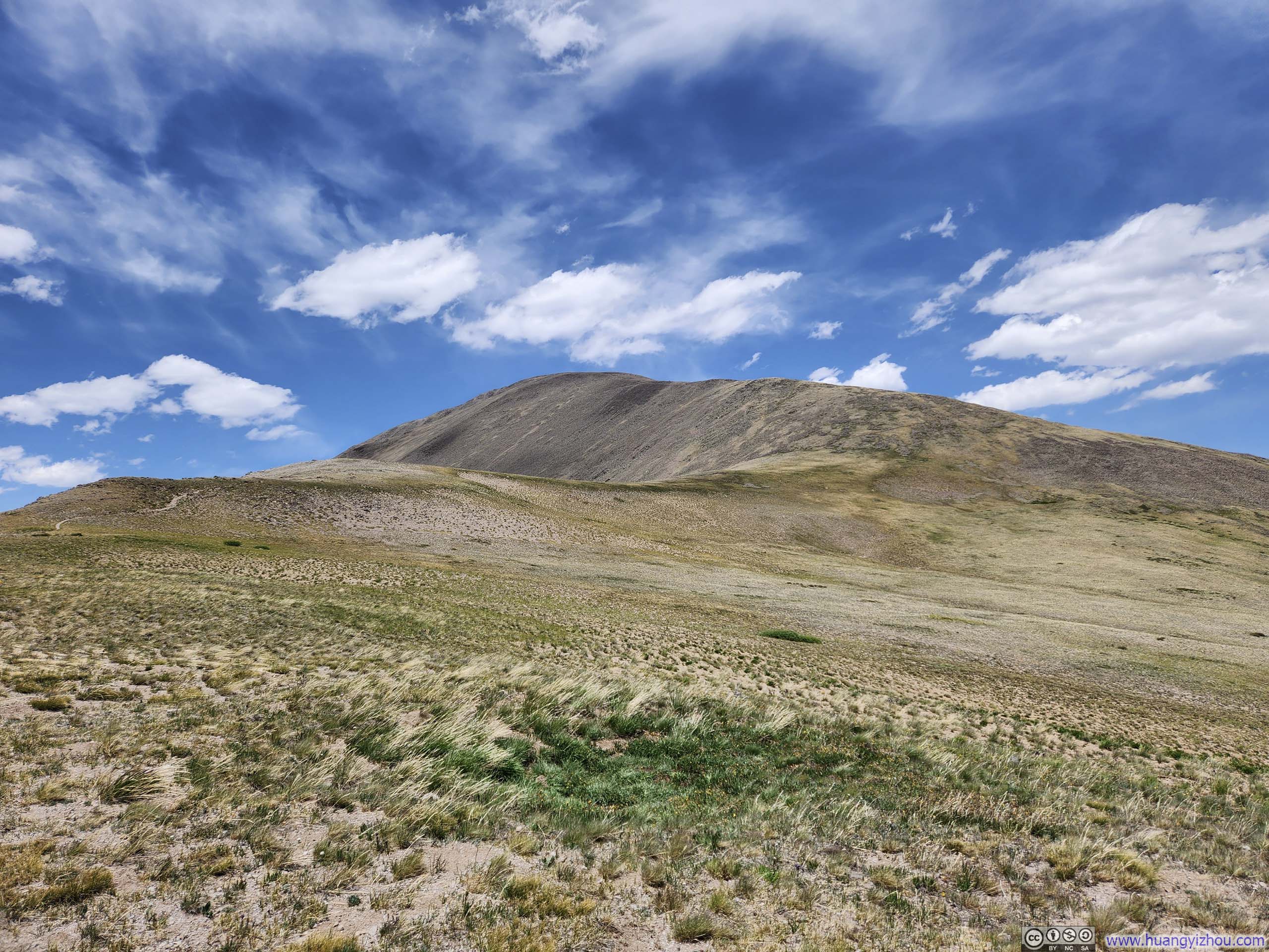
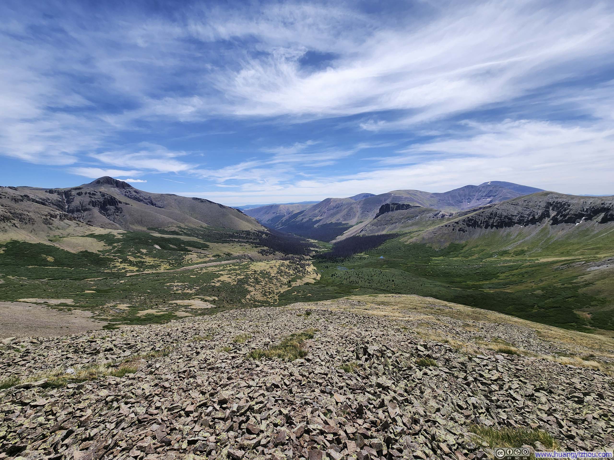
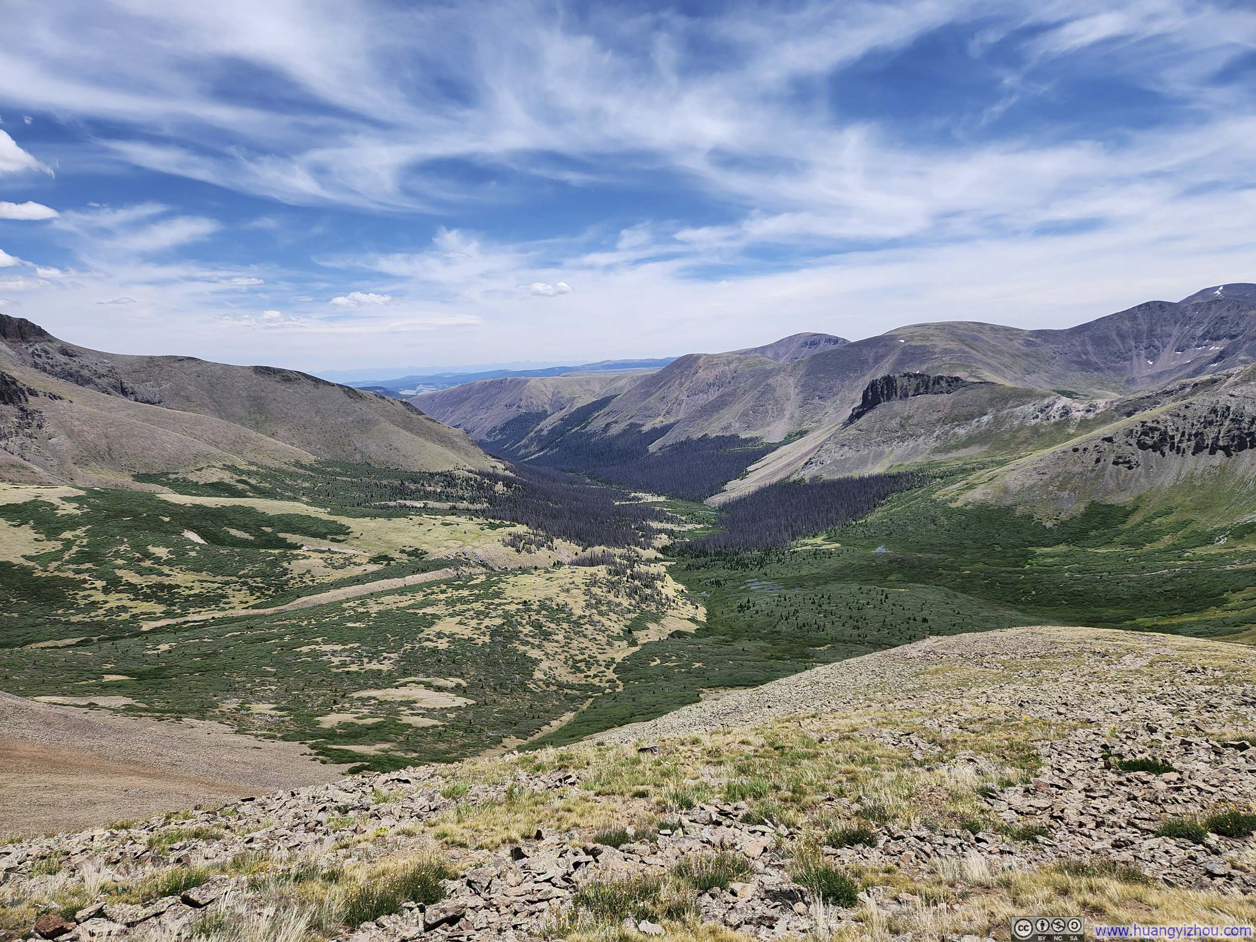
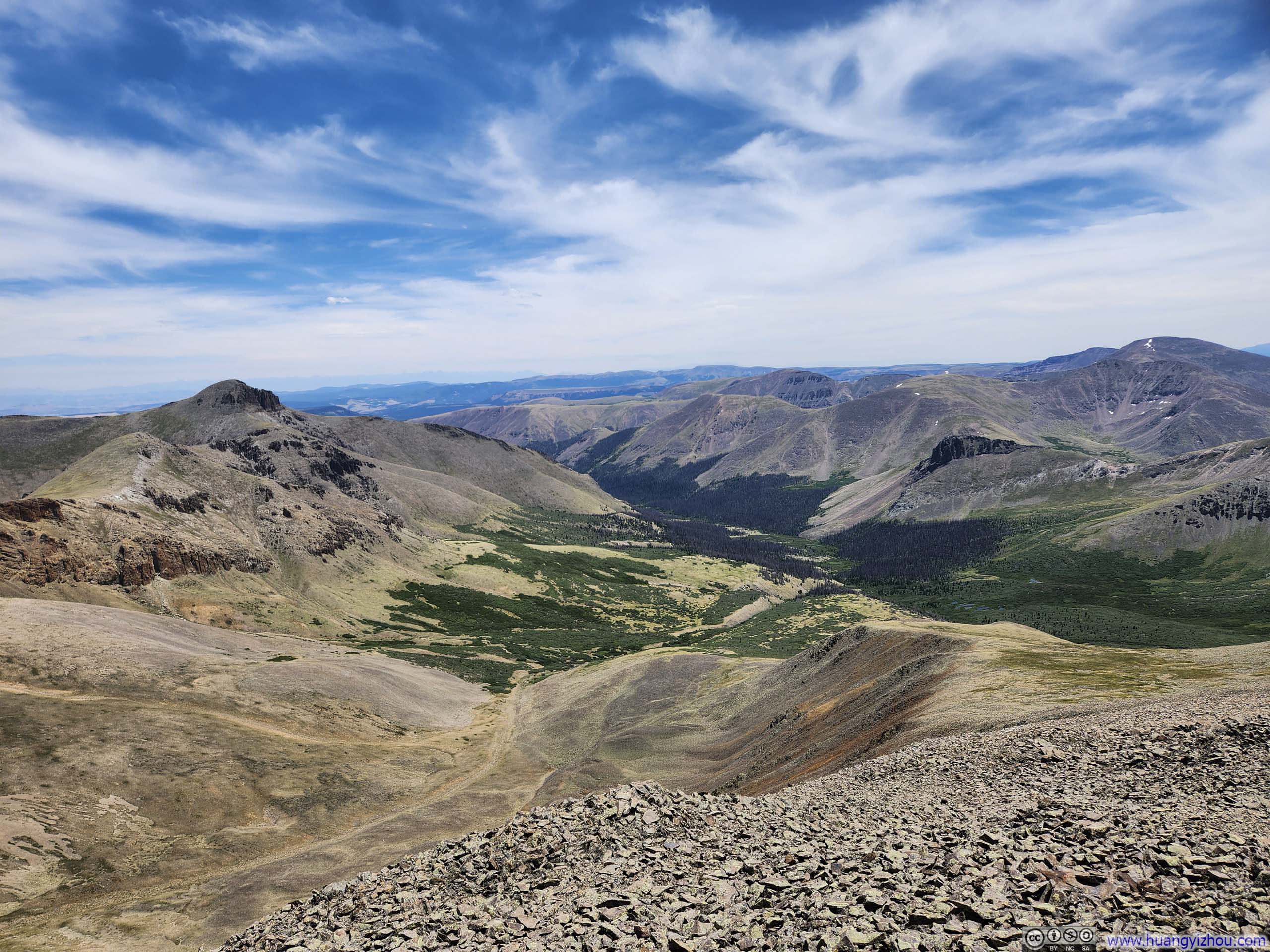
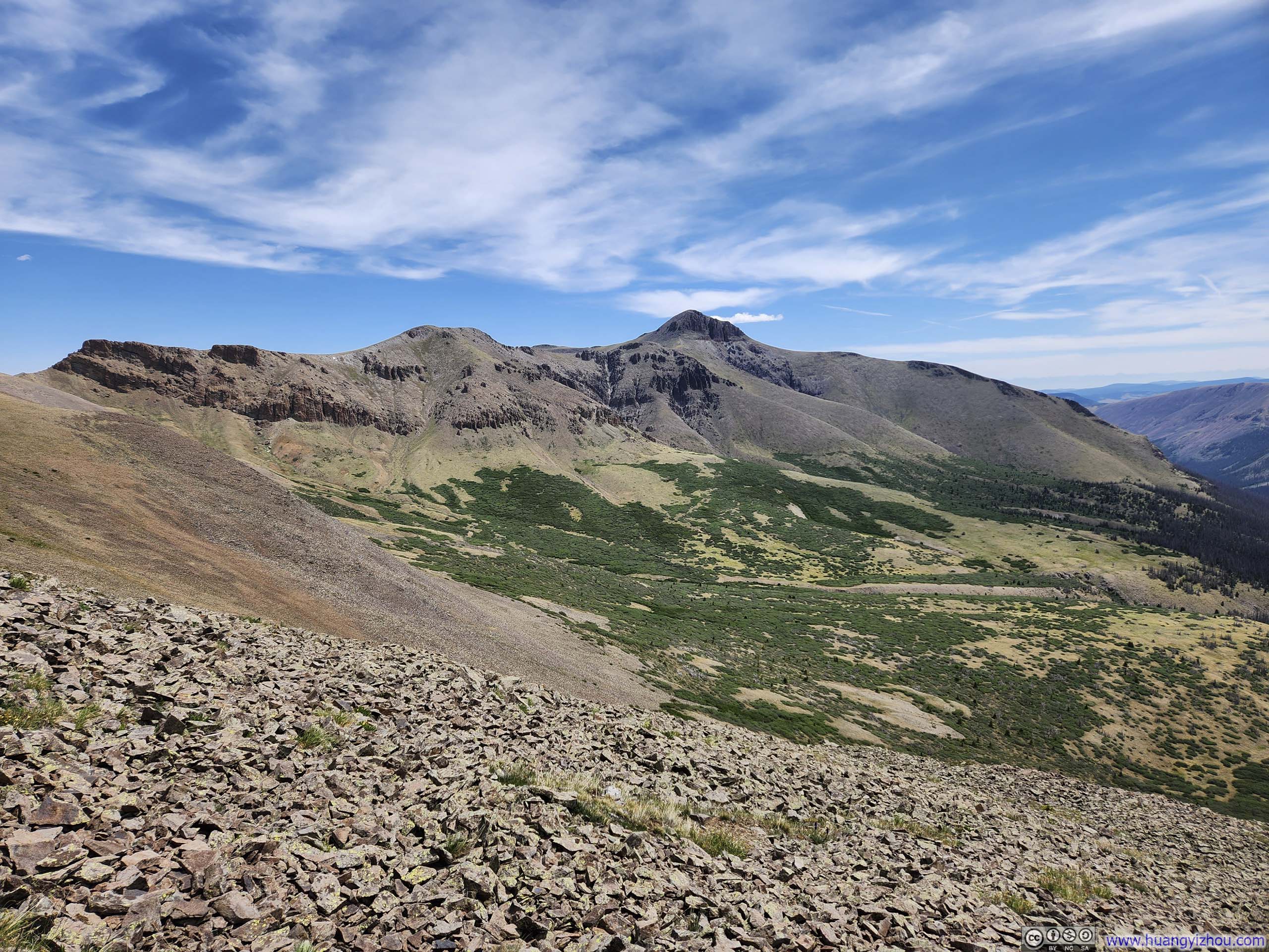
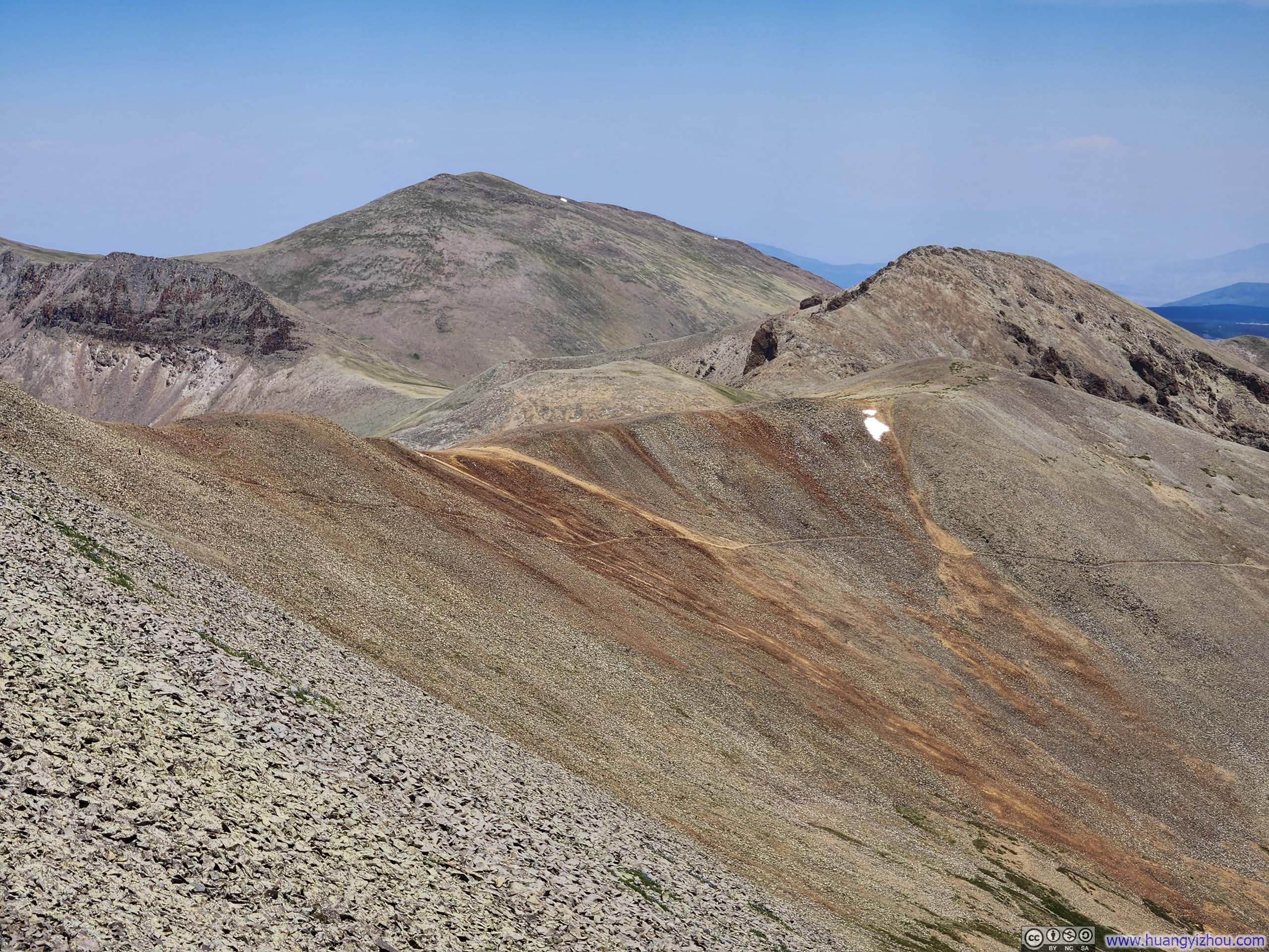
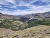
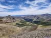
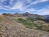
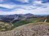
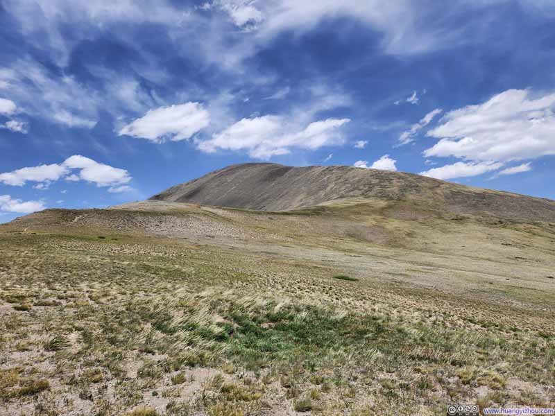
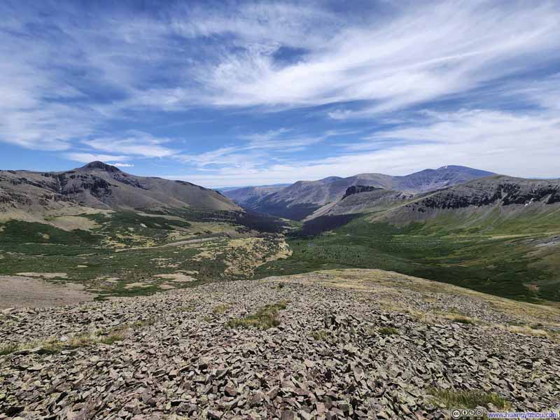
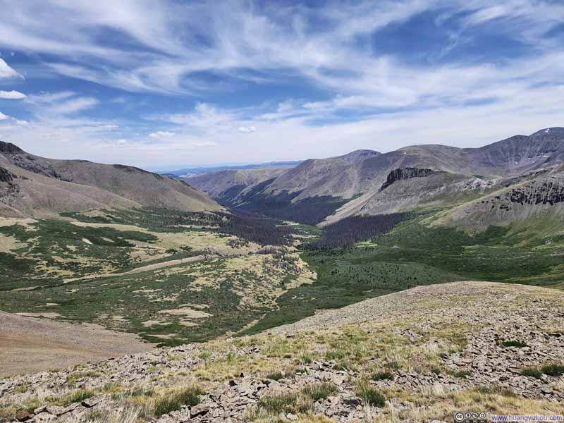
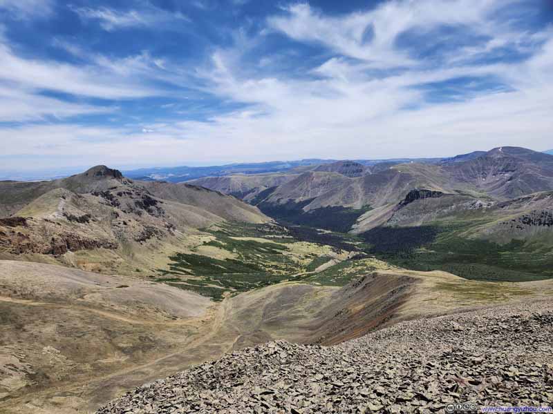
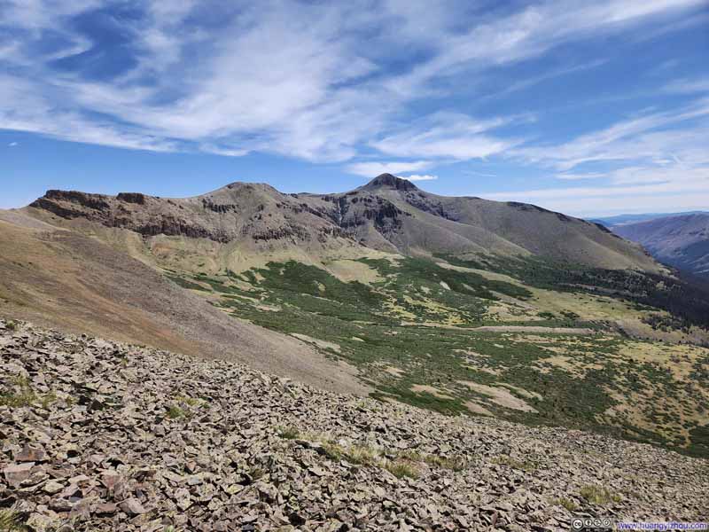
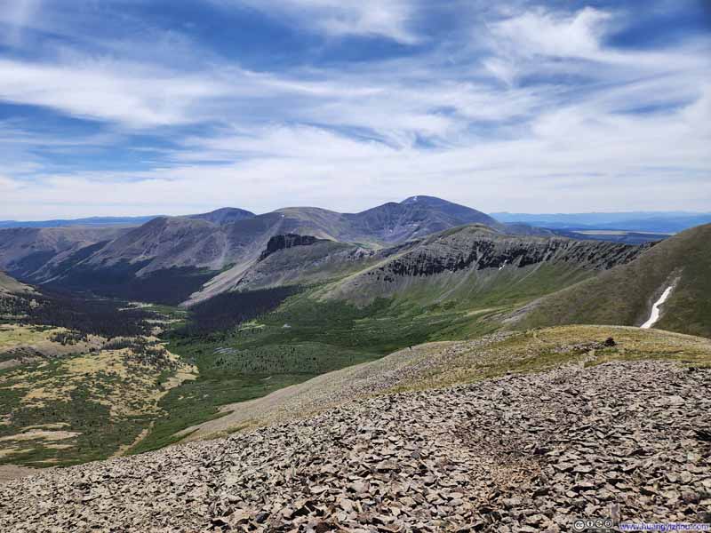
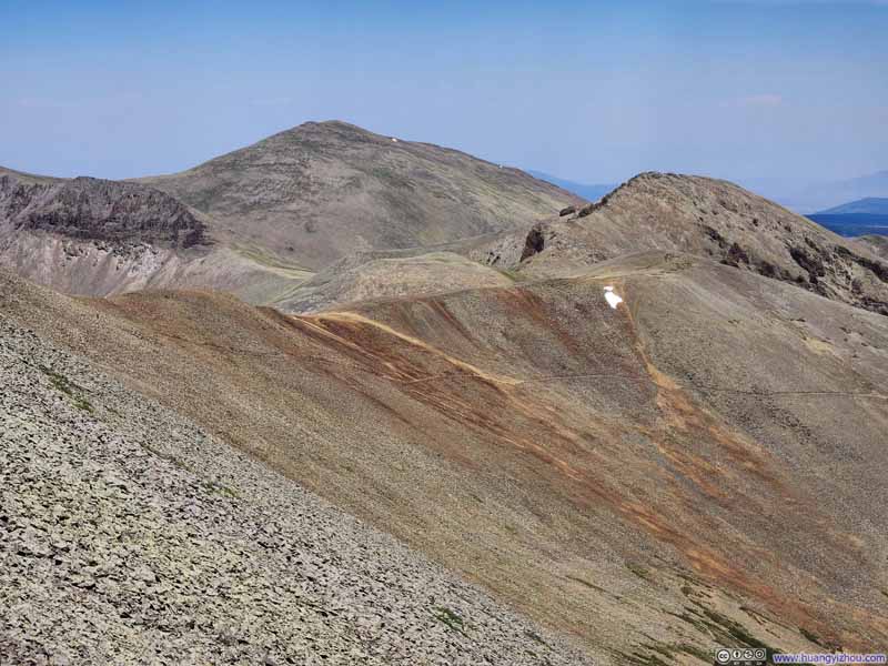
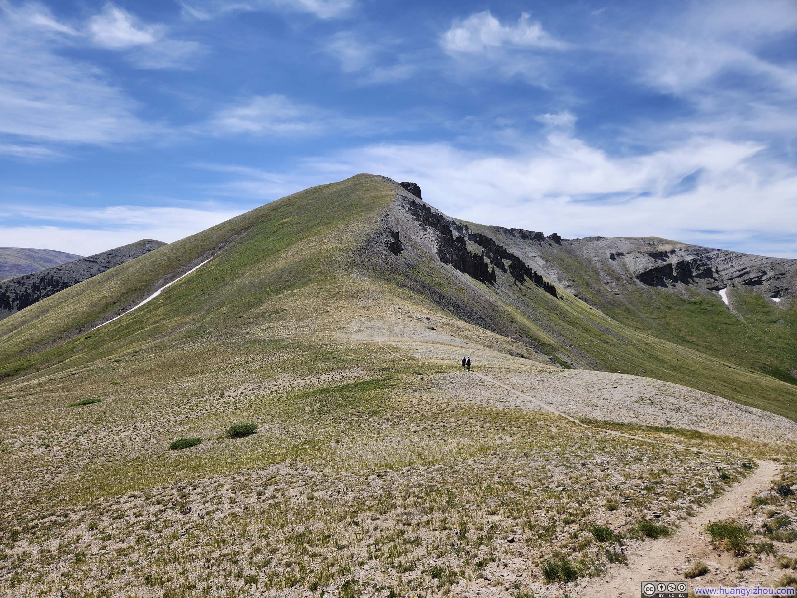
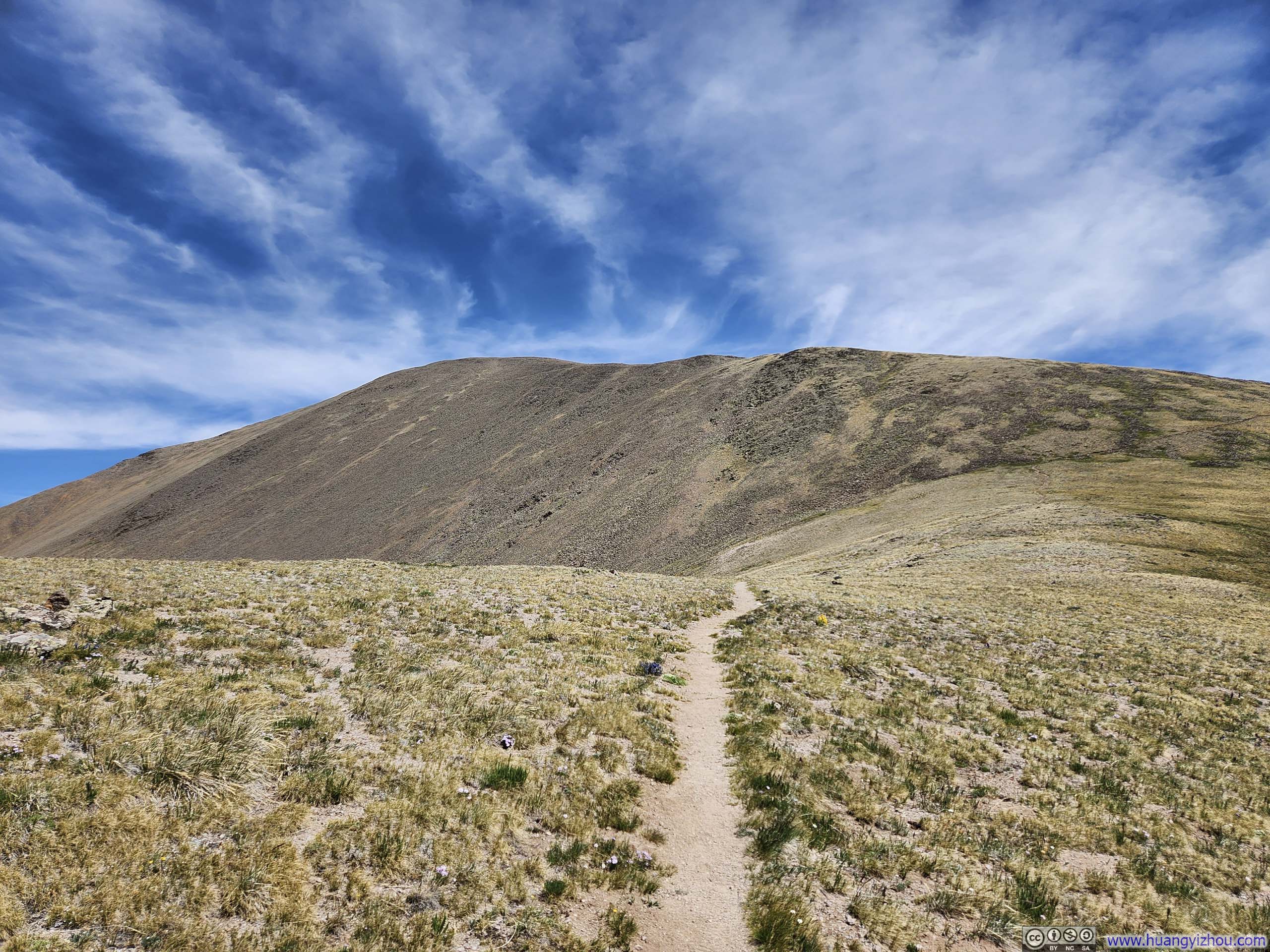
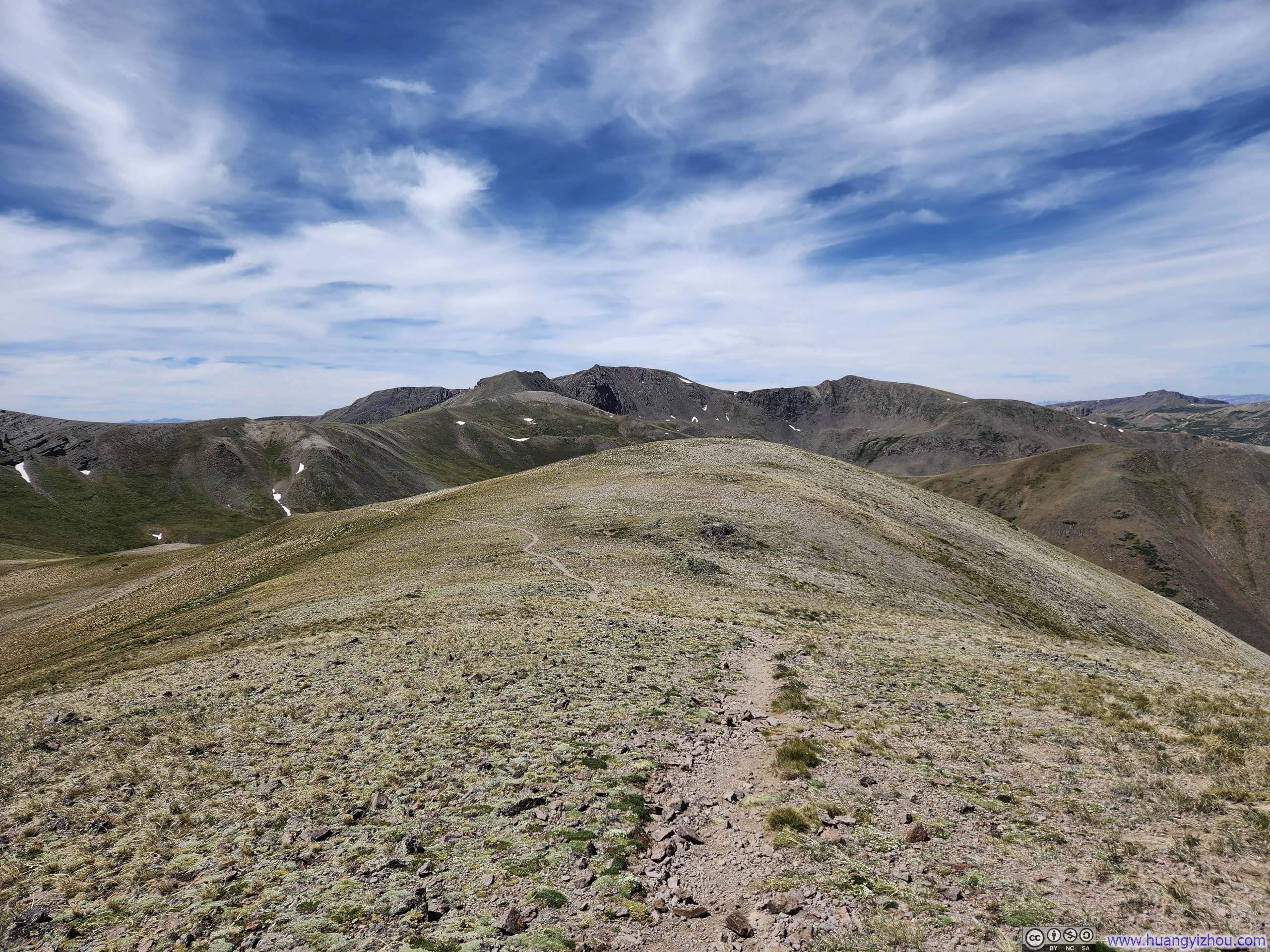
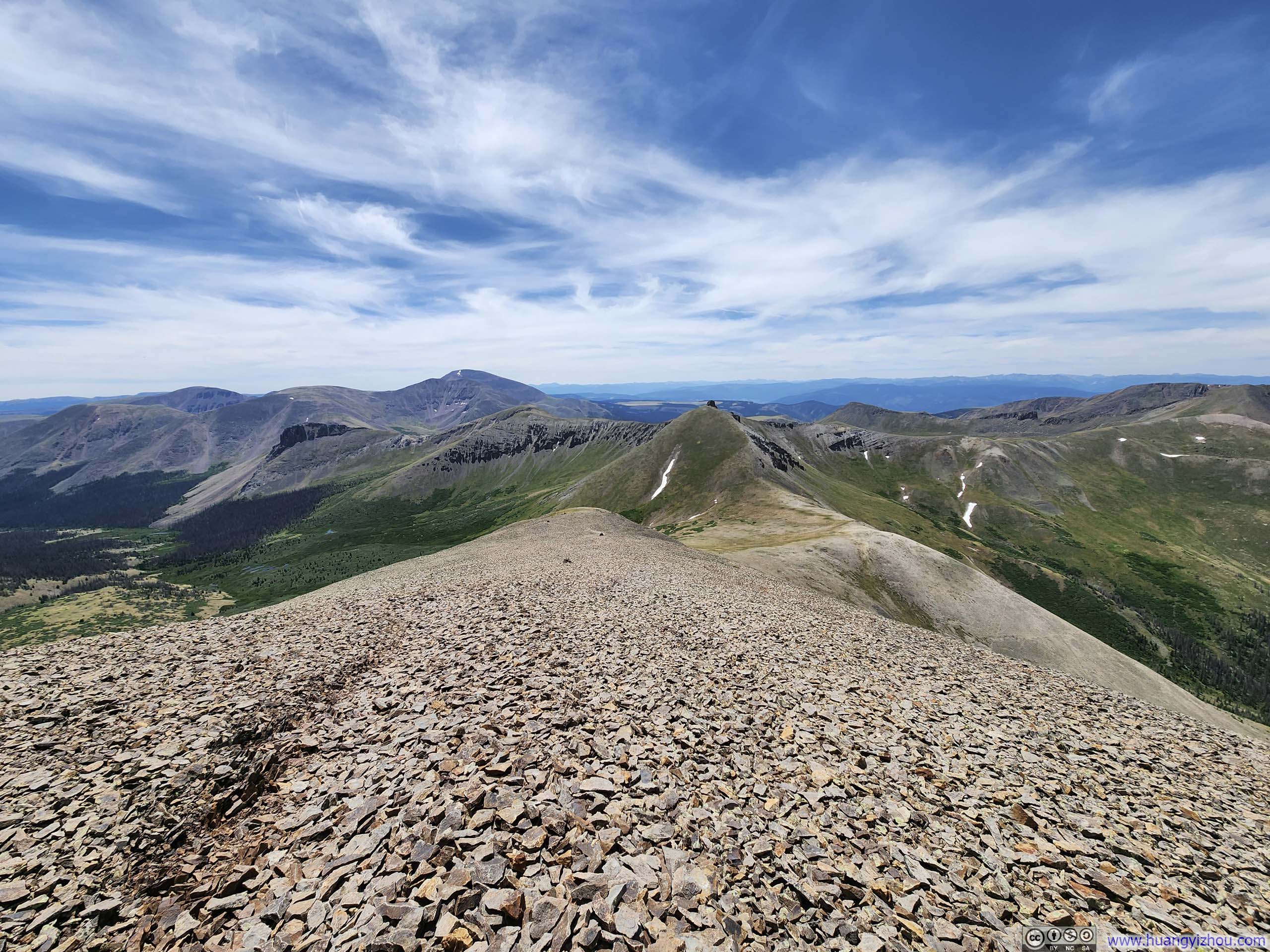
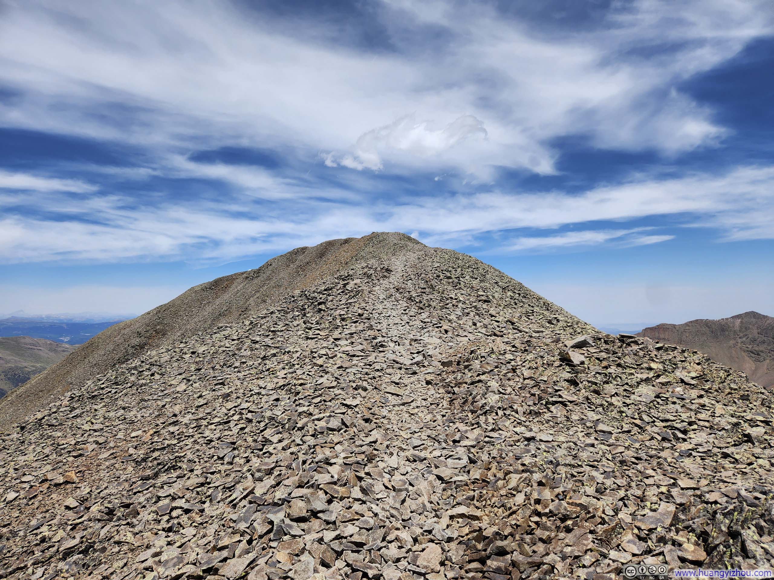
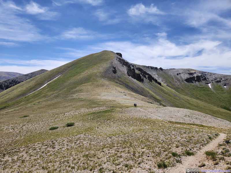
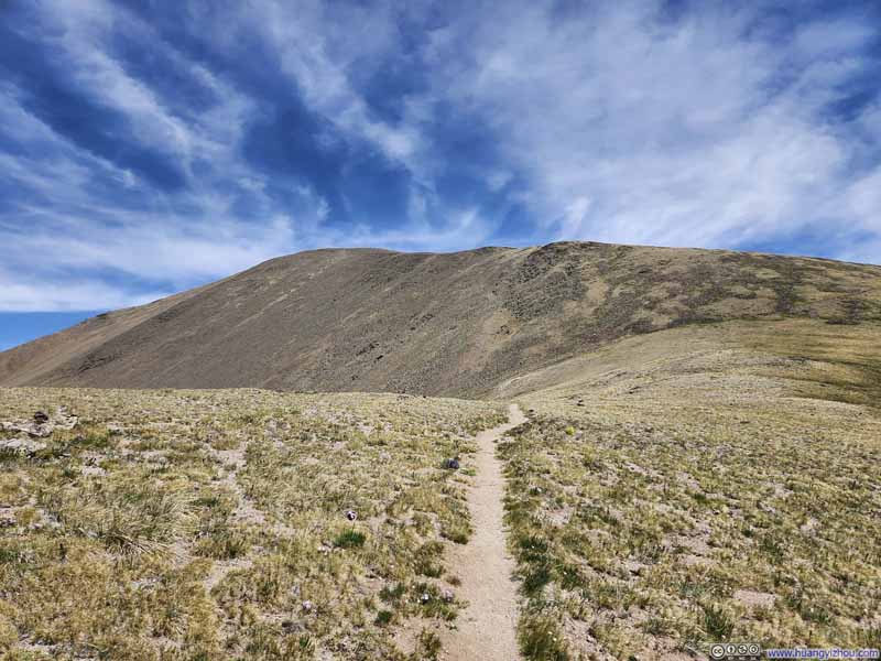
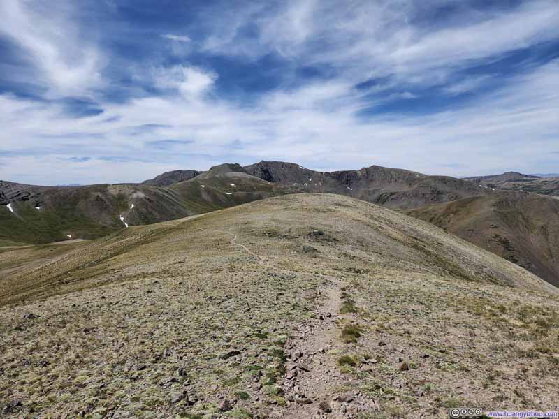
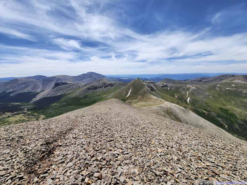
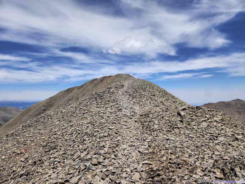
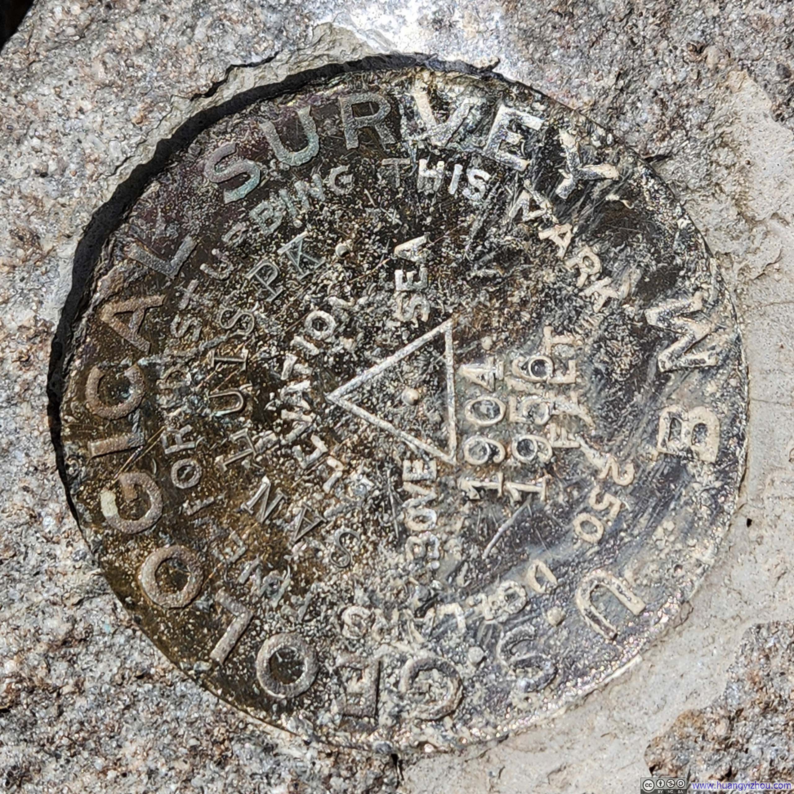
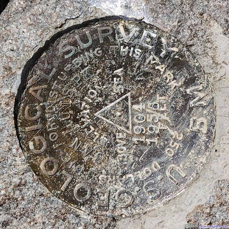
Finally, just over 3 hours after leaving the trailhead, I reached San Luis Peak at 12:15pm.
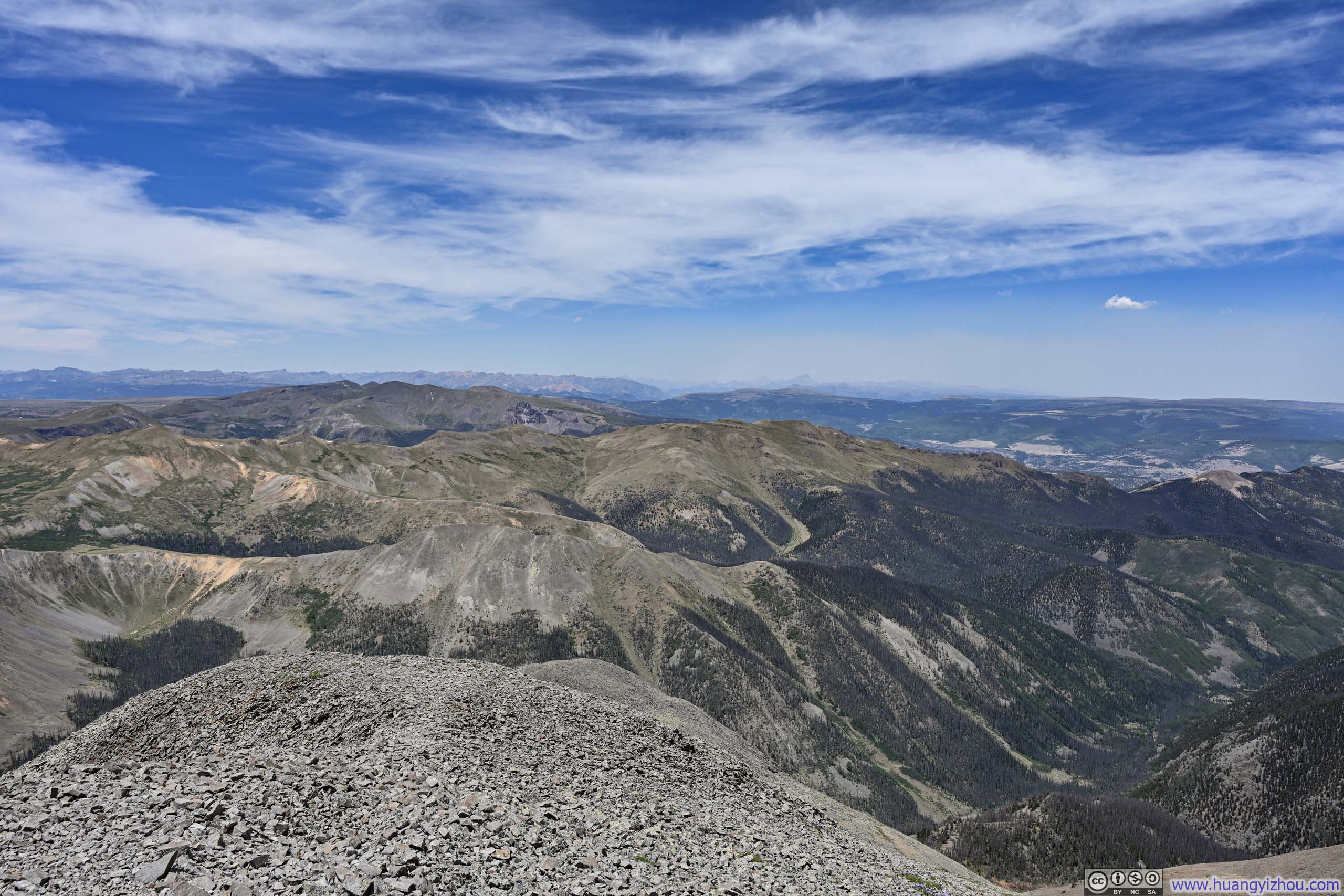
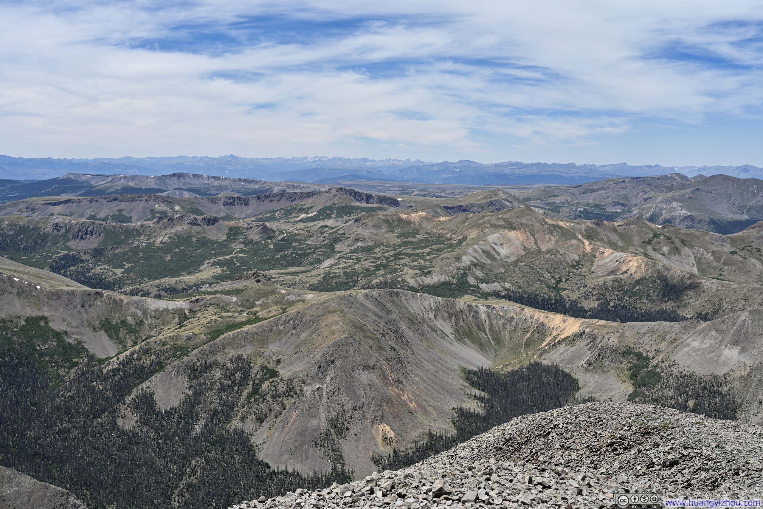
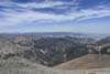
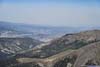
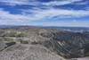
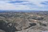
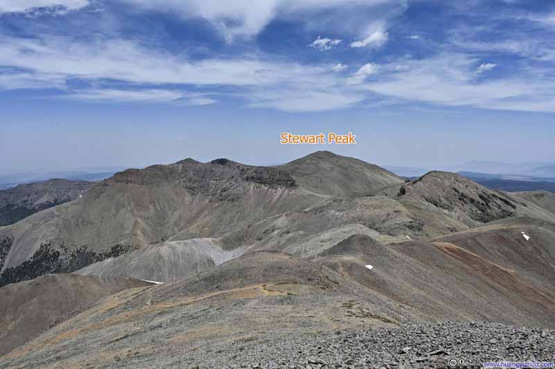
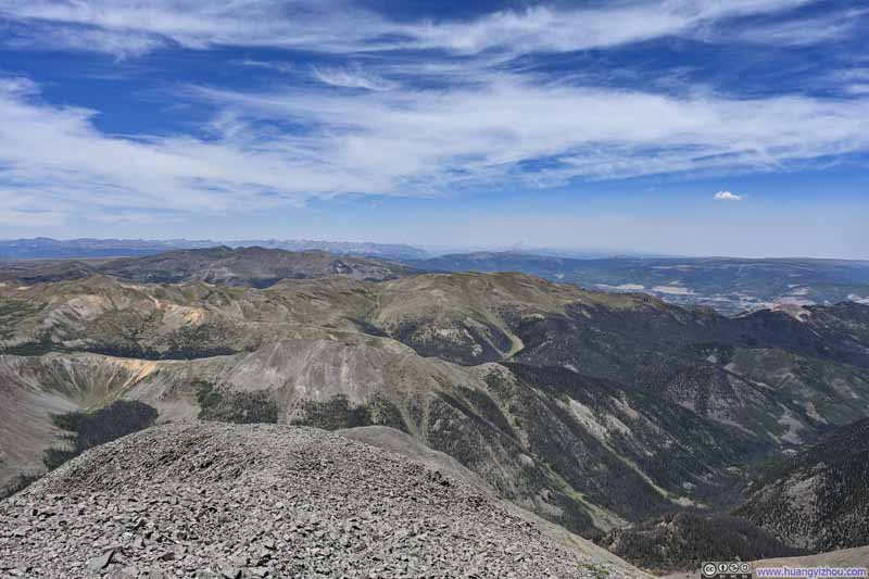
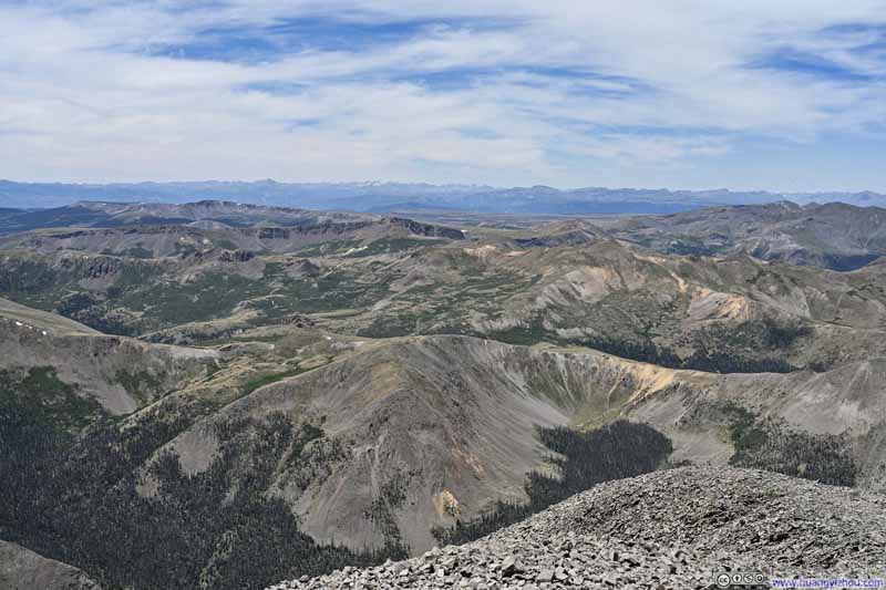
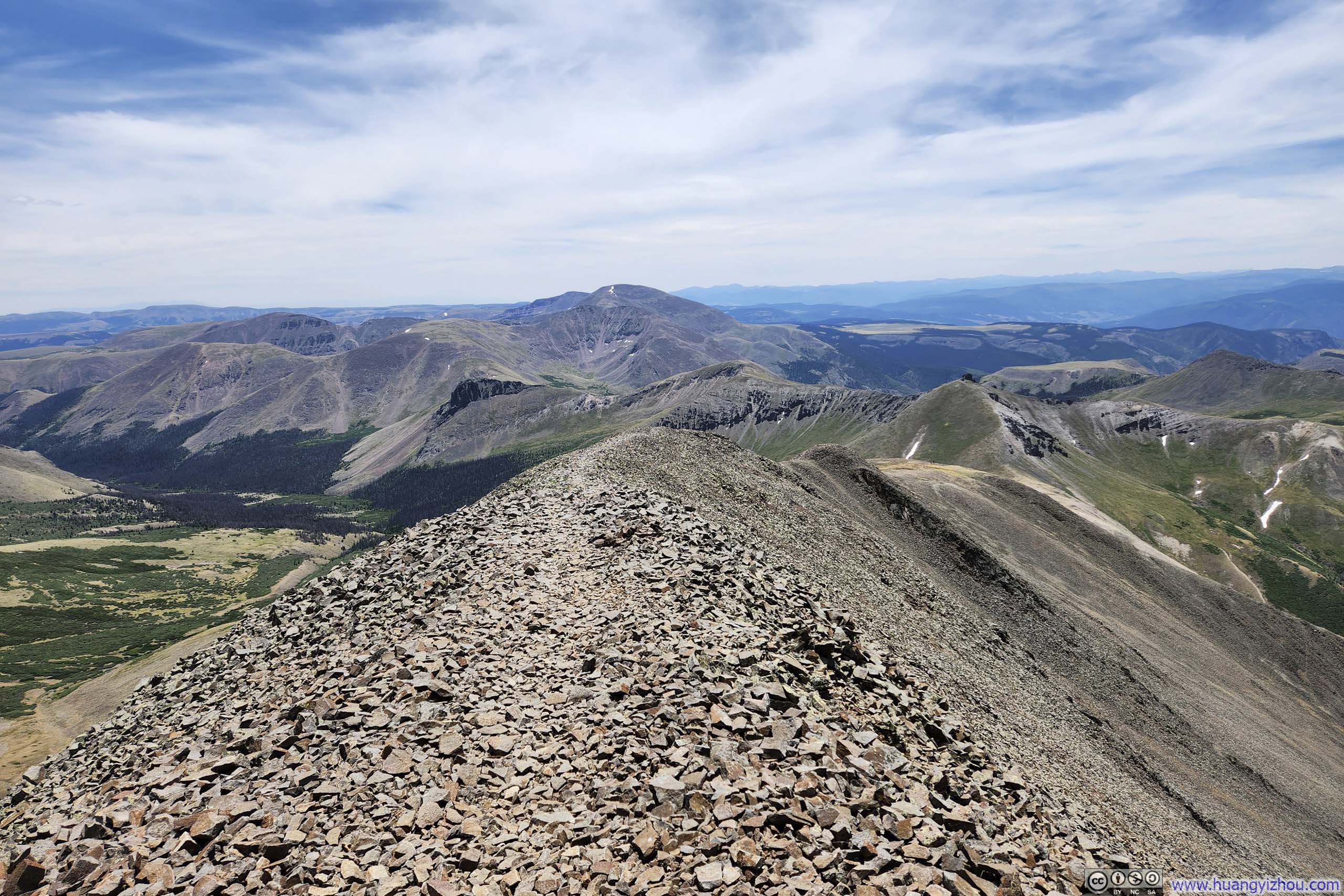
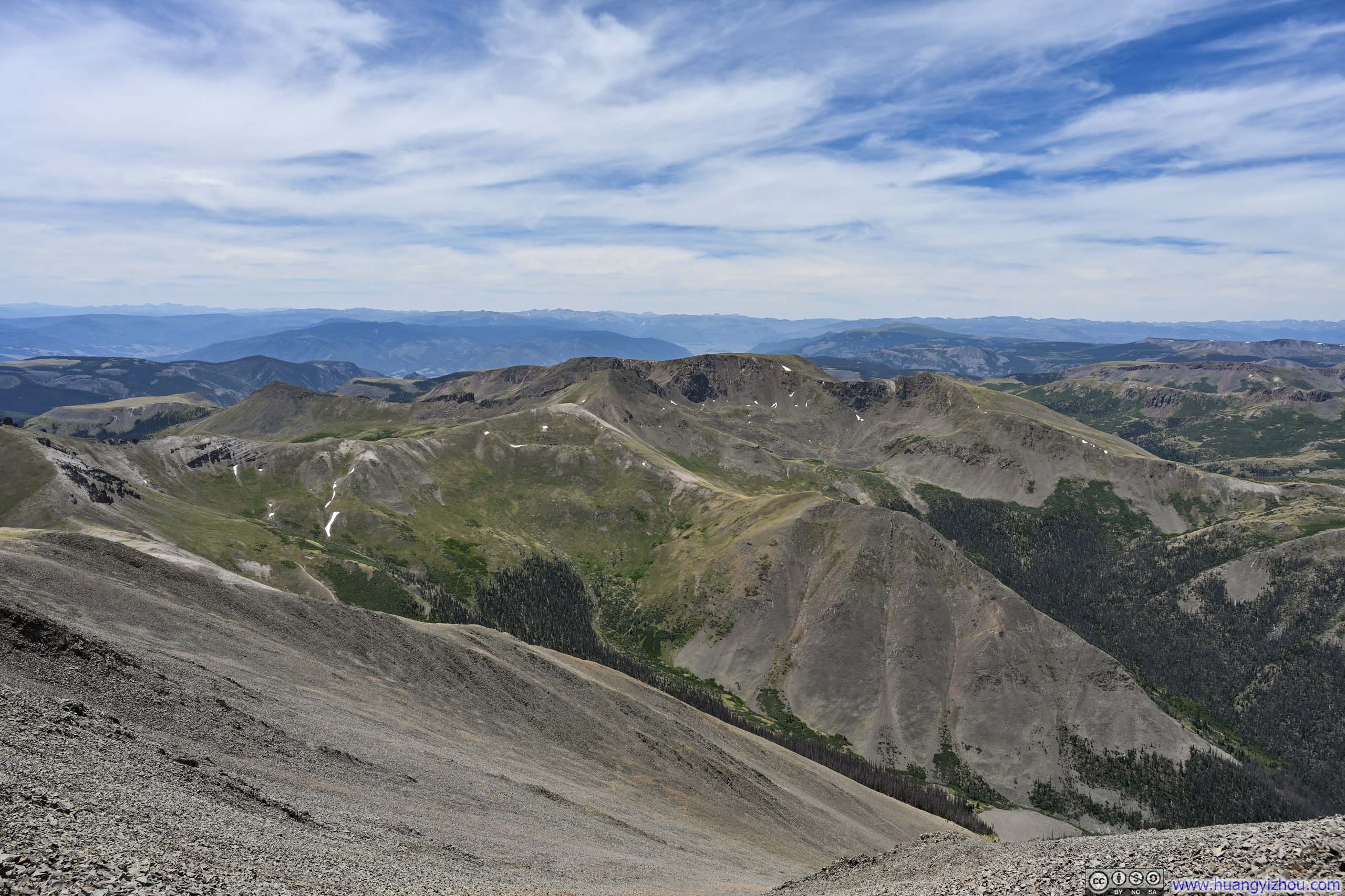
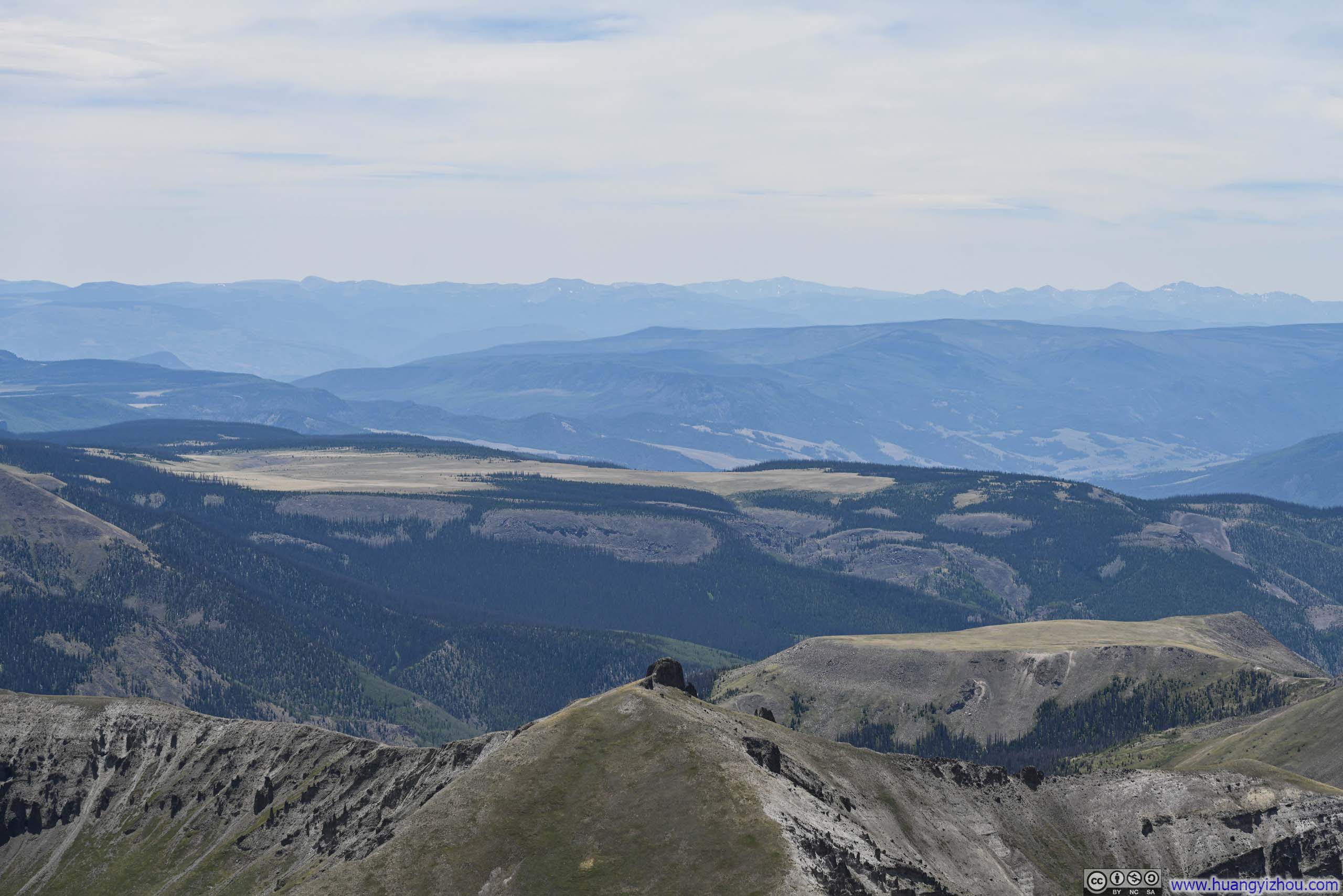
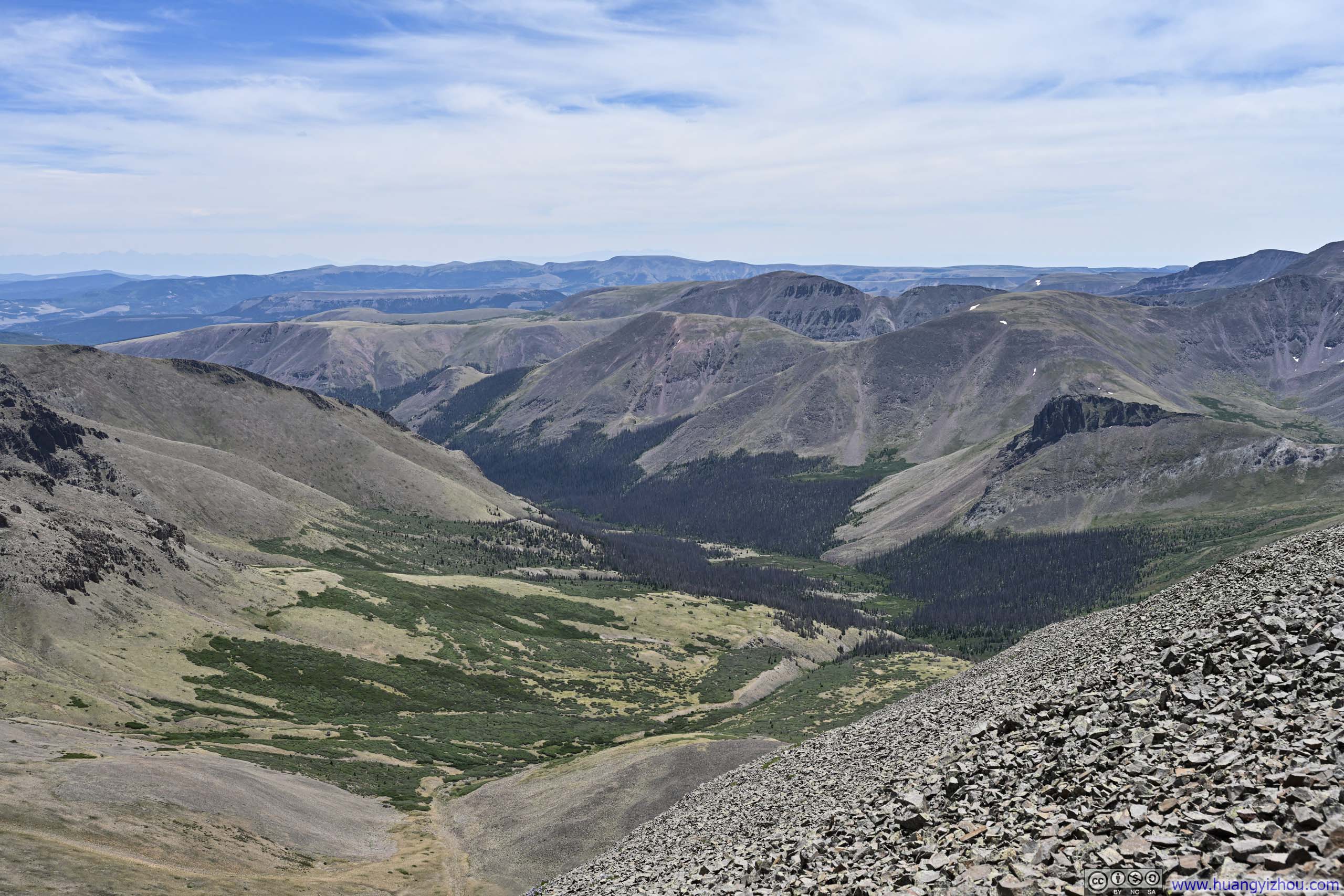
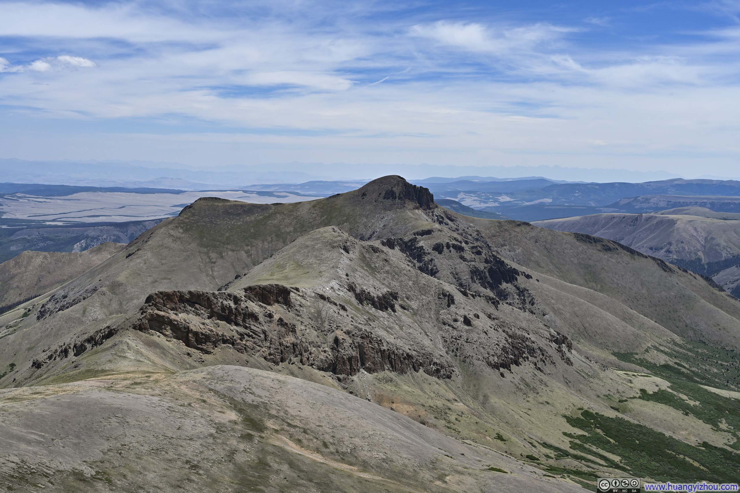
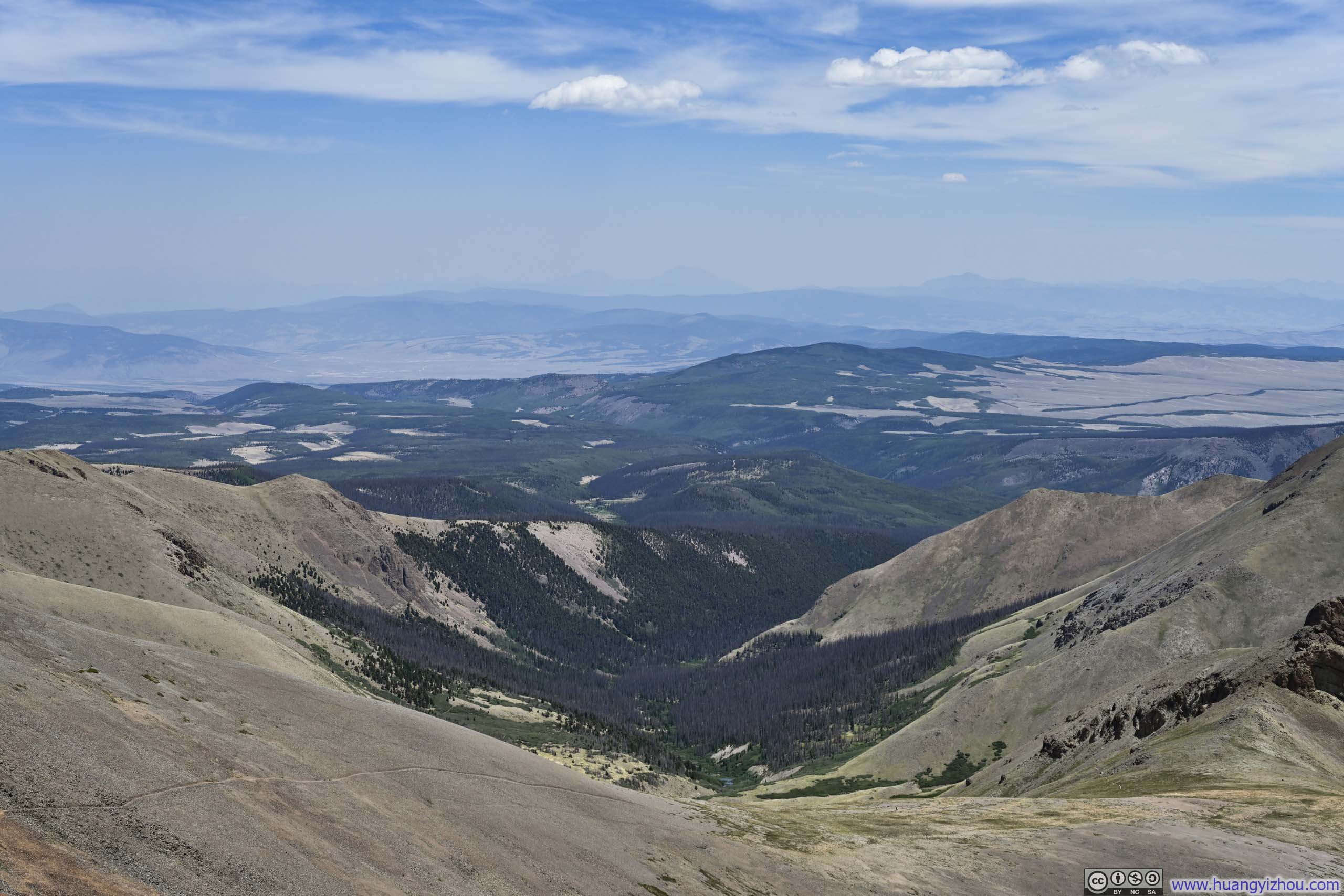
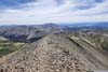
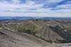
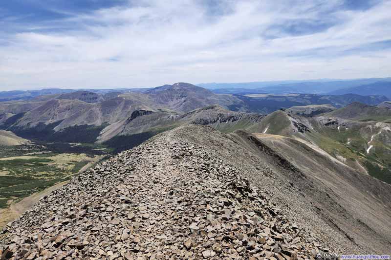
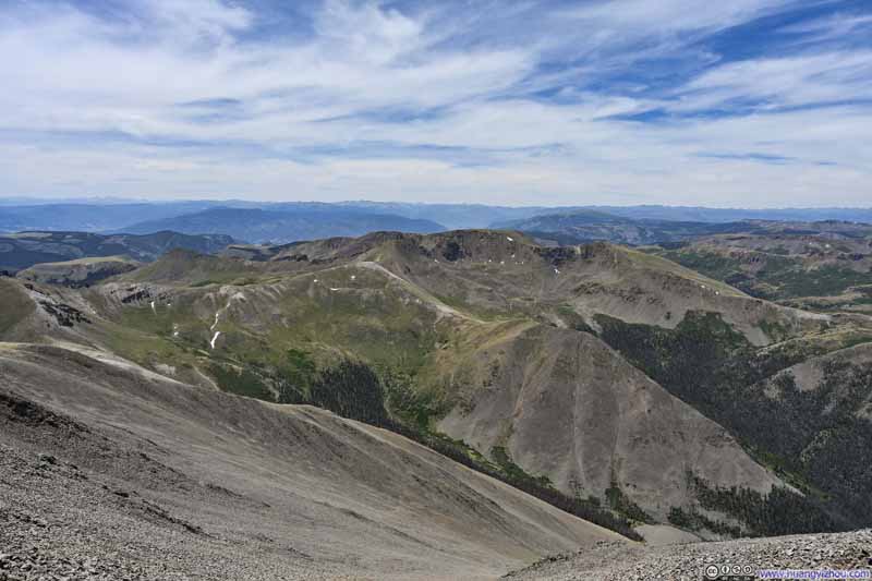
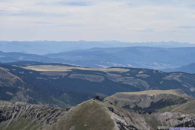
To the west, the unmistakable silhouettes of Uncompahgre, Matterhorn, and Wetterhorn dominated the horizon, a formidable trio that had become familiar companions during my days of hiking from Lake City. (Measuring straight-line distance, San Luis Peak was much closer to Lake City than I thought.) Trailing behind them, the familiar summits of the San Juans stretched southward like in a procession.
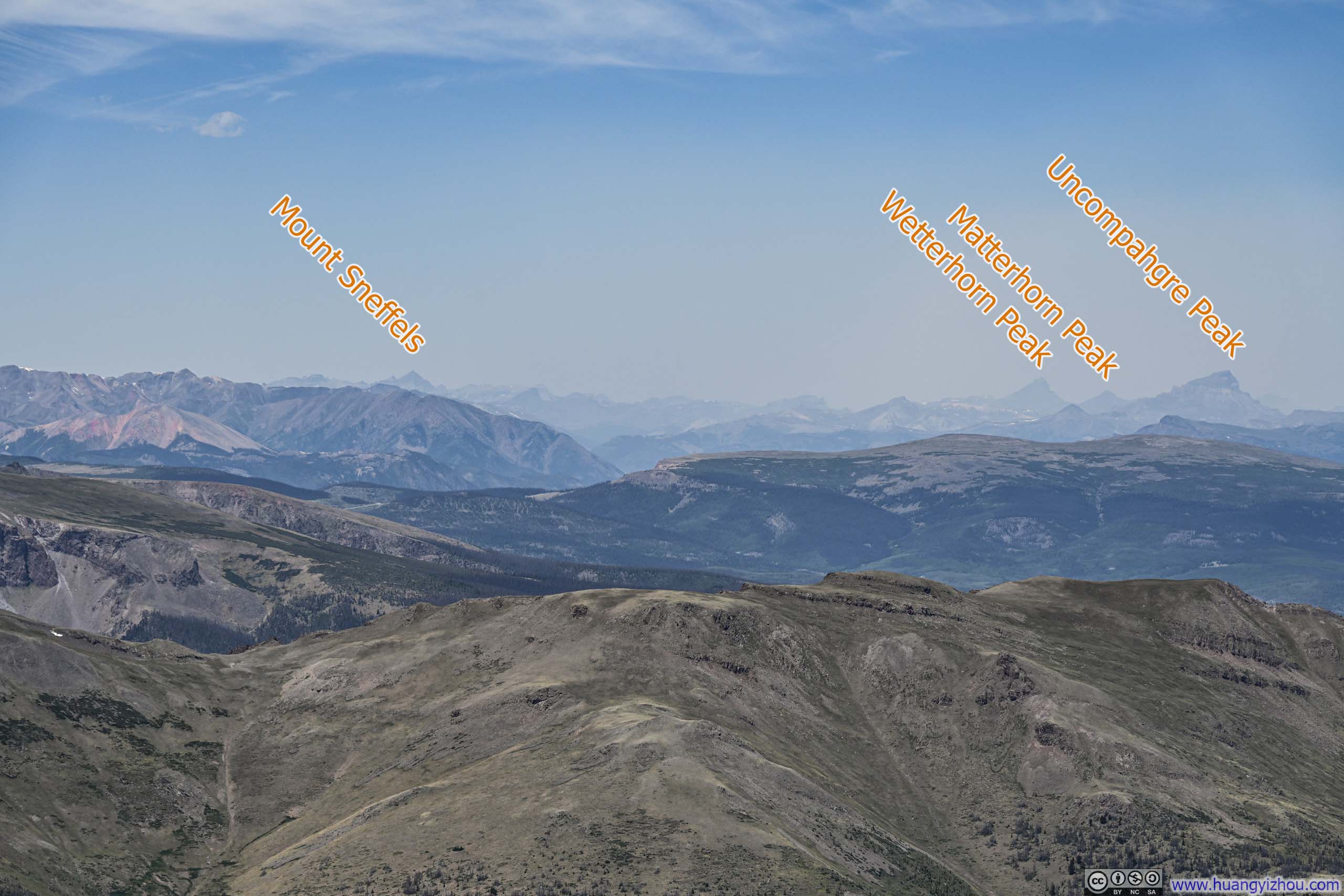
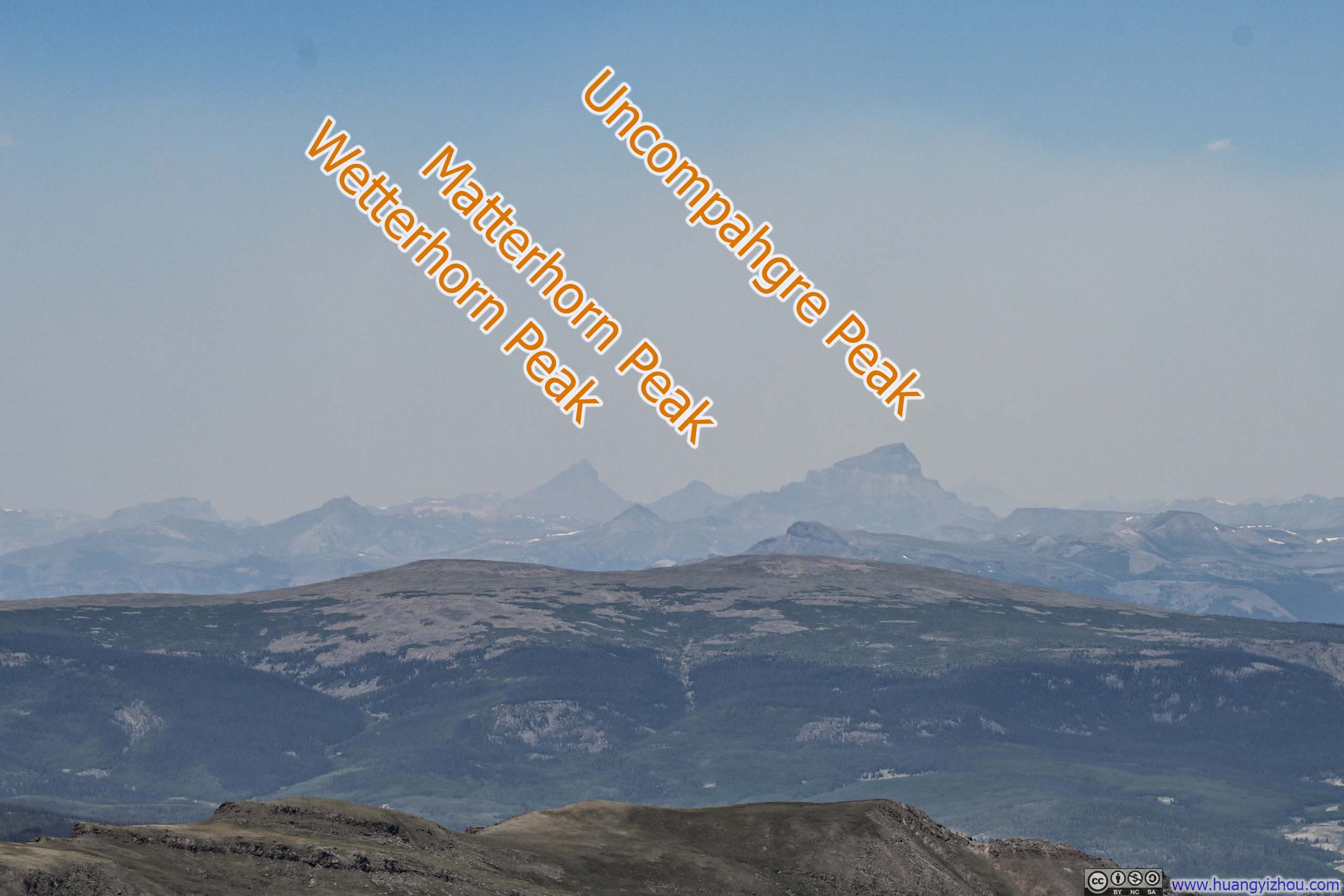
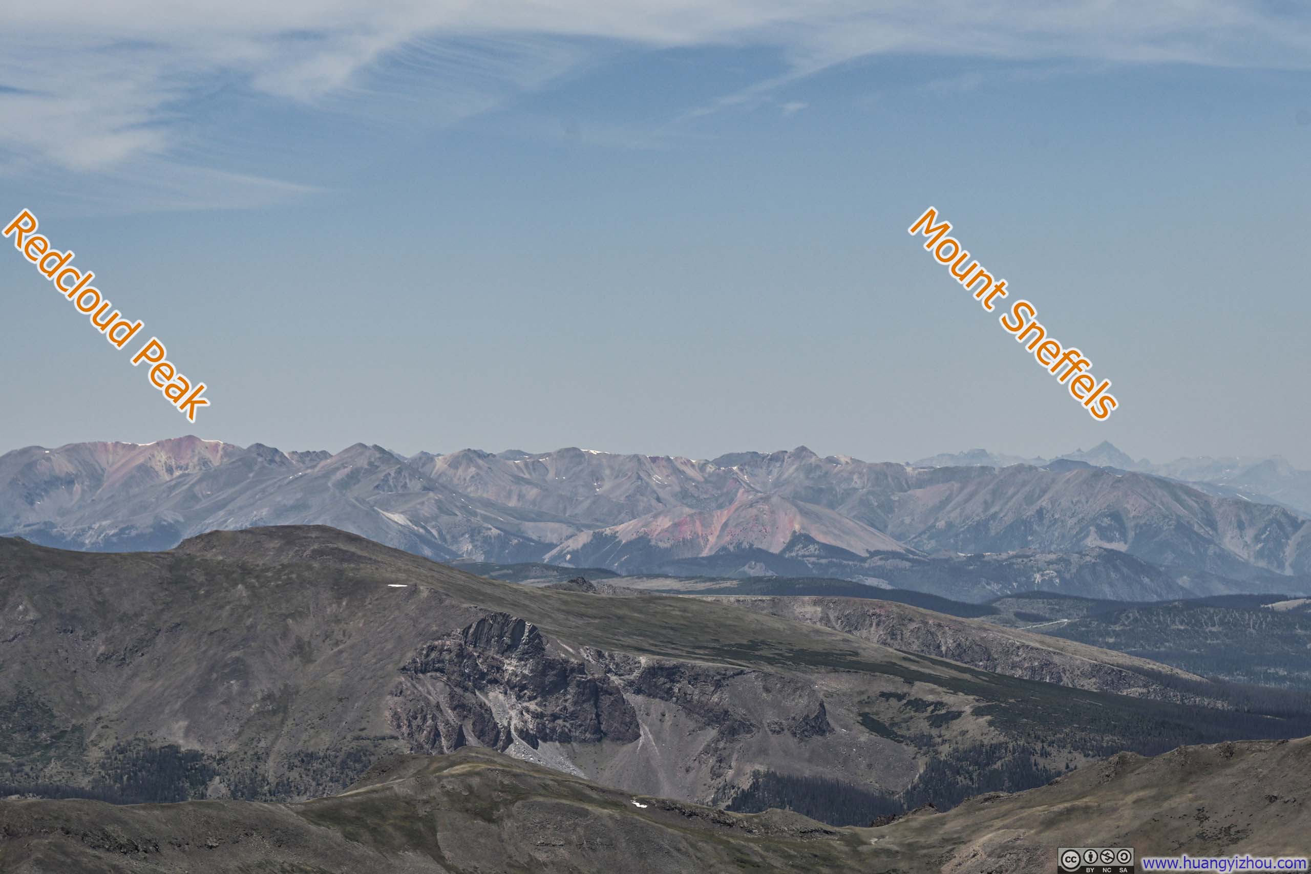
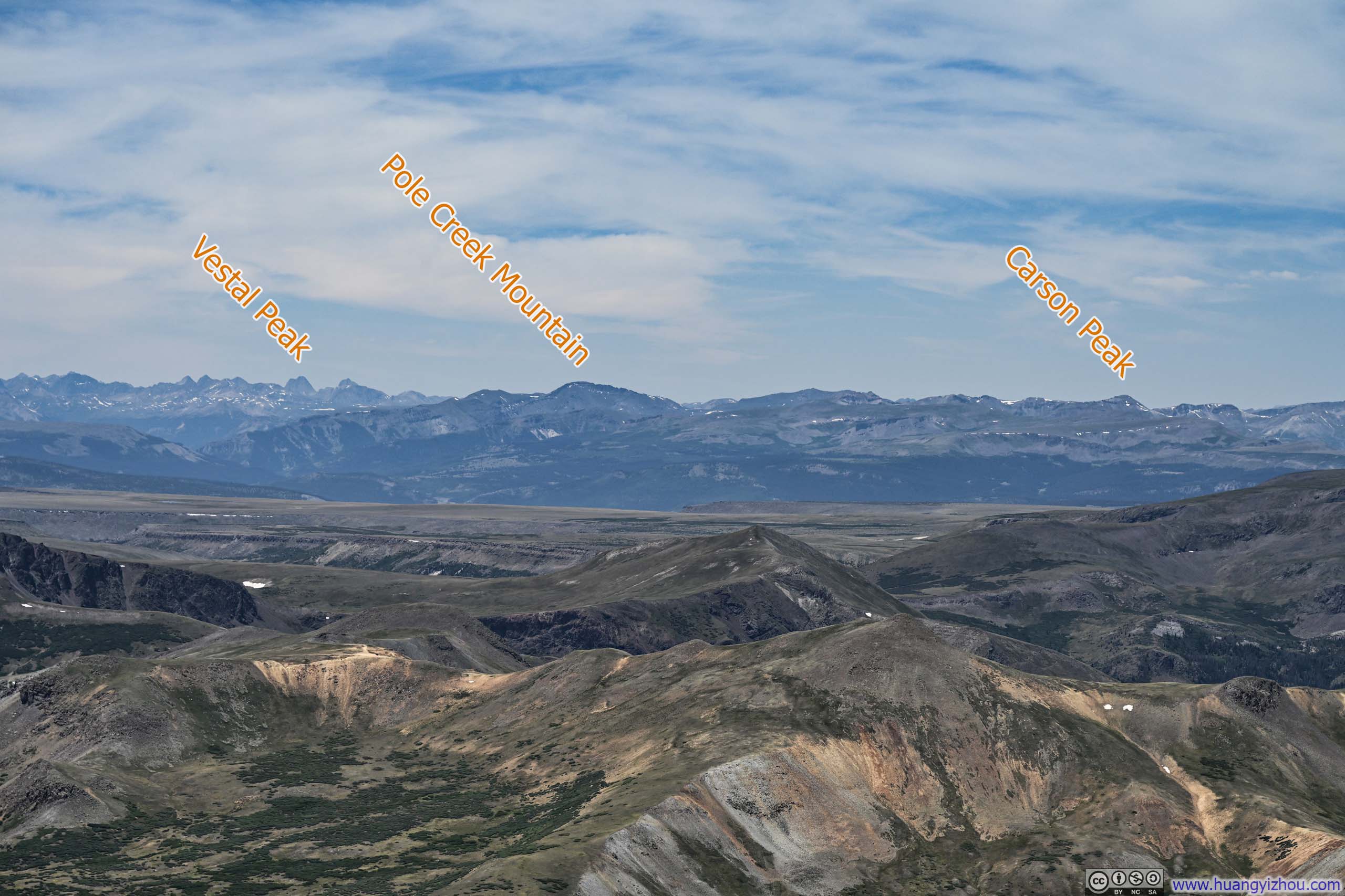
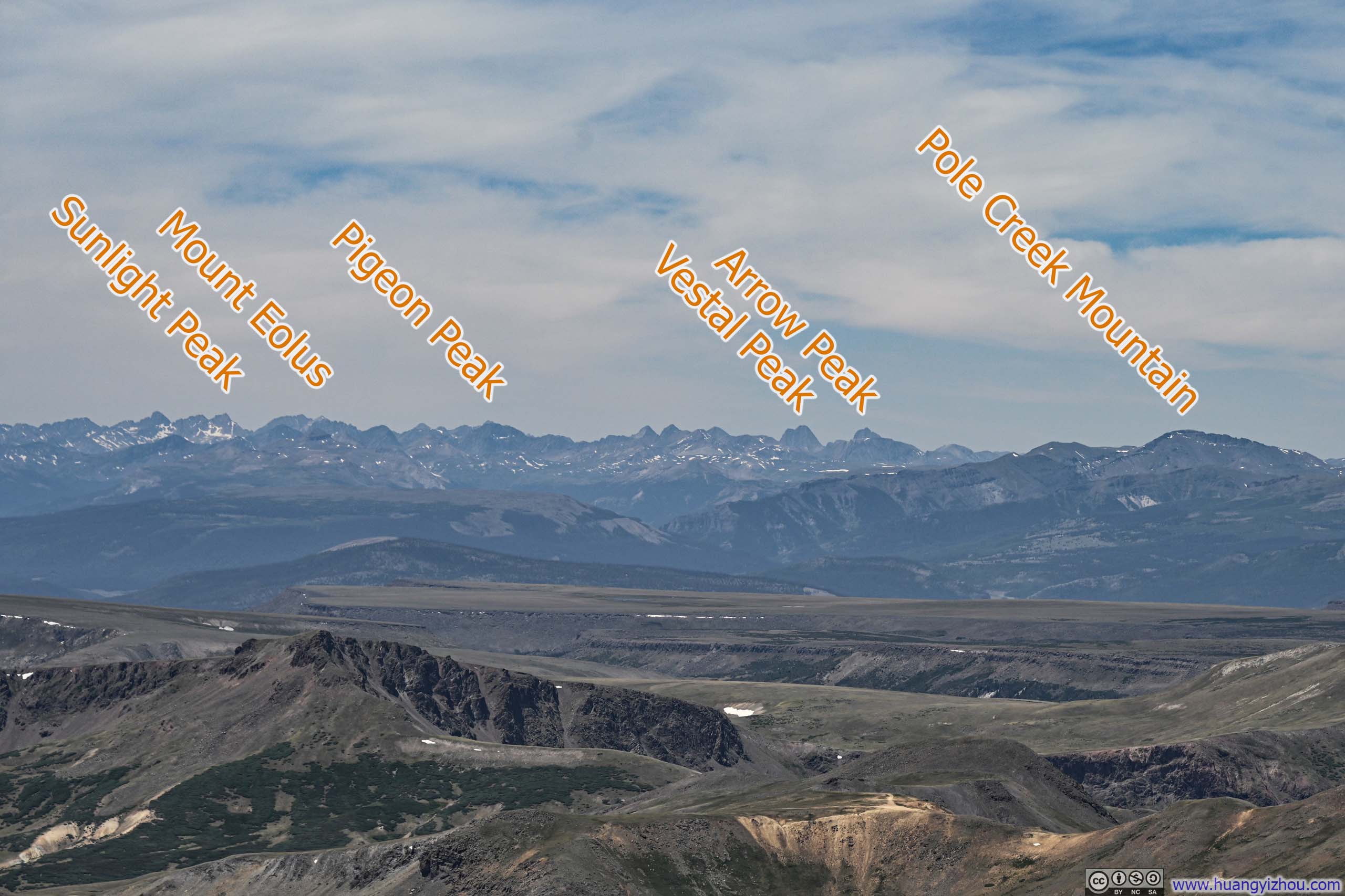
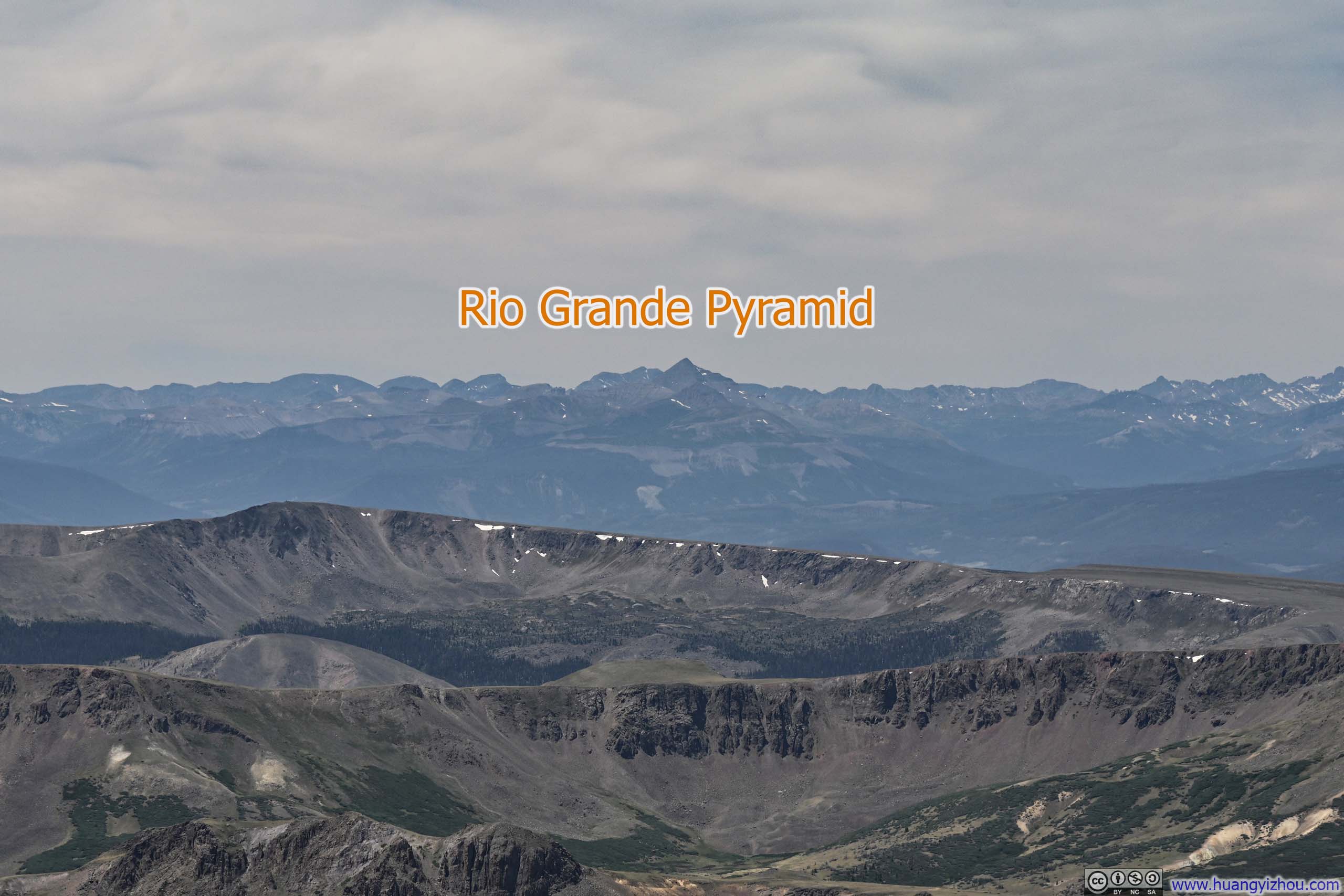
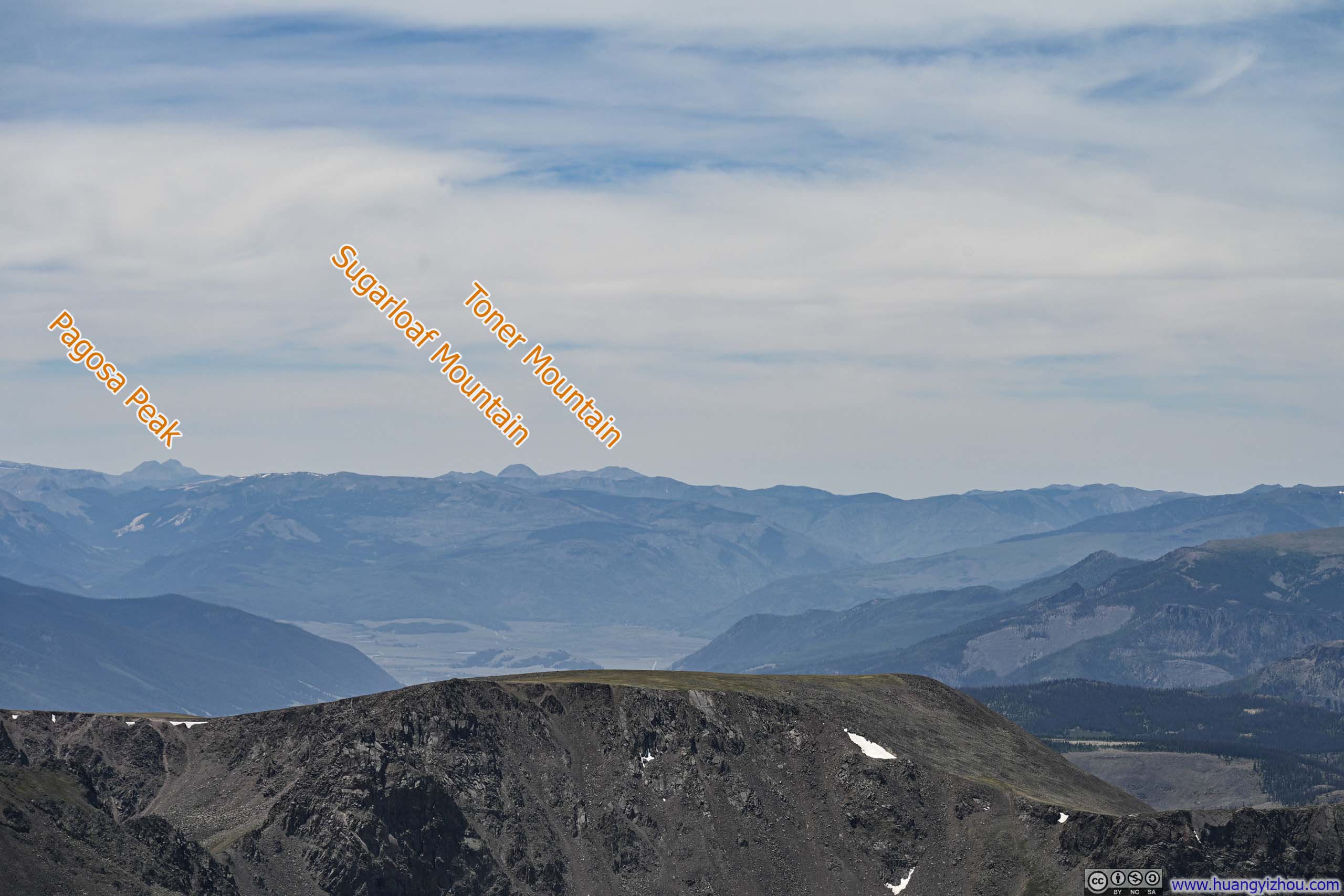
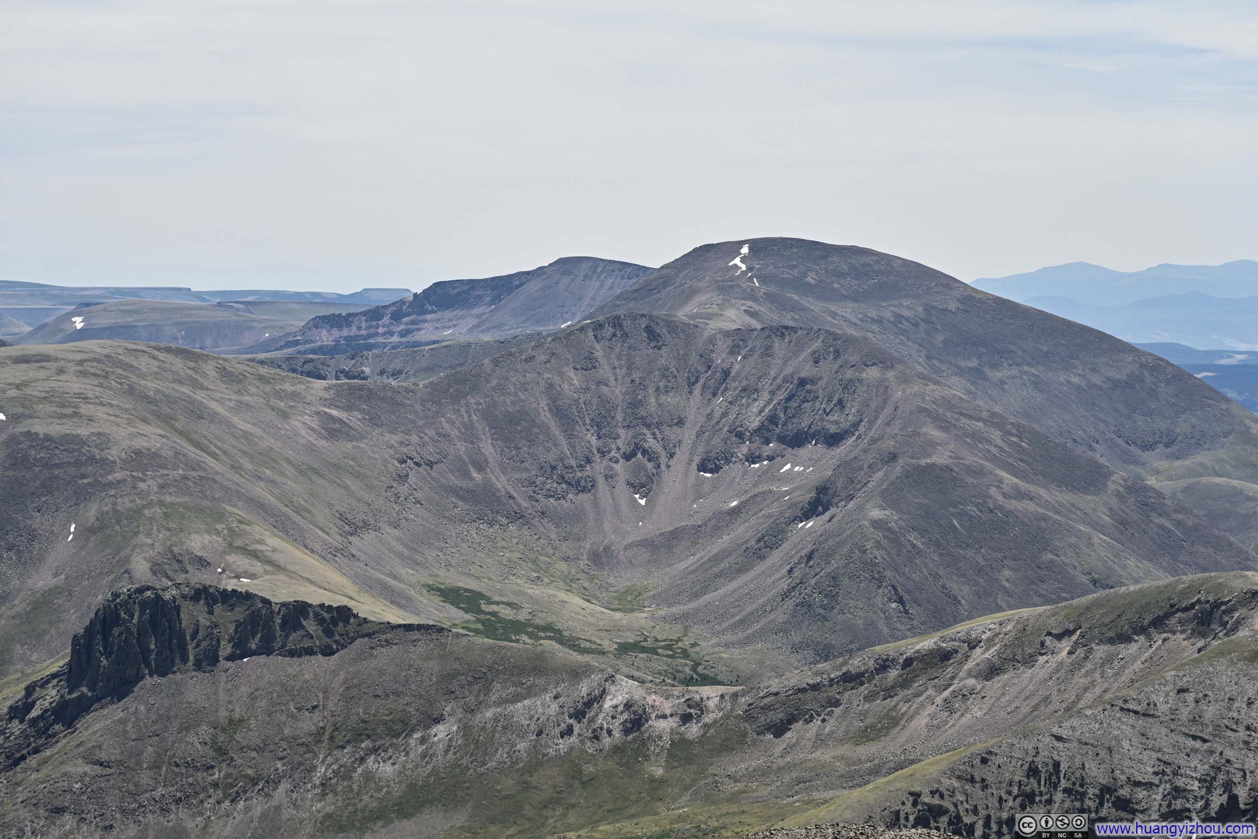
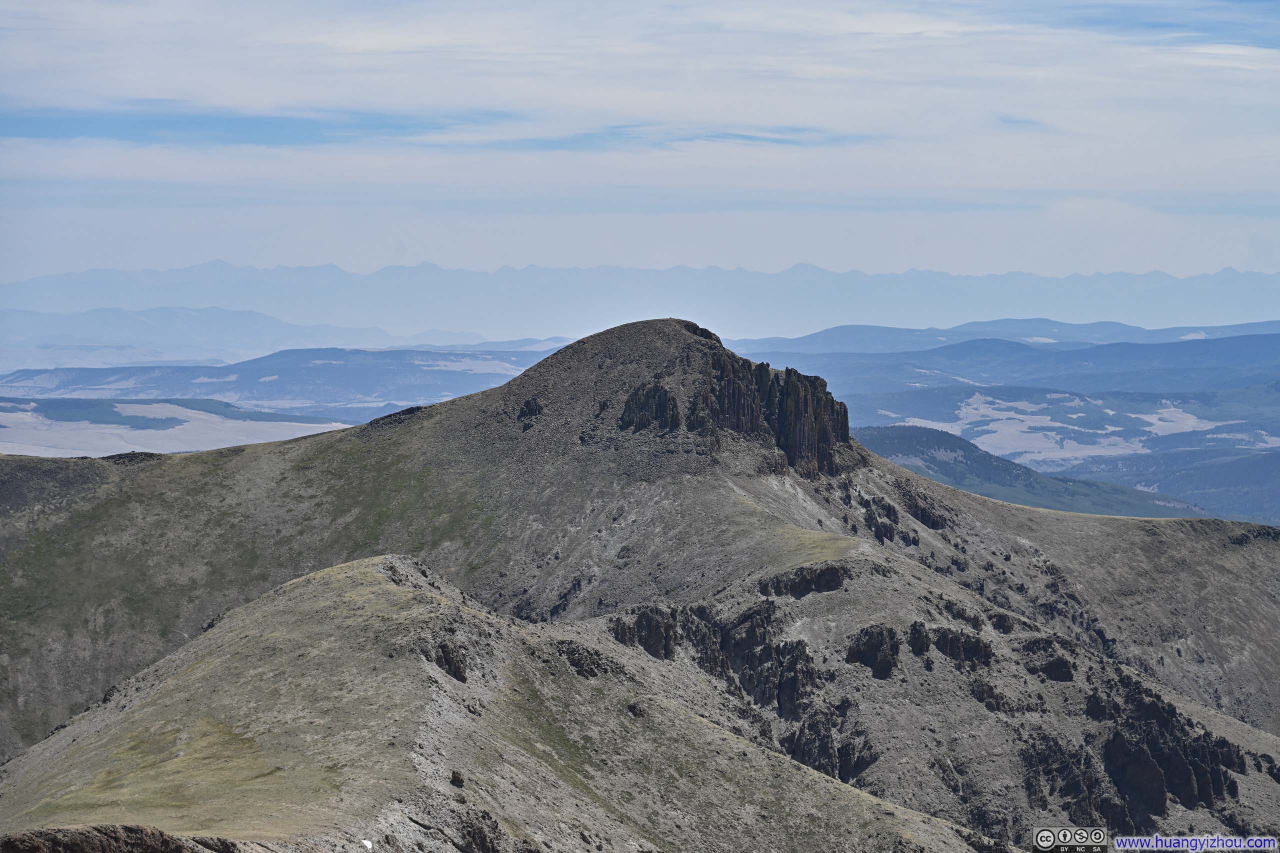
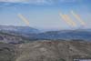
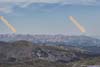
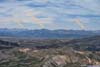
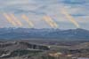
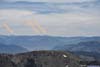
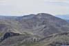
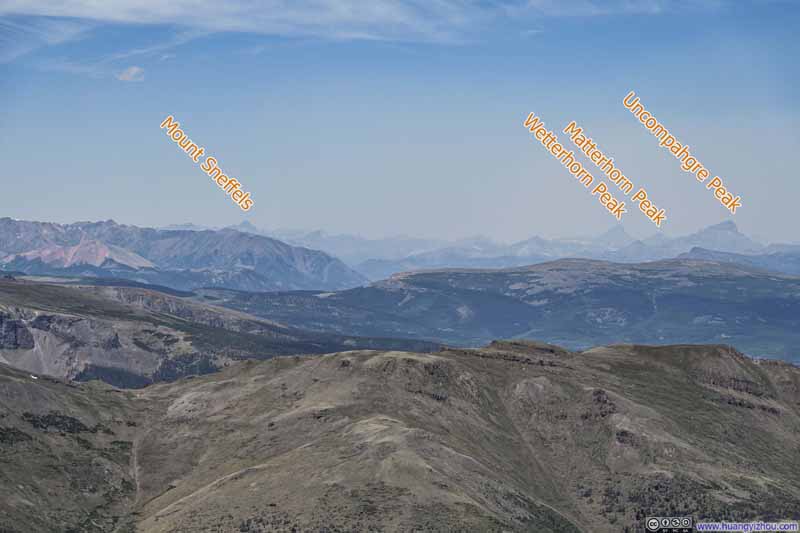

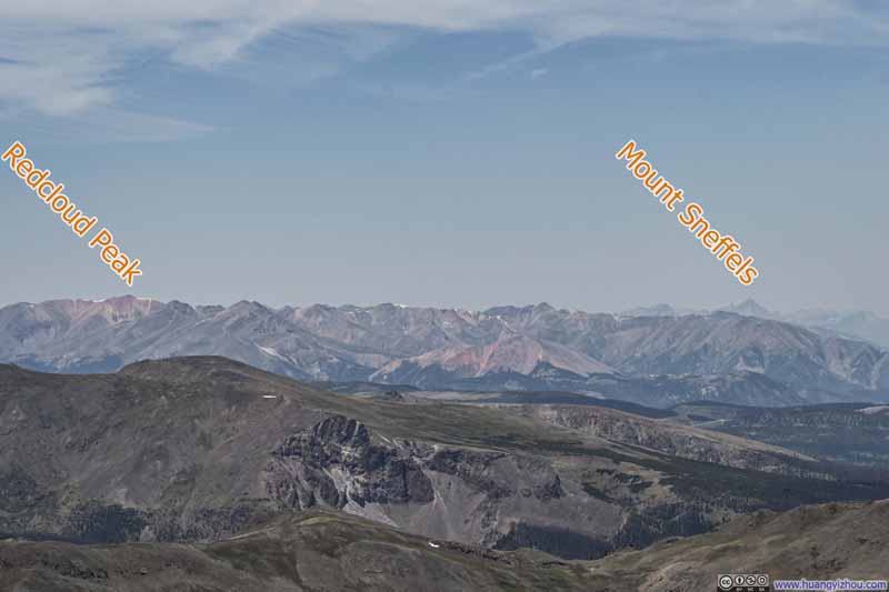
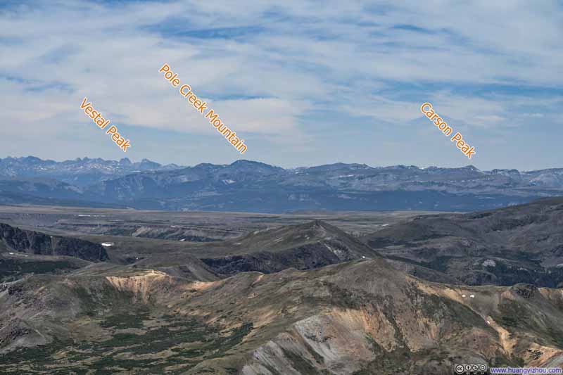
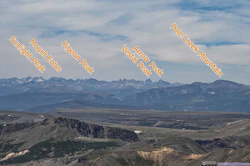
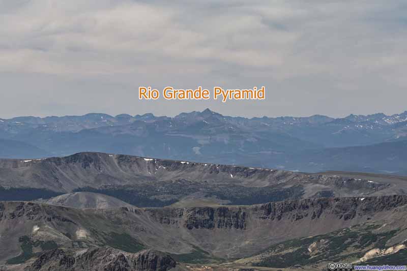
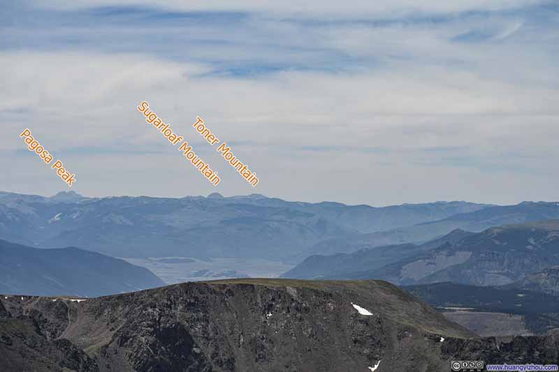
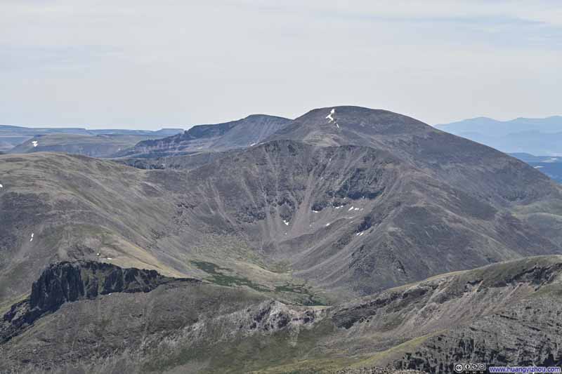
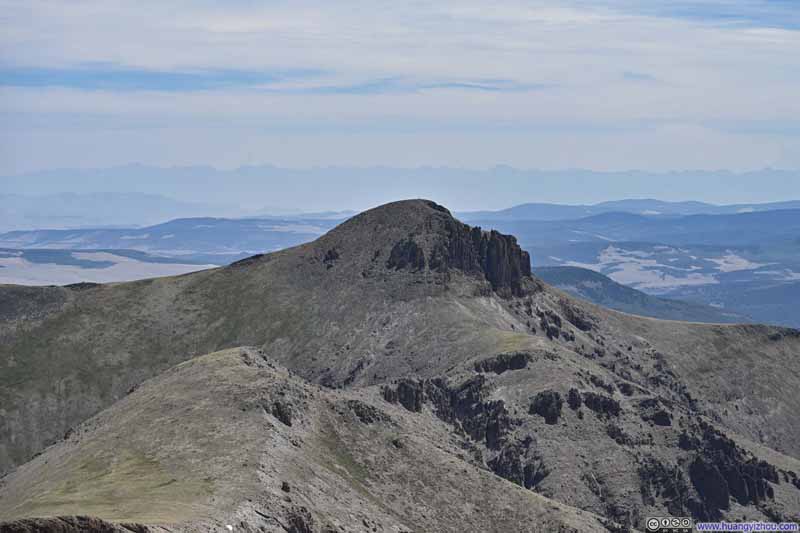
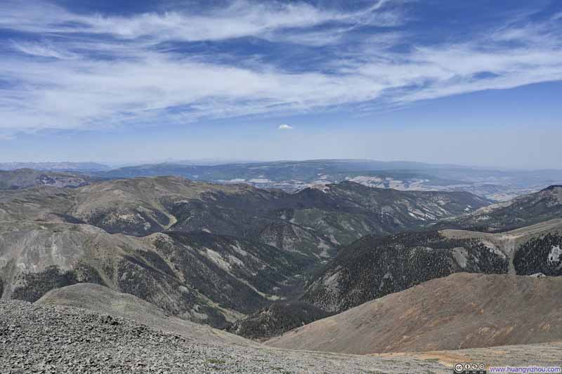
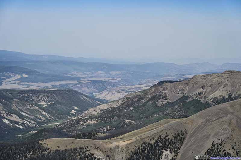
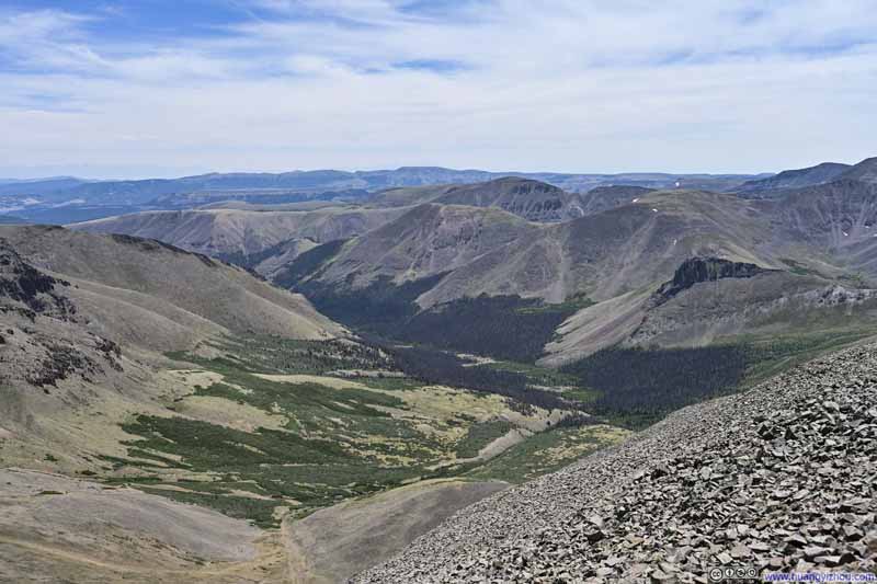
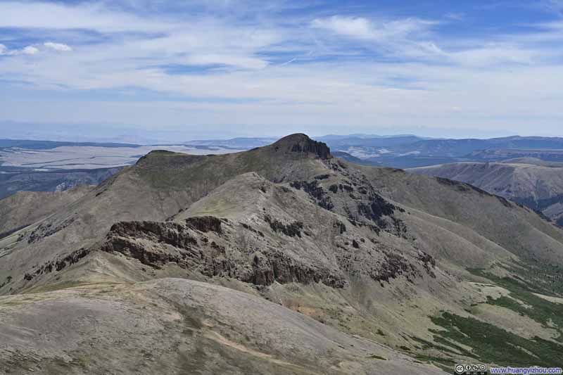
Yet it was then that a curious realization took hold: the most impressive and ostentatious scenery of the San Juans was centered around areas like Silverton, Ophir, and Telluride. In that context, San Luis Peak was decidedly an outlier. It lacked the striking bands of snow and the dazzling interplay of mineral colors that made the central San Juans stand out in this season. Instead of soaring peaks and plunging valleys like those I had witnessed from Lake City, it was surrounded by what I would largely describe as "gentle rolling hills", especially to the north and east. Ironically, the peak took its name from the San Luis Valley that was further from it than the rugged heart of the San Juan range itself.
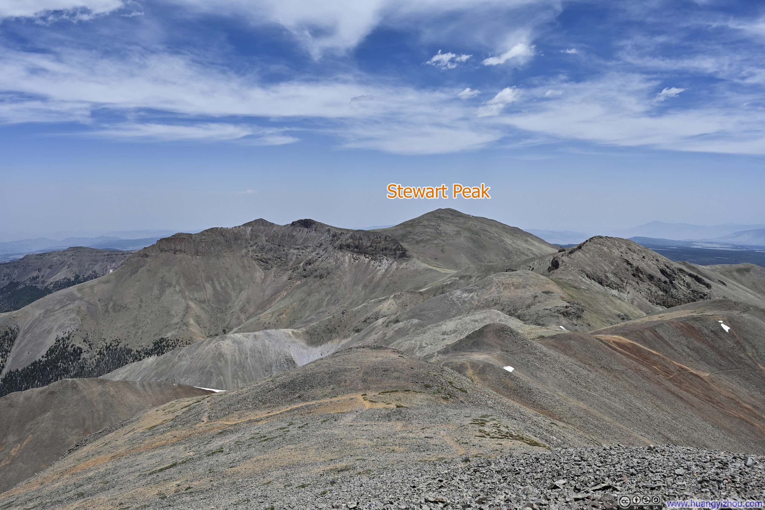
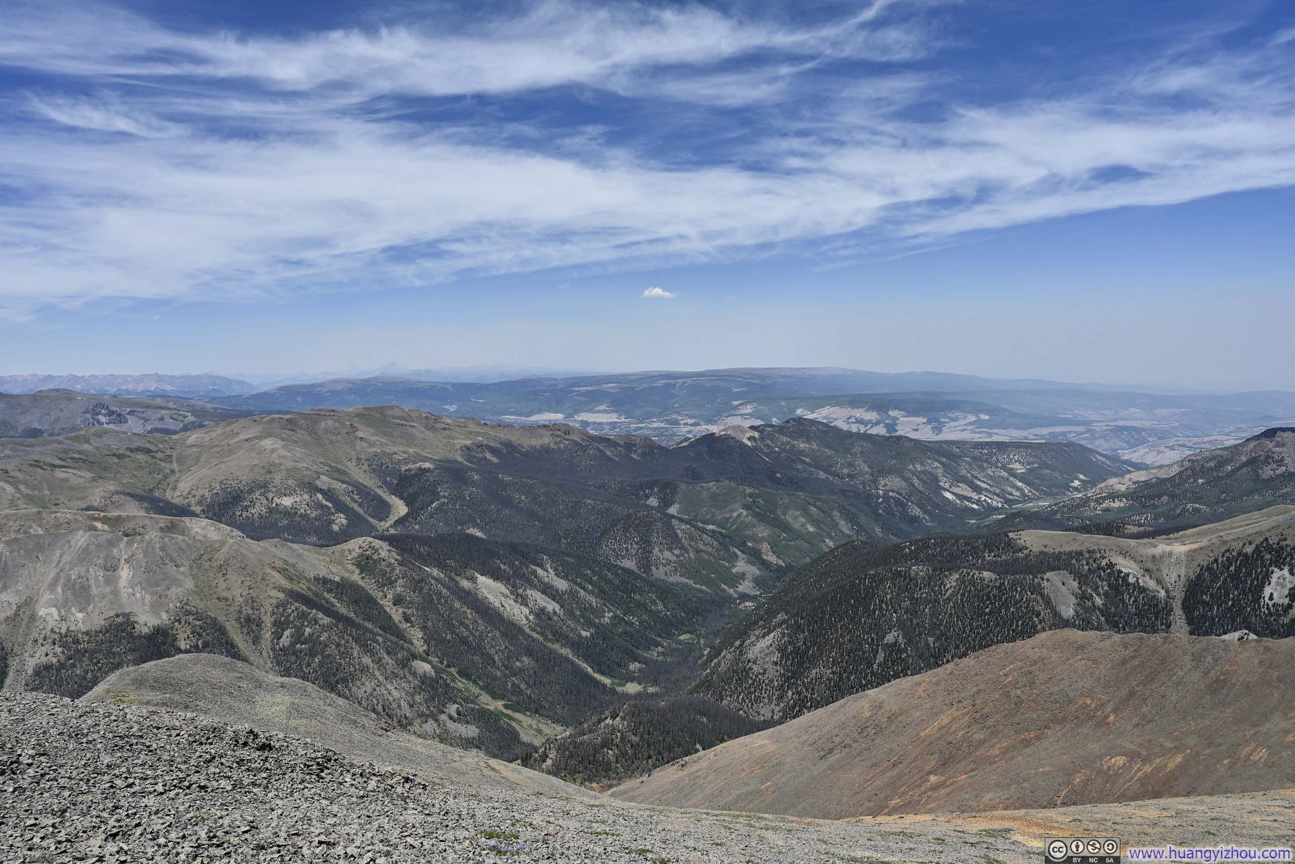
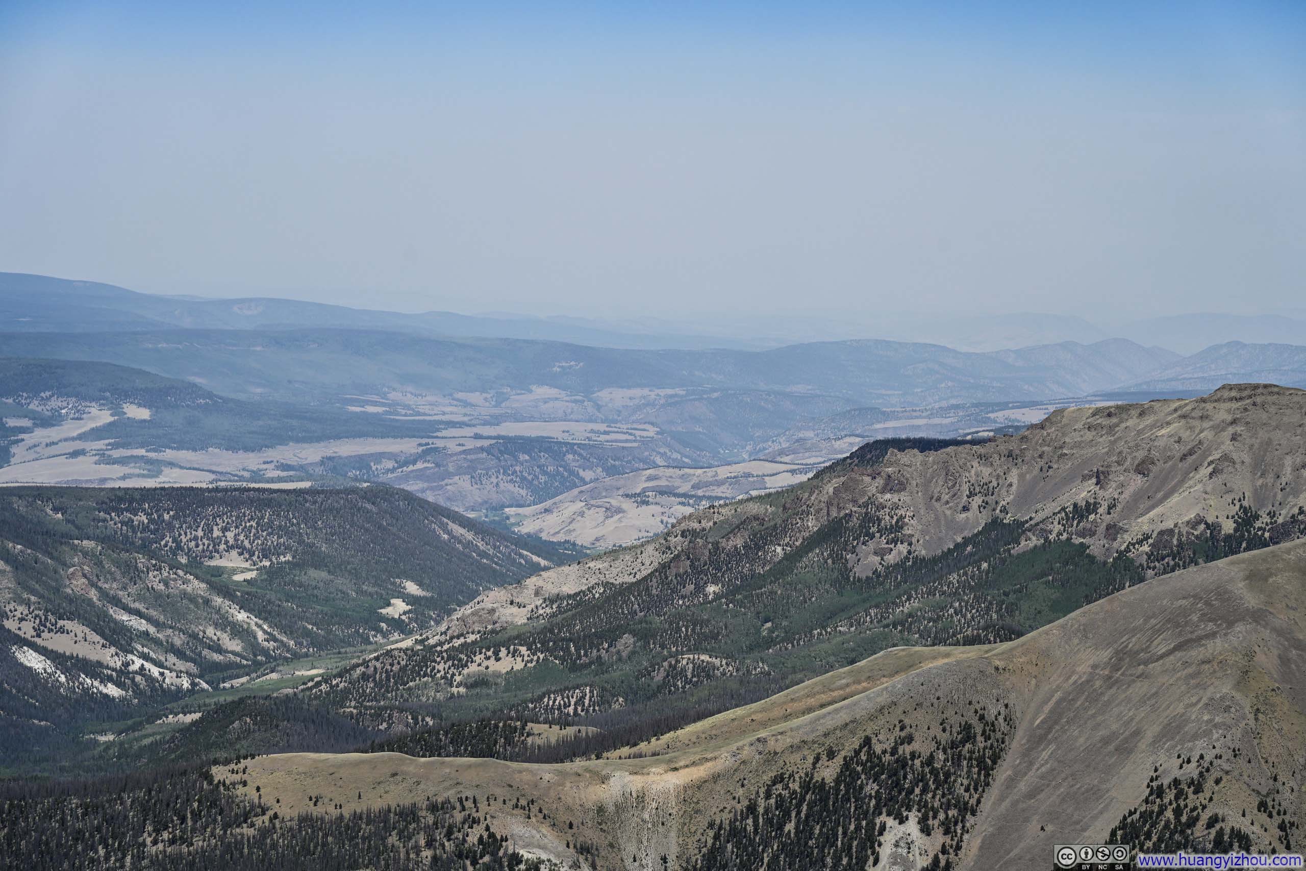
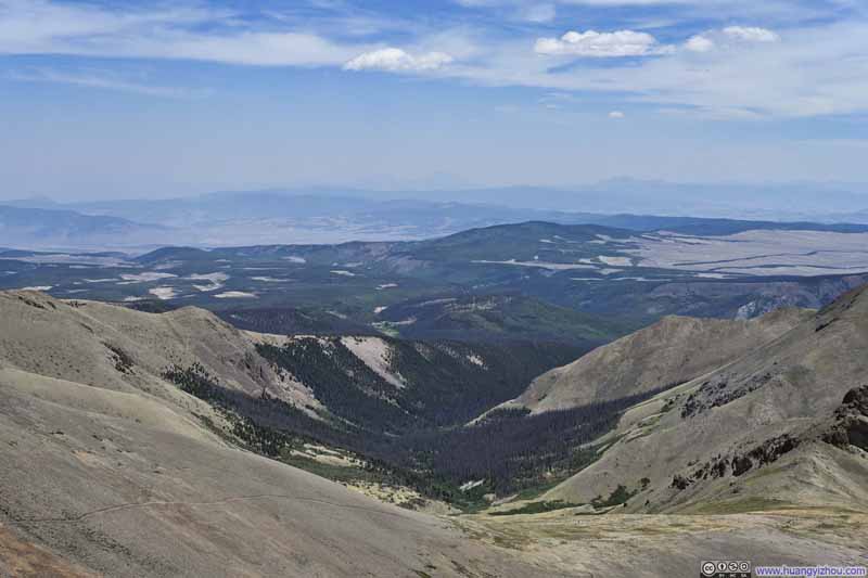
Here's a video I captured from the summit of San Luis Peak:
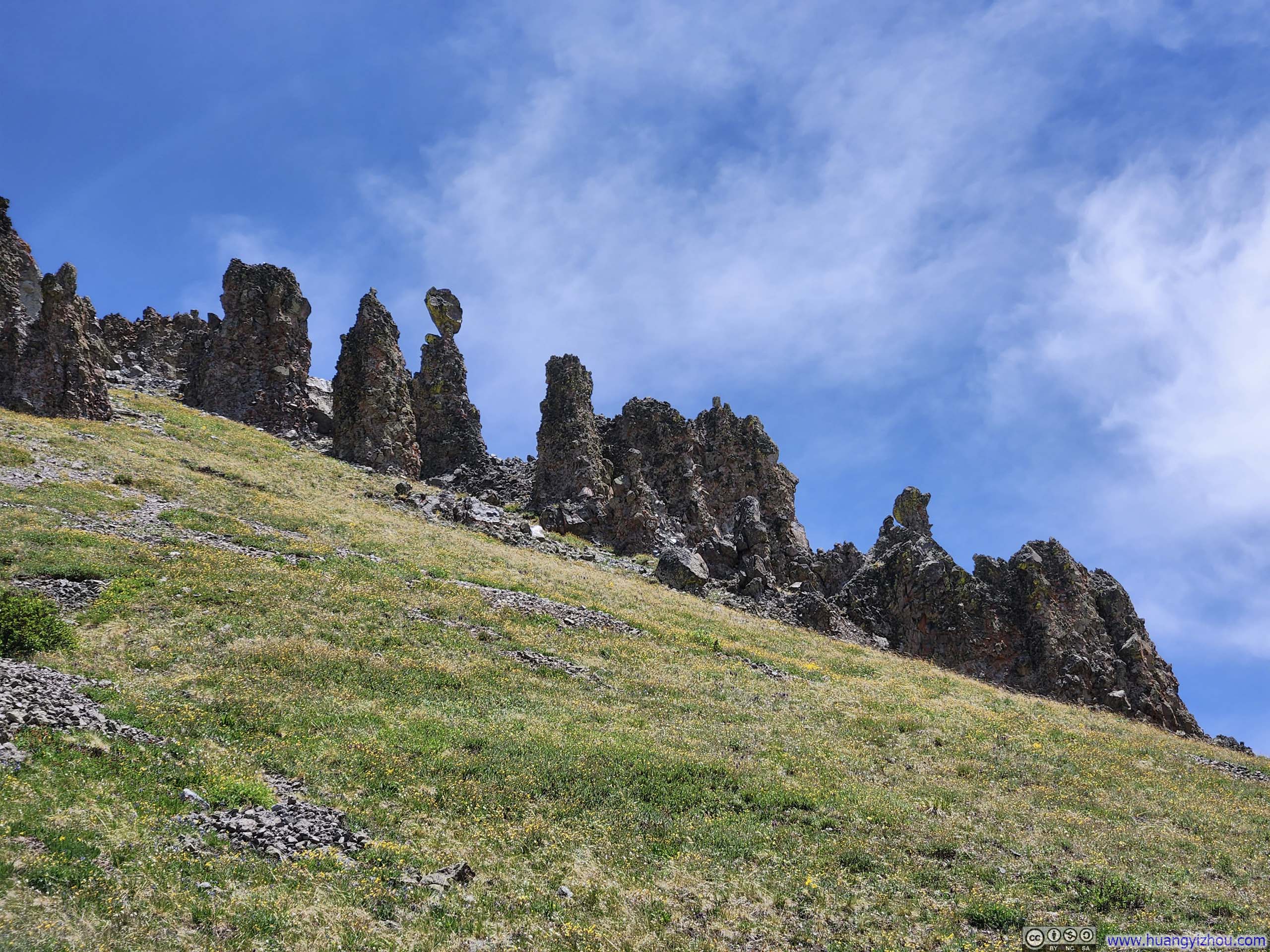
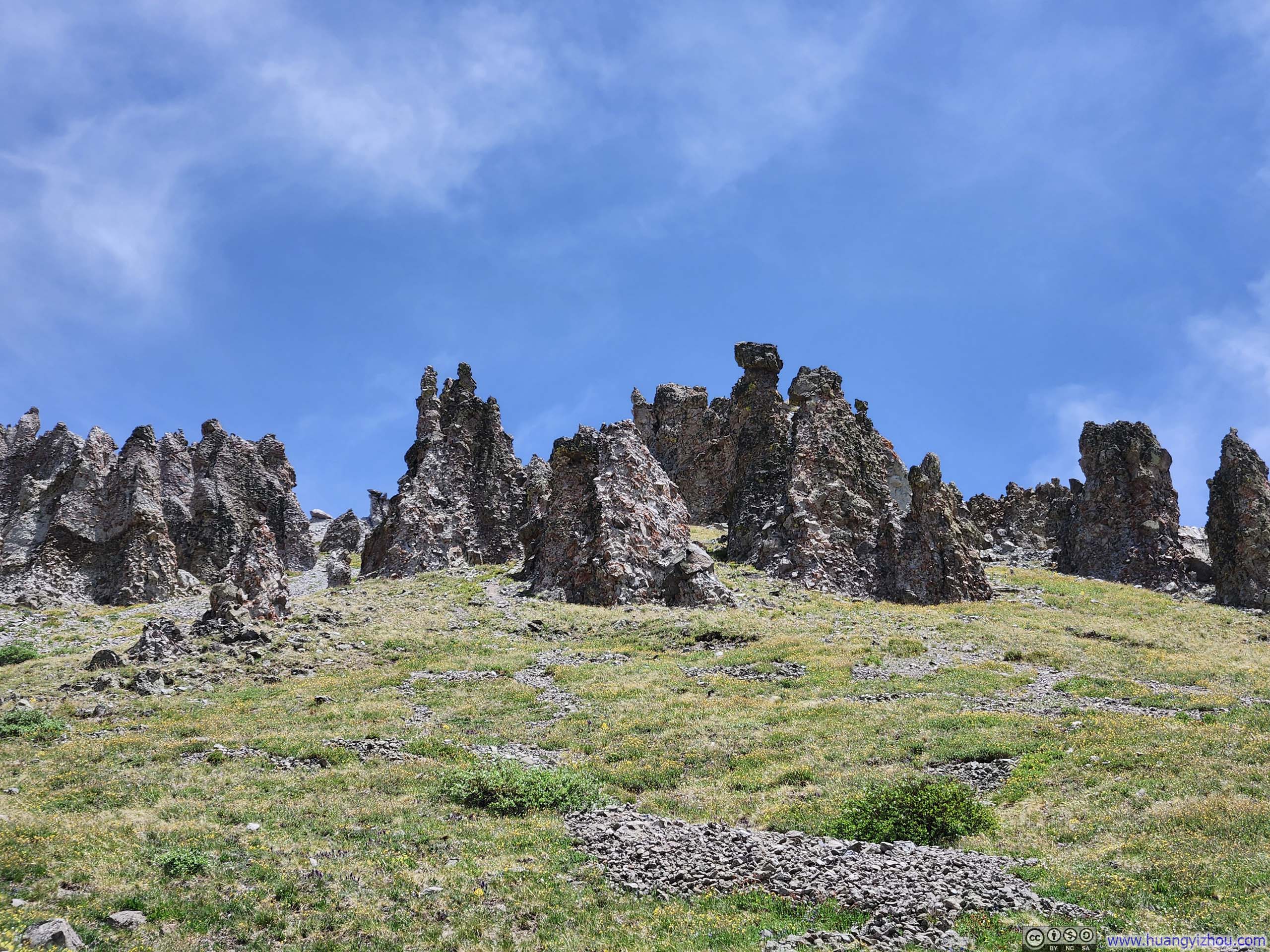
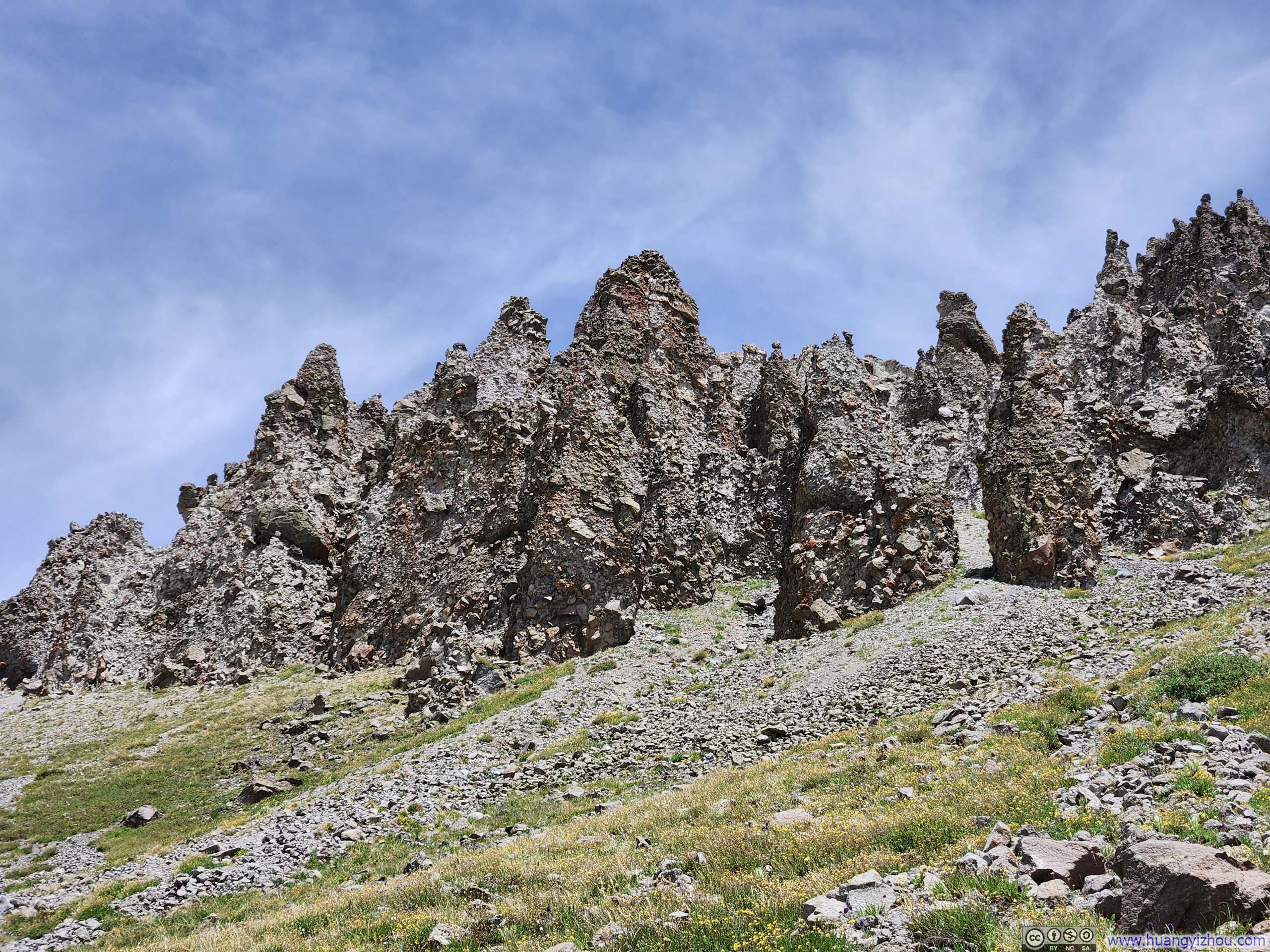
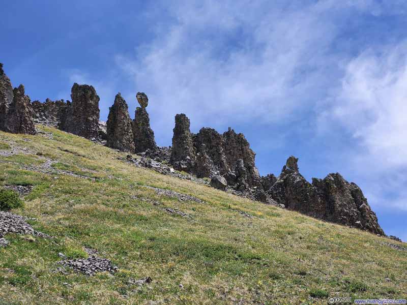
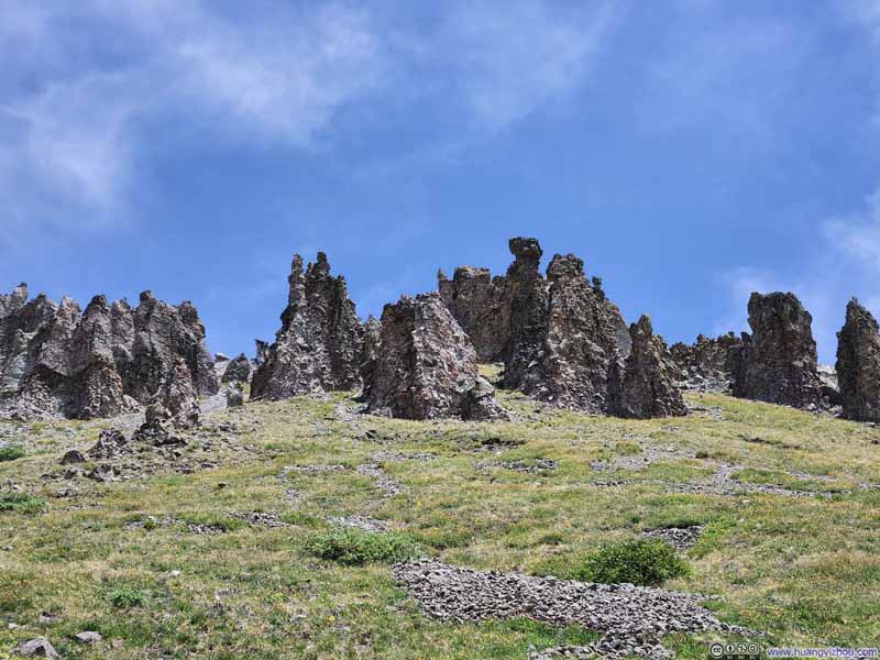
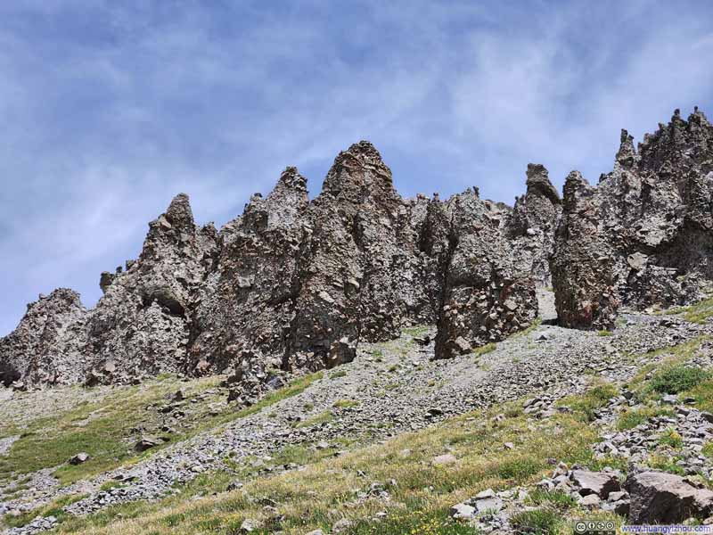
16 seconds, 2160p60, H265 only, 20Mbps/43MB file size.I spent about 30 minutes on San Luis Peak before starting my descent at 12:47pm. Along the way, I noticed a hillside above the trail lined with various hoodoos, some interestingly shaped.
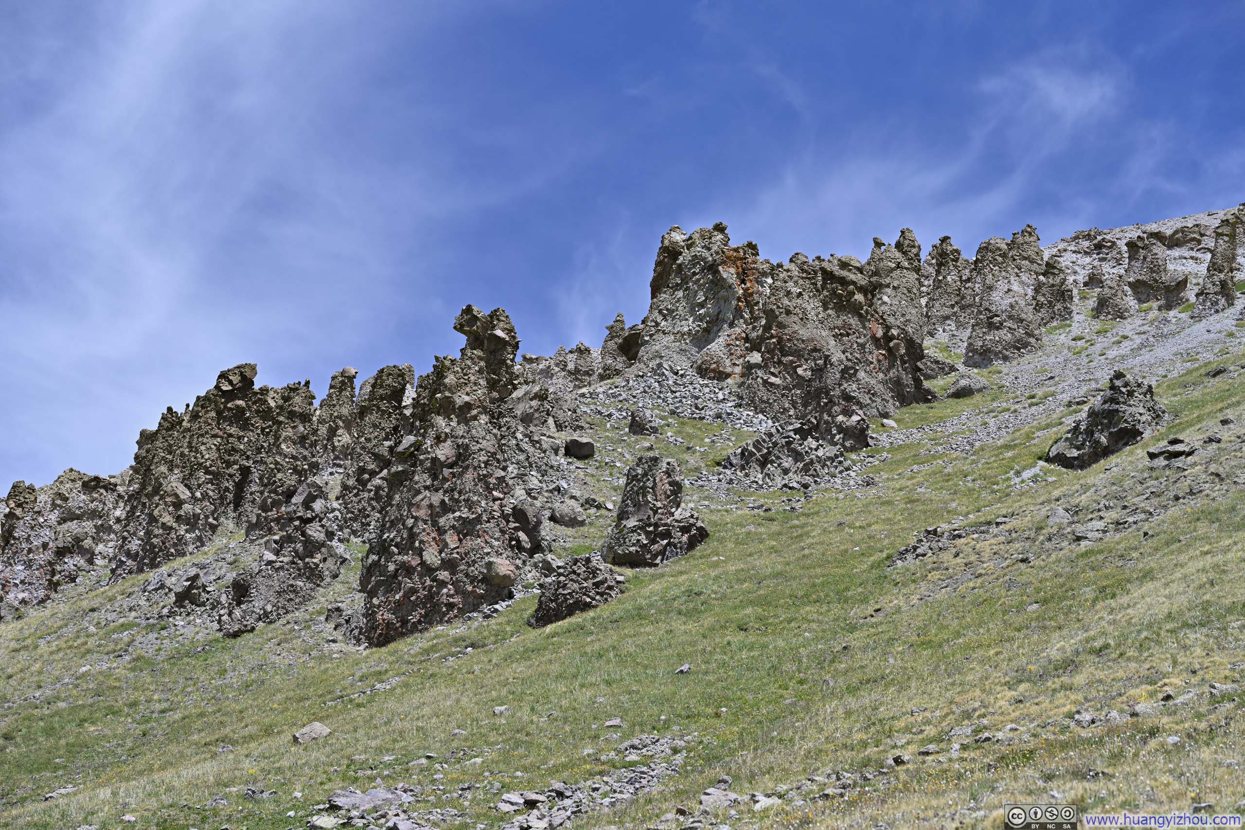
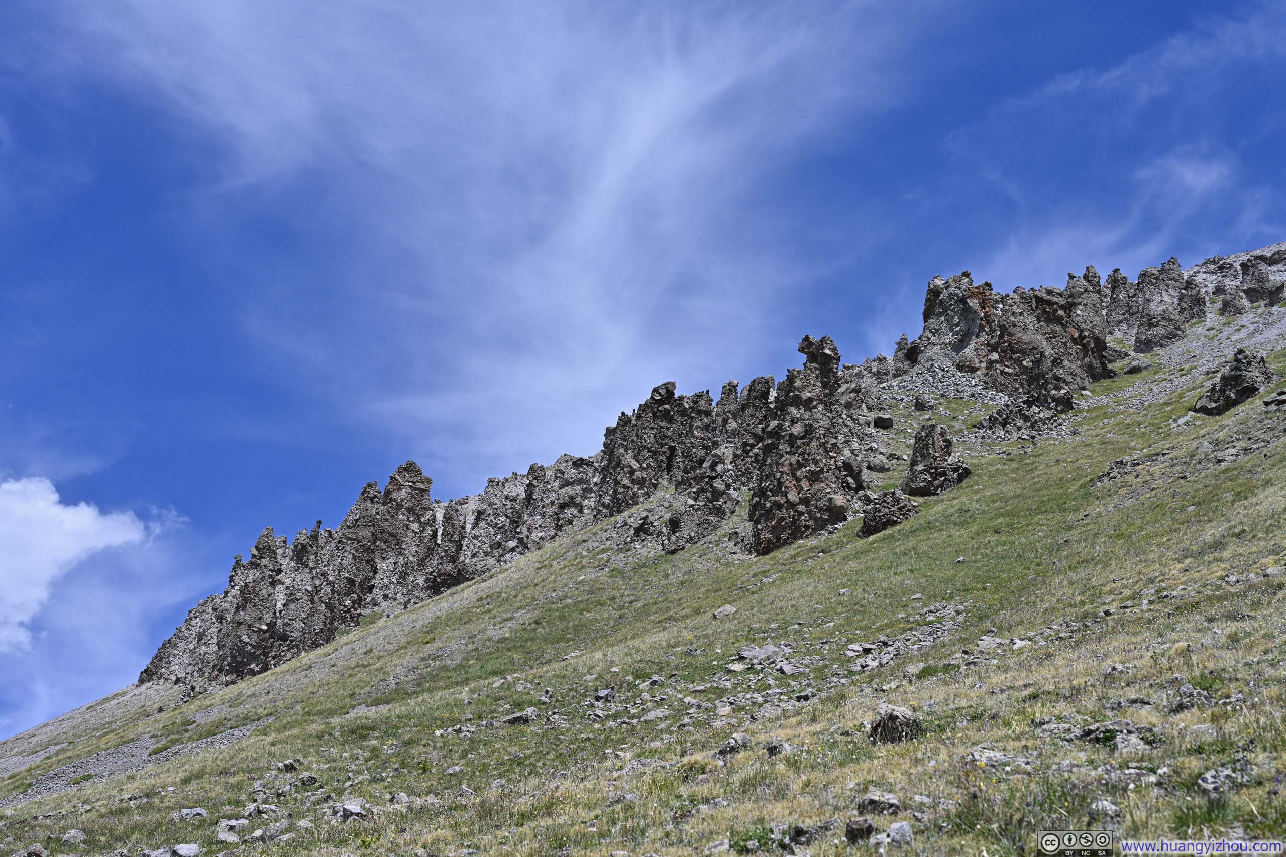
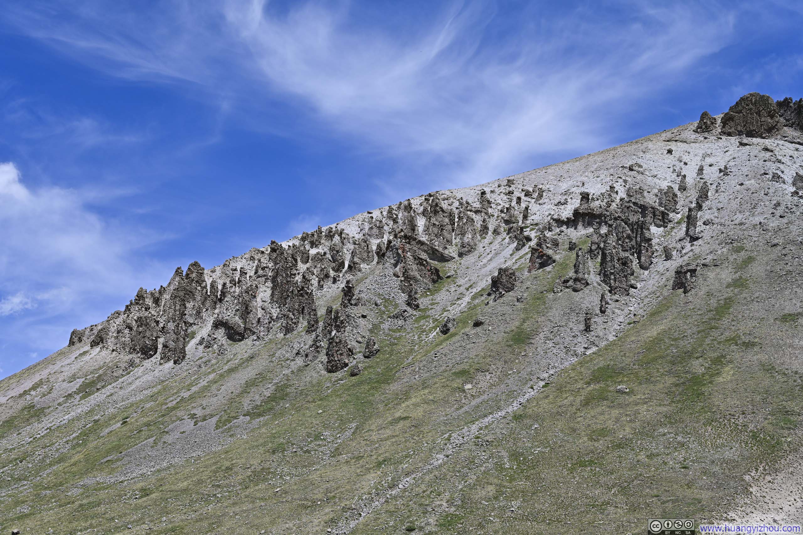
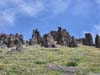
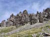
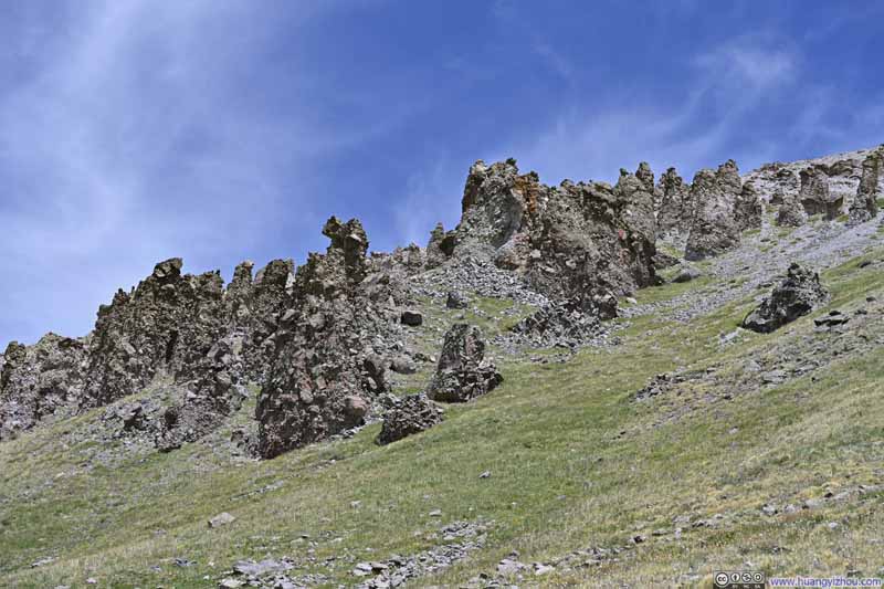
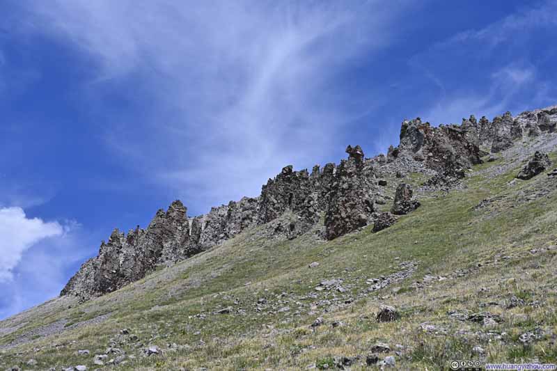
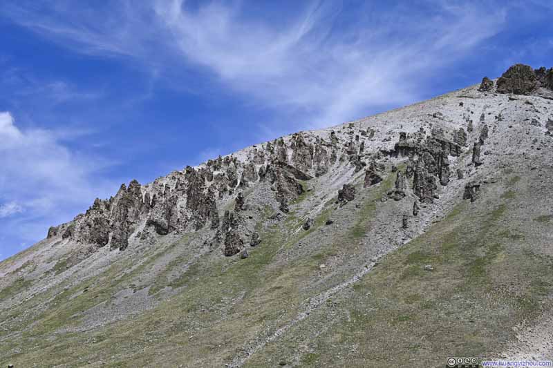
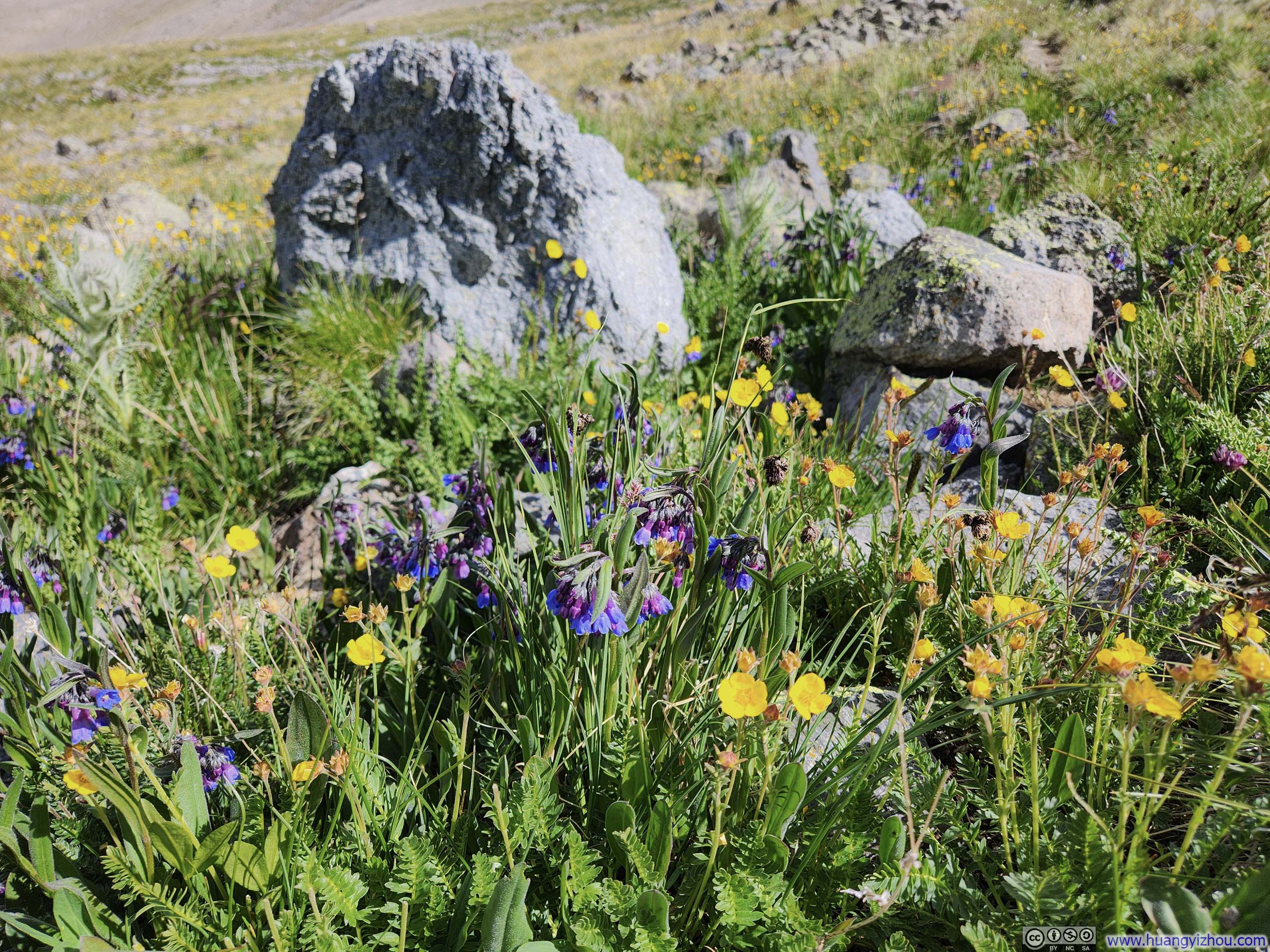
And finally, I will conclude the hiking part of this post with some wildflowers I captured along the way.
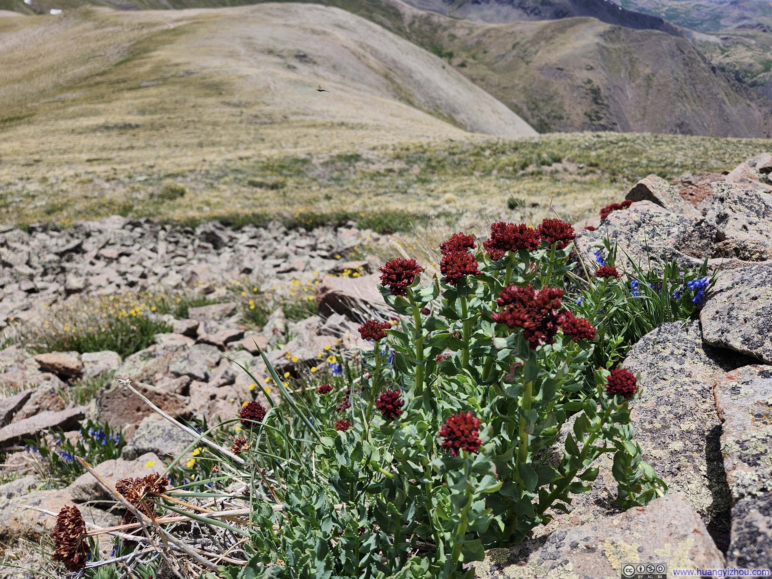
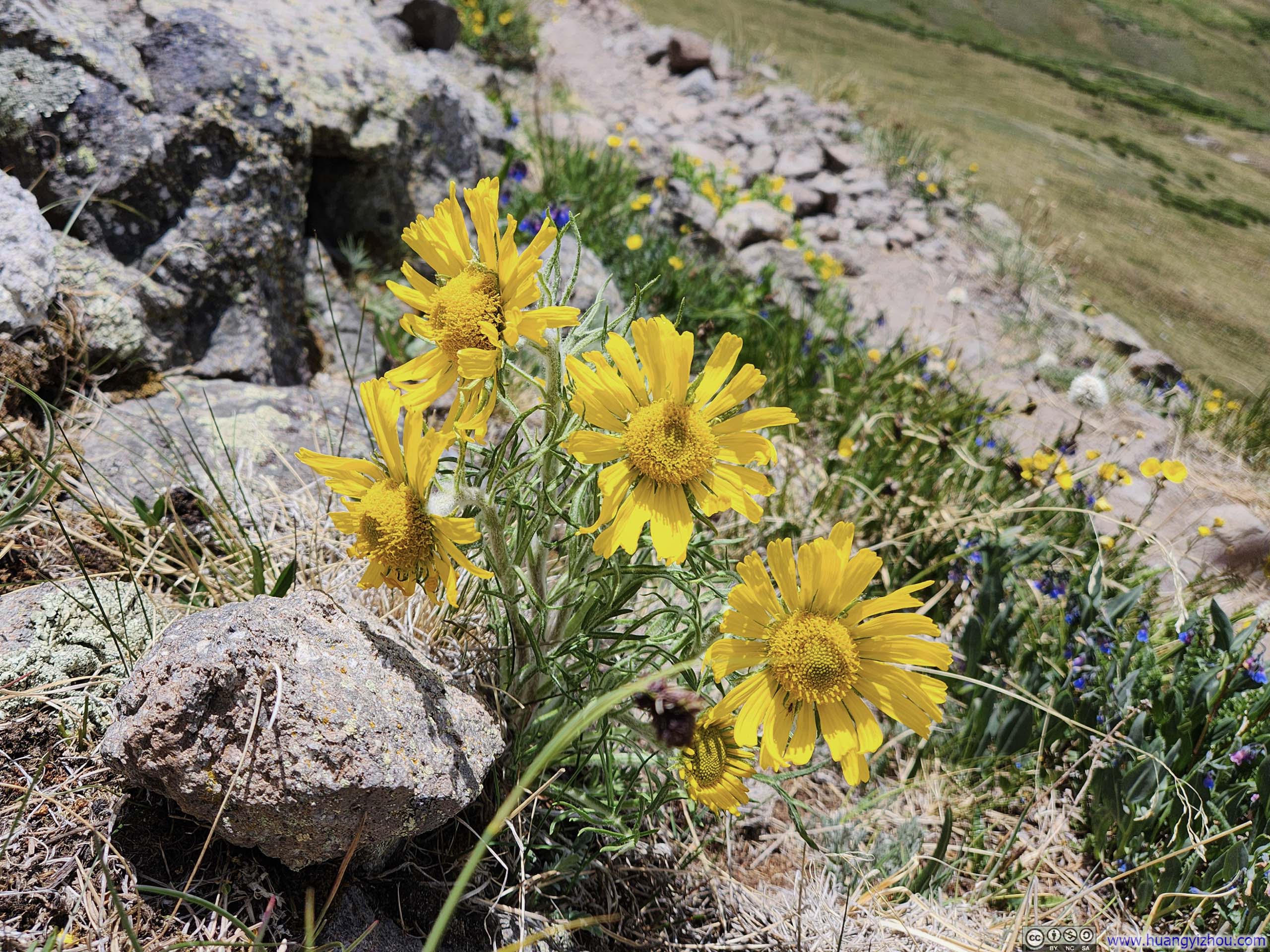
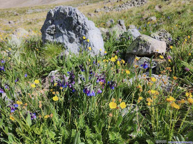
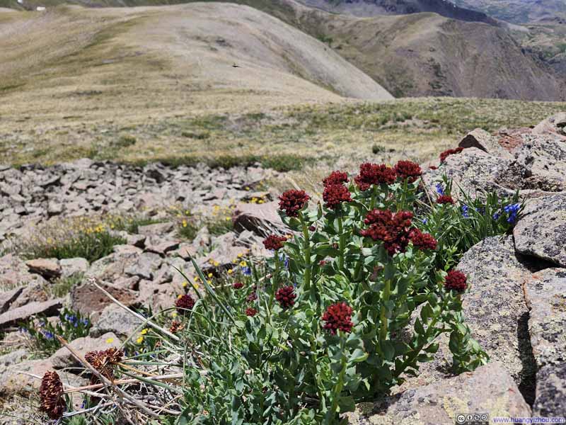
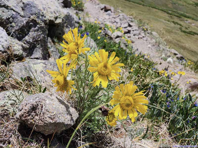
It was 3:30pm by the time I returned to the trailhead, which left me with just enough time to pay Last Chance Mine a visit.
Located at the end of a spur off CR 504, the mine was a historic 1891 silver-works that now offered guided tours. The other mine museum in the Creede area, the Underground Mining Museum, had shafts dug into the mountain purely for exhibition purposes. Surprisingly, the mine was privately owned by an individual, with the owner proudly introducing to each visitor its history and his works to preserve it, like stabilizing the structures, building the access road, and so on.
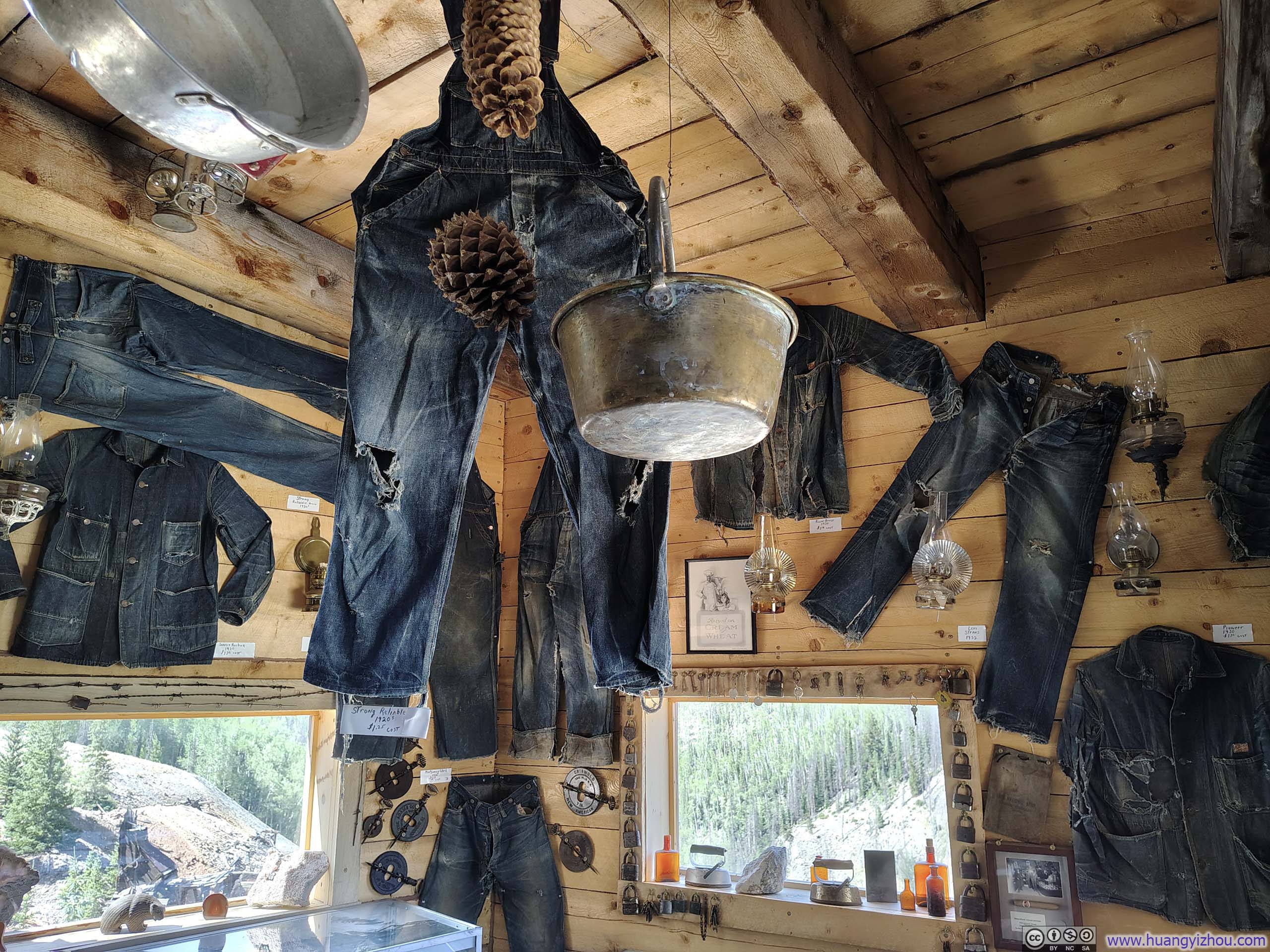
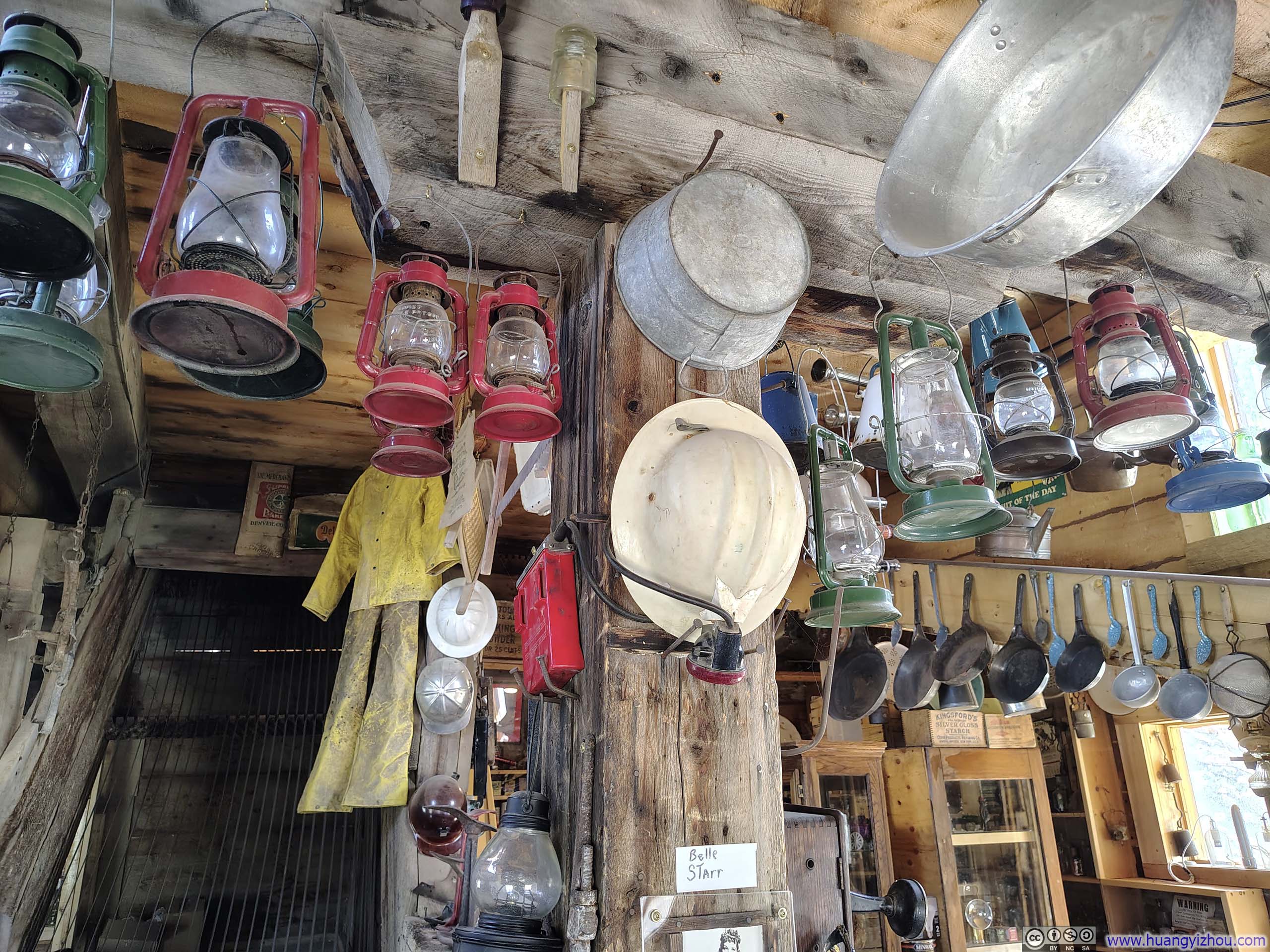
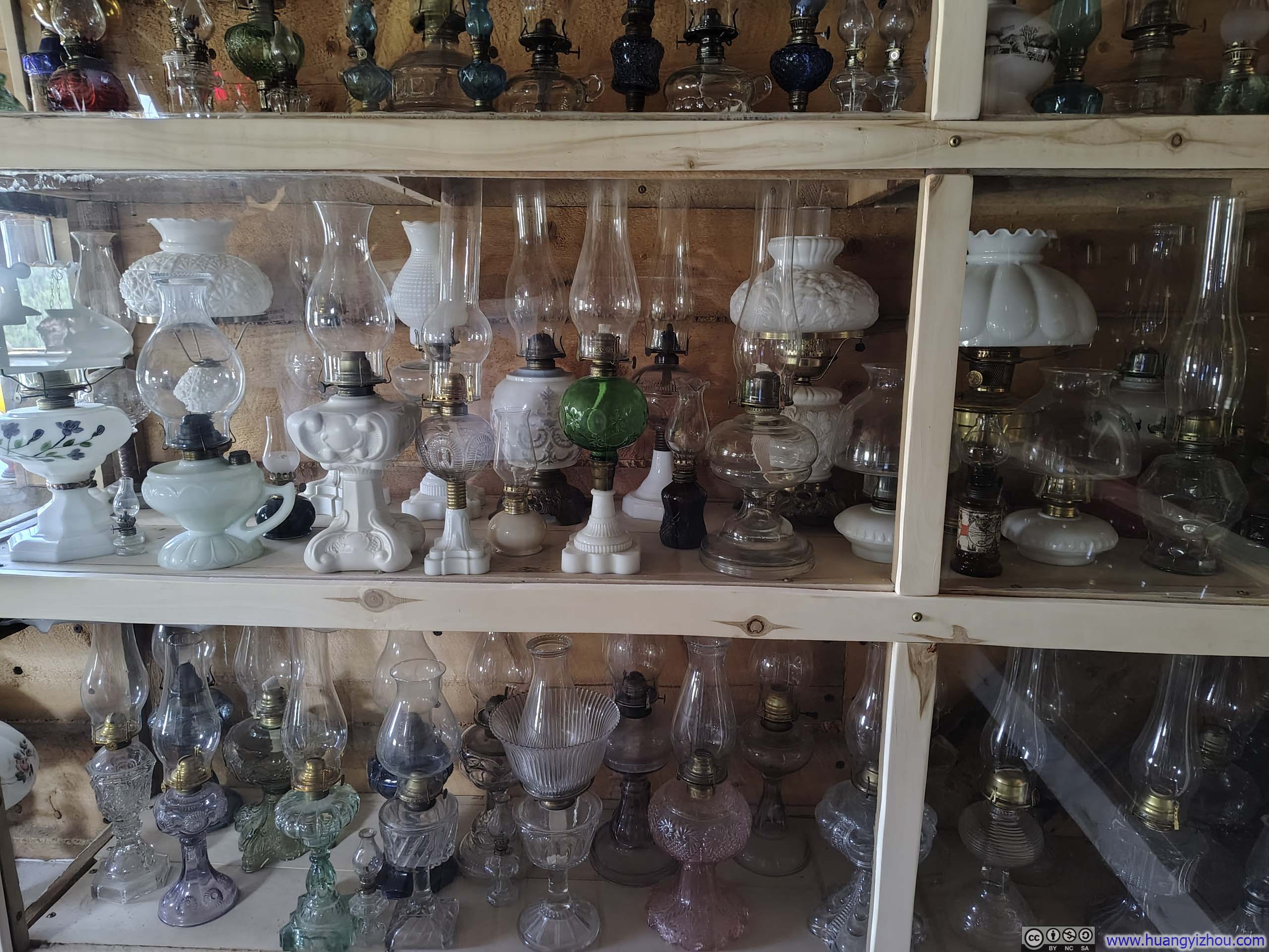
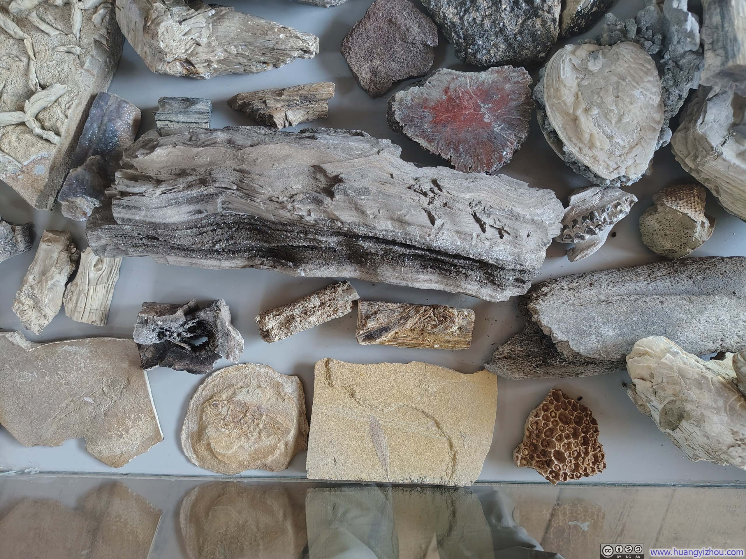
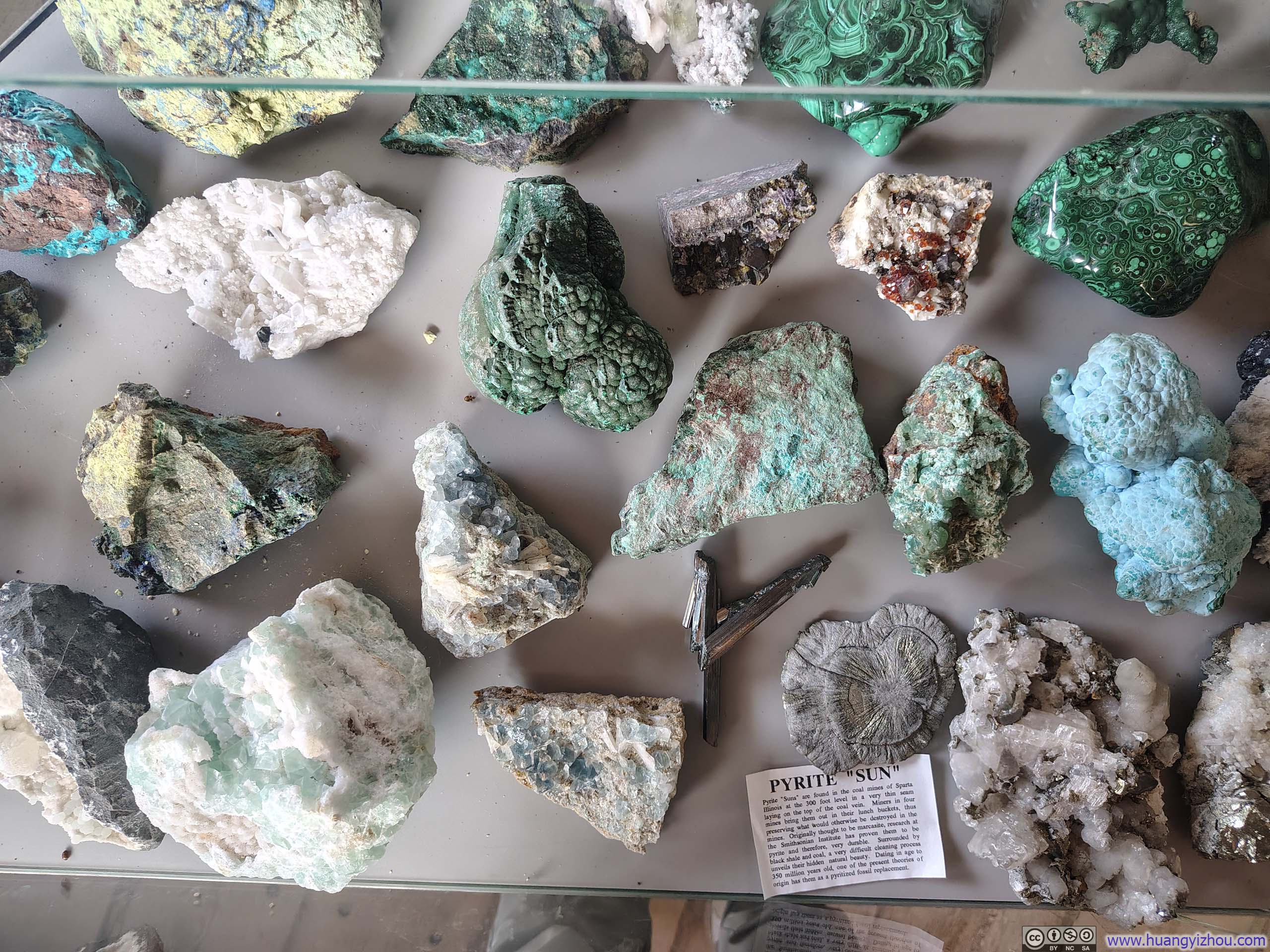
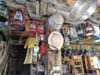
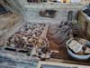
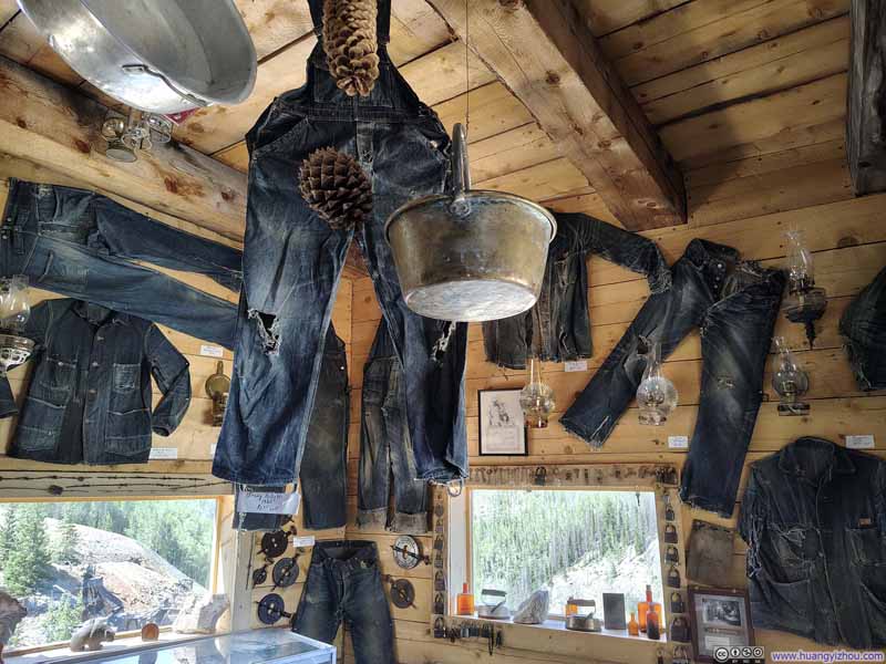
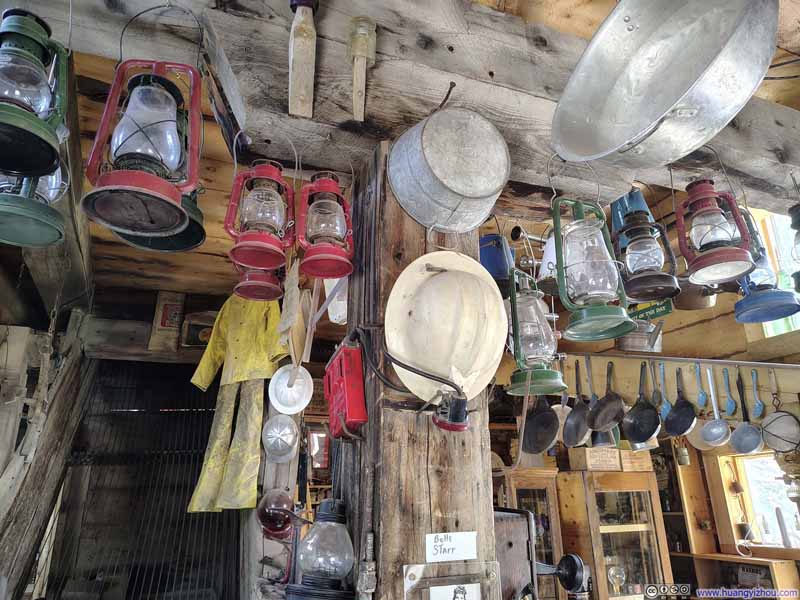
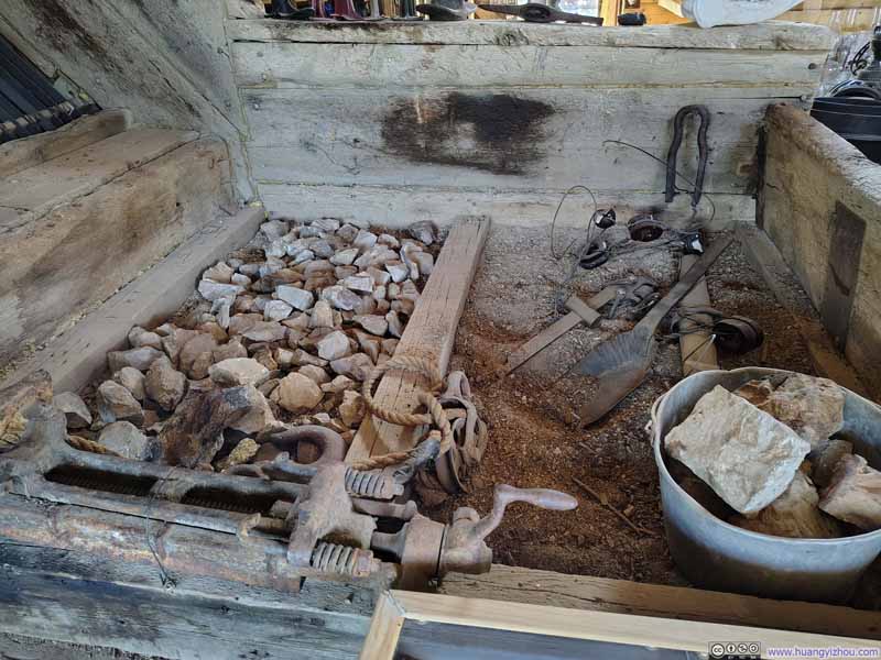
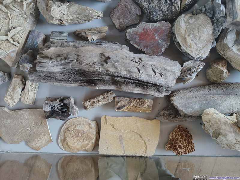
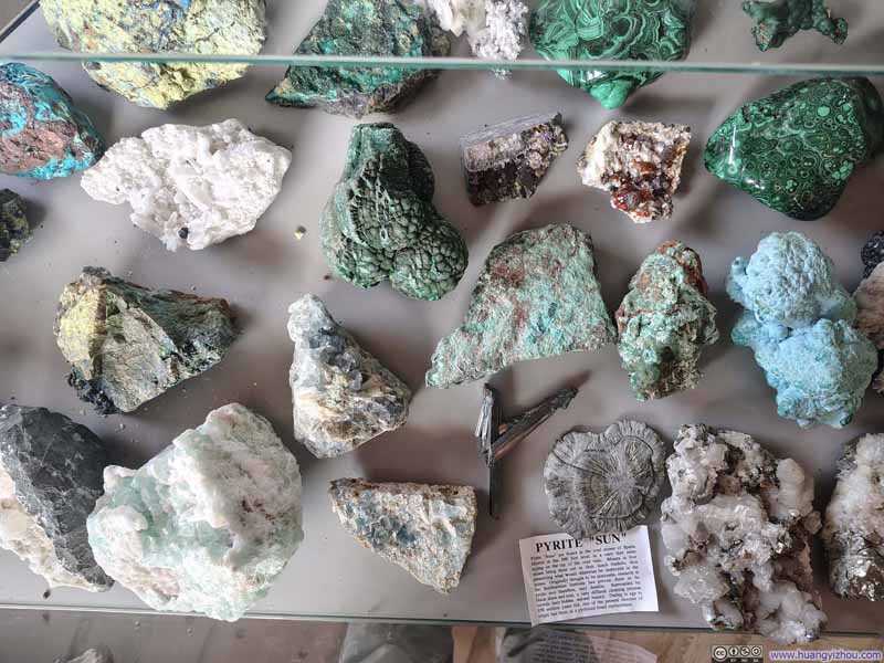
Tours of varying lengths were offered during my visit, but I had unfortunately arrived too late for all but the shortest one. While waiting for it, I browsed the on-site museum, which housed an impressive collection of mining equipment and mineral specimens.
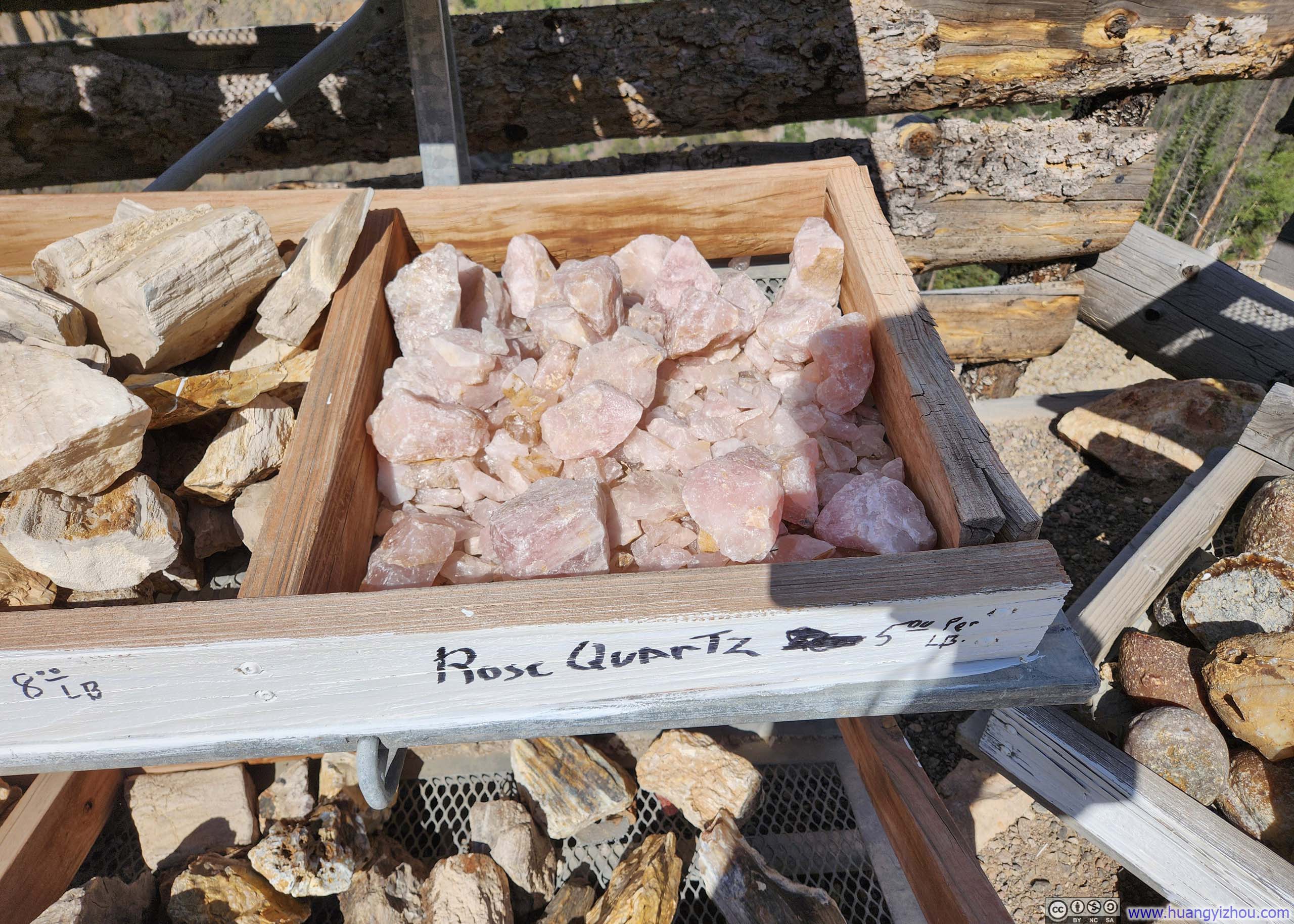
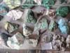
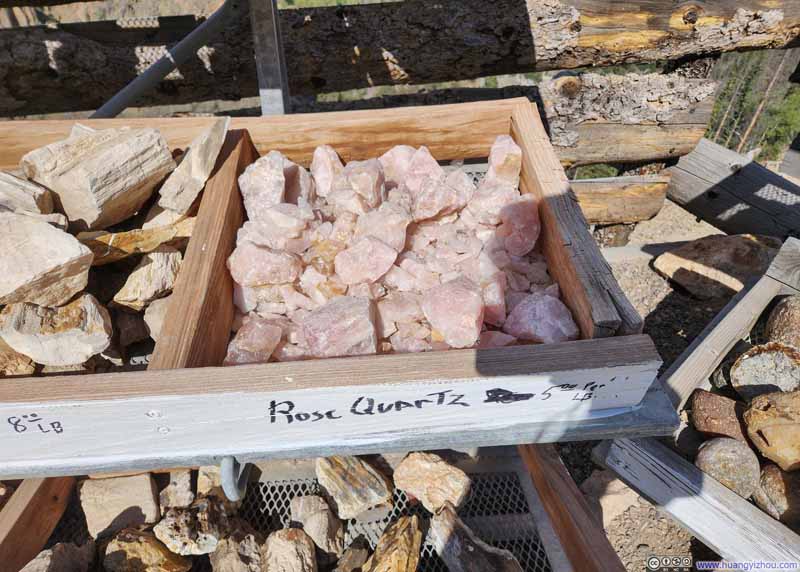
Incidentally, I should mention that Last Chance Mine felt as much a purveyor of minerals as a historical attraction; the gift shops overflowed with stones of every description. I am no expert on the mineral market, but the prices struck me as remarkably reasonable.
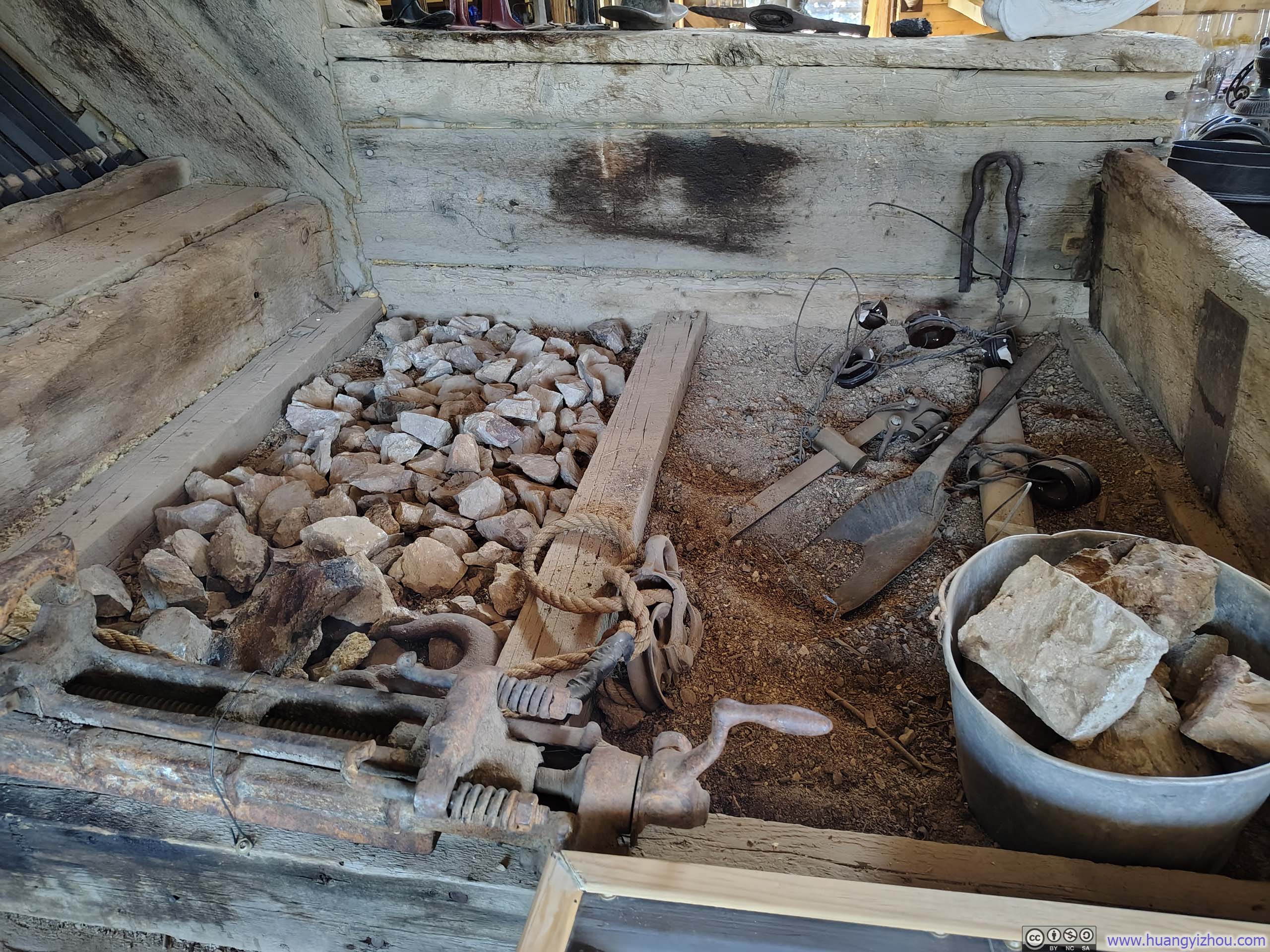

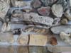

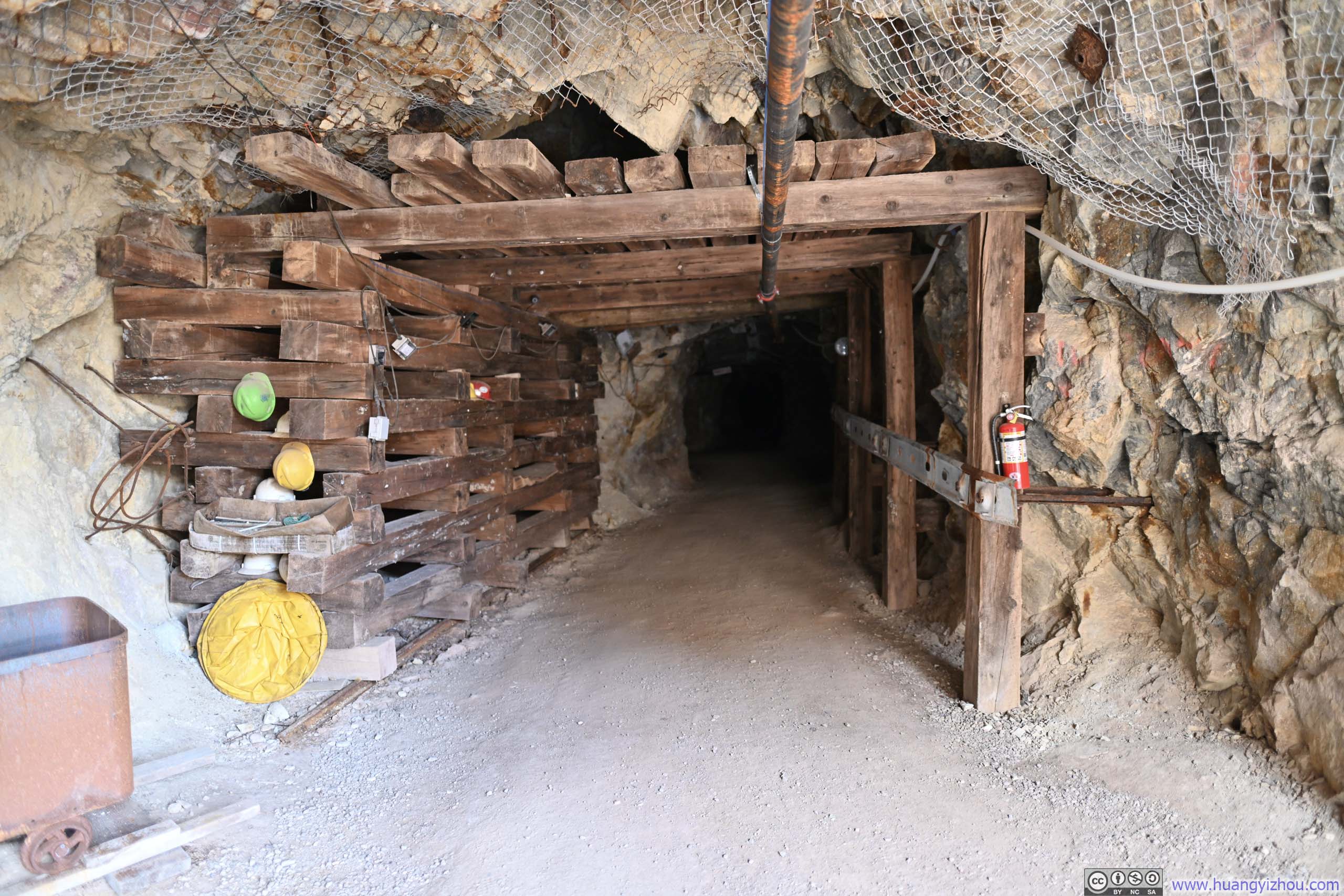
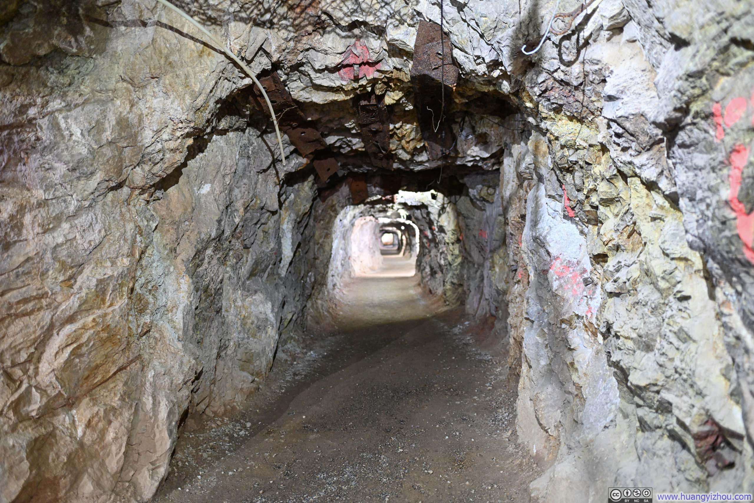
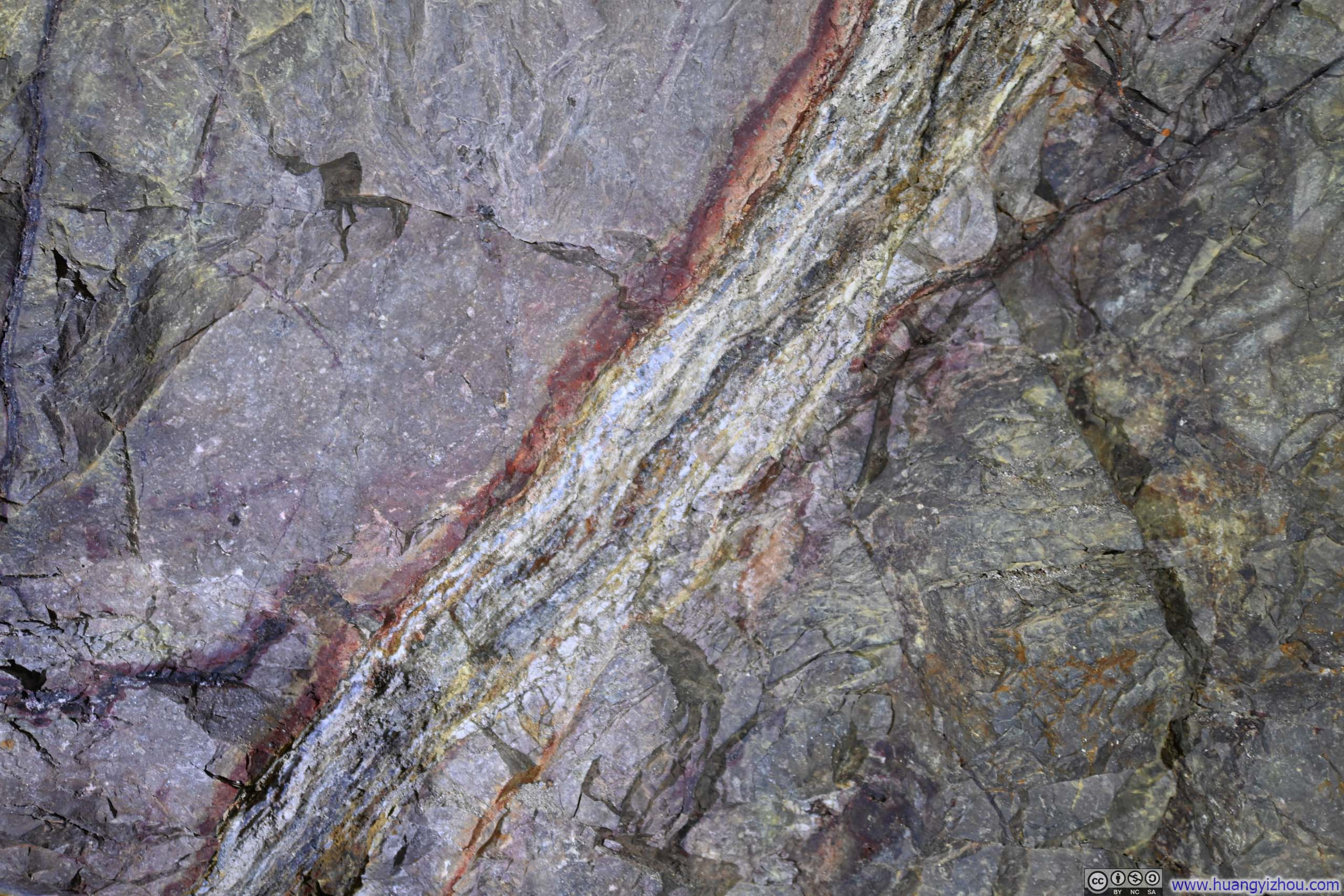
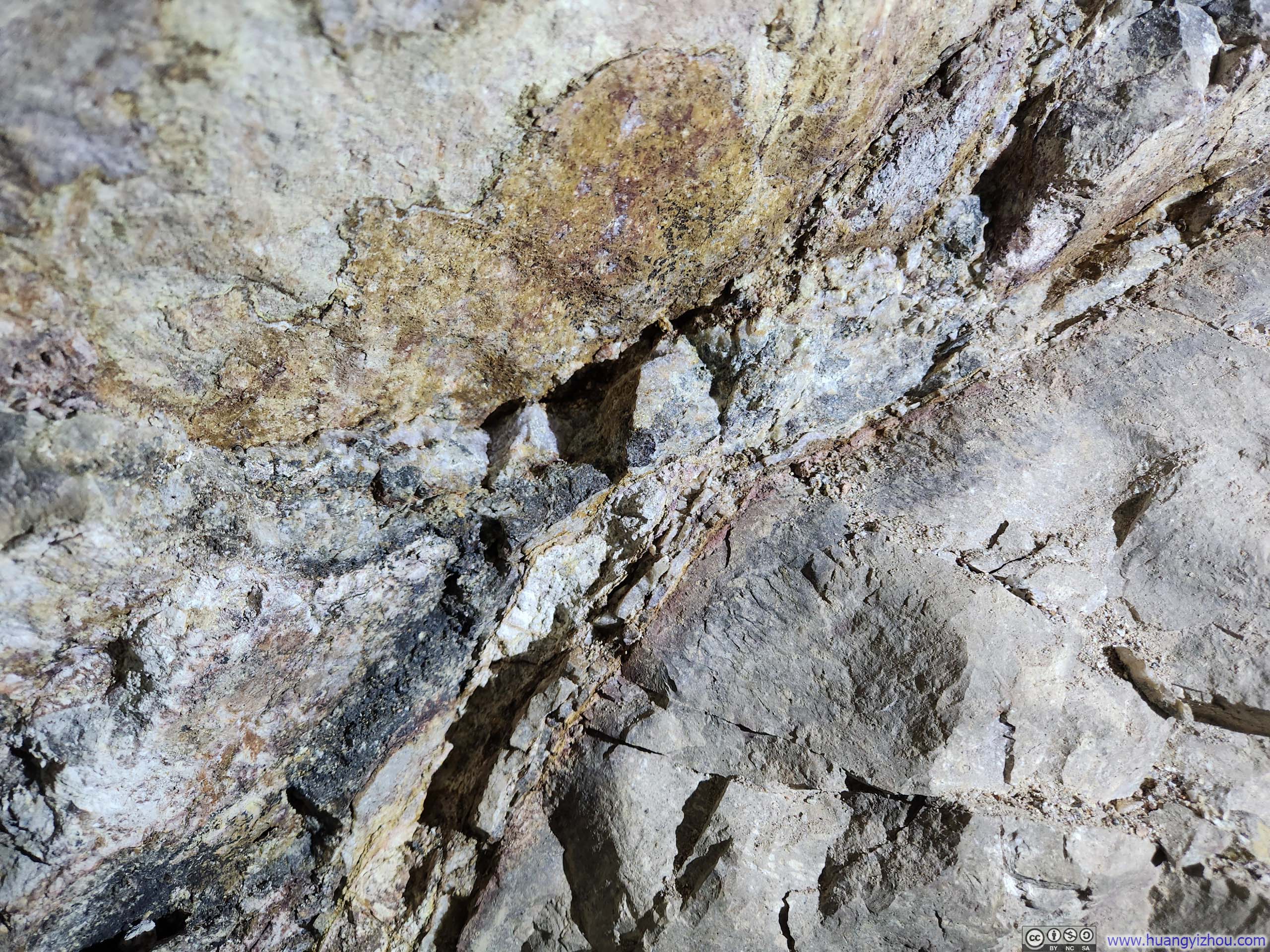
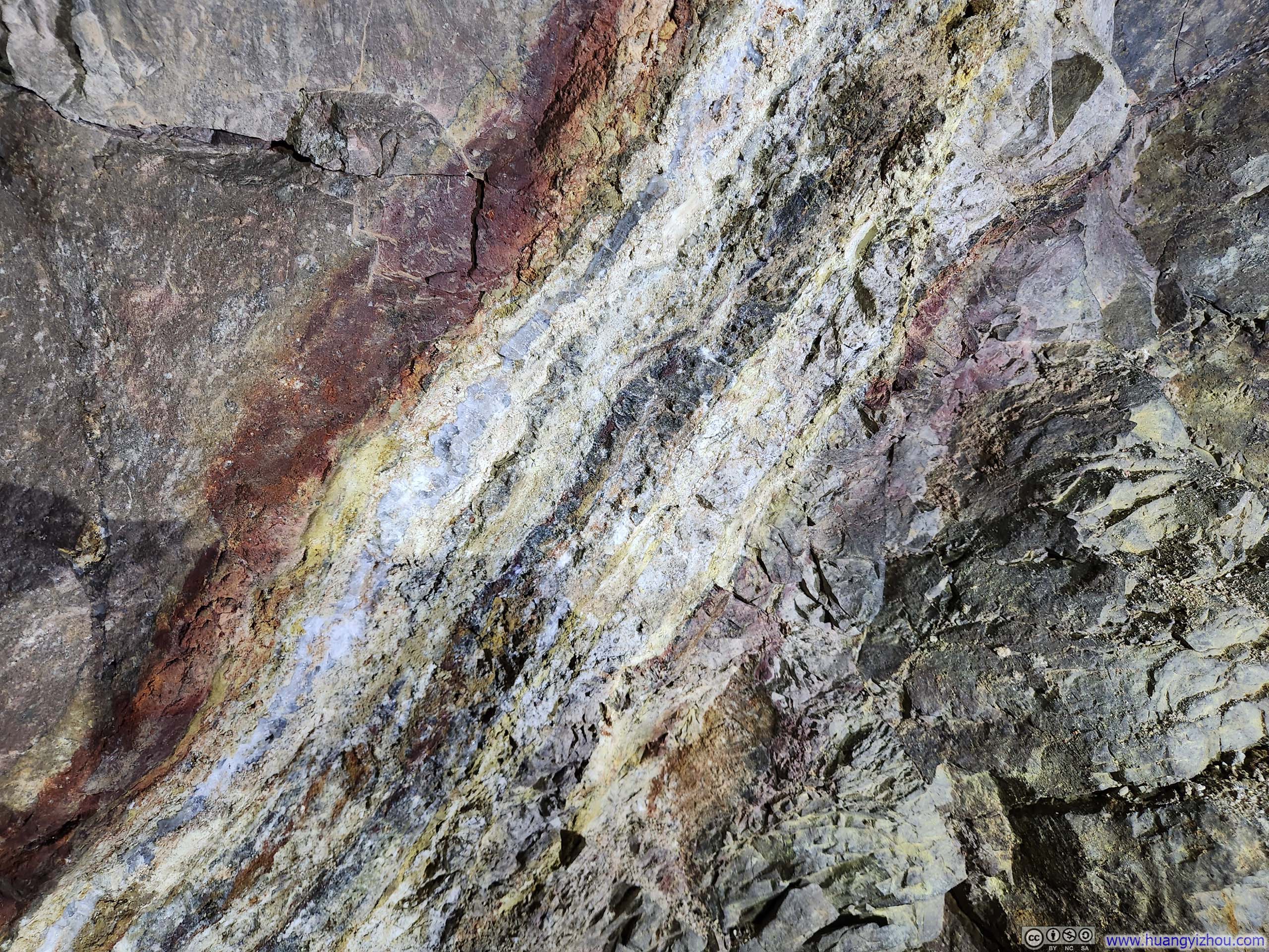
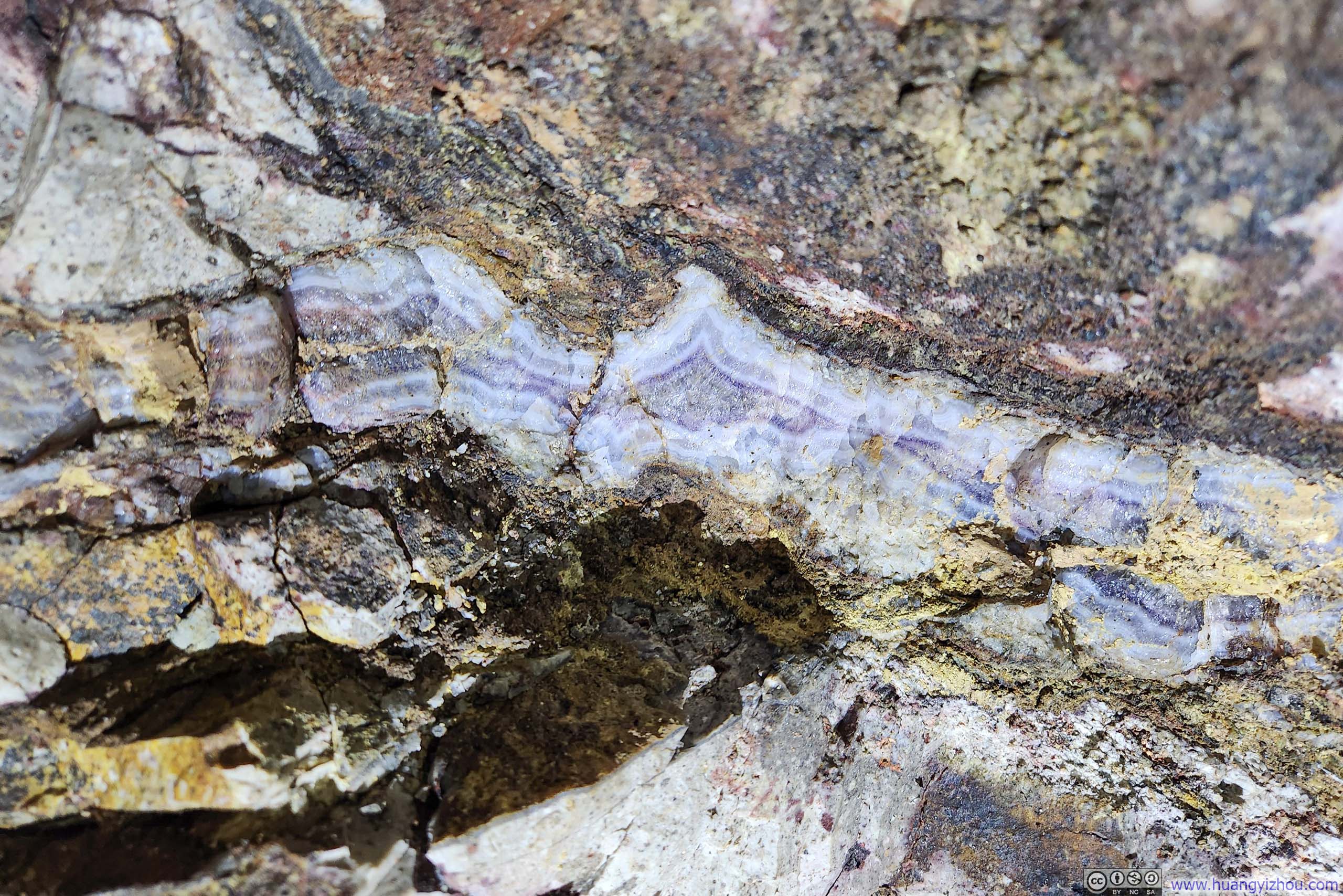
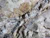
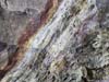
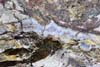
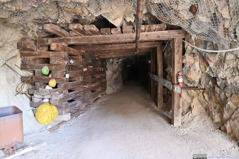
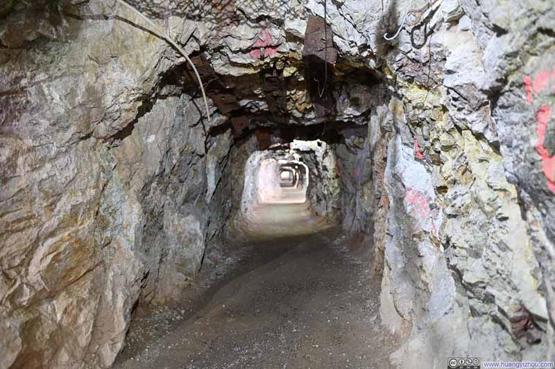
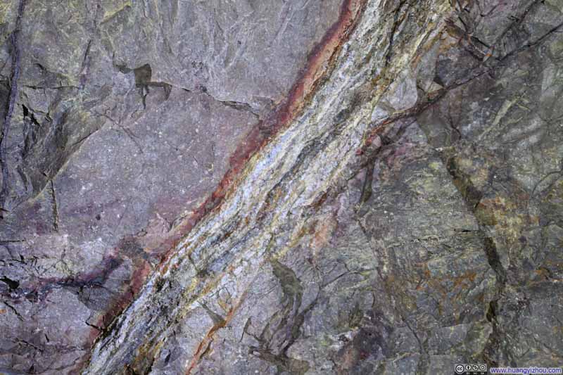
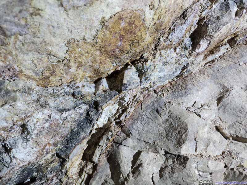
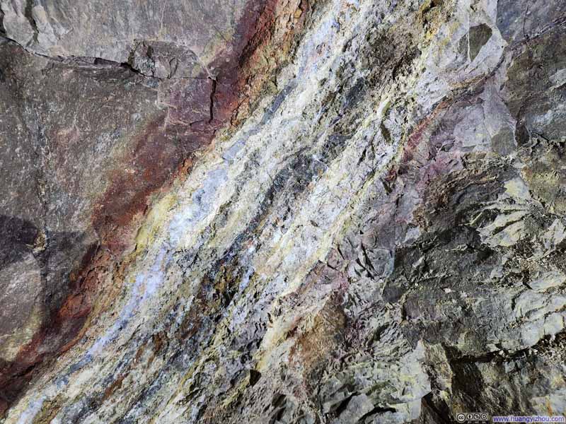
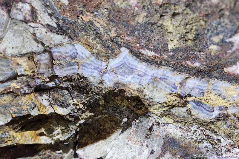
A brief word about the tour itself: yes, the shafts were genuine 19th-century excavations, albeit enlarged to accommodate visitors. During my tour, we visited an exploratory shaft, where I learned that the colorful valuable ore constituted only a small fraction of the total volume hauled from these workings, and most of it from narrow veins, often mere inches to a foot in width, and our guide pointed out several of these seams (p3–6 below).
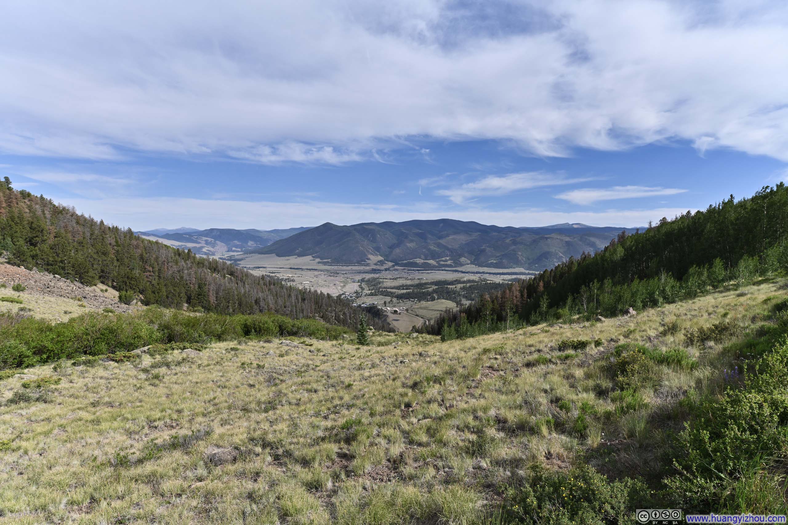
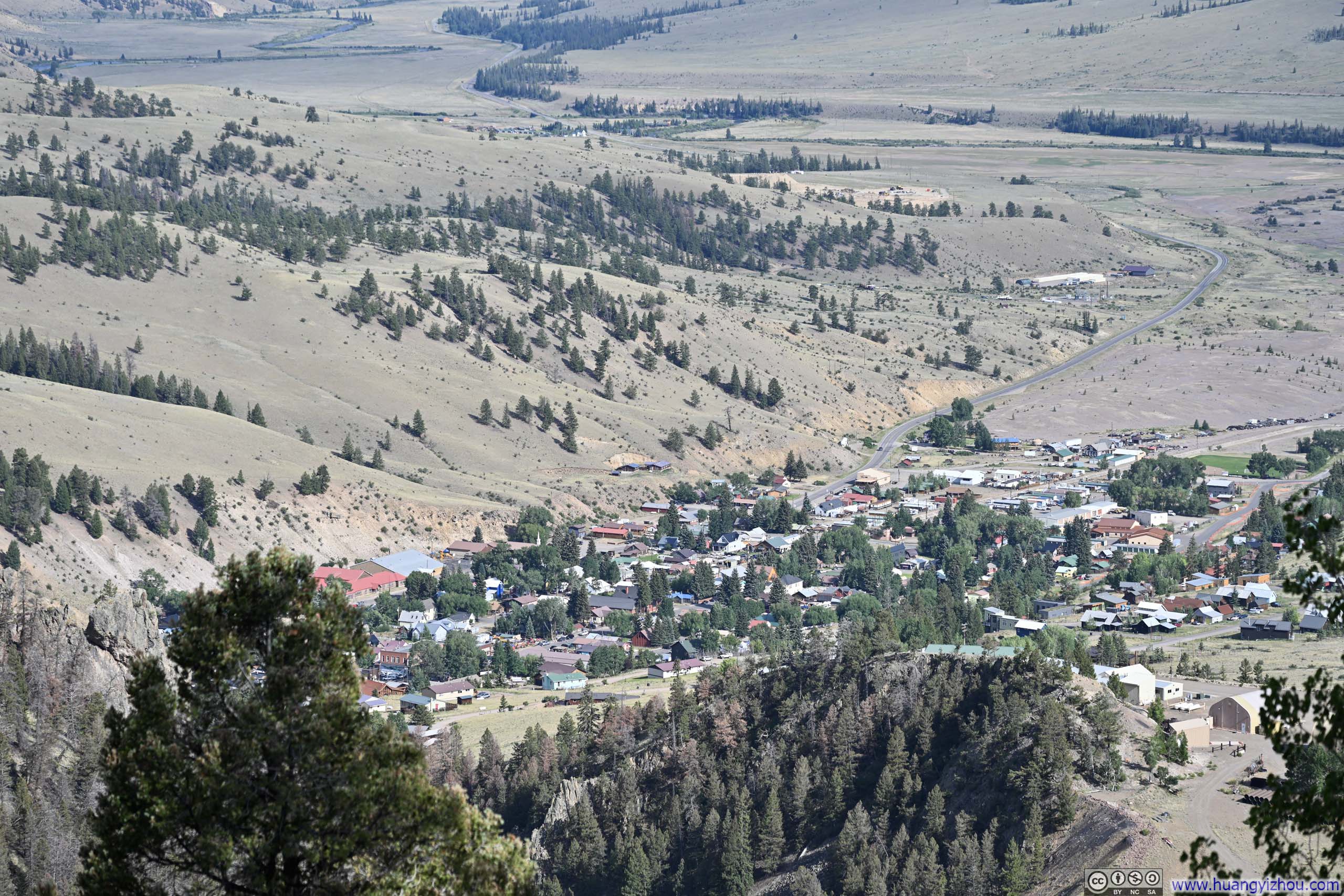
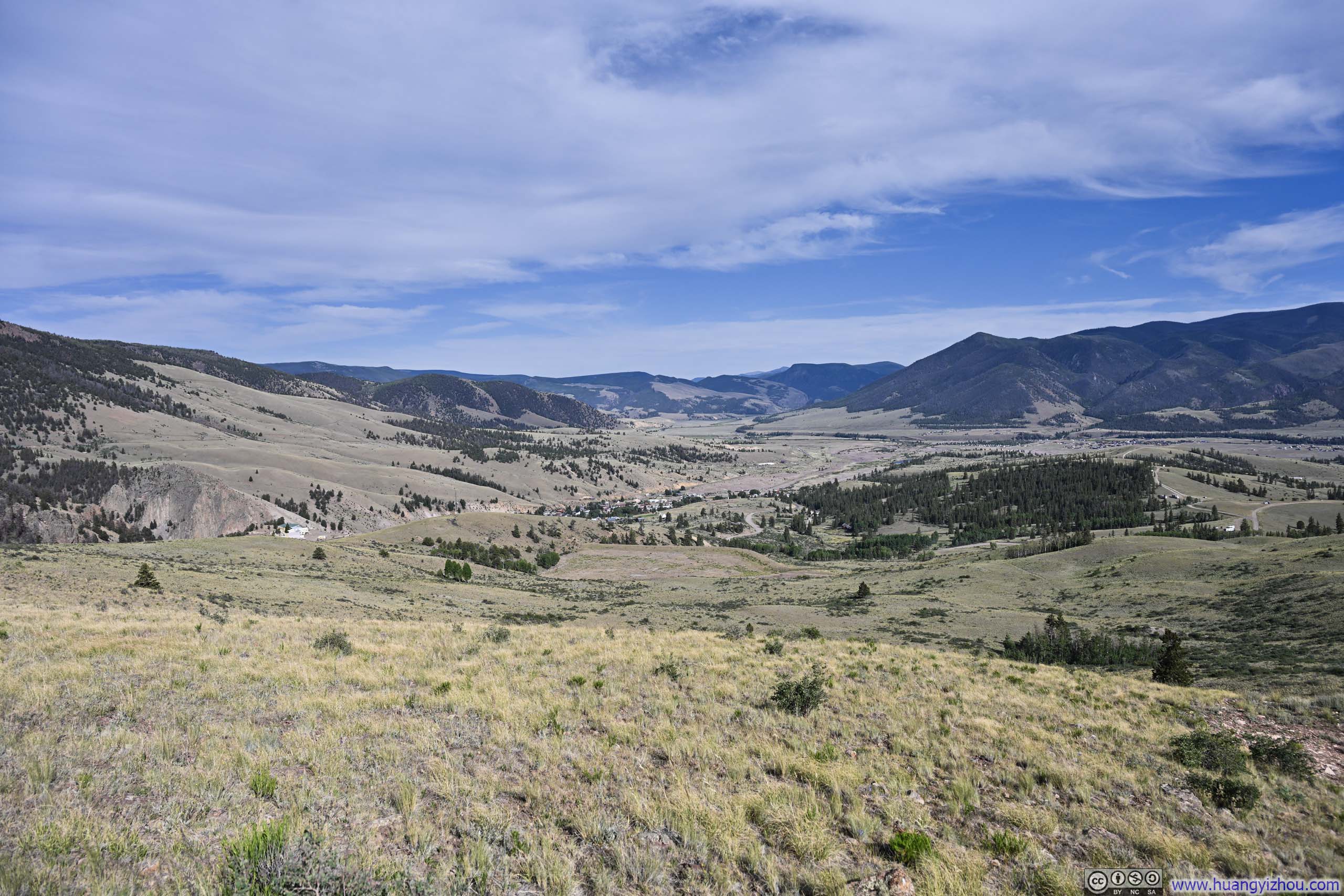
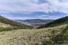
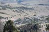
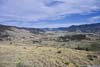
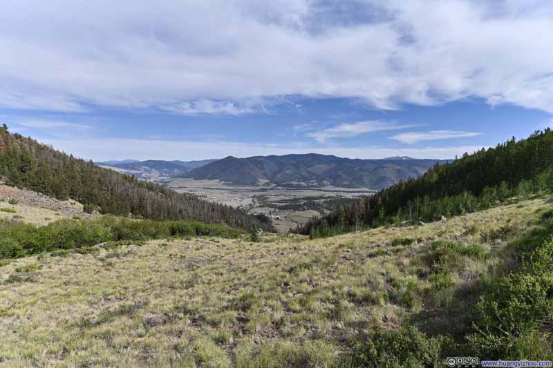
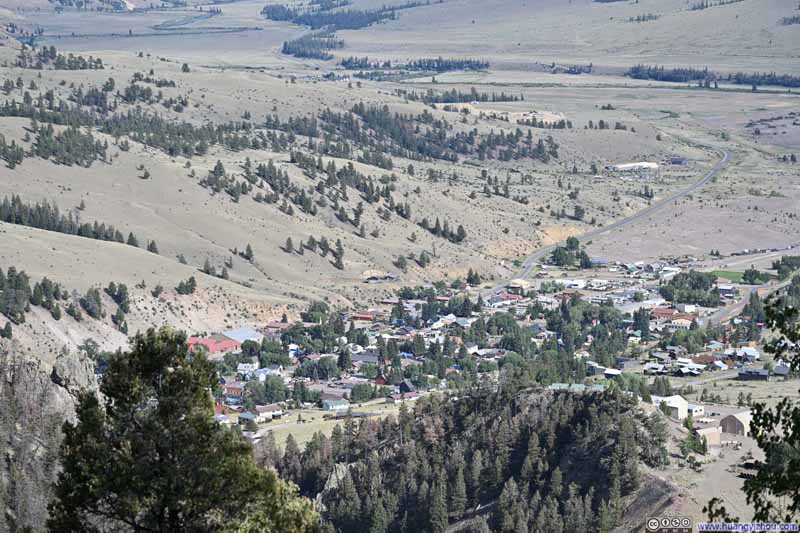
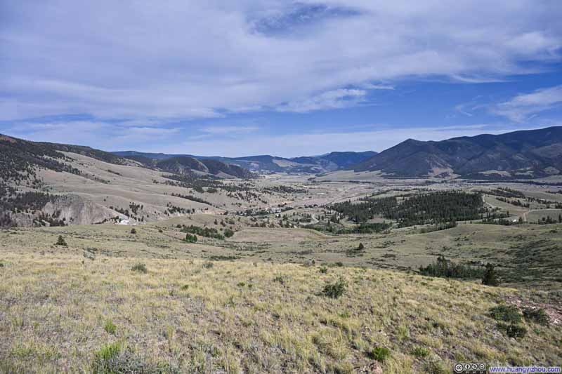
After Last Chance Mine, I took CR504 back to Creede, completing the other half of the Bachelor Loop. Mining remnants were scarce along this stretch, though a few vista spots offered views over the town and the valley beyond.
 END
END