Hiking Cannon Mountain
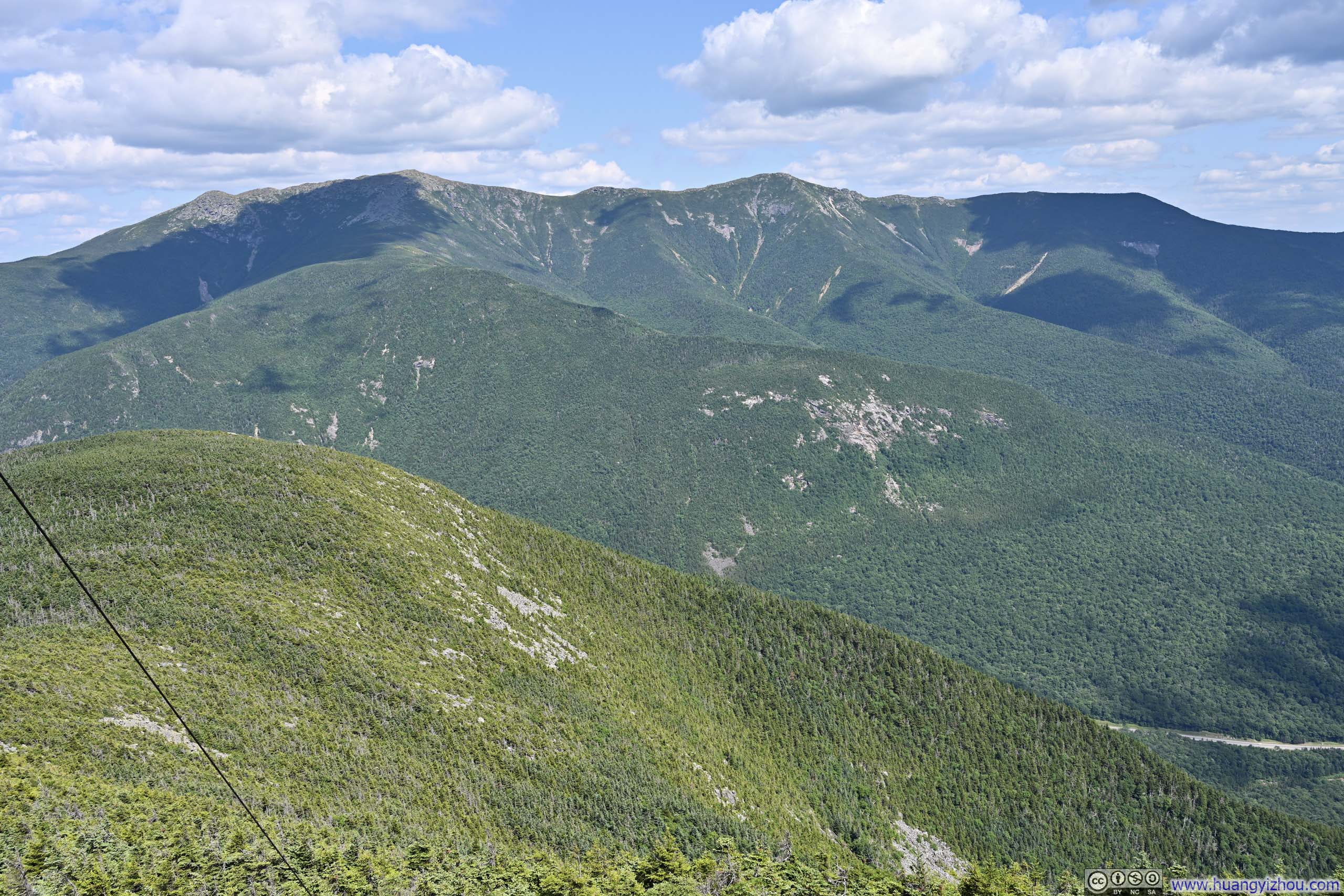
On the last weekend of July 2026, I once again found myself searching for places to explore in New Hampshire’s White Mountains. This time, I was seeking something less demanding than my usual outings: routes with under 800m of elevation gain. In this respect, Cannon Mountain fitted the bill perfectly.
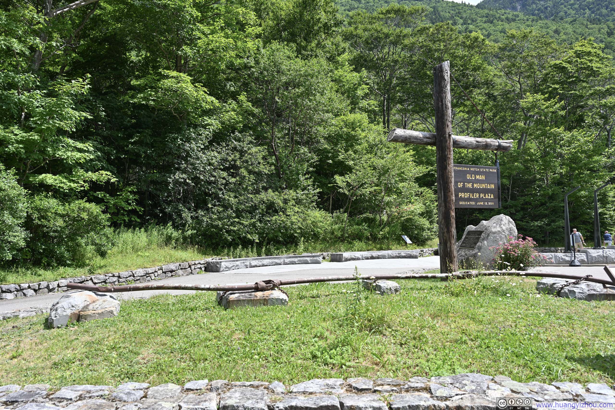
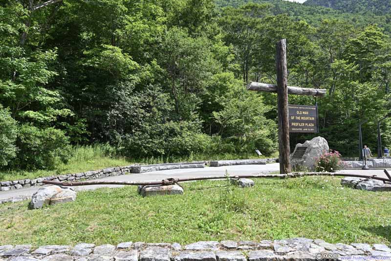
Located right beside Franconia Notch, Cannon Mountain promised a front-row view of Franconia Ridge across the valley. There were two typical routes to climb it: the northern approach from the base of the Cannon Mountain Aerial Tramway, and the southern approach from the Old Bridle Path Trailhead / Lafayette Place Campground. Conveniently, I could connect the two via a combination of the Pemi Trail and the Franconia Notch Bike Path. Since the latter also served as the trailhead for the popular Franconia Ridge hike, I opted to park at the less crowded "Old Man of the Mountain Historic Site" and start my hike from there.
Here's GPS tracking:
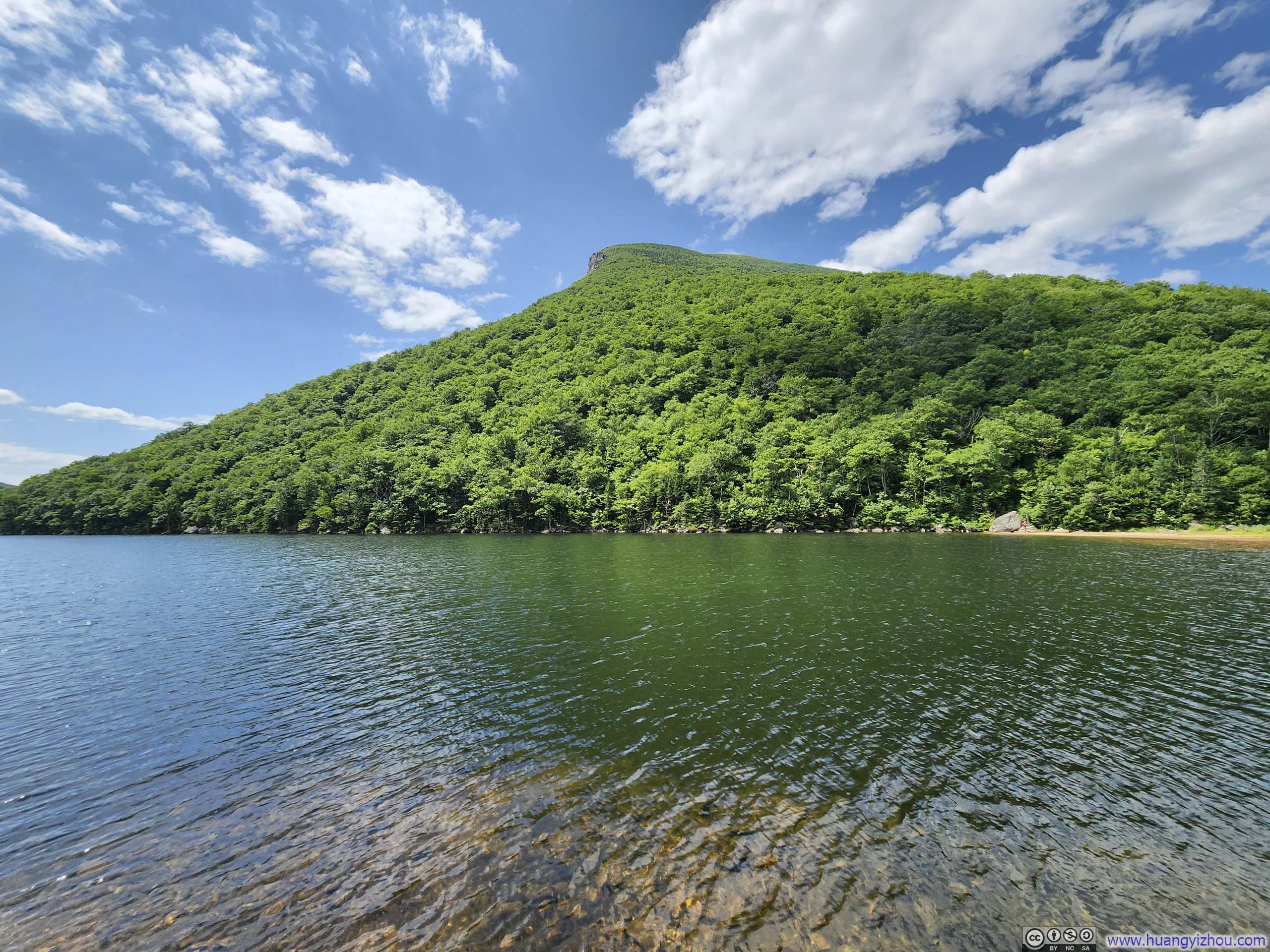
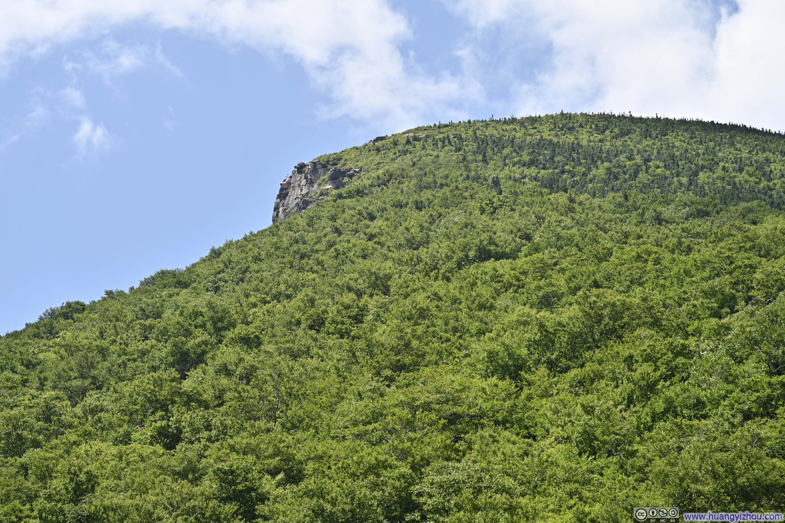
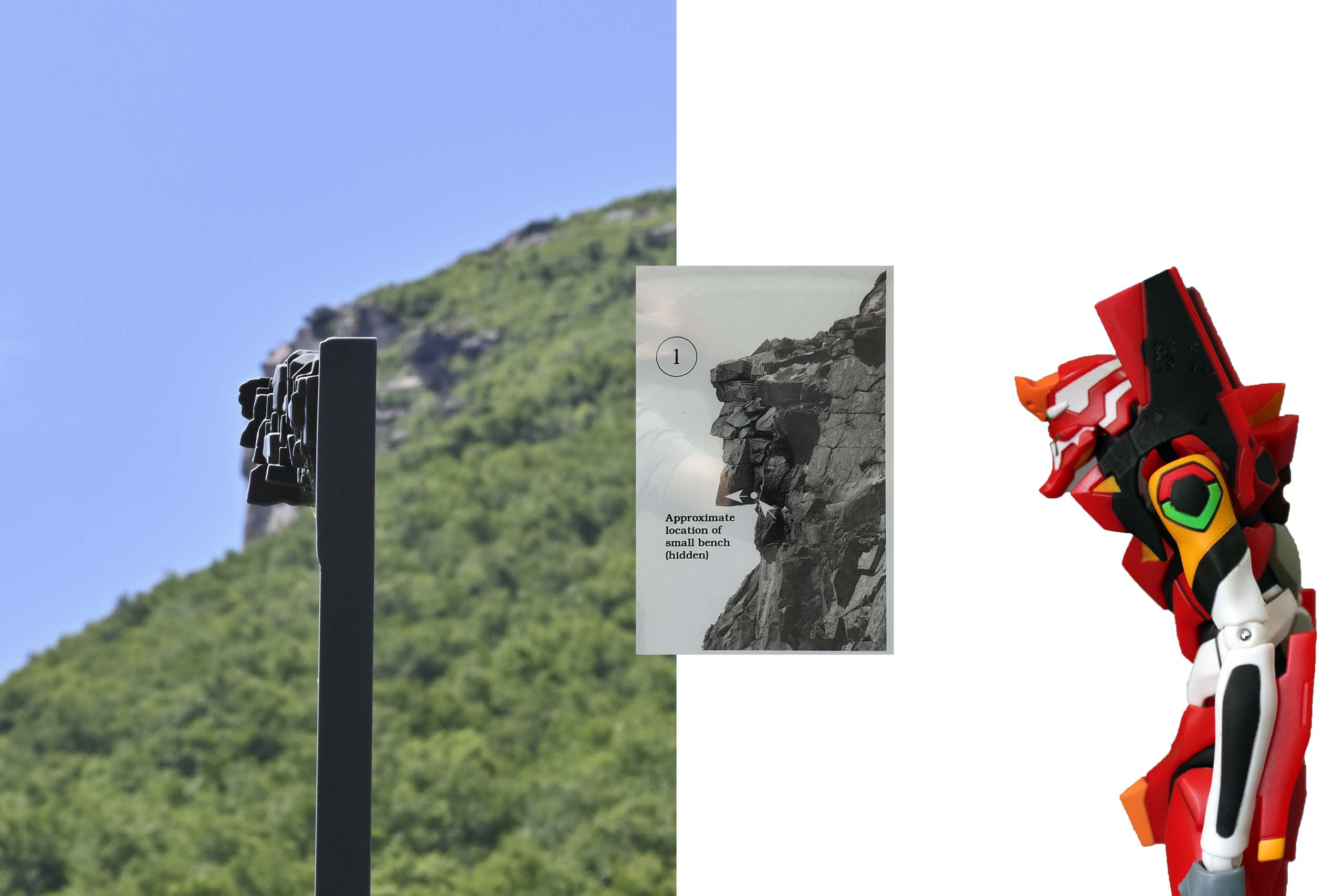
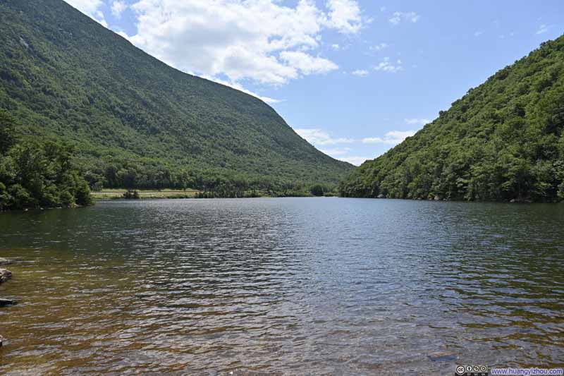
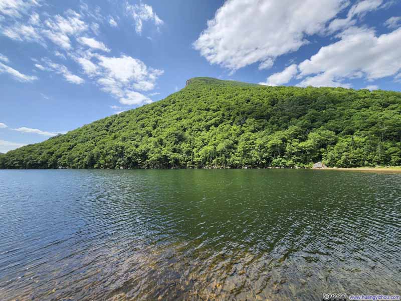
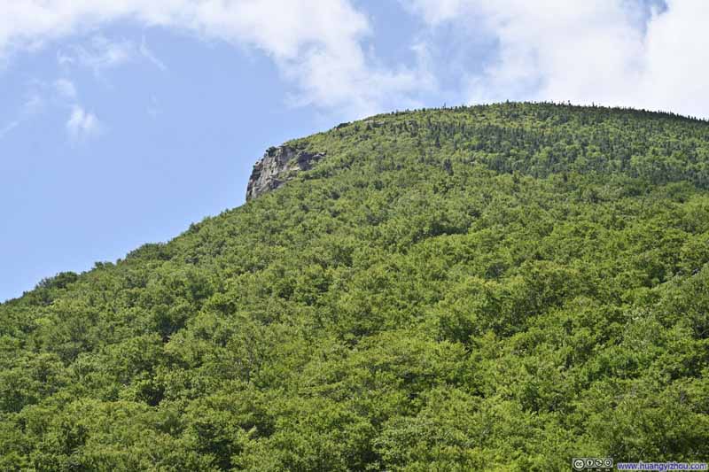
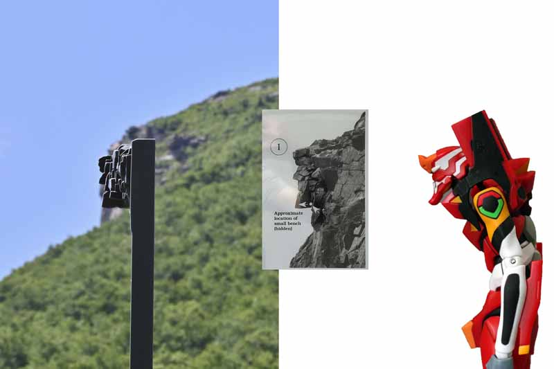
A short stroll from the trailhead was Profile Lake, near the headwaters of the Pemigewasset River. Viewed from its shores, a series of granite ledges on Cannon Mountain once resembled the profile of a human face, thus nicknamed "Old Man". Though to my eyes, they looked more like the head of EVA-02 (p6 below).
As it turned out, the rocks of "Old Man" were not so stably wedged together. Despite stabilization efforts (p7 below), they ultimately collapsed in 2003.
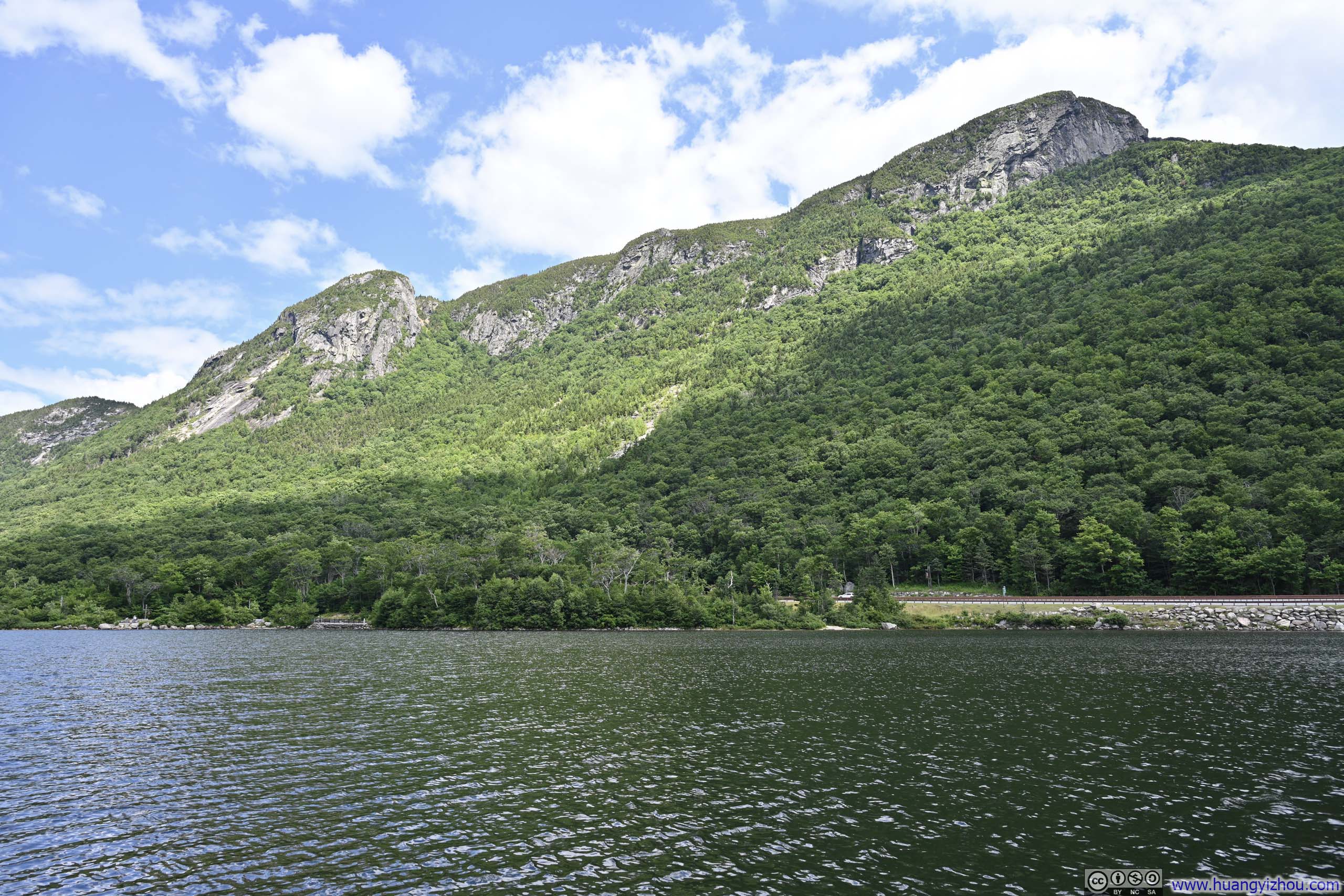
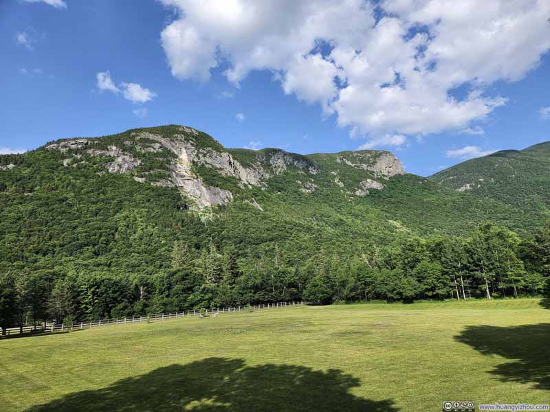
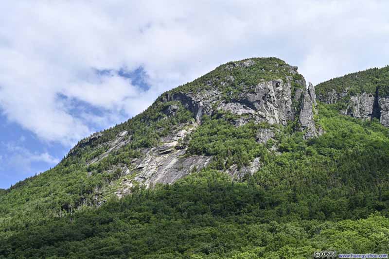
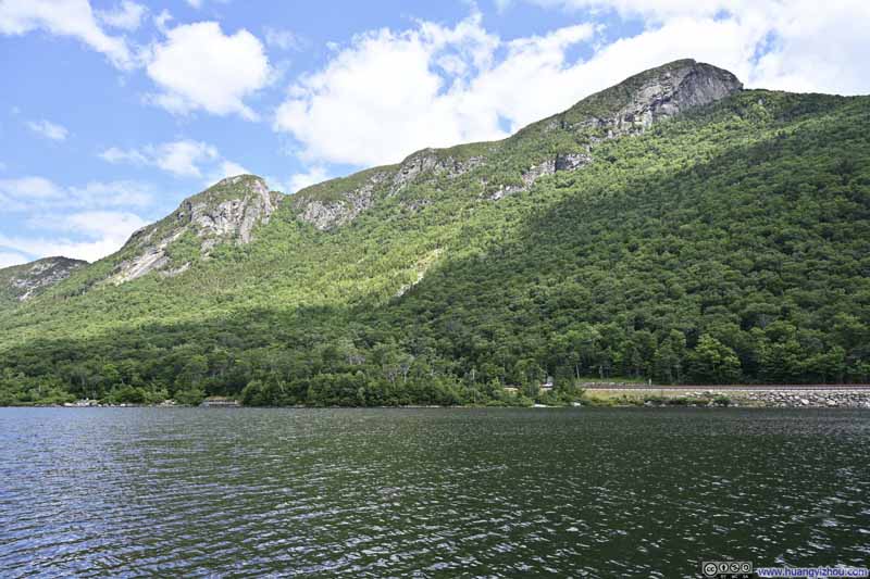
Across Franconia Notch from Profile Lake rose Eagle Cliff, a series of somewhat imposing granite hills (though Edward Hill’s painting on an information board here depicted them in far more dramatic fashion). Still, they provided a pleasing backdrop for the opening stage of my hike through the valley.
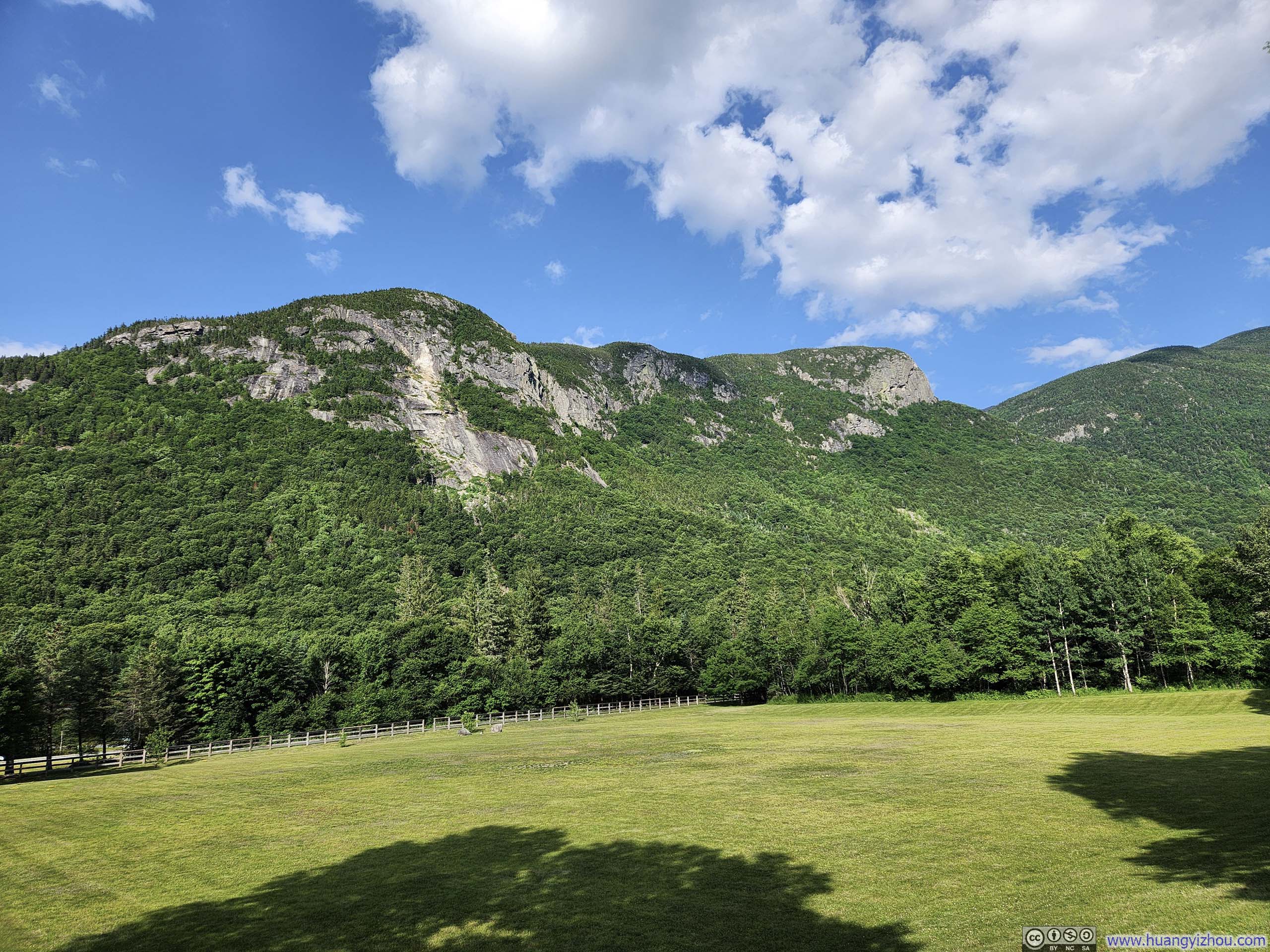
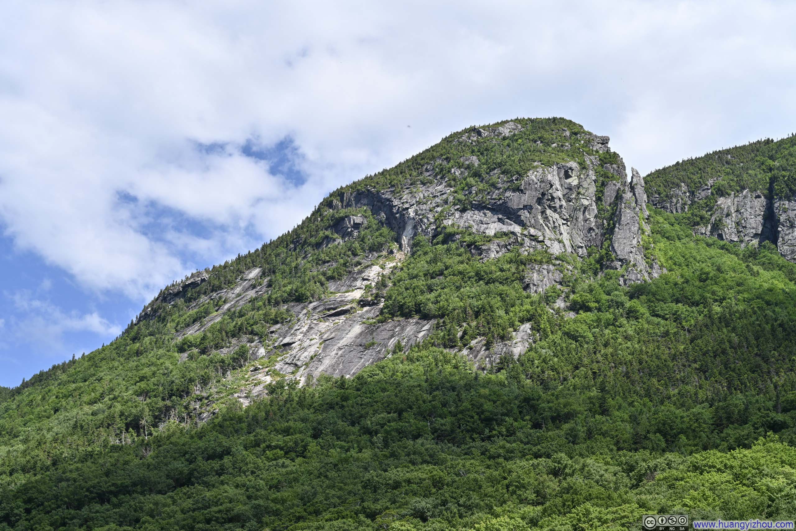
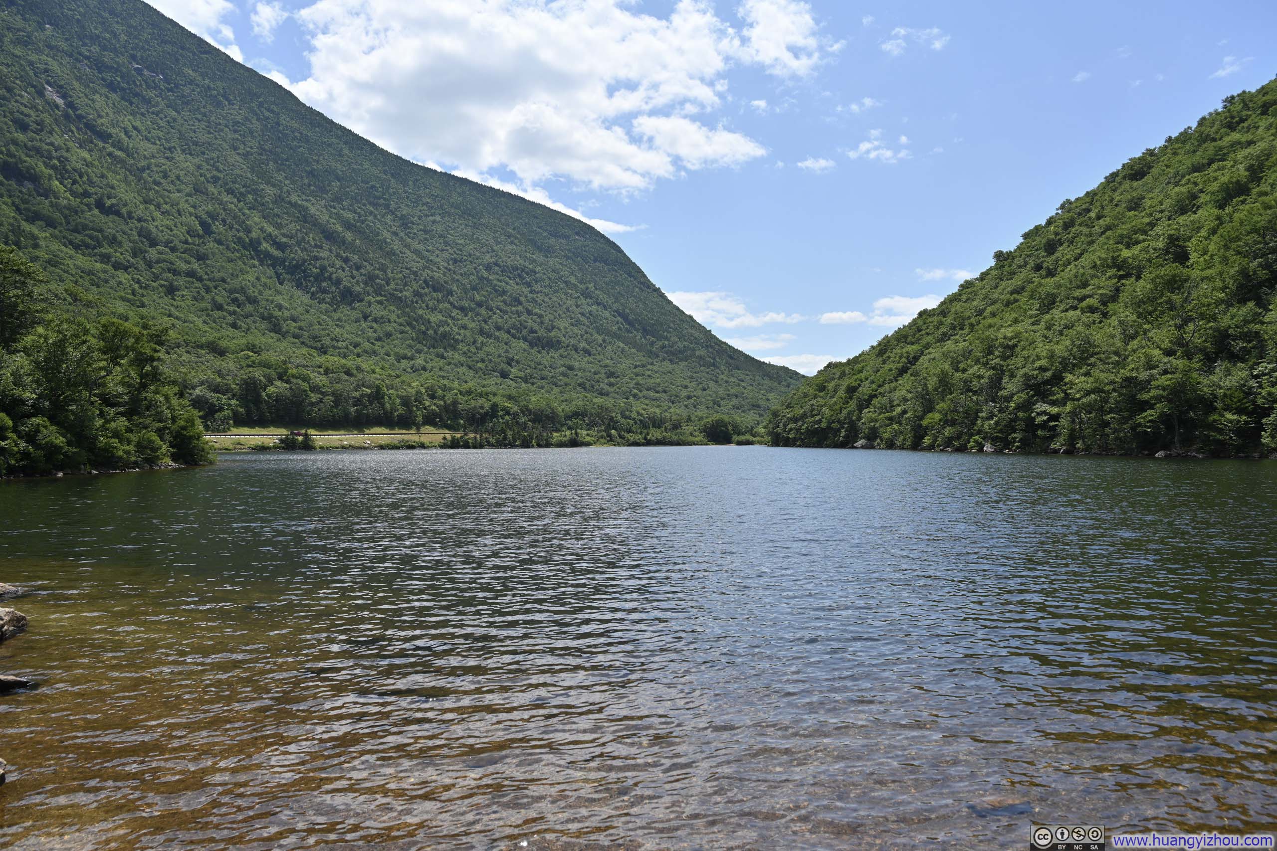





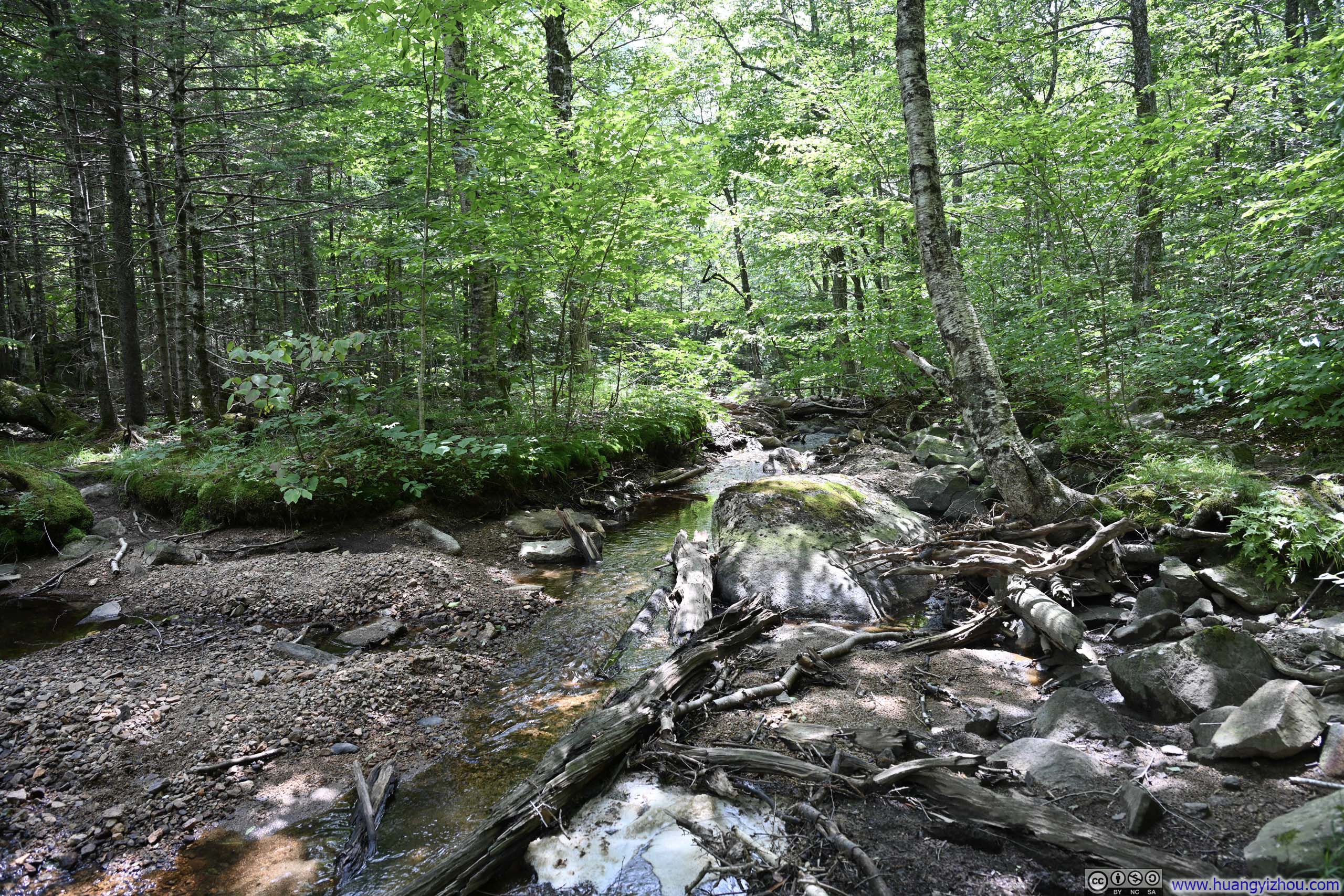
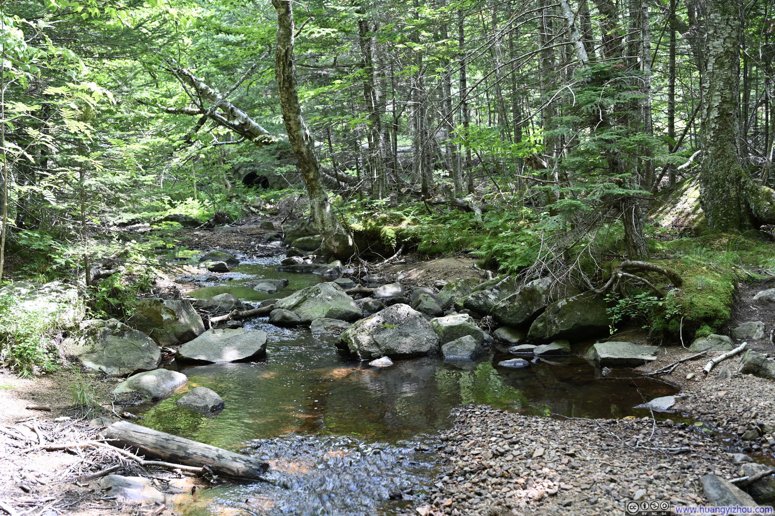
A brief note on the trail conditions connecting Profile Lake and Lafayette Place: the Pemi Trail (p1-2 below) was narrow and rooted, so I followed the Franconia Notch Bike Path (p3 below) whenever possible.
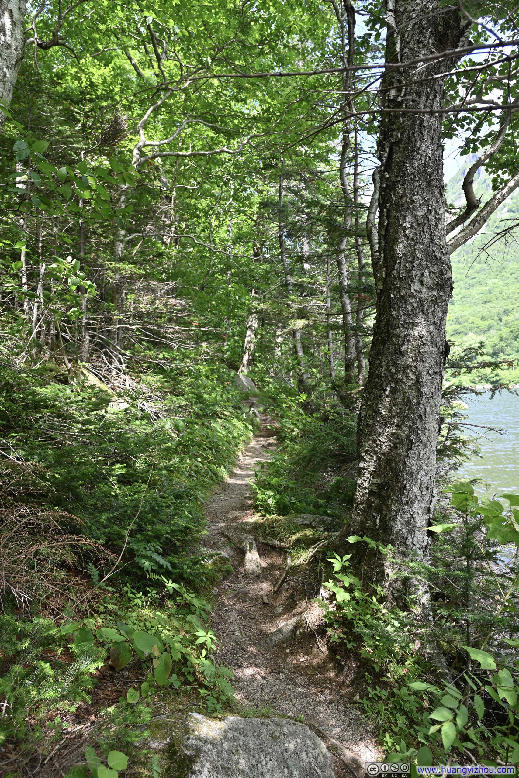
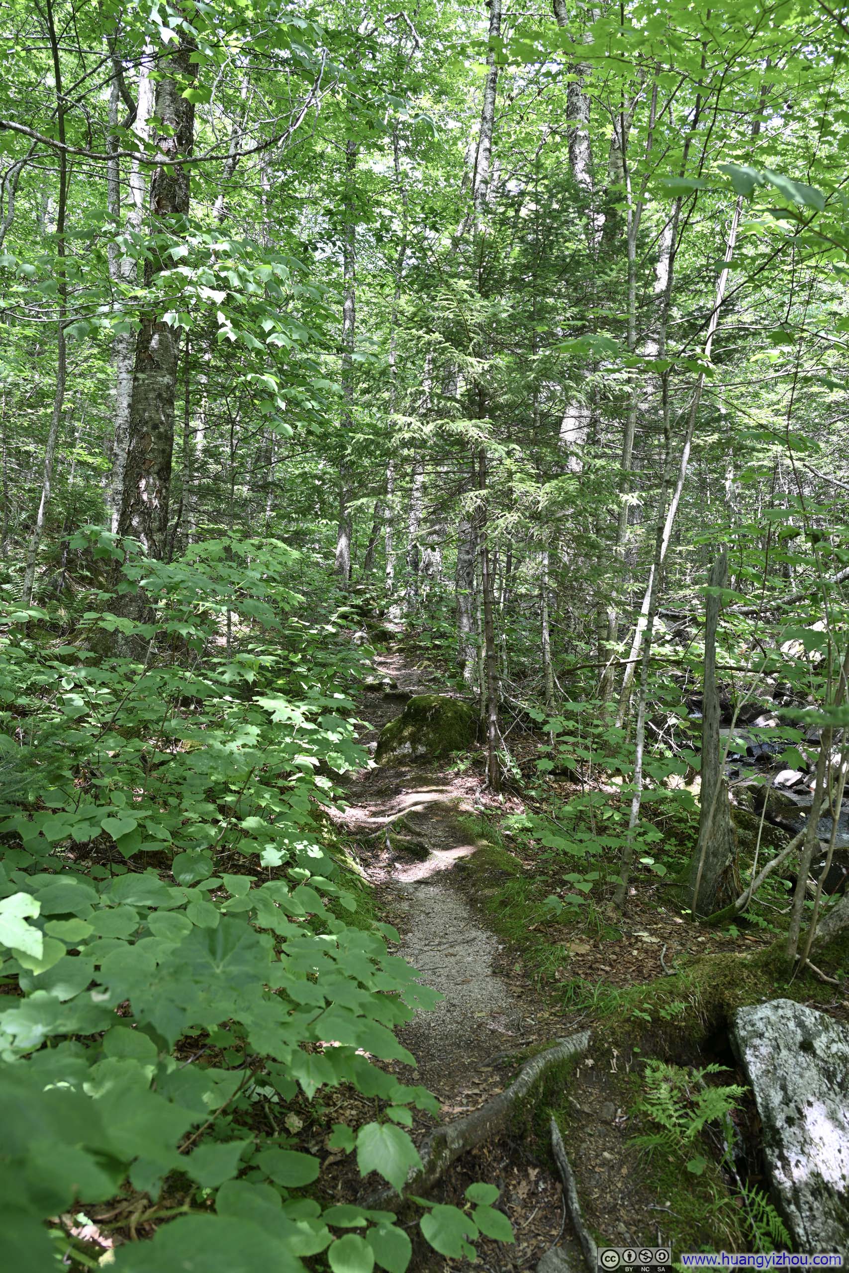
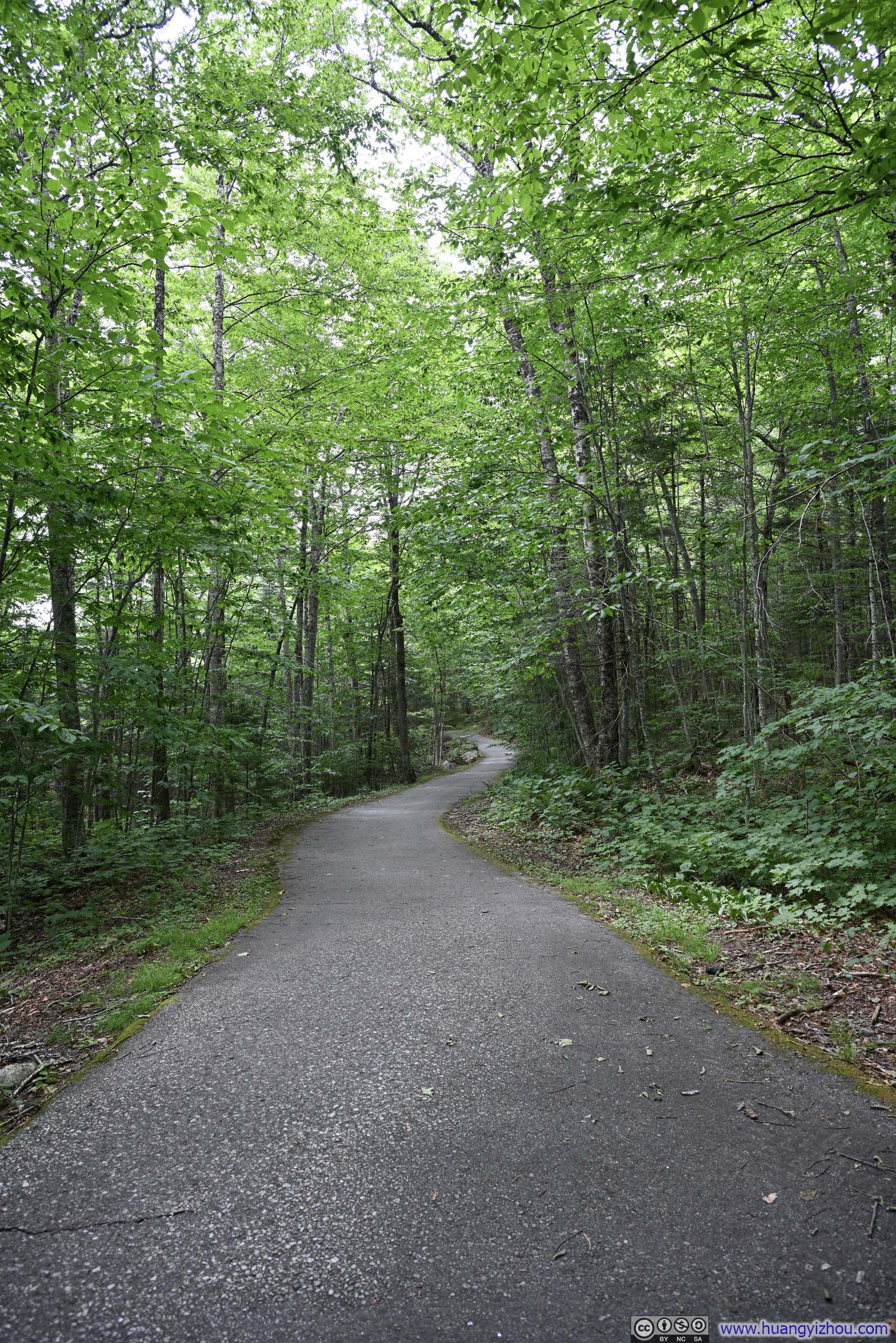
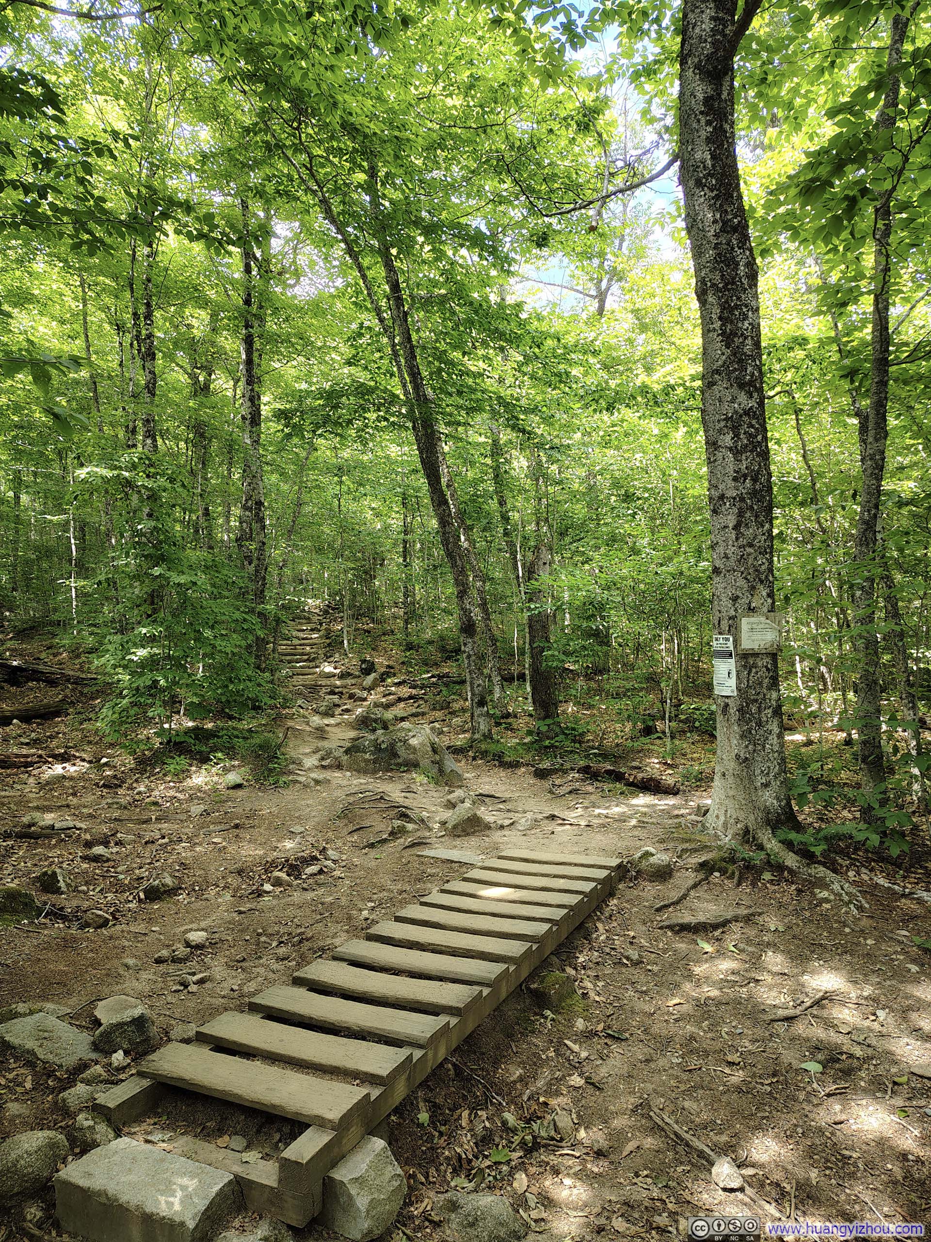
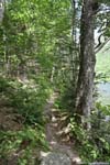
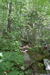
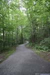
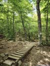
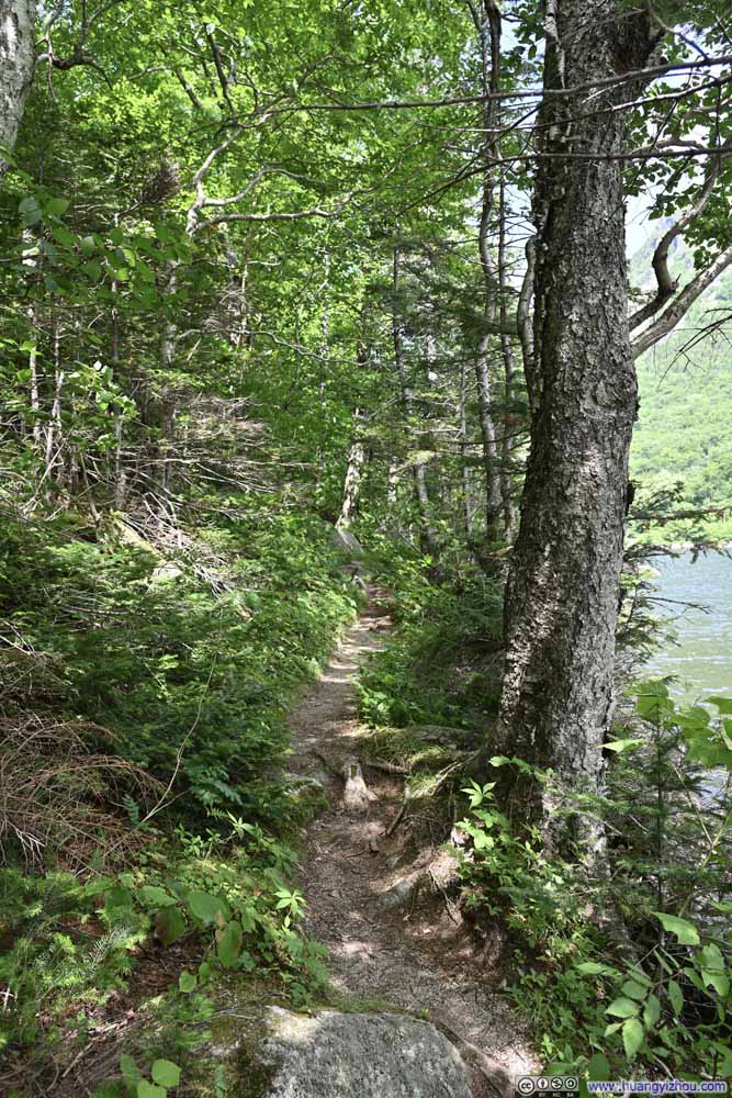
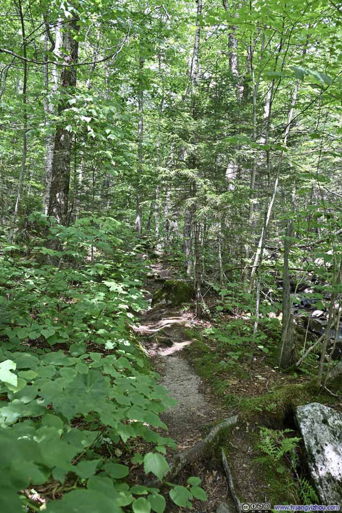
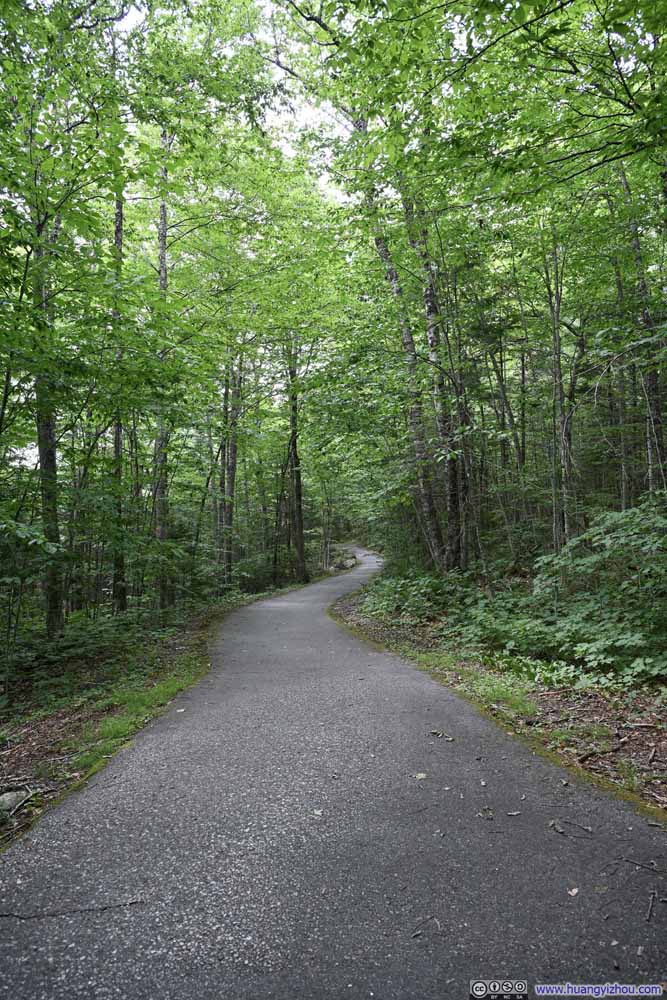
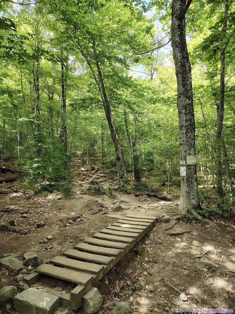
Water was available at Lafayette Place, where I filled my bottles before continuing to Cannon Mountain.
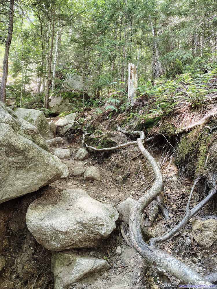
From there, two trails led to Cannon: the more gradual Lonesome Lake Trail and the steeper, more rugged Hi-Cannon Trail. I chose the latter, believing it would be more exciting. (The moment I turned onto Hi-Cannon Trail, I could immediately sense the terrain grow rougher underfoot.)
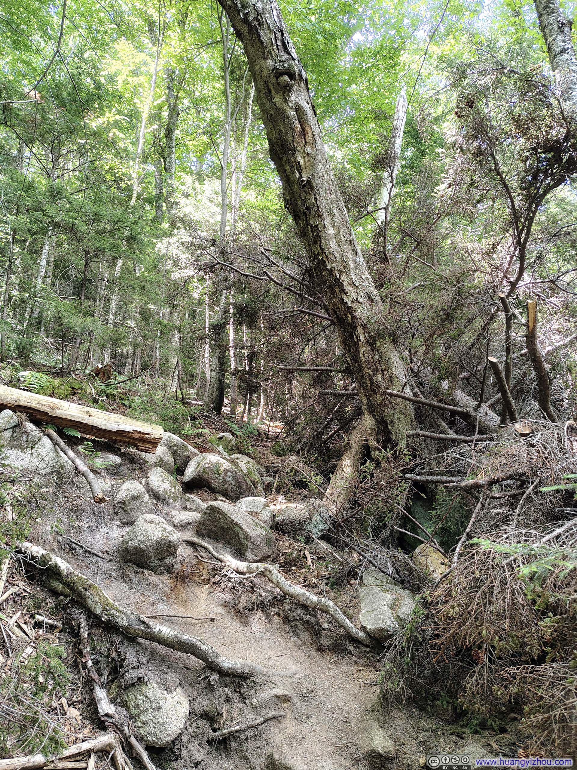
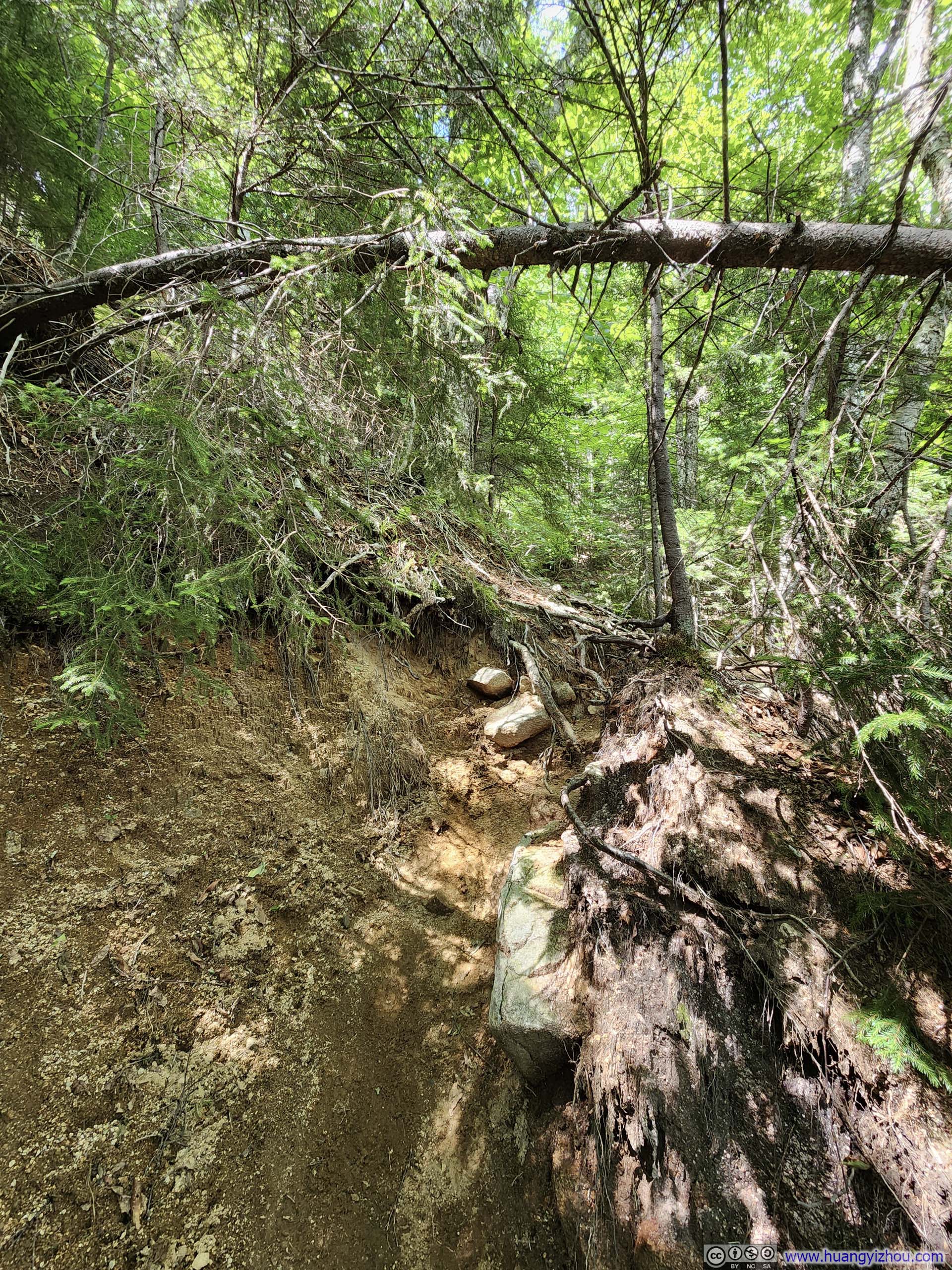
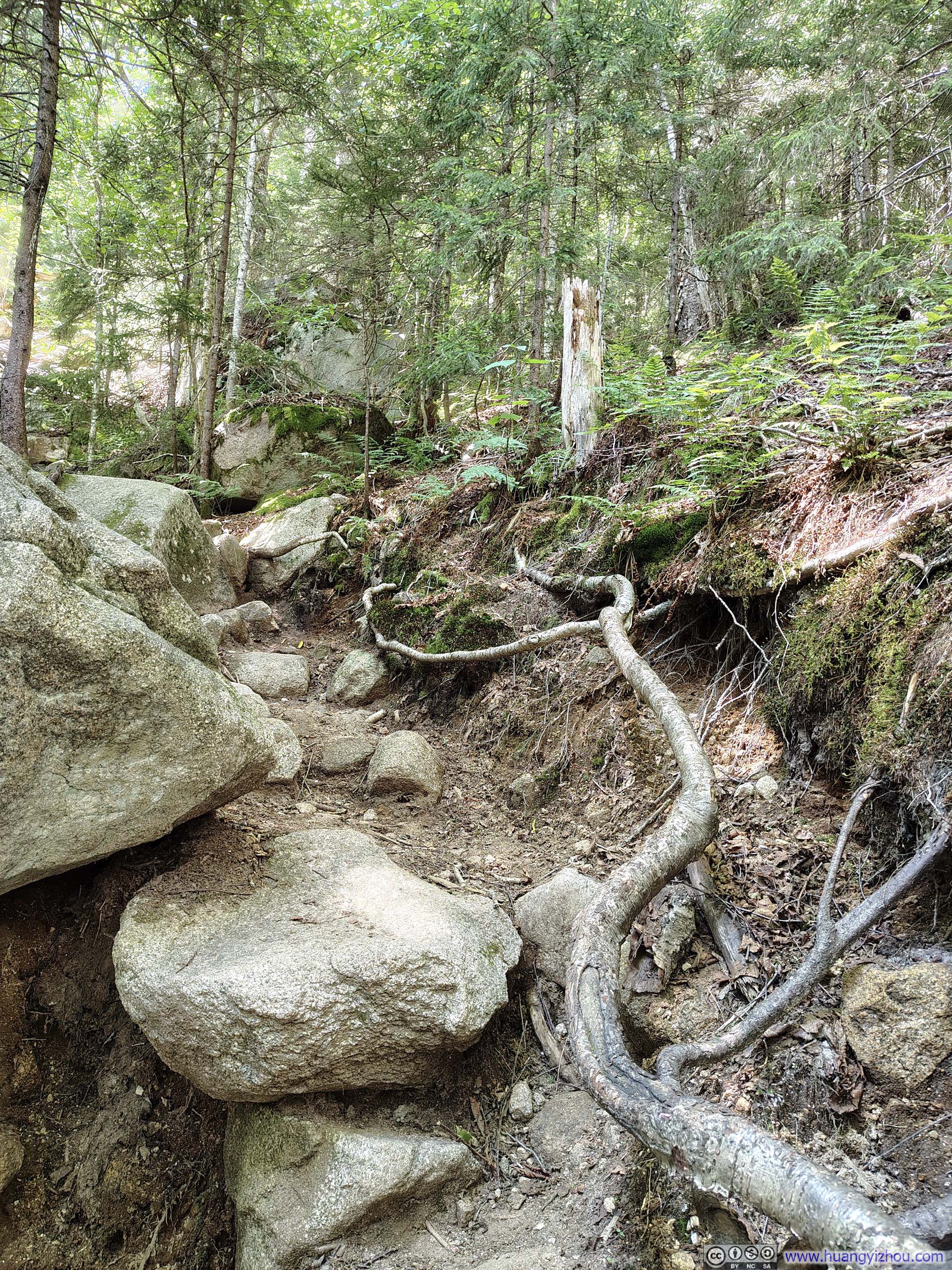



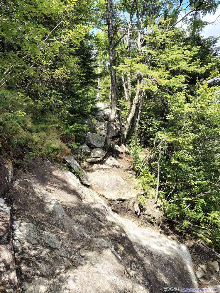
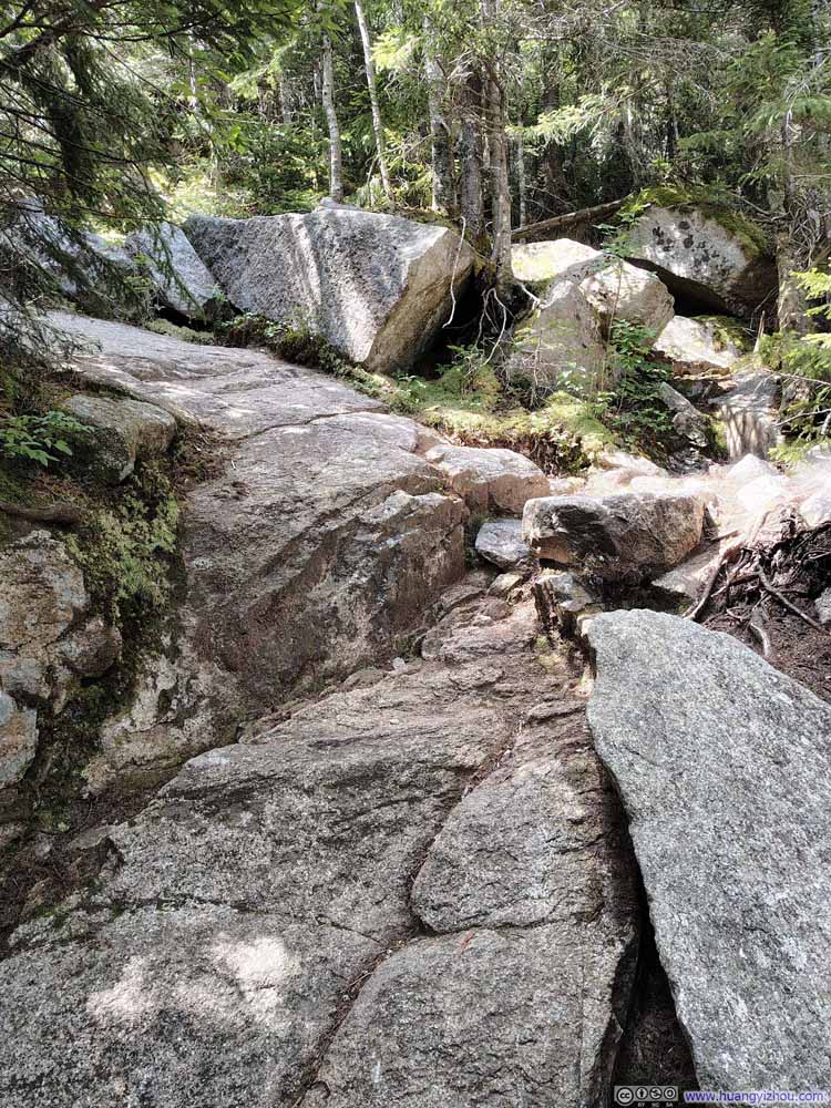
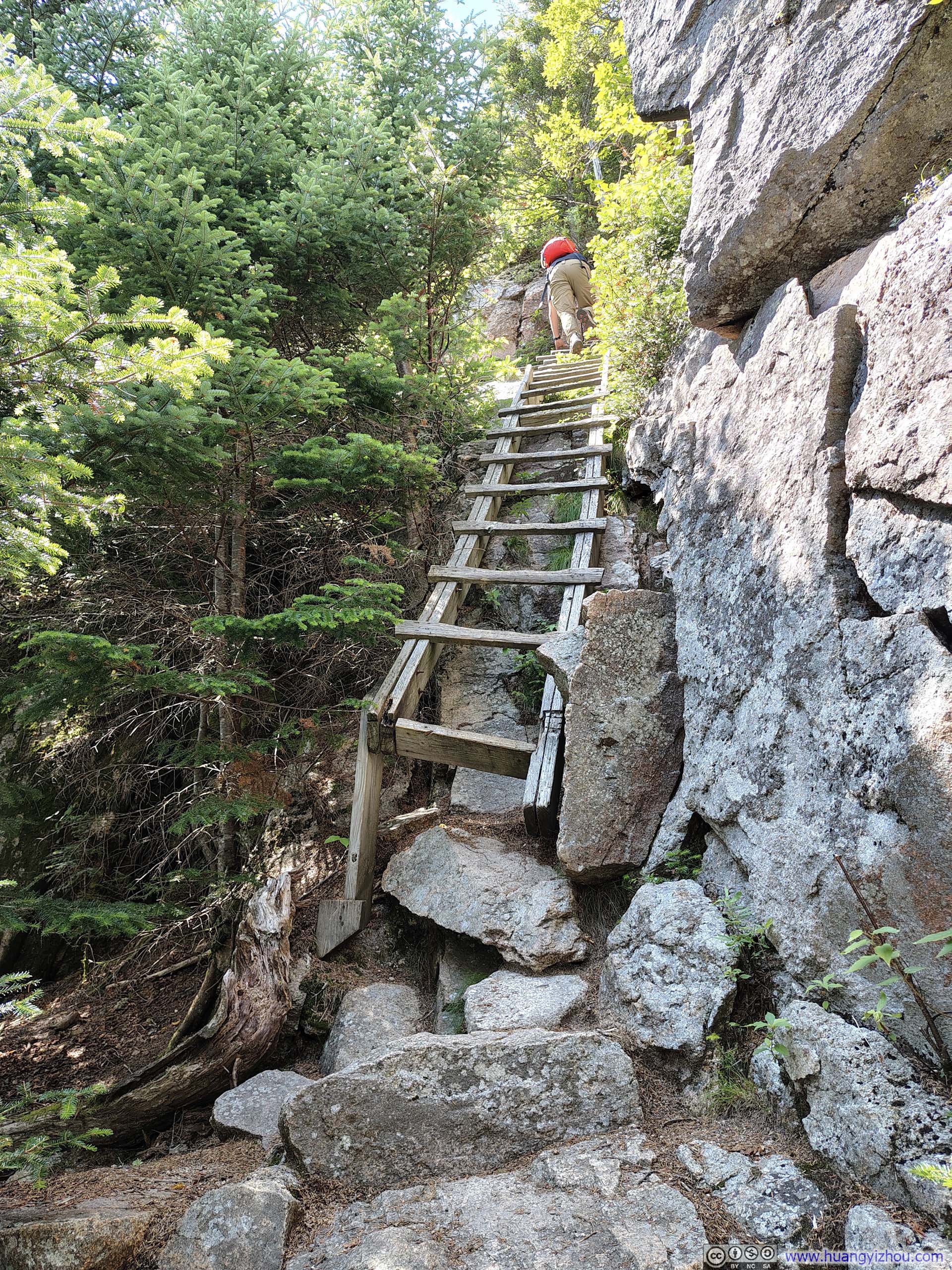
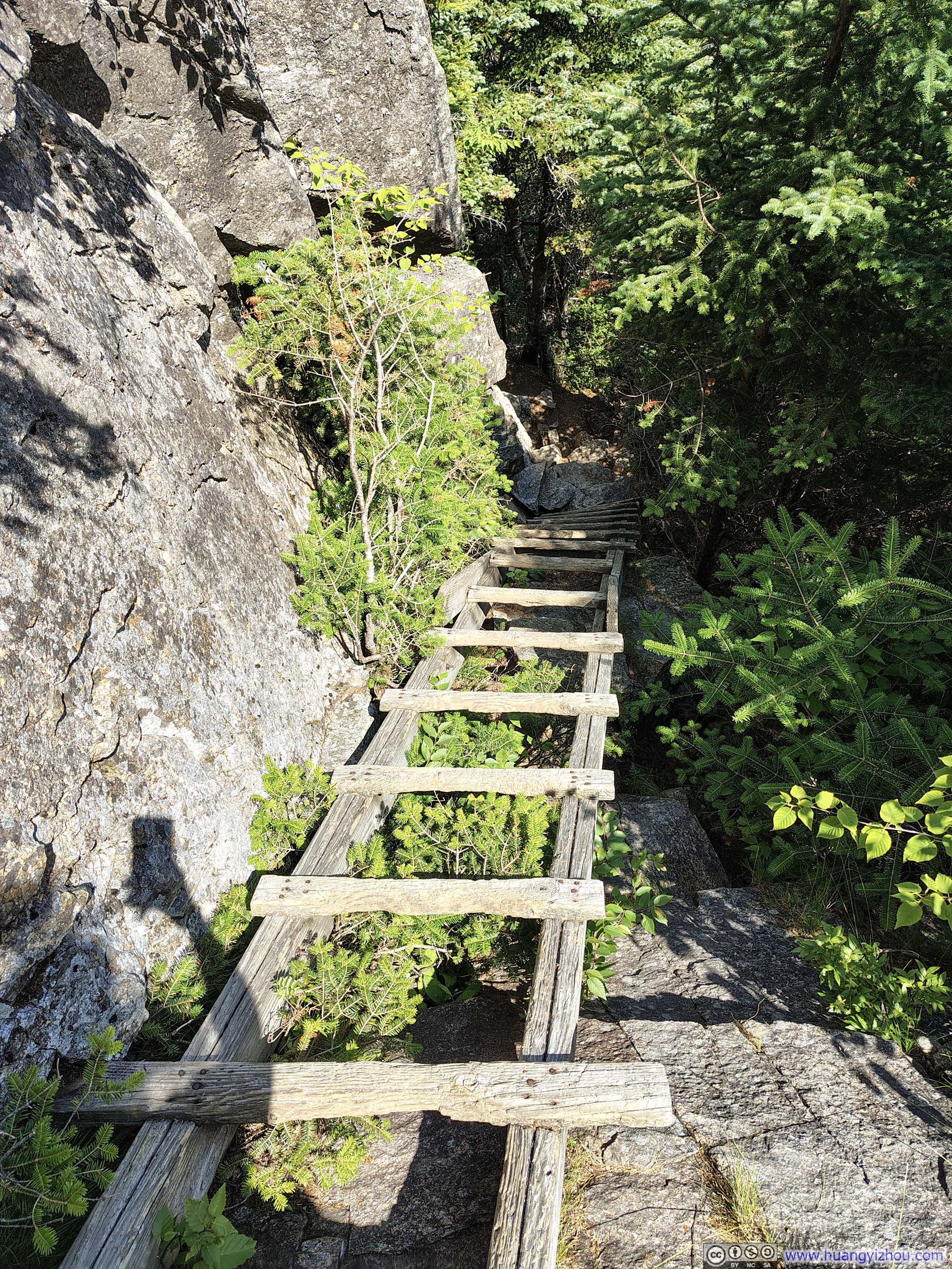
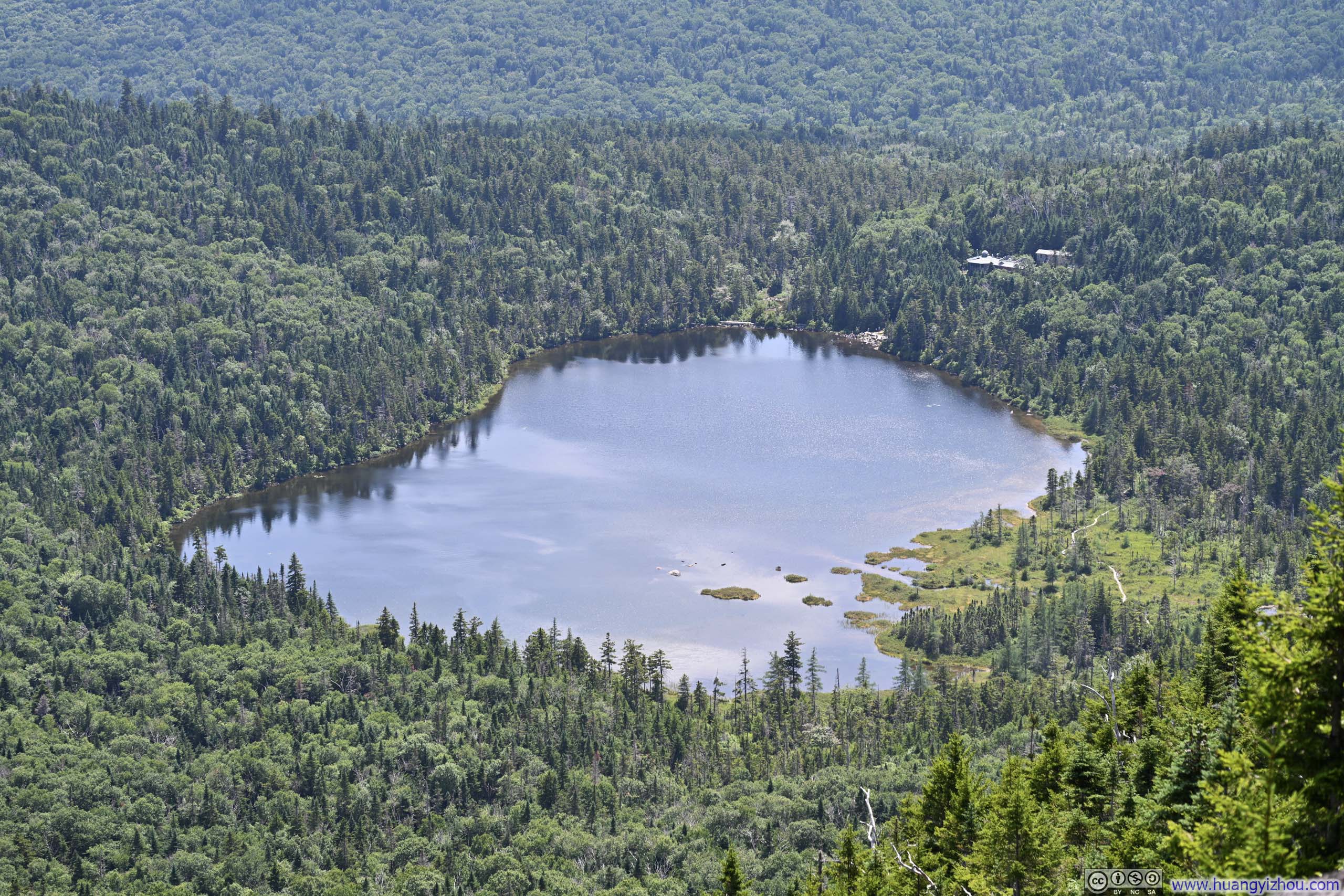
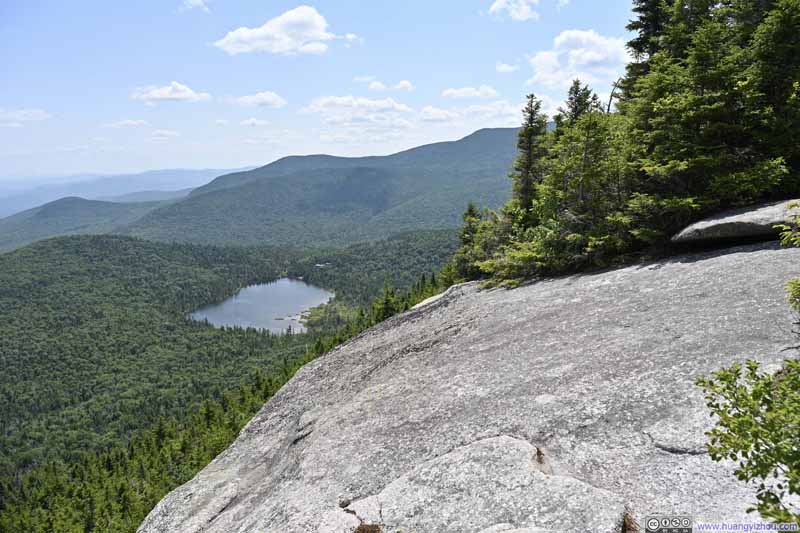
Soon after the ladders, a trail-side lookout appeared, overlooking Lonesome Lake and Franconia Notch below. Being the only point along the entire trail with views of Lonesome Lake, I paused there for a brief moment to soak in the views.
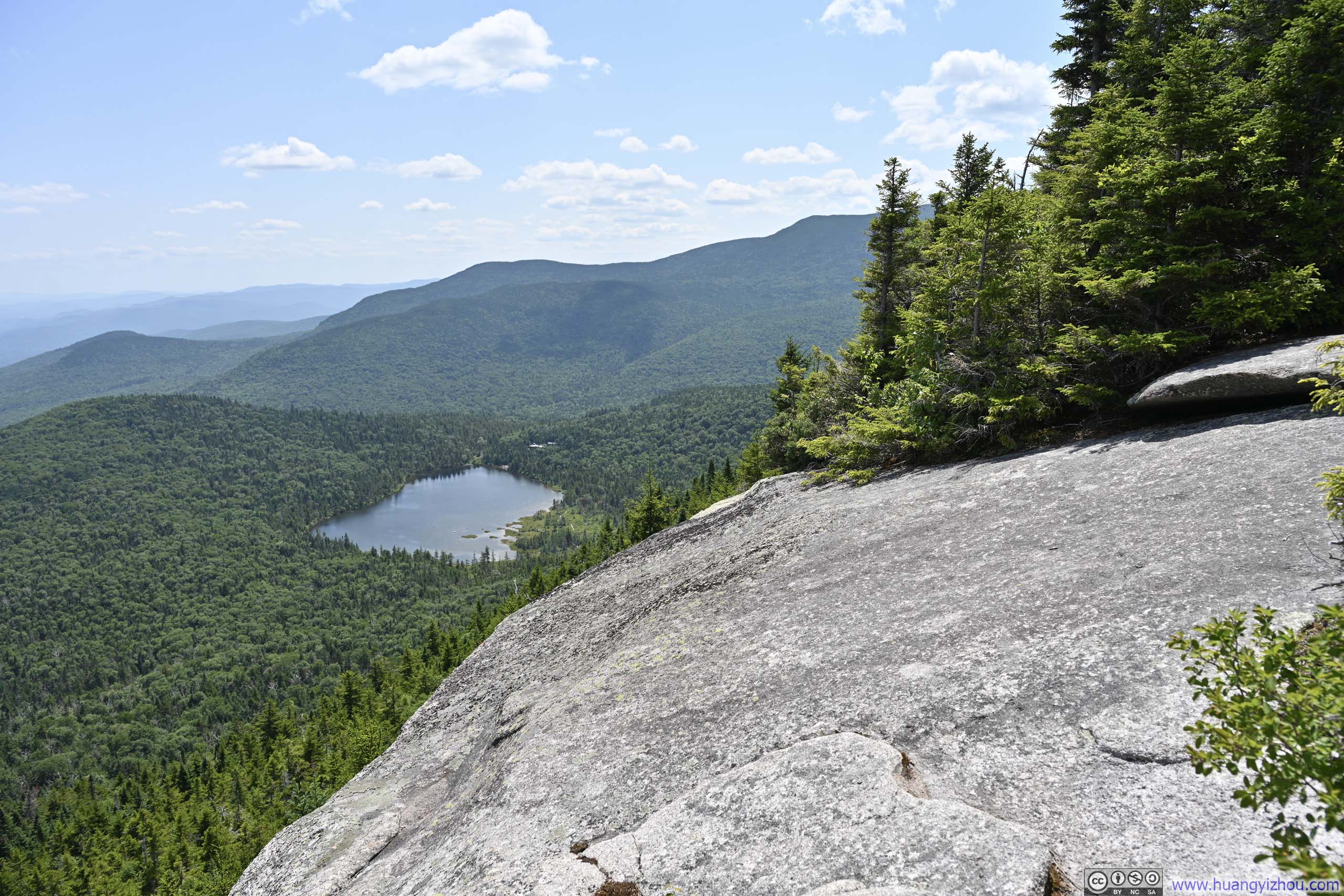
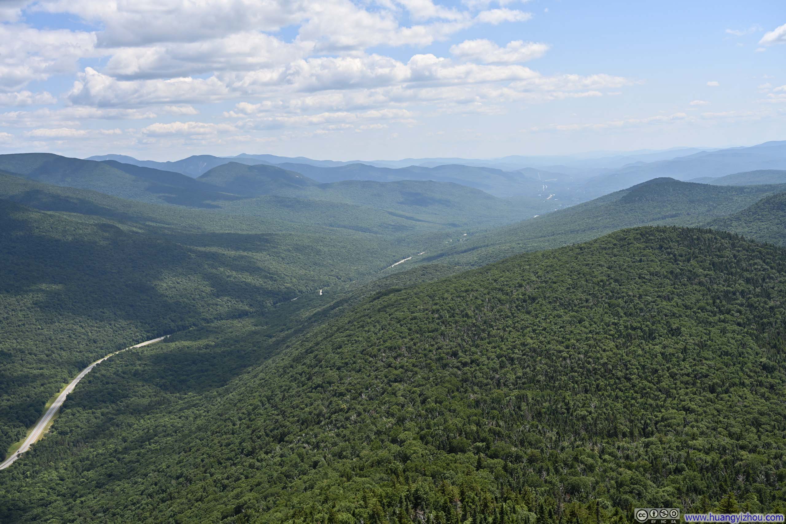
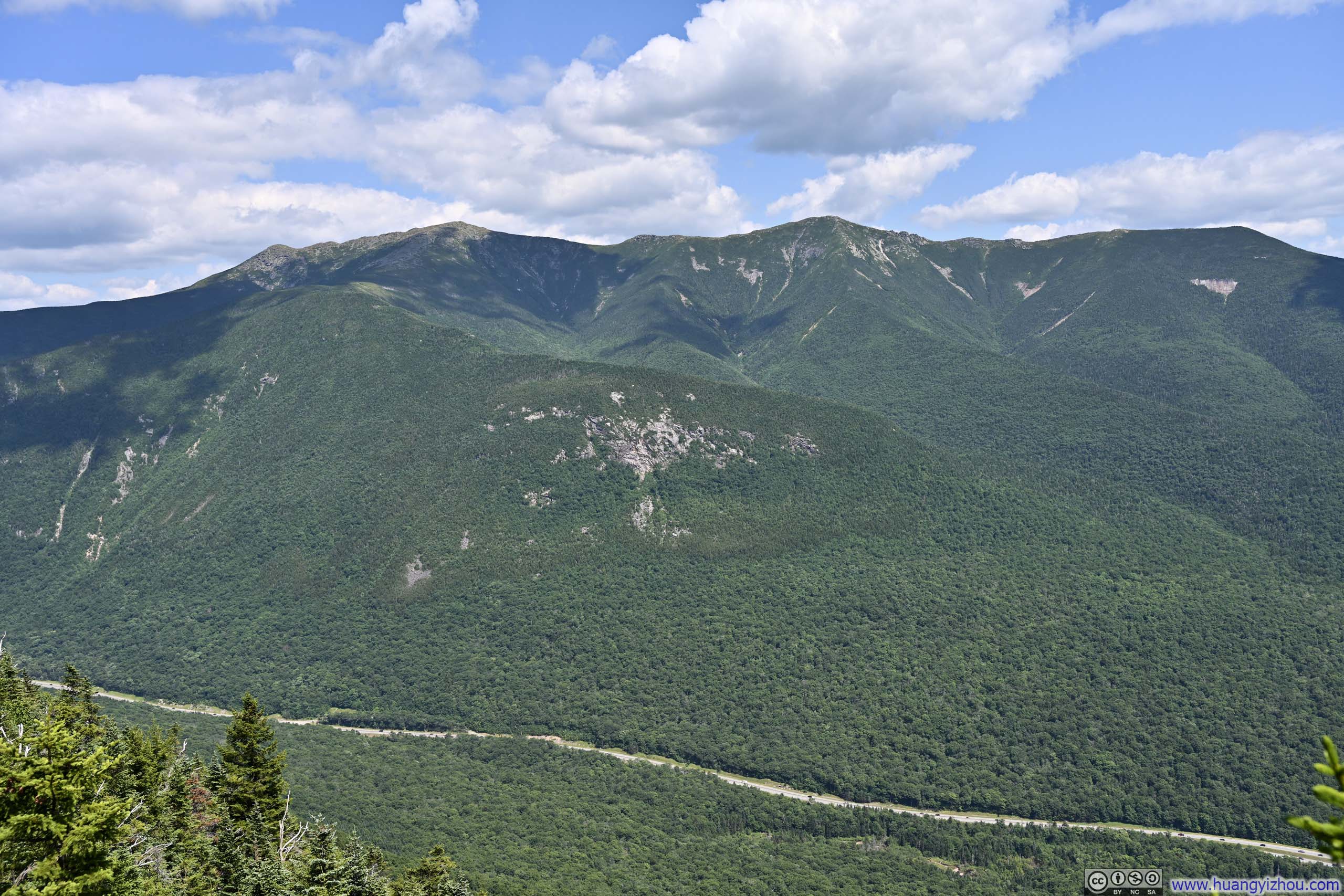
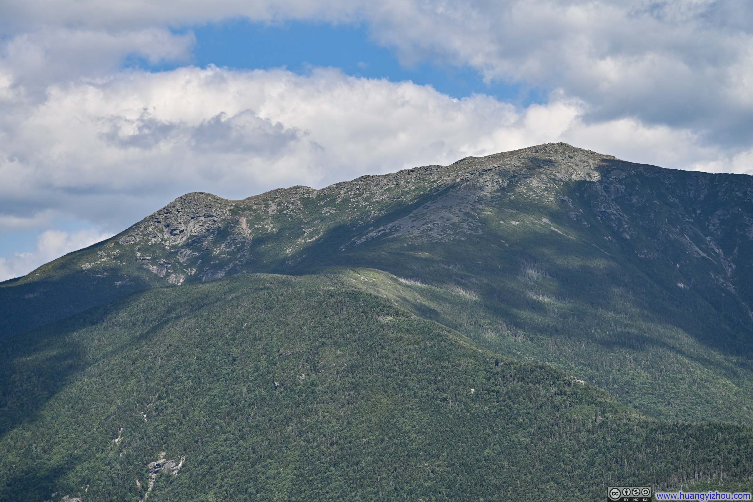
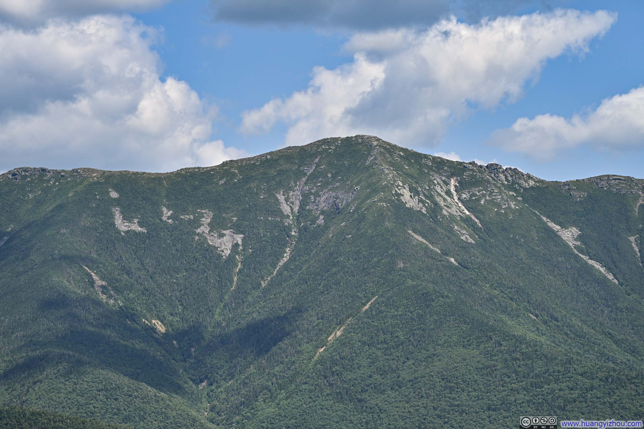
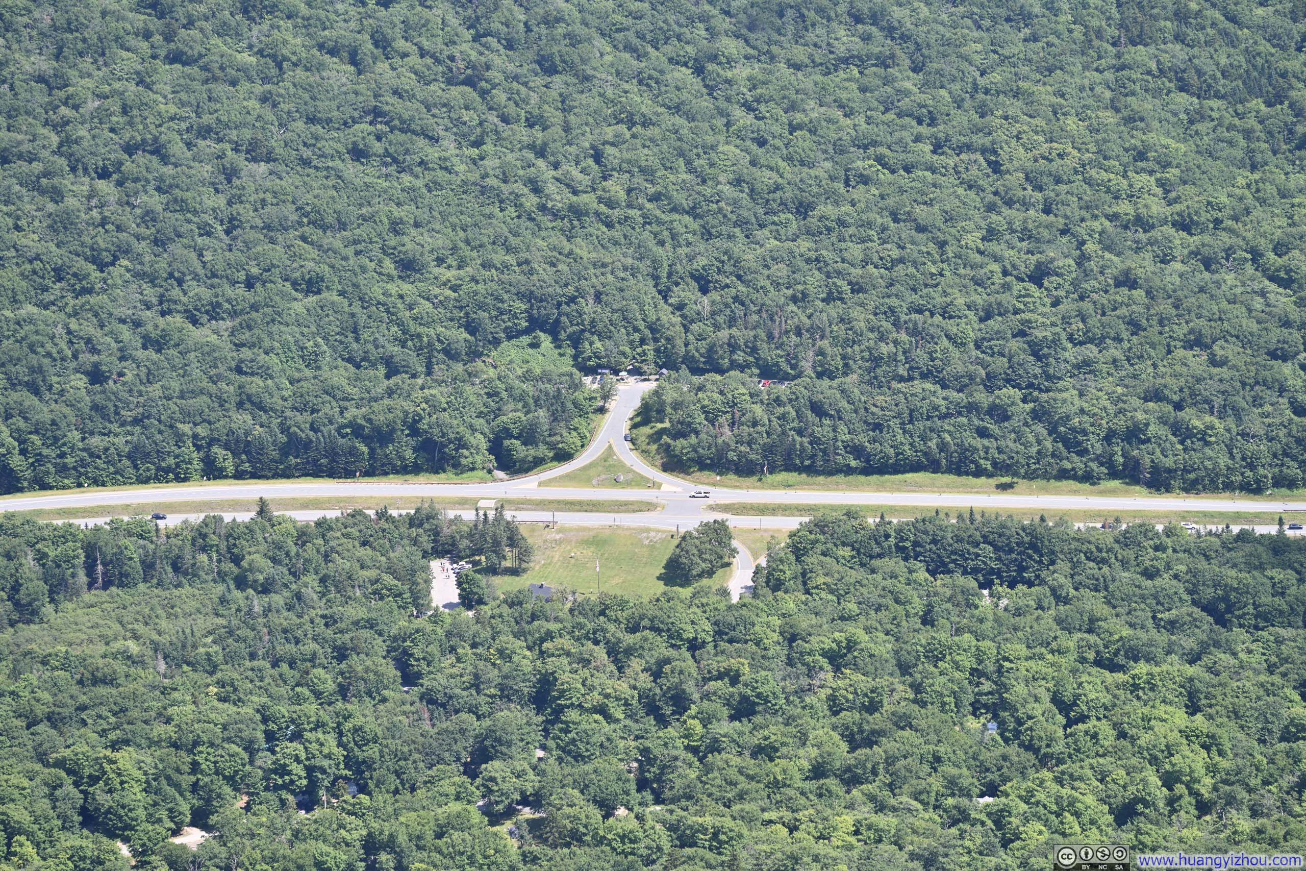



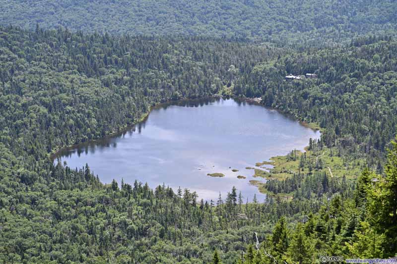
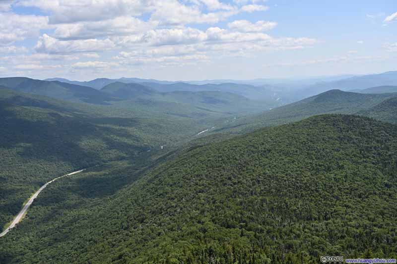
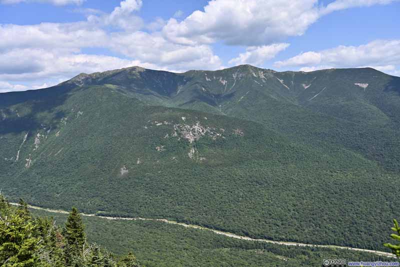
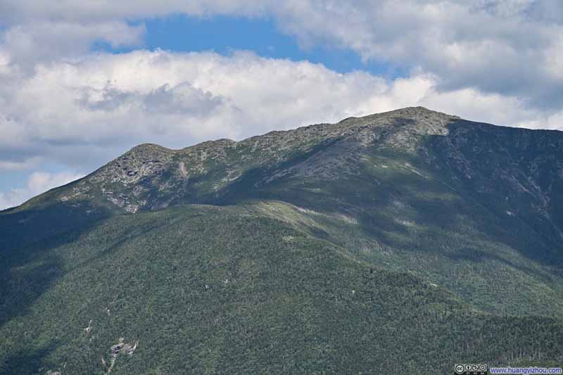
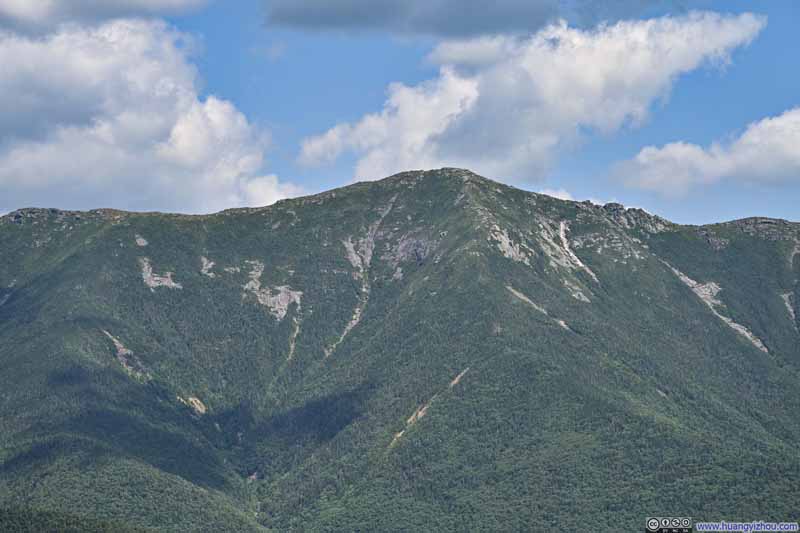
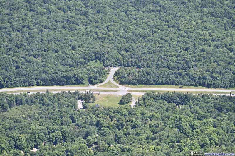
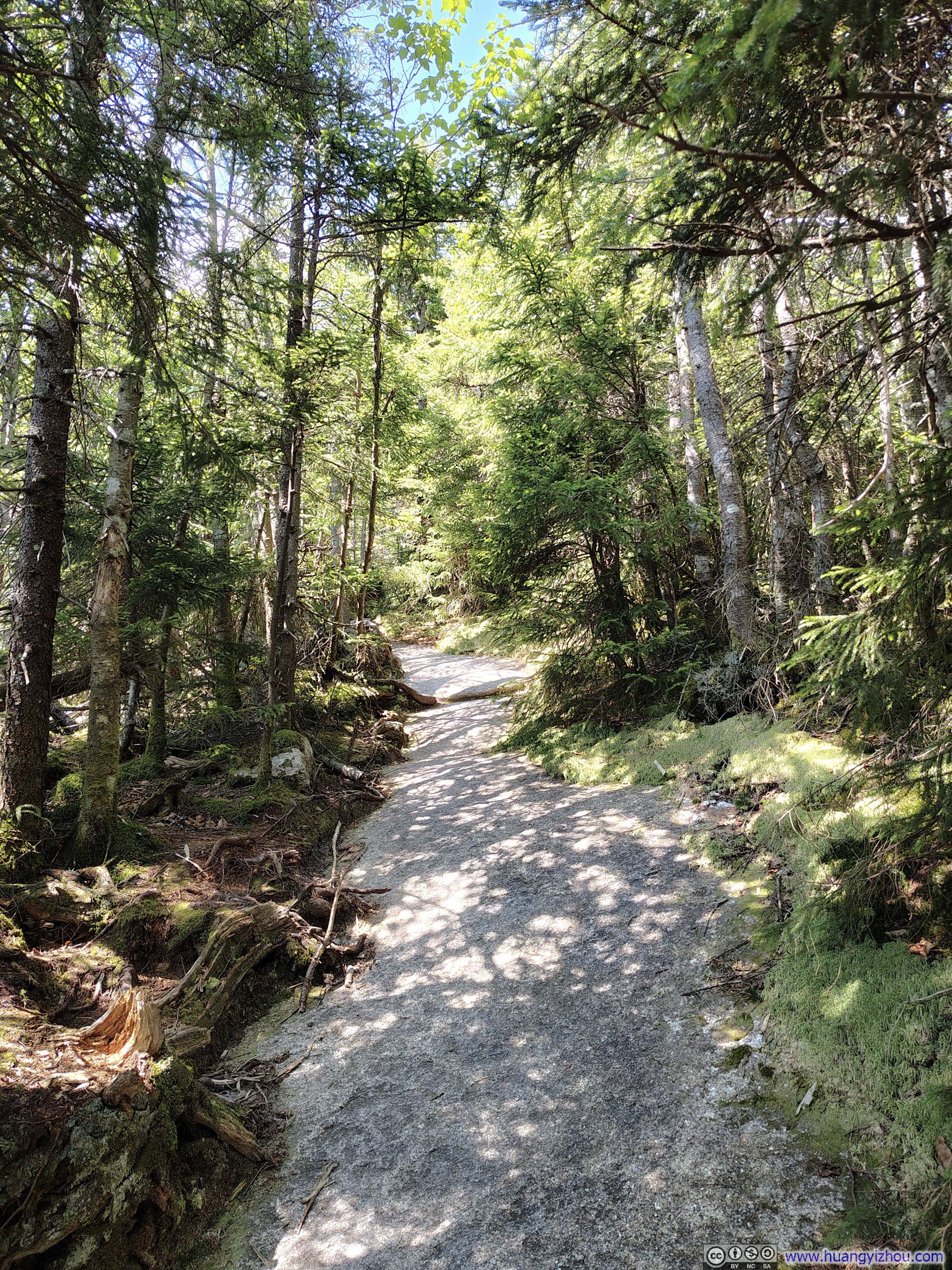
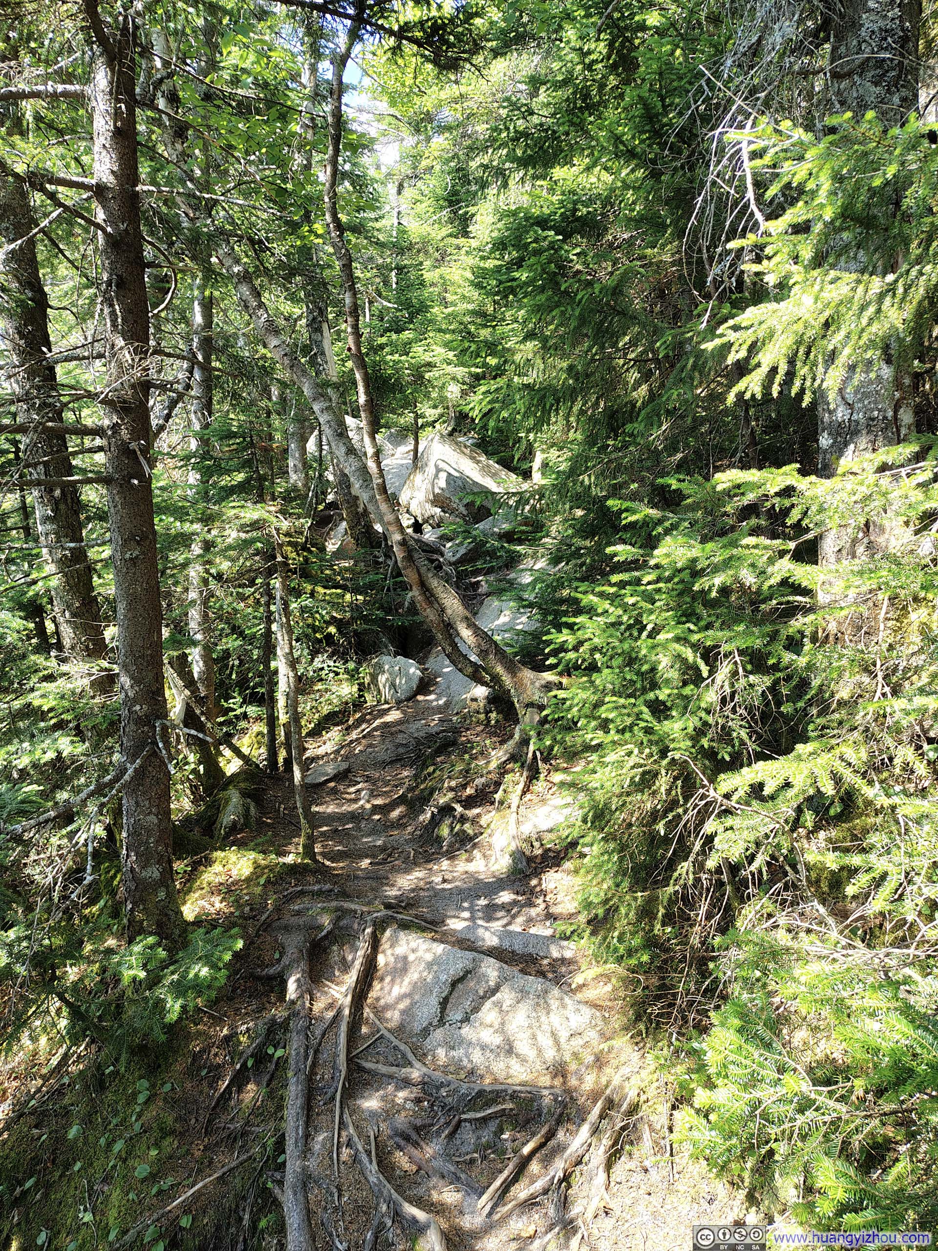
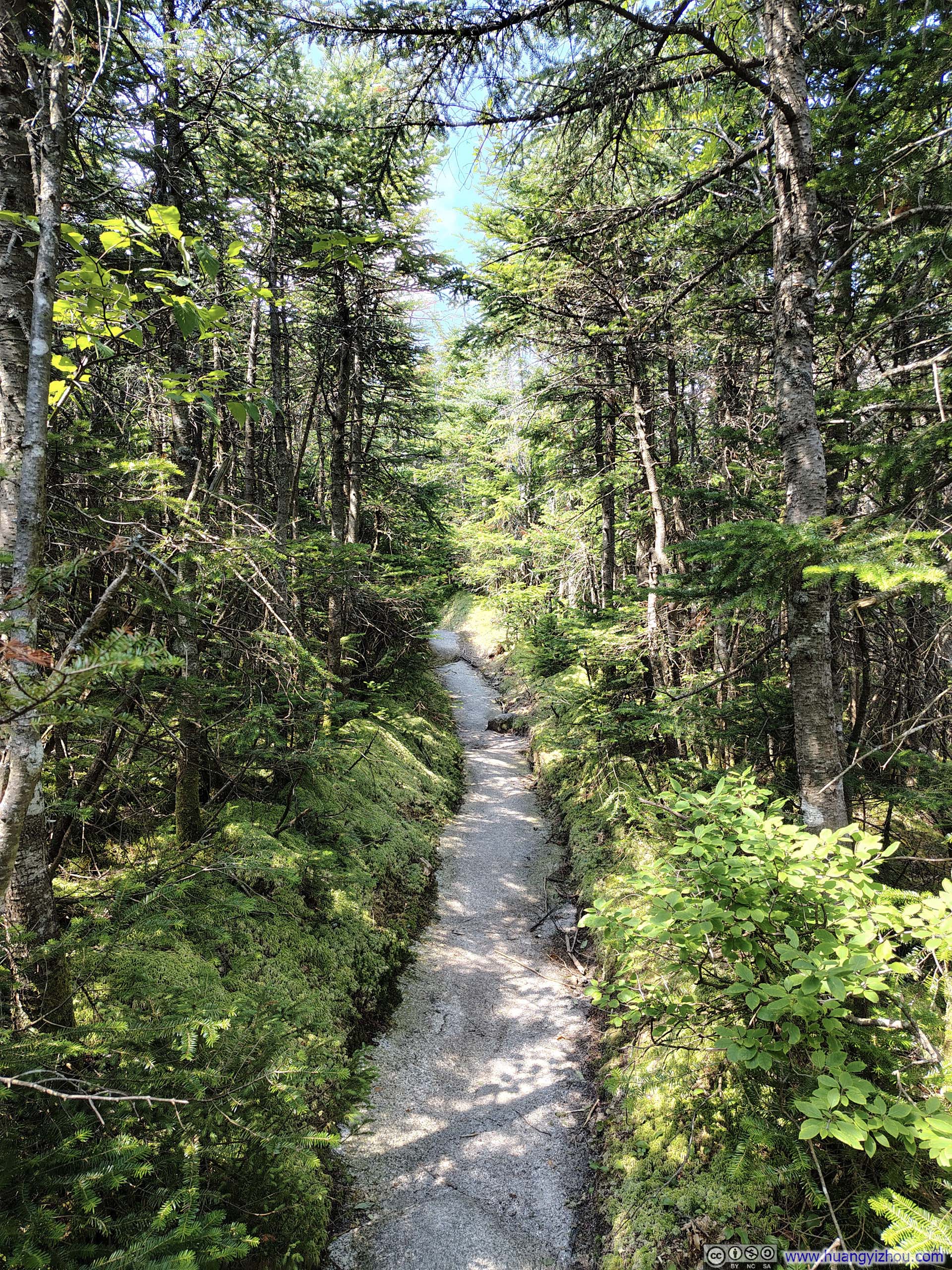
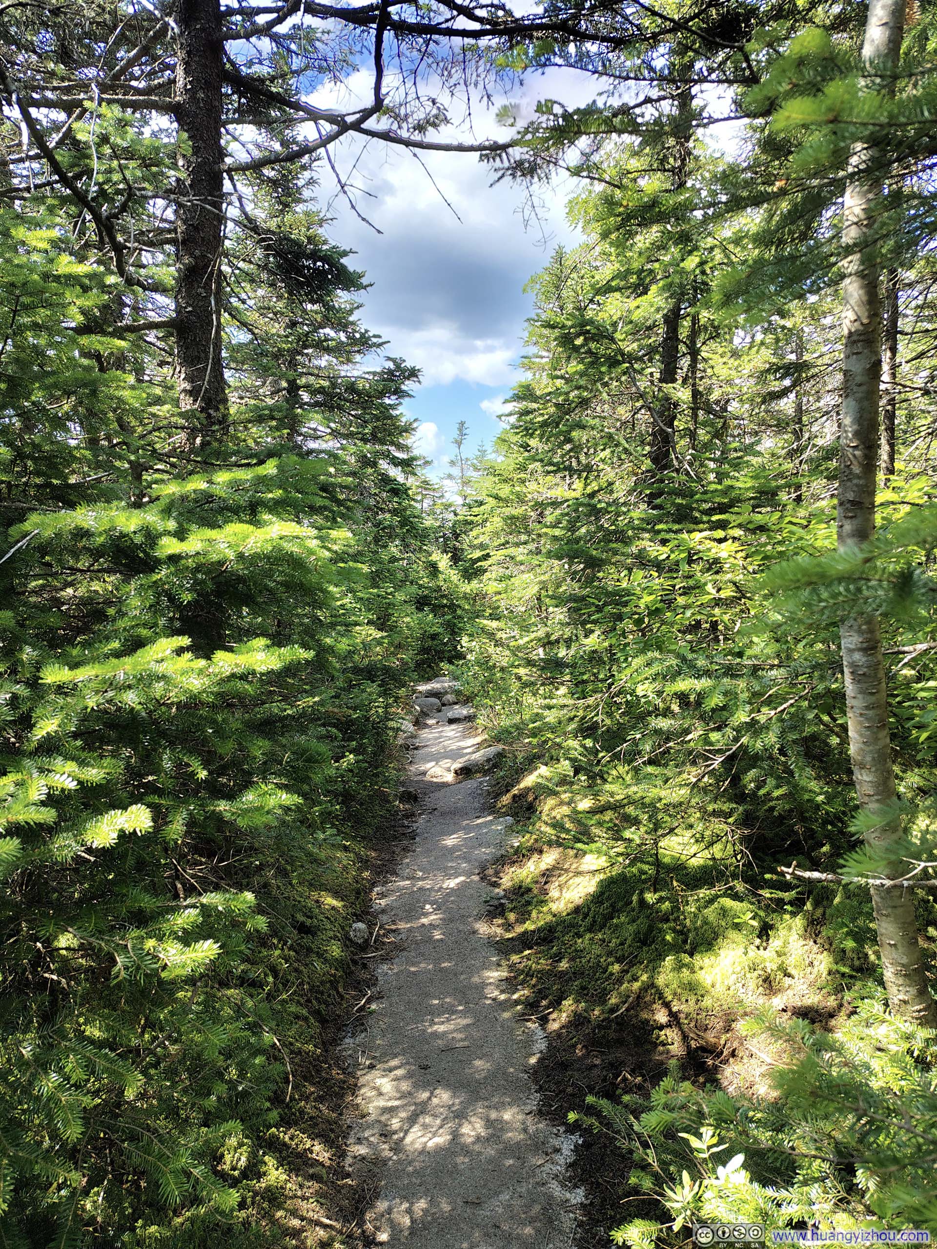
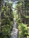

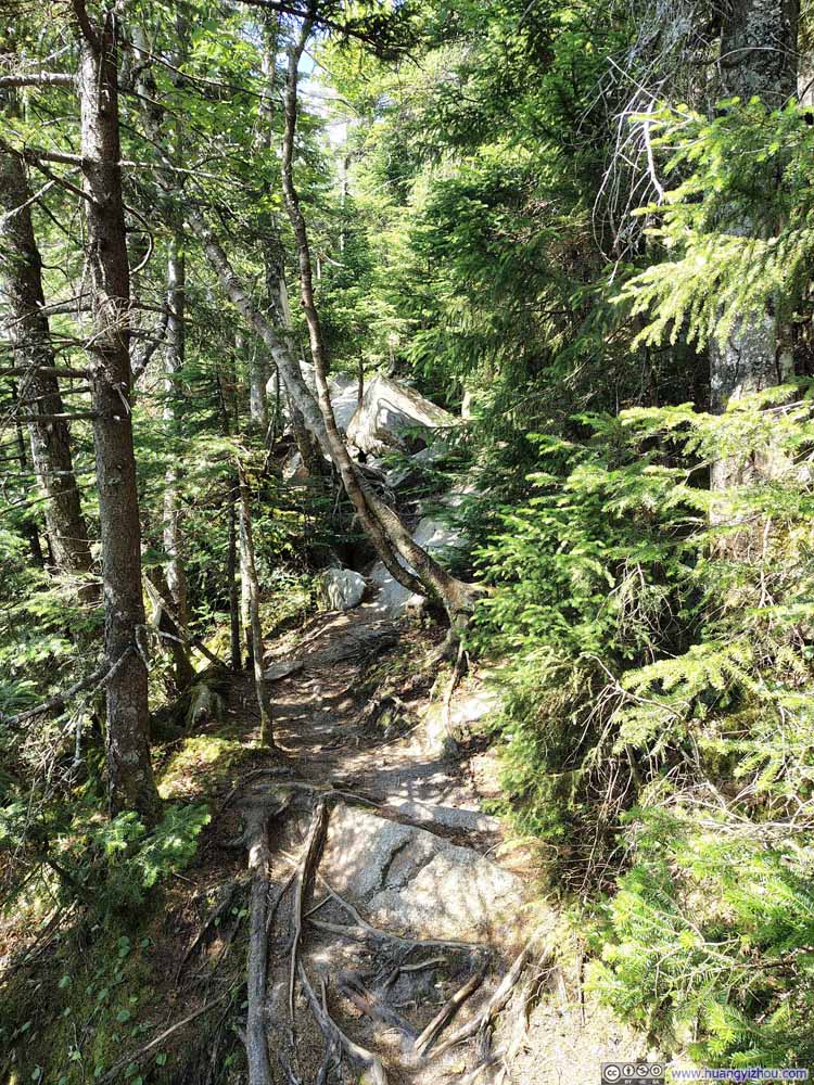
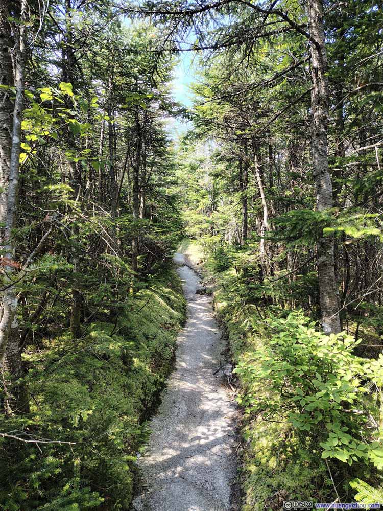
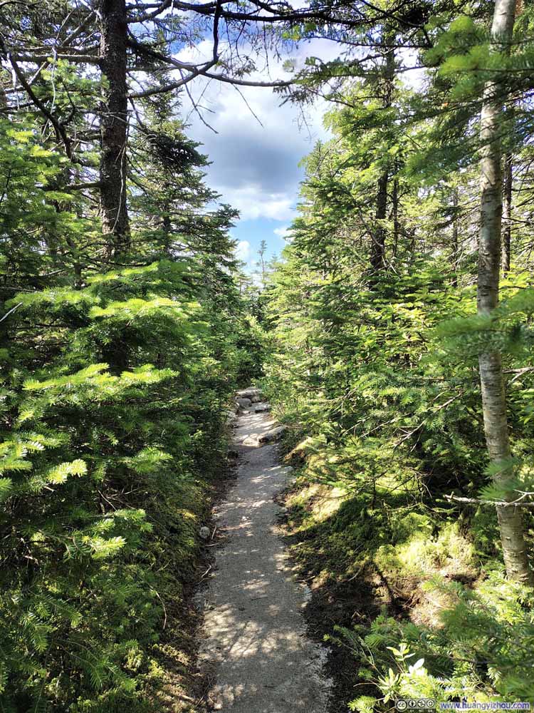
Finally, just over 2 hours after leaving Lafayette Place, I reached the observation tower on Cannon Mountain, which doubled as a cell and radio tower (with a warning sign noting that radiation levels exceeded FCC guidelines for the general public though).
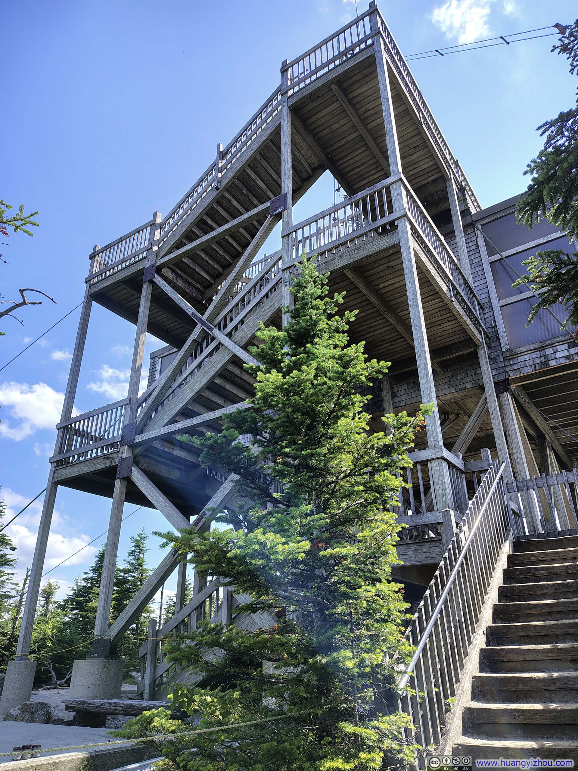
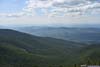
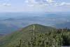
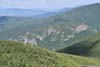
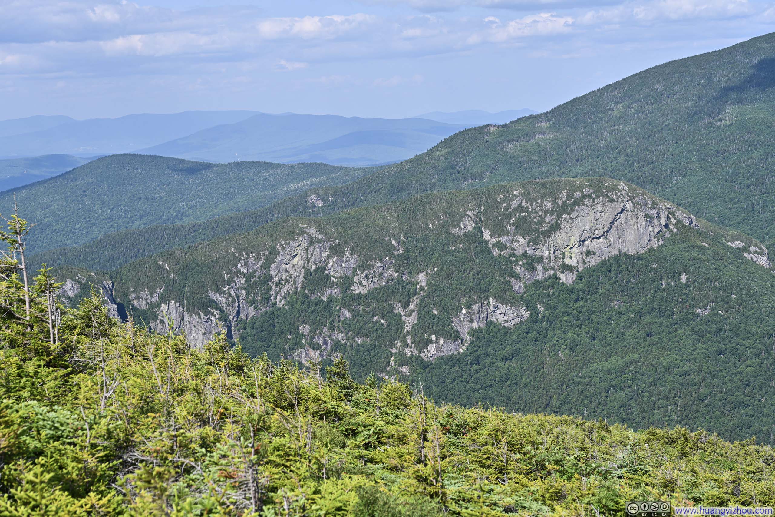
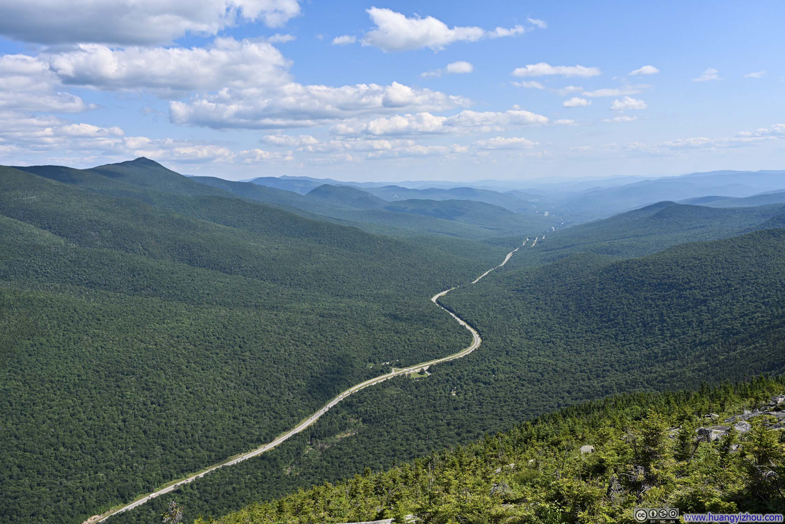
The observation tower offered unobstructed 360-degree views of the surrounding landscape, from the imposing Franconia Ridge to the east and the gentle rolling hills and fields stretched out to the west and north.
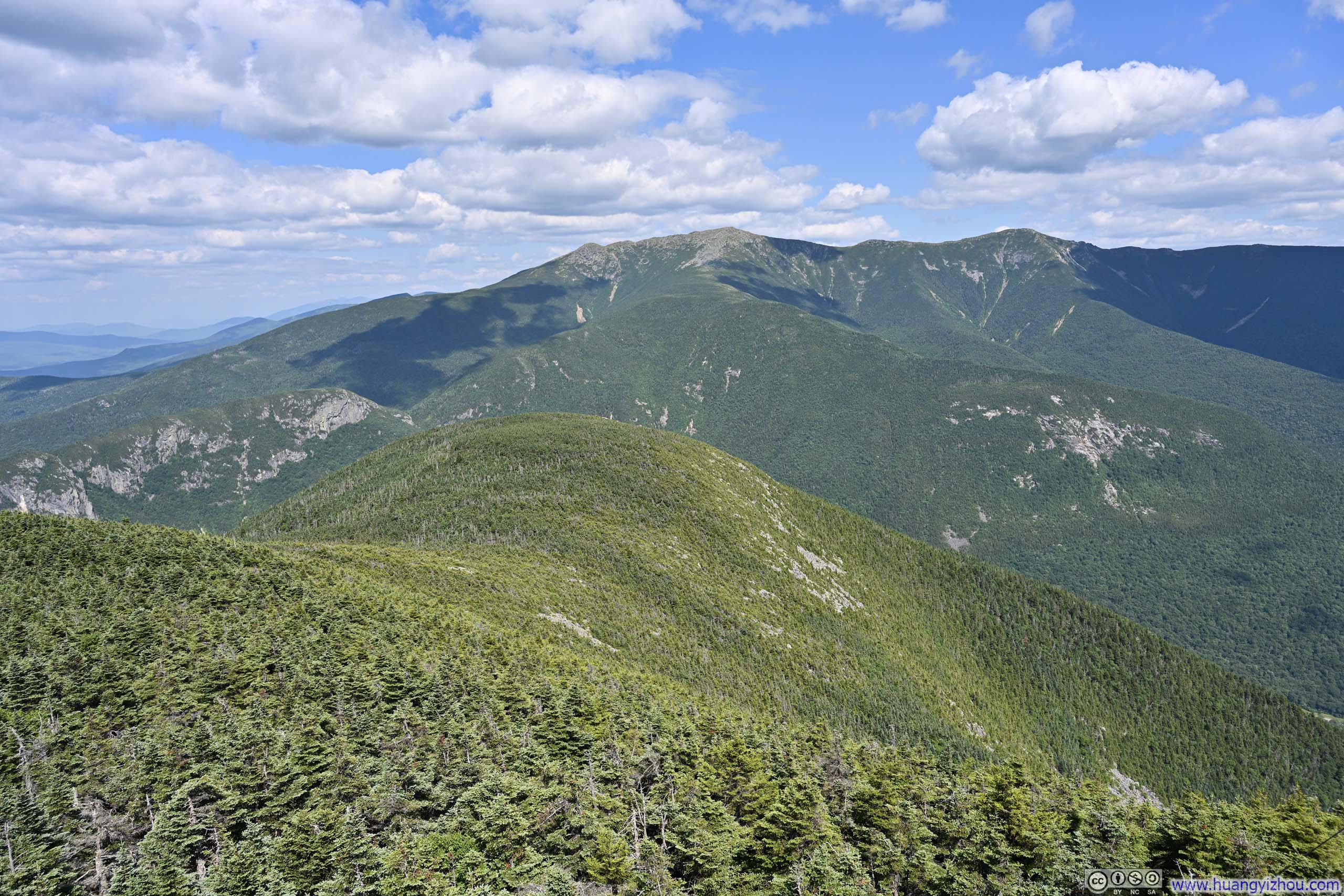
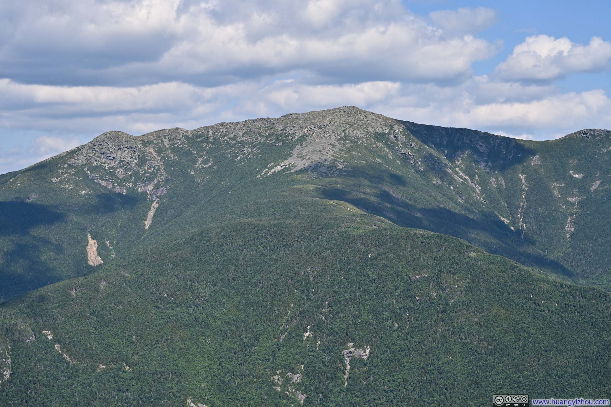
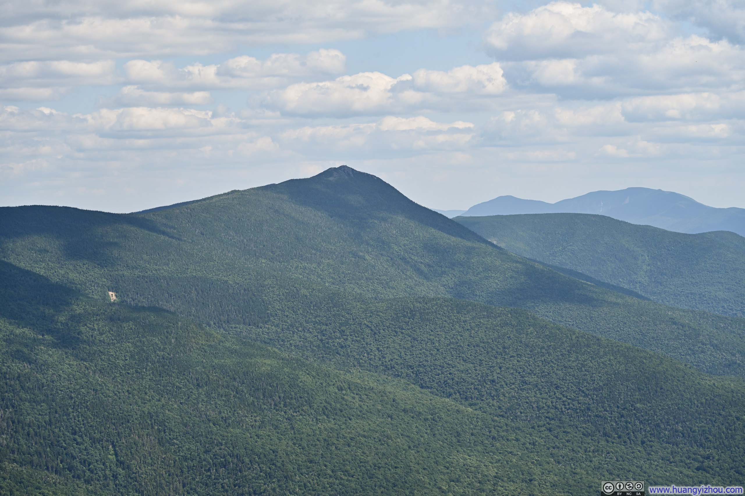
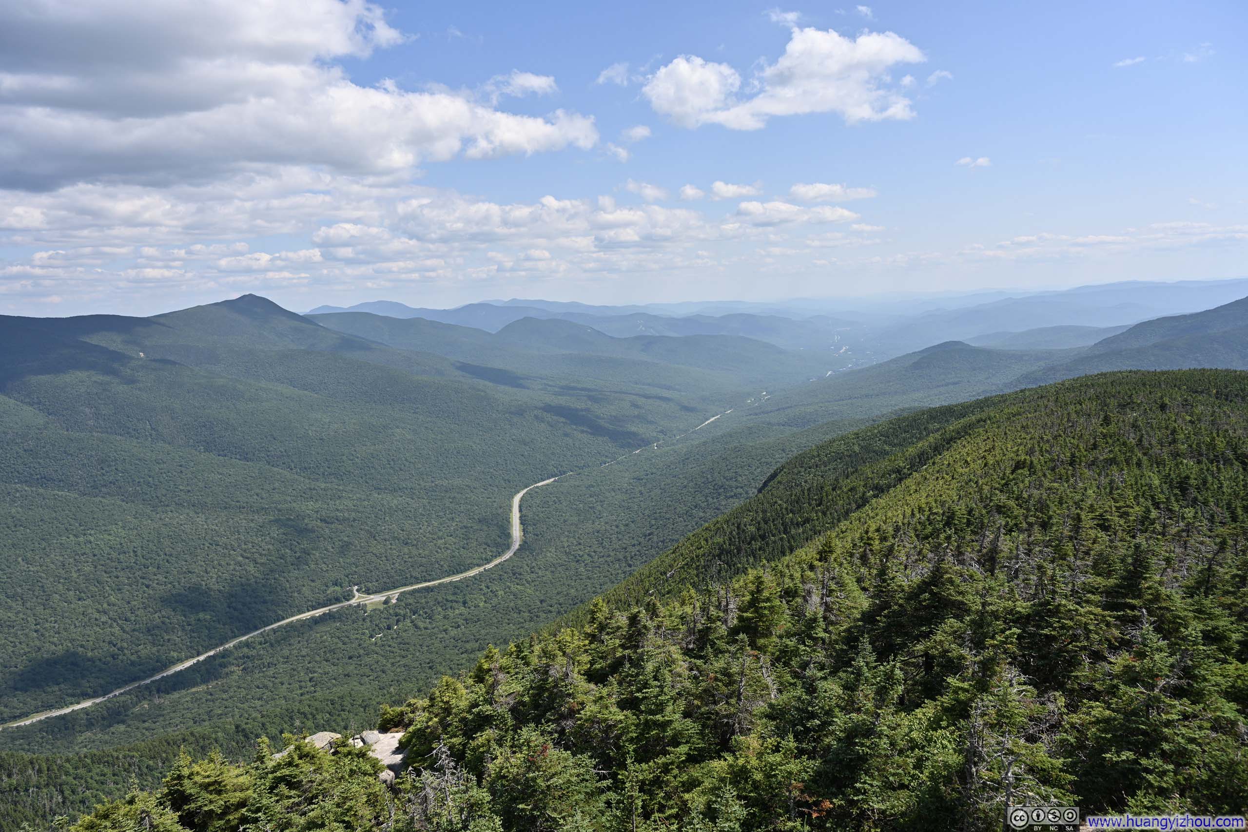
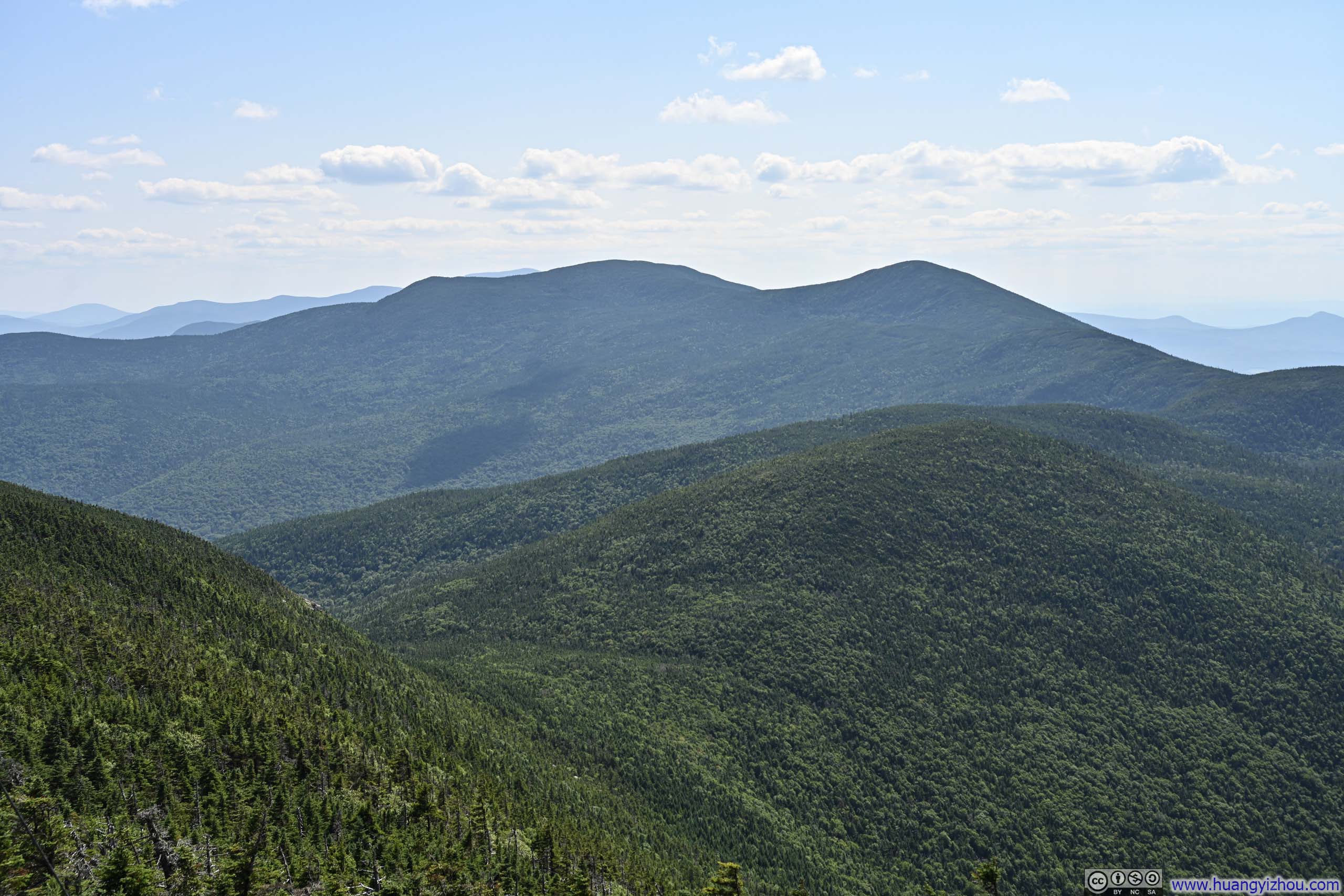
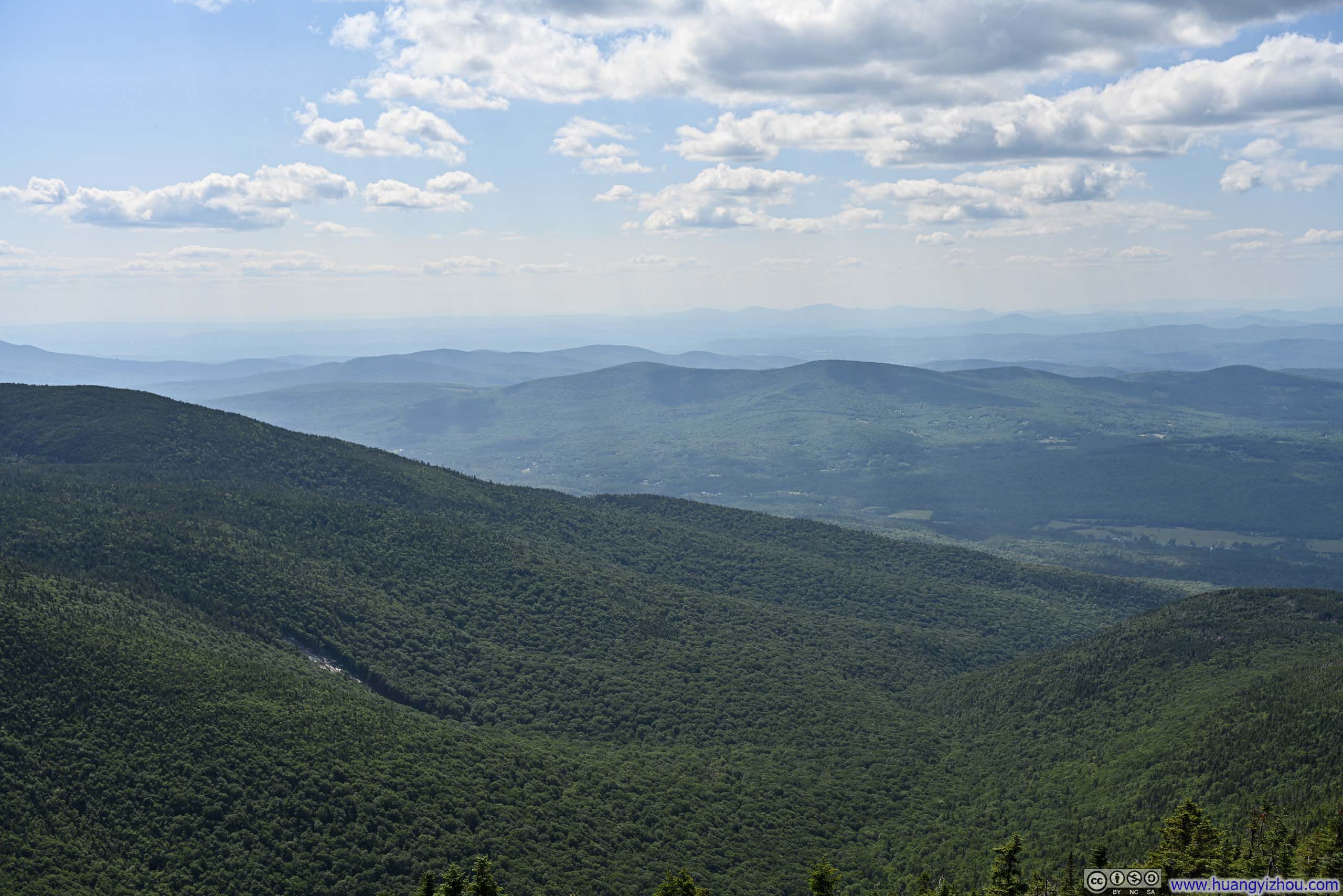
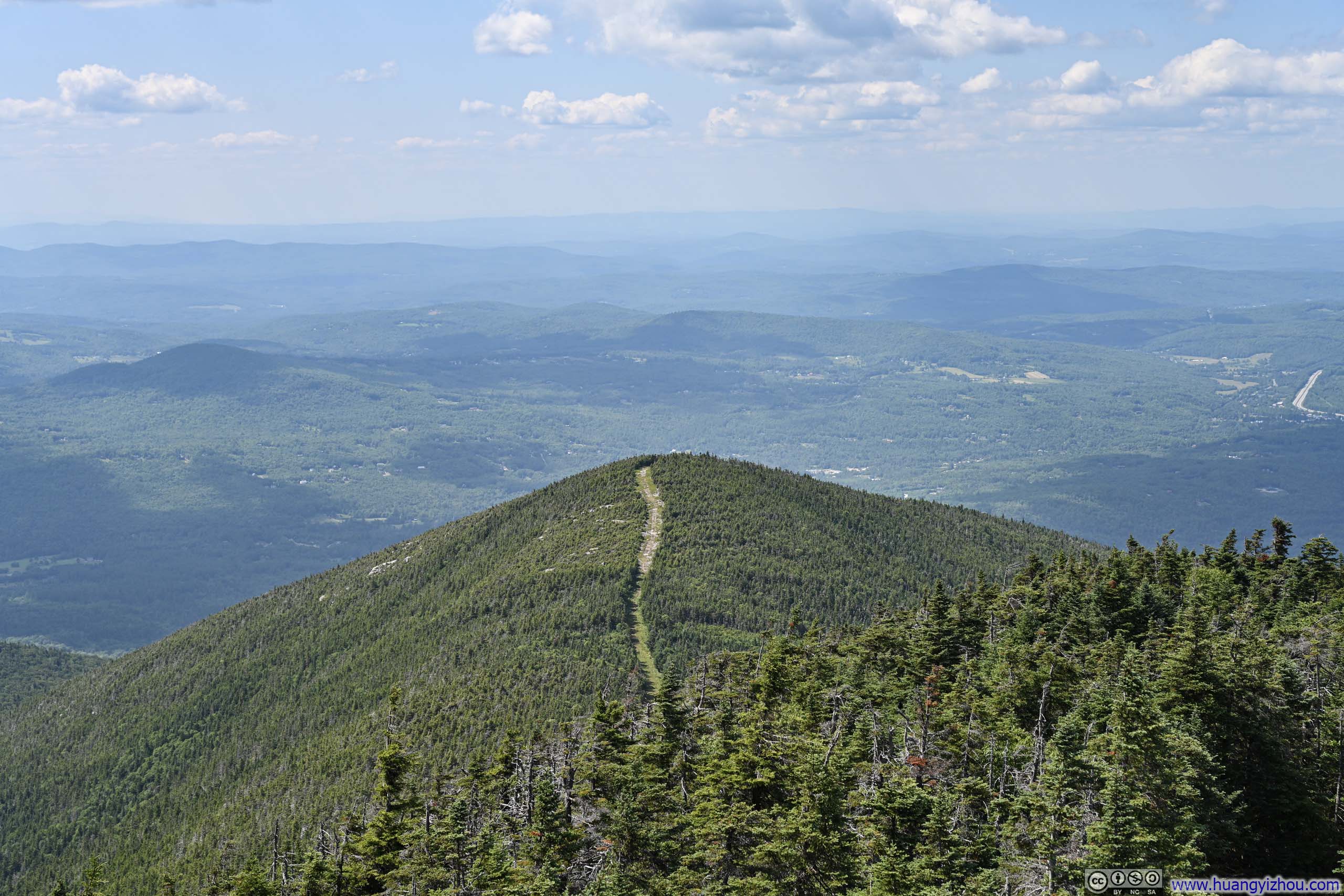
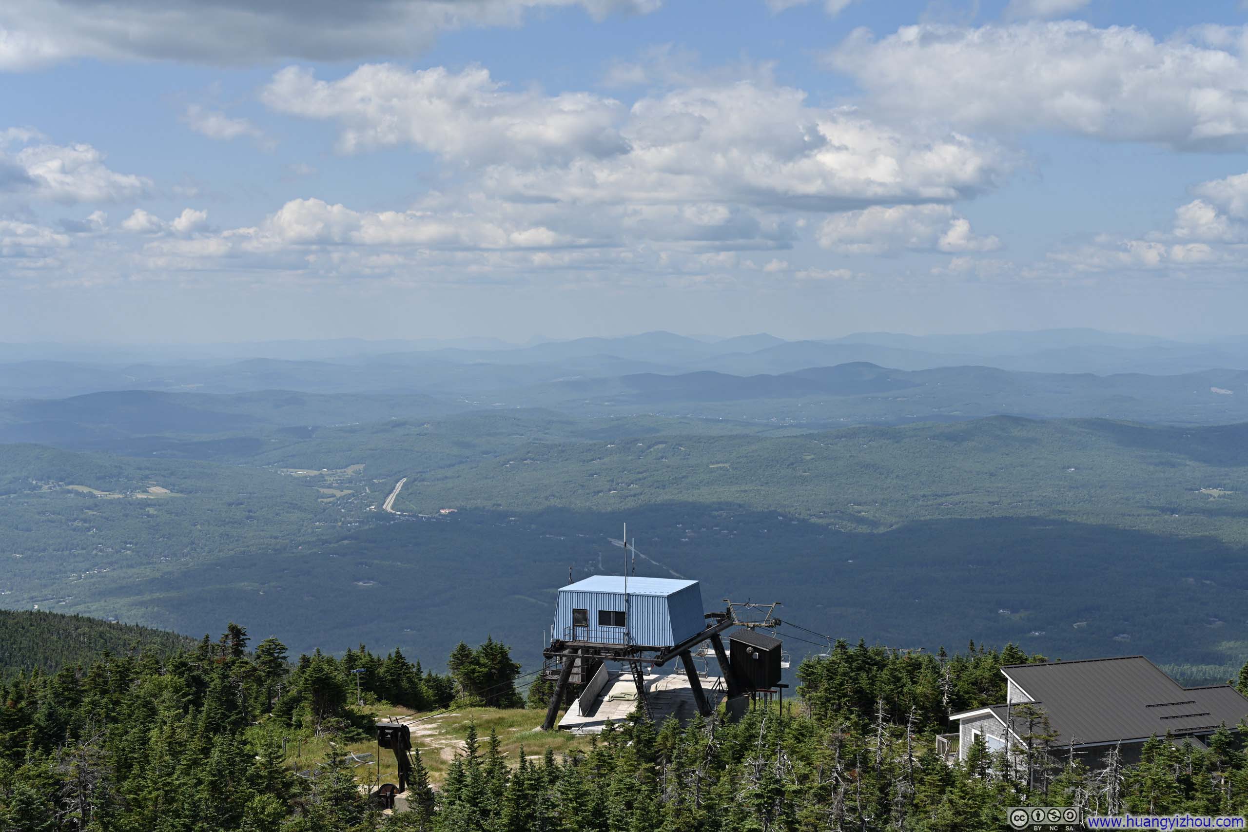
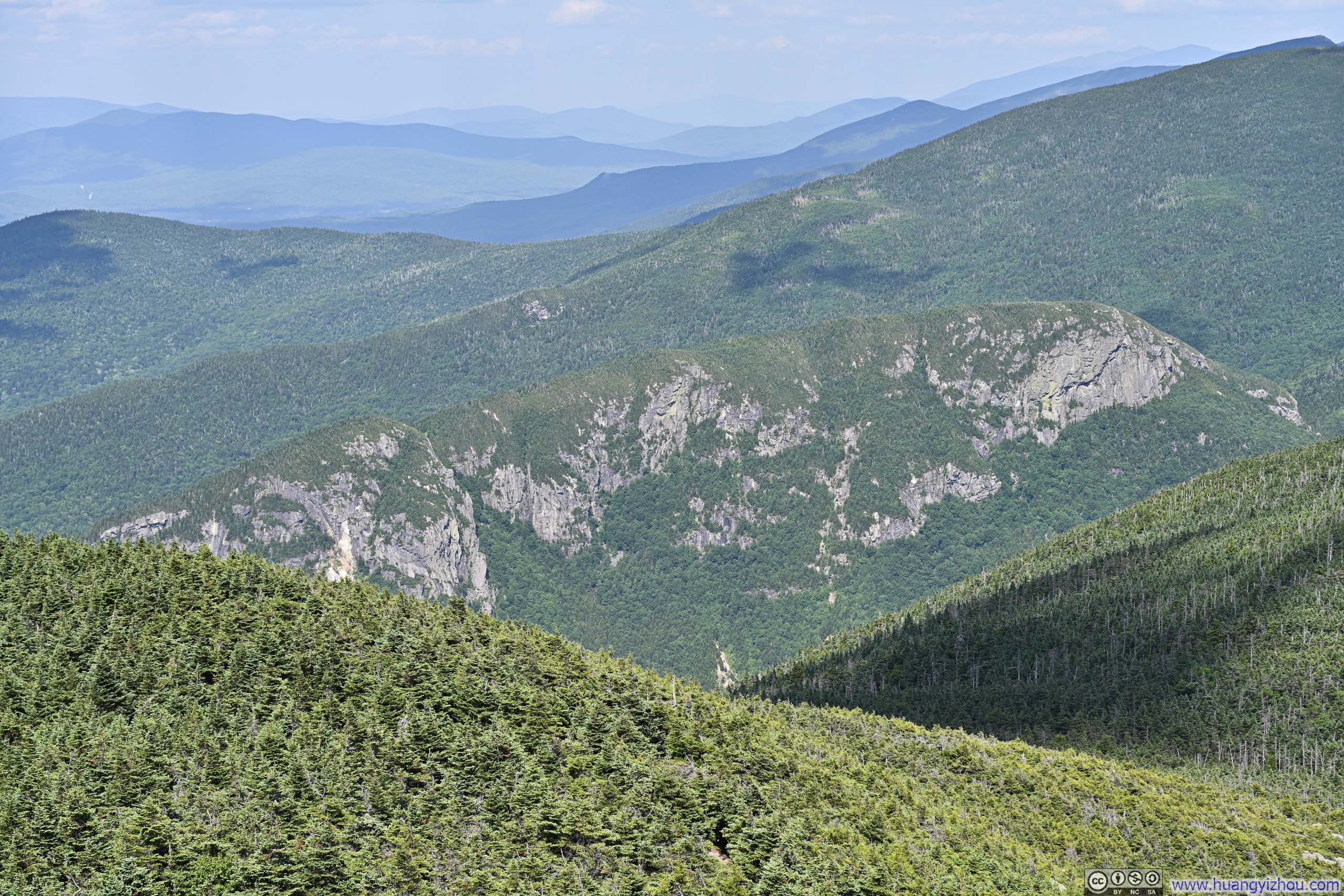


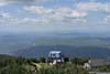
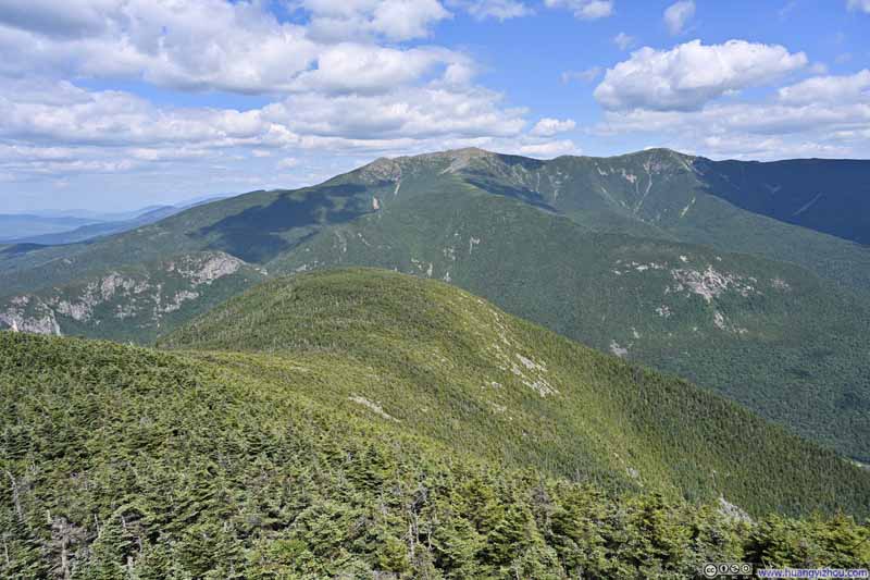
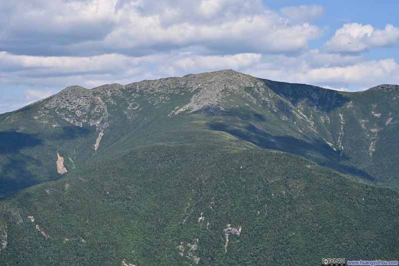
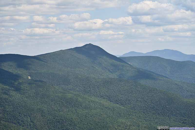
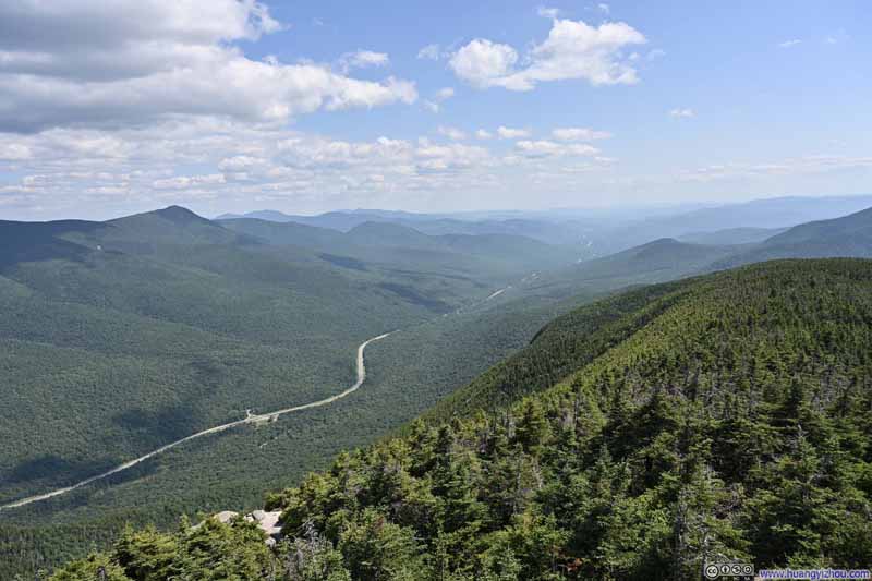
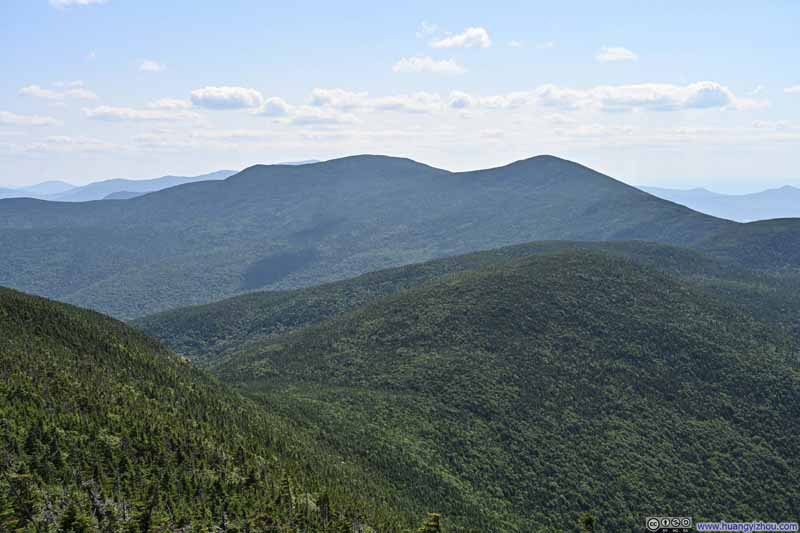
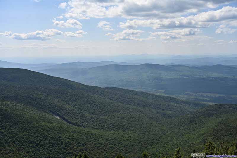
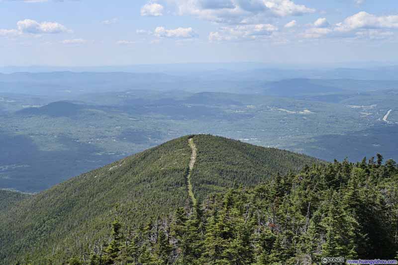
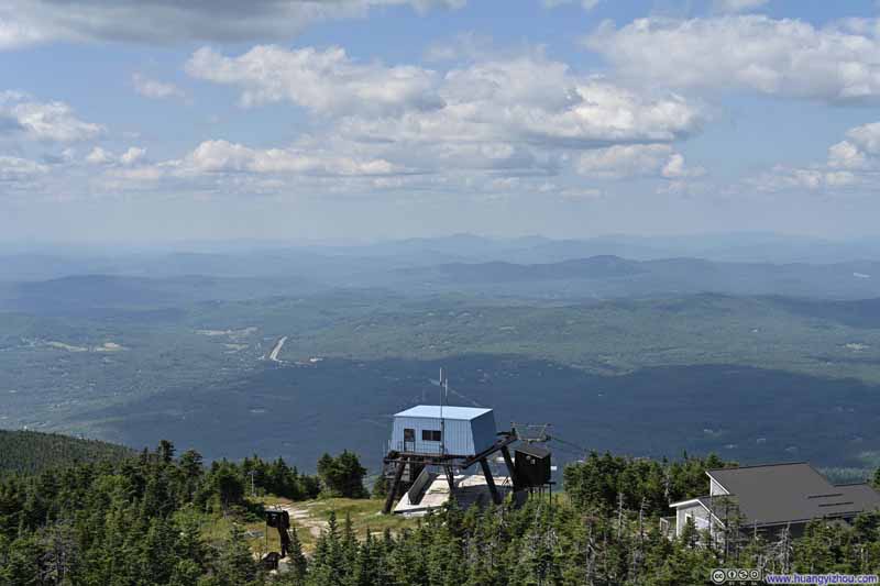
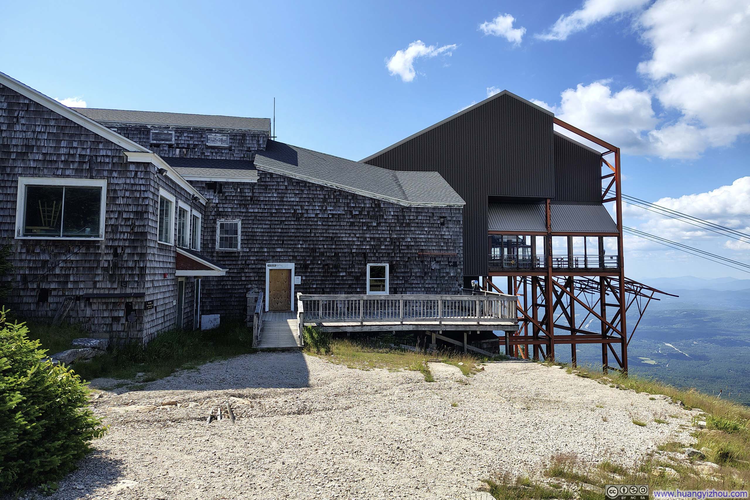
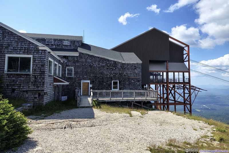
On my way down, I also stopped by the upper tramway station. The tramway had closed in 2025 for the installation of a new generation of cars, which left the summit somewhat quiet during my visit.
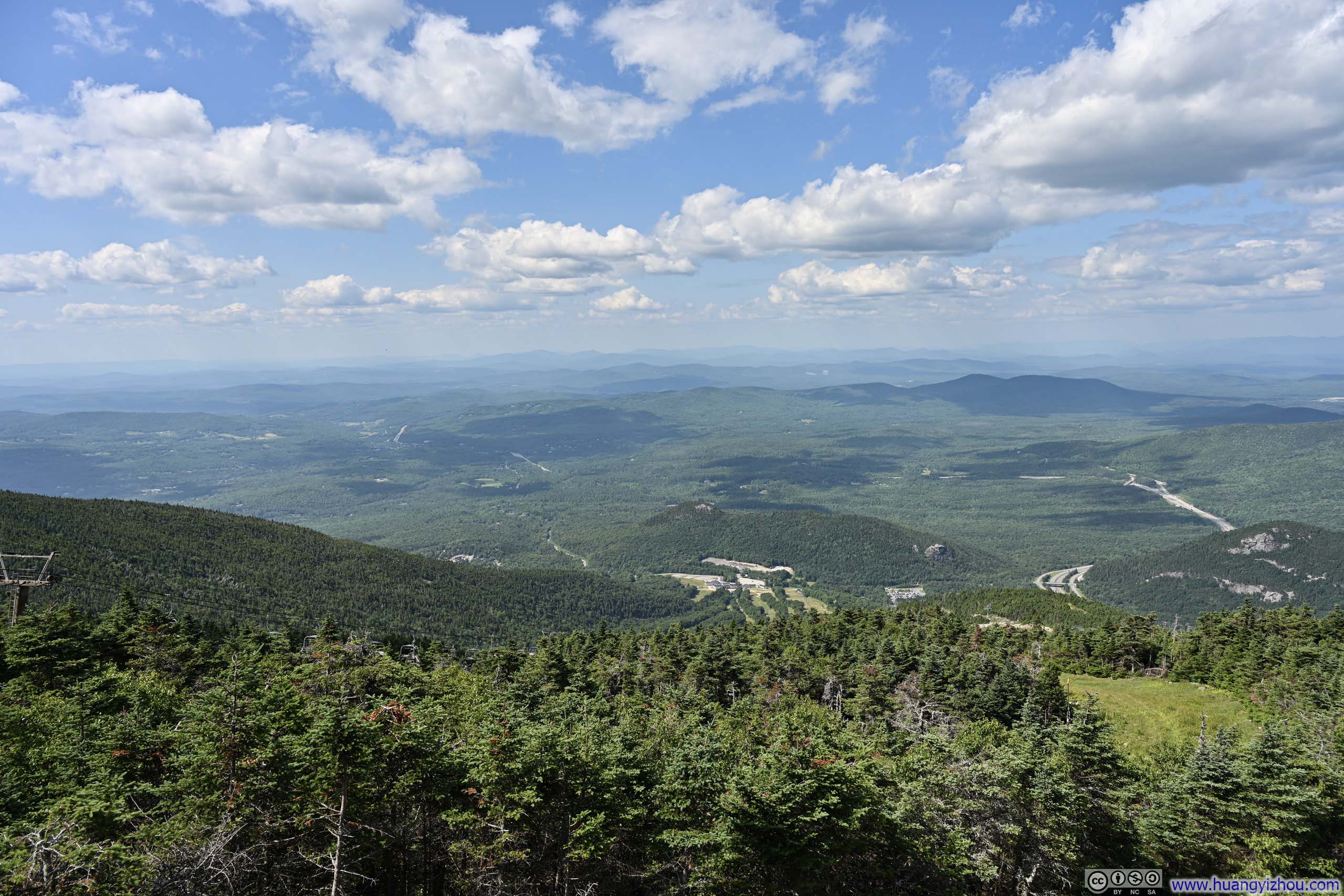
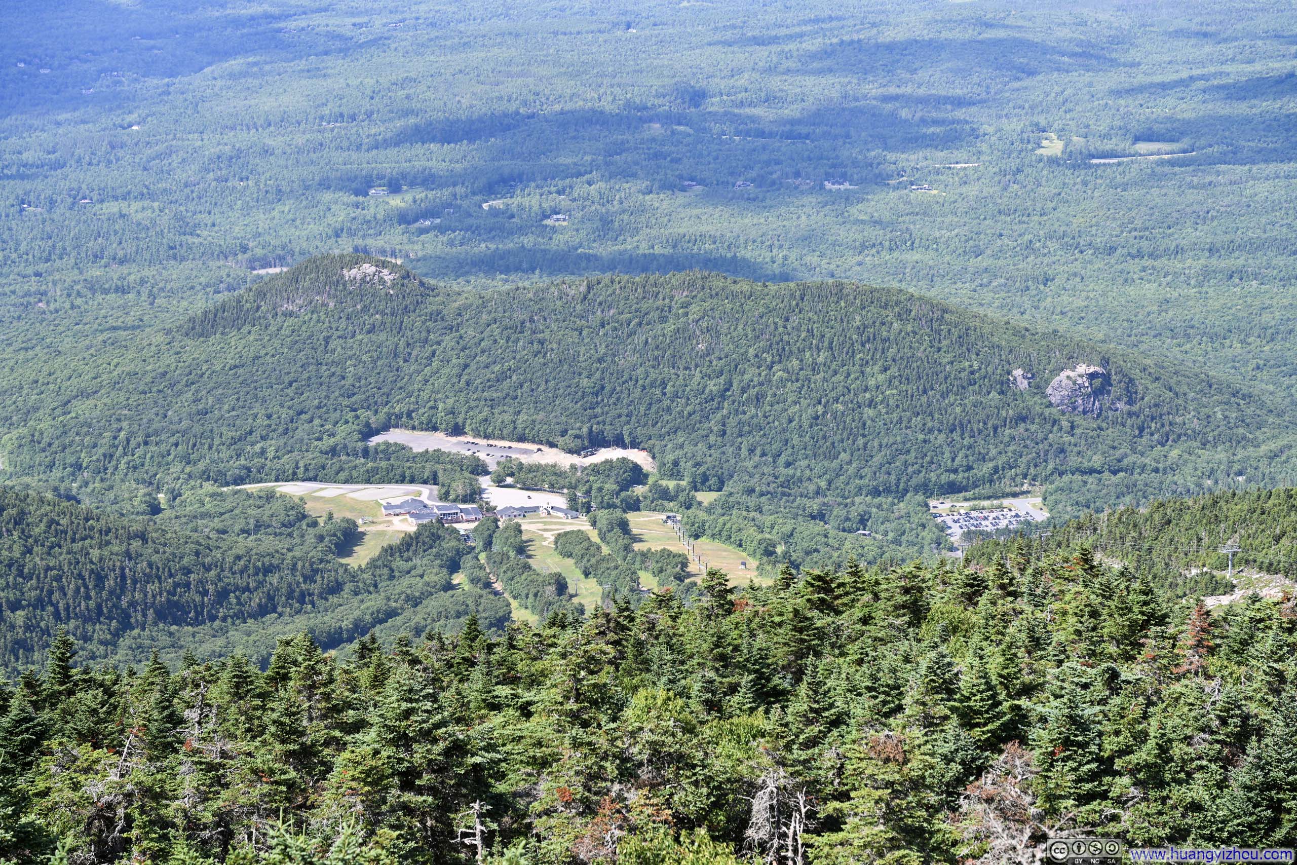

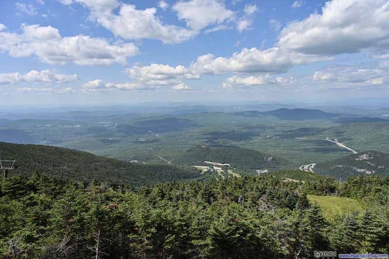
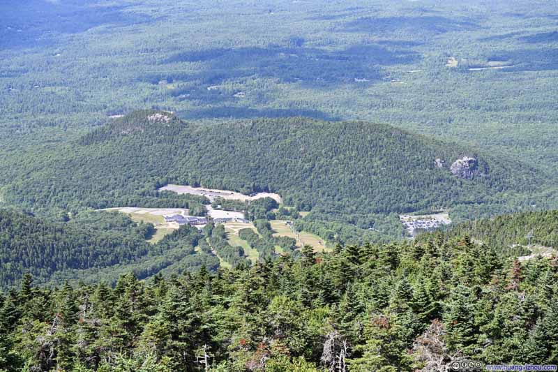
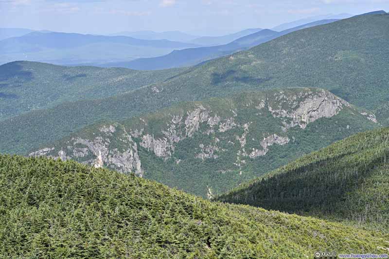
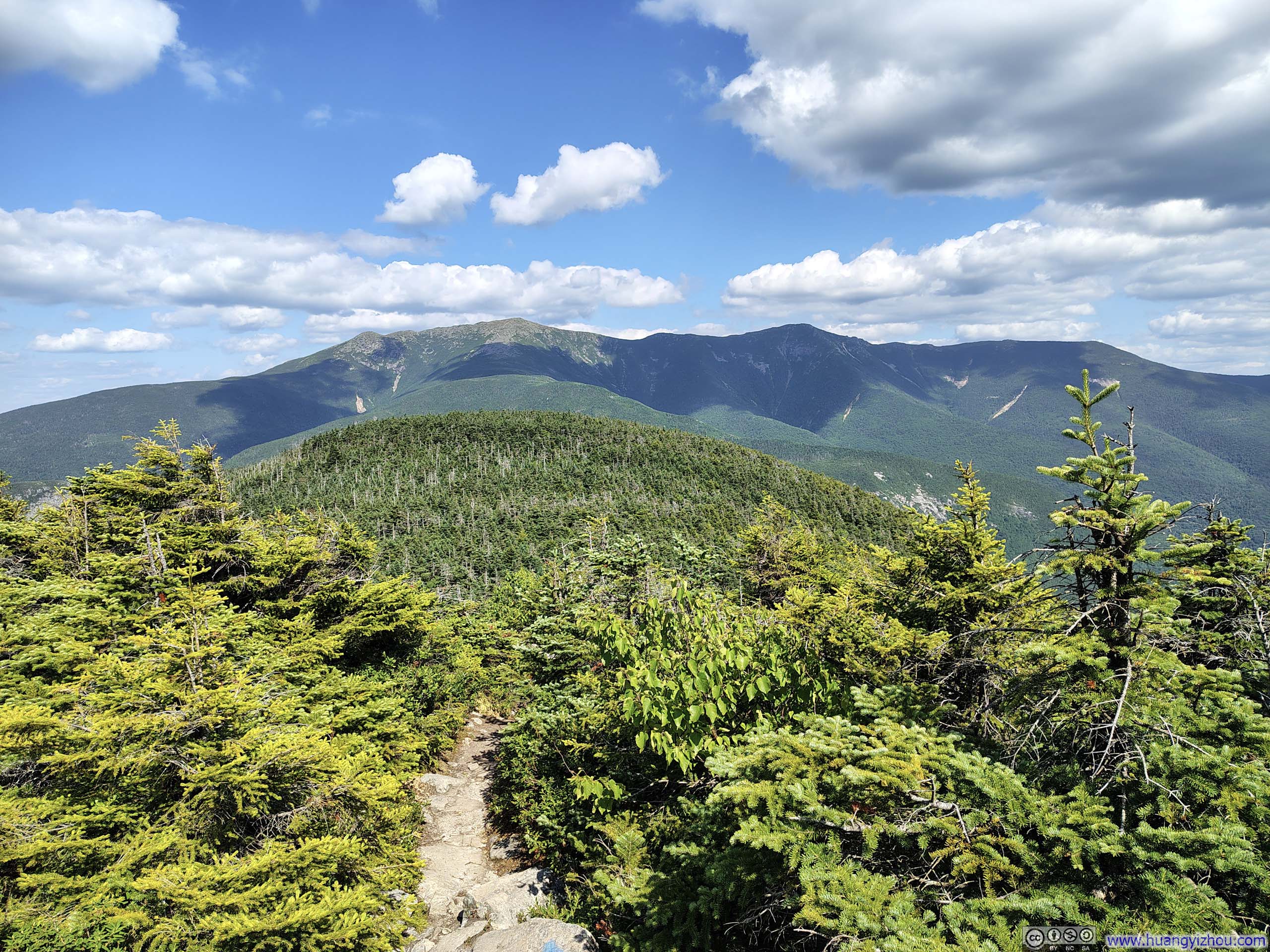
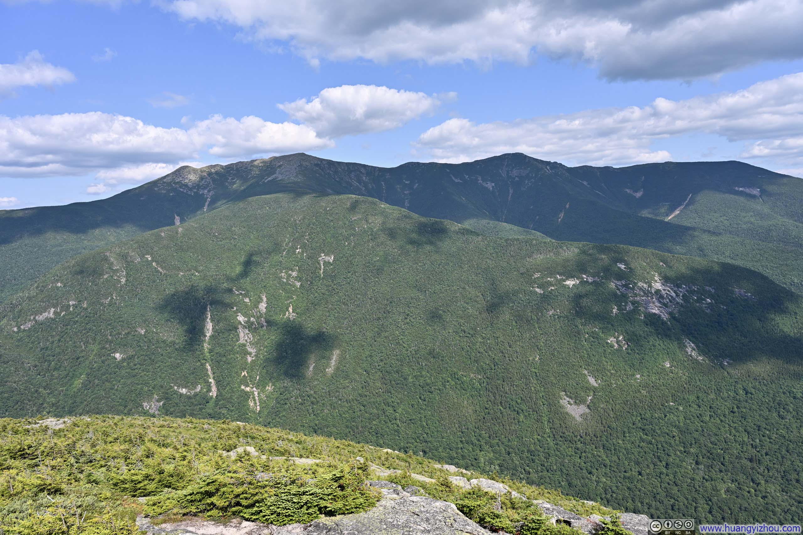
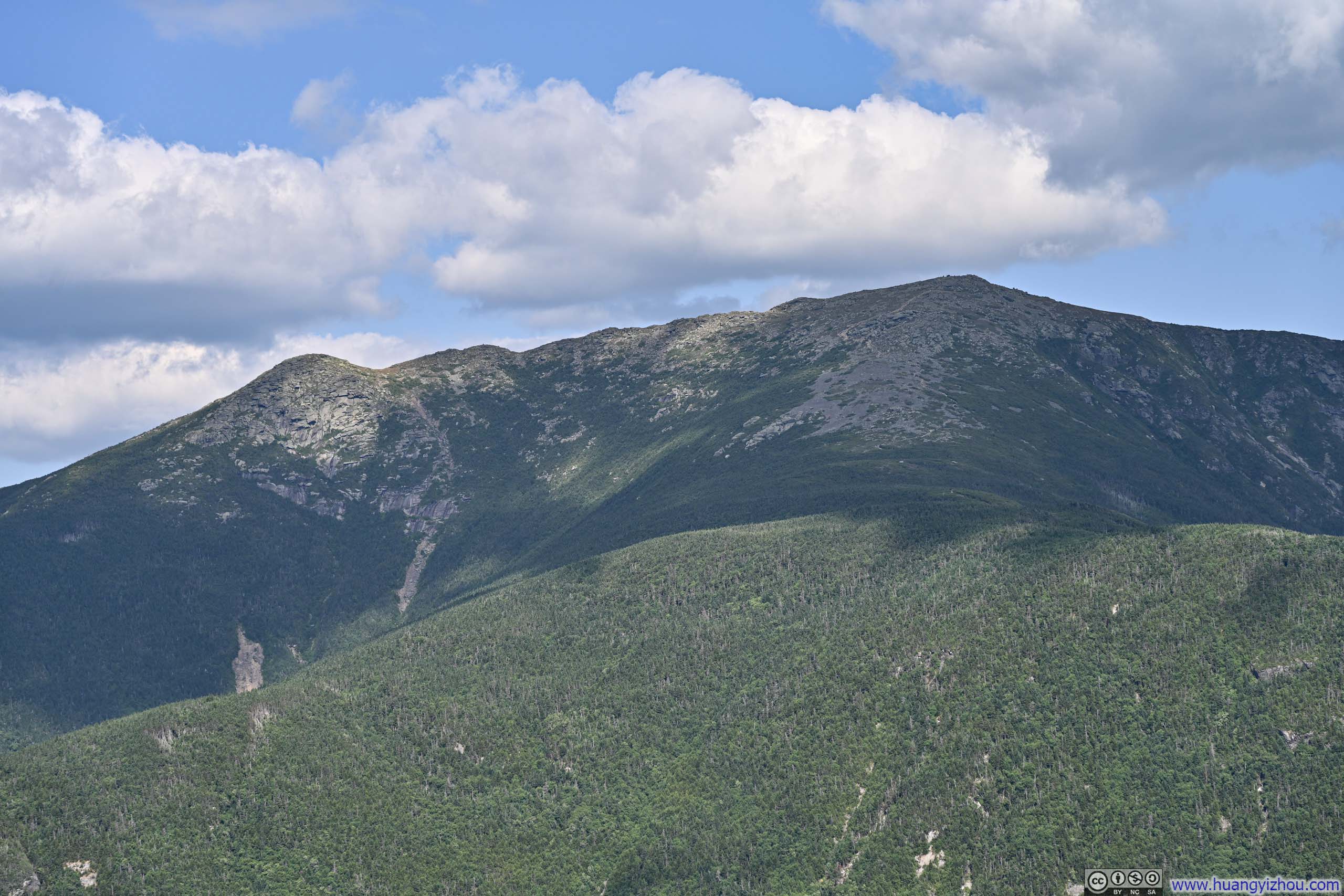
After that, I began my descent northeast along the Kinsman Ridge Trail. Interestingly, about 20 minutes in, I encountered a spur leading to another viewpoint just above Cannon Cliff, so I paid it a brief visit. (For safety reasons, I couldn't venture too close to the edge, so the views were essentially an encore of those from Cannon Mountain.)



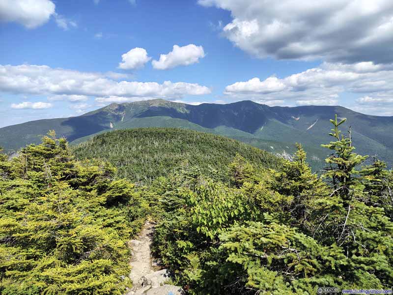
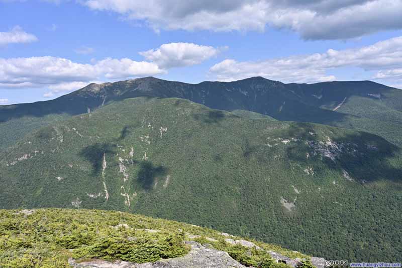
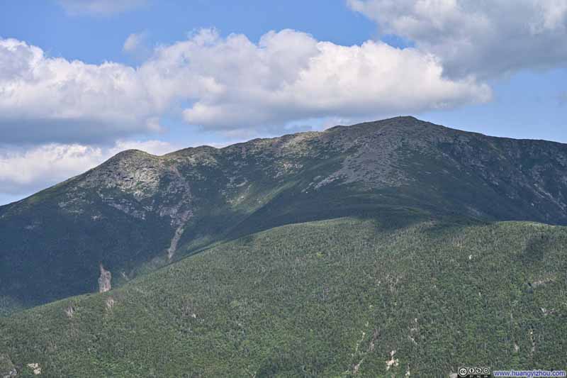
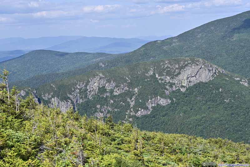
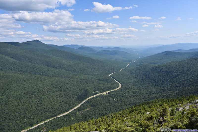
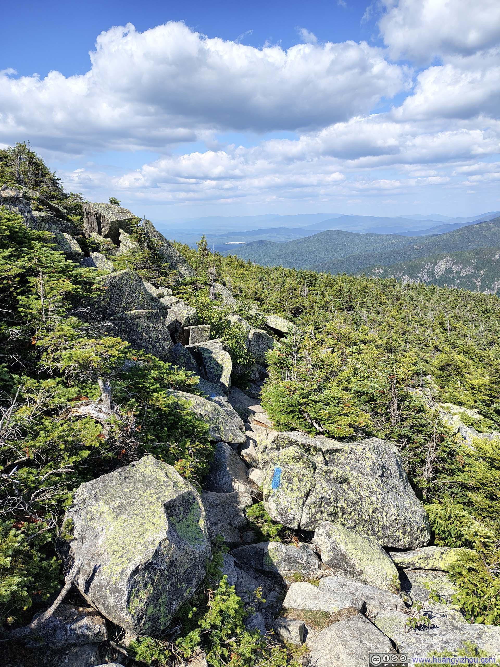
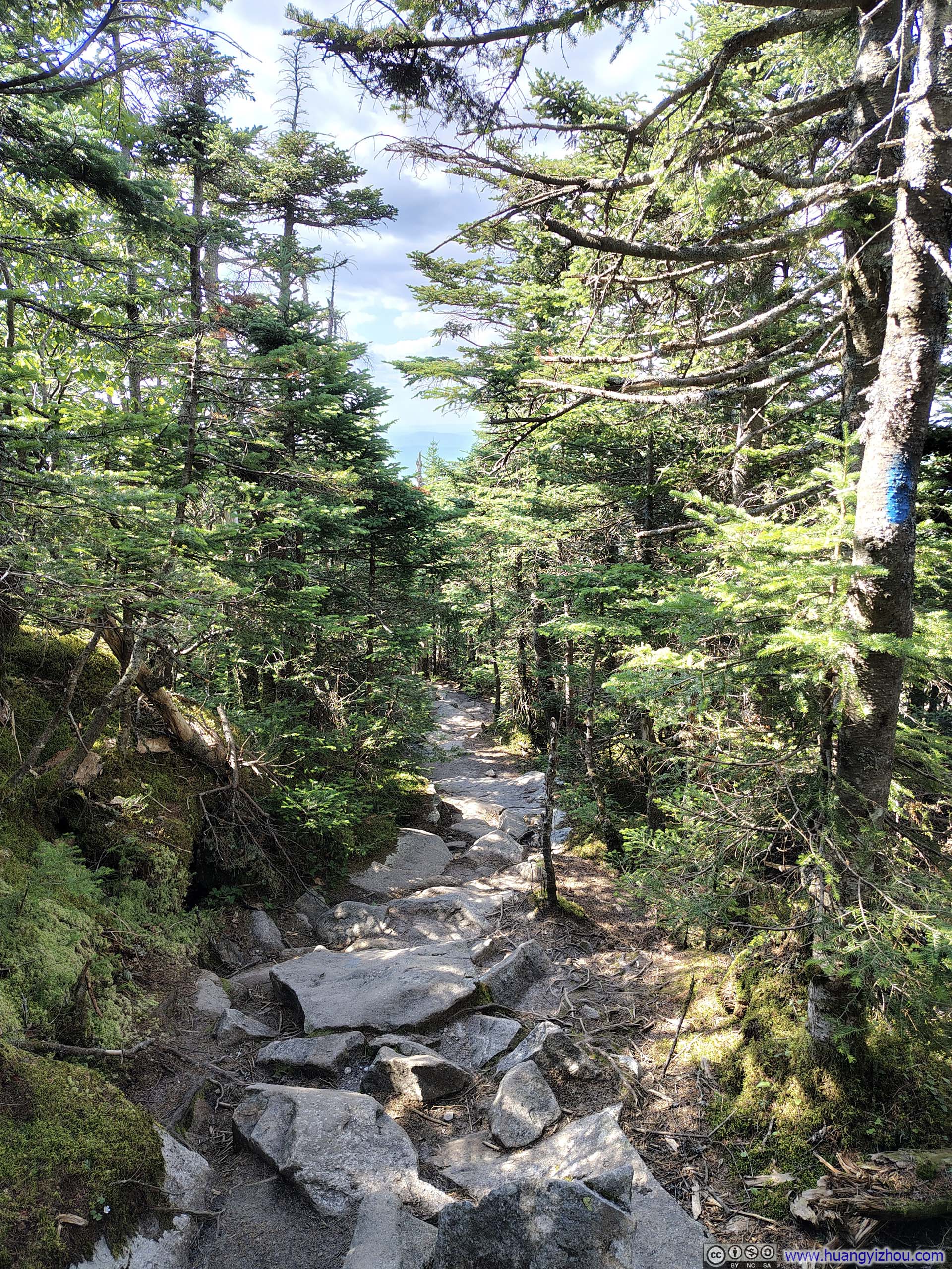
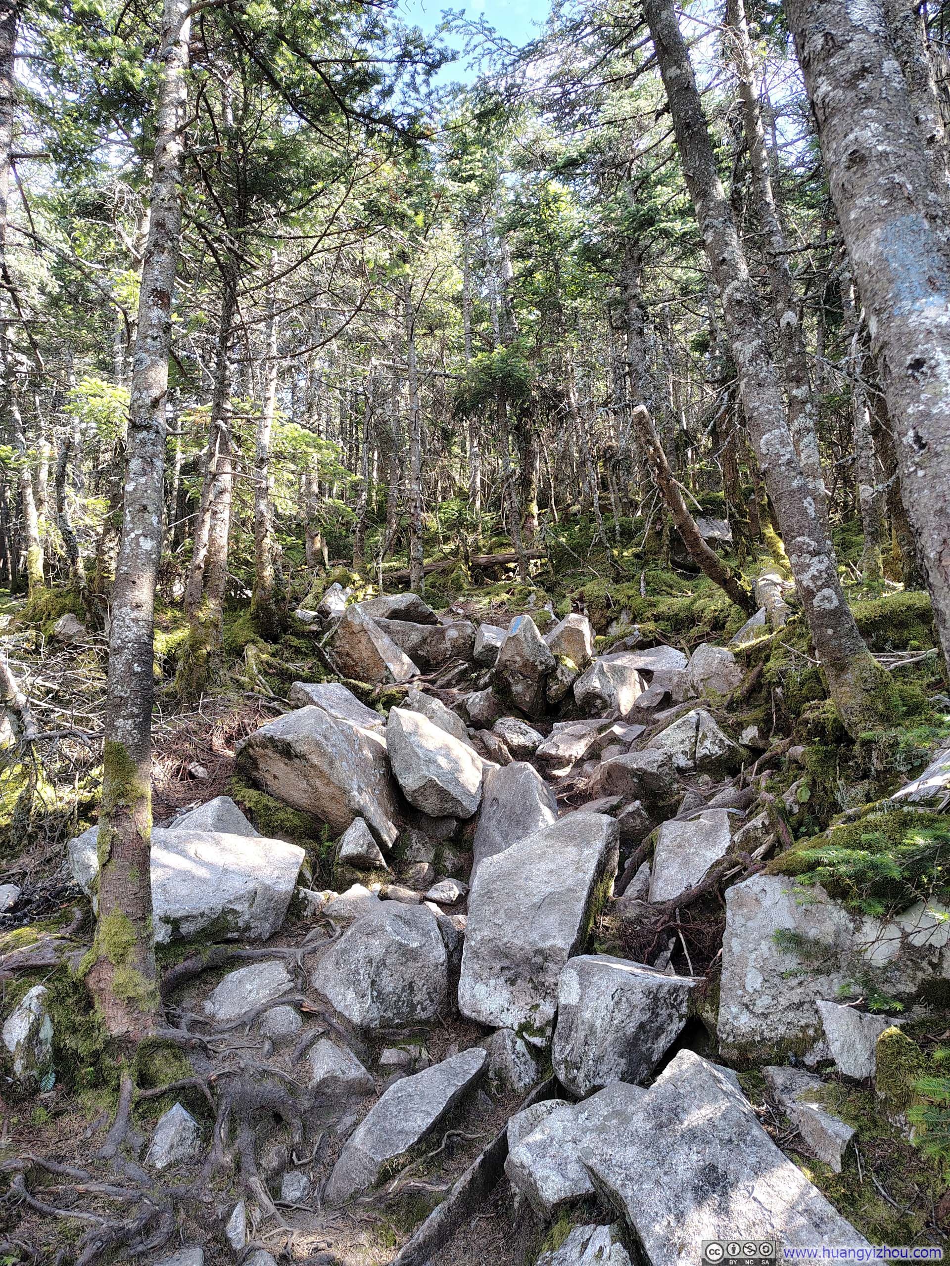
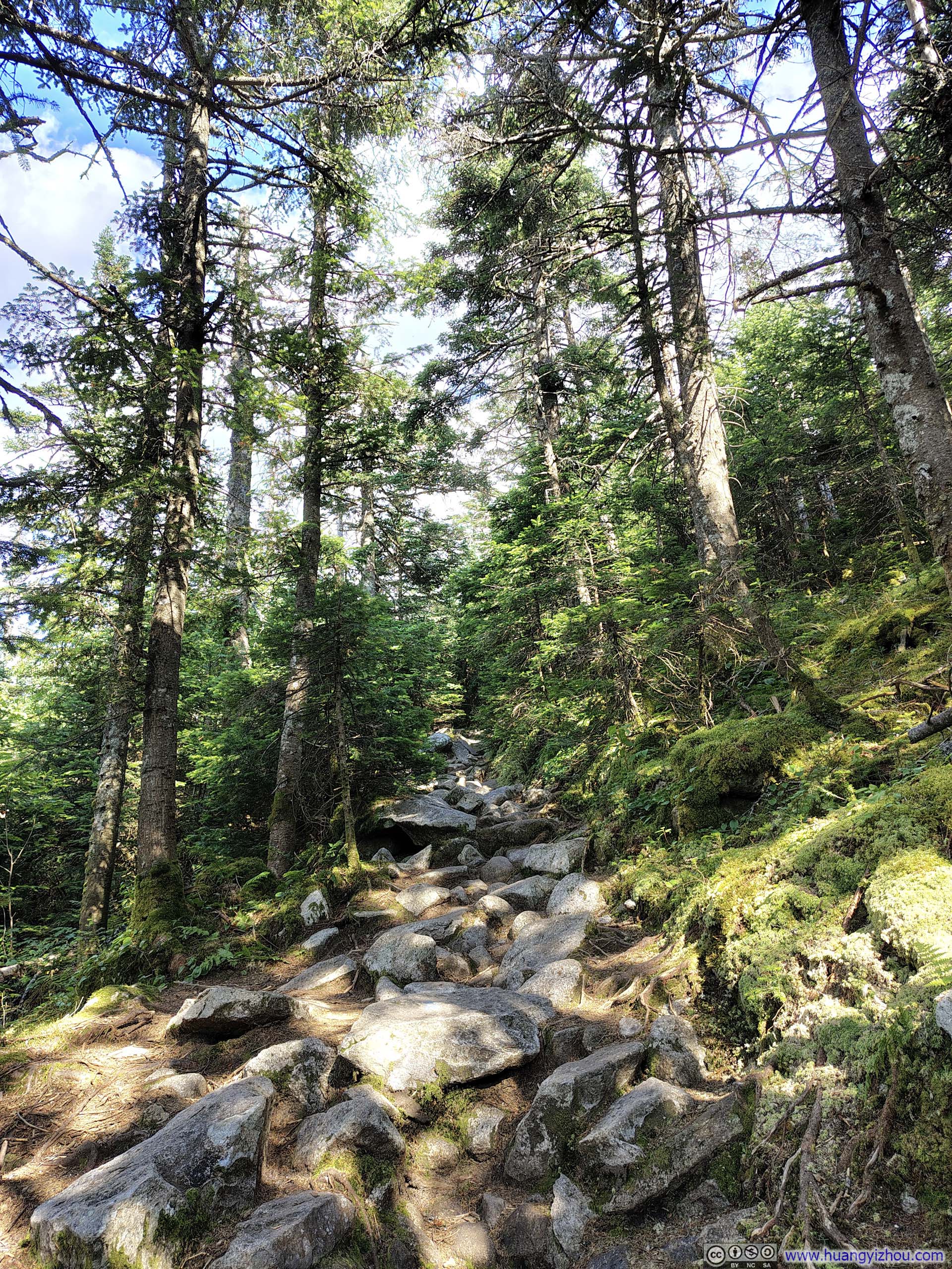
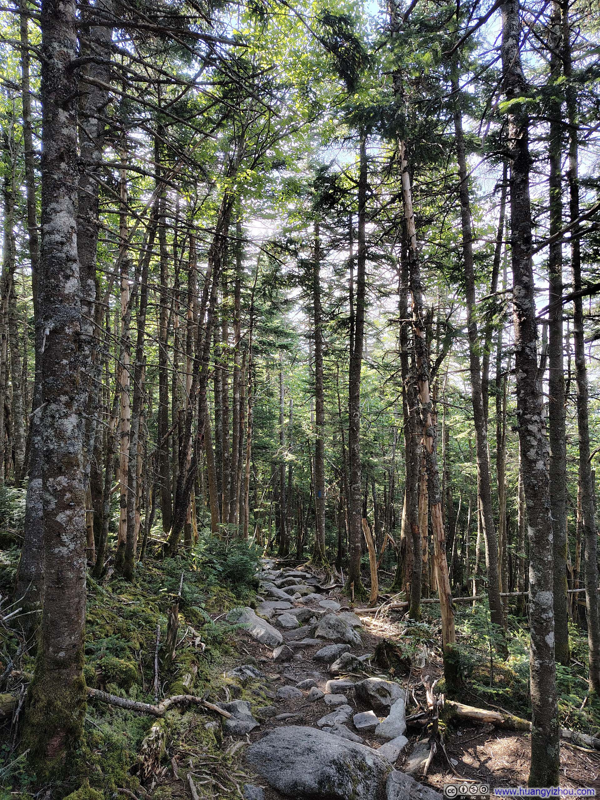
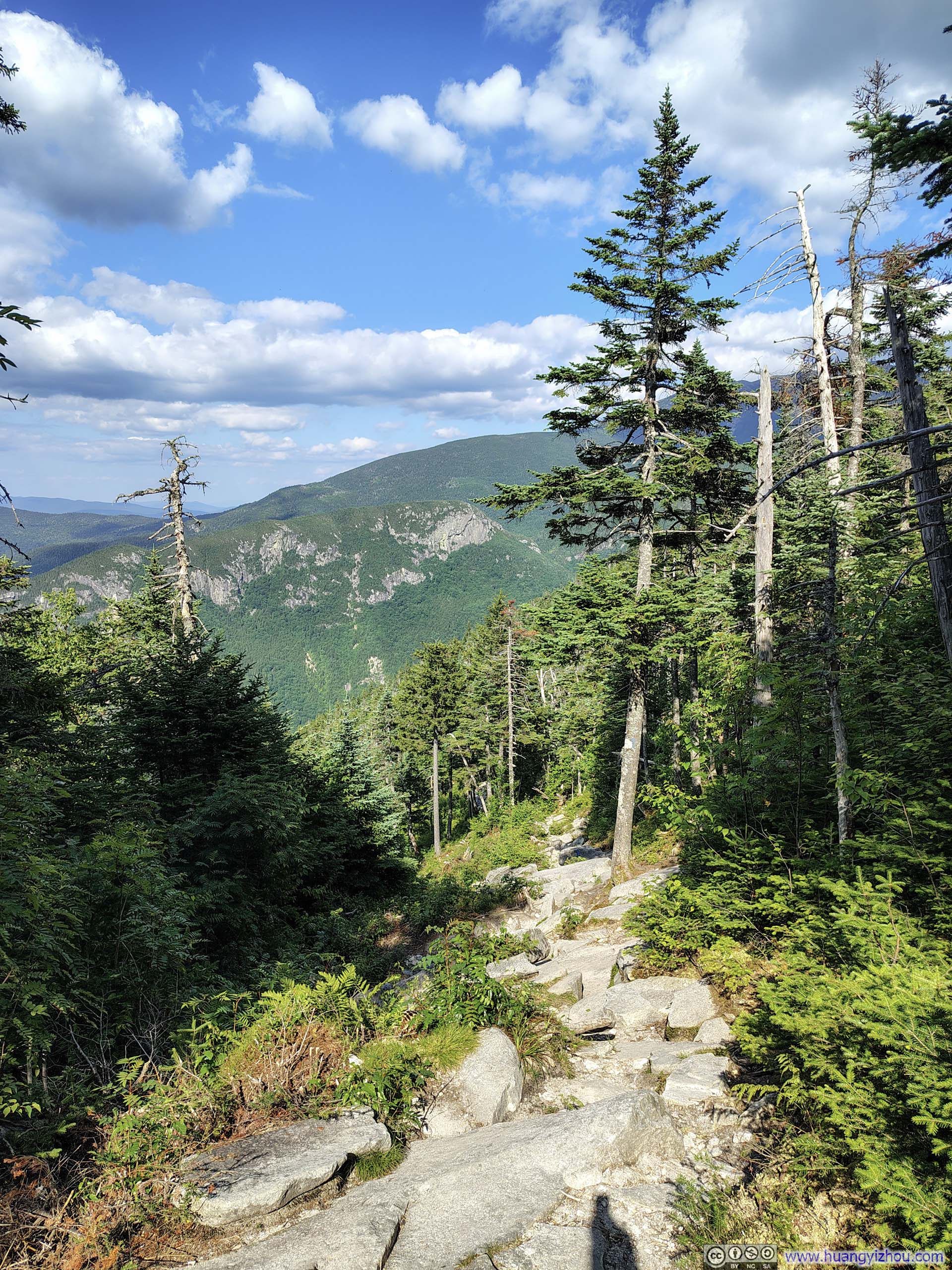
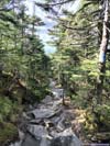
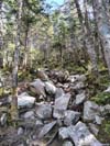
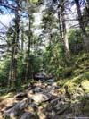

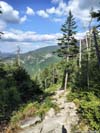
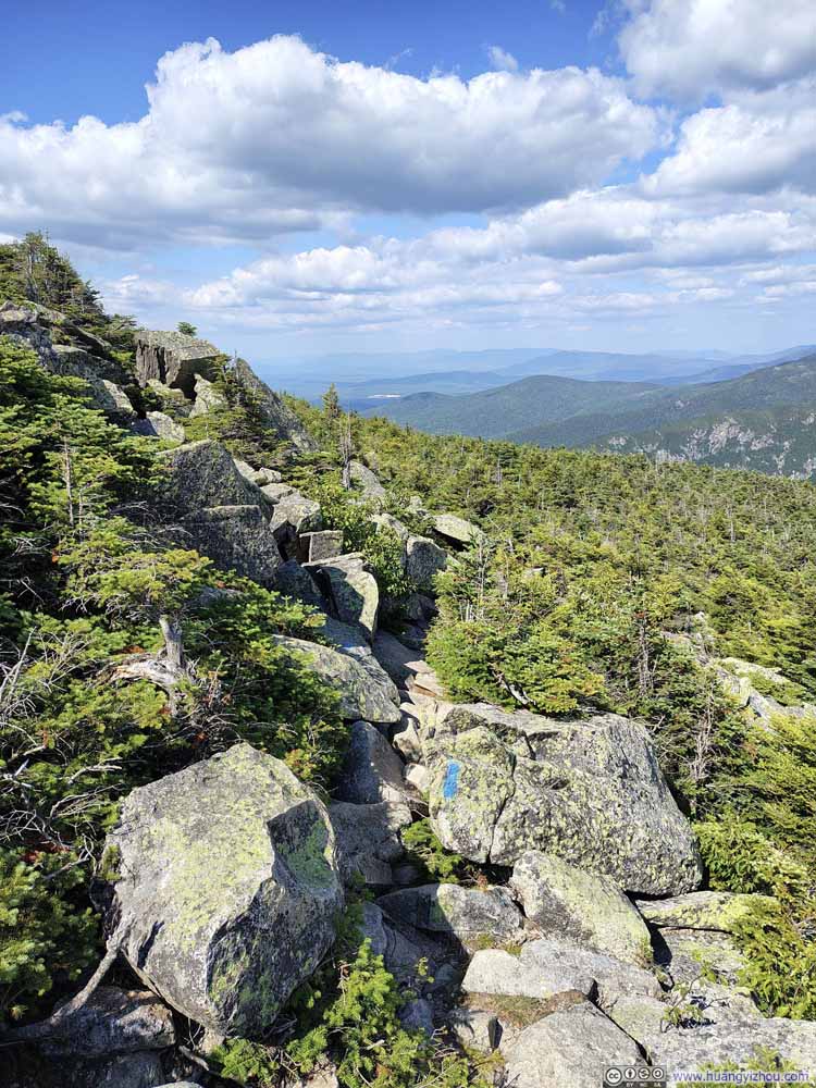
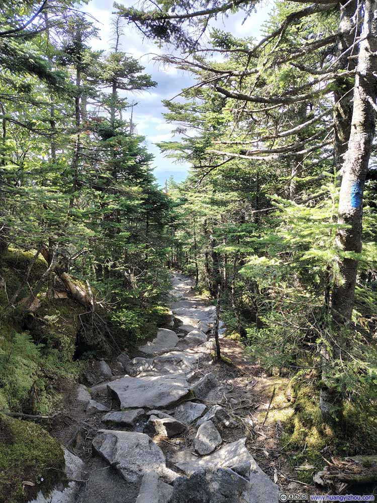
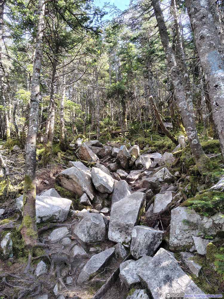
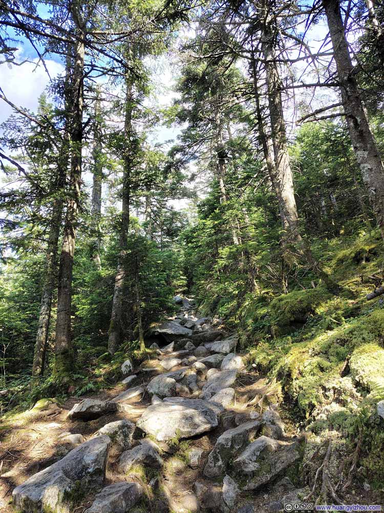
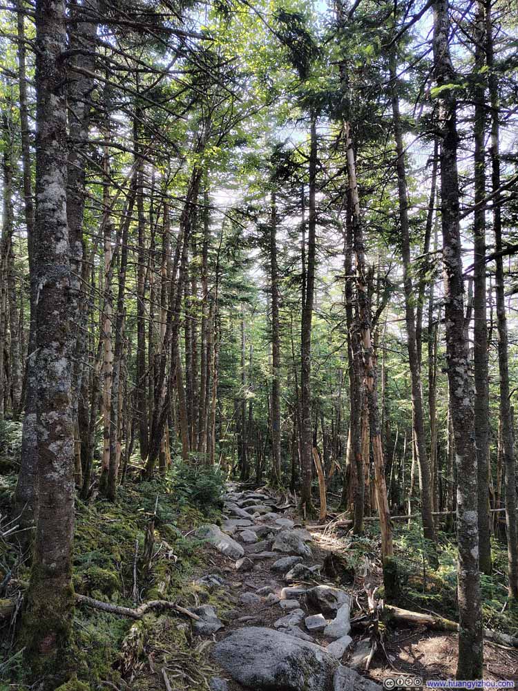
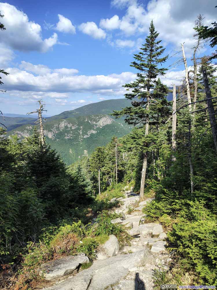
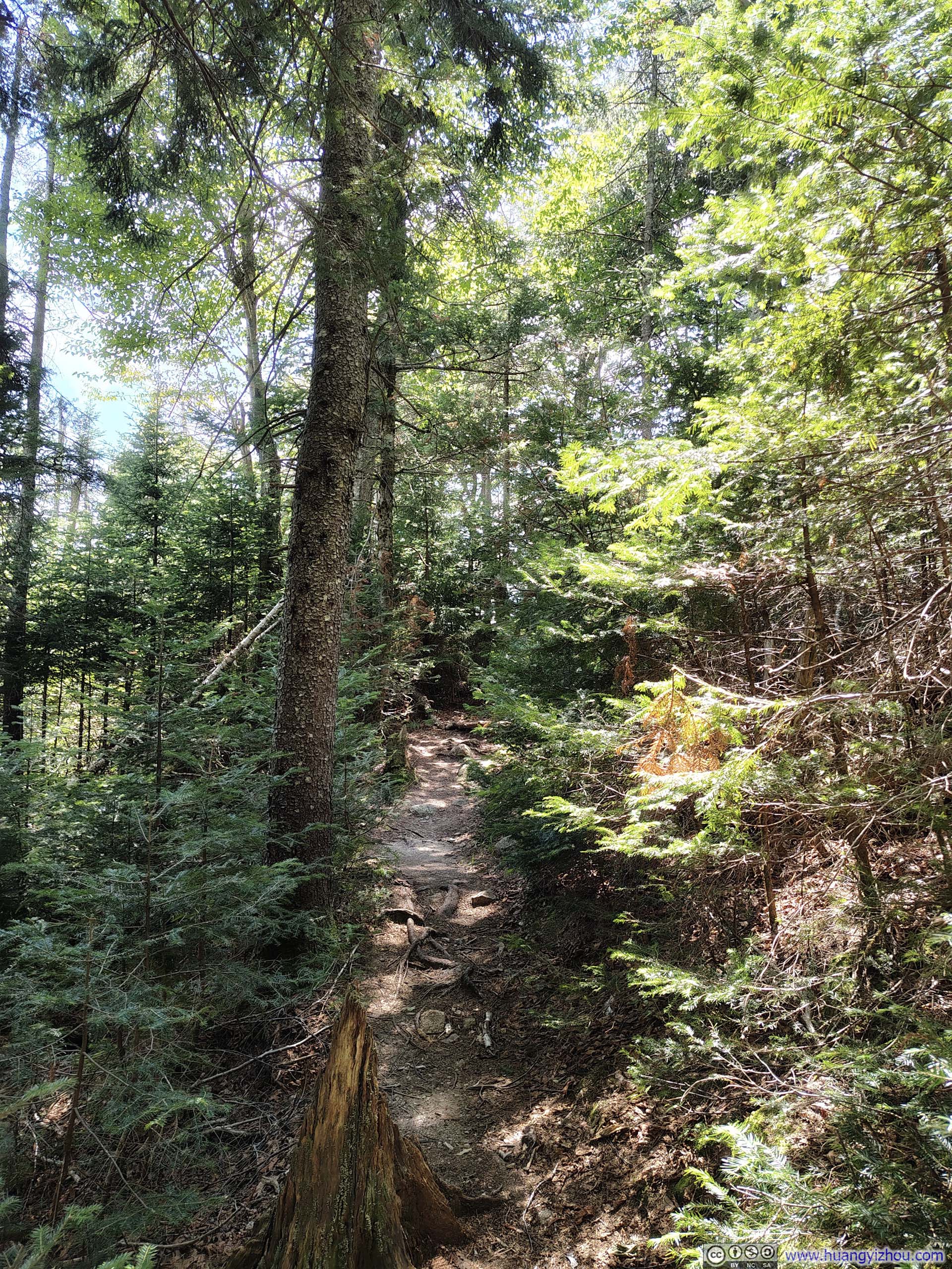
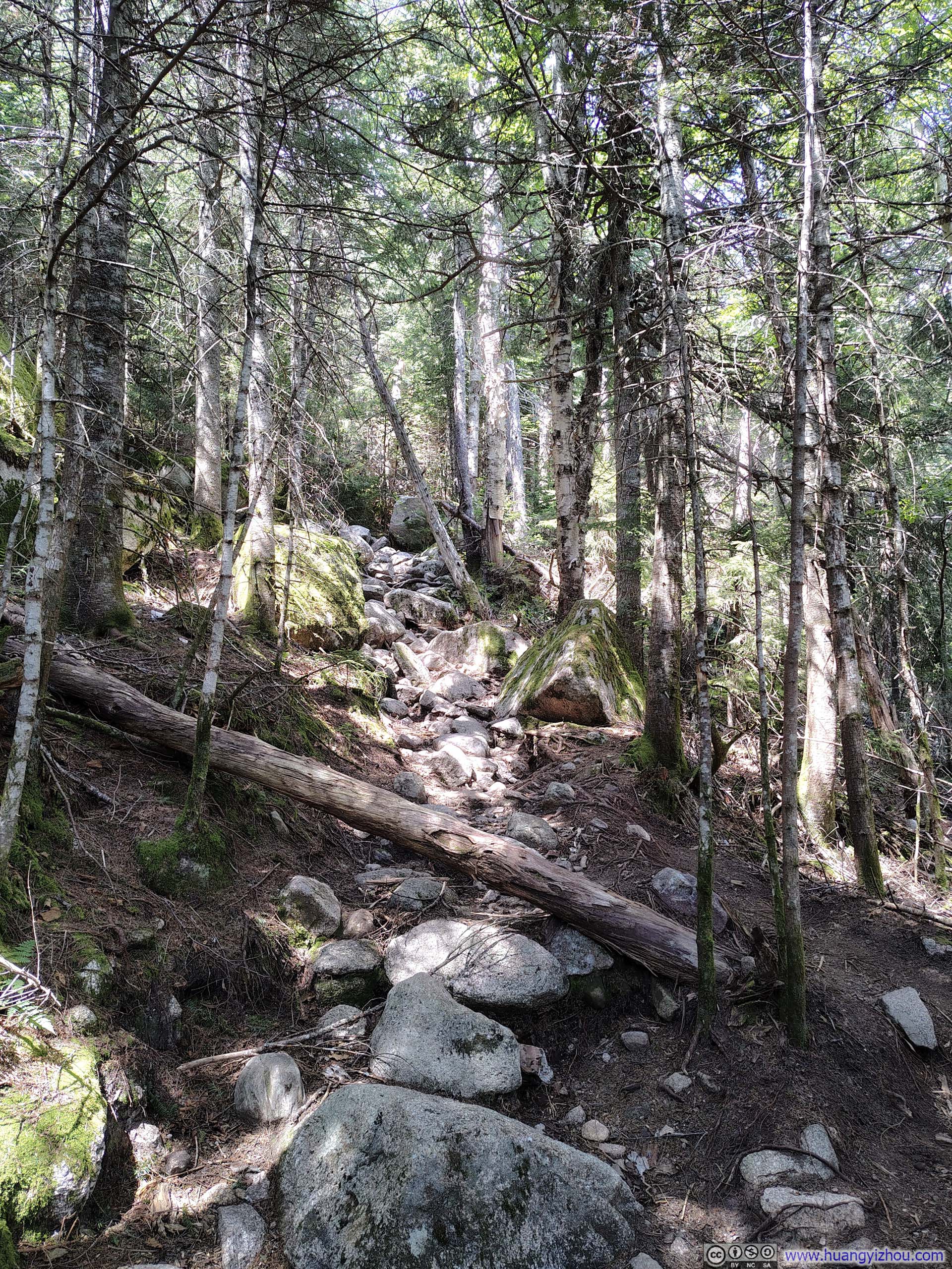
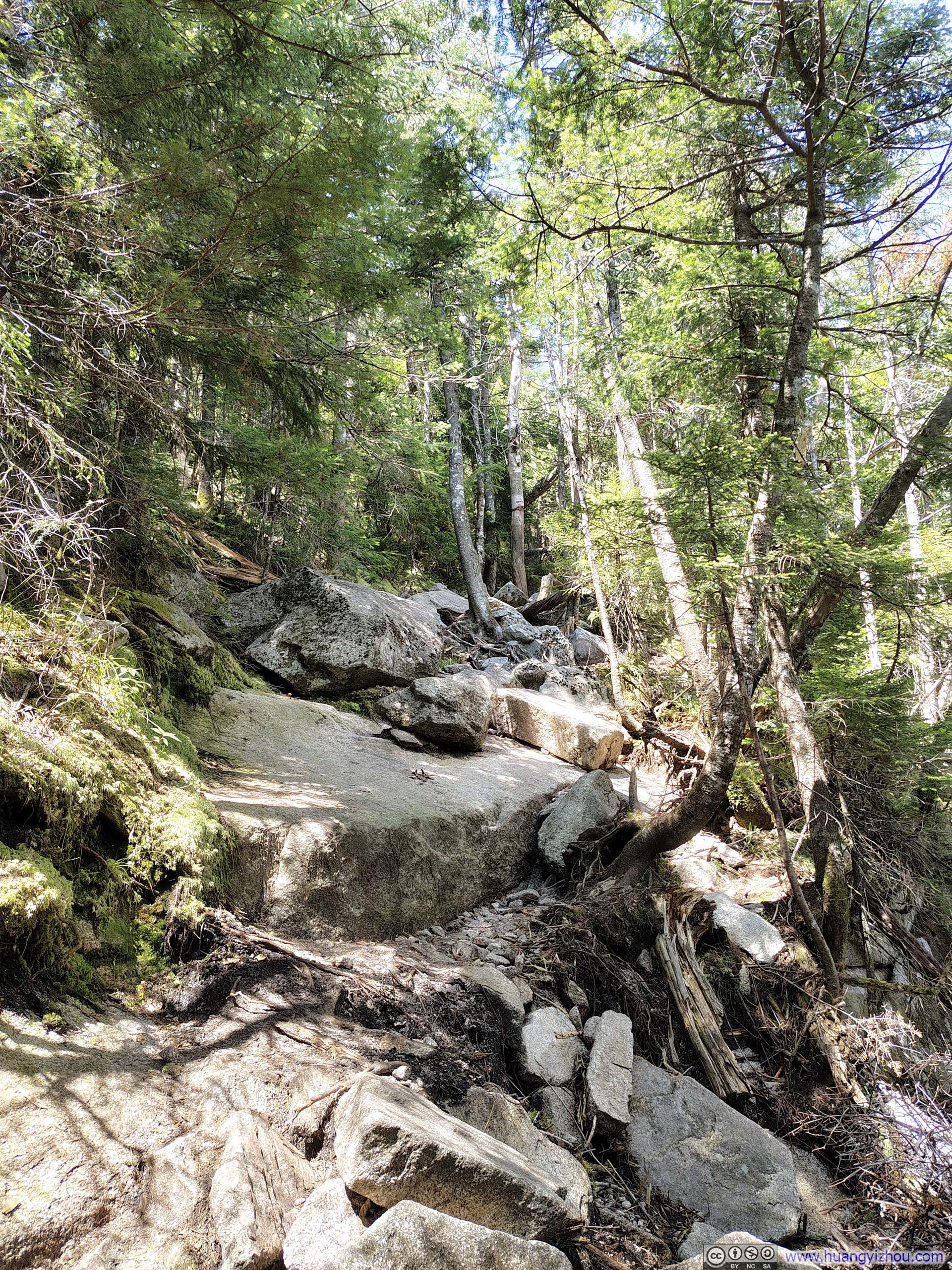
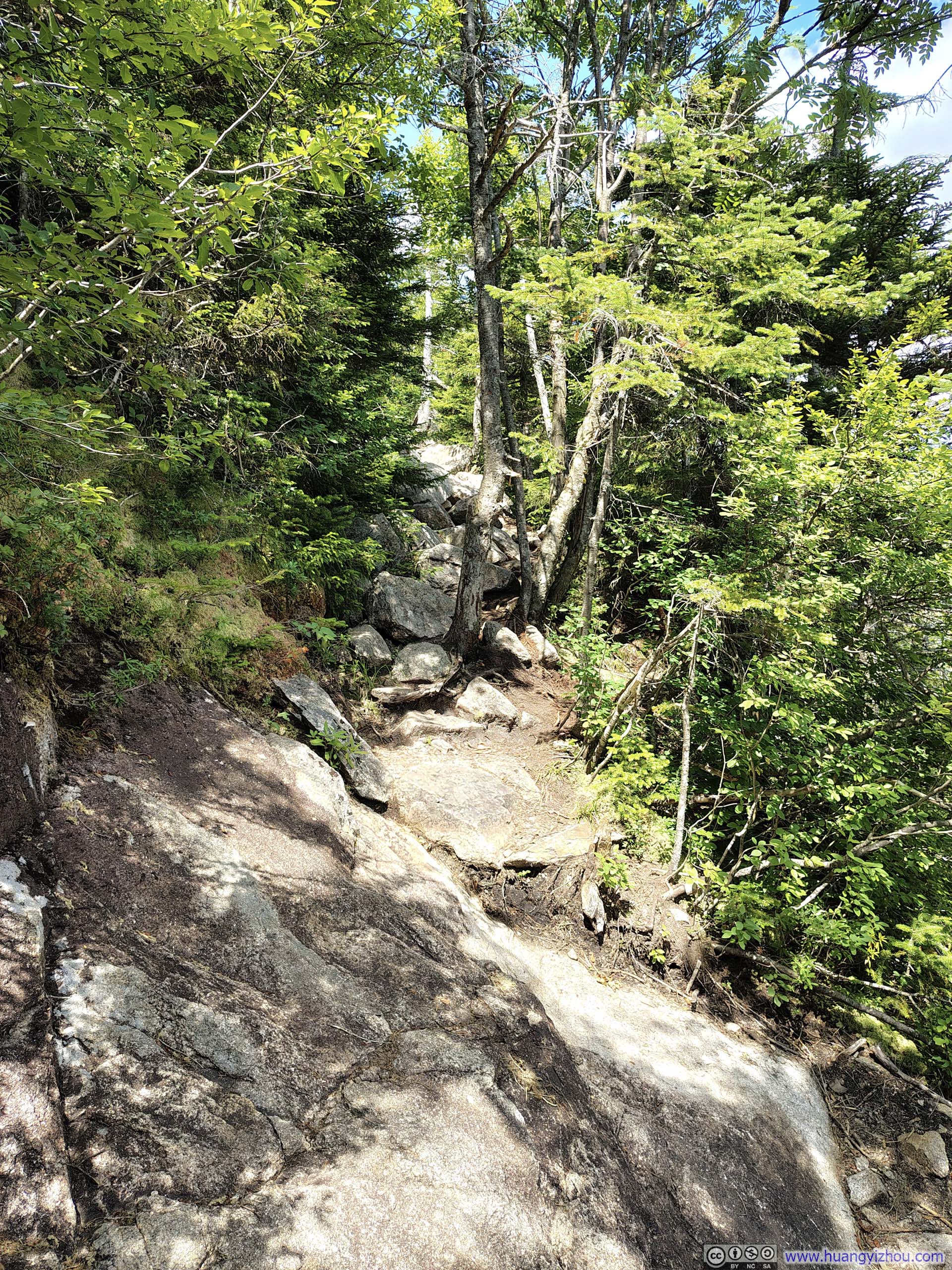
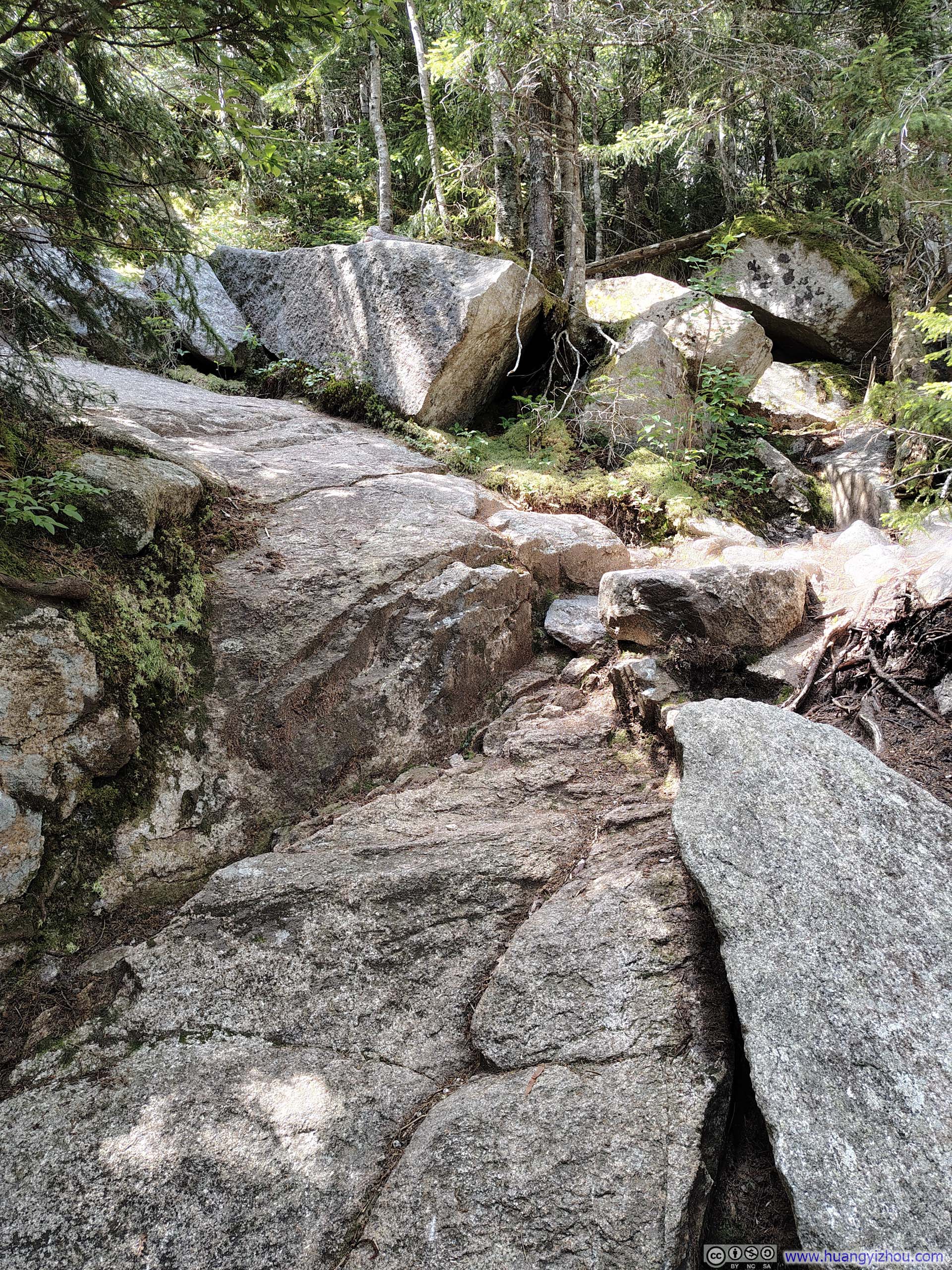
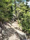
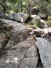
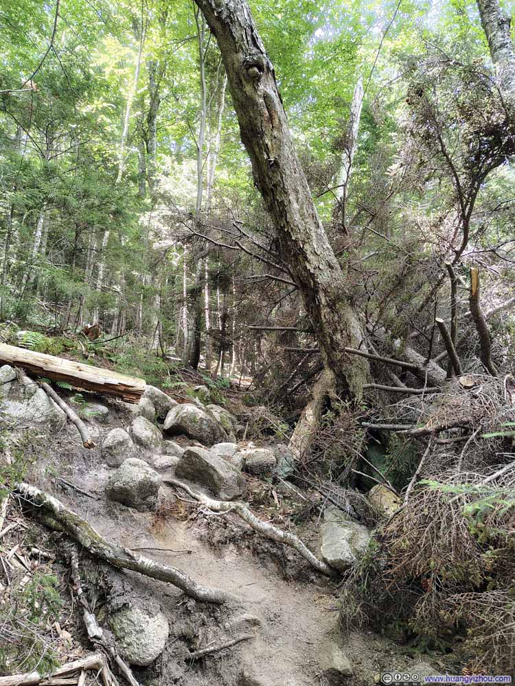
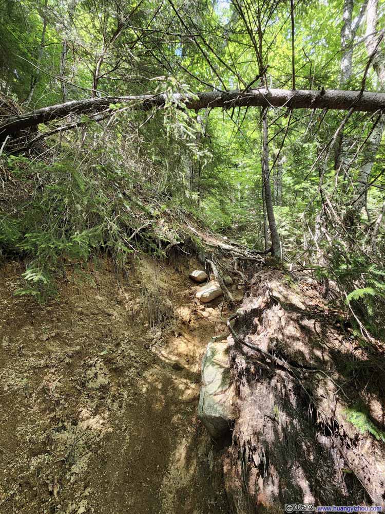
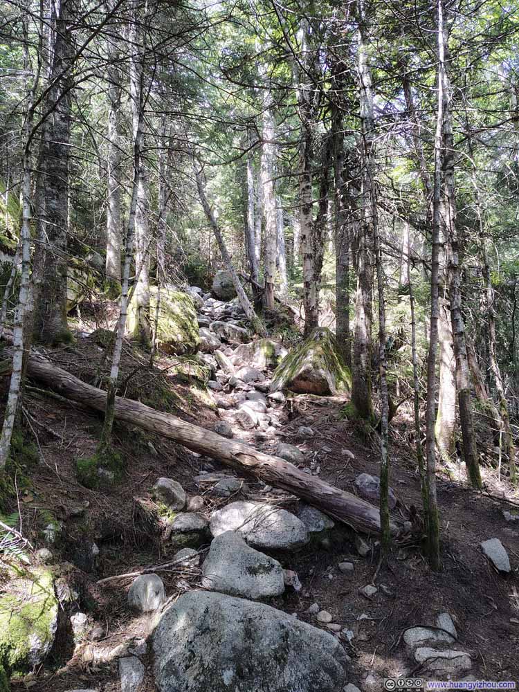
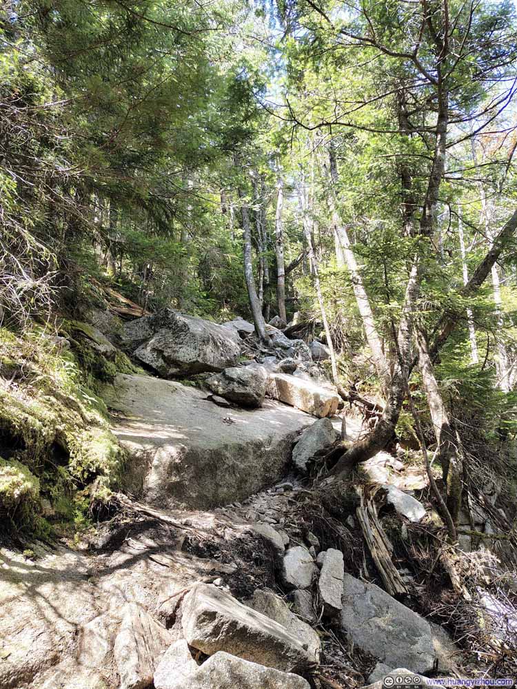
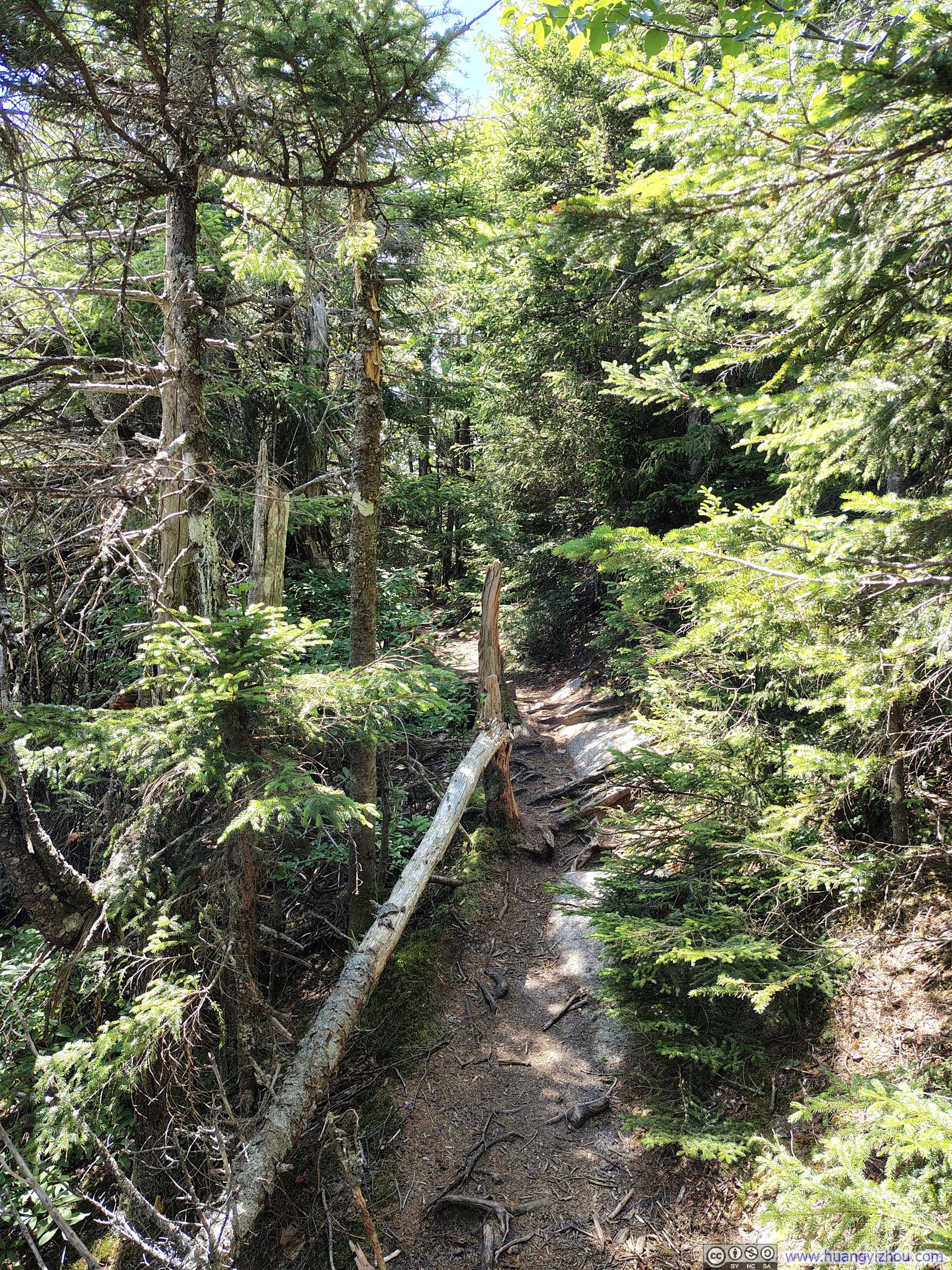
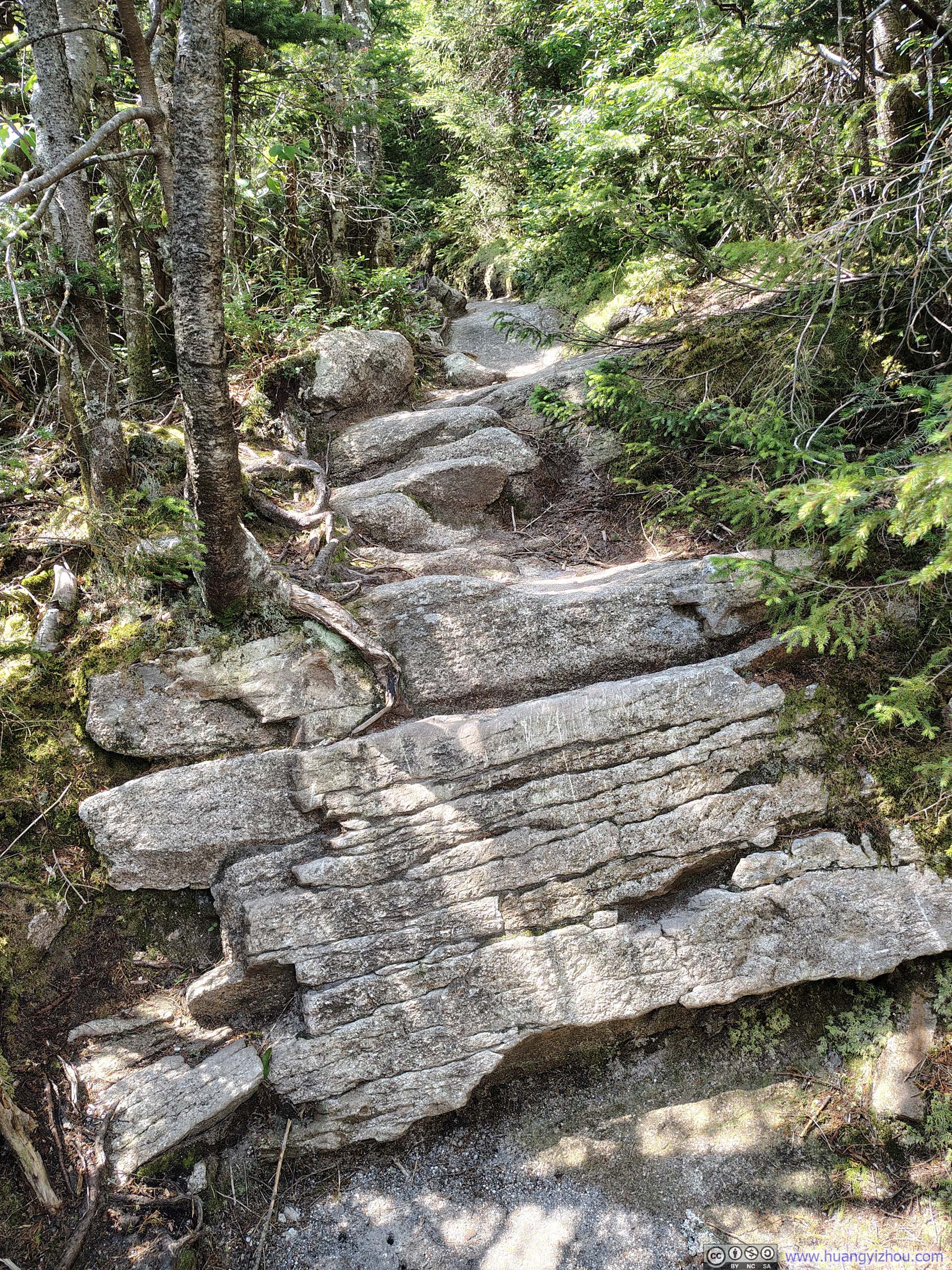
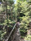
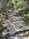
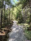
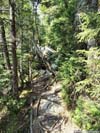
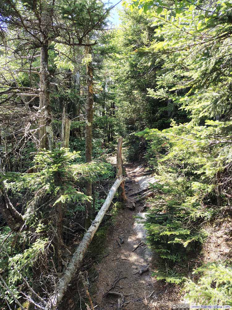
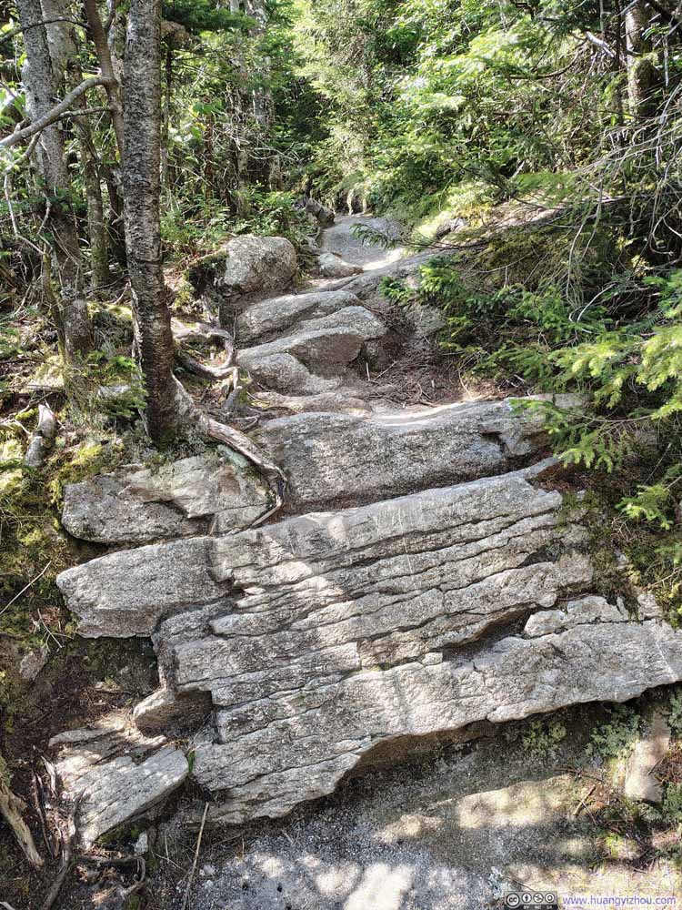
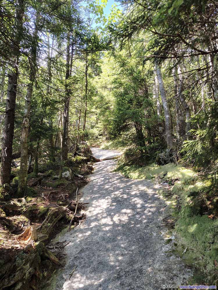
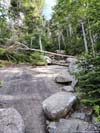
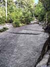
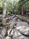
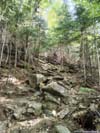
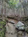
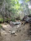
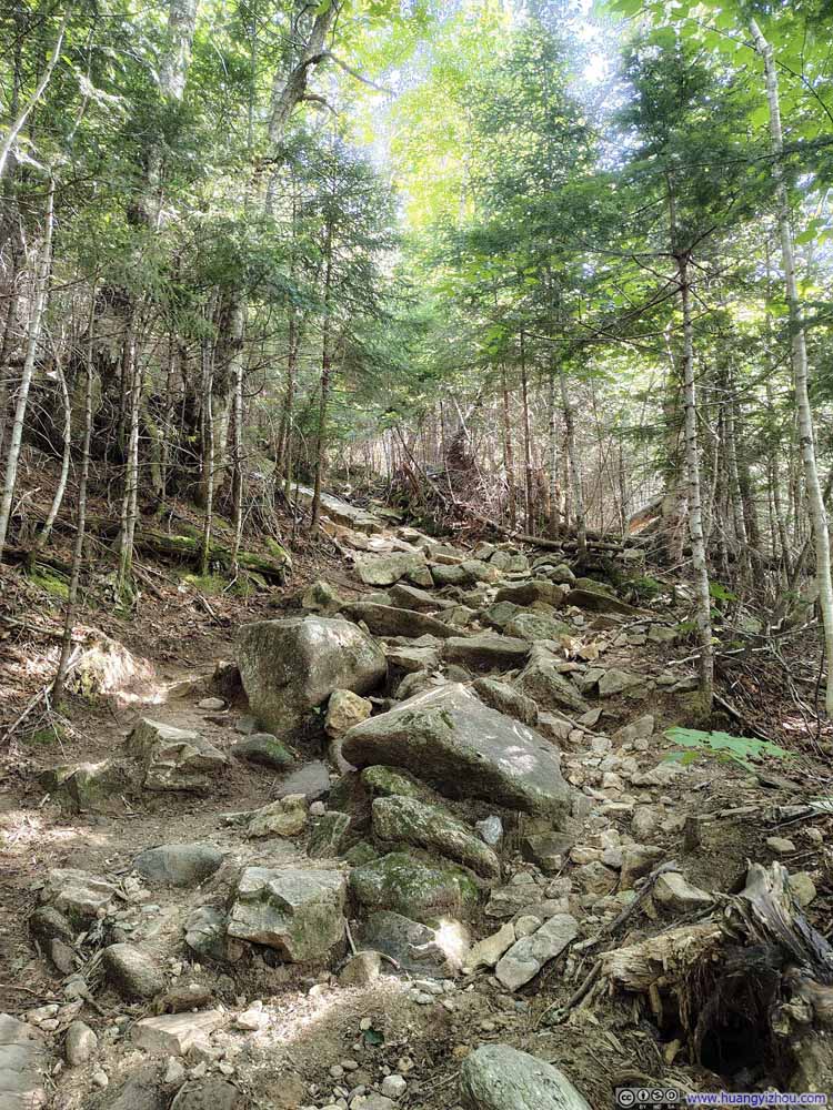
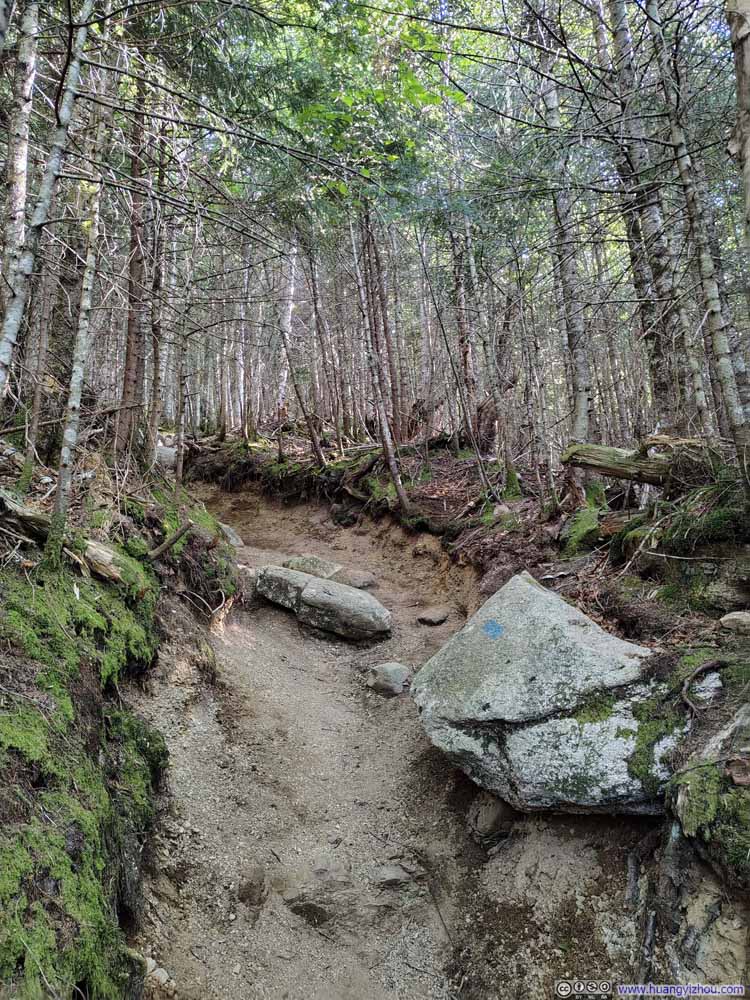
I had assumed the rest of the descent along Kinsman Ridge would be technically easier than the Hi-Cannon Trail, but it proved only marginally so. The trail started out rather rocky at higher elevations (slideshow above), followed by a steep section across polished rock surfaces (slideshow below), which I would be reluctant to attempt in wet conditions.
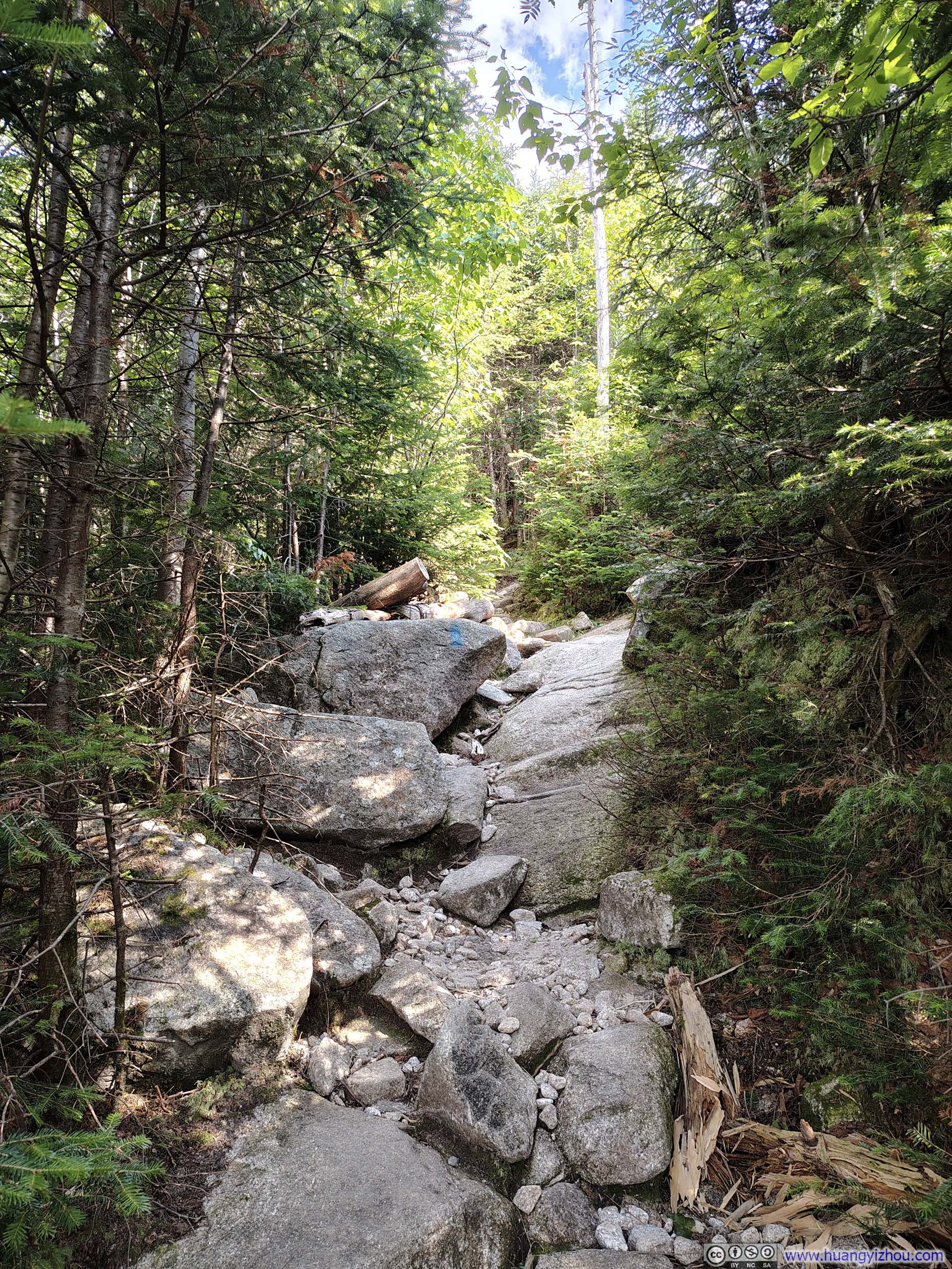
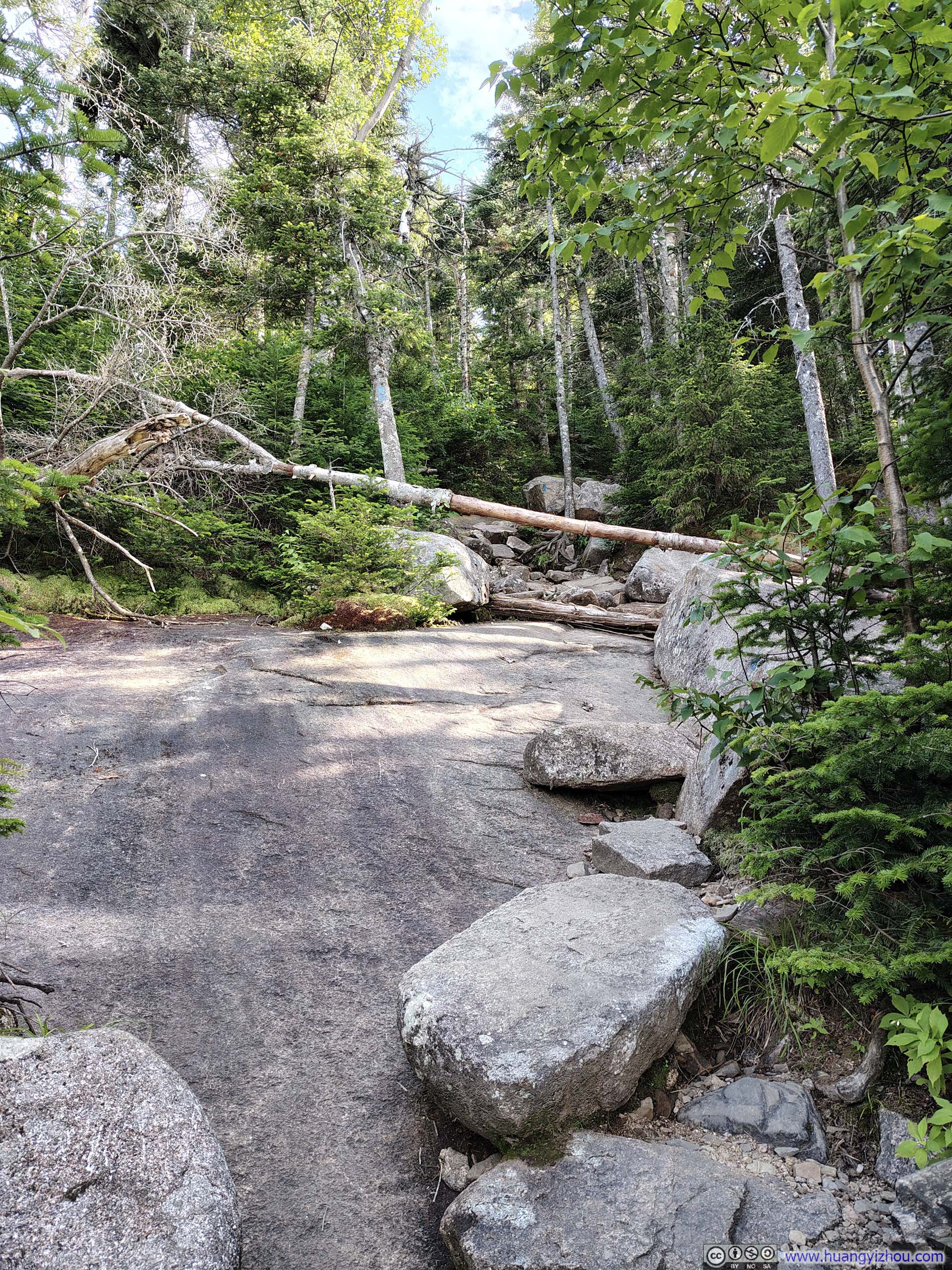
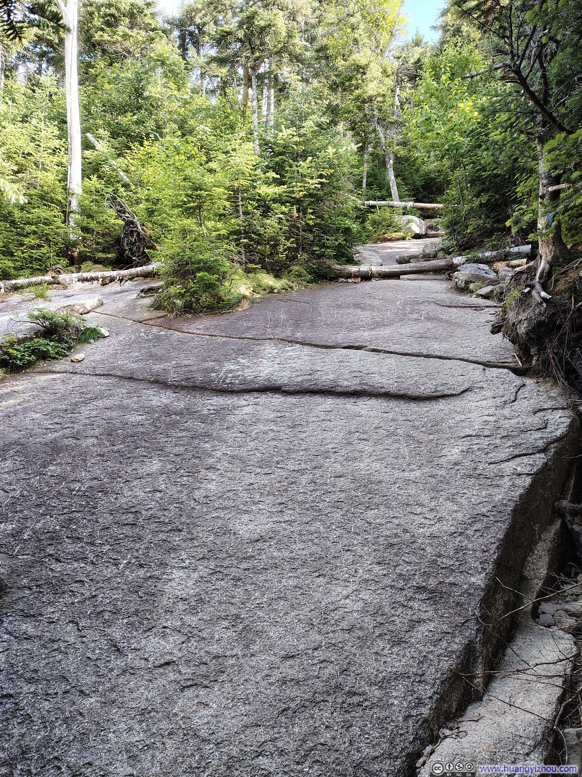
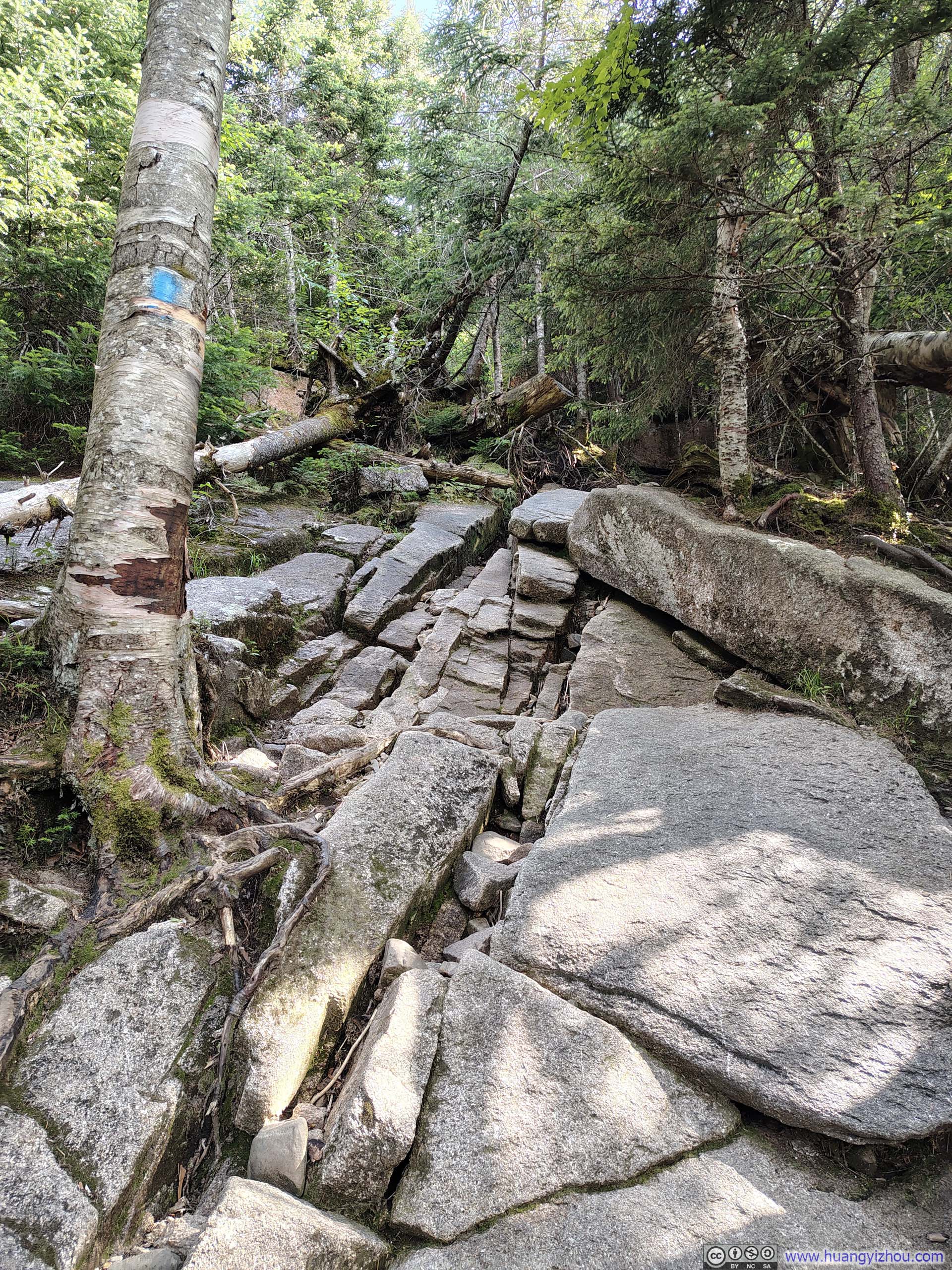
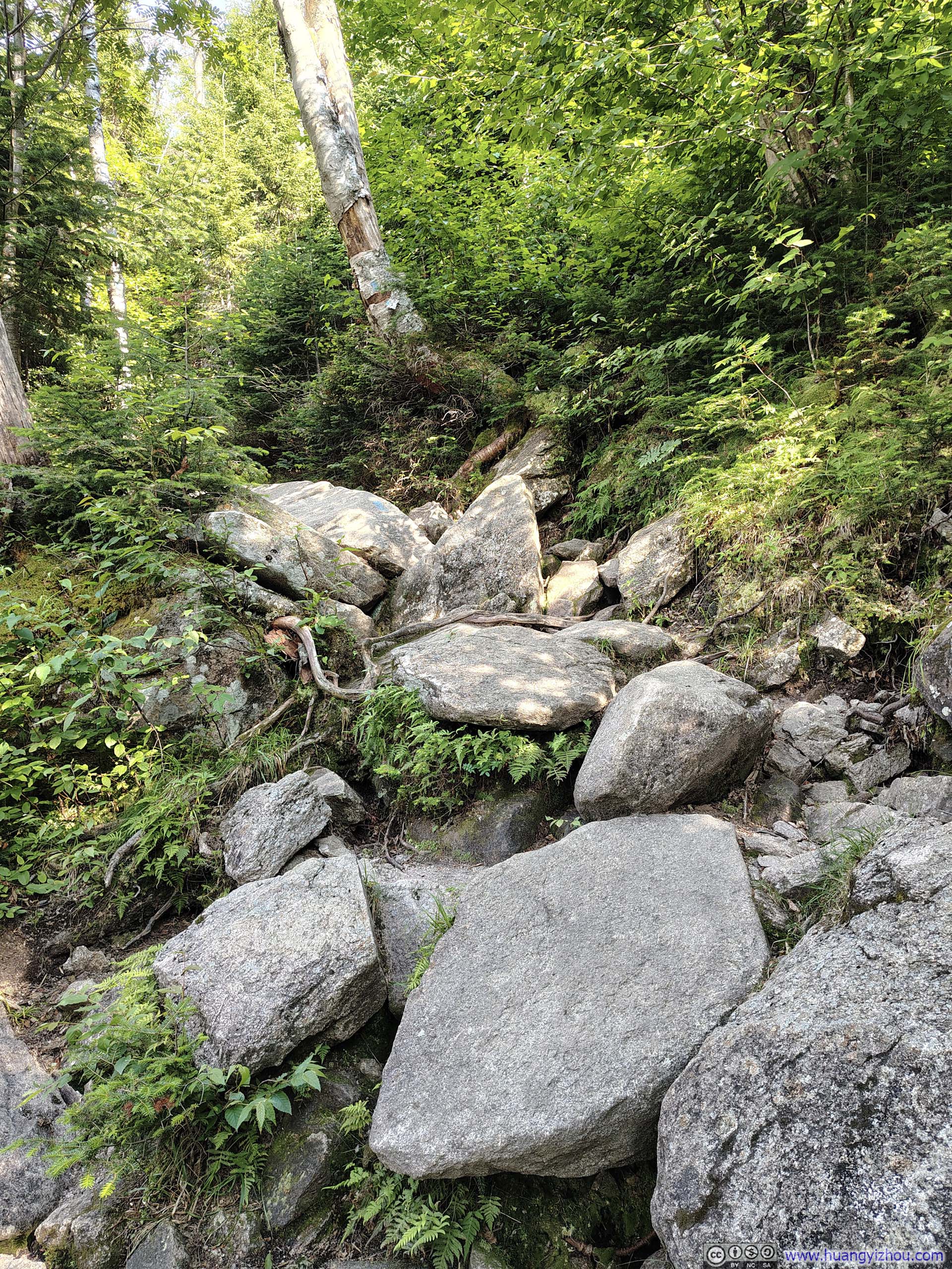

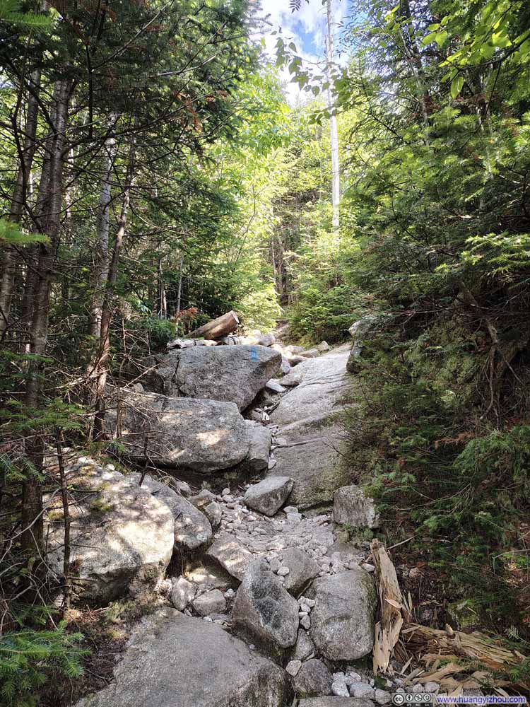
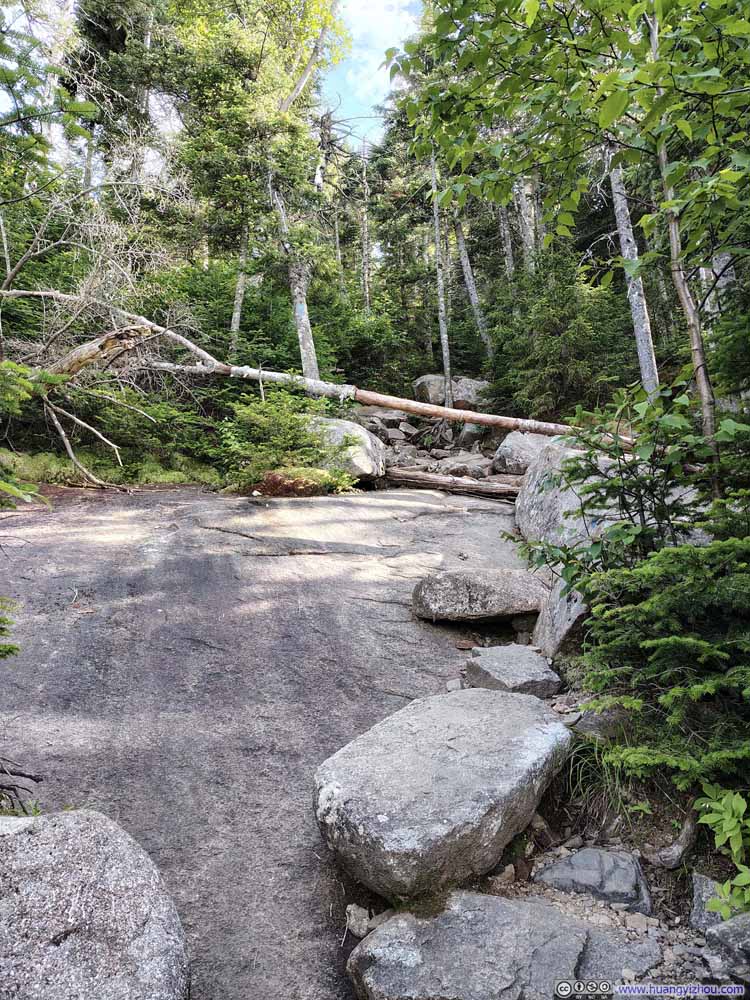
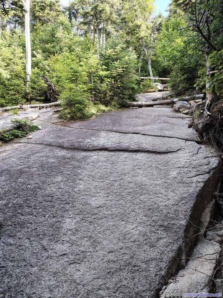
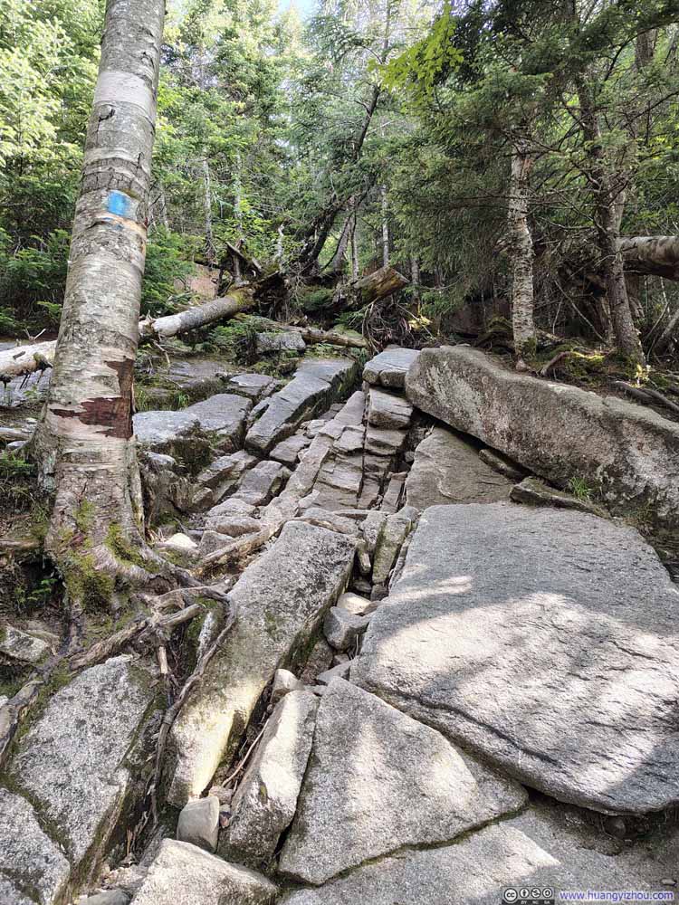
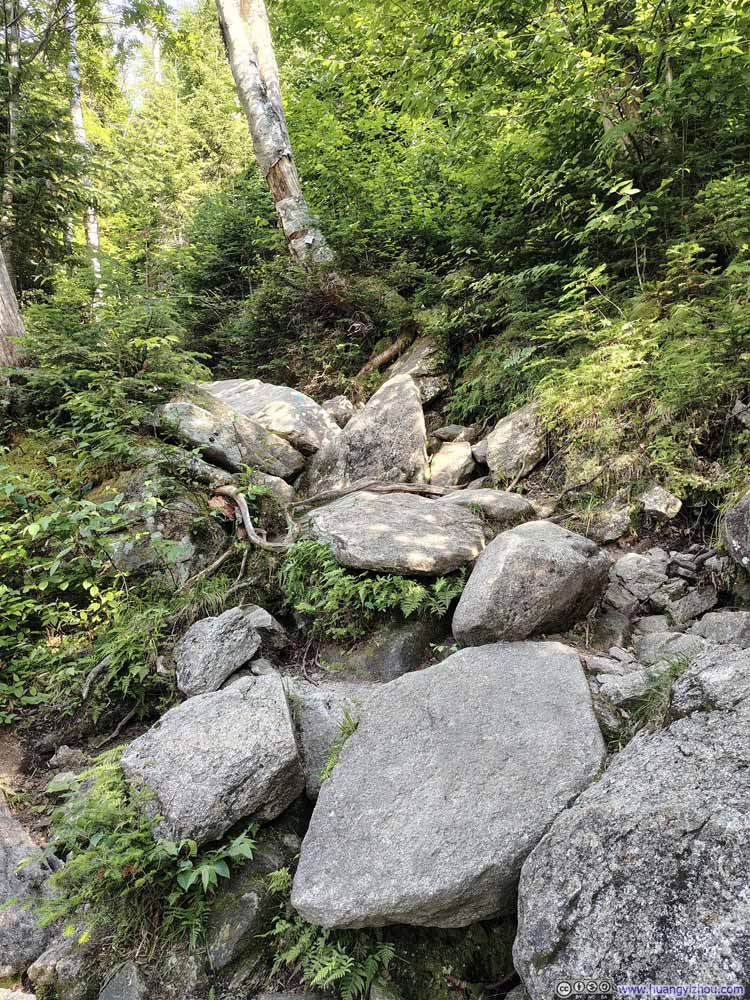
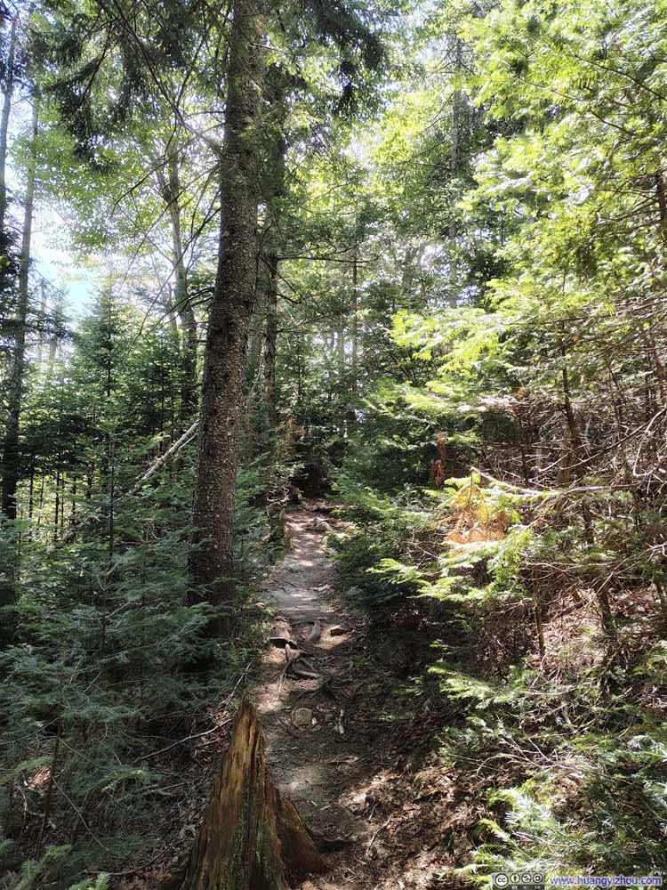
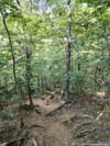
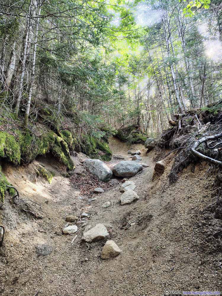
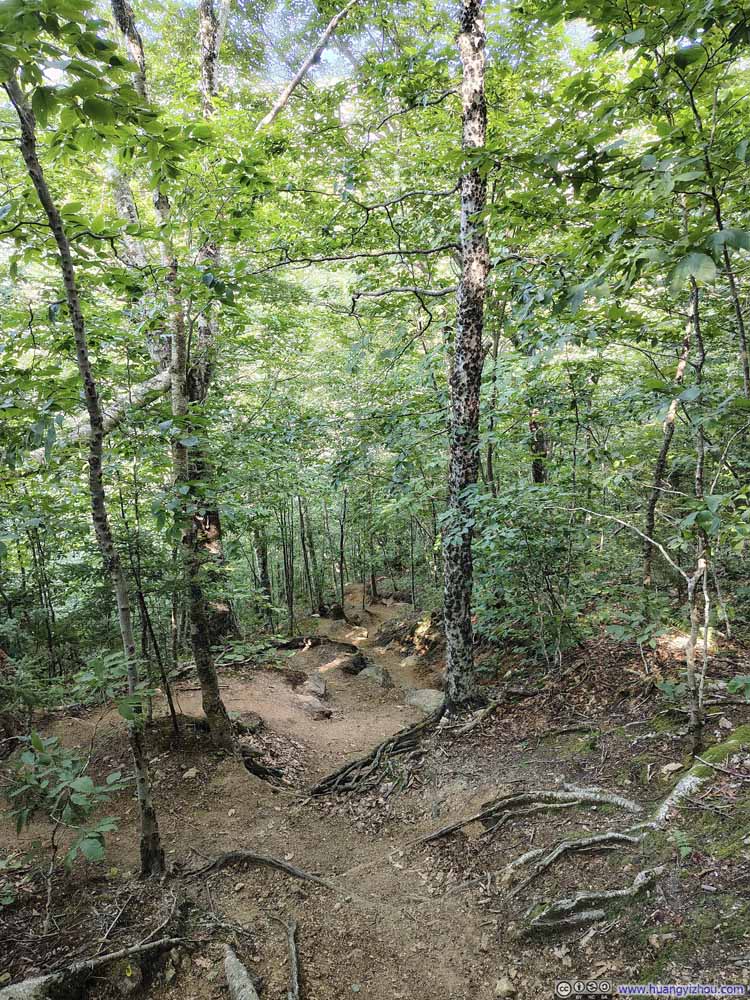
Further down, the gradient remained generally steep, though the terrain shifted more toward dirt.
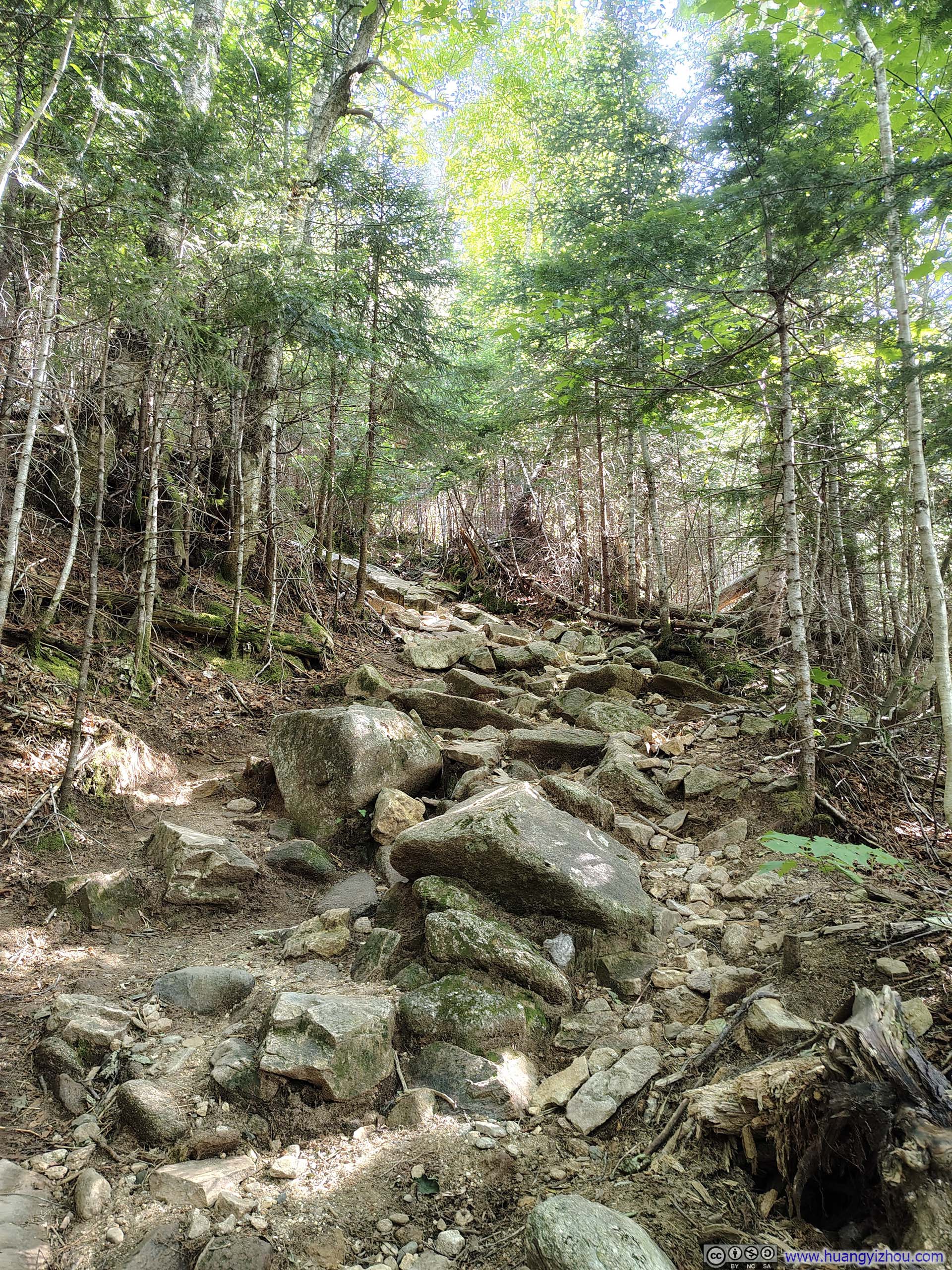
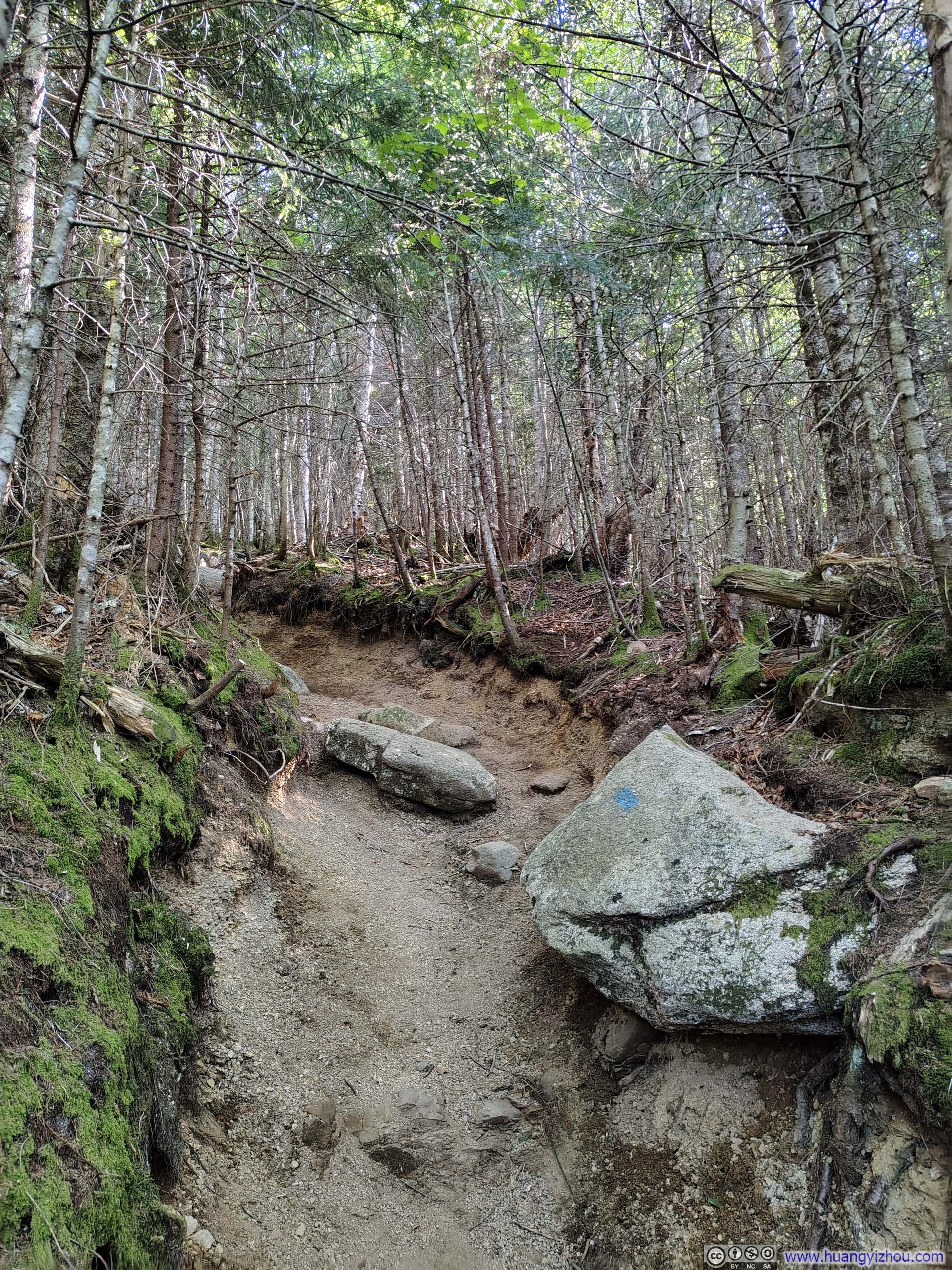
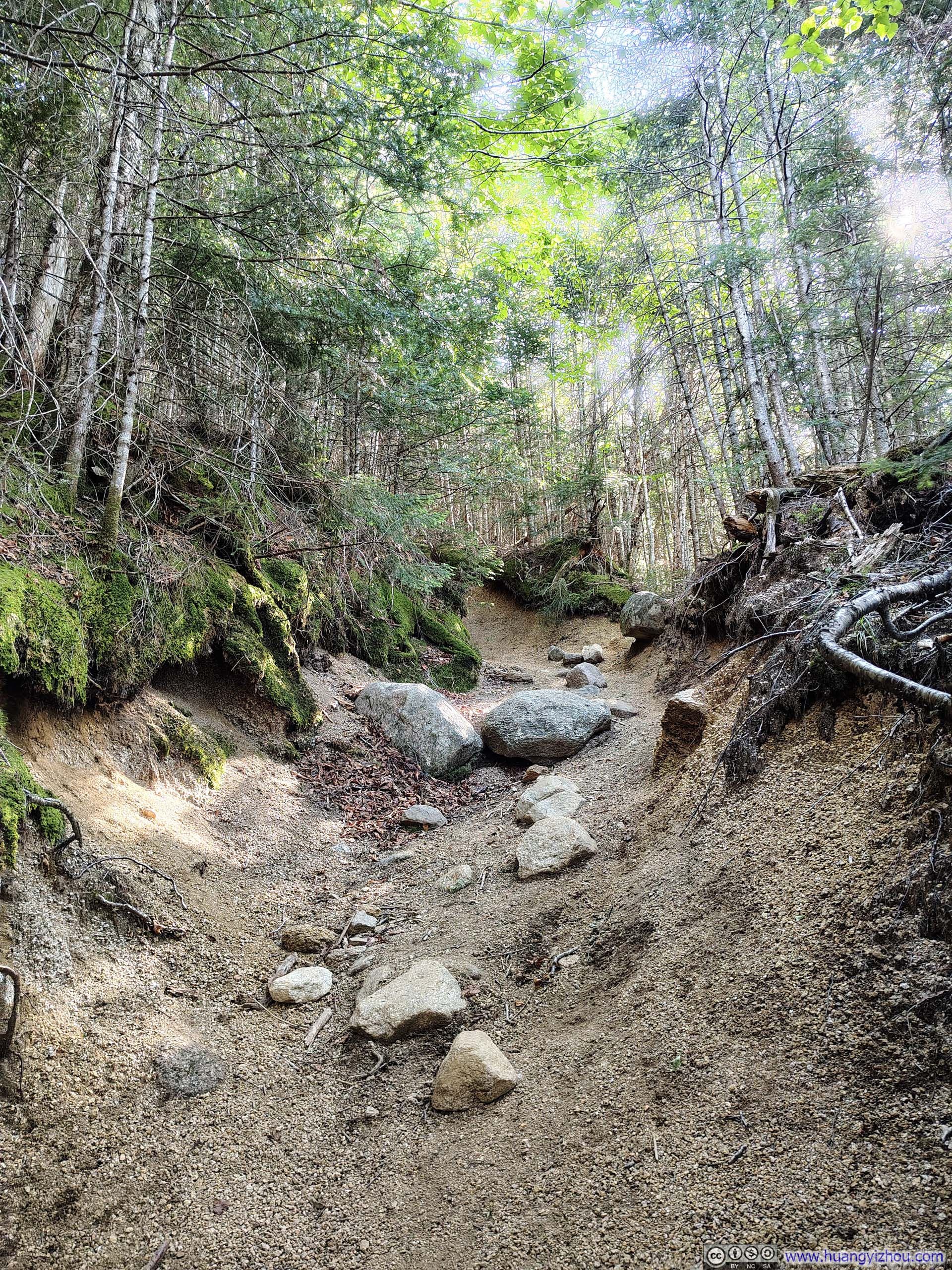
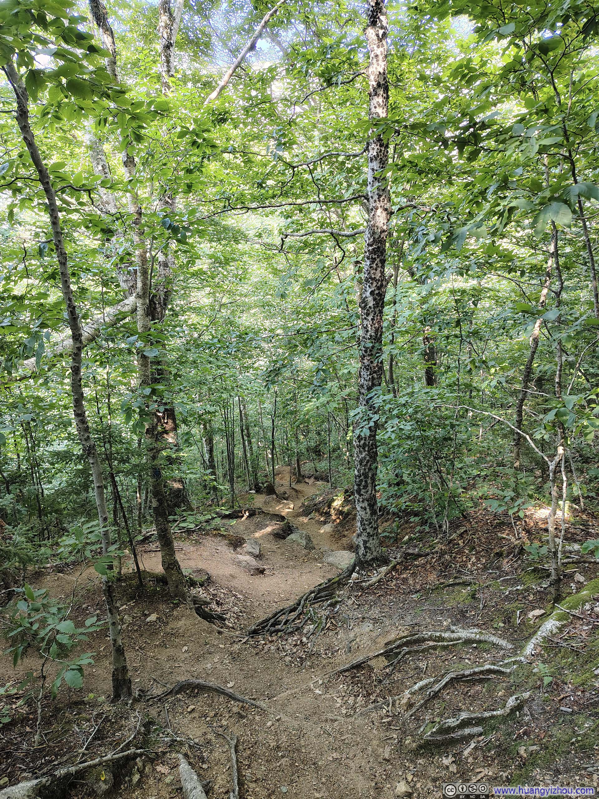
In the end, including all breaks along the way, I returned to my car about 5.5 hours after setting out. For a quick conclusion, compared to the efforts it demanded, which was less than many other mountains around Franconia Notch, this loop trail of Cannon Mountain offered great views for its moderate exertion.
END