
Updated on January 15, 2026
Day 3 of 2025 Labor Day Trip to California, Half Dome
The third day of my 2025 Labor Day trip to California. I joined some friends to climb Half Dome, the coveted crown jewel of Yosemite.
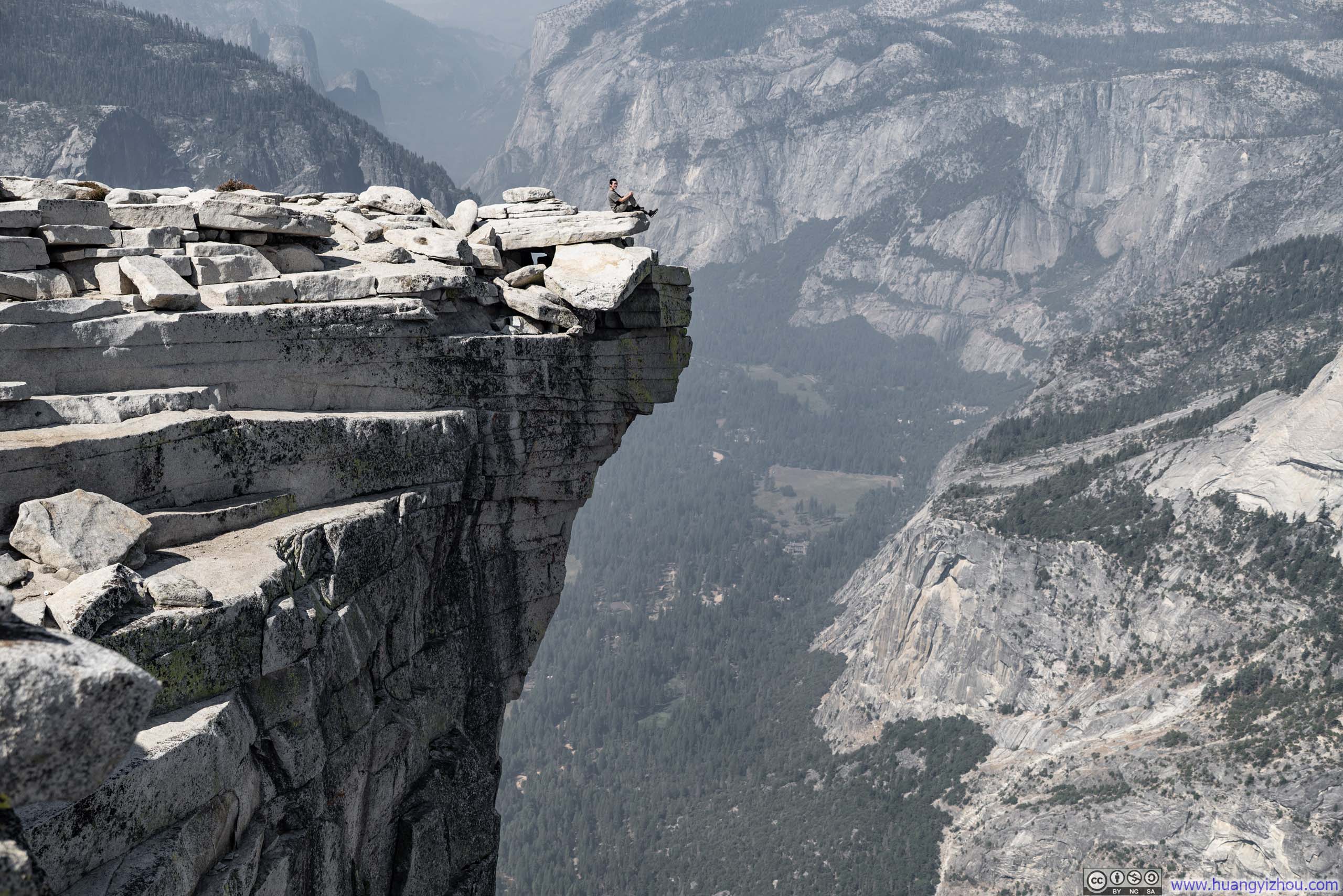
Sitting on Top of Half Dome
All Things Happened the Previous Day
Two days earlier, on Sept 1st, I joined a friend to summit the imposing Sawtooth Peak in Sequoia National Park. Between its remote location and the rental car complications stemming from an overnight flight delay the previous weekend, it was past 1am by the time I finally got back to my Airbnb in Three Rivers. After a much-needed night’s rest, I didn’t check out until 11:40am on the morning of September 2nd. With Google Maps projecting over three hours for the drive from Three Rivers to Yosemite Valley, little daylight remained for me to do anything else.
Compounding matters, Garnet Fire was raging during this visit to Sierra Nevada. While southerly winds had spared our Sawtooth Peak ascent two days prior, they would also bring abysmal air quality to Yosemite National Park on Wednesday, Sept 3rd. Thus, whatever hours remained in the day had to include procuring N95 masks for our party.
After attending to these errands, I drove directly to Yosemite Valley. While the air was very hazy at Wawona, Yosemite Valley welcomed me with smells of fresh air after a recent downpour. For the next two nights, I would stay in a tent at Curry Village—an experience that proved somewhat underwhelming and, frankly, entirely consistent with the horror stories I’d heard about Aramark’s mismanagement of Yosemite’s concessions.
The troubles began at check-in. I joined the queue at 5:30pm, where only two front desk staff attended to guests. 40 minutes elapsed before I received my keys. I had no cellular coverage in Curry Village. Though I knew beforehand that WiFi was available to overnight guests in common areas, this wasn’t mentioned during check-in, necessitating a second visit to discover that the authentication page required entering the room number as “Dr0XXX” rather than simply “0XXX.”
I had booked a “heated tent,” but I was fairly certain the heater in mine was non-functional. Given that heated tents cost only marginally more than nonheated ones and provided the crucial amenity of power outlets for charging our electronics, I resigned myself to enduring the cold through the night.
Curiously, hot water was available in the shower facilities closest to my tent only on the first of my two nights.
On the whole, I would have much preferred to see Curry Village’s guest capacity housed in a hotel building with a considerably smaller footprint (assuming it’s not managed by Aramark). While one might argue that Curry Village’s tents preserve the surrounding trees admirably, I found myself longing for the convenience and efficiency of central heating and indoor plumbing.
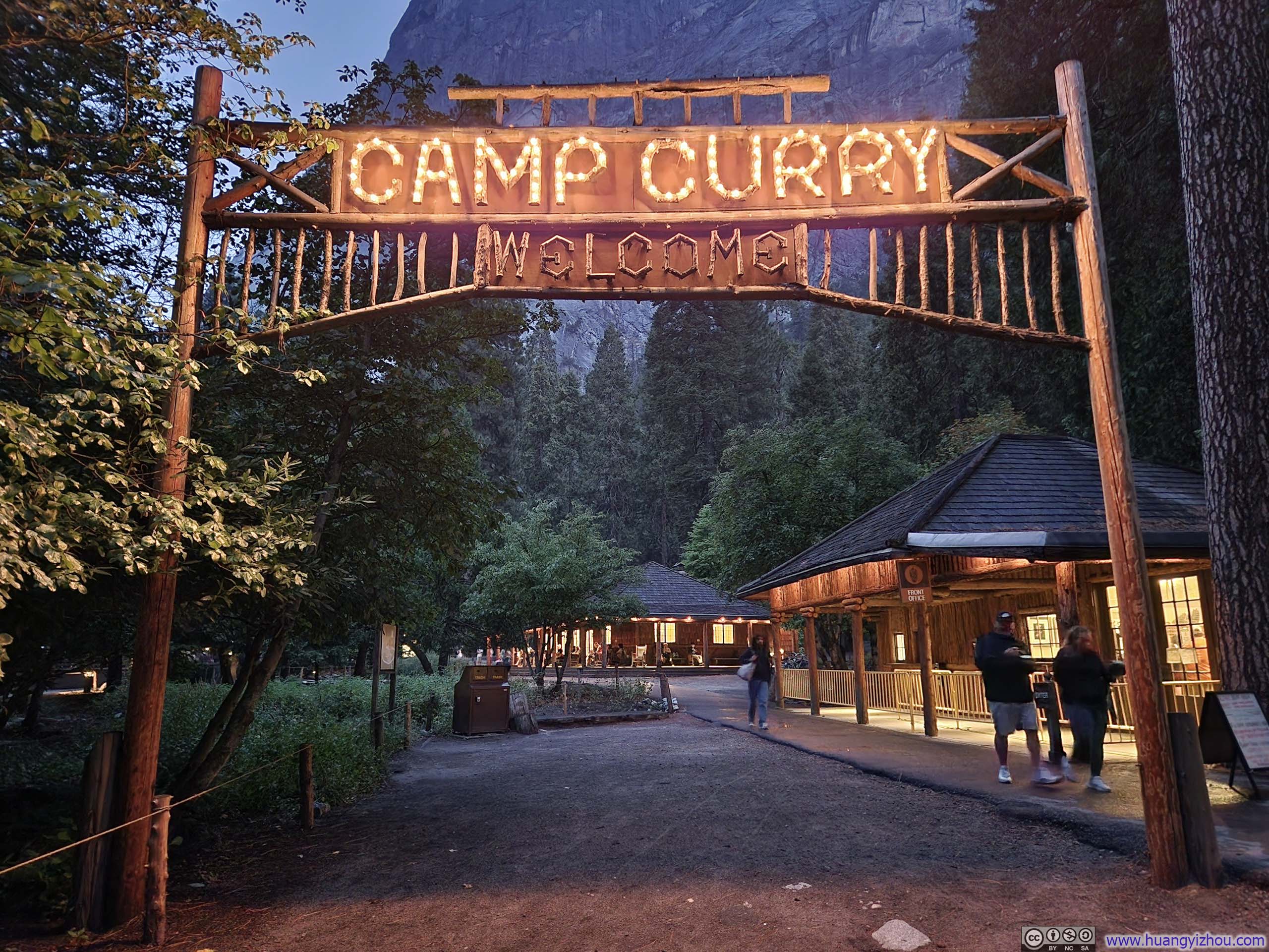
Sign of Curry VillageTaken at 7:40pm, there was no longer a line for checkin.
Sept 3, Half Dome
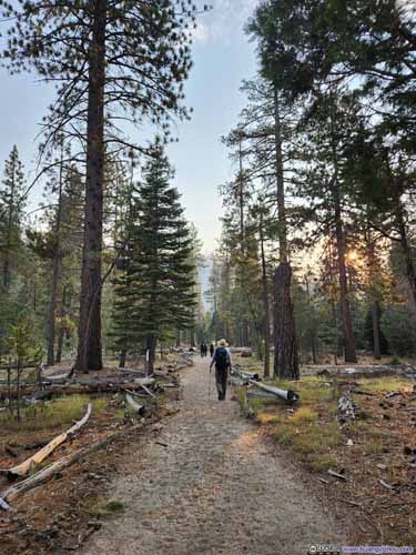
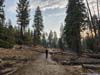
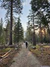
My friends from the San Francisco Bay Area reached Curry Village a few hours after me(, which meant I successfully reunited with my camera and clothes in the checked bags). They were eager to get an early start, while I prioritized a good night’s rest. Eventually, we settled on a 4:30am departure from the hiker’s parking lot, though due to some miscommunication, we didn’t actually set off until 4:45am.
Here’s GPS tracking:
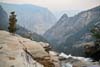
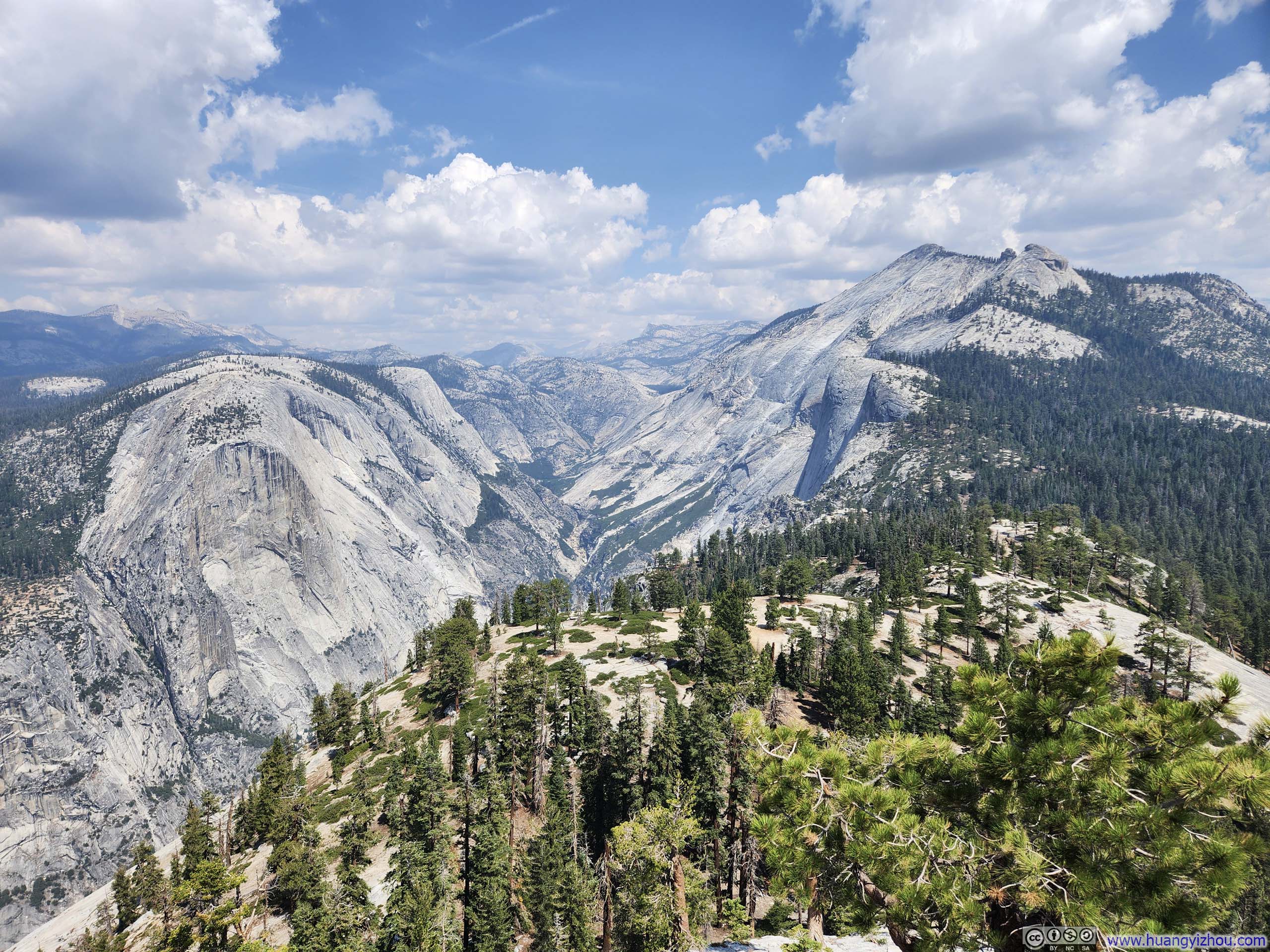
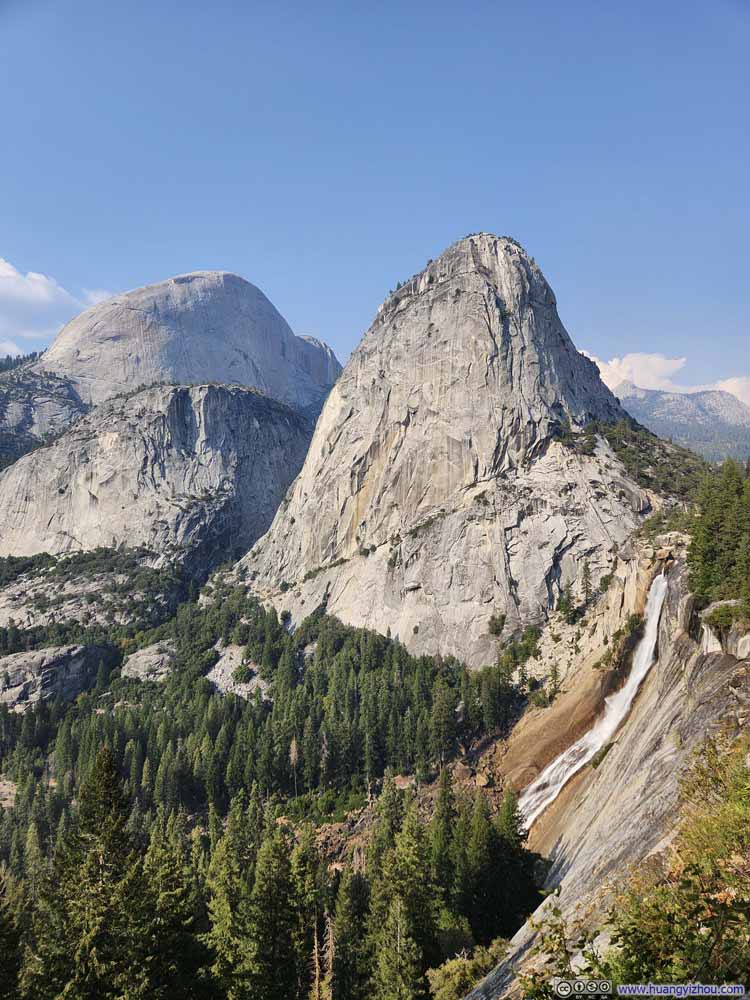
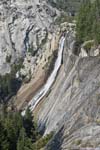
To reach Nevada Falls, we chose the John Muir Trail over the Mist Trail, hoping to avoid navigating the latter’s wet sections while dark. We arrived at Clark Point at 6:07am, just as the day’s first light revealed Nevada Falls and Half Dome.
(In hindsight, the other members of our party probably pushed too much during this initial stretch, a decision that would exact its toll later in the day.)

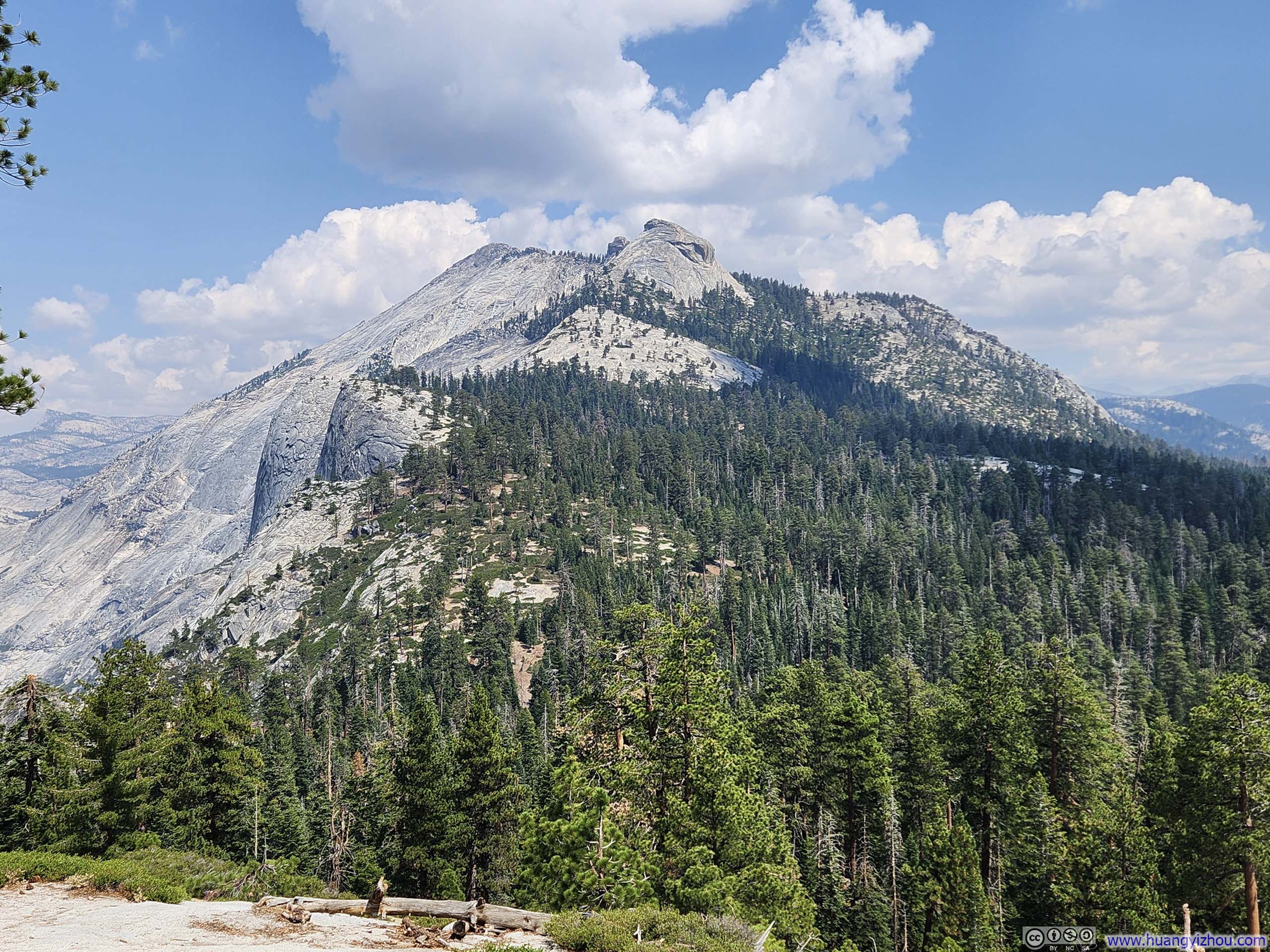
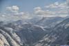
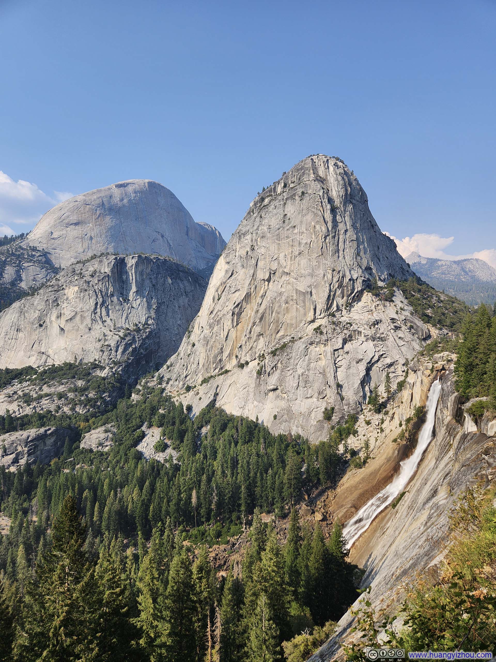
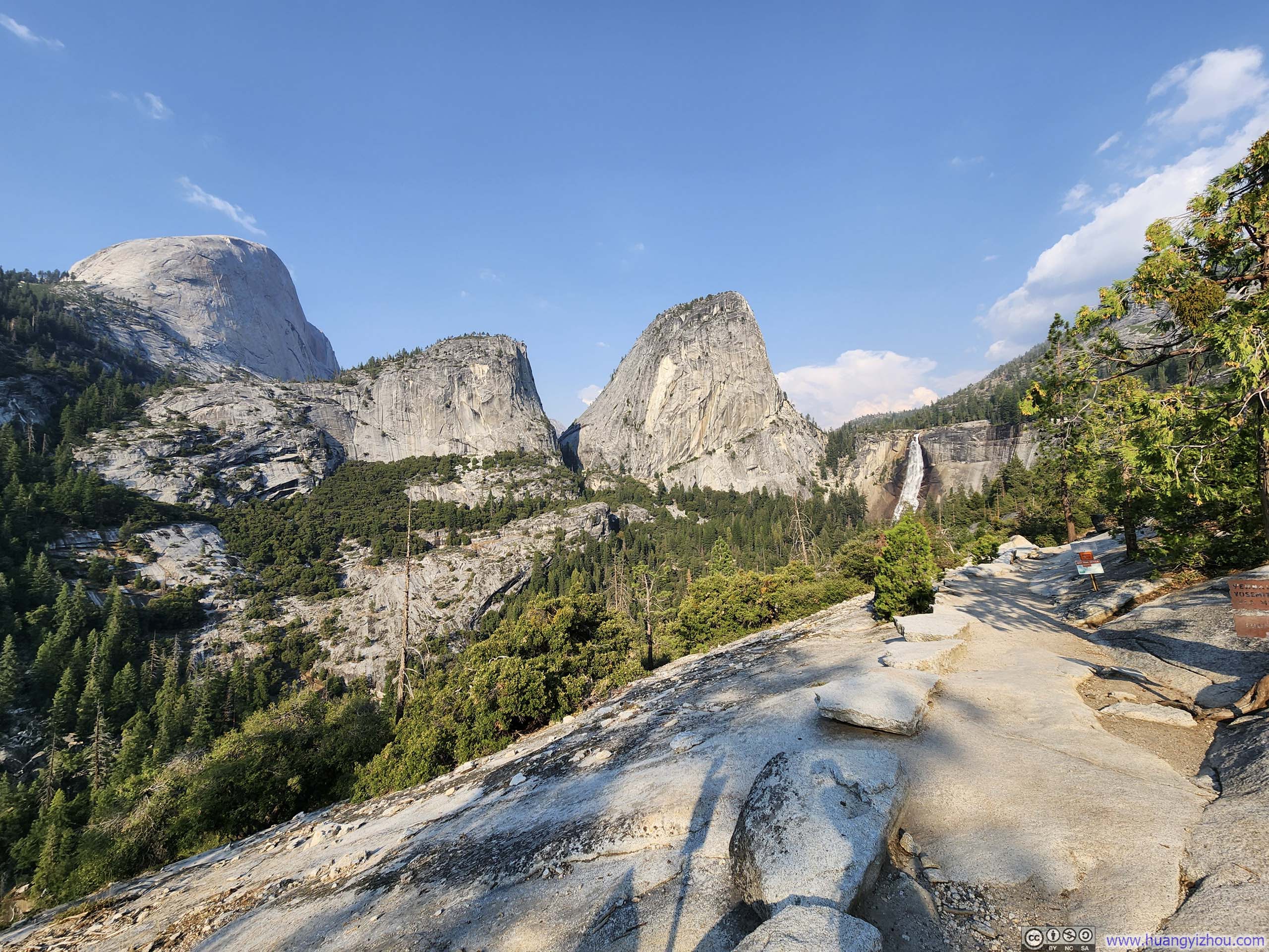
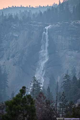 Nevada Falls
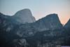
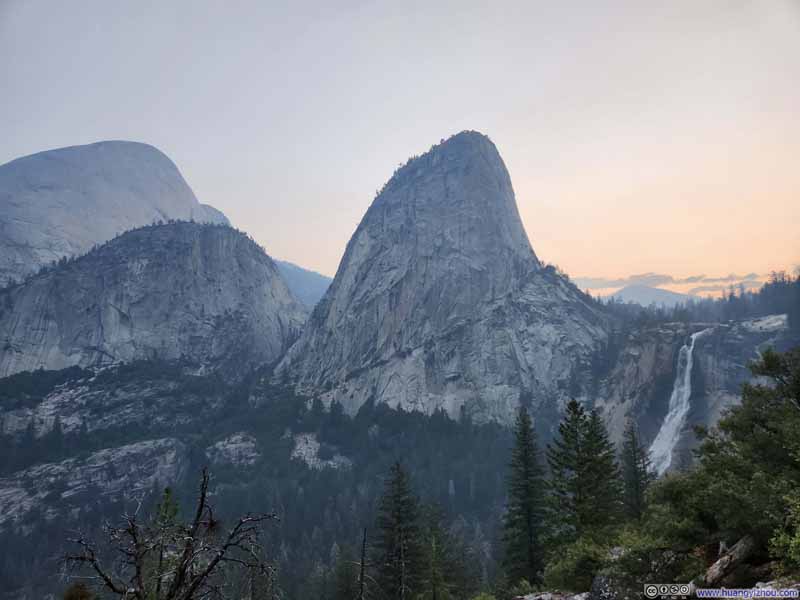 Half Dome, Mt Broderick, Liberty Cap and Nevada Falls
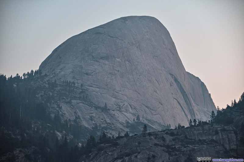 Half Dome
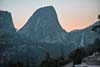
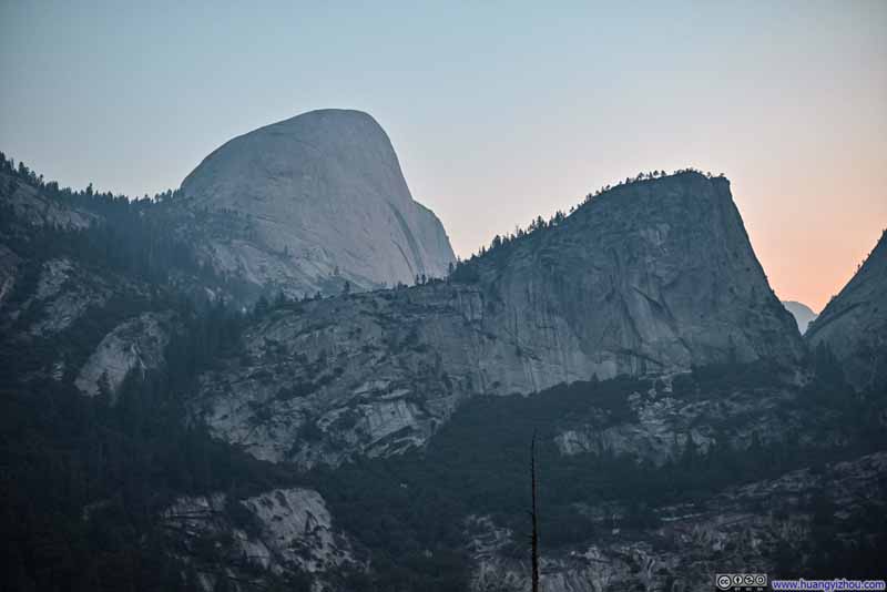 Mt Broderick and Half Dome
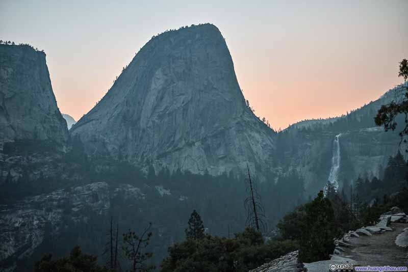 Liberty Cap


Click here to display photos taken at Clark Point at dawn.
 Nevada Falls

Half Dome, Mt Broderick, Liberty Cap and Nevada Falls
Half Dome

Mt Broderick and Half Dome

Liberty Cap
Before embarking on the day’s hike, I drove to Curry Village’s common area to check the air quality using their WiFi—the readings appeared reassuringly clear. What I failed to realize was that the information displayed was outdated. As a result, I started the hike without masks. It wasn’t until we reached Clark Point, just as the sky began to brighten, that I noticed the pervasive haze hanging in the air. Fortunately, I had cellular coverage there, and after a quick web search, I was compelled by the readings to wear a mask for most of our remaining ascent to Half Dome.
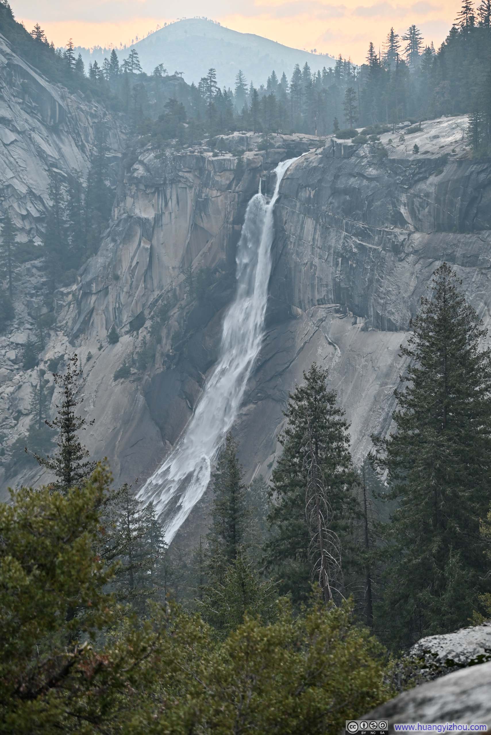
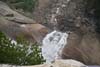
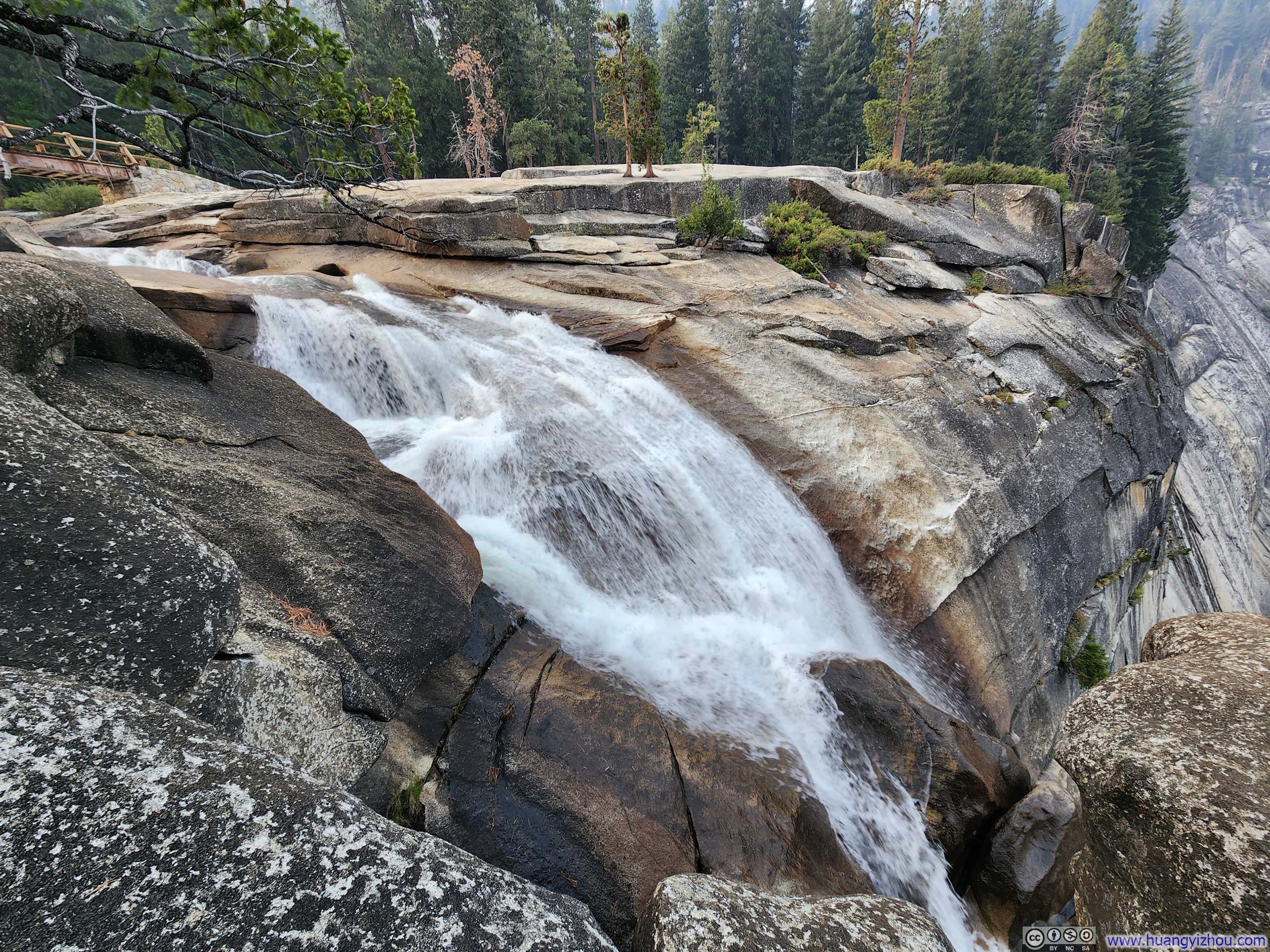
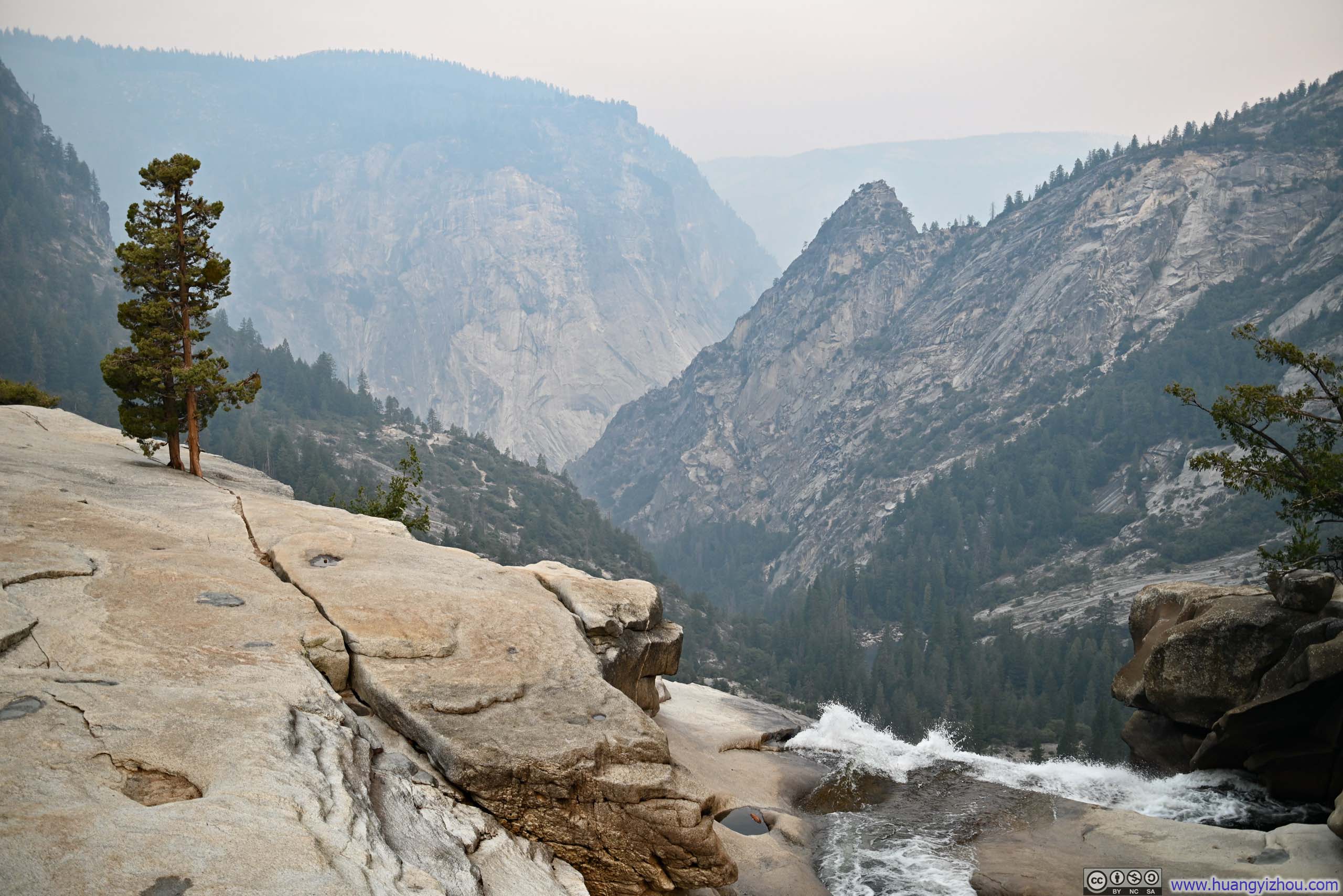
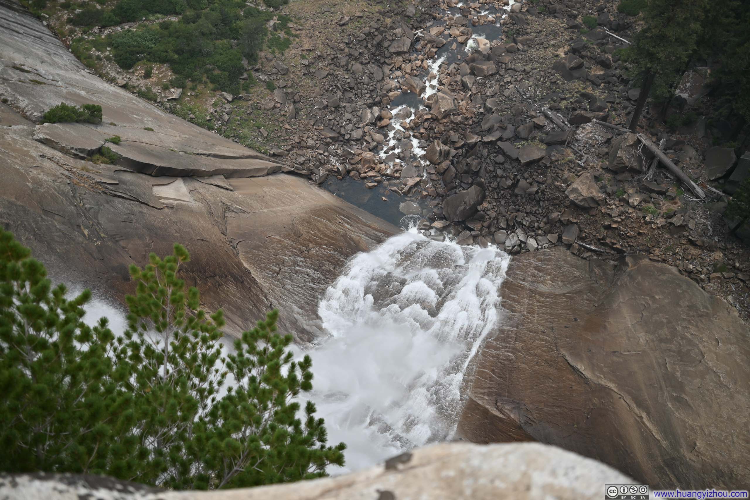
As we passed Nevada Falls, our party decided to make a brief detour to a small nearby overlook, where we were rewarded with views of the waterfall’s upper cascade and the imposing cliff face that plunged beneath it.
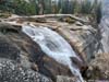
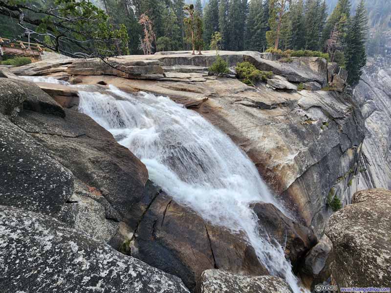 Top of Nevada Falls
 Upper Edge of Nevada FallsGrizzly Peak and Glacier Point in the background.
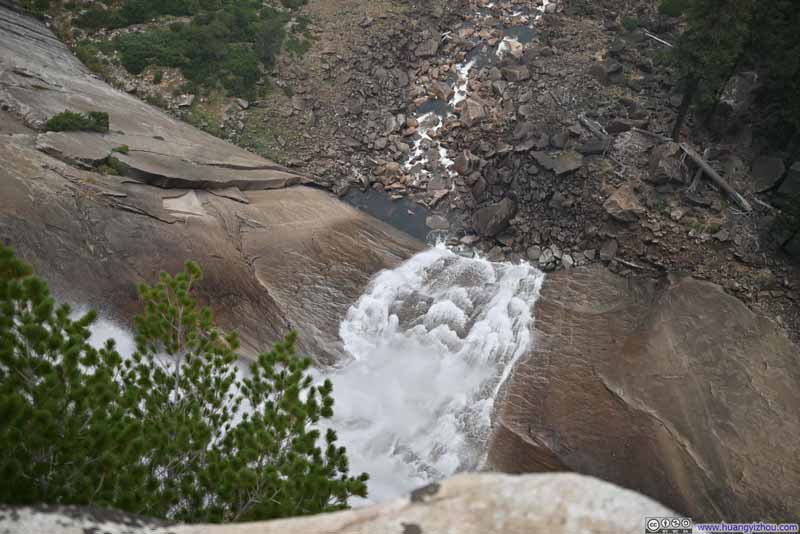 Overlooking Nevada Falls
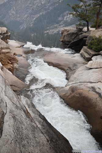
 Nevada Falls: Upper Edge and Merced River Downstream

Click here to display photos of Nevada Falls.
Top of Nevada Falls
Upper Edge of Nevada FallsGrizzly Peak and Glacier Point in the background.
Overlooking Nevada Falls

 Nevada Falls: Upper Edge and Merced River Downstream
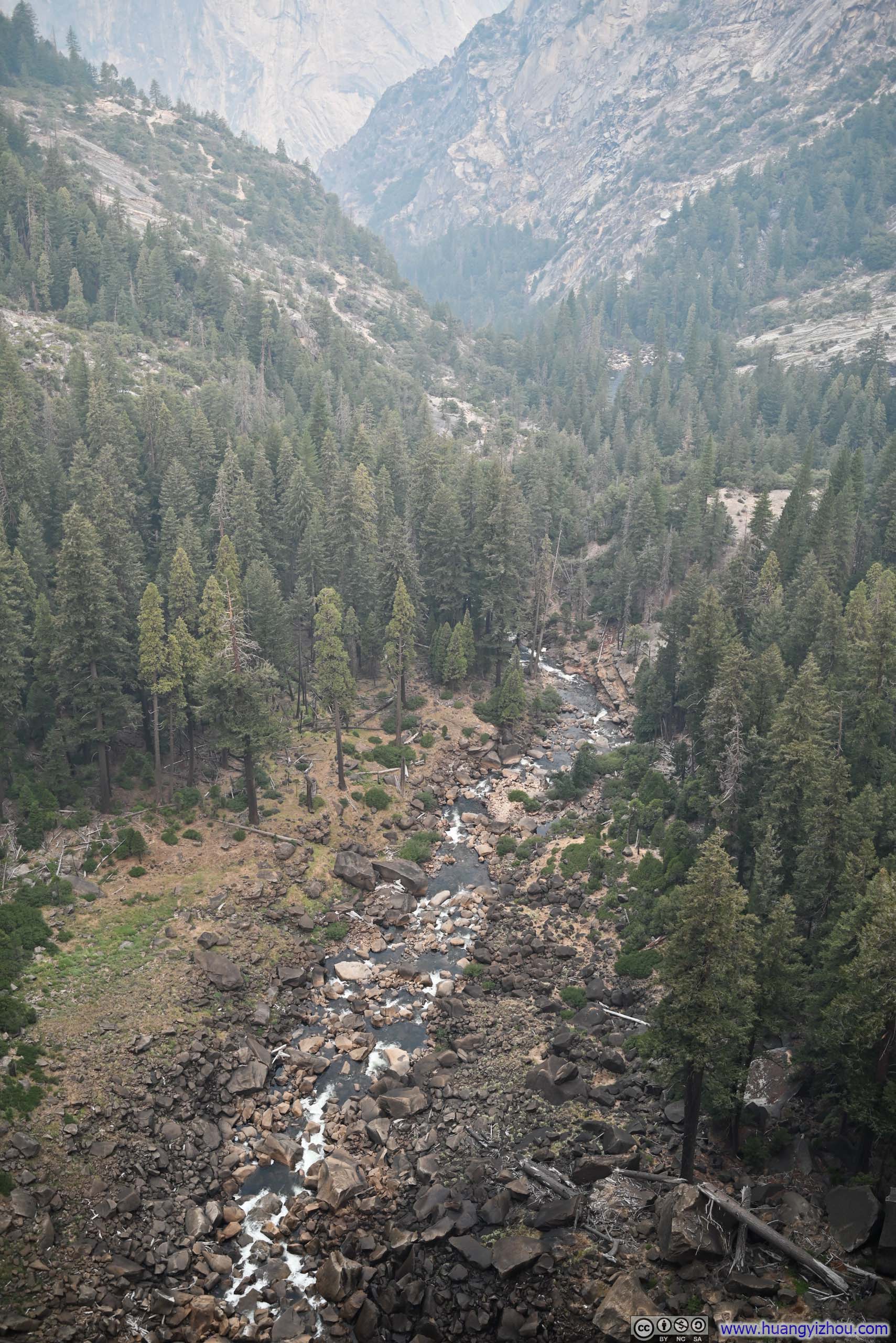
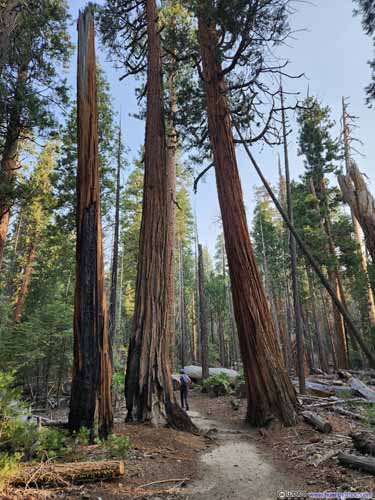
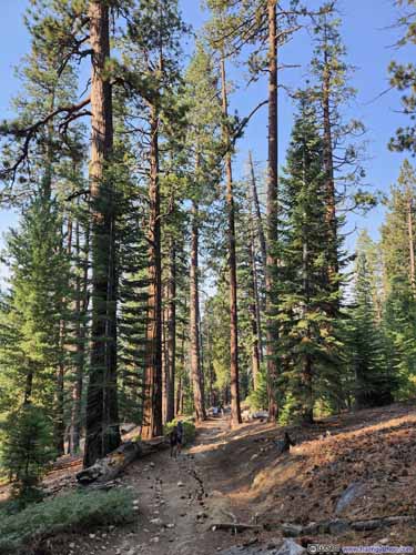
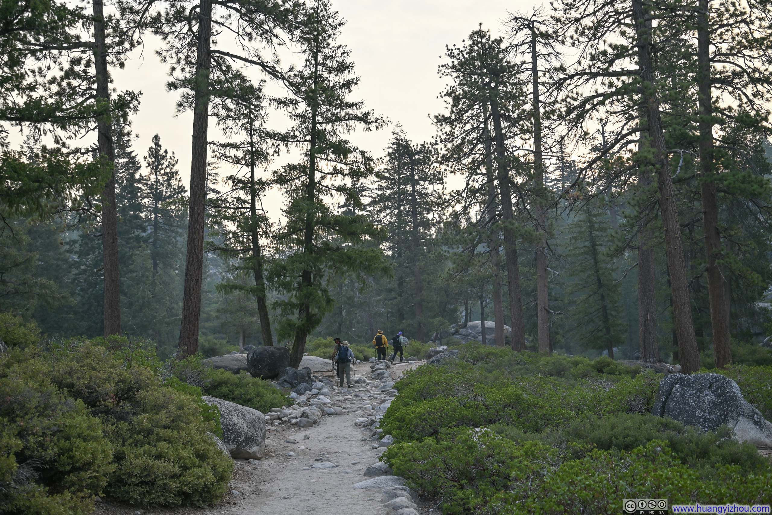
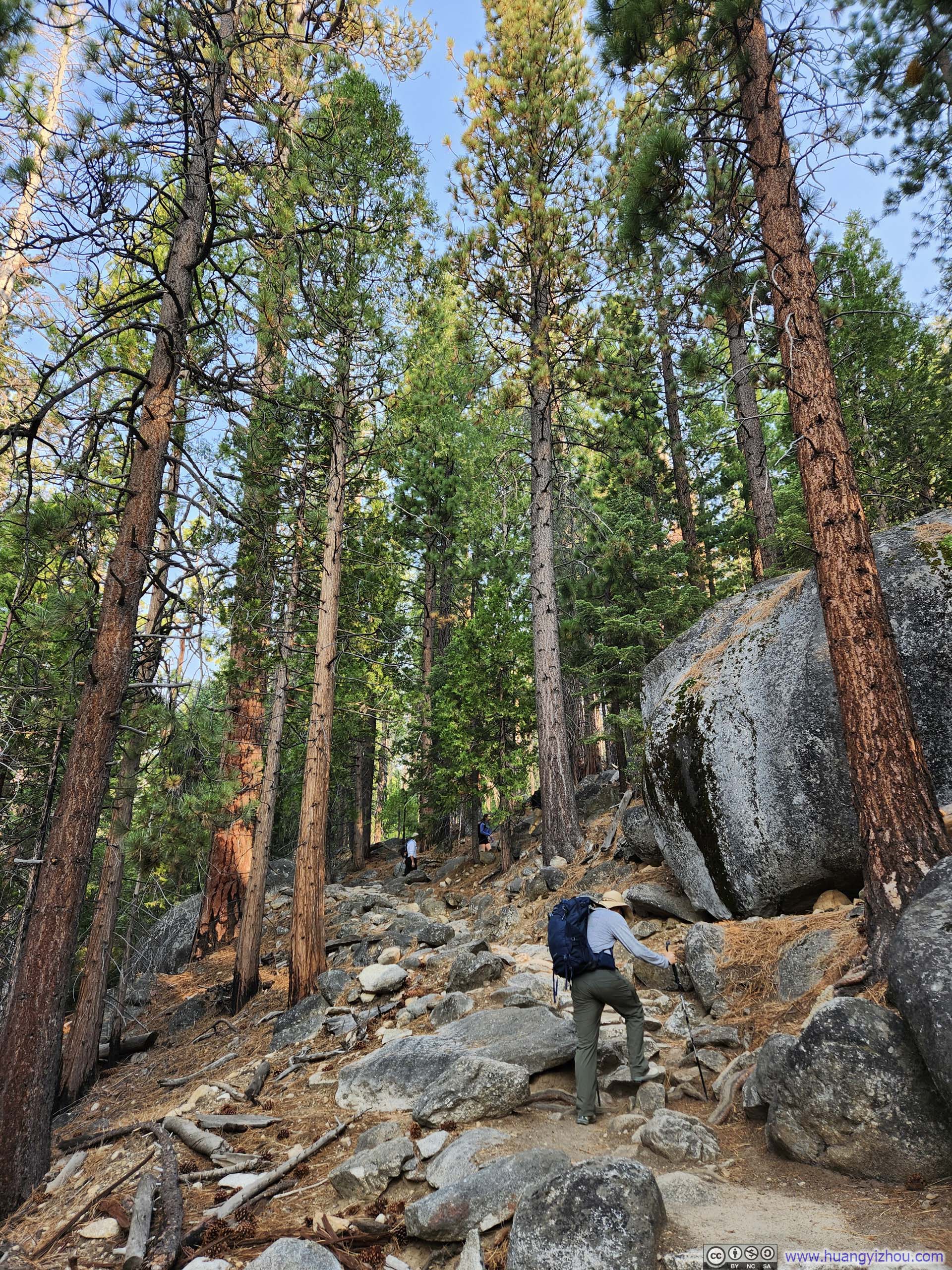
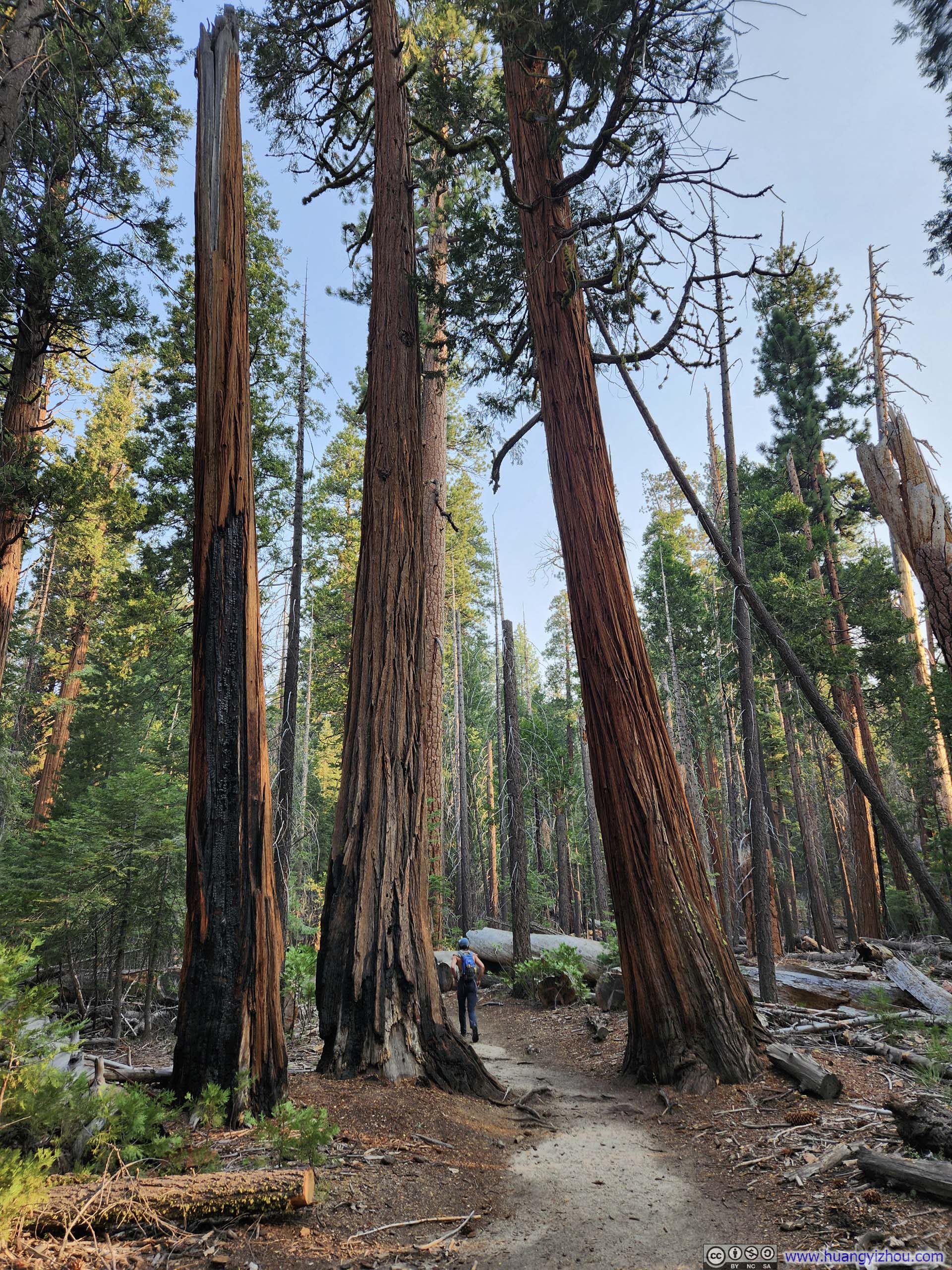
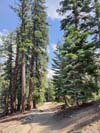
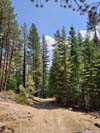
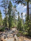
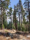
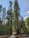
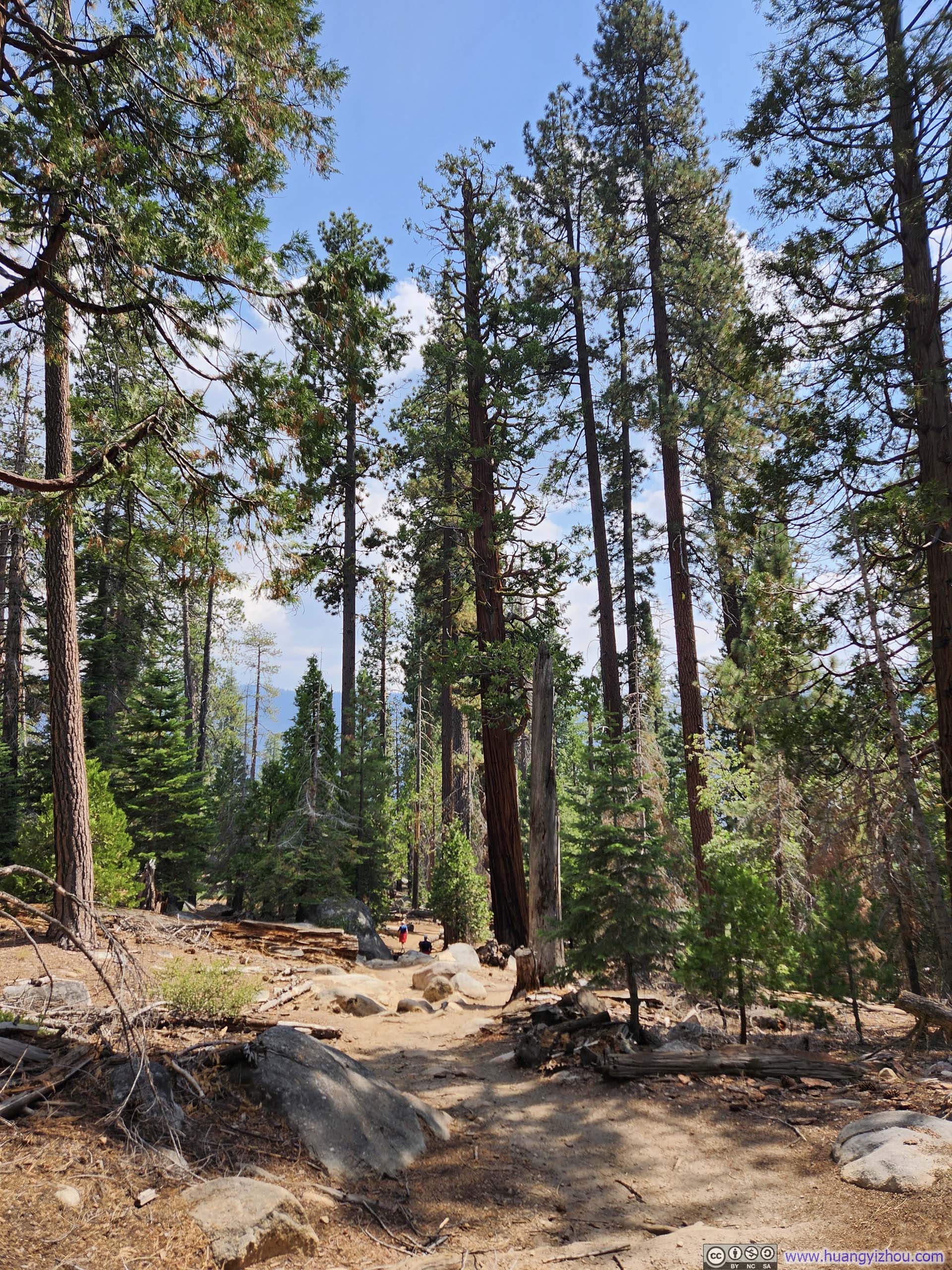
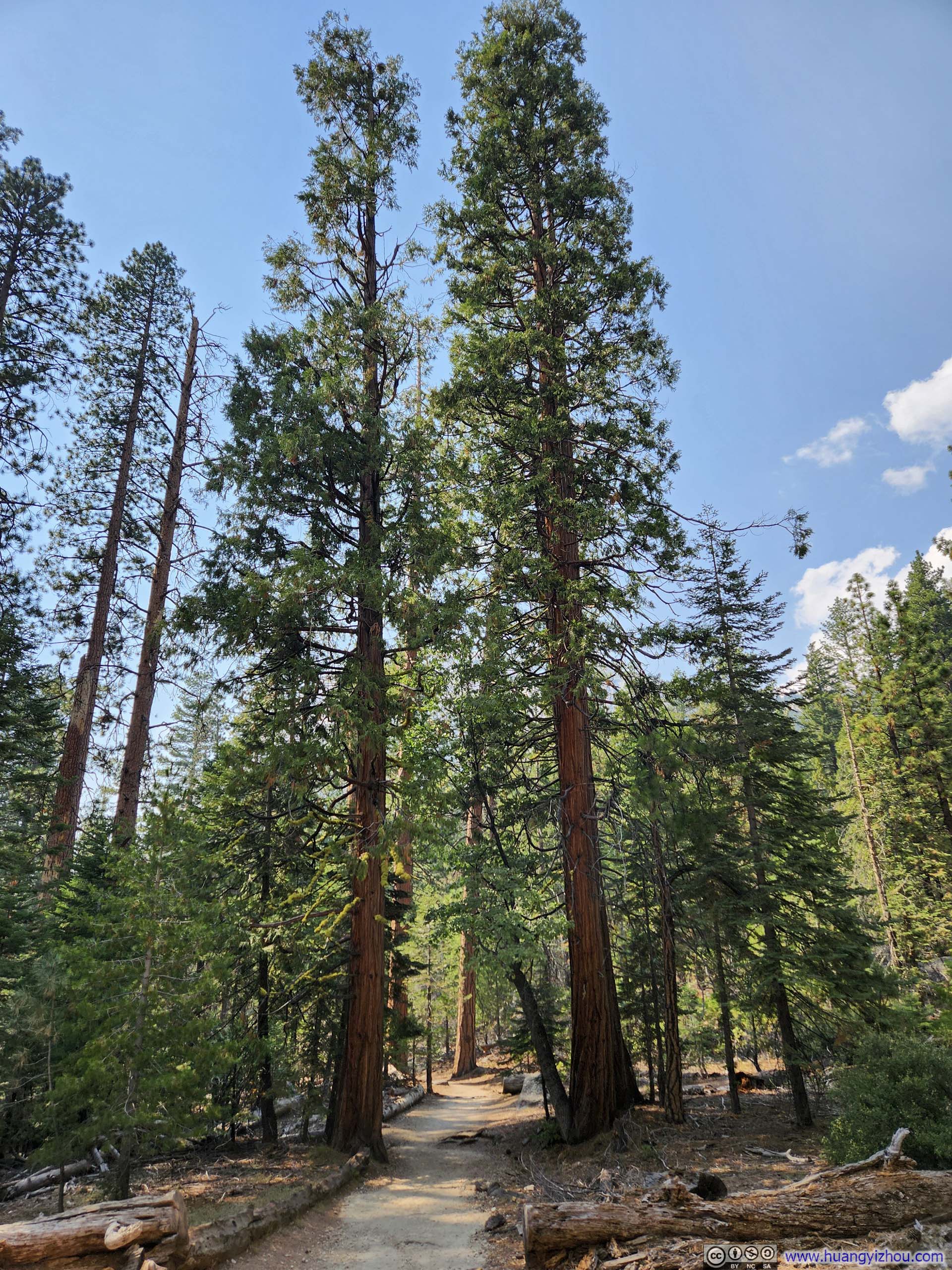
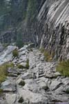
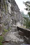
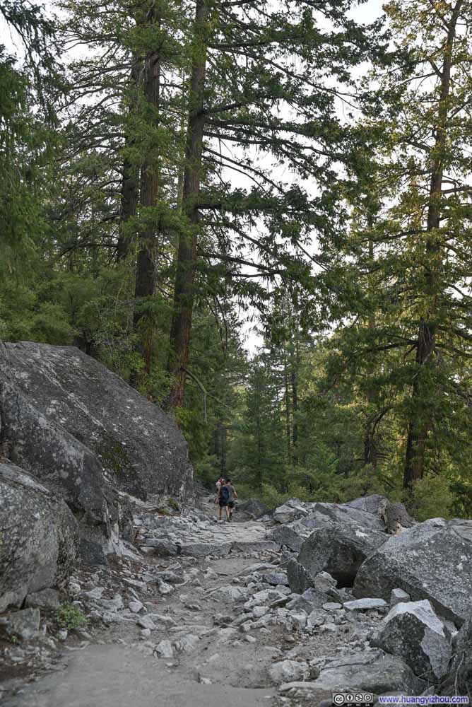
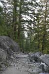
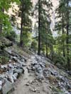
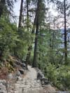
We left Nevada Falls at 7am, followed by a 40-minute stroll along Merced River to Little Yosemite Valley. This was the only stretch of level ground of the entire trail. Beyond that point, the path began a constant ascent through the woods till the base of Subdome.
 Eastern Face of Half Dome Illuminated by Sunrise
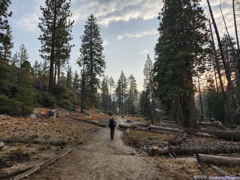 Trail
Trail Trail
Trail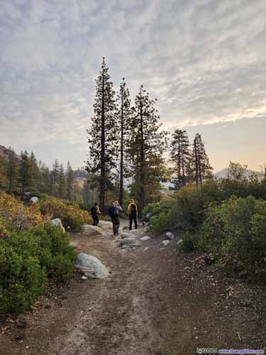
 Trail
Trail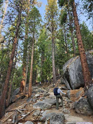
 Trail
Trail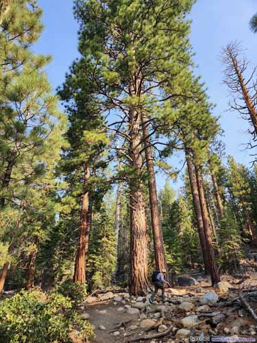
 Trail
Trail


Click here to display photos of the slideshow
Eastern Face of Half Dome Illuminated by Sunrise

Trail
Trail

 Trail
Trail
 Trail
Trail

 Trail
Trail
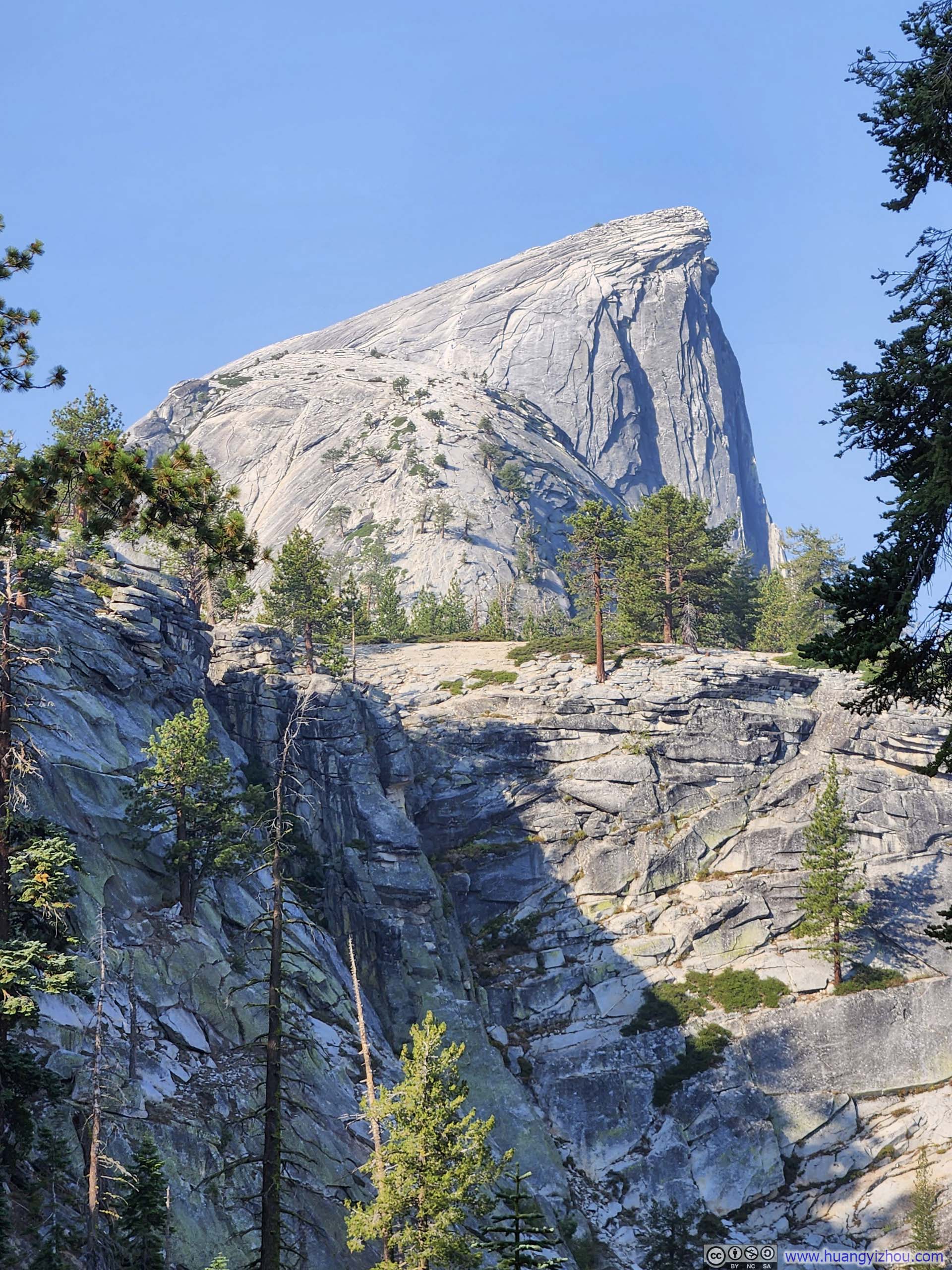
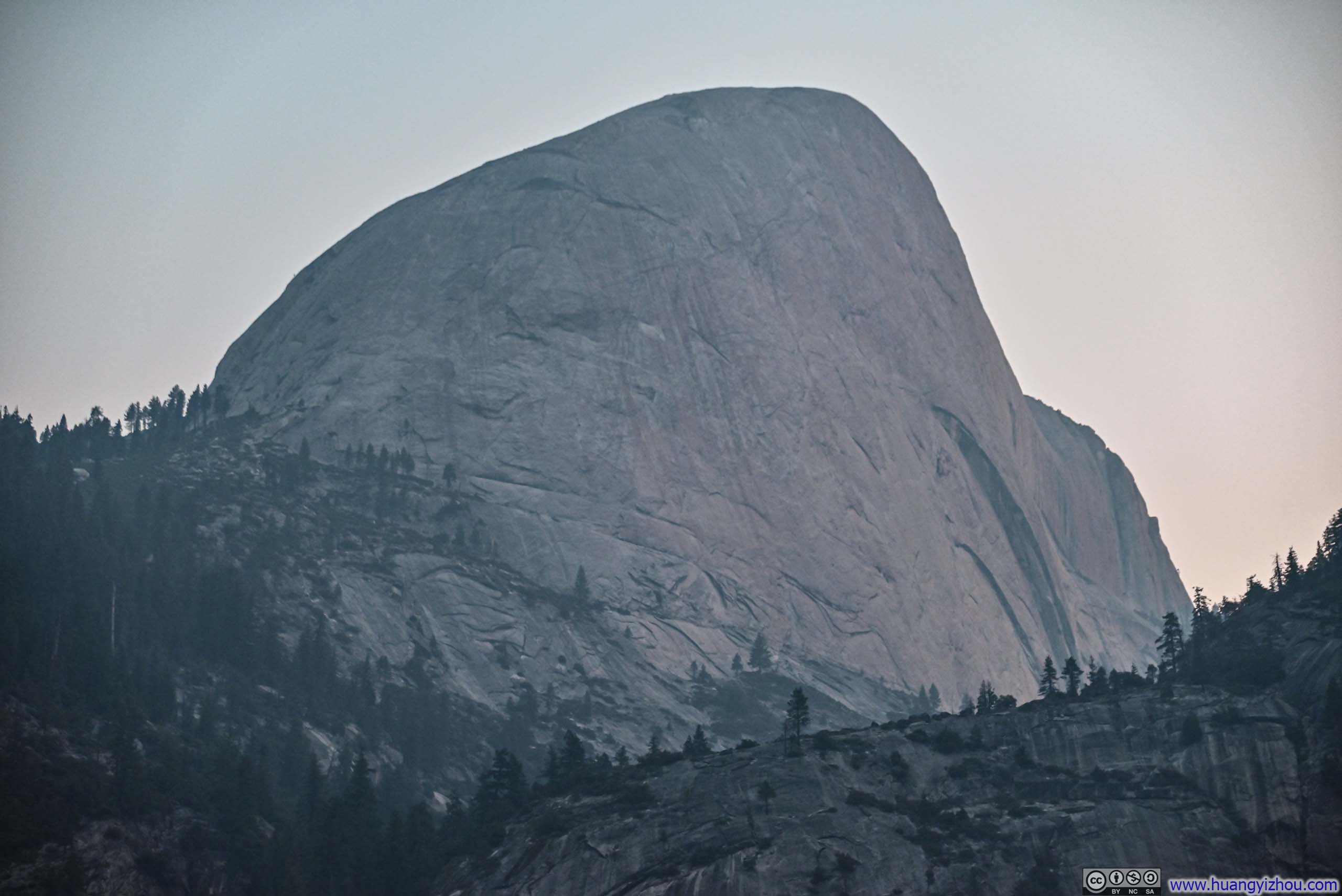
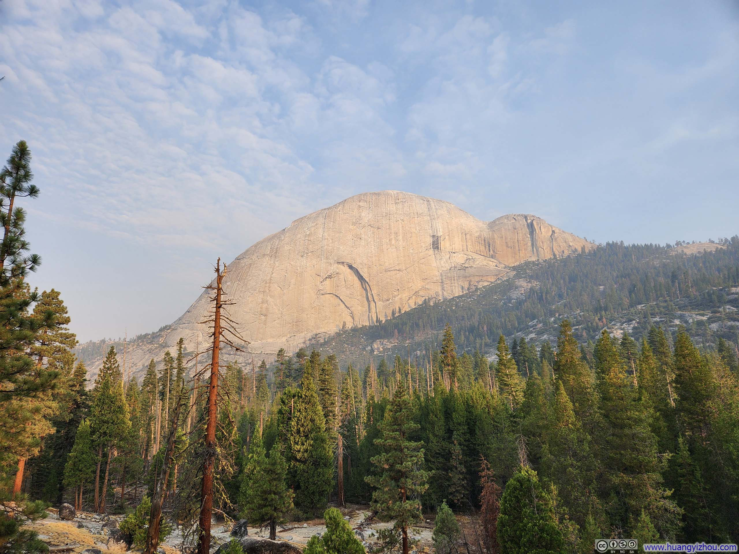
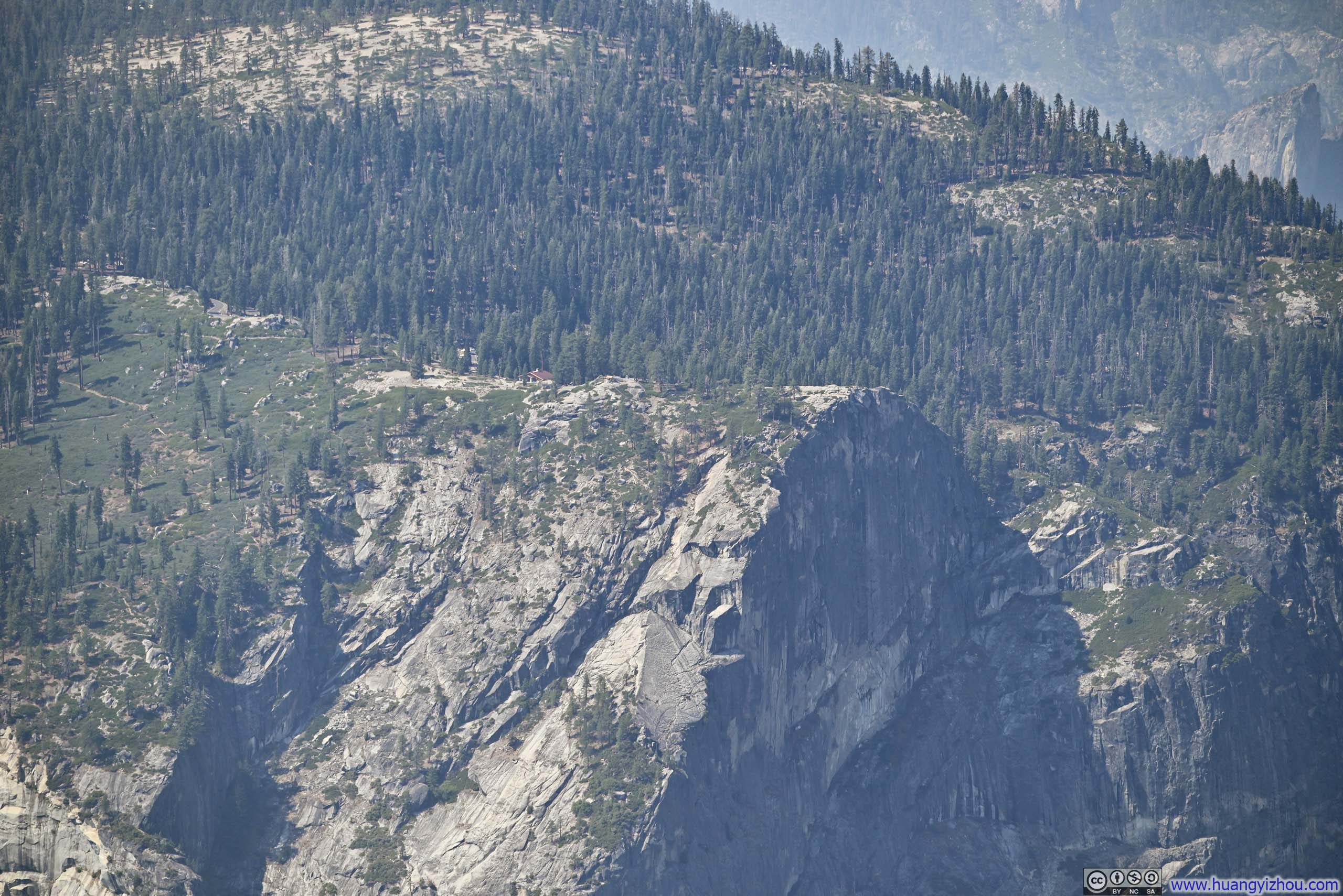
Northeastern Face of Half DomeWhere North Face’s logo drew inspiration from.
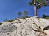
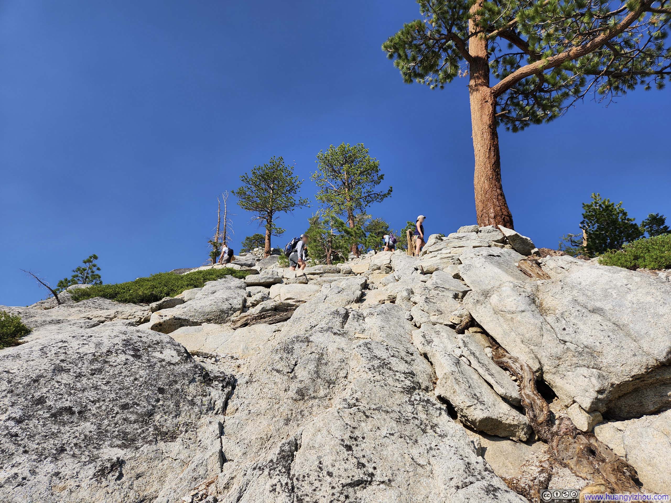
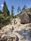
We reached the base of Subdome at 9:20am, beyond which the trail rose entirely above the tree line. The climb onto Subdome was intense but short, along steep switchbacks.
 Clouds Rest
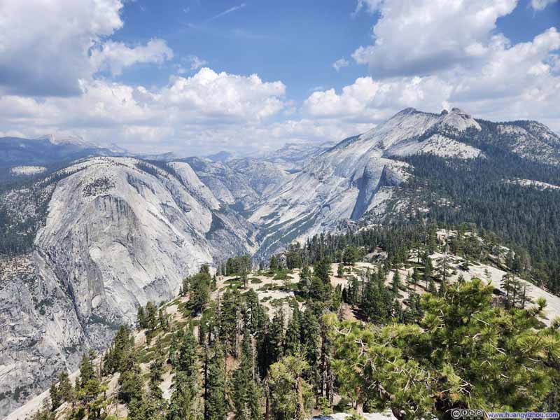 Tenaya Canyon from Subdome
 Steep Trail to Subdome
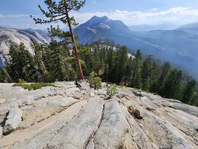 Steep Trail to Subdome
Click here to display photos of the slideshow
Clouds Rest
Tenaya Canyon from Subdome
Steep Trail to Subdome

Steep Trail to Subdome
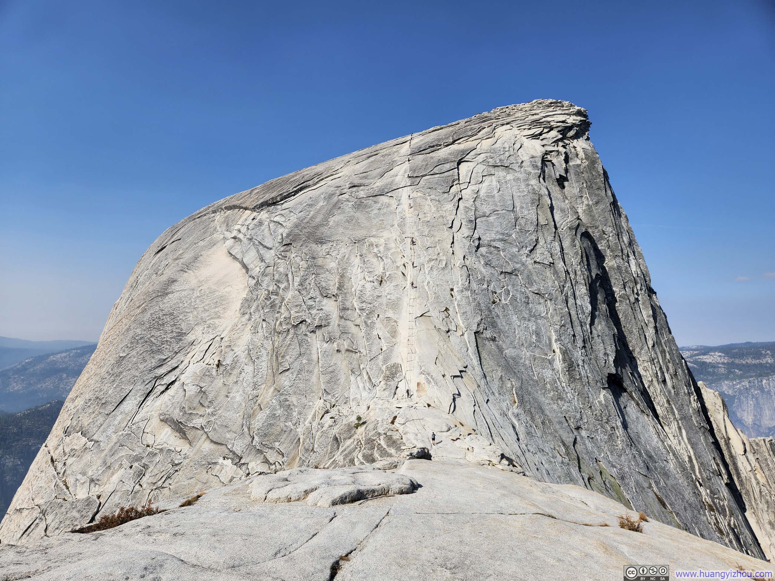
Half Dome
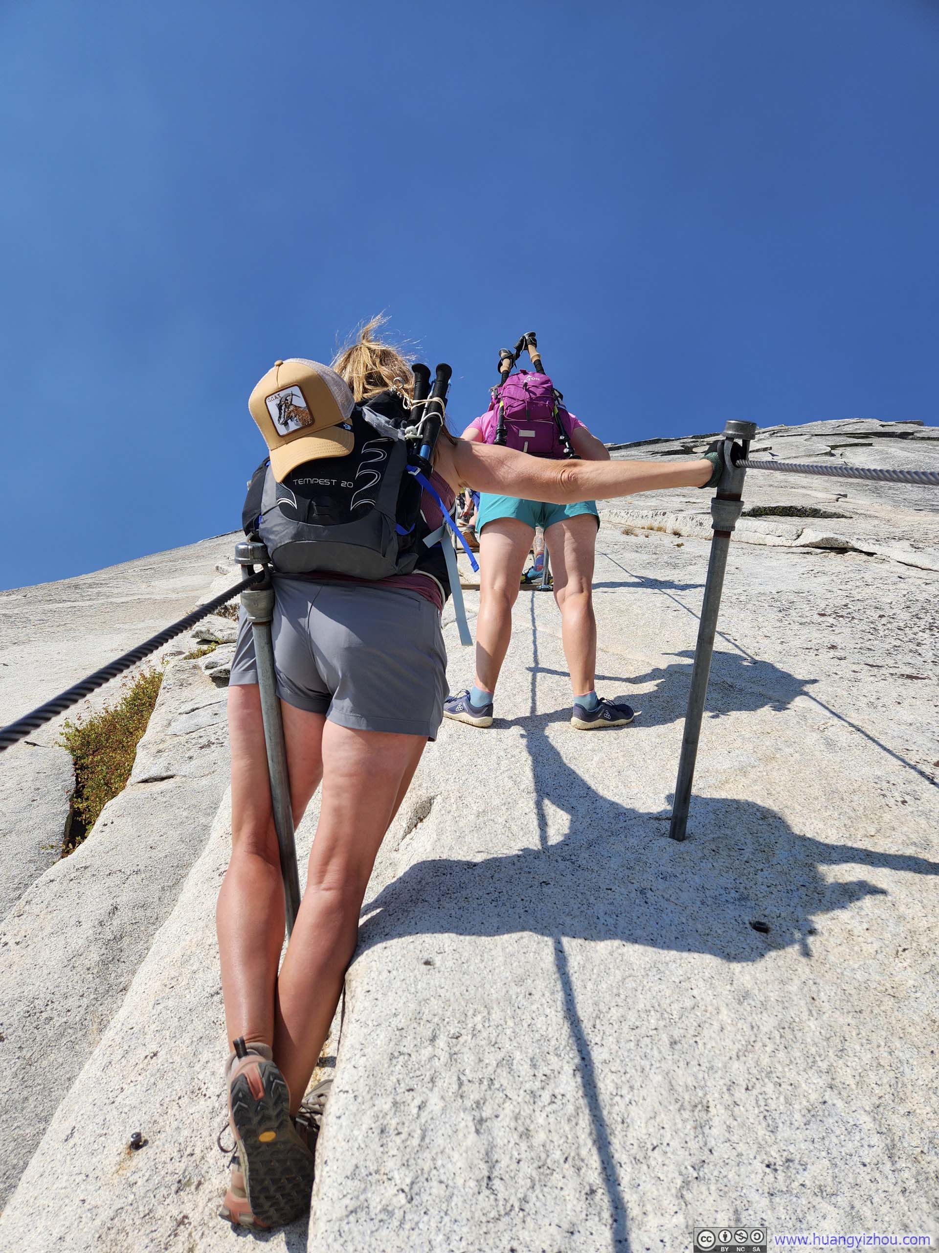
Based on my observation, somewhere between 1/3 and 1/2 of climbers used harnesses along the cables. I went without one and I quite enjoyed doing so. (Anyways, a good pair of gloves proved essential.) Along the climb, I even found myself wishing the path was just slightly steeper and longer—it would have made for a more fulfilling challenge—only to wake the next morning with minor arm and chest soreness, a sign that I had overexerted myself during the climb. Okay, I liked Half Dome perfectly as it was. Despite the 300-person daily quota, I encountered minor traffic jams both ascending and descending, which somewhat diminished the experience. (On the other hand, another member of our party probably created the day’s worst bottleneck along Half Dome’s cables.)
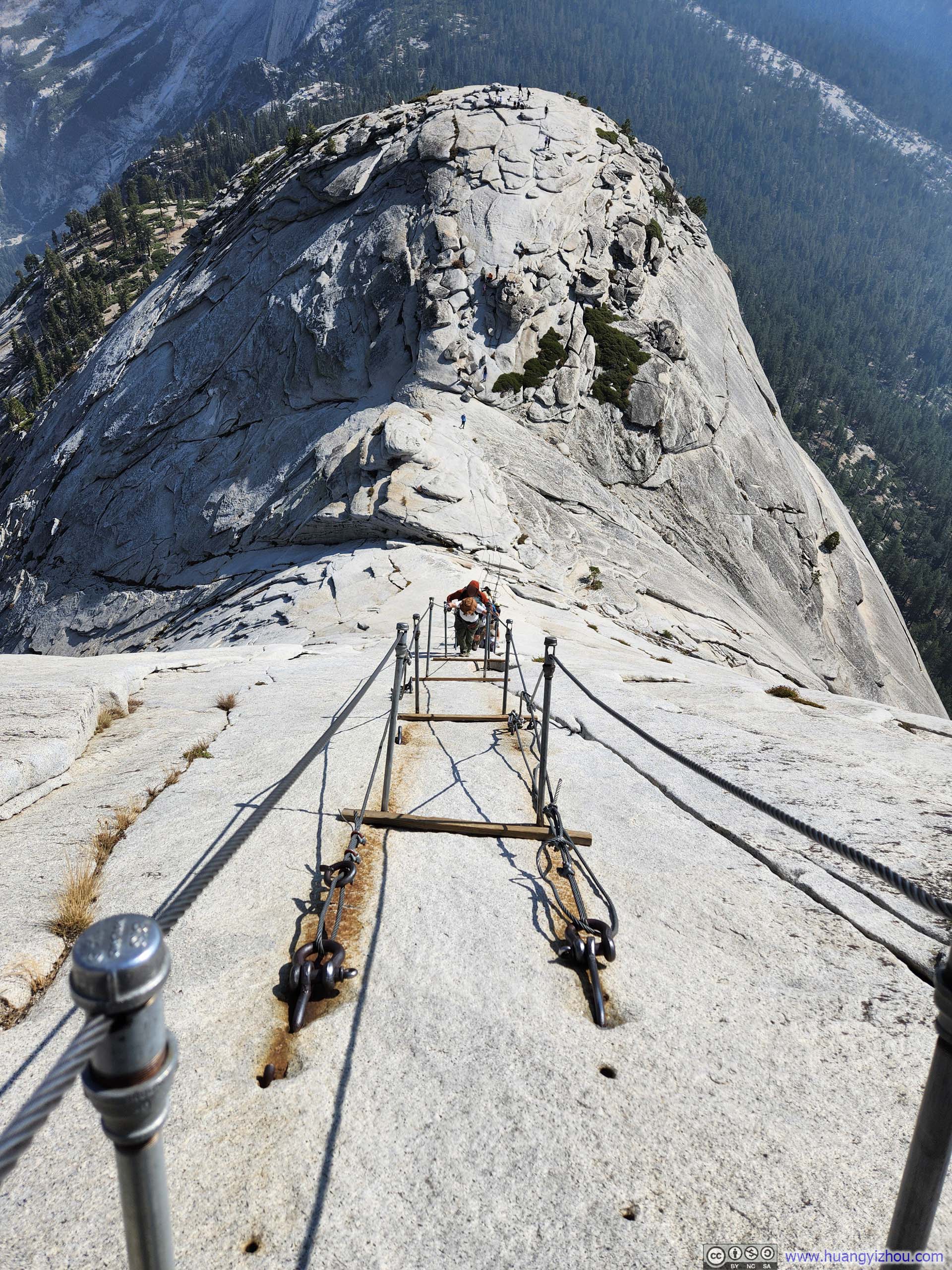 Looking down Cables to Half Dome
I finished Half Dome’s cable section at 10:23am. Despite the air pollution (which was gradually lifting throughout the day), the views were stellar. In particular, I soon discovered a small rocky outcrop (p4 below) where we, along some of the more daring visitors, took turns for photos.
 Yosemite Valley
 Glacier Point
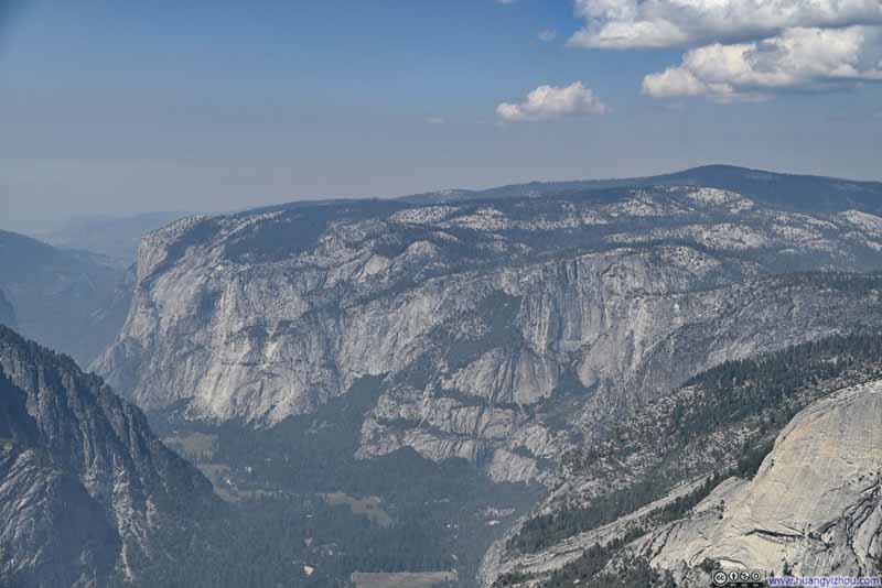 El Capitan
 Cliff on Half DomePicture spot for the more daring visitors.
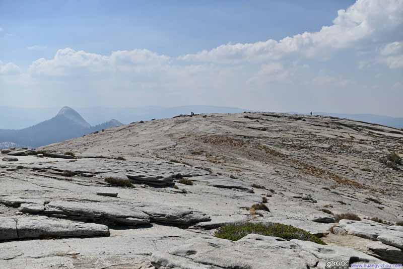 Open Field on Half Dome

Click here to display photos of the slideshow

Yosemite Valley
Glacier Point

El Capitan
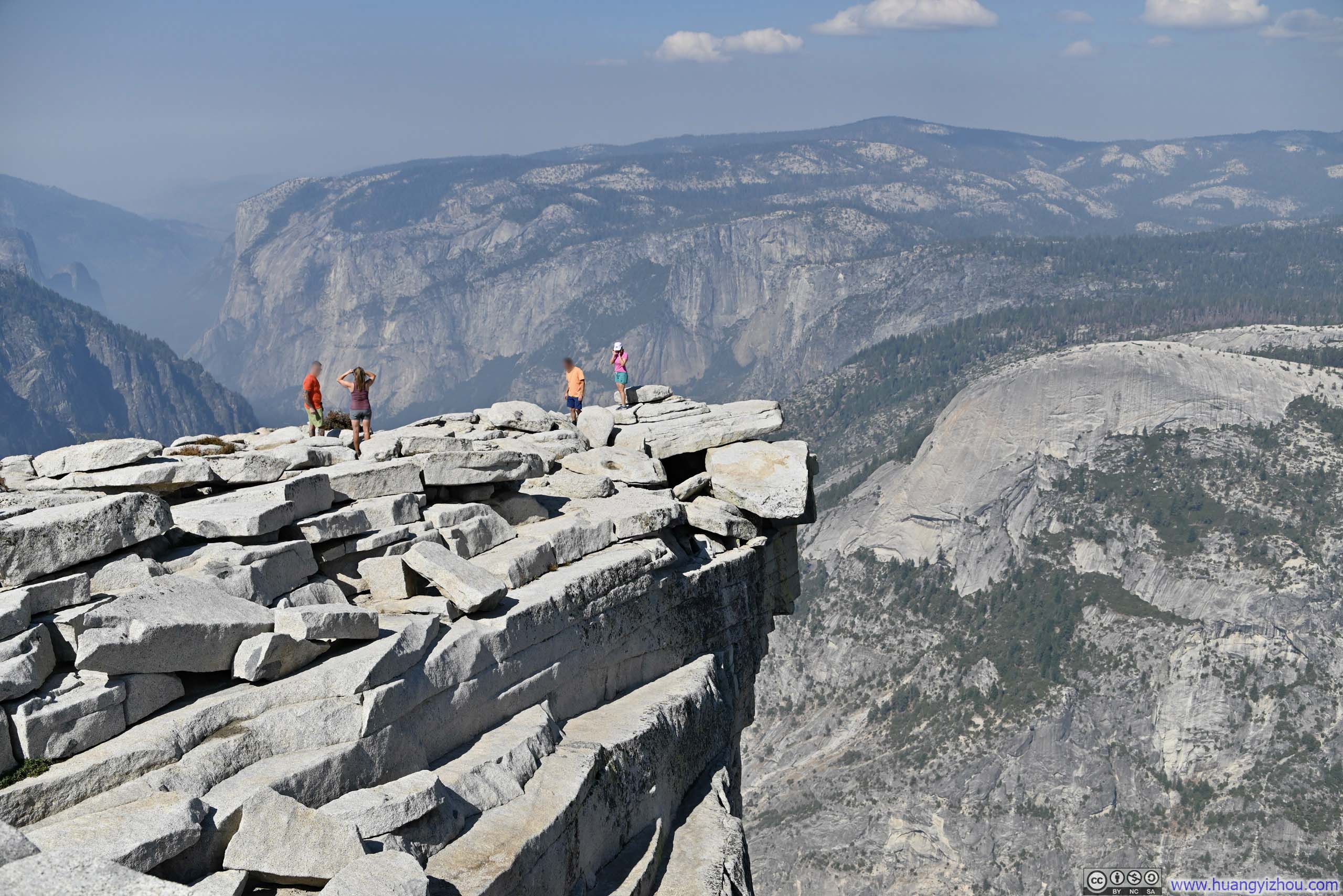
Cliff on Half DomePicture spot for the more daring visitors.
Open Field on Half Dome
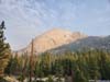
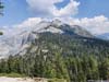
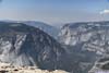
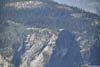
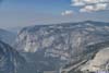
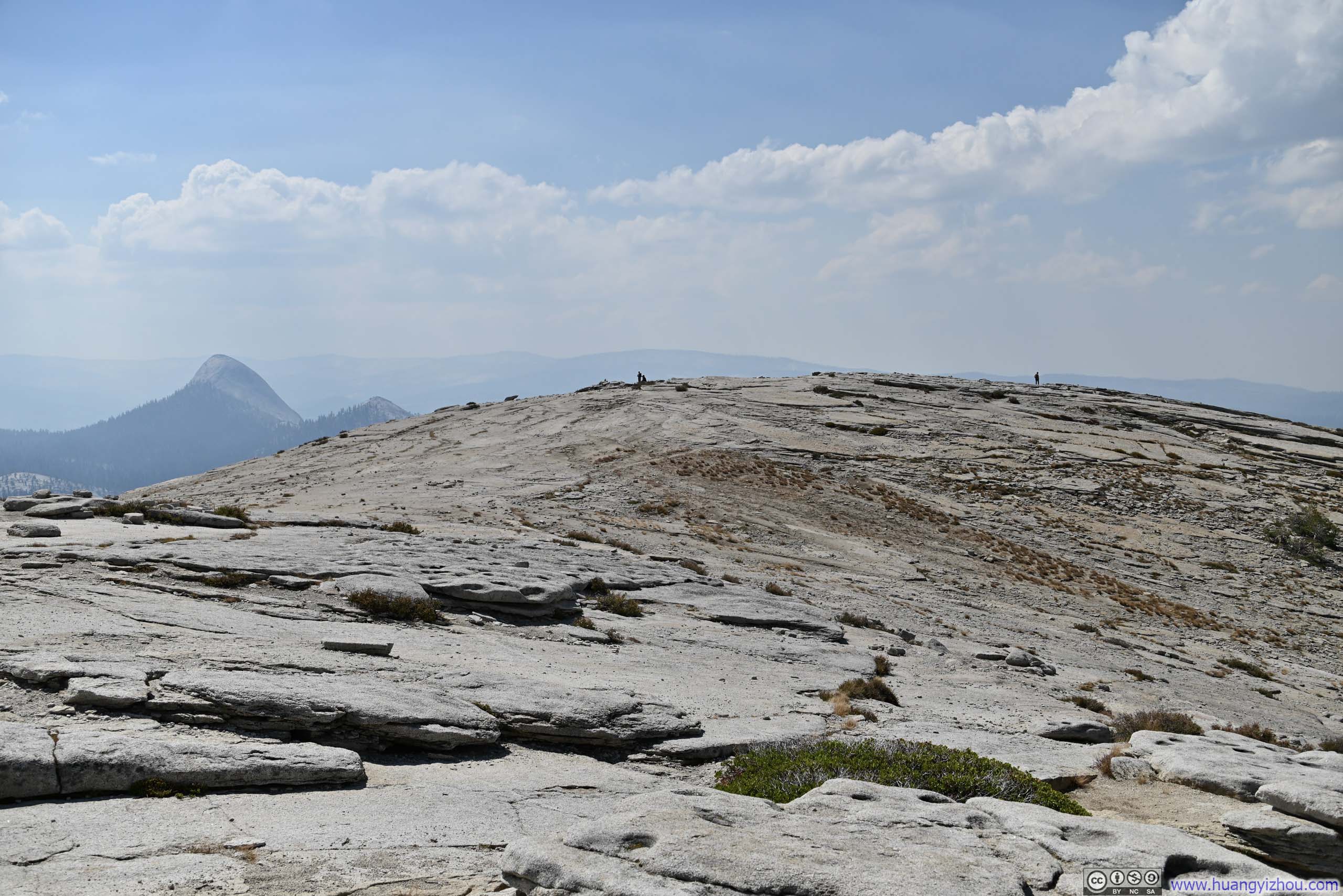
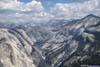
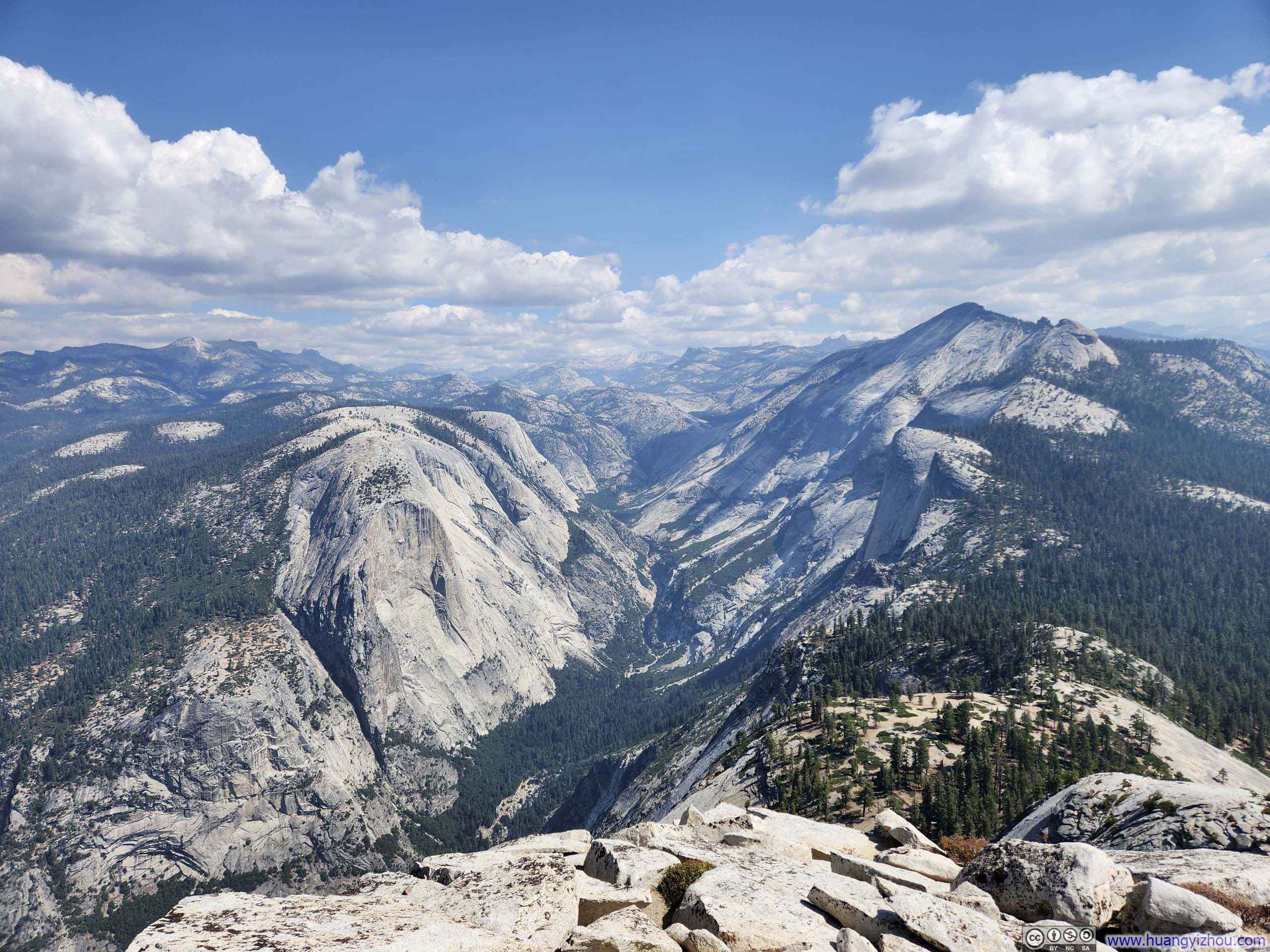
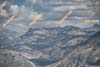
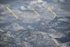
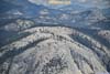
Compared to granite walls to the west, down Yosemite Valley, the eastern horizon deep in Sierra Nevada was lined with various pointy peaks.
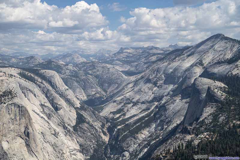 Tenaya Canyon
 Tenaya Canyon
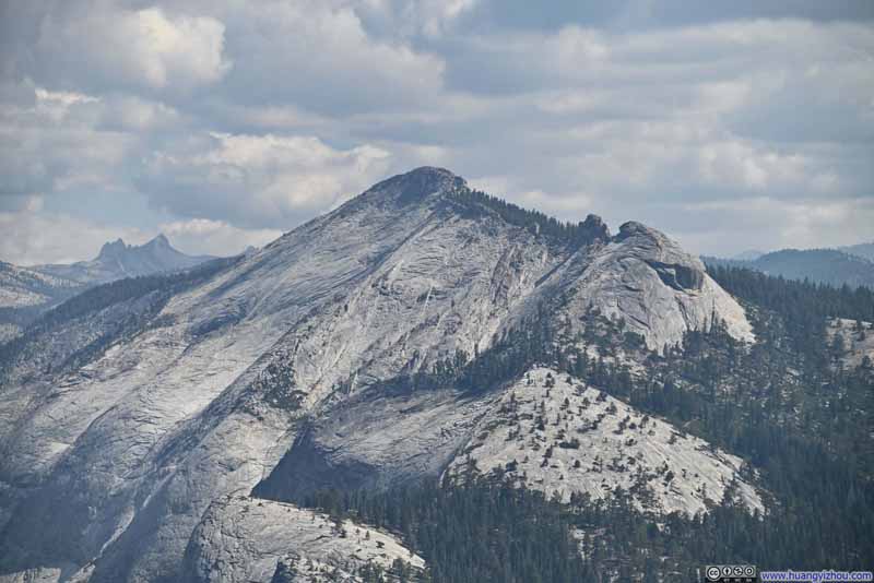 Clouds Rest
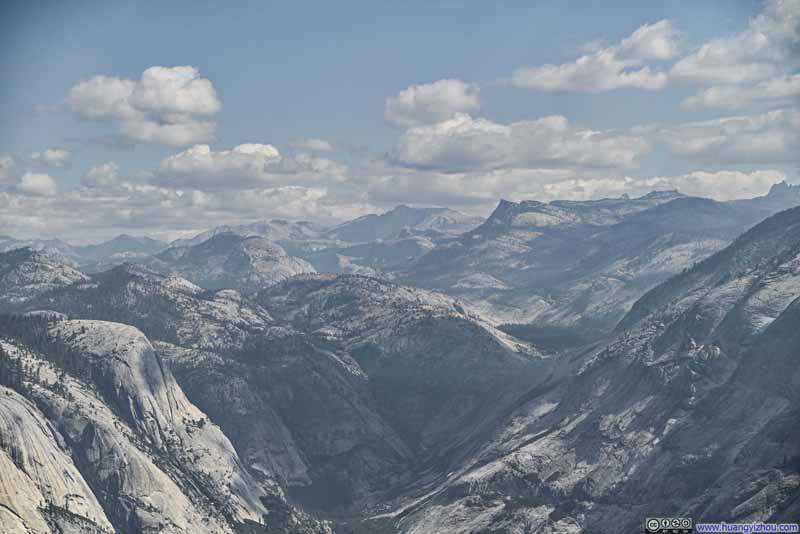 Mountains to the Northeast
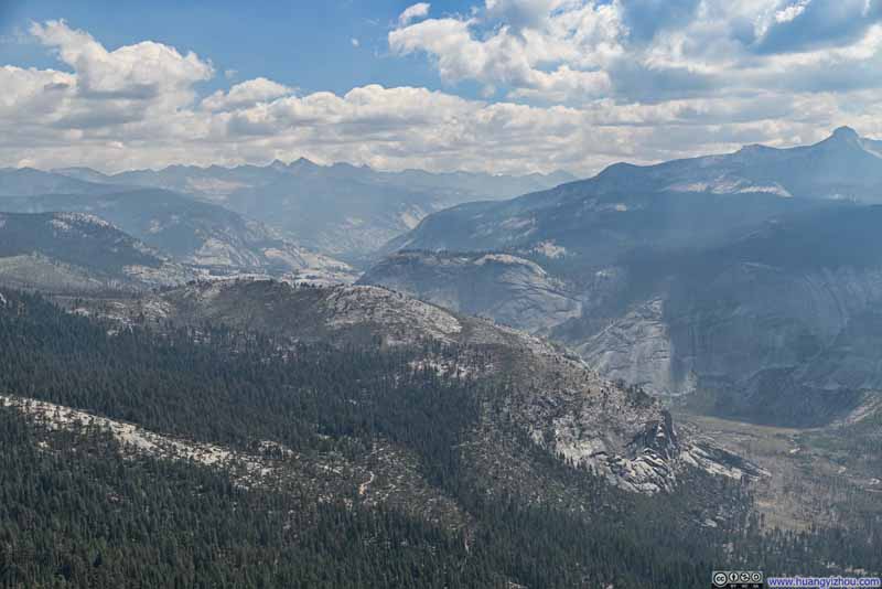 Merced River and Distant Mountains

Click here to display photos of Sierra Nevada mountains from the top of Half Dome.

Tenaya Canyon
Tenaya Canyon

Clouds Rest
Mountains to the Northeast
Merced River and Distant Mountains
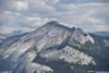
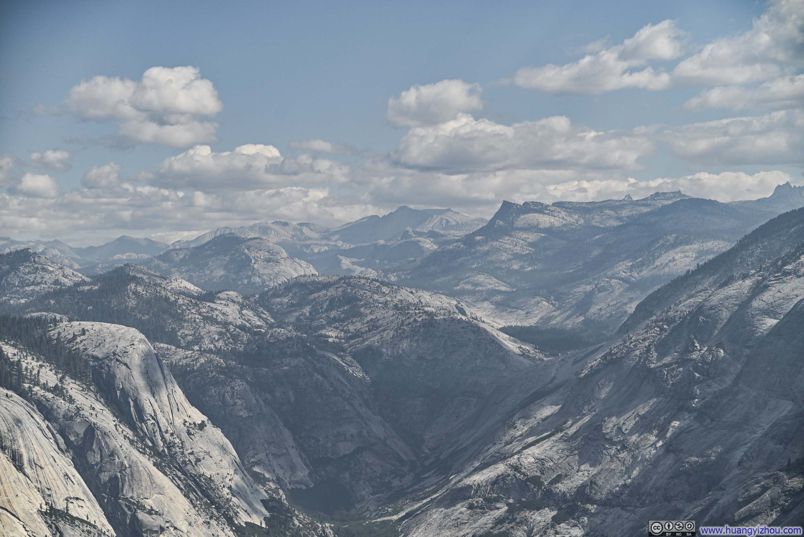
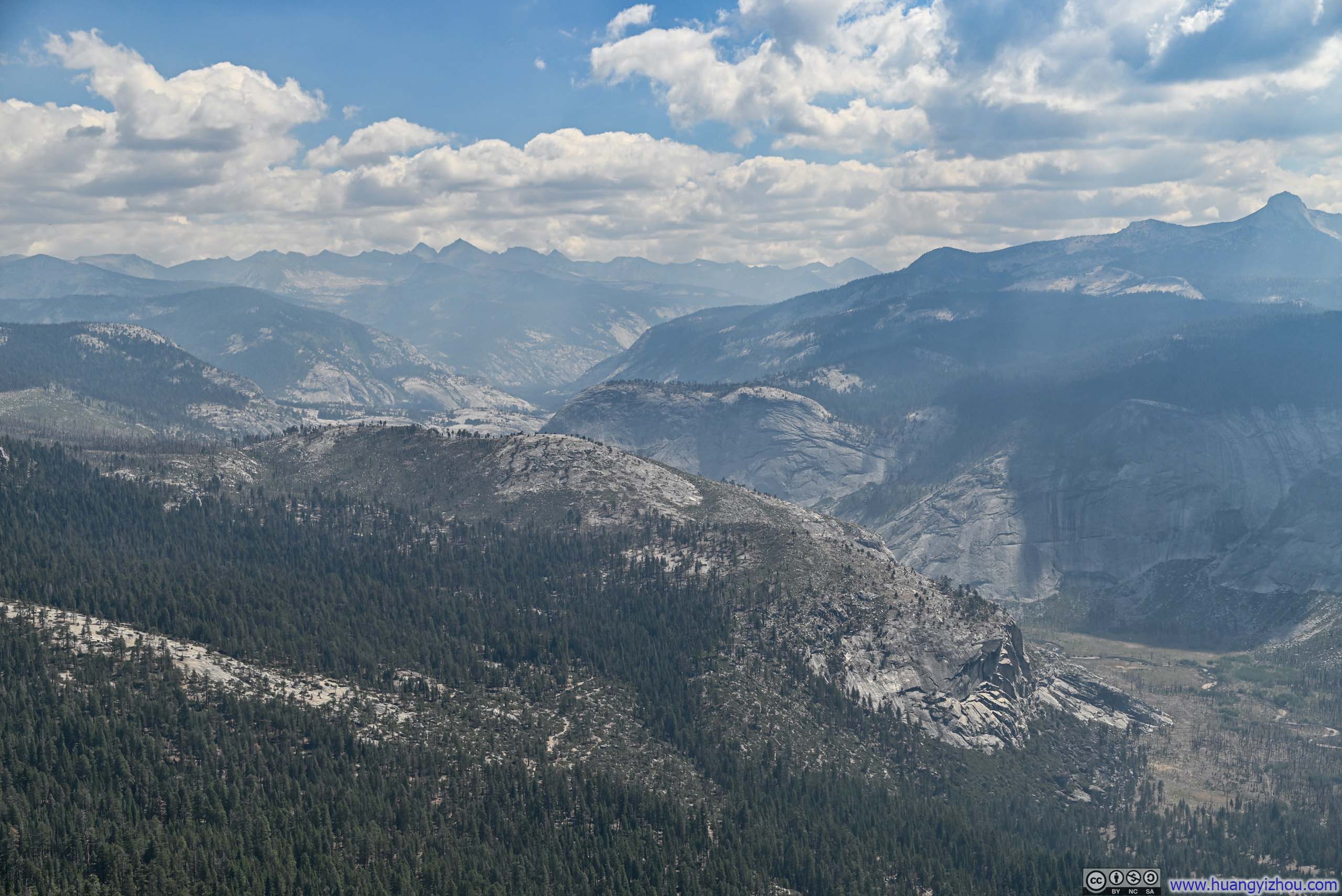
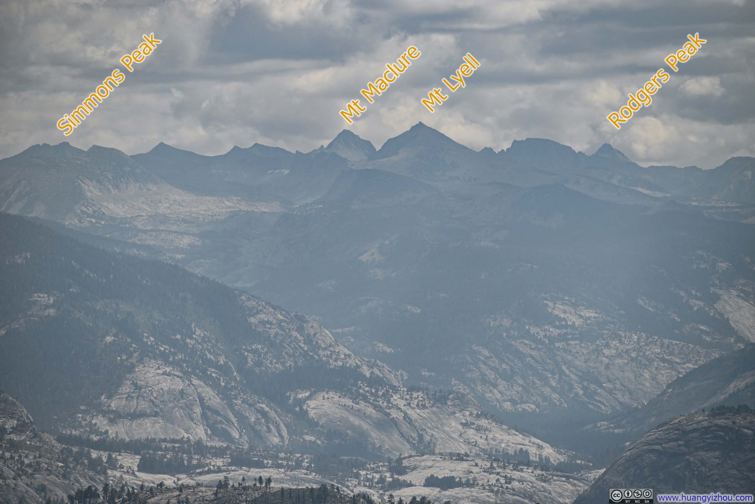
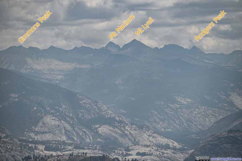 Distant Mountains to the EastIncluding Mt Lyell, the highest peak in Yosemite National Park.
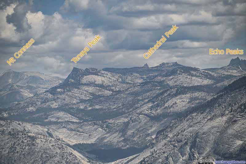 Distant Mountains to the Northeast
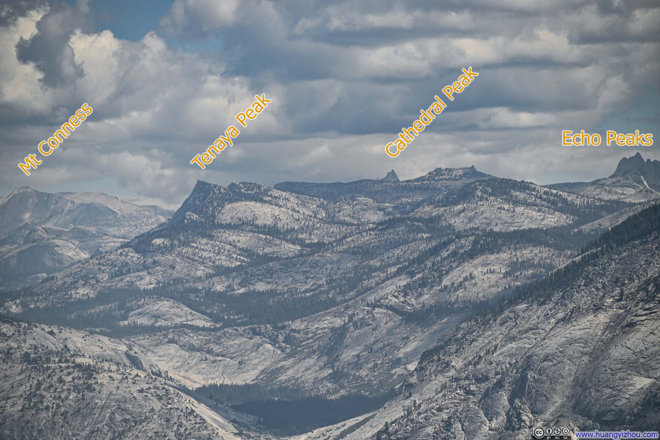
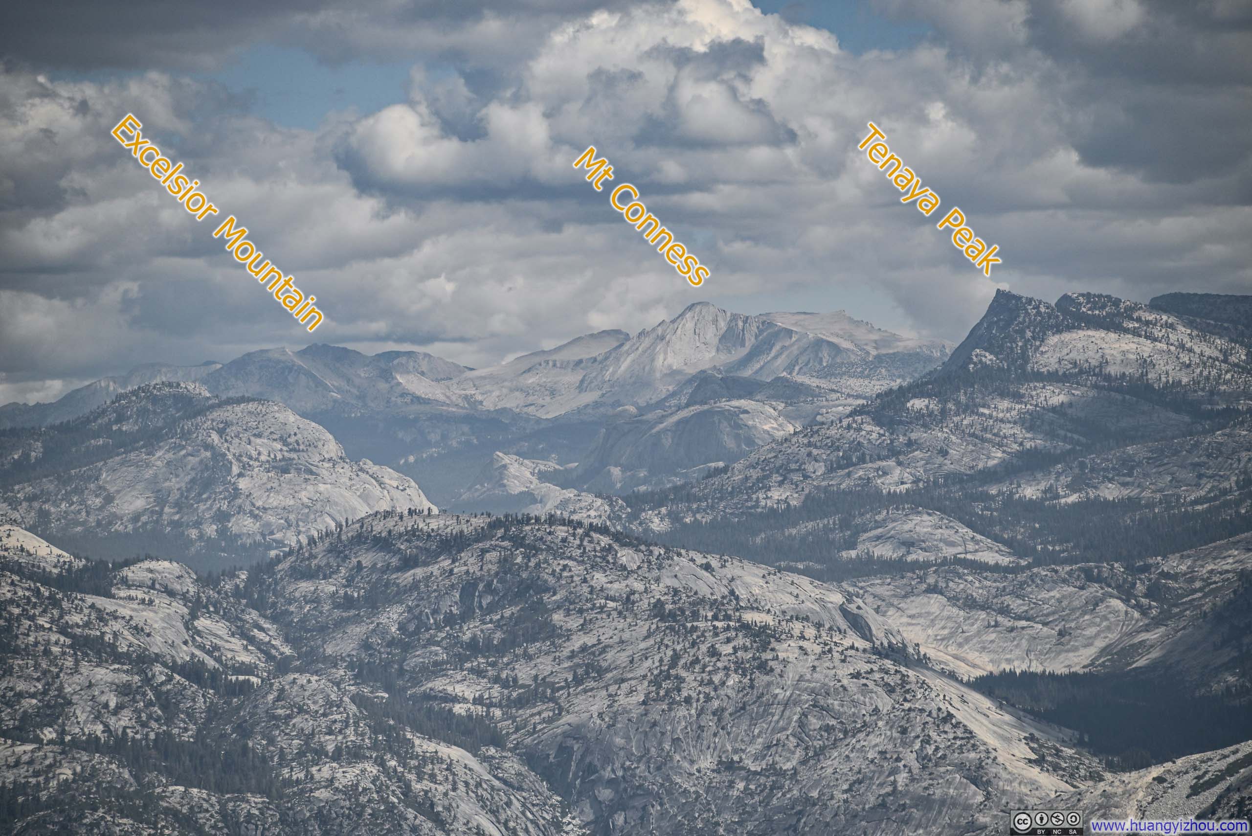
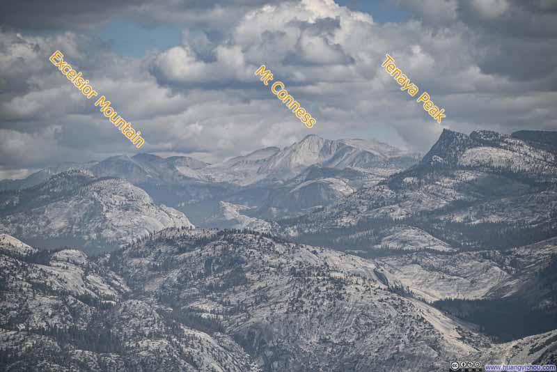 Distant Mountains to the Northeast
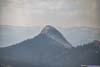
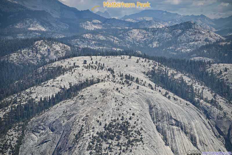 Top of Mt Watkins
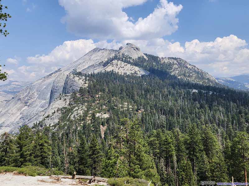
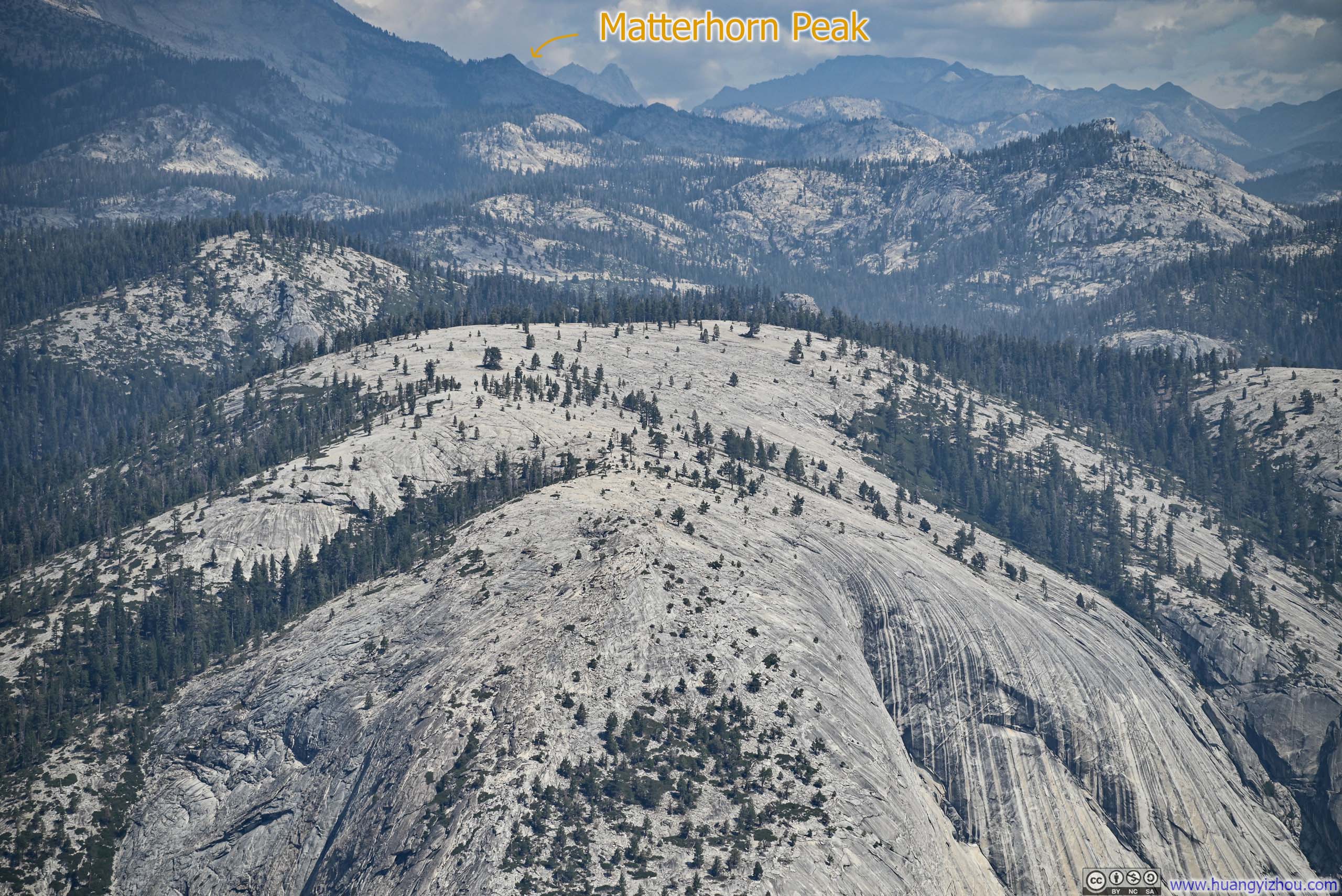
Where I visited last year, another vantage spot to watch Half Dome. After I got home, I was delighted to identify Matterhorn Peak in the background, which I climbed 2 days later.
Top of Mt Watkins
Where I visited last year, another vantage spot to watch Half Dome. After I got home, I was delighted to identify Matterhorn Peak in the background, which I climbed 2 days later. Mt Starr King
Click here to display photos of Sierra Nevada mountains from the top of Half Dome.
Distant Mountains to the EastIncluding Mt Lyell, the highest peak in Yosemite National Park.
Distant Mountains to the Northeast
Distant Mountains to the Northeast
Top of Mt Watkins
Mt Starr King
 View from Half Dometowards Southeast (top) and Northwest (bottom)
Here’s a video I took on Half Dome:
13 seconds, 2160p60fps, H265 only, 20Mbps/35MB file size.
With plenty of daylight left, we lingered atop Half Dome, savoring the summit. I didn’t begin my descent down the cables until 11:50am. While it’s commonly advised to walk down the cables backwards (facing up), I found the rocks and cables sufficiently grippy to descend forward, facing the exhilarating views below.
Meanwhile, my friends, properly equipped and proceeding with measured caution down the cables, meant we didn’t start heading down Subdome until 12:45pm.
 Trail
Trail Trail
Trail Trail
Trail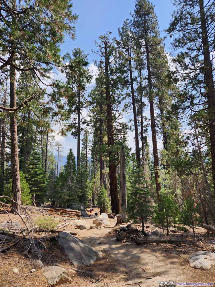 Trail
Trail Trail
Trail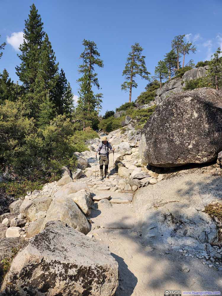 Trail
Trail
Click here to display photos of the slideshow

Trail

Trail
Trail
Trail
Trail

Trail
Initially, I had hoped that we could descend via the Mist Trail, catching an up-close look of Vernal Falls. Unfortunately, the strenuous journey had taken a heavy toll on one member of our party (probably as a result of us pushing too hard during ascent), who now needed to walk slowly and rest frequently. As it fell to me to look after him, we were obliged to take the more gradual John Muir Trail back, forgoing the steeper descent of the Mist Trail.
As a sidenote about water, we started this hike with about 4L of water per person. We drank less than expected during our ascent, so we stashed some bottles along the trail (at my insistence, as other members had suggested simply dumping them). However, the warmer afternoon weather and the longer-than-expected descent meant I went through all the water I was carrying and had to replenish at the footbridge across the Merced River, about 2.2km (1.4mi) from the trailhead.
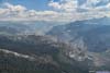
 Half Dome, Mt Broderick, Liberty Cap and Nevada Falls
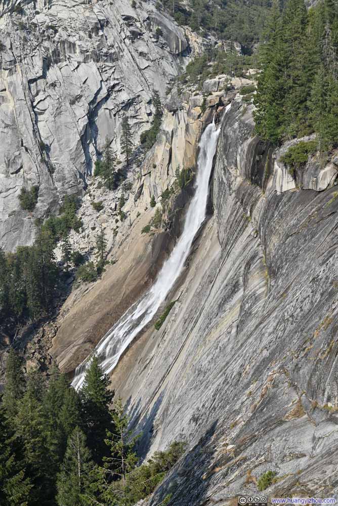 Nevada Falls
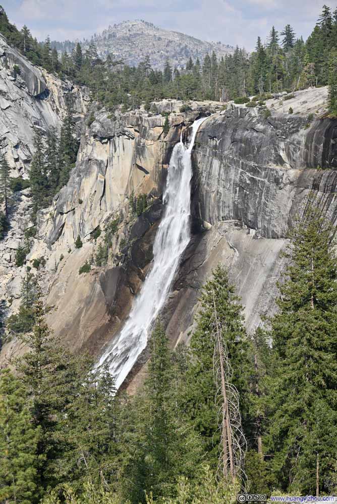 Nevada Falls
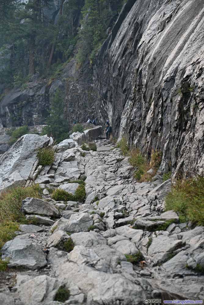 Trail to Nevada Falls
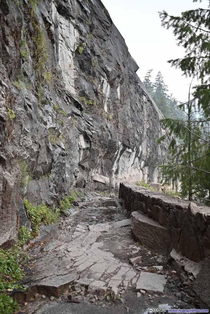 Trail to Nevada Falls


Click here to display photos of the slideshow
Half Dome, Mt Broderick, Liberty Cap and Nevada Falls

Nevada Falls

Nevada Falls
Trail to Nevada Falls

Trail to Nevada Falls
Half Dome, Mt Broderick, Liberty Cap and Nevada Falls
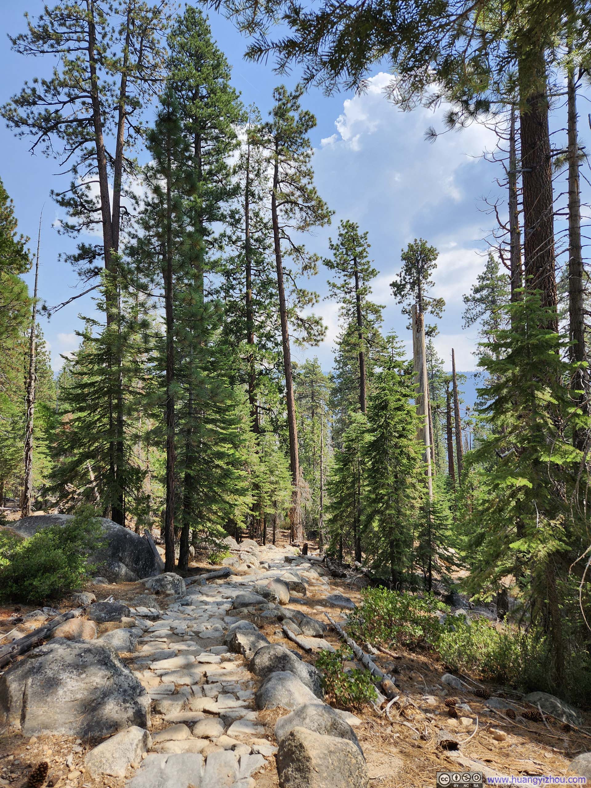
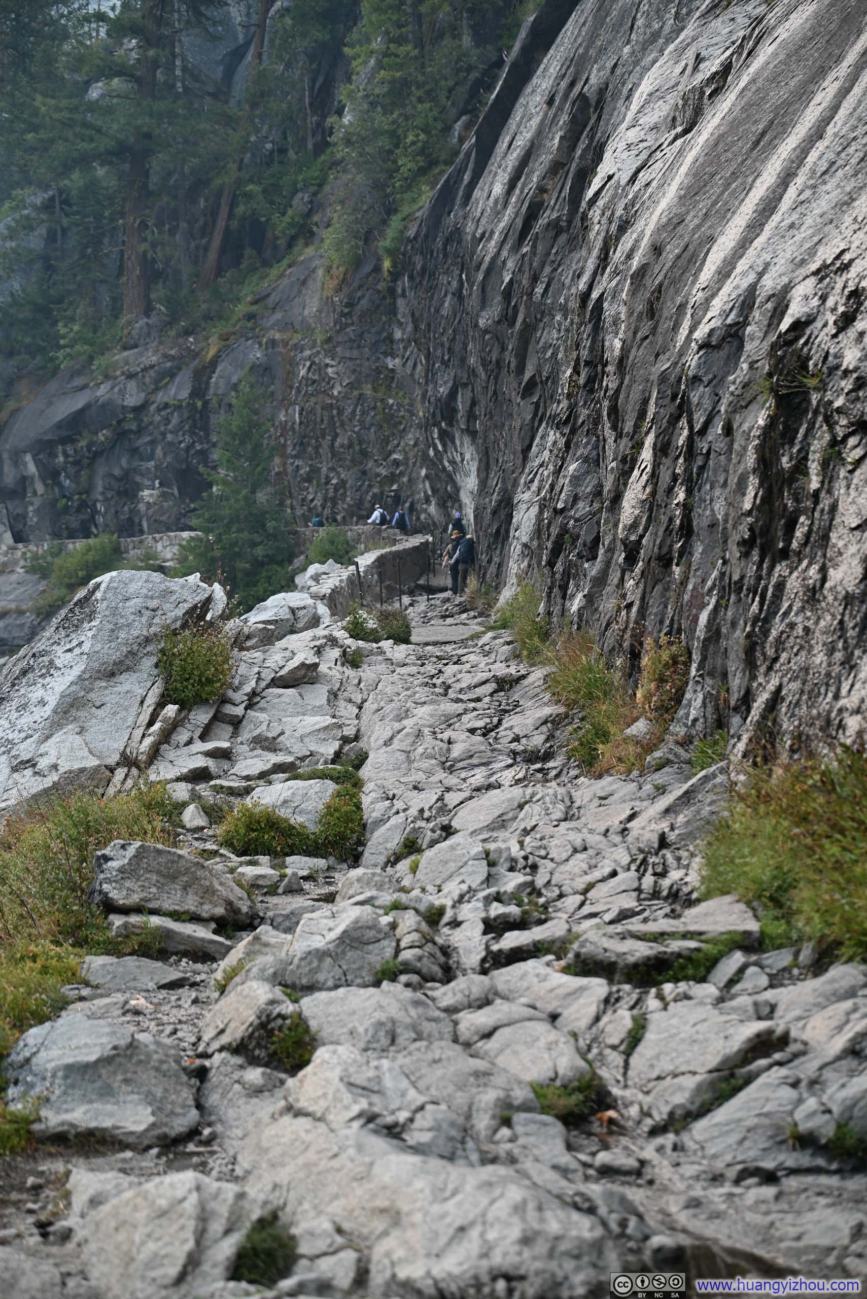
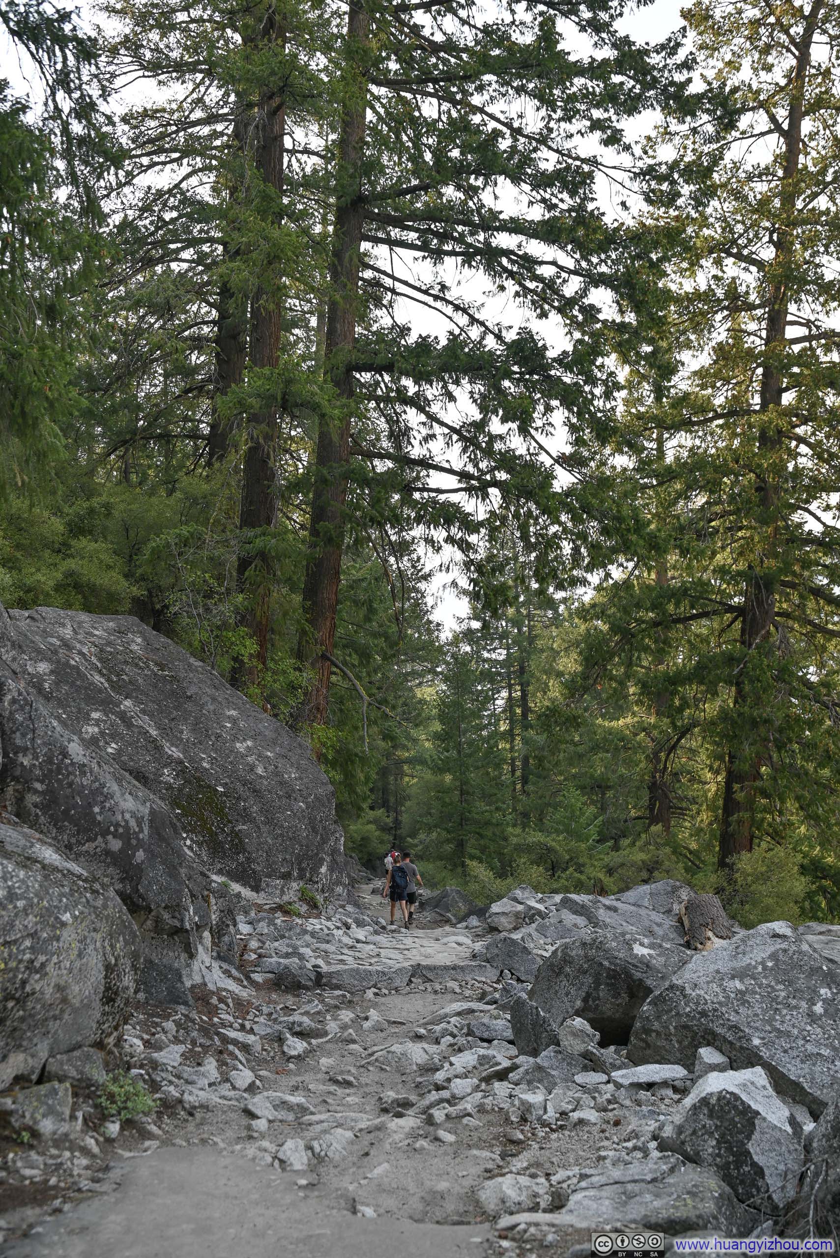
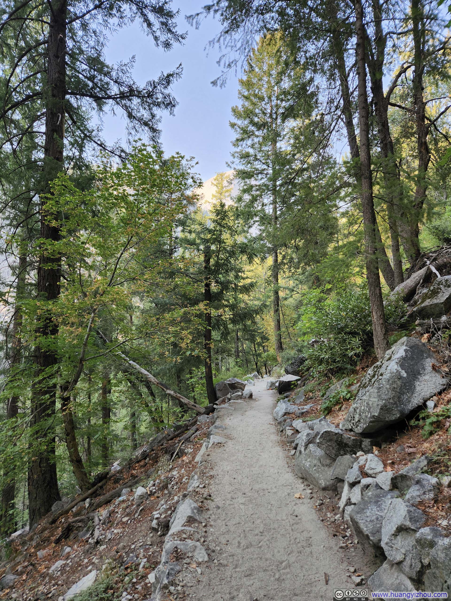
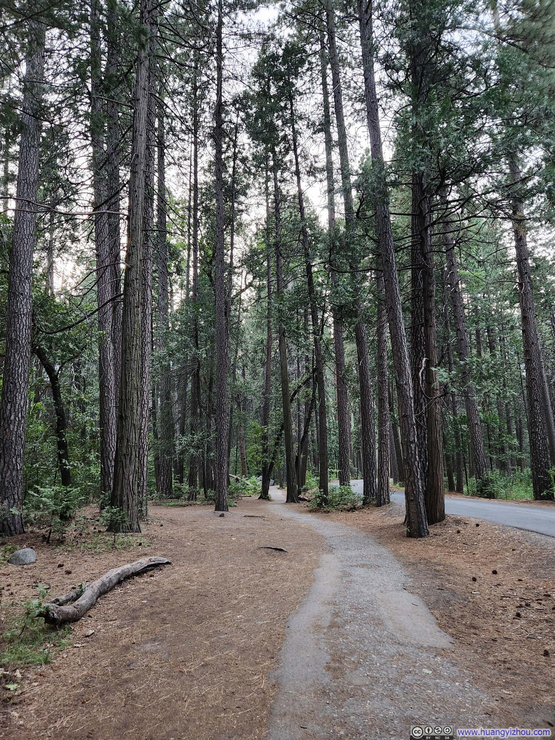
And a note of John Muir Trail, it’s overall in very good condition, sections of it felt paved.
 Trail
Trail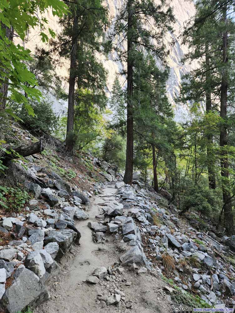 Trail
Trail Trail
Trail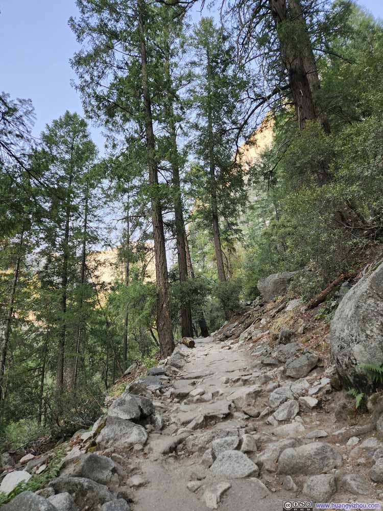 Trail
Trail Trail
Trail


Click here to display photos of the trail.
Trail

Trail
Trail

Trail

Trail
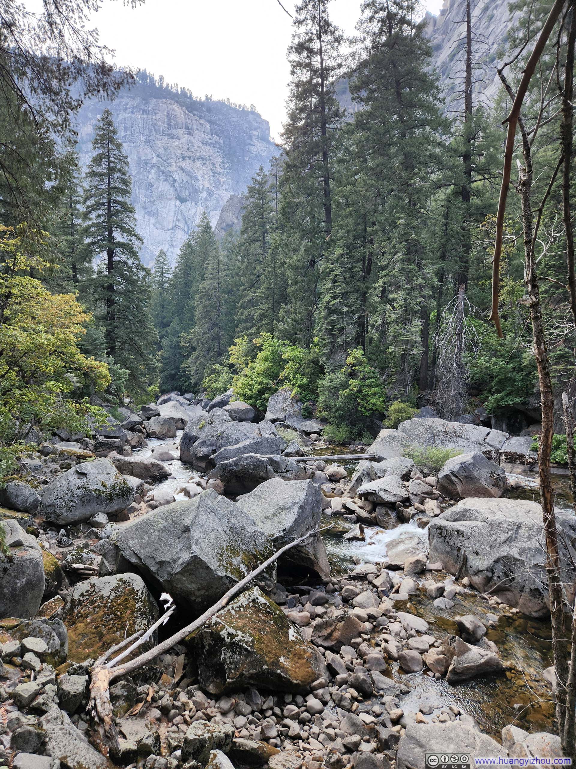
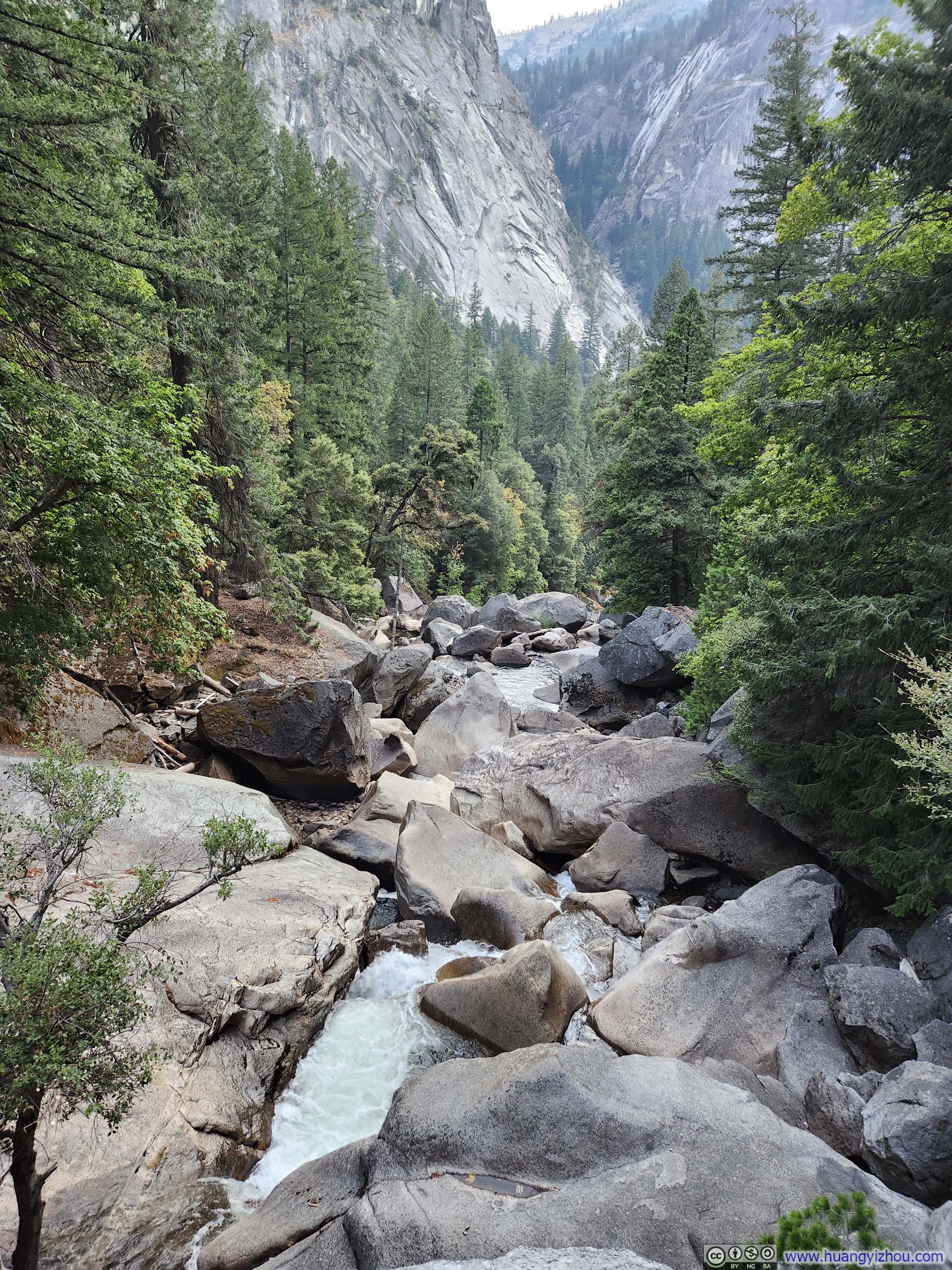
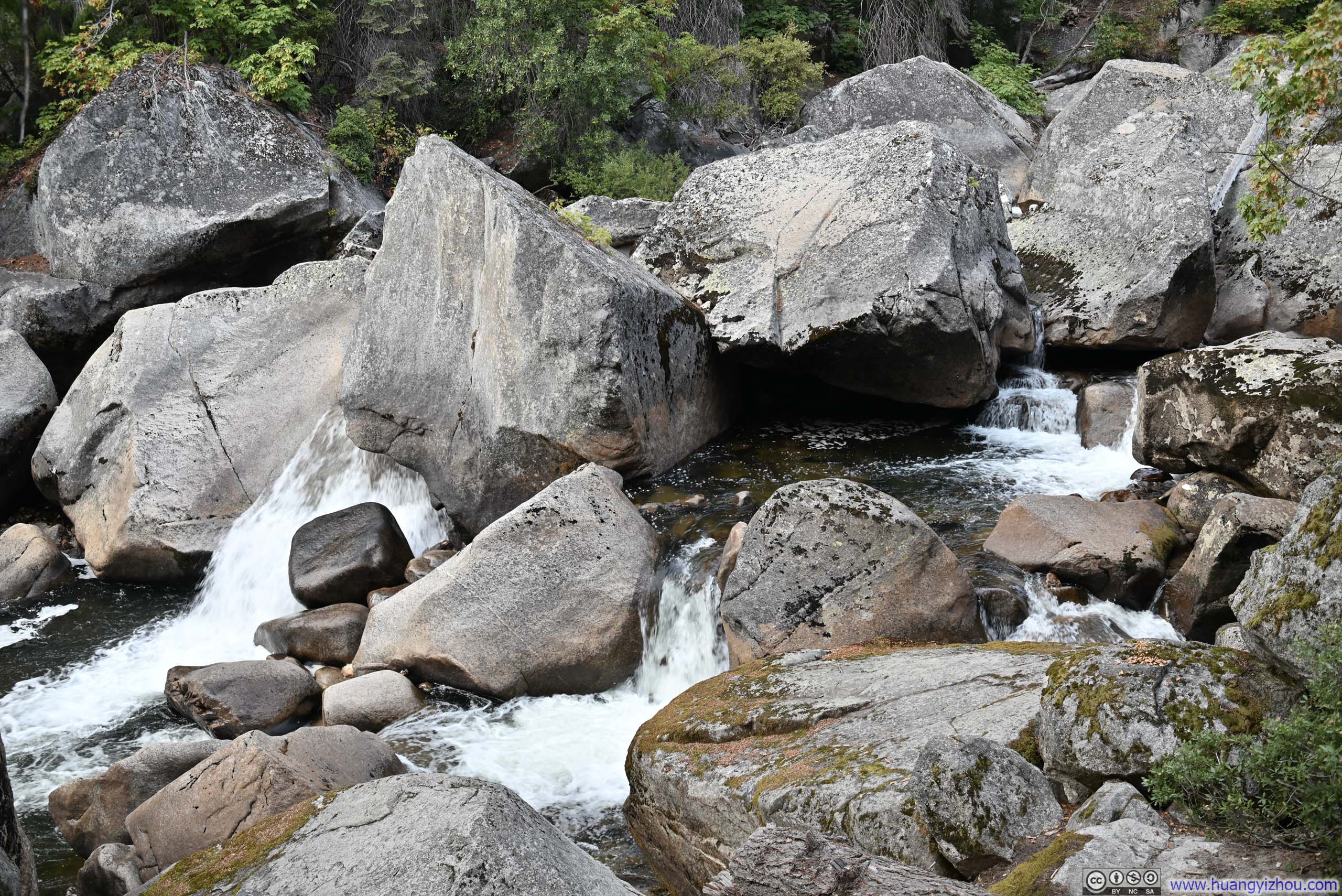
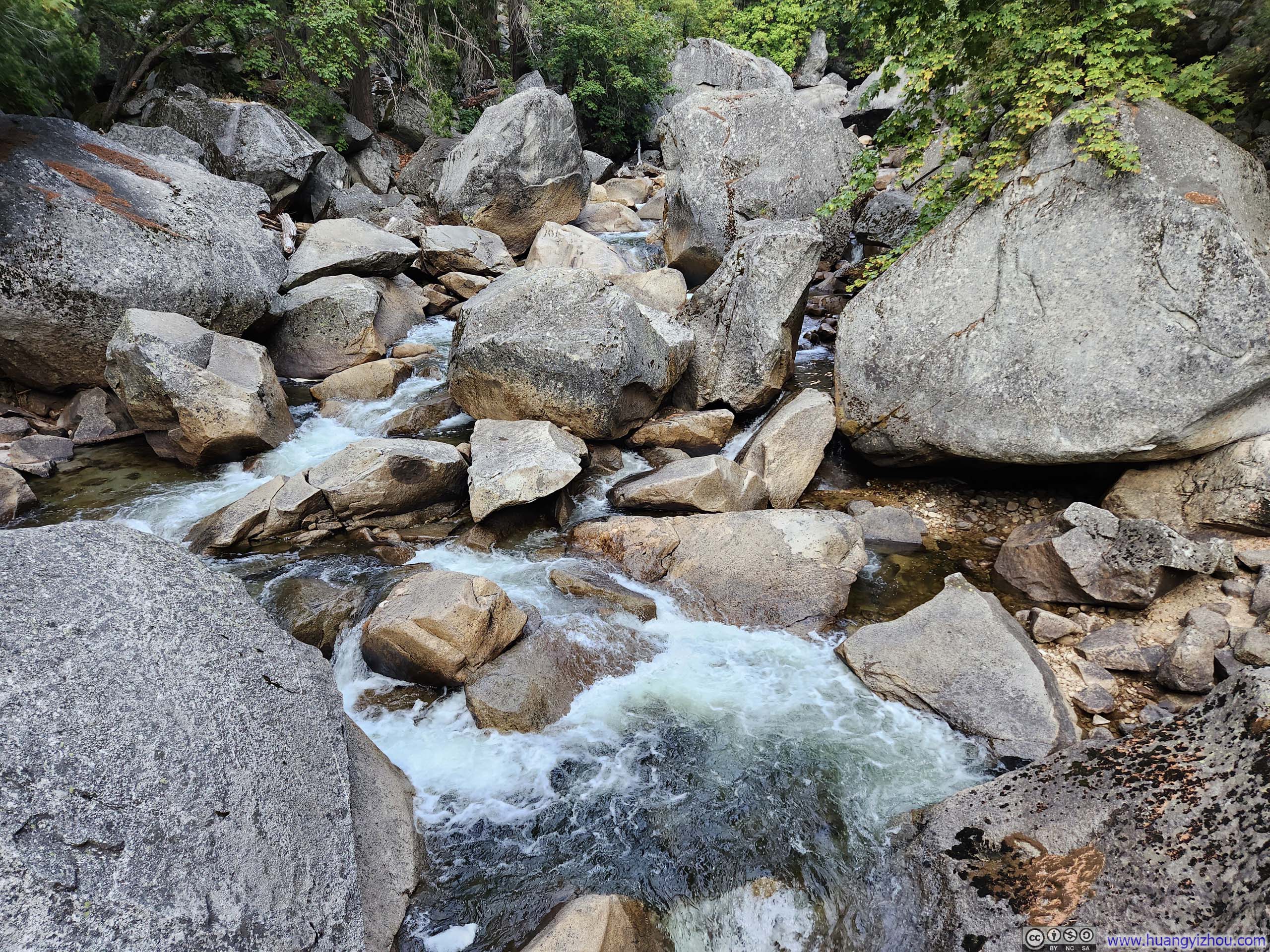
While during our ascent we could only hear the roar of Merced River in pitch darkness, now its cascades were on full display as we wound up our day.
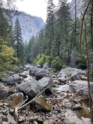
 Cascades along Merced River
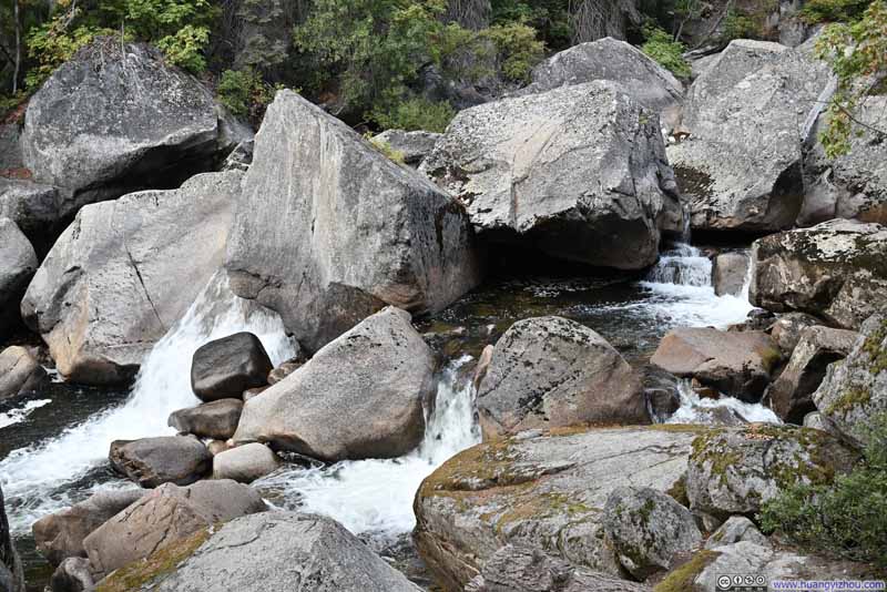 Cascades along Merced River
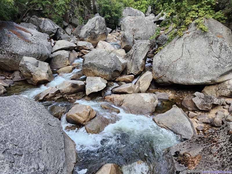 Cascades along Merced River
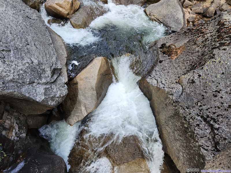 Cascades along Merced River
 Cascades along Merced River


Click here to display photos of the slideshow
 Cascades along Merced River
Cascades along Merced River
Cascades along Merced River

Cascades along Merced River

Cascades along Merced River
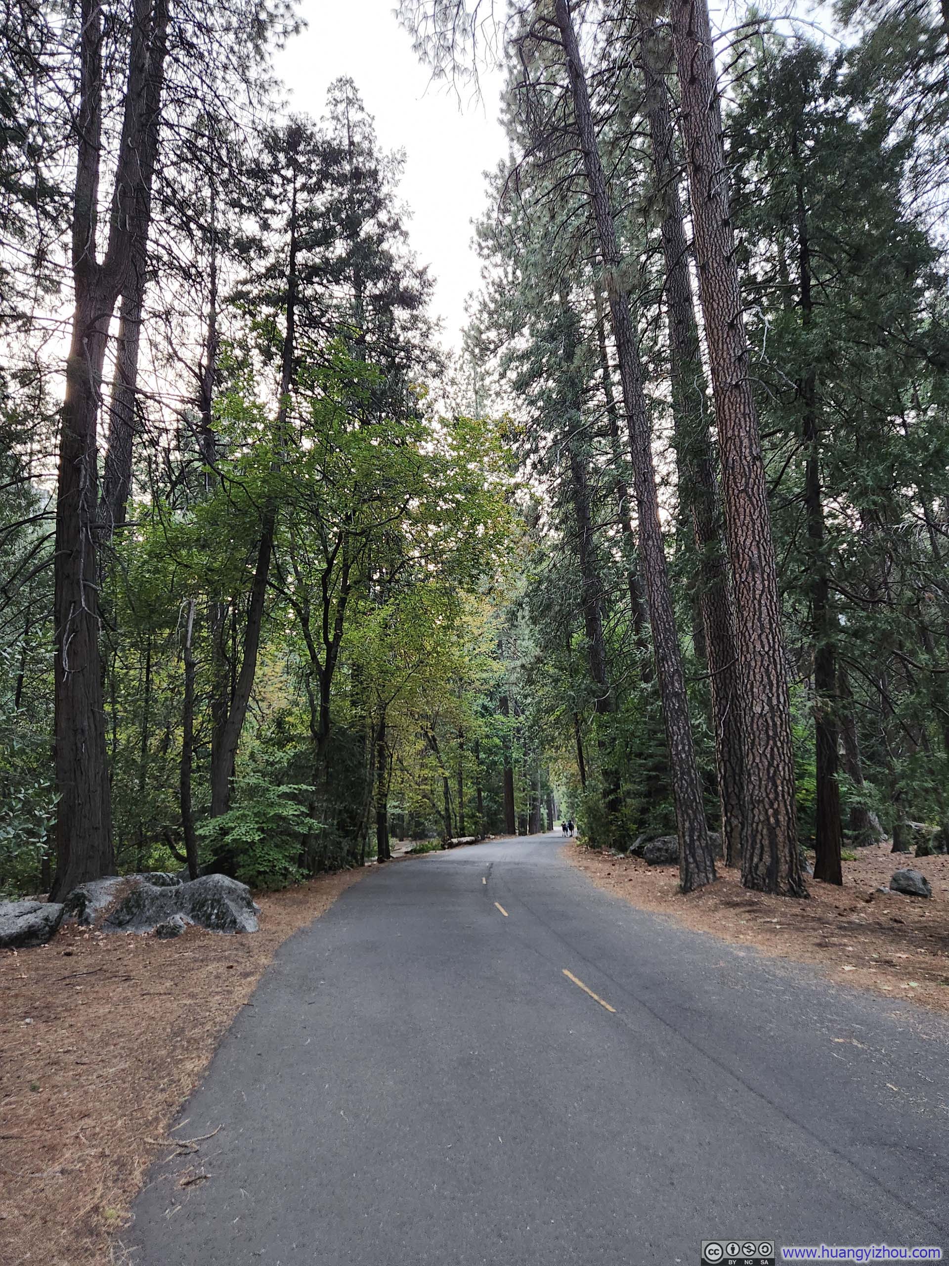
 Trail along Happy Isles Loop Road
In the end, to accommodate my struggling friend, we got back to the parking lot at 7:20pm, finishing up a very long but exciting day.
END
![]() Day 3 of 2025 Labor Day Trip to California, Half Dome by Huang's Site is licensed under a Creative Commons Attribution-NonCommercial-ShareAlike 4.0 International License.
Day 3 of 2025 Labor Day Trip to California, Half Dome by Huang's Site is licensed under a Creative Commons Attribution-NonCommercial-ShareAlike 4.0 International License.