
Updated on January 15, 2026
Day 4 of 2025 Labor Day Trip to California, Driving through Yosemite
The fourth day of my 2025 Labor Day trip to California. After yesterday’s protracted hike to Half Dome, I took it easy by embarking on a short hike to Gaylor Peak along my drive from Yosemite Valley to Bridgeport.
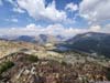
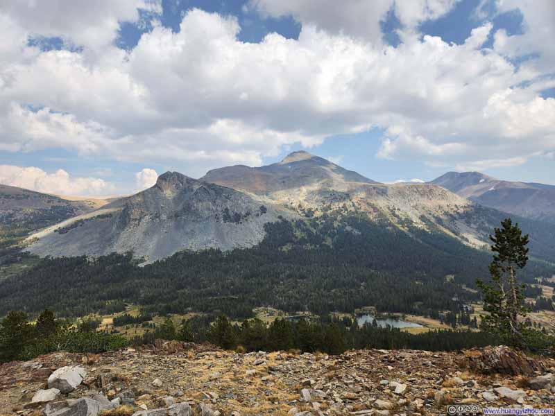
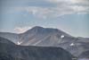
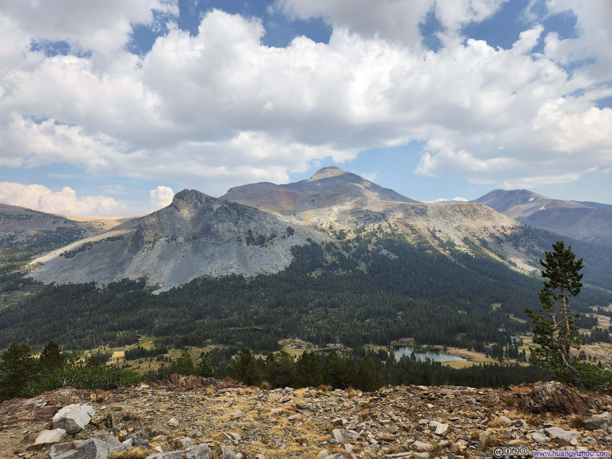
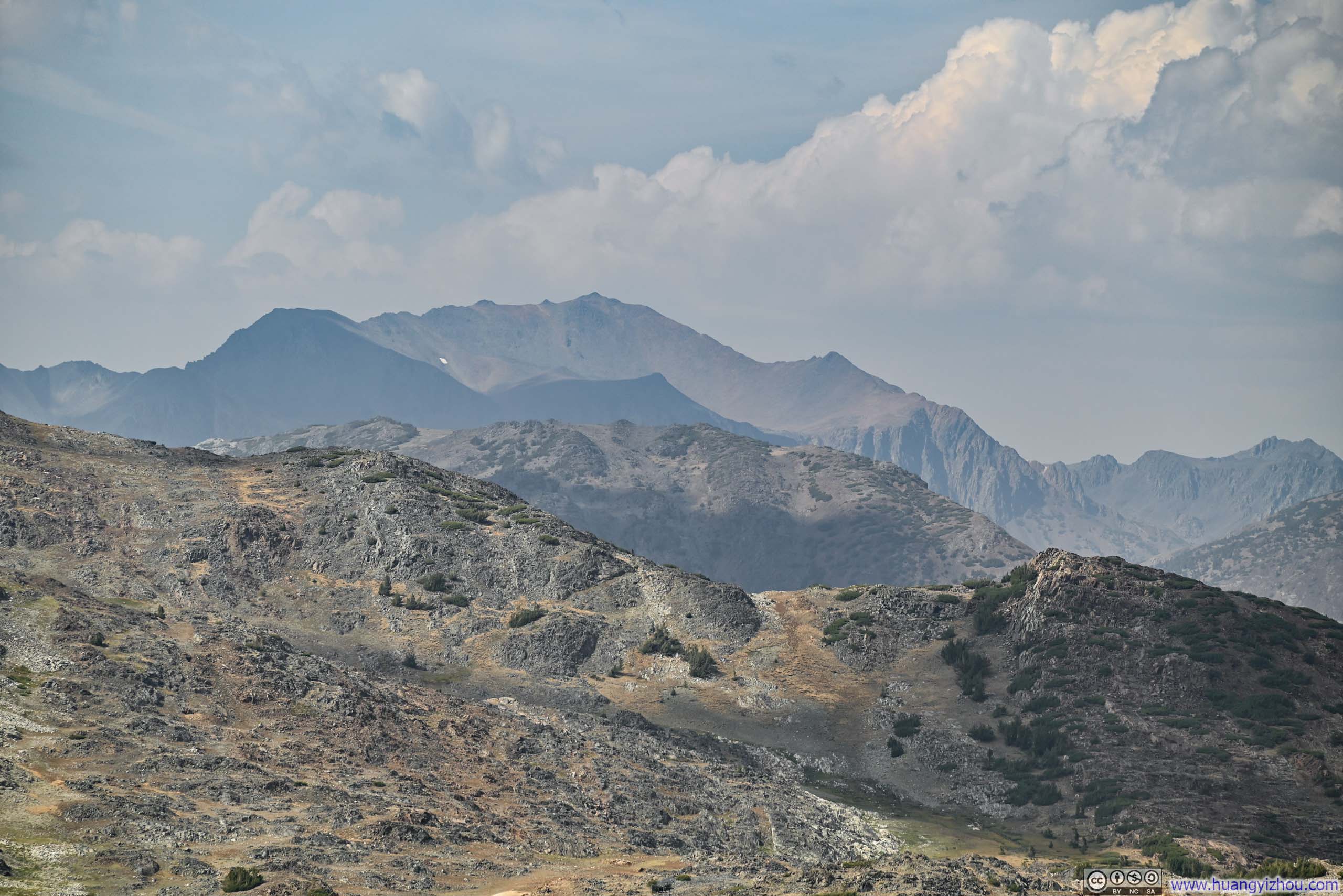
Mountains Surrounding Tioga Lake
In addition to climbing Half Dome, my original plans for the remainder of the week had centered on the Sequoia and Kings Canyon area. With my return flights departing San Francisco on the evening of Sept 6 and today being Sept 4, I had initially intended to drive back to Kings Canyon National Park today, hike to Lookout Peak on the 5th, and then make my way to San Francisco on the 6th. This itinerary demanded considerable time on the road, but seemed a necessary sacrifice for the coveted Half Dome permit.
However, the Garnet Fire was raging around Kings Canyon, significantly compromising the air quality there—which had already somewhat diminished my Half Dome experience the previous day. This development sent me scrambling to identify alternative destinations, though fortunately the Sierra Nevada’s abundance of spectacular peaks made this no difficult task. I quickly settled upon the town of Bridgeport, to the north of Yosemite and hopefully less affected by the wildfire. Using that town as my basecamp, I could choose among Mount Conness, Excelsior Mountain, or Matterhorn Peak for my September 5th excursion. (I ultimately selected Matterhorn—a name too stellar to pass up.)
So for this day, Sept 4, I only needed to drive from Yosemite Valley to Bridgeport, which allowed me a late start after a good night’s rest, along with opportunities to pause at various roadside turnouts along the way.
Having been less than impressed with Curry Village’s dining options during my two previous nights there, I checked out just before 11 am, and drove to Yosemite Valley Lodge for brunch. Regrettably, compared to my visit the previous year, the fare struck me as decidedly mediocre this time.
 Cliffs along Merced River
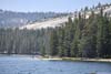
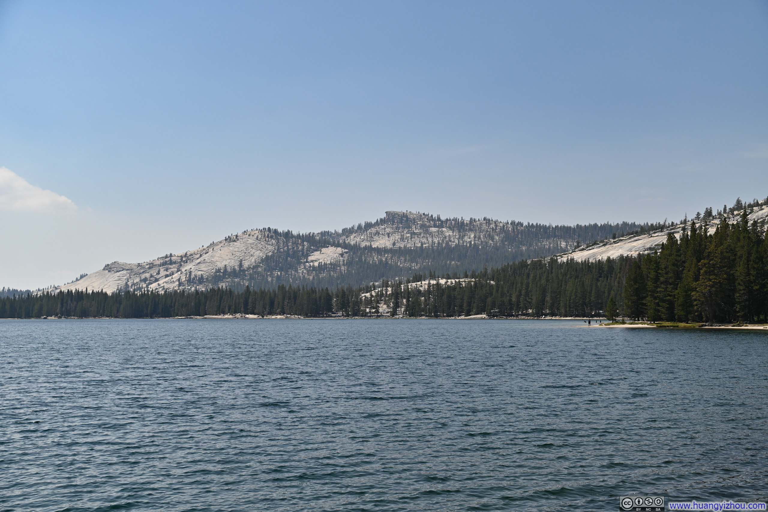
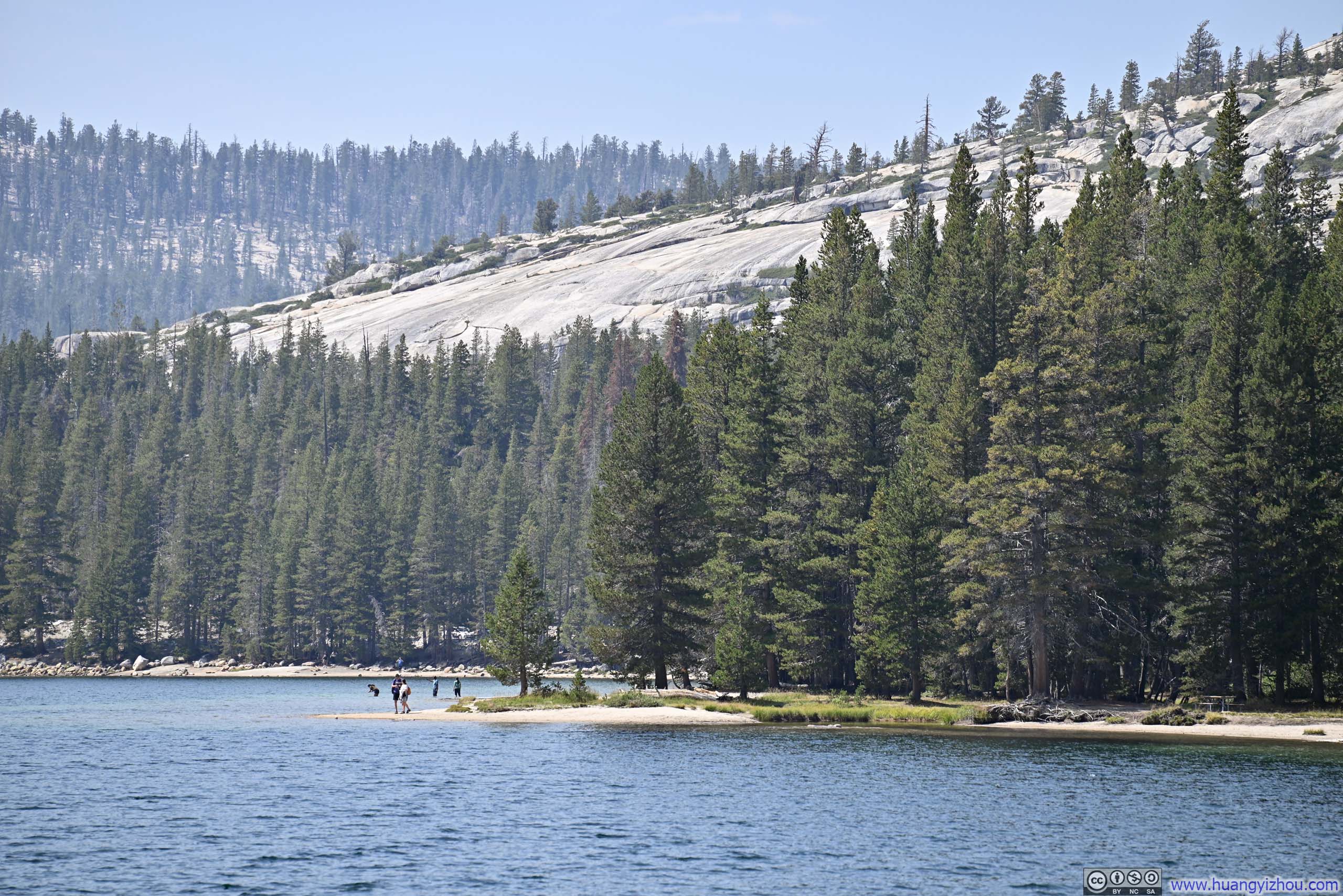
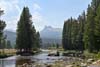
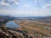
Along the way, the first stop I made was at Tenaya Lake, which appeared to lie beyond the reach of the haze covering Yosemite Valley.
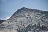
 Tenaya Peak across Tenaya Lake
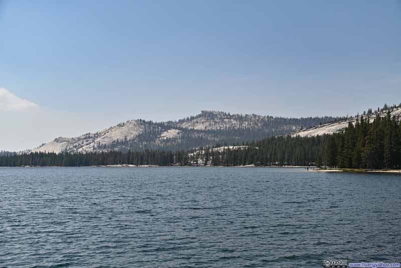 Hills beyond Tenaya Lake
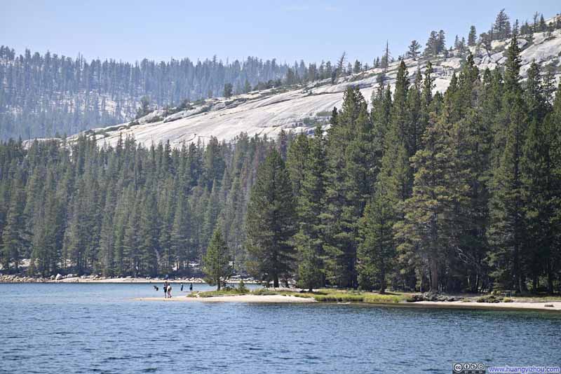 Shore of Tenaya Lake
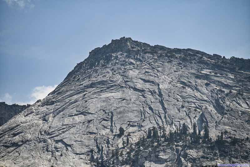 Tenaya Peak
Click here to display photos of the slideshow

Tenaya Peak across Tenaya Lake
Hills beyond Tenaya Lake
Shore of Tenaya Lake
Tenaya Peak
Tenaya Lake
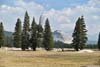
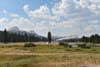
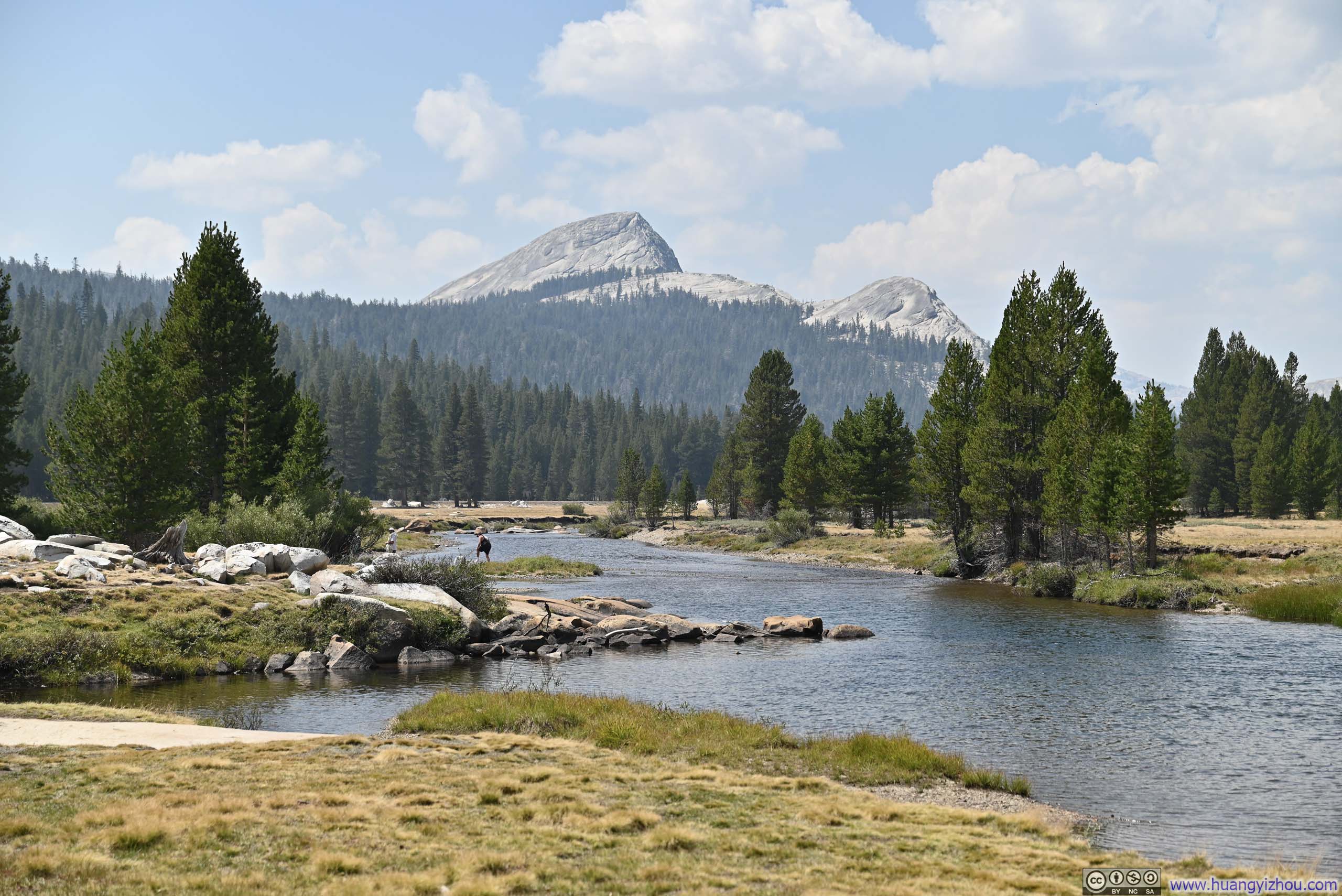
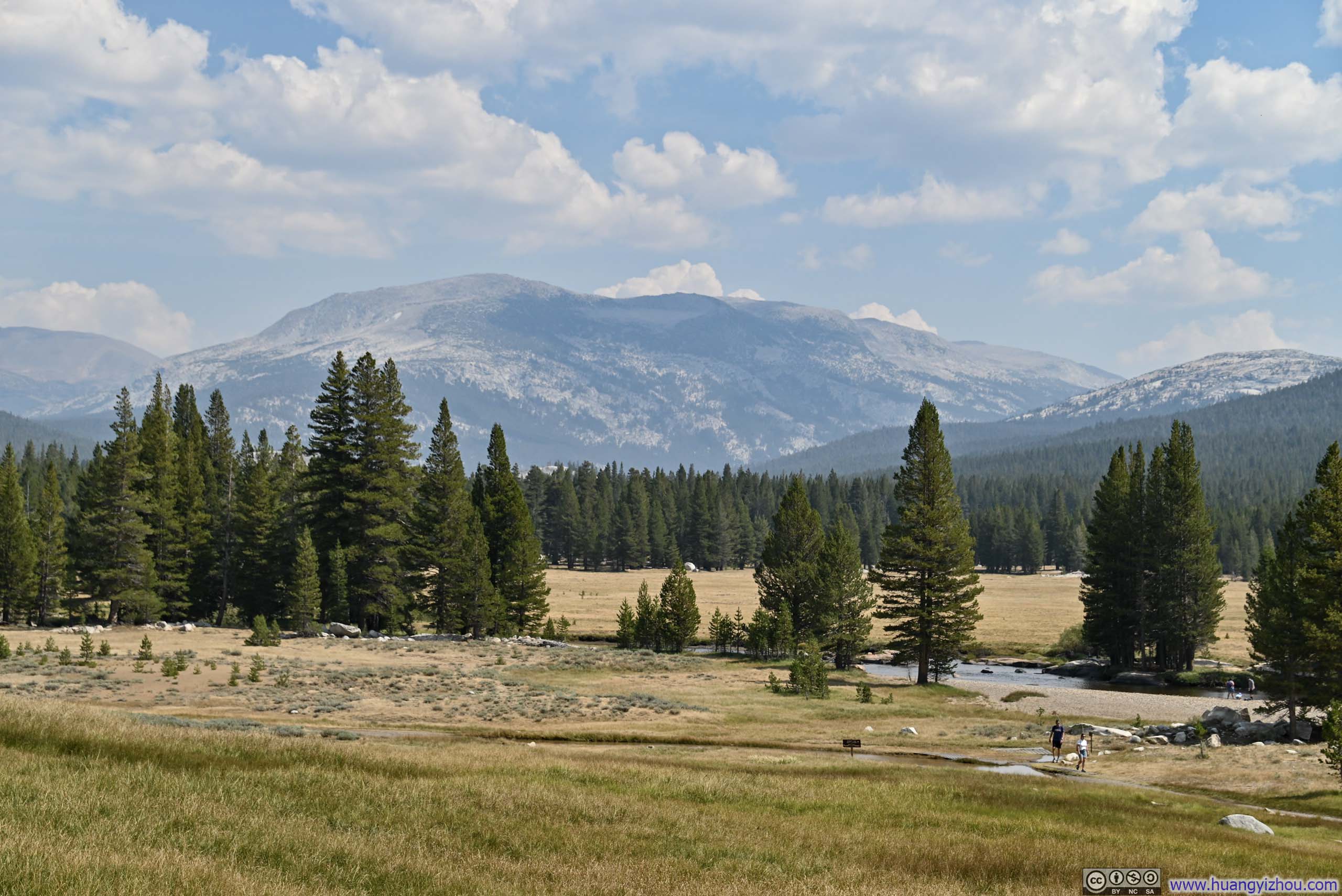
Further onward, I found the sights around Tuolumne Meadows quite appealing, their openness a refreshing sight amid the dense forests through which I had driven.
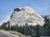
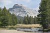
 Pywiack Dome
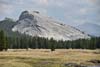
 Lembert Dome beyond Tuolumne Meadows
 Tuolumne Meadows
 Tuolumne Meadows
Click here to display photos of the slideshow
Pywiack Dome
Lembert Dome beyond Tuolumne Meadows
Tuolumne Meadows

Tuolumne Meadows
Tuolumne Meadows
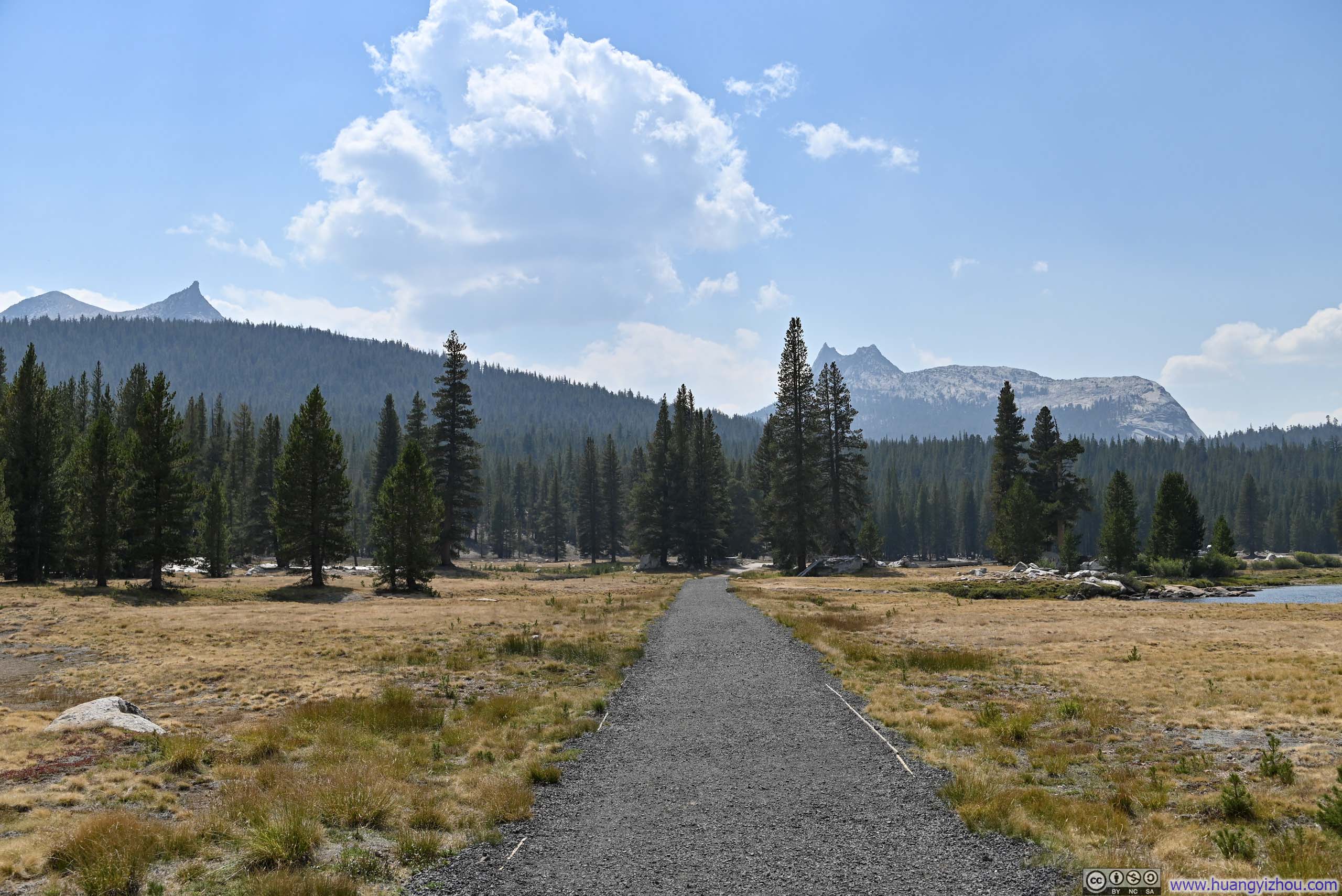
I found a parking lot and set out on a short but pleasing walk across the meadow to Parsons Memorial Lodge.
 Trail
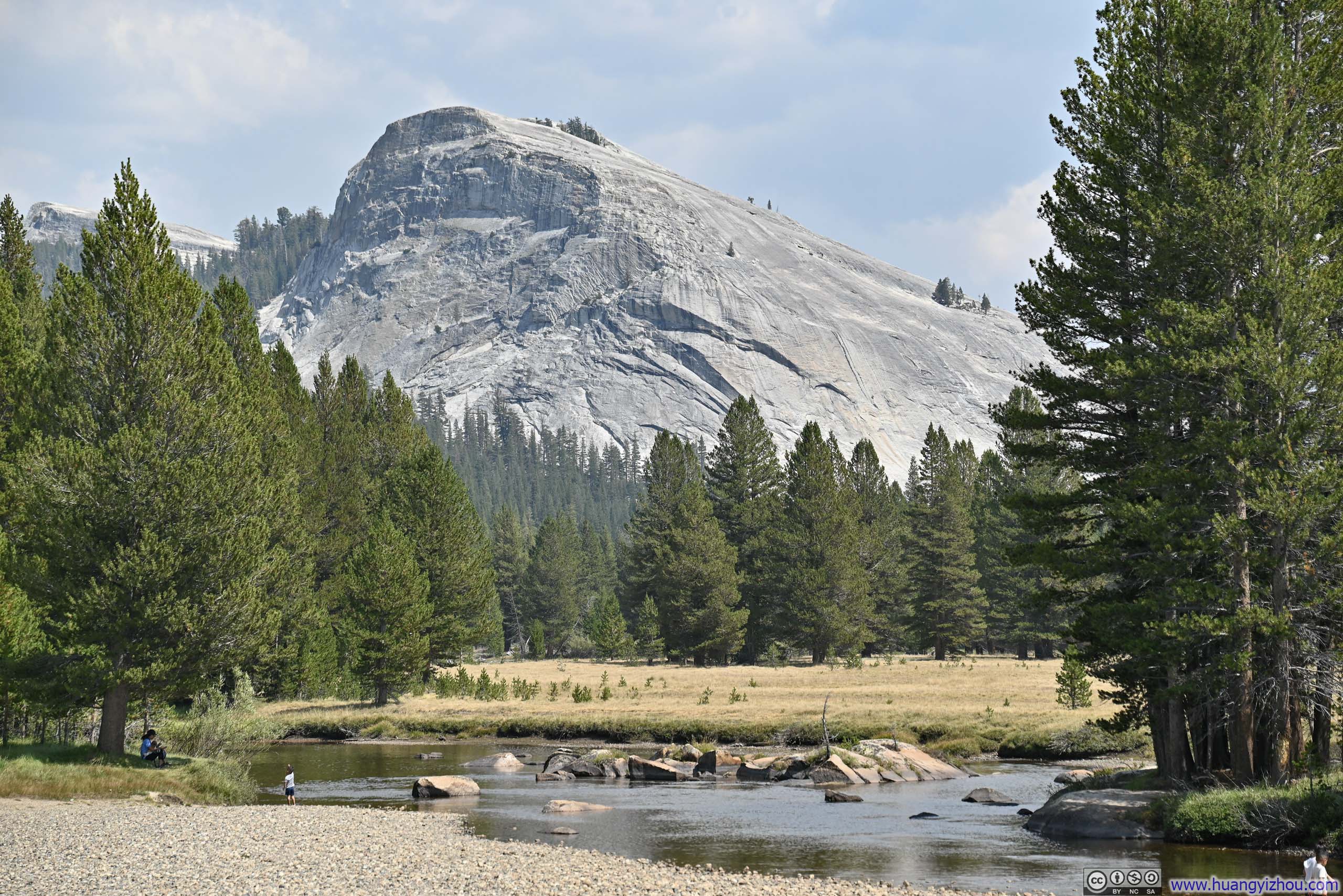
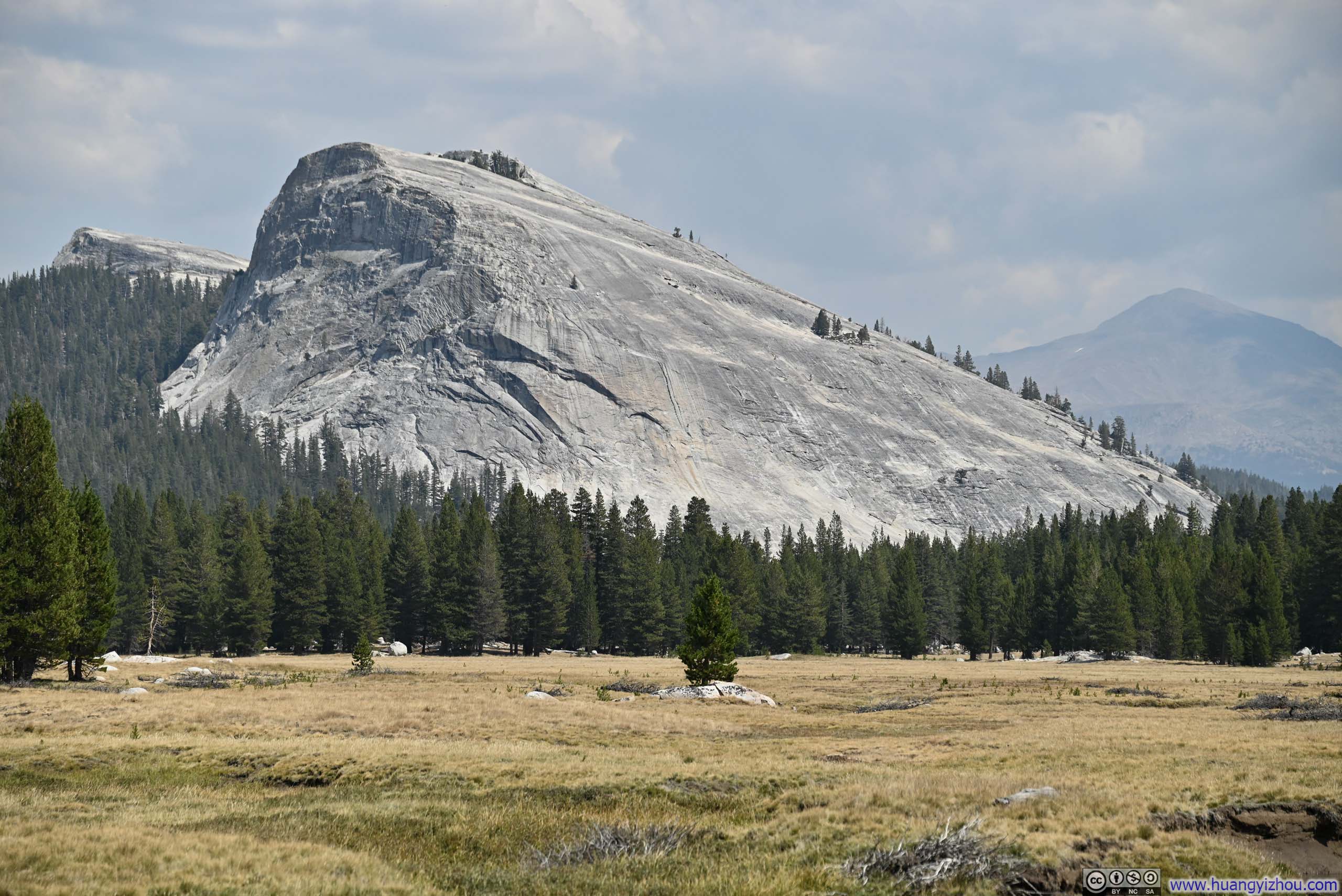
Trail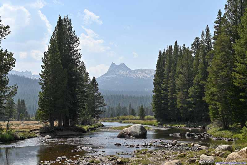 Cathedral Peak beyond Tuolumne River
 Cathedral Peak
 Tuolumne Meadows
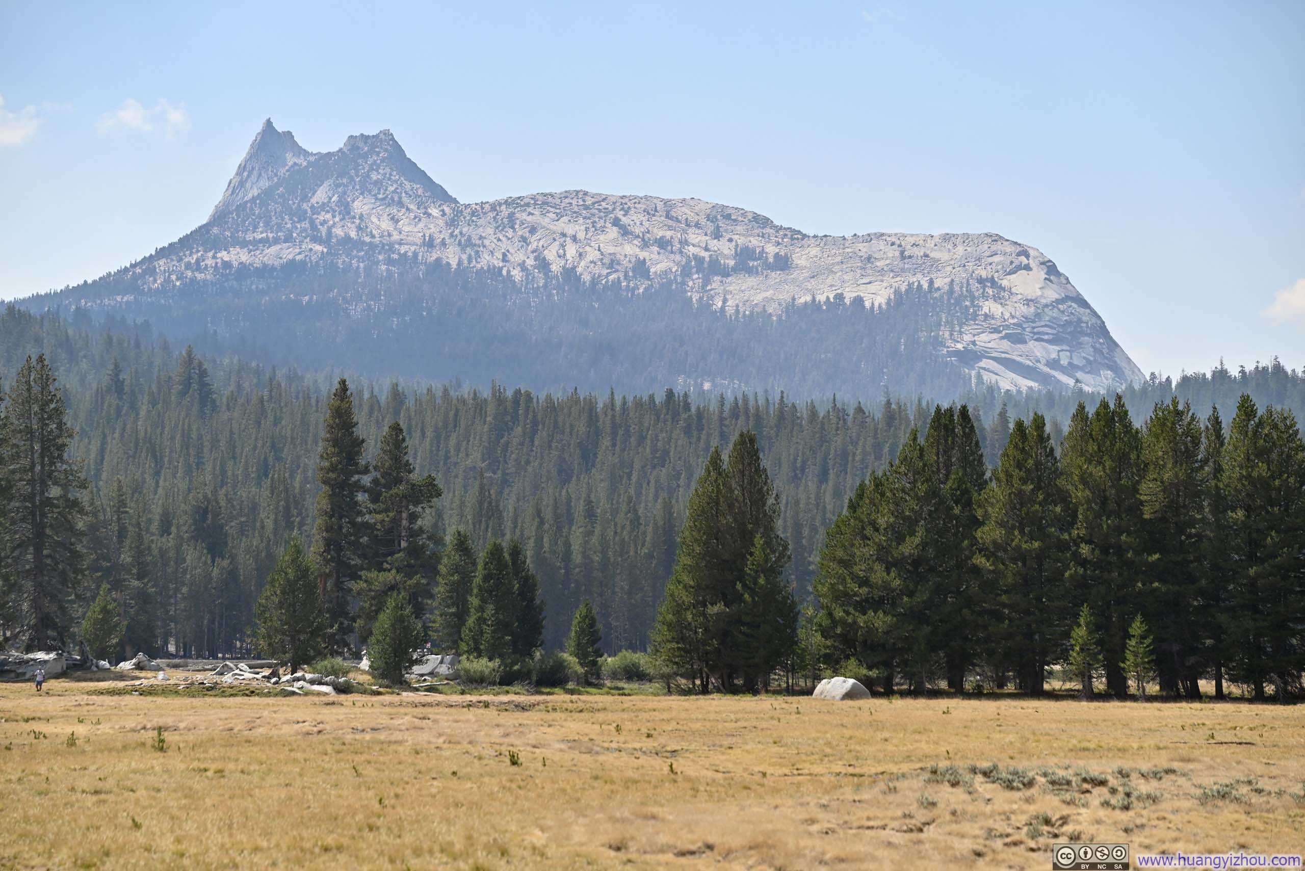
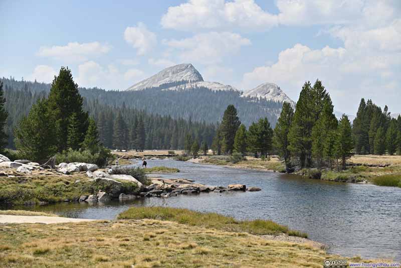 Fairview Dome and Marmot Dome beyond Tuolumne River
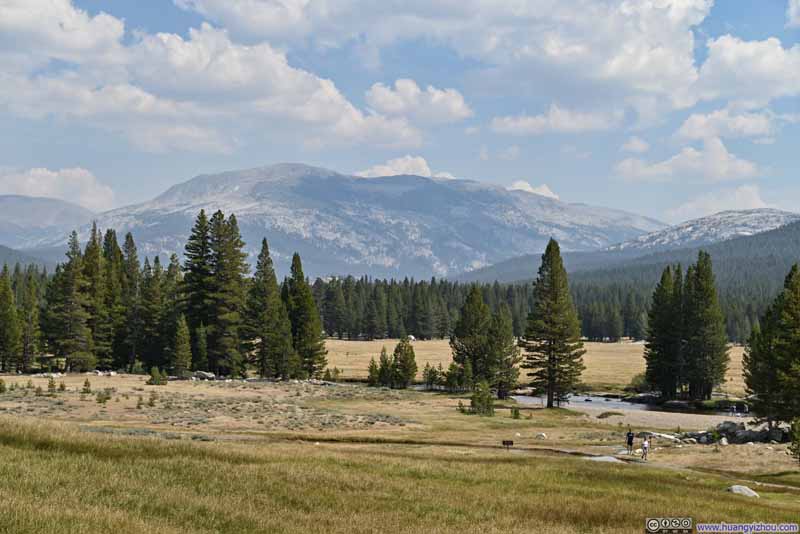 Mammoth Peak beyond Tuolumne River
 Lembert Dome beyond Tuolumne River
 Lembert Dome

Click here to display photos of the slideshow
Trail

Cathedral Peak beyond Tuolumne River
Cathedral Peak

Tuolumne Meadows
Fairview Dome and Marmot Dome beyond Tuolumne River
Mammoth Peak beyond Tuolumne River
Lembert Dome beyond Tuolumne River
Lembert Dome
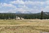
Parsons Memorial Lodge was built by the Sierra Club in 1915 as a meeting house, described as John Muir’s favorite camping spot. Nowadays it’s a small museum housing some exhibits. A short walk away was Soda Springs, a mineral spring.
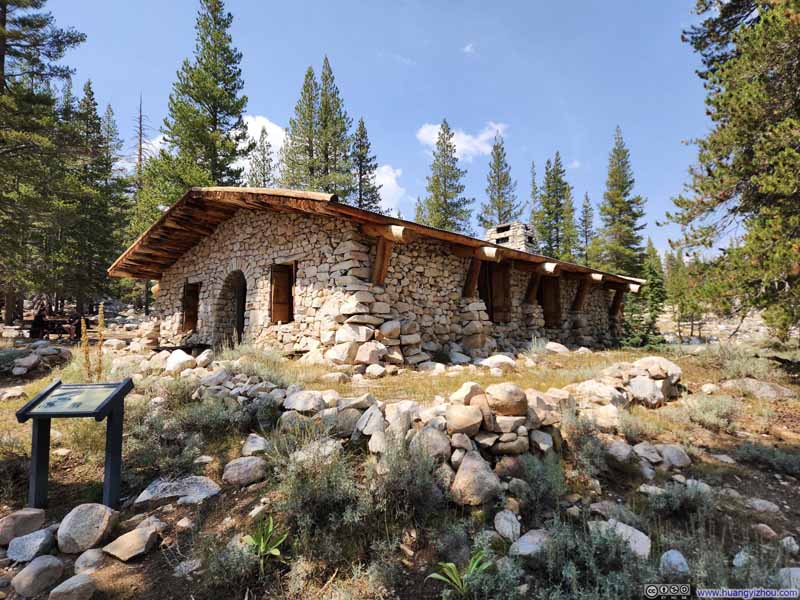 Parsons Memorial Lodge
 Soda Springs
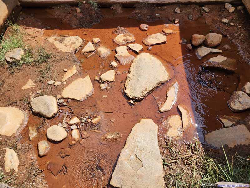 Soda Springs

Click here to display photos of the slideshow
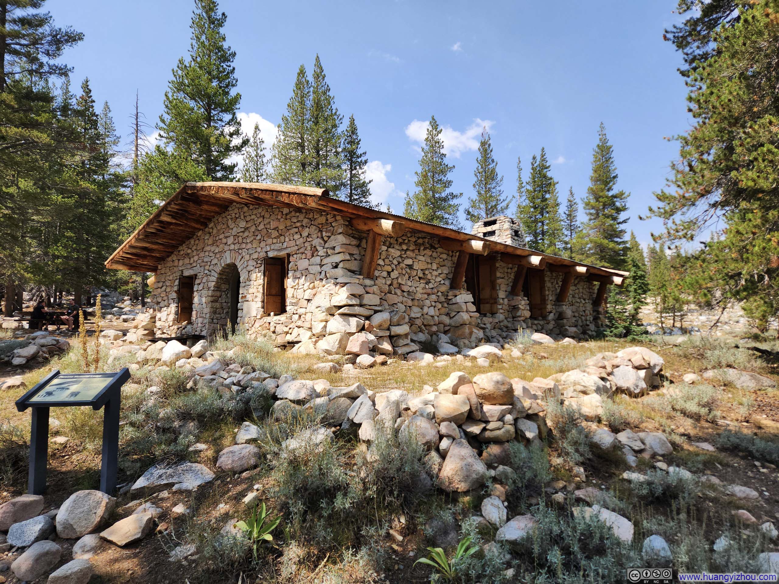
Parsons Memorial Lodge
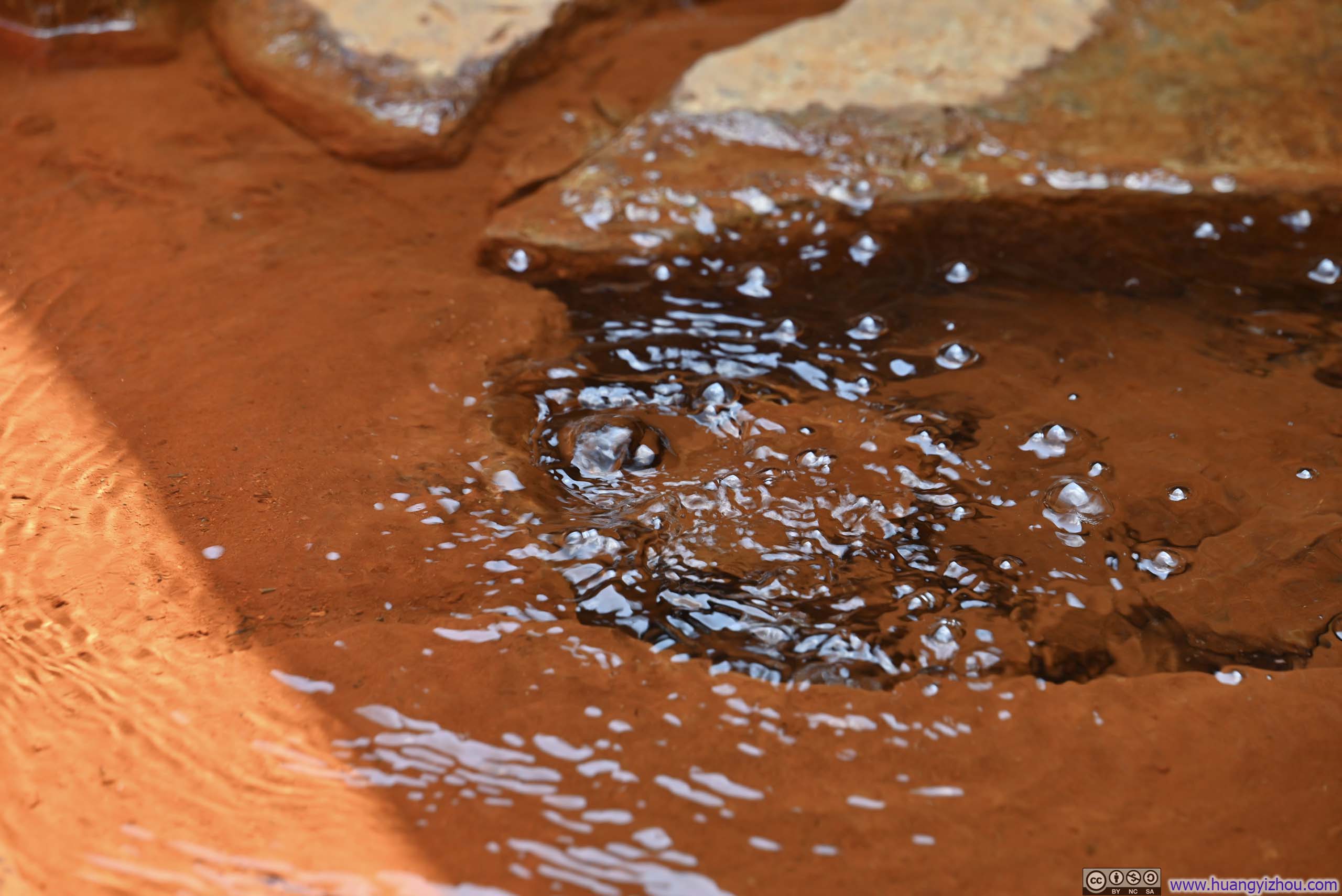
Soda Springs

Soda Springs
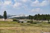
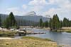
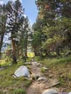
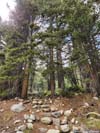
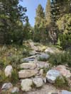
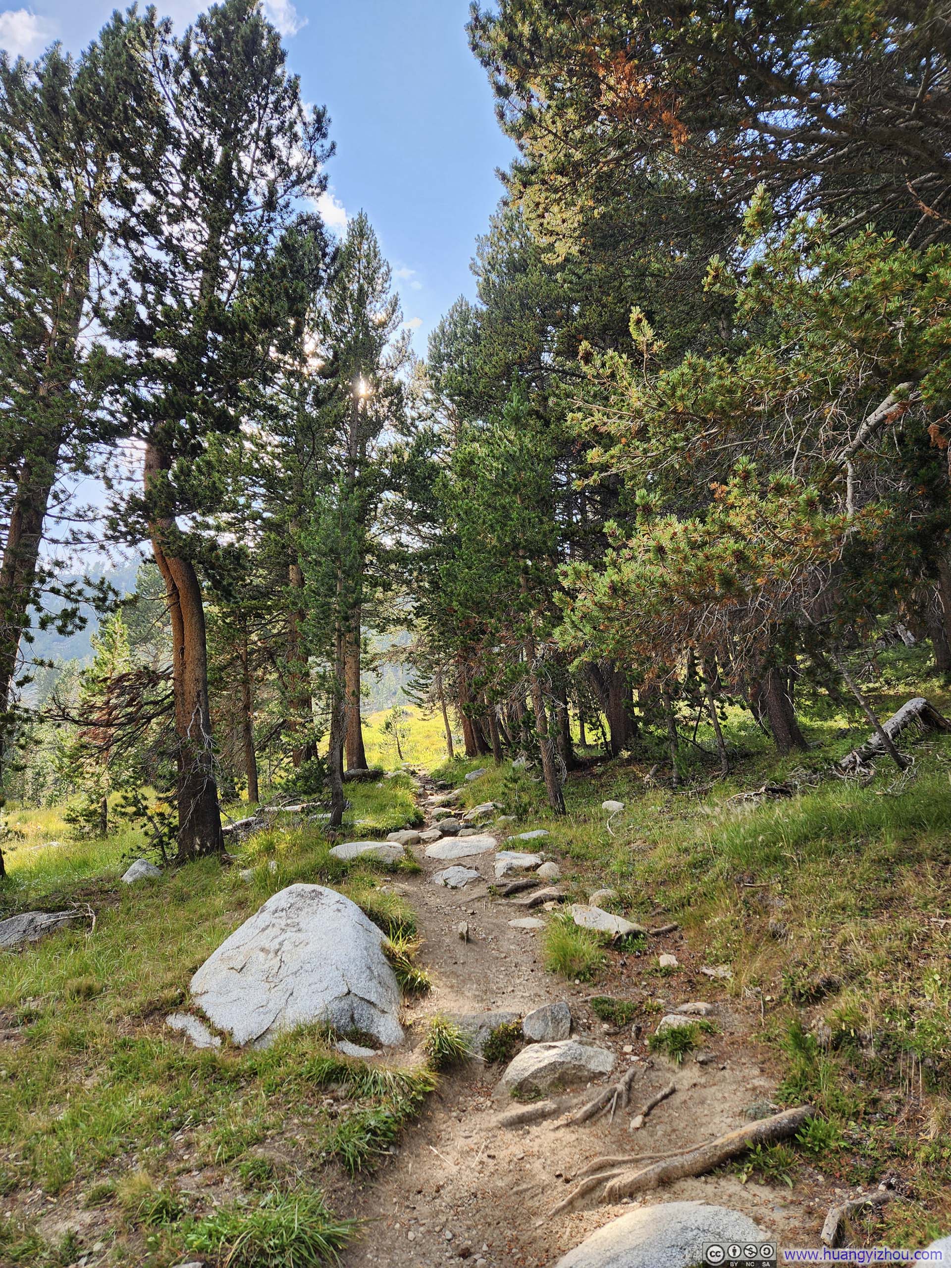
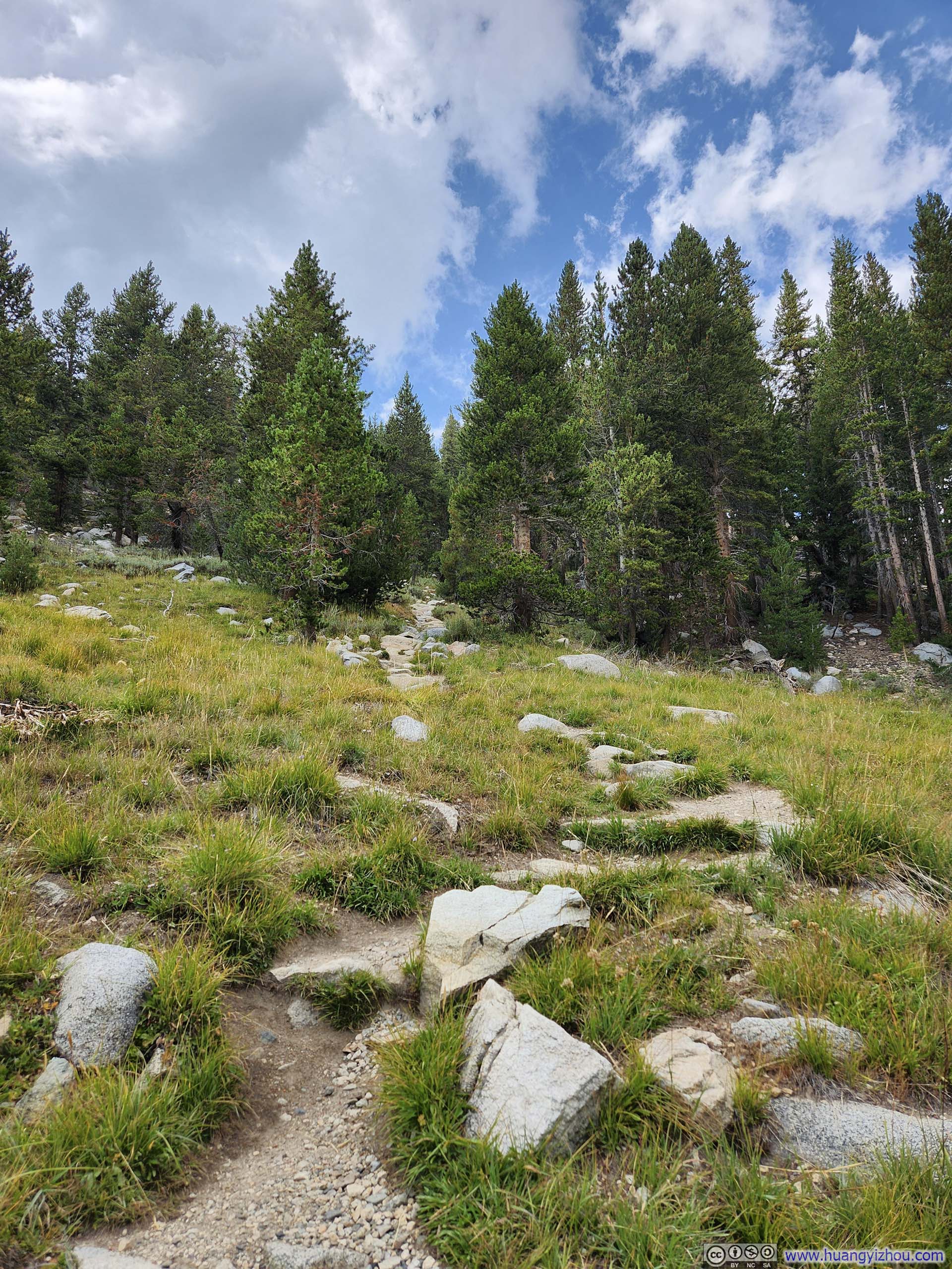
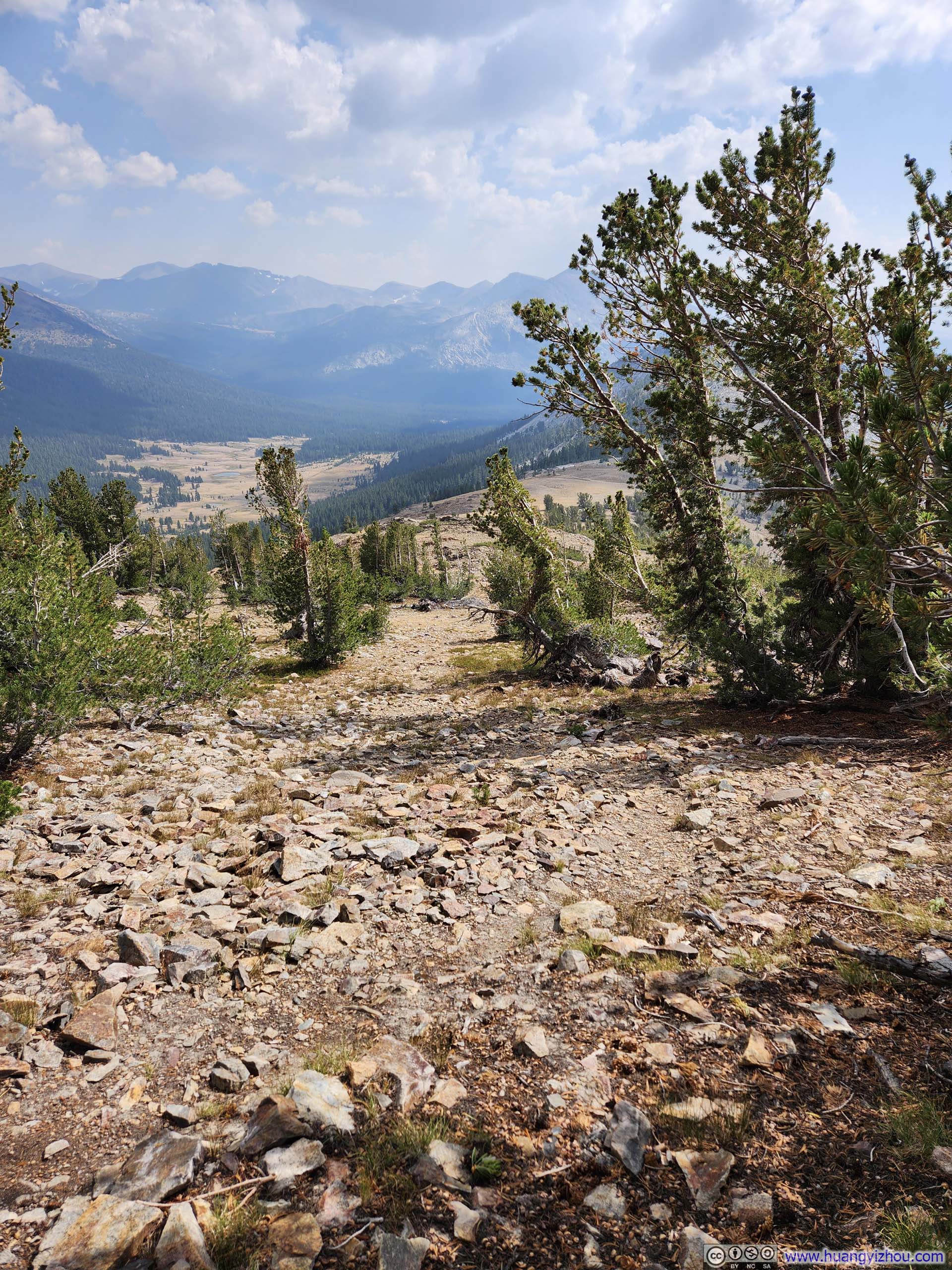
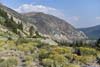
A short drive later, I reached Tioga Pass, the trailhead to Gaylor Peak. On paper, it’s a 3.5km out-and-back with 314m of elevation gain (2.2mi, 1000ft), a perfect filler to keep my body in shape between two strenuous day hikes. The route featured a steep section of switchbacks midway through, which, combined with the altitude, proved marginally demanding. Fortunately, it didn’t last long. Beyond the saddle point and leaving the established path, the “trail” to Gaylor Peak often became difficult to discern among the rocky terrain (particularly in the direction towards Gaylor Peak). Still, the direction toward Gaylor Peak remained straightforward throughout, so I oftentimes found myself picking my own path through the stones.
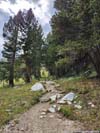
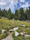
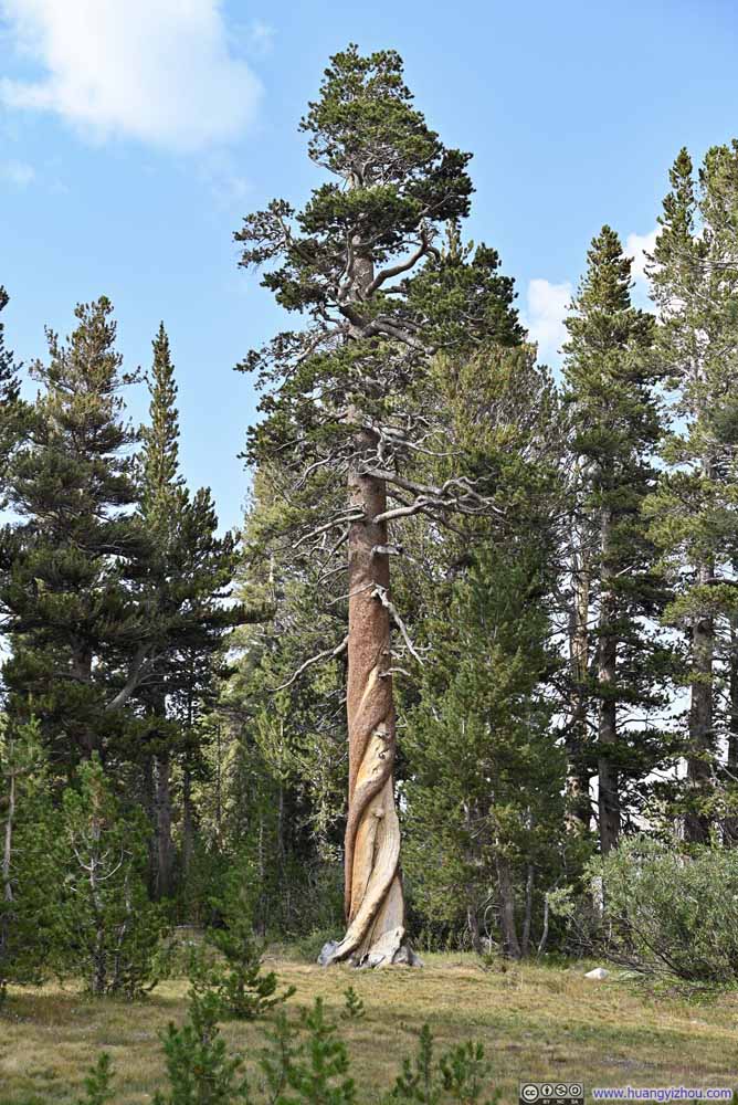 Tree with Twisted Trunk
 Trail
Trail Trail
Trail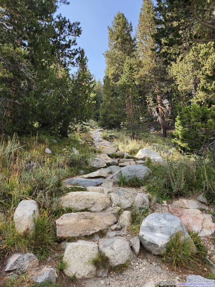 Trail
Trail Trail
Trail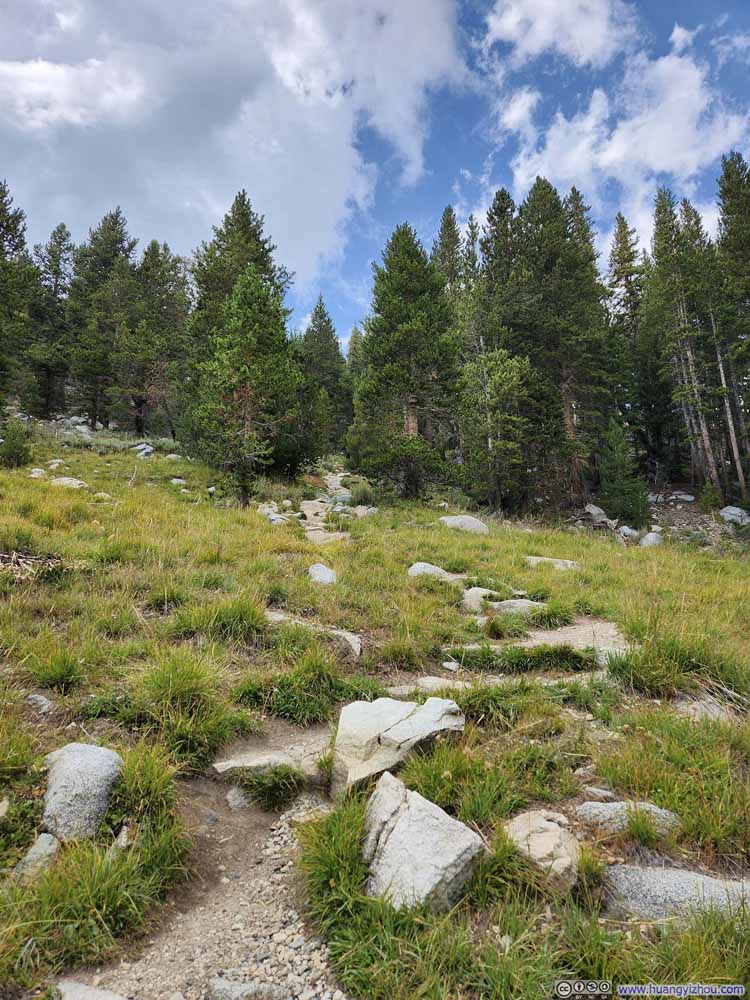 Trail
Trail Trail to Gaylor Peak


Click here to display photos of the slideshow

Tree with Twisted Trunk
Trail

Trail

Trail

Trail
Trail
Trail to Gaylor Peak
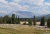
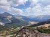
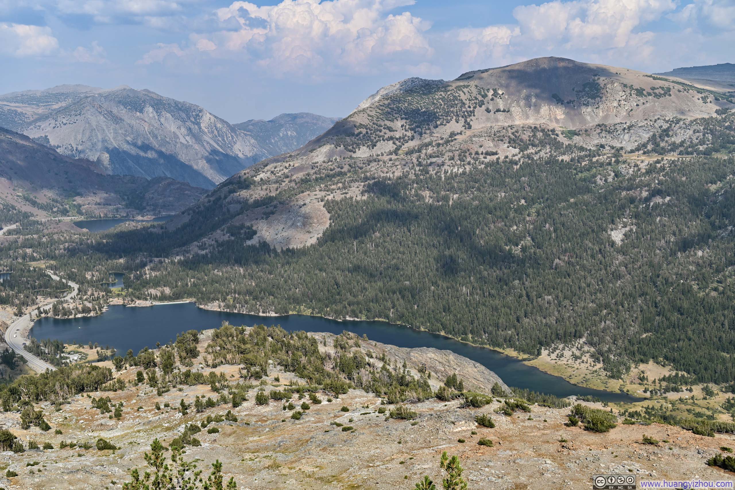
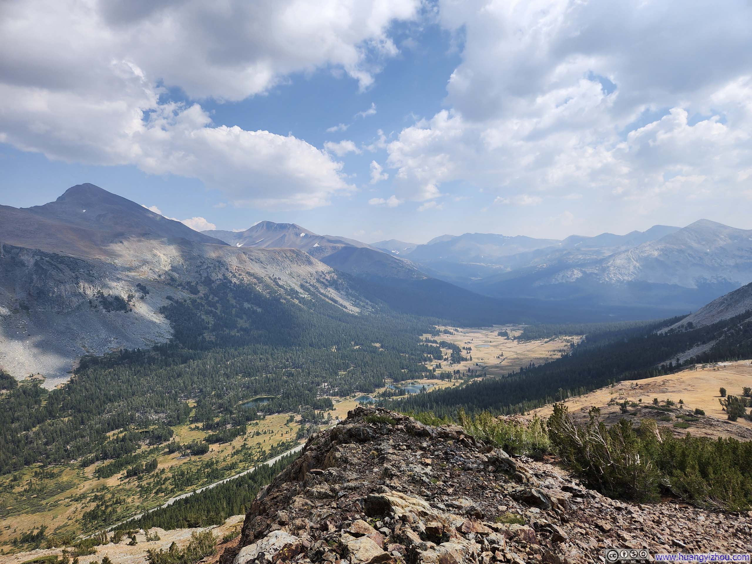
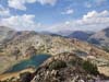
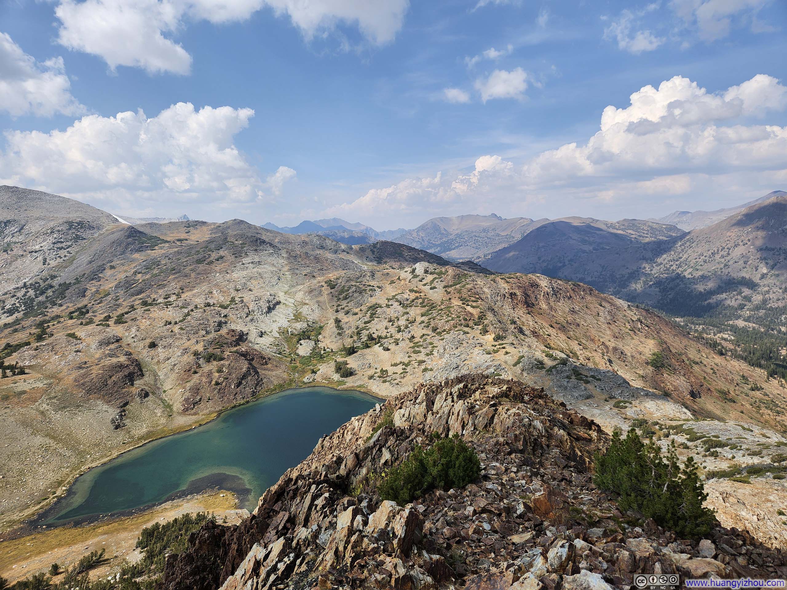
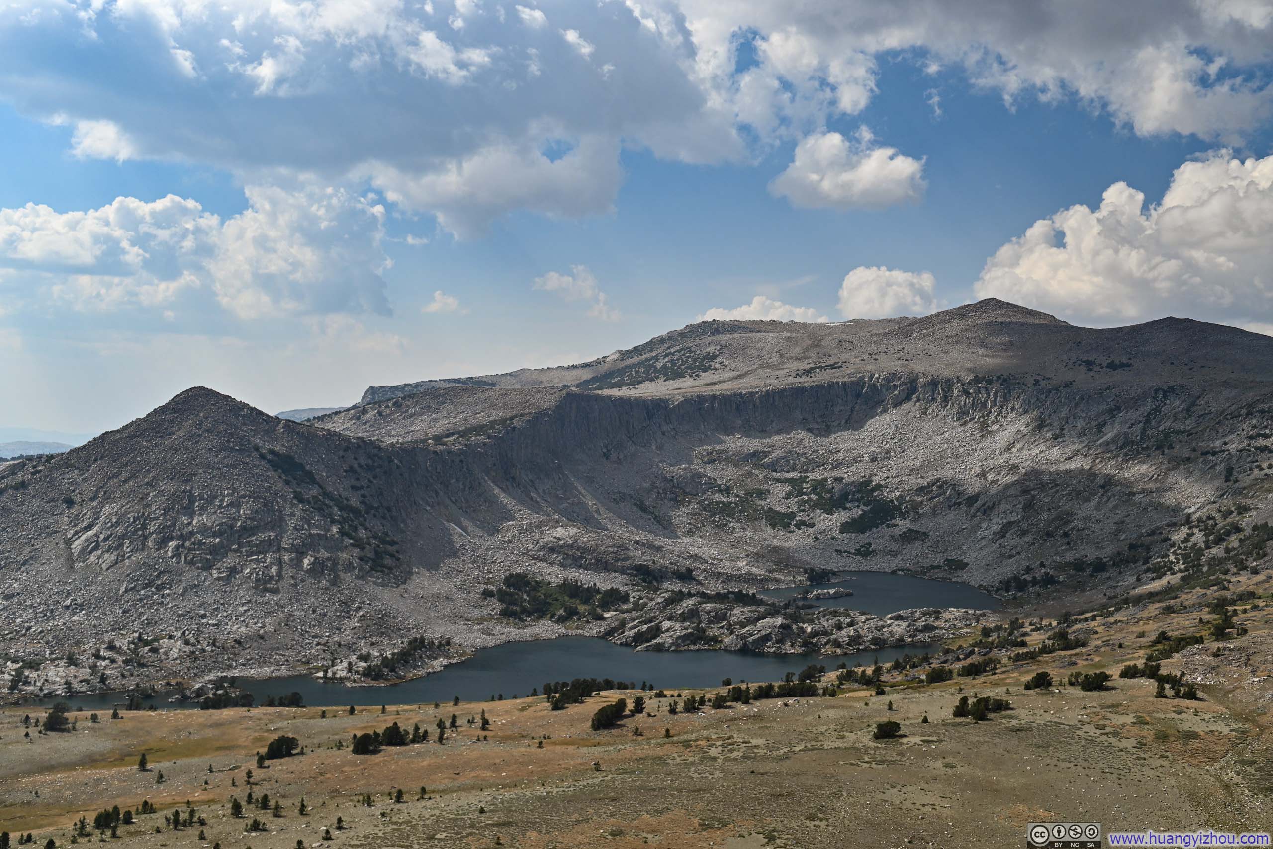
Atop Gaylor Peak, I was greeted by the richest palette of colors I had encountered throughout the entire journey: russet rocks beneath my feet, golden fields in their early autumn hues dotted with sapphire alpine lakes, all interwoven with grey granite outcroppings beneath a cerulean sky scattered with white clouds. Though the trail to Gaylor Peak was relatively short, the rewards for completing it were nothing short of breathtaking.
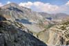
 Mountains along Tioga Road
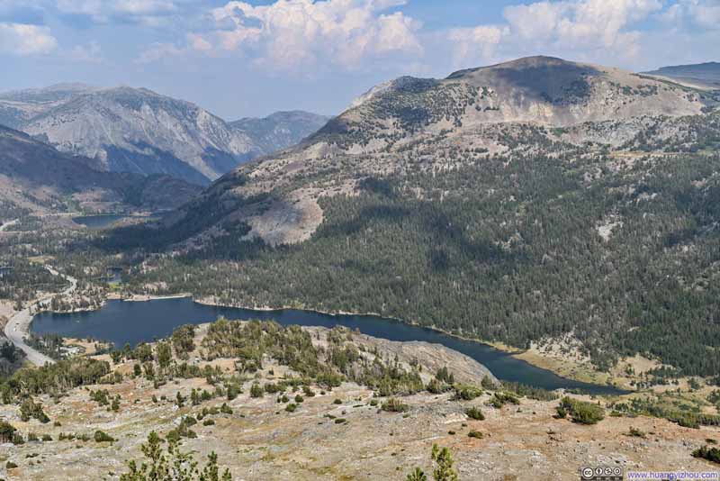 Mountains Surrounding Tioga Lake
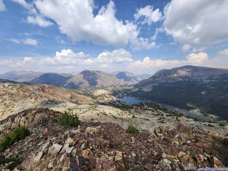 Mountains along Tioga Road
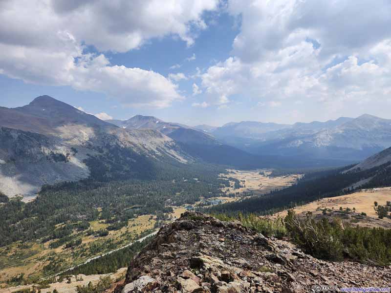 Peaks along Dana Meadows
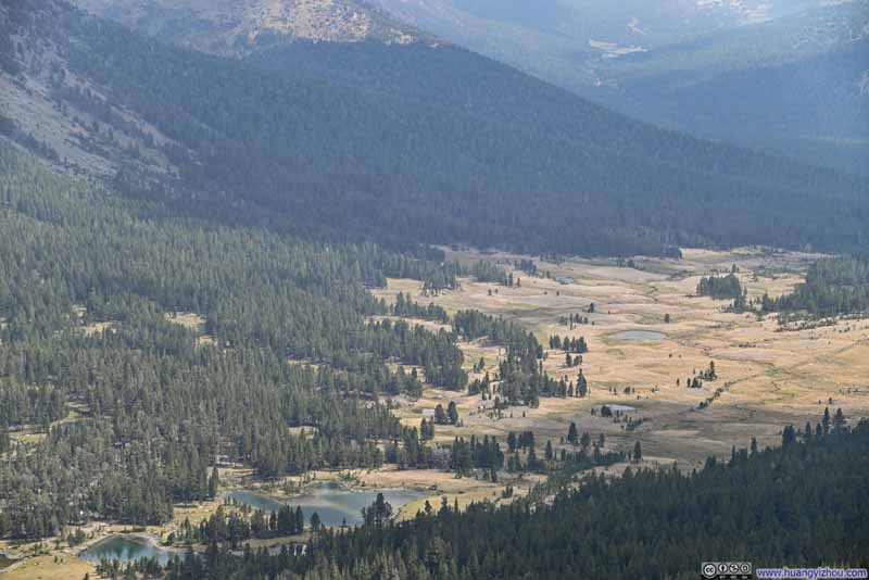 Overlooking Dana Meadows
Click here to display photos from the summit of Gaylor Peak.

Mountains along Tioga Road
Mountains Surrounding Tioga Lake

Mountains along Tioga Road
Peaks along Dana Meadows
Overlooking Dana Meadows
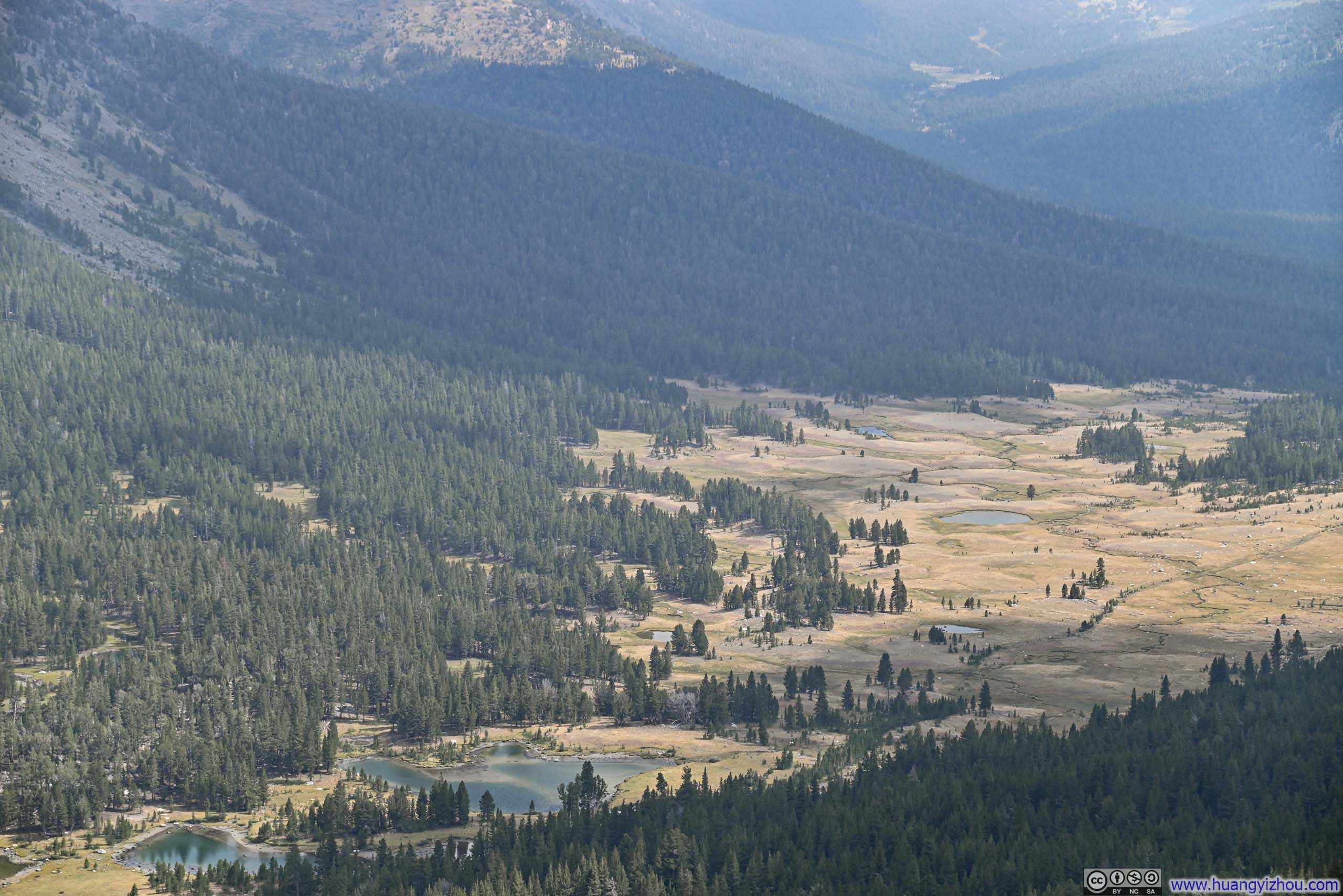
 Mountains to the North
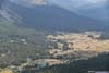
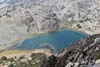
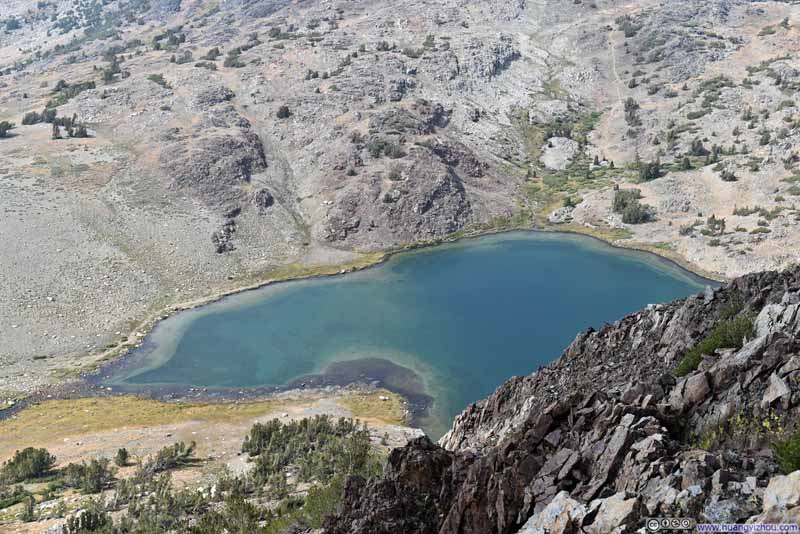 Upper Gaylor Lake
 Alpine Lakes along Tioga Road
 Hills around Granite Lakes
 Middle Gaylor Lake
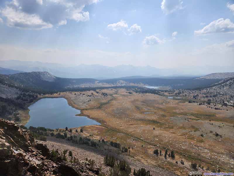 Middle Gaylor Lake and Distant Mountains


Click here to display photos from the summit of Gaylor Peak.
Mountains to the North

Upper Gaylor Lake
Alpine Lakes along Tioga Road
Hills around Granite Lakes
Middle Gaylor Lake

Middle Gaylor Lake and Distant Mountains
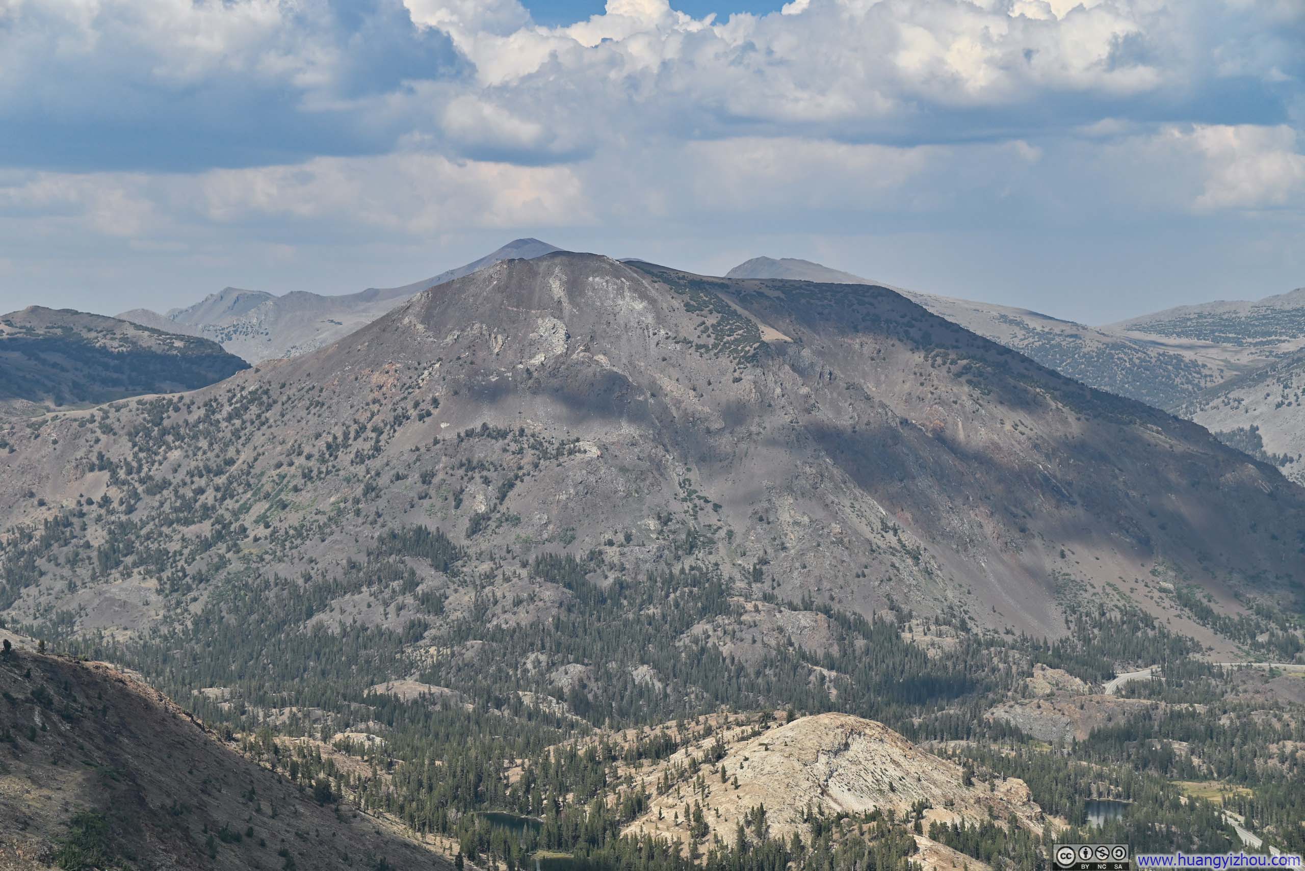
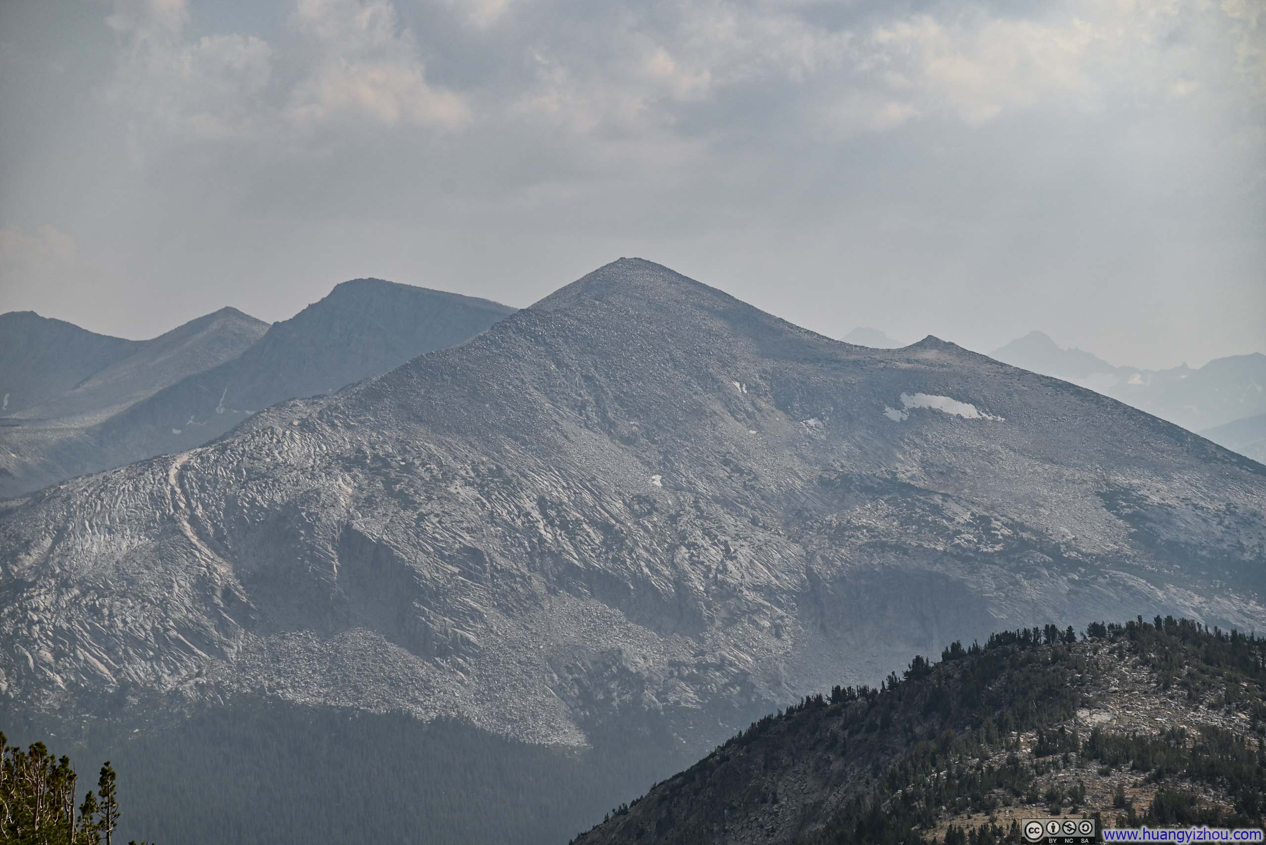
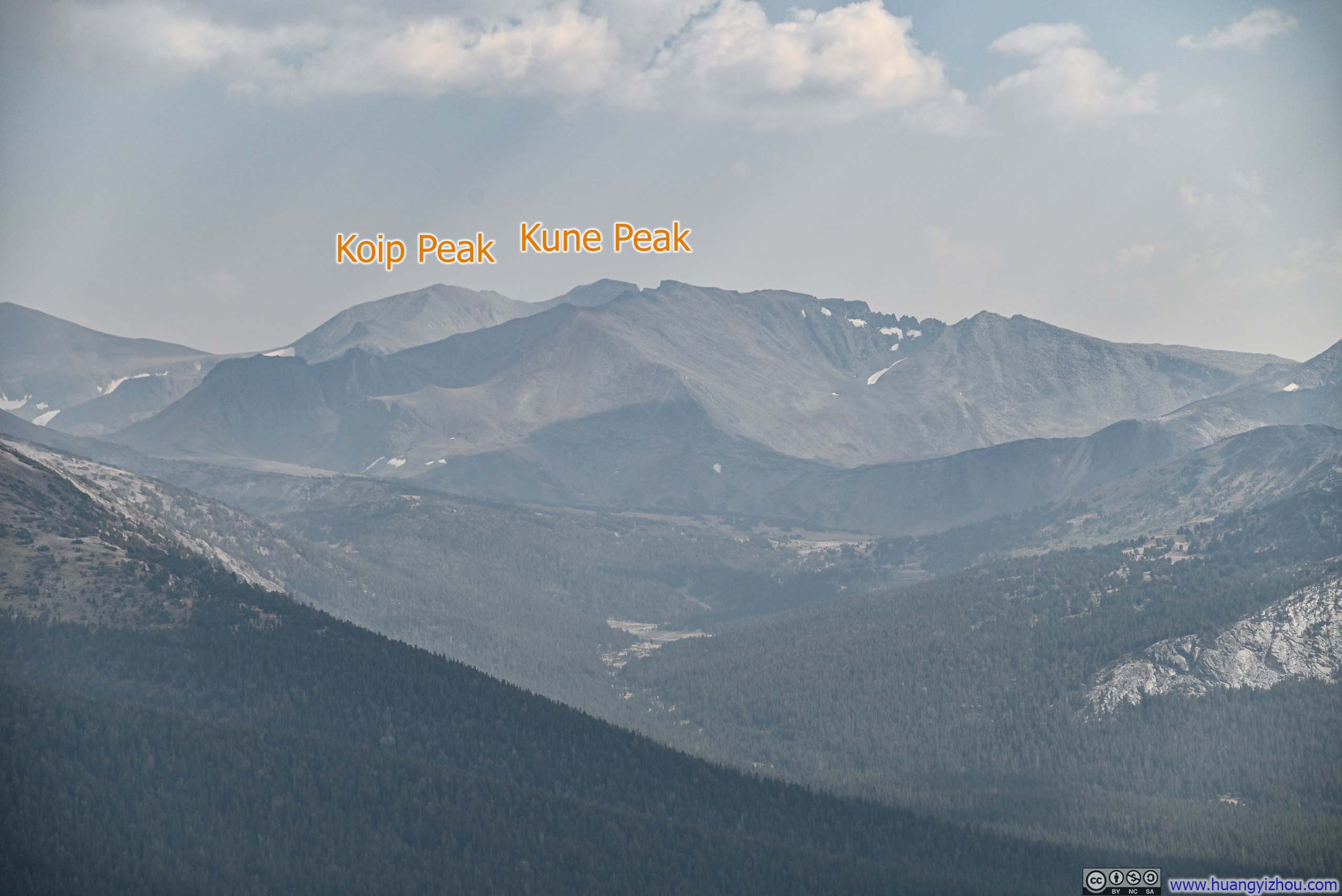
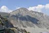
The summit of Gaylor Peak was swept by brisk winds that afternoon, though fortunately, I still had my body heat from the ascent earlier. I didn’t linger long at the top, and the conditions remained entirely manageable. On the other hand, the wind had scoured away the haze of air pollution, unveiling the crystalline vistas that stretched out in every direction.
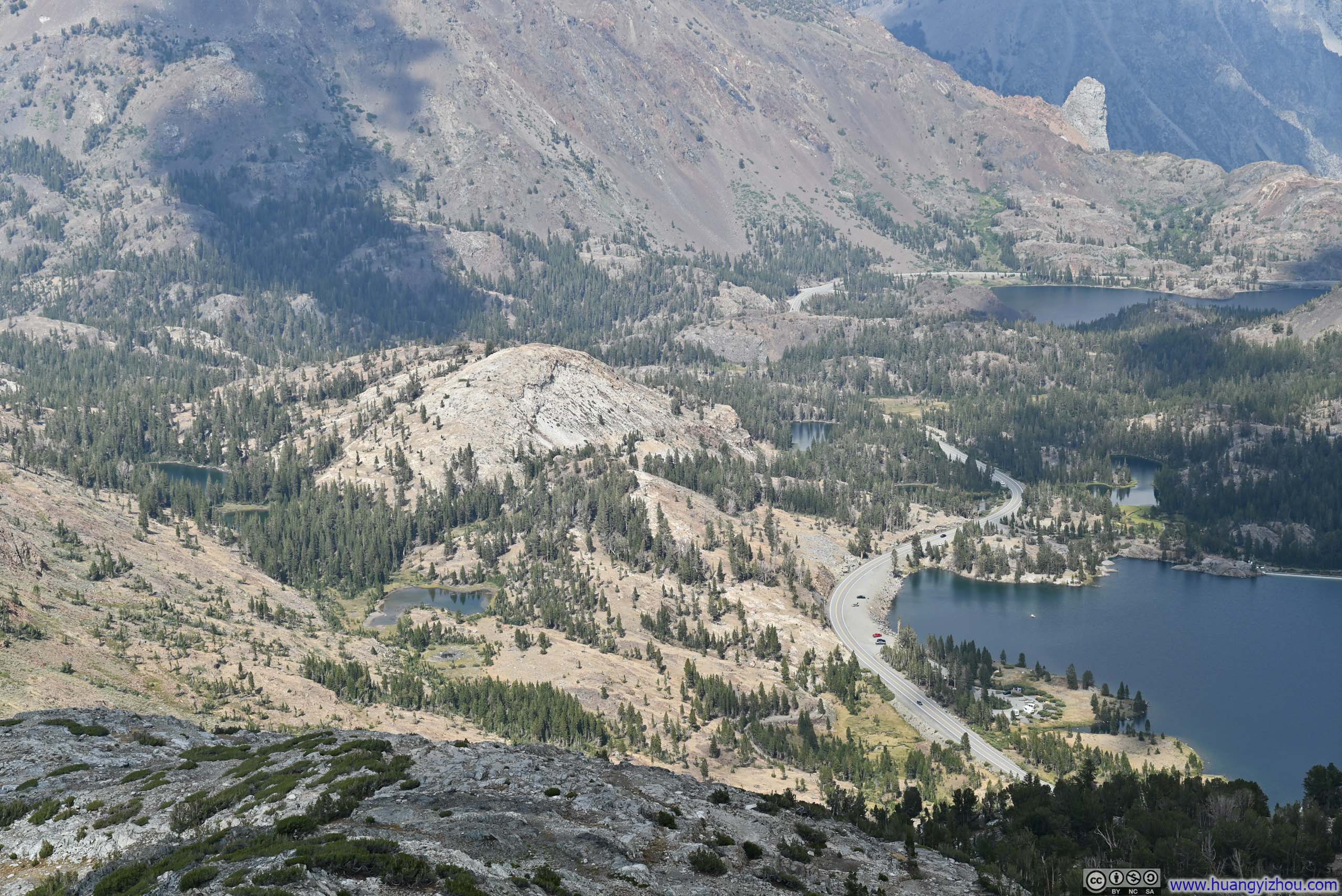
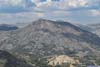
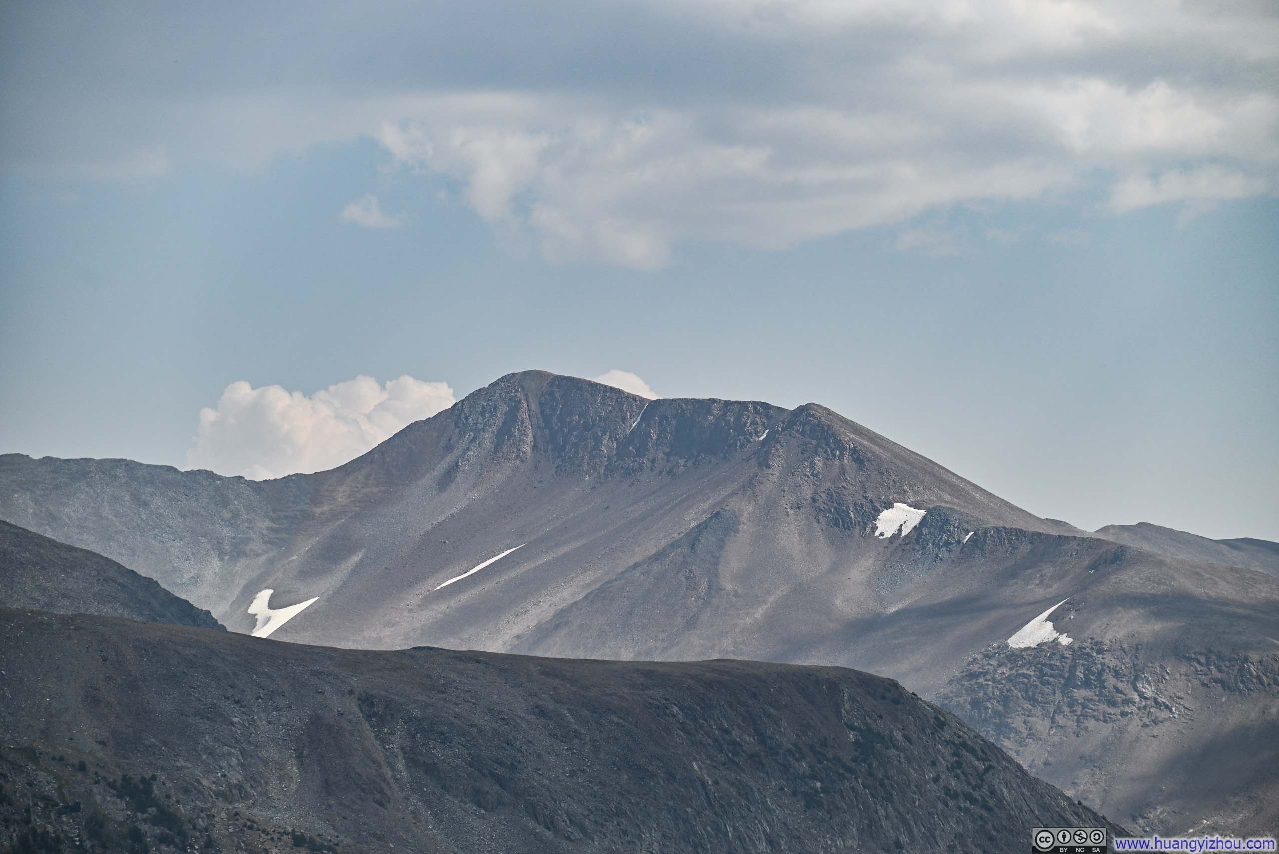
 Mount Dana across Tioga Pass
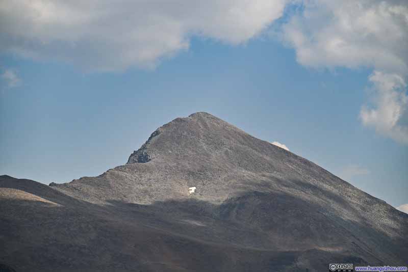 Mount Dana
 Mount Gibbs
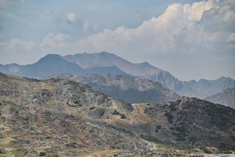 Excelsior Mountain to the NorthBeyond Mine Shaft Pass
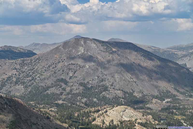 Tioga Peak
 Lee Vining Peak
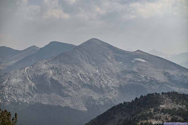 Mammoth Peak
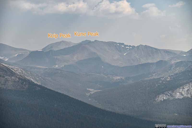 Mountains to the South
Click here to display photos from the summit of Gaylor Peak.
Mount Dana across Tioga Pass

Mount Dana
Mount Gibbs
Excelsior Mountain to the NorthBeyond Mine Shaft Pass
Tioga Peak

Lee Vining Peak
Mammoth Peak
Mountains to the South
Views from Gaylor Peak
In the end, I got back to Tioga Pass after 1 hour and 45 minutes on the trail, including 20 minutes spent at the top of Gaylor Peak.
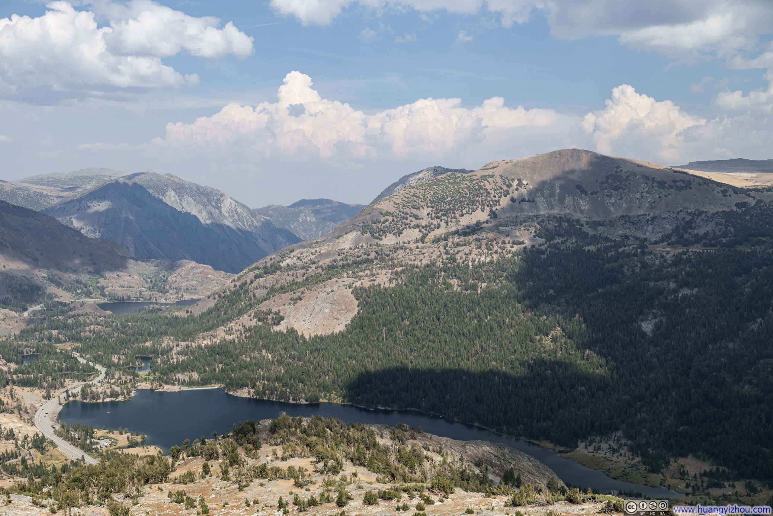
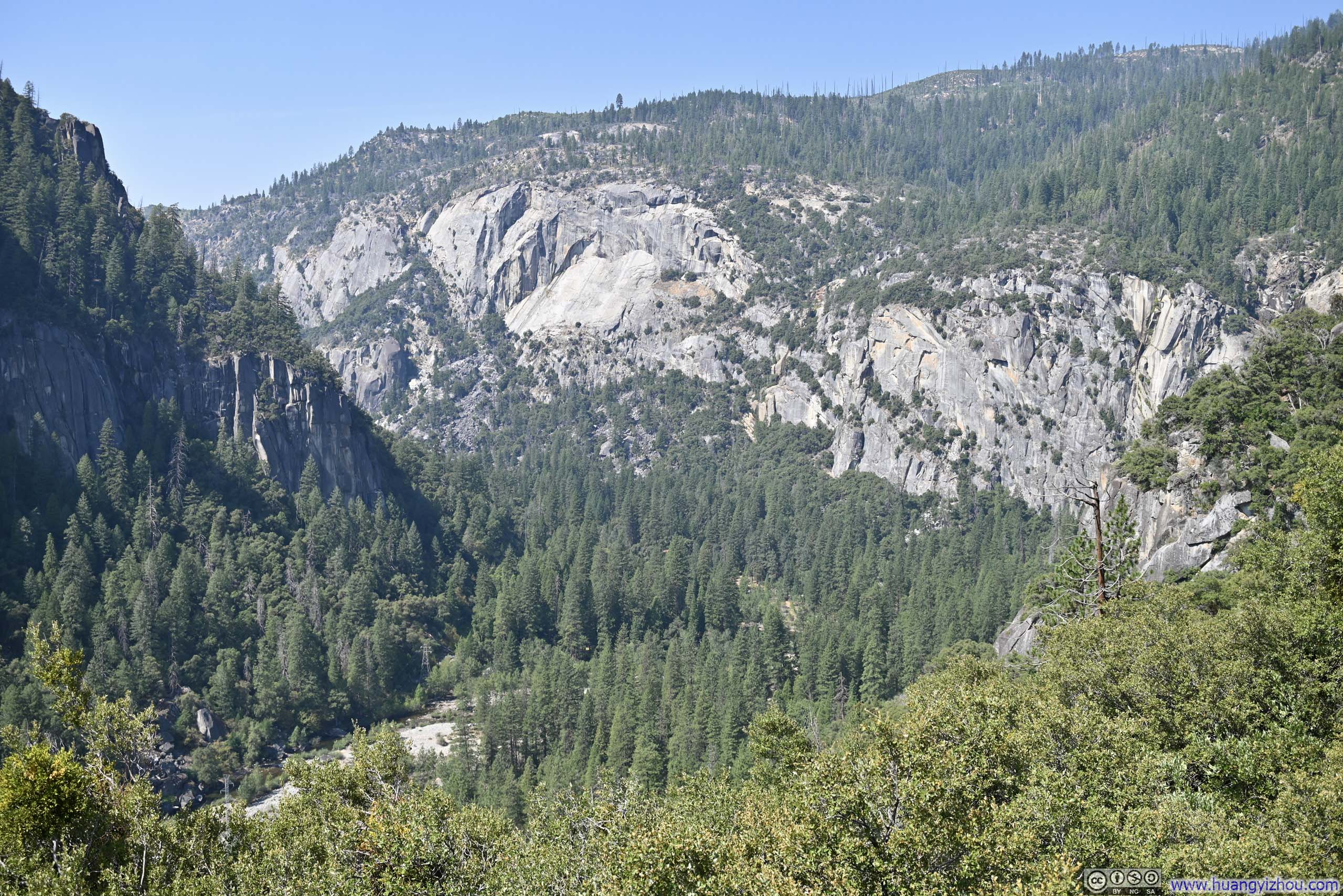
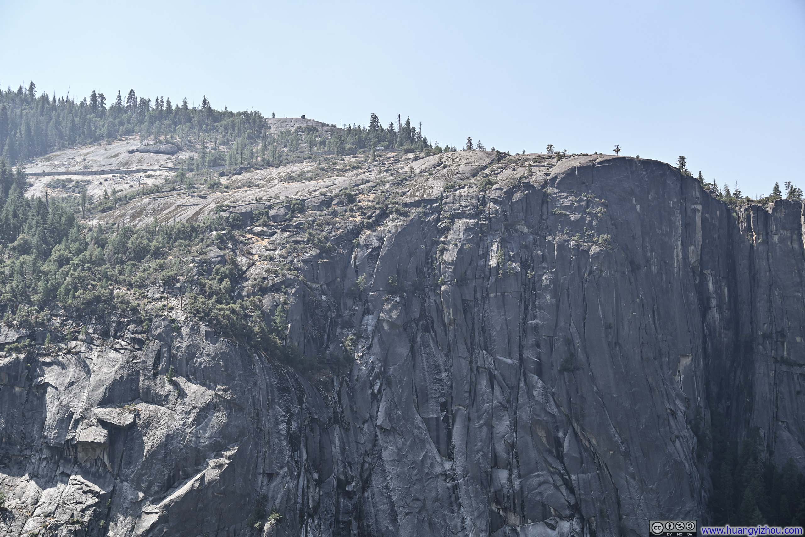
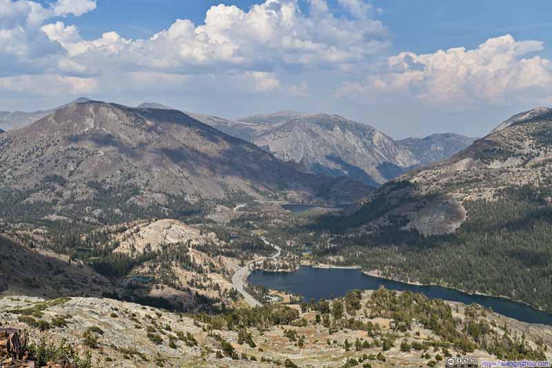
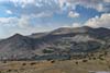
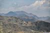
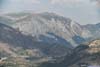
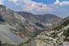
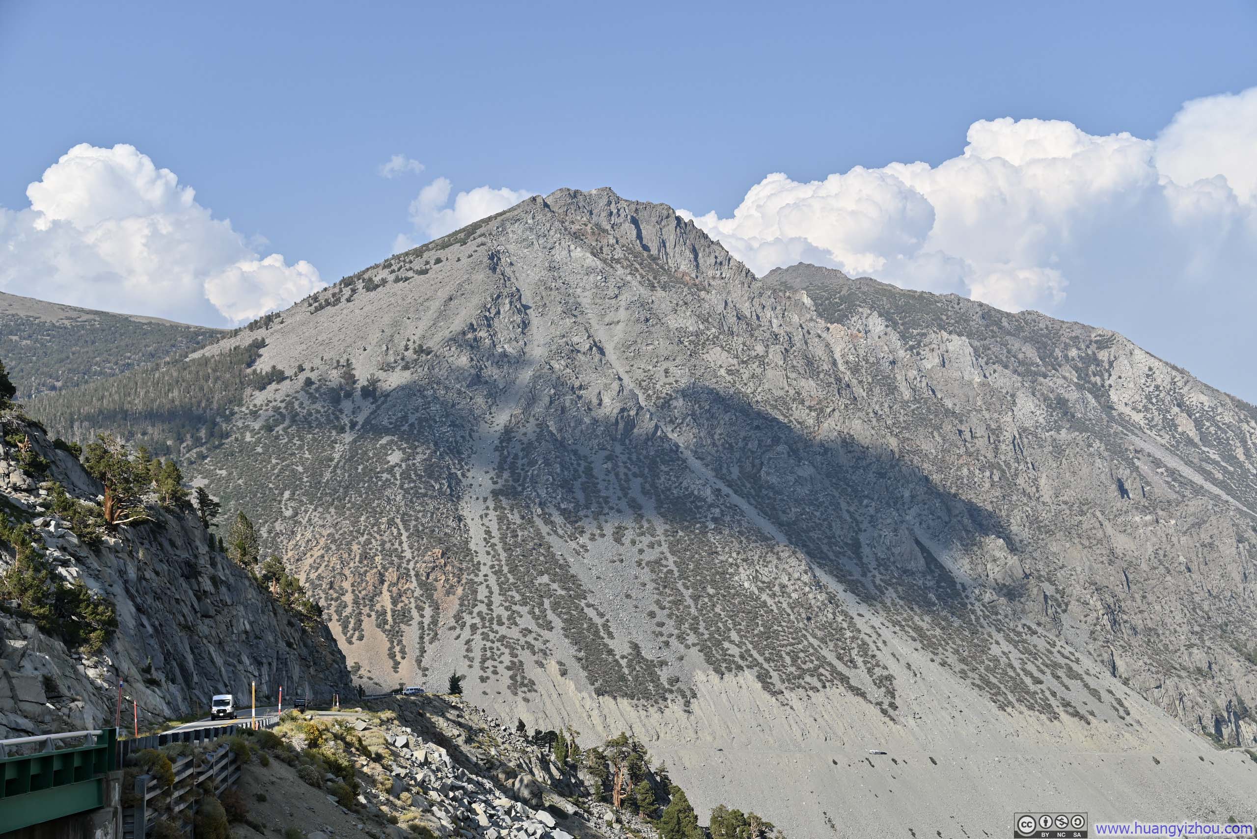
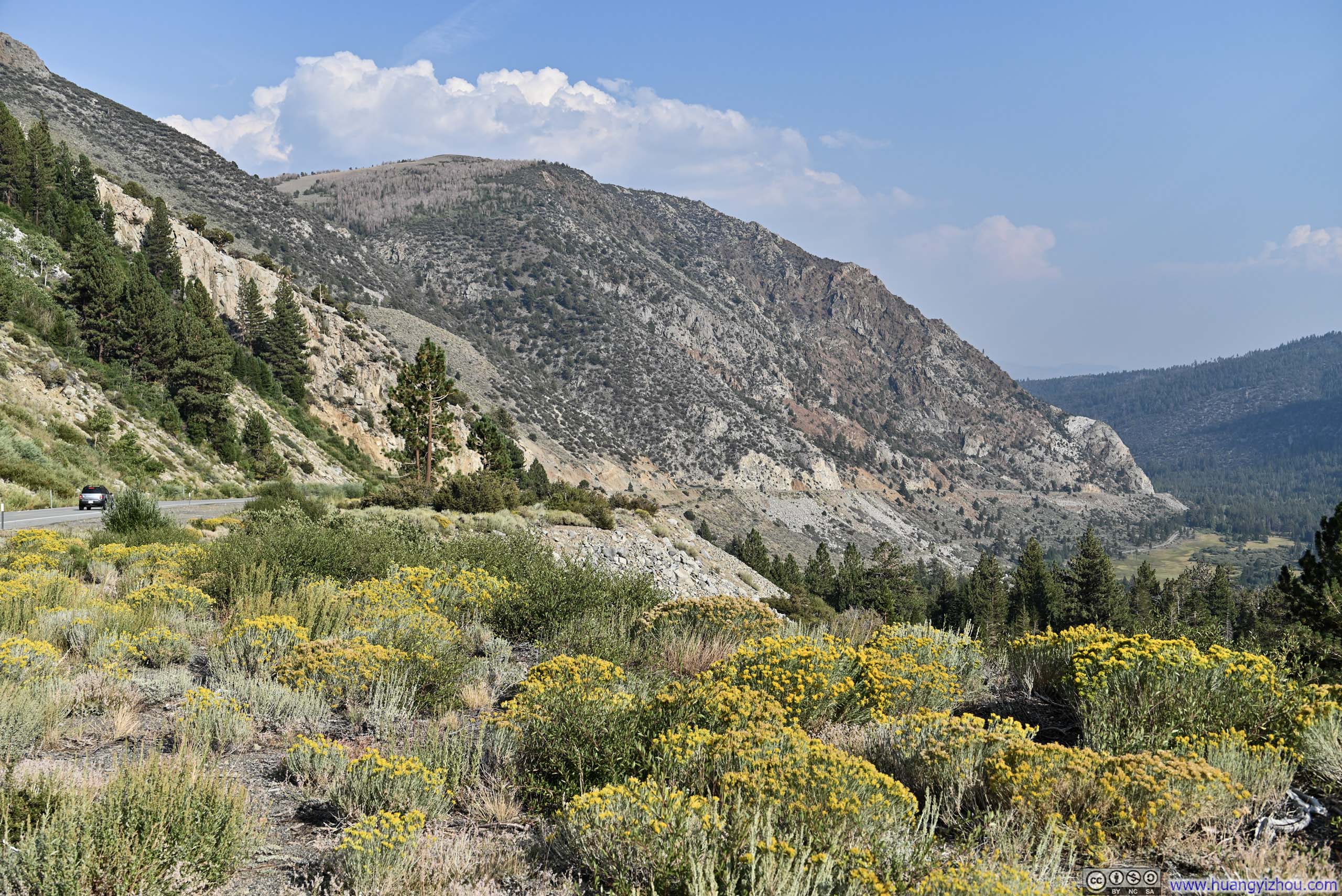
From Tioga Pass onward, CA120 descended through Lee Vining Canyon, which was an impressive gorge in its own right, as I recalled from driving through it the previous year. This time, with time on my side, I proceeded at a more leisurely pace and made several stops along the way.
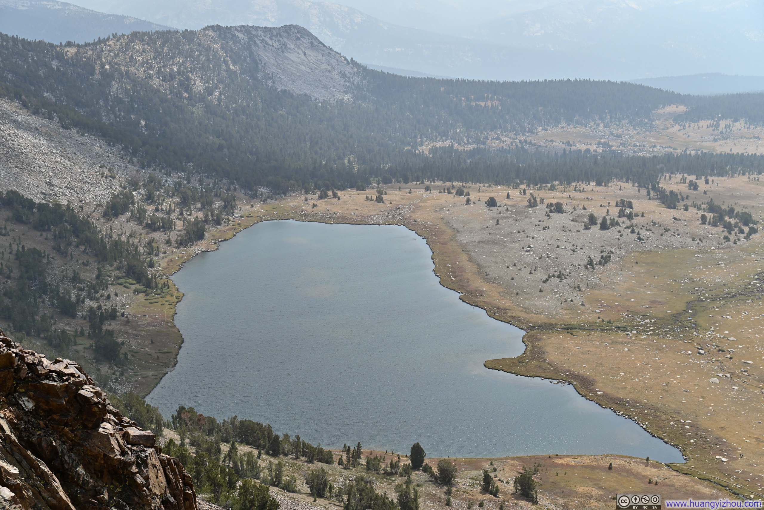
 Tioga Lake before Tioga Peak
 Rocky Cliffs
 Lee Vining Canyon
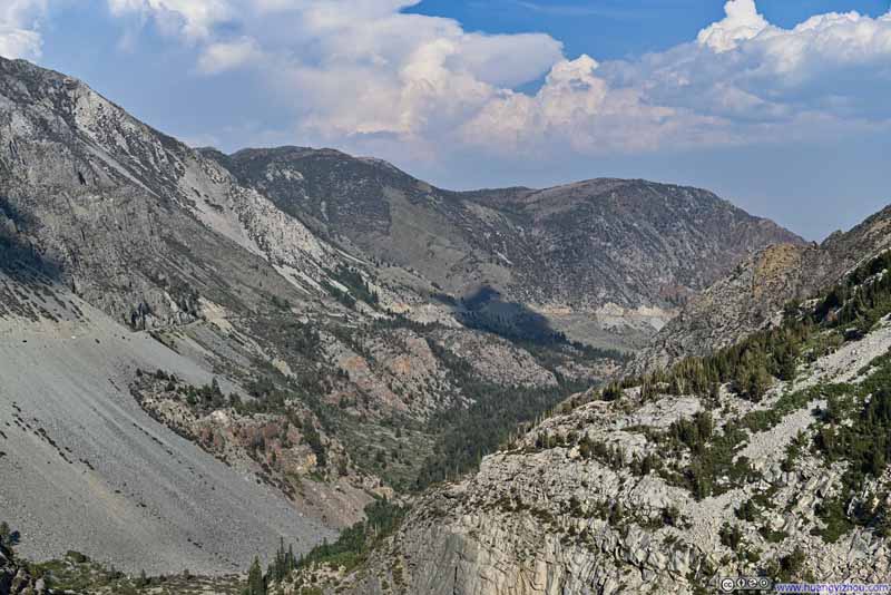 Lee Vining Canyon
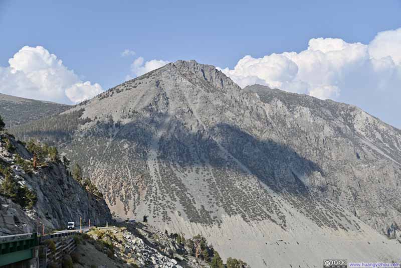 HillPart of Lee Vining Peak.
 Lee Vining Canyon
Click here to display photos of the slideshow

Tioga Lake before Tioga Peak

Rocky Cliffs

Lee Vining Canyon

Lee Vining Canyon
HillPart of Lee Vining Peak.
Lee Vining Canyon
Upon reaching Lee Vining, the remainder of the drive to Bridgeport was uneventful, with which I concluded the day.
END
![]() Day 4 of 2025 Labor Day Trip to California, Driving through Yosemite by Huang's Site is licensed under a Creative Commons Attribution-NonCommercial-ShareAlike 4.0 International License.
Day 4 of 2025 Labor Day Trip to California, Driving through Yosemite by Huang's Site is licensed under a Creative Commons Attribution-NonCommercial-ShareAlike 4.0 International License.