
Updated on March 14, 2026
Flights for 2025 Thanksgiving Trip to Tucson
For the few days leading up to Thanksgiving Day 2025, I made a trip to Tucson, Arizona. This brief post would be about the largely uneventful flights back and forth.
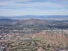
Mt Lemmon outside Tucson
Last year during Thanksgiving week, I took a few days off to explore the natural landscapes around Las Vegas. The climate in the southwestern US during this season proved so pleasant, and such a welcomed departure from Boston’s frigid winter, that I resolved to return to the region this year.
I had visited Arizona nearly four years earlier, though time constraints back then limited me to a single day in Tucson, where I marveled at the towering cacti of Saguaro National Park. The impressive field of hoodoos at Chiricahua National Monument, two hours distant, remained unexplored—a gap I intended to fill this time. Seeking the most economical flights, I arranged to fly into Tucson on Friday, November 21, and return on Thanksgiving Day, Thursday, November 27. In addition to Chiricahua National Monument, this arrangement also offered me the opportunity to embark upon a few day hikes in the Santa Catalina Mountains just outside Tucson.
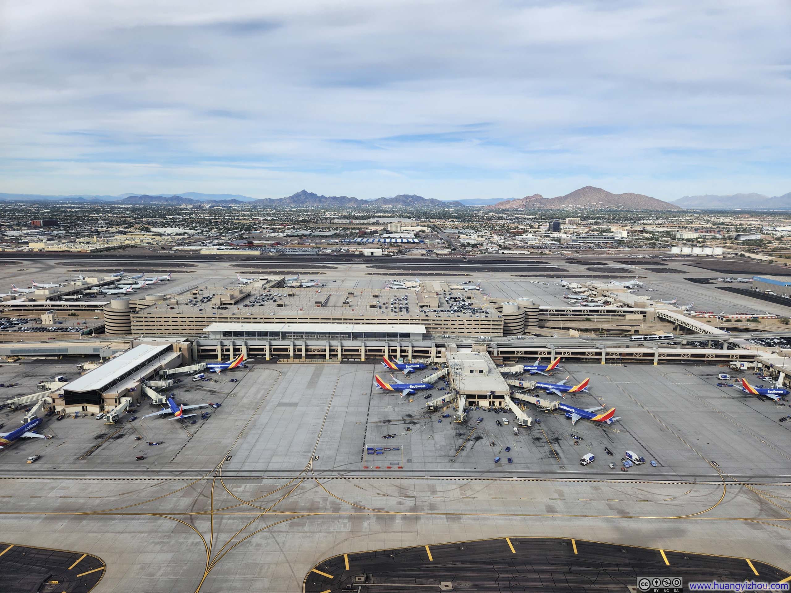
American Airlines Flight 1811 and 3125 from Boston to Tucson via Dallas Fort Worth
This was scheduled to be the second flight of the day from Boston to Dallas. Unfortunately, an earlier flight AA2527 was cancelled, causing a cascade of displaced passengers to flood the later departures. Consequently, this flight was completely full, and I found myself ranked 14/~30 on the upgrade list.
I overslept in the morning I had a longer than usual wait for the airport shuttle and hence I only made it to the checkin counter at 6:33am, less than an hour before my flight’s departure time. There was a queue for priority bag drop, which ended up taking me 8 minutes to check my bag, roughly the same duration it took to clear the security checkpoint. When I finally reached the gate, boarding was already underway, no time wasted. In an uncommonly gracious gesture, the gate agent was holding the boarding process while the jet bridge cleared.
American Airlines 1811
Boston, MA (BOS) – Dallas Fort Worth, TX (DFW)
Boeing 737-800 (N822NN)
Seat 9F
Scheduled Departure – 7:30am
Actual Departure – 7:45am
Scheduled Arrival – 11:17am
Actual Arrival – 10:32am
3 hours and 47 minutes
Here’s GPS tracking:
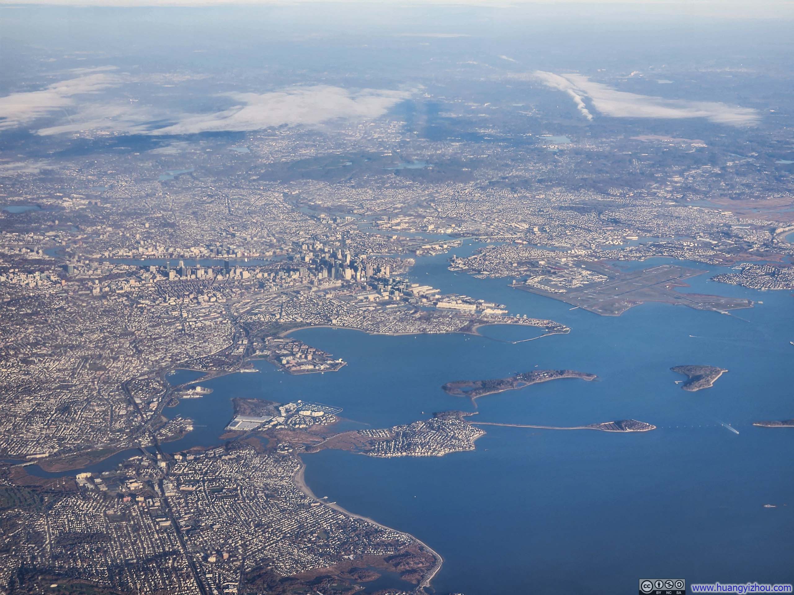
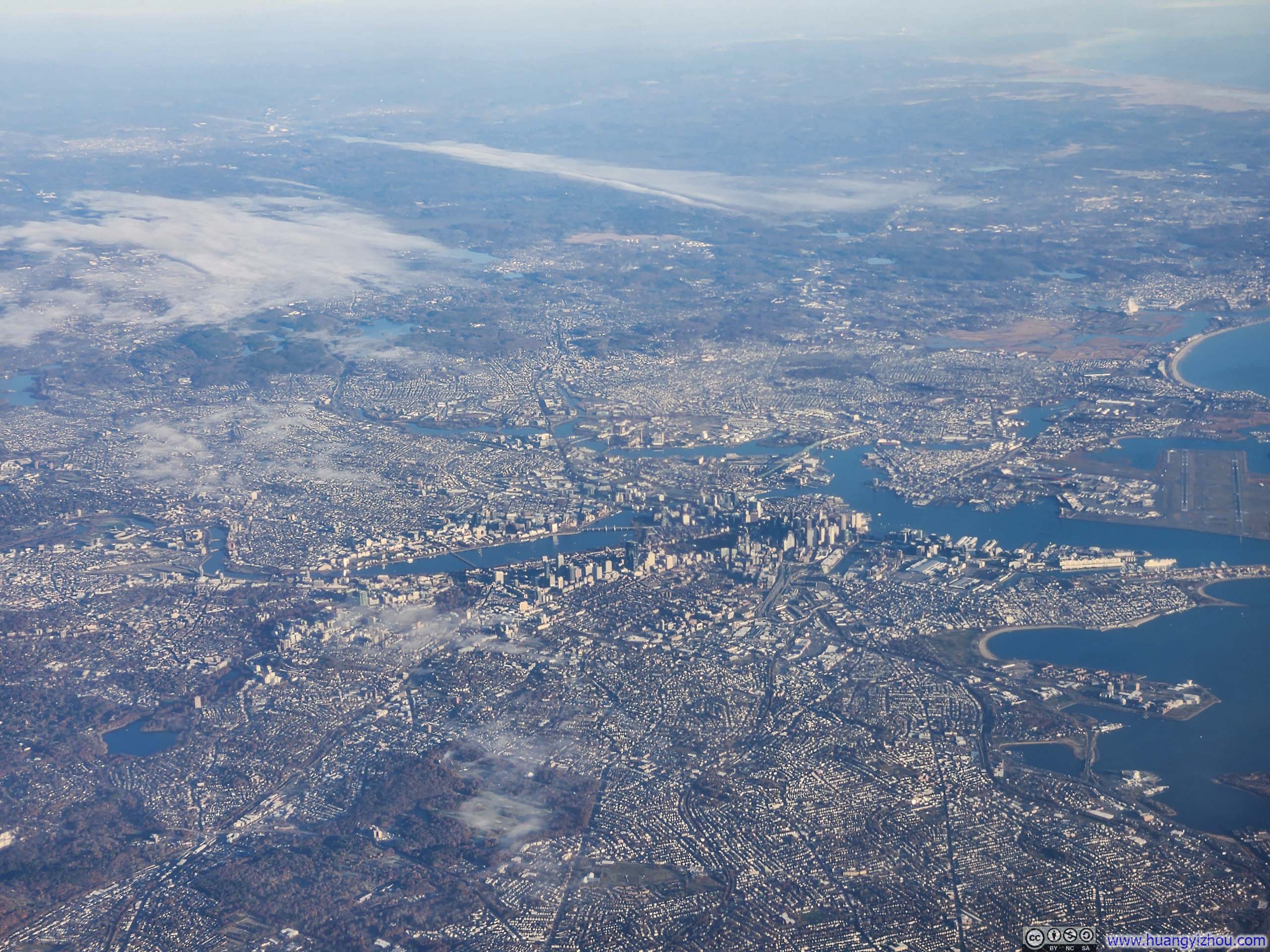 Overlooking Distant Downtown Boston
It was a mostly clear morning in Boston, but the clouds soon rolled in as we flew west, and overcast skies accompanied us all the way to Dallas.
Likely due to weaker than expected headwinds, we landed in Dallas more than 45 minutes early. This stretched my connection in Dallas to almost 4 hours. American Airlines priced an earlier flight with a shorter connection to Tucson more expensively than mine. While I could theoretically stand by for that departure, my plans upon landing were simply to drive to Willcox, the closest town to Chiricahua National Monument. An earlier arrival would offer little advantage. Instead, I welcomed the chance to catch up on work in Capital One’s DFW lounge, which made the extended connection pass quite agreeably.
On the flight to Tucson, the cabin felt oddly warm during and after pushback, as if offering a preview of Arizona’s desert heat (nope, it wasn’t hot at all during my visit to Tucson).
American Airlines 3125
Dallas Fort Worth, TX (DFW) – Tucson, AZ (TUS)
Boeing 737-800 (N895NN)
Seat 8F
Scheduled Departure – 2:25pm
Actual Departure – 2:38pm
Scheduled Arrival – 3:52pm
Actual Arrival – 3:47pm
2 hours and 9 minutes
Here’s GPS tracking:
Once airborne, it was mostly clear all the way into New Mexico, affording me some views below, most notably the vast oil fields sprawling across western Texas and eastern New Mexico.
 Texas Motor Speedway
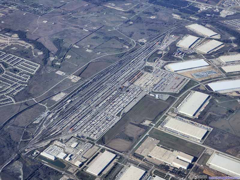 Alliance Intermodal Facility
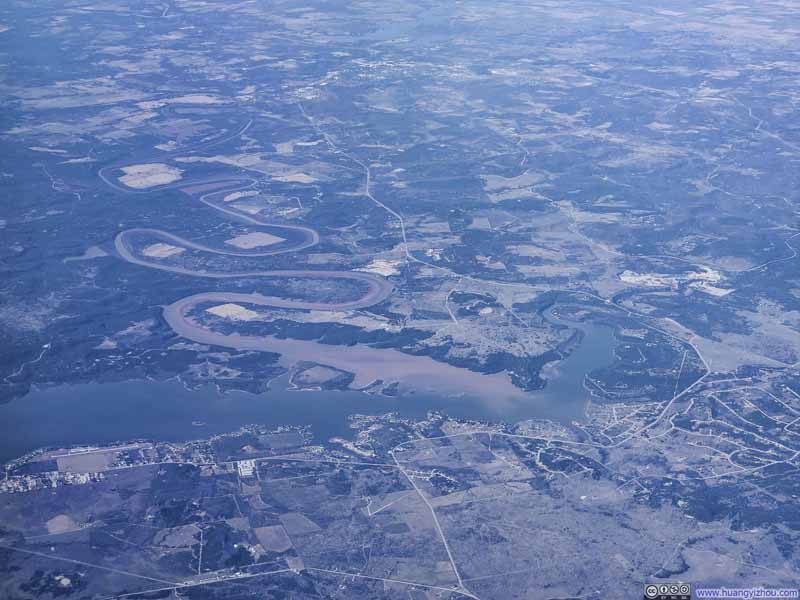 Possum Kingdom Lake
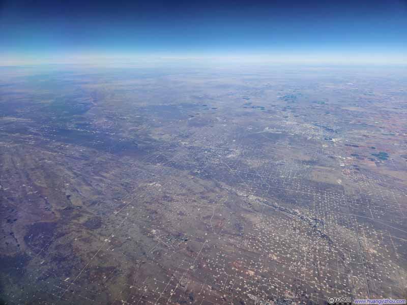 Oil Fields in Eastern New Mexico
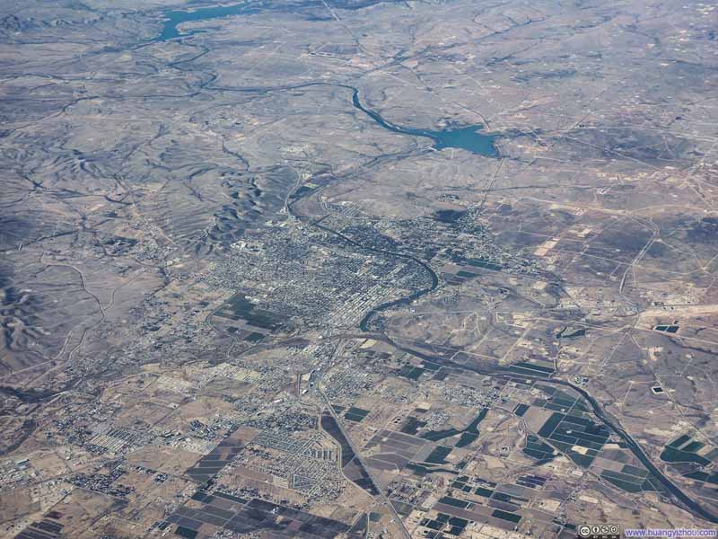 Carlsbad, New Mexico


Click here to display photos of the slideshow
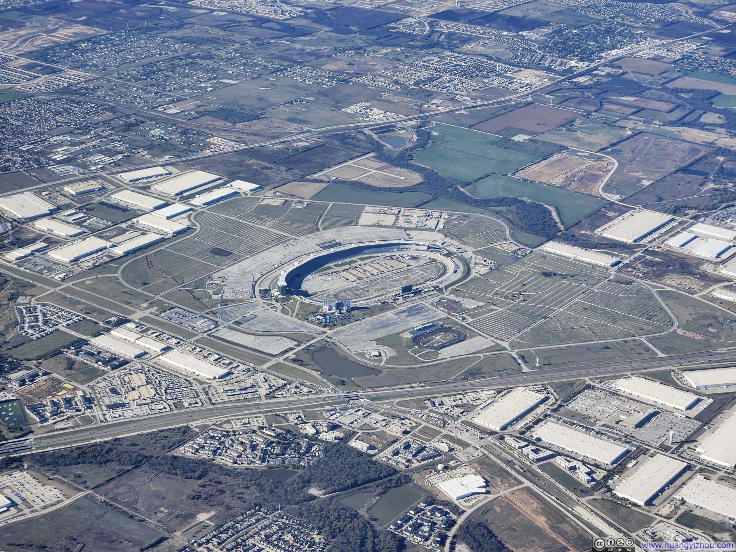
Texas Motor Speedway
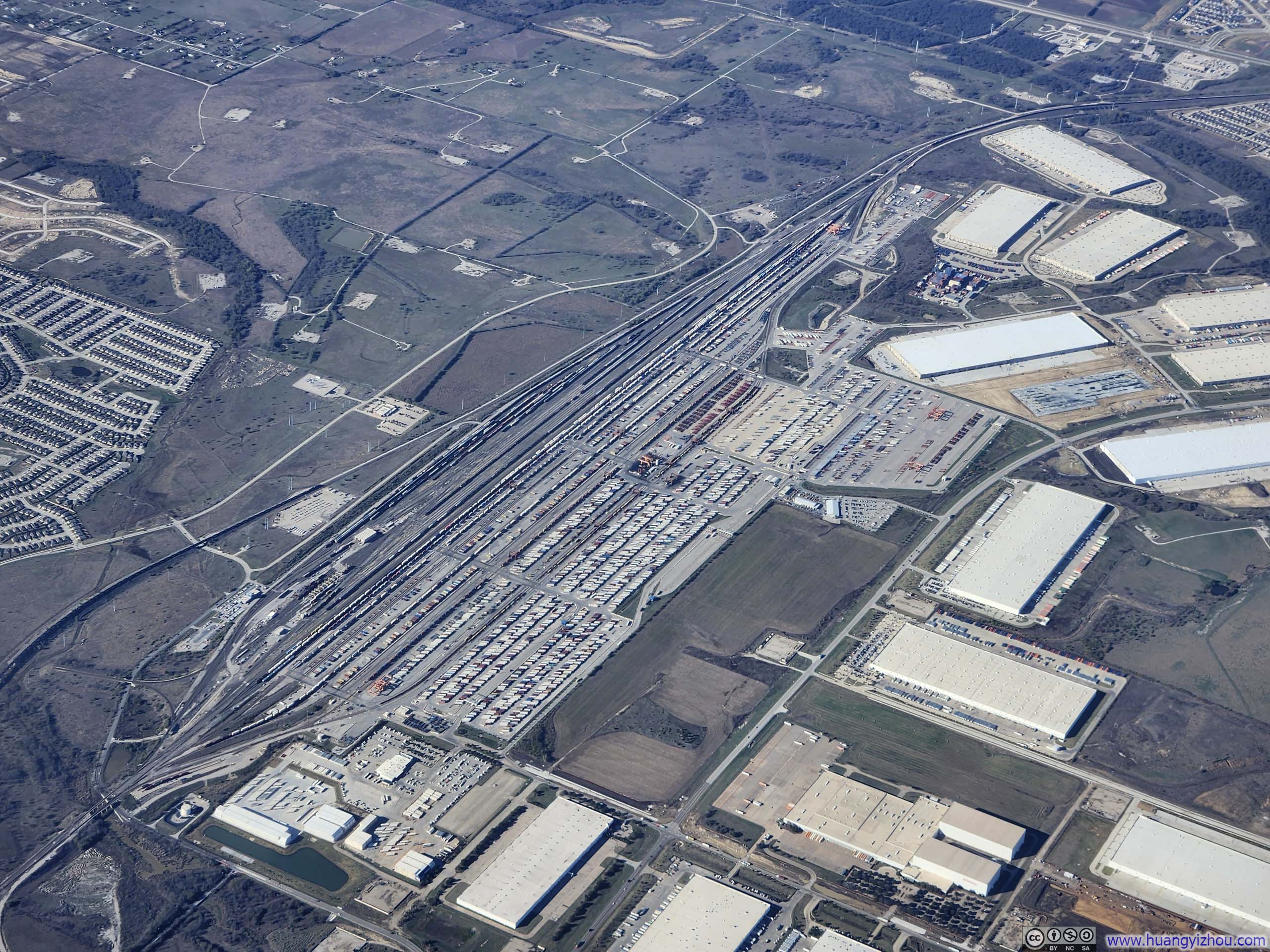
Alliance Intermodal Facility
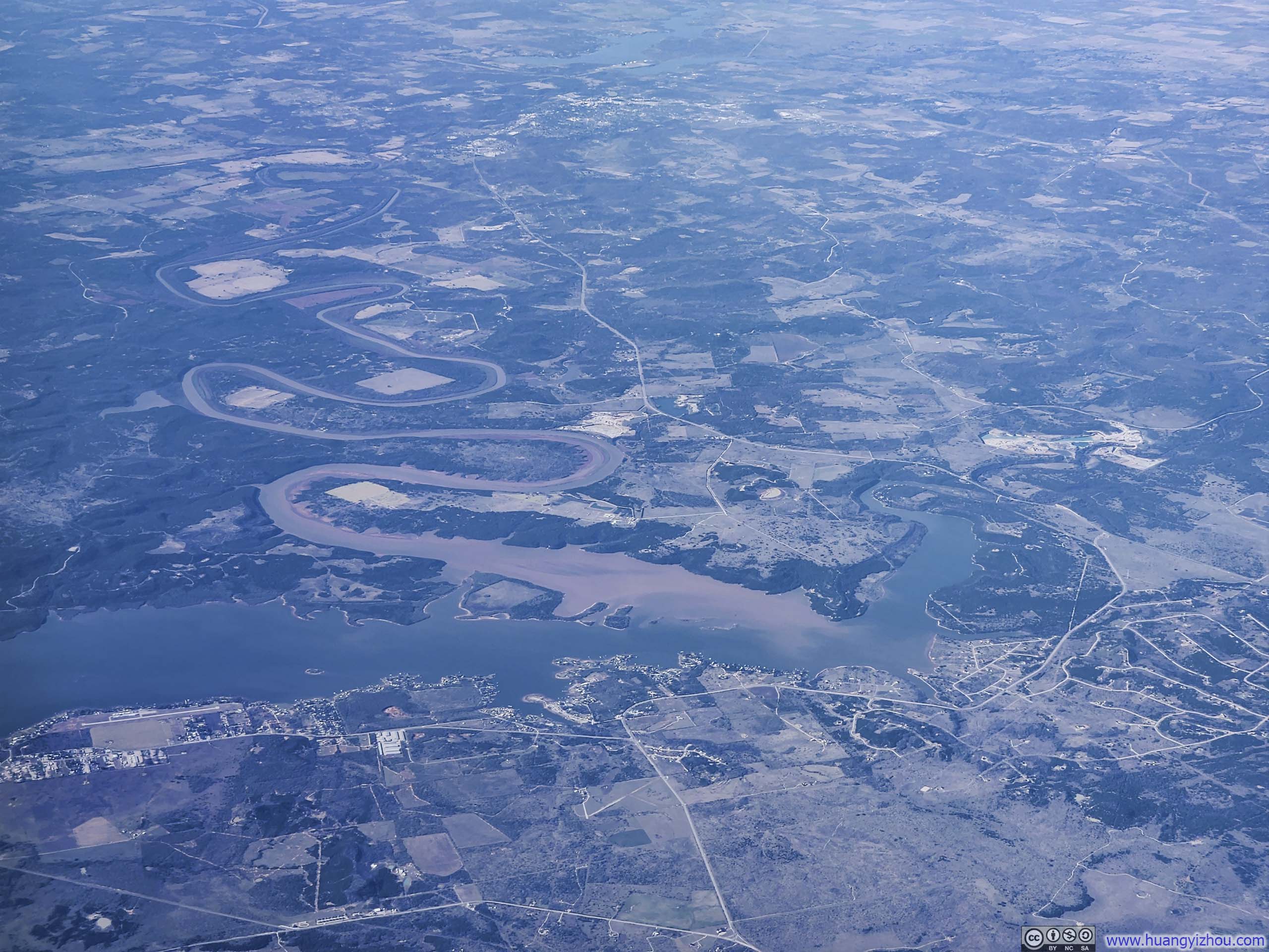
Possum Kingdom Lake

Oil Fields in Eastern New Mexico

Carlsbad, New Mexico
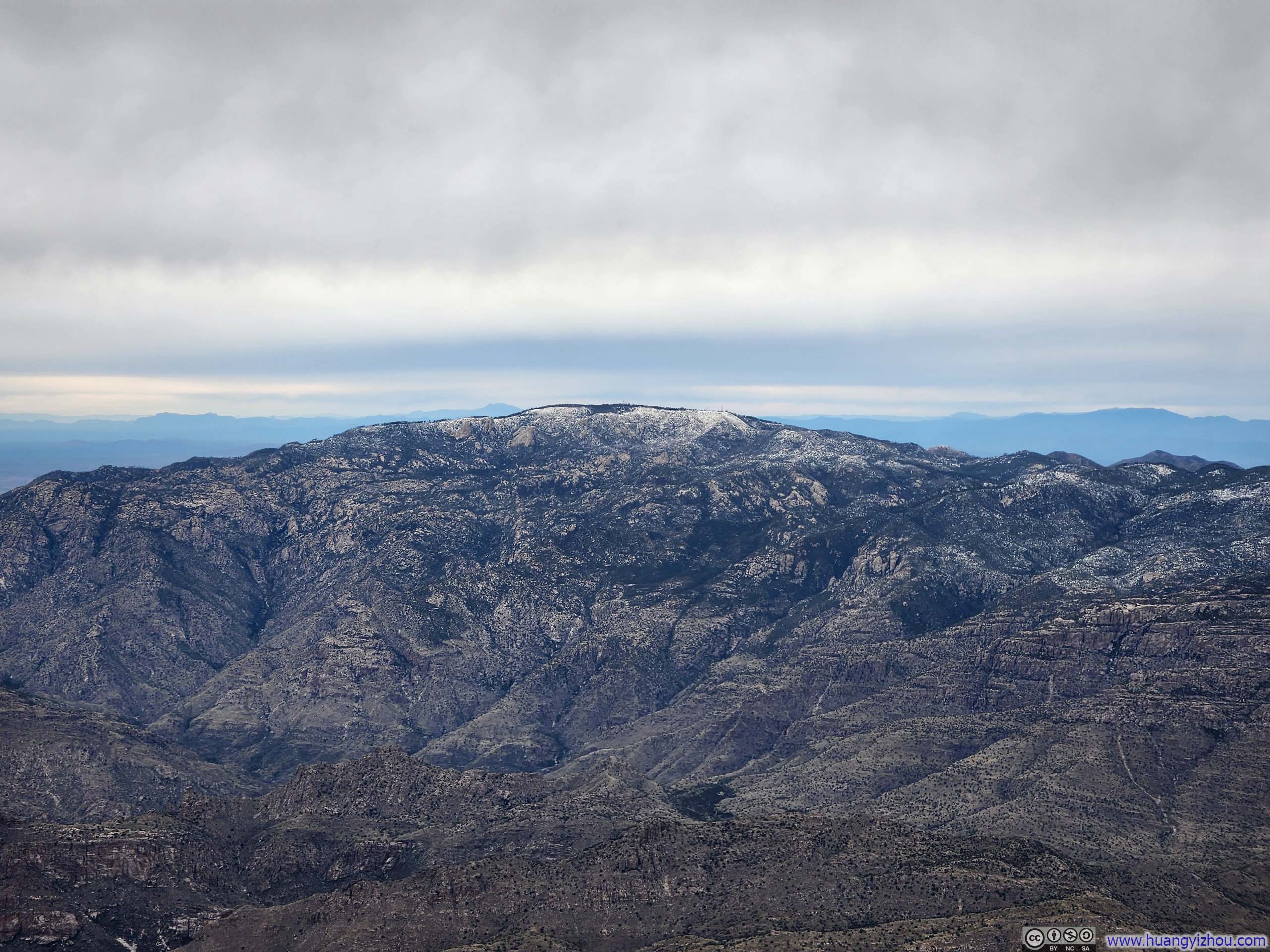
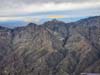
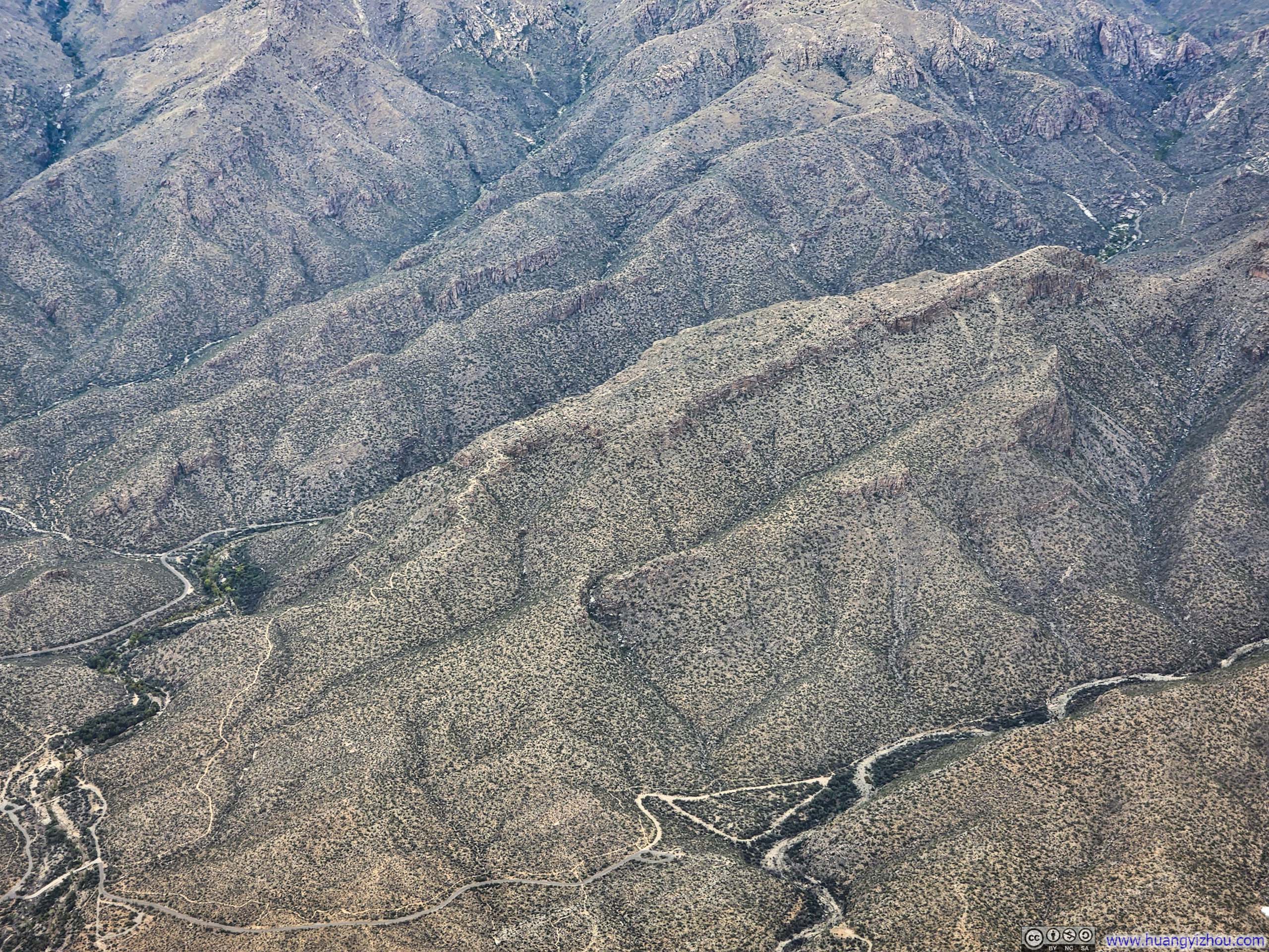
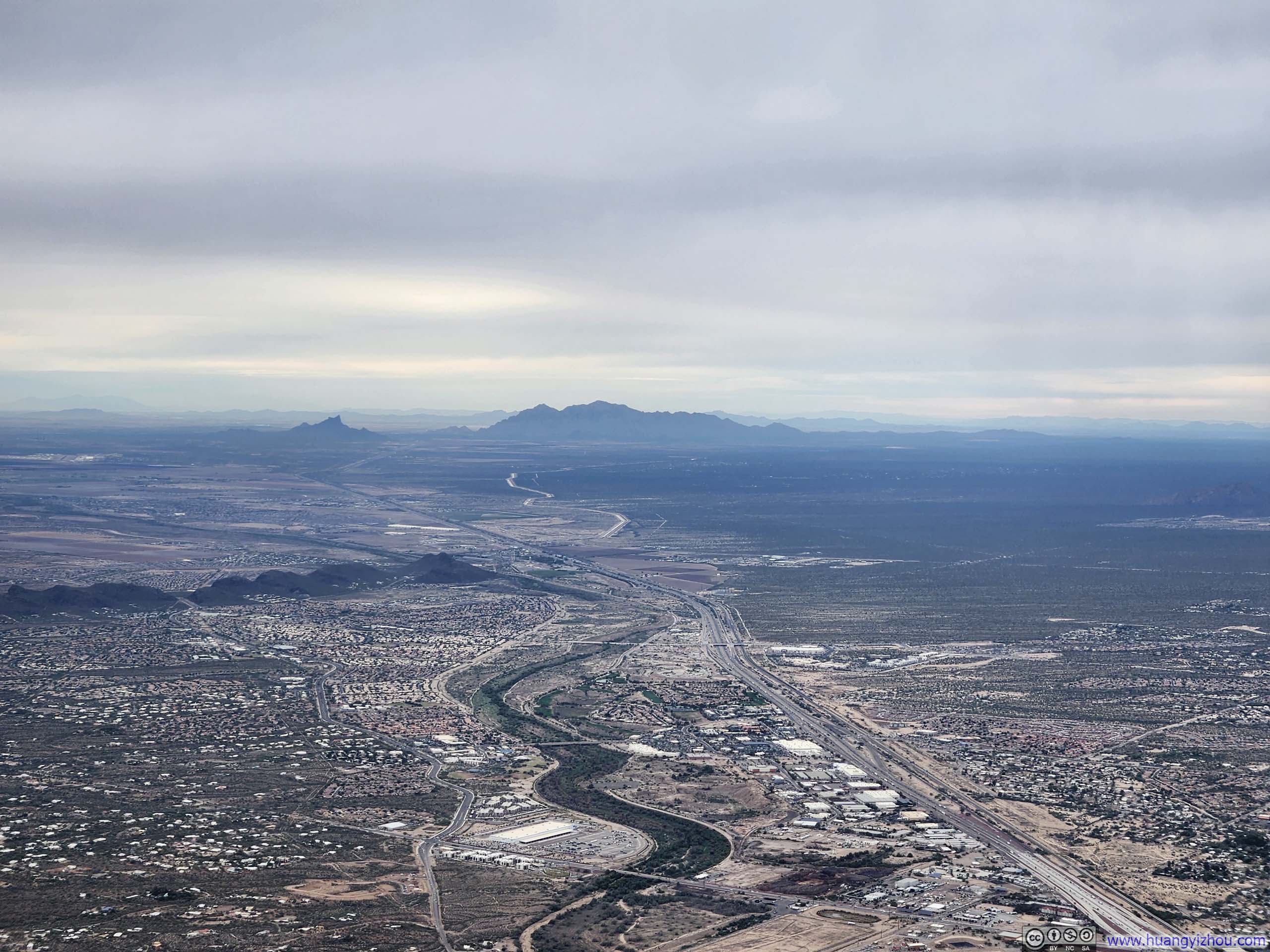
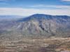
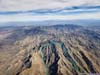
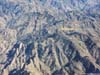
Cloud cover then obscured the terrain over southwestern Arizona, persisting until just before landing, when we flew past the Santa Catalina Mountains. According to my itinerary, these peaks would serve as the destinations for a few day hikes later in the week.
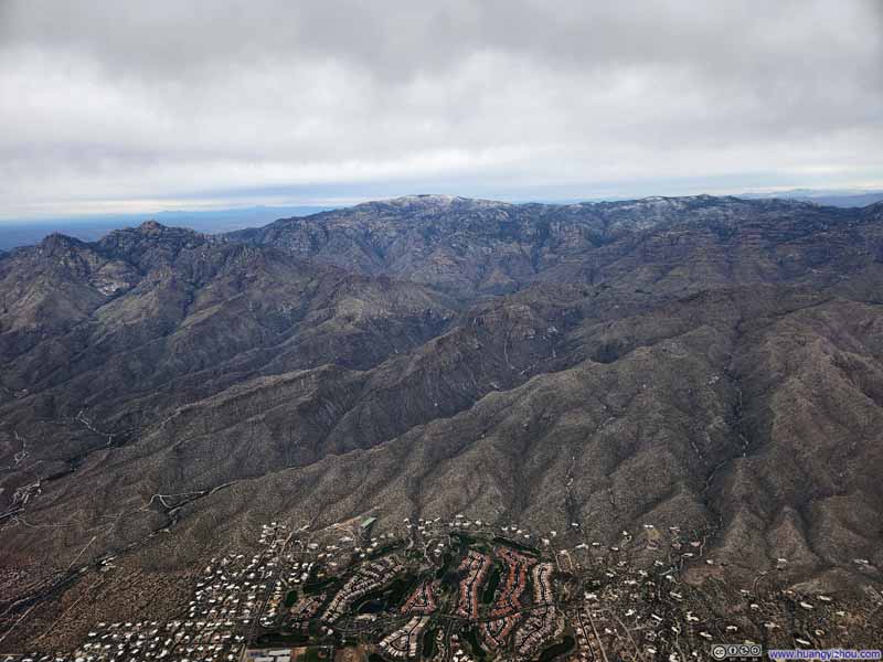 Mt Lemmon
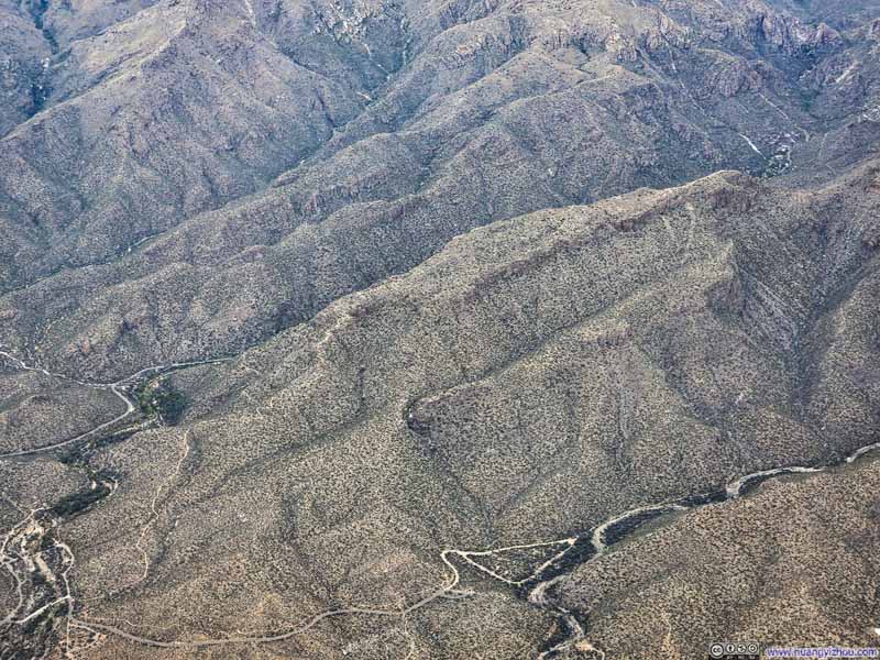 Blacketts Ridge
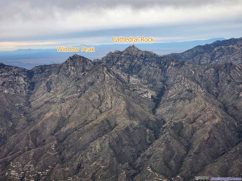 Cathedral Rock and Window Peak
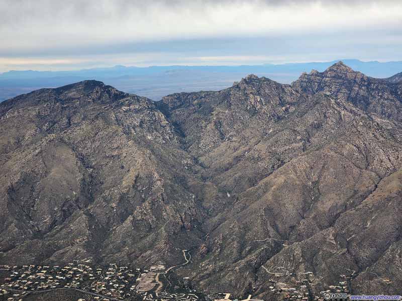 Ventana Canyon
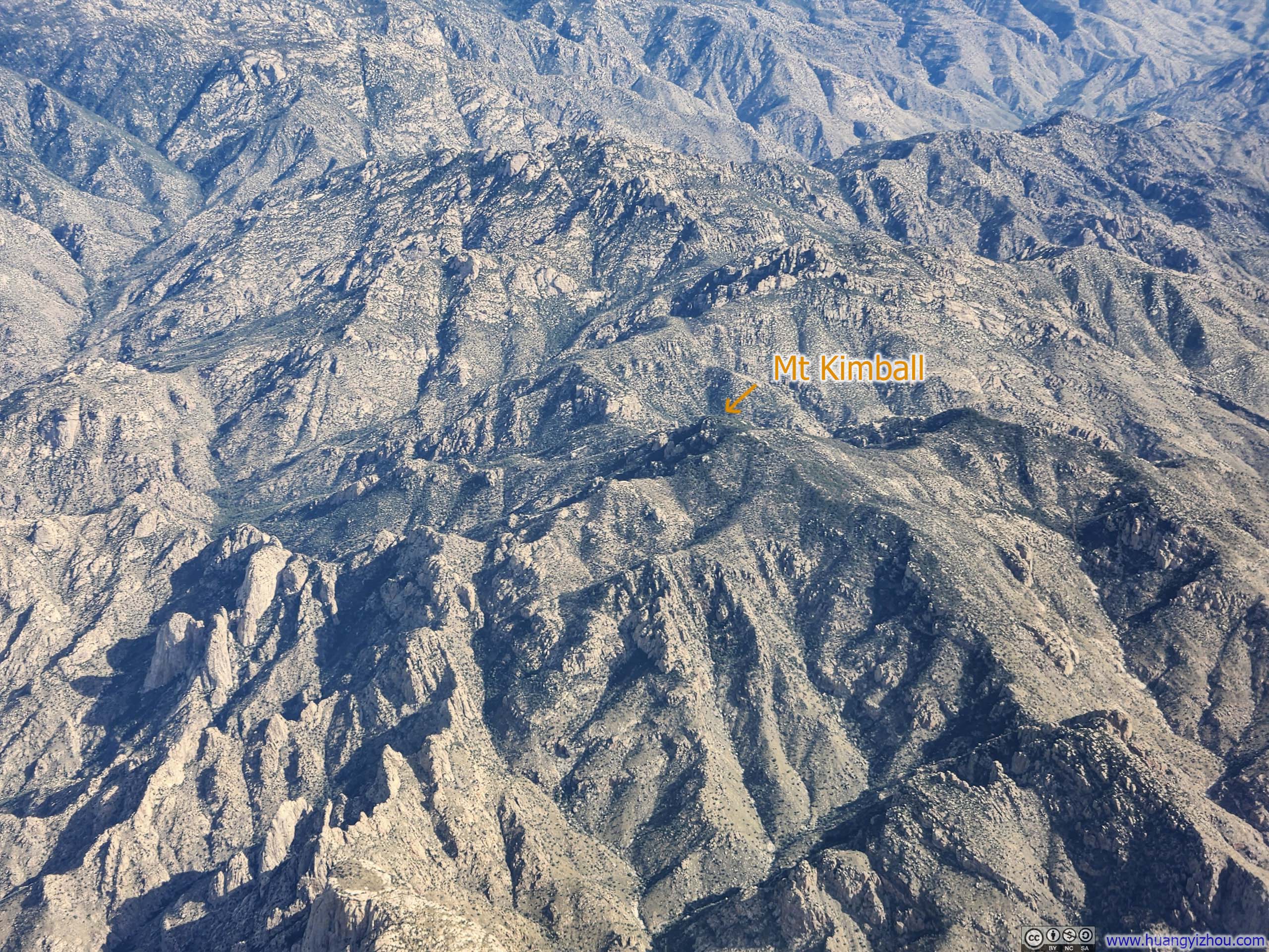
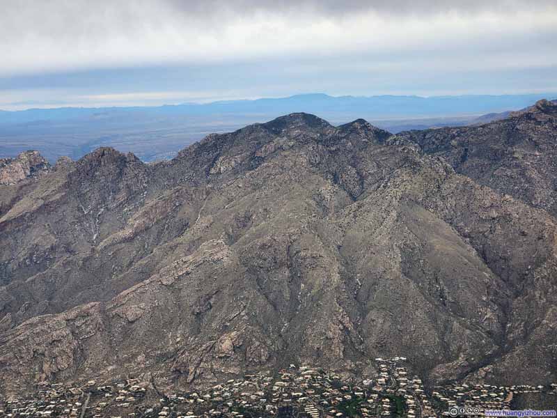 Mt Kimball
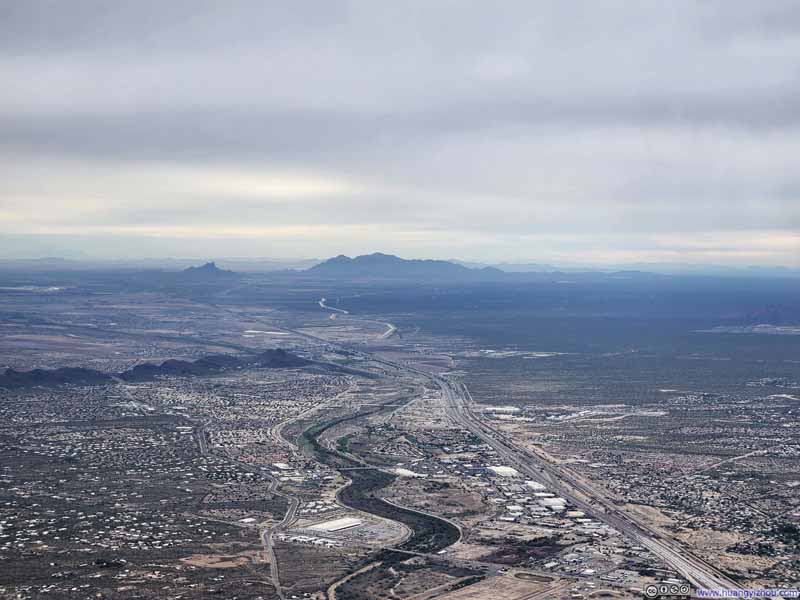 Distant Picacho Peak and Newman Peak
Click here to display photos of the slideshow

Mt Lemmon
Blacketts Ridge
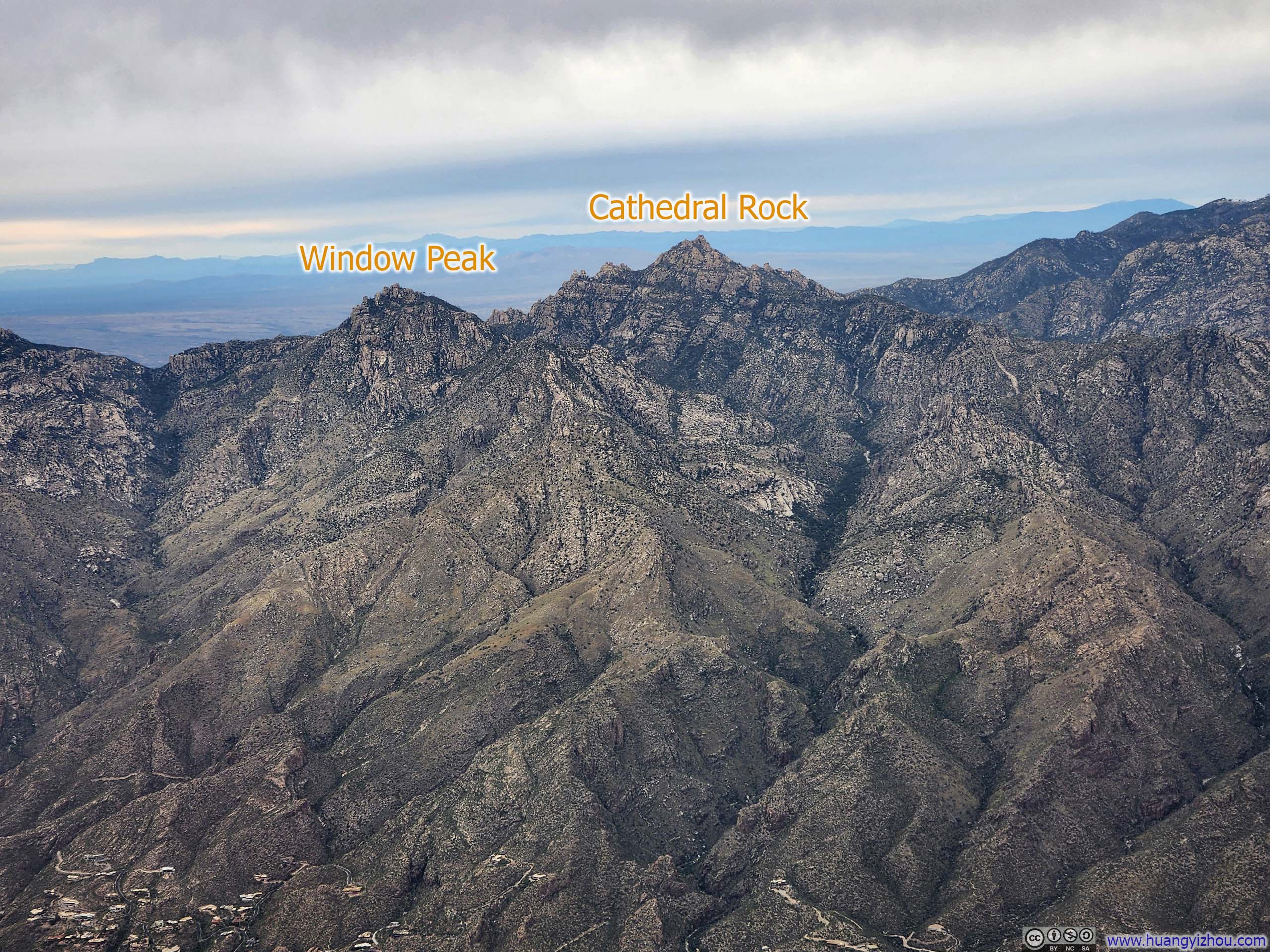
Cathedral Rock and Window Peak
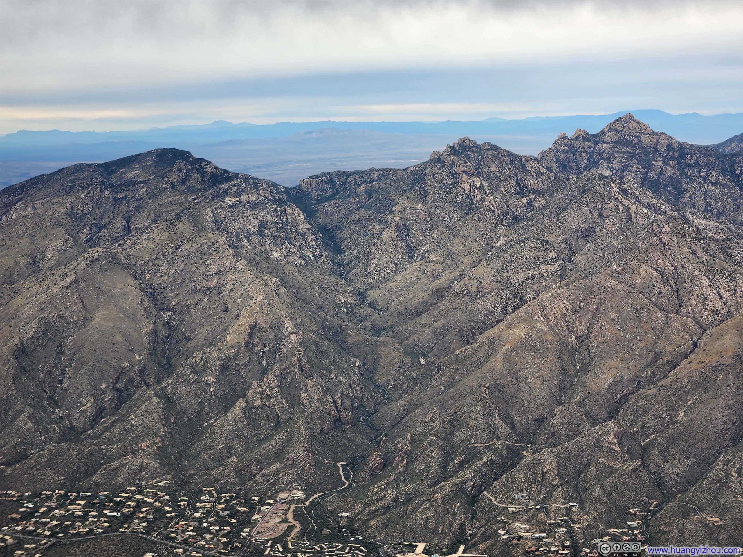
Ventana Canyon
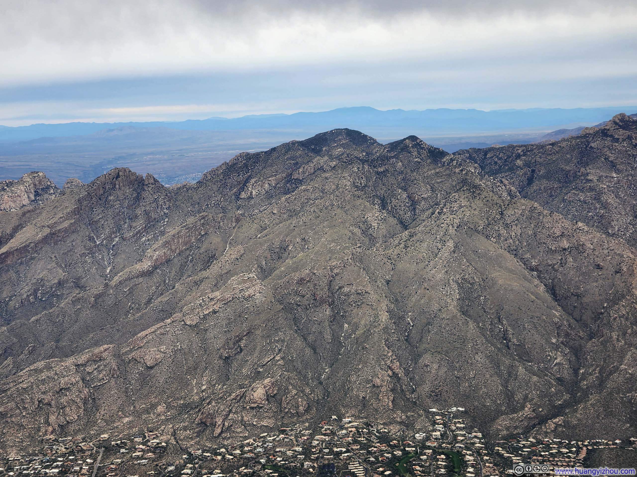
Mt Kimball
Distant Picacho Peak and Newman Peak
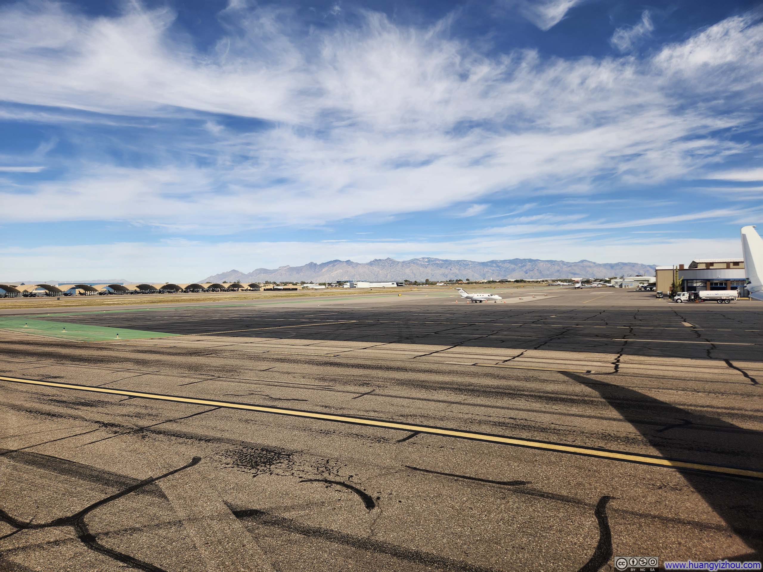
It turned out that my checked bag had arrived in Tucson on an earlier flight, so I collected it from the baggage office without delay and proceeded directly to the rental car counter. After securing a rental car, I drove toward Willcox, bringing this uneventful day to a close.
American Airlines Flight 6514 and 2602 from Tucson to Boston via Phoenix
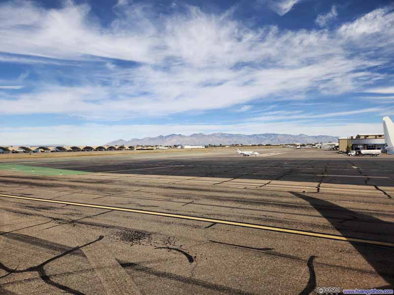
Fast forward to Thanksgiving Day, Nov 27. Despite the morning hour, Tucson’s airport felt very empty on this holiday.
For my flight to Tucson, while boarding was on time, there was a minor delay for pushback as the plane’s electronic load program had malfunctioned, so according to our captain, they “had to do it manually.”
American Airlines 6514 Operated by SkyWest Airlines
Tucson, AZ (TUS) – Phoenix, AZ (PHX)
Embraer ERJ-175 (N512SY)
Seat 1F
Scheduled Departure – 11:30am
Actual Departure – 11:48am
Scheduled Arrival – 12:32pm
Actual Arrival – 12:19pm
31 minutes
Here’s GPS tracking:
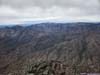
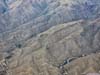
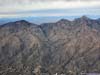
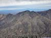
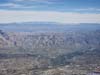
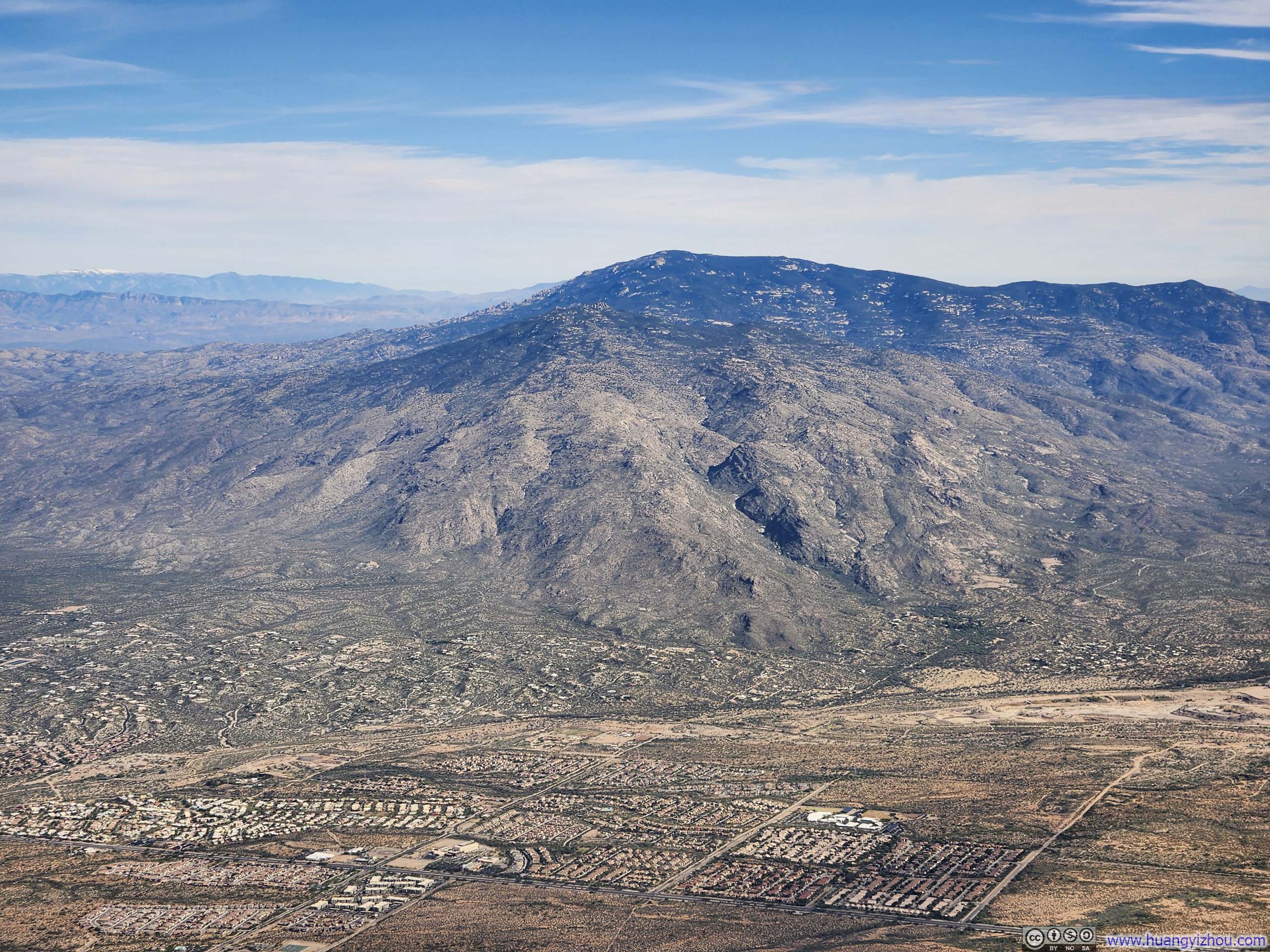
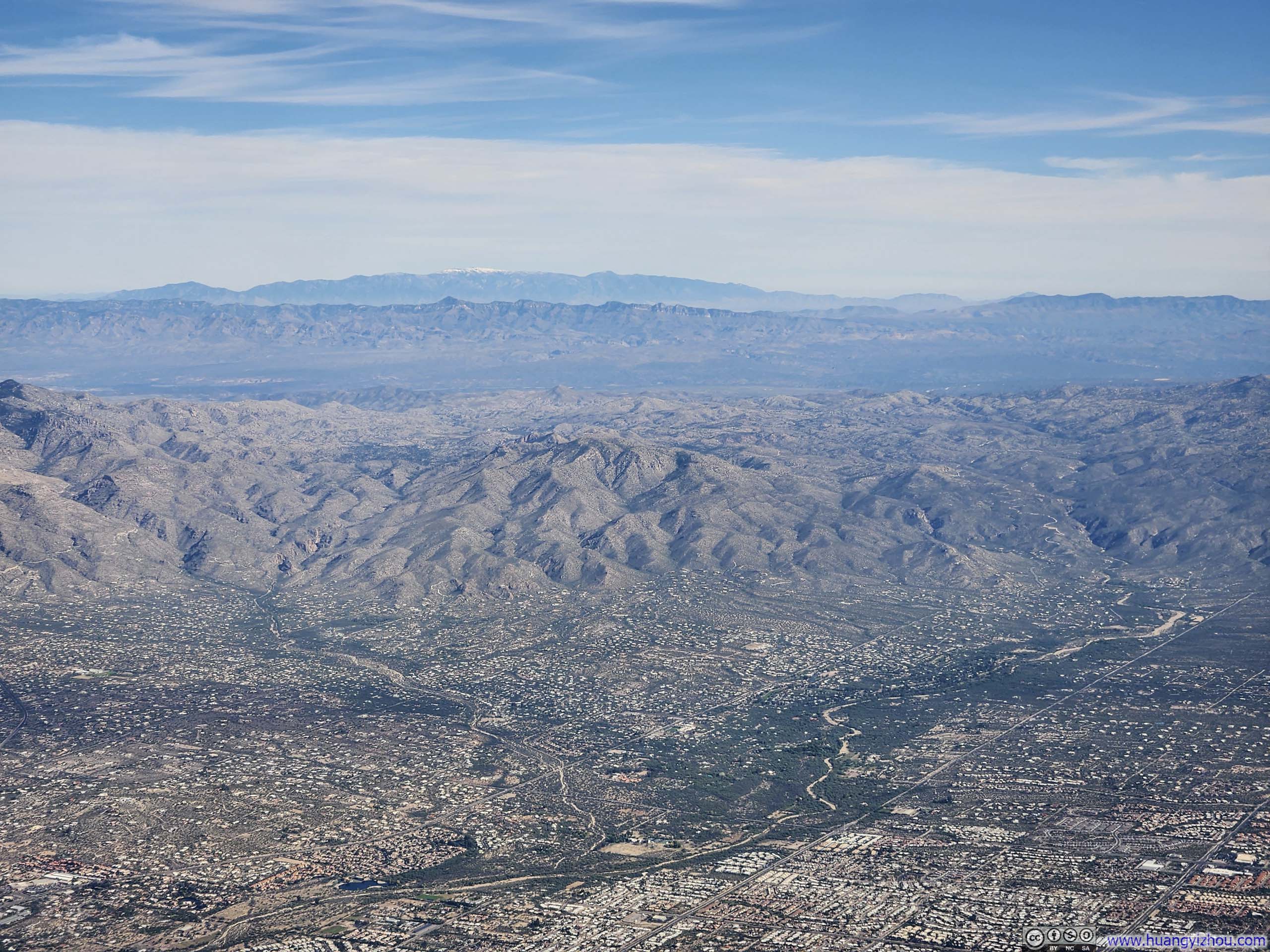
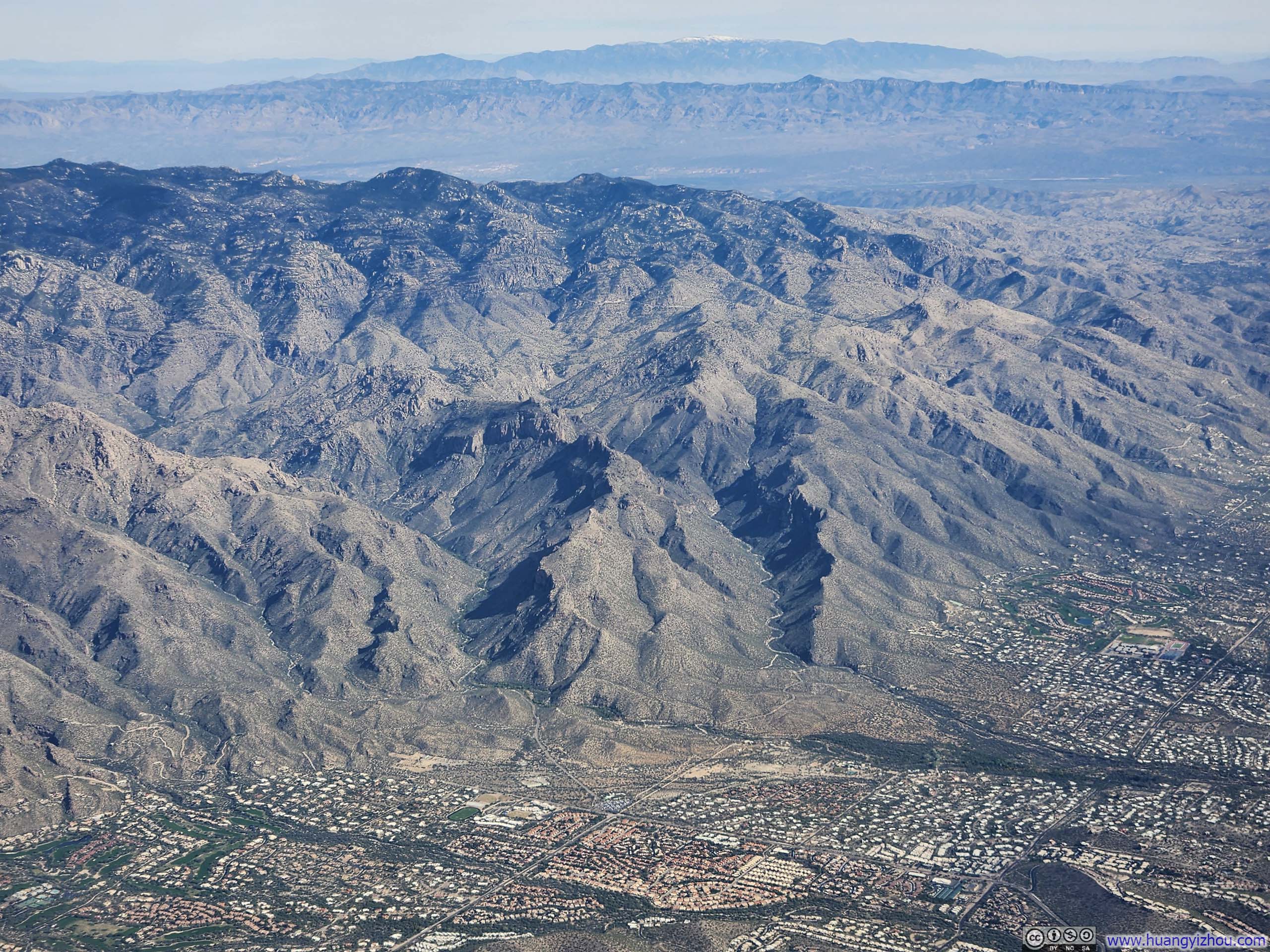
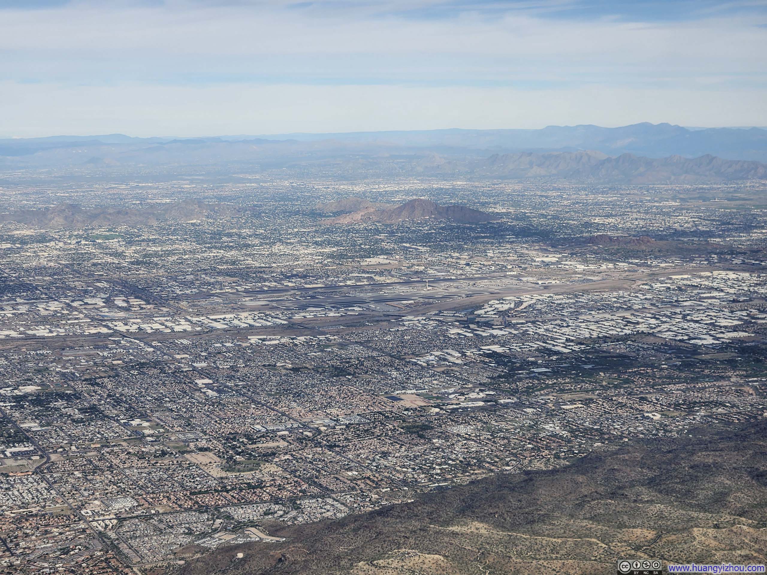
Once airborne, we circled around Tucson, offering me an impromptu aerial tour of its suburbs and portions of its renowned aircraft boneyard. The tour continued over the Santa Catalina Mountains, where I delightfully traced the path of my hike through Finger Rock Canyon, Mt. Kimball, and Pima Canyon from three days prior.
 Santa Catalina Mountains from Tucson Airport
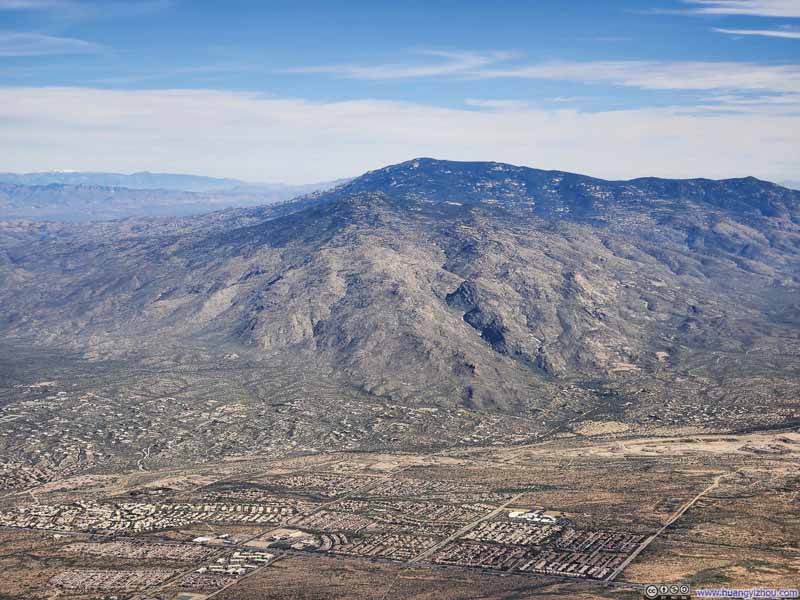 Mica Mountain
 Overlooking Aircraft Boneyard
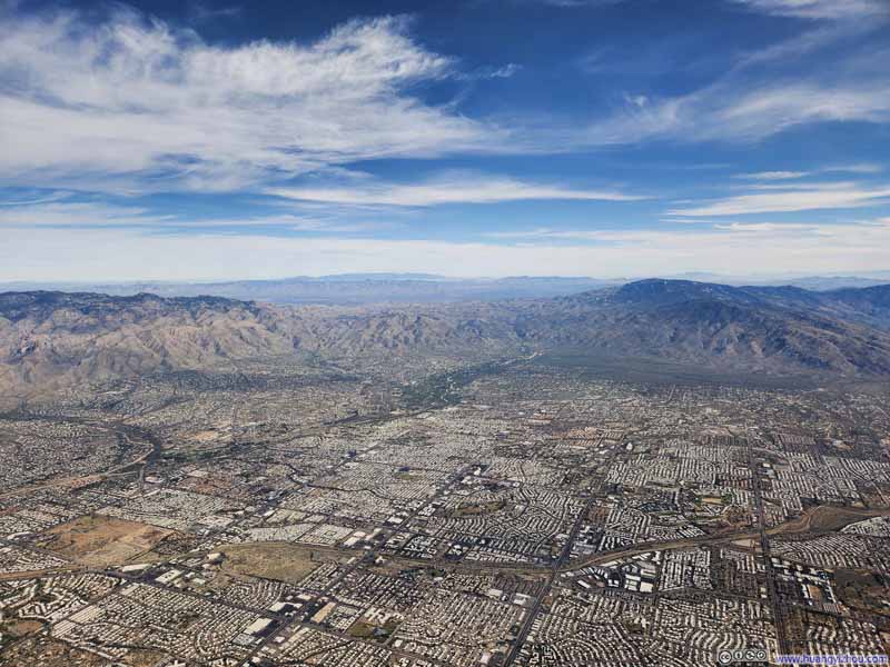 Flying over Tucson
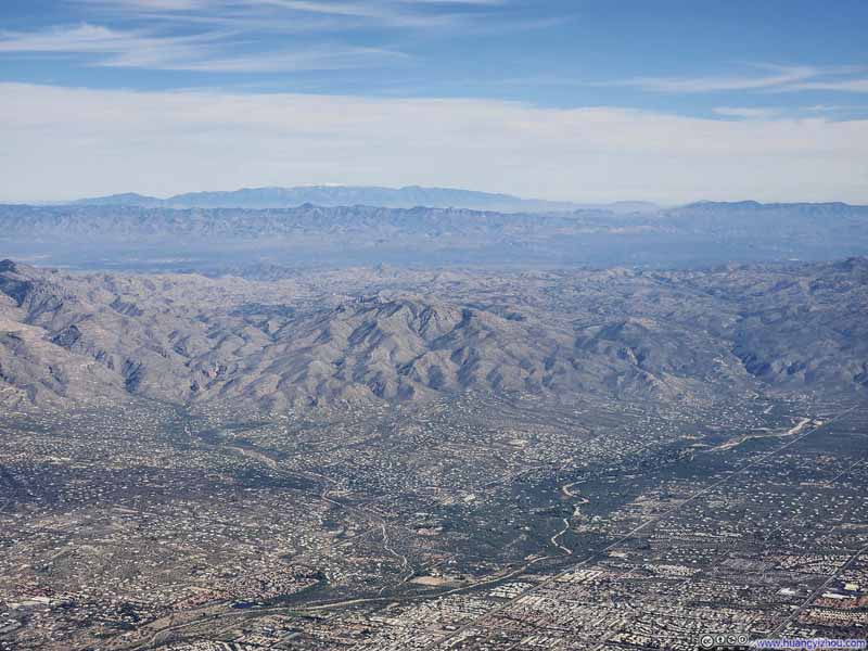 Mountain RangesDistant Pinaleño Mountains and Galiuro Mountains.
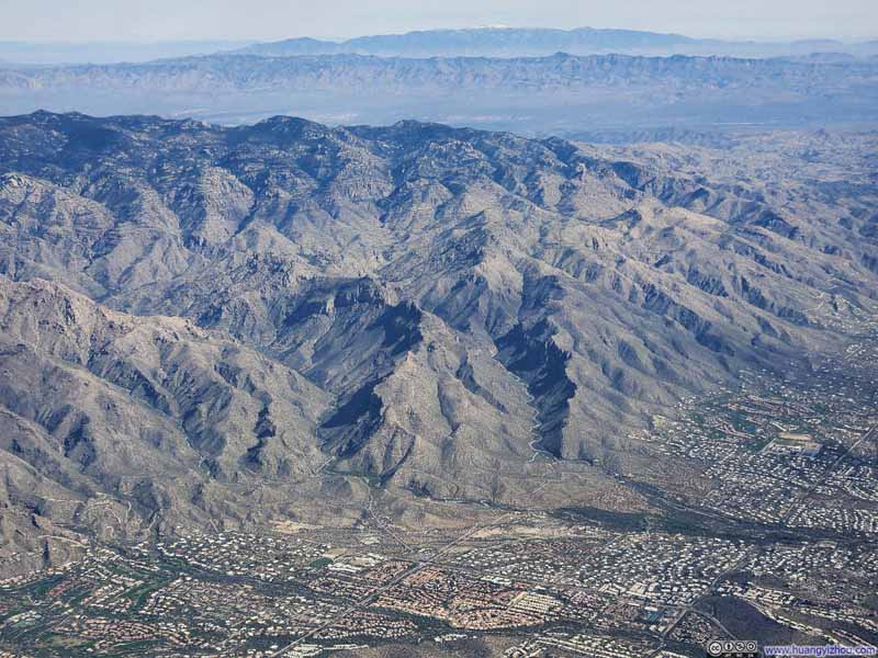 Bear Canyon and Sabino Canyon
 Santa Catalina MountainsI traced the rough contour of my hike of Finger Rock / Pima Canyon in this photo.
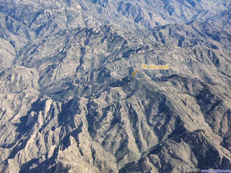 Santa Catalina MountainsMt Kimball in the center of this photo, didn’t look that prominent.

Click here to display photos of the slideshow
Santa Catalina Mountains from Tucson Airport
Mica Mountain
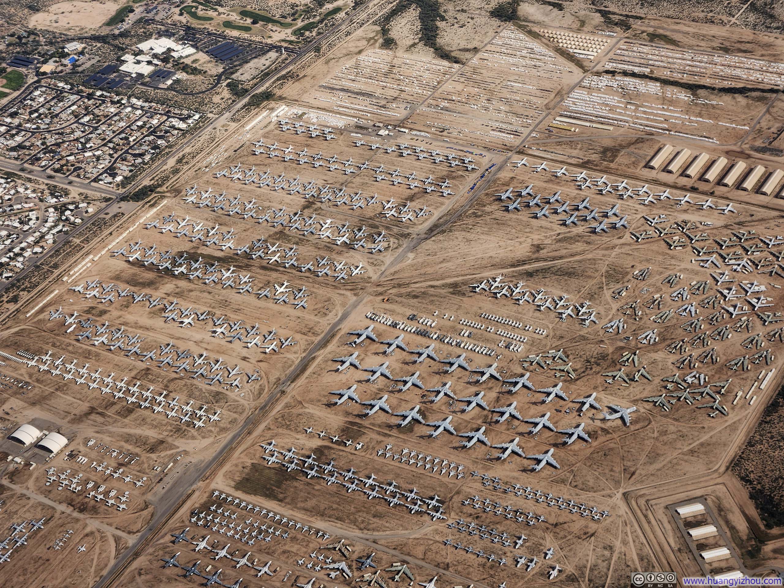
Overlooking Aircraft Boneyard

Flying over Tucson
Mountain RangesDistant Pinaleño Mountains and Galiuro Mountains.
Bear Canyon and Sabino Canyon
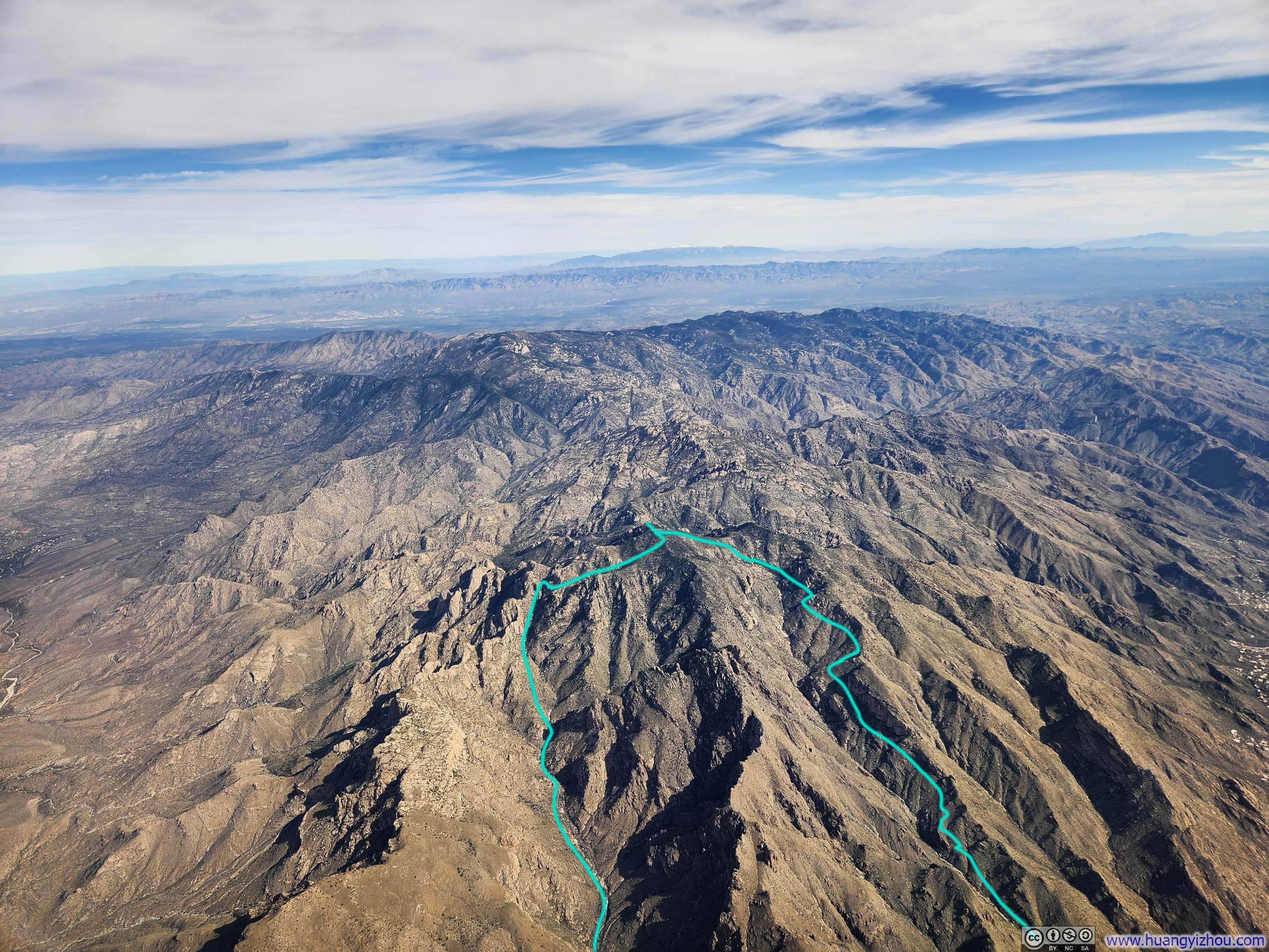
Santa Catalina MountainsI traced the rough contour of my hike of Finger Rock / Pima Canyon in this photo.
Santa Catalina MountainsMt Kimball in the center of this photo, didn’t look that prominent.
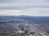
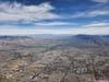
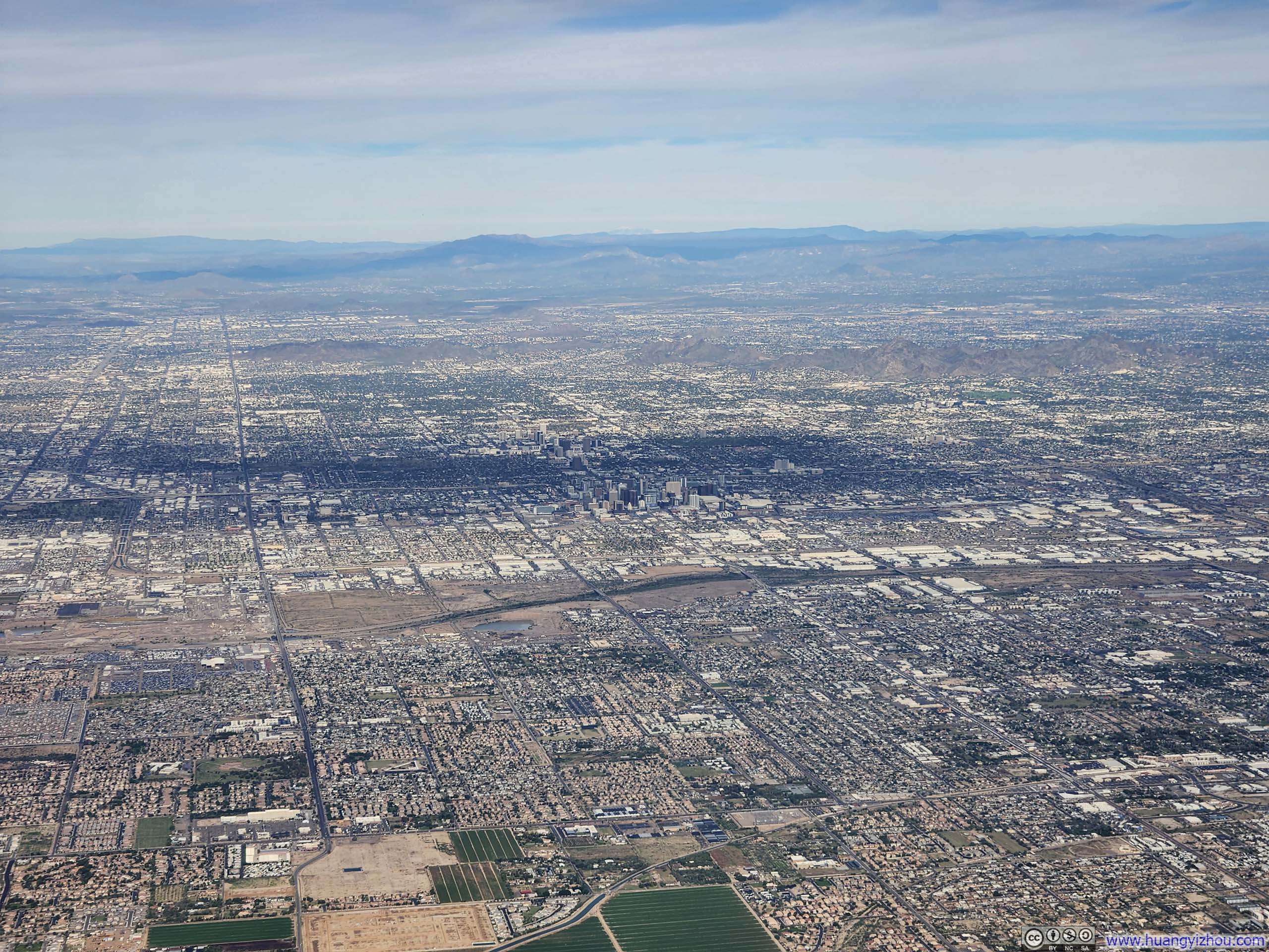
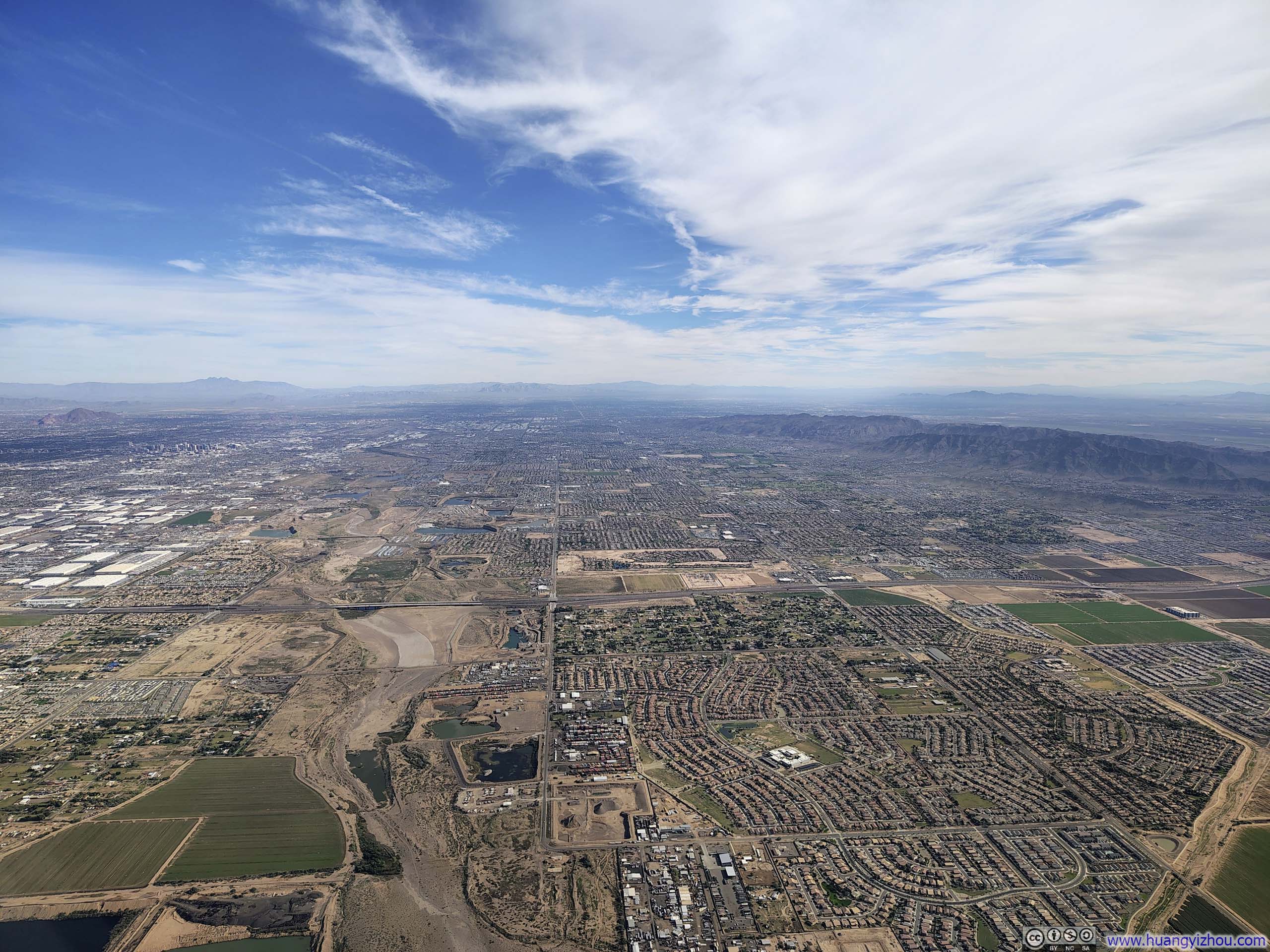
At just 110 miles point-to-point, this flight from Tucson to Phoenix was the second shortest I had ever taken (the first being a Hawaiian inter-island hop). Before long, the sprawling suburbs of Phoenix came into view outside my window.
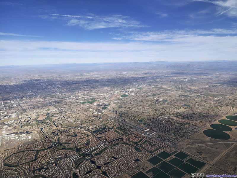 Phoenix Suburb
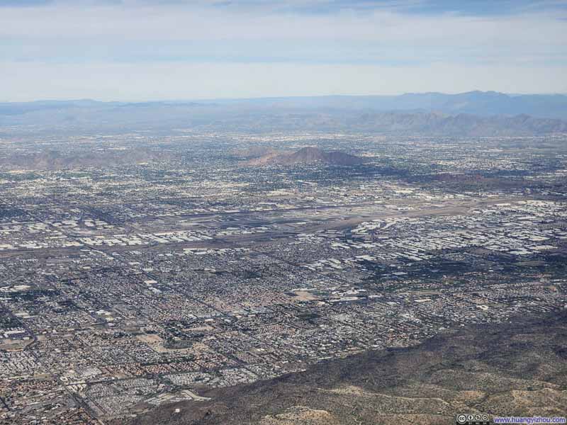 Phoenix Airport
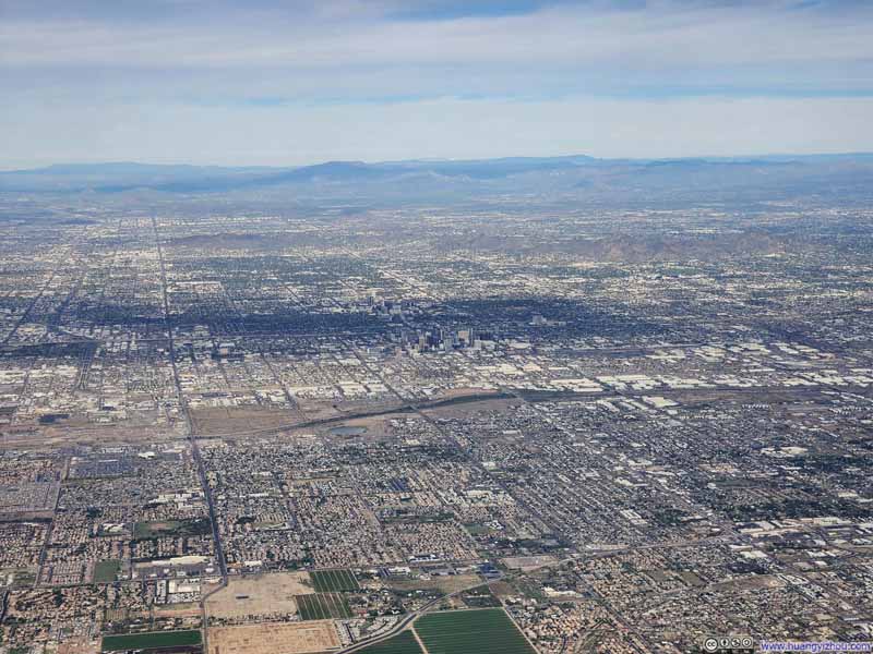 Downtown Phoenix
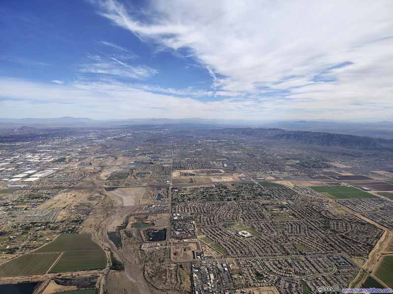 Phoenix SuburbThe almost dry riverbed of Salt River.
Click here to display photos of the slideshow

Phoenix Suburb
Phoenix Airport
Downtown Phoenix
Phoenix SuburbThe almost dry riverbed of Salt River.
Given my next flight to Boston would land past 8pm, too late for most Thanksgiving family dinners, this flight was remarkably elite-lite, and my upgrade was cleared well in advance. (Originally, I bought a redeye to Boston, allowing me to spend one extra day in Tucson. That was unsurprisingly cancelled.)
American Airlines 2602
Phoenix, AZ (PHX) – Boston, MA (BOS)
Airbus 321neo (N471AN)
Seat 4A
Scheduled Departure – 1:50pm
Actual Departure – 2:01pm
Scheduled Arrival – 8:38pm
Actual Arrival – 8:17pm
4 hours and 16 minutes
Here’s GPS tracking:
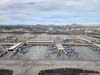
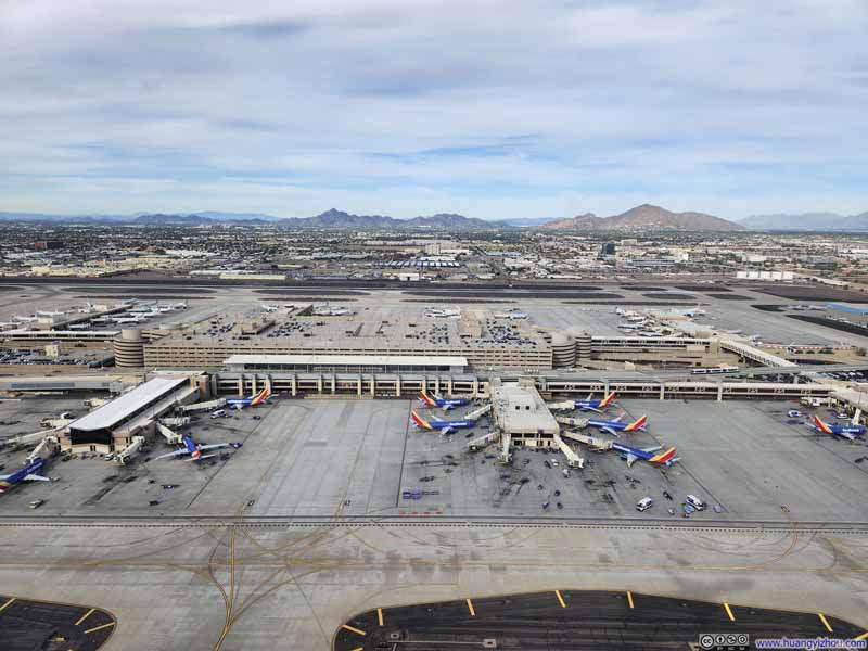 Overlooking Phoenix Airport during Takeoff
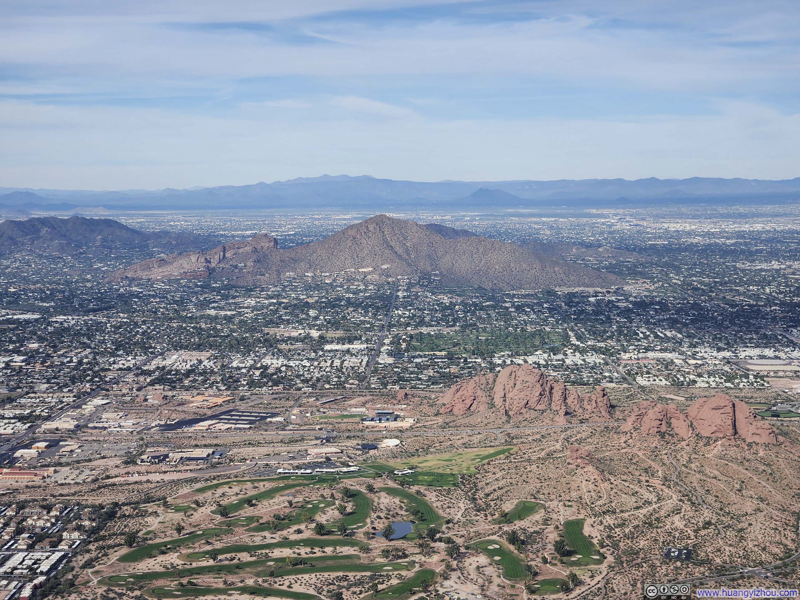
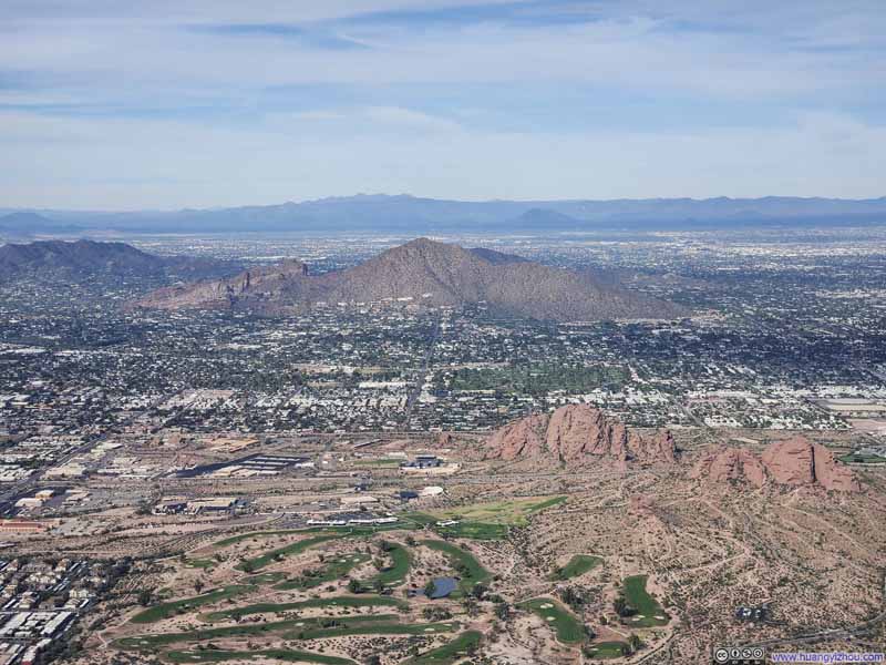 Camelback Mountain and Papago Buttes
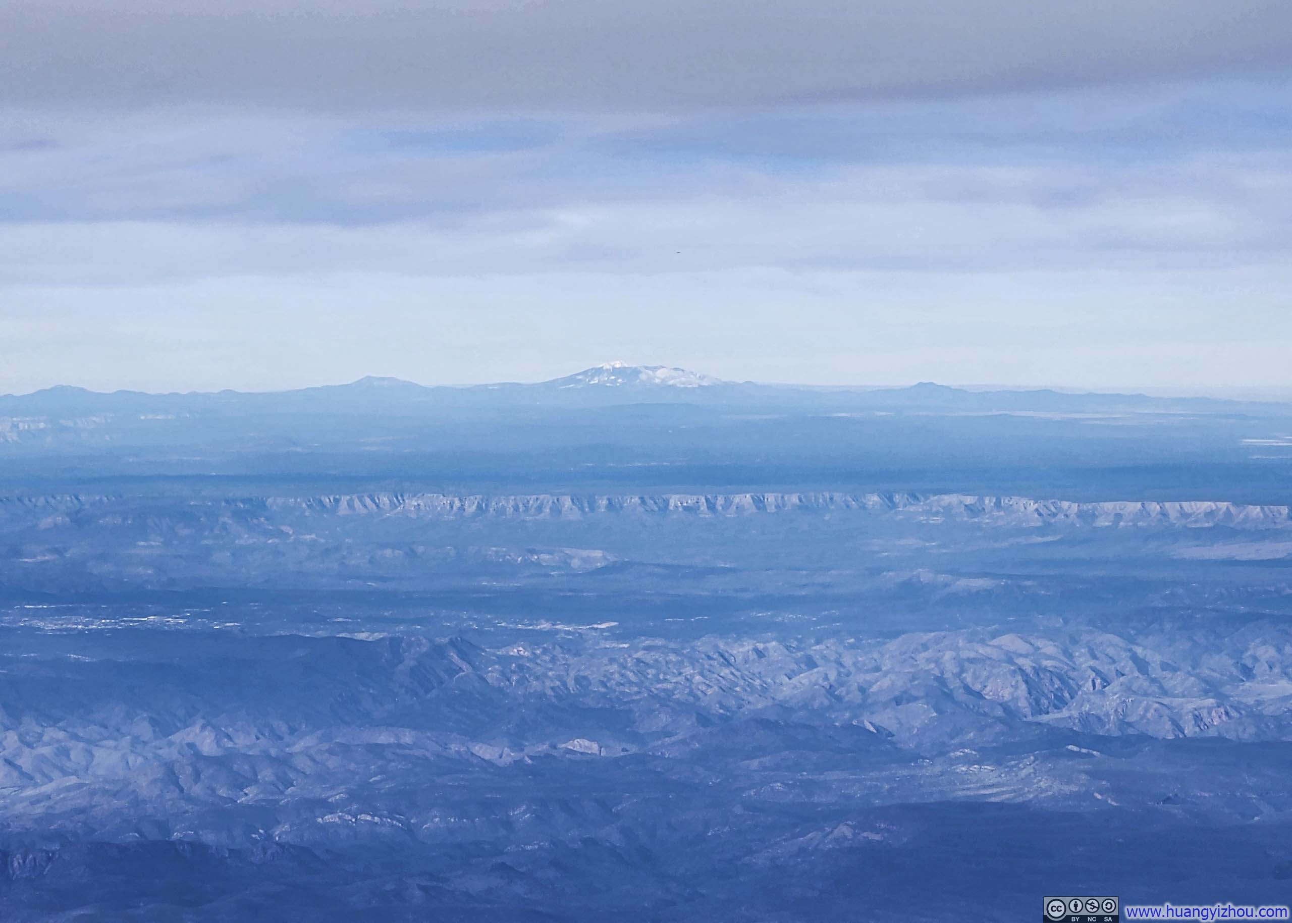
 Distant Humphreys PeakThe highest mountain in the state of Arizona.
 Dinner
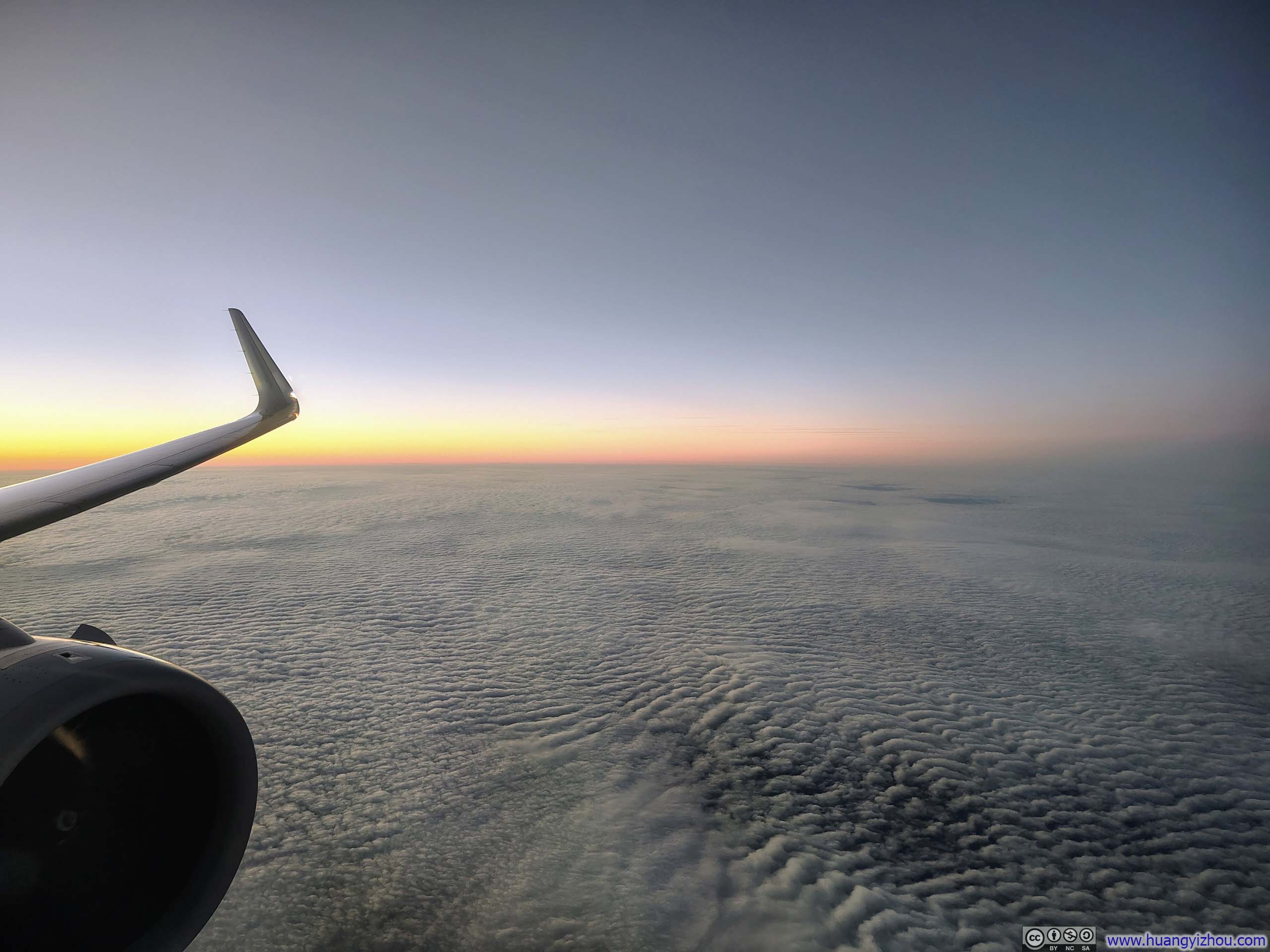
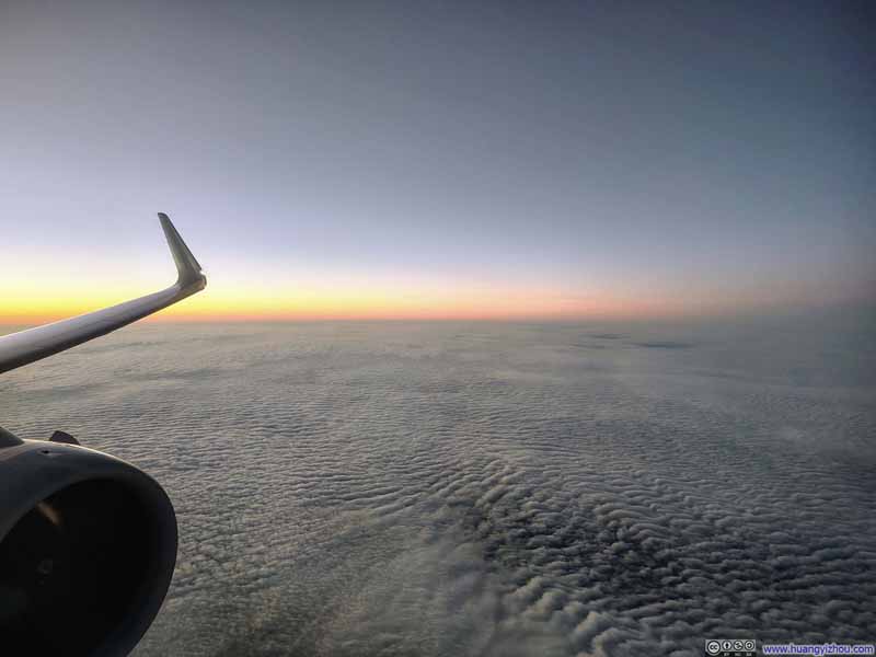 Twilight
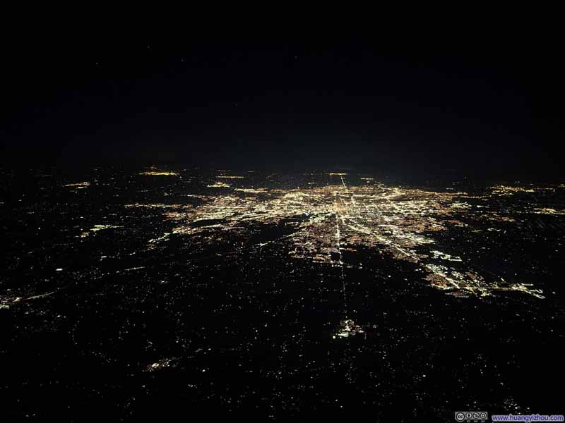 Indianapolis at Night


Click here to display photos of the slideshow
Overlooking Phoenix Airport during Takeoff
Camelback Mountain and Papago Buttes
Distant Humphreys PeakThe highest mountain in the state of Arizona.

Dinner
Twilight

Indianapolis at Night
There wasn’t much to talk about for the flight to Boston except that it went without a hitch, which brought my Tucson trip to an end.
END
![]() Flights for 2025 Thanksgiving Trip to Tucson by Huang's Site is licensed under a Creative Commons Attribution-NonCommercial-ShareAlike 4.0 International License.
Flights for 2025 Thanksgiving Trip to Tucson by Huang's Site is licensed under a Creative Commons Attribution-NonCommercial-ShareAlike 4.0 International License.