
Updated on May 11, 2026
Day 2 of 2026 President’s Day Trip to Phoenix, Mount Picketpost
The second day of my 2026 President’s Day weekend trip to Phoenix. I hiked Mount Picketpost, a short but intensive hike to the southeast of the city.
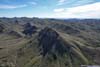
Picketpost Mountain
After the long trek to Battleship Mountain the previous day, I decided on a shorter route to give my body some time to recover. Picketpost Mountain fitted the bill perfectly. Like Battleship Mountain, it featured steep cliffs on seemingly all sides, and required some scrambling to reach its top — yet where Battleship was elongated and angular, Picketpost was more rounded, giving it the character of a citadel.
To allow myself ample rest after yesterday’s exertions, I woke up late and didn’t leave my Phoenix Airbnb until 10am. A breakfast stop along the way, combined with traffic on US 60, meant it was nearly noon by the time I reached the trailhead. The final 1.2 miles (1.9km) of road leading to it was unpaved, though in decent condition.
After some warmup, I started my hike at 12:10pm. Here’s GPS tracking:
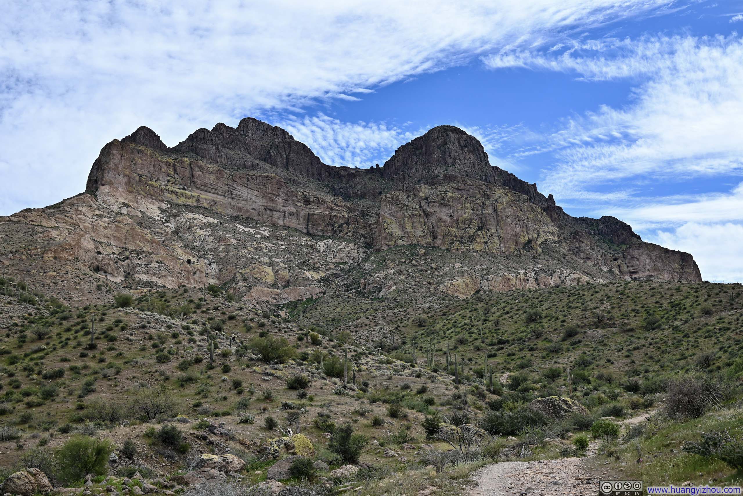
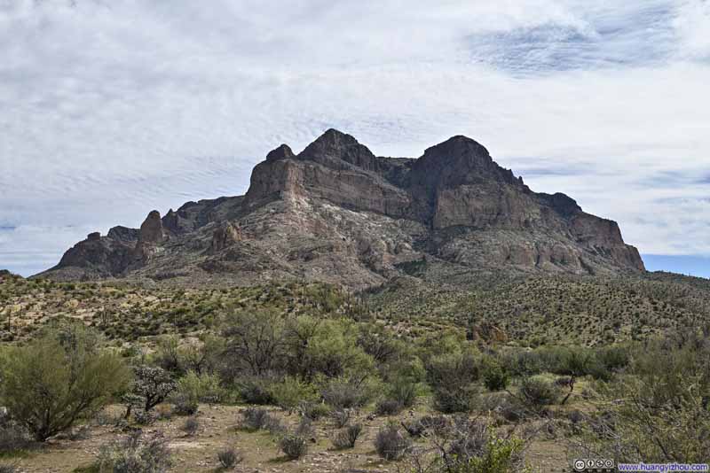
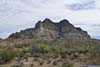
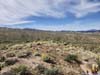
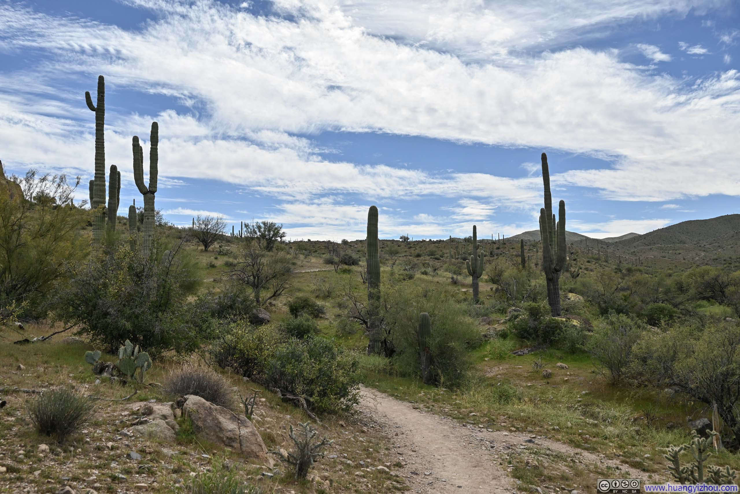
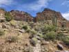
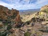
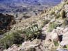
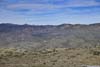
From the trailhead, the path followed the Arizona Trail for roughly 900 meters (0.55 miles) before branching left toward the mountain. Rising above the surrounding gentle, rolling hills, Picketpost Mountain was the undisputed landmark of the area — visible at every turn throughout the hike, like a castle standing sentinel over the landscape.
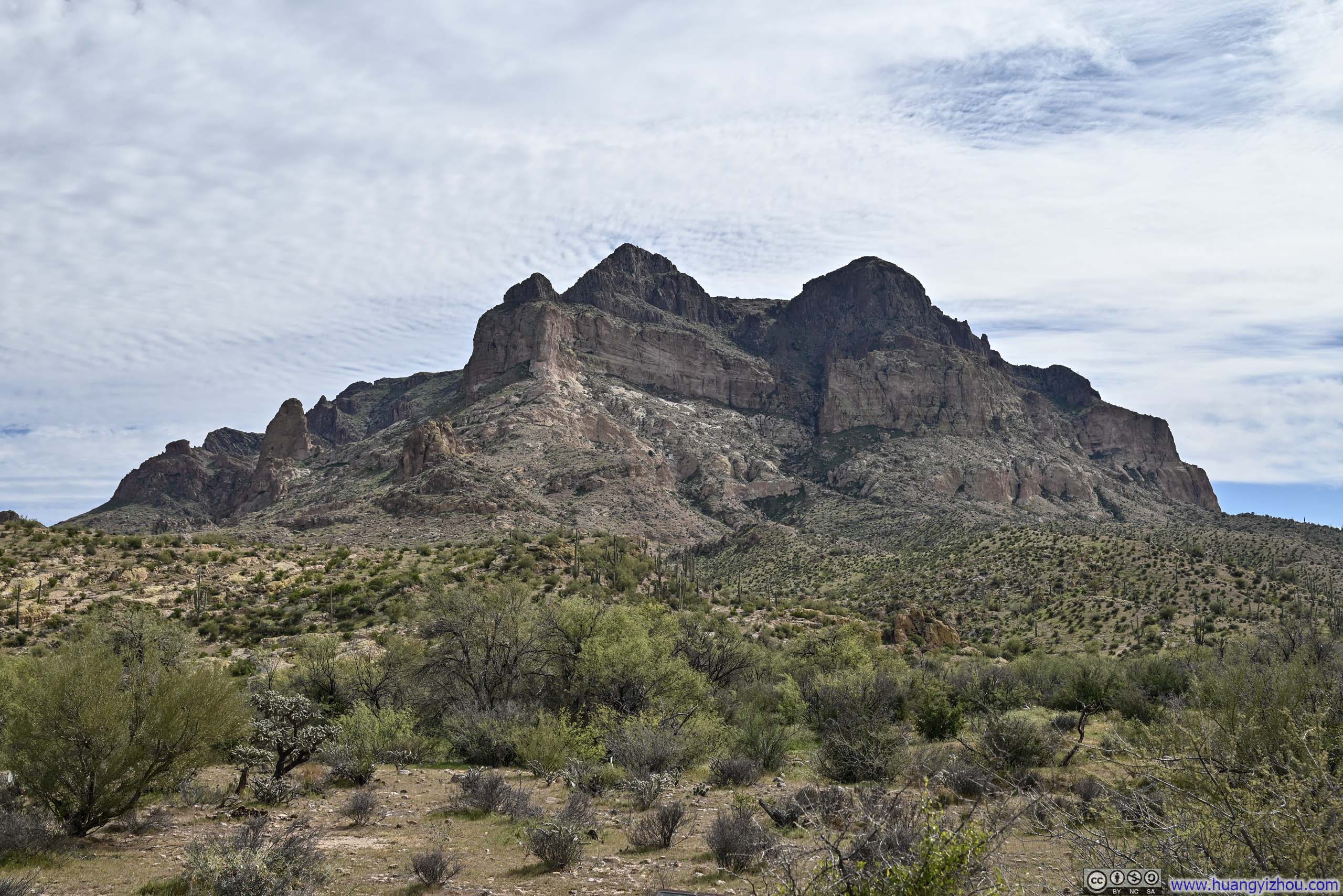
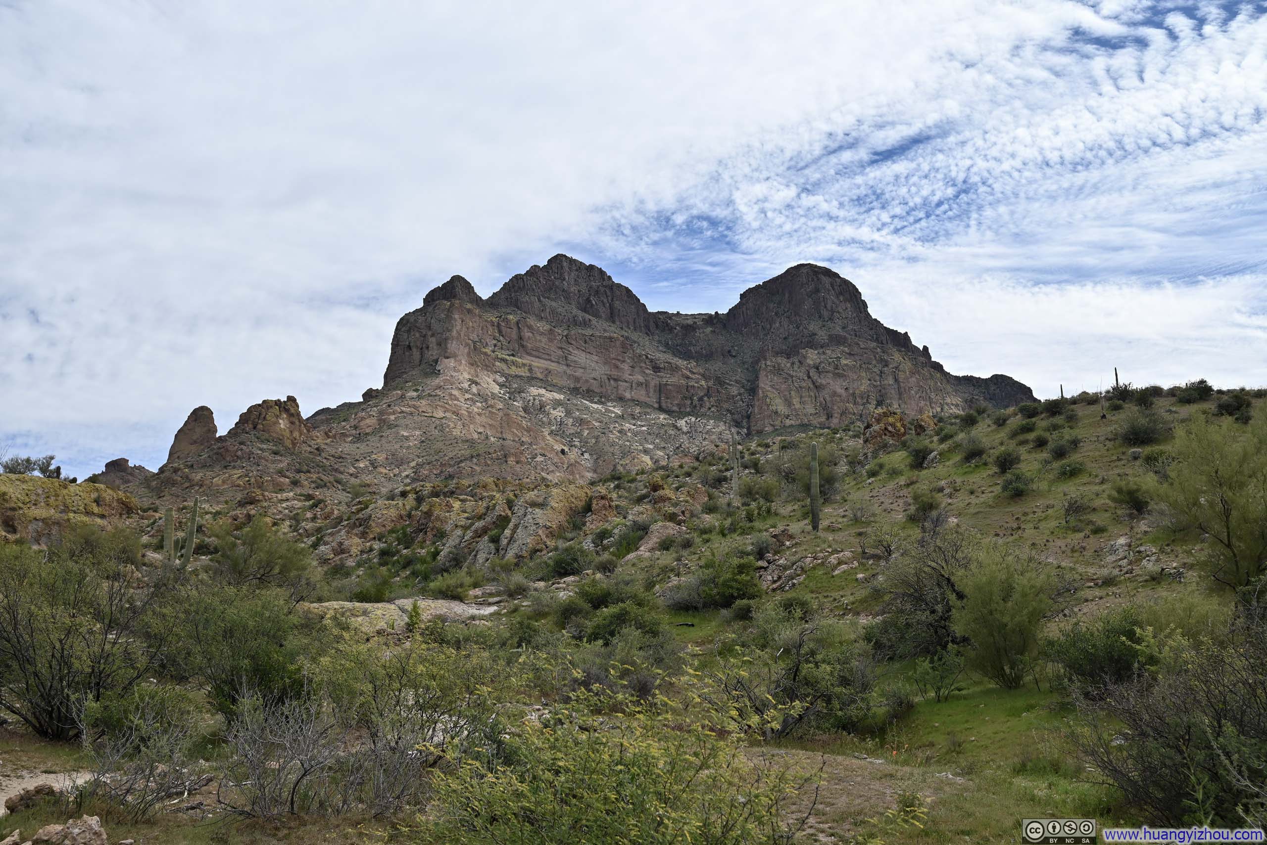
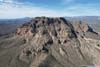
 Picketpost MountainTaken during my ascent, around noon, with a softer tone under a cloudy sky.
 Picketpost MountainTaken during my ascent, around noon, with a softer tone under a cloudy sky.
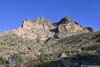
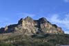
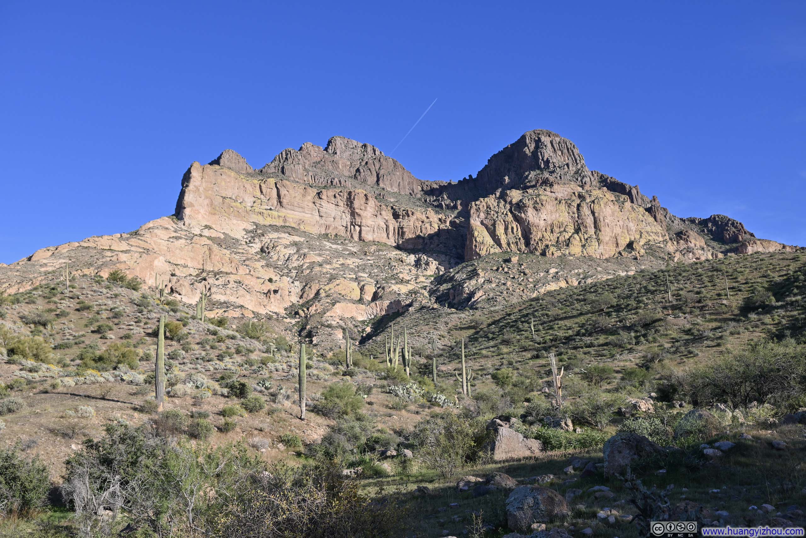
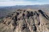
 Picketpost MountainTaken later that afternoon, during my descent, where there’s more contrast between light and shade.
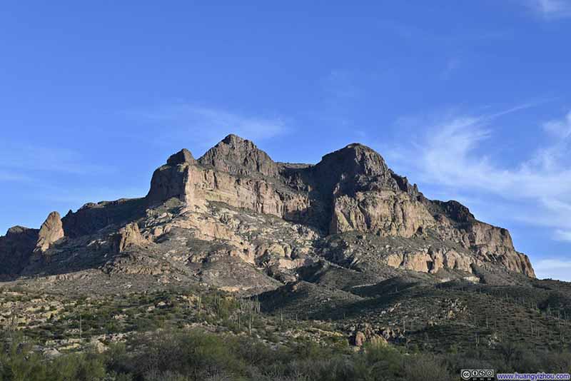 Picketpost MountainTaken later that afternoon, during my descent, where there’s more contrast between light and shade.
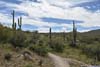
 Saguaros along Trail
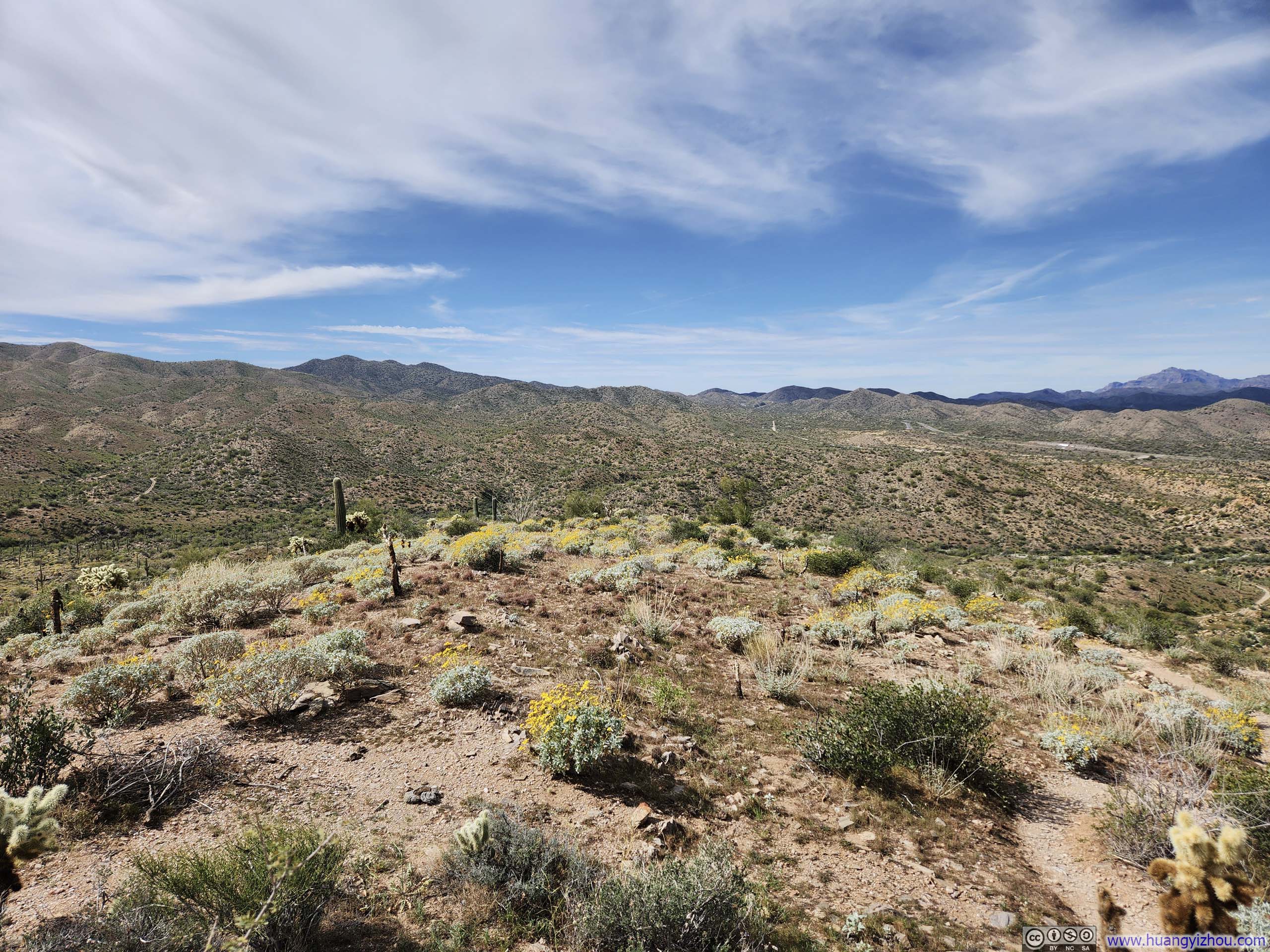
 Clusters of Flowers before Rolling Hills
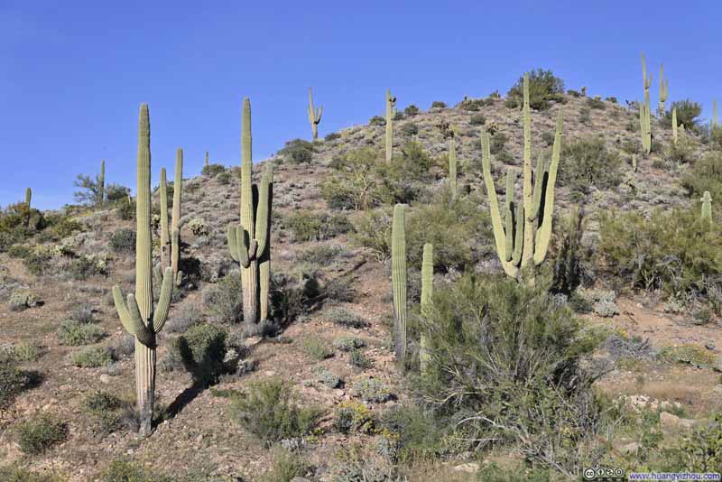 Saguaros along Trail
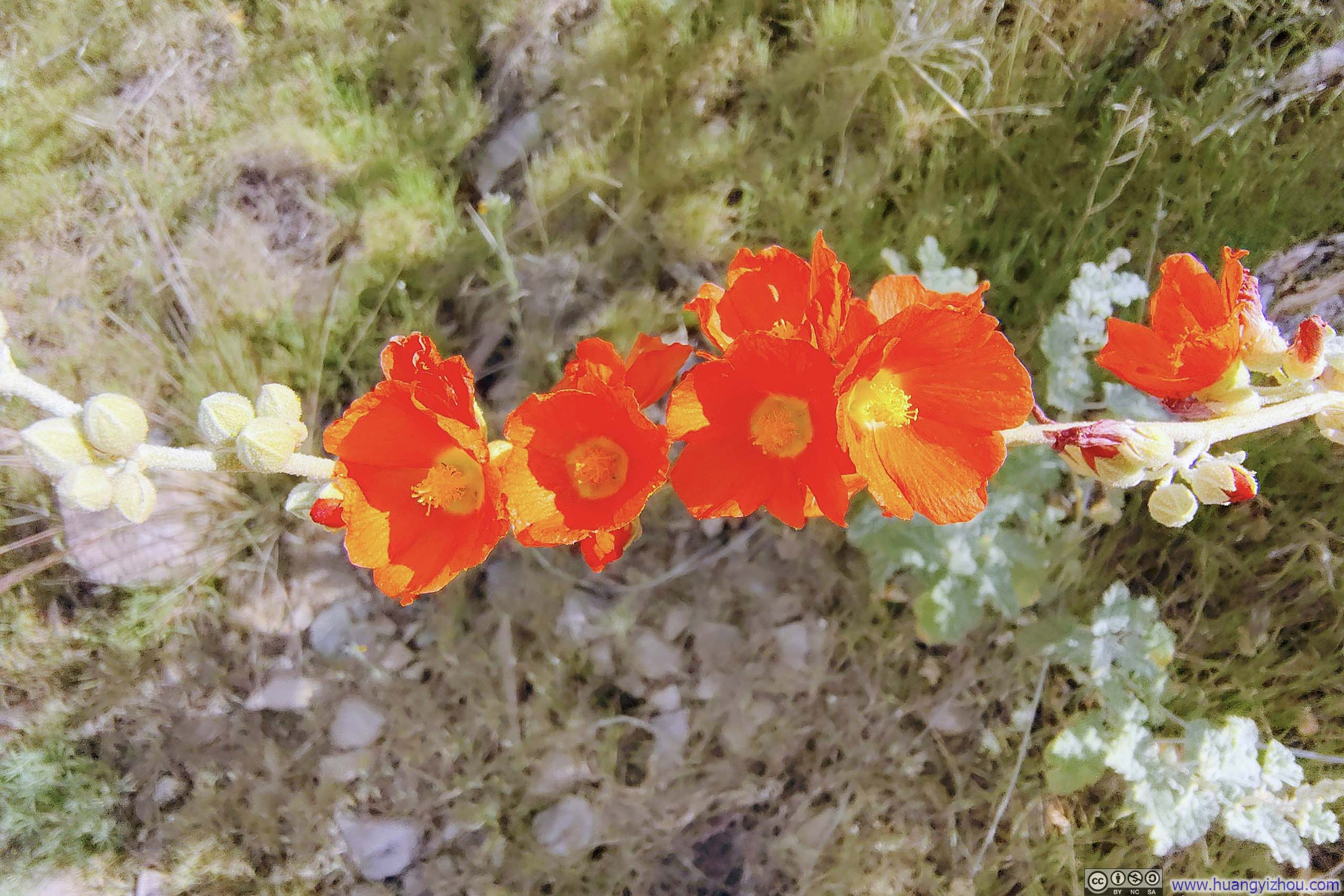
 Flowers along Trail


Click here to display photos of the slideshow
Picketpost MountainTaken during my ascent, around noon, with a softer tone under a cloudy sky.
Picketpost MountainTaken during my ascent, around noon, with a softer tone under a cloudy sky.
Picketpost MountainTaken later that afternoon, during my descent, where there’s more contrast between light and shade.

Picketpost MountainTaken later that afternoon, during my descent, where there’s more contrast between light and shade.
Saguaros along Trail
Clusters of Flowers before Rolling Hills

Saguaros along Trail
Flowers along Trail
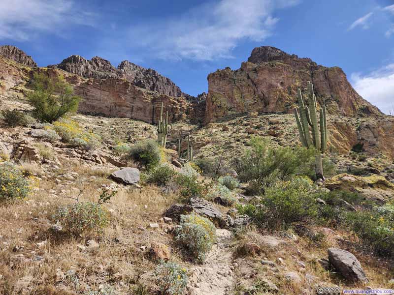
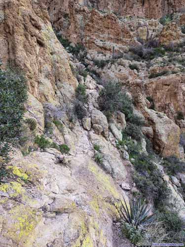
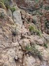
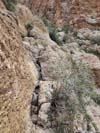
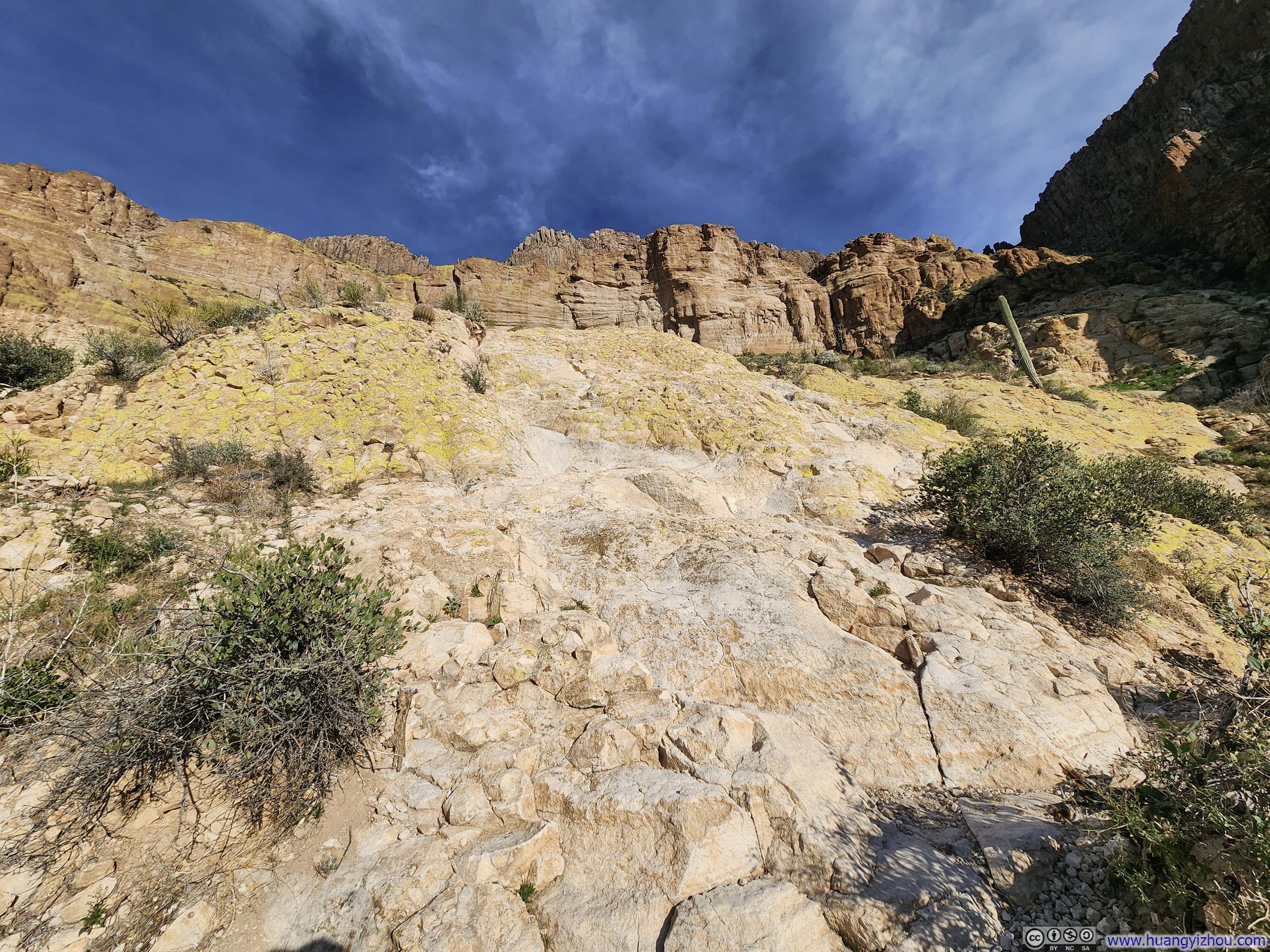
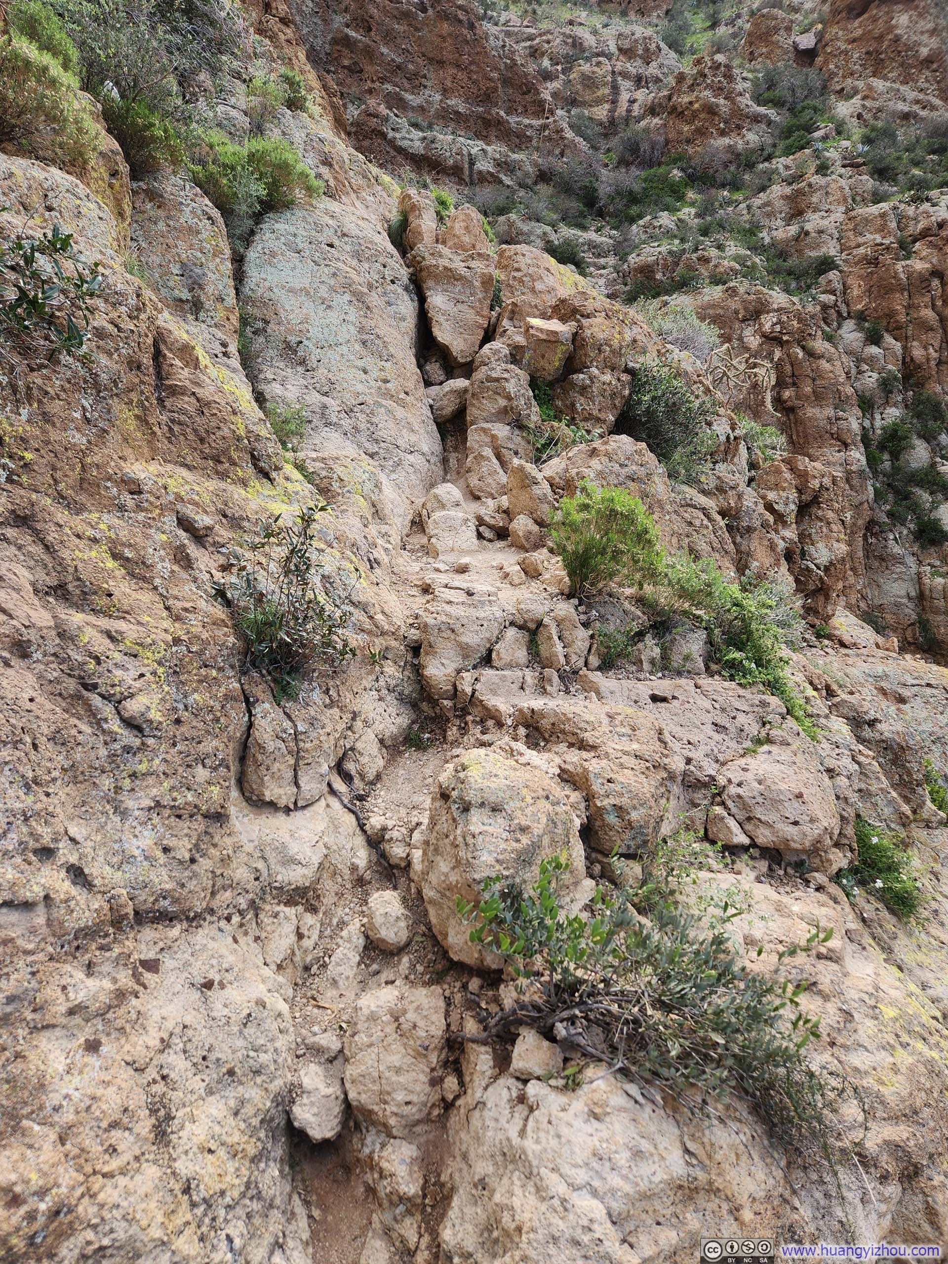
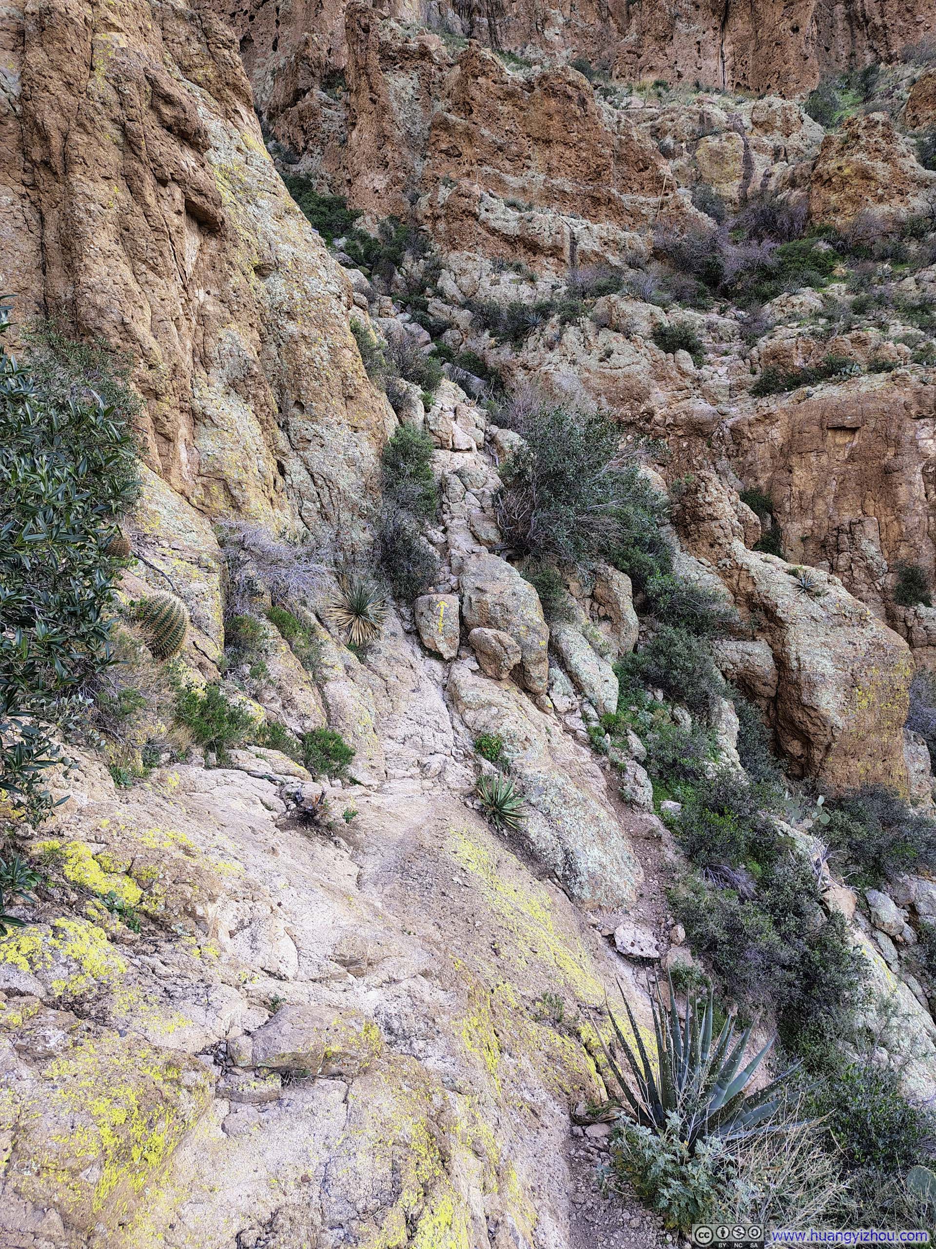
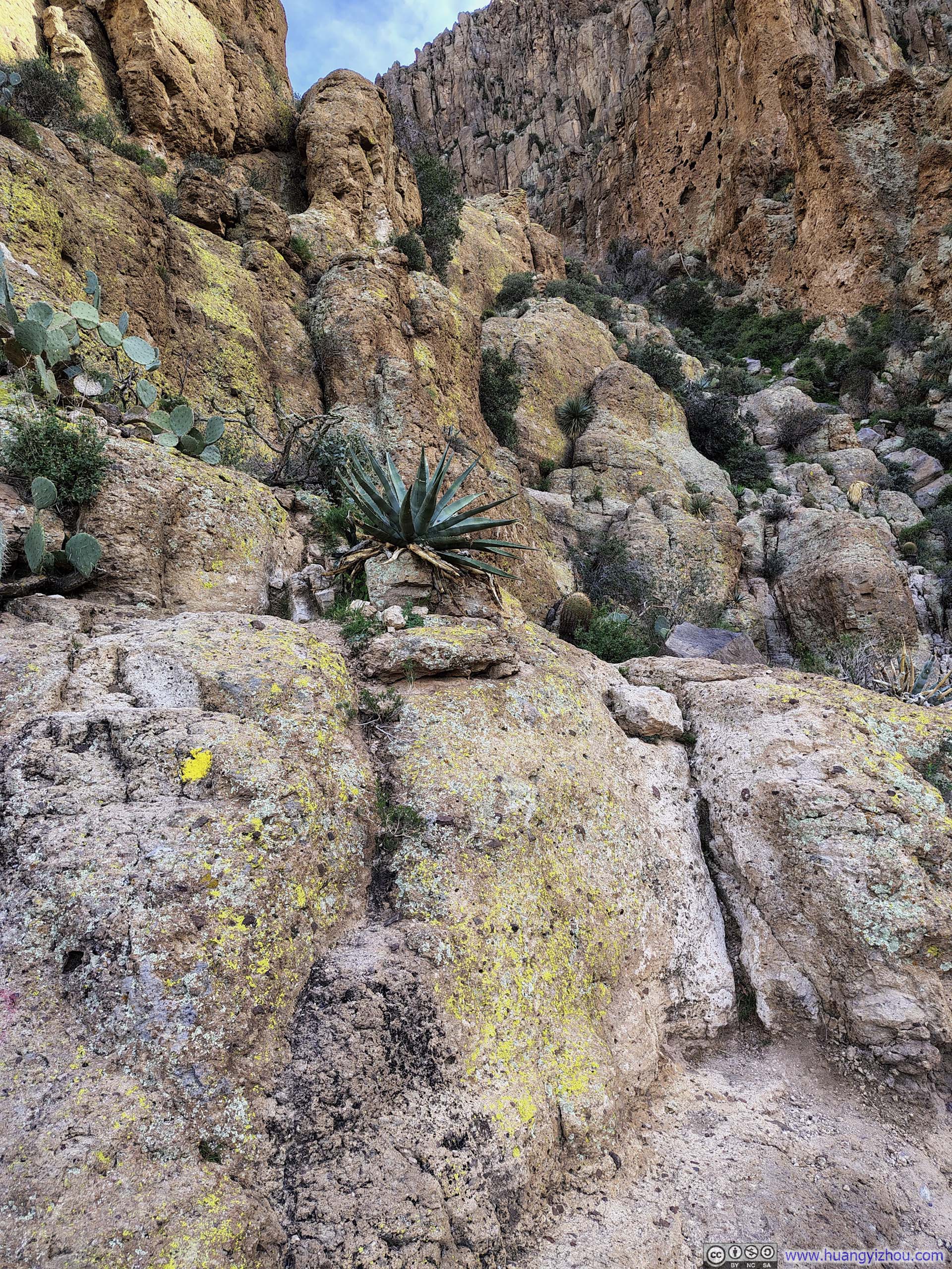
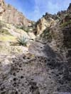
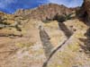
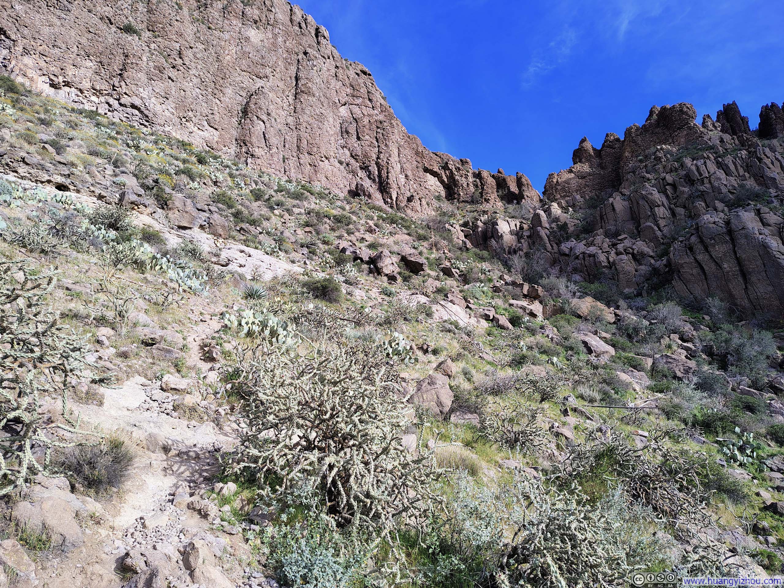
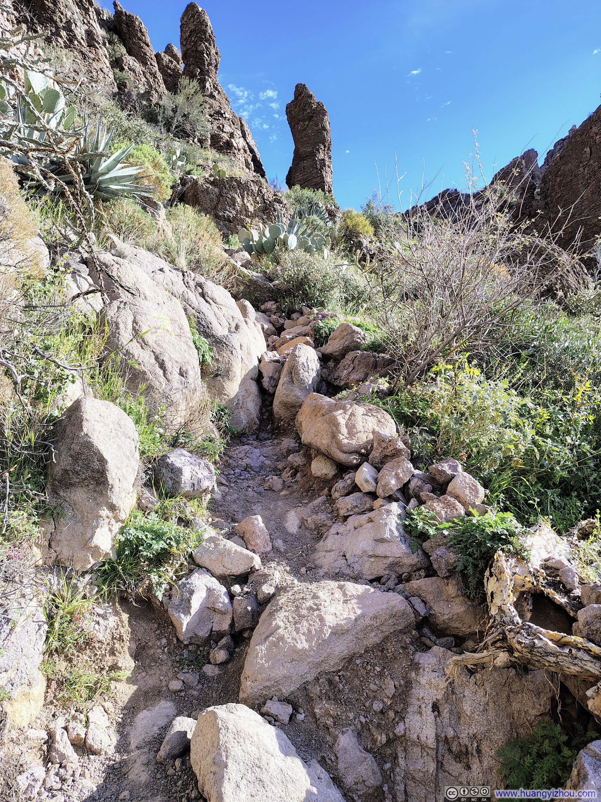
After leaving the Arizona Trail, the path to Picketpost Mountain quickly picked up the pace of elevation gain. Vegetation grew sparser, exposed rock became more prevalent, and before long the scrambling sections began.
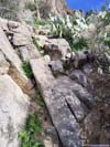
Near the start of this scrambling stretch, I felt the trail wasn’t very well defined, with several social paths running in parallel. In my opinion, the differences were negligible, as all of them converged on the same scrambling section, which I would rate as YDS Class 2 (p2–3 below).
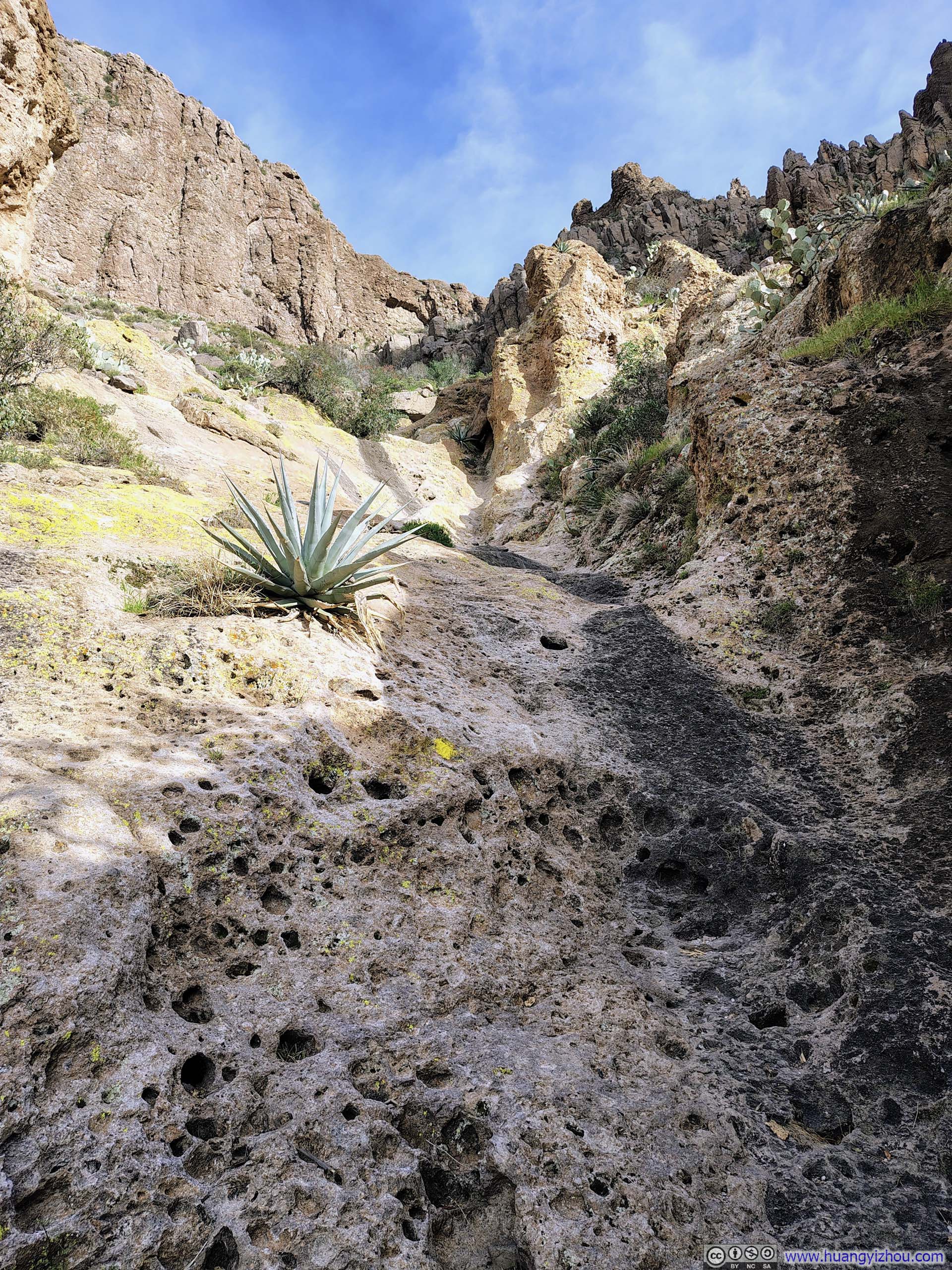
Beyond that, the trail reached the base of a cliff and turned right toward a gully nestled between rock walls. This section was at times narrow and off-camber, with occasional scrambling required. One particular move stood out as entry-level YDS Class 3, though it was nowhere near as technical as anything I had encountered on Battleship Mountain the day before. For the most part, navigation here was straightforward — though during my descent, I did stop to help a fellow hiker who seemed uncertain of where the trail continued.
 Trail to Picketpost Mountain
 Trail to Picketpost MountainStart of the scrambling section.
 Overlooking Trails Below
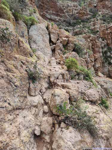
 Narrow Path
 Narrow and Steep Path
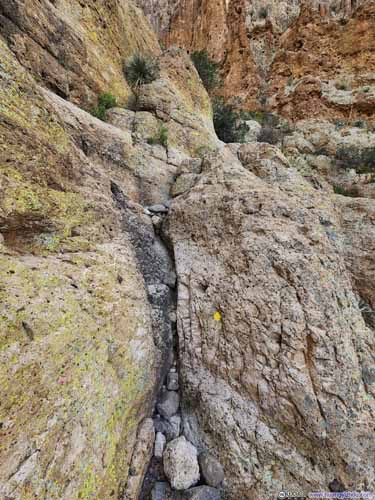
 Crux of Path

Click here to display photos of the slideshow

Trail to Picketpost Mountain
Trail to Picketpost MountainStart of the scrambling section.
Overlooking Trails Below
 Narrow Path

 Narrow and Steep Path

 Crux of Path
I recorded the following video of portions of my climb to Picketpost Mountain with a helmet-mounted action camera. Though compared to the Battleship Mountain the previous day, it wasn’t as thrilling:
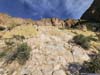
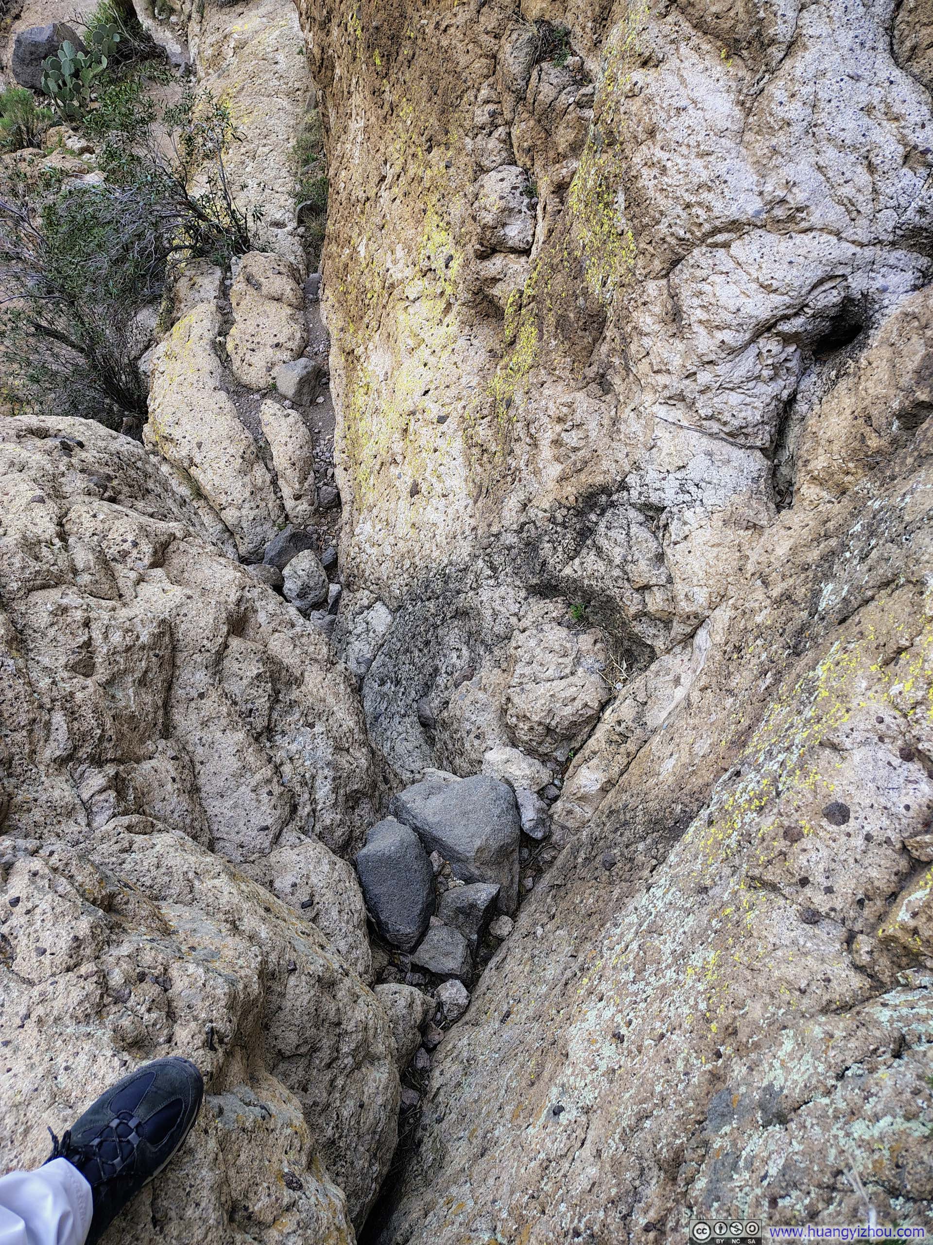
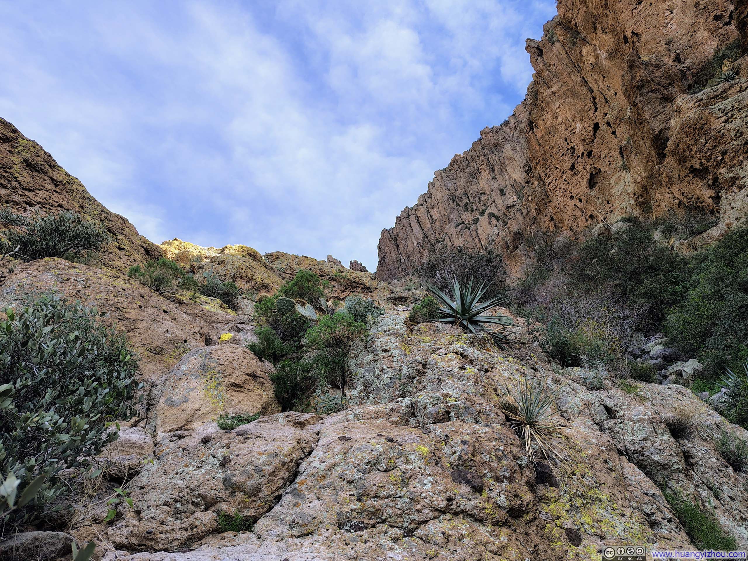
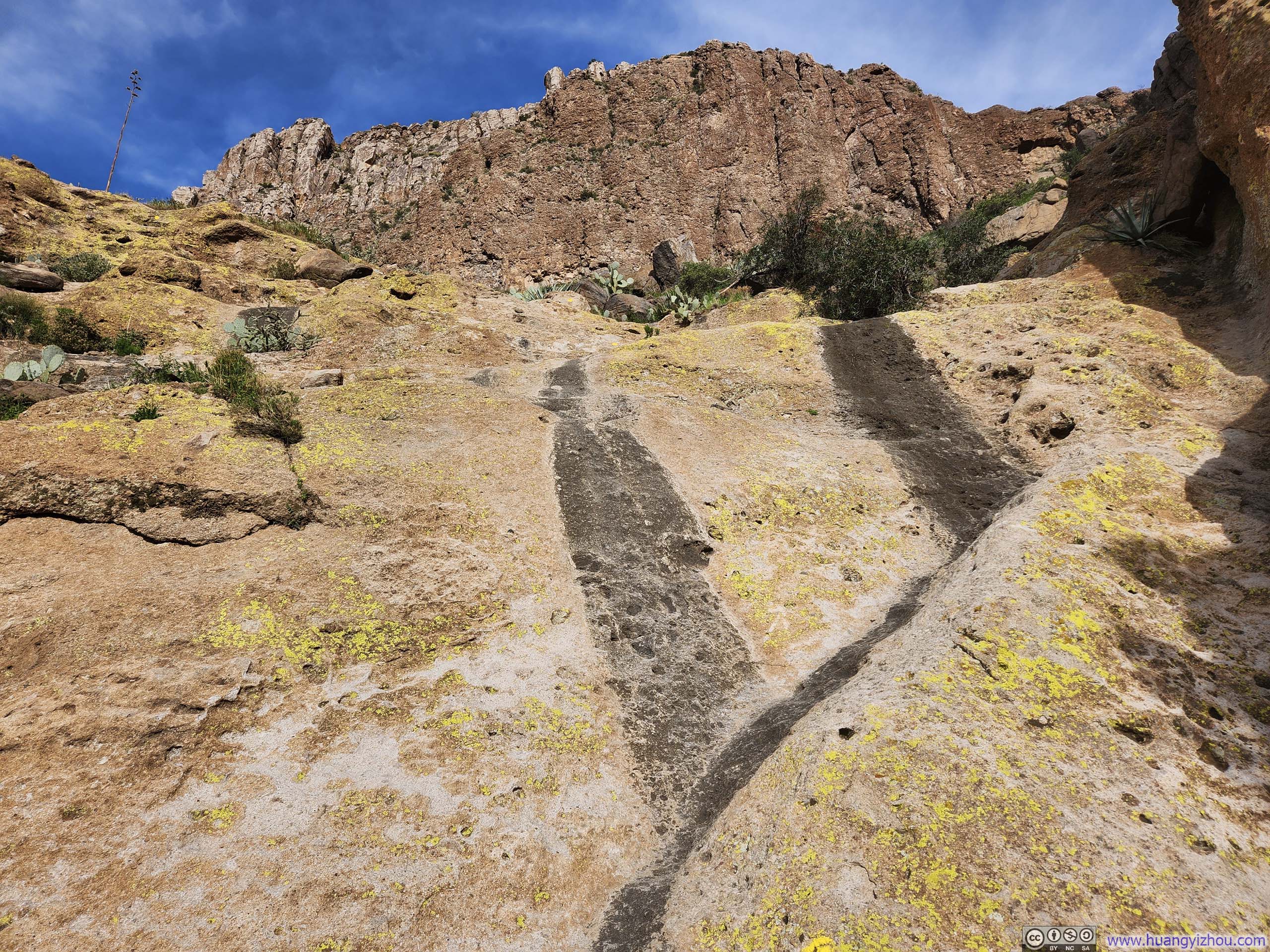
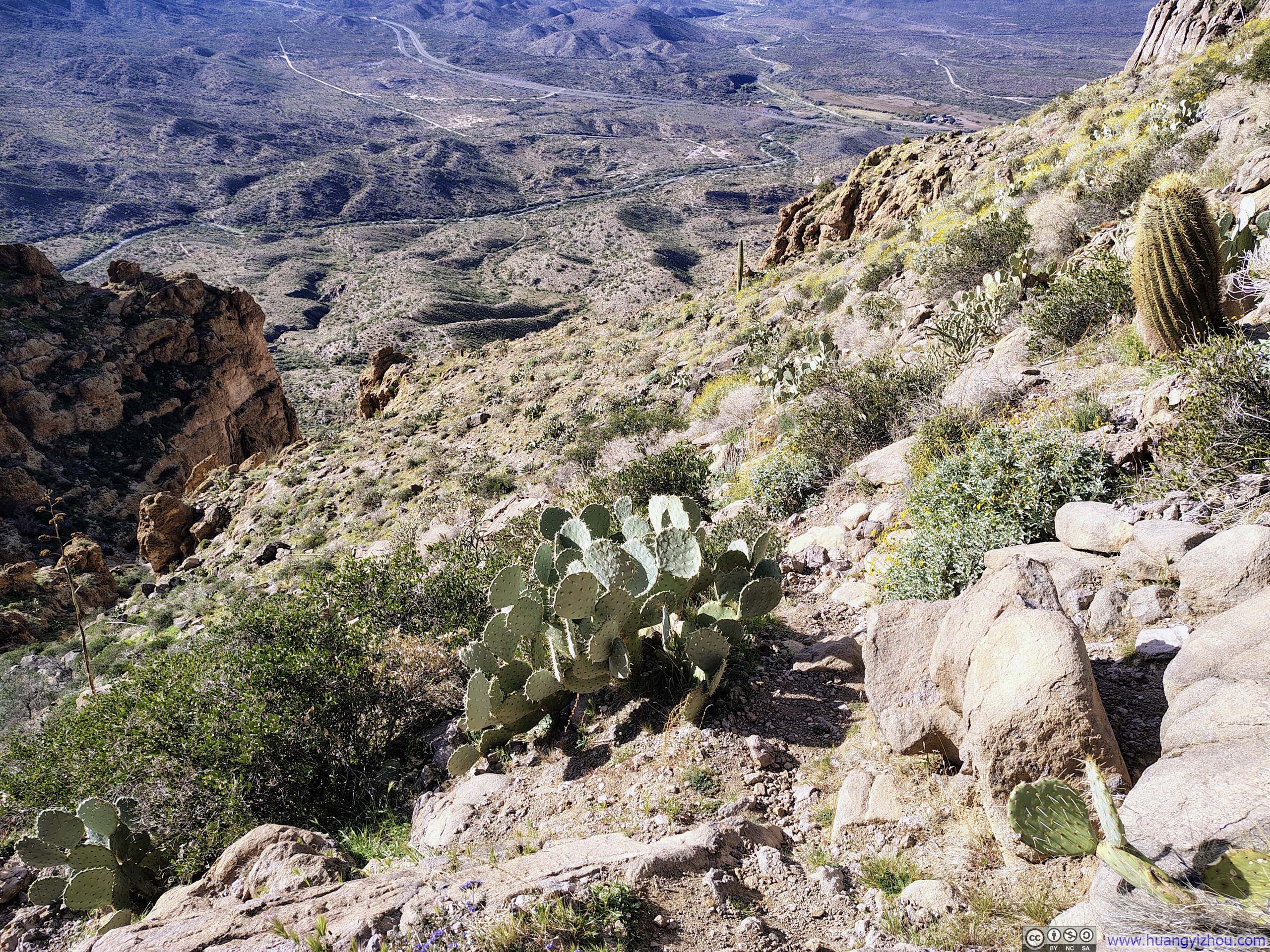
Near the top of the gully, where the cliffs began to close in, there was one short section where the path found itself on a steep stretch of open rock (p3 below). This section could prove challenging in wet conditions; however, the rock was pleasantly textured when dry, affording excellent traction and presenting no difficulty for me.
 Steep Path to Picketpost Mountain
 Overlooking Steep Path down Picketpost Mountain
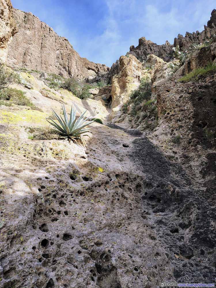 Steep Path to Picketpost Mountain
 Steep Path to Picketpost Mountain

Click here to display photos of the slideshow
Steep Path to Picketpost Mountain

Overlooking Steep Path down Picketpost Mountain
Steep Path to Picketpost Mountain
Steep Path to Picketpost Mountain
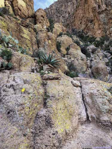
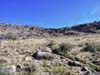
Beyond the gully, the trail found its way through a field of low, scrubby brush. At various points it appeared to fork into several branches, though these invariably rejoined one another further along. The terrain here was steep in places, yet altogether more straightforward than the gully that had preceded it.
 Trail to Picketpost Mountain
 Steep Trail to Picketpost Mountain
 Trail from Picketpost Mountain
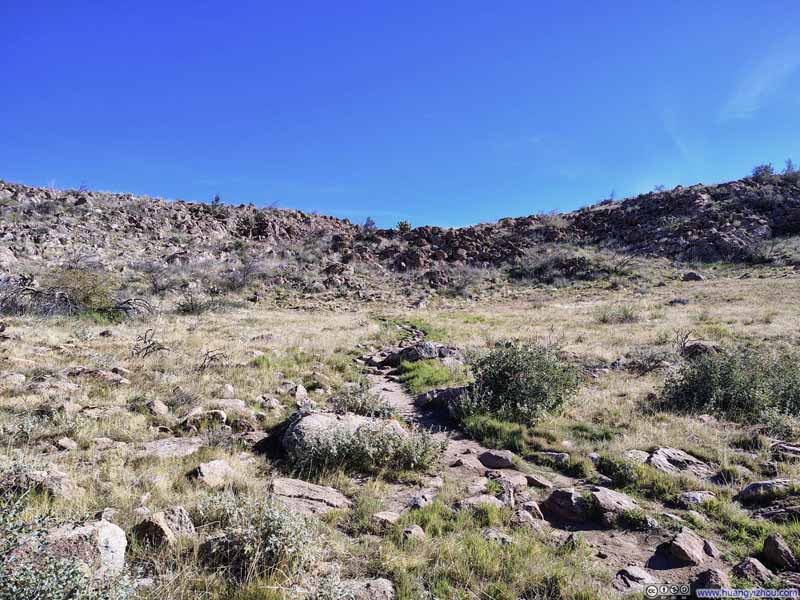 Trail on Picketpost Mountain
Click here to display photos of the slideshow
Trail to Picketpost Mountain

 Steep Trail to Picketpost Mountain
Trail from Picketpost Mountain

Trail on Picketpost Mountain
The day felt very hot, so I eased my pace somewhat to stay comfortable (it also helped me conserve water). Even so, given the trail to Picketpost Mountain was relatively short, it took me only an hour and forty minutes to reach the summit from the trailhead.
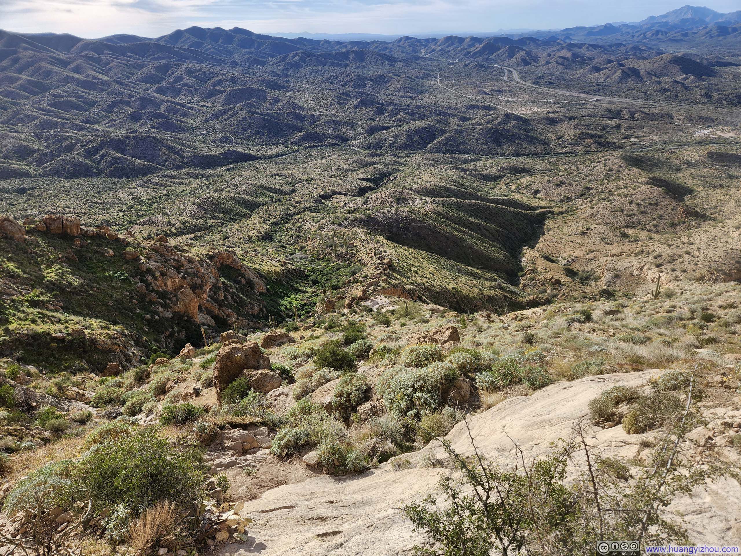
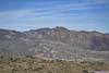
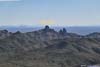
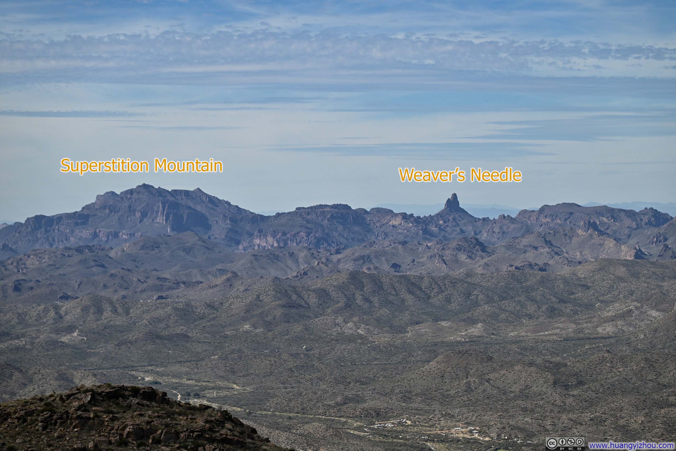
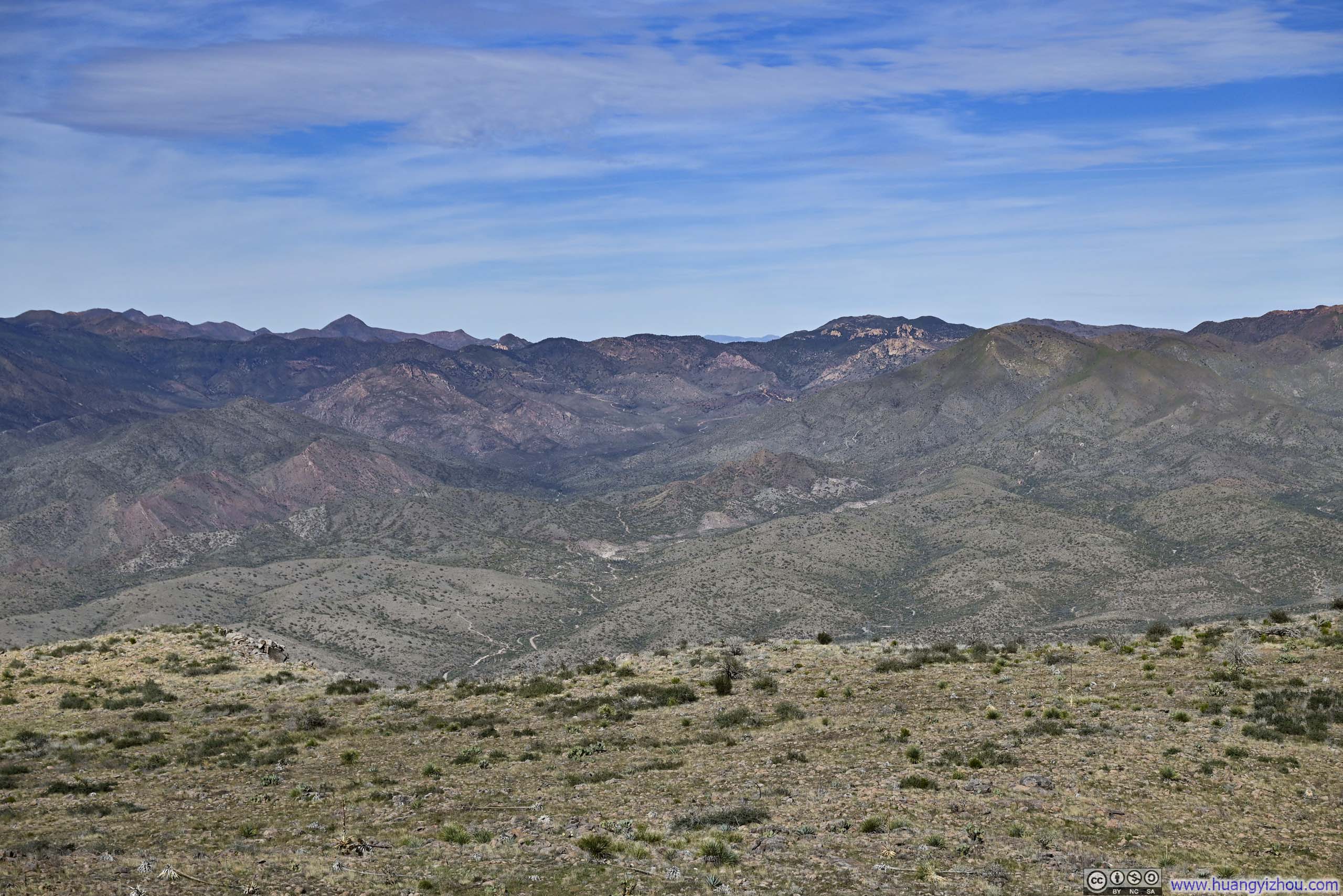
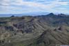
Broad and open, the summit of Picketpost Mountain carried more of a mesa-like quality than a traditional peak. Like a citadel, it dwarfed the rolling hills in its vicinity, so that most of the views stretched across a distant, receding landscape — among them the prominent spire of Weaver’s Needle, to the north in Superstition Wilderness.
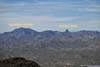
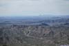
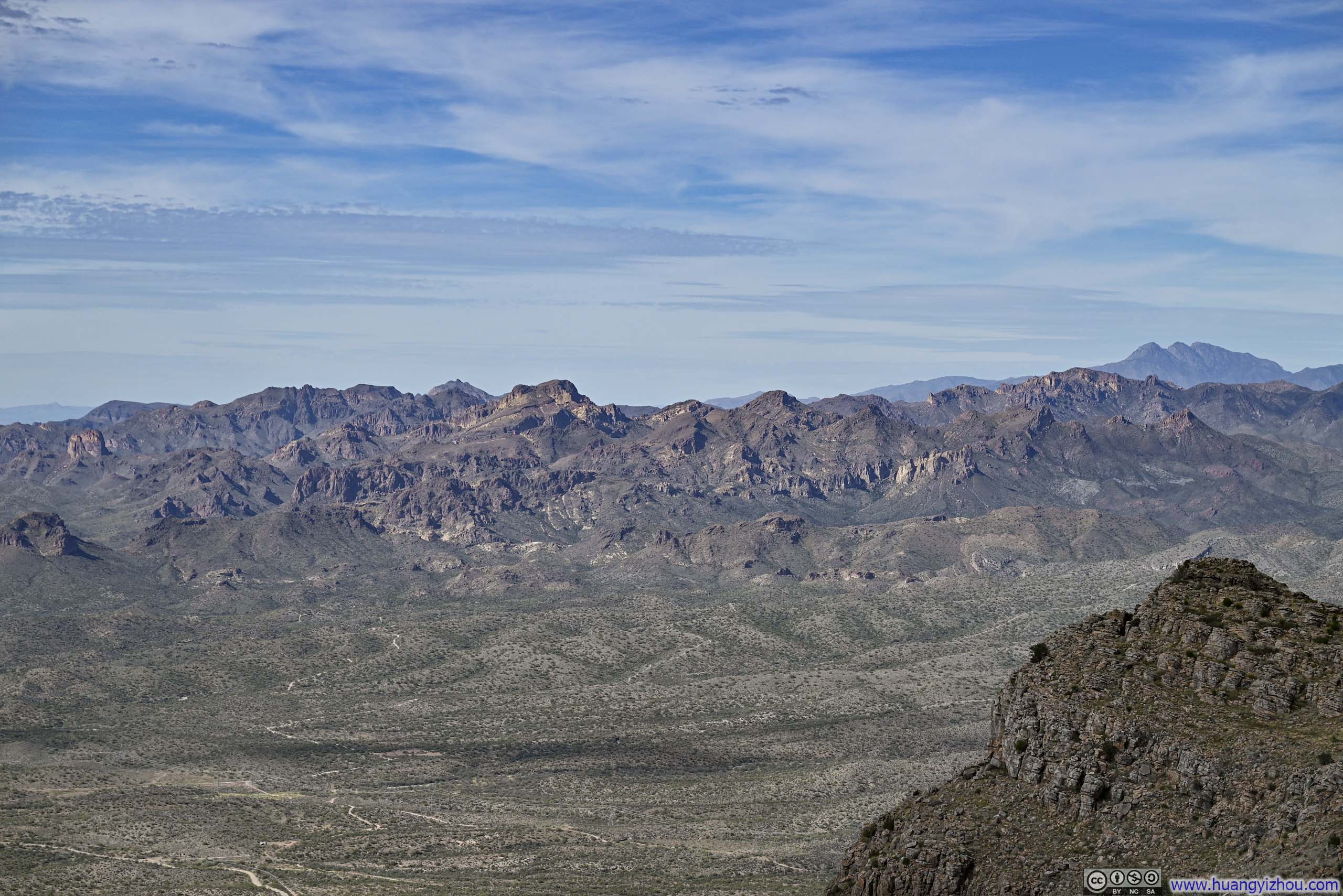
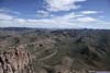
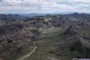
 Mountains in Superstition Wilderness
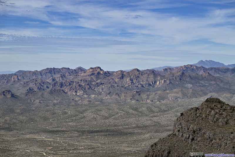 Mountains in Superstition Wilderness
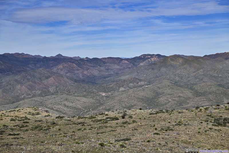 Rolling Hills to the North
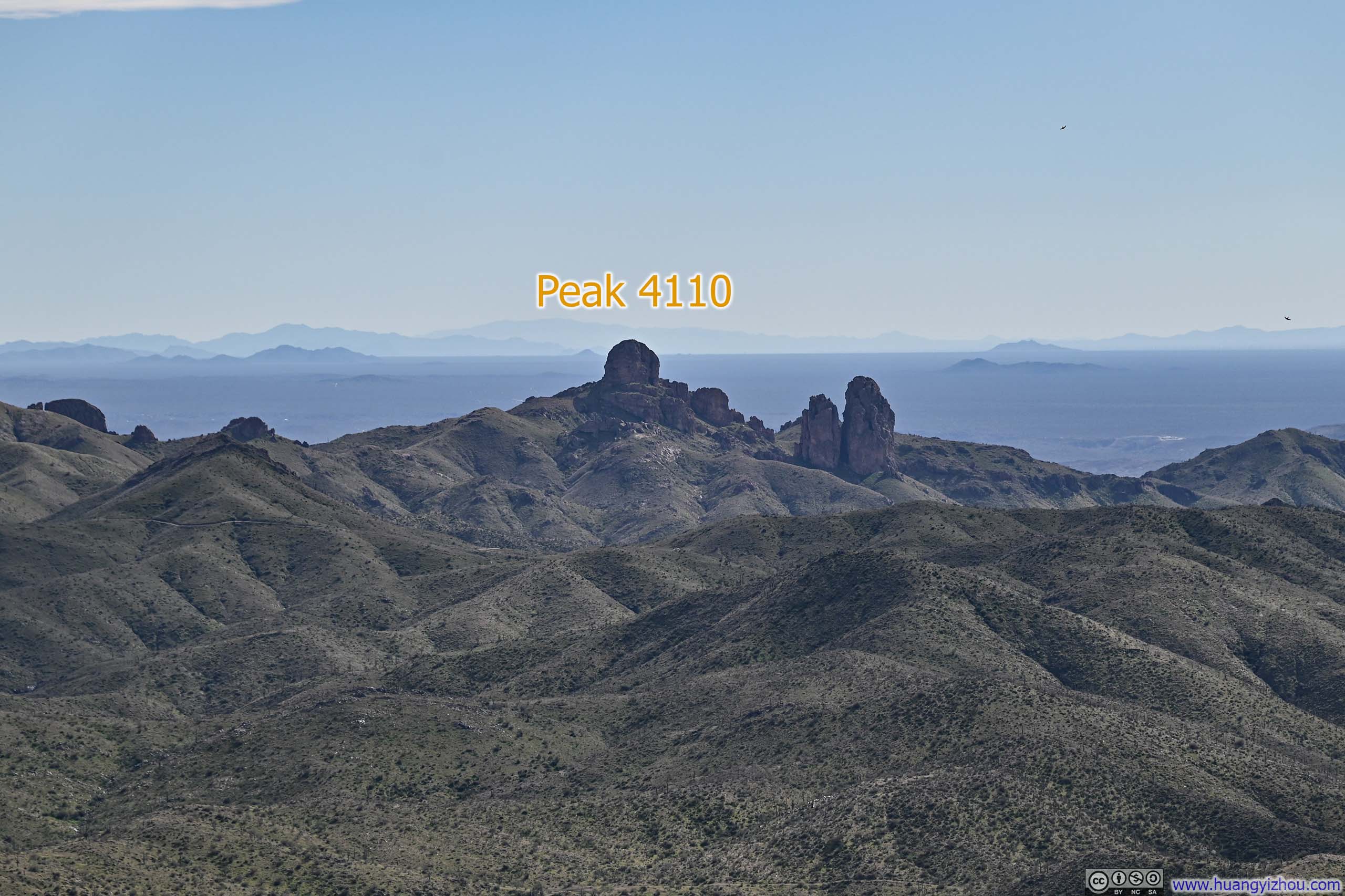
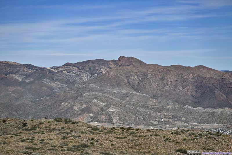 Kings Crown Peak
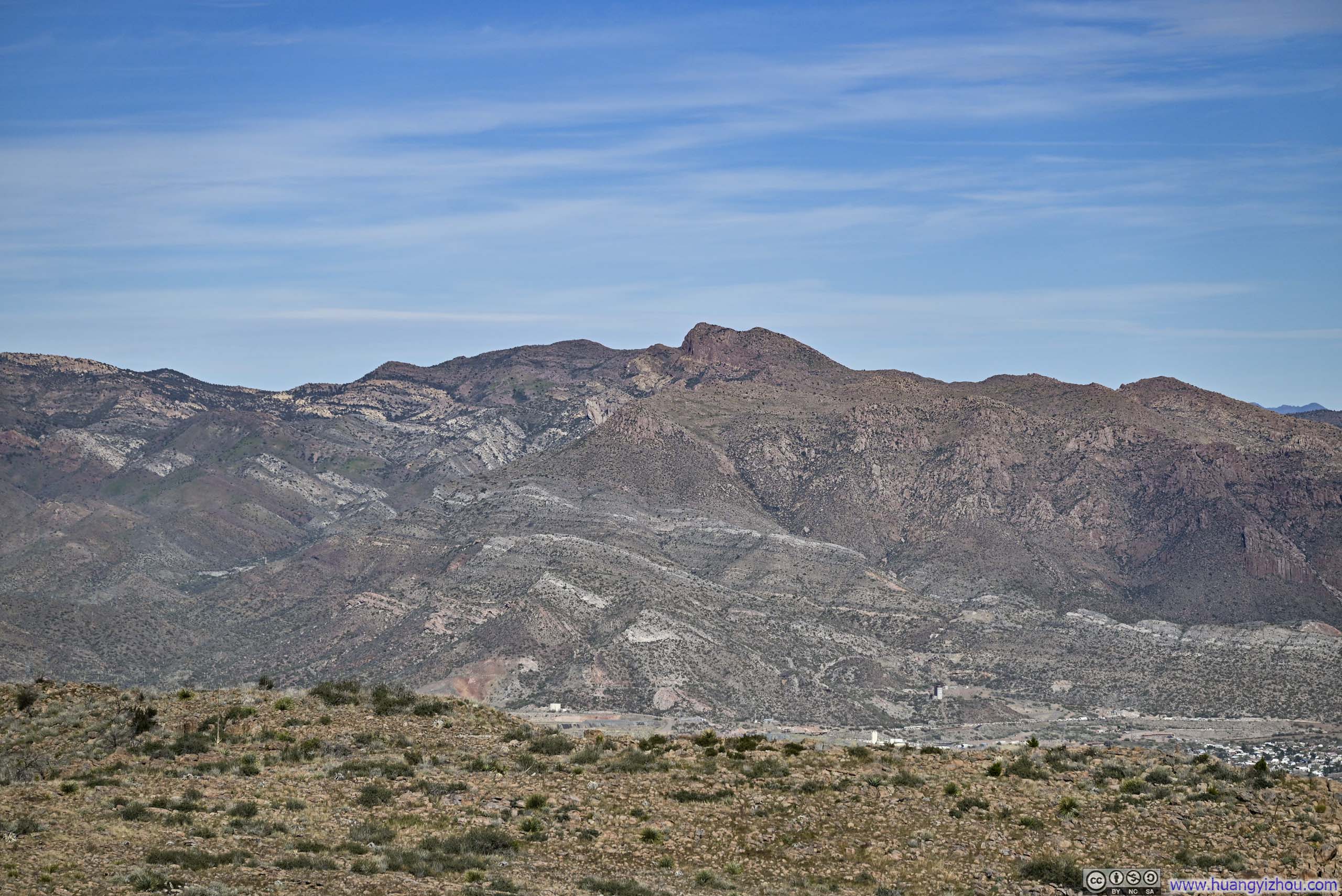
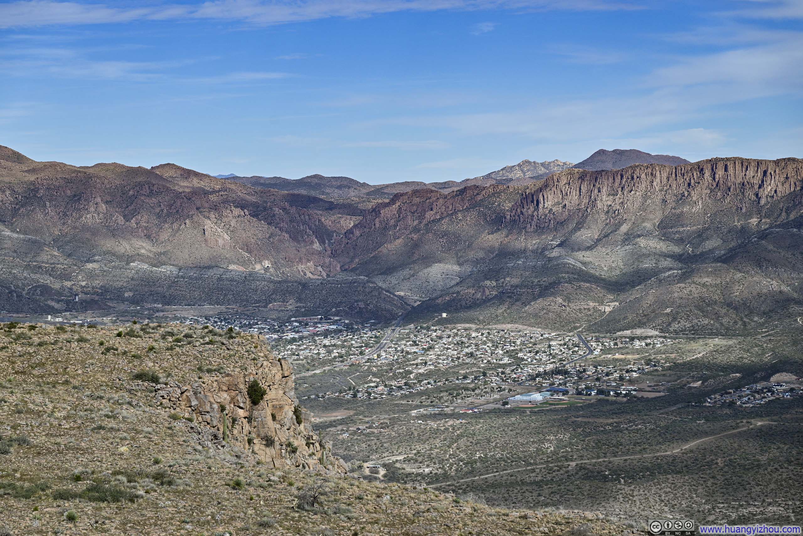
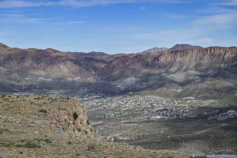 Town of Superior
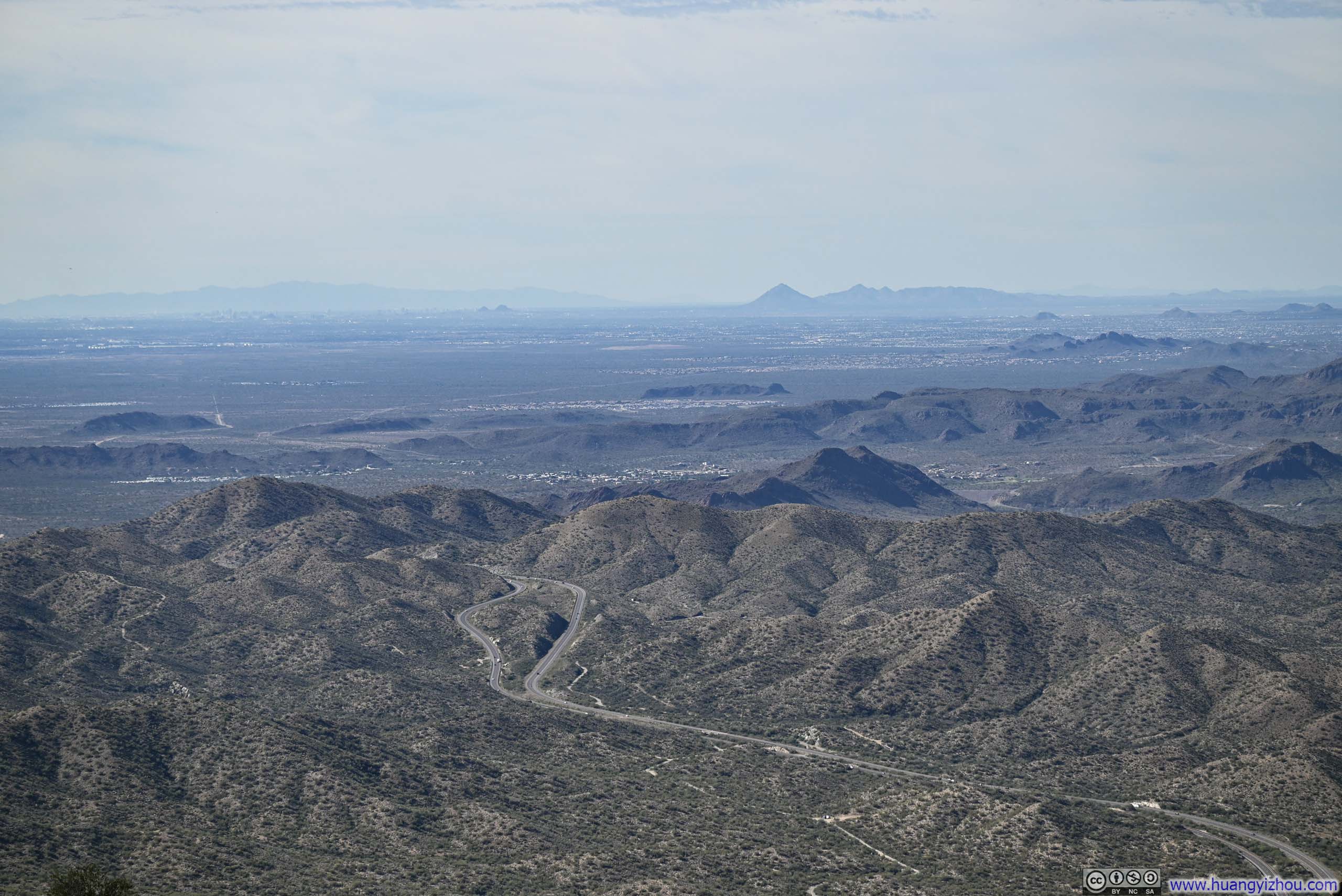
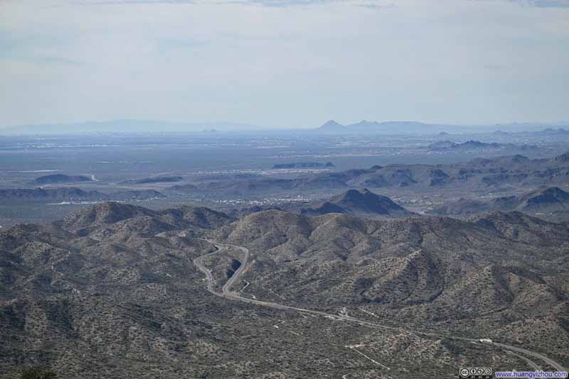 US Route 60 through MountainsTowards the direction of Phoenix.
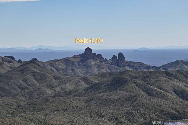 Mountains to the South

Click here to display photos from the summit of Picketpost Mountain.
Mountains in Superstition Wilderness
Mountains in Superstition Wilderness
Rolling Hills to the North
Kings Crown Peak
Town of Superior
US Route 60 through MountainsTowards the direction of Phoenix.
Mountains to the South
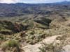
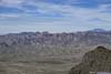
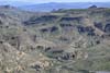
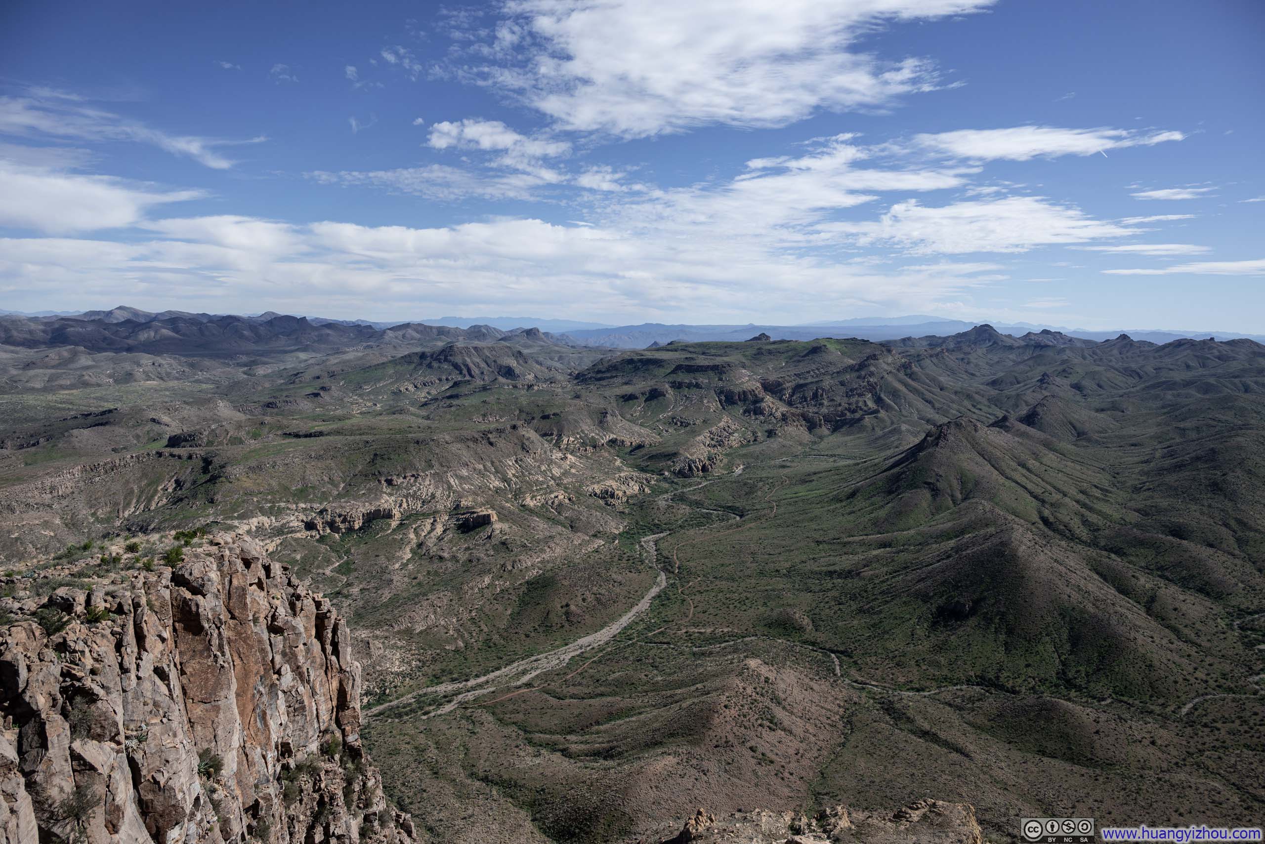
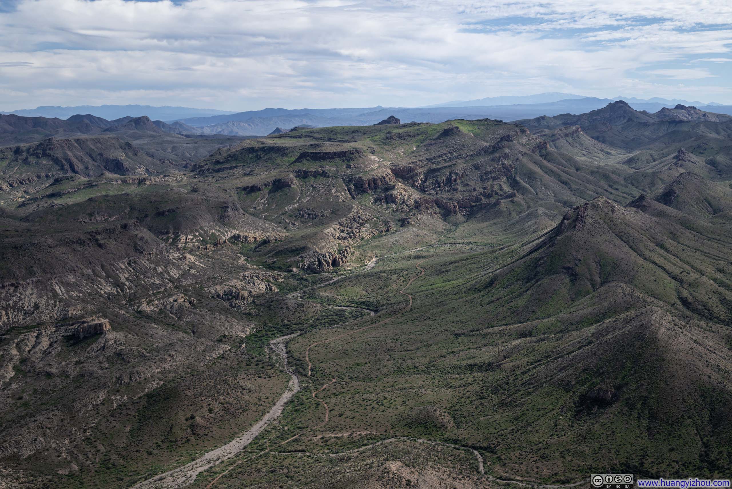
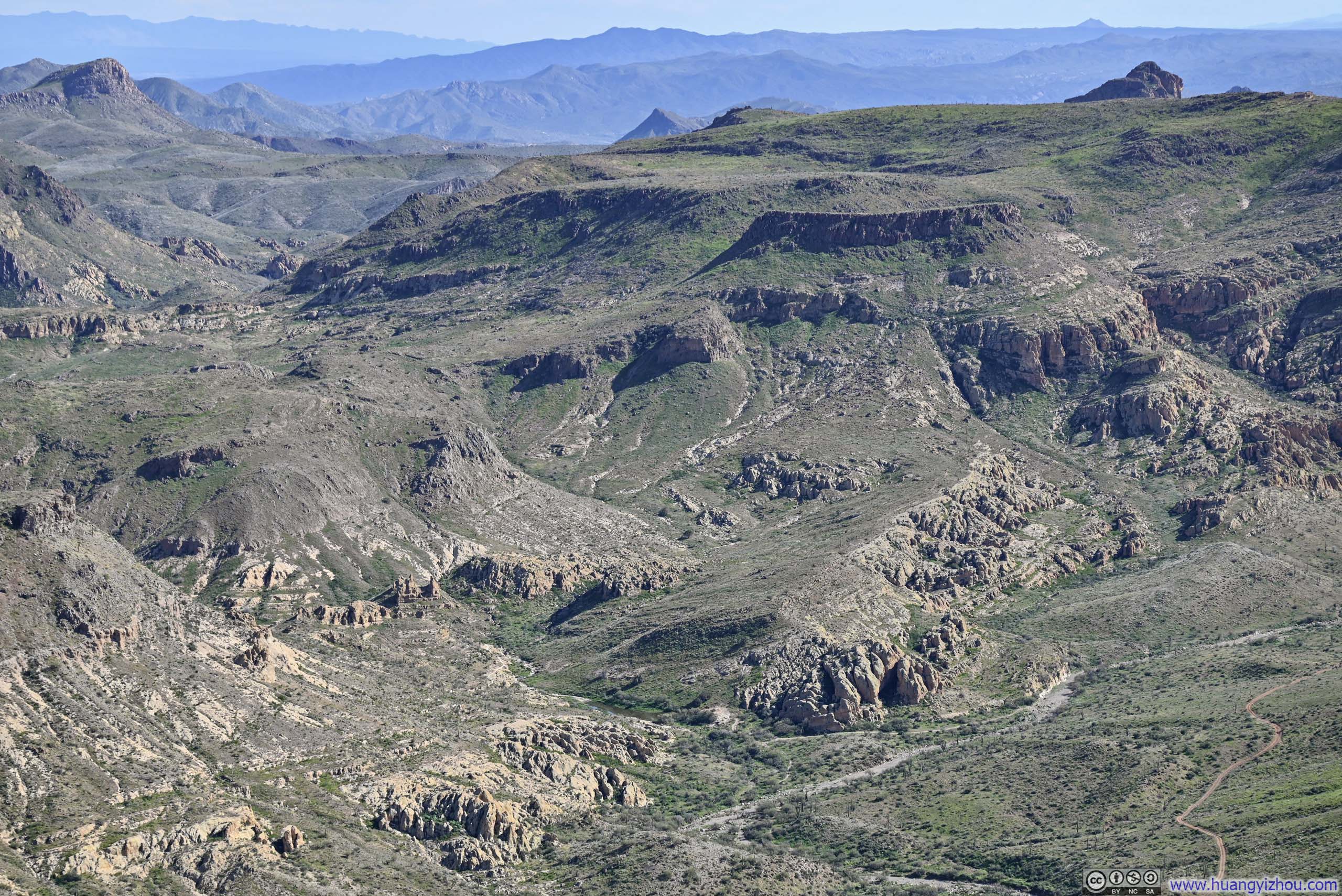
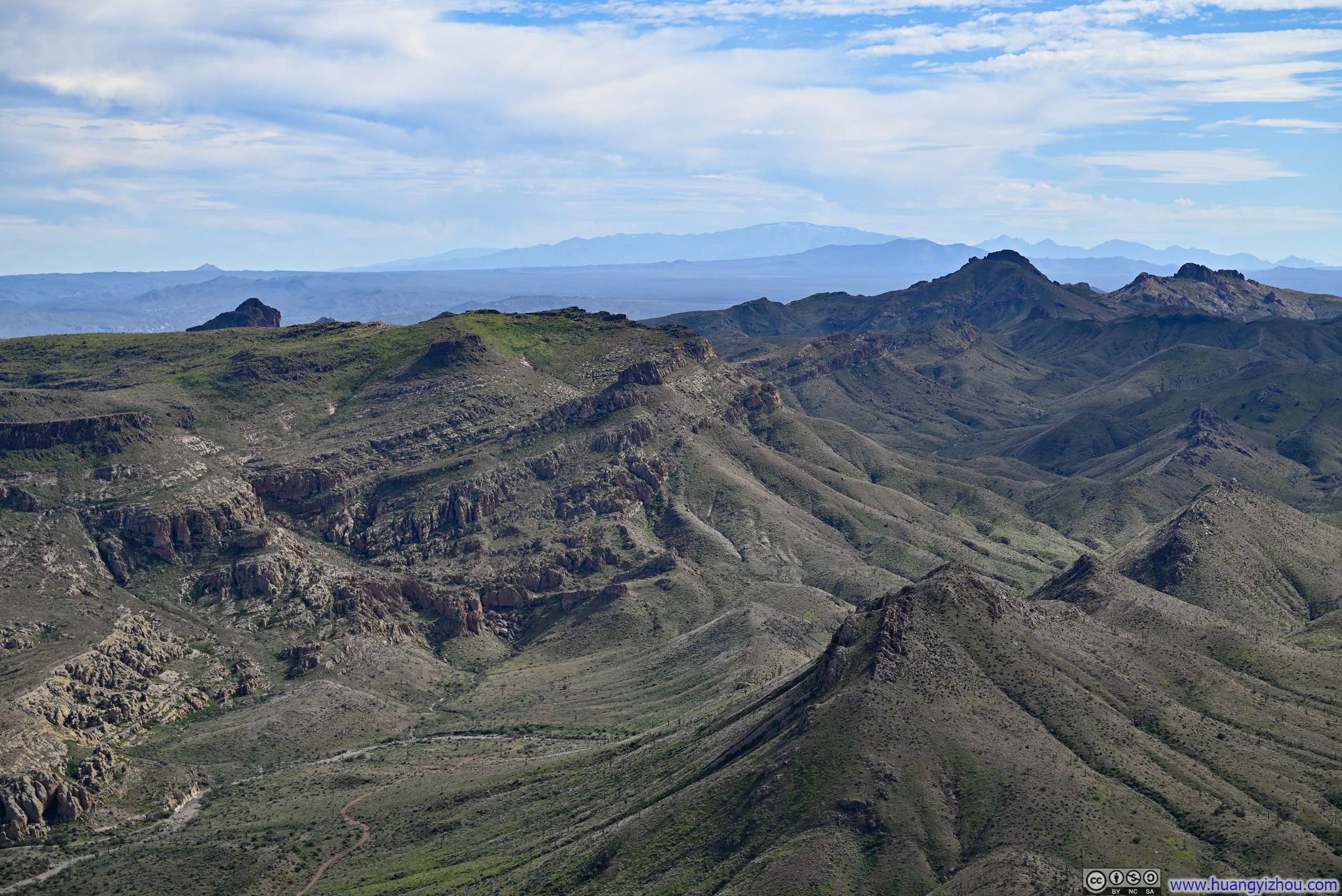
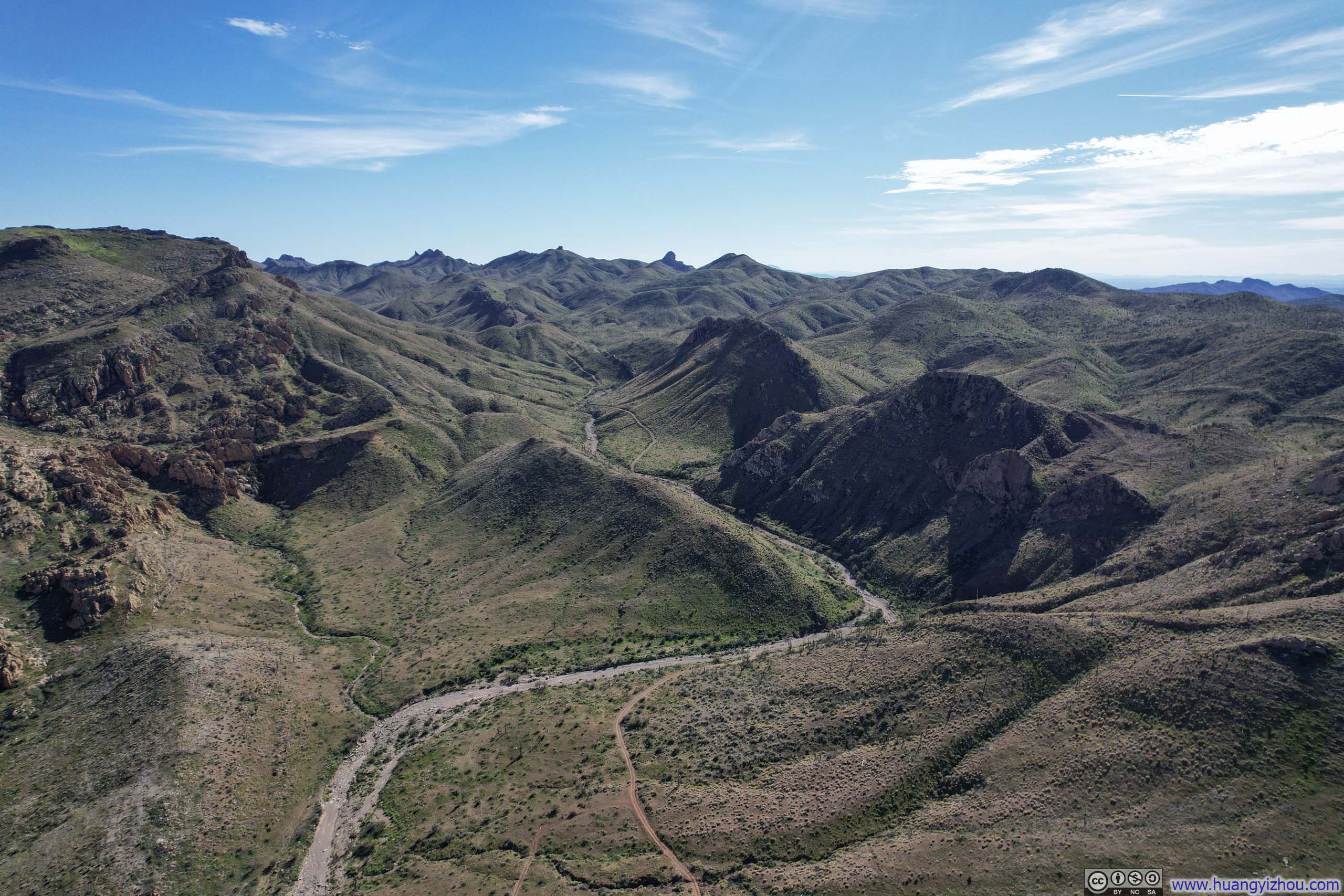
Since the true high point of Picketpost Mountain was on the southern edge of its summit field, the most commanding views were naturally oriented in that direction, where Telegraph Canyon carved its way through a canvas of gently rolling hills. I had expected the arid environment to render the landscape in shades of brown, yet the vistas were surprisingly lush — filled with far more greenery than anticipated, and seemingly still brimming with life. Exposed bedrock occasionally thrust through the surface, lending a raw, austere quality that offered a striking counterpoint to the vitality surrounding it.
 Telegraph Canyon
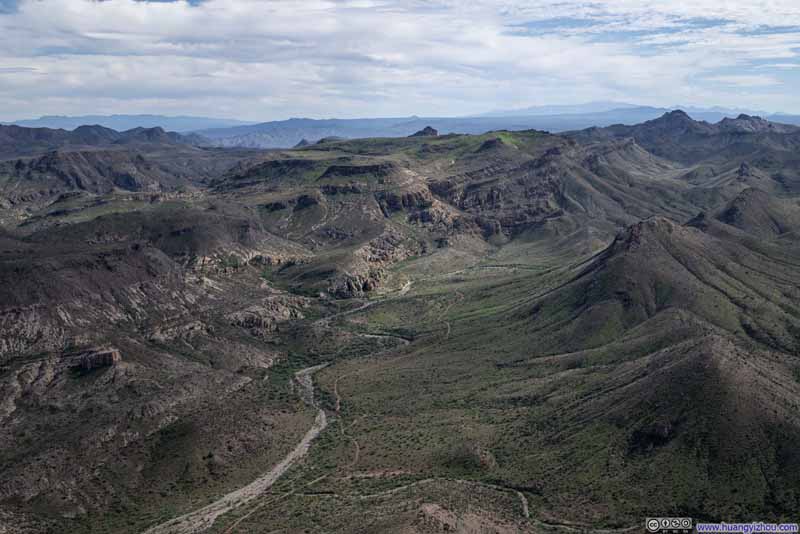 Telegraph Canyon
 Mesas around Telegraph Canyon
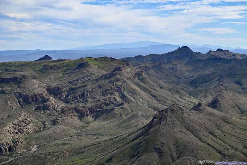 Hills around Telegraph Canyon
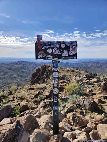
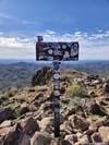
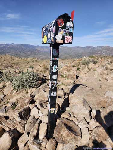 Mailbox on Picketpost MountainOne that holds the summit register.
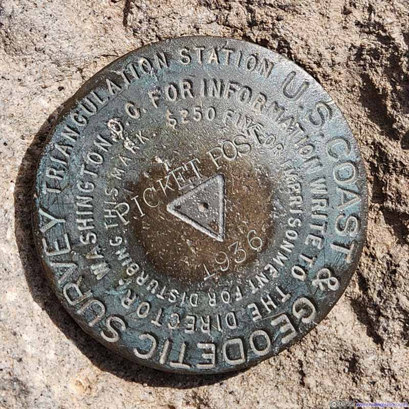 Summit Marker of Picketpost Mountain
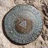
Click here to display photos from the summit of Picketpost Mountain.
Telegraph Canyon
Telegraph Canyon
Mesas around Telegraph Canyon
Hills around Telegraph Canyon
 Mailbox on Picketpost MountainOne that holds the summit register.
Summit Marker of Picketpost Mountain
View from Picketpost Mountain
Here’s a video I took from the summit of Picketpost Mountain.
14 seconds, 2160p30fps, H265 only, 16Mbps/30MB file size.
Additionally, I launched my drone for an aerial tour of Picketpost Mountain, and the Telegraph Canyon extending from it. Here’s a video:
- 0:00 Circling around Picketpost Mountain, taking in the imposing cliffs that encircle it.
- 1:06 Flying south towards Telegraph Canyon, which commanded the most prominent view from the summit.
 Rolling Hills
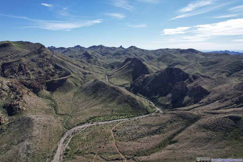 Telegraph Canyon
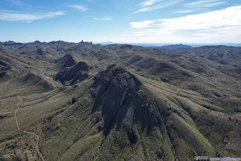 Hills
Hills Picketpost Mountain
 Picketpost Mountain
Click here to display photos of the slideshow

Rolling Hills
Telegraph Canyon
Hills
Picketpost Mountain
Picketpost Mountain
Mesas along Telegraph Canyon
I had set aside an entire afternoon for Picketpost Mountain, so I lingered at the summit, taking my time to absorb the scenery while also turning inward to reflect on some recent events in my life. As I sat there gazing out over a maze of canyons and rolling hills below, my mind seemed to inhabit the opposite vantage point — wandering through that canyon-carved landscape of interwoven rock and sparse vegetation, looking upward toward a solitary mountain landmark rising in the distance.
In the end, I spent about 1.5 hours on top of Picketpost Mountain before starting my descent at 3:20pm. I went a bit slower during my descent, ultimately reaching the trailhead at 5:10pm, concluding the trip.
END
![]() Day 2 of 2026 President’s Day Trip to Phoenix, Mount Picketpost by Huang's Site is licensed under a Creative Commons Attribution-NonCommercial-ShareAlike 4.0 International License.
Day 2 of 2026 President’s Day Trip to Phoenix, Mount Picketpost by Huang's Site is licensed under a Creative Commons Attribution-NonCommercial-ShareAlike 4.0 International License.