
Updated on May 12, 2026
Day 3 of 2026 President’s Day Trip to Phoenix, Flatiron
The third day of my 2026 President’s Day weekend trip to Phoenix. I hiked to Flatiron, a popular and somewhat strenuous mountain outside Phoenix, before flying back in the afternoon.
Flatiron
Originally, my plan for this three-day long weekend in Phoenix was to hike Battleship Mountain on the first day, and follow it with some form of the Superstition Ridgeline Traverse on the last. The full ridgeline traverse (AllTrails link) was an 18.5km point-to-point route with 1300m of elevation gain (11.5mi, 4550ft), beginning at Lost Dutchman State Park and ending at Carney Springs Trailhead. Alternatively, I could cut the route off approximately halfway, concluding at Hieroglyphic Trailhead instead. Carney Springs Trailhead was located along an unpaved road, which was logistically challenging. But even with Hieroglyphic Trailhead located in a residential neighborhood, it was not without difficulties as Lost Dutchman State Park closed its vehicle gate at 8pm, imposing a hard deadline to my date. Given that my hike to Battleship Mountain had proven more taxing than anticipated, committing to a longer route with greater elevation gain and a firm cutoff time gave me considerable pause.
Additionally, I was booked on an overnight redeye flight back to Boston. However, given the events that had taken place leading up to this trip, I had an incentive to instead fly back this afternoon (even though last night, my upgrade on the redeye flight was confirmed). With a few seats still open on the 4:30pm flight to Boston, I felt pretty good about my chances of making it on standby, but that would also require me to wrap up my activities in the mountains early this afternoon. After some deliberation, I settled on a more sensible plan: an out-and-back to Flatiron, sharing the opening stretch of the Superstition Ridgeline Traverse. At 9.5km with 810m of elevation gain (5.9mi, 2650ft), it fitted both my schedule and my legs rather more comfortably.
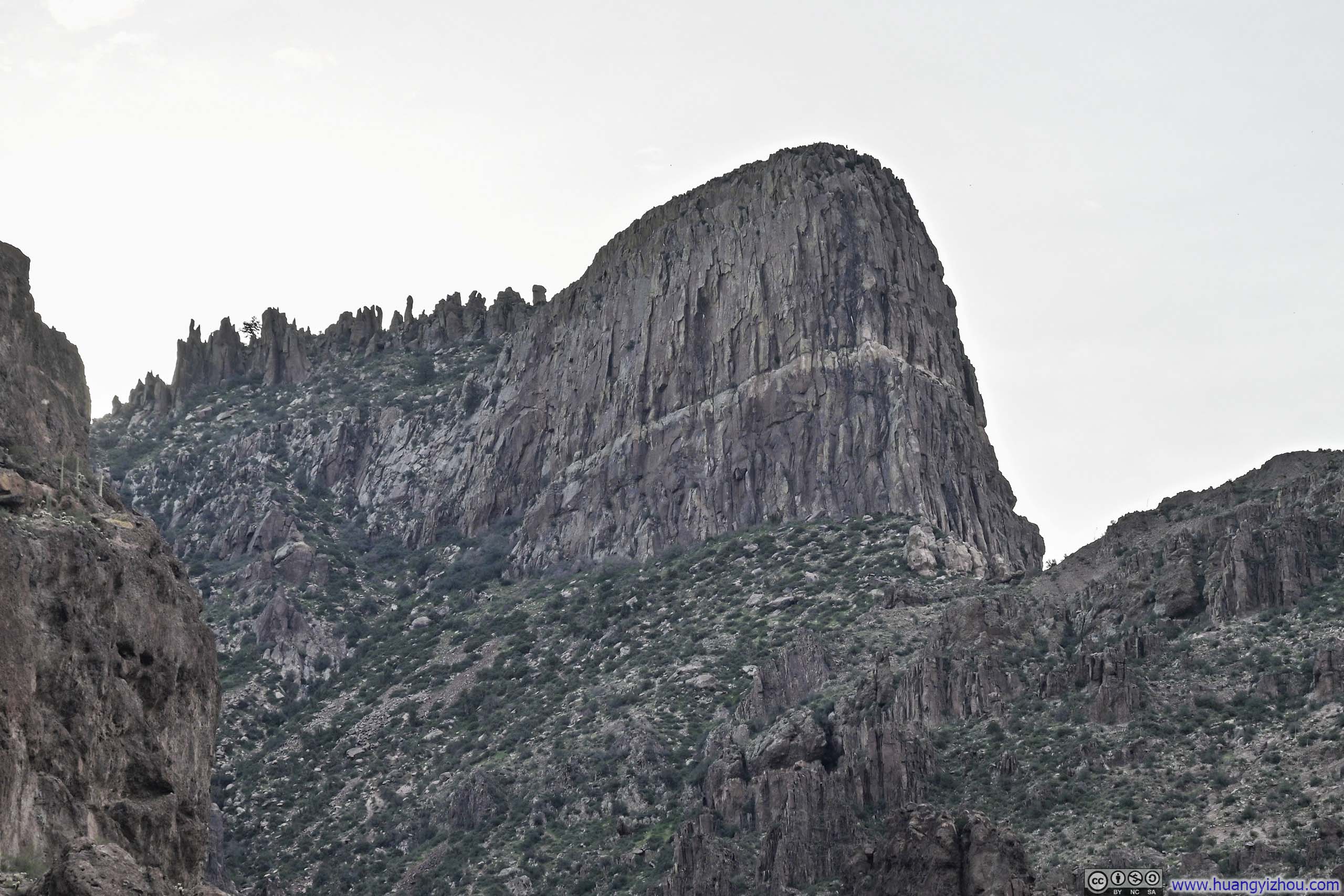
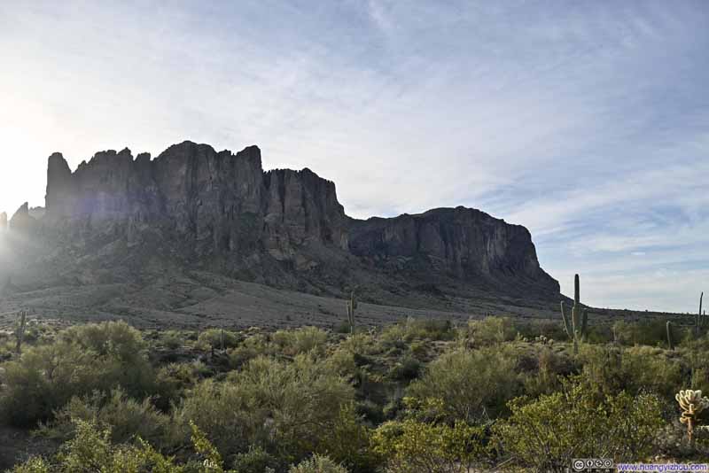
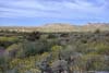
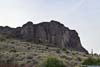
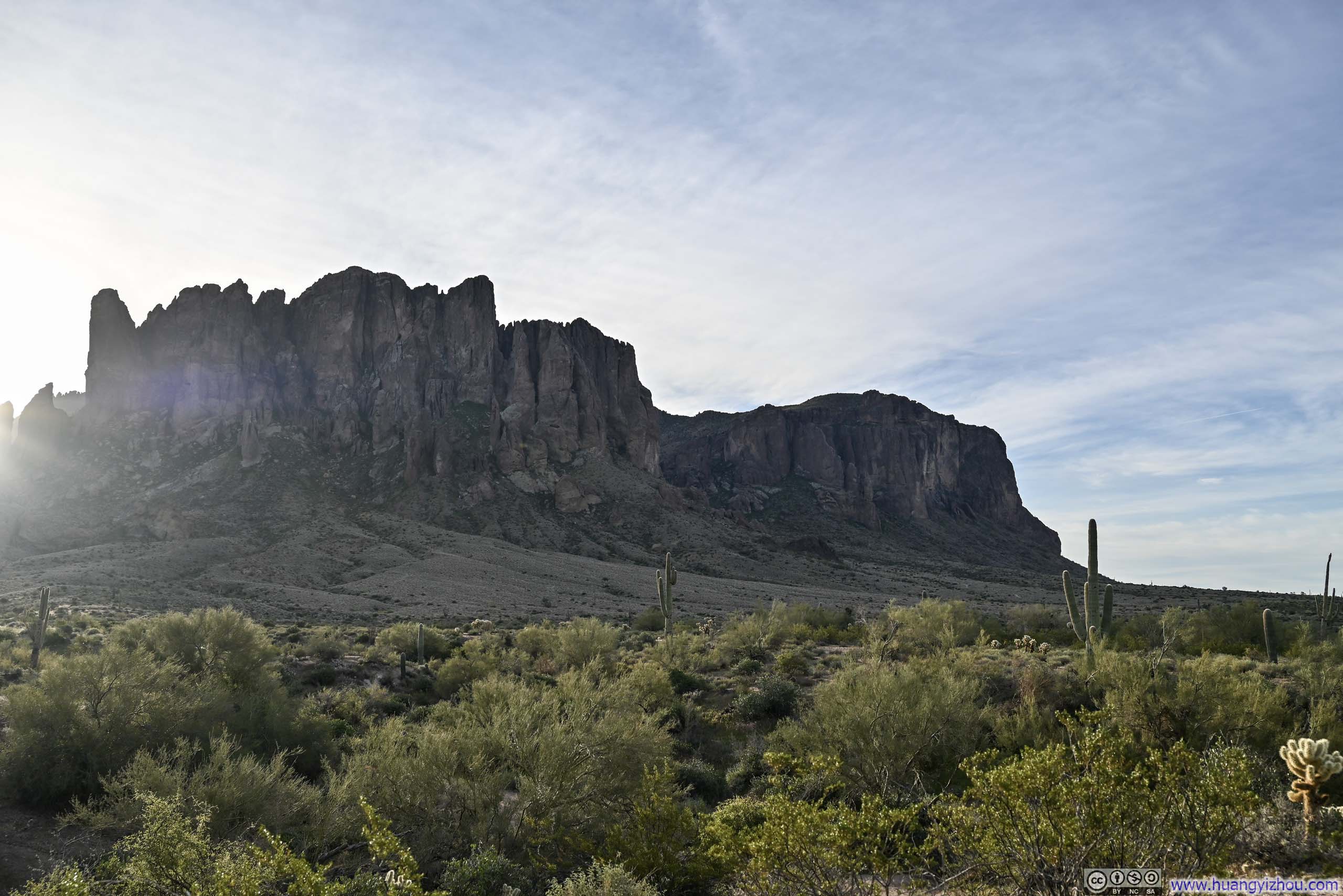
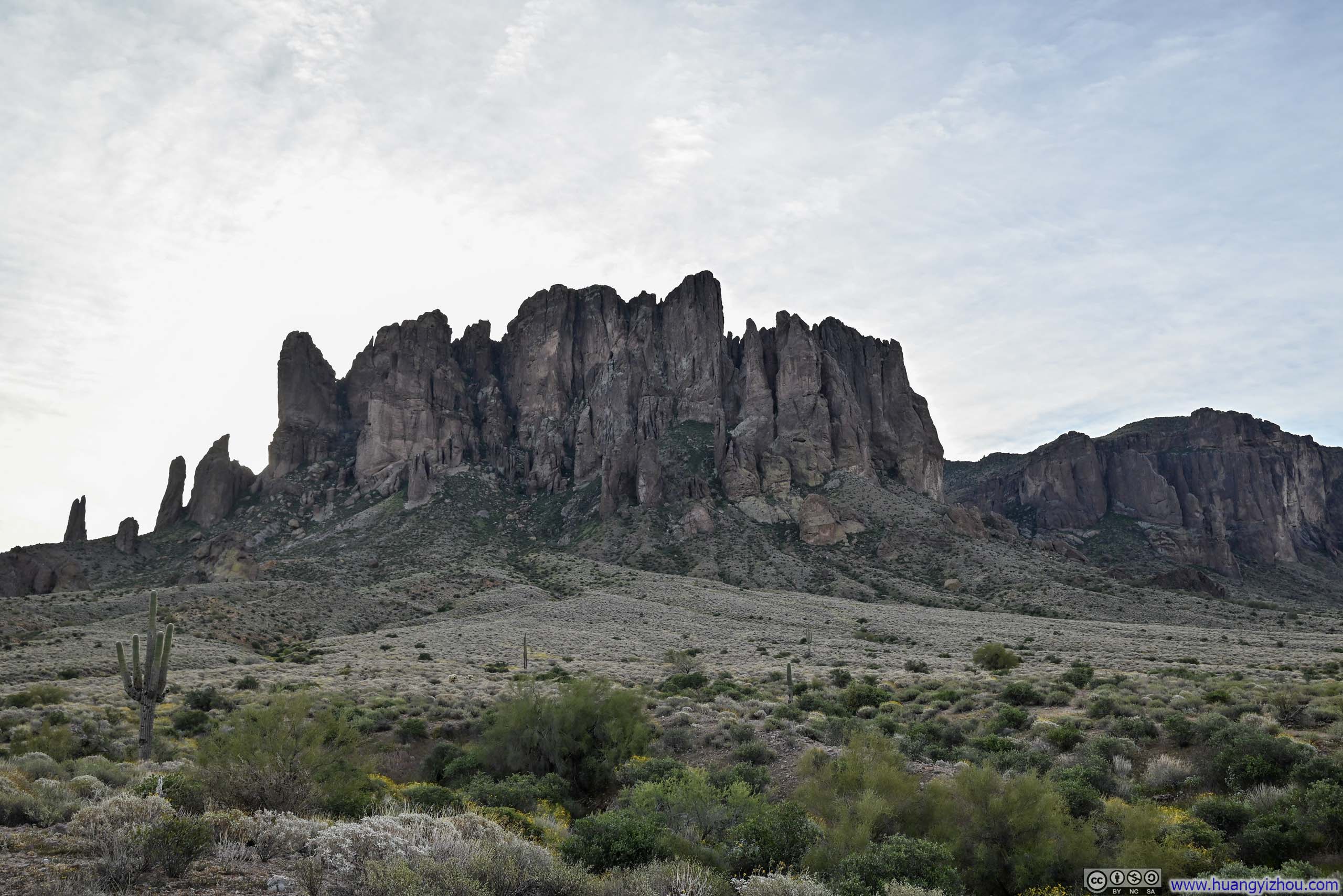
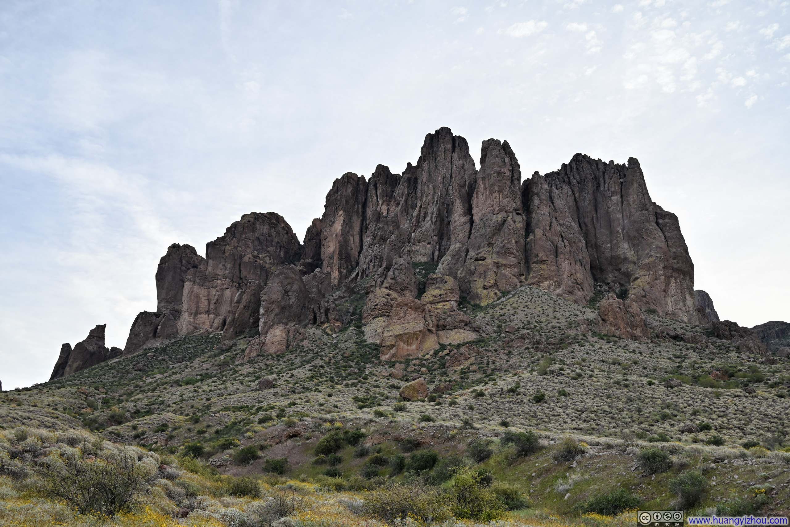
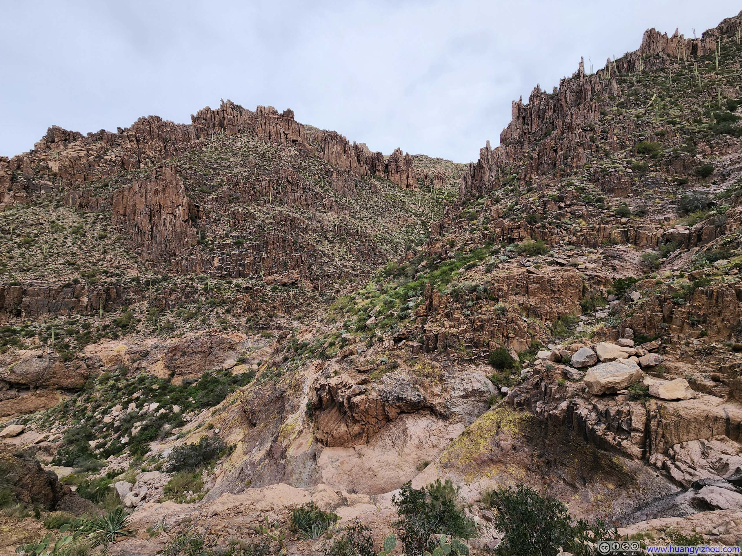
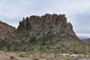
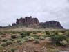
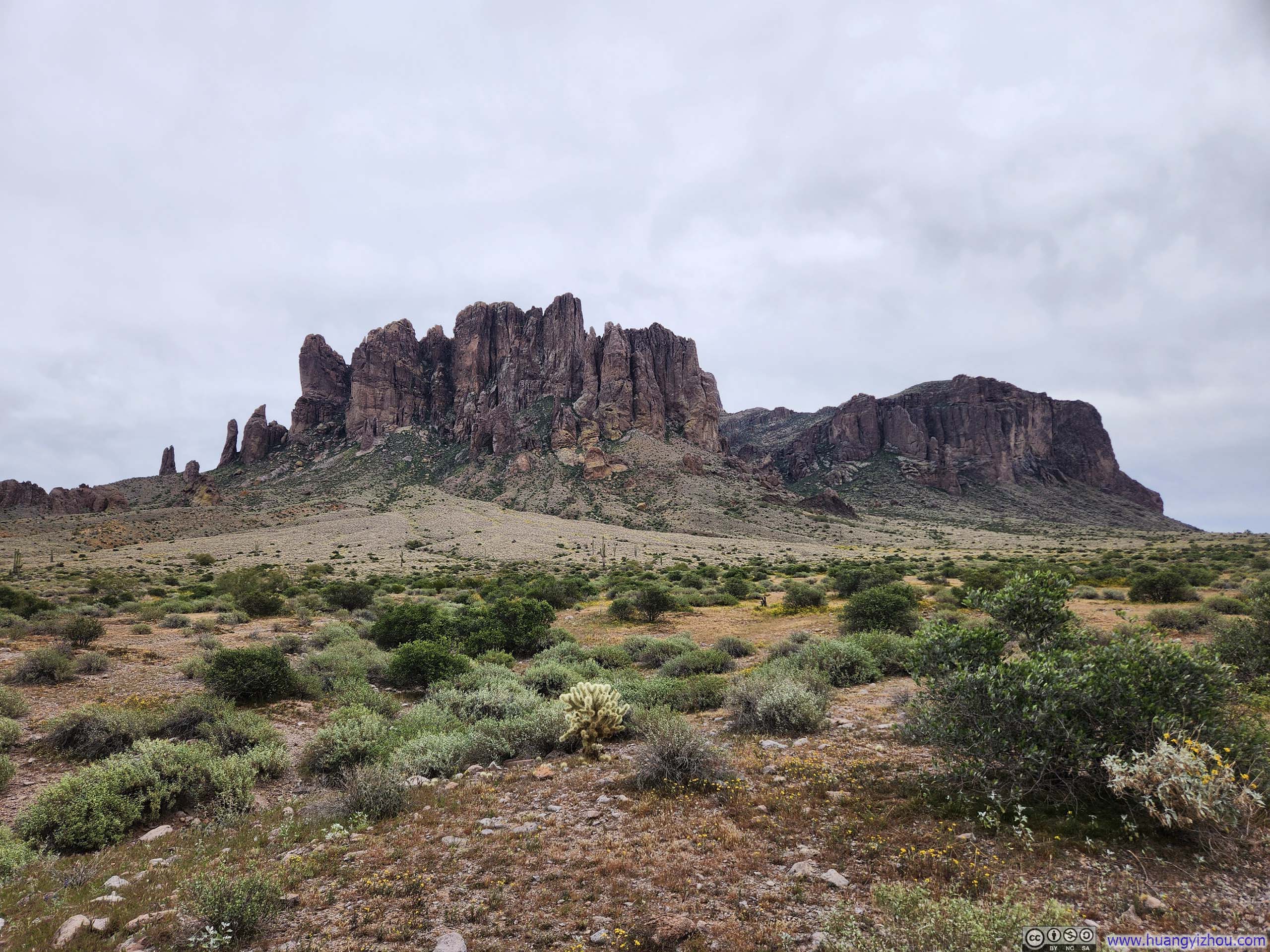
Flatiron was a very popular hiking destination in the Phoenix area. It featured a flat-topped field, shaped like an iron, surrounded by steep cliff dropoffs: just like a clothes iron placed upside down. (Though I had to say, this shape was best appreciated on Google Earth, not from along the trail.) Among the hilly and jagged Superstition Mountains, this shape was quite a novelty.
To make sure I could make the afternoon flight on standby, I rose early and reached Lost Dutchman State Park at 8am and started my hike. Here’s GPS tracking:
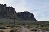
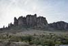
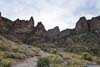
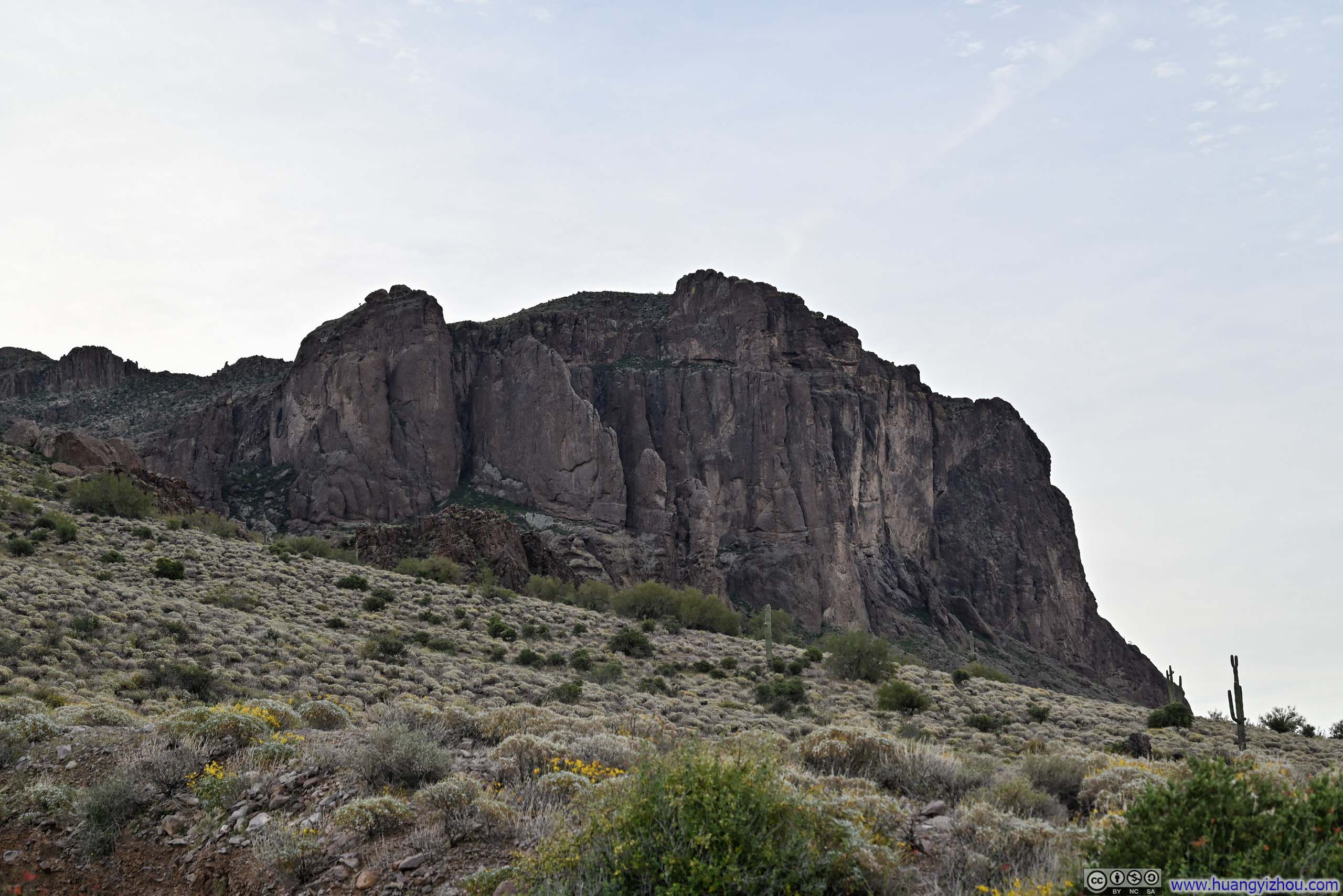
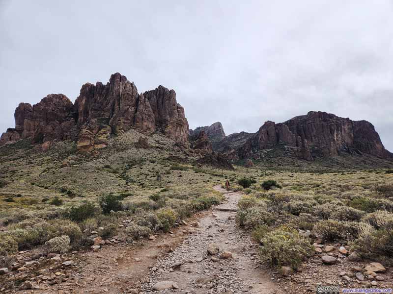
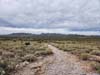
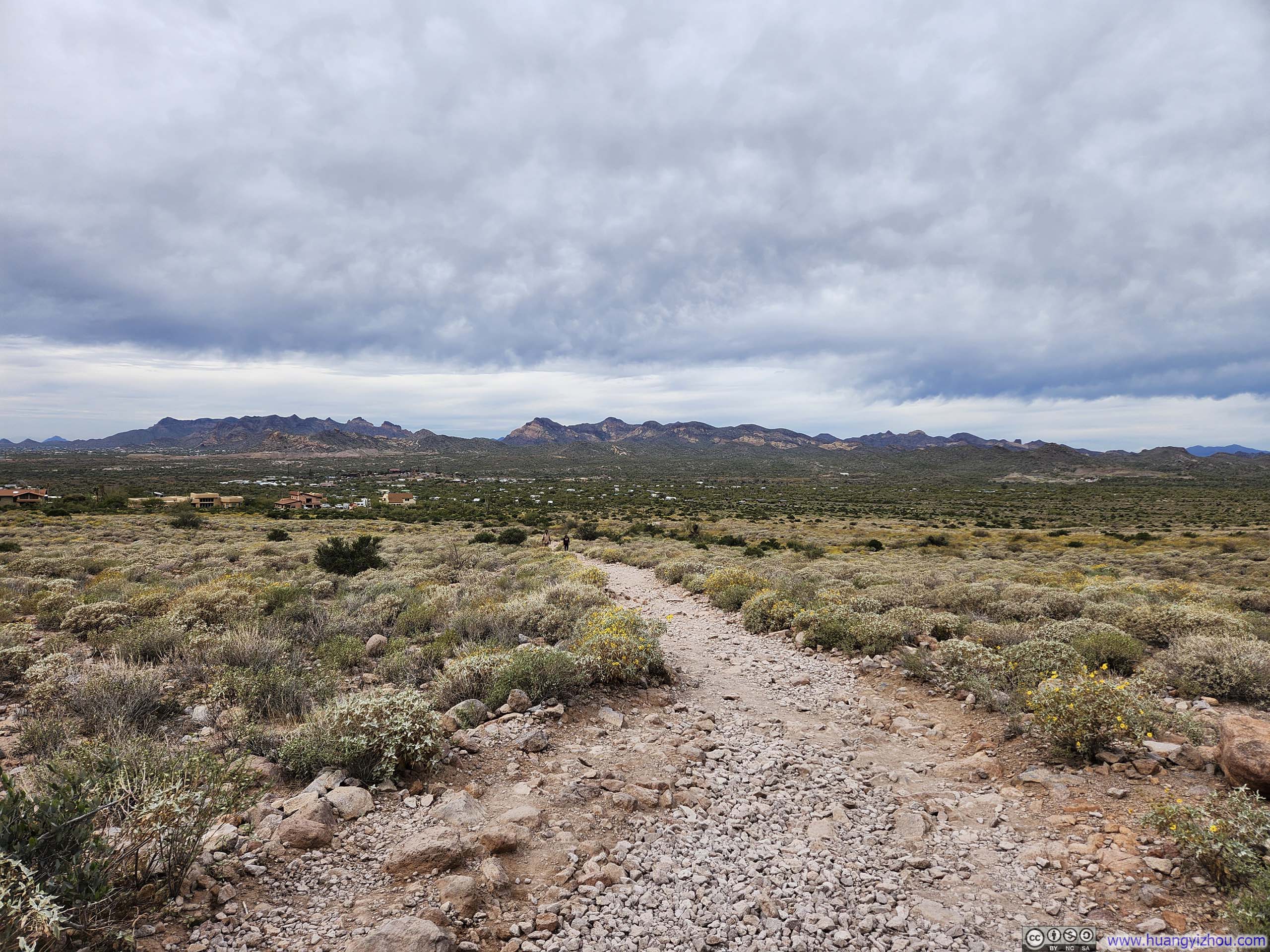
The state park featured a few day-use parking lots, from which a network of trails fanned out in every direction, crisscrossing each other. While out in the fields, the sight of various rocky hills ahead made for a pleasing companion. In my opinion, for the most straightforward path to Flatiron, one should follow the social path on the boundary between the state park and Tonton National Forest, before joining Siphon Draw Trail, the principal route to Flatiron.
 Hills against Rising Sun
 Lone Saguaro along Trail
 Hill
Hill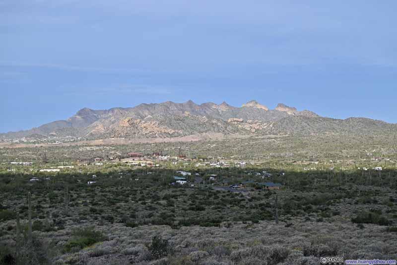 MountainsGoldfield Ghost Town theme park in the center.
 Flowers along Trail against Mountainous Backdrop
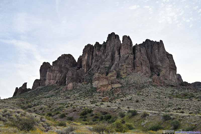 Hill
Hill Hill
Hill Trail to Flatiron

Click here to display photos of the slideshow
Hills against Rising Sun

Lone Saguaro along Trail
Hill
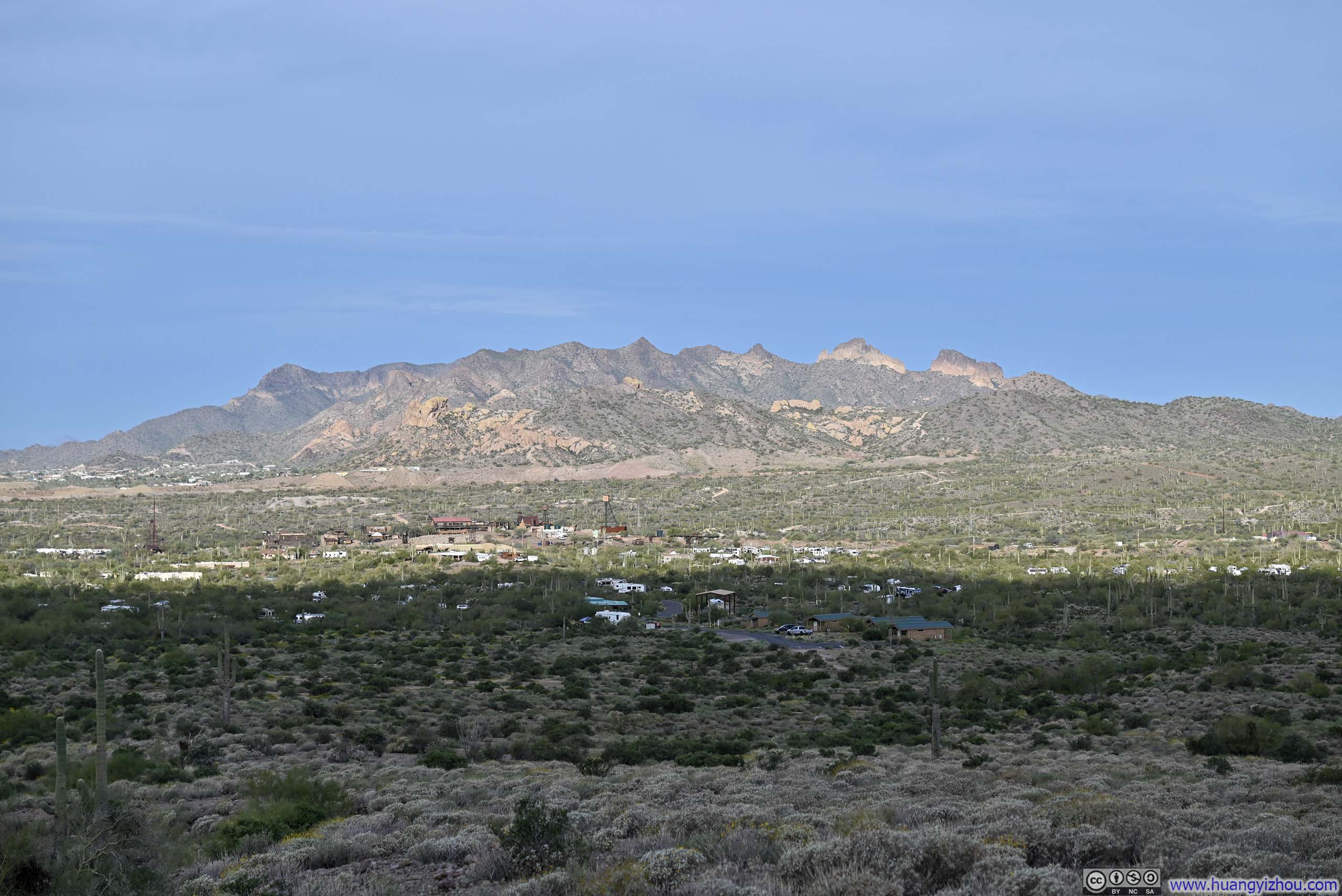
MountainsGoldfield Ghost Town theme park in the center.
Flowers along Trail against Mountainous Backdrop
Hill
Hill
Trail to Flatiron
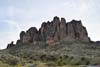
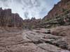
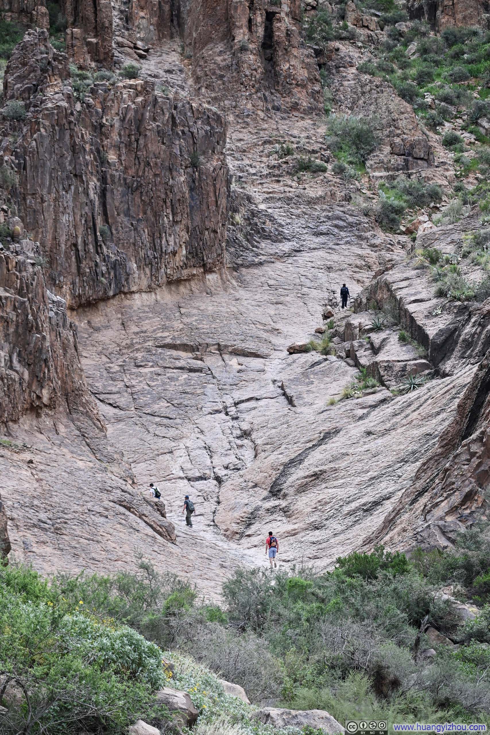
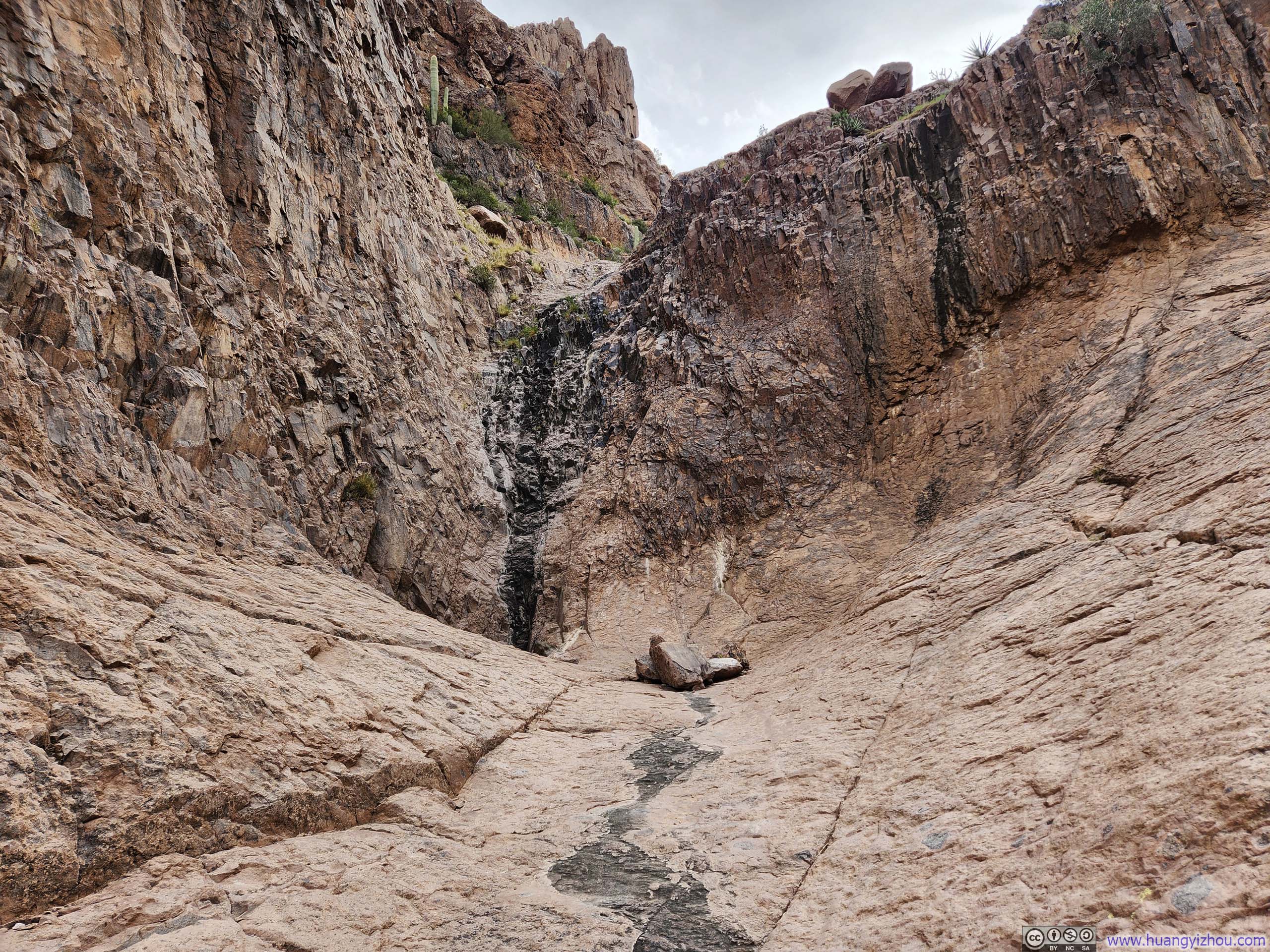
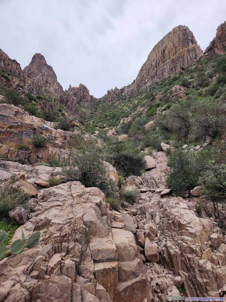
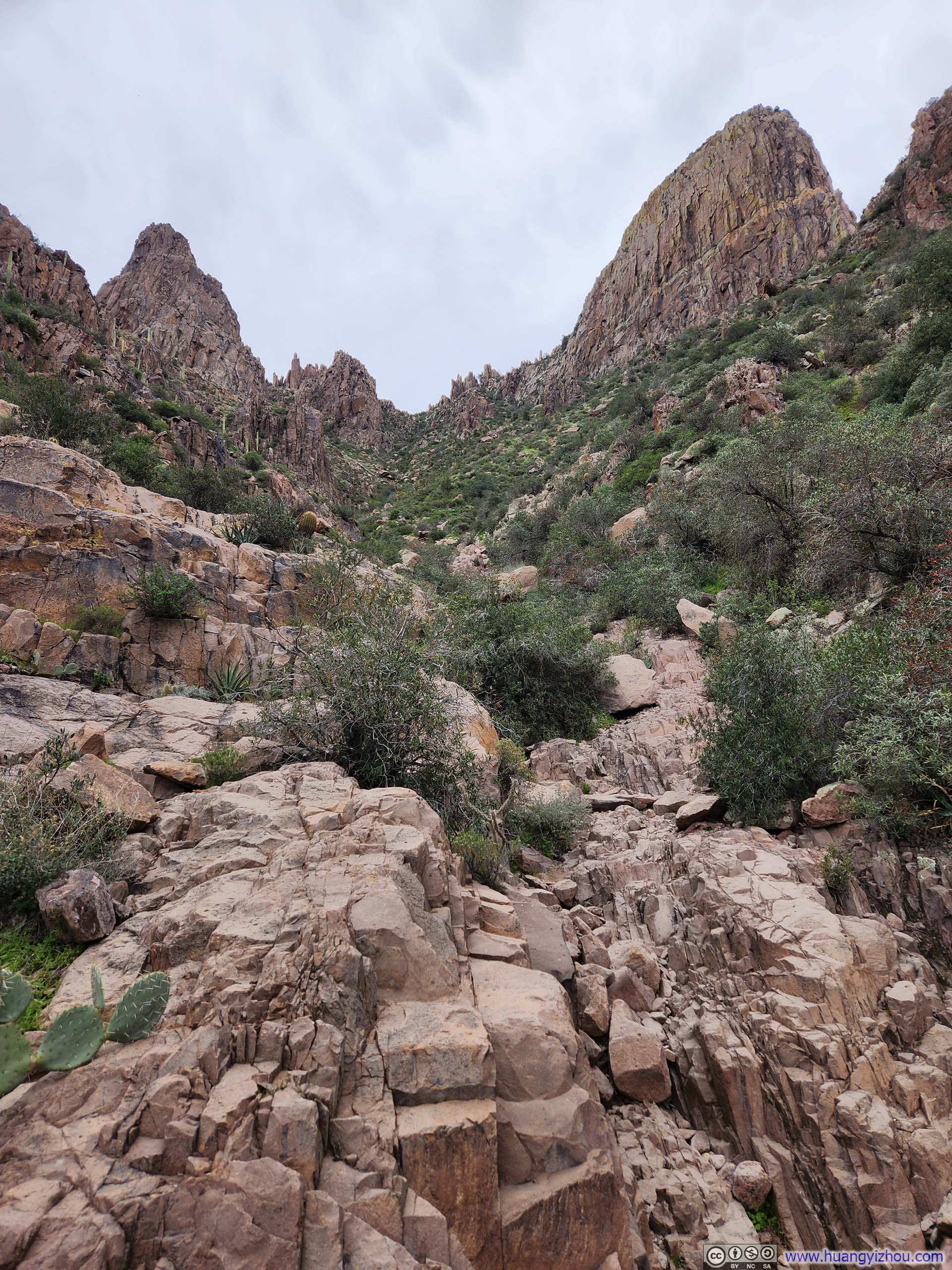
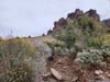
As the cliffs closed in on Siphon Draw, the path to Flatiron assumed its signature steep gradient.
Flatiron over Siphon Draw Slickrock
The steep climbing section began with Siphon Draw Slickrock. It was dry during my visit and not slippery at all.
 Path on Siphon Draw Slickrock
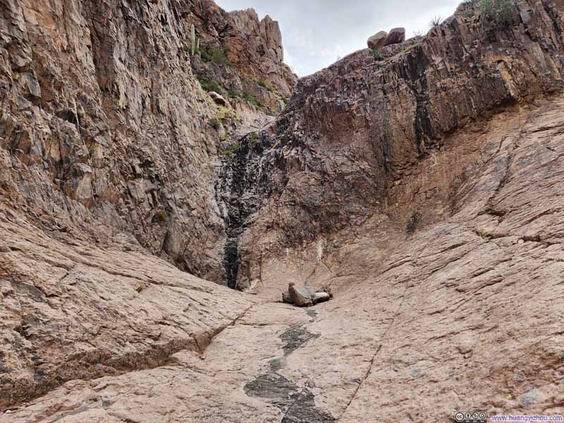 Siphon Draw Slickrock
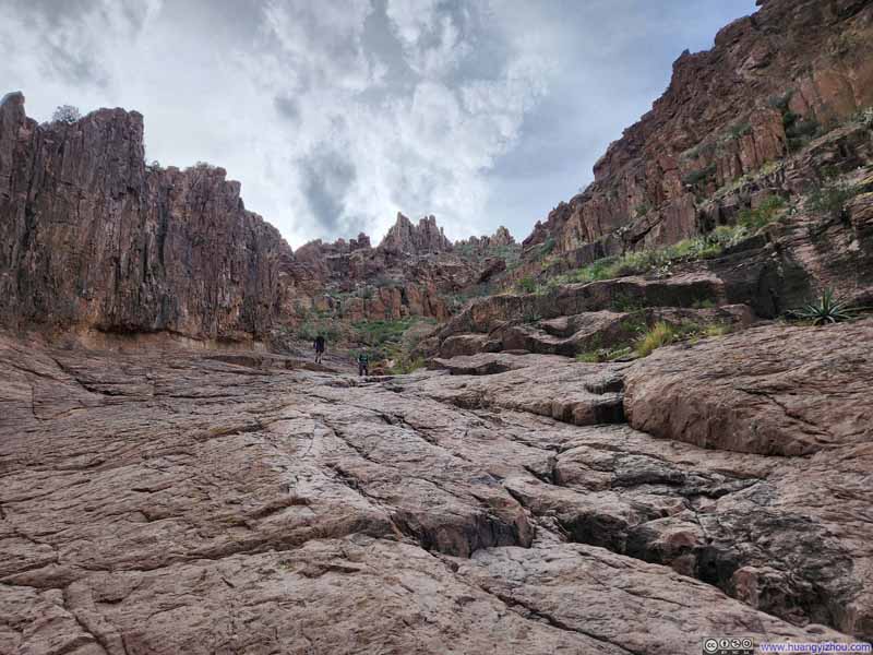 Path on Siphon Draw Slickrock
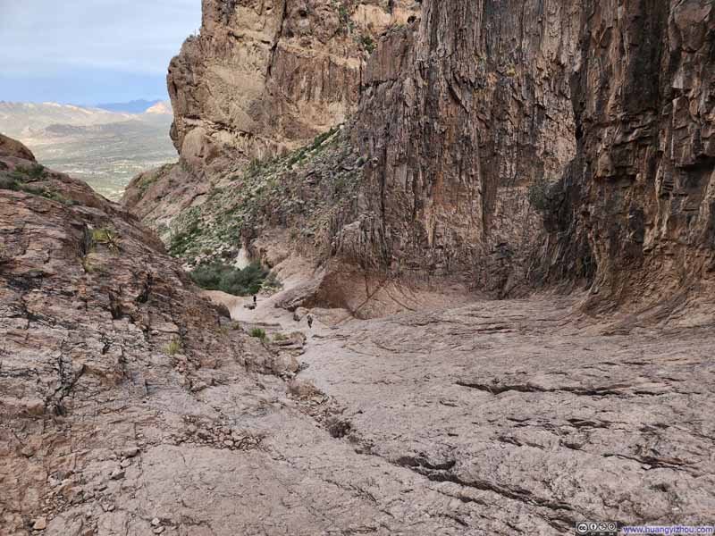 Path on Siphon Draw Slickrock
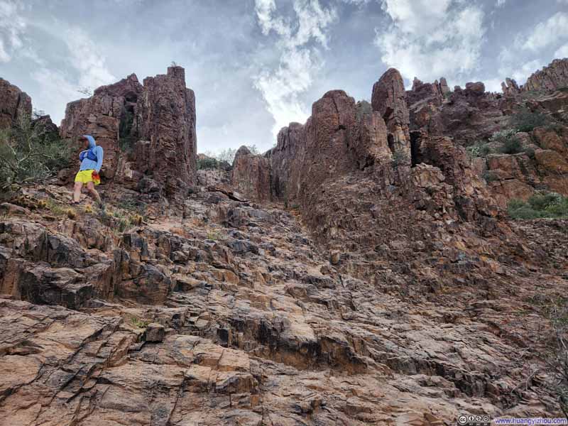 Steep Path
 Steep Path
 Steep Path

Click here to display photos of the slideshow
 Path on Siphon Draw Slickrock
Siphon Draw Slickrock
Path on Siphon Draw Slickrock
Path on Siphon Draw Slickrock

Steep Path
 Steep Path
Steep Path
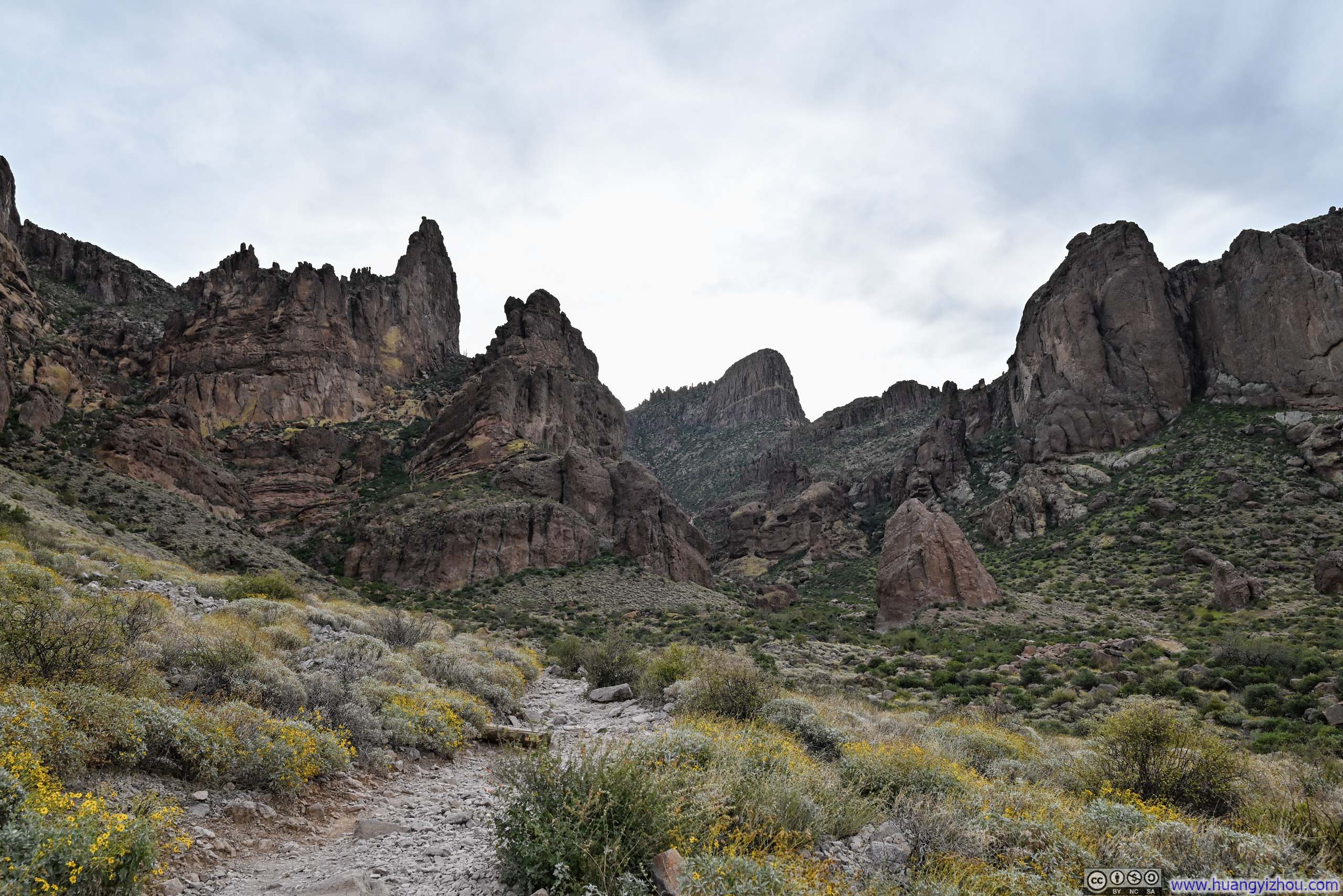
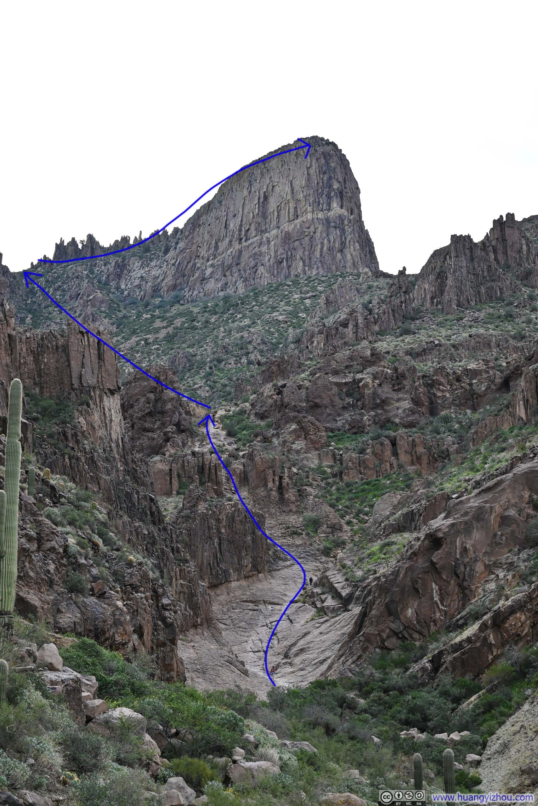
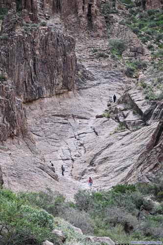
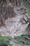
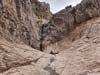
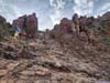
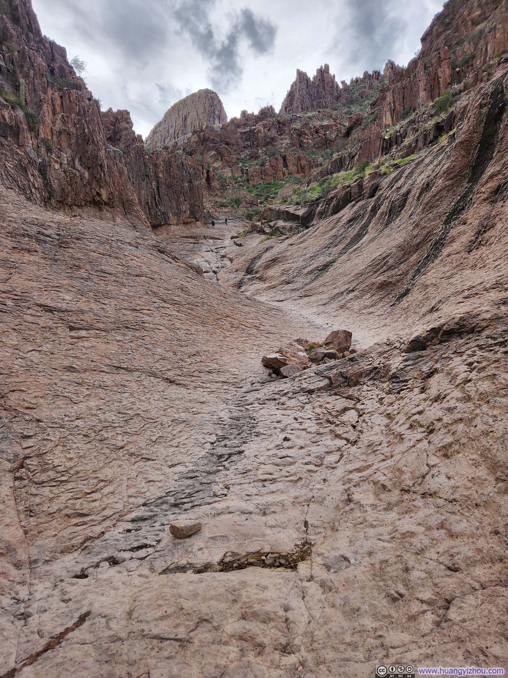
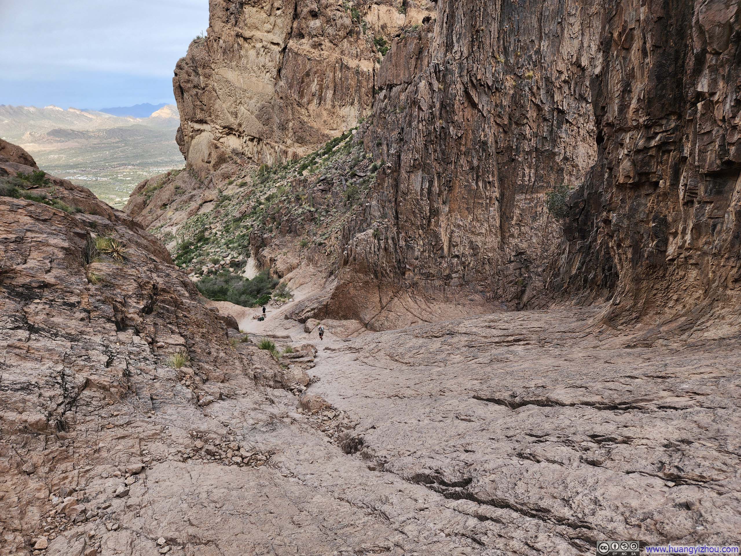
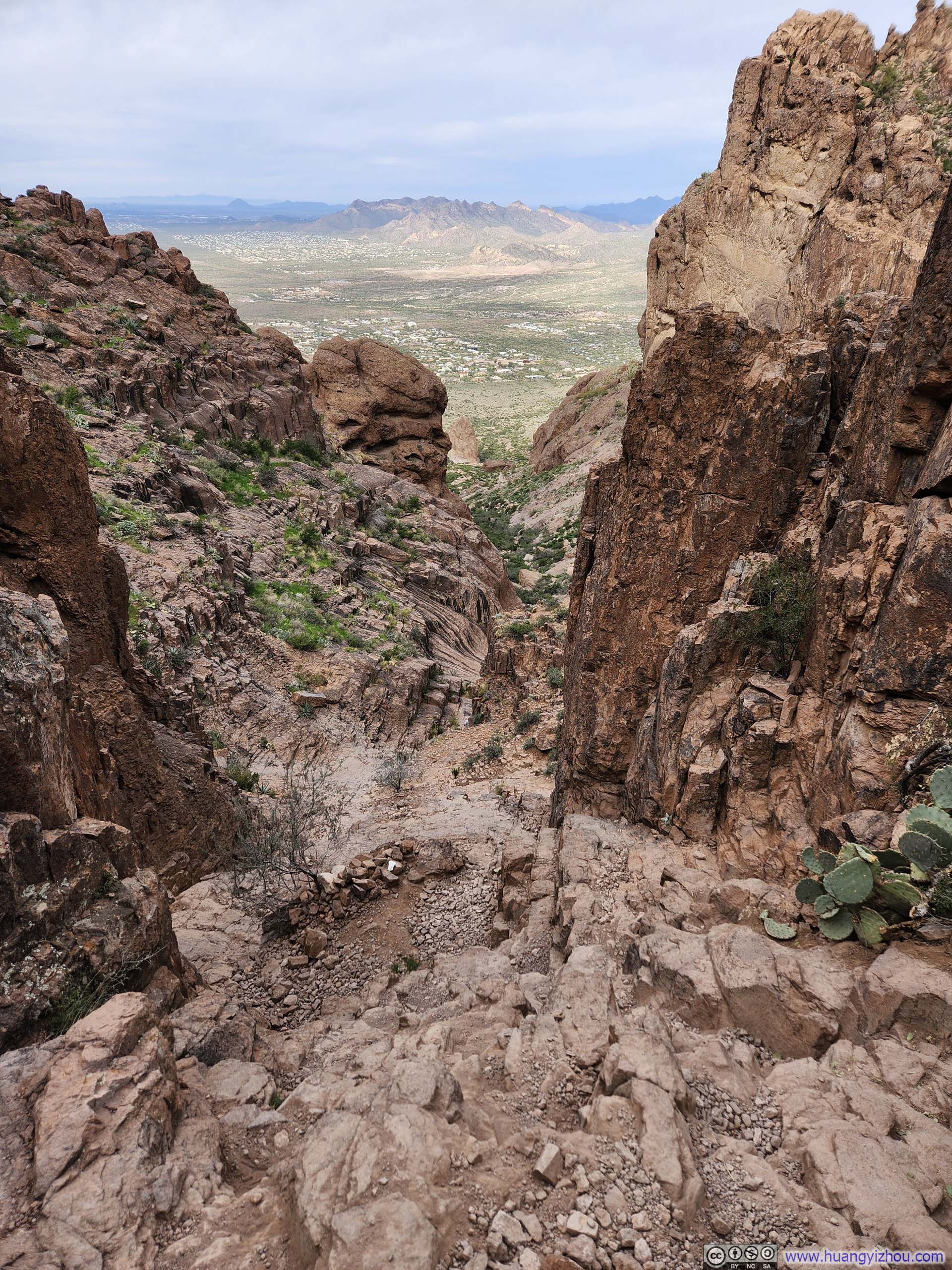
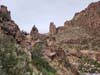
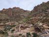
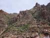
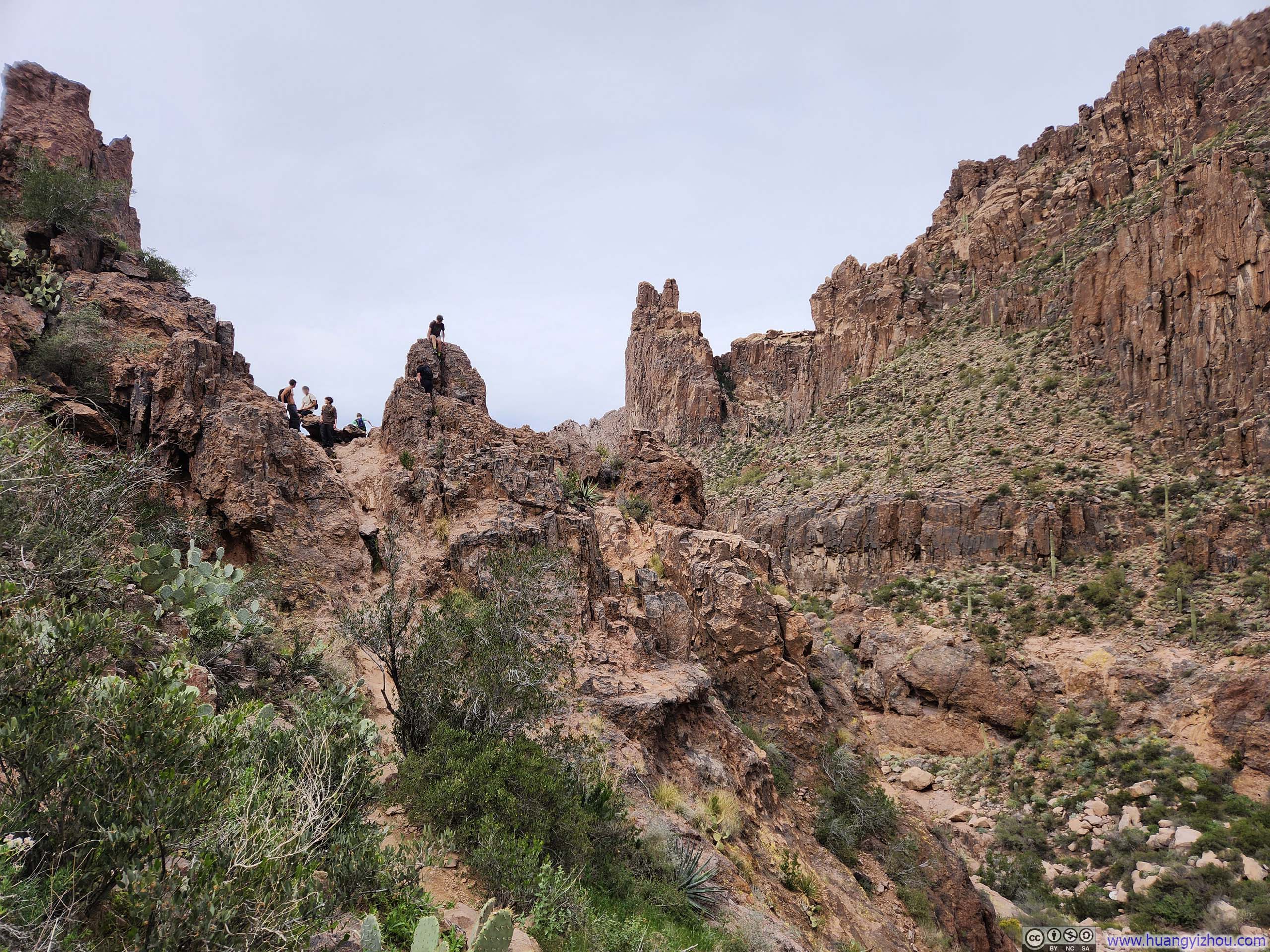
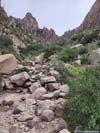
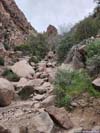
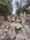
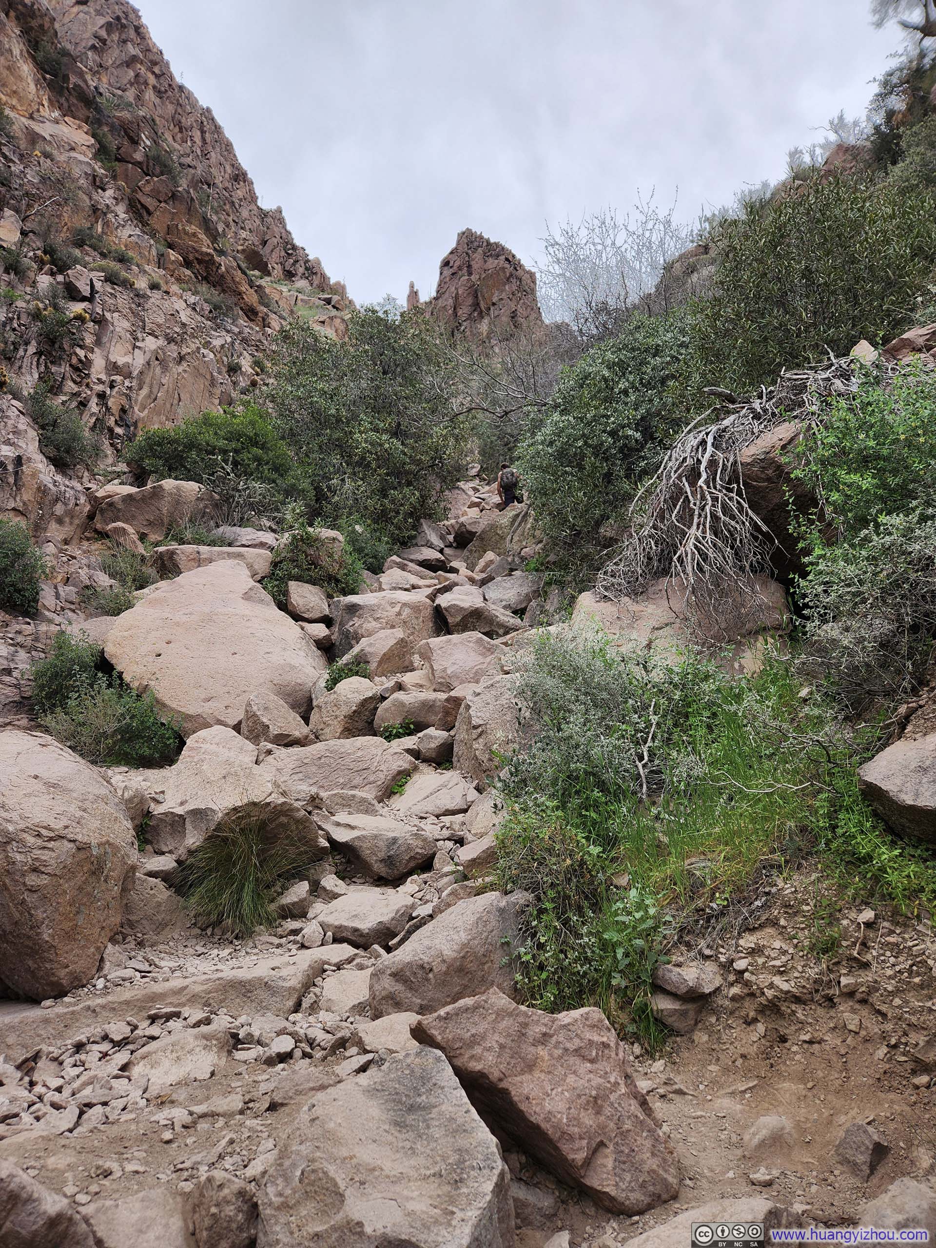
At the top of the initial steep climb lay a small vista (p1-2 below), cradled by rocky slopes on all sides like the central stage of an ancient Greek amphitheater. It was here, for the first time, that the remainder of the path to Flatiron revealed itself in its entirety: a long, steep gully threading its way up the hillside.
 Boulders along Trail
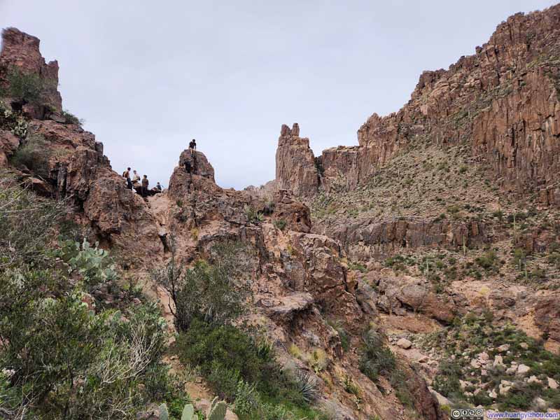 Boulders along Trail
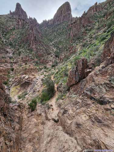
 Steep Path to Flatiron
 Pointy Rocks along Siphon Draw
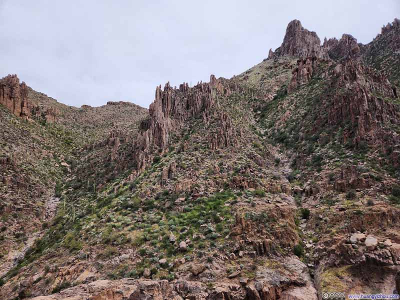 Pointy Rocks along Siphon Draw


Click here to display photos of the slideshow

Boulders along Trail
Boulders along Trail

 Steep Path to Flatiron
Pointy Rocks along Siphon Draw

Pointy Rocks along Siphon Draw
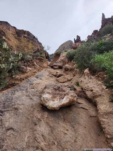
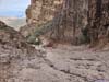
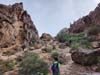
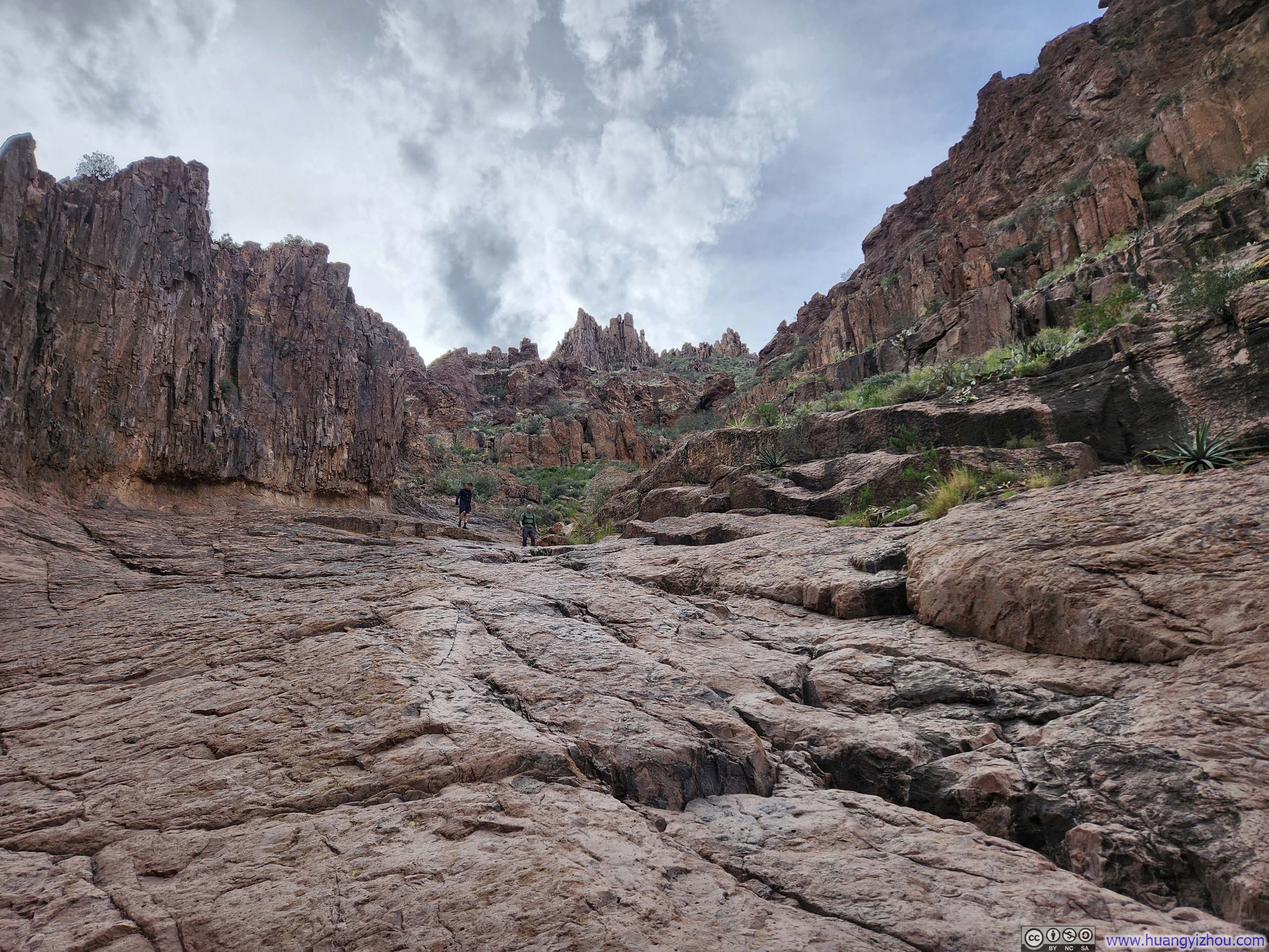
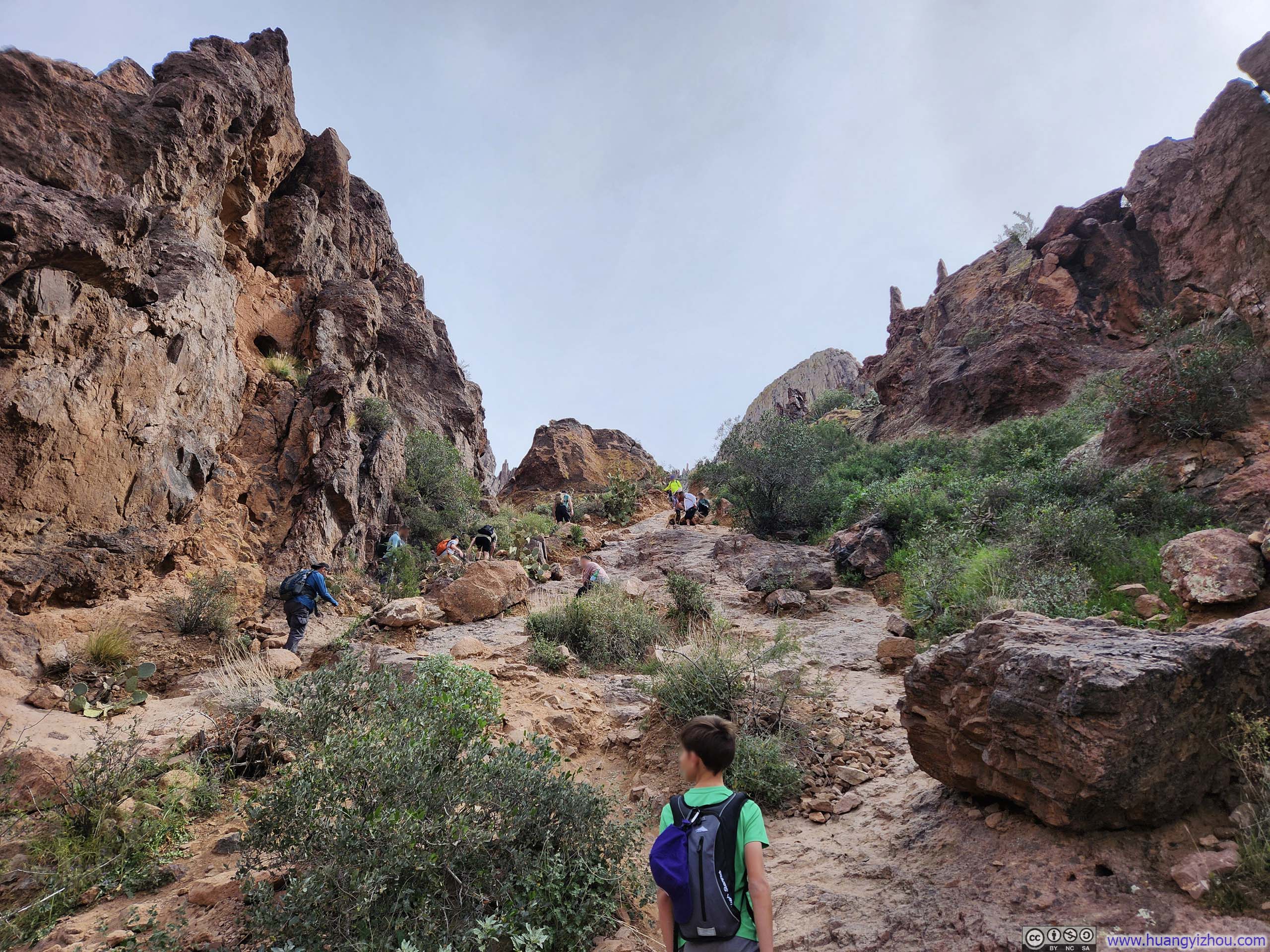
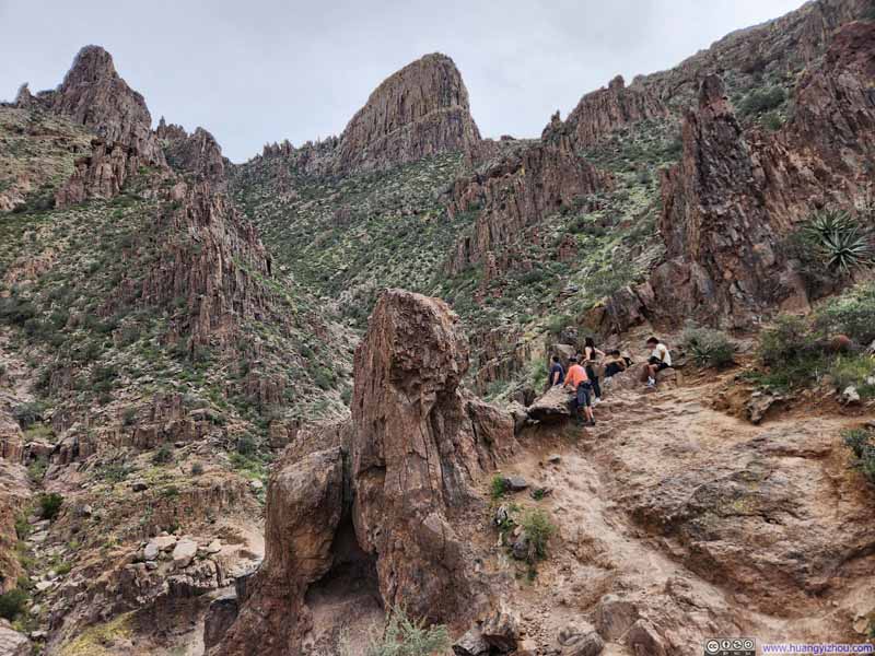
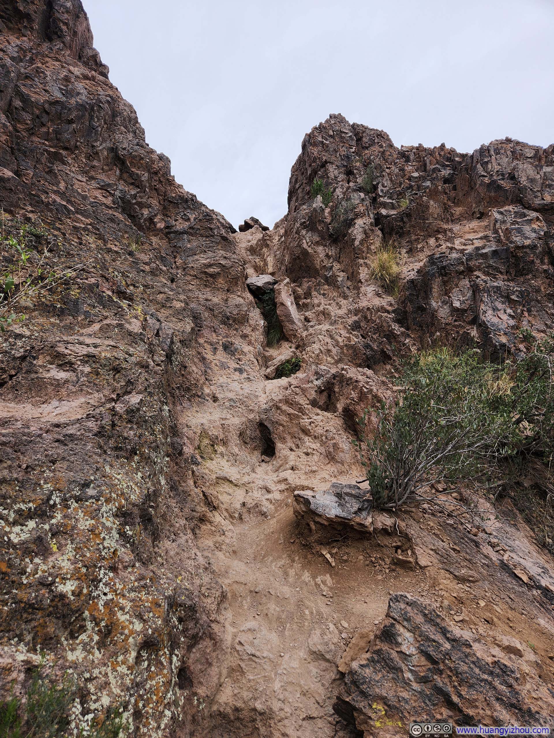
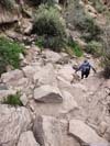
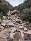
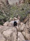
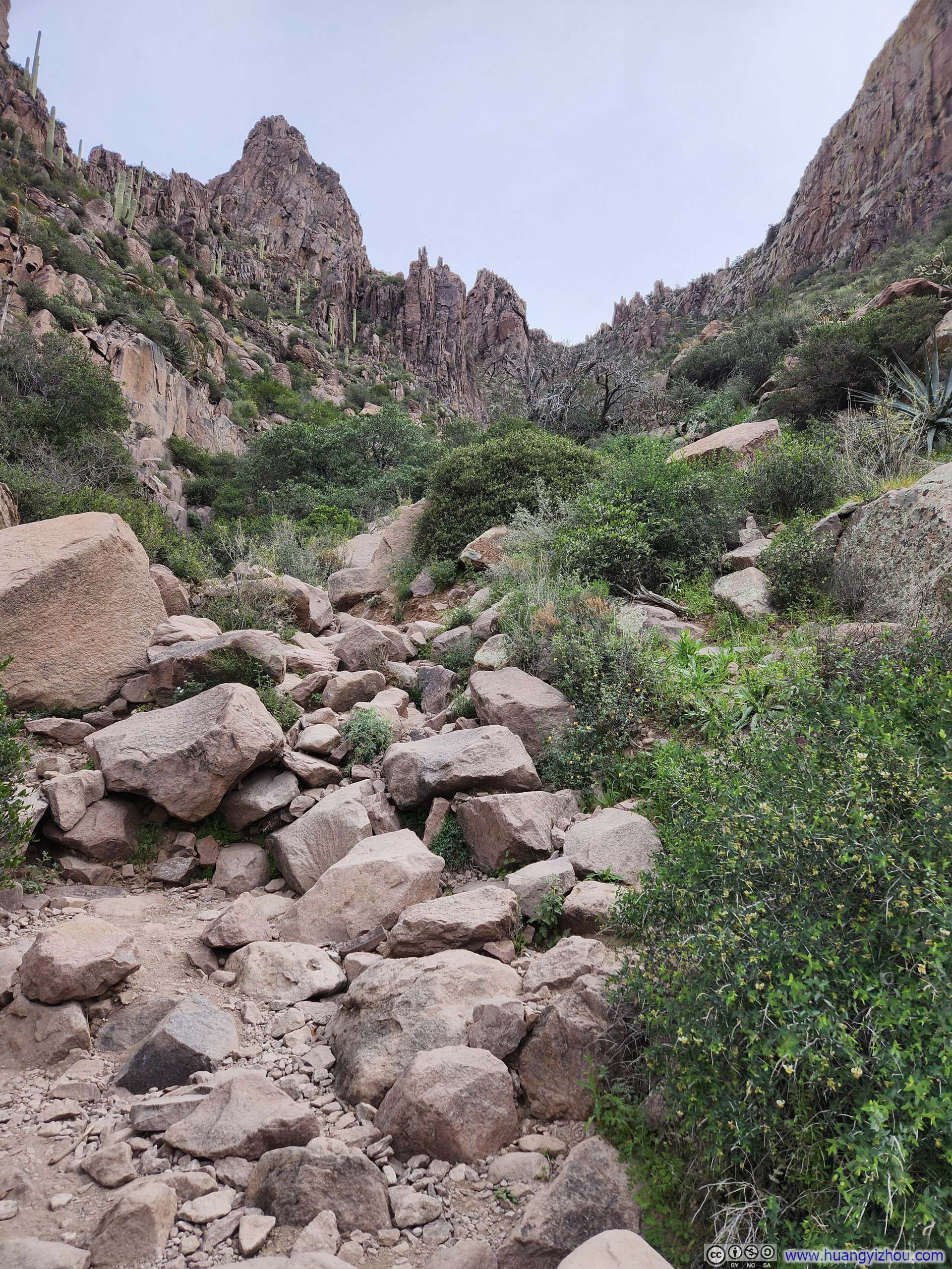
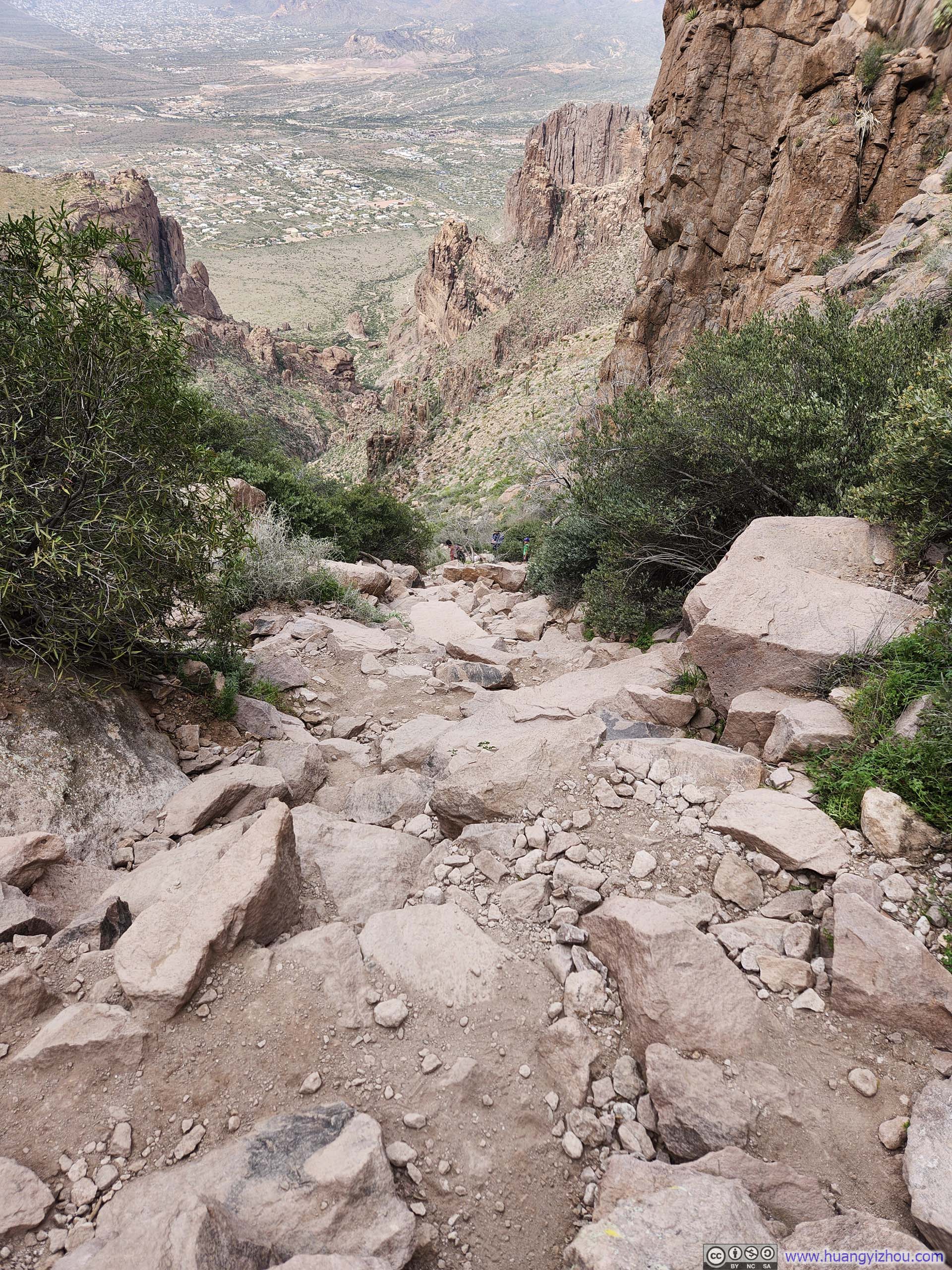
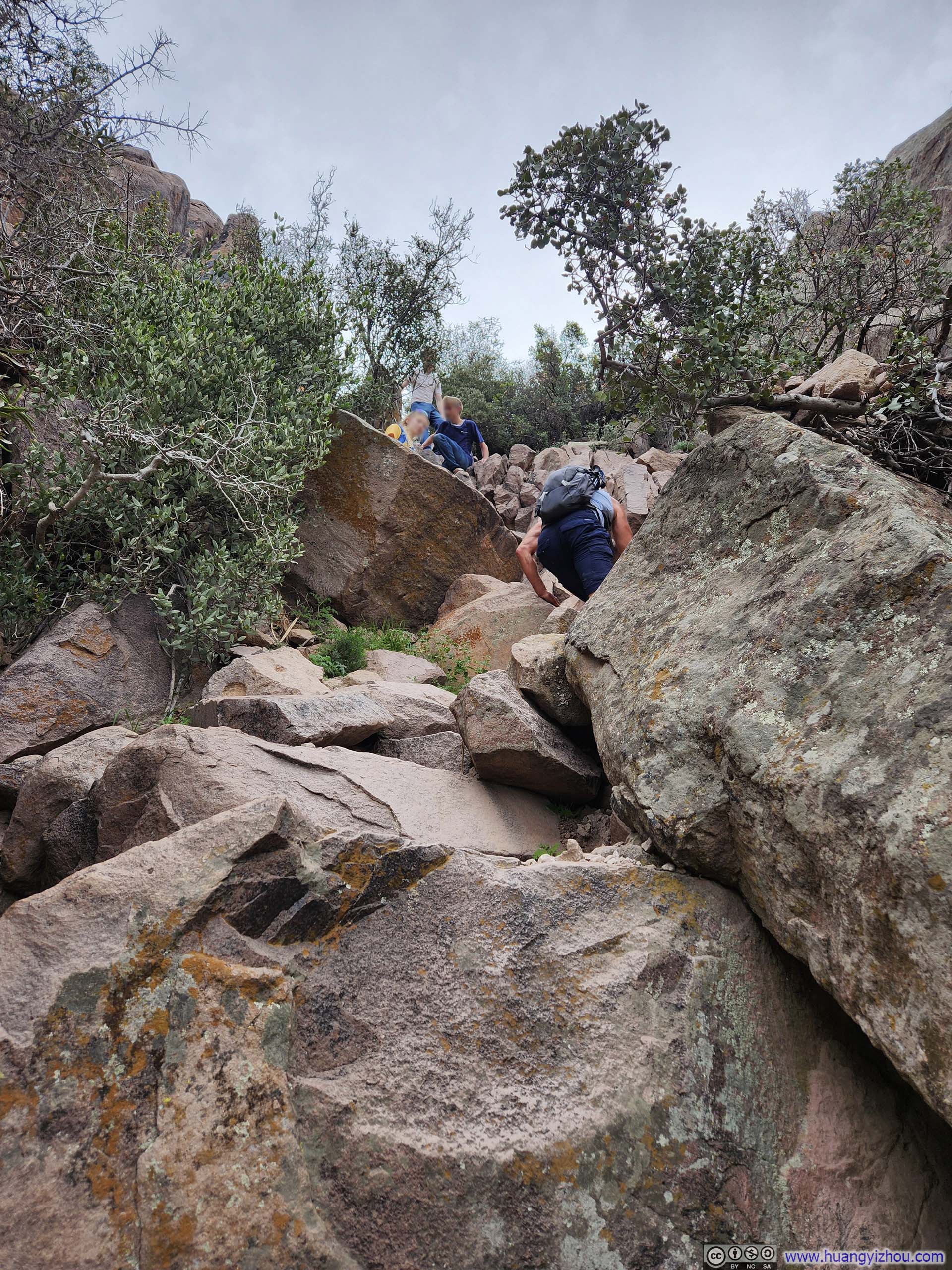
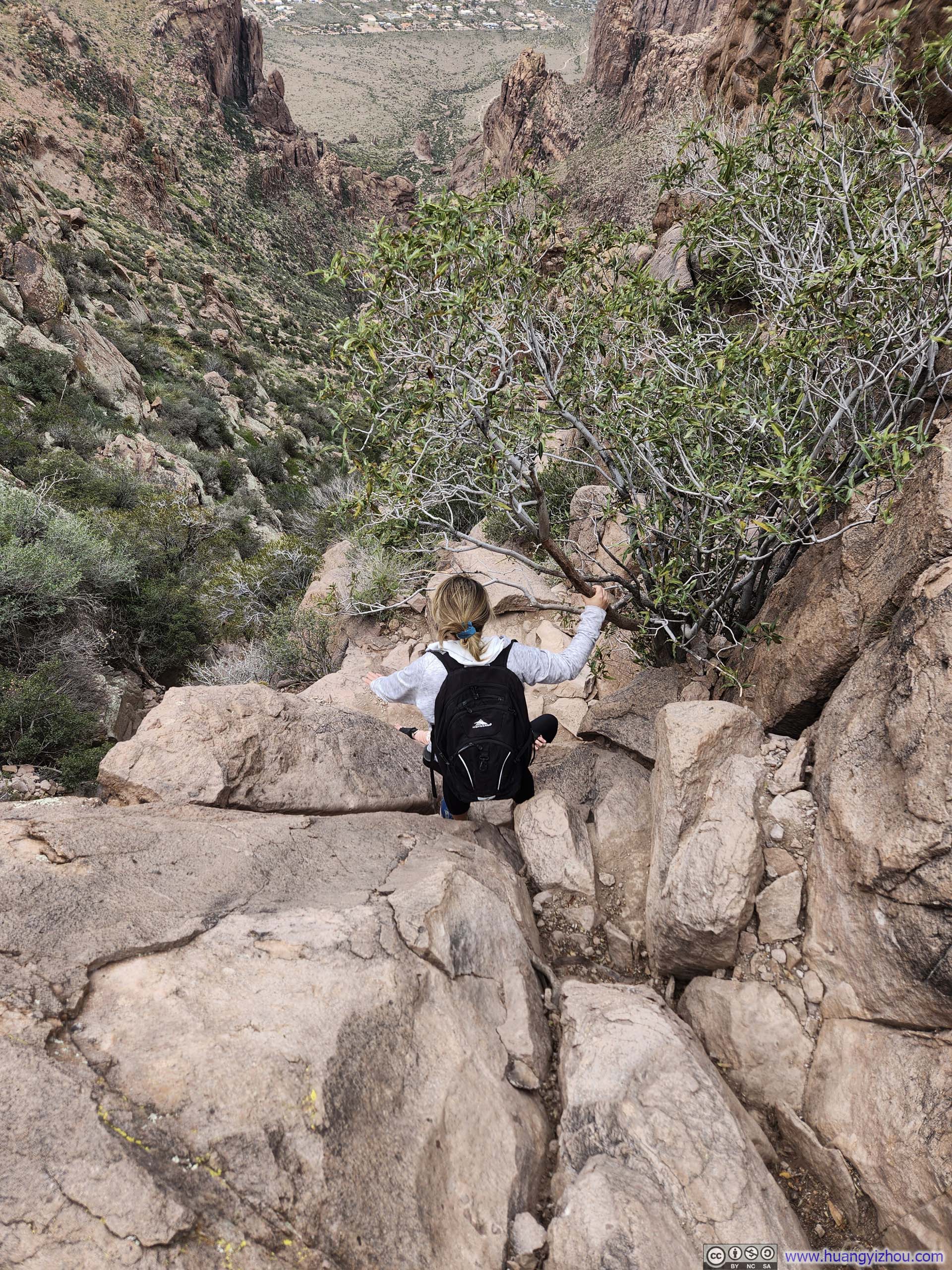
After that, it was a long and relentless climb over a rocky path to Flatiron. The slideshow below is representative of the typical route conditions. I would say that, with the exception of one move near the very top, the entire route was YDS Class 2. With hiking poles in hand, I rarely needed to use my hands, if at all. Occasionally, parallel paths would branch off along the route, though they tended to converge just slightly ahead, so navigation presented little challenge. Just as on my previous two days at Battleship Mountain and Picketpost Mountain, I brought my helmet and action camera mount hoping to capture some exciting scrambling footage. They ended up going for the ride, as Flatiron had little excitement to offer in that regard.
 Steep Path
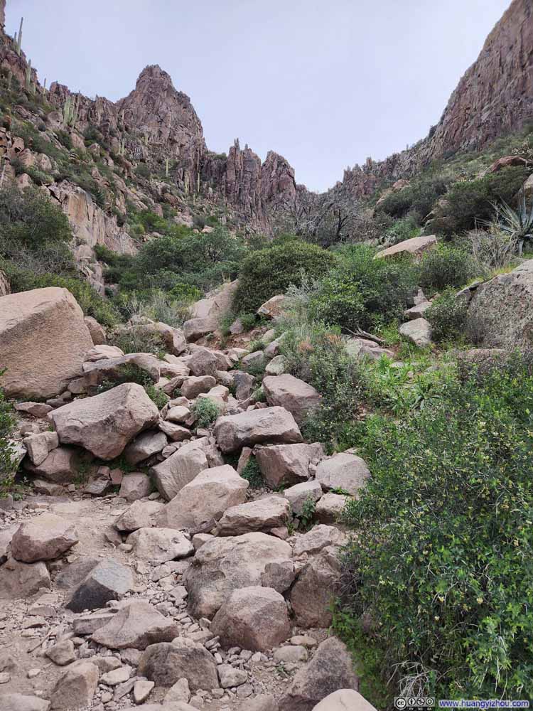 Steep Path
 Steep Path
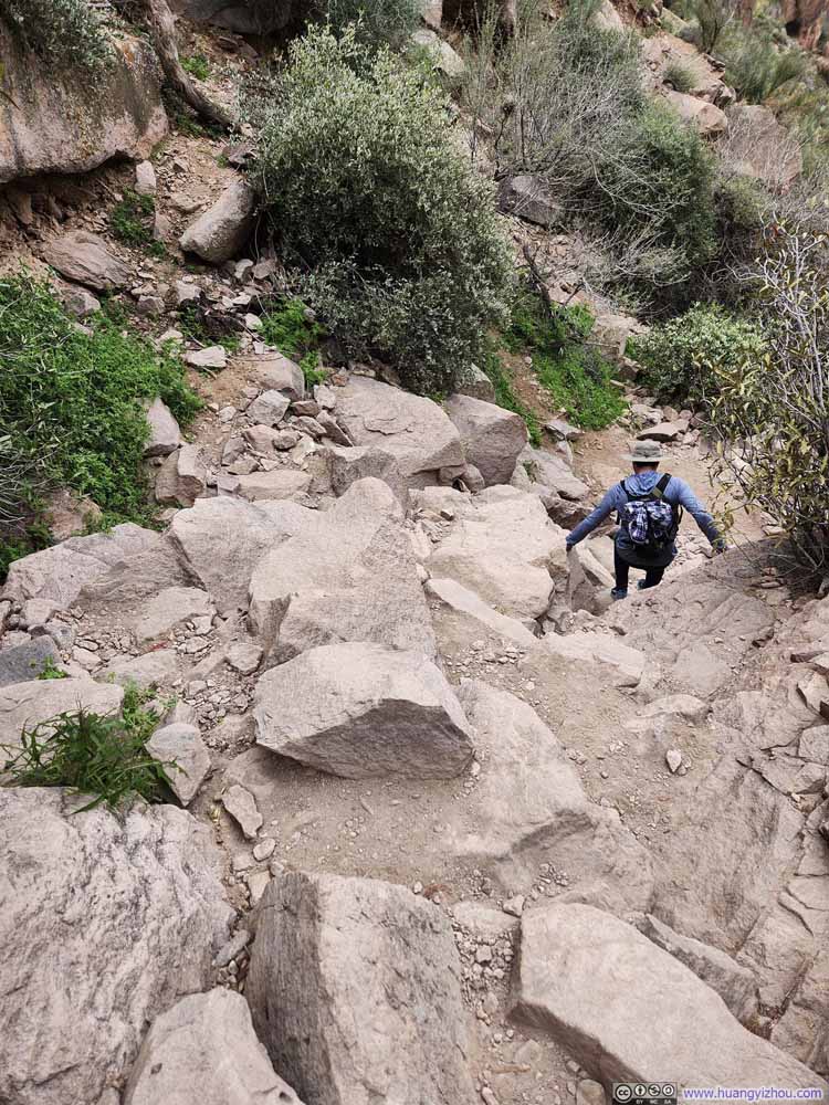 Steep Path
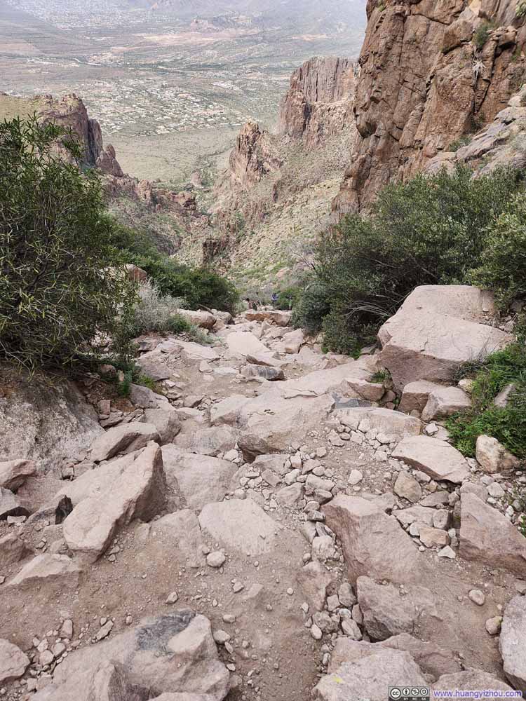 Steep Path
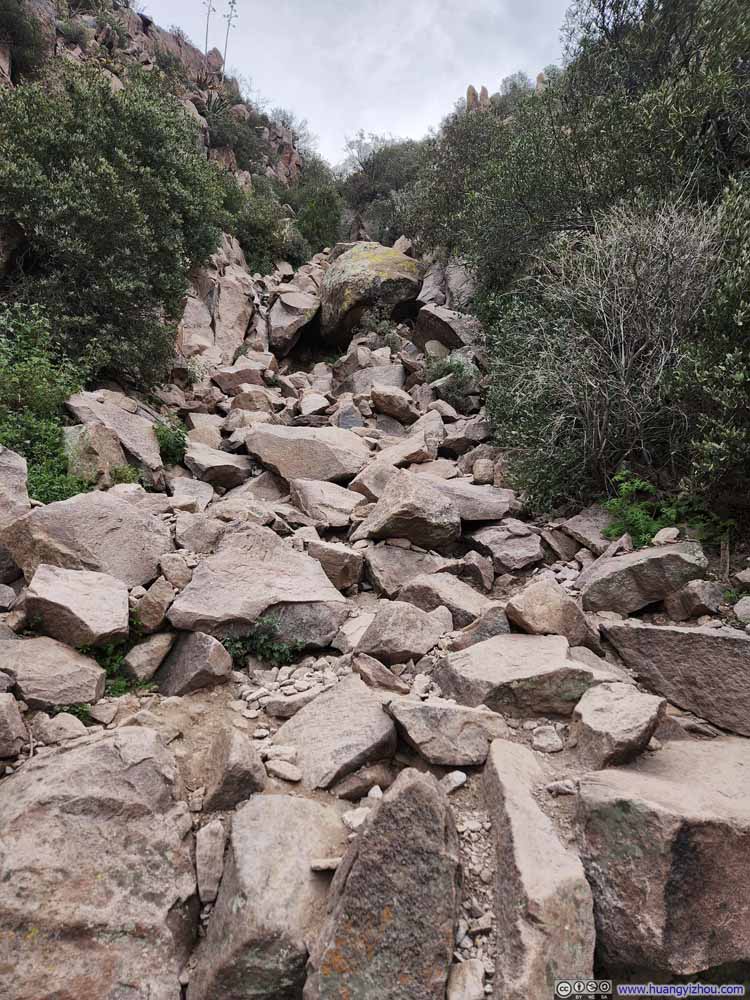 Steep Path
 Steep Path
 Steep Path
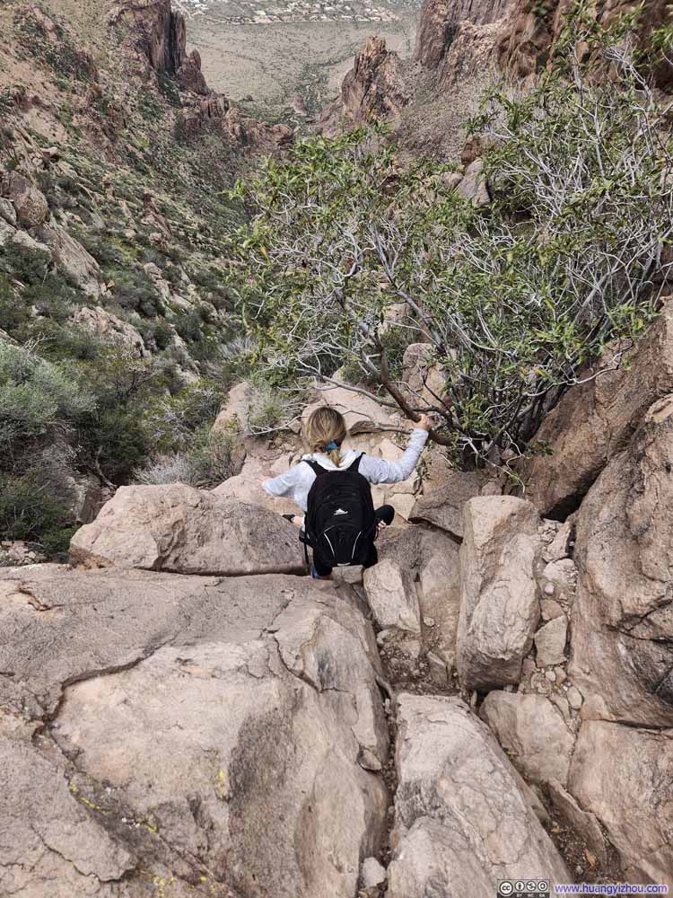 Steep Path


Click here to display photos of the slideshow
Steep Path
Steep Path
Steep Path

Steep Path
Steep Path

Steep Path

Steep Path
Steep Path
Steep Path
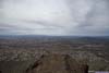
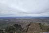
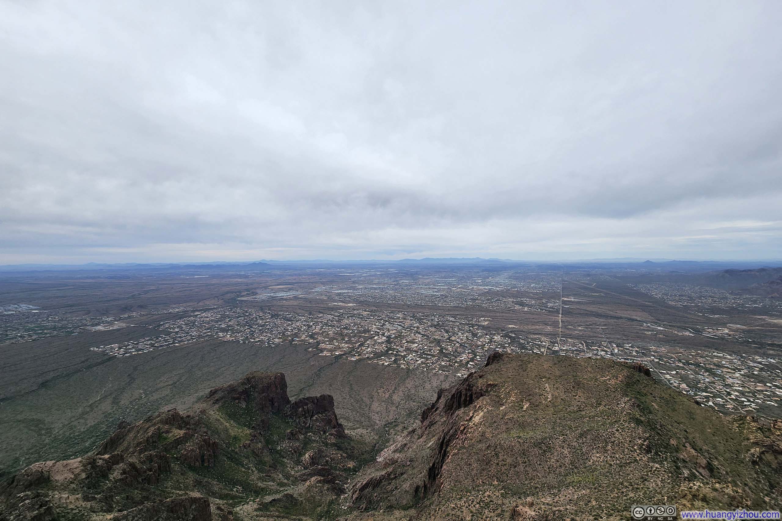
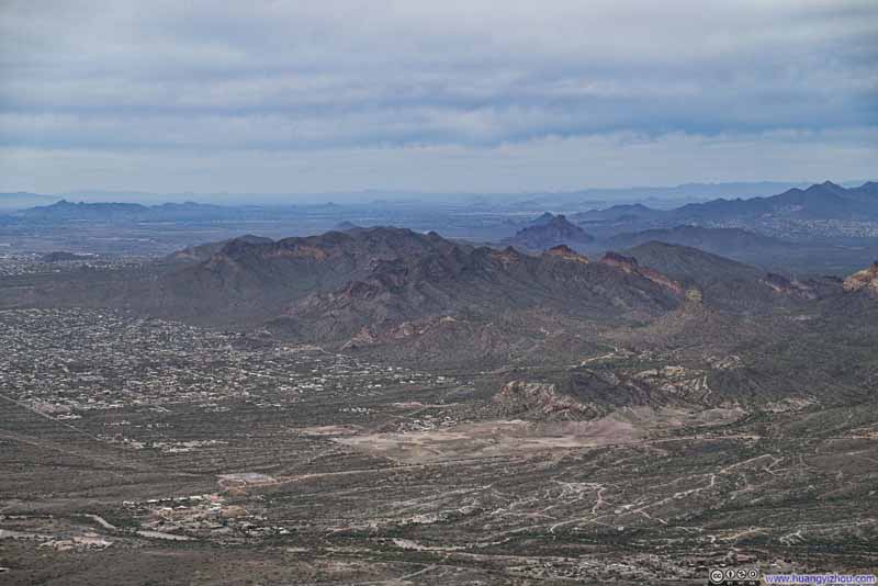
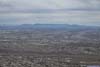
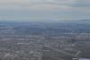
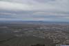
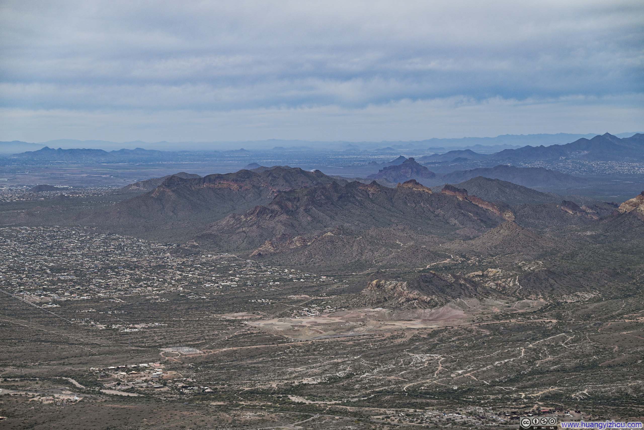
Once atop Flatiron, the most commanding views were undoubtedly those of the Phoenix metropolis, its city grids stretching in neat, orderly lines toward the horizon. Lost Dutchman Boulevard, in particular, appeared as a perfectly straight line drawn from the foot of Flatiron all the way to downtown Phoenix, lending the vista a pleasing sense of symmetry.
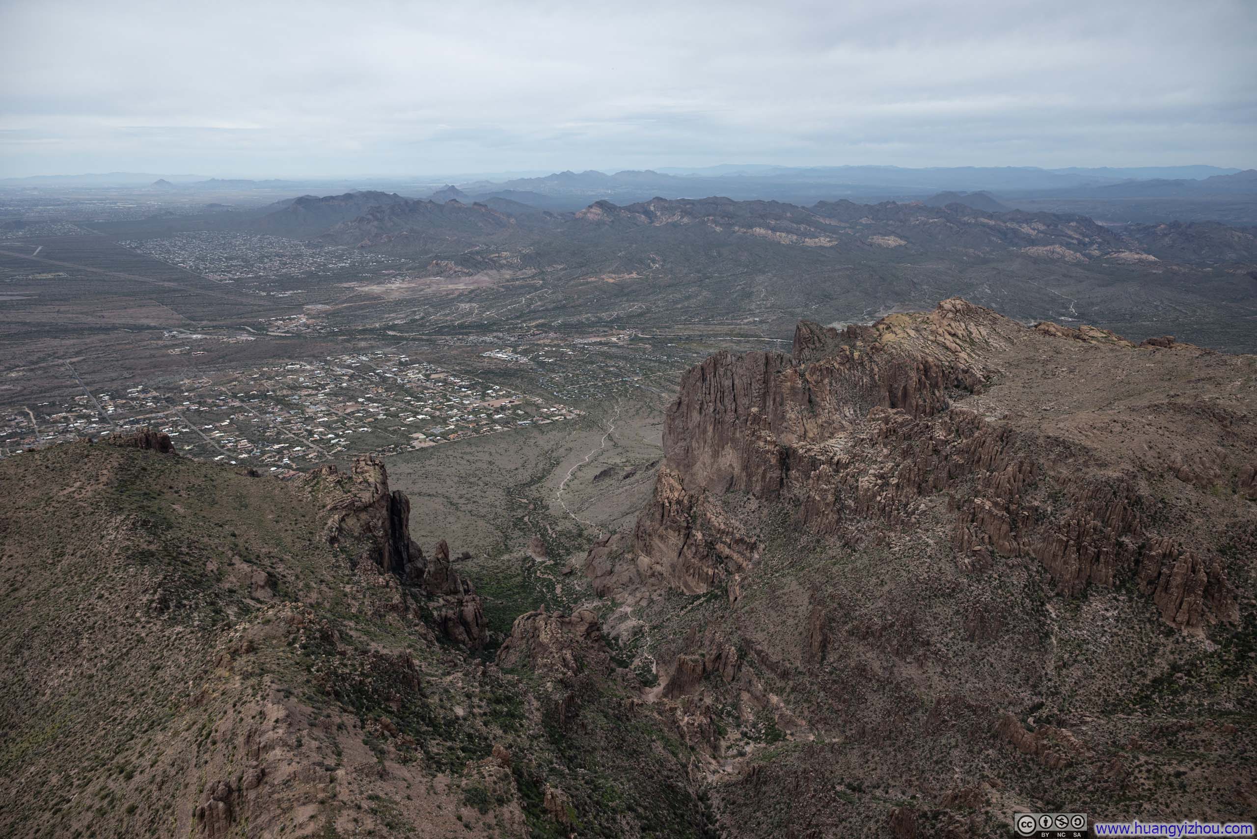
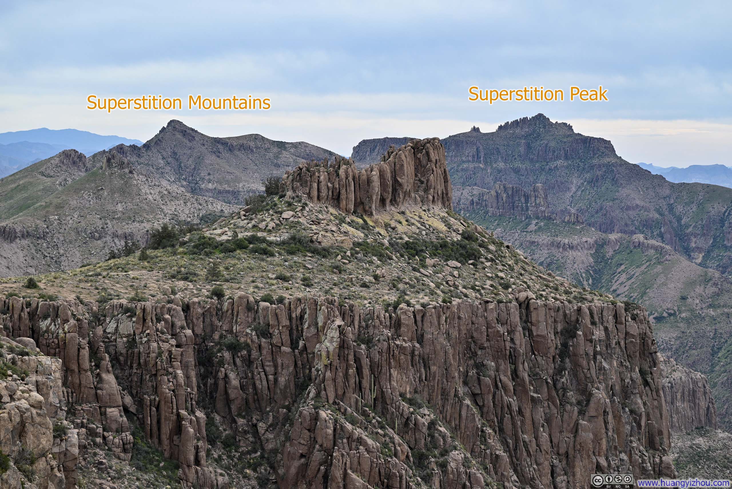
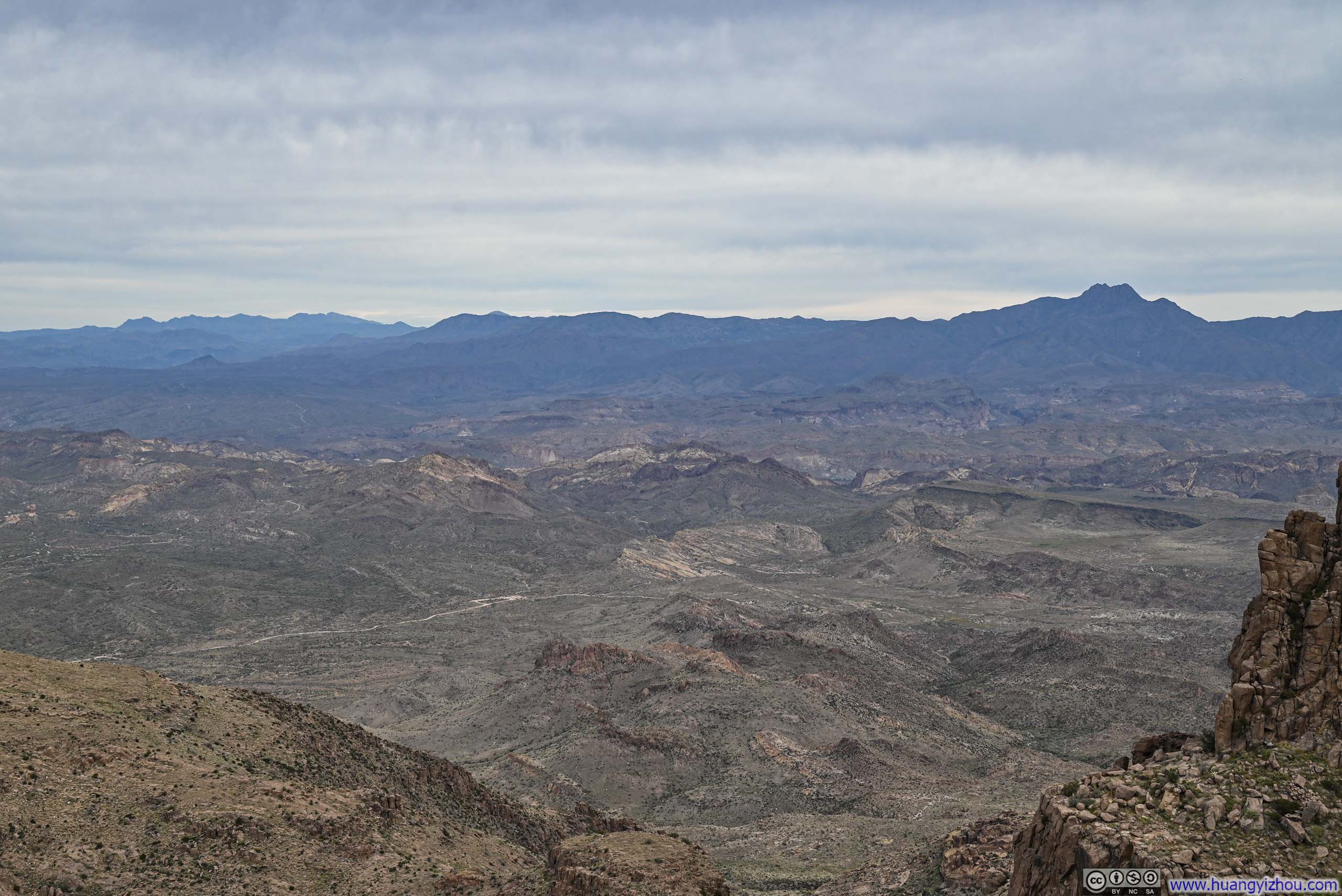
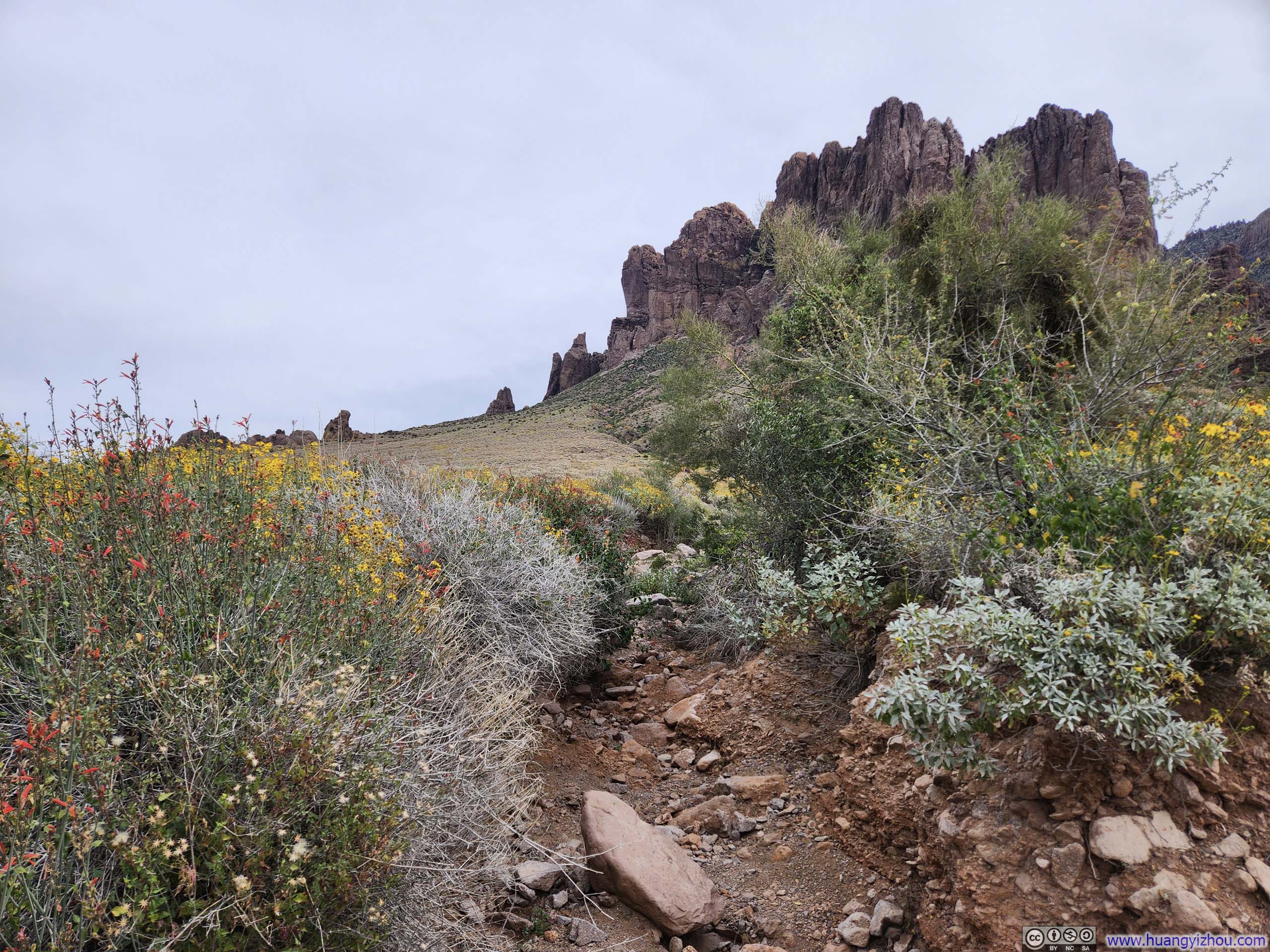
Though I had abandoned my attempt at completing the Superstition Ridgeline Traverse, Flatiron still rewarded me with views of two prominent peaks along that route, “Superstition Mountains” and “Superstition Peak” (p4 below) (speaking of how uncreative those names were).
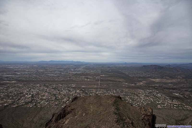 Phoenix Metropolis
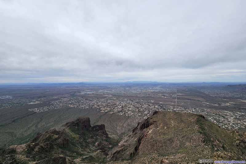 Phoenix Metropolis
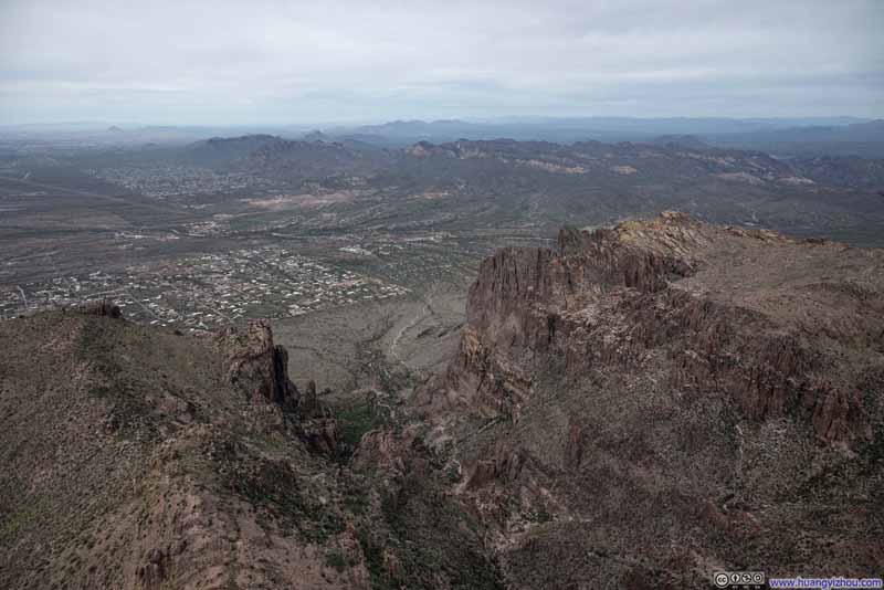 Mountains beyond Siphon Draw
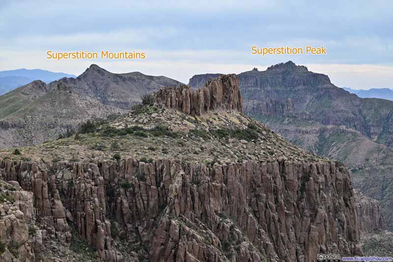 Superstition Peak from Flatiron
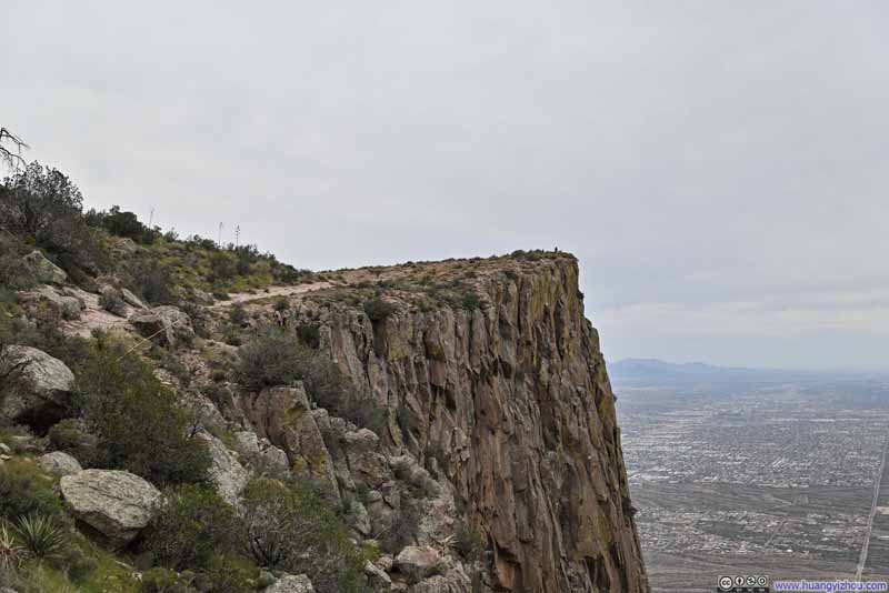 Flatiron
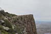

Click here to display photos of the slideshow
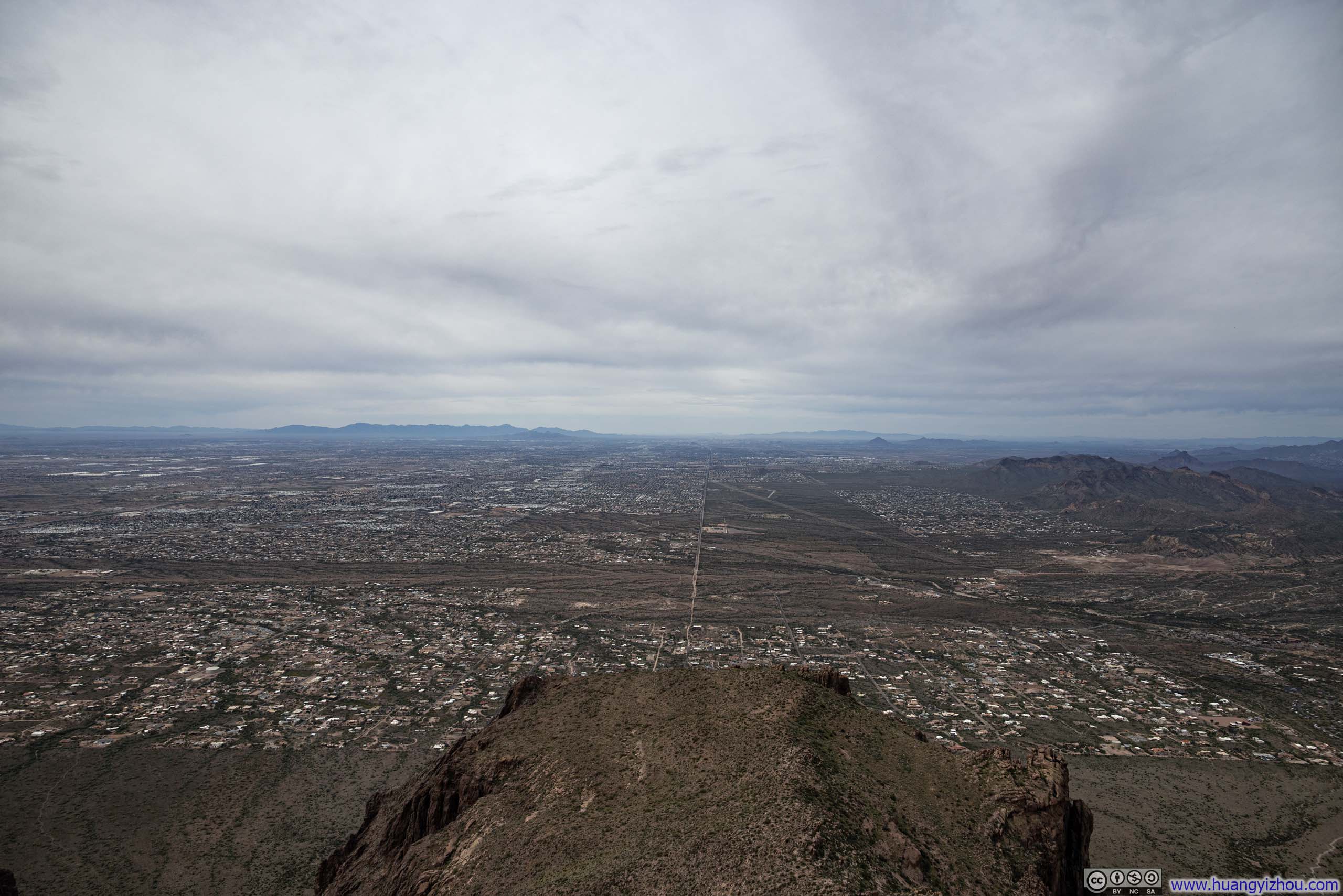
Phoenix Metropolis
Phoenix Metropolis
Mountains beyond Siphon Draw
Superstition Peak from Flatiron

Flatiron
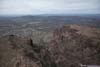
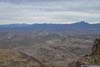
While the mountains that I had climbed over the previous two days both offered 360-degree views, I would say Flatiron offered a 180-degree view, mostly to the west. But with Phoenix metropolis sprawling just a short distance away, the views here carried a far greater sense of variety.
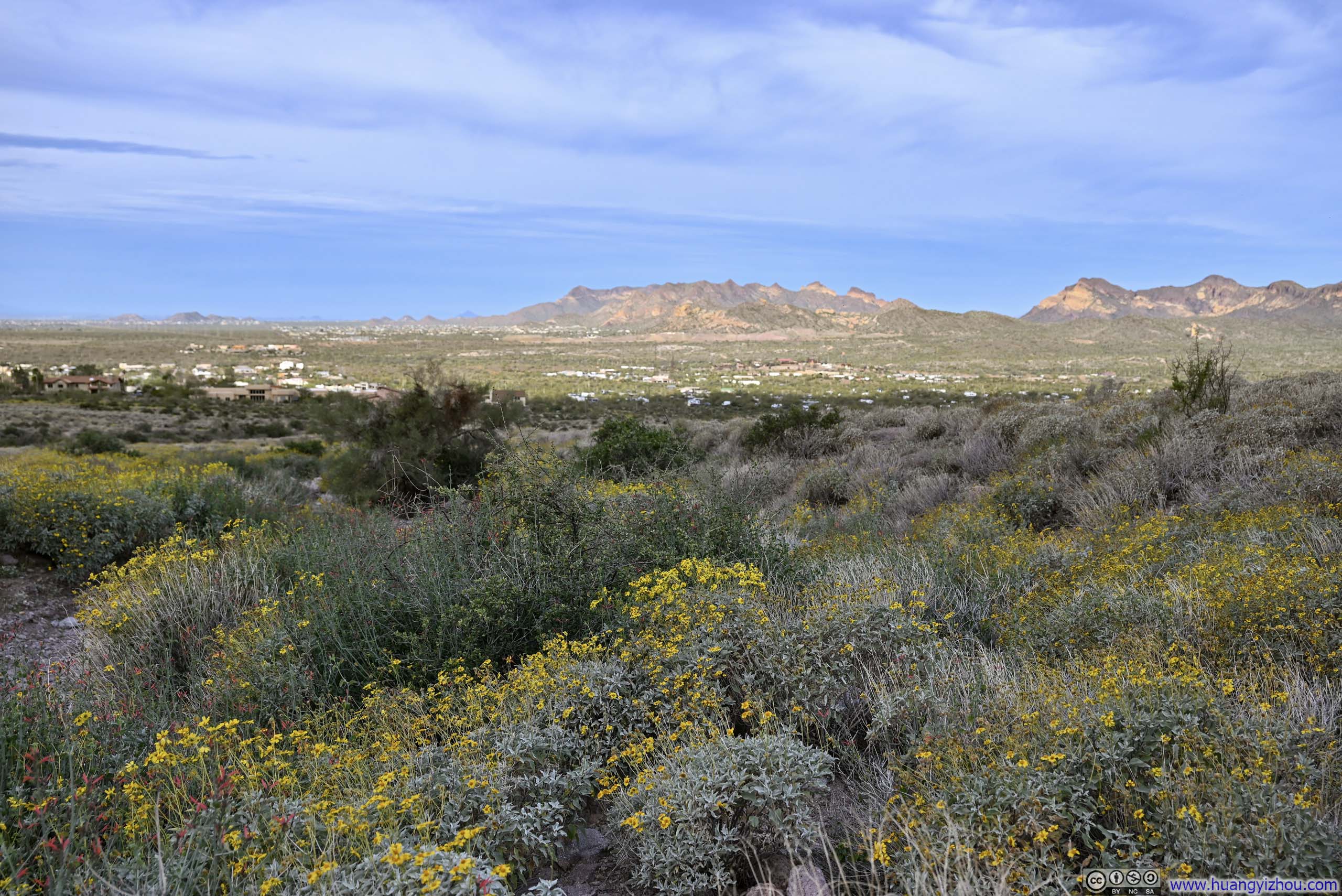
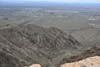
 Mountains to the WestTo the north of Apache Junction.
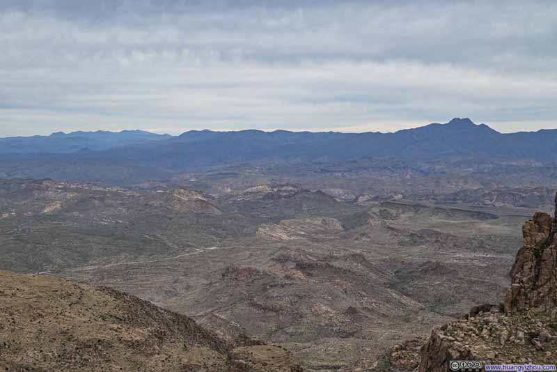 Mountains to the North
 Hill
Hill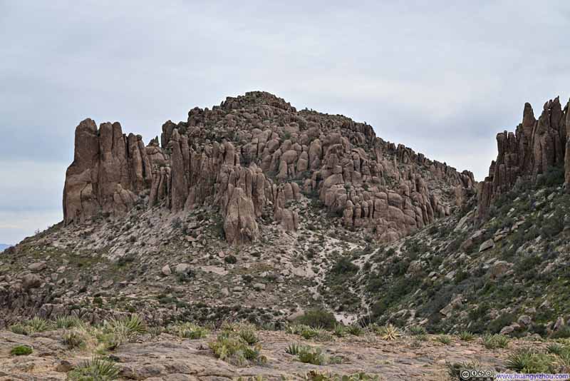 Ironview Peak
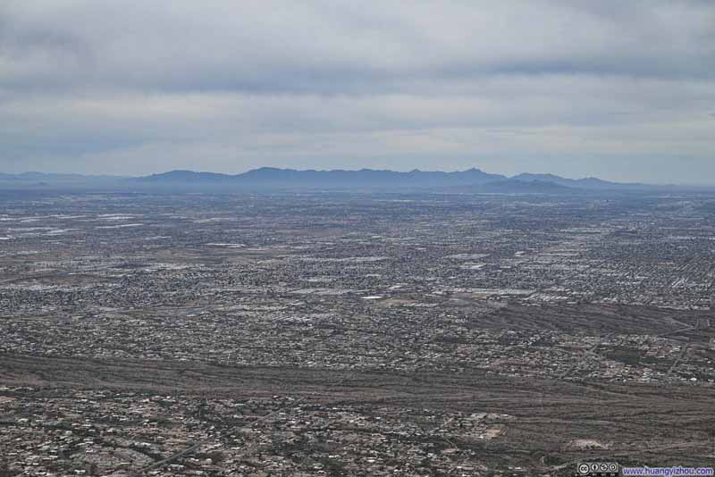 Distant Estrella Mountains across Phoenix Metropolis
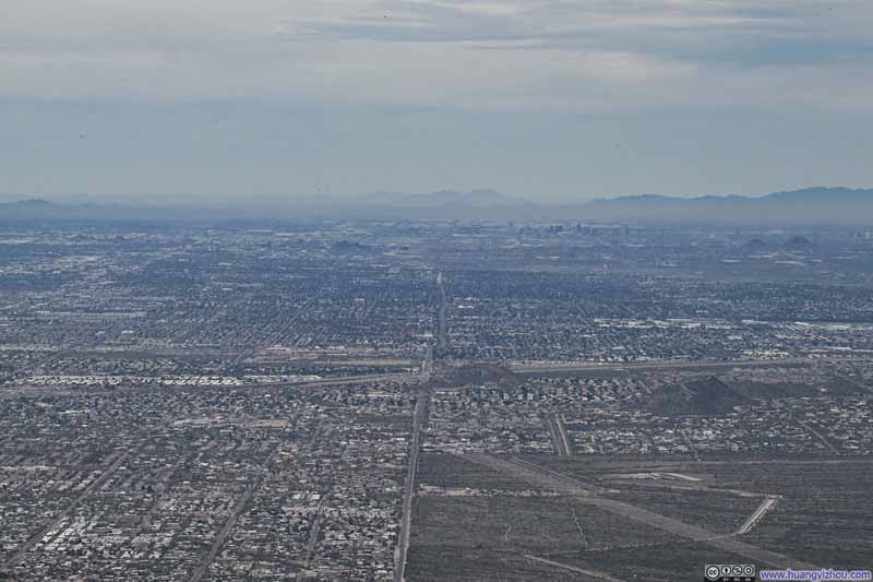 Phoenix Metropolis
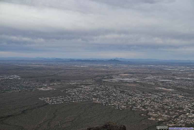 Fields to the Southwest
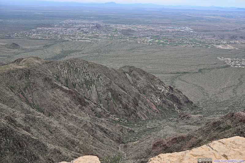 Monument Canyon


Click here to display photos of the slideshow
Mountains to the WestTo the north of Apache Junction.
Mountains to the North

Hill

Ironview Peak
Distant Estrella Mountains across Phoenix Metropolis
Phoenix Metropolis
Fields to the Southwest

Monument Canyon
View from Flatiron
And here’s a video I took on top of Flatiron:
9 seconds, 2160p60fps, H265 only, 20Mbps/25MB file size.
It was a somewhat windy day, and the gusts atop Flatiron carried a distinct chill. I spent about 40 minutes on top before starting my descent.
Throughout the day, clouds had been steadily gathering, and by the time I found myself back in the open fields at Flatiron’s feet, the mountains no longer loomed harsh against the glare of the sun, softened instead beneath a thickening, overcast sky.
 Trail to Flatiron
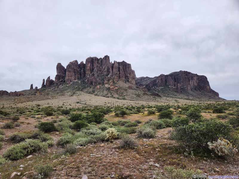 Hills
Hills Trail against Mountainous Backdrop
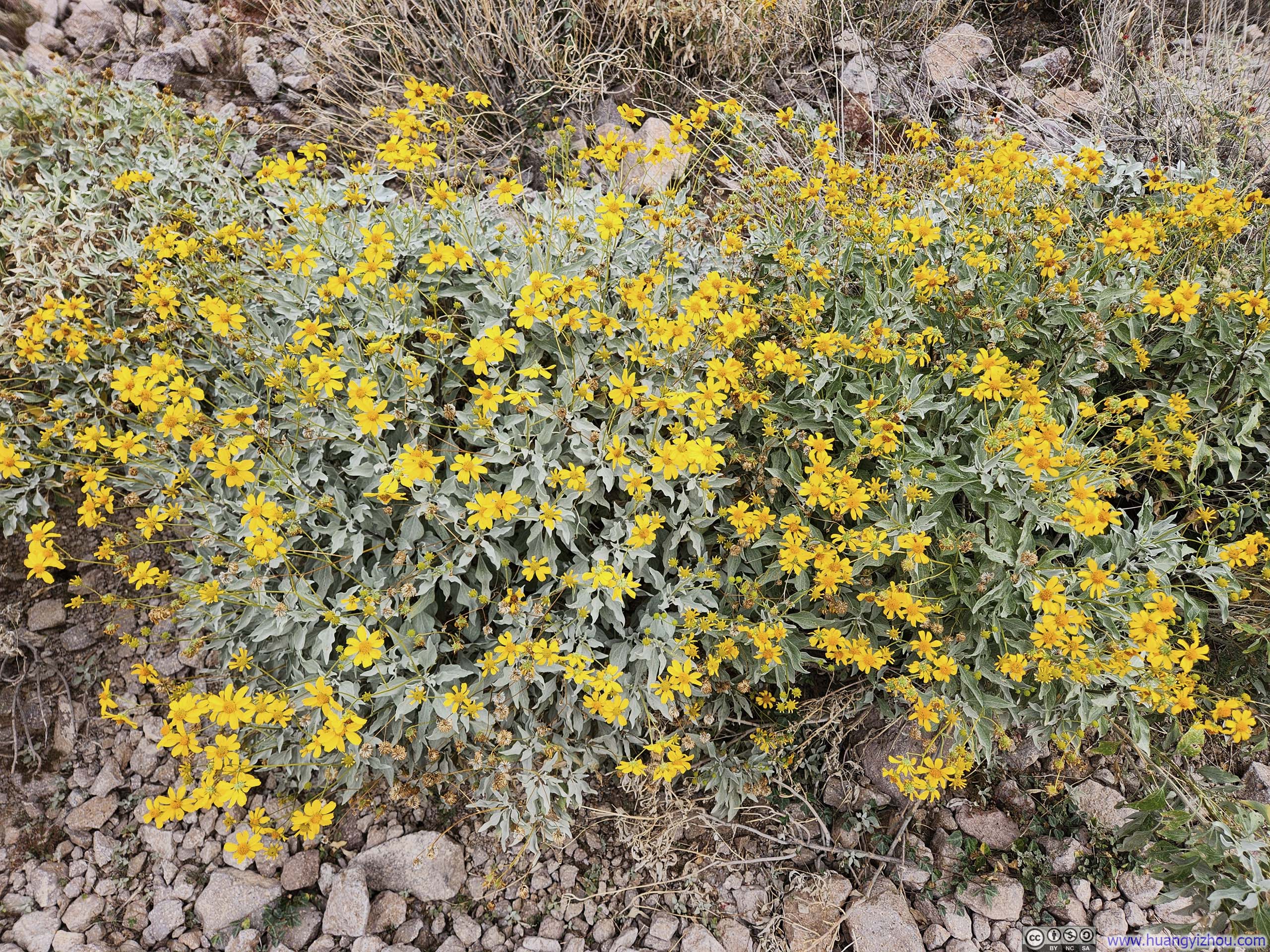
 Ditch between Flowers
 Flowers along Trail
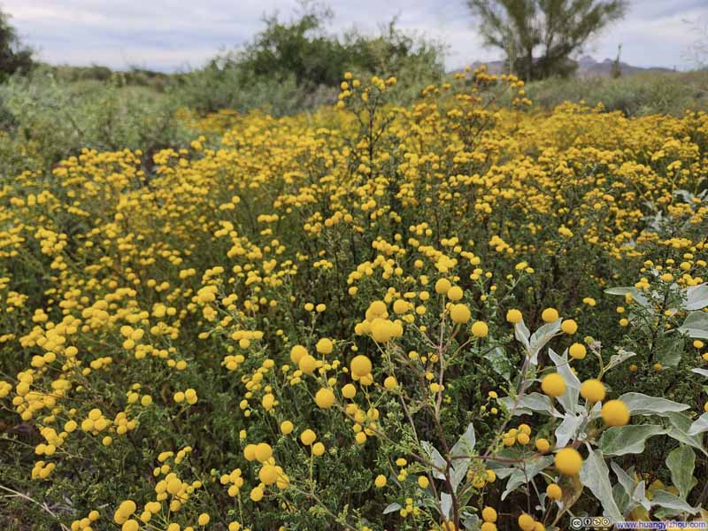 Flowers along Trail


Click here to display photos of the slideshow

Trail to Flatiron
Hills
Trail against Mountainous Backdrop
Ditch between Flowers
Flowers along Trail

Flowers along Trail
It was 1:30pm by the time I returned to my car, about 3 hours before the scheduled departure of AA1385, the flight I was hoping to standby on. I set off promptly toward Phoenix. With a lunch stop along the way, I pulled into the airport rental car center at 3:07pm. After hurrying through the facility, I boarded the tram and arrived at the terminal at 3:25pm. This was T minus 1 hour. Fortunately, with a handful of seats still available, the check-in desk was able to confirm my place on AA1385 (though by that point, only middle seats remained).
It turned out, flight AA1385 that day was the retirement flight of its captain, which ended both the flight, and this Phoenix trip on a merry note.
END
![]() Day 3 of 2026 President’s Day Trip to Phoenix, Flatiron by Huang's Site is licensed under a Creative Commons Attribution-NonCommercial-ShareAlike 4.0 International License.
Day 3 of 2026 President’s Day Trip to Phoenix, Flatiron by Huang's Site is licensed under a Creative Commons Attribution-NonCommercial-ShareAlike 4.0 International License.