
Updated on June 8, 2026
Hiking Mount Paugus
A post about my hike to Mount Paugus in New Hampshire in May 2026.
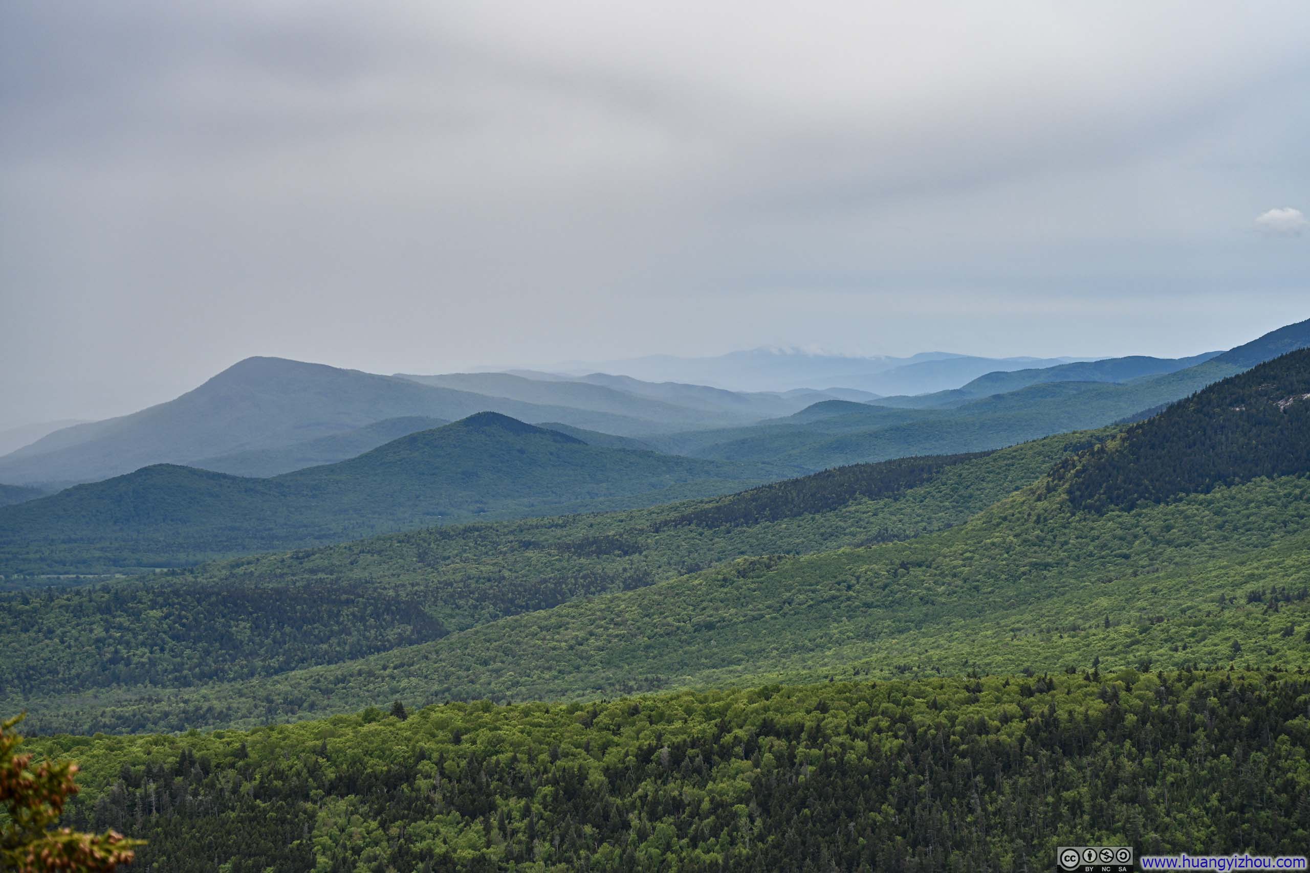
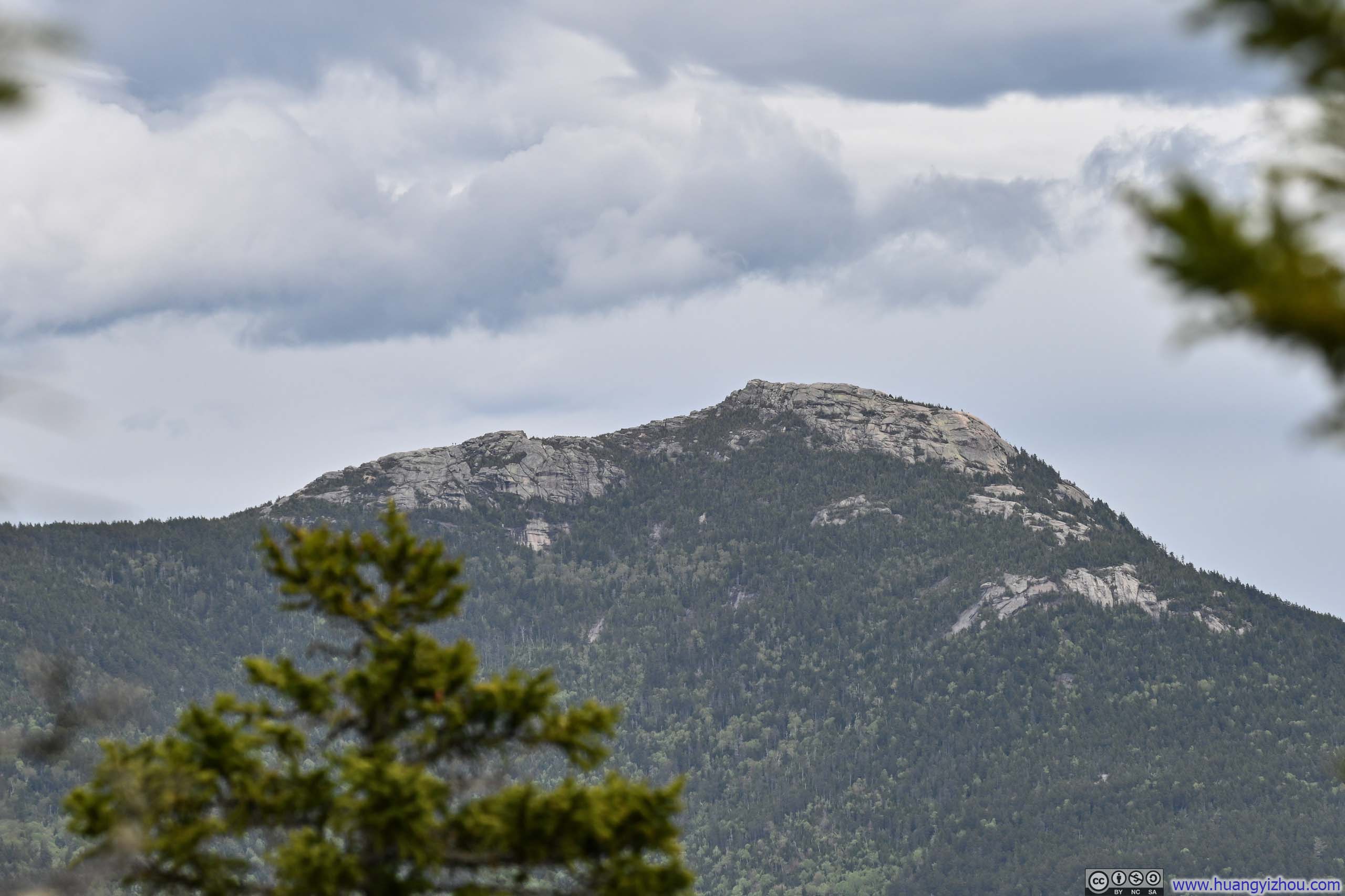
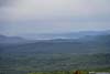
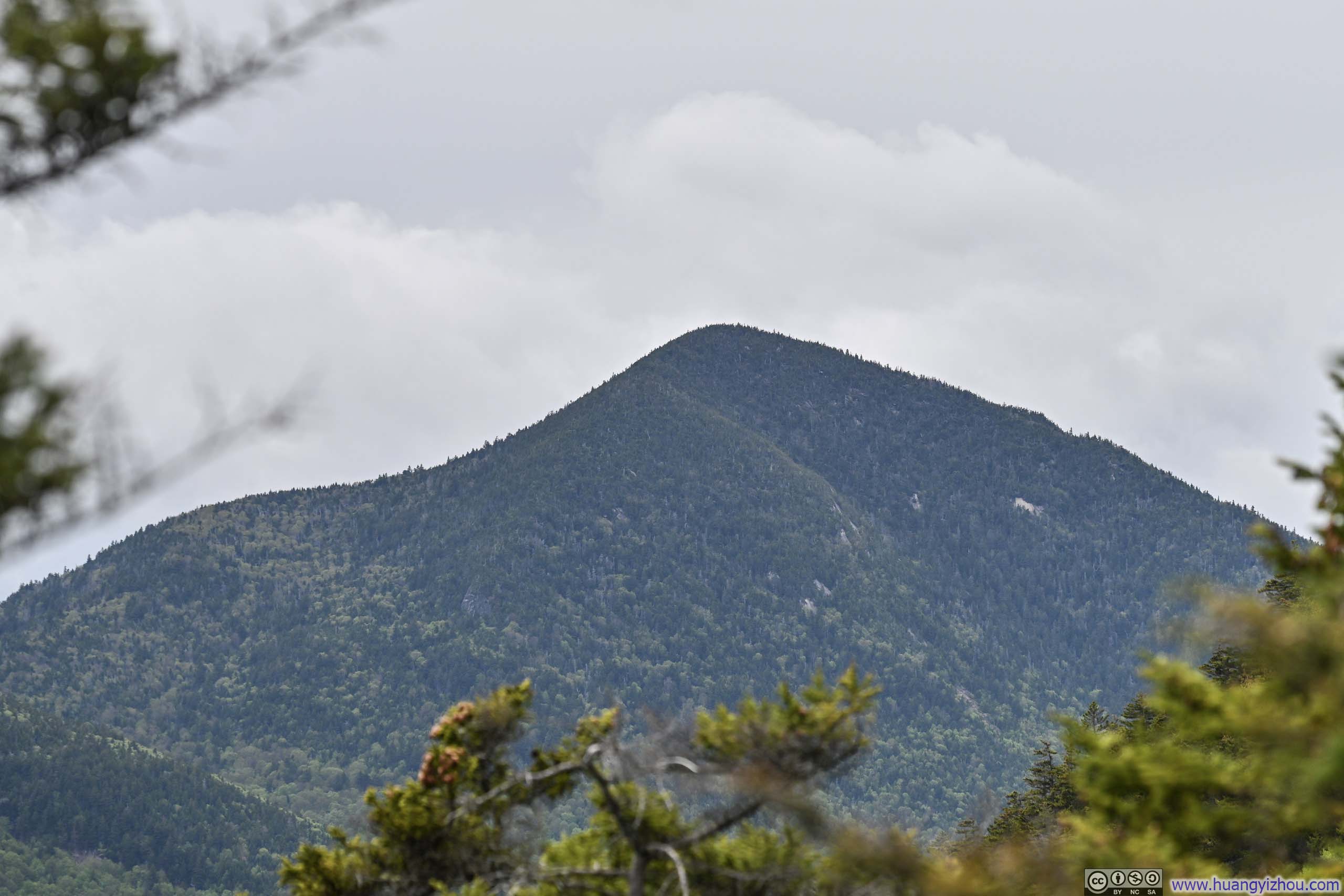
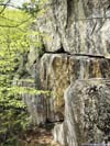
Rolling HillsThe southern edge of the White Mountains.
The first weekend after Memorial Day 2026, following a brief two-month hiatus, I found an opportunity to return to New Hampshire for more outdoor adventures. This time, I was looking for something less strenuous than my typical White Mountains hikes, and Mount Paugus caught my attention. On paper, its Cabin and Big Rock Cave Trails Loop looked promising. At 12.6km with 824m of elevation gain (7.8mi, 2700ft), it was right in the ballpark of what I was after.
On the morning of May 31, I checked the weather forecast one final time before setting off. Temperatures were pleasantly mild, with highs barely above 20°C (about 70°F). While there had been reports of early-season bugs in the White Mountains, I was hopeful that the cool air would keep them at bay. Light rain was forecast for the late afternoon, and the HRRR model was predicting dense low clouds but no rain between noon and 2pm (more on that later). Cloud ceilings, however, were expected to remain well above Mount Paugus’s modest elevation. So weather, at least in theory, was not my concern.
Unfortunately, upon arriving at the trailhead at 10:15am, I made a disheartening discovery that the canister of DEET I had brought along to fend off the bugs was completely empty. (It still sloshed convincingly when shaken, but ChatGPT had delivered its verdict: depressurized and useless.) Losing my chemical arsenal, I was left with nothing but the physical defense of waving my hands frantically around my head — a strategy I would soon learn was woefully inadequate, as foreshadowed by the small cloud of bugs already circling above me at the trailhead.
After a brief warmup, I set off just before 10:30am. Here’s GPS tracking:
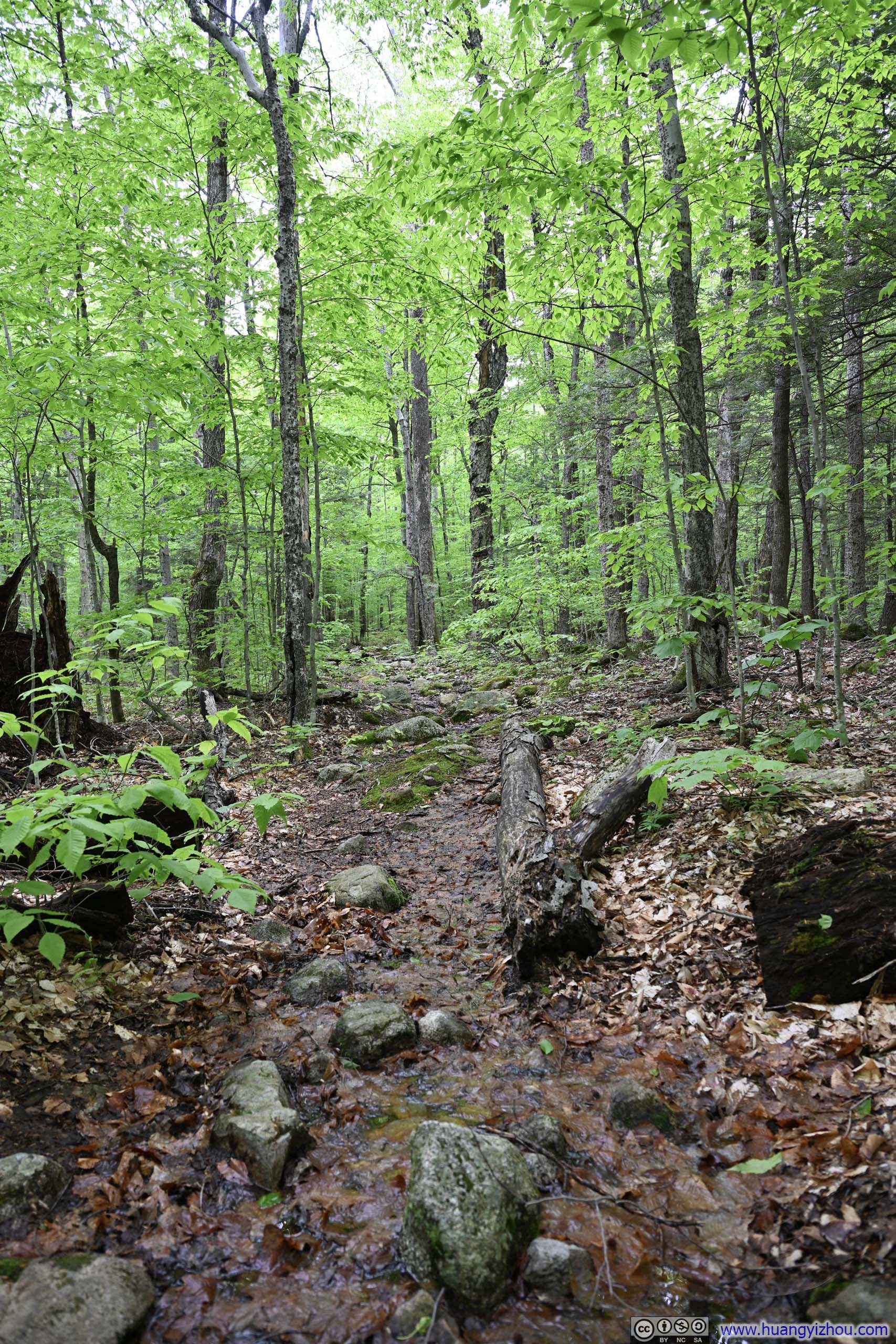
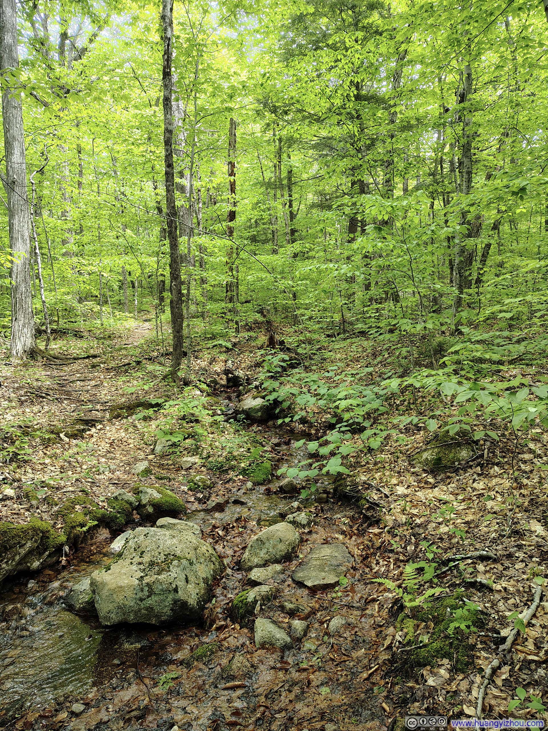
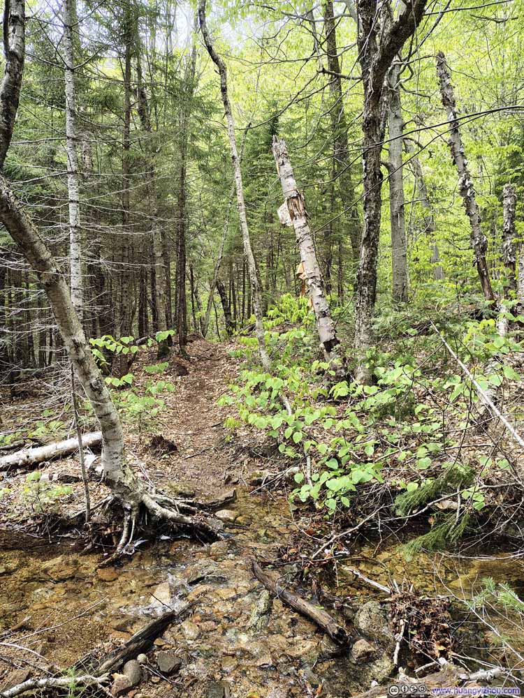
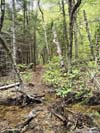
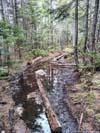
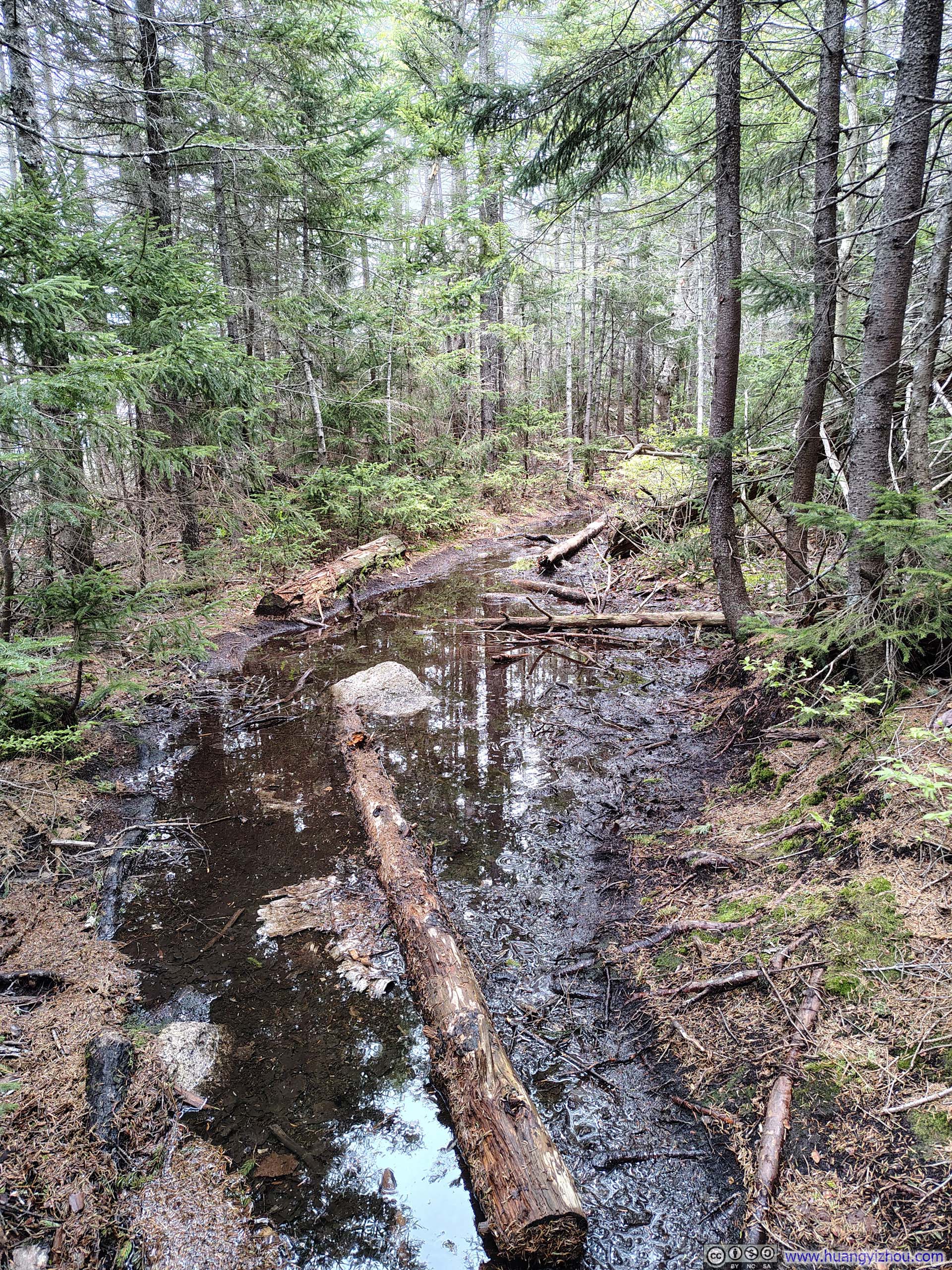
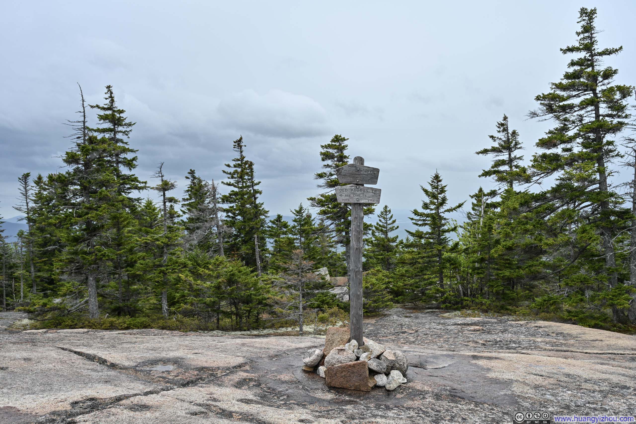
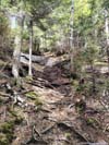
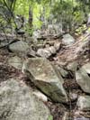
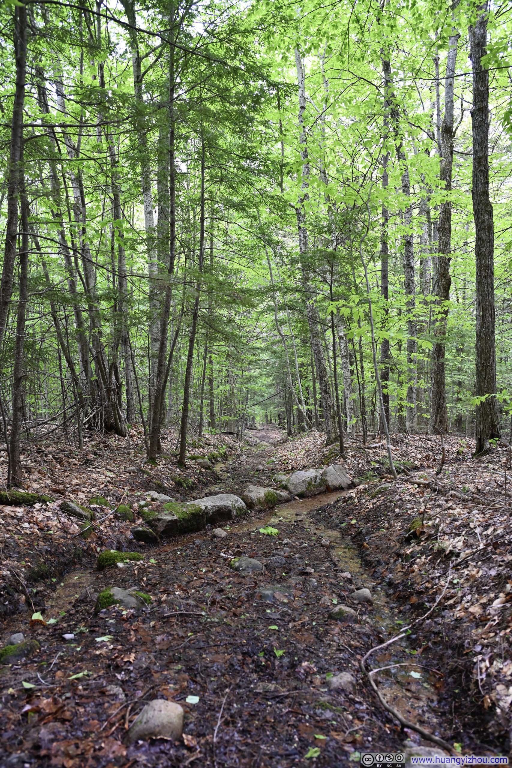
Not long after leaving the trailhead, I reached an intersection where I turned slightly left onto Cabin Trail, taking the loop in the clockwise direction. (In hindsight, counterclockwise might have been the wiser choice, as I would be going uphill for the steepest sections.) There had been significant rainfall two nights prior, evident in the lower sections of Cabin Trail: not muddy, but thoroughly soaked, with numerous stream crossings threading across the path. The abundance of standing water also seemed to have done wonders for the local mosquito population, which harassed me relentlessly and made for a rather miserable stretch of trail.
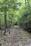
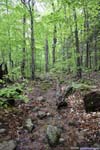
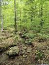
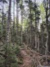
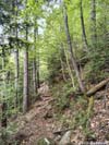
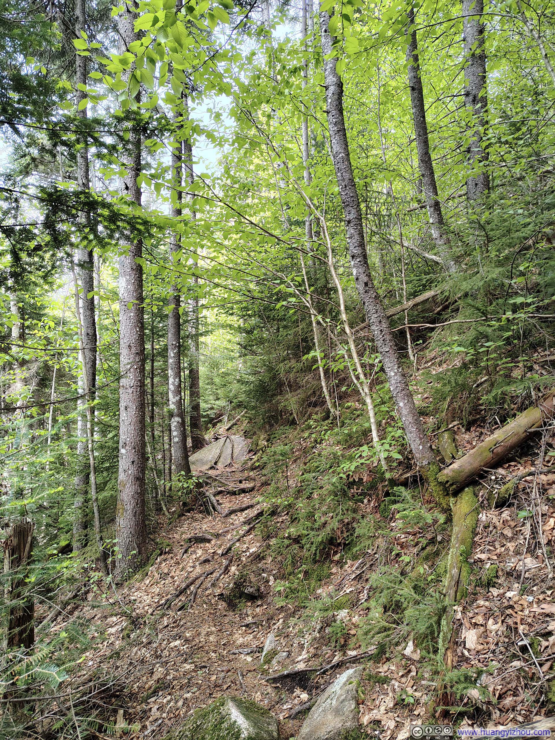
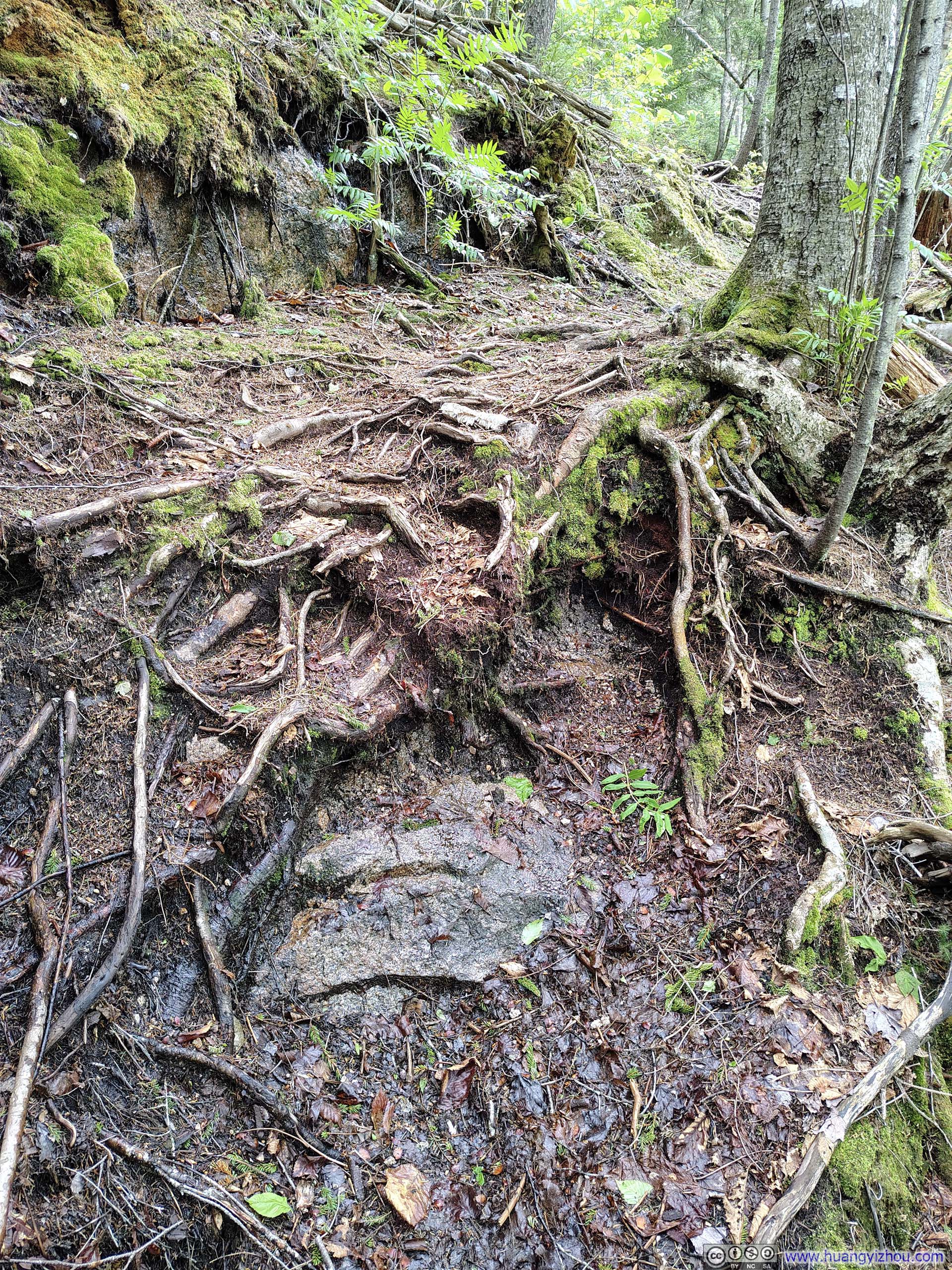
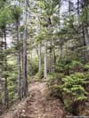
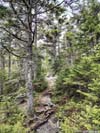
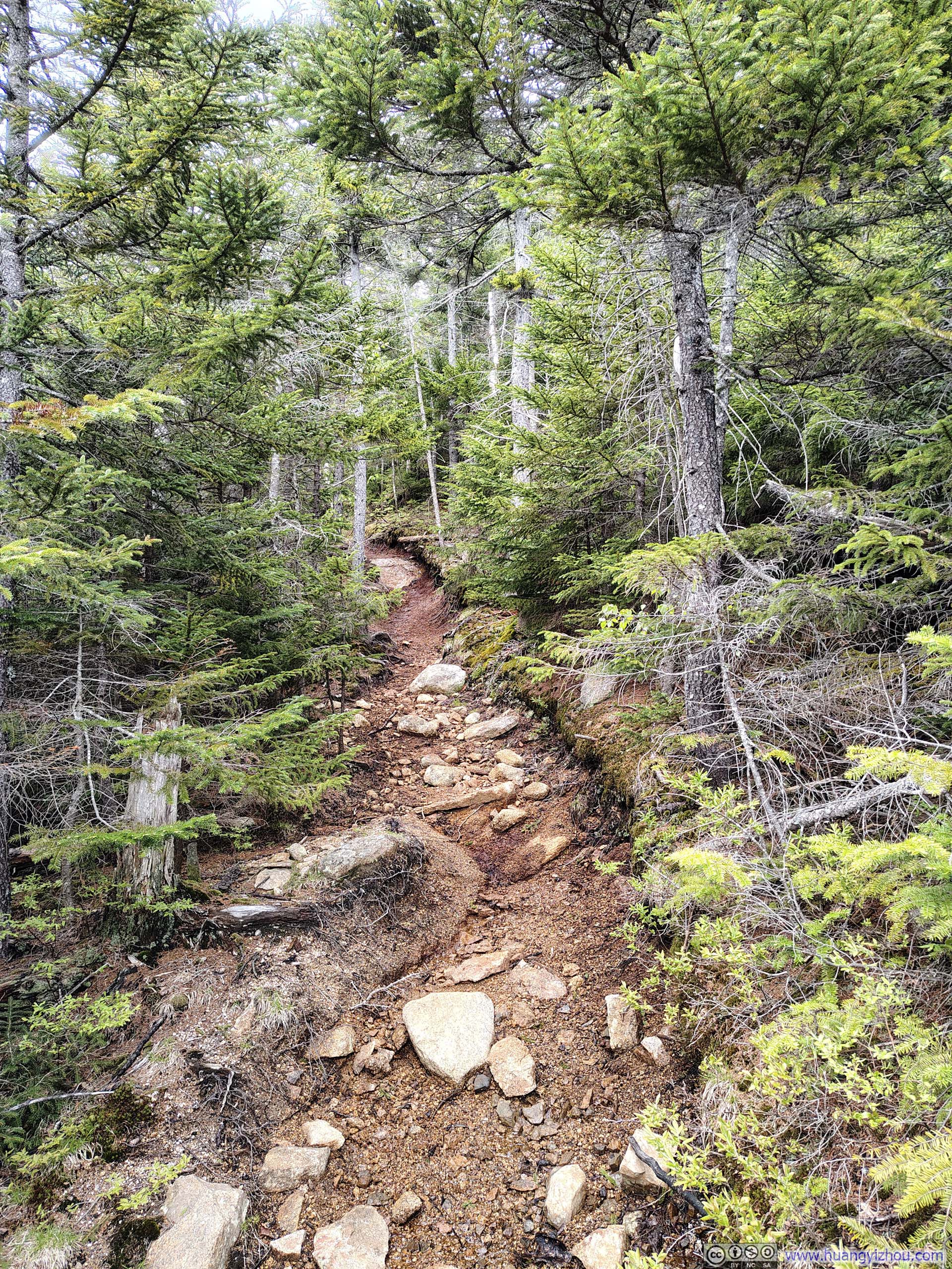
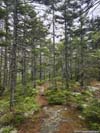
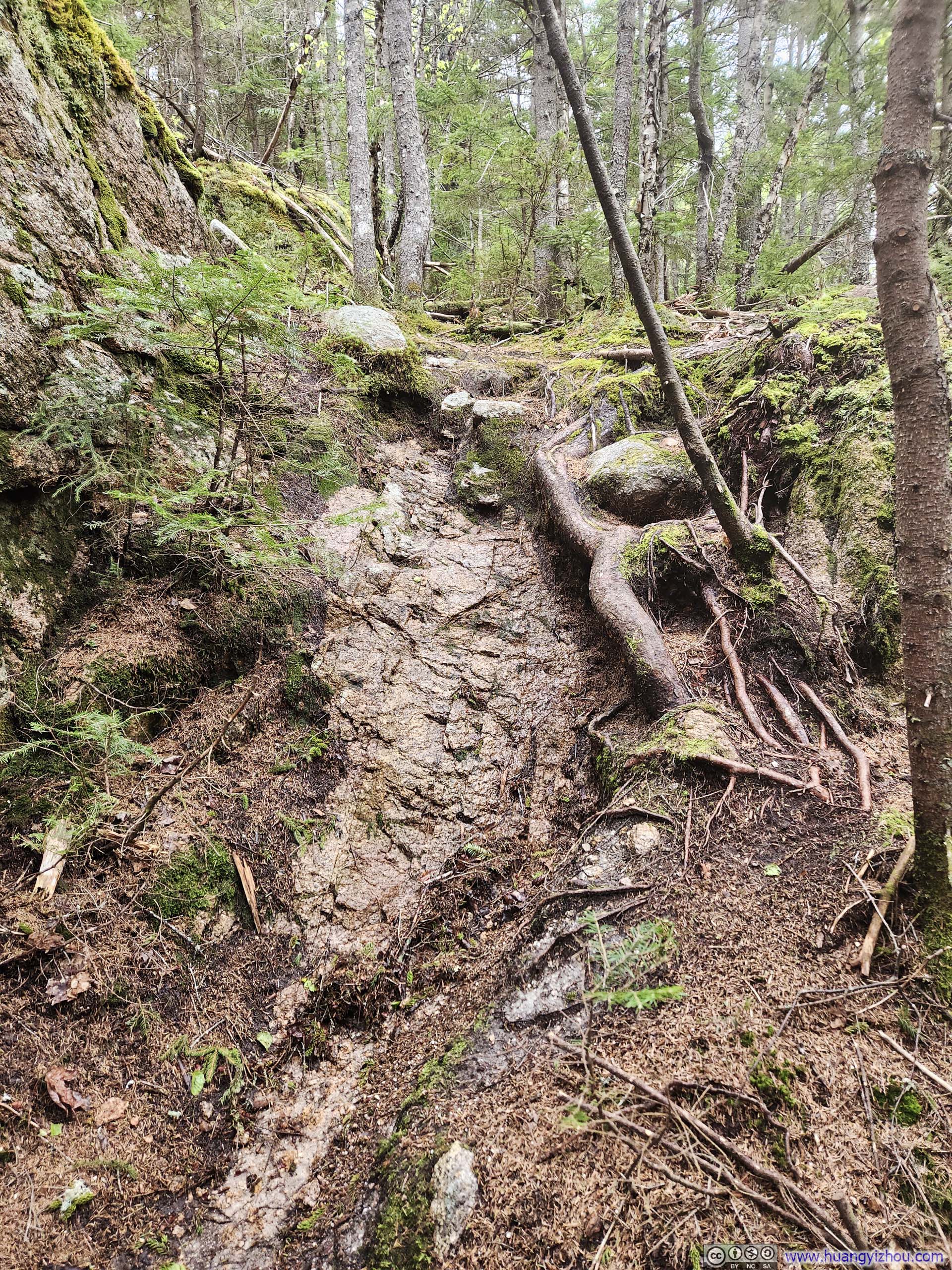
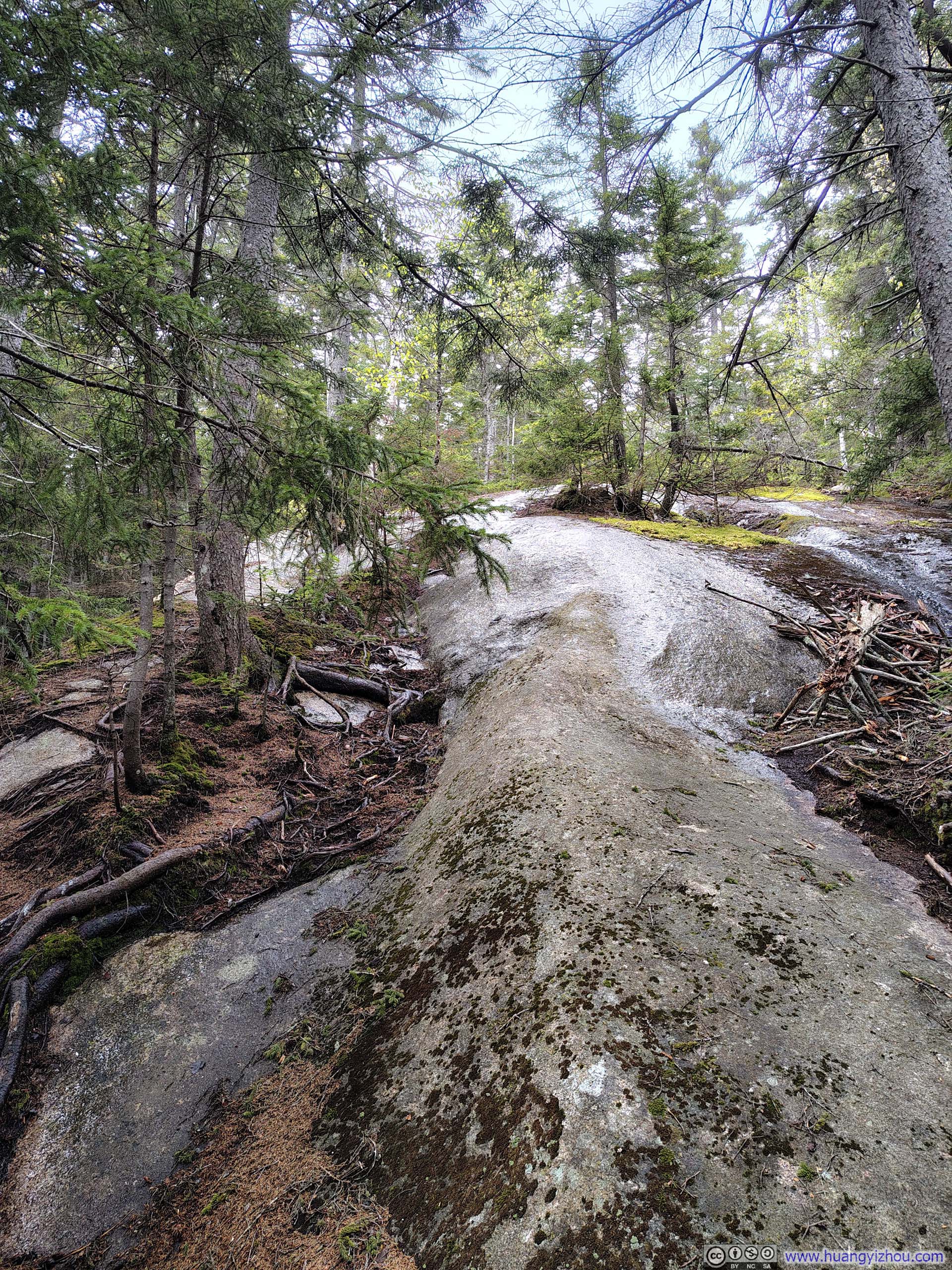
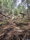
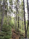
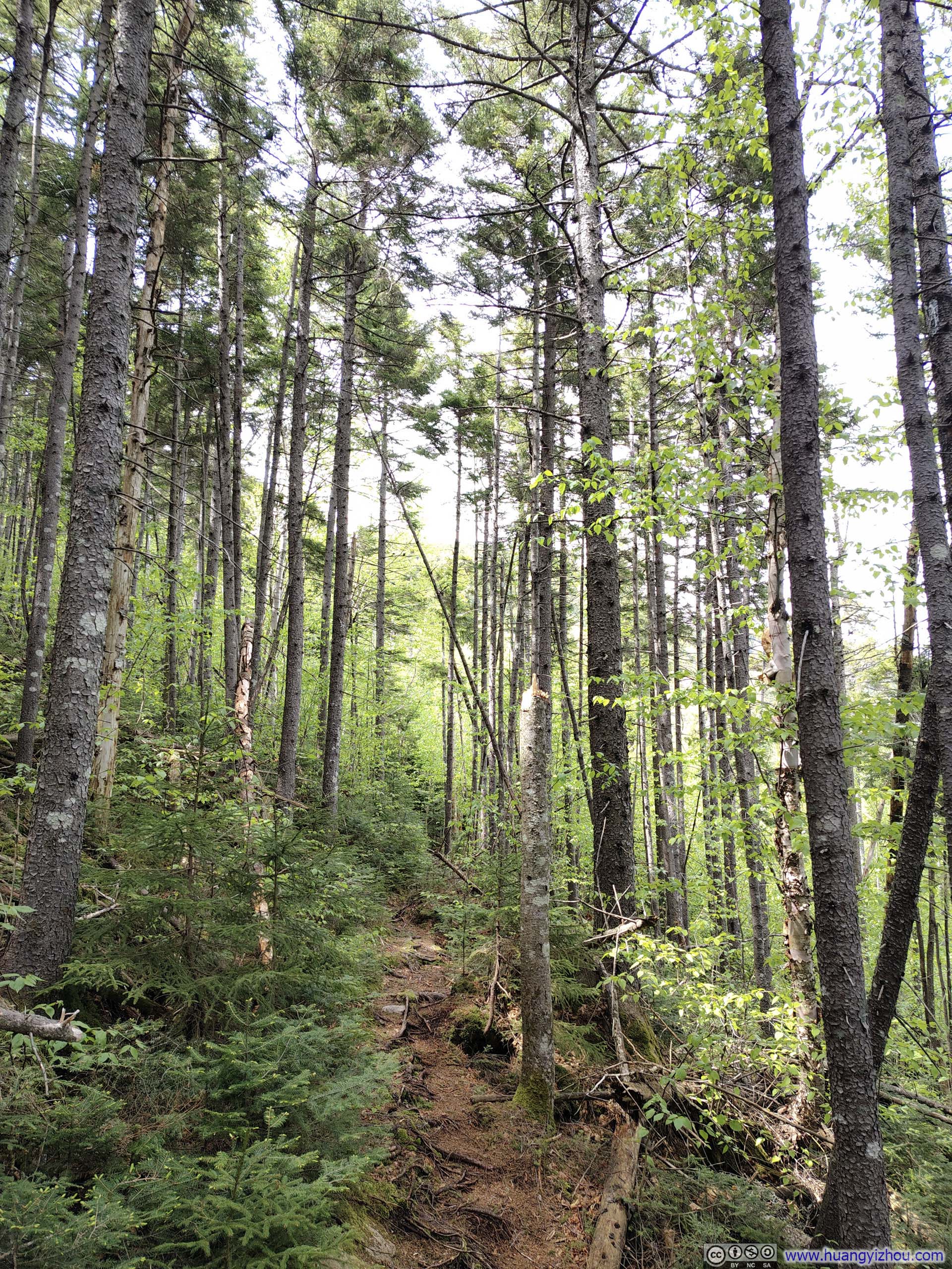
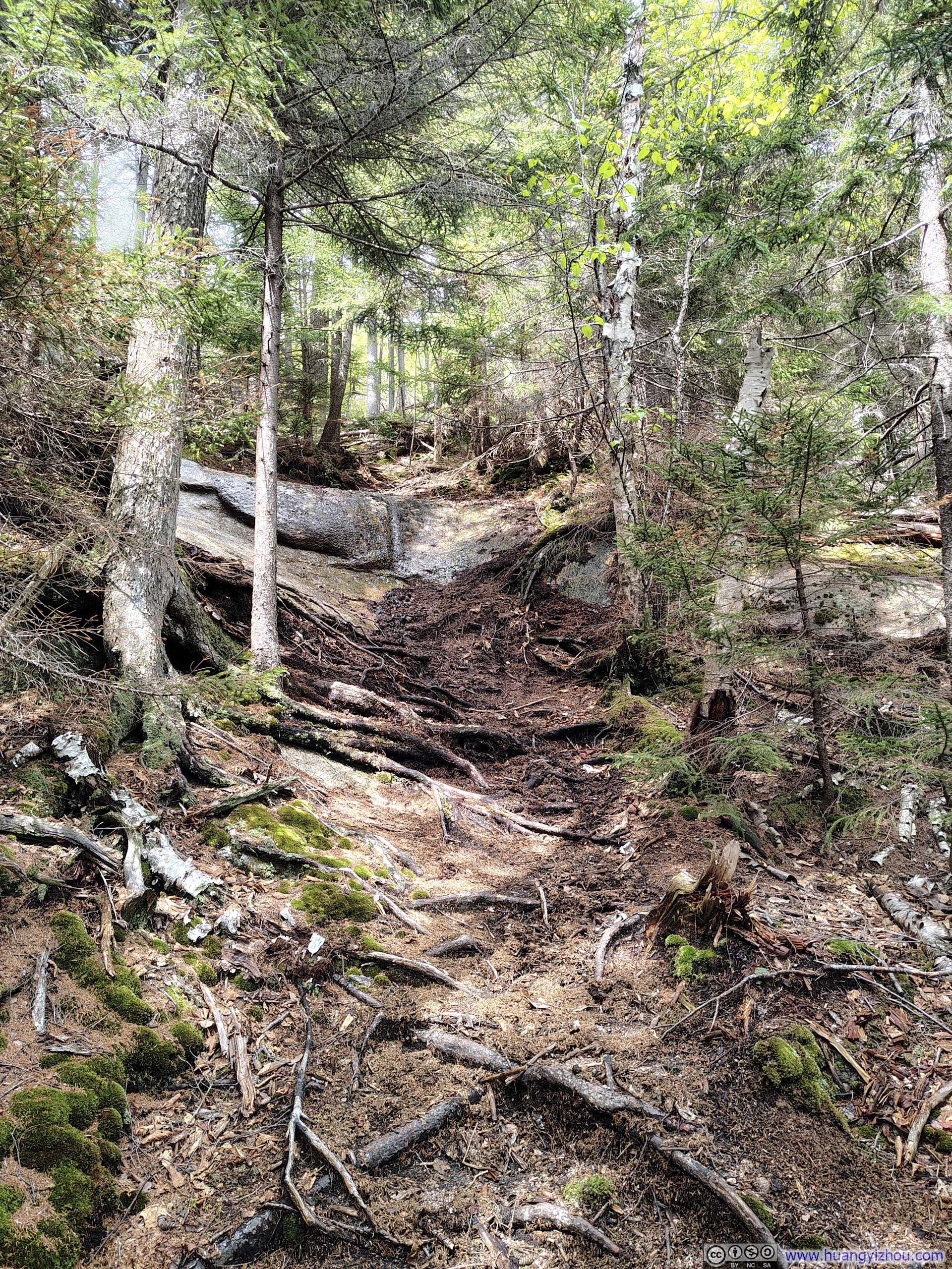
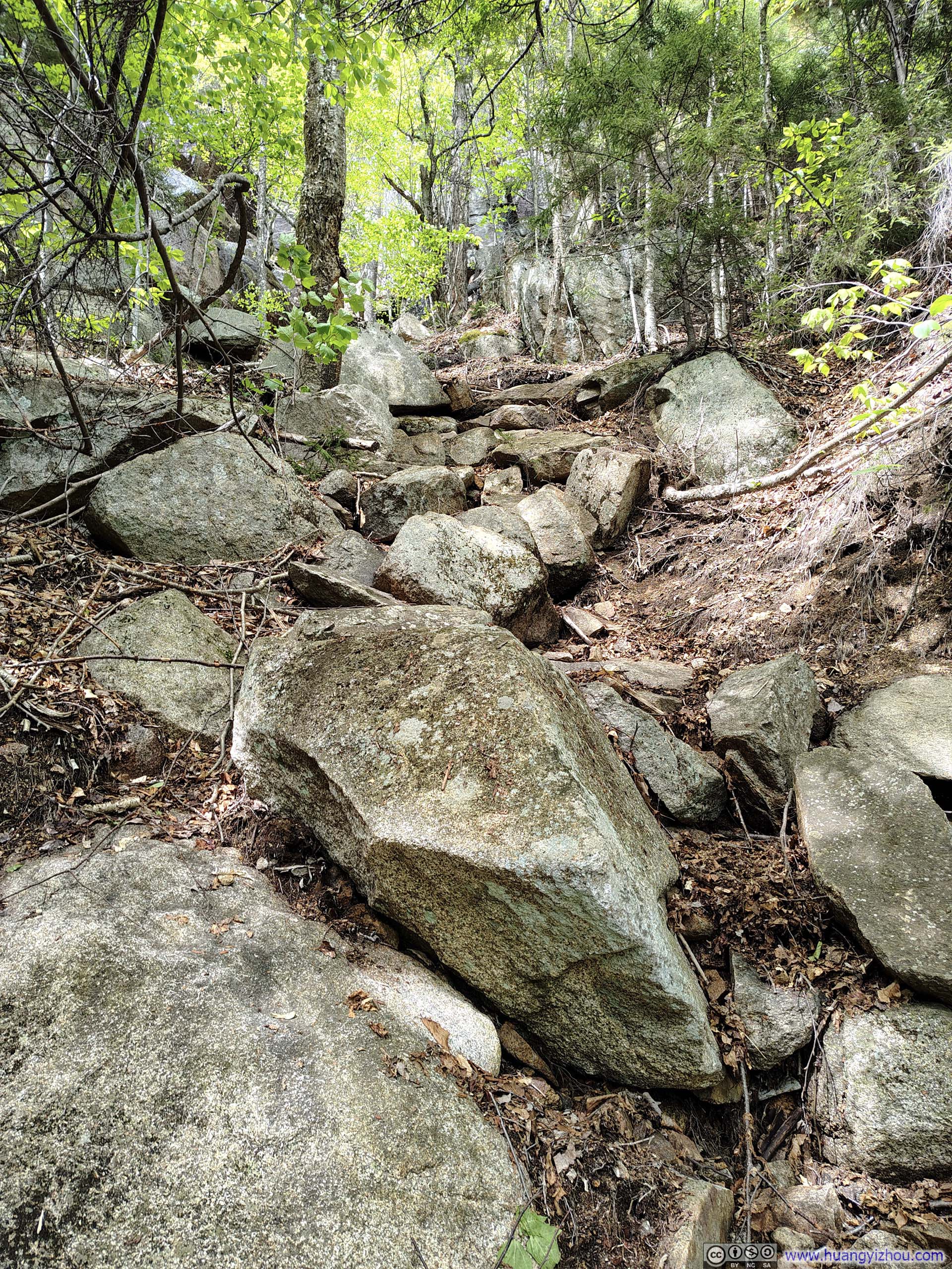
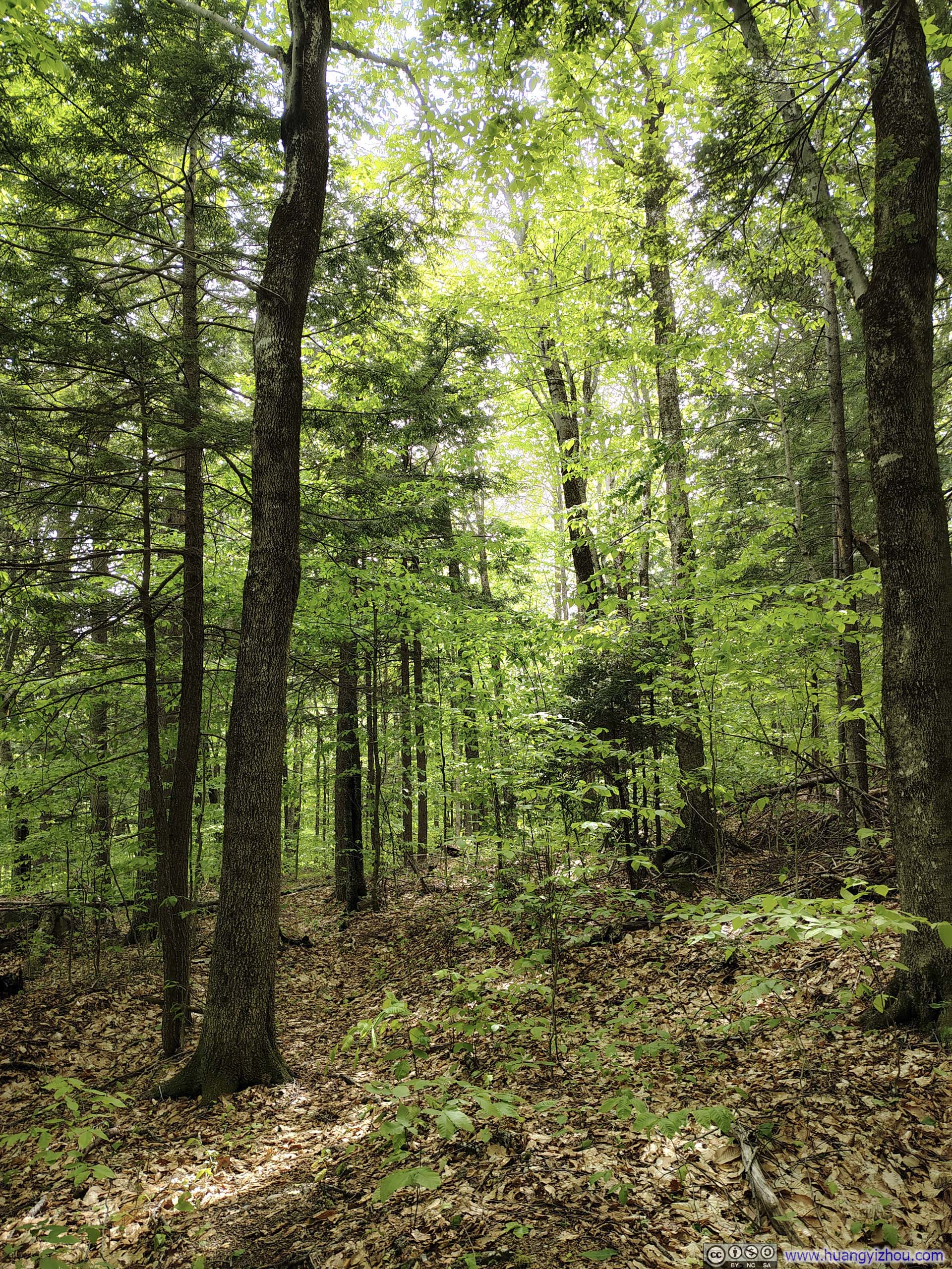
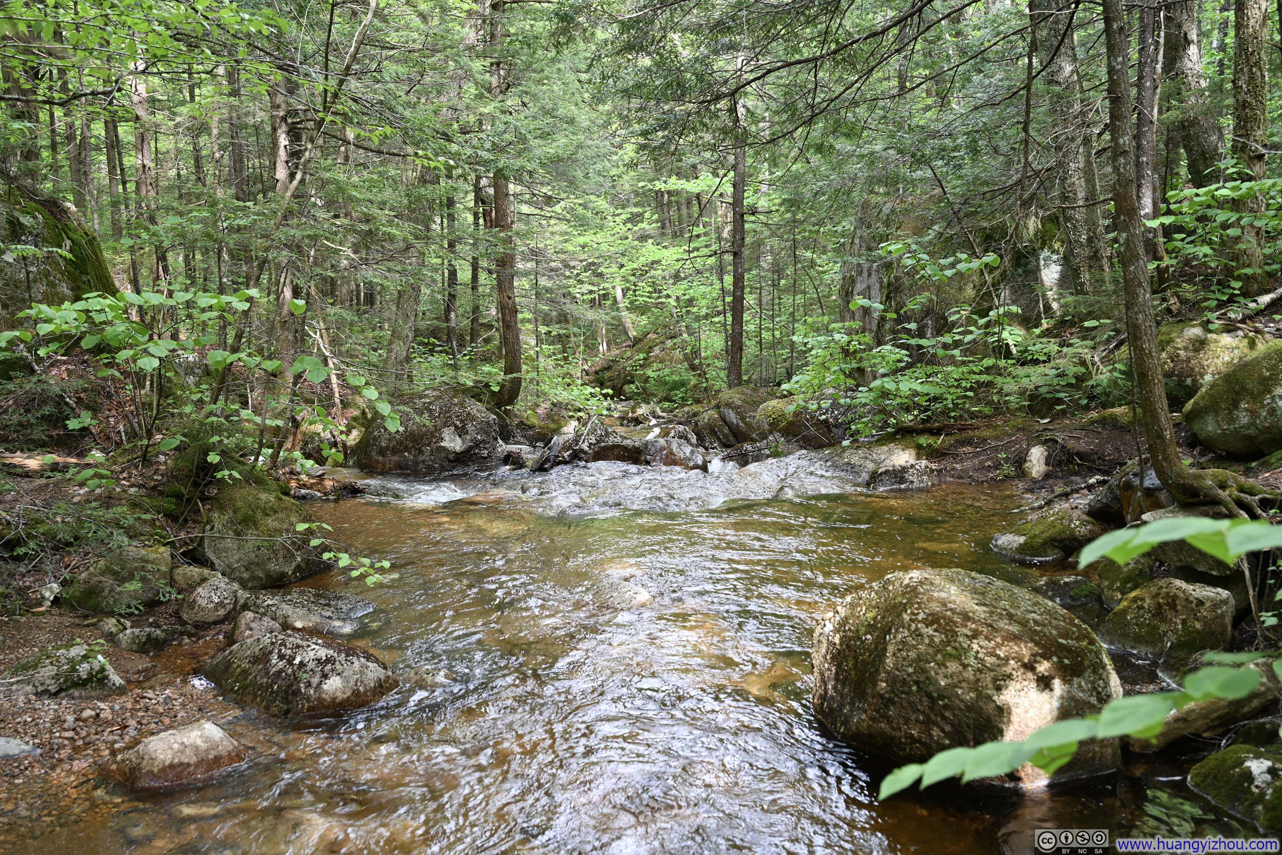
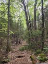
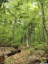
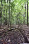
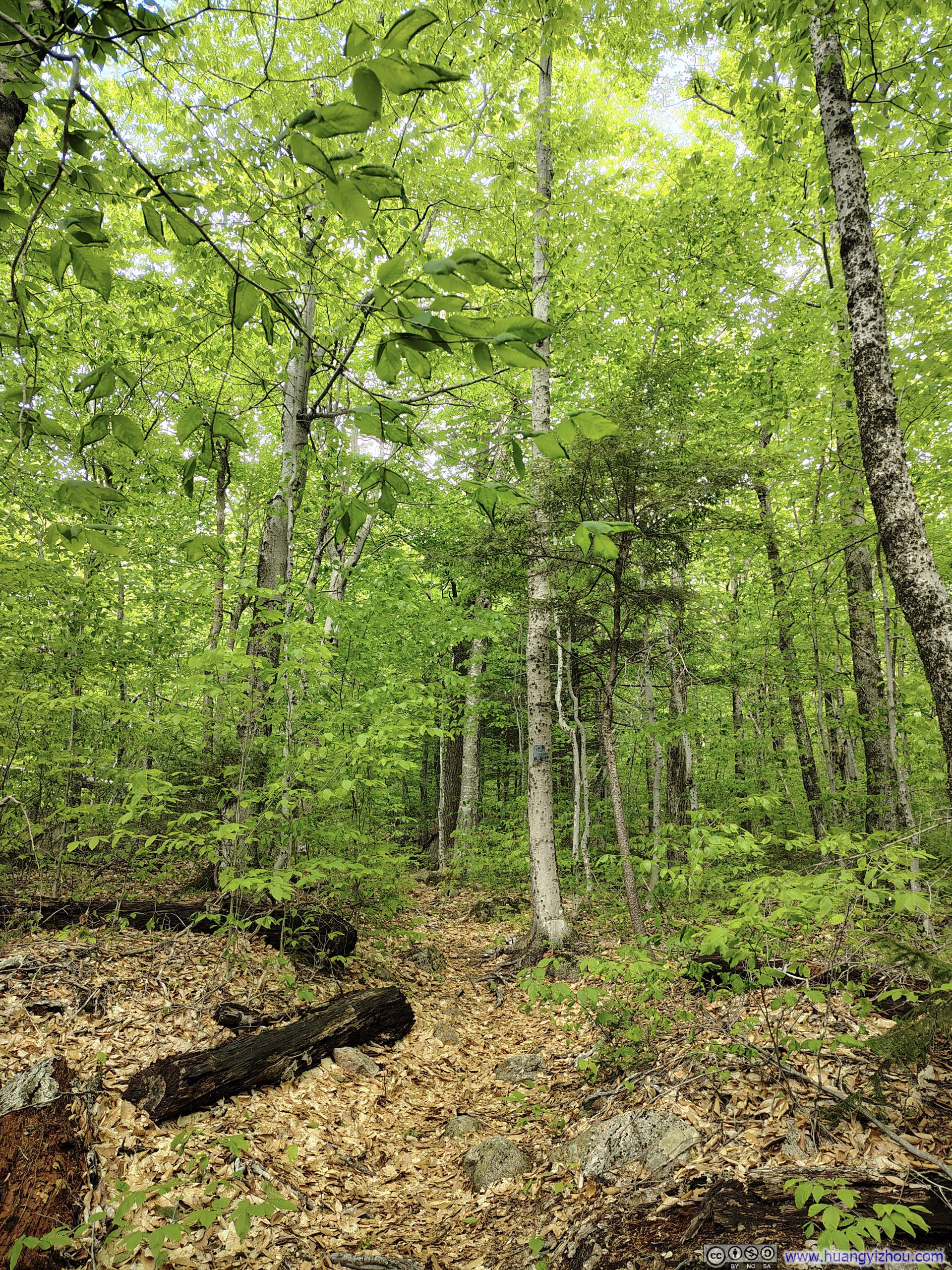
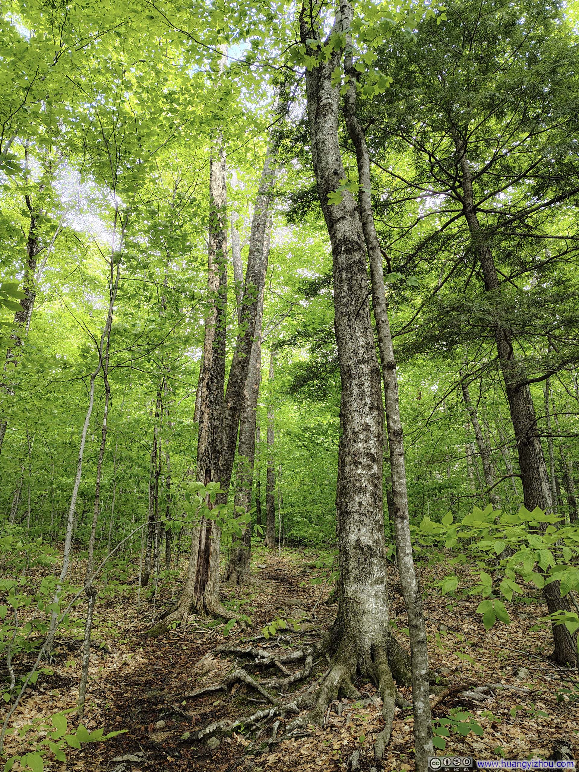
Fortunately, as the trail climbed higher, the ground grew drier and the mosquitoes thinned out. Beyond the intersection with Whitin Brook Trail, the final section of Cabin Trail was heavily rooted and narrow (p5-6 below), but nothing I would call technical based on my standards.
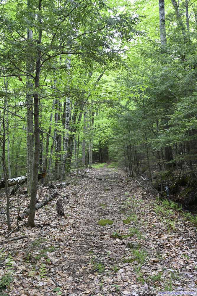 Trail
Trail Wet Trail
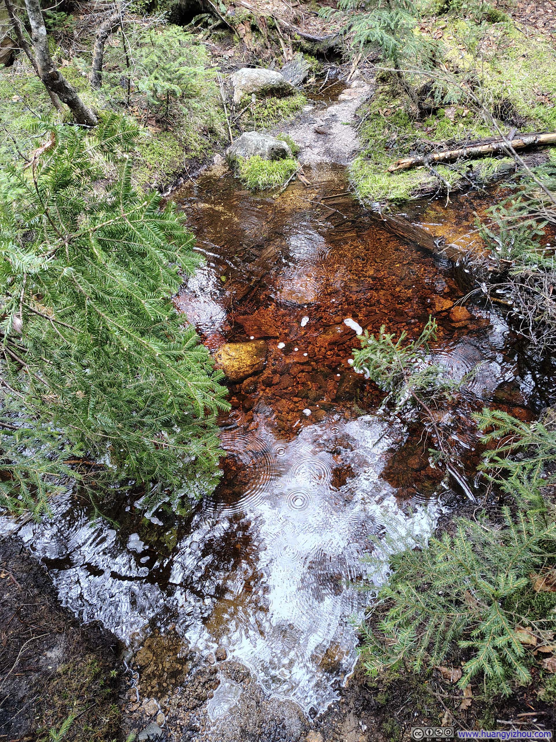
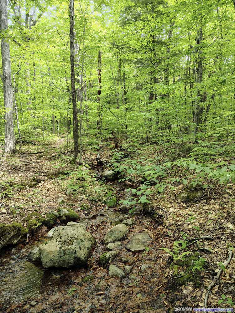 Small Creek Crossing Trail
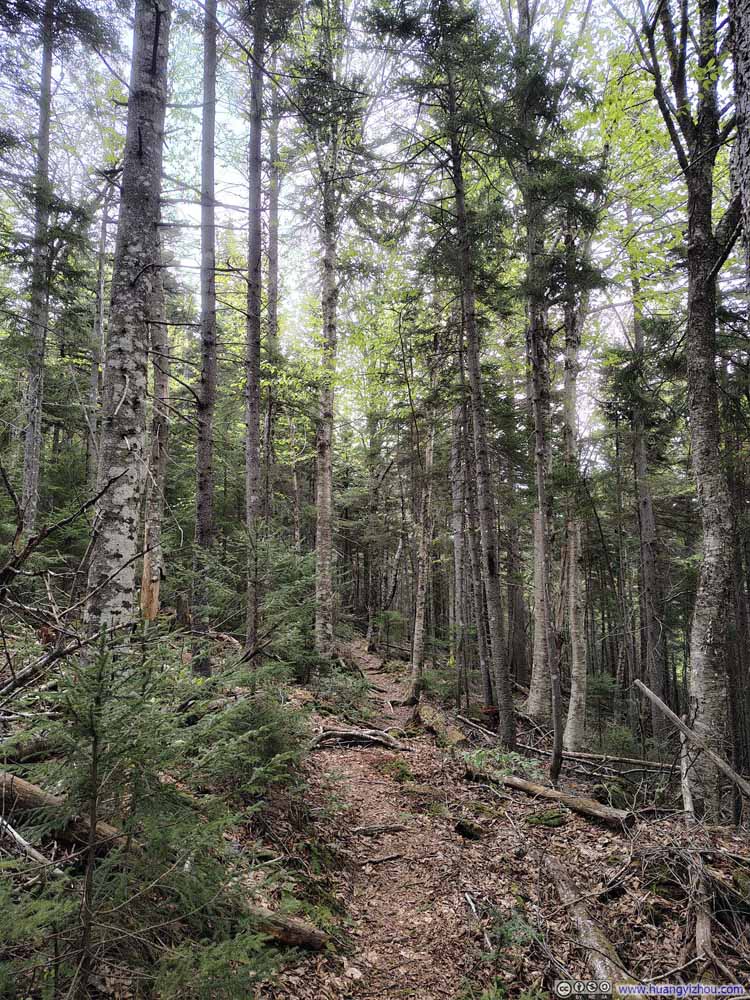 Trail
Trail Narrow Trail
 Trail on Tree Roots and Wet RocksA small steep section.
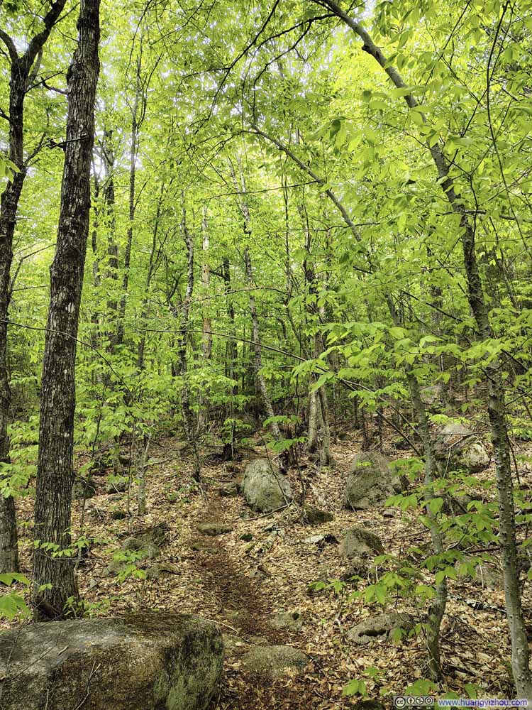 Trail
Trail


Click here to display photos of the slideshow
Trail
Wet Trail
Small Creek Crossing Trail

Trail
Narrow Trail
Trail on Tree Roots and Wet RocksA small steep section.
Trail
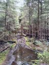
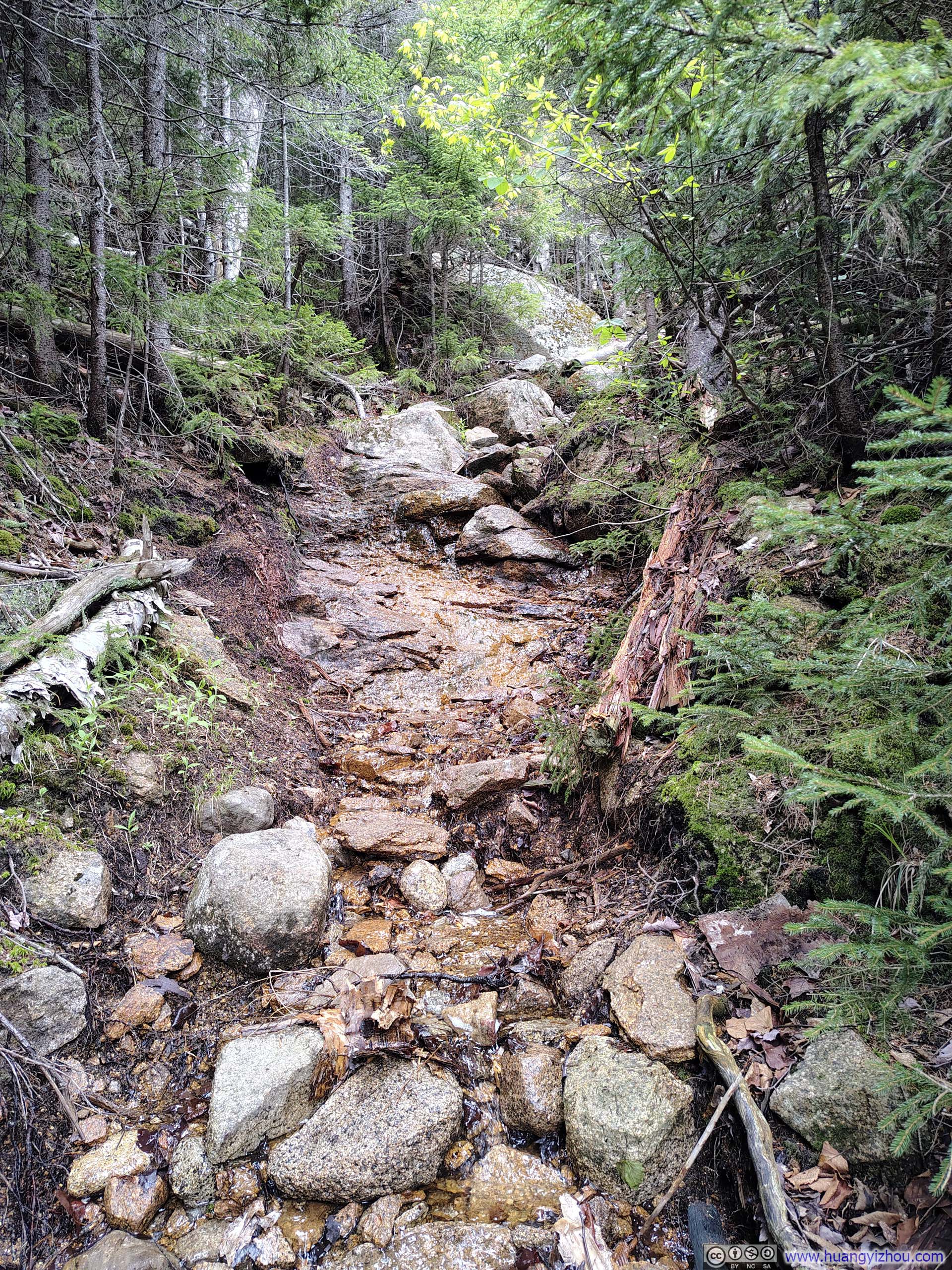
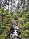
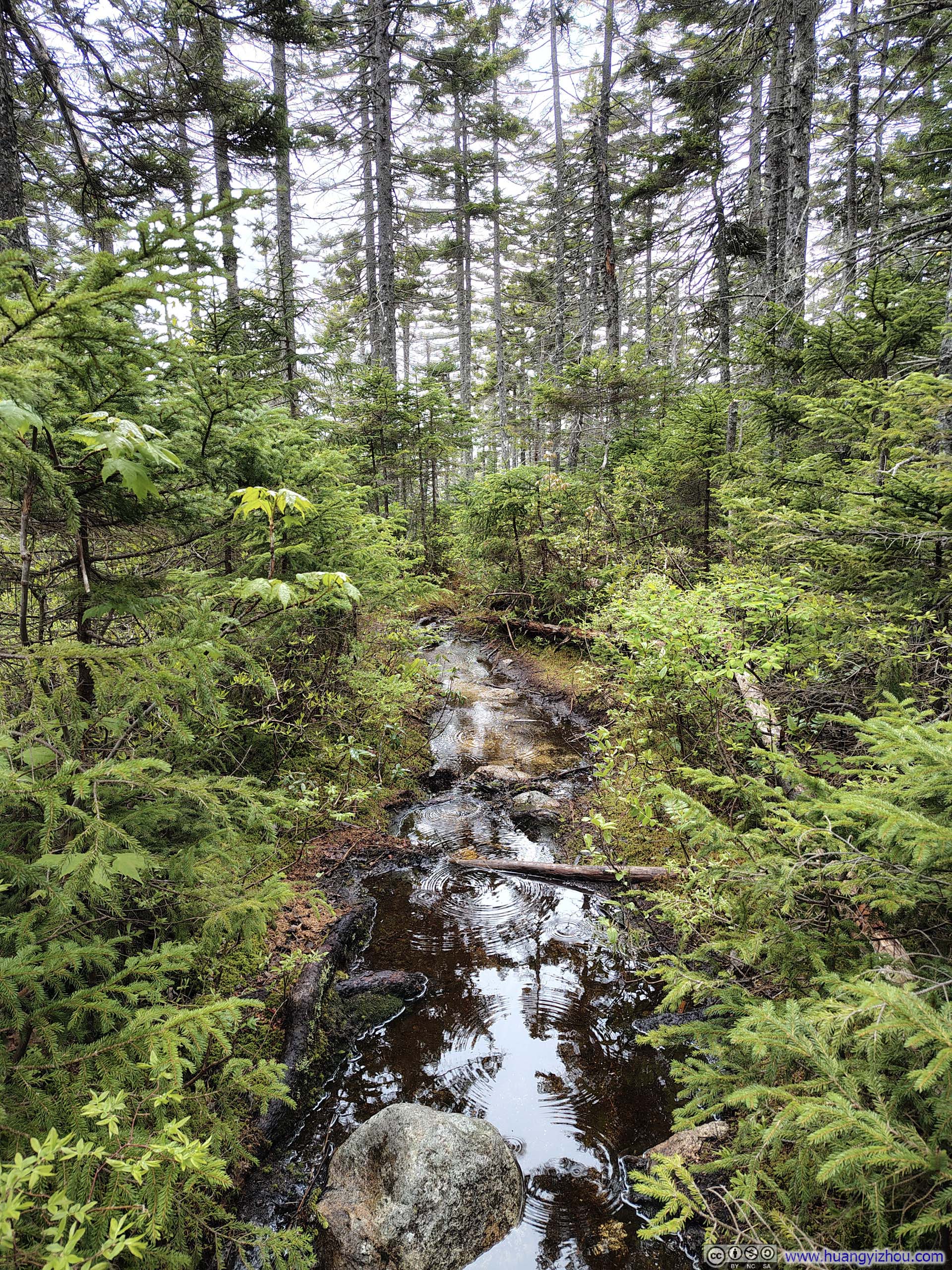
After joining Lawrence Trail and approaching the summit of Mount Paugus, the trail began to grow wet once more. Unlike the lower sections near the trailhead, where the dampness was largely a matter of water-soaked leaves, now it was something less pleasant: a combination of streams trickling down exposed rock faces and stretches of thoroughly aggravating mud.
 Small Creek Crossing Trail
 Trail
Trail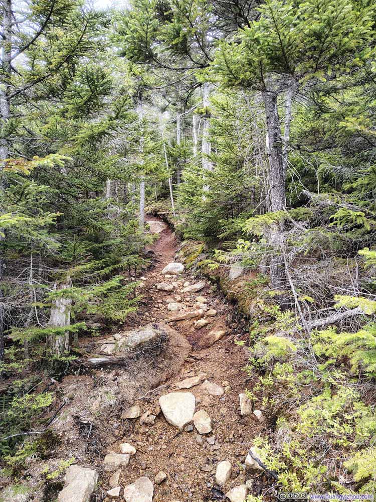 Trail
Trail Water Flowing along Trail
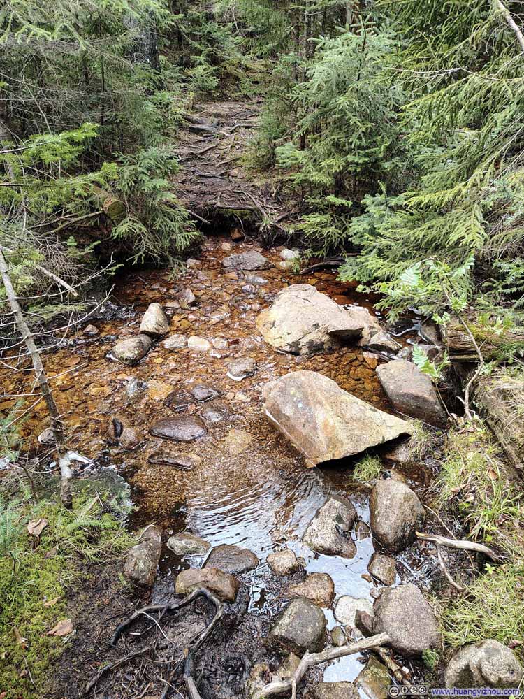 Water Crossing along Trail
 Muddy Trail
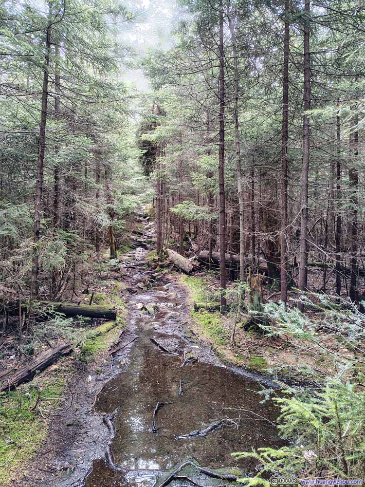 Muddy Trail
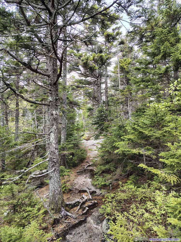 Trail
Trail


Click here to display photos of the slideshow

Small Creek Crossing Trail
Trail
Trail
Water Flowing along Trail

Water Crossing along Trail
Muddy Trail

Muddy Trail

Trail
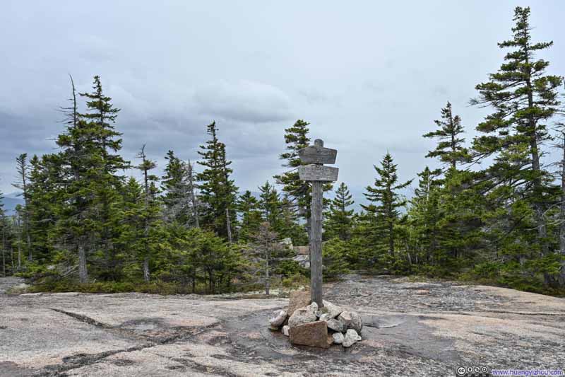
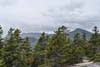
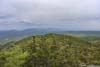
Shortly before 1pm, I reached the South Peak of Mount Paugus, where the best views were supposed to be. Unfortunately, that was also when a light drizzle began to fall. This was roughly the time the HRRR model had predicted the densest low clouds of the day, though contrary to the forecast, those clouds arrived with precipitation in tow. The drizzle was never heavy, so my water-repellent jacket could easily keep me dry and comfortable. But it obscured the views, which weren’t particularly impressive to begin with. (Unbeknownst to me at the time, the least obstructed views of Mount Whiteface and Mount Passaconaway to the west required a short detour downhill off the main trail.)
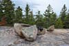
 Summit of Mt Paugus
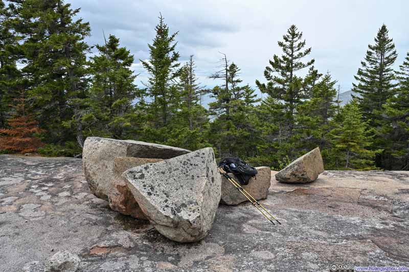 Summit Area of Mt PaugusA few rocks that I could sit on.
 Mount Chocorua
 Chocorua Lake
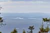
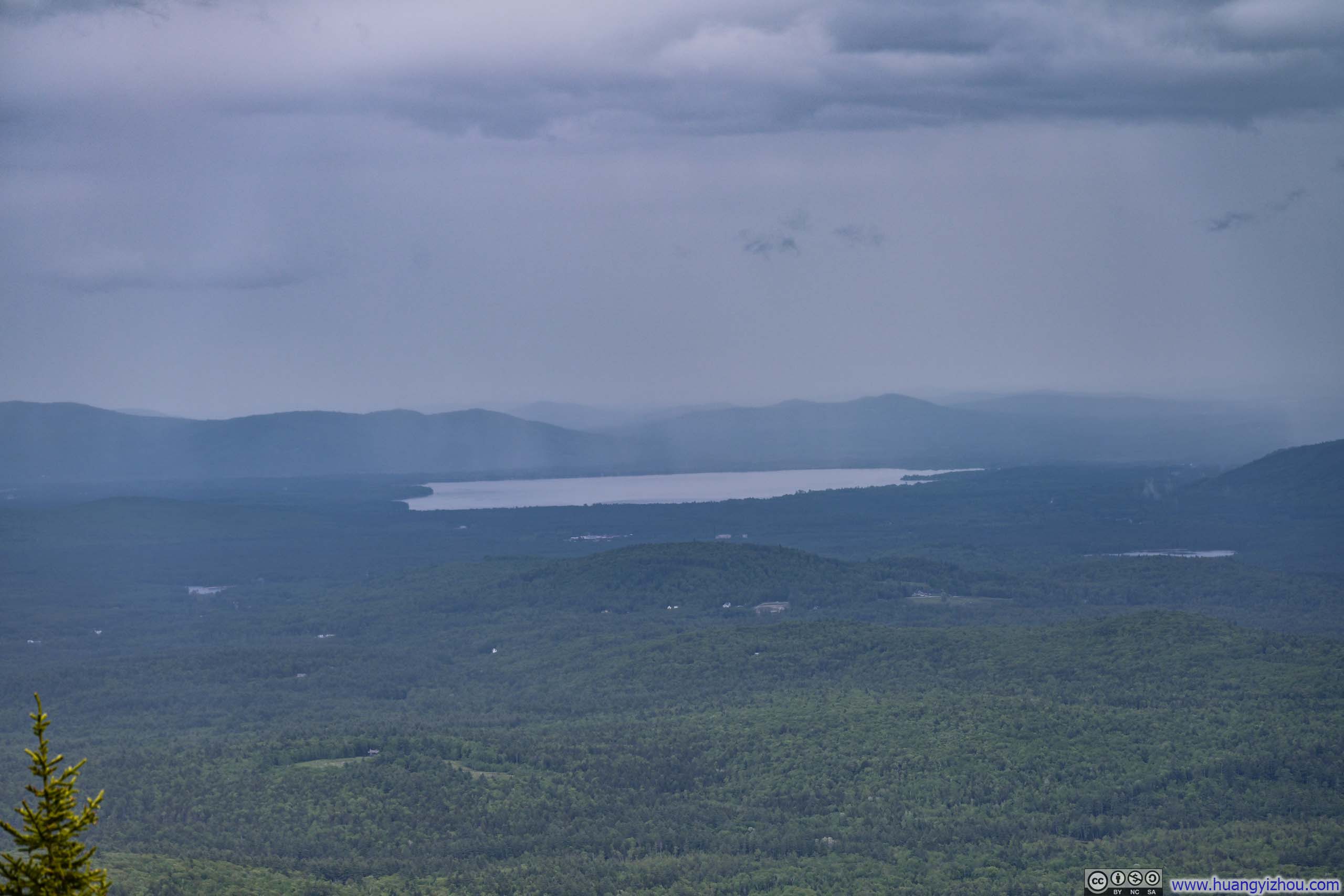
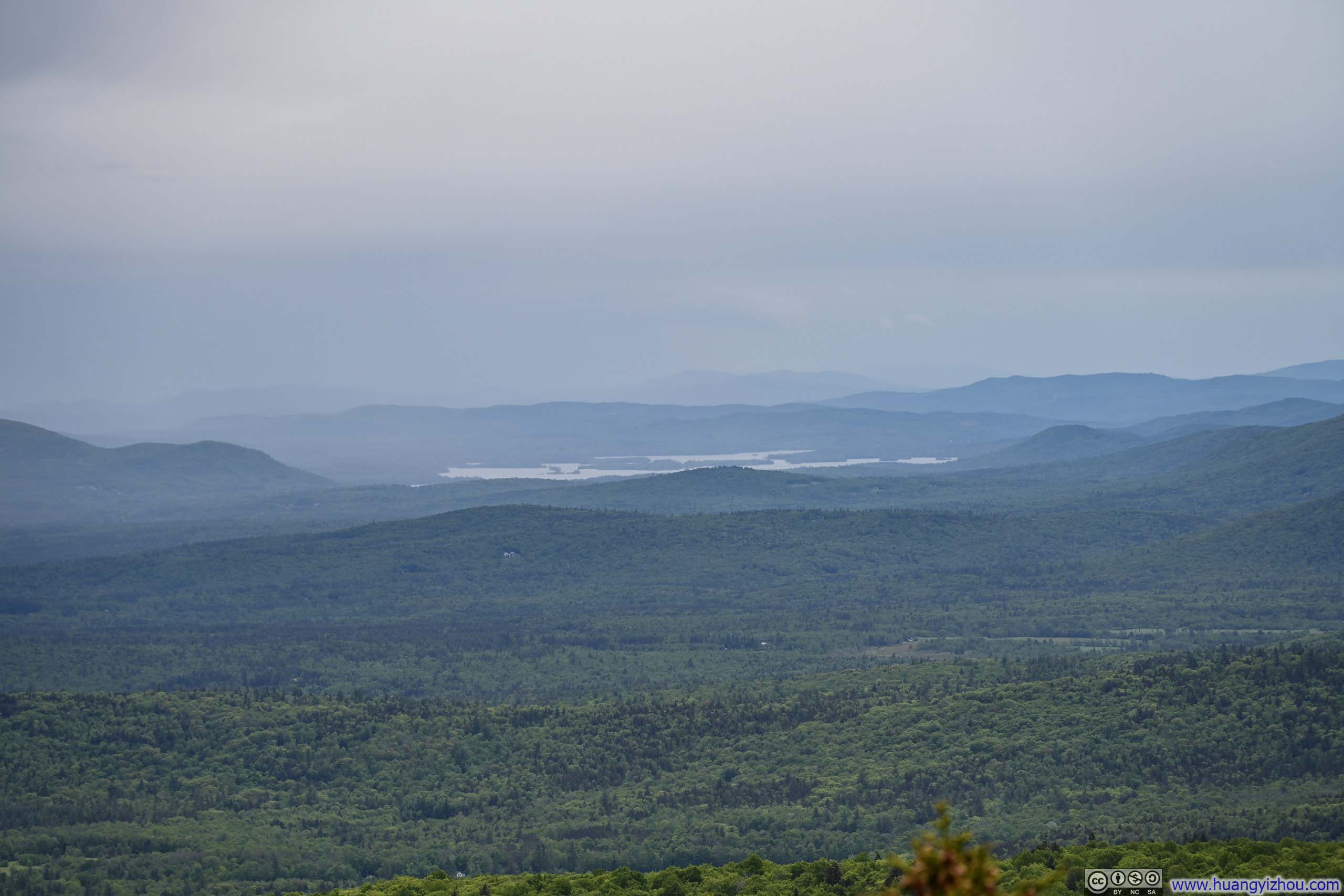
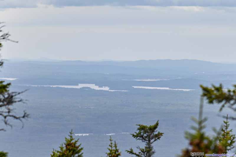 Distant Lake Winnipesaukee
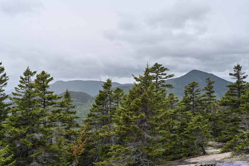 Mount Whiteface and Mount Passaconaway


Click here to display photos of the slideshow
Summit of Mt Paugus

Summit Area of Mt PaugusA few rocks that I could sit on.
Mount Chocorua
Chocorua Lake

Distant Lake Winnipesaukee
Mount Whiteface and Mount Passaconaway
At that point, I was hoping to wait out the rain. I could feel the drizzle gradually easing and the clouds beginning to brighten, but the improvement came at such a slow pace that after 40 minutes on top of Mount Paugus, my patience ran out and I resolved to press on.
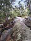
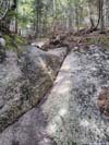
The next section of the trail proved challenging. Portions of it traversed exposed rock surfaces that the rain had left slick and treacherous, demanding careful footwork at every step. A small stream crossing swollen with high water claimed one of my shoes (p4 below), and stretches of trail had been transformed into makeshift creeks by the runoff (p6 below).
 Trail on Wet Rocks
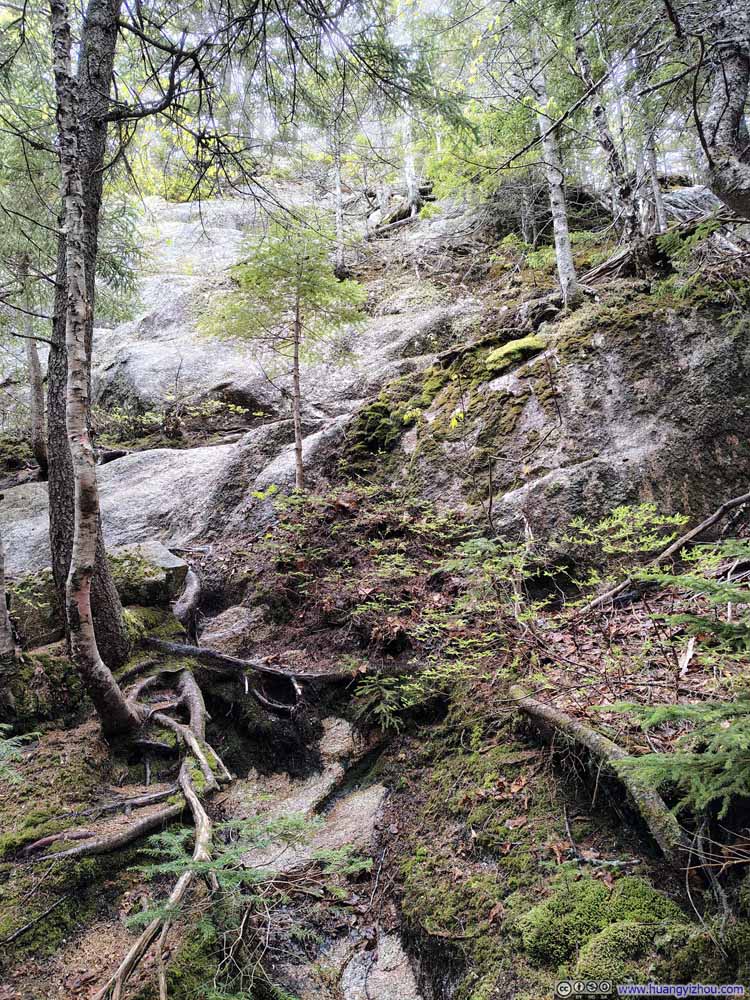 Steep Rocky Trail
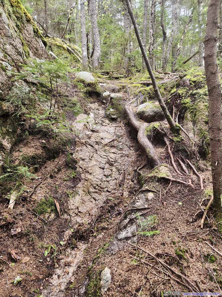 Wet Trail on Rocks
 Challenging Water CrossingHigh water level with no good footholds.
 Trail
Trail Waterflow along Trail
 Steep Trail on Slippery RockTook me quite some effort to get down from.


Click here to display photos of the slideshow
Trail on Wet Rocks

Steep Rocky Trail
Wet Trail on Rocks
Challenging Water CrossingHigh water level with no good footholds.
Trail
Waterflow along Trail
Steep Trail on Slippery RockTook me quite some effort to get down from.
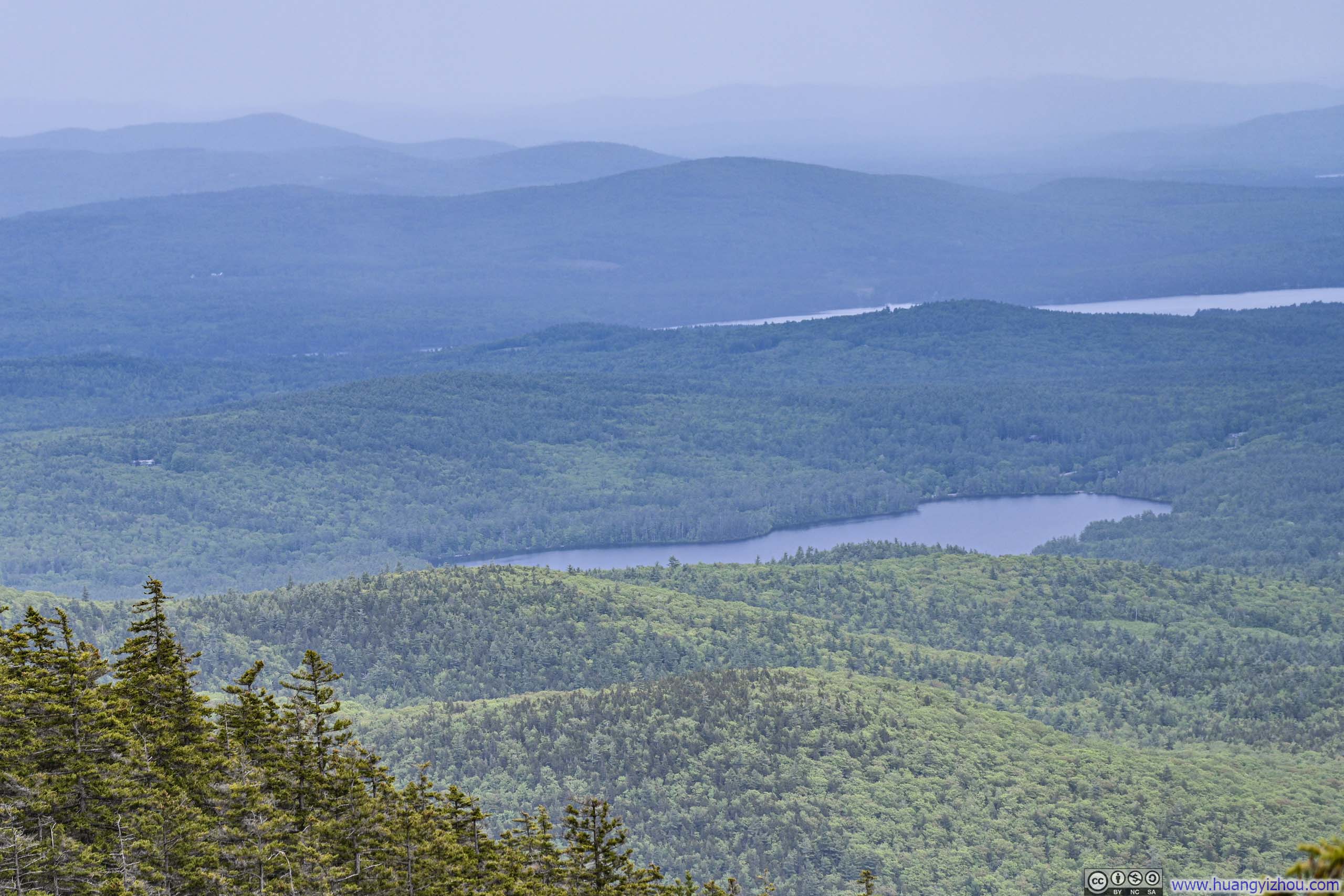
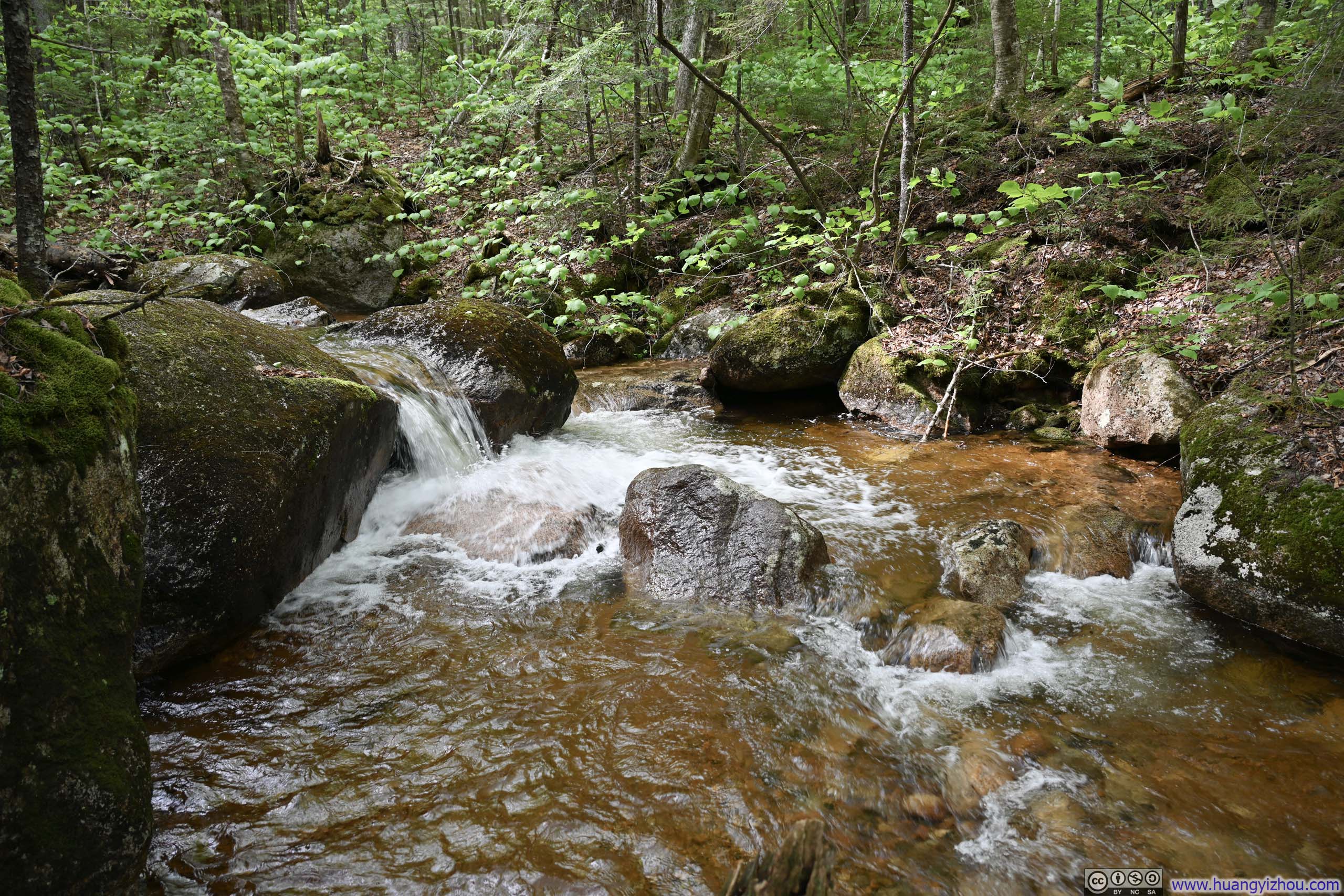
About half an hour into my descent, just as the rain was ending, I arrived at a vista that offered what were undoubtedly the finest views of the day (except for the off-trail overlook at the top that I missed). Before me stretched the rolling foothills along the southern edge of the White Mountains. To the south, the Ossipee Range appeared to float across a vast, flat valley, draped in every shade of green and brimming with life. More mesmerizing still, the retreating storm was slowly lifting its veil of mist from the landscape, revealing hills and mountains in succession from near to far. It felt like watching a painter add deliberate brushstrokes to a panoramic canvas, gradually completing a masterpiece of nature. In hindsight, I had reached Mount Paugus’ summit at the worst possible moment of the day weather-wise, but that same misfortune meant I arrived at this vista point at a perfect one, just as the retreating storm drew back its curtain to unveil the landscape below.
 Rolling HillsThe southern edge of the White Mountains.
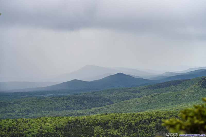 Rolling HillsThe southern edge of the White Mountains.
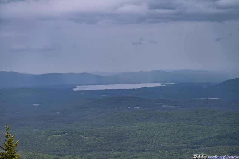 Distant Ossipee Lake
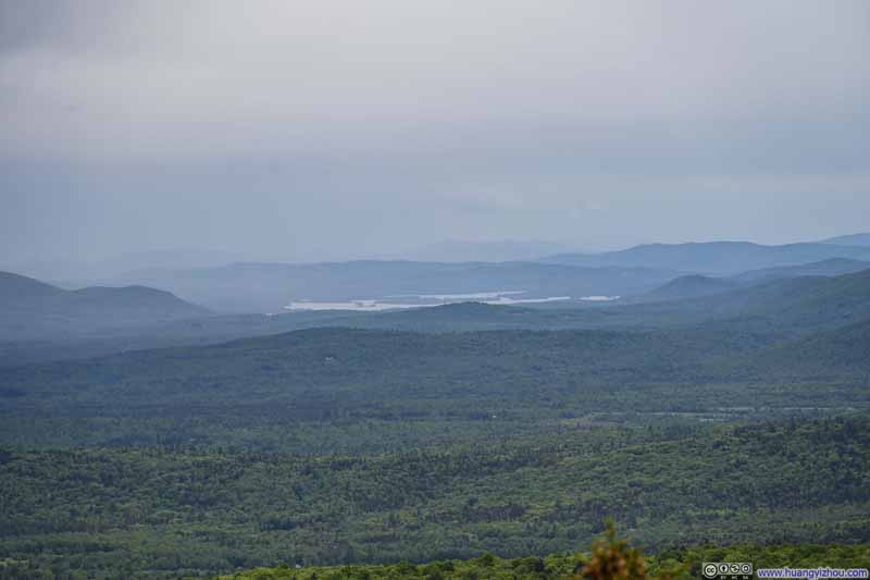 Distant Lake WinnipesaukeeRevealing itself as the mists cleared.
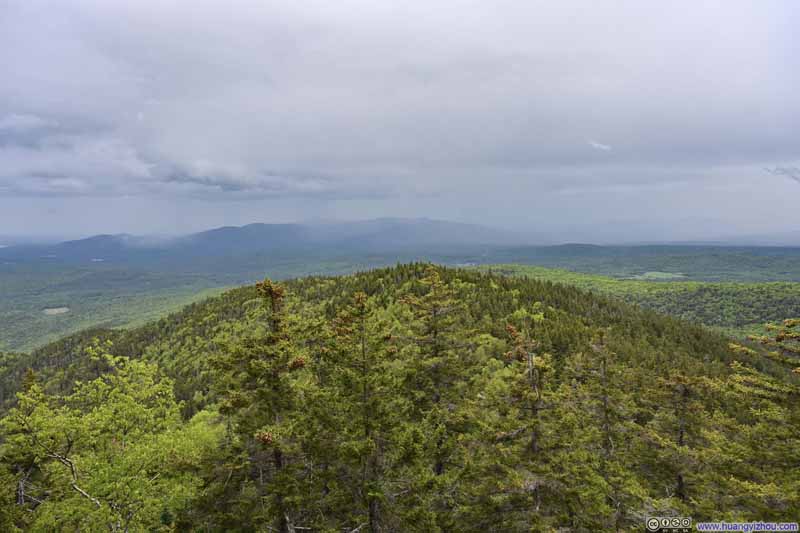 HillAt first I thought this was Mount Mexico. No, Mount Mexico was behind it.
 Mount Passaconaway

Click here to display photos of the slideshow

Rolling HillsThe southern edge of the White Mountains.

Rolling HillsThe southern edge of the White Mountains.
Distant Ossipee Lake
Distant Lake WinnipesaukeeRevealing itself as the mists cleared.

HillAt first I thought this was Mount Mexico. No, Mount Mexico was behind it.
Mount Passaconaway
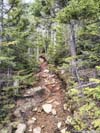
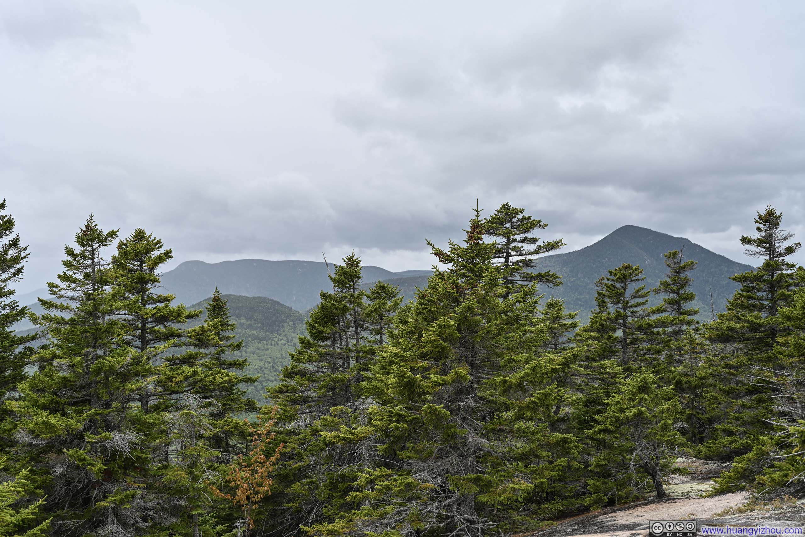
Leaving this unexpected gift of a viewpoint behind, the trail continued to throw obstacles my way: steep, rocky, wet, or their varying combinations.
 Steep and Rocky Trail
 Steep Trail
 Steep Trail on Slippery RockGiven the poor traction of the rocks, I had to find my way around this section.
 Trail
Trail Trail
Trail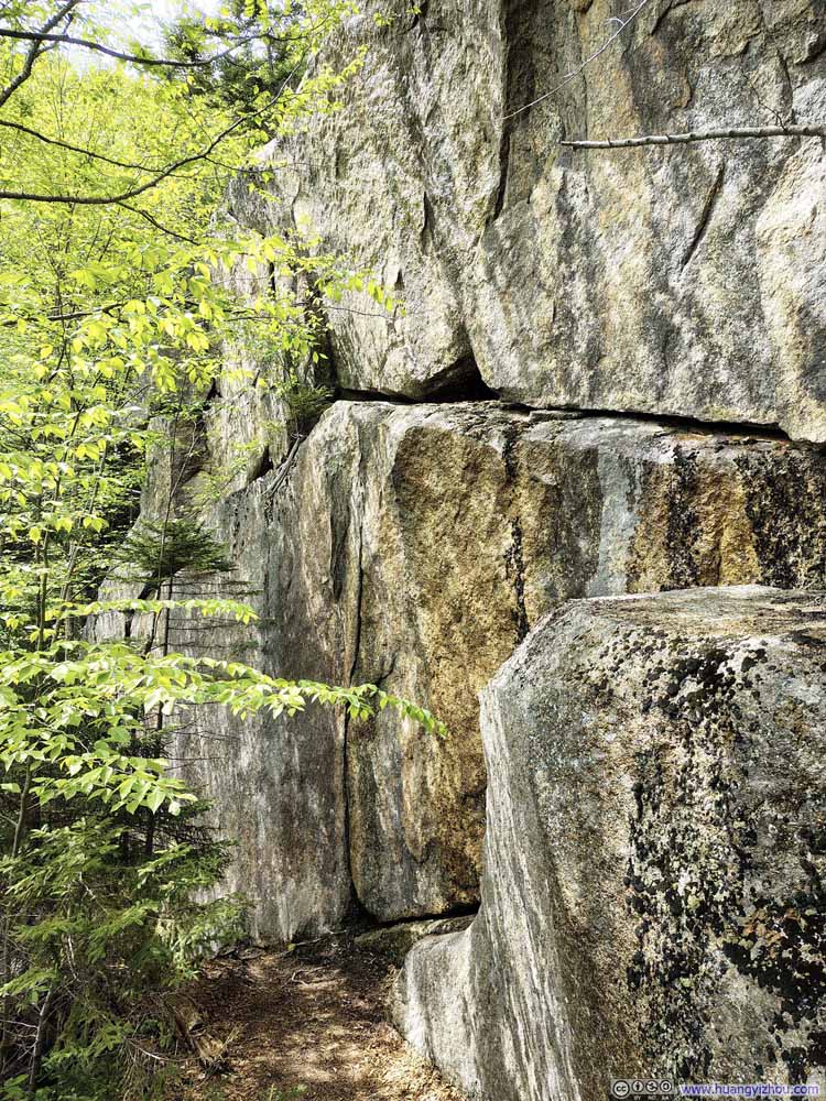 Trail underneath Cliff
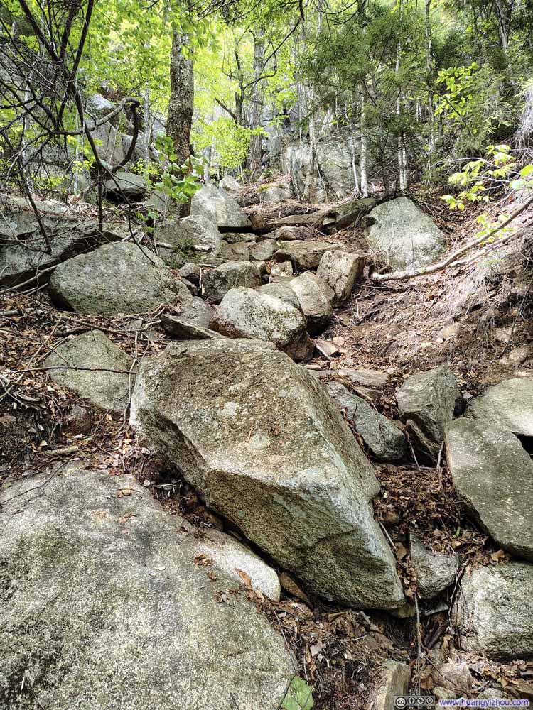 Steep and Rocky Trail
 Trail
Trail

Click here to display photos of the slideshow
Steep and Rocky Trail
Steep Trail
Steep Trail on Slippery RockGiven the poor traction of the rocks, I had to find my way around this section.
Trail
Trail
Trail underneath Cliff
Steep and Rocky Trail
Trail
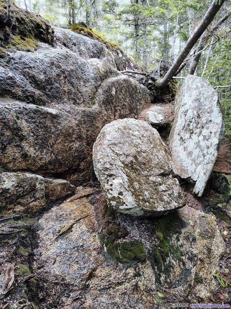
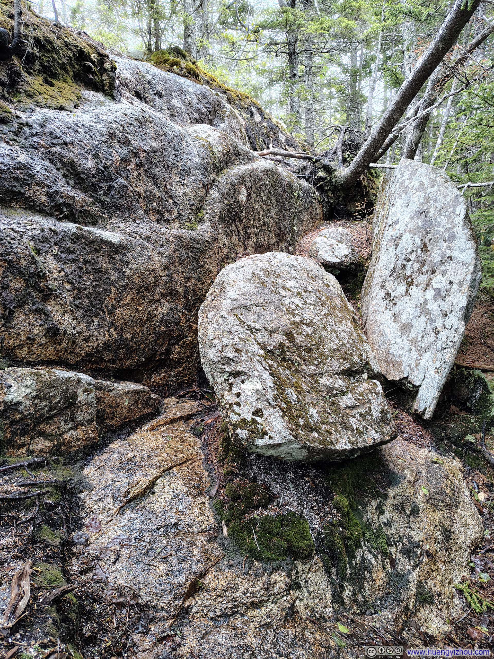
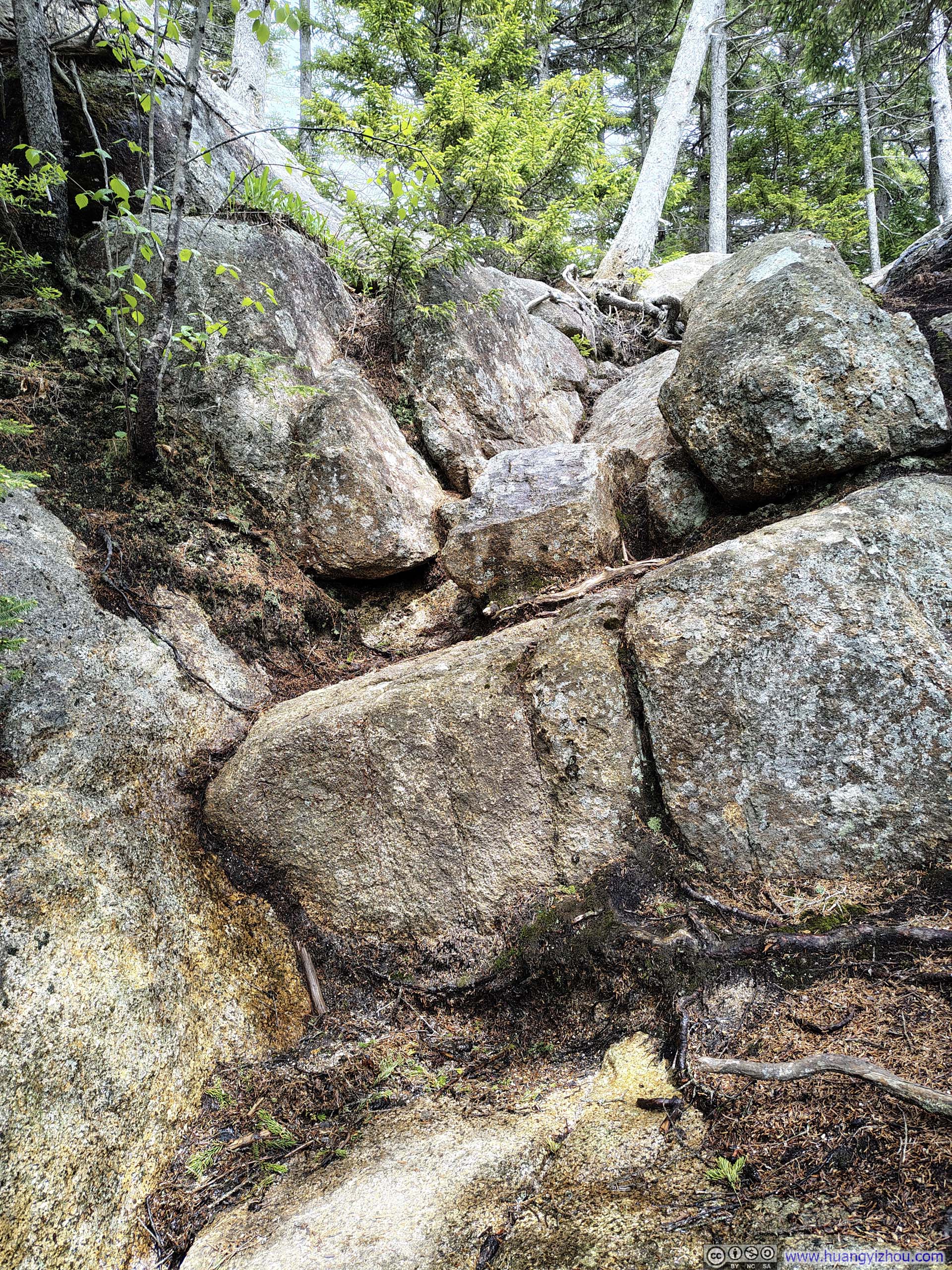
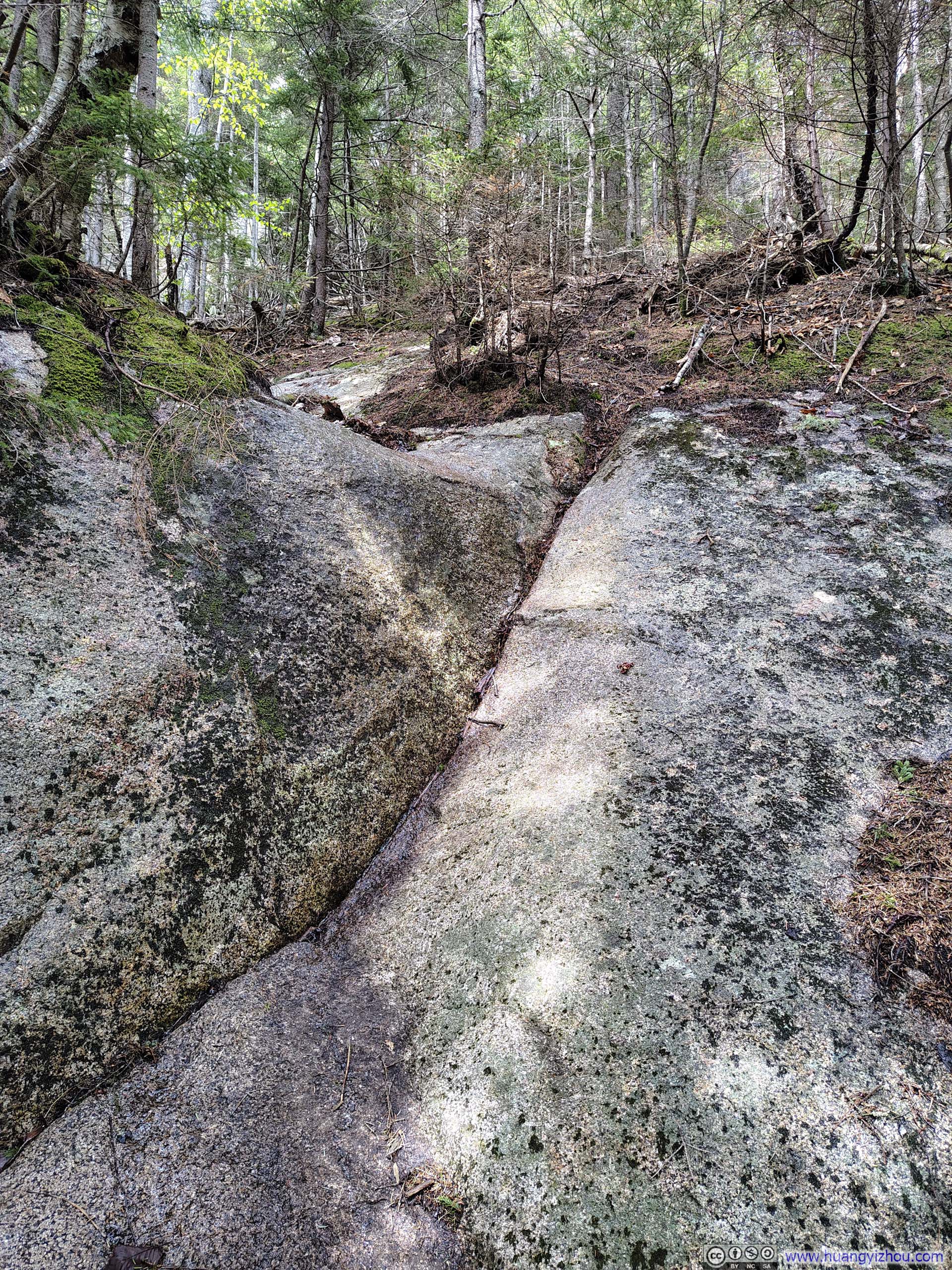
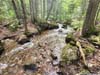
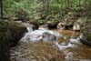
But none of it compared to what awaited me ahead: crossing Whitin Brook. Swollen by the storm two nights prior, torrents were thundering down the streambed, and the rocks that would ordinarily serve as reliable stepping stones were now submerged beneath the churning current. After some scouting, I identified a series of boulders (p1 below) that offered a potentially viable crossing. They were spaced generously apart, however, demanding a careful, almost acrobatic redistribution of weight with each step, all while keeping my body above the raging water below. (The current between the boulders ran swift and steep, so a fall would almost certainly have swept me away.) Ultimately, with my hiking poles assisting to steady my balance, I made it across, dry. For a moment, I was filled with genuine pride: this crossing, not the sweeping views I so often seek out, had become the unexpected highlight of my day. (A minor footnote: mosquitoes were swarming near this water crossing. Since the crossing demanded my complete attention, I had little choice but to pay them their toll: two bites.)
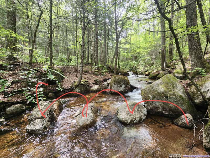 Crossing Whitin BrookQuite an acrobat to keep myself dry while doing so.
 Torrents along Whitin Brook
 Torrents along Whitin Brook
 Whitin Brook

Click here to display photos of the slideshow

Crossing Whitin BrookQuite an acrobat to keep myself dry while doing so.

Torrents along Whitin Brook
Torrents along Whitin Brook
Whitin Brook
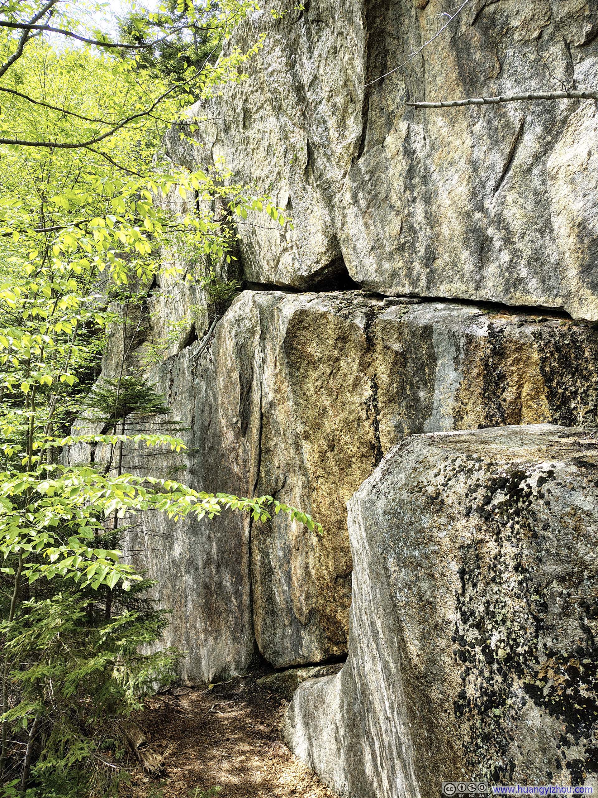
After crossing Whitin Brook, the trail climbed a short uphill stretch before reaching Big Rock Cave, another major “attraction” along the route. Rather than a genuine cave as its name might suggest, it felt more like a tunnel: an open passage formed by several giant boulders stacked together above it. Interestingly, the walls of this cave/tunnel shaped themselves into a remarkably even triangle, carrying traits from Assassin’s Creed Animus data world.
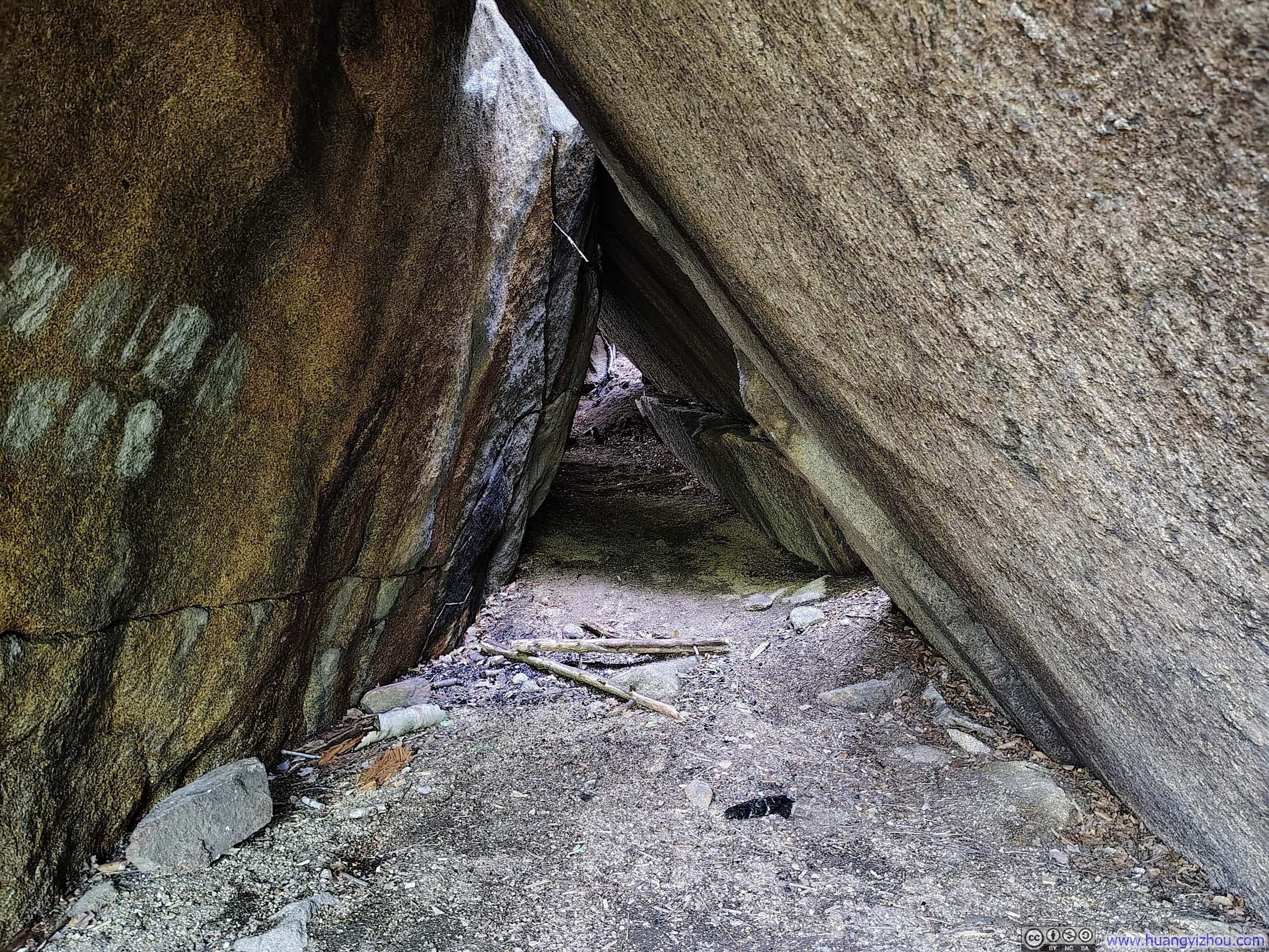
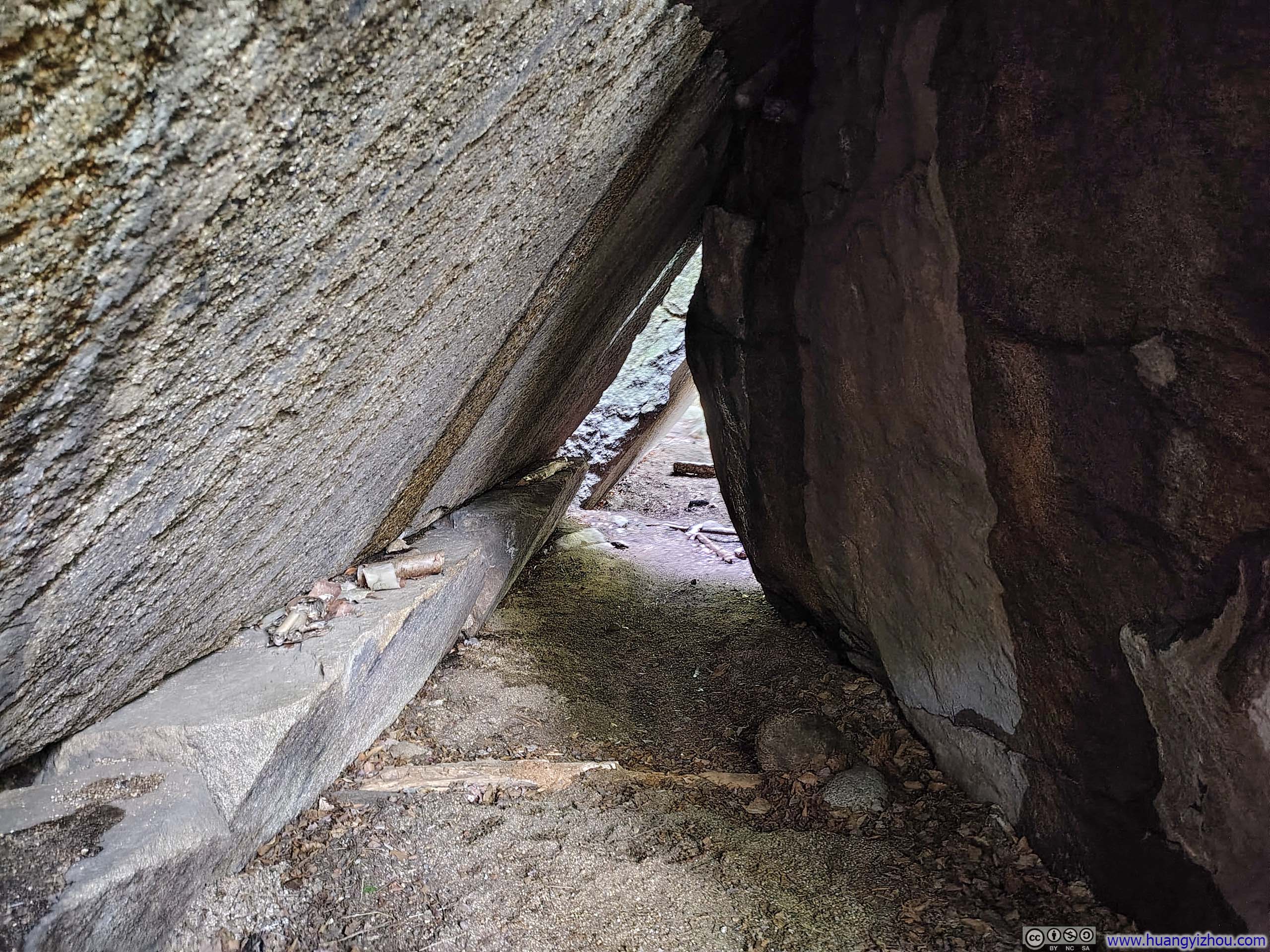 Big Rock Cave
Unfortunately, the climb from Whitin Brook had left me somewhat tired and disinclined toward further exploration, so I stole a few glances of it with this video before immediately pressing on:
14 seconds, 2160p60fps, H265 only, 20Mbps/36MB file size.
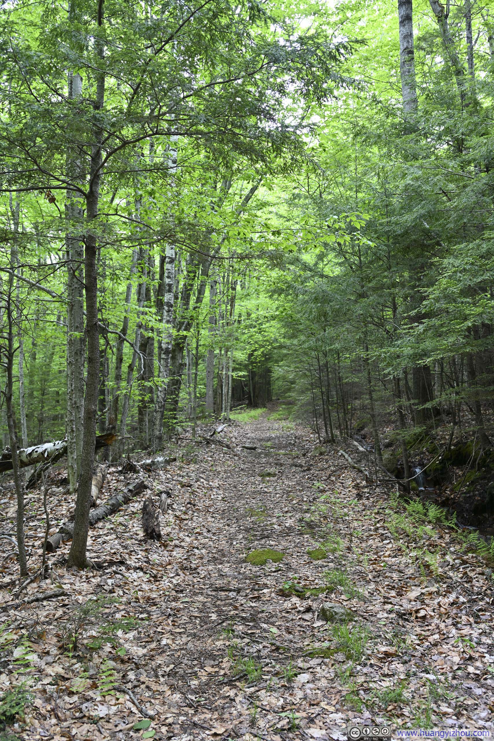
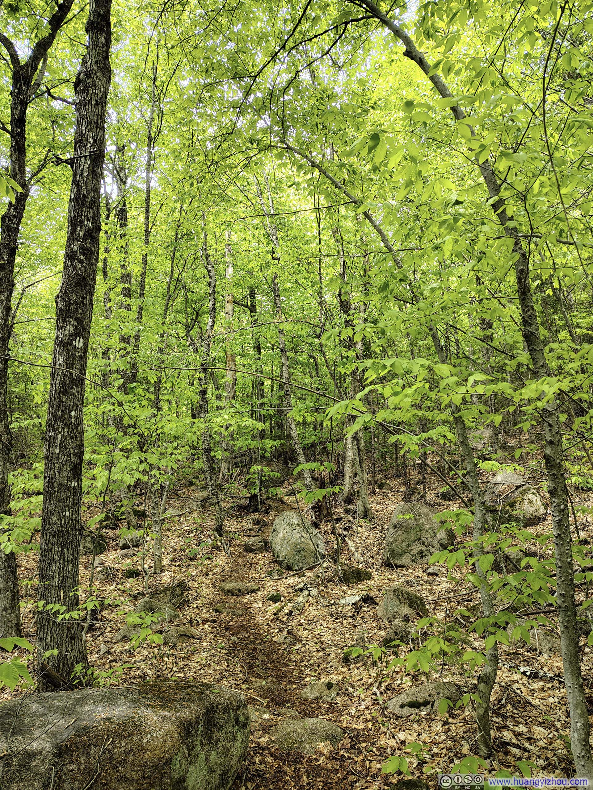
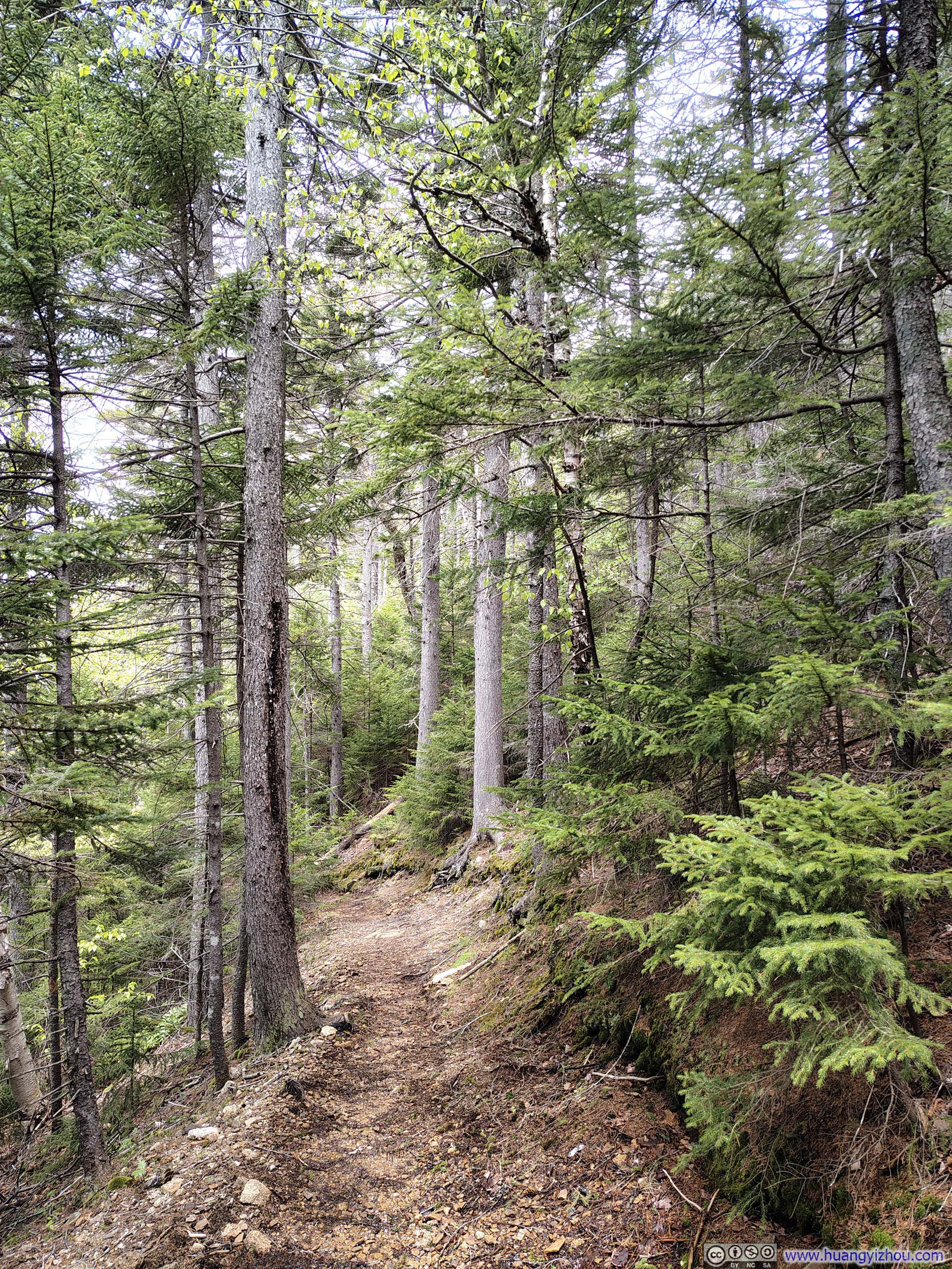
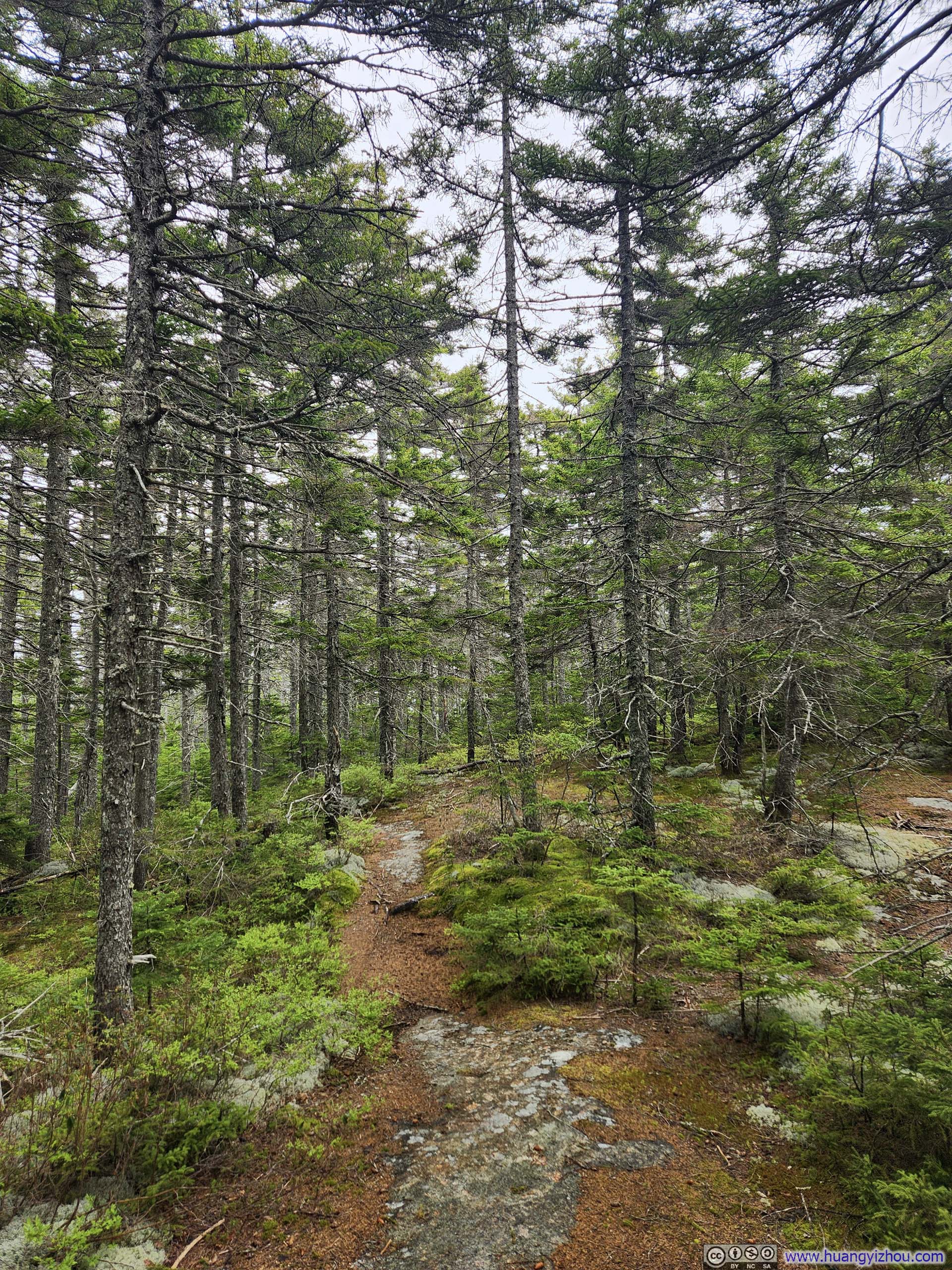
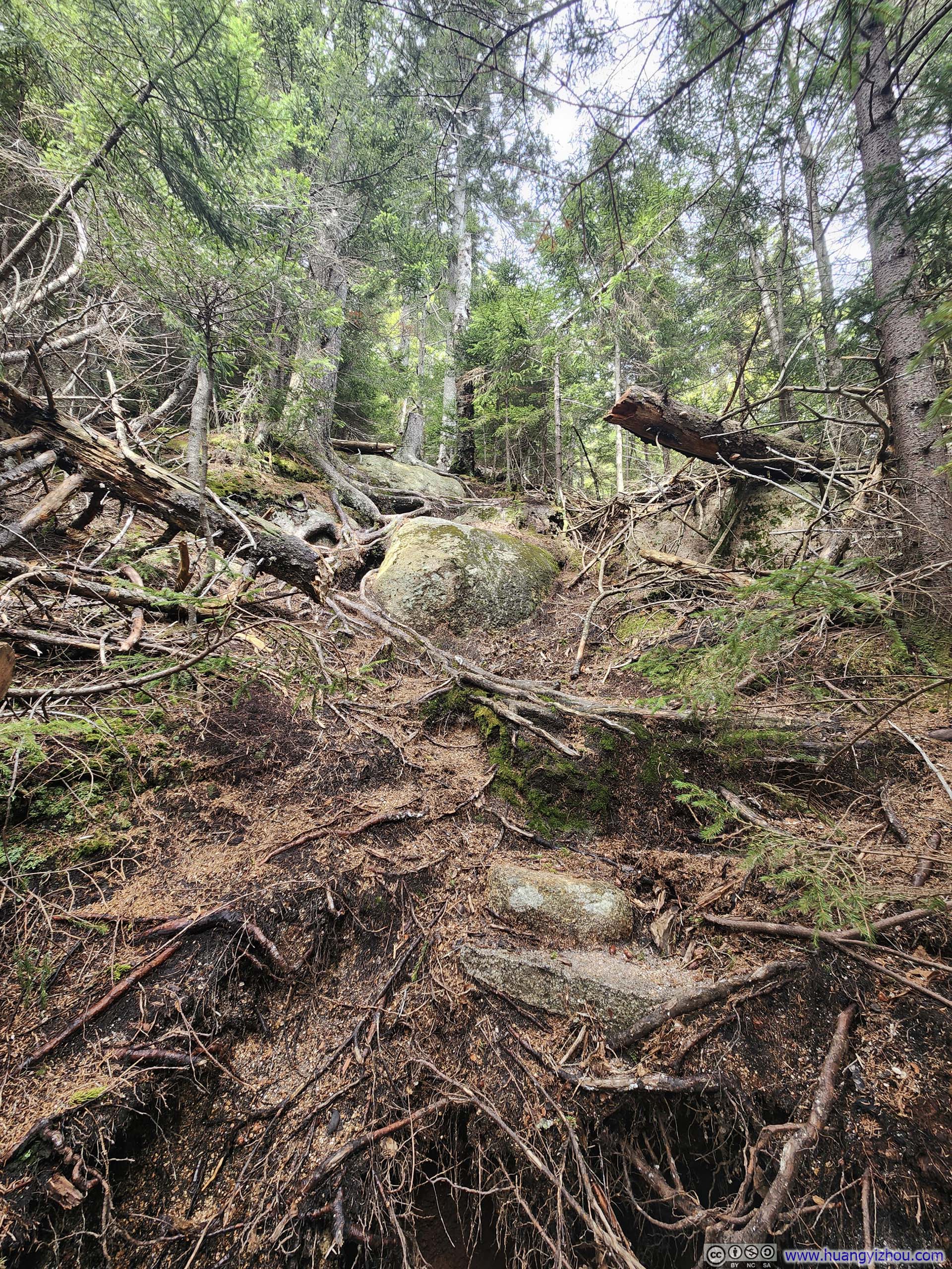
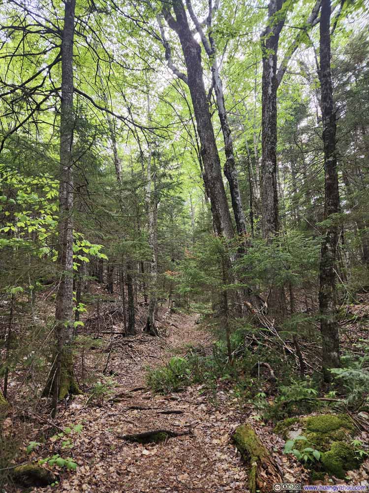
And the rest of my hike was not very remarkable. The trail passed over Mount Mexico, but there were no views on it. On the whole, I found the lower portion of Big Rock Cave Trail to be drier and in better condition than the lower section of Cabin Trail. As I neared the trailhead, however, the path grew noticeably wet, and the mosquitoes that had plagued me in the morning seemed to return in force, adding one final note of unpleasantness.
 Trail
Trail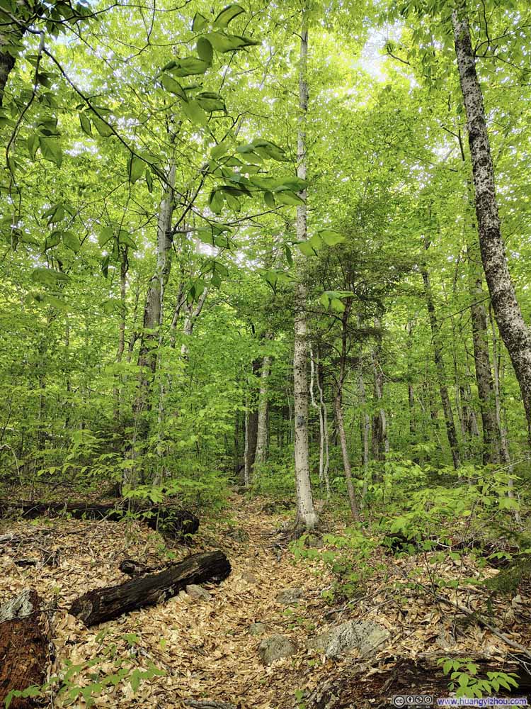 Trail
Trail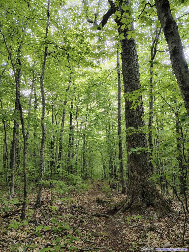 Trail
Trail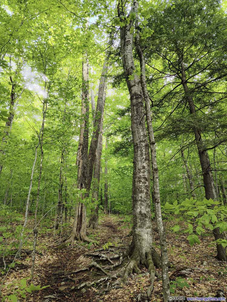 Trail
Trail Trail
Trail


Click here to display photos of the slideshow

Trail
Trail

Trail
Trail
Trail
In the end, I got back to my car at 4:30pm, concluding the hike in just over 6 hours. (A bit slower than my typical pace, as the wet rocks slowed me down considerably).
END
![]() Hiking Mount Paugus by Huang's Site is licensed under a Creative Commons Attribution-NonCommercial-ShareAlike 4.0 International License.
Hiking Mount Paugus by Huang's Site is licensed under a Creative Commons Attribution-NonCommercial-ShareAlike 4.0 International License.