
Updated on August 17, 2025
Hiking Franconia Ridge
Mid-June 2025, I headed out to hike Franconia Ridge Loop, arguably New Hampshire’s most iconic trail in the White Mountains.
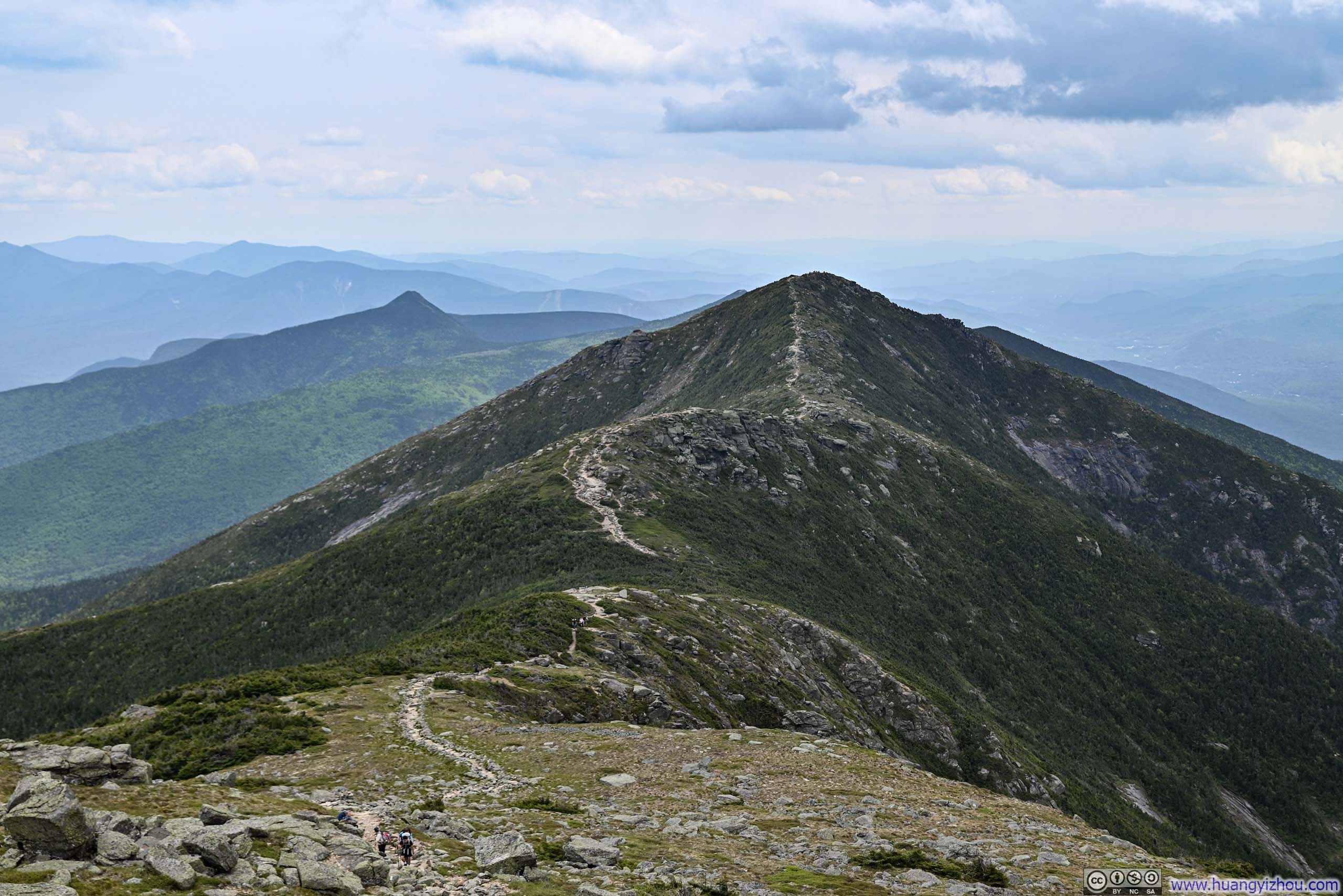
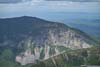
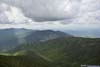
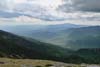
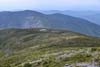
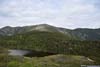
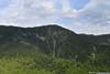
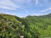
Trail on Franconia Ridge
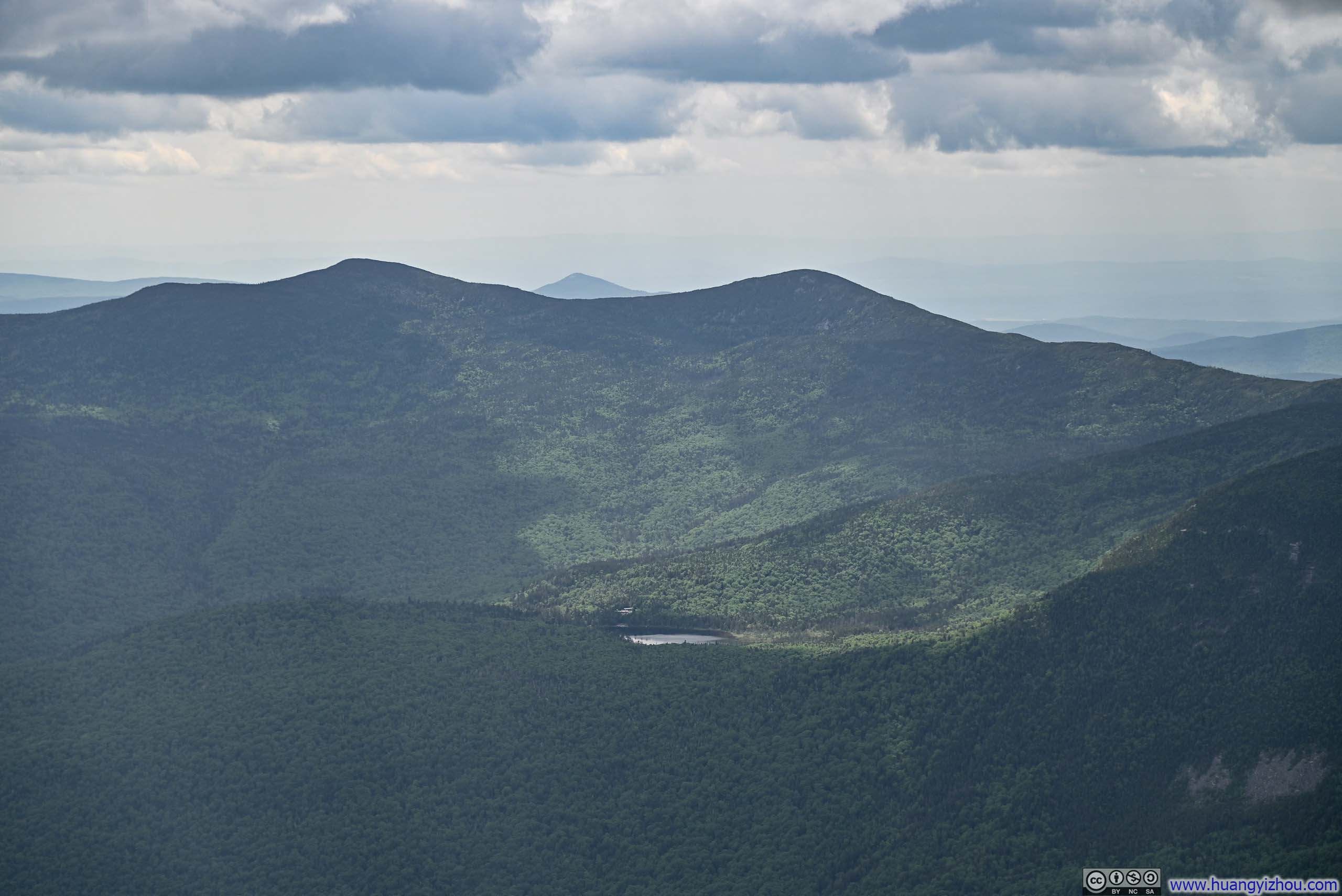
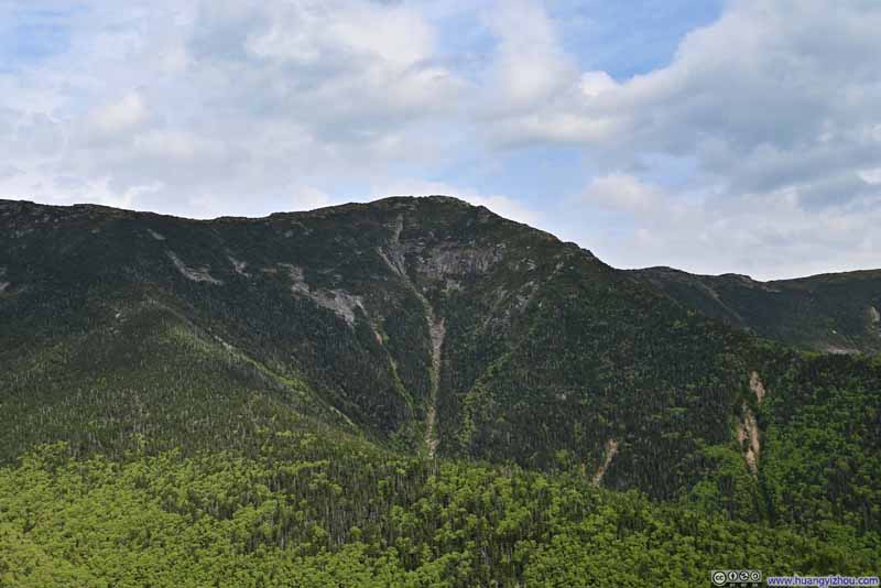
Rated the most popular trail by AllTrails in New Hampshire, the Franconia Ridge loop traces an elegant ridgeline connecting several peaks. Its position above the treeline offers sweeping views from the heart of New Hampshire’s White Mountains, a rare treat not commonly bestowed by other trails in the region, which I savored with great appreciation.
After moving to Boston last year, I had hoped to attempt Franconia Ridge on my first of many trips to the White Mountains. Back then the parking lot was full so I hiked the nearby Mt Garfield instead. Having since explored many of the surrounding – albeit somewhat less spectacular – peaks, I decided the time had come to give Franconia Ridge the proper attempt it deserved. (With a week-long Alaskan trip planned for the July 4th holiday, this hike would also serve as valuable conditioning for the more demanding trails awaiting me in the north.)
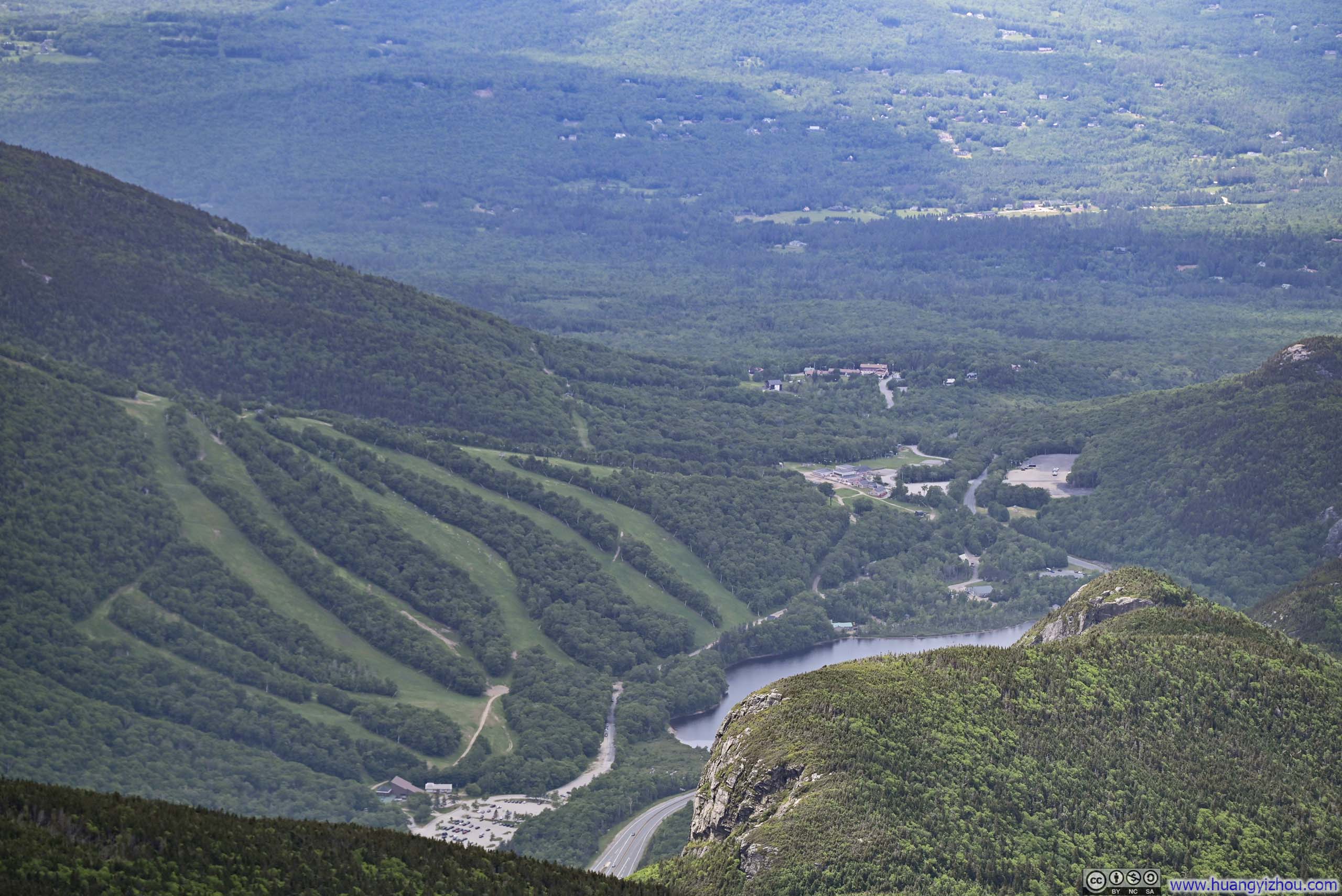
Rising relatively early on the morning of June 15, I made my way to Franconia Notch. I arrived at the parking lot at 9:45am and had prepared to take the shuttle in case it was full, but luckily a few spots still remained, sparing me the extra journey. After some warmup, I started just before 10am.
Here’s GPS tracking:
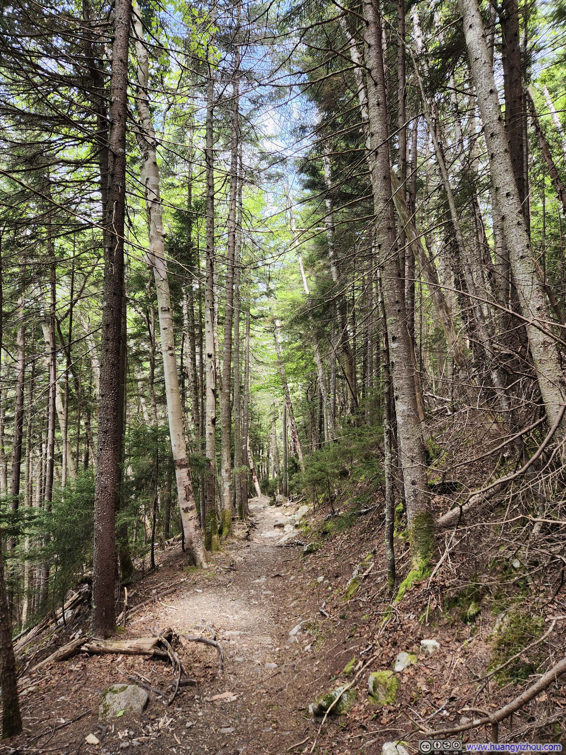
Like most hikers, I chose to tackle the loop counterclockwise, going uphill along the steepest sections along Dry Brook. This direction offered an additional reward along the ridge: the sun at my back, illuminating the landscape before me in great clarity.
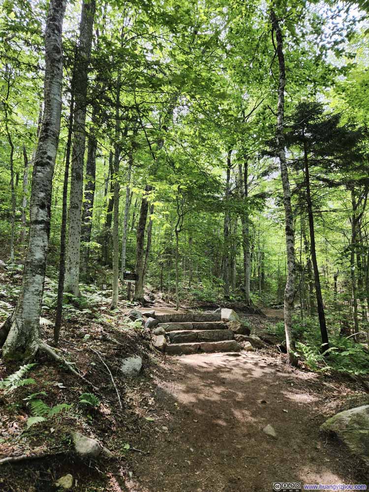
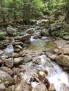
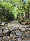
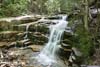
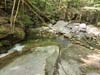
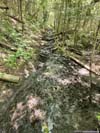
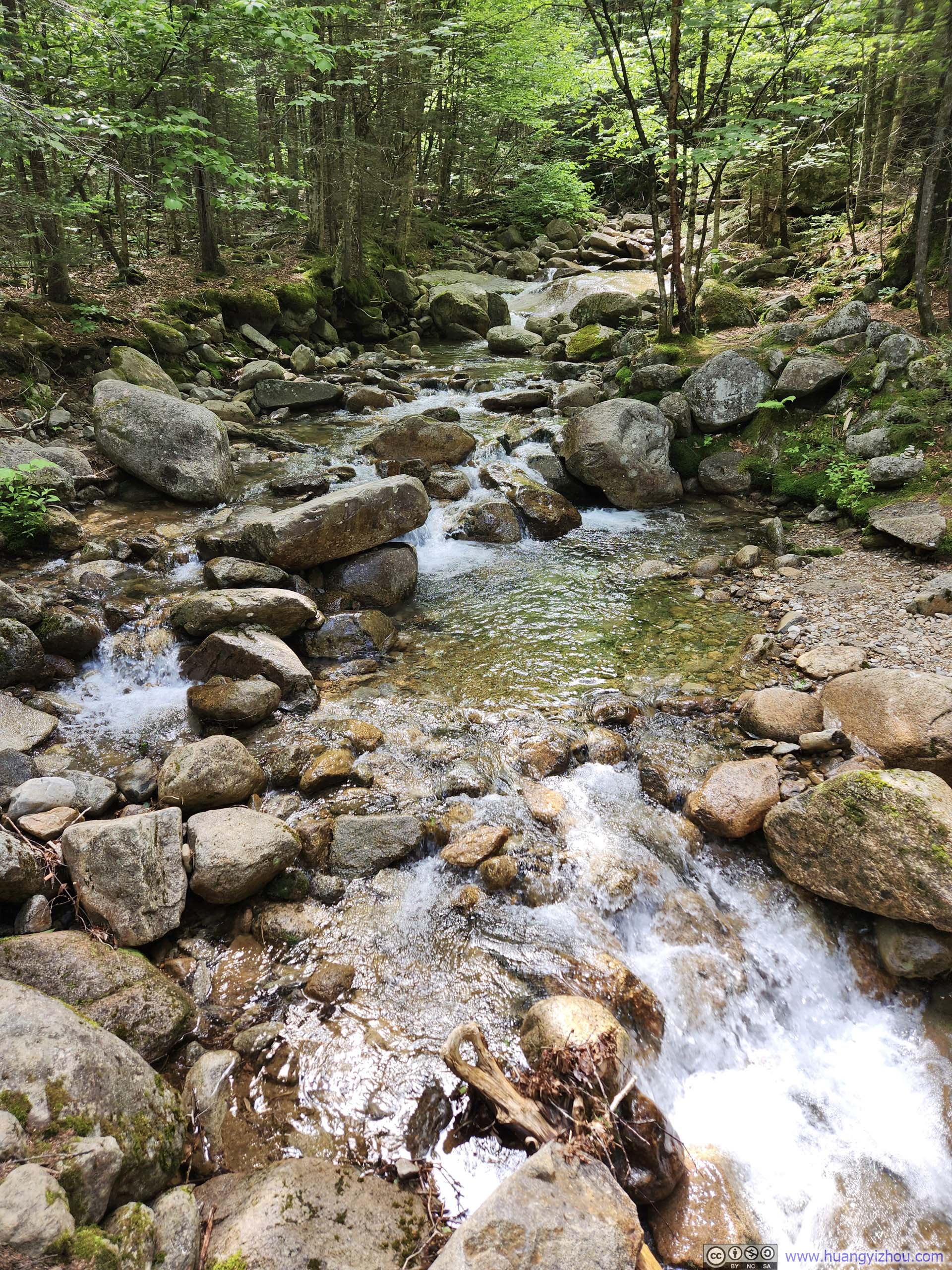
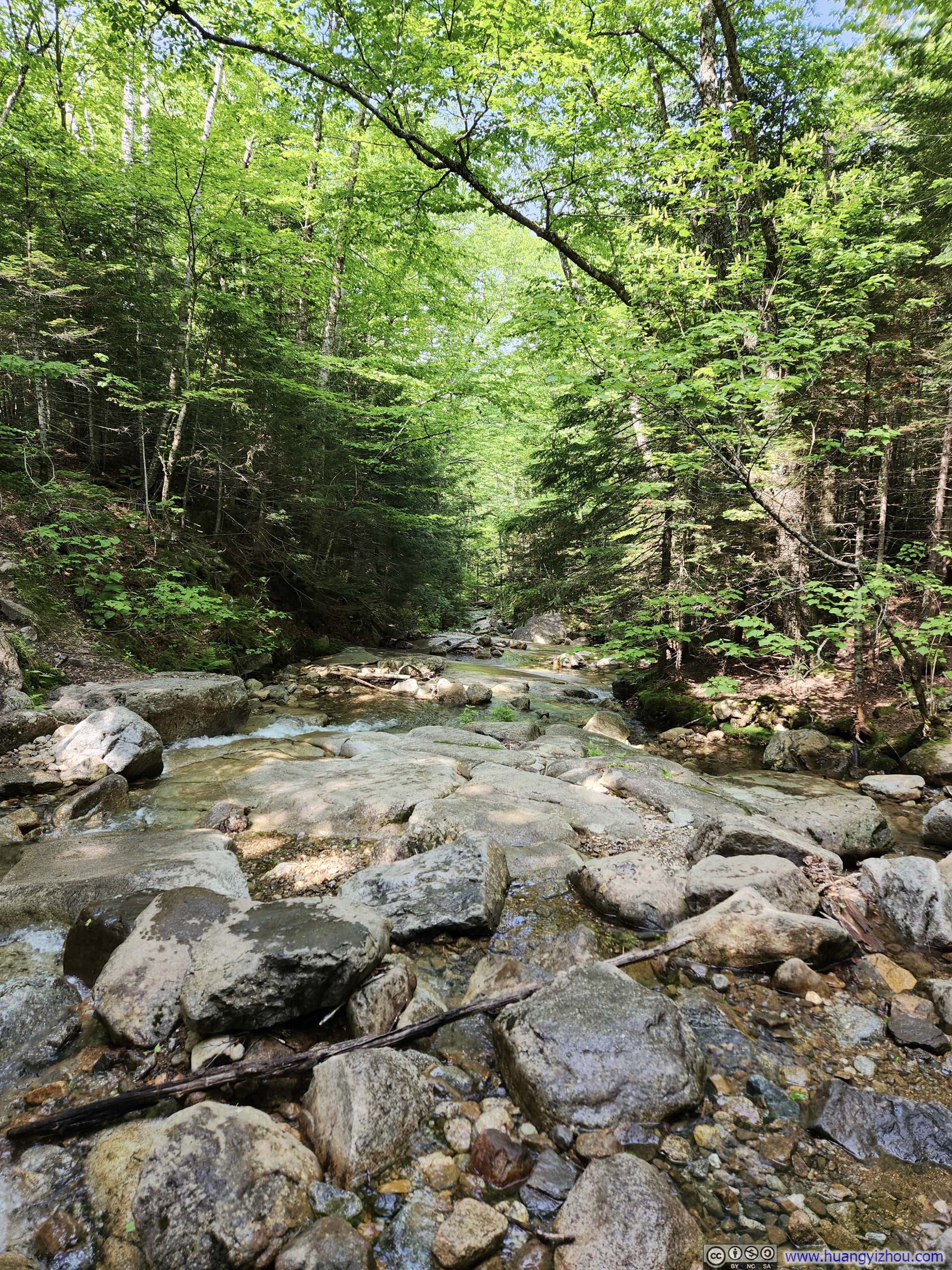
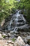
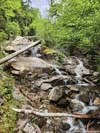
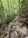
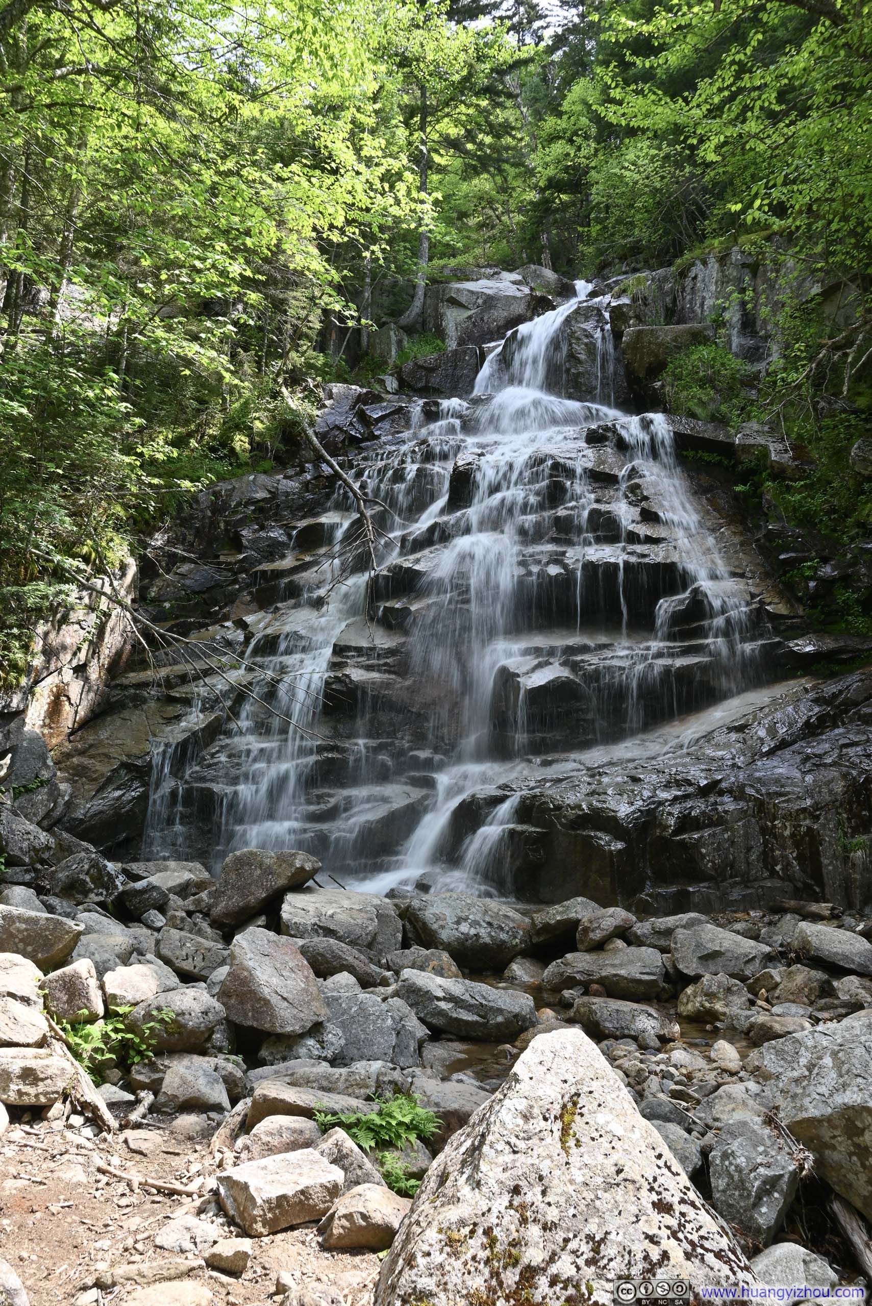
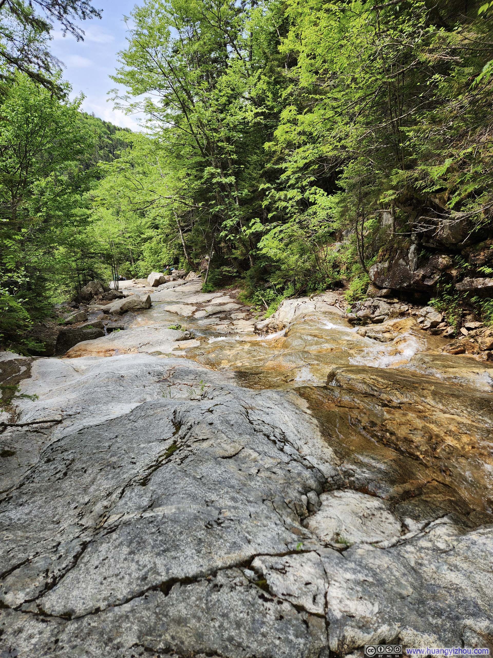
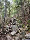
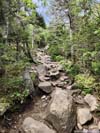
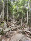
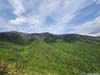
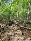
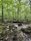
After a short walk in the woods, the trail met Dry Brook, following its course for a considerable distance. Along the way was a series of waterfalls, their gentle murmurs providing welcomed relief during the otherwise relentless climb.
 TrailNear the intersection of the loop.
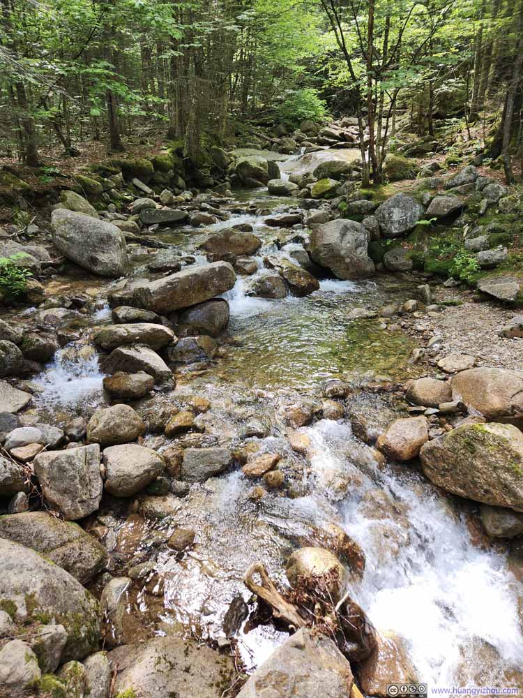 Walker Brook
 Dry Brook
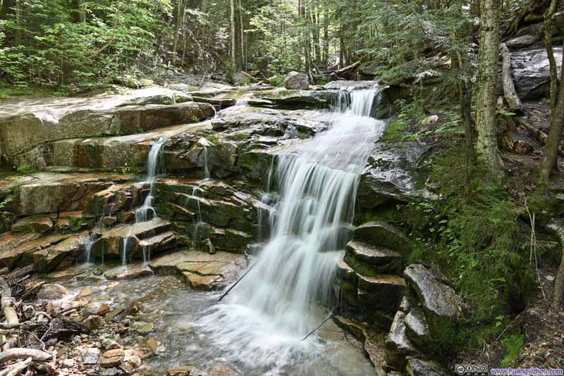 Waterfall
 Stairs Falls
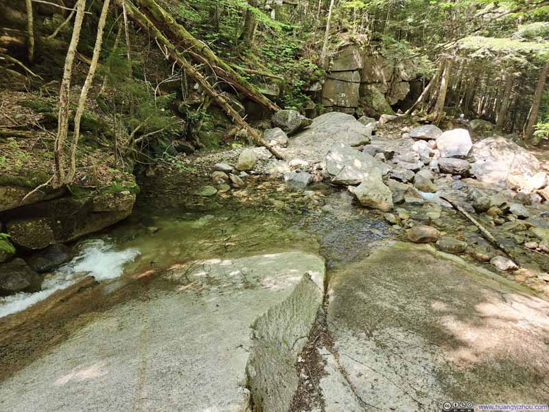 Water CrossingNext to Stairs Falls.
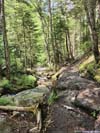
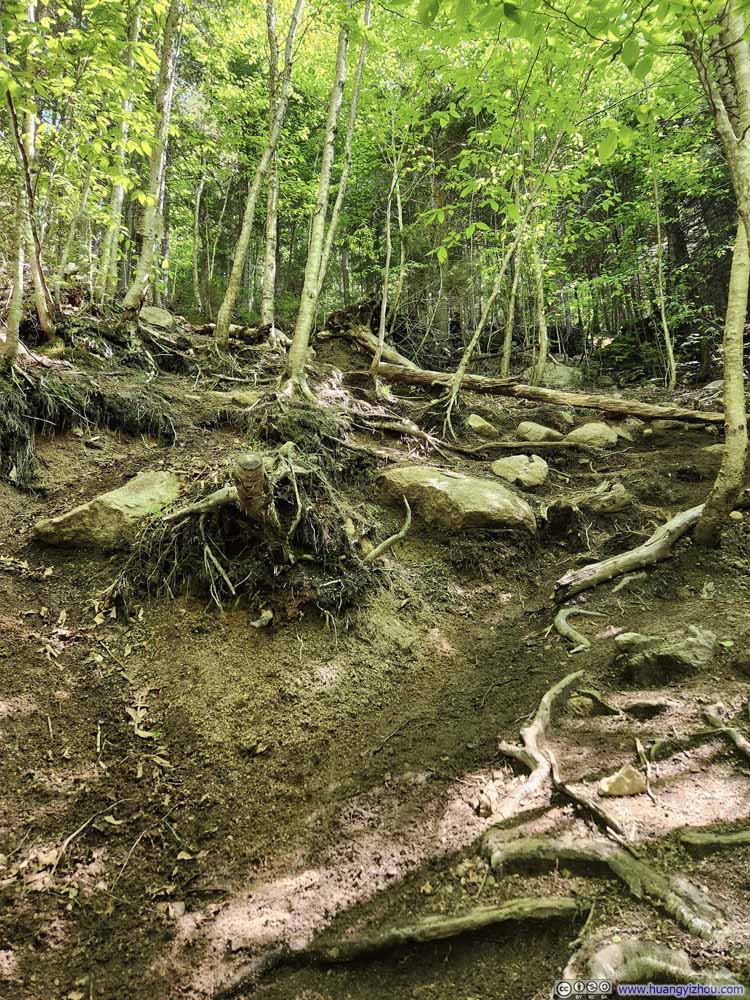 Steep Trail
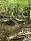
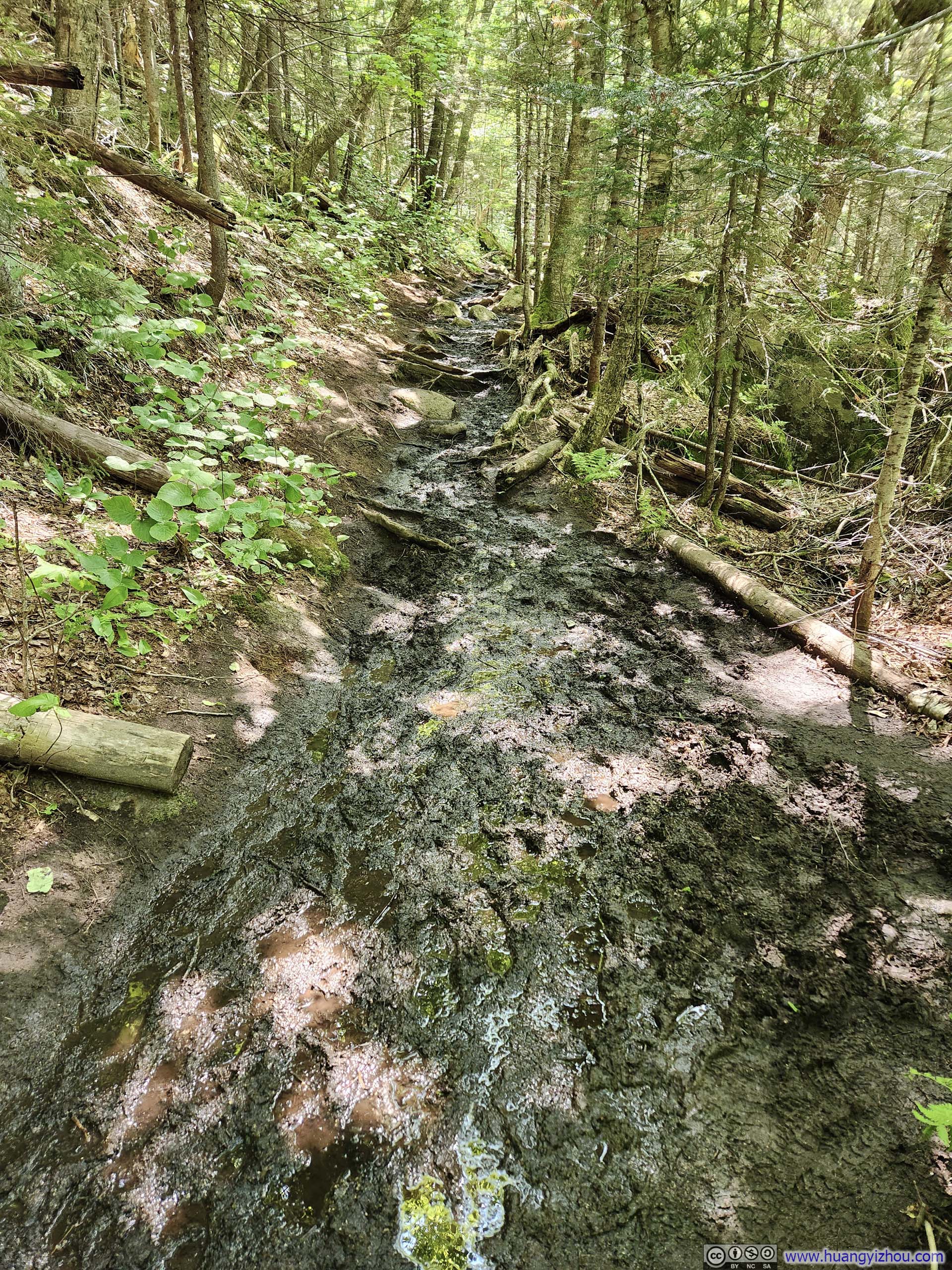
 Muddy Trail
 Trail along Dry Brook
Click here to display photos of the slideshow
TrailNear the intersection of the loop.
Walker Brook
Dry Brook

Waterfall
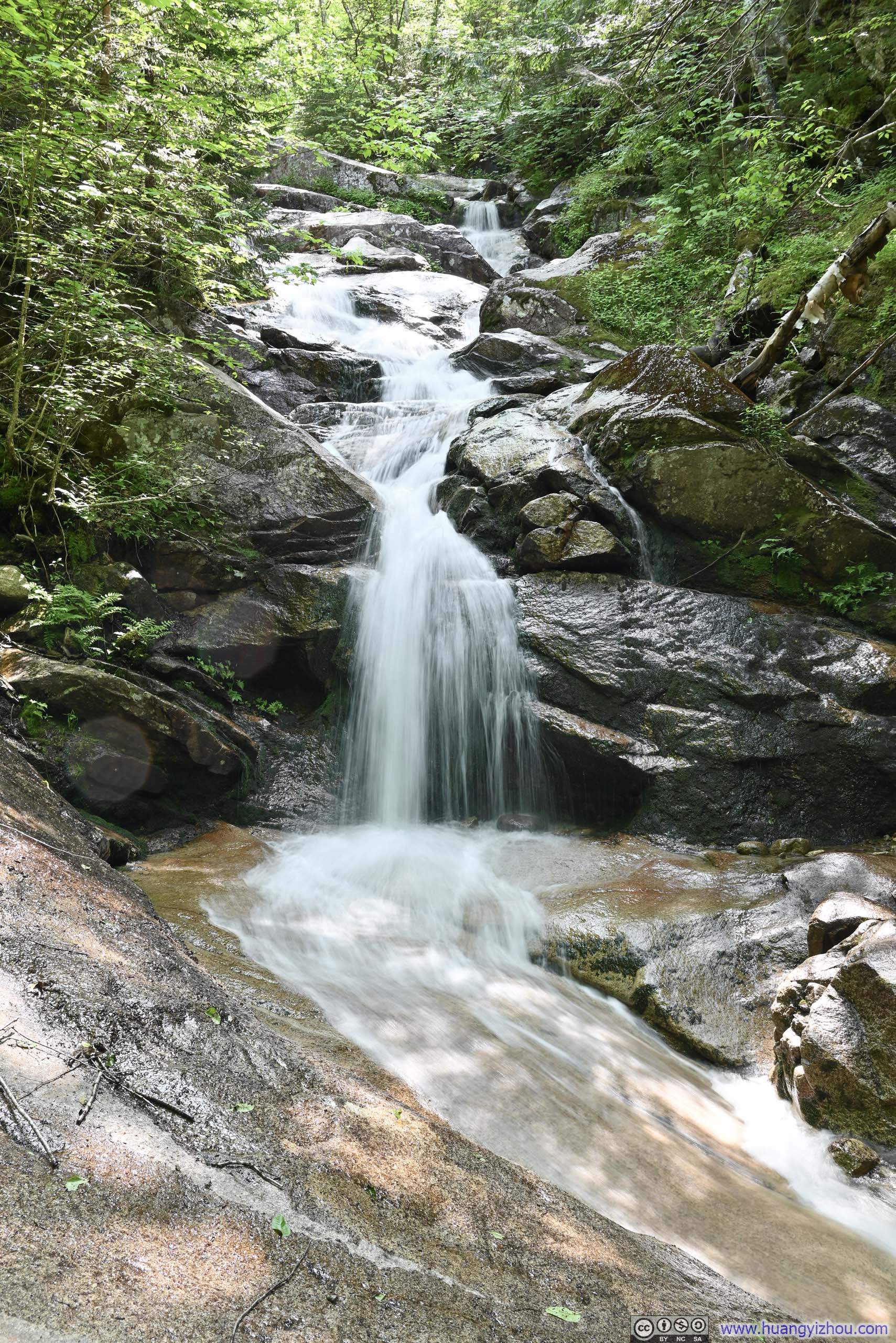
Stairs Falls
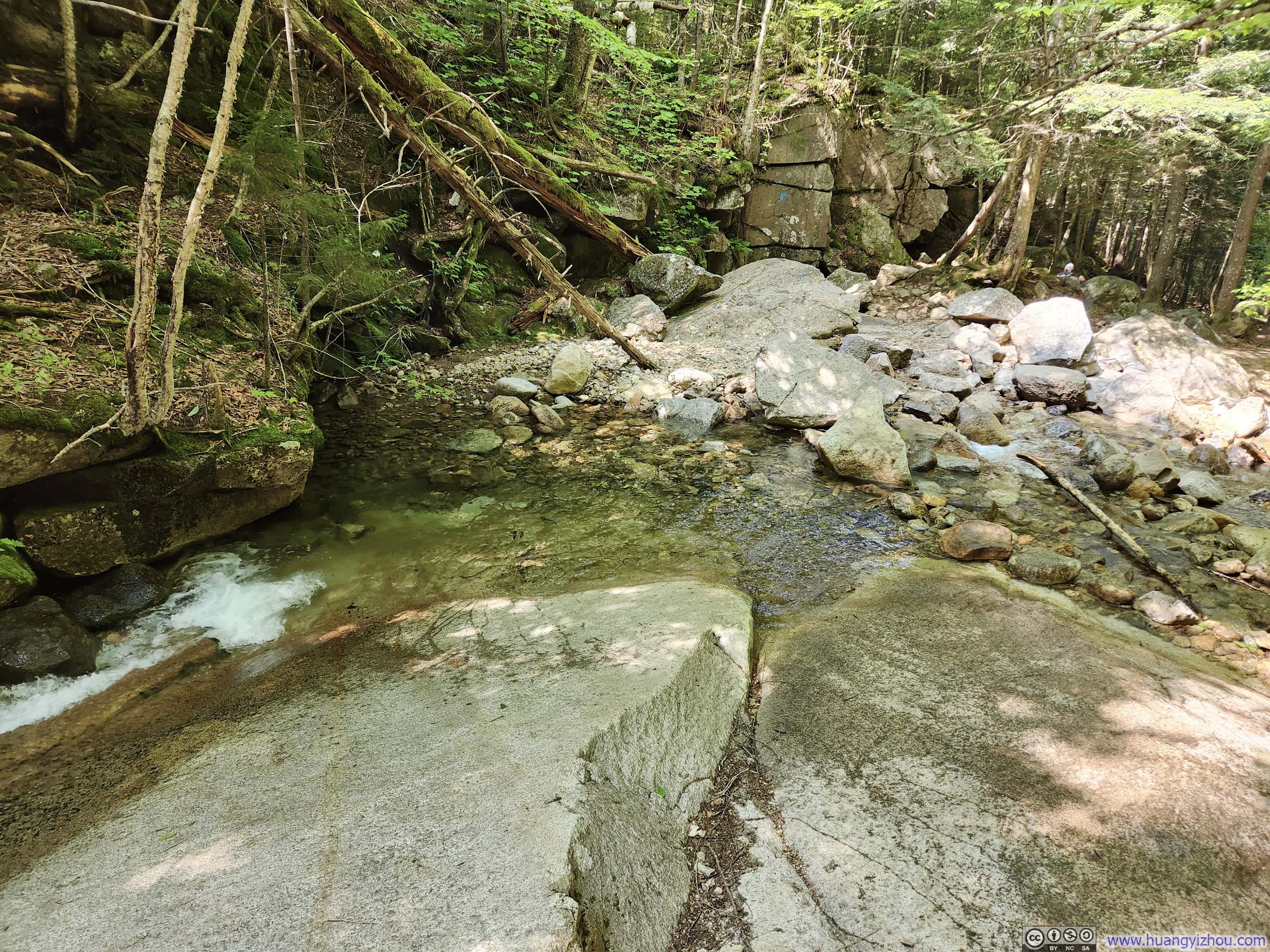
Water CrossingNext to Stairs Falls.

Steep Trail
Muddy Trail

Trail along Dry Brook
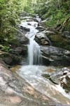
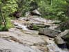
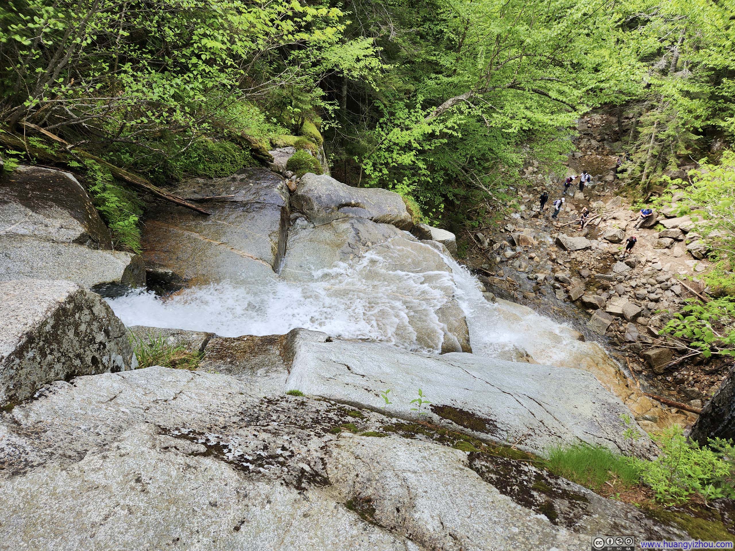
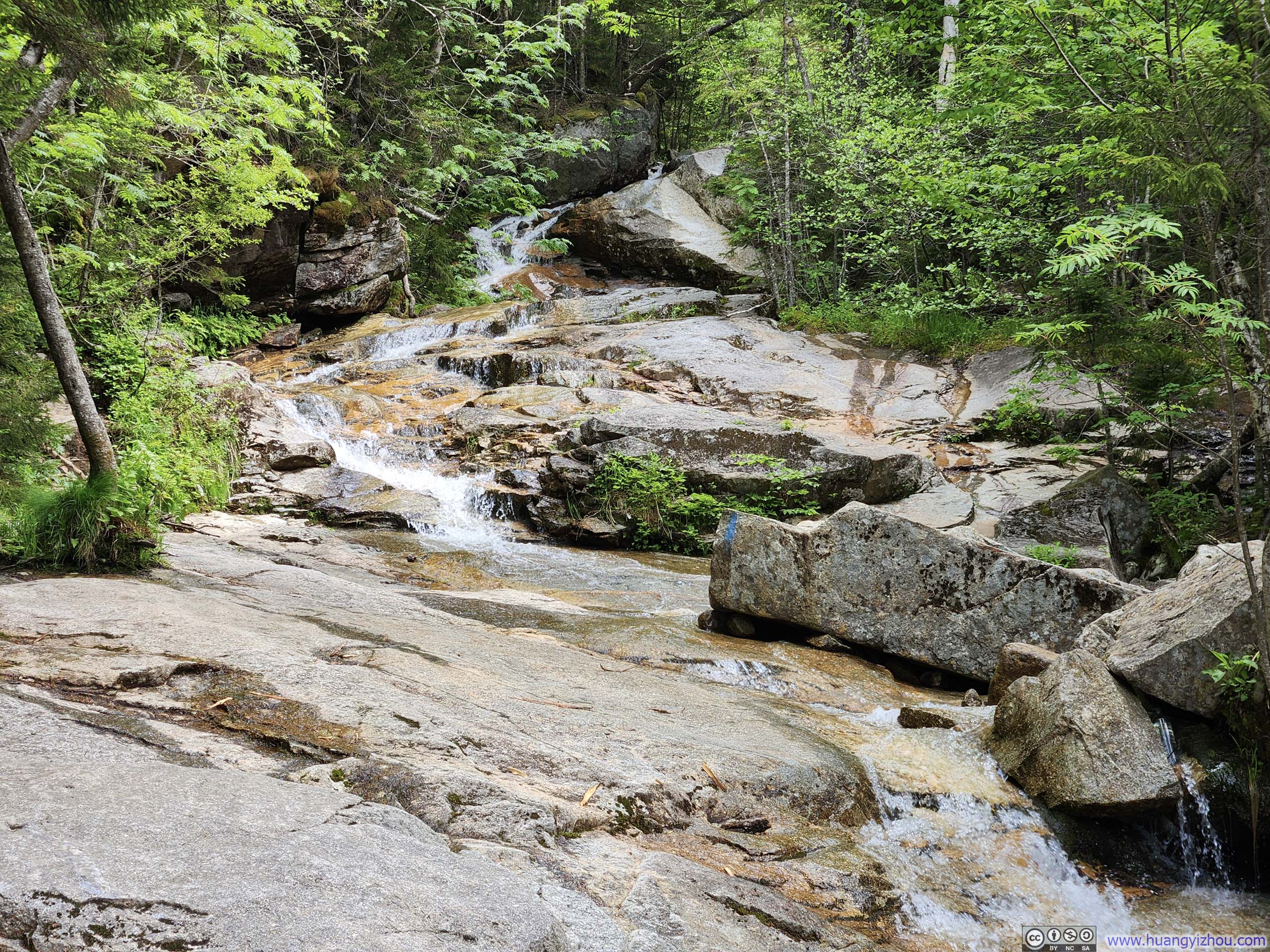
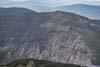
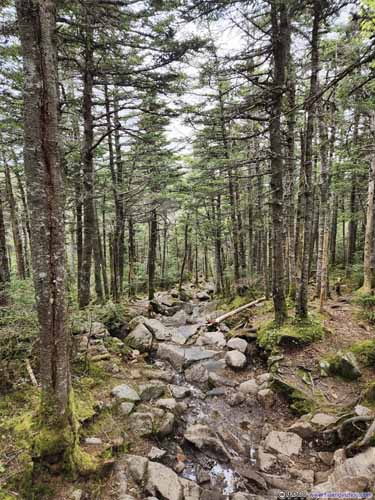
Due to its proximity to waterfalls, it came as no surprise that parts of the trail traversed on rock surfaces that were occasionally wet. This was particularly evident for a brief section after Cloudland Falls, the largest waterfall along the route. There the trail made a few water crossings, and was marginally hard to follow at times. There was one move where I used my hands, but overall I would say it’s nothing technical.
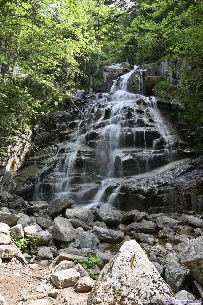 Cloudland Falls
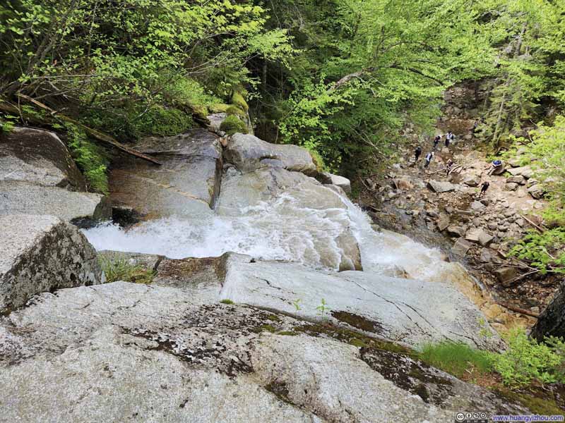 Overlooking Cloudland Falls
 Waterfalls
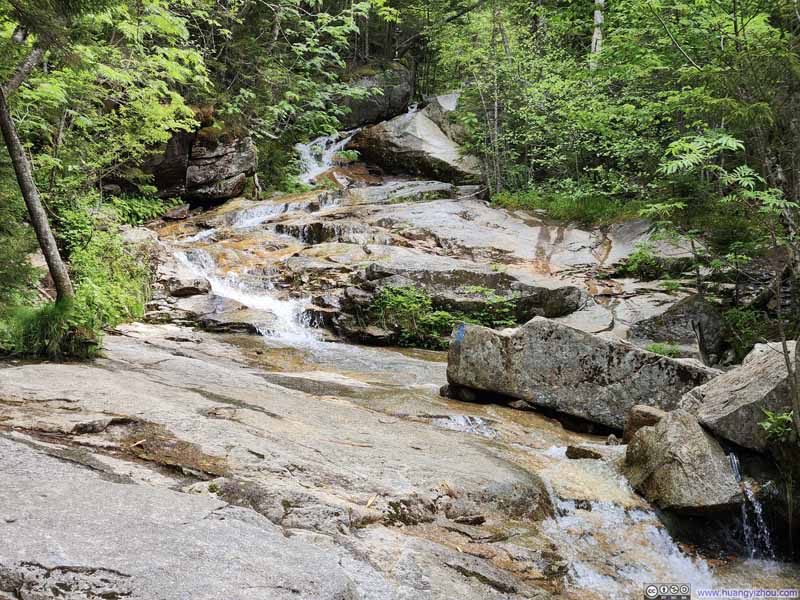 Trail along Waterfalls
 Cascades along Dry Brook
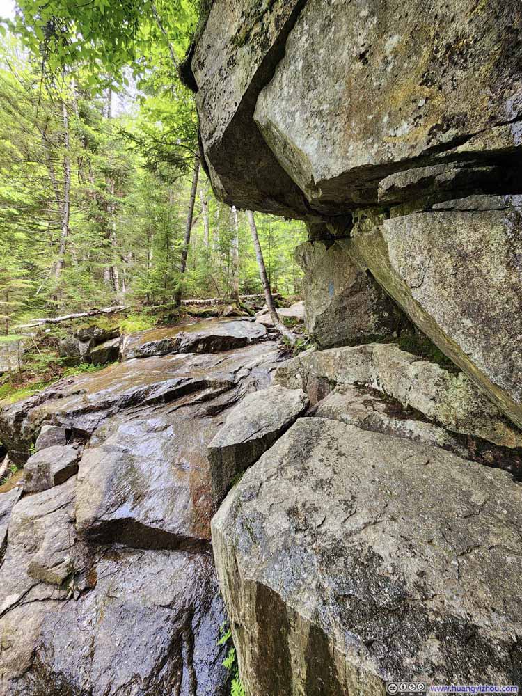 Trail under Outcropping Rocks
 Trail
Trail


Click here to display photos of the slideshow
Cloudland Falls
Overlooking Cloudland Falls

Waterfalls
Trail along Waterfalls
Cascades along Dry Brook

Trail under Outcropping Rocks

Trail
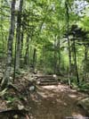
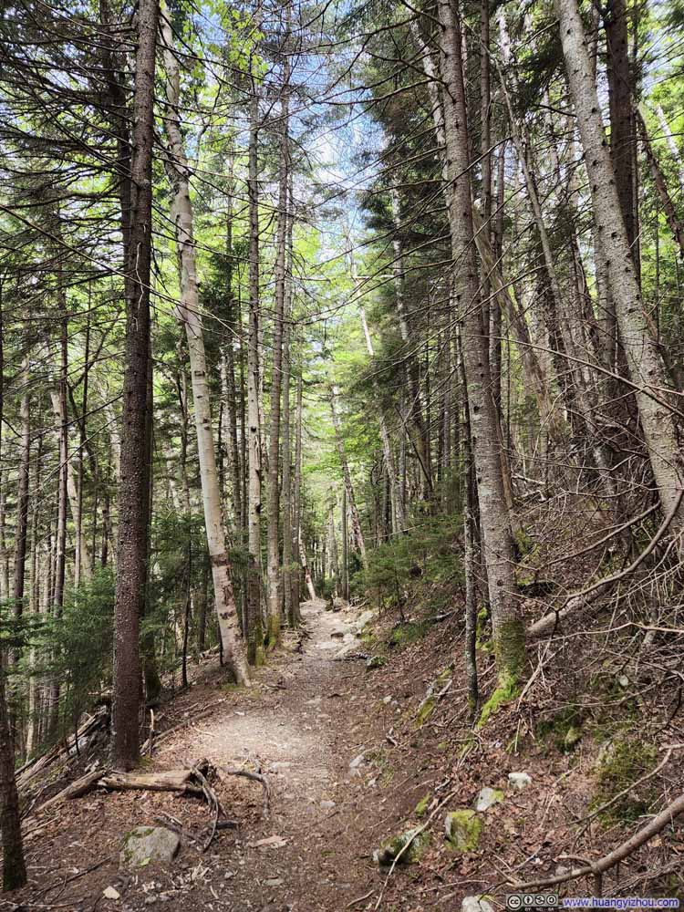
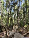
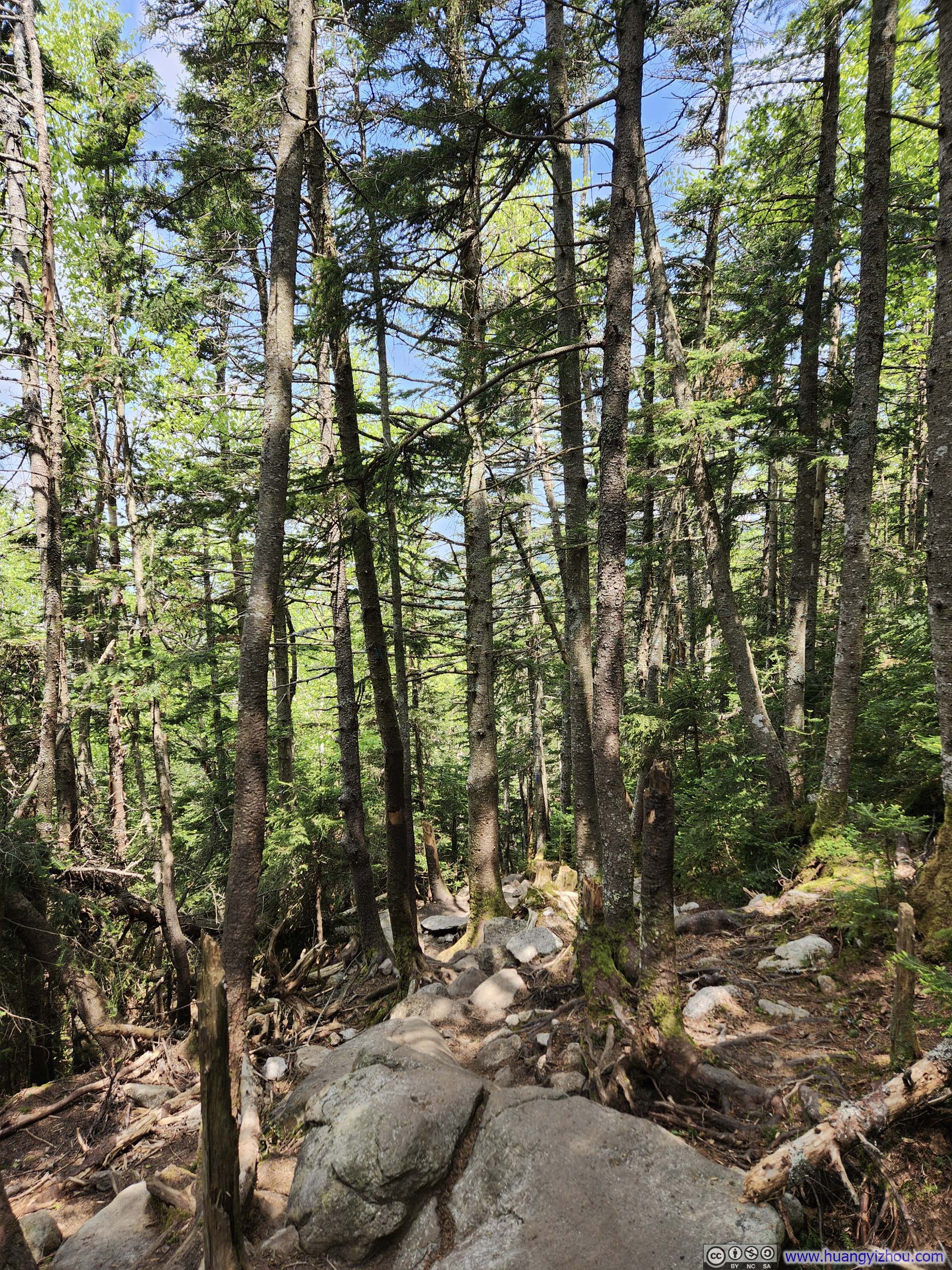
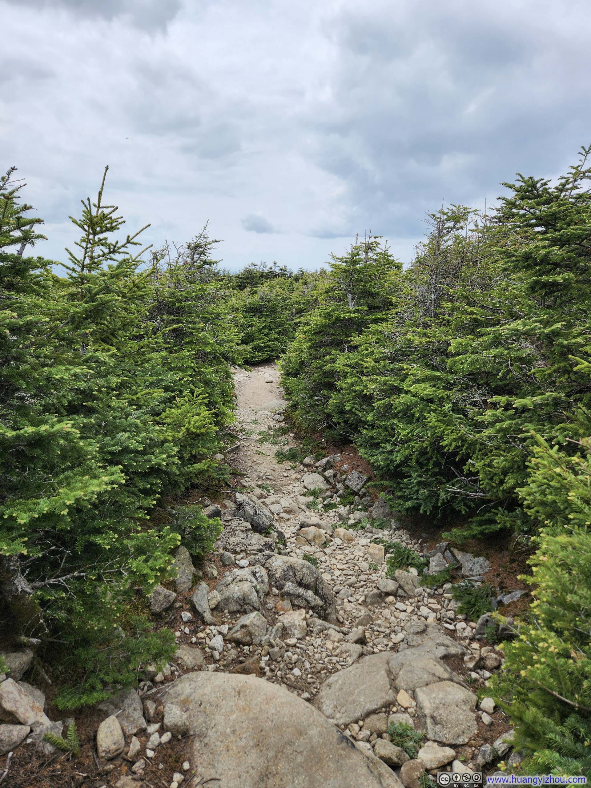
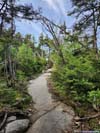
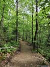
Finally, the trail departed Dry Brook and I could breathe a sigh of relief as the trail condition greatly improved to a typical walk in the woods.
 Trail
Trail Trail
Trail Trail
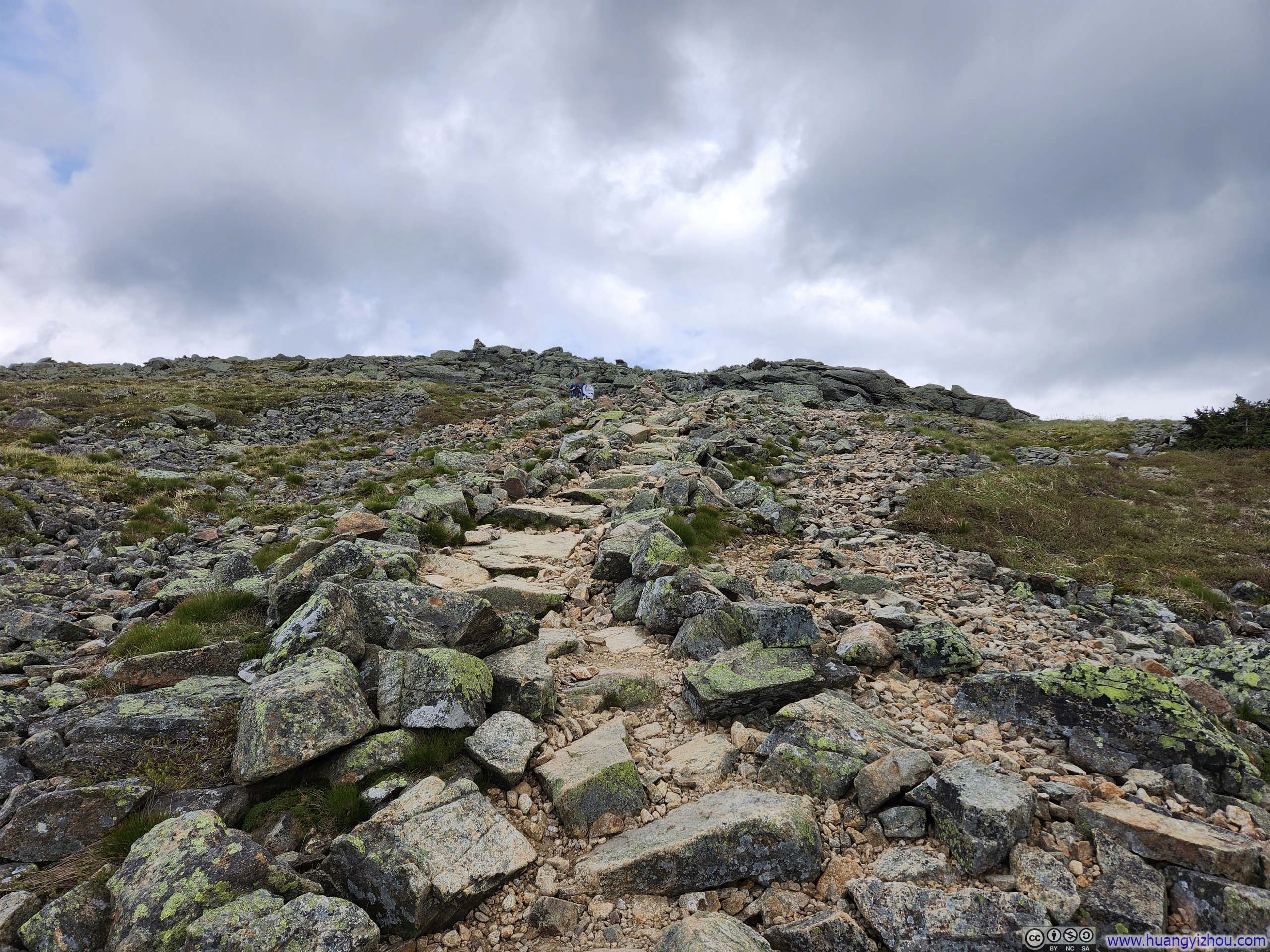
Trail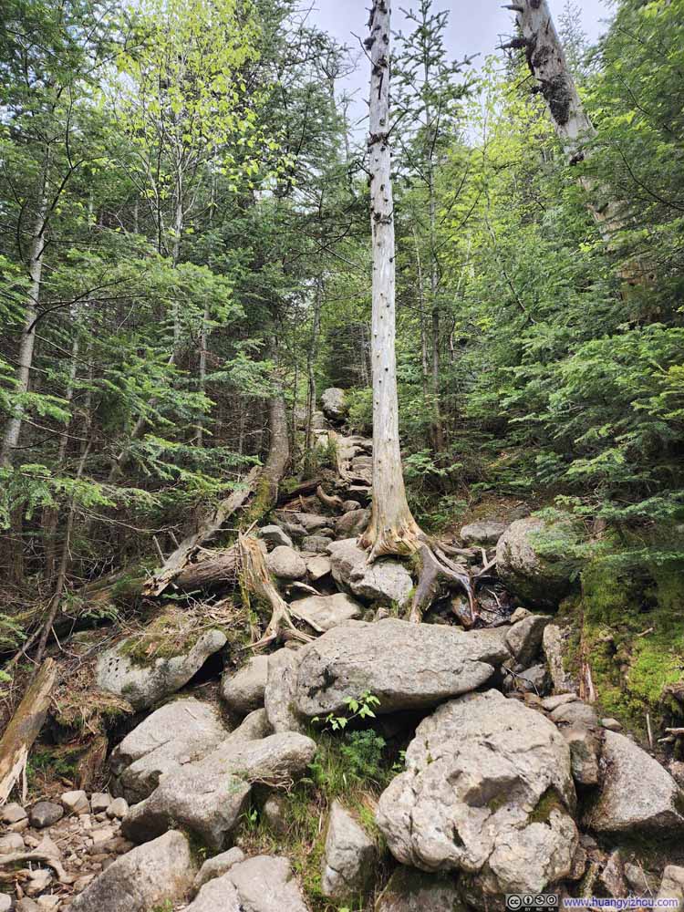 Steep Trail to Shining Rock
 Trail
Trail
Click here to display photos of the trail.
Trail

Trail
Trail
Steep Trail to Shining Rock
Trail
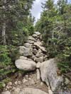
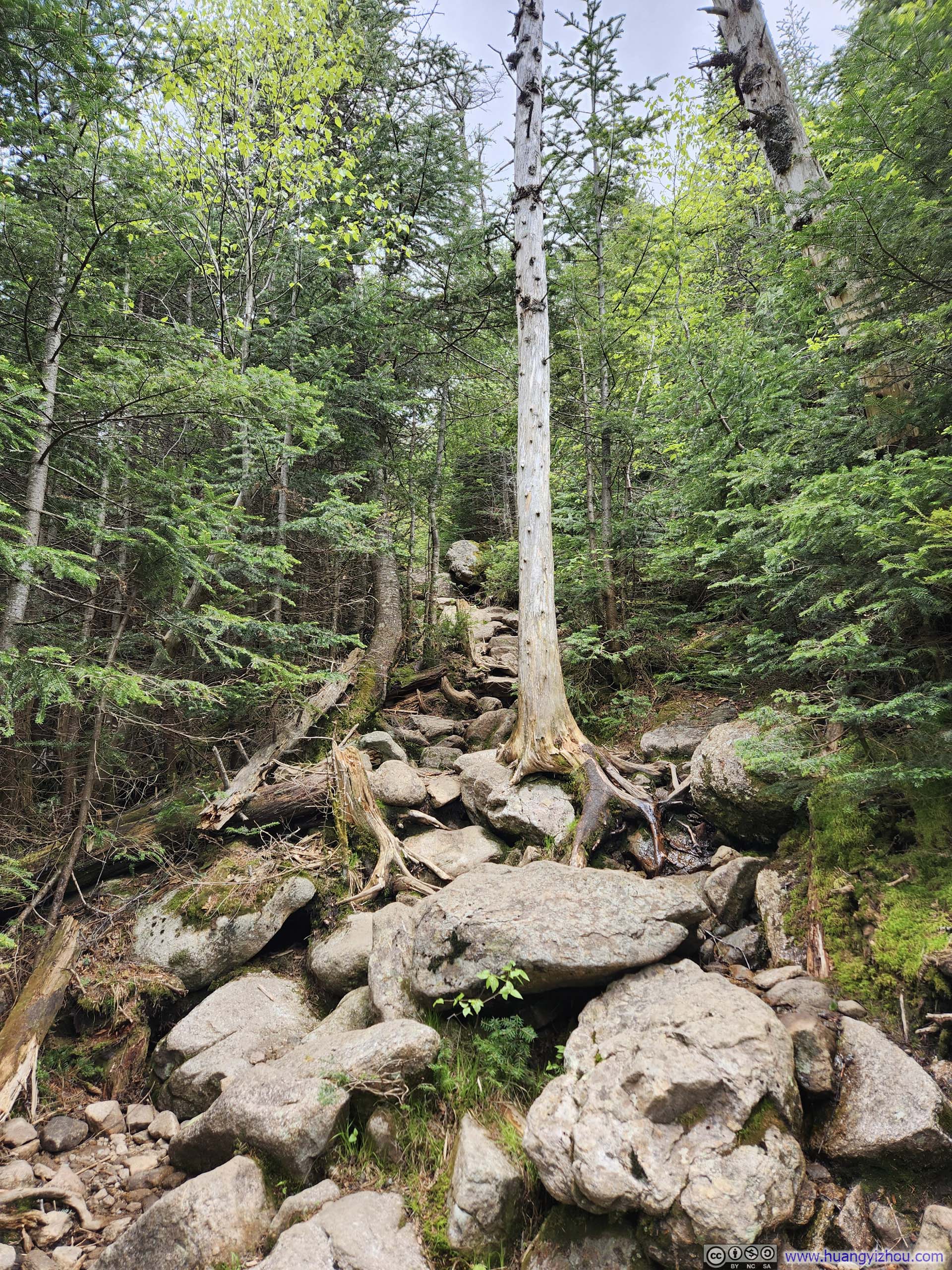
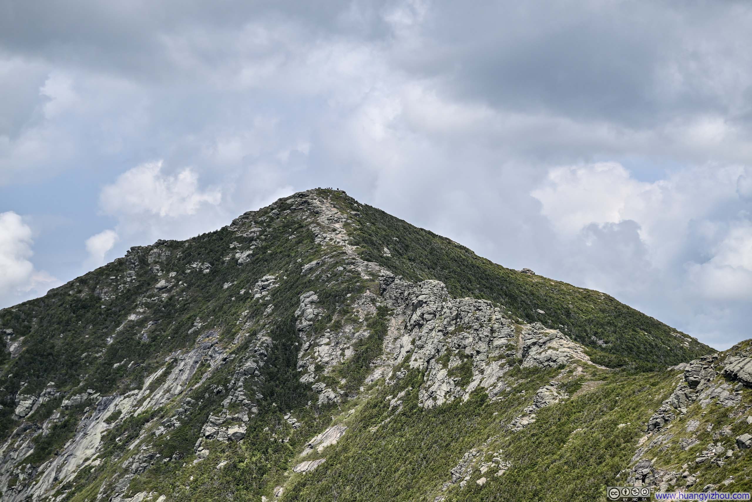
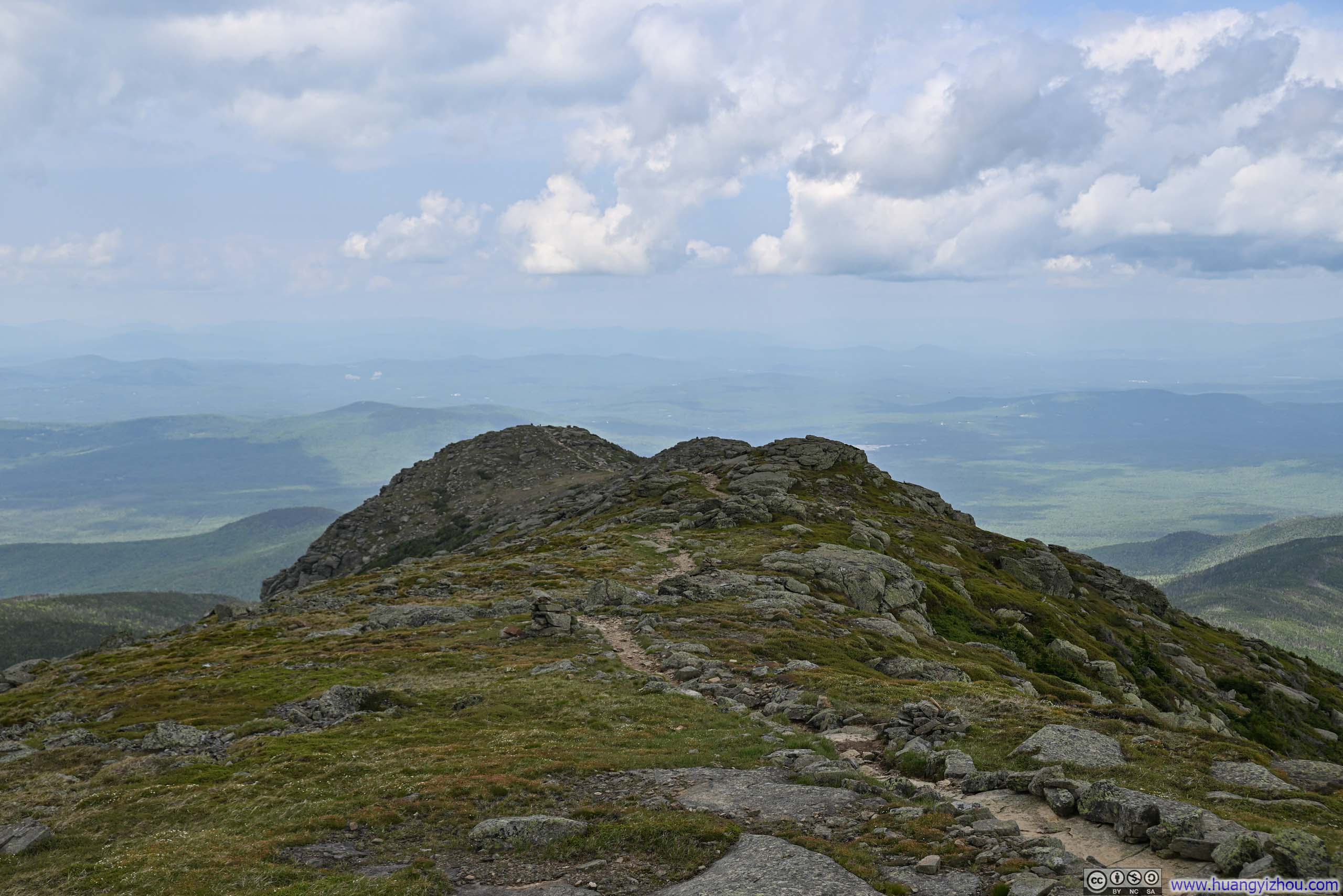
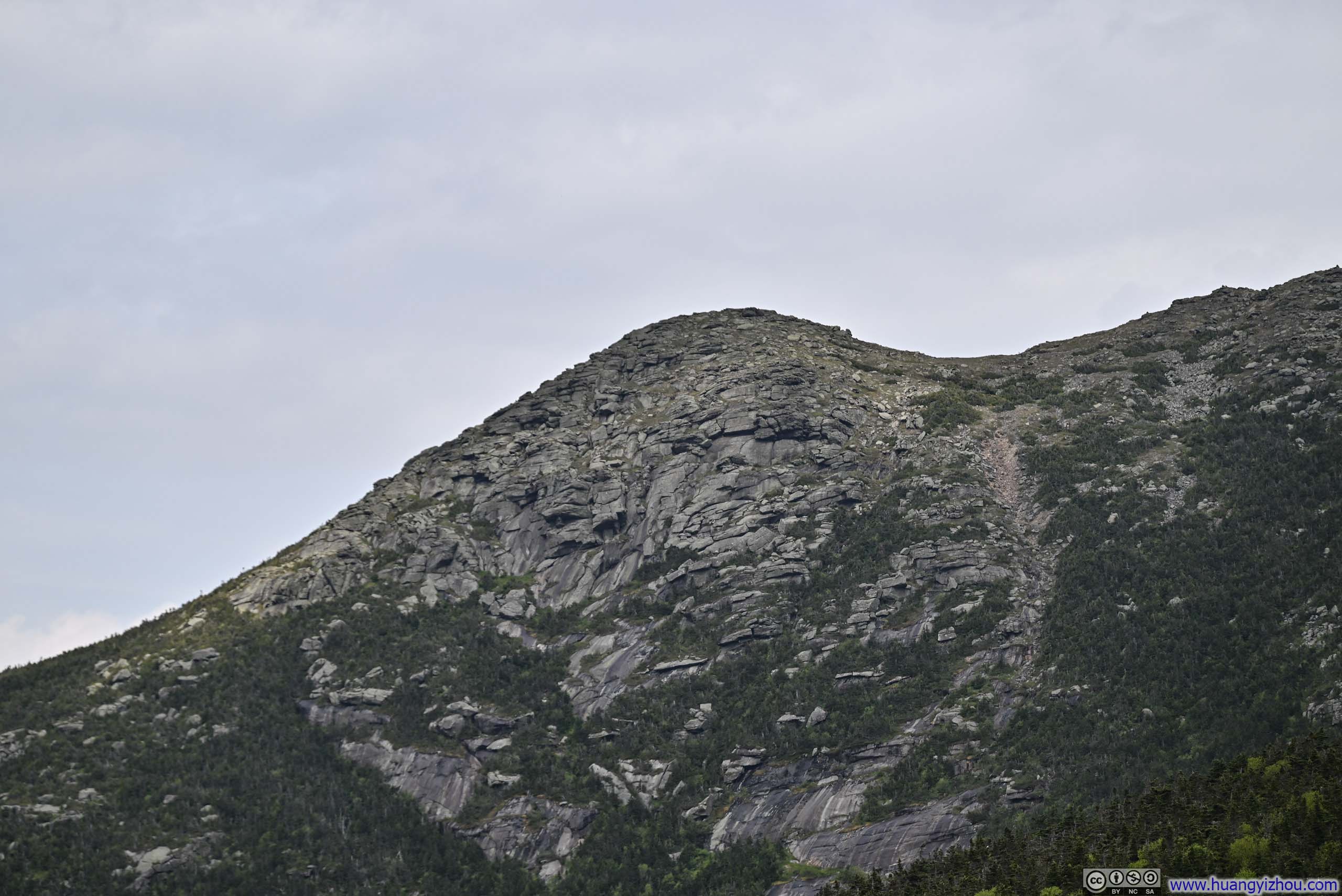
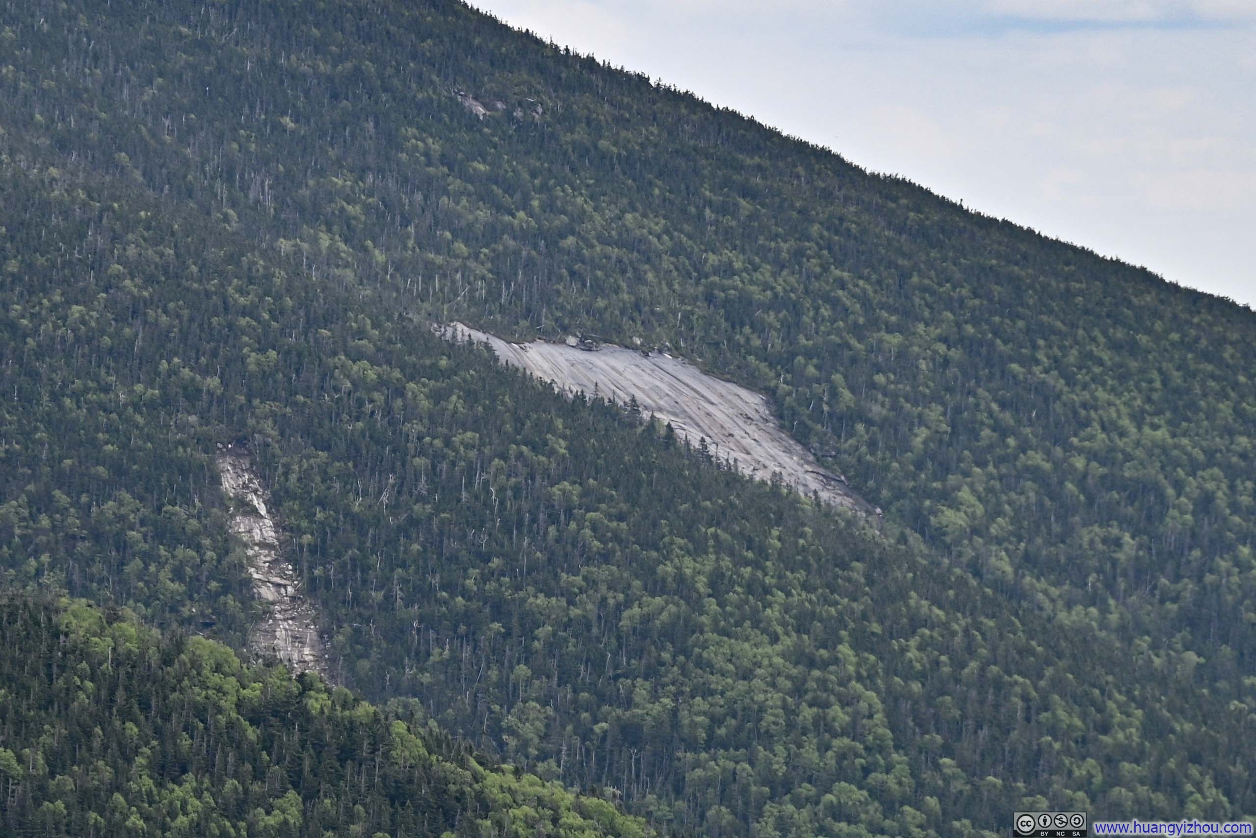
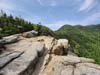
Some time later, the trail reached an intersection with a spur leading to “Shining Rock”. The spur was 120m (400ft) long with some elevation changes. I figured I was making good progress and thus decided to check it out.
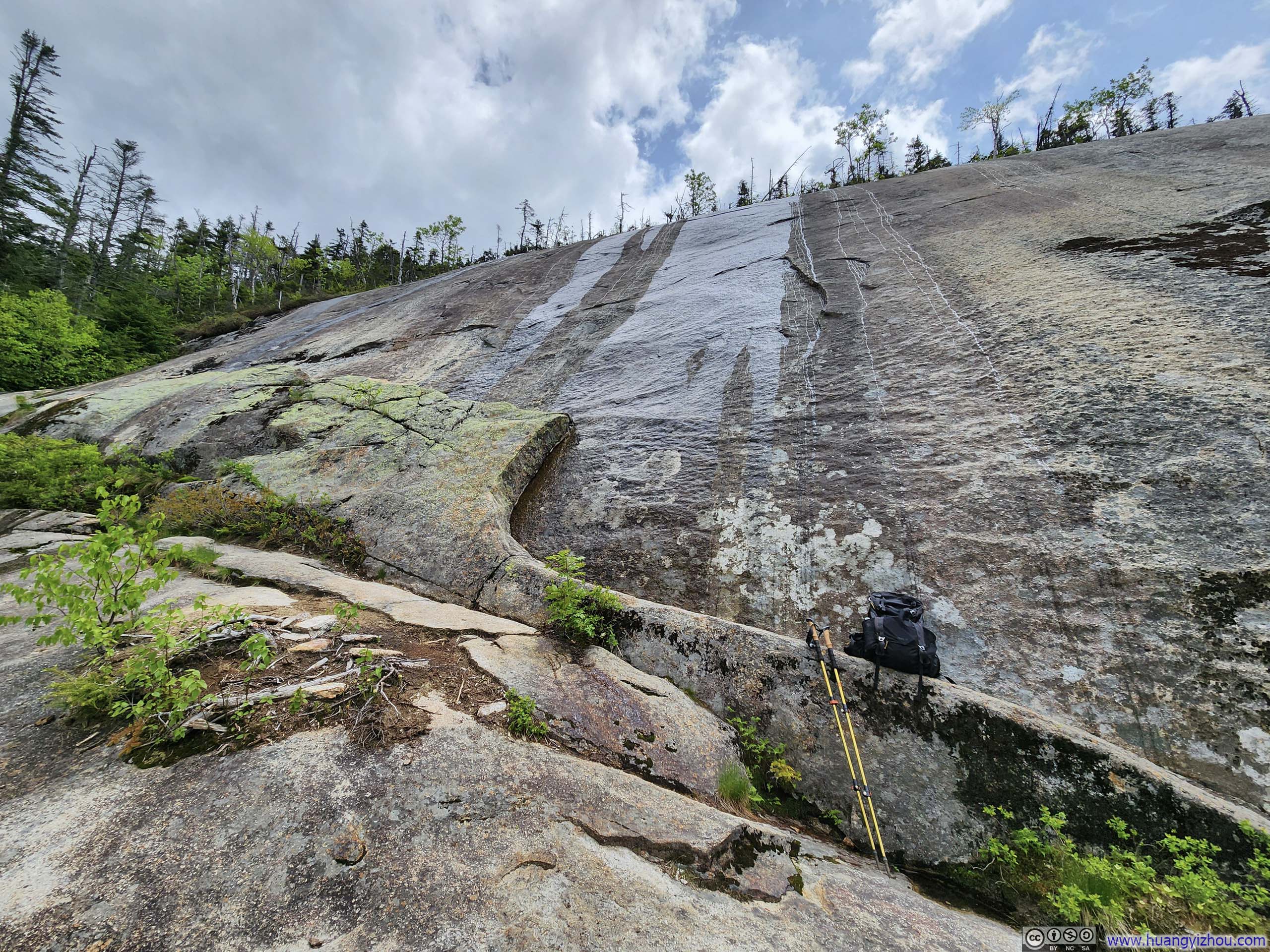
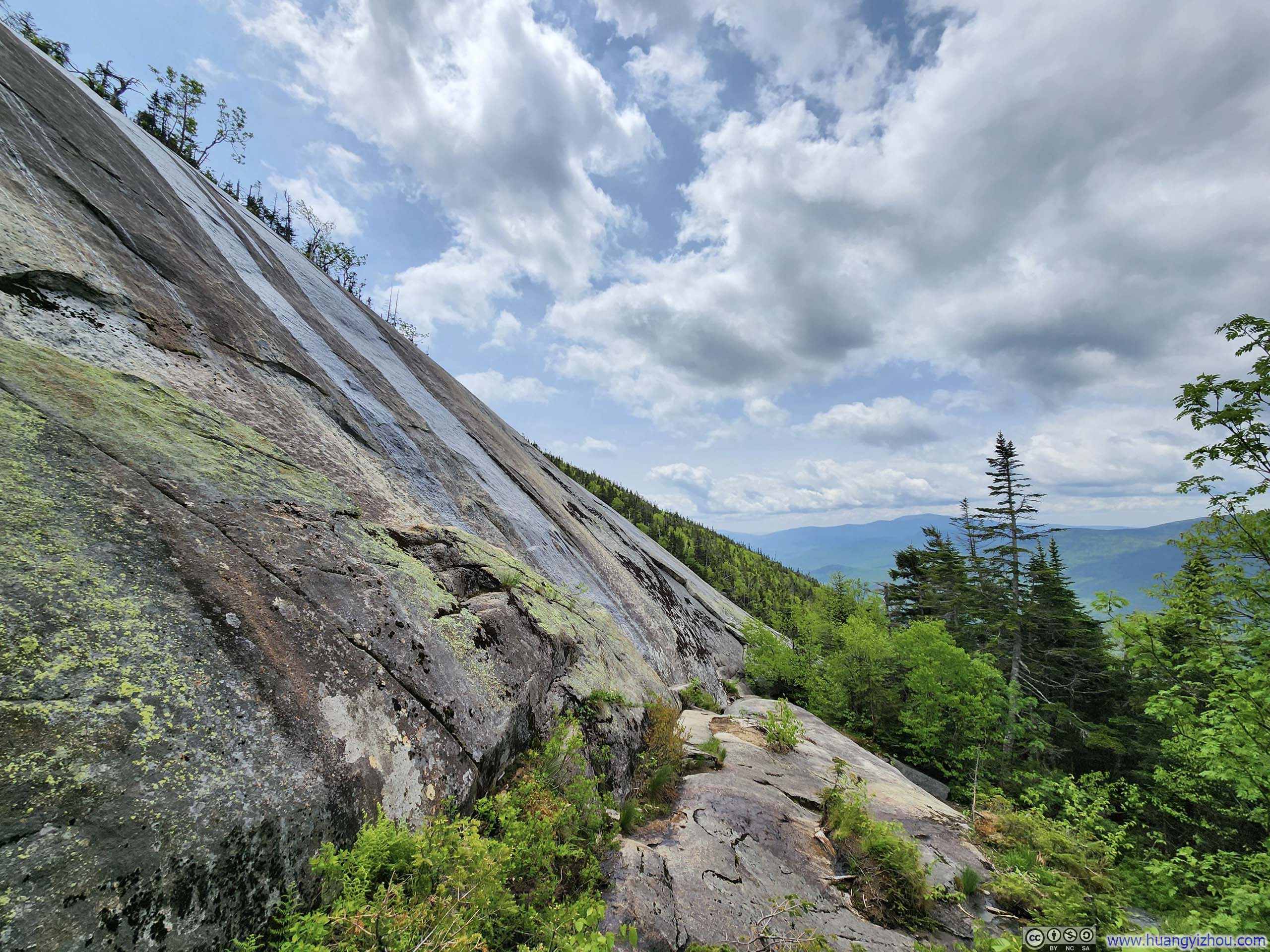 Shining Rock
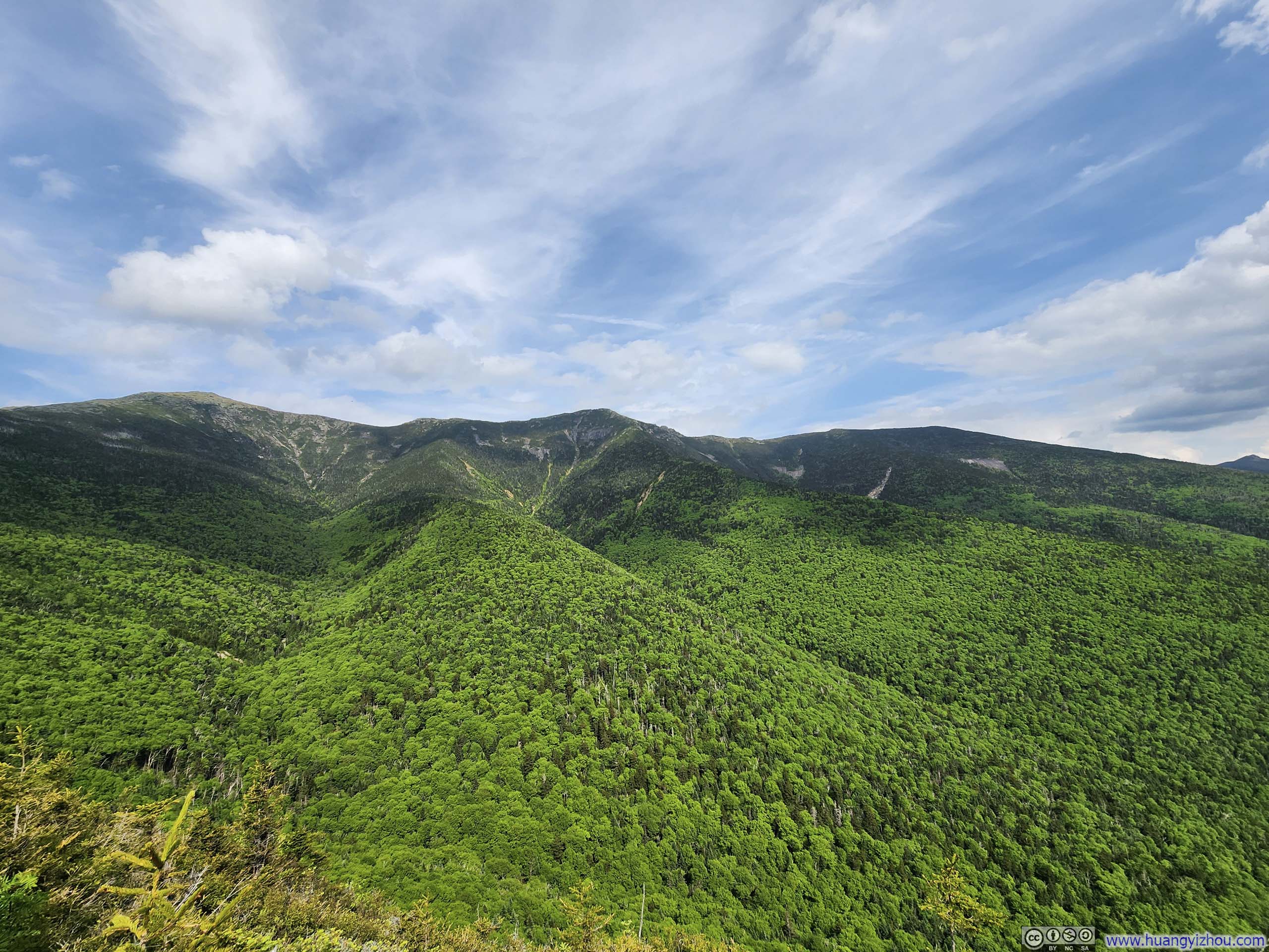
“Shining Rock” revealed itself to be an immense slab of rock, its surface adorned with rivulets of water that transformed the rock face into a glistening canvas that elegantly justified its evocative name. From its base, however, I found it hard to fully comprehend its enormity as the rock slab followed the natural contour of the mountainside. It seemed to demand a different vantage point that only wings could deliver.
After returning to the interaction, I continued onto Little Haystack Mountain, which I reached shortly after.
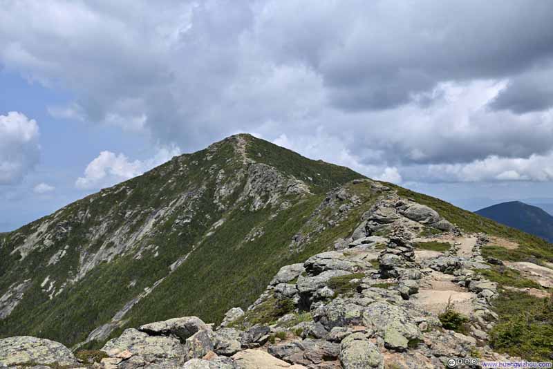
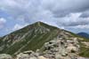
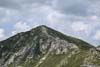
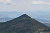
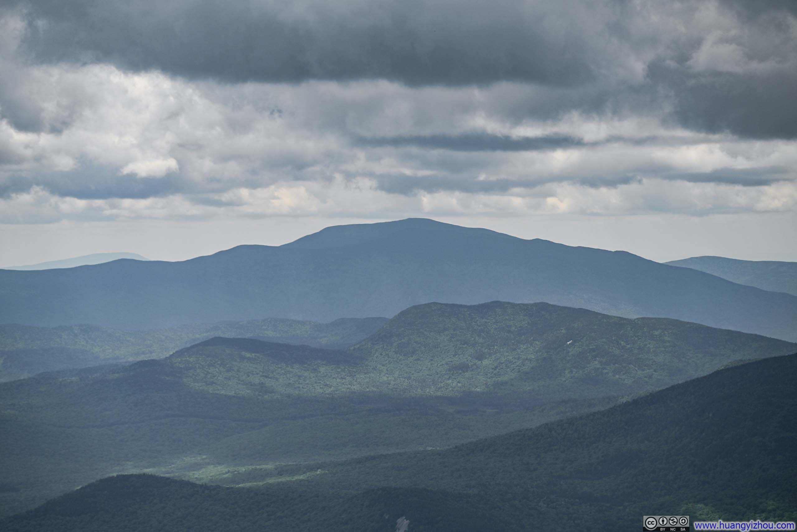
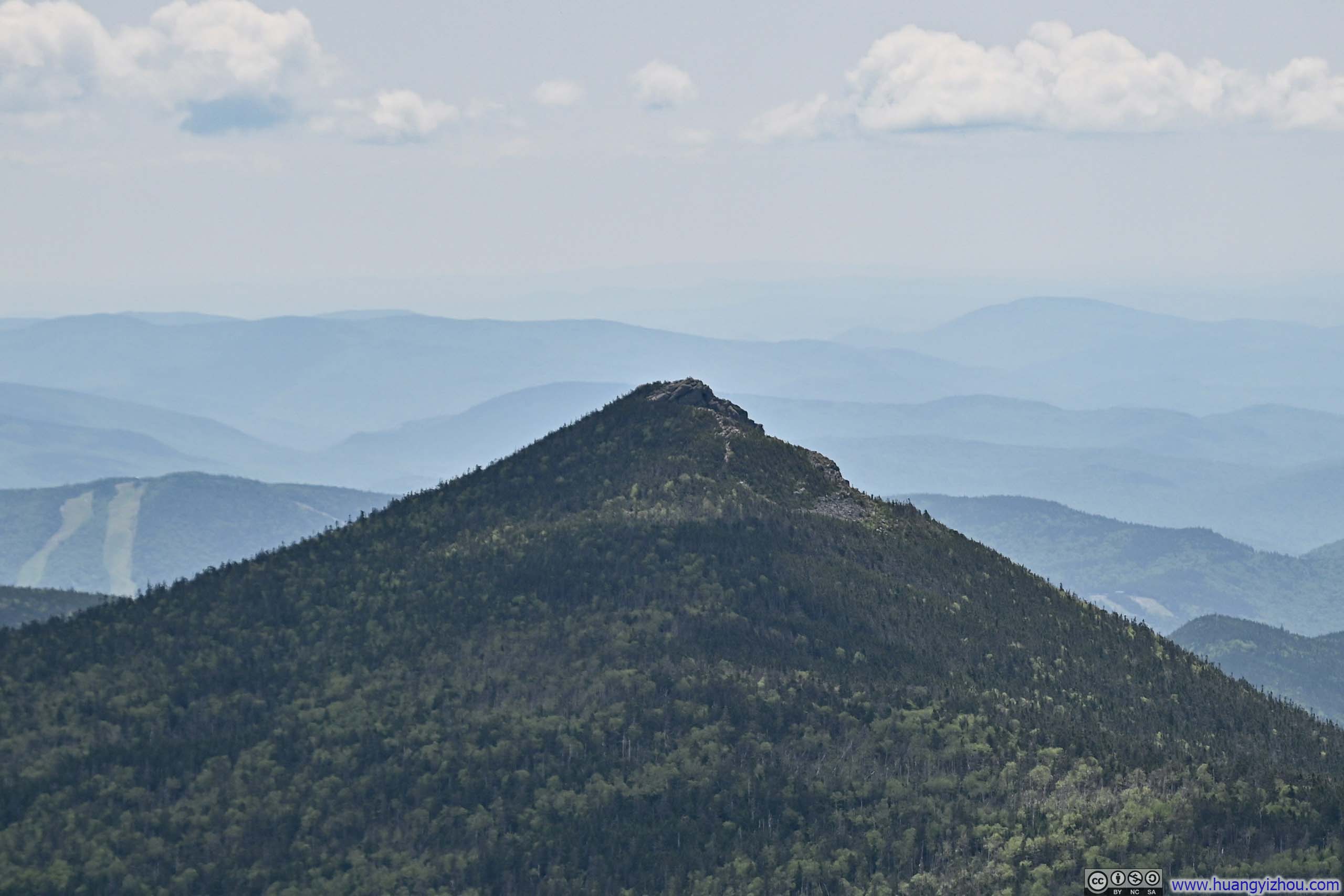
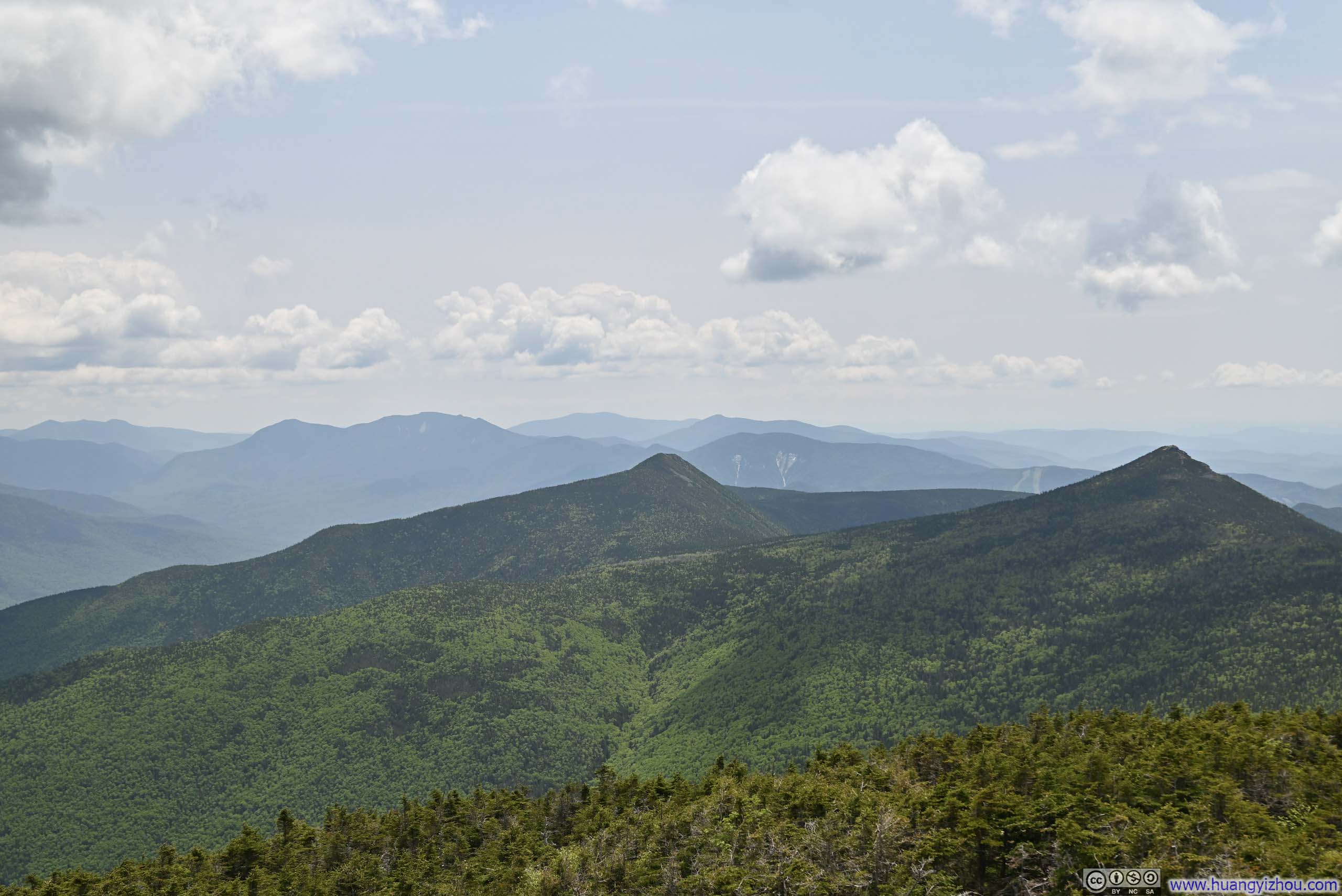
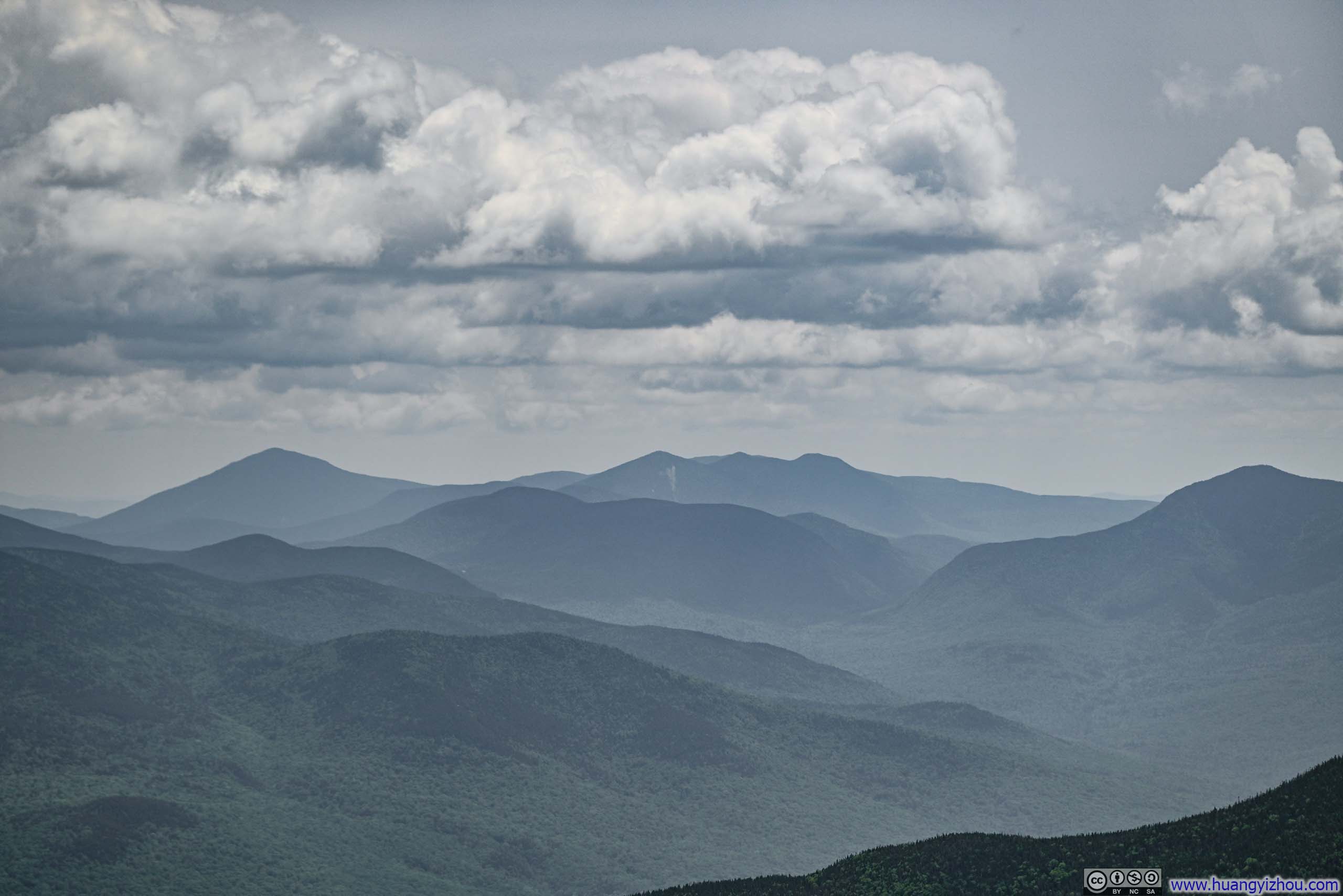
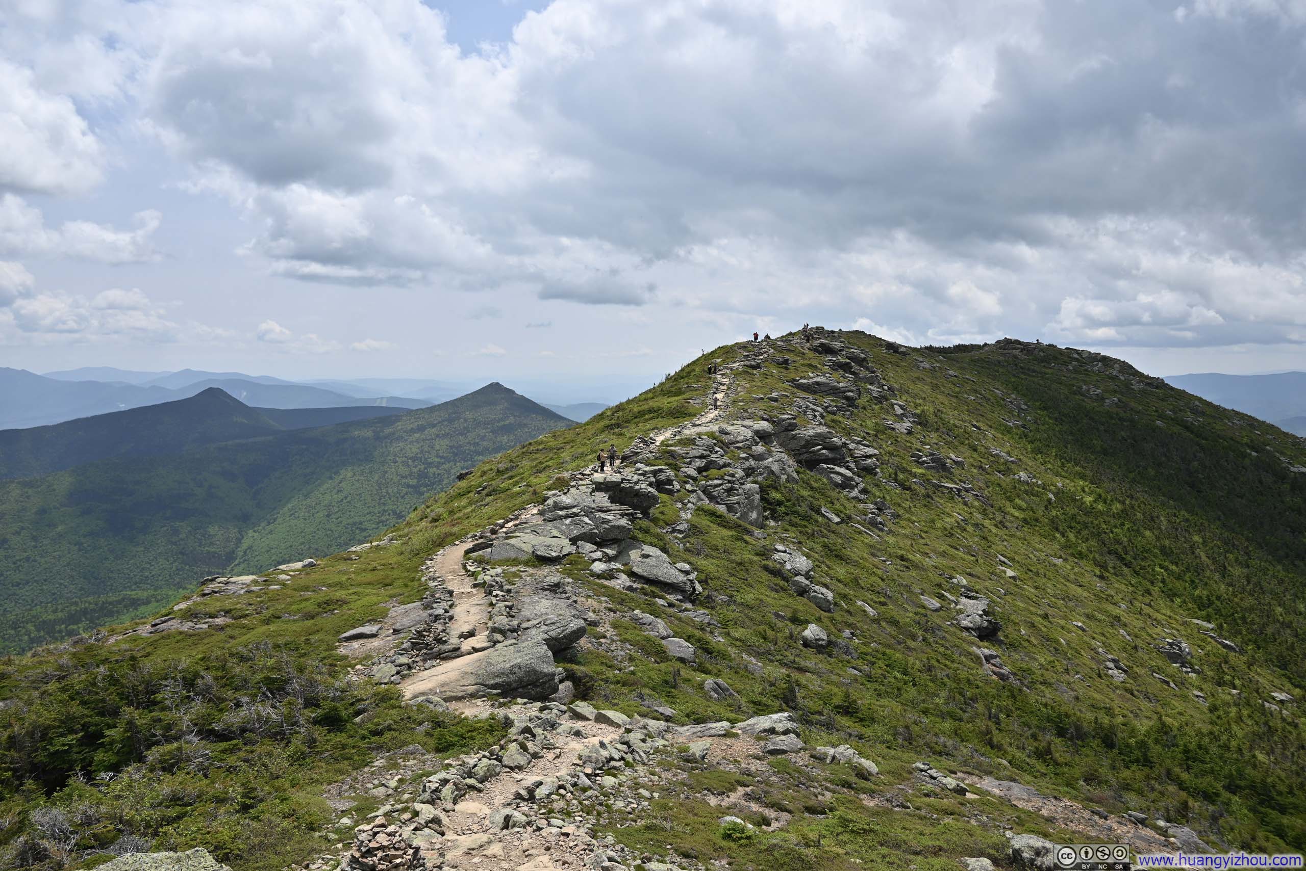
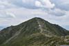
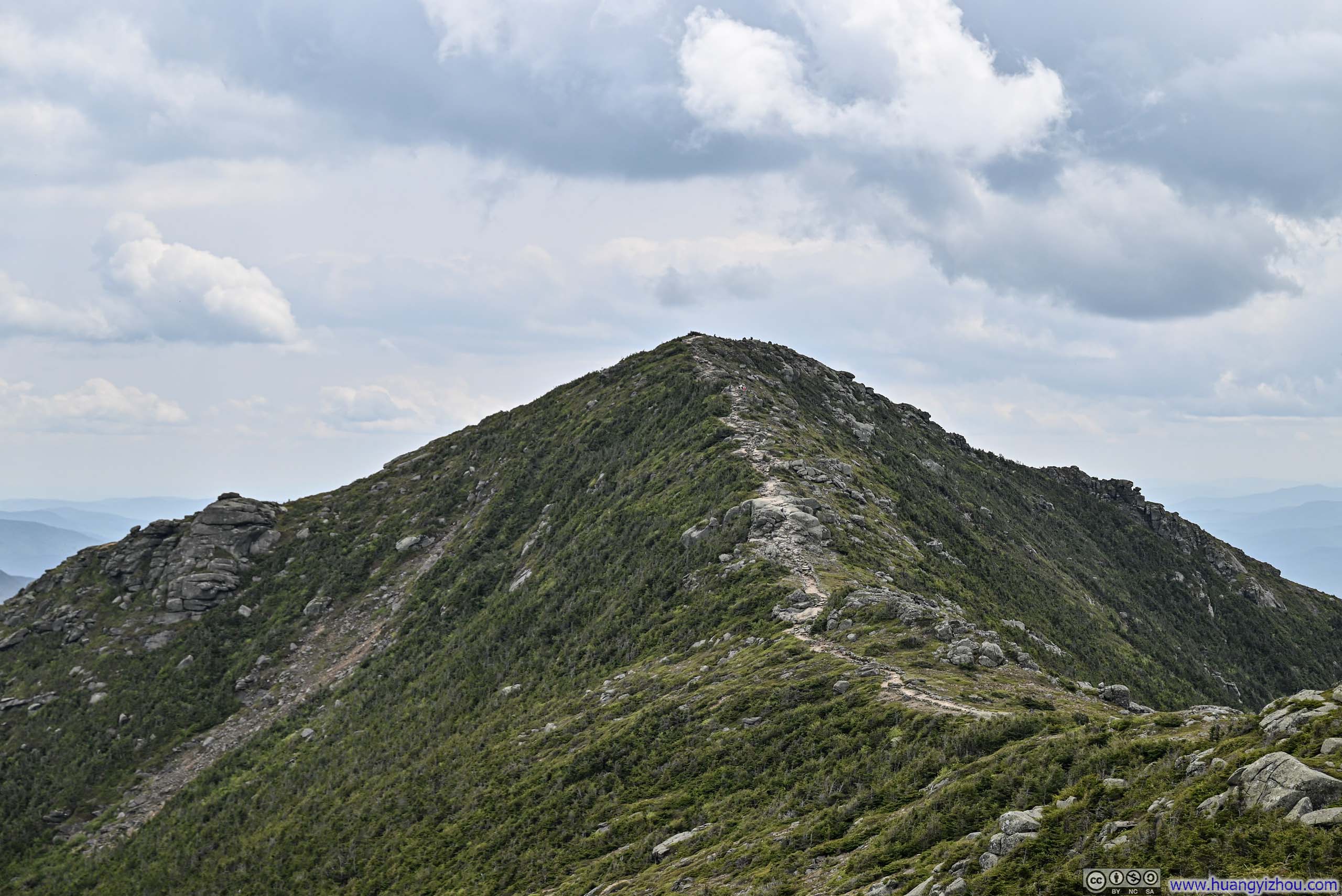
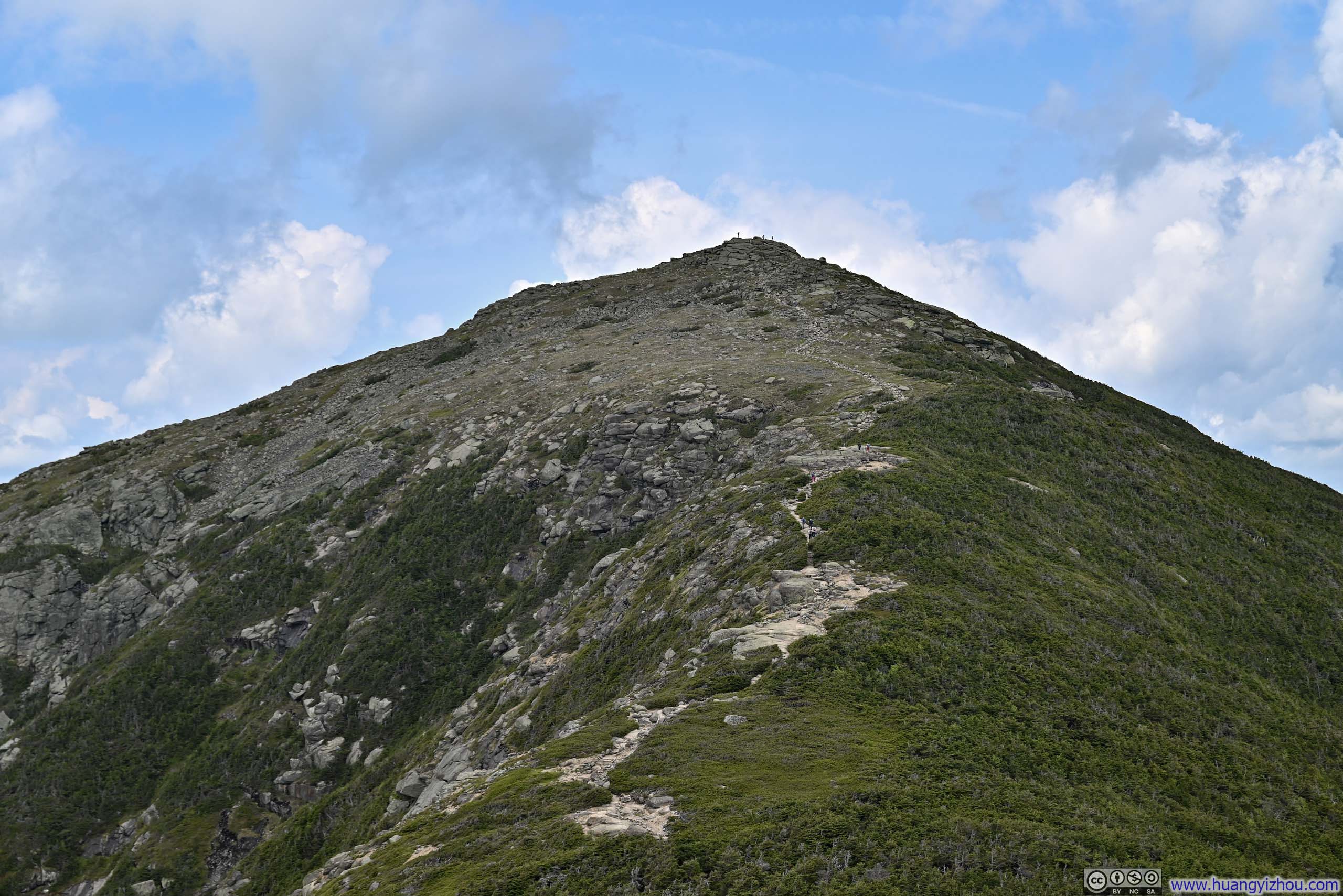
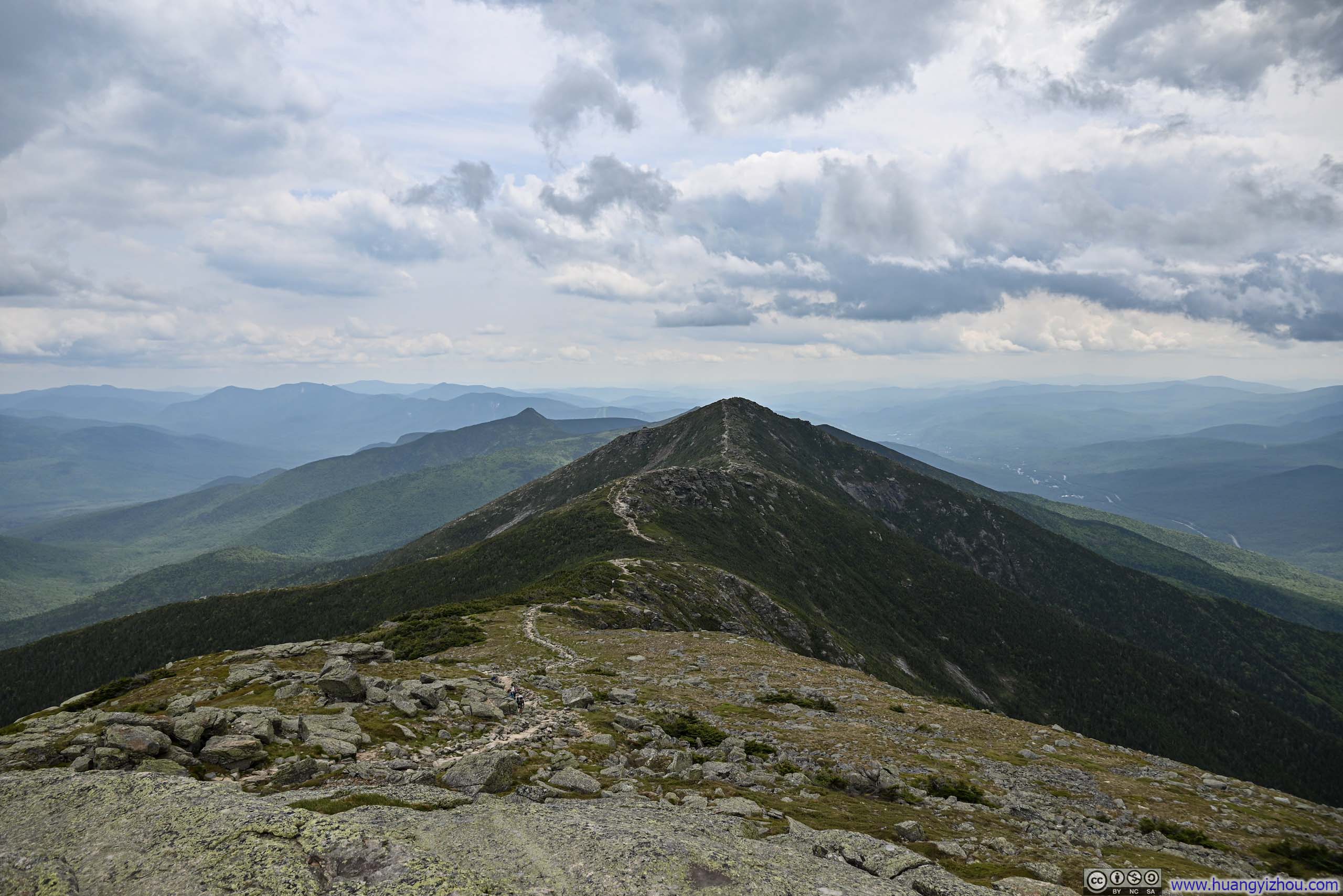
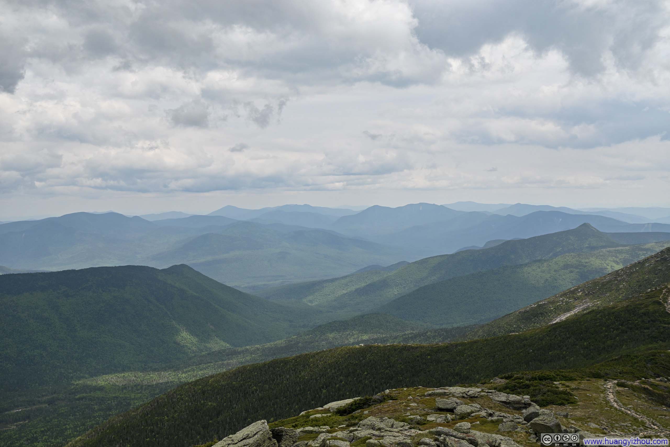
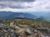
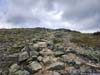
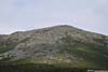
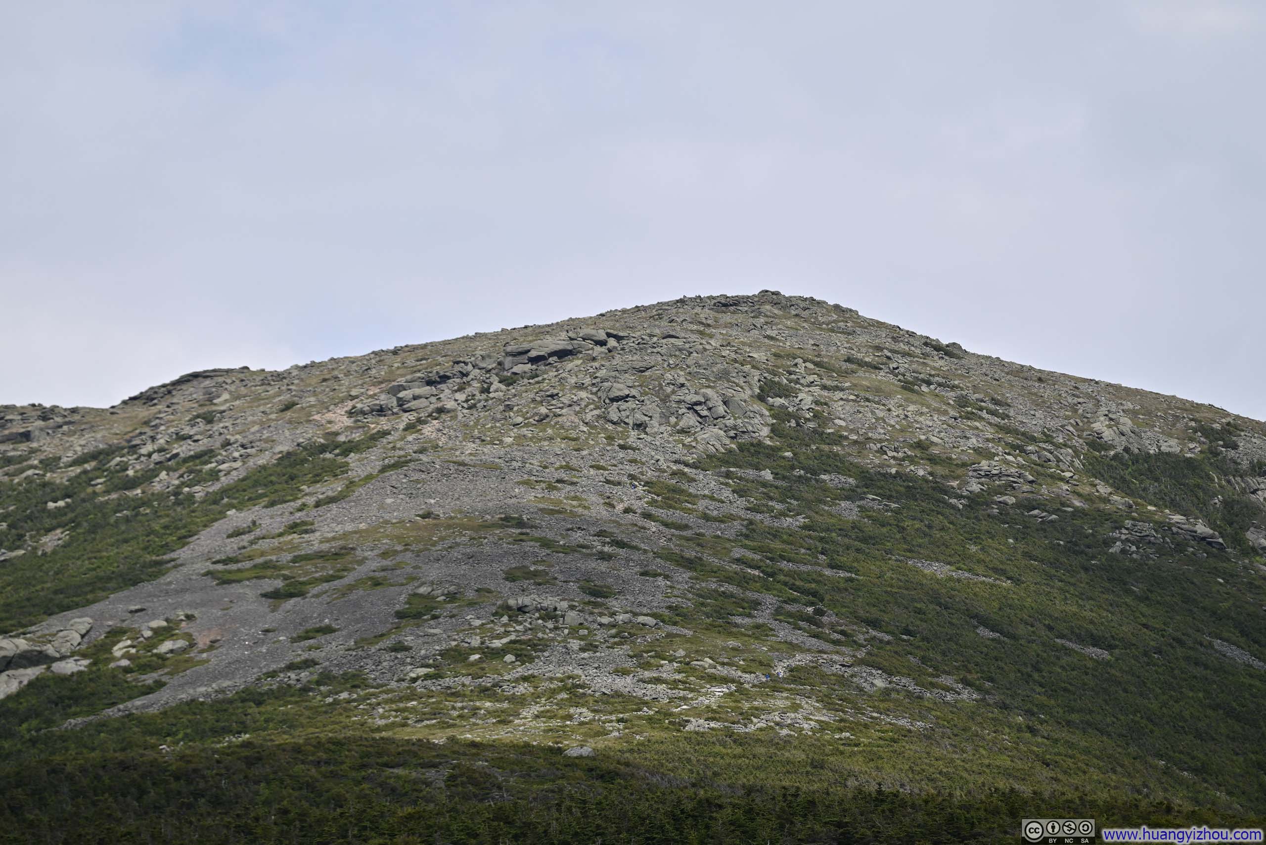
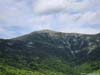
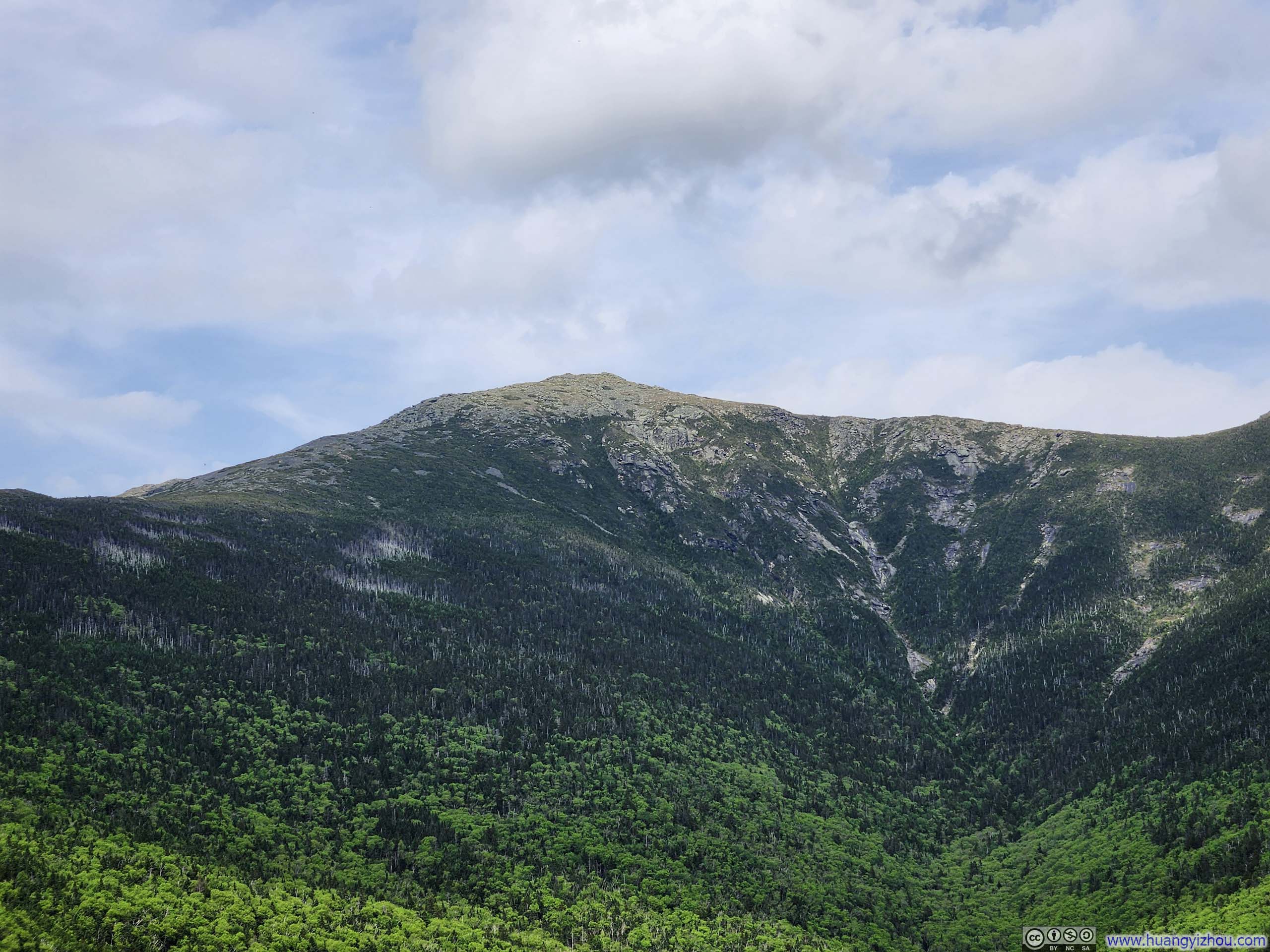
Little Haystack Mountain was the first major summit along the Franconia Loop trail. As a fitting reward for my exertion, it unveiled panoramic vistas of the surrounding peaks, including several familiar silhouettes I had climbed over the past year. Beyond, the ridgeline etched a delicate thread of stone through verdant vegetation, tracing the path toward Mount Lincoln.
 Trail to Mt Lincoln
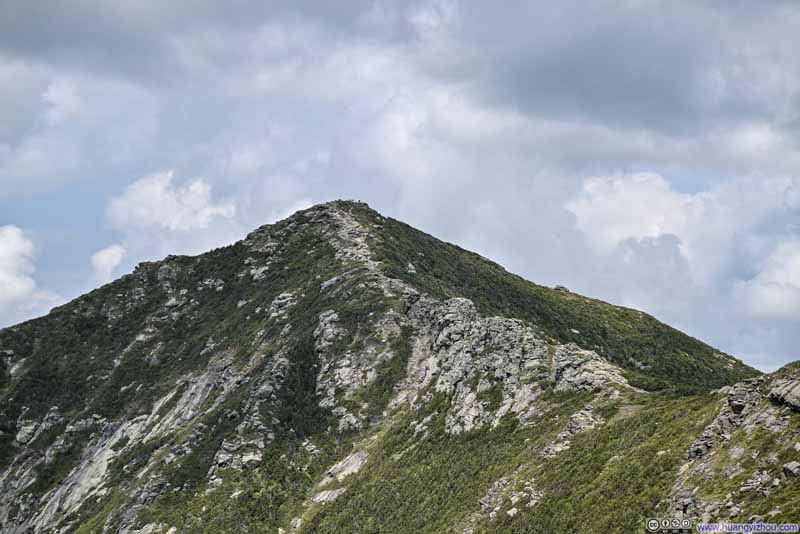 Mt Lincoln
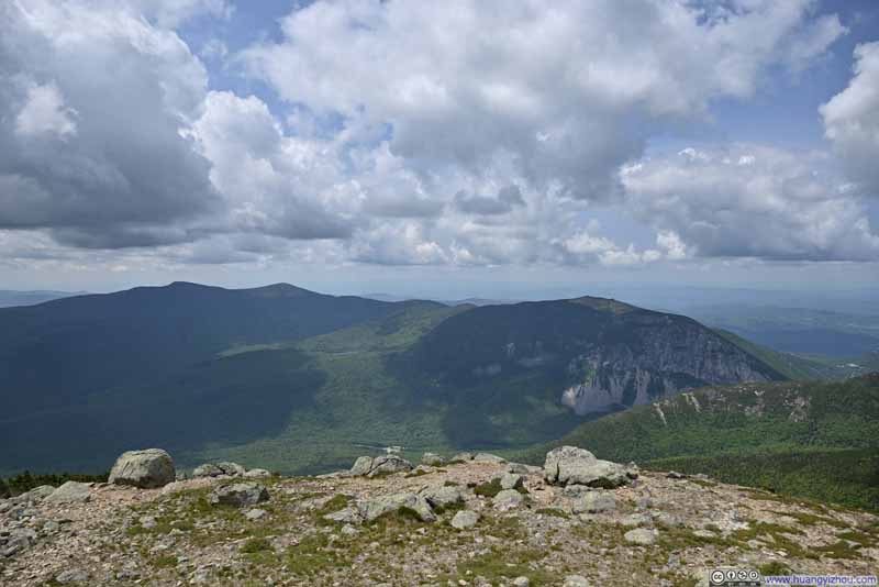 Mountains across Franconia Ridge
 Cliff of Cannon Mountain
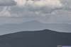
 Mount Moosilauke in the Background
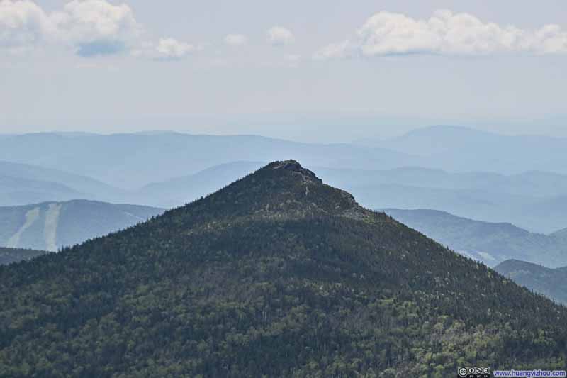 Mount Liberty
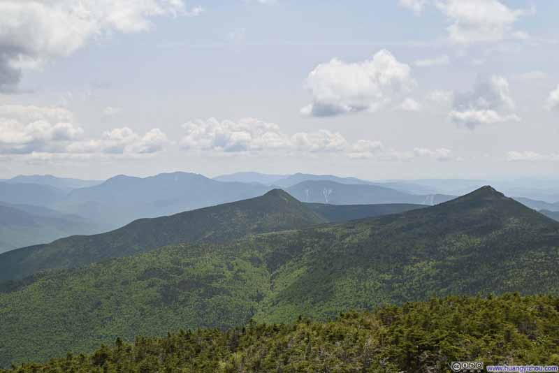 Mountains to the South
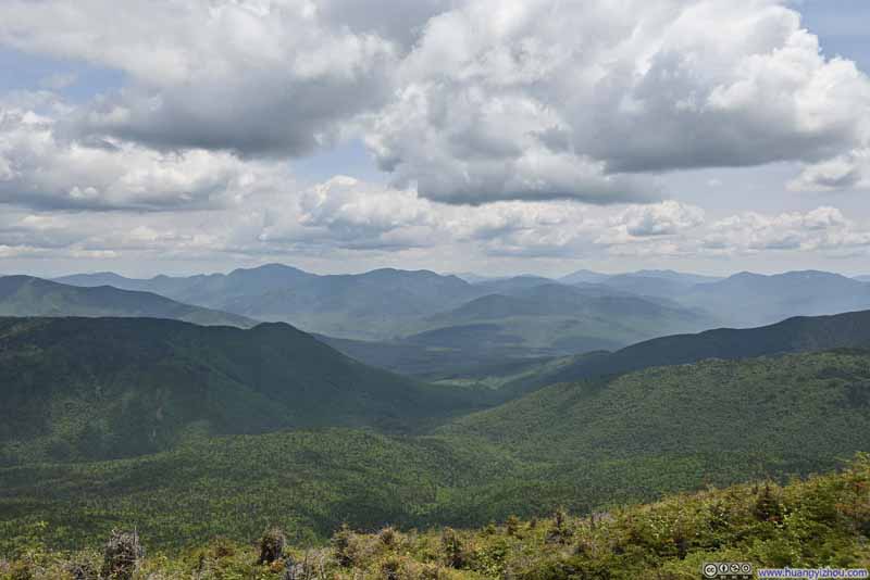 Mountains to the Southeast
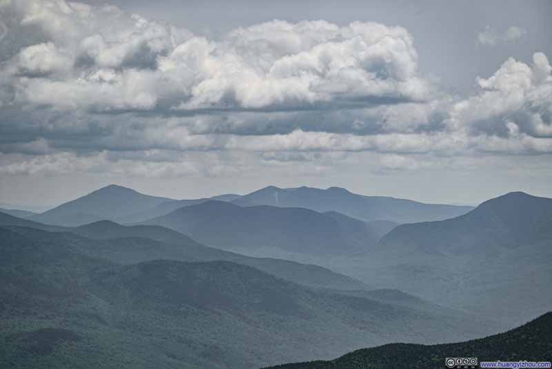 Distant Mountains to the SoutheastThe distinctive North Slide of Tripyramid visible in the background center.
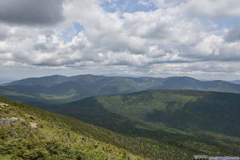 Twin Range Mountains


Click here to display photos from Little Haystack Mountain.

Trail to Mt Lincoln
Mt Lincoln
Mountains across Franconia Ridge

Cliff of Cannon Mountain
Mount Moosilauke in the Background
Mount Liberty
Mountains to the South

Mountains to the Southeast
Distant Mountains to the SoutheastThe distinctive North Slide of Tripyramid visible in the background center.
Twin Range Mountains
View from Little Haystack Mountain
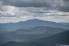
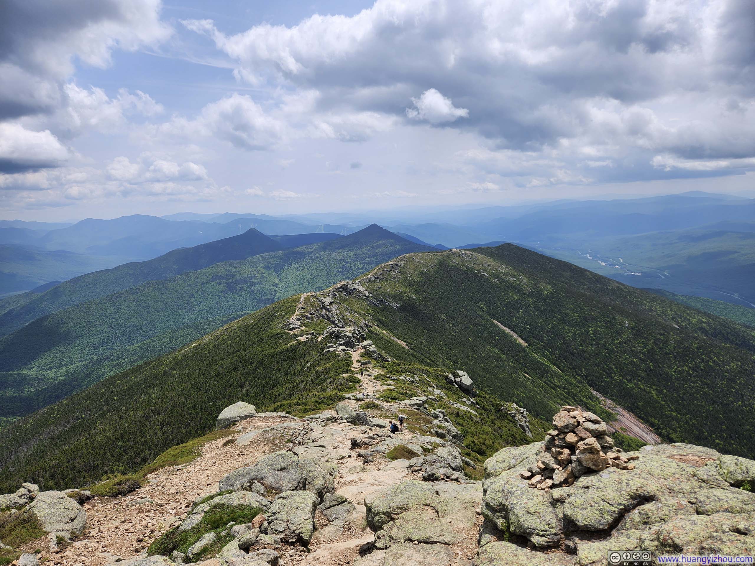
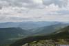
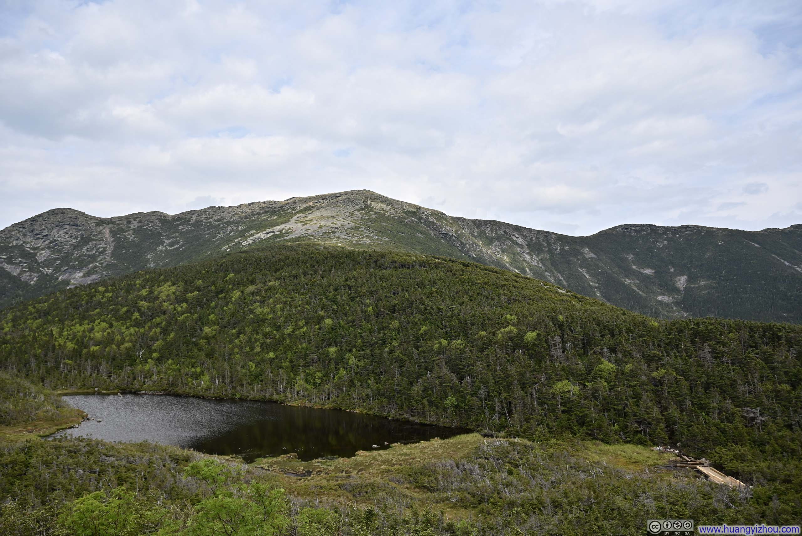
I took a 15-minute break at Little Haystack Mountain before proceeding toward Mt Lincoln. Mt Lincoln, together with North Lincoln, were two less prominent peaks, located roughly at 1/3 and 2/3 of the way from Little Haystack to Mt Lafayette, serving as natural rest stops. Their modest stature, however, rendered the views somewhat less spectacular, save for images of the undulating ridgeline that gracefully rose and fell along the hike.
 Trail on Franconia Ridge
 Trail on Franconia Ridge
 Mt Lafayette
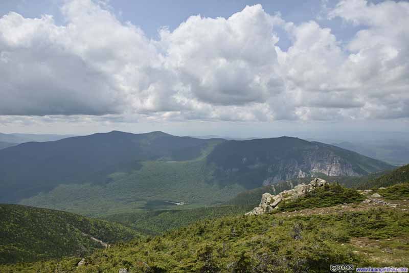 Mountains across Franconia Ridge
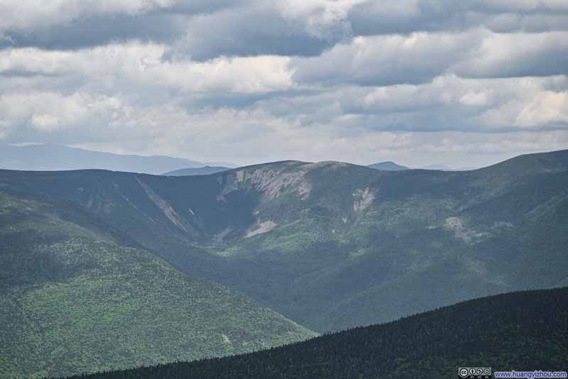 Mount Guyot


Click here to display photos of the slideshow
Trail on Franconia Ridge
Trail on Franconia Ridge

Mt Lafayette

Mountains across Franconia Ridge

Mount Guyot
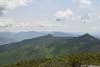
With no obstructions and nonstop panoramic views, the ridge between Little Haystack and Mt Lafayette was no doubt the highlight of the trip. Yet, given the season, the ridge was plagued by tiny bugs. I found myself frequently waving away the tiny intruders that alighted on my shirt, only to discover, much to my dismay, that these defensive gestures occasionally left small casualties clinging to the fabric—a rather unsettling sight.
Additionally, I couldn’t help but notice the gradual thinning of fellow hikers as I approached Mt. Lafayette. Granted Little Haystack Mountain was the closest part of Lafayette Ridge from the parking lot, but I assumed most hikers would be completing the entire loop.
Heading from Little Haystack to Mt Lafayette, I encountered two youngsters each carrying an enormous backpack but unaccompanied by adults. Initially suspecting they planned to lodge at Greenleaf Hut, I learned instead they carried the weight merely “as training”—a revelation that gave me pause. Given that I was somewhat trainingconditioning for my upcoming Alaskan trip, which would involve my first YDS class 4 mountain, and I abhorred any form of unnecessary weight, this moment sparked a rare acknowledgment that perhaps my youthfulness had begun its quiet retreat.
 Mt Lincoln
 Mt Lafayette
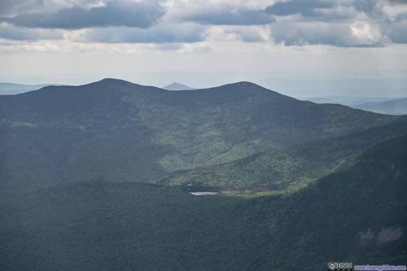 Kinsman Mountains
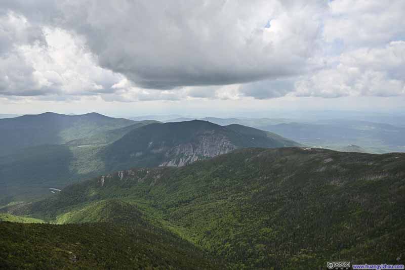 Mountains across Franconia Ridge
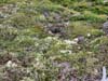
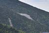
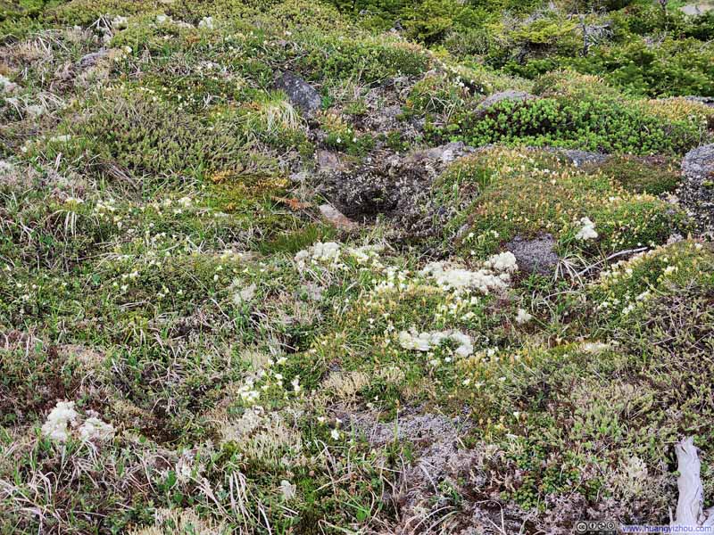 Flowers in FieldLittle white dots. A nearby ranger said they only bloomed for “a few days per year”.
Click here to display photos of the slideshow
Mt Lincoln
Mt Lafayette
Kinsman Mountains

Mountains across Franconia Ridge
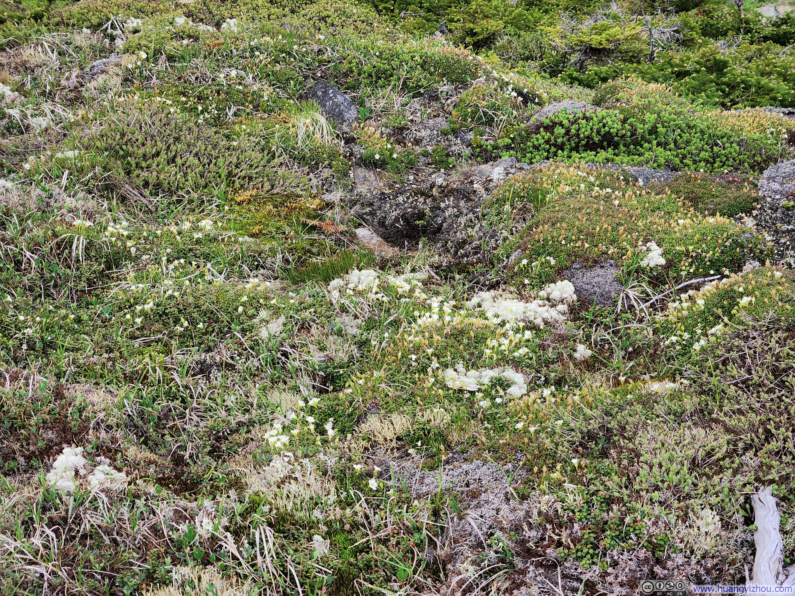
Flowers in FieldLittle white dots. A nearby ranger said they only bloomed for “a few days per year”.
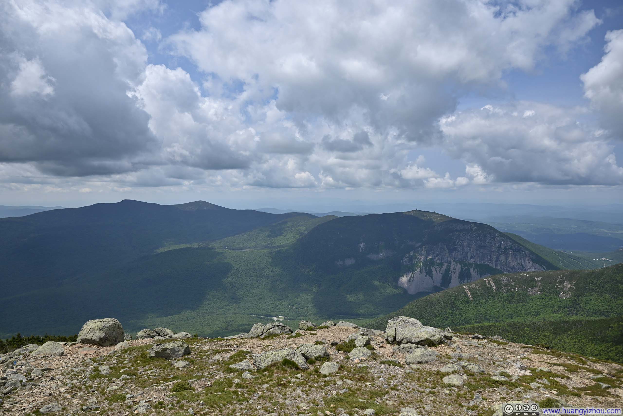
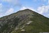
Finally, I reached Mt Lafayette, the highest point of Franconia Ridge, just over an hour after departing Little Haystack Mountain. Still surrounded by views of extensive White Mountains but with subtle and welcomed changes from earlier at Little Haystack, I took a longer rest at Mt Lafayette, savoring New Hampshire’s finest alpine ridge in all its majesty before bidding it farewell and starting my descent.
P.S. The summit of Mt Lafayette had the worst bug situation along the entire trail.
 Trail on Franconia Ridge
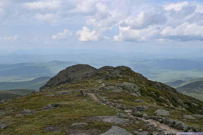 Trail to North Lafayette Mountain
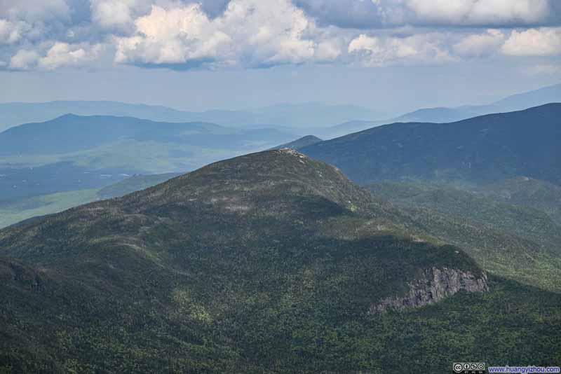 Mount Garfield
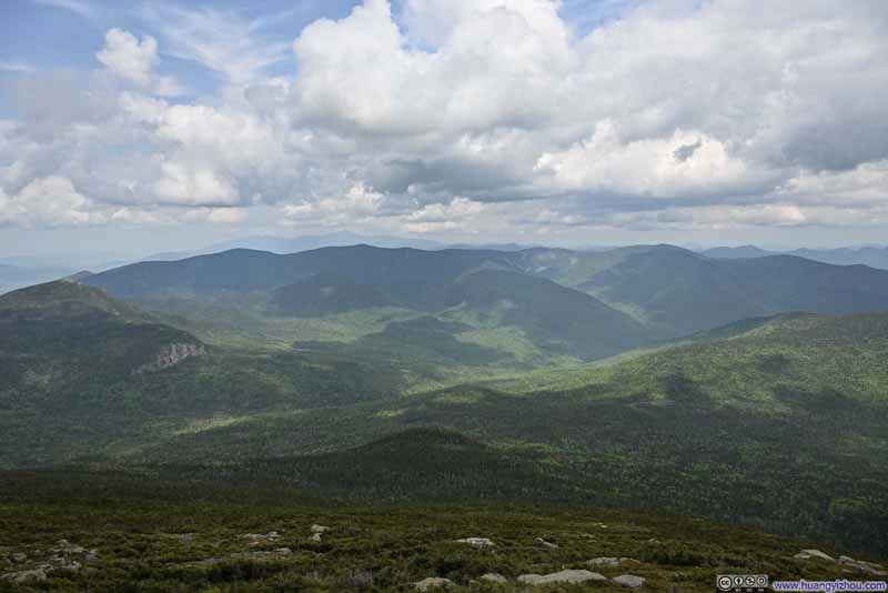 Twin Range Mountains
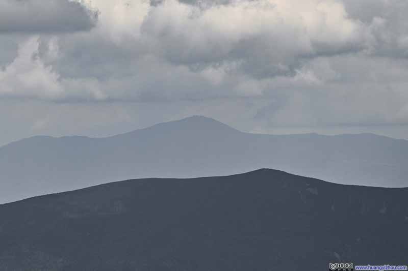 Distant Mount Washington
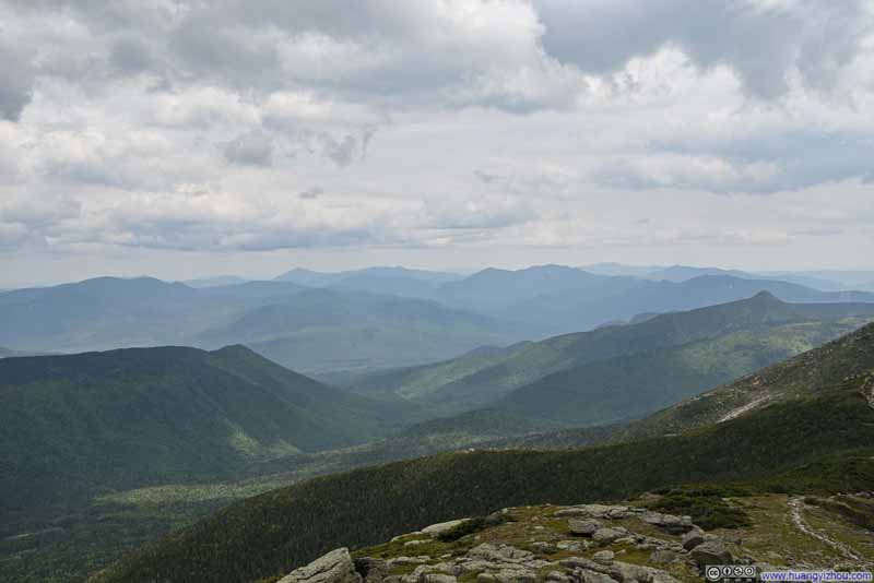 Mountains to the Southeast
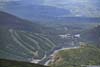
 Ski Tracks on Cannon Mountain
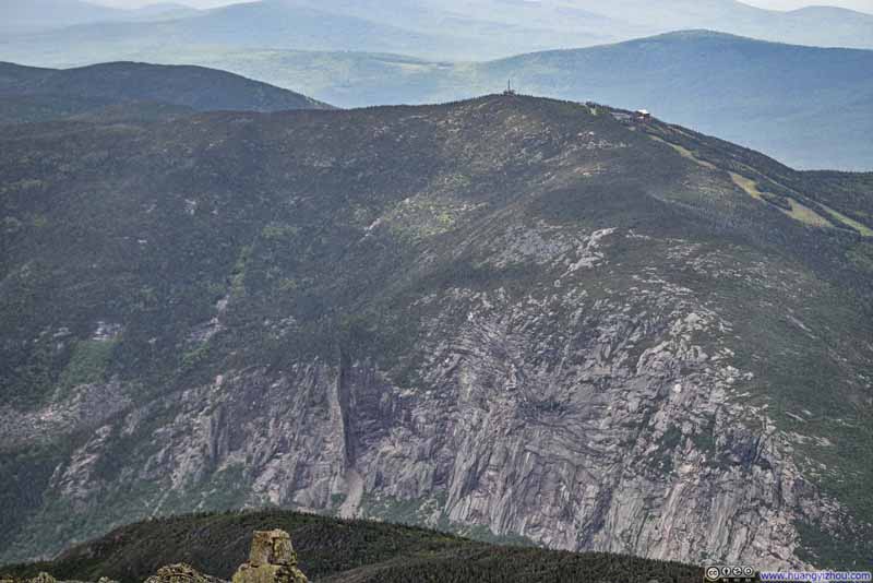 Cliff of Cannon Mountain
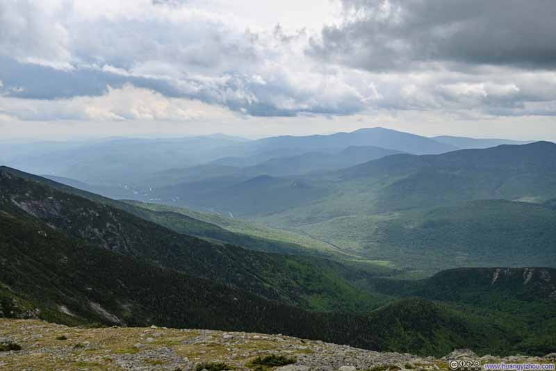 Mountains to the Southeast

Click here to display photos from Mt Lafayette.
Trail on Franconia Ridge
Trail to North Lafayette Mountain

Mount Garfield
Twin Range Mountains
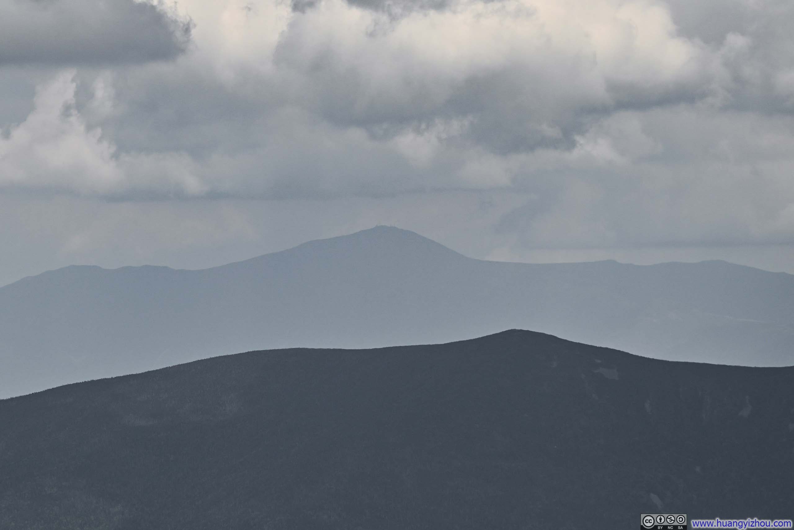
Distant Mount Washington
Mountains to the Southeast
Ski Tracks on Cannon Mountain
Cliff of Cannon Mountain
Mountains to the Southeast
View from Mt Lafayette
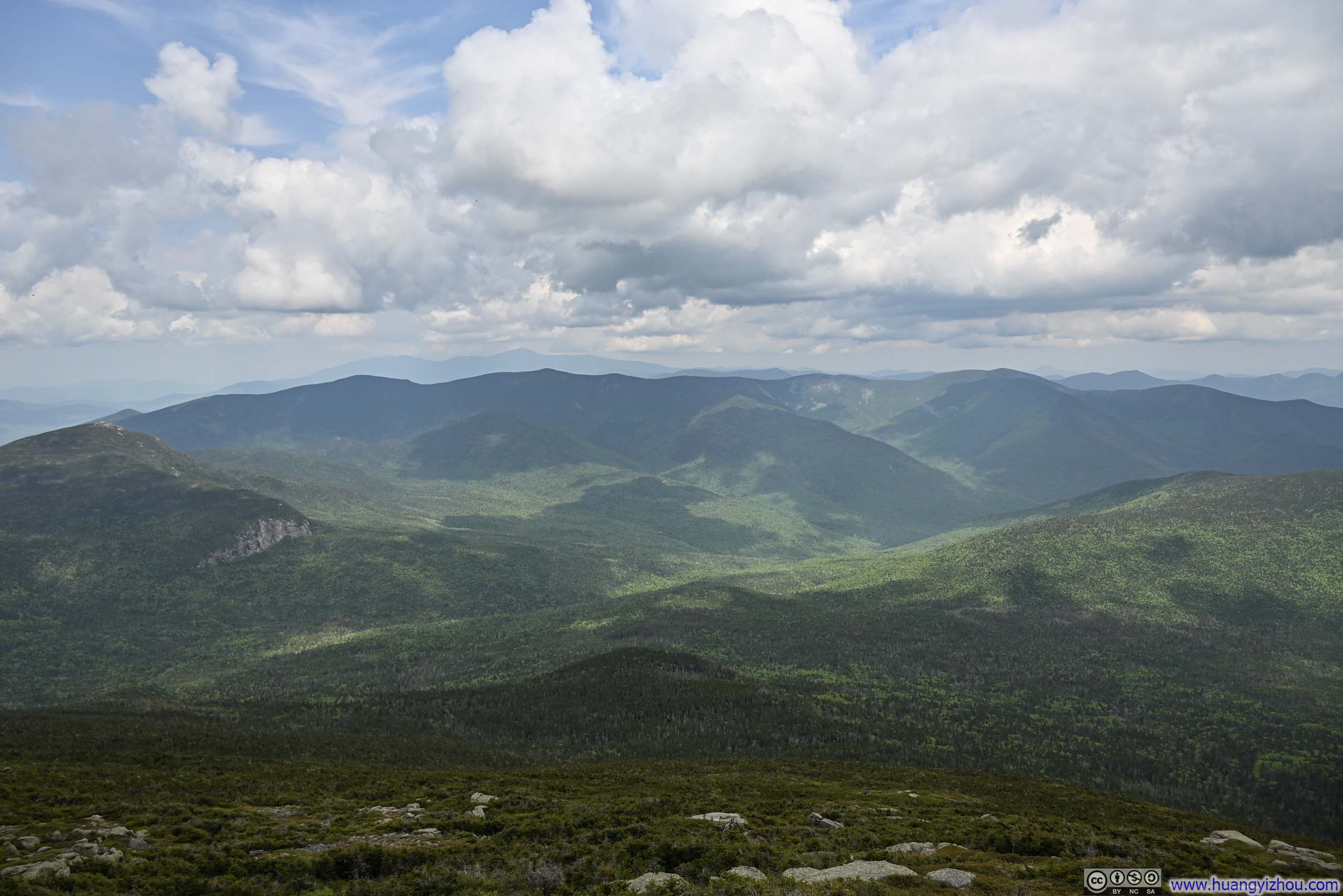
Leaving Mt Lafayette, the trail lingered above tree line for some distance, offering an encore of the views.
 Trail from Mt Lafayette
 Trail from Mount Lafayette
 Greenleaf Hut among Forest
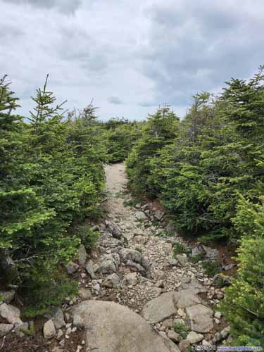
 Trail
Trail

Click here to display photos of the slideshow

Trail from Mt Lafayette
Trail from Mount Lafayette

Greenleaf Hut among Forest
 Trail
Trail
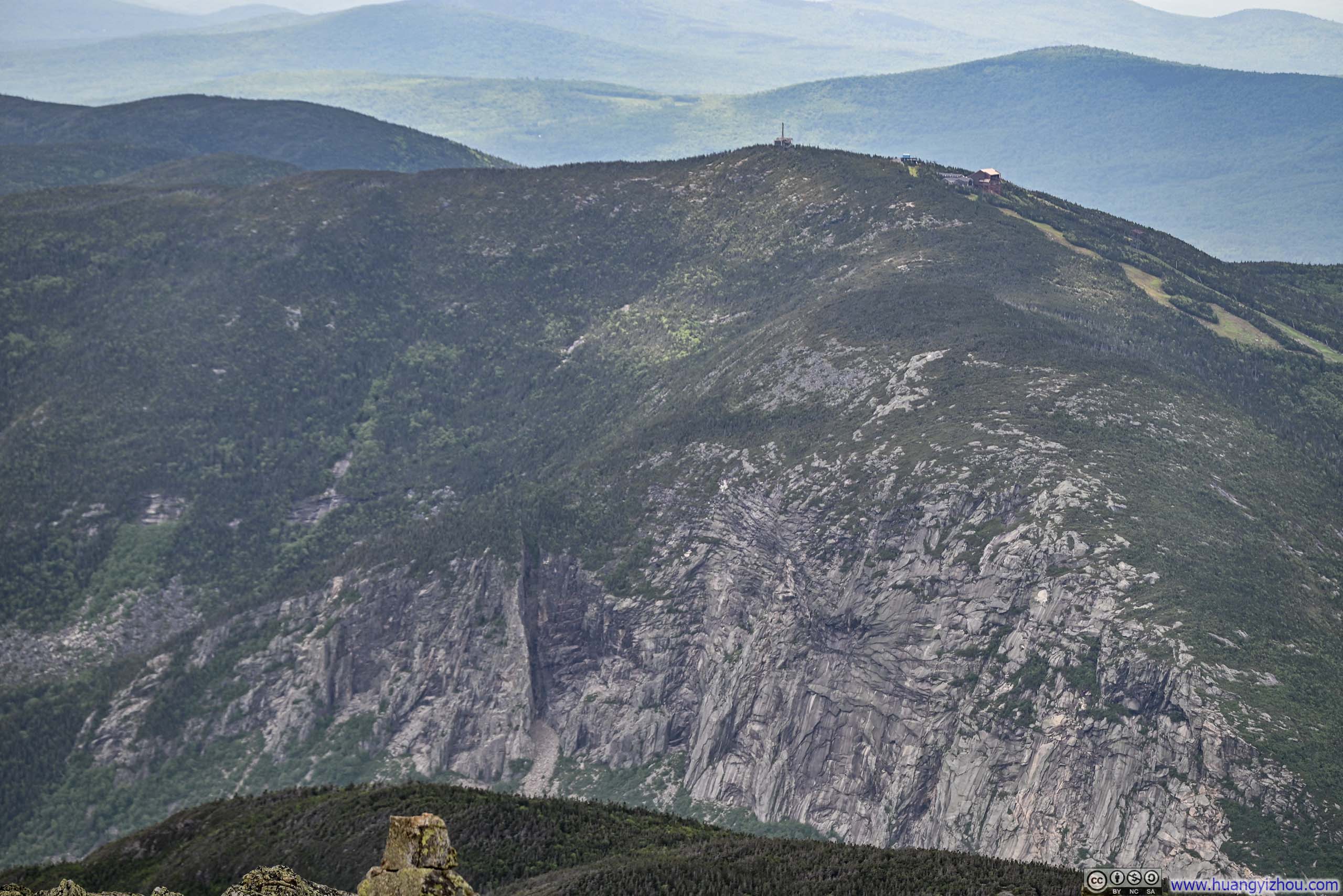
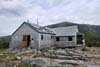
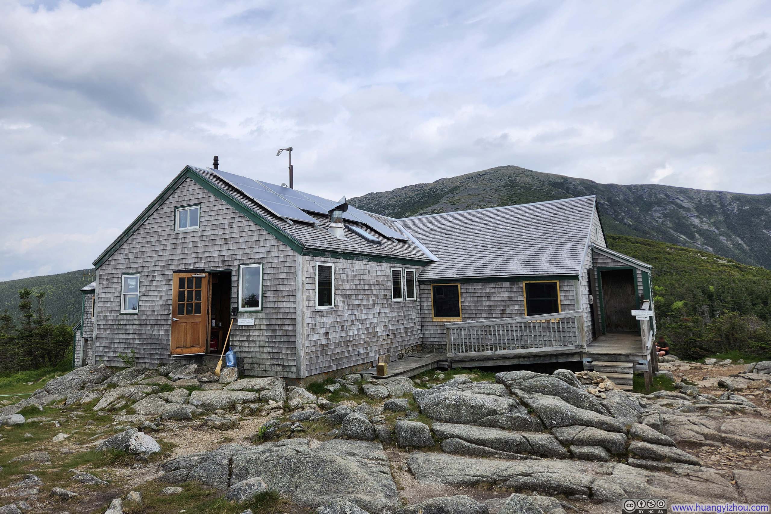
Eventually, it led to Greenleaf Hut which, to my surprise, operated more like a proper hostel than a primitive backcountry shelter. It featured running water, a store (!), and a welcoming lobby that framed views of Franconia Ridge through its windows, constituting unexpected luxury given the hut’s wilderness backdrop.
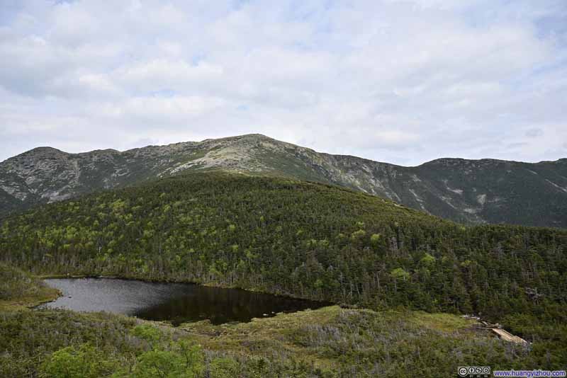 Eagle Lake before Franconia Ridge
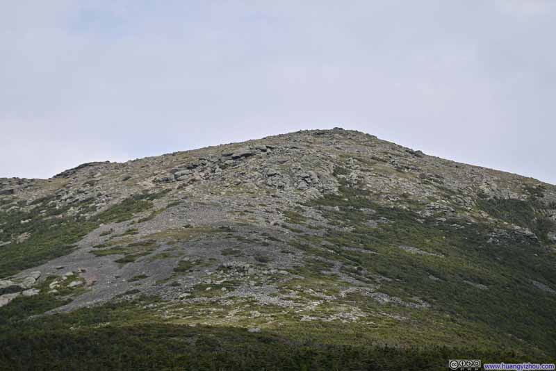 Mt Lafayette
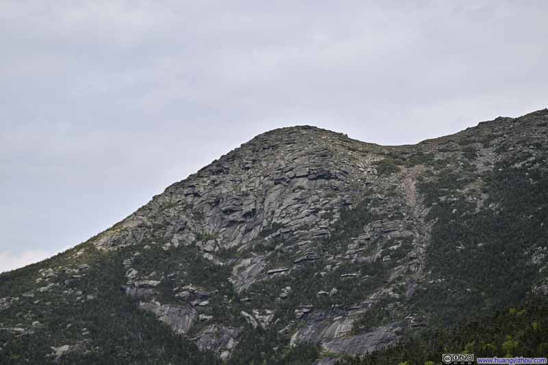 North Lafayette Mountain
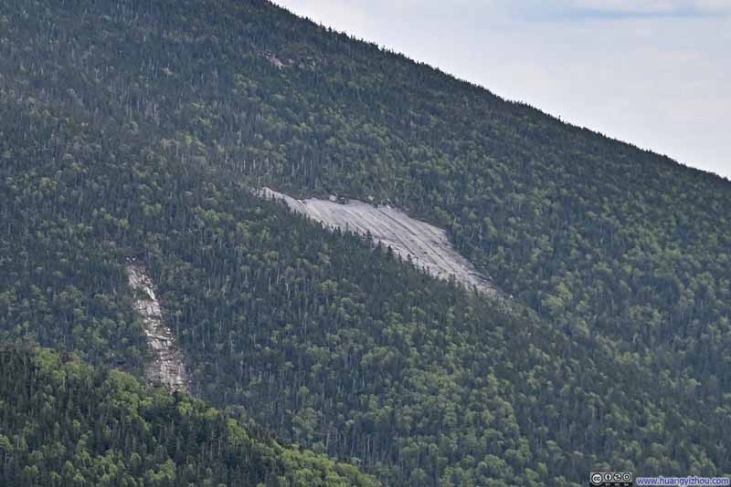 Distant Shining Rock
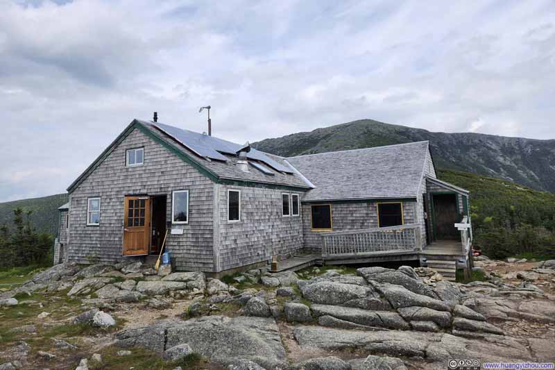 Greenleaf Hut before Mt Lafayette
Click here to display photos of the slideshow
Eagle Lake before Franconia Ridge
Mt Lafayette
North Lafayette Mountain
Distant Shining Rock
Greenleaf Hut before Mt Lafayette
After a short break at Greenleaf Hut, I continued on Old Bridle Path back to the parking lot.
 Trail
Trail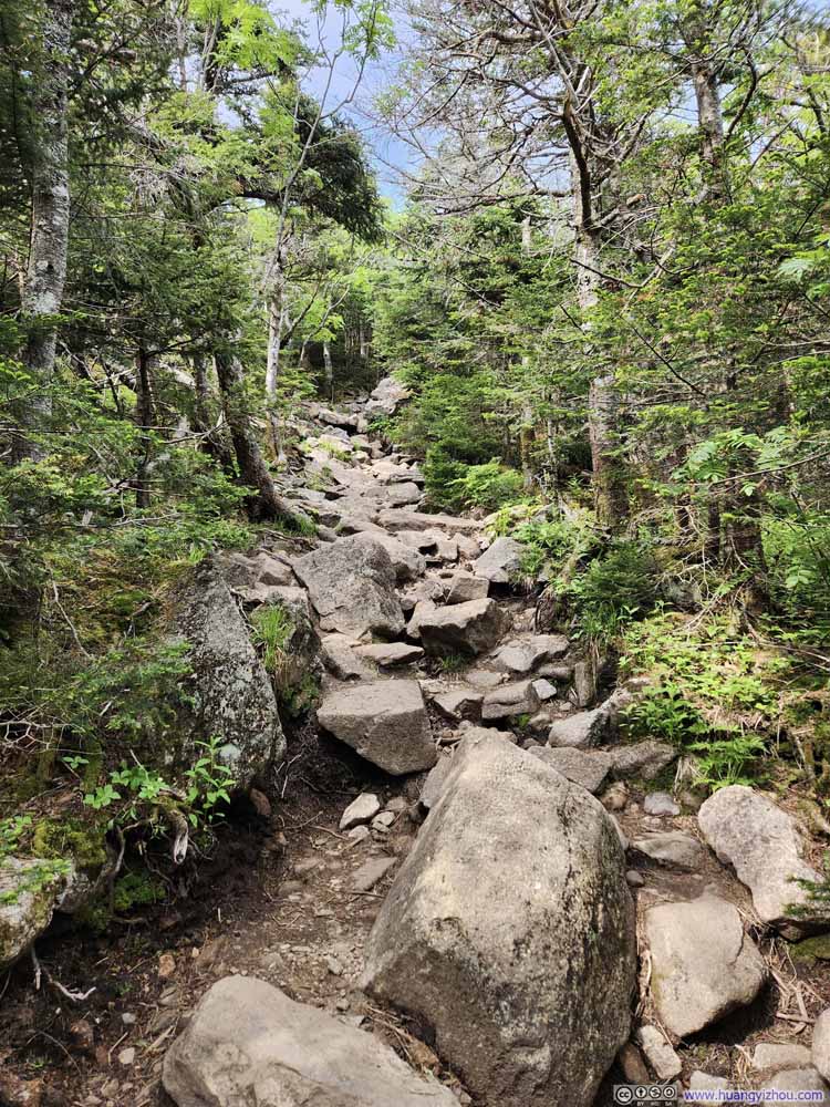 Trail
Trail Trail
Trail Trail
Trail Trail
Trail

Click here to display photos of the trail.

Trail

Trail
Trail

Trail

Trail
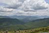
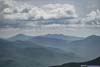
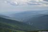
Old Bridle Path initially followed a ridgeline, with a few overlooks along its course. Facing eastward, those overlooks provided a final glimpse of Franconia Ridge, now fully illuminated by the afternoon sunlight, before the trail descended further down the hill. Annoyingly, the overlooks were swarmed with bugs, so I couldn’t linger there for longer.
 Mount Lincoln
 Franconia Ridge
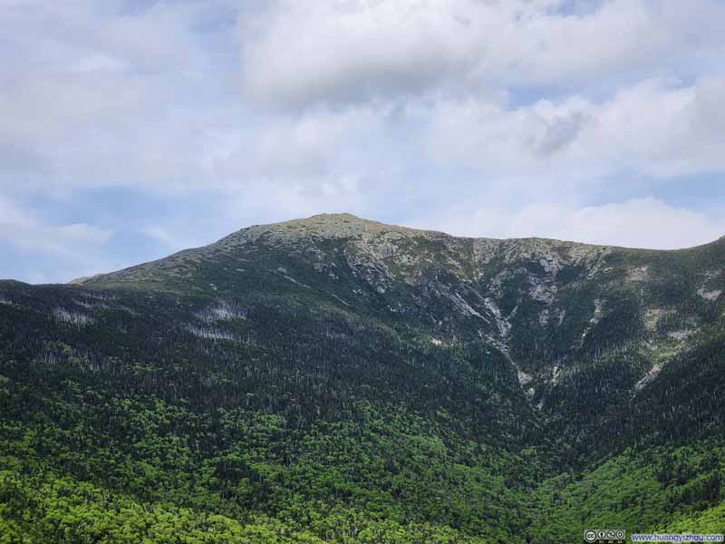 Mt Lafayette
 Overlooks along Trail
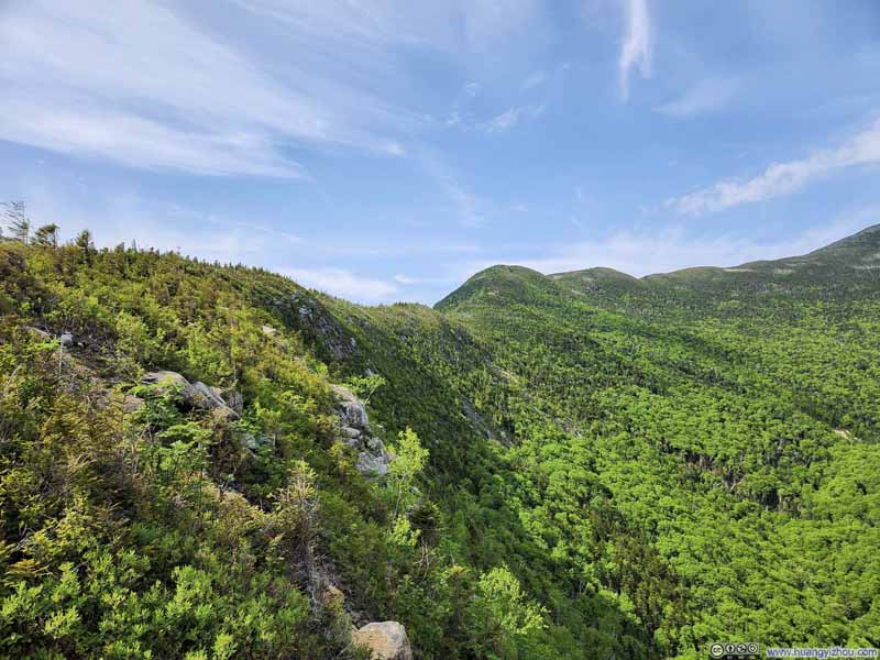 RidgeWhich Old Bridle Path followed.
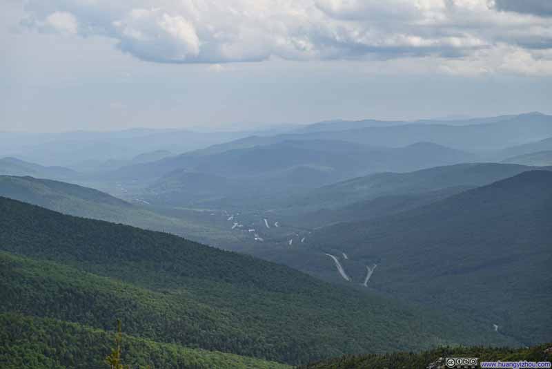 Interstate 93 Winding through Mountains
Click here to display photos from the overlooks along Old Bridle Path.

Mount Lincoln
Franconia Ridge
Mt Lafayette
Overlooks along Trail
RidgeWhich Old Bridle Path followed.
Interstate 93 Winding through Mountains
Franconia Ridge from Old Bridle Path
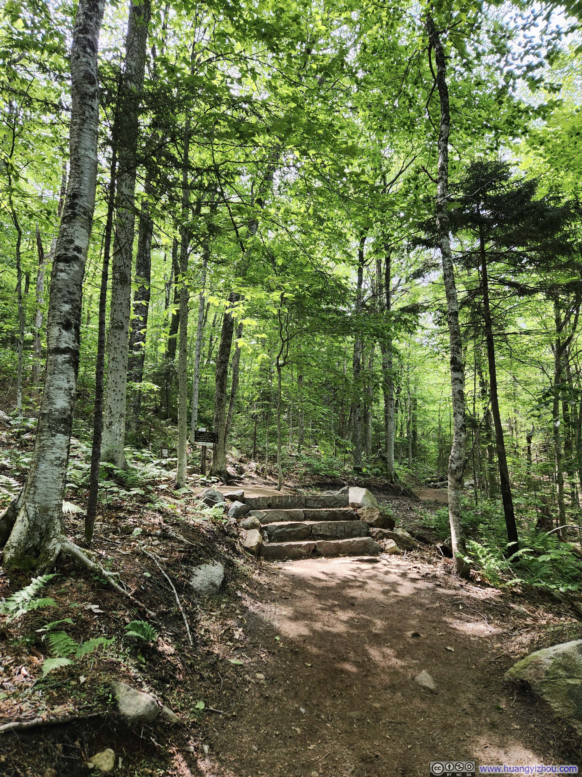
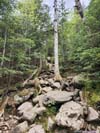
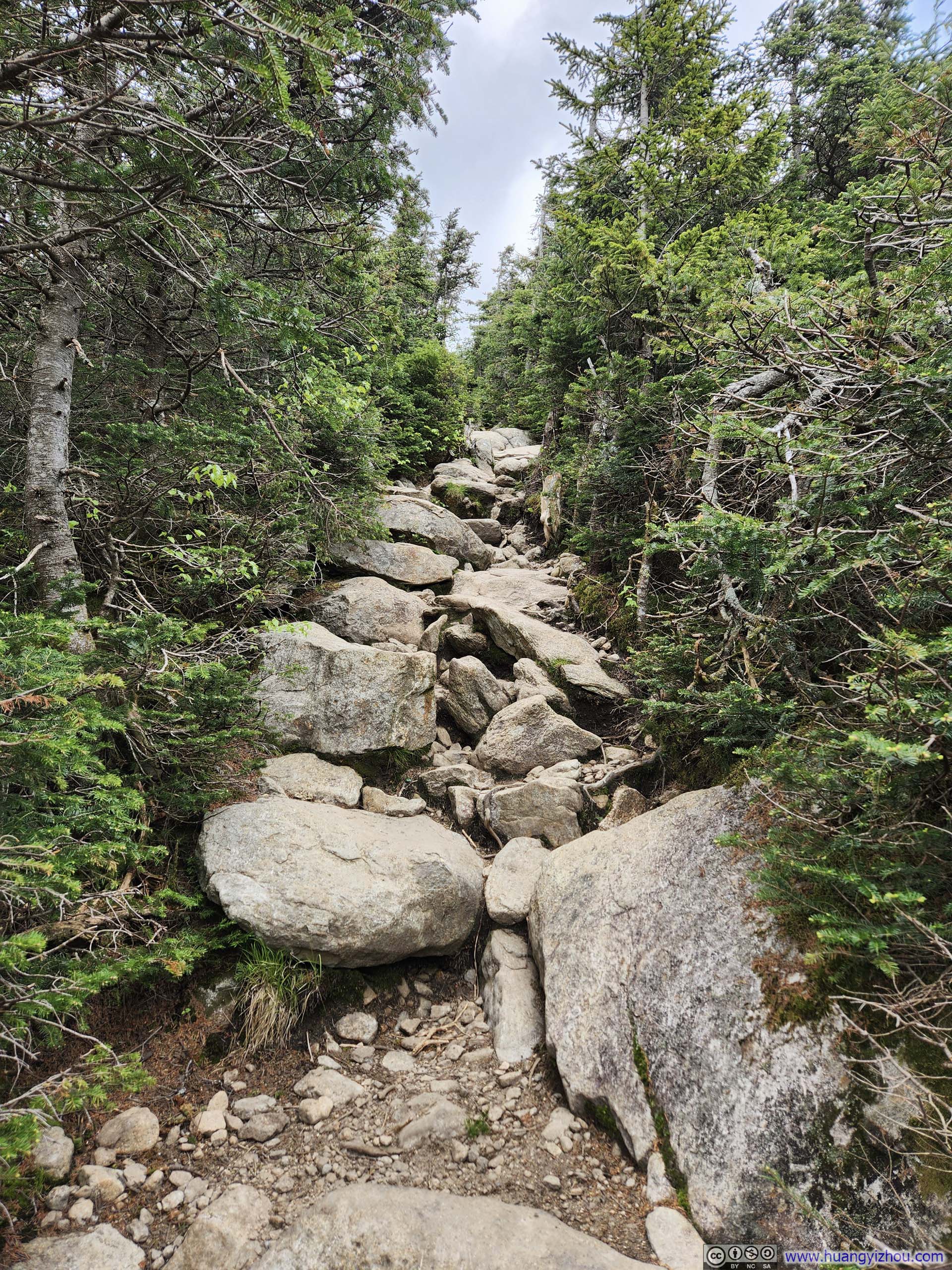
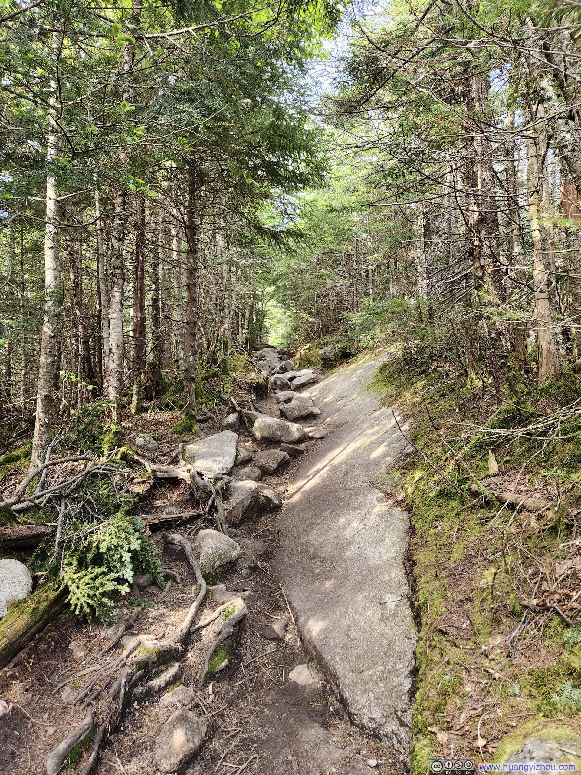
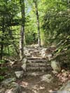
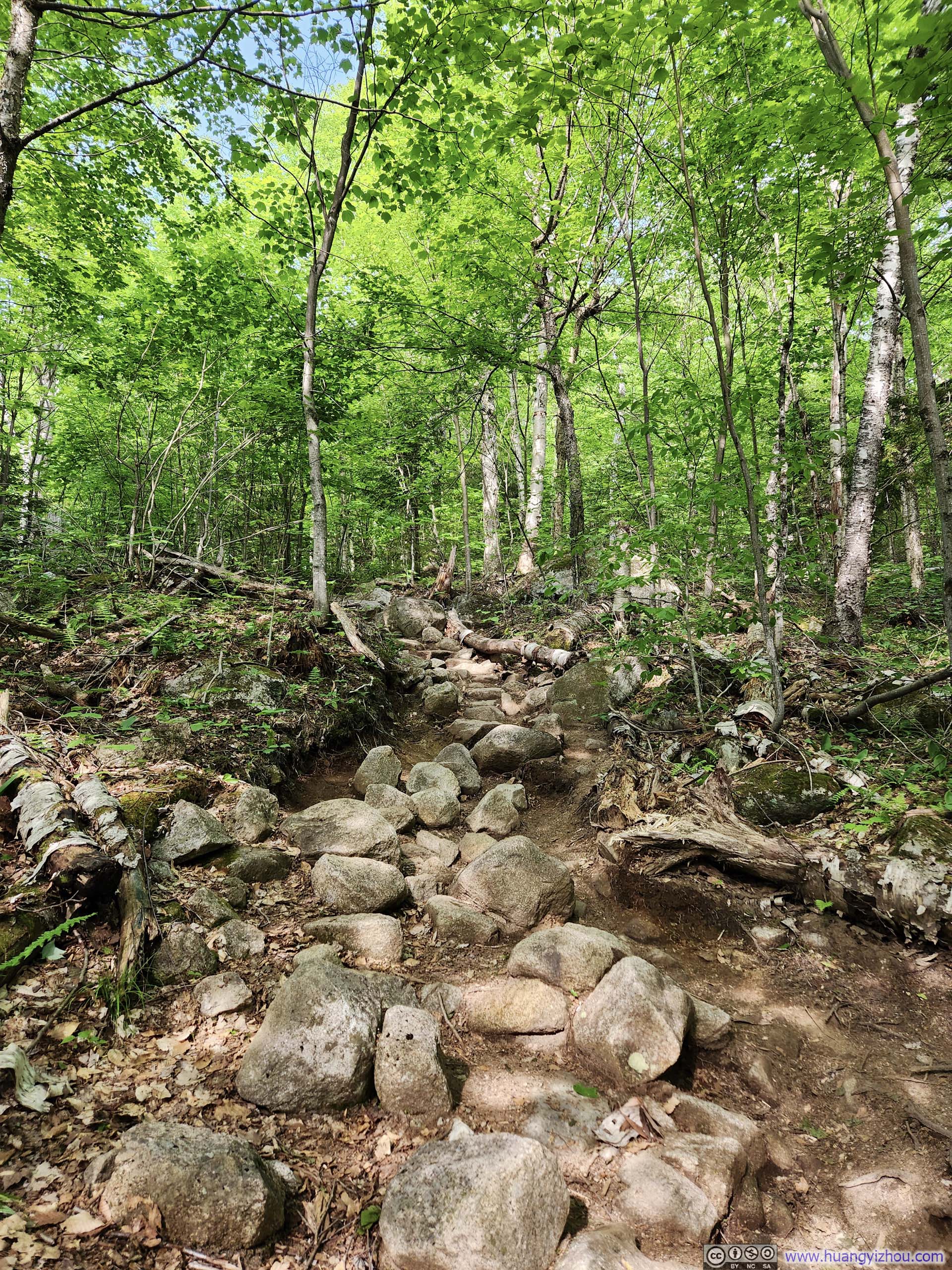
After that, the trail continued its downward course in the woods. I was surprised to find sections of it were improved with rock stairs (p1 below), a novelty for trails in the US. Unfortunately, these improved sections alternated with stretches of muddy trail, diminishing the overall enjoyment.
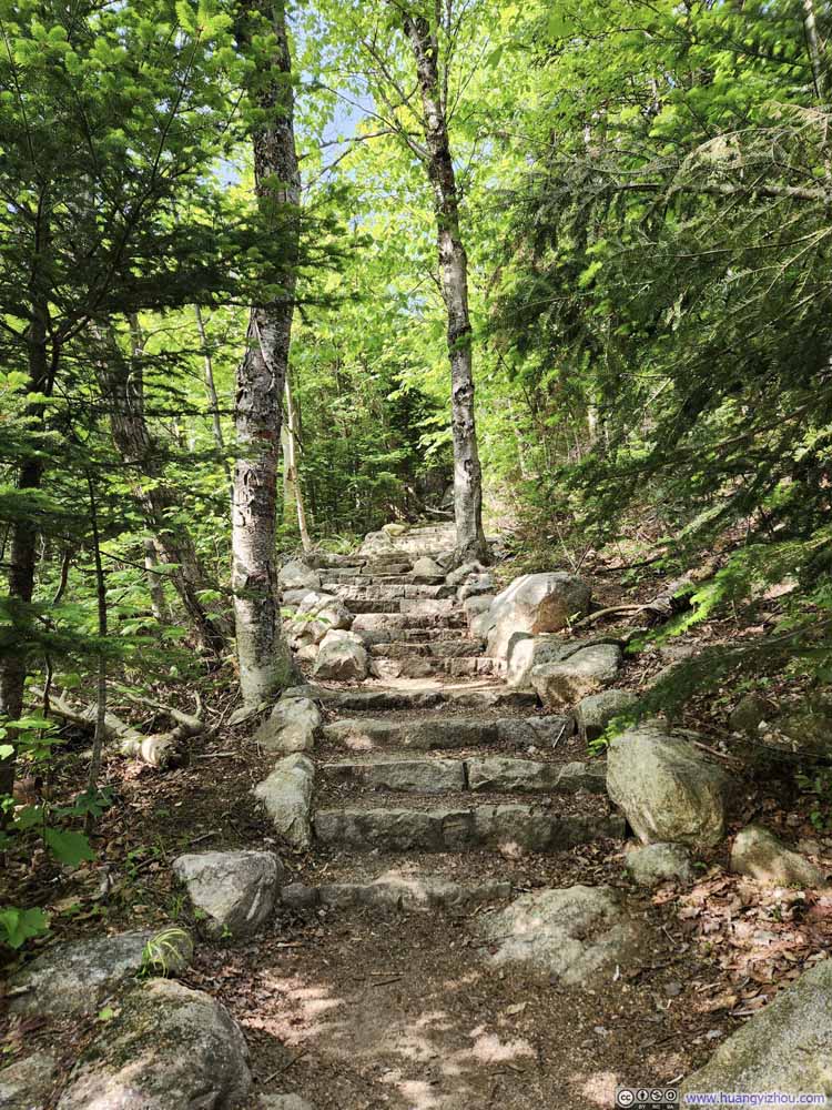 Improved Trail
 Trail
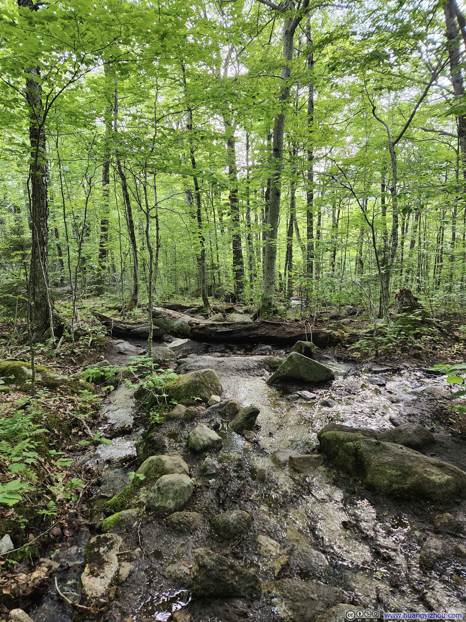
Trail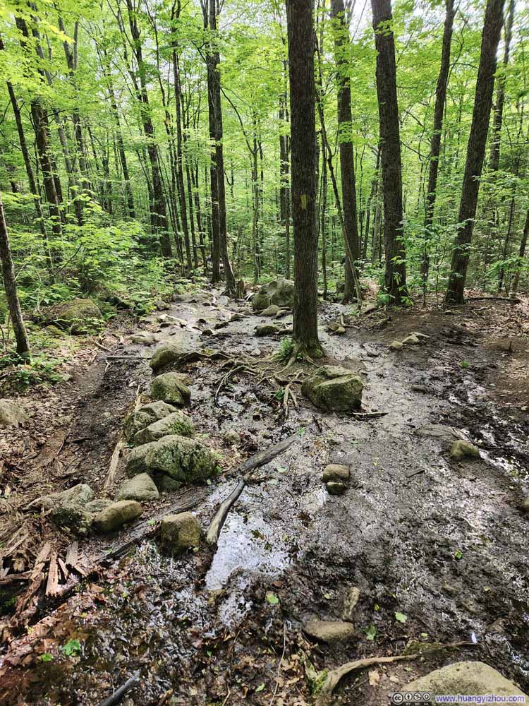 Muddy TrailThe muddiest section along Old Bridle Path.
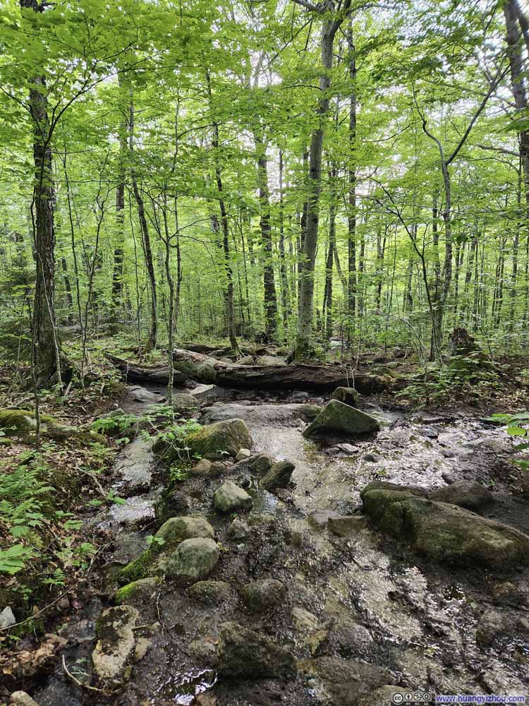 Muddy TrailThe muddiest section along Old Bridle Path.
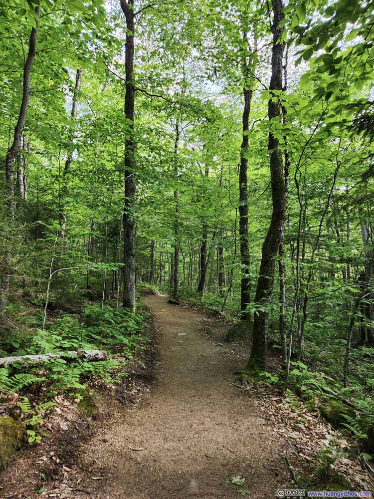 Trail
Trail

Click here to display photos of the slideshow

Improved Trail
Trail

Muddy TrailThe muddiest section along Old Bridle Path.
Muddy TrailThe muddiest section along Old Bridle Path.

Trail
In the end, I made it back to the parking lot at 5:30pm, concluding the hike in 7.5 hours (with about 6 hours and 10 minutes of moving time).
END
![]() Hiking Franconia Ridge by Huang's Site is licensed under a Creative Commons Attribution-NonCommercial-ShareAlike 4.0 International License.
Hiking Franconia Ridge by Huang's Site is licensed under a Creative Commons Attribution-NonCommercial-ShareAlike 4.0 International License.