
Updated on November 5, 2025
Day 2 of 2025 Independence Day Trip to Alaska, Salmon Run and Byron Galcier
The second day of my 2025 Independence Day Trip to Alaska. The weather forecast didn’t look good for today, so I turned to my rain-day plans, watched a late salmon run along Russian River and took a brief visit to Byron Glacier.
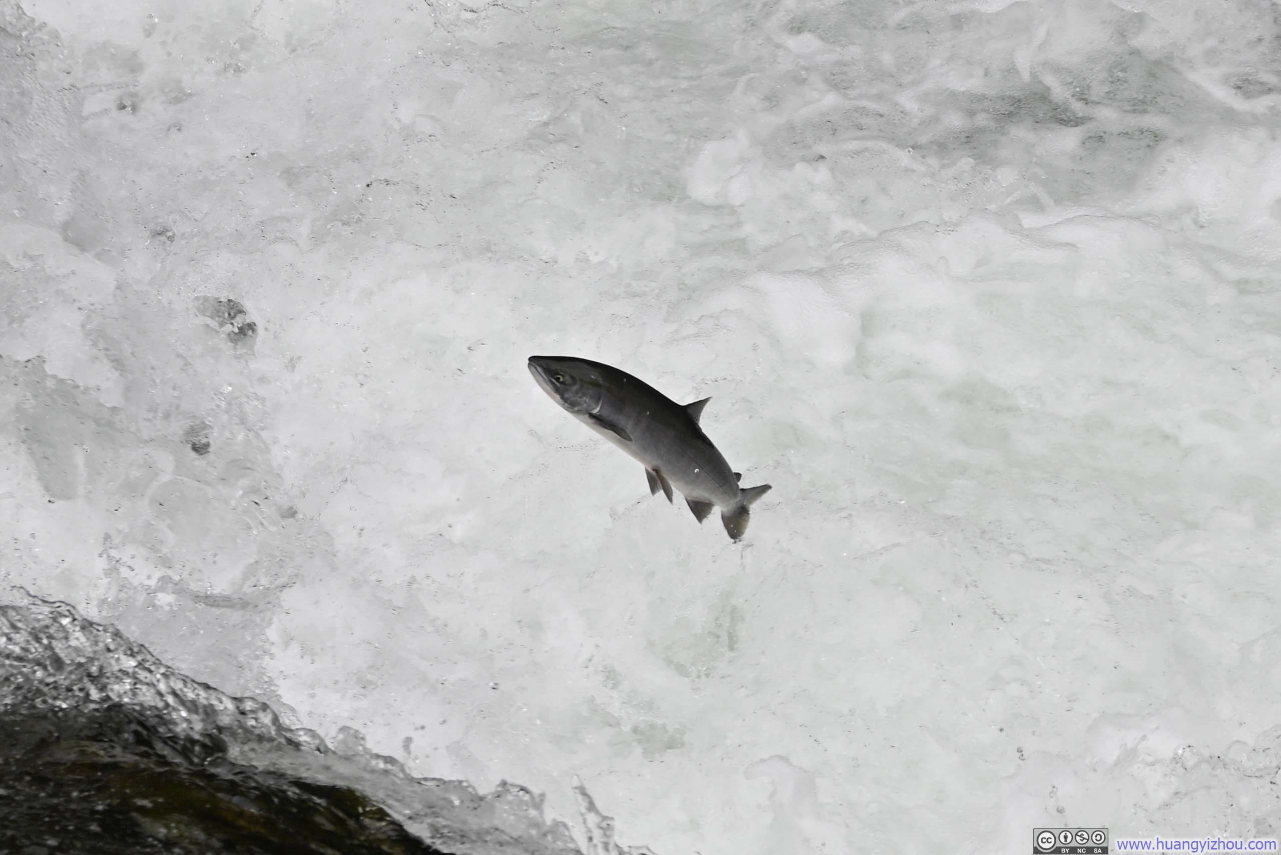
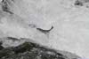
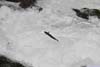
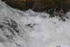
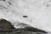
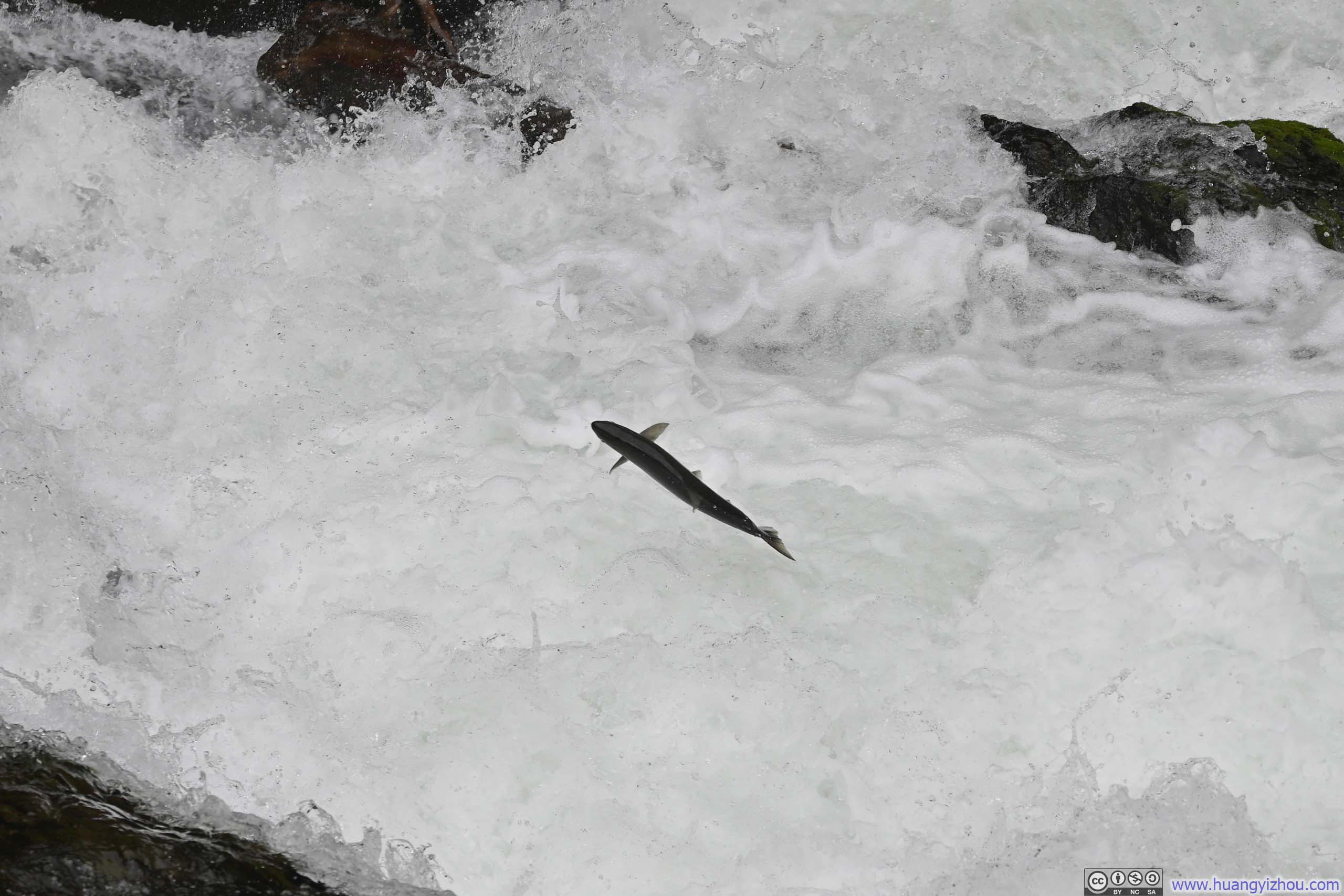
Salmon Jumping a Fall
Today, the weather models predicted the worst weather of my entire week-long trip to Alaska, with brooding clouds draped low around Anchorage, thwarting any plans I had of ascending peaks for panoramic vistas. As a result, I opted for activities that weren’t as weather dependent, watching a salmon run along Russian River and observing Byron Glacier from a distance.
Located about 2-hour drive away from Anchorage, Russian River was a renowned spot to watch salmons’ heroic leaps against the current on their migration back to spawning sites. (While other salmon-viewing spots existed closer to the city, Ship Creek in downtown Anchorage among them, they lacked the spectacle of these creatures vaulting through cascading torrents and waterfalls.) The Russian River typically hosted two distinct salmon runs annually: the early run peaking around mid-June and the late run peaking in August. This timing suggested I might yet catch the waning moments of the former during my visit.
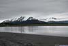
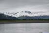
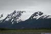
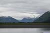
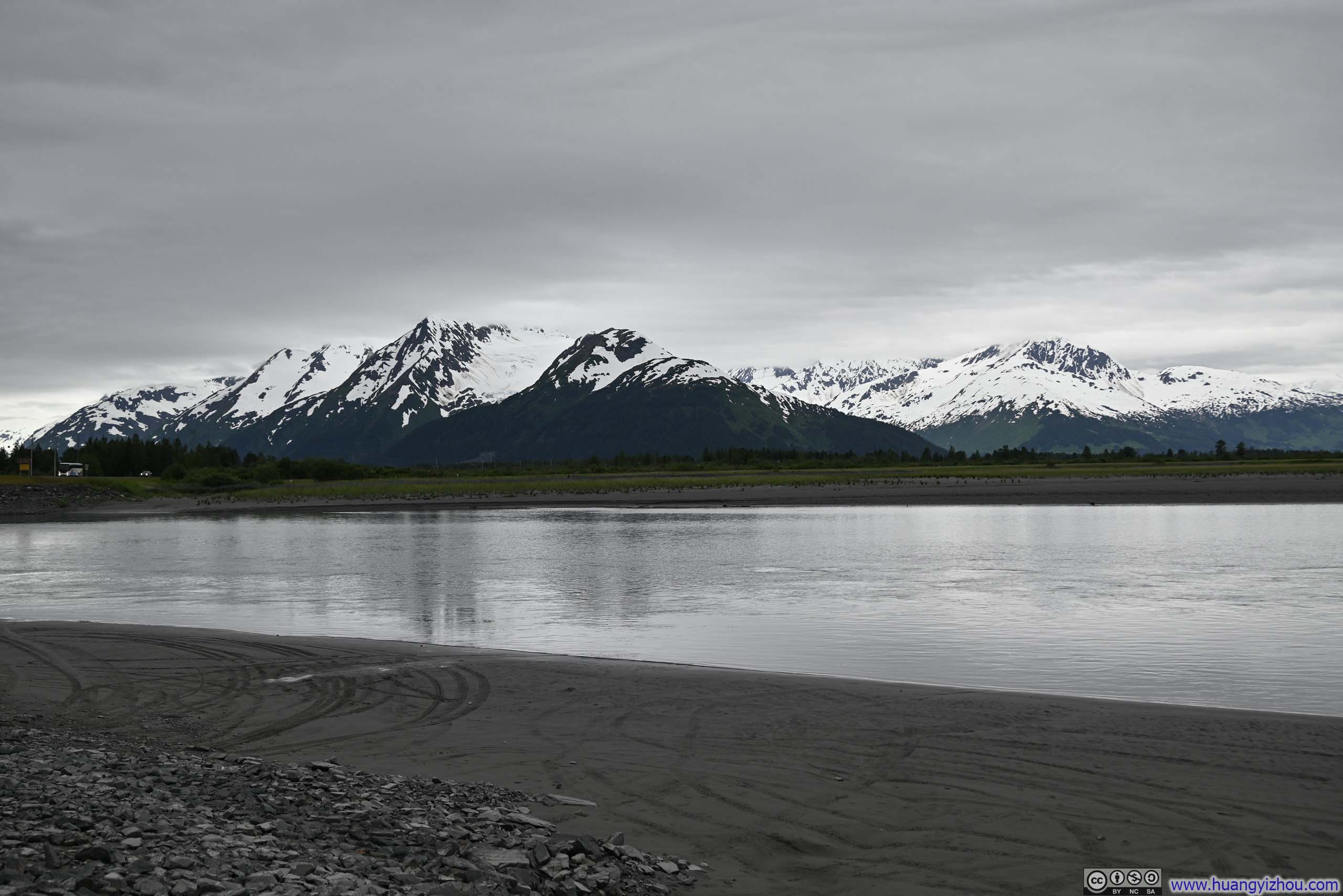
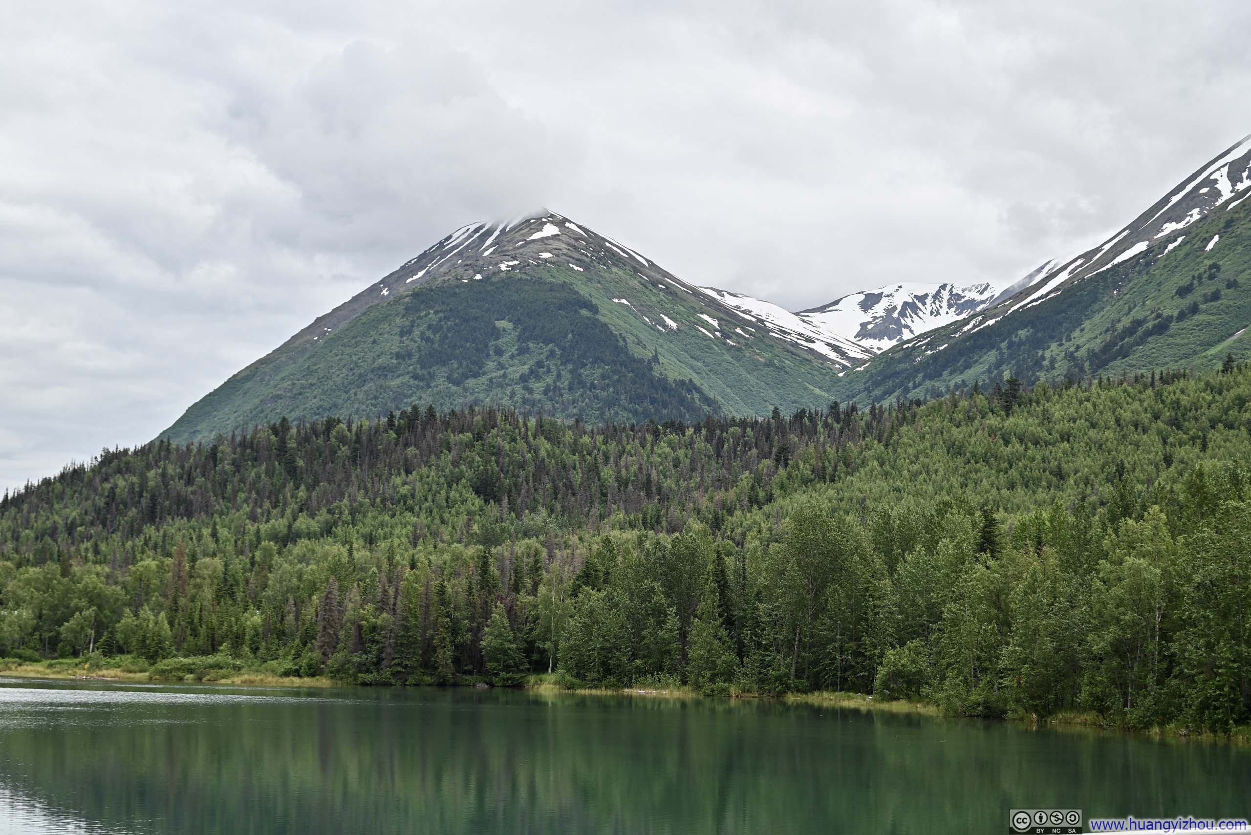
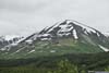
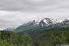
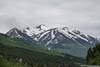
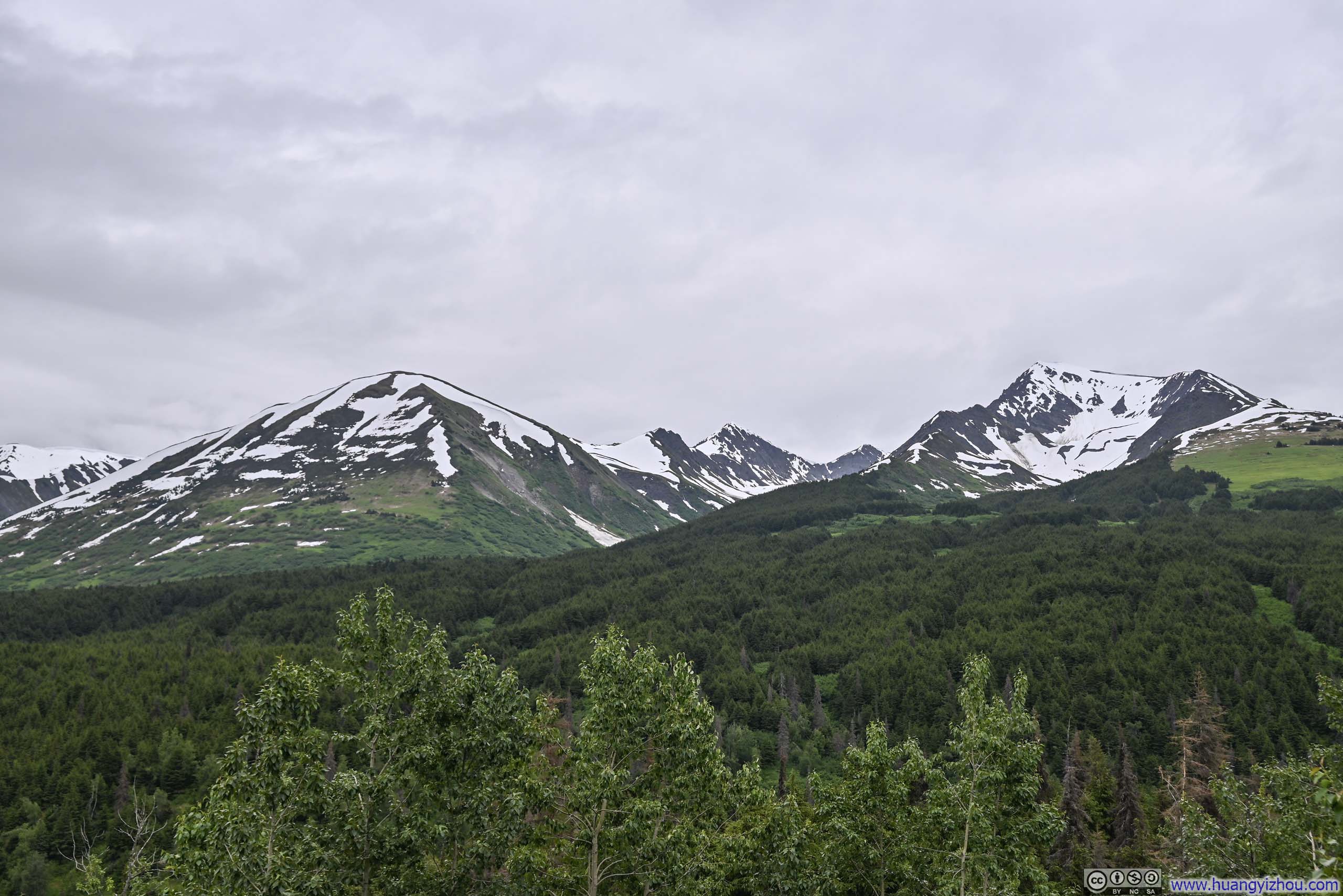
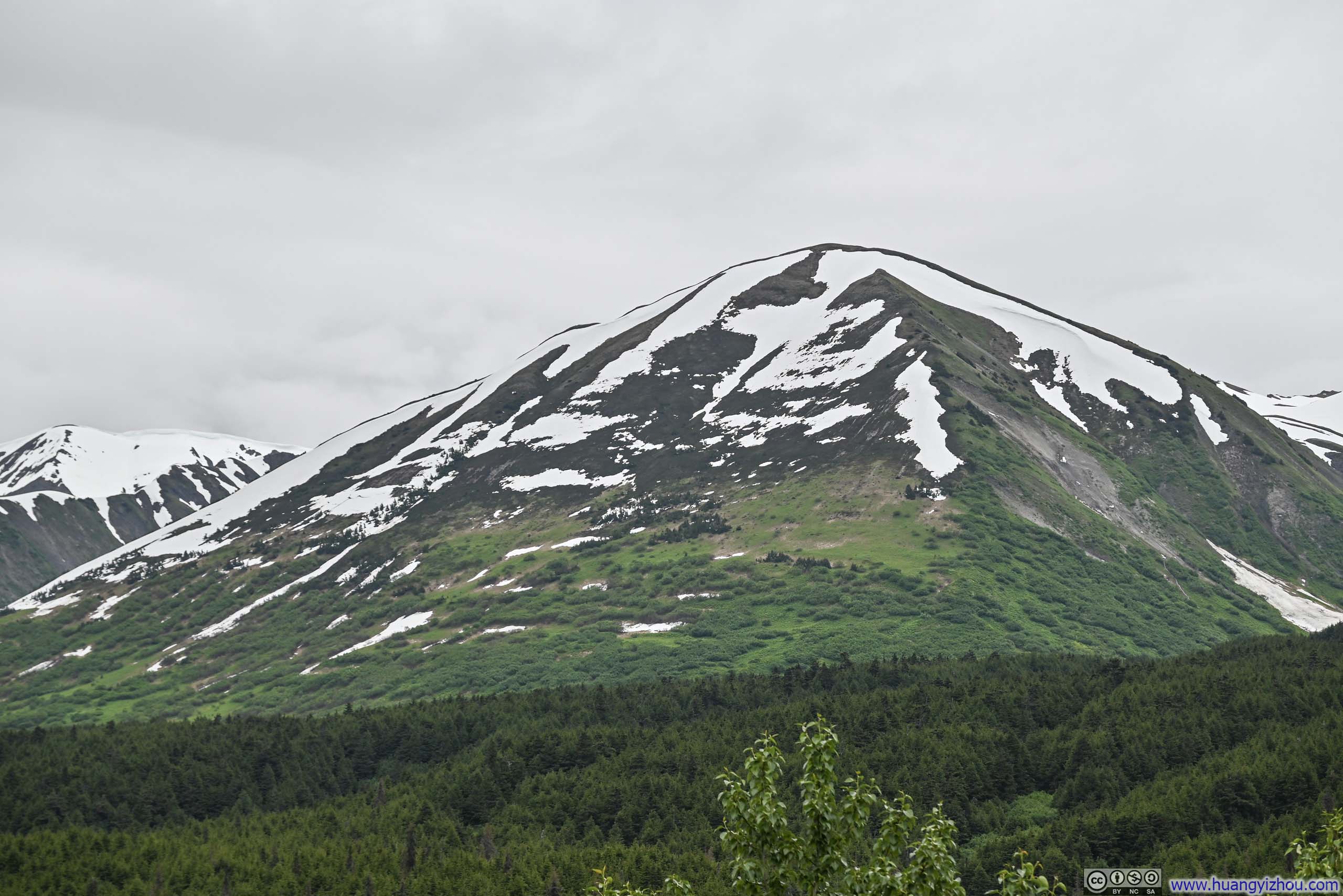
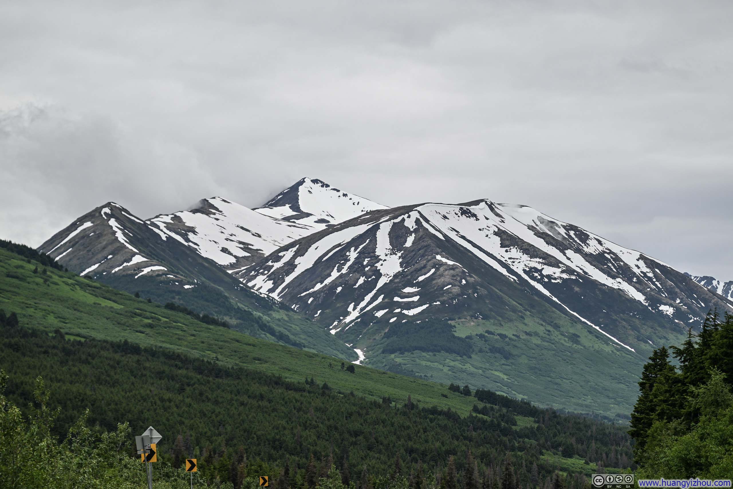
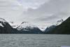
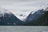
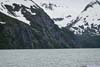
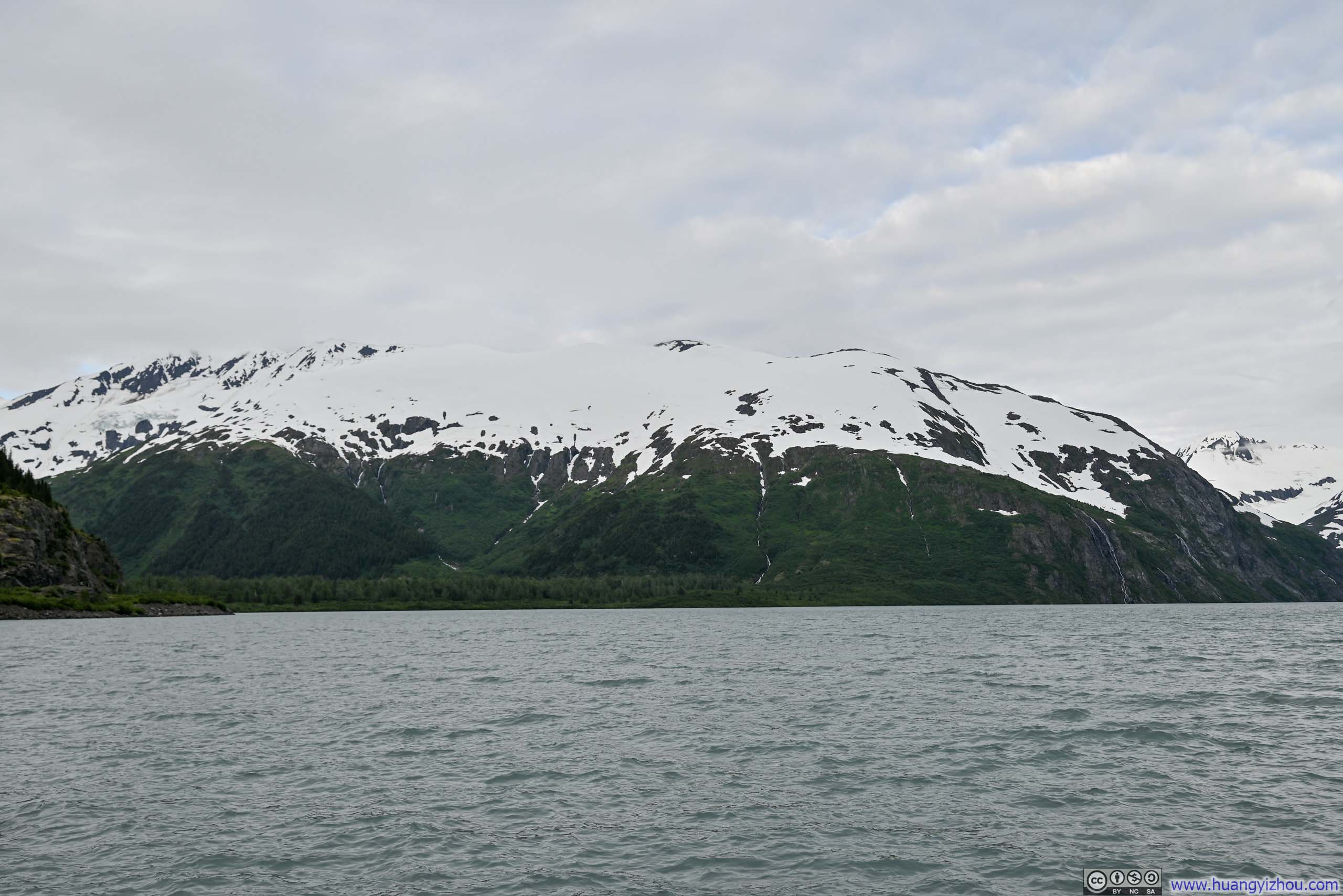
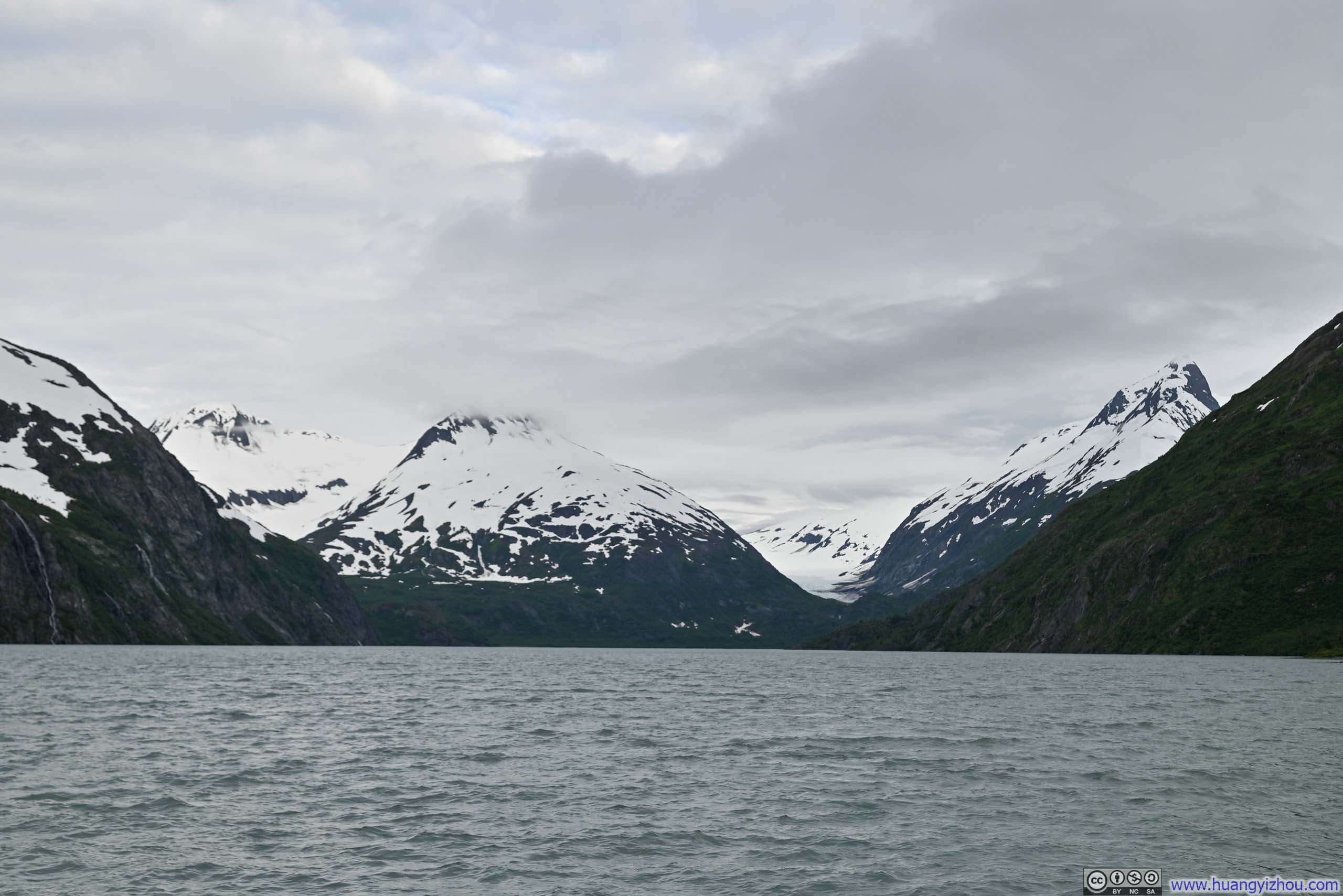
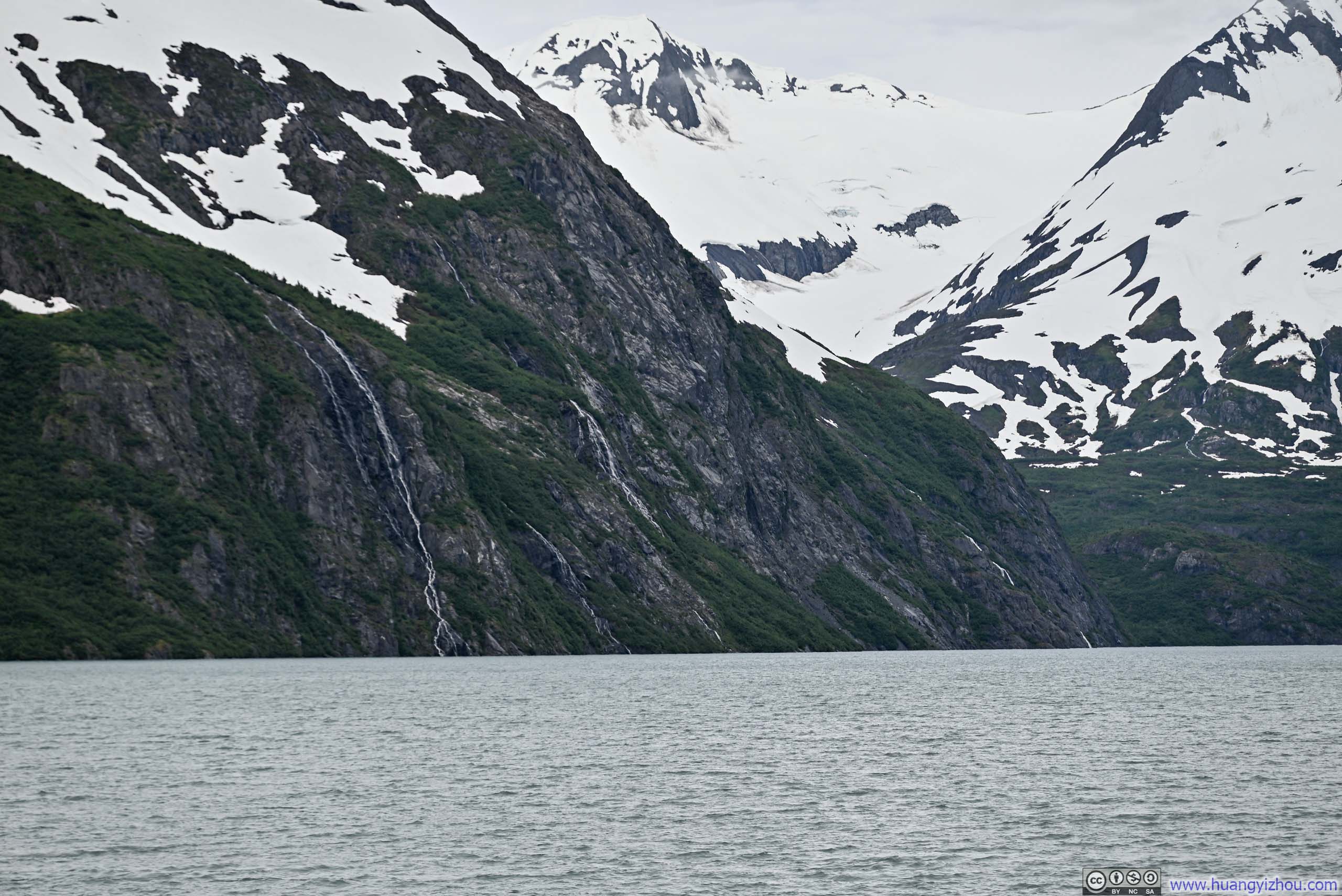
On my way to Russian River, I made a brief stop at a roadside turnout near the confluence of Twentymile River and Turnagain Arm (mainly that I didn’t have to be stuck behind some slow traffic). Despite the low-hanging clouds, an array of snow-crowned peaks emerged across the serene waters of Turnagain Arm, their white summits piercing through the mist like silent sentinels.
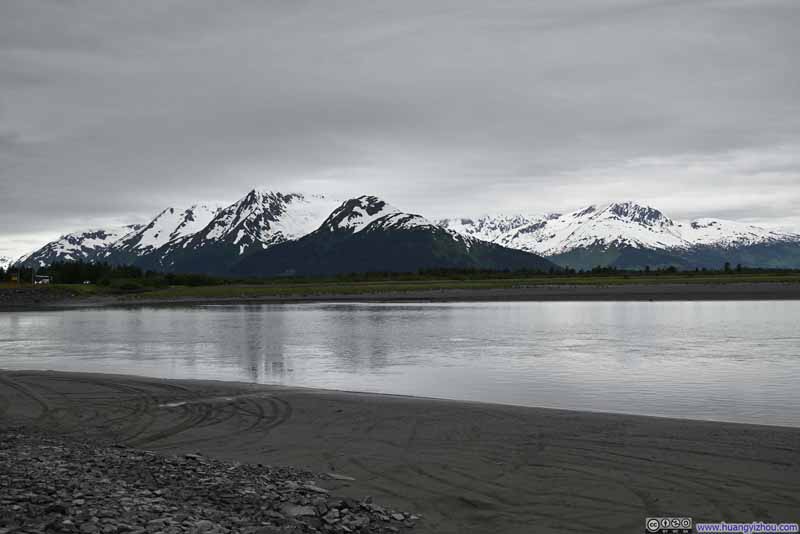 Mountains across Turnagain Arm
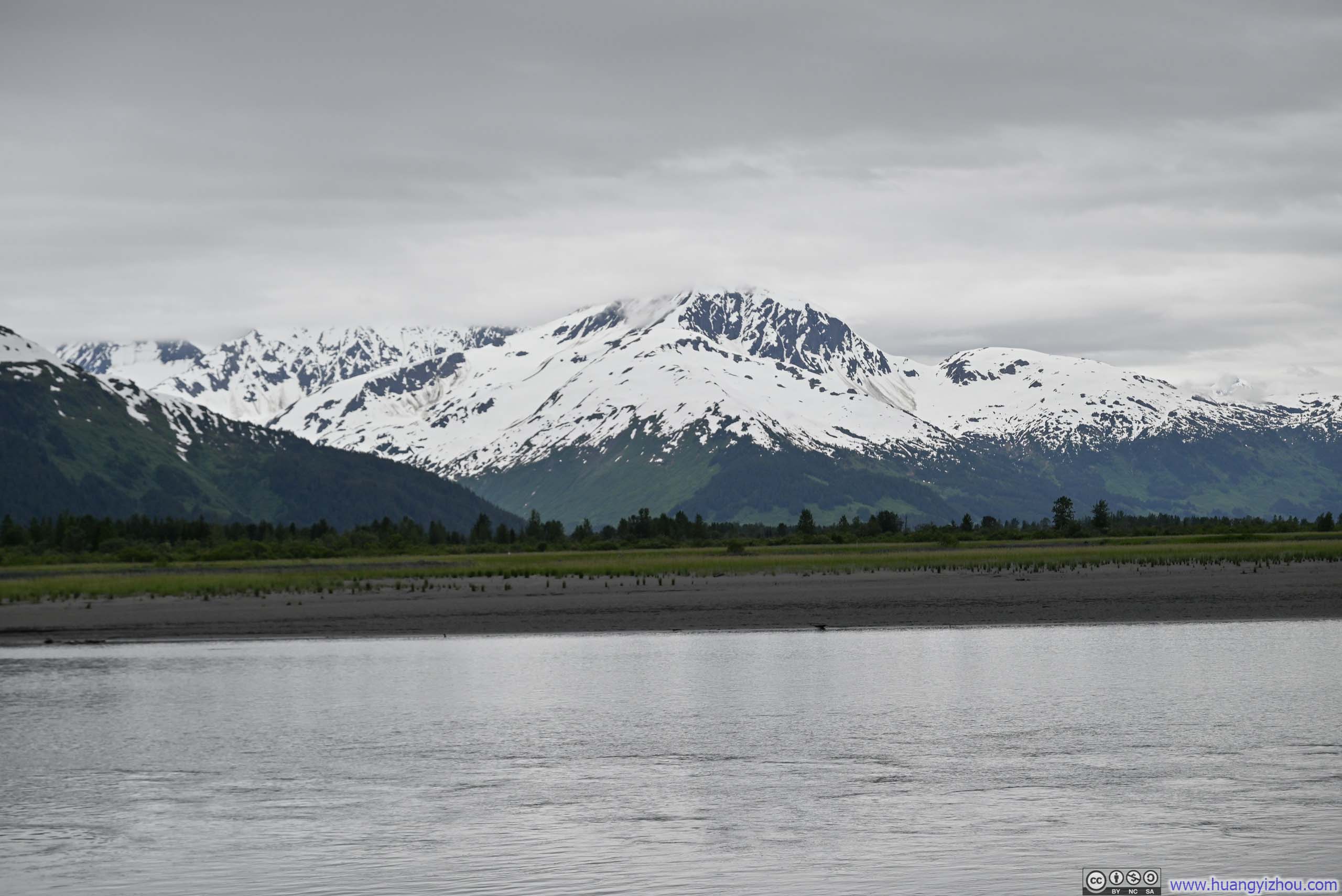
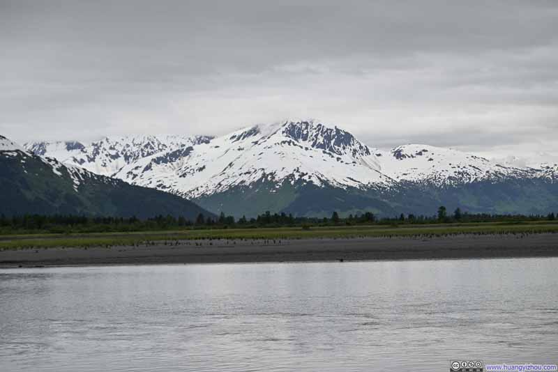 Snowy Mountains
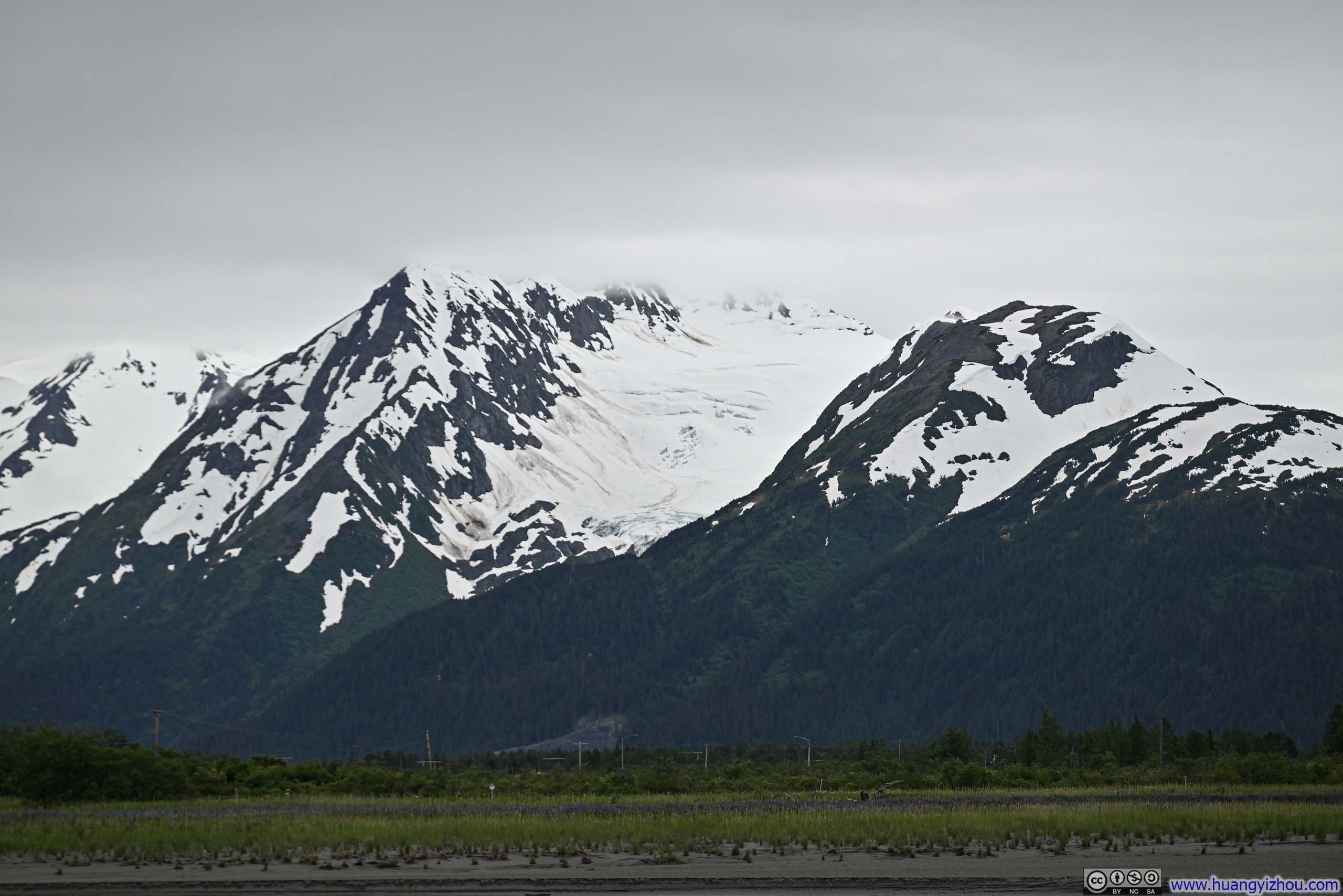
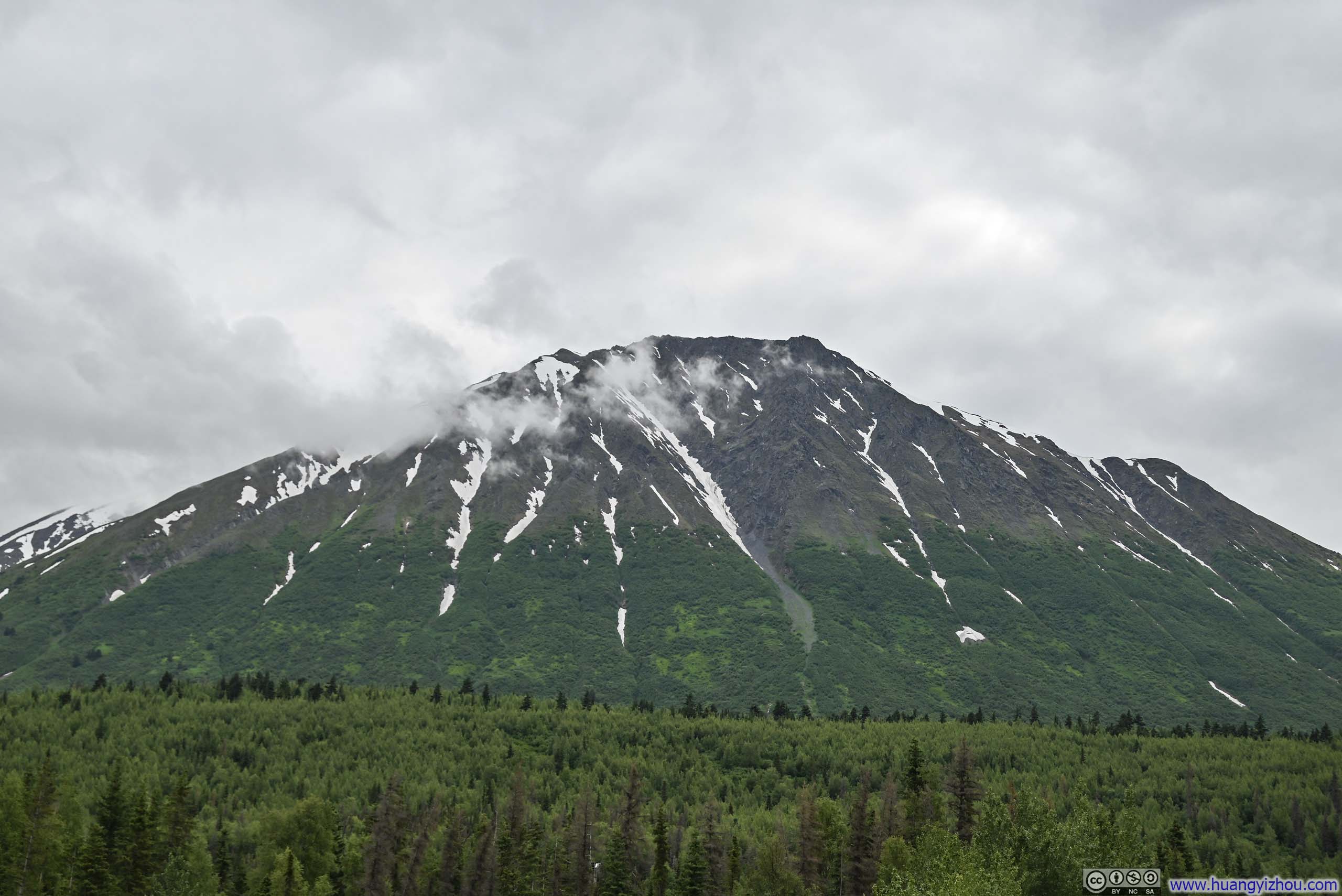
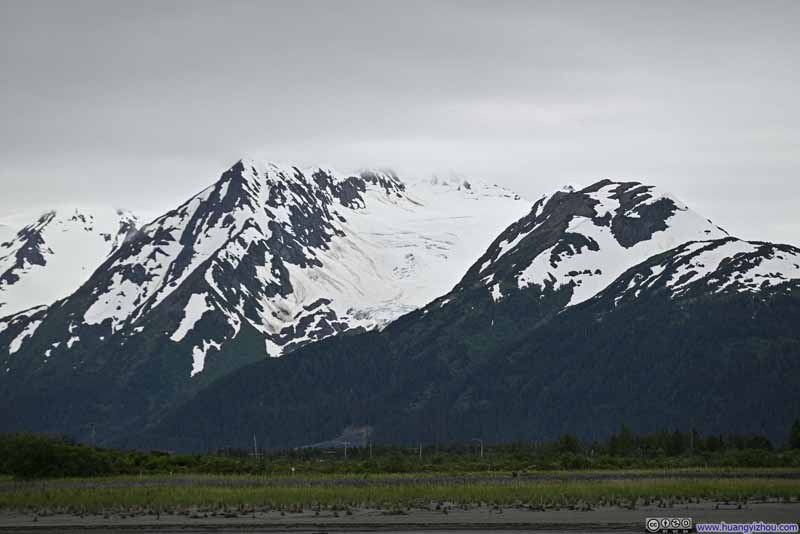 Explorer Peak with Glacier
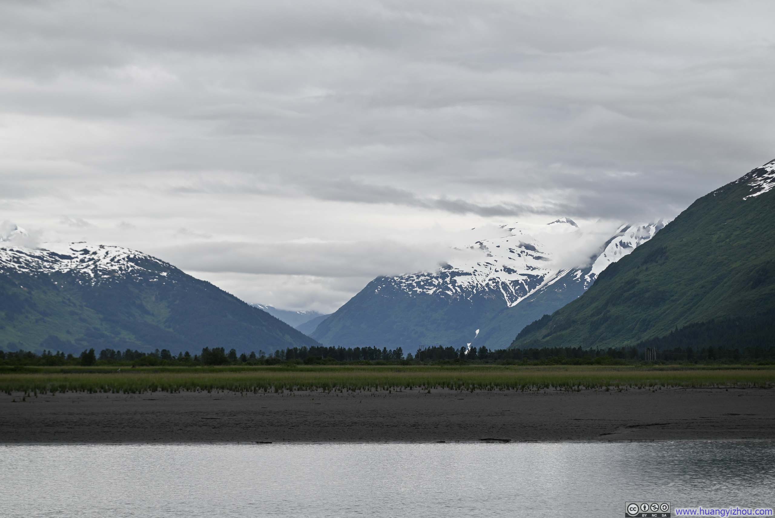
 Placer River Valley
 Mountains across Turnagain Arm

Click here to display photos near the Confluence of Twentymile River and Turnagain Arm.
Mountains across Turnagain Arm
Snowy Mountains
Explorer Peak with Glacier
Placer River Valley
Mountains across Turnagain Arm
Mountains across Turnagain Arm
Russian River
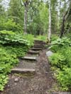
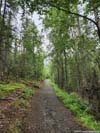
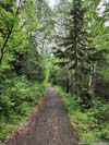
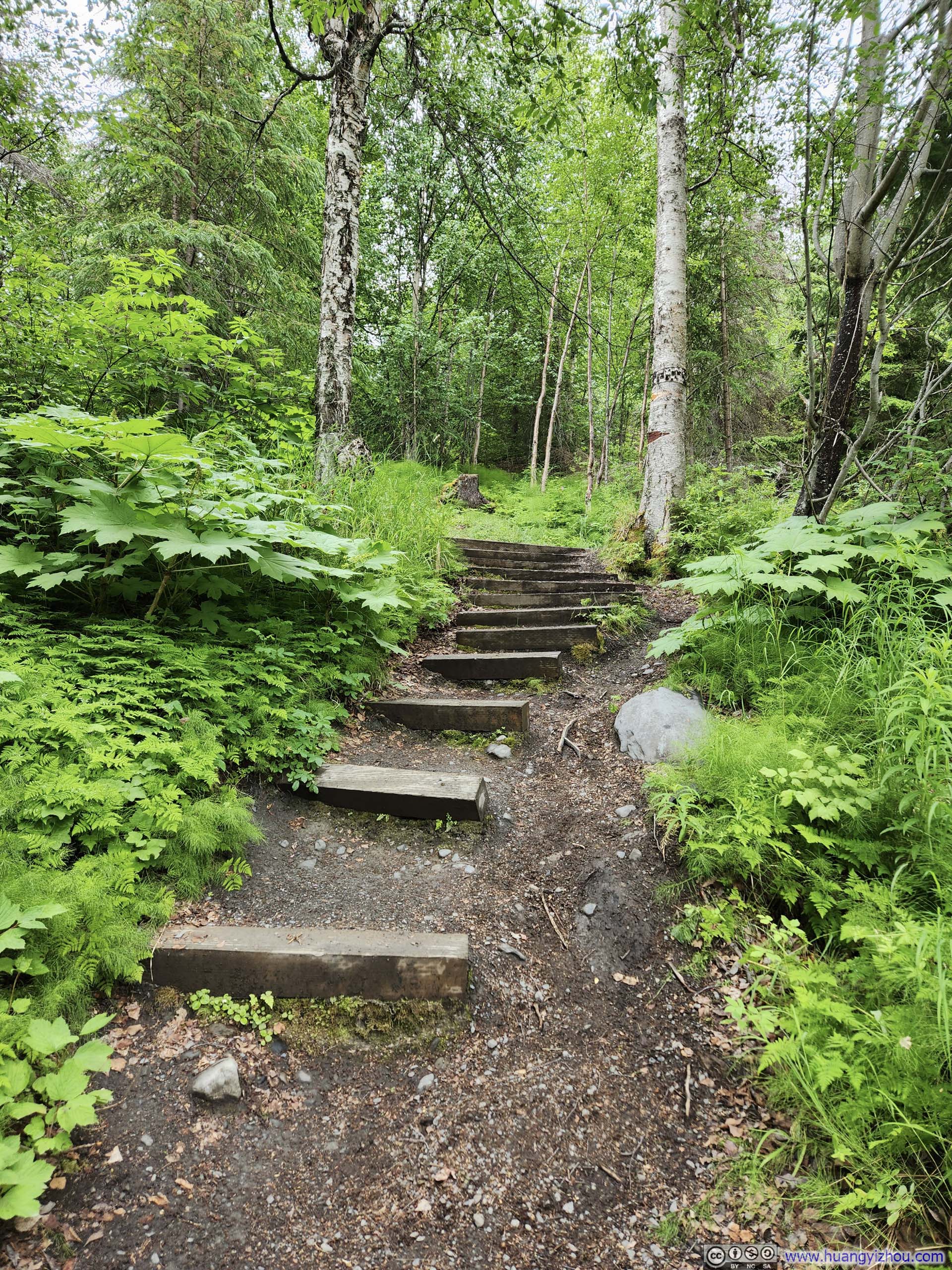
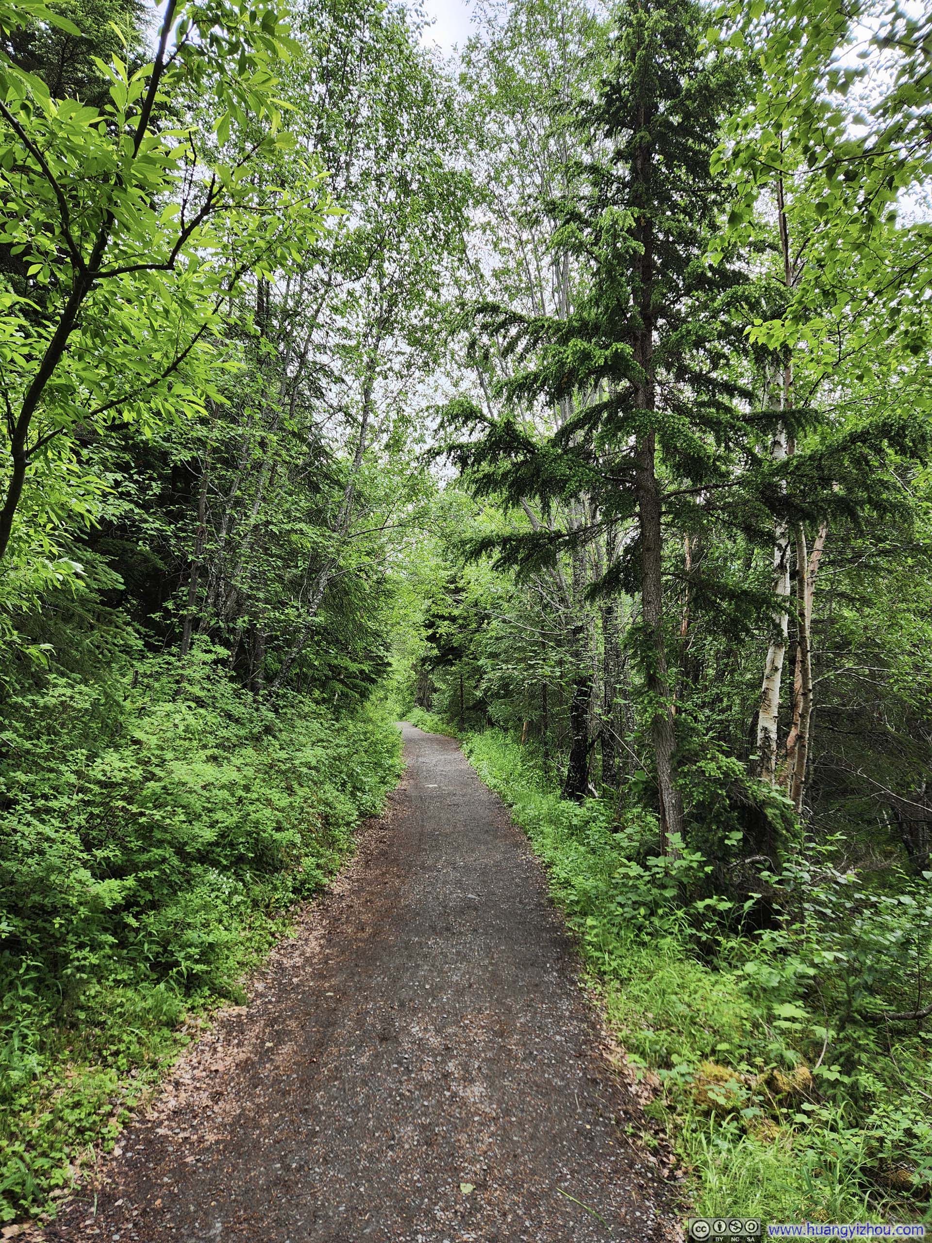
It’s a 3.8km (2.4mi) walk in the woods to reach the viewing platform along Russian River. The trail was wide and in good condition, hence the walk wasn’t remarkable.
 Trail
Trail Trail
Trail Trail
Trail Trail
Trail

Click here to display photos of the slideshow
Trail

Trail

Trail
Trail
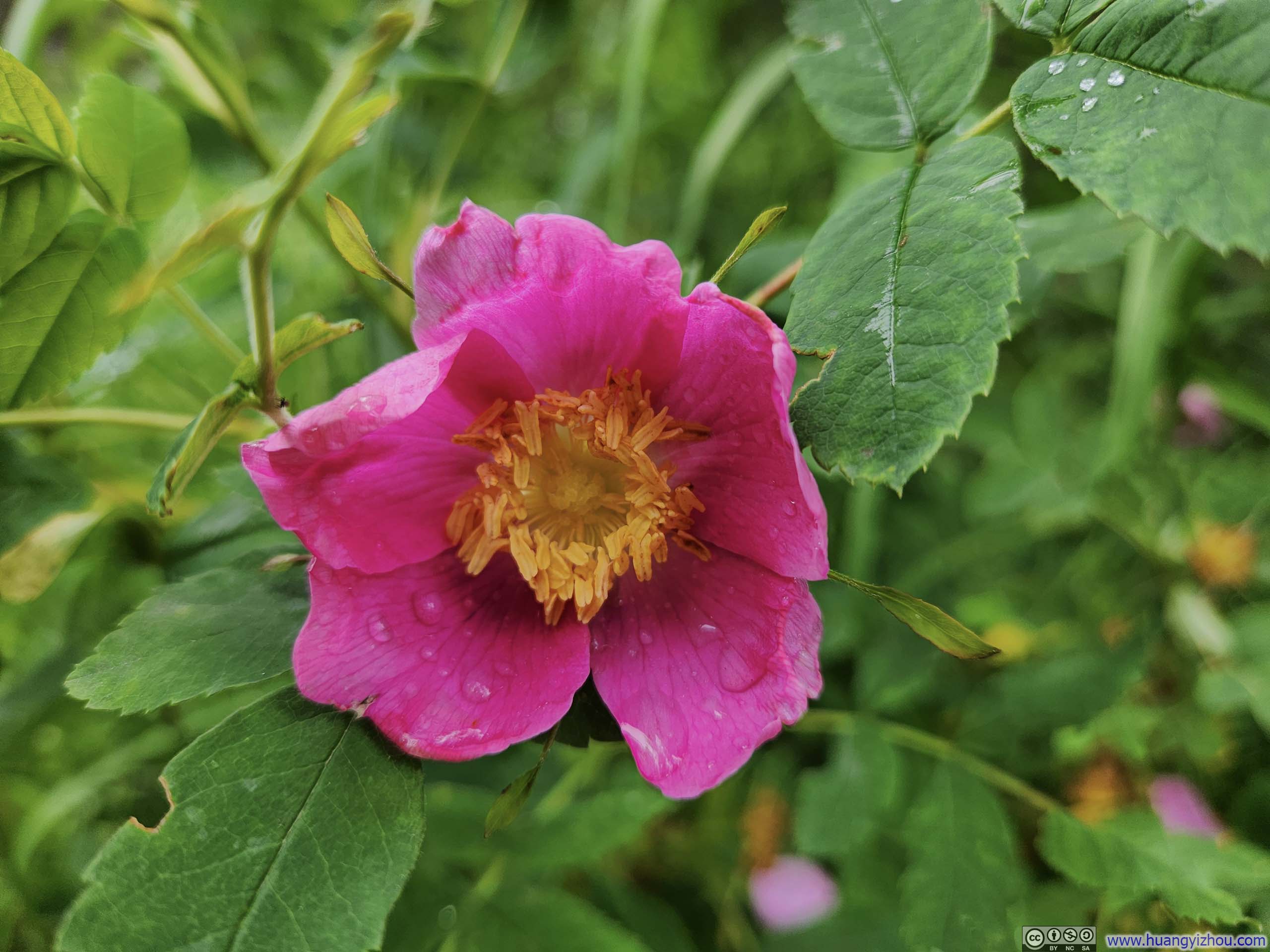
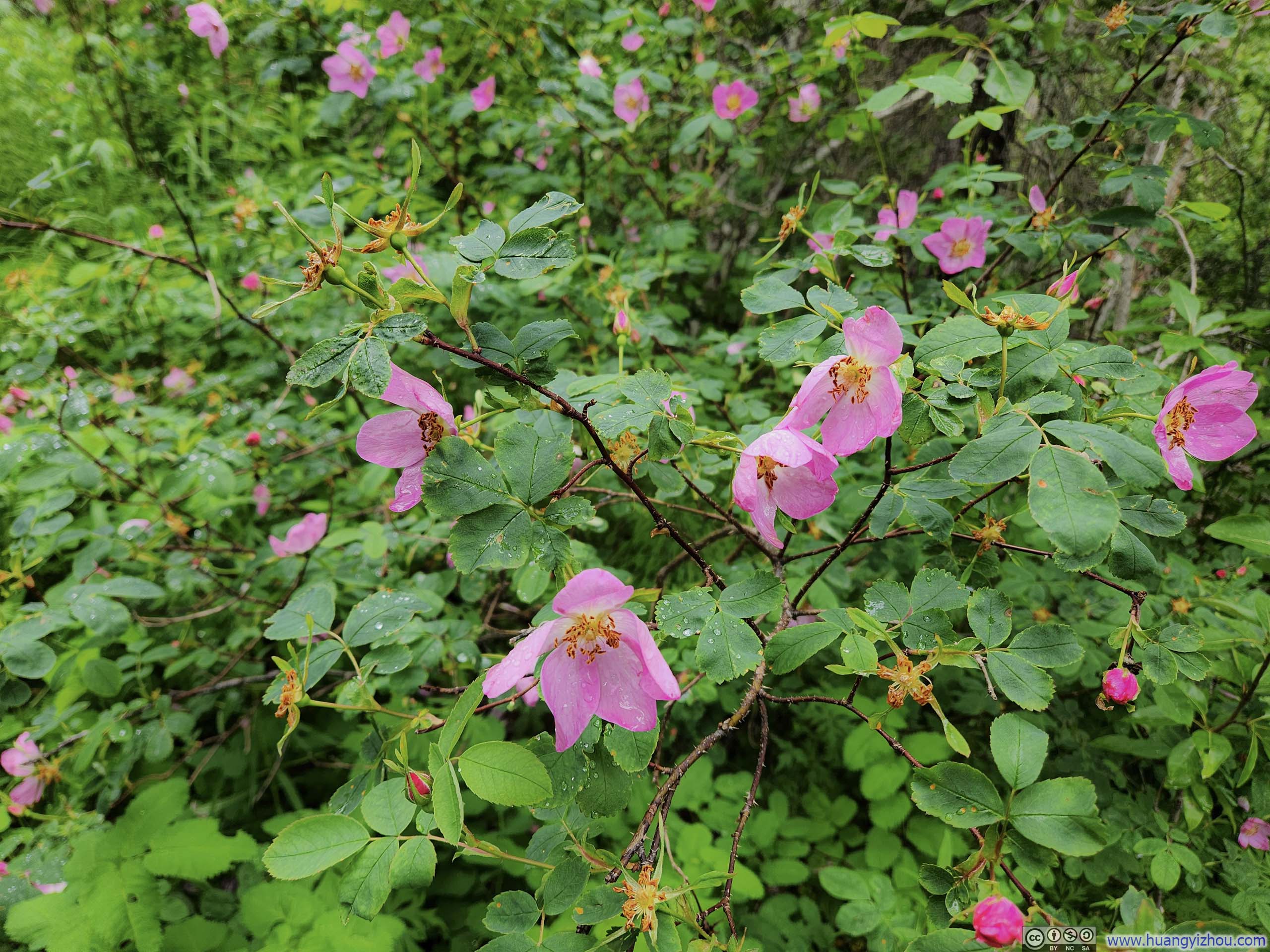 Flowers
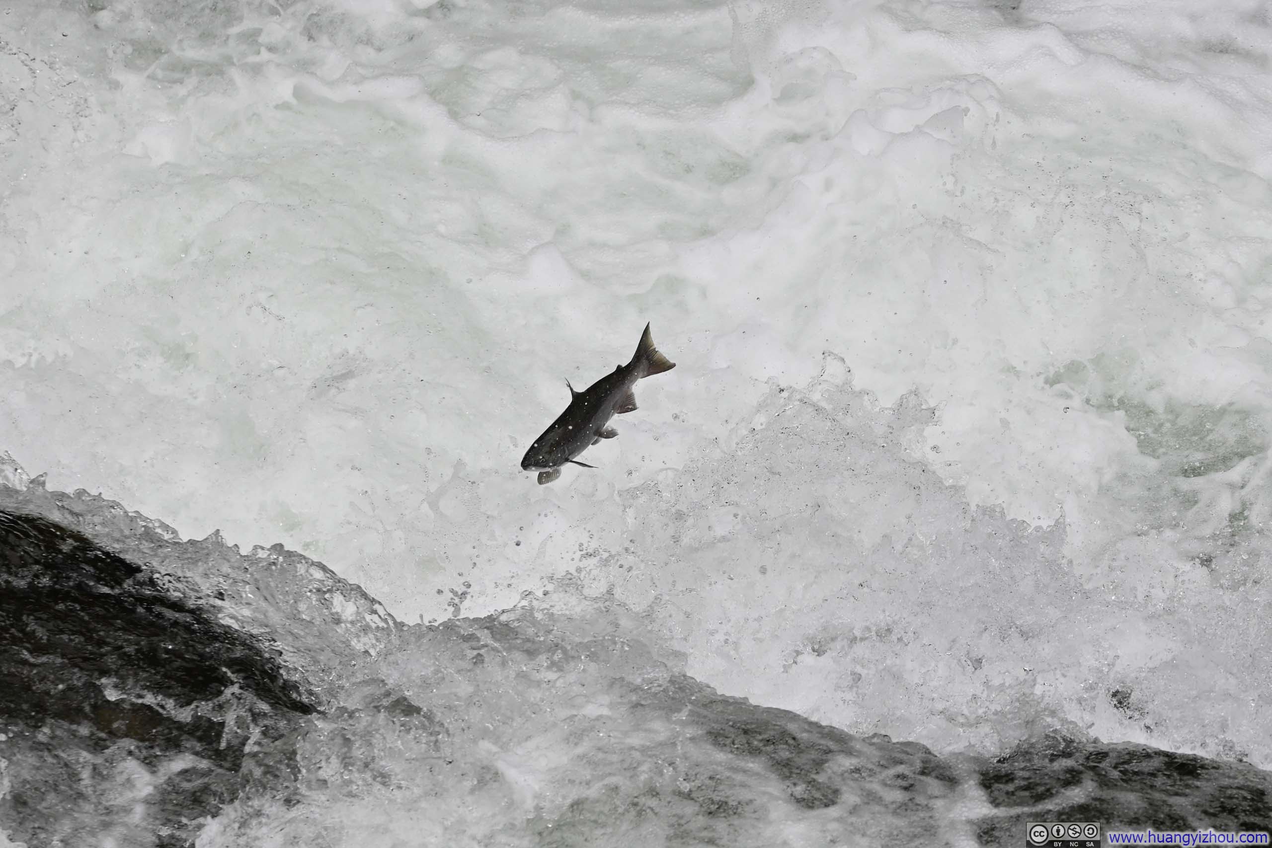
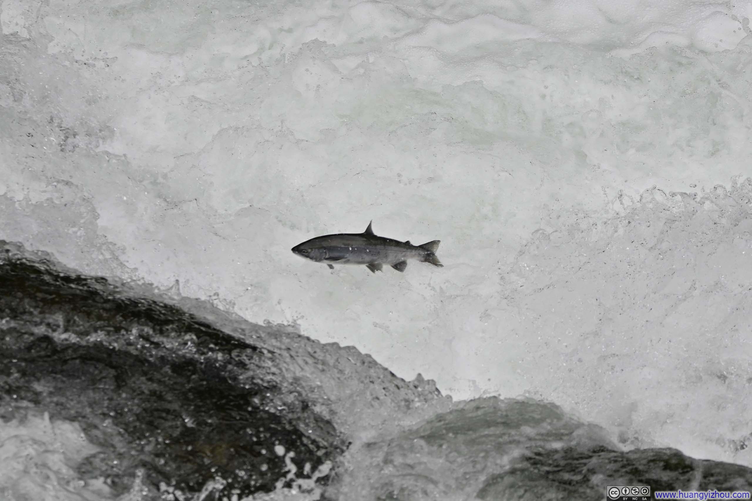
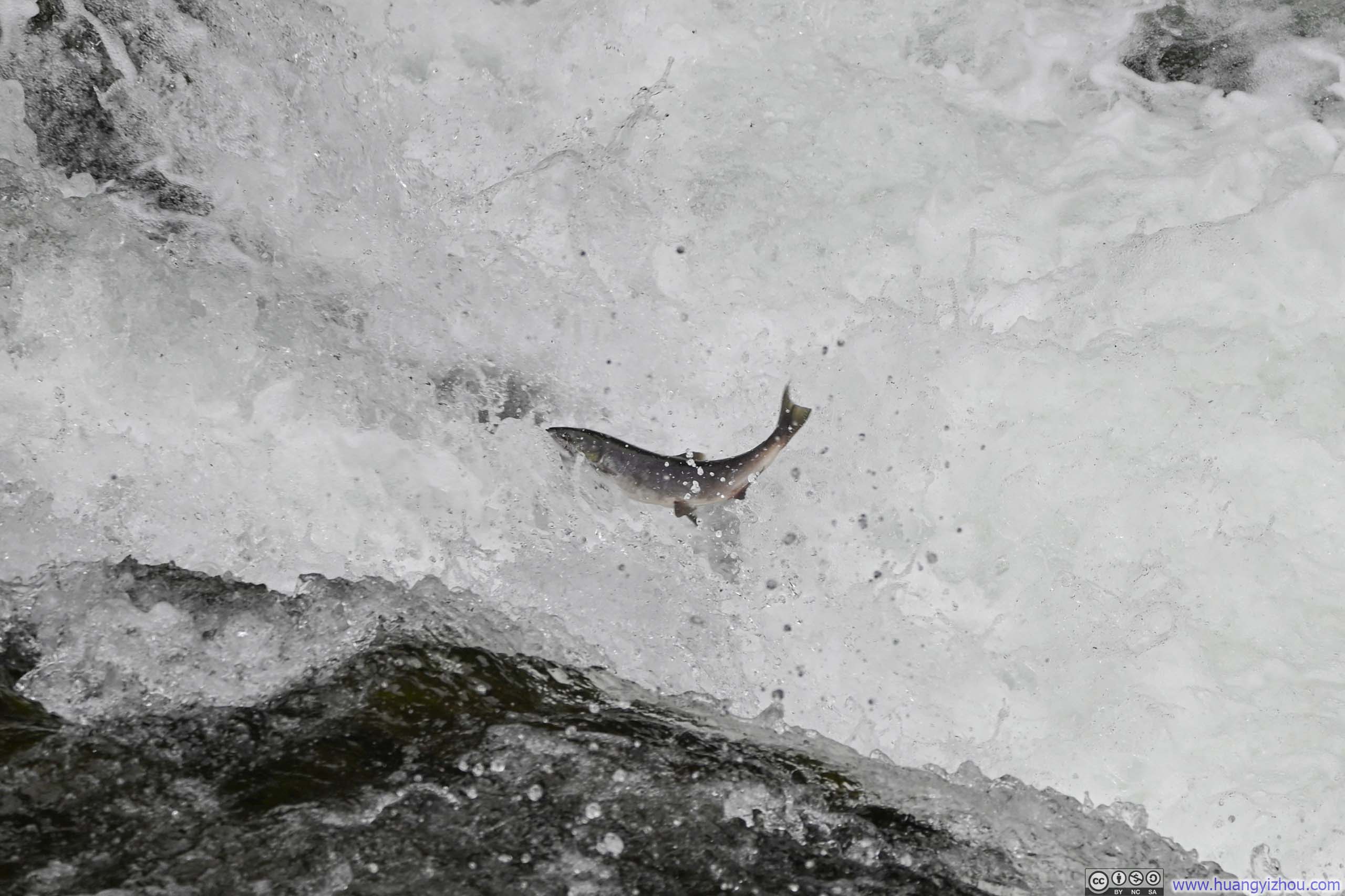
Luckily, I envisioned the need for salmon spotting from the poor weather forecast before I left for Alaska, and packed a 150-600mm lens, which turned out to be quite handy at the viewing platform. However, despite having applied repellent early on, swarms of bugs at the site considerably detracted from the otherwise pleasant experience.
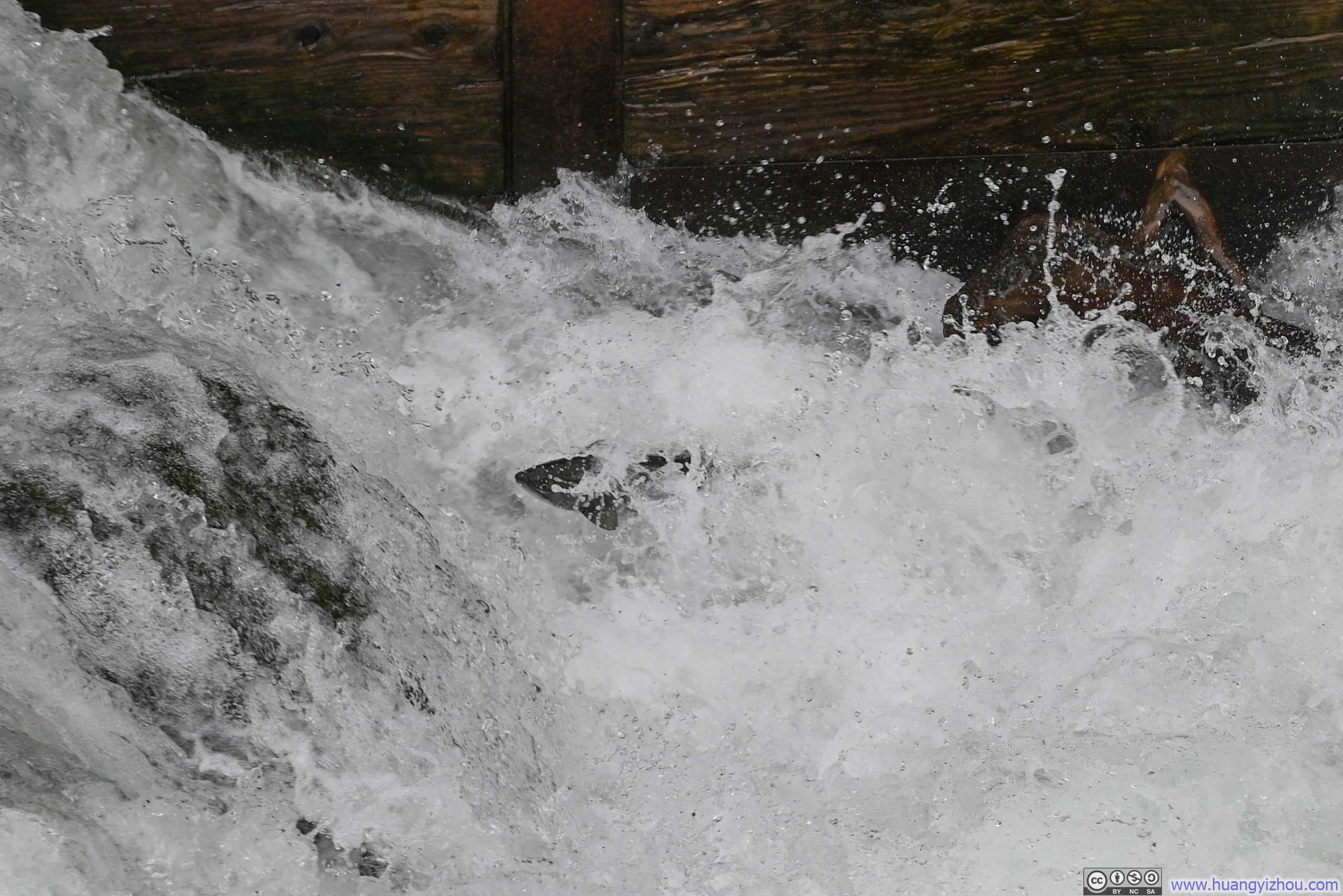
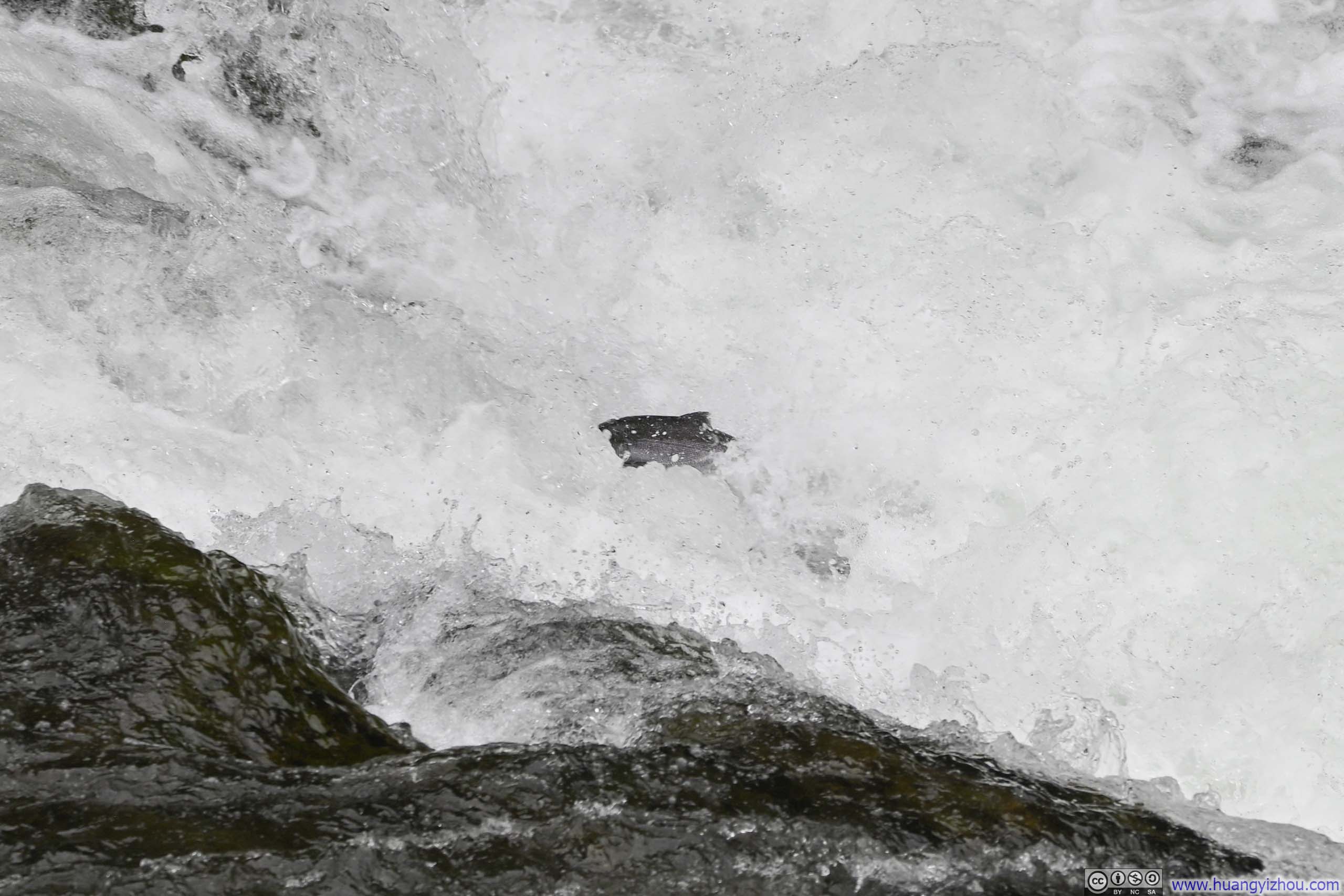
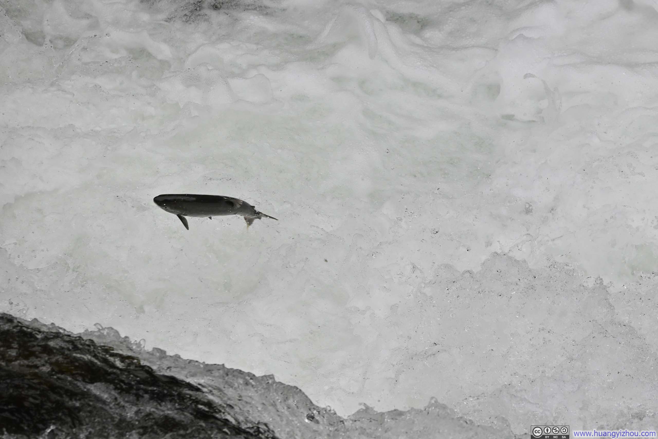
As for the salmons, I felt there was a series of fish ladders constructed to bypass the currents, otherwise, the torrents and waterfalls presented seemingly insurmountable obstacles for the migrating fish. According to my observation, the salmons weren’t very good at jumping the waterfalls, I witnessed several individuals making repeated but futile attempts at the same waterfall. (It could also be selection bias, as I visited late in the salmon run season, when perhaps only the less athletically gifted specimens remained to make their arduous journey upstream.)
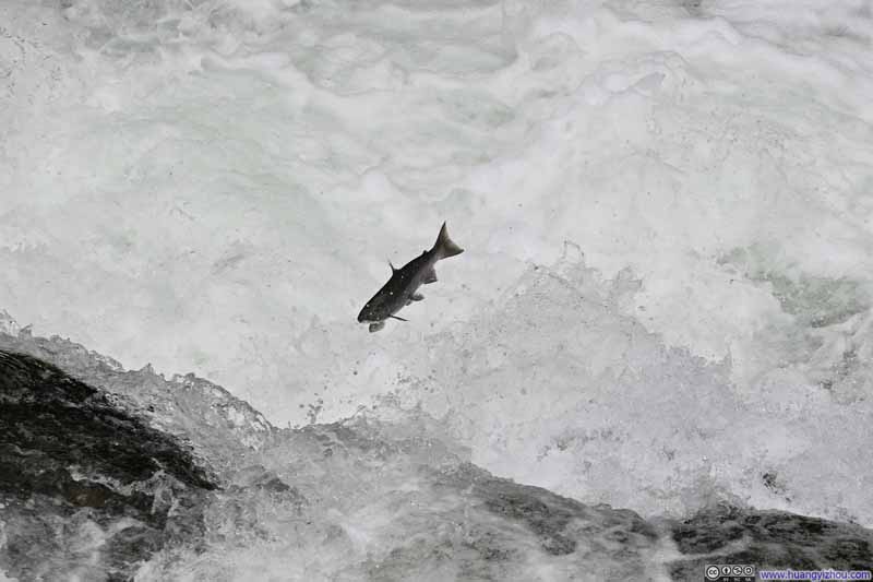 Salmon Jumping a Fall
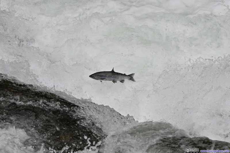 Salmon Jumping a Fall
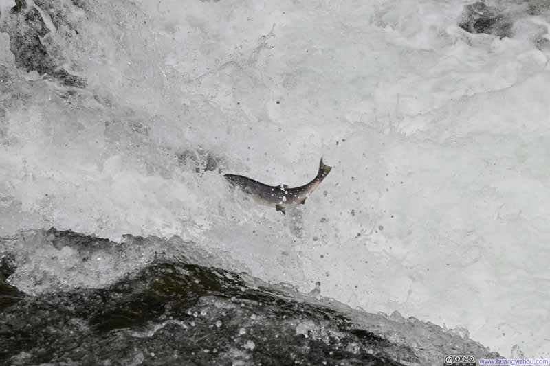 Salmon Jumping a Fall
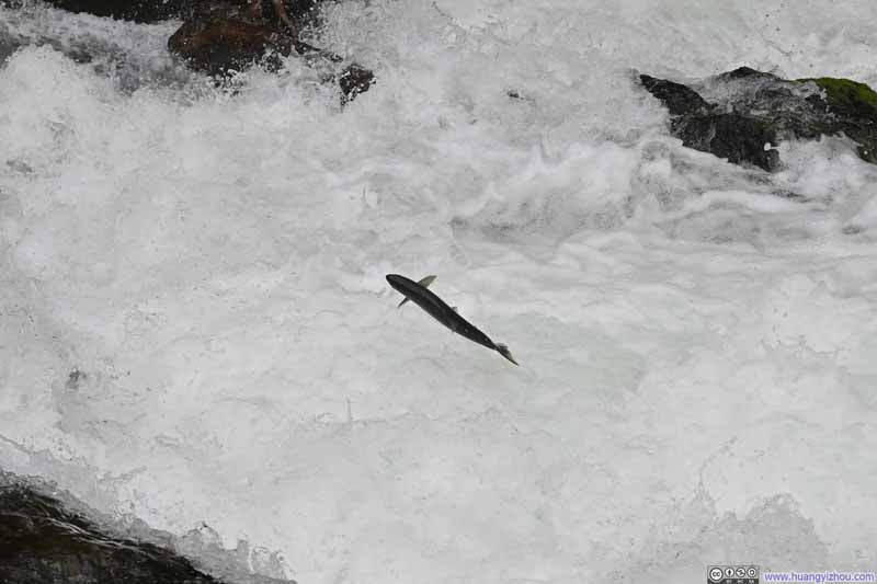 Salmon Jumping a Fall
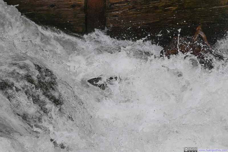 Salmon Jumping a Fall
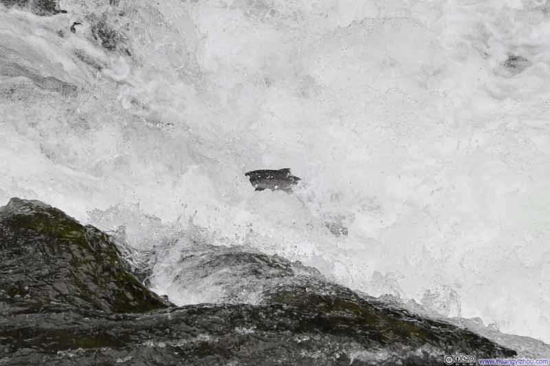 Salmon Jumping a Fall
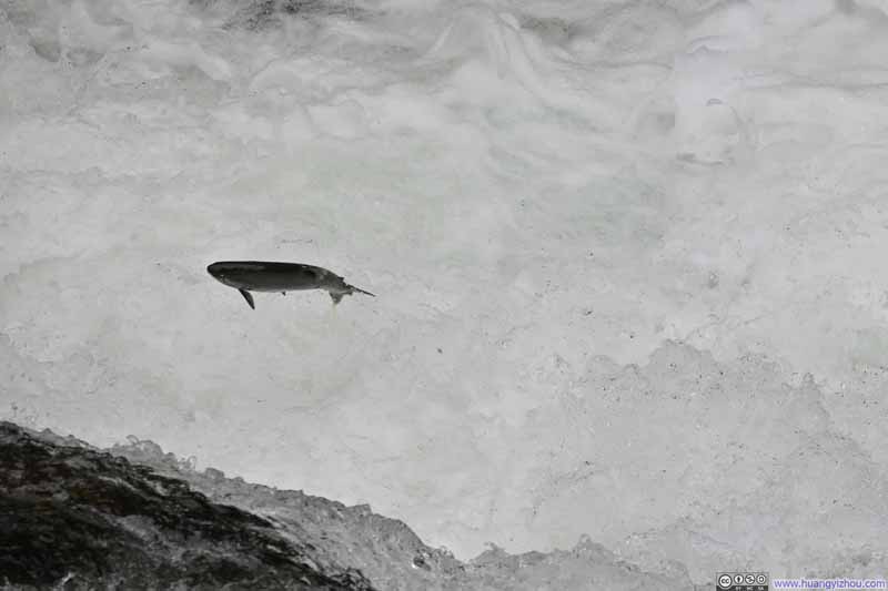 Salmon Jumping a Fall
Click here to display photos of salmons jumping out of water.
Salmon Jumping a Fall
Salmon Jumping a Fall
Salmon Jumping a Fall
Salmon Jumping a Fall
Salmon Jumping a Fall
Salmon Jumping a Fall
Salmon Jumping a Fall
Capturing the fleeting moment when fish leap from the water proved more challenging than anticipated through still photography. (Even so, a friend of mine commented that the fish seemed “Photoshoped”.) Instead, I recorded several video clips and wove them together into this montage:
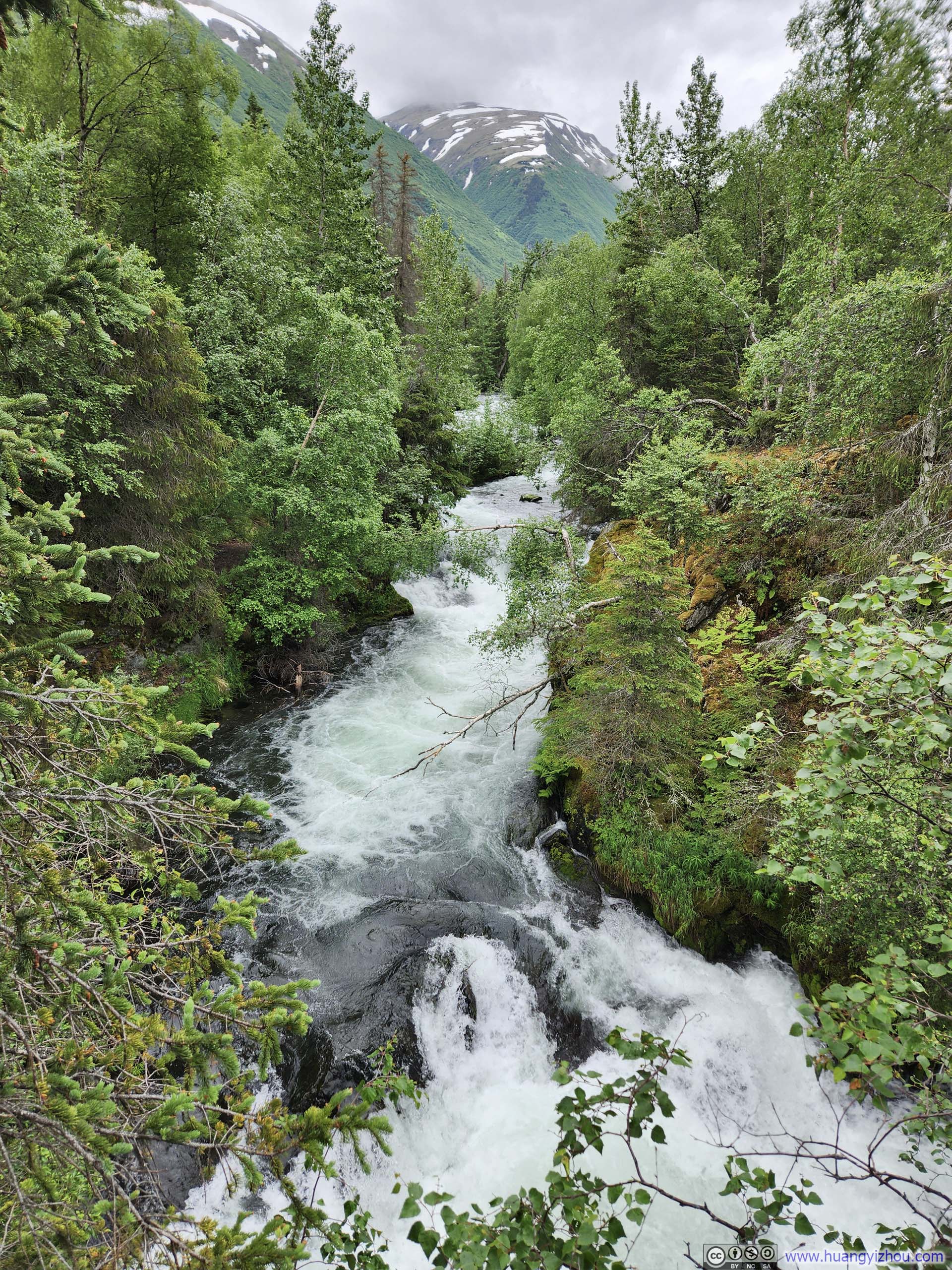
Cascades along Russian River
Since I didn’t have much else planned for the day, I stayed at the viewing platform for more than an hour before making my way back. After that, I had a relatively late lunch before making my way back to Anchorage.
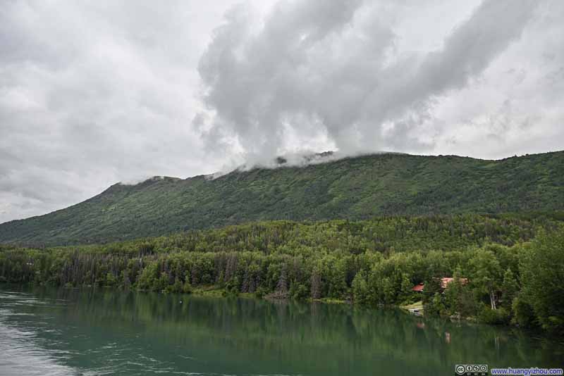
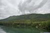
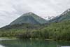
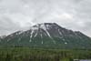
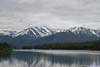
After just a few minutes of driving, I passed the town of Cooper Landing. Nearby, a trail led up to Slaughter Ridge (AllTrails link), promising sweeping views over Kenai Lake when the clouds permitted. Slaughter Ridge was just under 1000m in elevation, about the same height as the cloud ceiling that afternoon. With Alaska’s generous daylight hours, I figured I had enough energy left in me to make an attempt at it, even after the earlier hike to the salmon viewing platform at Russian River. Yet the capricious clouds hung low and shifting, and I was reluctant to gamble my efforts against such uncertain rewards. Instead, I sought out several pullouts along Kenai Lake’s shore, where I lingered to appreciate the views that were offered.
 Slaughter Ridge
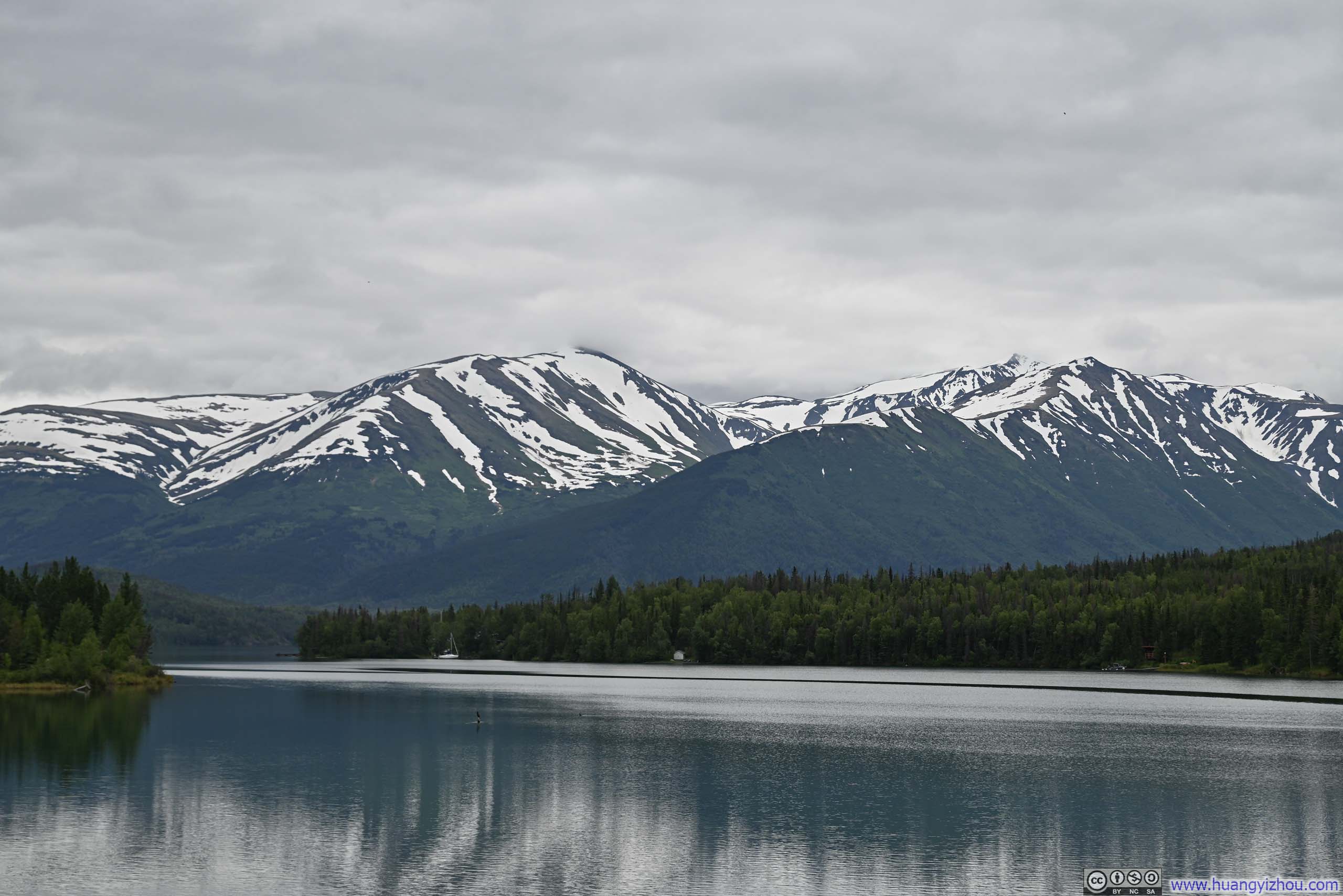
 Round Mountain beyond Kenai Lake
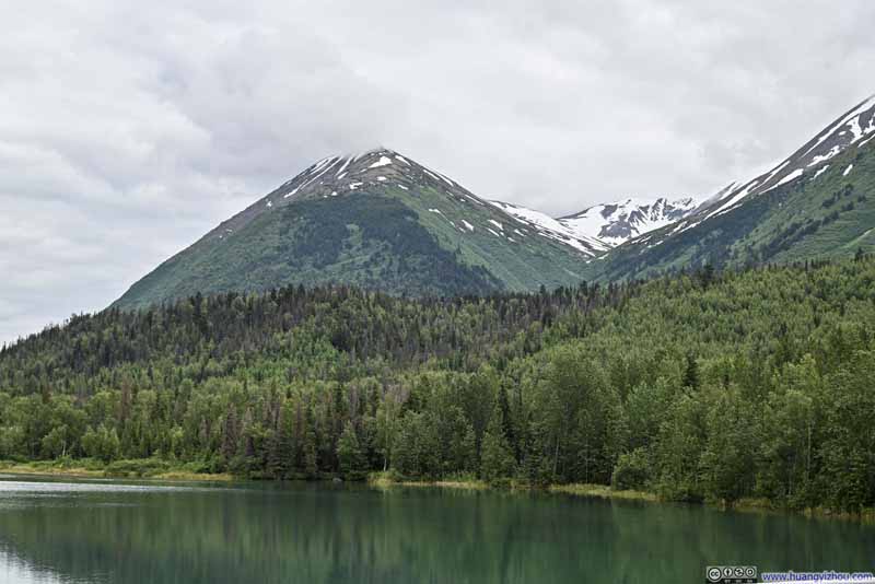 Snowy Mountains
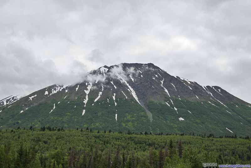 Cecil Rhode Mountain
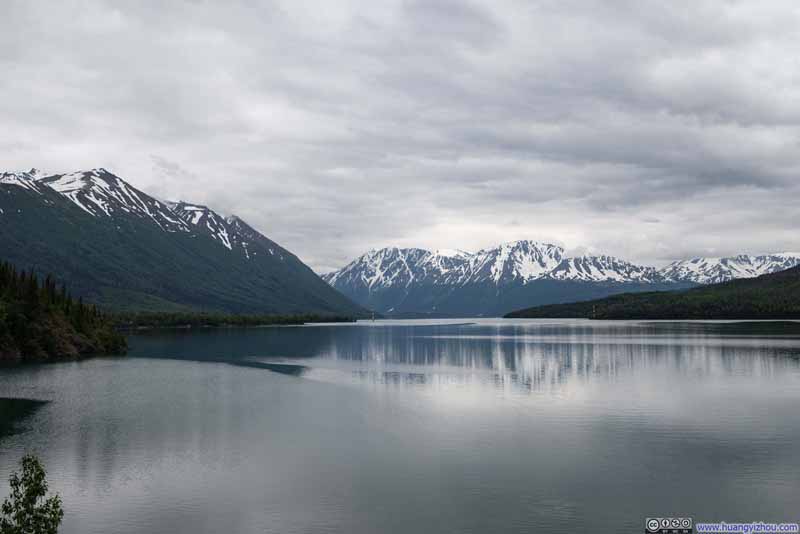
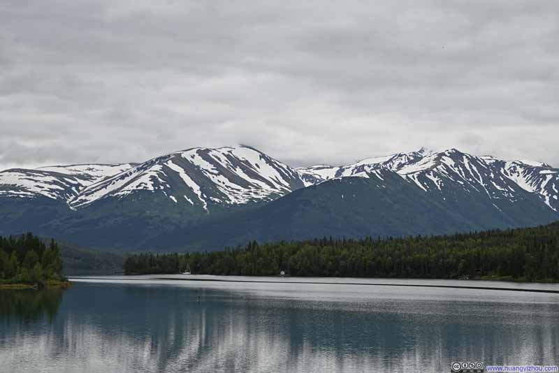 Right Mountain and Axis Peak across Kenai Lake
Click here to display photos of the slideshow
Slaughter Ridge
Round Mountain beyond Kenai Lake
Snowy Mountains
Cecil Rhode Mountain
Right Mountain and Axis Peak across Kenai Lake
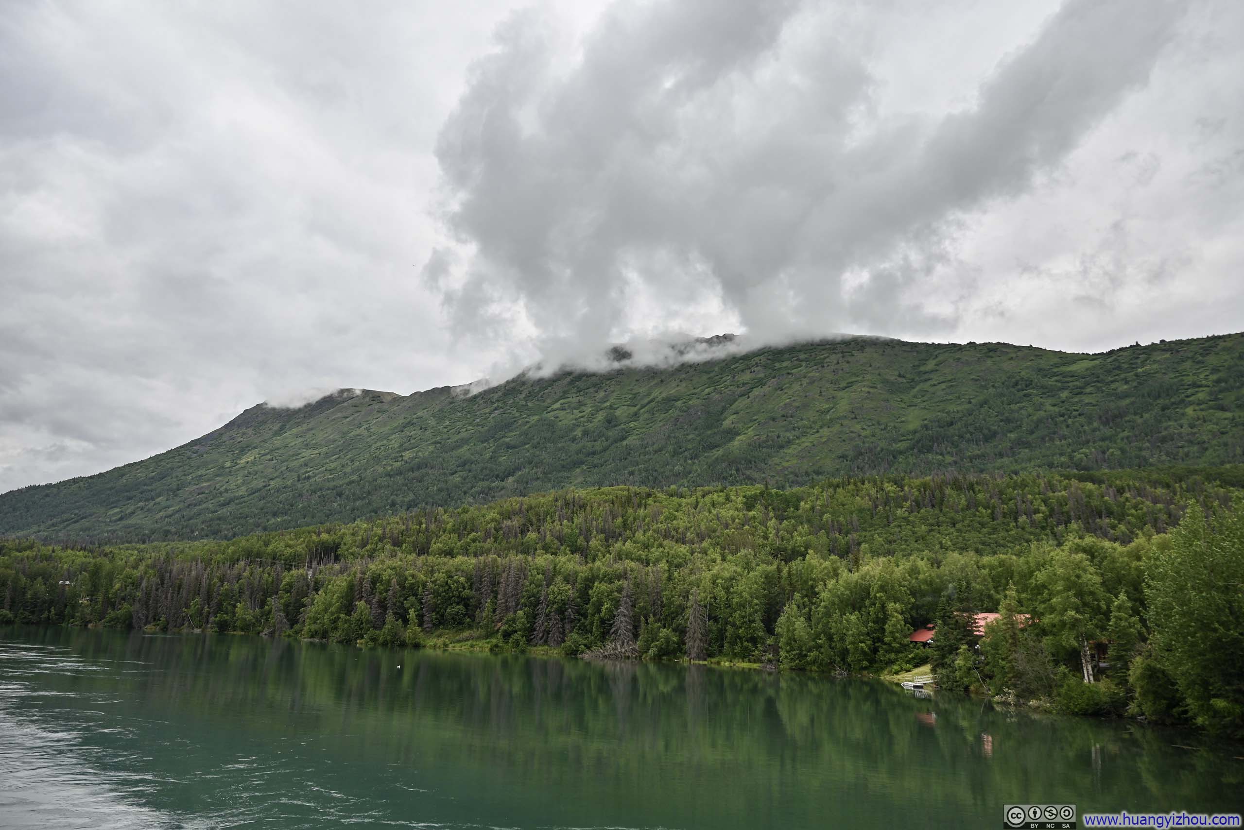
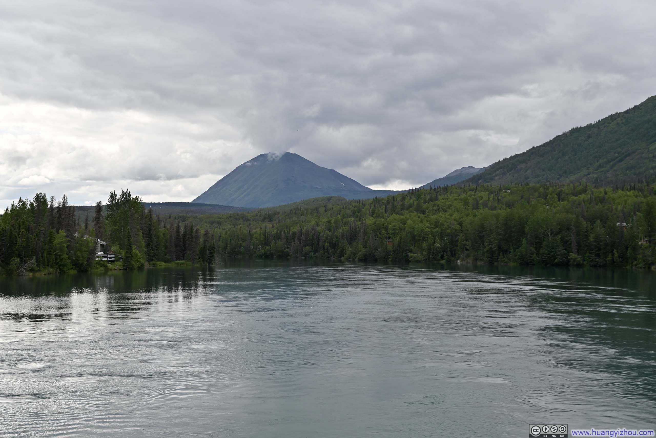
Below were the photos I captured from a small peninsula, located a few steps away from an inconspicuous turnout, where the views were a stark contrast to the plain and unmarked parking lot, and more than justified the brief bushwhacking required to reach this hidden vantage point.
 Mountains around Kenai Lake
 Mountains along Kenai Lake
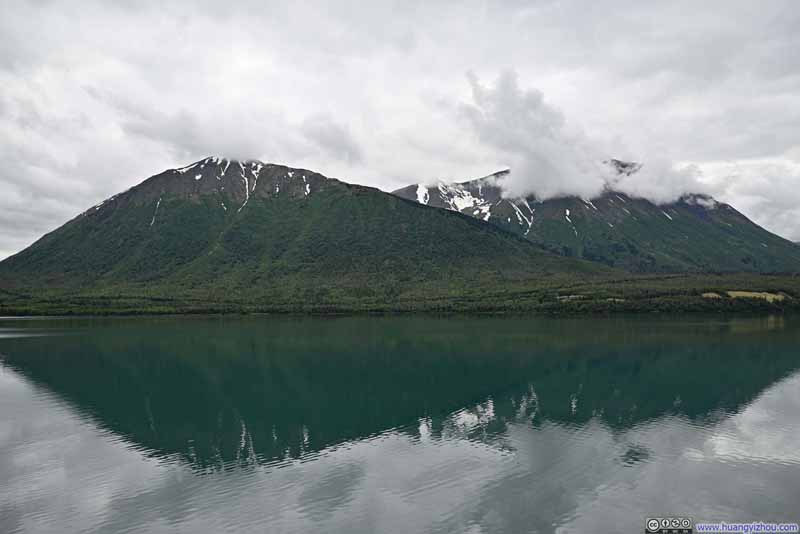 Mountains across Kenai LakeCecil Rhode Mountain on the right.
 Kenai Lake

Click here to display photos of the slideshow
Mountains around Kenai Lake

Mountains along Kenai Lake
Mountains across Kenai LakeCecil Rhode Mountain on the right.

Kenai Lake
Kenai Lake
6 seconds, 2160p60fps, 21Mbps/17MB for H265 and H264.
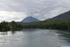
Additionally, there was this group of snow-capped mountains lining the side of Seward Highway, captured on my way back. (Somehow, only one of them was named.)
 Snowy Mountains
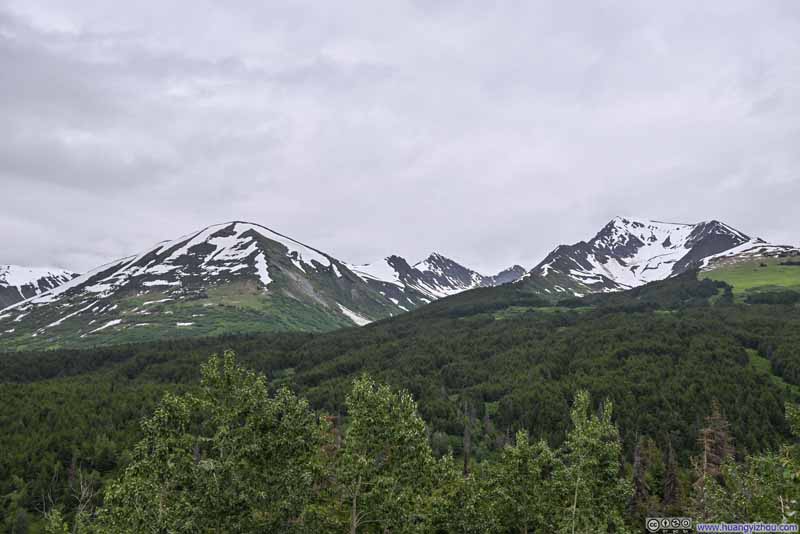 Snowy Mountains
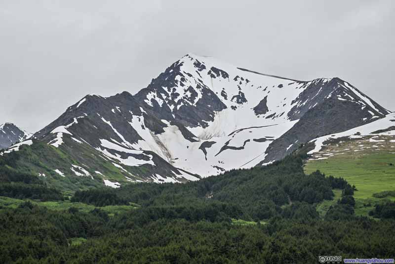 Silvertip Mountain
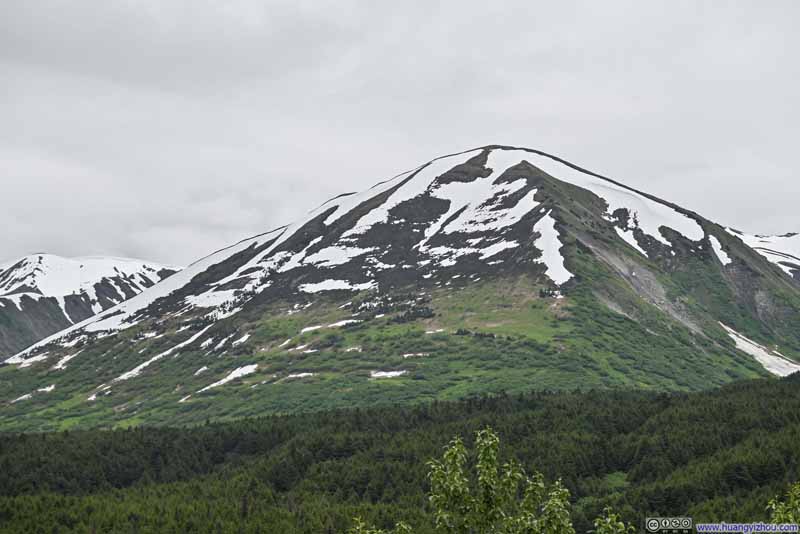 Snowy Mountains
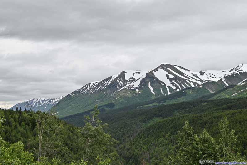 Snowy Mountains
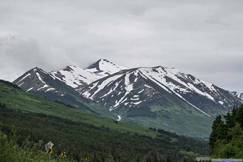 Snowy Mountains
Click here to display photos of the slideshow

 Snowy Mountains

Silvertip Mountain

 Snowy Mountains
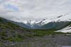
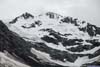
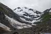
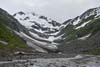
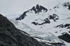
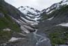
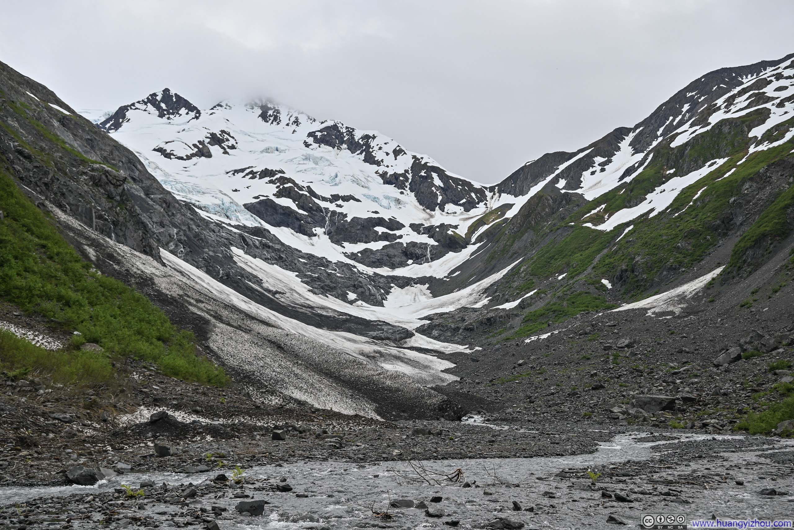
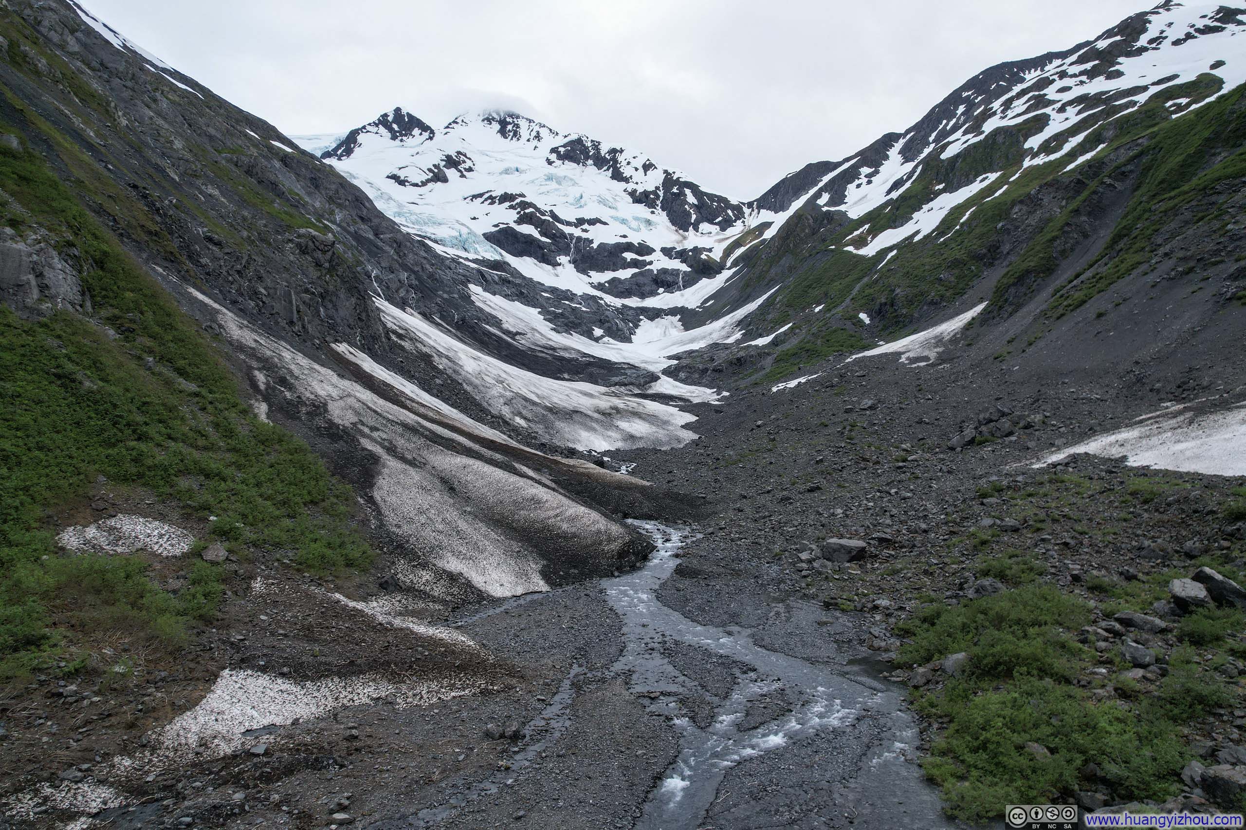
Byron Glacier
By the time I arrived at the Byron Glacier parking lot, it was 6:30pm, with only a handful of visitors remaining.
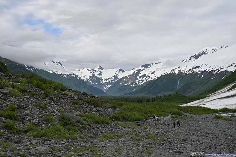
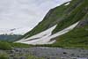
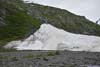
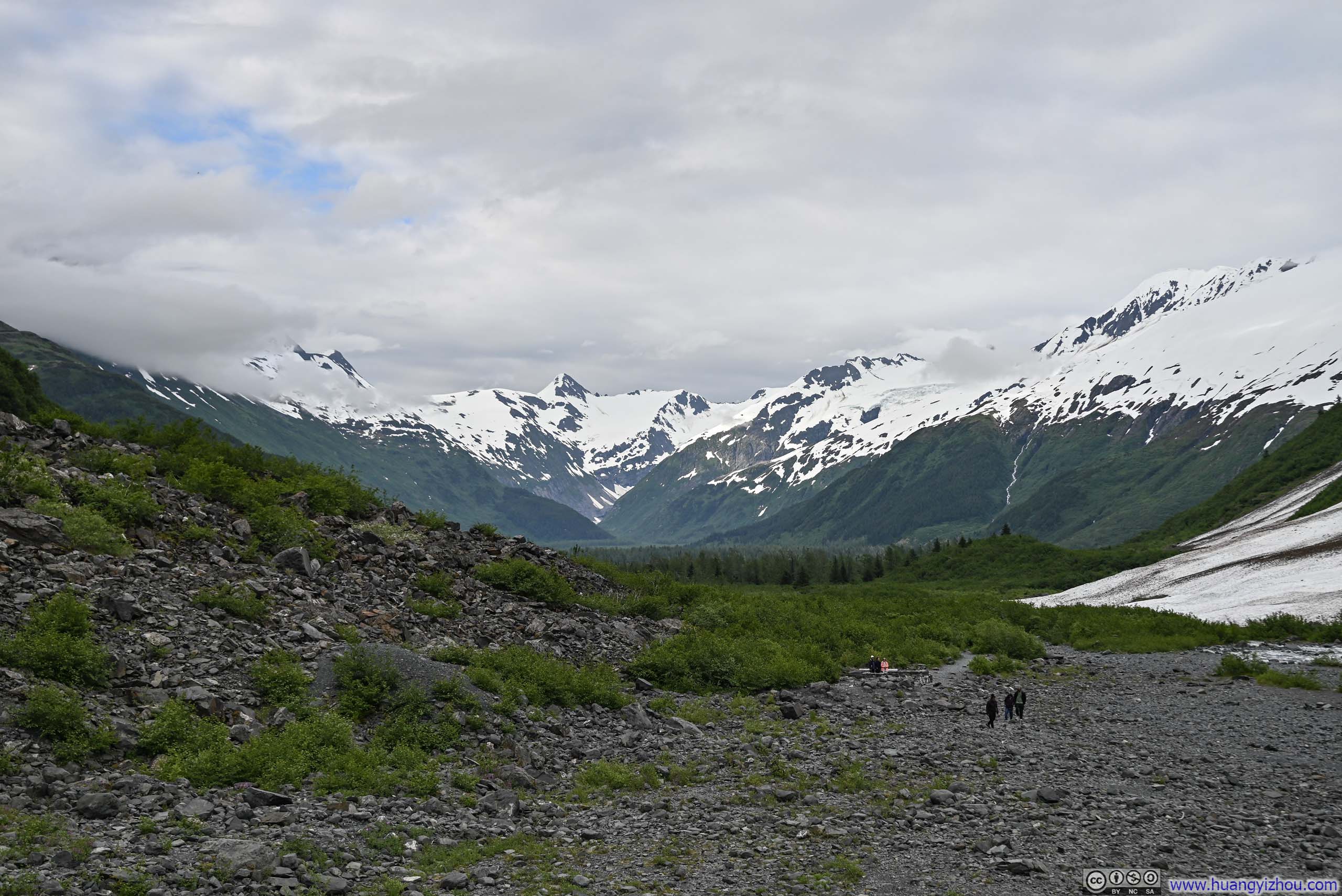
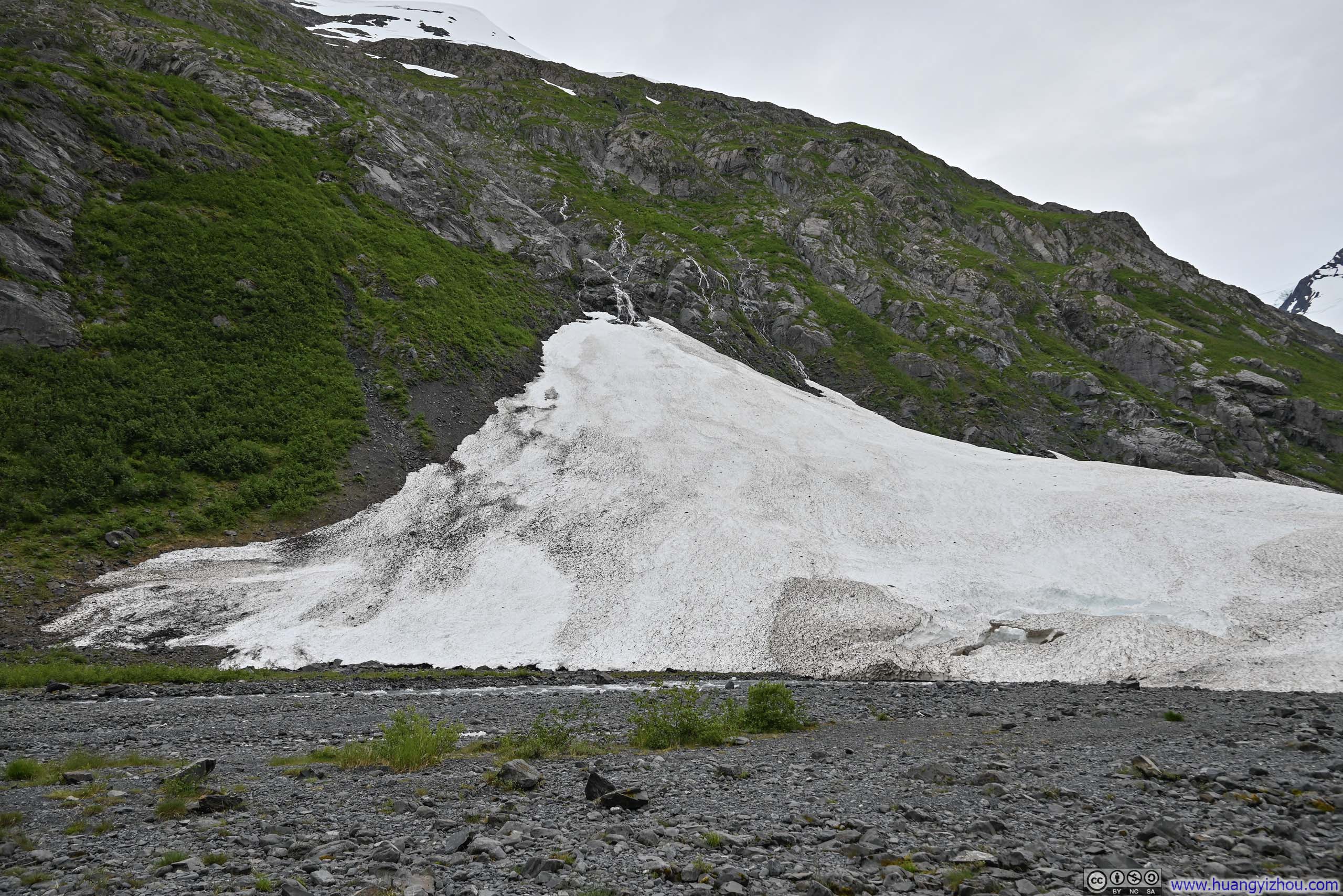
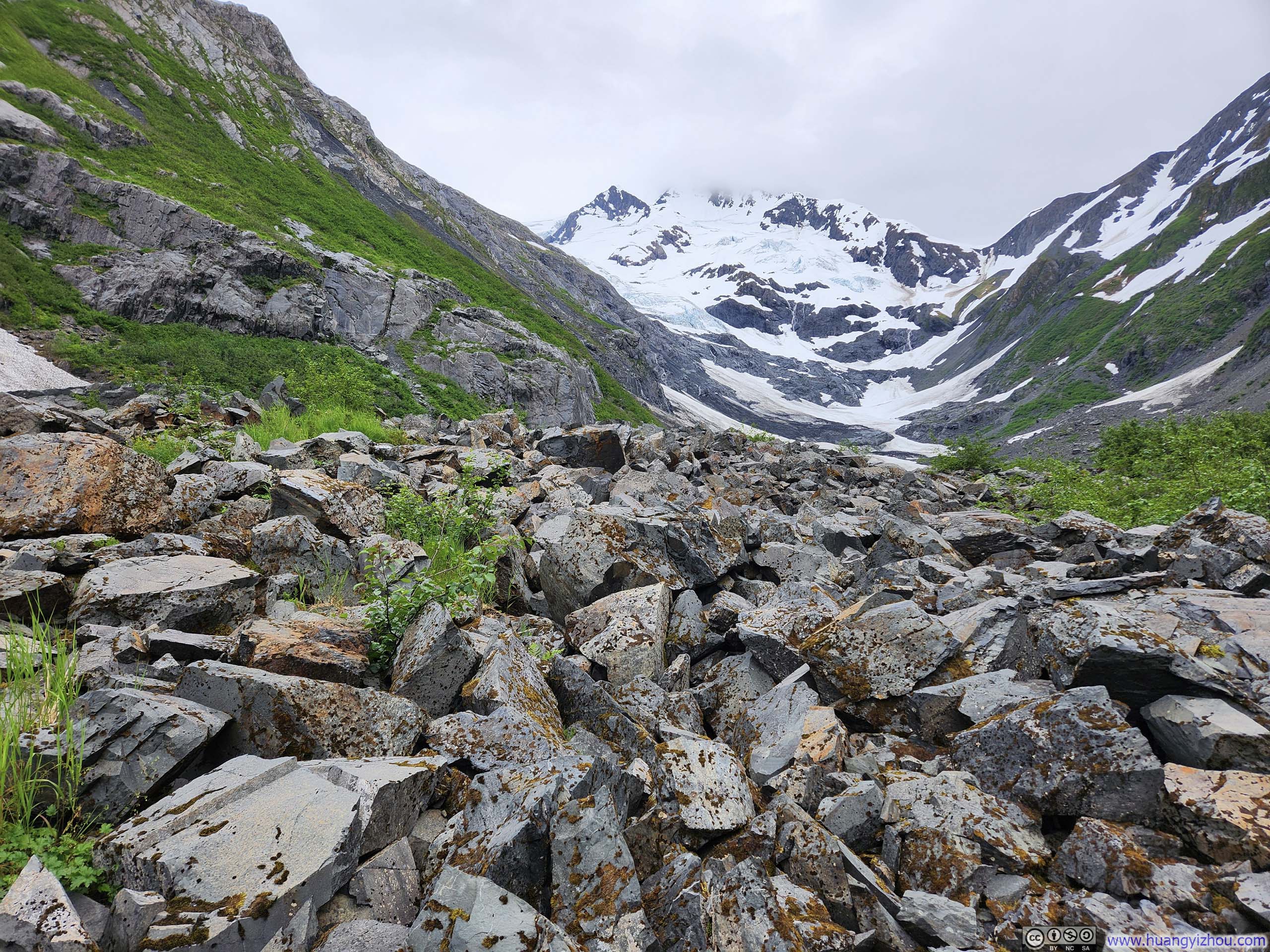
The established trail from the parking lot to the glacier viewpoint stretched 1.8km (1.1mi) one-way, following a maintained and relatively flat path. Near the trail’s end, patches of snow dotted the landscape, yet the glacier itself had retreated so dramatically over the years that its ice now clung to the high valley walls, tantalizingly distant from the official trail terminus. A boulder field beckoned beyond the marked path, promising closer access to the glacier—and so I ventured forth.
 Snowy MountainsThe end-of-trail bench visible in center-right of this photo.
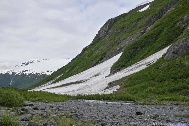 Snow Patch
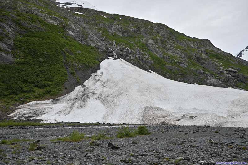 Snow Patch
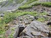
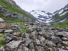
 Boulders along Path to Byron Glacier
 Boulders along Path to Byron Glacier
Click here to display photos of the slideshow
Snowy MountainsThe end-of-trail bench visible in center-right of this photo.

Snow Patch
Snow Patch
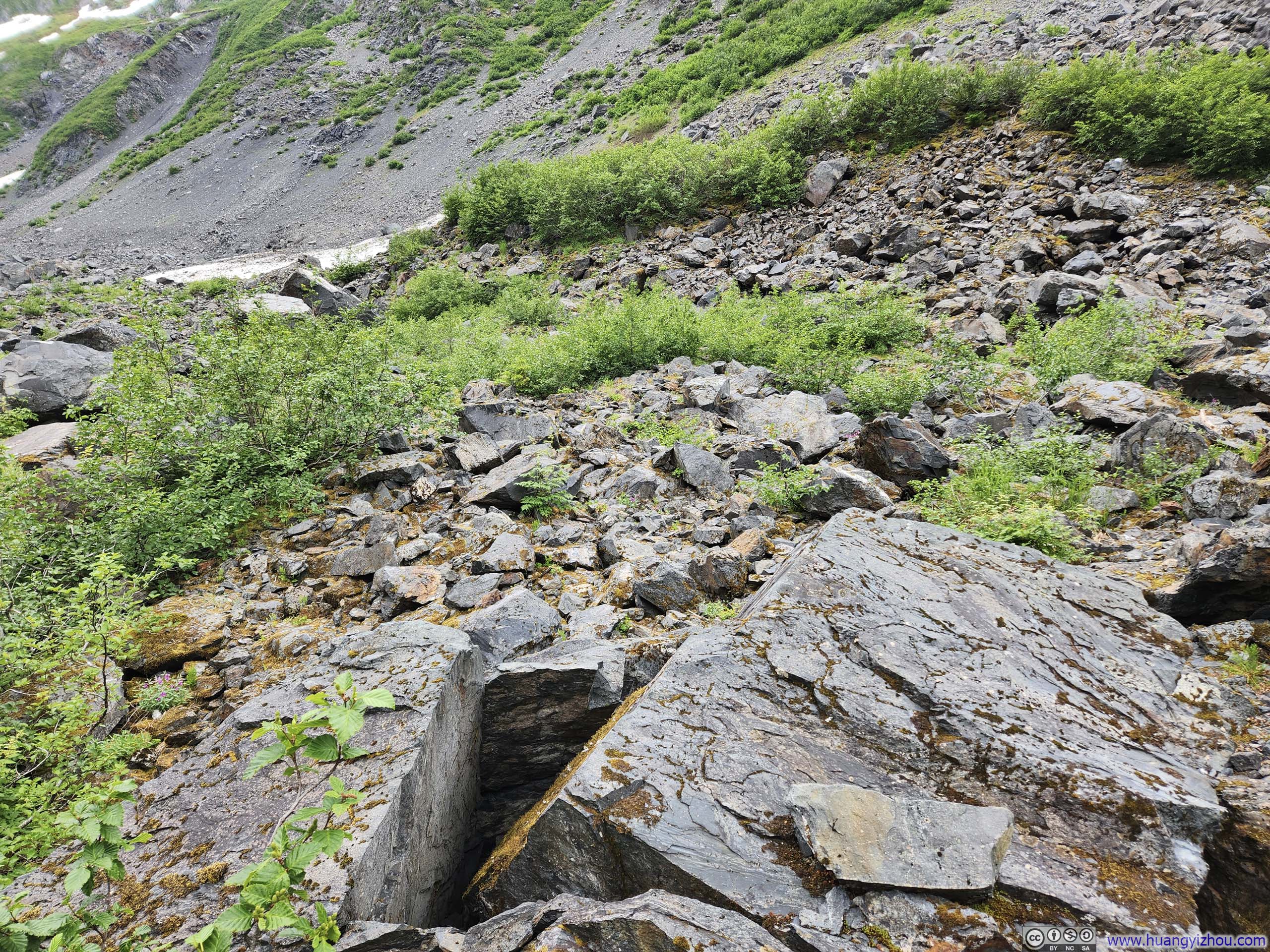
Boulders along Path to Byron Glacier
Boulders along Path to Byron Glacier
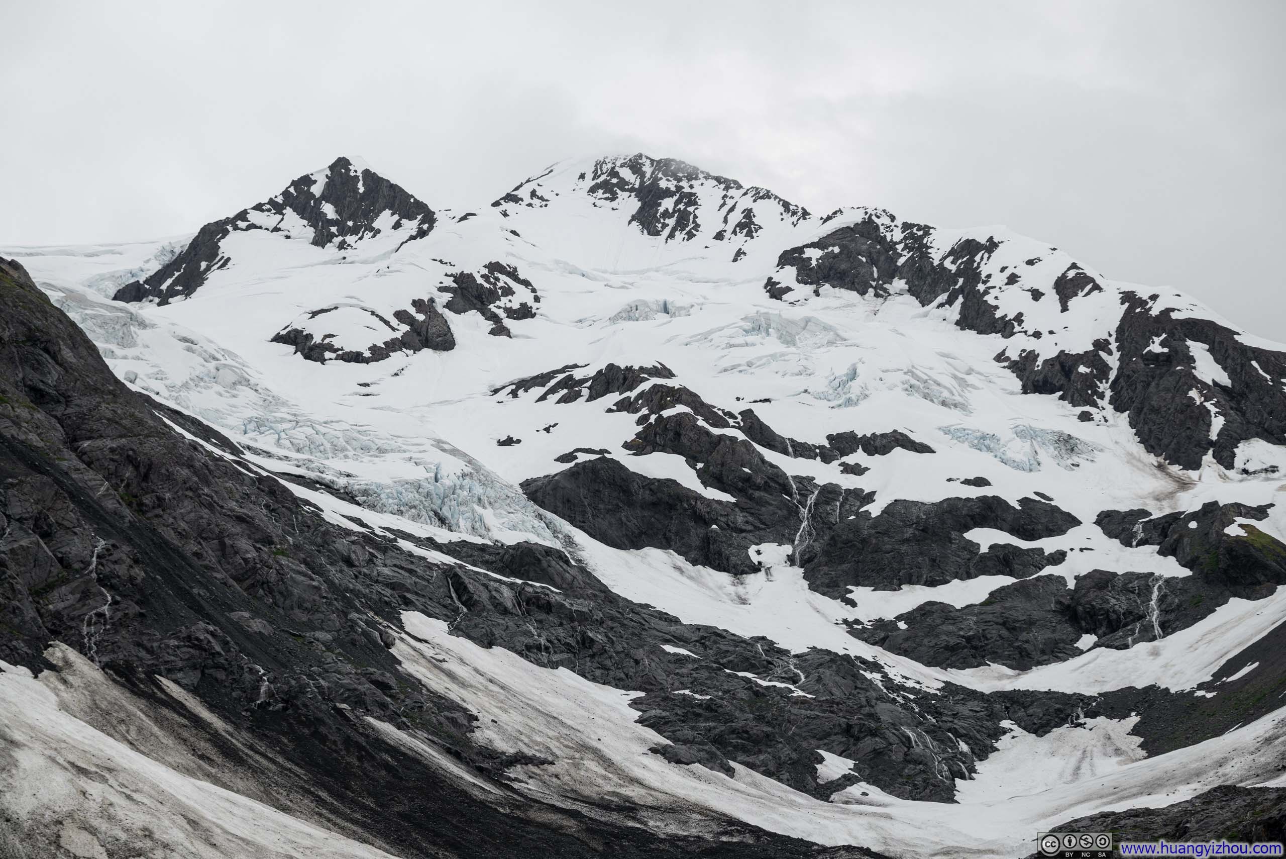
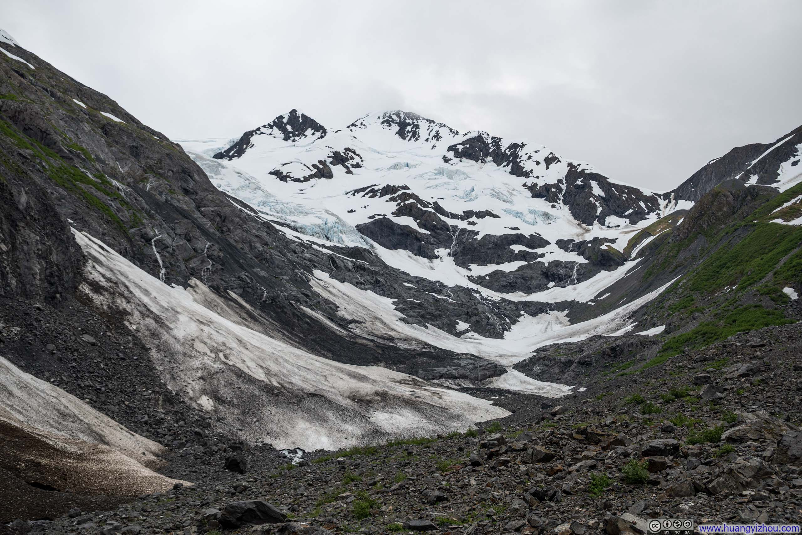
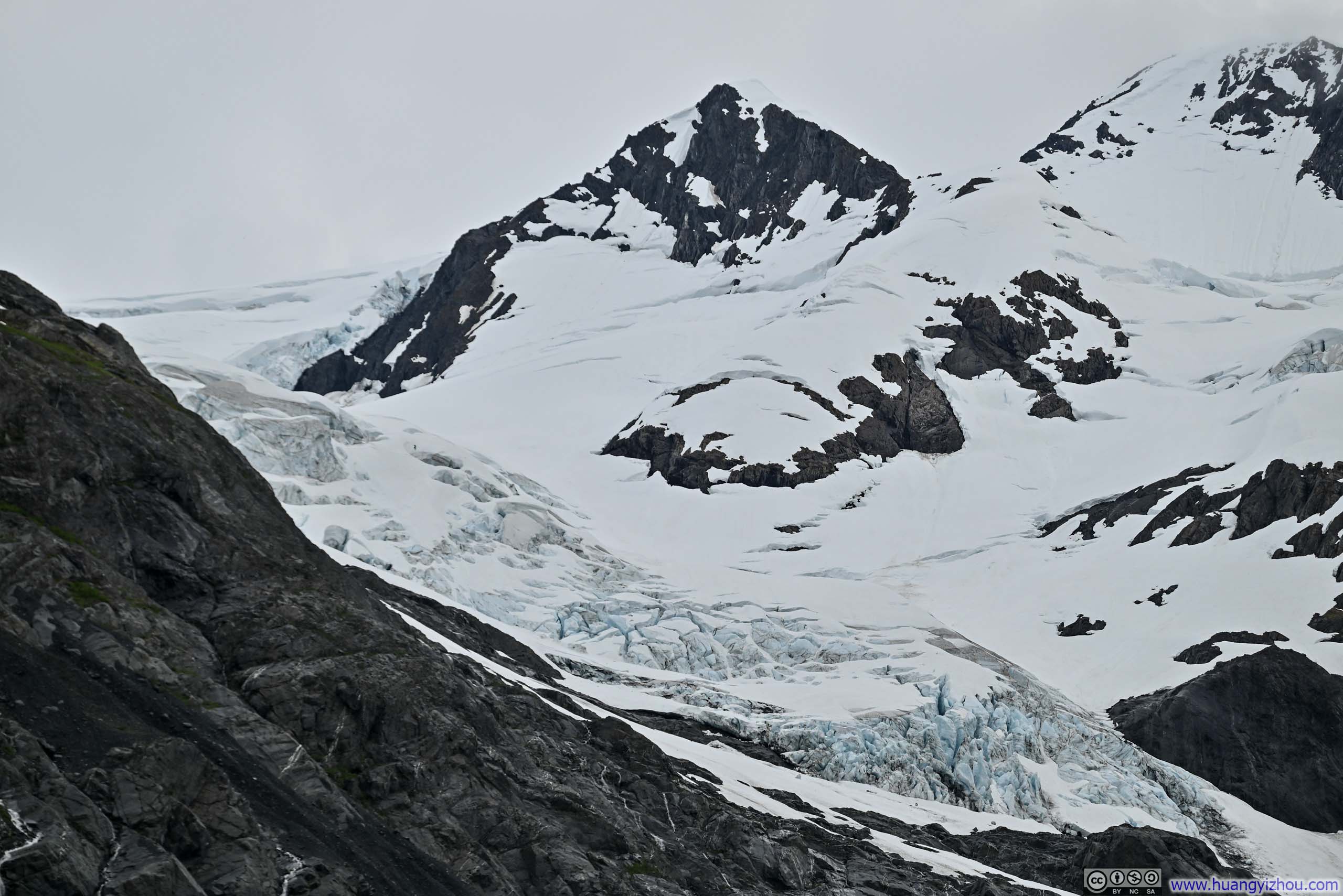
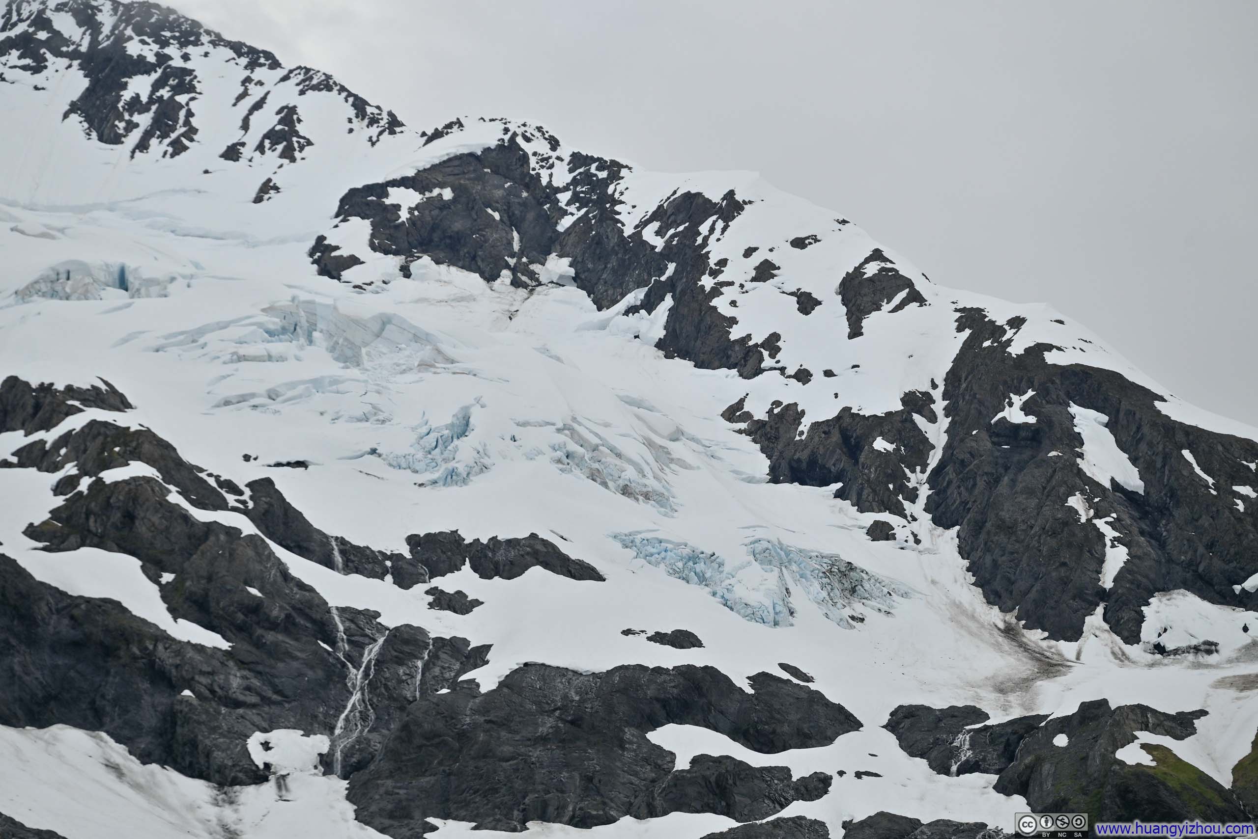
By venturing beyond the trail’s official end, I had hoped to set foot upon the actual glacier ice of Byron Glacier. Unfortunately, my journey was marked with a creek crossing, lots of rock hopping, and the constant harassment of mosquitos—while the glacier ice remained tantalizingly distant. That’s when I ran into another returning group, who didn’t make it onto the glacier, and told me they heard cracking sound and hence concerned about avalanche danger. That’s when I decided to settle myself at a vantage point nearby, where I could contemplate the mesmerizing patches of cyan glacial hues from a respectful distance.
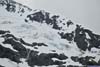
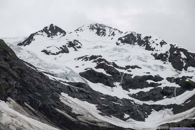 Byron Glacier
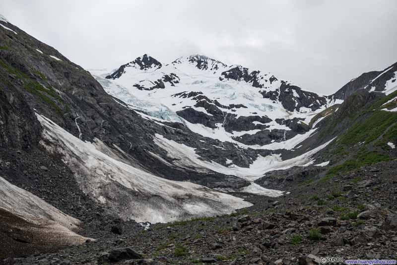 Byron Glacier
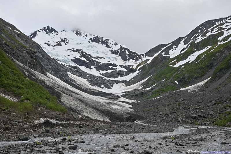 Byron Glacier
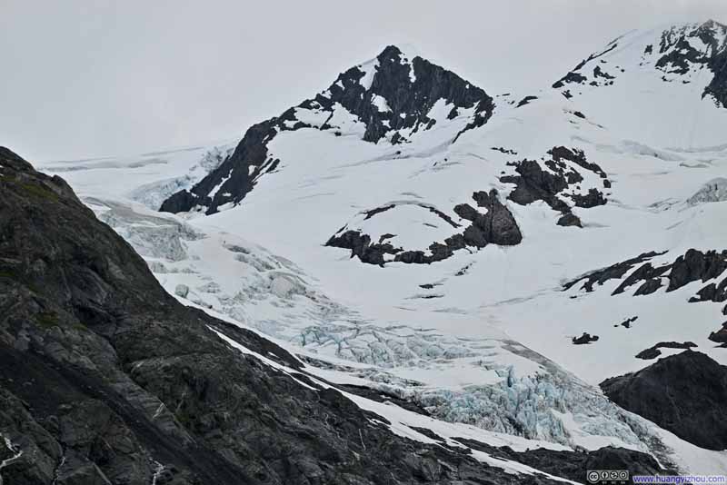 Crevasses on Byron Glacier
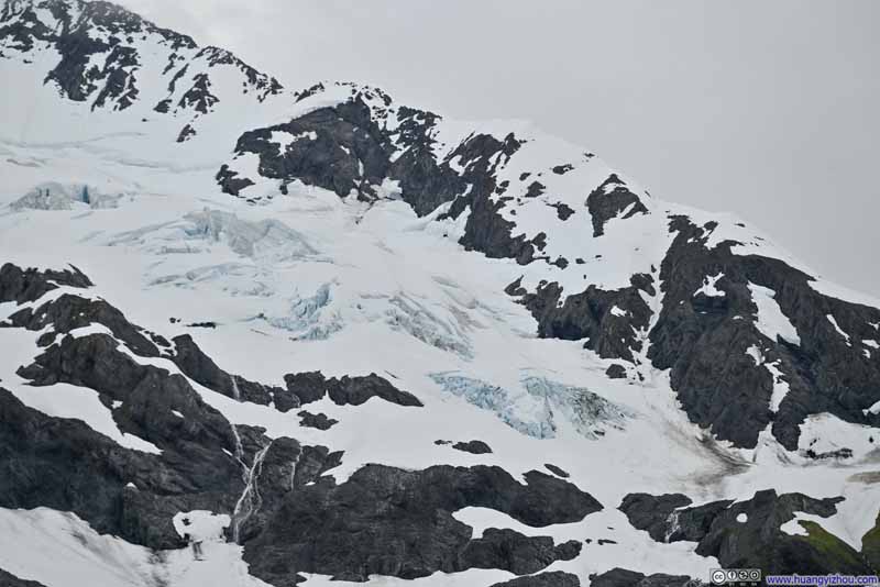 Crevasses on Byron Glacier
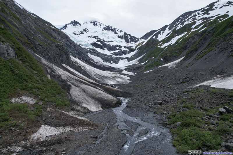 Byron GlacierFrom my drone.
Click here to display photos of the slideshow
 Byron Glacier
 Crevasses on Byron Glacier
Byron GlacierFrom my drone.
Additionally, there were some photos and videos from my drone.
Byron Glacier
Finally, before I left the area, I grabbed a few photos from the shore of Portage Lake, a lake surrounded by snowy mountains and glaciers.
 Maynard Mountain
 Mountains and Glaciers across Portage Lake
 Burns Glacier across Portage Lake
 Waterfalls along Portage Lake
Click here to display photos from the shores of Portage Lake.
Maynard Mountain
Mountains and Glaciers across Portage Lake

Burns Glacier across Portage Lake
Waterfalls along Portage Lake
After that, I started my drive back towards Anchorage, where the clouds began to part over the distant Cook Inlet, as though heralding clearer skies in the days ahead.
END
![]() Day 2 of 2025 Independence Day Trip to Alaska, Salmon Run and Byron Galcier by Huang's Site is licensed under a Creative Commons Attribution-NonCommercial-ShareAlike 4.0 International License.
Day 2 of 2025 Independence Day Trip to Alaska, Salmon Run and Byron Galcier by Huang's Site is licensed under a Creative Commons Attribution-NonCommercial-ShareAlike 4.0 International License.