
Updated on November 11, 2025
Day 4 of 2025 Independence Day Trip to Alaska, East Twin Peak, my first YDS Class 4
The fourth day of my 2025 Independence Day trip to Alaska. Given this was forecasted to the best day weather-wise throughout the entire week, I seized this opportunity and climbed East Twin Peak, which was my first YDS class 4 mountain.
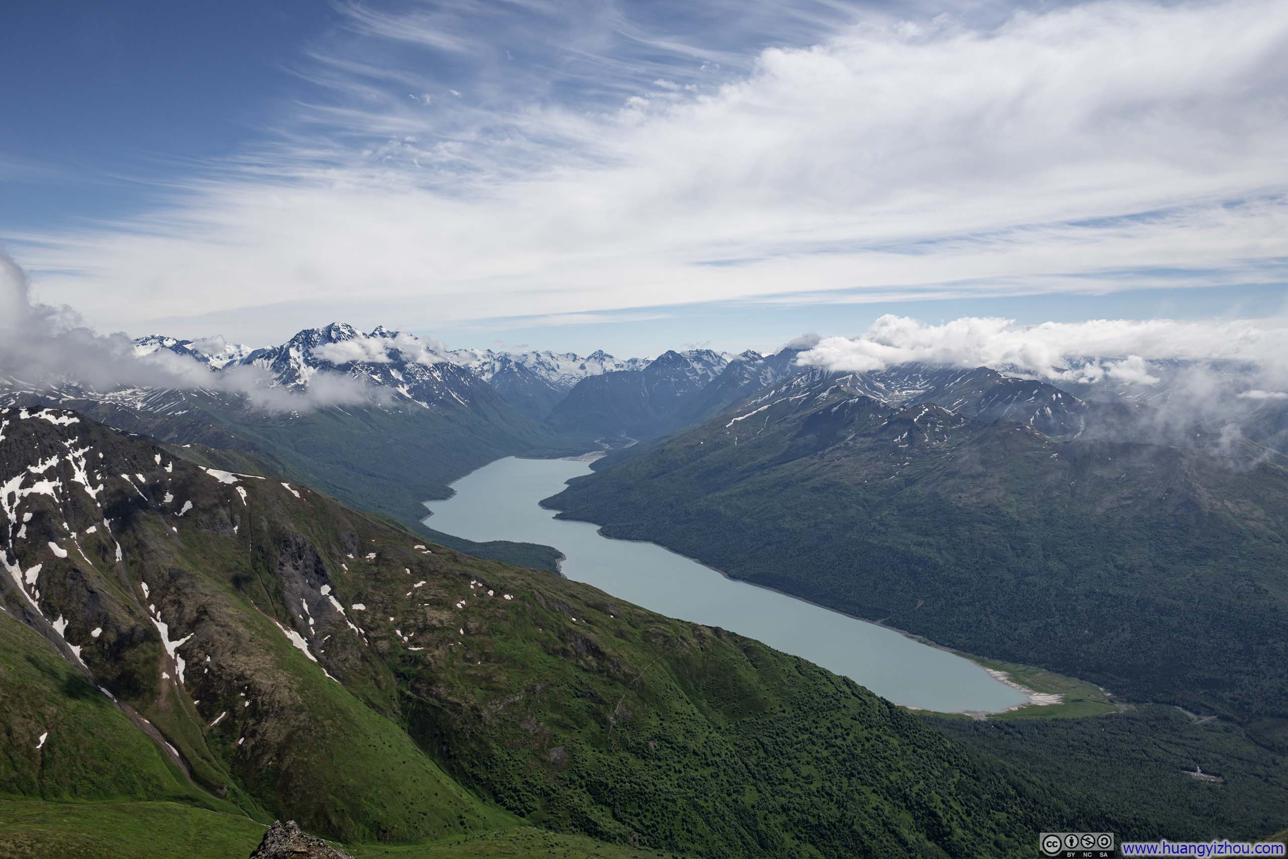
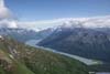
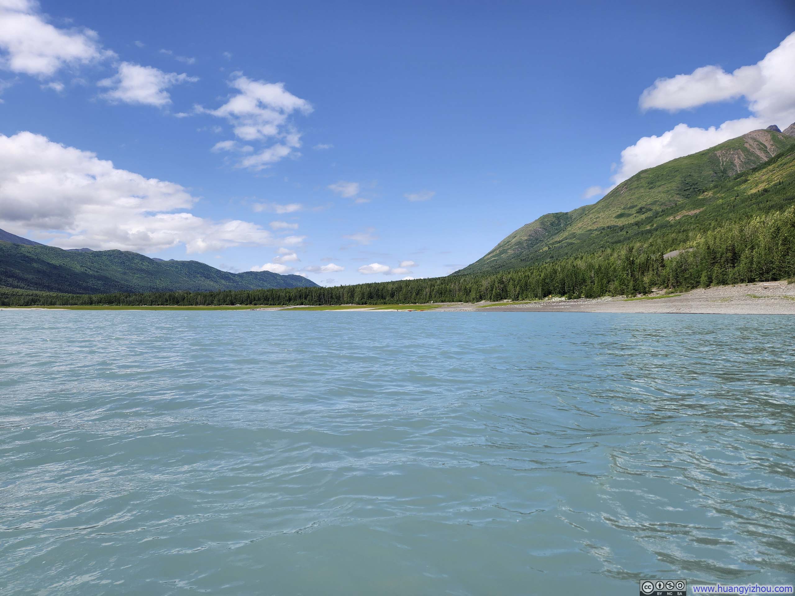
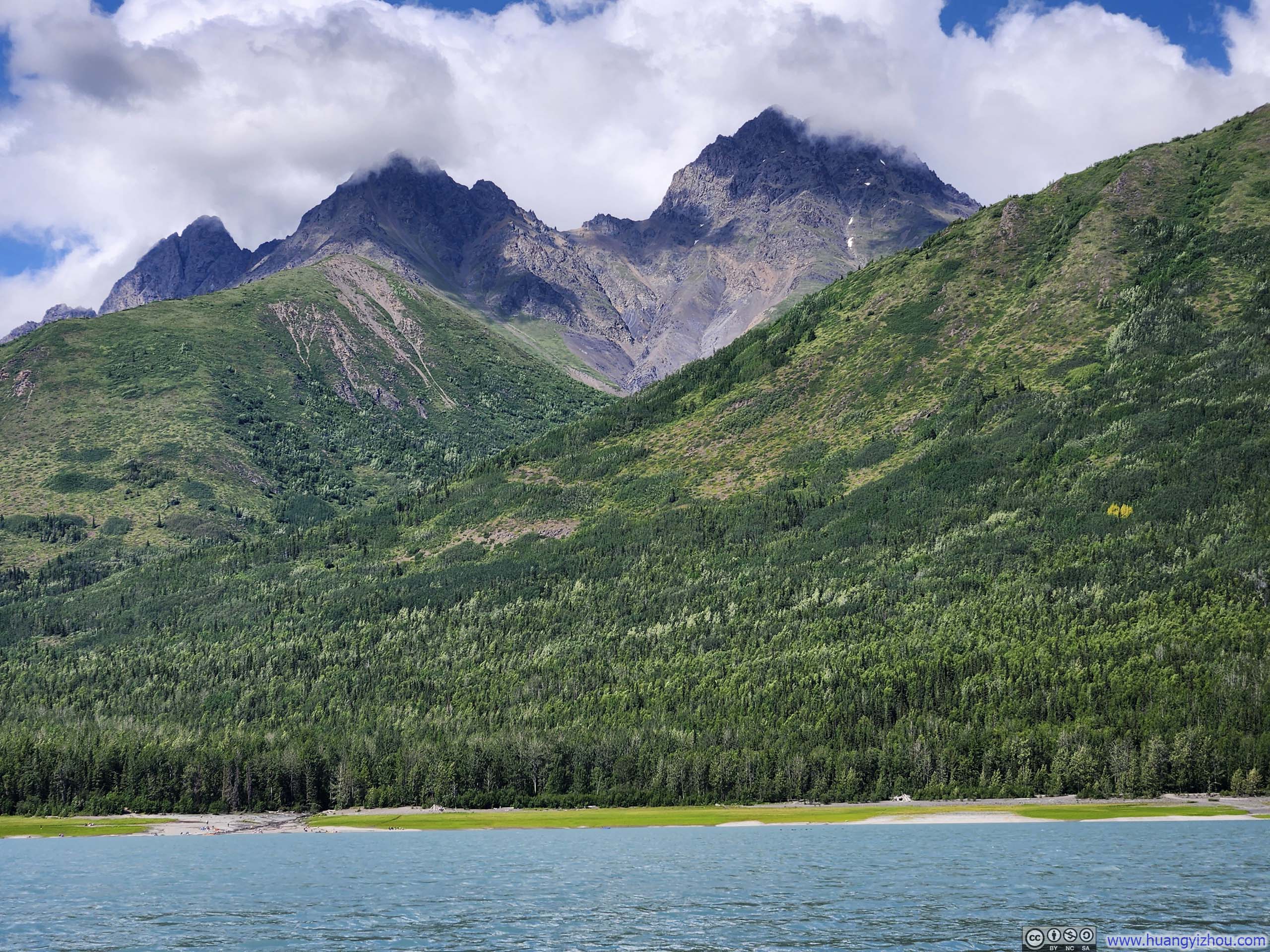
Overlooking Eklutna Lake
Having climbed several YDS class 3 mountains over the years, I felt ready to move on to a class 4 one. For that I set my sights on East Twin Peak, located in Chugach State Park on the shores of Kink Arm. Two major reasons for my choice: it’s on the easier side of class 4 (a small minority of people online rated it as class 3) and it’s modest in elevation (compared to the ones in Sierra Nevada or Rocky Mountains).
I would be heading home on the evening of Saturday July 5, leaving me 3 days (July 2-4) to make my attempt. The weather forecast indicated that no rain would fall on these three days, and today, July 2 would have the lightest cloud cover, hence I decided this was the day. I would be relocating from my Anchorage Airbnb to another one in Palmer today, therefore the morning packing slightly delayed my departure. Anyways, I made it to the trailhead (Eklutna Lake) at 9:25am. After some warmup, I started my trip at 9:45am.
July 2, Hike of East Twin Peak
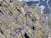
Here’s GPS tracking:
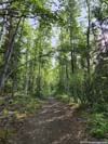
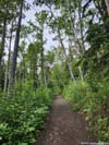
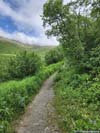
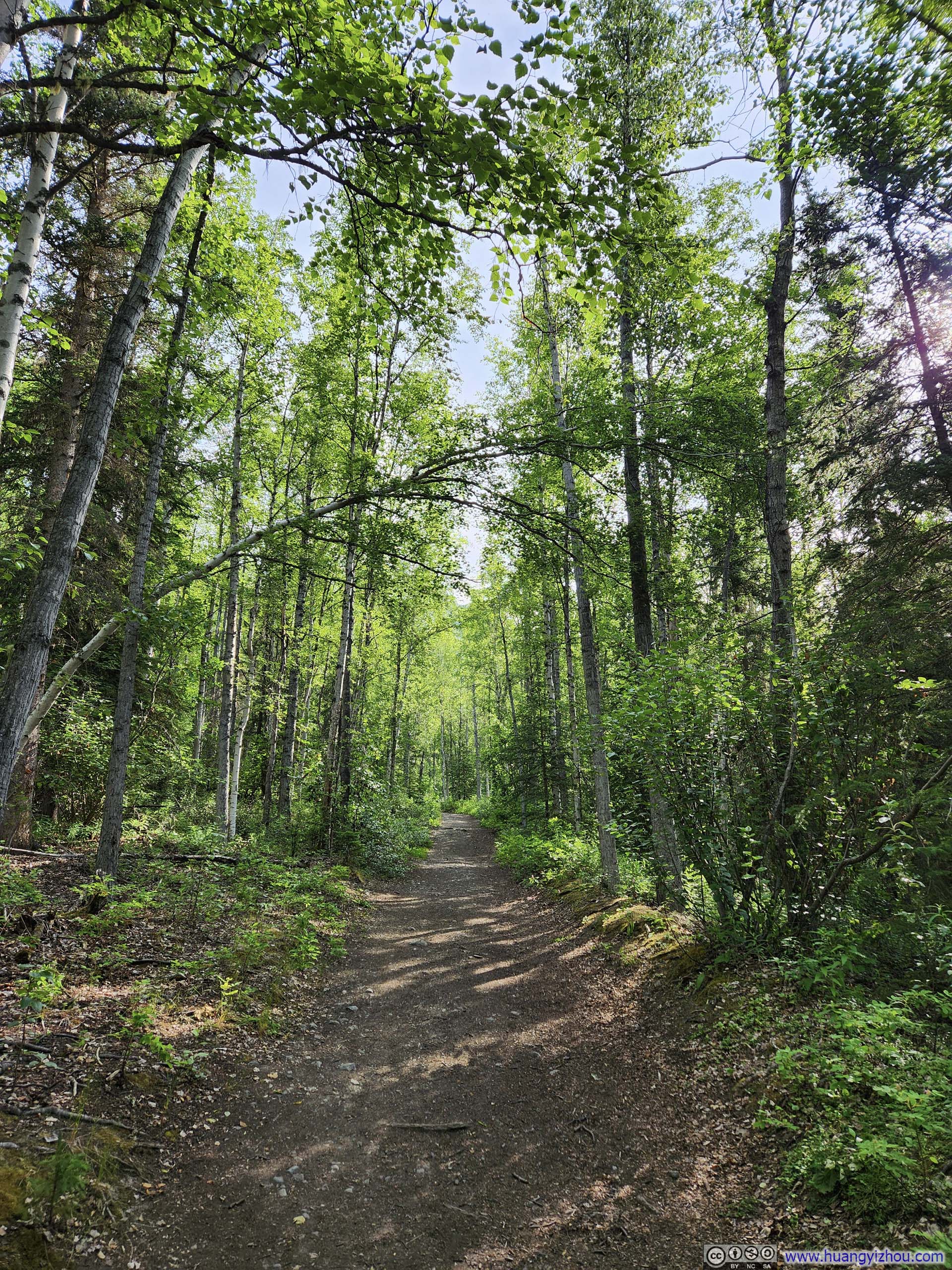
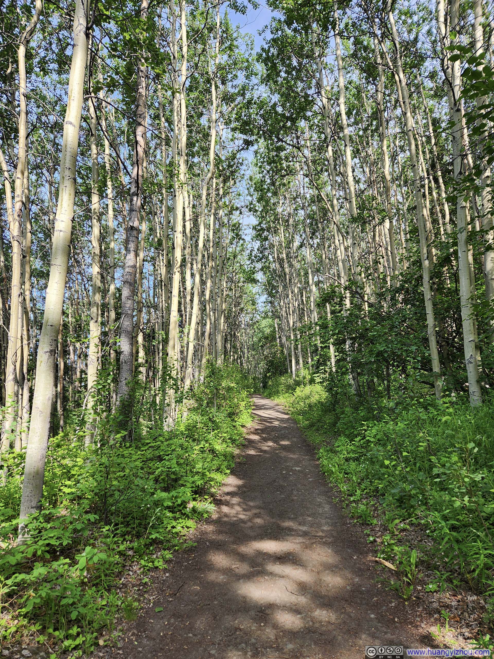
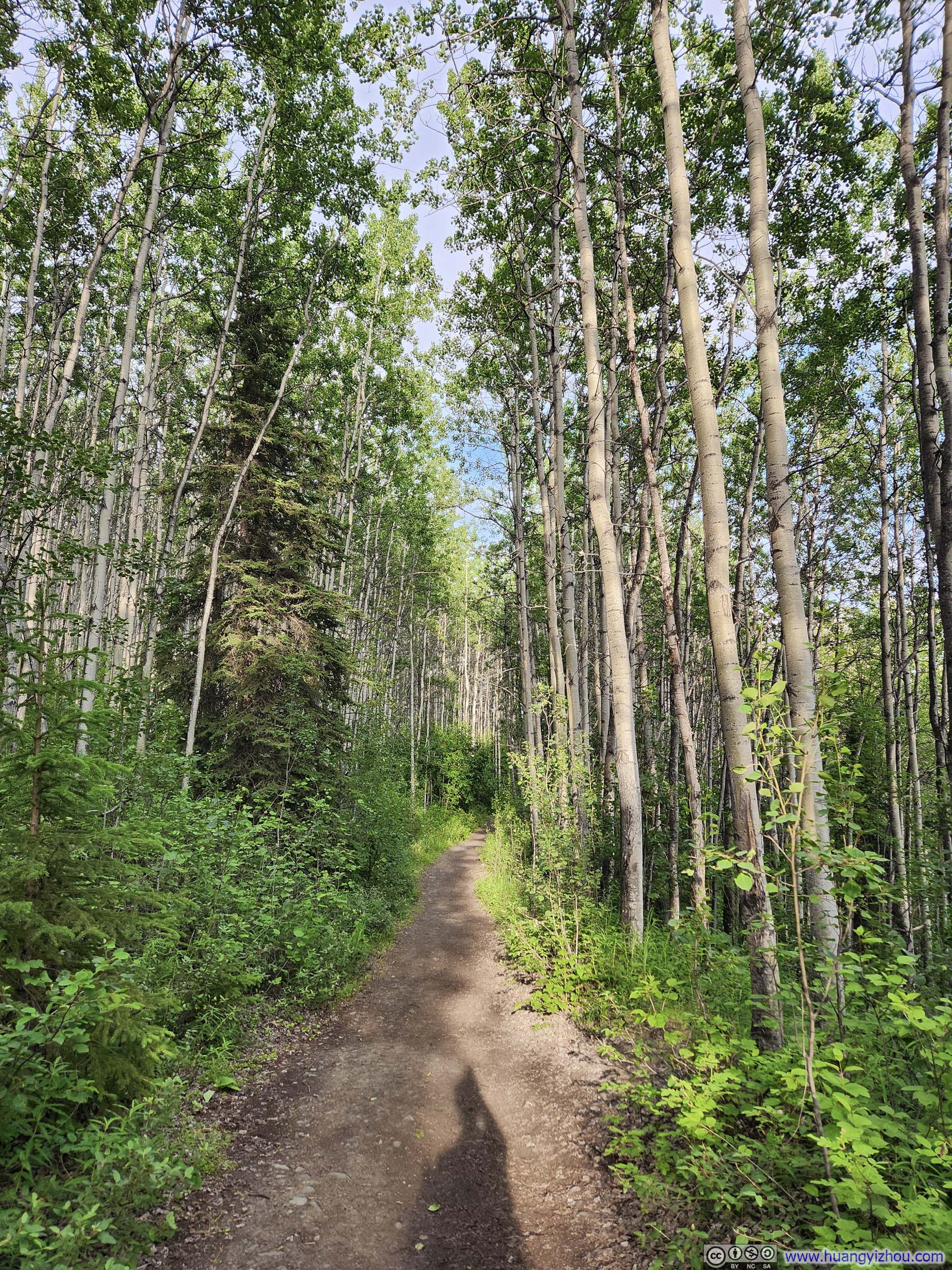
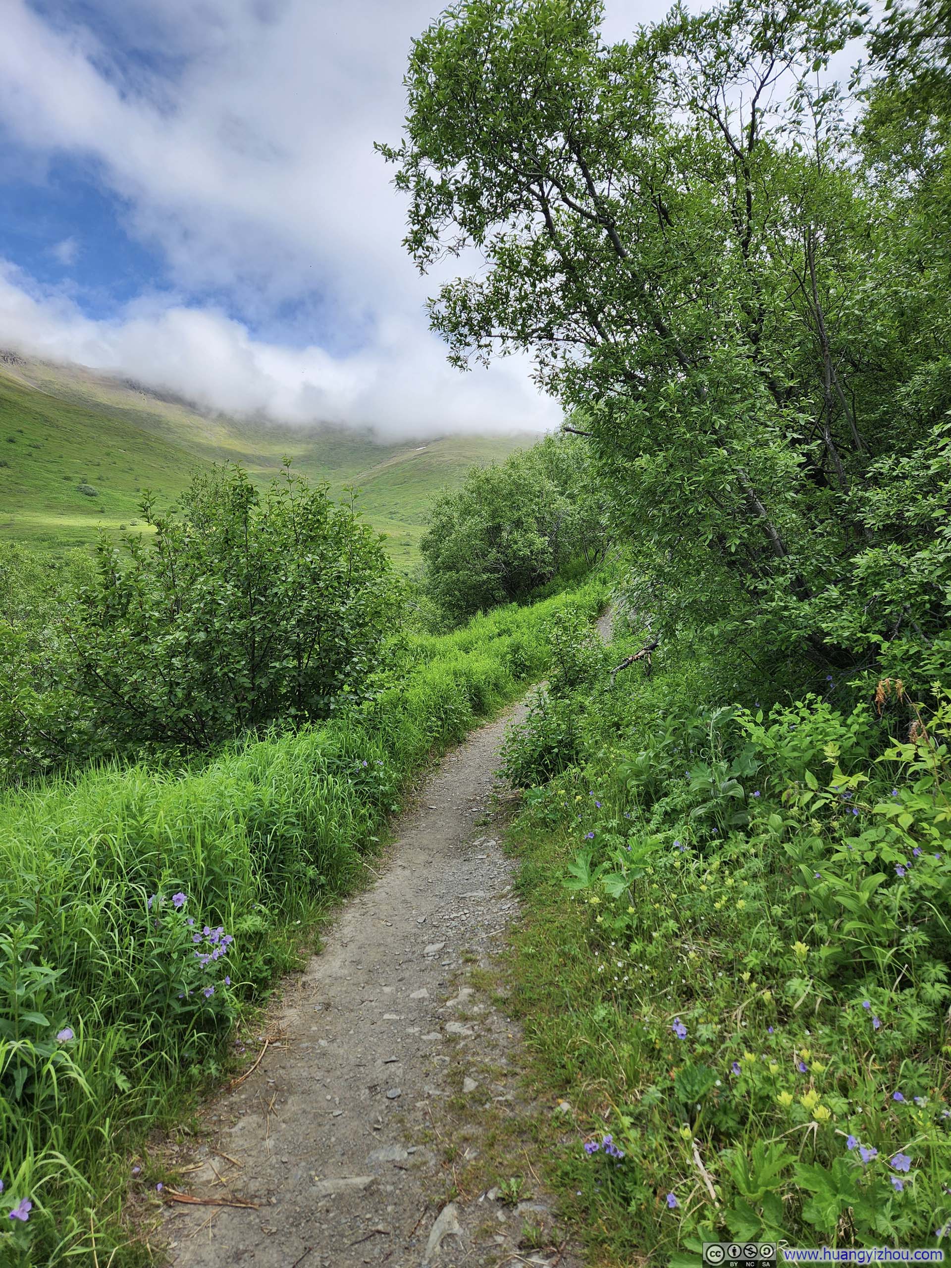
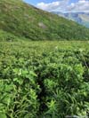
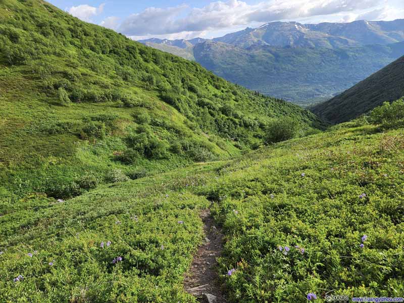
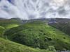
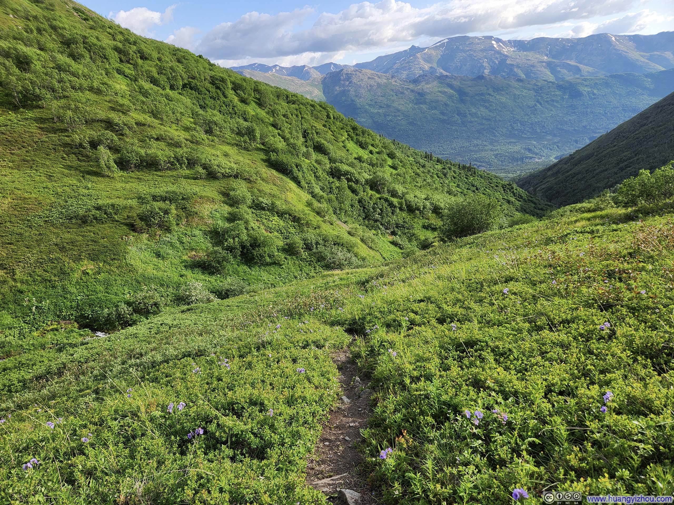
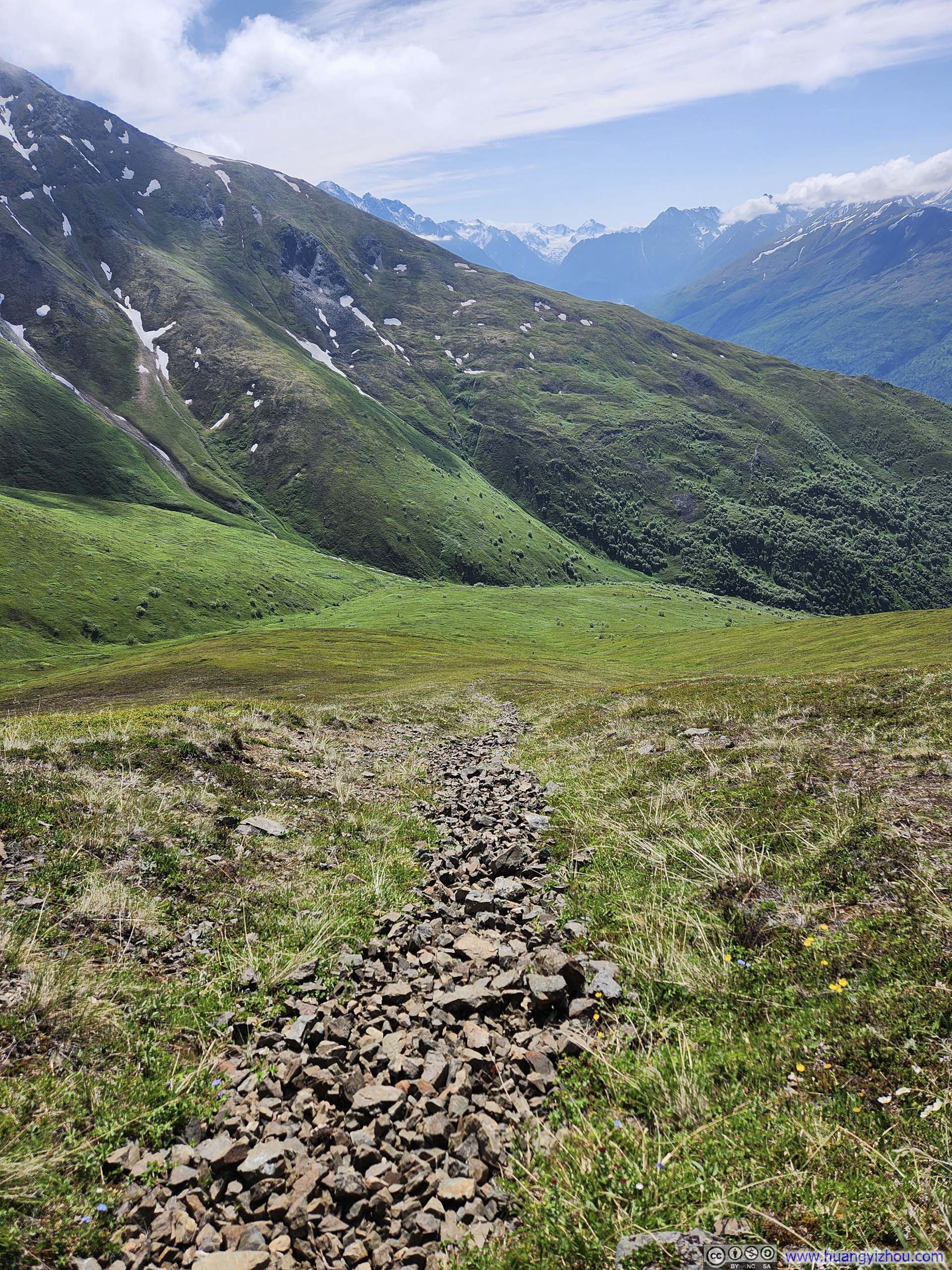
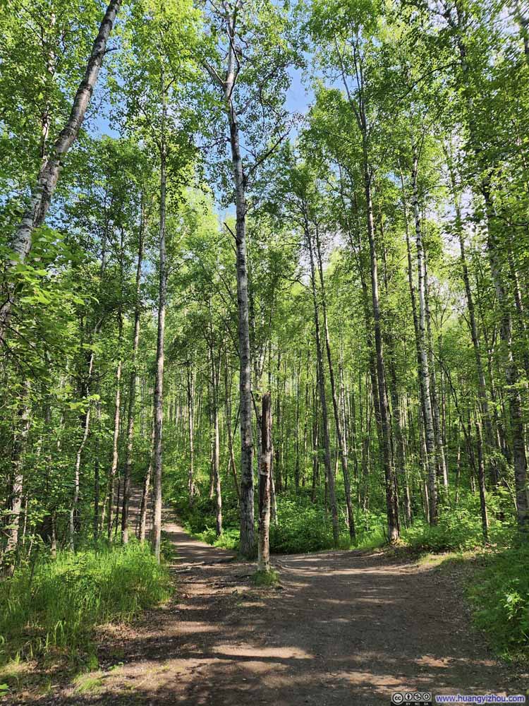
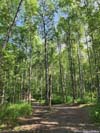
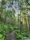
On paper, it’s a 13km out-and-back trail with 1500m elevation gain to East Twin Peak (8.1mi, 4900ft). The first 4.1km (2.6mi) unfolded along a well-established path of double-track width, like taking a leisurely stroll through the woods.
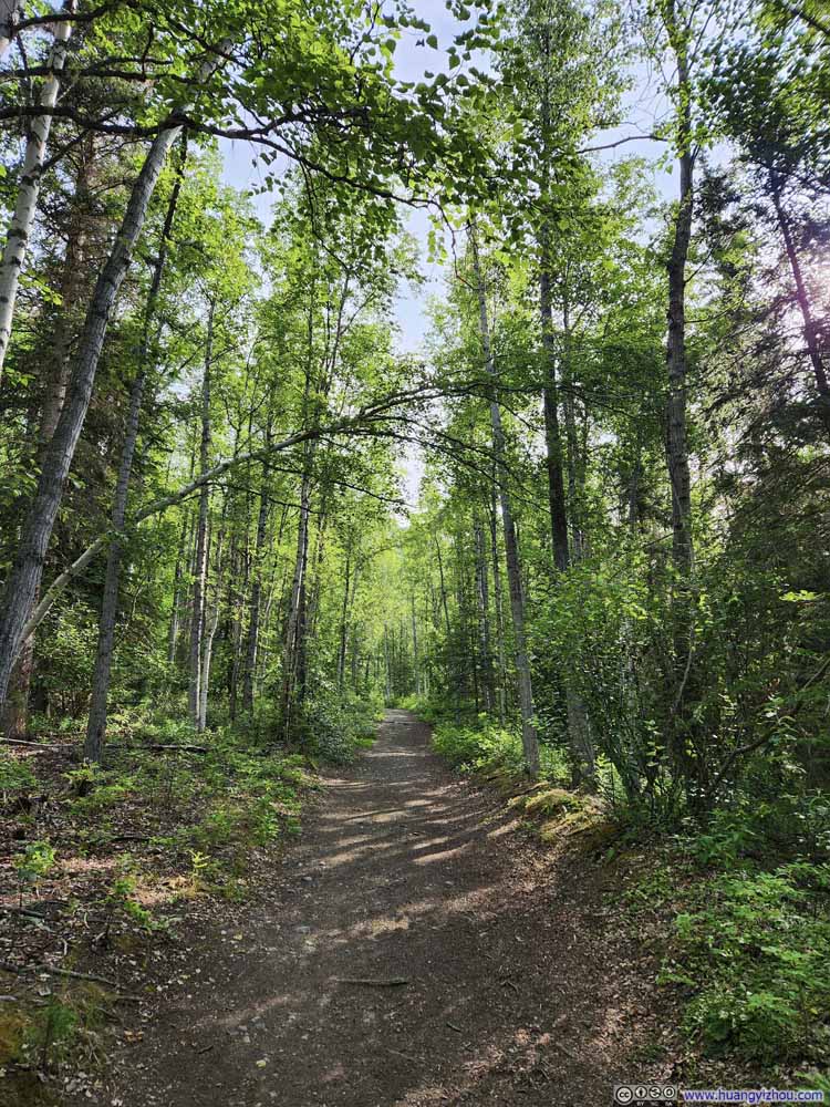 Trail
Trail Trail
Trail Trail
Trail Trail
Trail Trail
Trail


Click here to display photos of the trail.
Trail
Trail
Trail

Trail
Trail
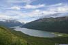
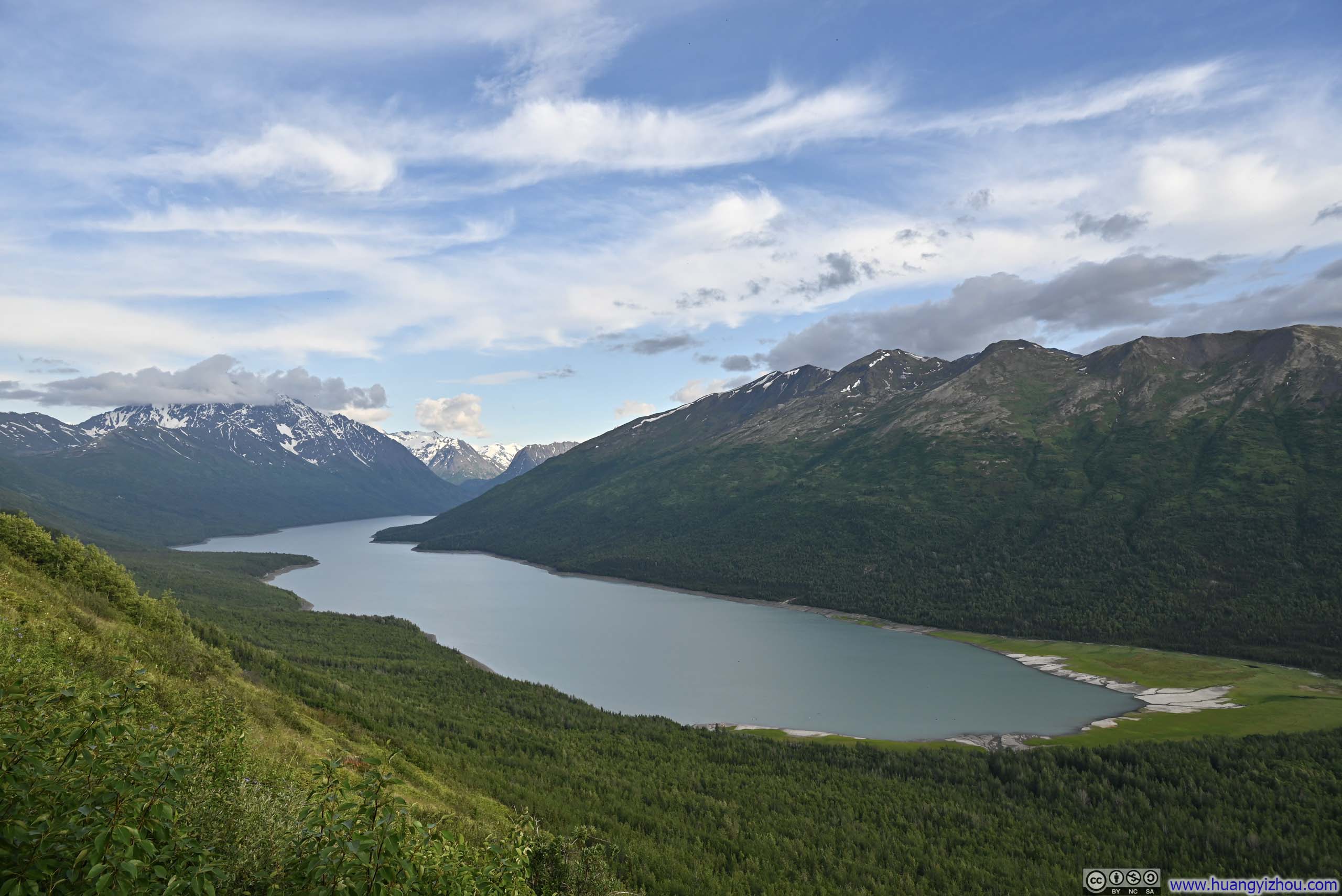
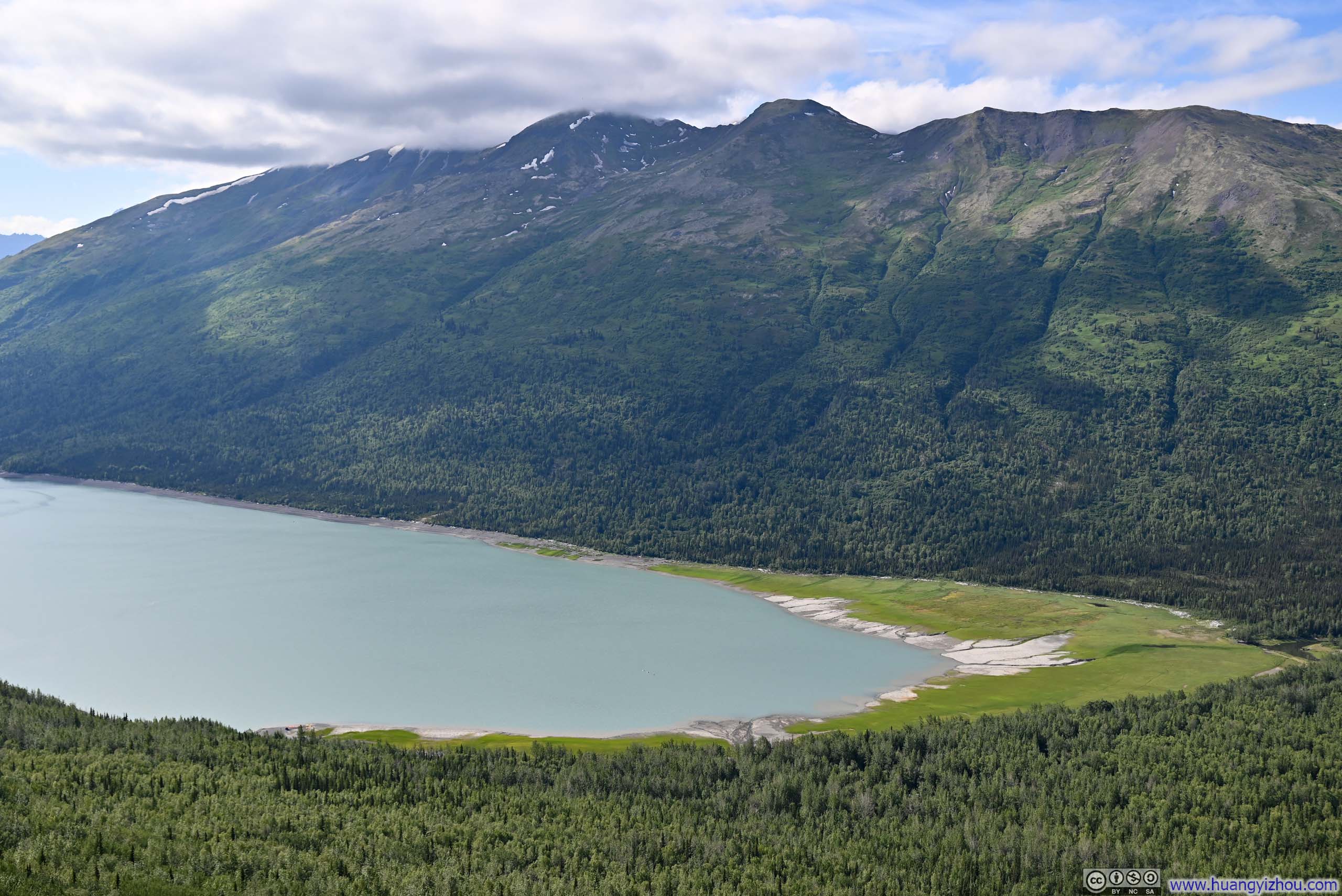
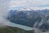
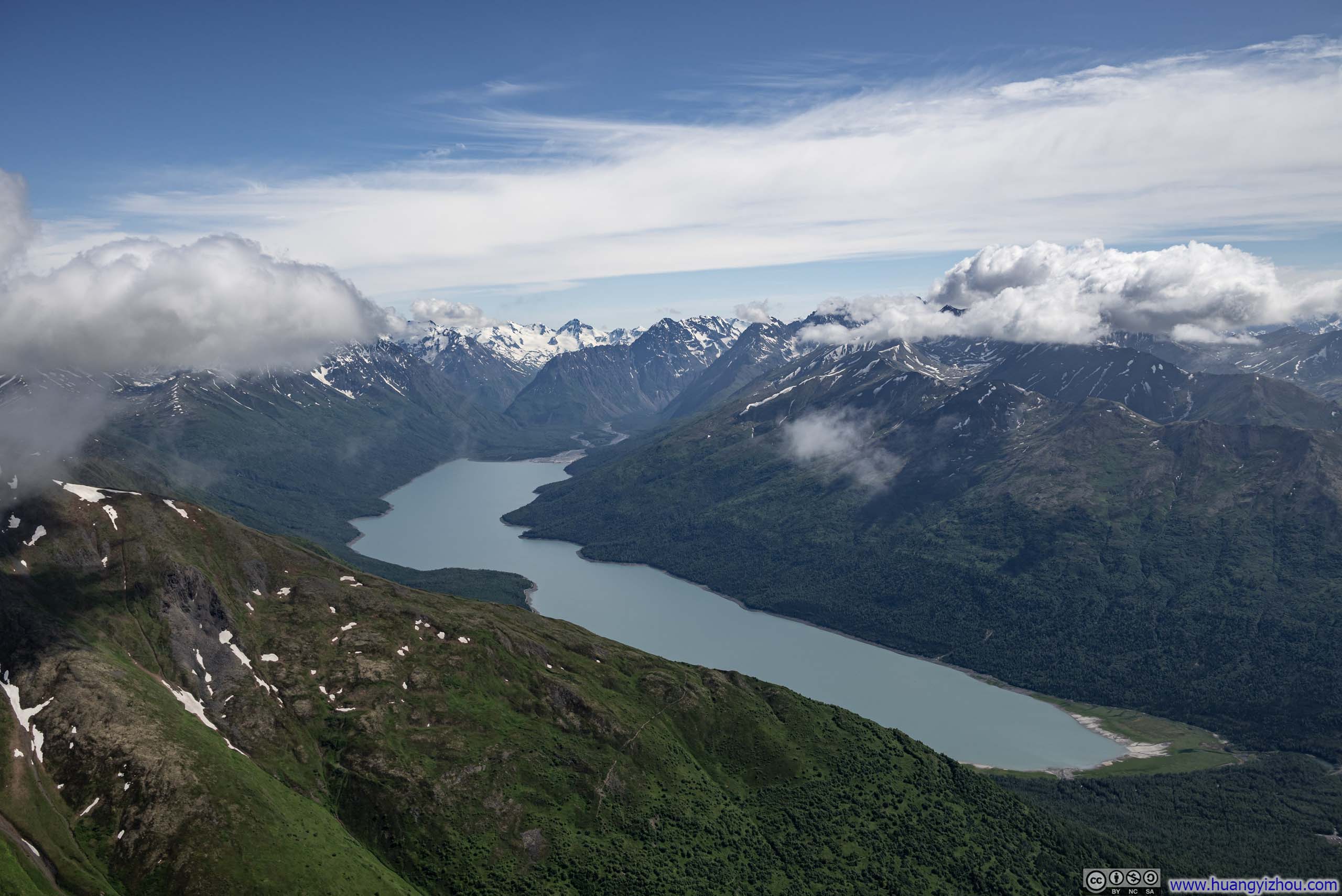
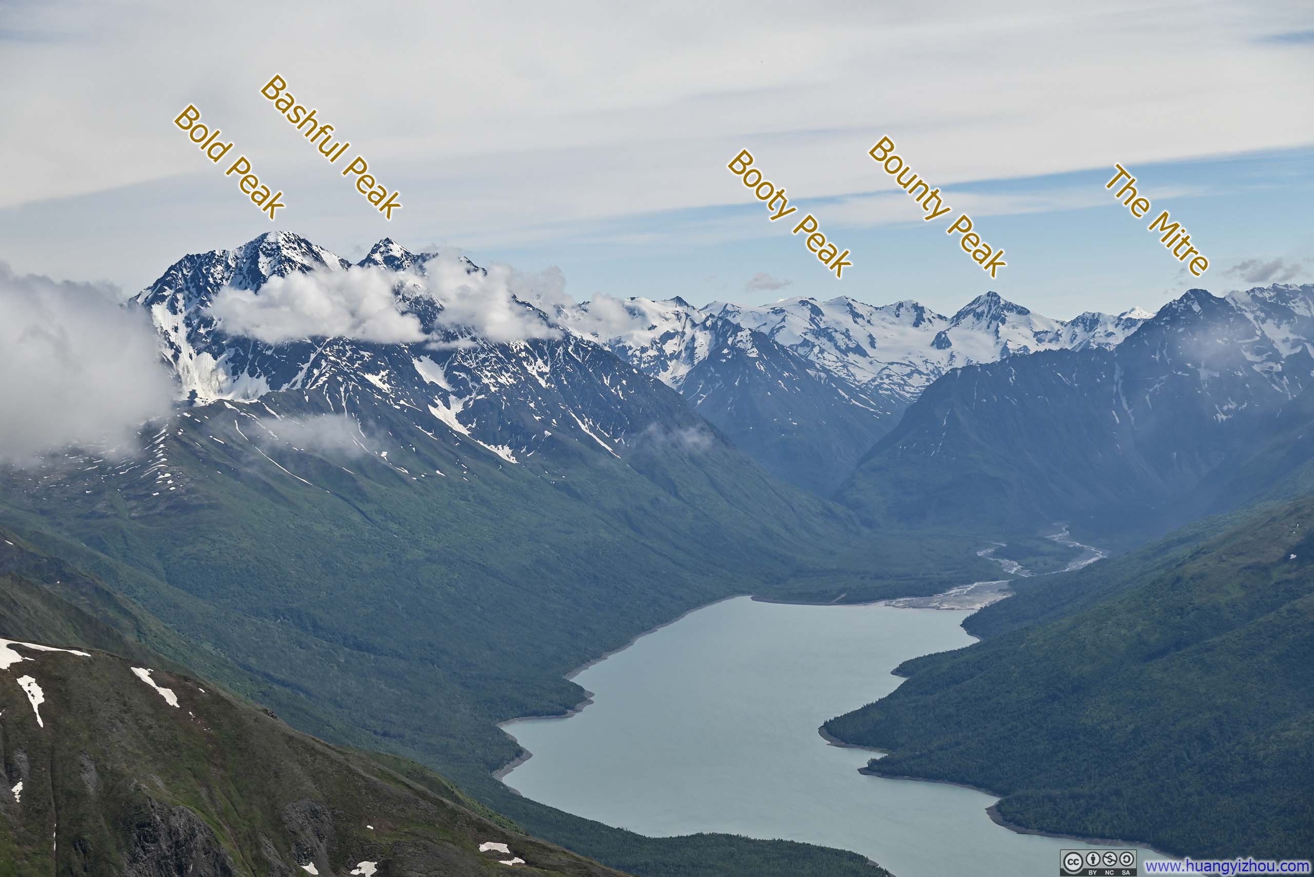
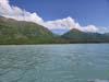
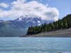
About 2.8km into the hike, the trail reached an overlook where a thoughtfully placed bench invited hikers to pause. From this vantage point, one could drink in the serene expanse of Eklutna Lake stretching below, its waters cradled by an impressive amphitheater of snow-capped peaks. Since this would be the final glimpse of the lake until high up onto Twin Peaks, many chose to conclude their hikes here, content with this magnificent panorama as their reward.
 Eklutna Lake
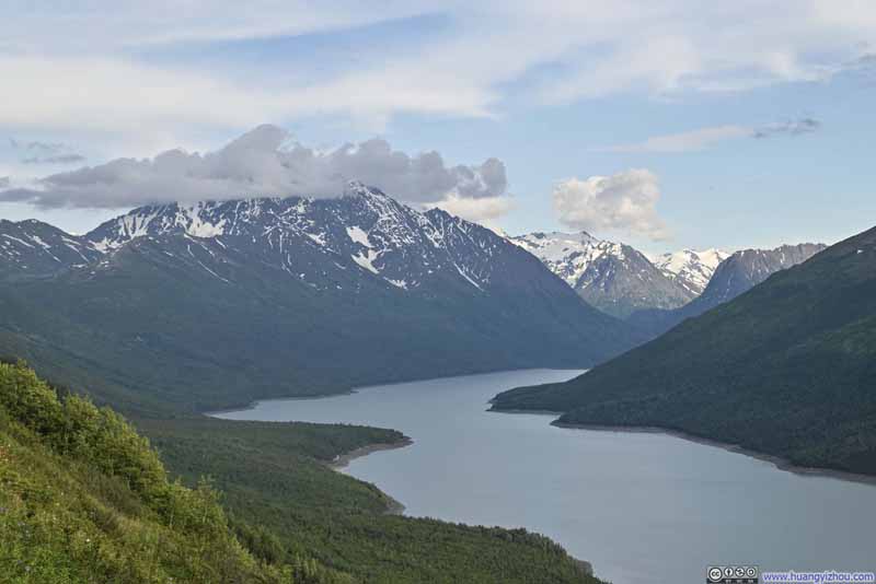 Bold Peak overlooking Eklutna Lake
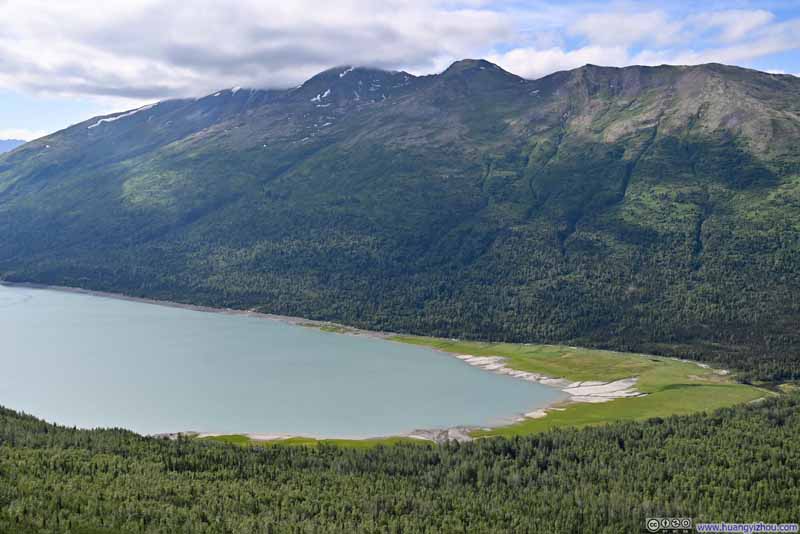 Shore of Eklutna Lake
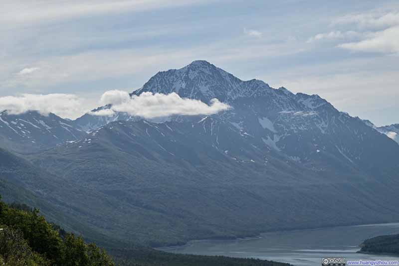 Bold Peak
Click here to display photos from the first bench.
Eklutna Lake

Bold Peak overlooking Eklutna Lake
Shore of Eklutna Lake
Bold Peak
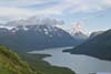
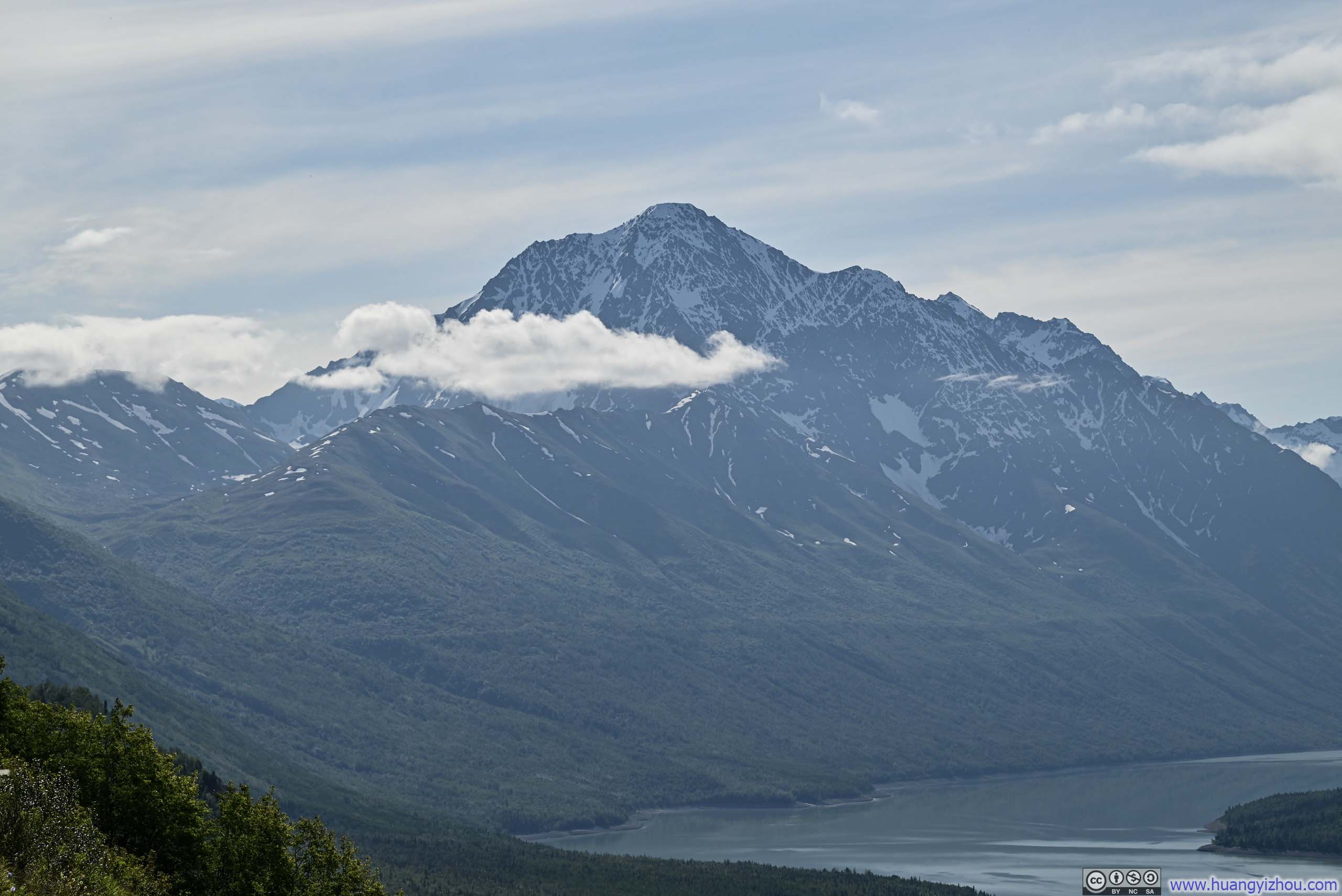
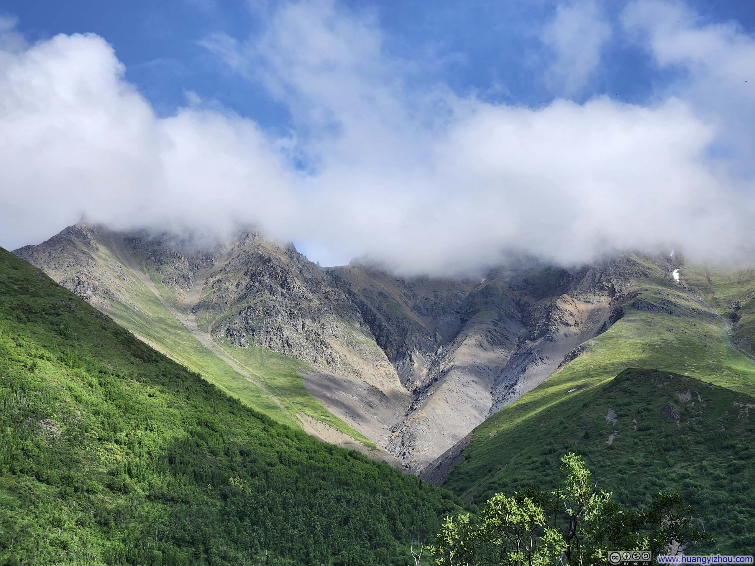
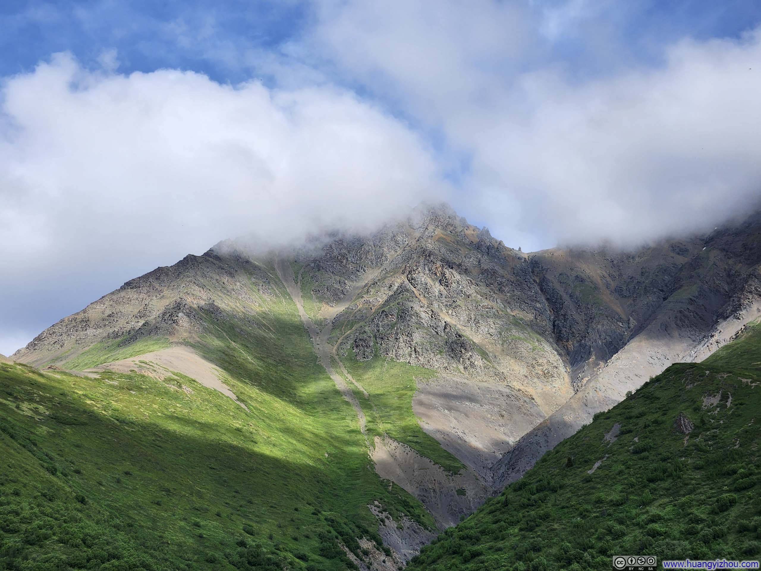
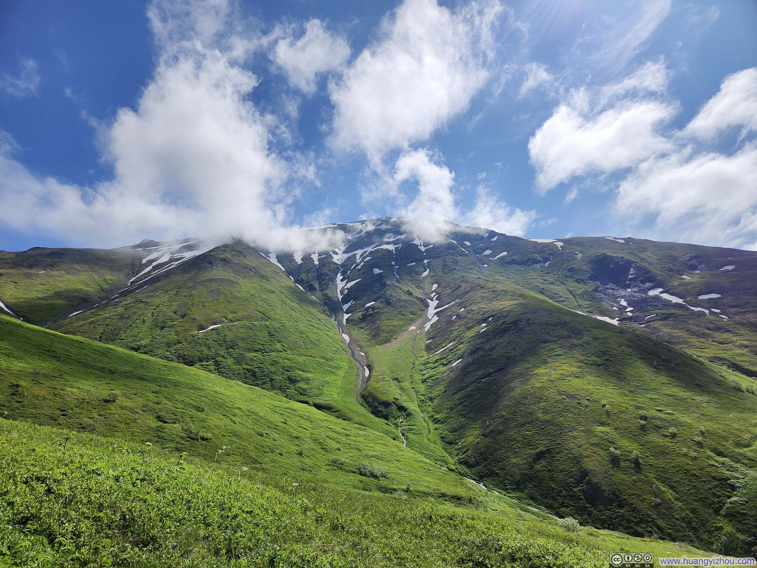
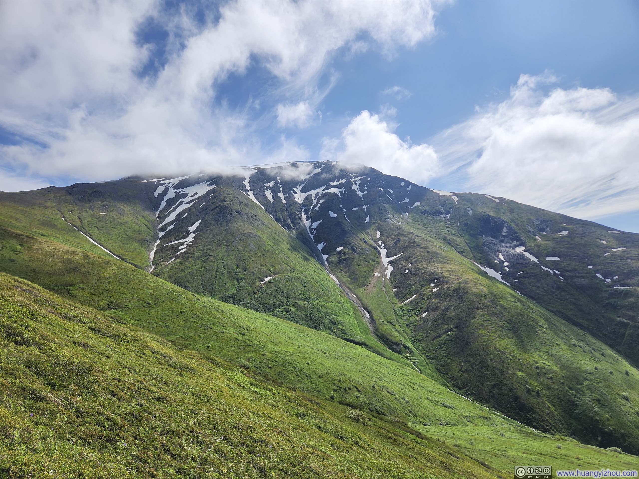
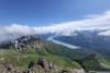
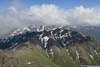
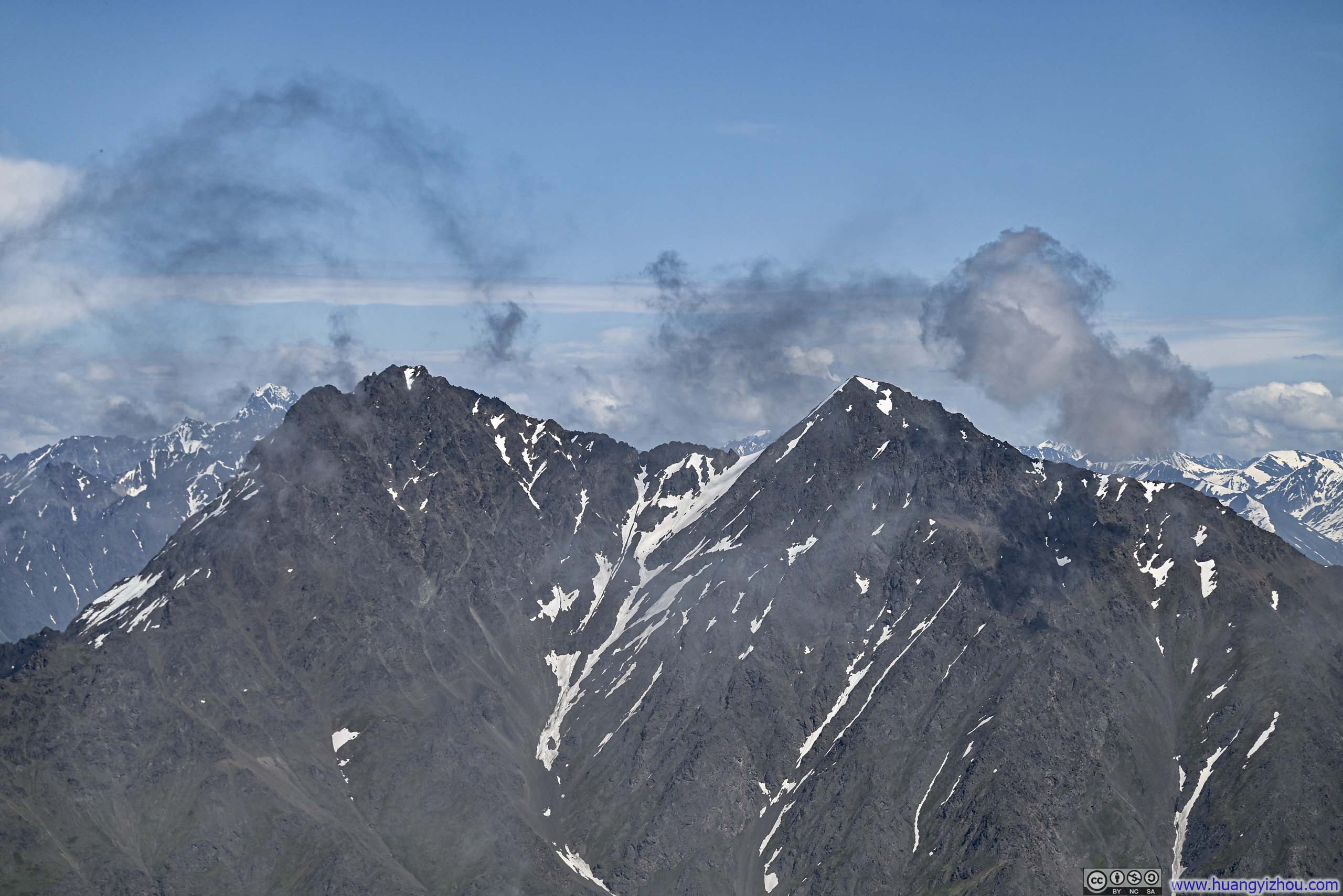
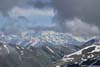
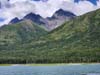
Not long after leaving that overlook, sights of Twin Peaks came into view. During my earlier drive to Eklutna Lake, I spotted wisps of clouds clinging to various mountain summits in the area, a sight that stirred a quiet concern within me. Now that I caught a clear sight of Twin Peaks, that apprehension was both validated and eased: the peaks’ summits were indeed playing a game of hide-and-seek with the drifting clouds, appearing and vanishing in the shifting mists.
 Twin Peaks in Clouds
 West Twin Peak in Clouds
 Twin Peaks in Clouds
 East Twin Peak in Clouds
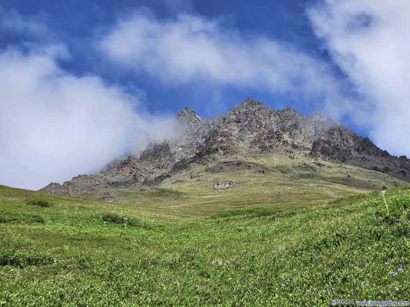 East Twin Peak

Click here to display photos of the Twin Peaks.
Twin Peaks in Clouds
West Twin Peak in Clouds
Twin Peaks in Clouds

East Twin Peak in Clouds

East Twin Peak
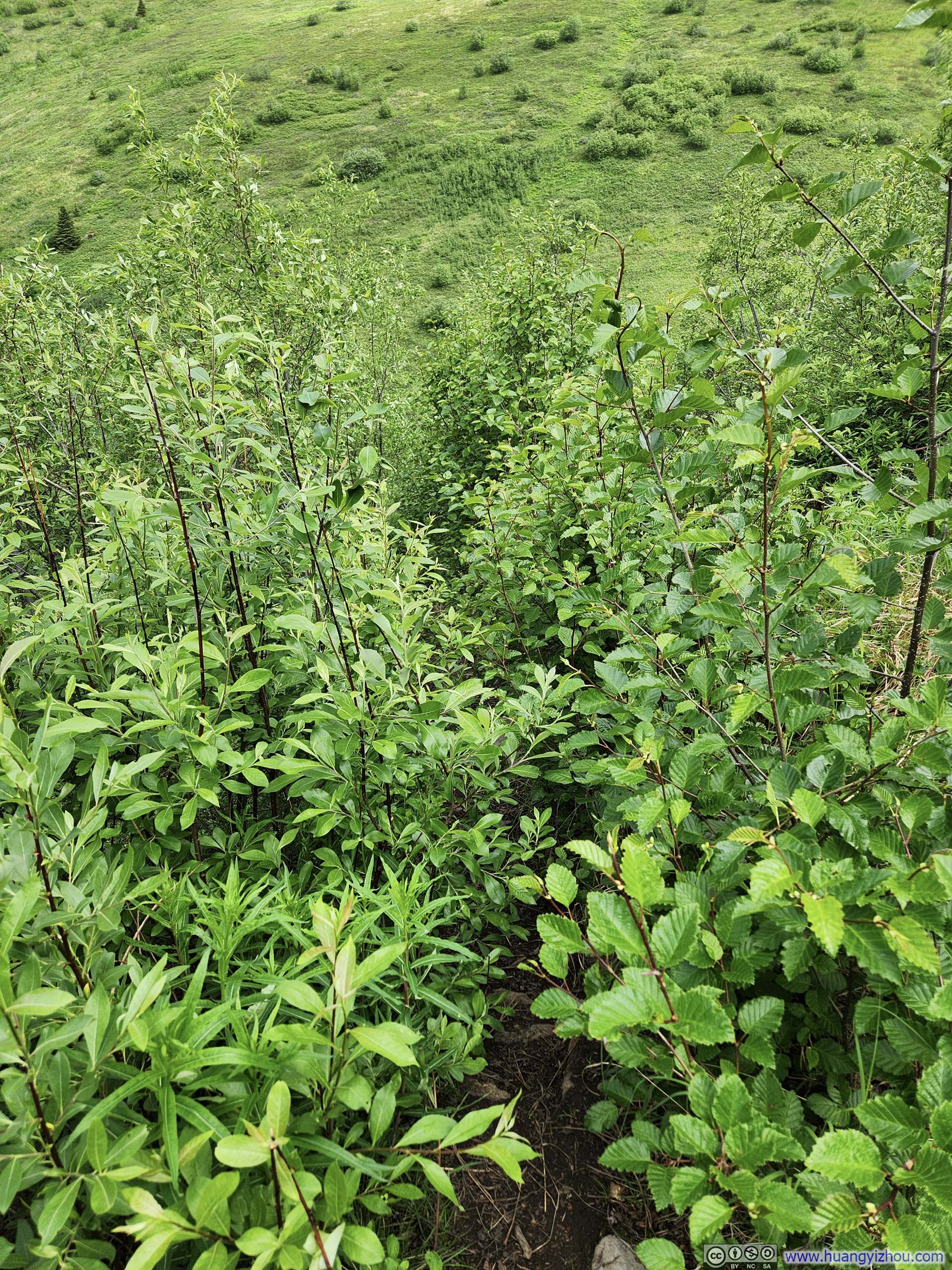
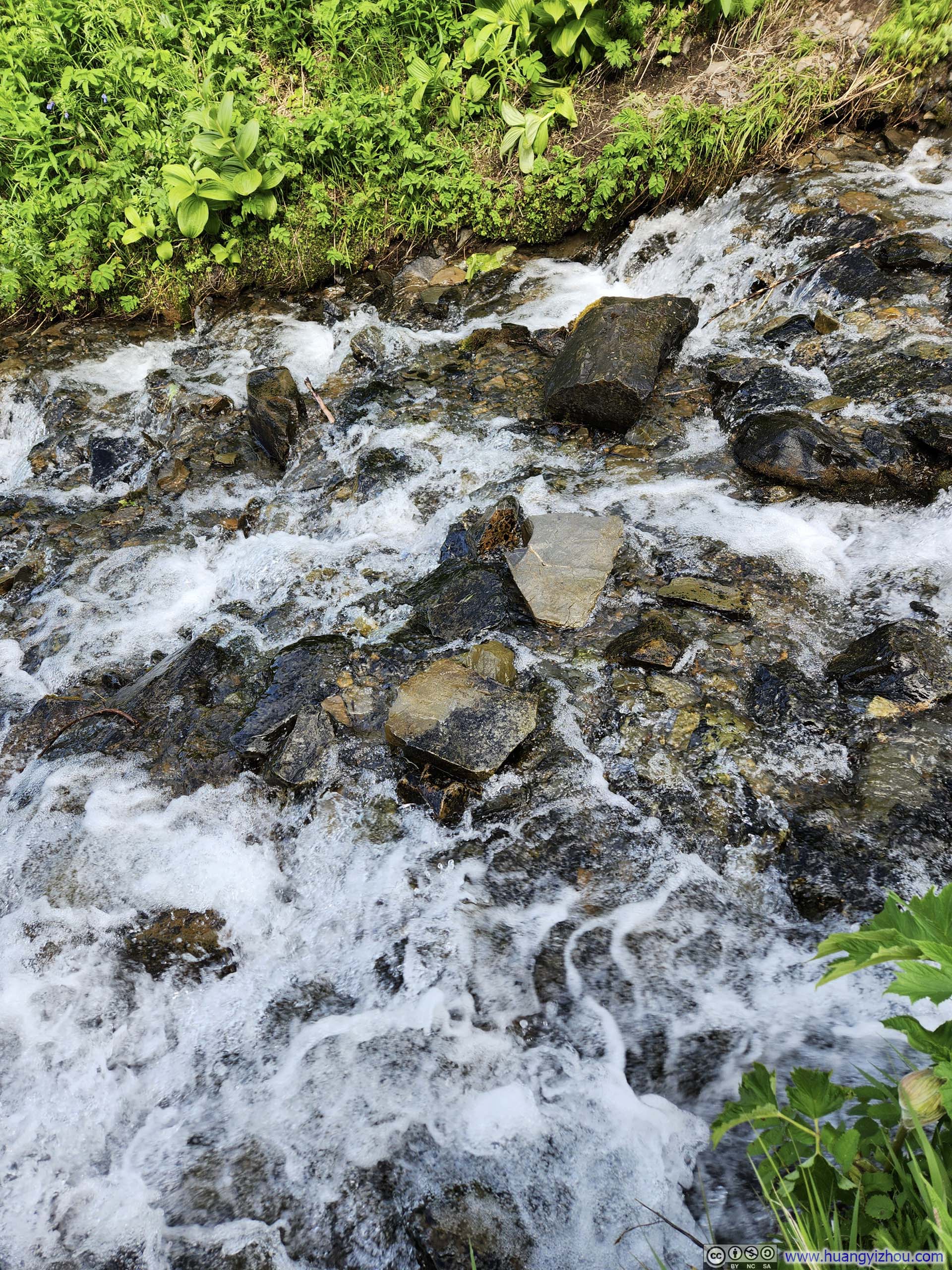
Just over 11am, I reached the end of the established trail, marked by a second bench. After that, the “path” descended down a small ravine before crossing Thachkatnu Creek. Though the creek ran swift and full with snowmelt, a series of exposed rocks provided adequate stepping stones for crossing. The portions of trail before and after crossing the creek required minimal bushwhacking as I pressed through the tangled branches. Admittedly, this was the least pleasant part of the journey.
 Overgrown Trail
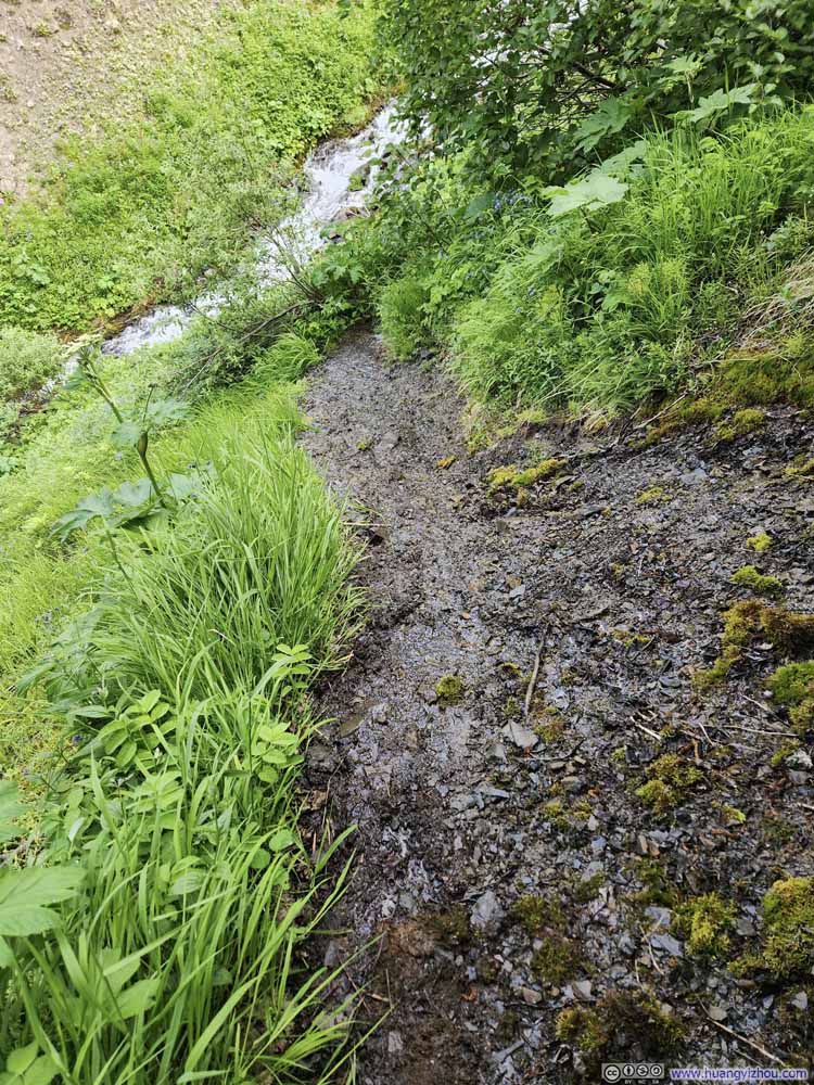 Wet TrailThe only wet section of trail, where water was flowing along the trail down to the creek.
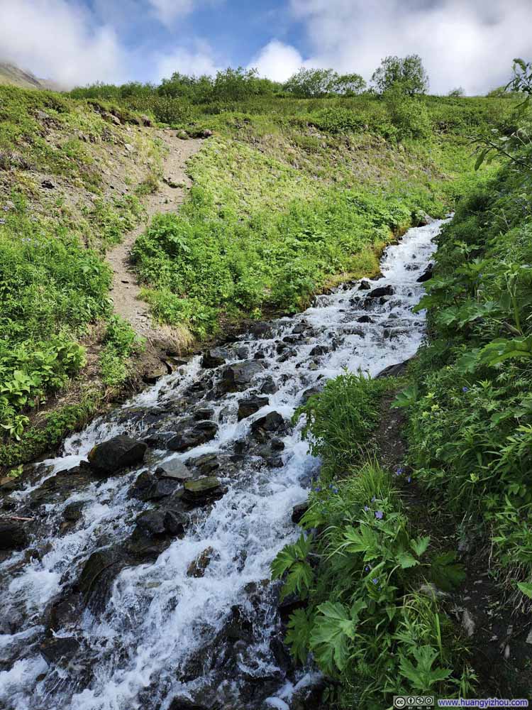 Thachkatnu Creek
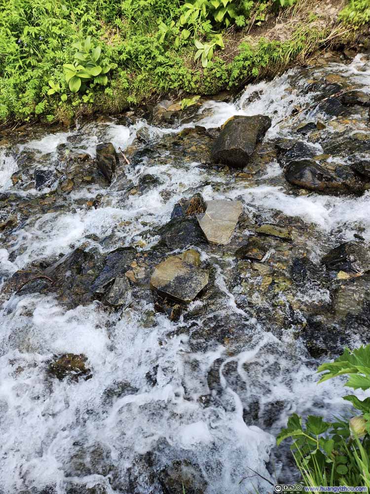 Crossing Thachkatnu CreekA few exposed rocks meant I crossed the creek with my shoes dry.
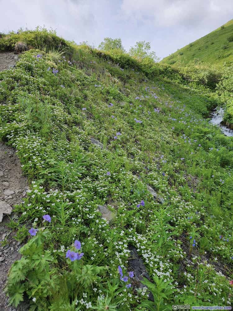 Flowers along Trail
 Overgrown Trail


Click here to display photos of the slideshow
Overgrown Trail

Wet TrailThe only wet section of trail, where water was flowing along the trail down to the creek.

Thachkatnu Creek
Crossing Thachkatnu CreekA few exposed rocks meant I crossed the creek with my shoes dry.
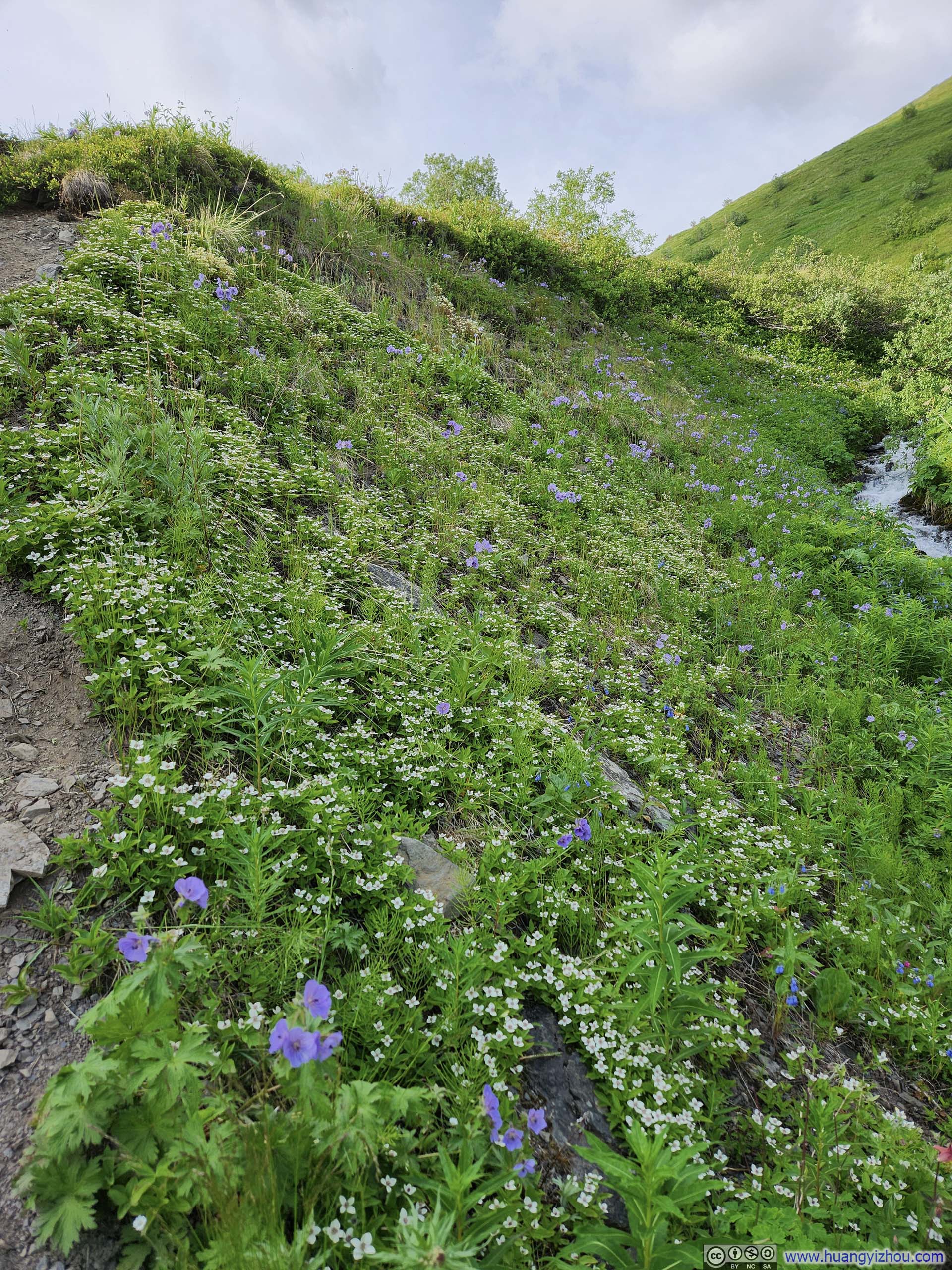
Flowers along Trail
Overgrown Trail
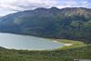
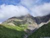
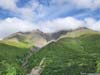
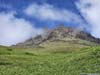
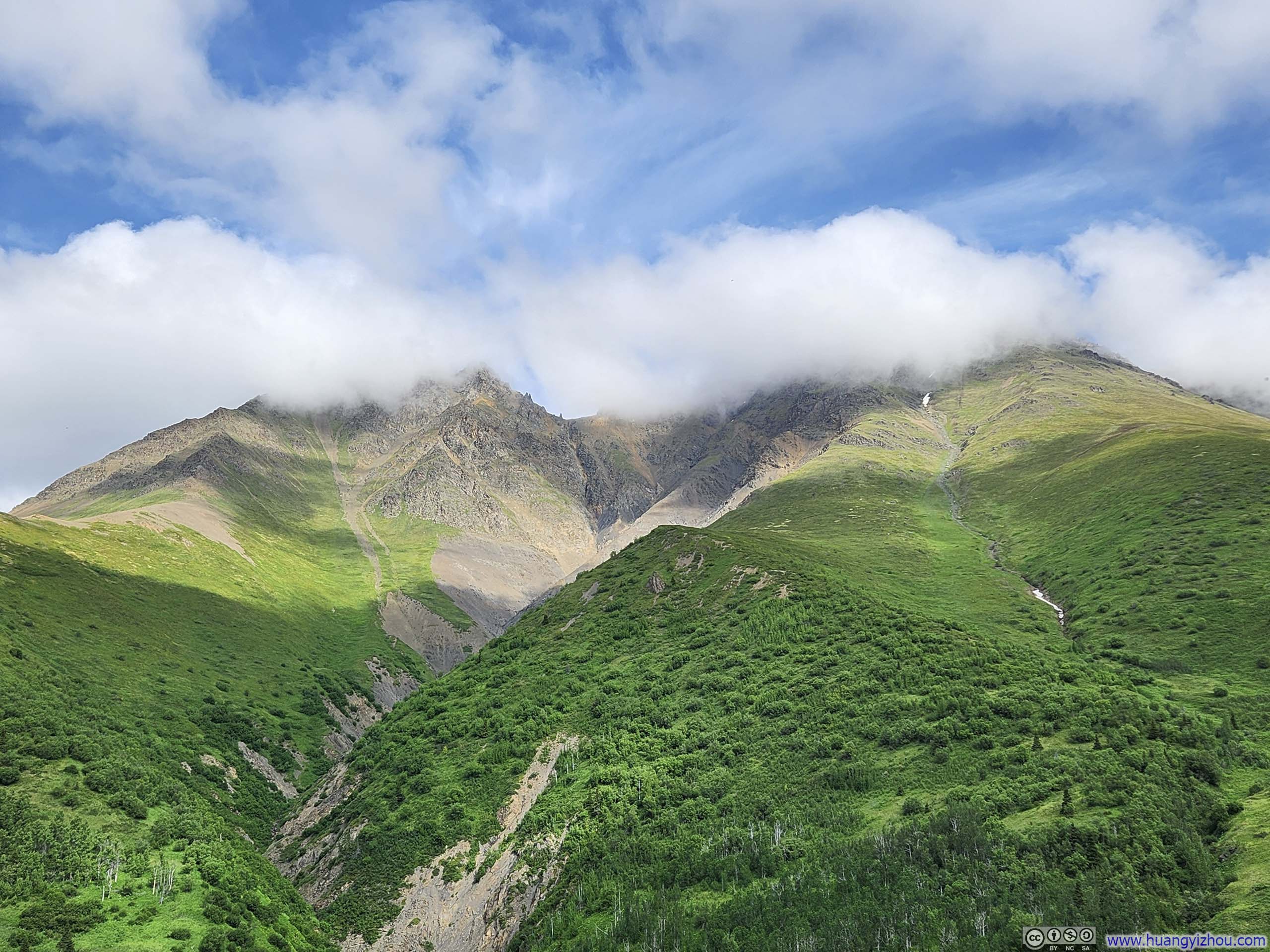
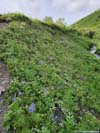
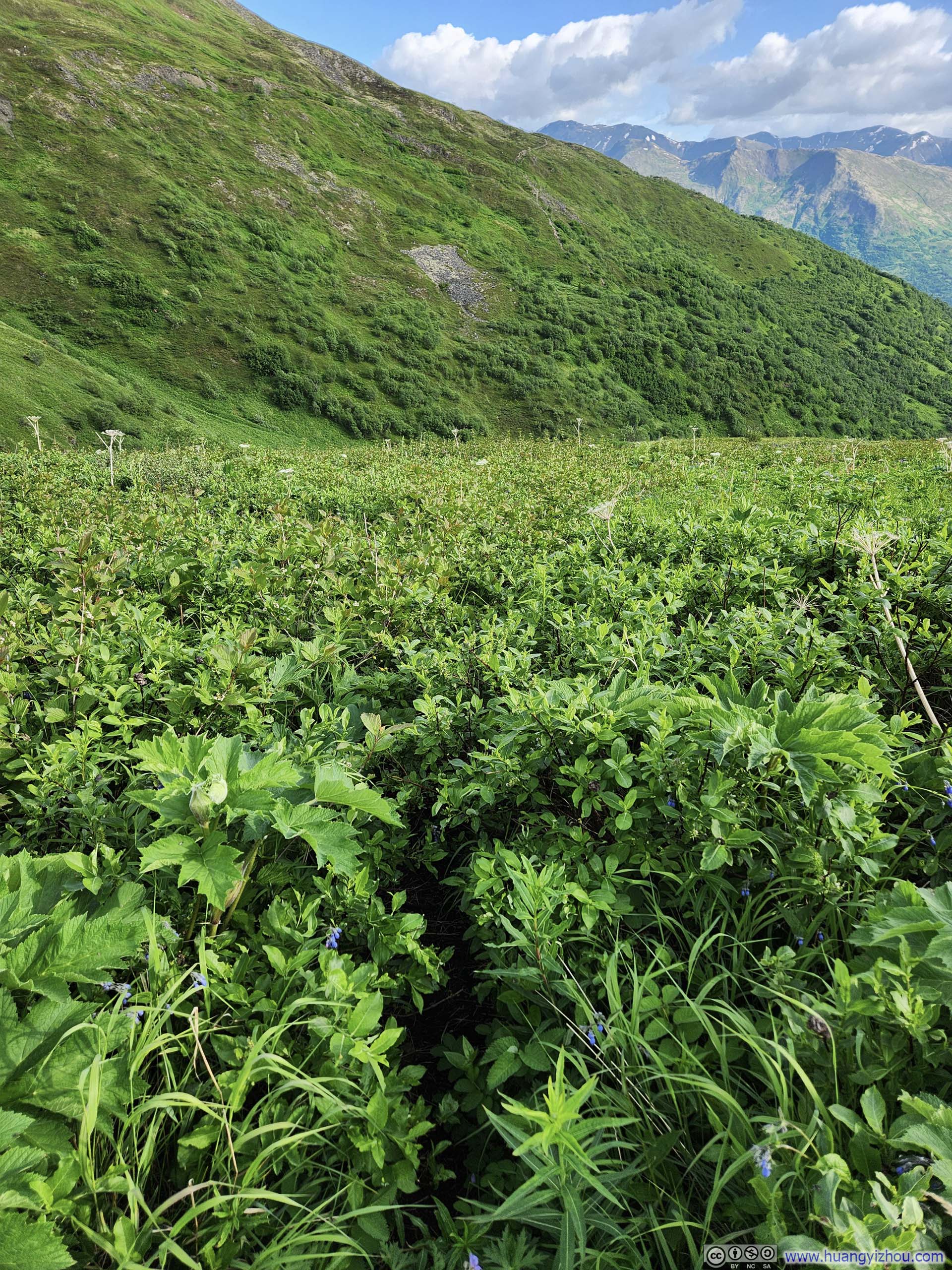
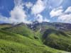
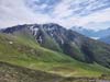
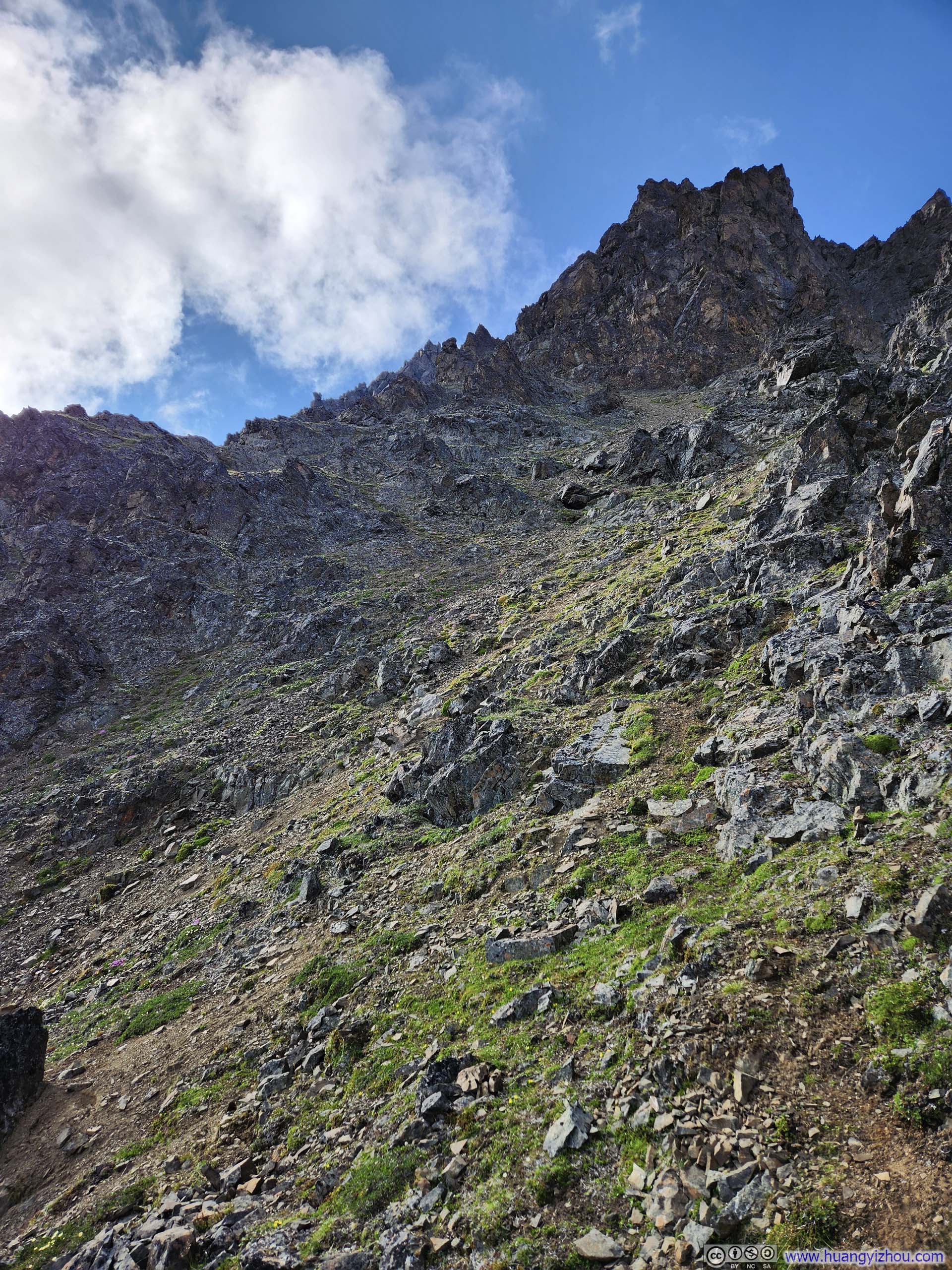
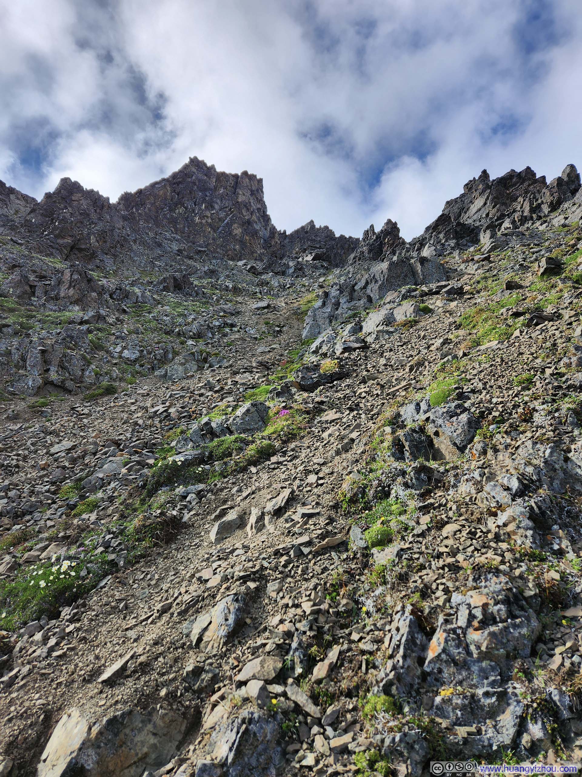
As the trail ascended the steep slopes of Twin Peaks, the vegetation gradually diminished, becoming both shorter and more sparse. Across the valley, the lush slopes of Pepper Peak, adorned with delicate patches of snow, offered a pleasing backdrop as company.
 Trail
Trail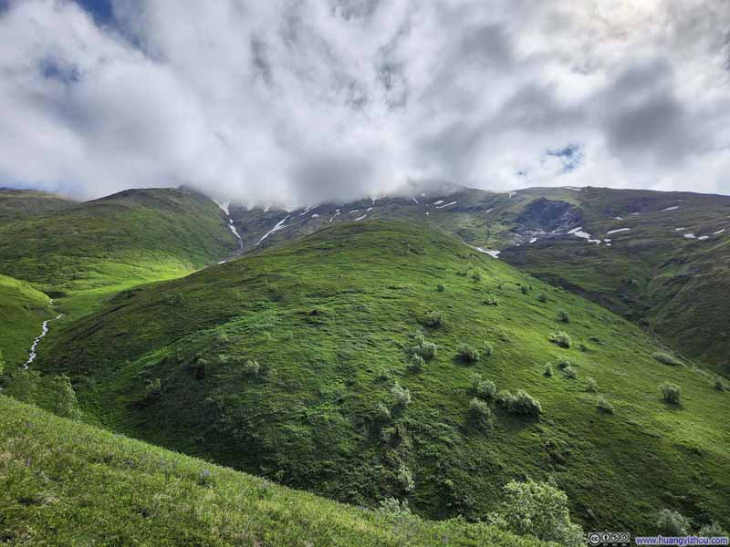 Pepper Peak in Clouds
 Pepper Peak in Clouds
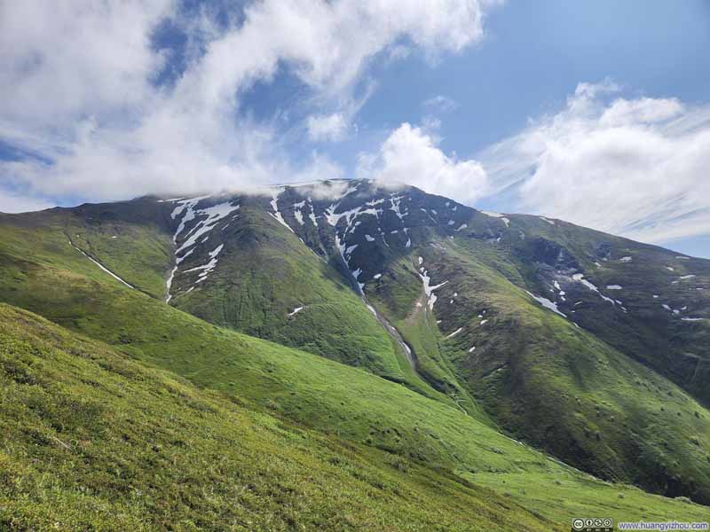 Pepper Peak
 Pepper Peak
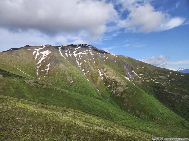 Pepper Peak


Click here to display photos of the slideshow
Trail

Pepper Peak in Clouds
Pepper Peak in Clouds
Pepper Peak

Pepper Peak

Pepper Peak
 Gravel Path
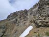
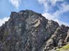
East Twin Peak
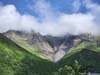
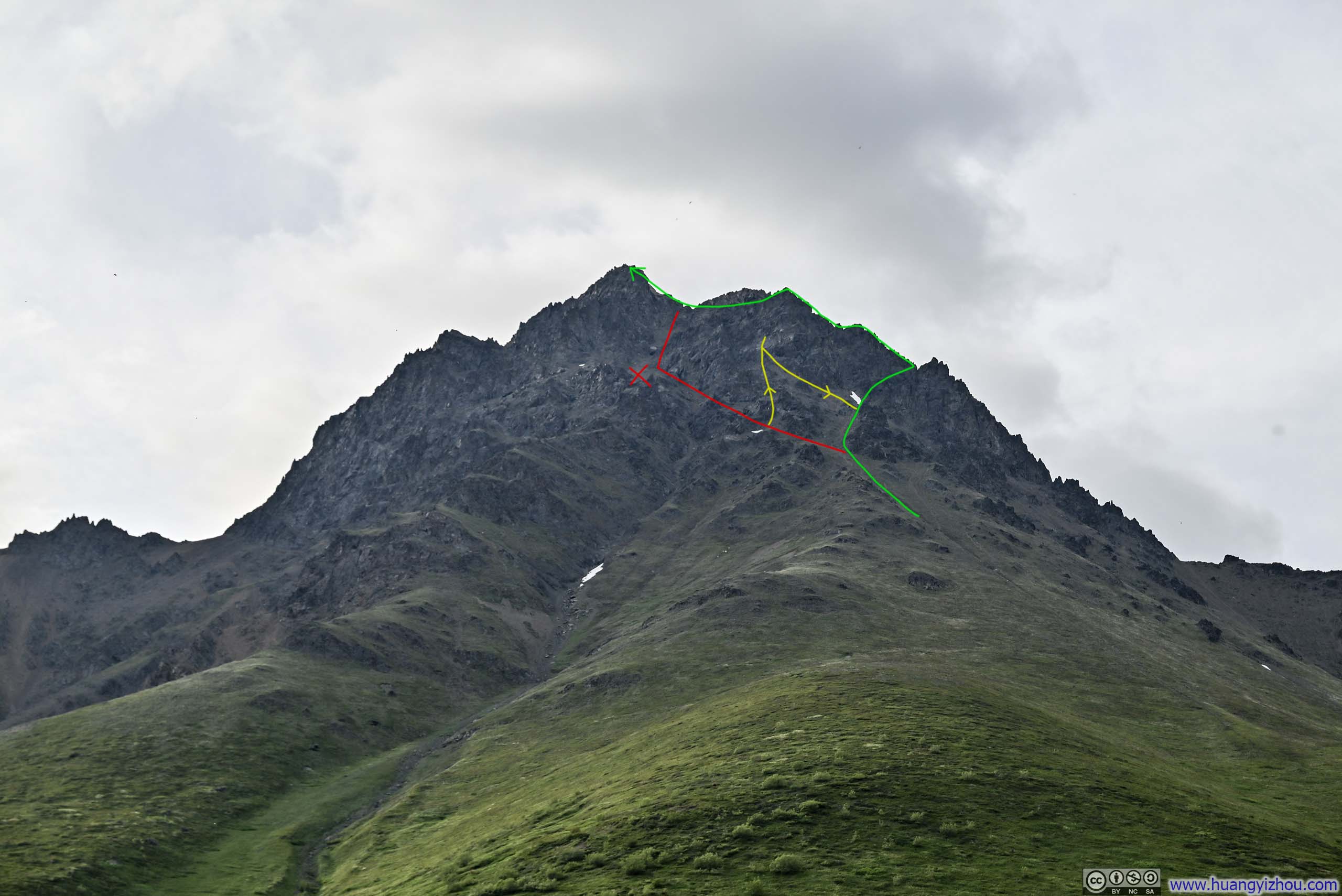
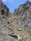
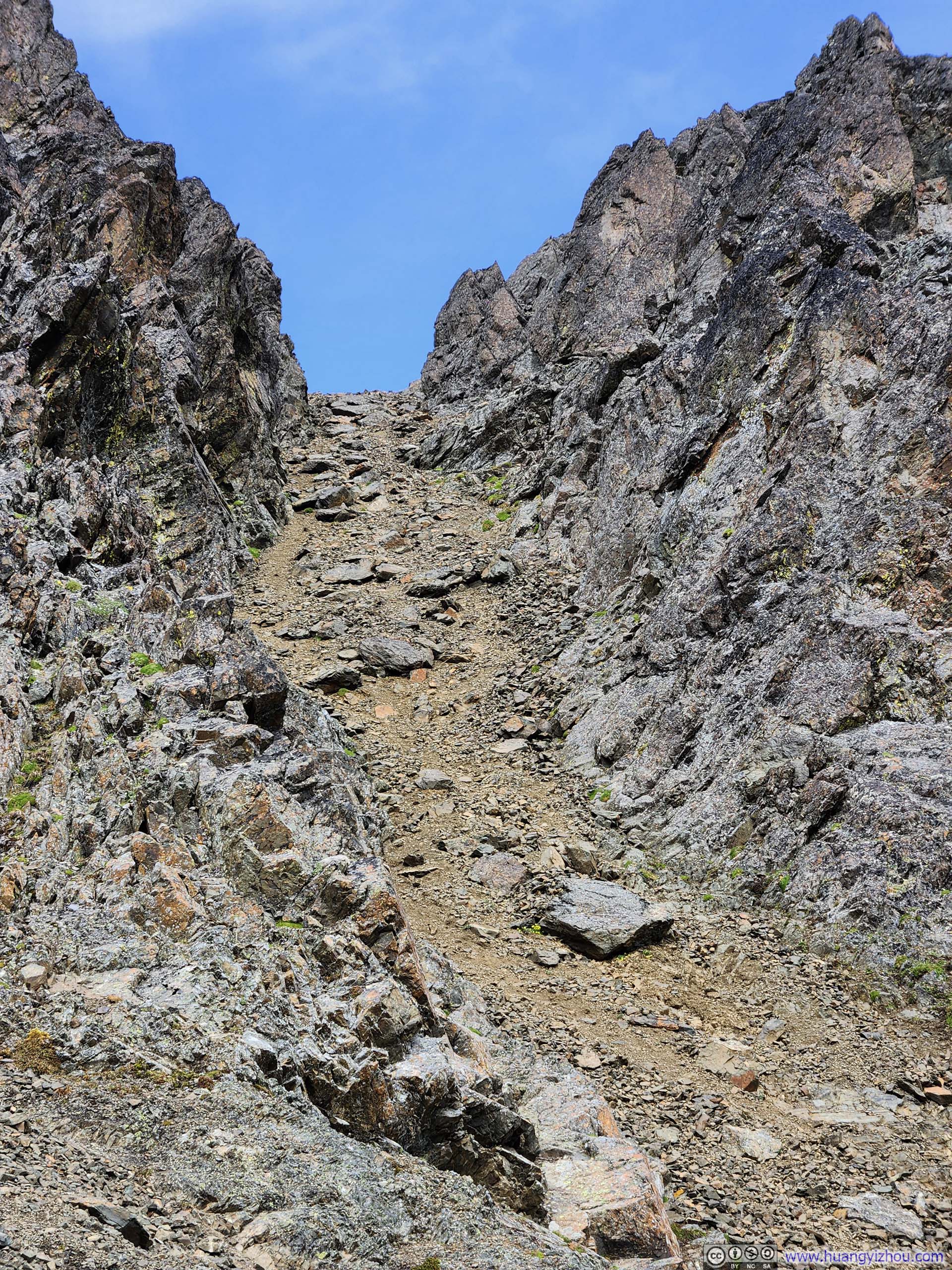
GullyLook for this distinctive gully, it’s the easiest way up.
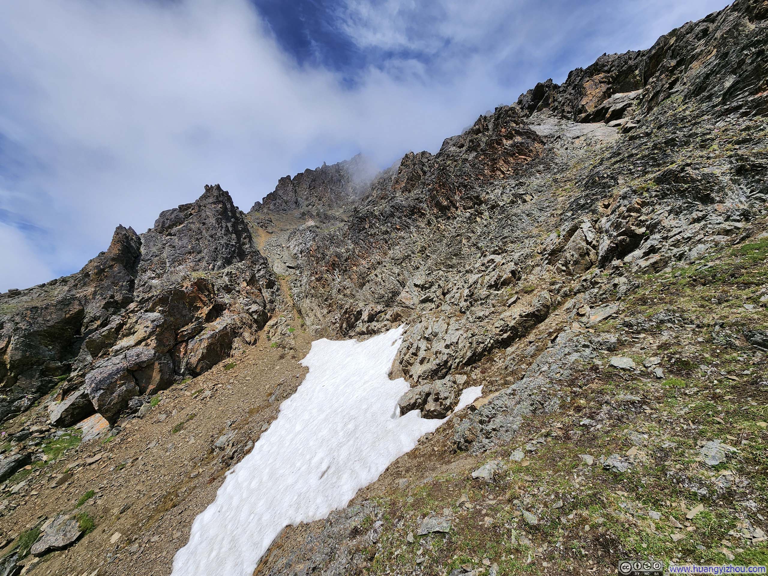
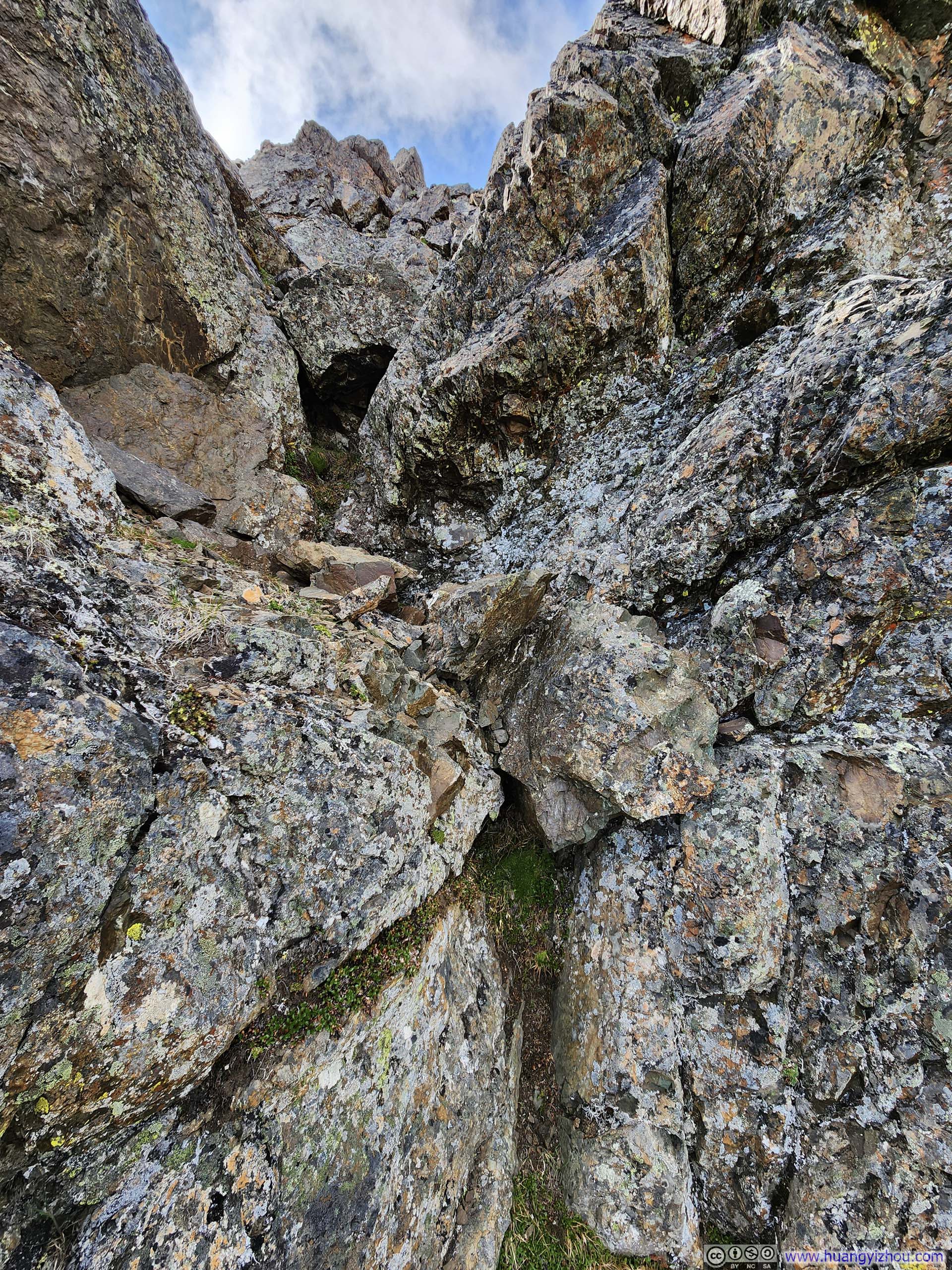
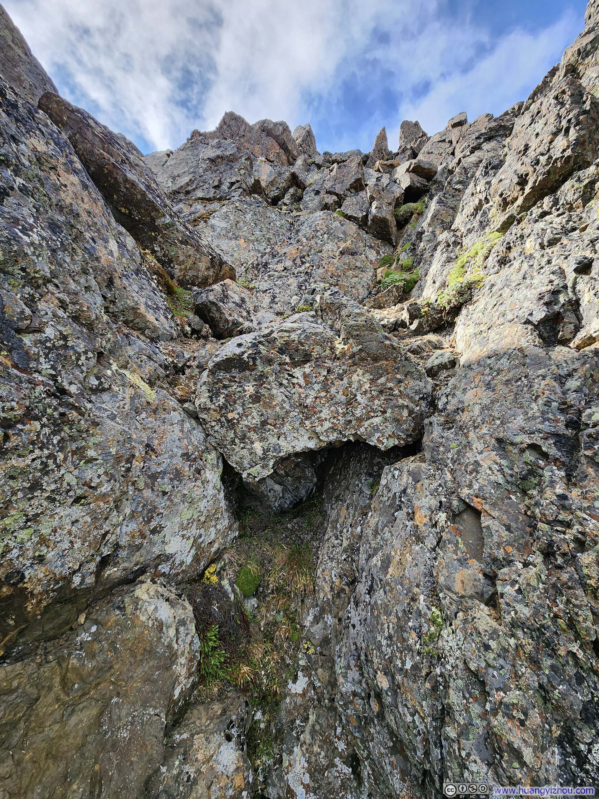
Unfortunately, due to the lack of established paths near the summit of East Twin Peak, I followed the path on the map to traverse the mountain as much as possible and didn’t find that “notch gully” at first. Twice I encountered impassable snow patches blocking my forward progress, and twice I was compelled to seek higher grounds instead. With each upward detour, the terrain became increasingly exposed and precarious. Eventually, as serious doubts about my chosen route began to mount, hence I decided to trace my steps back.
 Snow Patch
The OpenStreetMap trail was blocked by this snow patch, hence I departed from that path and headed straight up at this point. Unbeknownst to me, I should have done this earlier.
Snow Patch
The OpenStreetMap trail was blocked by this snow patch, hence I departed from that path and headed straight up at this point. Unbeknownst to me, I should have done this earlier. Small OverlookWhich wasn’t as exposed, offering me some respite. Lovely blossom of flowers.
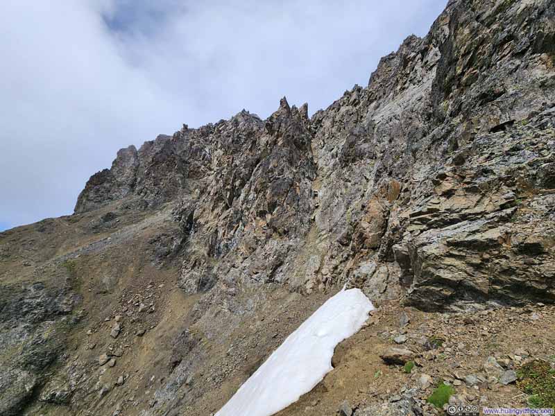 Snow Patch along Steep HillsideOnce again blocking my path forward, hence I had to head straight up.

Click here to display photos of the slideshow
Snow Patch
Small OverlookWhich wasn’t as exposed, offering me some respite. Lovely blossom of flowers.
Snow Patch along Steep HillsideOnce again blocking my path forward, hence I had to head straight up.
 Steep Hillside Gravel Path
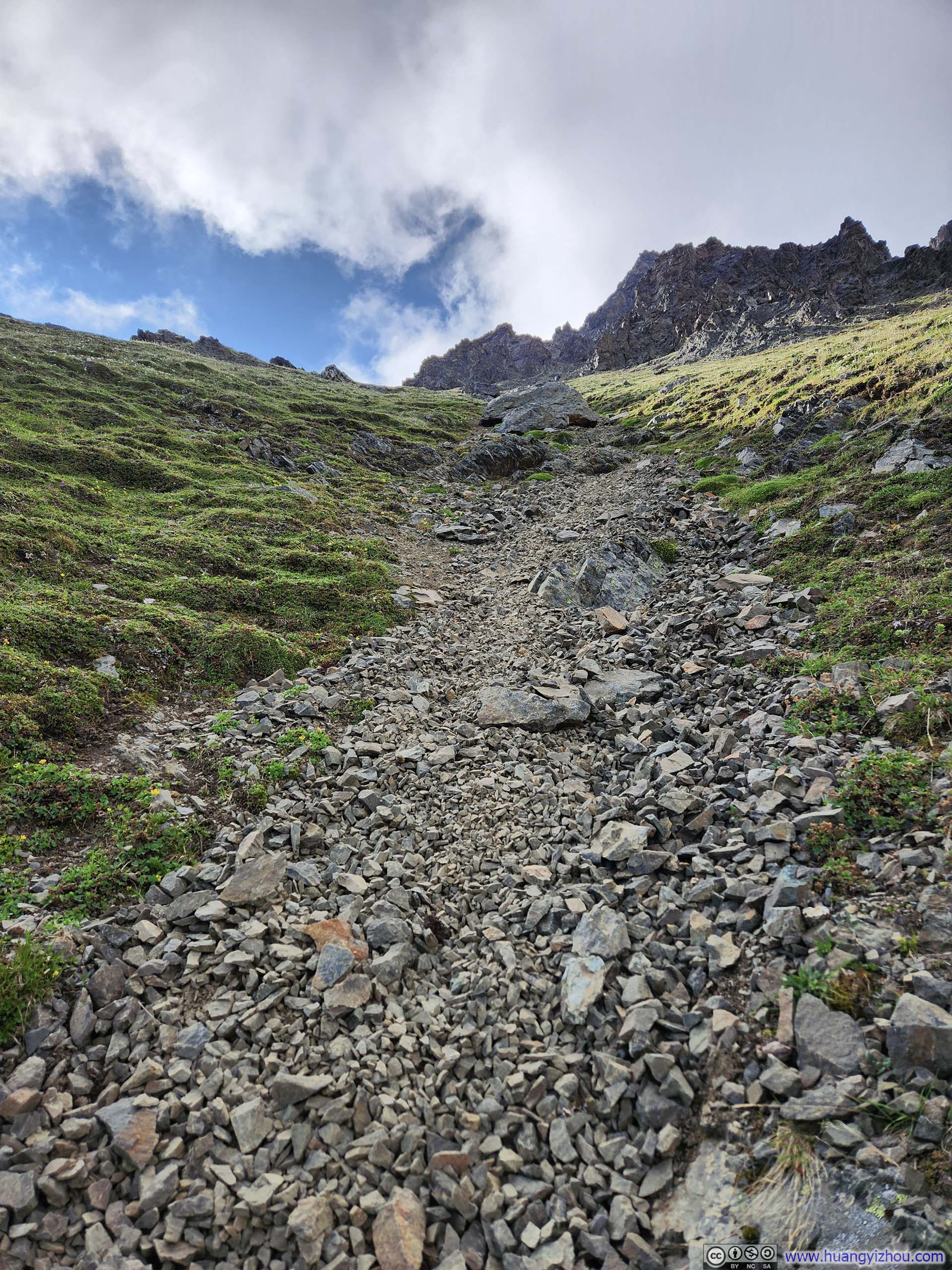
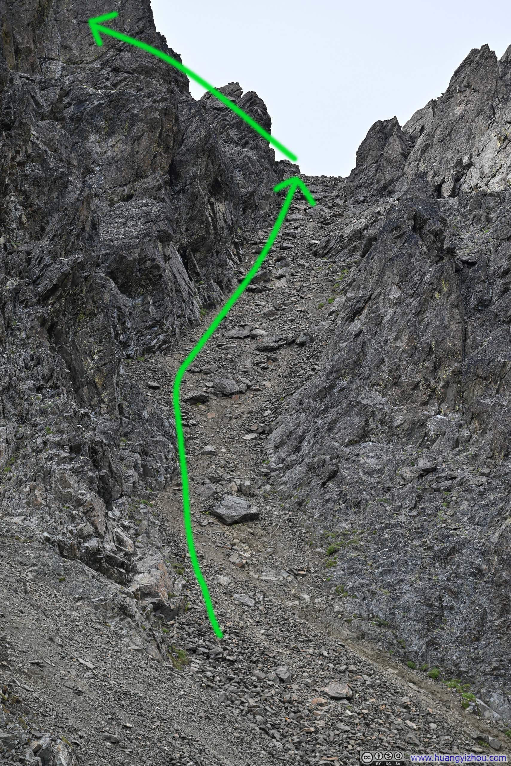
Not long after starting my retreat, I discovered the gully that would lead me up to the summit ridge of East Twin Peak. (A huge shoutout to Hikeasaurus AK’s YouTube video, if not for identifying that gully I might likely abort this attempt at East Twin Peak.) My struggle to locate the proper route, which ended up in the earlier detour, had ultimately caused me about 50 minutes.
At the bottom of that gully, I started recording the following video with my helmet-mounted GoPro.
Alternatively, here’s an ad-free version hosted on my server.
1 hour, 31 minutes and 8 seconds, 2160p30fps, H265 only, compressed aggressively to 10Mbps for a file size of 7GB.
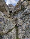
The gully was steep with loose scree, but the solid rock formations along either side provided good handholds, invaluable in my ascent. At the top of that gully was a small level clearing, where I caught the first glimpses of Mat-Su Valley stretching below. Eager to make up time from the previous detour, I didn’t linger there for long before pressing onwards.
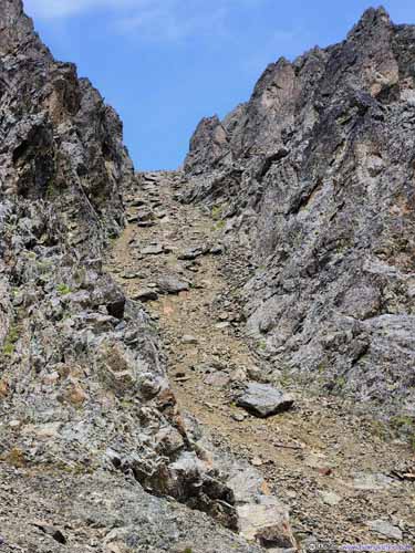
 GullyThe easiest path to East Twin Peak.
 Overlooking Gully
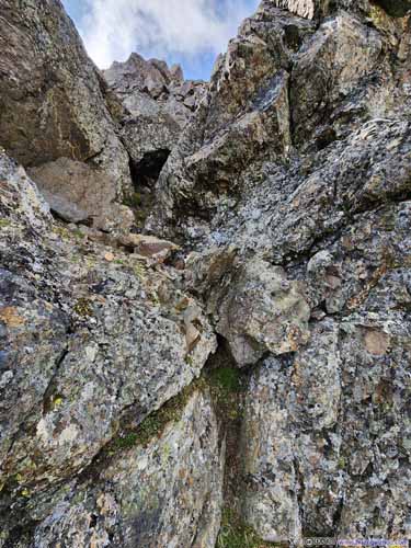
 Steep Path to East Twin PeaksI climbed up and down these rocks. There might be easier alternatives around this.
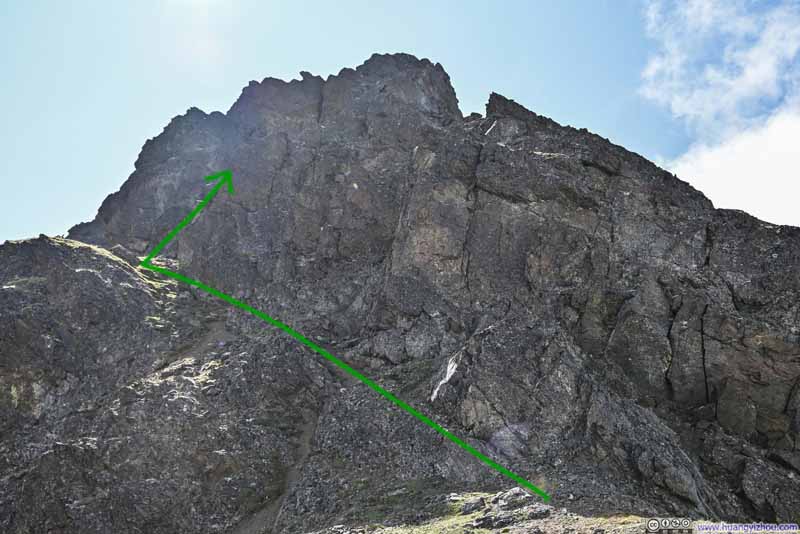 BoulderWhere I marked the approximate route that I took.
Click here to display photos of the slideshow
 GullyThe easiest path to East Twin Peak.

Overlooking Gully
 Steep Path to East Twin PeaksI climbed up and down these rocks. There might be easier alternatives around this.
BoulderWhere I marked the approximate route that I took.
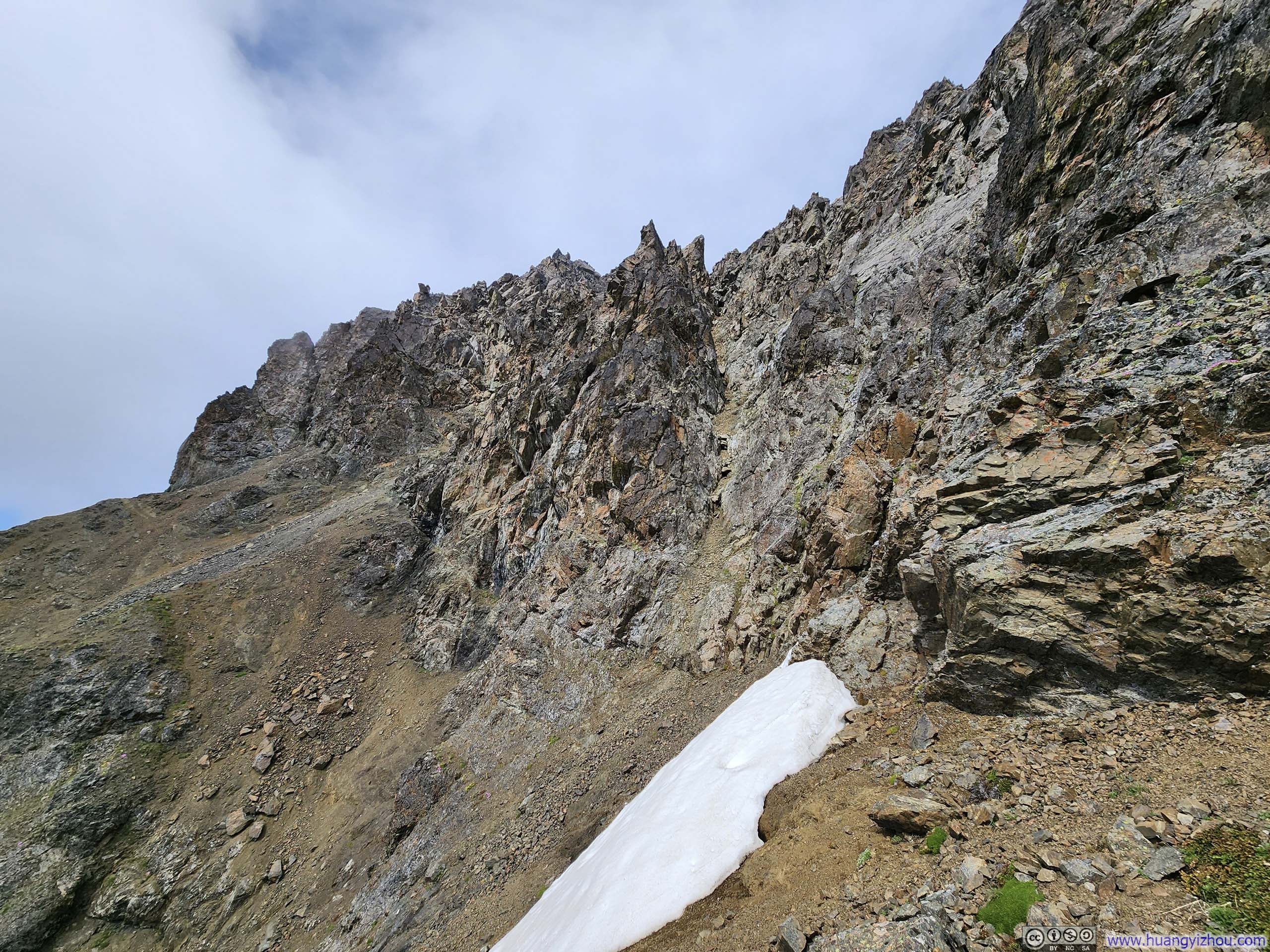
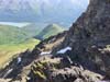
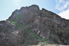
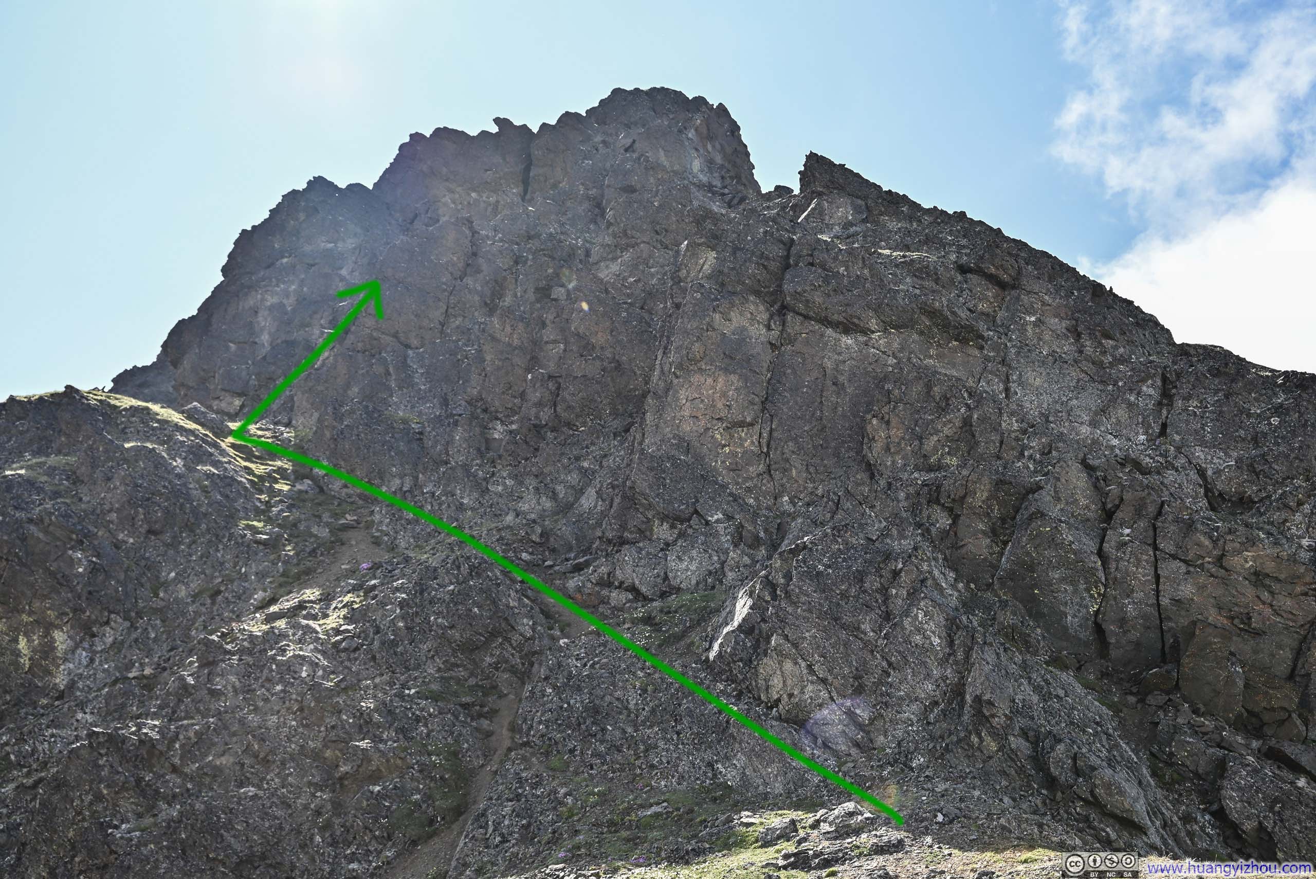
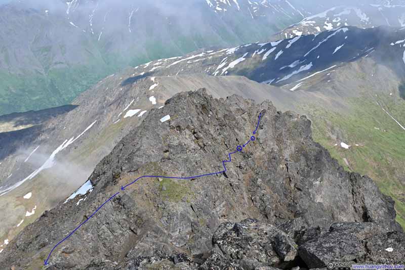
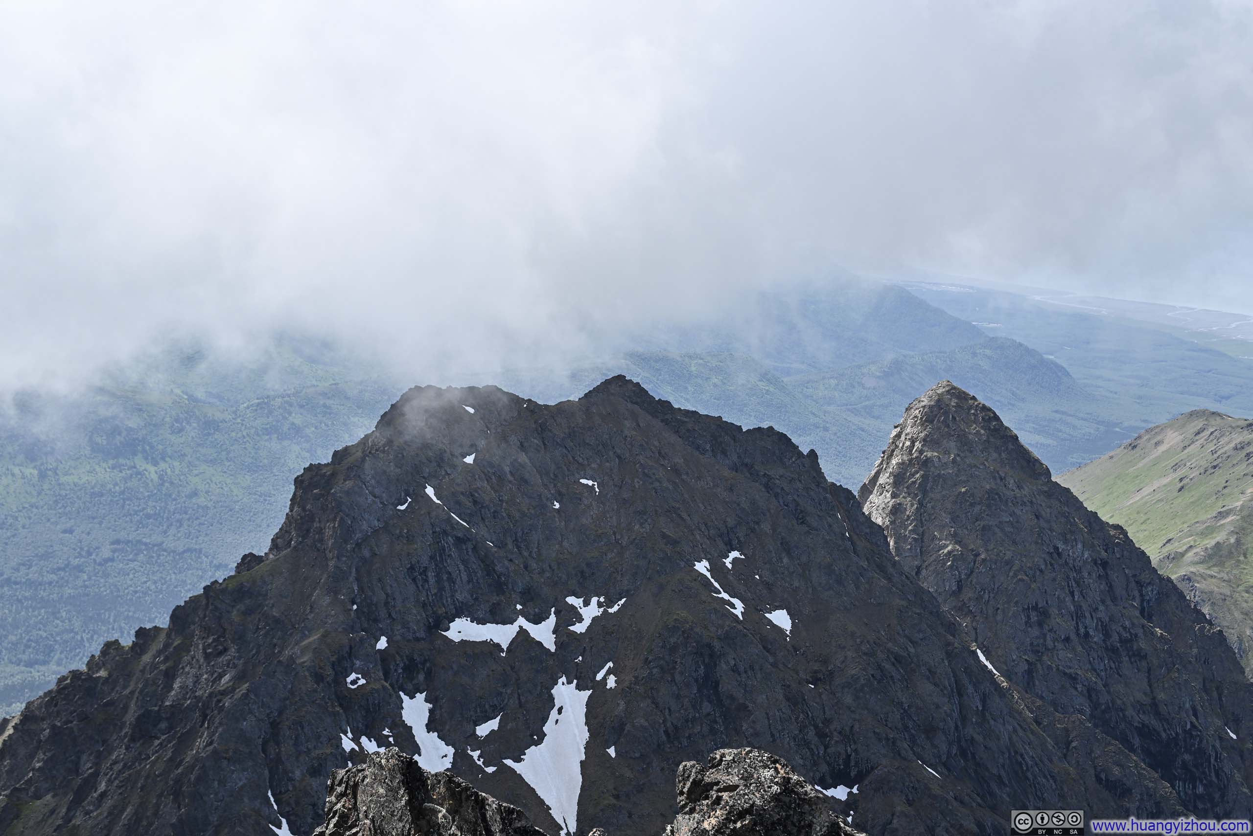
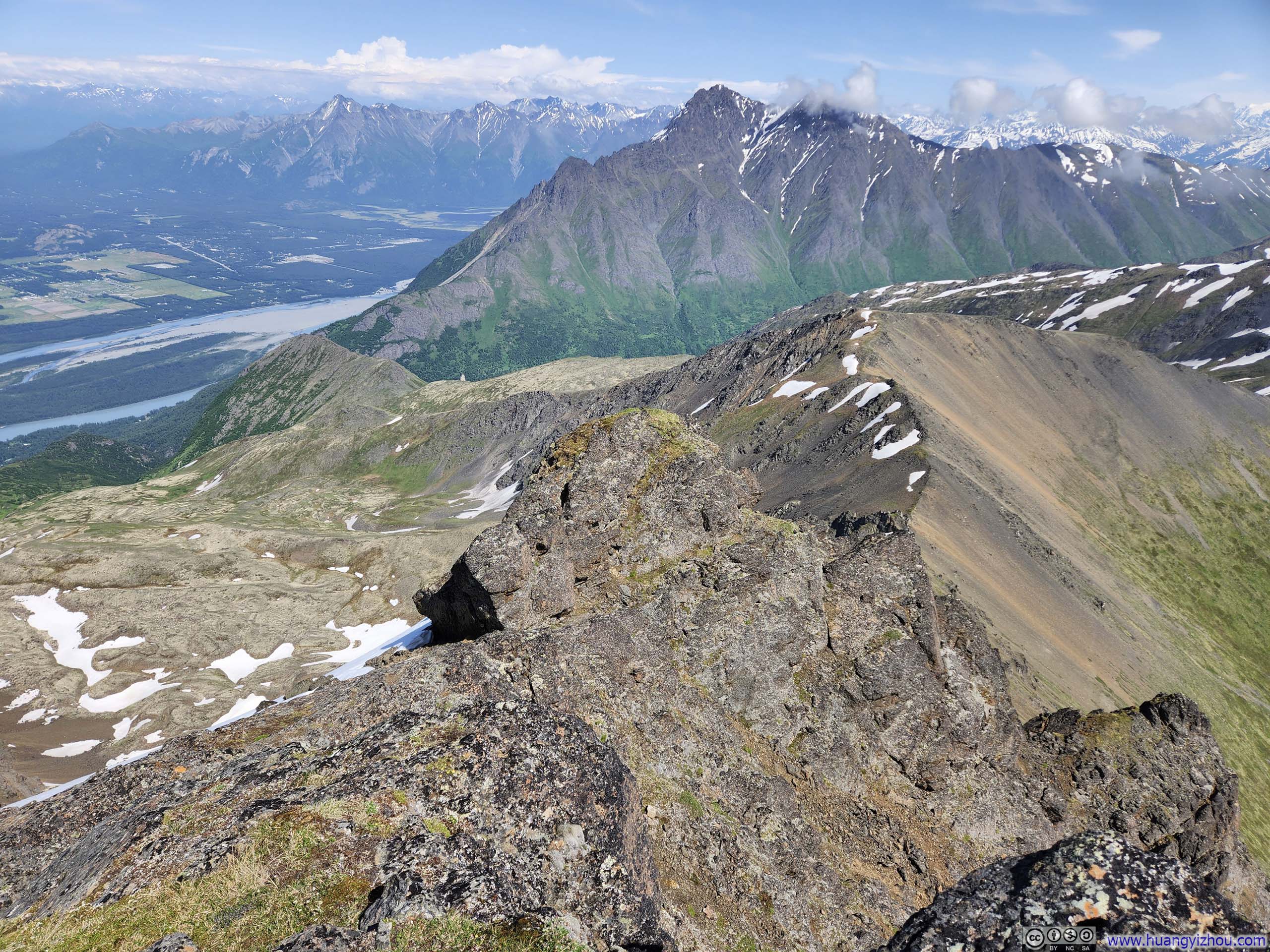
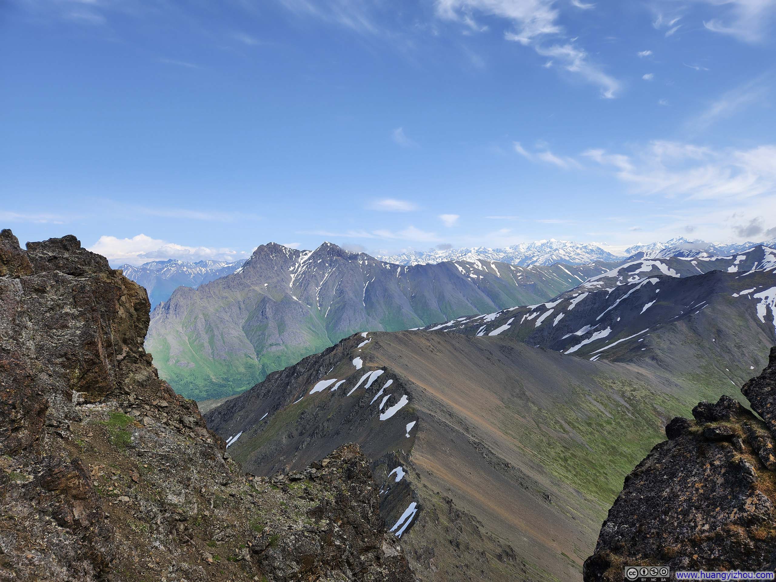
From the top of the gully, East Twin Peak’s summit appeared deceptively close on the map, yet the actual ascent proved considerably more time-consuming than I anticipated. (It took me 35 minutes.) The primary culprit was route-finding, which presented unexpected challenges throughout.
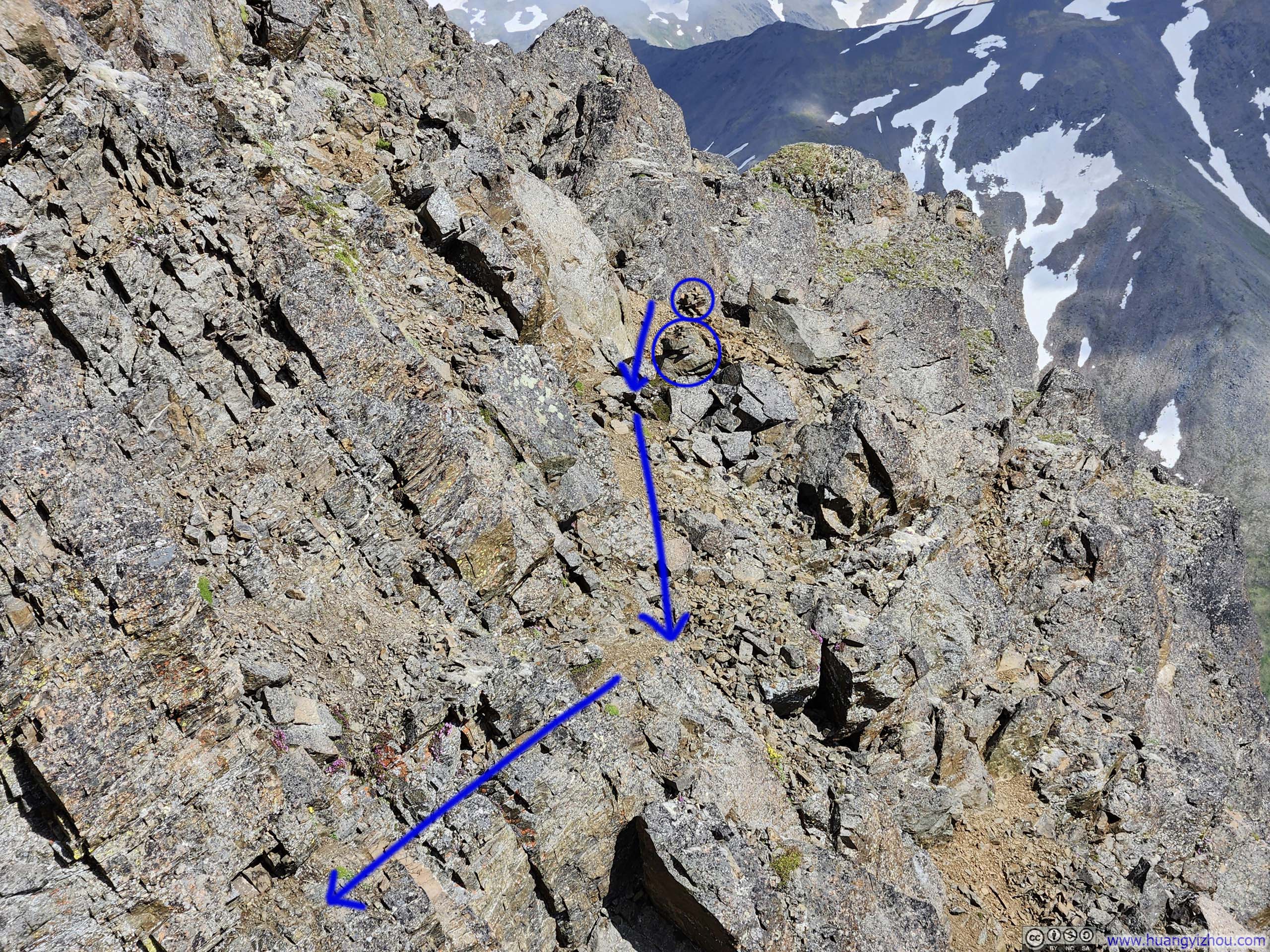
My experience was, starting from the gully top, one should stay on the summit ridge as much as possible (p3-4 above). There were some solid YDS class 3 moves along this part. I saw some online comments mentioning an easier alternative on the back (north) side of the summit ridge, but my brief reconnaissance failed to locate that purported easier passage.
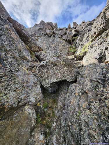
Some time later, it became almost impossible to stay on the summit ridge, forcing the path to trace a line slightly below and south of the ridge proper (slideshow below, I drew the path to the best of my recollection). I identified two cairns (blue circles below) marking the path. This was the most exposed and most technical section of the entire trip, though in retrospect, it was less formidable than I had feared. Perhaps my earlier detour had acclimated me to the exposure, or perhaps the reassuring presence of those cairns provided some much needed assurance. In the end, I felt if that section was rated as YDS class 4, it’s certainly on the easier end of class 4.
 Looking Back at Final Stretch before East Twin Peak
 Route to East Twin Peak
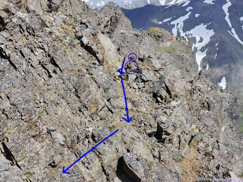 Path to East Twin Peak
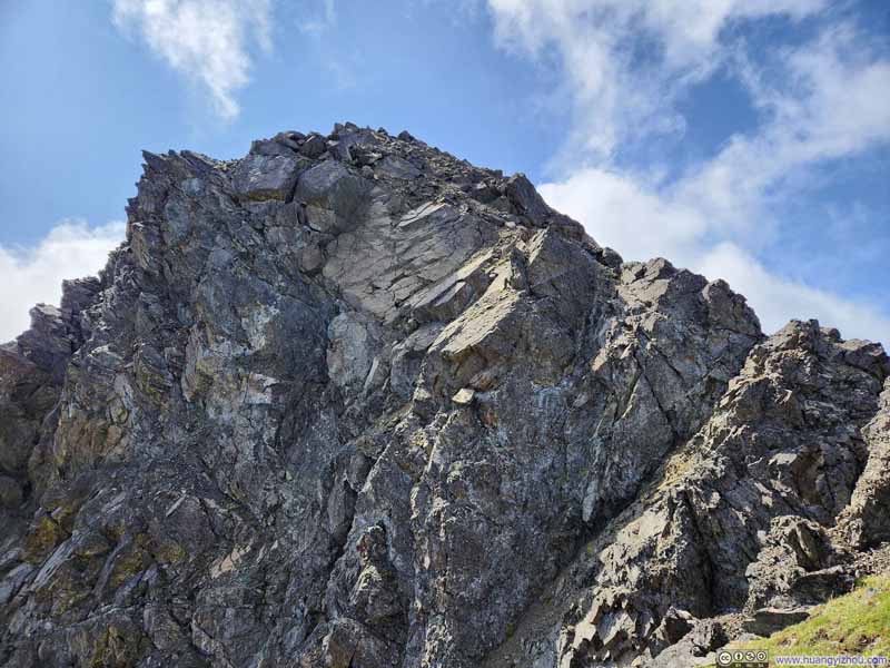 Homestretch to East Twin PeakIt looked imposing, but there was nothing technical after this saddle point.
Click here to display photos of the slideshow

Looking Back at Final Stretch before East Twin Peak

Route to East Twin Peak
Path to East Twin Peak

Homestretch to East Twin PeakIt looked imposing, but there was nothing technical after this saddle point.
Finally, I made it to the top of East Twin Peak at 1pm.
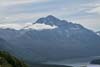
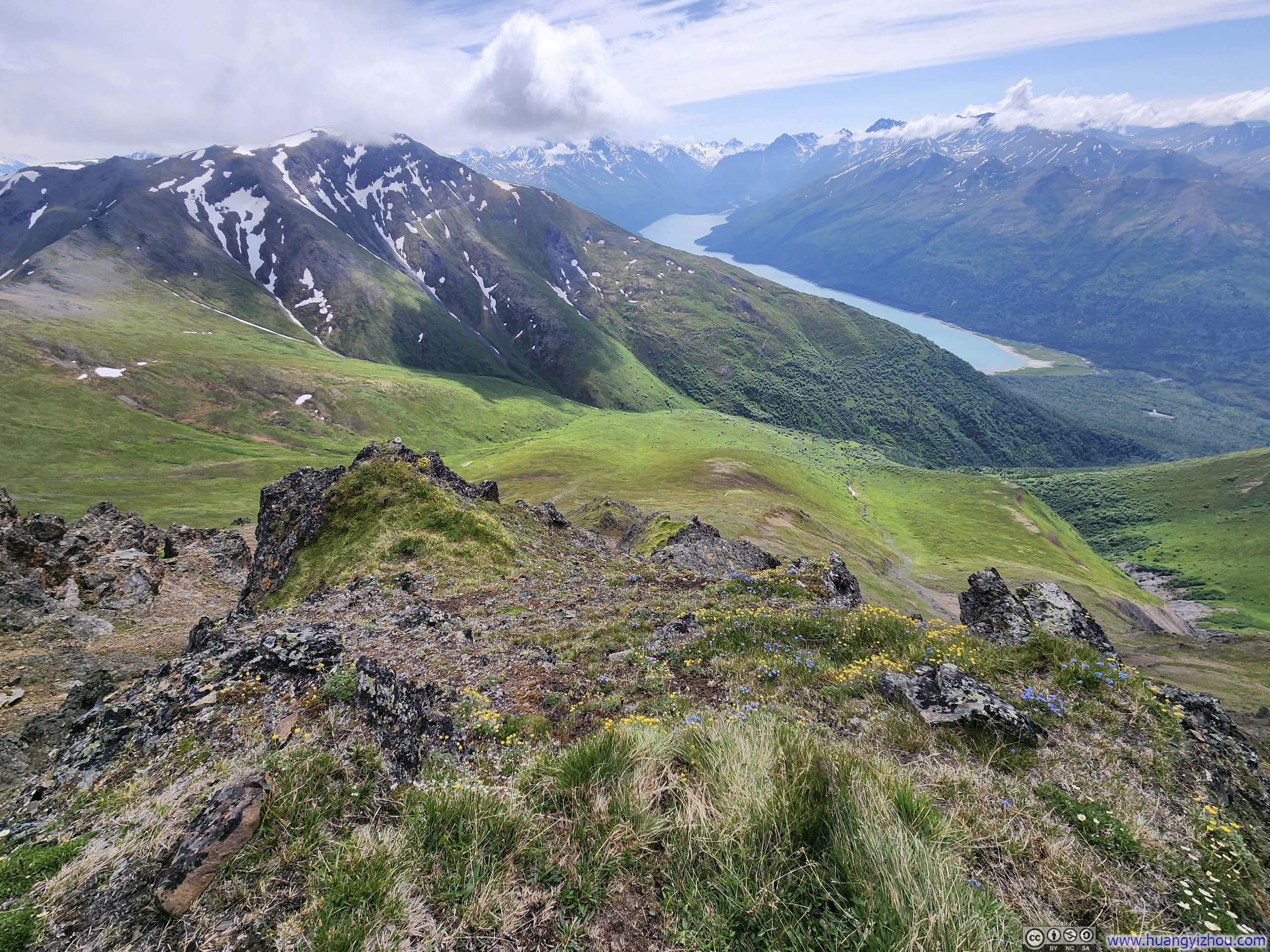
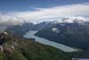
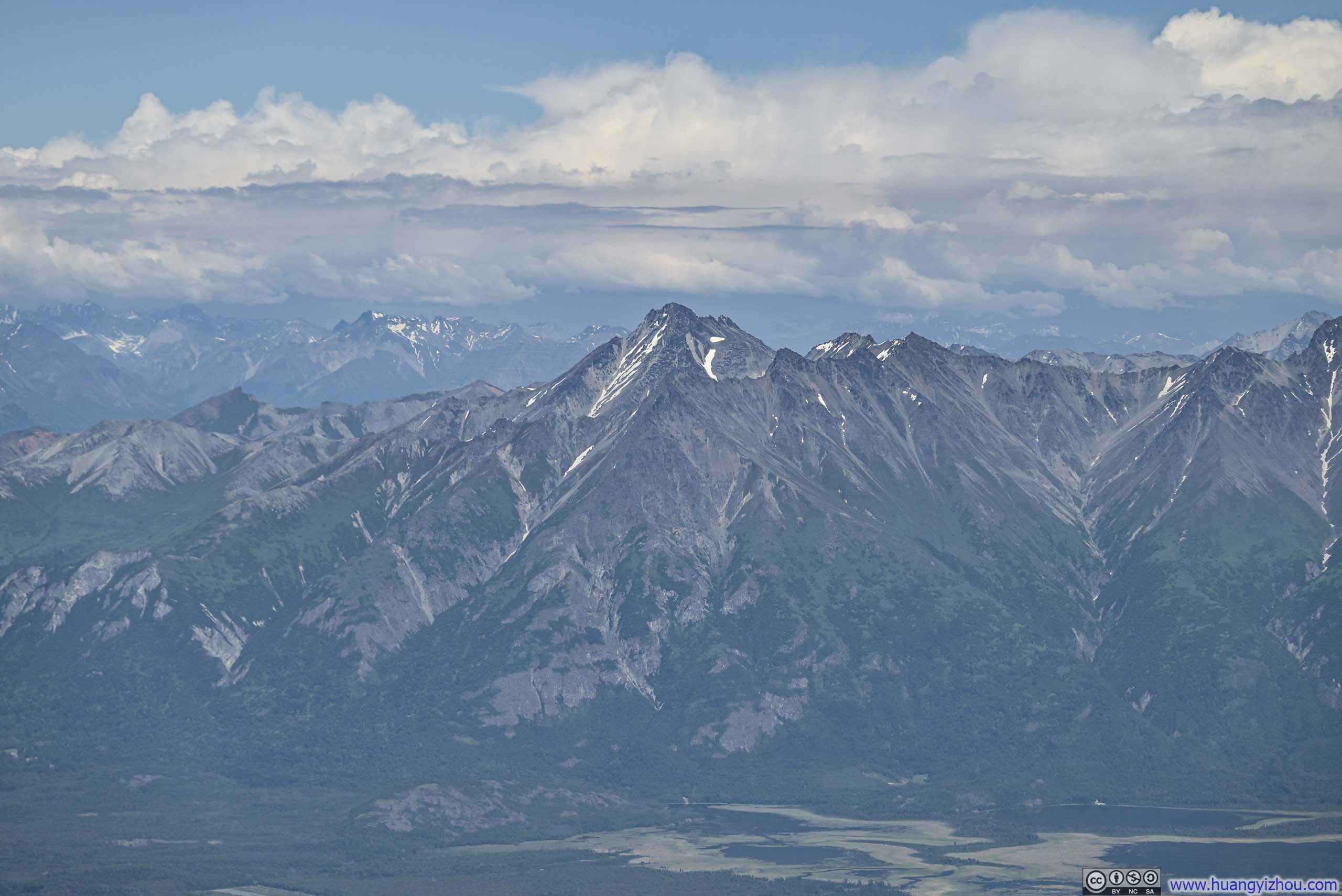
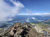
From this vantage point, the most iconic view was undoubtedly Eklutna Lake, stretching its full length below, embraced by lush mountainsides and framed against the dramatic backdrop of snow-capped peaks nestled deep within Chugach State Park. Occasional clouds drifted across the scene, lending an almost ethereal quality to the panorama.
The moment carried profound emotional resonance: the lake was the lowest point in view and the very trailhead where my hike had begun. Now, after an arduous ascent with 1500m of elevation gain, I found myself standing shoulder to shoulder with the towering peaks that surrounded me, their majestic presence serving as silent witnesses to the remarkable progress that I had made.
 Overlooking Eklutna Lake
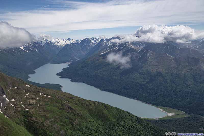 Overlooking Eklutna Lake
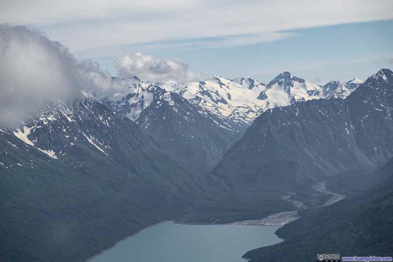 Mountains and Glaciers beyond Eklutna Lake
 Mountains overlooking Eklutna Lake
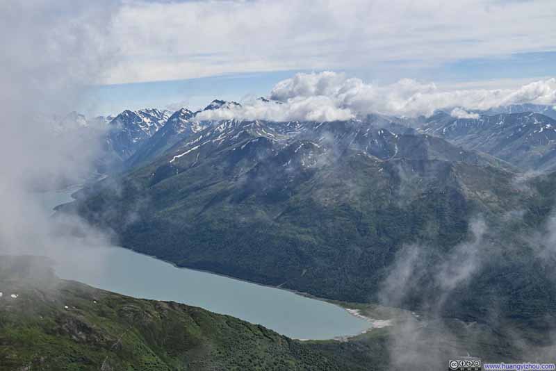 Passing Clouds over Eklutna Lake
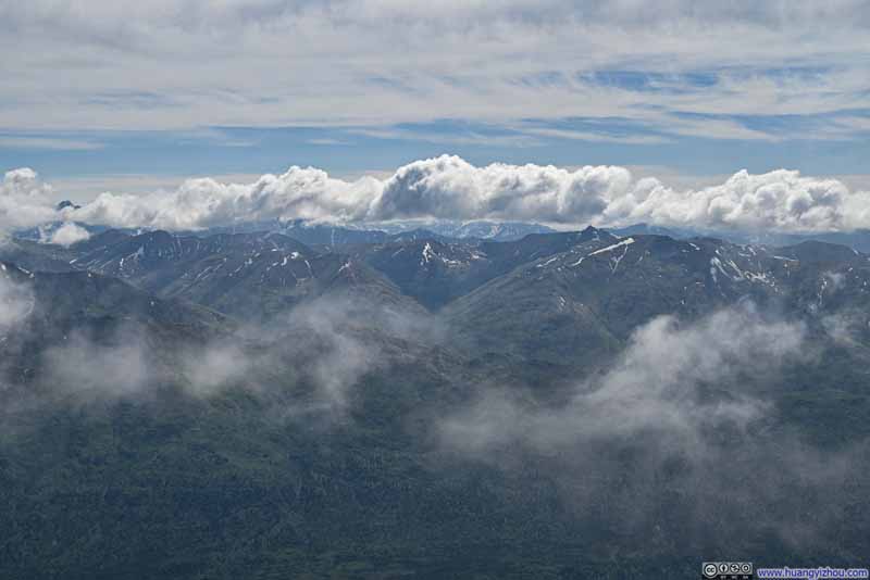 Mountains to the SouthDeep into Chugach State Park.
 Overlooking Eklutna Lake
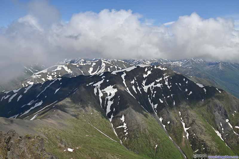 Pepper Peak against Snowy Mountains


Click here to display photos of the slideshow
Overlooking Eklutna Lake

Overlooking Eklutna Lake

Mountains and Glaciers beyond Eklutna Lake
Mountains overlooking Eklutna Lake
Passing Clouds over Eklutna Lake

Mountains to the SouthDeep into Chugach State Park.

Overlooking Eklutna Lake
Pepper Peak against Snowy Mountains
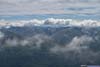
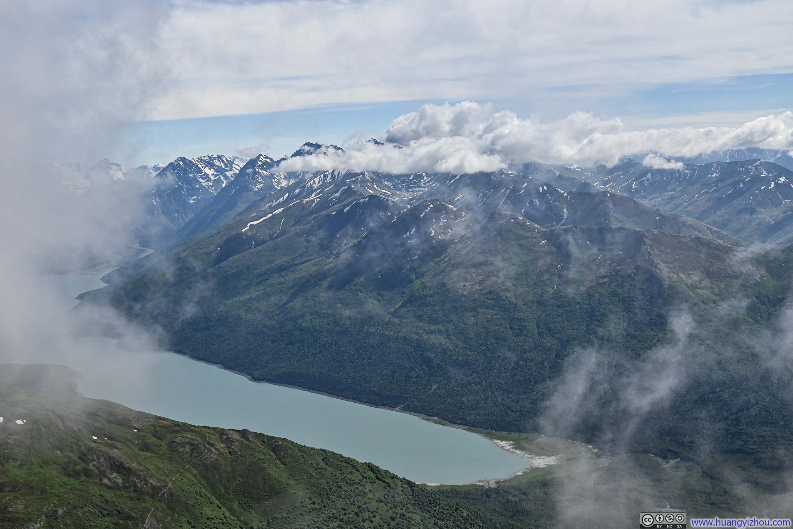
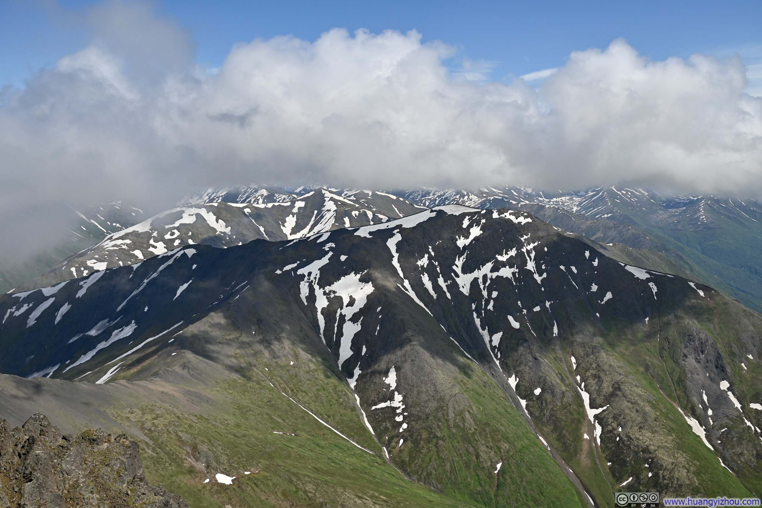
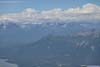
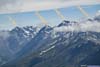
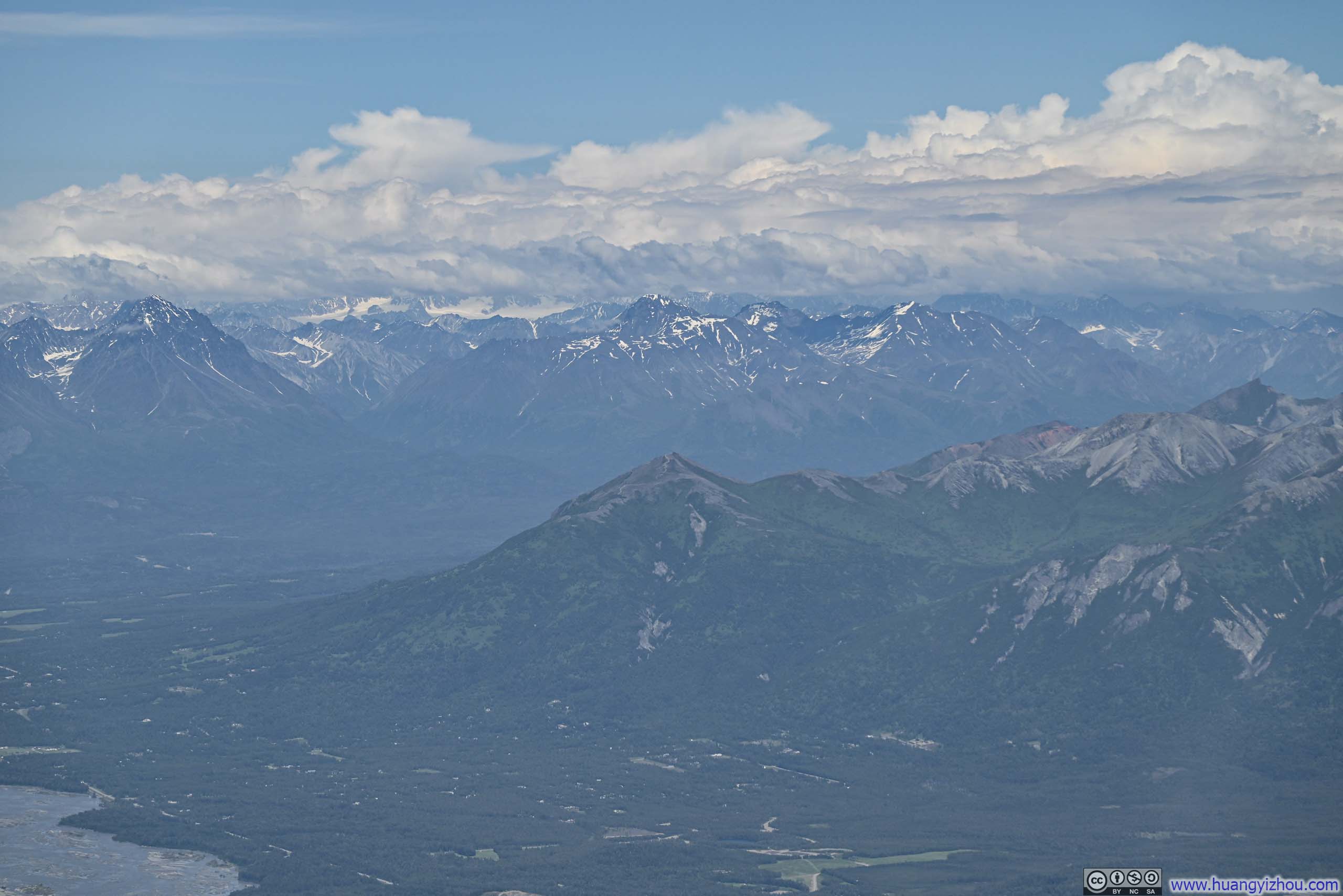
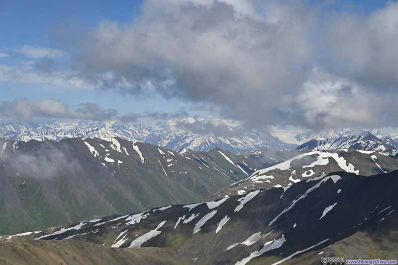
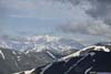
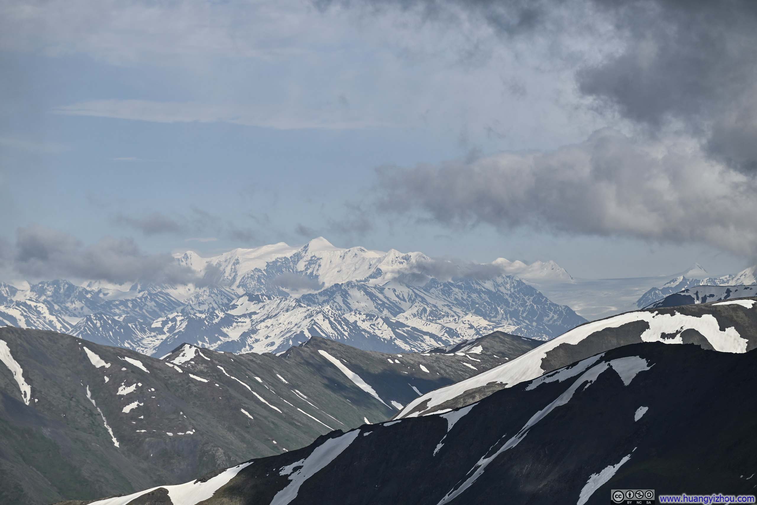
Further to the east, the clouds were much thicker than forecasted and seemingly grew thicker throughout the day (hence I was a bit wistful that I didn’t pause for the views during my ascent). Upon reaching the summit of East Twin Peak, I was fortunate to steal a few precious glimpses of the Pioneer Peaks, which had served as the crowning jewel of my Alaska trip four years prior. Yet these majestic sentinels soon withdrew behind their thin veil of clouds. Beyond them, eastward still, lay what should have been a magnificent tableau of white, the snow-capped peaks that embraced Kink Glacier. Though they remained concealed behind the persistent cloud cover throughout my time at the summit.
 Matanuska Peak
 Pioneer Peaks
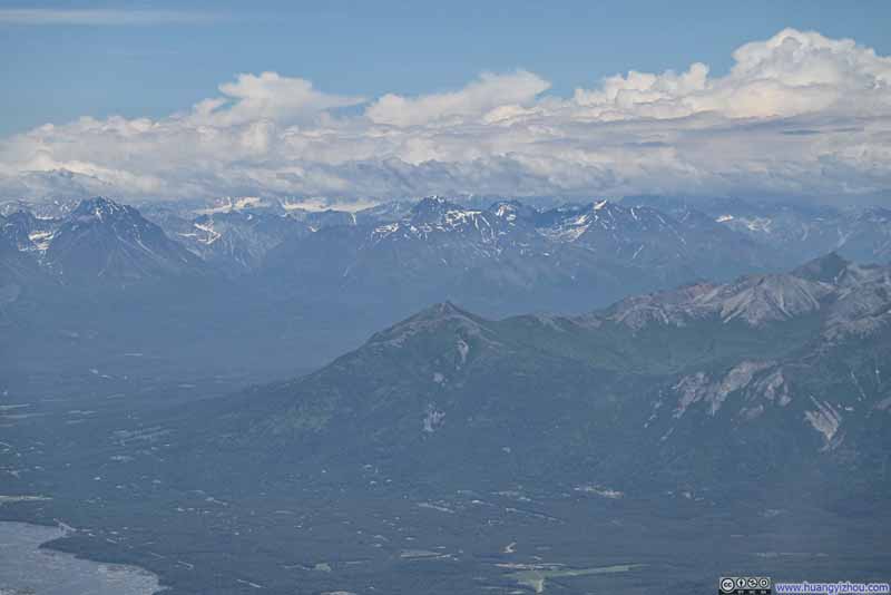 Lazy Mountain against Talkeetna Mountains
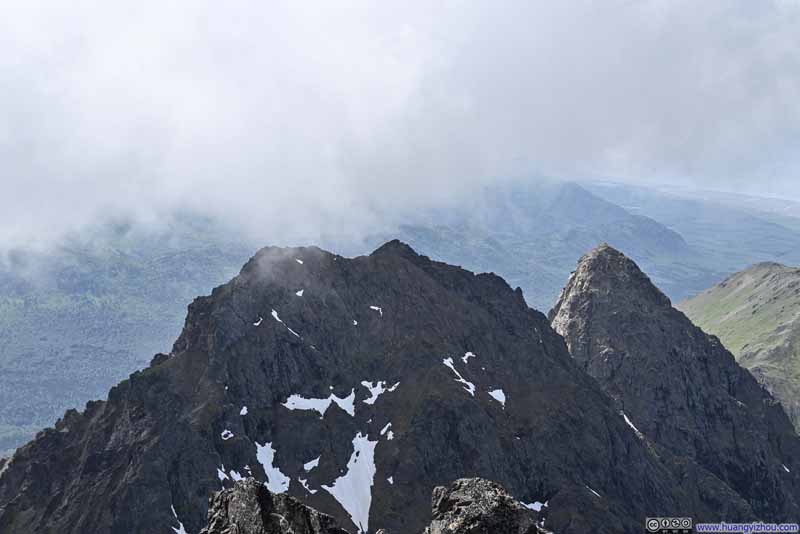 West Twin PeakAnd Goat Rock behind it.
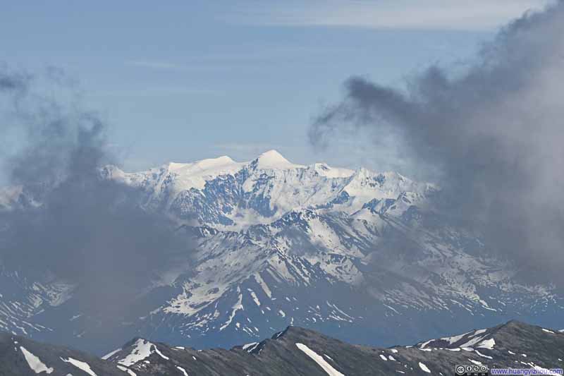 Distant Mt Marcus Baker
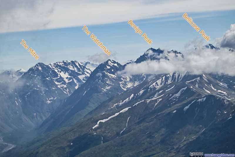 Mountains to the South

Click here to display photos of the slideshow
Matanuska Peak
Pioneer Peaks
Lazy Mountain against Talkeetna Mountains
West Twin PeakAnd Goat Rock behind it.

Distant Mt Marcus Baker
Mountains to the South
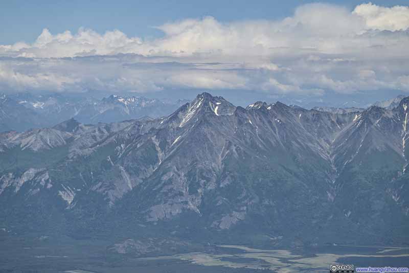
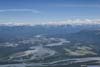
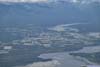
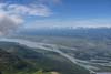
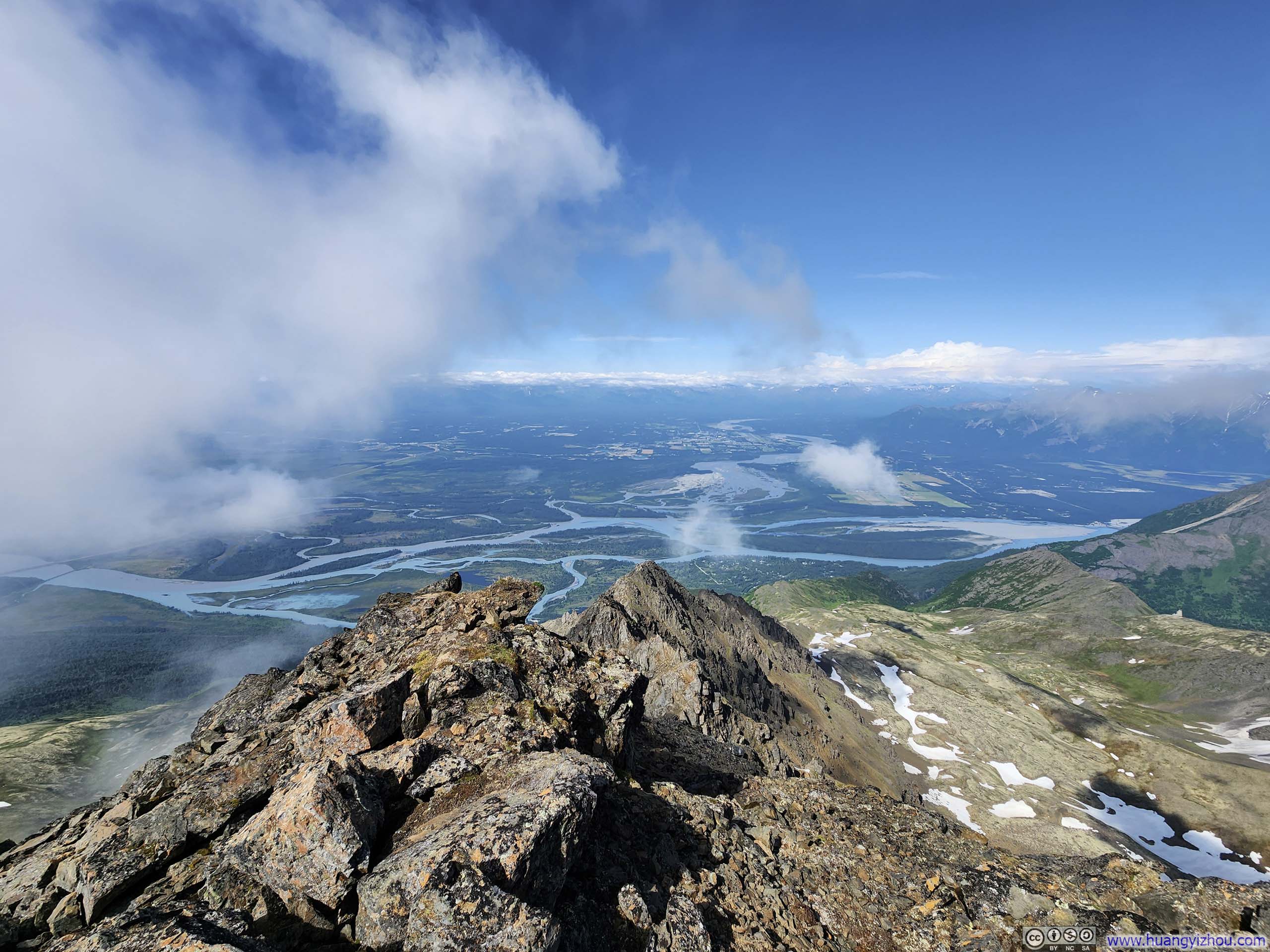
Finally, the summit of East Twin Peak provided a clear view of Mat-Su Valley to the north, though I was about to find out 2 days later, from Mount POW, that the valley views from there were even less obstructed.
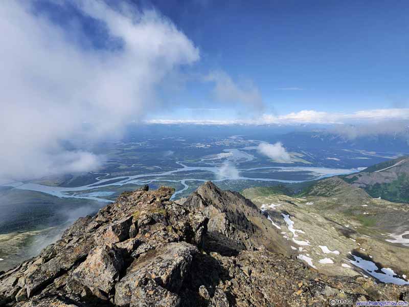 Mat-Su Valley from East Twin peak
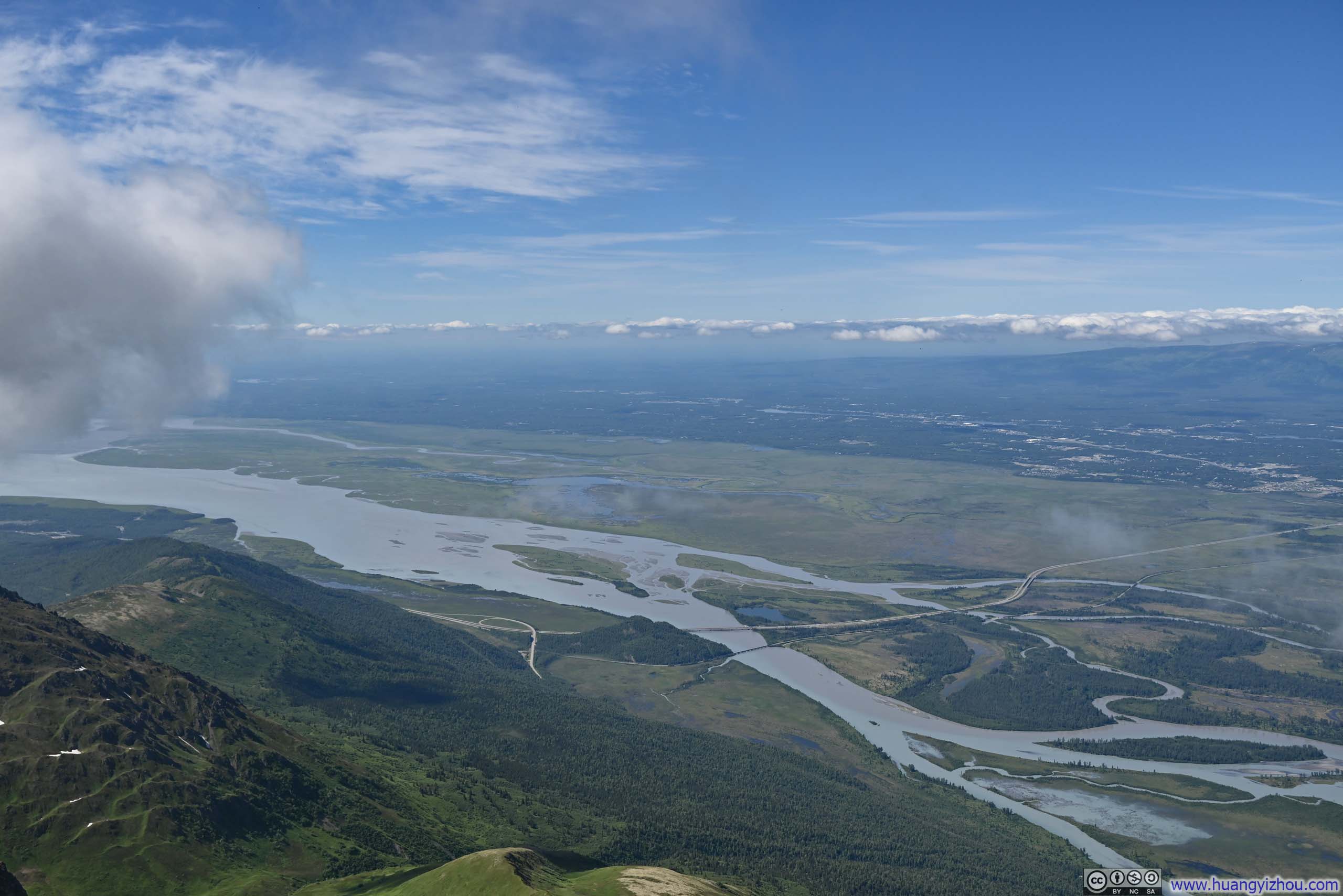
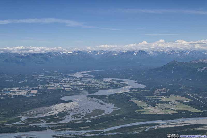 Matanuska River against Talkeetna Mountains
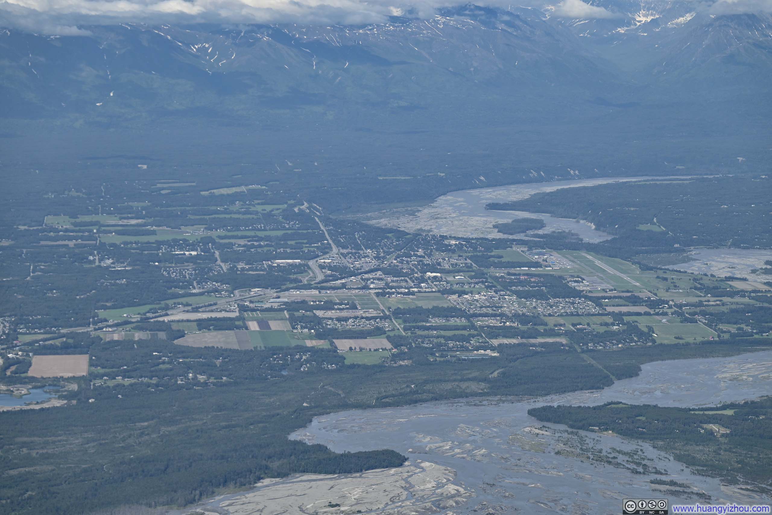
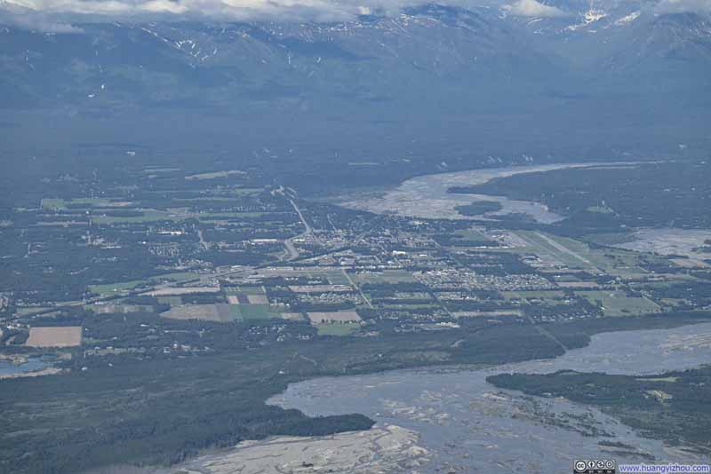 Town of Palmer
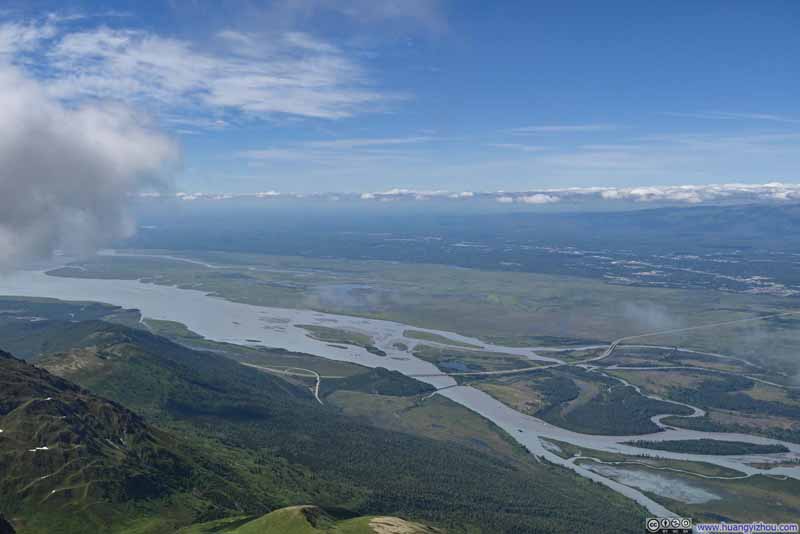 Knik Arm Flowing through Mat-Su Valley
Click here to display photos of the slideshow
Mat-Su Valley from East Twin peak

Matanuska River against Talkeetna Mountains
Town of Palmer
Knik Arm Flowing through Mat-Su Valley
And here’s a video I took from the summit of East Twin Peak:
14 seconds, 2160p60fps, 20Mbps/36MB for H265 and H264.
Partly to rest my weary legs, partly to savor this sublime moment, and partly in hopes that the clouds shrouding the eastern horizon might lift to reveal the full panoramic vista (which never happened), I stayed at the summit of East Twin Peak for an hour and 15 minutes before starting my descent at 4:15pm.
Below are some photos from the summit ridge of East Twin Peak.
 Looking Back at Summit Ridge
 Mountains to the East
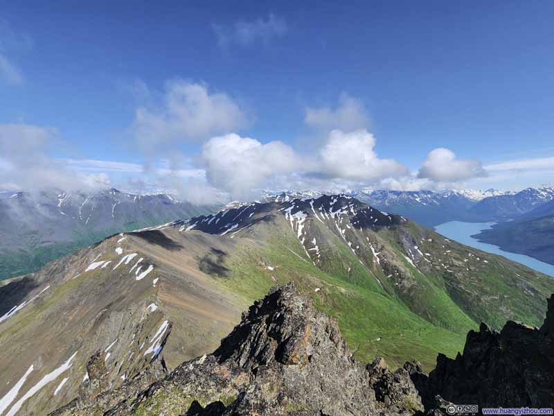 Pepper Peak against Snowy Mountains
 VistaNear the top of the gully, offering nice views after the grueling climb through it.
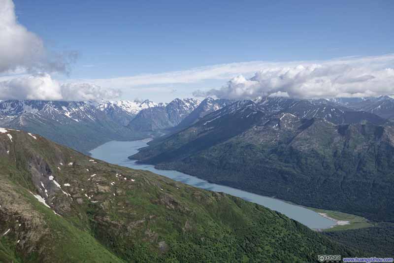 Overlooking Eklutna Lake

Click here to display photos from the summit ridge of East Twin Peak.
Looking Back at Summit Ridge
Mountains to the East

Pepper Peak against Snowy Mountains

VistaNear the top of the gully, offering nice views after the grueling climb through it.

Overlooking Eklutna Lake
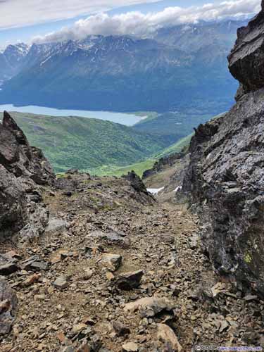
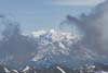
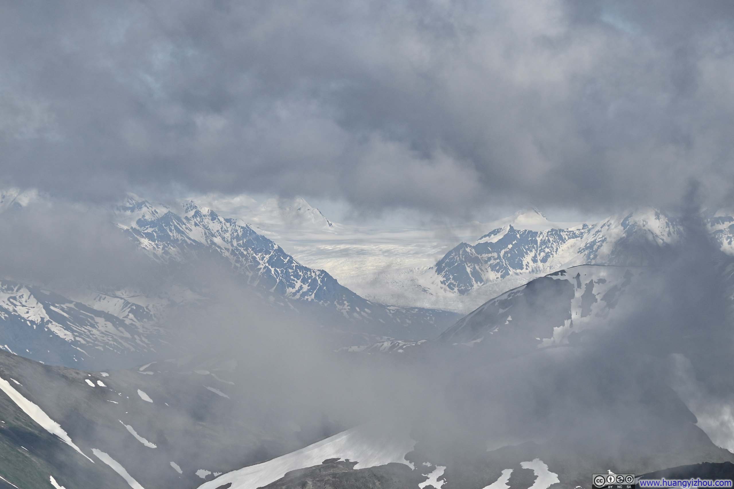
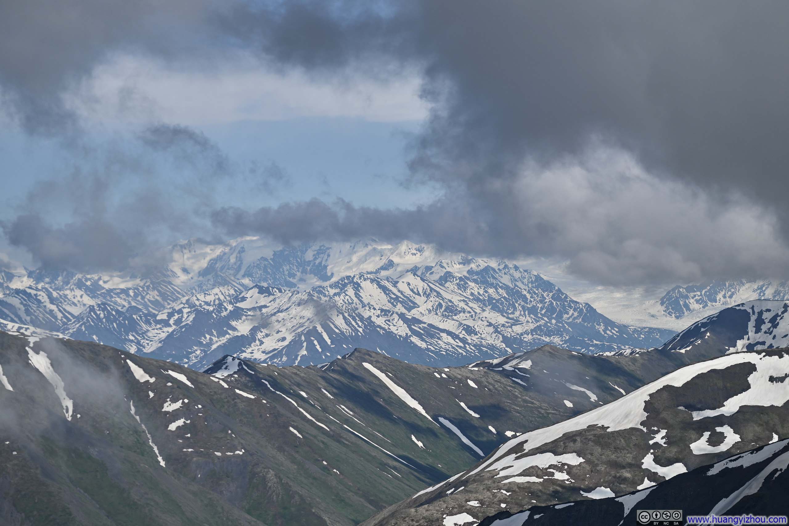
During my leisurely descent—unhurried given the generous daylight hours—I took a 20-minute break at the top of the “notch gully”, which marked the end of the exposed summit ridge. This was a vista that I skipped during my ascent, but now, seeing the clouds appeared to grow sparser over the eastern horizon, I lingered in hopeful anticipation of glimpsing the distant glacier and snow-capped peaks that had eluded me earlier at the summit. The clouds did indeed dissipate somewhat, though they never cleared entirely, and those elusive snowy summits revealed themselves only in fleeting moments before retreating once more behind their veiled curtain.
 Distant Snowy Mountains
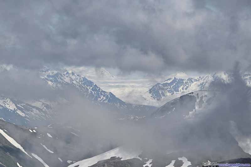 Knik Glacier among Clouds
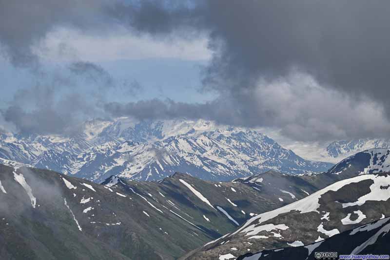 Distant Snowy Mountains
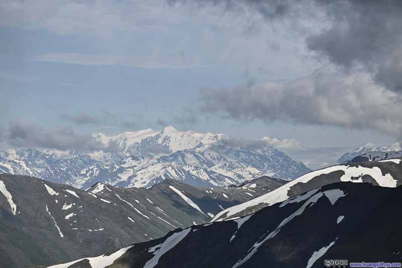 Distant Mt Marcus Baker and Knik Glacier

Click here to display photos of the slideshow

Distant Snowy Mountains
Knik Glacier among Clouds
Distant Snowy Mountains
Distant Mt Marcus Baker and Knik Glacier
Once safely through the gully, I followed the gravel path back down to Thachkatnu Creek. To minimize effort, I employed what felt like a “controlled slide” down the gravel path—an amusing technique, were it not for the vexing sensation of pebbles finding their way into my boots.
Further down, the gravel path turned into a proper trail, but unfortunately, that’s when I realized I didn’t bring enough provisions for this ambitious undertaking. I had departed the trailhead with 6 bottles of water (3 liters), which turned out to be marginal; an additional bottle would have been most welcome. The steep descent put huge strains on my leg muscles, which towards the end I felt a slight sense of ailment. I had also consumed my last protein bar, and I felt like having more snacks would certainly make my day better.
These minor discomforts aside, I reached the second bench at 7:50pm. From there, it was merely an additional hour’s walk through the woods along the established trail—though curiously, I encountered far more insects (moths) than I had that morning—before reuniting with my car at 8:50pm.
Since there weren’t a lot of activities on the following day, July 3, I will include them in this post.
July 3, Kayak on Eklutna Lake
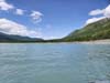
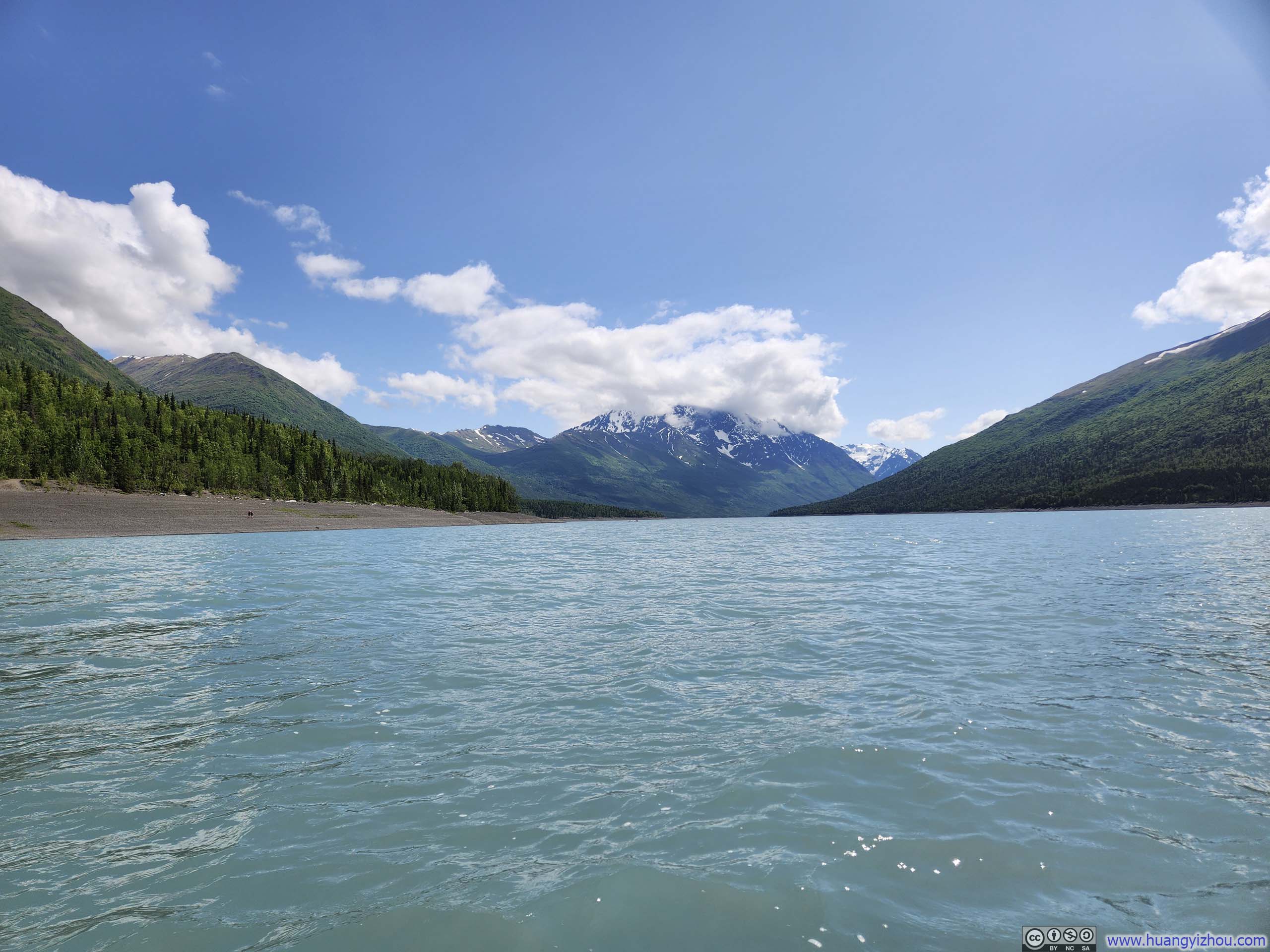
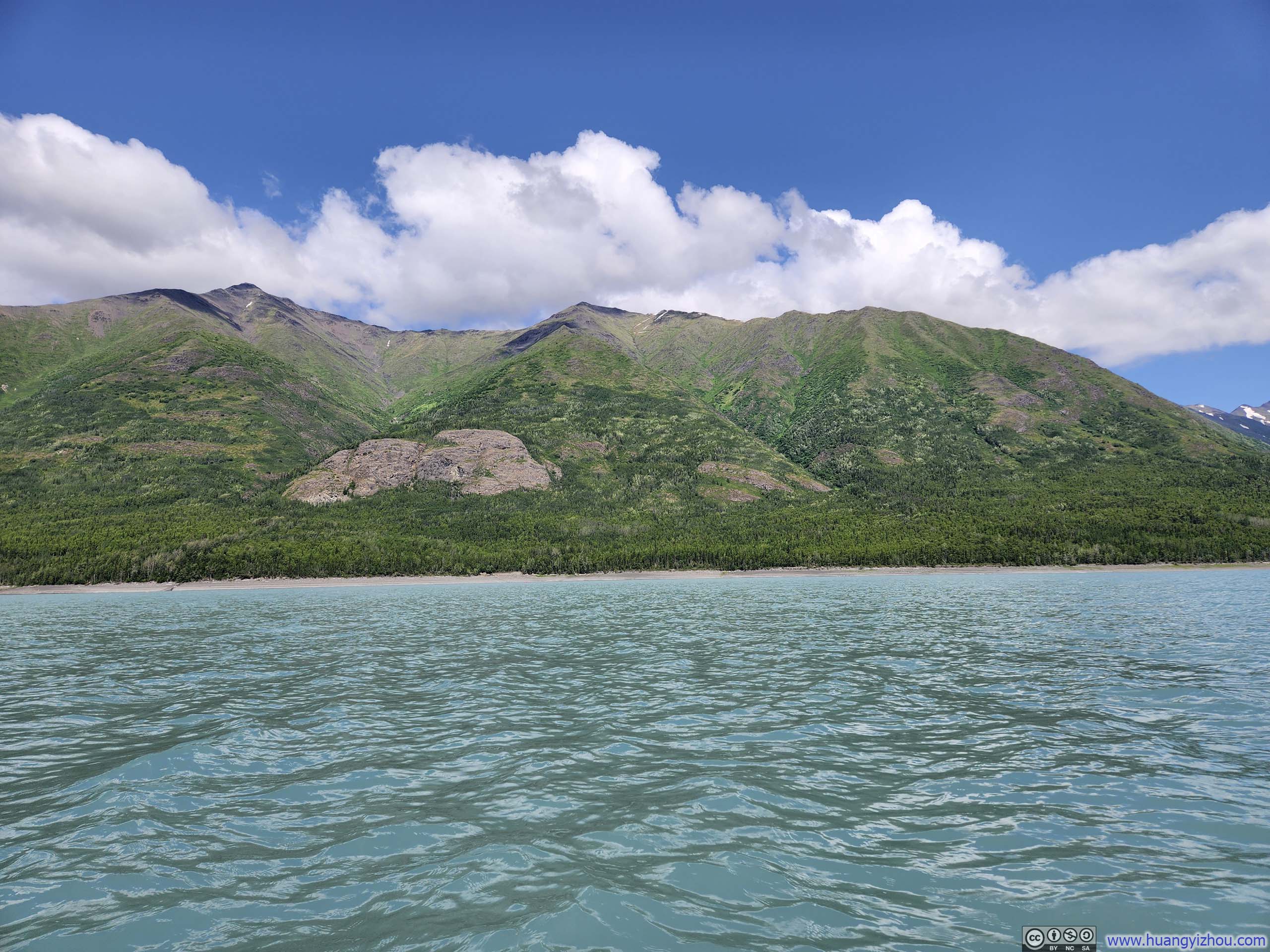
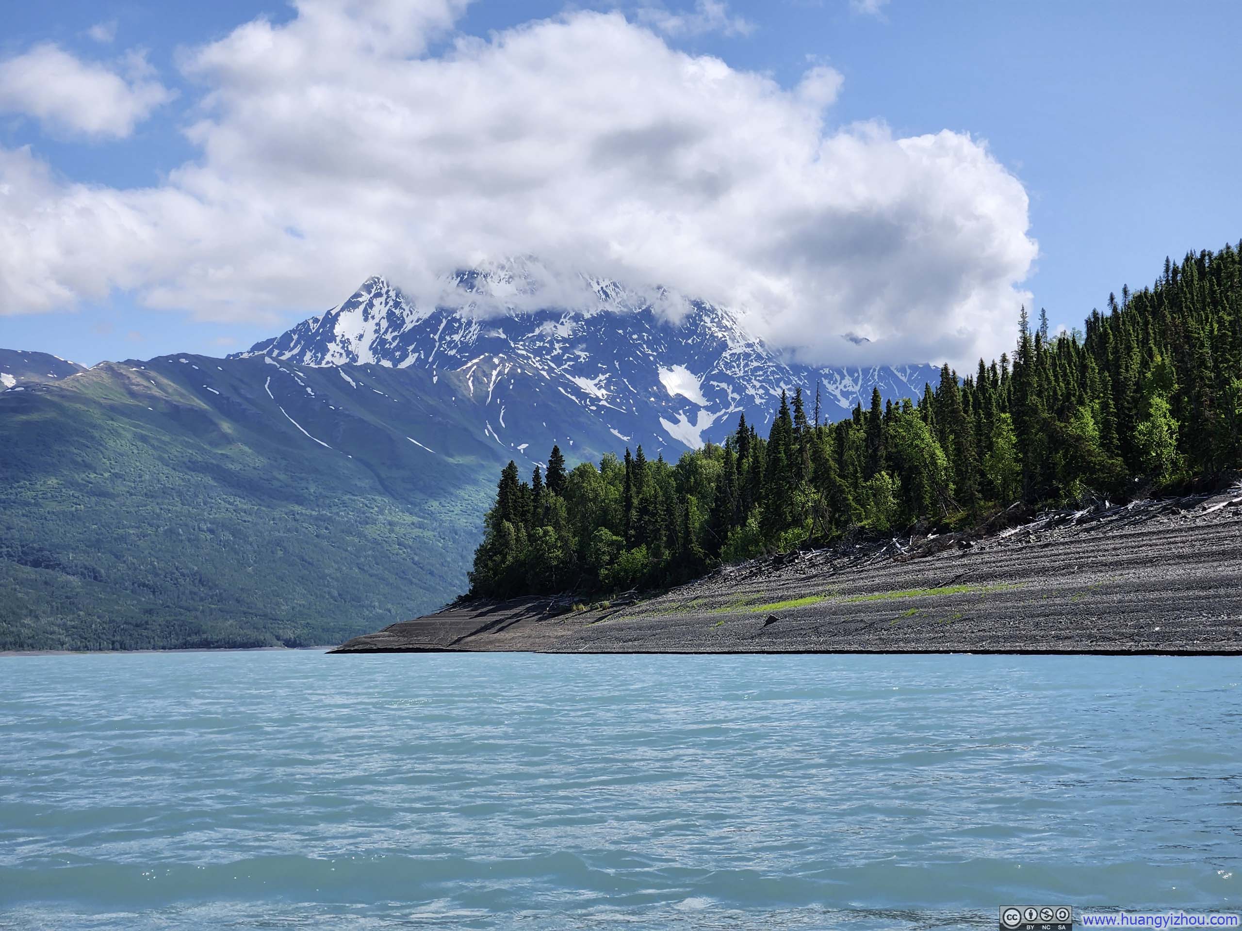
After yesterday’s triumphant yet strenuous hike to East Twin Peak, I deemed it prudent to grant my body (especially legs) a well-deserved respite. Fortuitously, I had brought along an inflatable kayak, originally intended as a contingency for rain cloudy weather, which now presented itself as the ideal instrument for a gentler day’s adventure. And what more fitting venue could there be than Eklutna Lake, with which I had become so acquainted during yesterday’s hike?
I indulged in a leisurely morning, stayed in bed late to allow my body to recover from yesterday’s hike. Consequently, I only made it back to Eklutna Lake at around 1pm. It took a few trips back and forth between the parking lot and the lake’s shore (which felt longer than I liked while carrying a kayak), but ultimately, I had my kayak set up and was ready to go.
I had envisioned the most delightful of interludes: gliding serenely across crystalline cyan waters born of mountain snowmelt, surrounded by the majestic snow-crowned peaks that I had befriended the day prior, while savoring sun-baked croissant refreshments among the gentle alpine breeze. Much to my satisfaction, the trip began precisely as imagined. I even found myself in sufficiently playful spirits to test my kayak’s lack of stealth capabilities by sneaking up to a group of ducks.
 Eklutna Lake
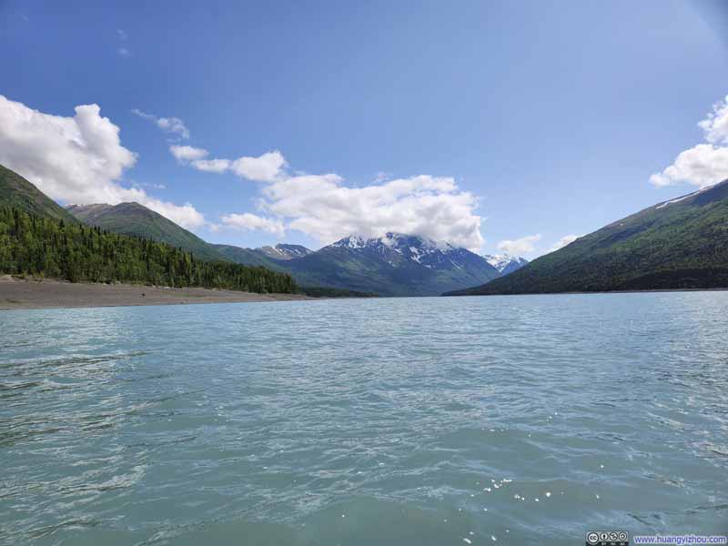 Eklutna Lake
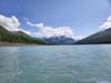
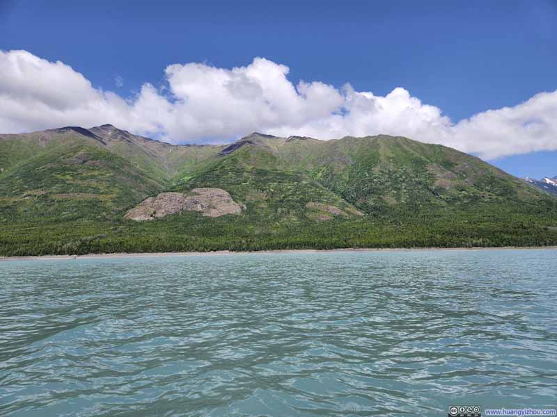 Pepper Peak and Shaker Peak
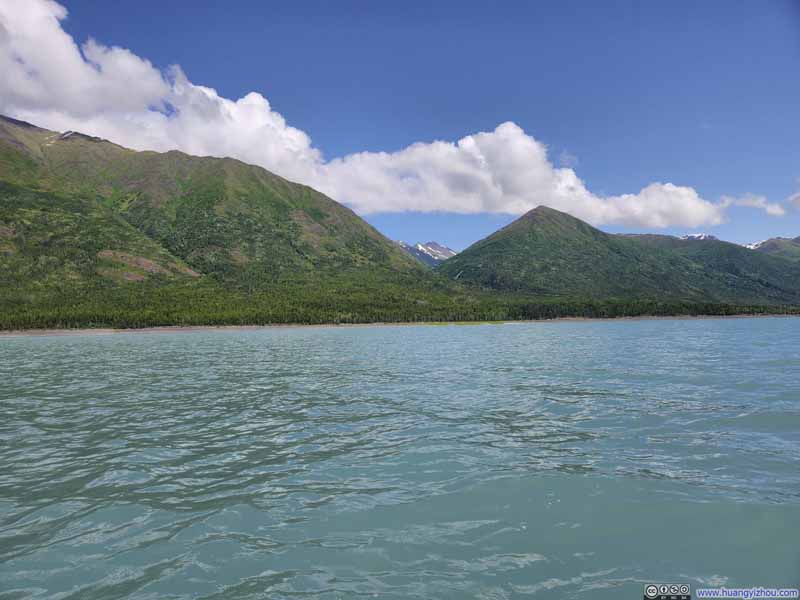 Mountains along Eklutna Lake
 Bold Peak over Eklutna Lake
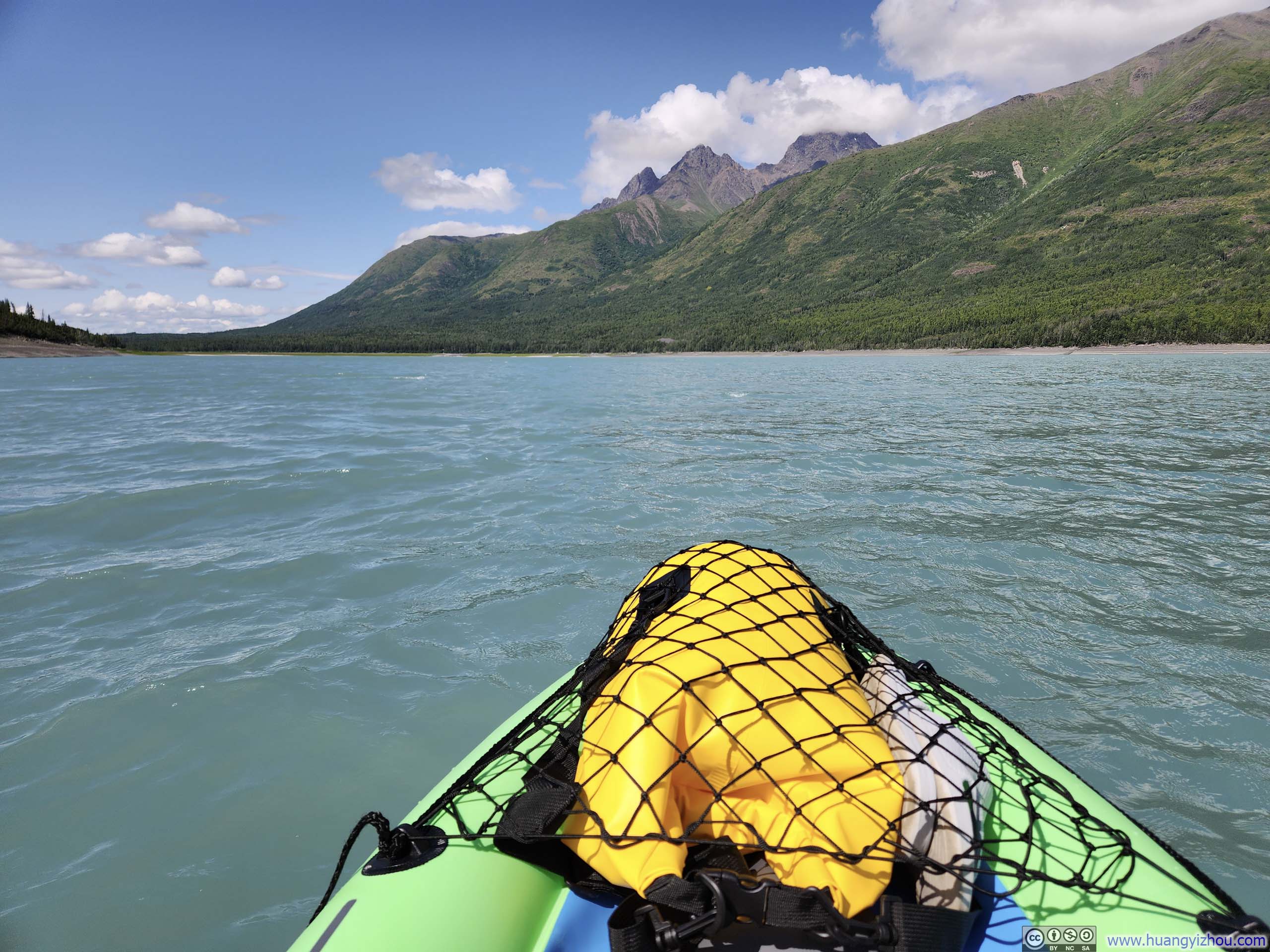
 Kayaking on Eklutna Lake
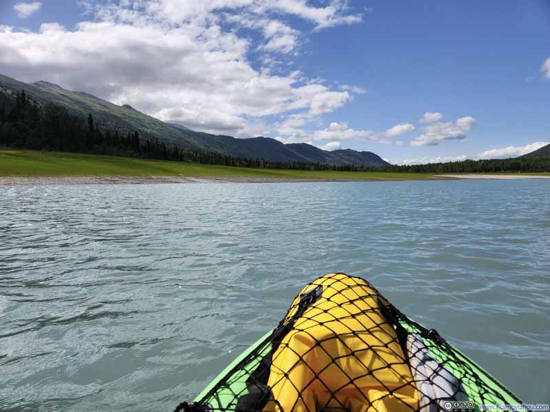 Kayaking on Eklutna Lake
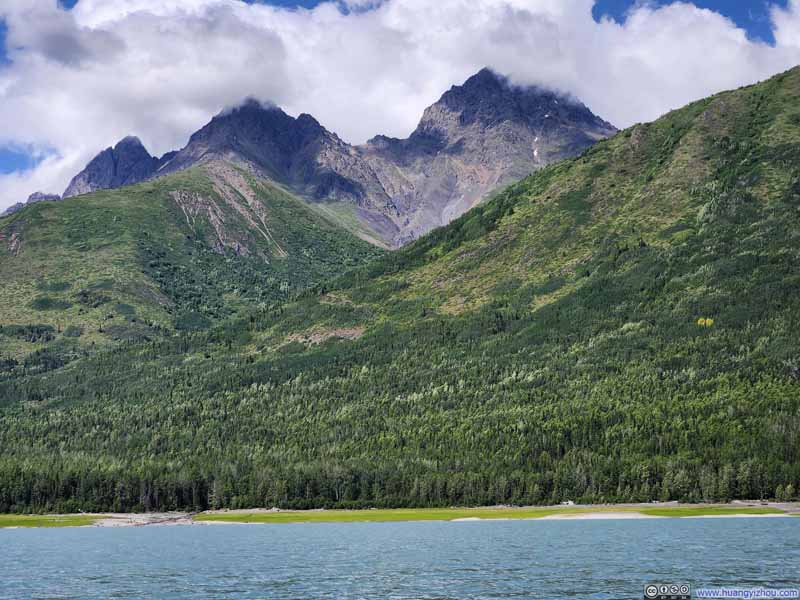 Twin Peaks from Eklutna Lake


Click here to display photos while kayaking on Eklutna Lake.
Eklutna Lake
Eklutna Lake
Pepper Peak and Shaker Peak

Mountains along Eklutna Lake
Bold Peak over Eklutna Lake
Kayaking on Eklutna Lake

Kayaking on Eklutna Lake
Twin Peaks from Eklutna Lake
Alas, my aquatic paradise came to rather an abrupt conclusion. Upon deciding to return toward the launch ramp, I found myself paddling with considerable exertion yet achieving disproportionately little forward progress. While I had noted the wind blowing from the direction of the ramp, it seemed mild enough, and with Eklutna Lake being a stillwater body, I had initially dismissed any concern about wind or current affecting my course.
I was gravely wrong. When my arms demanded some rest from their constant labors, I observed that in the absence of my propulsive efforts, the waves alone were driving my kayak away, at a speed of 2km/h (based on my GPS reading). Additionally, based on my experience, the “paddling effort” required was proportional to the square of the stillwater speed achieved.
My brain, quickly recalling high school math, calculated that an economical “ground speed” of 2km/h would return me to shore with minimal exertion. That meant a stillwater speed of 4km/h, which, unfortunately, demanded considerable effort from my draggy budget $80 inflatable kayak from Amazon. Thus, what had commenced as a leisurely lake cruise transformed into a mad dash for survival calculated exercise in endurance. Fortunately, I made it back to the short in the end, safe and sound.
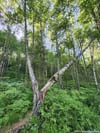
July 3, Hike to Thunderbird Falls
With enough time left in the day, I figured I could tag a short hike after my kayak trip, which I settled on Thunderbird Falls. This trail was located near the intersection of Eklutna Lake Road and Glenn Highway, right along my route back to Palmer. The trail was wide, the distance was short. At its end, it offered views of a cascading series of waterfalls racing down a narrow valley. The roaring crescendo of rushing water seemed to perfectly embody the “thunder” in the waterfall’s evocative name, while white dandelion fluffs flickered their dance in the sunlight in an unworldly scene.
 Trail
Trail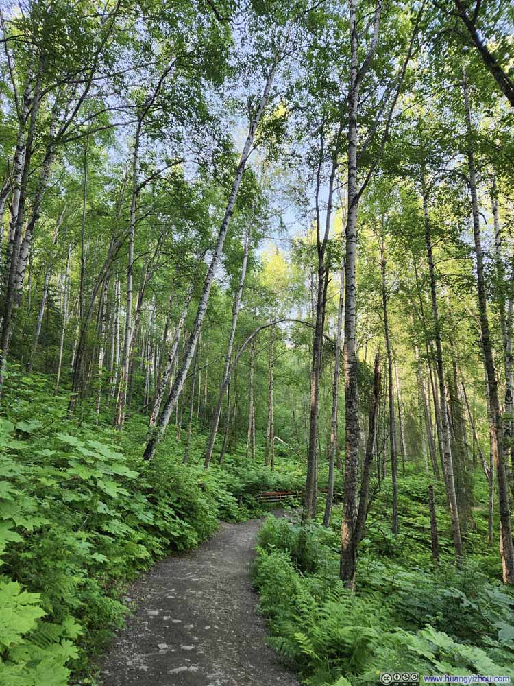 Trail
Trail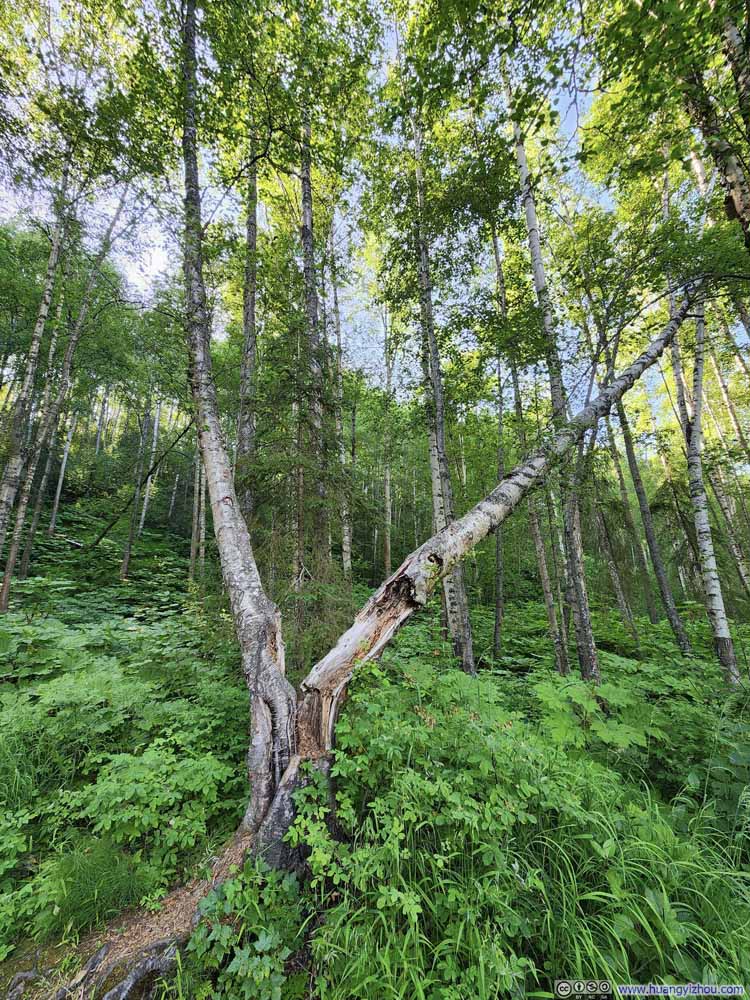 Tree Split in HalfSurprisingly, both halves seemed to be growing quite well.
Click here to display photos of the slideshow

Trail

Trail

Tree Split in HalfSurprisingly, both halves seemed to be growing quite well.
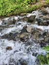
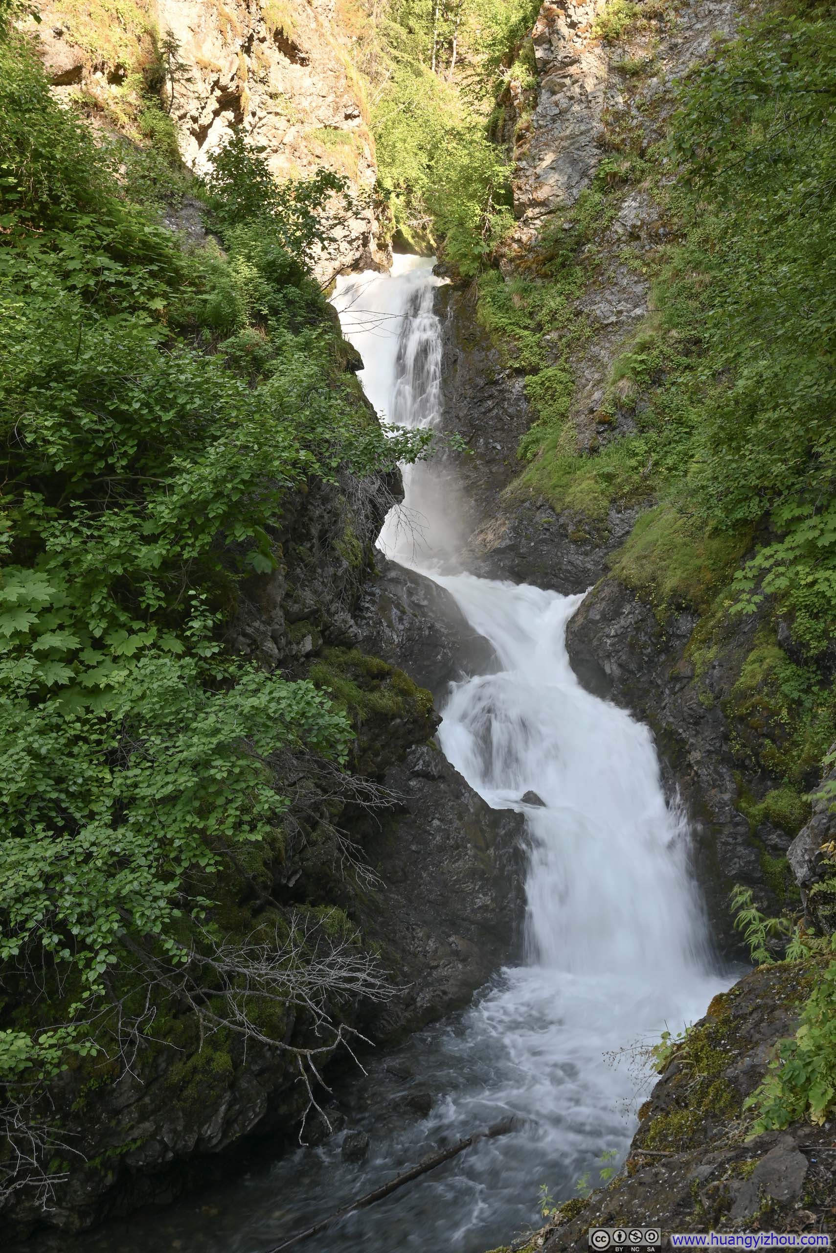
Right before the waterfall, the trail forked into two branches. One of them led to an established and elevated platform, offering a somewhat obstructed perspective of the falls (p1 below). The other one descended steeply to Thunderbird Creek, bringing people to the water’s edge. However, the most intimate views of Thunderbird Falls (p2 below) required navigating through some steep and exposed terrain (p3 below), otherwise the views from the lower trail were at best, mediocre.
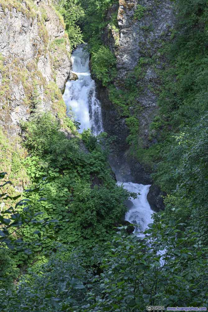 Thunderbird Falls
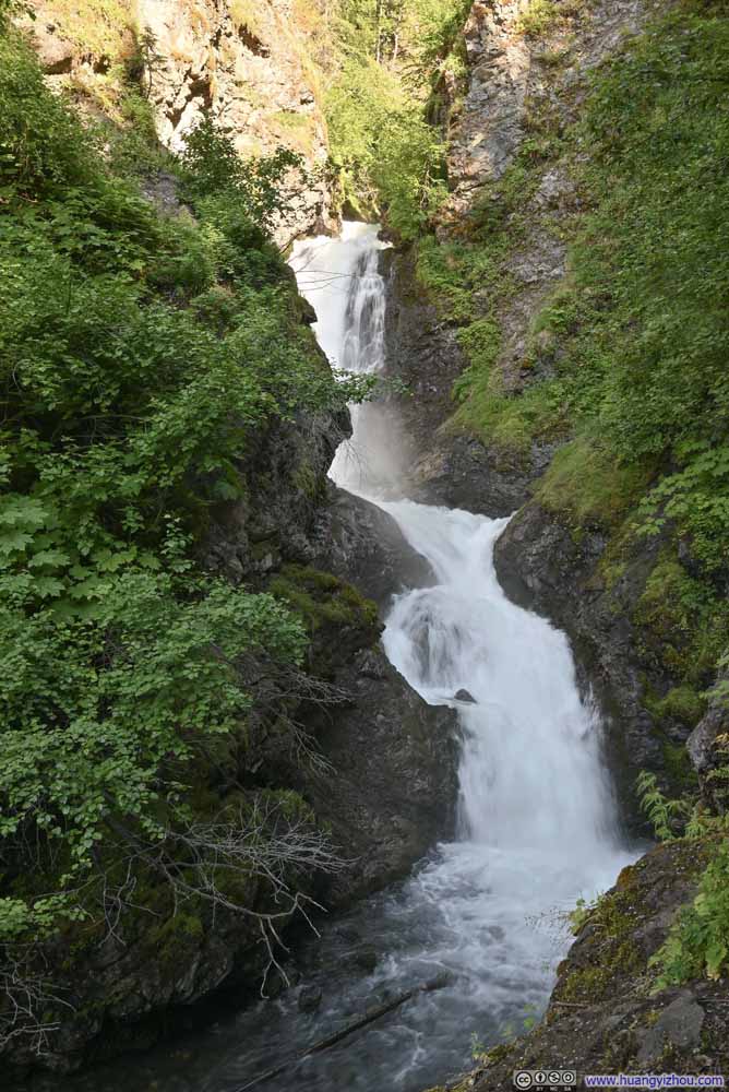 Thunderbird Falls
 Path to Unofficial Thunderbird Falls Viewpoint
Pretty steep terrain. I wasn’t carrying gloves and poles, and was just bitten by a mosquito, so it’s somewhat technical. Lots of thanks to the lady that pointed out this path to me.
Path to Unofficial Thunderbird Falls Viewpoint
Pretty steep terrain. I wasn’t carrying gloves and poles, and was just bitten by a mosquito, so it’s somewhat technical. Lots of thanks to the lady that pointed out this path to me.


Click here to display photos of the slideshow

Thunderbird Falls
Thunderbird Falls

Path to Unofficial Thunderbird Falls Viewpoint
END
![]() Day 4 of 2025 Independence Day Trip to Alaska, East Twin Peak, my first YDS Class 4 by Huang's Site is licensed under a Creative Commons Attribution-NonCommercial-ShareAlike 4.0 International License.
Day 4 of 2025 Independence Day Trip to Alaska, East Twin Peak, my first YDS Class 4 by Huang's Site is licensed under a Creative Commons Attribution-NonCommercial-ShareAlike 4.0 International License.