
Updated on January 25, 2026
Weekend Trip to Seattle
Late September 2025, I made a weekend trip to Seattle to visit some friends and nature. This post would be about the two day hikes that I embarked on, together with the flights back and forth.
Mountains and Glaciers across Skagit River
Ticketing
Sometime in May 2025, American Airlines launched an award sale offering select domestic itineraries at a mere 5k miles one-way. I seized the opportunity to rebook my flights for the California trip earlier this month, a journey planned well in advance after winning the Half Dome lottery. But with such an attractive promotion at hand, I found myself exploring other destinations for September travel. That’s when Seattle caught my eye: a chance to reconnect with old friends and explore the Pacific Northwest’s outdoors during its most vibrant foliage season.
American Airlines Flight 1505 and 751 from Boston to Seattle via Charlotte
Unfortunately, my journey began on an inauspicious note when I discovered I had left my earphones behind on the subway to the airport. This condemned me to endure the tedium of all 4 flight segments for this trip.
American Airlines 1505
Boston, MA (BOS) – Charlotte, NA (CLT)
Airbus 321 (N922US)
Seat 16F
Scheduled Departure – 2:05pm
Actual Departure – 2:13pm
Scheduled Arrival – 4:40pm
Actual Arrival – 4:07pm
1 hour and 54 minutes
Here’s GPS tracking:
The first leg to Charlotte went without a hitch (apart from the boredom). Technically, I only had a 38-minute connection in Charlotte, but our early arrival afforded me sufficient time to grab some dinner at the airport. (Somehow, all 4 flights of this trip were very elite-heavy, and I wasn’t upgraded for any of them).
American Airlines 751
Charlotte, NA (CLT) – Seattle, WA (SEA)
Airbus 321 (N173US)
Seat 9A
Scheduled Departure – 5:18pm
Actual Departure – 5:33pm
Scheduled Arrival – 7:59pm
Actual Arrival – 7:32pm
4 hours and 59 minutes
Here’s GPS tracking:
For the next leg to Seattle, despite I wasn’t upgraded, I found an empty middle seat next to me to partially make up for it.
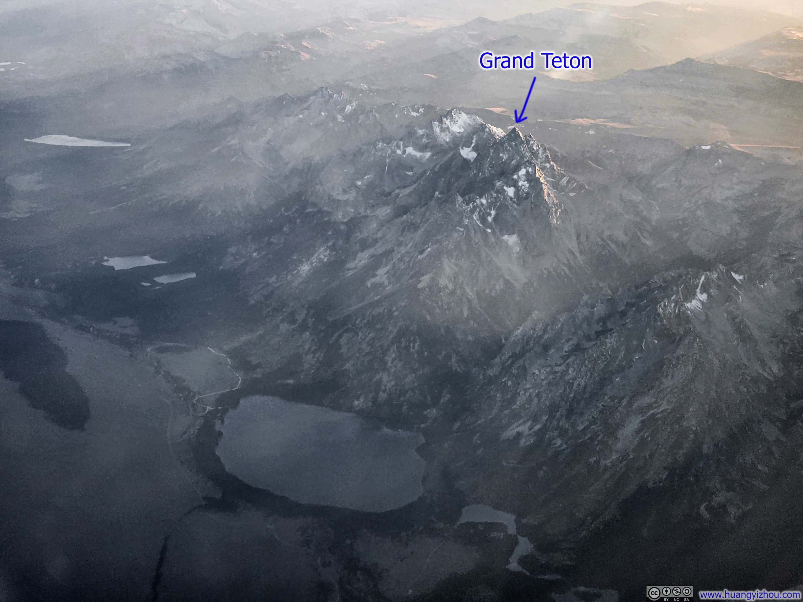
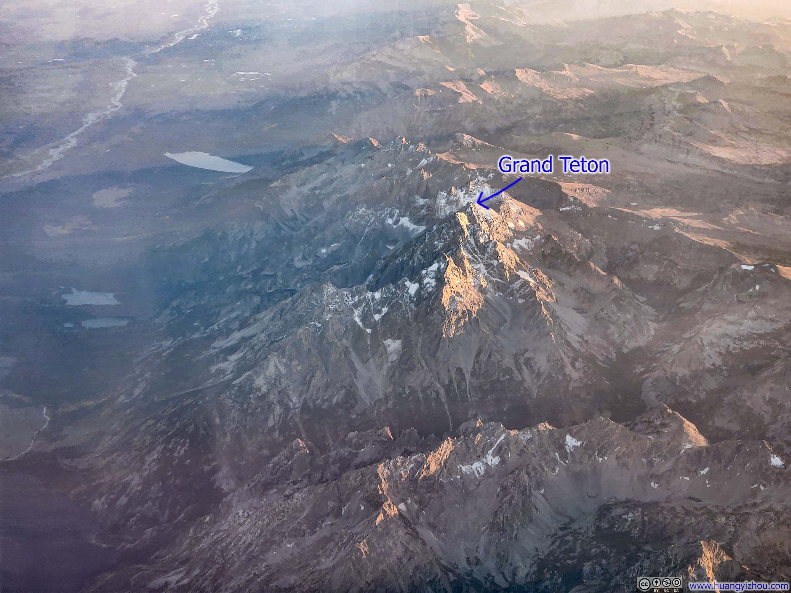
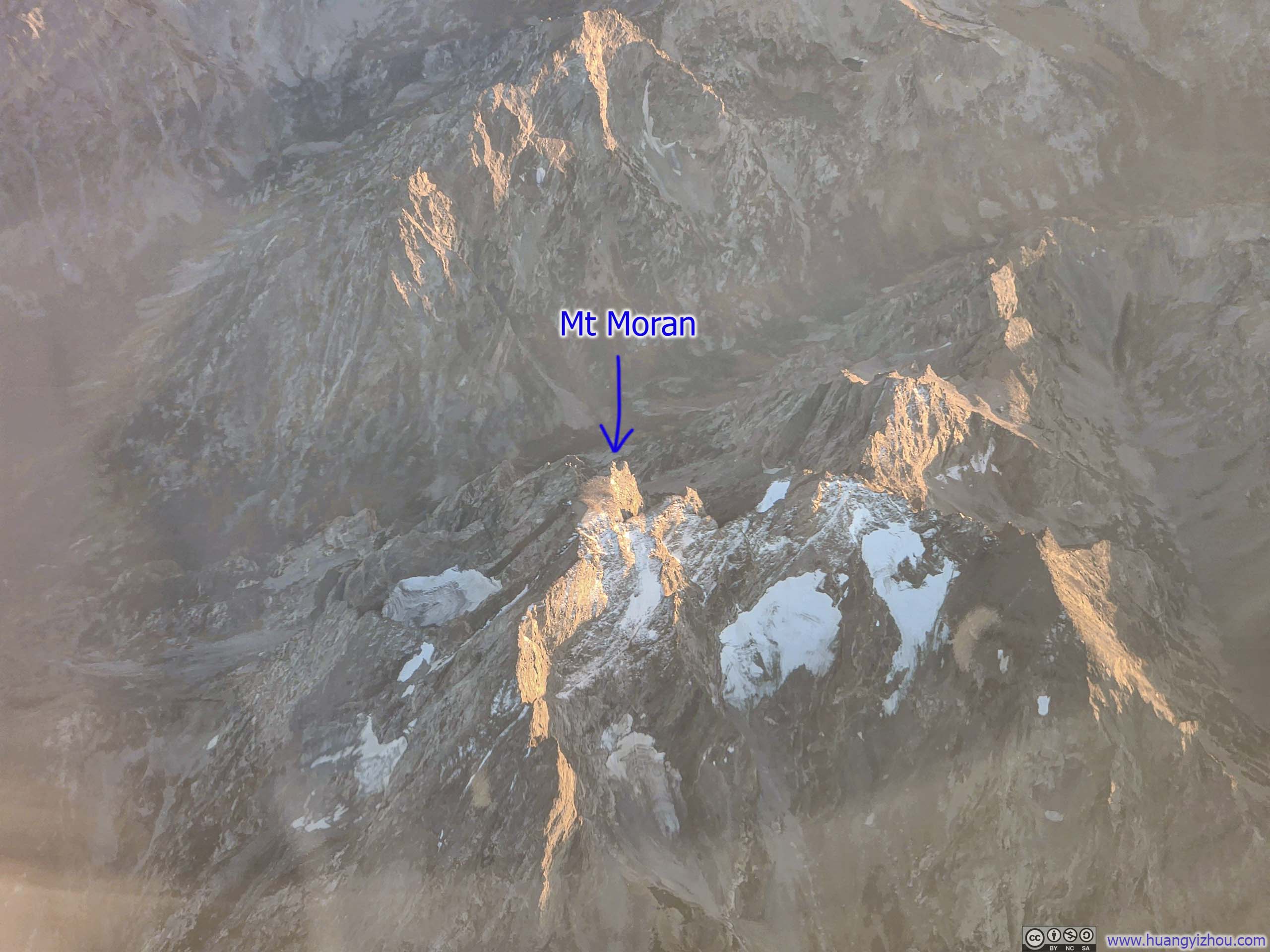
Along the way, I caught a few glimpses of the imposing mountains in Grand Teton National Park.
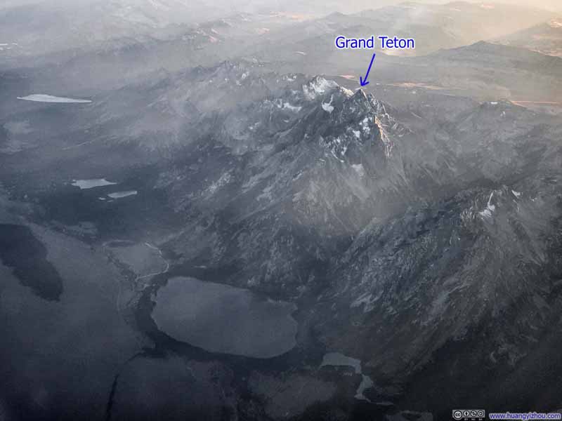 Grand Teton Peak over Jenny Lake
 Teton Range
 Mt Moran

Click here to display photos of the mountains in Grand Teton National Park.
Grand Teton Peak over Jenny Lake
Teton Range
Mt Moran
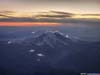
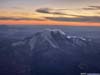
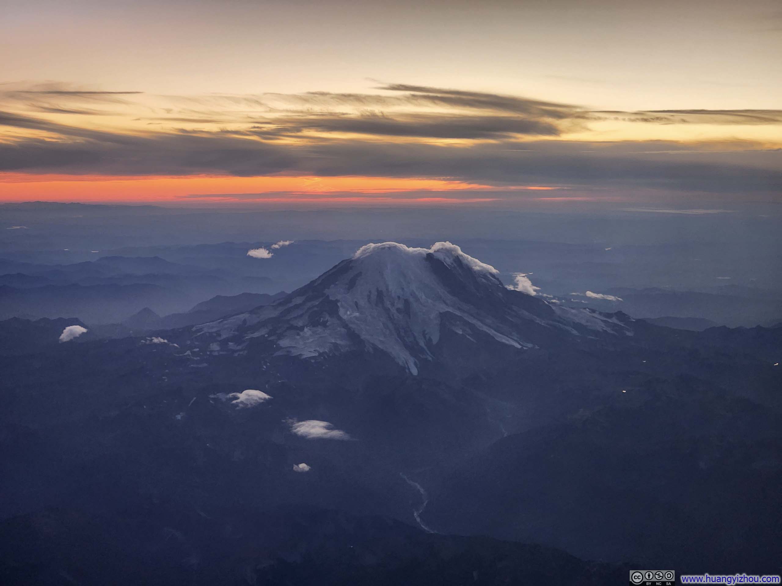
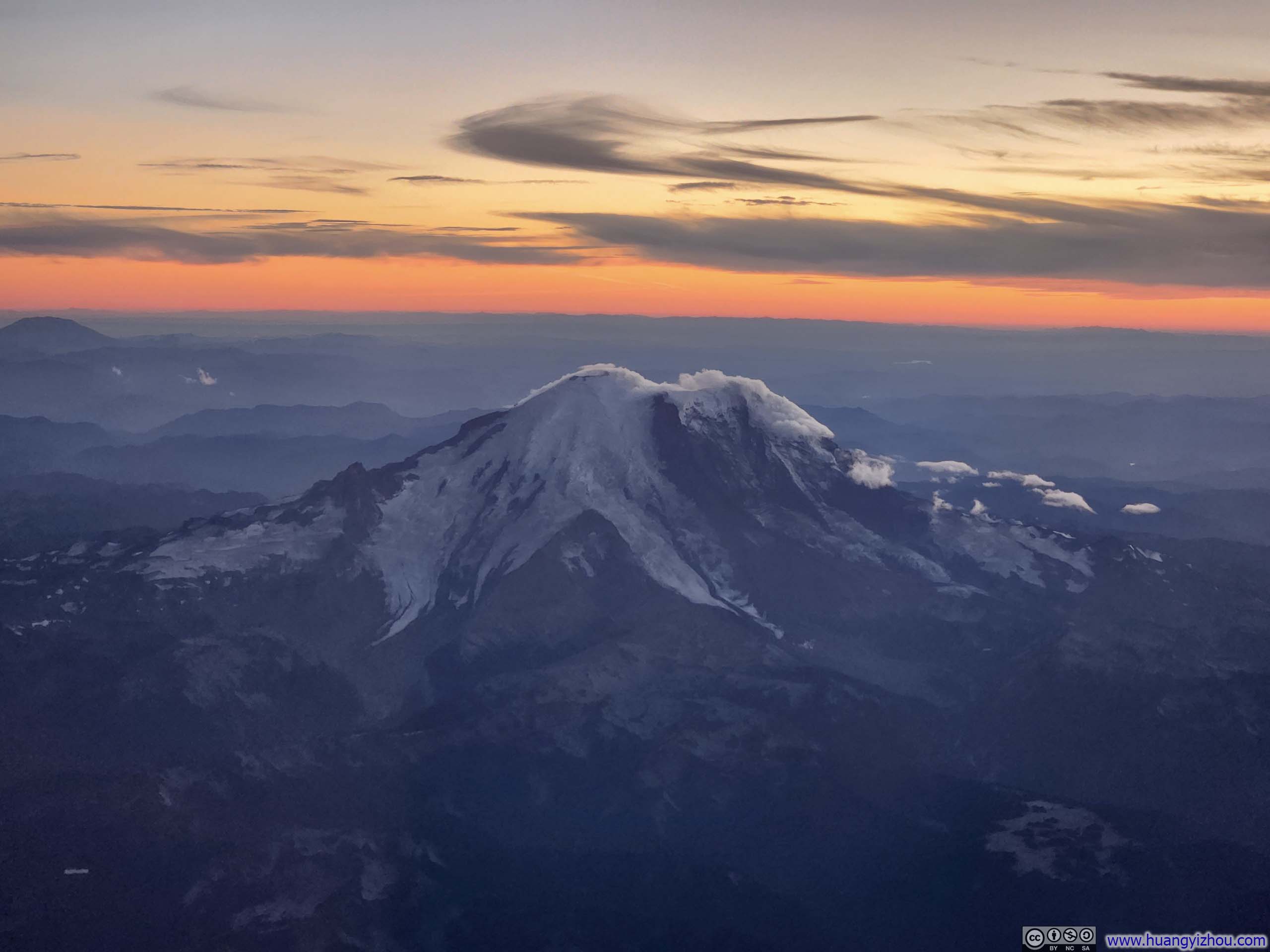
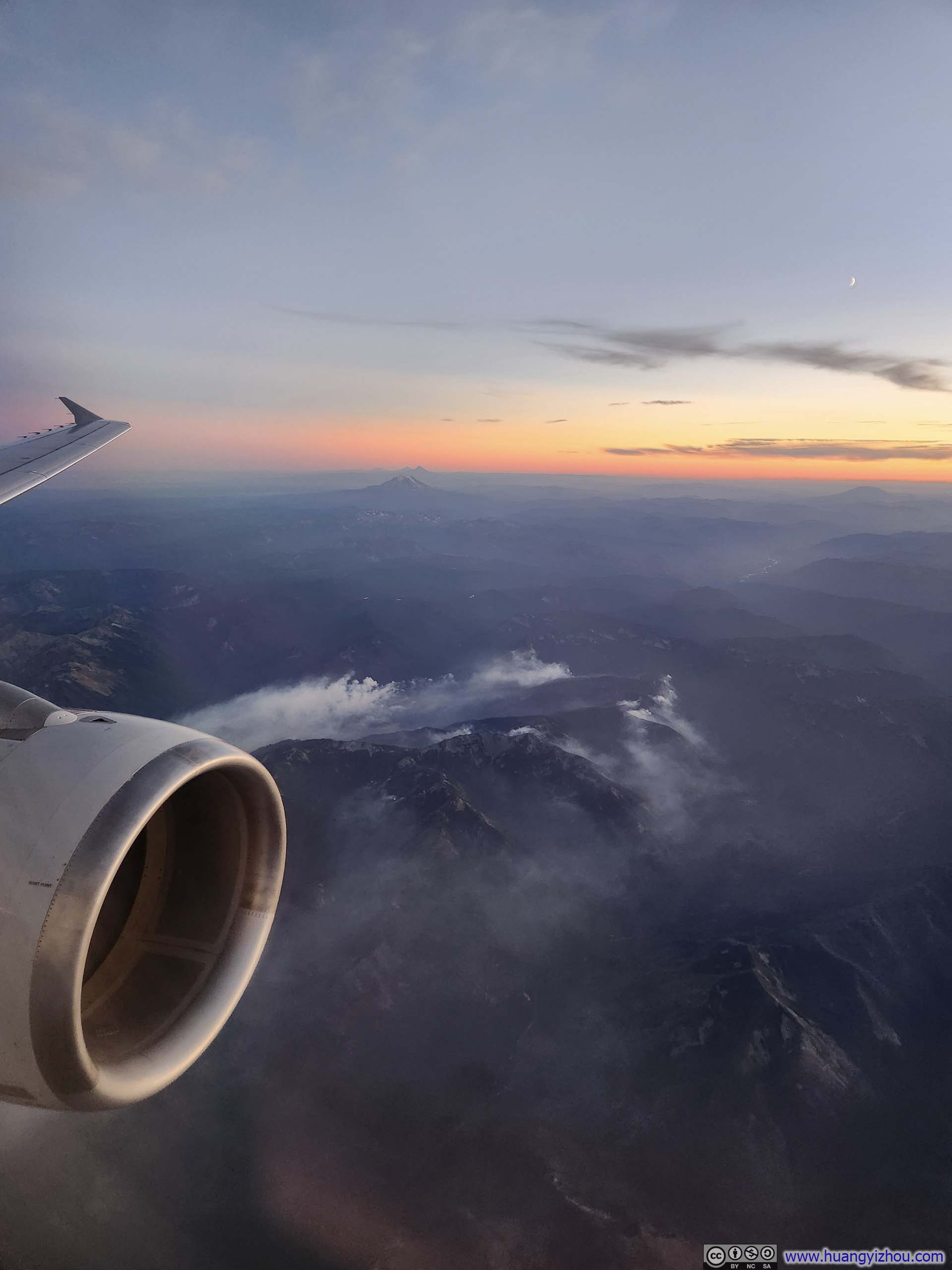
Additionally, the sight of Mt Rainier never disappointed me every time I flew into Seattle, especially paired with the golden streak of sunset glow over the horizon.
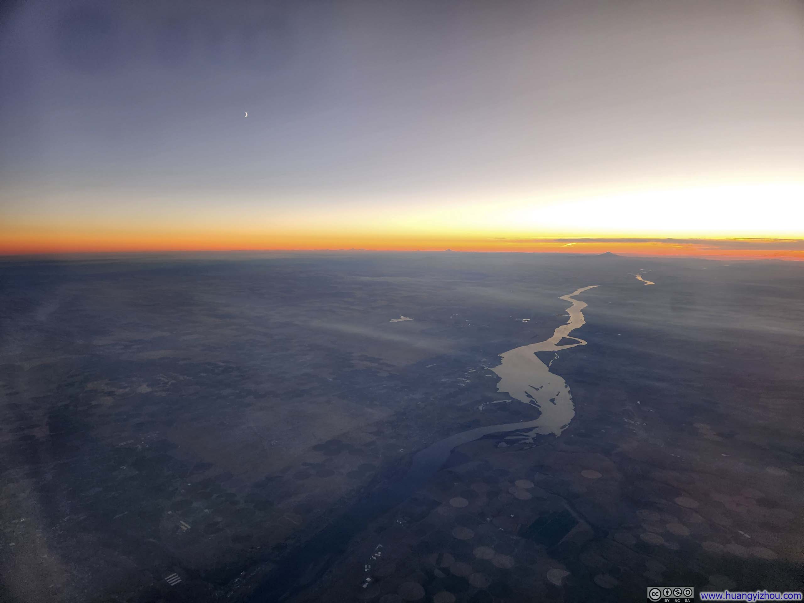
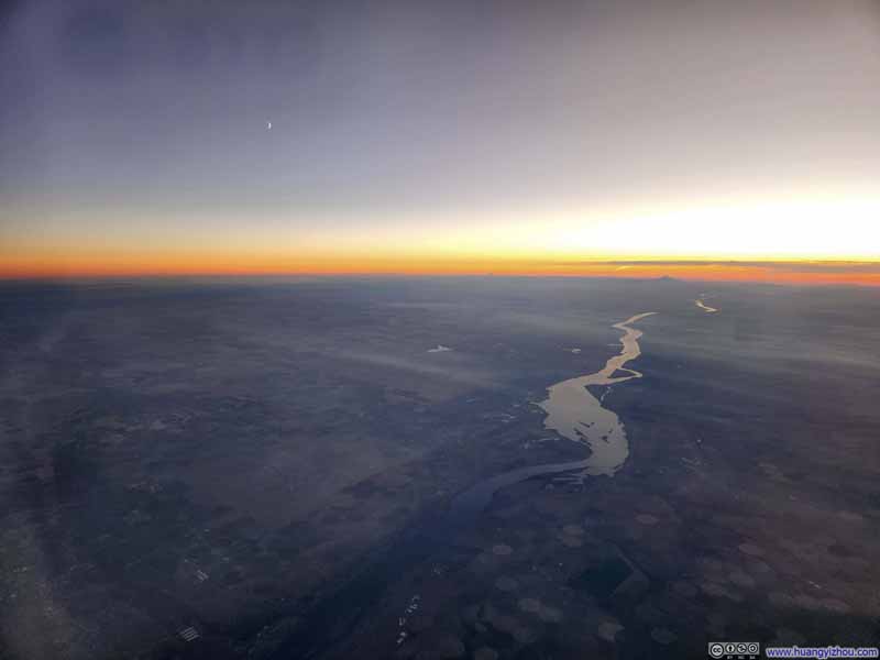 Columbia River
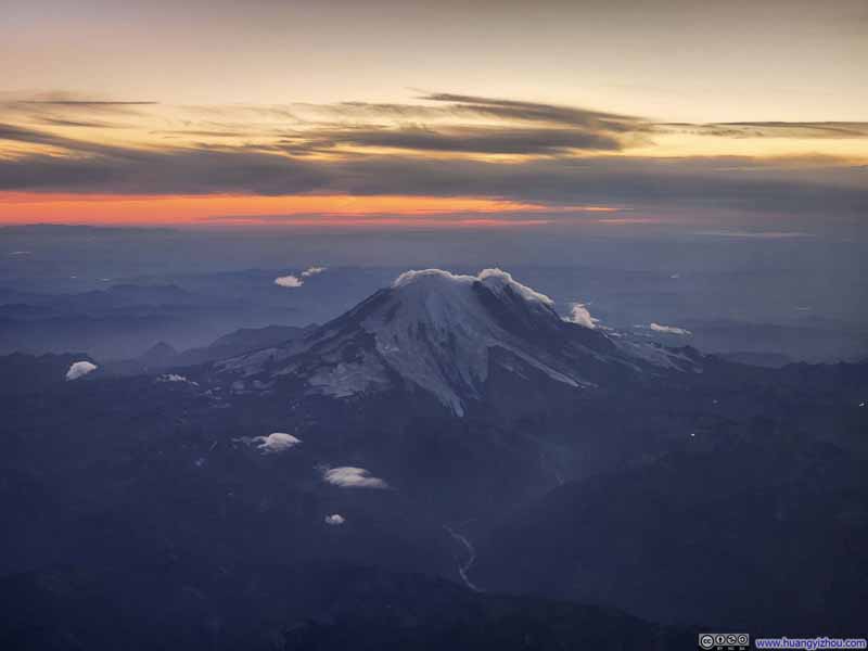 Mt Rainier
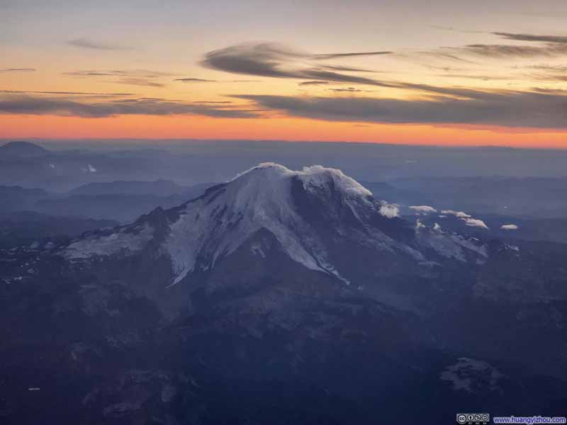 Mt Rainier
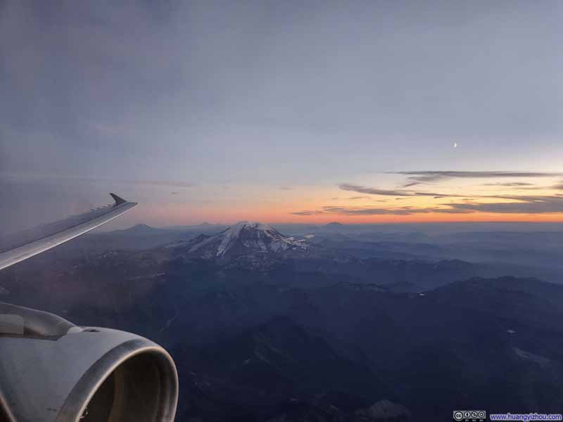 Mt Rainier
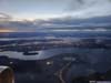
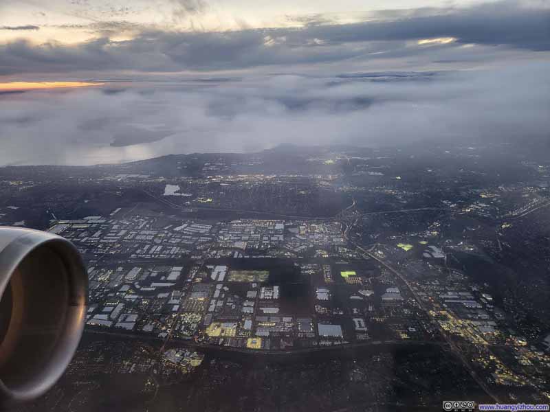 Overlooking Seattle Airport and Industrial Complexes
 Seattle between Lake Washington and Puget Sound


Click here to display photos of the slideshow
Columbia River
Mt Rainier
Mt Rainier

Mt Rainier

Overlooking Seattle Airport and Industrial Complexes
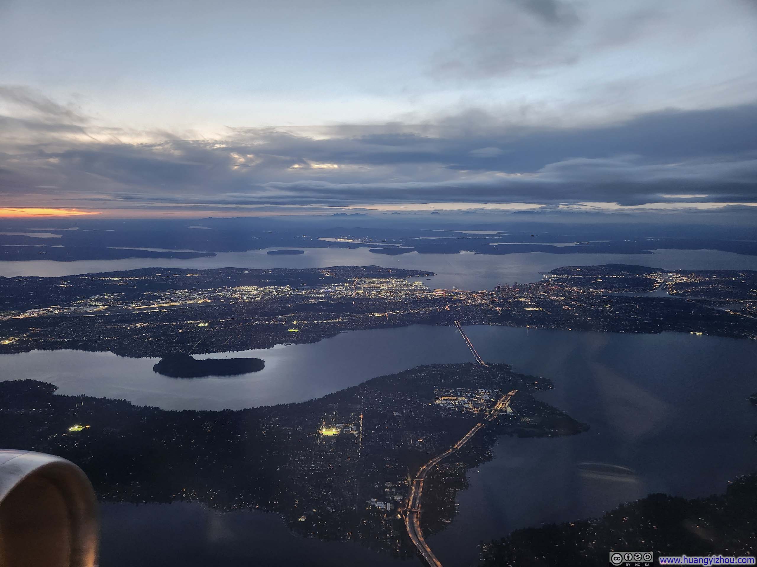
Seattle between Lake Washington and Puget Sound
 Overlooking Wildcat Fire
Upon landing, I learned this flight from Charlotte to Seattle had cabin crew based in Dallas, and flight crew based in Charlotte and Chicago, a peculiar mixture.
Unfortunately, I was soon to experience the woefully inadequate performance of American Airlines’ ground crew at Seattle.
To begin with, our gate remained occupied by a heavily delayed Phoenix flight (AA6452), which meant we didn’t park until 8:03pm, more than 30 minutes after touchdown. (American Airlines, being a minority carrier at Seattle, had no alternative gates available.) Next, it took another 30 minutes for the first checked bag to appear at the carousel, and 37 minutes until mine arrived. (I confess I had been spoiled by their remarkably efficient crew in Boston.)
Sept 27: Hike of Trappers Peak
For Saturday, September 27, I decided to check out Trappers Peak, a peak in North Cascades National Park with one of the best view-to-effort ratios in the region. On paper, the route was a 15.9km out-and-back with 1050m of elevation gain (10mi, 3440ft), a typical day hike by my standards.
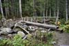
The final 5 miles of the road before Thornton Lakes Trailhead was unpaved, with occasional deep ruts that demanded reasonable clearance (a Toyota RAV4, for instance). If I own a sedan (like, Toyota Camry), I wouldn’t drive it there. Parking was limited at the trailhead, and many cars opted to parallel park along the access road as overflow (mine included). There was an outhouse at the trailhead.
Here’s GPS tracking:
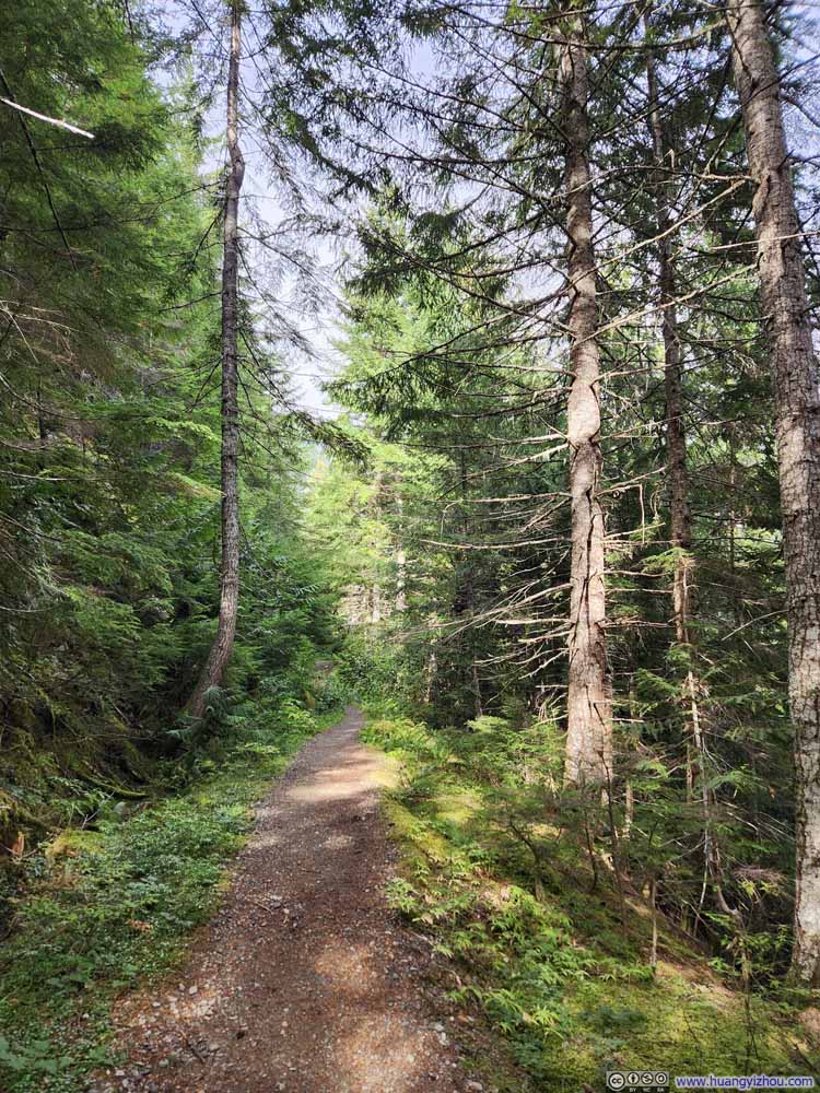
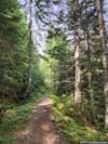
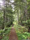
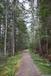
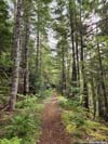
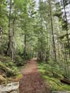
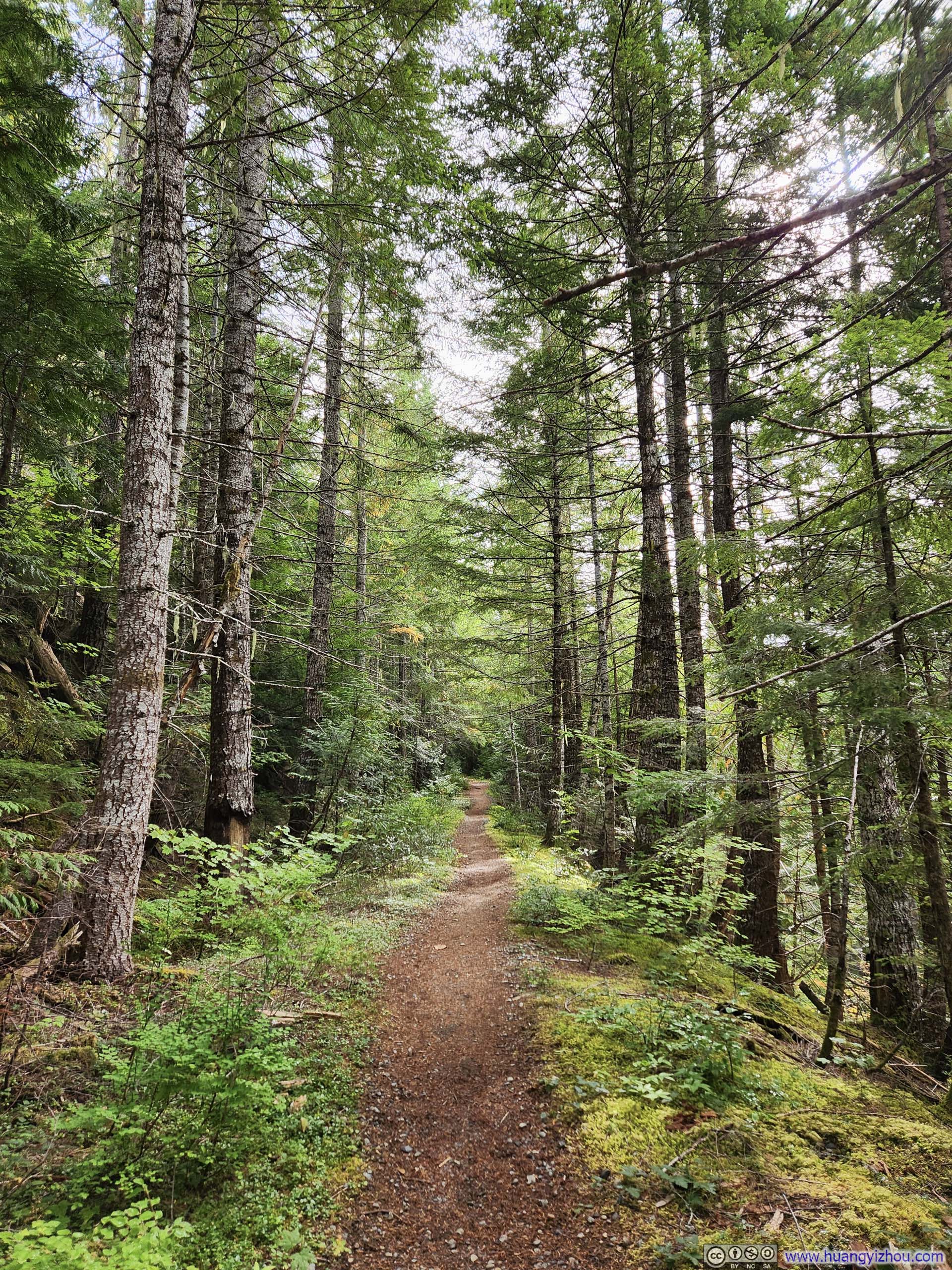
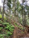
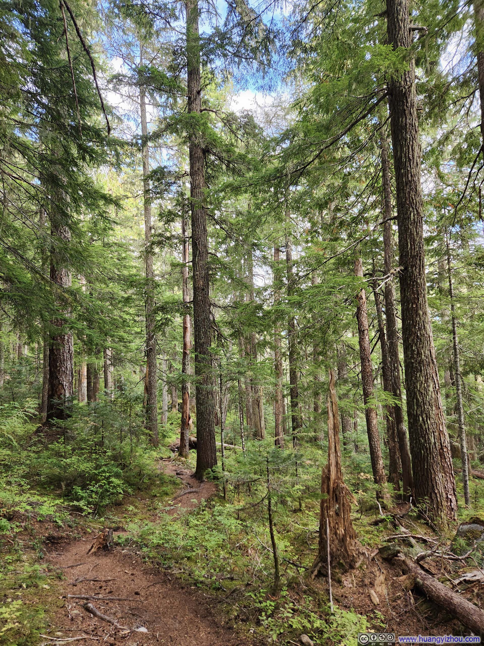
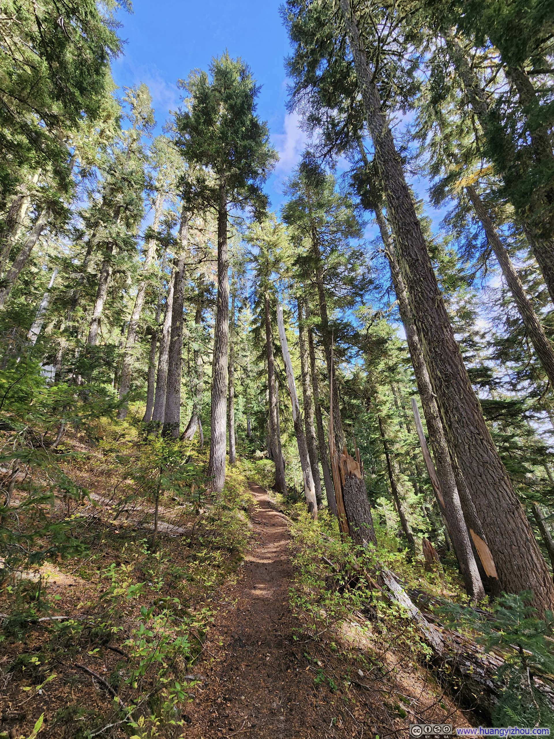
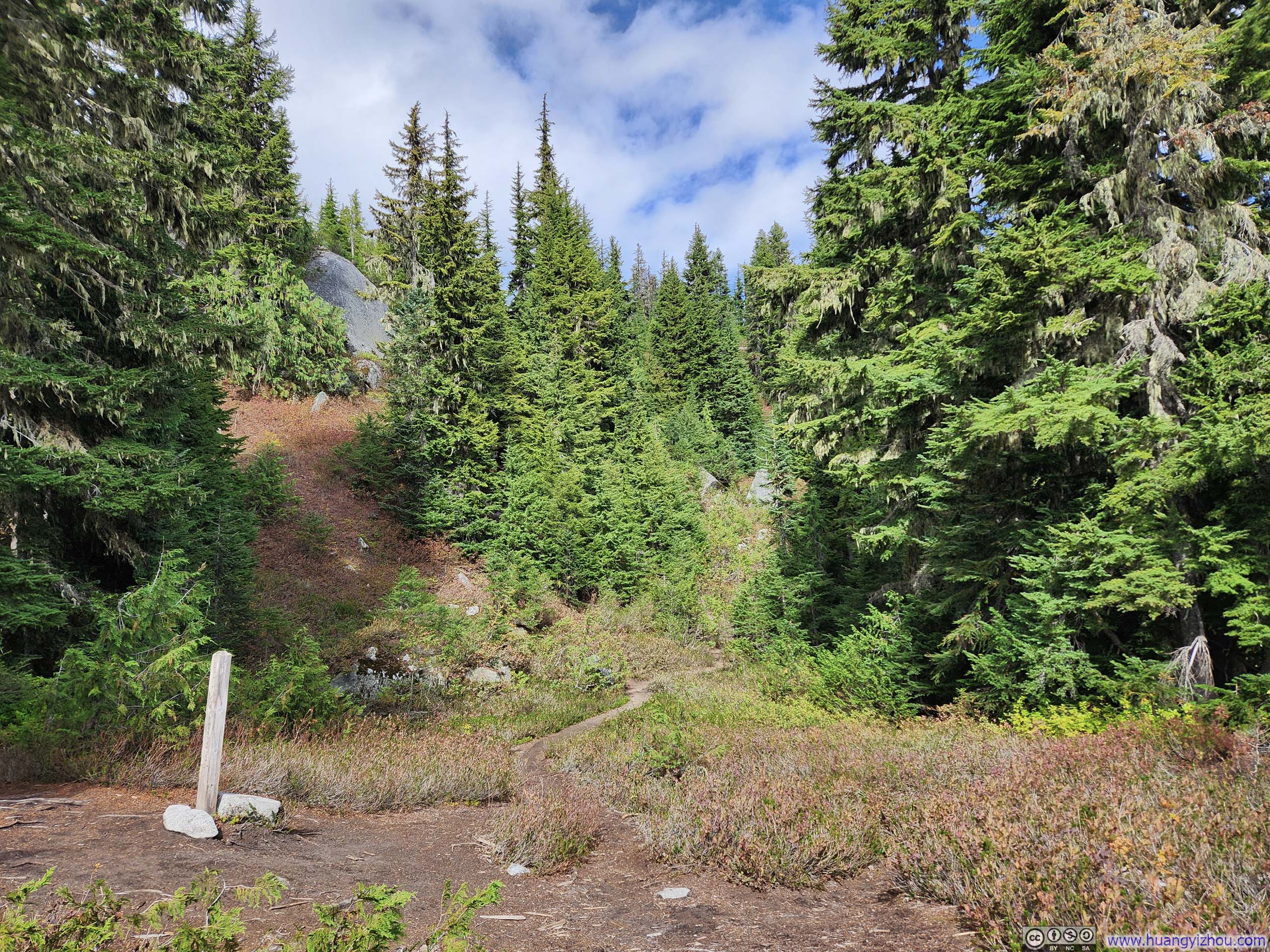
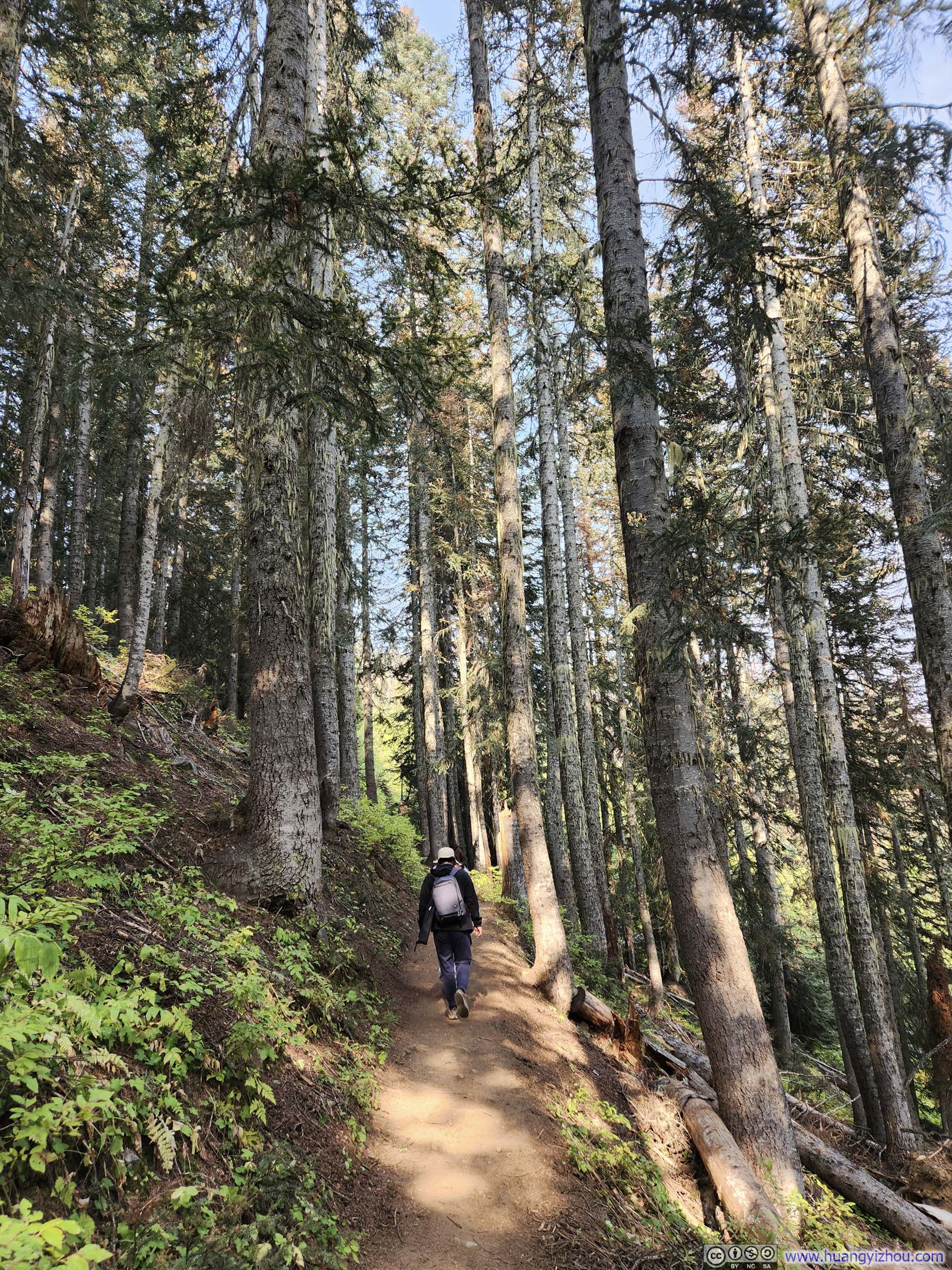
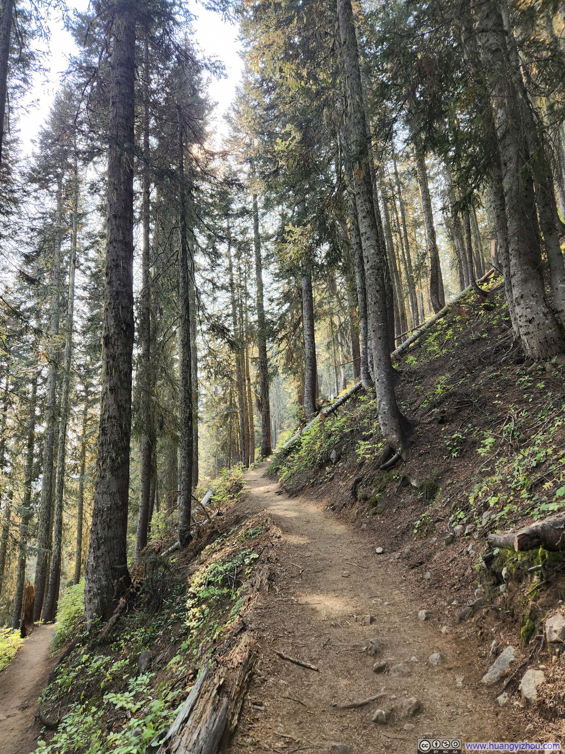
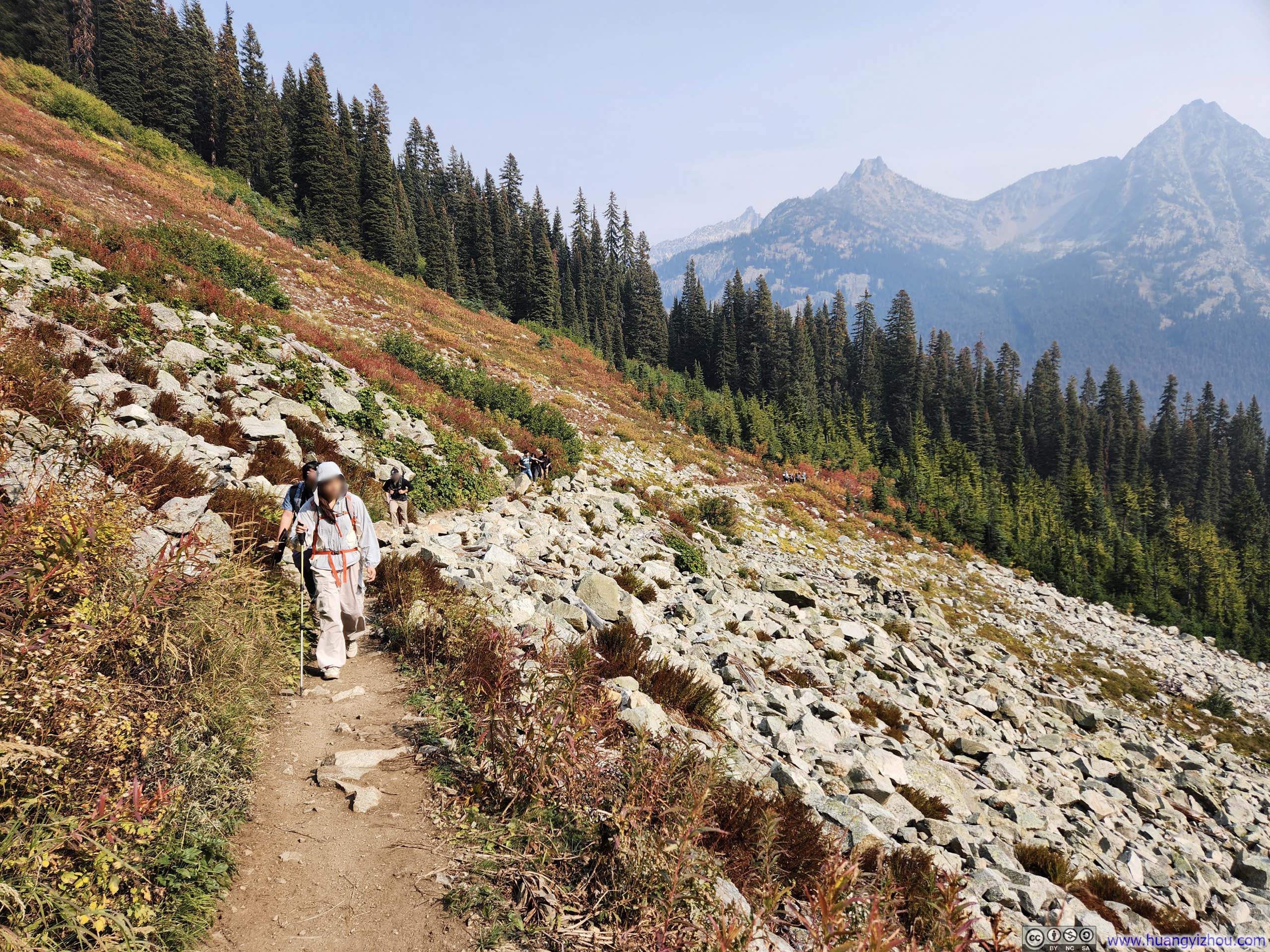
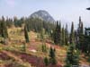
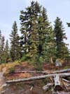
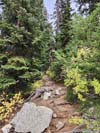
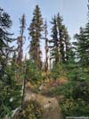
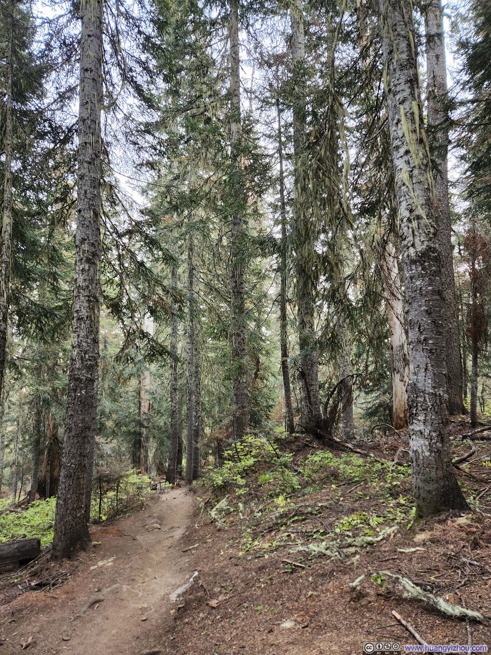
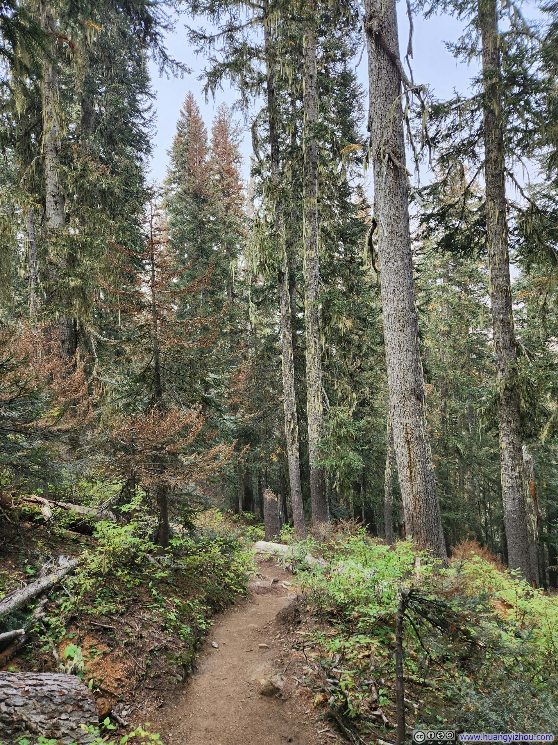
I started my hike just after 11am. The first 3.3km (2 miles) of trail traced a V-shaped course around Thornton Creek. Apart from a few rocky interruptions, this part of the trail was wide and even, to the point that one could almost ride a mountain bike through it.
 Trail
Trail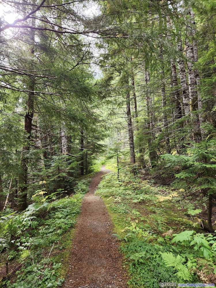 Trail
Trail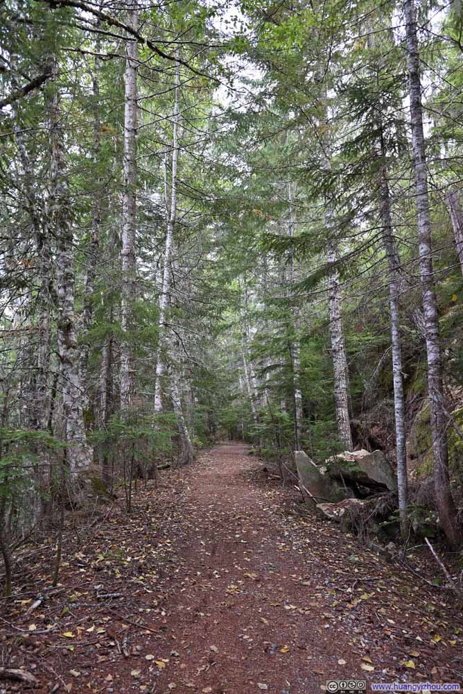 Trail
Trail Trail
Trail
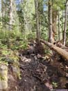
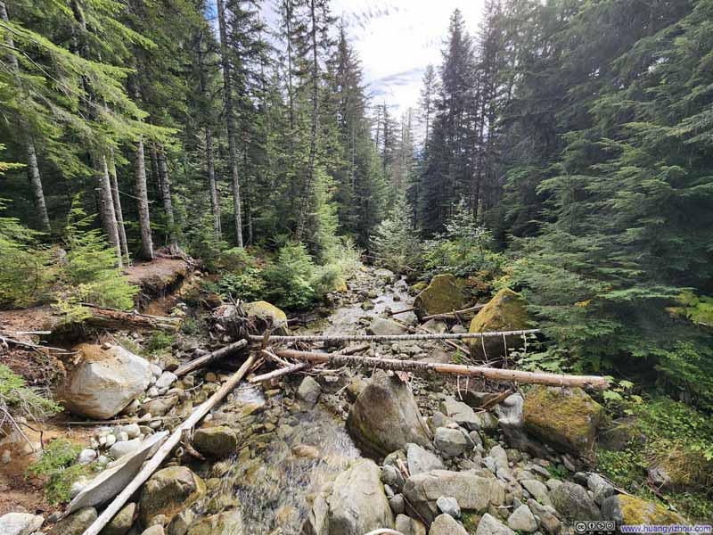 Footbridge over Thornton Creek
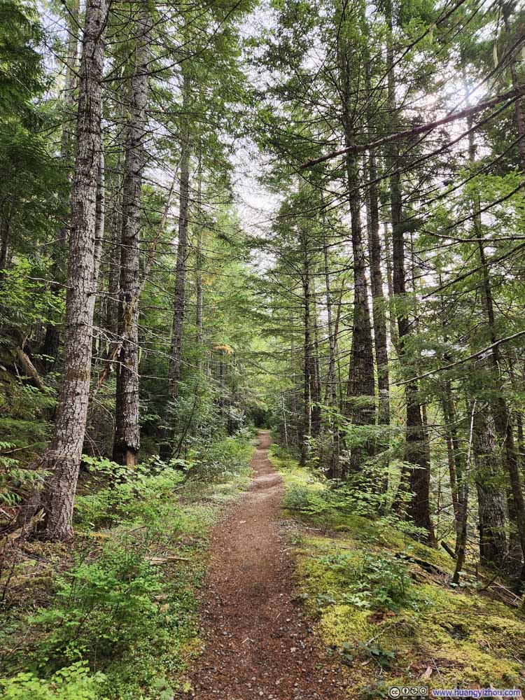 Trail
Trail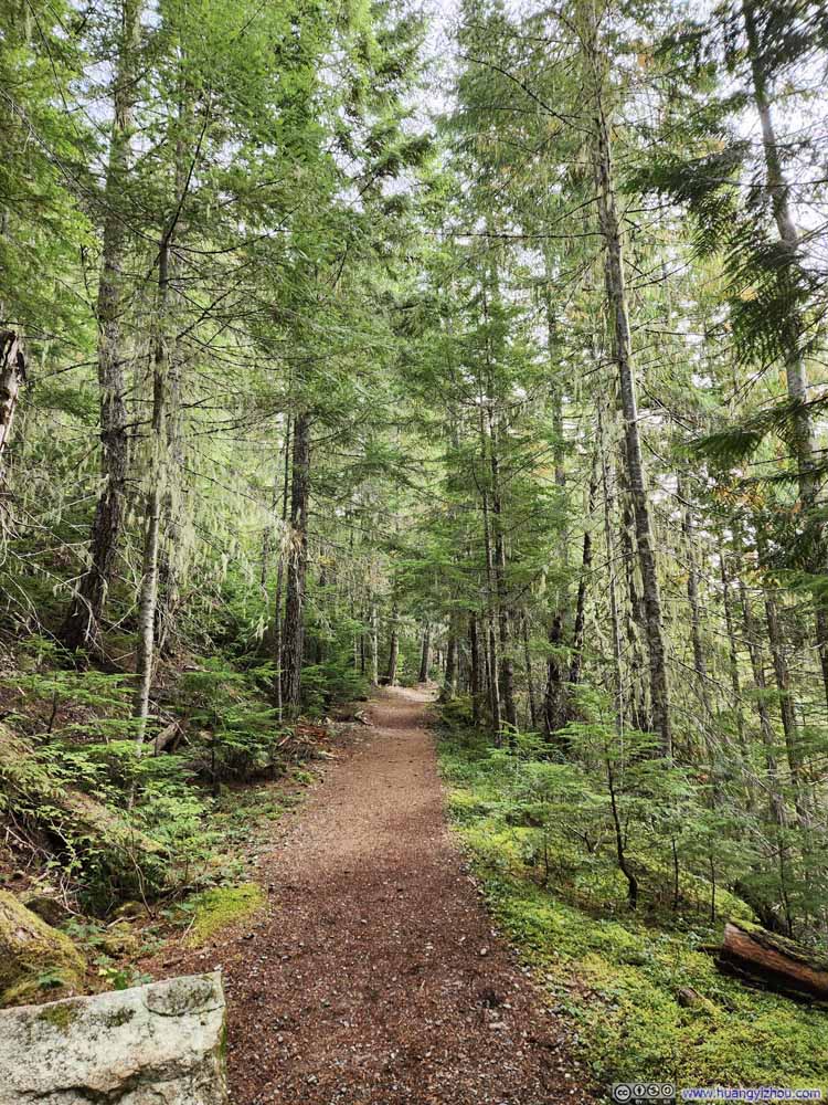 Trail
Trail Trail
Trail

Click here to display photos of the slideshow

Trail
Trail
Trail

Trail

 Footbridge over Thornton Creek
Trail
Trail
Trail
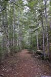
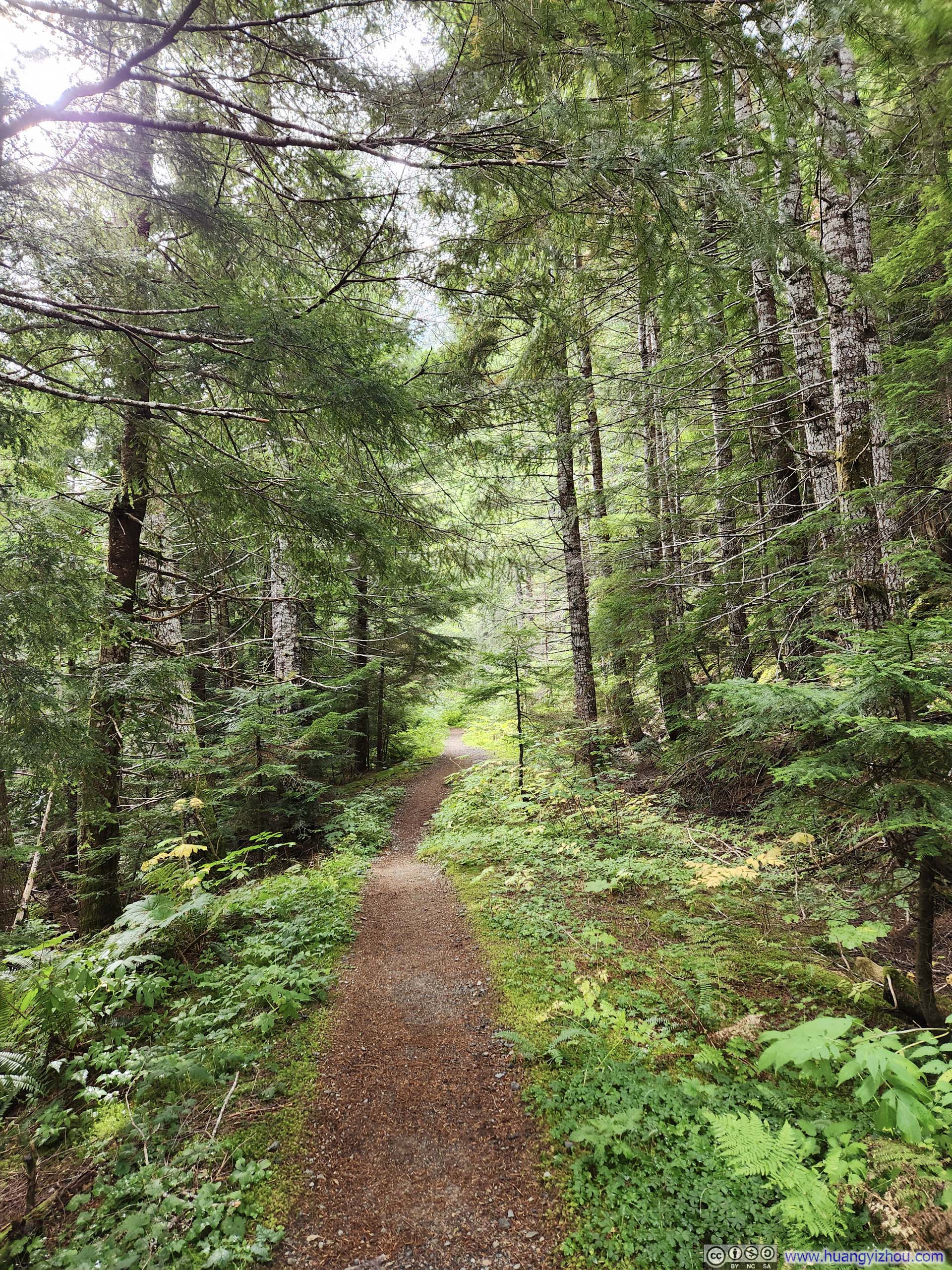
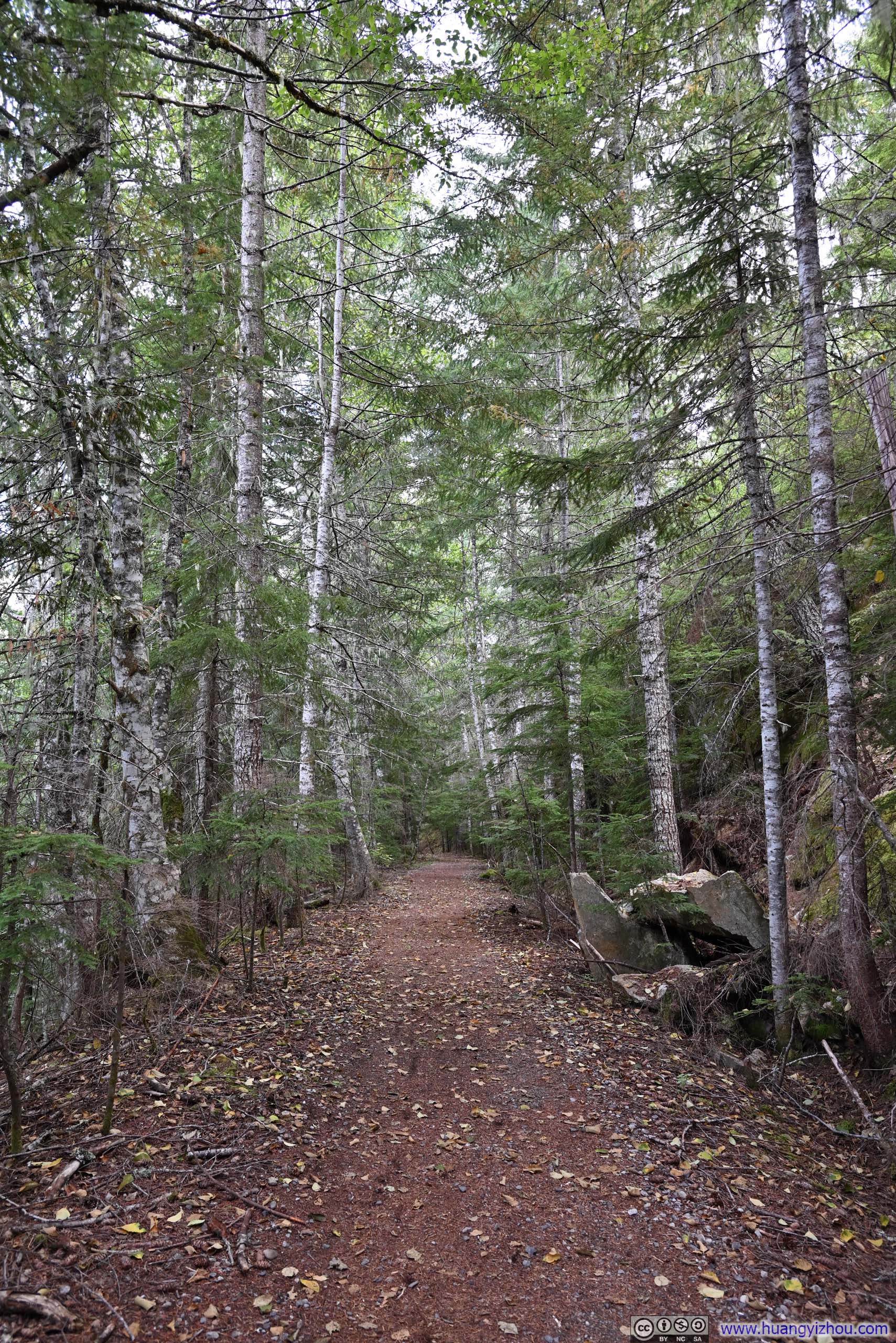
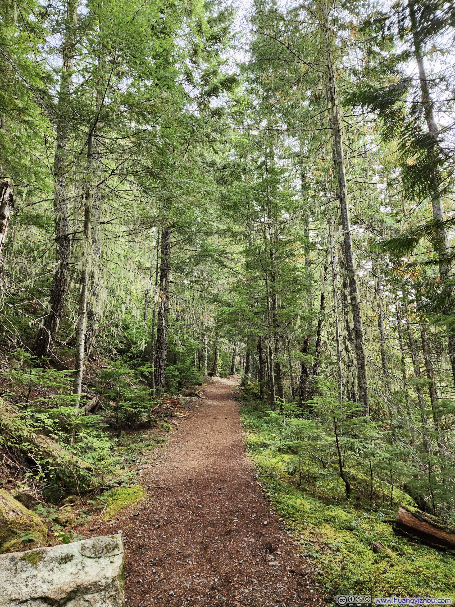
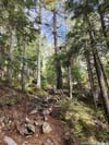
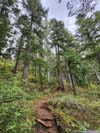
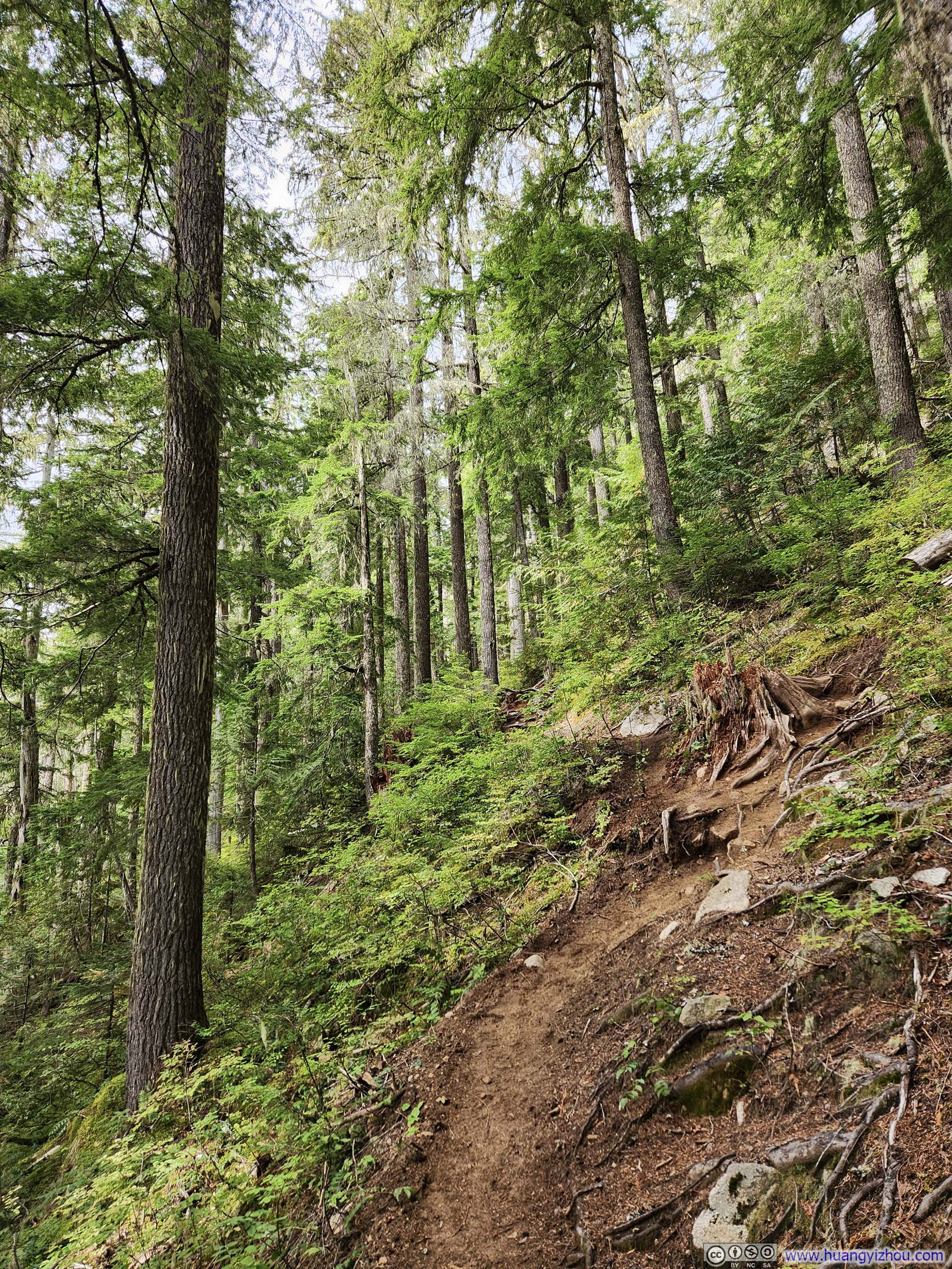
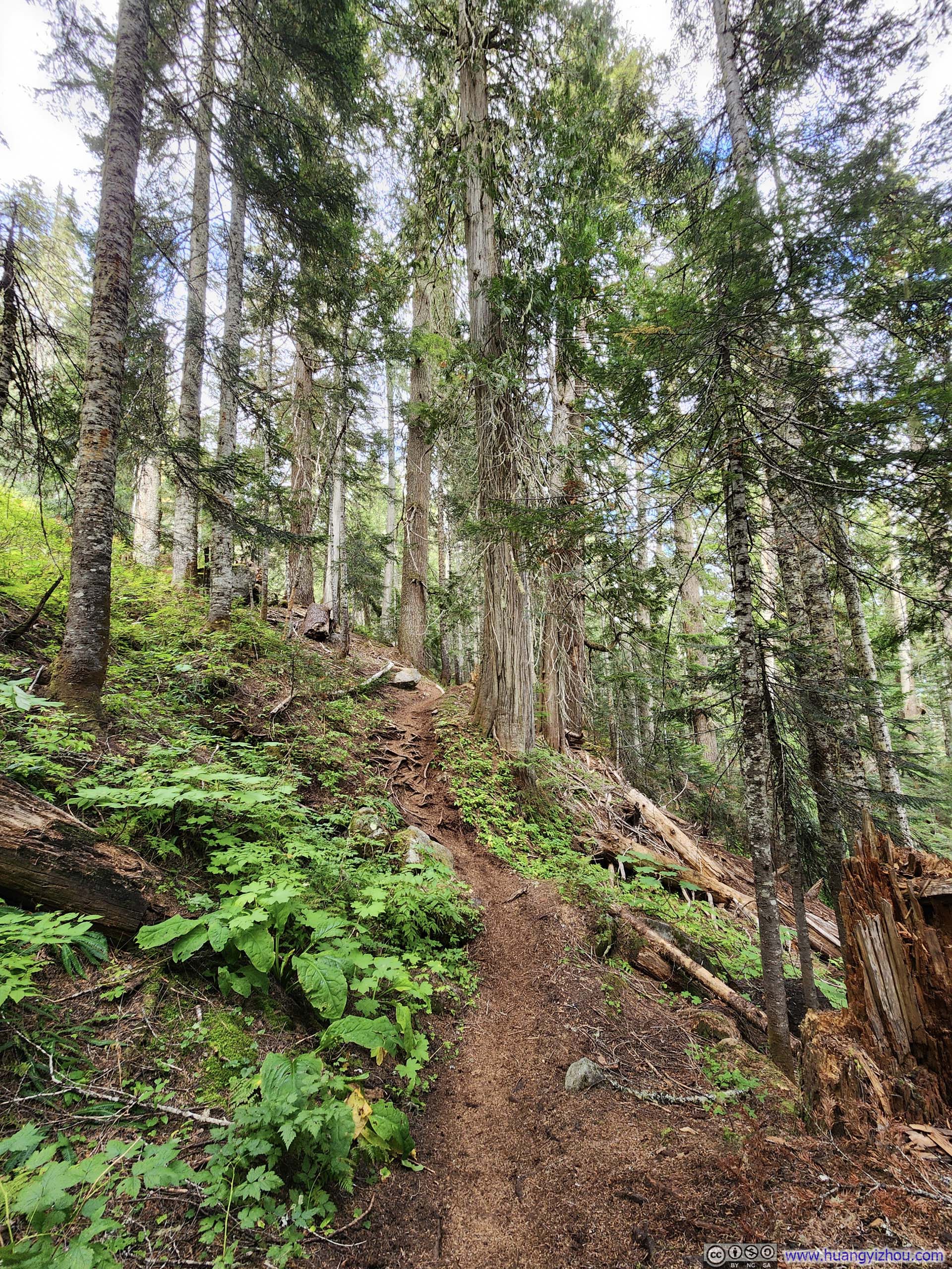
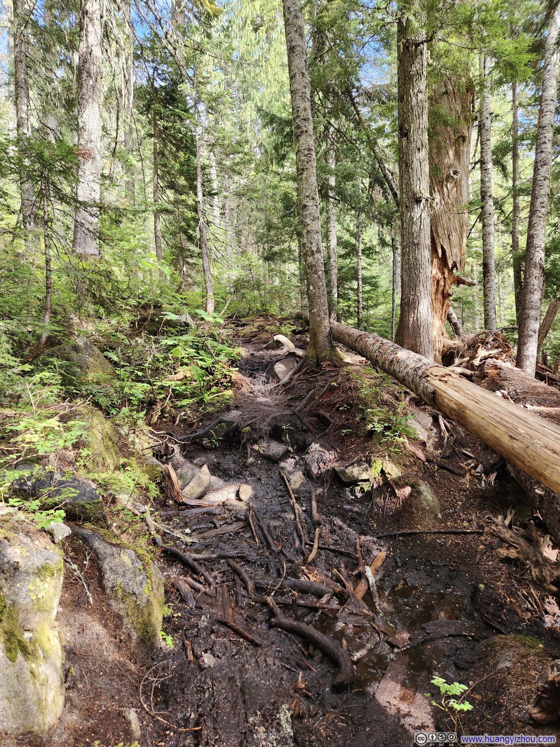
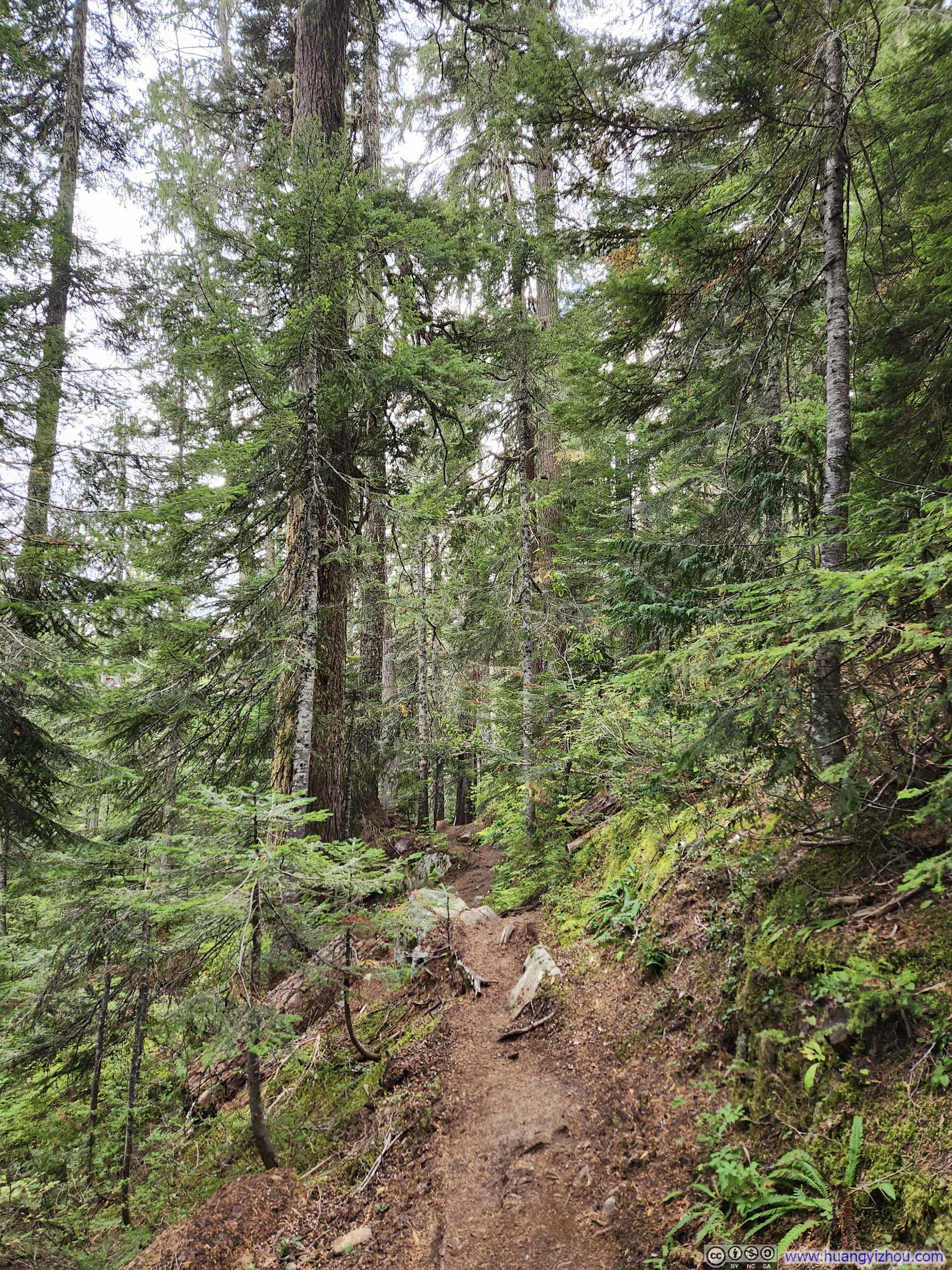
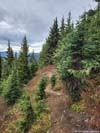
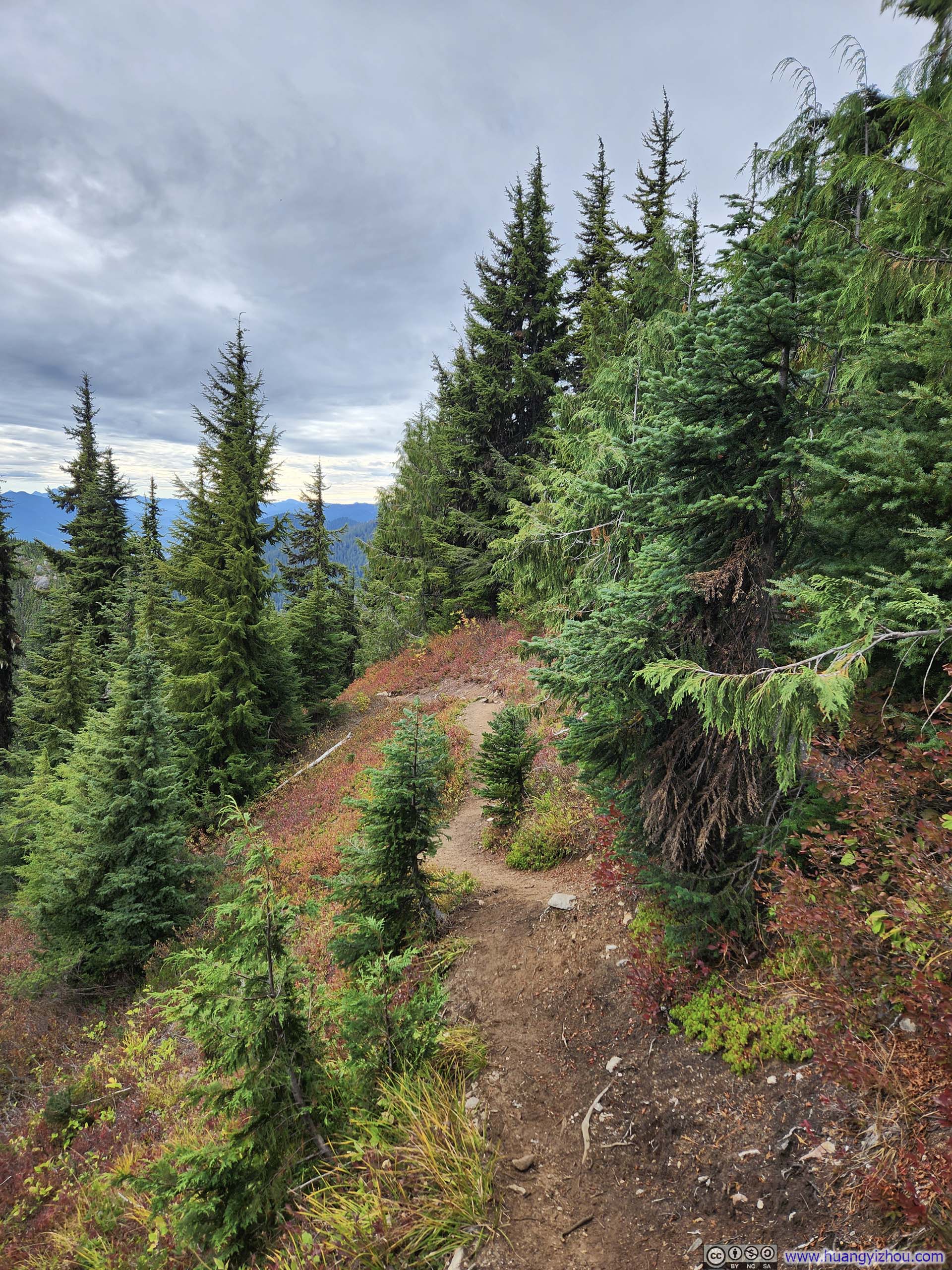
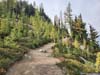
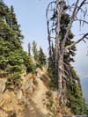
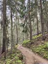
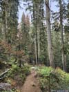
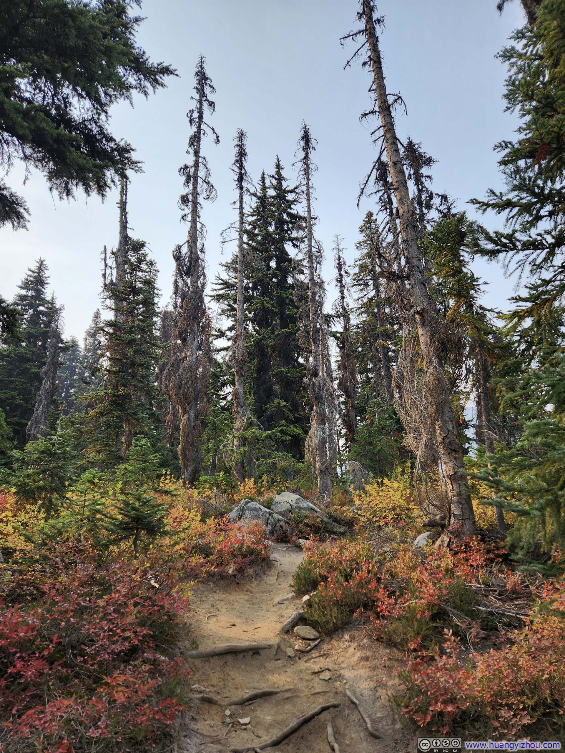
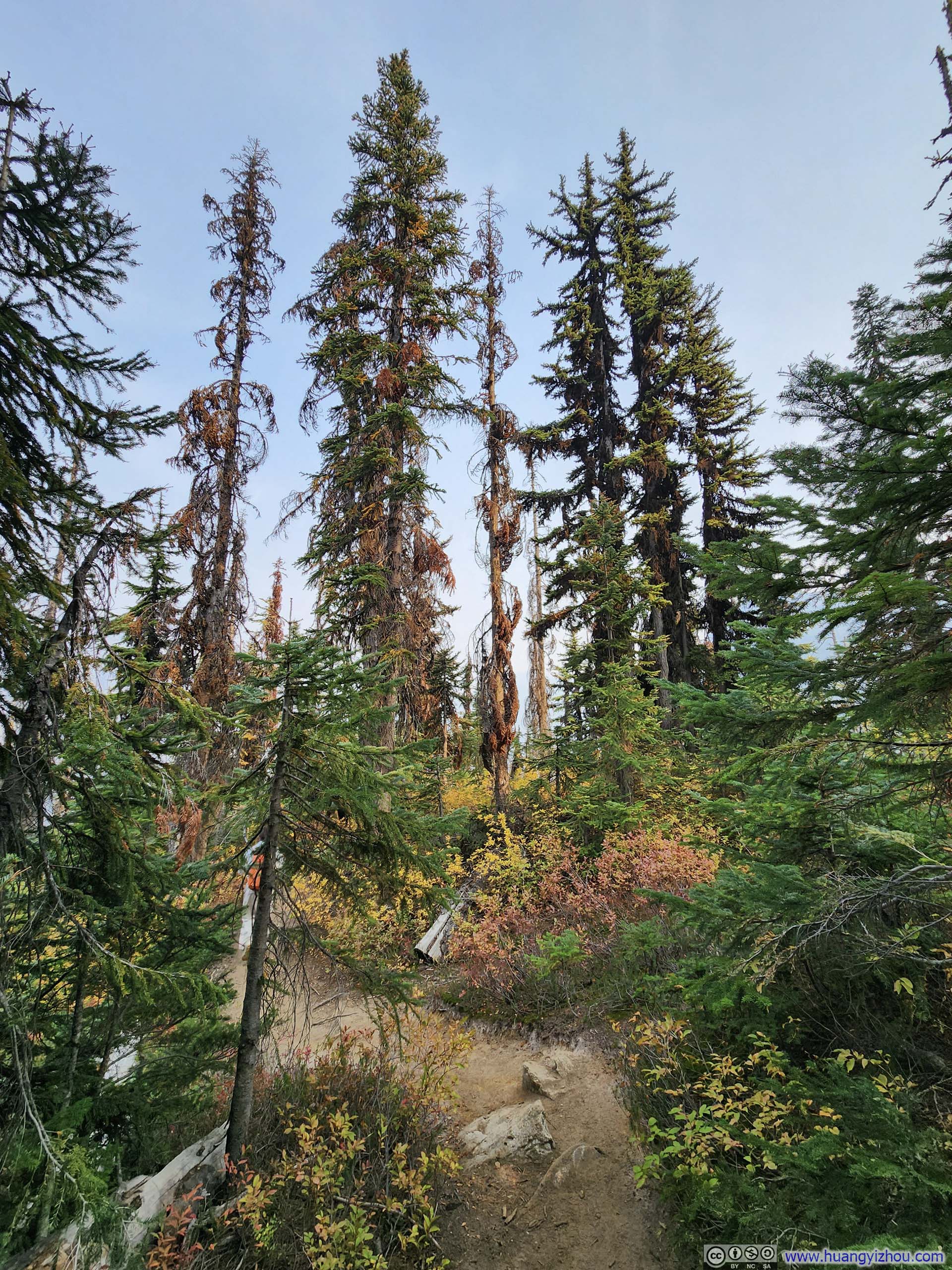
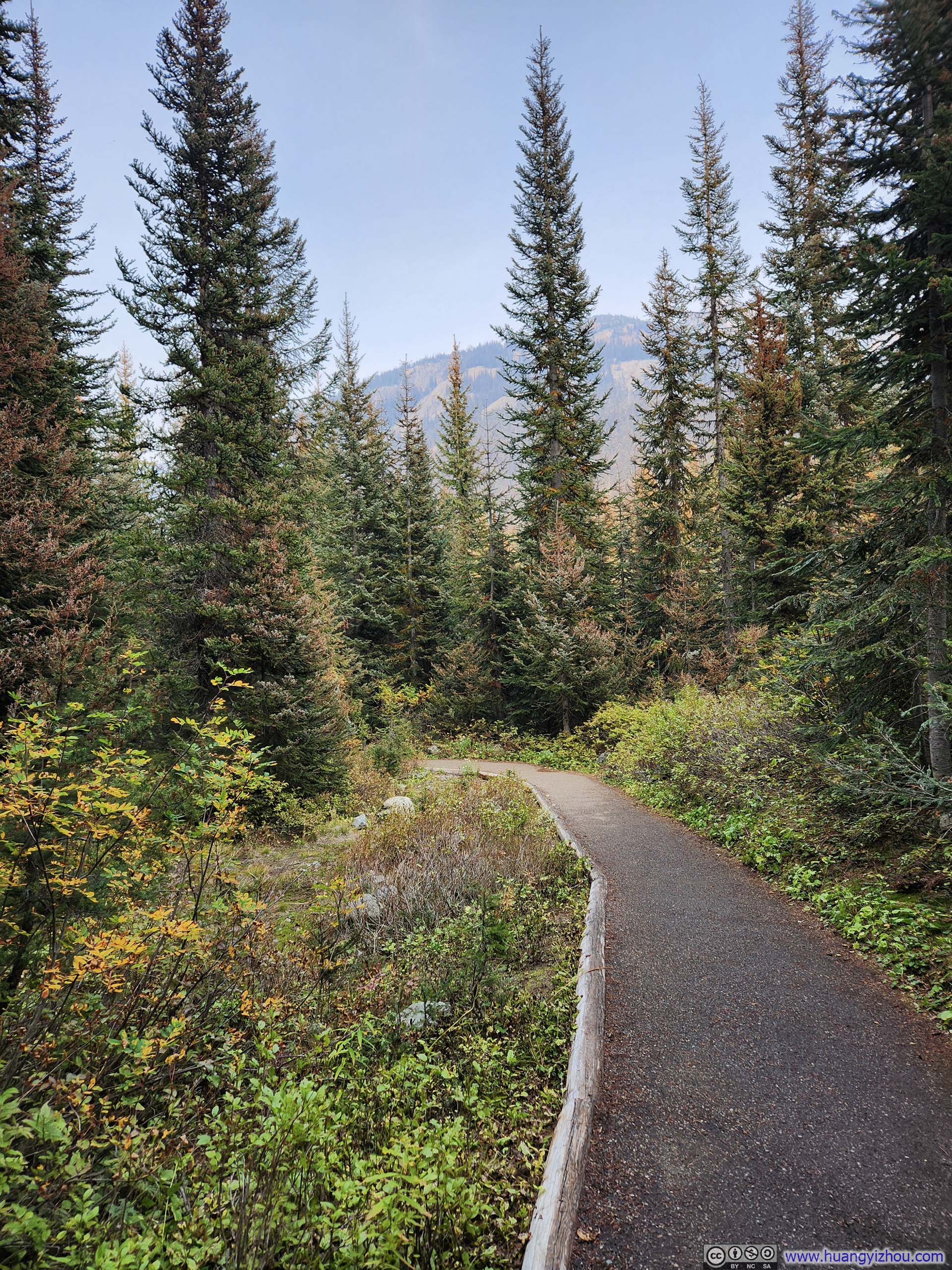
Beyond that point, the trail embarked on a steady climb, weaving through soaring trees in a typical Pacific Northwest rainforest fashion. It was narrower, frequently interrupted by tree roots and rocks, but overall not technical.
 Trail
Trail Trail
Trail Trail
Trail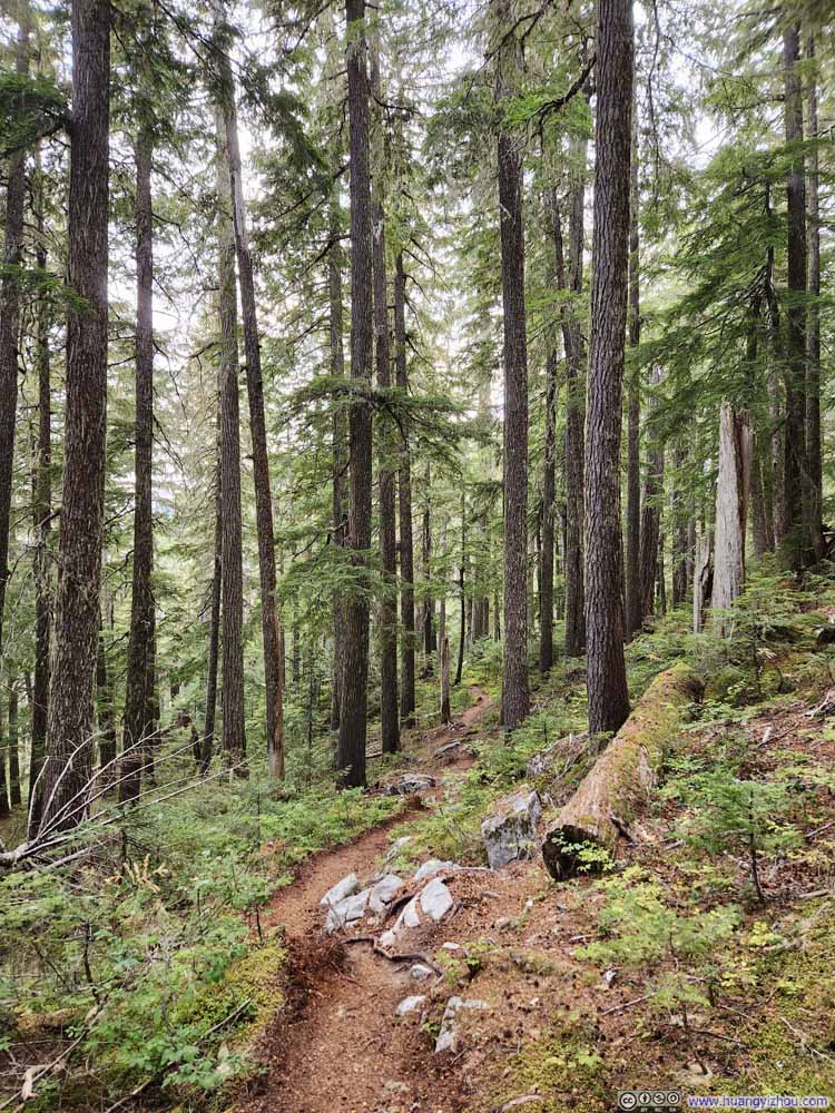 Trail
Trail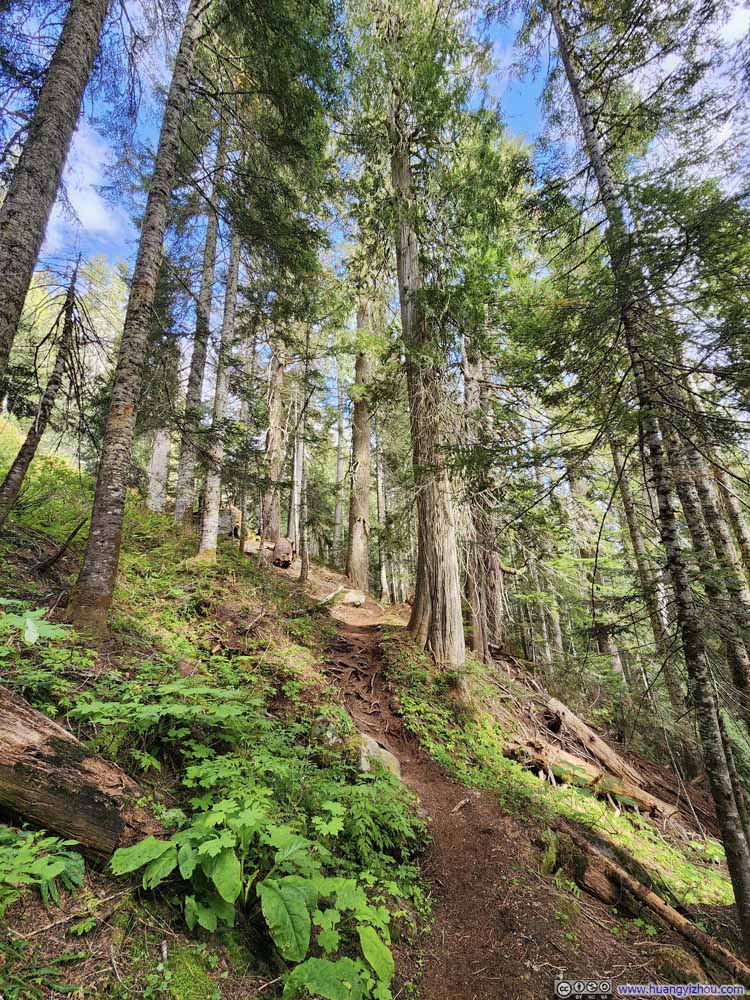 Trail
Trail Trail
Trail TrailThe only short muddy section.
 Trail
Trail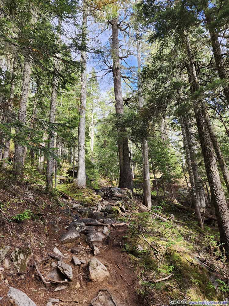 Trail
Trail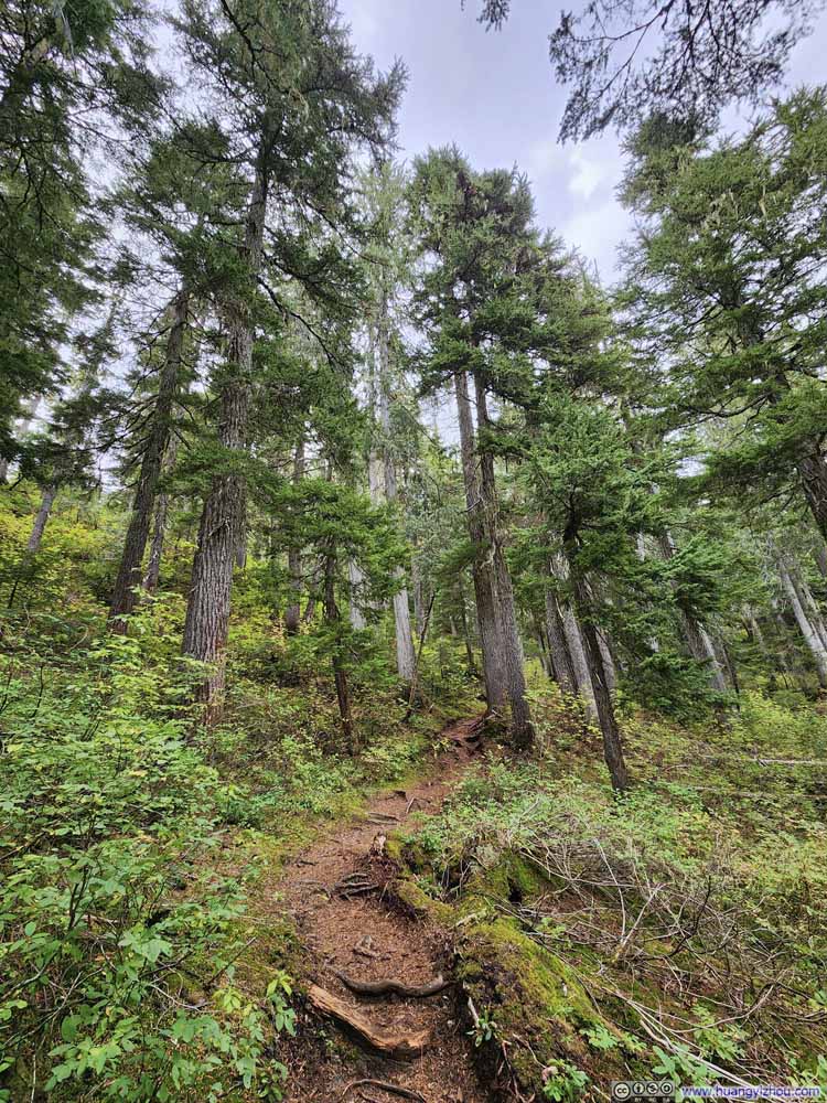 Trail
Trail Trail
Trail


Click here to display photos of the slideshow
Trail
Trail
Trail

Trail

Trail
Trail
TrailThe only short muddy section.
Trail
Trail

Trail
Trail
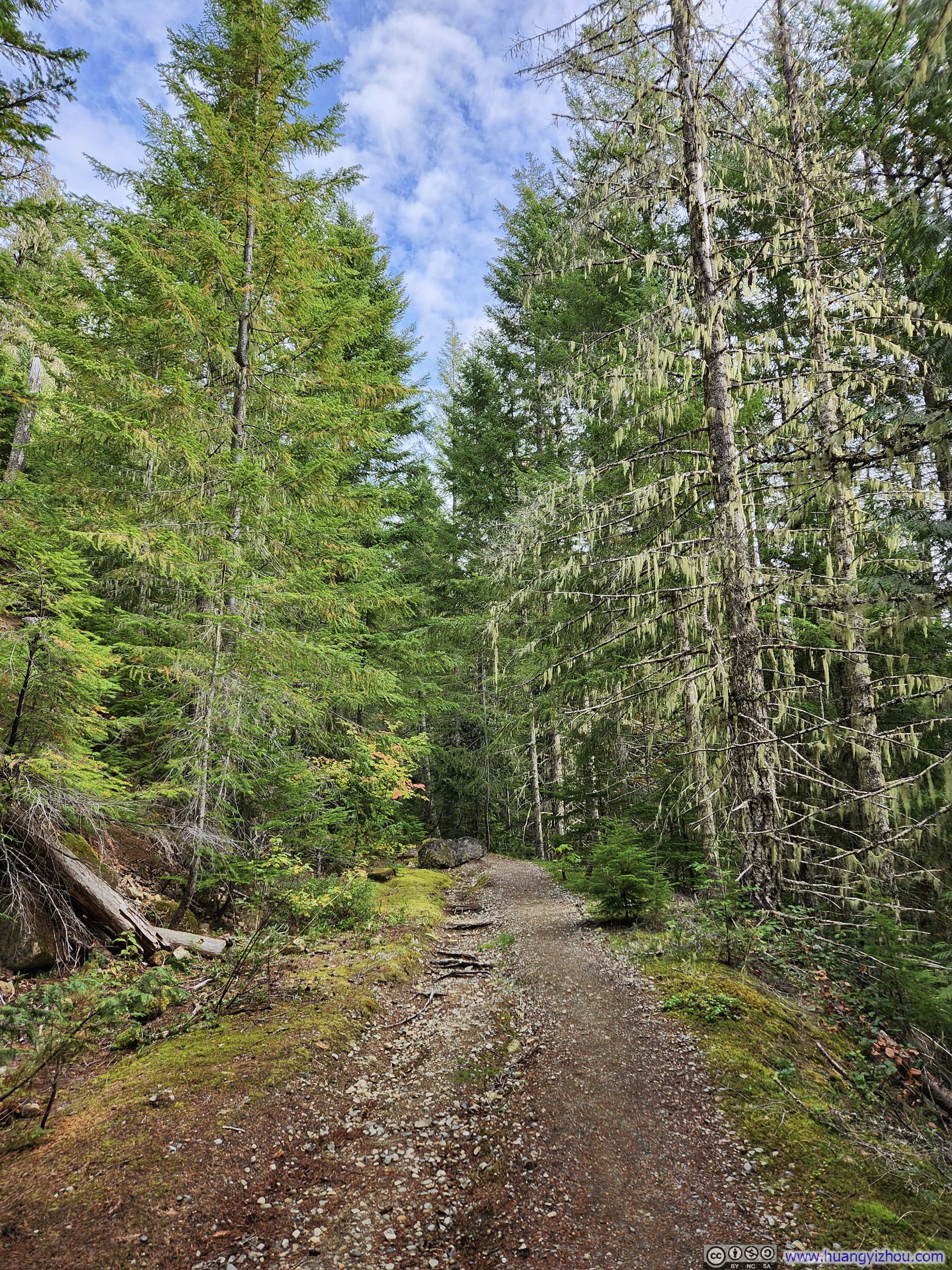
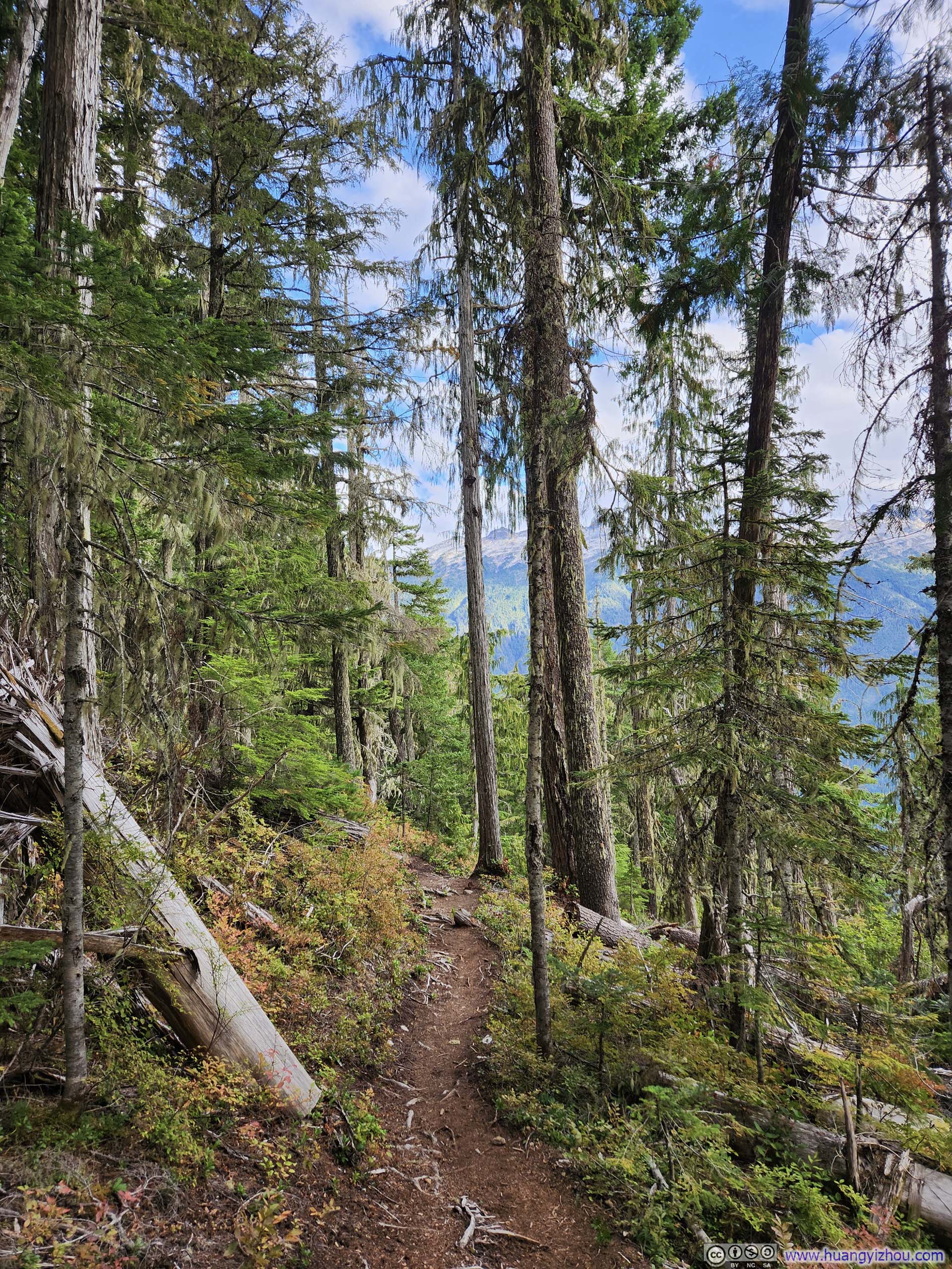
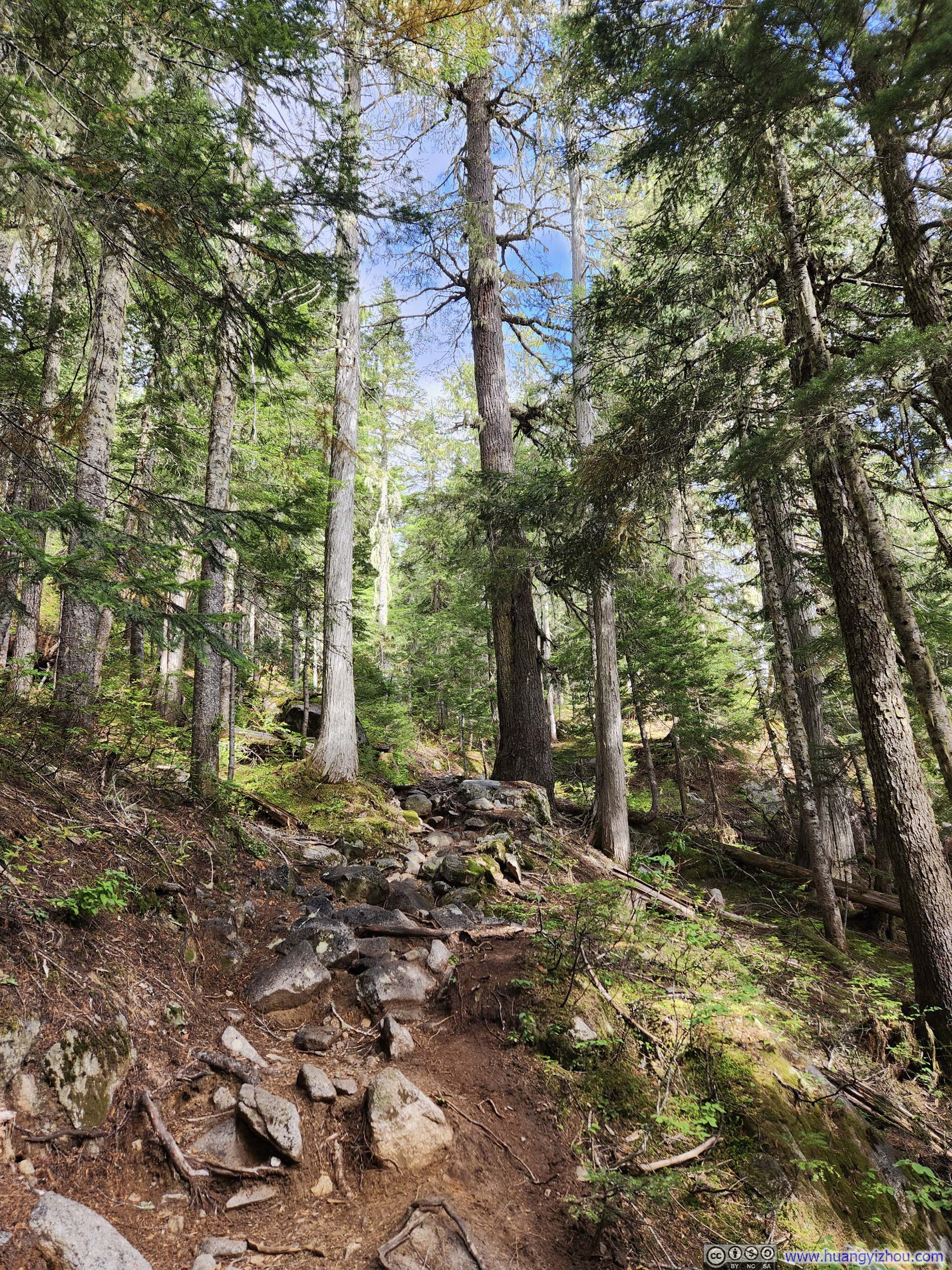
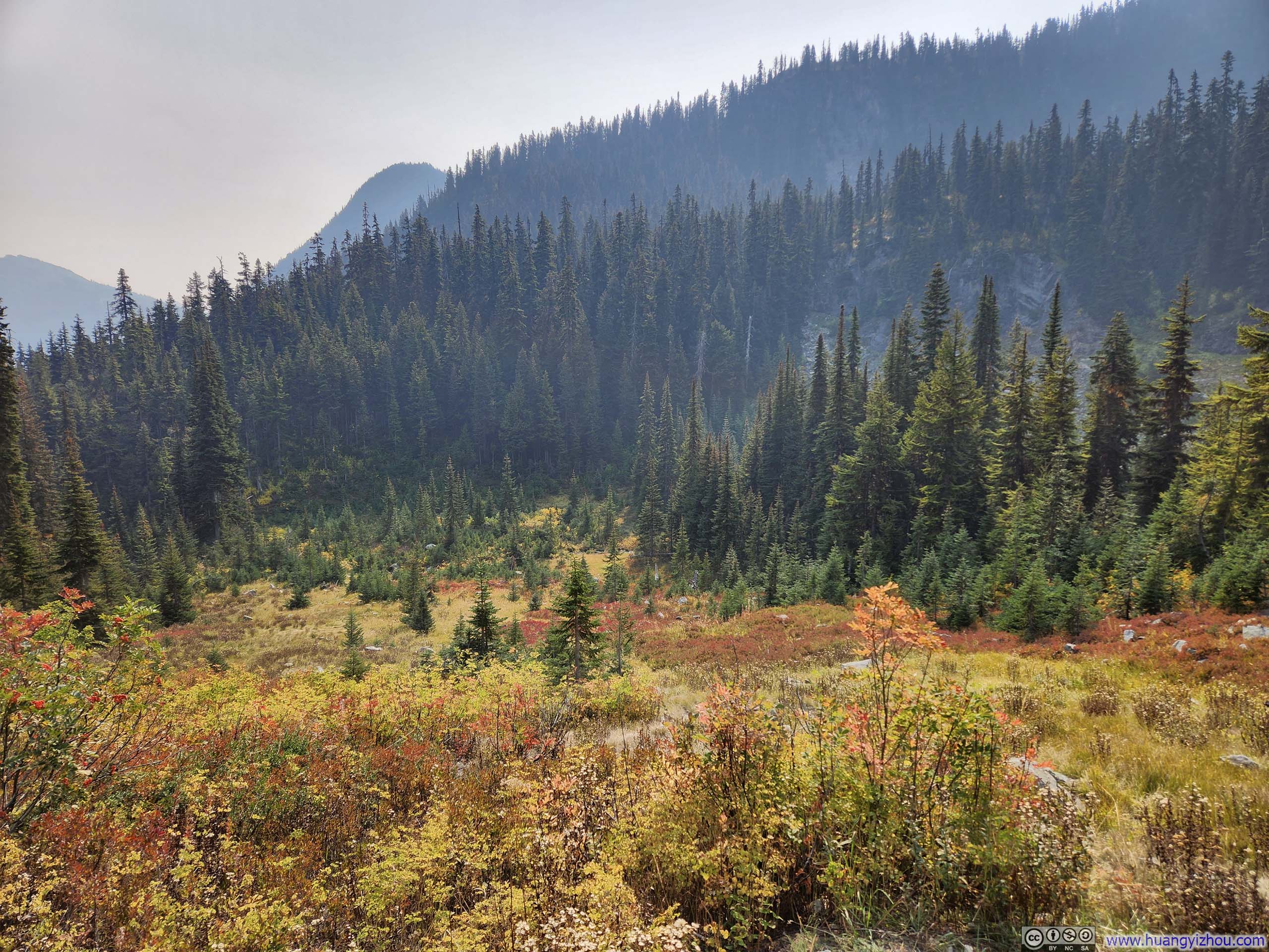
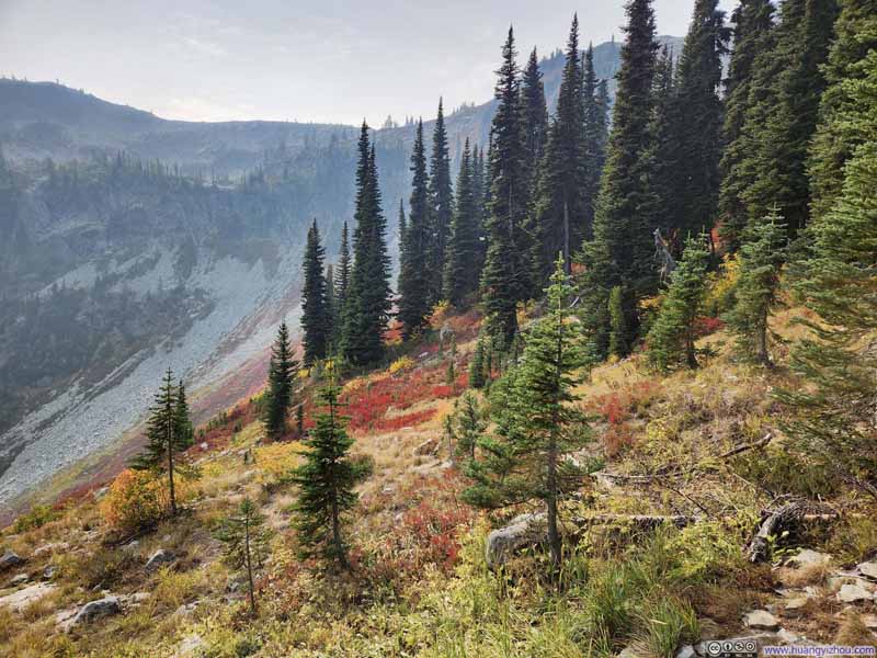
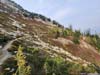
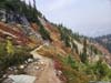
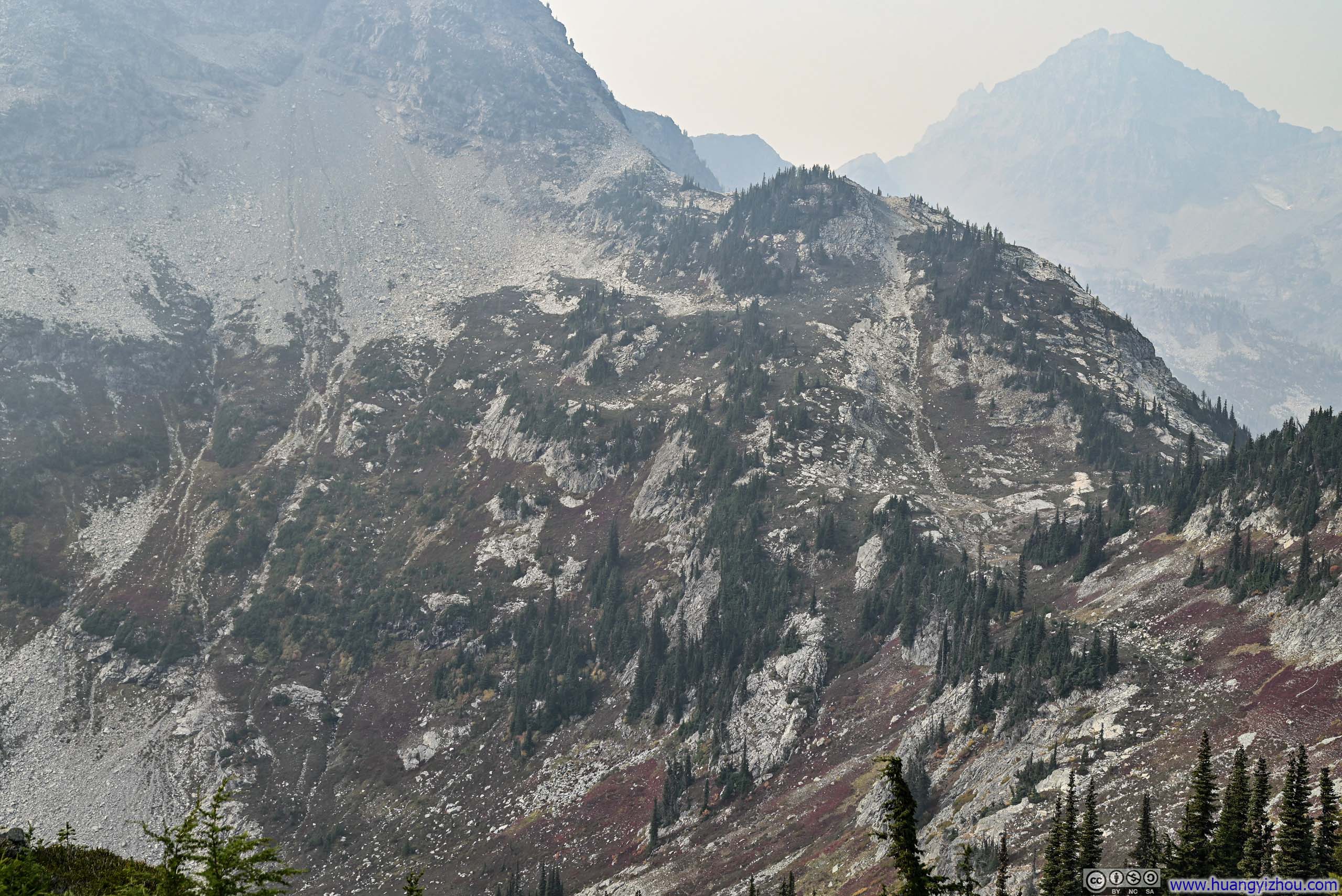
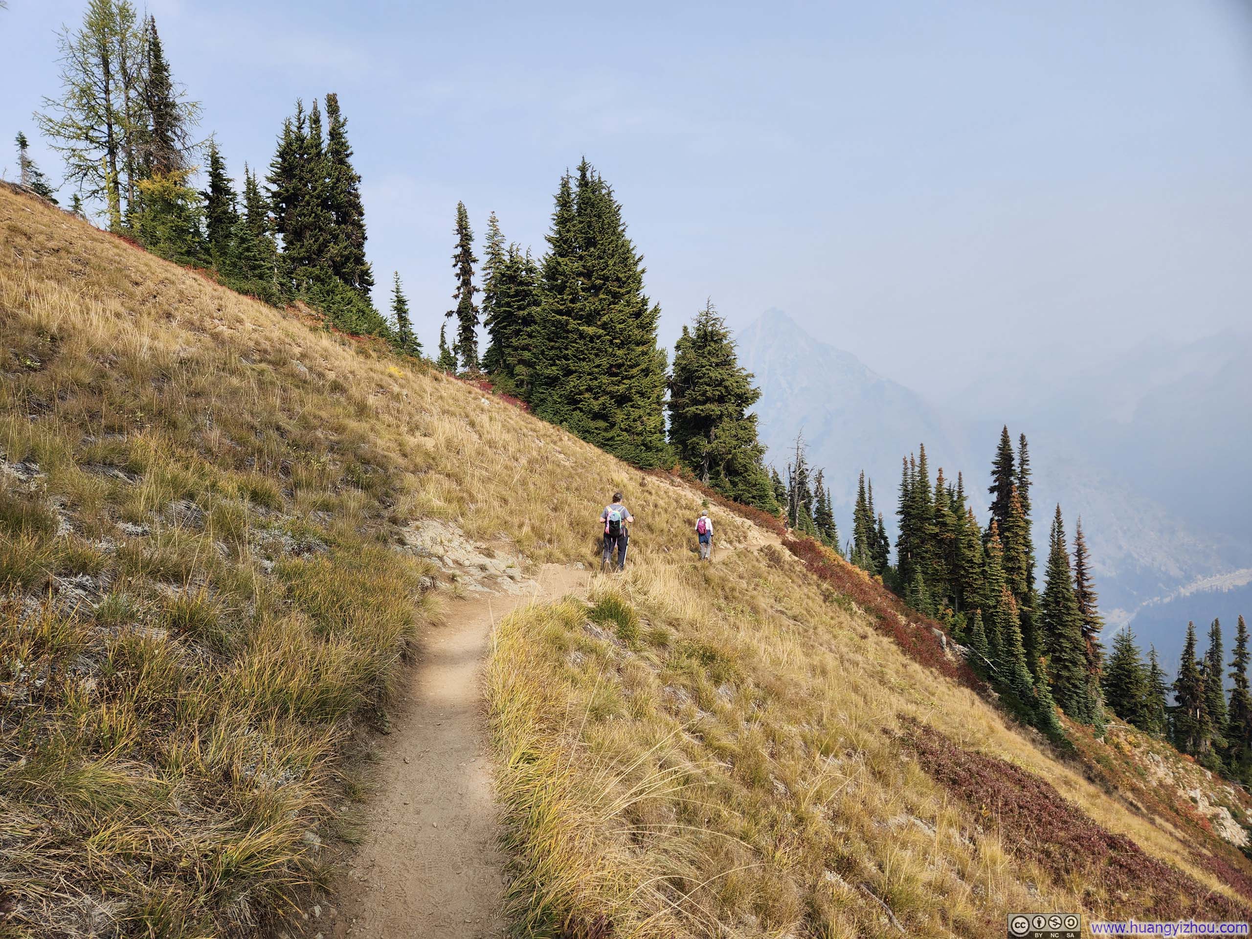
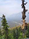
Later, the trail reached an intersection where the paths to Thornton Lakes and Trappers Peak diverged. It roughly marked the point where trees along the trail began to thin, yielding glimpses of the surrounding vistas.
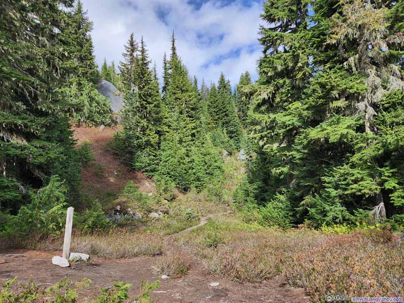 Trail IntersectionThe path to Trappers Peak to the right, the path to Thornton Lakes to the left.
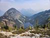
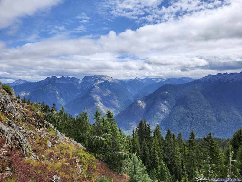 Mountains to the Southeast
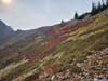
 Trail
Trail Mountains across Skagit RiverTrail to Trappers Peak followed the small hill in the foreground.
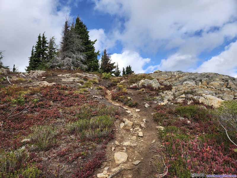 Trail
Trail

Click here to display photos of the slideshow
Trail IntersectionThe path to Trappers Peak to the right, the path to Thornton Lakes to the left.

Mountains to the Southeast
 Trail
Trail
Mountains across Skagit RiverTrail to Trappers Peak followed the small hill in the foreground.
Trail
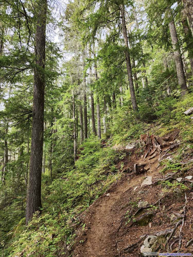
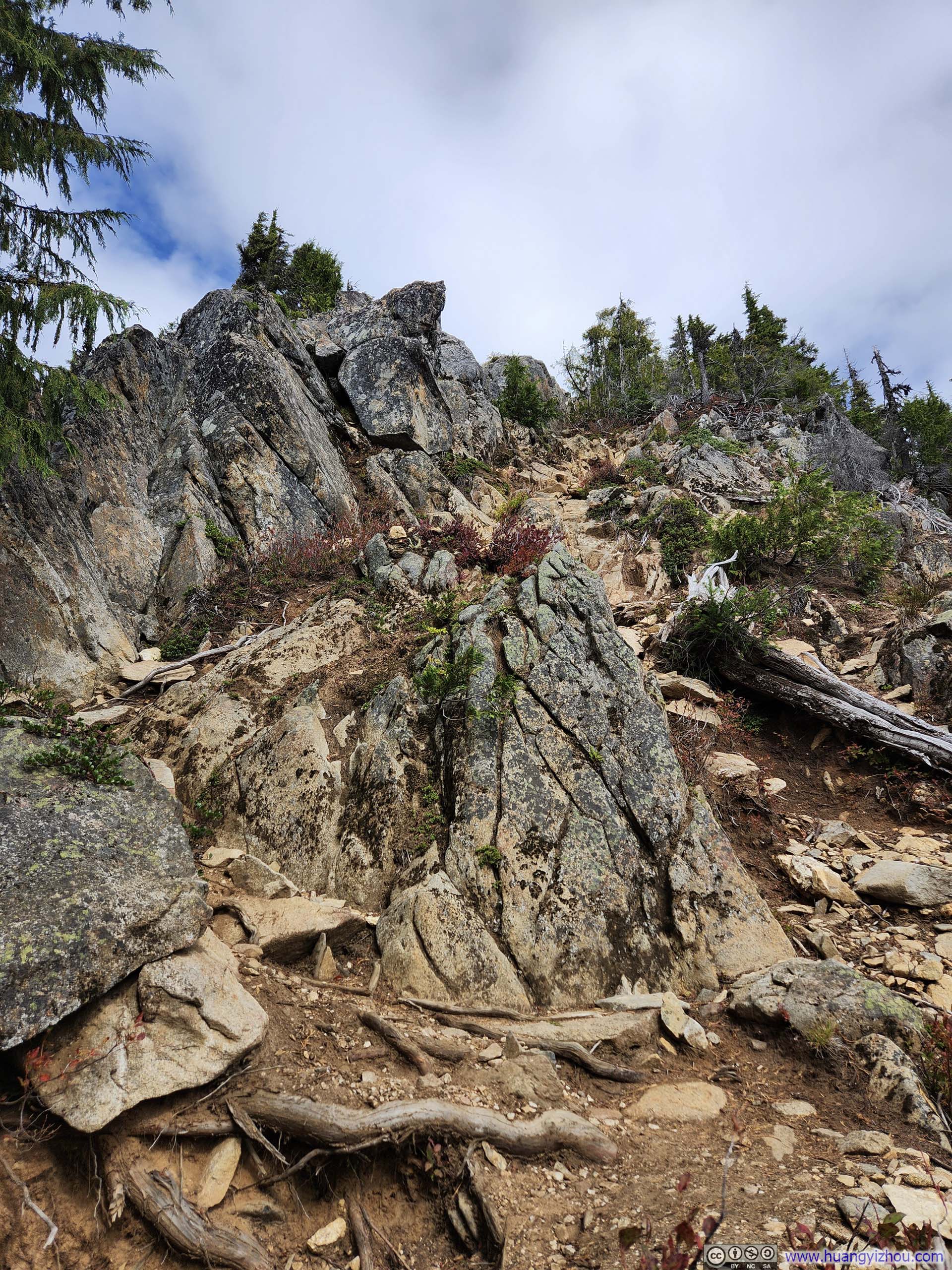
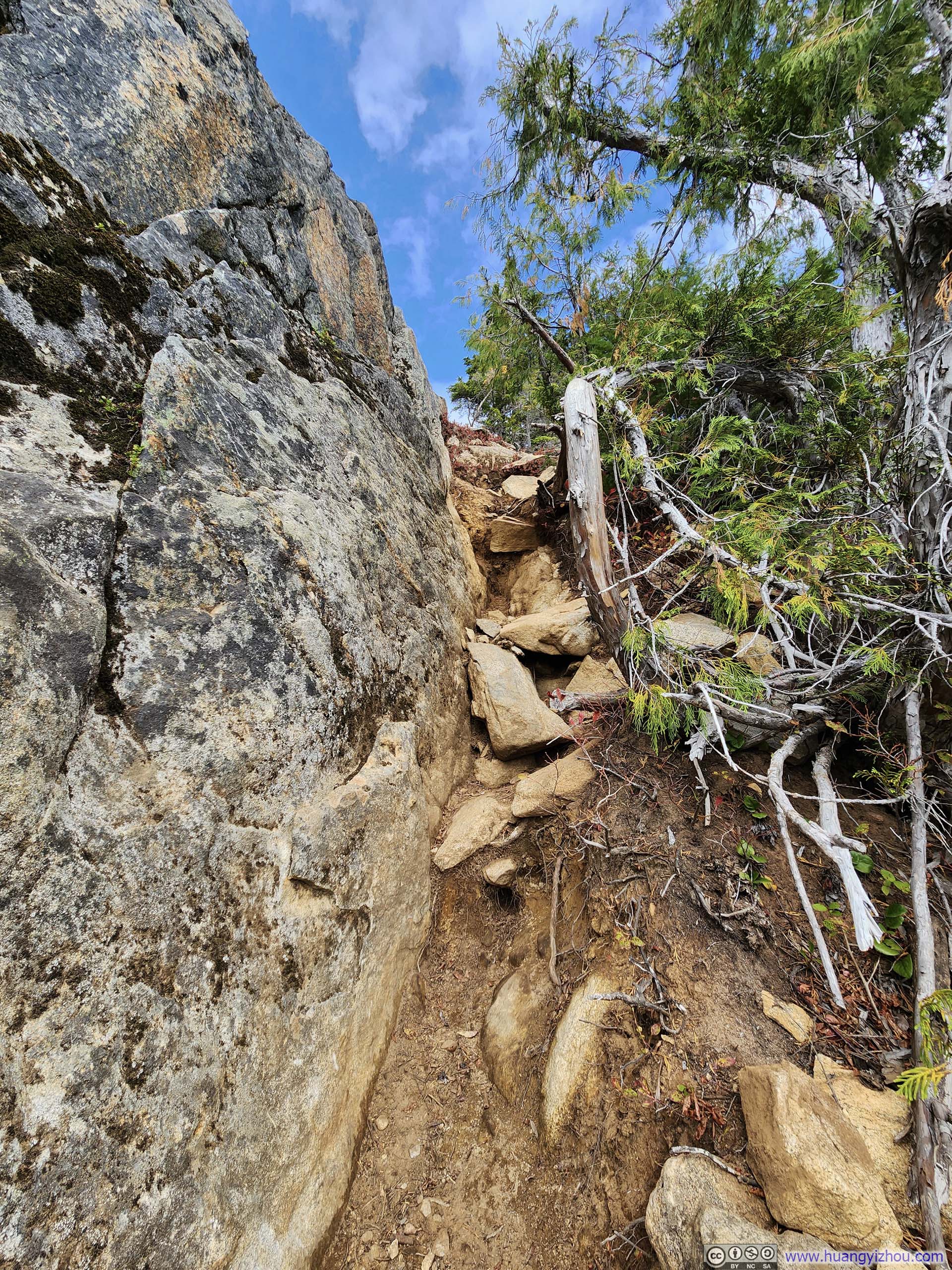
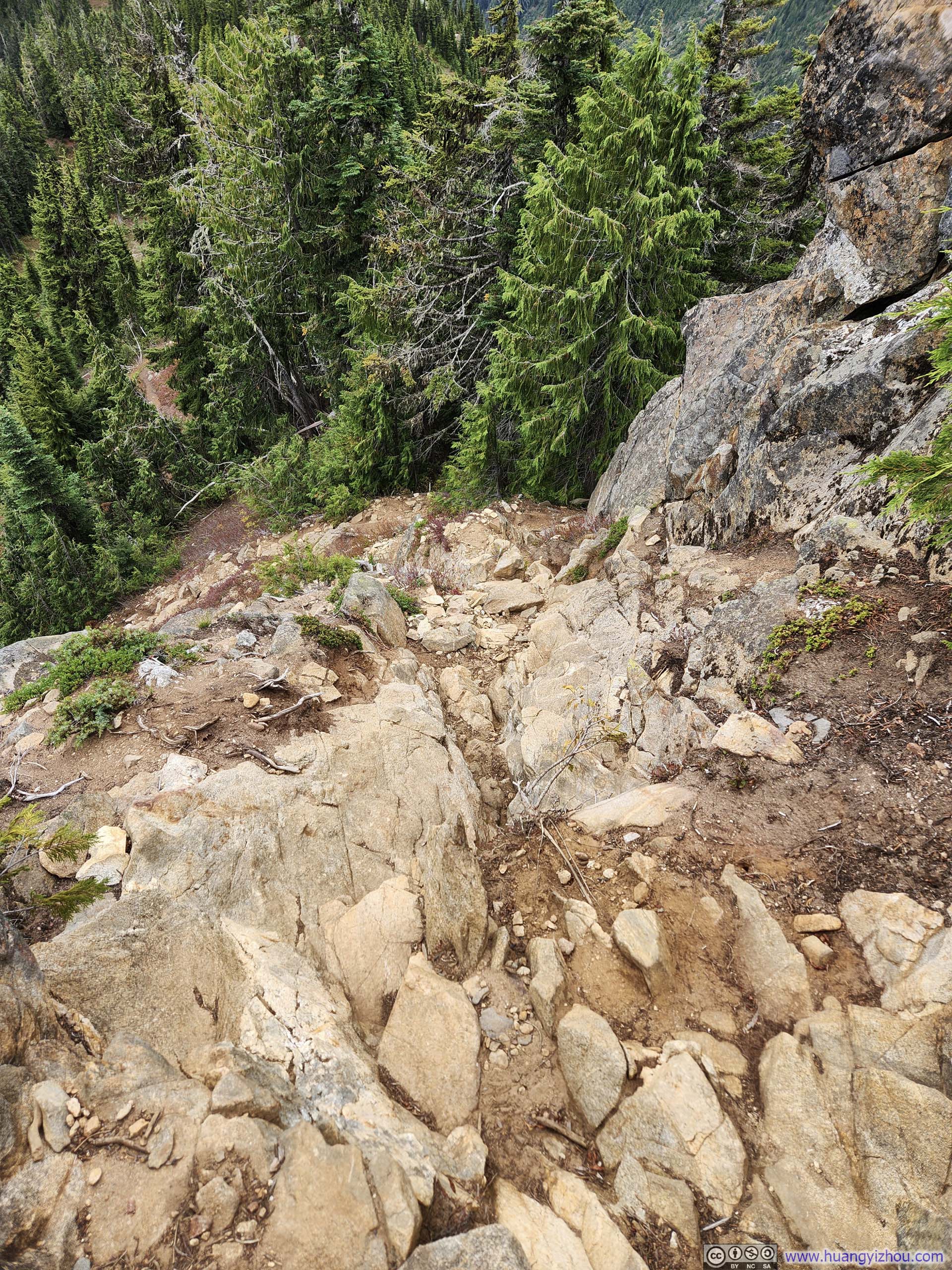
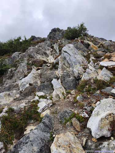
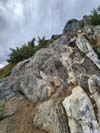
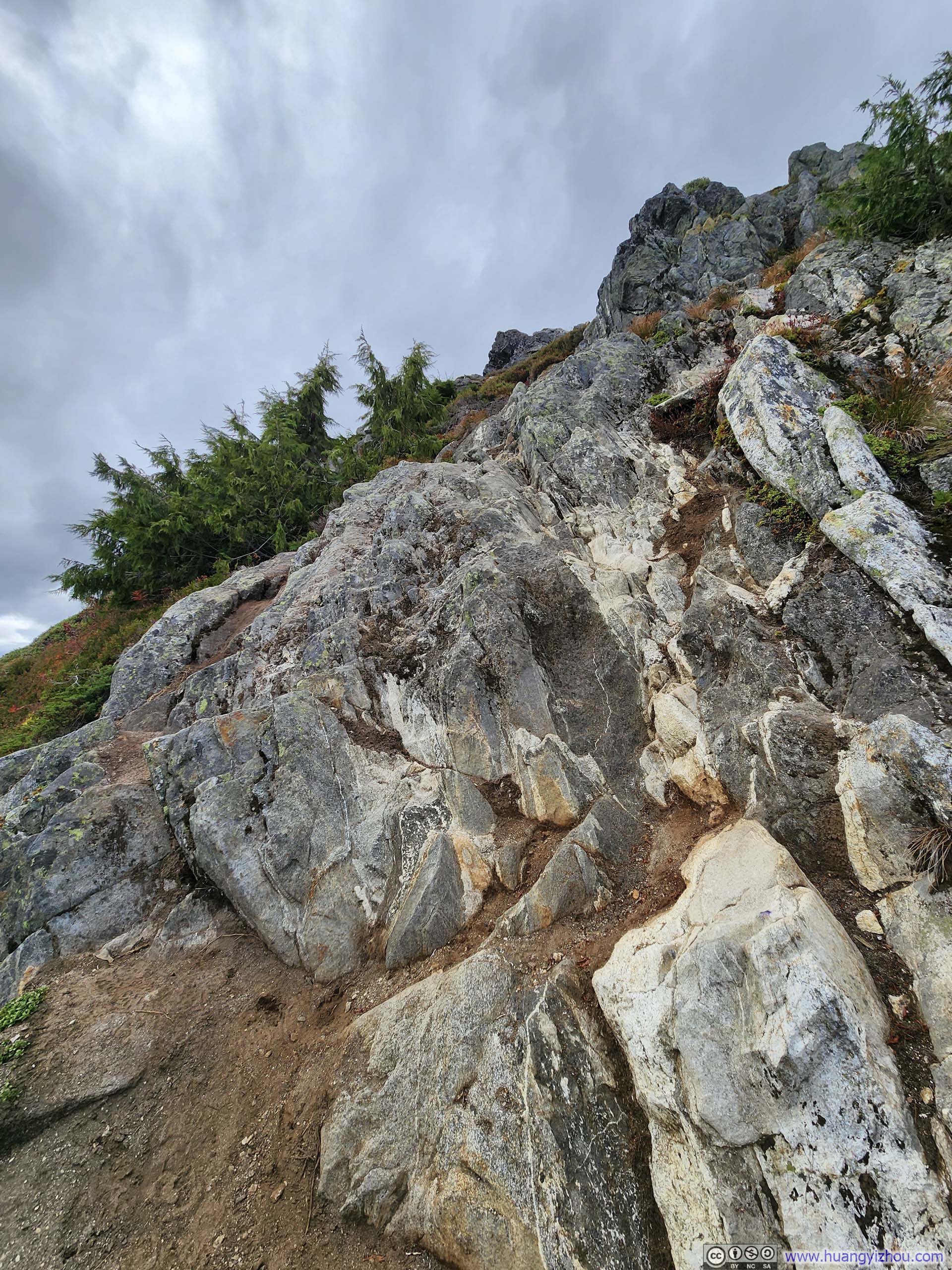
Between the trail junction and Trappers Peak lay the most technical section of the route (slideshow below), requiring scrambling efforts to scale a steep rocky slope, which I would rate as YDS Class 3.
 Steep Trail
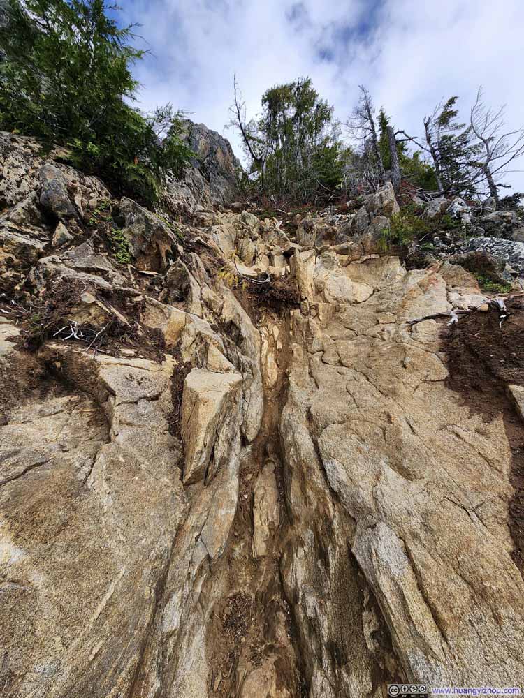 Steep Trail
 Steep Trail
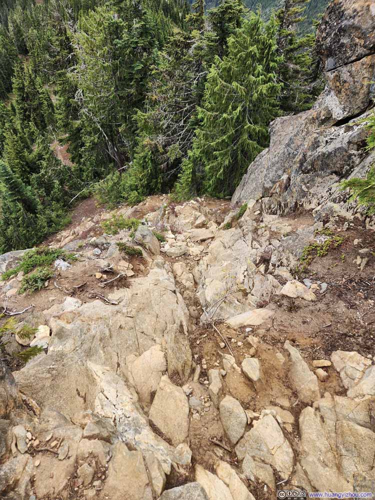 Steep Trail
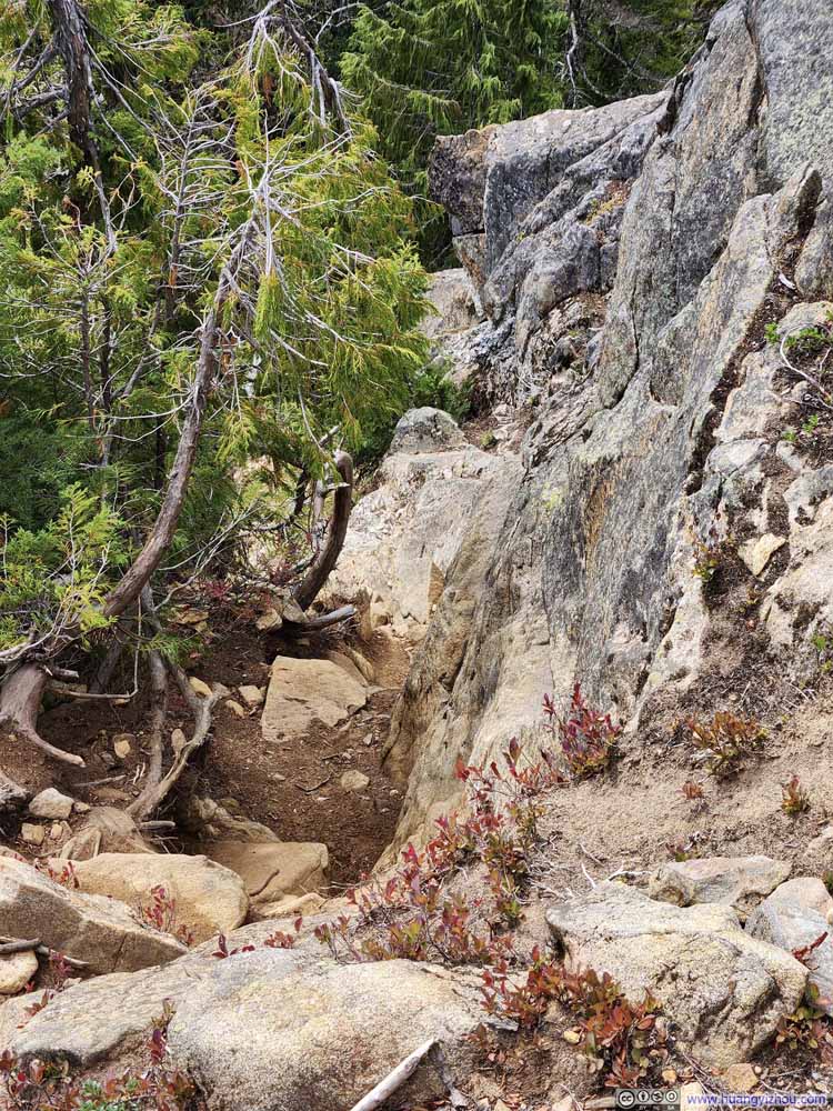 Steep Trail

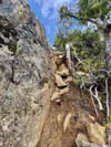
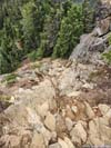
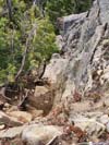
Click here to display photos of a section of steep trail en route to Trappers Peak.
Steep Trail

Steep Trail
Steep Trail
Steep Trail

Steep Trail
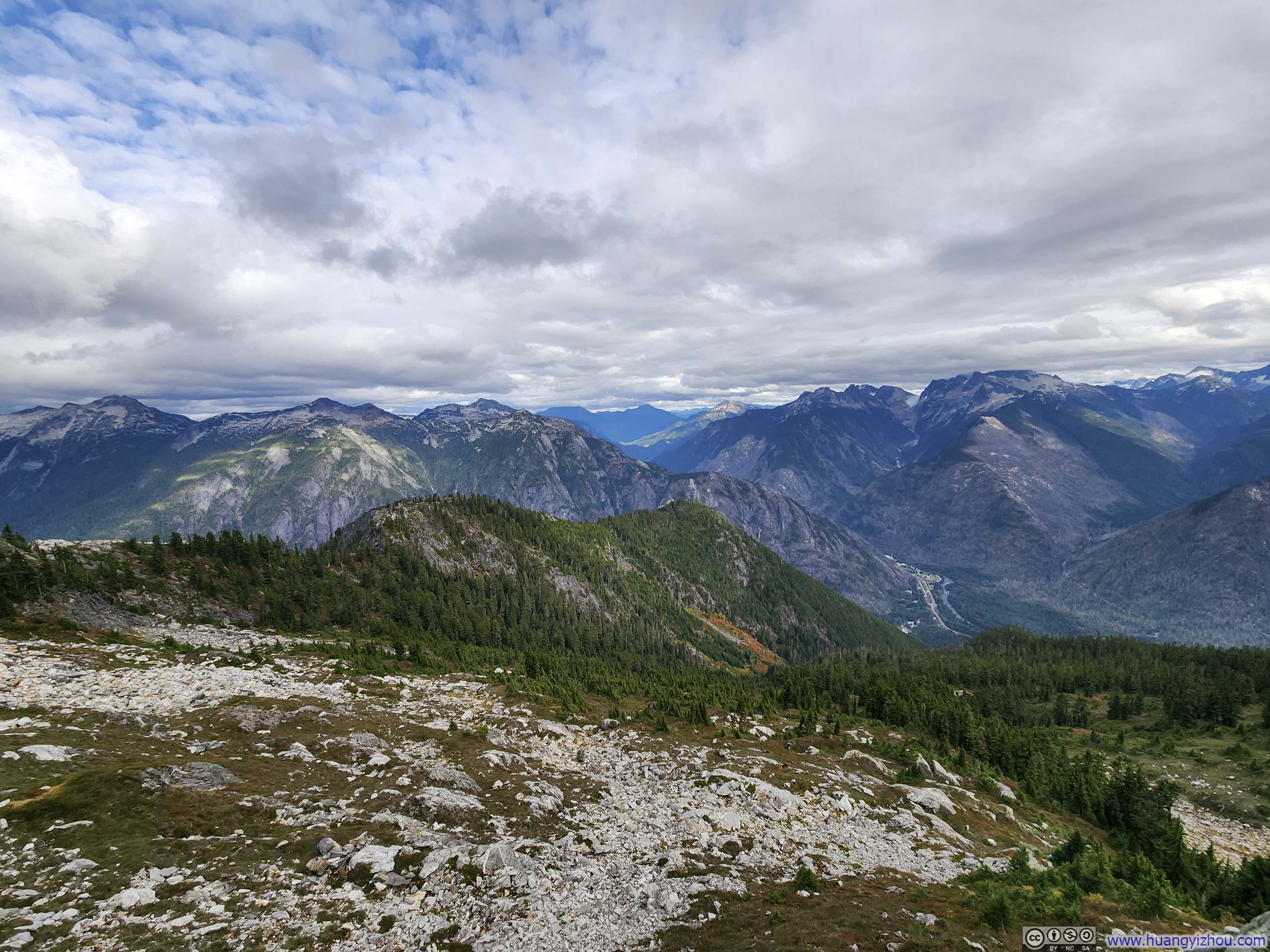
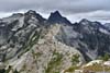
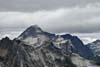
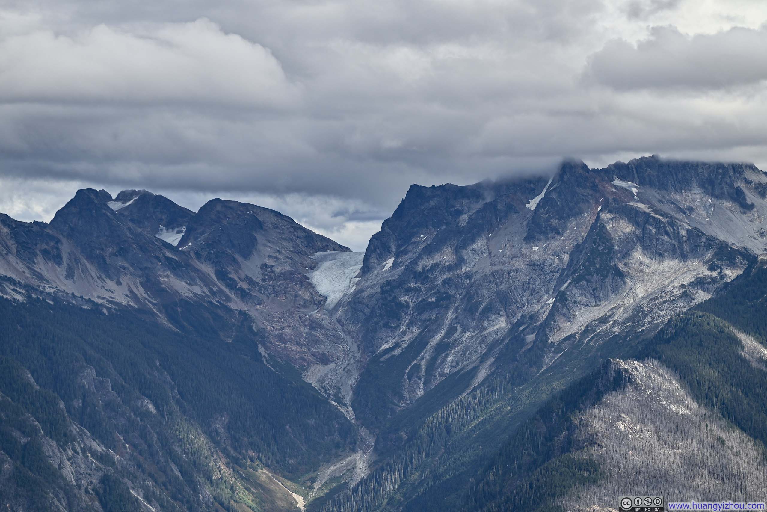
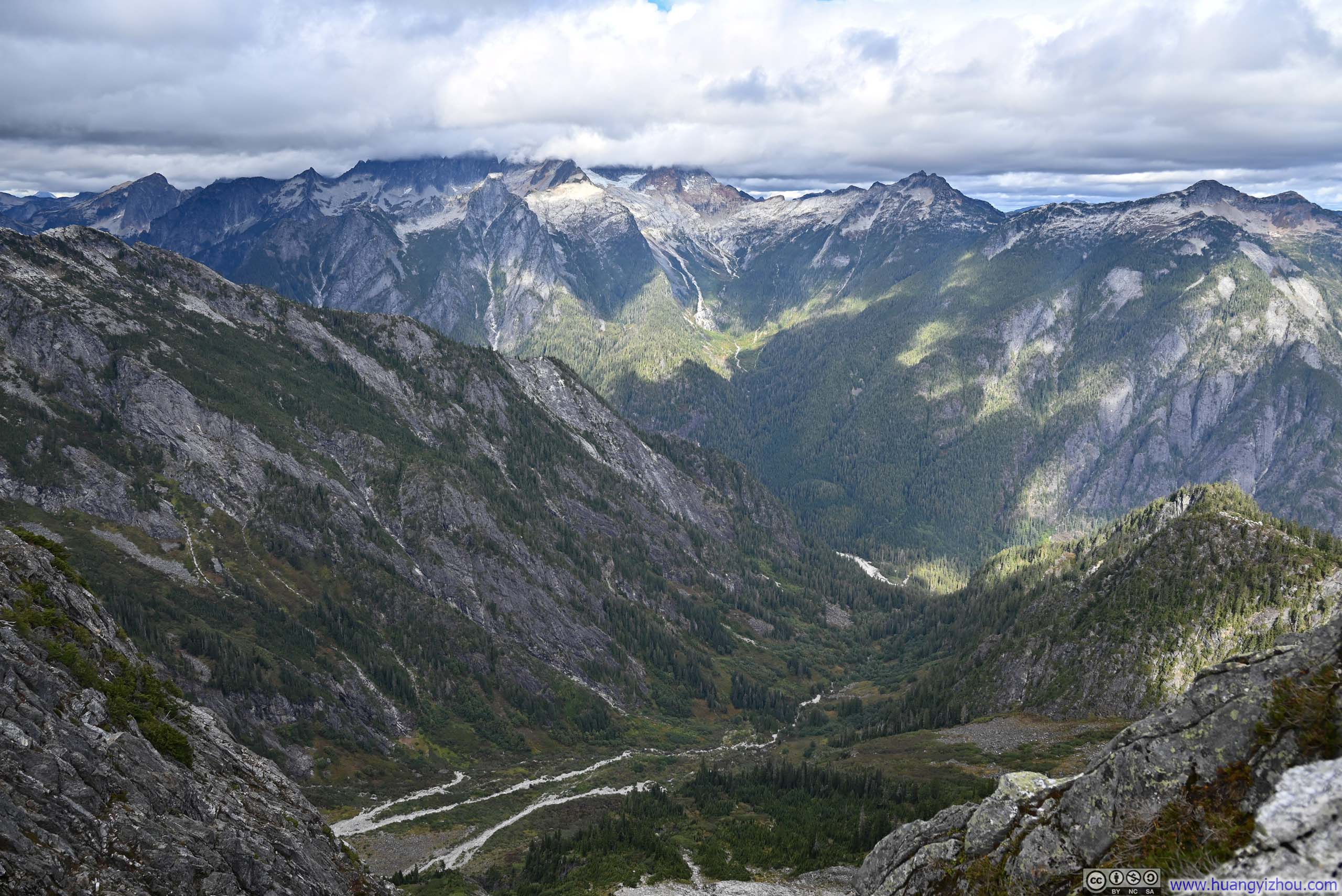
Shortly before the summit, I was already rewarded with views of various mountains and glaciers around.
 Mountains to the East
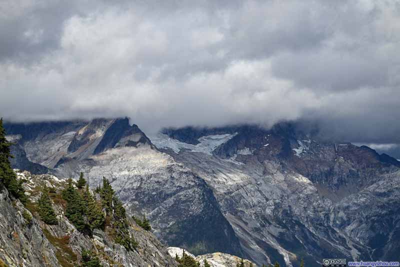 Terror Glacier
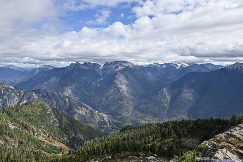 Mountains to the Southeast
Click here to display photos of the slideshow
Mountains to the East
Terror Glacier
Mountains to the Southeast
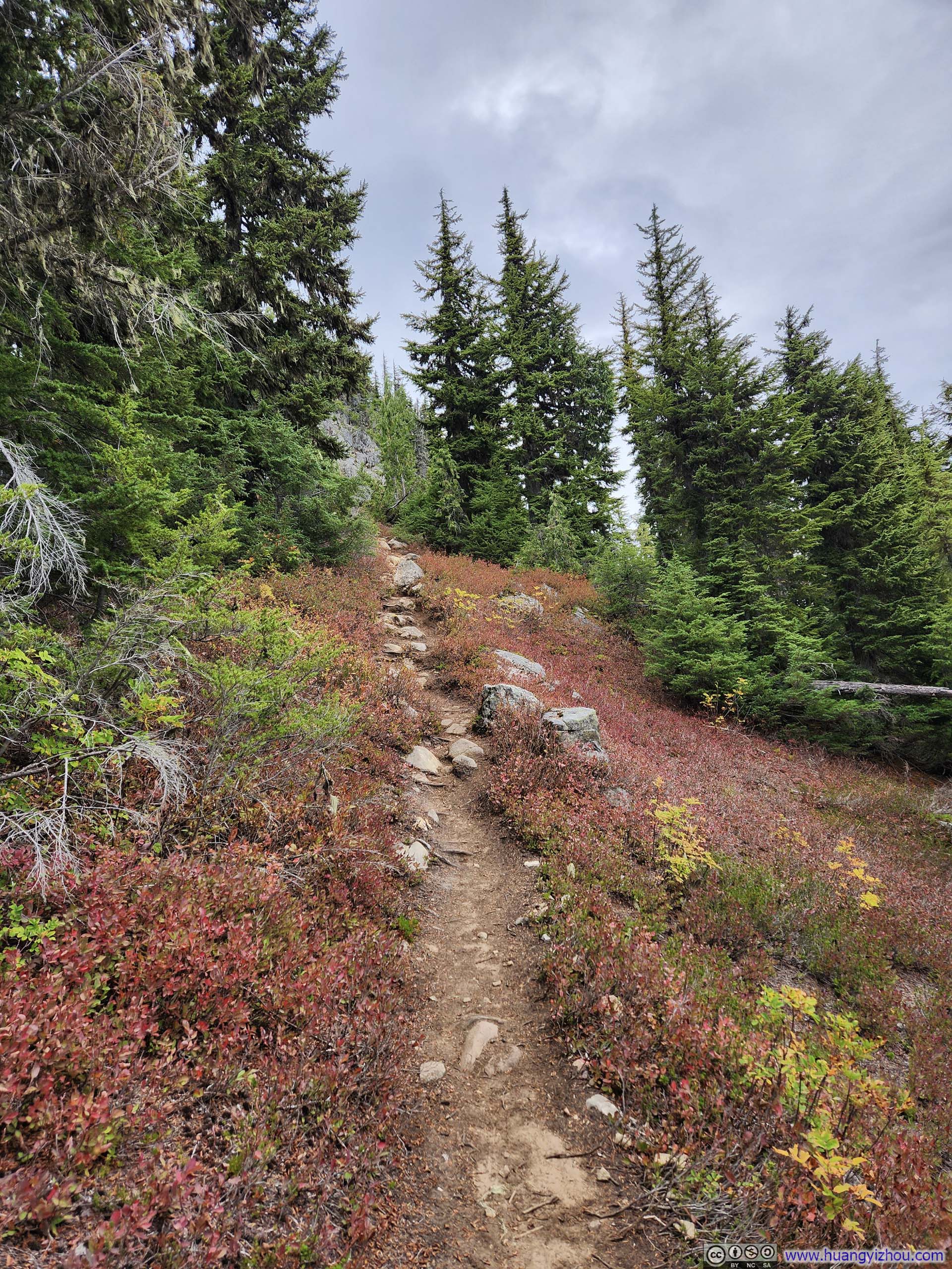
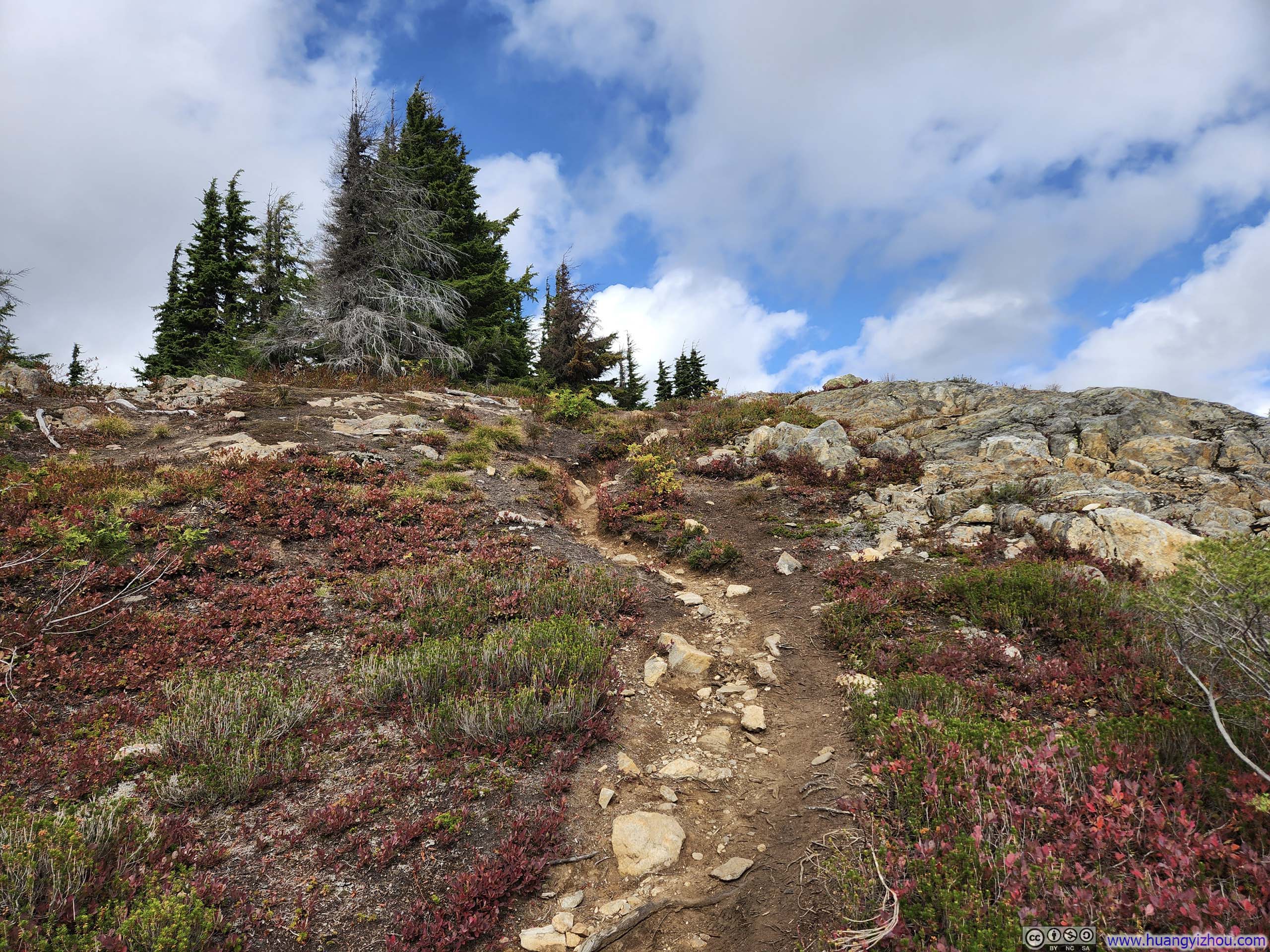
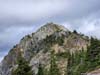
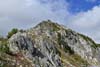
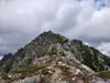
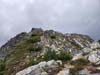
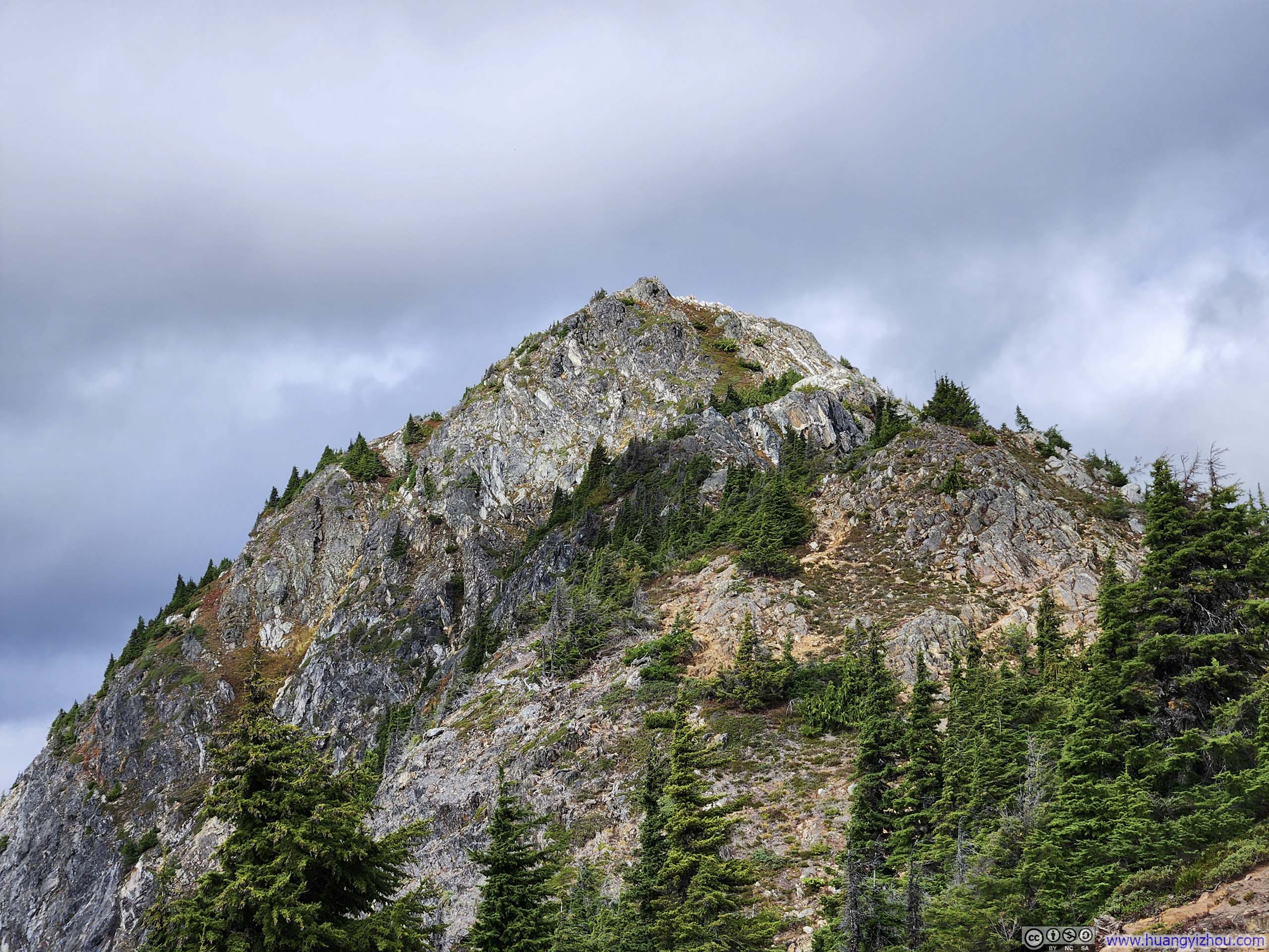
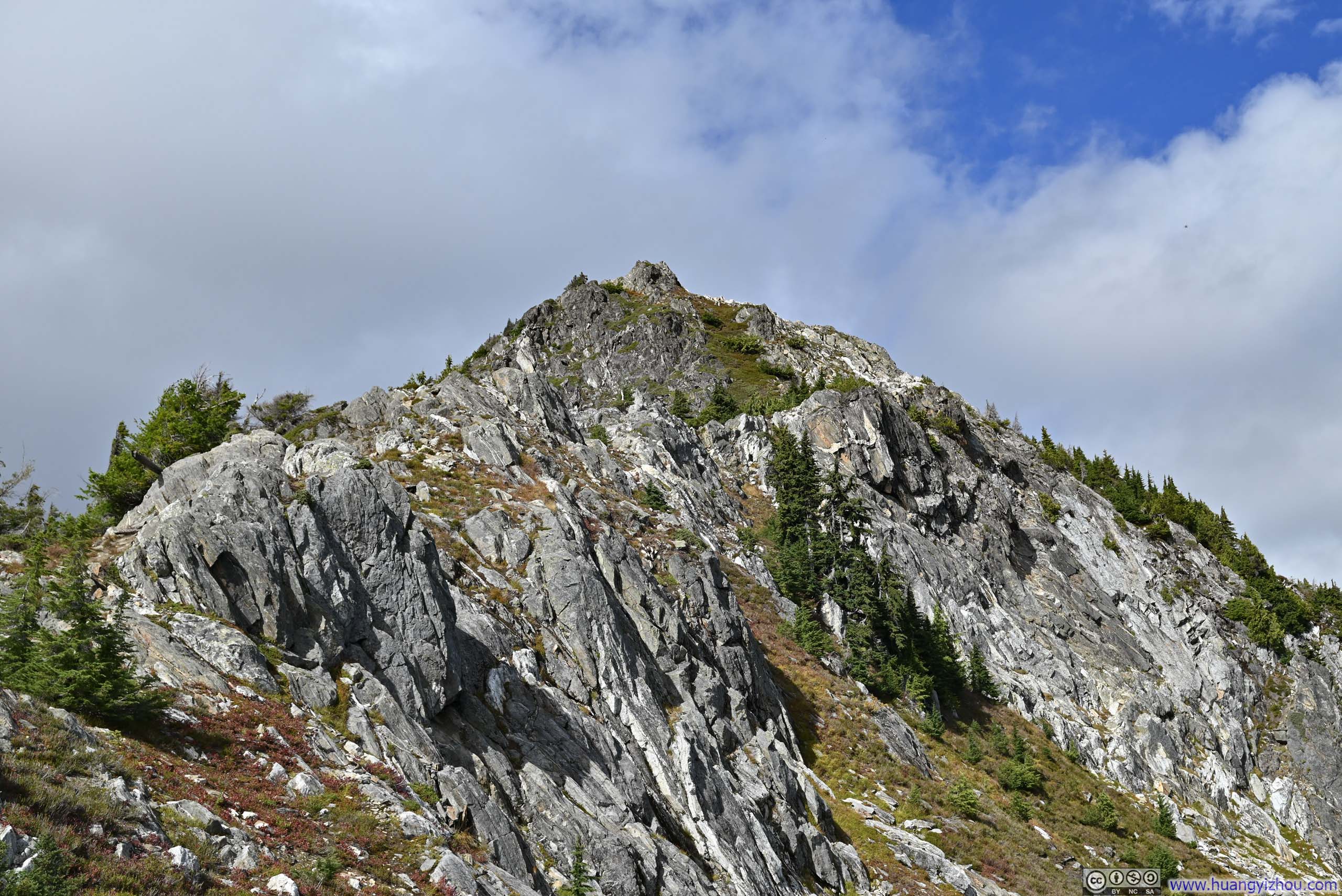
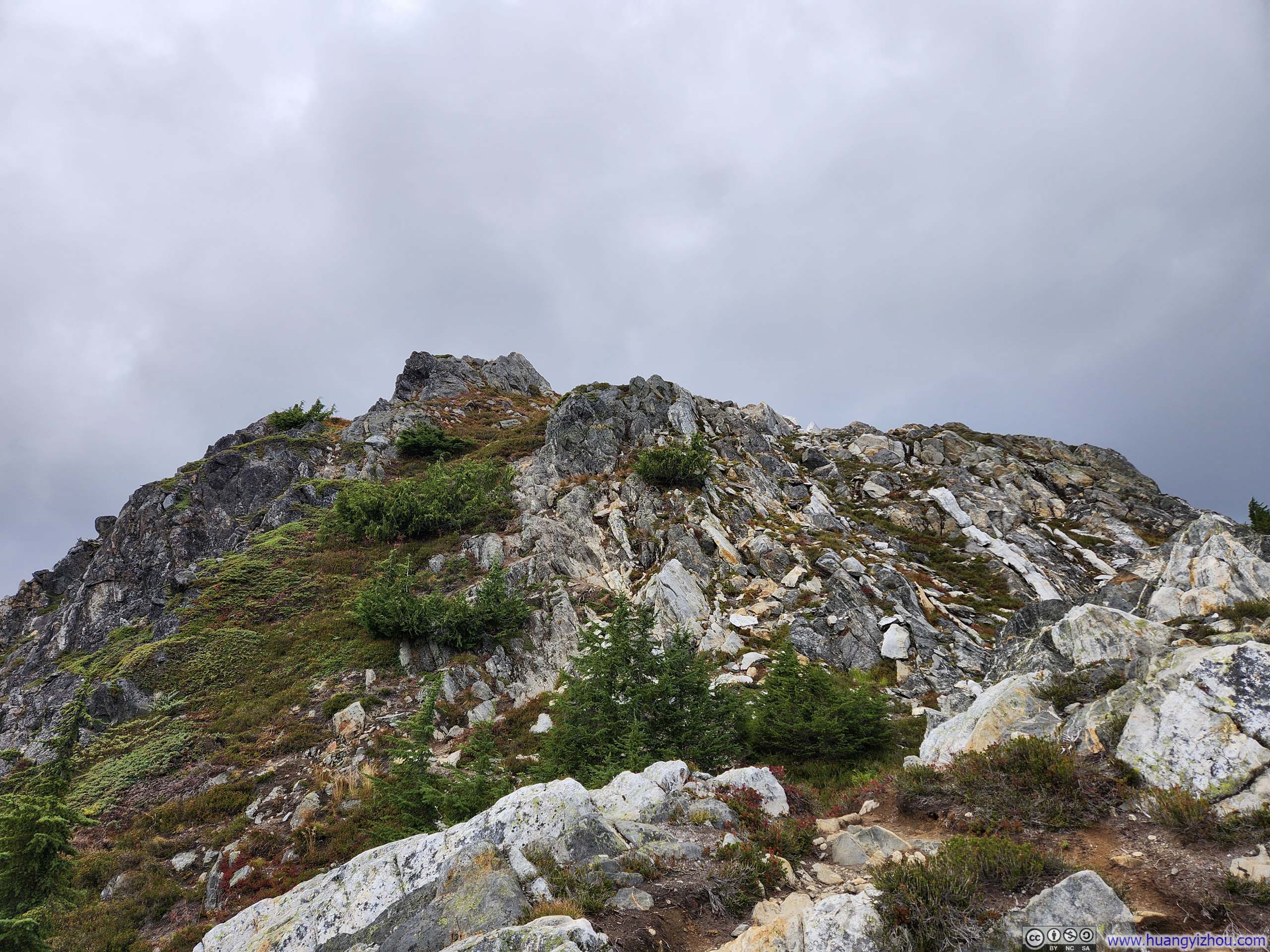
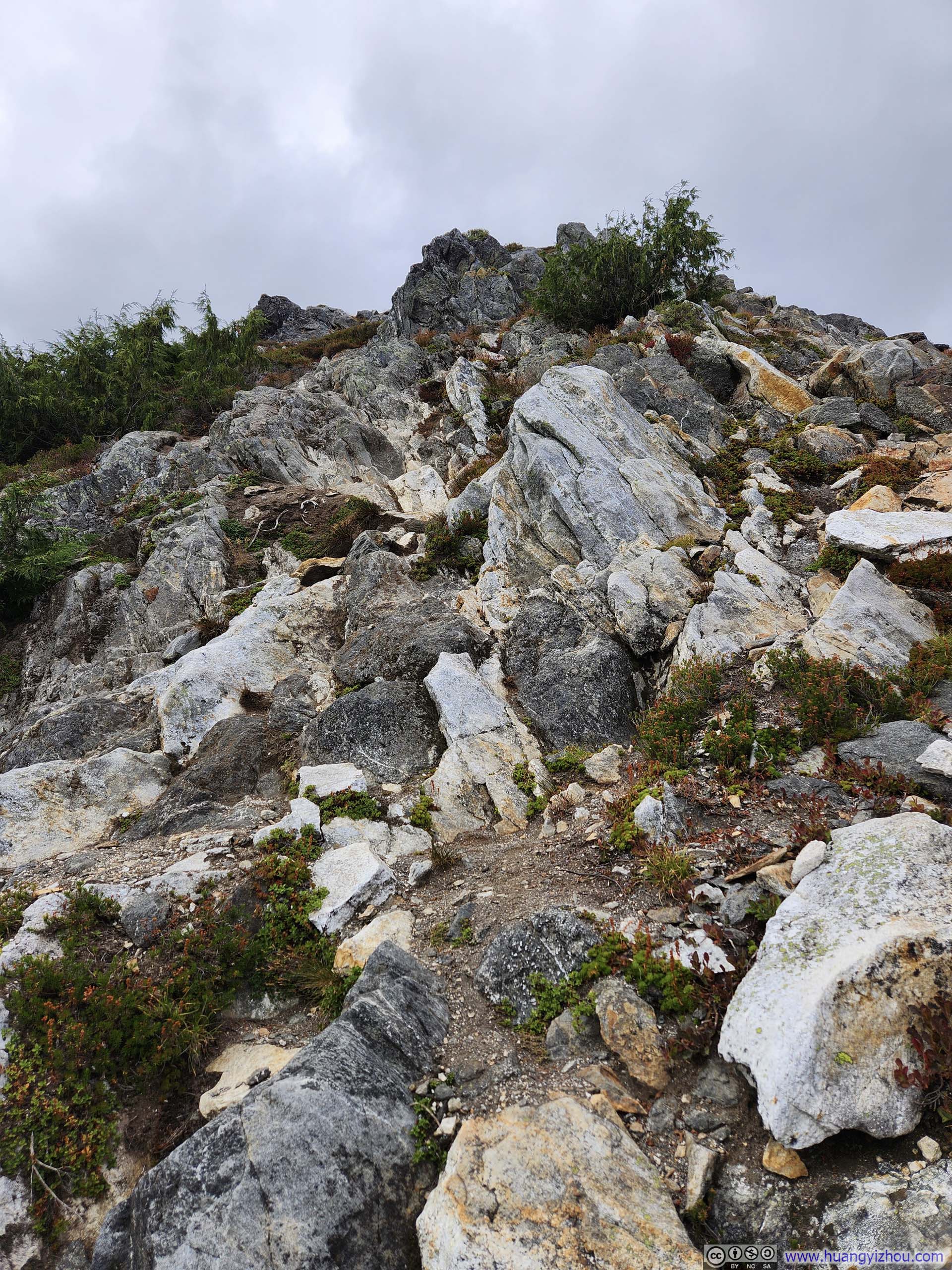
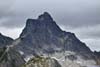
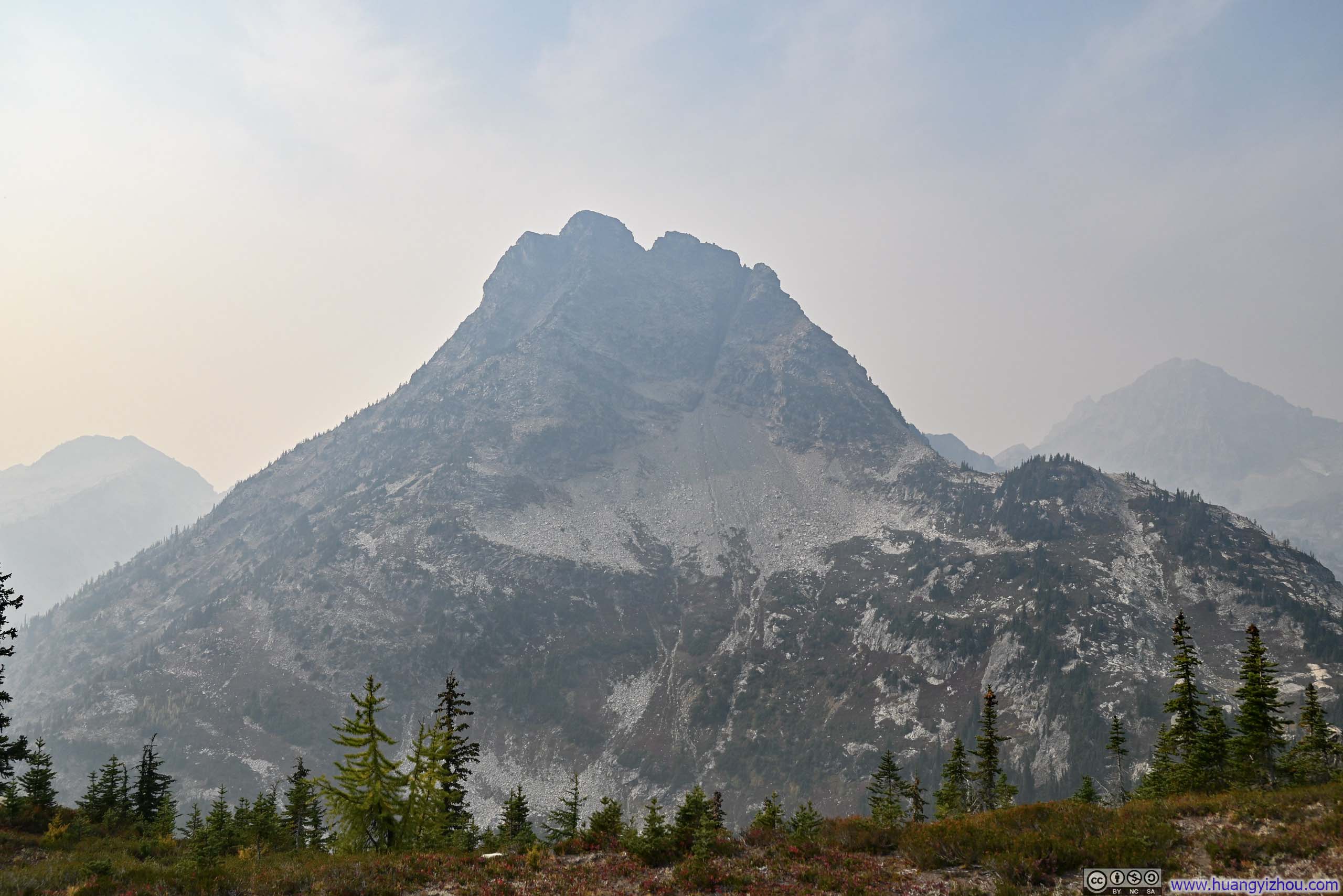
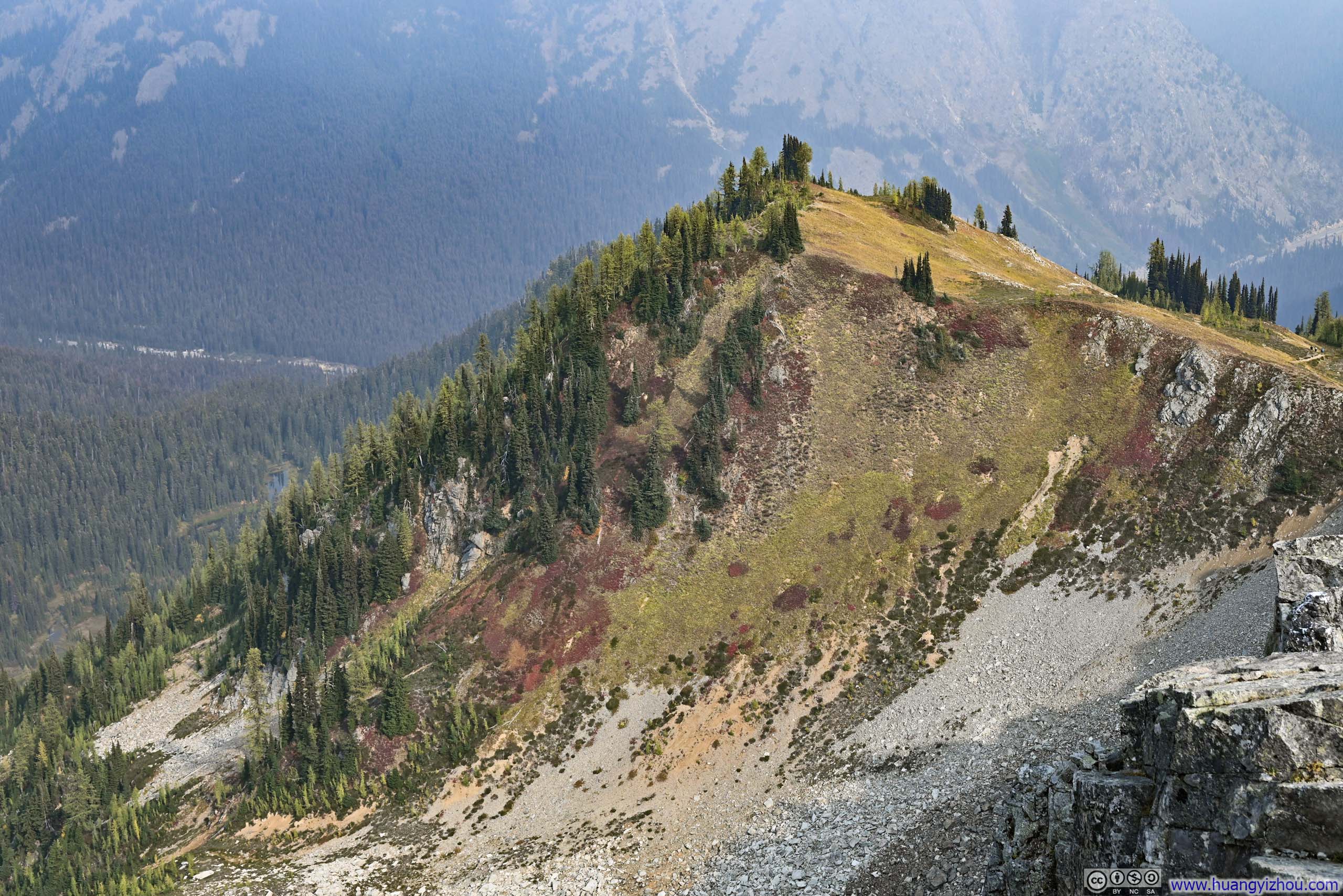
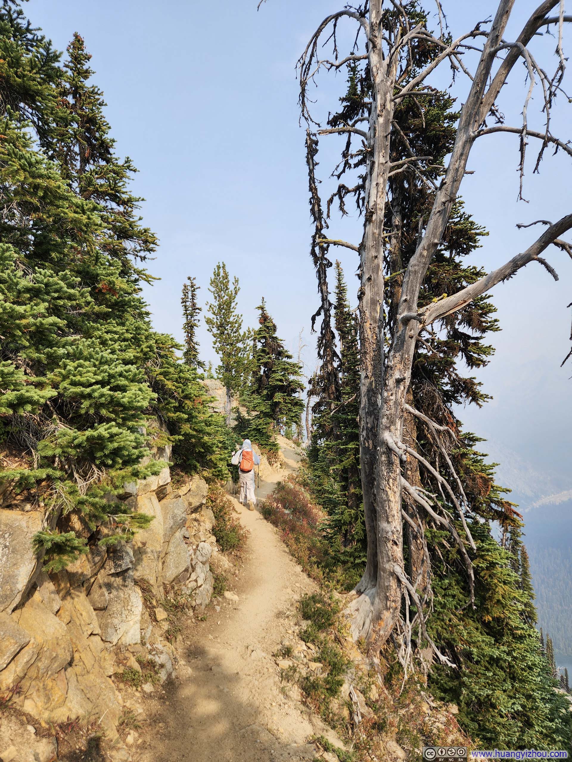
The sight of Trappers Peak had been in front of me for much of the entire route since leaving the trail junction. At its doorstep, a final steep section awaited (p5 below), where the trail dissolved among scattered rocks and alpine shrubs. Here, it seemed, one could simply choose one’s own path to the summit that lay just ahead.
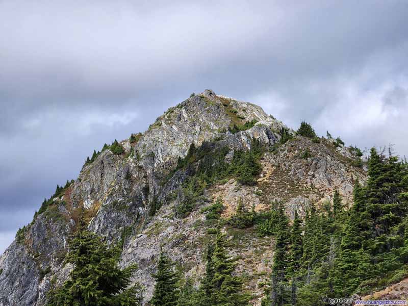 Trappers Peak
 Trappers Peak
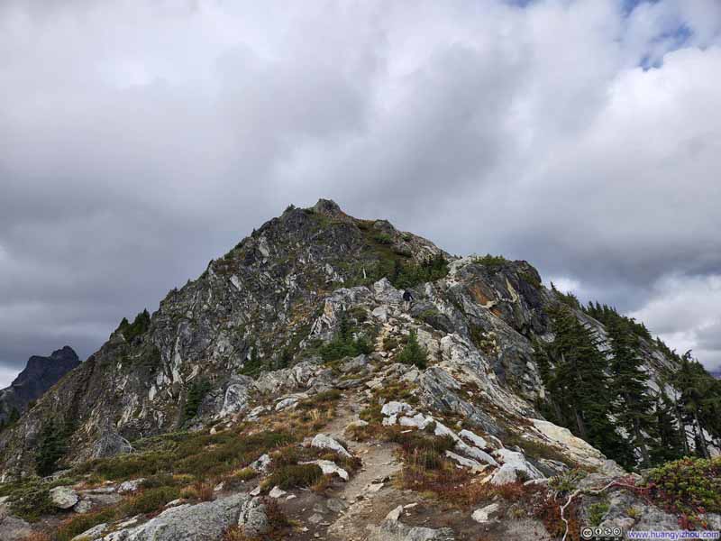 Trail to Trappers Peak
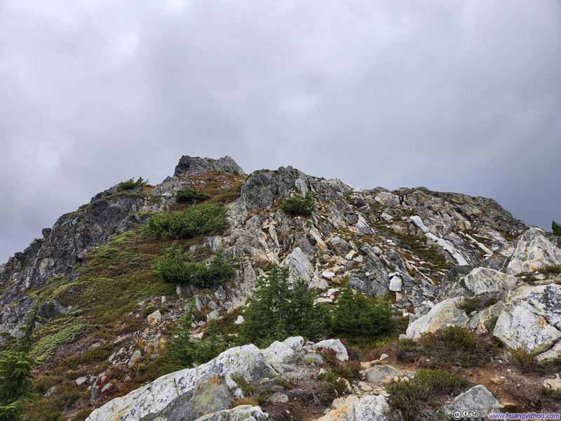 Trappers Peak
 Steep Trail
Click here to display photos of the slideshow
Trappers Peak
Trappers Peak

Trail to Trappers Peak
Trappers Peak
 Steep Trail
Trappers Peak Summit
Finally, I reached the summit of Trappers Peak precisely at 2pm. To my delight, there was cellular coverage on Trappers Peak.
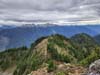
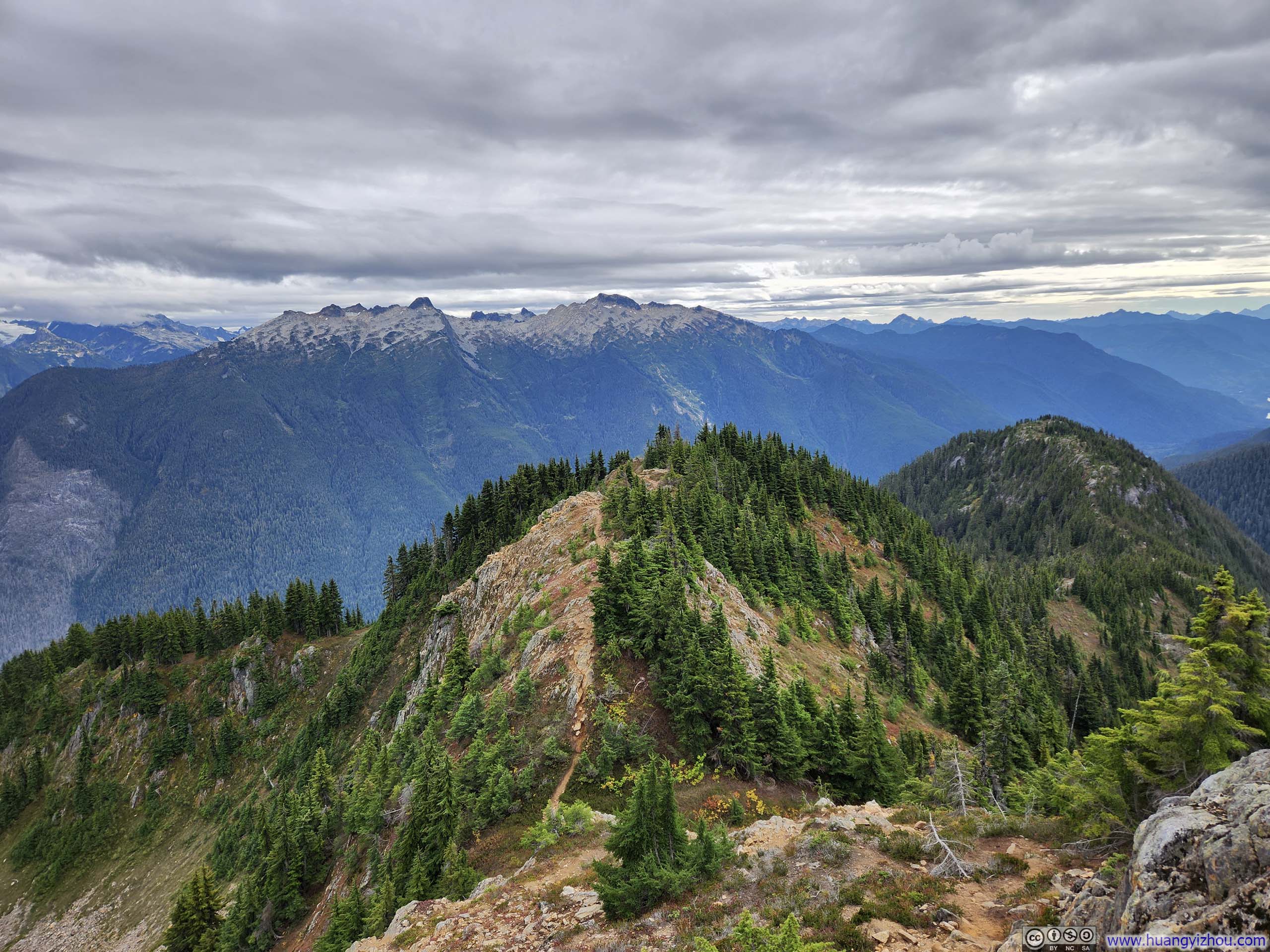
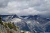
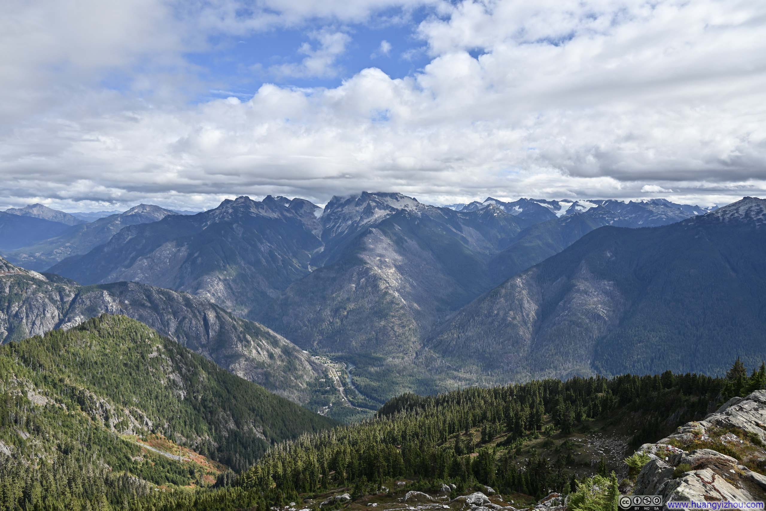
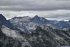
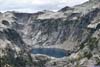
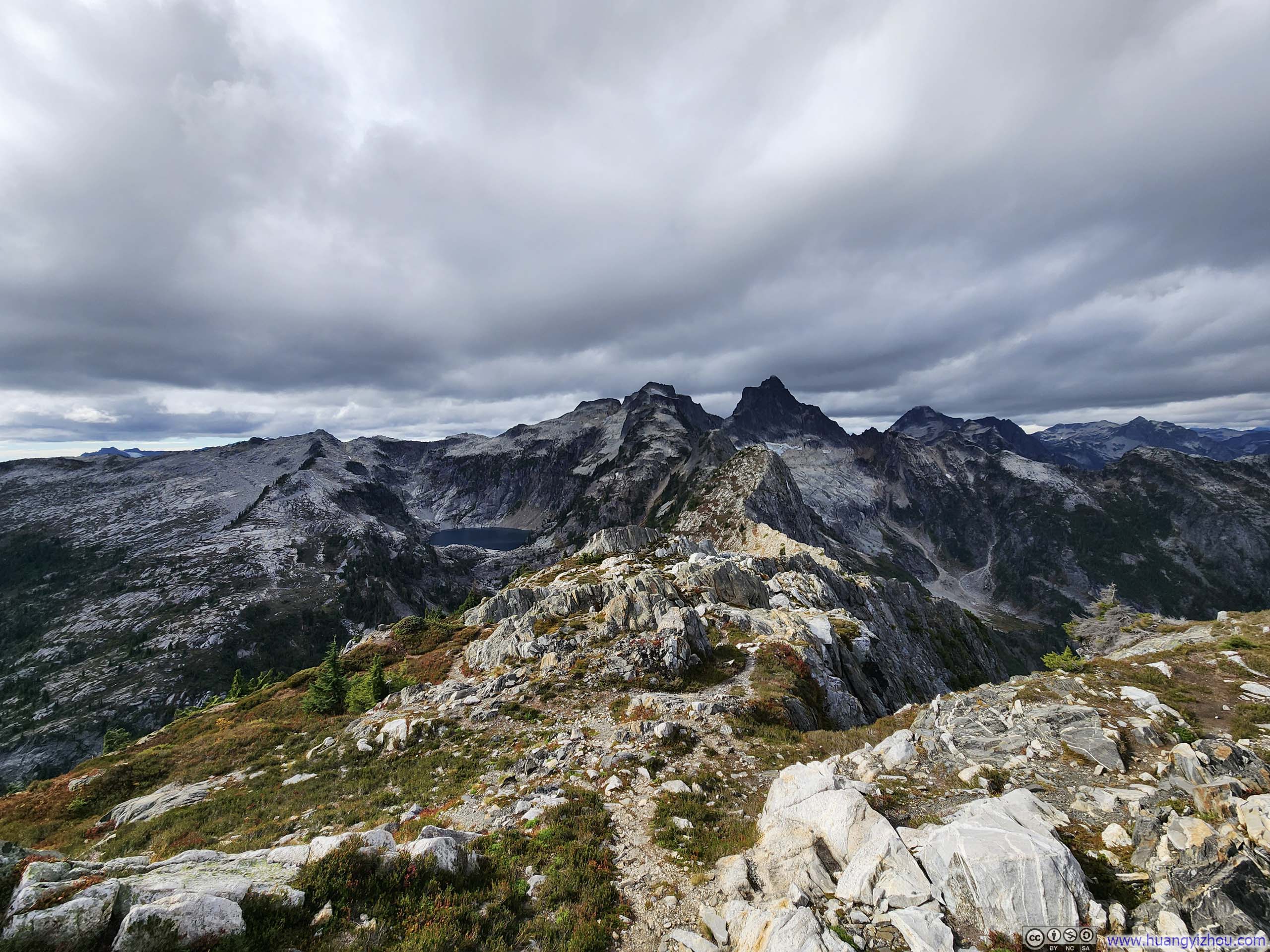
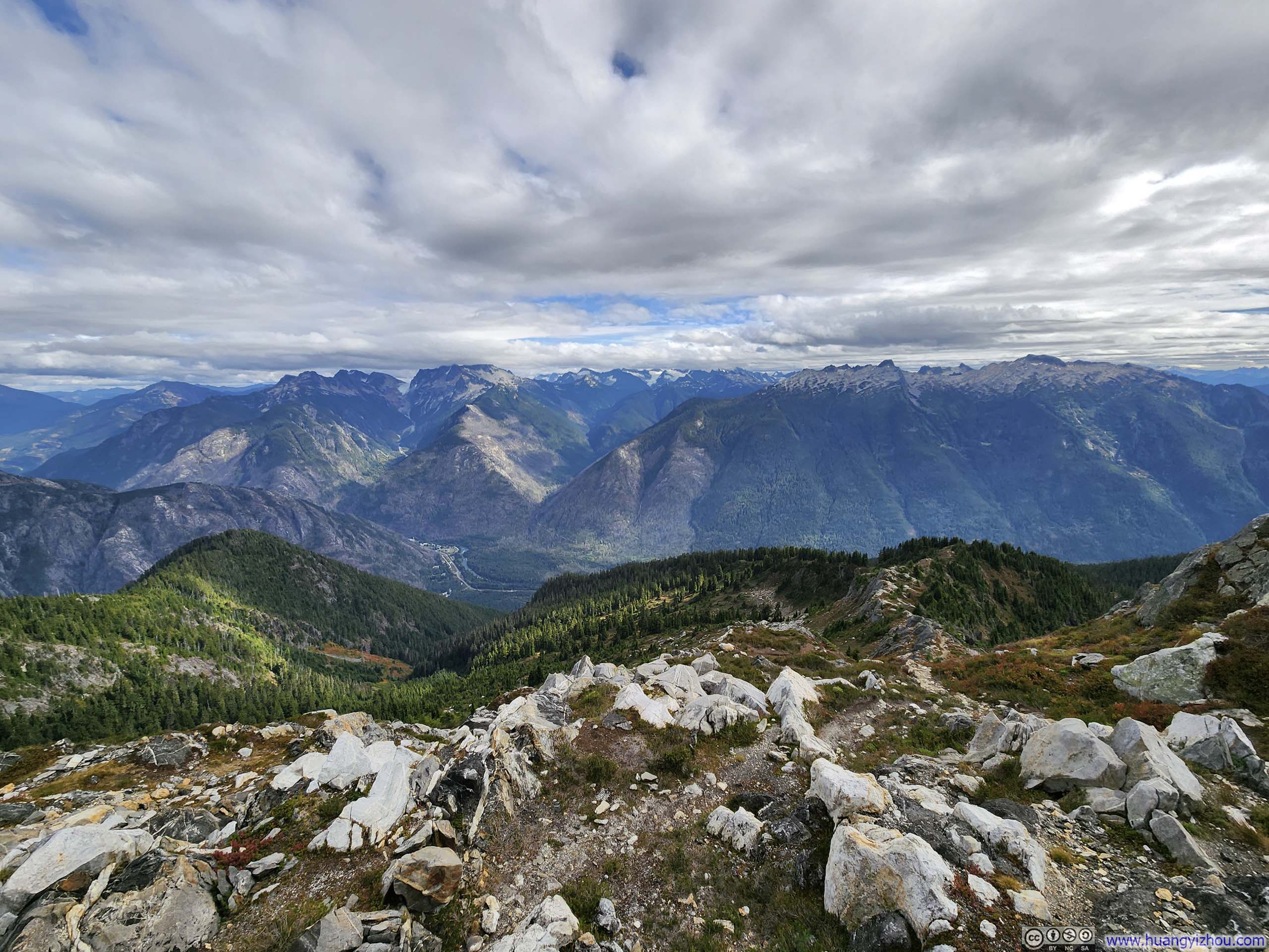
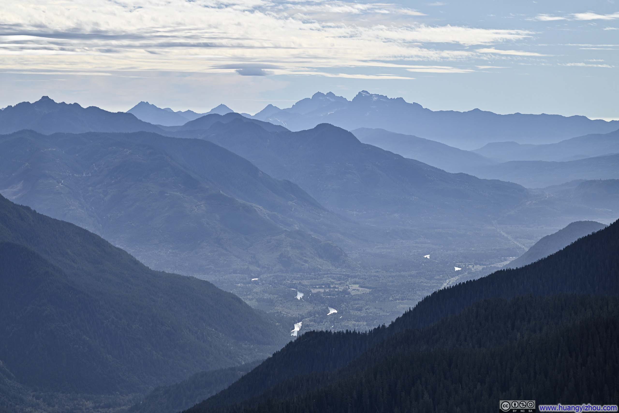
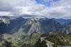
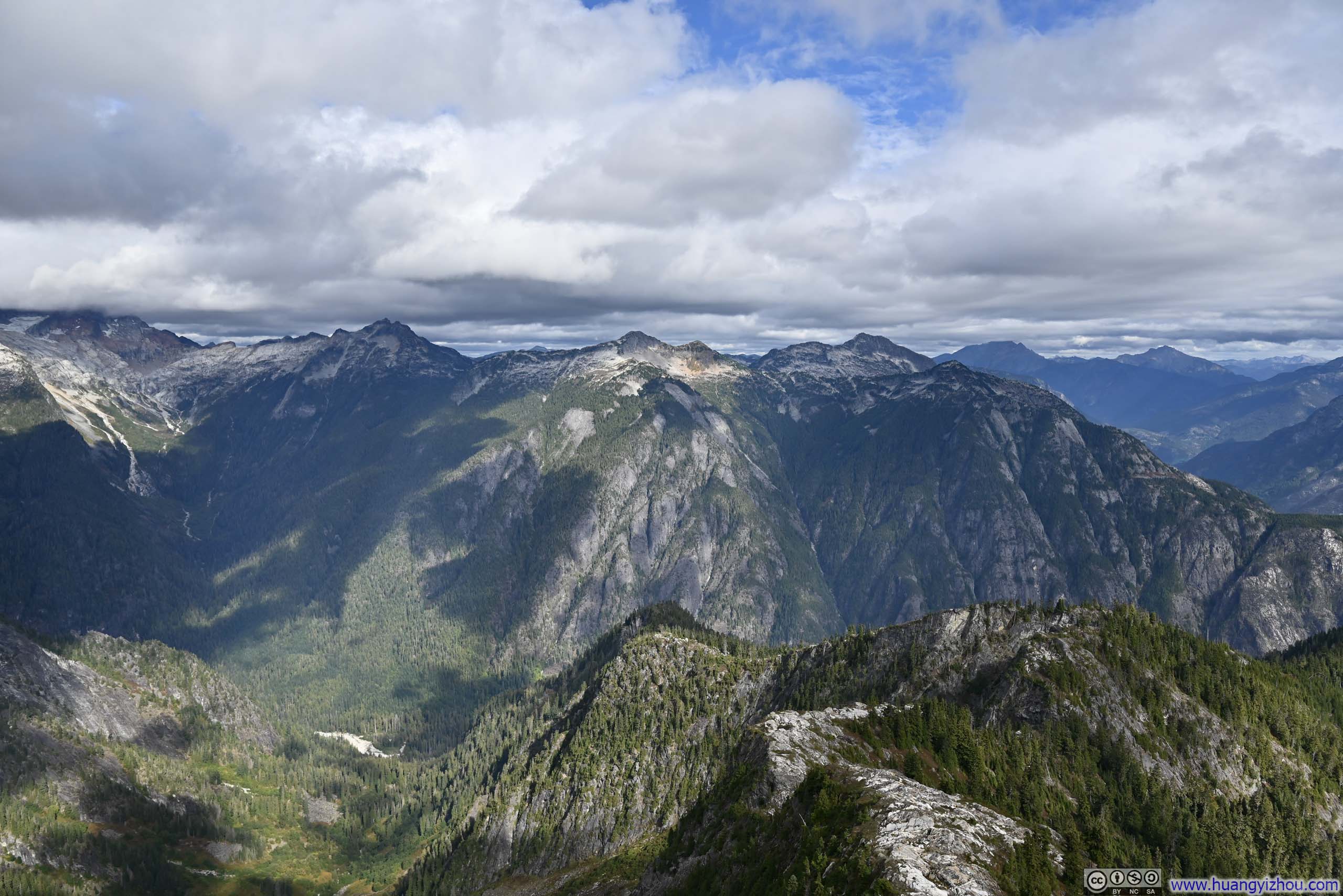
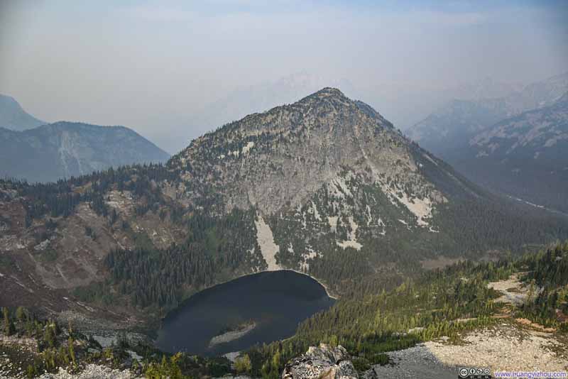
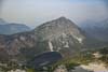
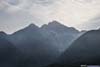
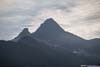
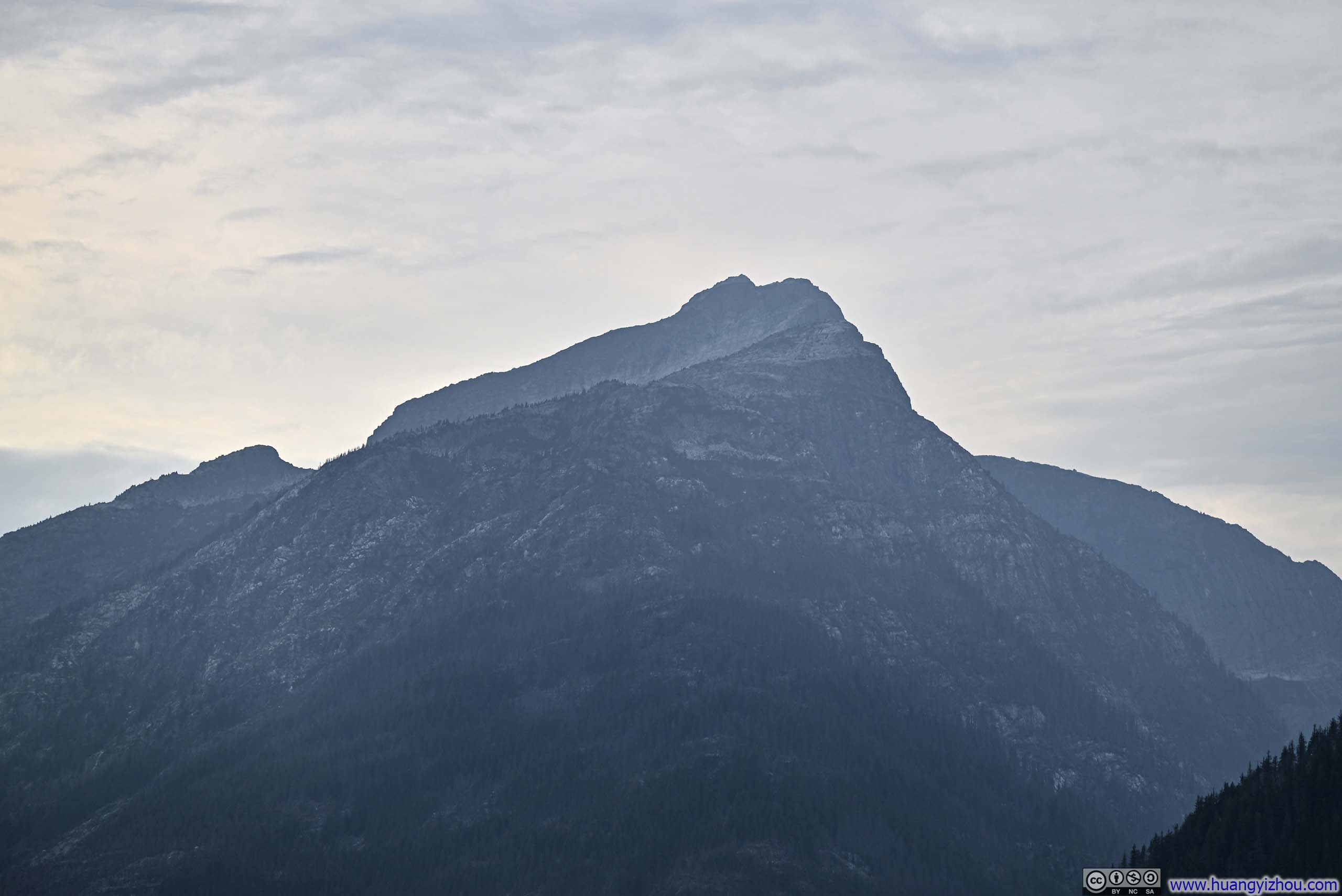
From the summit, the most arresting views lay to the north, where a ridgeline unfurled toward a succession of distant peaks. I found it particularly appealing that the peaks featured various shades of grey, almost covering the entire spectrum from white to black, rendered all the more somber underneath an overcast sky. In the foreground and at lower elevations, scattered patches of grass and shrub offered welcome traces of life, their colors grown vibrant with the approach of autumn.
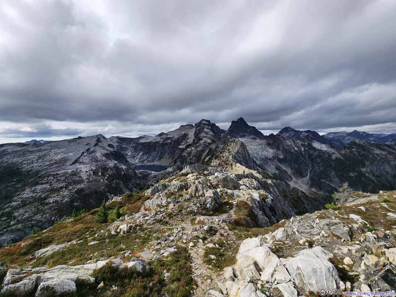 Mountains to the North
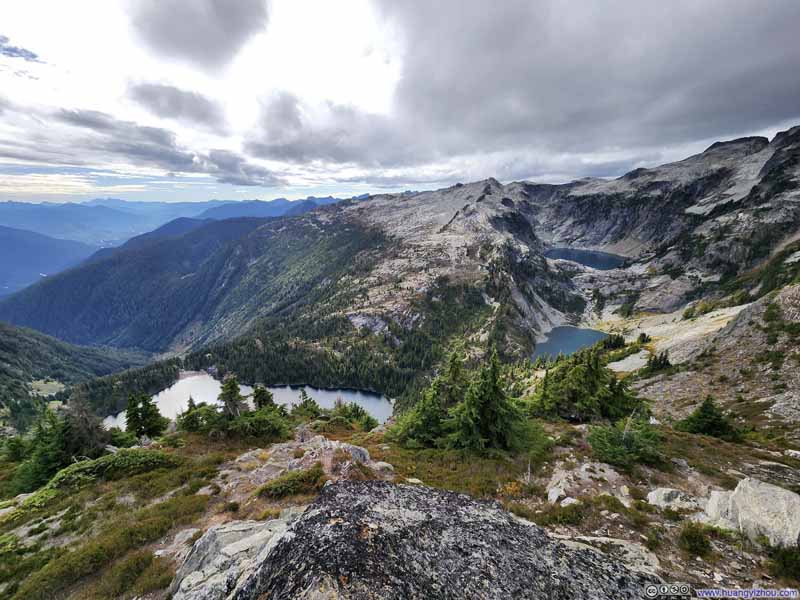 Thornton Lakes
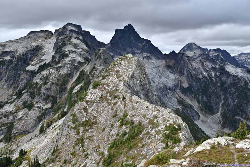 Mountains to the North
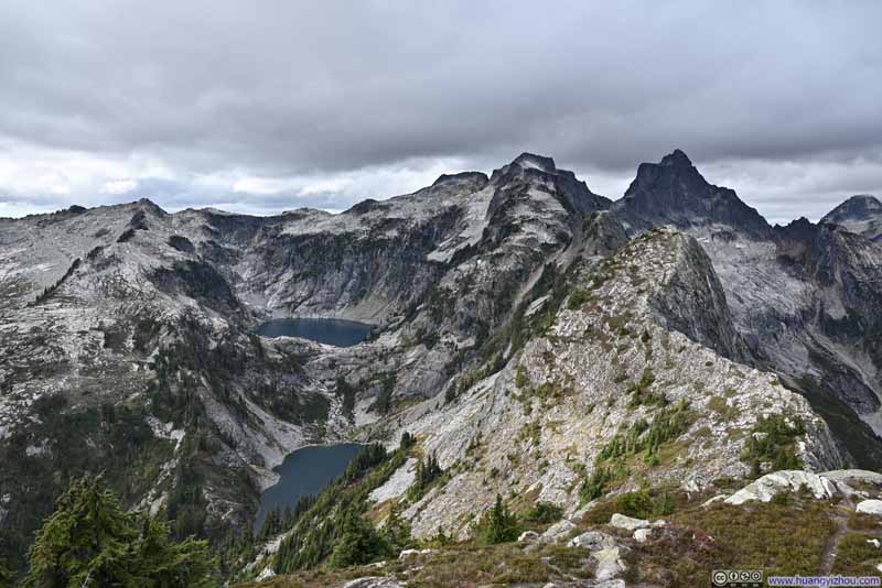 Mountains Surrounding Thornton Lakes
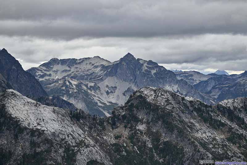 Pioneer Peak
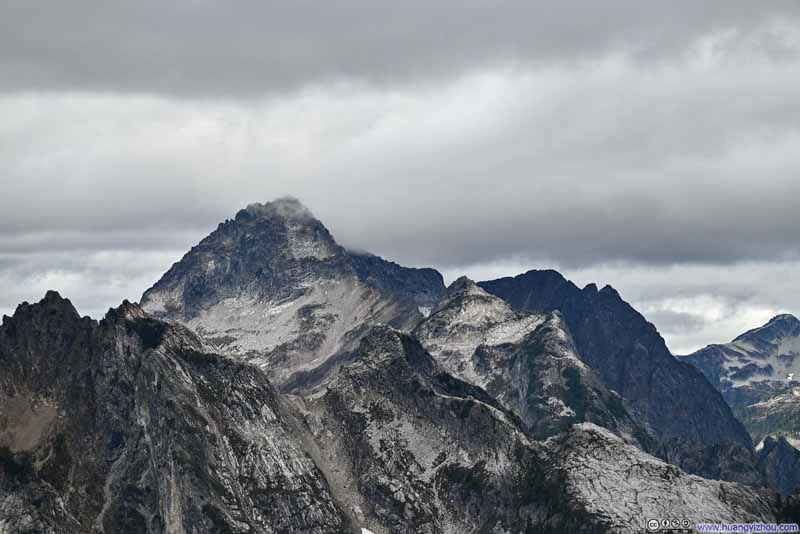 Mt Despair
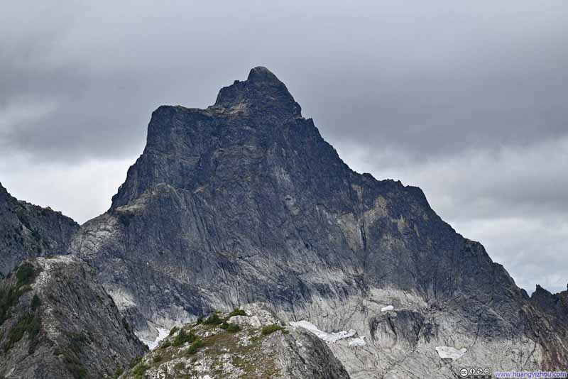 Mt Triumph
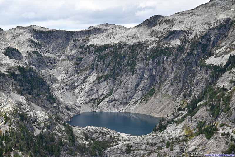 Upper Thornton Lakes
 Middle Thornton Lakes

Click here to display photos of the slideshow
Mountains to the North

Thornton Lakes
Mountains to the North

Mountains Surrounding Thornton Lakes
Pioneer Peak
Mt Despair
Mt Triumph
Upper Thornton Lakes
Middle Thornton Lakes
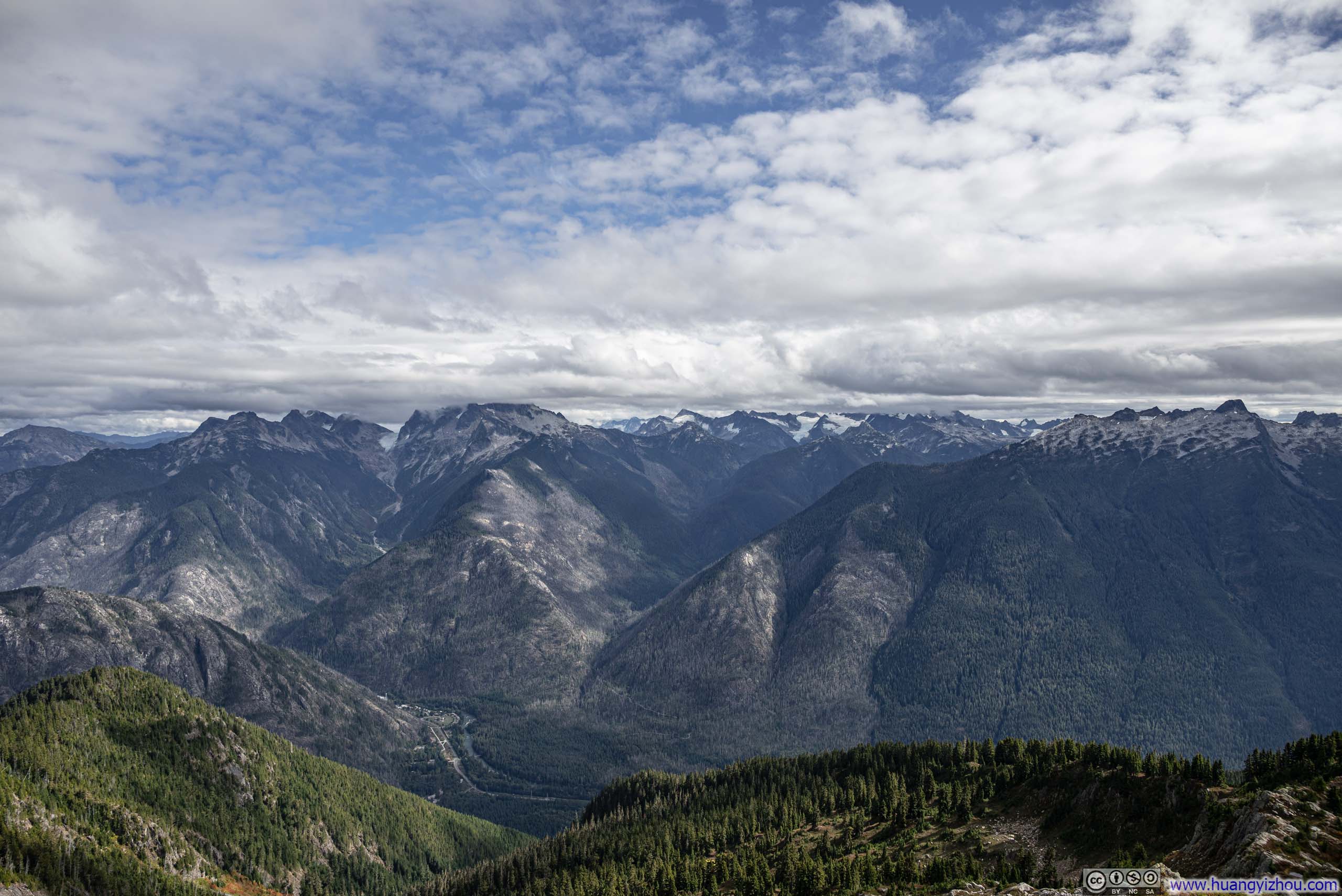
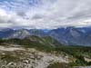
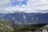
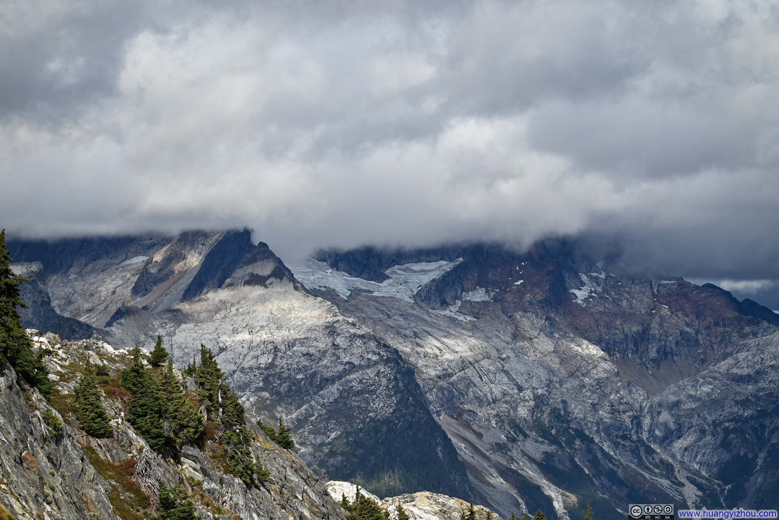
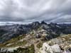
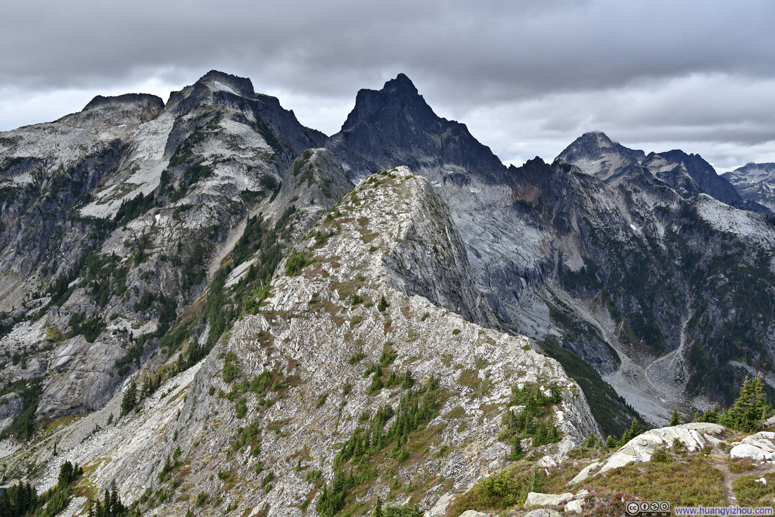
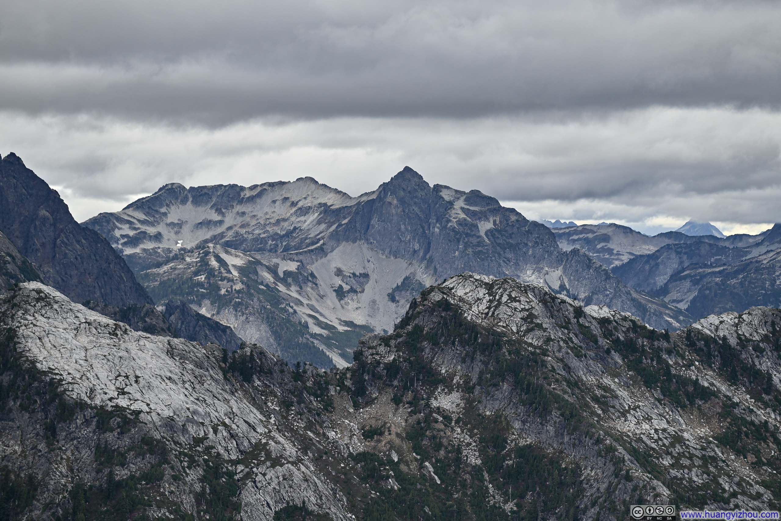
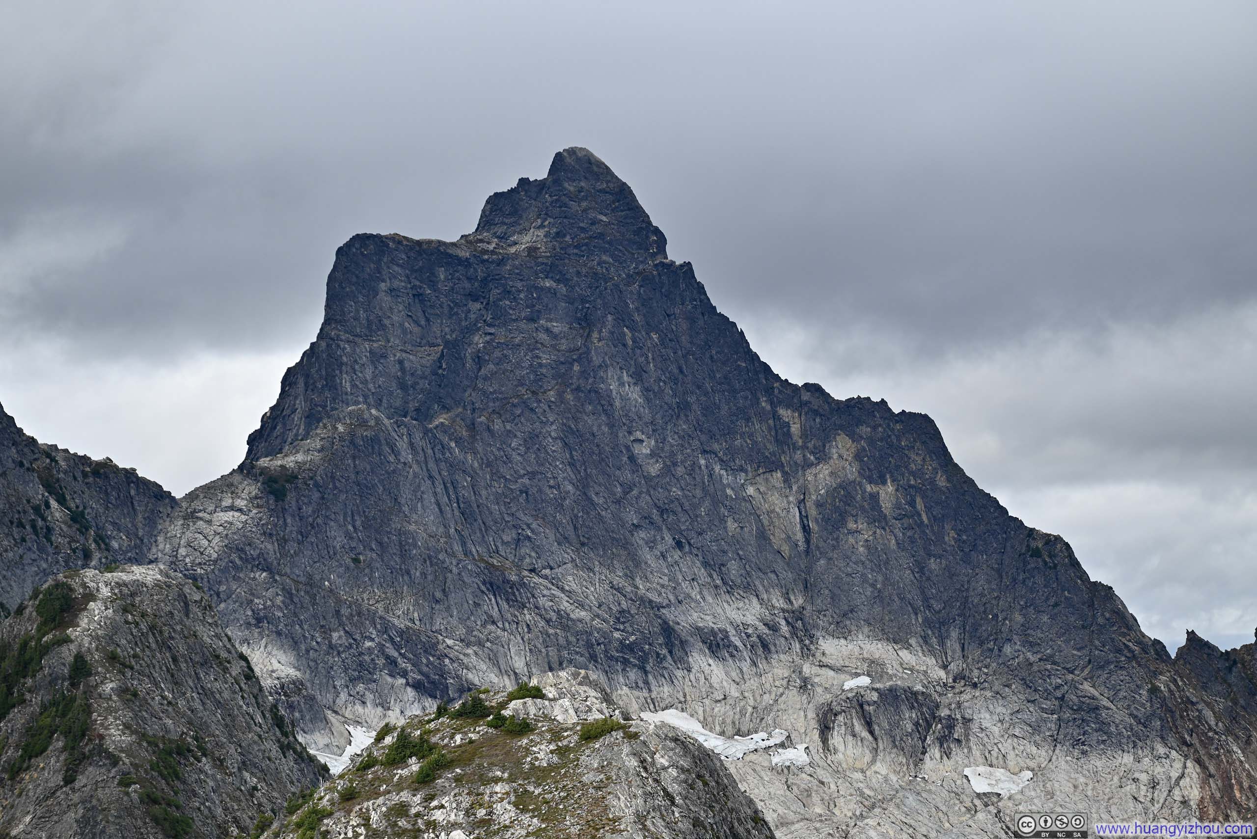
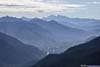
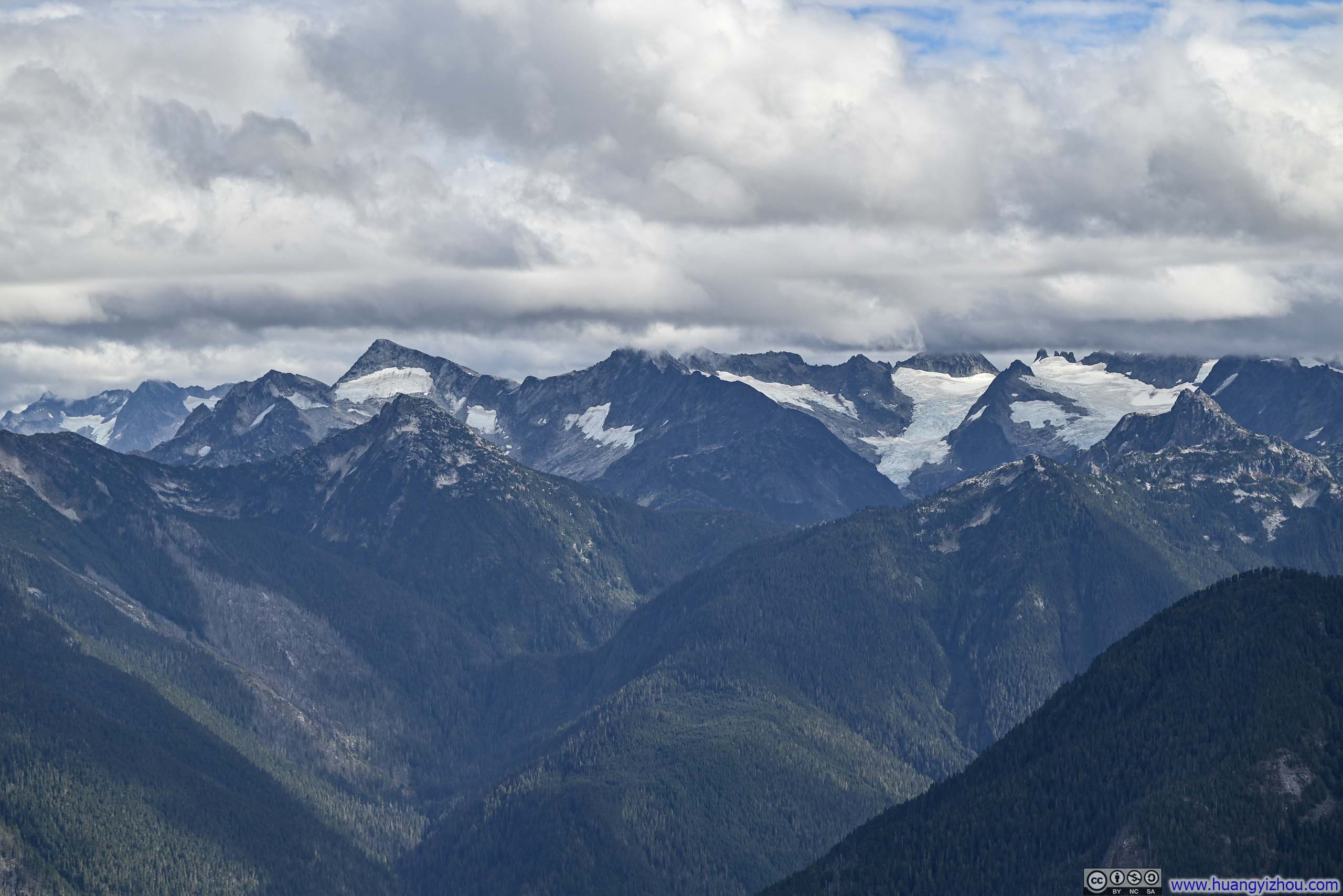
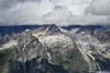
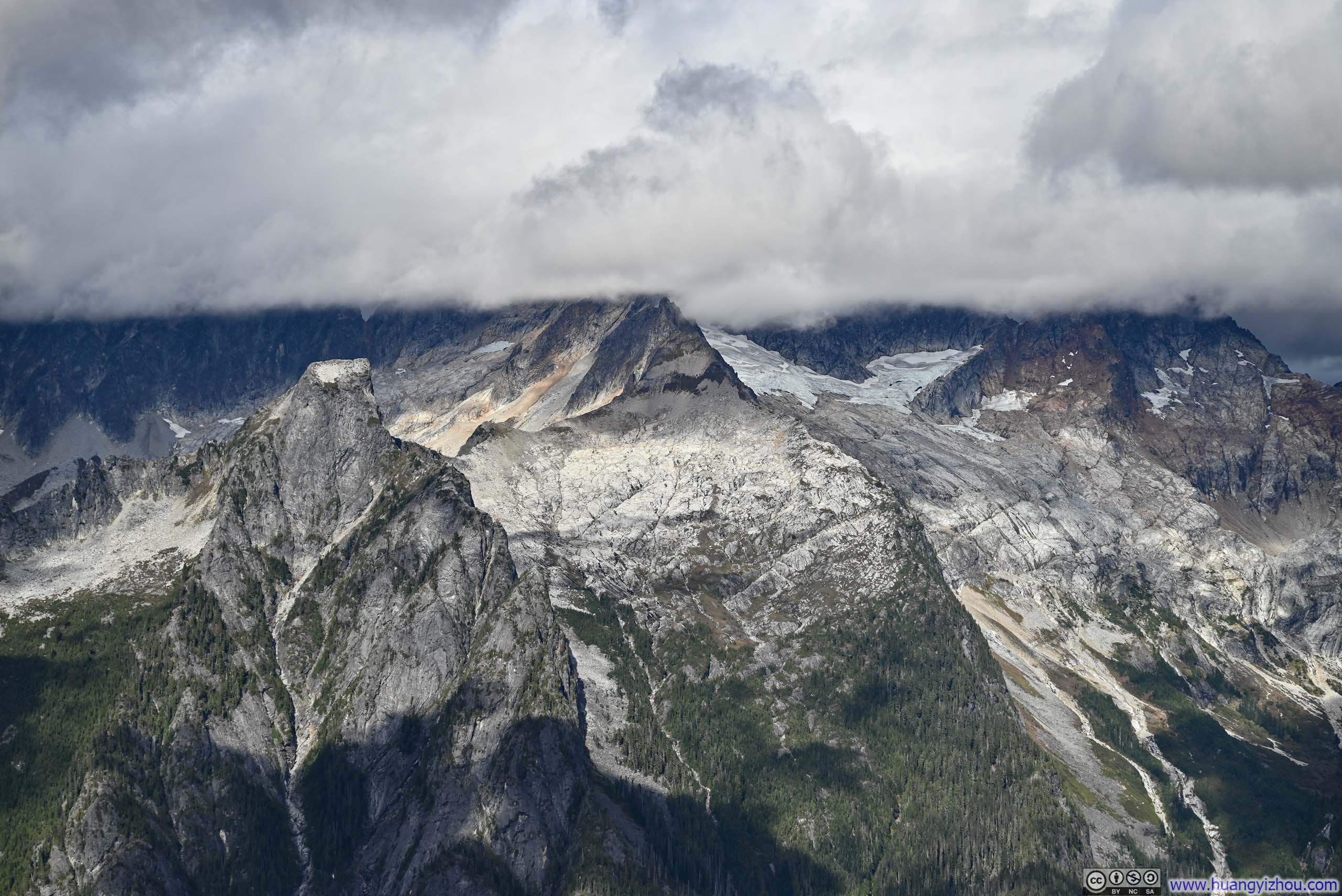
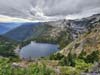
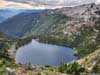
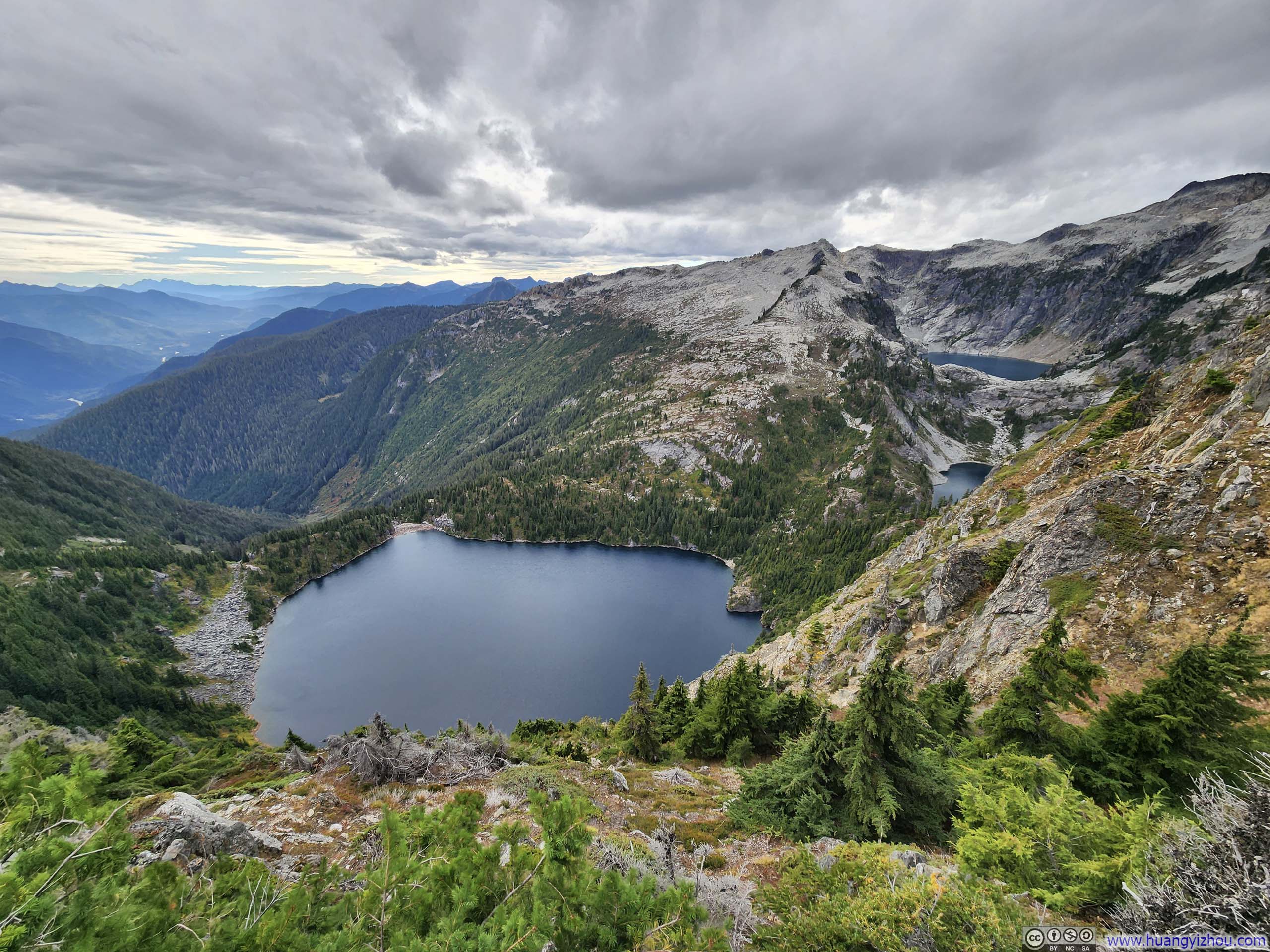
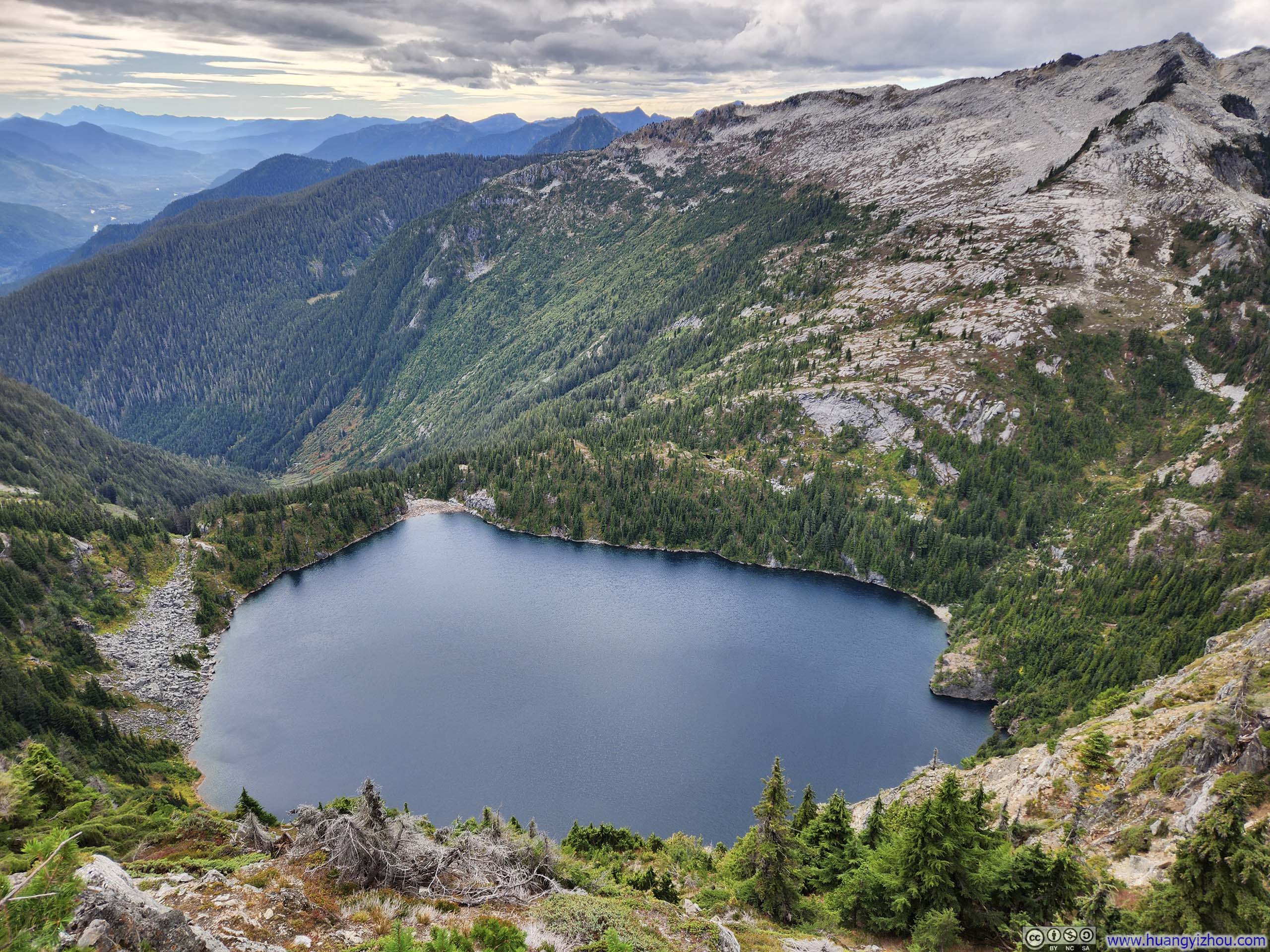
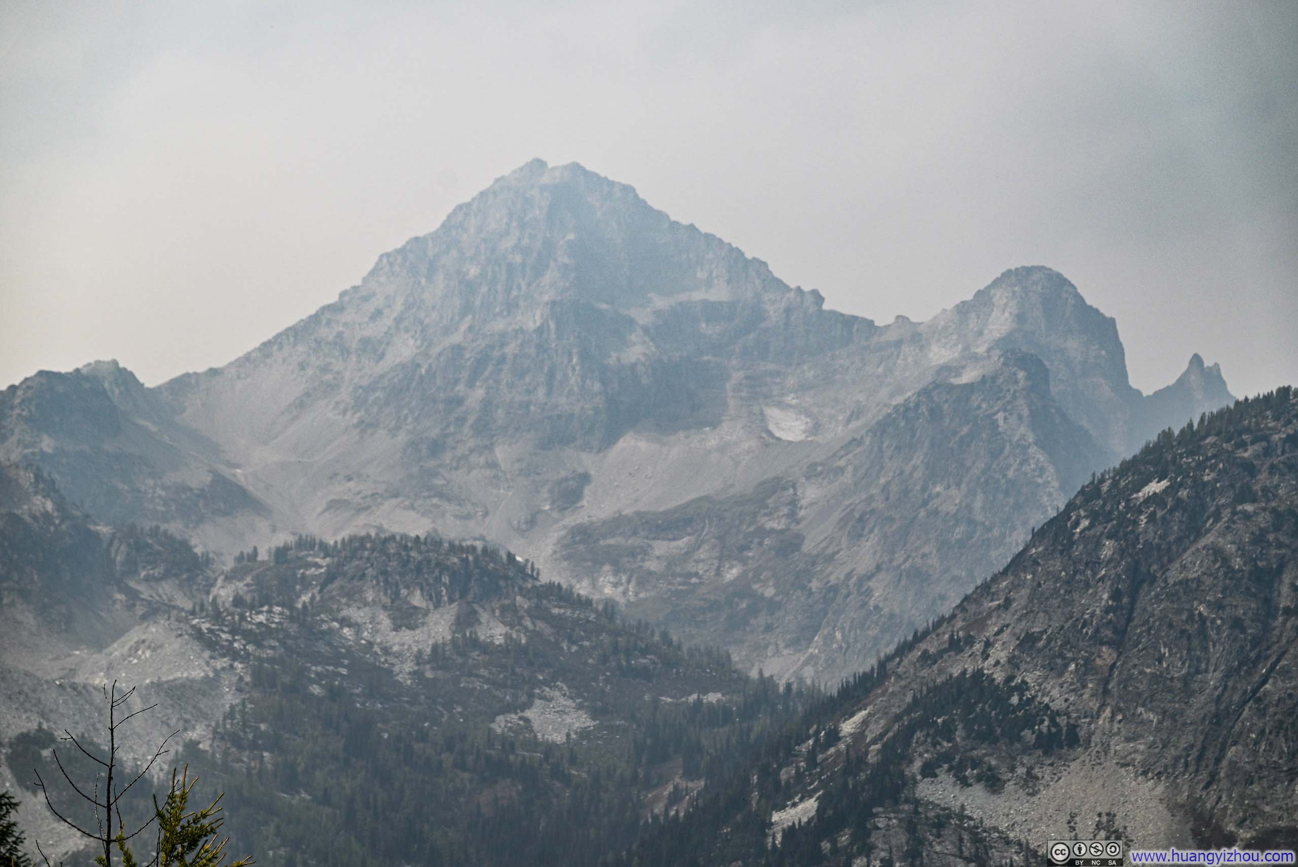
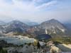
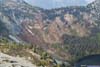
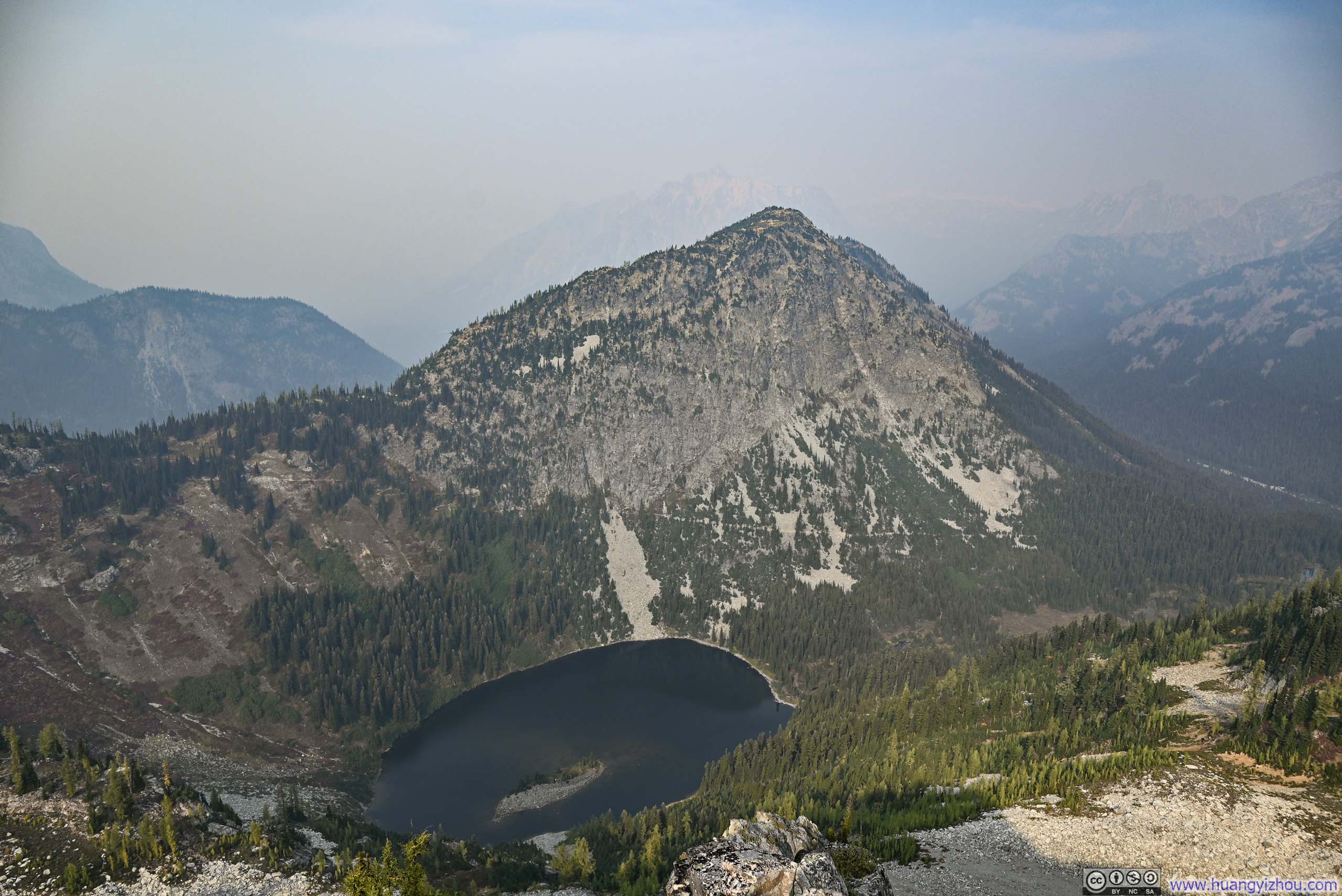
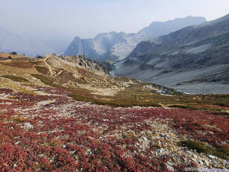
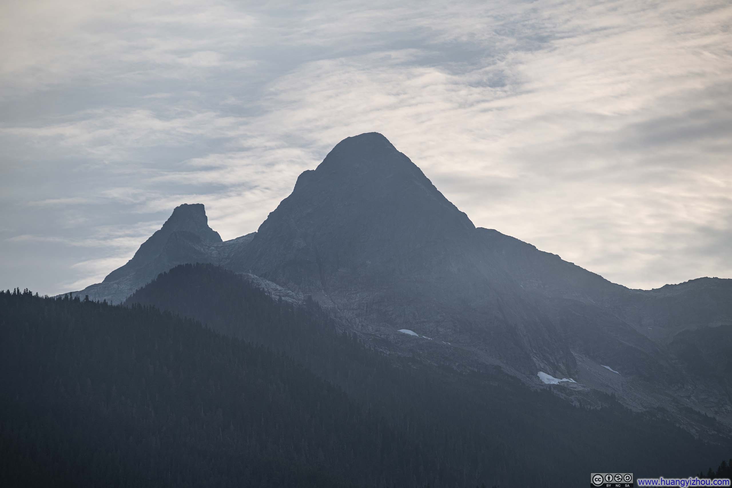
Looking back across the Skagit River, an array of glaciers lay nestled deep within the mountains, and Trappers Peak proved an excellent vantage point from which to observe them.
 Mountains across Skagit River
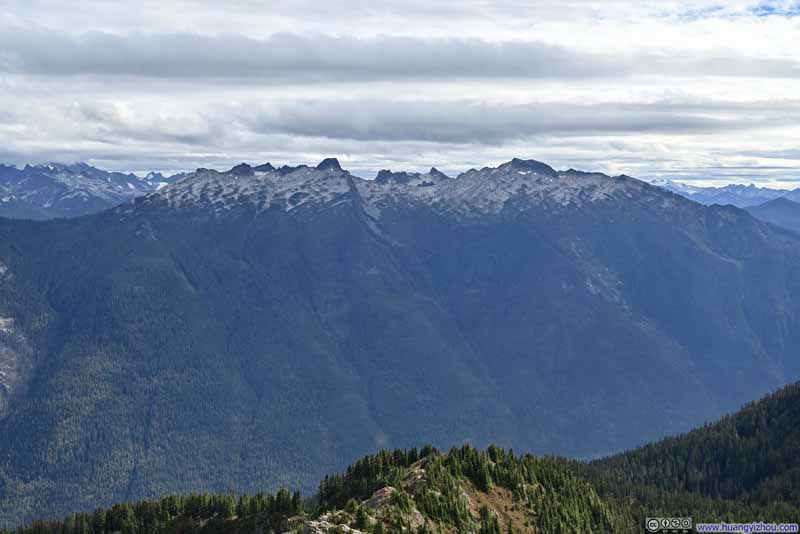 Mountains across Skagit River
 Neve Glacier
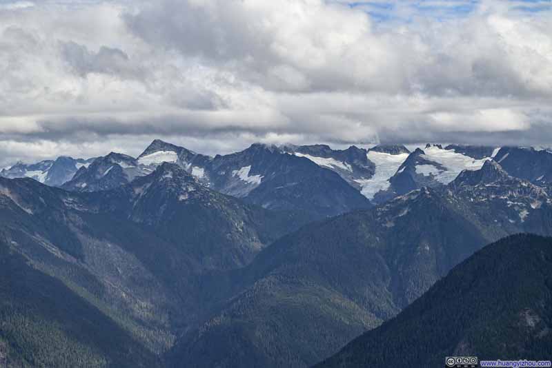 Distant Glaciers to the Southeast
 Distant Mountains to the SouthwestDistant glaciers on Three Fingers and Whitehorse Mountain.
Click here to display photos of the slideshow
Mountains across Skagit River

Mountains across Skagit River
Neve Glacier
Distant Glaciers to the Southeast
Distant Mountains to the SouthwestDistant glaciers on Three Fingers and Whitehorse Mountain.
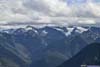
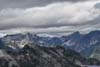
Towards the north/northeast, the southern part of Picket Range was obscured by clouds, concealing their jagged summits and only revealing a portion of Terror Glacier below.
 Mountains to the North
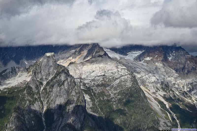 Mountains and Glaciers to the North
 Mountains to the Northeast
 Mountains to the North
 Mountains to the East

Click here to display photos of the slideshow
Mountains to the North
Mountains and Glaciers to the North
Mountains to the Northeast
Mountains to the North
Mountains to the East
 View from Trappers Peak
Here’s a video I took on Trappers Peak:
16 seconds, 2160p60fps, H265 only, 20Mbps/24MB file size.
On most sides, the summit of Trappers Peak offered little in the way of dramatic prominence, which naturally invited visitors to wander about in search of unobstructed vistas from different angles. Consequently, I lingered atop Trappers Peak for nearly an hour before beginning my descent just before 3pm.
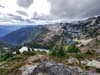
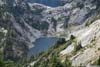
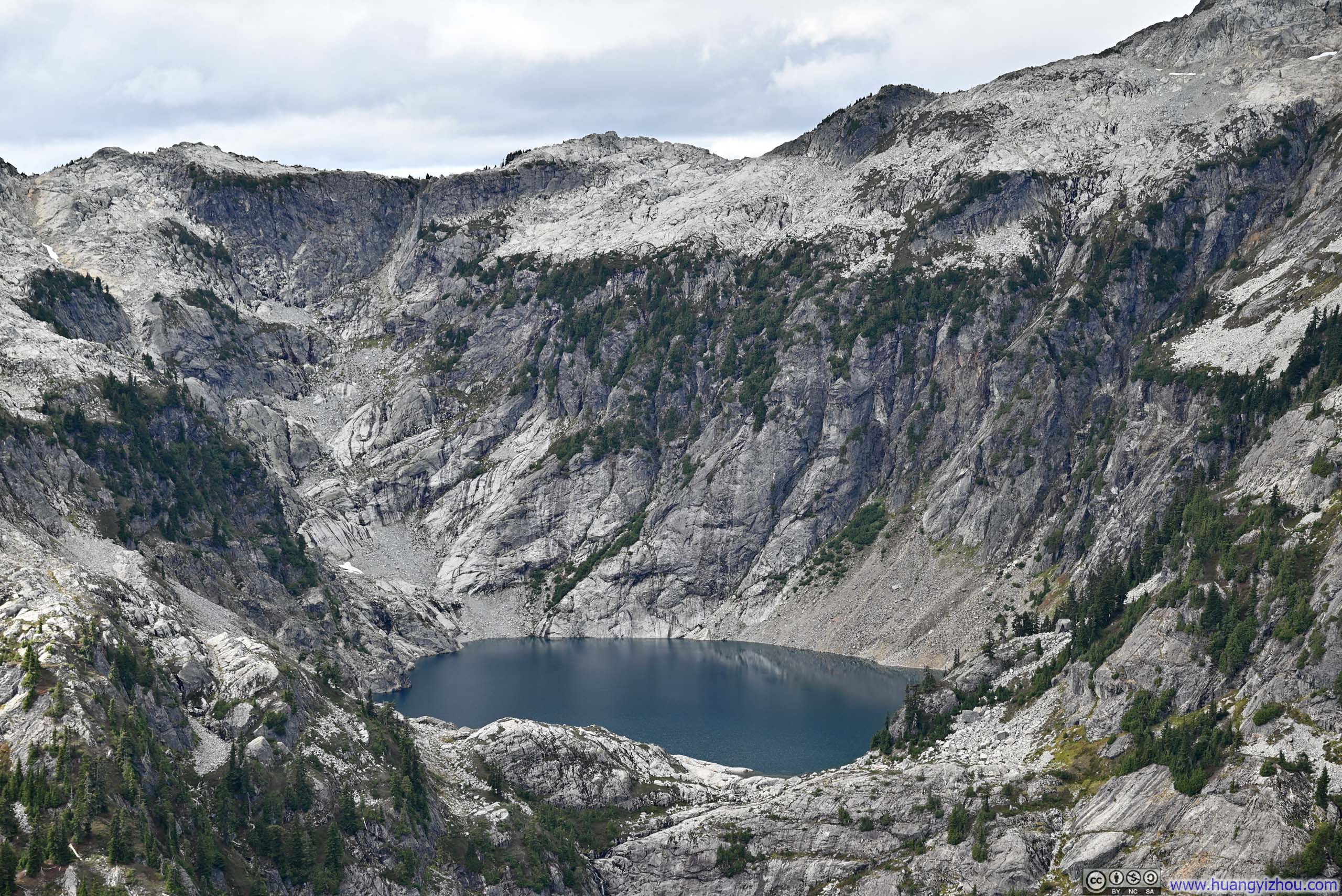
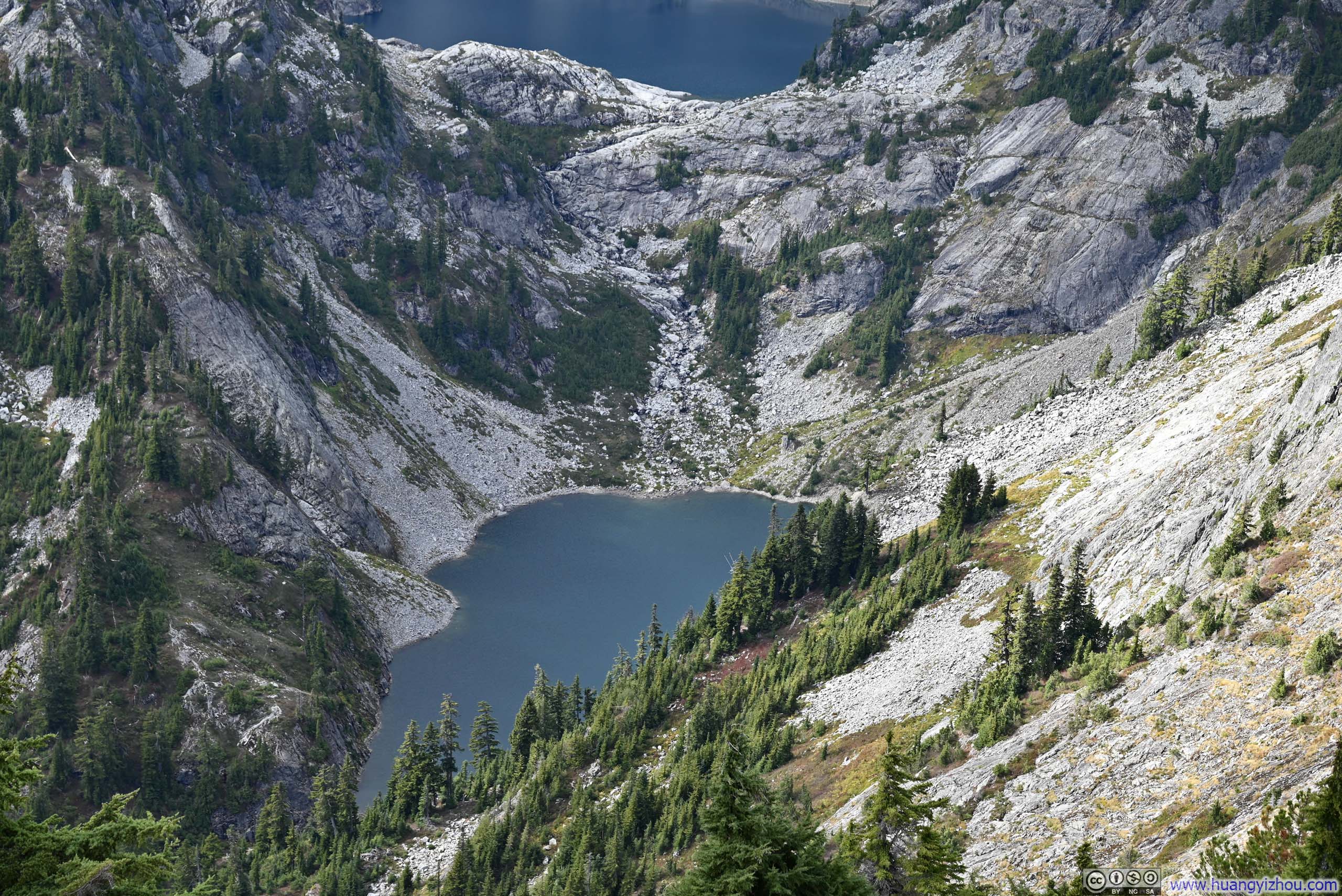
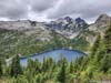
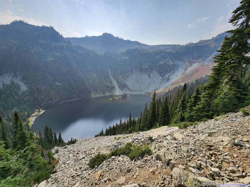
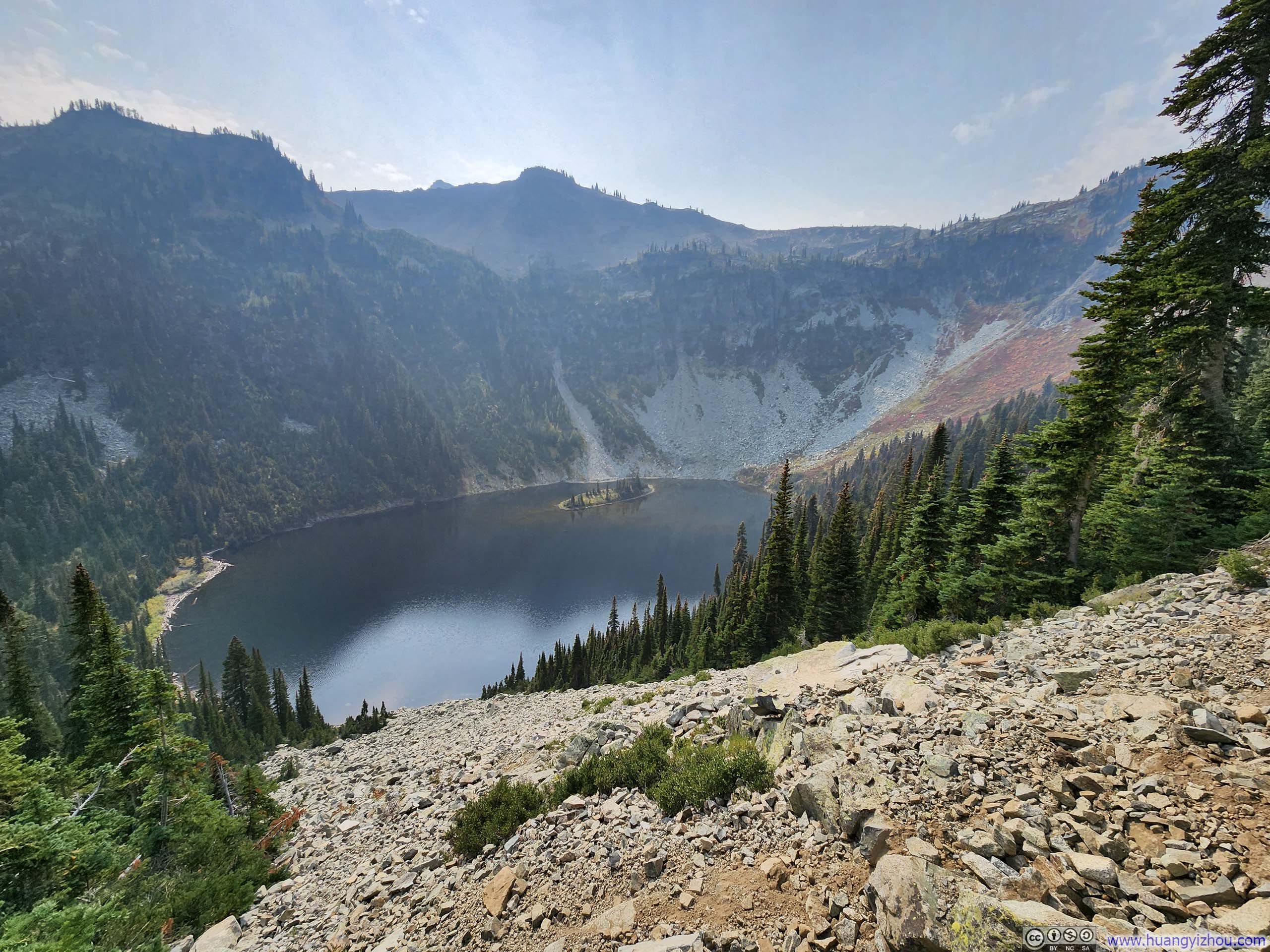
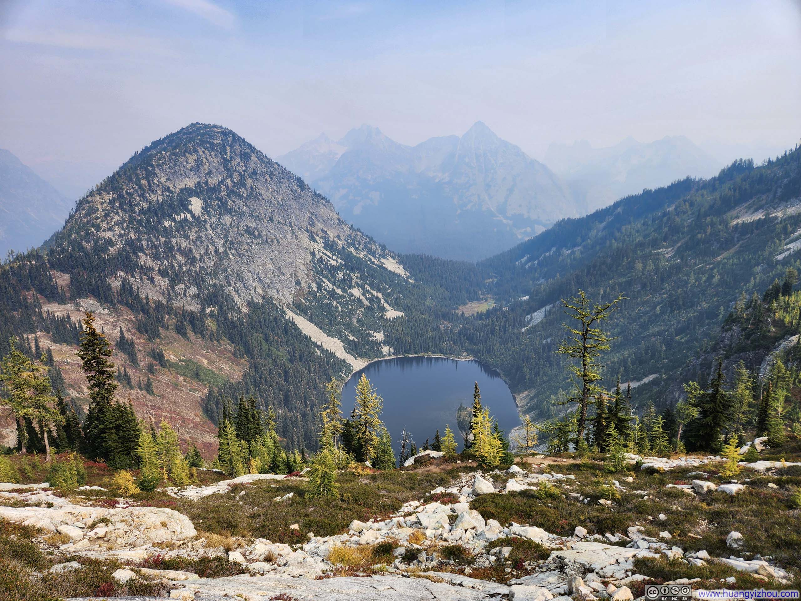
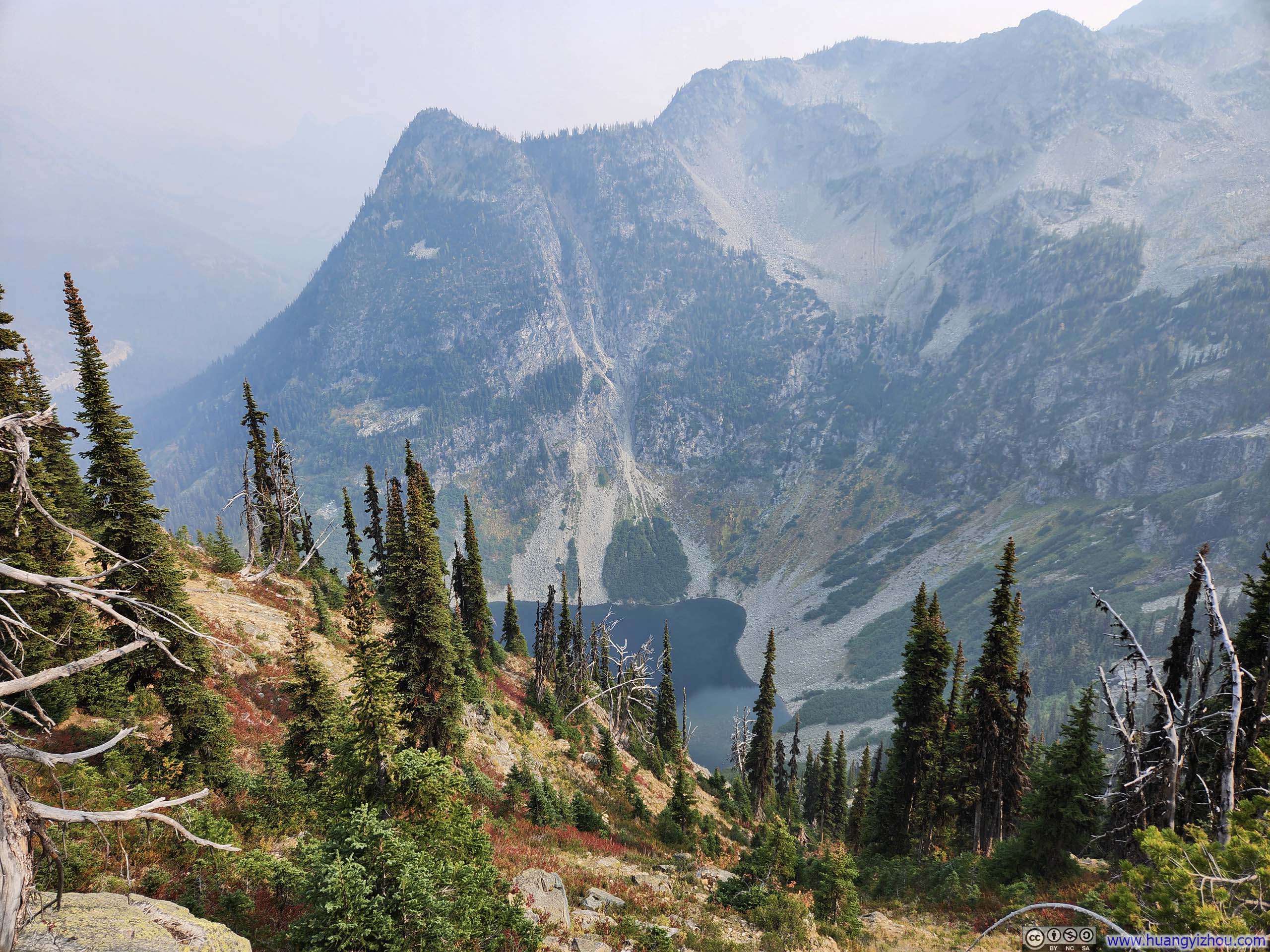
To the west of Trappers Peak was a series of Alpine Lakes (Thornton Lakes). Instead of the summit, I found a few spots along the trail that offered better views of these crystalline waters.
 Mountains across Skagit RiverLower Thornton Lakes in the lower-right.
 Thornton Lakes
 Lower Thornton Lakes
 Mountains beyond Thornton Lakes
Click here to display photos of Thornton Lakes.

Mountains across Skagit RiverLower Thornton Lakes in the lower-right.
Thornton Lakes
Lower Thornton Lakes

Mountains beyond Thornton Lakes
The rest of my descent wasn’t very eventful, save for one moment when I lost the trail and had to bushwhack my way back to it. With a largely leisurely pace, I got back to my car at 5:45pm.
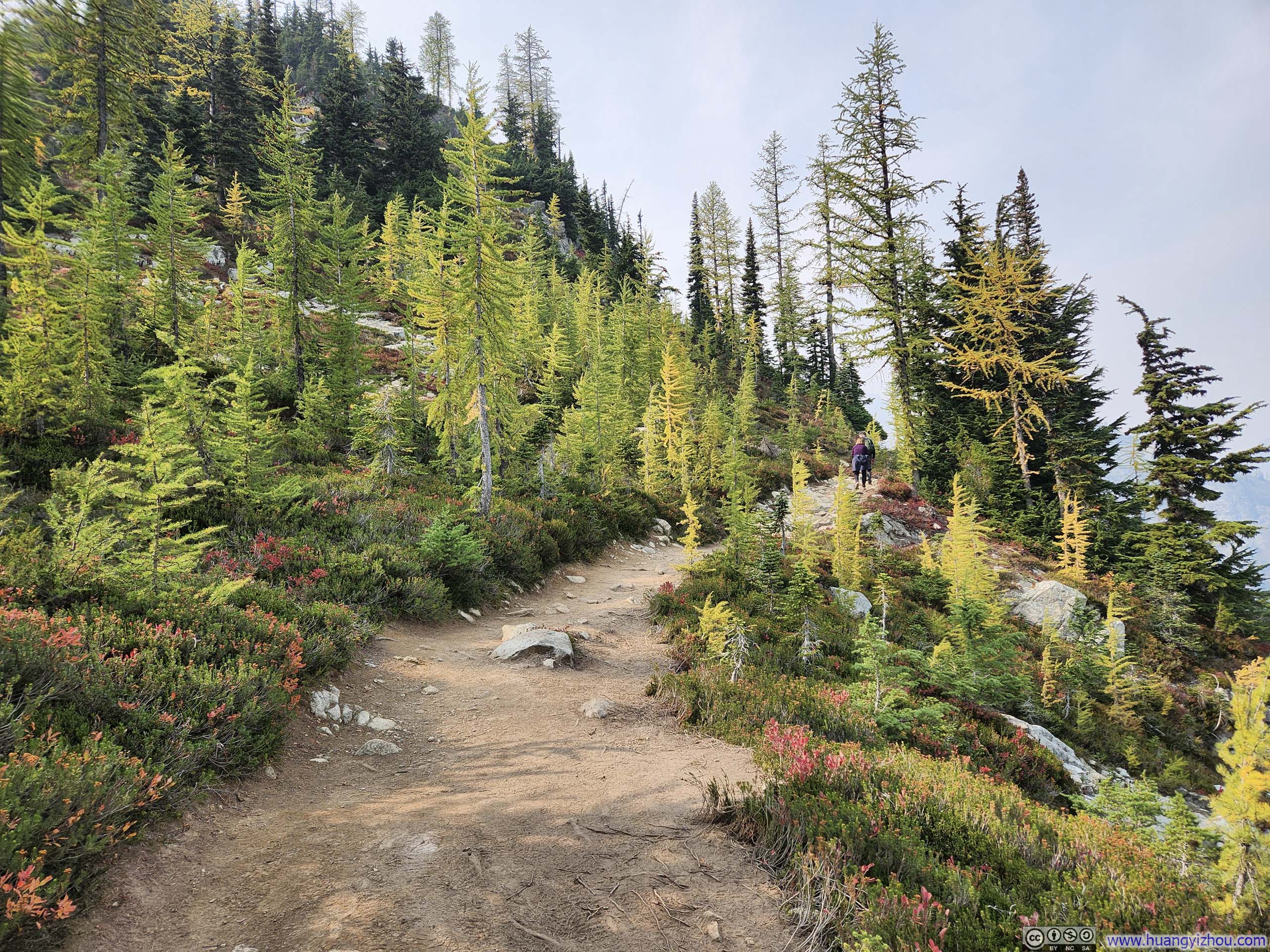
Sept 28: Hike of Maple Pass Loop
The next day, Sunday September 28, some of my friends from the Seattle area would join me on a hike. To accommodate everyone’s fitness levels, we settled on Maple Pass Trail, one of Washington State’s most popular trails. In terms of both distance and elevation gain, it measured roughly 2/3 of the Trappers Peak trail I had hiked the previous day.
I was aware that Lower Sugarloaf fire was burning near Leavenworth during the weekend of my visit. When I checked the air quality forecast Friday night, it showed the Maple Pass area largely unaffected. My hike up Trappers Peak the day before, unmarred by poor air quality, only reinforced my confidence that Maple Pass would be similarly clear.
Unfortunately, reality proved drastically different. While the air felt perfectly clear around Diablo Lake / Ross Lake, it was very hazy 25 miles later at Rainy Pass, the trailhead for our hike, by which time, it was too late for us to bail out. Ironically, my trip to Half Dome earlier this month was also amid dense wildfire haze, it just seemed I never had good luck with air pollution this month.
Here’s GPS tracking:
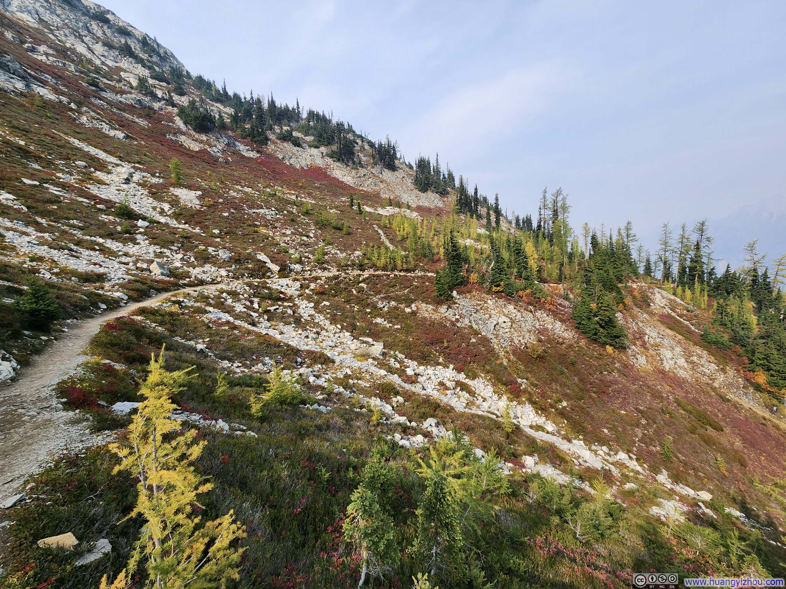
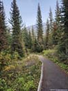
This was a loop trail and we hiked it in the counter-clockwise direction. In my opinion, however, neither direction held any particular advantage.
 Trail
Trail
 Trail through Vibrant Fields
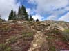
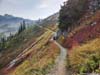
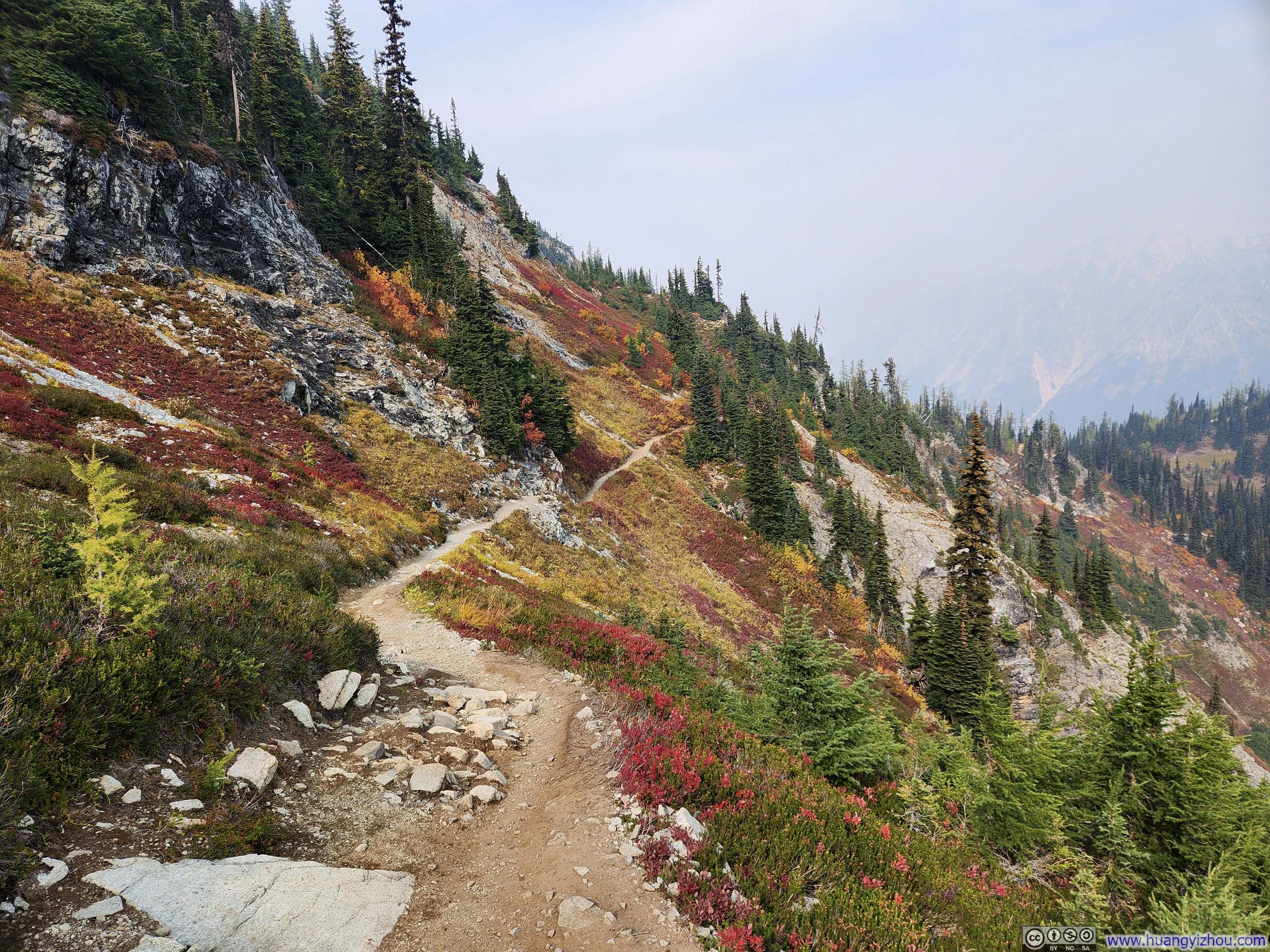
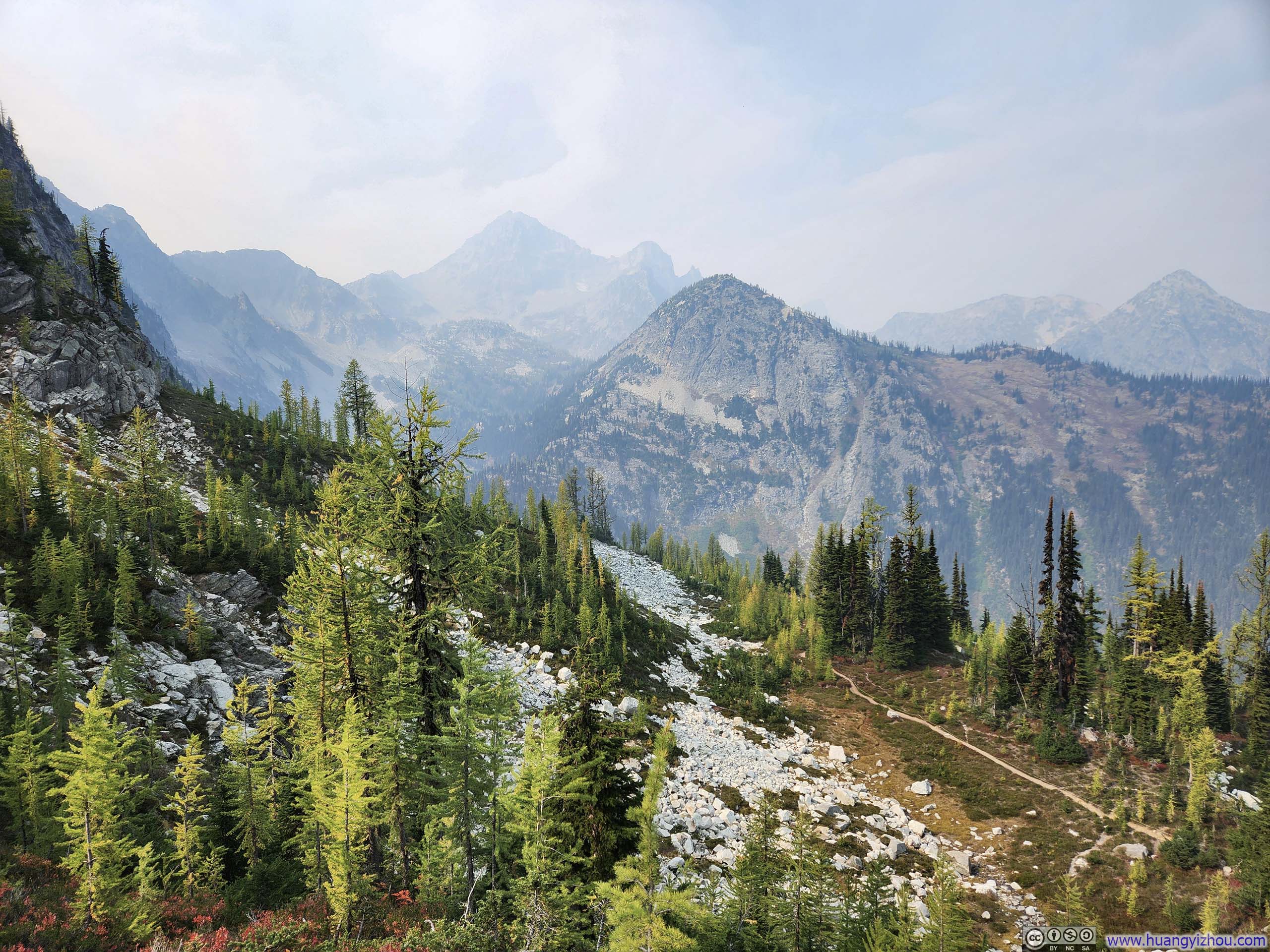
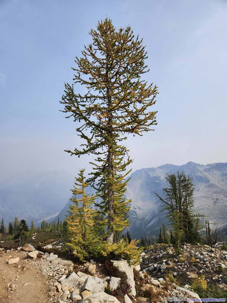
True to its “maple” name, once we emerged above the tree line, vibrant autumn hues adorned the shrubs along the entire trail, including large patches of red that was completely absent from my hike to Trappers Peak the day prior. Unfortunately, the hazy air seemed to cast a veil of dust over my photographs. I could only imagine how vivid the colors would have appeared beneath a bright blue sky.
 Fields Dressed in Autumn Colors
 Fields Dressed in Autumn Colors
 Trail
Trail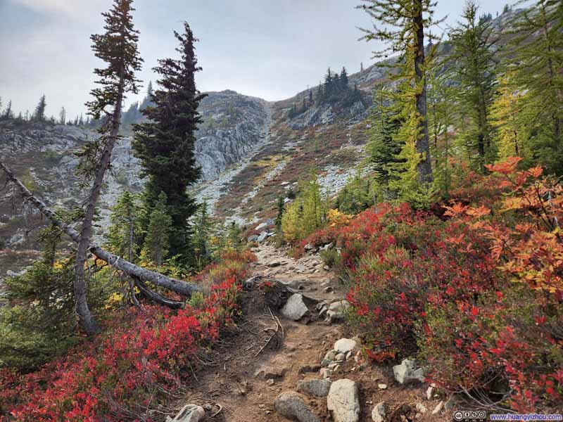 Trail through Vibrant Fields
 Trail
Trail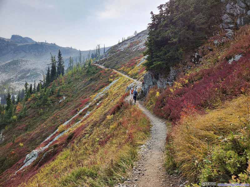 Trail through Vibrant Fields
 Trail through Vibrant Fields


Click here to display photos of the slideshow

Fields Dressed in Autumn Colors

Fields Dressed in Autumn Colors
Trail

Trail through Vibrant Fields
Trail

Trail through Vibrant Fields
Trail through Vibrant Fields
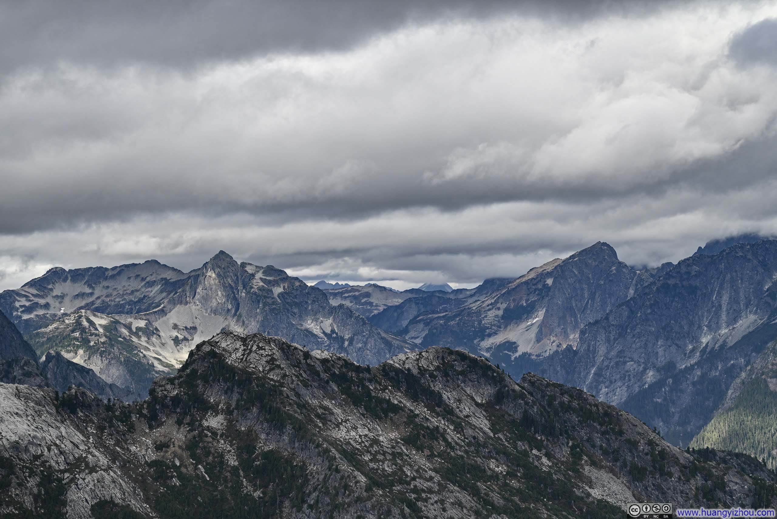
The entire Maple Pass Trail traced a giant circle around Lake Ann, revealing its views from ever-shifting vantage points. At various spots along the path, the surrounding peaks came into view (at Heather Pass p2-3 and Maple Pass p6-7 below), yet even my best efforts in Photoshop could not resurrect the mountains’ true grandeur from beneath that veil of haze.
 Lake Ann
 Mountains beyond Heather Pass
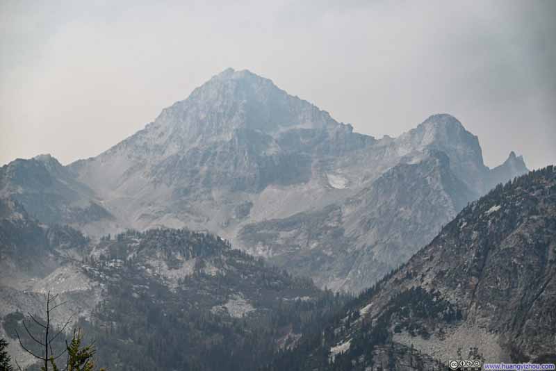 Black Peak
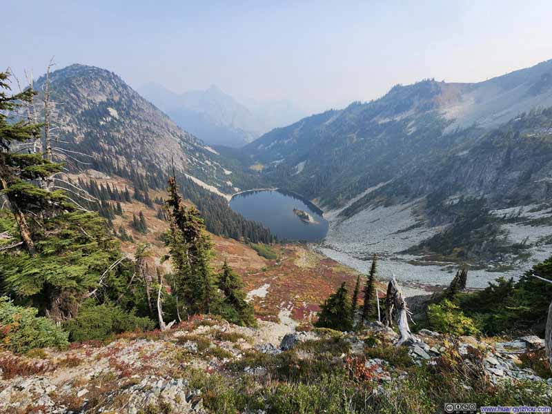 Overlooking Lake Ann
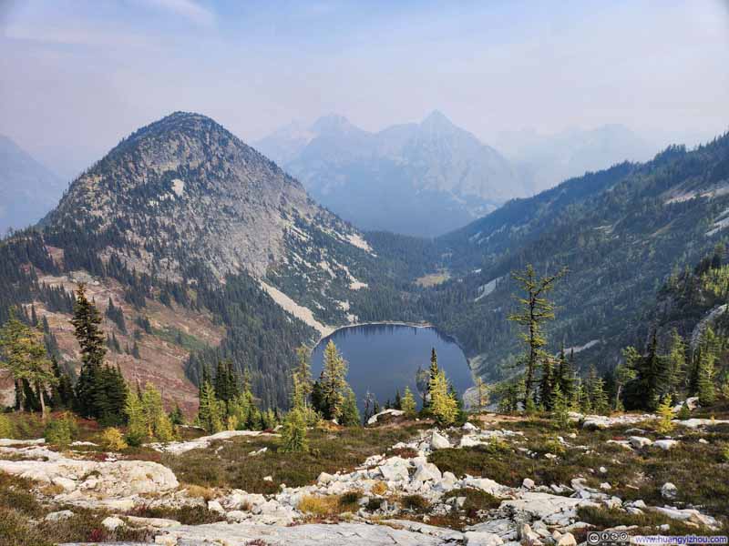 Overlooking Lake Ann
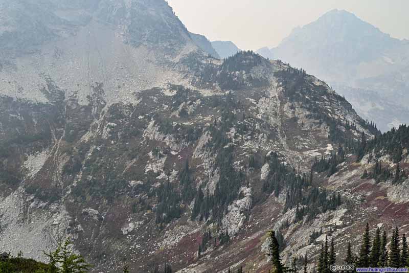 Horsefly Pass
 Corteo Peak


Click here to display photos of the slideshow
Lake Ann
Mountains beyond Heather Pass
Black Peak

Overlooking Lake Ann
Overlooking Lake Ann
Horsefly Pass
Corteo Peak
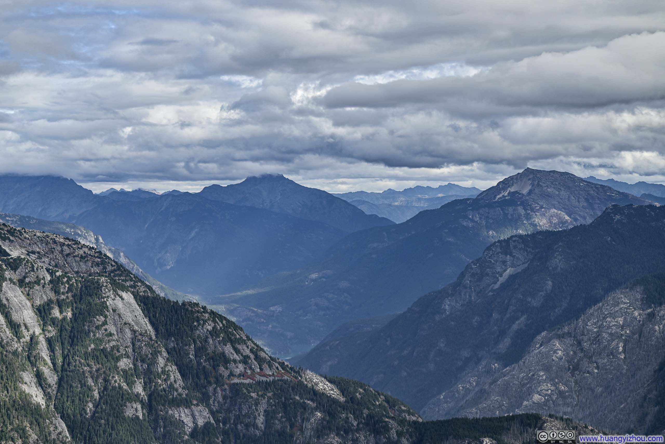
At the loop’s highest elevation (roughly its southernmost point), a short spur branched off toward an overlook that offered what was, in my opinion, the finest view of the entire circuit. Yet once again, regrettably, the haze conspired to diminish its splendor.
 Hill over Lake Ann
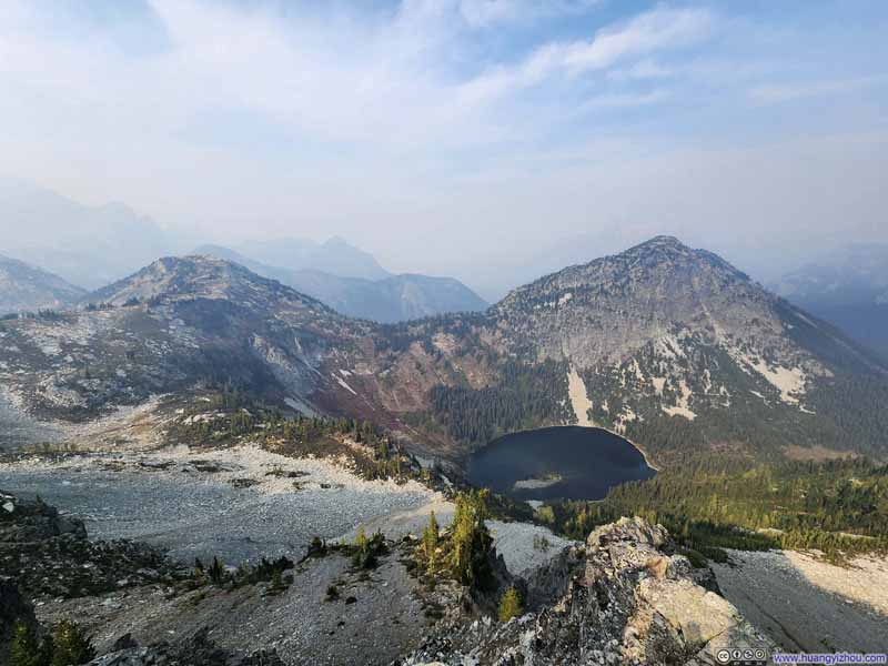 Hills around Lake Ann
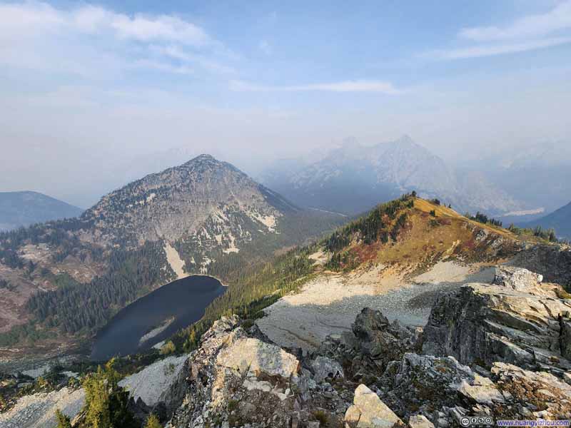 Hills around Lake Ann
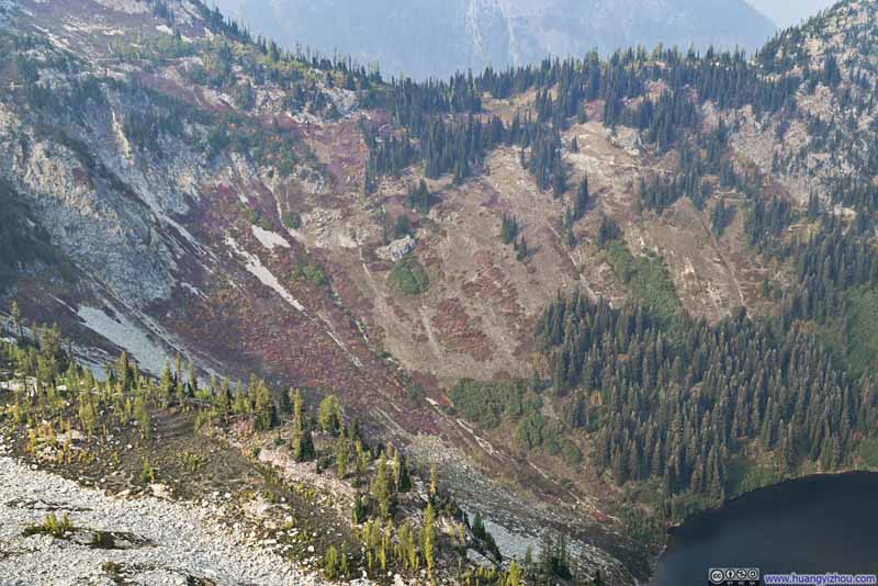 Hillside Plants in Autumn Colors
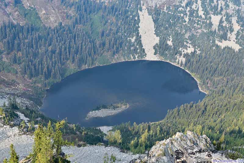 Lake Ann
 Hill
Hill


Click here to display photos of the slideshow
Hill over Lake Ann

Hills around Lake Ann
Hills around Lake Ann

Hillside Plants in Autumn Colors

Lake Ann
Hill
After that, we started our descent. Unlike our ascent which accompanied views of Lake Ann, there were few notable views above the tree line on our way down.
 Fields Dressed in Autumn Colors
 Fields Dressed in Autumn Colors
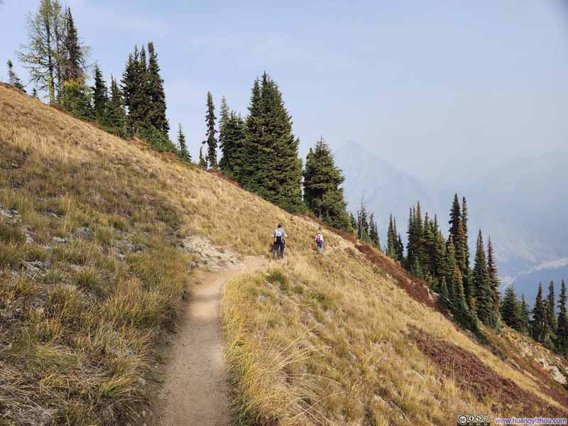 Trail
Trail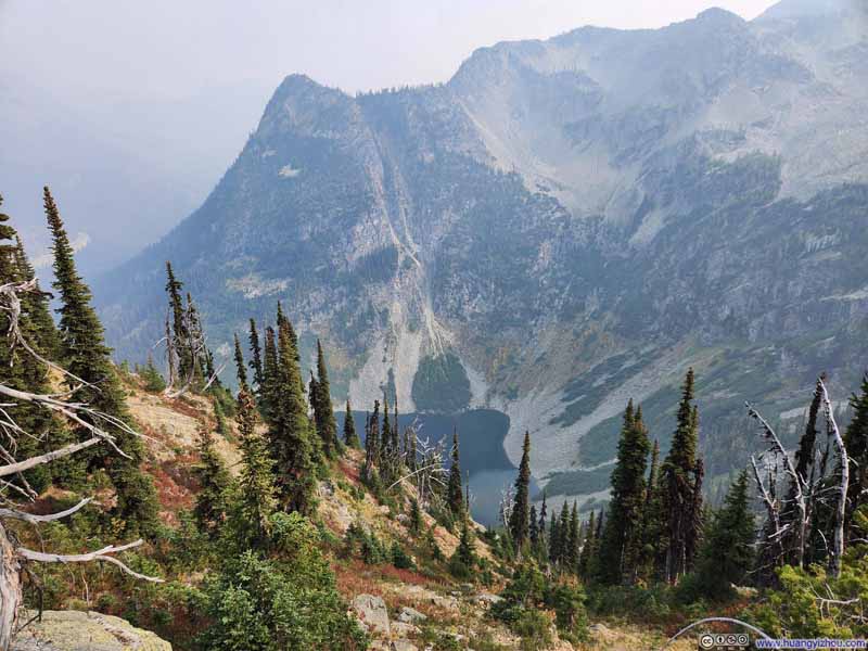 Glimpse of Rainy Lake


Click here to display photos of the slideshow

Fields Dressed in Autumn Colors

Fields Dressed in Autumn Colors
Trail
Glimpse of Rainy Lake
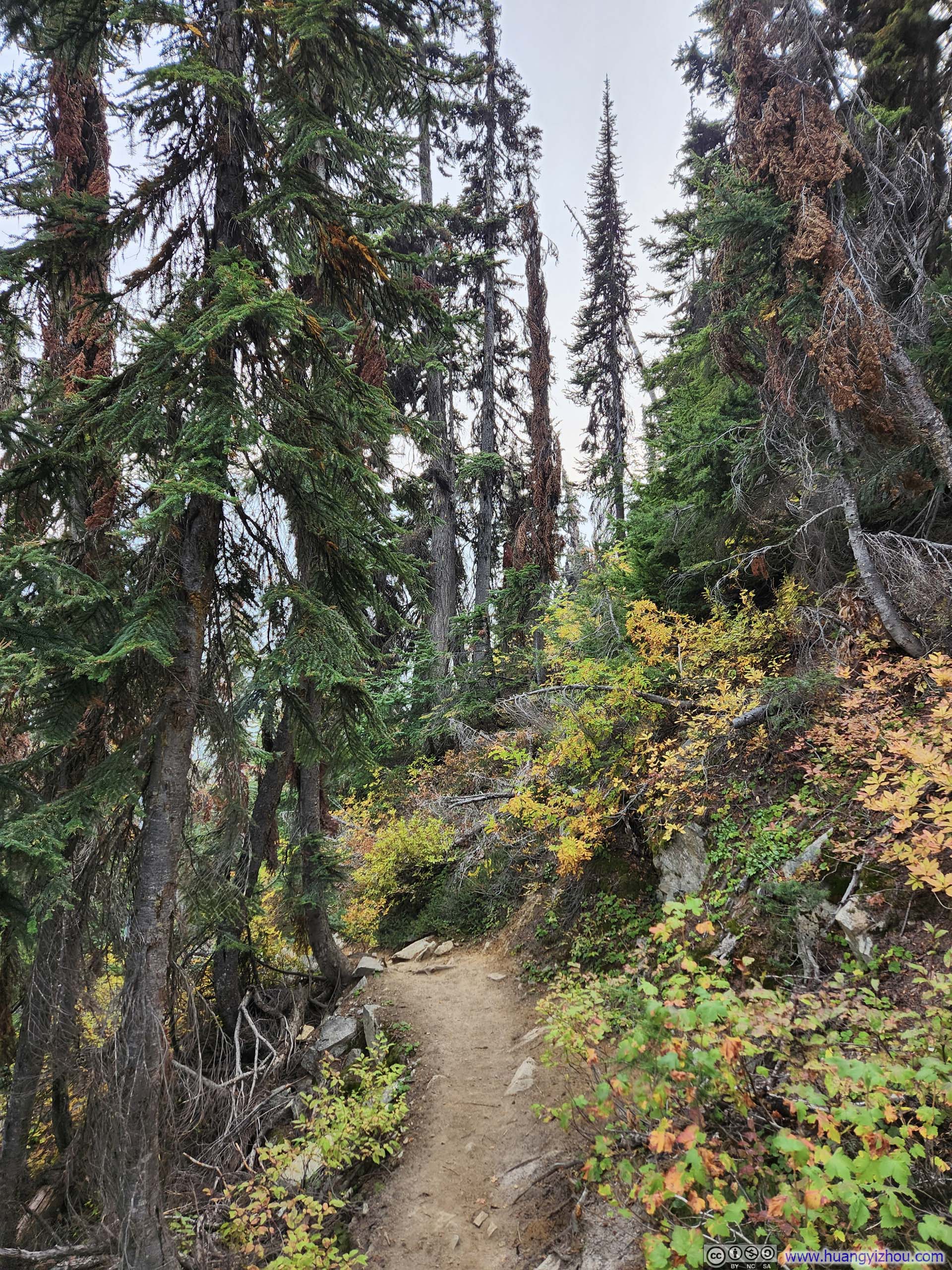
But once below the tree line, the forest seemed to awaken—more vibrant, more inviting. By contrast, the woods we had passed through during our ascent had felt muted and remote.
 Lone Pine Tree
 Trail
Trail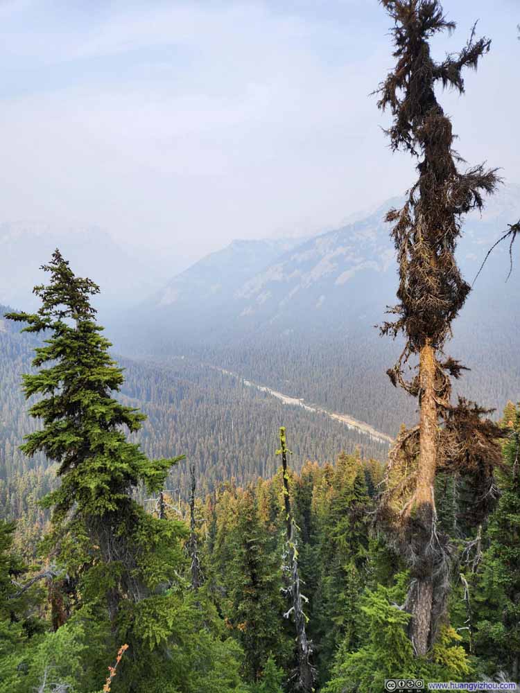 Overlooking Rainy Pass
 Trees along Trail
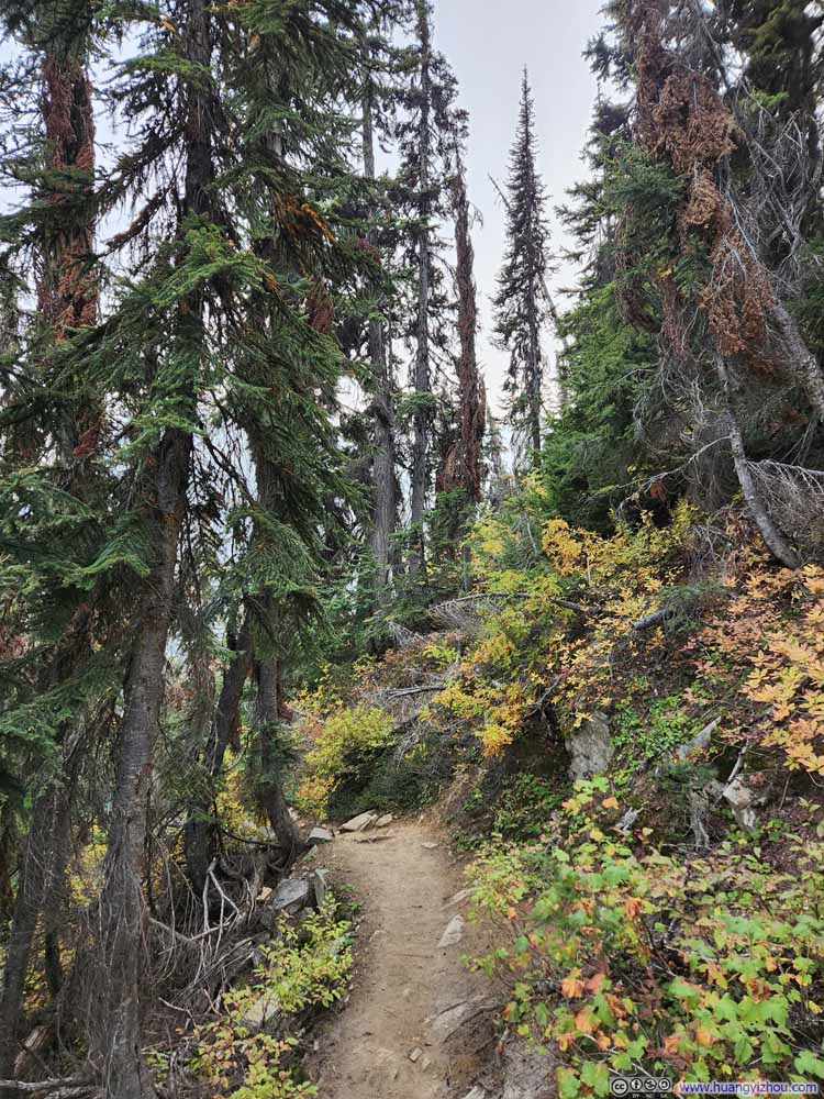 Trail
Trail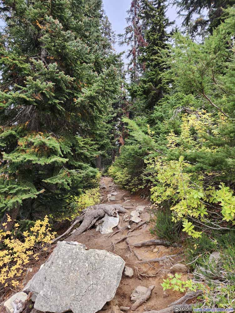 Trail
Trail

Click here to display photos of the trail.

Lone Pine Tree
Trail

Overlooking Rainy Pass

Trees along Trail
Trail

Trail
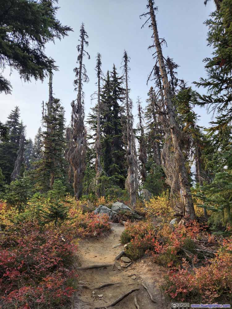 Trees along TrailI liked the color variations in this shot, and the shape of the withered tree branches.
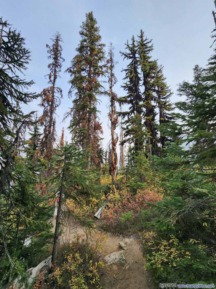 Trail
Trail Trail
Trail Trail
Trail Trail
Trail Trail
Trail


Click here to display photos of the trail.
Trees along TrailI liked the color variations in this shot, and the shape of the withered tree branches.
Trail

Trail
Trail
Trail
Trail
In the end, including all rests, we finished the hike in 4.5 hours. Given the air pollution, I was glad it wasn’t longer.
With enough daylight remaining, and hoping to salvage the day by catching some views less obscured by haze, we made several stops on our way back to Seattle.
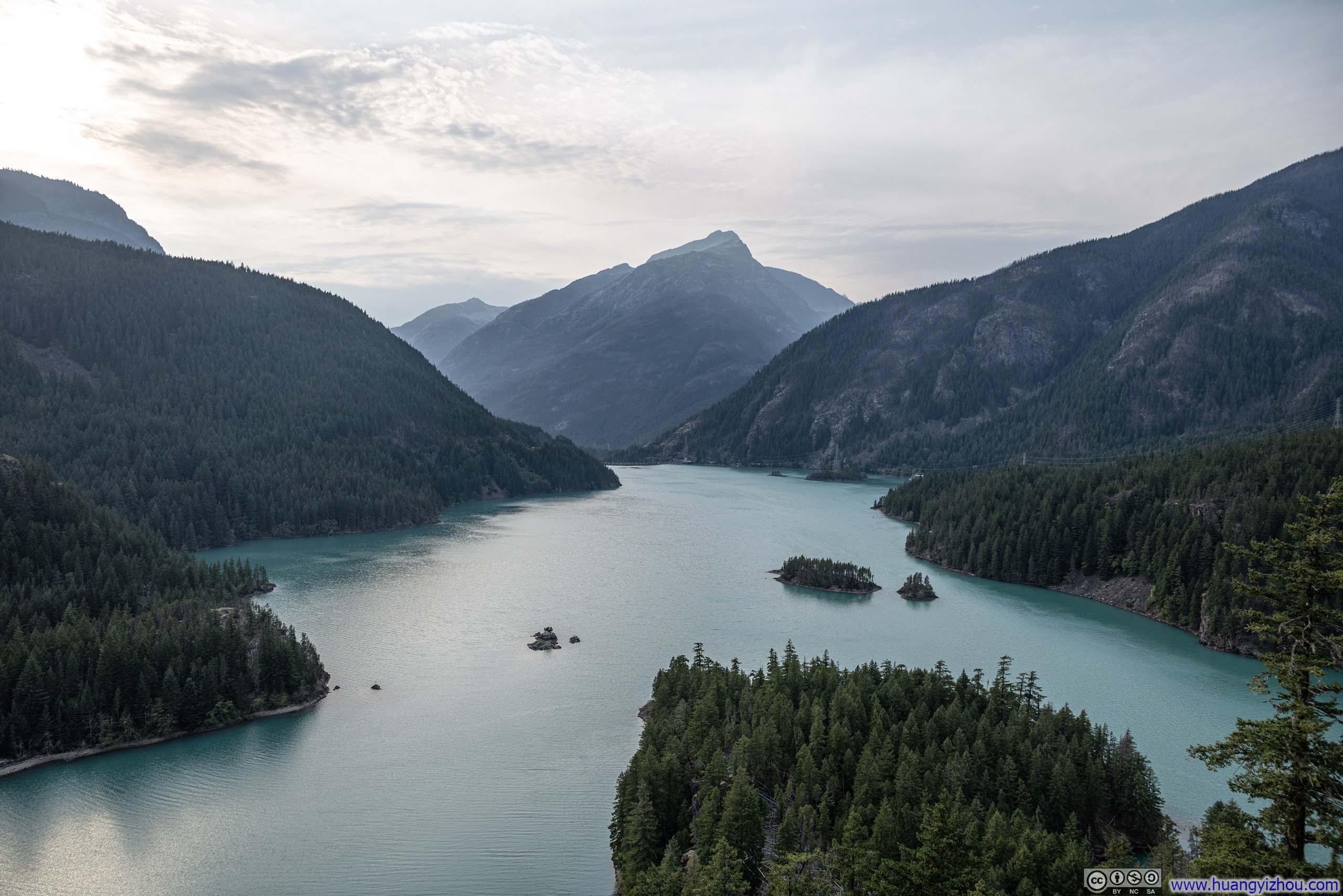
Our first stop was Diablo Lake Vista Point. The afternoon light wasn’t ideal for this particular vista point, and September—with its minimal snow cover on the surrounding peaks—was likely the least dramatic month to visit. Nonetheless, we appreciated the clear views it offered us.
 Diablo Lake
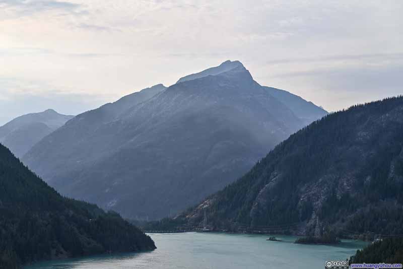 Davis Peak over Diablo Lake
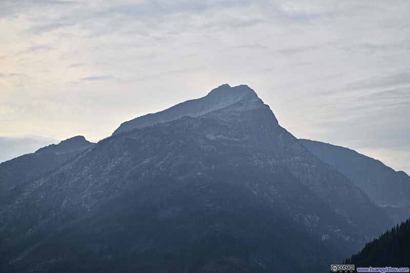 Davis Peak
 Mountains over Thunder Arm
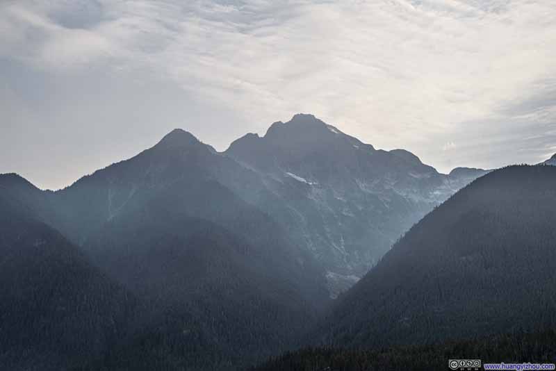 Colonial Peak
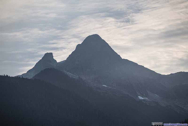 Paul Bunyans Stump and Pinnacle Peak

Click here to display photos from Diablo Lake Vista Point.
Diablo Lake

Davis Peak over Diablo Lake
Davis Peak

Mountains over Thunder Arm

Colonial Peak
Paul Bunyans Stump and Pinnacle Peak
Next, we made another stop to check out “Gorge Overlook Trail”. This short trail overlooked “Gorge Dam”, a dam spanning the Skagit River, but the views were somewhat obstructed and underwhelming. Instead, we found “Gorge Creek” across the road far more captivating—though by September, its waters had dwindled to a modest trickle.
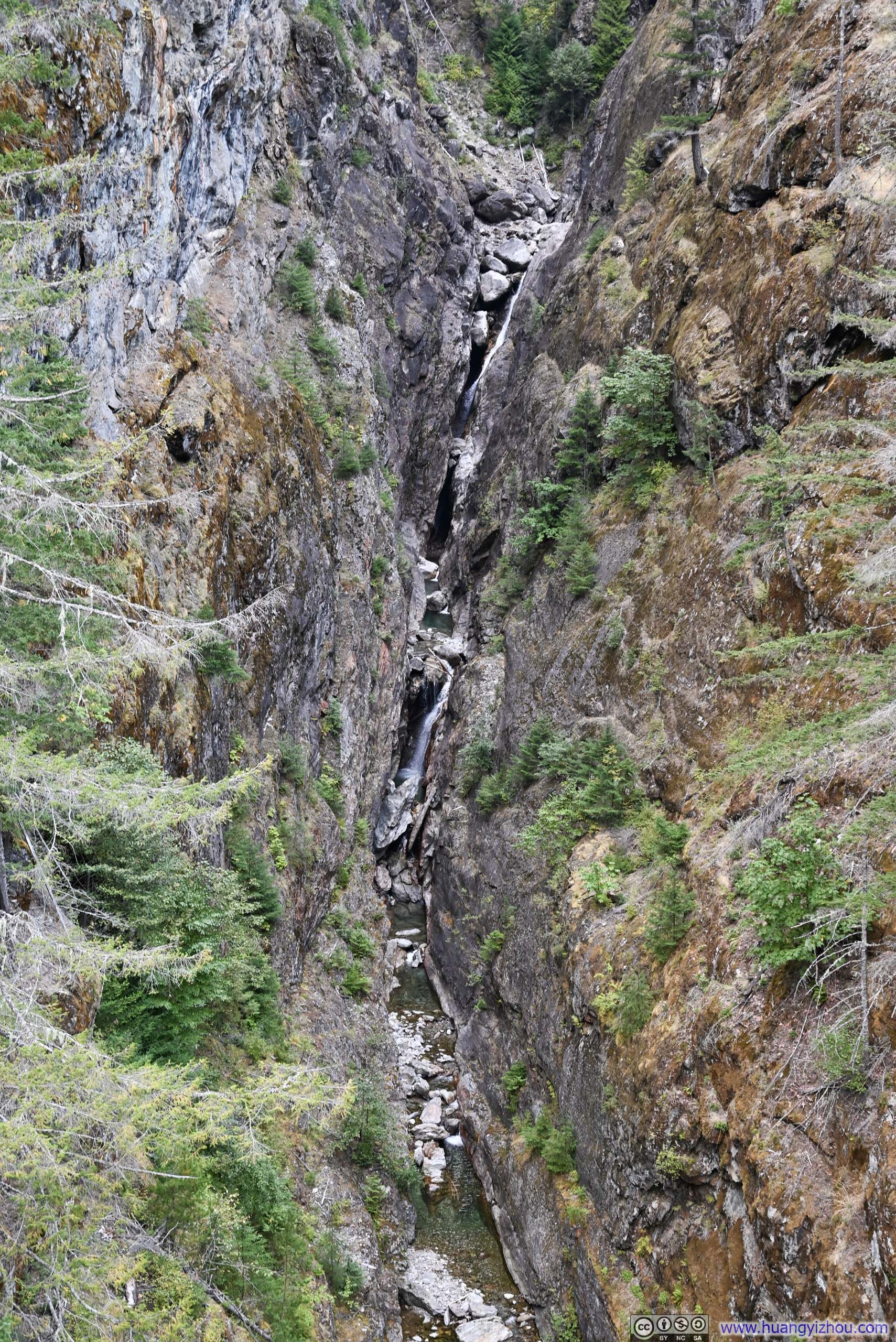
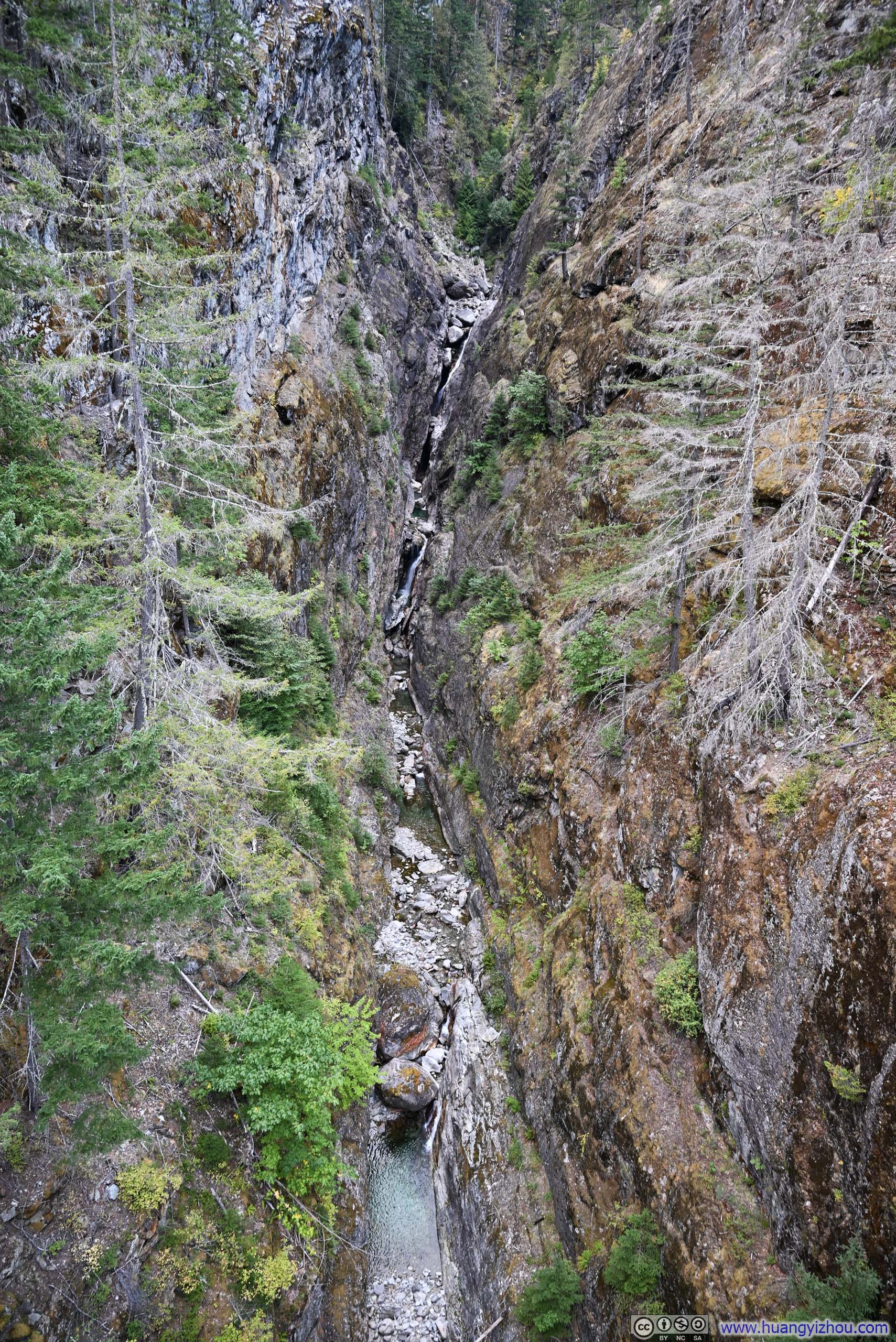 Gorge Creek
American Airlines Flight 1095 and 1467 from Seattle to Boston via Philadelphia
Fast forward to the evening of Monday, September 29. After reconnecting with a few friends over the weekend, it’s time for me to fly back to Boston.
It turned out that Seattle Airport funneled both airline elites and Spot Savers through the same security kiosk. (I had never been fond of the latter program, whose sole purpose seemed to be shifting the blame for security wait times onto travelers, rather than addressing the fundamental issue of understaffed and poorly designed checkpoints.) Even so, clearing security at 8pm on a Monday evening took me 15 minutes. Not impressed.
American Airlines 1095
Seattle, WA (SEA) – Philadelphia, PA (PHL)
Airbus 321 (N929AA)
Seat 8A
Scheduled Departure – 11:05pm
Actual Departure – 11:18pm
Scheduled Arrival – 7:09am + 1
Actual Arrival – 7:01am + 1
4 hours and 43 minutes
Here’s GPS tracking:
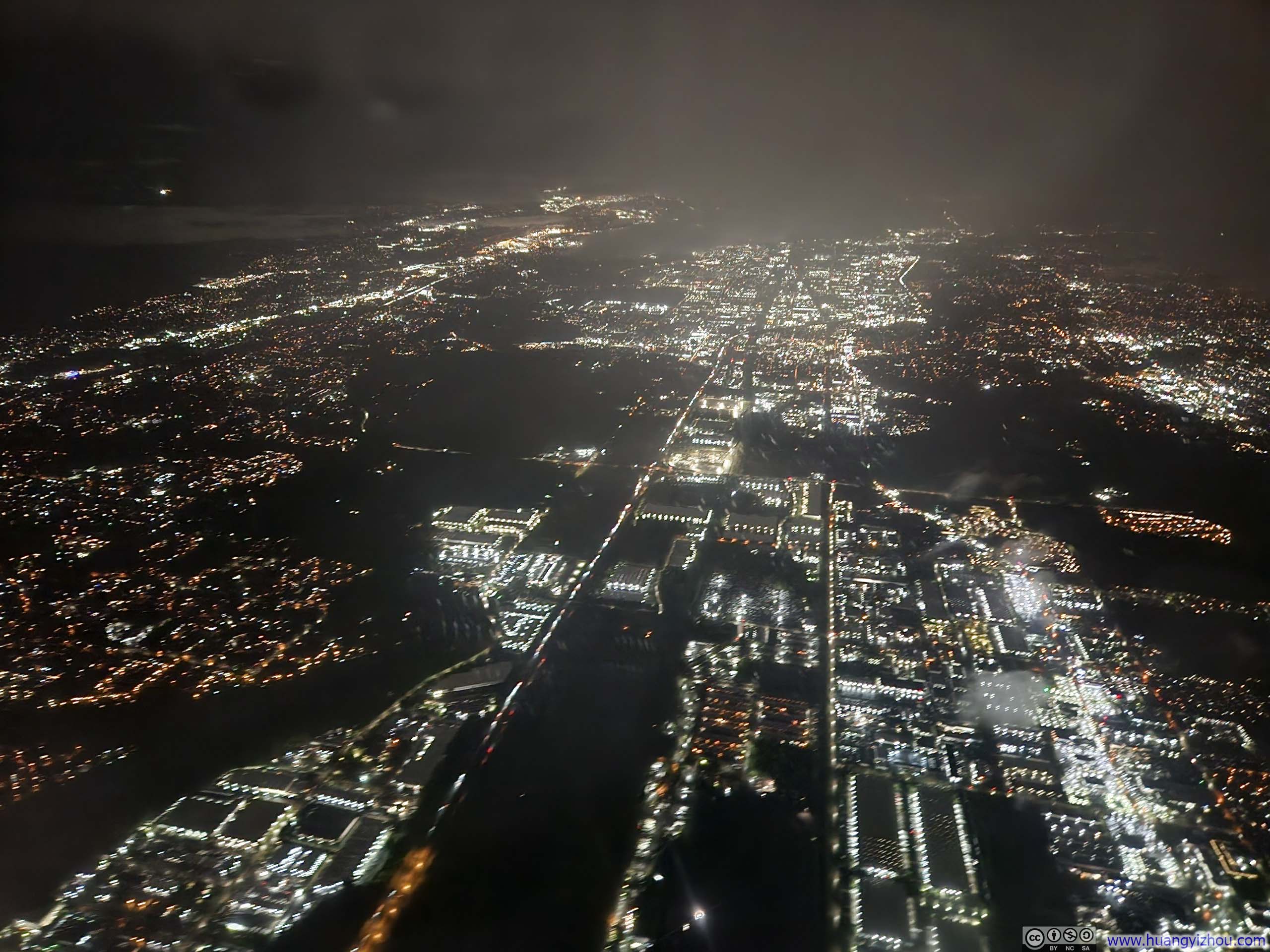
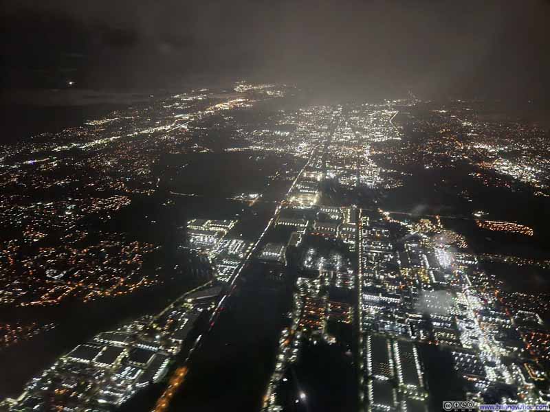 Overlooking Seattle Suburb at Night
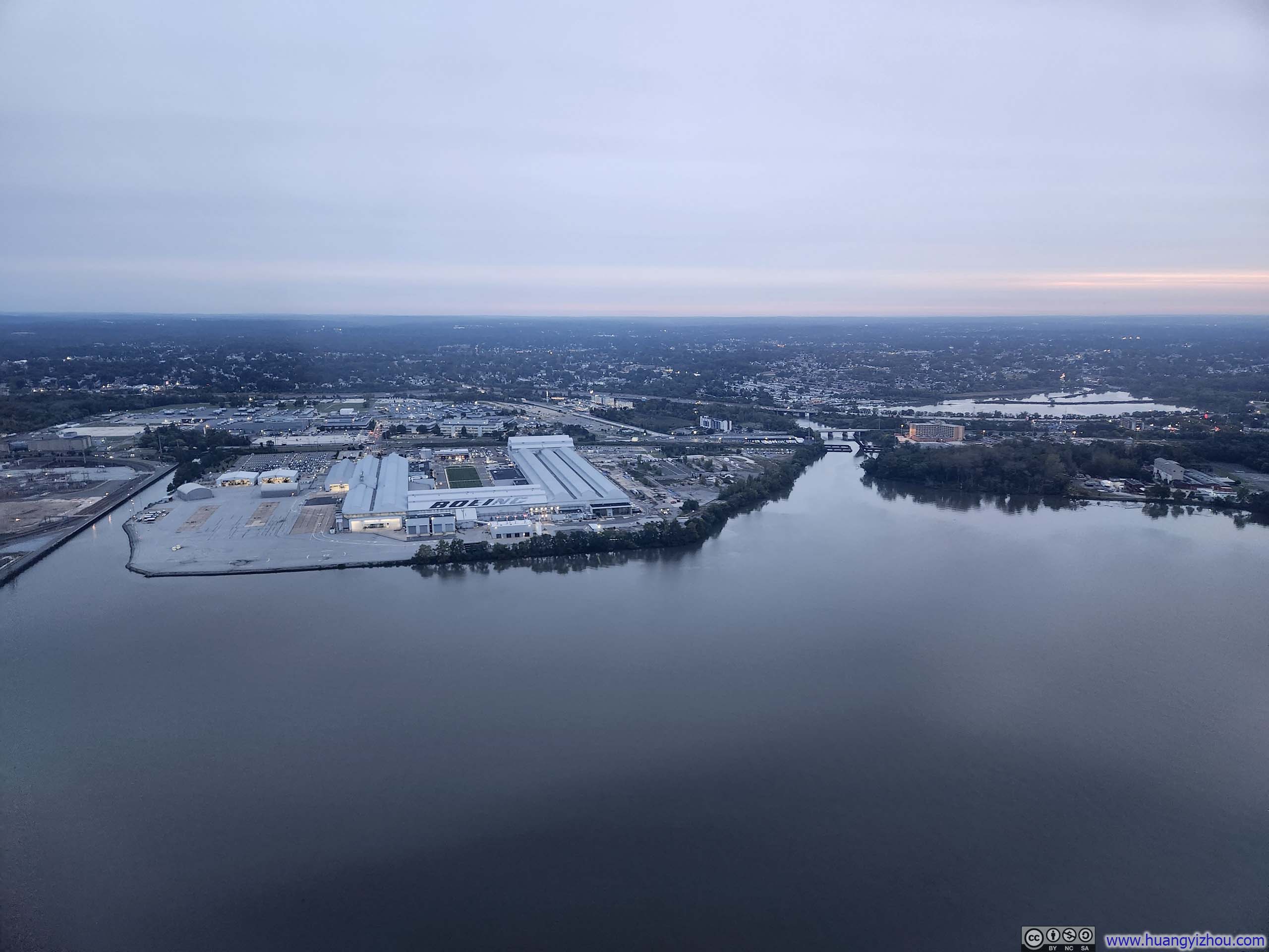
 Philadelphia Suburb at DawnFlying over Delaware River during final approach.


Click here to display photos of the slideshow
Overlooking Seattle Suburb at Night
Philadelphia Suburb at DawnFlying over Delaware River during final approach.
The flight itself wasn’t very remarkable as I slept through most of it. Interestingly, the cabin crew didn’t turn on the lights for landing preparation until 6:48am, 13 minutes before touchdown. (One could hardly ask for a more considerate gesture toward preserving our sleep.)
For my final flight back to Boston, this A321neo had more than a quarter (>50) of empty seats, but was also very elite-heavy (I was 7/42 on the upgrade list). Pushback was delayed, followed by a 20-minute wait in Philadelphia Airport’s morning departure queue.
I had hoped to catch some sleep on this brief flight; unfortunately, a loud and annoying child seated nearby made that impossible.
American Airlines 1467
Philadelphia, PA (PHL) – Boston, MA (BOS)
Airbus 321neo (N412UW)
Seat 19F
Scheduled Departure – 8:45am
Actual Departure – 9:22am
Scheduled Arrival – 10:10am
Actual Arrival – 10:10am
48 minutes
Here’s GPS tracking:
After landing in Boston, this time my checked bag beat me to the carousel, a stark contrast to Seattle’s lengthy wait, which concluded this brief trip to Seattle.
END
![]() Weekend Trip to Seattle by Huang's Site is licensed under a Creative Commons Attribution-NonCommercial-ShareAlike 4.0 International License.
Weekend Trip to Seattle by Huang's Site is licensed under a Creative Commons Attribution-NonCommercial-ShareAlike 4.0 International License.