
Updated on March 23, 2026
Day 2 of 2025 Thanksgiving Trip to Tucson, Tanque Verde Ridge
The second day of my 2025 Thanksgiving Trip to Tucson. I drove from Willcox back to Tucson this day, took a tour of Kartchner Caverns in the morning before hiking Tanque Verde Ridge in the afternoon.
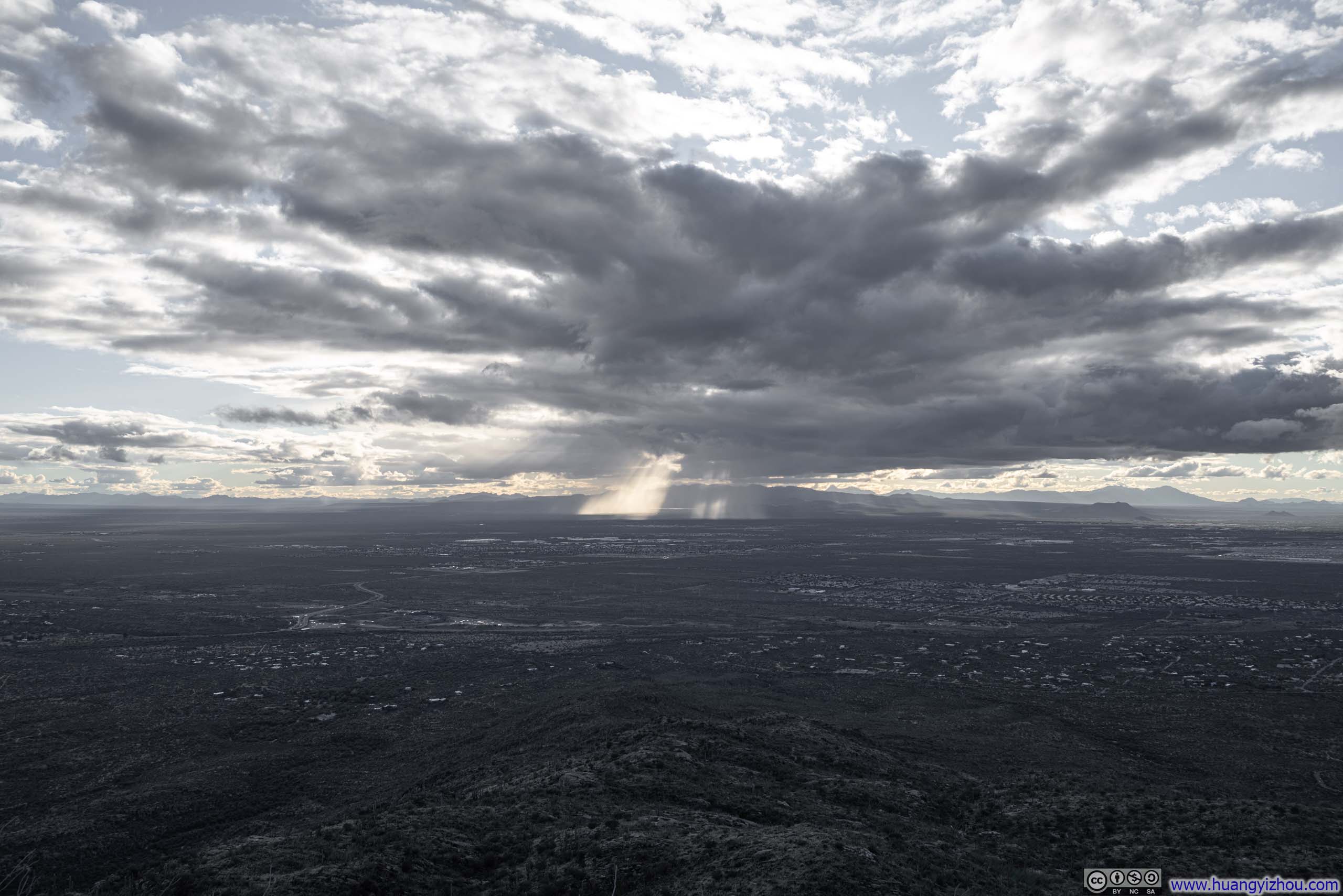
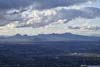
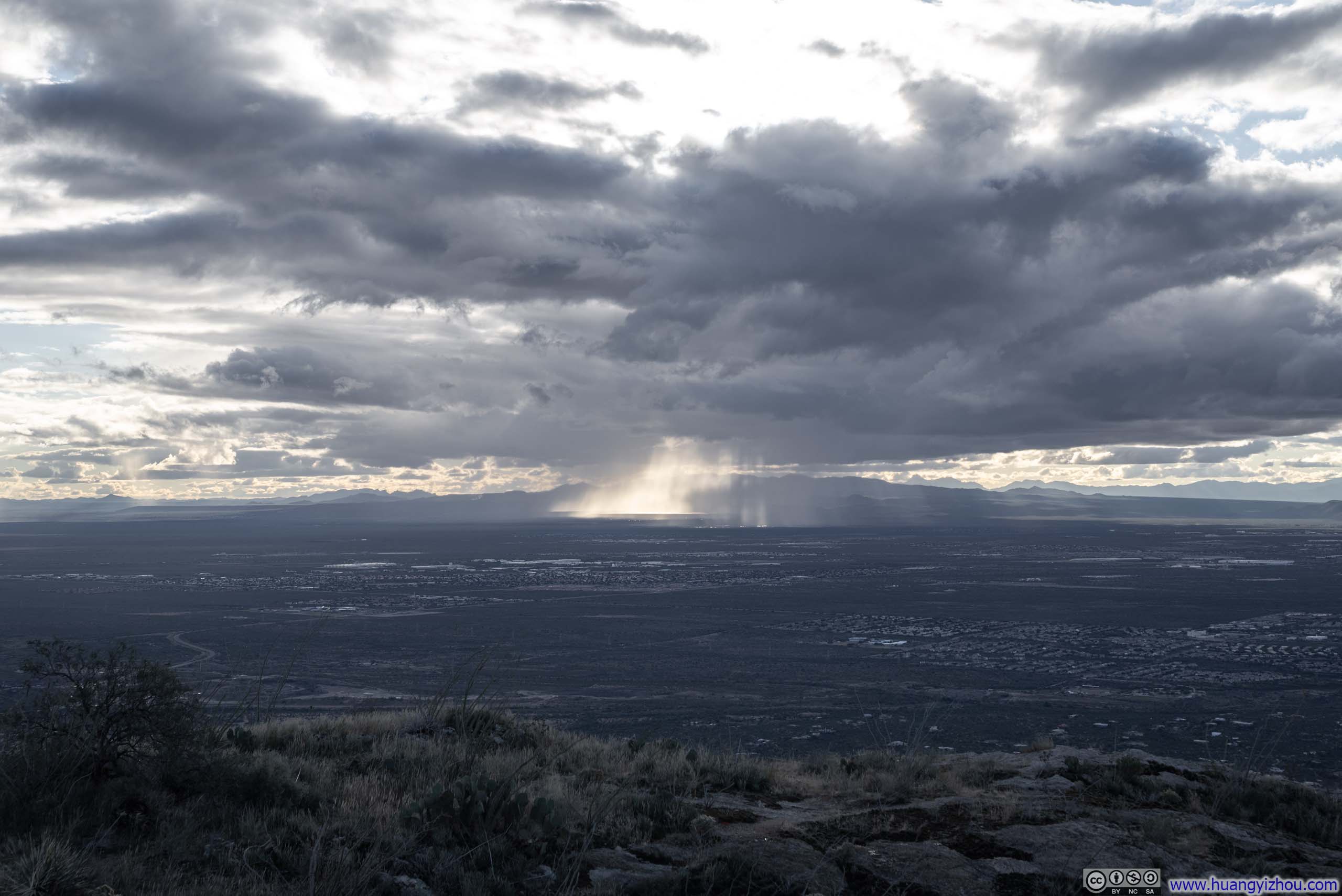
Sierrita Mountains behind God Rays
The drive from Willcox to Tucson was only expected to take 1.5 hours, leaving me with ample time for other activities throughout the day. So after checking out of the hotel in the morning, I took a small detour to a guided tour of Kartchner Caverns.
Tour of Kartchner Caverns
The story of Kartchner Caverns’ discovery is one that truly emphasizes preservation. The caves were discovered relatively recently, in 1974, and remained a guarded secret for another 14 years while their discoverers developed a comprehensive plan to properly conserve them before opening them to public tours. The tour I attended today placed heavy emphasis on conservation efforts—so much so that, as my guide explained, photography was prohibited (though I could hardly make sense of the logic).
Beyond conservation, another central theme of the tour focused on the bats that inhabit the cave, way more so than the wondrous rock formations for which such caverns were typically celebrated.
Since no photographs were permitted during the tour, I shall pass over those details here.
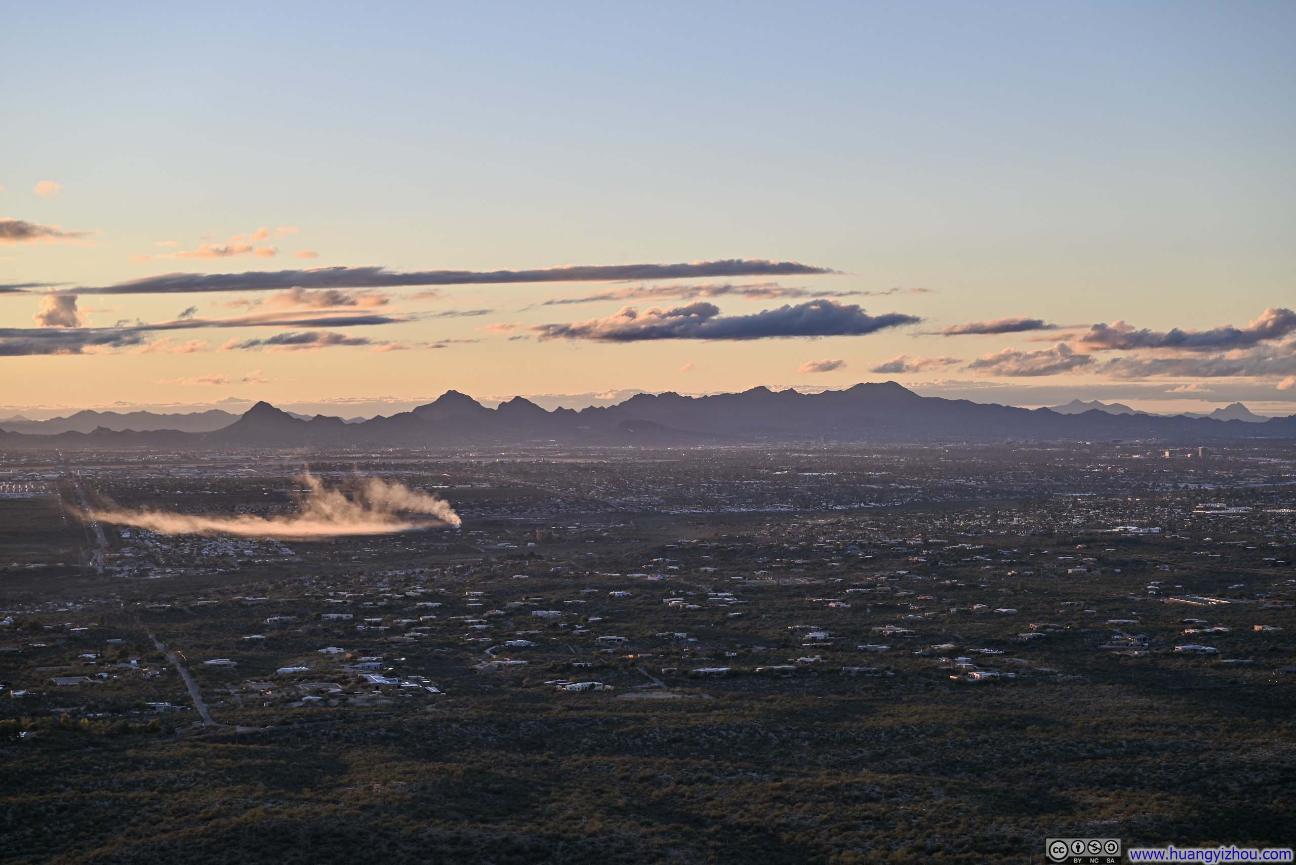
After the cave tour, I made my way to Tucson for lunch. Afterwards, my original plan had been to drive up to Mt. Lemmon. The route offered several interesting overlooks along the way, and the fire lookout station at its top would have made an excellent destination for a short hike. Unfortunately, a storm hit the area a few days before my trip, blanketing the summit with snow and ice. I wasn’t aware of these conditions until I checked web cams during my lunch, and since I hadn’t brought any snow gear for this trip, attempting the snowy trek to the fire lookout seemed imprudent. This prompted an impromptu search for alternative afternoon activities. Fortunately, it didn’t take long before my attention settled on Tanque Verde Ridge of Saguaro National Park.
Hike of Tanque Verde Ridge
Tanque Verde Ridge extended all the way east to Mica Mountain. For this afternoon, I decided to hike along it only to Tanque Verde Dome. On paper, this was an 8.9km out-and-back trail with 464m of elevation gain (5.5mi, 1520ft), a perfect choice since I had fewer than 3 hours of daylight left to explore it.
Here’s GPS tracking:
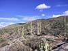
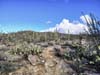
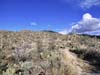
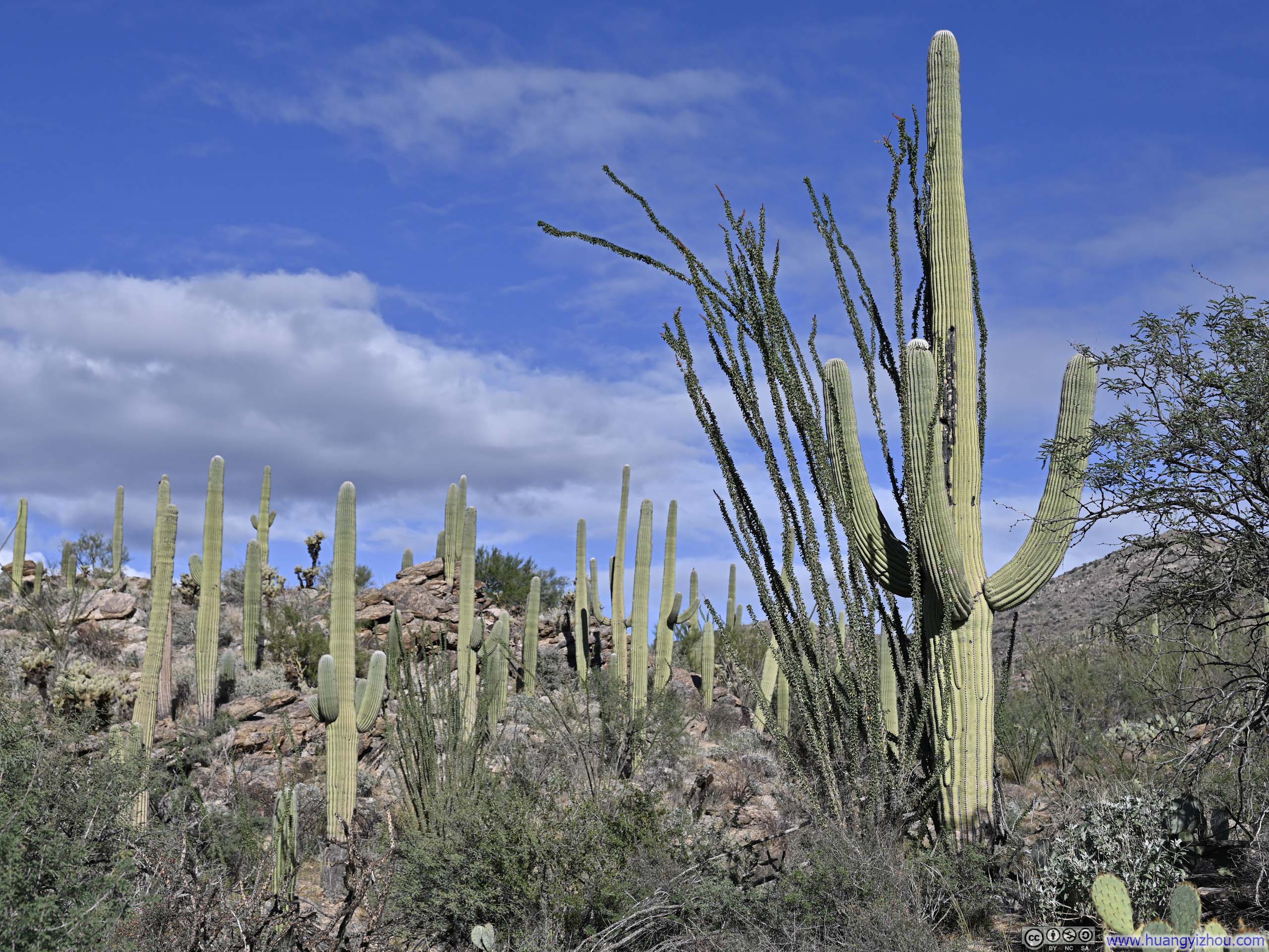
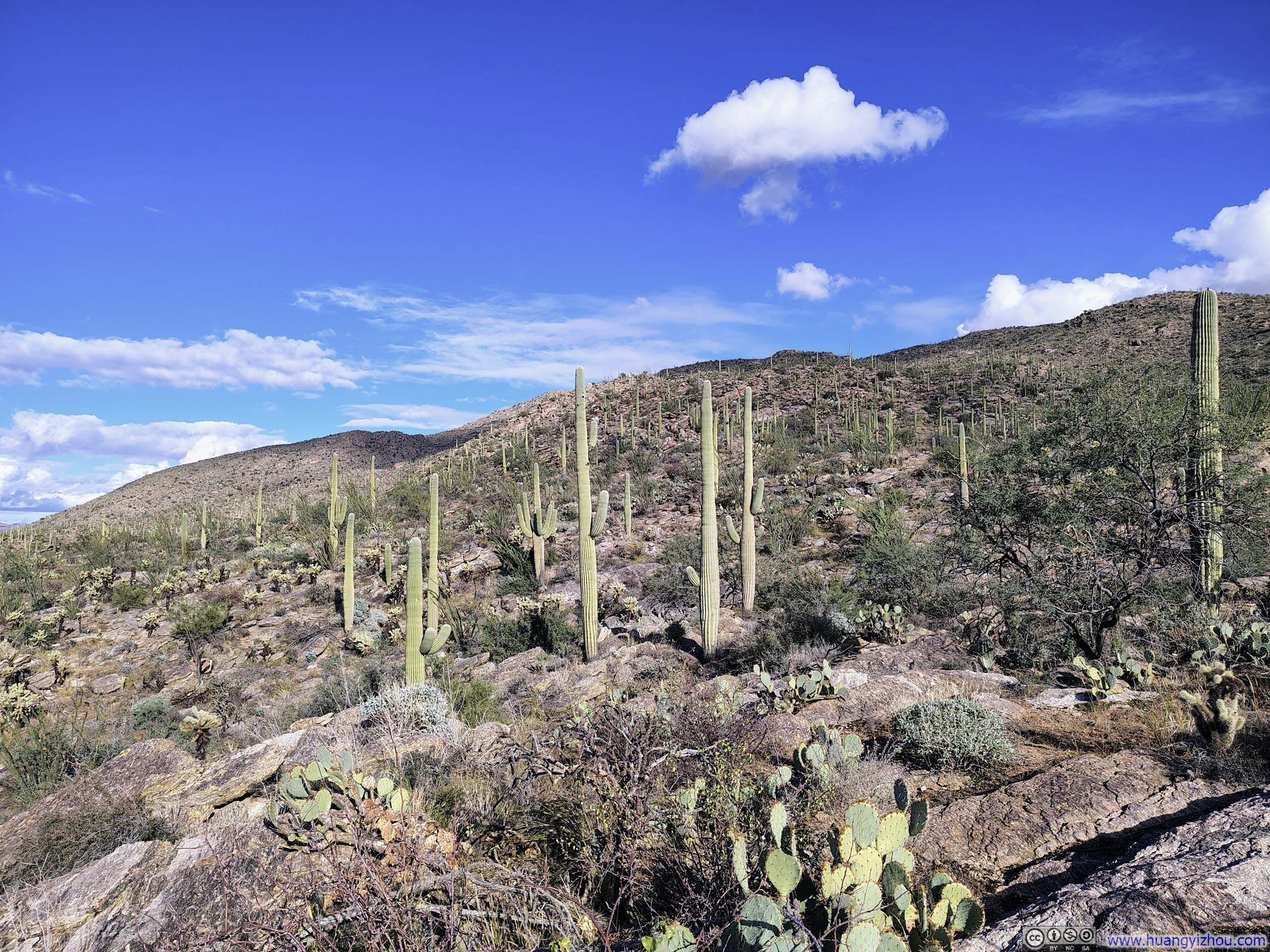
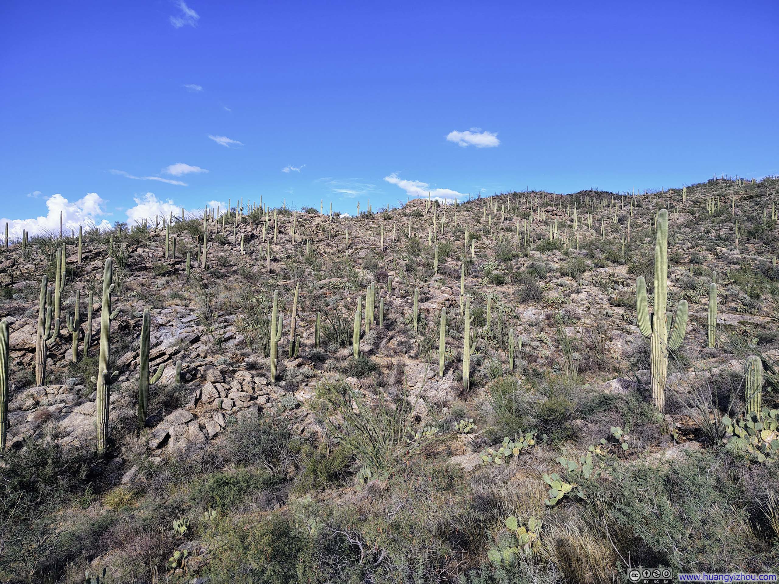
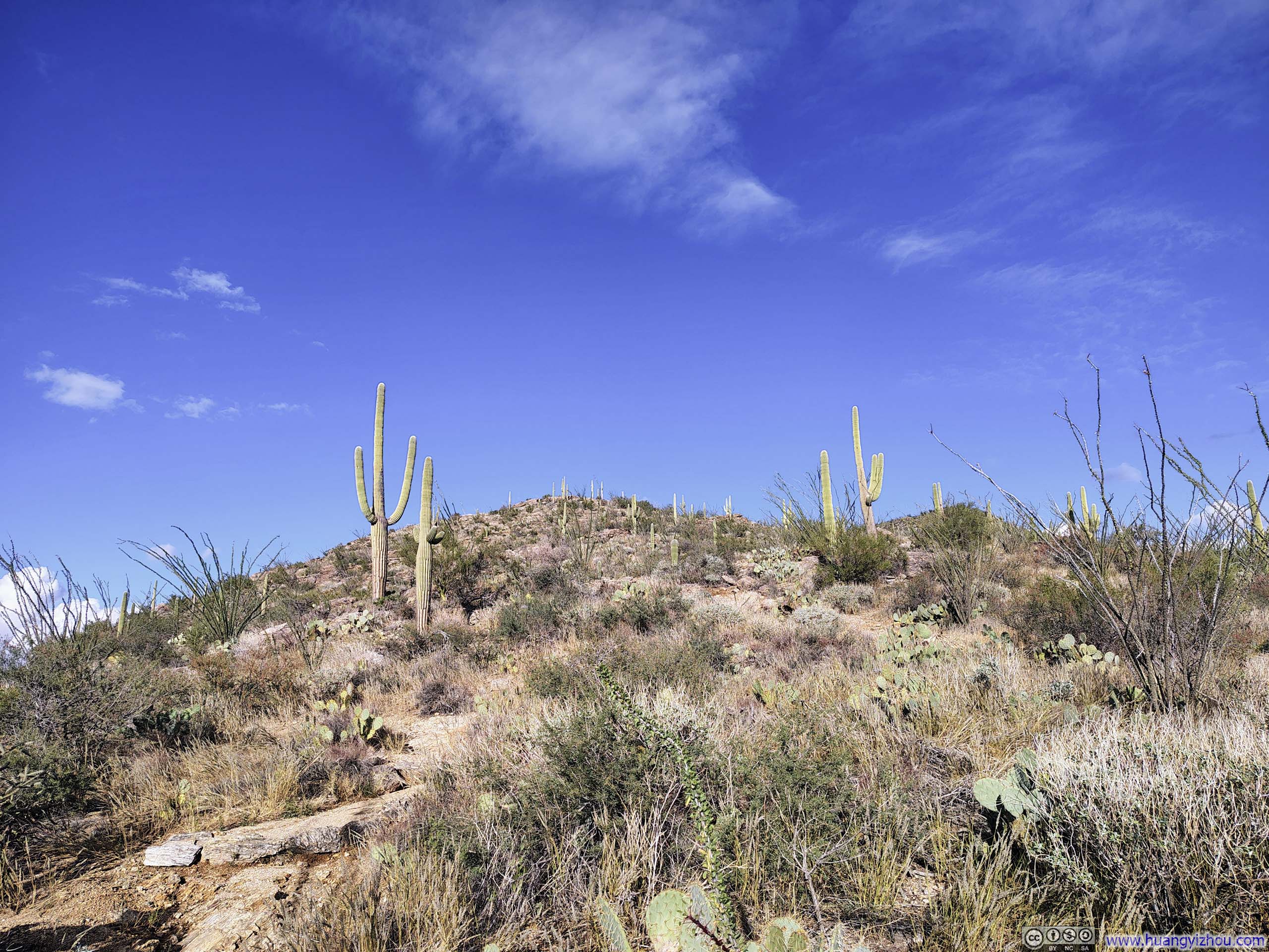
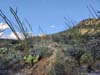
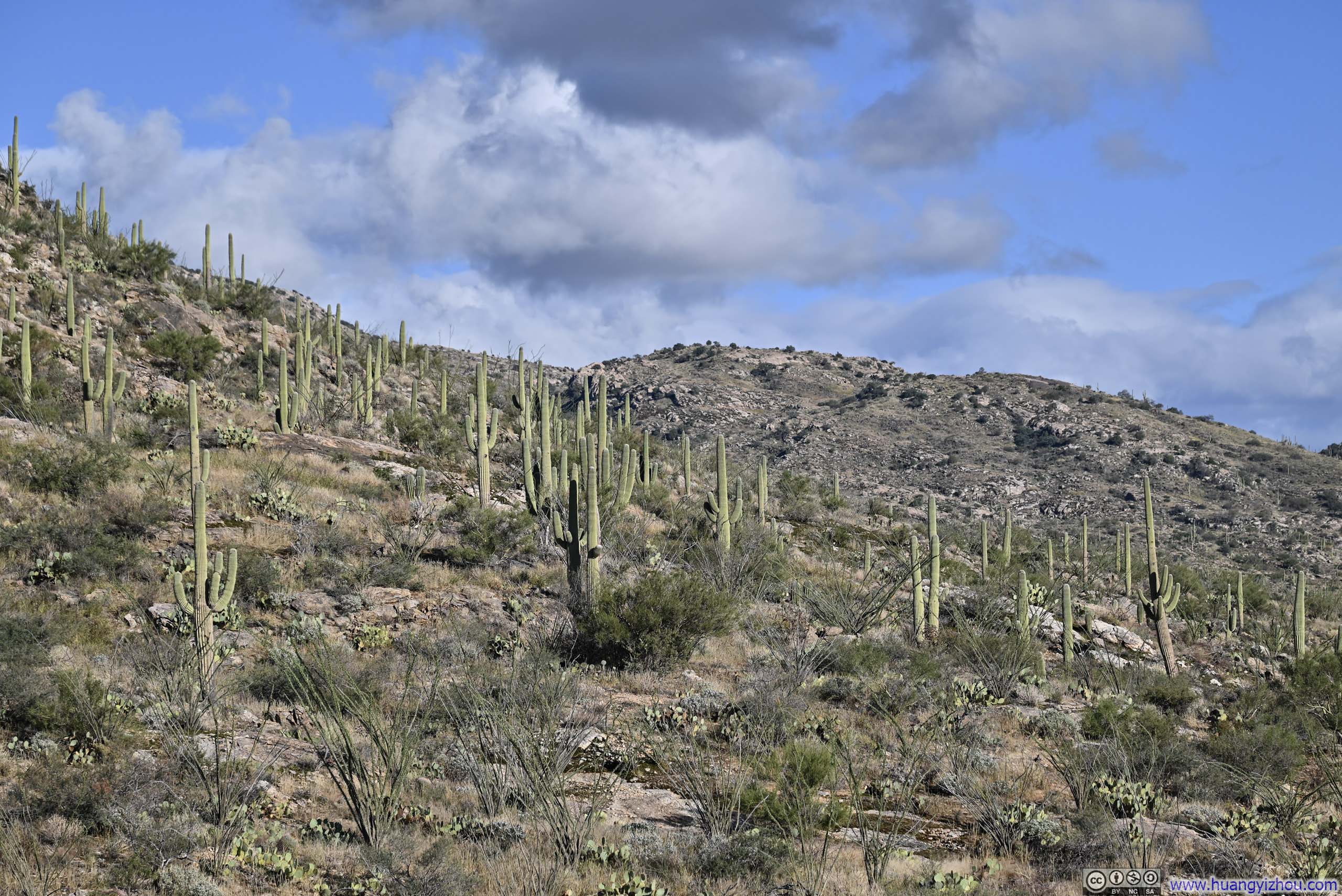
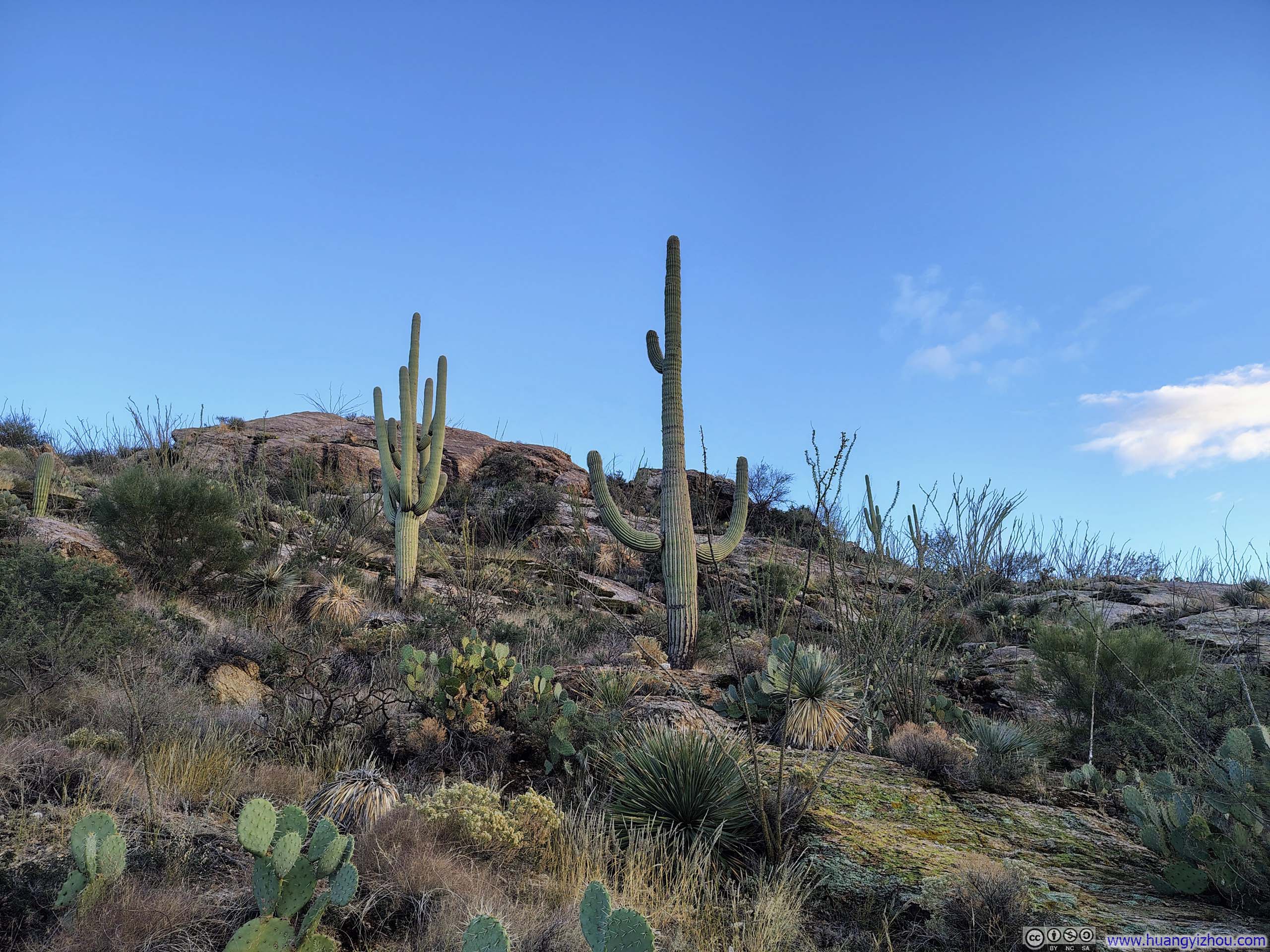
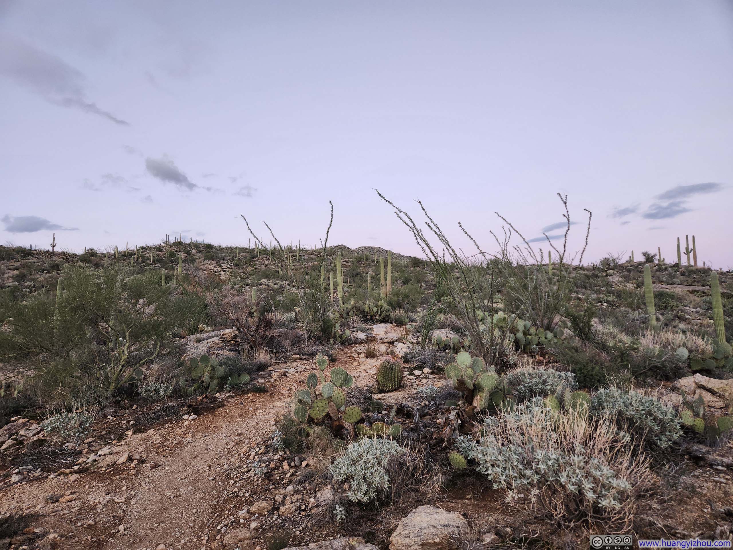
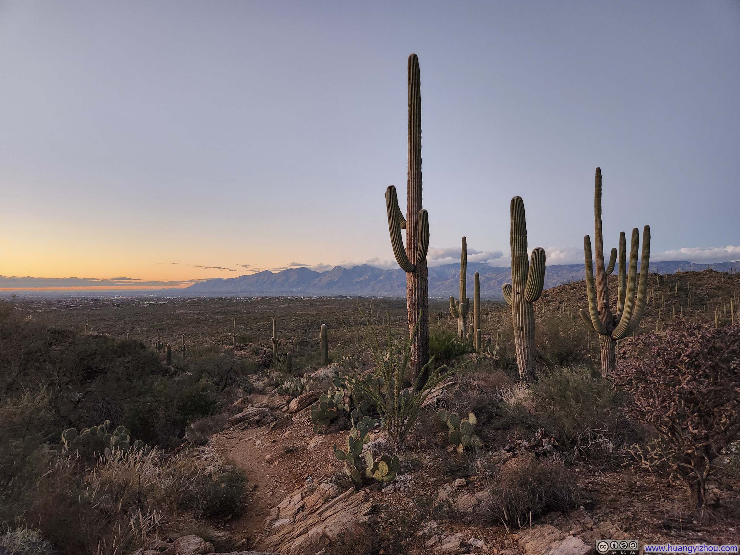
Since this was in Saguaro National Park, true to its name, the trail started out winding through fields of towering saguaros.
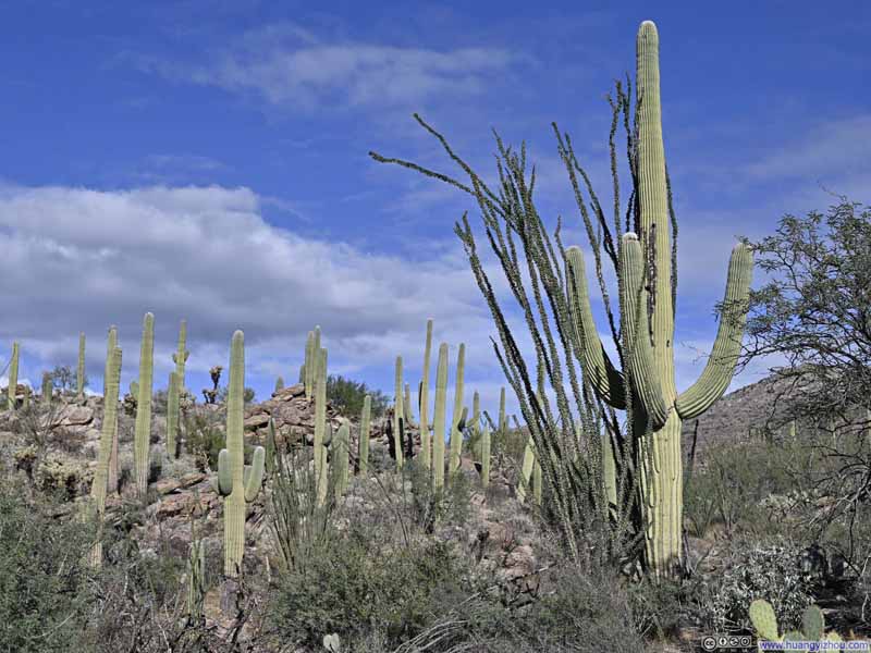 Saguaros
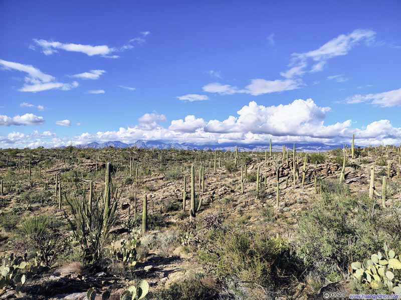 Field of Saguaros
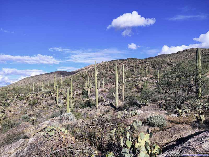 Field of Saguaros
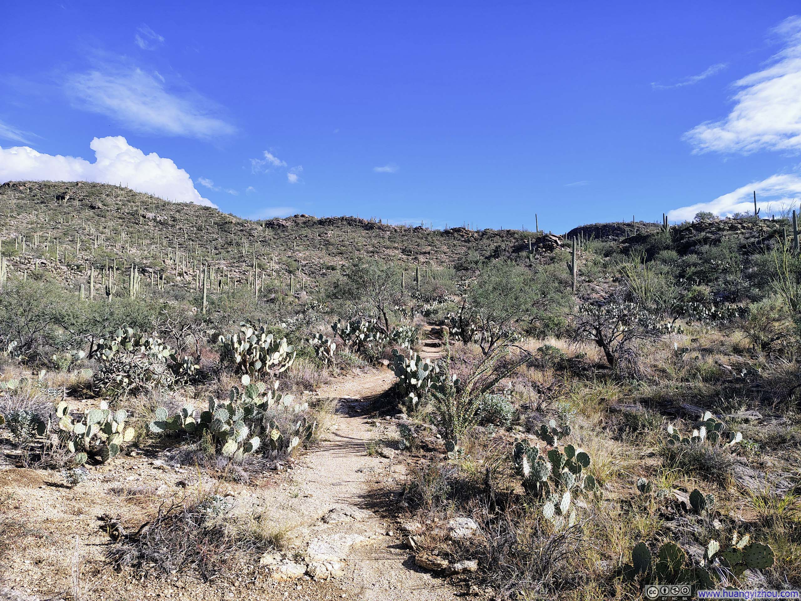
 Trail
Trail Field of Saguaros
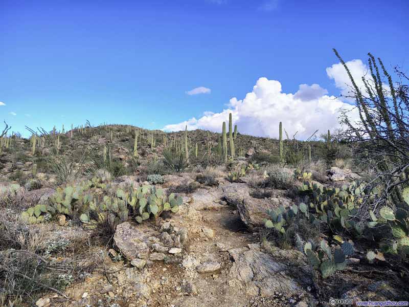 Trail
Trail Field of Saguaros
 Trail
Trail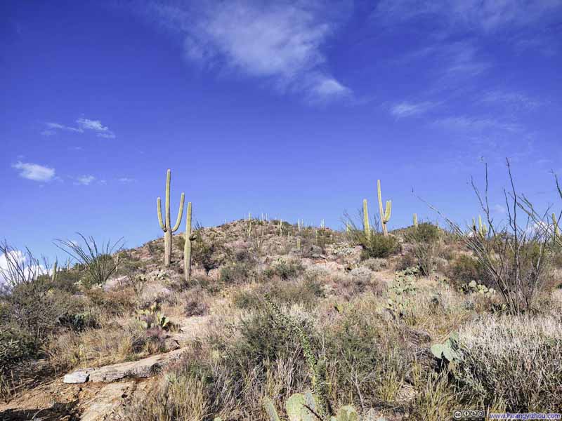 Saguaros along Trail


Click here to display photos of the slideshow
Saguaros

Field of Saguaros
Field of Saguaros
Trail
Field of Saguaros

Trail
Field of Saguaros

Trail
Saguaros along Trail
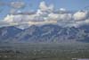
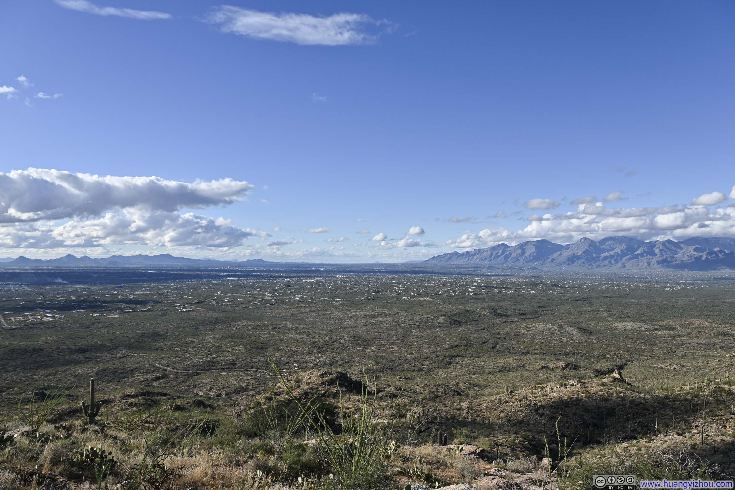
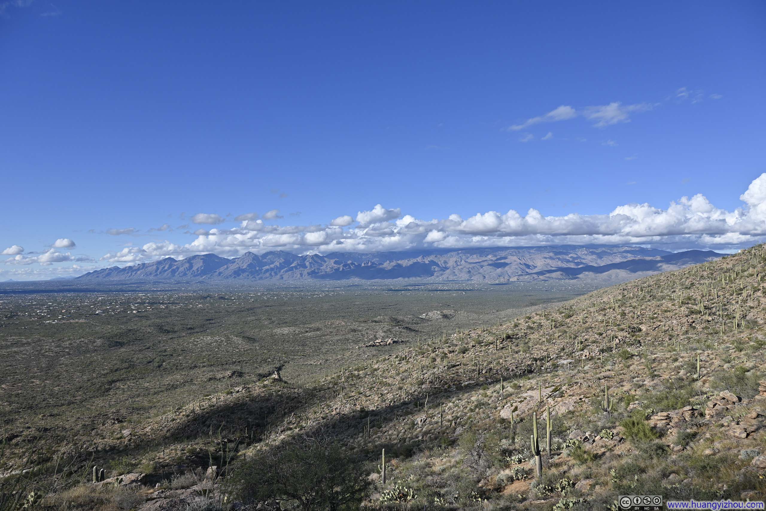
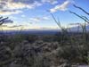
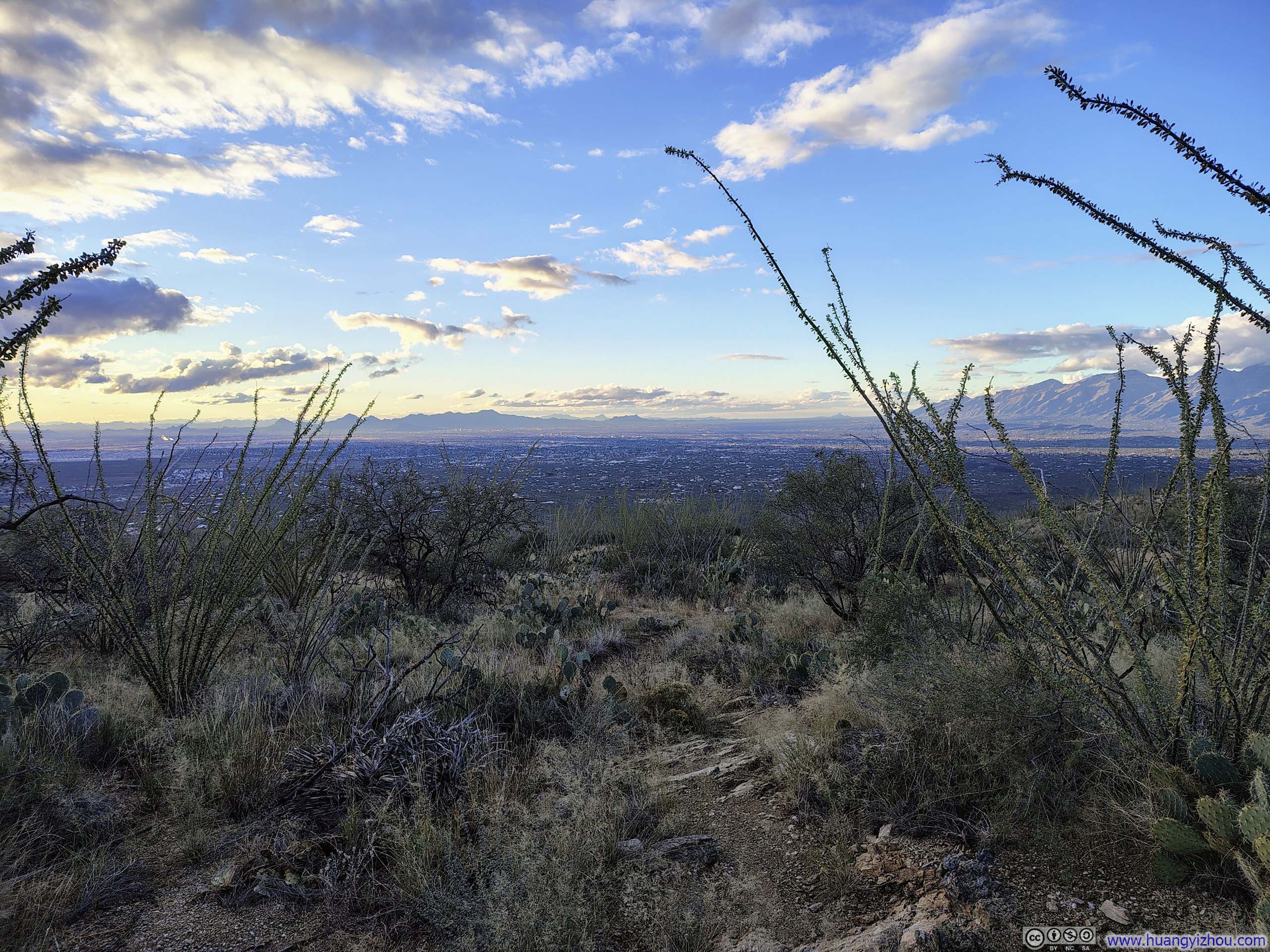
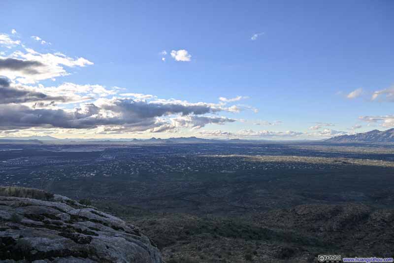
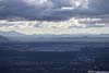
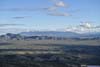
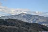
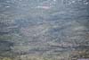
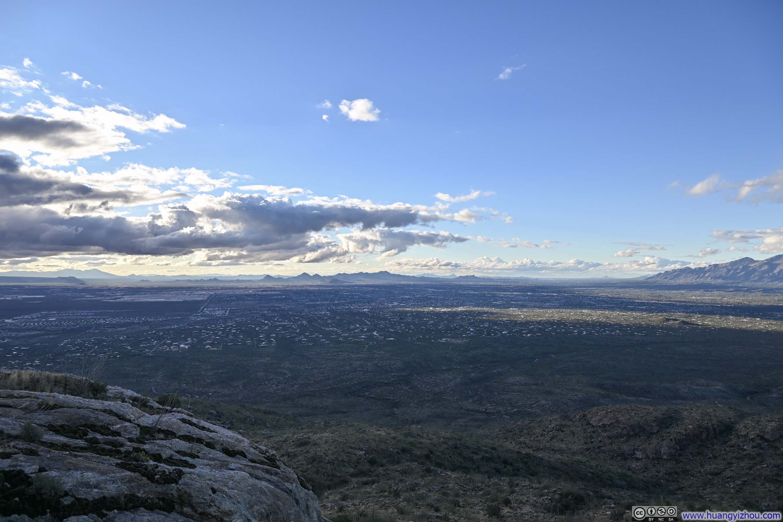
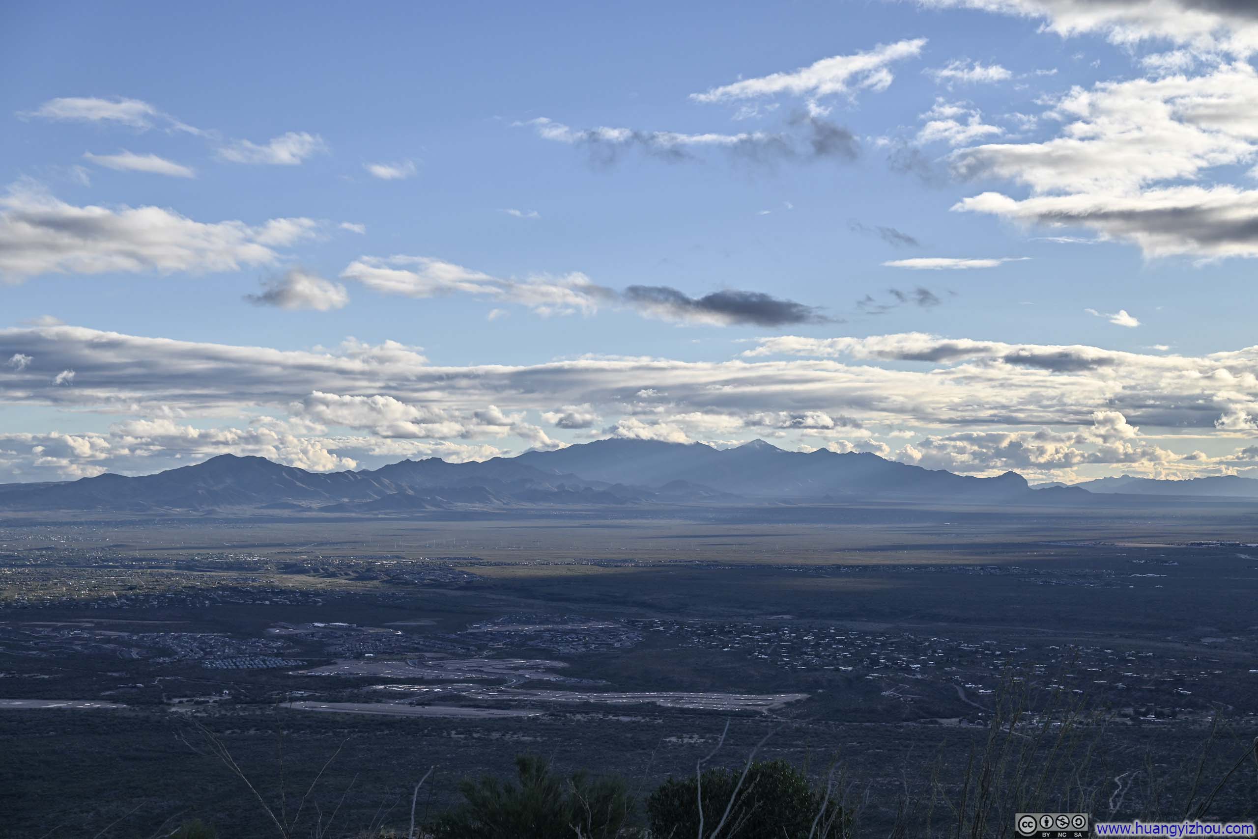
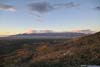
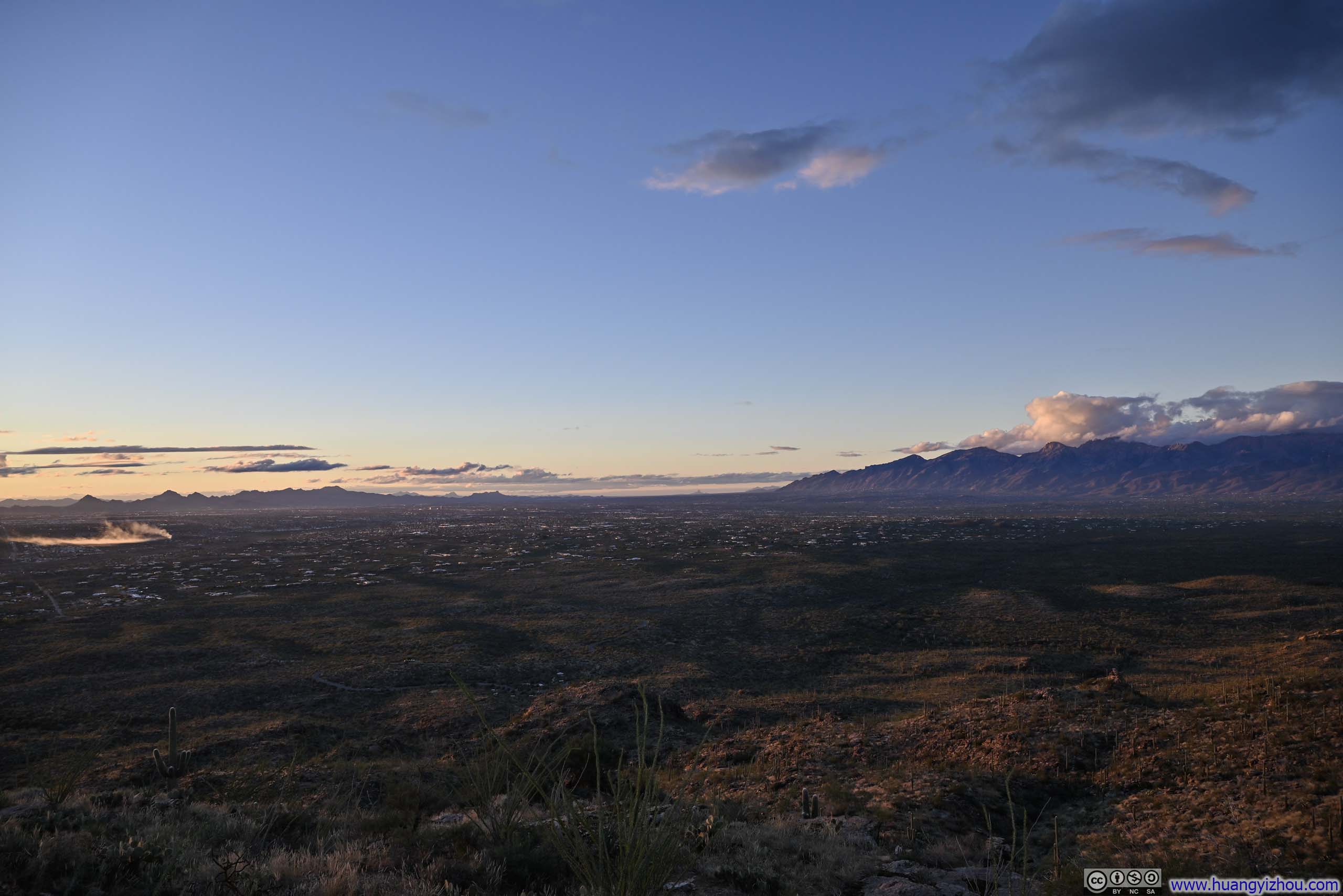
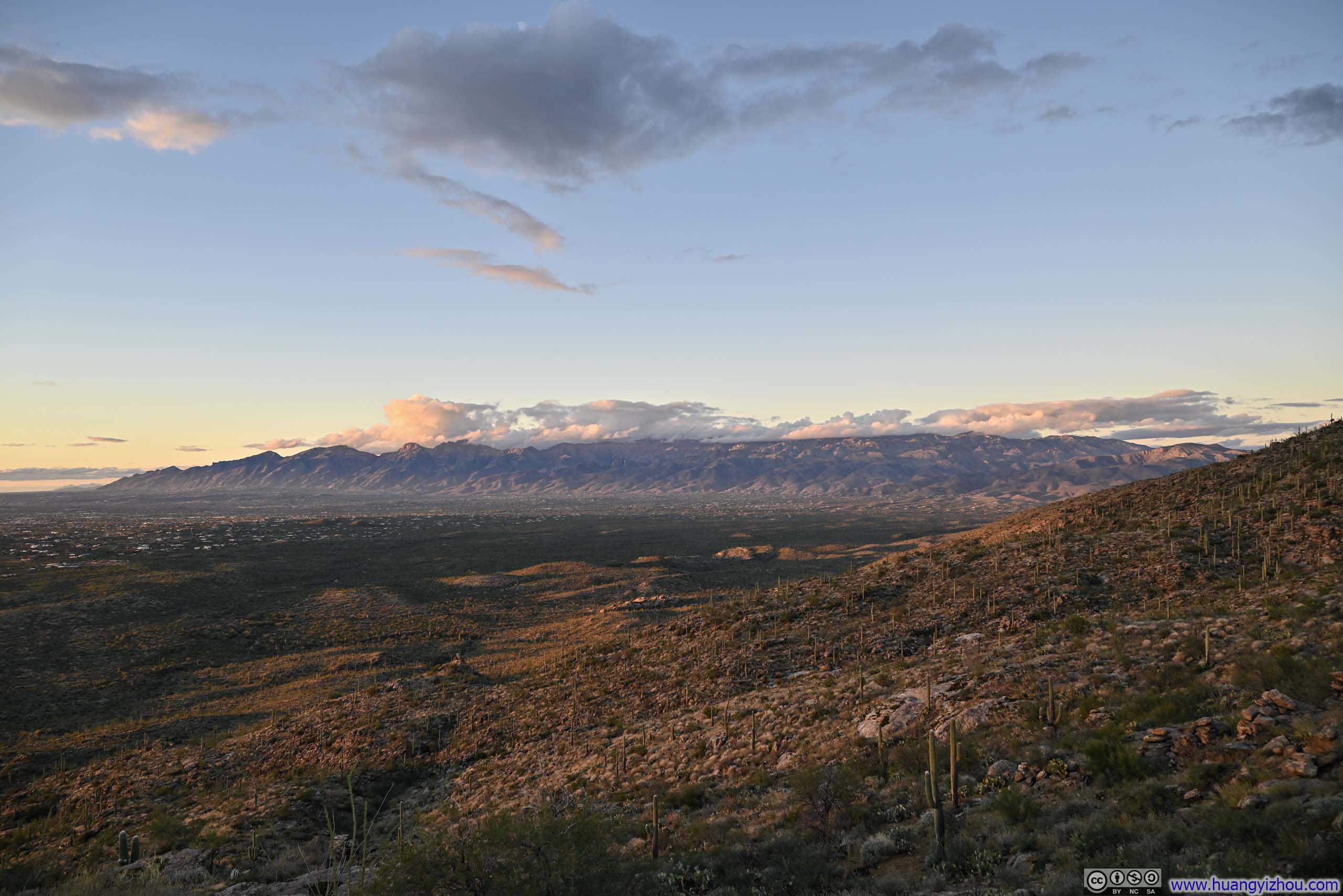
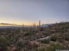
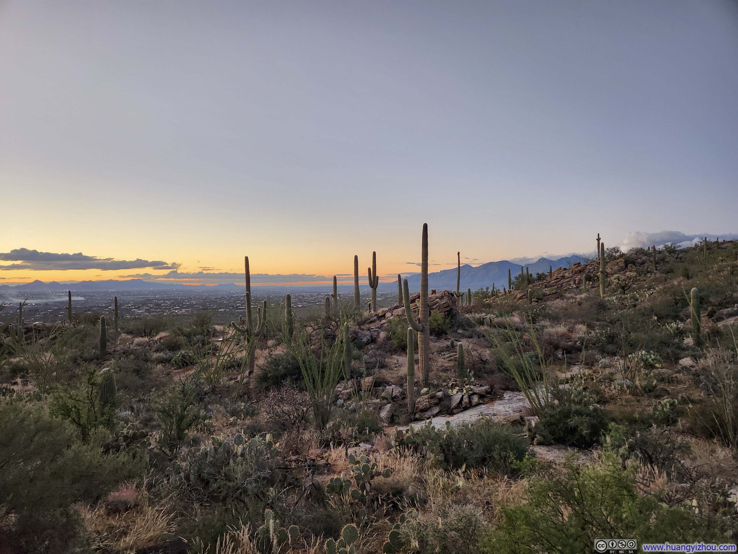
While vegetation remained sparse throughout the trail, offering uninterrupted views at nearly every turn, there was a spot roughly midway where the vistas opened up in a particularly unobstructed manner. I paused there for a moment to soak in the views: the sprawling Tucson metropolis below and, to the northeast, the cloud-draped Santa Catalina Mountains, which I would explore the next day.
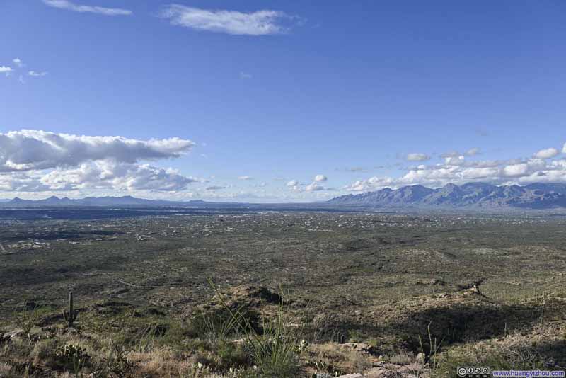 Santa Cruz Basin
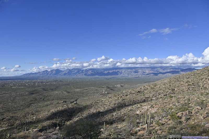 Santa Catalina Mountains
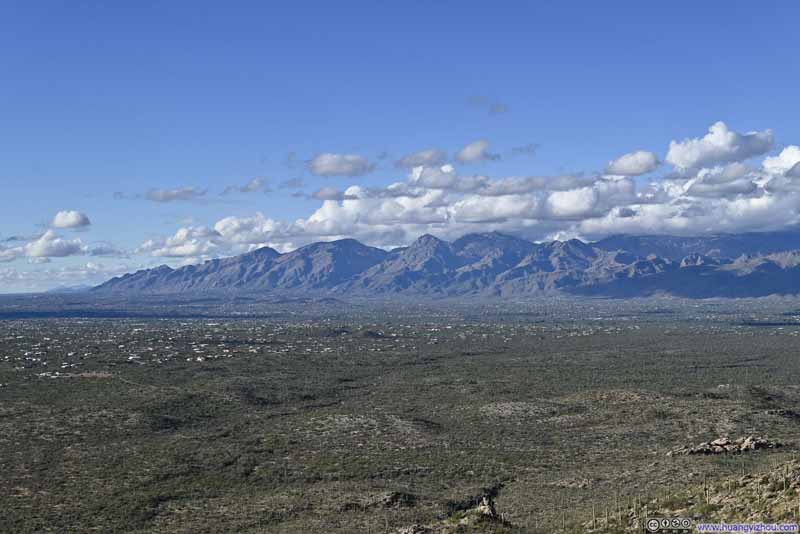 Santa Catalina Mountains
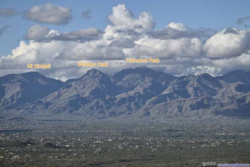 Santa Catalina Mountains
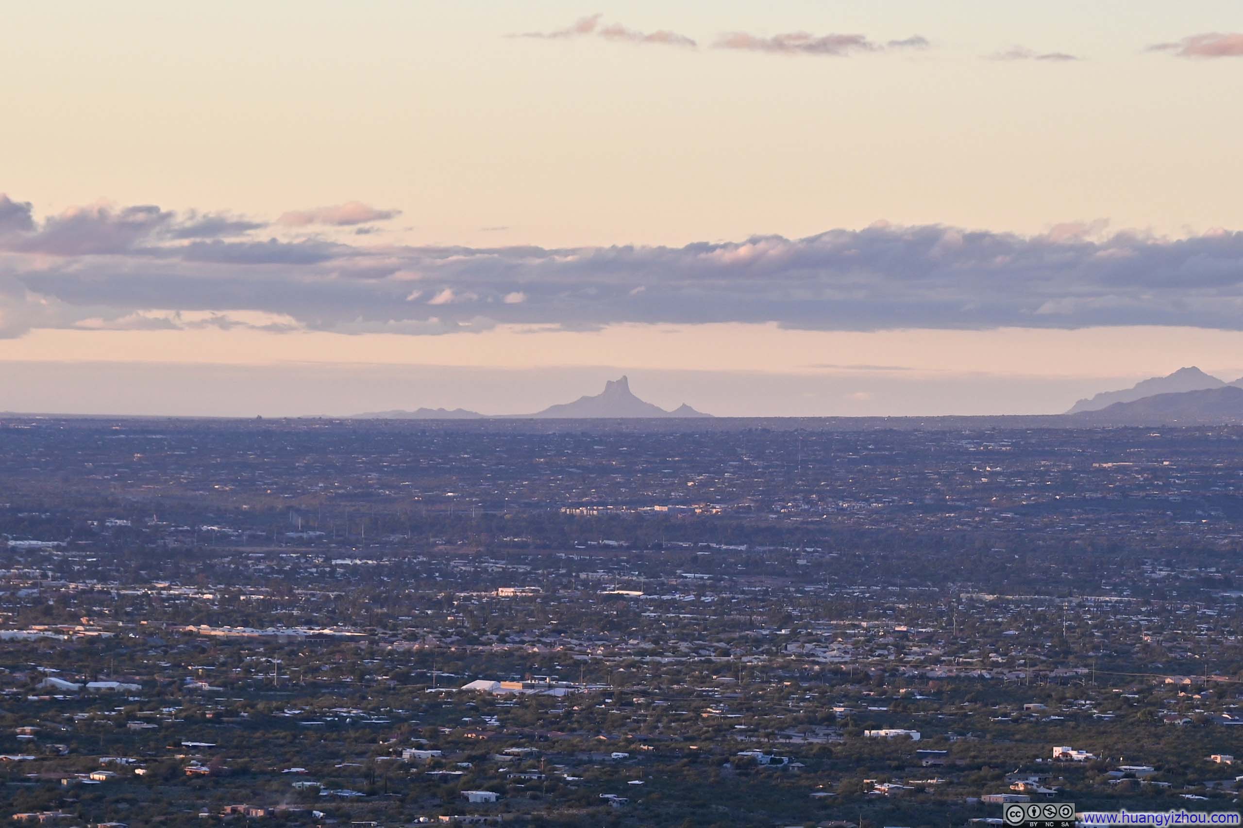
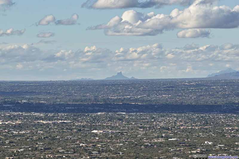 Distant Picacho Peak
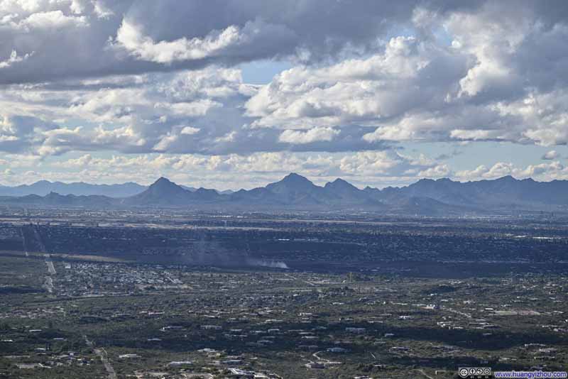 Tucson Mountains to the West
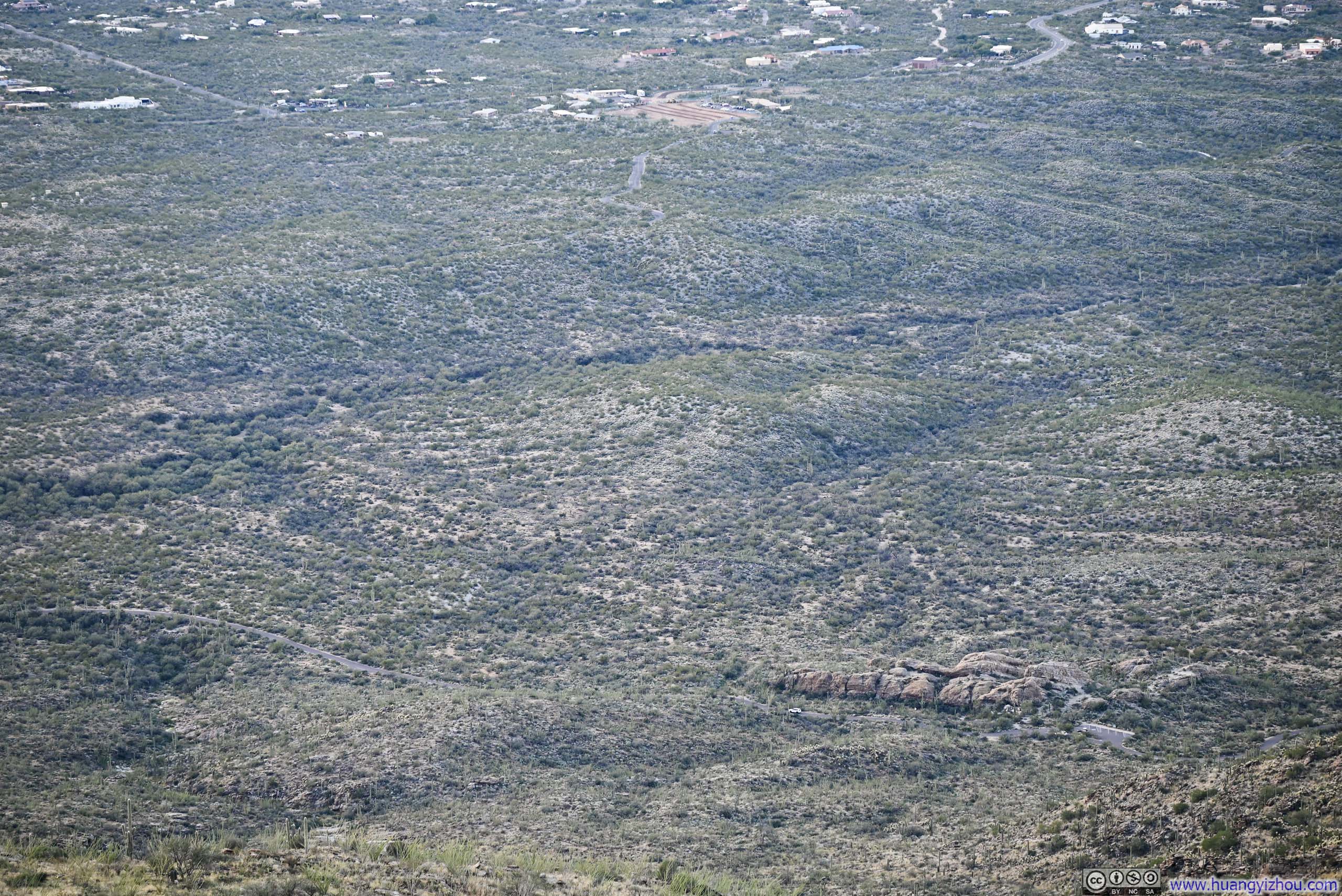
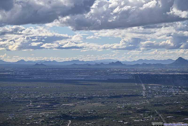 Mountains to the WestAircraft Graveyard visible in the foreground.
Click here to display photos of the slideshow
Santa Cruz Basin
Santa Catalina Mountains
Santa Catalina Mountains

Santa Catalina Mountains

Distant Picacho Peak
Tucson Mountains to the West
Mountains to the WestAircraft Graveyard visible in the foreground.
View of Santa Cruz Basin from Tanque Verde Ridge
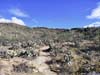
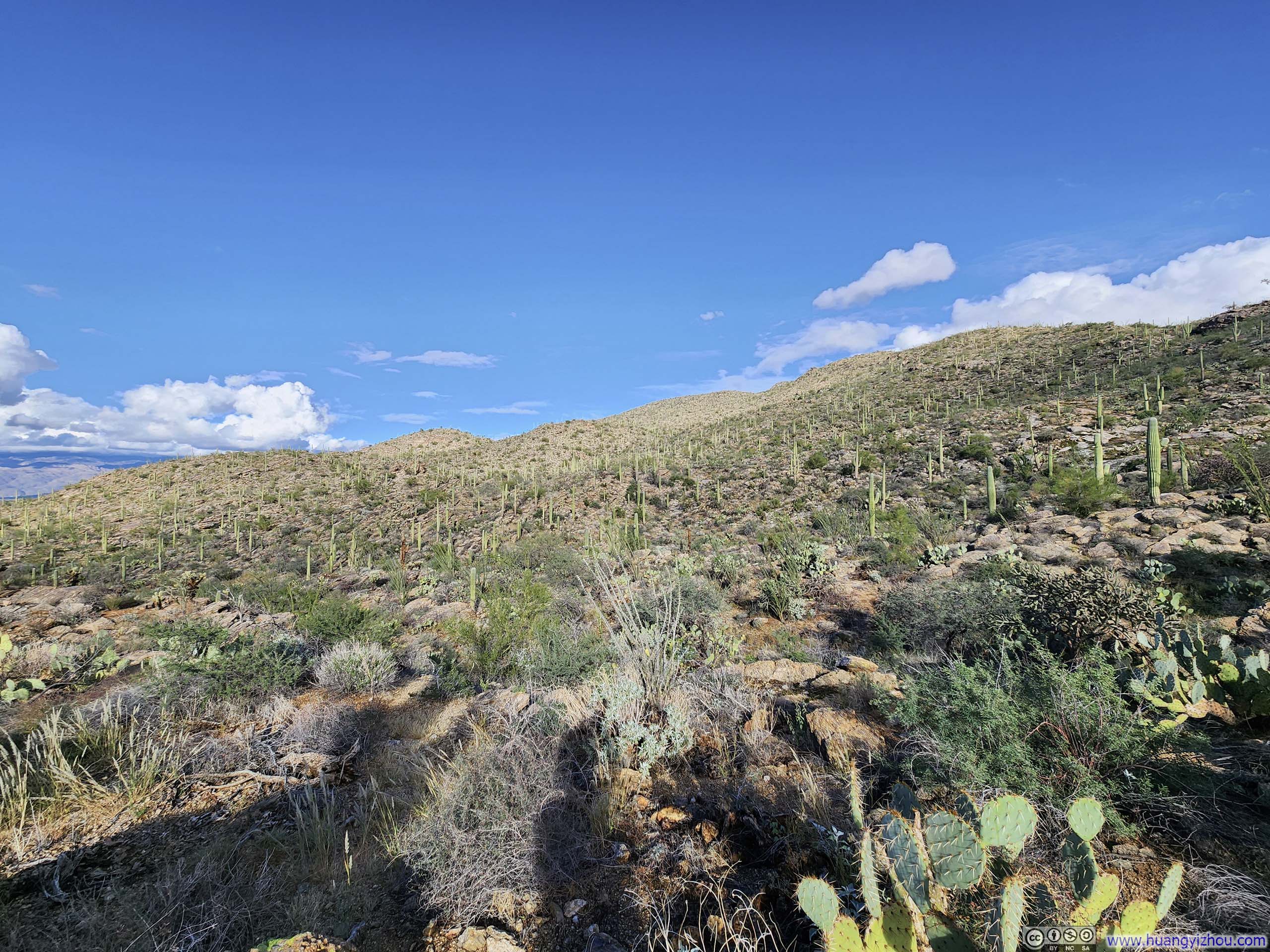
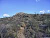
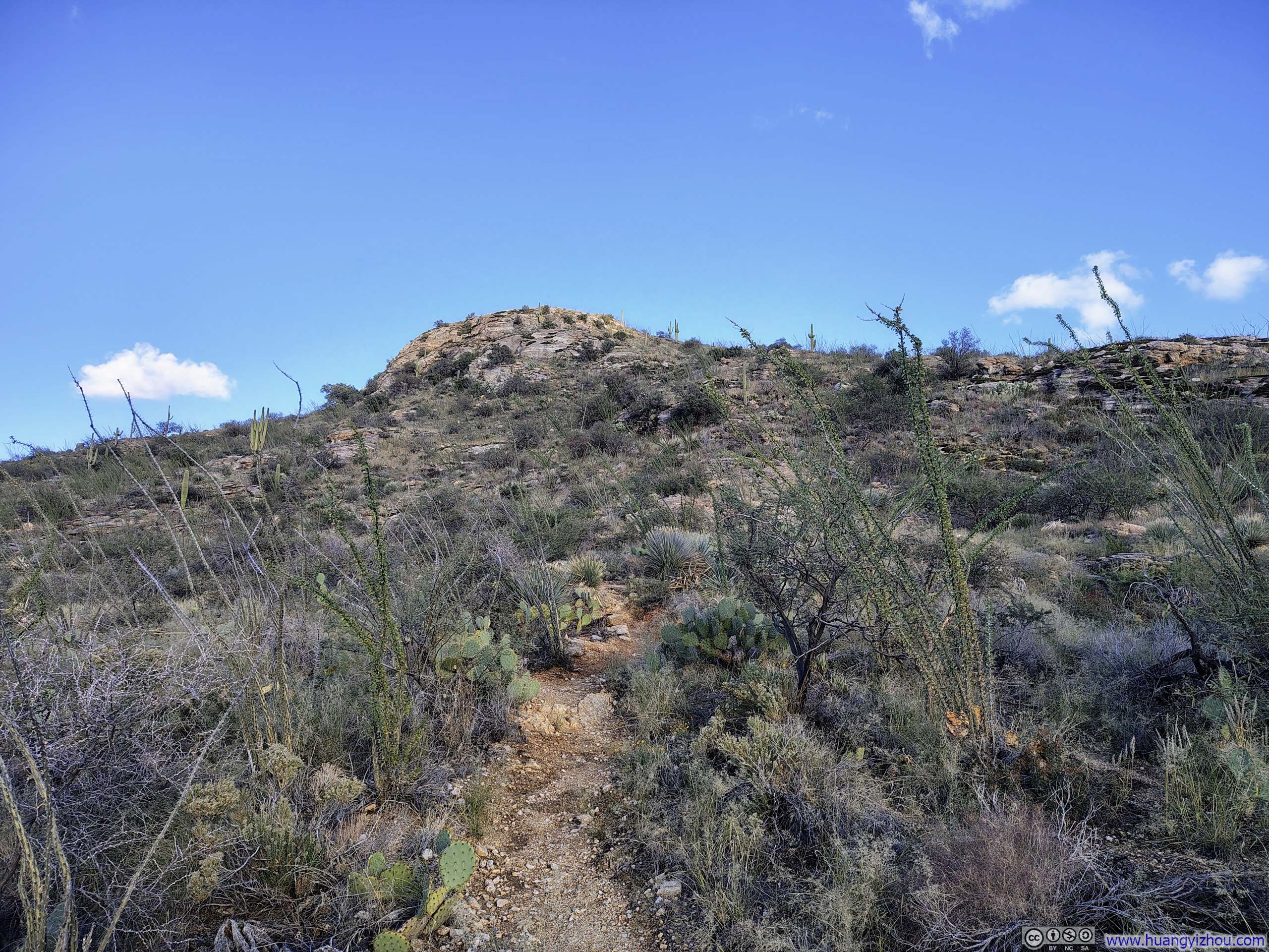
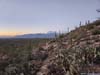
After the halfway overlook, the trail narrowed noticeably, with occasional rocky sections made slippery by the recent rain. Saguaros also became noticeably sparser along the way. In my opinion, the views from Tanque Verde Dome (the end of my hike) weren’t dramatically better than those from the halfway overlook, and might not be worth the additional efforts.
 Field of Saguaros
 Saguaros along Trail
 Trail
Trail Trail
Trail Trail
Trail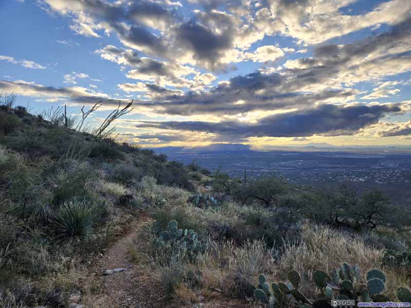 Trail
Trail
Click here to display photos of the slideshow
Field of Saguaros
Saguaros along Trail
Trail

Trail
Trail

Trail
Final Steep Stretch to Tanque Verde Dome
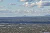
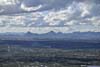
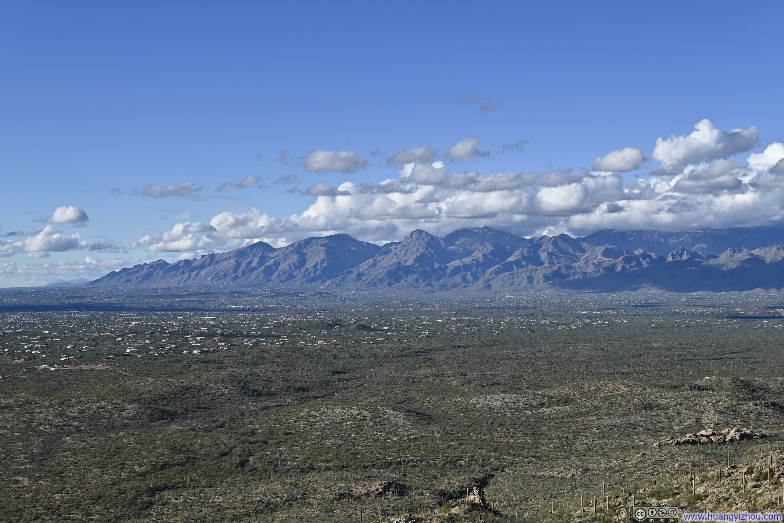
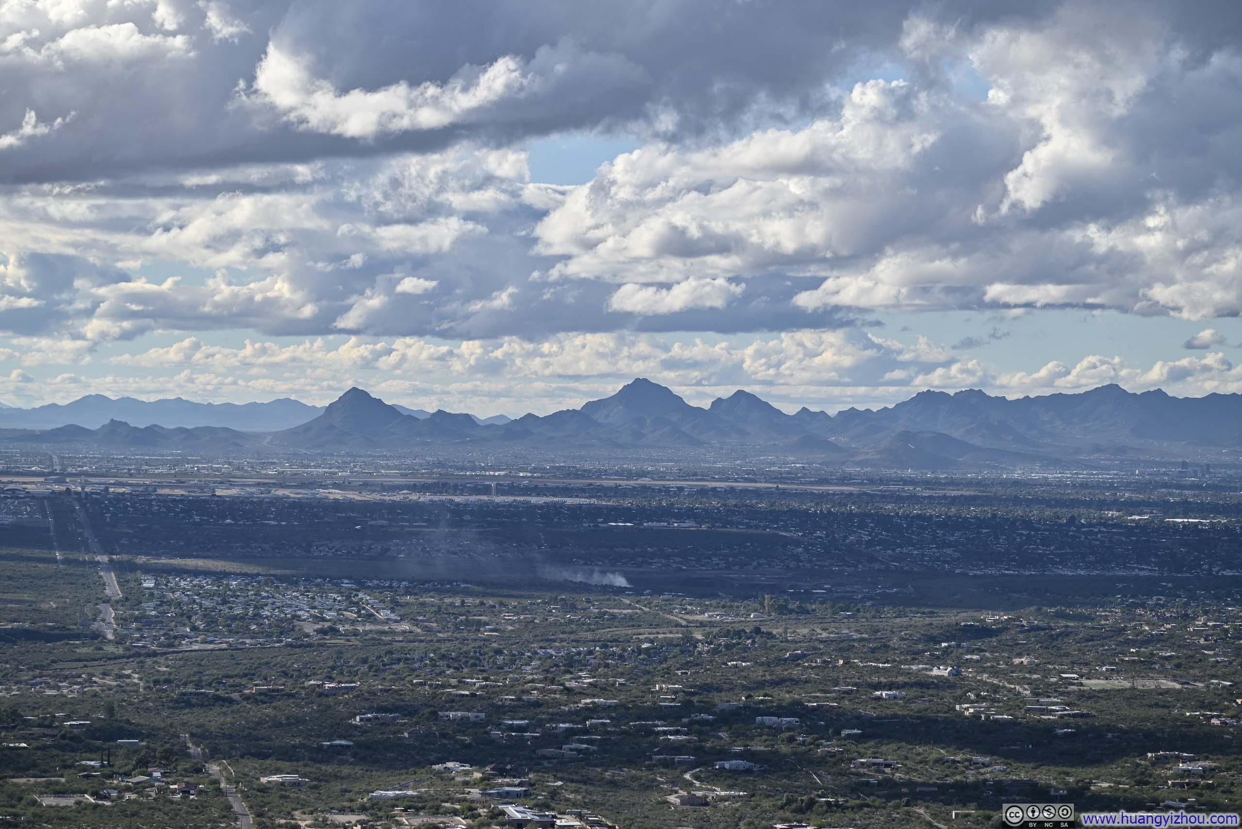
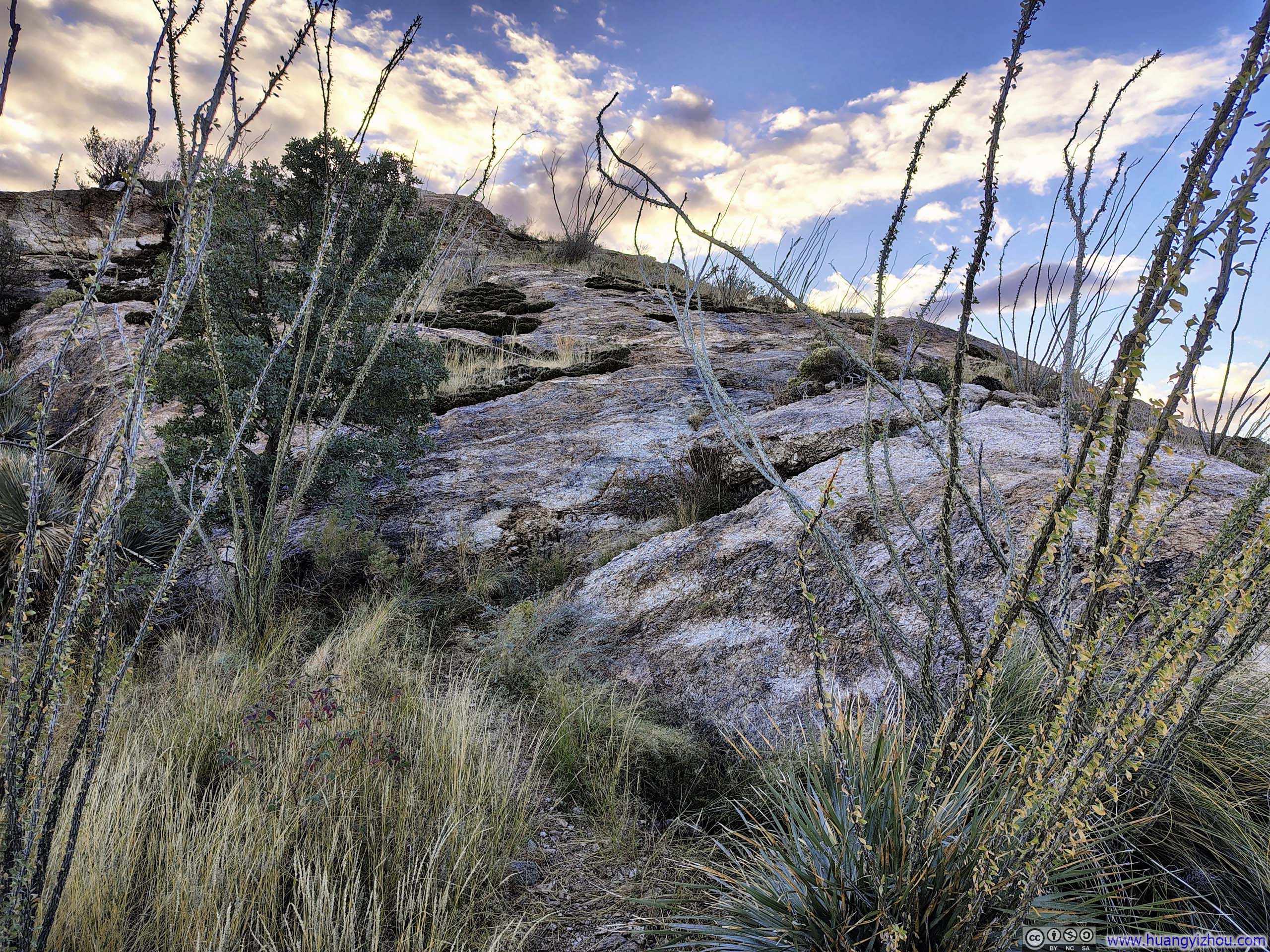
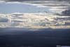
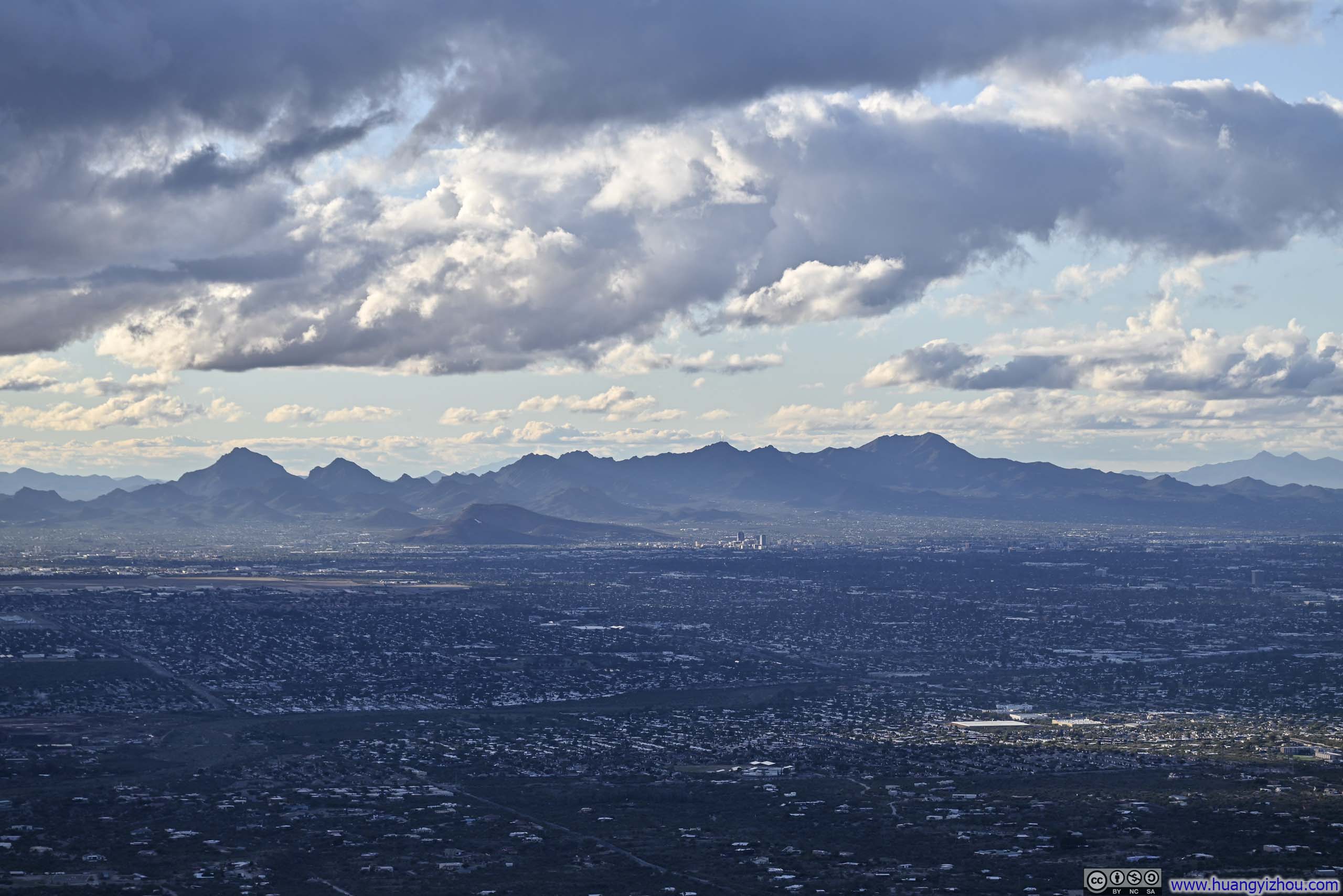
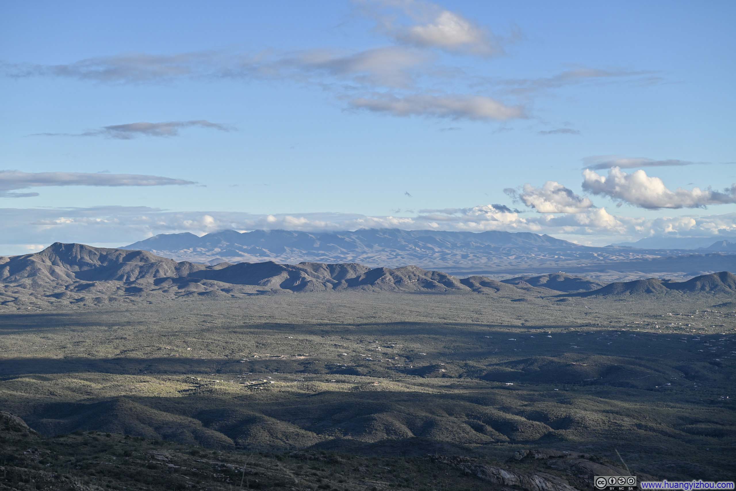
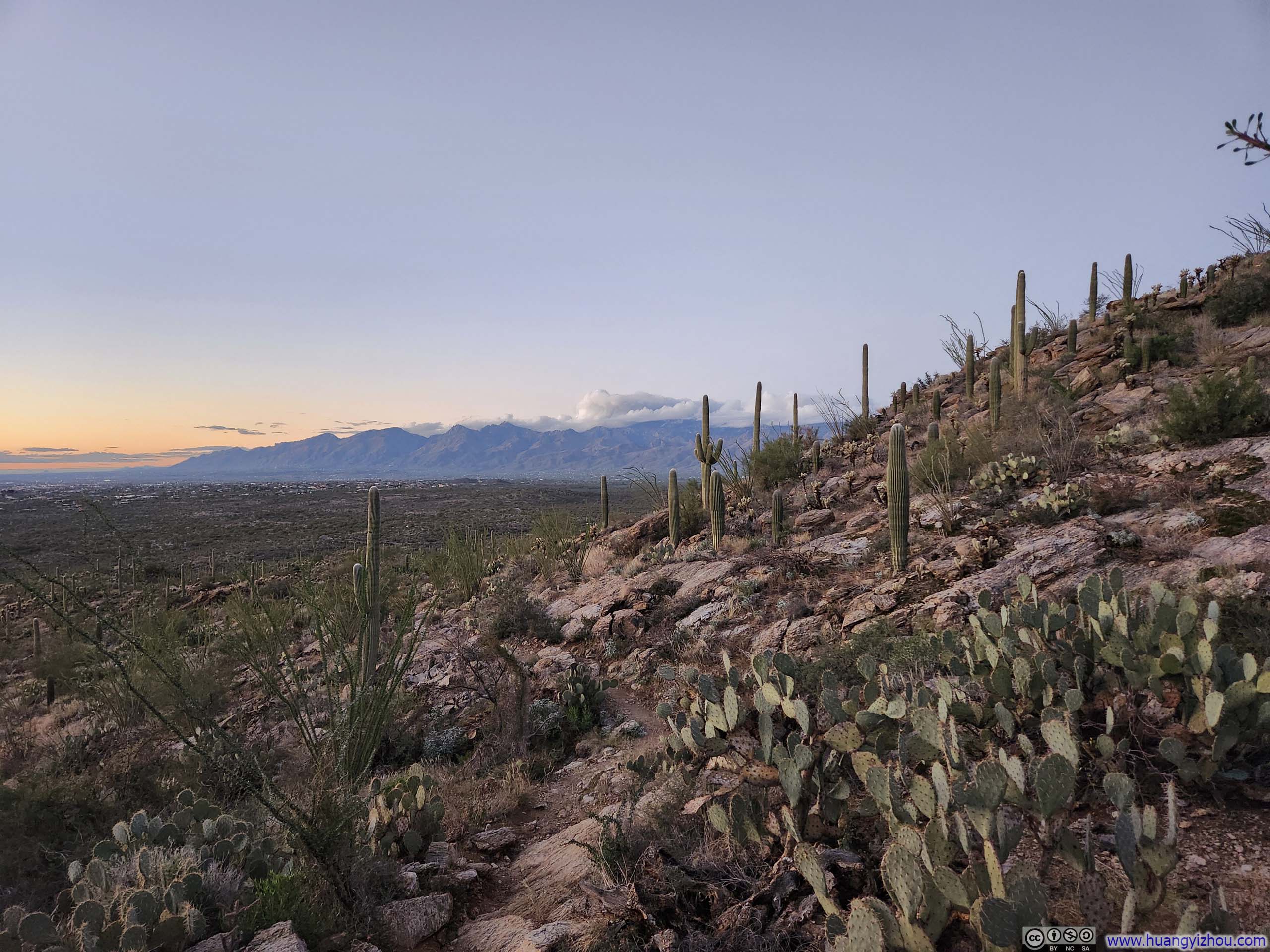
Finally, the top of Tanque Verde Dome offered similarly sweeping views of Santa Cruz Basin and Santa Catalina Mountains from a more elevated perspective, along with glimpses of several additional mountain ranges stretching to the south.
 Santa Cruz Basin
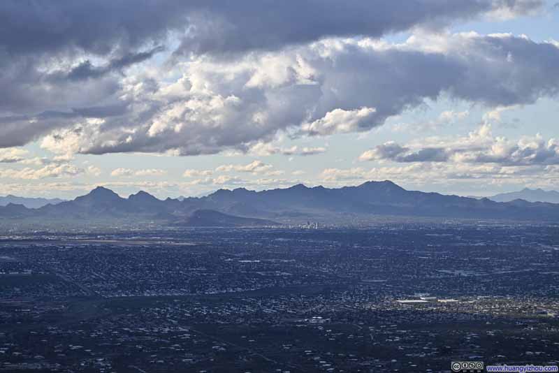 Tucson Mountains to the WestA few tall buildings in downtown Tucson visible.
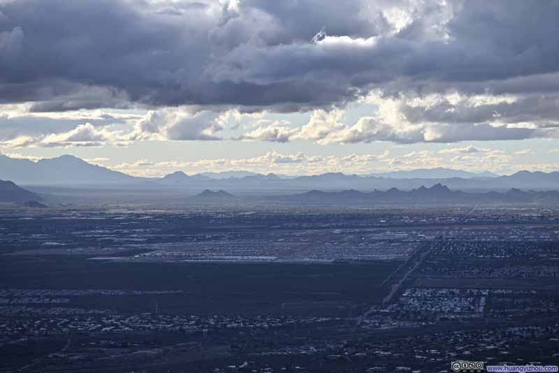 Mountains to the WestAircraft Graveyard visible in the foreground.
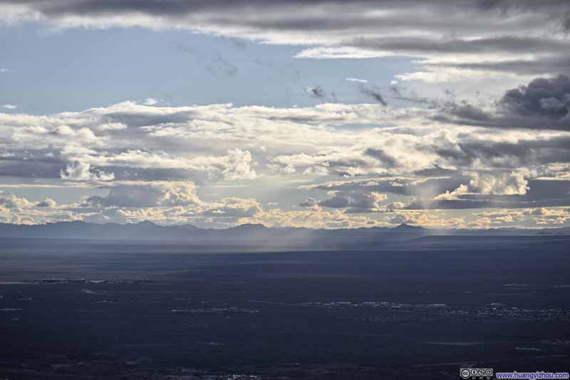 Distant San Luis Mountains
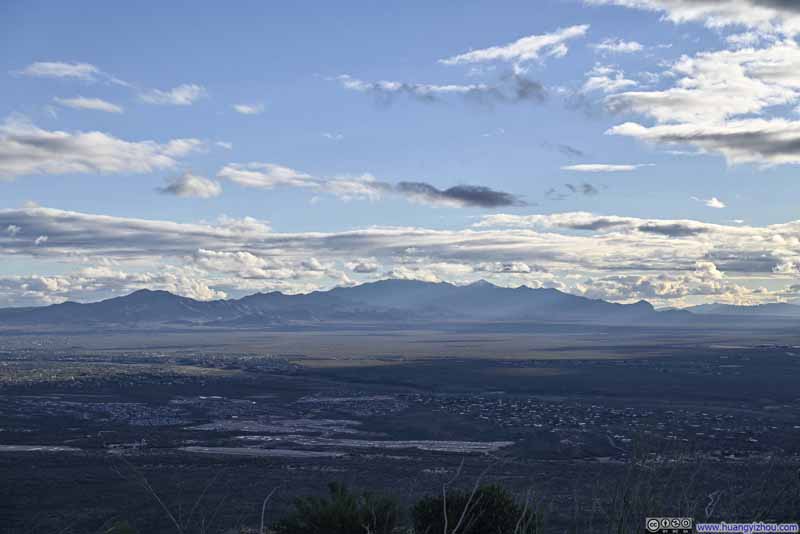 Mount Wrightson to the South
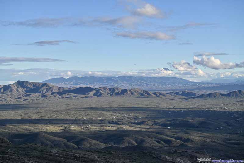 Whetstone Mountains
 Rinco Peak
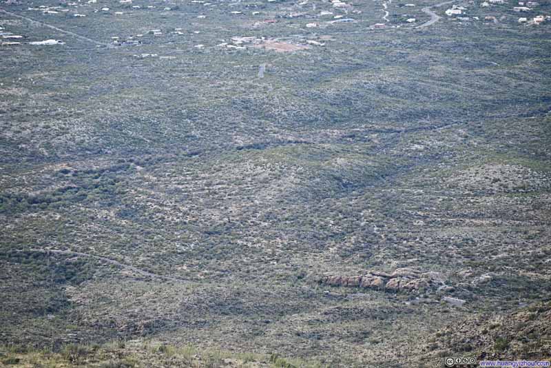 Javelina Rocks along Cactus Forest Dr

Click here to display photos of the slideshow
Santa Cruz Basin
Tucson Mountains to the WestA few tall buildings in downtown Tucson visible.

Mountains to the WestAircraft Graveyard visible in the foreground.

Distant San Luis Mountains
Mount Wrightson to the South
Whetstone Mountains

Rinco Peak
Javelina Rocks along Cactus Forest Dr
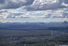
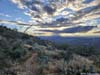
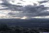
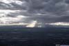
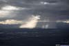
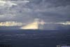
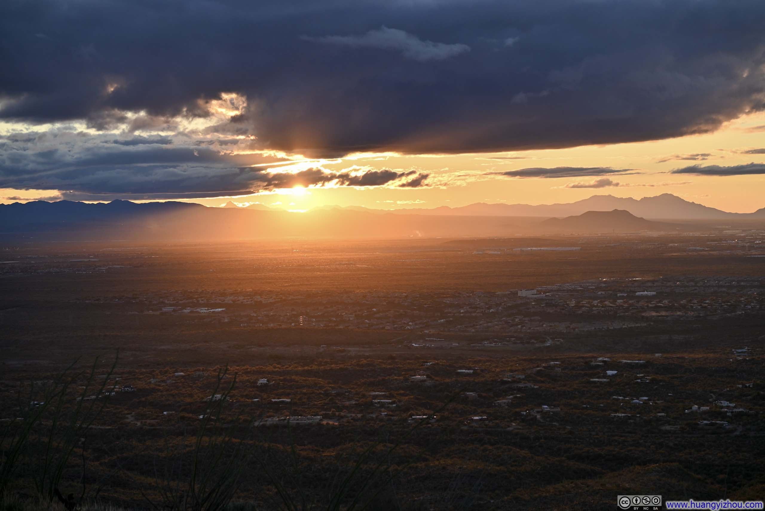
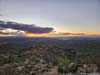
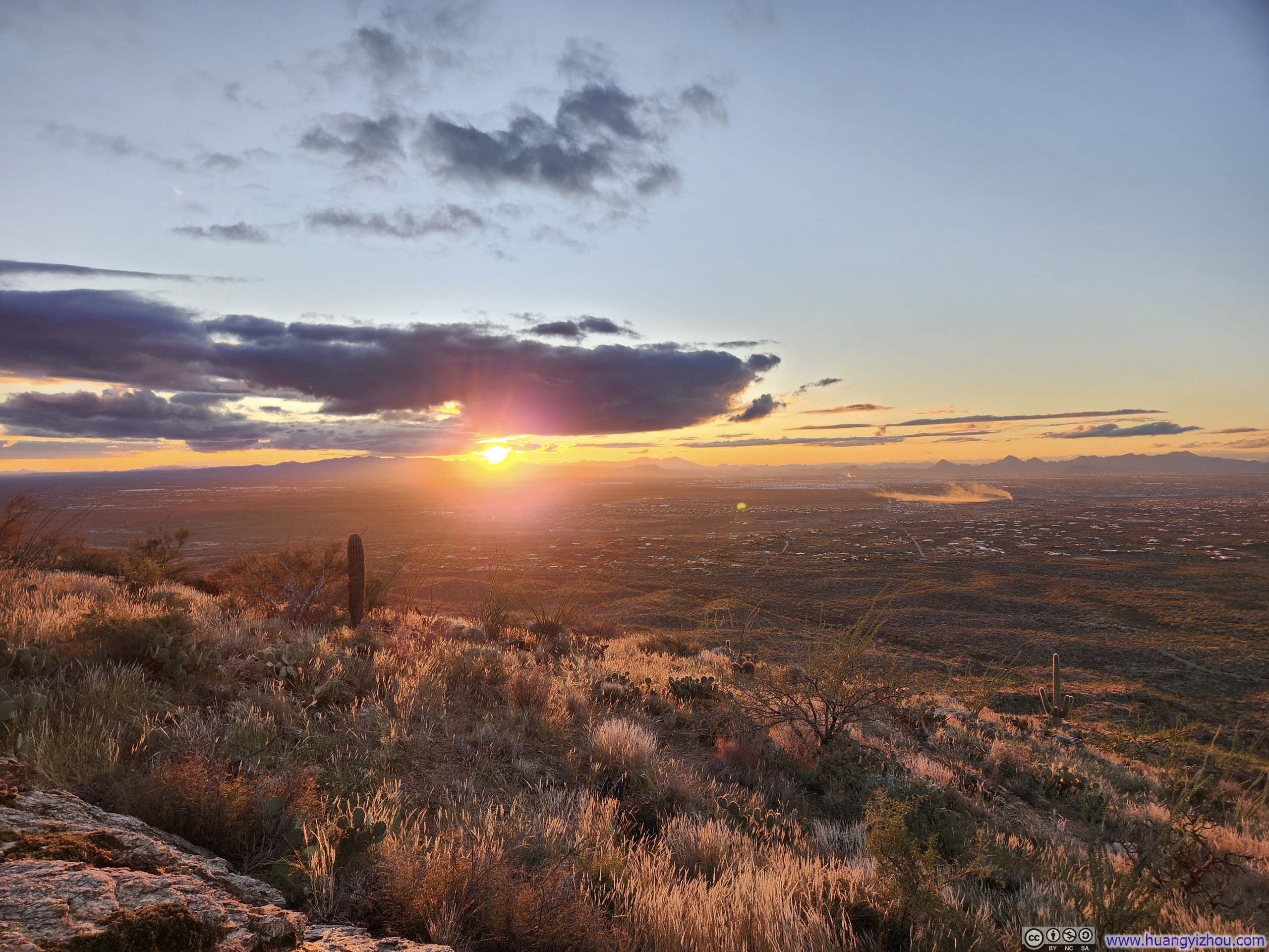
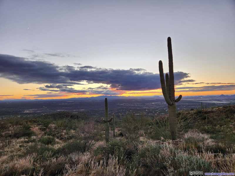
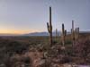
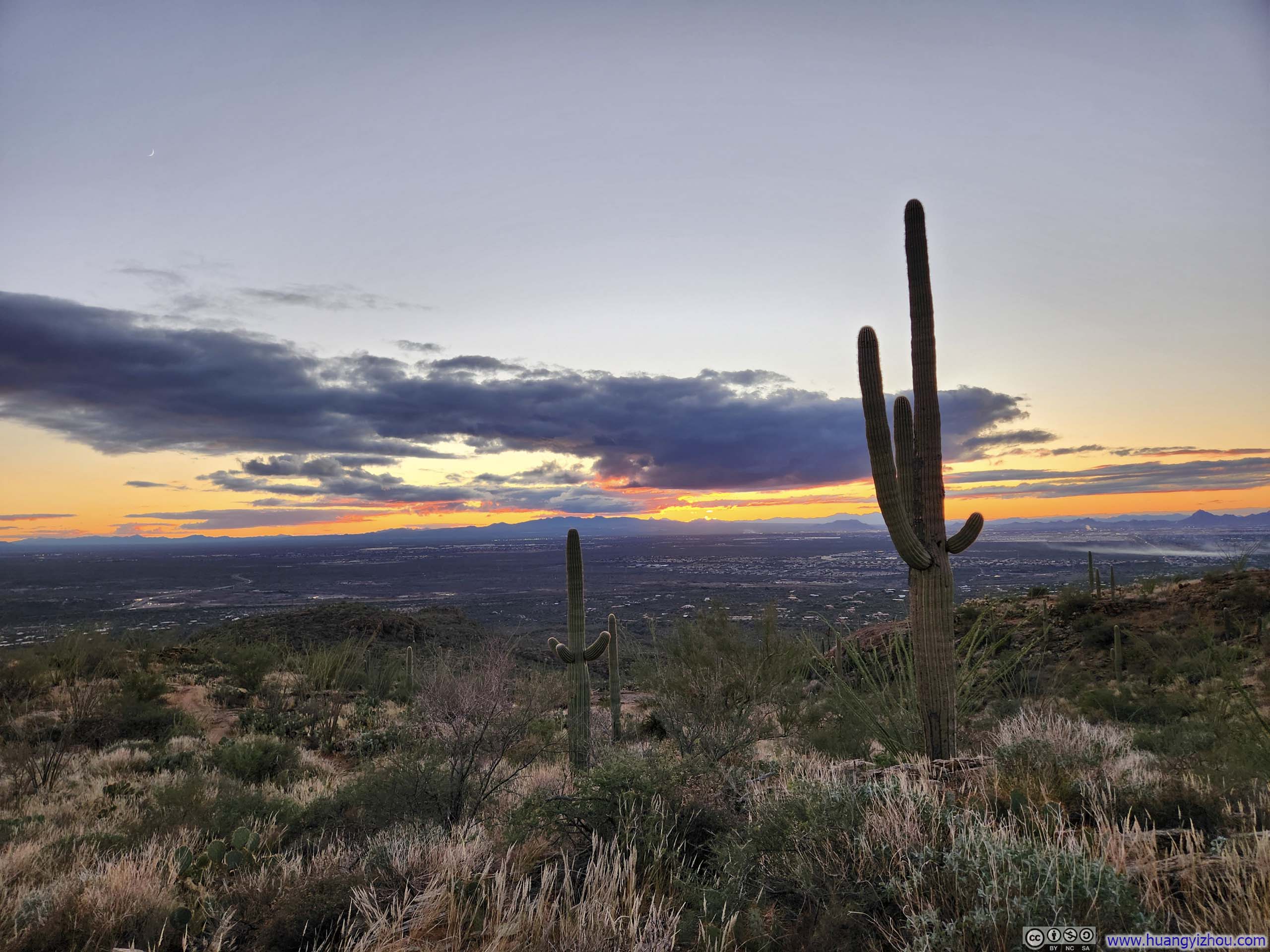
Fortunately, much like the previous day at Massai Point in Chiricahua National Monument, atop Tanque Verde Dome I was treated to a spectacular interplay between scattered clouds and the rays of sunlight pouring through them — an intense drama of light and shadow that called to mind the chiaroscuro subtitle of Expedition 33, the video game I had been playing recently.
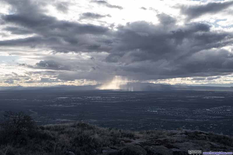 Sierrita Mountains behind God Rays
 Sierrita Mountains behind God Rays
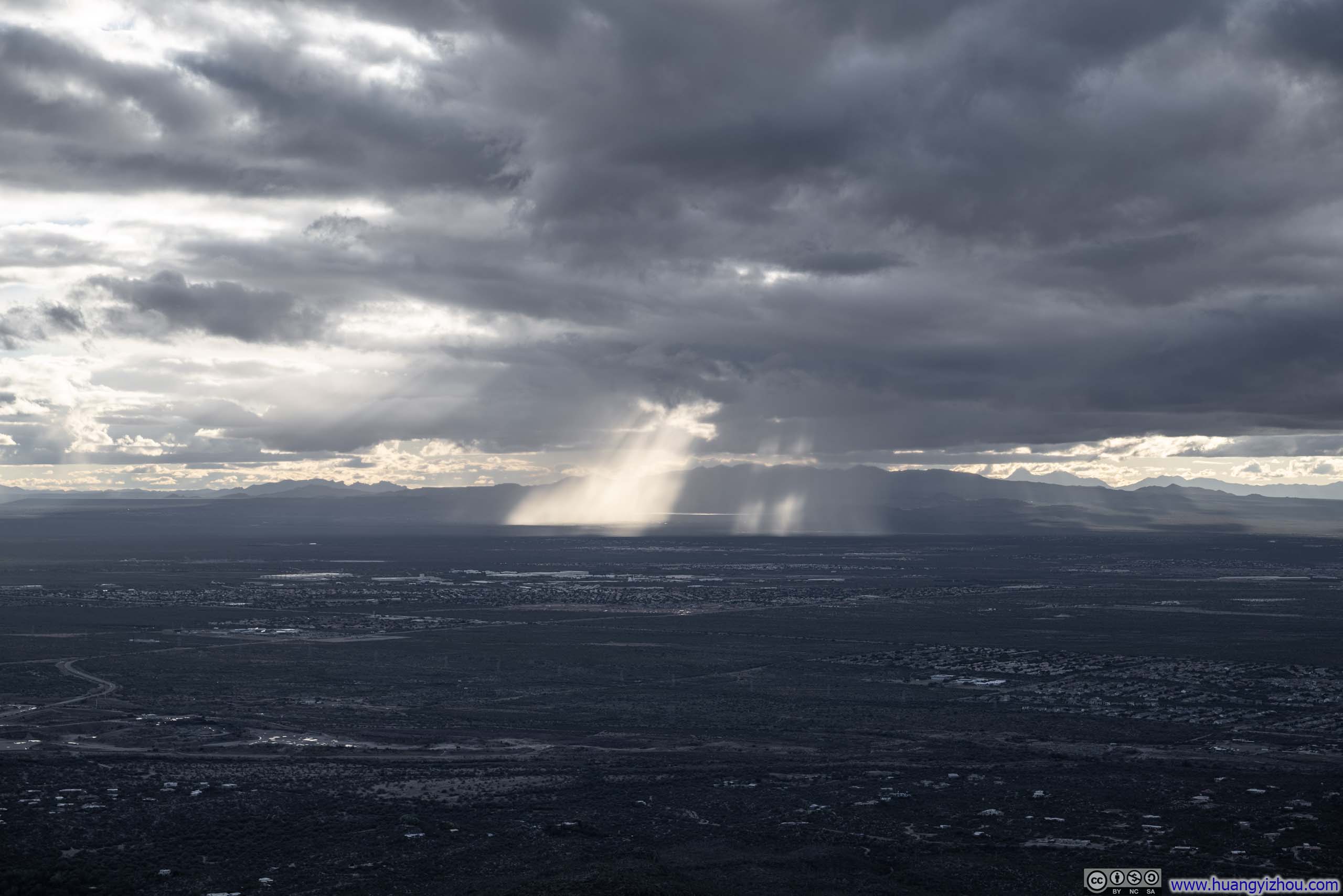
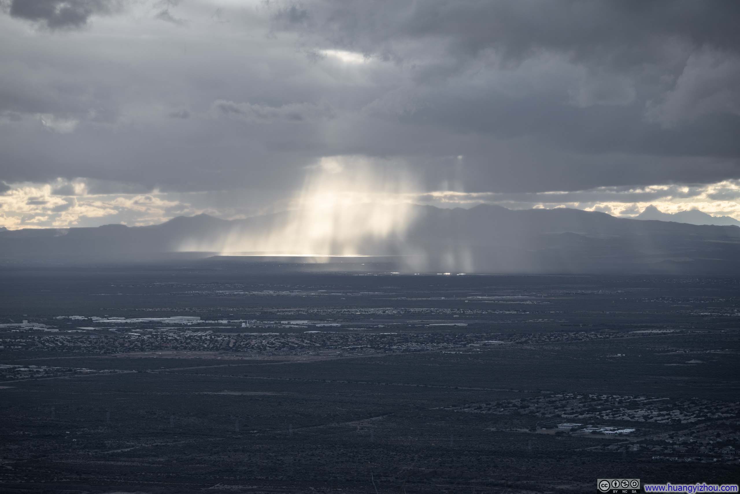
 Light Flowing through Clouds
 Light Flowing through Clouds
 Light Flowing through CloudsA plane on final approach into Tucson Airport.

Click here to display photos of the slideshow
Sierrita Mountains behind God Rays
Sierrita Mountains behind God Rays

Light Flowing through Clouds
Light Flowing through Clouds

Light Flowing through CloudsA plane on final approach into Tucson Airport.
And here’s a video from Tanque Verde Dome:
16 seconds, 2160p60fps, H265 only, 20Mbps/41MB file size.
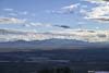
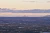
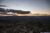
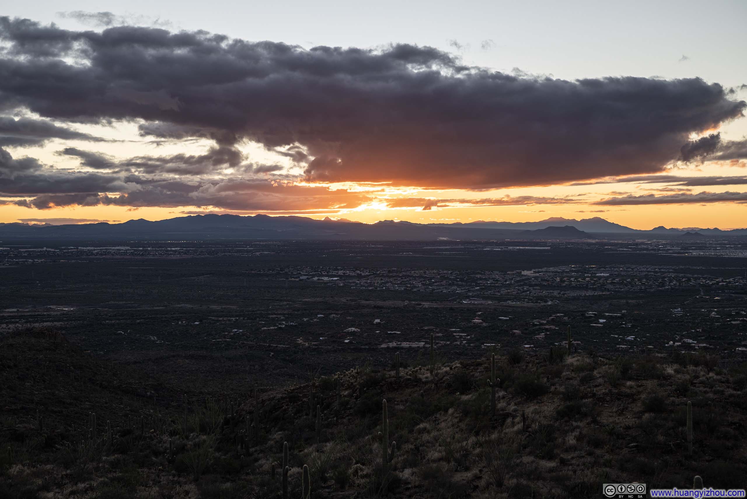
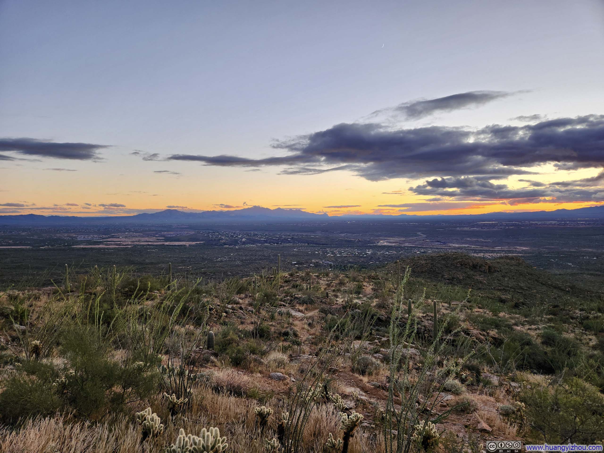
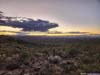
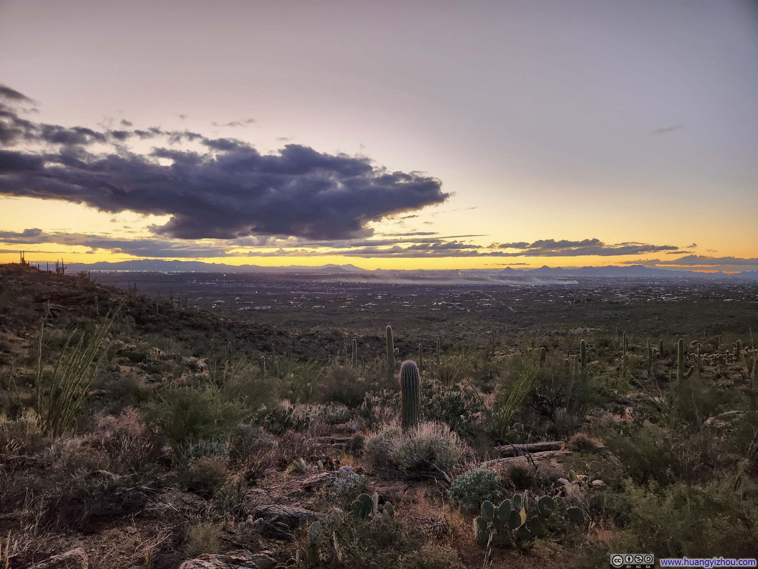
I spent 25 minutes on top of Tanque Verde Dome before starting my descent at 4:35pm. This meant I reached the halfway overlook right around sunset, where the same vistas from an hour and a half earlier had softened into a warm, approachable blush of pink.
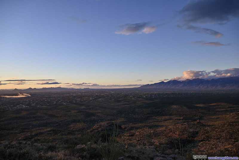 Santa Cruz Basin
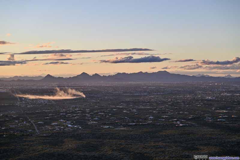 Tucson Mountains to the West
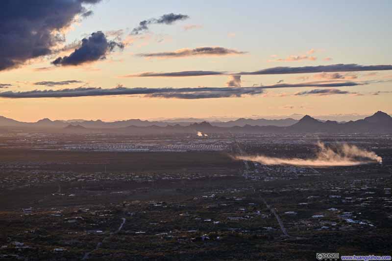 Mountains to the West at DuskAircraft Graveyard visible in the foreground.
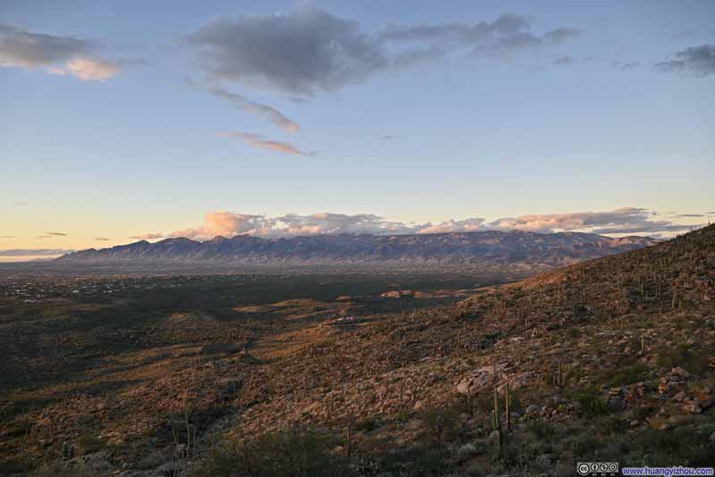 Santa Catalina Mountains
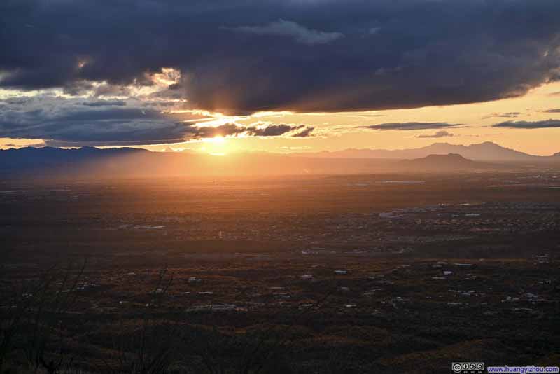 Setting Sun over Sierrita Mountain
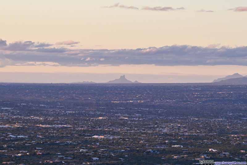 Distant Picacho Peak at Dusk

Click here to display photos of the slideshow
Santa Cruz Basin
Tucson Mountains to the West

Mountains to the West at DuskAircraft Graveyard visible in the foreground.
Santa Catalina Mountains
Setting Sun over Sierrita Mountain
Distant Picacho Peak at Dusk
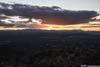
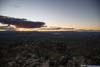
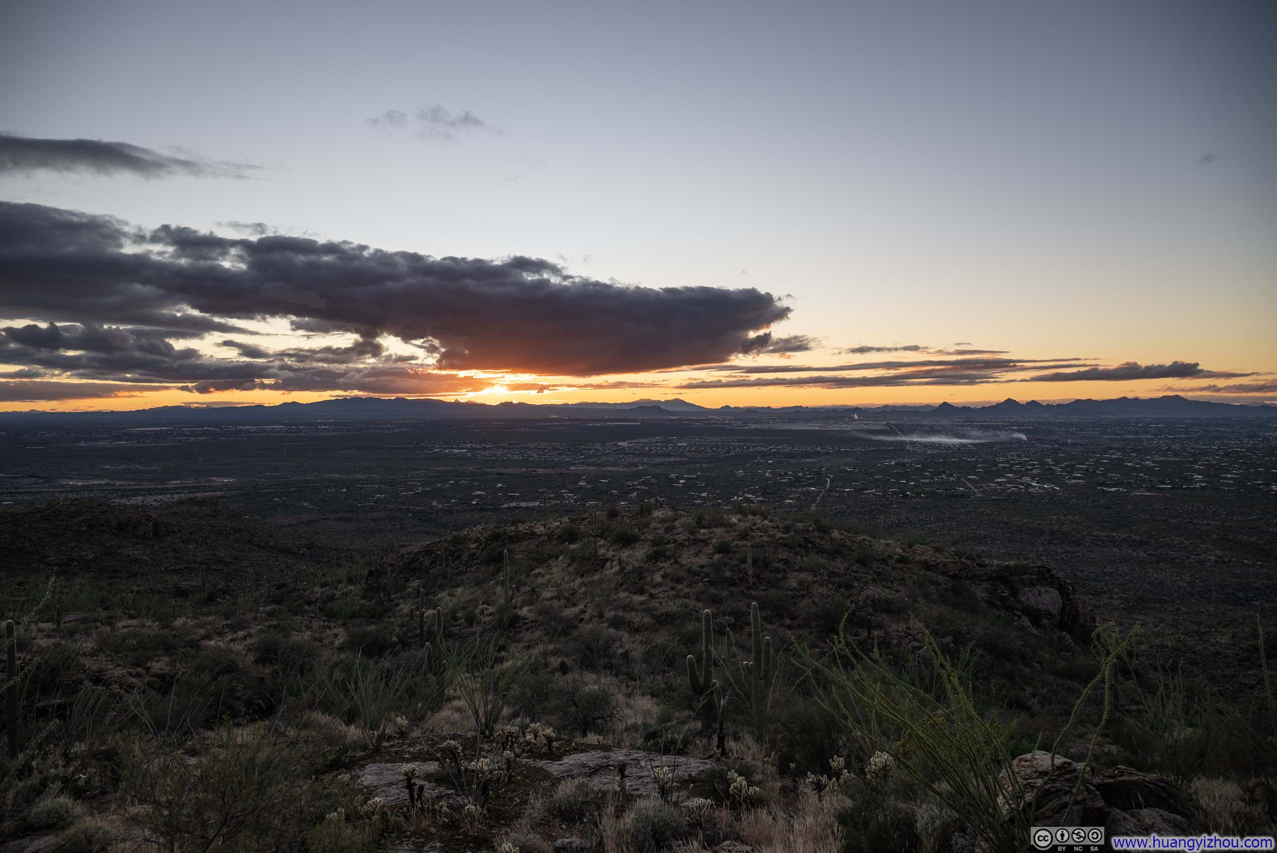
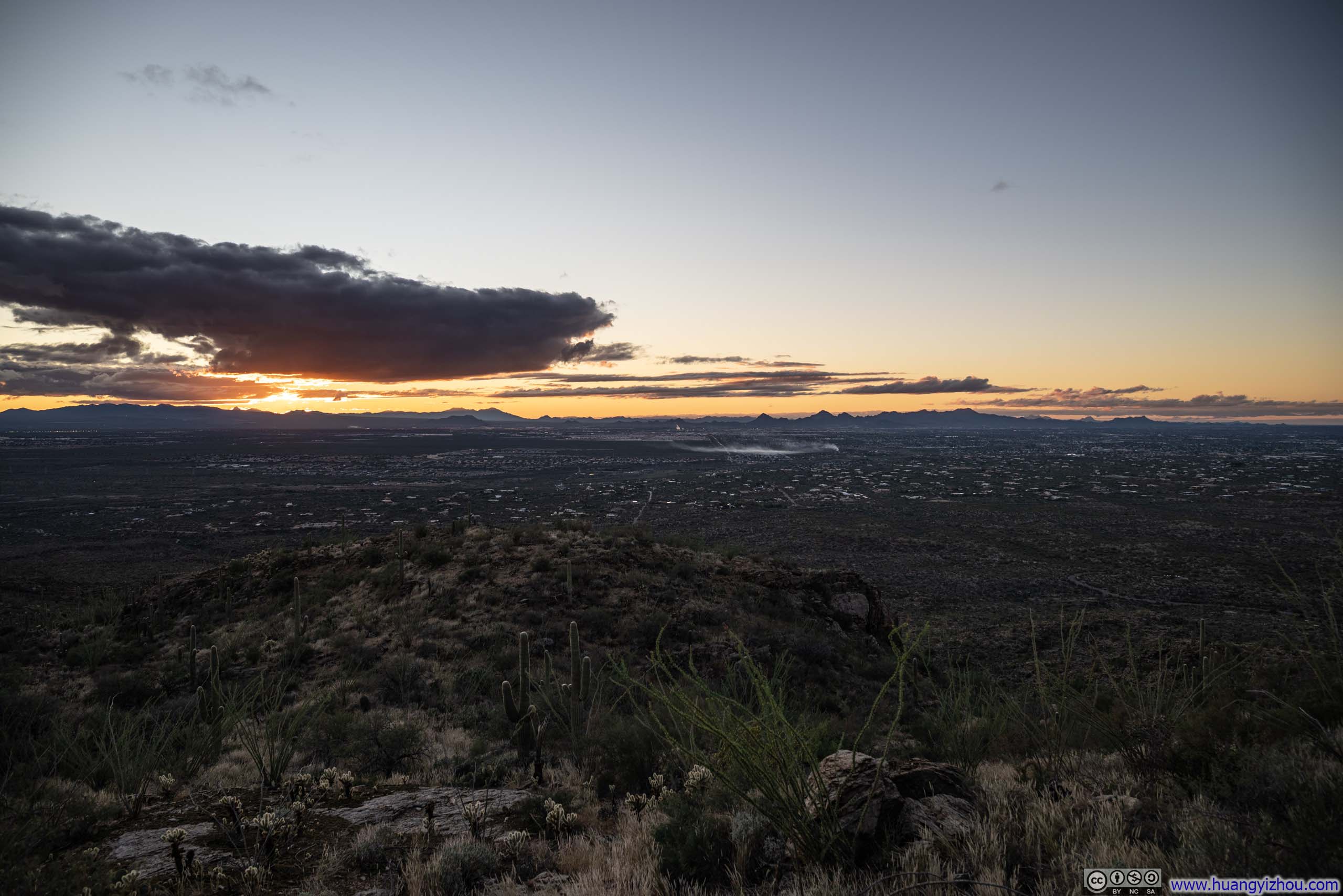
And finally, a spectacular sunset against the silhouette of the mountain ranges to the west of Tucson.
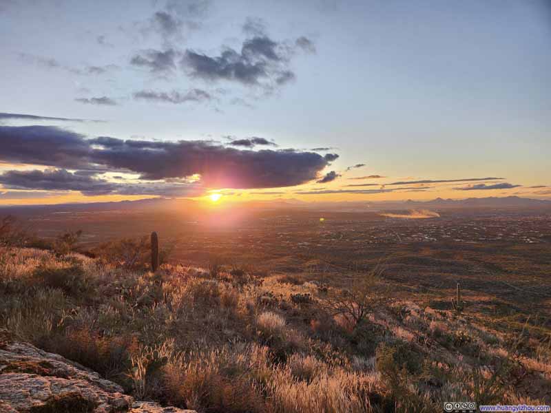 Santa Cruz Basin against Setting Sun
 Sunset
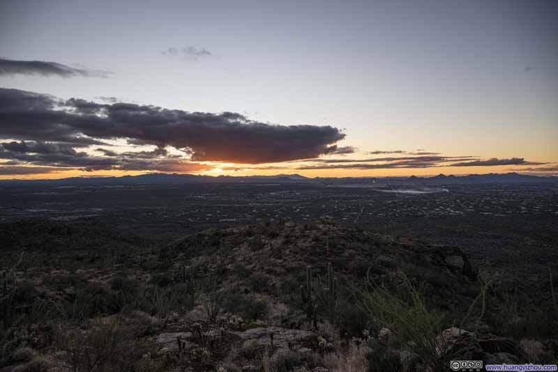 Sunset
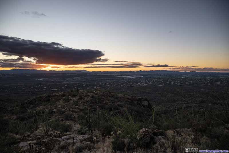 Sunset
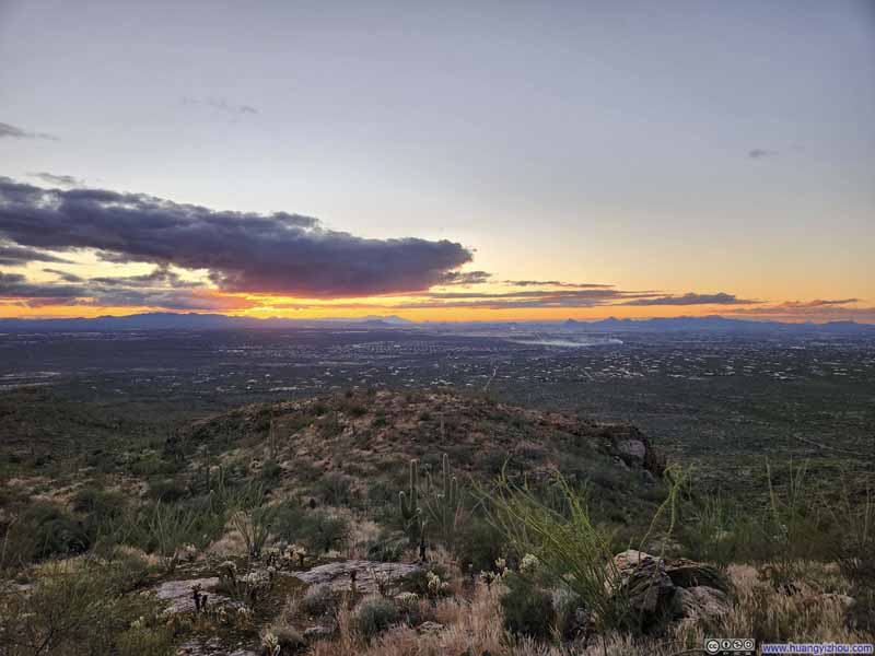 Santa Cruz Basin at Dusk
 Santa Cruz Basin at Dusk
Click here to display photos of the sunset.
Santa Cruz Basin against Setting Sun
Sunset
Sunset
Sunset

Santa Cruz Basin at Dusk
Santa Cruz Basin at Dusk
Not wanting to be caught in the dark before reaching the trailhead, I didn’t linger long at the halfway overlook before pressing on. Soft twilight hues continued to grace the landscape all the way down.
 Saguaros along Trail against Sunset Glow
 Trail
Trail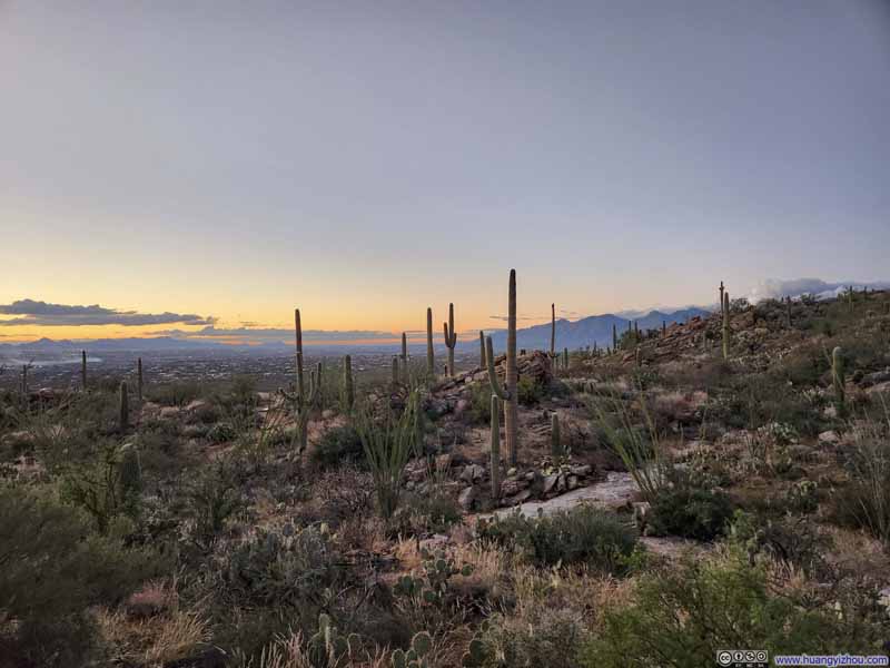 Trail
Trail Trail against Santa Catalina Mountains
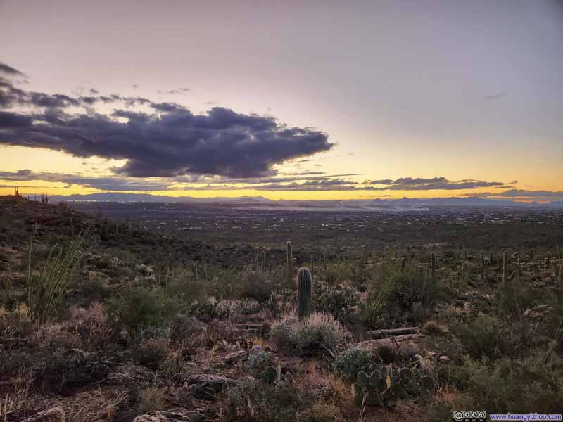 Saguaros along Trail
 Trail against Santa Catalina Mountains
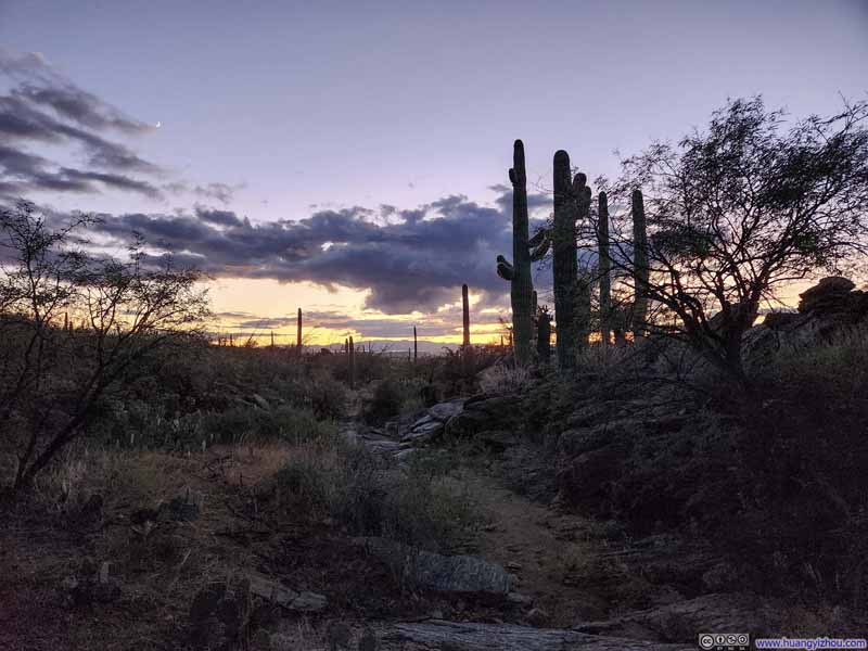 Trail
Trail

Click here to display photos of the slideshow
Saguaros along Trail against Sunset Glow
Trail
Trail
Trail against Santa Catalina Mountains
Saguaros along Trail
Trail against Santa Catalina Mountains

Trail
After getting back to my car, I drove towards downtown Tucson where I would be spending the next few nights, concluding the day.
END
![]() Day 2 of 2025 Thanksgiving Trip to Tucson, Tanque Verde Ridge by Huang's Site is licensed under a Creative Commons Attribution-NonCommercial-ShareAlike 4.0 International License.
Day 2 of 2025 Thanksgiving Trip to Tucson, Tanque Verde Ridge by Huang's Site is licensed under a Creative Commons Attribution-NonCommercial-ShareAlike 4.0 International License.