
Updated on March 26, 2026
Day 3 of 2025 Thanksgiving Trip to Tucson, Mt Kimball via Finger Rock Canyon and Pima Canyon
The third day of my 2025 Thanksgiving Trip to Tucson. I climbed Mount Kimball in the Santa Catalina Mountains, traversing Finger Rock Canyon and Pima Canyon in what turned out to be a long and exhilarating day hike.
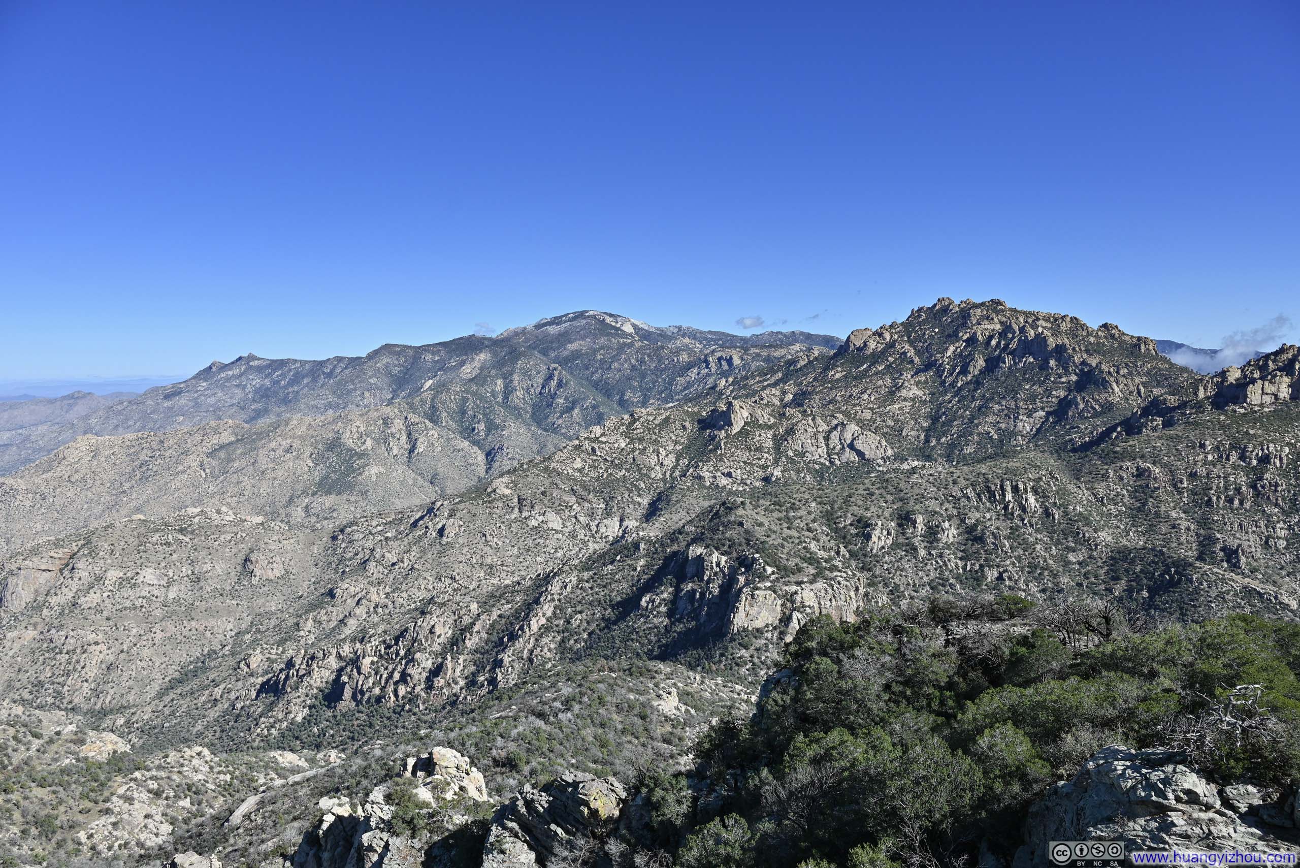
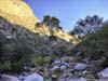
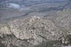
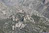
Santa Catalina Mountains
The Route
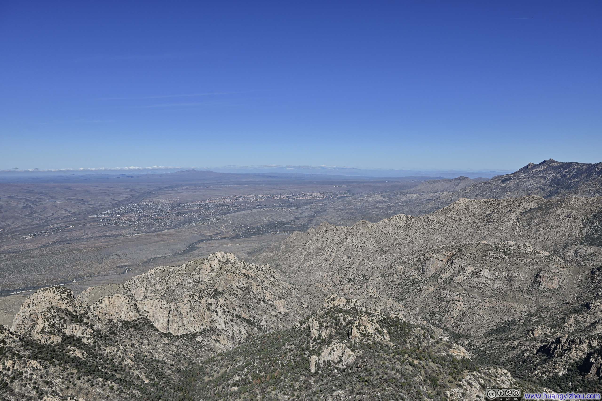
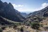
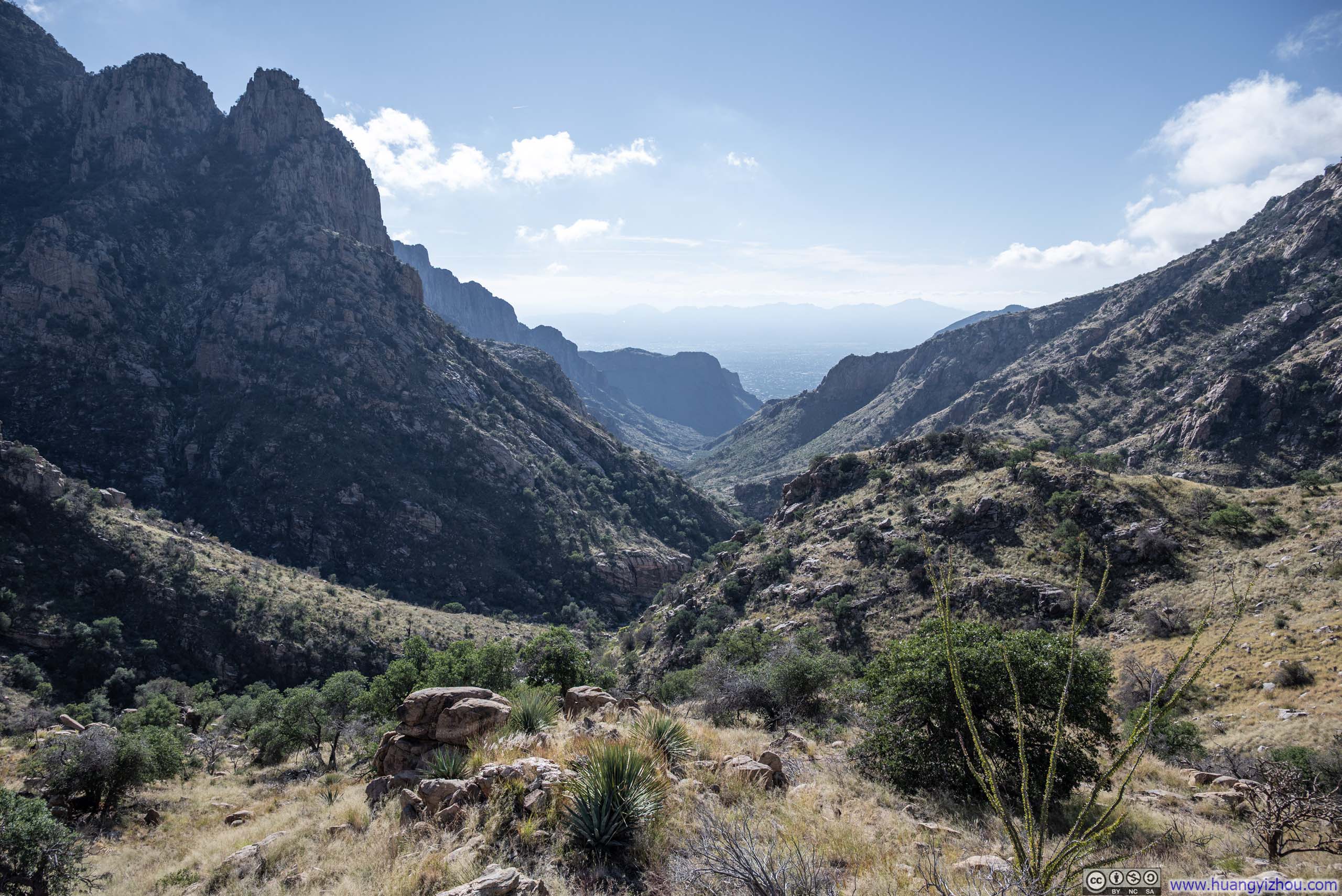
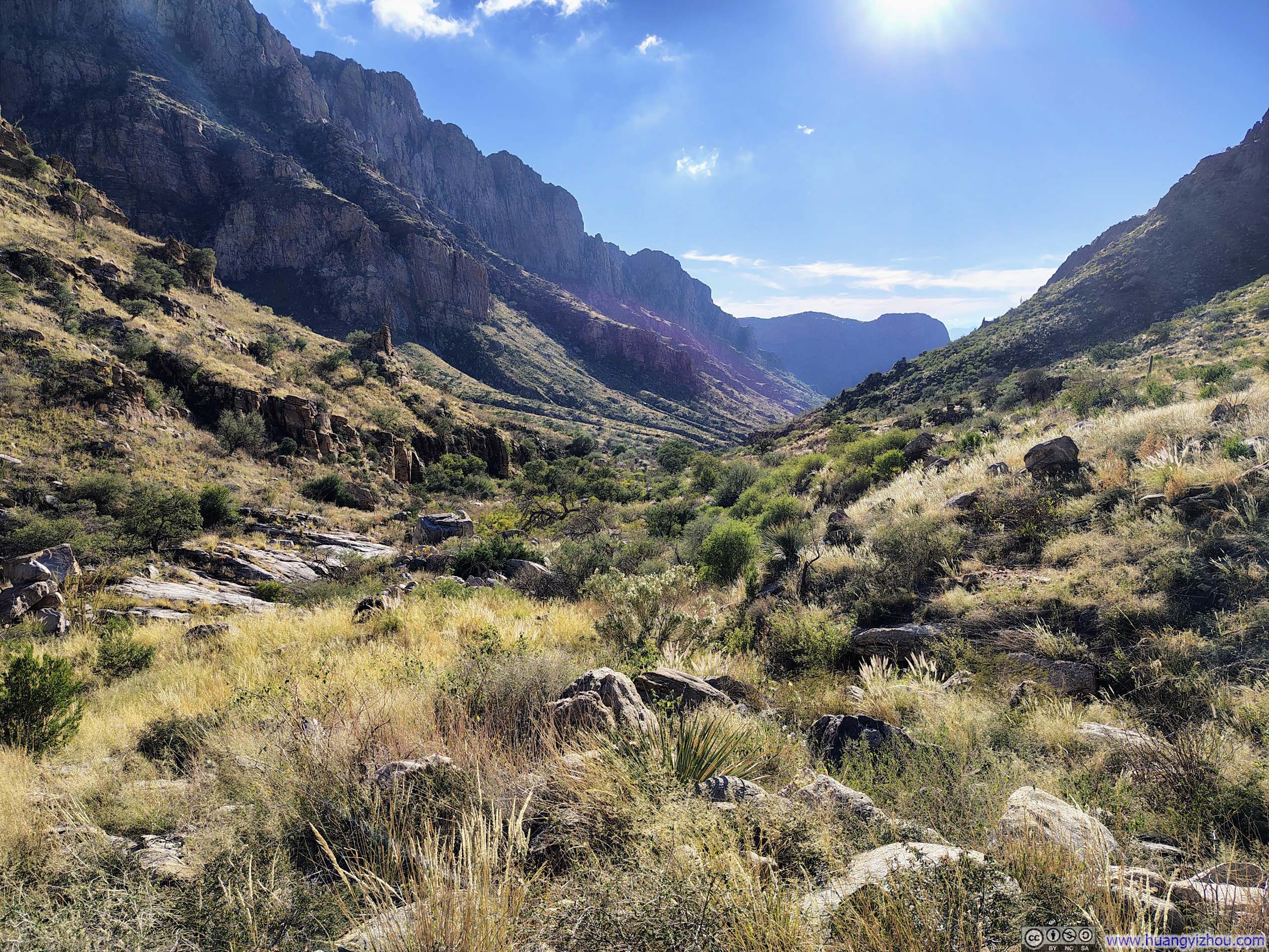
Just to the north of Tucson stood the Santa Catalina Mountains. Several canyons carved their way deep into the range, connected by trails that wound among peaks in the mountain’s interior. One such peak was Mt. Kimball, reachable via Finger Rock Canyon from the south or Pima Canyon from the southwest, a natural candidate for a point-to-point hike. With both trailheads located in residential neighborhoods on the outskirts of Tucson, finishing the traverse via rideshare was straightforward.
Given that Finger Rock Canyon Trailhead was 40m (130ft) higher in elevation than Pima Canyon Trailhead, and that Mount Kimball was about 2.8km (1.7mi) closer to the former, I decided to hike from Finger Rock Canyon toward Pima Canyon. This way, turning back to the Finger Rock trailhead remained a viable option if time ran short. Even so, the route (AllTrails link) stretched 18km with 1290m of elevation gain (12.2mi, 4230ft), and significant stretches involved terrain not straightforward to hike through, so this was still quite an endeavor. Yet the rewards were equally generous: sweeping saguaro fields and soaring canyon ridges made for scenery that more than justified the effort.
The Journey
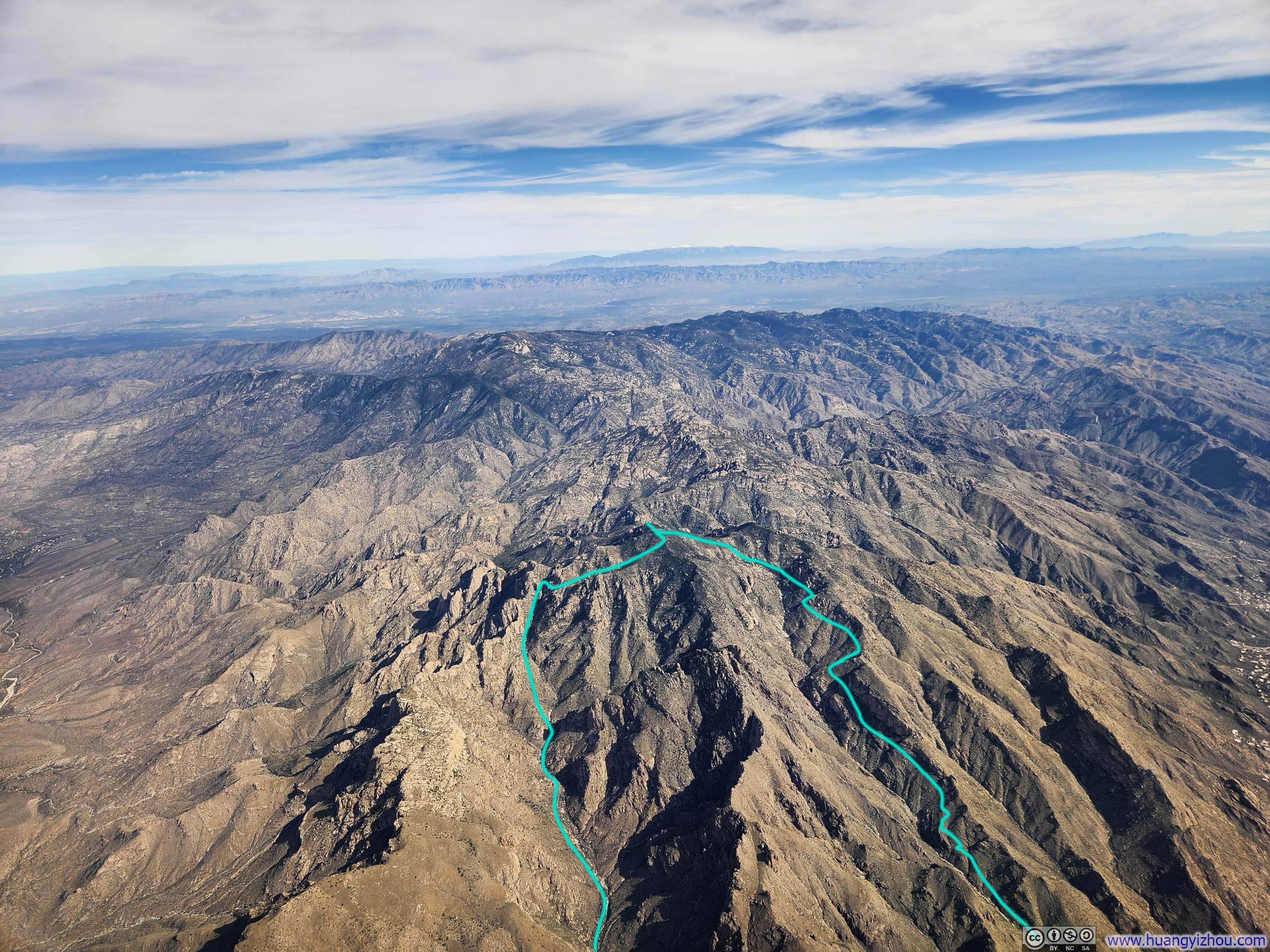
Route through Santa Catalina Mountains
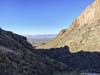
I made it to the Finger Rock Trailhead at 7:40am, which delightfully featured a water fountain. After some warmup, I started my hike at 7:50am. Here’s GPS tracking:
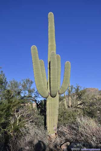
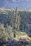
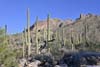
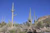
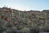
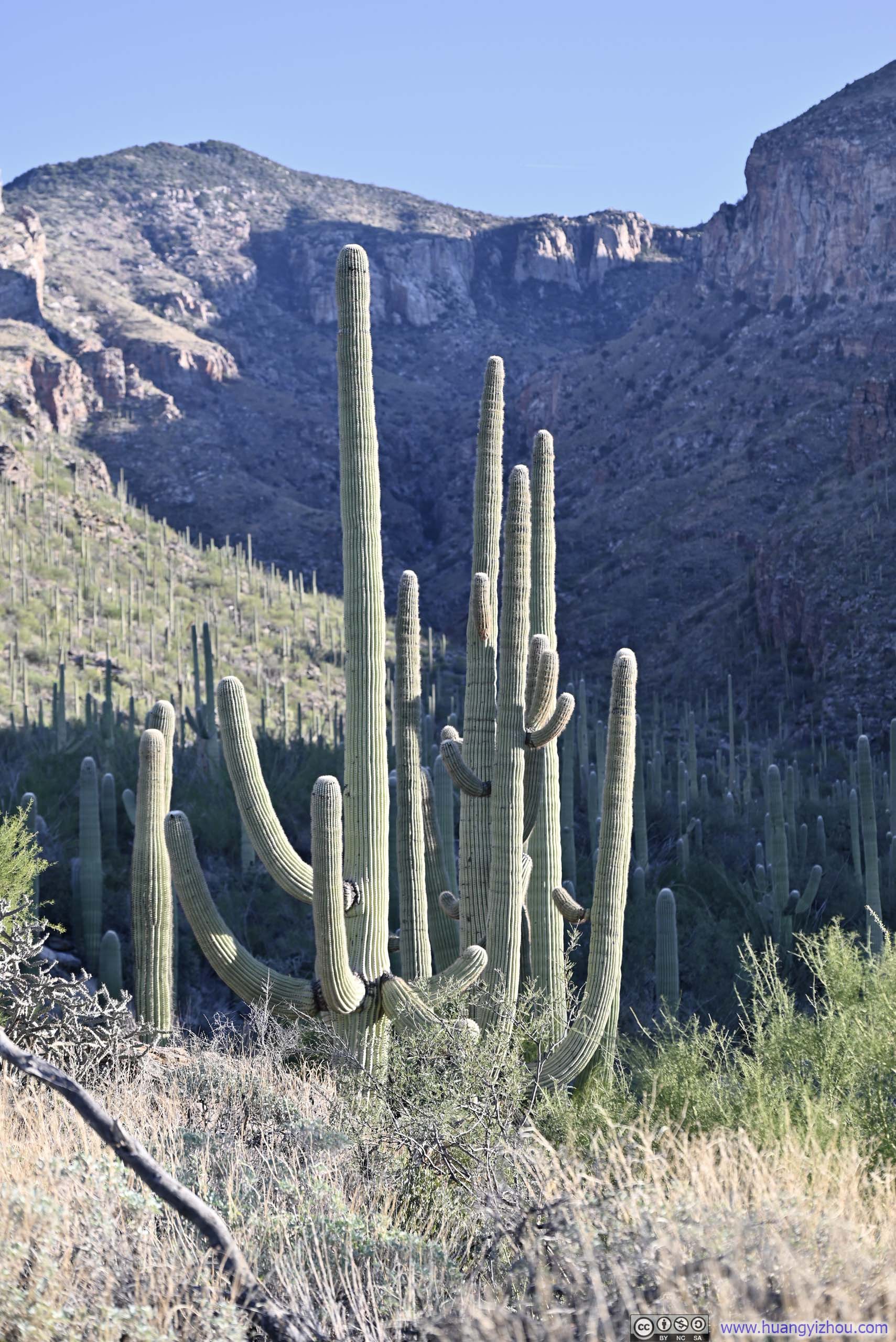
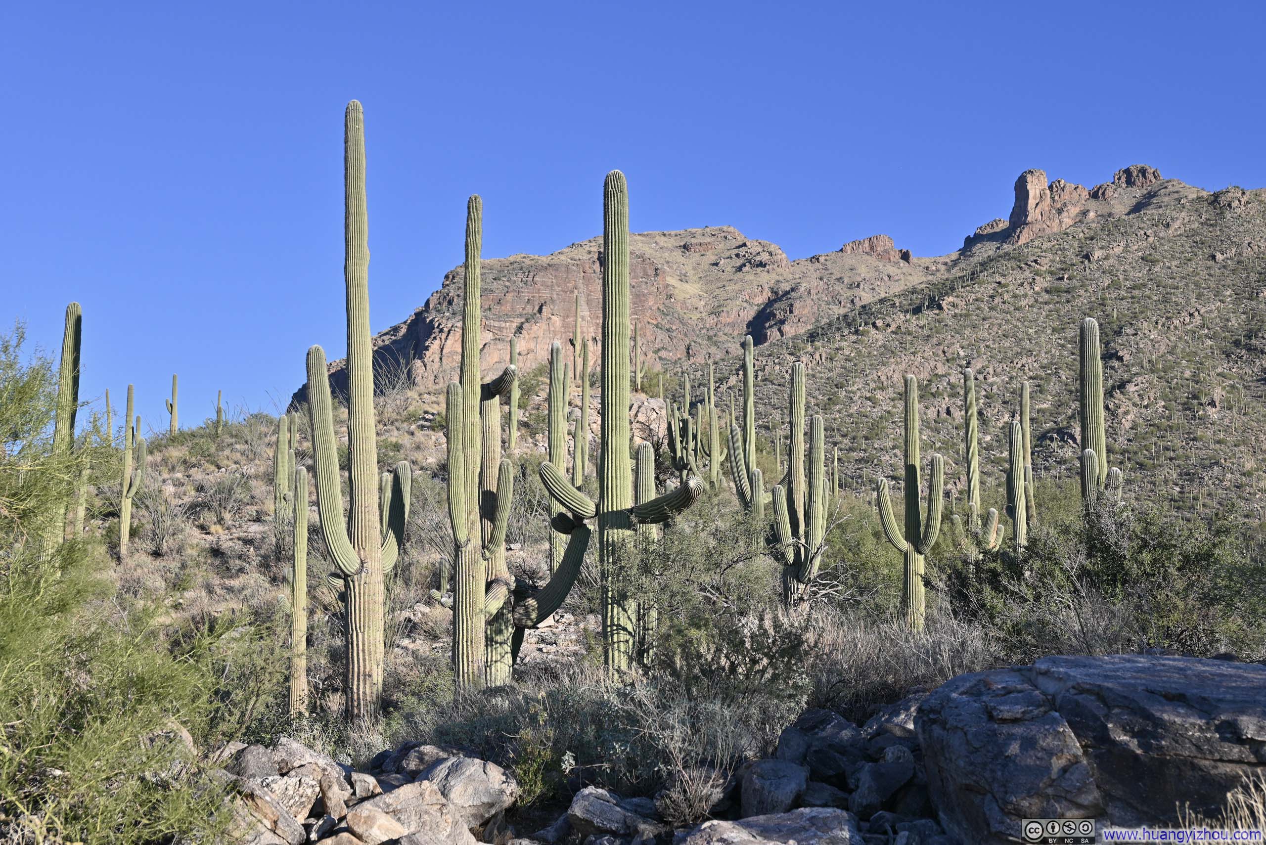
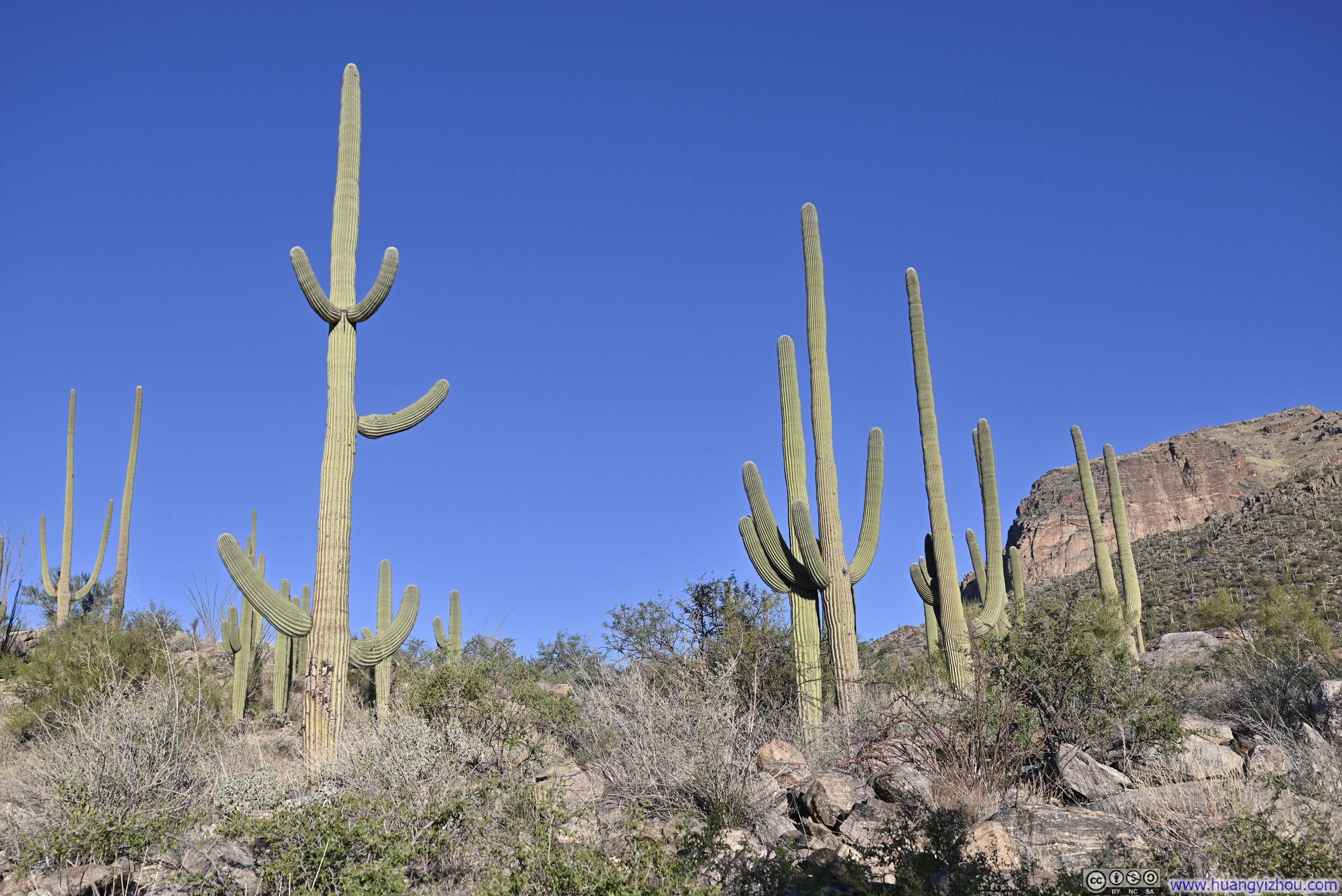
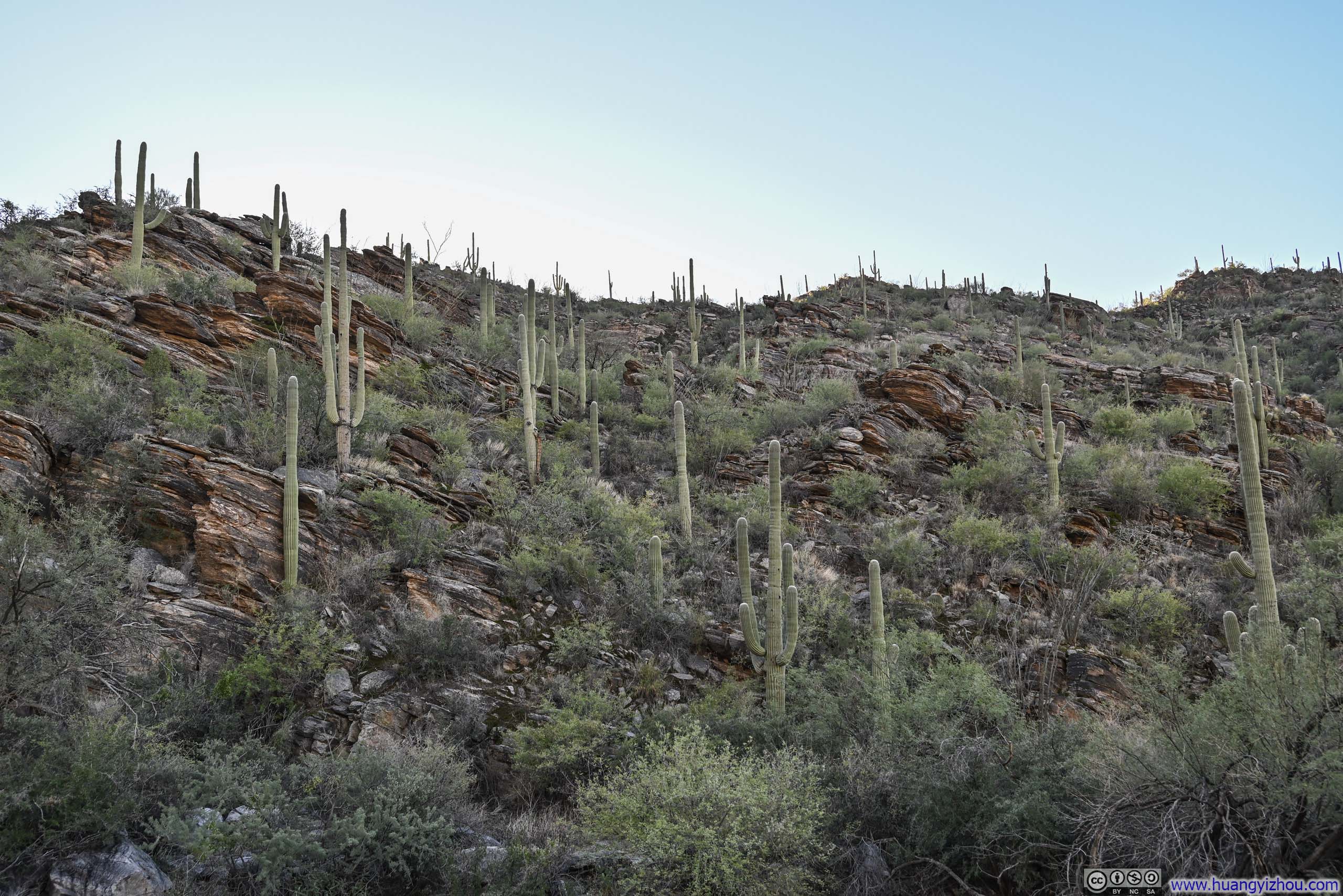
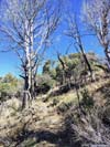
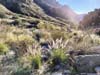
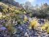
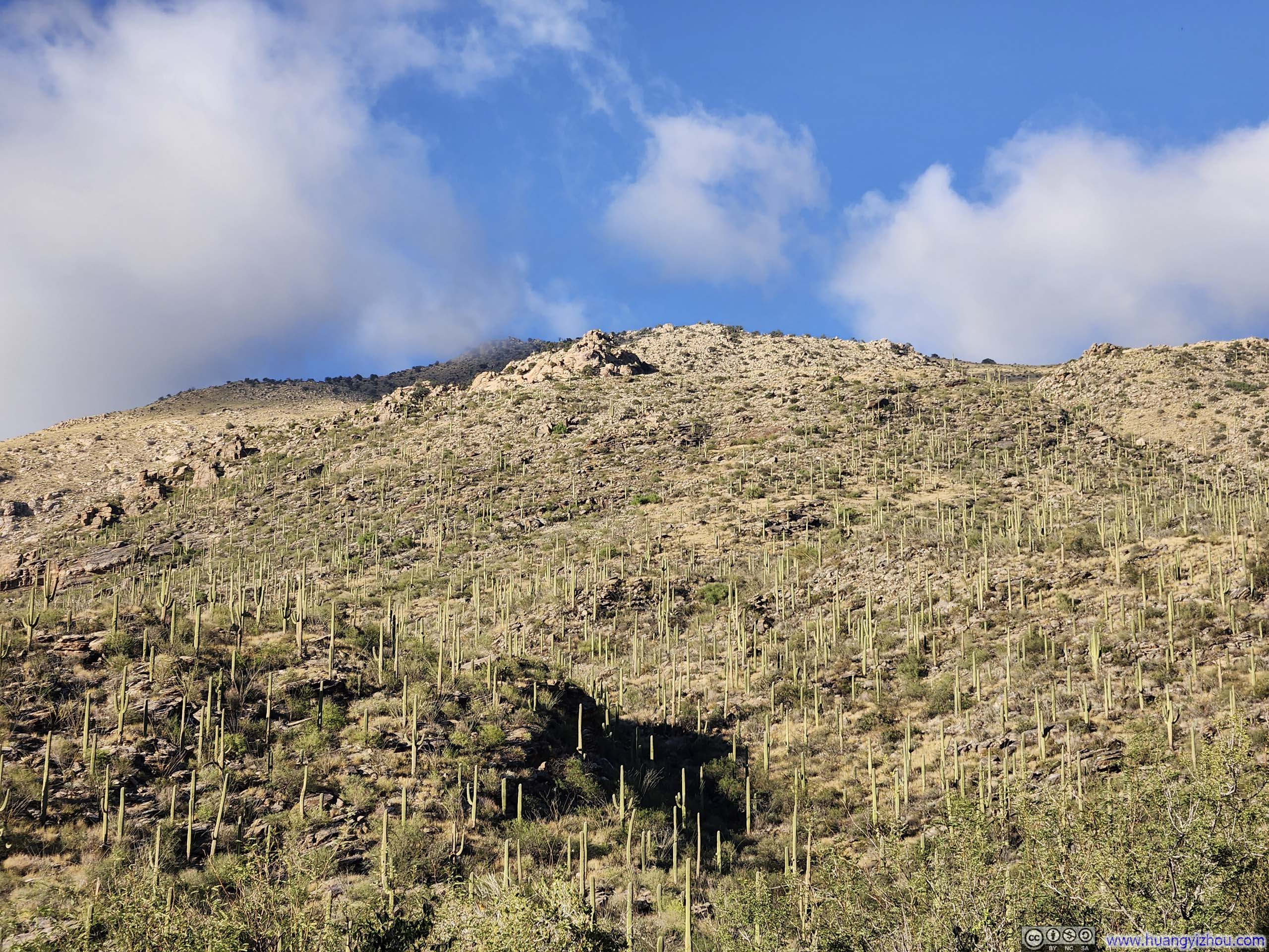
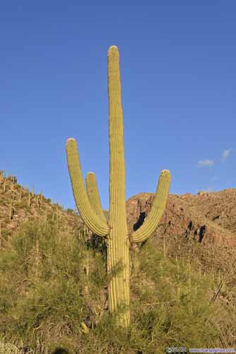
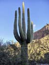
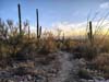
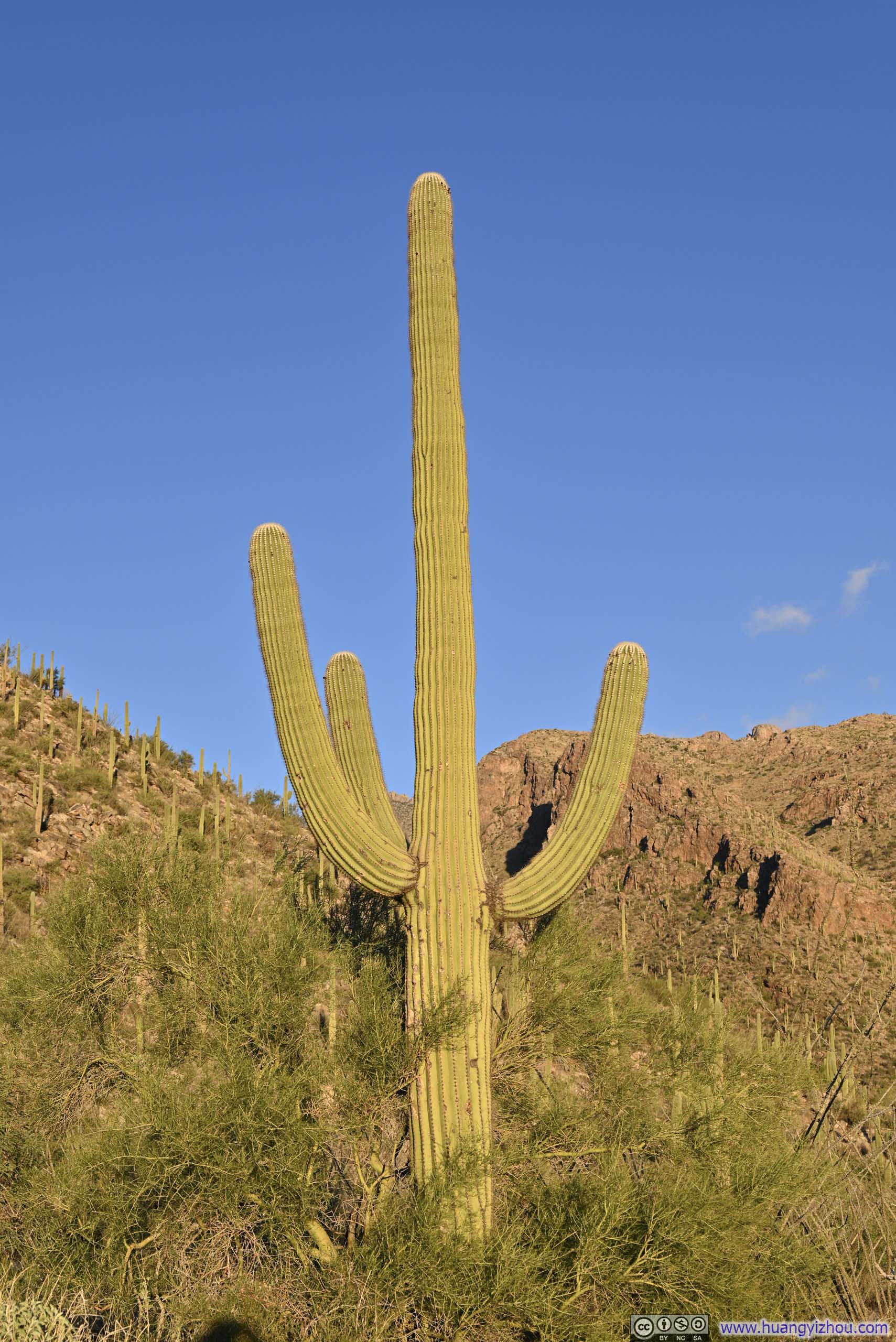
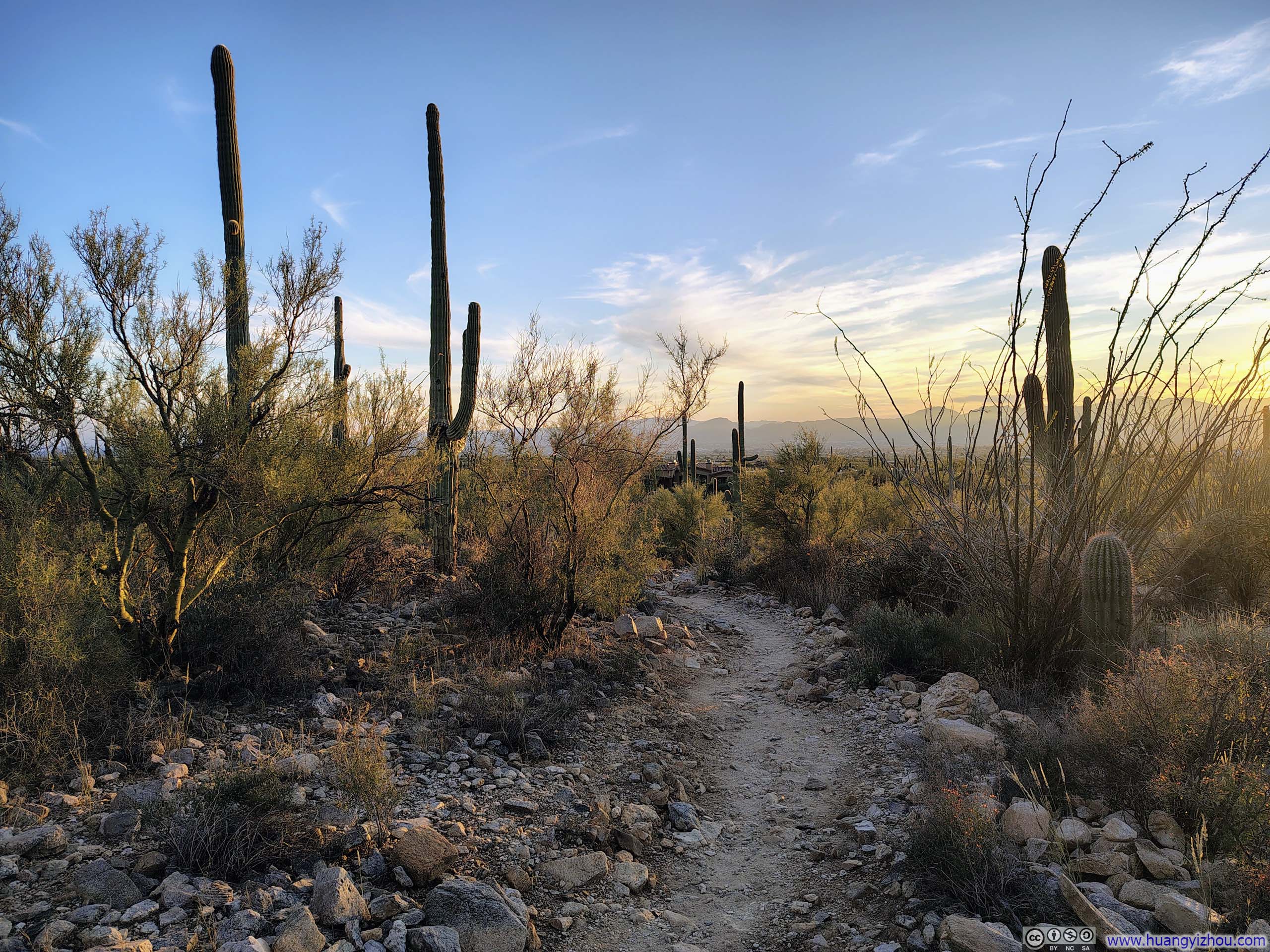
The trail wasted no time in winding through vast fields of saguaros, their towering forms bathed in the warm glow of the rising morning sun.
 Saguaros
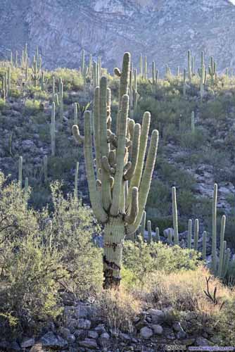
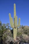
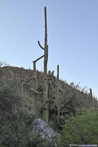 SaguaroThis one had so many branches.
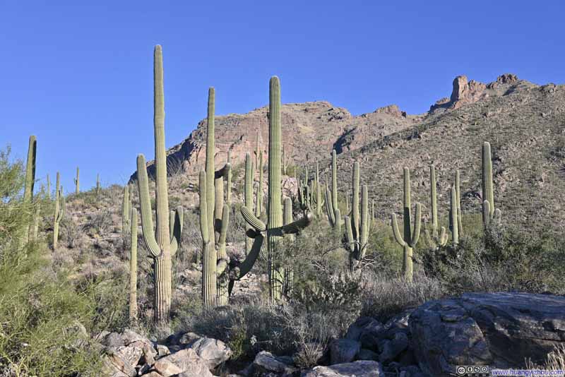 Saguaros
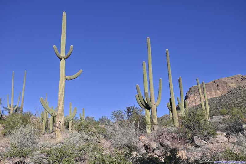 Saguaros
 Hillside Decorated with Saguaros
 Trail
Trail
Click here to display photos of the slideshow

 Saguaros

 SaguaroThis one had so many branches.
Saguaros
Saguaros
Hillside Decorated with Saguaros

Trail
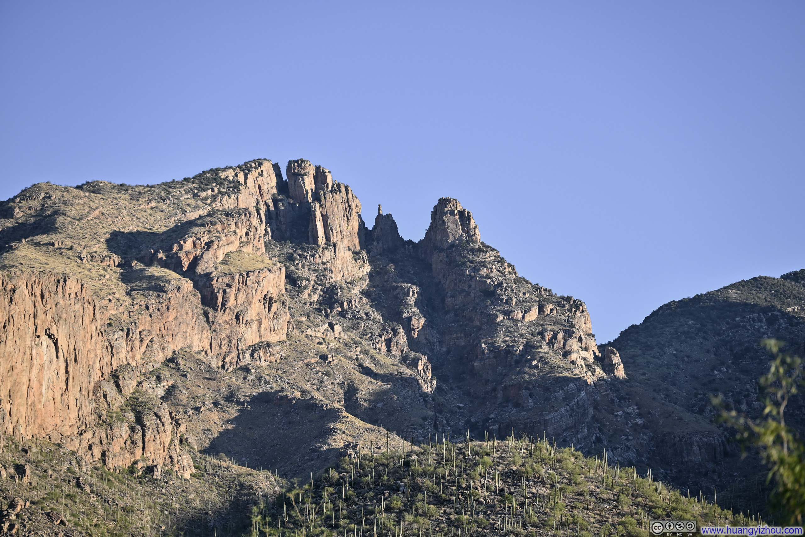
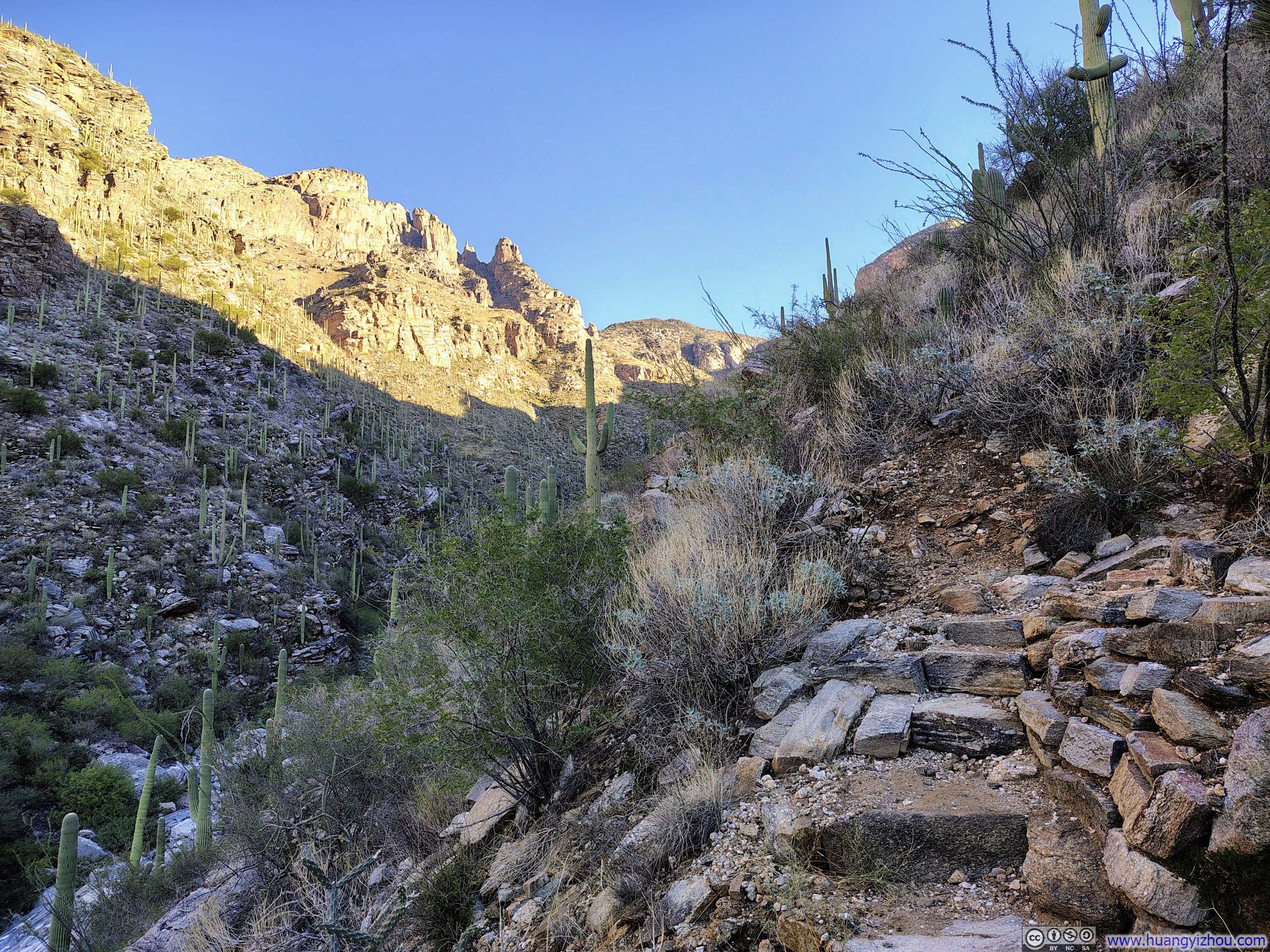
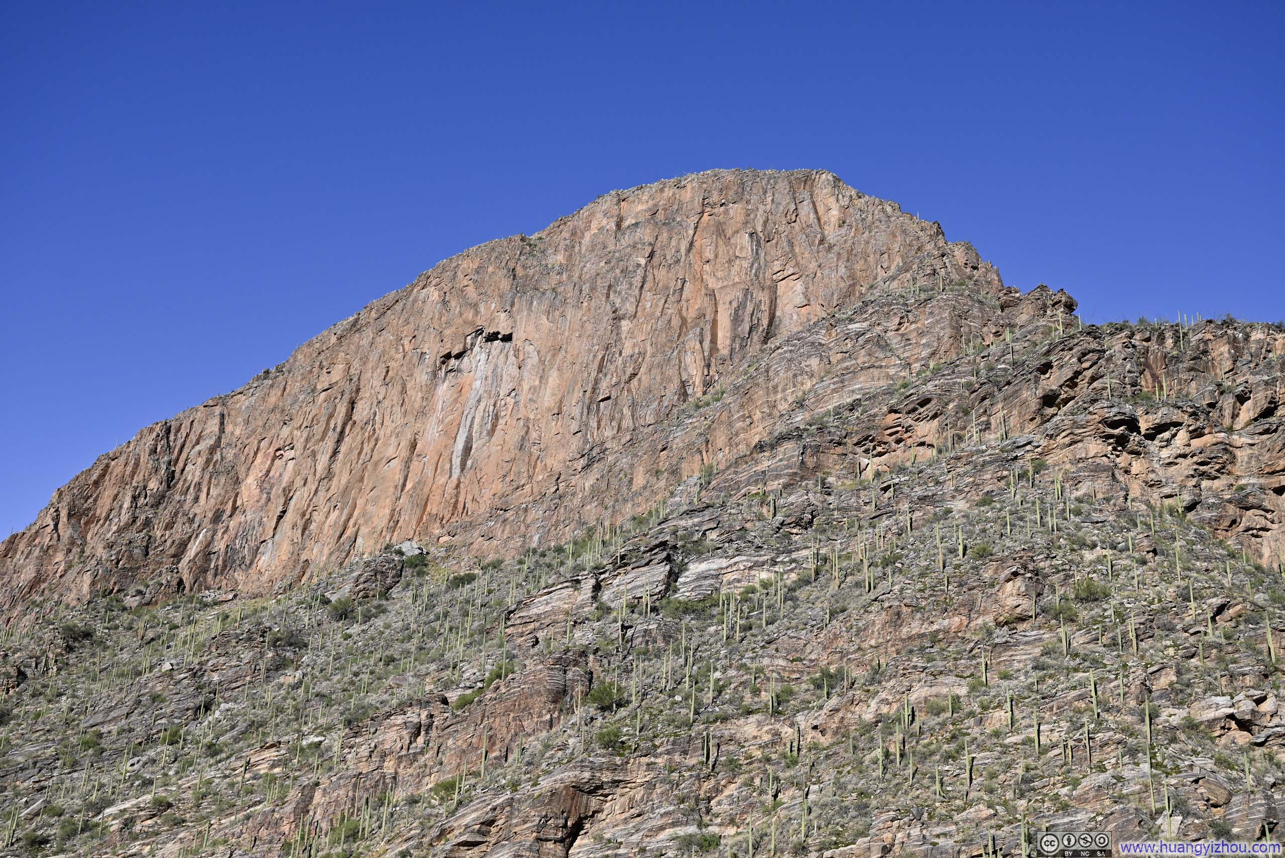
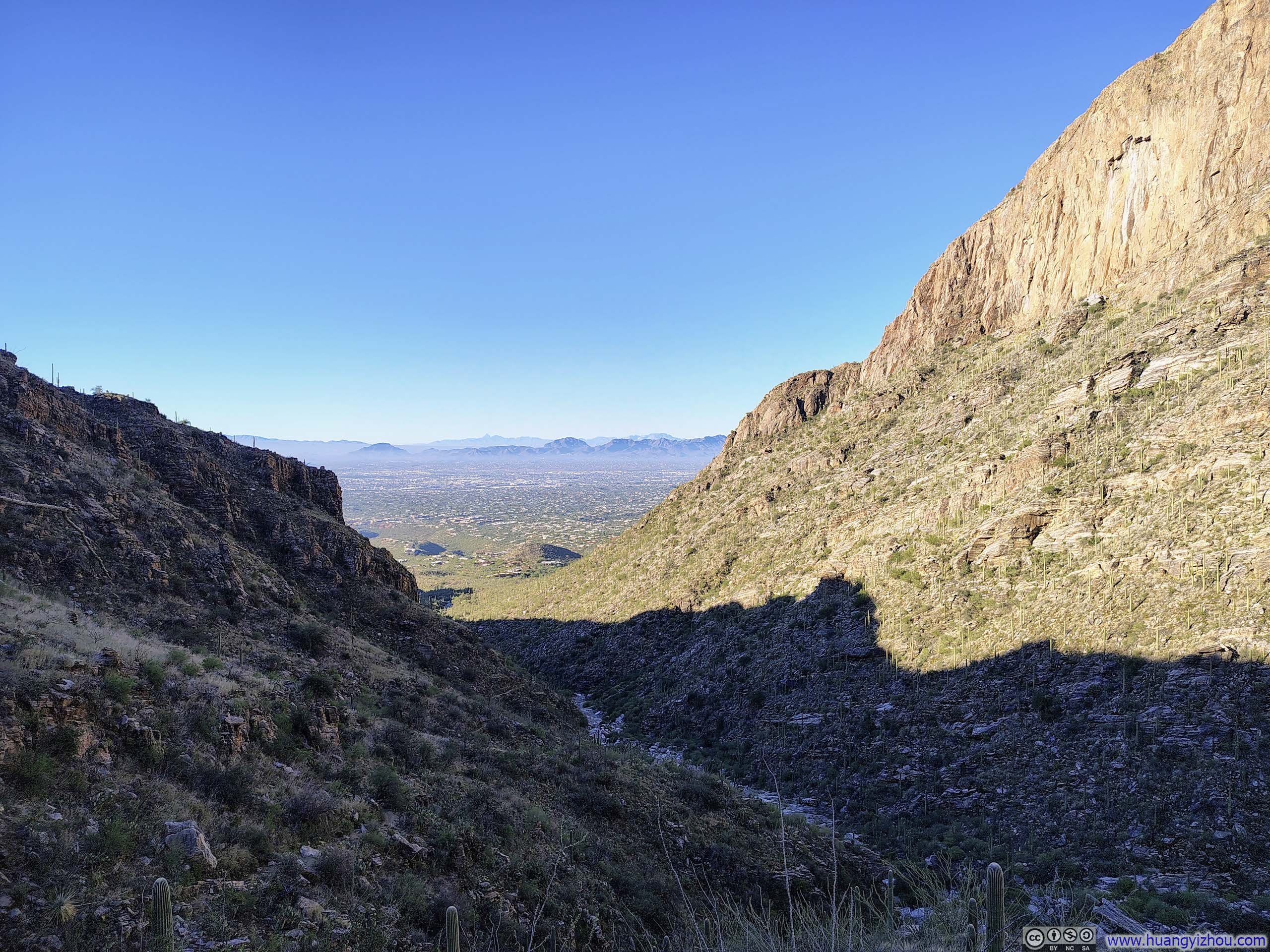
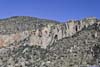
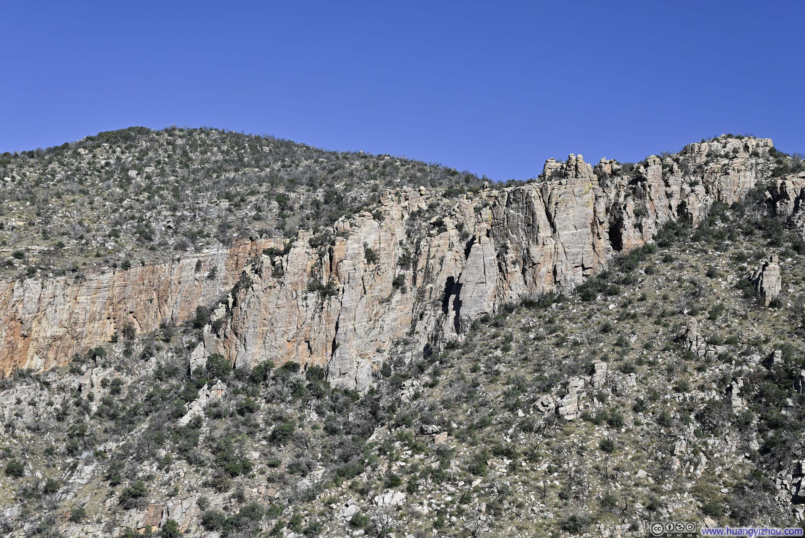
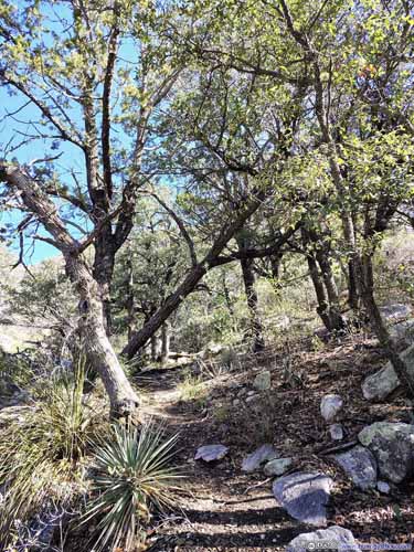
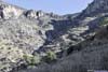
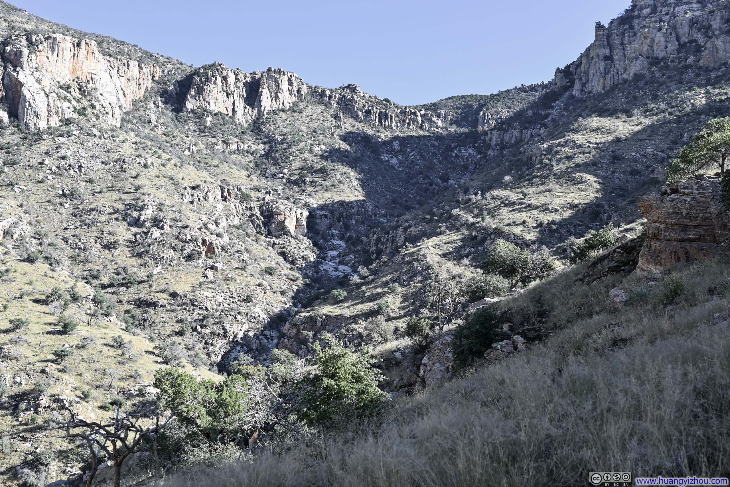
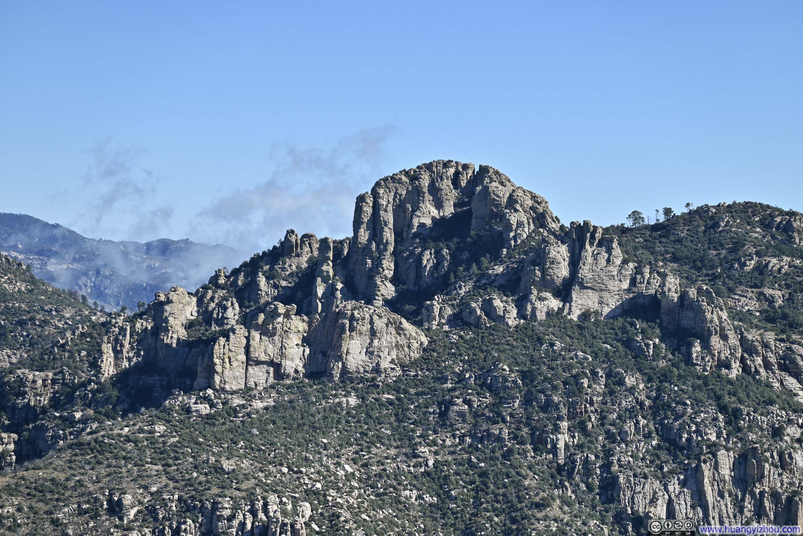
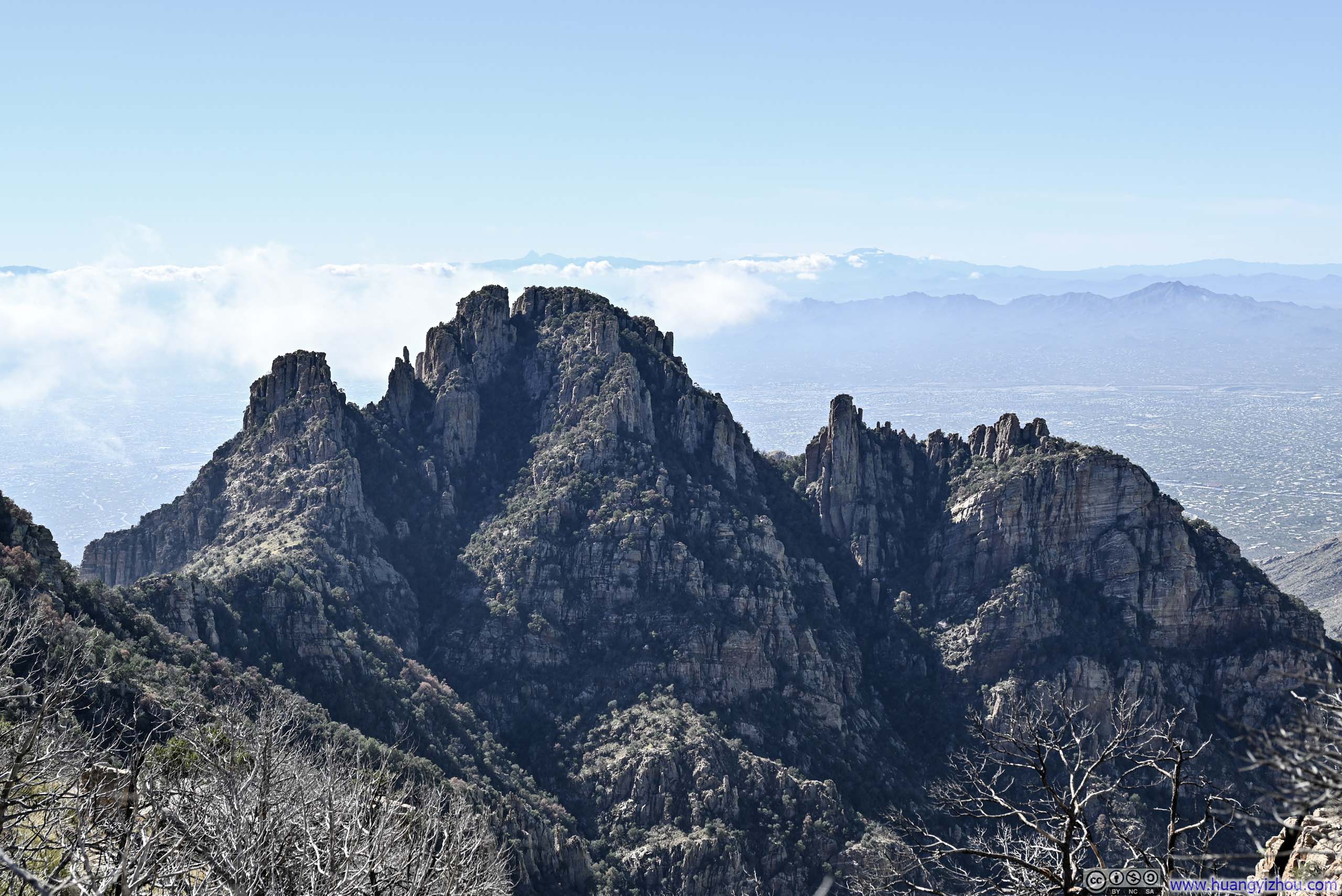
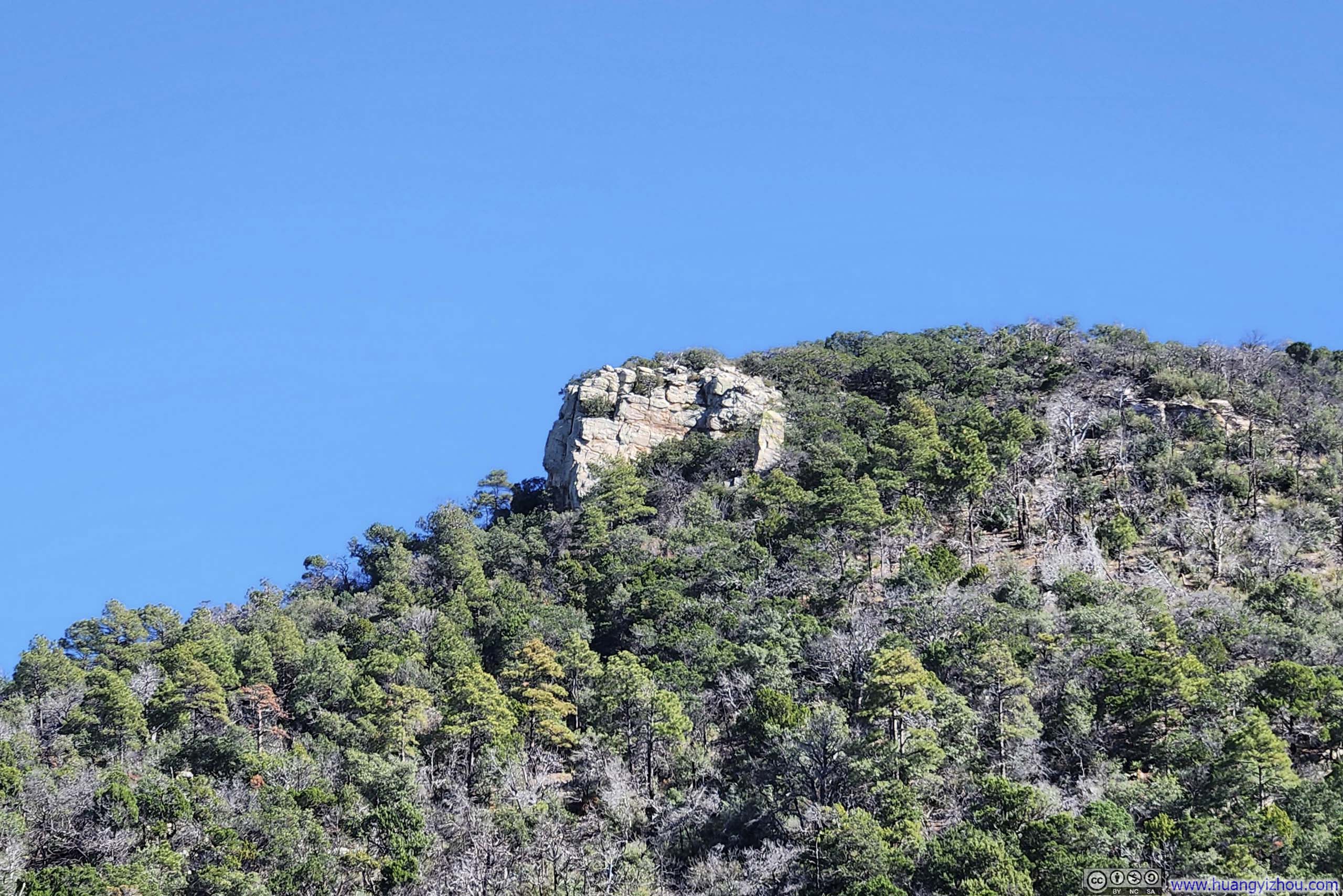
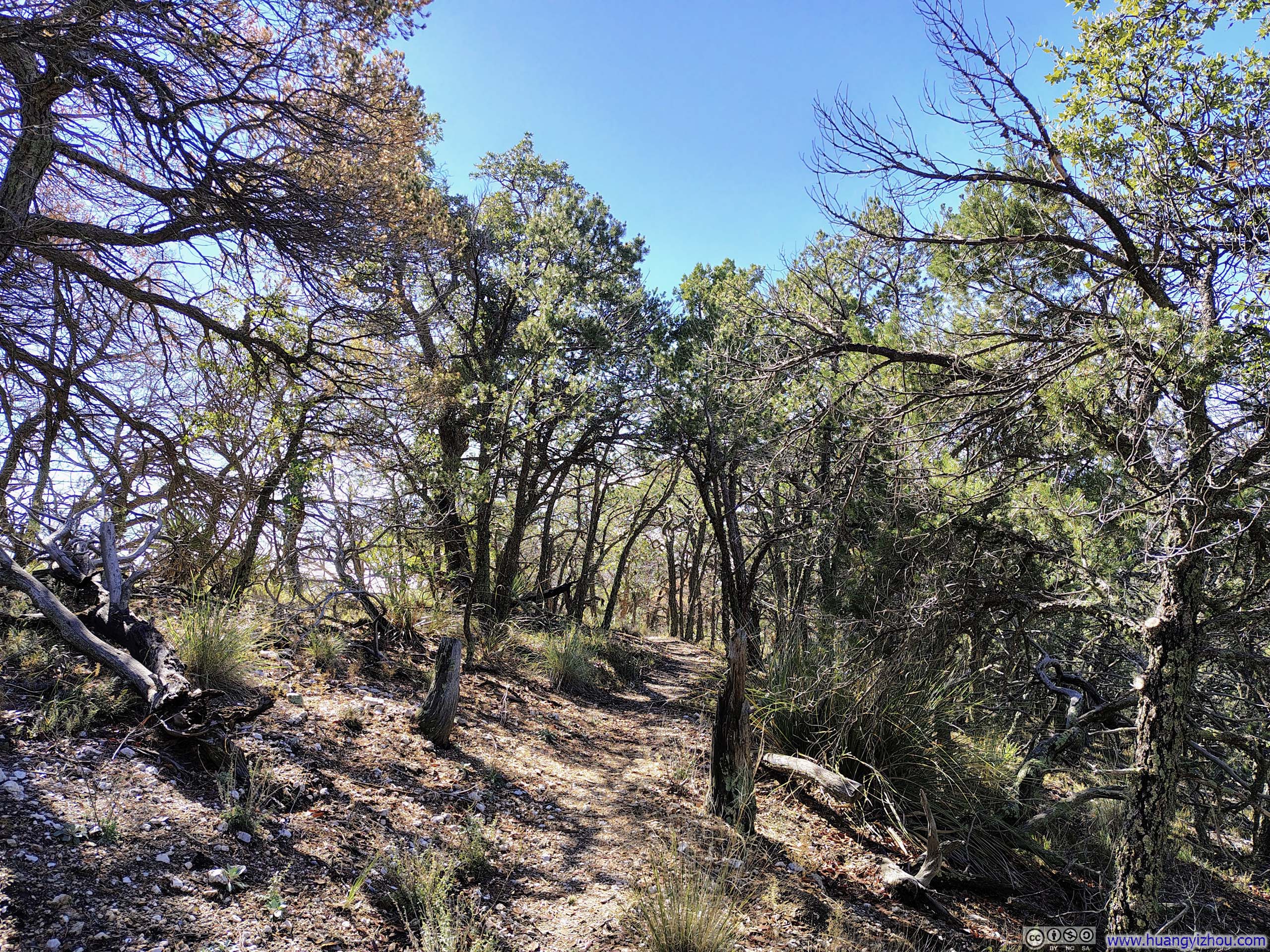
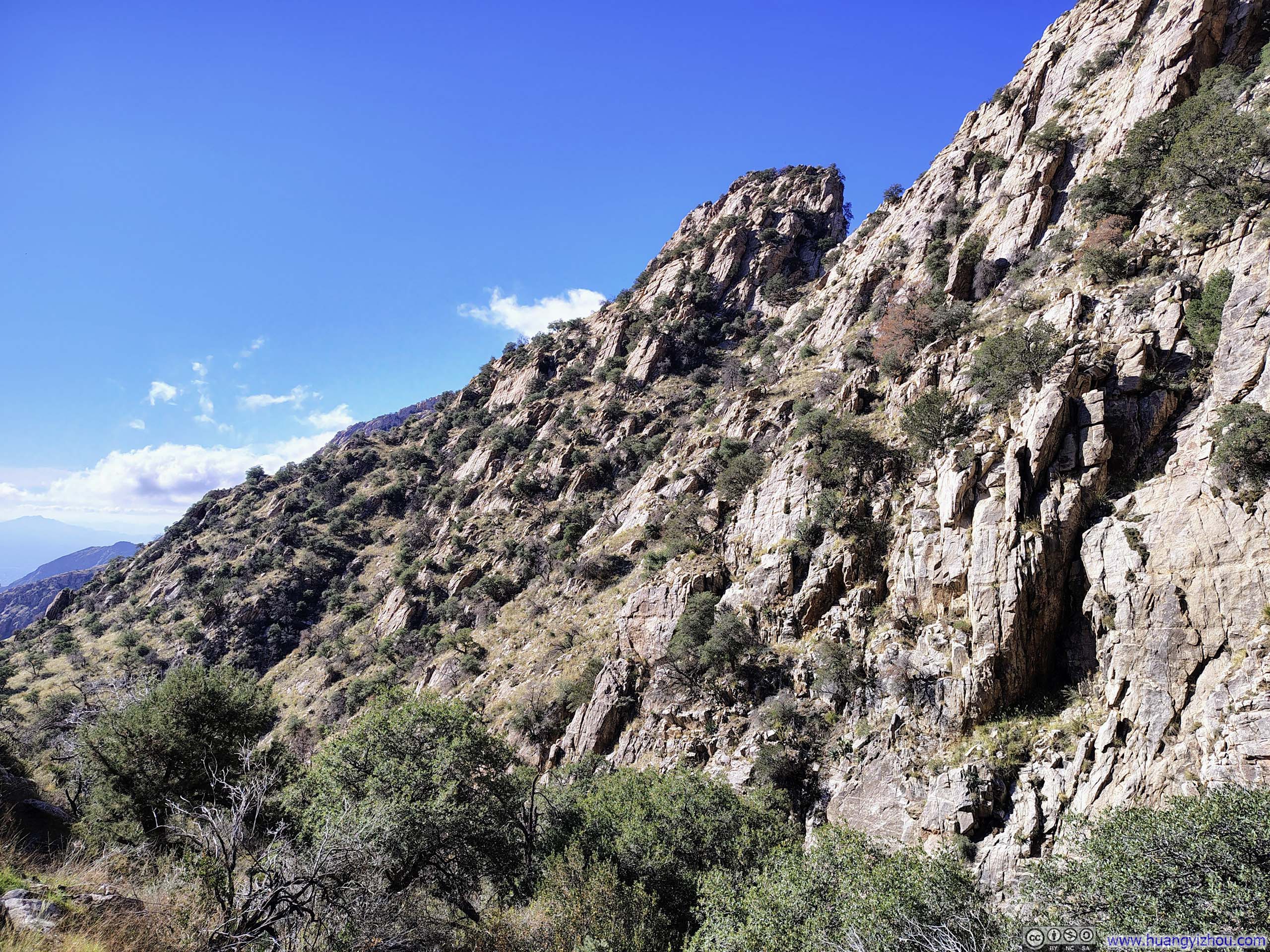
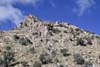
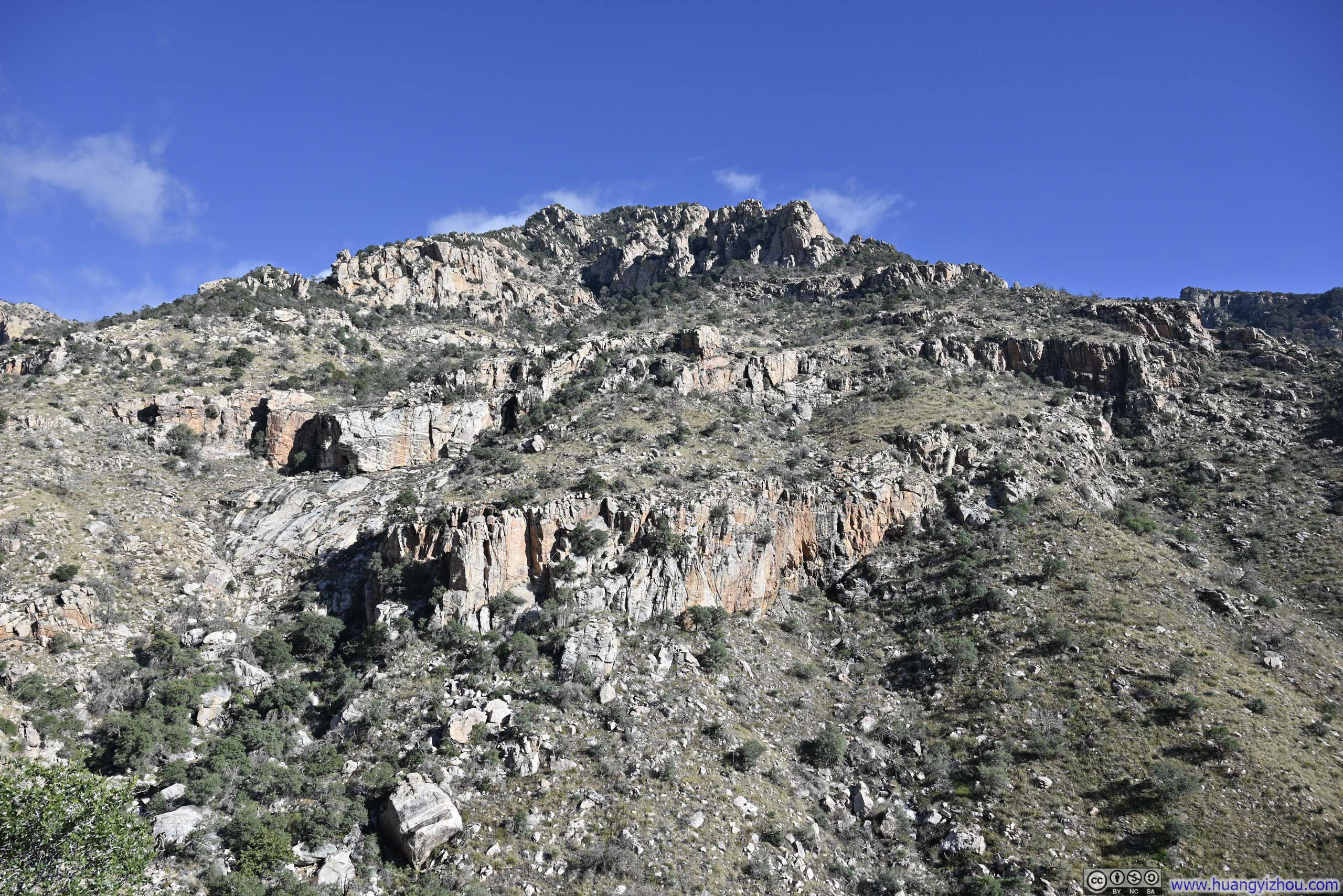
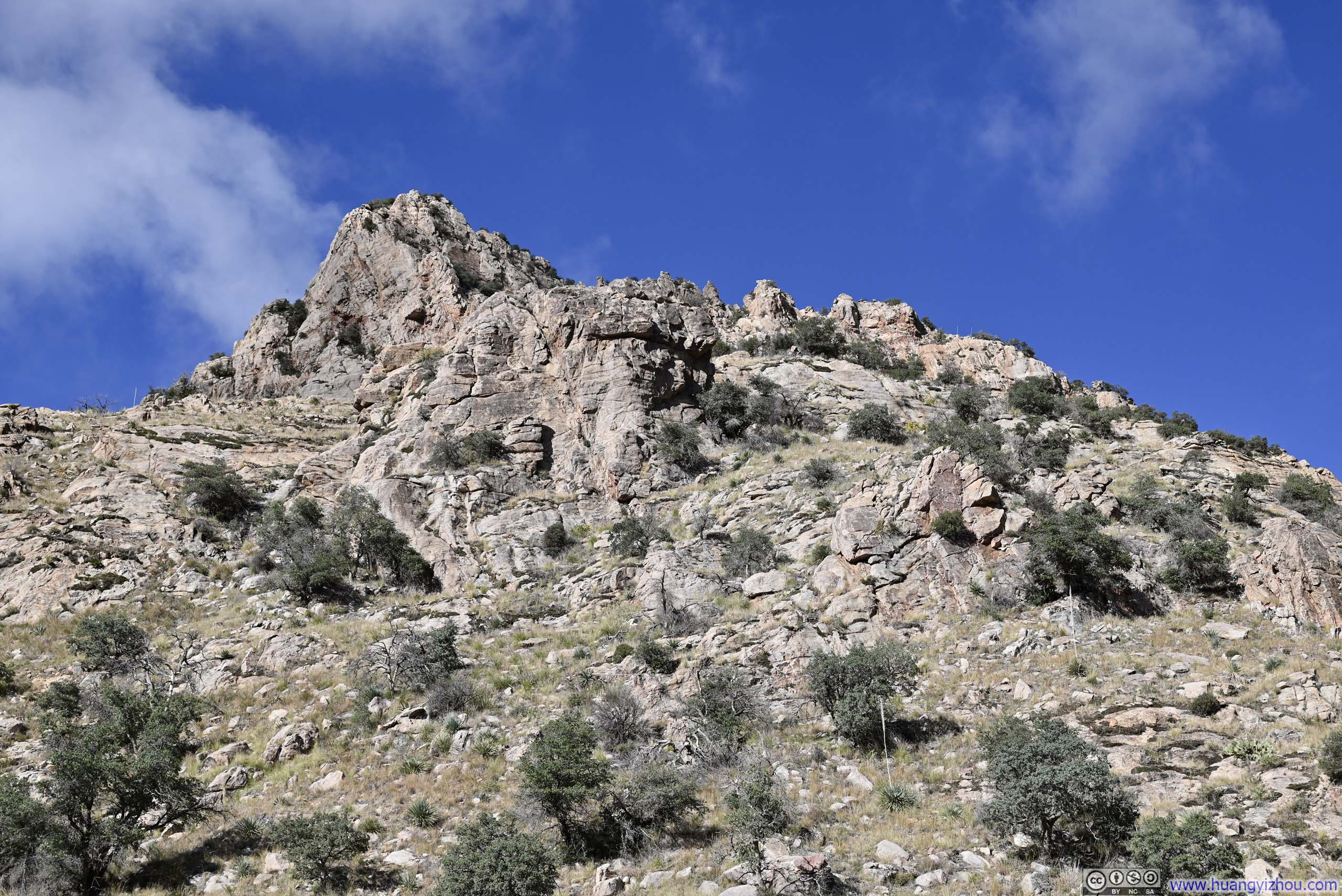
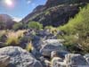
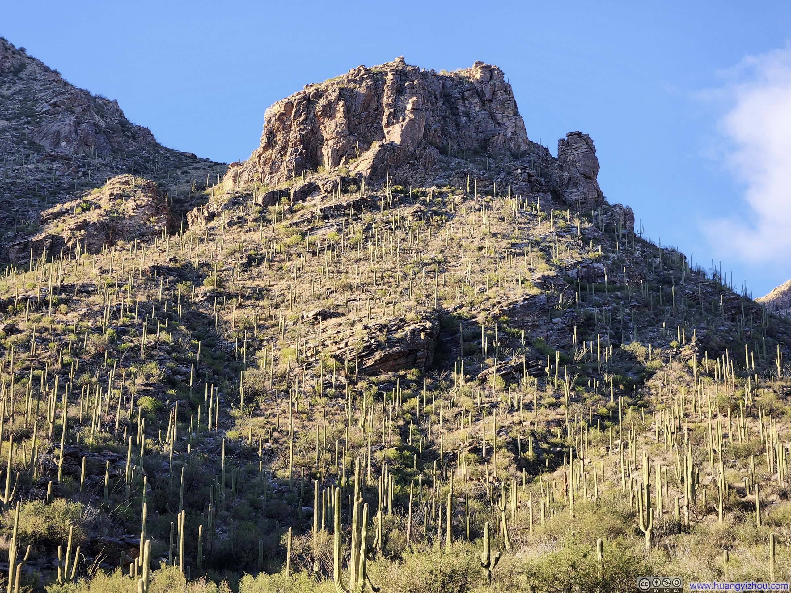
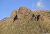
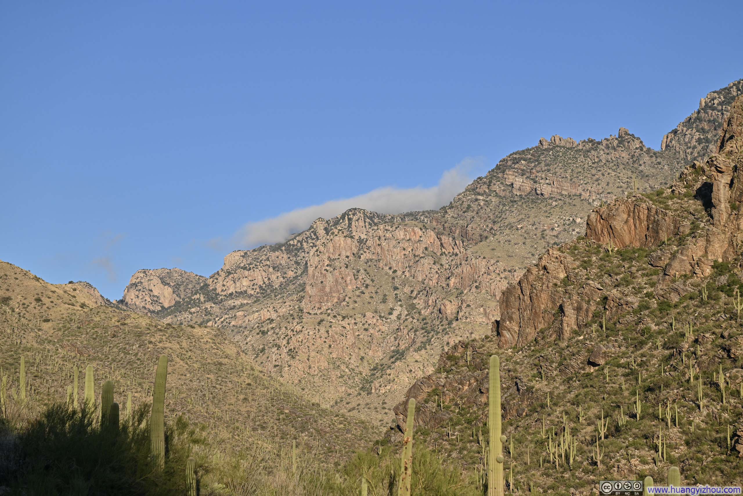
Finger Rock Canyon took its name from a distinctive rock formation perched on a hillside overlooking the canyon, resembling a finger pointing upwards. This formation was visible since leaving the trailhead. Once the trail entered the canyon, it soon departed the canyon floor and began a steady climb upward.
 Finger Rock from Trailhead
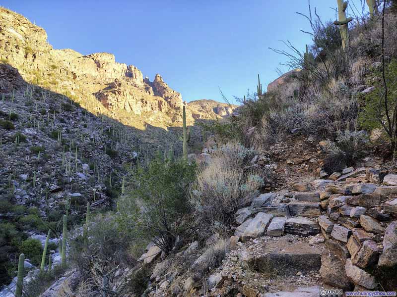 Trail
Trail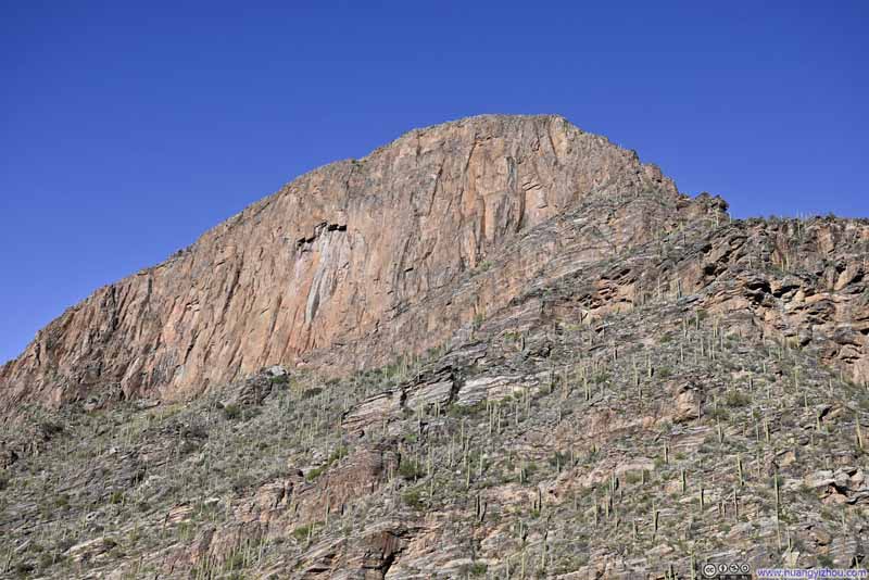 Cliff along Finger Rock Canyon
 Ridgeline above Canyon
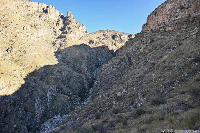 Finger Rock Canyon
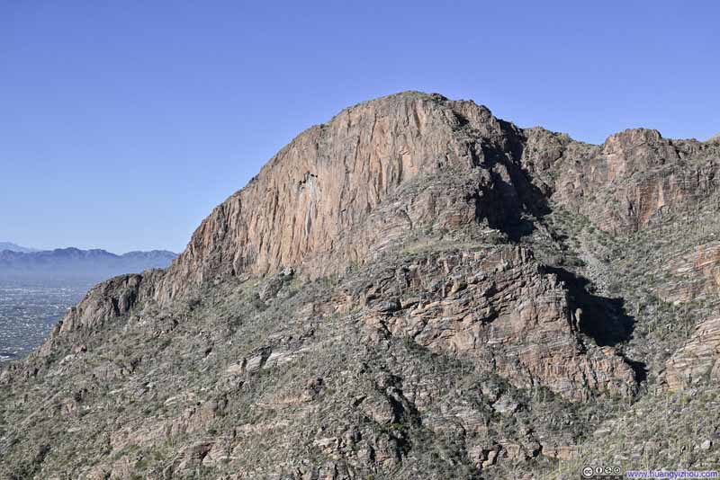 Cliff along Finger Rock Canyon
 Finger Rock
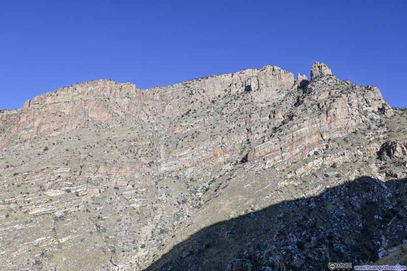 Ridgeline to Finger Rock
Click here to display photos of the slideshow
Finger Rock from Trailhead
Trail
Cliff along Finger Rock Canyon
Ridgeline above Canyon

Finger Rock Canyon

Cliff along Finger Rock Canyon
Finger Rock
Ridgeline to Finger Rock
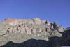
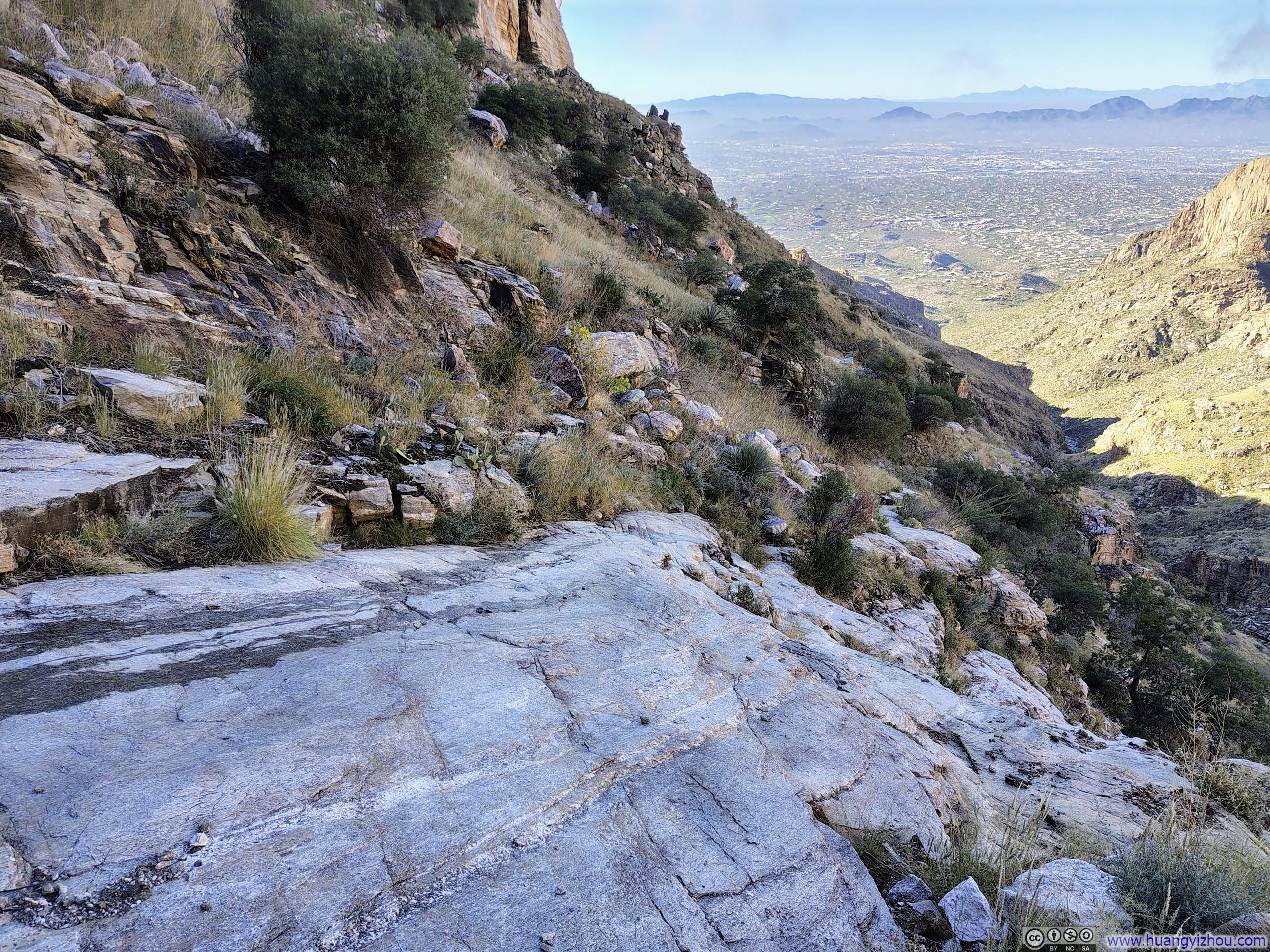
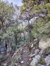
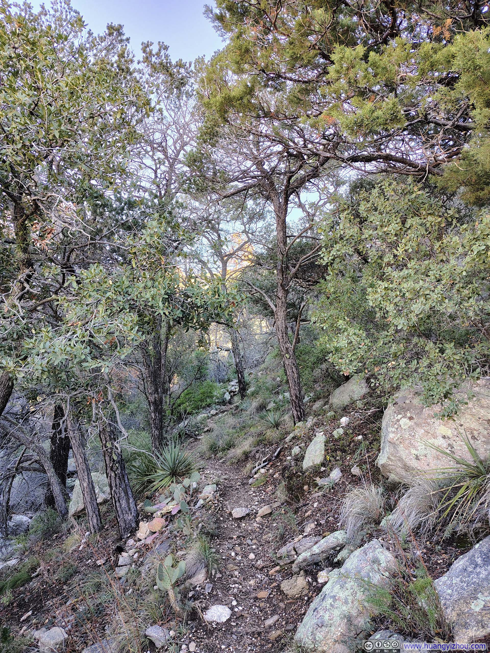
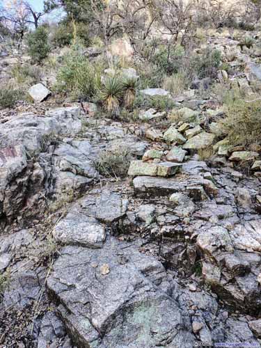
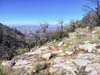
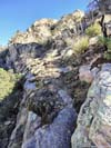
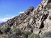
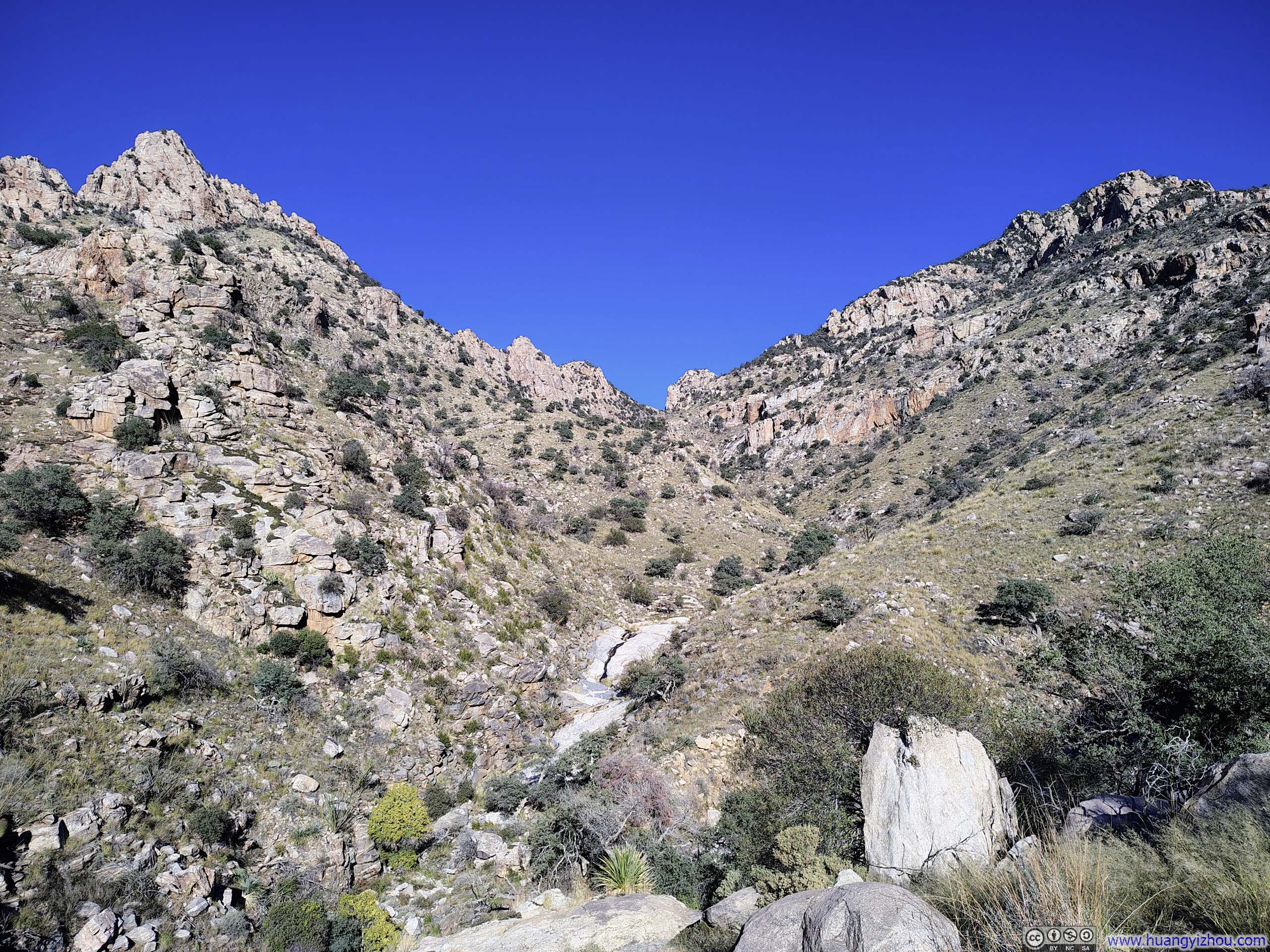
As I soon discovered, the trails through both canyons proved to be anything but straightforward. They were frequently narrow and uneven, demanding attention with every step. Occasionally, the trail was on rocks that were still slick in places from a storm a few days earlier, requiring a measured and cautious footing.
 Mountains beyond Finger Rock Canyon
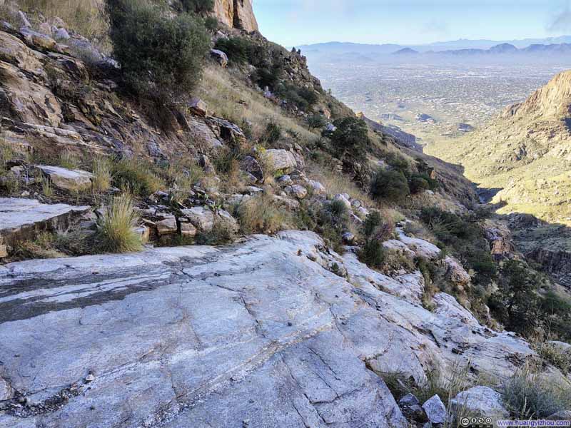 Trail on Rock Surfaces
 Trail on Rock Surfaces
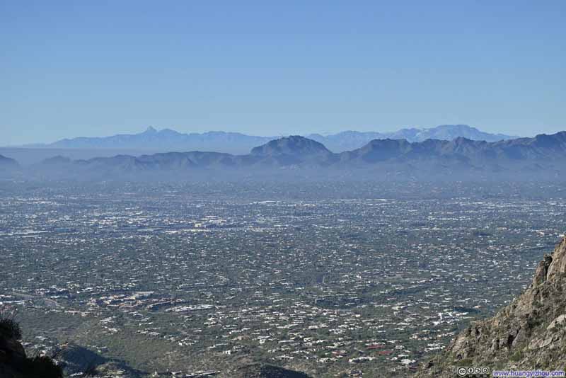 Mountains to the Southwest
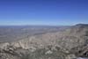
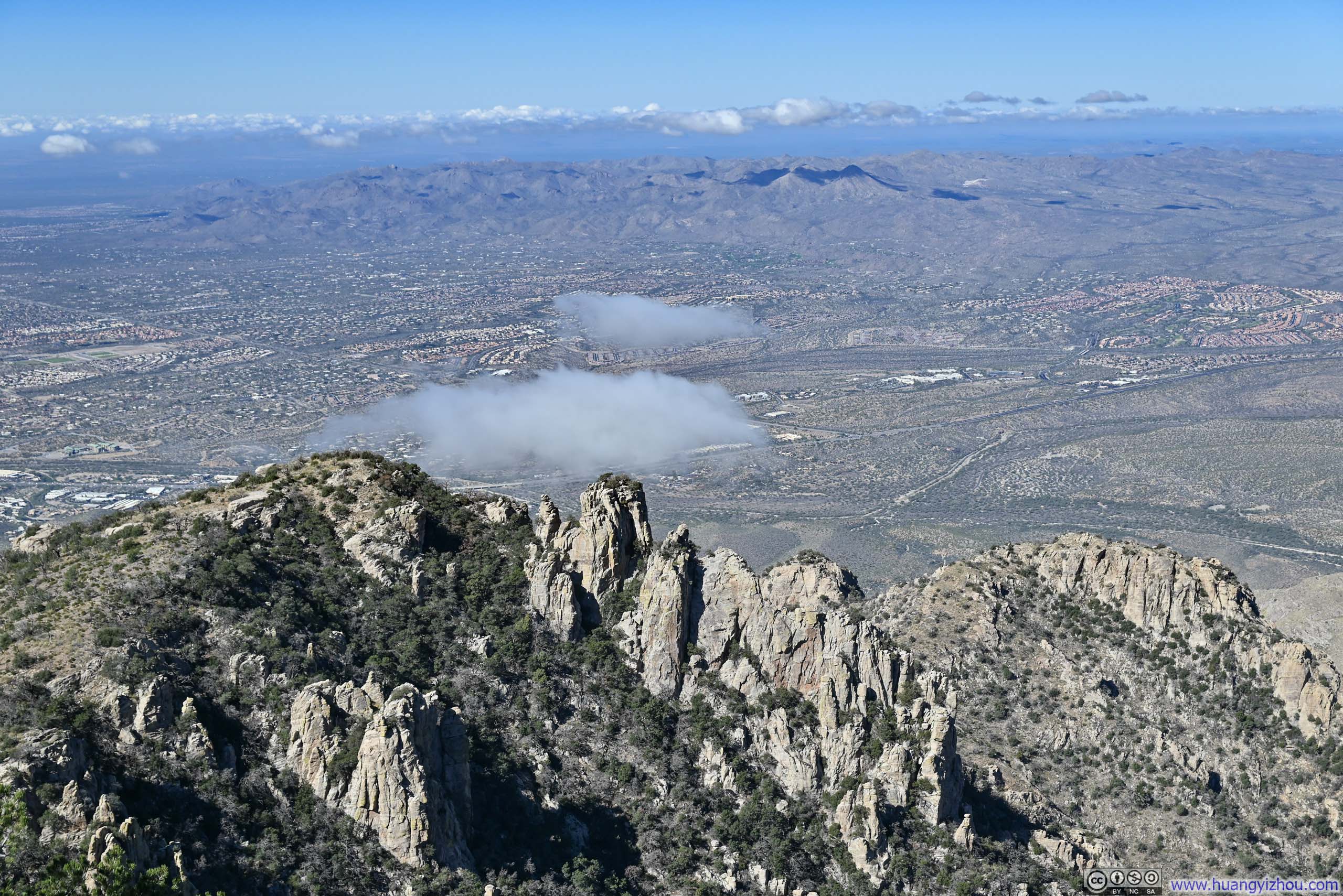
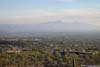
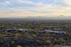
Tucson Basin before Tucson Mountains, Coyote Mountains and Baboquivari Mountains in the background.
Mountains to the Southwest
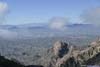
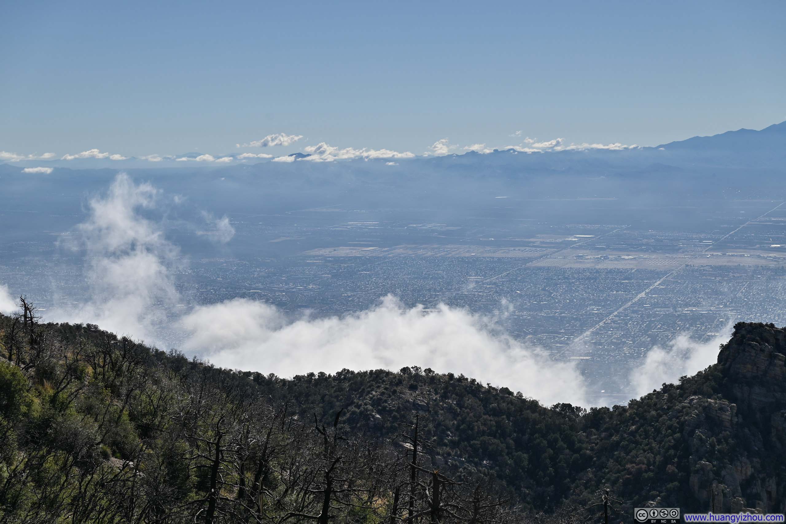
Tucson Basin before Tucson Mountains, Coyote Mountains and Baboquivari Mountains in the background.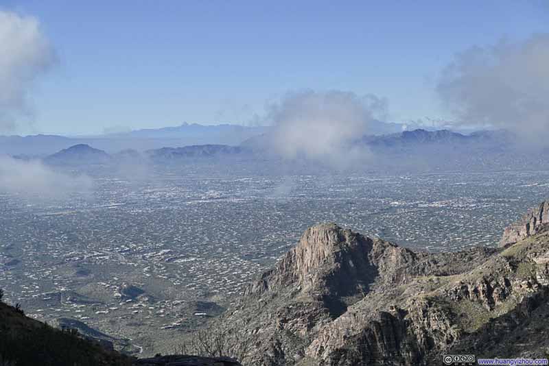 Clouds Rolling in over Tucson

Click here to display photos of the slideshow
Mountains beyond Finger Rock Canyon
Trail on Rock Surfaces
Trail on Rock Surfaces
Mountains to the Southwest
Clouds Rolling in over Tucson
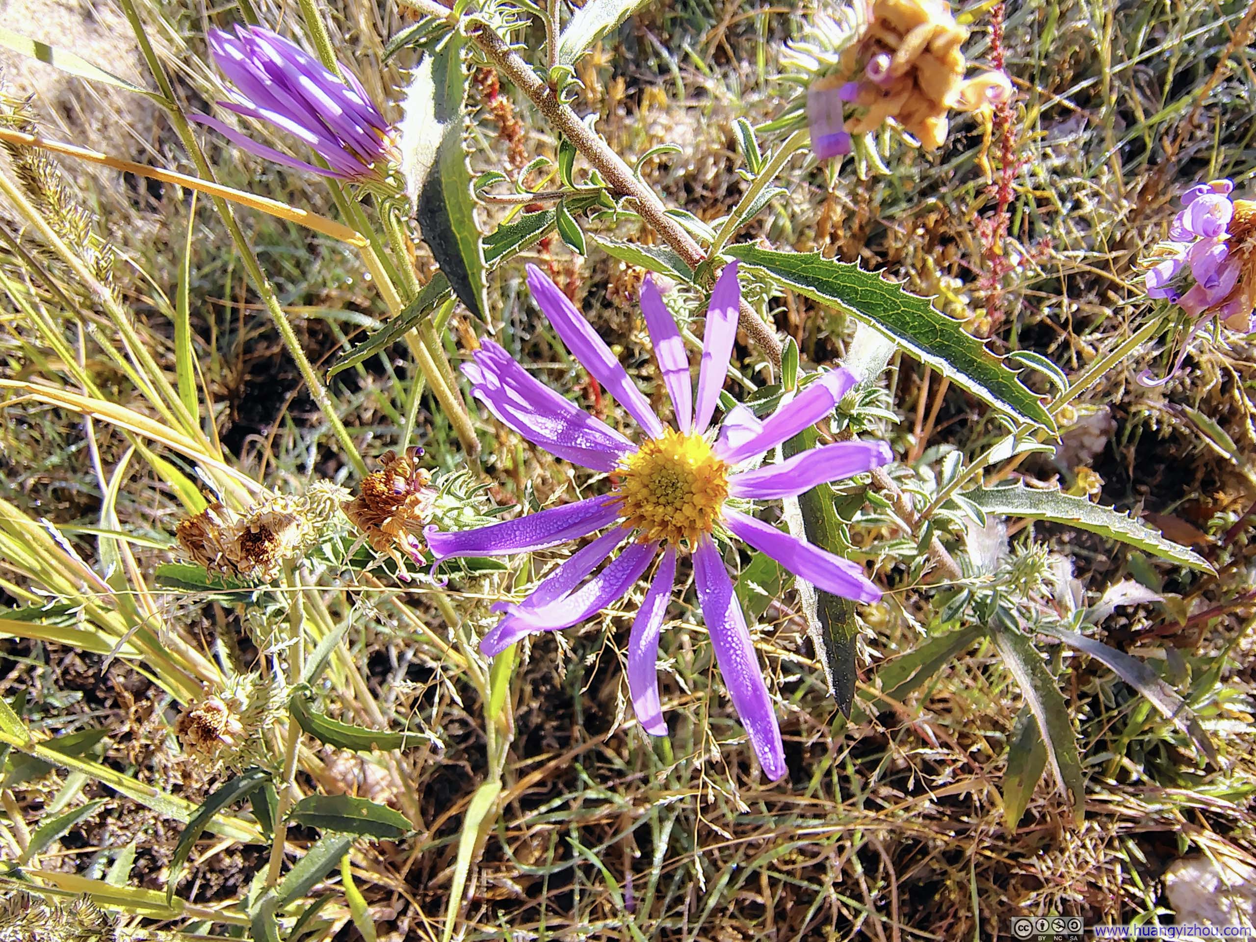
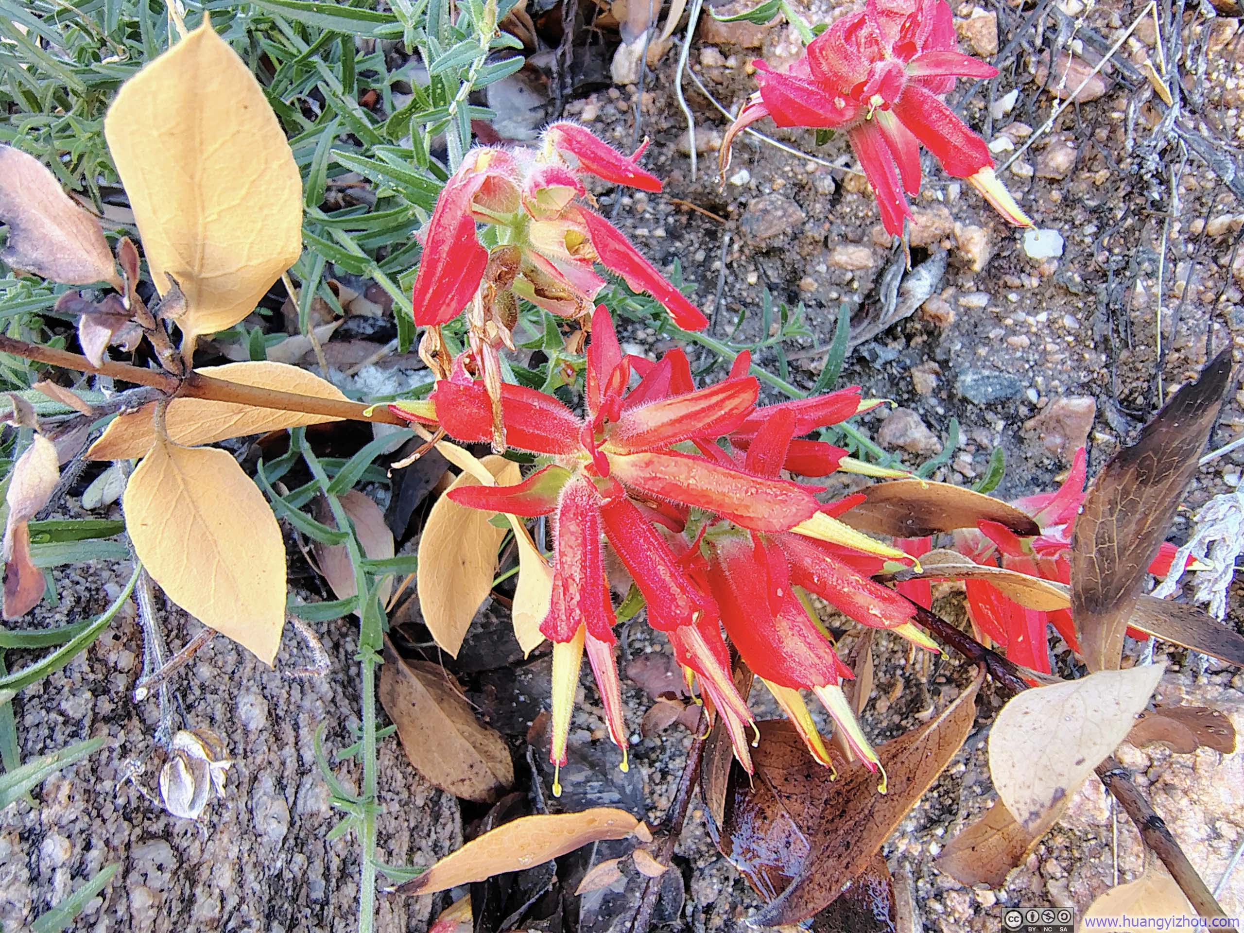 Flowers along Trail
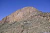
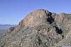
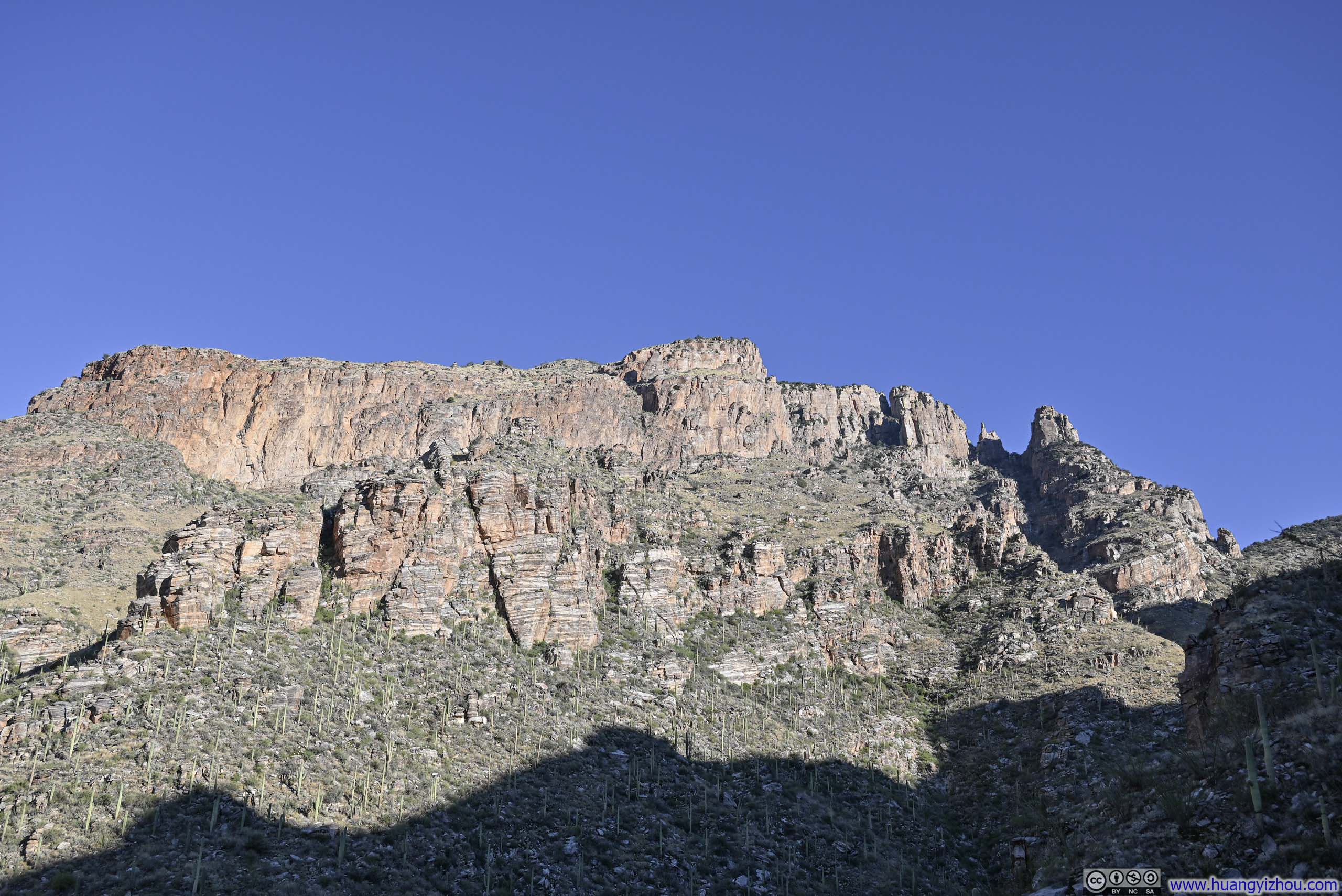
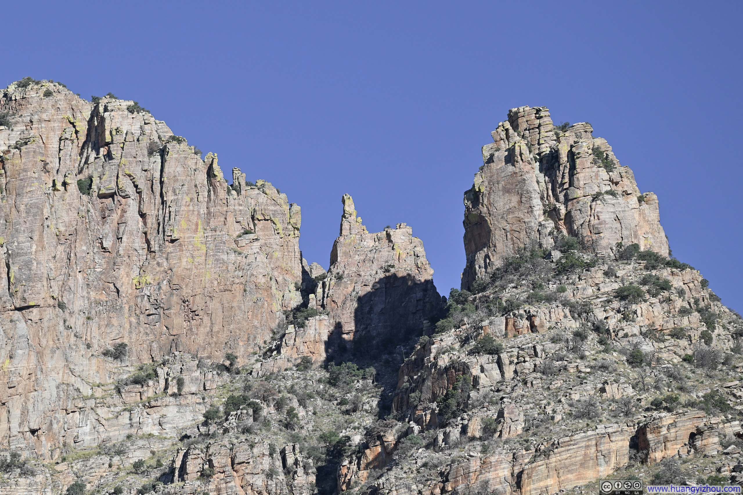
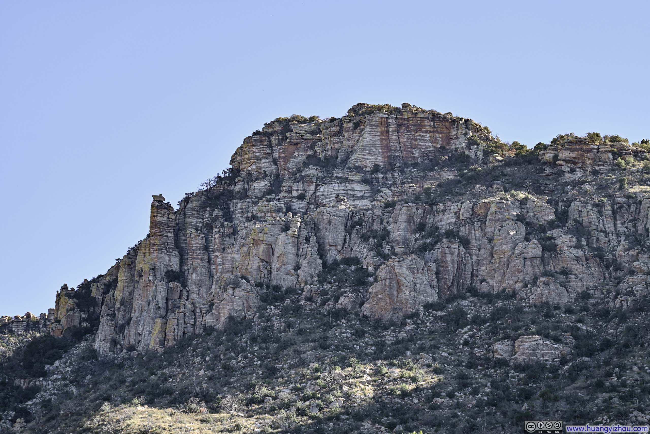
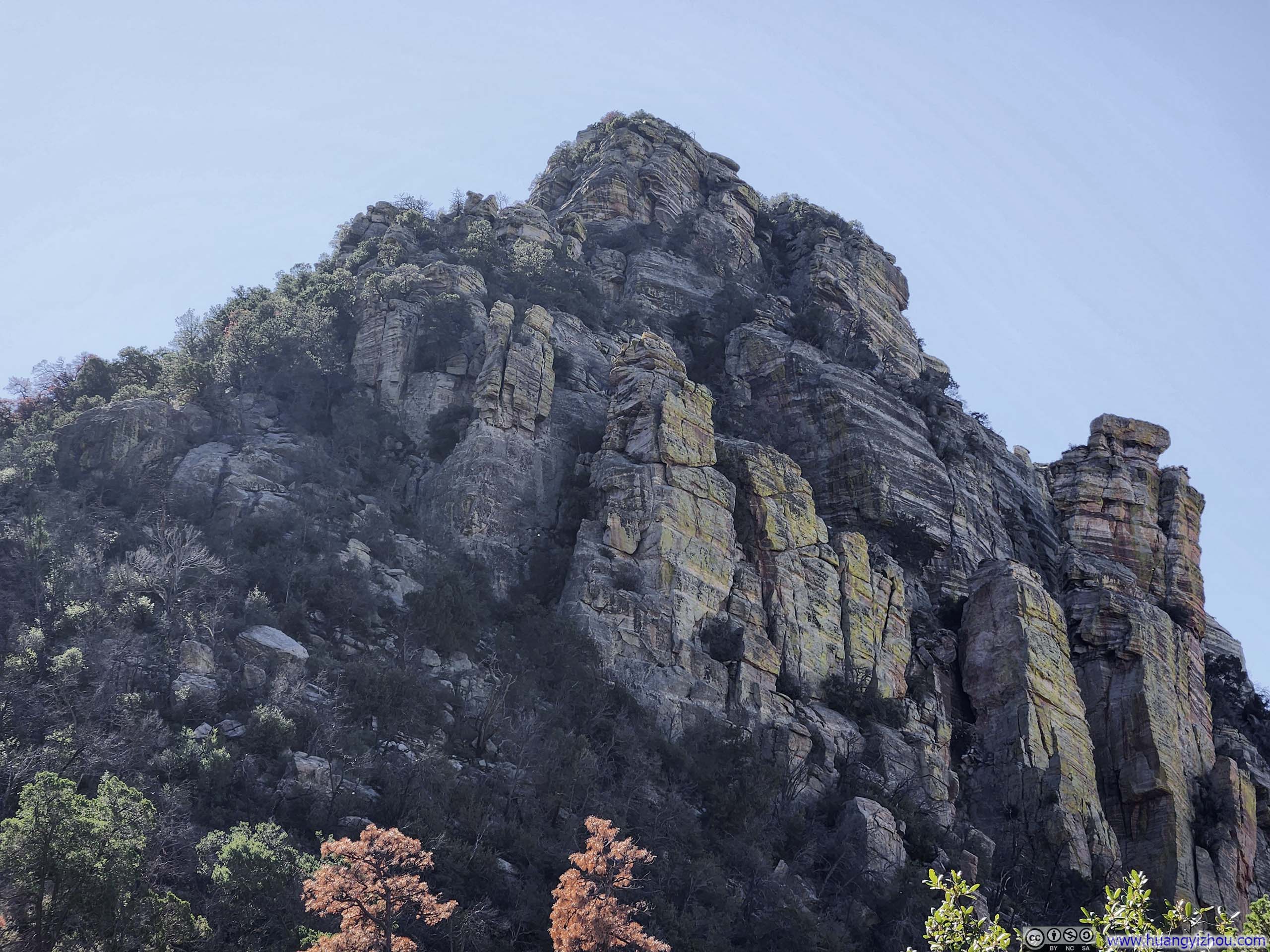
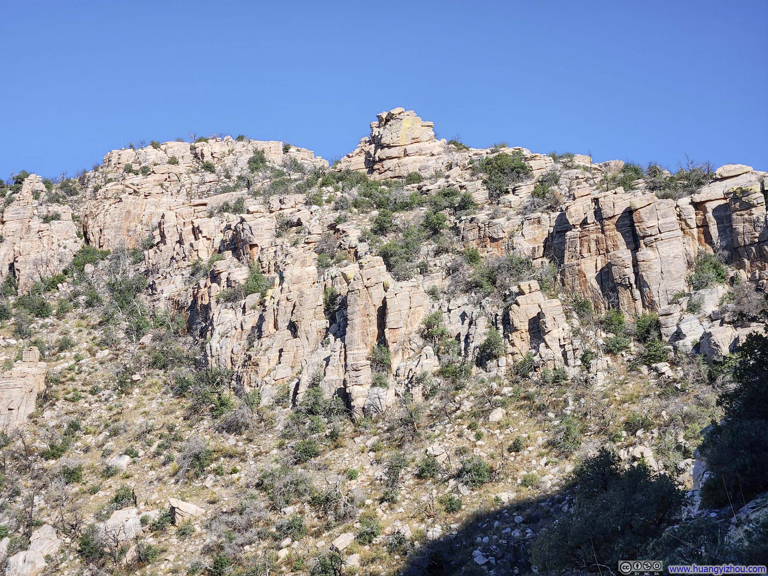
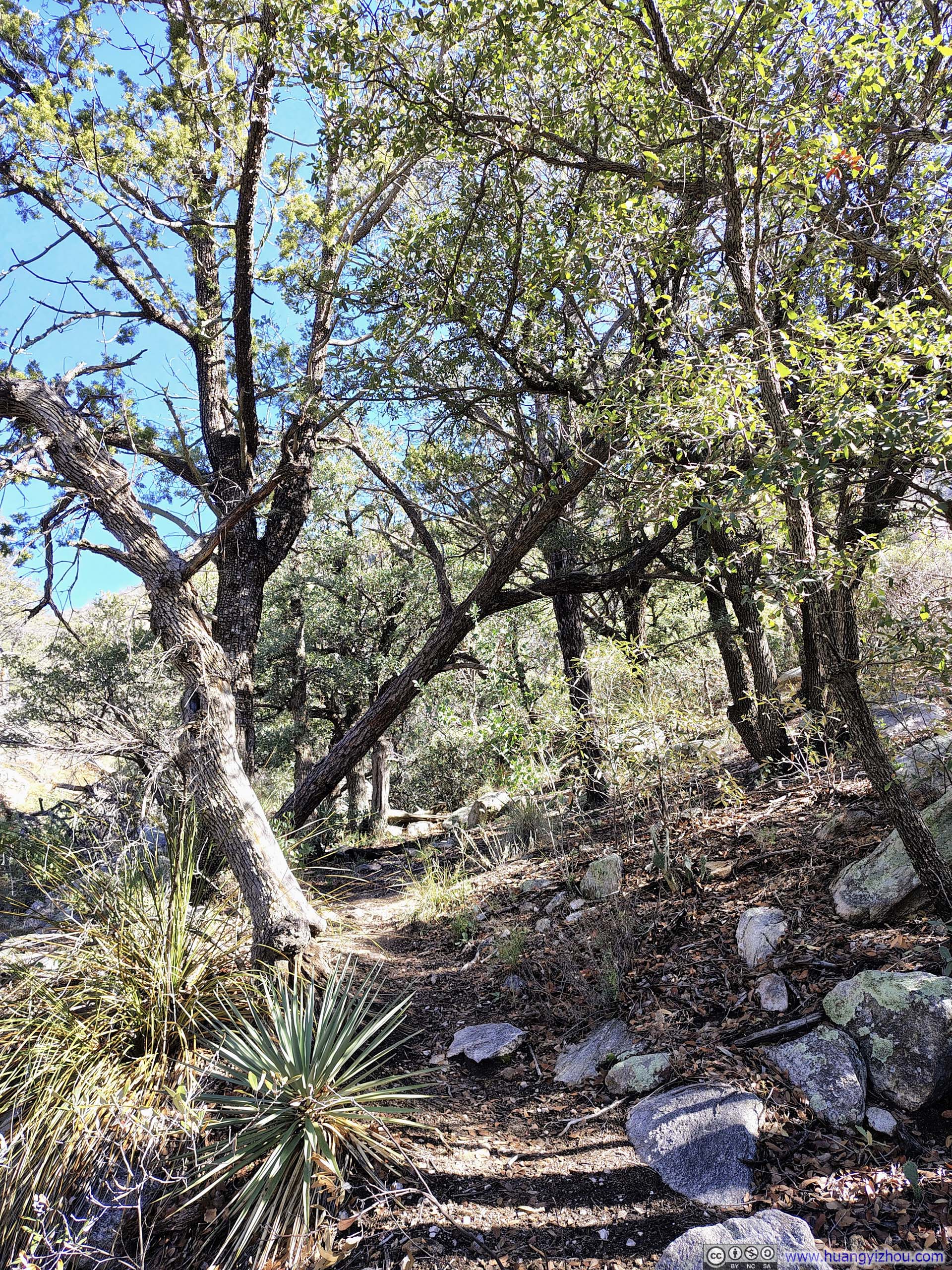
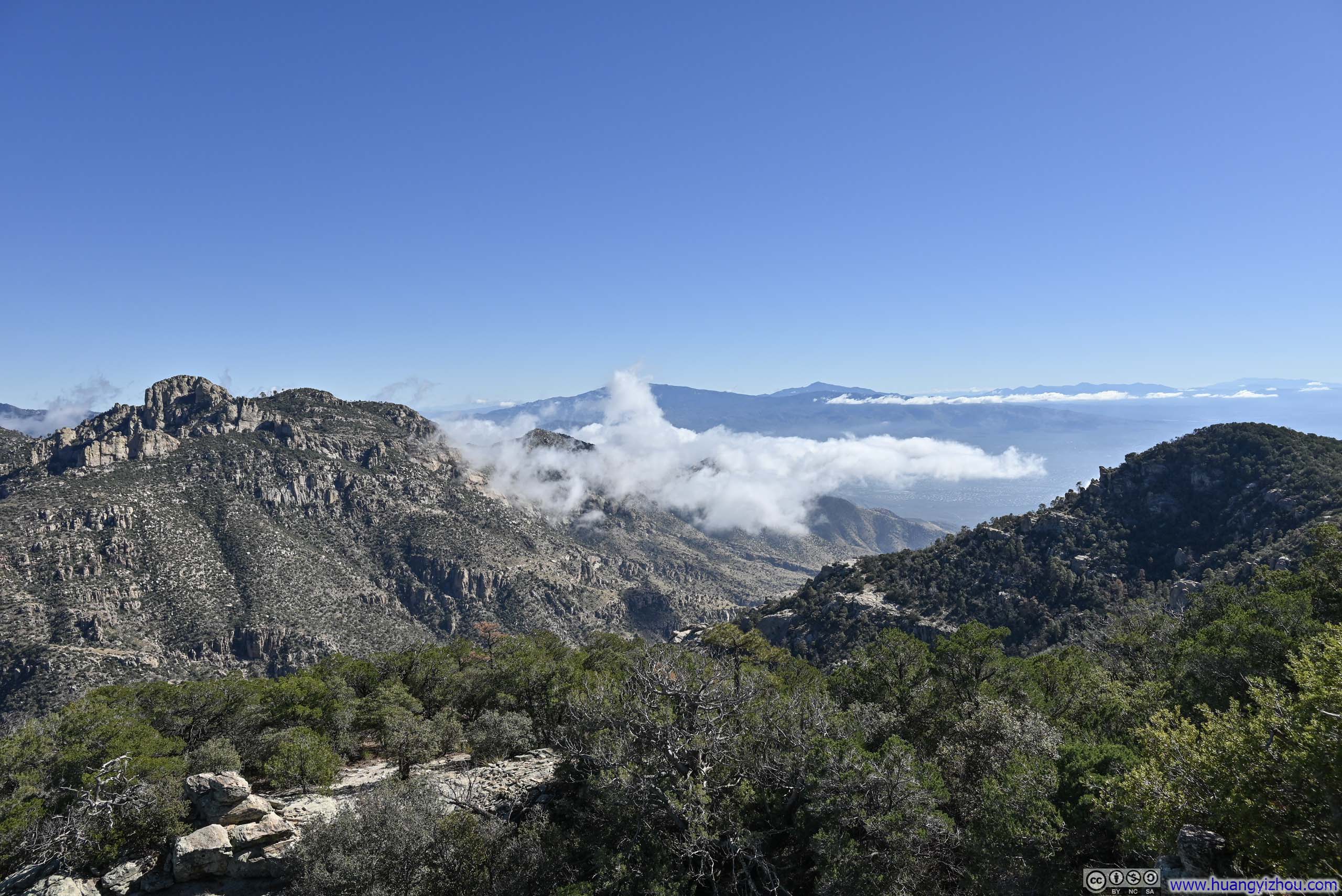
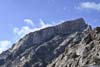
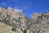
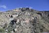
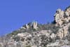
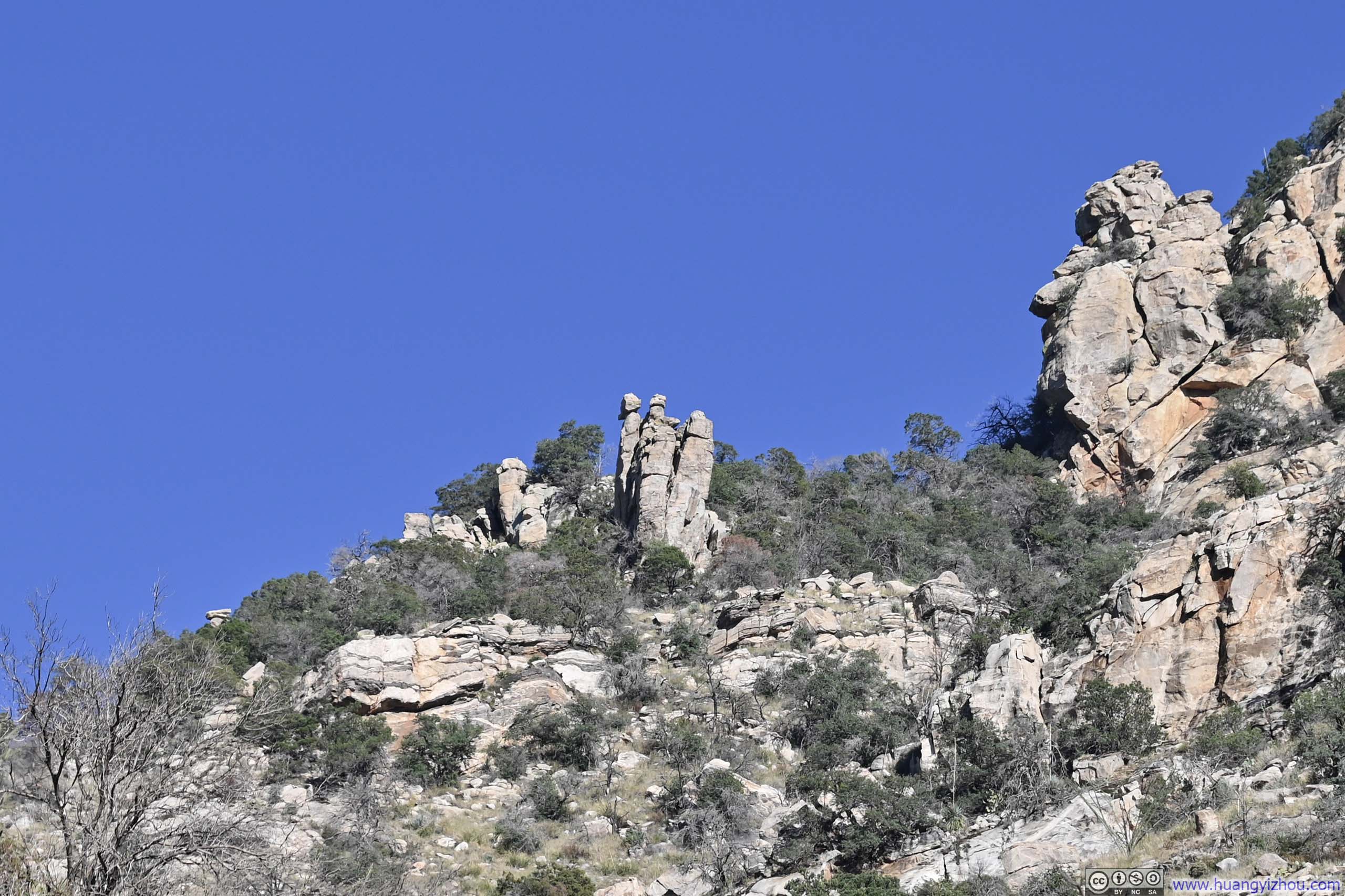
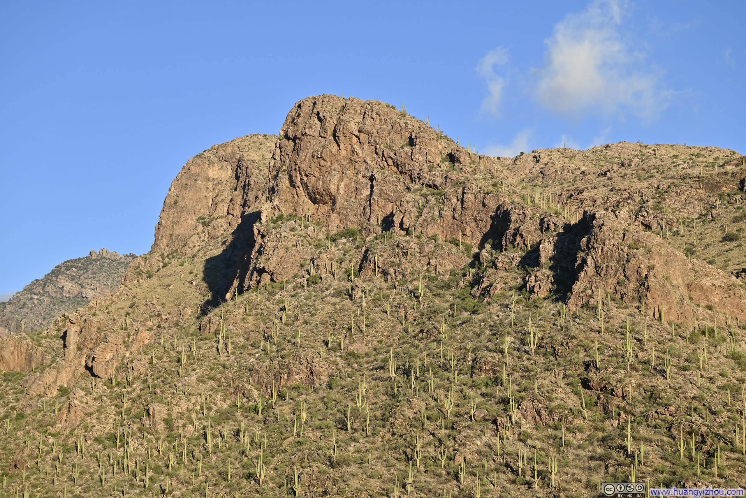
About 4km (2.5mi) into the hike, I paused briefly at the junction with the trail to Finger Guard. Pressing on, the rising sun began to illuminate the path, which wound occasionally beneath steep, eroded canyon walls. The eroded rock formations bore a faint resemblance to Chiricahua National Monument, which I had visited two days prior. On the other hand, the trail was also occasionally overgrown from that point forward.
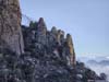
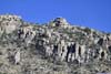
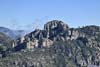
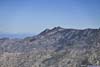
 Gorp Peak
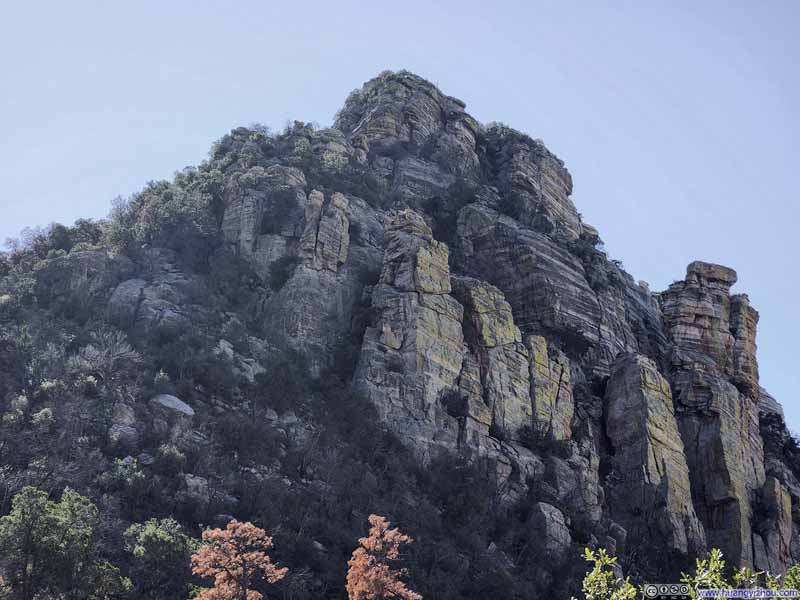 Gorp Peak
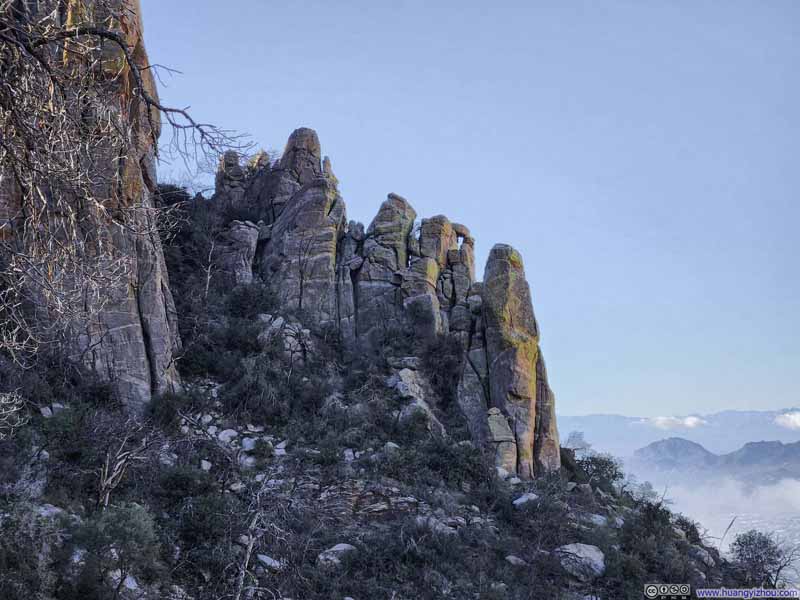 Rocks Wedged Together
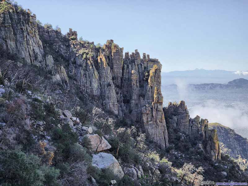 Hoodoos on Hill
 Hill Topped with Hoodoos
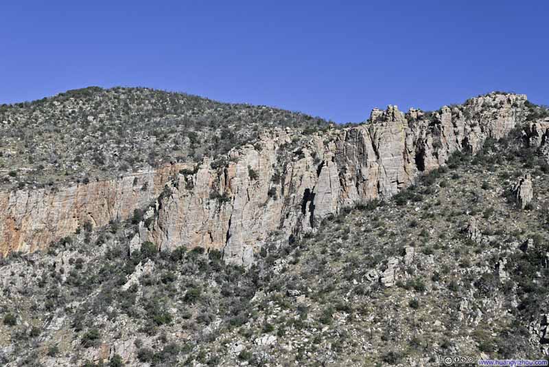 Hill Topped with Hoodoos
 Hill Topped with Hoodoos

Click here to display photos of the slideshow
Gorp Peak
Gorp Peak
Rocks Wedged Together

Hoodoos on Hill
Hill Topped with Hoodoos
Hill Topped with Hoodoos
Hill Topped with Hoodoos
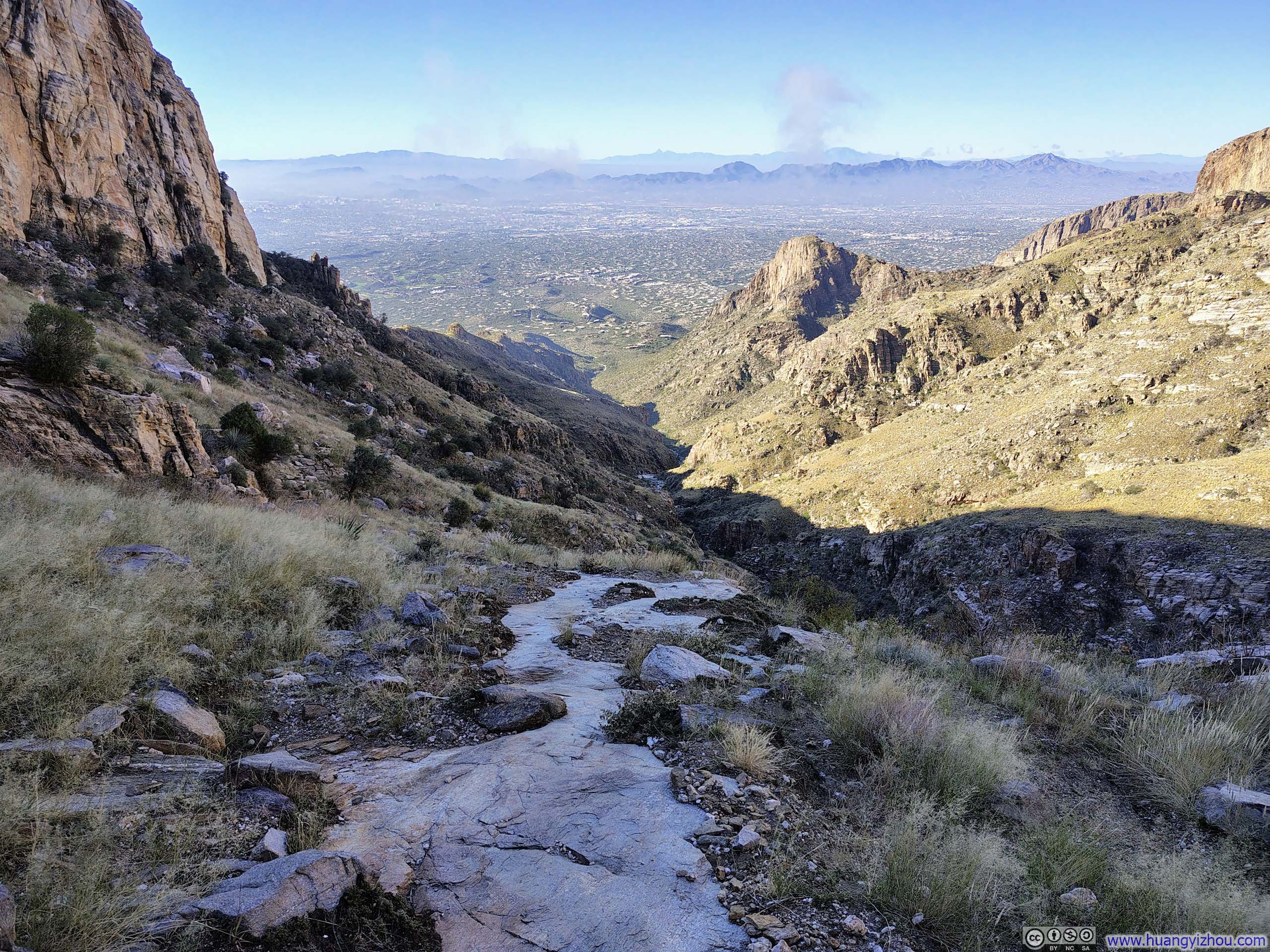
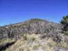
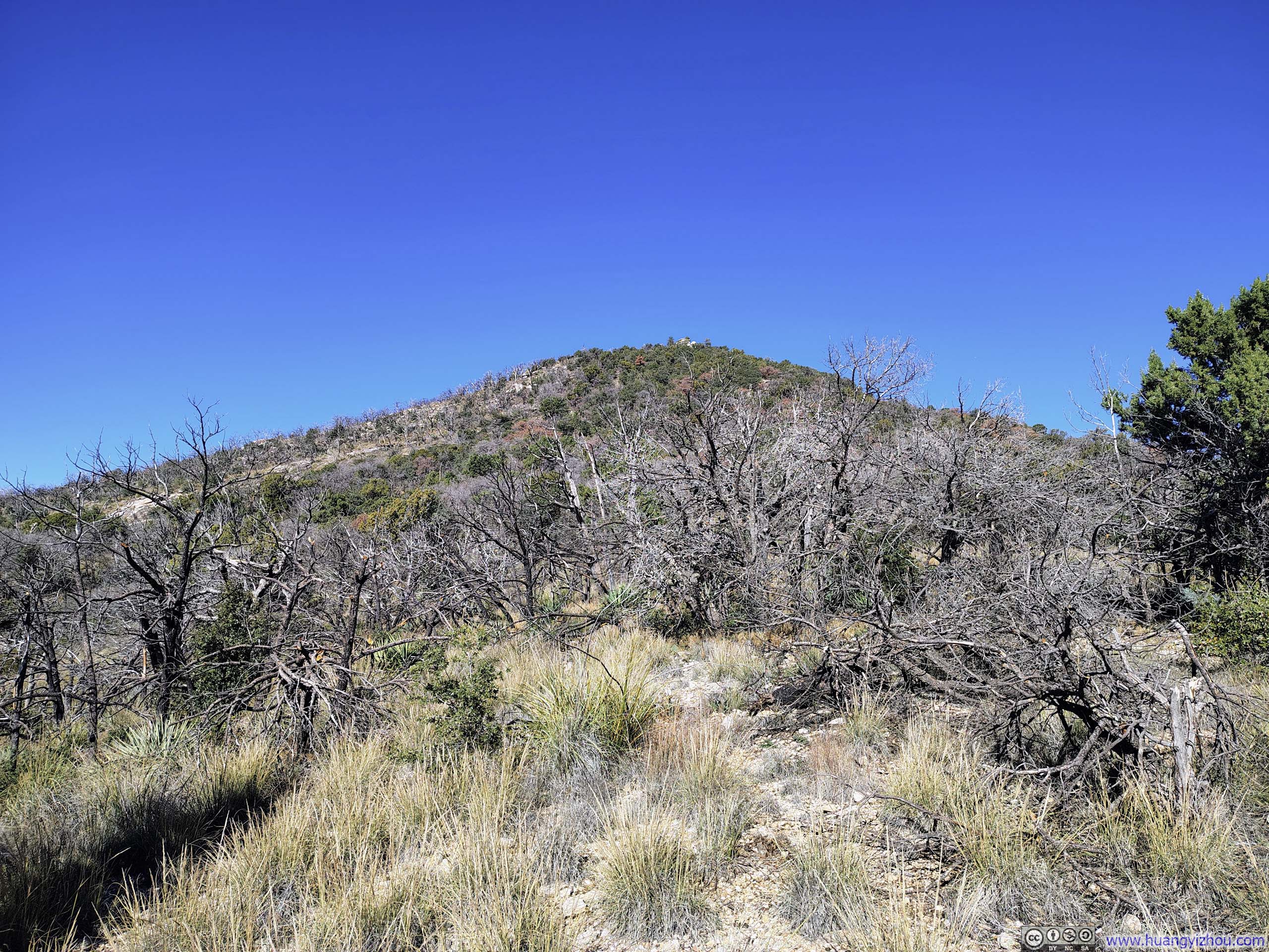
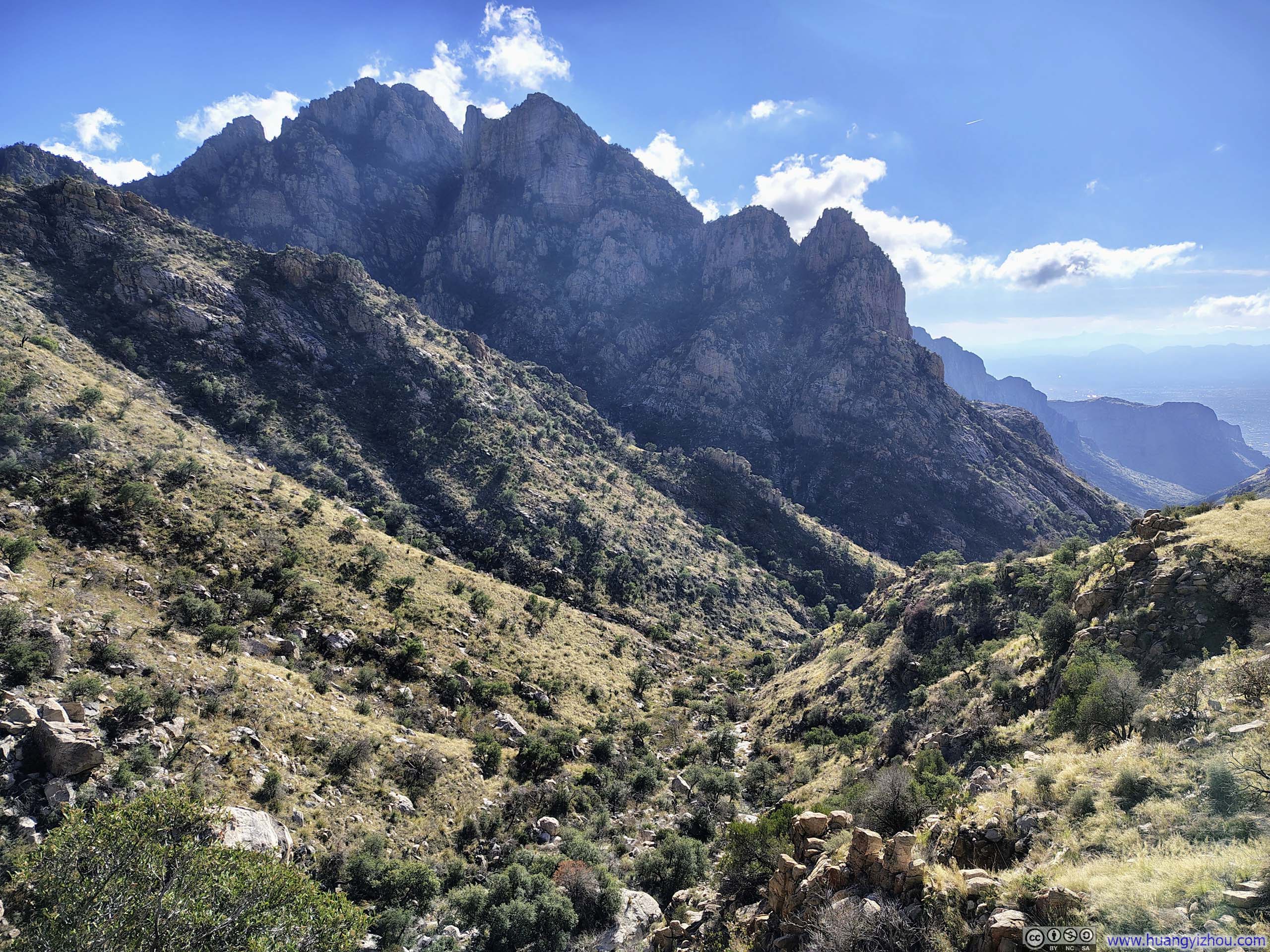
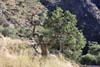
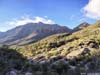
Further along, the hills flanking the trail grew shorter and more subdued. As I neared the summit of Mt. Kimball, the sense of being enclosed within a canyon gradually faded away.
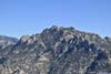
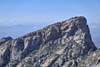
 Prominent Point
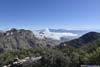
 Clouds Rolling into Finger Rock Canyon
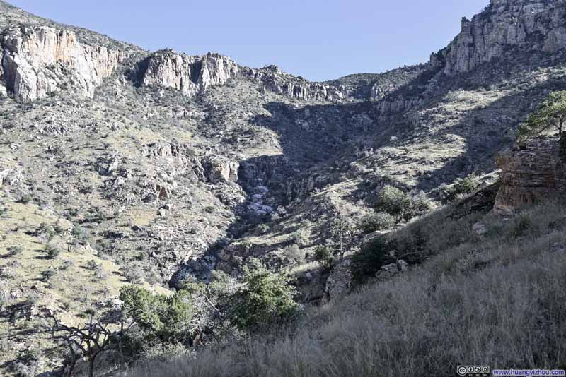 Finger Rock Canyon
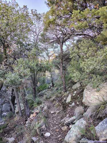
 Trail
Trail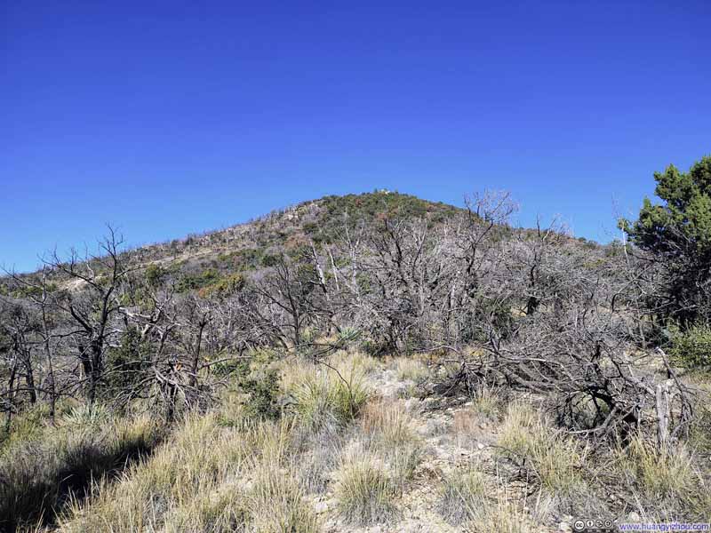 TrailMt Kimball in the background.
Click here to display photos of the slideshow

Prominent Point

Clouds Rolling into Finger Rock Canyon
Finger Rock Canyon
 Trail
Trail
TrailMt Kimball in the background.
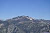
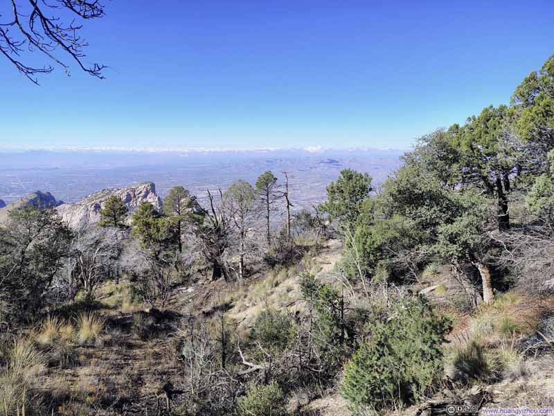
Mt Kimball Summit Overlook
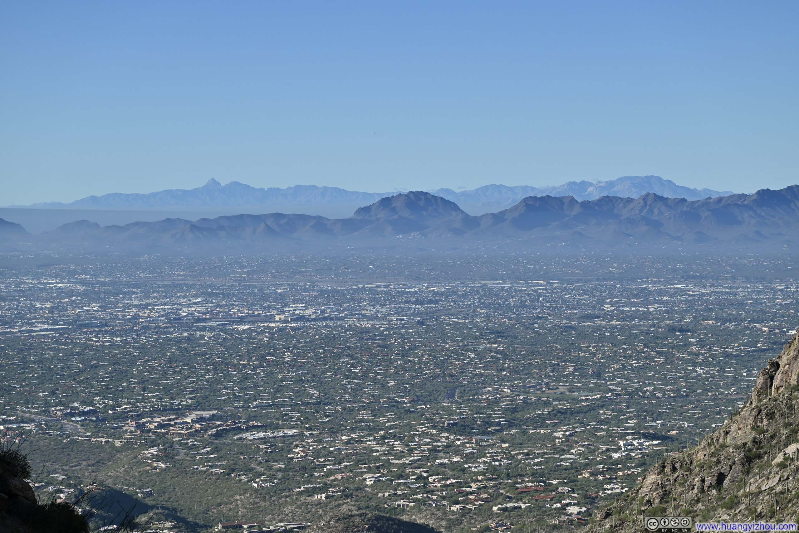
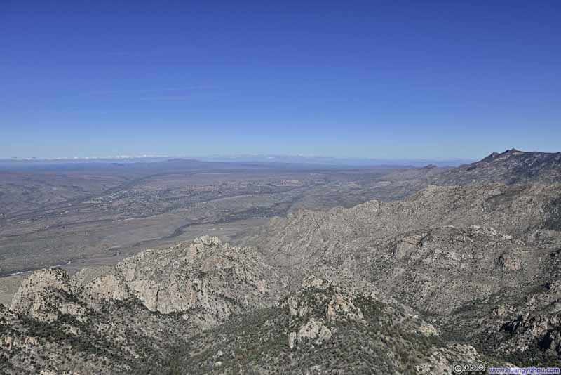
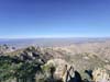
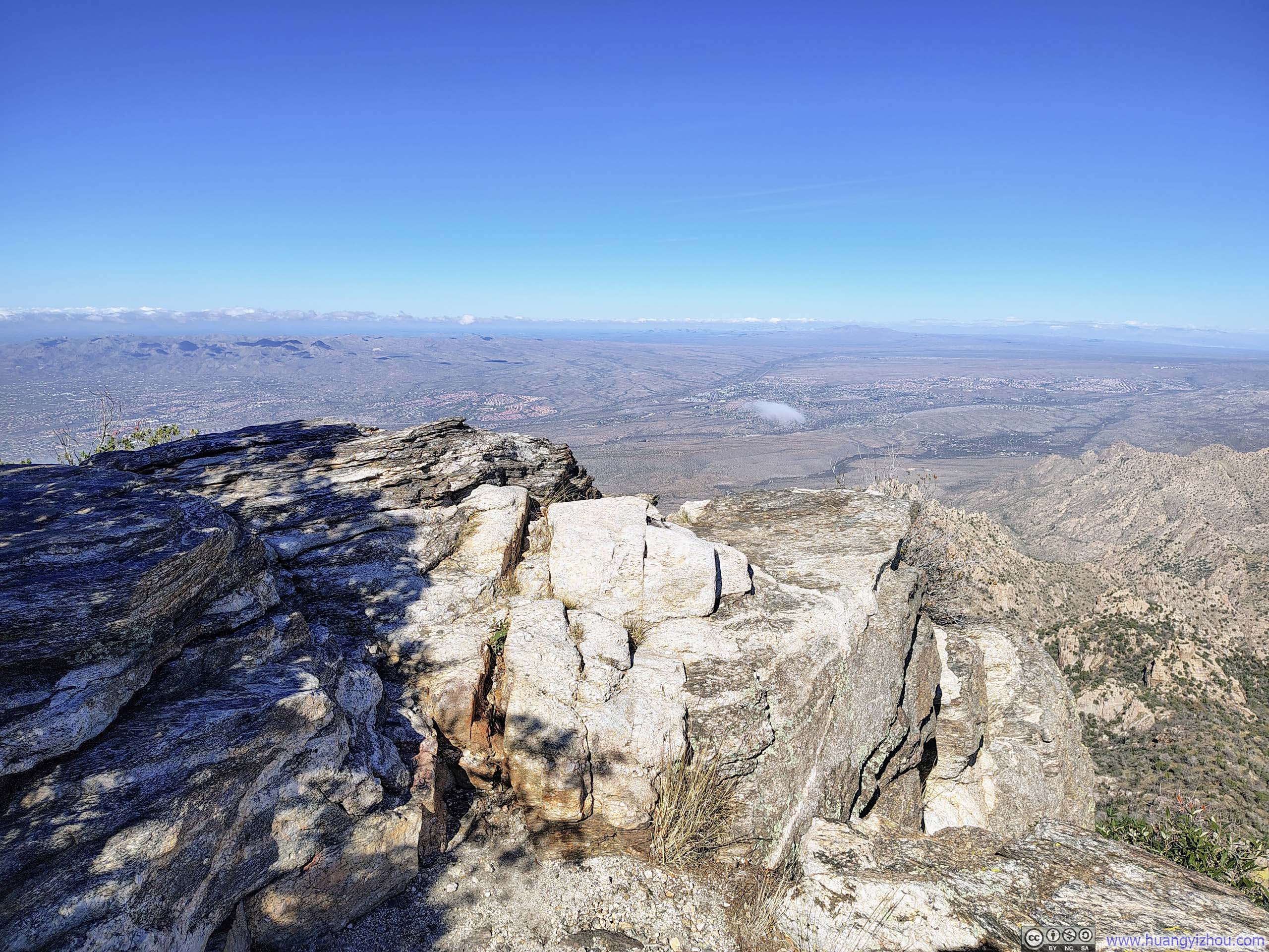
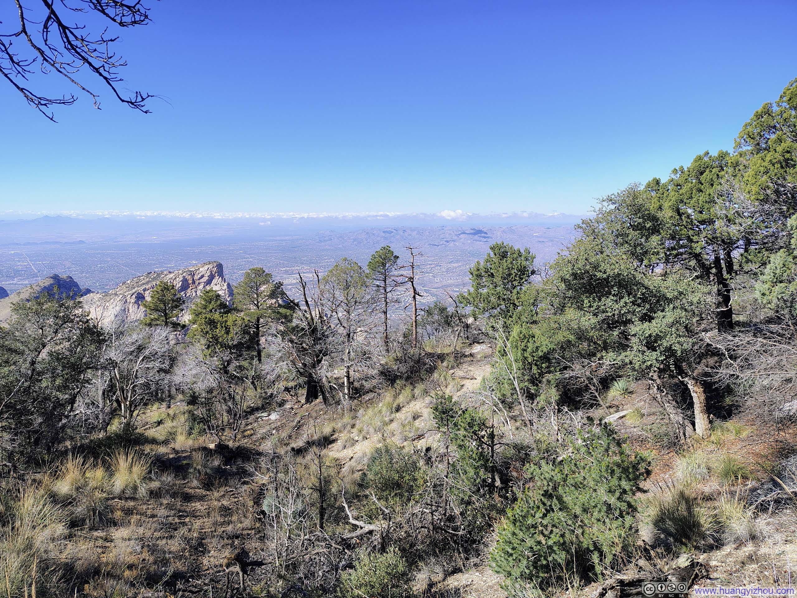
After spending just under four hours on the trail, I reached the “summit” of Mt. Kimball at 11:45am. “Summit” was used loosely here, as the area was heavily wooded and remarkably flat. In its place was a rocky overlook offering roughly 180-degree views to the northeast, where mountains deep in the Santa Catalina Range unfolded before me as a harmonious blend of exposed boulders and low-lying shrubs.
 View to the North
 Clouds over Ventana CanyonAnd Mica Mountain and Rincon Peak in the background.
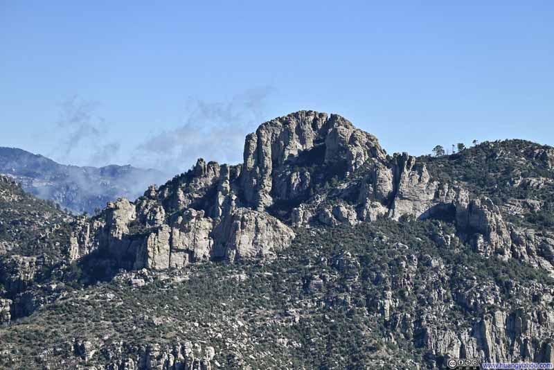 Window Rock
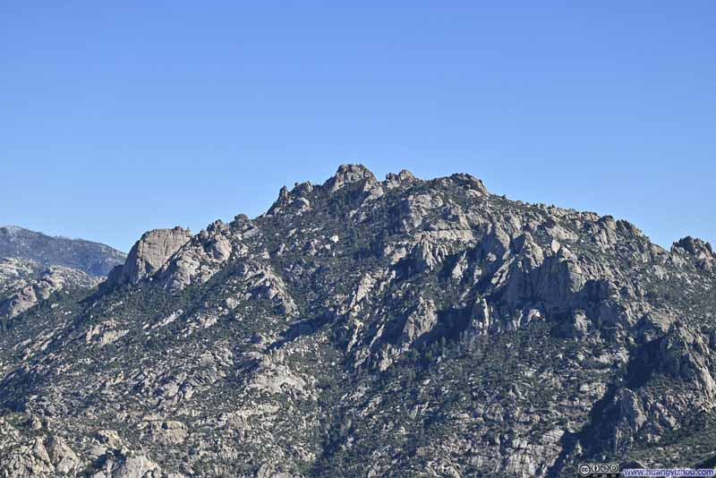 Cathedral Rock
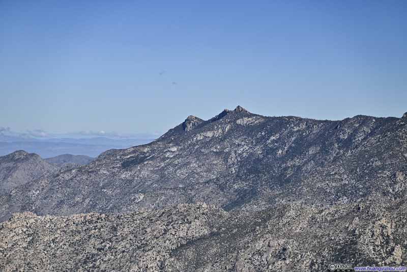 Samaniego Peak
 Mt Lemmon
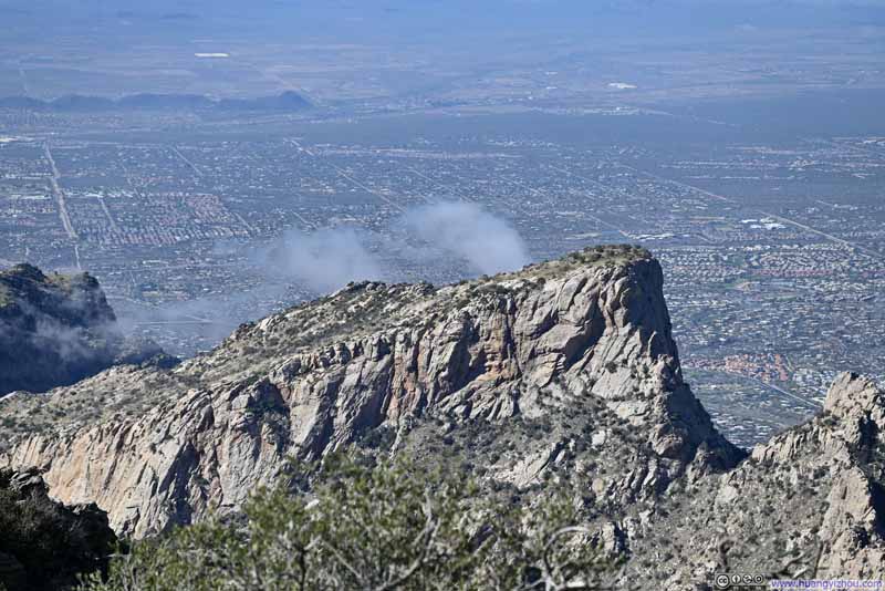 Table Mountain
Click here to display photos of the slideshow
View to the North
Clouds over Ventana CanyonAnd Mica Mountain and Rincon Peak in the background.
Window Rock

Cathedral Rock
Samaniego Peak
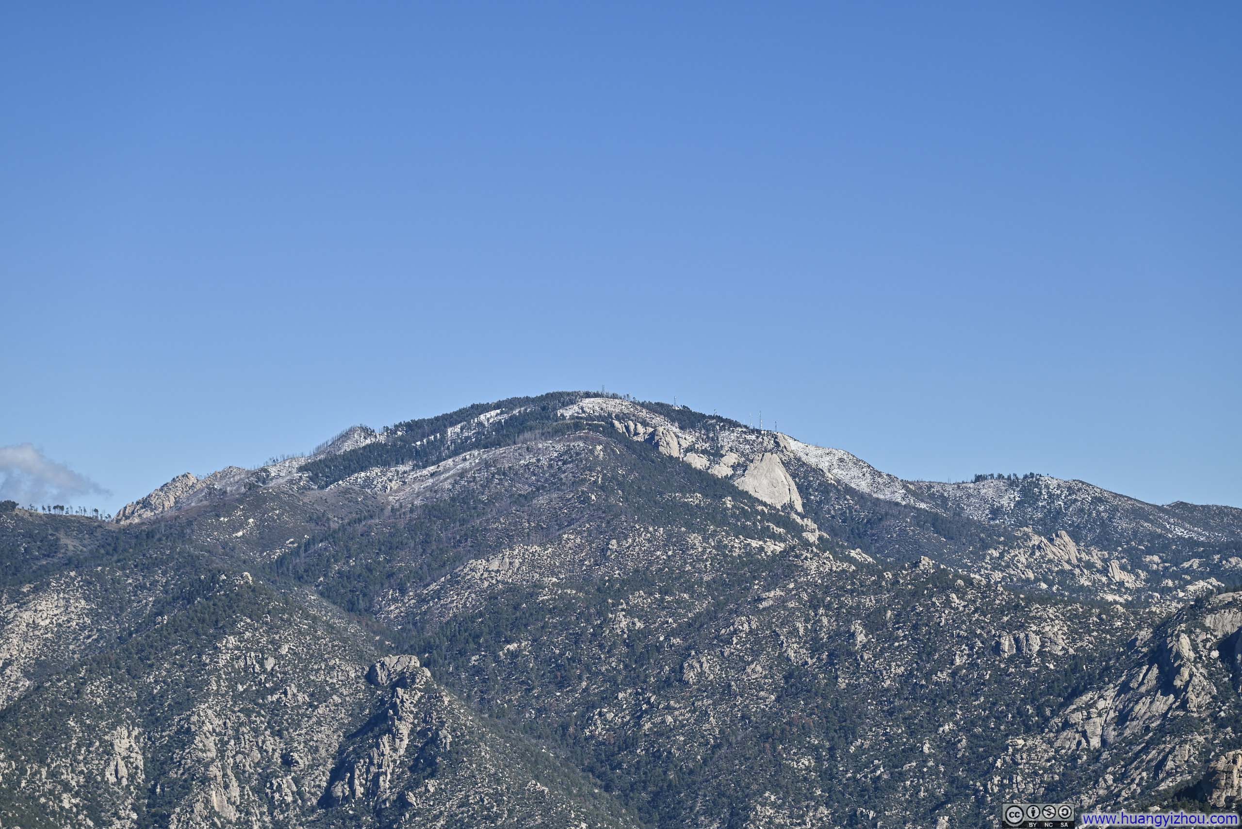
Mt Lemmon
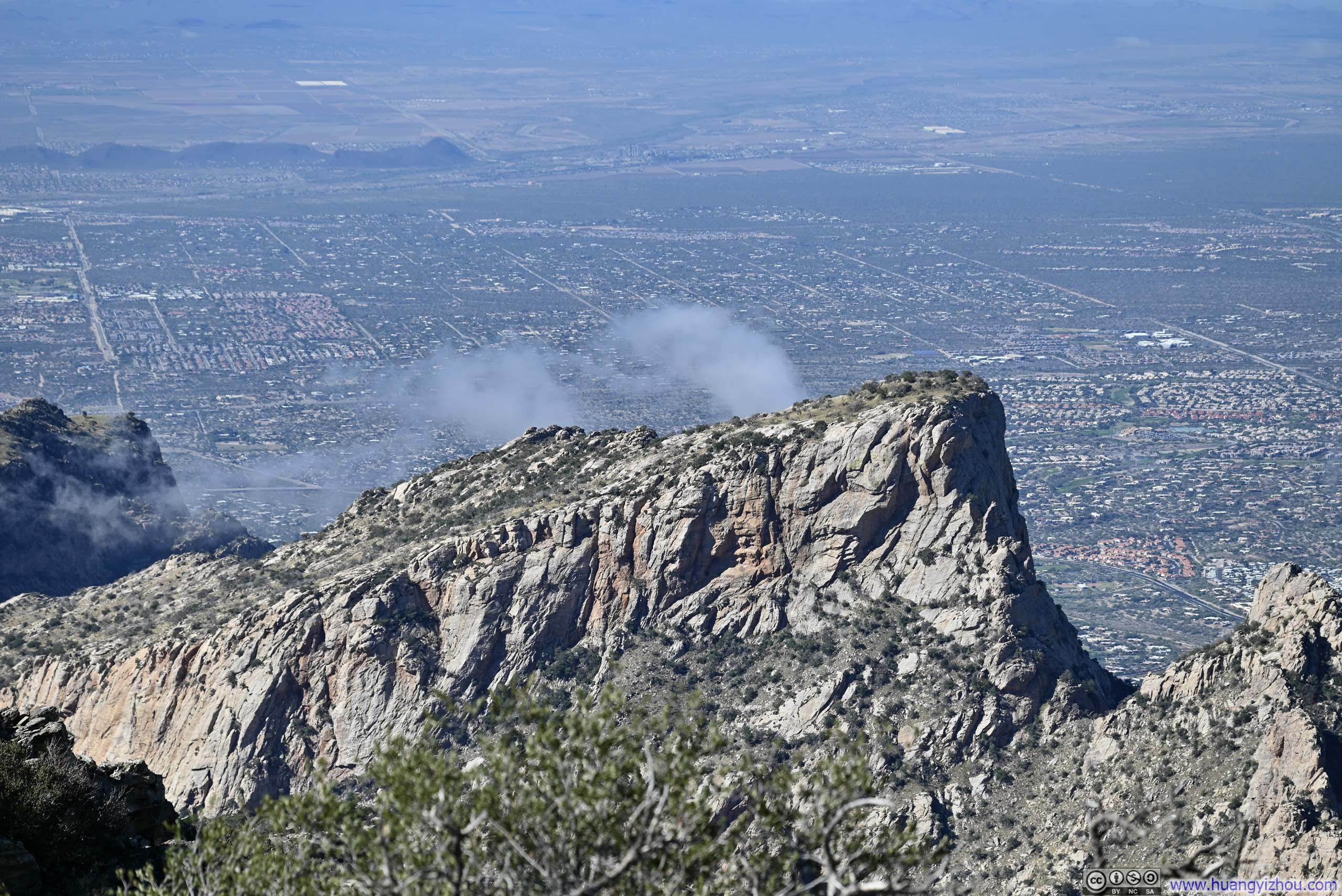
Table Mountain
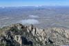
Despite its flatness, the summit of Mt. Kimball commanded an impressive prominence over the many hills to its north, which served as a fulfilling acknowledgement of the progress that I had made.
 Overlook on Mt Kimball
 View to the Northwest
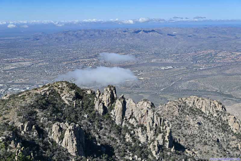 Oro Valley before Tortolita MountainsA few exposed rocks on hills in the foreground.
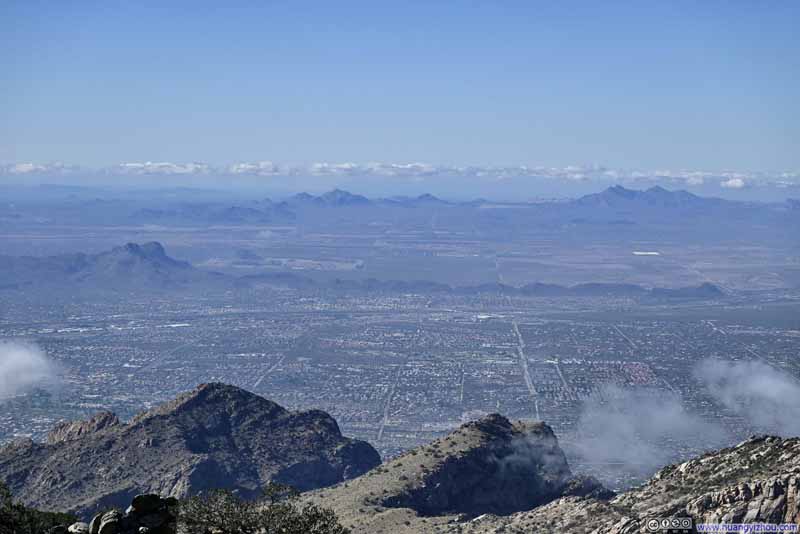 Mountains to the West
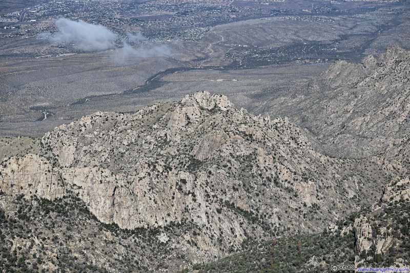 Hill
Hill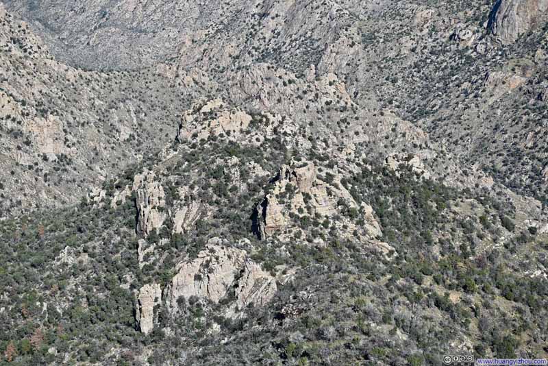 Hill
Hill

Click here to display photos of the slideshow
Overlook on Mt Kimball
View to the Northwest
Oro Valley before Tortolita MountainsA few exposed rocks on hills in the foreground.
Mountains to the West
Hill
Hill
Here’s a video from Mt Kimball: (please excuse the wind noise)
13 seconds, 2160p30fps, H265 only, 16Mbps/27MB file size.
As an added bonus, I had cellular coverage at the summit of Mt. Kimball, allowing me to share the moment with friends. All told, I spent 35 minutes on top before departing at 12:12pm. With more than five hours until sunset, I figured I had enough daylight remaining to descend via the longer Pima Canyon.
View from Mt Kimball Vista
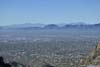
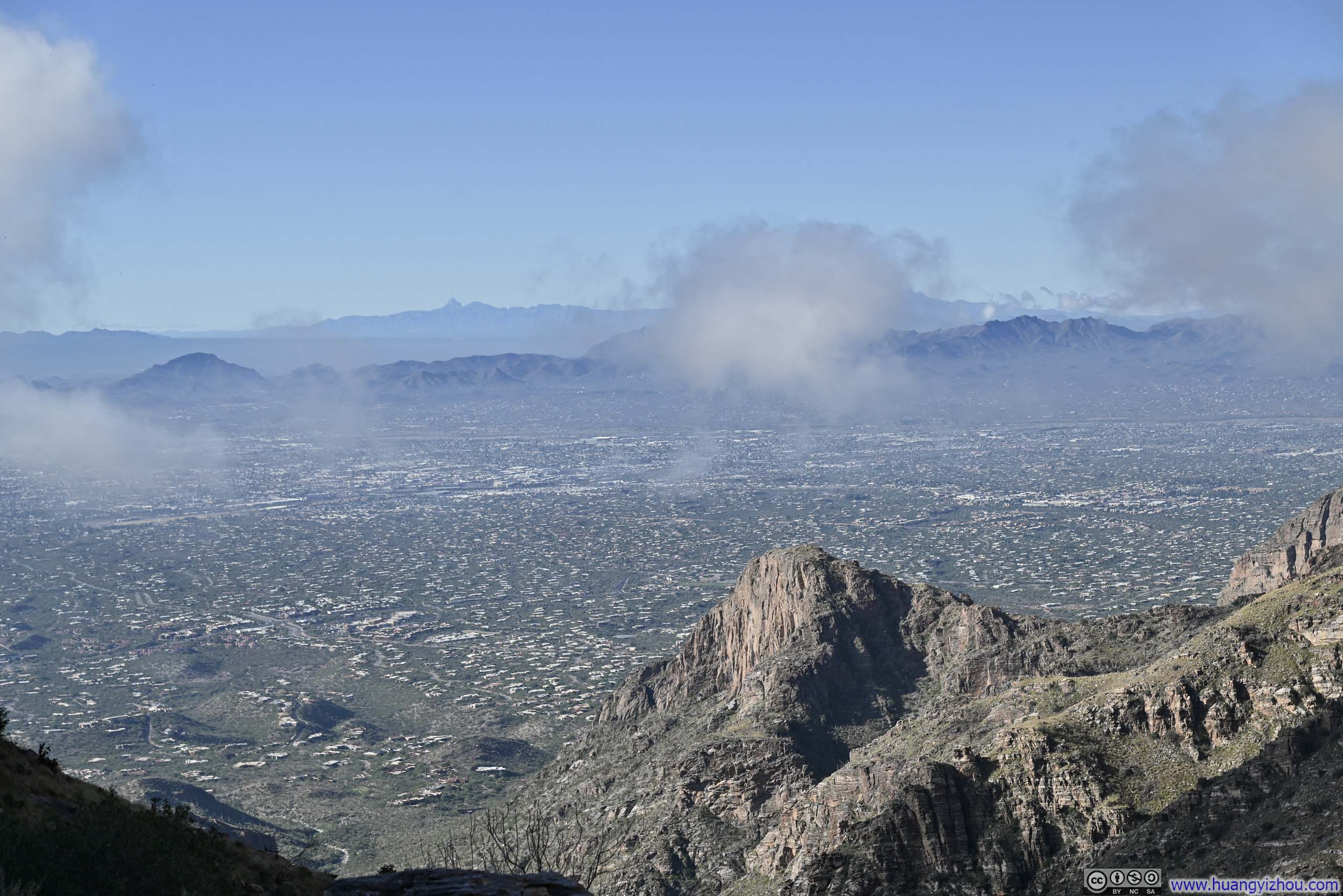
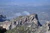
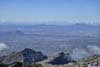
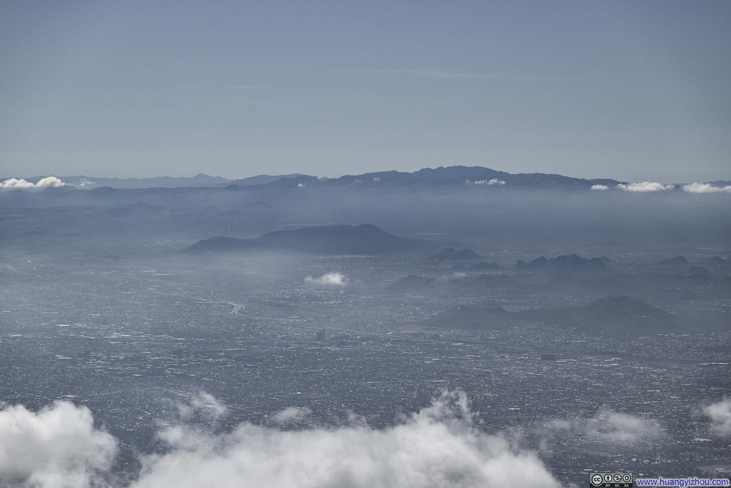
The previous overlook on Mt Kimball only offered views only to the north. Departing it, I came across a small clearing along the trail that opened up to the south — but honestly, with the sun working against me, the sweeping views over the Tucson metropolis below were far less compelling.
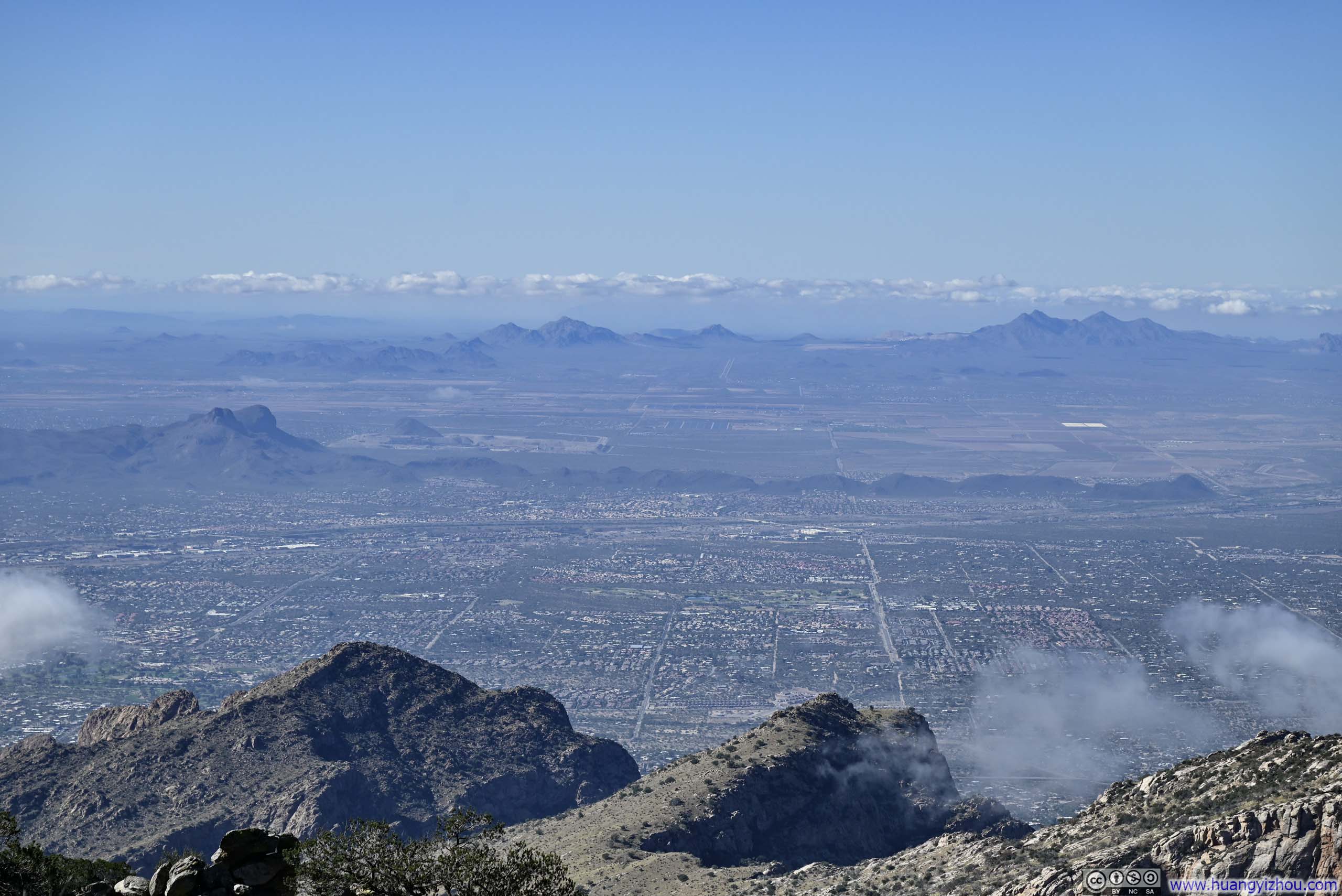
 Tucson Basin to the South of Mt Kimball
 Mt Wrightson to the SouthDavis Monthan Air Force Base in the foreground.
 Eastern Tucson Suburb and Mountains to the South
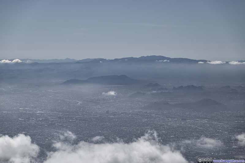 Downtown Tucson before Sierrita Mountains
Click here to display photos of the slideshow

Tucson Basin to the South of Mt Kimball

Mt Wrightson to the SouthDavis Monthan Air Force Base in the foreground.
Eastern Tucson Suburb and Mountains to the South
Downtown Tucson before Sierrita Mountains
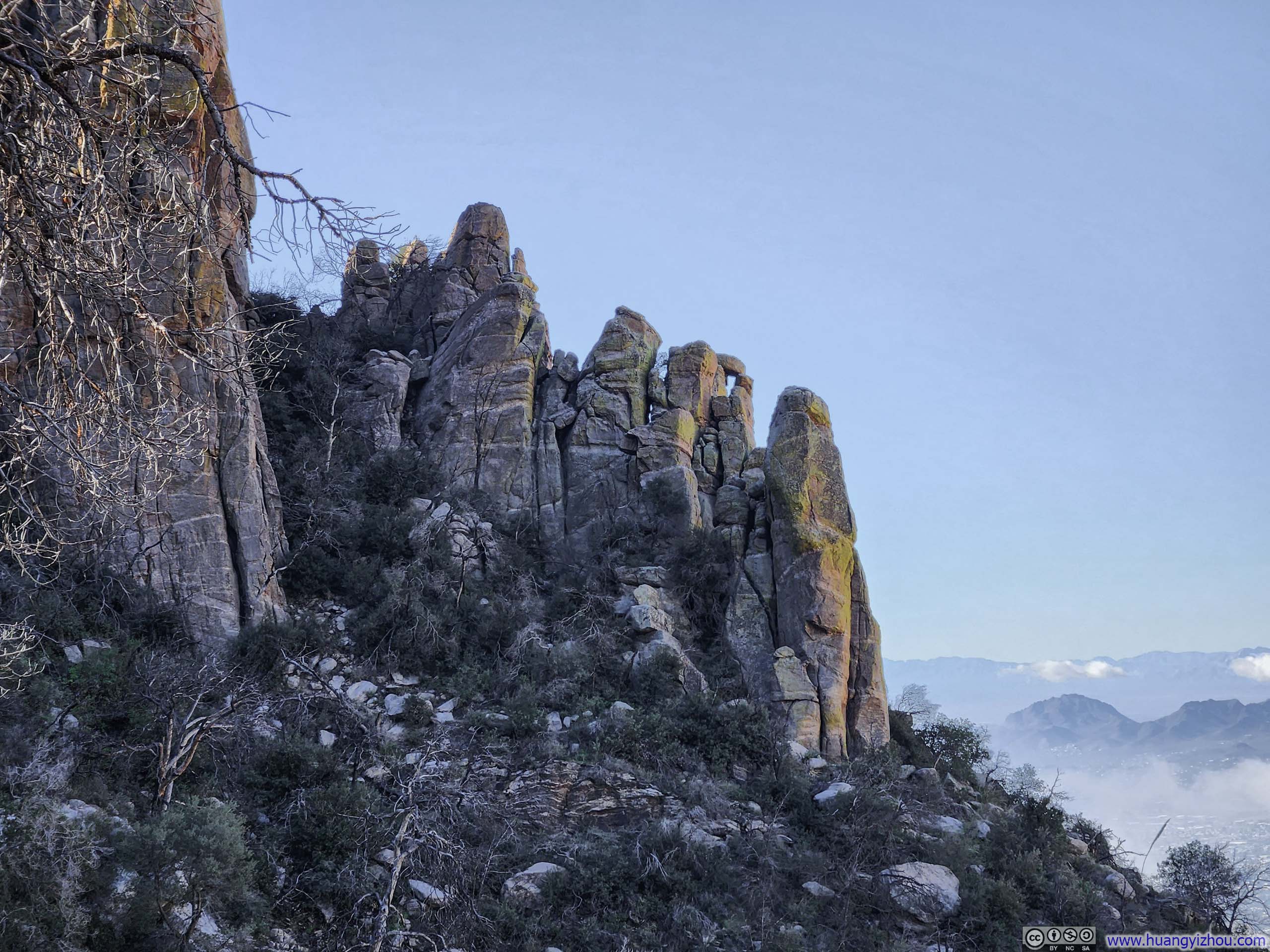
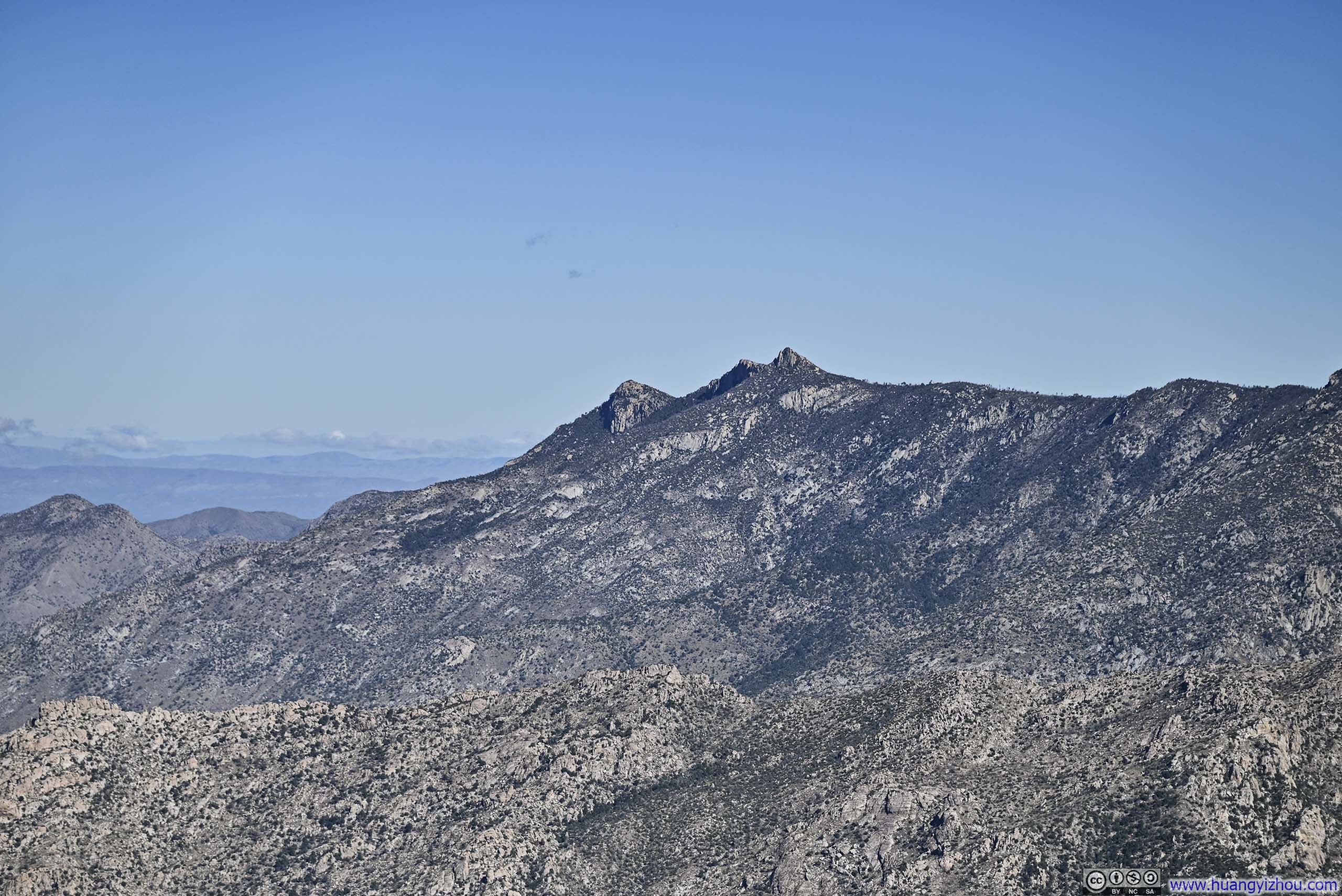
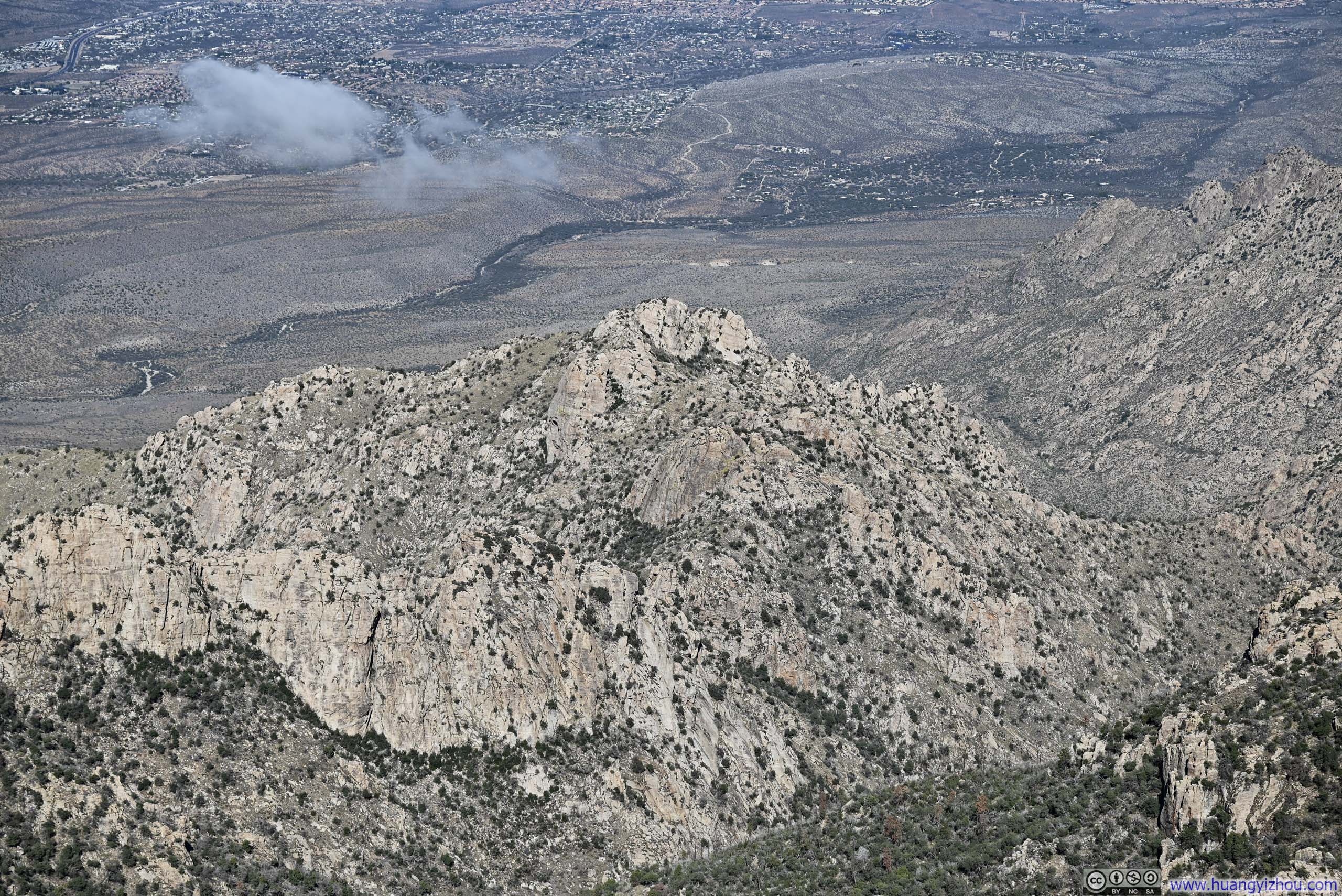
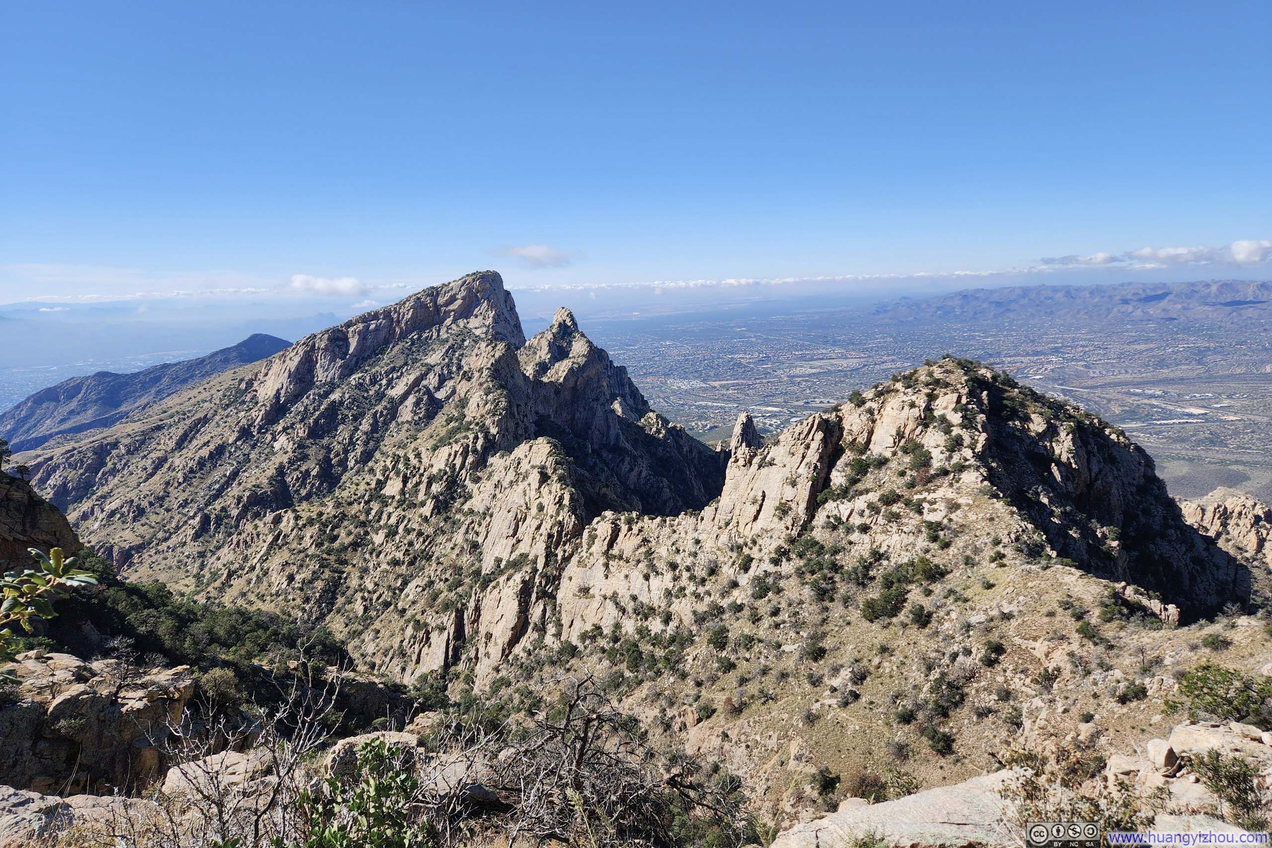
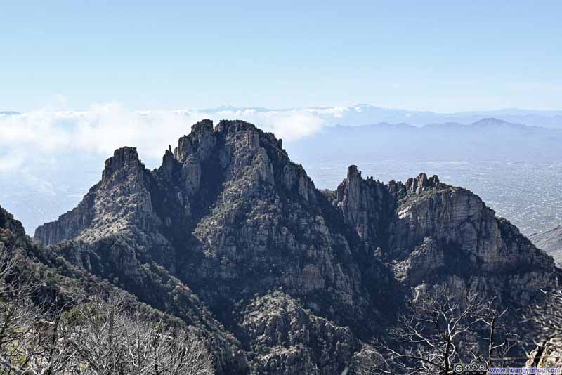 Finger Rock and Prominent PointA rare sight from the north.
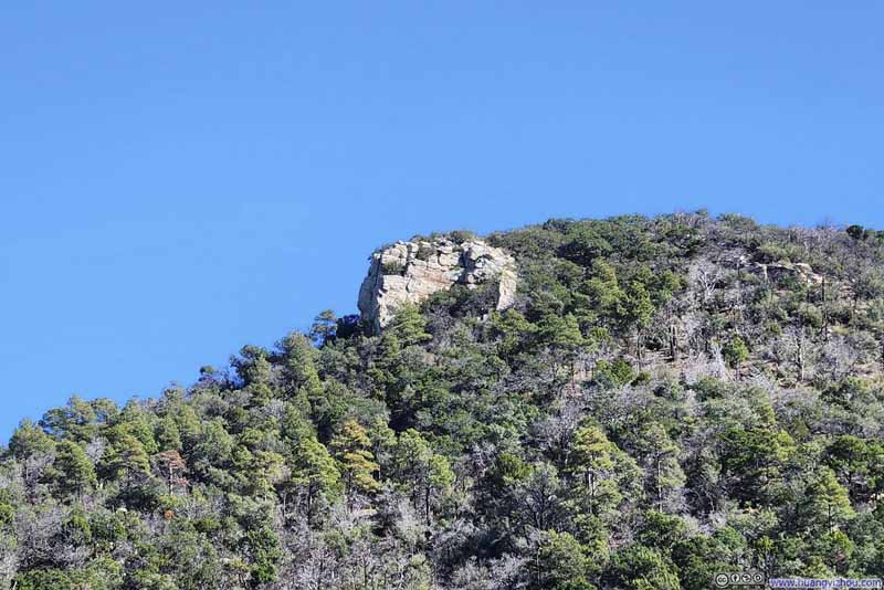 Mt Kimball from Trail
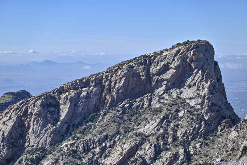 Table Mountain
 Pusch Ridge

Click here to display photos of the slideshow
Finger Rock and Prominent PointA rare sight from the north.
Mt Kimball from Trail
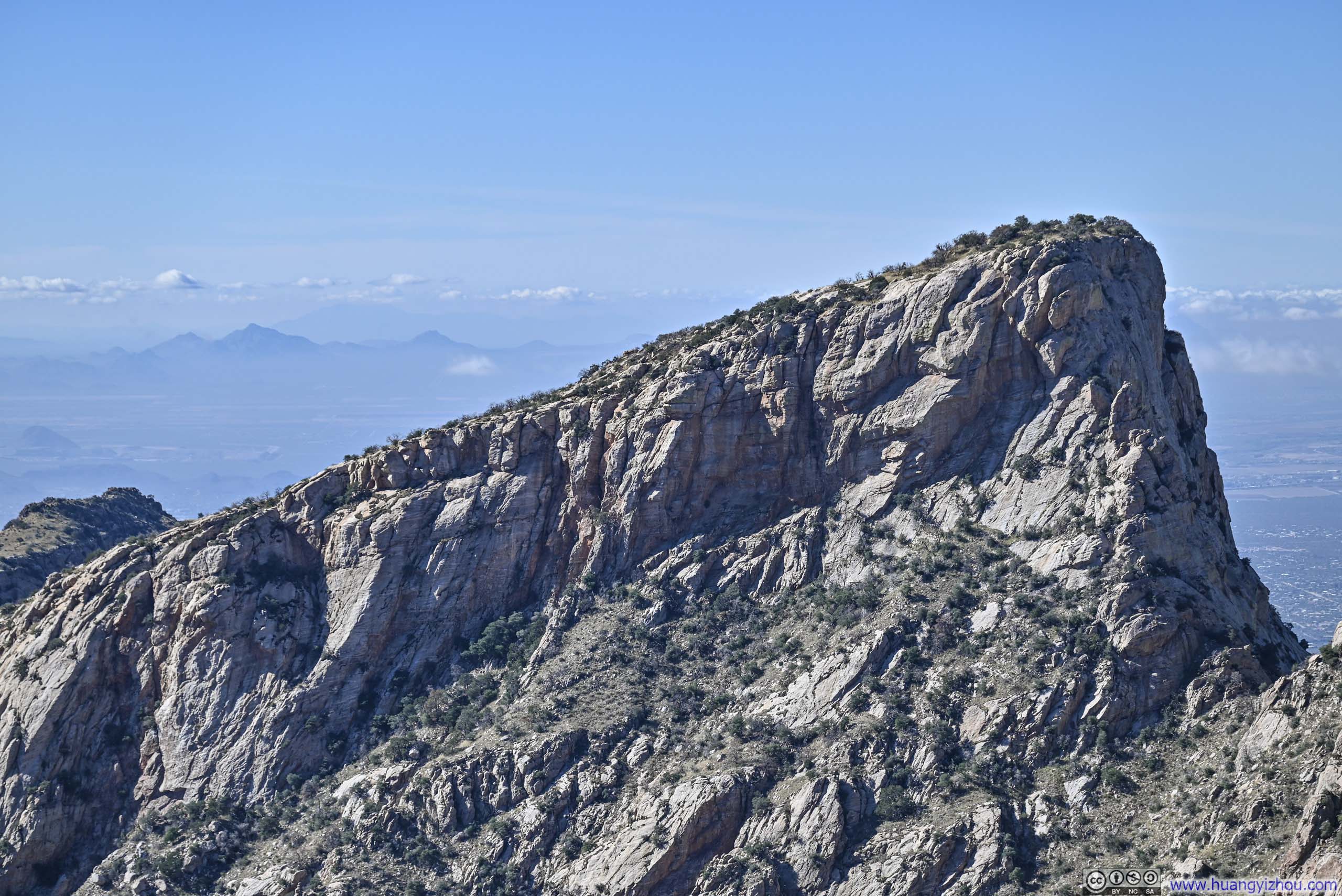
Table Mountain
Pusch Ridge
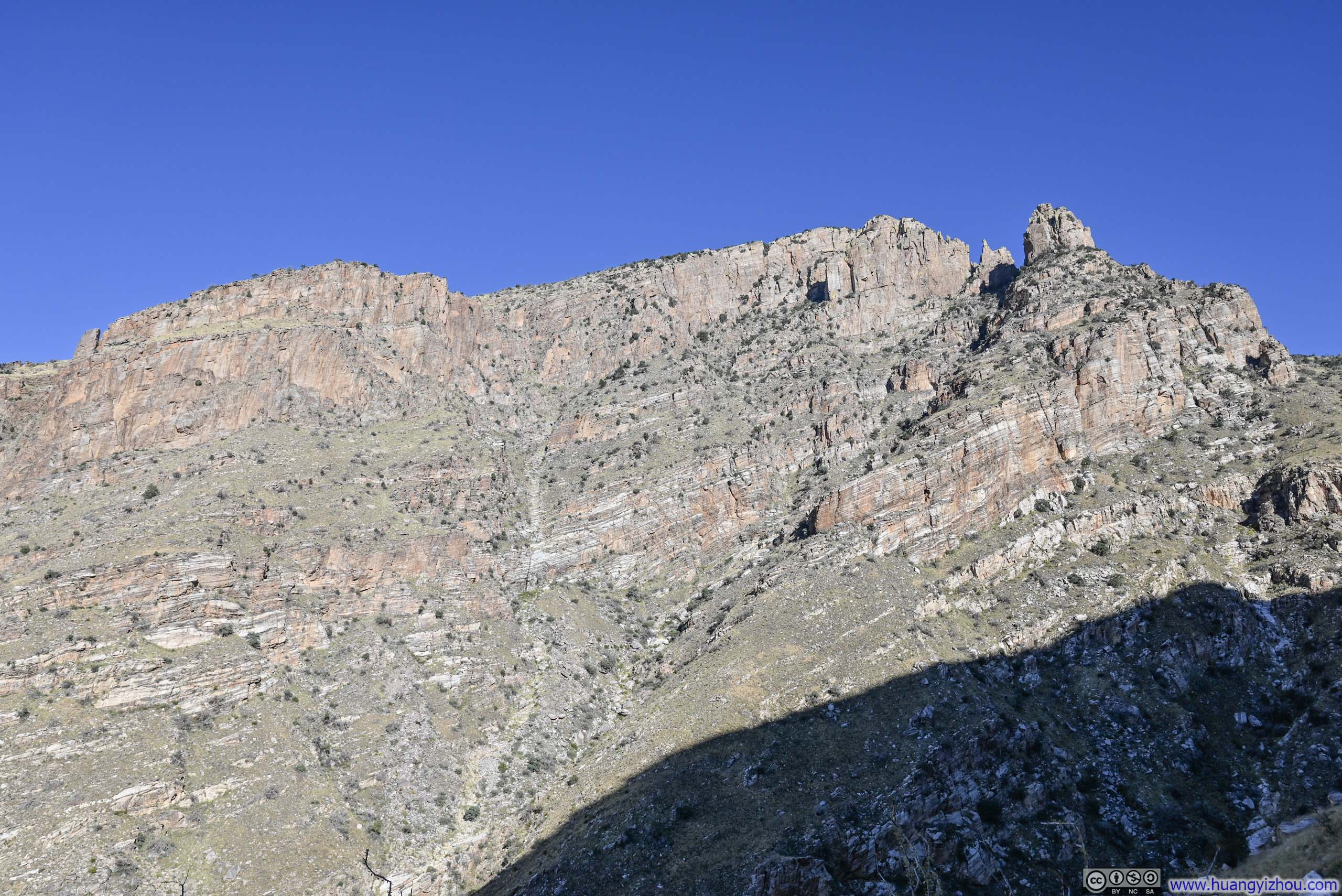
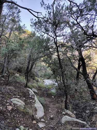
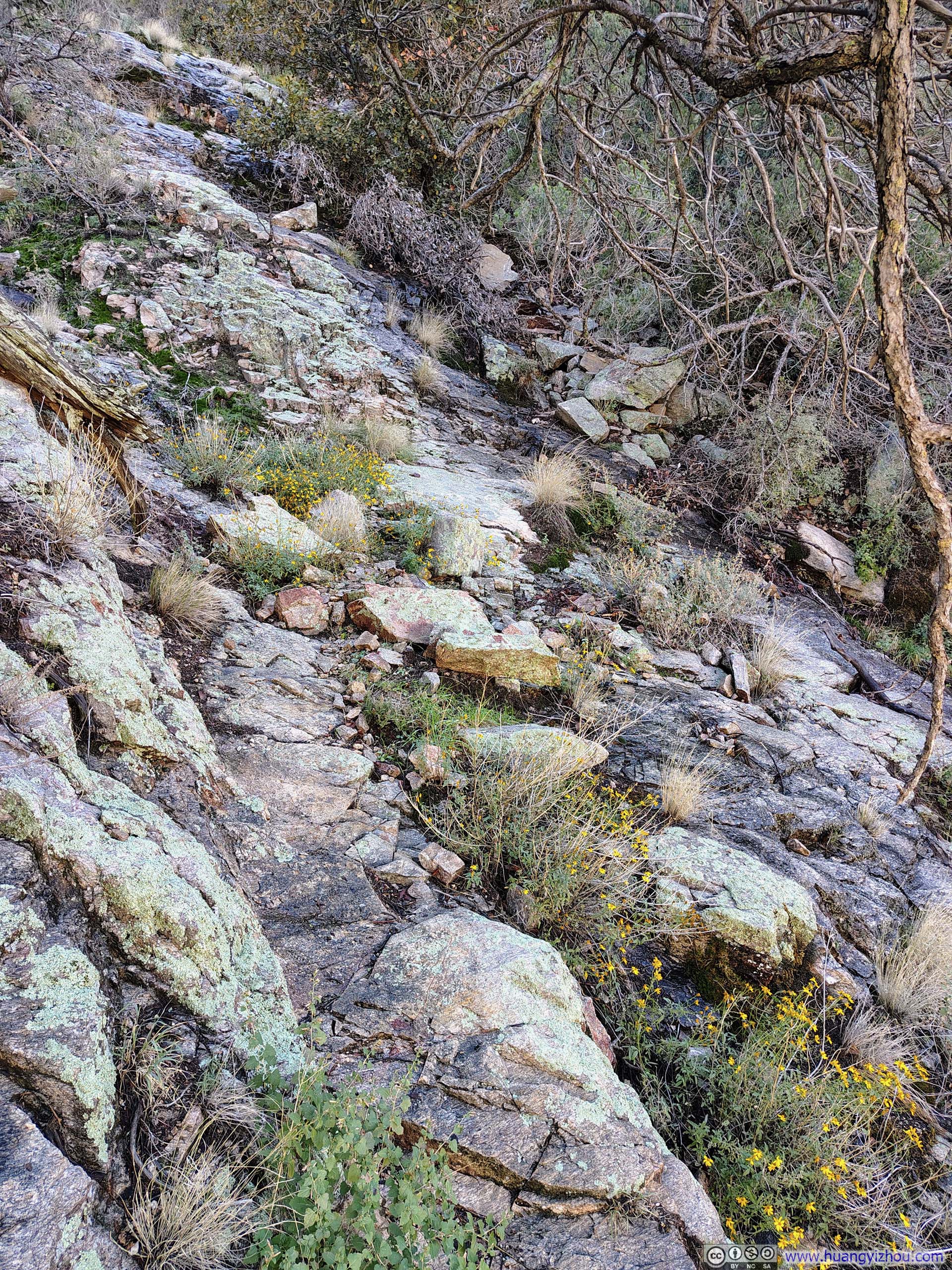
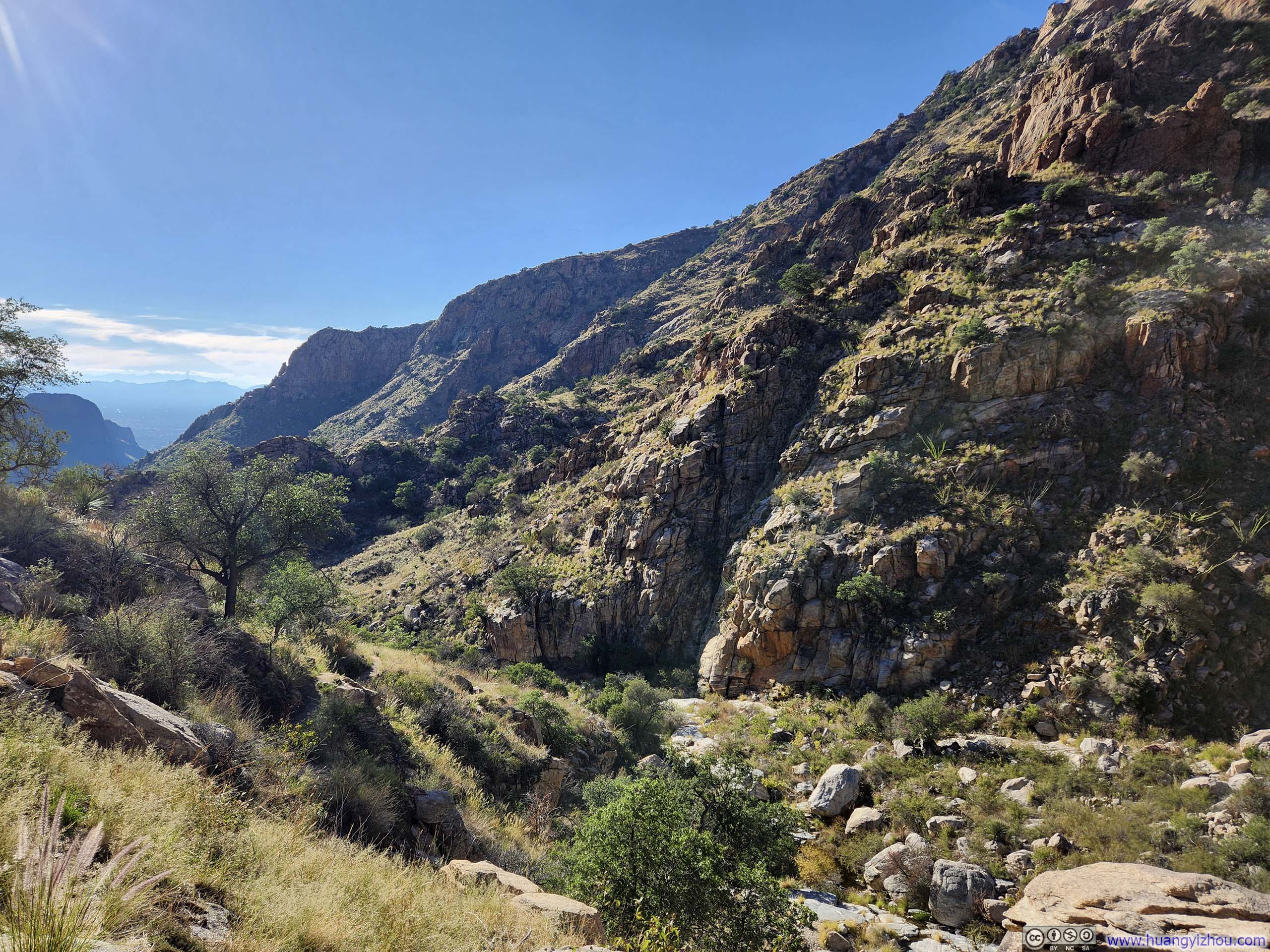
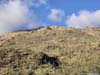
Continuing on, the trail wasn’t very remarkable scenery-wise, except for glimpses of Pusch Ridge (the ridge flanking the western side of Pima Canyon), until it entered Pima Canyon. But before that, there was one section that was on slick rocks near the spur to Pima Saddle (p5-6 below) that required some caution.
 Sparse Forest on Mt Kimball
 Trail
Trail
 Trail
Trail Trail
Trail
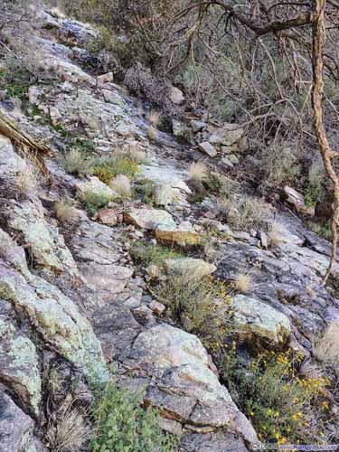 Trail on Rocks
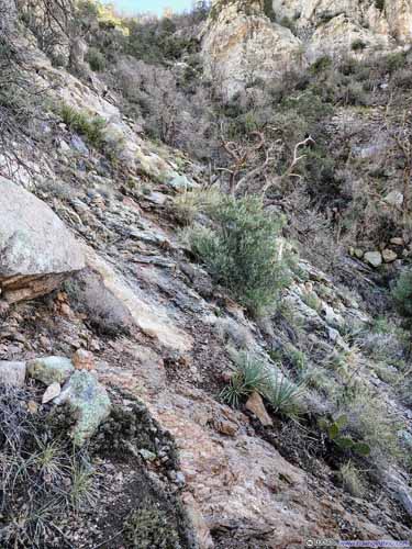
 Trail on Rocks

Click here to display photos of the slideshow
Sparse Forest on Mt Kimball
Trail

 Trail
Trail

Trail

 Trail on Rocks
 Trail on Rocks
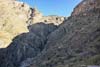
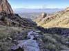
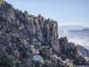
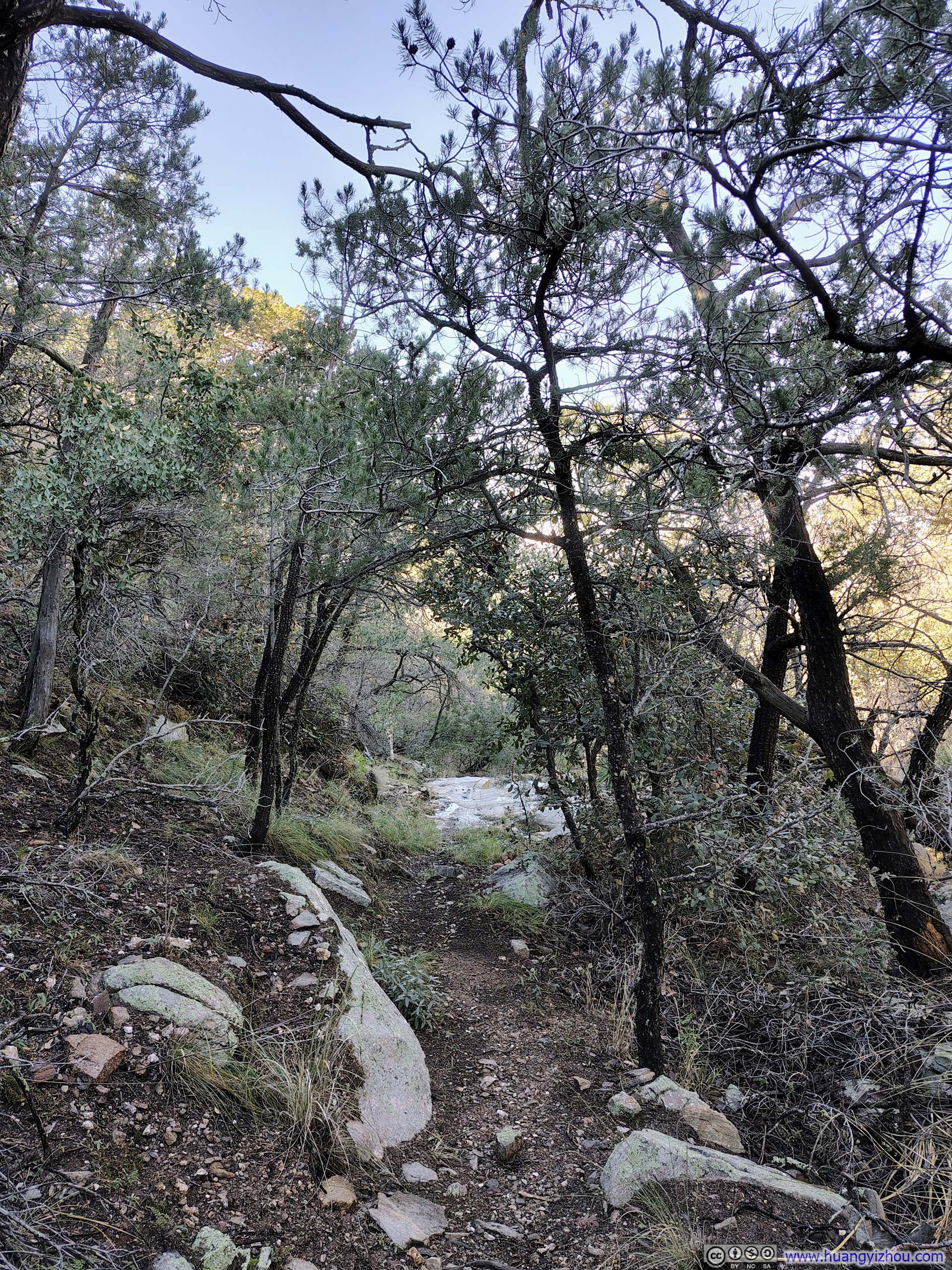
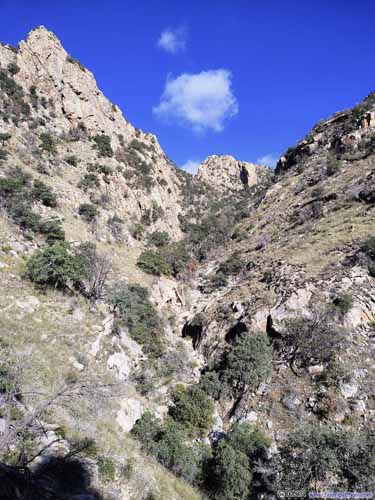
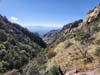
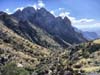
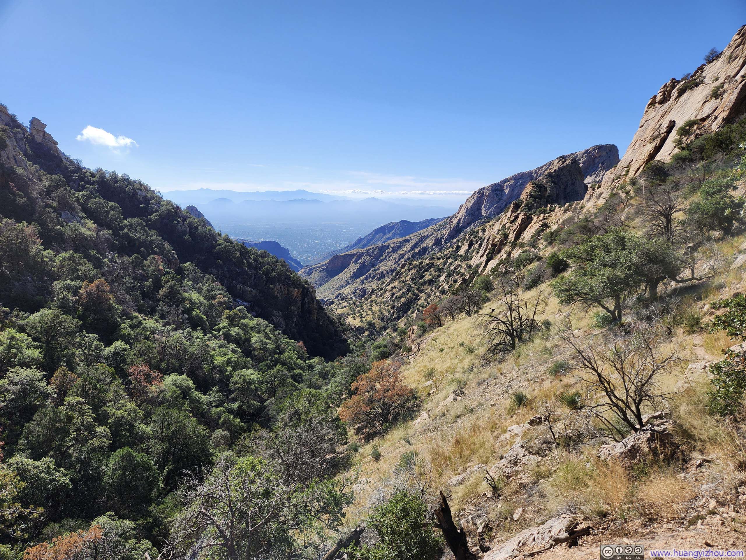
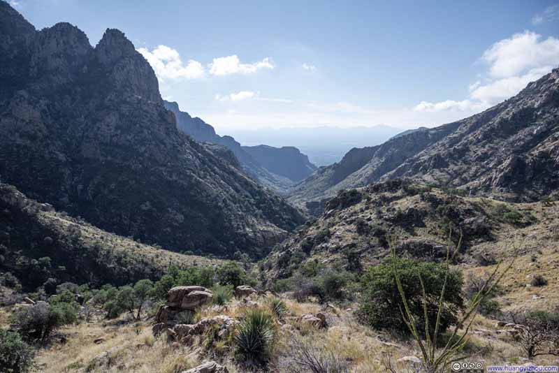
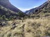
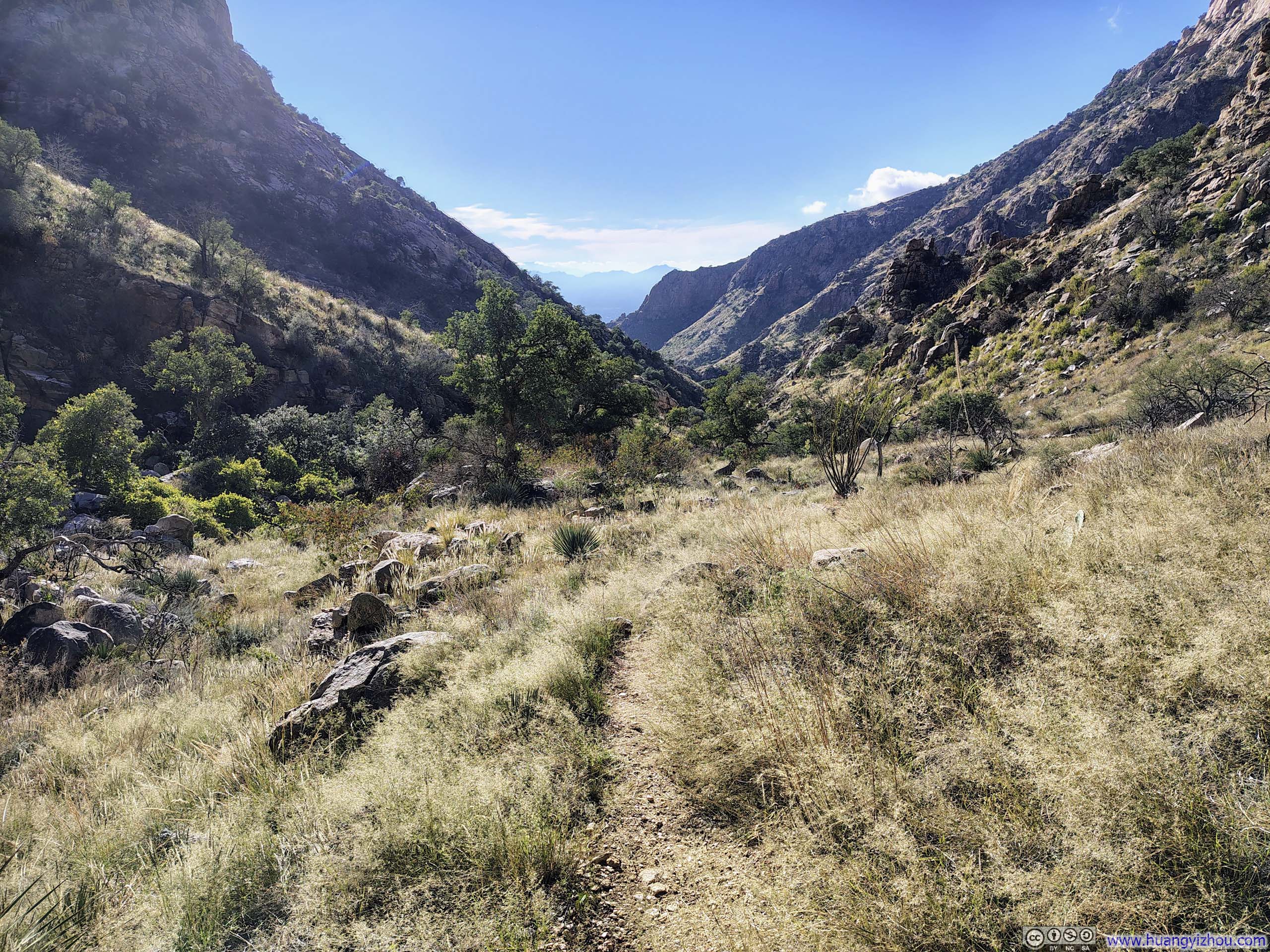
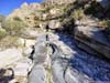
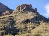
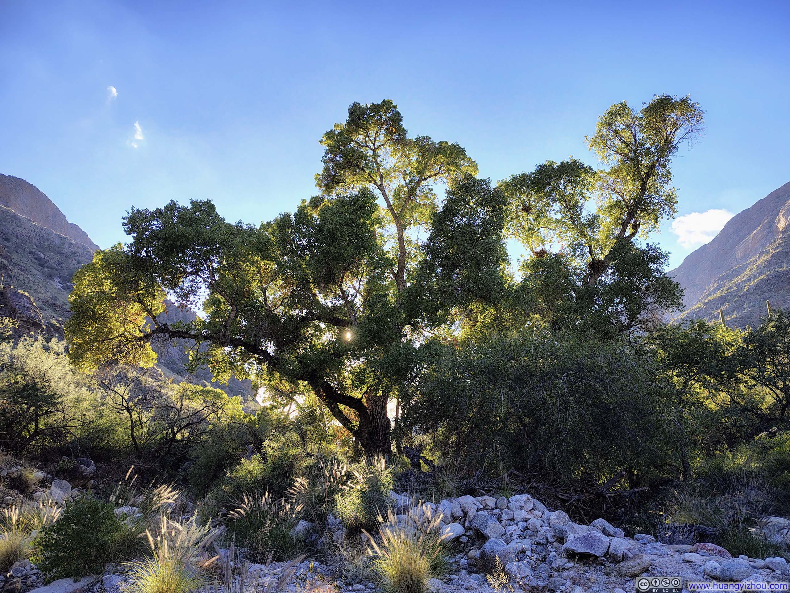
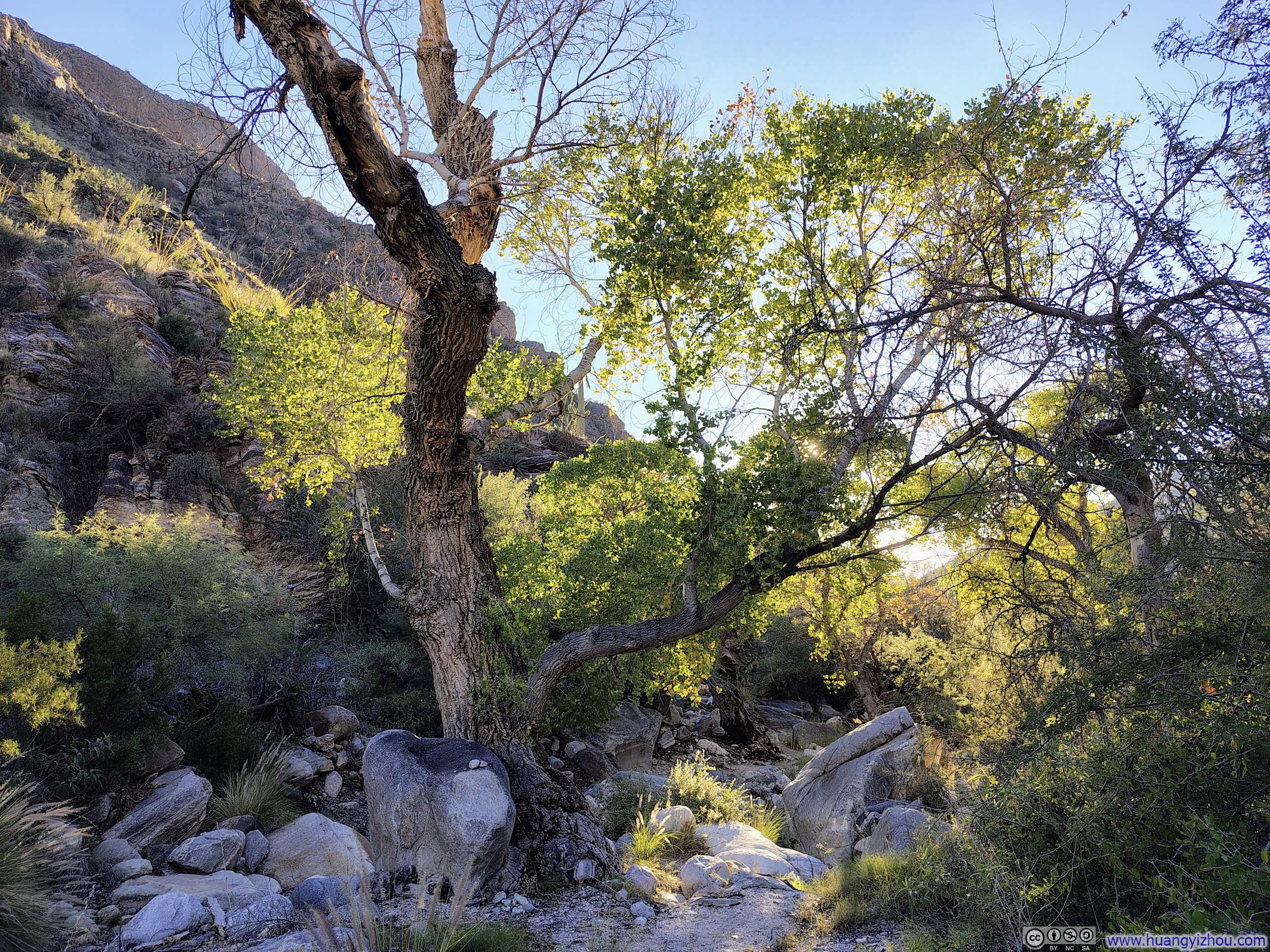
Compared to Finger Rock Canyon, Pima Canyon felt more straightforward, especially when viewed from near its upper end. It’s like a visually impressive thoroughfare, cutting through layers of soaring peaks that lined its sides, showcasing endless prosperity along the way.
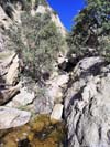
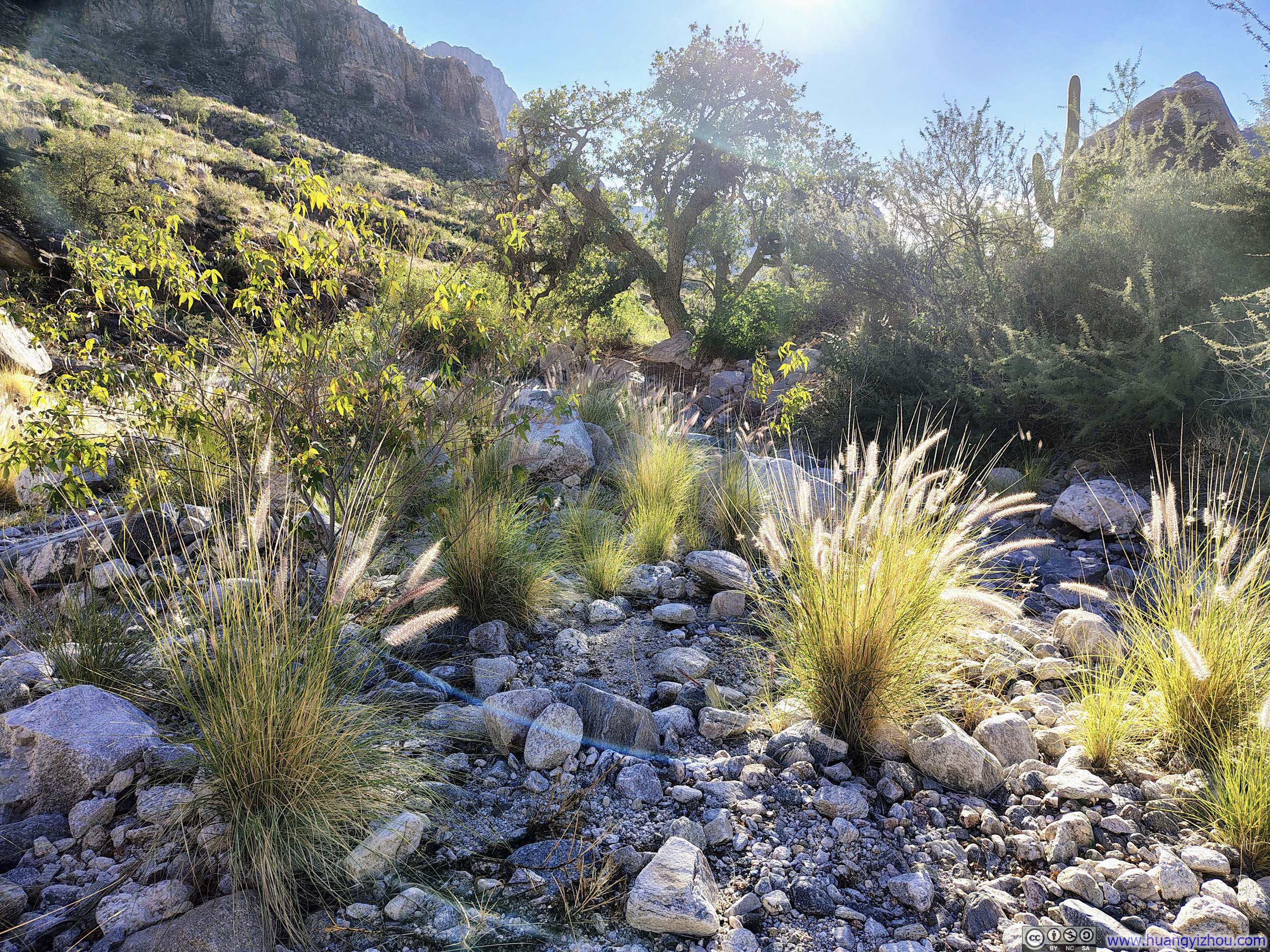
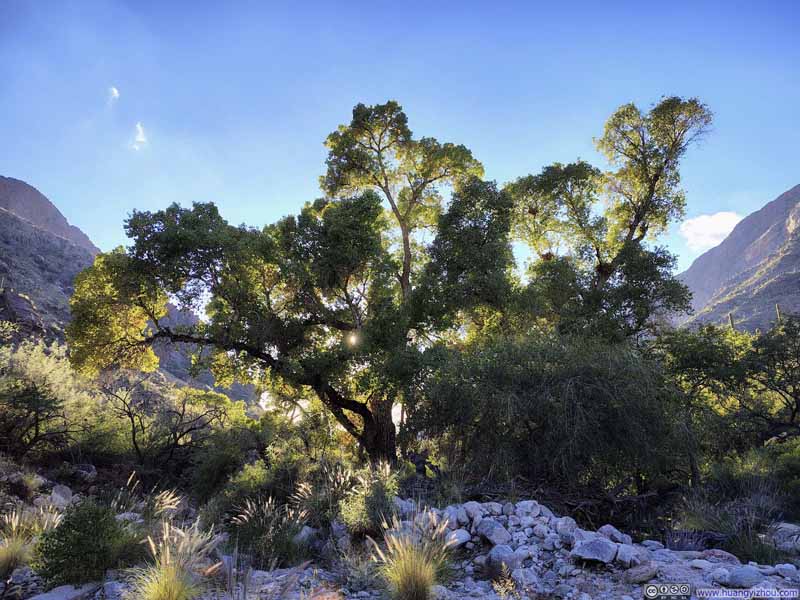
The trail itself crisscrossed Pima Wash numerous times — sometimes threading beneath dense canopies where the wash nourished lush pockets of trees, and other times climbing high above it, opening up to sweeping views down the length of the canyon.
 Pima Canyon
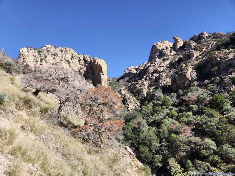 Upper Pima Canyon
 Pima Wash
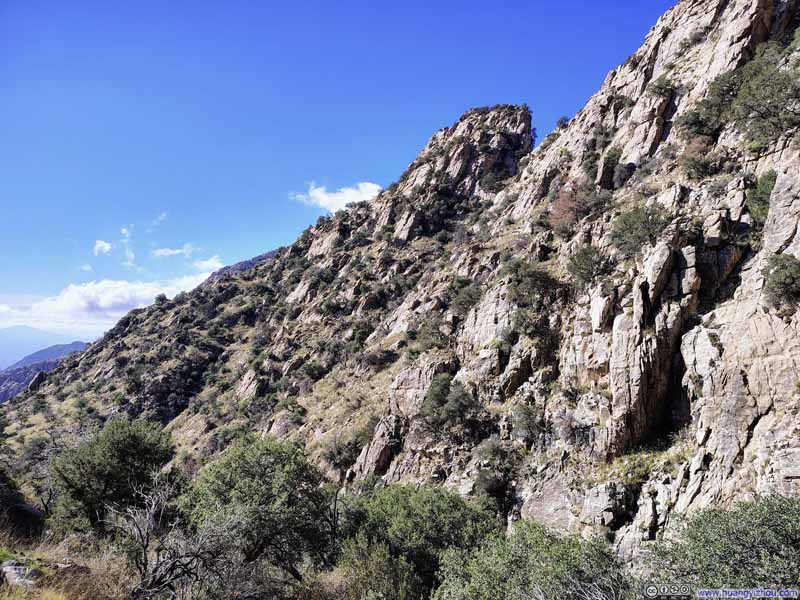 Hills along Pusch Ridge
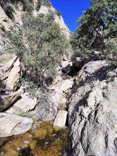
 Pima Wash in Canyon
 Prominent Point over Pima Canyon
 Trail
Trail


Click here to display photos of the slideshow
Pima Canyon

Upper Pima Canyon
 Pima Wash
Hills along Pusch Ridge

 Pima Wash in Canyon
Prominent Point over Pima Canyon

Trail
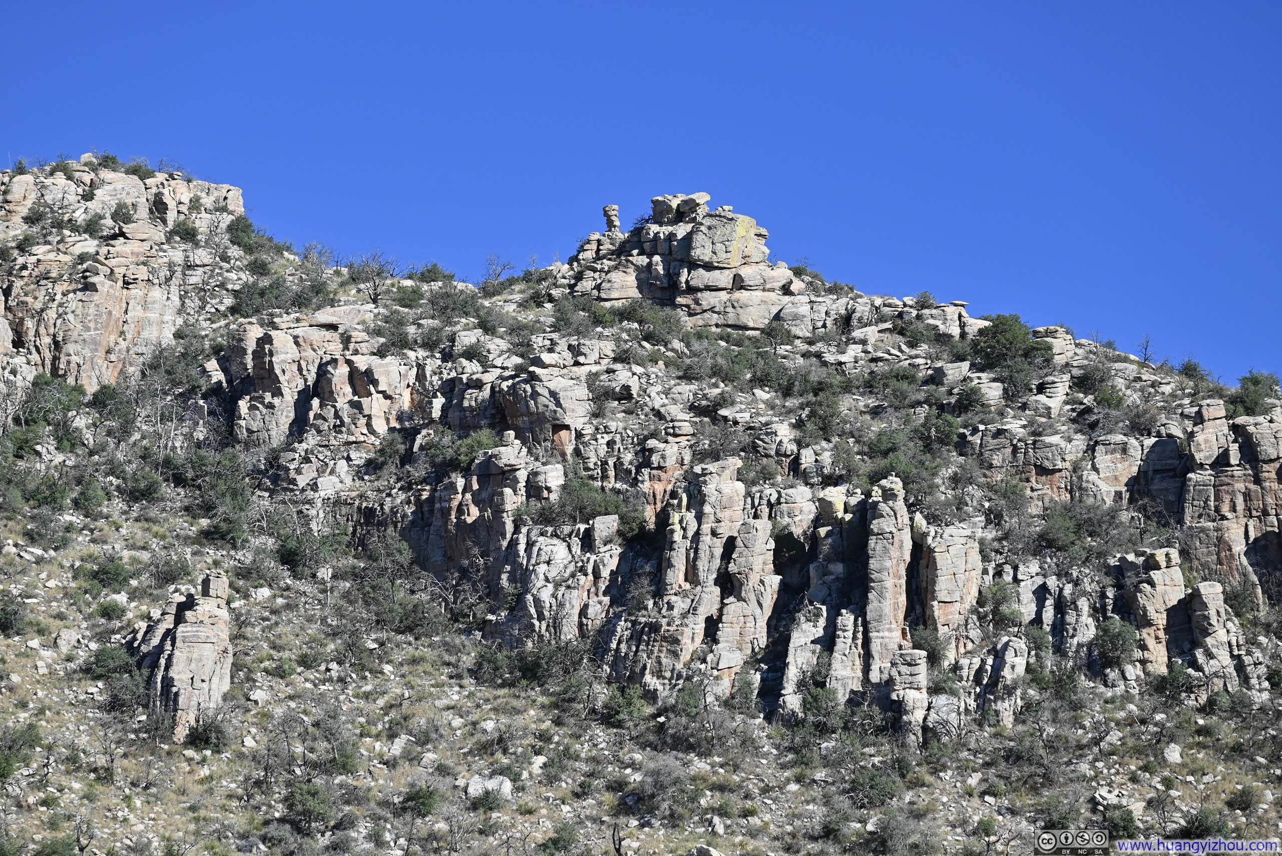
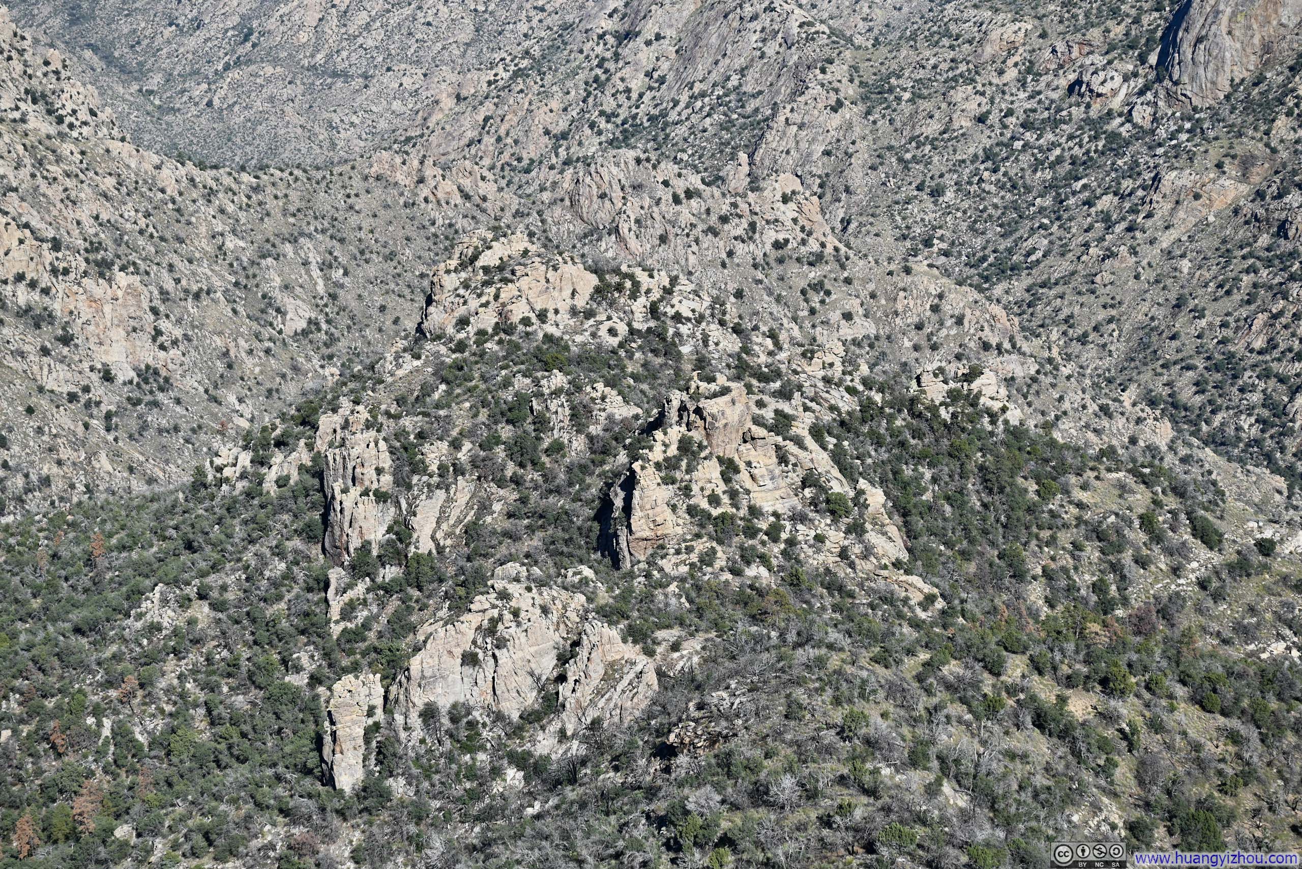
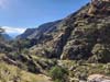
At around 1550m (5090ft) elevation, 6.8km (4.2mi) from the Pima Canyon Trailhead, I came upon a cluster of boulders that offered what I considered the finest vantage point within the canyon, as I found myself surrounded by a series of prominent peaks on all sides.
 Pima Canyon
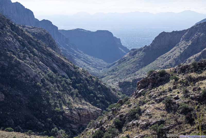 Pima Canyon
 Table Mountain
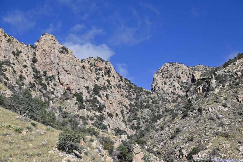 Upper Pima Canyon
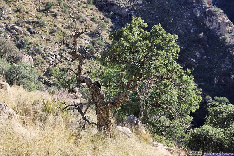 Lone Tree in FieldThe left half of this tree looked pretty dead, but the right half was full of life.
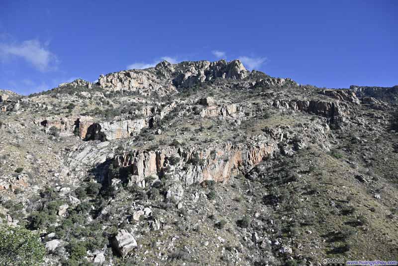 Hill
Hill Hill
Hill

Click here to display photos of the slideshow
Pima Canyon

Pima Canyon
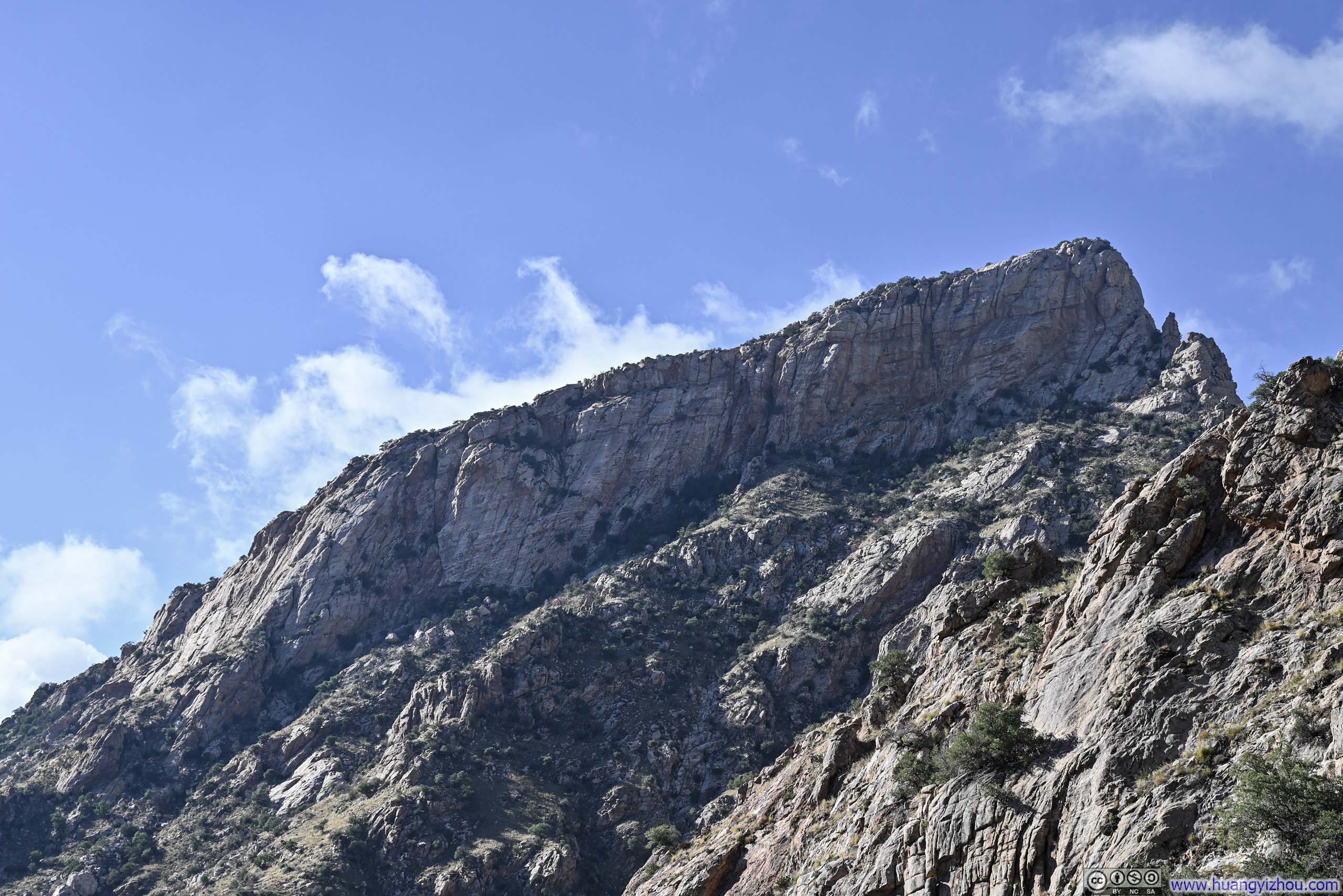
Table Mountain

Upper Pima Canyon
Lone Tree in FieldThe left half of this tree looked pretty dead, but the right half was full of life.
Hill
Hill
Continuing my descent, the trail wove back and forth across Pima Wash in a gentle, meandering interplay.
 Trail
Trail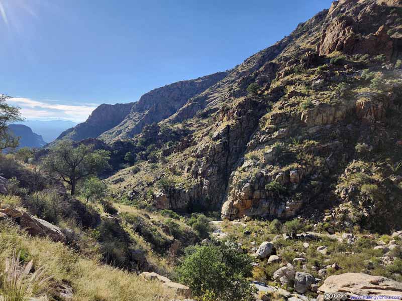 Pima Canyon
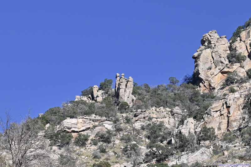 Distant RocksShaped like three figures.
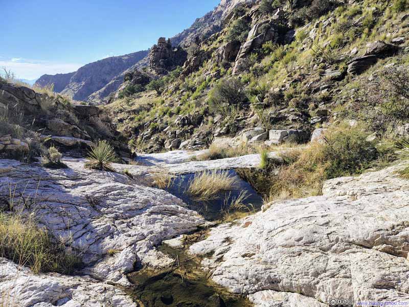 Pima Wash
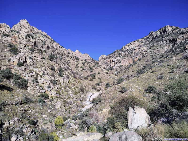 Pima Canyon
 Pima Canyon
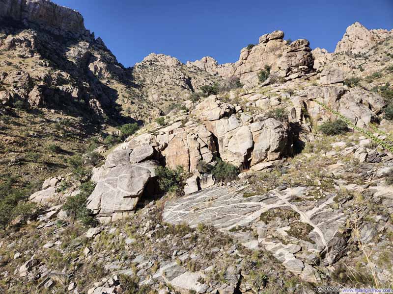 Boulders
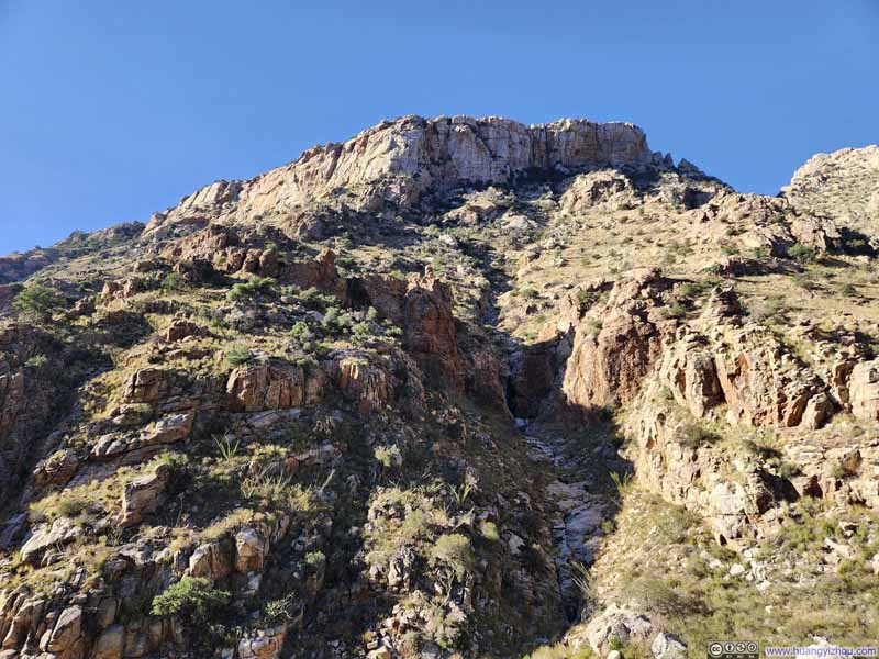 Gully from Table Mountain


Click here to display photos of the slideshow
Trail
Pima Canyon
Distant RocksShaped like three figures.

Pima Wash
Pima Canyon

Pima Canyon

Boulders

Gully from Table Mountain
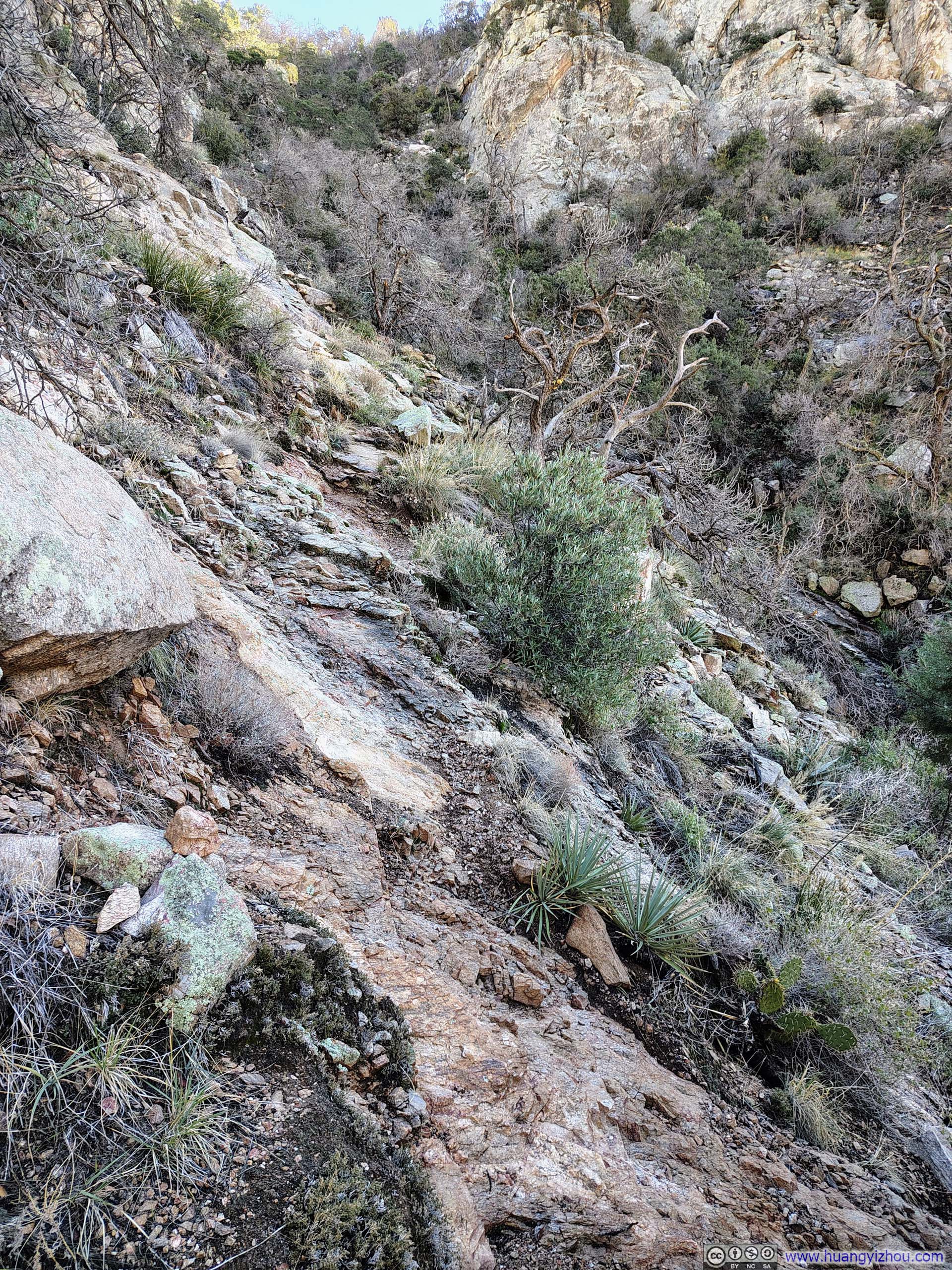
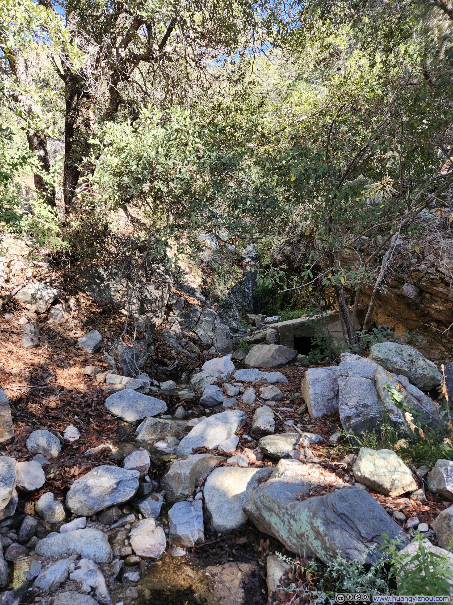
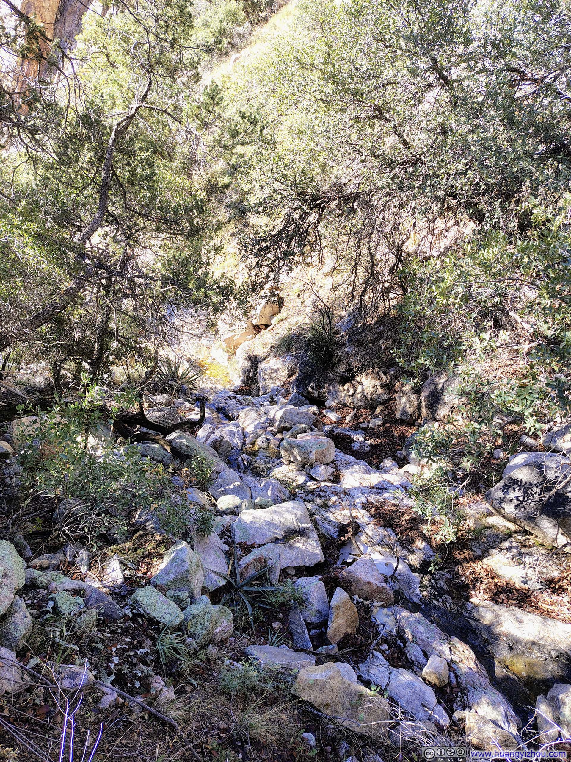
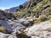
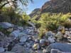
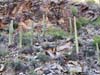
Honestly, the middle section of Pima Canyon was my least favorite stretch. The vegetation here was likely the densest along the entire canyon, making the trail frustratingly difficult to follow in places. Occasionally, I gave up trying to locate it altogether and opted instead to walk along the dry riverbed of Pima Wash (p4–6 below). Scaling up and down the boulders scattered across the riverbed was no joy, but at least it offered a wide, unambiguous path forward.
 Pima Canyon
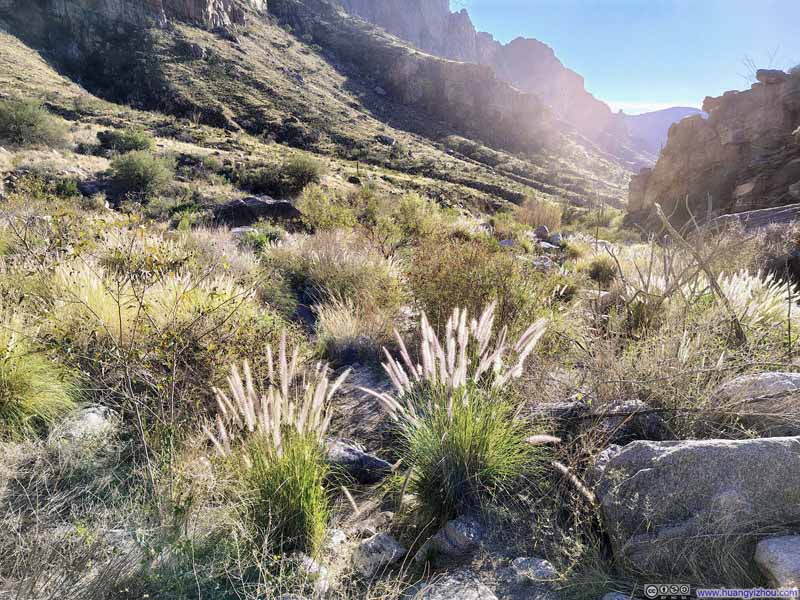 Trail
Trail Dry Riverbed of Pima Wash
 Dry Riverbed of Pima Wash
 Dry Riverbed of Pima Wash
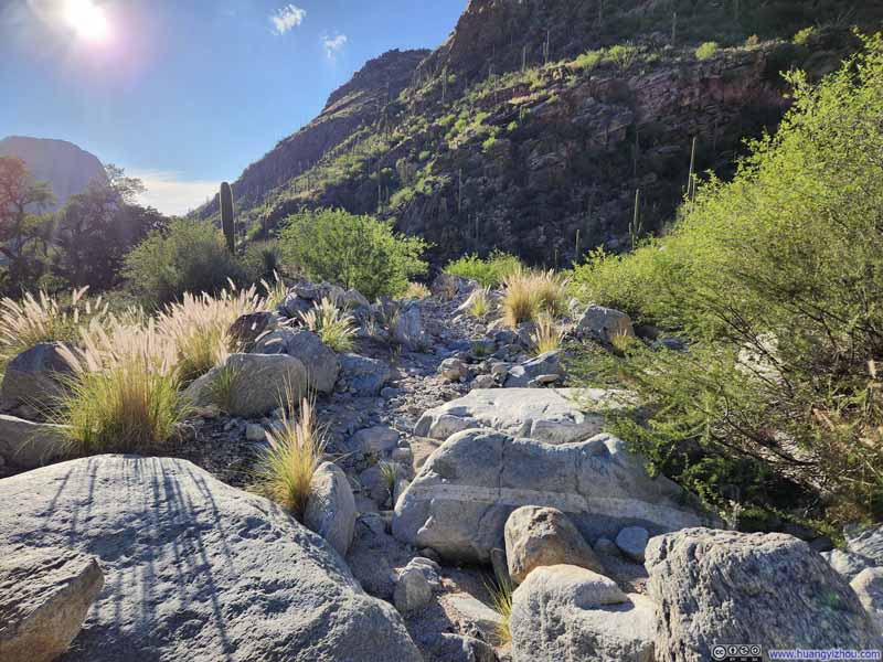 Dry Riverbed of Pima Wash

Click here to display photos of the slideshow
Pima Canyon

Trail
Dry Riverbed of Pima Wash

Dry Riverbed of Pima Wash
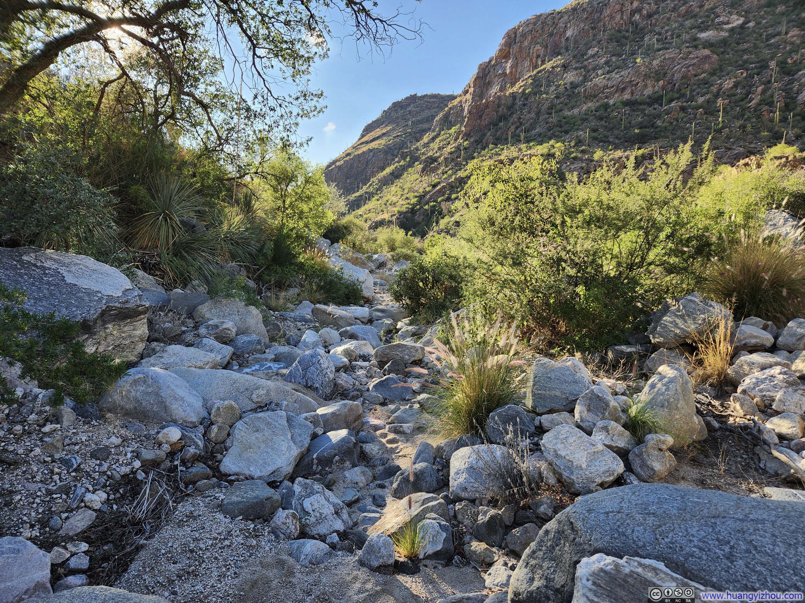
Dry Riverbed of Pima Wash

Dry Riverbed of Pima Wash
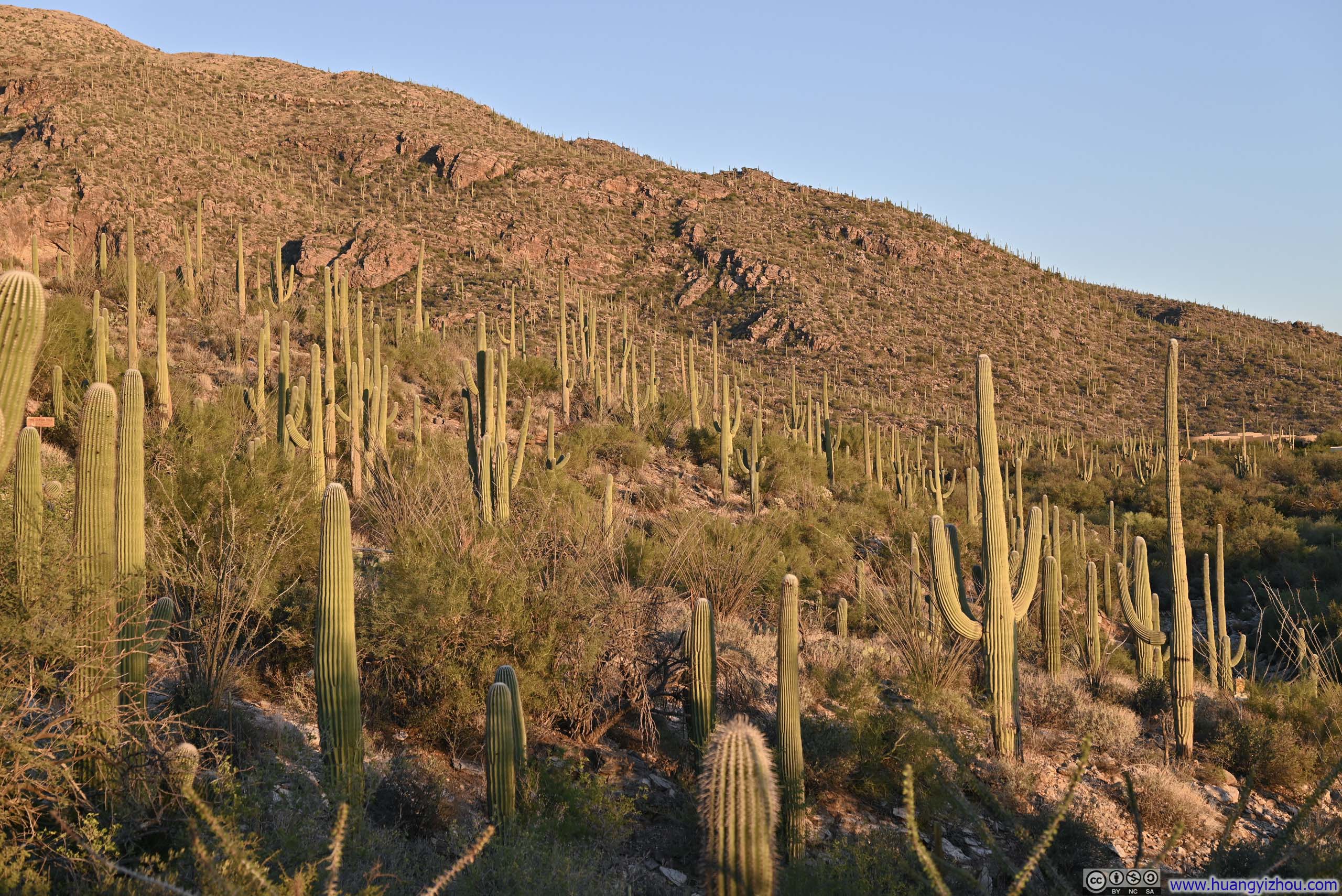
Finally, as the trail conditions began to improve — whether because fields of saguaros had started to replace the dense shrubs, or because the canyon was opening up near its mouth, or simply because I had learned to consult my offline map more frequently — I found it increasingly easier to stay on course. With less attention devoted to navigation, more was directed to appreciating the scenery around me.
 Hillside Decorated with Saguaros
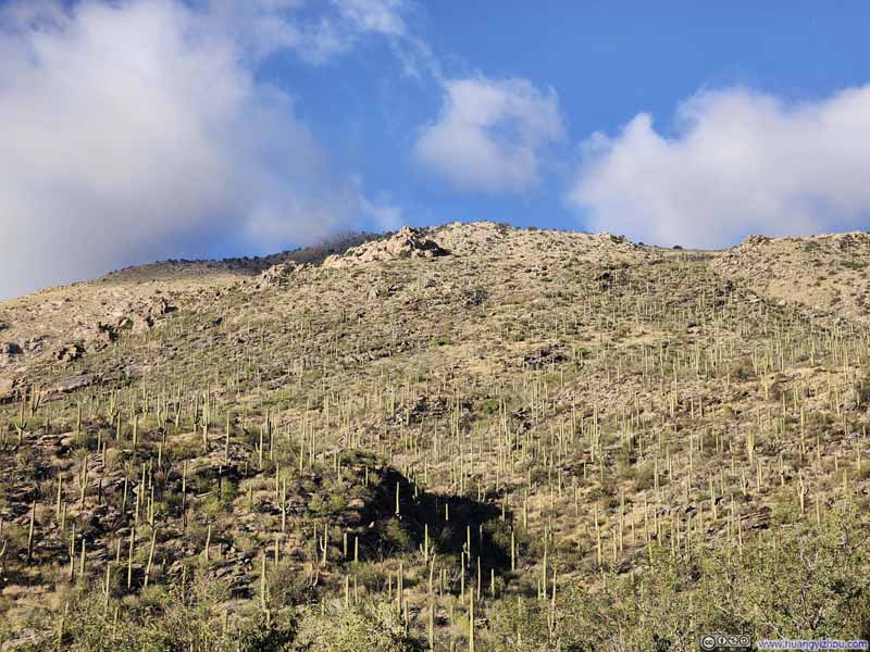 Hillside Decorated with Saguaros
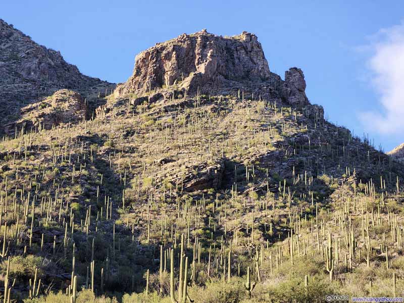 Hillside Decorated with Saguaros
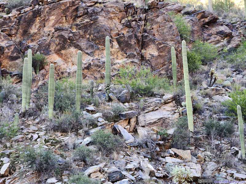 Saguaros along Trail
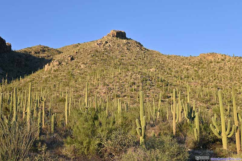 Hillside Decorated with Saguaros
 Hillside Decorated with Saguaros


Click here to display photos of the slideshow

Hillside Decorated with Saguaros
Hillside Decorated with Saguaros
Hillside Decorated with Saguaros

Saguaros along Trail

Hillside Decorated with Saguaros
Hillside Decorated with Saguaros
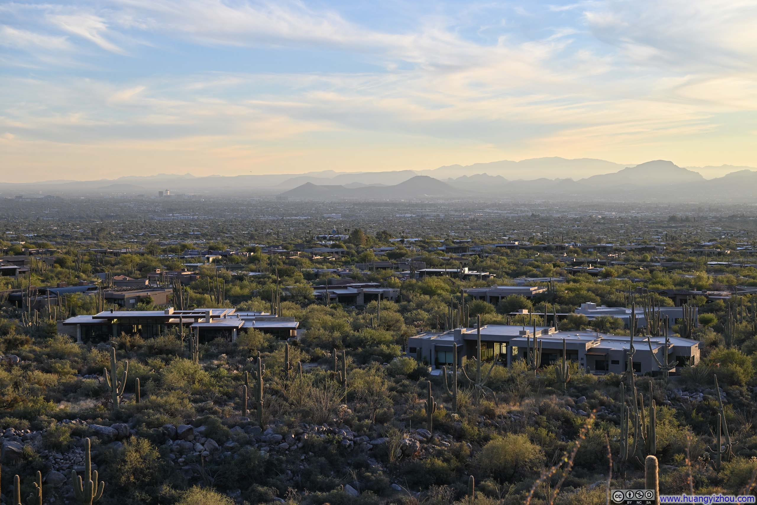
By the time I reached the mouth of Pima Canyon, the landscape started to resemble the mouth of Finger Rock Canyon, where I began this hike earlier in the morning: expansive fields of saguaros with luxury villas scattered among them. But the setting sun had transformed everything. The saguaro fields and the mountains were now bathed in a soft, warm layer of pink, and the vast Santa Cruz Basin, with the sprawling metropolis of Tucson spread across it, no longer felt harsh to look at.
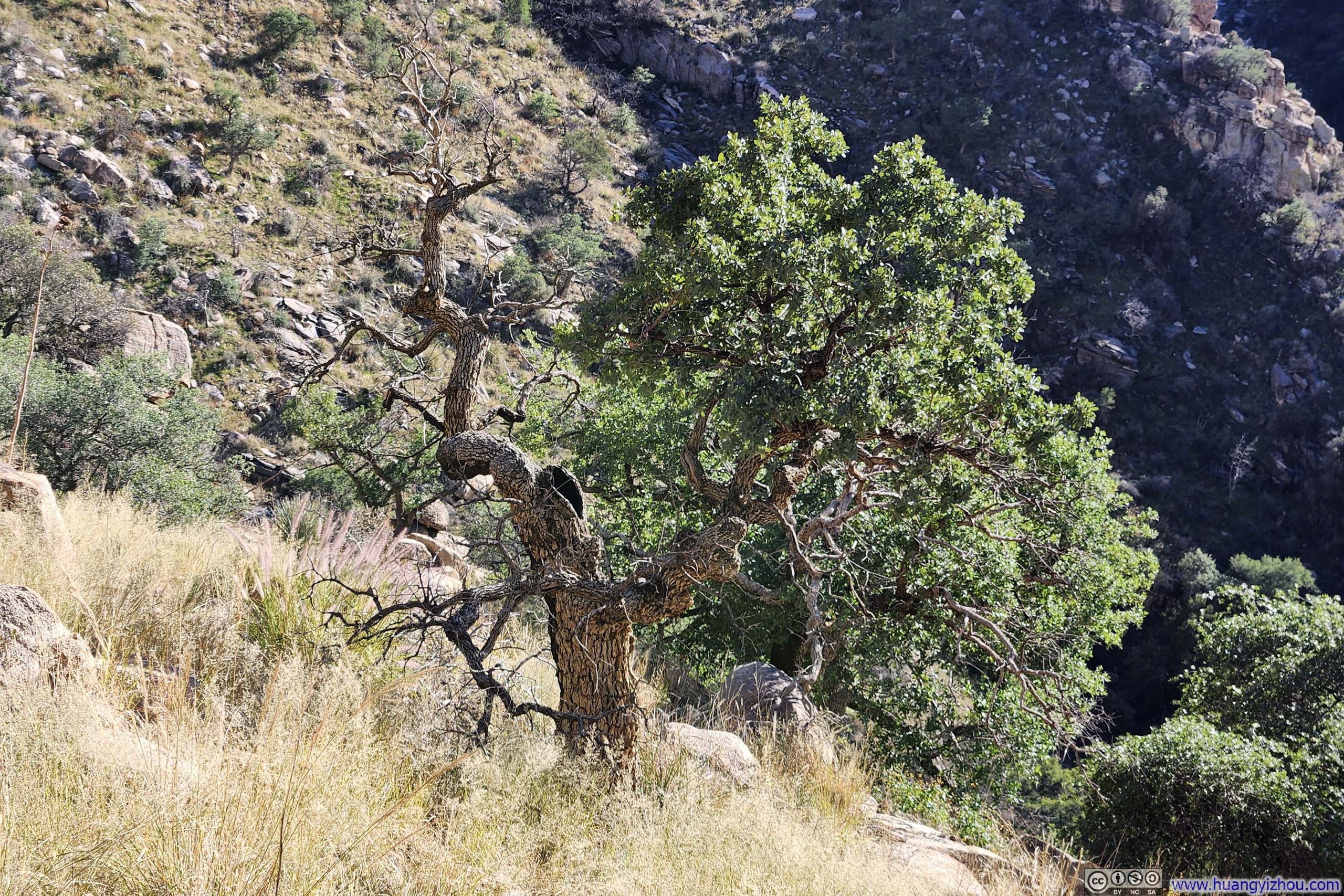
 Giant Tree
 Trees along Pima Wash
 SaguaroA few equally-tall branches surrounded a taller central one.
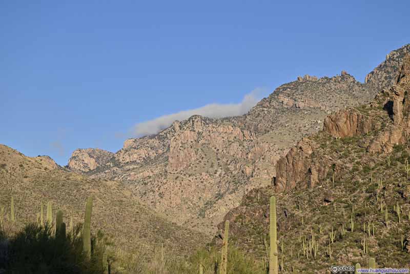 Hills at the end of Pima Canyon
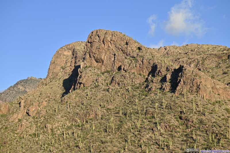 Hill along Pima Canyon
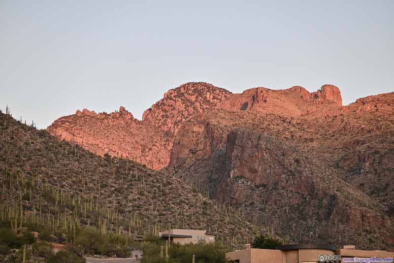 Prominent Point and Finger Rock from Pima Canyon Trailhead
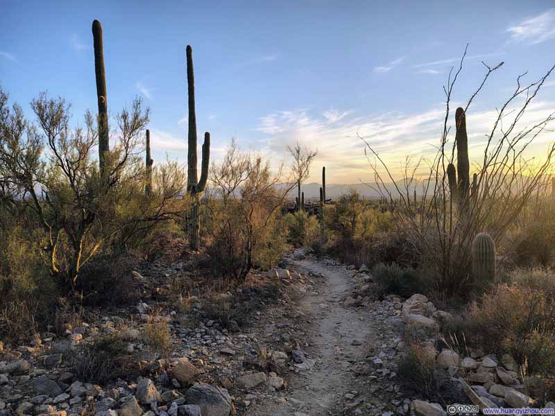 Trail
Trail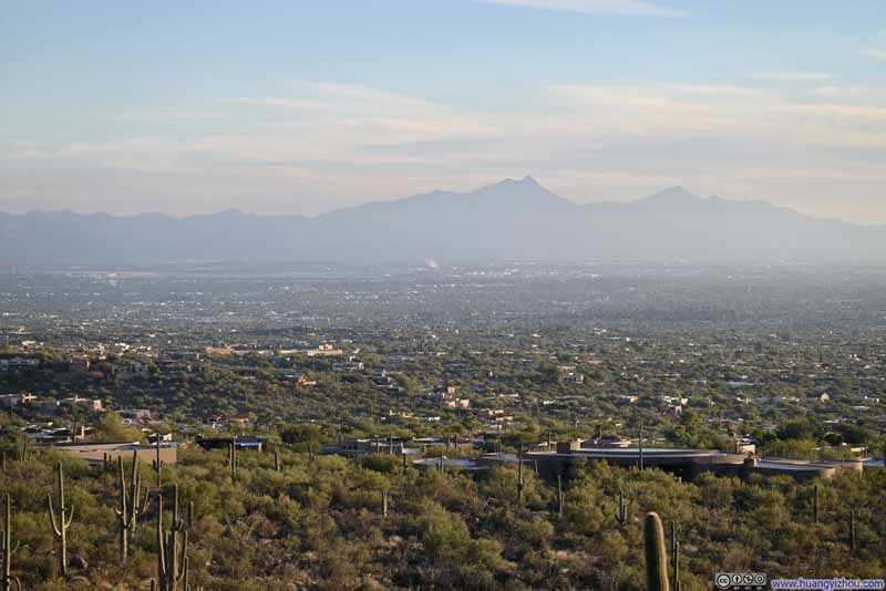 Mt Wrightson across Santa Cruz Basin
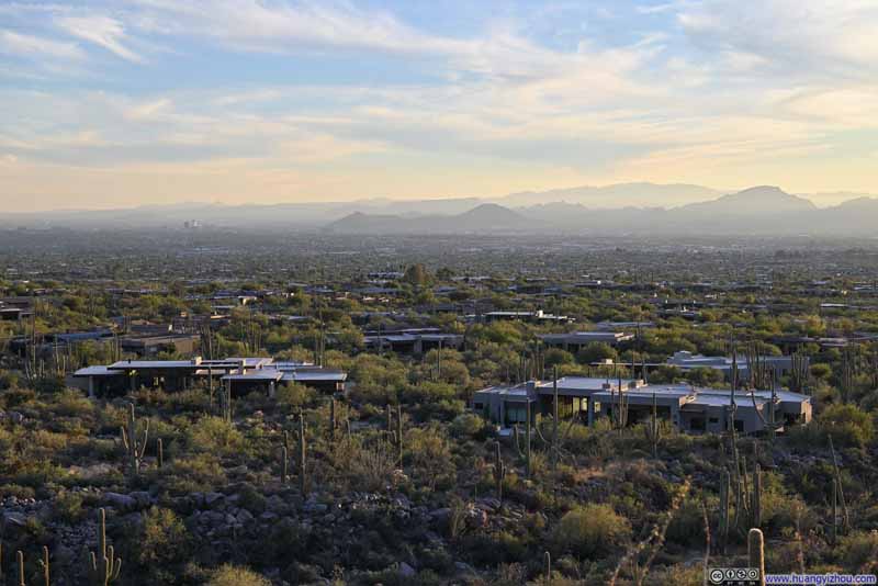 Villas among Saguaro Fields


Click here to display photos of the slideshow
Giant Tree
Trees along Pima Wash

 SaguaroA few equally-tall branches surrounded a taller central one.
Hills at the end of Pima Canyon
Hill along Pima Canyon

Prominent Point and Finger Rock from Pima Canyon Trailhead
Trail

Mt Wrightson across Santa Cruz Basin
Villas among Saguaro Fields
In the end, I reached Pima Canyon Trailhead at 5:10pm, with minutes to spare before the official sunset. I had no difficulty hailing a rideshare to take me back to Finger Rock Canyon, where I was reunited with my car and concluded the day.
END
![]() Day 3 of 2025 Thanksgiving Trip to Tucson, Mt Kimball via Finger Rock Canyon and Pima Canyon by Huang's Site is licensed under a Creative Commons Attribution-NonCommercial-ShareAlike 4.0 International License.
Day 3 of 2025 Thanksgiving Trip to Tucson, Mt Kimball via Finger Rock Canyon and Pima Canyon by Huang's Site is licensed under a Creative Commons Attribution-NonCommercial-ShareAlike 4.0 International License.