
Updated on March 30, 2026
Day 5 of 2025 Thanksgiving Trip to Tucson, Mt Wrightson
The fifth day of my 2025 Thanksgiving Trip to Tucson brought me to Mt. Wrightson, a prominent peak rising to the south of the city. Less technically demanding than the traverses of the Santa Catalina Mountains — such as Mt. Kimball, which I had tackled just two days prior — it nonetheless promised sweeping, rewarding views, and I was eager to see what it had to offer.
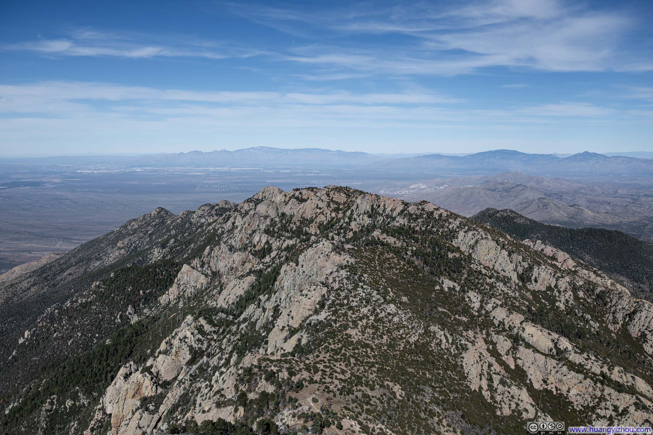
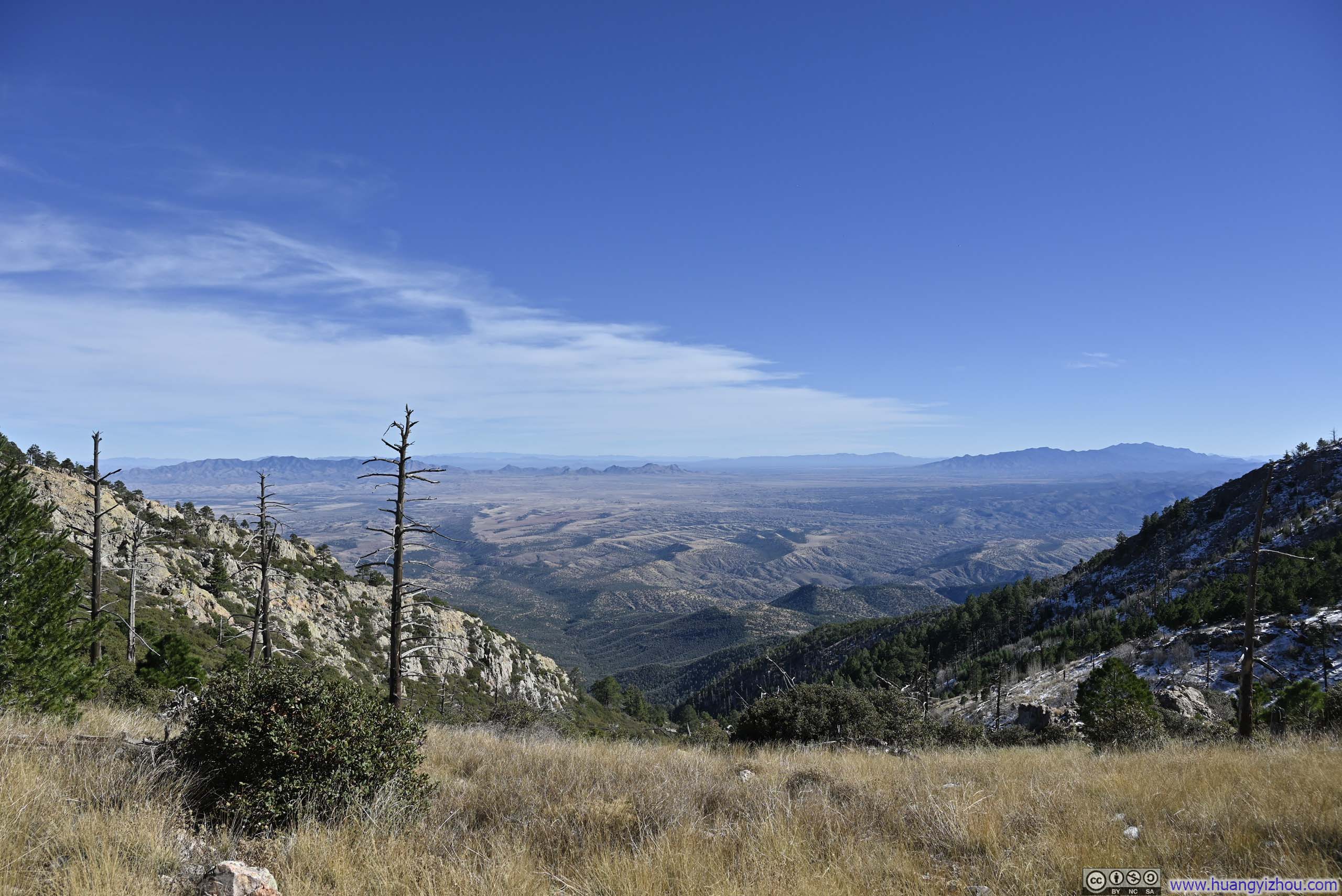
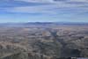
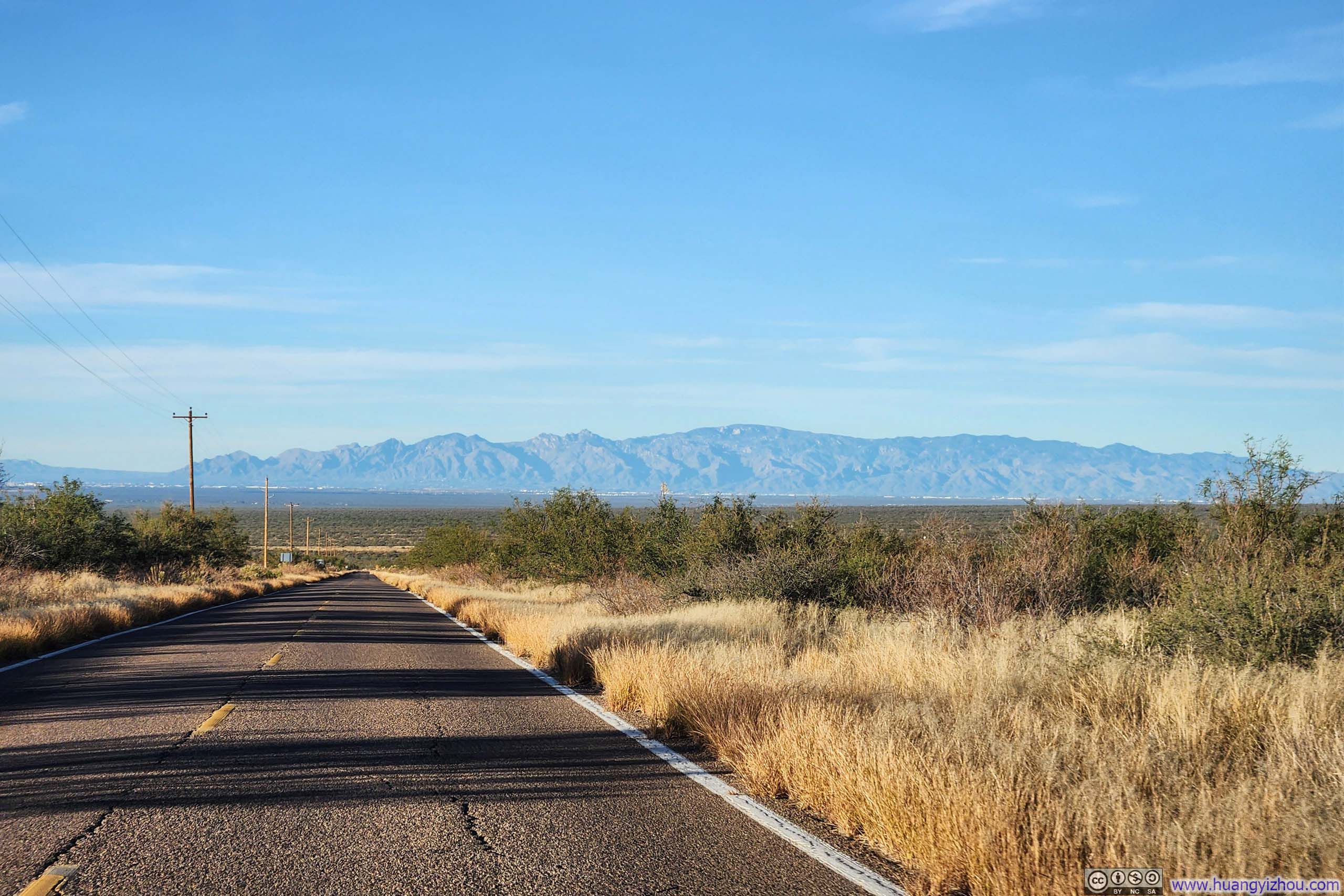
Hills to the North of Mt Wrightson before Santa Catalina Mountains
Two days ago I hiked Mt Kimball in the Santa Catalina Mountains just to the north of Tucson. I ascended via Finger Rock Canyon up and descended via Pima Canyon, with the route stretching 18km with 1290m of elevation gain (12.2mi, 4230ft). My original plan had been to take a rest day afterward, then tackle Window Peak today via Ventana and Esperero Canyons. Much like the former, this route would have wound through two of the Santa Catalinas’ canyons, promising a peak with sweeping, panoramic views in the middle.
Unfortunately, my experience two days ago had given me pause. Canyons in Santa Catalina Mountains weren’t the most straightforward to hike through, with the trails oftentimes narrow and rocky, demanding constant attention underfoot. Excluding the rest at the top, the Kimball hike took me 8 hours and 40 minutes. The prospect of a longer trip to Window Peak (24.1km with 1416m elevation, or 15mi and 4645ft) would be pushing the 10-hour daylight window (I wasn’t good at getting up early). And so I found myself casting about for an alternative, and my sights soon settled on Mt Wrightson.
Mt Wrightson was a very prominent mountain rising from the southern horizon over Tucson, whose silhouette I frequently caught sights of during hikes earlier in this trip, on Tanque Verde Ridge and on Mt Kimball. In welcome contrast to the Santa Catalinas, it offered a wide, well-graded trail all the way to its summit. The trail measured 17.4km long with 1210m of elevation gain (10.8mi, 3970ft), the statistics are similar to that of Mt Kimball via two canyons. However, the ease of travel meant I ended up spending 6 hours and 10 minutes on the trail, excluding time spent at the summit, drastically faster than Mt Kimball.
The trailhead for the hike to Mt Wrightson was located in Madera Canyon, about an hour’s drive from Tucson. A modest parking fee applied and was conveniently covered by the America the Beautiful Pass. It’s the Wednesday before Thanksgiving and the parking lot was pretty empty. I started my hike at 9:25am, here’s GPS tracking:
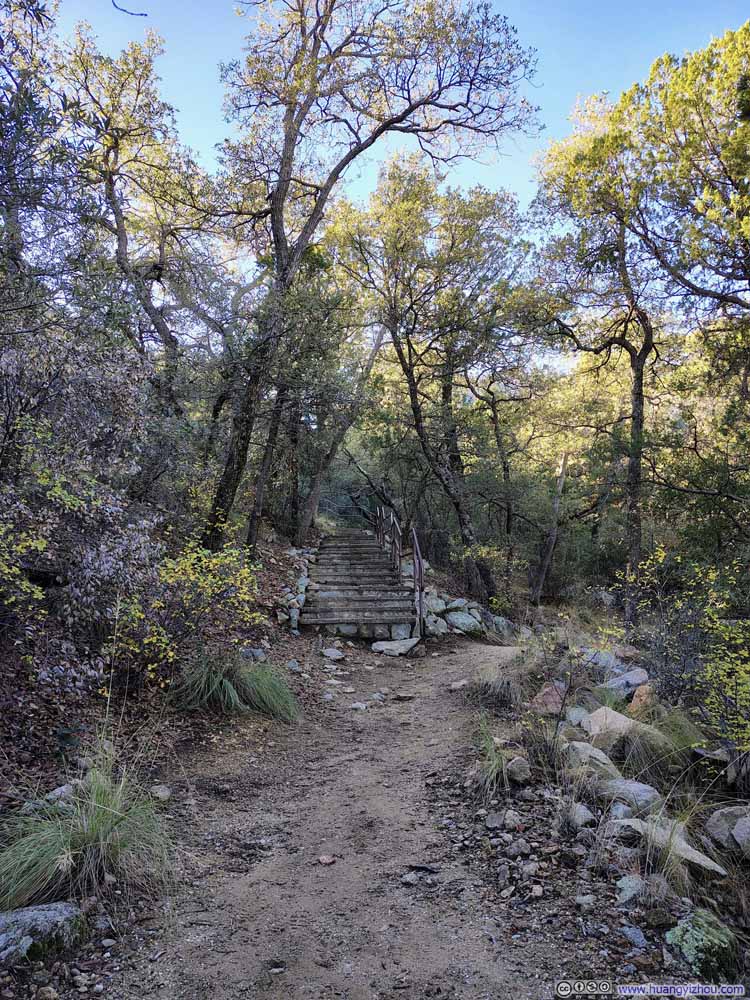
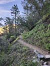
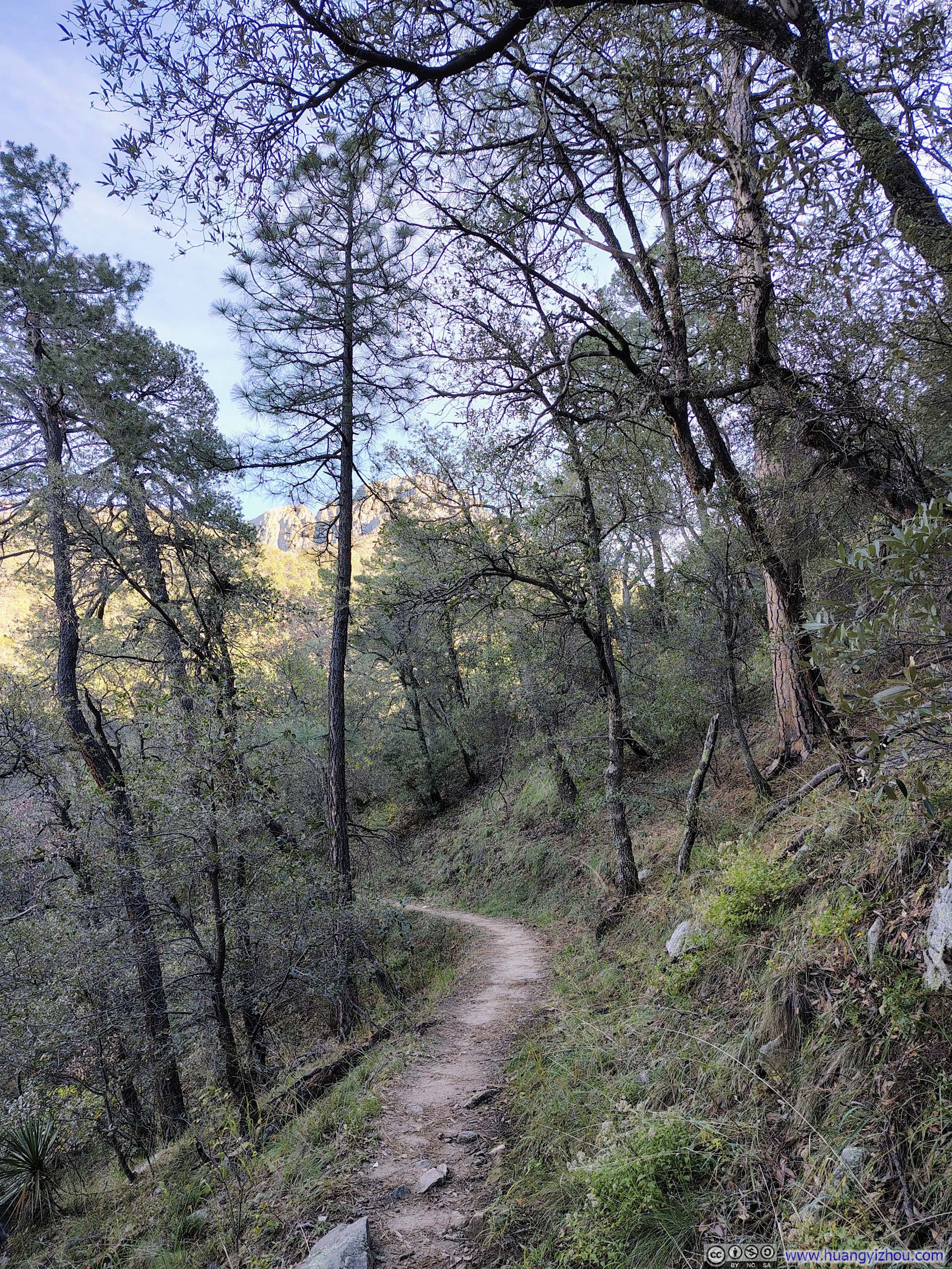
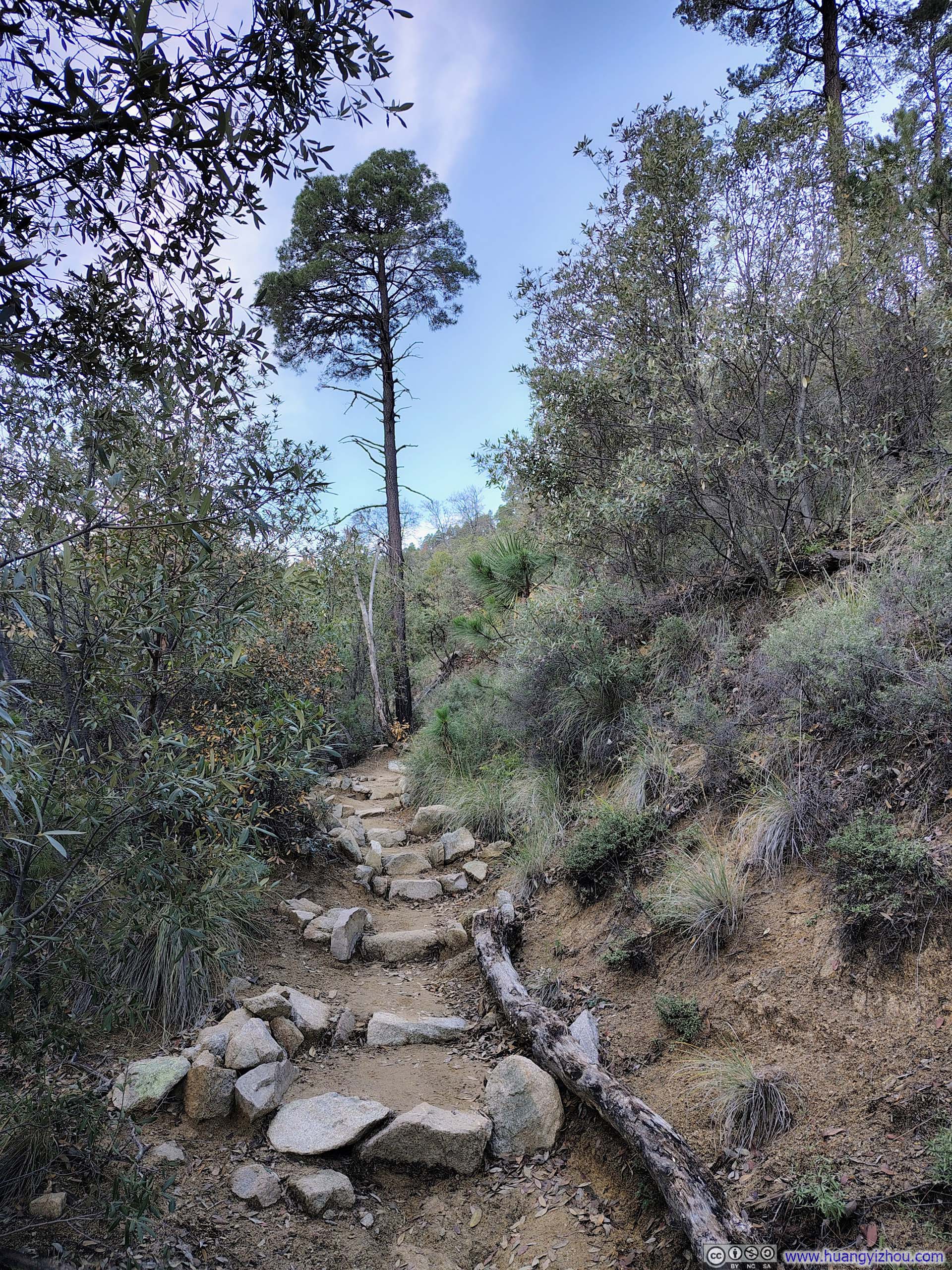
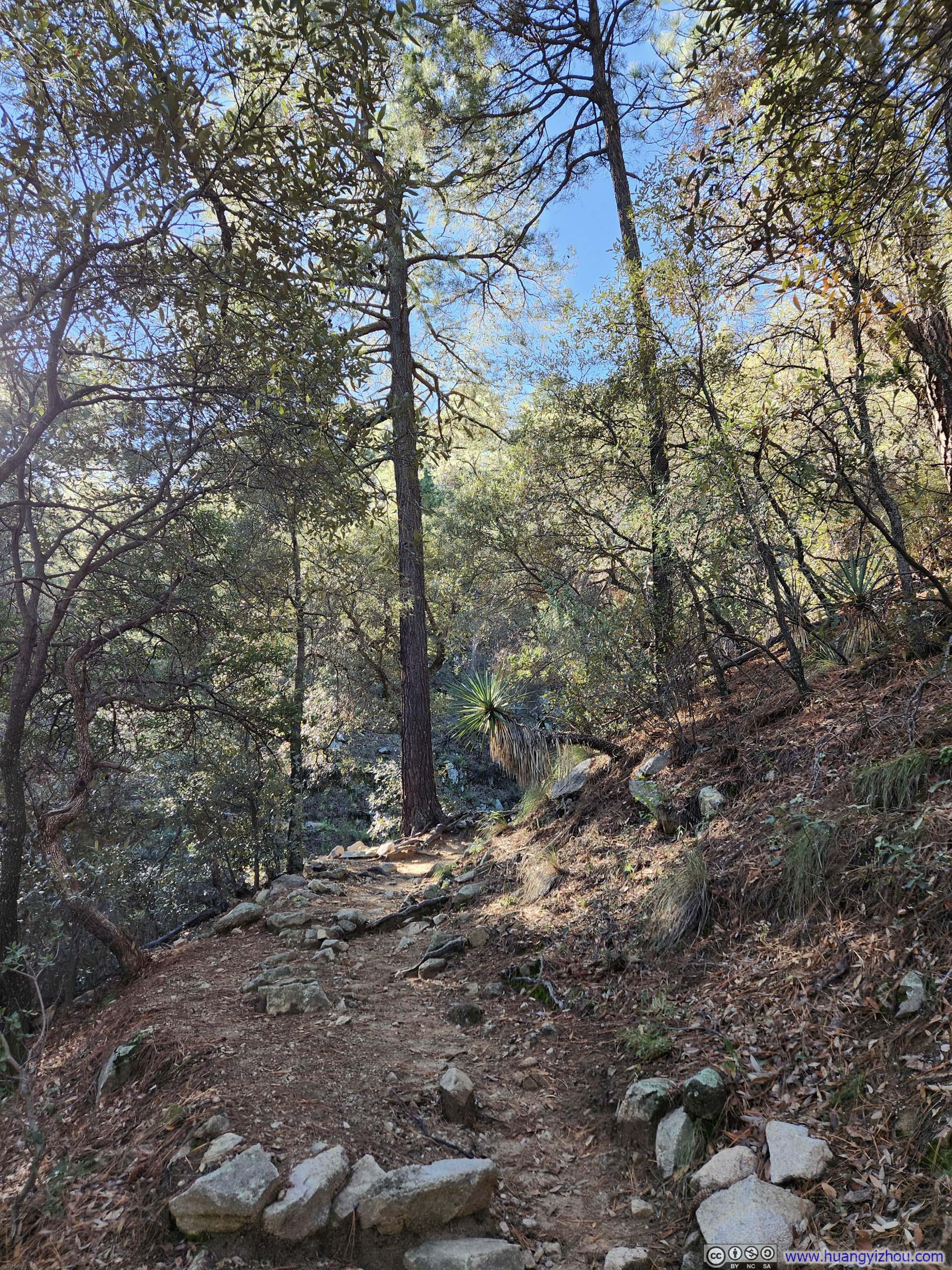
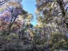
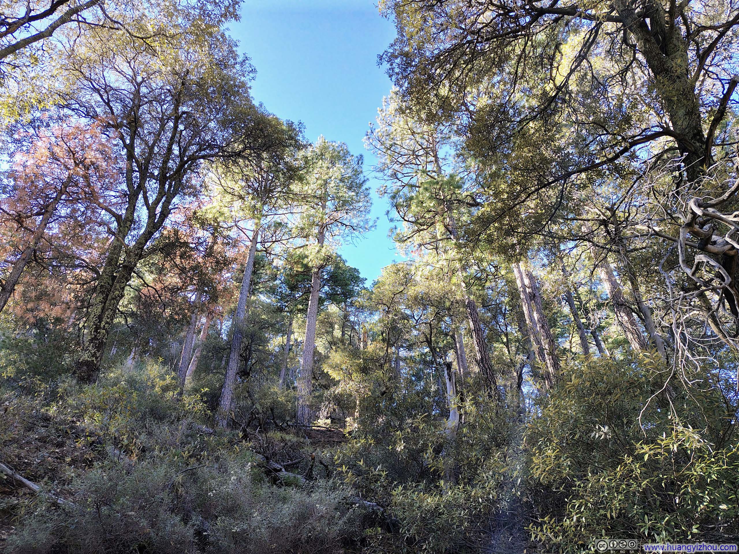
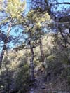
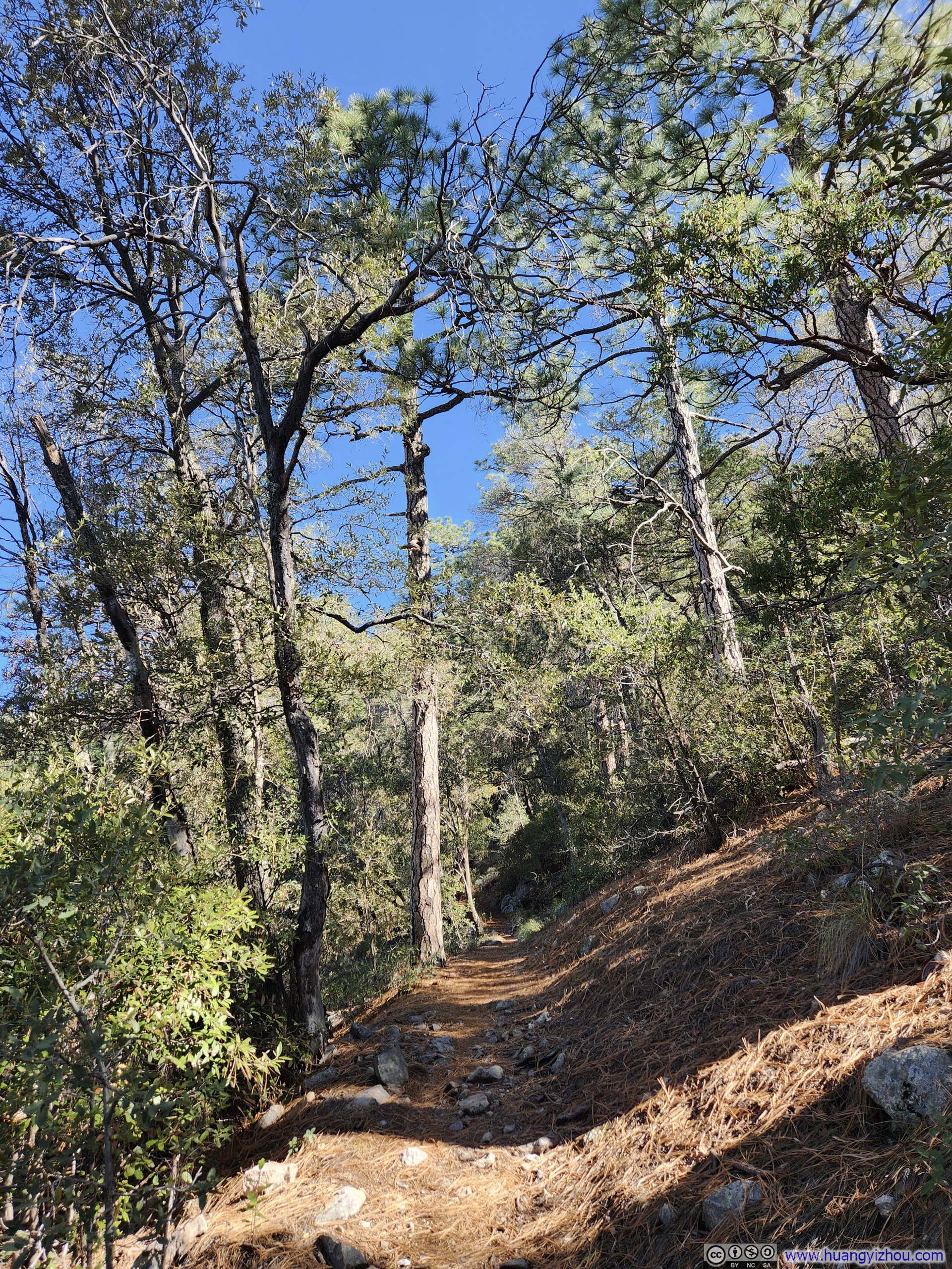
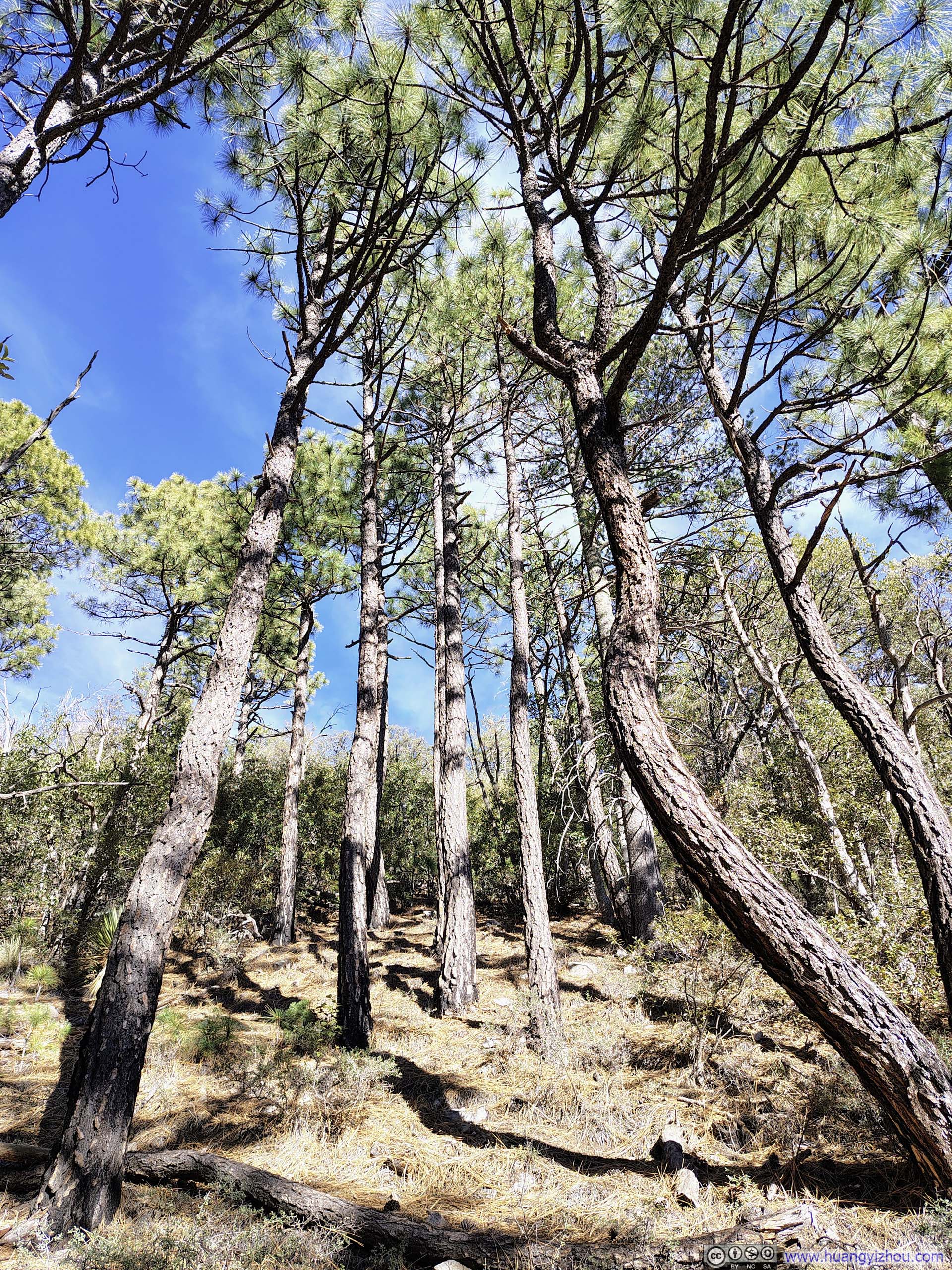
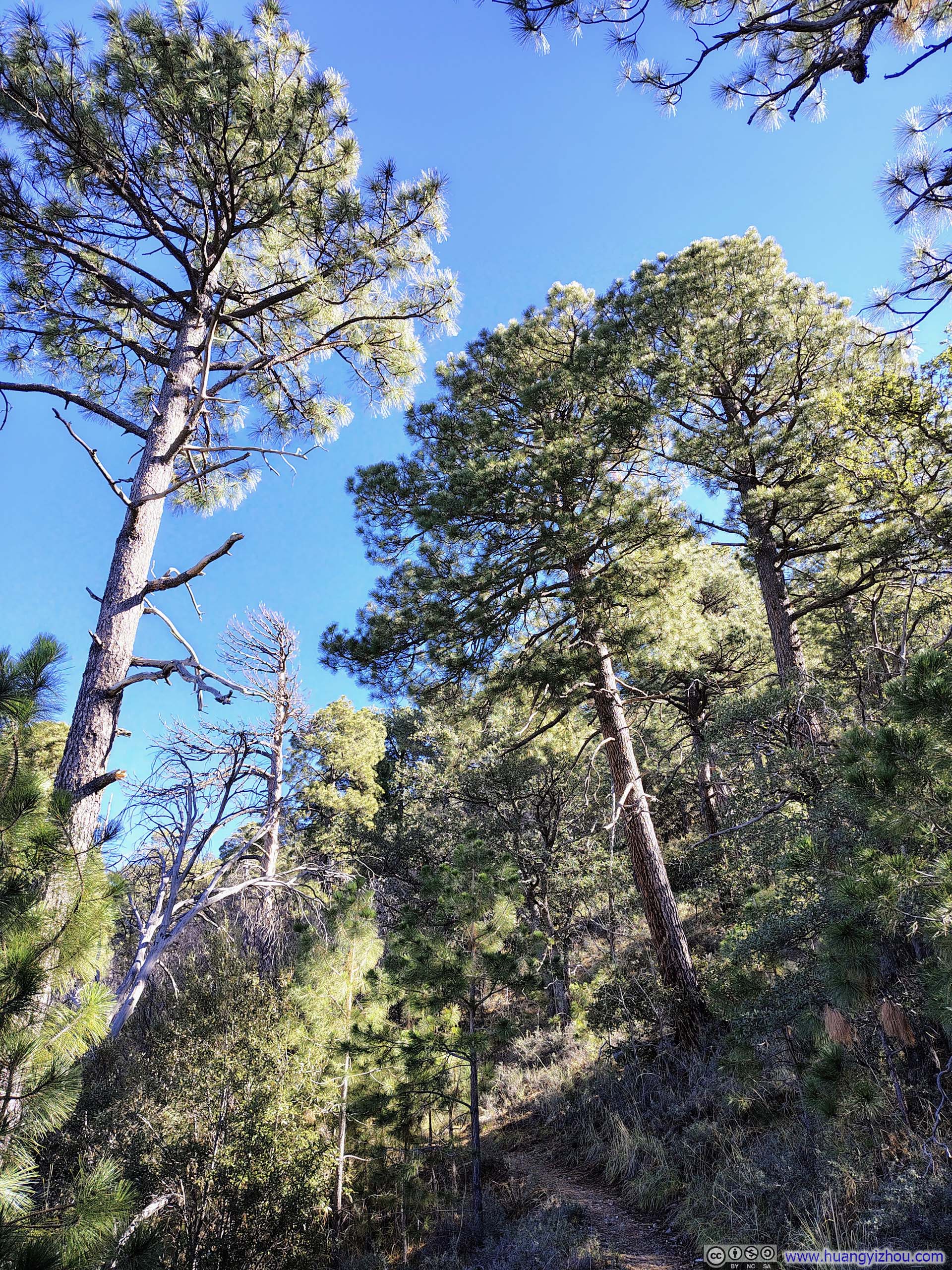
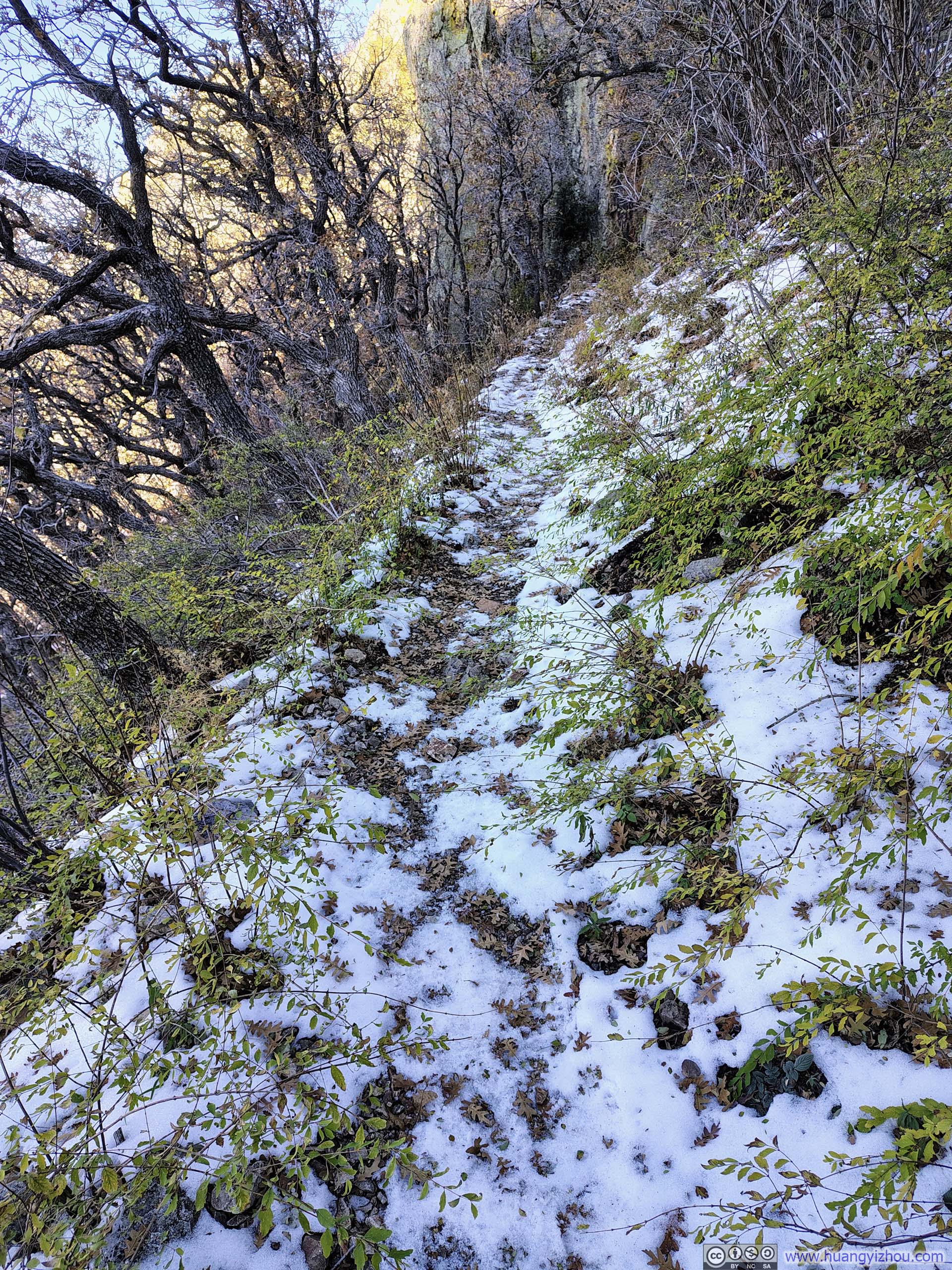
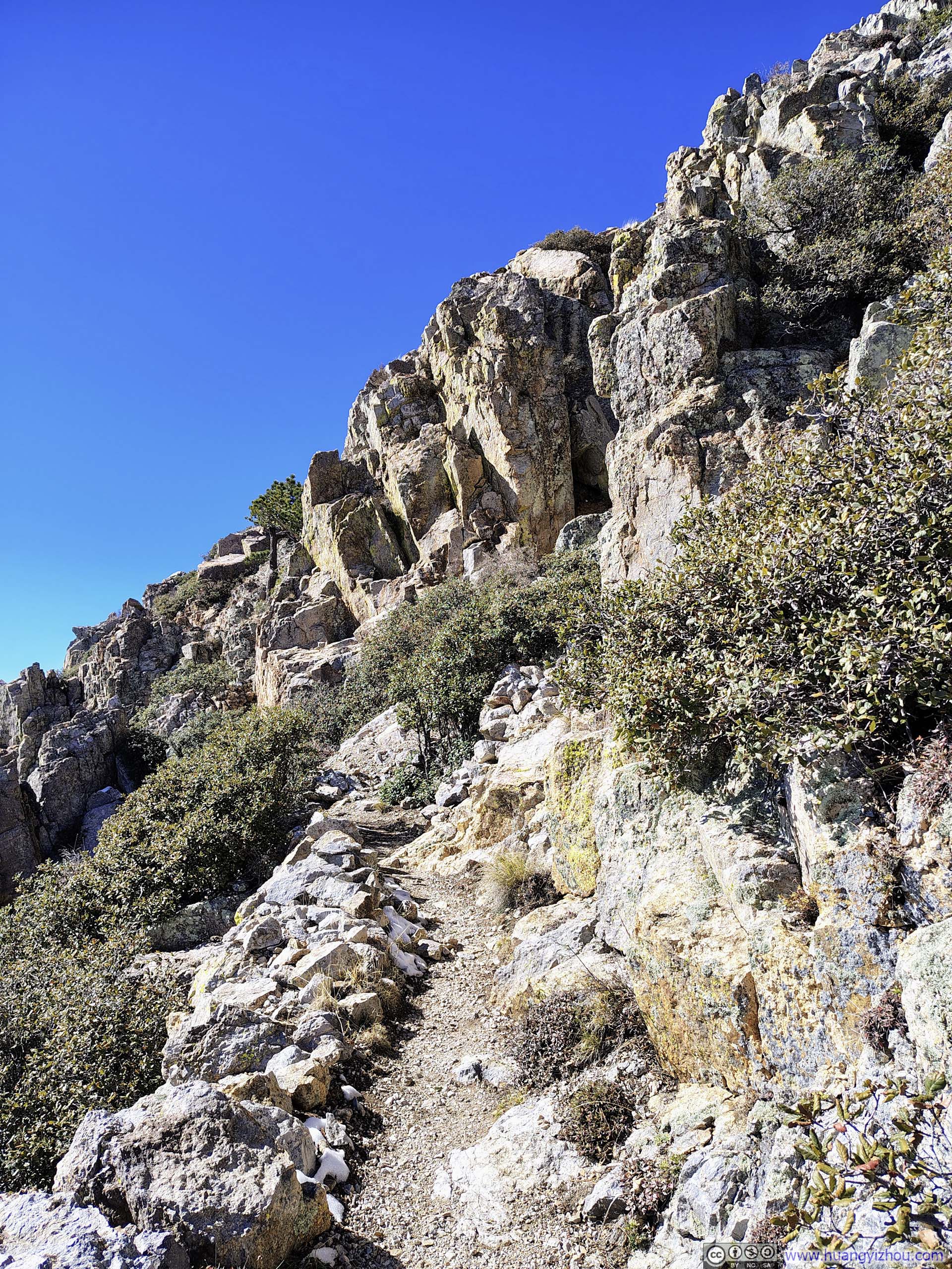
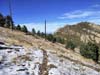
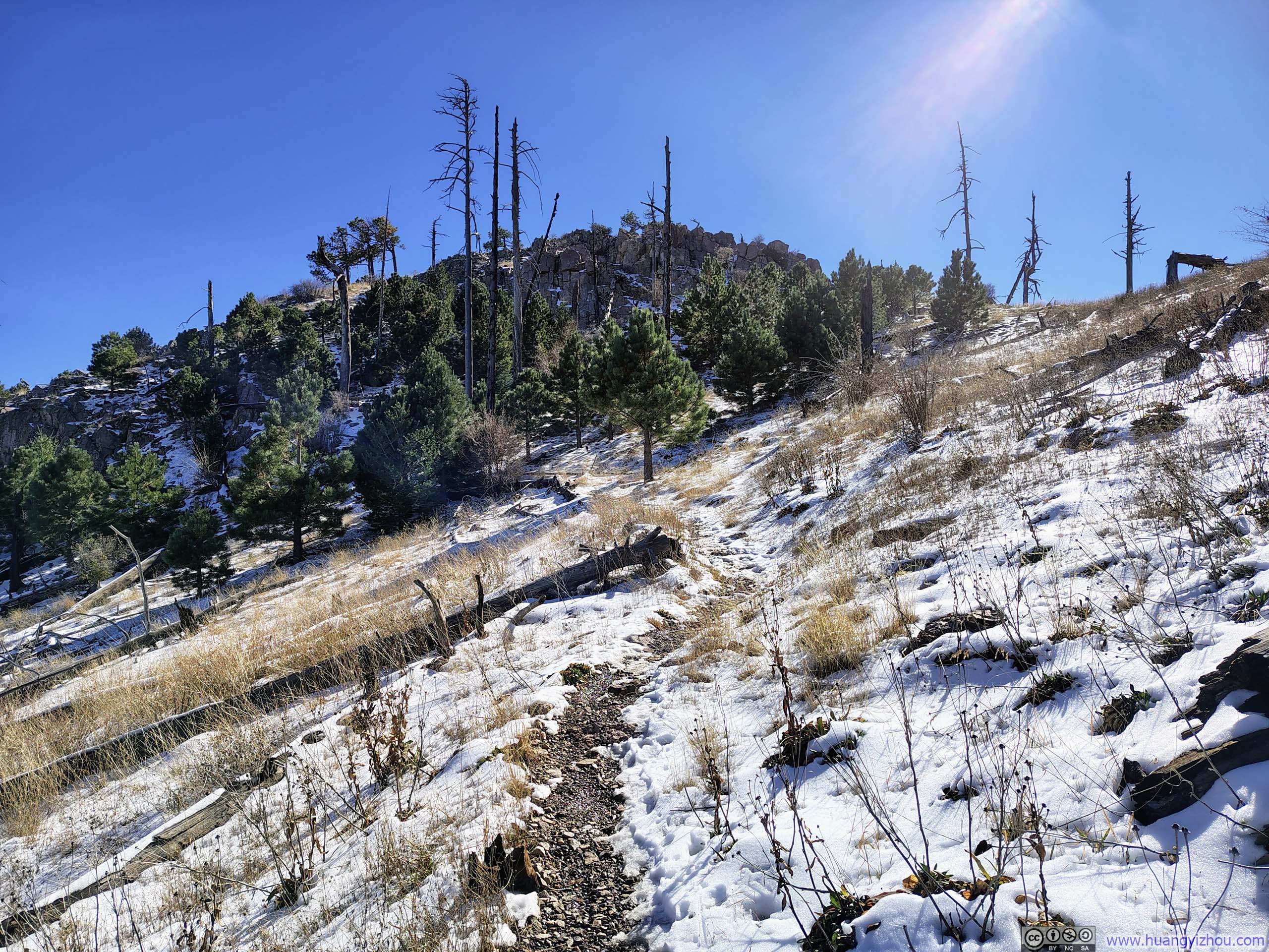
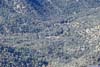
I think “straightforward” was a very appropriate word to describe this hike. The summit of Mt Wrightson was visible from the trailhead; except the end, the change in landscape along the trail was little and gradual; the pace of elevation gain was near constant. This was especially true for the first half of the trail towards Josephine Saddle, where the path wound through forest in a remarkably uniform, almost meditative serpentine fashion.
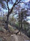
 Trail
Trail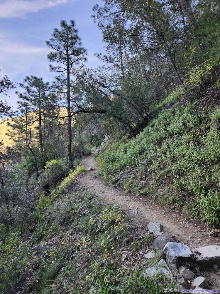 Trail
Trail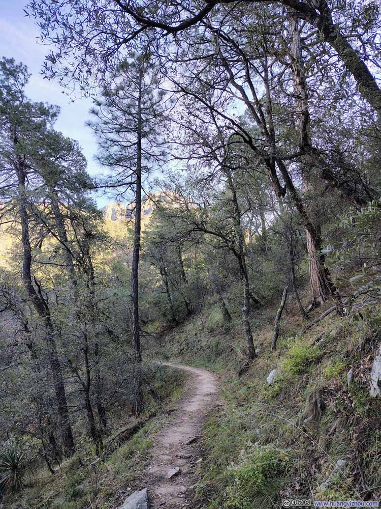 Trail
Trail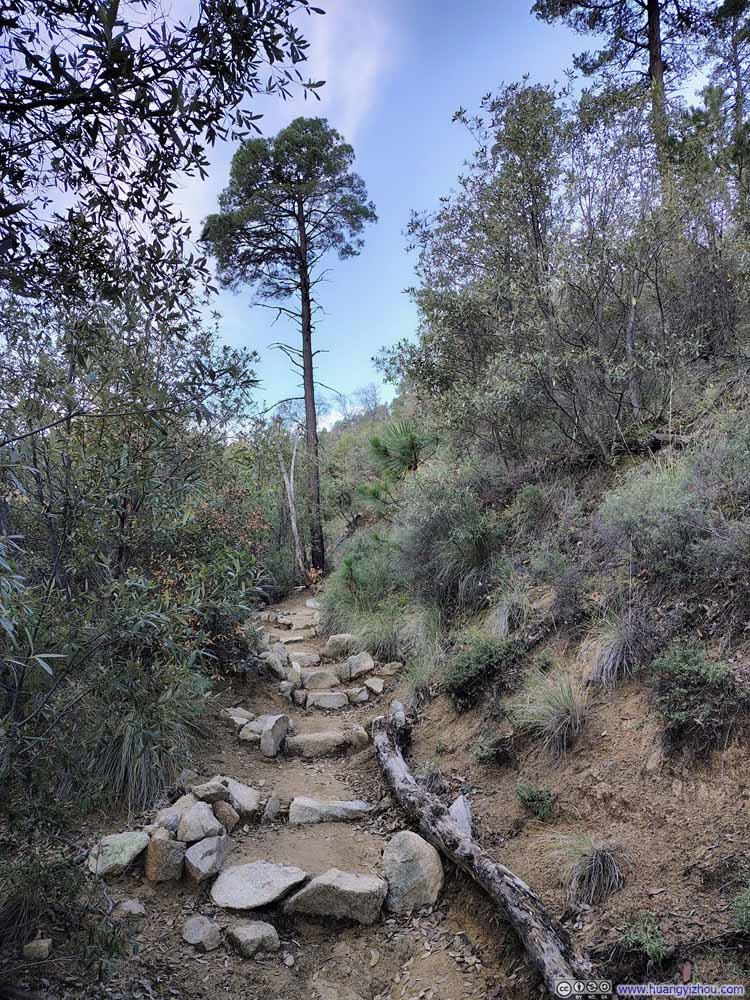 Trail
Trail Trail
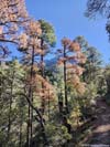
Trail Late Foliage along Trail
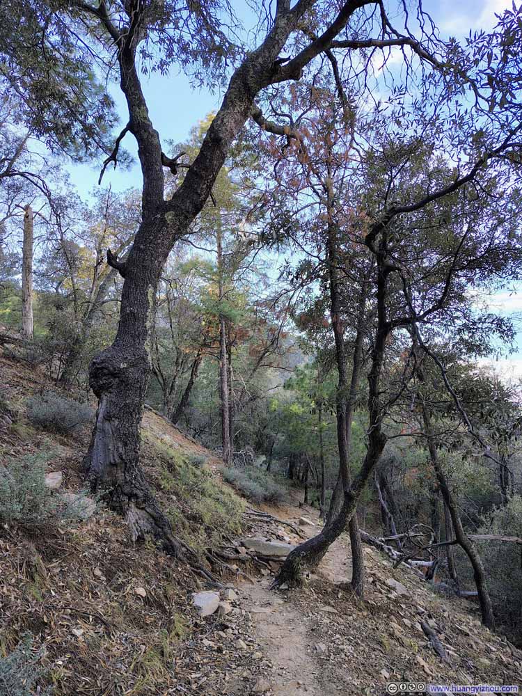 Trail
Trail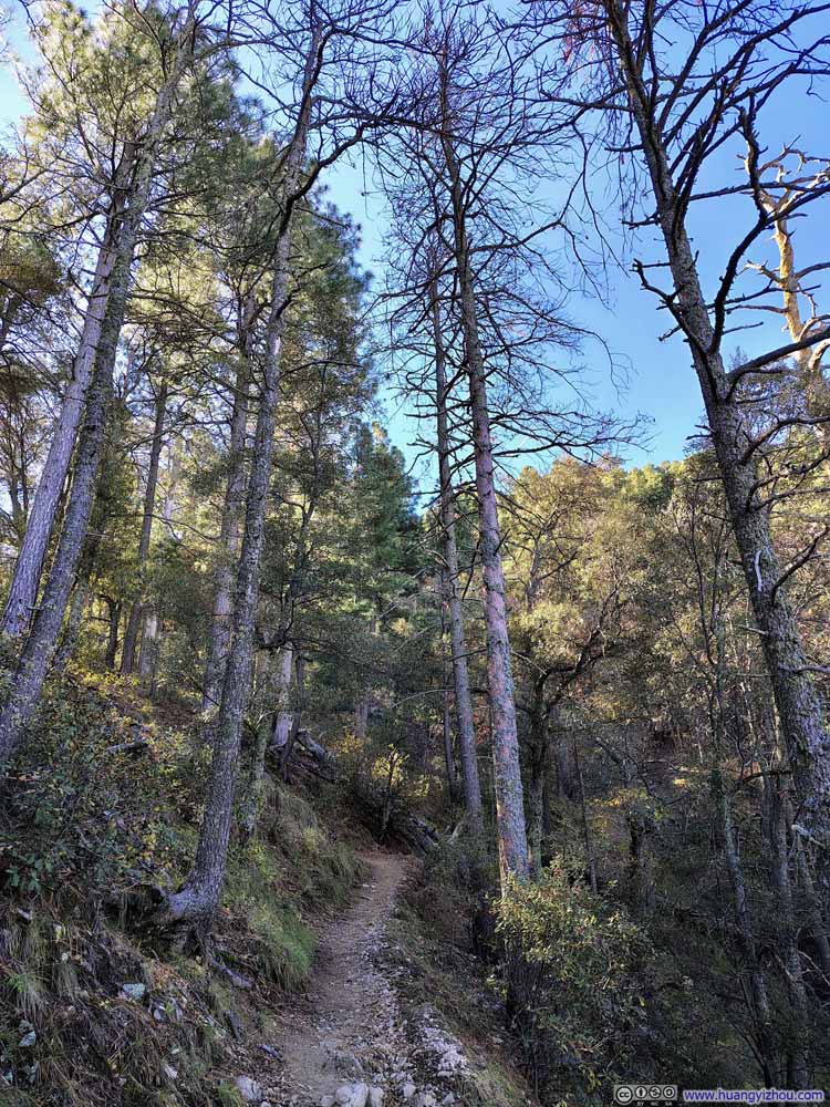 Trail
Trail


Click here to display photos of the slideshow

Trail

Trail
Trail
Trail
Trail
Late Foliage along Trail

Trail

Trail
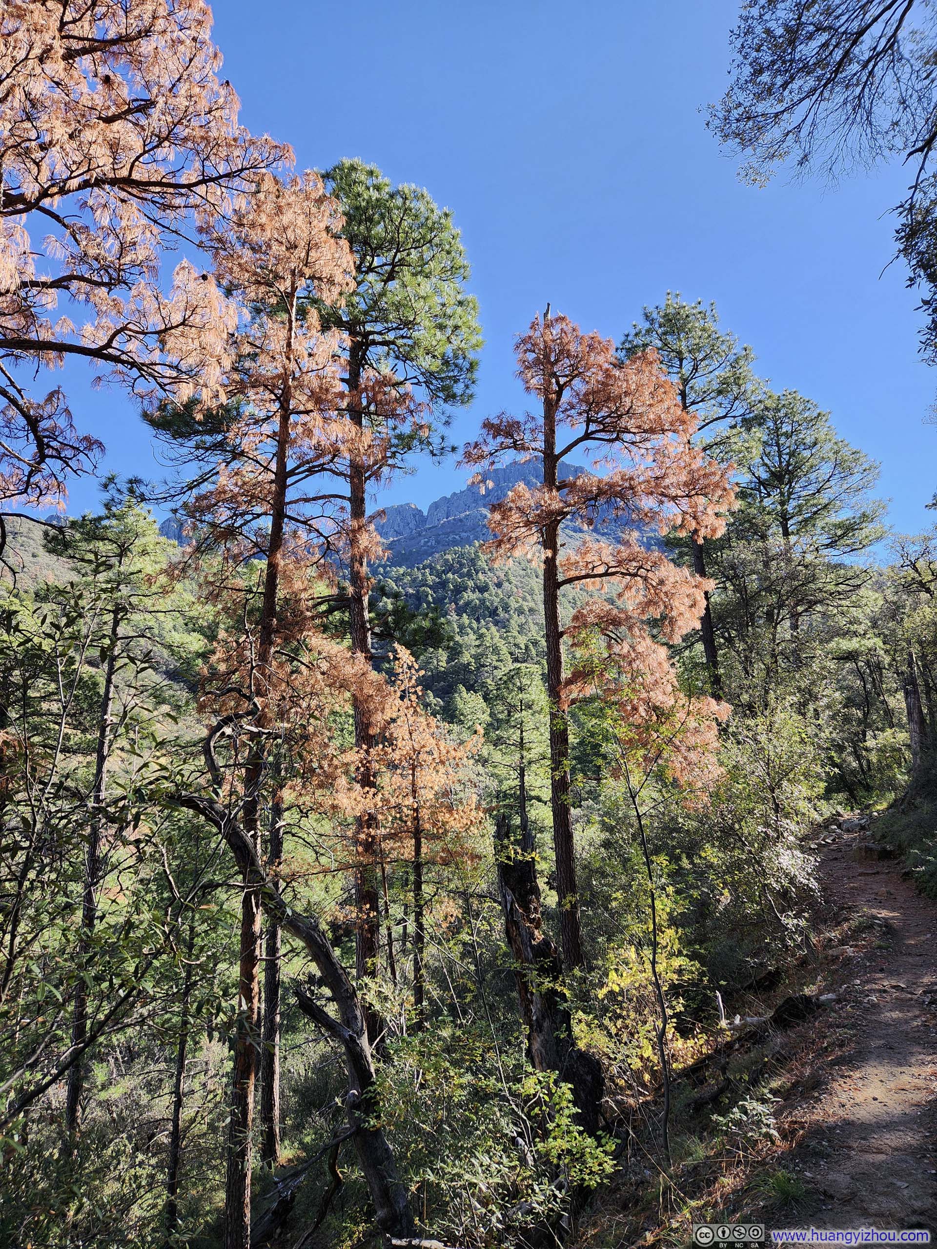
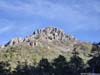
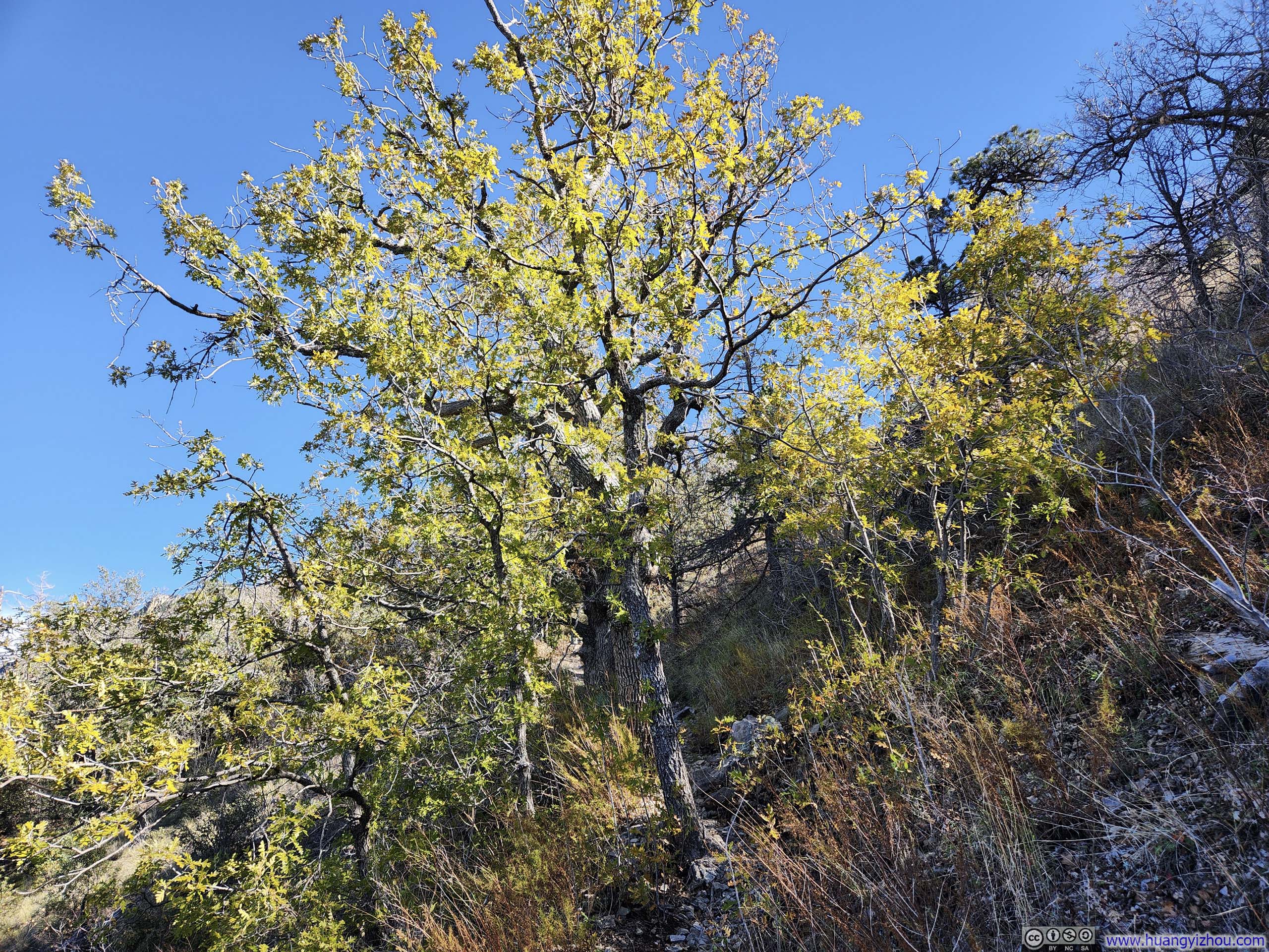
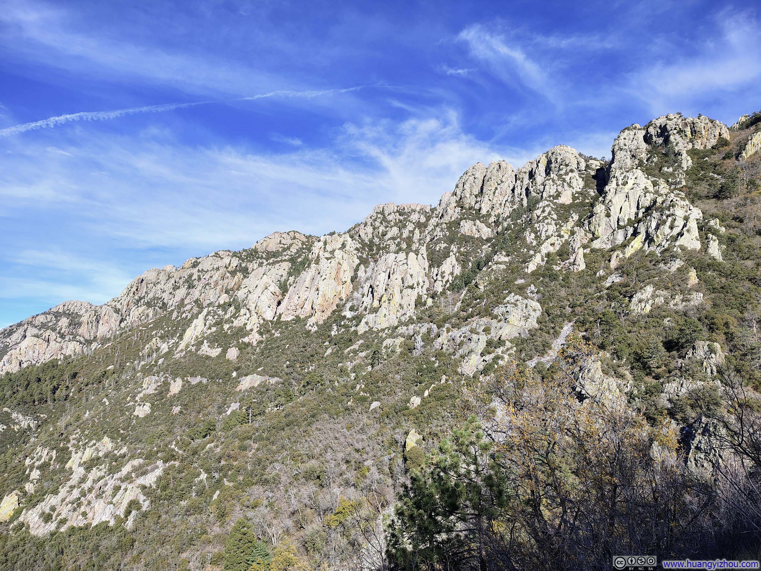
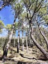
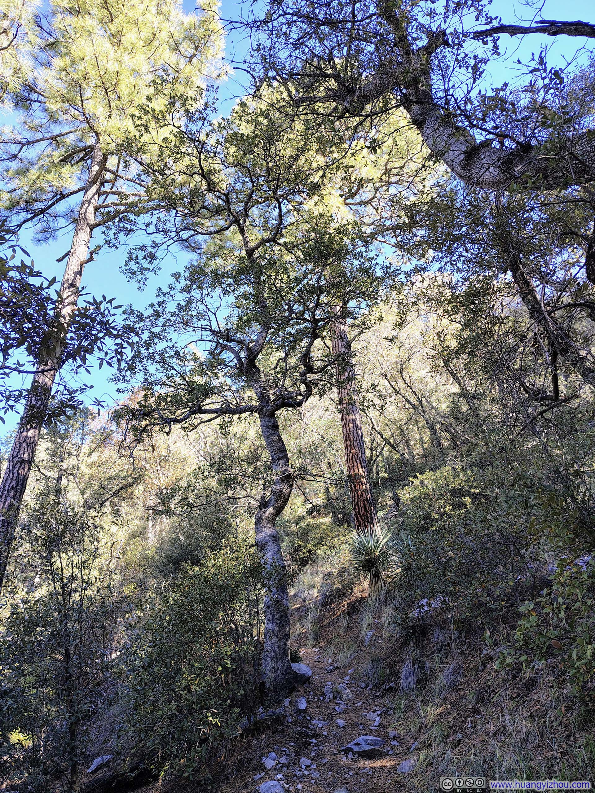
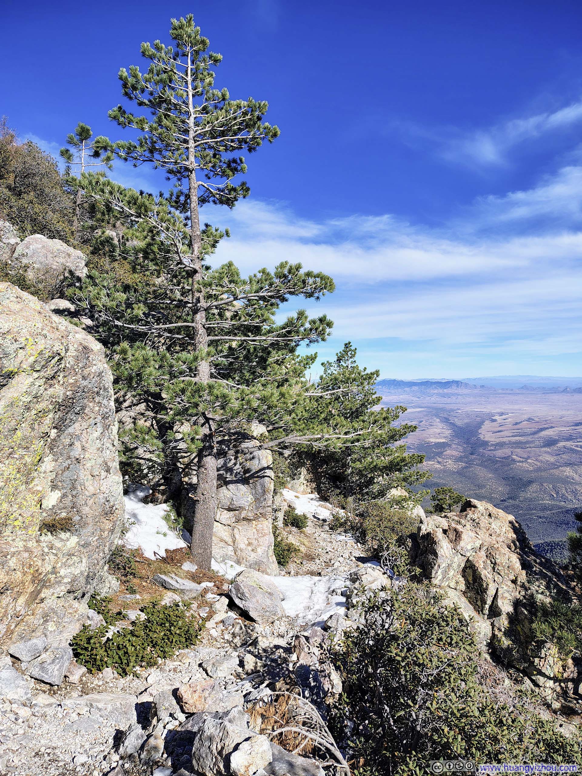
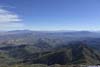
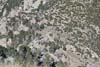
Josephine Saddle was the intersection of many trails in the area. I had taken the “Old Baldy Trail” from the trailhead to the saddle, where a different “Super Trail” running almost in parallel presented a different option. Around the saddle, the forest occasionally thinned, affording fleeting glimpses of the rocky ridgelines that topped Mt Wrightson.
 Forest
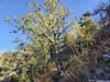
 TreeStill lush with leaves.
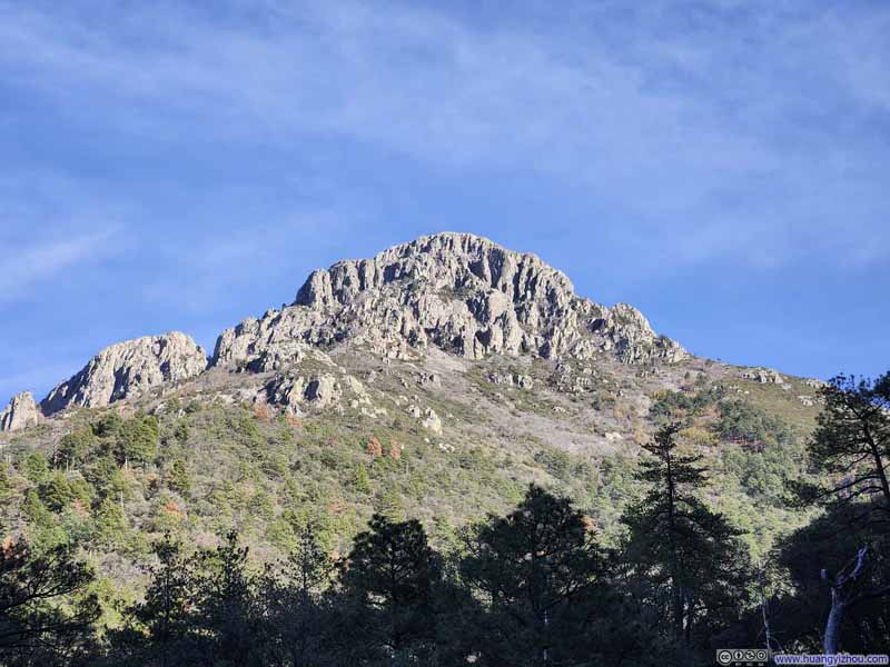 Mt Wrightson from Trail
 Rocky Ridgeline
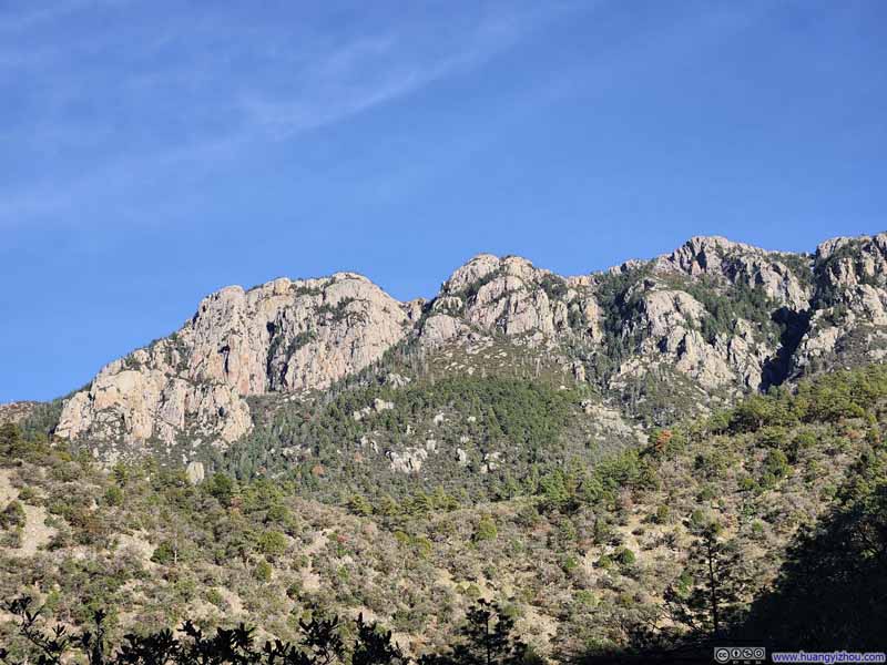 Rocky Ridgeline


Click here to display photos of the slideshow
Forest
TreeStill lush with leaves.

Mt Wrightson from Trail
Rocky Ridgeline

Rocky Ridgeline
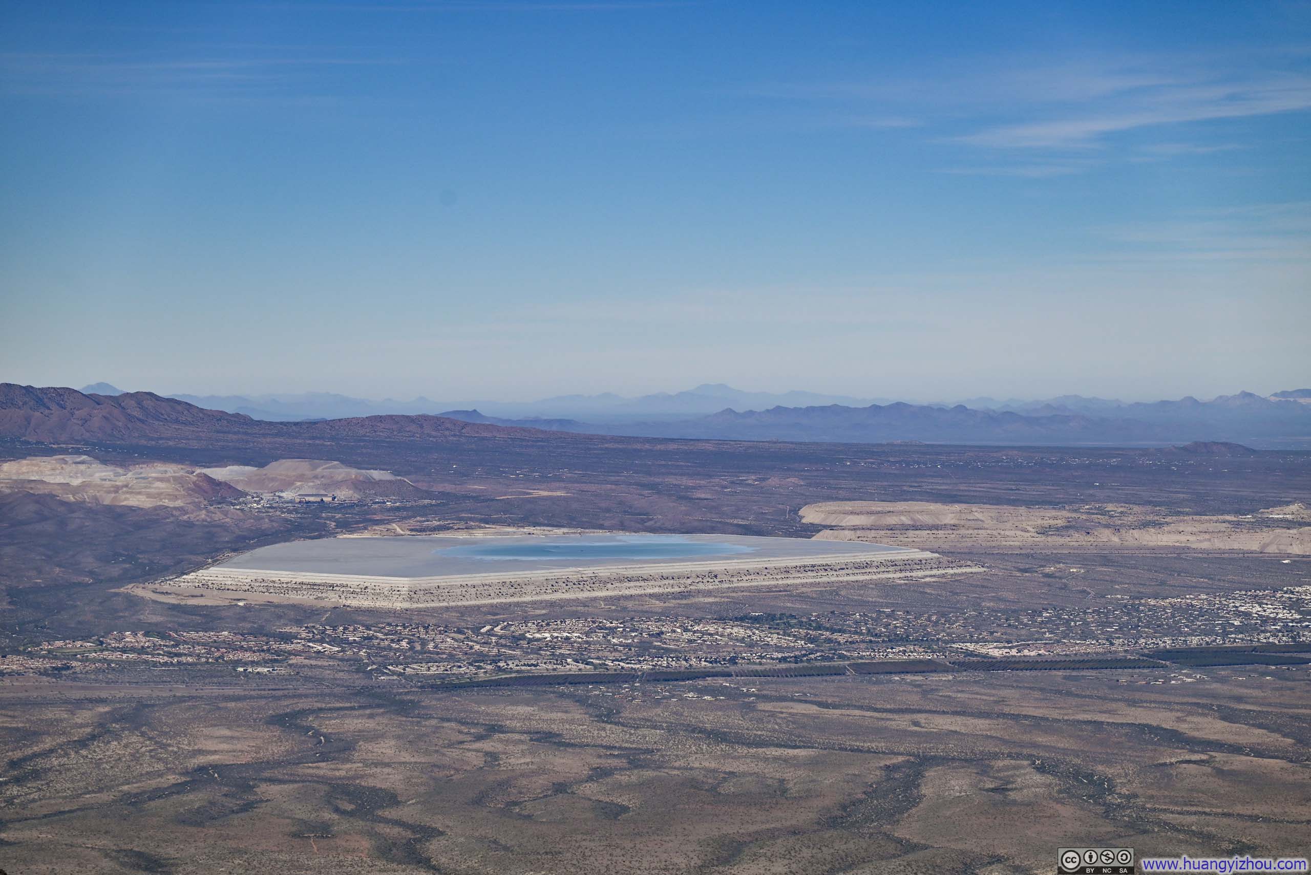
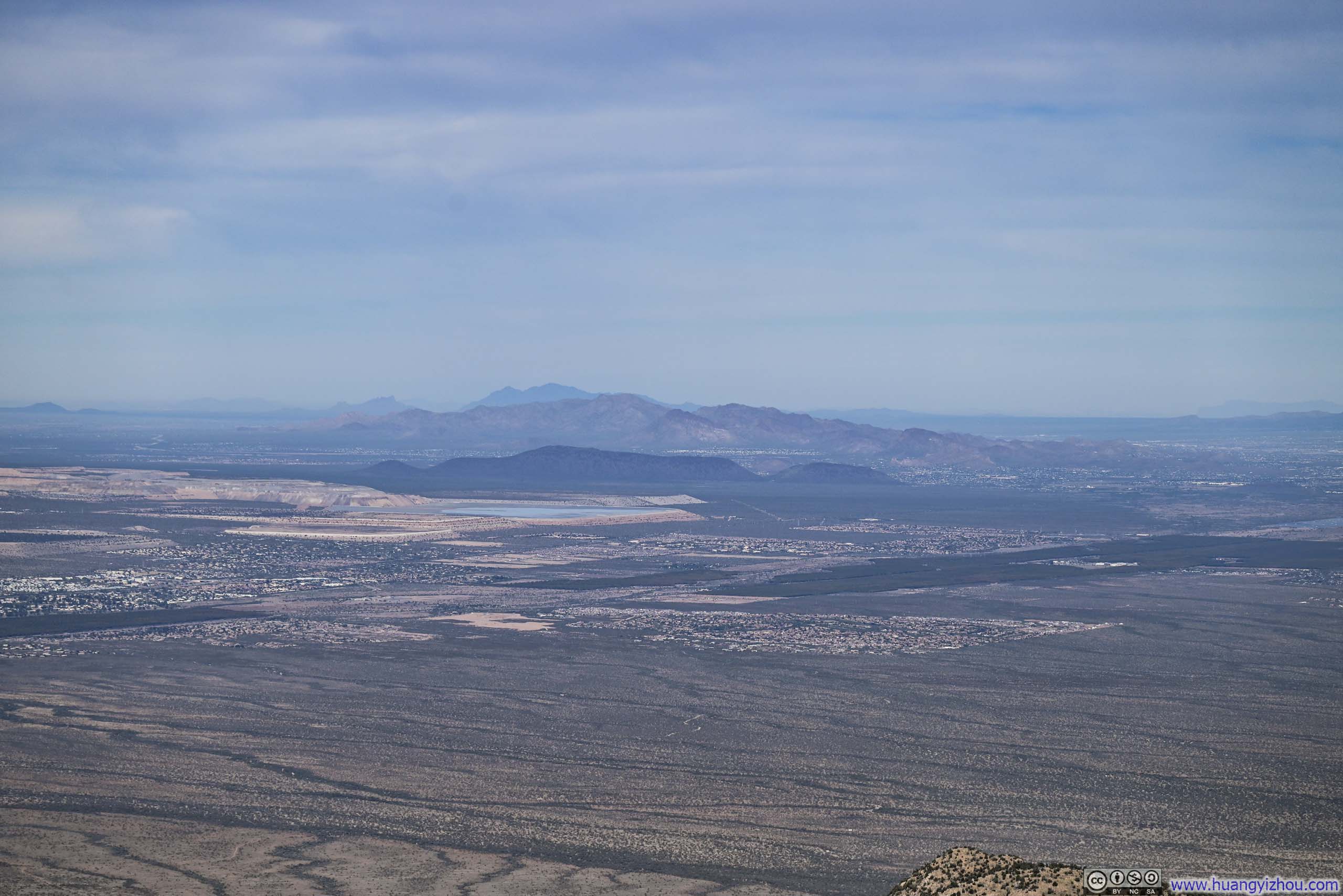
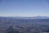
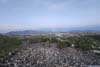
Further along, a small clearing in the woods opened up to sweeping views of vast open fields to the northeast, where two prominent mines, their striking tailings dams and vivid turquoise-colored waters commanded the landscape.
 Mt Hopkins
 Dam Storing Tailings from Sierrita Mine and Twin Buttes Mine
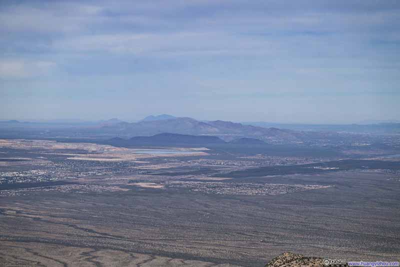 Mission Complex and its Tailings Dam
 Mines and Open Fields to the Northwest

Click here to display photos of the slideshow
Mt Hopkins
Dam Storing Tailings from Sierrita Mine and Twin Buttes Mine
Mission Complex and its Tailings Dam
Mines and Open Fields to the Northwest
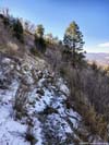
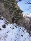
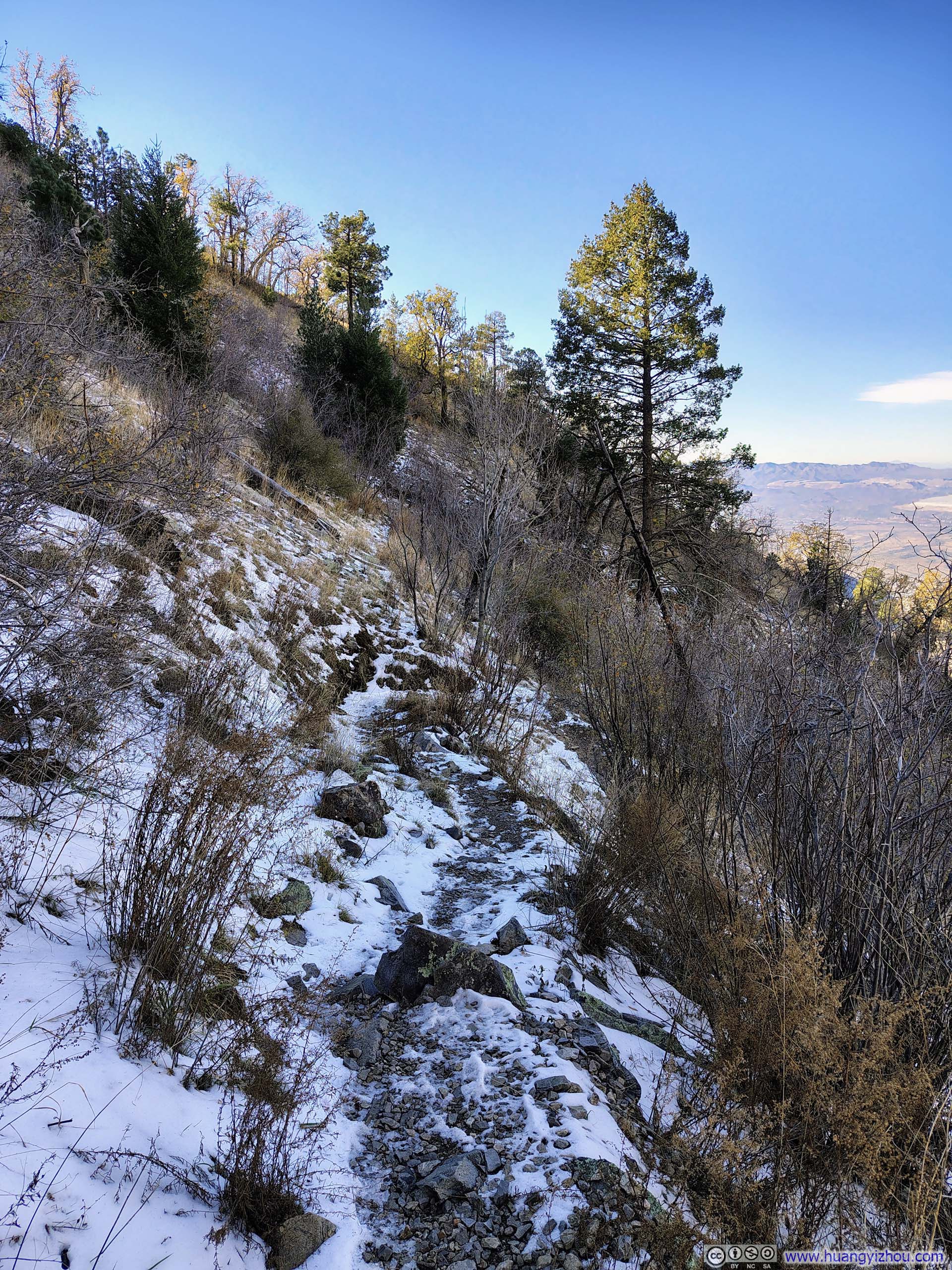
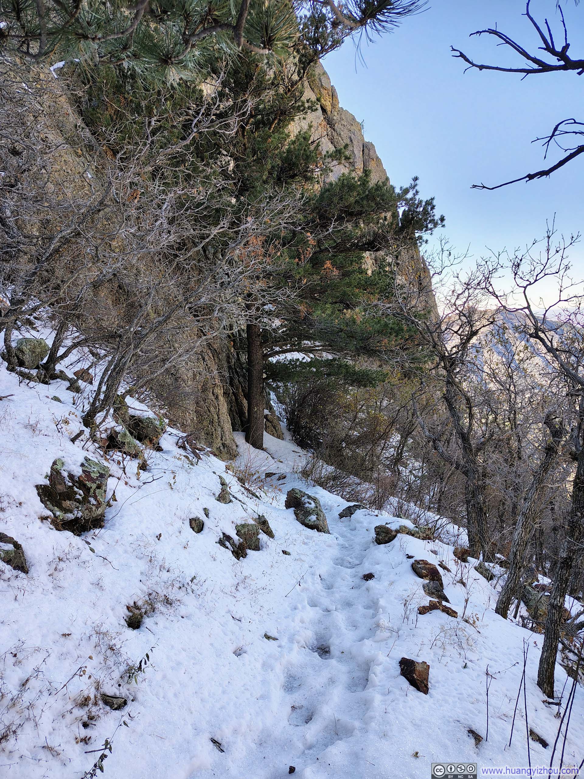
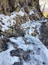
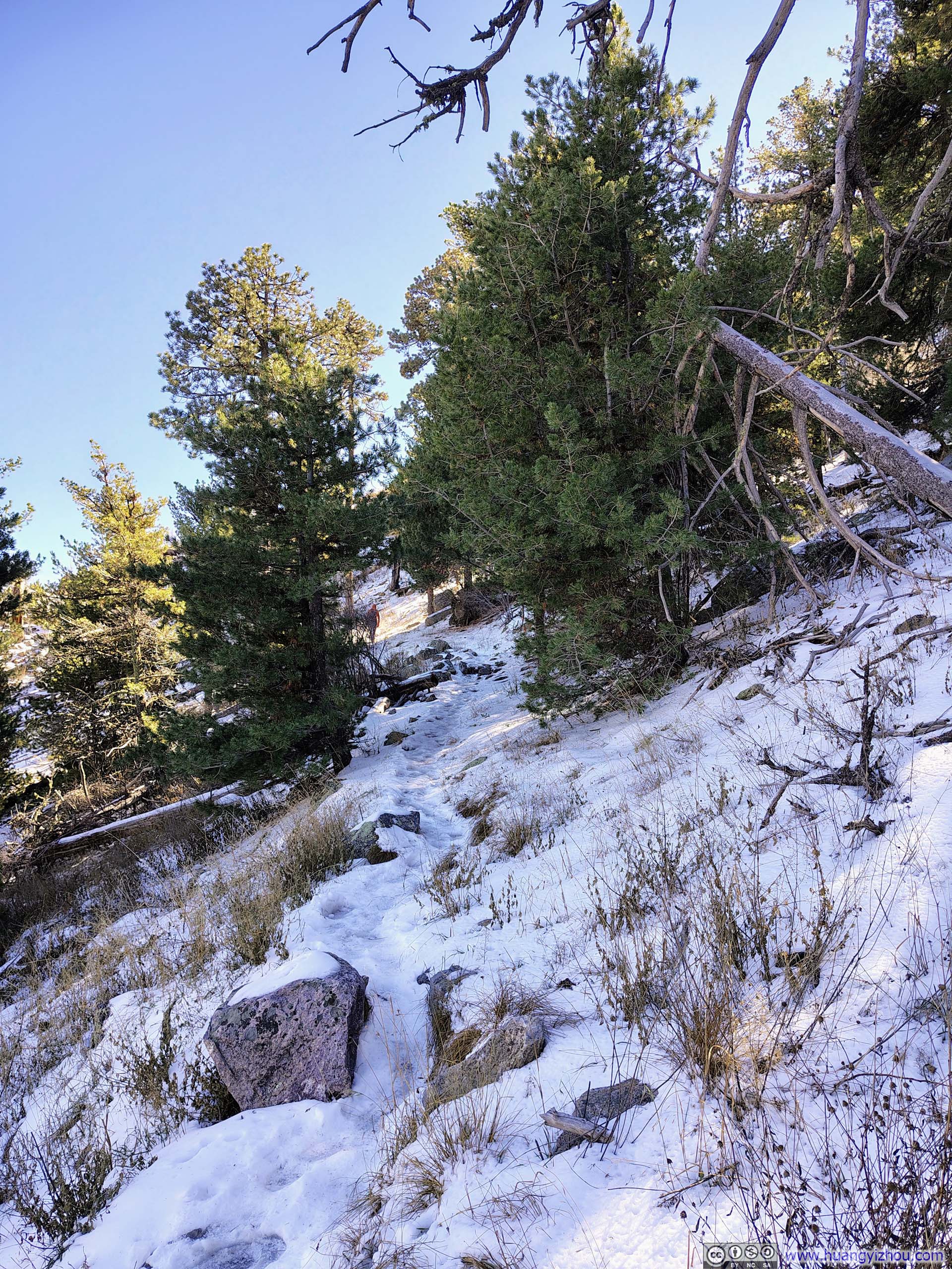
Three days ago, I ditched my plans to visit Mt Lemmon at the last minute in favor of Tanque Verde Ridge, due to the former’s summit being covered in snow and my lack of snow gear for this trip. It somehow caught me by surprise that I encountered snow on my way to Mt Wrightson, first as scattered patches along the trail and then, about halfway between Josephine Saddle and Baldy Saddle, it started to cover the trail (p5-9 below).
Fortunately, there was some texture in the snow’s surface, providing some traction. Meanwhile, the gradual grade of the trail to Mt Wrightson never demanded too much traction. By going slowly along the icy sections, aided by my hiking poles, the snow hadn’t yet presented any serious challenges.
 Trail
Trail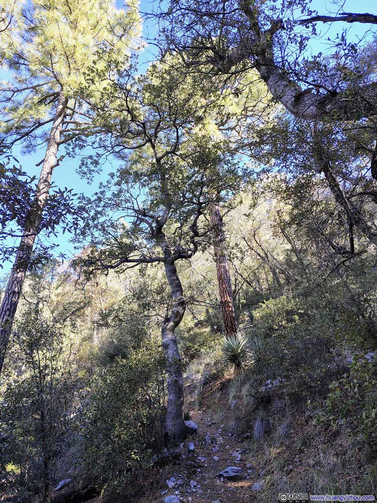 Twisted Tree along Trail
 TreesDifferent levels of straightness.
 High Trees along Trail
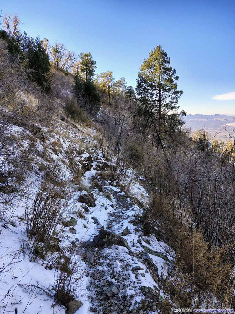 Icy Trail
 Icy Trail
 Icy Trail
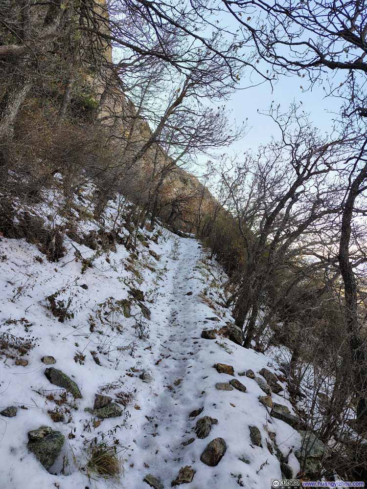 Icy Trail
 Icy Trail


Click here to display photos of the slideshow
Trail
Twisted Tree along Trail
TreesDifferent levels of straightness.
High Trees along Trail
Icy Trail
Icy Trail
Icy Trail

Icy Trail
Icy Trail
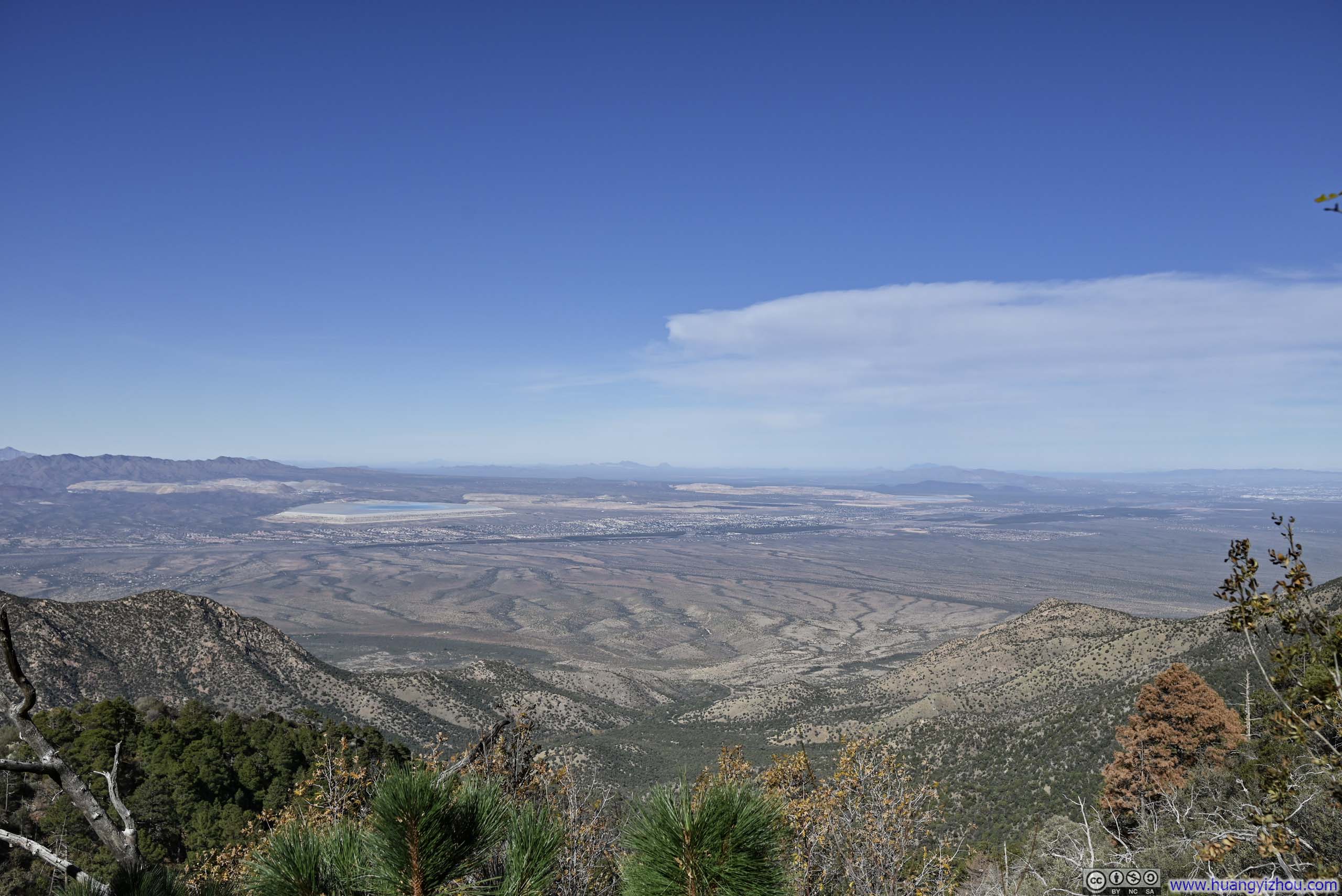
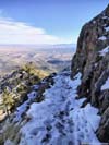
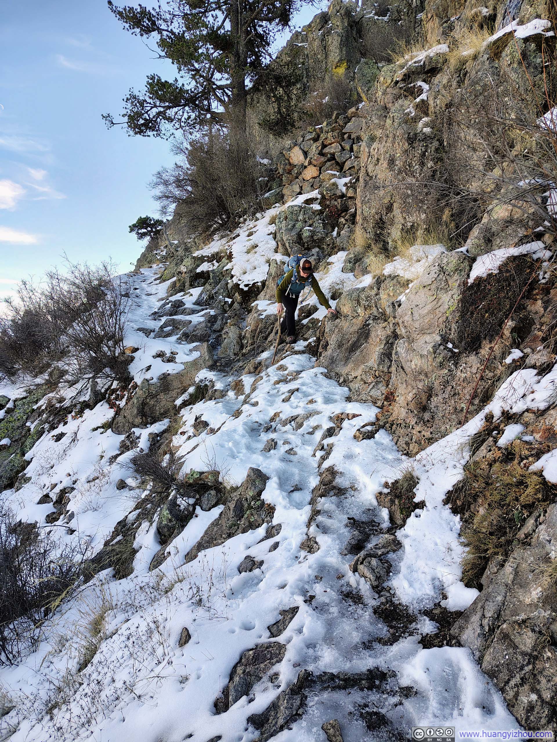
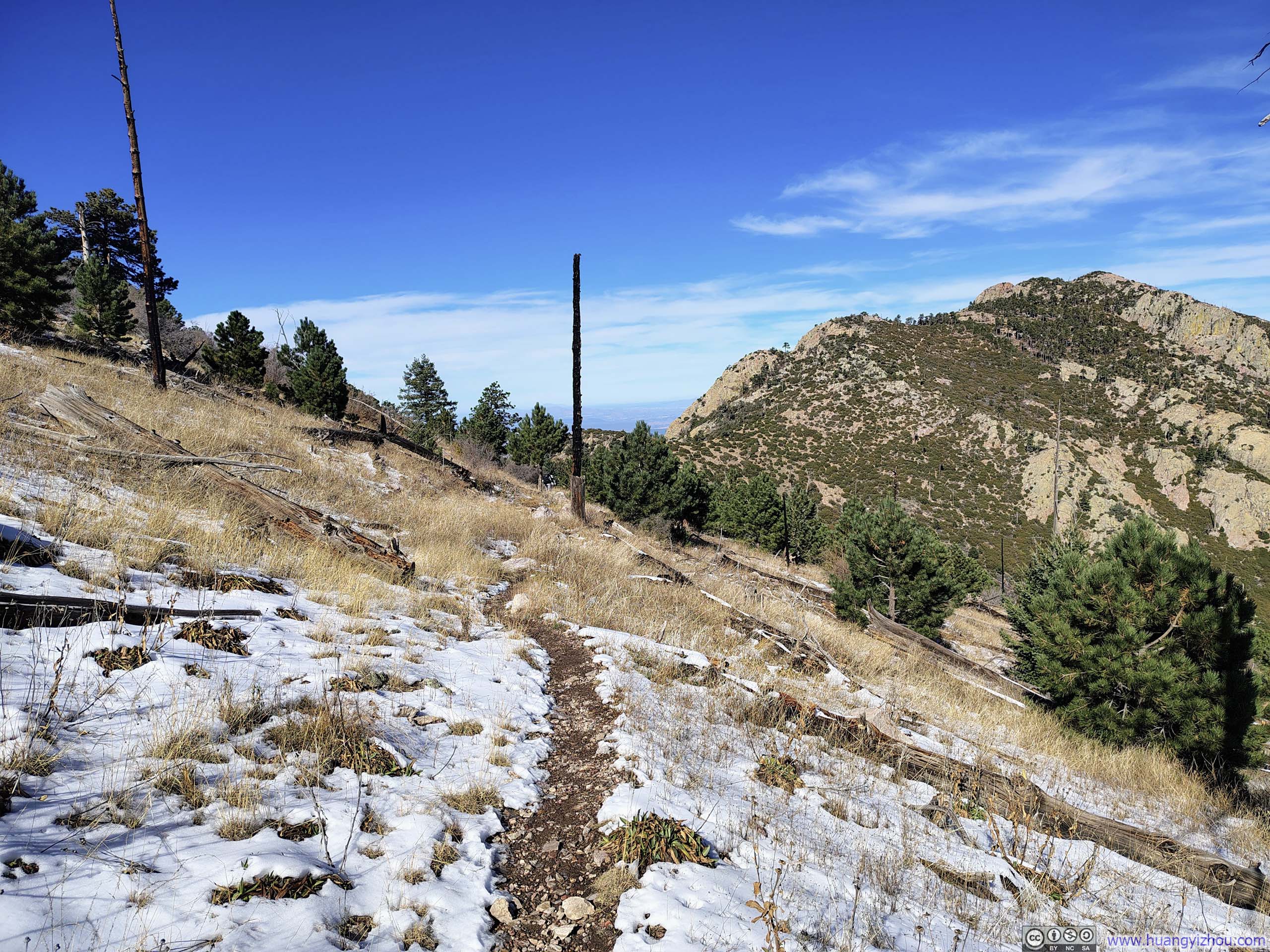
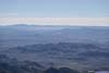
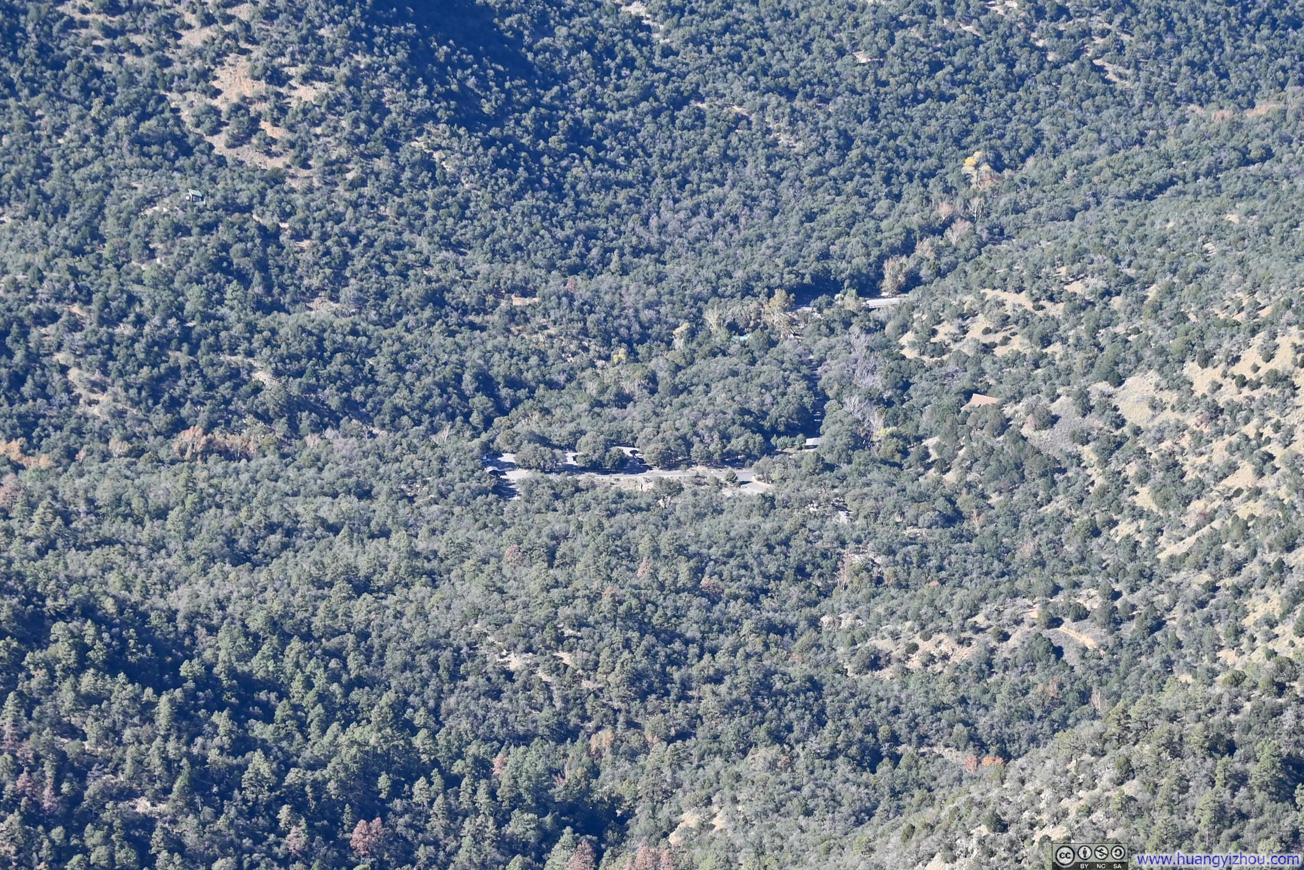
After ascending a series of icy switchbacks, I reached Baldy Saddle. To my surprise, it had cellular coverage. I took a 10-minute break there, chatted with returning hikers about the trail condition onwards, enjoyed some snacks and the day’s first glimpses of the southern Arizona desert stretching out across the eastern horizon.
 Fields and Mountains to the East
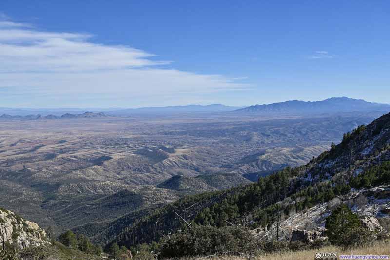 Fields and Mountains to the East
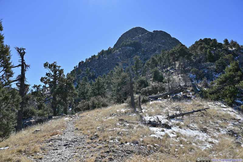 Trail to Mt Wrightson


Click here to display photos of the slideshow
Fields and Mountains to the East

Fields and Mountains to the East

Trail to Mt Wrightson
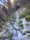
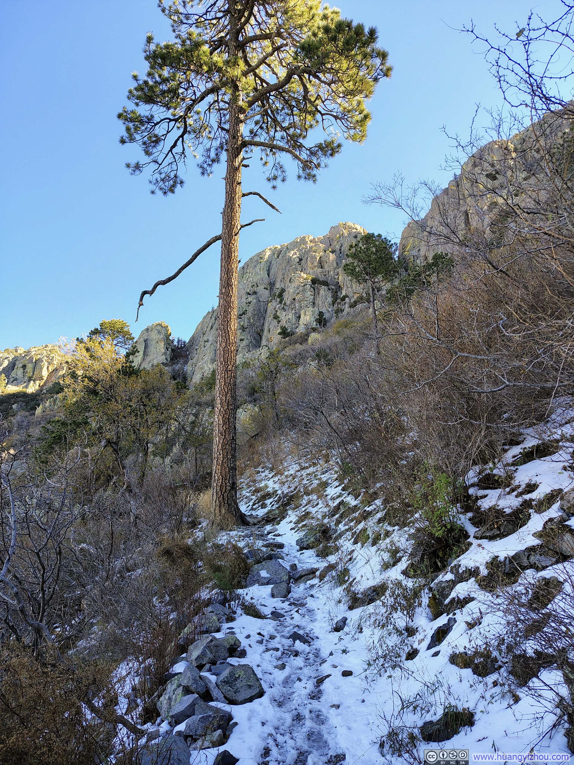
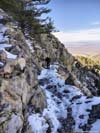
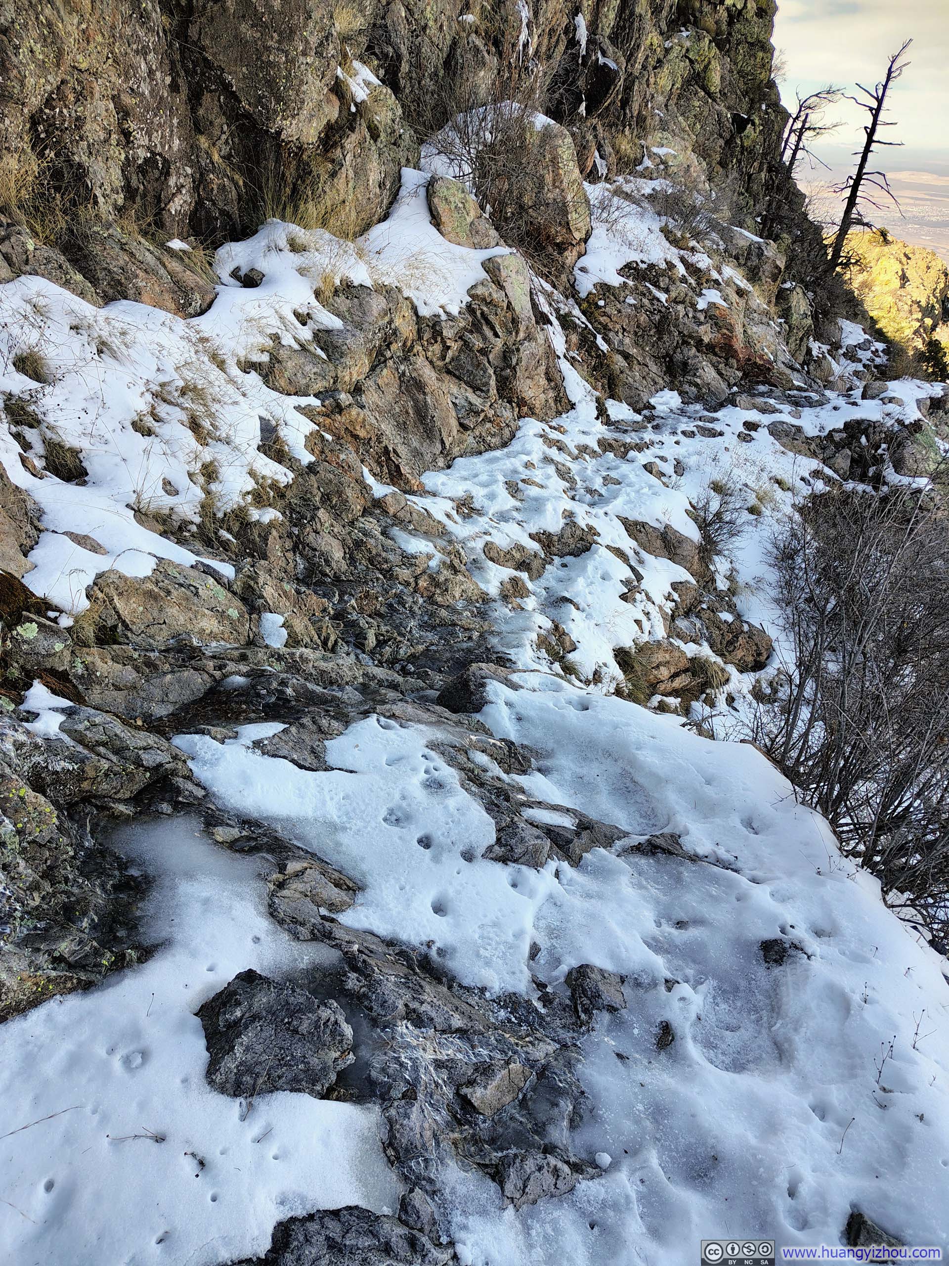
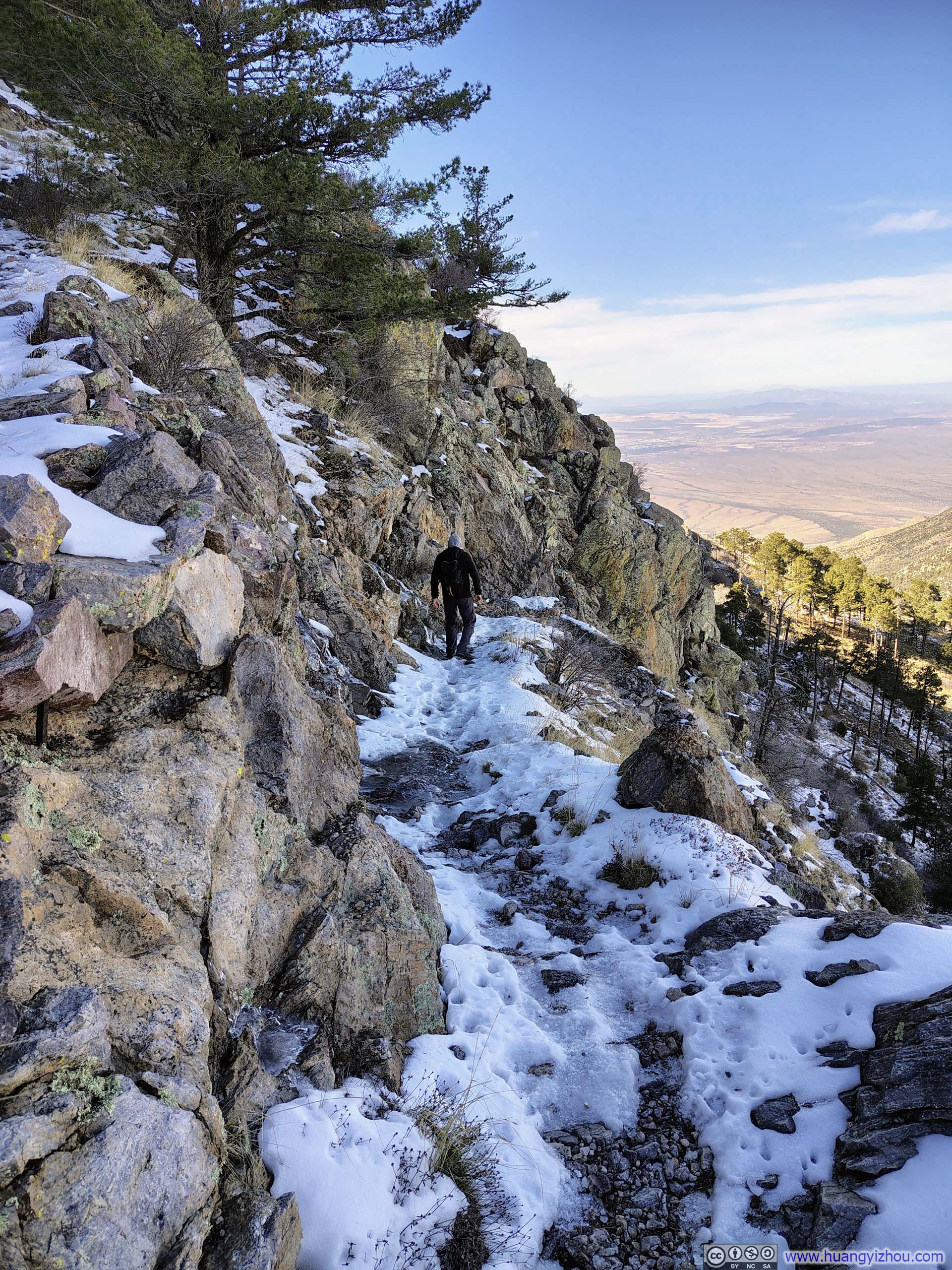
Leaving Baldy Saddle, there were two additional clusters of switchbacks in the trail’s homestretch to Mt Wrightson, the first of which was almost completely covered by ice. At one spot (p2-3 below), the ice was formed not by fallen snow, but by a trickle of water that had frozen over, leaving the surface glassy and nearly devoid of traction. Without any snow gear, this proved something of a challenge, though I managed to negotiate it safely. After that, the second cluster of switchbacks was on the mountain’s southern flank, bathed in sunlight and entirely free of snow.
 Icy Trail
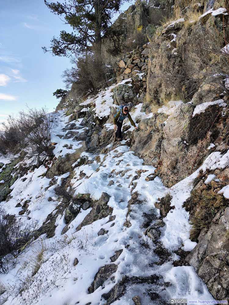 Icy TrailThis was likely the most challenging section without snow gear.
 Icy TrailThis was likely the most challenging section without snow gear.
 Icy Trail
 Icy Trail
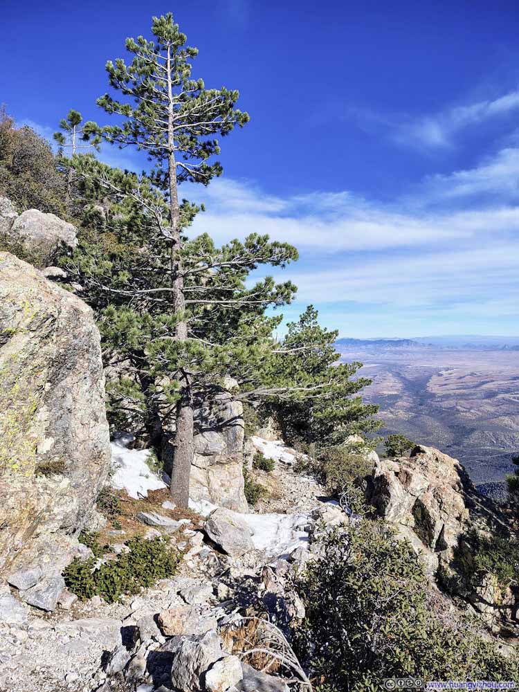 Trail
Trail Trail
Trail


Click here to display photos of the slideshow
Icy Trail
Icy TrailThis was likely the most challenging section without snow gear.
Icy TrailThis was likely the most challenging section without snow gear.

Icy Trail
Icy Trail
Trail
Trail
 Trail through Snowy Fields
 Trail through Snowy Fields
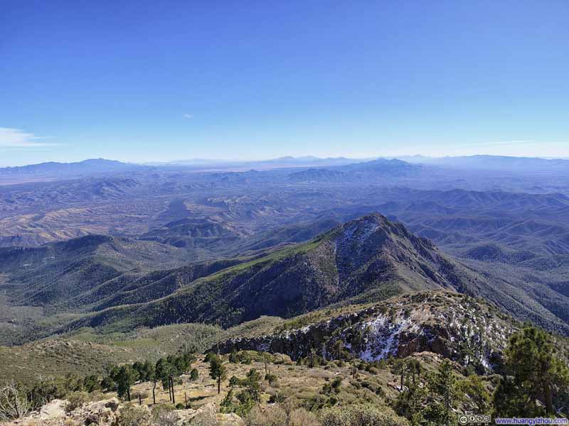 Fields and Mountains to the South
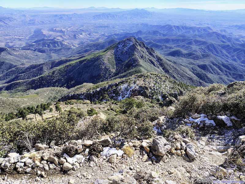 Overlooking Trail Switchbacks


Click here to display photos of the slideshow
Trail through Snowy Fields
Trail through Snowy Fields
Fields and Mountains to the South

Overlooking Trail Switchbacks
Finally, after spending 3 hours and 20 minutes on the trail, I reached the summit of Mt Wrightson at 12:45pm.
Views from Mount Wrightson
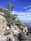
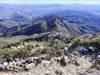
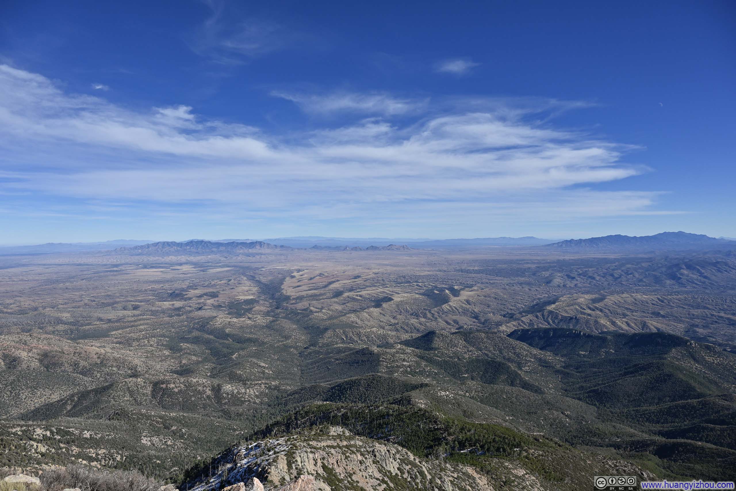
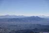
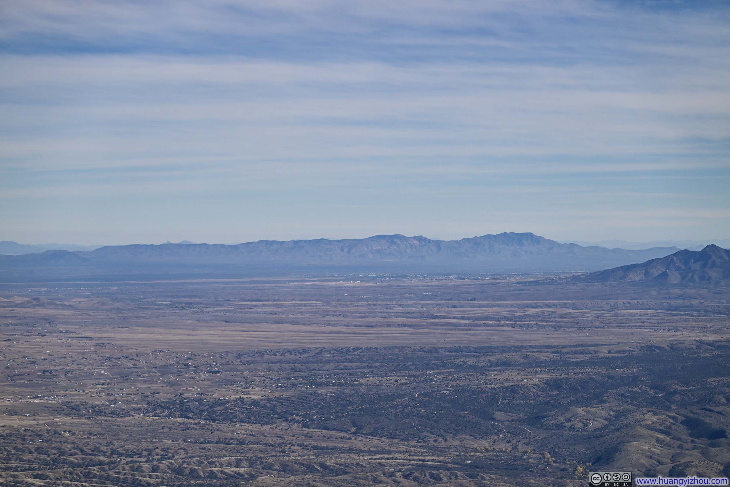
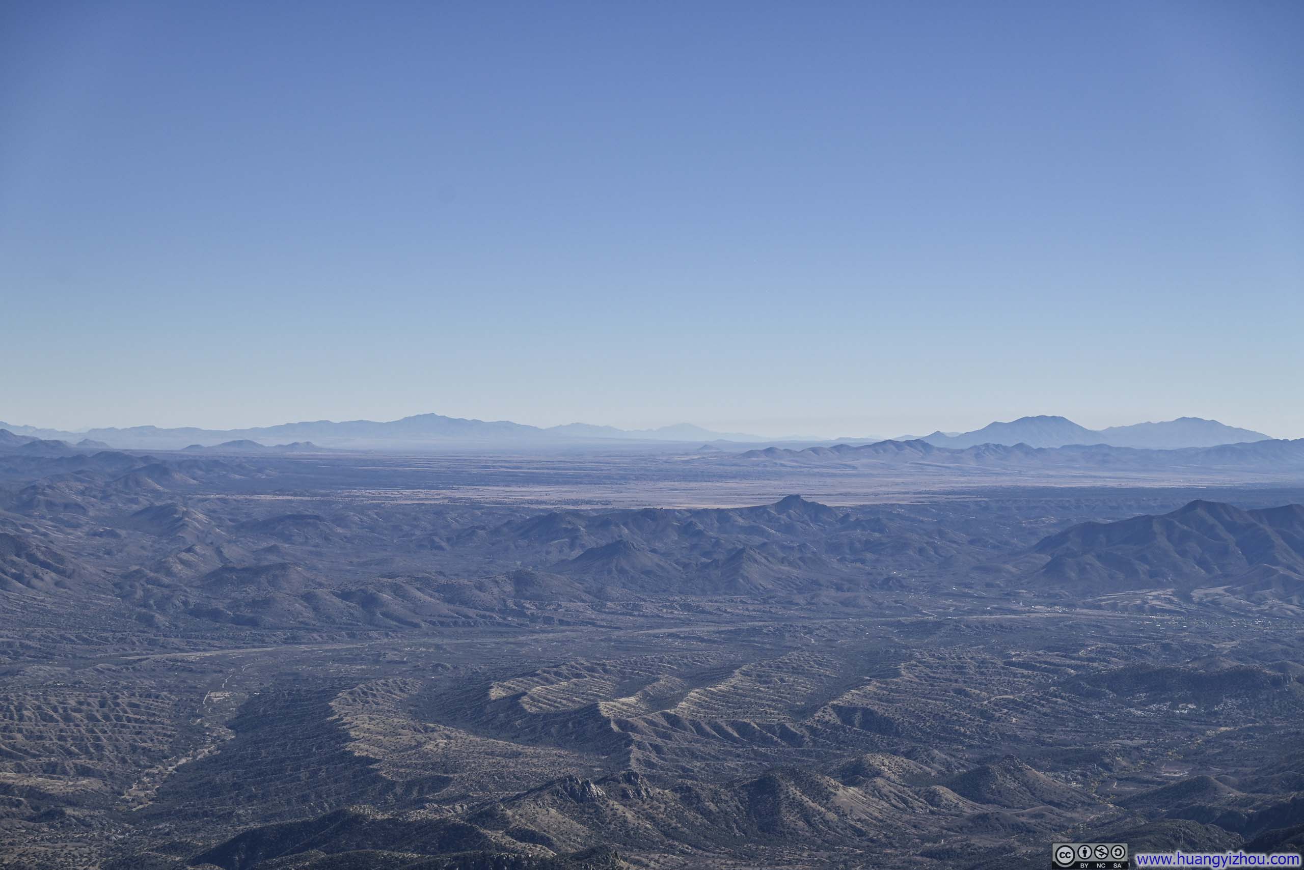
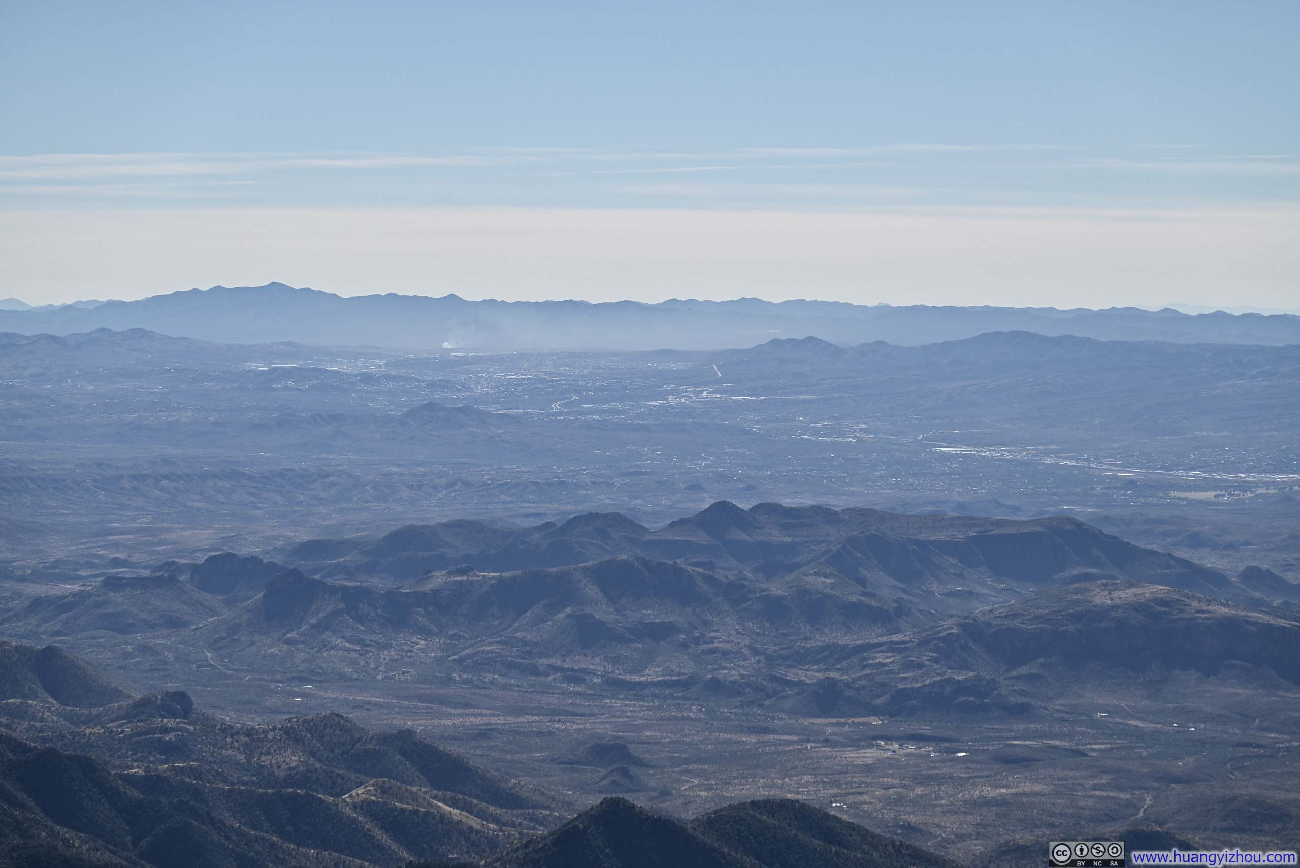
Mt Wrightson stood as the highest peak in the vicinity of Tucson, and arguably the only mountain on this Arizona trip to offer unobstructed, 360-degree panoramic views. The vistas were a rich tapestry, ranging from the familiar sights of the Santa Catalina Mountains to the north, to the hazy and mysterious outlines of ranges dissolving southward across the border into Mexico. Between them, vast stretches of arid desert seemed to push the breadth of the horizon, lending the scene an almost boundless quality. What I particularly appreciated about Mt Wrightson was how its summit presented these landscapes in various prospects that were subtly different, yet nonetheless blended seamlessly into the same grand narrative of desert expanses interlaced with mountain ranges. It was, in every sense, like standing at the center of a grand exhibition of Western American landscape art, one that richly rewarded quiet contemplation.
 Open Fields to the Northwest
 Ciénega Creek Valley
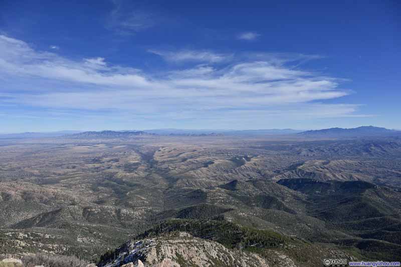 Fields and Mountains to the East
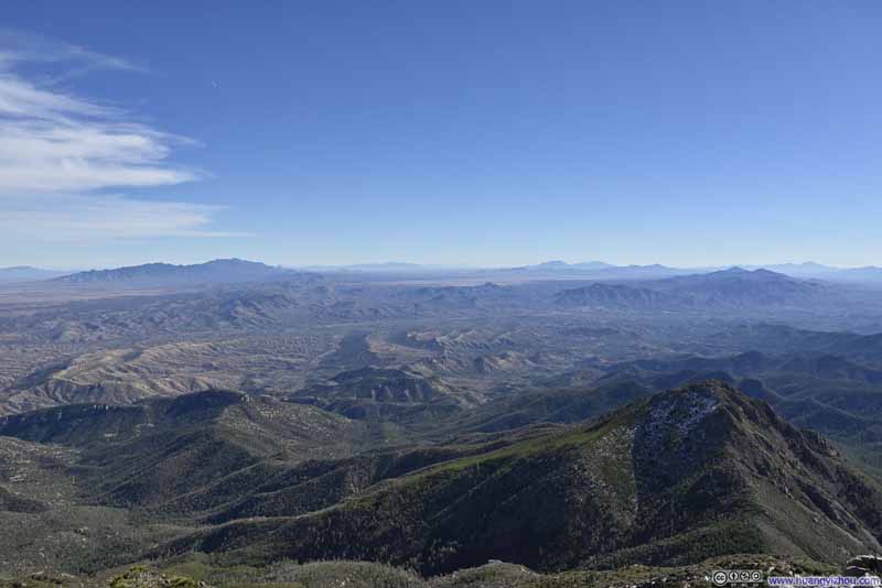 Fields and Mountains to the Southeast
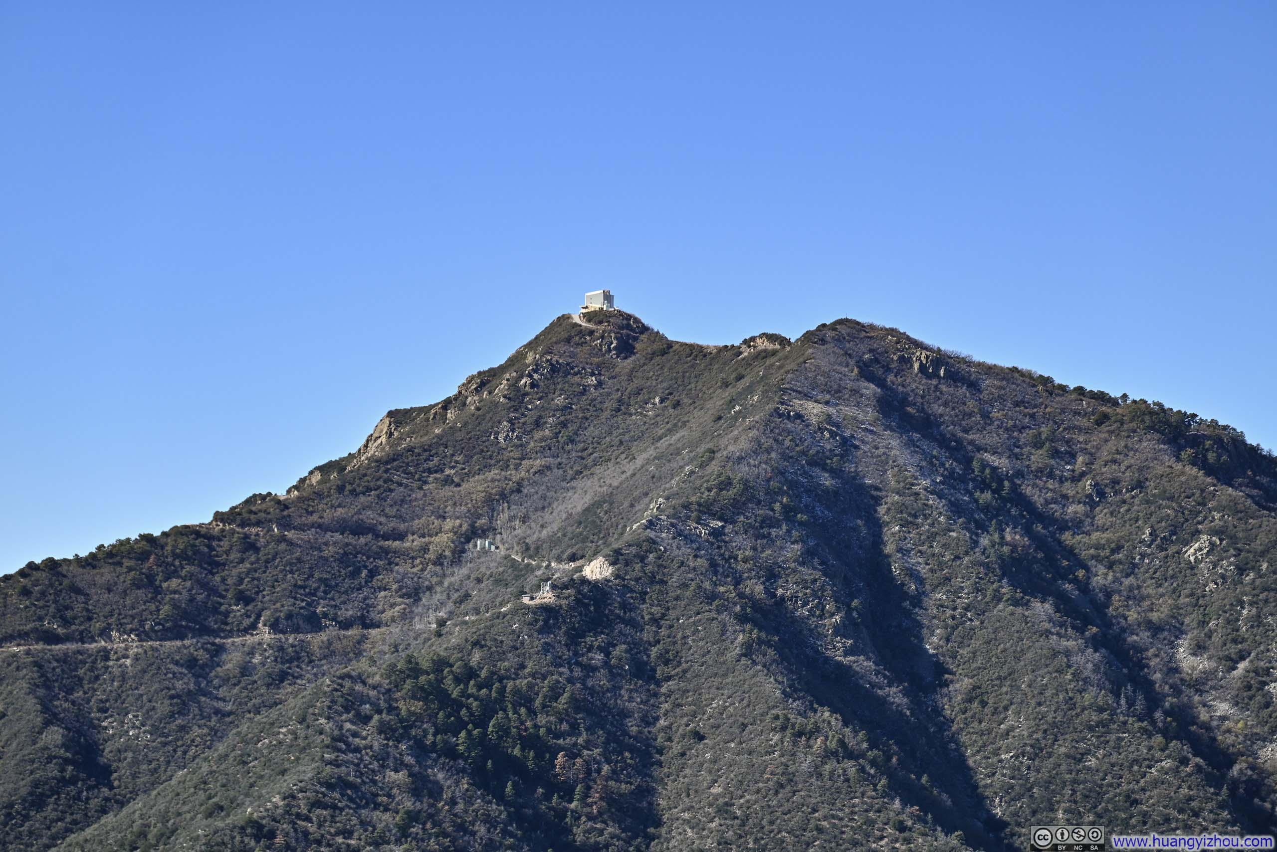
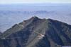
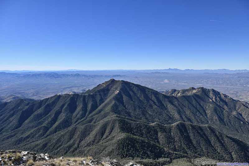 Mt Hopkins


Click here to display photos from the summit of Mount Wrightson.

Open Fields to the Northwest

Ciénega Creek Valley
Fields and Mountains to the East

Fields and Mountains to the Southeast

Mt Hopkins
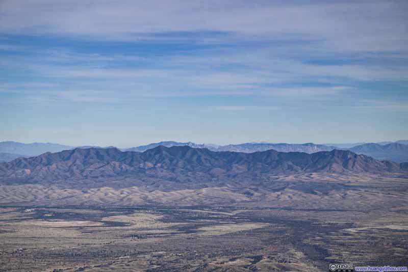 Mountain Ranges to the EastDragoon Mountains in the background, Whetstone Mountains in the foreground.
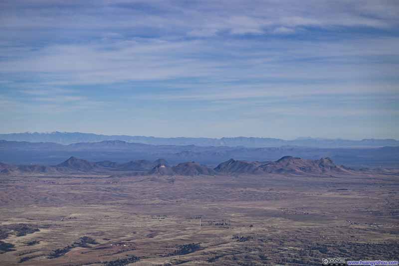 Mountains to the EastMustang Mountains in the center.
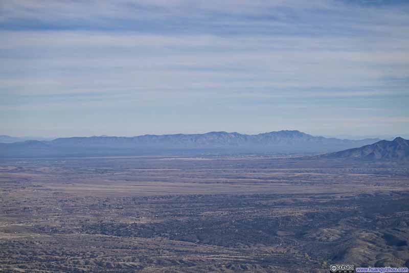 Mountains to the EastThe ones surrounding the town of Bisbee.
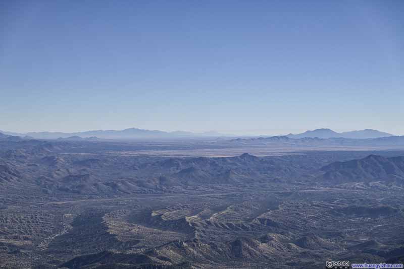 San Rafael Valley to the Southeast
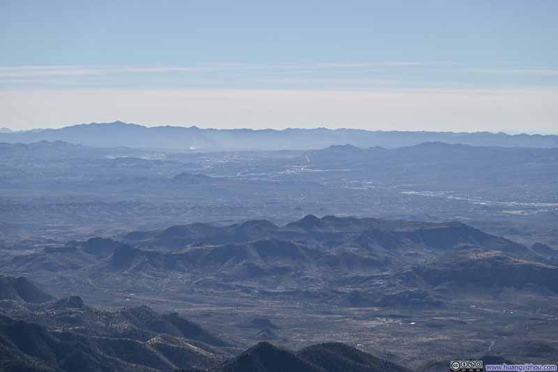 Mountains to the SouthTown of Nogales on the US-Mexico border visible in the center.
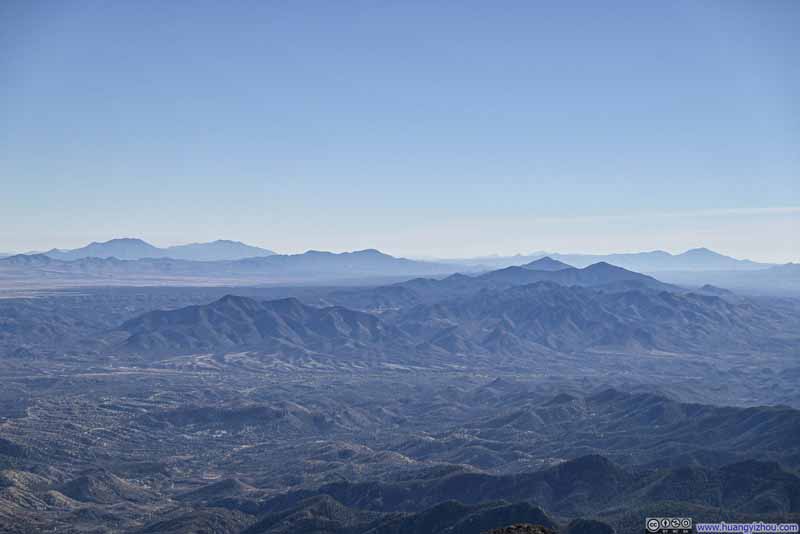 Mountains to the South
Click here to display photos from the summit of Mount Wrightson.
Mountain Ranges to the EastDragoon Mountains in the background, Whetstone Mountains in the foreground.
Mountains to the EastMustang Mountains in the center.
Mountains to the EastThe ones surrounding the town of Bisbee.
San Rafael Valley to the Southeast
Mountains to the SouthTown of Nogales on the US-Mexico border visible in the center.

Mountains to the South
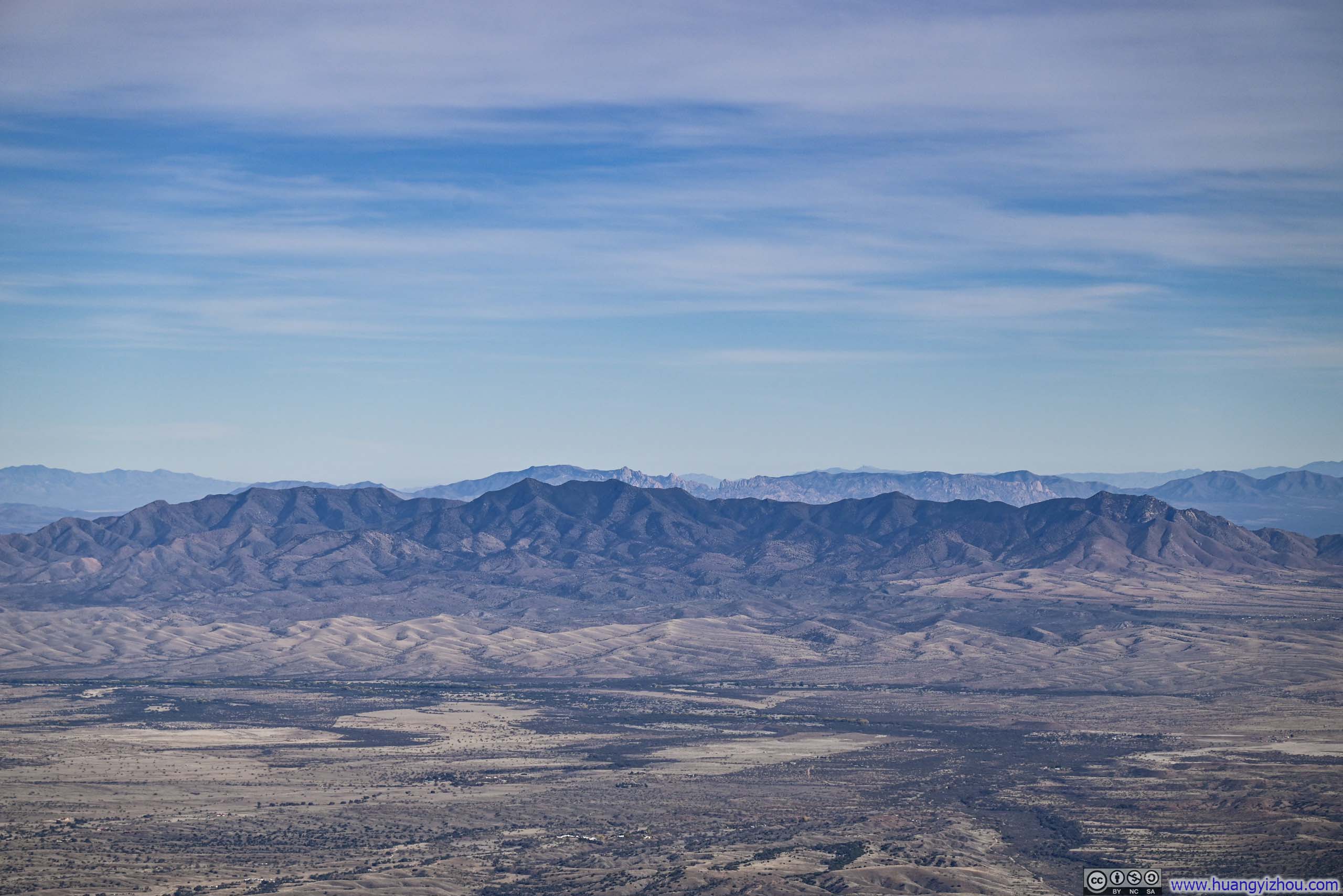
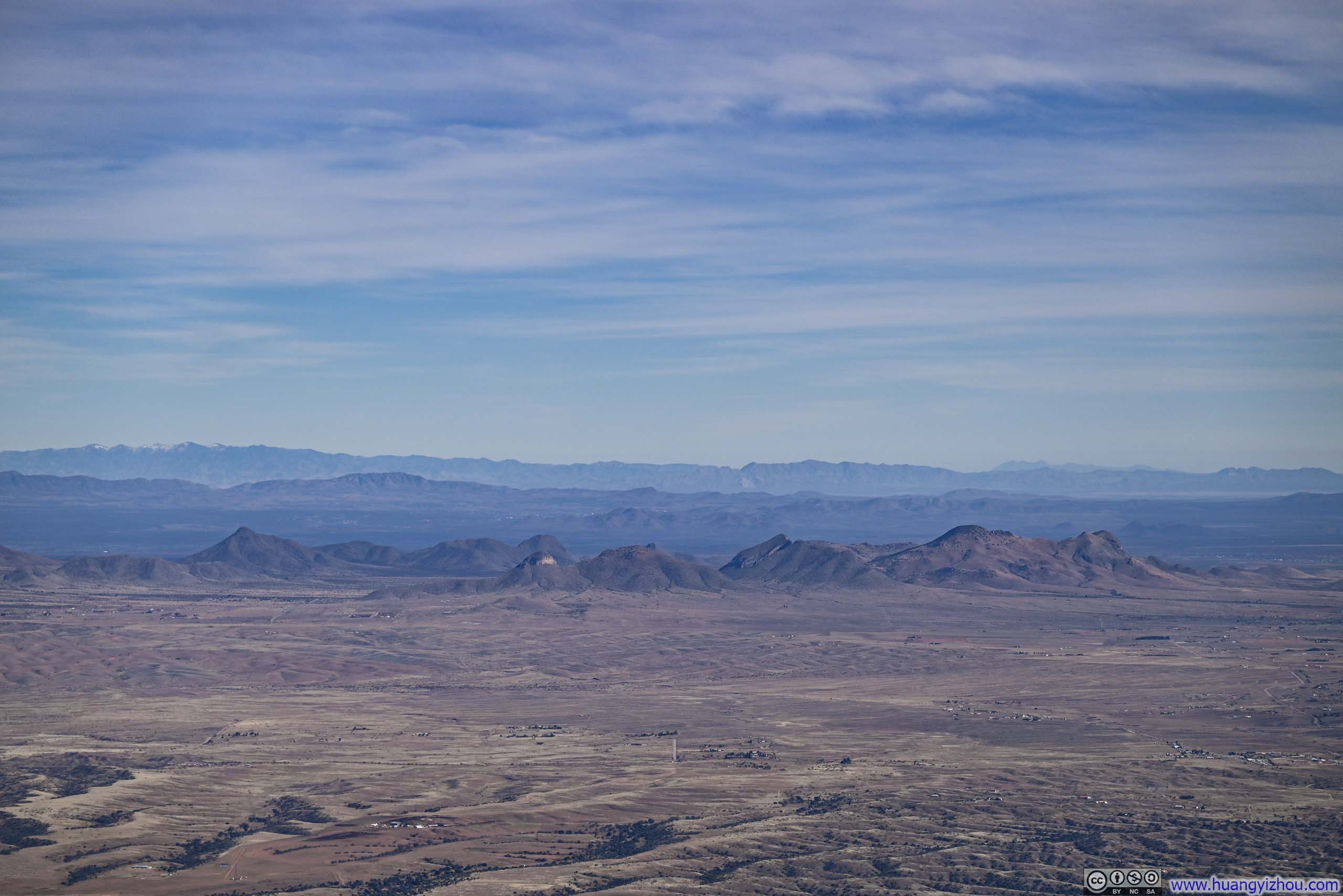
Below were a series of named mountains that I captured from Mt Wrightson.
 Distant Santa Catalina Mountains
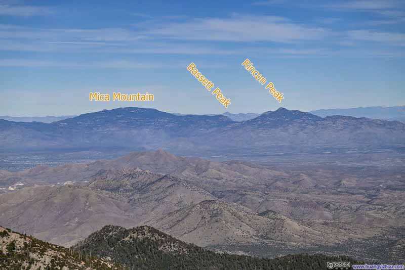 Mountains to the Northeast
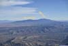
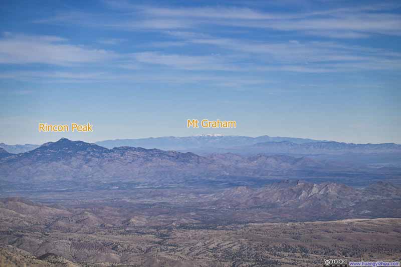 Snow-Capped Mt Graham in the Distance
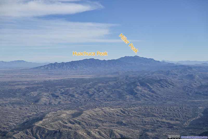 Mountains to the Southeast
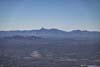
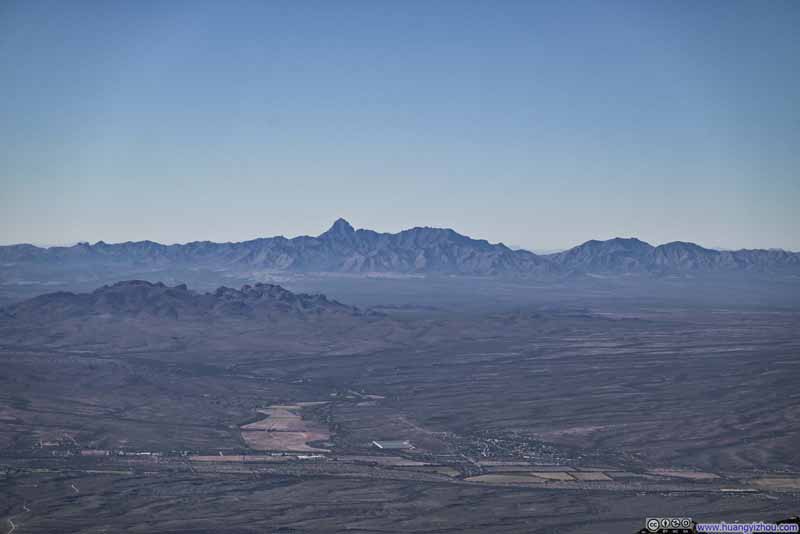 Distant Baboquivari Peak
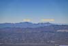
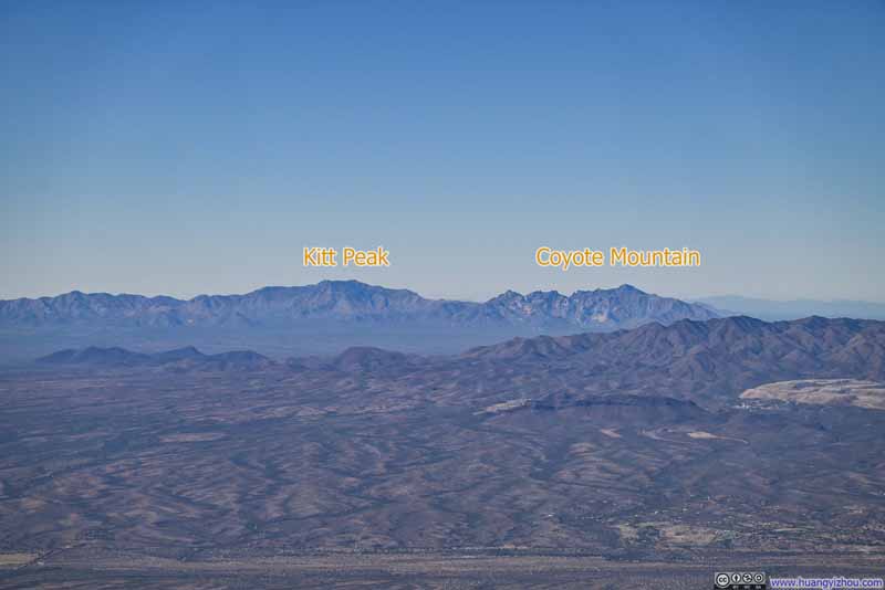 Kitt Peak and Coyote Mountain
Click here to display photos from the summit of Mount Wrightson.

Distant Santa Catalina Mountains
Mountains to the Northeast
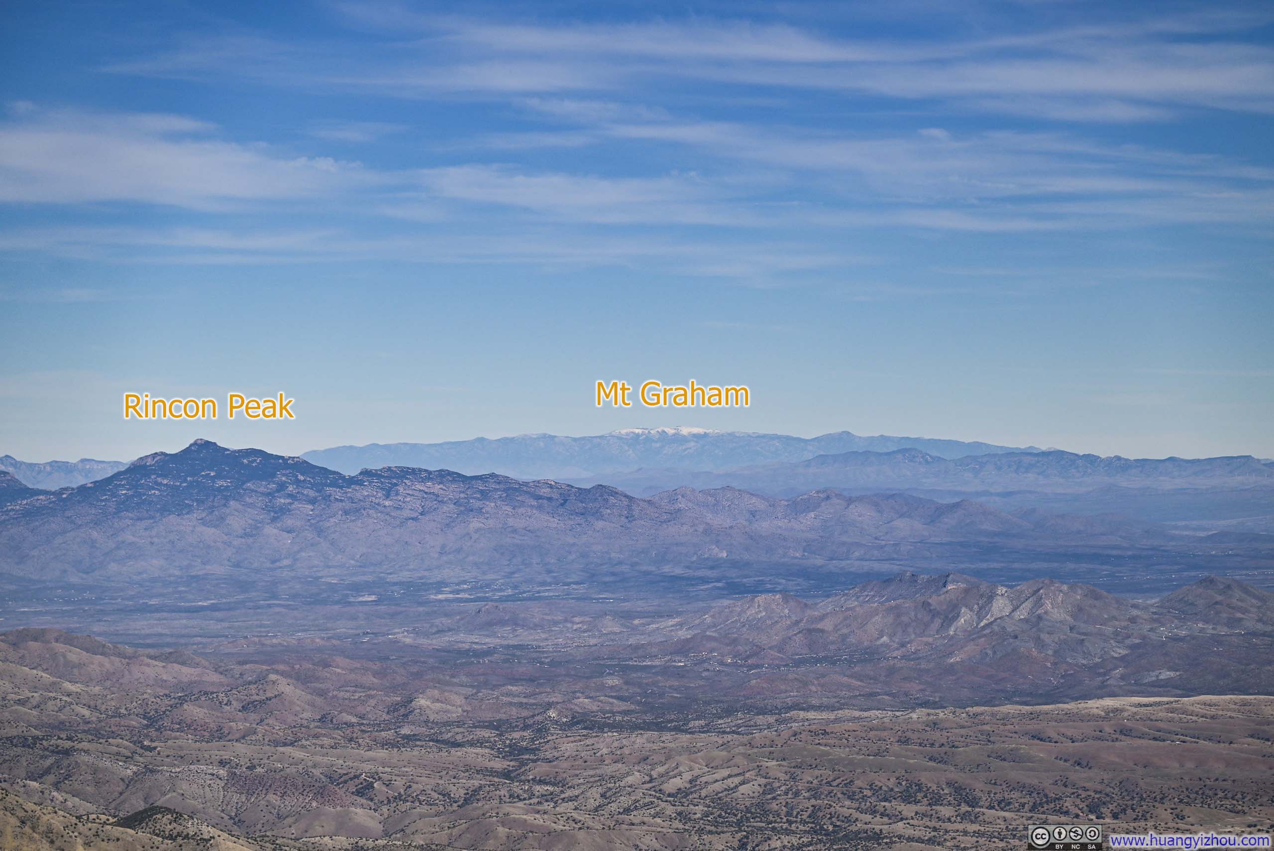
Snow-Capped Mt Graham in the Distance
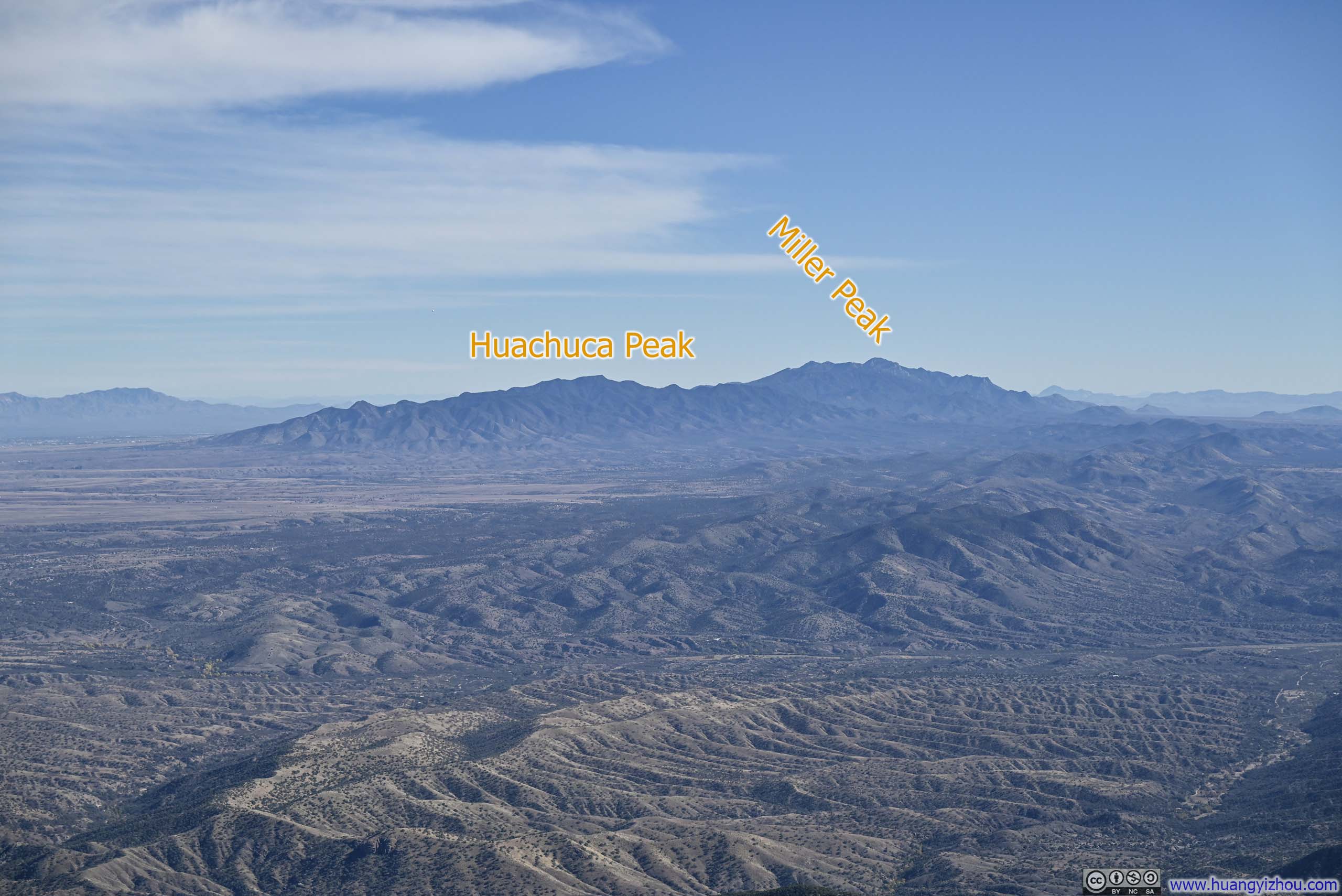
Mountains to the Southeast

Distant Baboquivari Peak
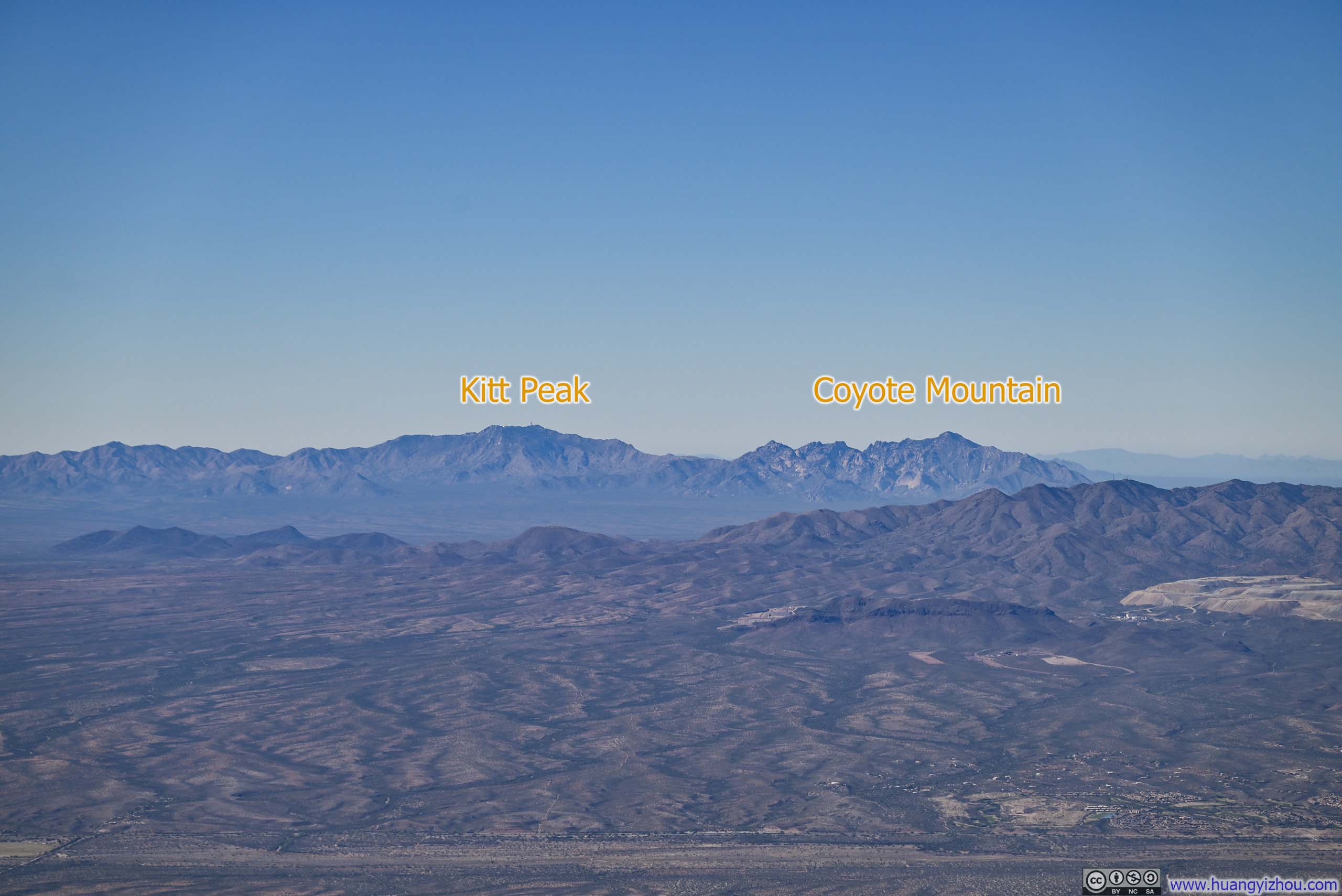
Kitt Peak and Coyote Mountain
And some photos of Mt Wrightson itself.
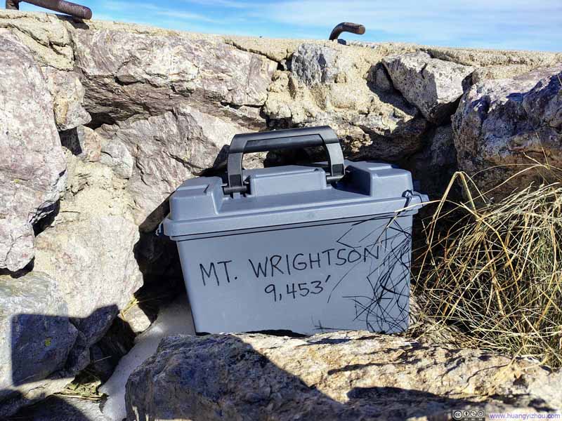 Register Box
 Summit Marker on Mt Wrightson
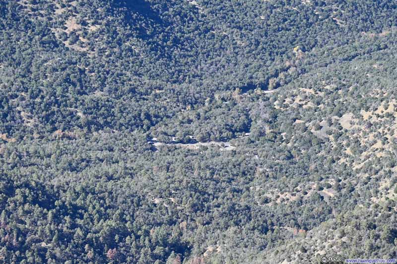 Looking back at Trailhead
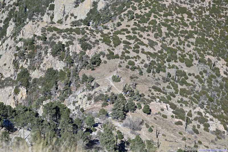 Overlooking Baldy Saddle
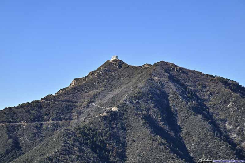
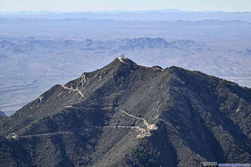 Mt HopkinsOn top of which was an observatory.

Click here to display photos from the summit of Mount Wrightson.
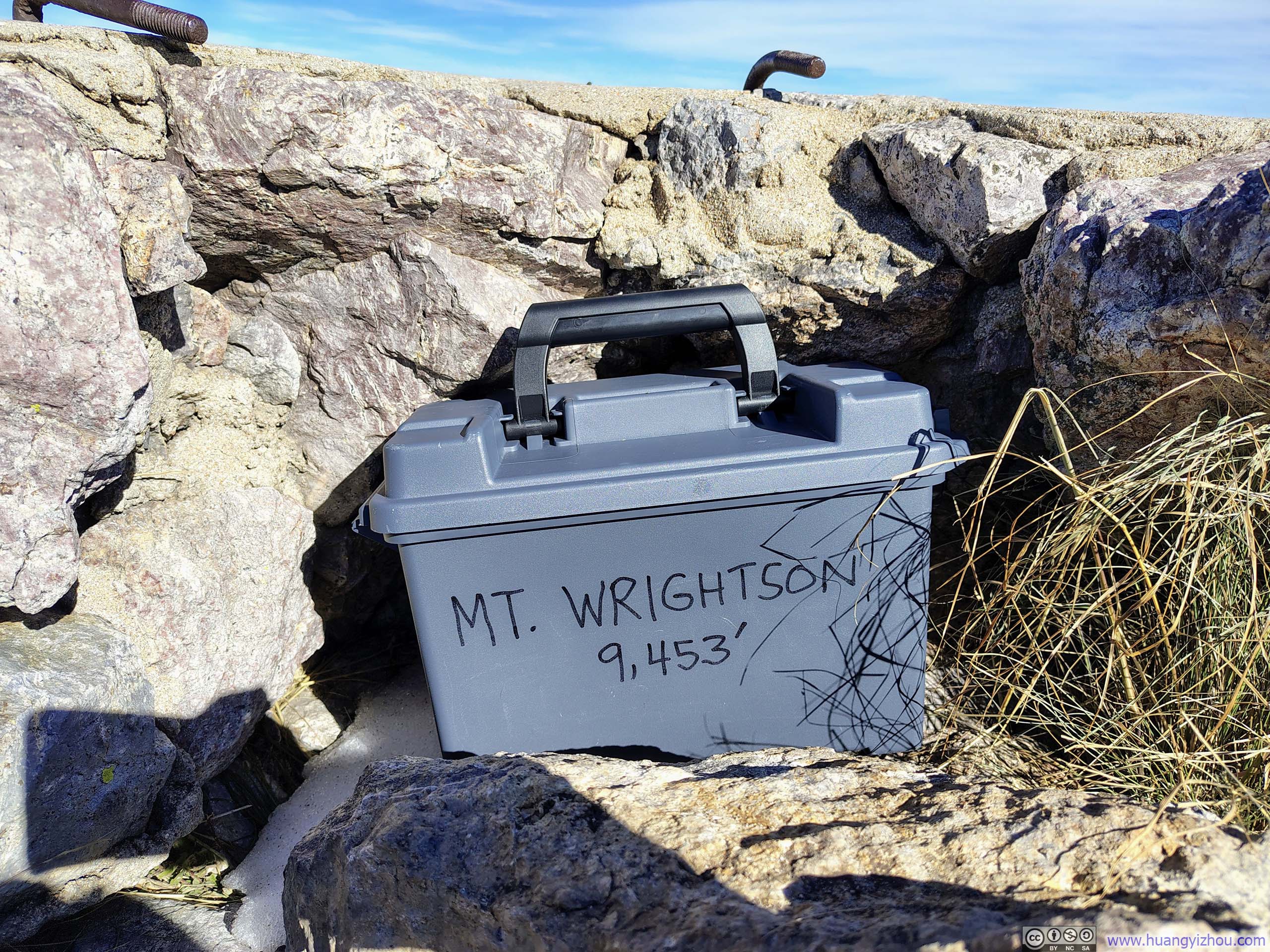
Register Box
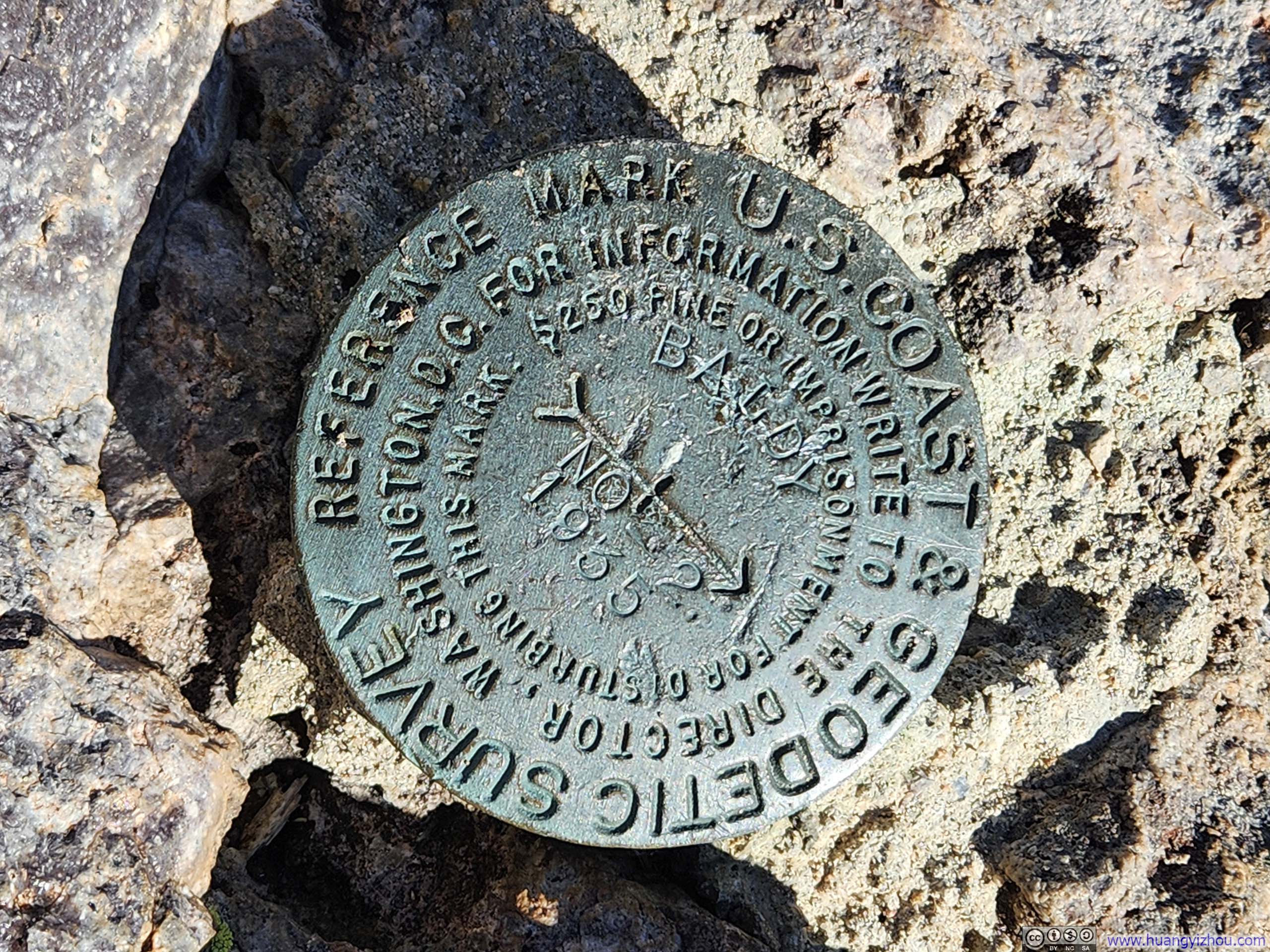
Summit Marker on Mt Wrightson
Looking back at Trailhead
Overlooking Baldy Saddle
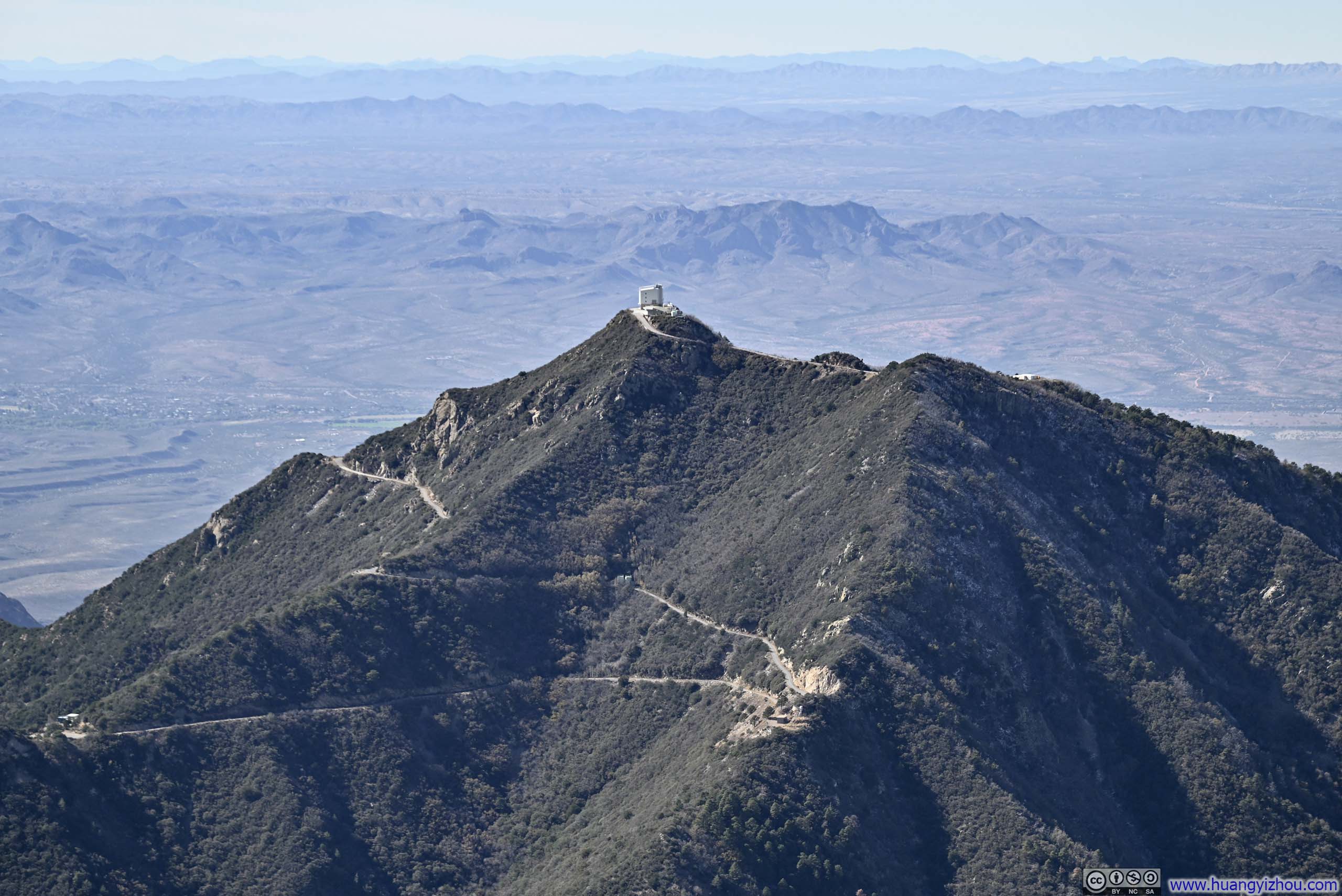
Mt HopkinsOn top of which was an observatory.
Here’s a video from Mt Wrightson:
15 seconds, 2160p60fps, H265 only, 20Mbps/41MB file size.
I spent about 30 minutes at the top of Mt Wrightson before starting my descent at 1:15pm. I went slightly faster on my way down and reached the trailhead at 4:05pm.
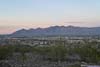
Santa Catalina Mountains from Madera Canyon RoadLeaving Madera Canyon, I was quite pleased to enjoy this view.
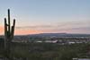
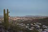
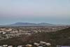
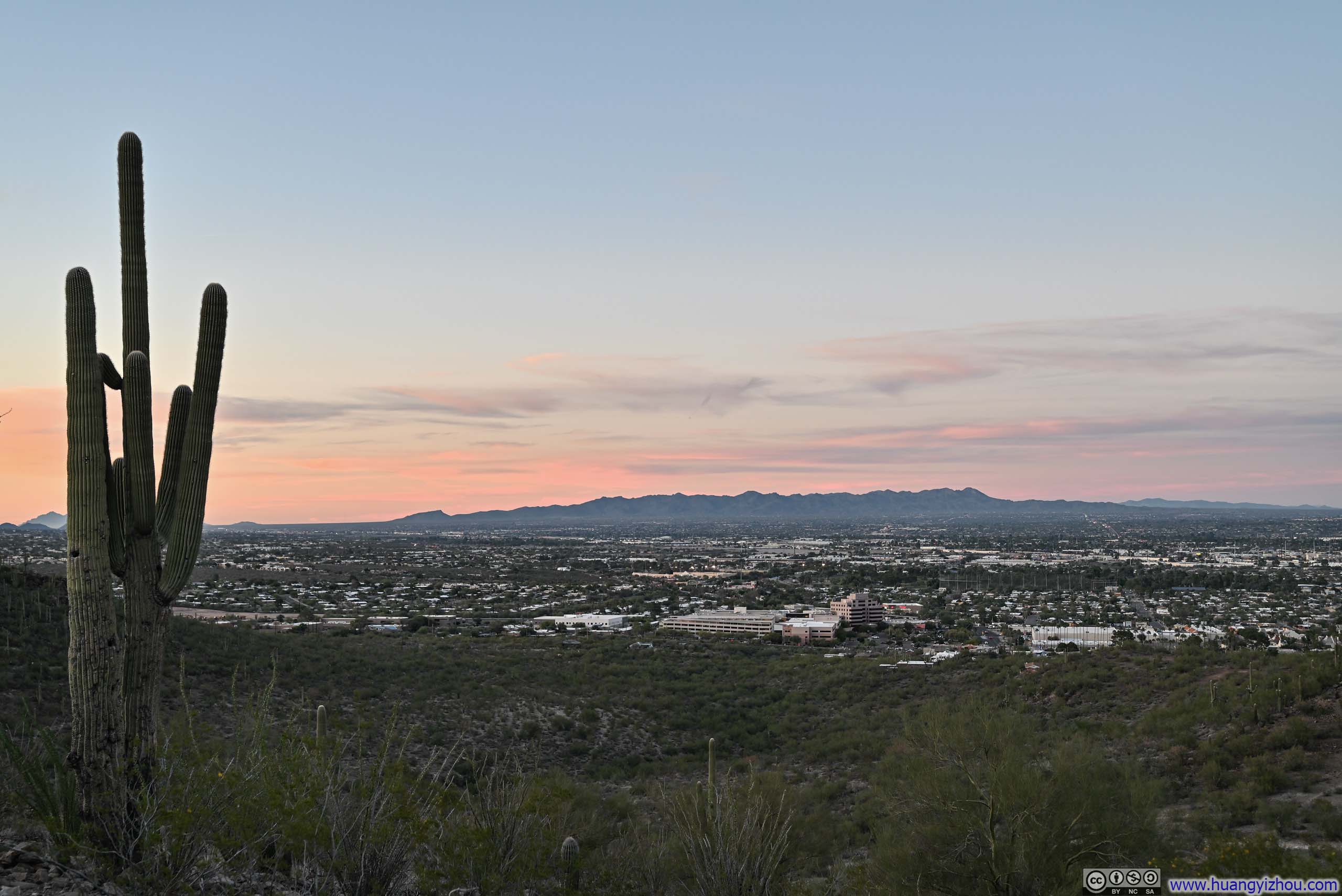
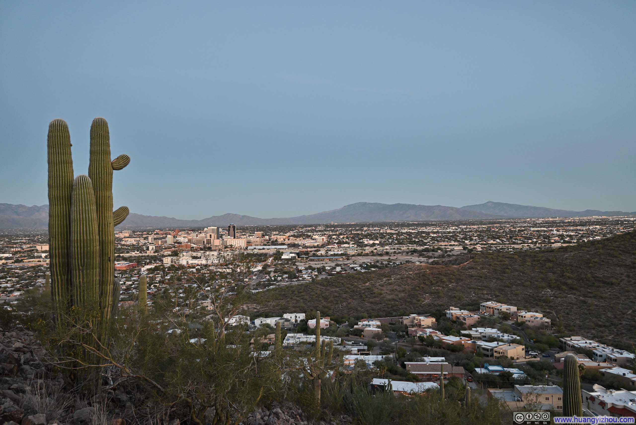
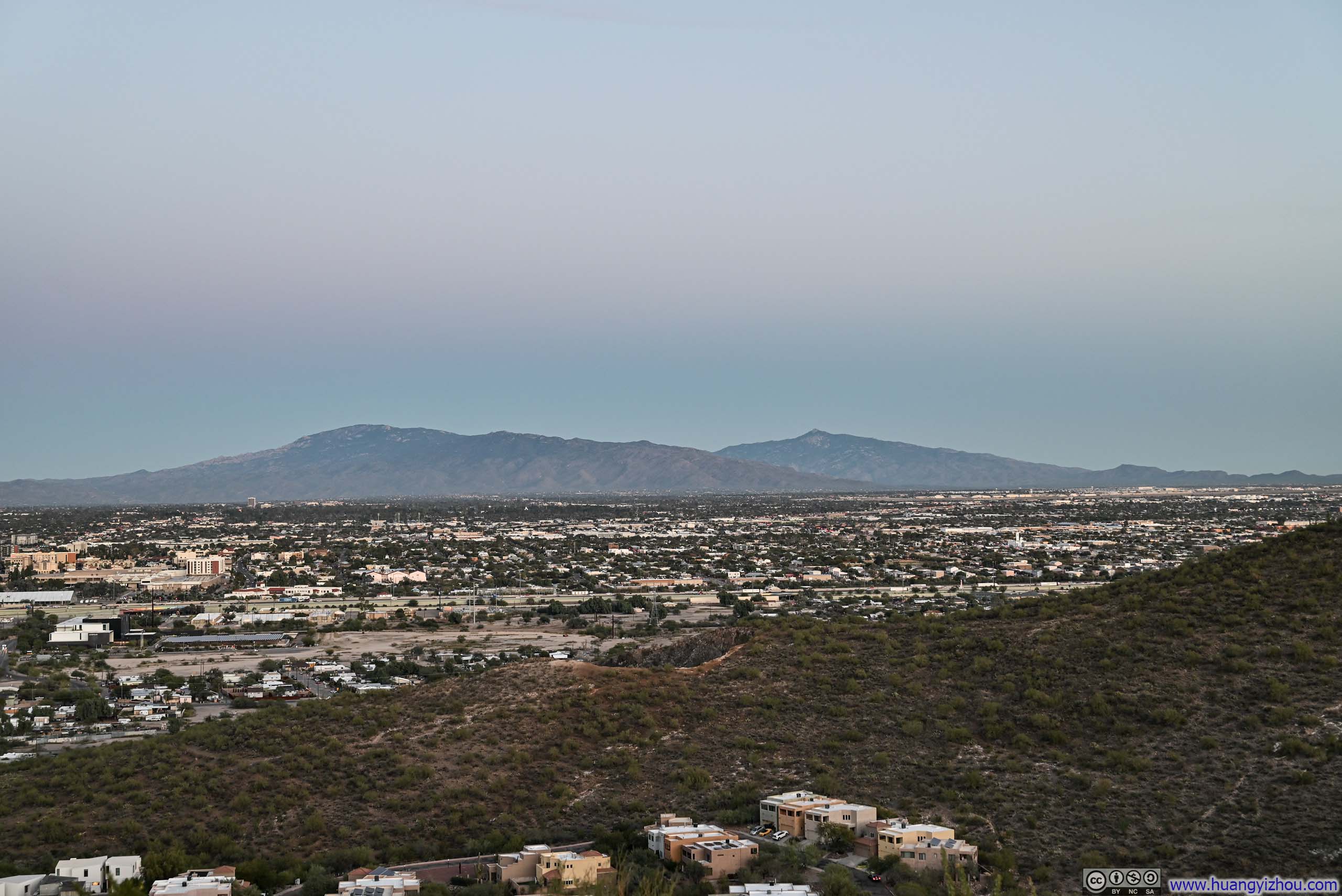
With more than an hour left before sunset, I figured I had just enough time to seek out a scenic vantage point to close out my Tucson trip before flying home the next day. I set my sights on Sentinel Peak, also known as “A” Mountain, after the giant letter A made of basalt rock on its east face. It was a popular spot to watch the sunset, as it was perched directly above the sprawling metropolis of Tucson.
Unfortunately, the road to the summit parking lot was closed, forcing me to park further down the hill. From there, it was a 1.2km walk one-way (0.7mi) with about 120m (400ft) of elevation gain to reach the peak. By the time I had parked, sunset was about 15 minutes away, meaning I would need to hurry if I wanted the best views, something I was reluctant to do having already hiked Mt Wrightson earlier that day. Nonetheless, I spotted a few social trails scaling a small hill just beside the parking lot, and decided to follow them instead. It proved to be a worthy compromise: from the top, I was treated to a lovely view of soft pink ribbons draped across the distant horizon, where the fading light played against a jagged silhouette of mountain ranges.
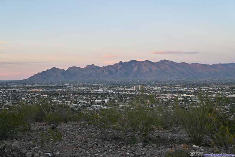 Santa Catalina Mountains
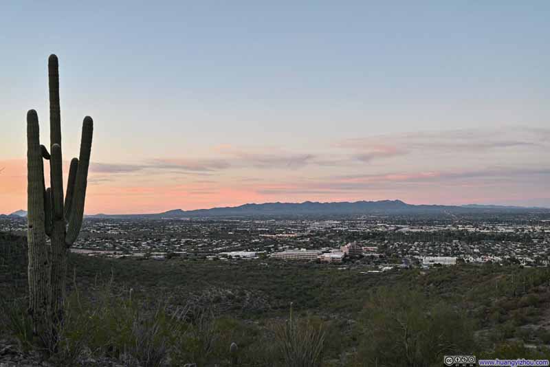 Tortolita Mountains
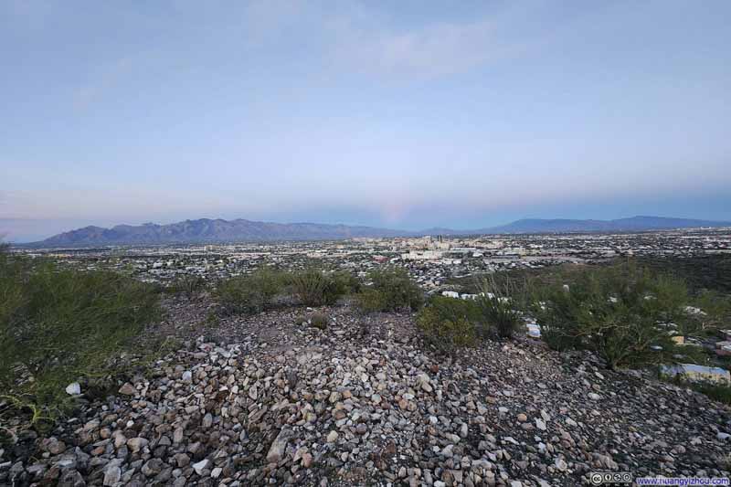 Mountains beyond Tucson Metropolis
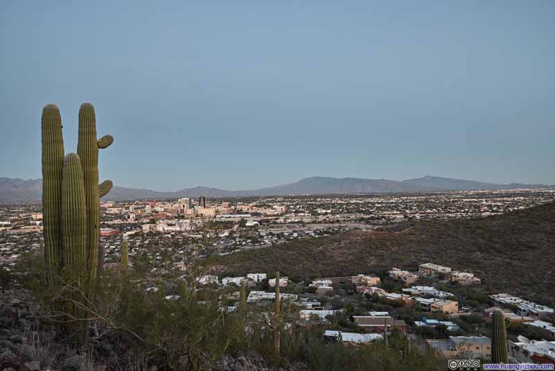 Mountains beyond Tucson Metropolis
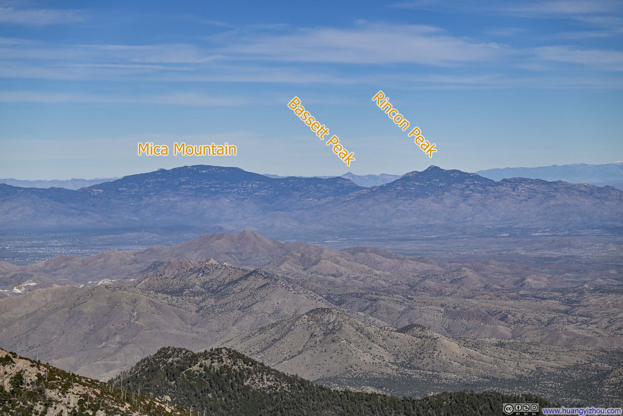
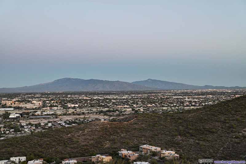 Mica Mountain and Rincon Peak
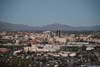
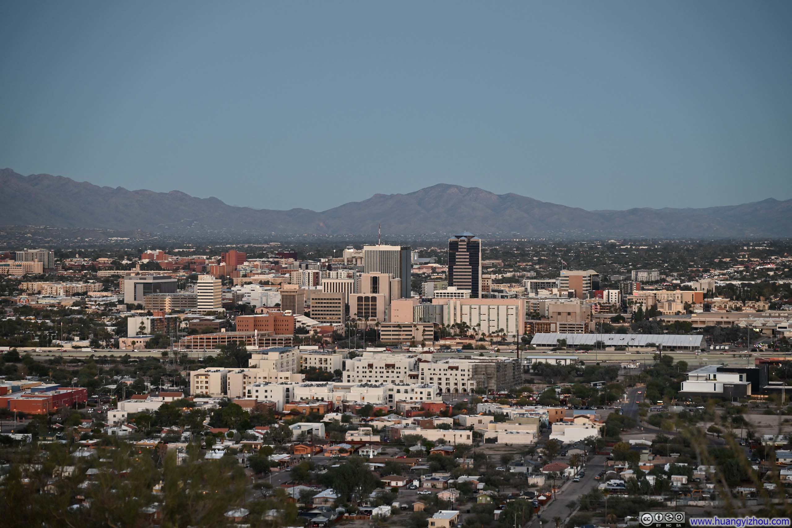
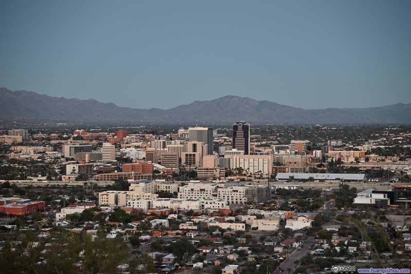 Downtown Tucson
Click here to display photos of the slideshow

Santa Catalina Mountains
Tortolita Mountains

Mountains beyond Tucson Metropolis
Mountains beyond Tucson Metropolis
Mica Mountain and Rincon Peak
Downtown Tucson
END
![]() Day 5 of 2025 Thanksgiving Trip to Tucson, Mt Wrightson by Huang's Site is licensed under a Creative Commons Attribution-NonCommercial-ShareAlike 4.0 International License.
Day 5 of 2025 Thanksgiving Trip to Tucson, Mt Wrightson by Huang's Site is licensed under a Creative Commons Attribution-NonCommercial-ShareAlike 4.0 International License.