
Updated on April 4, 2026
Hiking Mount Jackson and Webster
A post about my hike to Mt Jackson and Mt Webster in December 2025.
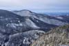
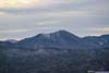
Mt Washington
Before 2025 came to a close, I embarked on one final outing of the year’s outdoor season, venturing into the White Mountains — a fitting bookend to the year, much as I had begun it with Kearsarge North back in January. This time, my destination was Mount Webster and Mount Jackson, approached from Crawford Notch. The choice was largely due to Crawford Notch featuring several plowed parking lots, and it was an area of the White Mountains I had yet to explore. The route itself — a 10km lollipop trail with 720m of elevation gain (6.2mi, 2360ft) — was also similar to Kearsarge North and fitted perfectly to the limited daylight hours in late December.
The previous night had brought a heavy storm with strong winds to the White Mountains. The weather forecast indicated that the winds would relent by morning, giving way to partial cloud cover through the day. And so, on the morning of December 20th, I waited for sunrise, confirmed via webcam that the mountain roads had largely been cleared, and set off for the mountains. (The delay was also partially due to my struggles to wake up early.) As it turned out, while I-93 was free of snow, US-3 had a few snowy patches. Along the way, I saw a car crashed on the shoulders, and some crew repairing a downed powerline.
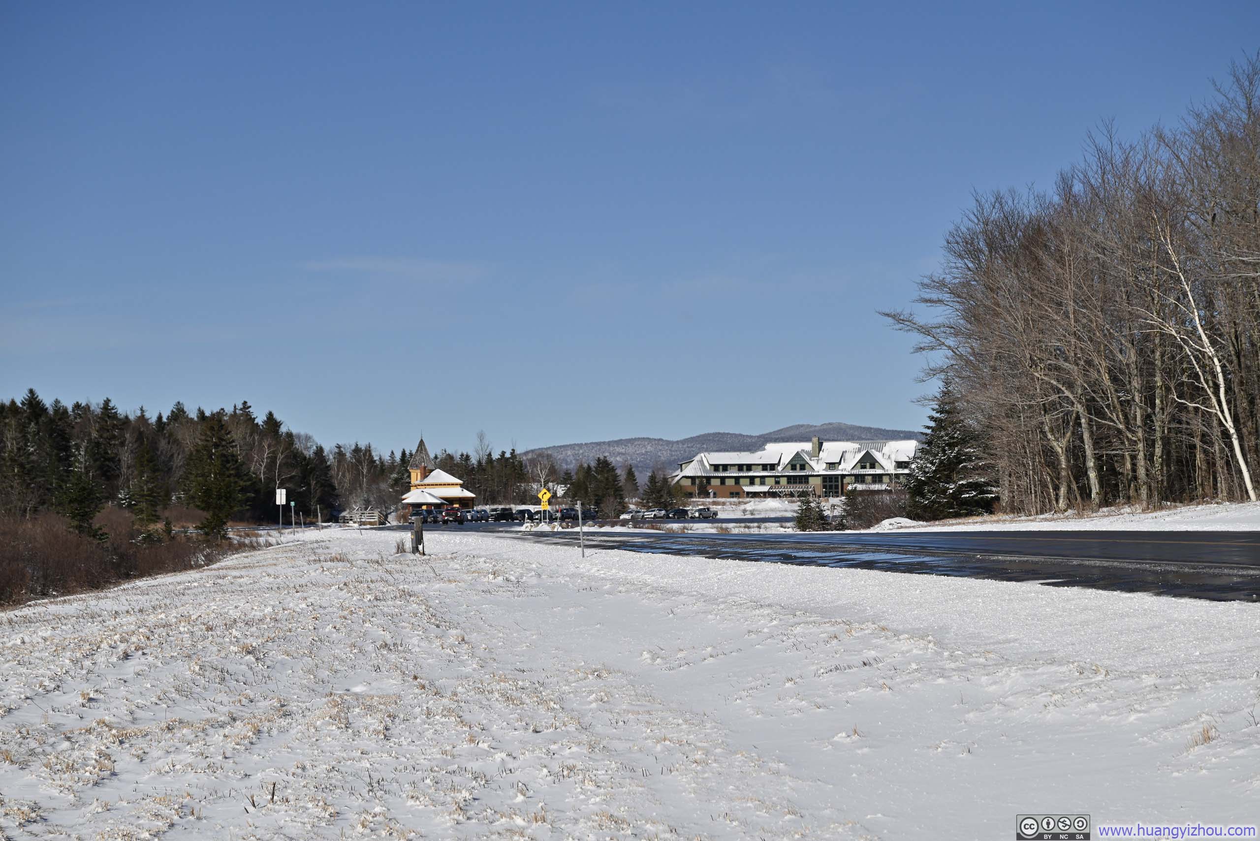
 Parking Area at Webster Jackson TrailheadPlowed, but still with traces of snow left.
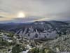
 Crawford NotchTrain Station and AMC Highland Center
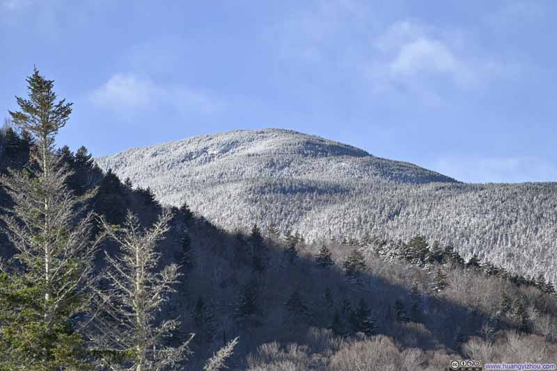 Mt Tom


Click here to display photos of the slideshow
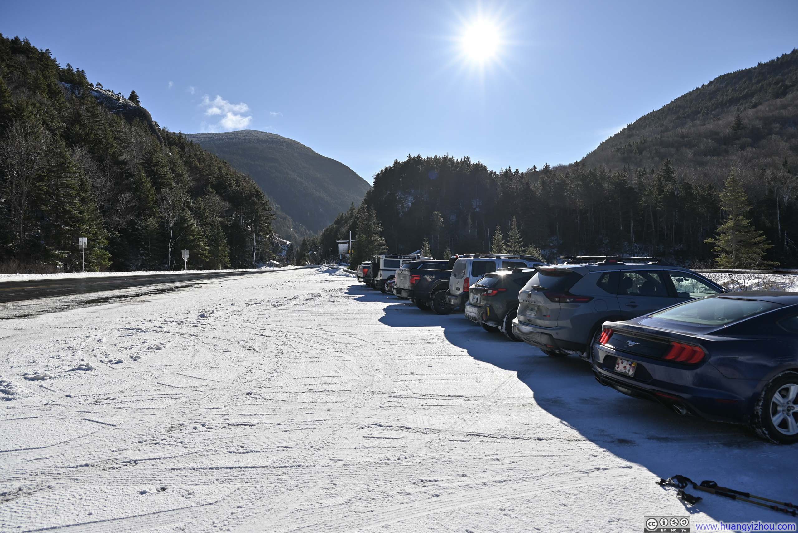
Parking Area at Webster Jackson TrailheadPlowed, but still with traces of snow left.
Crawford NotchTrain Station and AMC Highland Center
Mt Tom
After some warmup at the trailhead, I started my hike at 11:10am. Here’s GPS tracking:
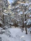
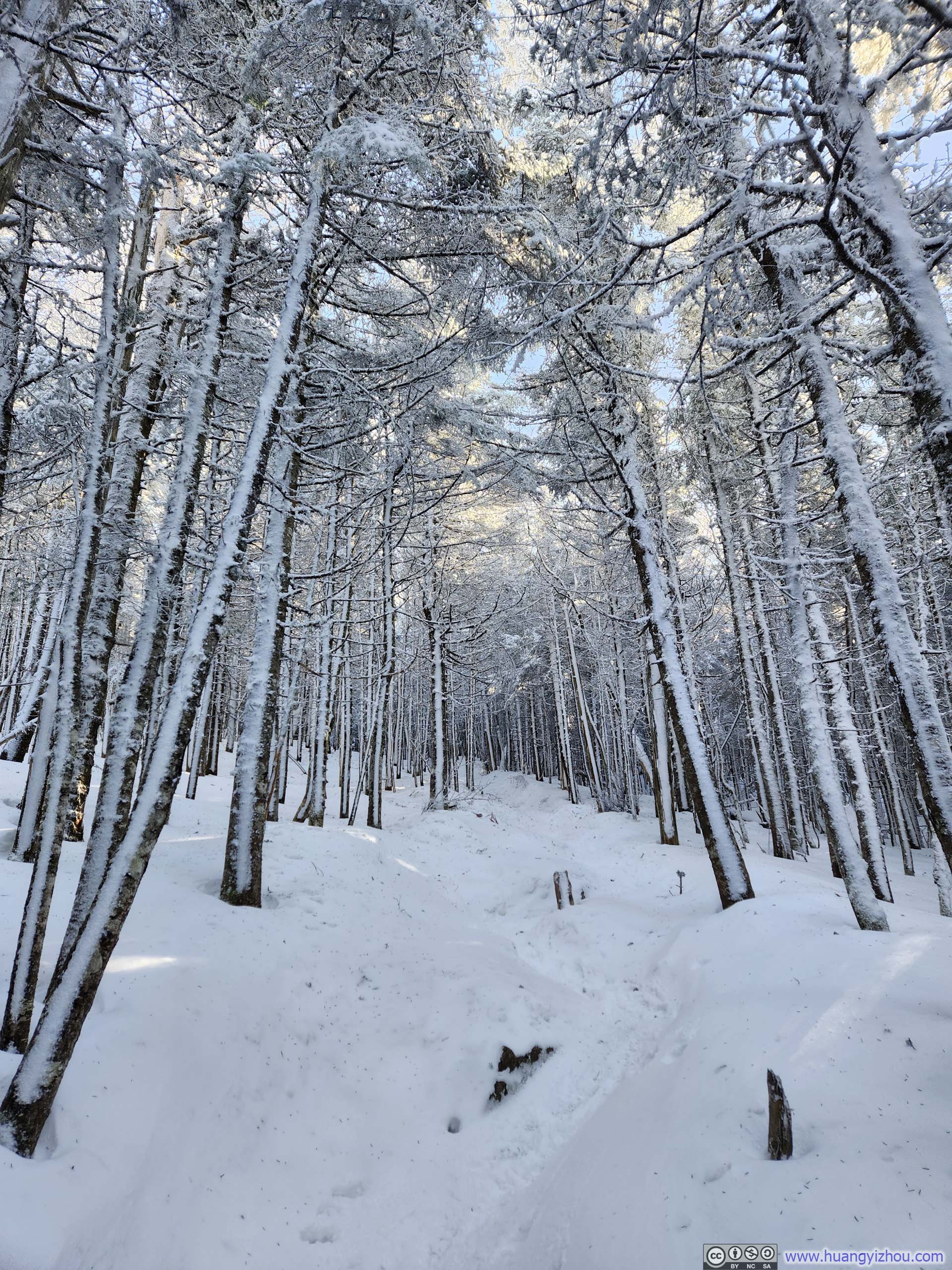
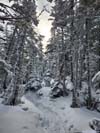
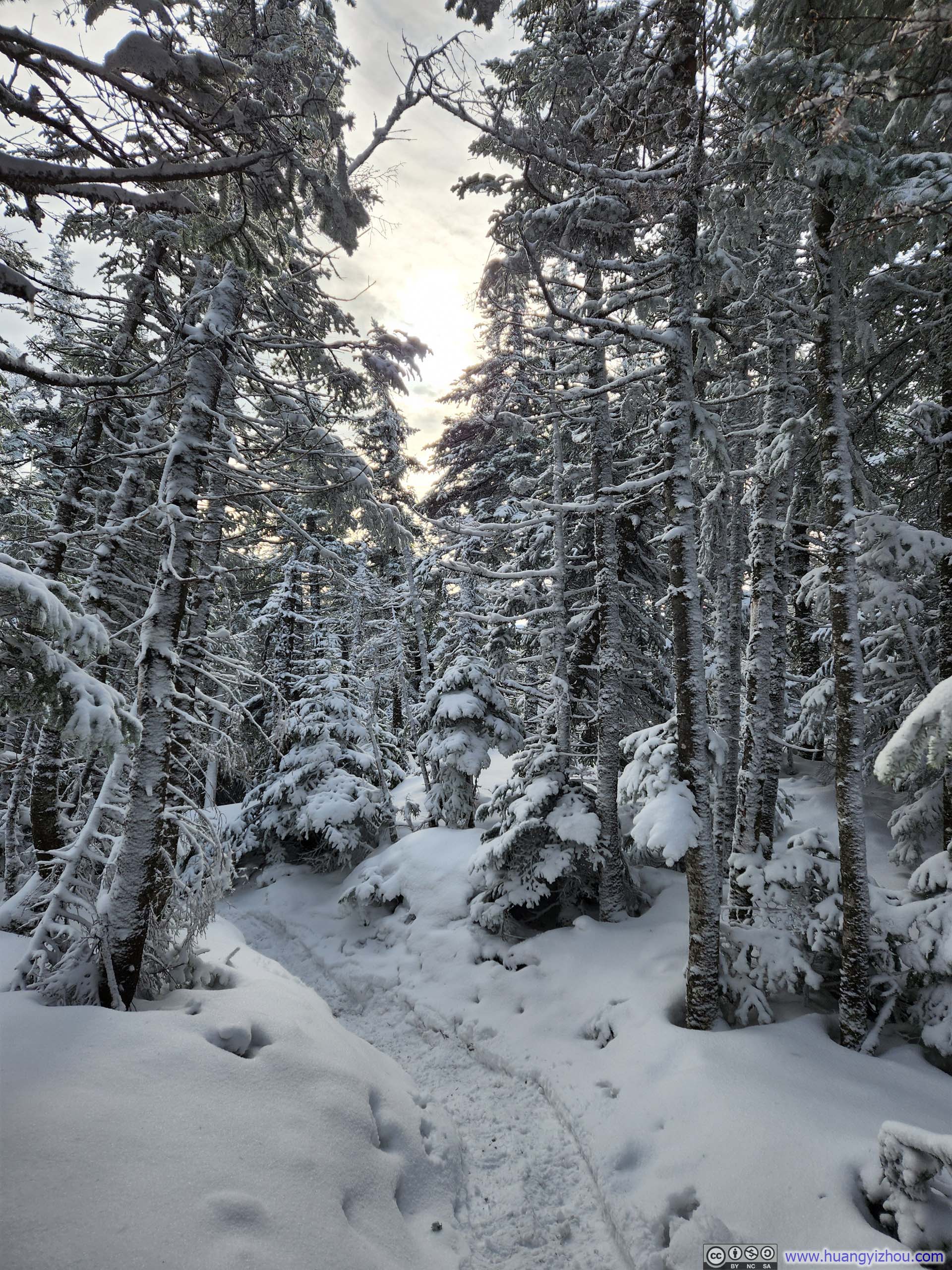
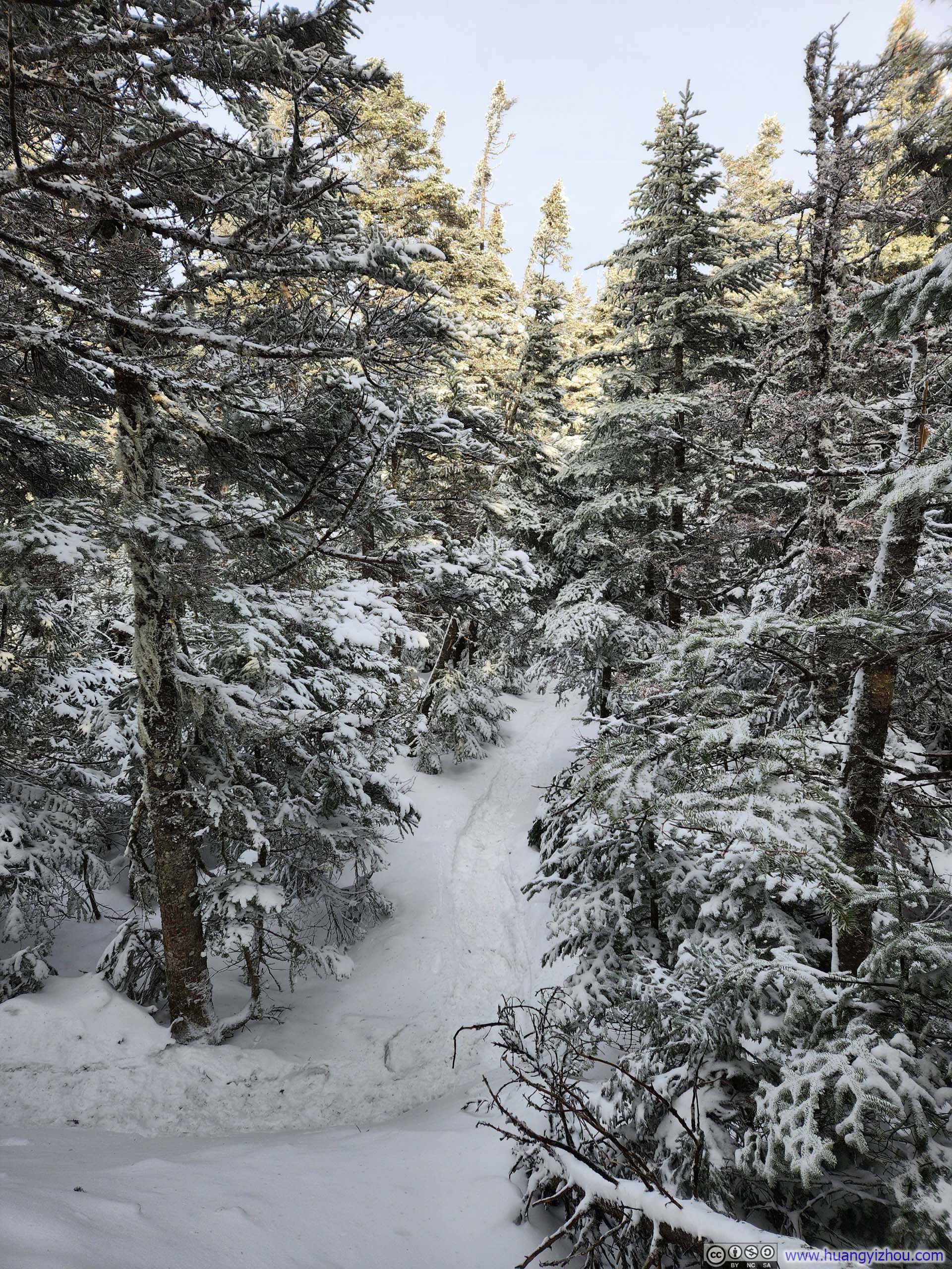
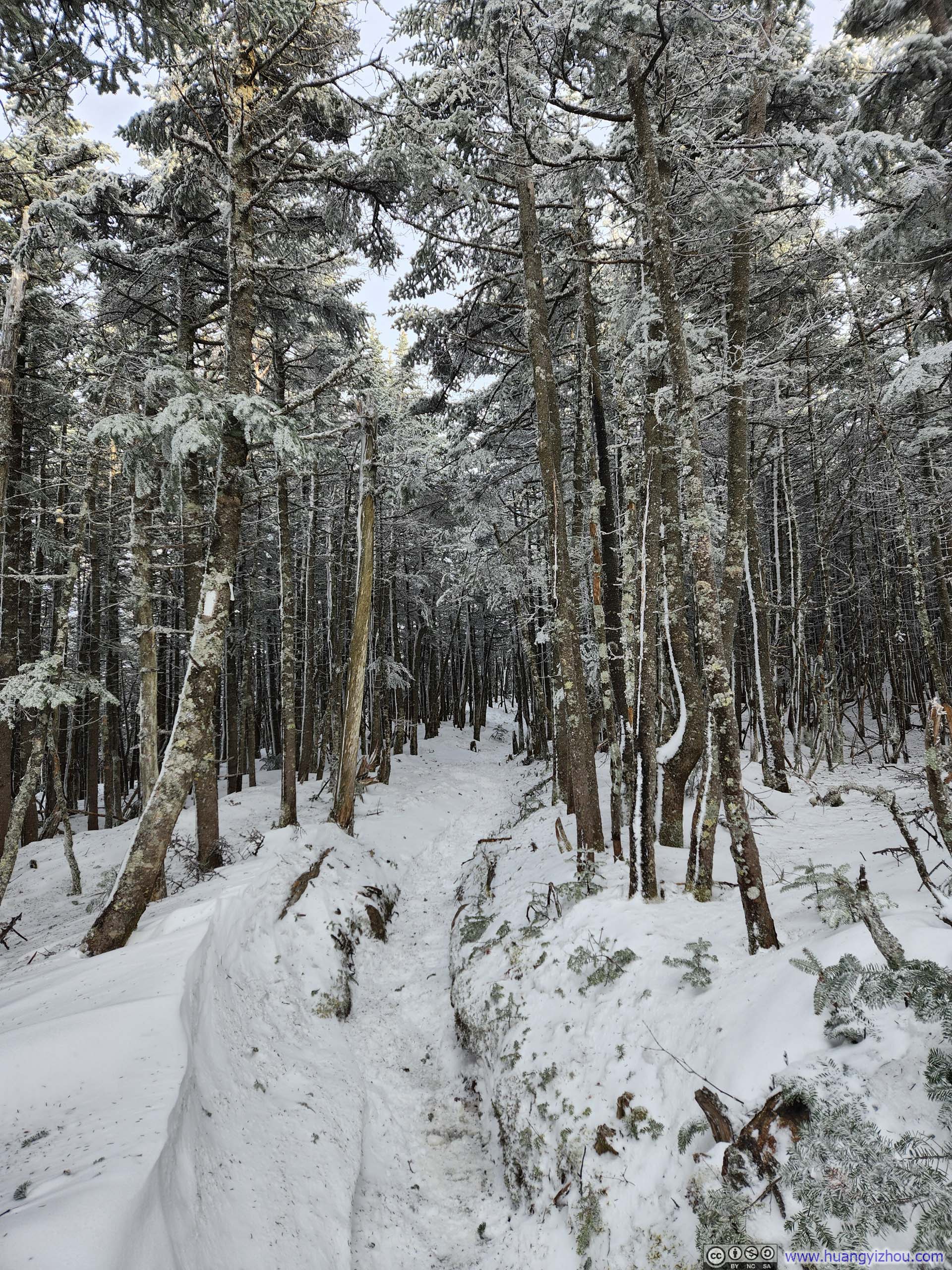
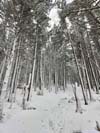
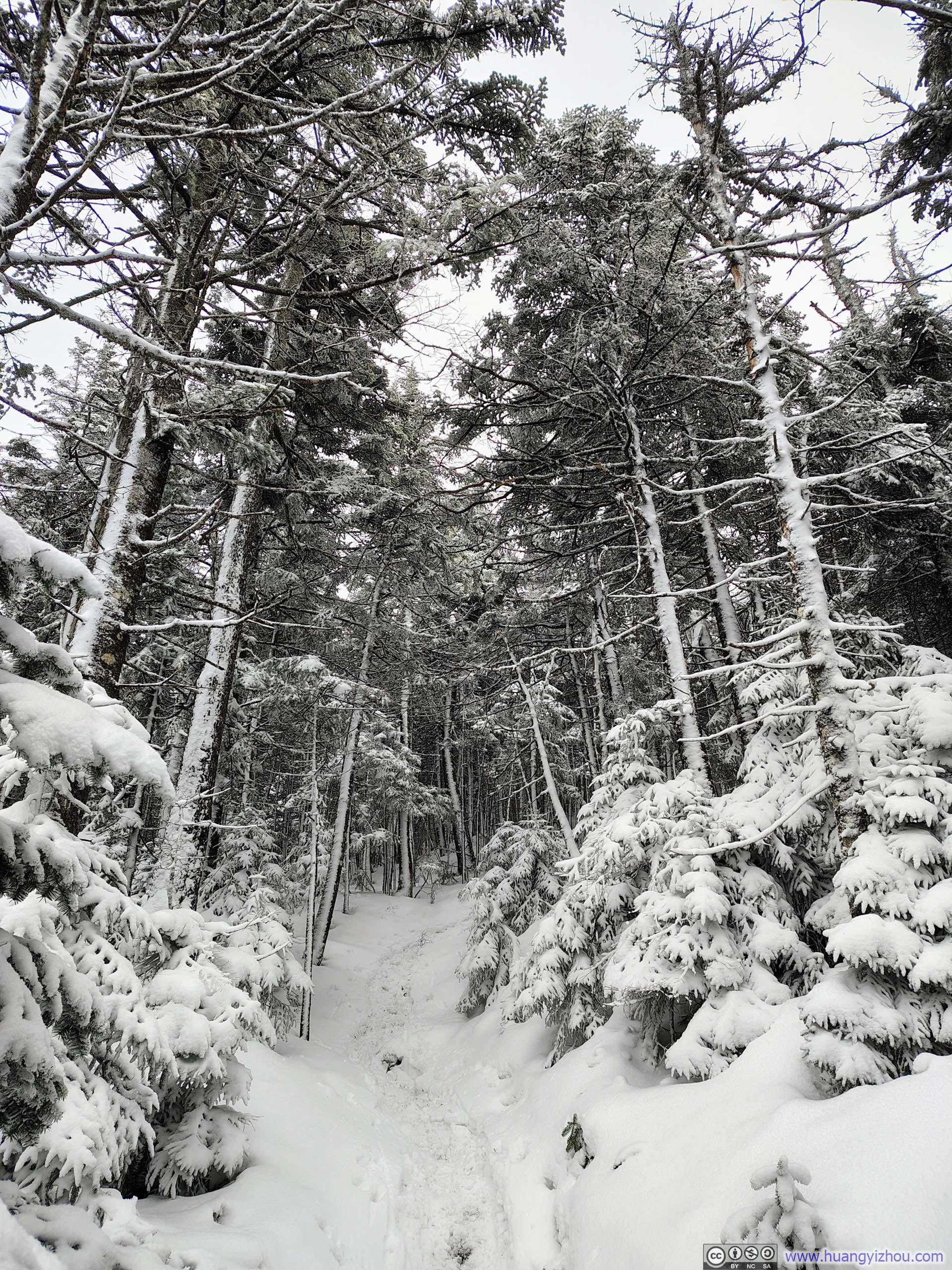
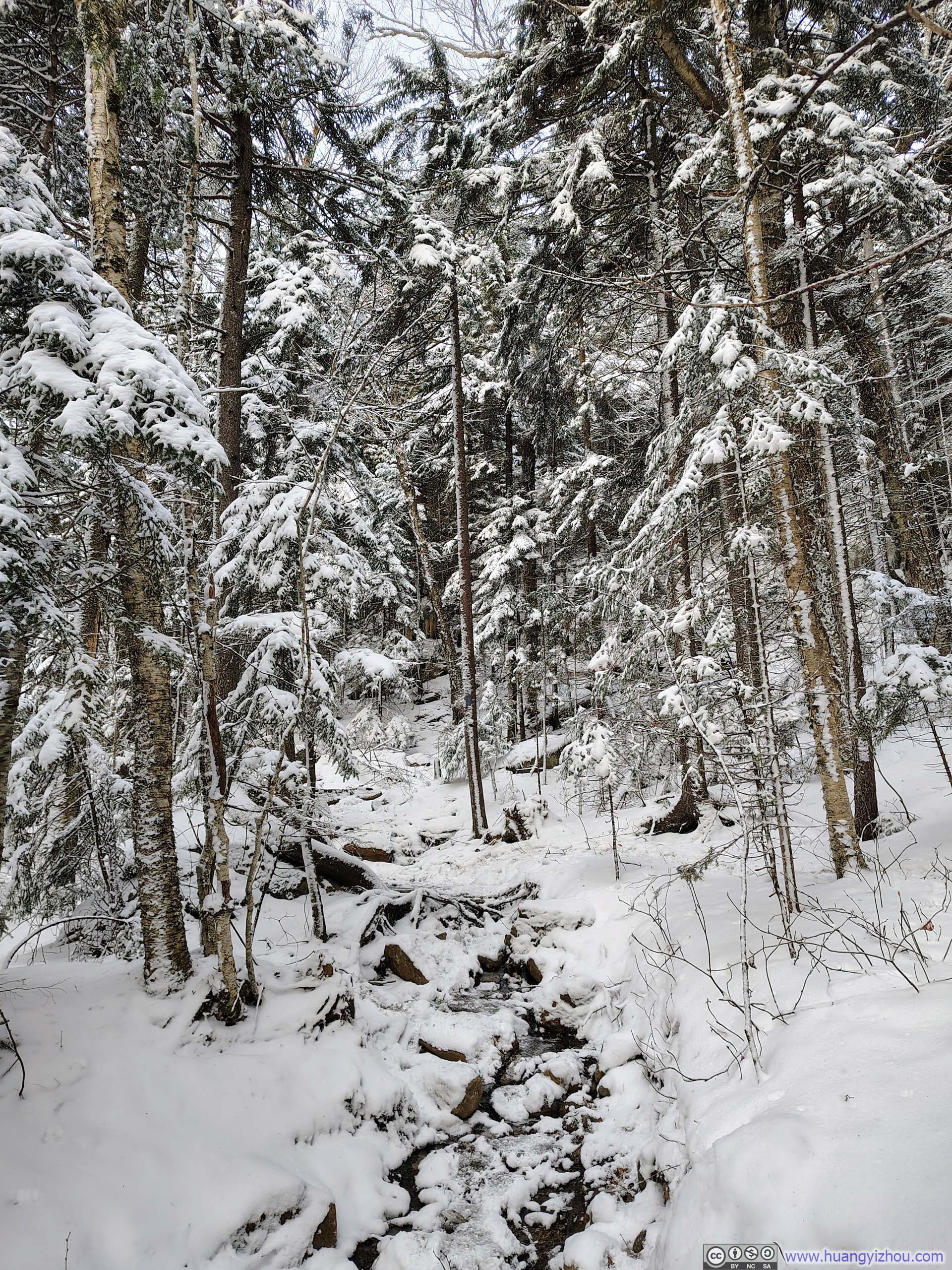
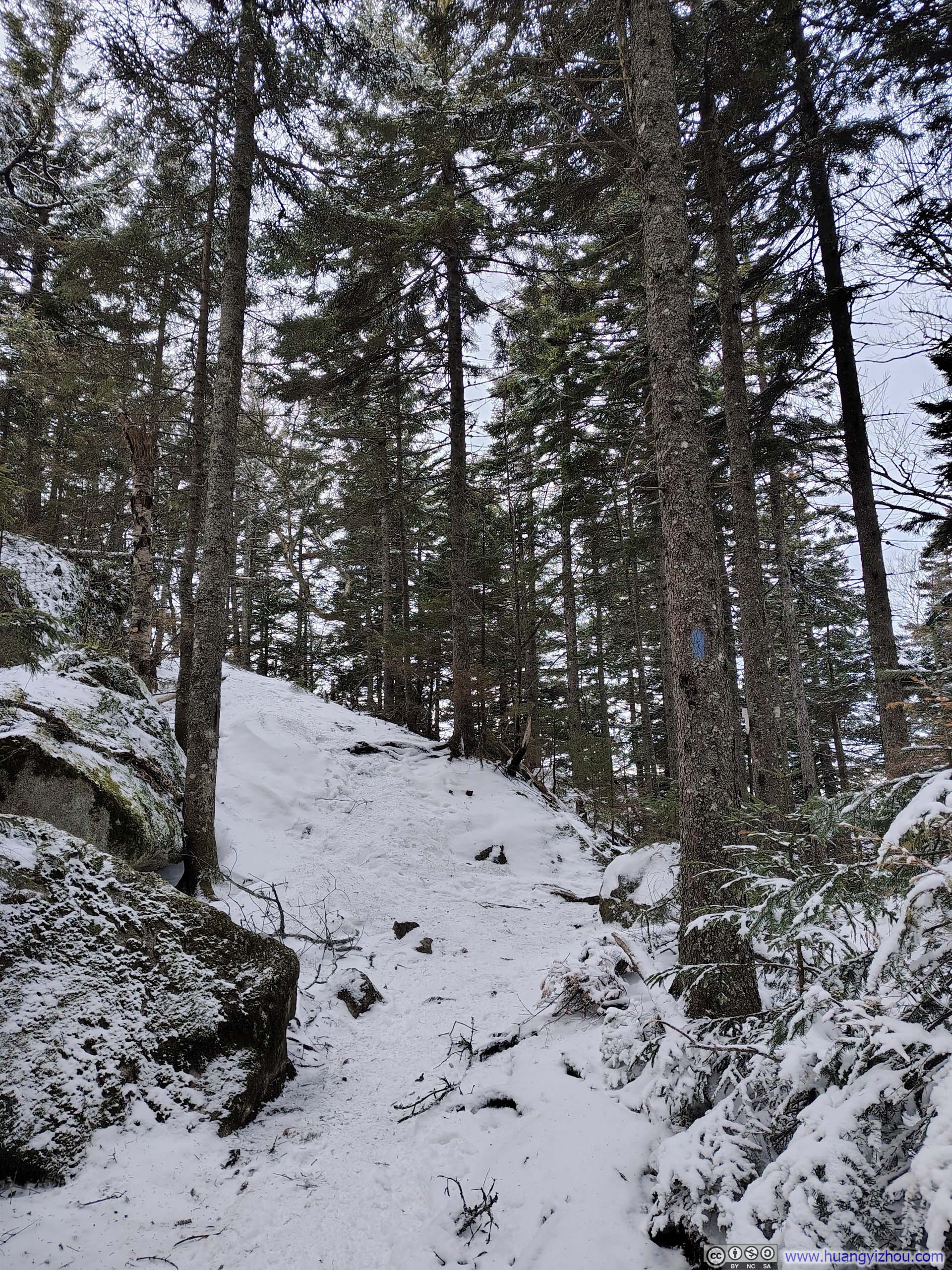
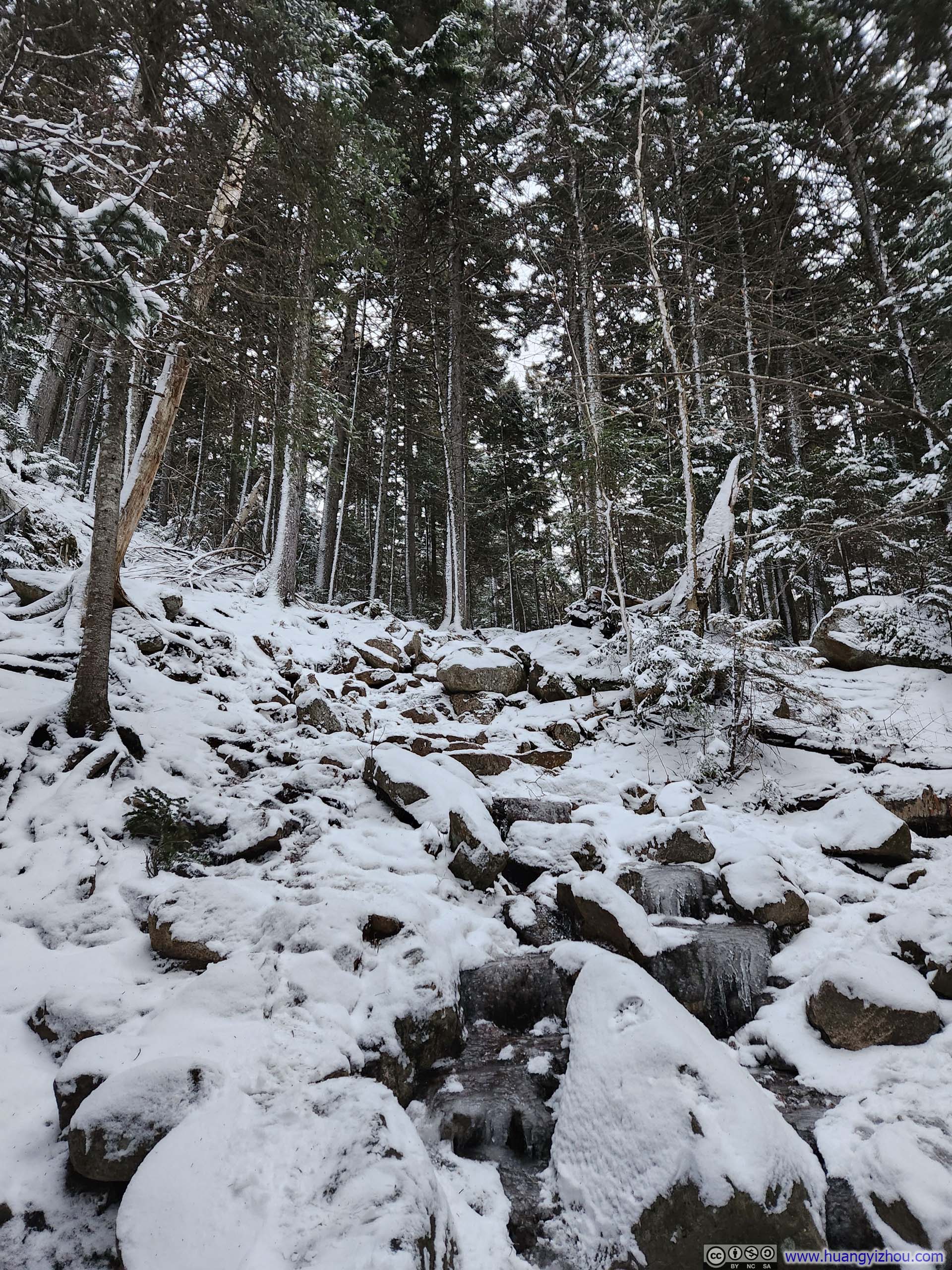
It turned out that the trails to both Mt Jackson and Mt Webster were well packed, making microspikes more than sufficient for the terrain. The few water crossings encountered along the way were frozen solid, presenting no technical difficulties whatsoever.
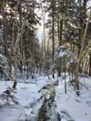
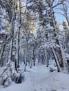
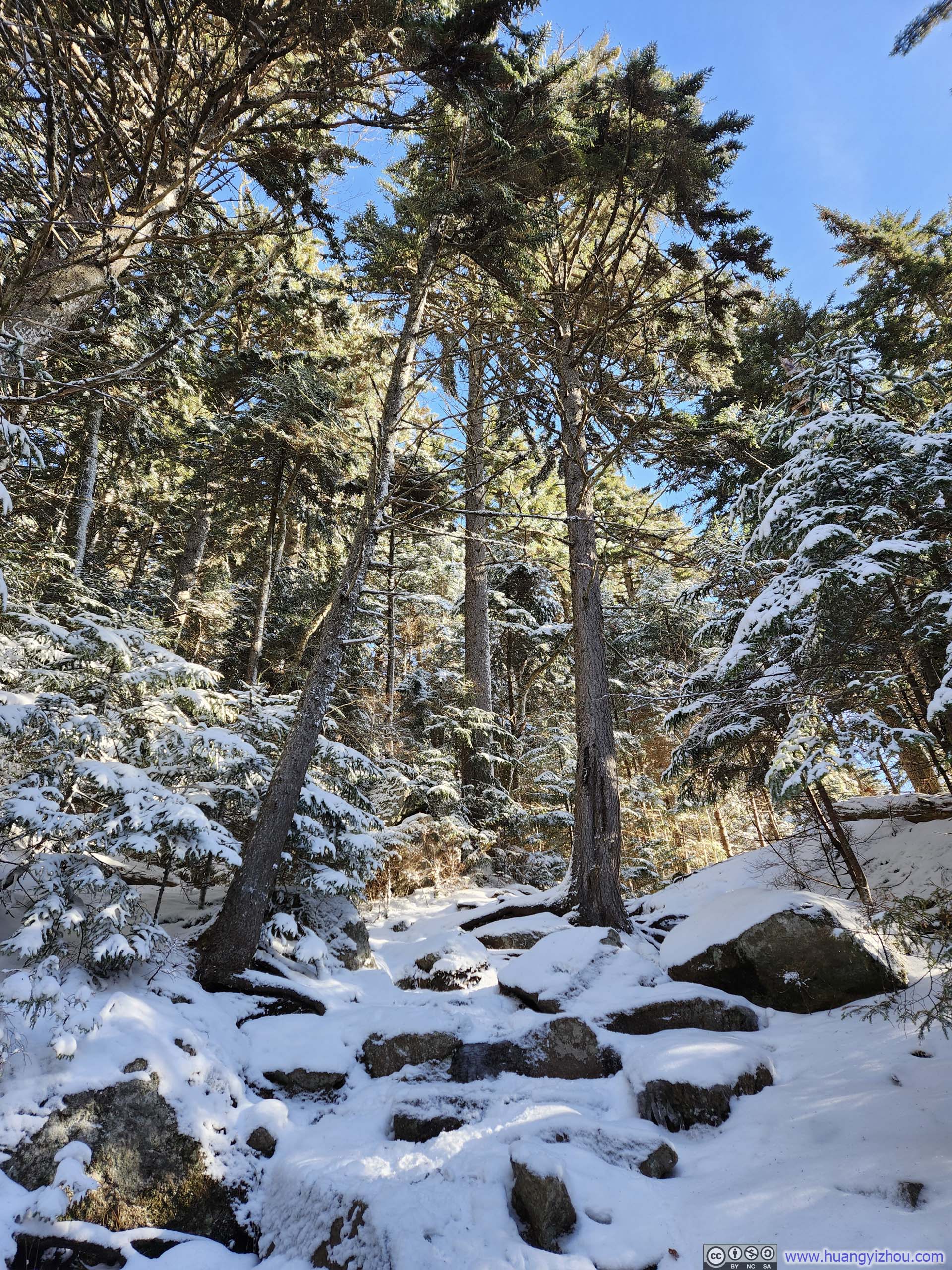
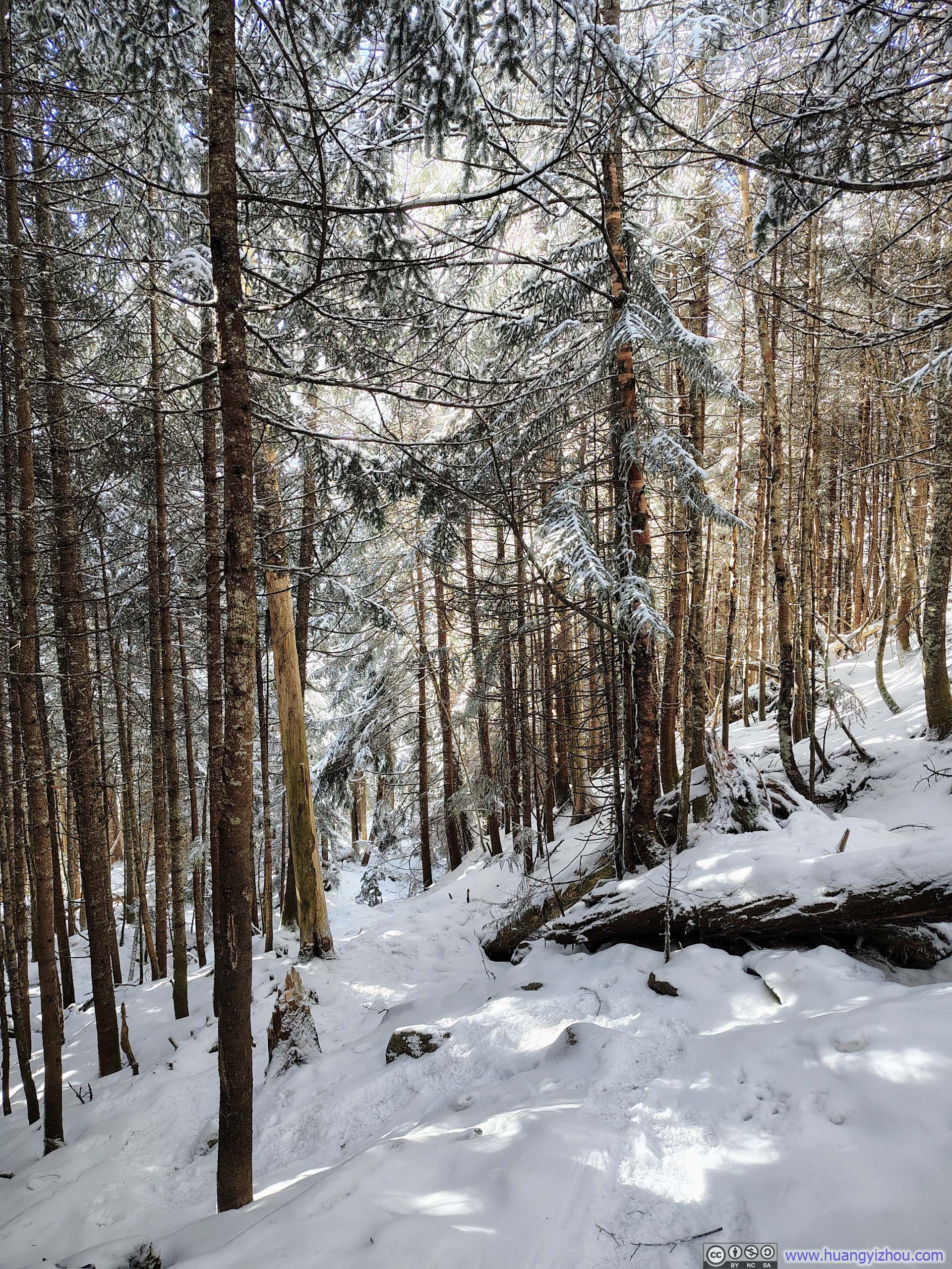
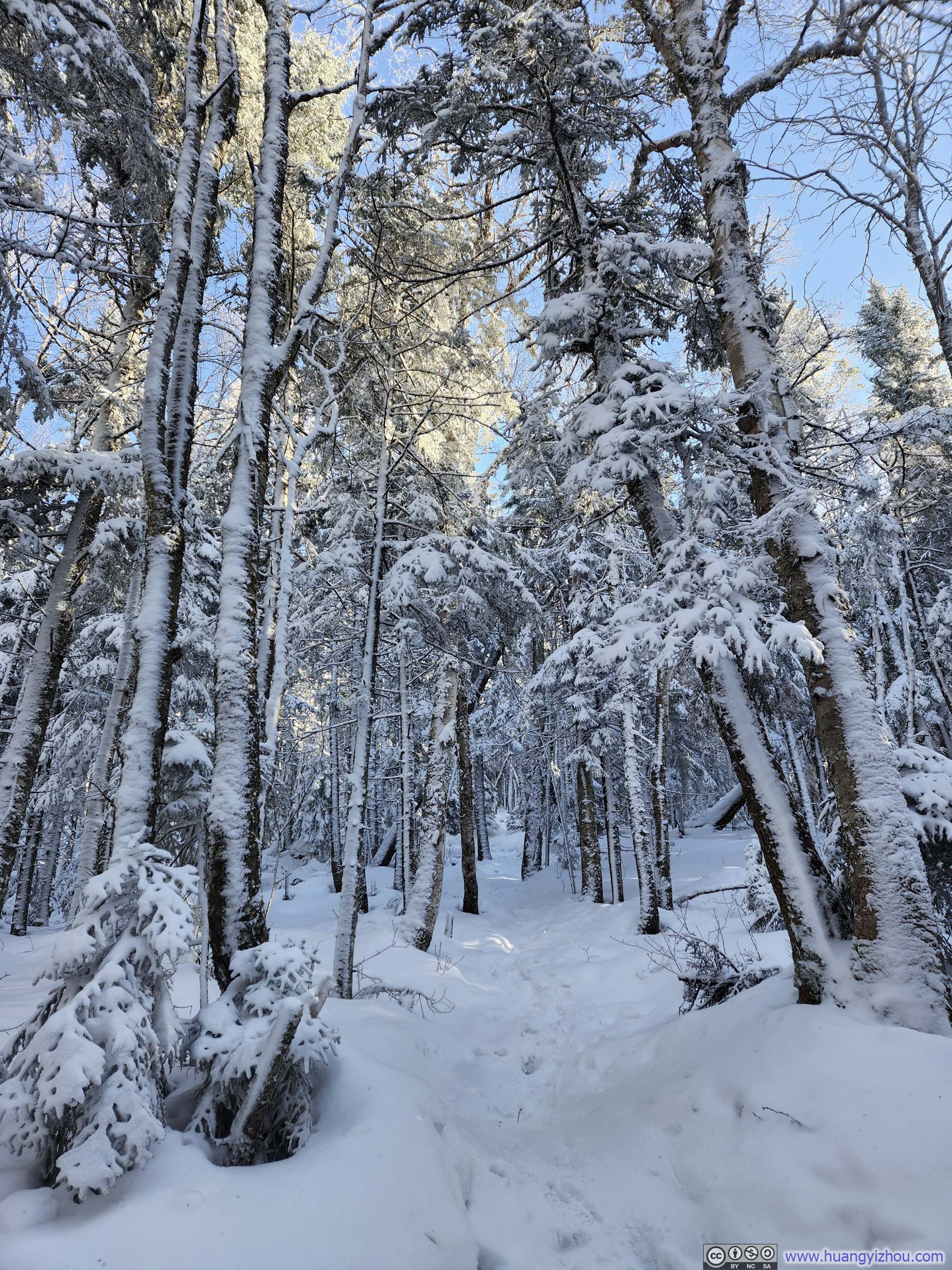
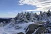
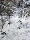
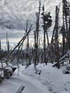
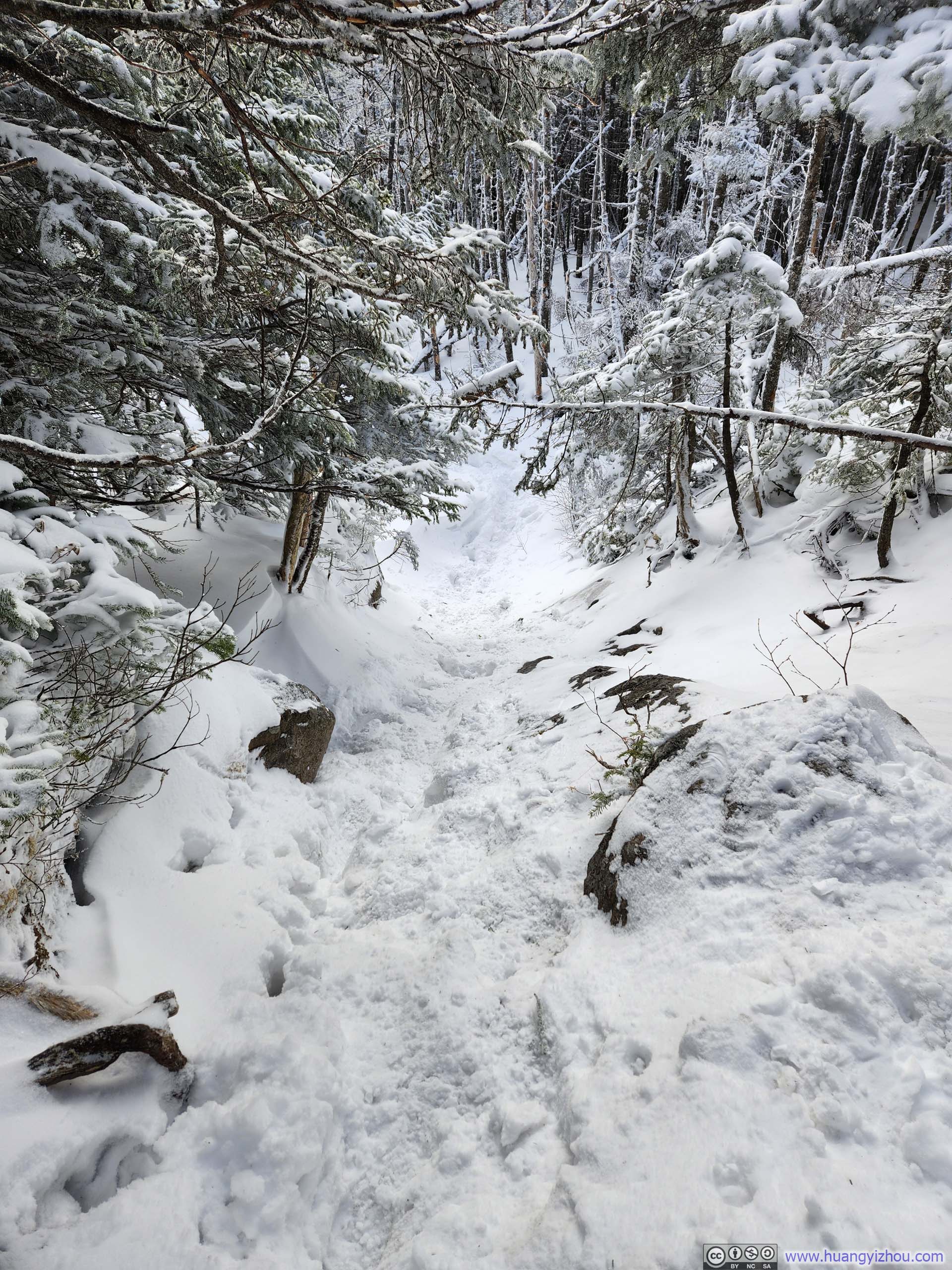
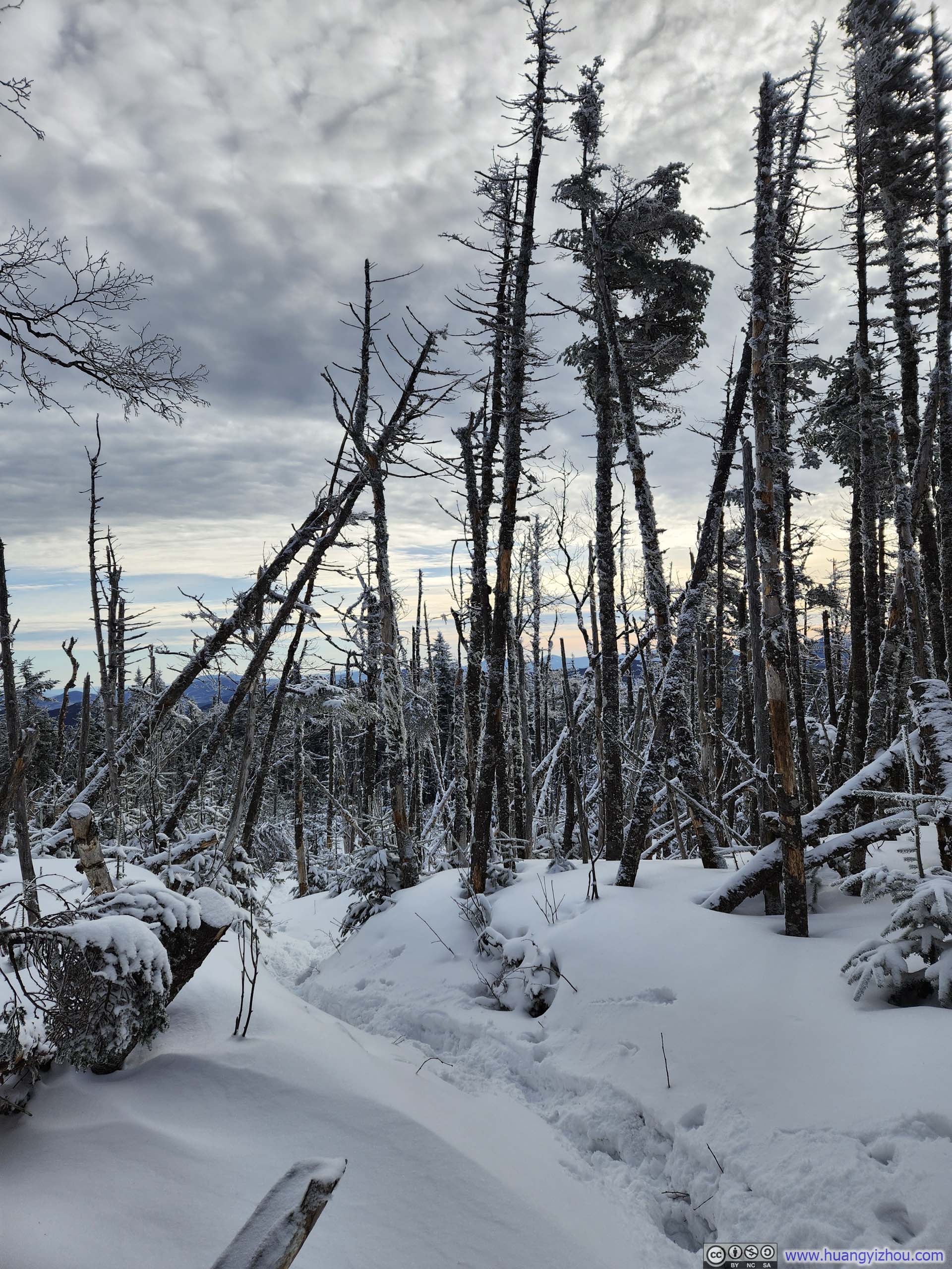
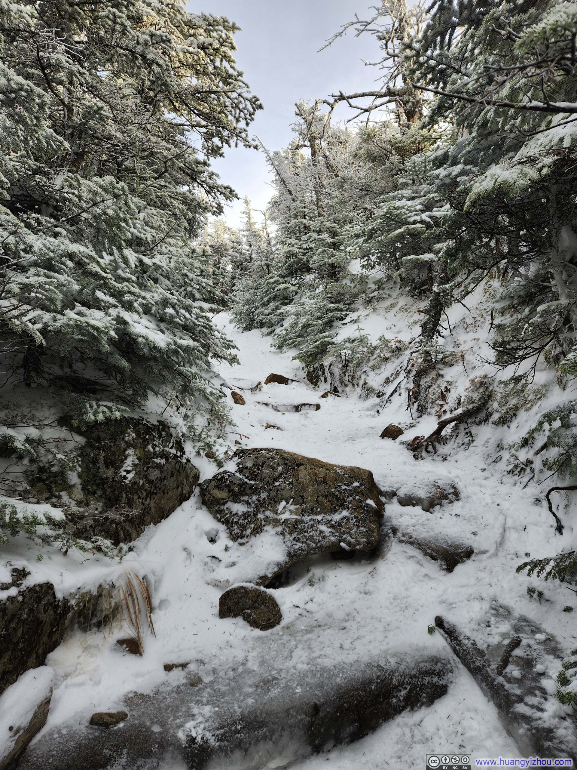
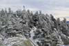
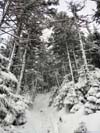
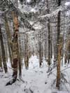
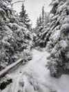
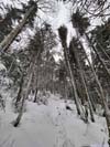
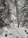
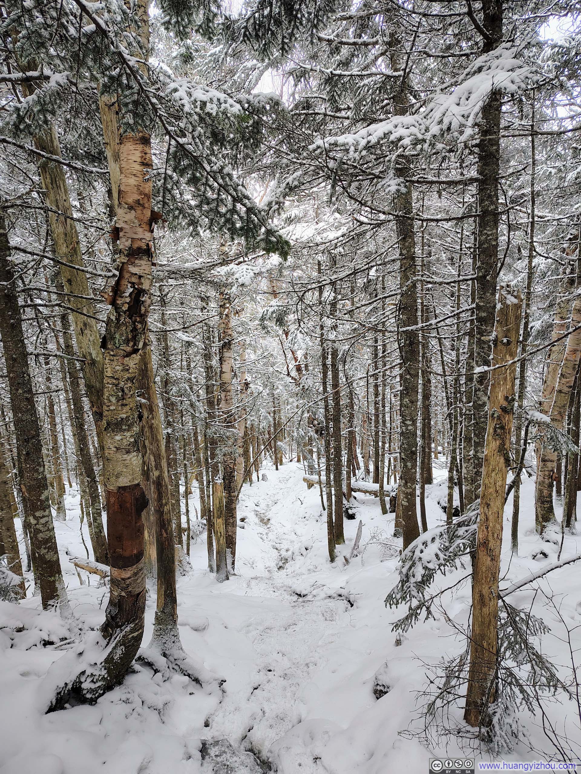
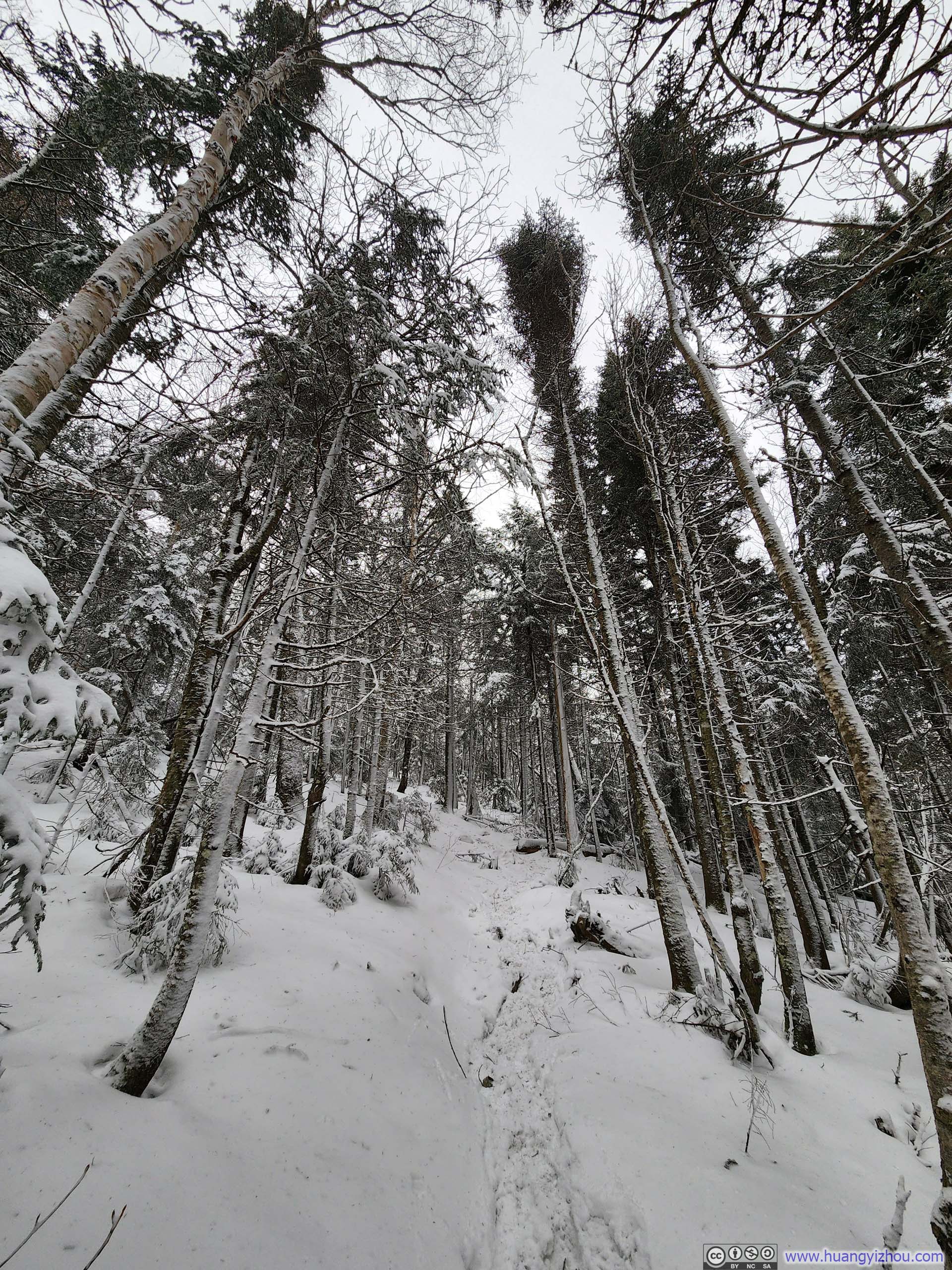
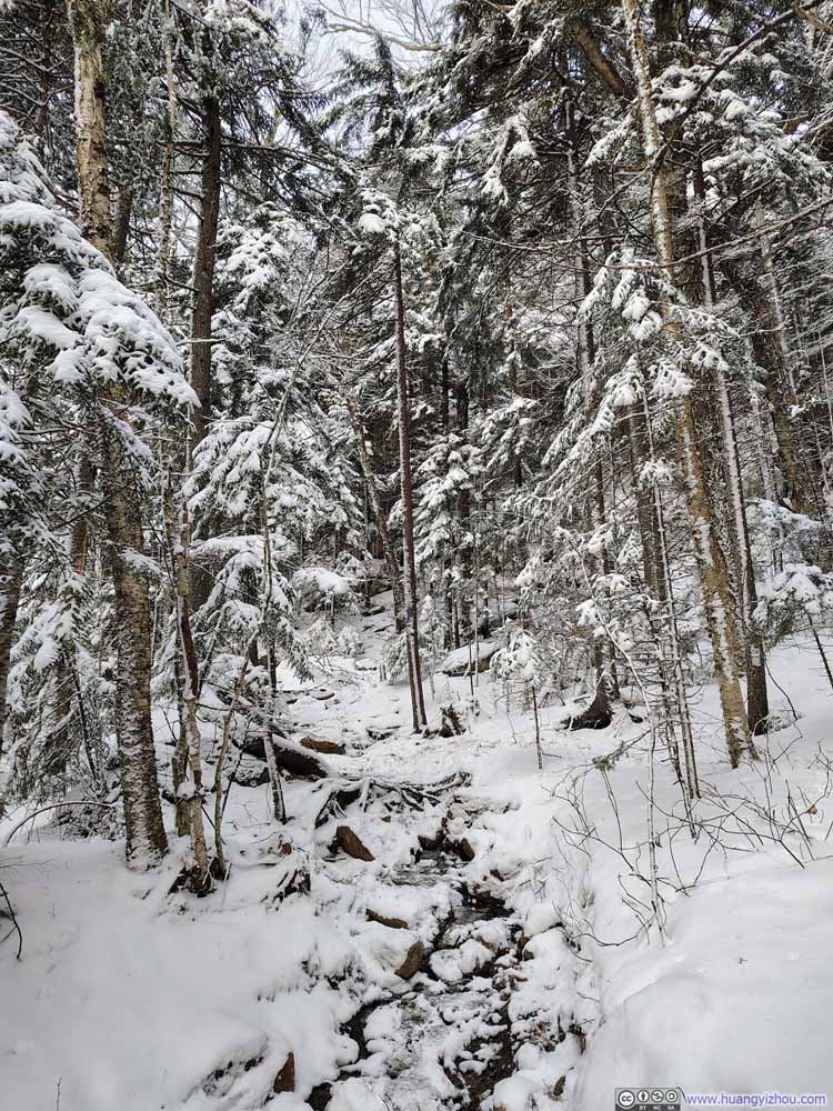
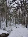
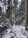
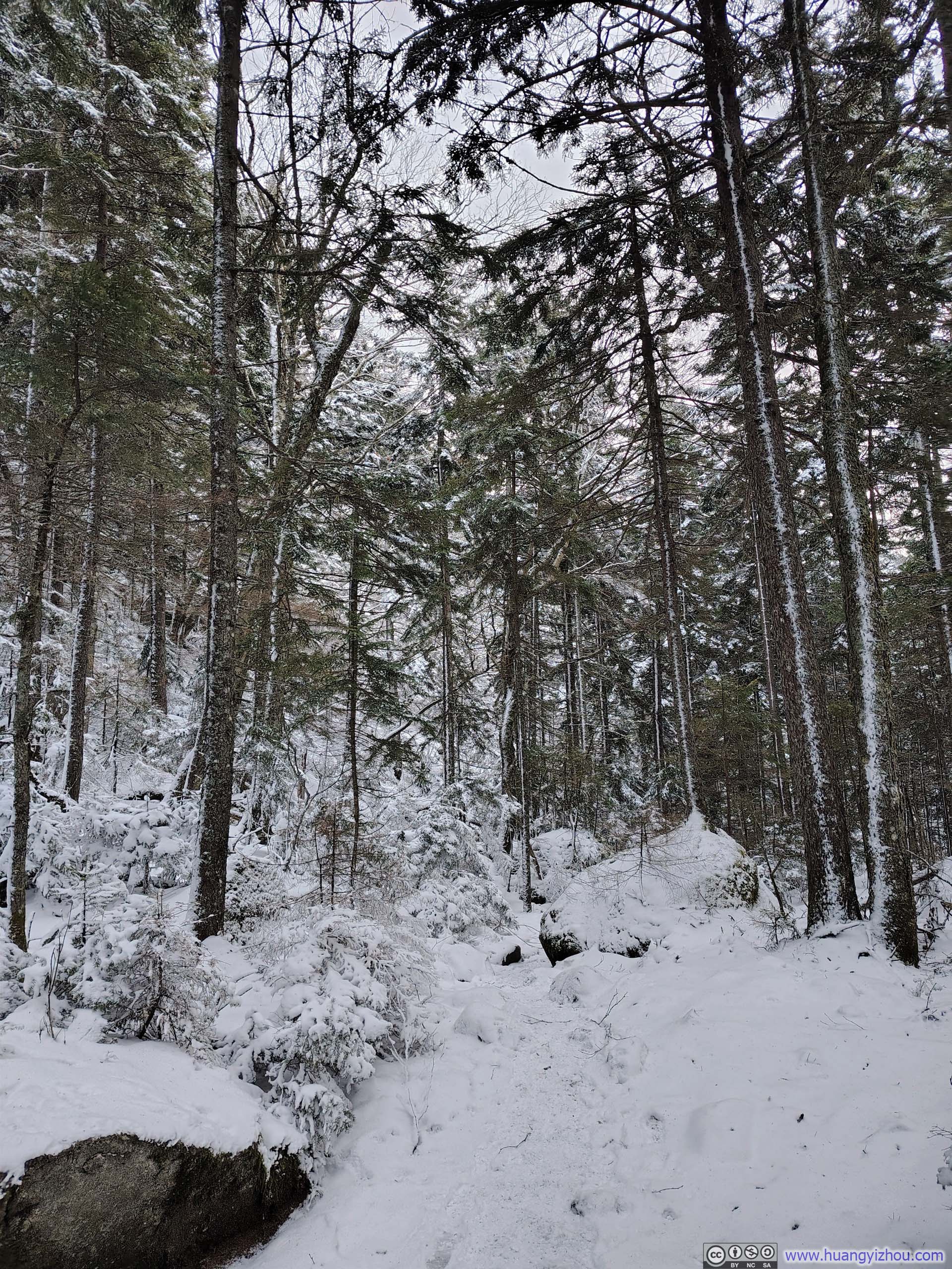
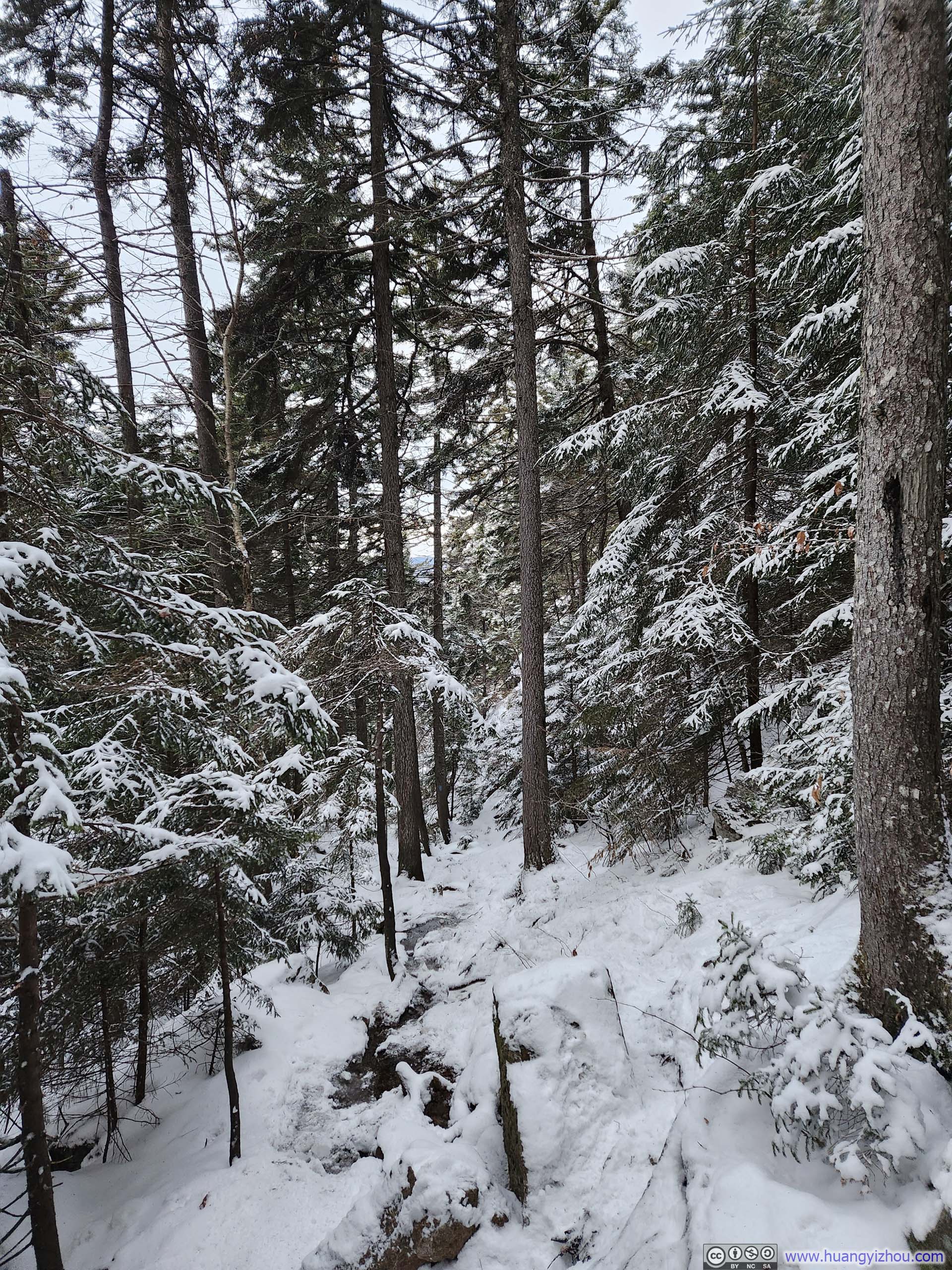
About halfway into the hike, the trail toward Mt Jackson and Mt Webster diverged into two separate branches. Prior to this intersection, the gradients were pleasantly mild; beyond it, however, the ascent grew noticeably steeper, and the snowpack visibly deeper. Strong northerly winds from the previous night’s storm had left a striking contrast of colors between the windward and leeward sides of the trees lining the trail, a subtle yet beautiful reminder of nature’s quiet drama.
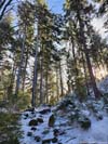
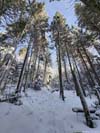
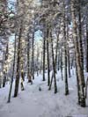
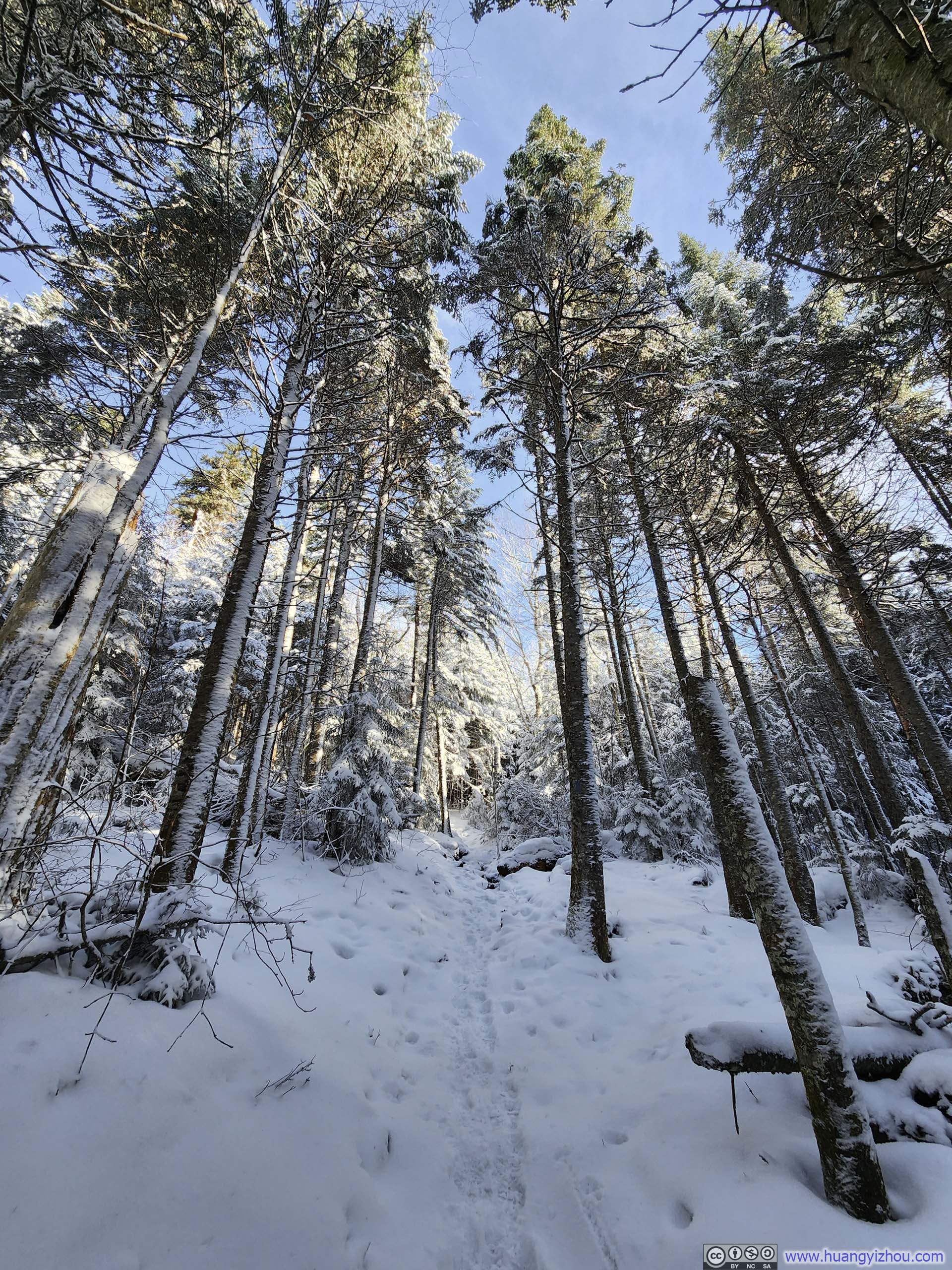
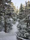
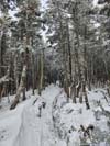
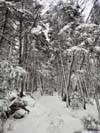
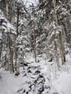
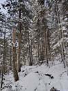
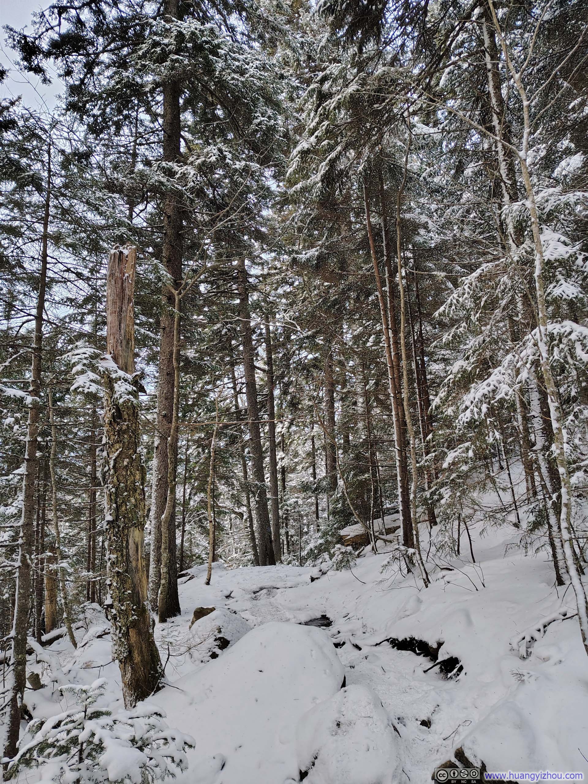
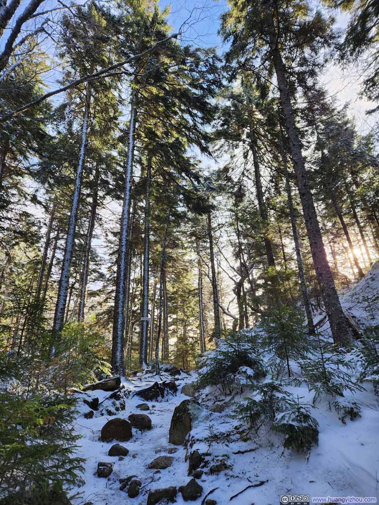 Trail
Trail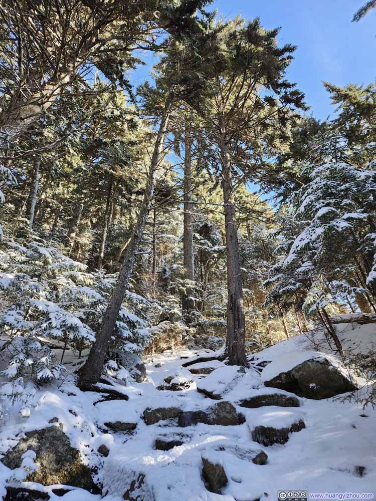 Trail
Trail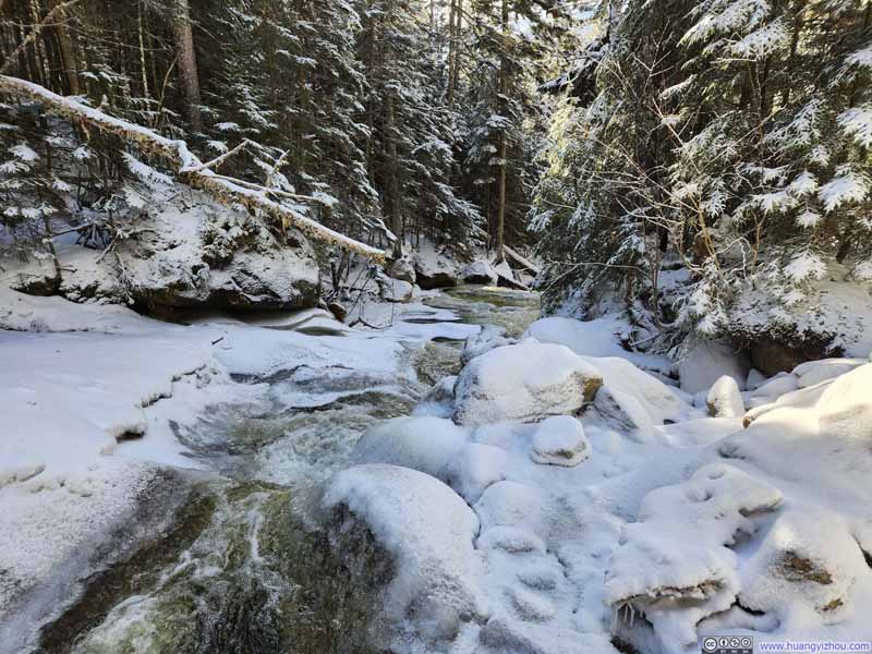
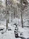
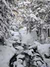
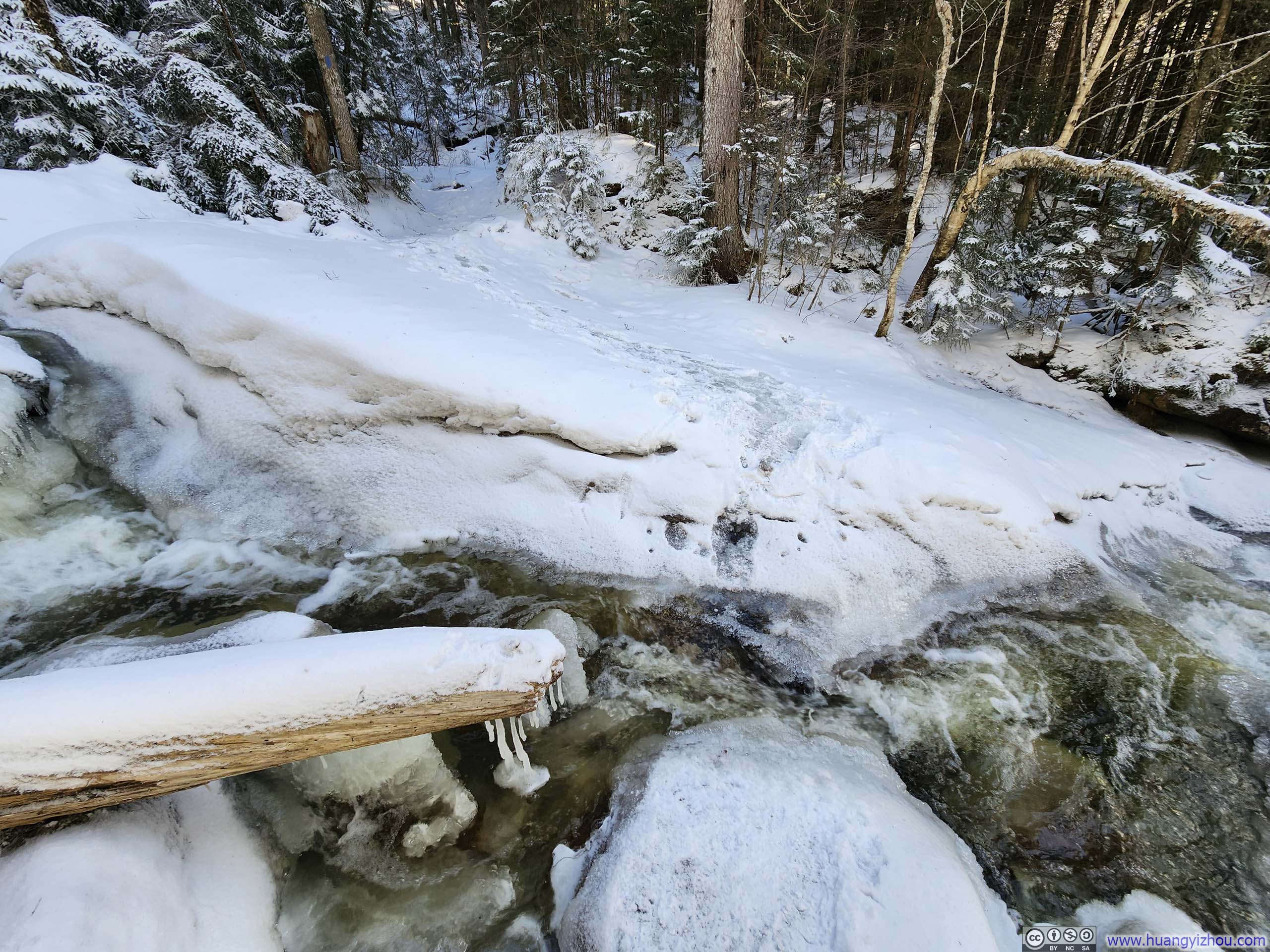
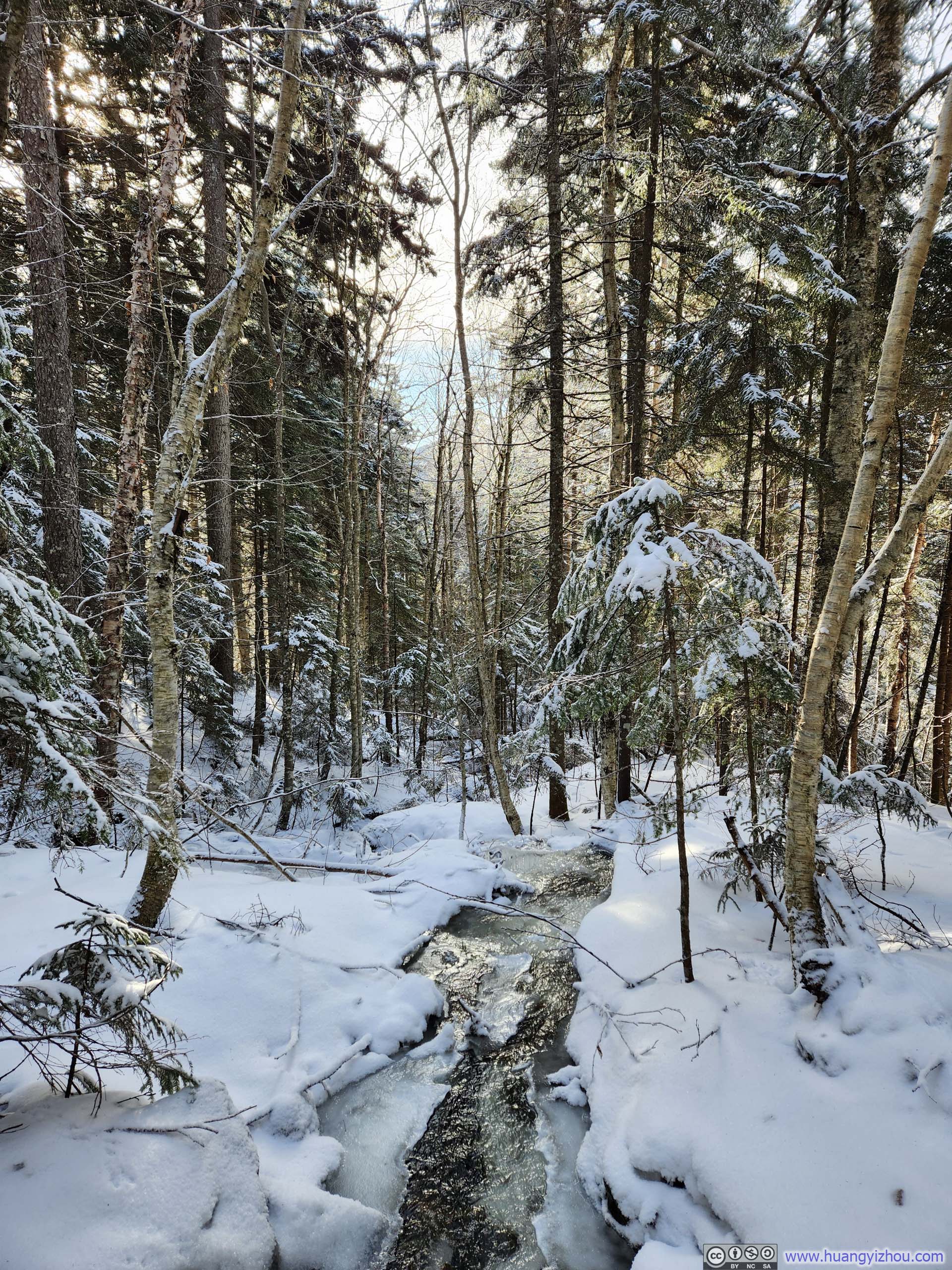
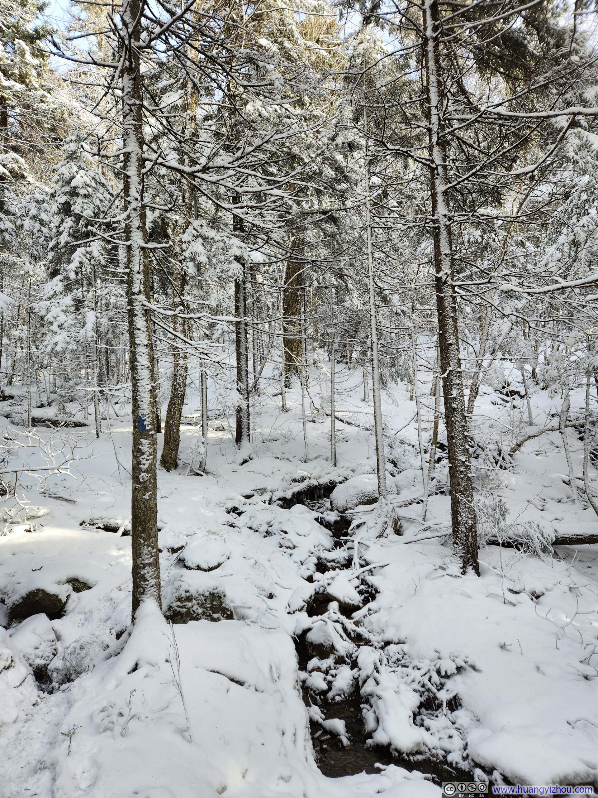
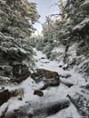
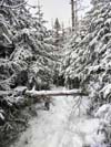
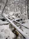
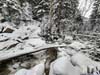
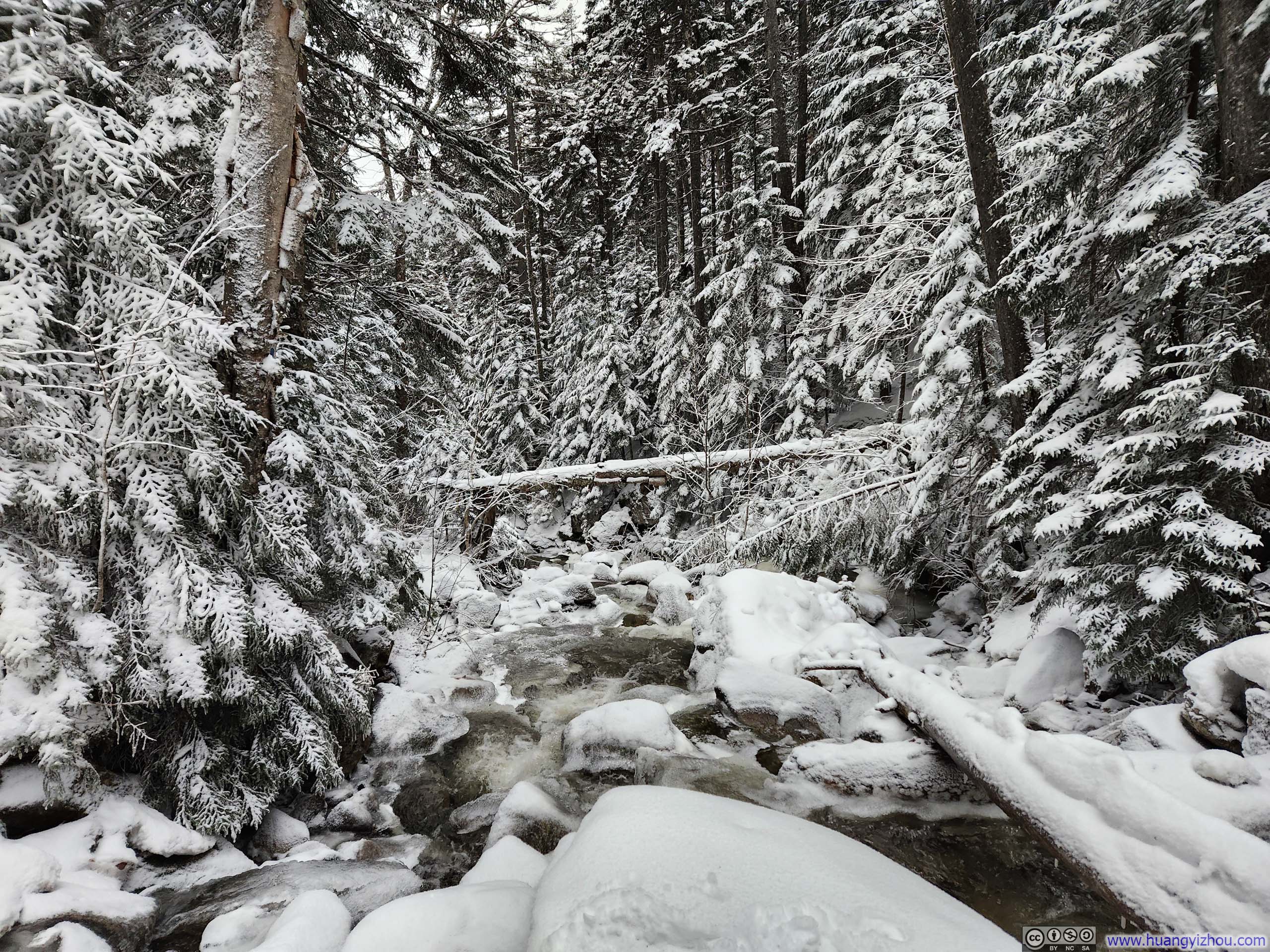
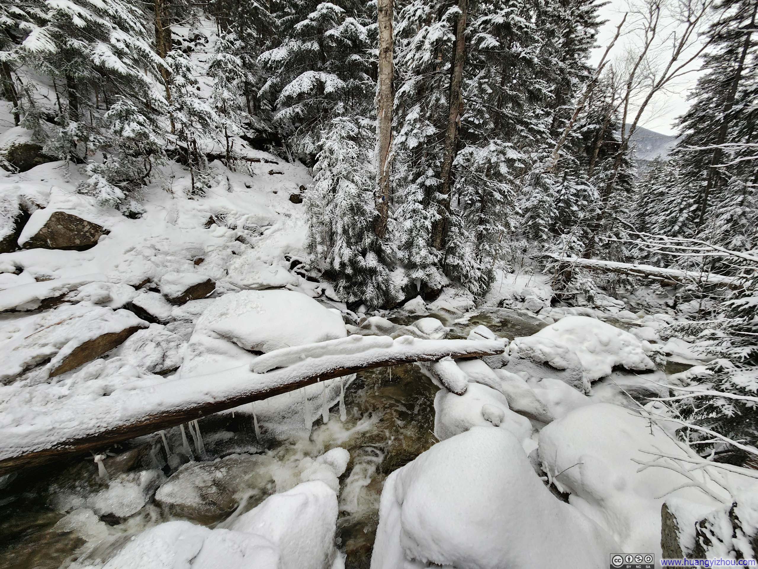
 Creek and Water Crossing
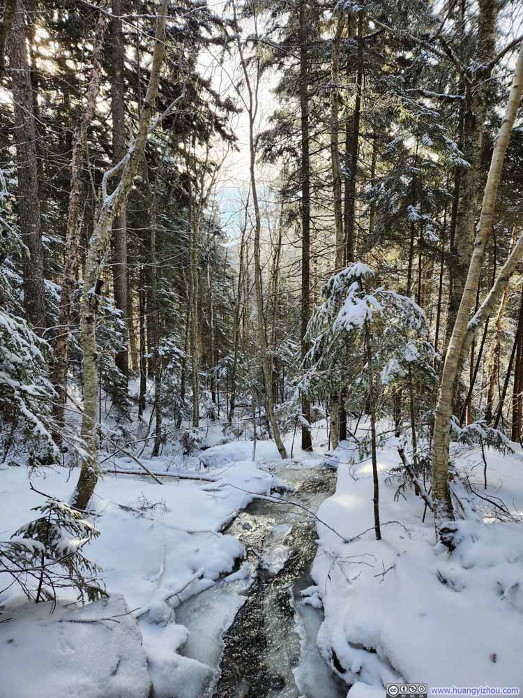 Water Crossing
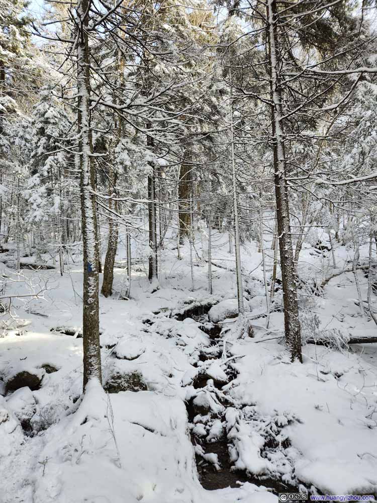 Trail
Trail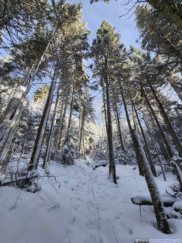 Trail
Trail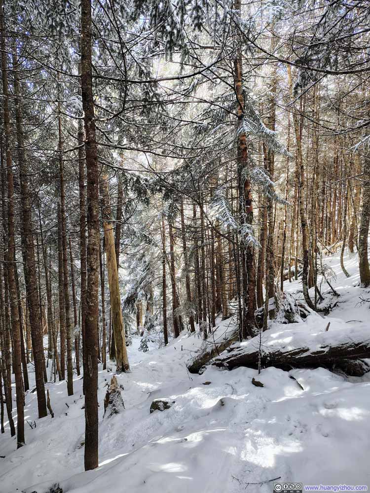 Trail
Trail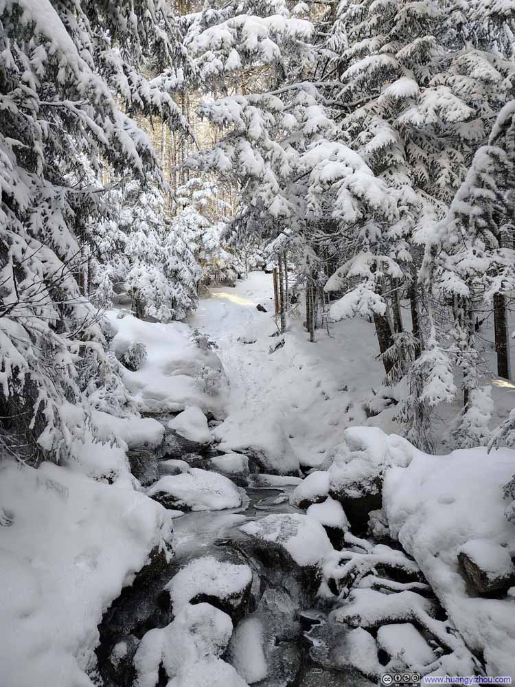 Water Crossing
 Trail
Trail Trail
Trail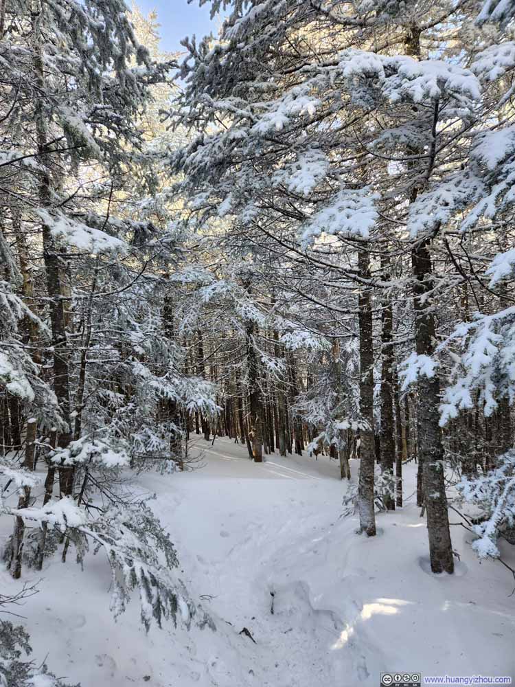 Trail
Trail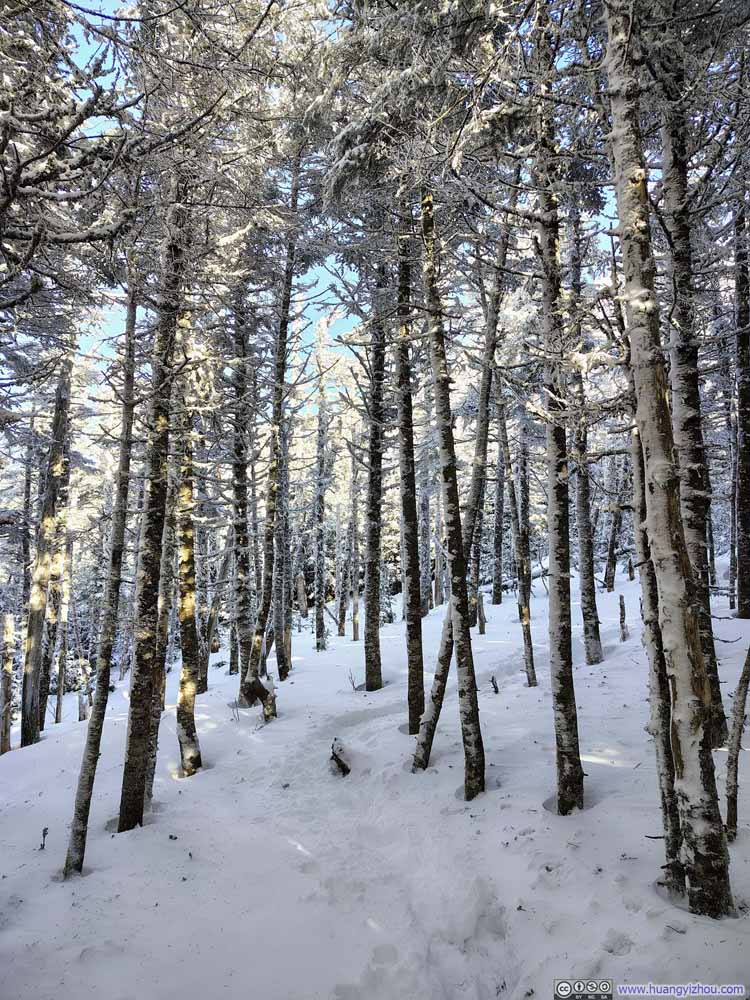 Trail
Trail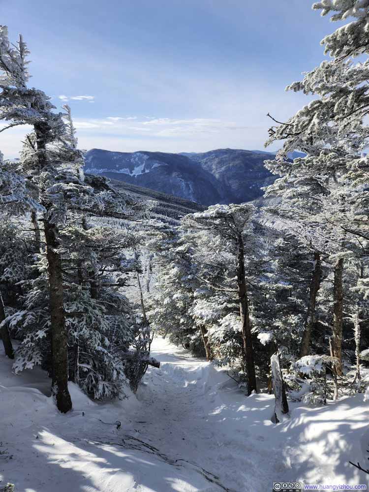 Trail against Mountainous Backdrop

Click here to display photos of the slideshow

Trail
Trail

 Creek and Water Crossing
Water Crossing
Trail
Trail
Trail
Water Crossing
Trail
Trail
Trail
Trail

Trail against Mountainous Backdrop
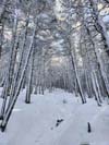
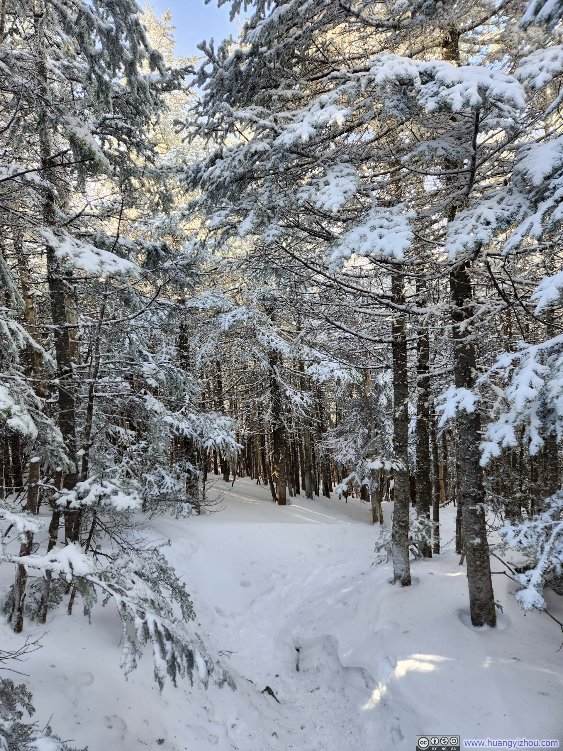
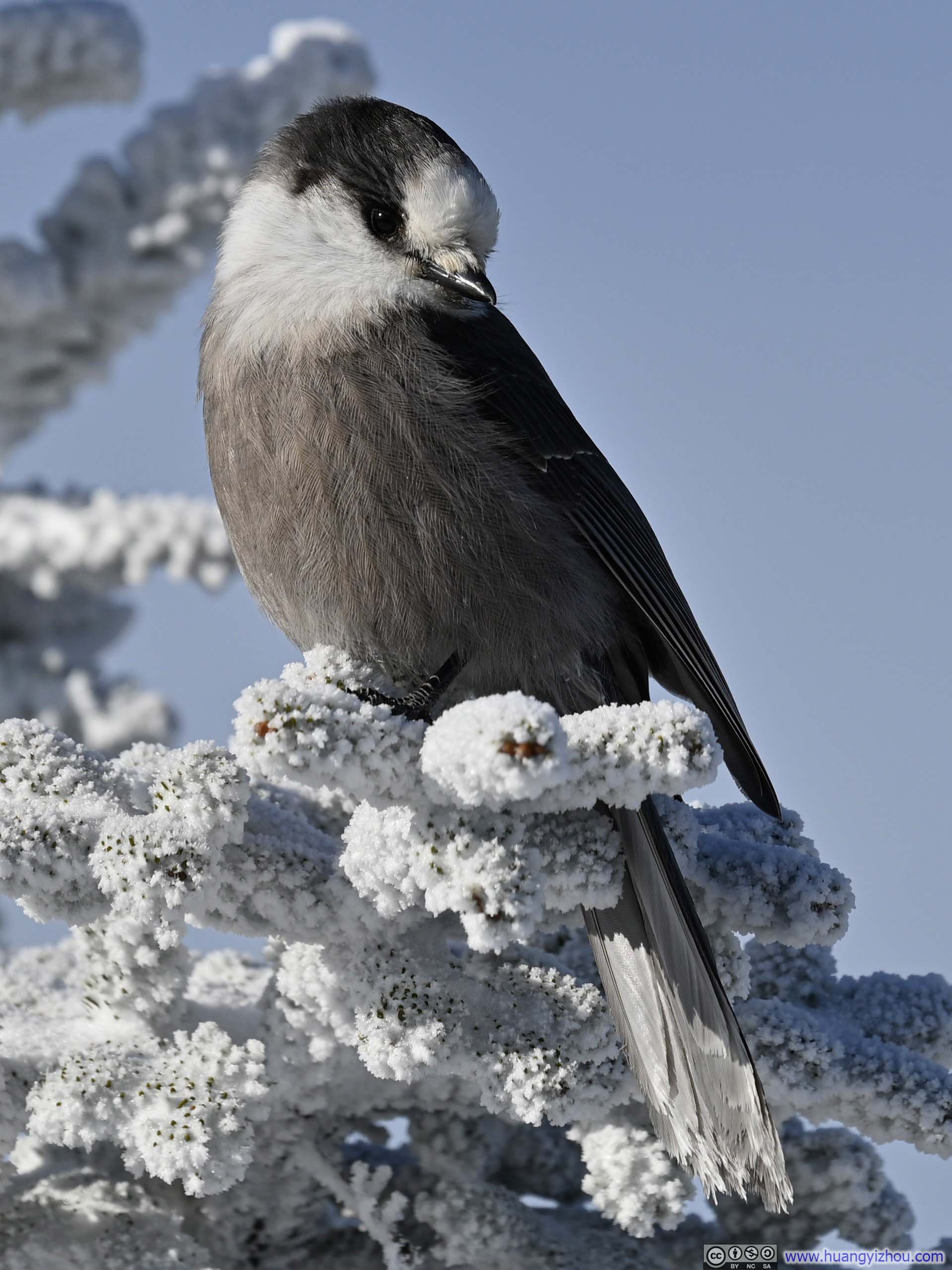
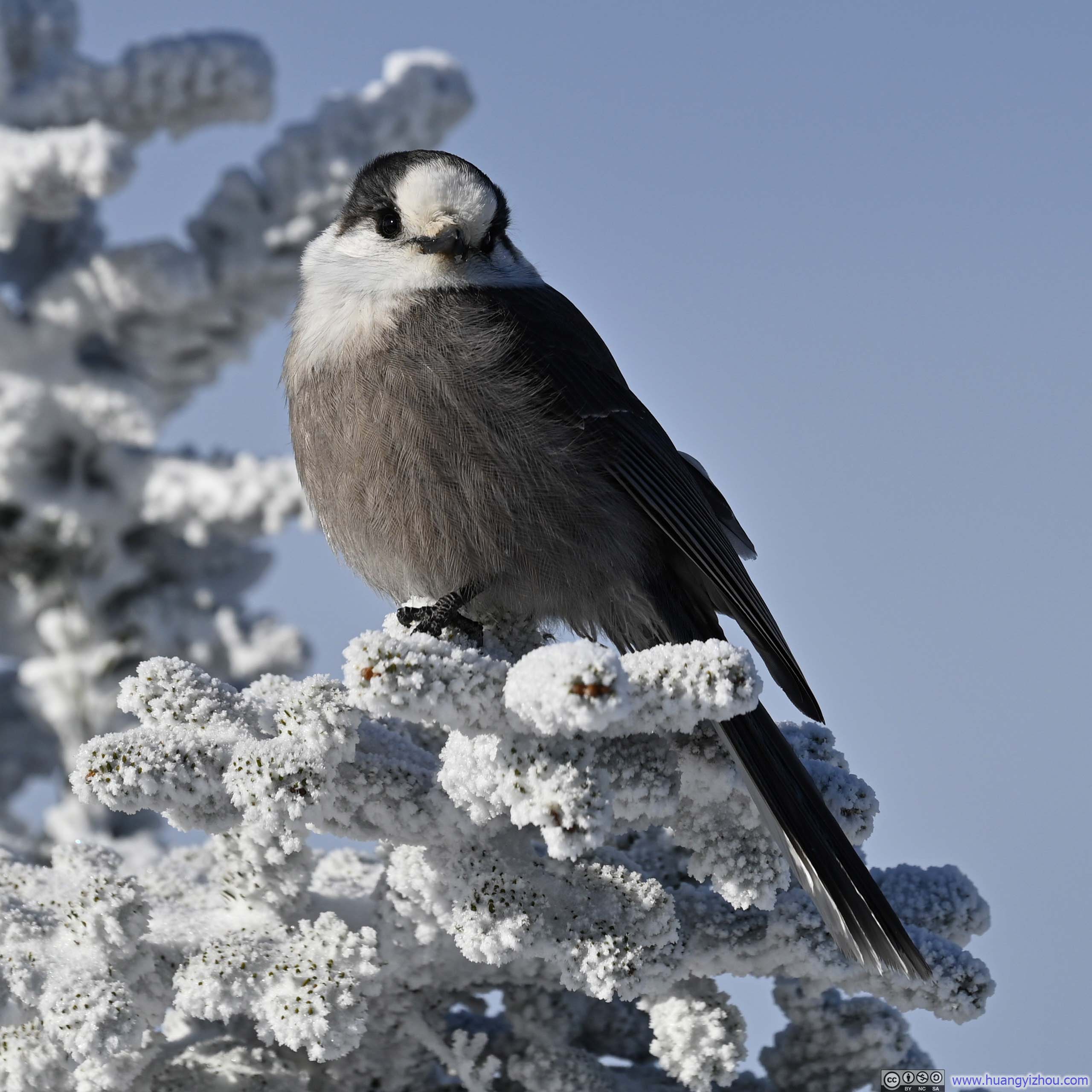
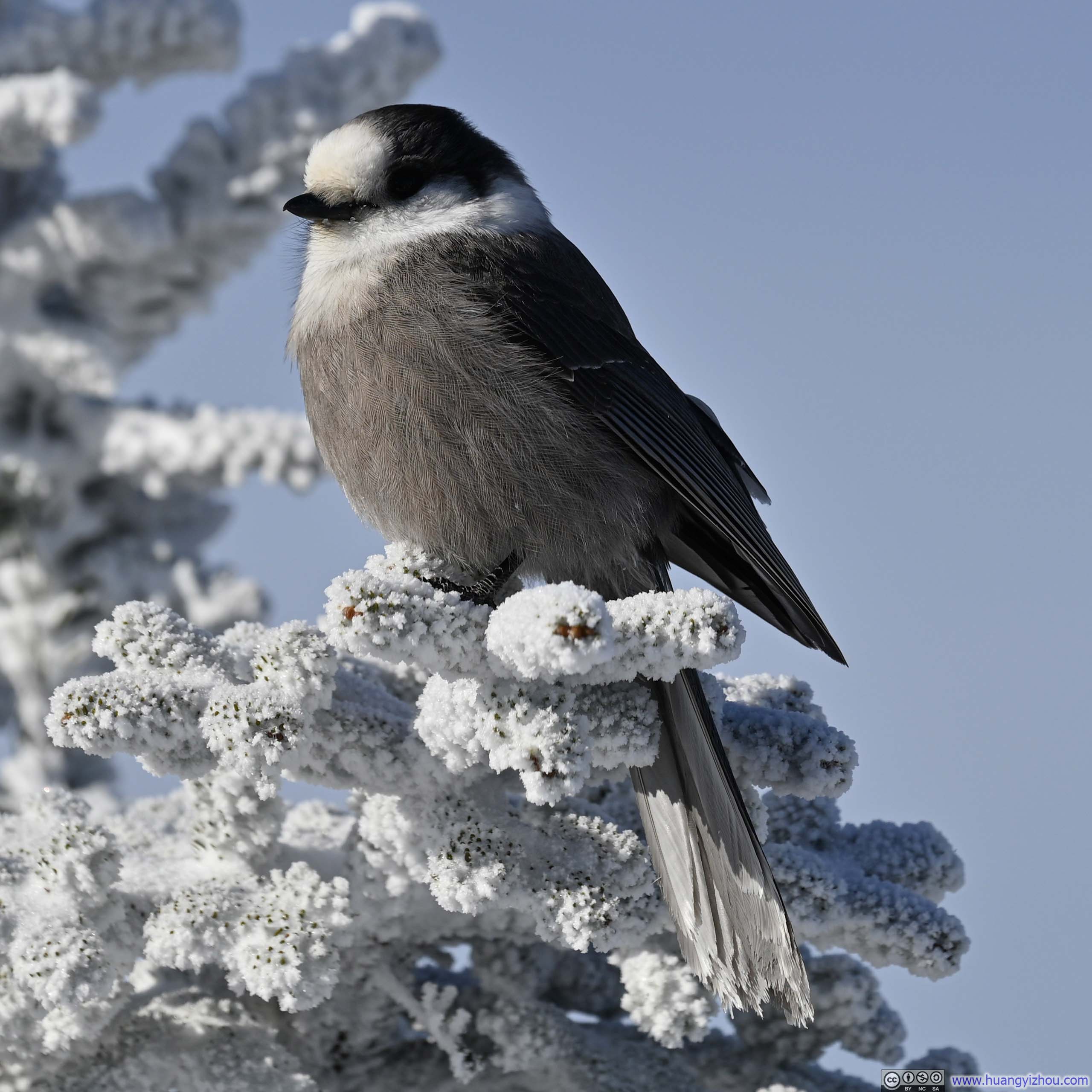
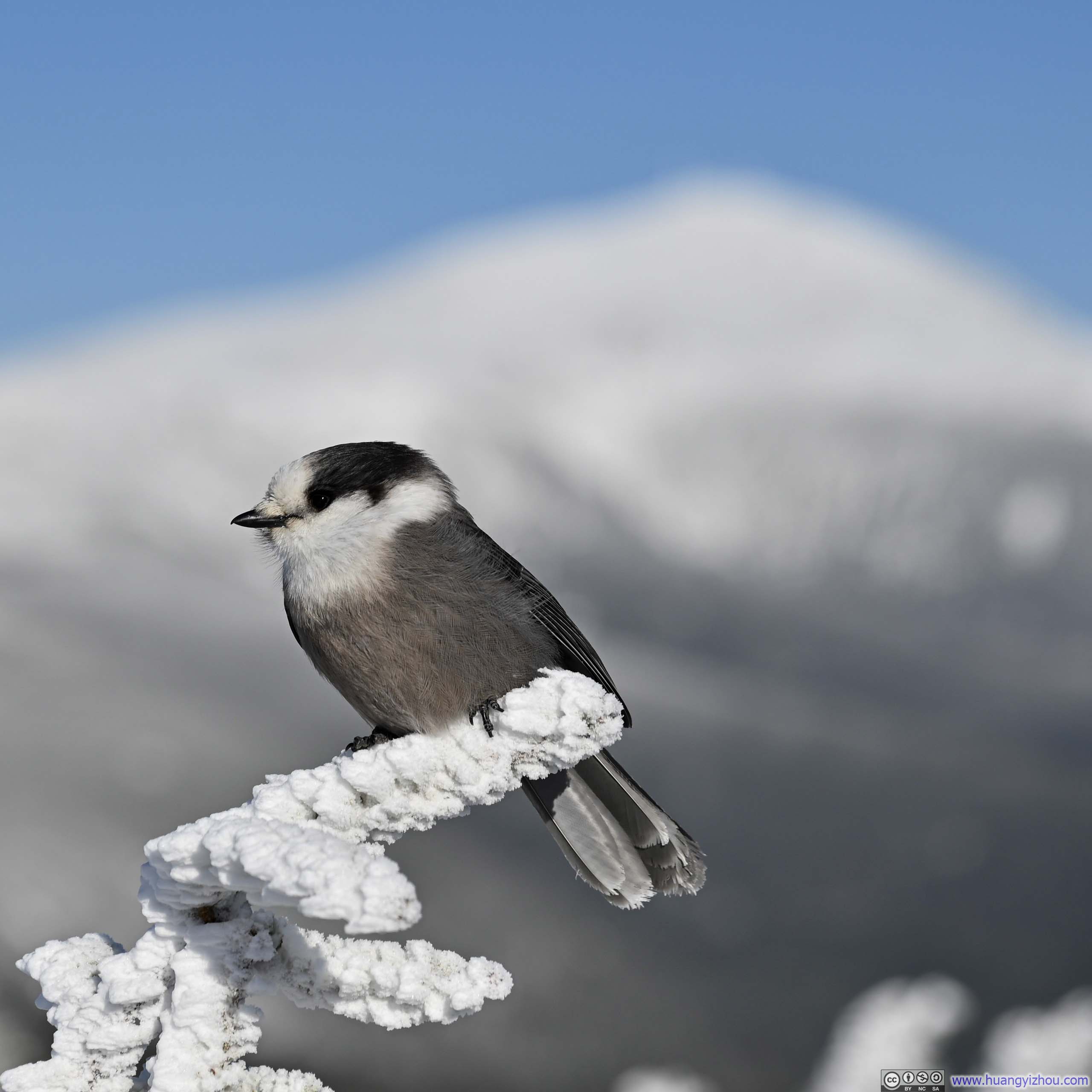
Apart from the two summits, the entire trail was in the woods and offered no views along the way. It took me about an hour and 50 minutes to reach the summit of Mt Jackson. Much to my delight, I encountered quite a few birds at the top, their presence adding welcome signs of life to an otherwise frigid winter scene. One of them (slideshow below) was particularly unabashed in front of my camera, striking various poses as if performing for the lens. (The others, however, were more interested in my trail mix. Though after a few waves of my hand, they quickly learned that I had no intention of sharing and went back to minding their own business.)
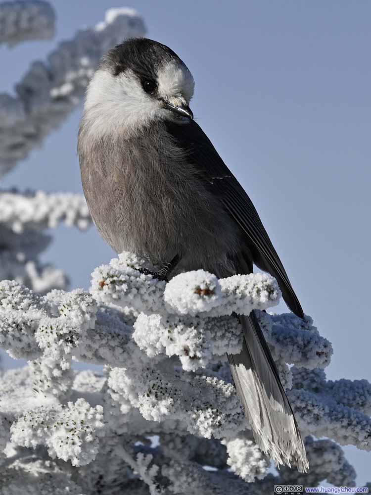 Gray Jay
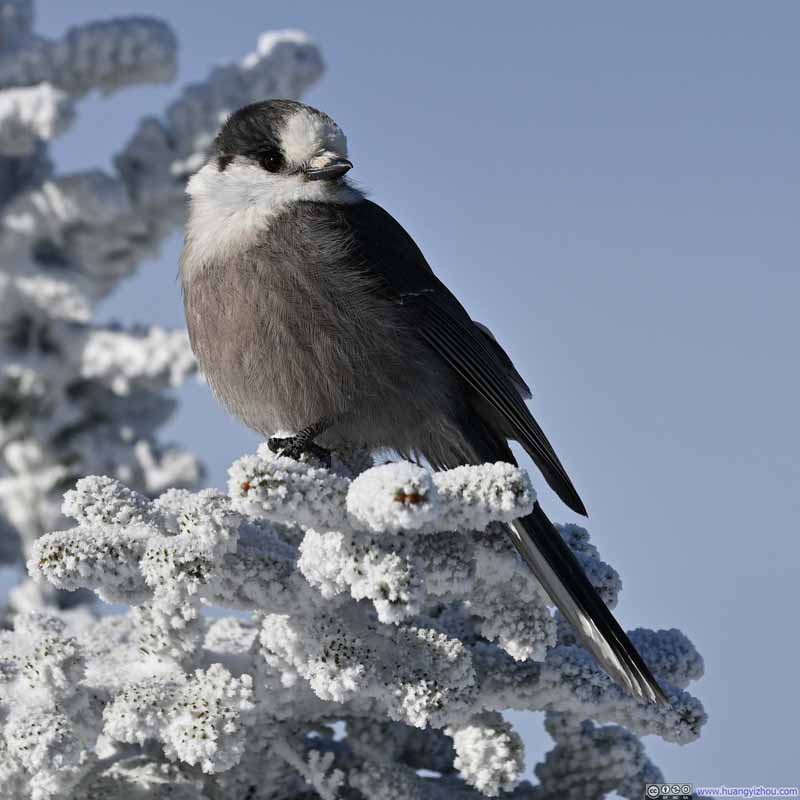 Gray Jay
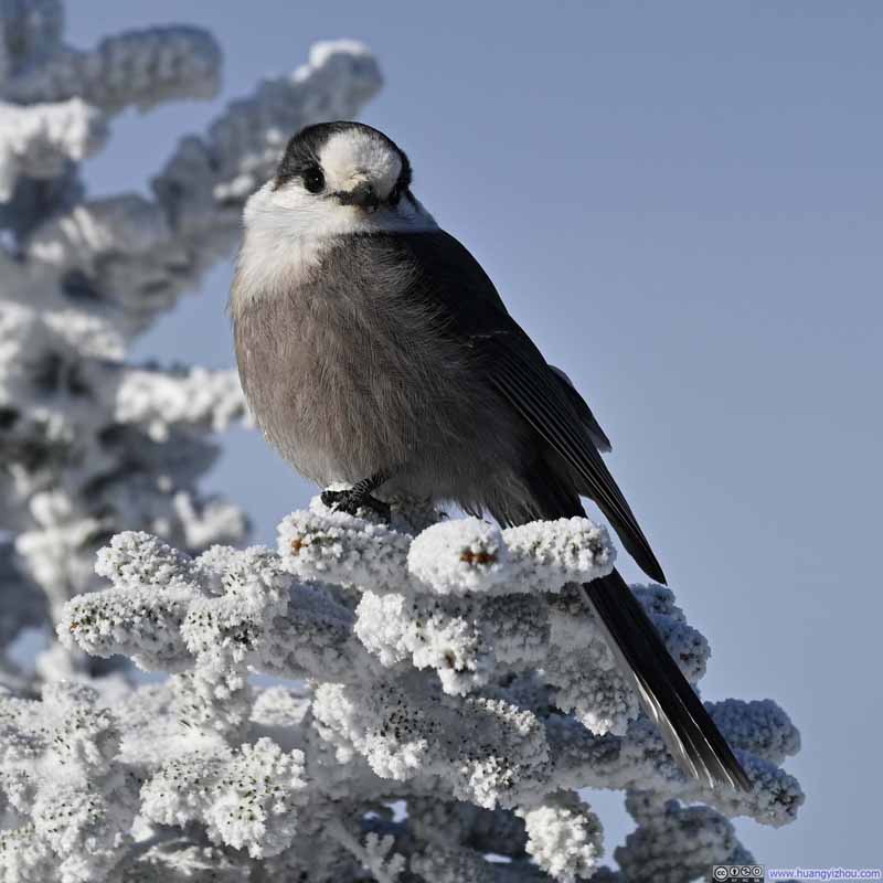 Gray Jay
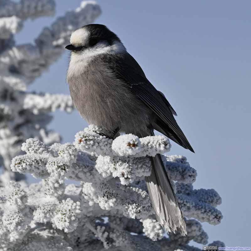 Gray Jay
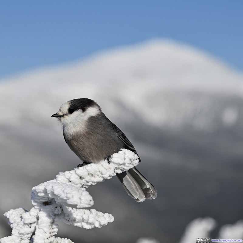 Gray JayAgainst the backdrop of Mt Washington.


Click here to display photos of the slideshow
Gray Jay

Gray Jay
Gray Jay
Gray Jay
Gray JayAgainst the backdrop of Mt Washington.
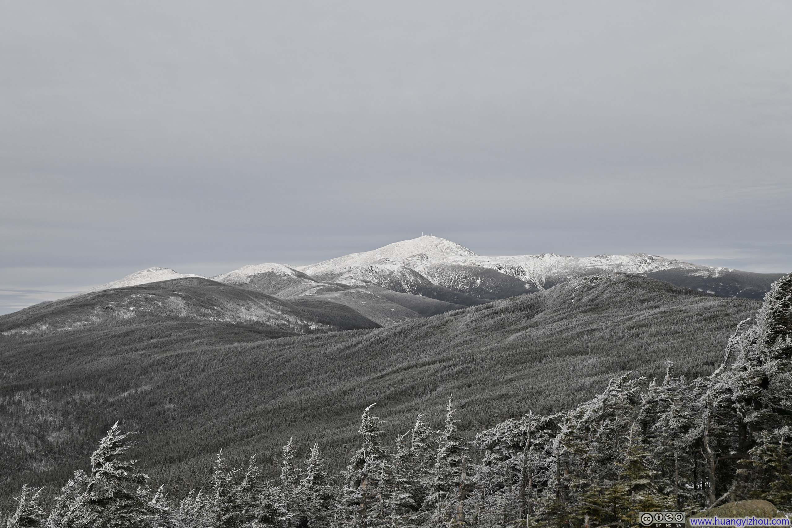
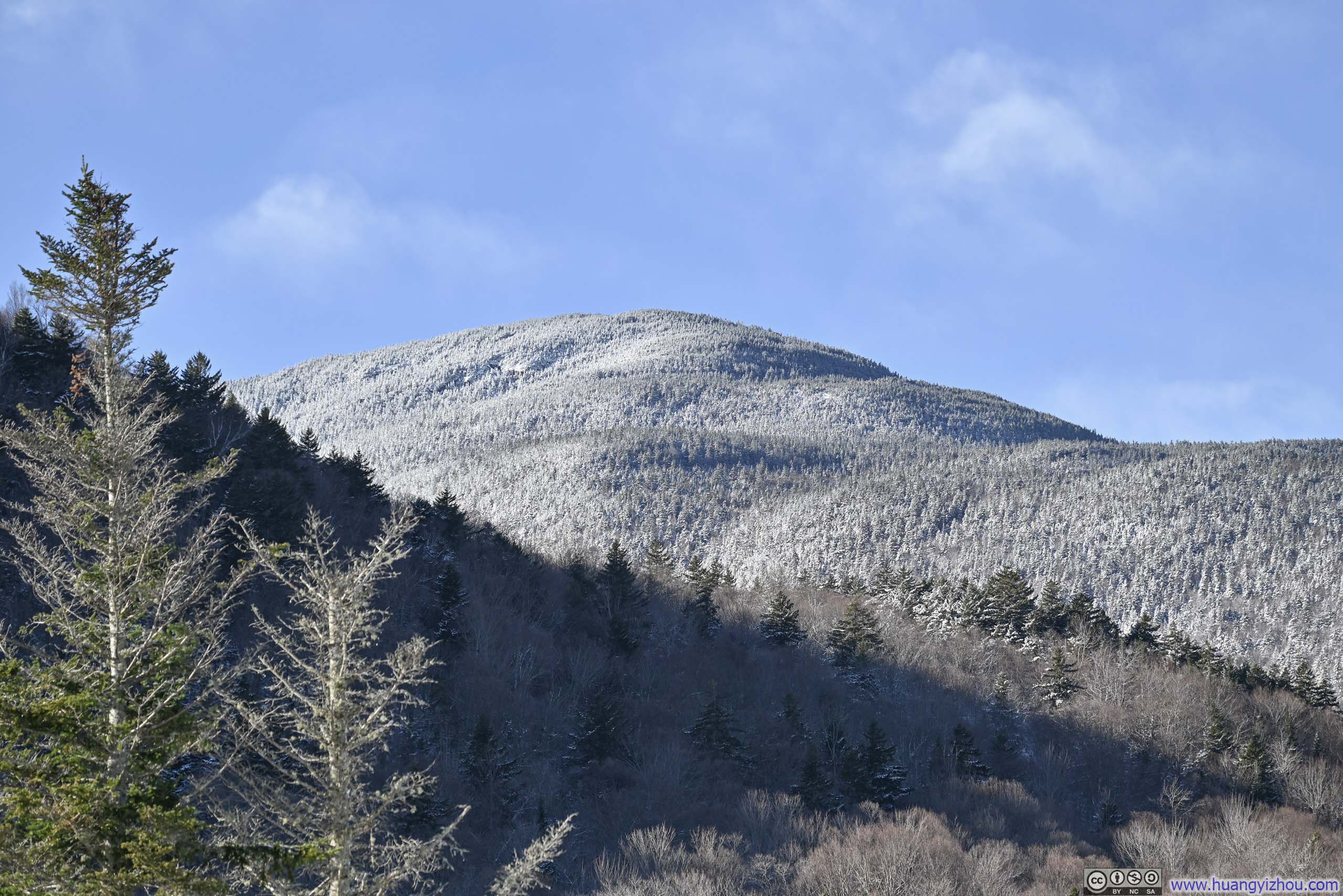
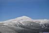
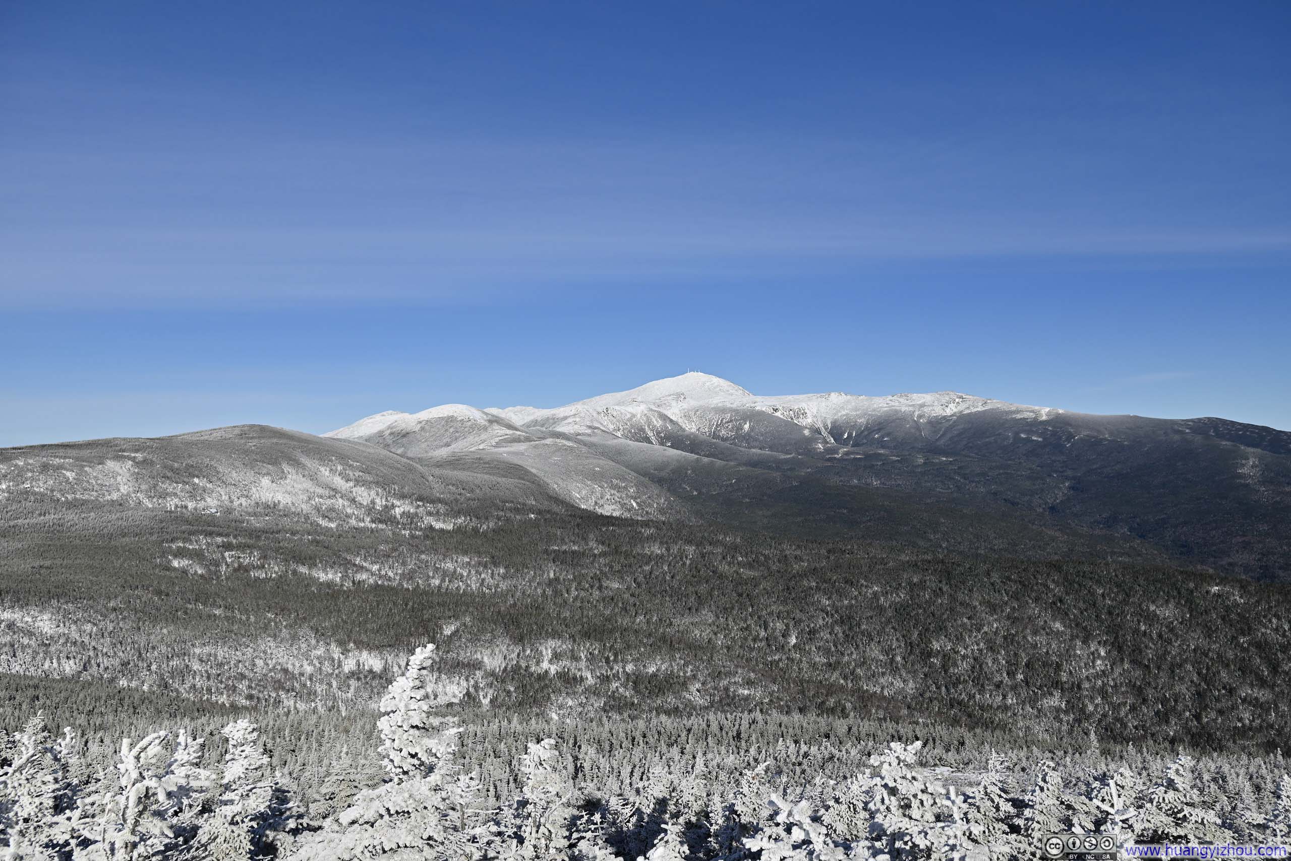
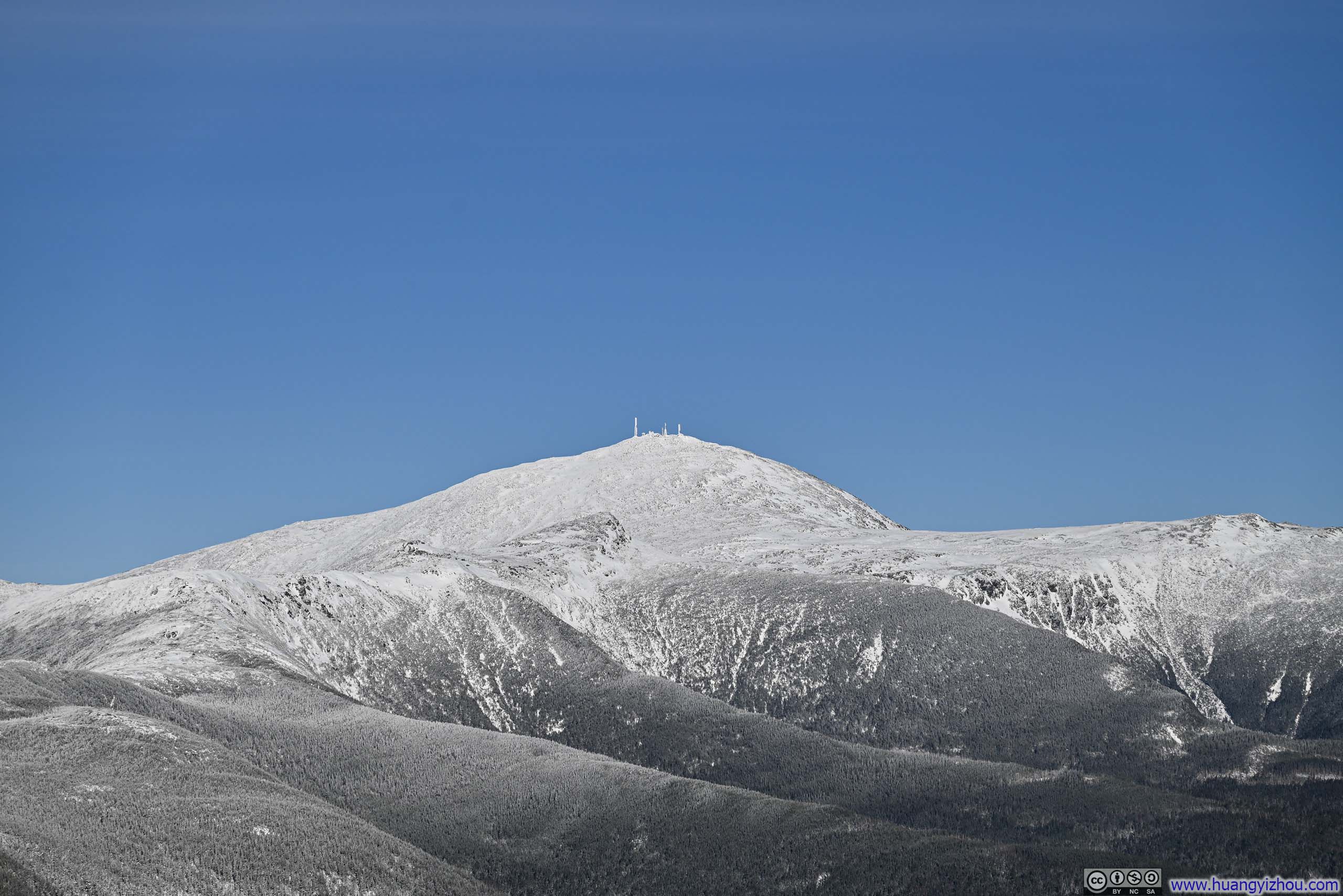
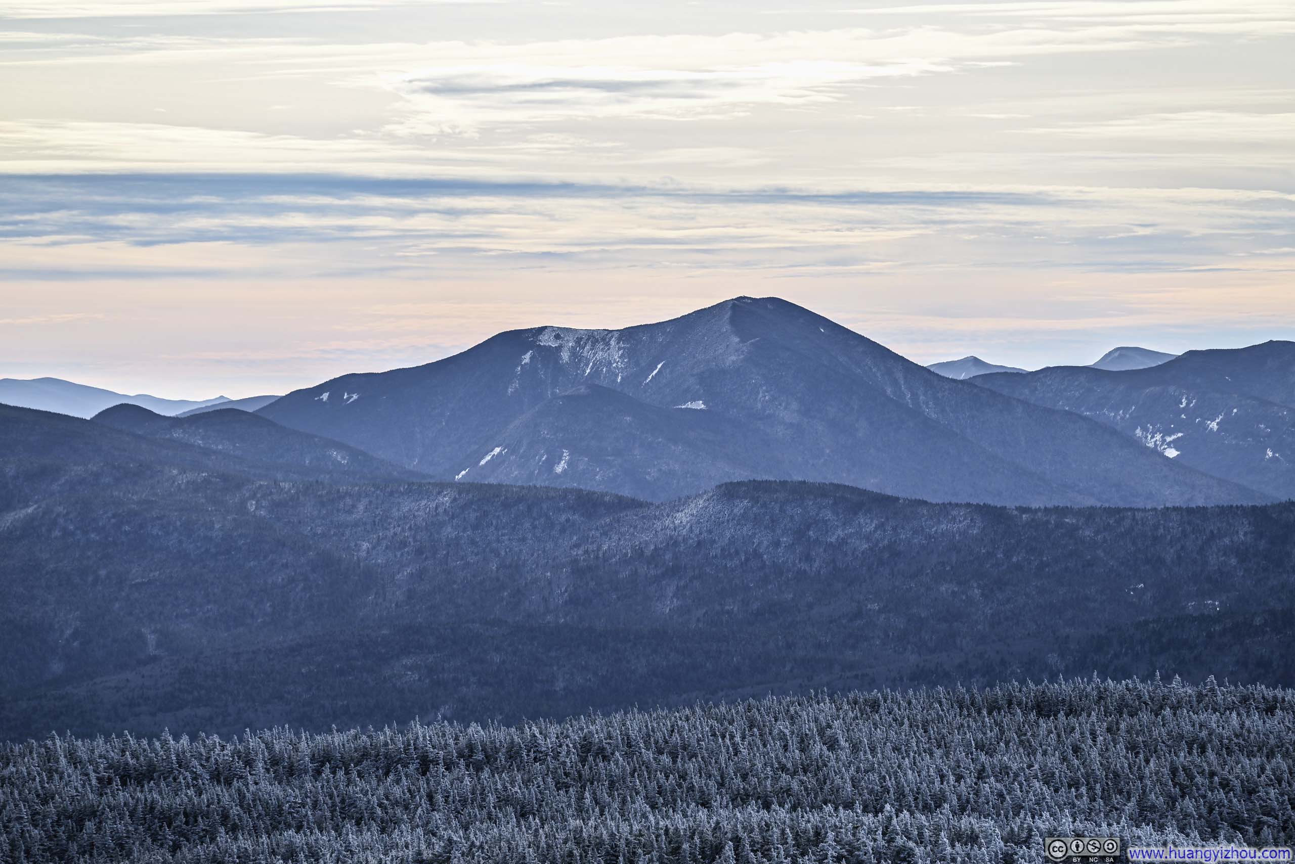
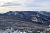
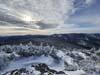
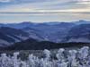
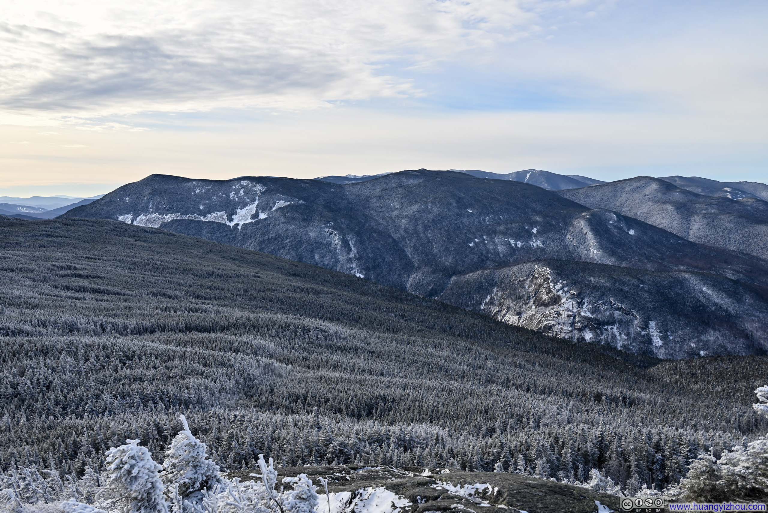
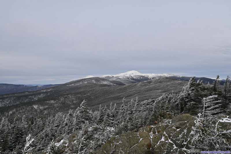
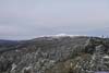
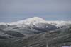
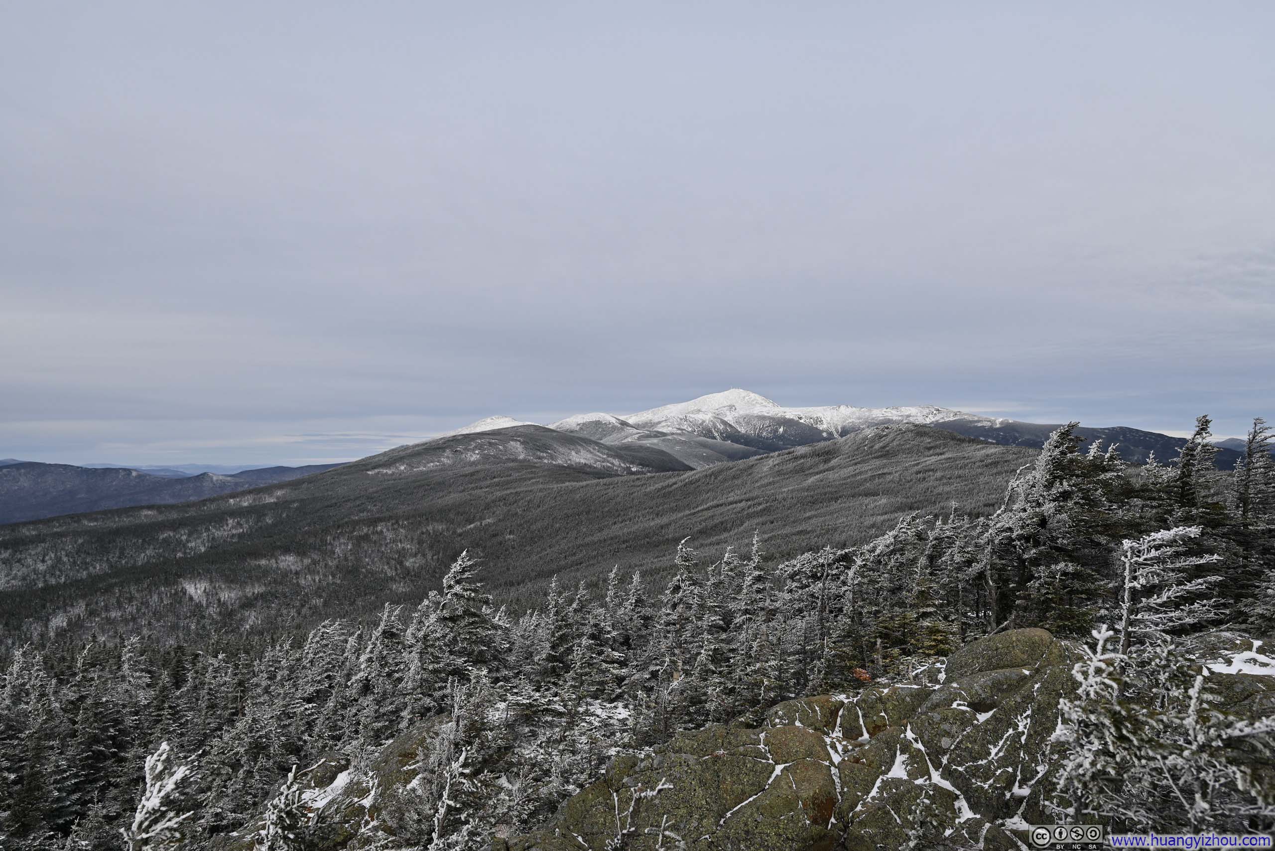
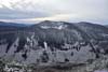
As for the views from Mt. Jackson, the most prominent feature was undoubtedly Mt Washington, soaring above its surrounding tree lines and wearing a pristine layer of white upon its crown. A few other peaks along the Presidential Range lined the ridgeline toward Mt Washington, though they were noticeably less imposing.
 Forests along Presidential Range
 Mt Washington
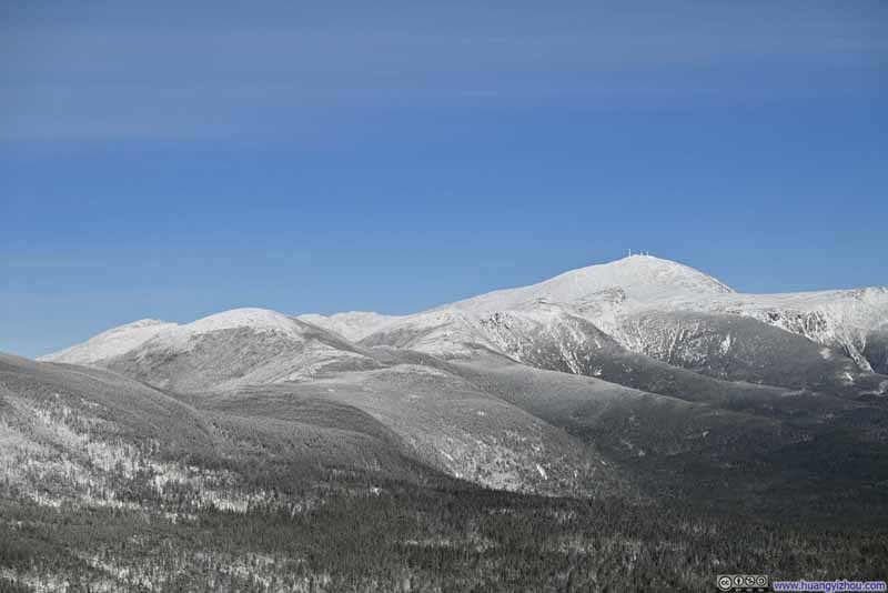 Snow-Covered Presidential Range
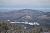
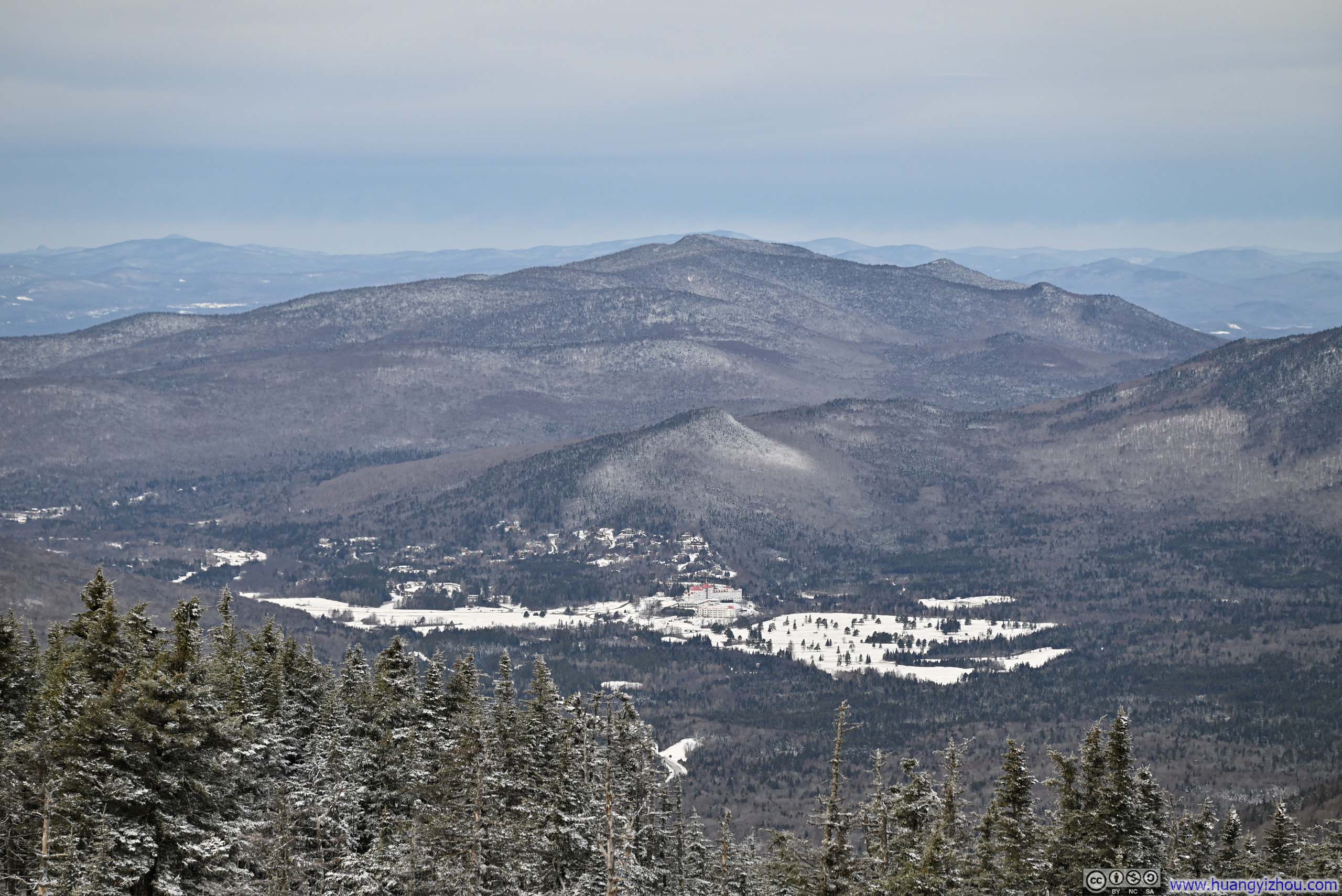
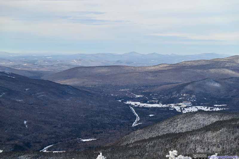 Bretton Woods
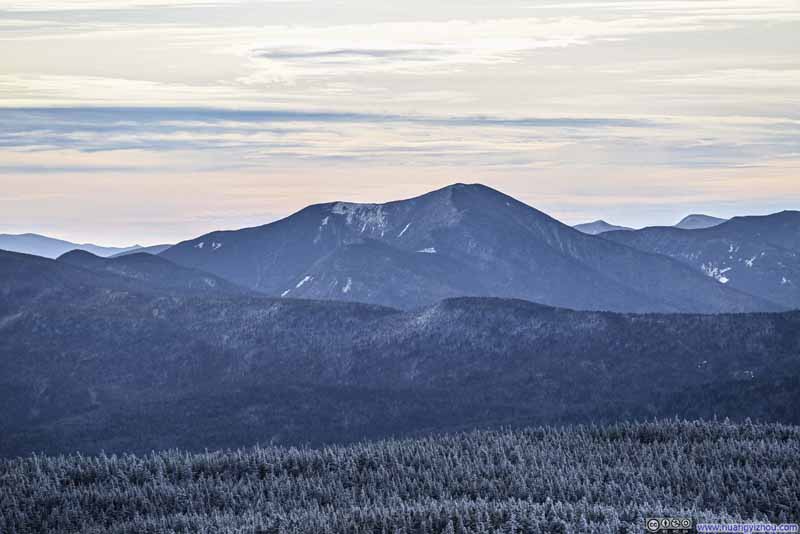 Mt Carrigan
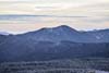
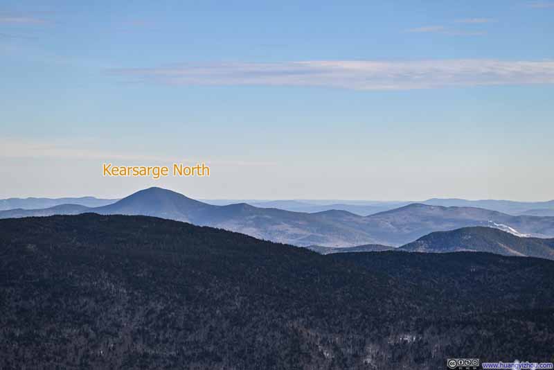 Mountains to the SoutheastIncluding Kearsarge North, which I visited earlier this year.

Click here to display photos of the slideshow
Forests along Presidential Range
Mt Washington
Snow-Covered Presidential Range
Bretton Woods
Mt Carrigan

Mountains to the SoutheastIncluding Kearsarge North, which I visited earlier this year.
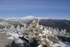
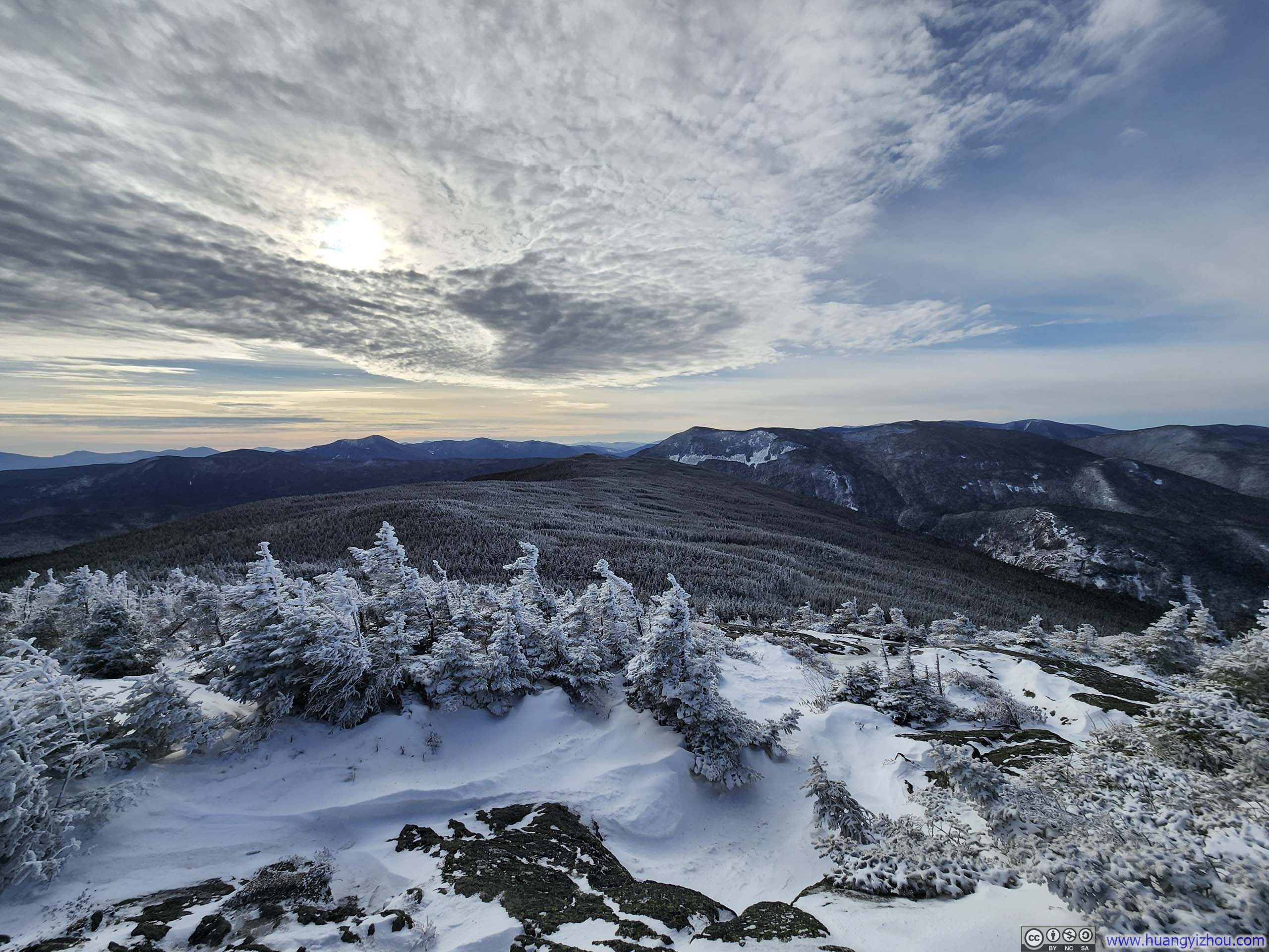
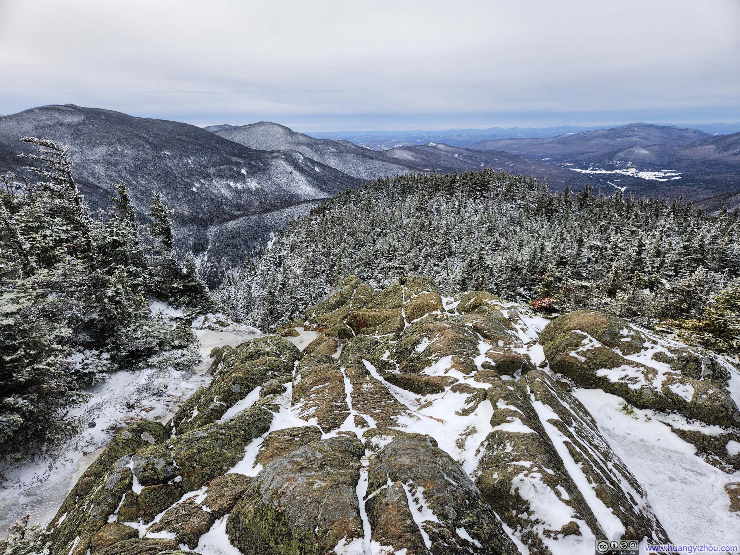
The summit of Mt Jackson was somewhat wooded, so one had to wander around to find clearings among the vegetation to fully soak in the views. Even so, the vistas to the south remained largely obstructed, and I would describe the summit as offering approximately 270 degrees of views.
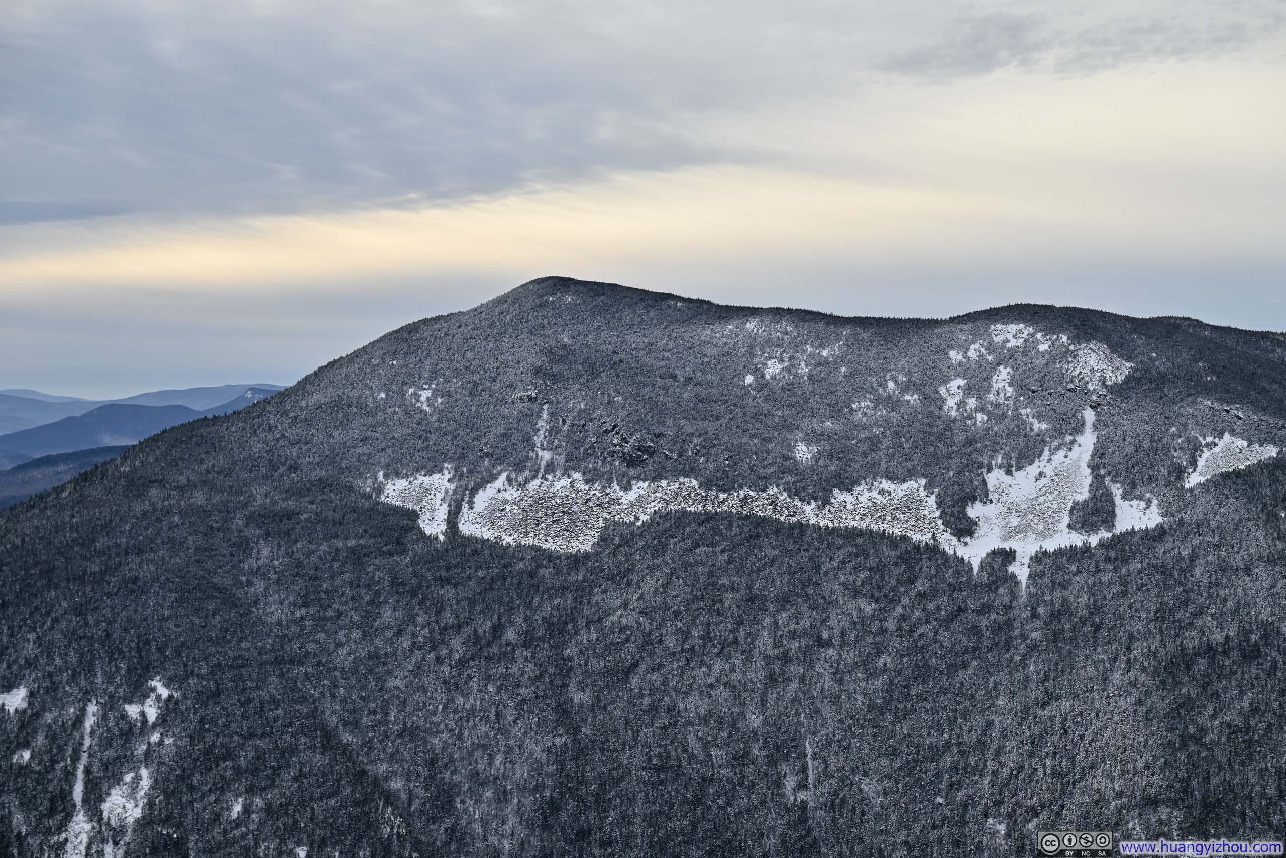
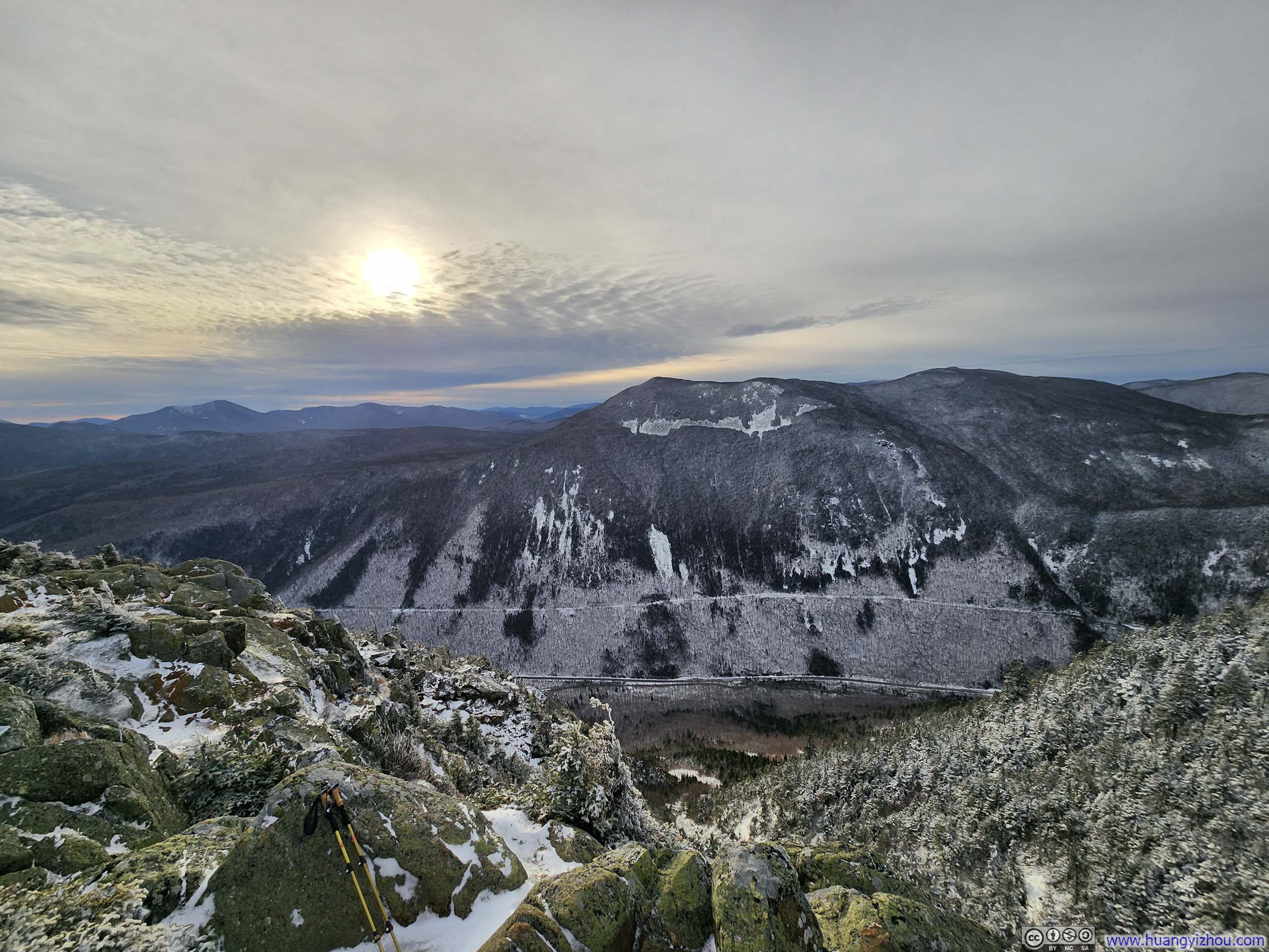
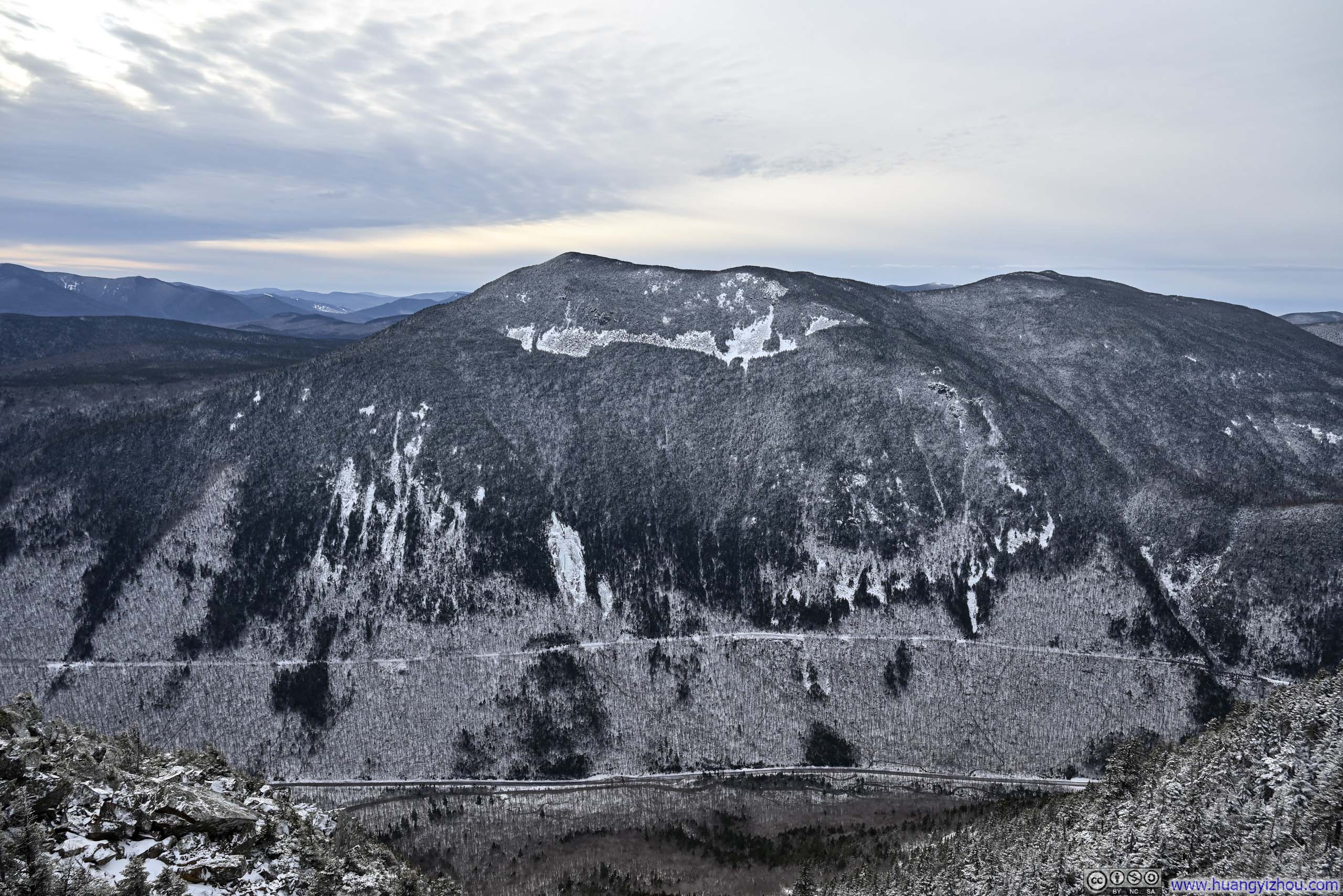
 Mt Willey across Crawford Notch
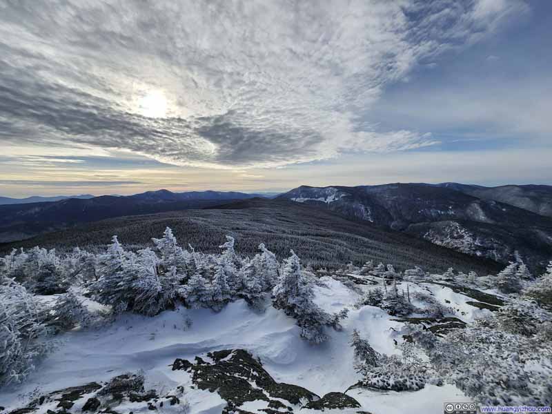 Mountains to the West
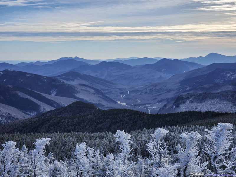 Mountains to the South
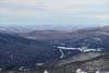
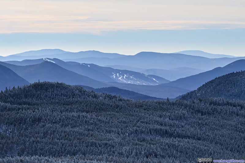 Loon Ski Resort beyond Kancamagus Pass
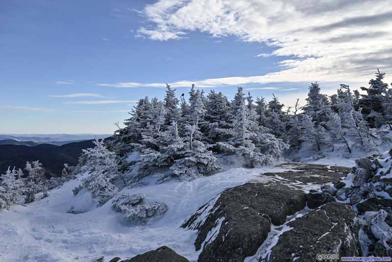 Snow-Covered Shrubs on Mt Jackson
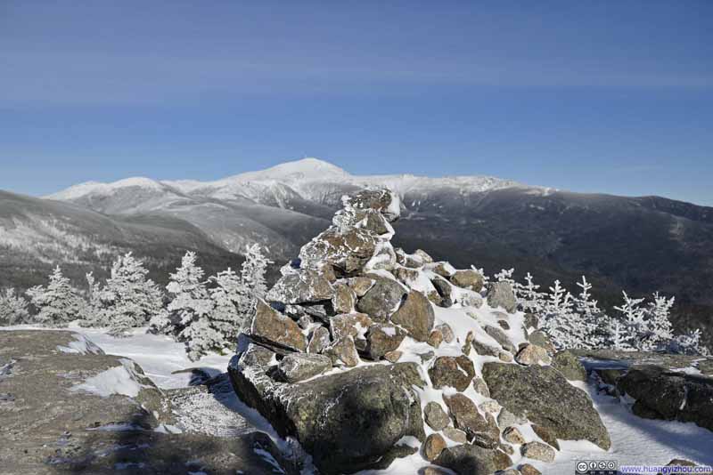 Cairn on Mt Jackson
Click here to display photos of the slideshow
Mt Willey across Crawford Notch
Mountains to the West

Mountains to the South
Loon Ski Resort beyond Kancamagus Pass

Snow-Covered Shrubs on Mt Jackson

Cairn on Mt Jackson
Here’s a quick video from Mt Jackson:
10 seconds, 2160p60fps, H265 only, 20Mbps/27MB file size.
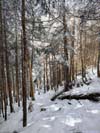
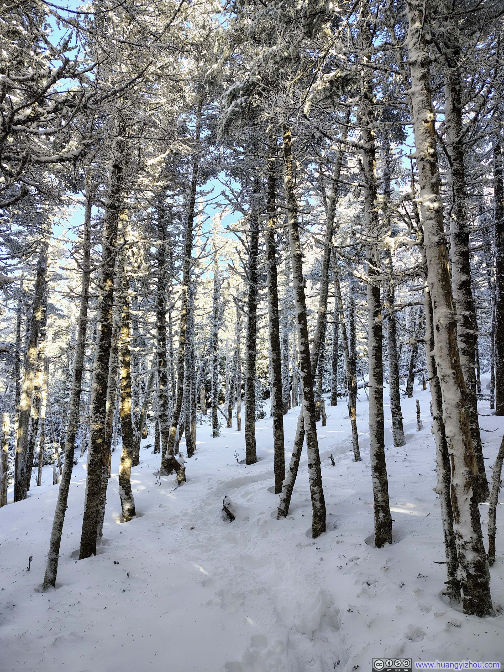
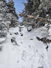
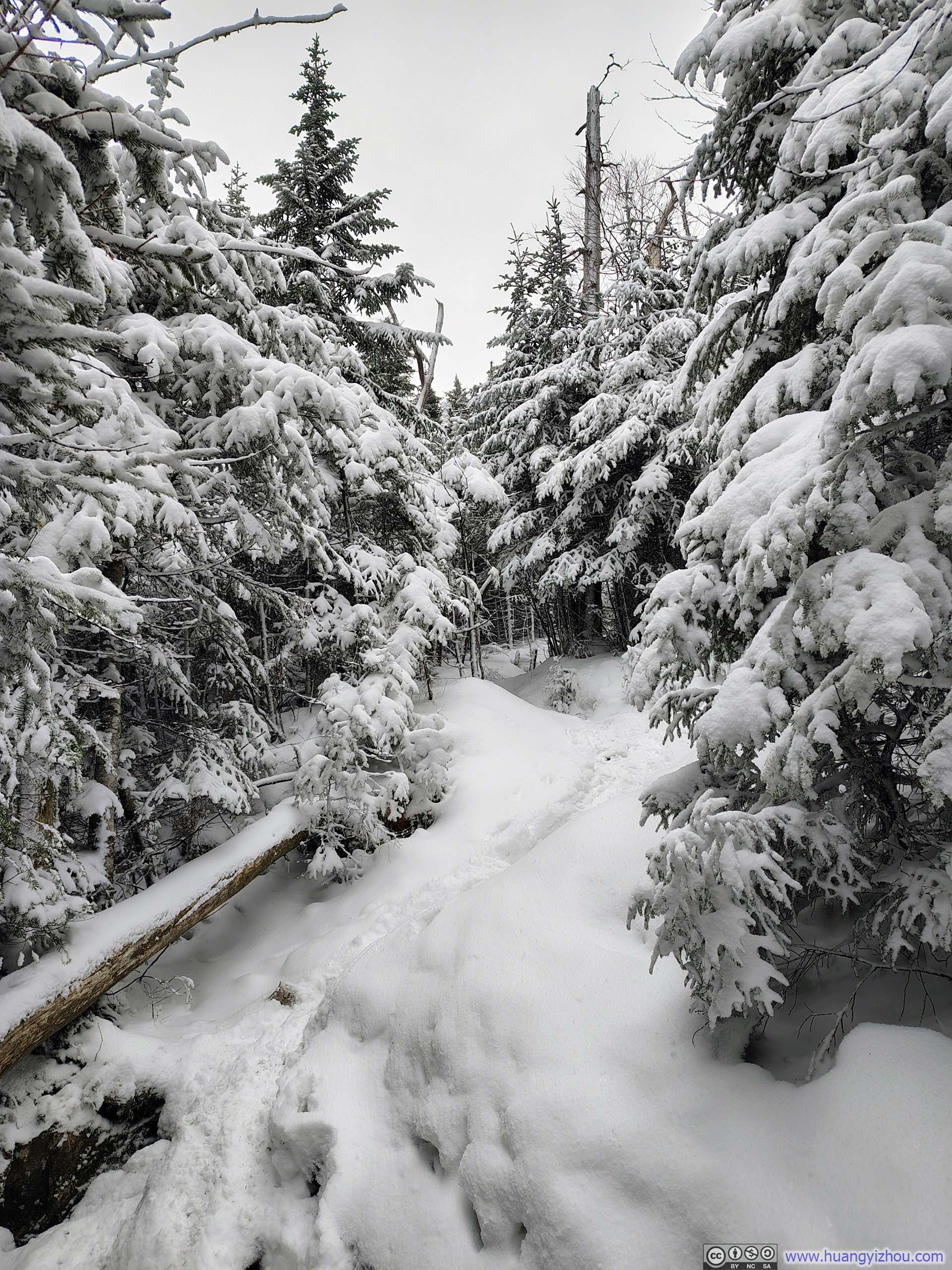
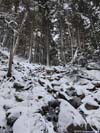
As is consistent with my previous winter hikes, once I reached the summit and stopped moving, my body began losing heat rapidly — so I spent only about 20 minutes atop Mt Jackson before continuing on to Mt Webster. The descent from Mt Jackson began with one particularly steep section, after which the trail became noticeably less packed, and I found myself postholing frequently. Snowshoes were likely the better choice for this stretch, if I was willing to carry their burden for the entire trip.
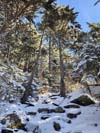
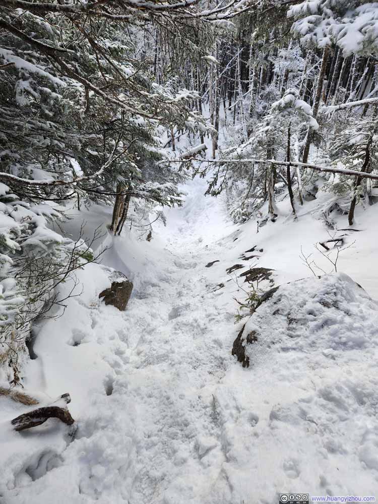 Steep Trail
 Steep Trail
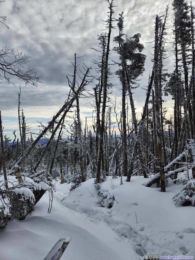 Trail
Trail Trail
Trail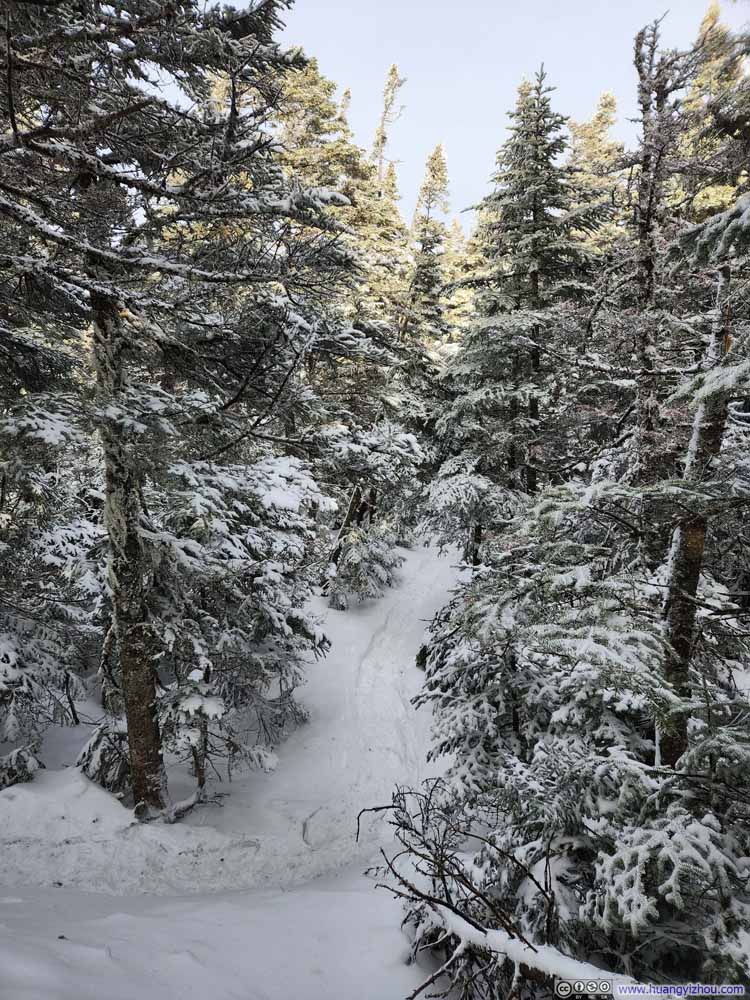 Trail
Trail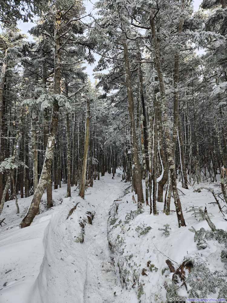 Trail
Trail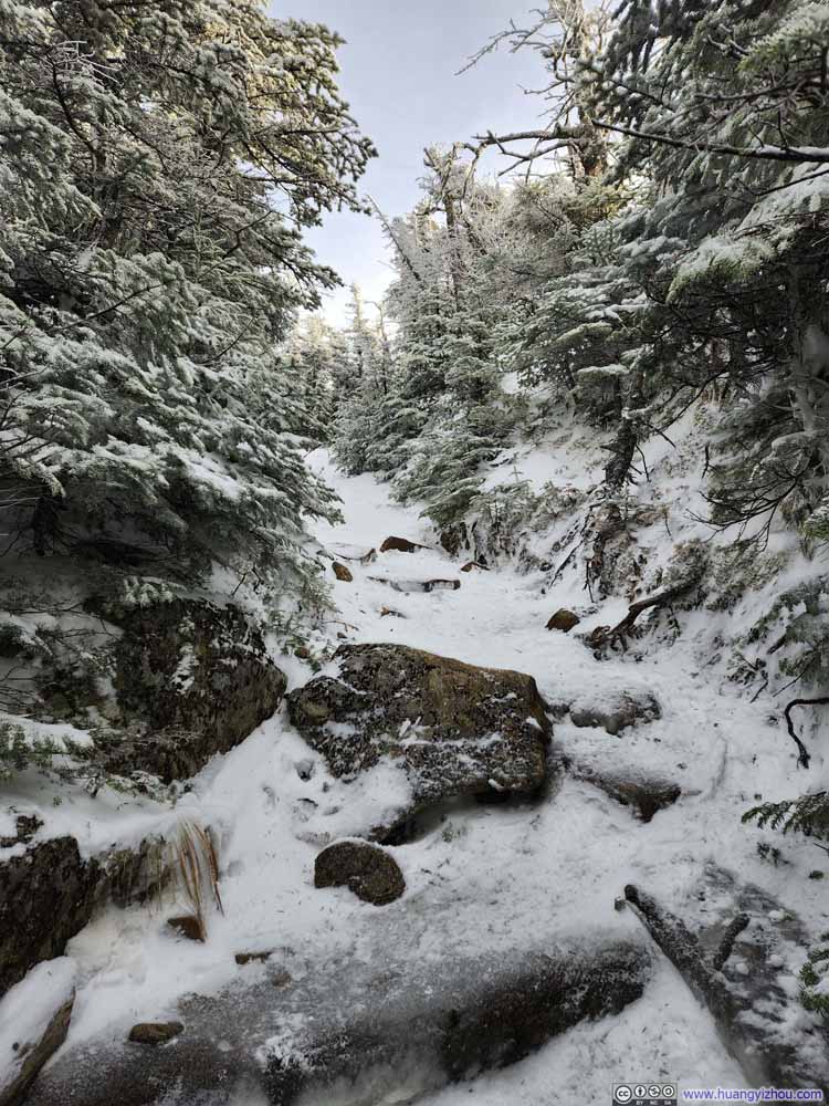 Trail
Trail
Click here to display photos of the slideshow
Steep Trail

Steep Trail
Trail
Trail
Trail
Trail
Trail
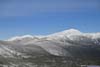
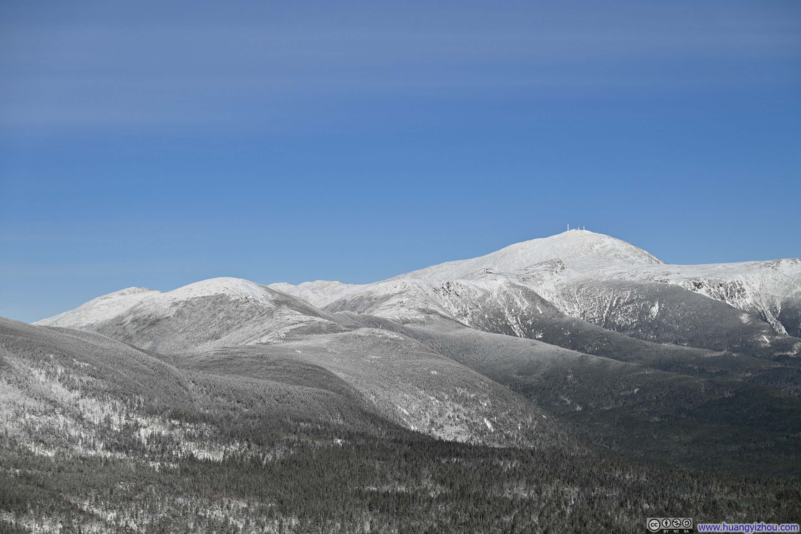
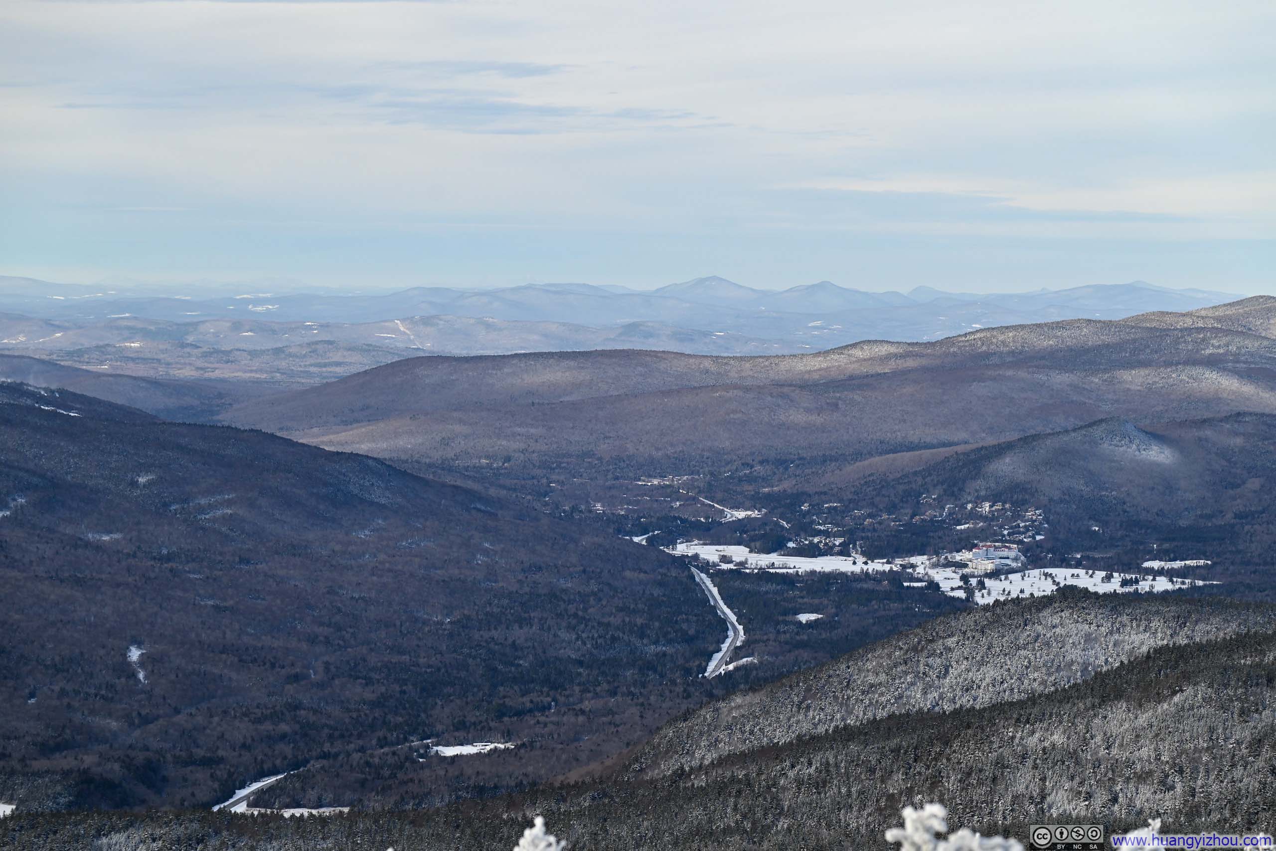
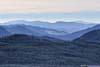
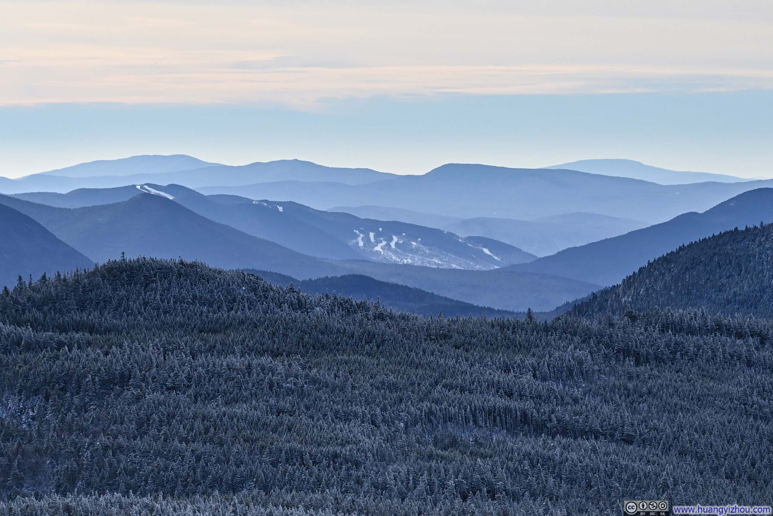
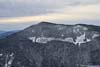
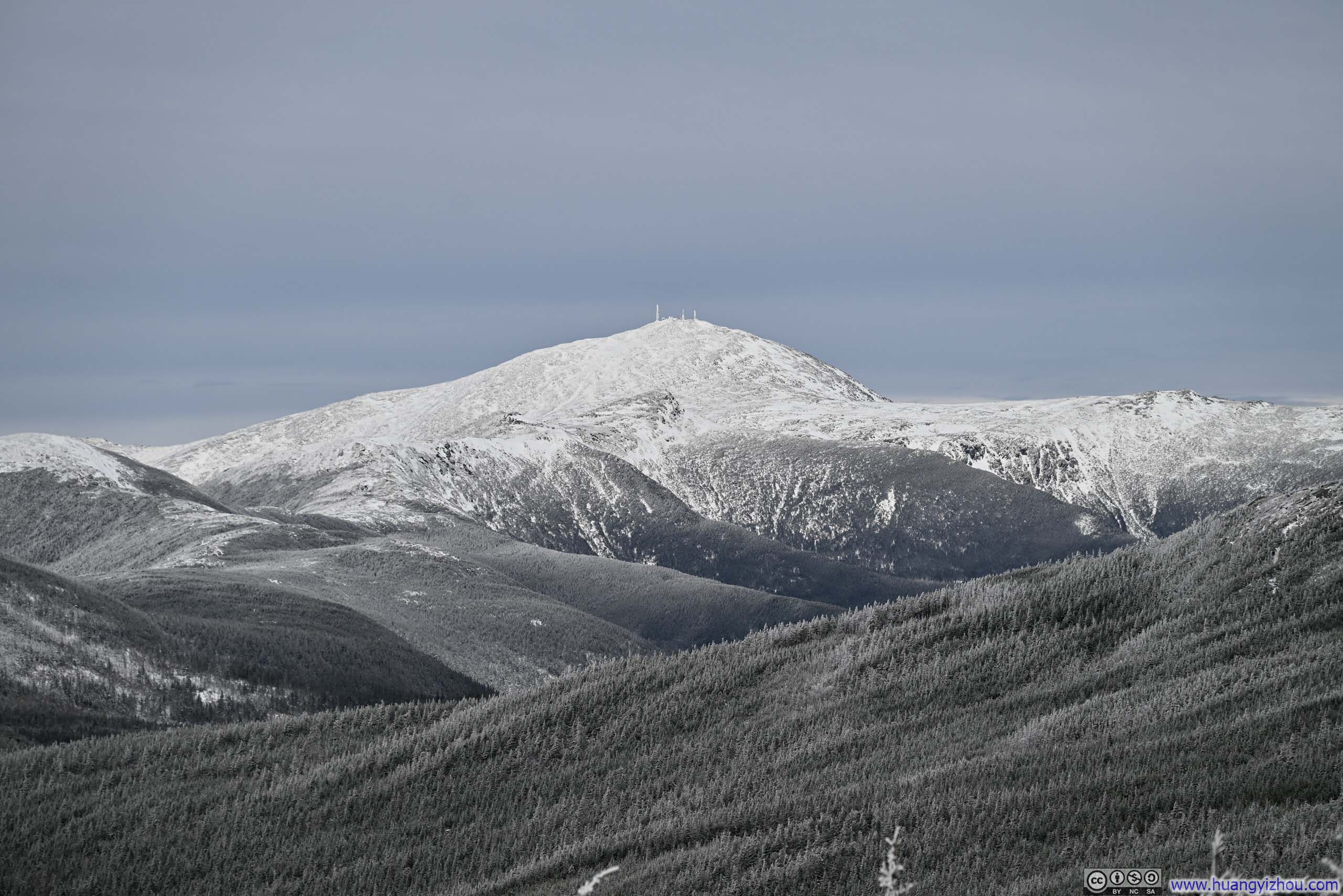
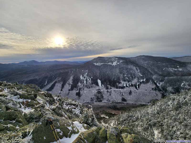
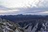
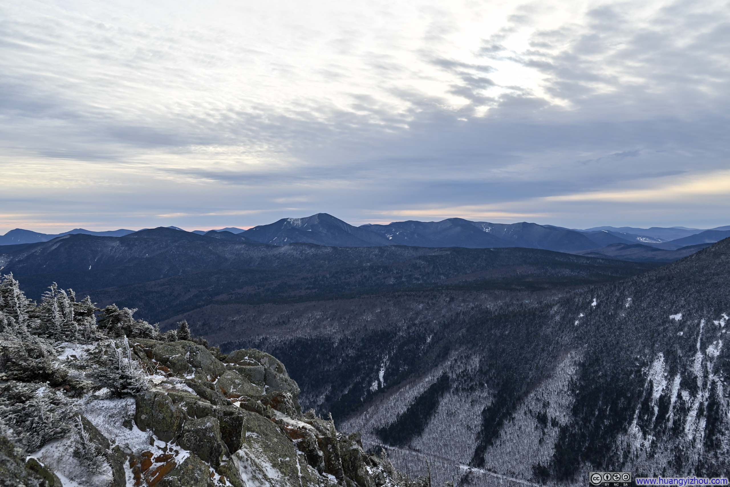
Just over an hour after leaving Mt Jackson, I reached Mt Webster. Unlike its neighbor, Mt Webster offered about 180-degree of views. The most prominent view was without question, still Mt Washington itself. The mountain now loomed against a thickened, grey and rather solemn sky, lending it an air of quiet drama. Mt Webster’s position directly overlooking Crawford Notch further enriched the scene, affording a striking view of the steep cliffs that flanked the notch below and adding a certain intensity to the already commanding landscape.
 Mt Washington from Mt Webster
 Mt Washington
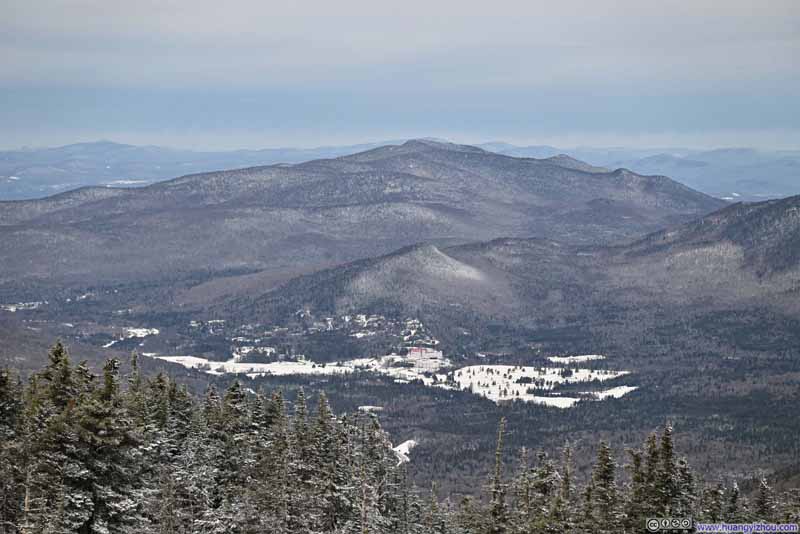 Bretton Woods Resort
 Mt Willey
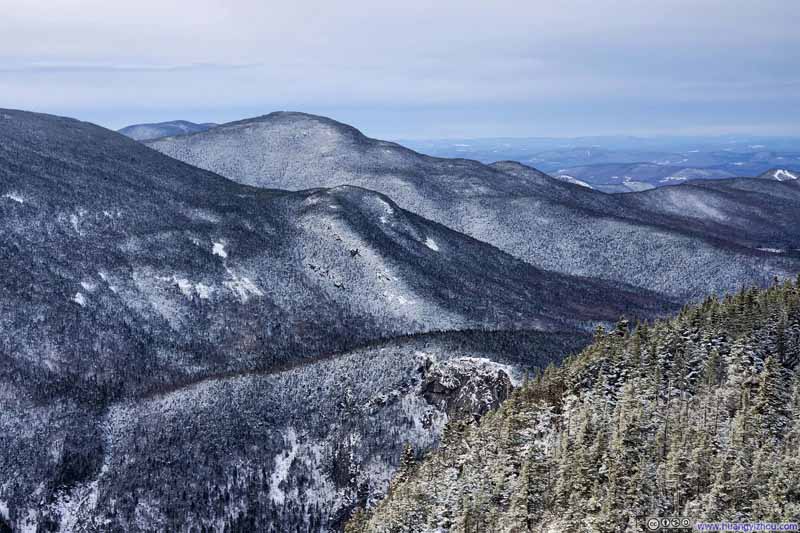 Mountains to the WestTop to down: Mt Tom, Mt Avalon and Mt Willard
 Mt Carrigan
Click here to display photos from Mount Webster.
Mt Washington from Mt Webster
Mt Washington
Bretton Woods Resort
Mt Willey

Mountains to the WestTop to down: Mt Tom, Mt Avalon and Mt Willard

Mt Carrigan
 Mt Willey across Crawford Notch
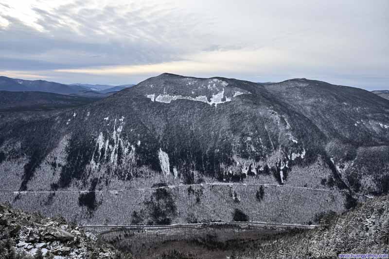 Mt Willey across Crawford Notch
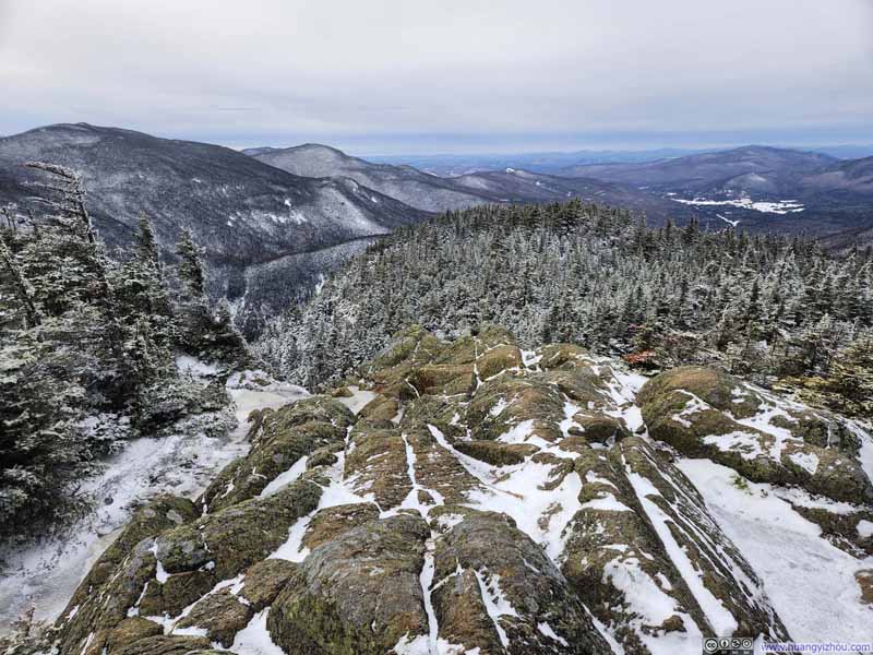 Mt Webster Summit
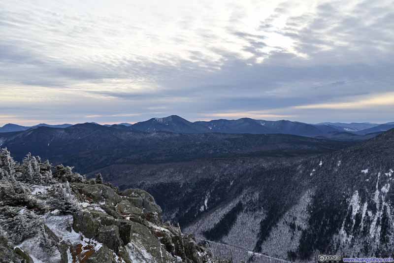 Mountains to the Southwest
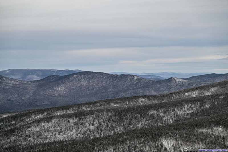 Mountains to the NorthMt Dartmouth in the center.
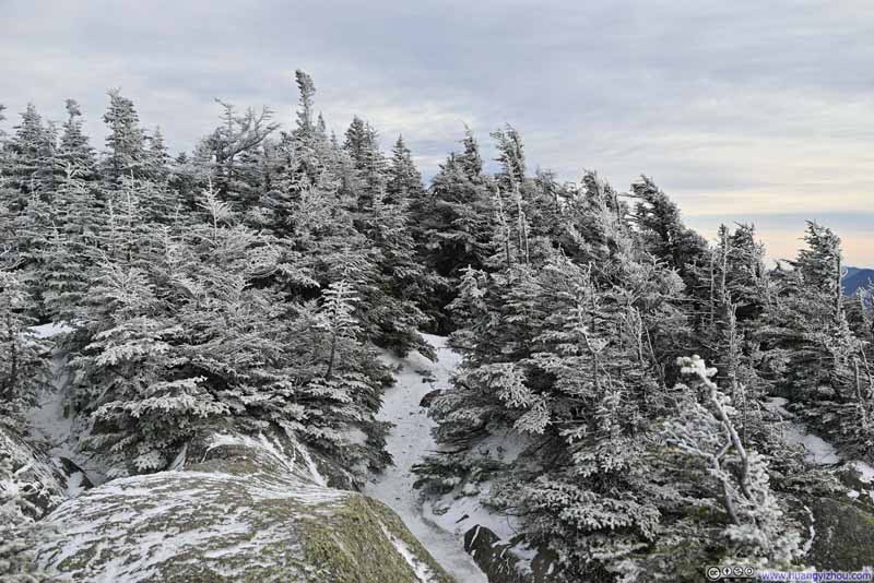 Path on Mt Webster


Click here to display photos from Mount Webster.
Mt Willey across Crawford Notch
Mt Willey across Crawford Notch
Mt Webster Summit
Mountains to the Southwest
Mountains to the NorthMt Dartmouth in the center.
Path on Mt Webster
View from Mt Webster
Here’s a video from Mt Webster:
16 seconds, 2160p60fps, H265 only, 20Mbps/44MB file size.
The weather forecast had warned of winds picking up again through the afternoon, and I felt every bit of that on Mt Webster. After some 20 minutes on the summit — all I could reasonably endure in such biting conditions — I began my descent at 2:40pm, some 90 minutes before sunset. Already, faint traces of pink were beginning to line the western horizon, a gentle reminder that the day was drawing a close.
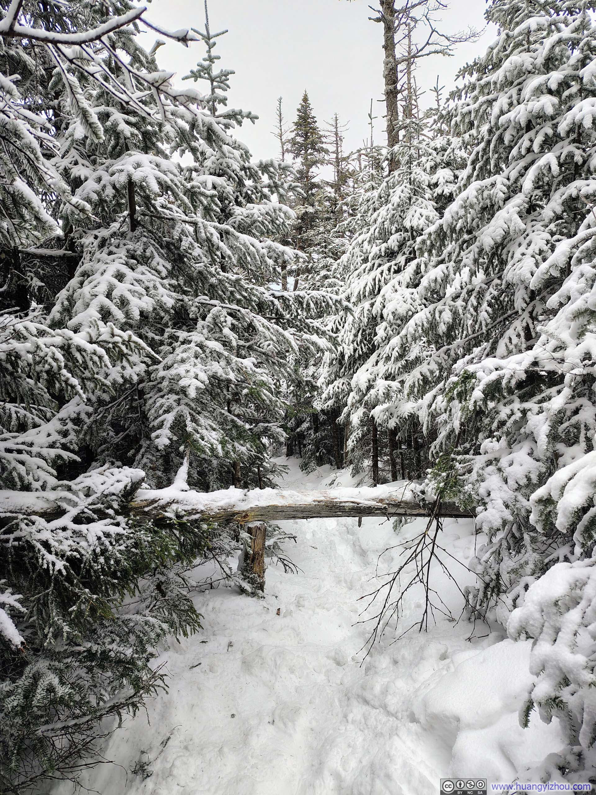
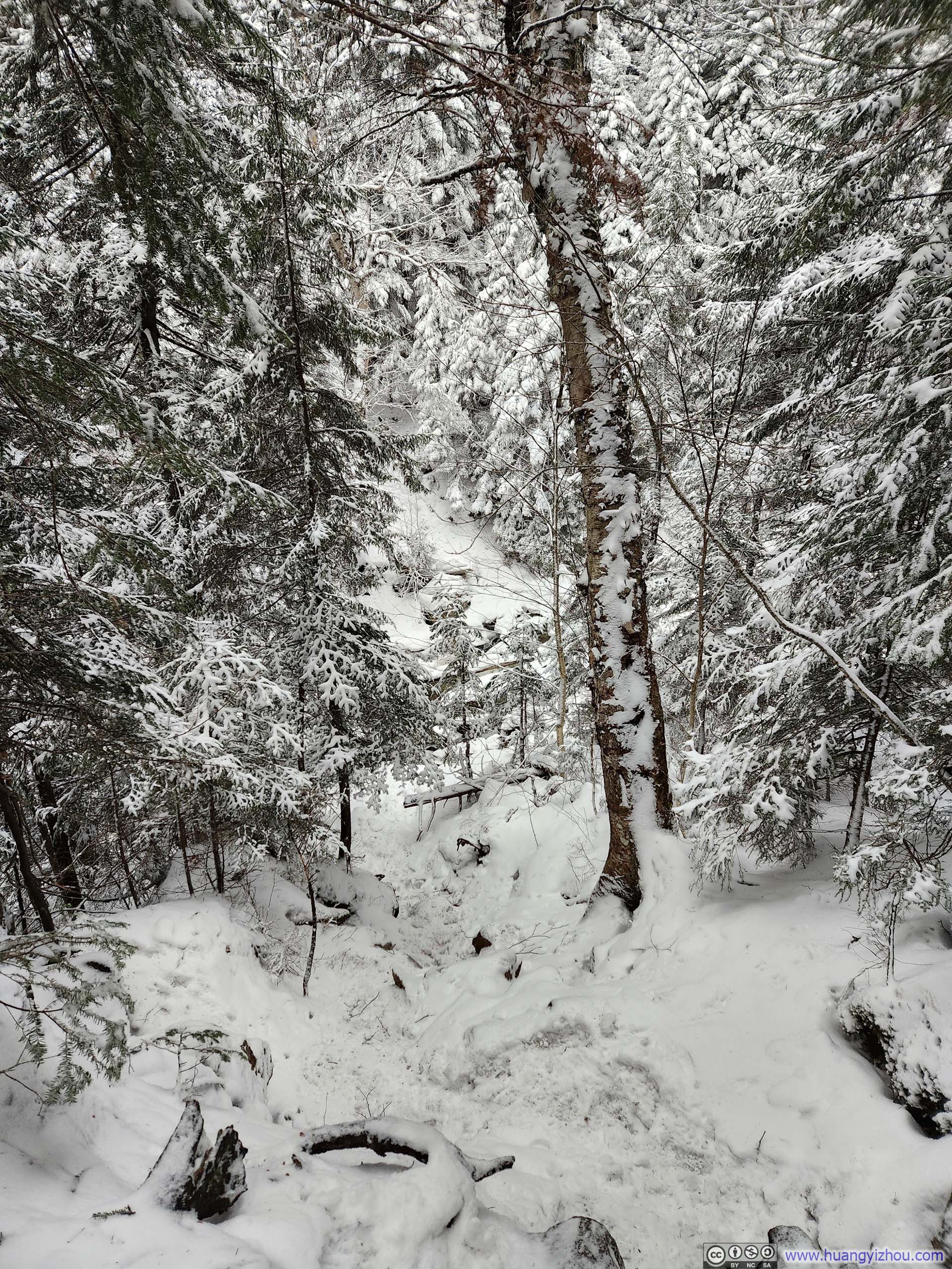
 Trail
Trail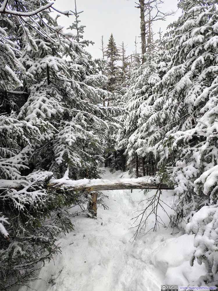 Obstacle Along Trail
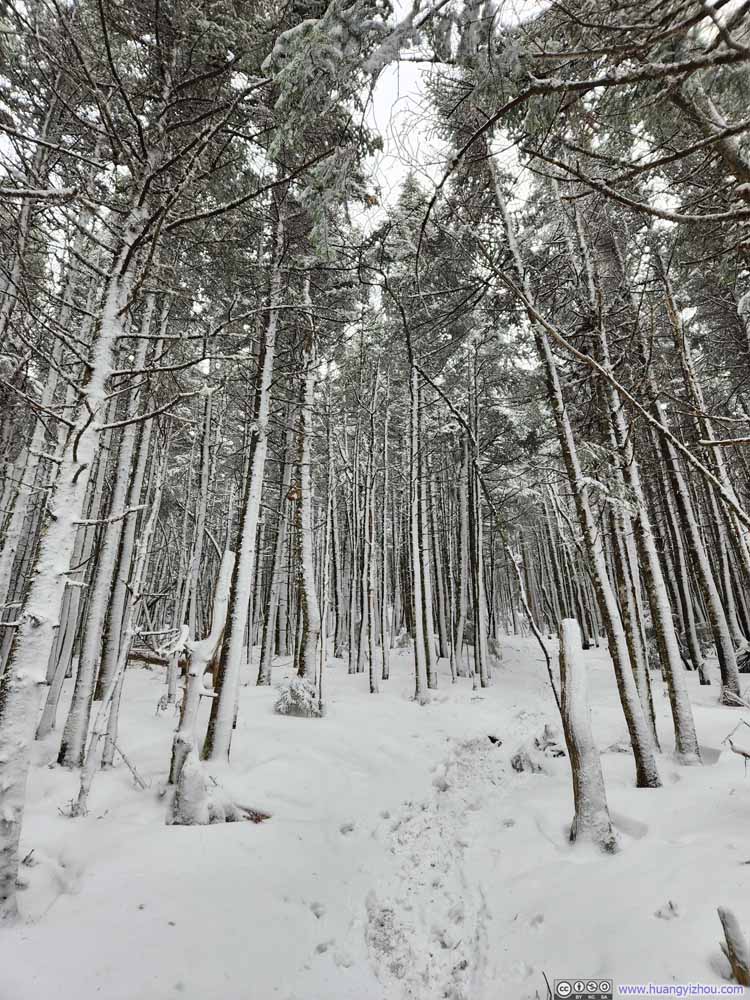 Trail
Trail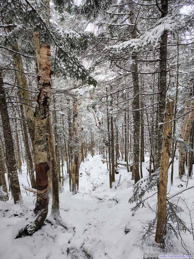 Trail
Trail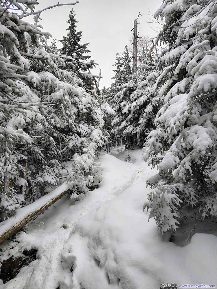 Trail
Trail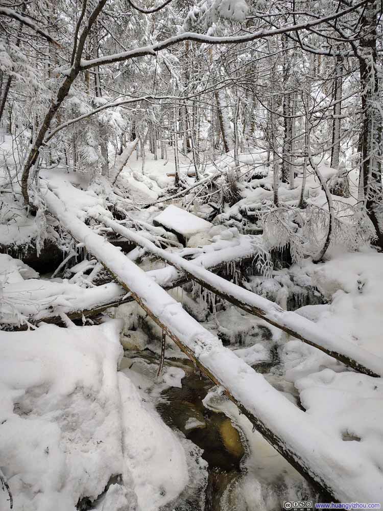 Creek
Creek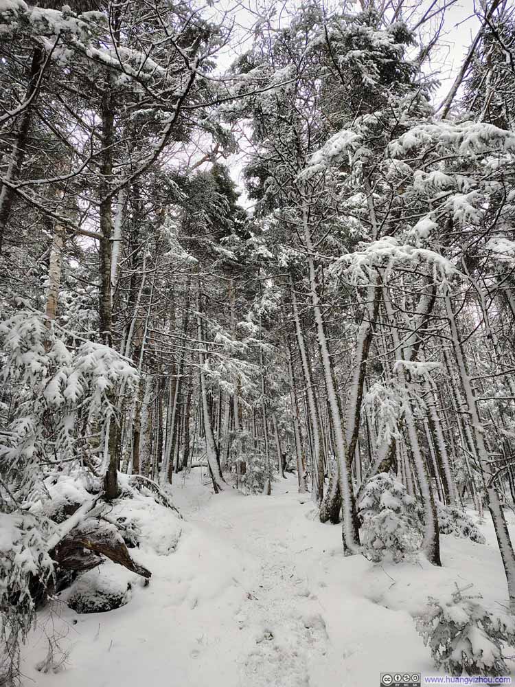 Trail
Trail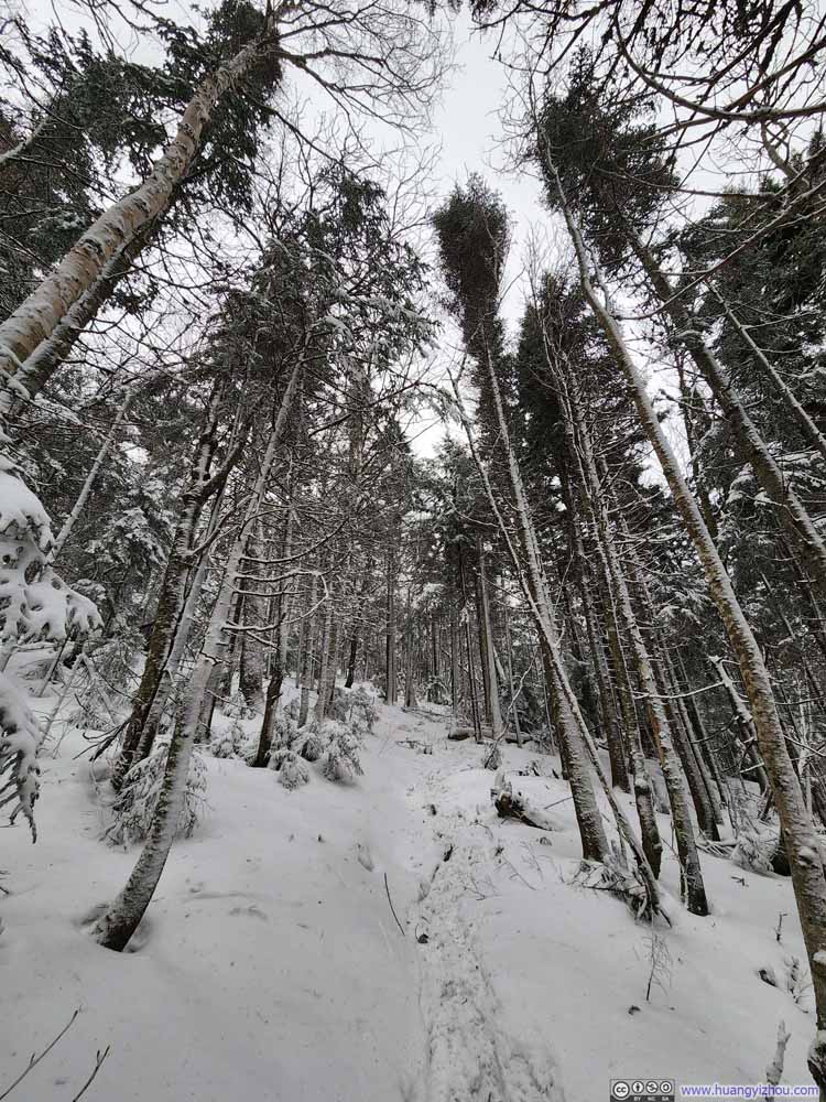 Trail
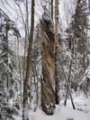
Trail Twisted Trunk
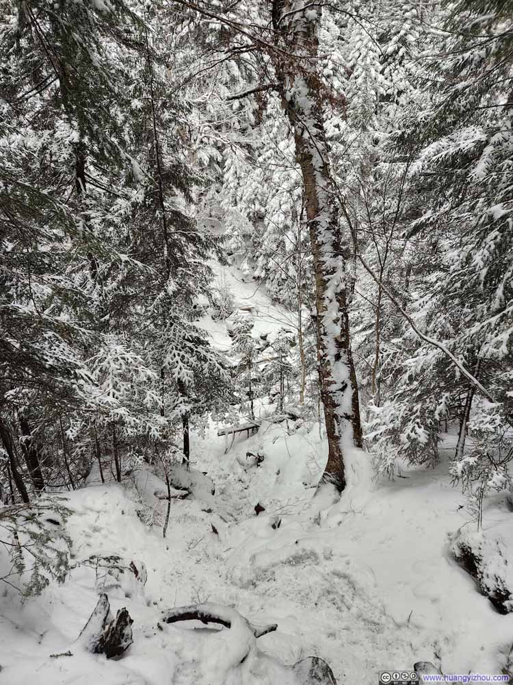 Steep Trail
Click here to display photos of the slideshow
Trail
Obstacle Along Trail

Trail
Trail
Trail
Creek
Trail
Trail
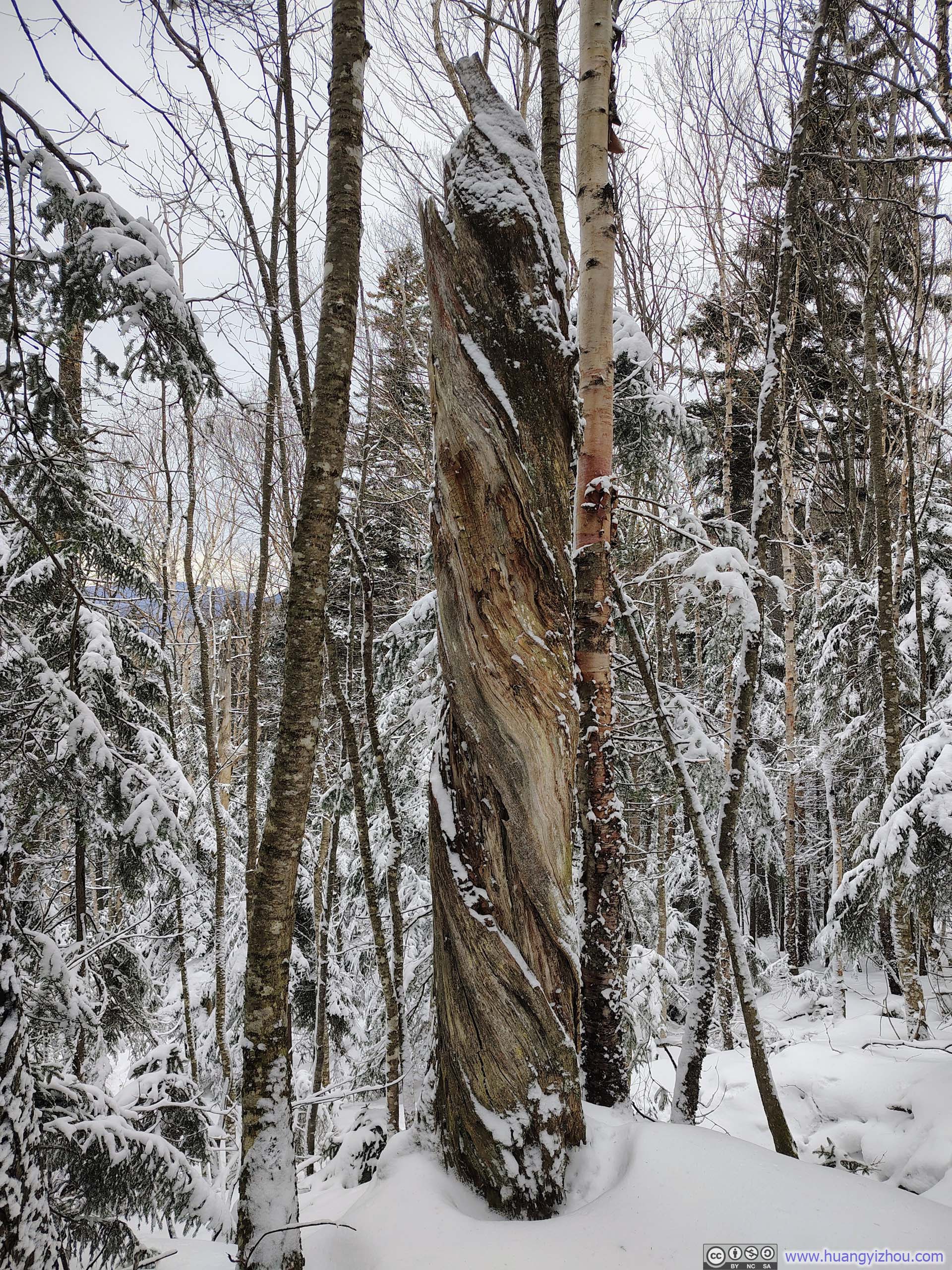
Twisted Trunk
Steep Trail
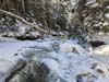
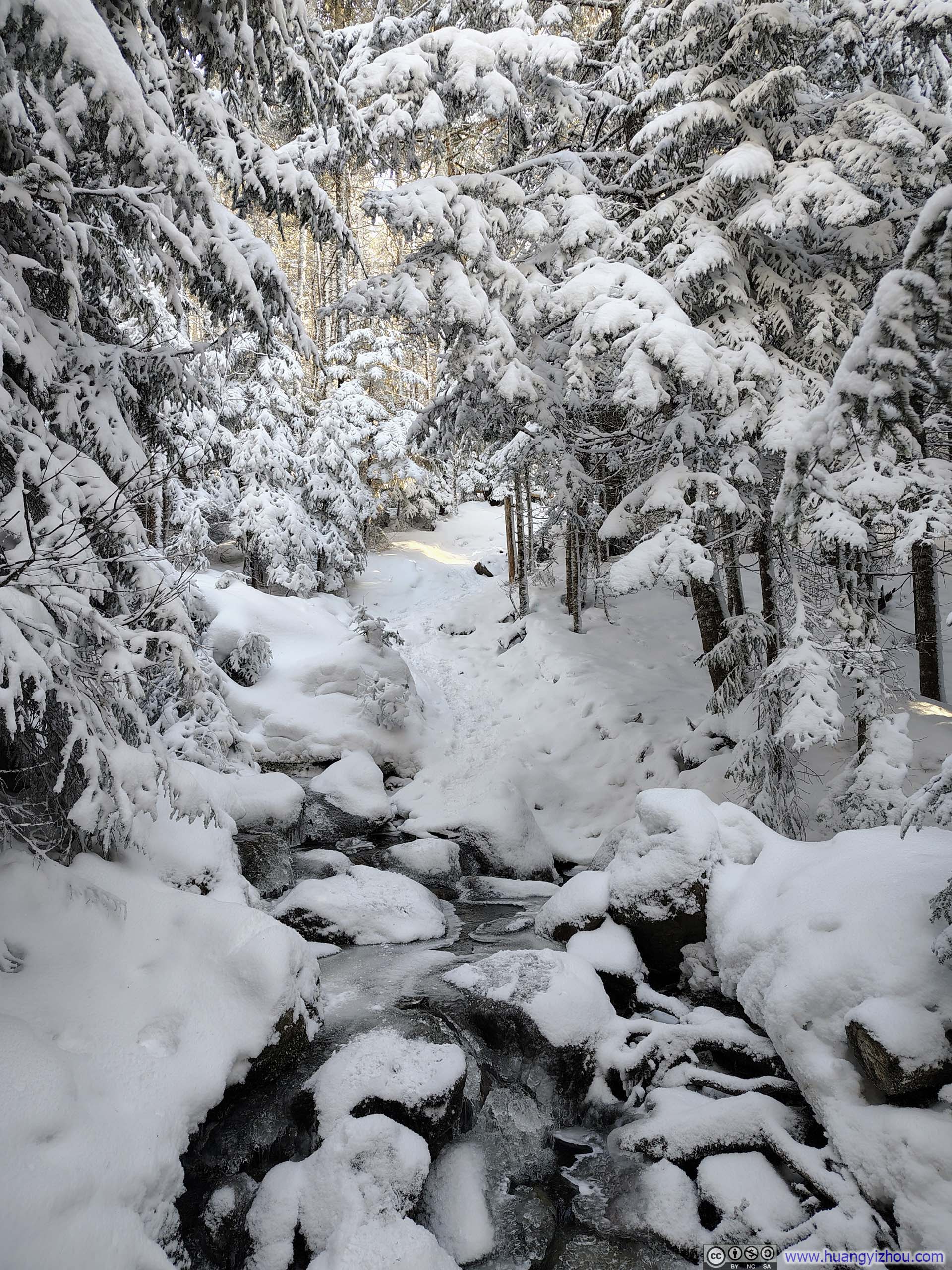
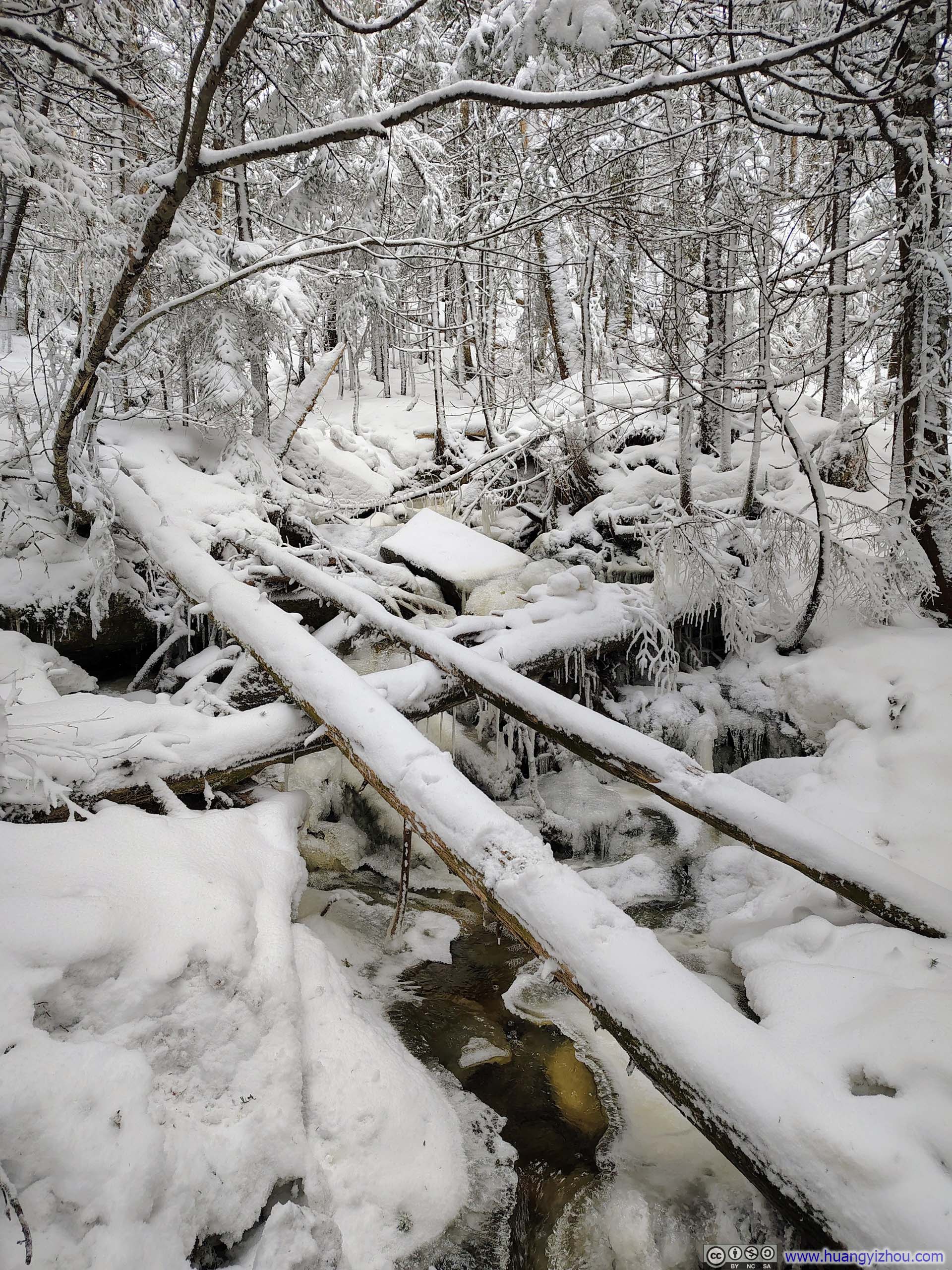
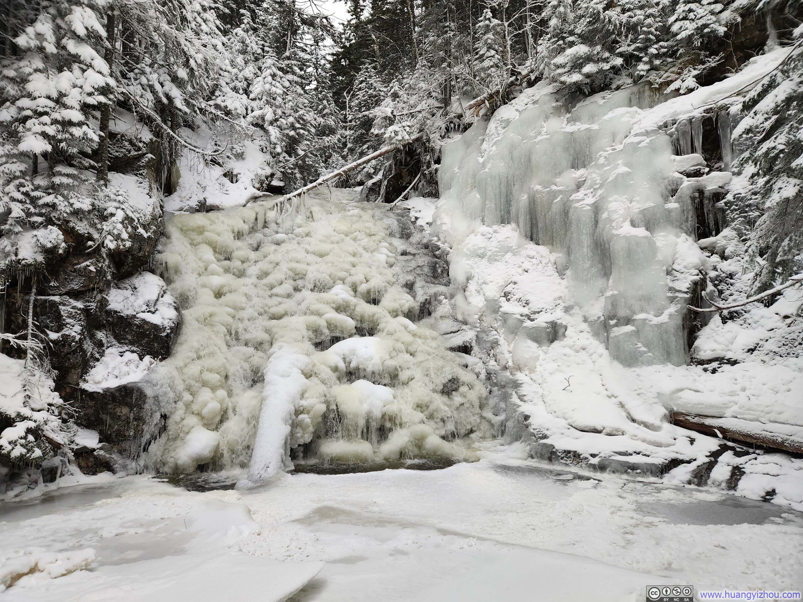
Much like the ascent, the descent wound through a winter wonderland of pristine whites. Of particular note was an impressive waterfall encountered just before the trail intersection, where the trail crossed Silver Cascade (p1 below). The falls were largely frozen over, yet one could still discern that they comprised two distinct sections, each frozen into subtly different shapes and hues. I couldn’t help but wonder whether this spoke to two separate water sources feeding the cascade.
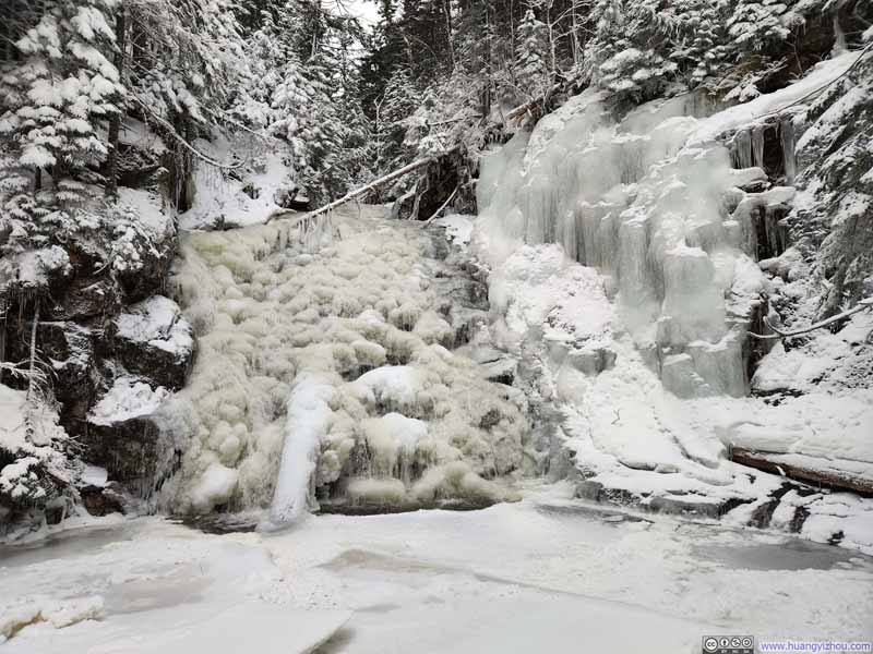 Frozen Waterfalls along Silver Cascade
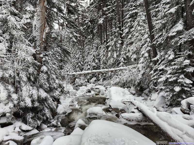 Silver Cascade
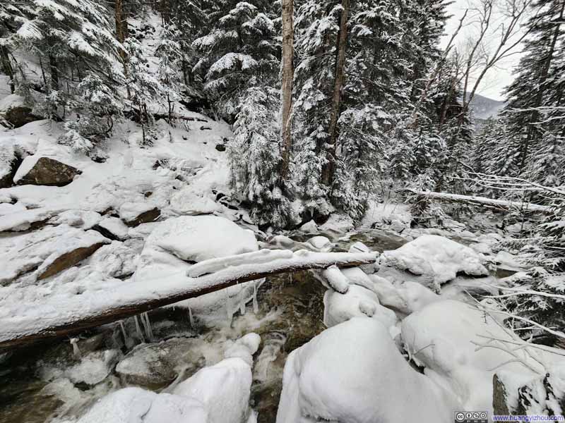 Crossing Silver Cascade
Click here to display photos of the slideshow
Frozen Waterfalls along Silver Cascade
Silver Cascade
Crossing Silver Cascade
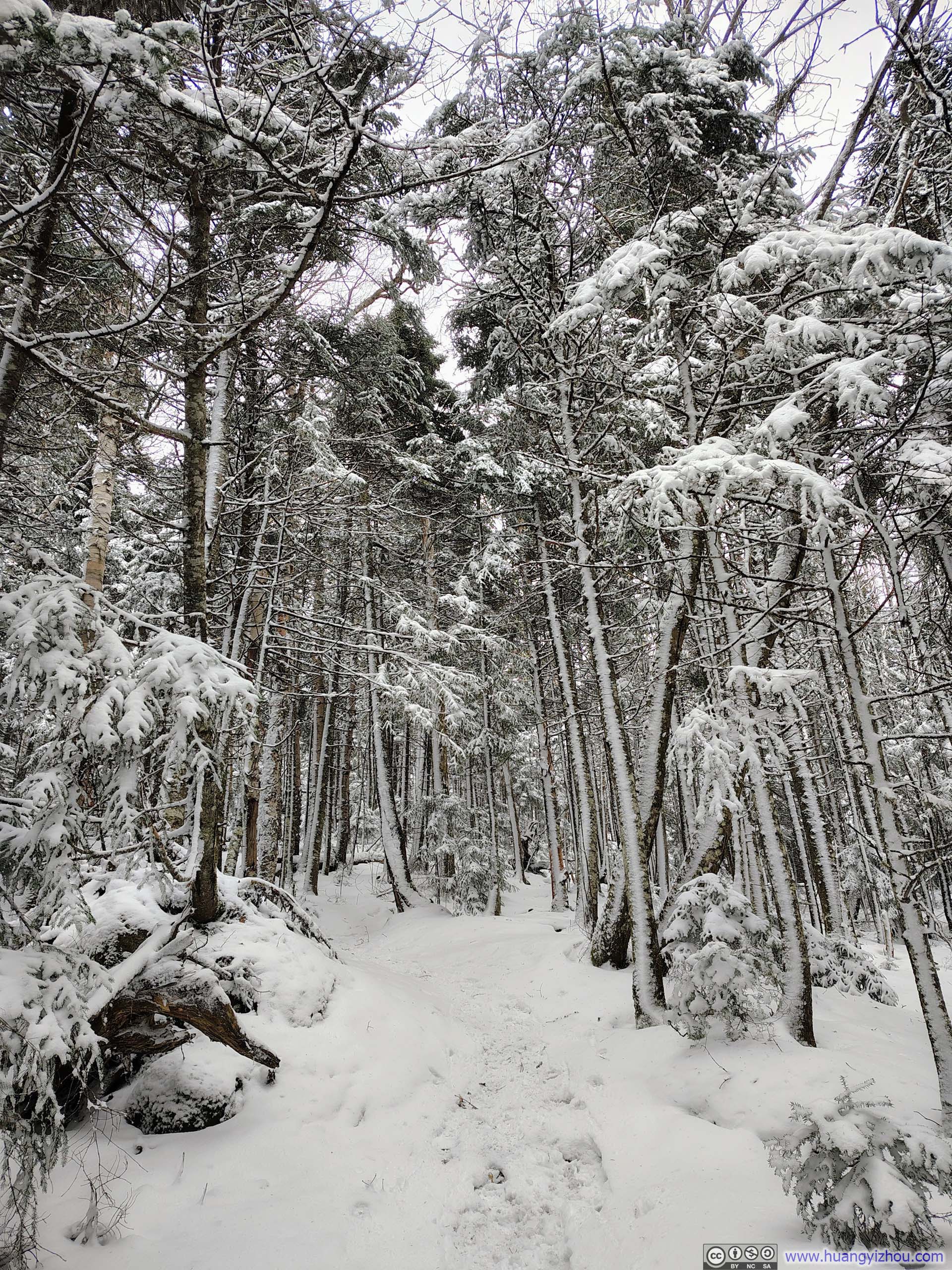
 Trail
Trail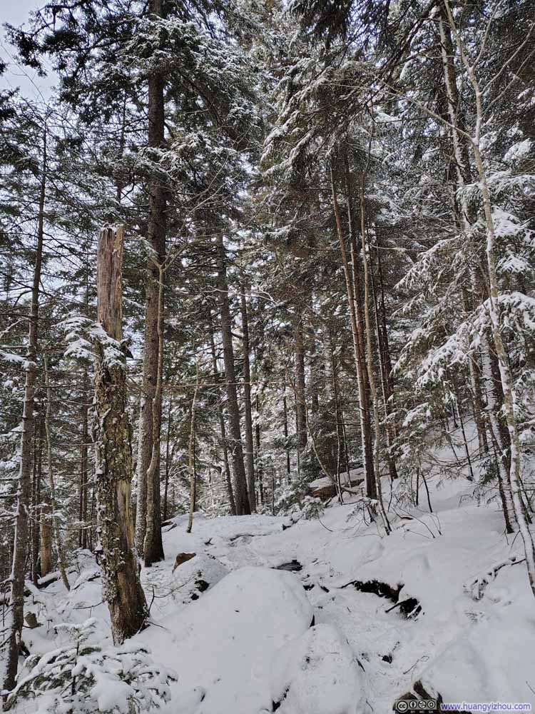 Trail
Trail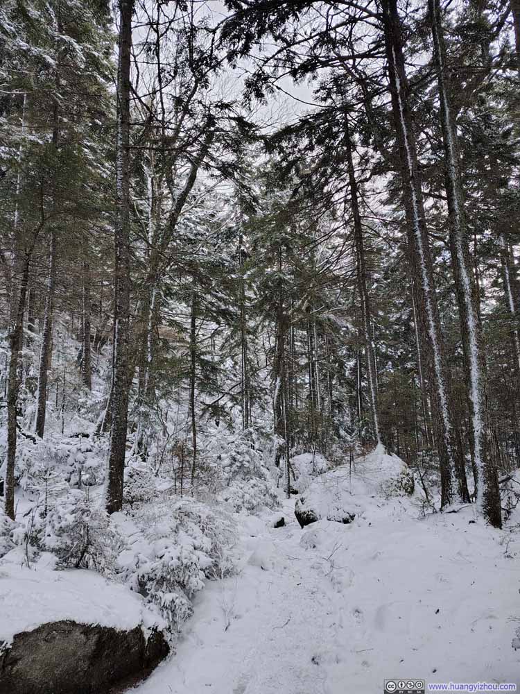 Trail
Trail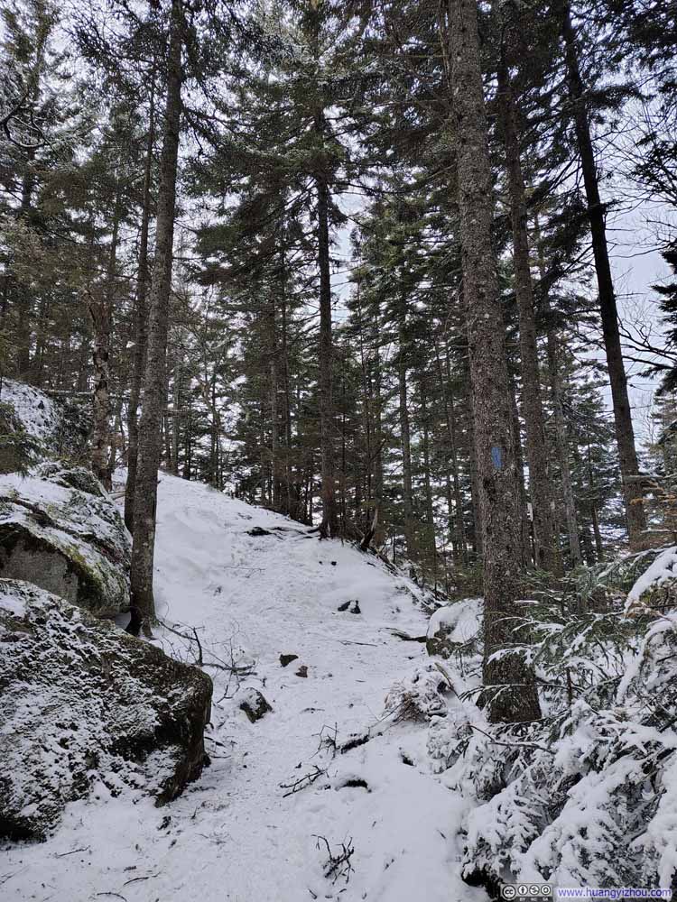 Trail
Trail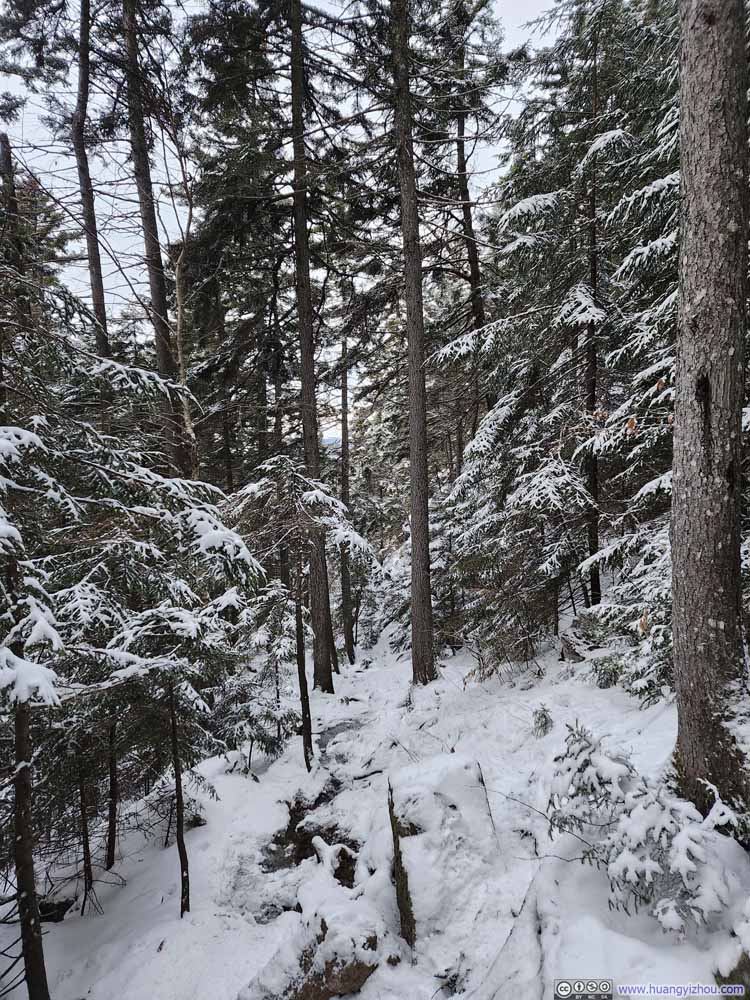 Trail
Trail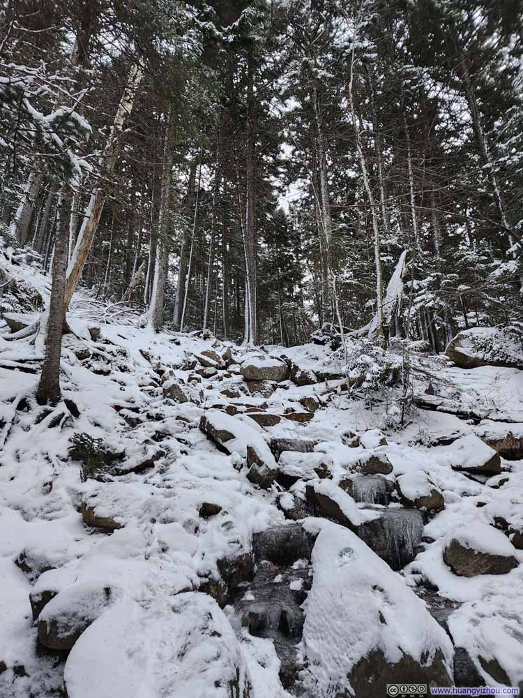 Trail
Trail

Click here to display photos of the slideshow
Trail
Trail
Trail
Trail
Trail
Trail
All in all, I was in no particular hurry on the way down, and made it back to the trailhead at 4:25pm, just as darkness began to settle over the mountains. Overall, this hike was just over 5 hours long, not bad given that I bagged two peaks along the way.
END
![]() Hiking Mount Jackson and Webster by Huang's Site is licensed under a Creative Commons Attribution-NonCommercial-ShareAlike 4.0 International License.
Hiking Mount Jackson and Webster by Huang's Site is licensed under a Creative Commons Attribution-NonCommercial-ShareAlike 4.0 International License.