
Updated on May 10, 2026
Day 1 of 2026 President’s Day Trip to Phoenix, Battleship Mountain
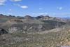
The first day of my 2026 President’s Day weekend trip to Phoenix. I hiked Battleship Mountain, an outstanding rock formation in the Superstition Wilderness that featured a few exciting scrambling moves along the way.
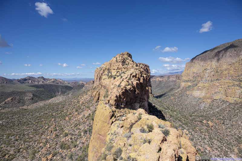
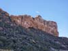
Battleship Mountain
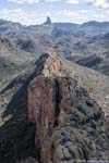
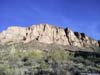
There are certain mountains so magnificent that, once caught in one’s sight, they simply cannot be erased from memory. The jagged silhouette of Sawtooth Peak, which I visited in Sequoia National Park last year, was one of them, and the cliff-encircled Battleship Mountain in Superstition Wilderness was undoubtedly another. What I found most appealing about Battleship Mountain, however, was that despite being seemingly armored on all sides by towering cliffs, it remained approachable; a “trail” had somehow managed to find its way to the summit. So when I came across its photos online, I knew I had to take it on during my time in the area. Yes, the route involved a few high YDS Class 3 moves and was not always well-defined, but at the end of the day, the experience felt fulfilling rather than frightening. Battleship Mountain is impressive, but never condescending — and that, perhaps, is what I loved most about it.
There were two ways to approach Battleship Mountain, either via Boulder Canyon Trail from the north, or via Second Water Trail from the west. The trailhead for the latter required driving along an unpaved road (and interestingly, it’s called “First Water Trailhead”). The former route was longer, according to various accounts online, rewarded hikers with superior scenery along the way; it also offered the option to loop around Battleship Mountain via La Barge Creek on the return. Without much deliberation, I chose the former.
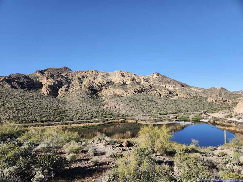
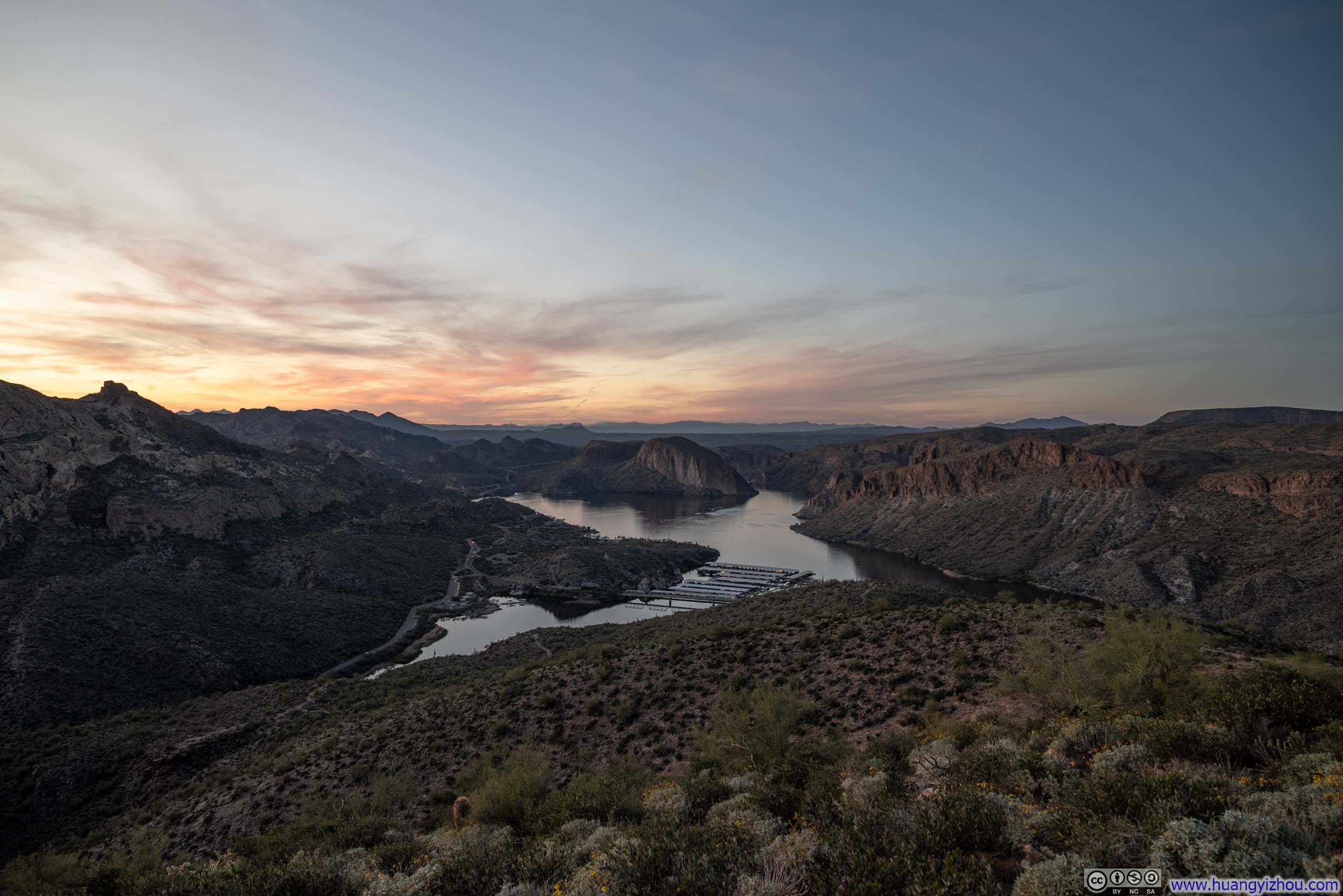
So on the morning of February 14, I left my Phoenix Airbnb at 7:40am and set off for the trailhead. (In hindsight, my efforts would be better distributed throughout the weekend if I saved Battleship Mountain for the next day. I could have used more sleep after flying into Phoenix late last night, or an earlier start would allow me time to explore La Barge Box Canyon.) The trailhead was accessed via a twisty mountain road known as “Apache Trail”. Expectedly, I was stuck behind some slow traffic which took some of the pleasure out of the drive. Free parking was available in a lot beside the marina, and after a brief warmup, I hit the trail at 9:18am.
Here’s GPS tracking:
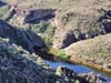
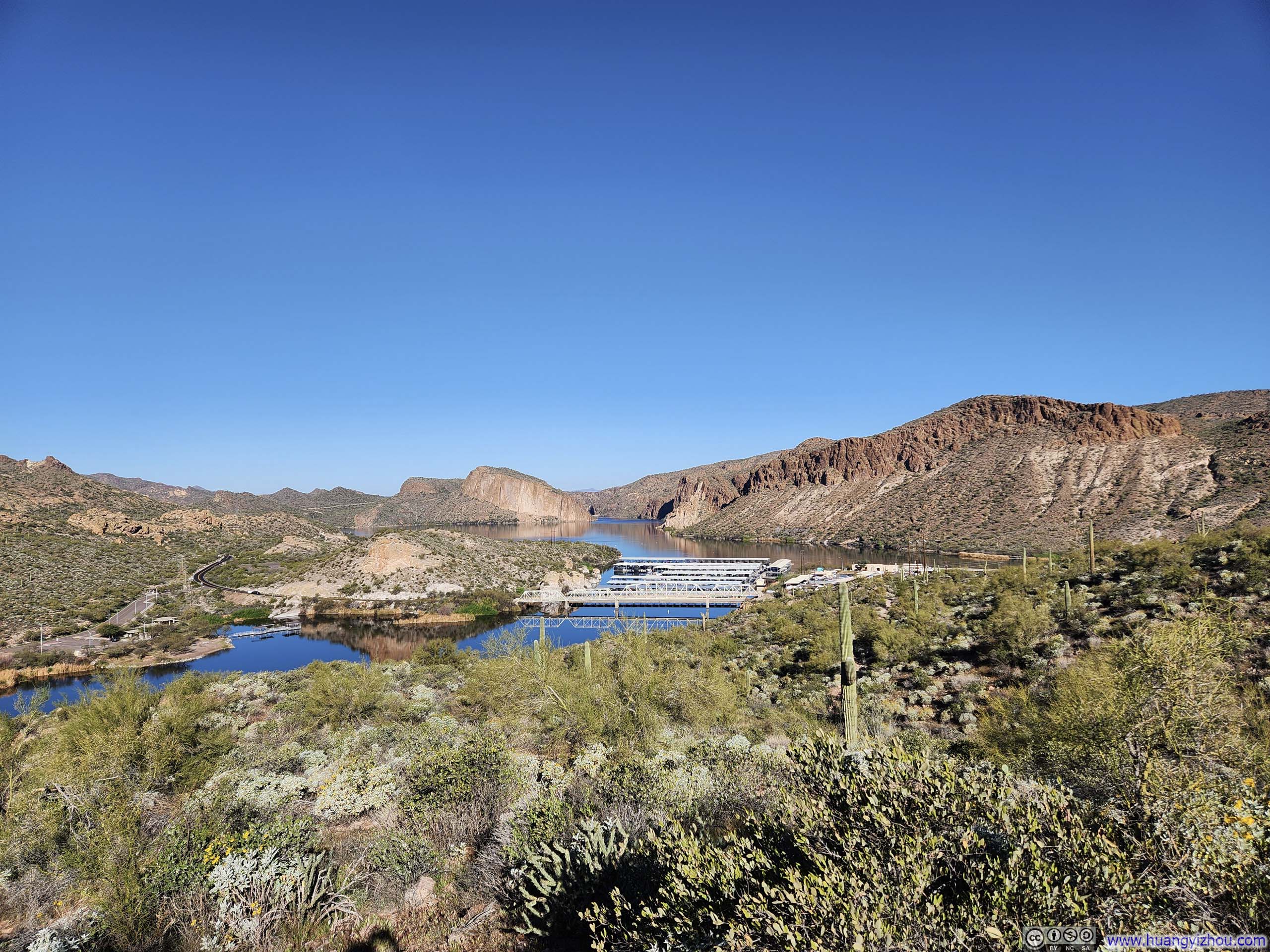
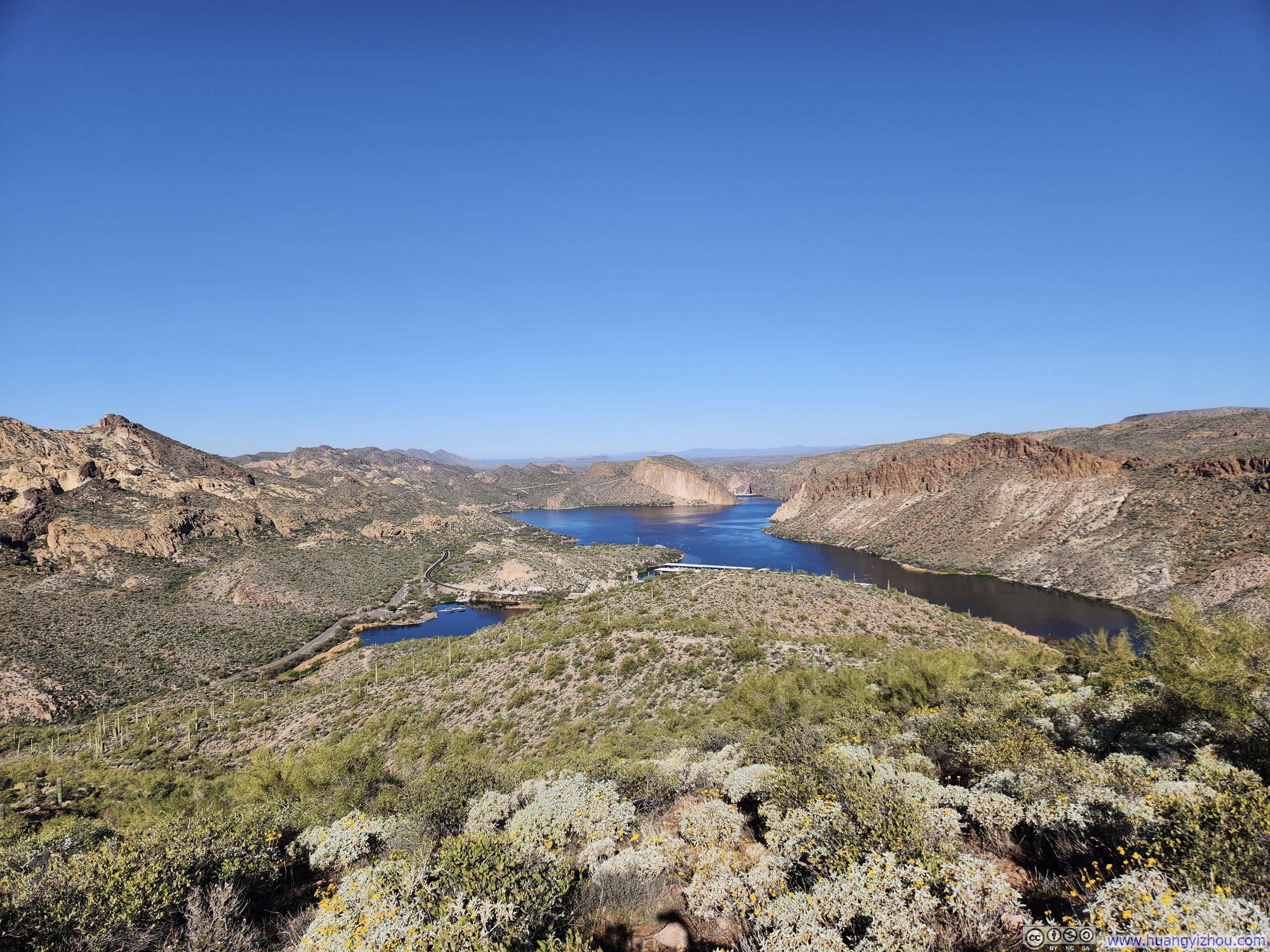
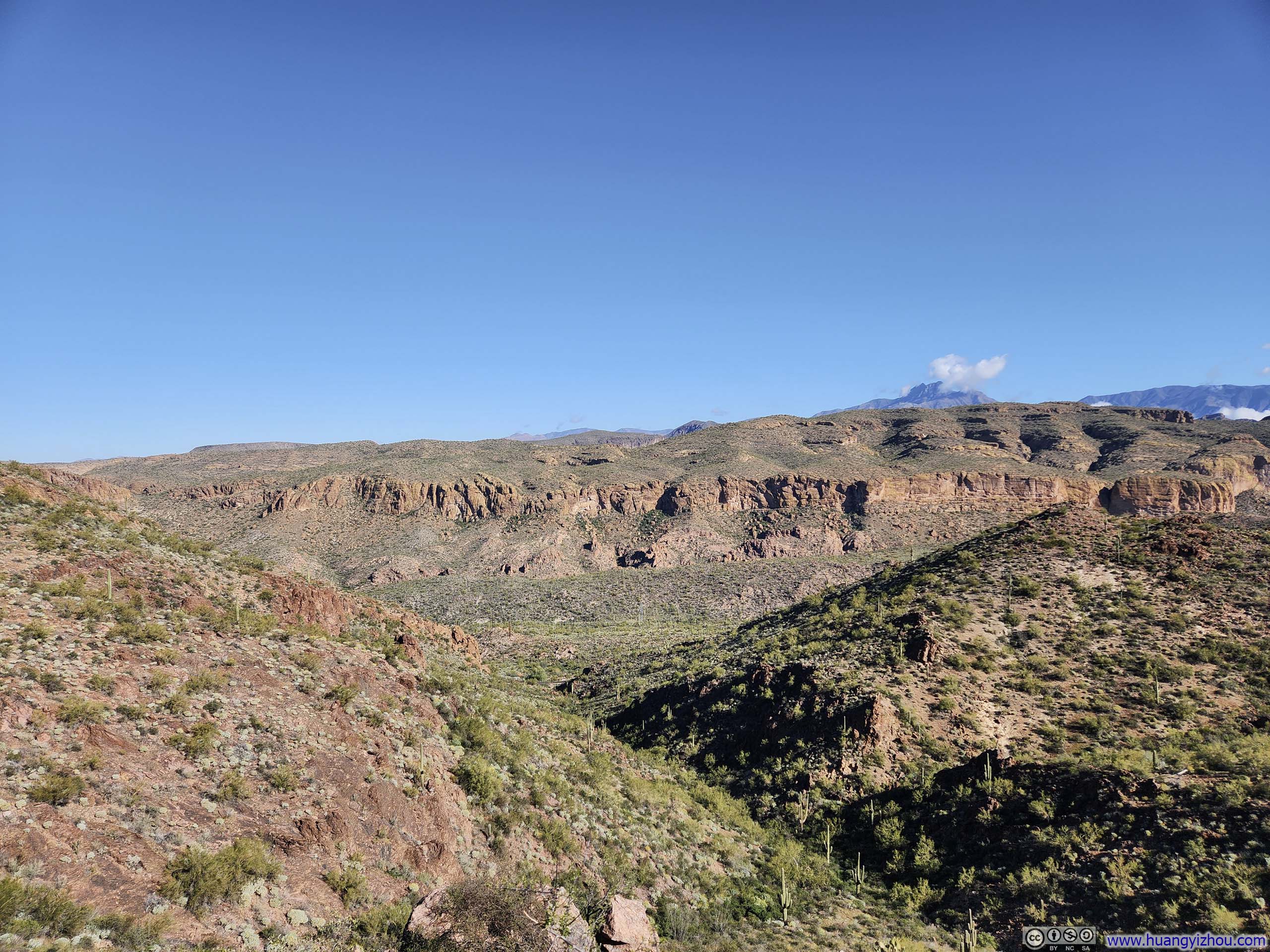
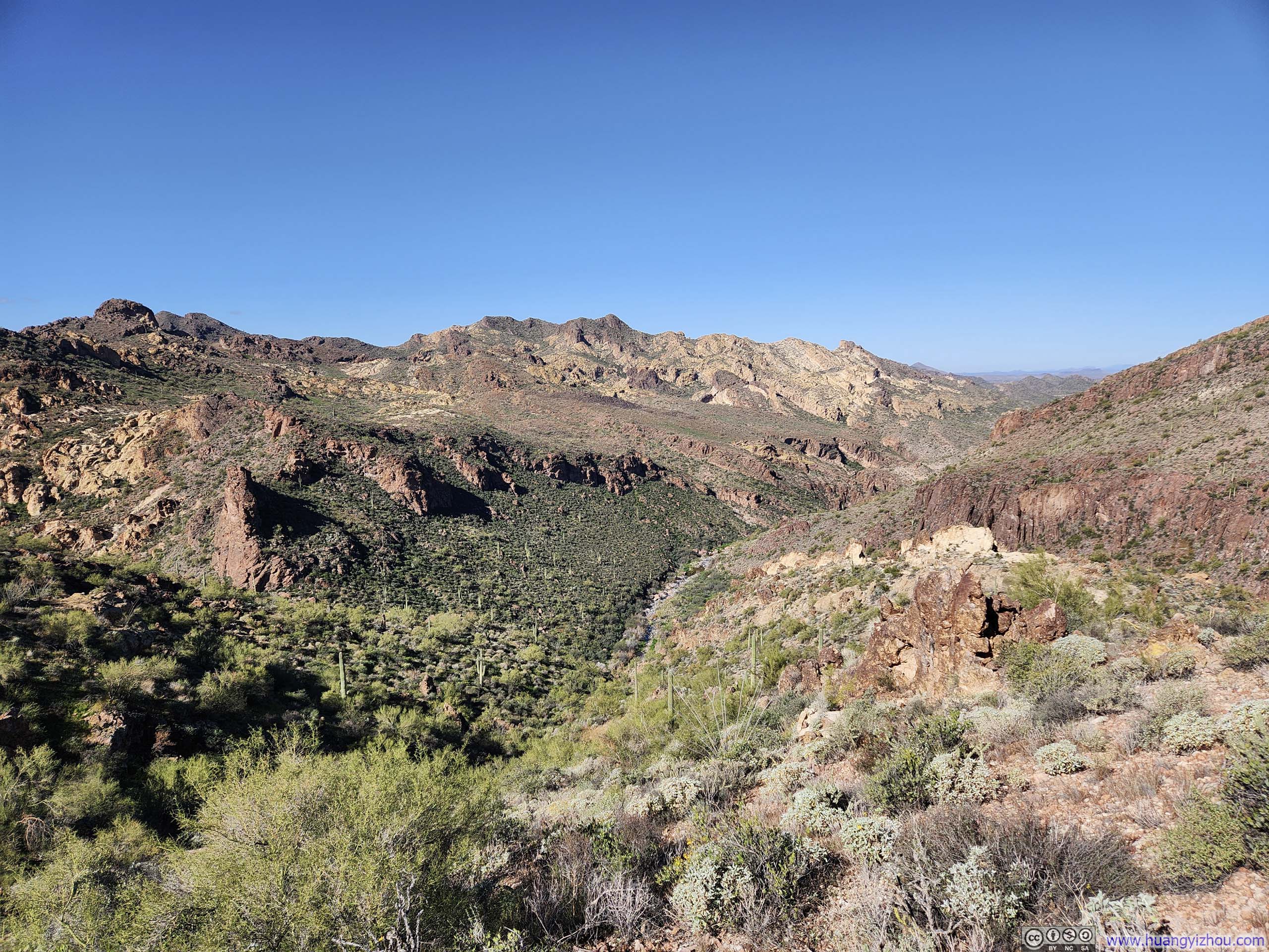
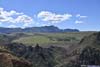
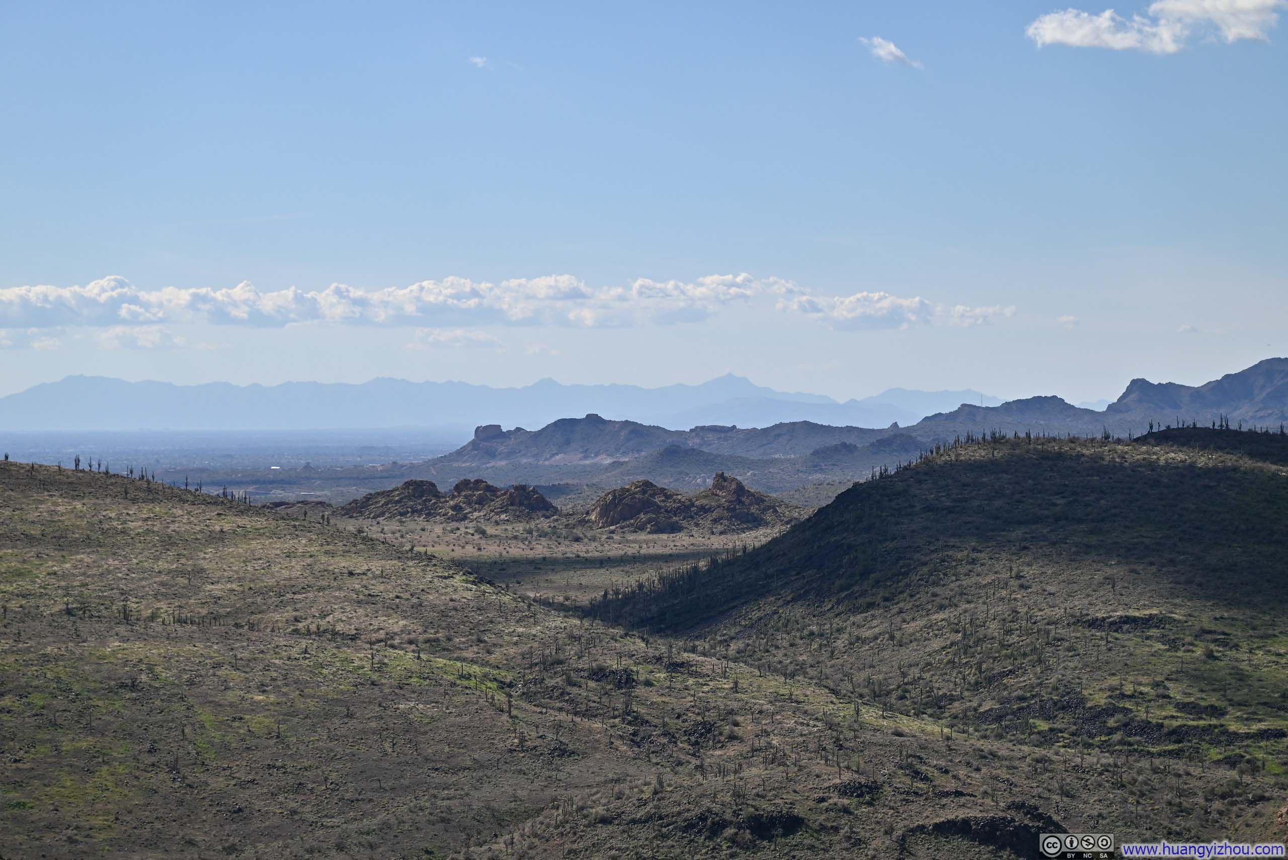
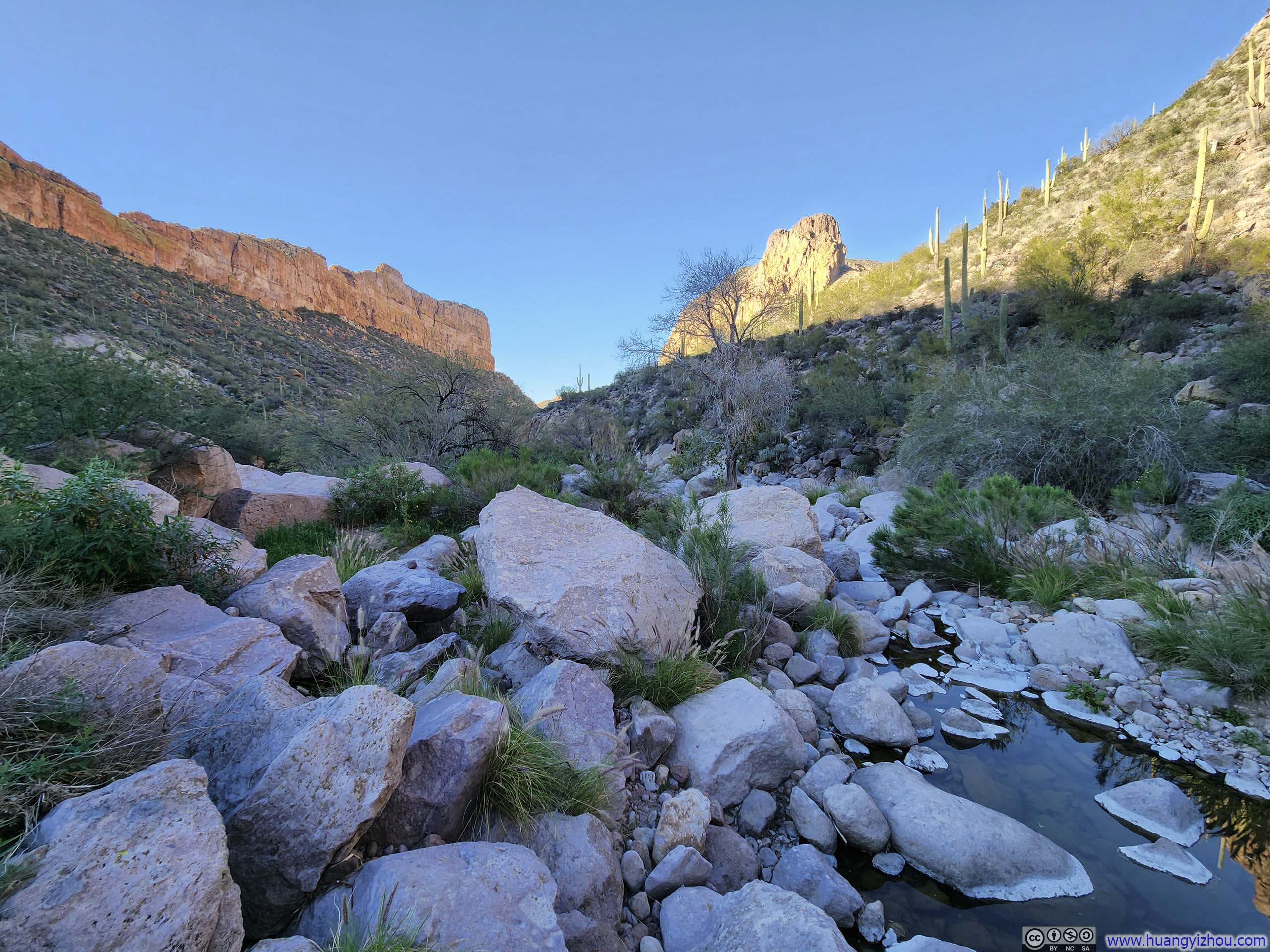
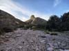
For context, two creeks flanked Battleship Mountain, Boulder Canyon Creek to the west and La Barge Creek to the east. Boulder Canyon Creek eventually merged into La Barge Creek, which in turn flowed into Canyon Lake, where the trailhead was situated. The creeks, however, carved their way through steep canyons too rugged for any trail to follow directly, so the path instead climbed over a small hill before descending back down into the canyon below.
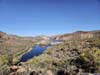
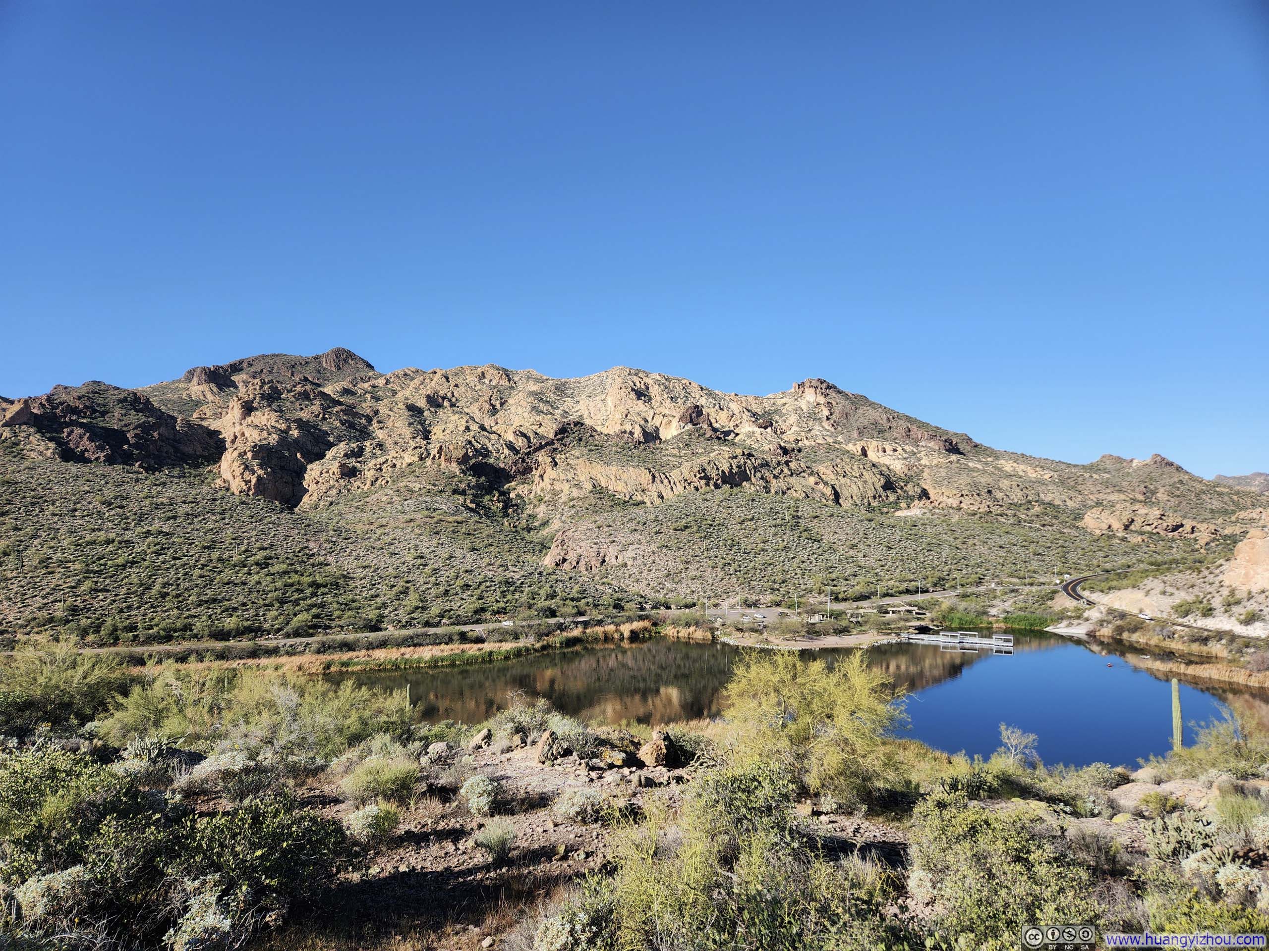
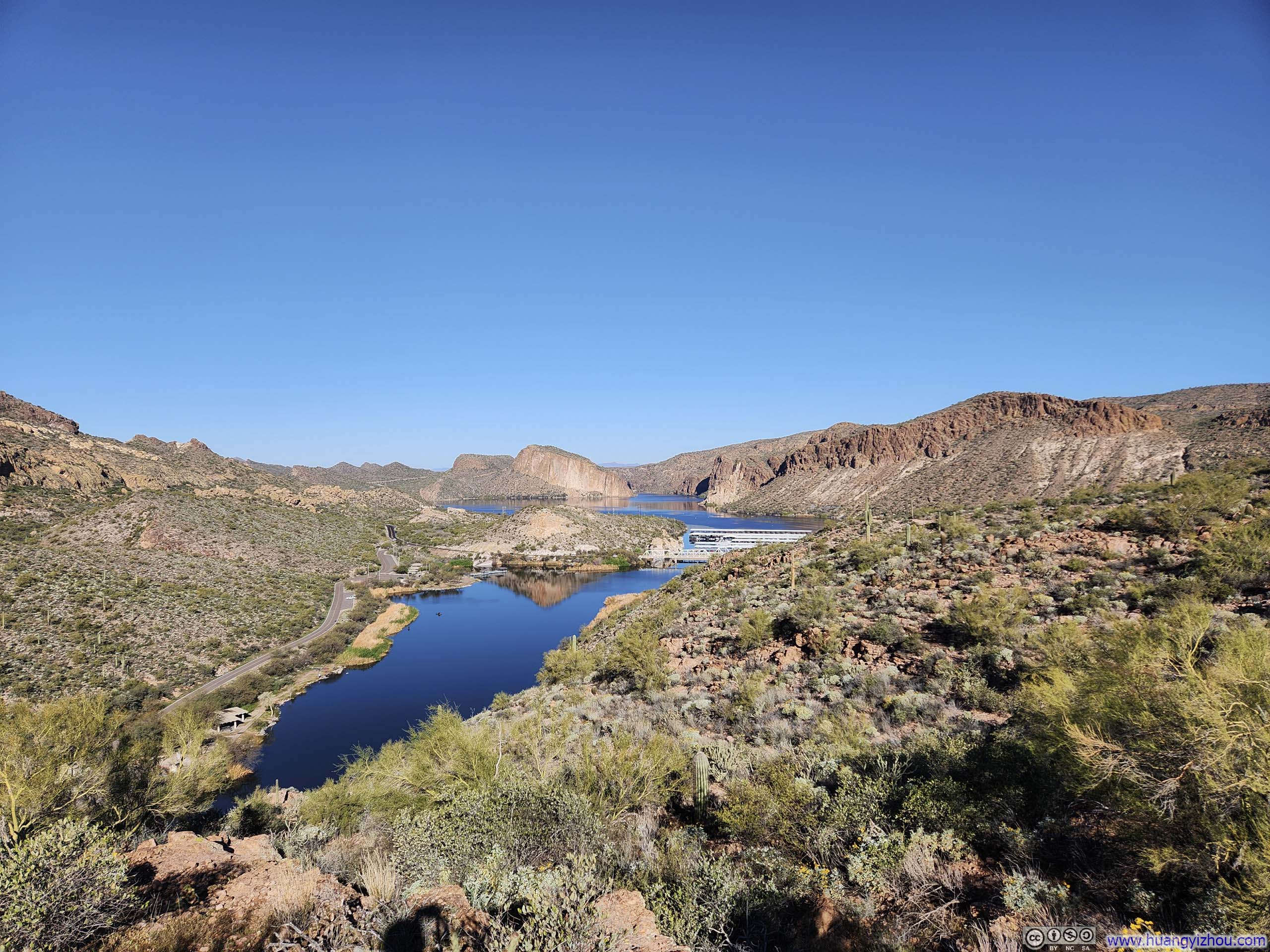
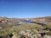
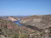
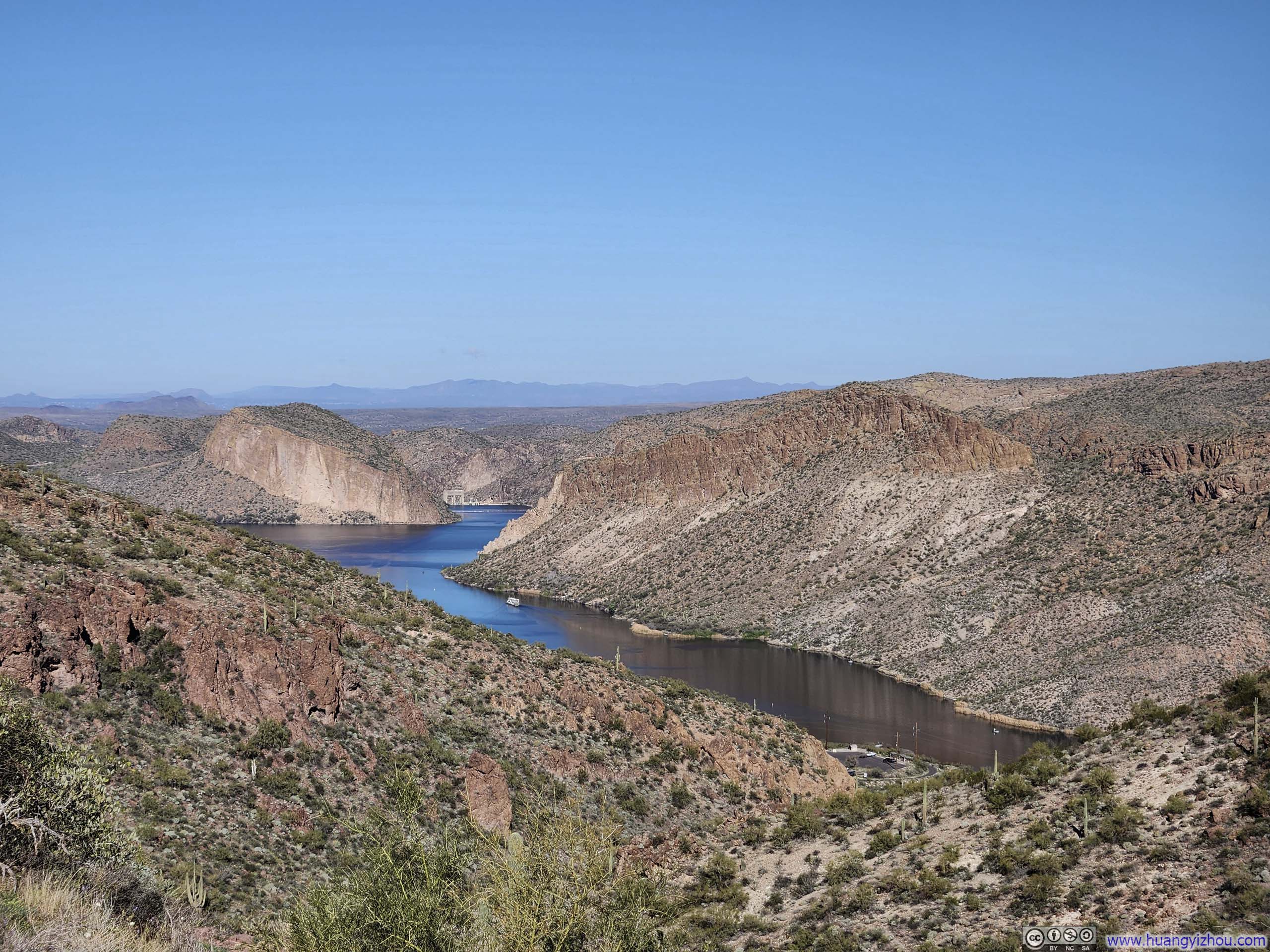
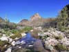
As the trail gained elevation upon leaving the trailhead, the tranquil waters of Canyon Lake and the sheer cliffs enclosing it composed a striking backdrop for the journey ahead.
 Mountains across La Barge Cove
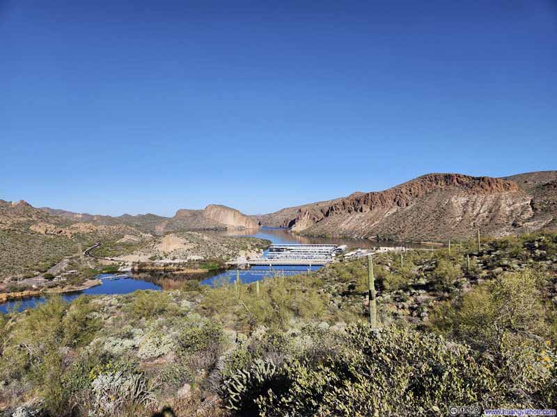 Canyon Lake
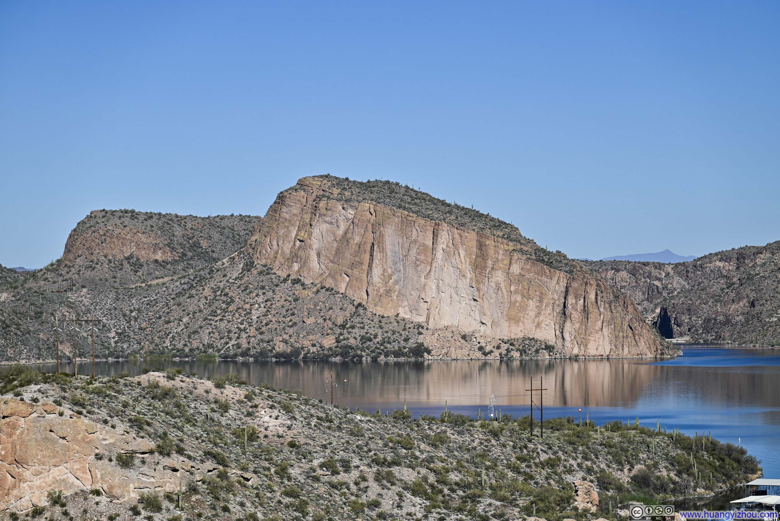
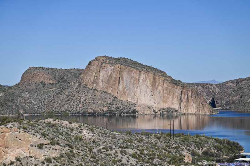 Satchin Cliff
 La Barge Creek
 La Barge Cove
 Trail
Trail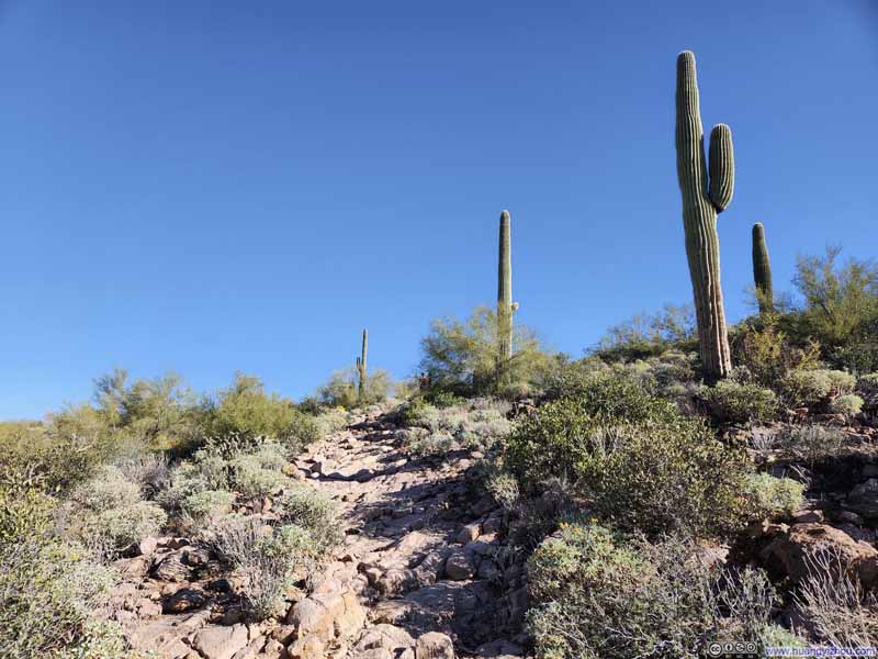 Trail
Trail
Click here to display photos of the slideshow
Mountains across La Barge Cove
Canyon Lake
Satchin Cliff
La Barge Creek
La Barge Cove
Trail

Trail
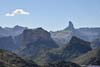
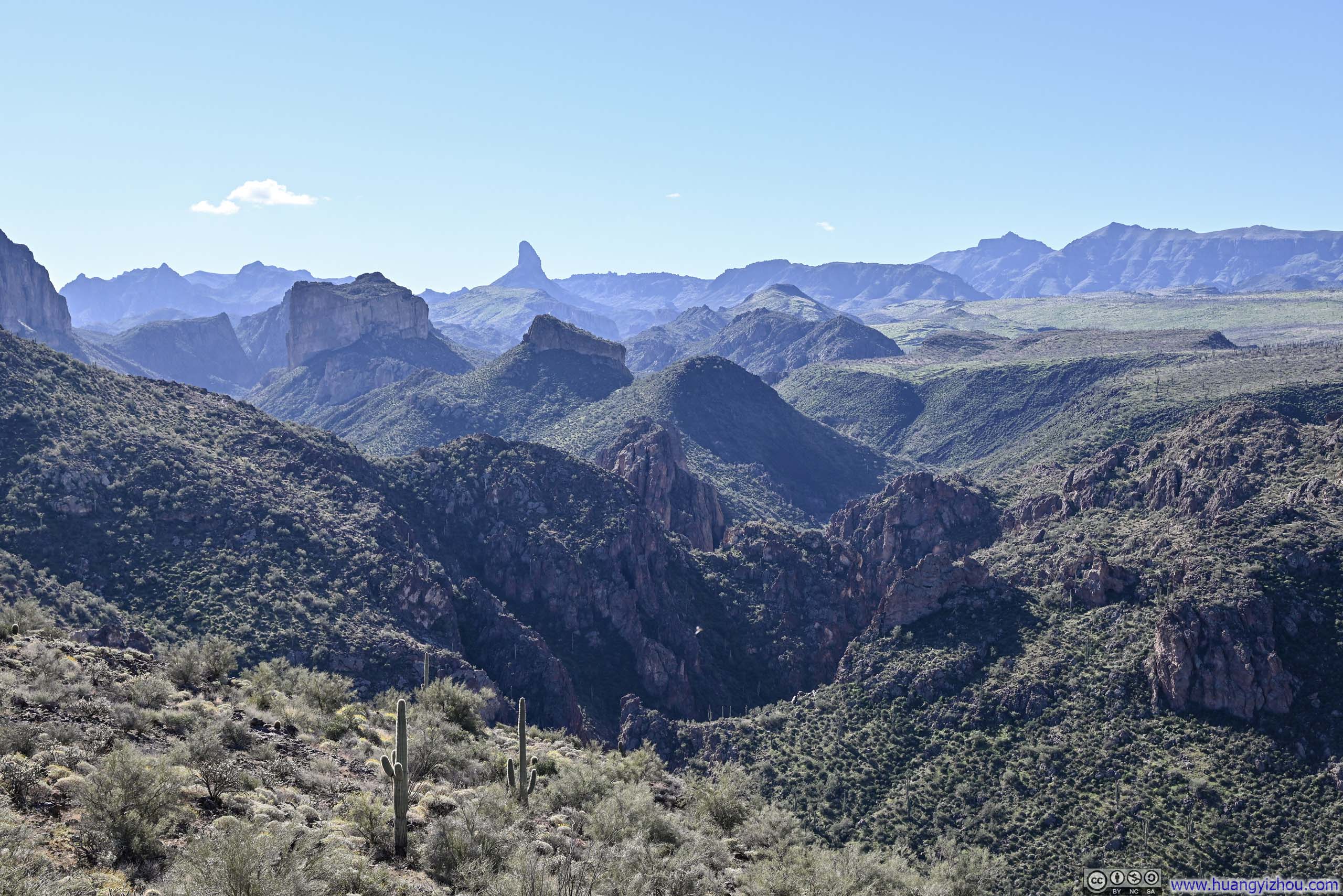
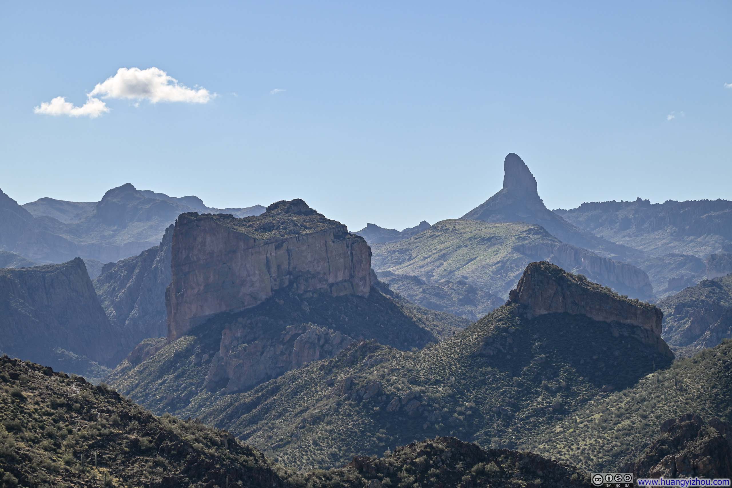
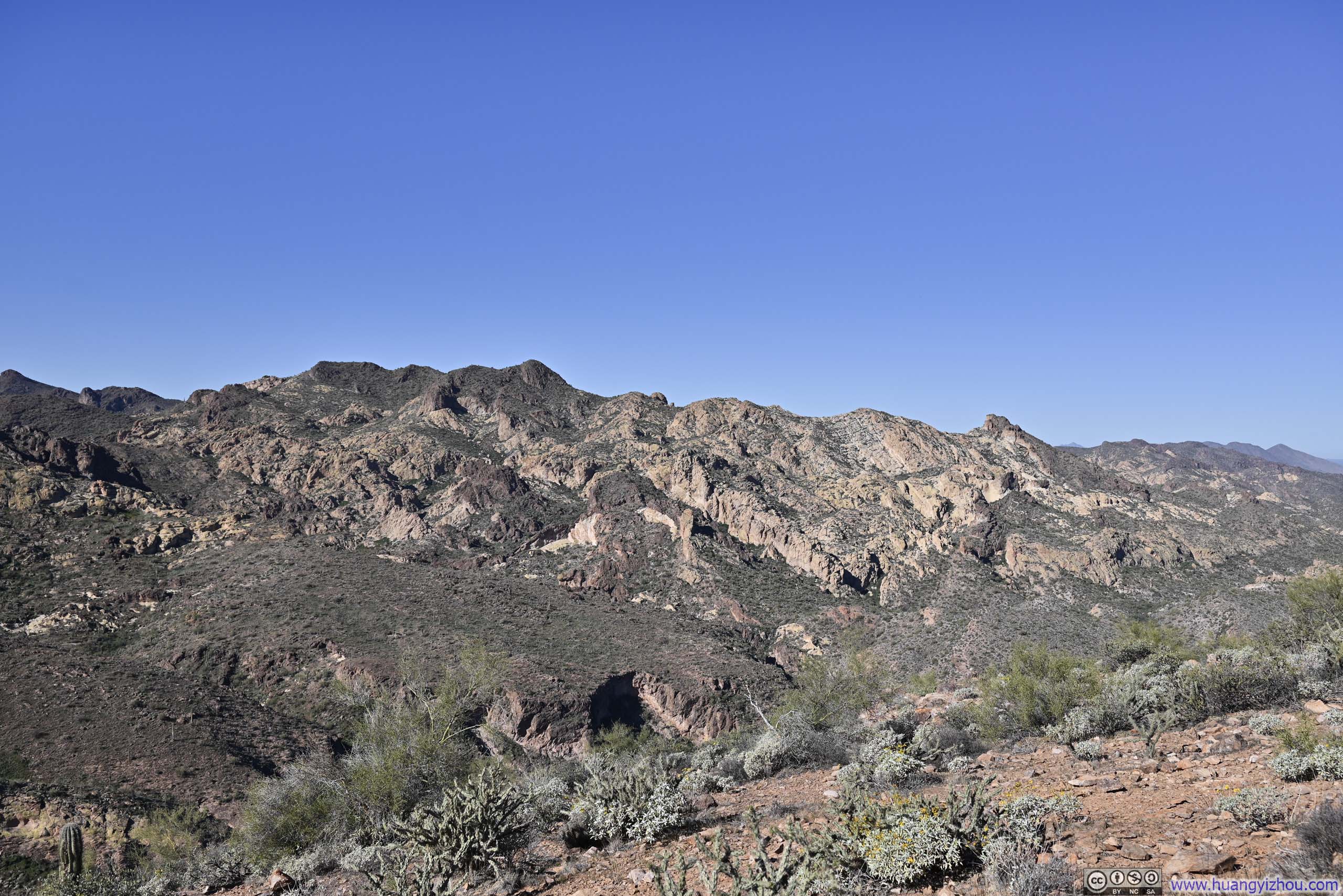
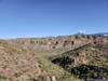
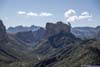
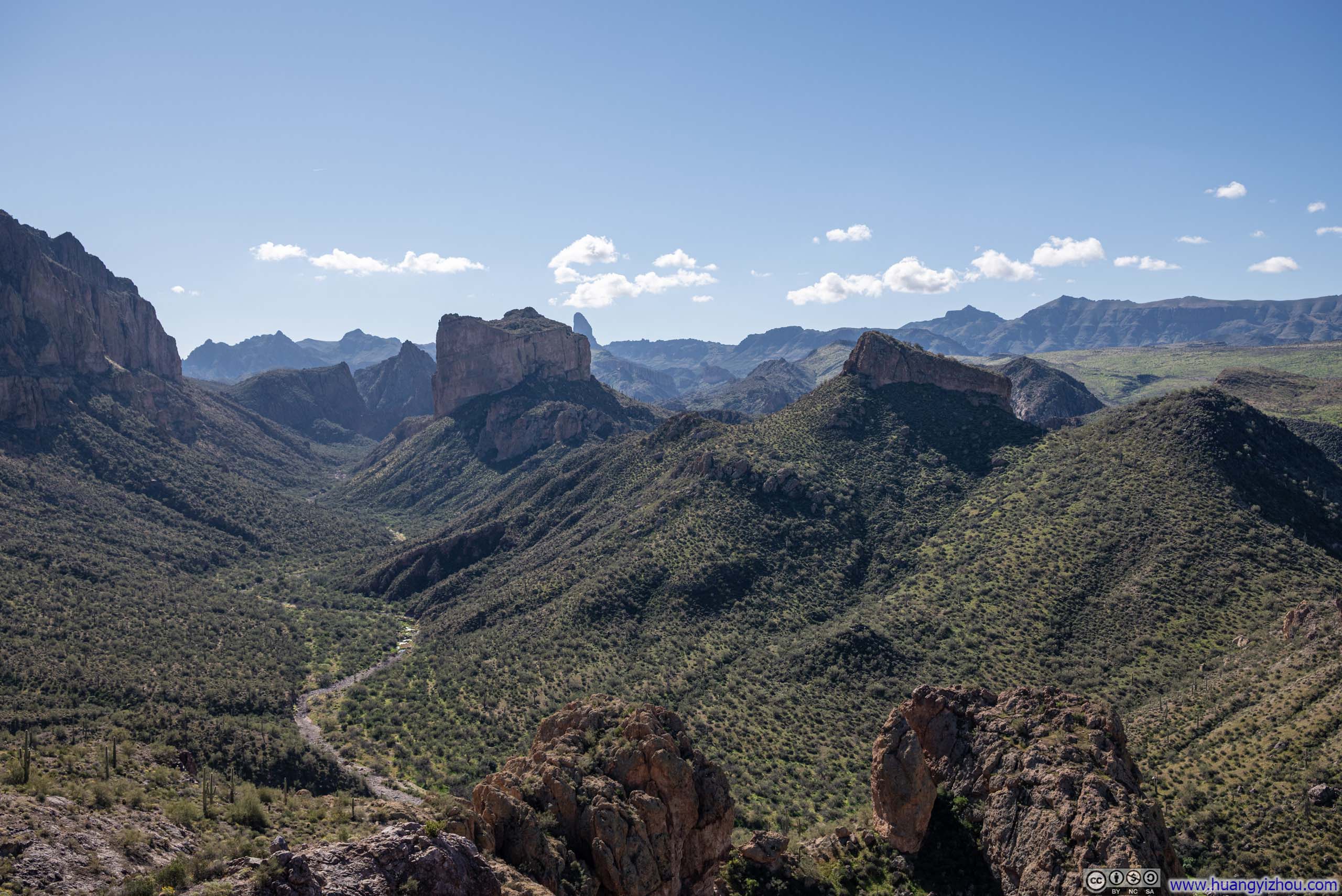
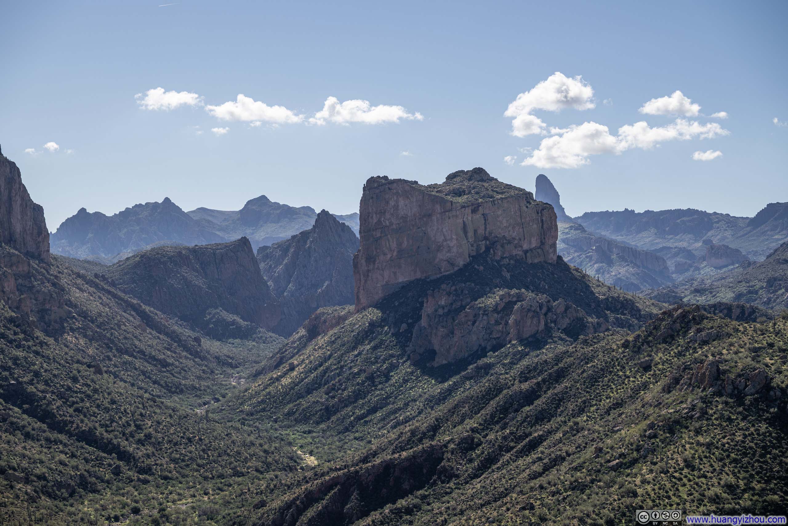
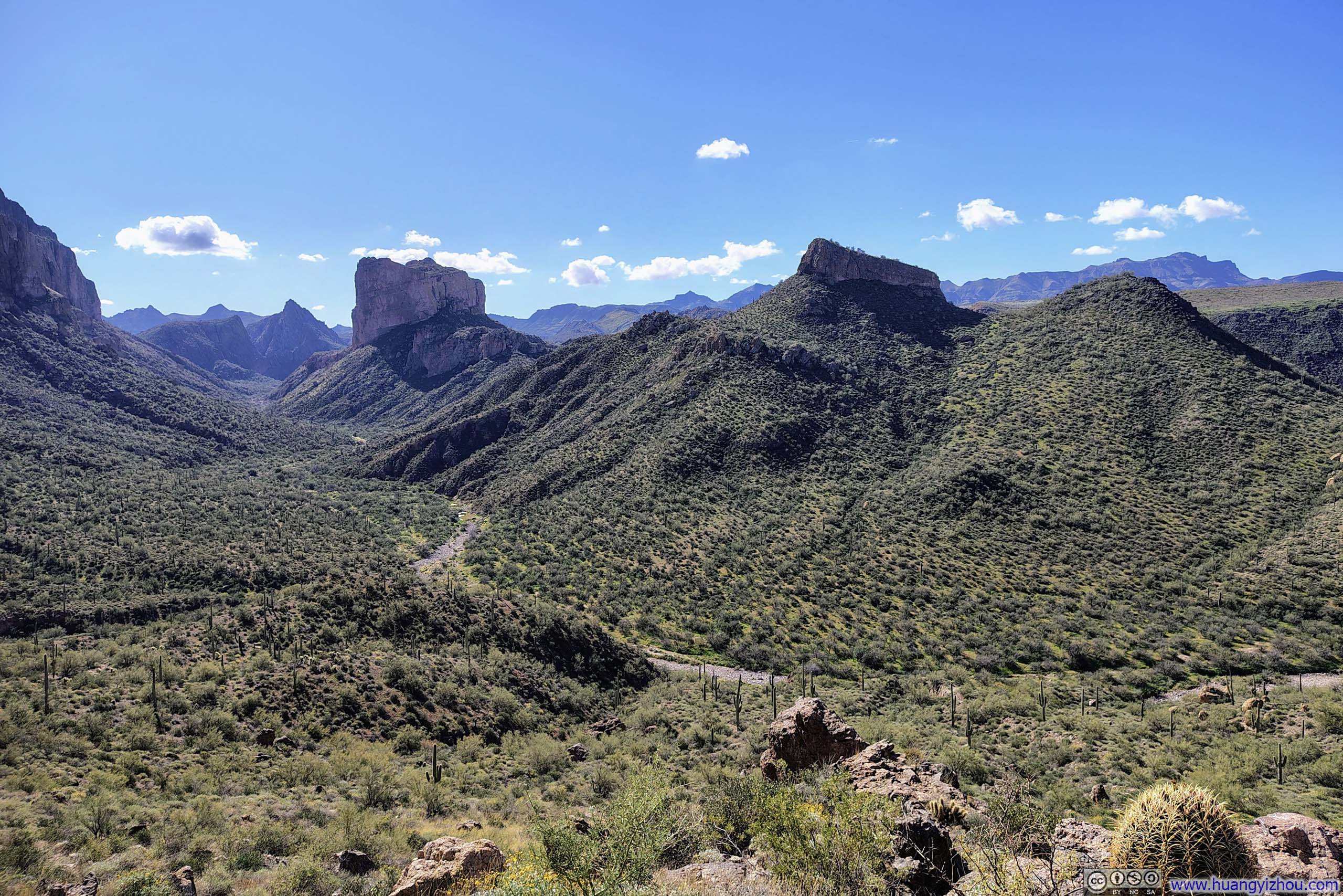
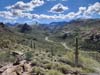
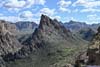
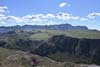
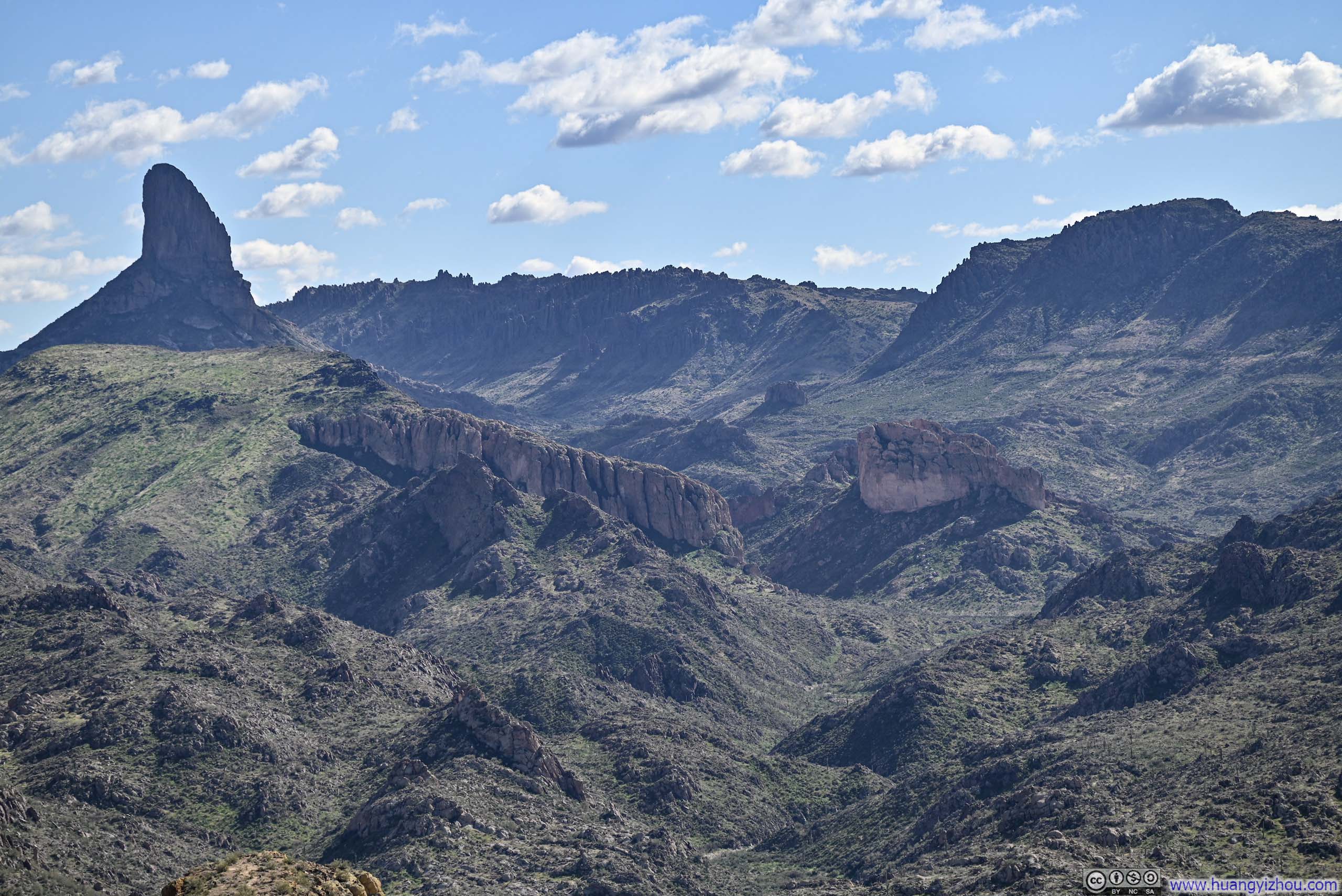
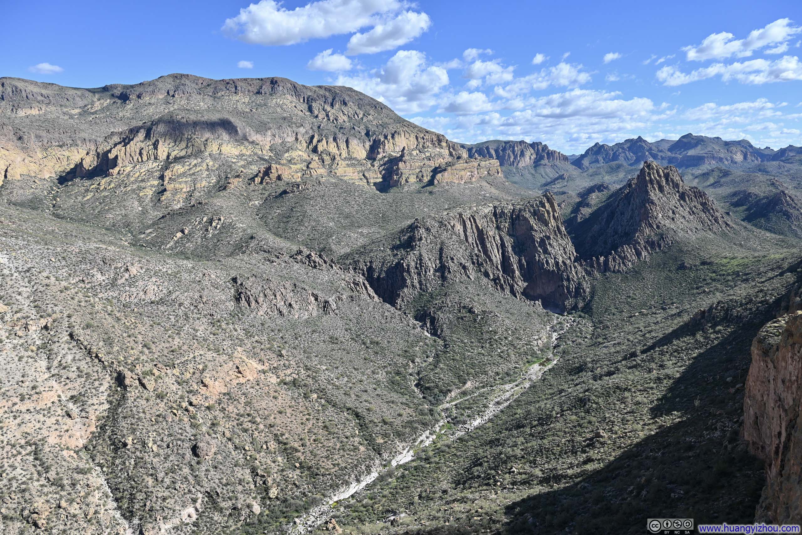
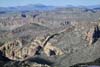
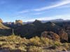
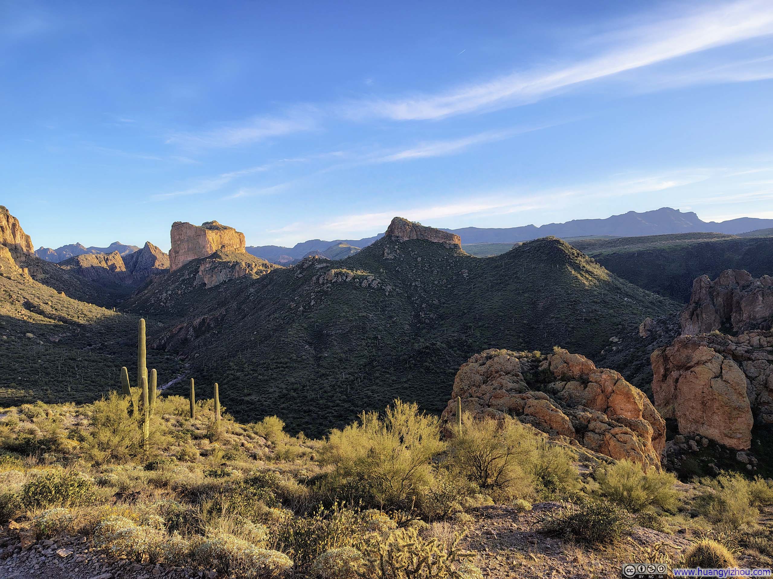
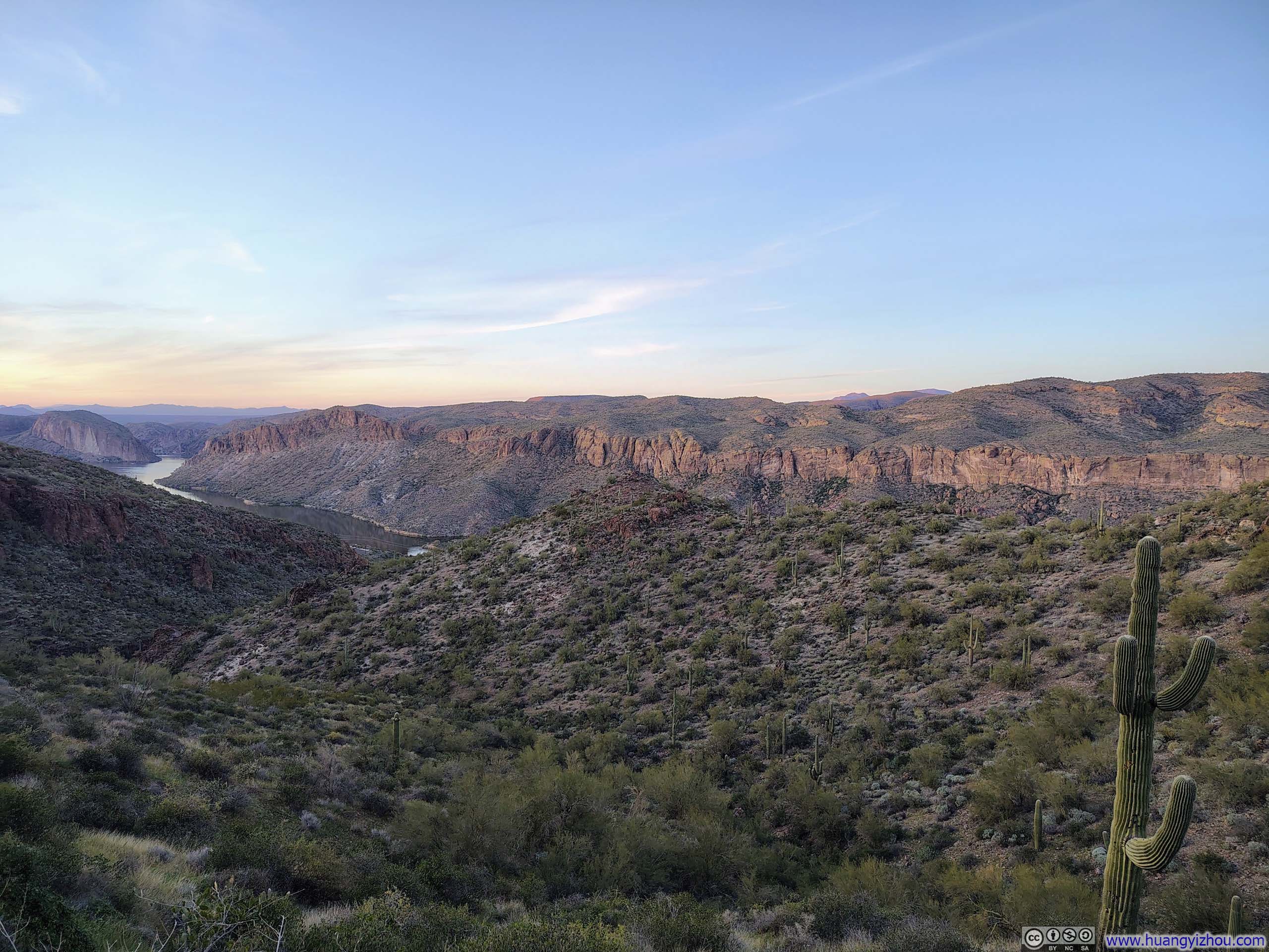
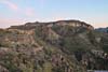
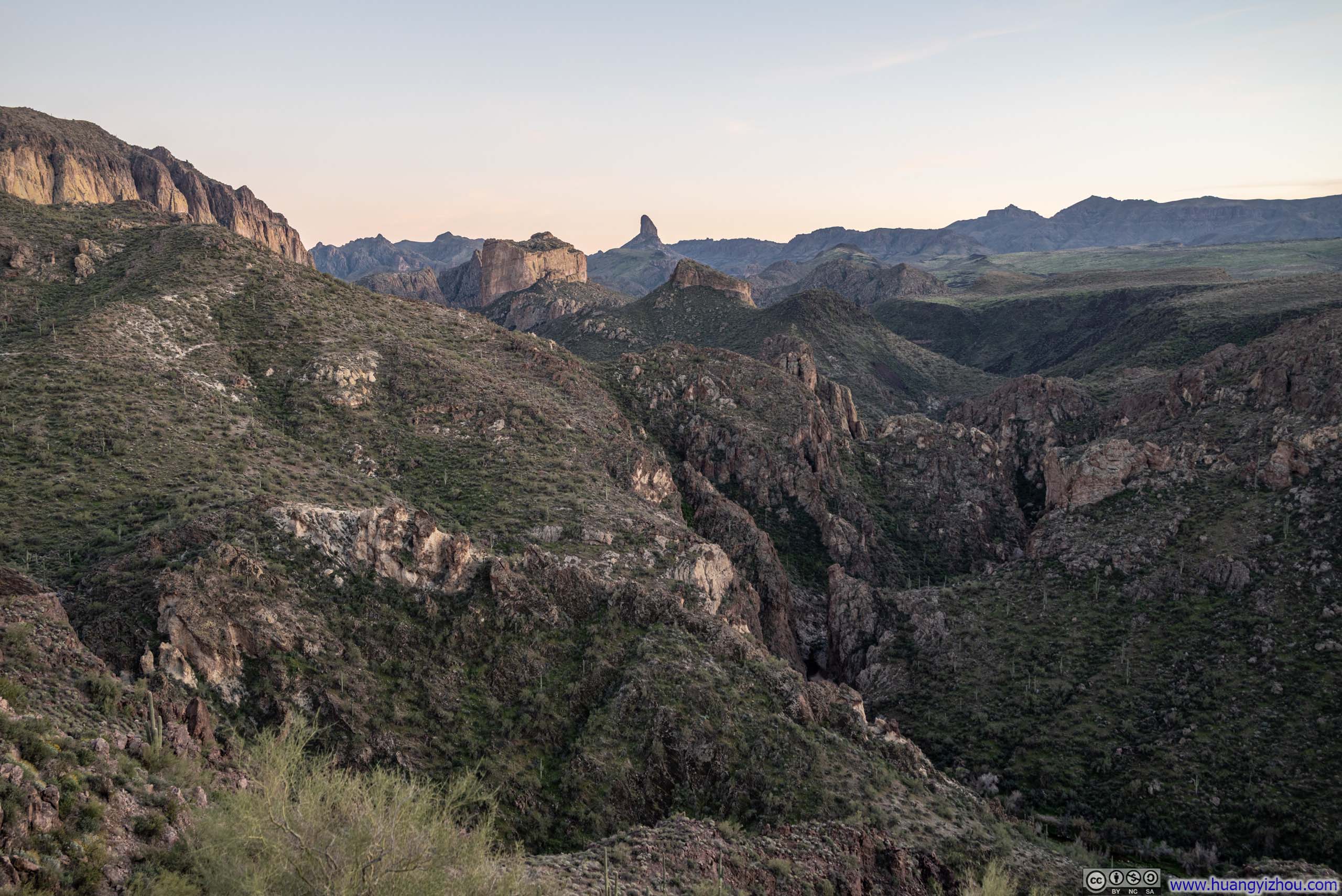
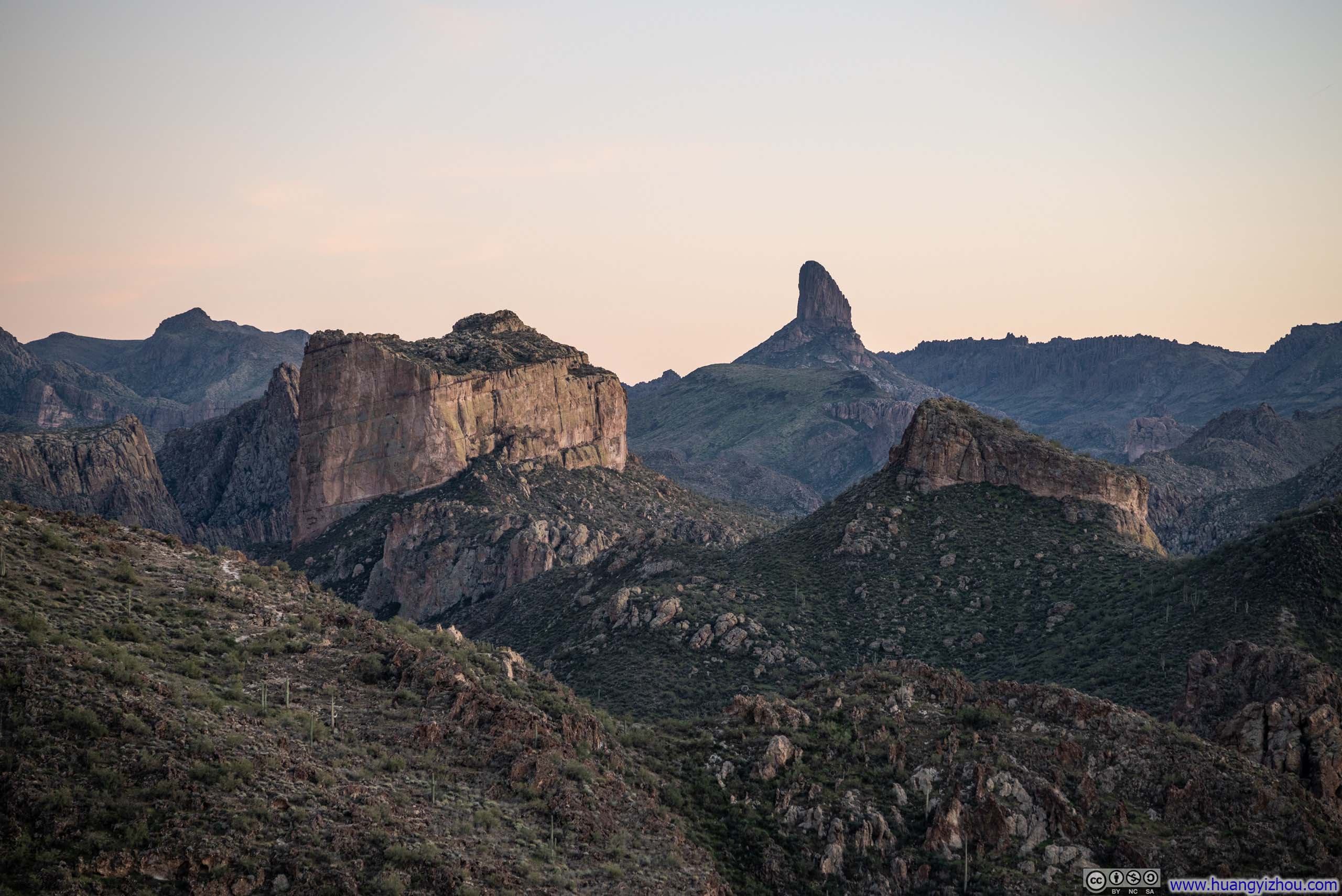
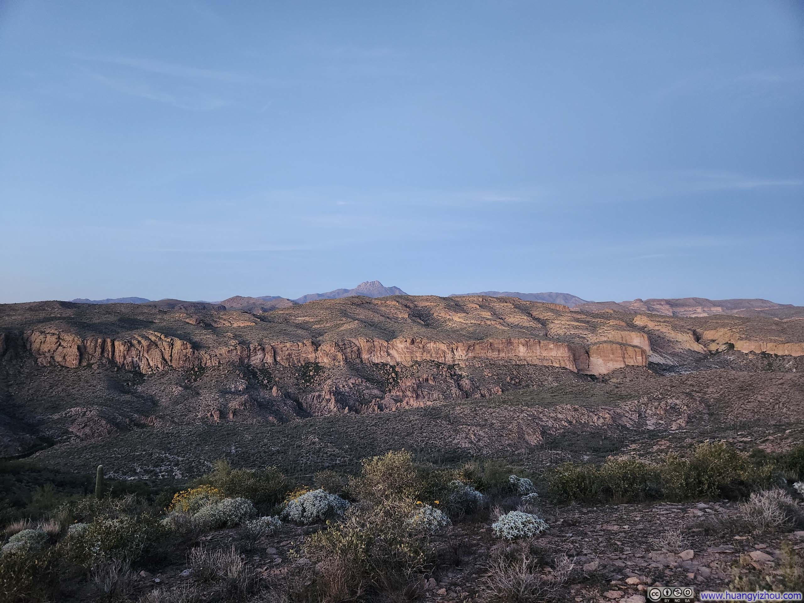
At the top of a small hill, I was treated to the first glimpses of mountains deep into Superstition Wilderness, with the chunky cliffs of Battleship Mountain and the soaring spire of Weaver’s Needle instantly recognizable. The same vantage point still retained views of Canyon Lake behind me, and offered a mesmerizing scene of twilight on my way back.
 Canyon Lake
 Mountains in Superstition Wilderness
 Mountains in Superstition WildernessBattleship Mountain and Weaver’s Needle in the center.
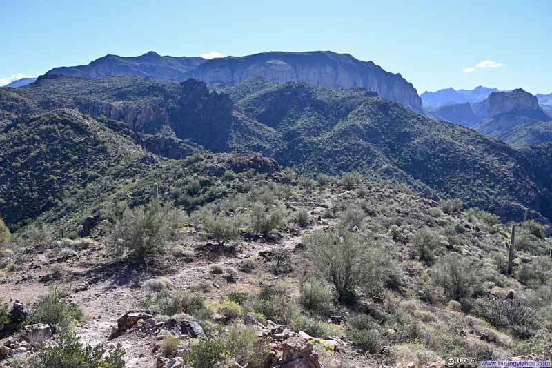 Trail
Trail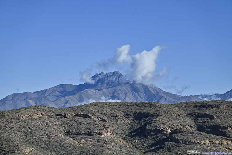 Distant Browns PeakOf Four Peaks Wilderness
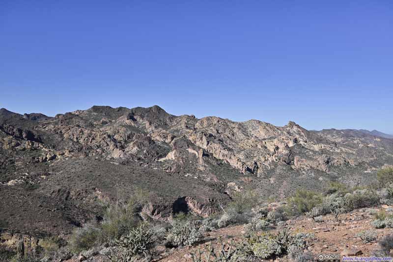 Hills
Hills
Click here to display photos of the slideshow
Canyon Lake
Mountains in Superstition Wilderness
Mountains in Superstition WildernessBattleship Mountain and Weaver’s Needle in the center.
Trail

Distant Browns PeakOf Four Peaks Wilderness
Hills
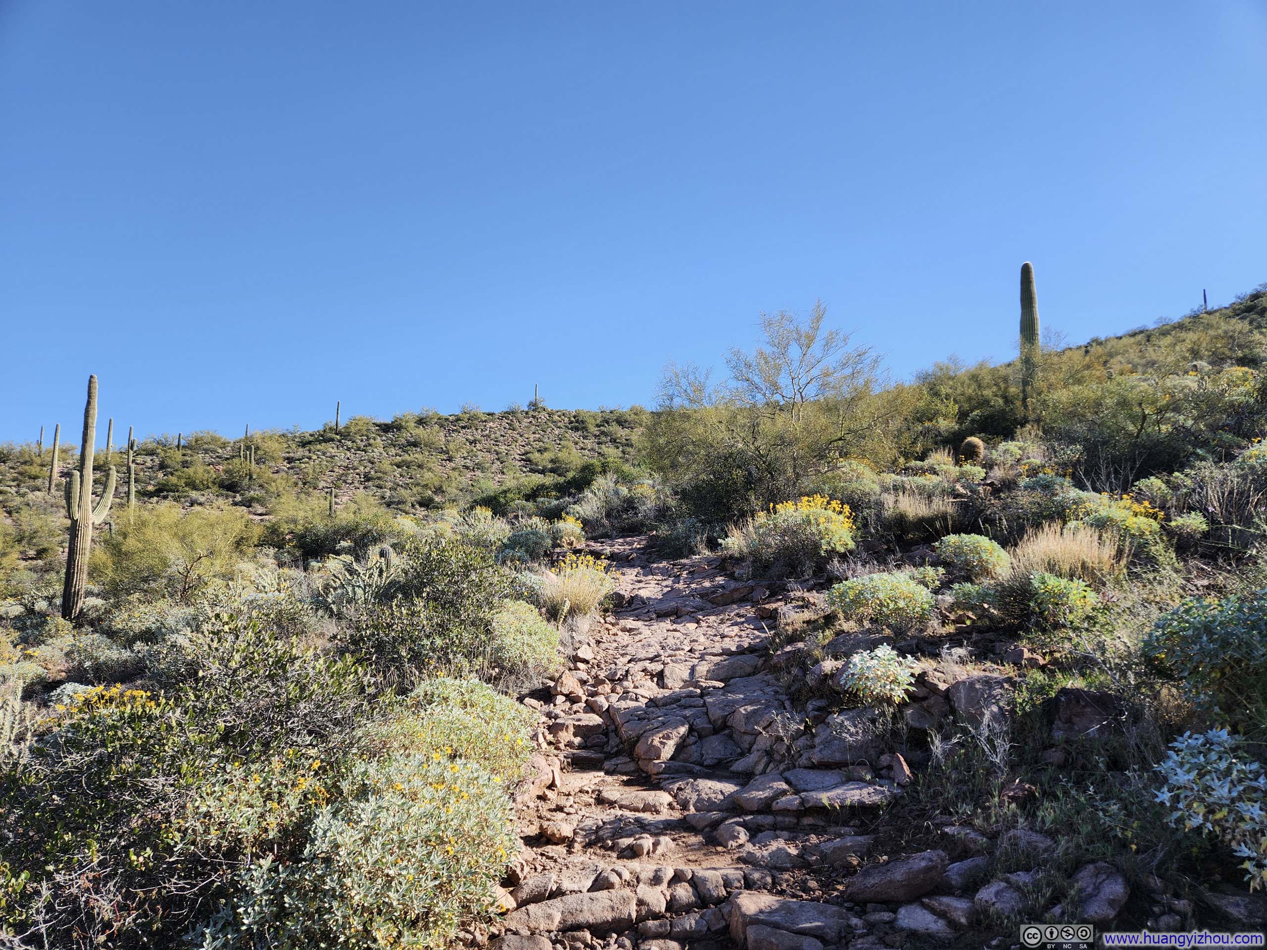
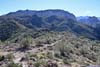
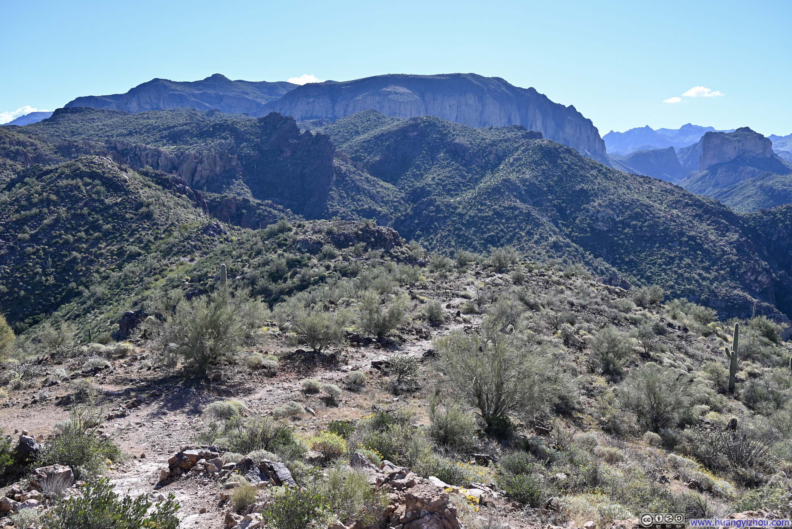
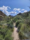
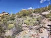
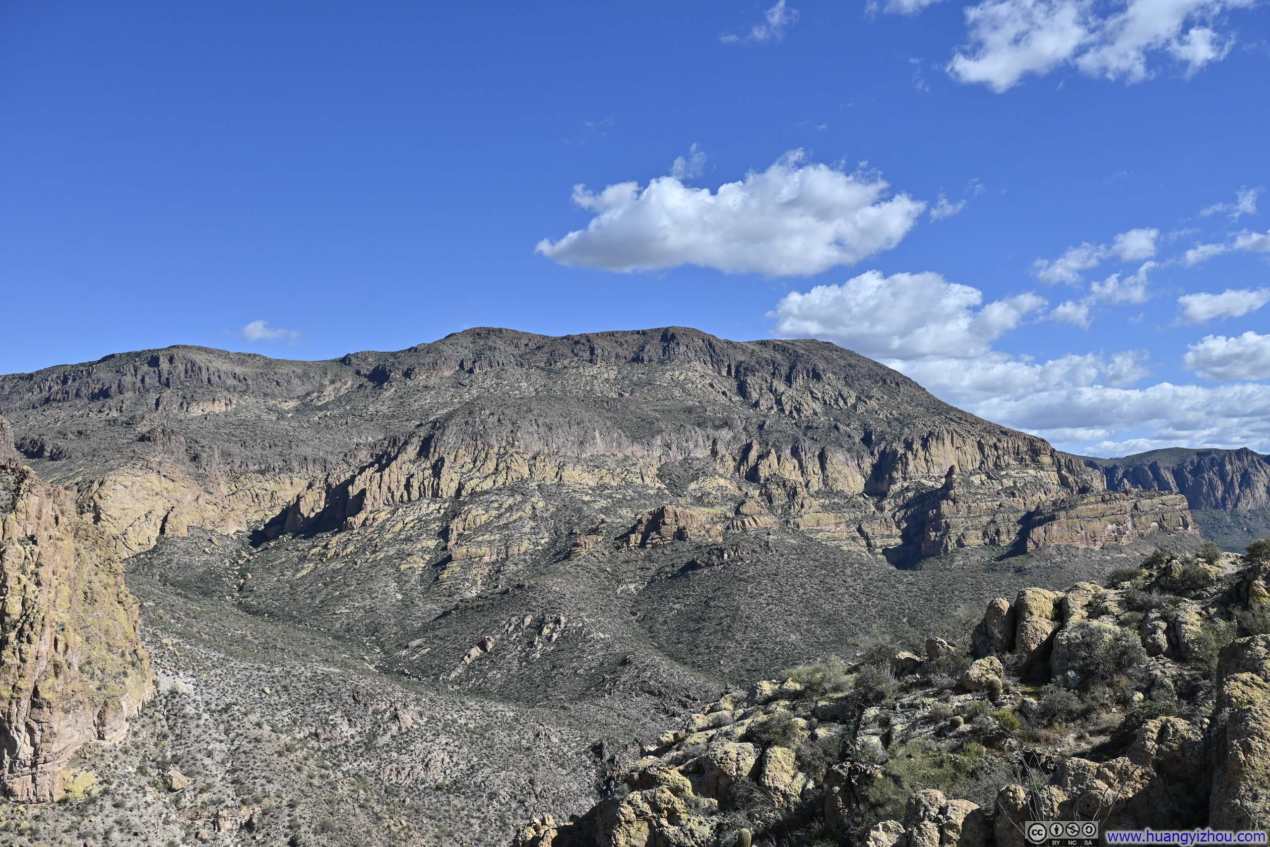
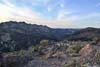
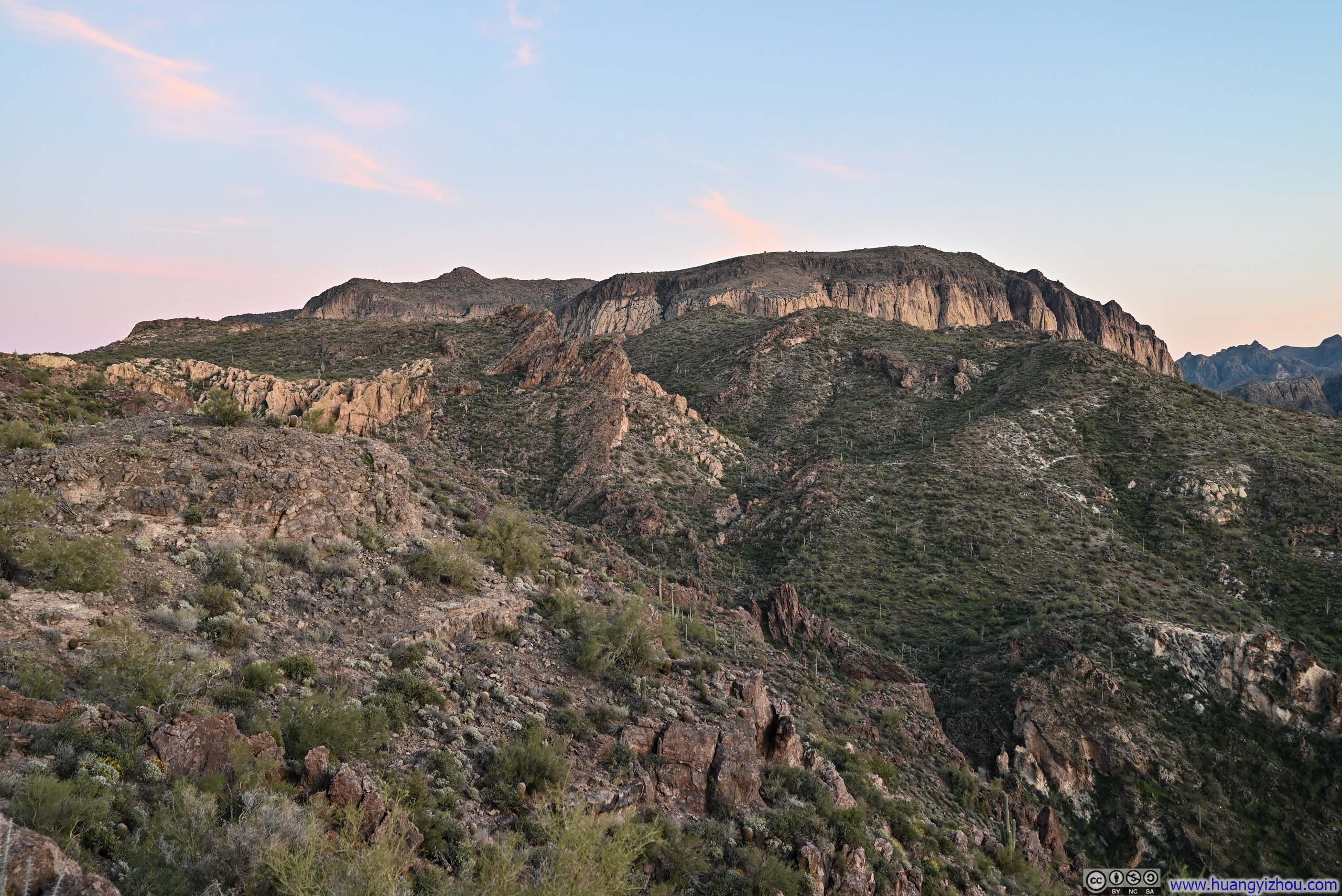
Upon leaving that small hill, the trail settled into a sidehill traverse with little elevation changes.
 Hills
Hills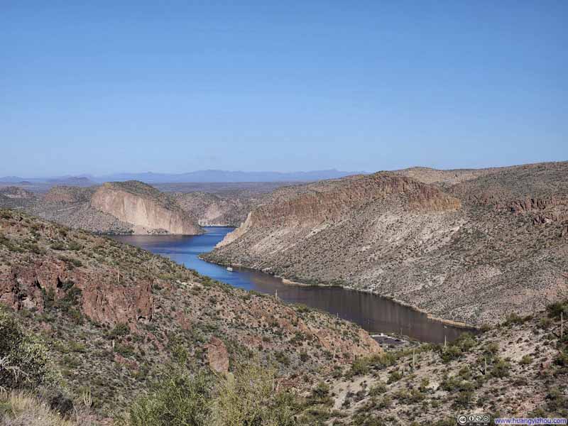 Tortilla Bay
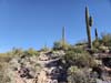
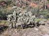
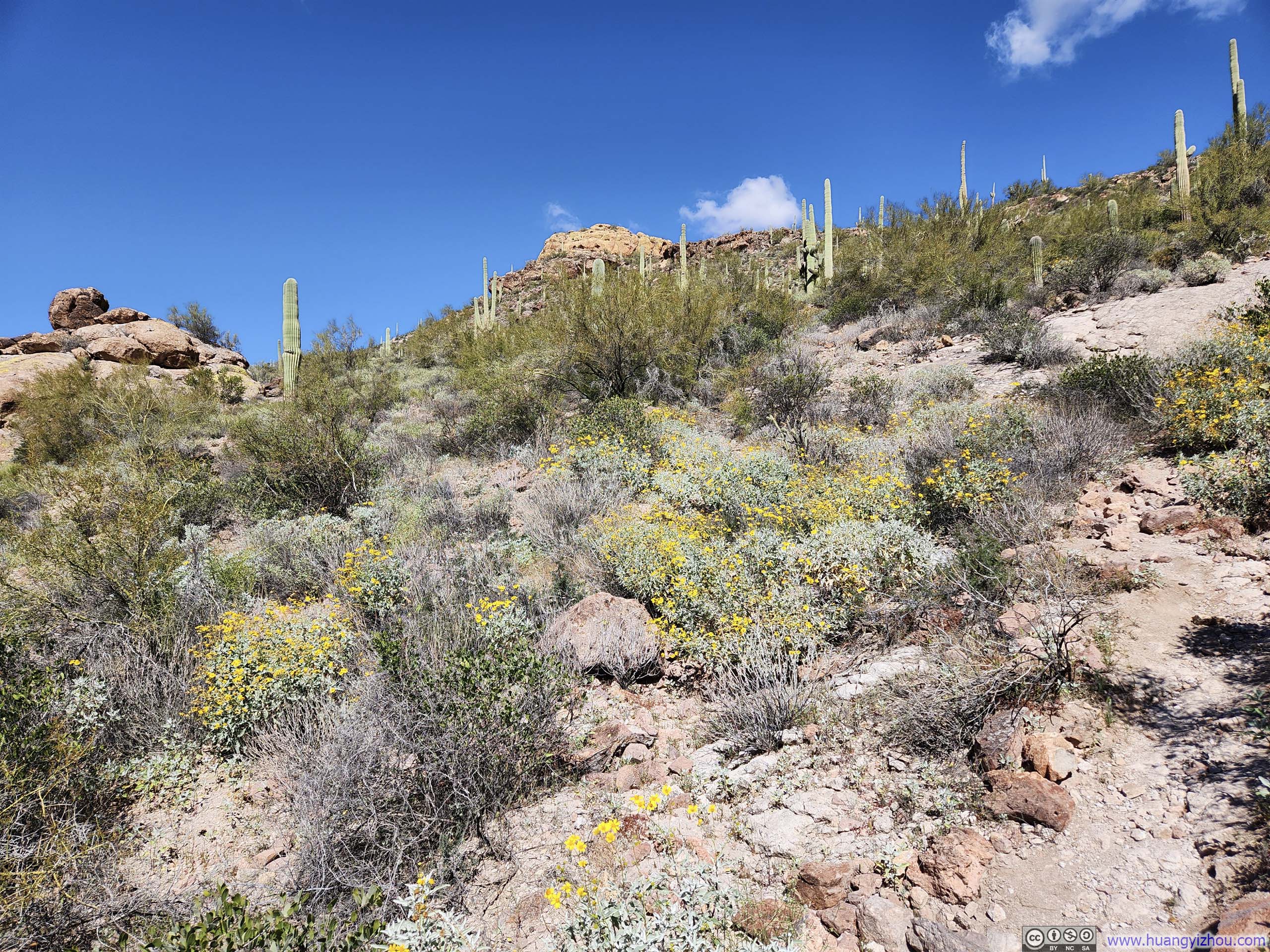
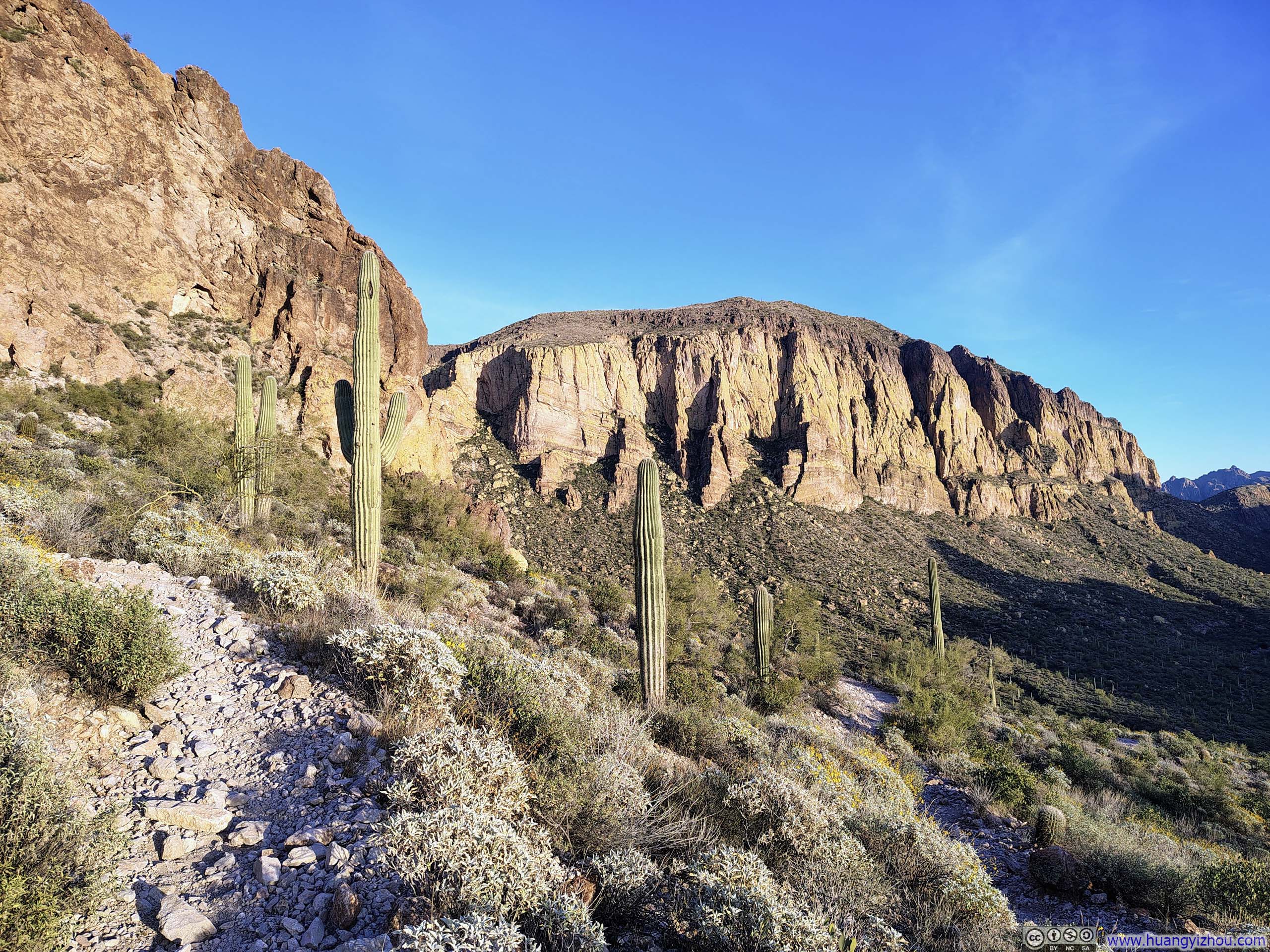
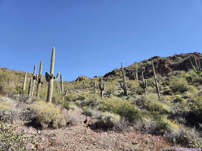 Saguaros along Trail
 Hills along La Barge Creek
 Cacti along Trail


Click here to display photos of the slideshow
Hills
Tortilla Bay
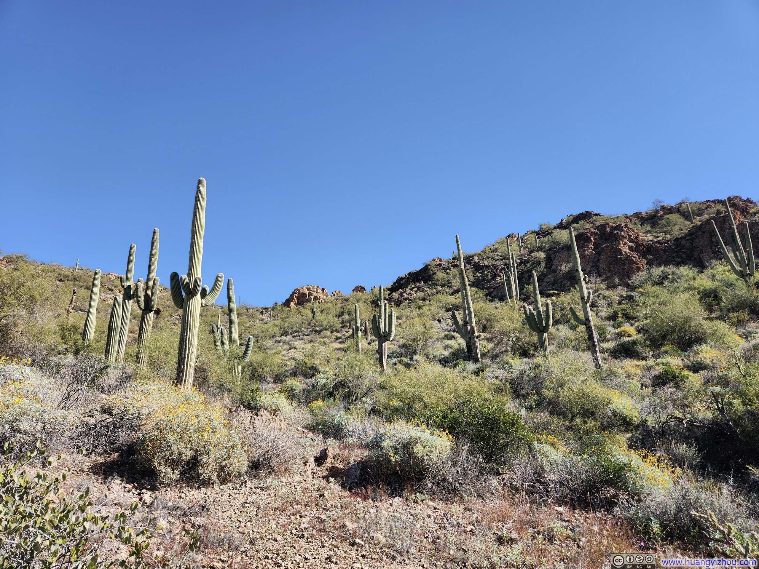
Saguaros along Trail
Hills along La Barge Creek
Cacti along Trail
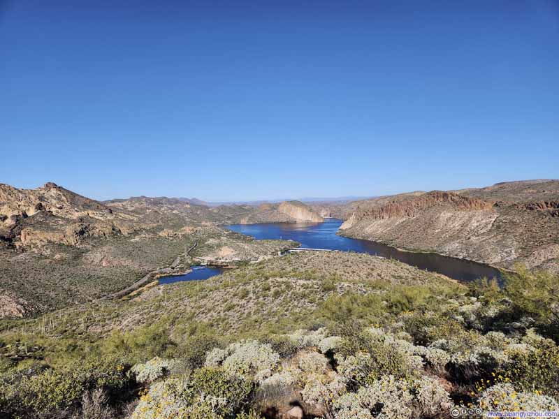
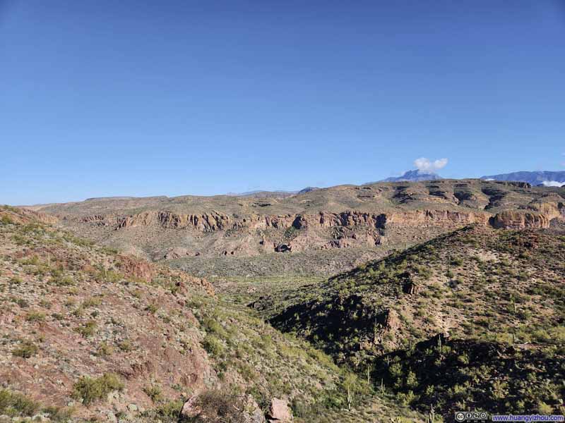
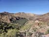
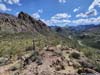
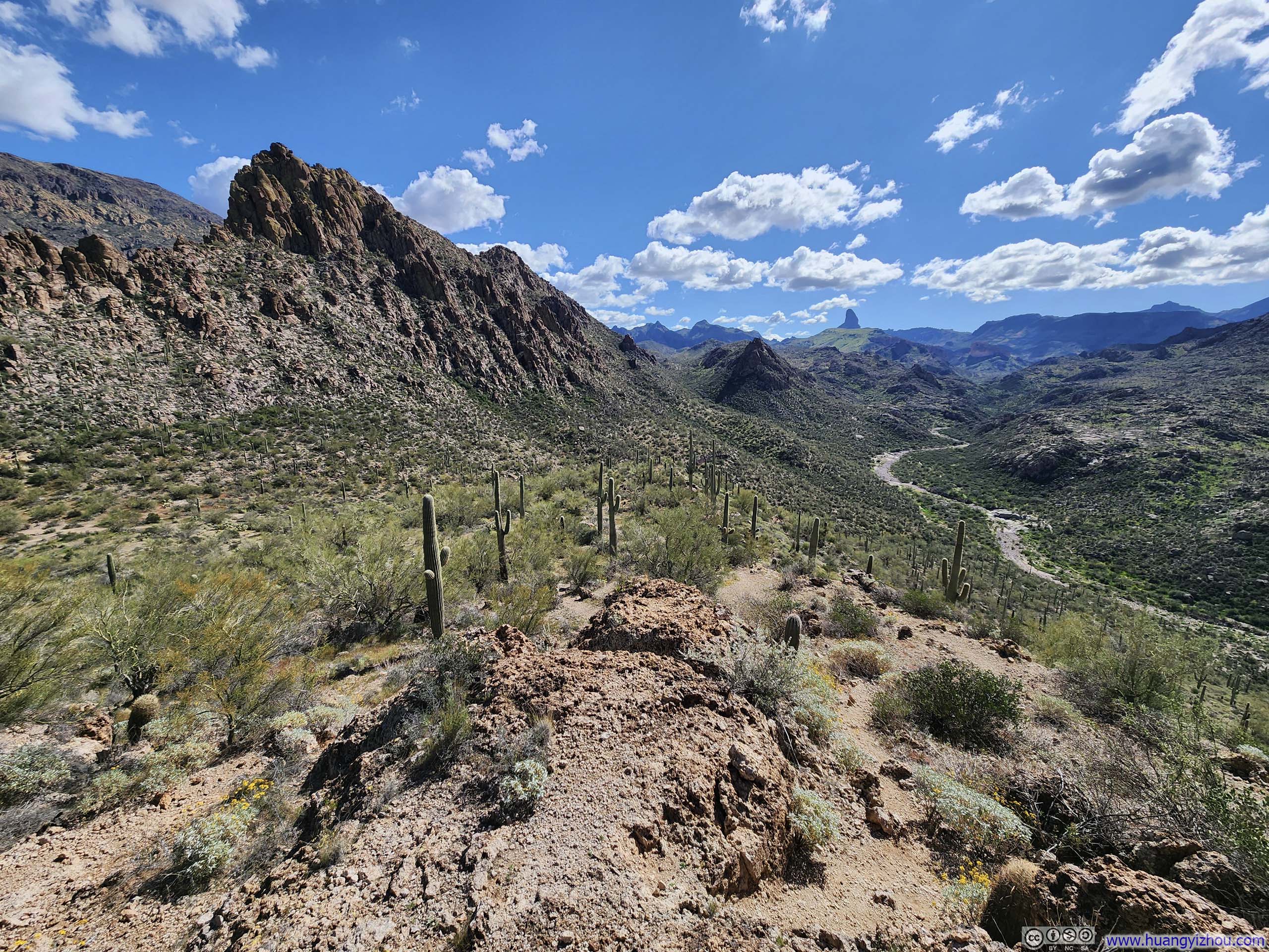
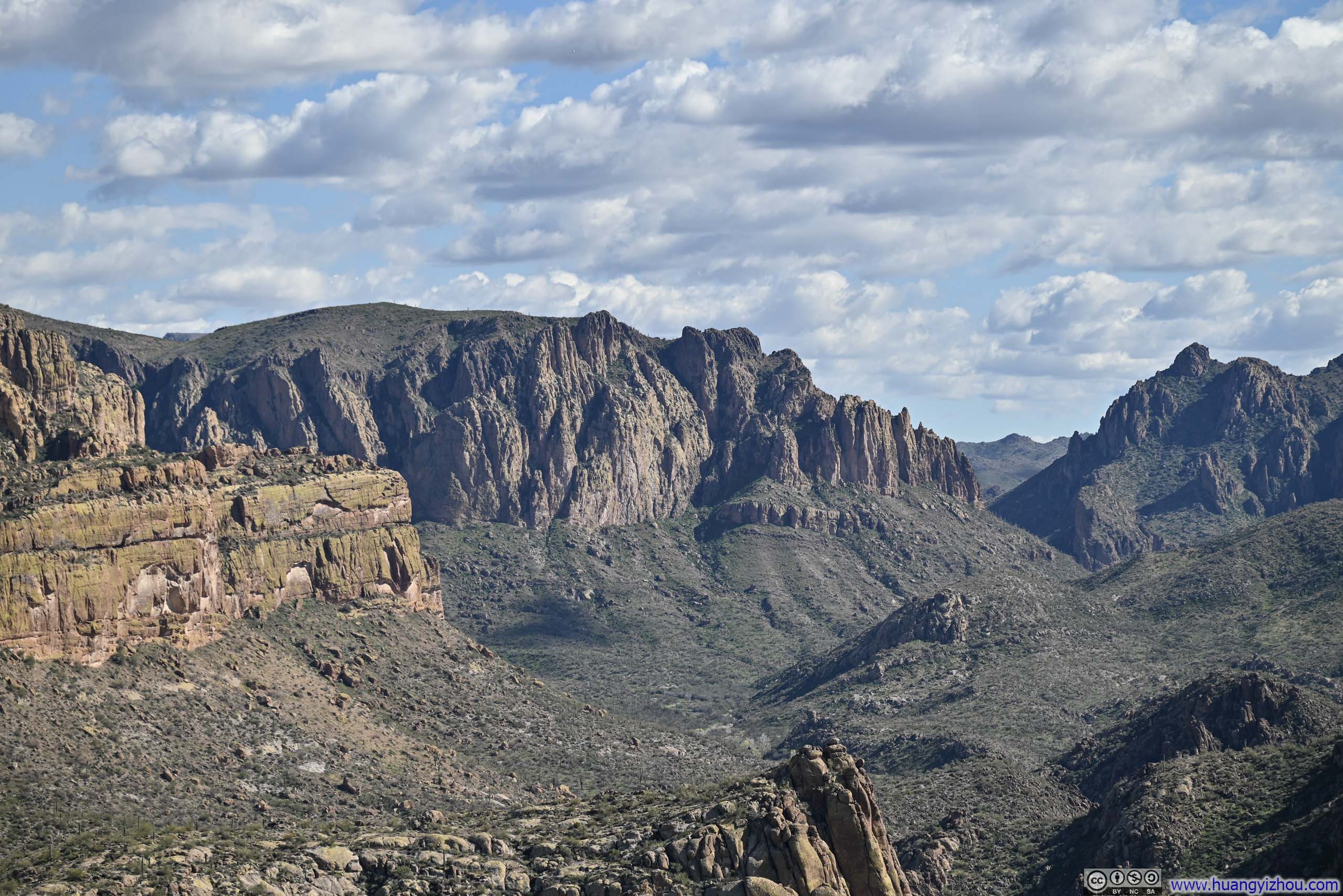
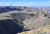
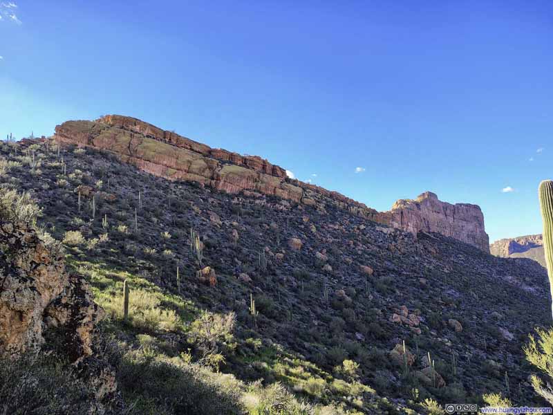
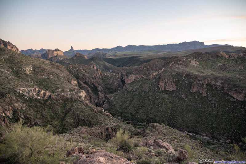
That is, until the trail reached another major vista point overlooking La Barge Canyon, which commanded the view front and center.
Many hikers chose that overlook as their turnaround point, and understandably so: there were no views nearly as dramatic or rewarding until the summit of Battleship Mountain.
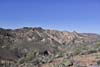
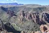
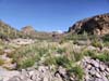
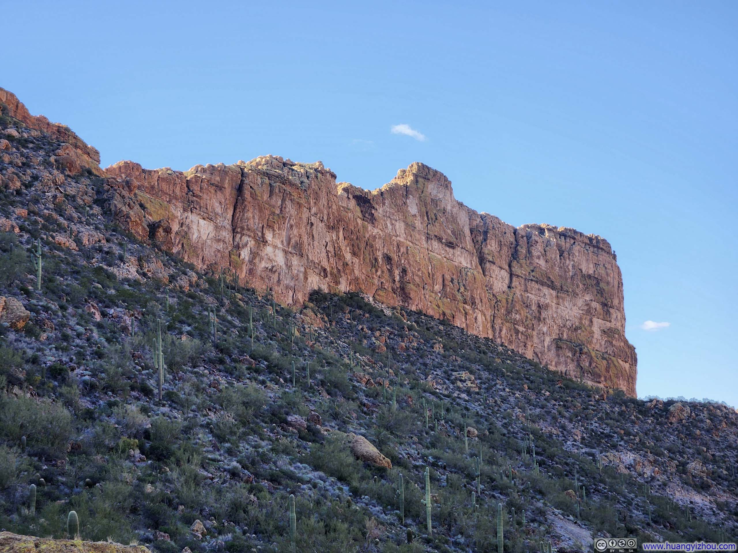
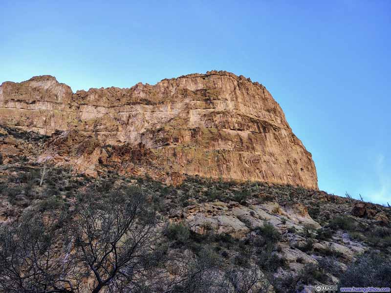
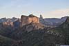
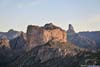
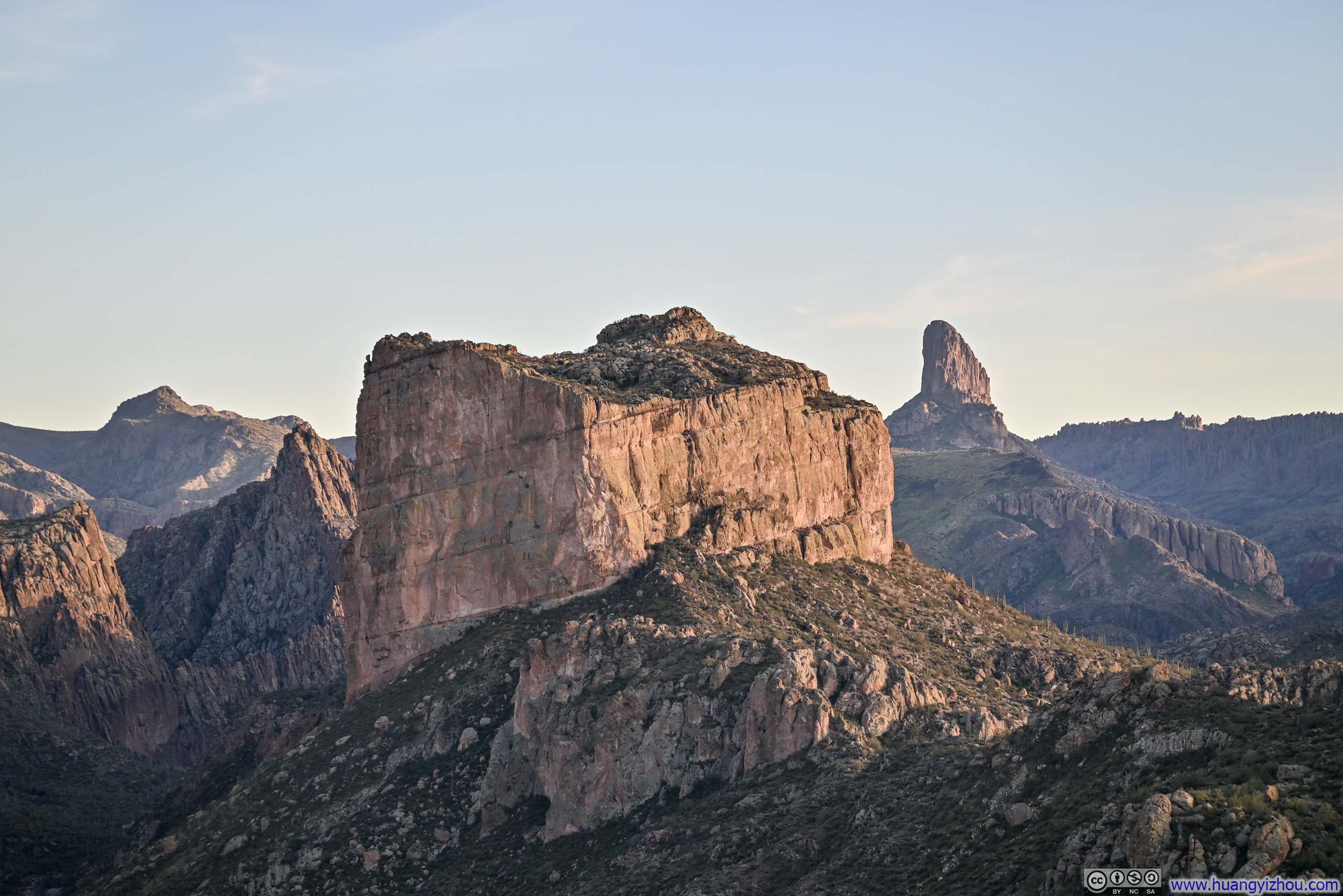
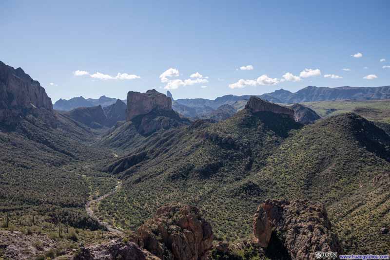 Hills around La Barge Canyon
 Battleship Mountain
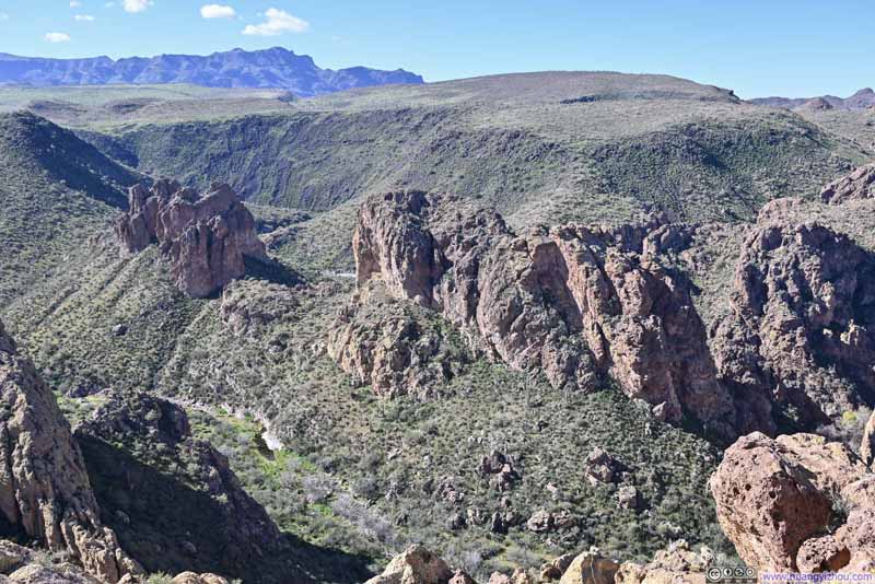 HillsSeparating La Barge Creek in the foreground and Boulder Canyon Creek in the background.
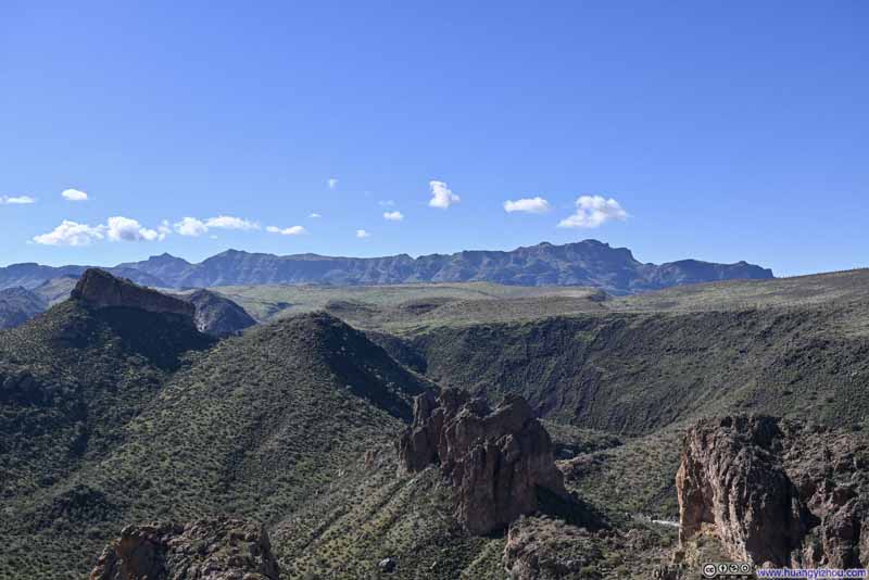 Greeneries on Black MesaSuperstition Ridge in the background.
 Hills around La Barge Canyon
Click here to display photos of the slideshow
Hills around La Barge Canyon
Battleship Mountain
HillsSeparating La Barge Creek in the foreground and Boulder Canyon Creek in the background.

Greeneries on Black MesaSuperstition Ridge in the background.
Hills around La Barge Canyon
Mountains in Superstition Wilderness
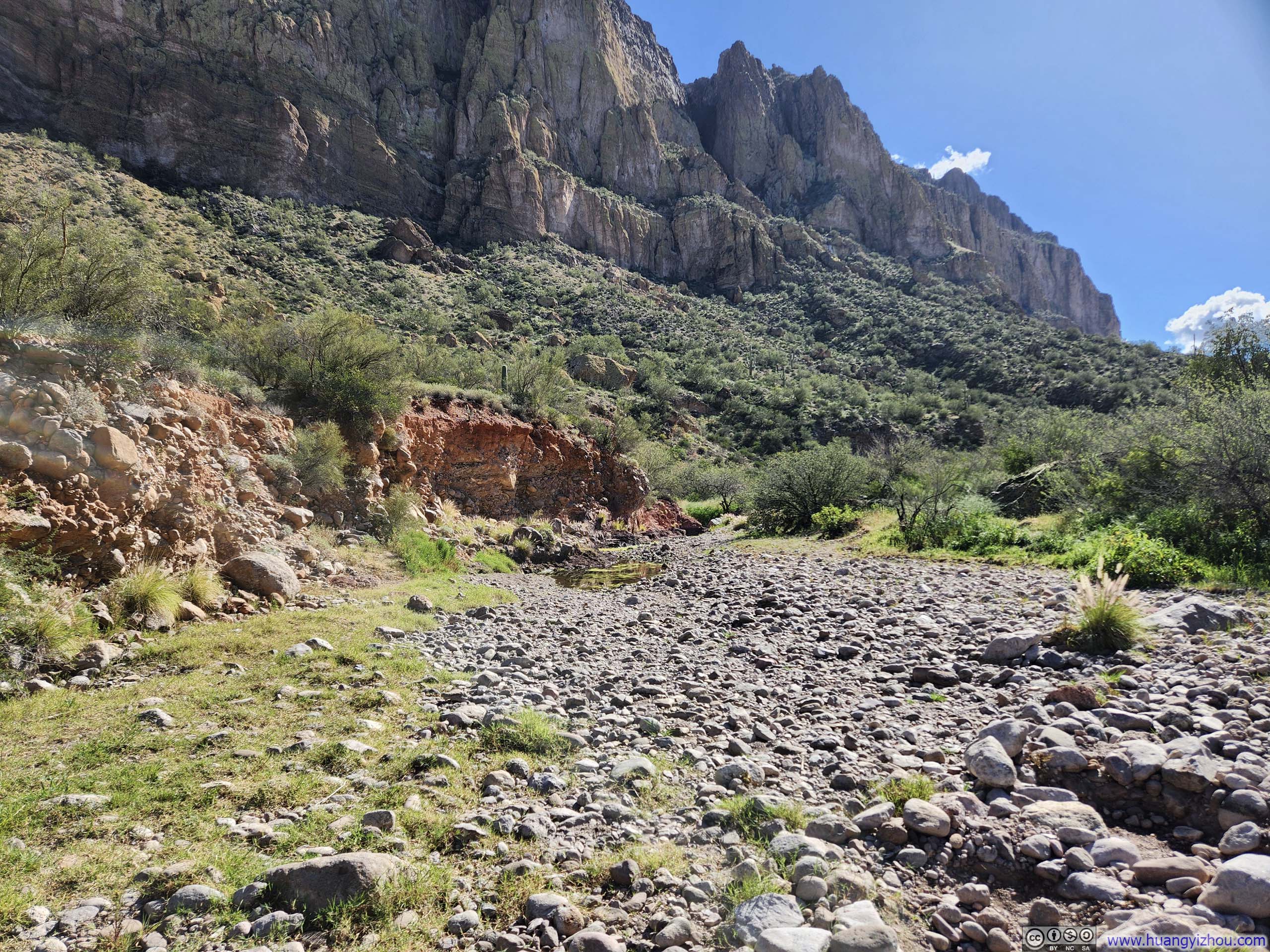
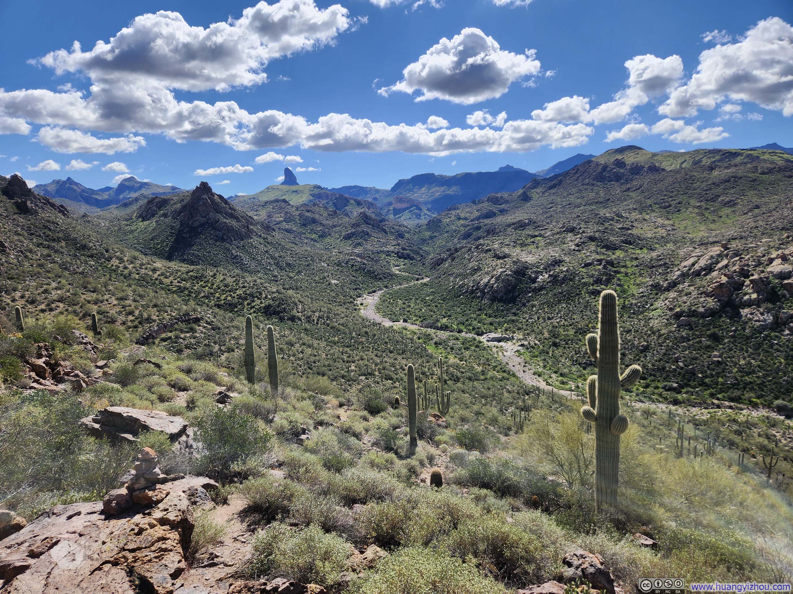
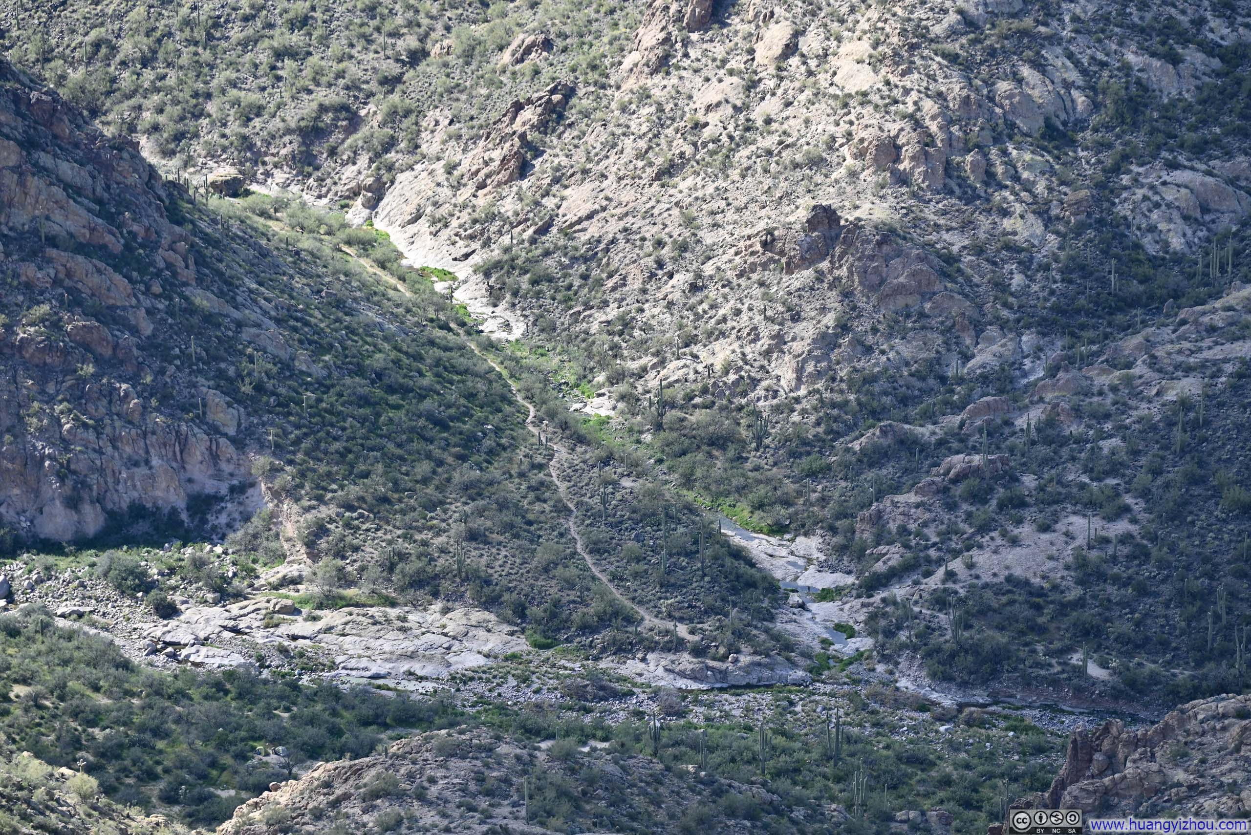
Leaving the major vista point, the trail descended to the canyon floor. After crossing La Barge Creek, it forked into two branches that would later converge at the southern foot of Battleship Mountain. I made a slight right here, heading toward Boulder Canyon first. For reasons that I will explain later, I believed this was the better option.
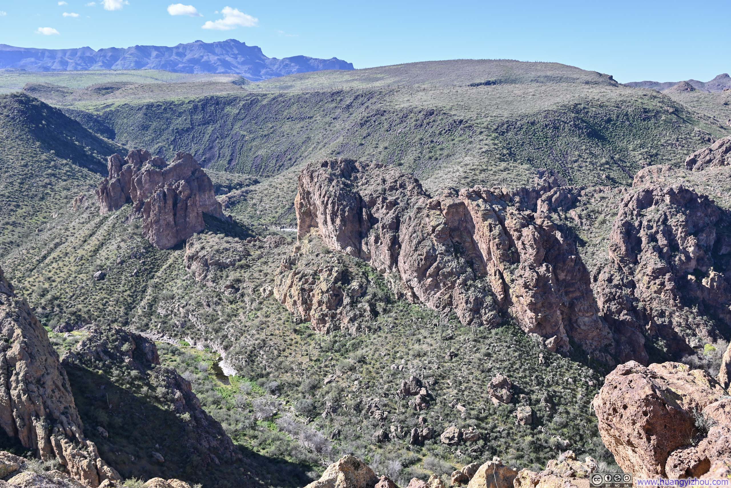
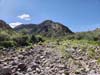
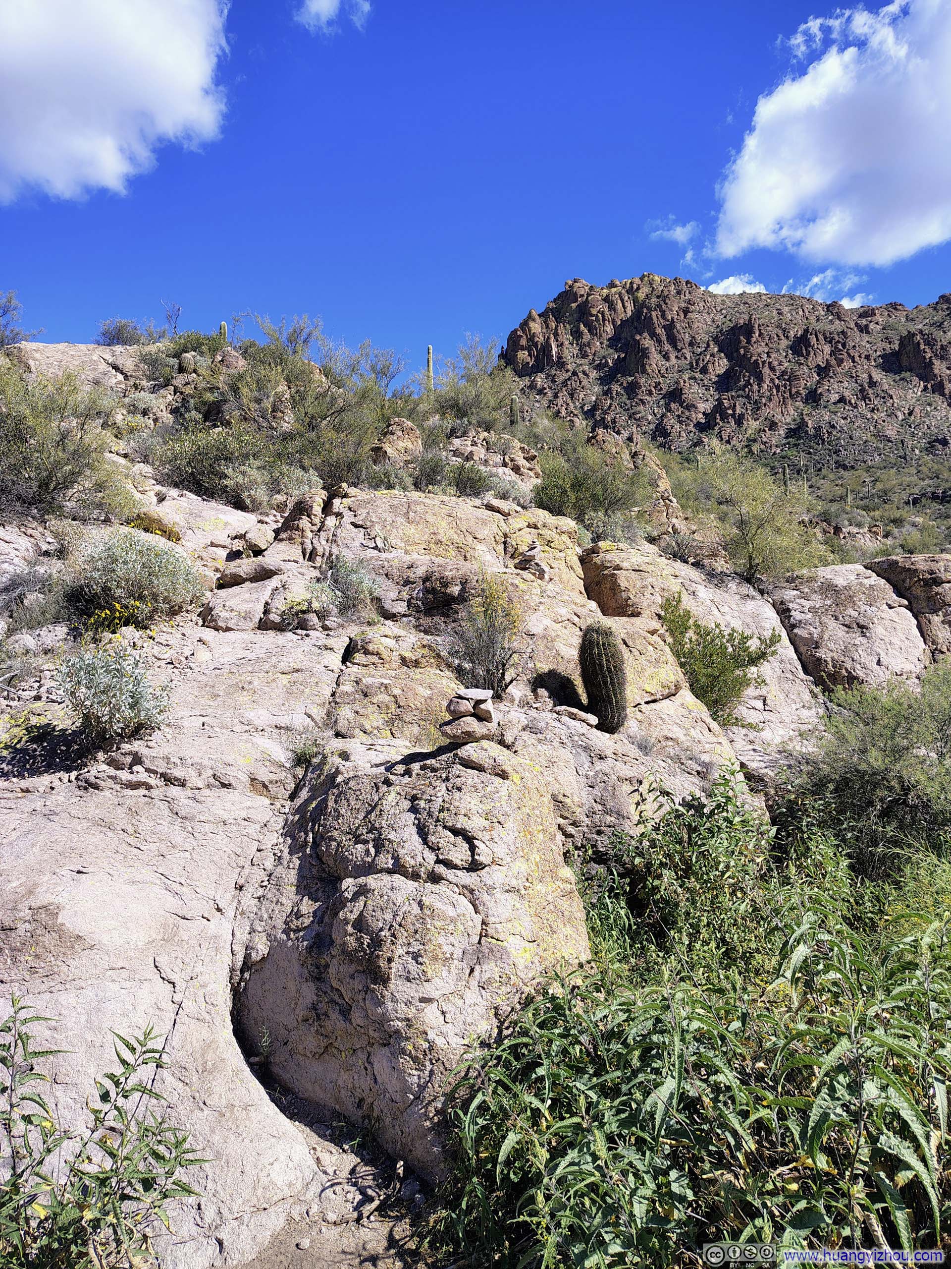
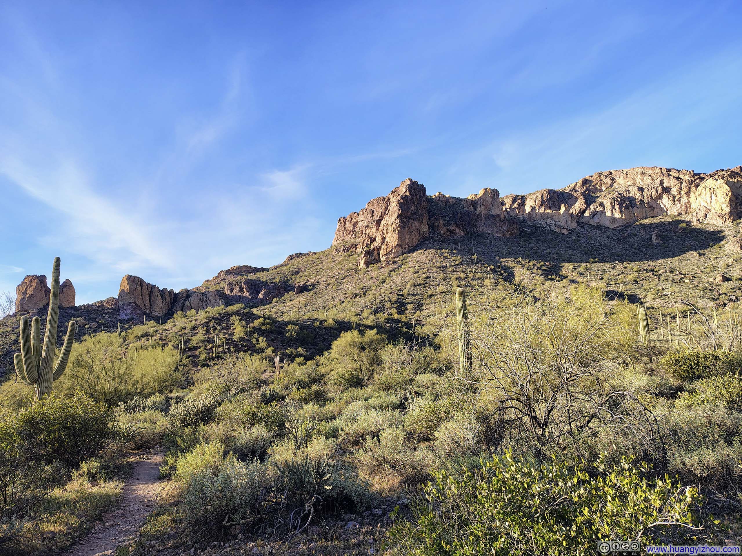
Past the intersection, the trail climbed over a small hill before dropping into Boulder Canyon. There, two parallel trails existed on OpenStreetMap, and I started off following what seemed to be the shorter of the two. Big mistake! Between them, one was the designated “Boulder Canyon Trail,” while the other was unnamed, and the difference in quality between them was stark: the unnamed trail frequently dissolved into bushes, boulders, or streambeds. (On AllTrails, this unnamed route was rendered as a noticeably thinner line than the proper “Boulder Canyon Trail #103”, a subtle but telling distinction I had overlooked.) Fortunately, the two paths intersected from time to time, giving me the chance to rejoin the proper trail. Even so, picking my way along the riverbed of Boulder Canyon was far from a pleasant experience.
 Crossing La Barge CreekWhere La Barge Canyon Trail and Boulder Canyon Trail diverged.
 Hill
Hill Trail against Hill
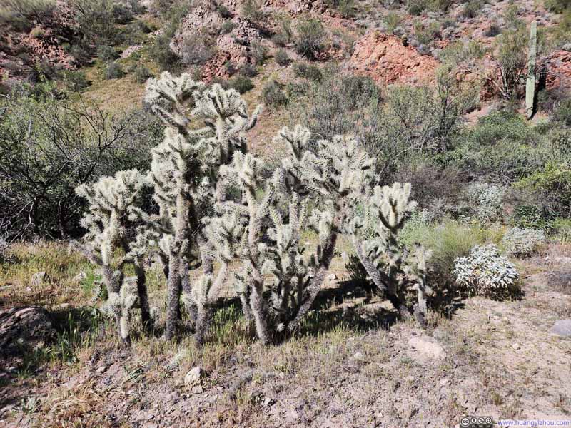 Cacti
Cacti Creek in Boulder Canyon
 Trail in Boulder Canyon

Click here to display photos of the slideshow
Crossing La Barge CreekWhere La Barge Canyon Trail and Boulder Canyon Trail diverged.

Hill

Trail against Hill
Cacti
Creek in Boulder Canyon
Trail in Boulder Canyon
 Cluster of Fountain Grass
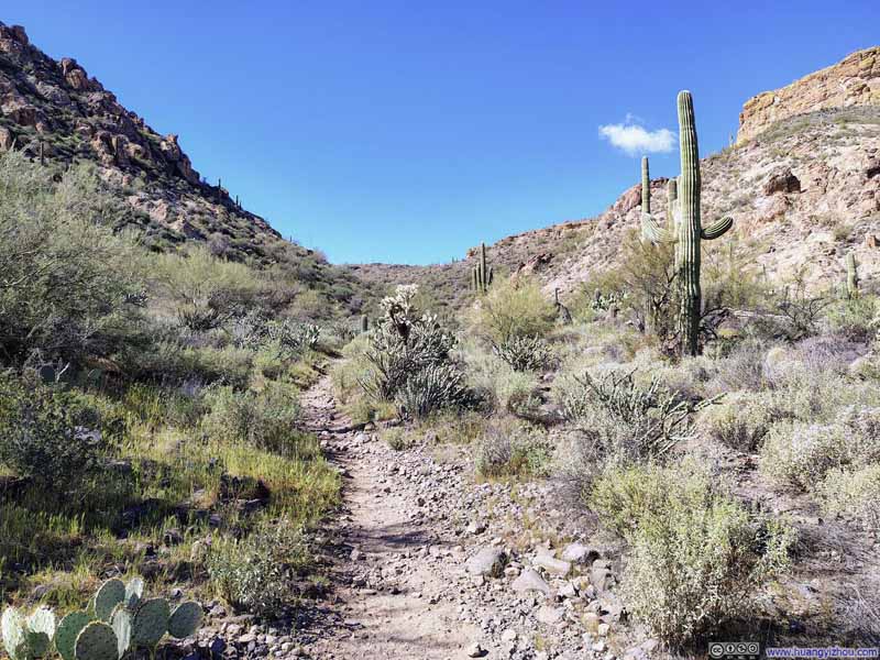 Second Water TrailFrom a closer trailhead to Battleship Mountain.
 Creek in Boulder Canyon
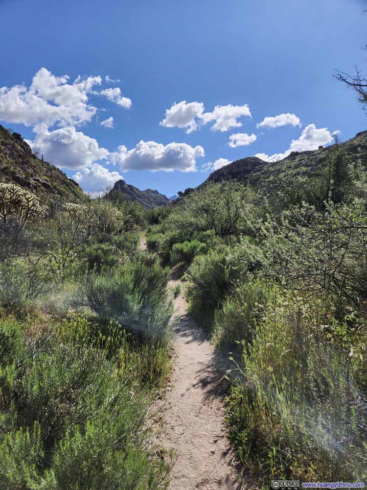 Trail in Boulder Canyon

Click here to display photos of the slideshow
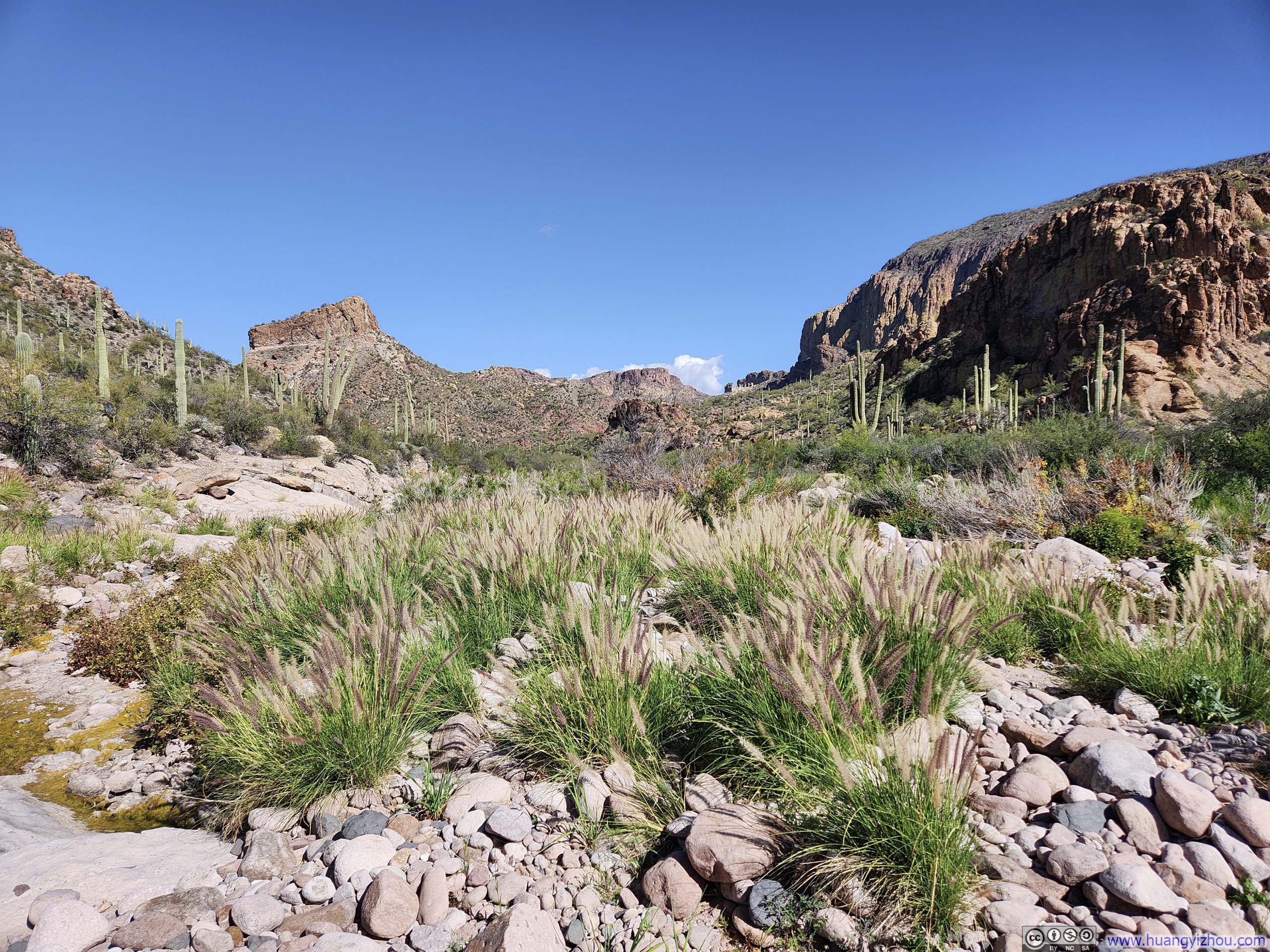
Cluster of Fountain Grass

Second Water TrailFrom a closer trailhead to Battleship Mountain.

Creek in Boulder Canyon

Trail in Boulder Canyon
Trail towards Battleship MountainA few cairns marked this intersection with Boulder Trail.
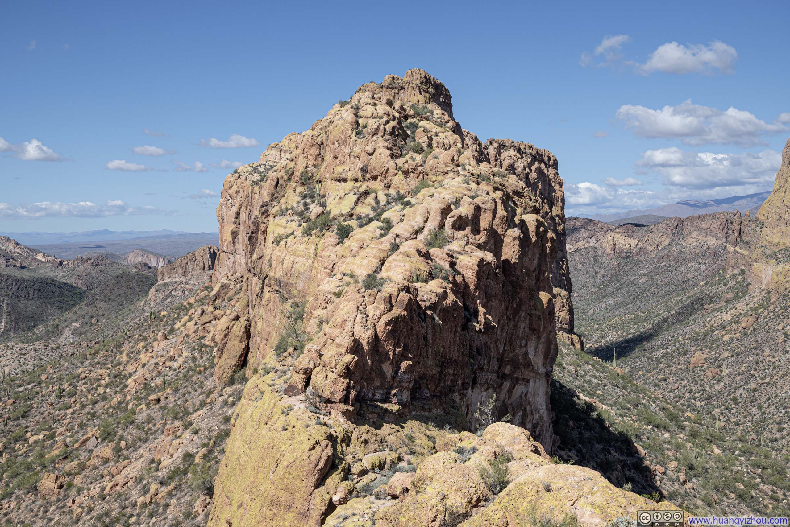
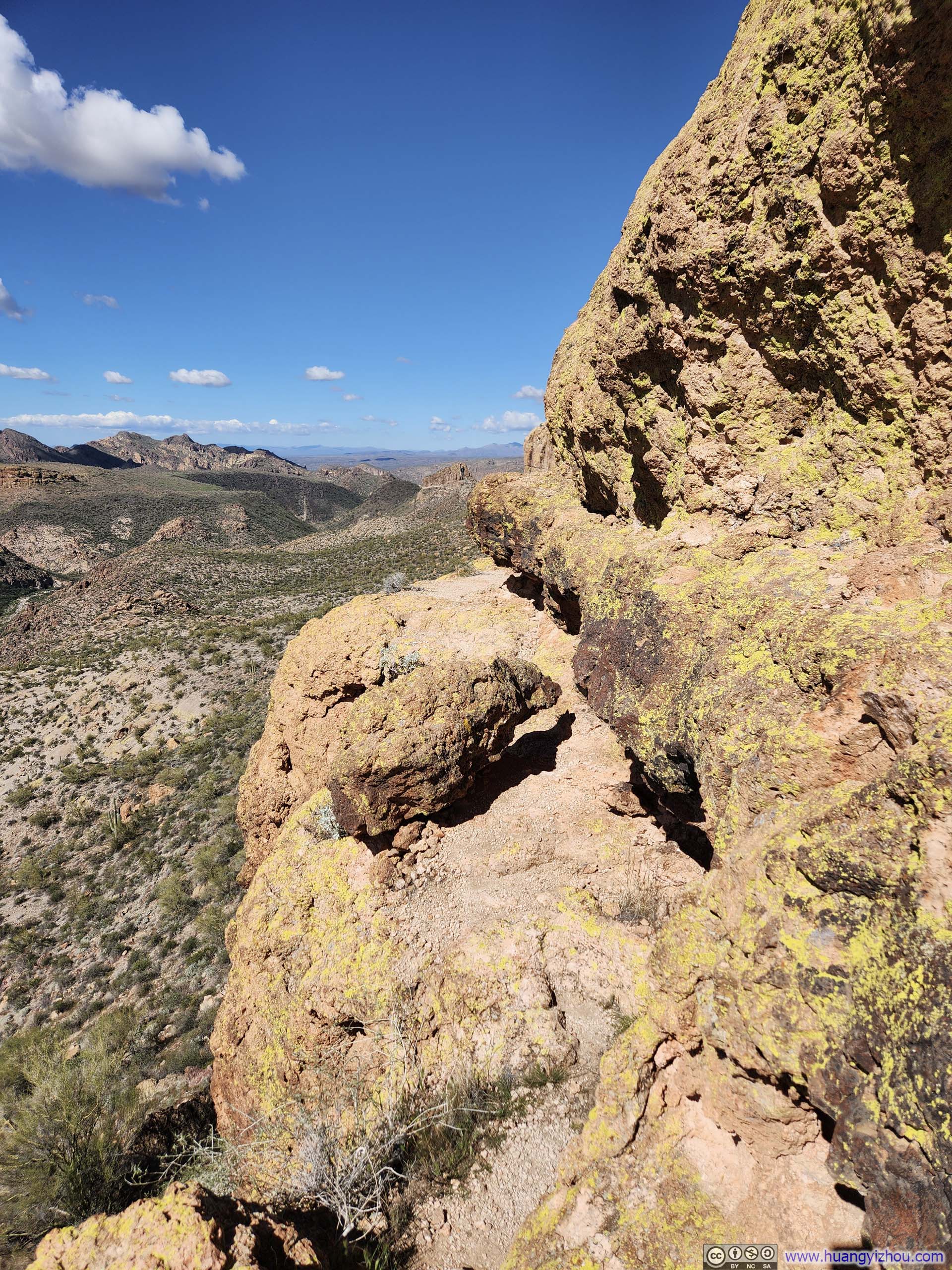
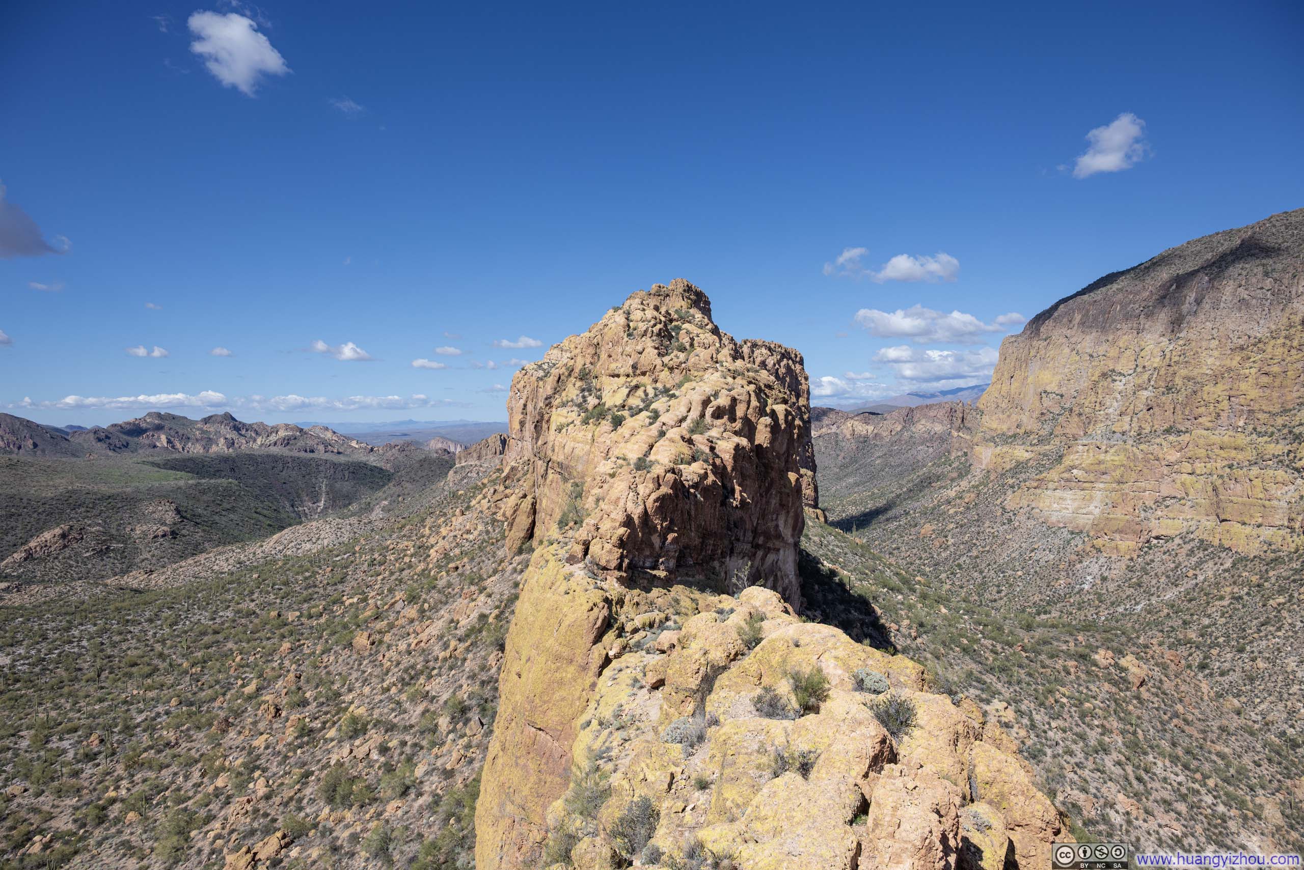
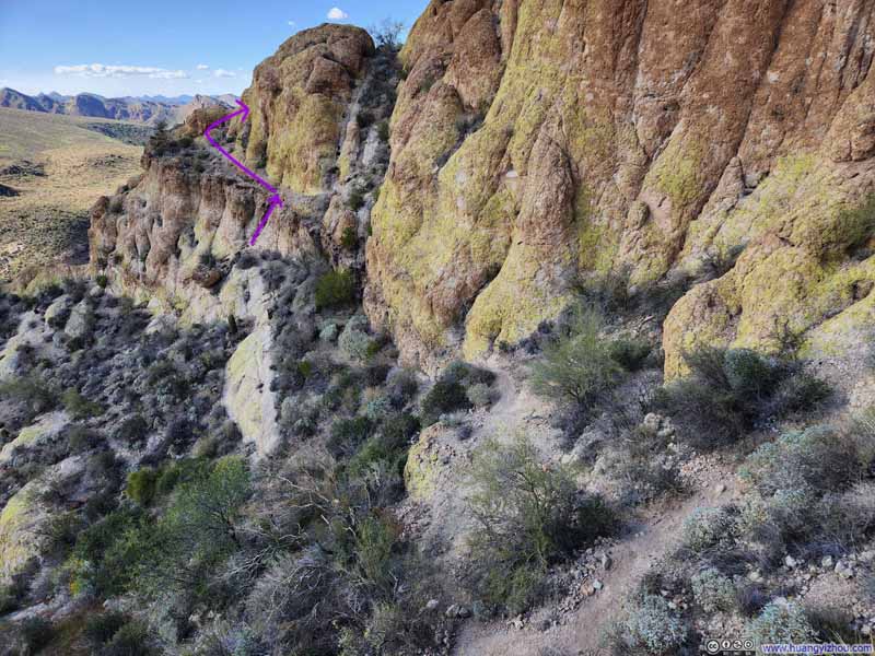
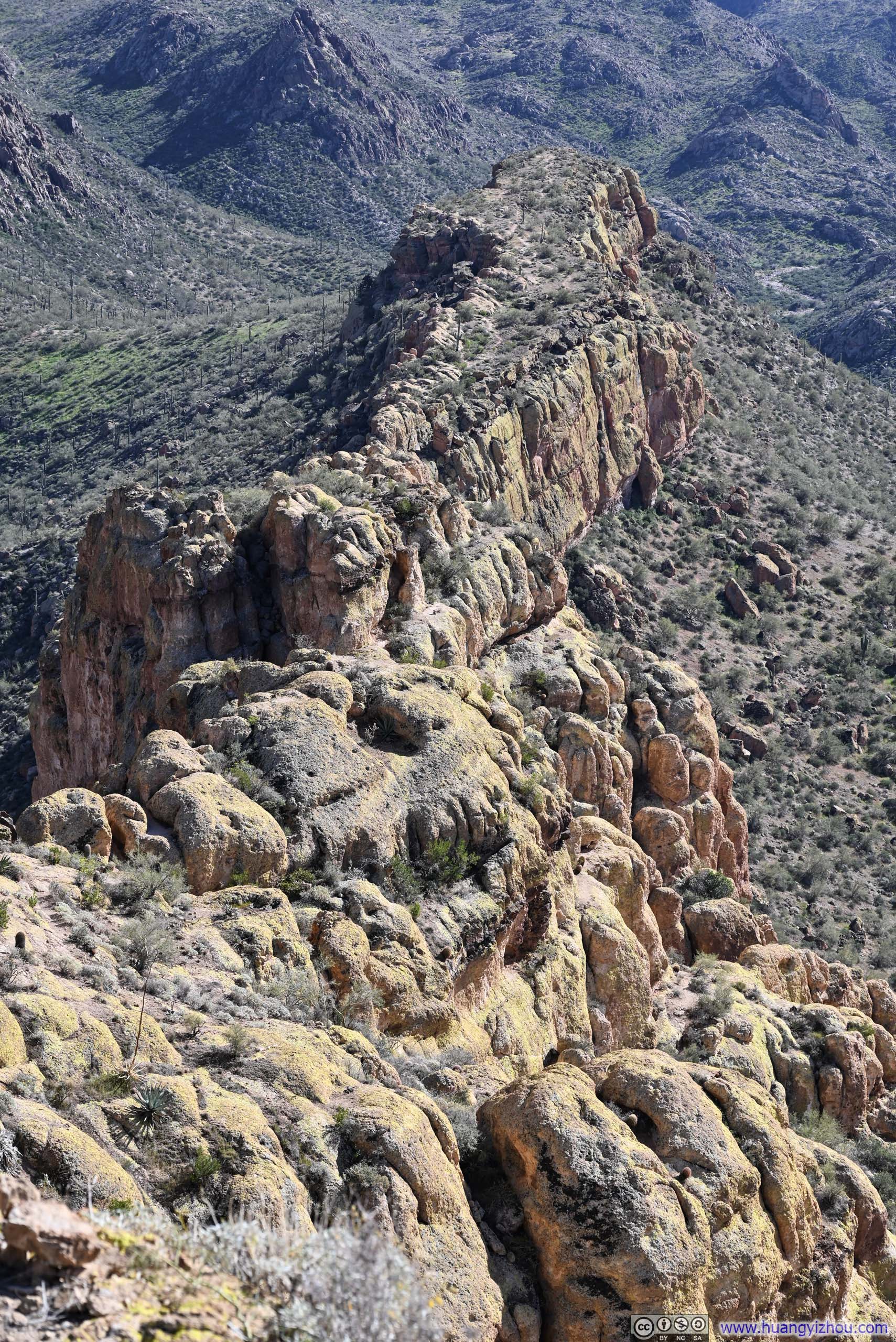
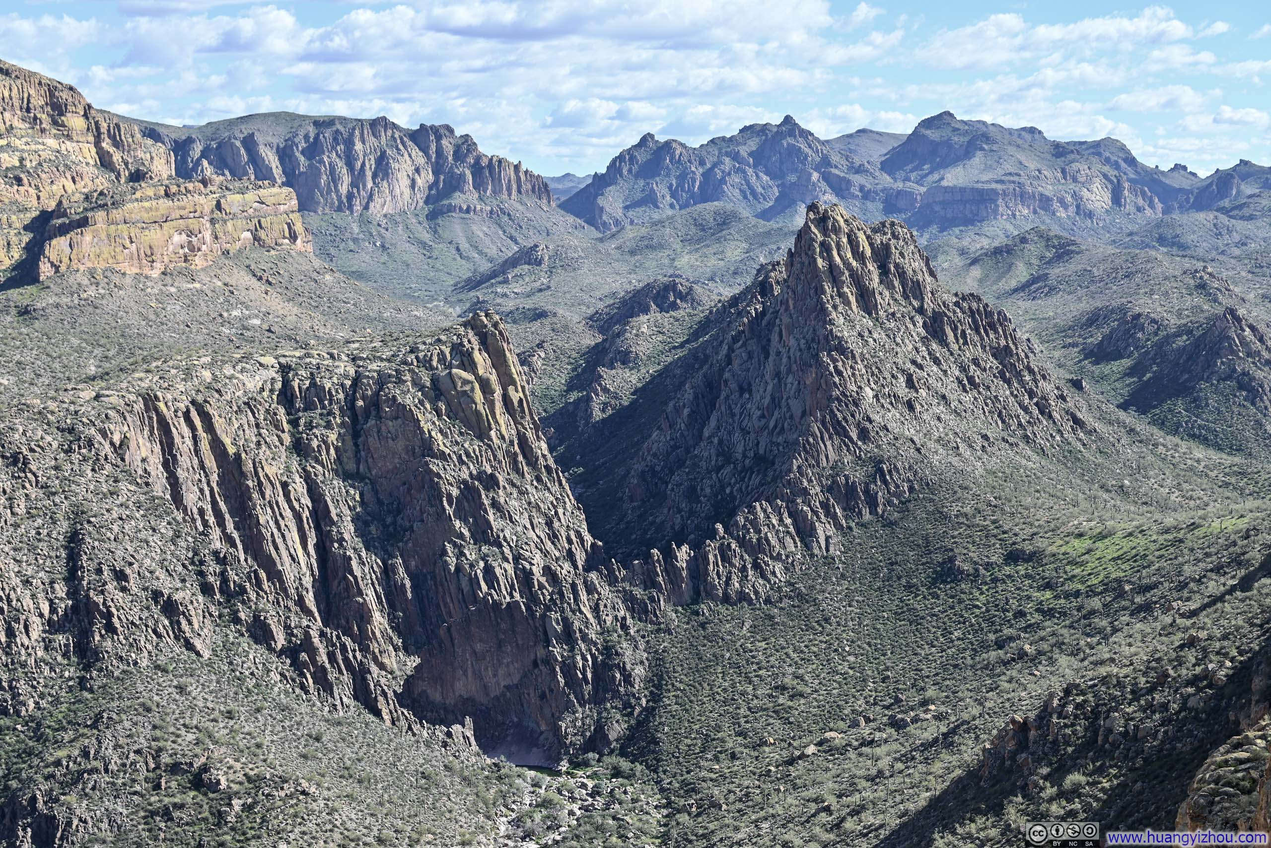
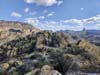
Eventually, the path departed Boulder Canyon and began its ascent toward Battleship Mountain. As its name suggested, Battleship Mountain was a long, narrow ridge running approximately north to south, with its northern end bounded by sheer cliffs, meaning the only viable approach was from the south. Along the way, I lost the trail once and had to rely on GPS to find my way back.
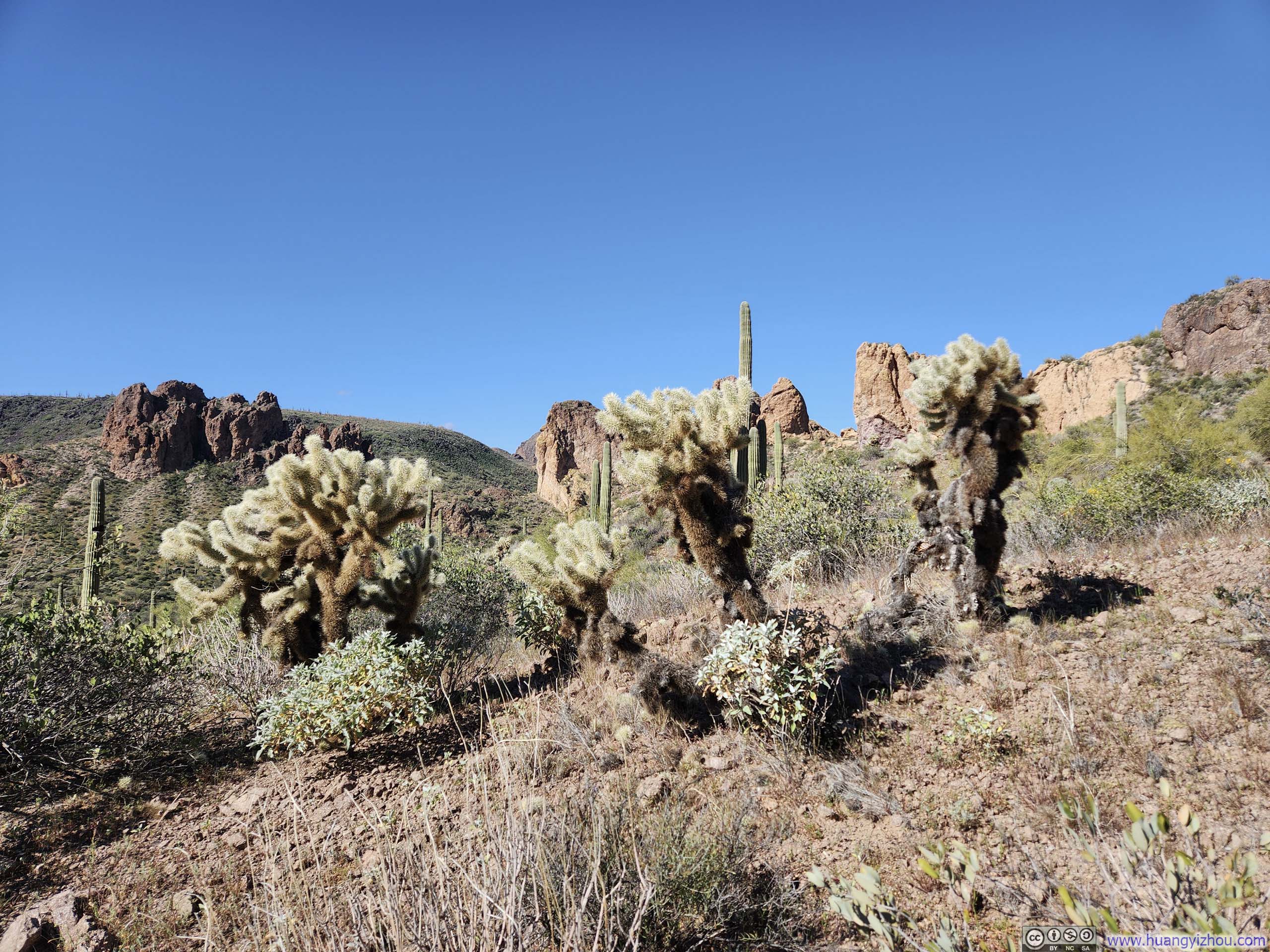
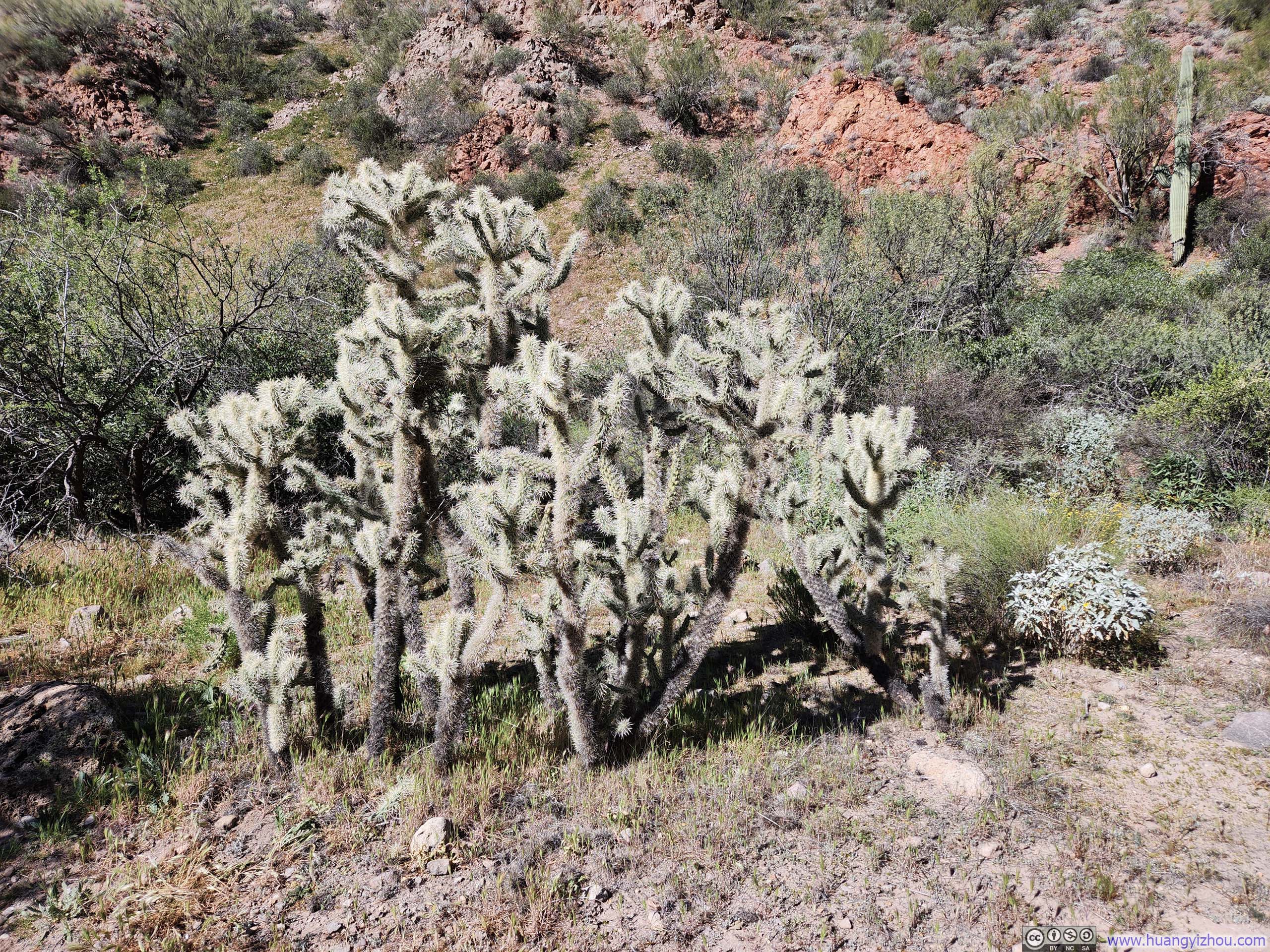
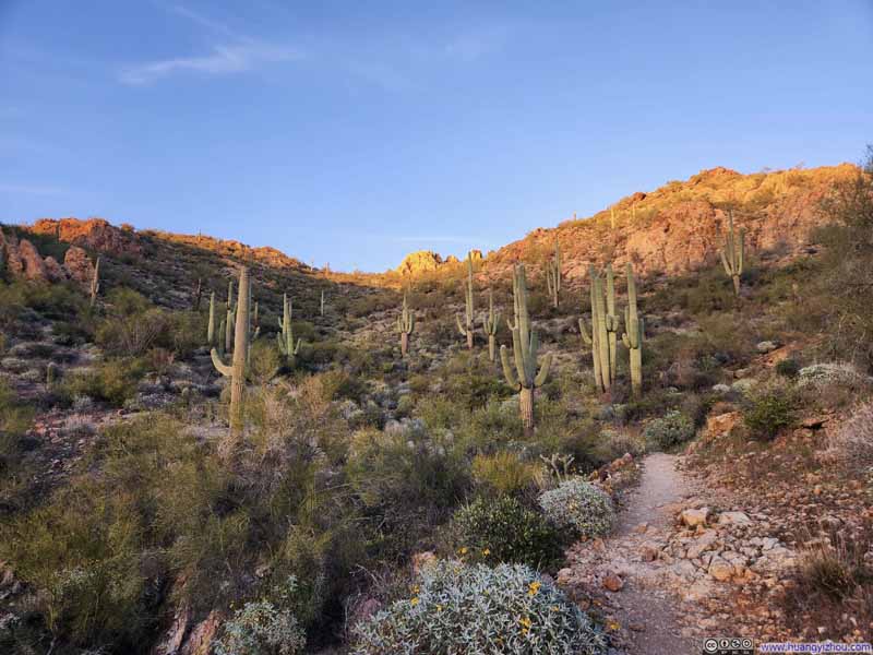
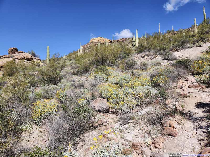 Flowers along Trail
 Boulder Canyon into Superstition Wilderness
 Looking Back at Path onto Battleship Mountain
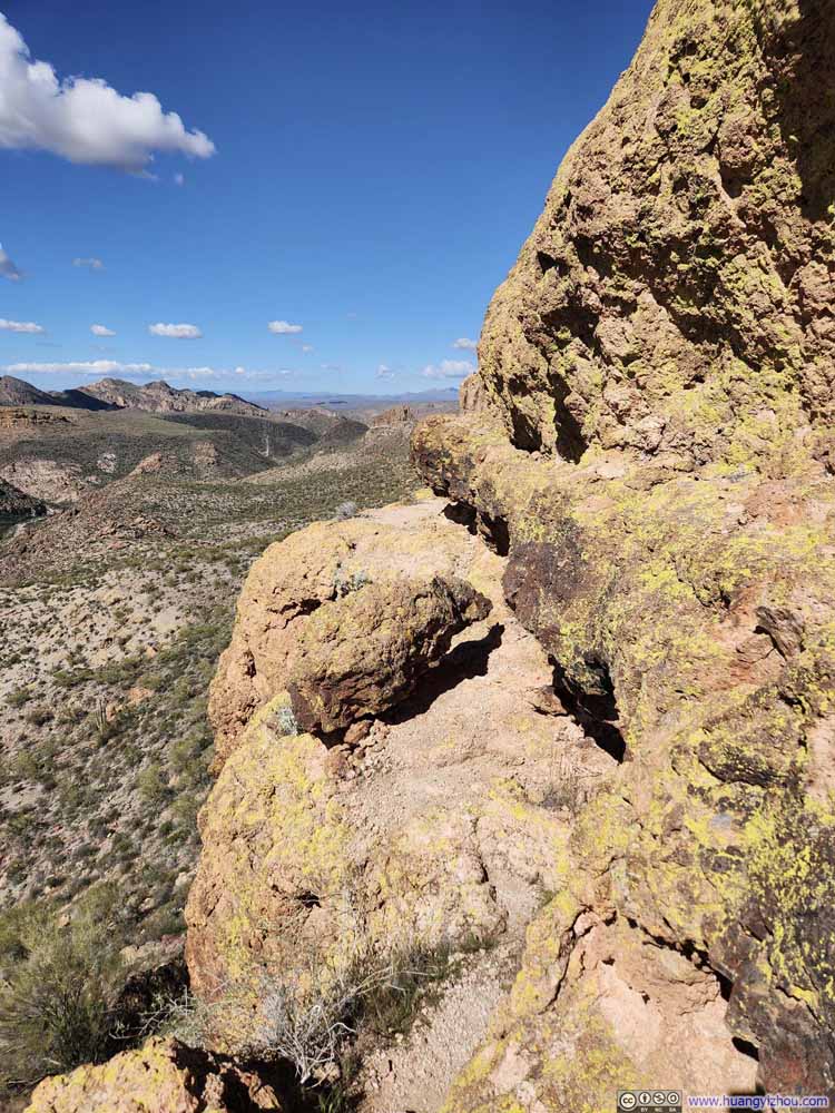 Deceptive Path Forward
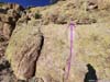
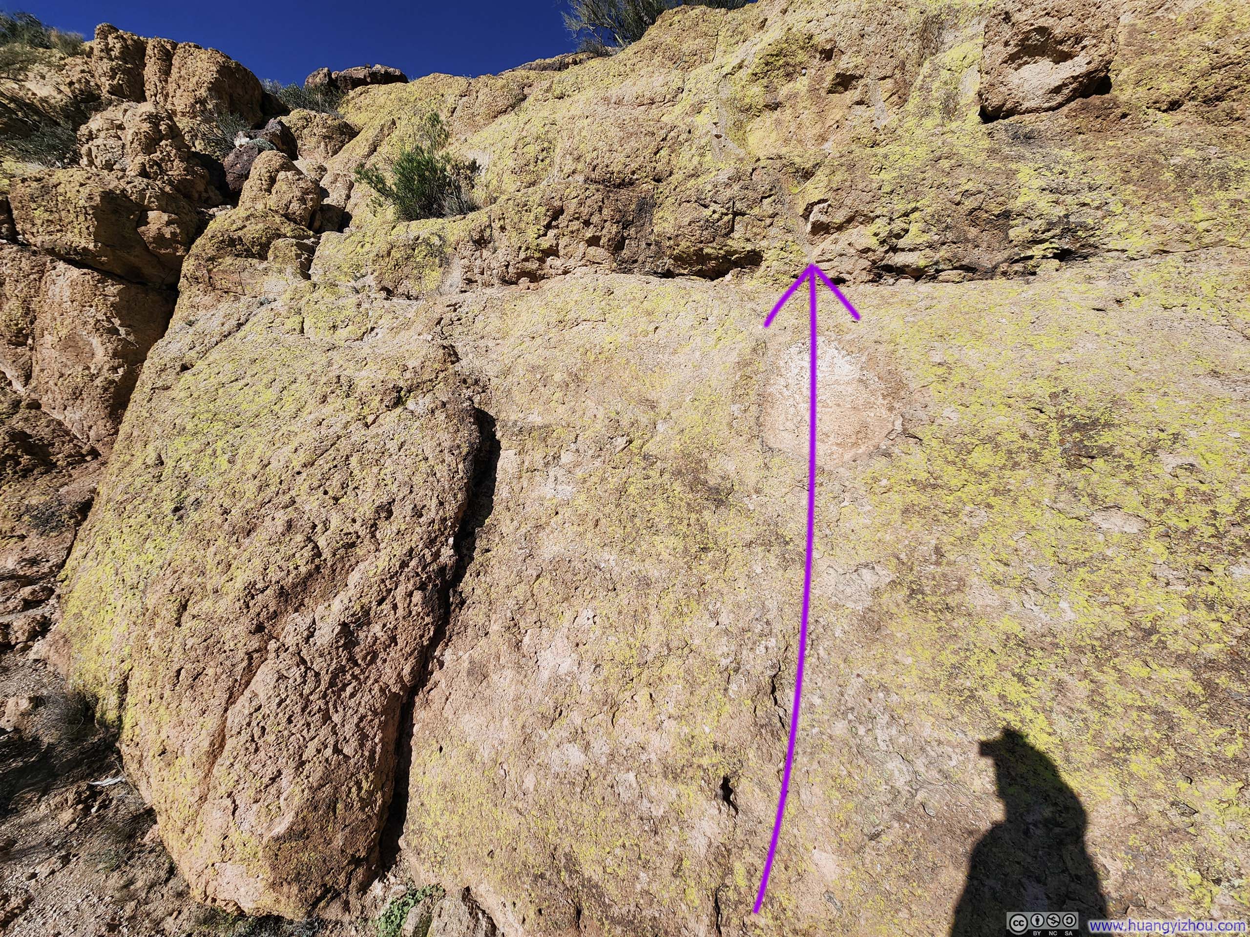
Near the first scrambling section. This path seemed very viable from this angle, until it abruptly ended shortly after the corner.
Deceptive Path Forward
Near the first scrambling section. This path seemed very viable from this angle, until it abruptly ended shortly after the corner.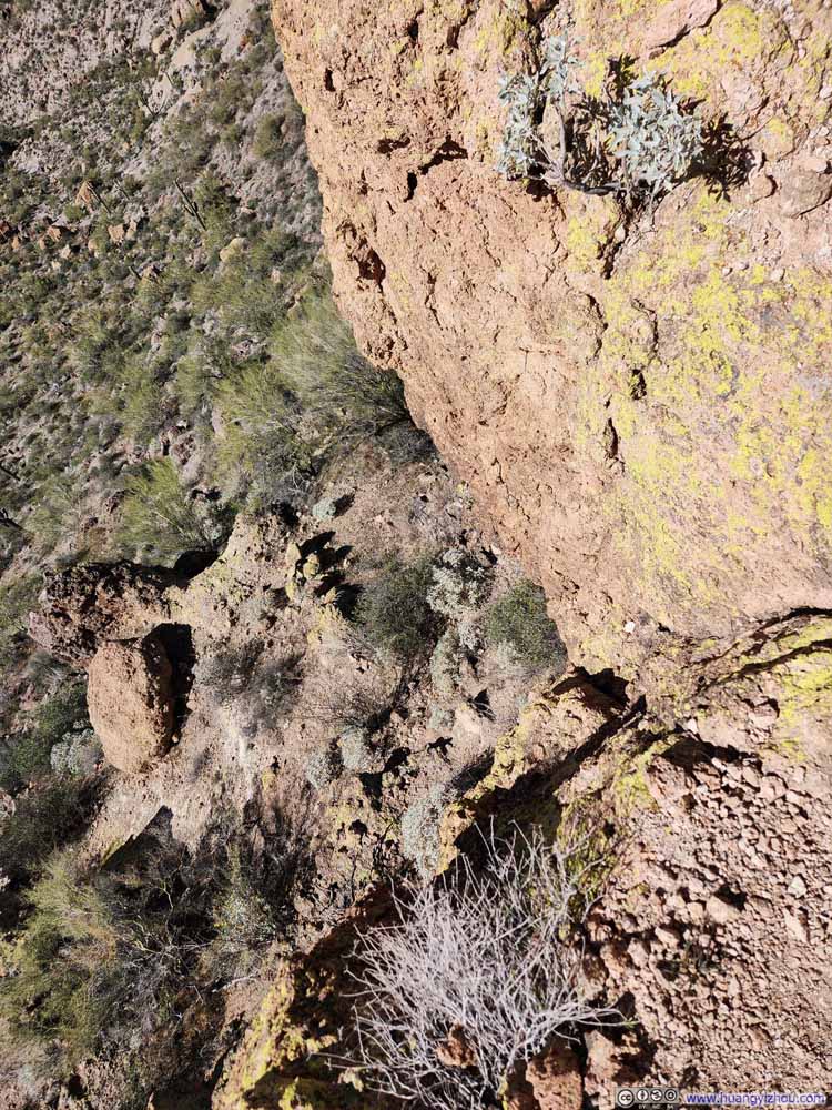 Path with Exposure
 Side of Battleship MountainWhere the seemingly viable path earlier abruptly ended.
Click here to display photos of the slideshow
Flowers along Trail
Boulder Canyon into Superstition Wilderness
Looking Back at Path onto Battleship Mountain
Deceptive Path Forward

Path with Exposure
Side of Battleship MountainWhere the seemingly viable path earlier abruptly ended.
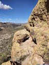
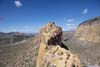
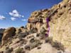
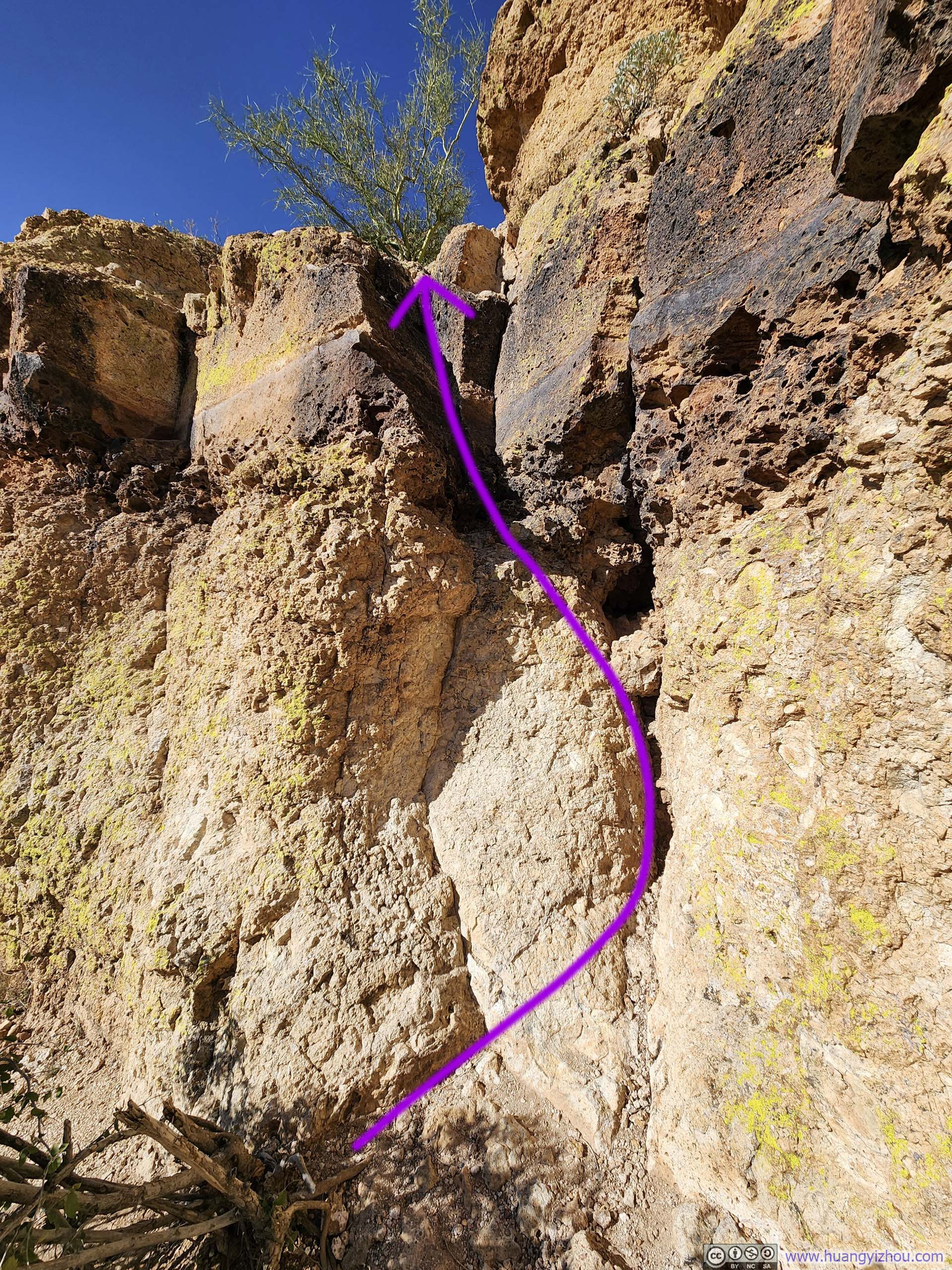
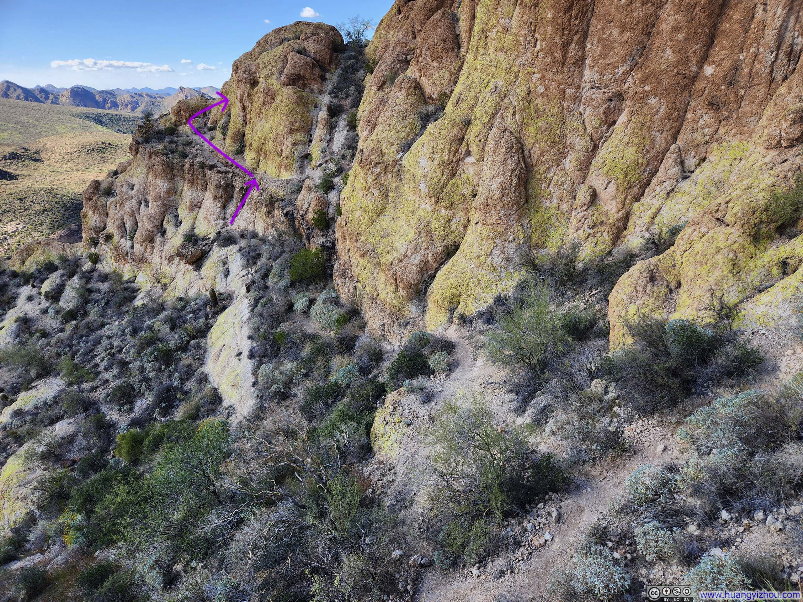
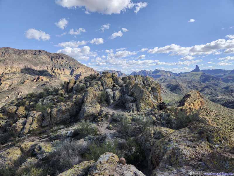
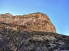
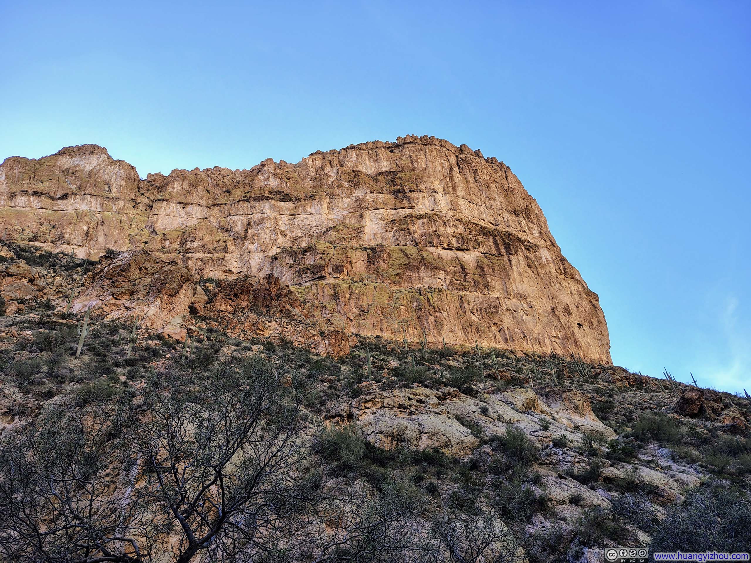
Eventually, I reached the foot of a wall, and that was where the technical portion of Battleship Mountain began.
In my opinion, the route featured three technical sections. I would rate them on the upper end of YDS Class 3. All three were near-vertical walls with limited footholds and handholds, though fortunately each stood only about one story tall, keeping the exposure manageable. There appeared to be a path skirting around the first scrambling section, but it soon reached a dead end (see p4–6 above).
At first, I was a bit hesitant to tackle the first scrambling section (slideshow below), as it seemed more technical than what I prepared for, until I spotted a few returning hikers above it. I’ll admit I struggled somewhat on the way up, as I was determined to commit only to solid footholds, which were few along that wall. But eventually, I made it through.
 Scrambling Section 1
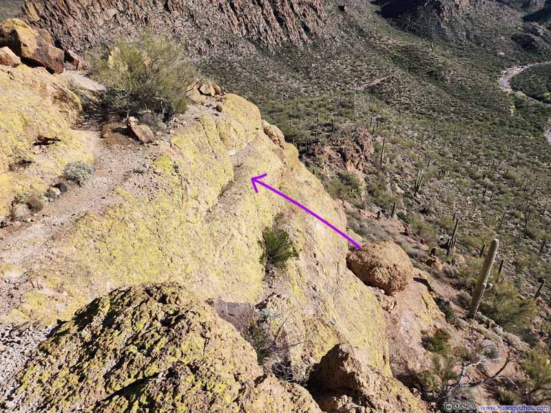 Overlooking Scrambling Section 1
Click here to display photos of the slideshow
Scrambling Section 1

Overlooking Scrambling Section 1
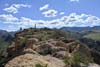
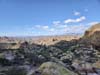
The top of the first scrambling section gave way to a largely flat stretch, a pleasant walk along a volcanic rock thoroughfare. That was, until I reached the middle of Battleship Mountain, where I found myself before a notch (I would say, there were two such notches in total) at which the ridgeline narrowed significantly, and the path ahead looked decidedly precarious.
 Battleship Mountain
 Path on Battleship Mountain
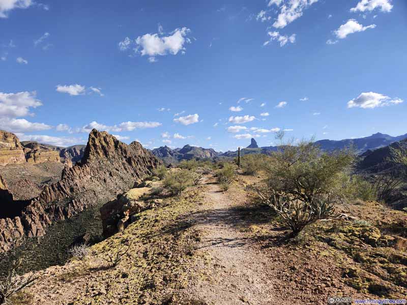 Path on Battleship Mountain
 Cliffs along La Barge Canyon
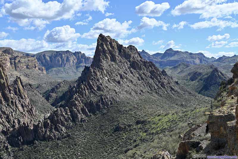 Hill Over La Barge Canyon
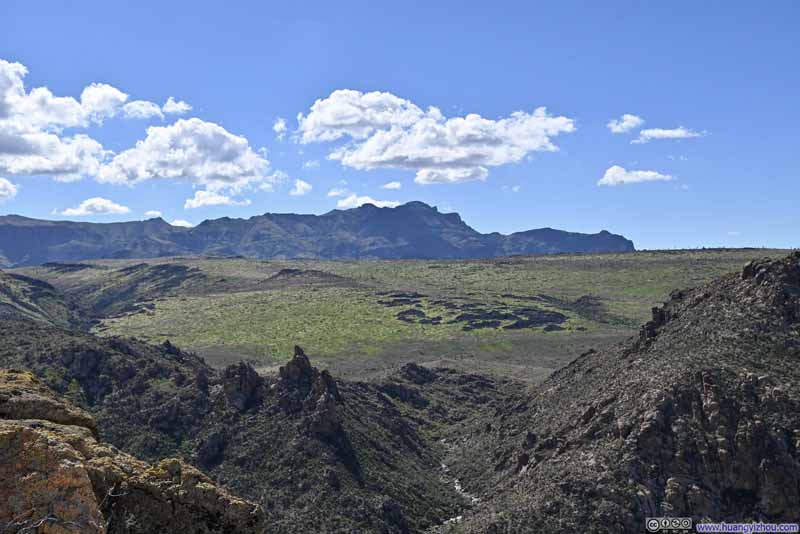 Greeneries on Black MesaSuperstition Ridge in the background.
 Rolling Hills


Click here to display photos of the slideshow
Battleship Mountain

Path on Battleship Mountain

Path on Battleship Mountain
Cliffs along La Barge Canyon
Hill Over La Barge Canyon

Greeneries on Black MesaSuperstition Ridge in the background.

Rolling Hills
It was also at this point that I began recording my climb of Battleship Mountain with a helmet-mounted action camera. (Unfortunately, I had neglected to capture my ascent of the first scrambling section earlier.) Here’s the video:
- 0:00 Started recording before the first notch.
- 13:07 Ascending the second scrambling section.
- 18:30 Ascending the third scrambling section.
- 24:15 Summit of Battleship Mountain.
- 24:29 Descending the third scrambling section.
- 28:31 Descending the second scrambling section.
- 41:05 Descending the first scrambling section.
Between the first and second notch, the route alternated between straightforward walking and non-technical scrambling. And yes, I lost the trail for the second time that day, and had to rely on GPS to find my way back.
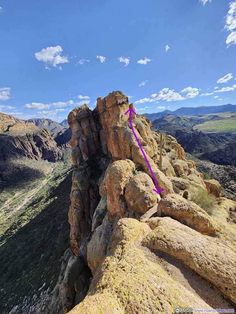
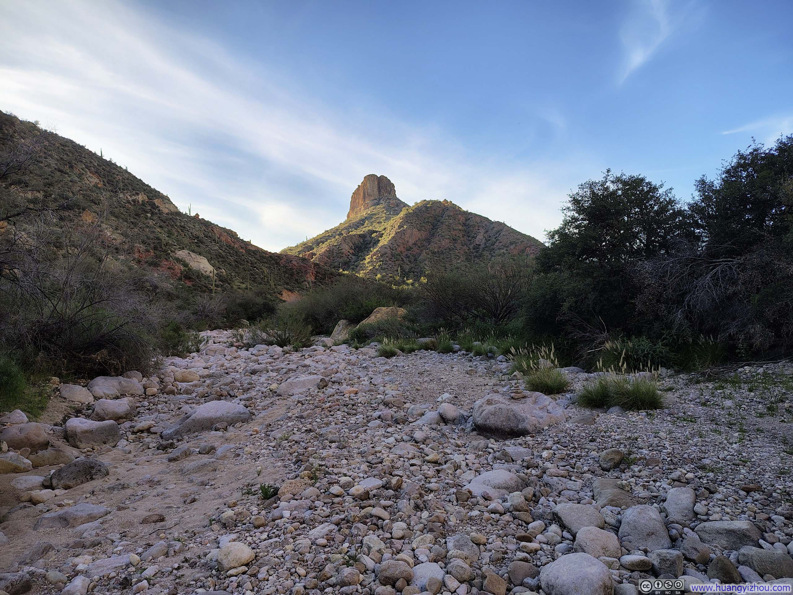
The second scrambling section of Battleship Mountain came into view just before the second notch (p2 below). After descending the notch (p1 below), this section was like Santa climbing up a chimney, and was likely the crux of the entire route.
 Battleship Mountain
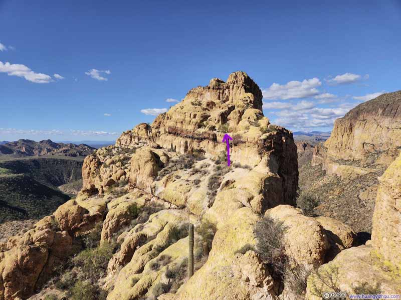 Battleship Mountain
 Path on Battleship Mountain
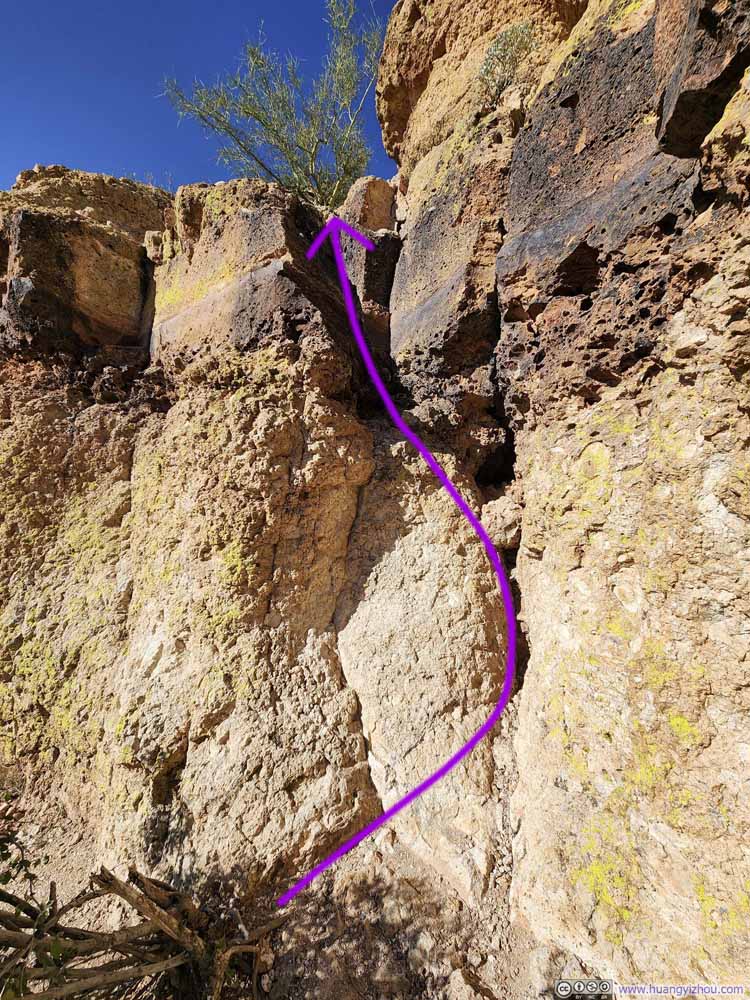 Scrambling Section 2
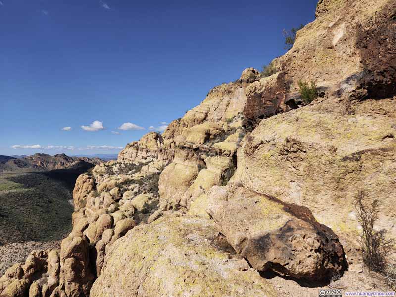 Side of Battleship MountainLooking ahead for ways to bypass a scrambling section, only to learn that it was not bypassable.


Click here to display photos of the slideshow

Battleship Mountain

Battleship Mountain

Path on Battleship Mountain
Scrambling Section 2

Side of Battleship MountainLooking ahead for ways to bypass a scrambling section, only to learn that it was not bypassable.
Not long after came the third scrambling section en route to Battleship Mountain (slideshow below). Like the previous, it presented a sheer wall, but a well-positioned alcove (p2 below) offered the perfect foothold, making this arguably the easiest of the three.
 Path on Battleship Mountain
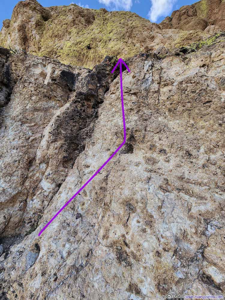 Scrambling Section 3


Click here to display photos of the slideshow
Path on Battleship Mountain

Scrambling Section 3
After that, it was a very straightforward walk to the summit of Battleship Mountain, as I reached it just before 2pm.
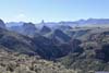
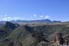
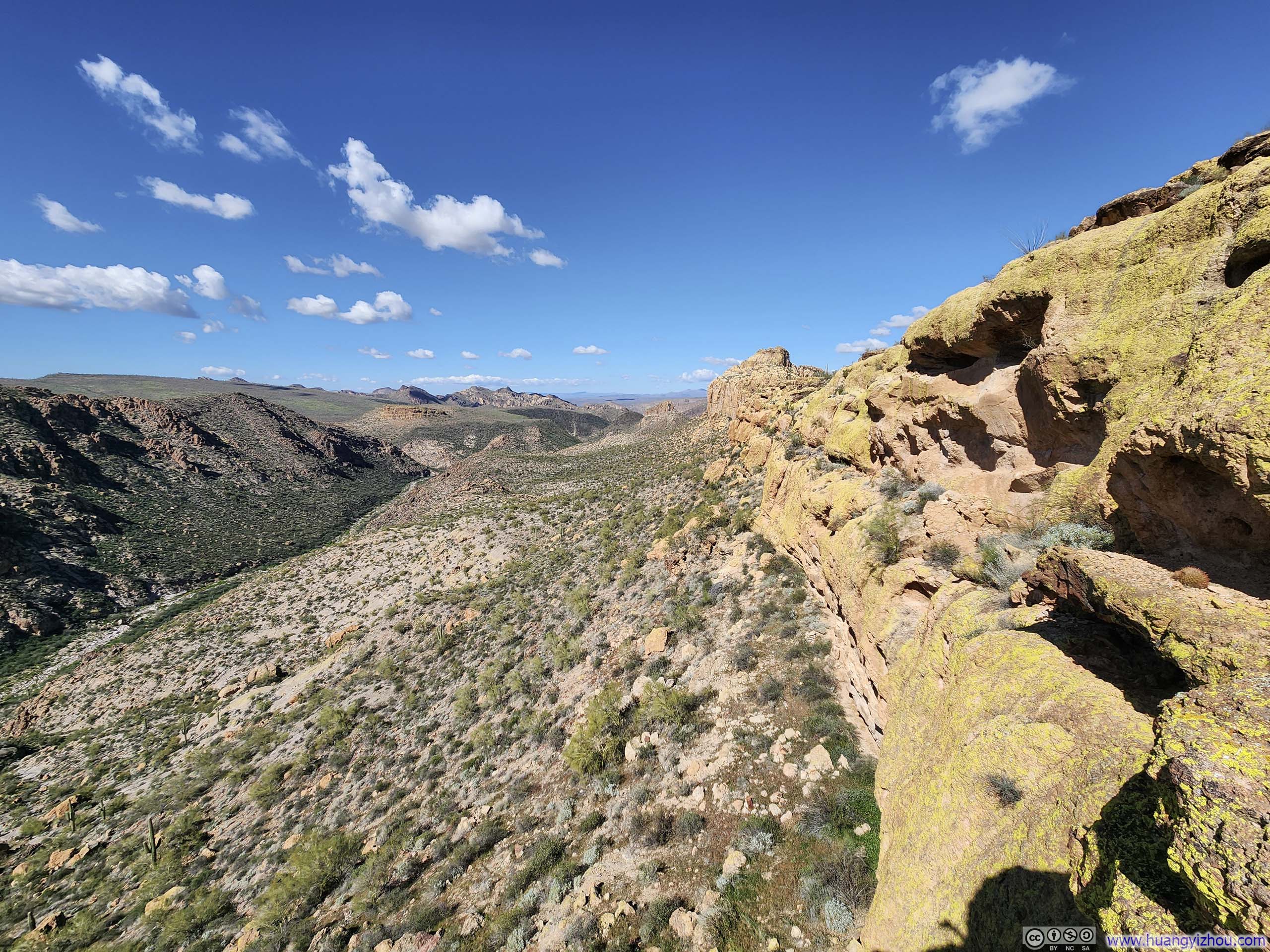
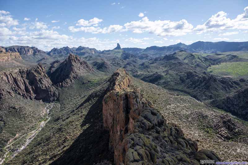
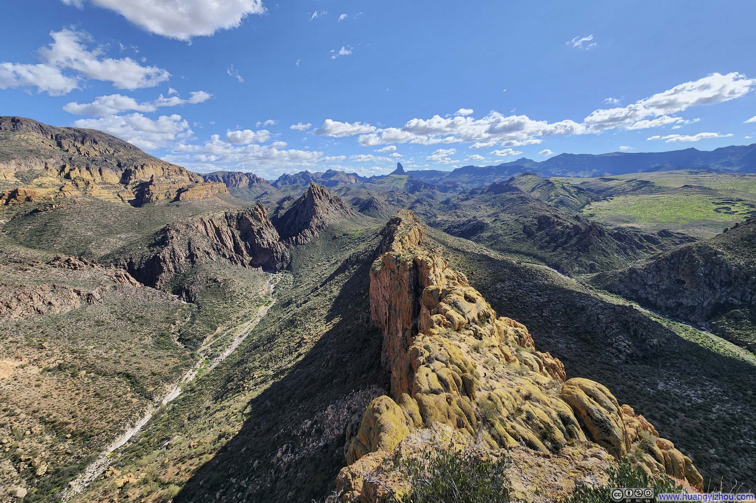
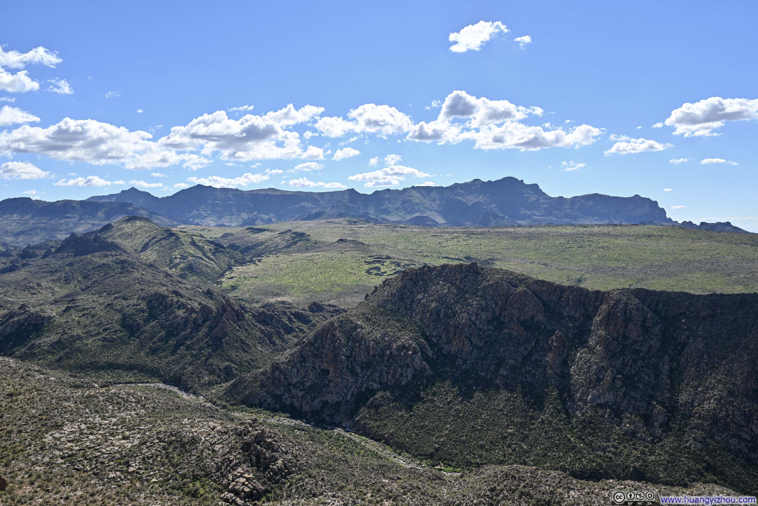
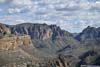
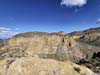
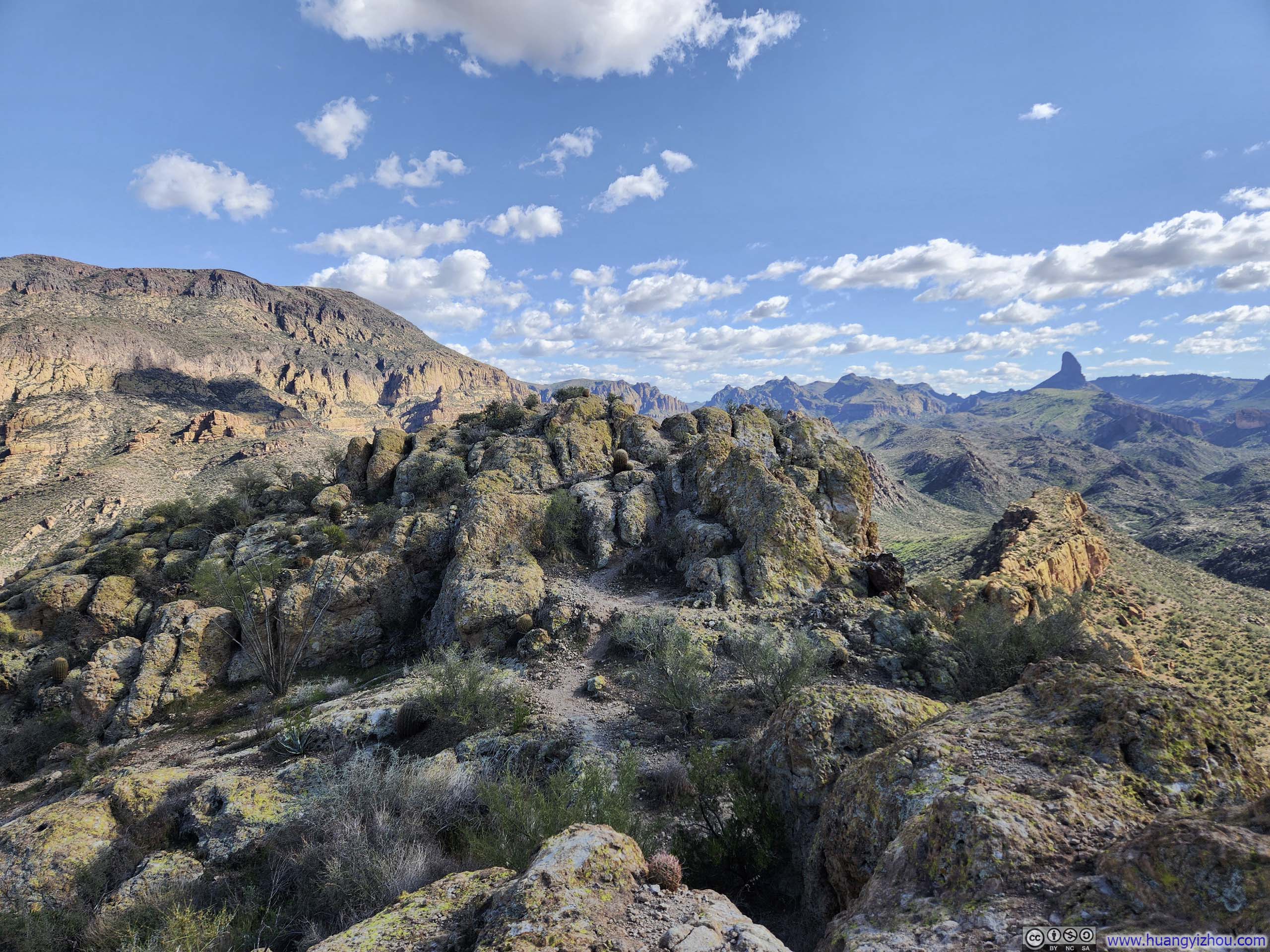
From the top of Battleship Mountain, the most commanding view was undoubtedly southward, along its long, narrow ridgeline, defined by sheer cliffs on either side, the very path by which I had made my ascent. There was something genuinely gratifying about such a moment, seeing the ground I had covered laid out so plainly, the challenges subdued into the landscape.
Additionally, the ridgeline itself seemed a natural divider between La Barge Canyon to the east and Boulder Canyon to the west, lending the scenery a pleasing sense of symmetry. Further afield, clusters of mountains wore desert brown to the east, while rolling hills burst into patchy green to the west, a contrast that wove itself beautifully into the broader tapestry of the landscape. (I had not anticipated finding greeneries so close to Phoenix.)
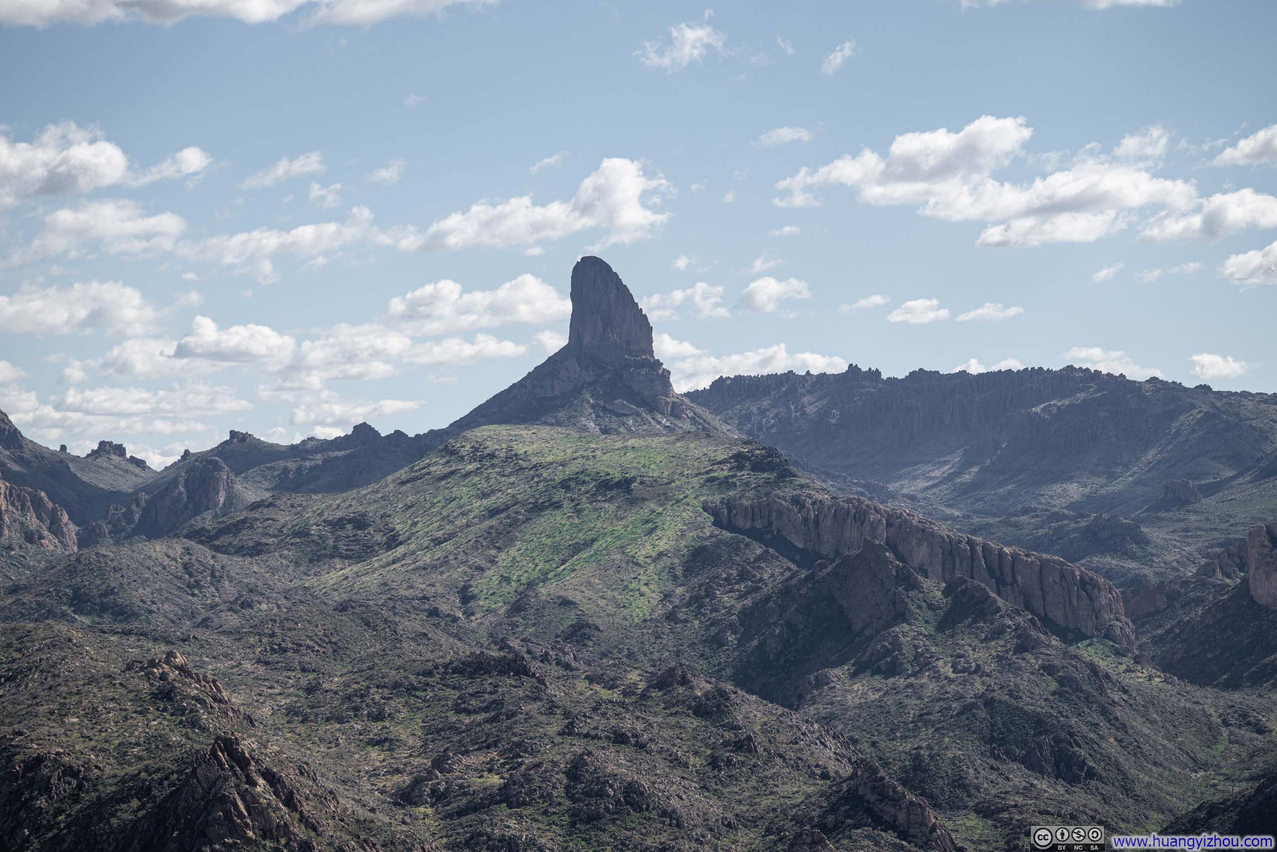
Following the ridgeline with my gaze, deep into Superstition Wilderness was Weaver’s Needle, a soaring spire that commanded the eye above everything around it. I might ordinarily have reached for words like impressive, or imposing. But in that moment, what struck me instead was how lonely it seemed. Earlier in the day, Weaver’s Needle and Battleship Mountain had always appeared together, two great formations keeping each other company. Now, standing atop one and looking across at the other, separated by layers of rolling hills, I found it difficult not to see Weaver’s Needle as something distant and apart, a thing often admired from afar but not confided in. Then again, perhaps it was simply the pervasive gloom that had shadowed my entire week casting itself upon the landscape.
 Battleship Mountain among Mountains in Superstition Wilderness
 Battleship Mountain among Mountains in Superstition Wilderness
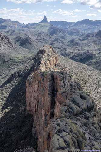
 Ridge on Battleship MountainWhere I came from.
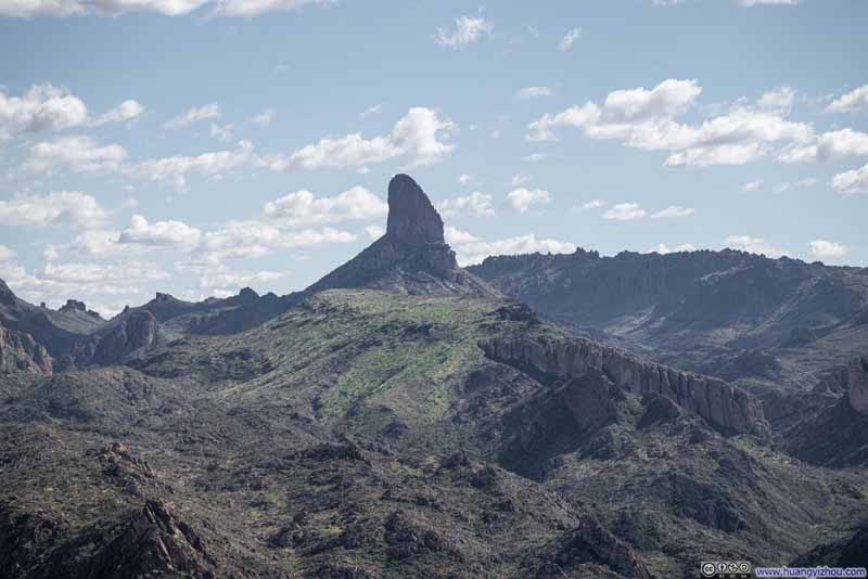 Weaver’s Needle
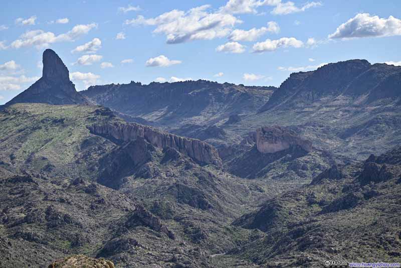 Mountains in Superstition WildernessUpper Boulder Canyon winding in the center-right.
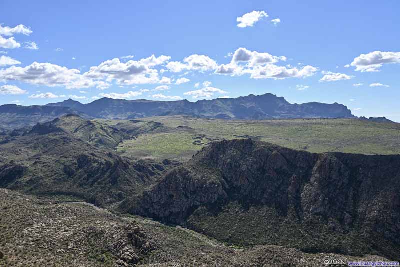 Greeneries on Black MesaSuperstition Ridge in the background.


Click here to display photos of the slideshow

Battleship Mountain among Mountains in Superstition Wilderness
Battleship Mountain among Mountains in Superstition Wilderness

 Ridge on Battleship MountainWhere I came from.
Weaver’s Needle
Mountains in Superstition WildernessUpper Boulder Canyon winding in the center-right.
Greeneries on Black MesaSuperstition Ridge in the background.
 Cliffs along La Barge Canyon
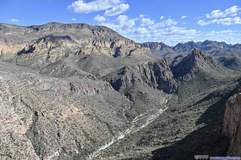 La Barge Canyon
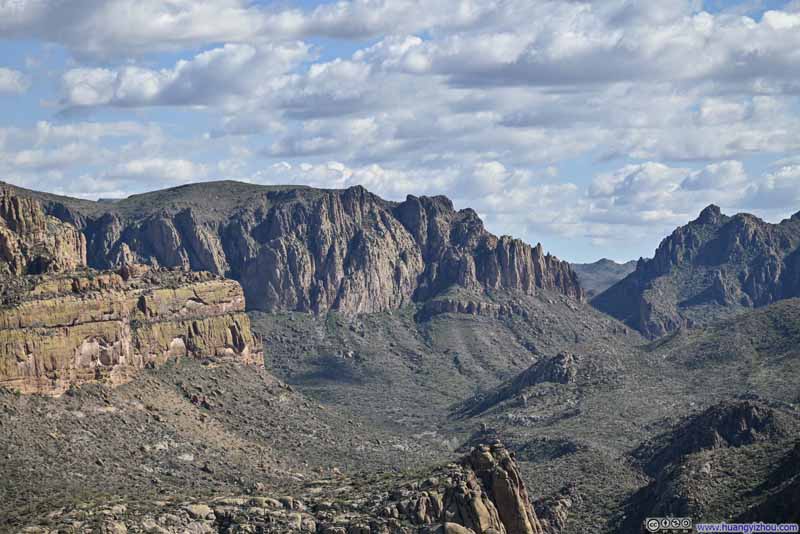 Black Mountain
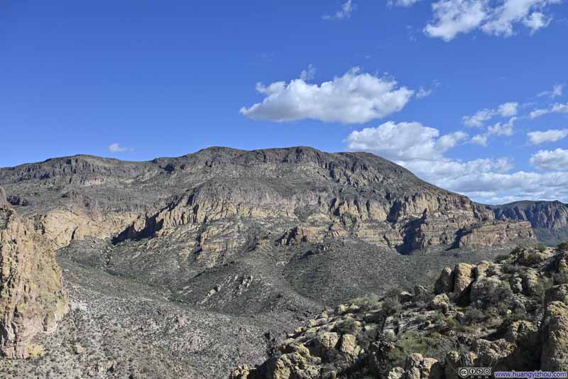 Malapais Mountain
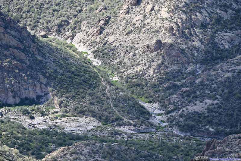 Trail Intersections
Intersections of Second Water Trail (top) and Boulder Canyon Trail (left/right). Second Water Trail was a shorter trail to access Battleship Mountain.
Trail Intersections
Intersections of Second Water Trail (top) and Boulder Canyon Trail (left/right). Second Water Trail was a shorter trail to access Battleship Mountain.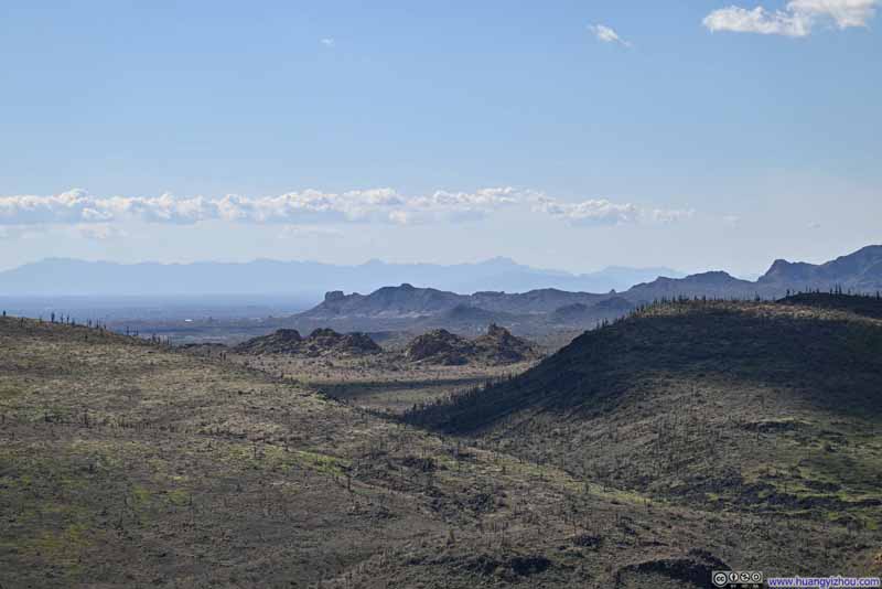 Mountains to the WestTowards the direction of Phoenix.


Click here to display photos of the slideshow
Cliffs along La Barge Canyon
La Barge Canyon
Black Mountain
Malapais Mountain
Trail Intersections
Mountains to the WestTowards the direction of Phoenix.
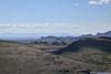
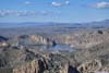
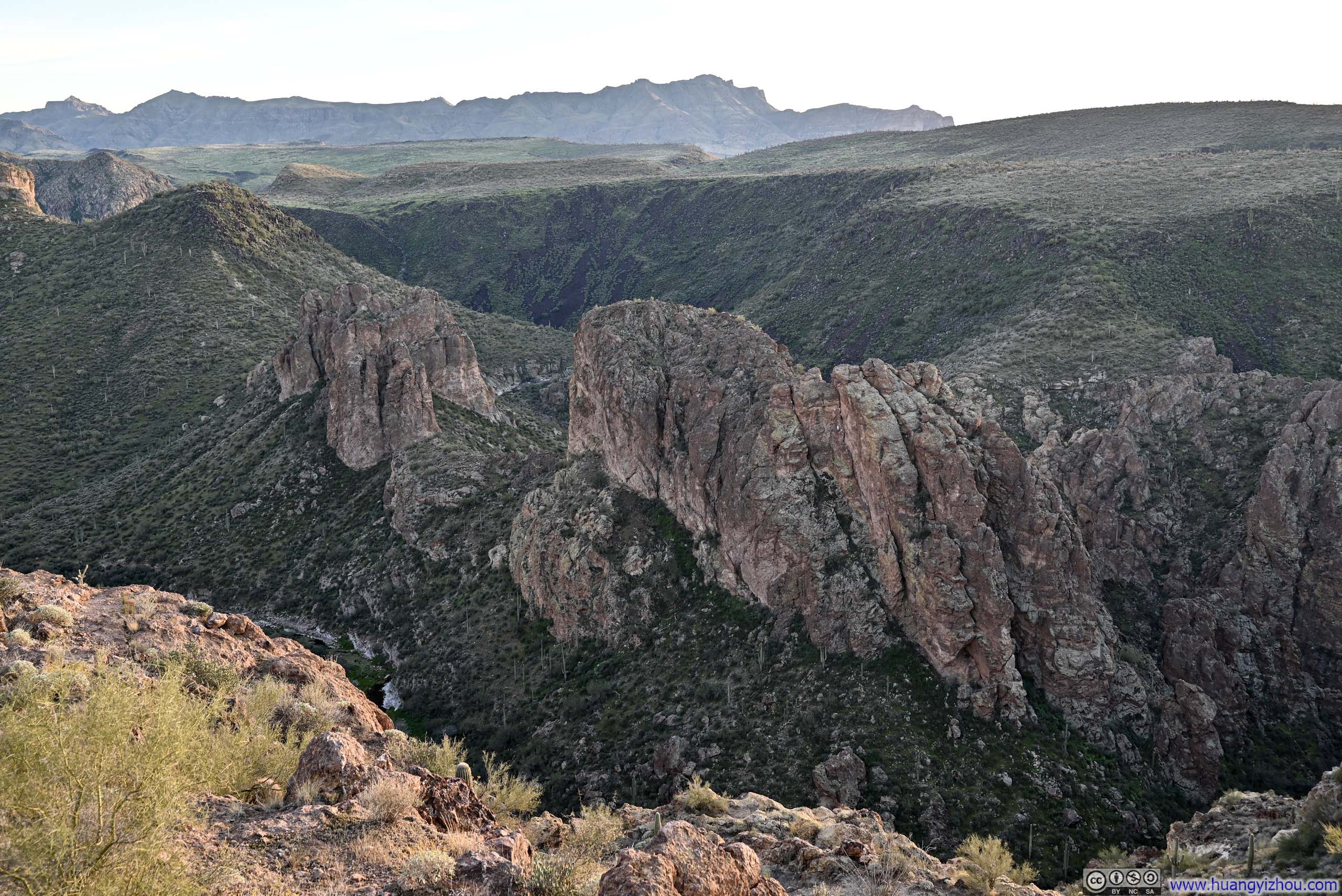
To the north of Battleship Mountain, the landscape was carved by a tangle of canyons, their depths giving way to the tranquil waters of Canyon Lake. A steady presence that anchored the scene, complementing the dominant Weaver’s Needle on the southern horizon. There was something almost philosophical in the pairing: the lake appeared still and contemplative, yet its waters were quietly moving, draining away as the Salt River; the needle appeared to soar and surge, yet it was, by any human measure, utterly motionless. Each seemed to be, in its own way, something other than what it appeared.
 Summit Area of Battleship Mountain
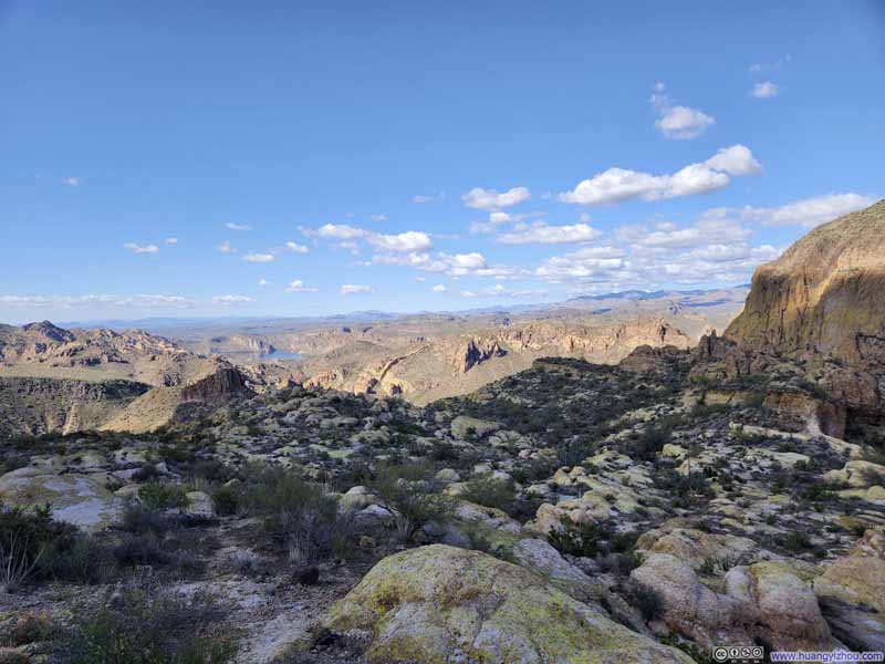 Summit Area of Battleship MountainA relatively large and flat field to the north.
 Canyon Lake
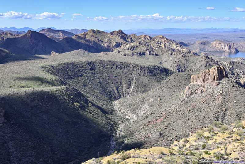 Boulder Canyon
 Looking Back at Boulder Canyon Trail
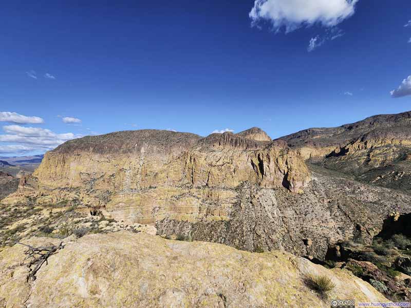 Geronimo Head
Click here to display photos of the slideshow
Summit Area of Battleship Mountain

Summit Area of Battleship MountainA relatively large and flat field to the north.
Canyon Lake
Boulder Canyon
Looking Back at Boulder Canyon Trail

Geronimo Head
The summit of Battleship Mountain featured two small mounds and a broad, level clearing stretching away to the north. A few insects were hilltopping, both here and at points along the trail earlier, though they were never particularly bothersome. The clearing itself had no established trail, and as my time was rather limited, I left that open expanse unexplored.
Mountains in Superstition Wilderness from Battleship Mountain
And here’s a video I took from the top of Battleship Mountain:
14 seconds, 2160p60fps, H265 only, 20Mbps/36MB file size.
After spending about 30 minutes on top of Battleship Mountain, I started heading back at 2:25pm.
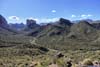
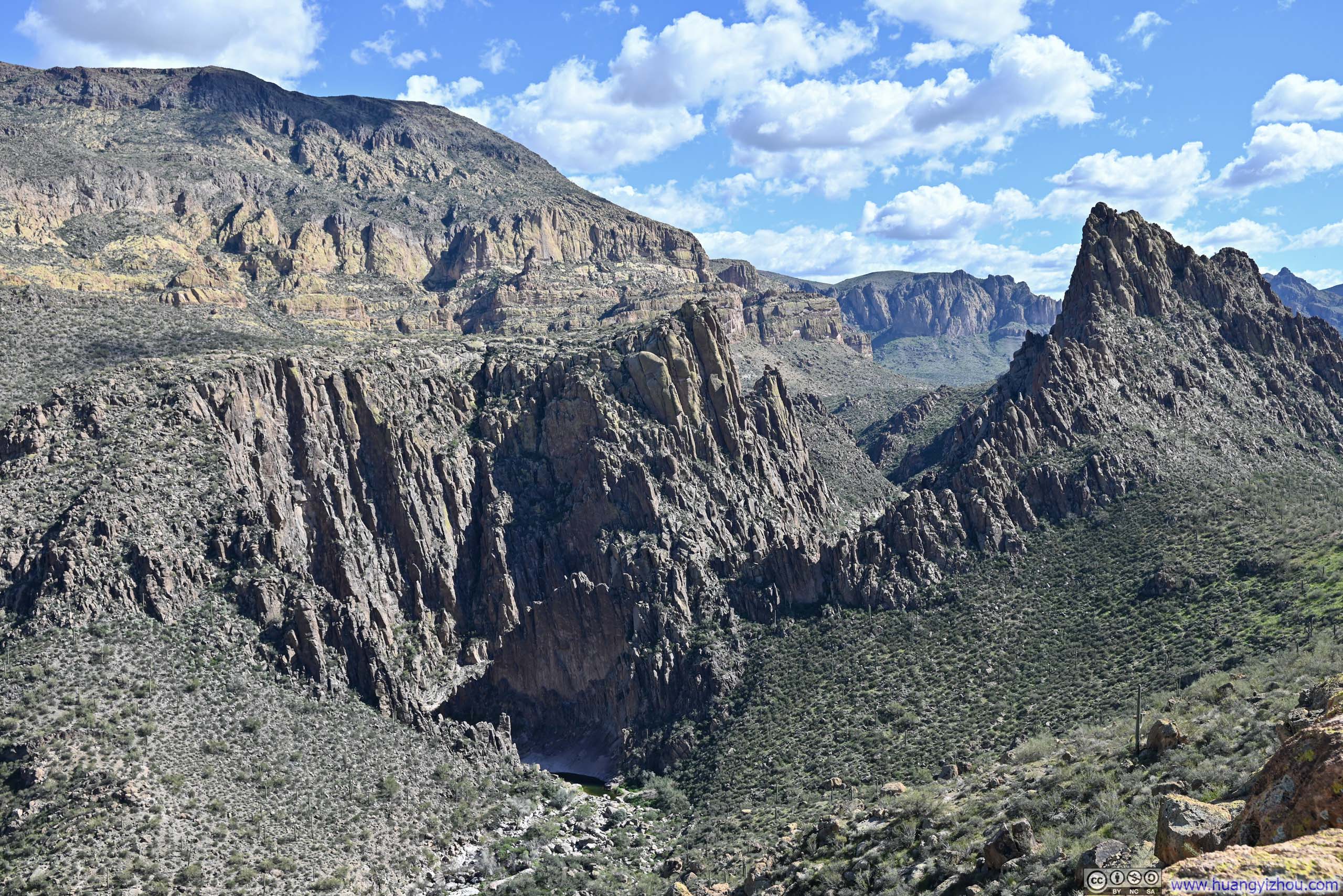
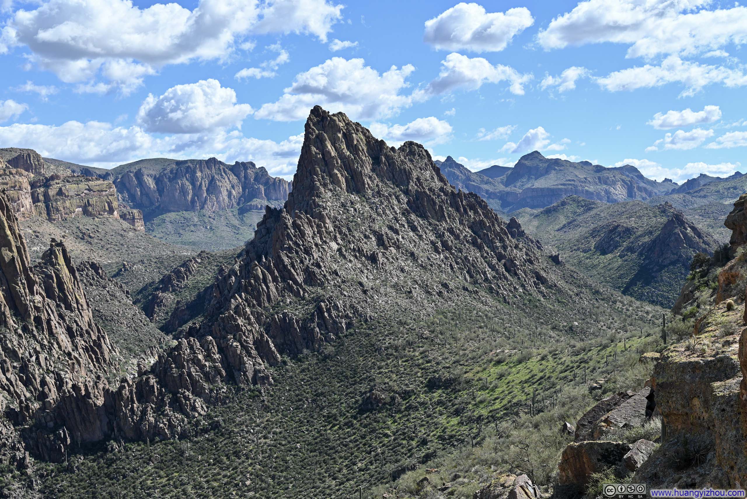
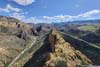
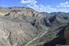
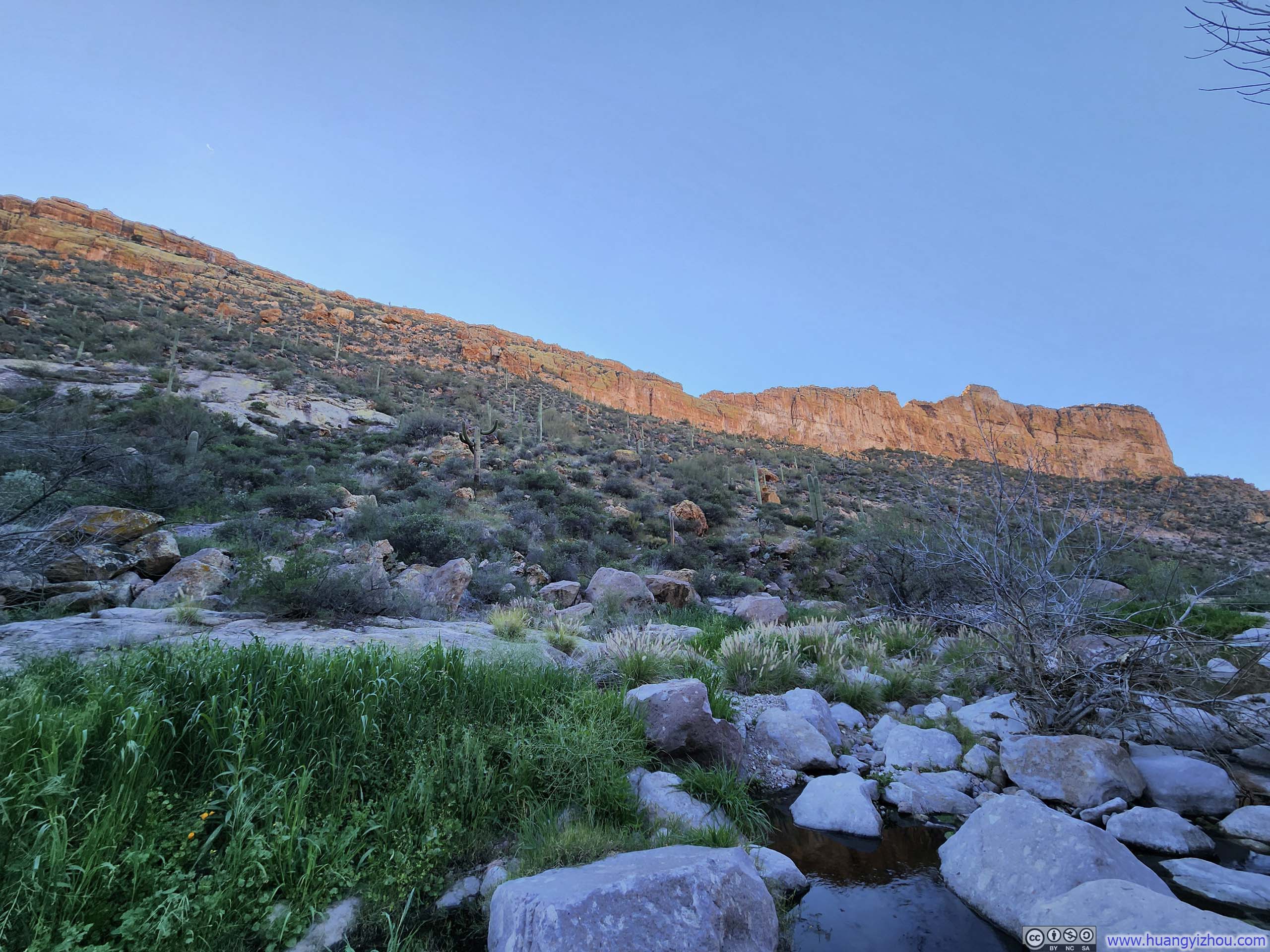
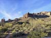
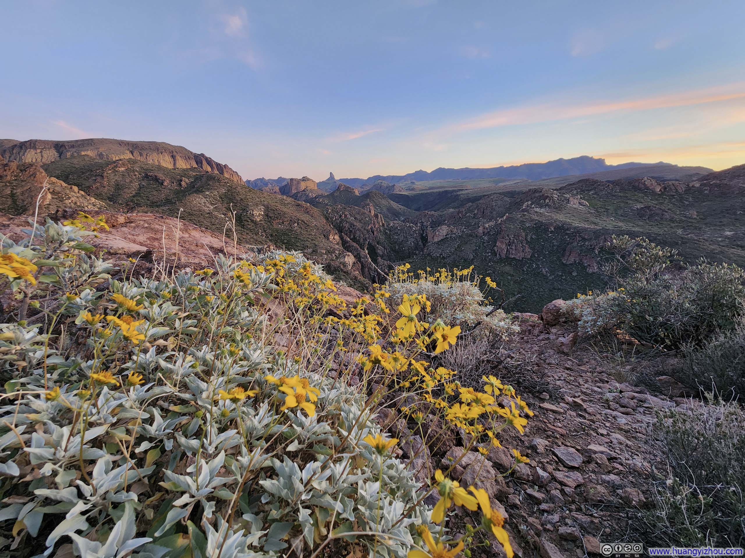
After descending Battleship Mountain, and having already followed Boulder Canyon on my way out earlier in the day, I decided to head east and follow La Barge Canyon on my way back. As I made my way down toward the canyon floor, fleeting glimpses of Battleship Mountain’s ridgeline occasionally revealed themselves through the terrain. On the whole, La Barge Canyon proved the more dramatic of the two: its surrounding hills rose considerably higher, and the sheer cliffs of Battleship Mountain loomed far closer overhead, lending the scenery a grandeur that Boulder Canyon simply could not match.
 Battleship Mountain
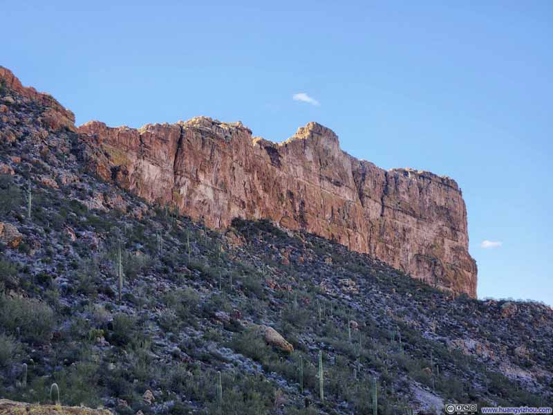 Battleship Mountain
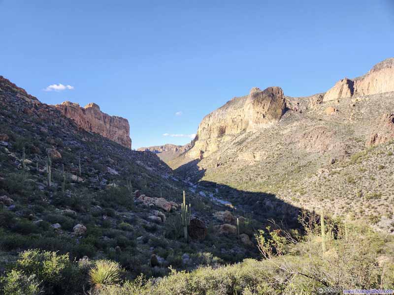 La Barge Canyon

Click here to display photos of the slideshow

Battleship Mountain
Battleship Mountain

La Barge Canyon
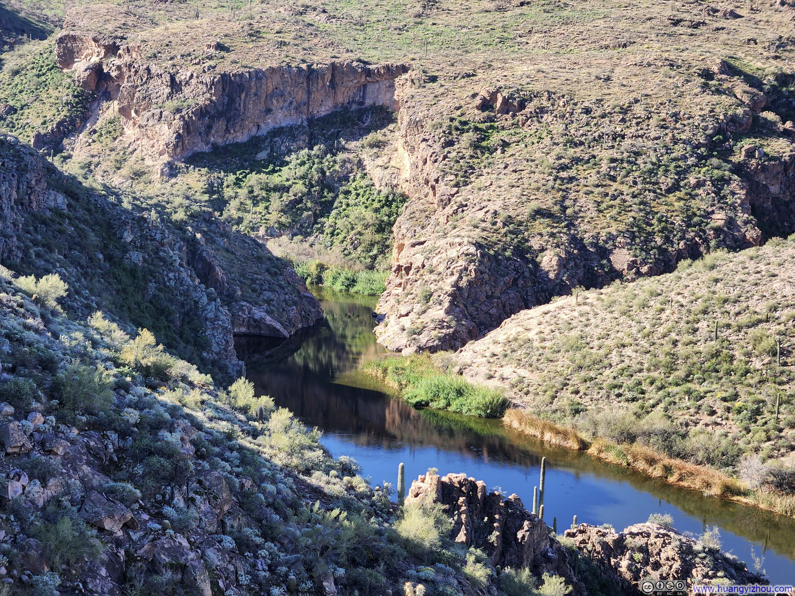
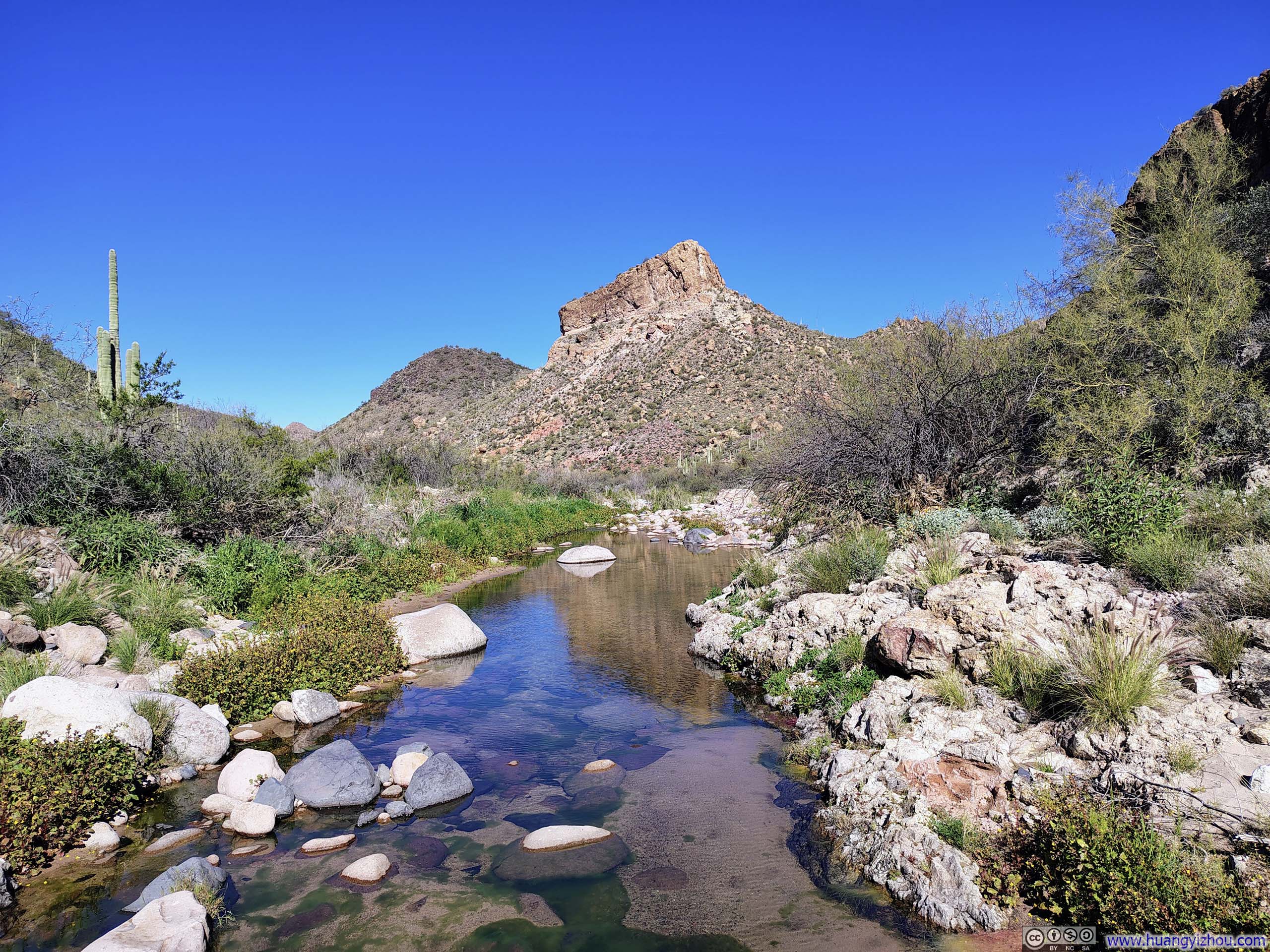
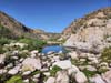
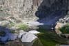
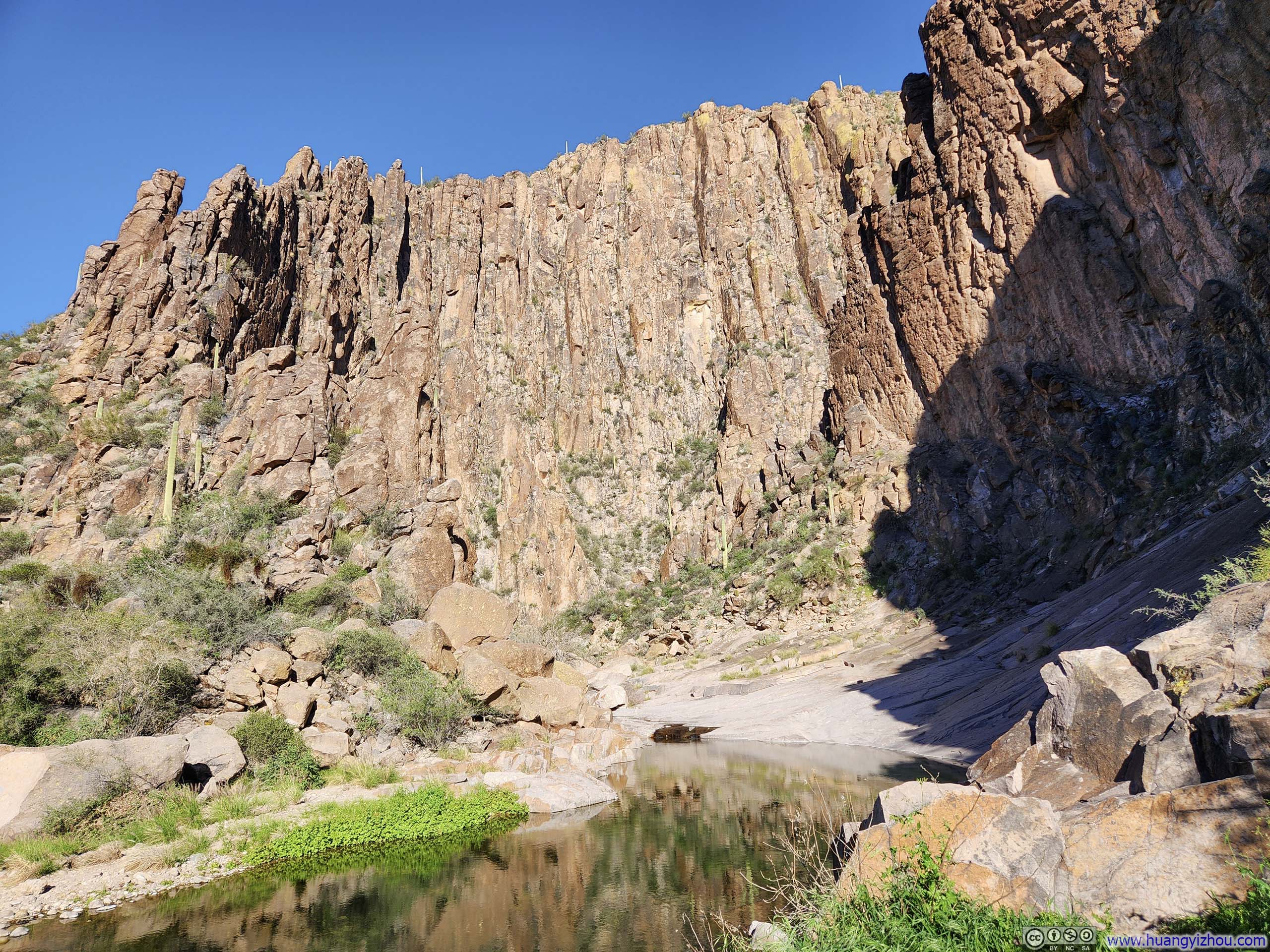
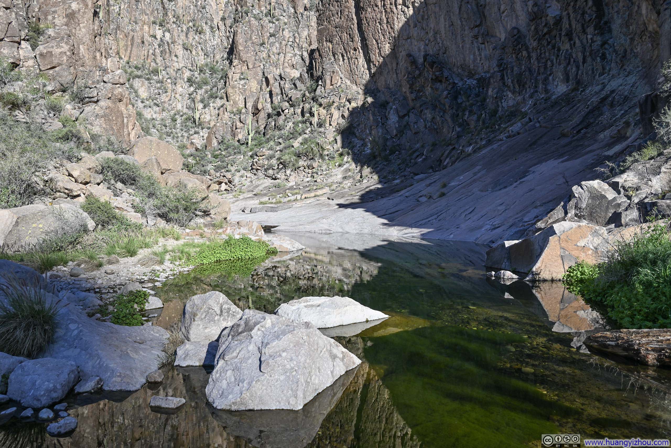
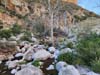
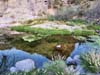
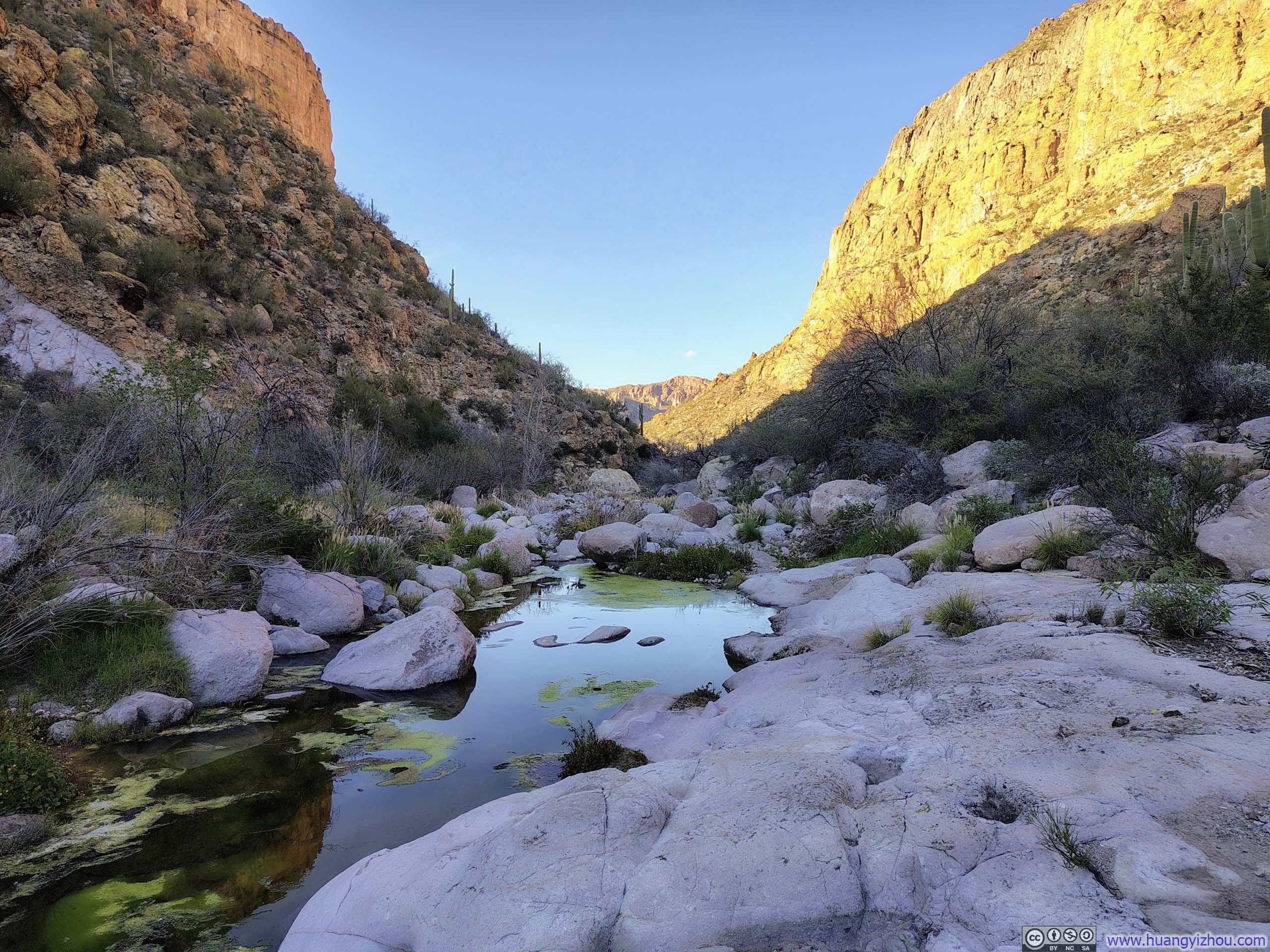
The trail reached La Barge Canyon at a place known as “La Barge Pool,” where towering cliffs closed in on either side, transforming the canyon into a dramatic box canyon. Near the intersection was an improvised camp site. One advantage of routing the hike out through Boulder Canyon and back via La Barge Canyon was the option, time permitting, to venture into La Barge Box Canyon, a detour that seemed well worth an exploration of its own. Some rock scrambling would likely be required to keep one’s feet dry along the way, though I could hardly imagine it being more demanding than Battleship Mountain. Regrettably, time was not on my side today, and so I settled for a brief rest before pressing on.
 La Barge Pool
 La Barge Pool
 Trickle along La Barge Creek

Click here to display photos of the La Barge Pool
La Barge Pool
La Barge Pool
Trickle along La Barge Creek
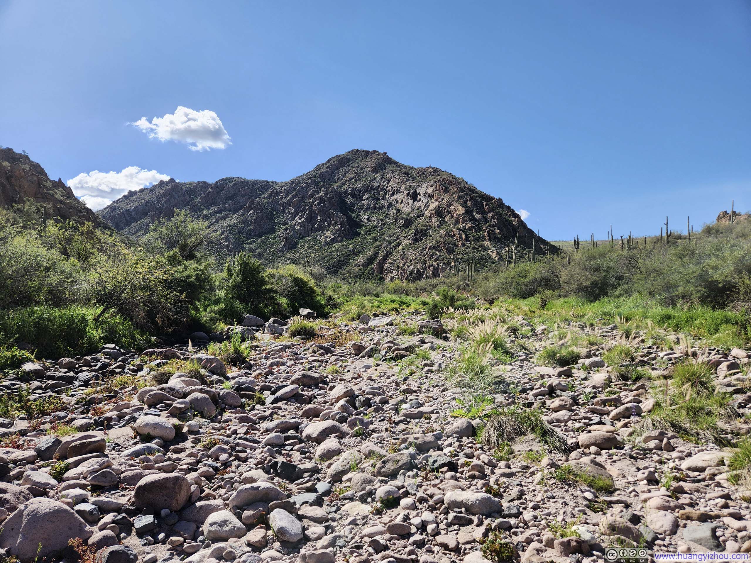
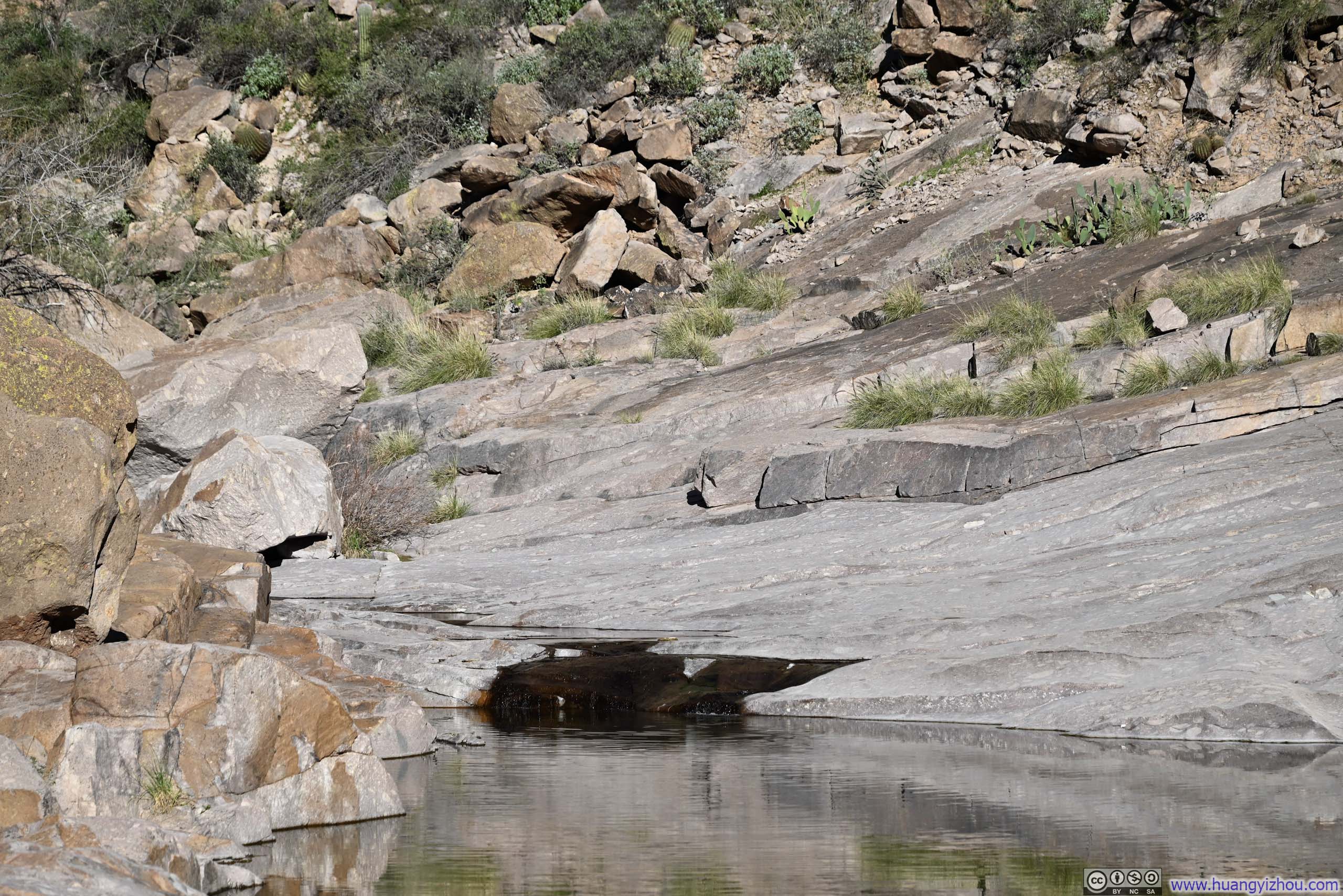
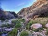
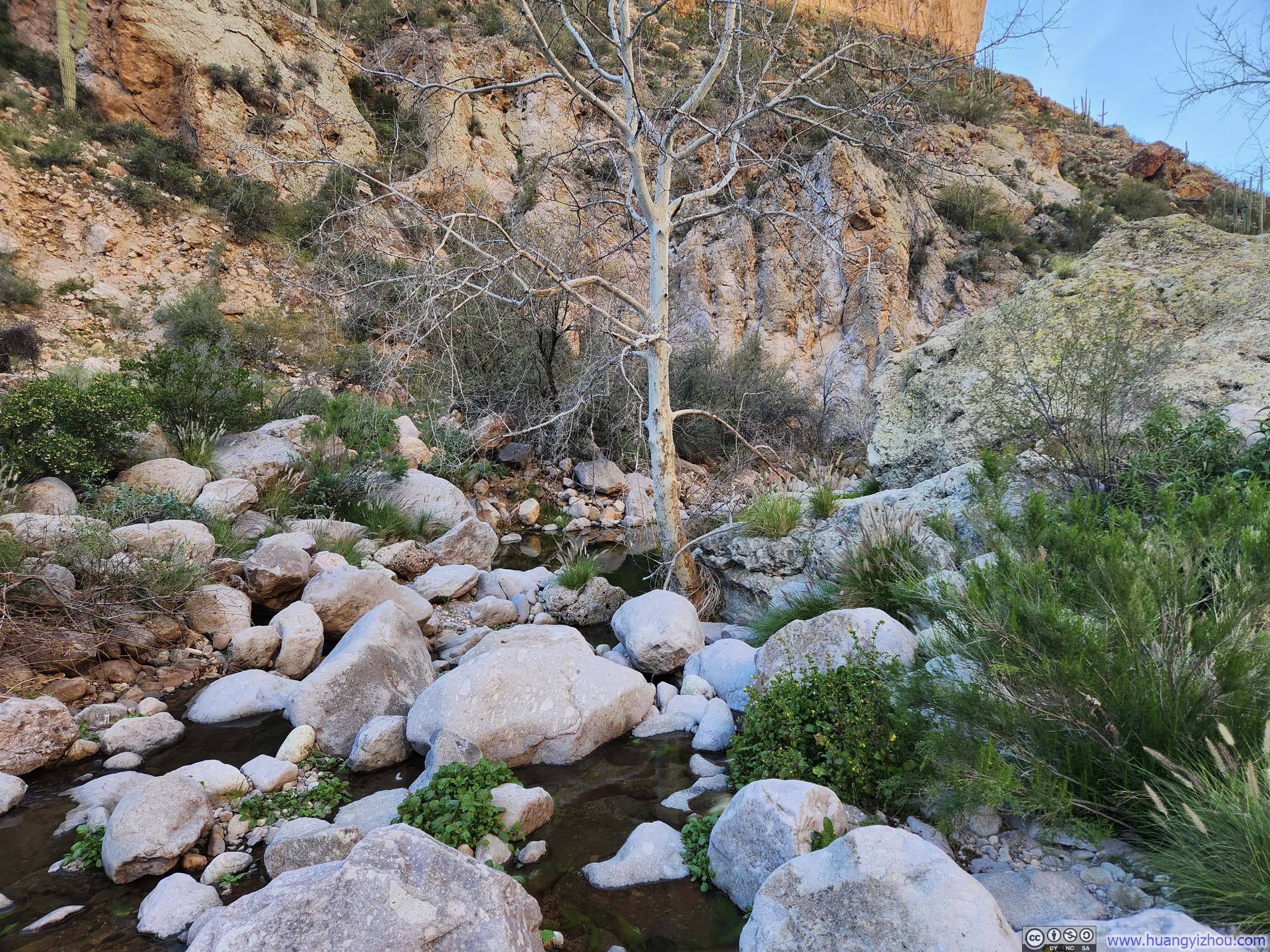
Unfortunately, the stretch of trail immediately upon leaving La Barge Pool proved to be the most unpleasant portion of the day. The path more often than not simply ceased to exist, leaving me to scramble up and around various boulders while ducking beneath overgrown branches and bushes. It bore some resemblance to the earlier passage along the unnamed trail through Boulder Canyon, though here the boulders were considerably larger, and unlike before, there wasn’t a more defined trail running in parallel that I could switch to.
This, in my view, was the second argument in favor of the route as I had planned it: departing via Boulder Canyon and returning via La Barge Canyon. La Barge Canyon made for rather disagreeable walking and wasn’t bad if avoided altogether, particularly if the hour was growing late.
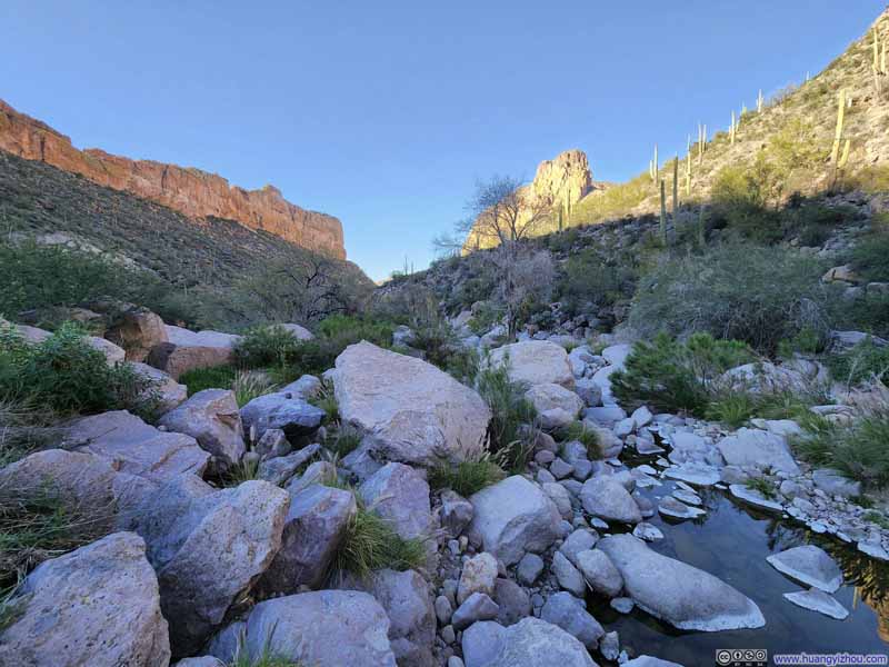 Trail along La Barge Creek
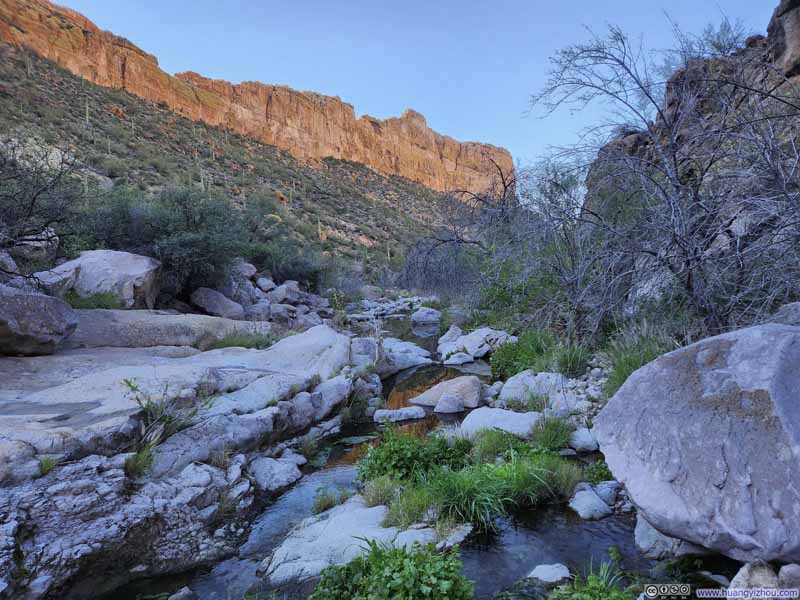 Trail along La Barge Creek
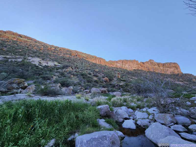 Battleship Mountain over La Barge Creek
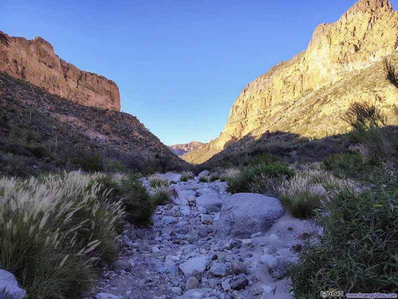 Trail along La Barge Creek
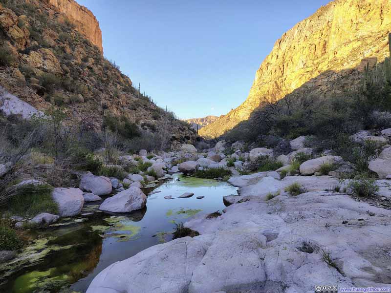 Trail along La Barge Creek
 La Barge Creek
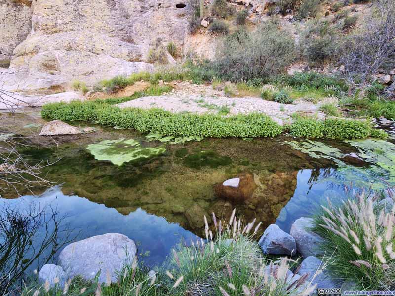 La Barge Creek
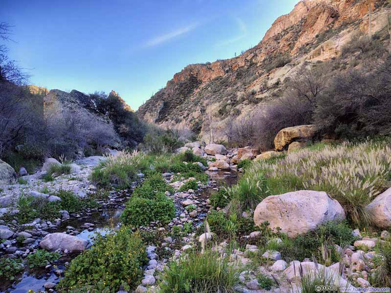 Trail along La Barge Creek


Click here to display photos of the slideshow
Trail along La Barge Creek

Trail along La Barge Creek
Battleship Mountain over La Barge Creek

Trail along La Barge Creek
Trail along La Barge Creek
La Barge Creek

La Barge Creek
Trail along La Barge Creek
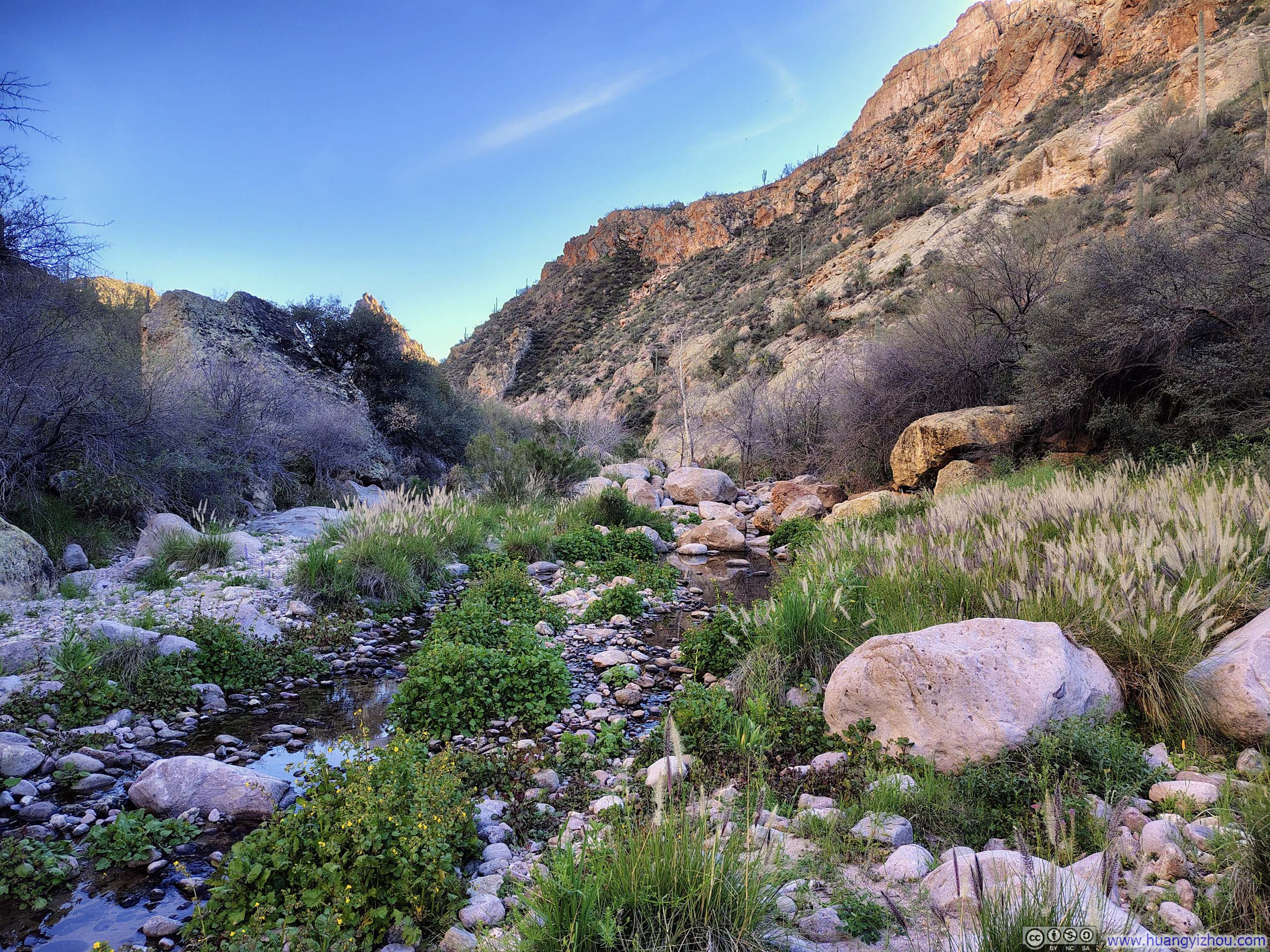
Fortunately, the condition of the trail improved steadily as I pressed further from La Barge Pool, and with it, my misery gradually began to ease.
 Battleship Mountain from Below
 Trail along La Barge Creek
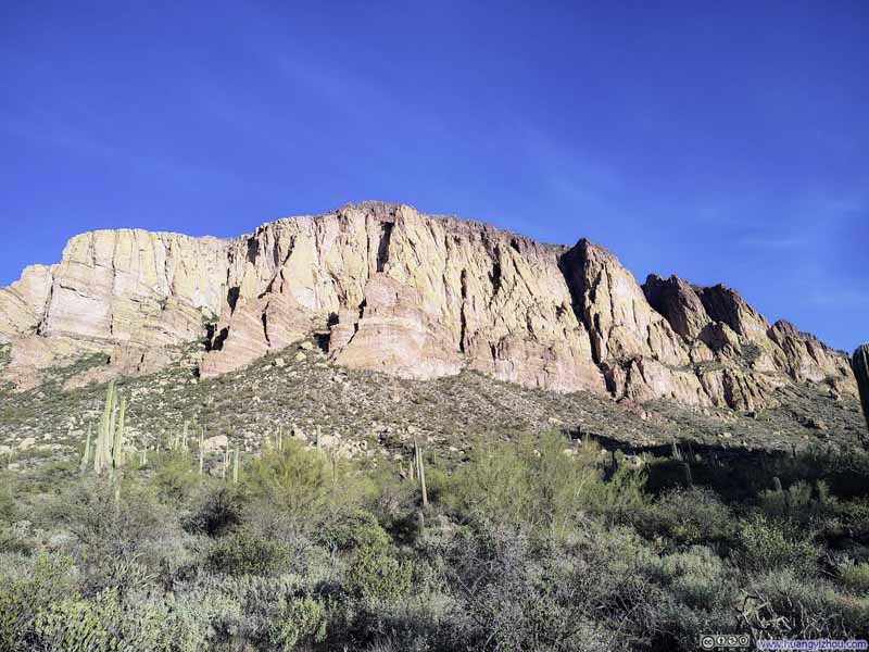 Hill
Hill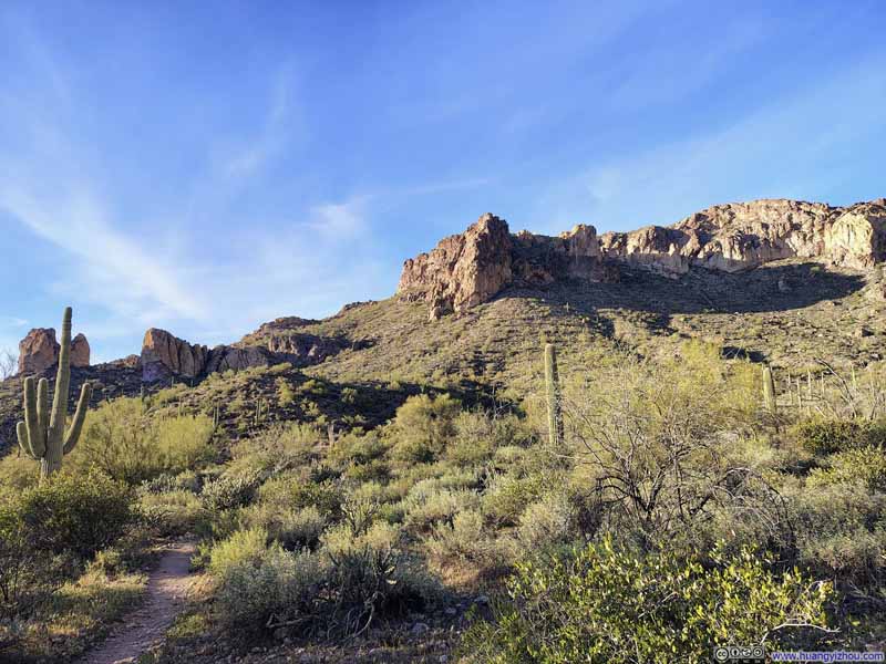 Trail
Trail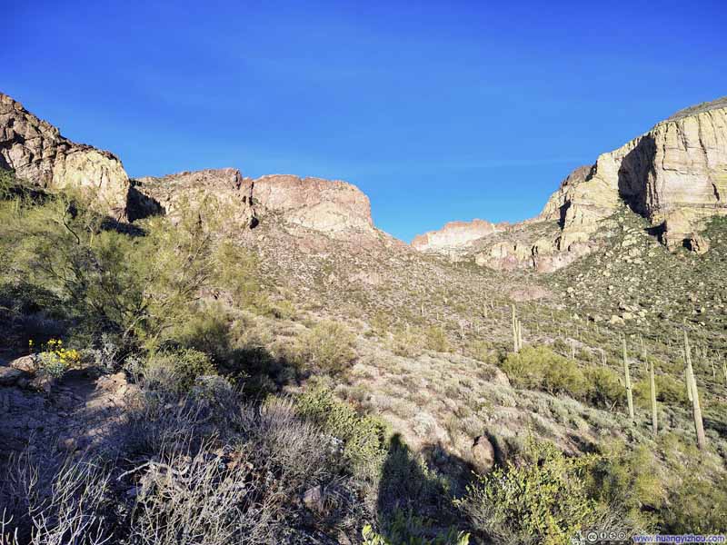 Hills
Hills Trail
Trail

Click here to display photos of the slideshow
Battleship Mountain from Below
Trail along La Barge Creek

Hill
Trail

Hills
Trail
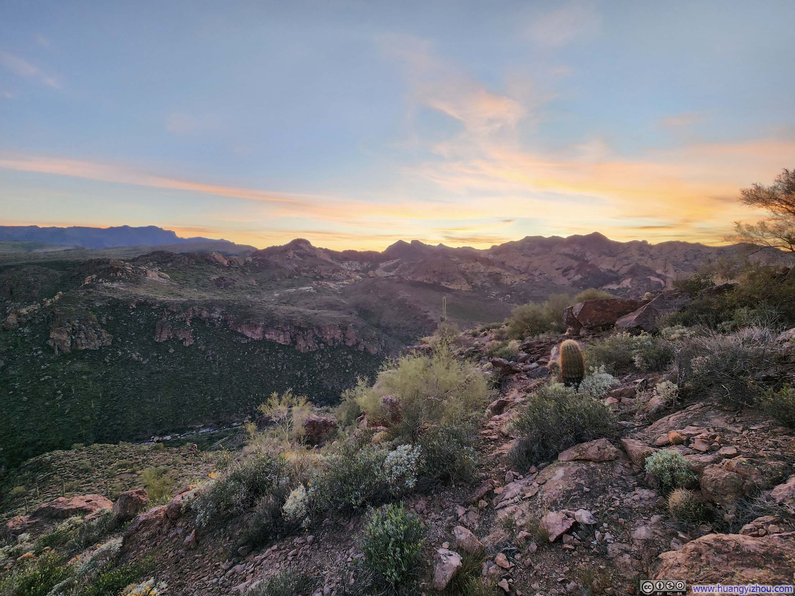
By the time I crossed La Barge Creek for the final time and started climbing over the hill toward the trailhead, the sun was already hanging low on the horizon. About 35 minutes before sunset, I passed through the major vista point, where a few groups of people had gathered in quiet anticipation of the evening show. Knowing I still had a fair distance to cover, I pressed on without pausing to join them.
 Mountains in Superstition Wilderness
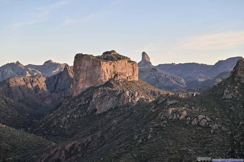 Mountains in Superstition WildernessBattleship Mountain and Weaver’s Needle in the center.
 Battleship Mountain before Weaver’s Needle
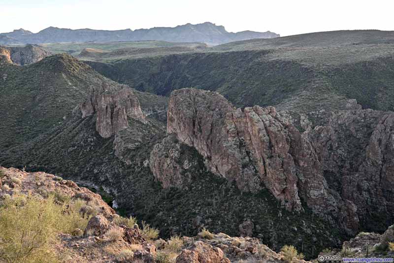 HillsSeparating La Barge Creek in the foreground and Boulder Canyon Creek in the background.
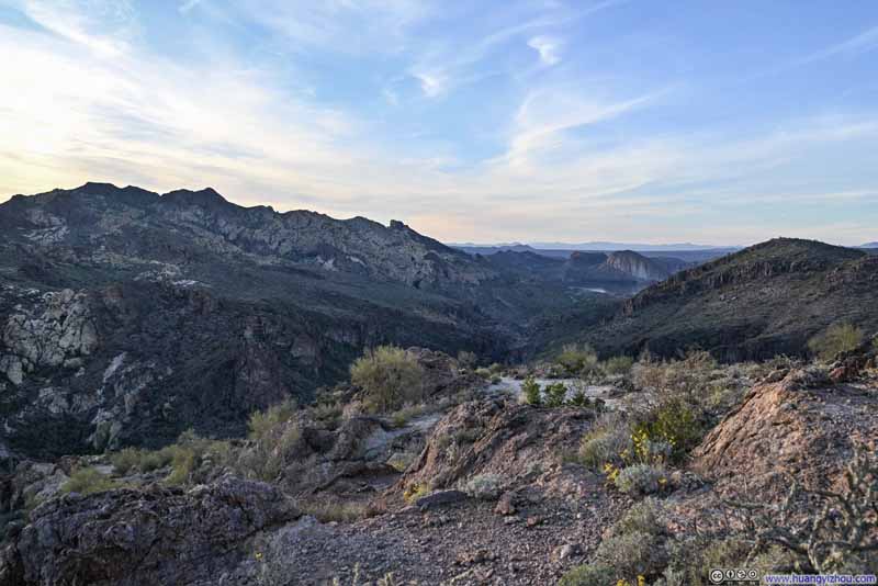 Hills
Hills

Click here to display photos of the slideshow
Mountains in Superstition Wilderness

Mountains in Superstition WildernessBattleship Mountain and Weaver’s Needle in the center.
Battleship Mountain before Weaver’s Needle
HillsSeparating La Barge Creek in the foreground and Boulder Canyon Creek in the background.

Hills
 Saguaros along Trail
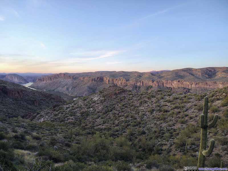 Hills
Hills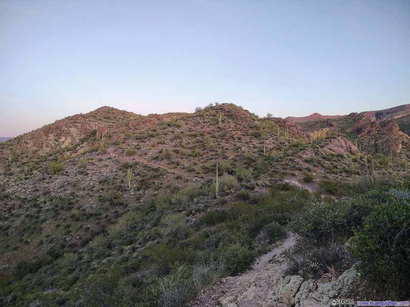 Trail
Trail
Click here to display photos of the slideshow

Saguaros along Trail
Hills

Trail
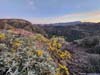
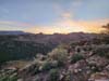
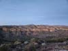
At about sunset time, I made my way back to the small hilltop where, this very morning, I had caught my first glimpses of the mountains deep within Superstition Wilderness. It seemed only fitting to watch the day’s most vivid colors fade from that same vantage point. As the stark contrast between light and shadow that had defined the scenery in early morning hours softened into a harmonious blend of colors, so too did my journey, its intensity gradually winding down to a quiet conclusion.
 Mountains in Superstition Wilderness
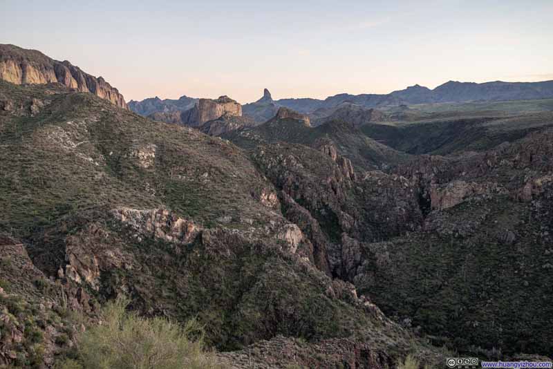 Mountains in Superstition Wilderness
 Battleship Mountain before Weaver’s Needle
 Superstition Wilderness
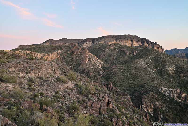 Geronimo Head
 Sunset Glow
Click here to display photos of the slideshow

Mountains in Superstition Wilderness
Mountains in Superstition Wilderness
Battleship Mountain before Weaver’s Needle
Superstition Wilderness
Geronimo Head
Sunset Glow
Mountains in Superstition Wilderness
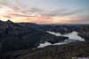
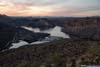
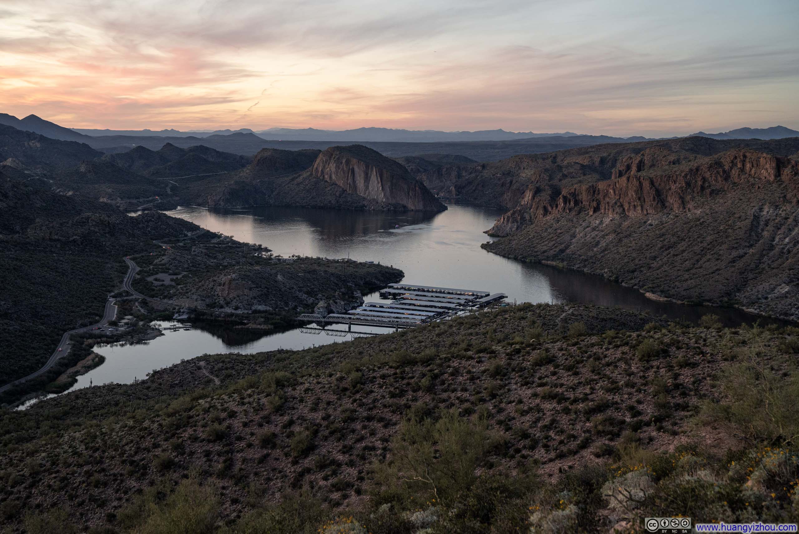
A few steps away, to the northwest, a glowing twilight hung over the waters of Canyon Lake, bringing the day to a spectacular close.
 Canyon Lake at Dusk
 Canyon Lake at Dusk
 Canyon Lake at Dusk
 Hills
Hills
Click here to display photos of the slideshow

 Canyon Lake at Dusk
Hills
In the end, I got back to the trailhead at 7pm, concluding an epic hike.
END
![]() Day 1 of 2026 President’s Day Trip to Phoenix, Battleship Mountain by Huang's Site is licensed under a Creative Commons Attribution-NonCommercial-ShareAlike 4.0 International License.
Day 1 of 2026 President’s Day Trip to Phoenix, Battleship Mountain by Huang's Site is licensed under a Creative Commons Attribution-NonCommercial-ShareAlike 4.0 International License.