
Updated on May 25, 2026
Hiking Mt Avalon, Mt Field, Mt Willey and Mt Tom
A post about my hike to four mountains to the west of Crawford Notch in March 2026.
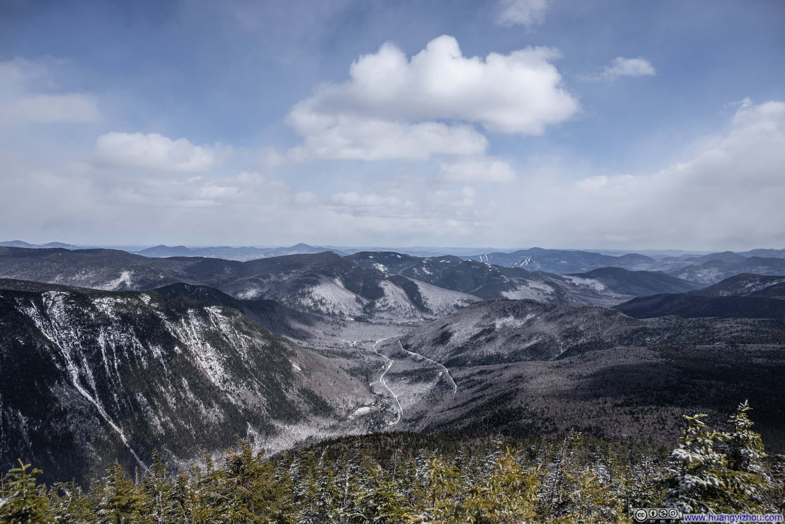
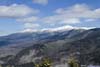
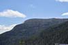
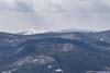
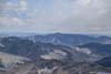
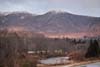
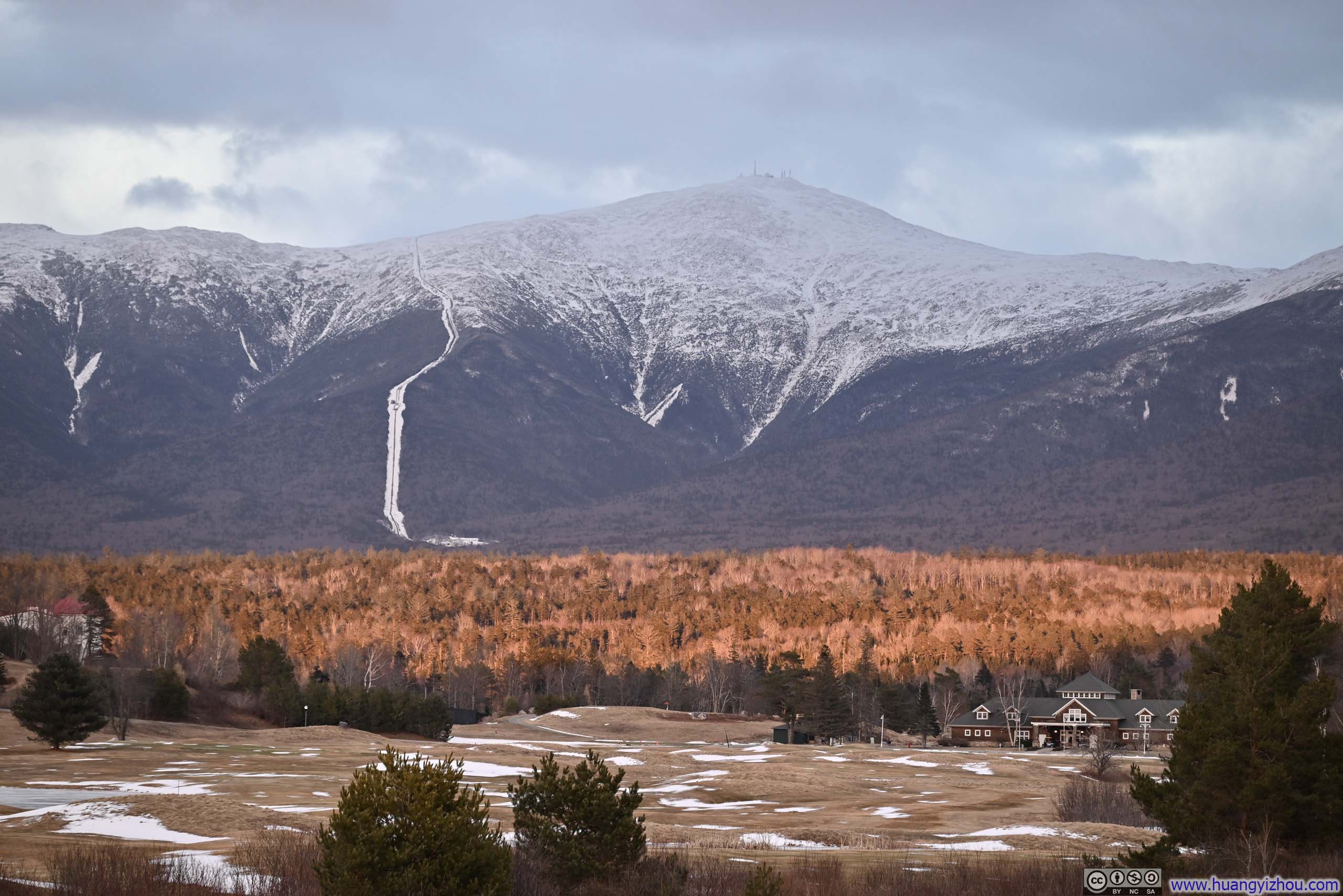
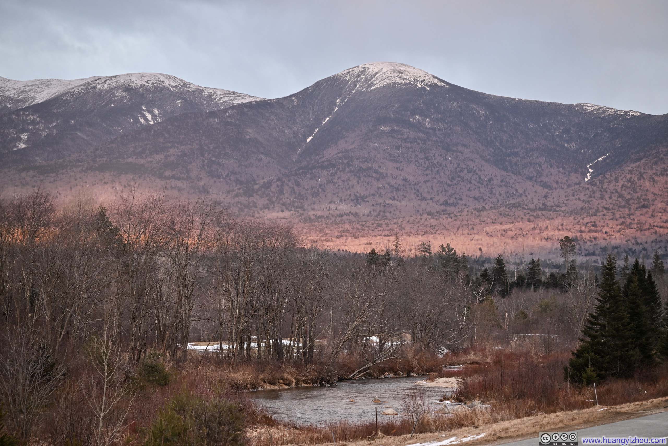
Mountains to the South of Crawford Notch
Toward the end of March 2026, I realized I still had time to squeeze in one last trip of my 2025–2026 winter outdoor season. With that in mind, I returned to a place I had come to know well over the previous months: Crawford Notch. This time, I headed west of the notch, where four neighboring peaks, Mount Avalon, Mount Field, Mount Willey, and Mount Tom, offered the enticing possibility of summiting all of them in a single day.
As for the weather, winter was clearly on its way out. A few days of thaw had been followed by rain before my trip. Fortunately, the snowpack on the trail held together well, and shortly before I arrived, temperatures dropped below freezing again, firming everything up. As a result, the entire hike was still blanketed in snow.
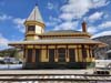
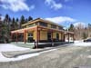
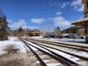
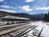
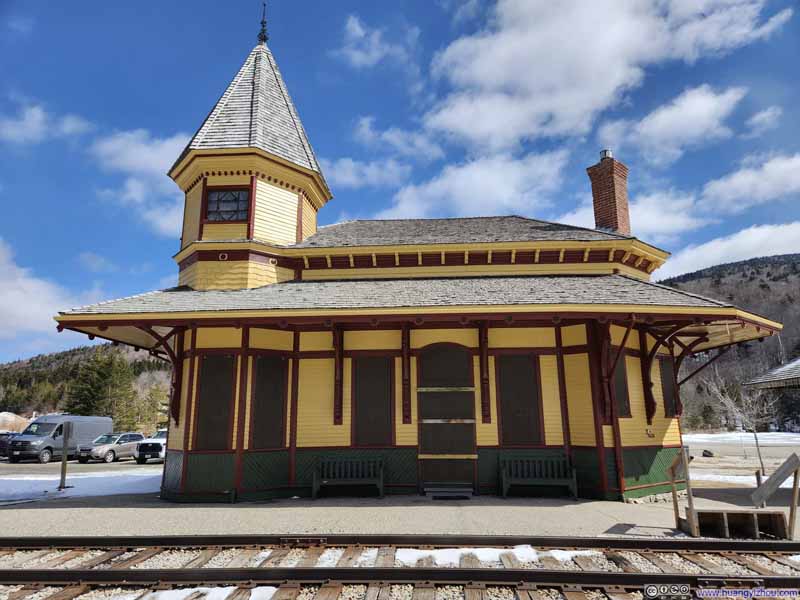 Crawford Notch Train Station
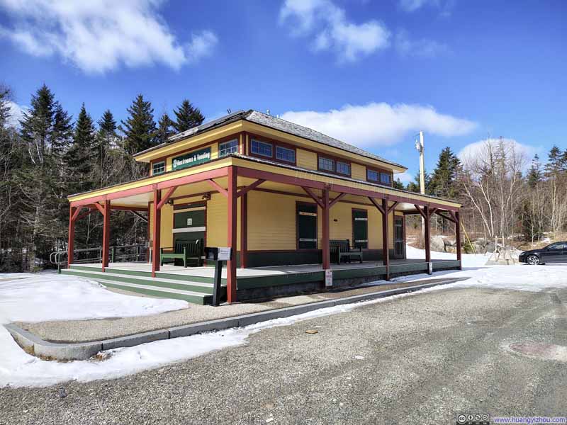 Crawford Notch Train Station
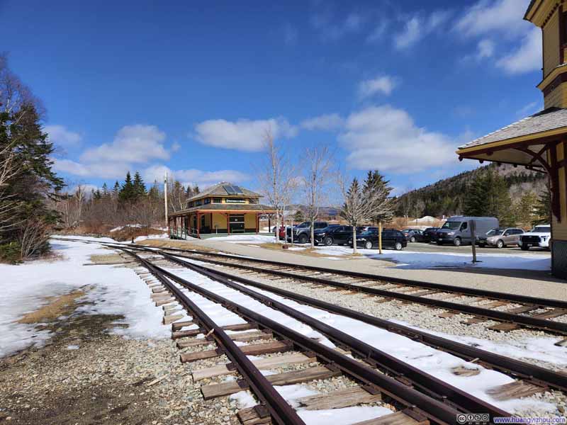 Crawford Notch Train Station
 Crawford Notch Train Station
Click here to display photos of the slideshow

Crawford Notch Train Station
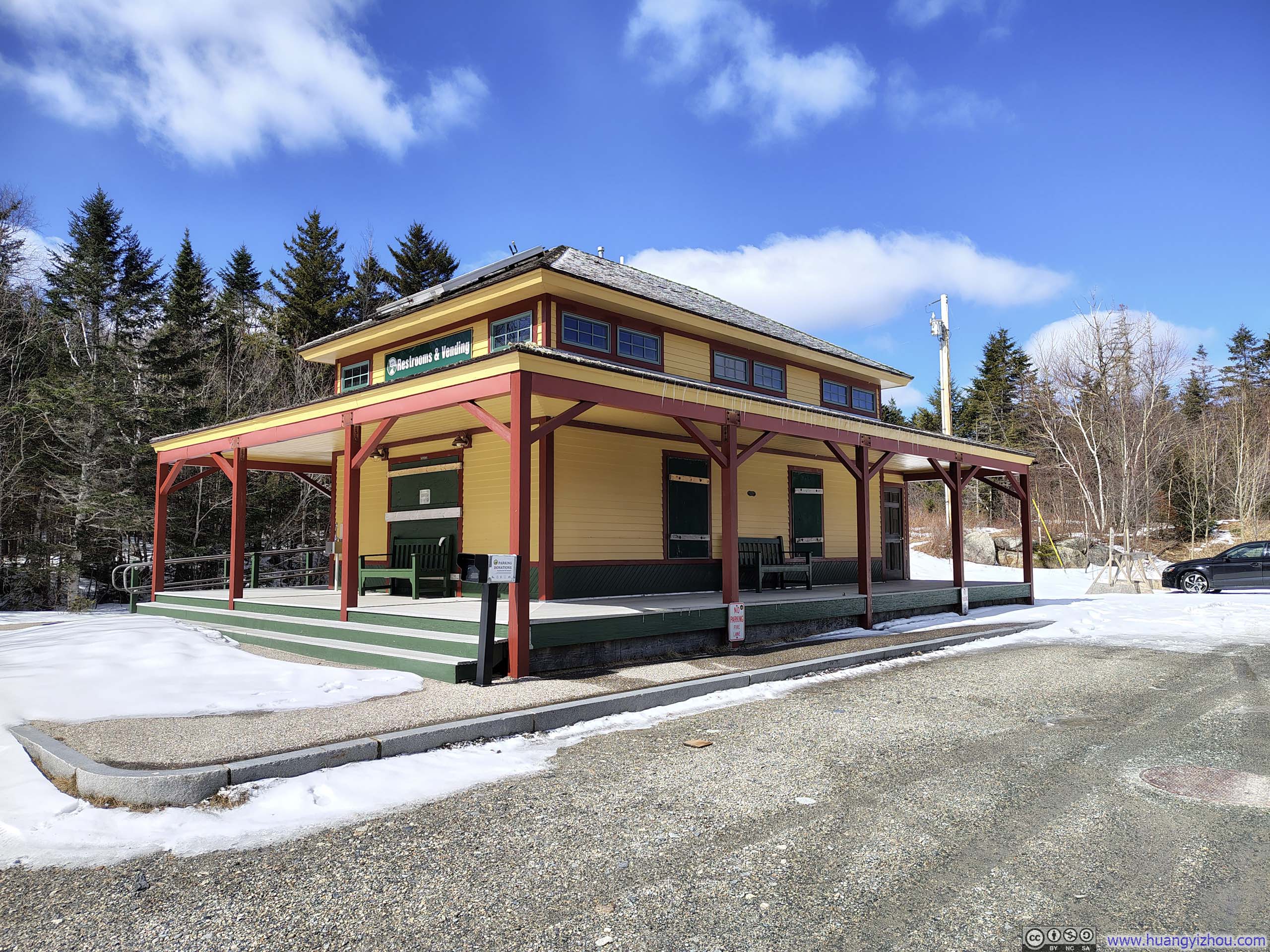
Crawford Notch Train Station

Crawford Notch Train Station
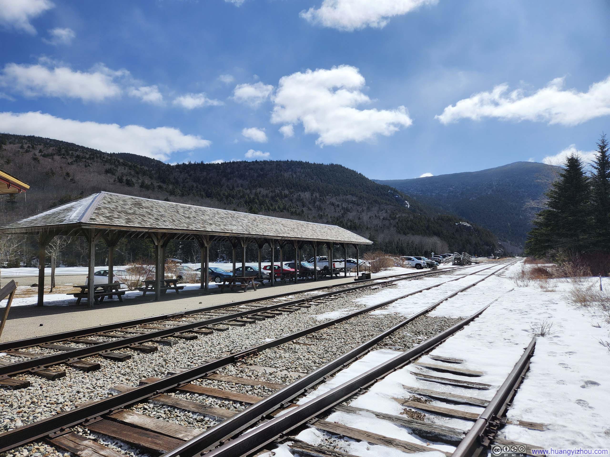
Crawford Notch Train Station
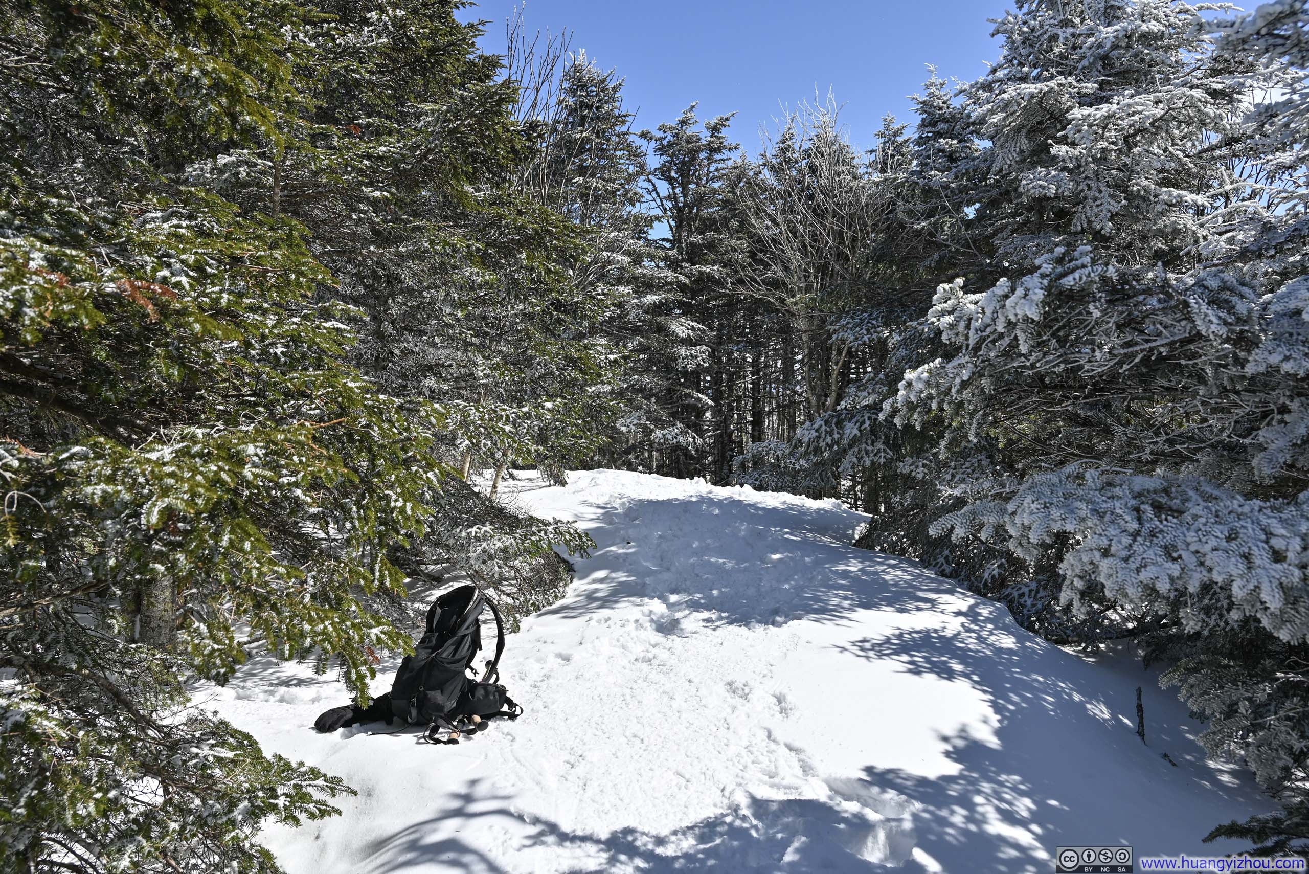
For these mountains west of Crawford Notch, the nearest parking area was at Crawford Notch Train Station. Parking was free, with donations suggested. I reached the trailhead at 11am, but decided to eat lunch first before setting out at 11:30am.
Here’s GPS tracking:
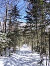
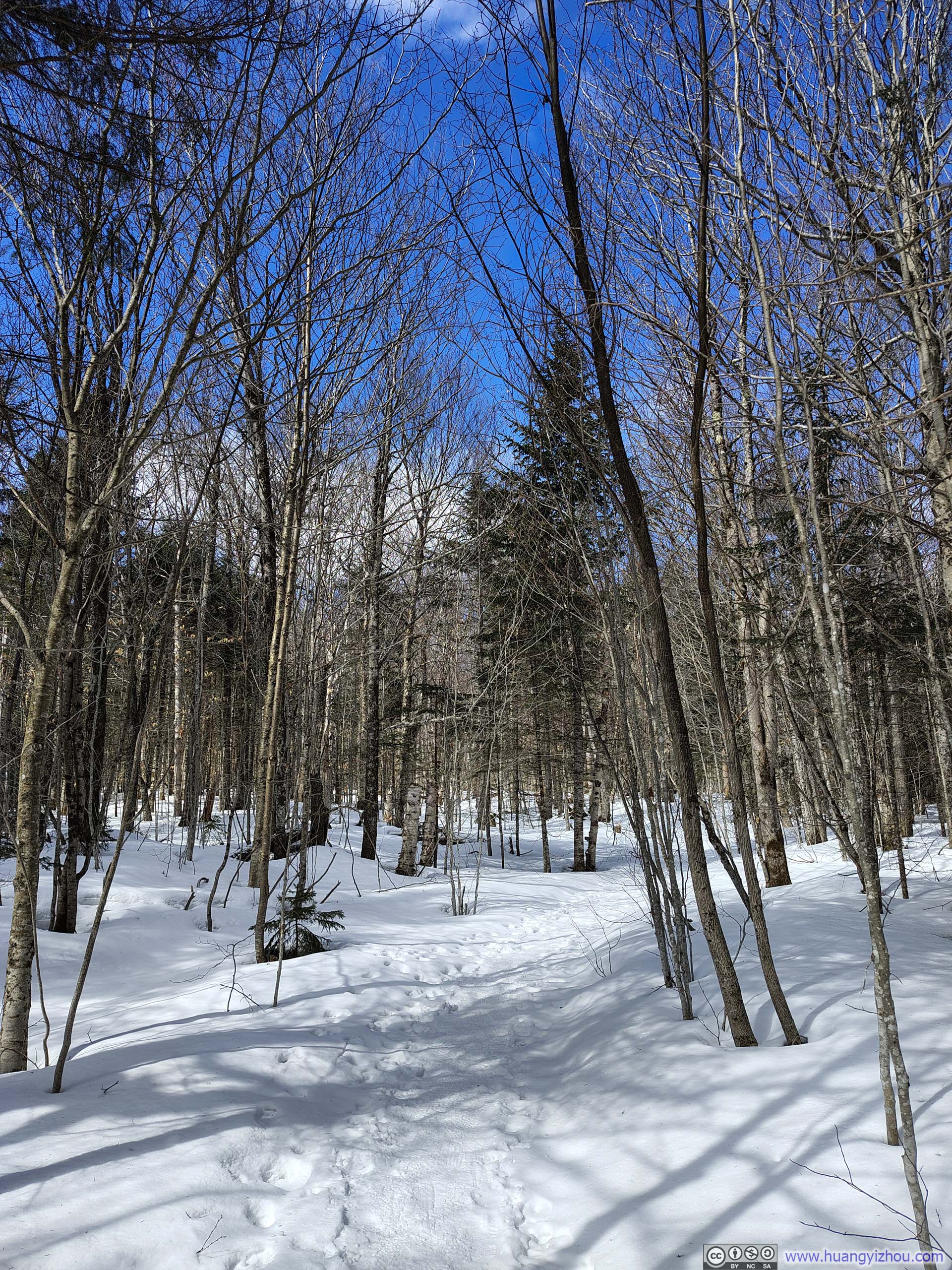
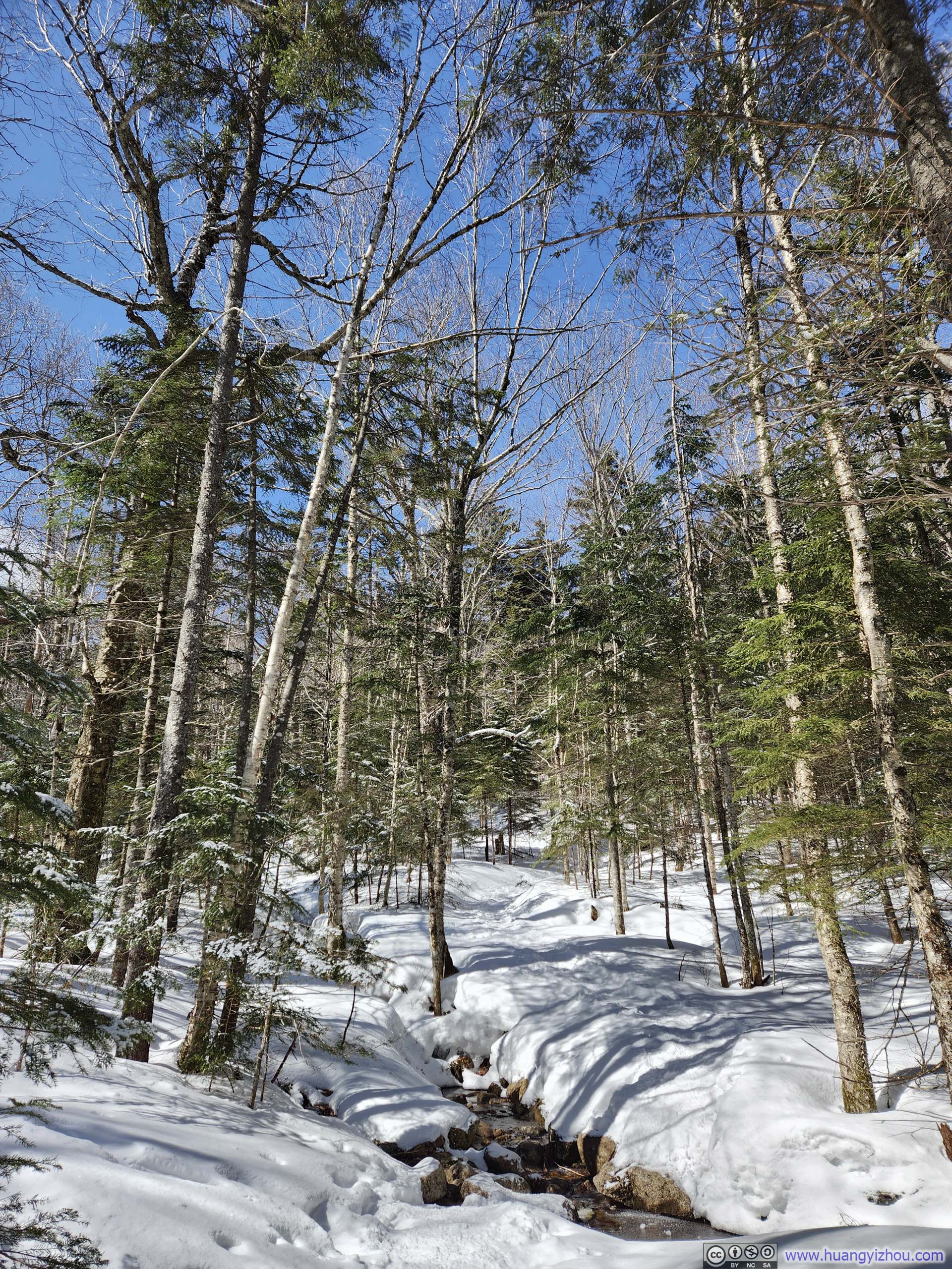
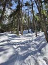
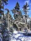
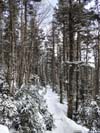
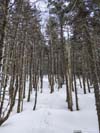
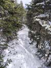
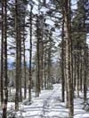
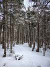
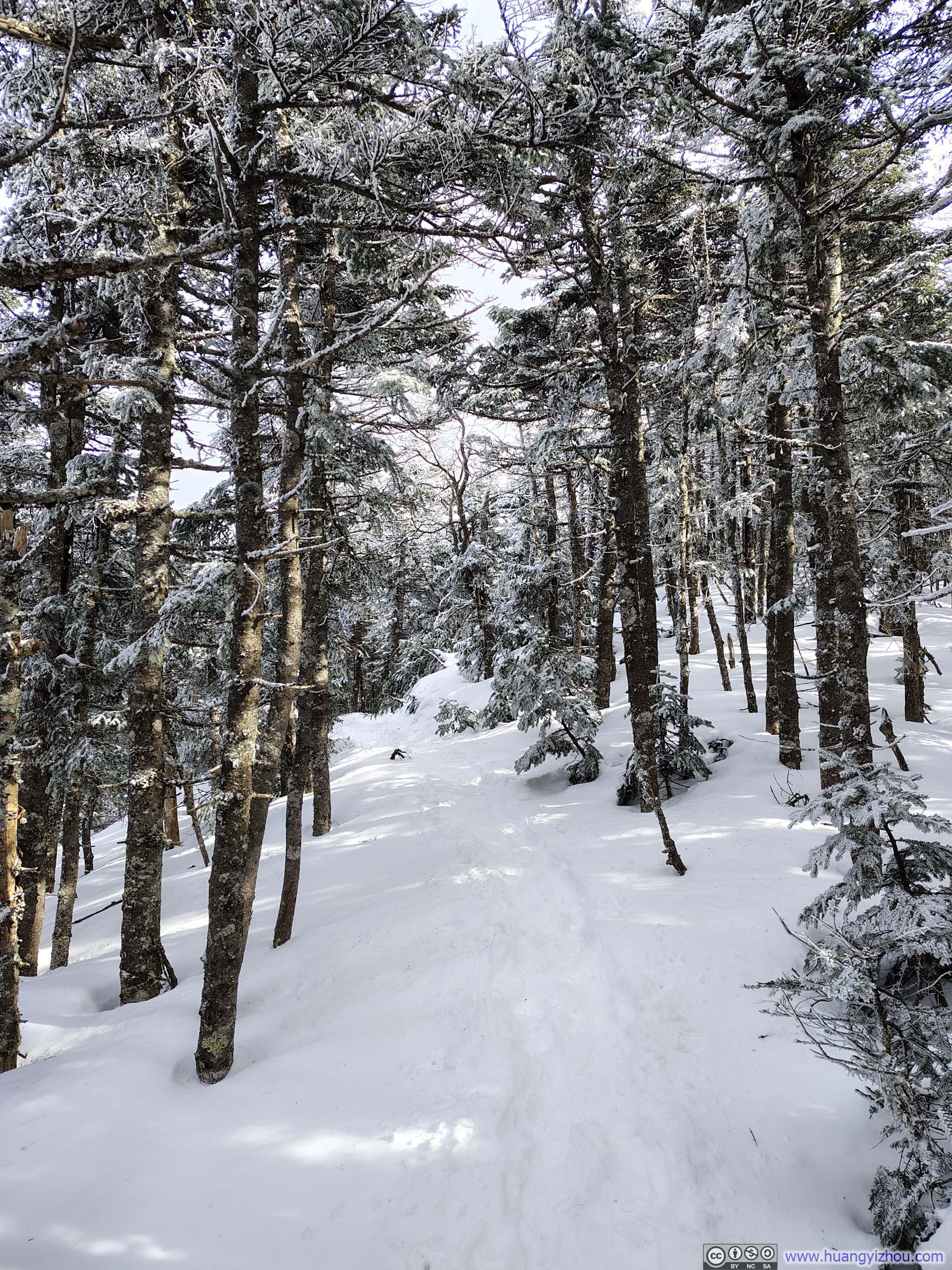
 Trail
Trail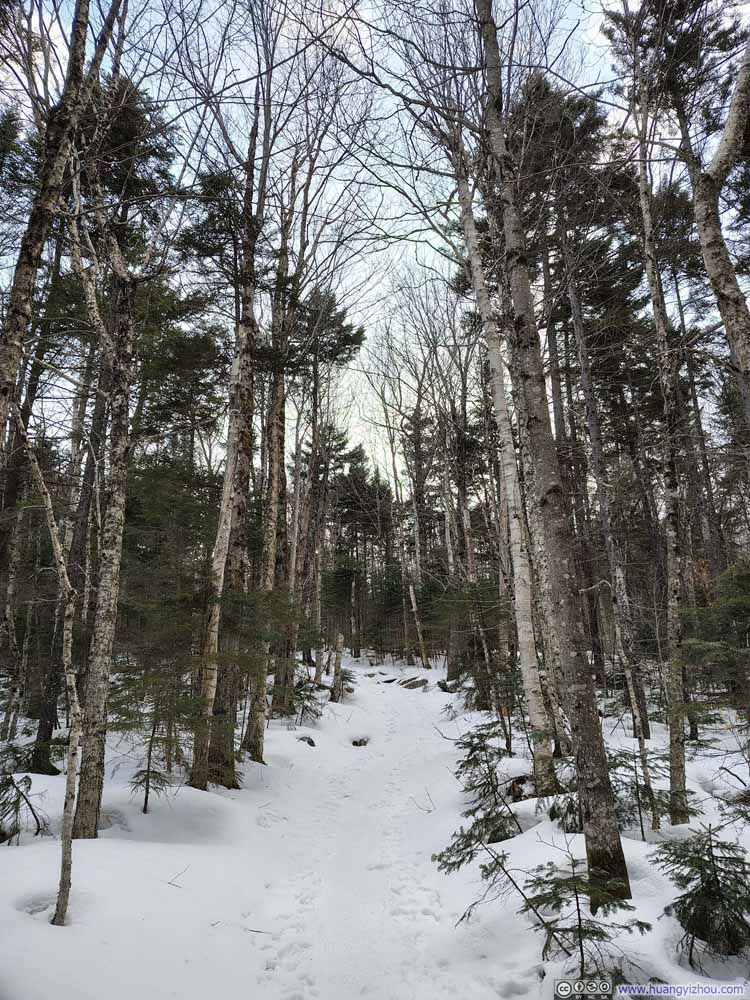 Trail
Trail Trail
Trail Trail
Trail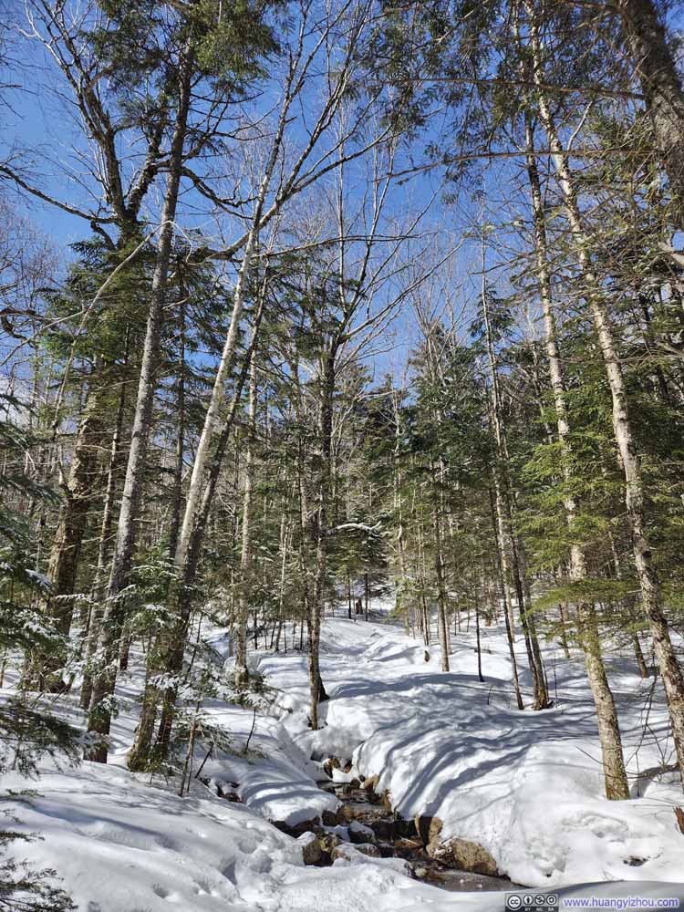 Trail
Trail Trail
Trail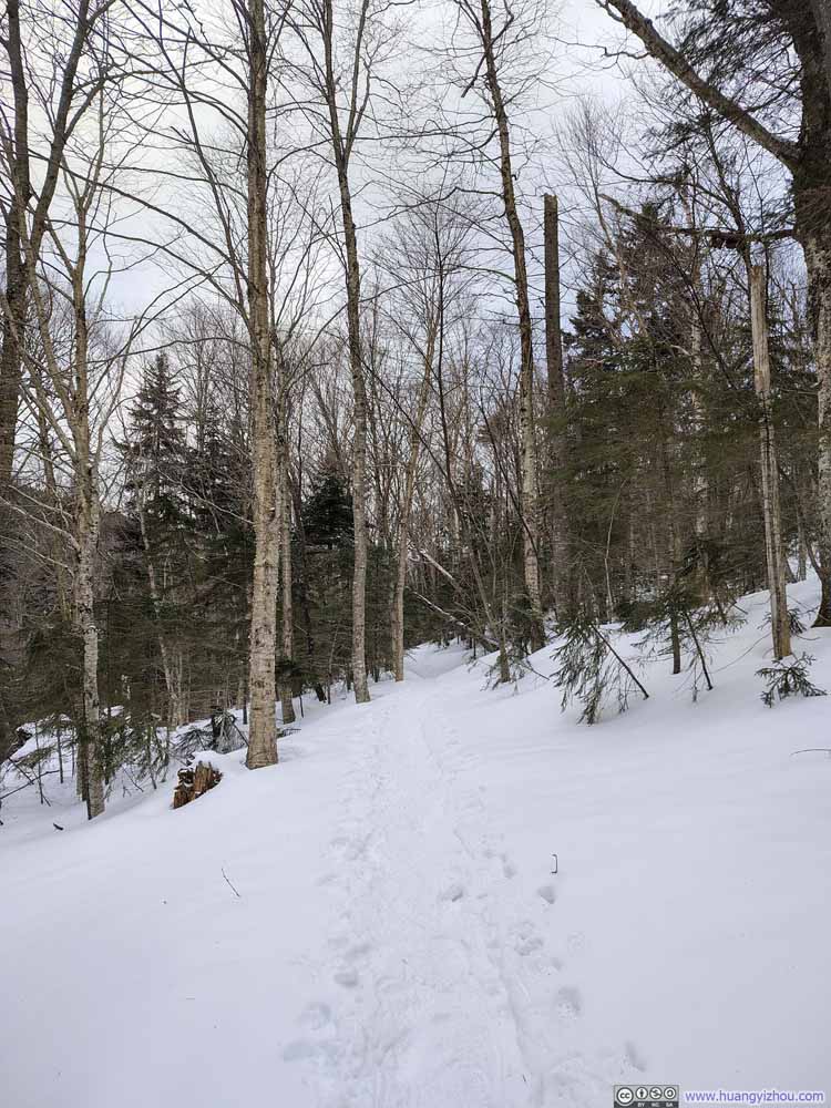 Trail
Trail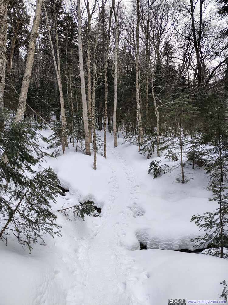 Trail
Trail


Click here to display photos of the slideshow
Trail
Trail
Trail
Trail
Trail
Trail

Trail
Trail
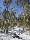
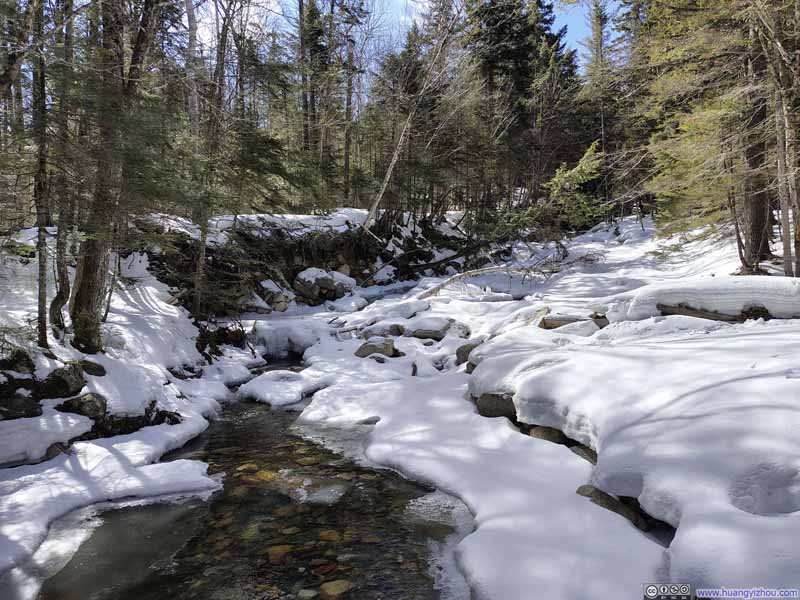
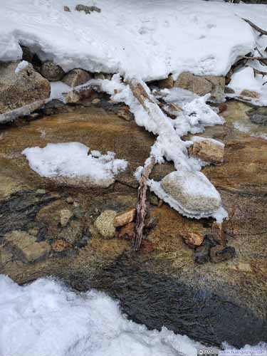
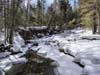
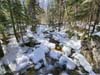
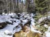
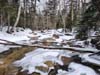
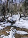
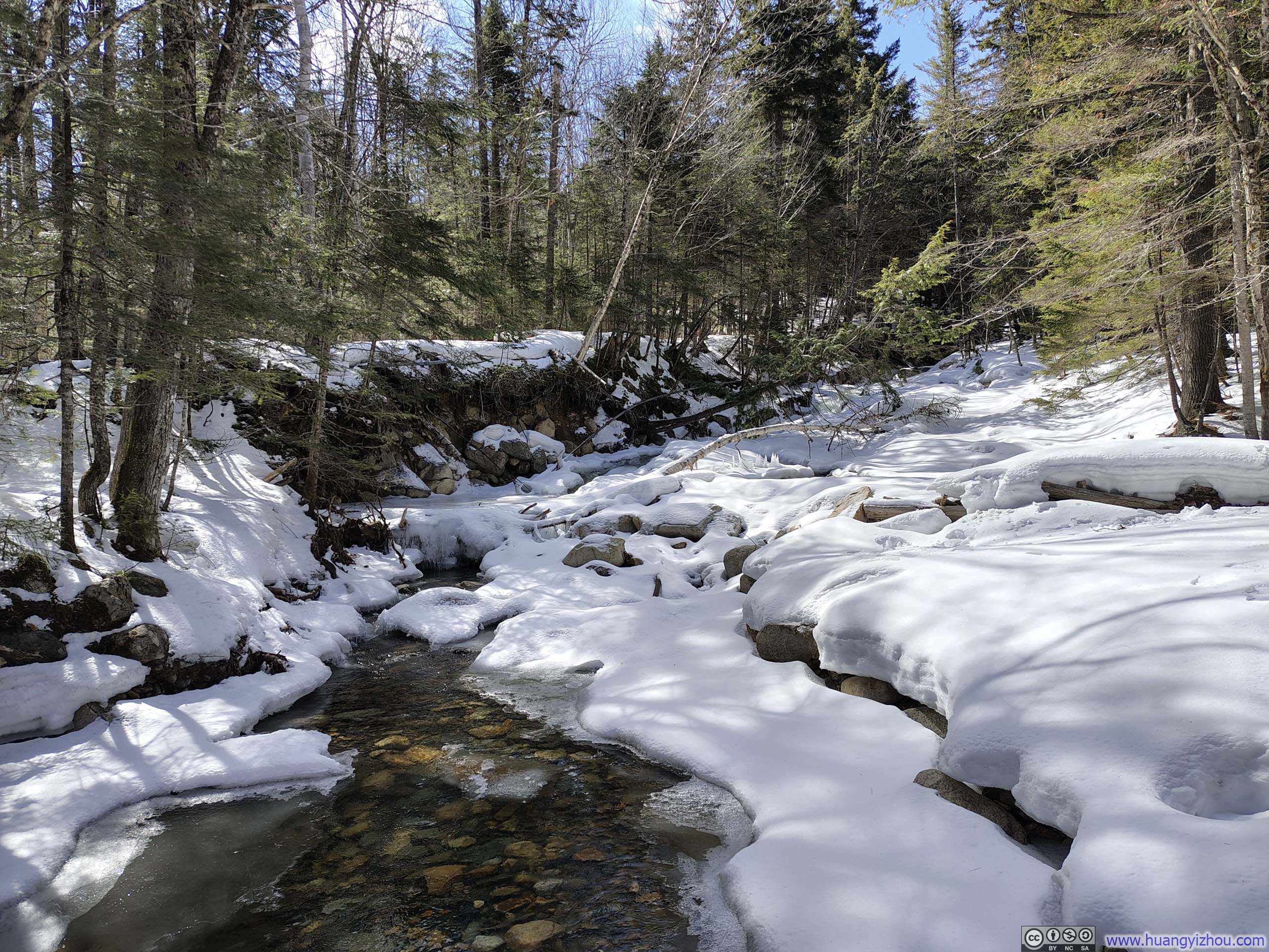
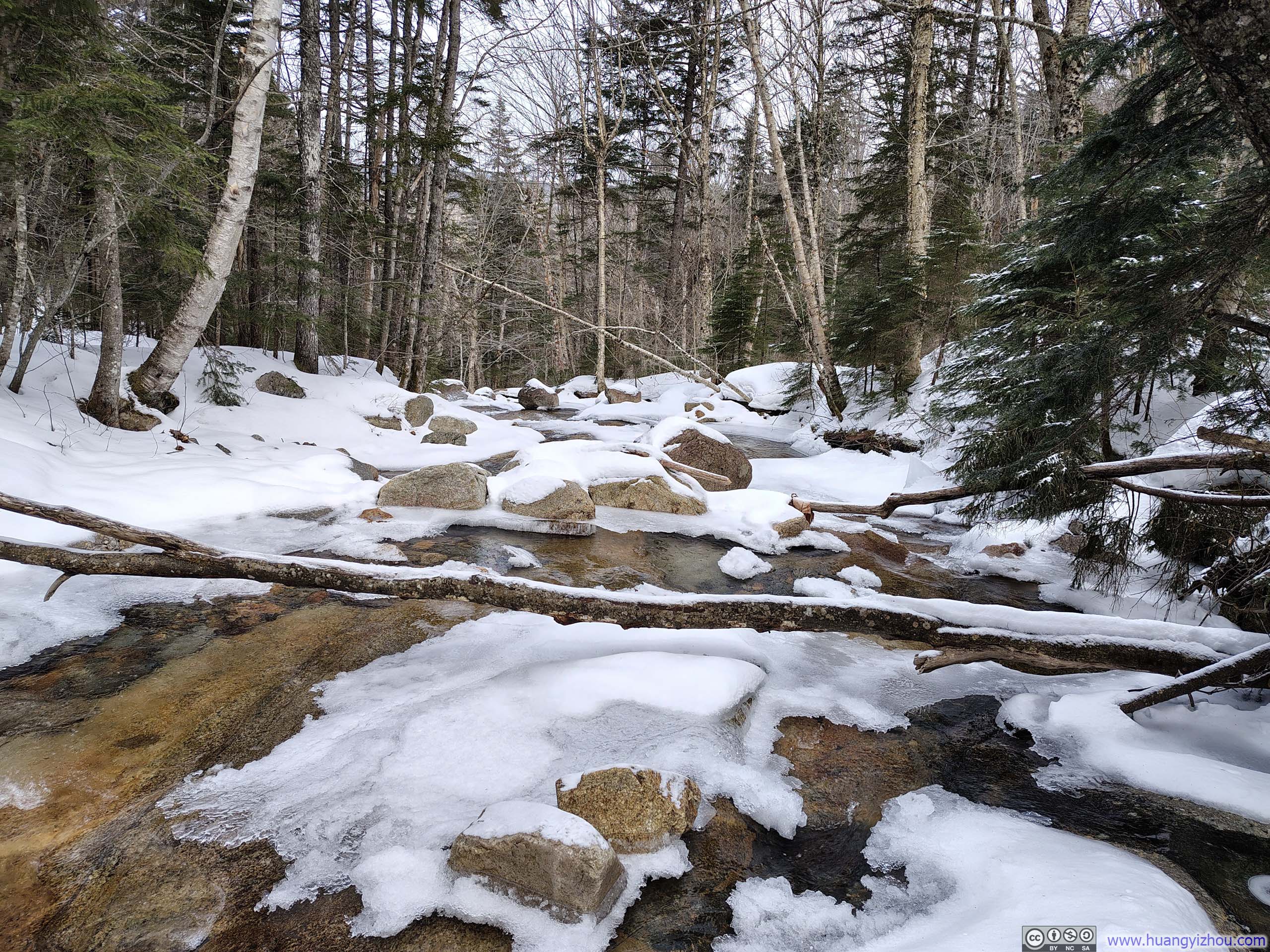
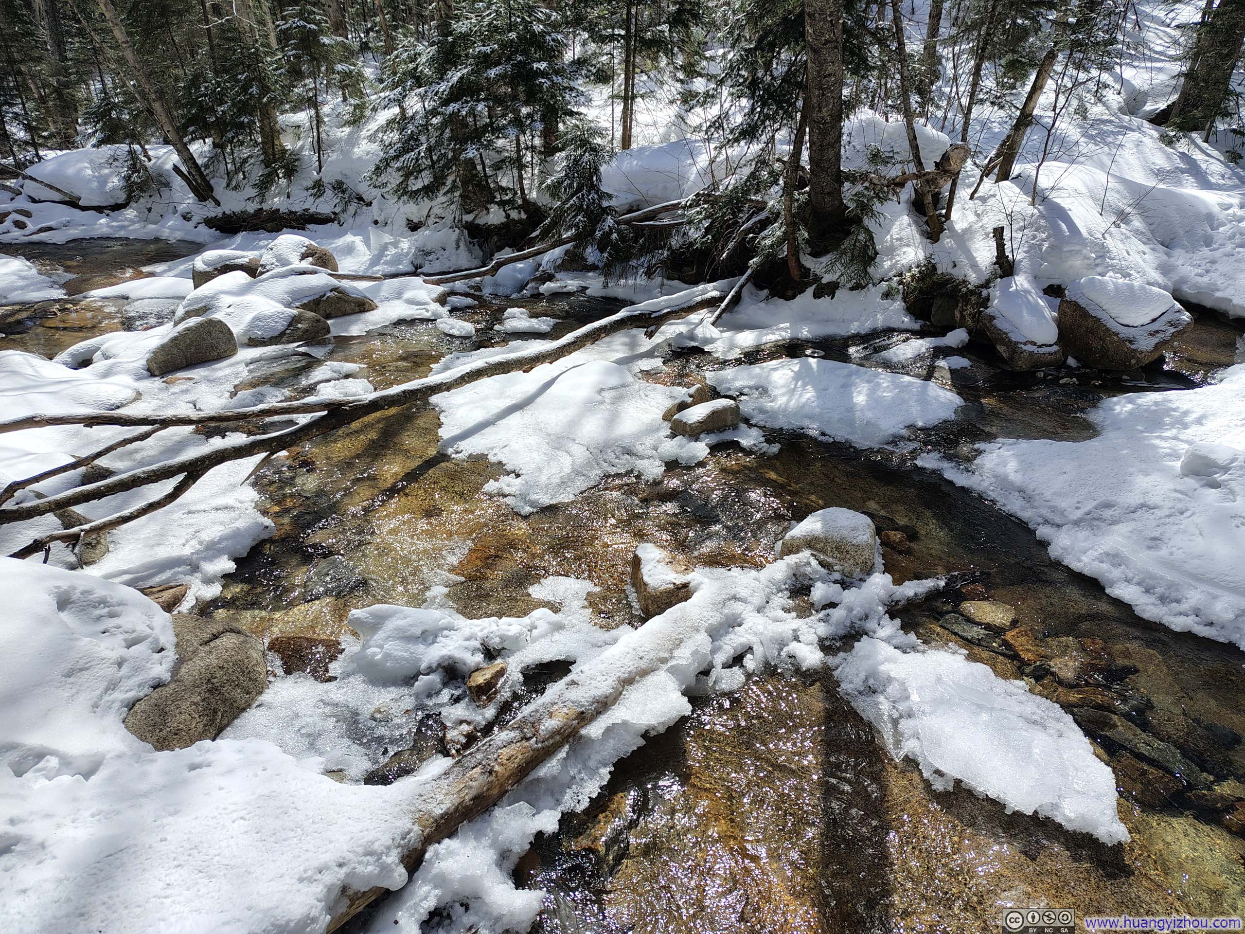
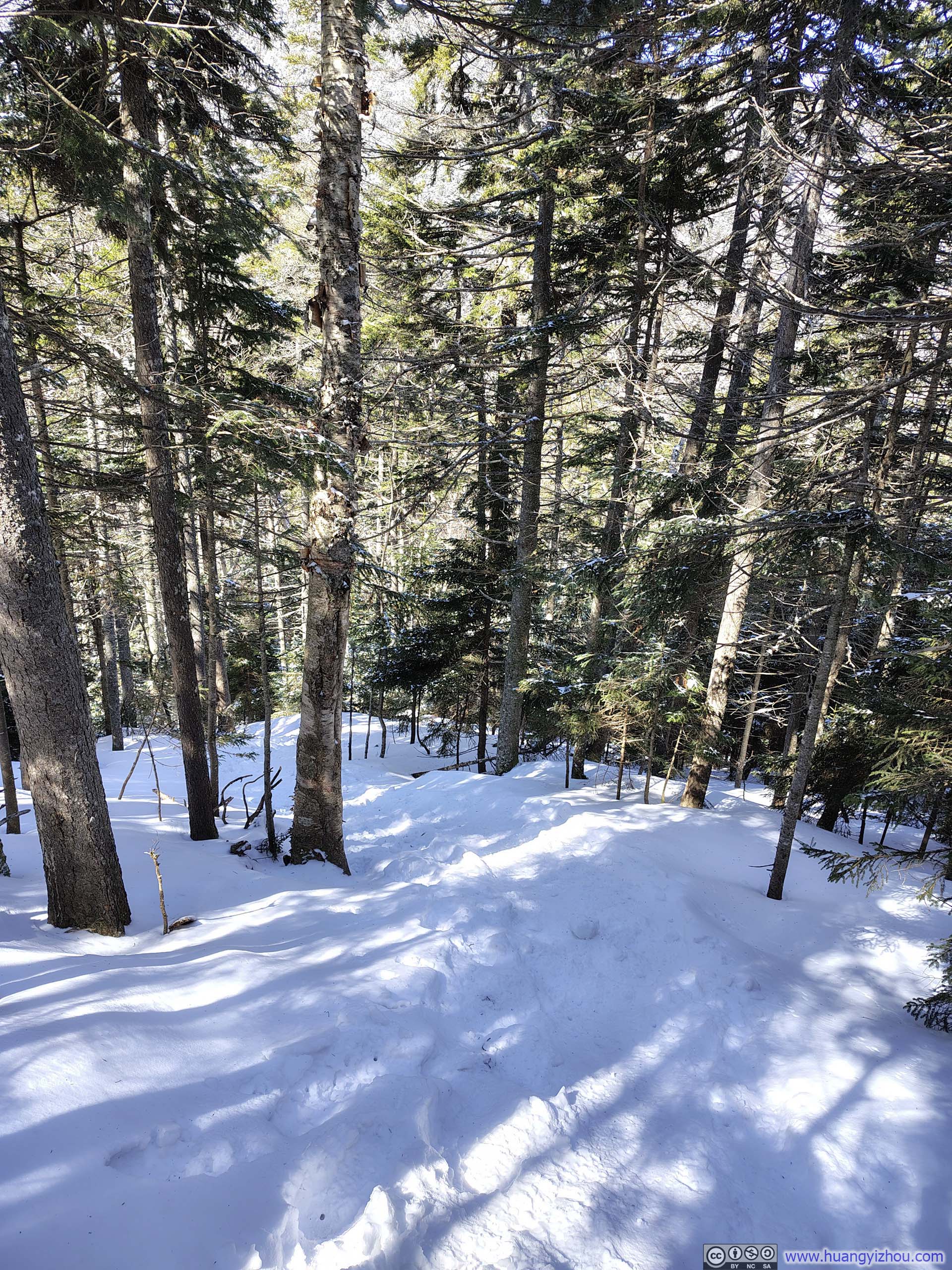
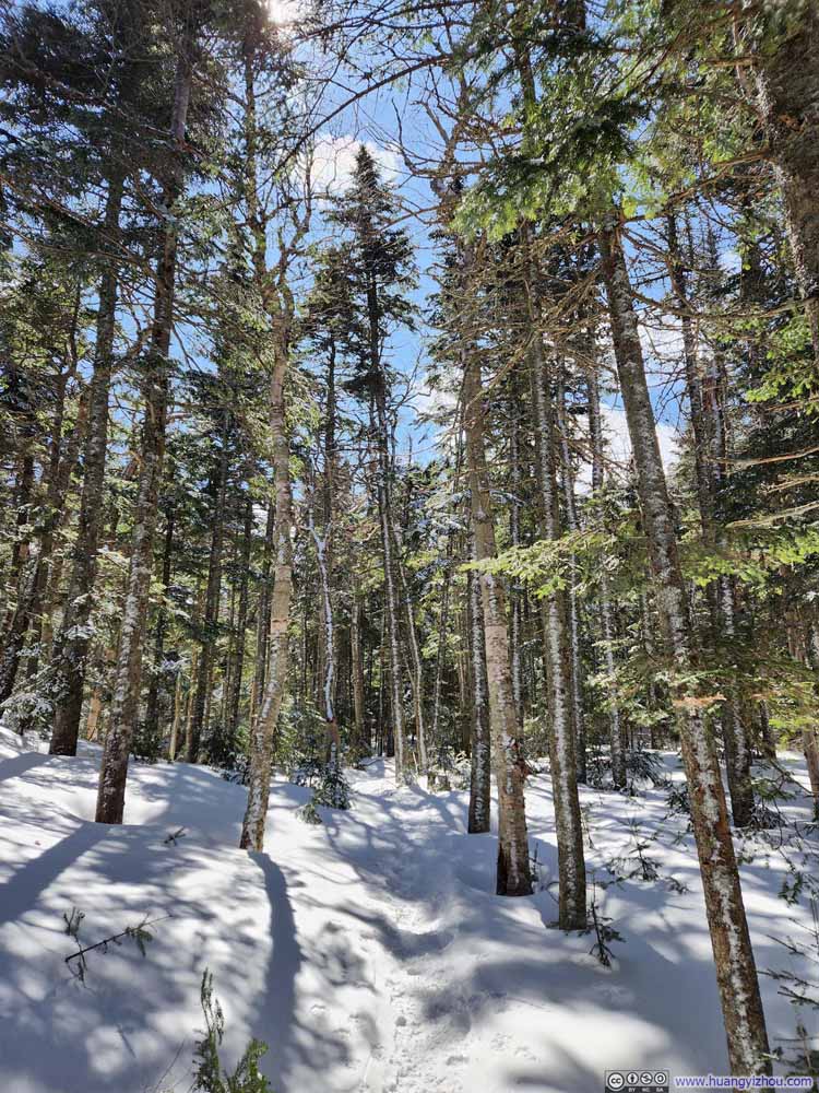
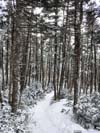
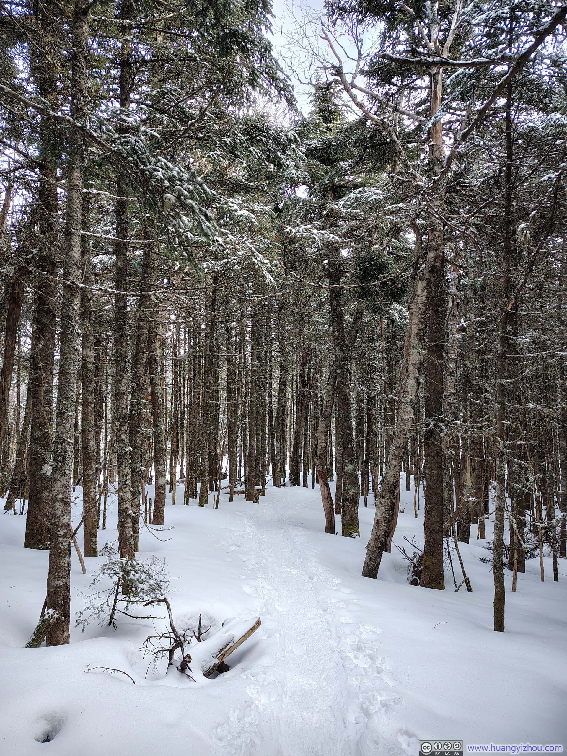
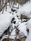
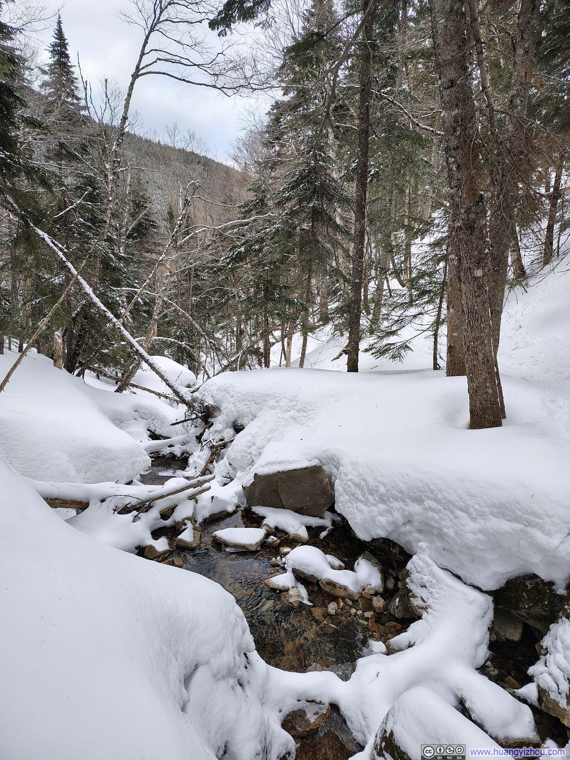
The trail began as an unremarkable walk through the woods, running alongside a creek to the soothing sound of flowing water, with occasional glimpses of it threading between islands of snow. About 1.2km (0.75mi) into the hike, I came to a major water crossing (p6–7 below), likely the most technical I had encountered in the past year, as the footholds were small and spaced far apart. Even so, with the help of my hiking poles, I managed to keep my feet dry.
 Creek
Creek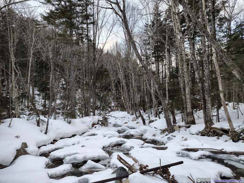 Creek
Creek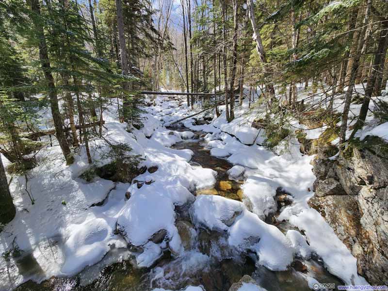 Creek
Creek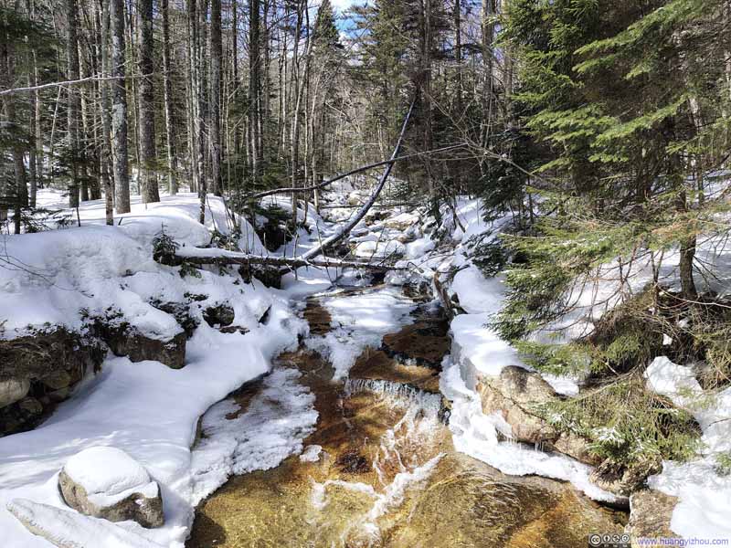 Creek
Creek Creek
Creek Water Crossing
 Water Crossing

Click here to display photos of the creek along the trail.
Creek
Creek

Creek

Creek
Creek
Water Crossing
 Water Crossing
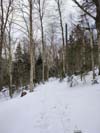
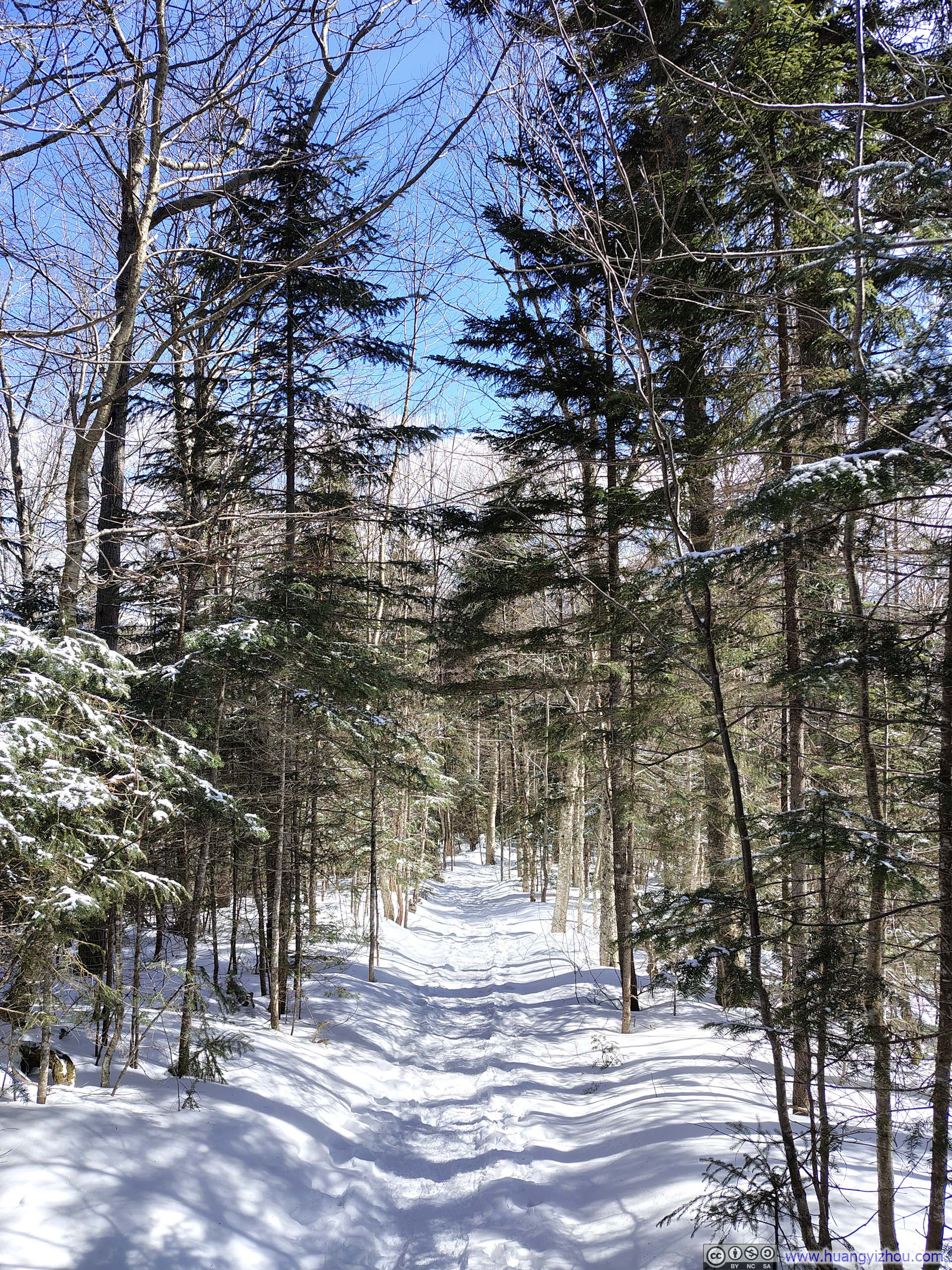
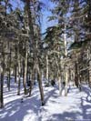
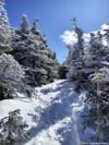
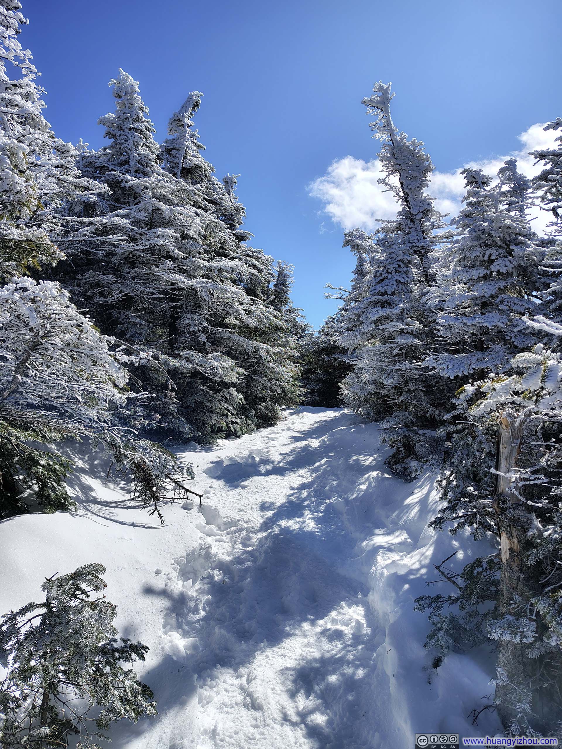
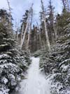
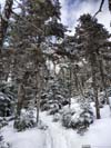
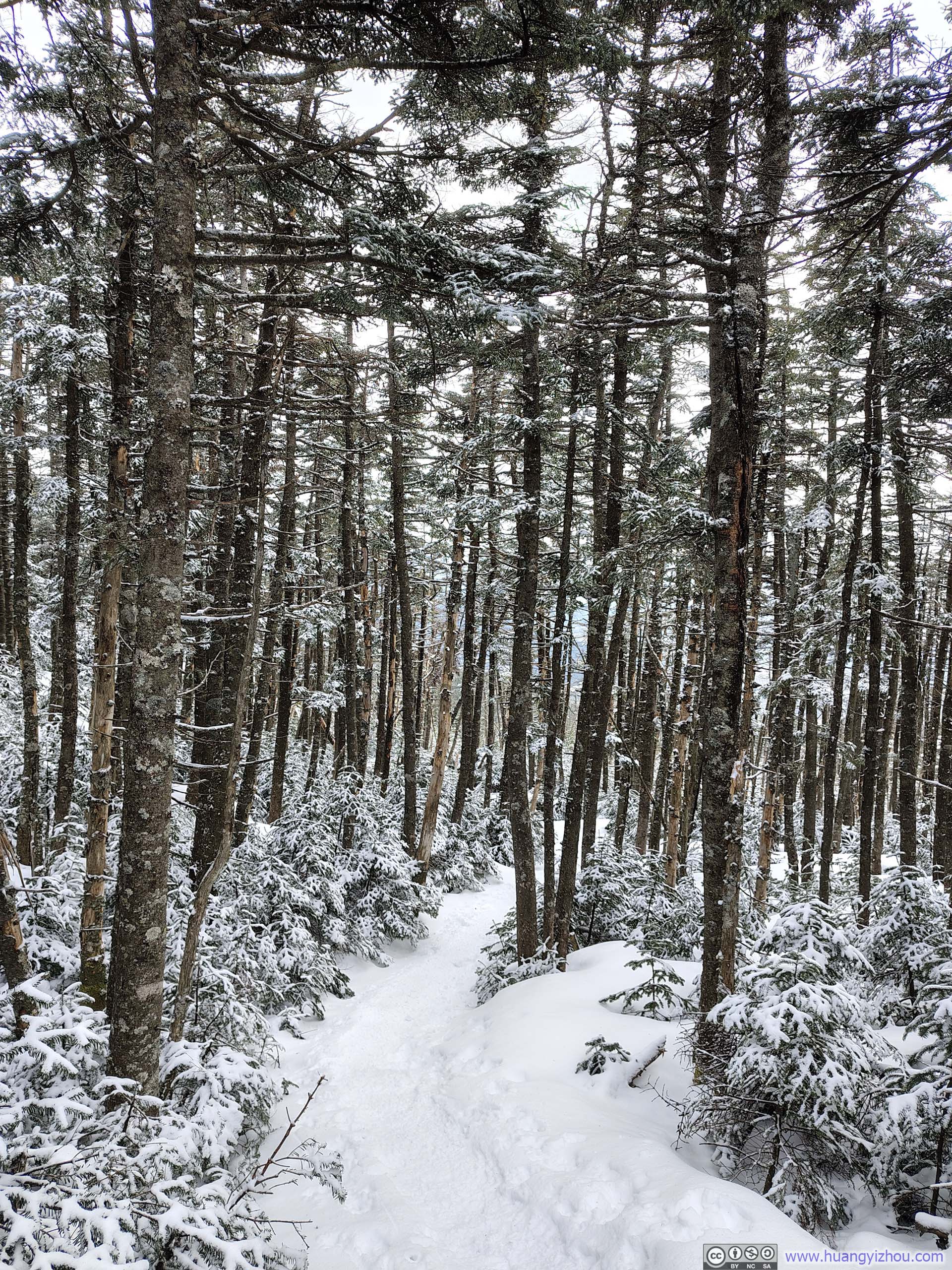
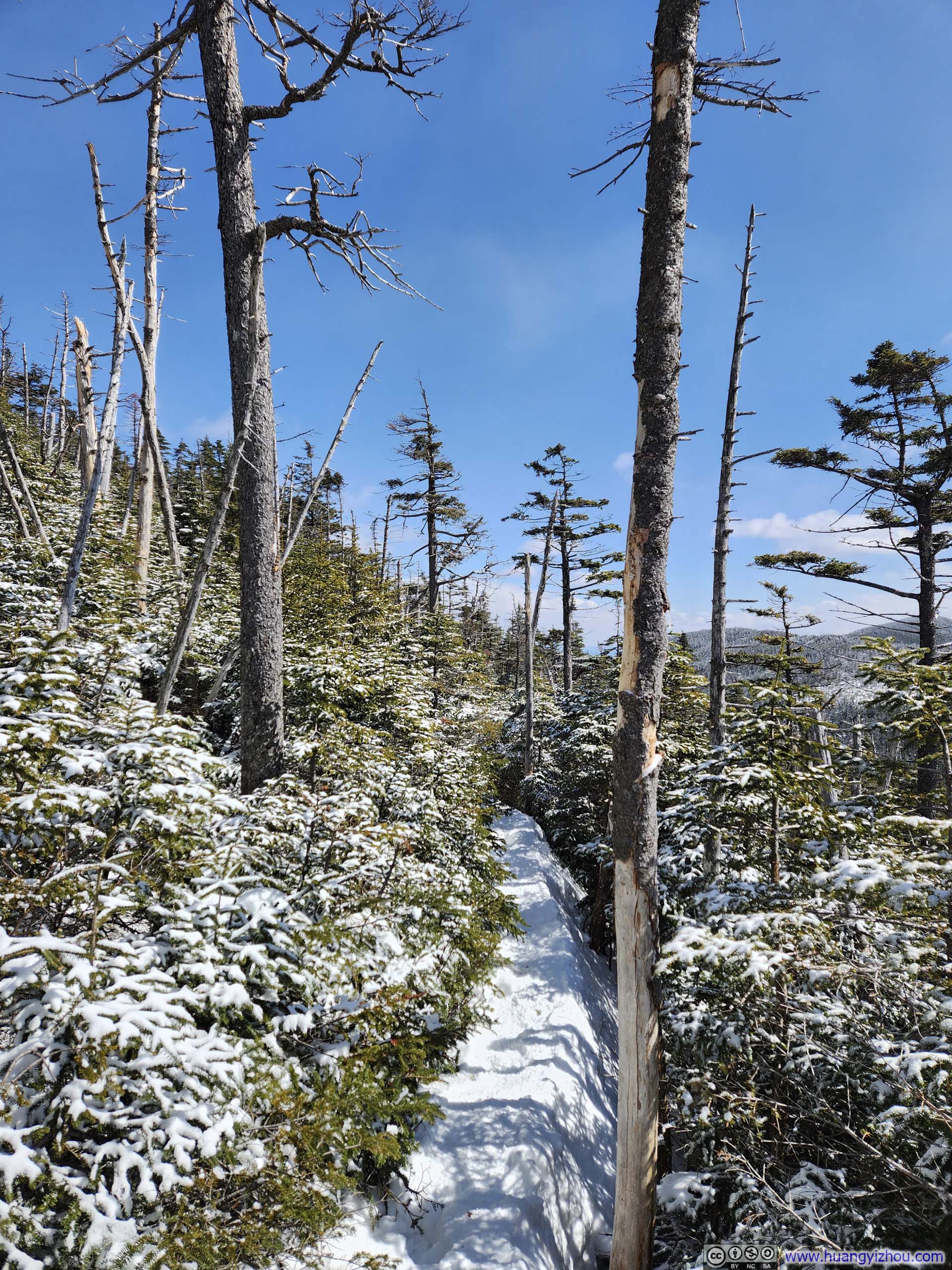
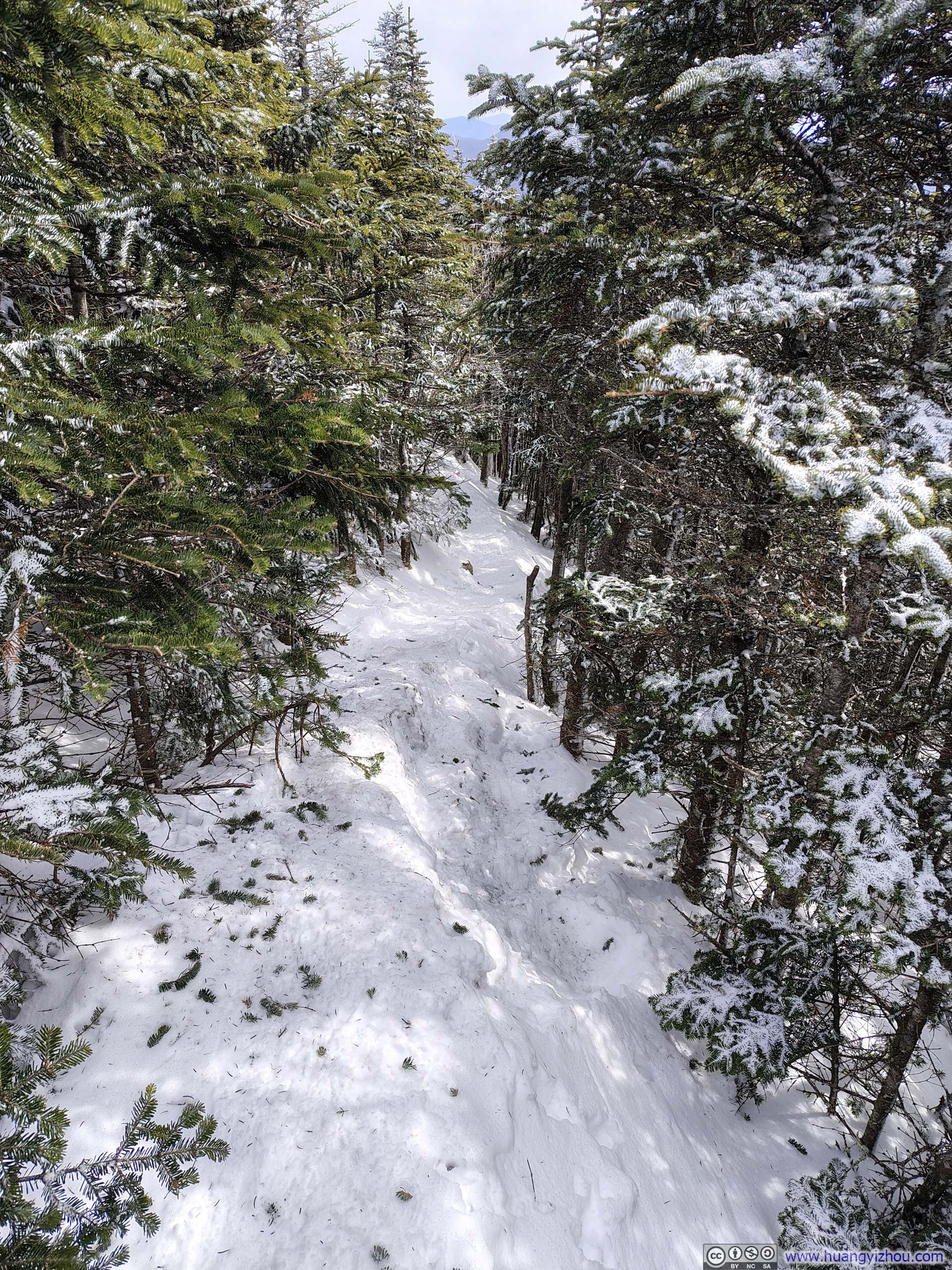
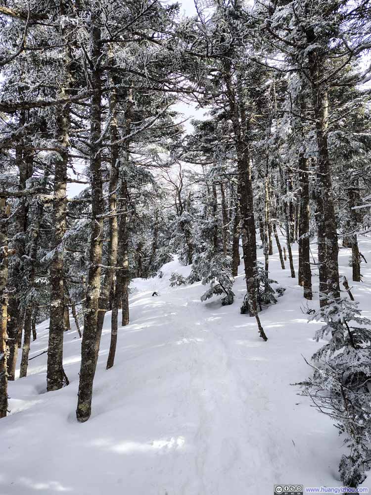
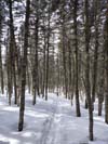
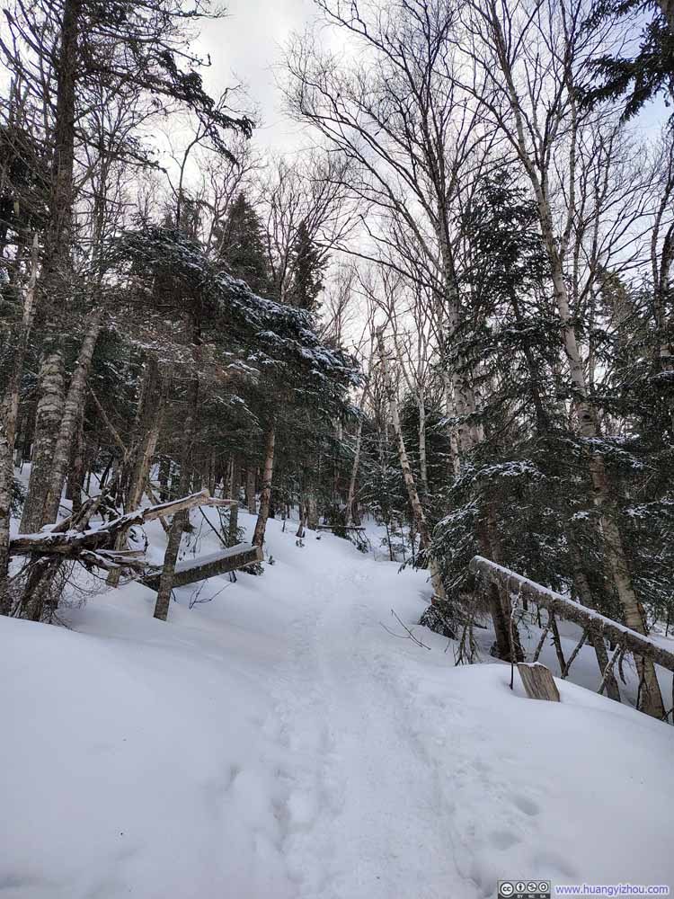
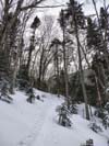
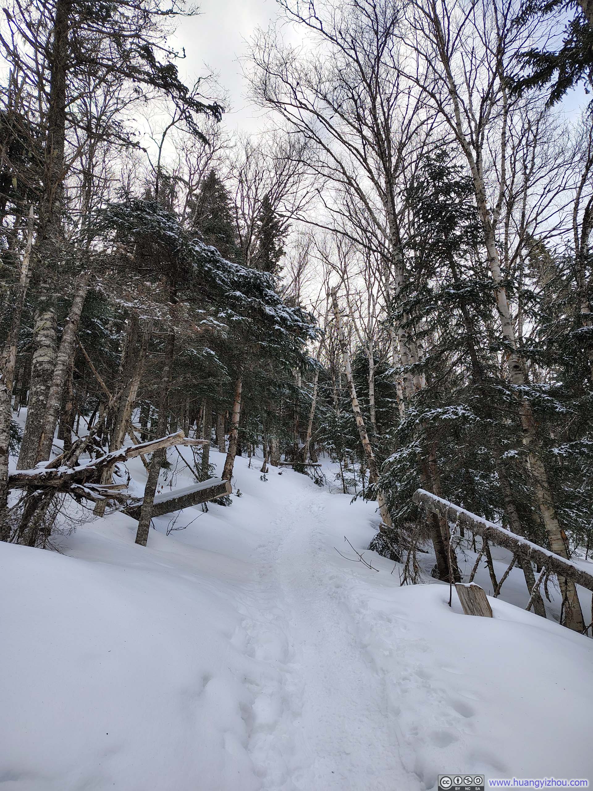
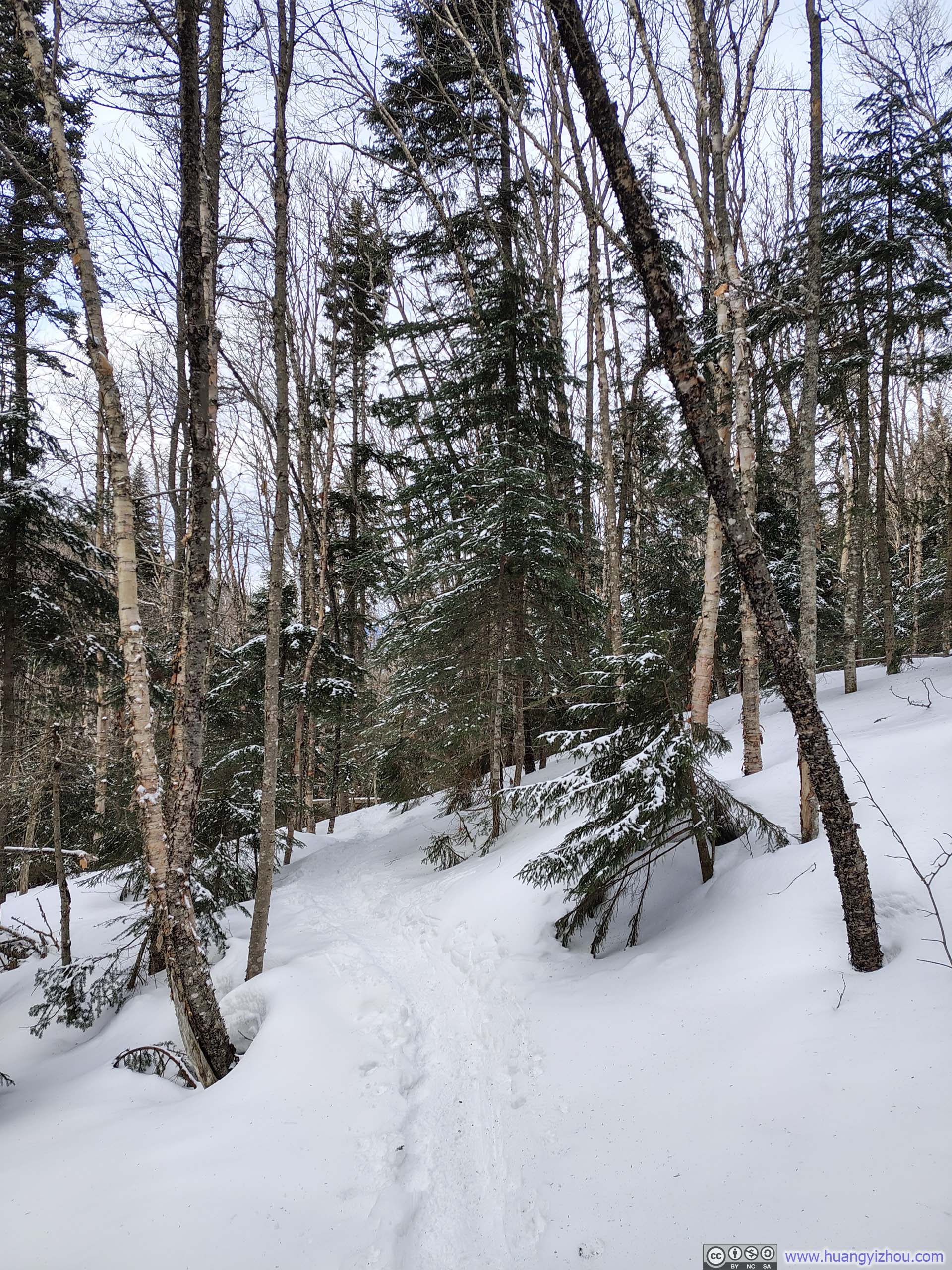
The trail began to climb more steeply just before the junction of the Avalon Trail and the A–Z Trail. At the intersection, I turned left toward Mt Avalon. The stretch immediately beyond the junction was likely the steepest of the entire day. Even so, the snow was textured enough to provide good traction, so I didn’t put on my microspikes until I reached Mount Avalon.
 Steep Trail
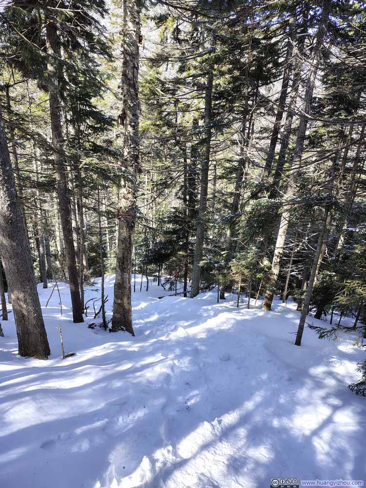 Steep Trail
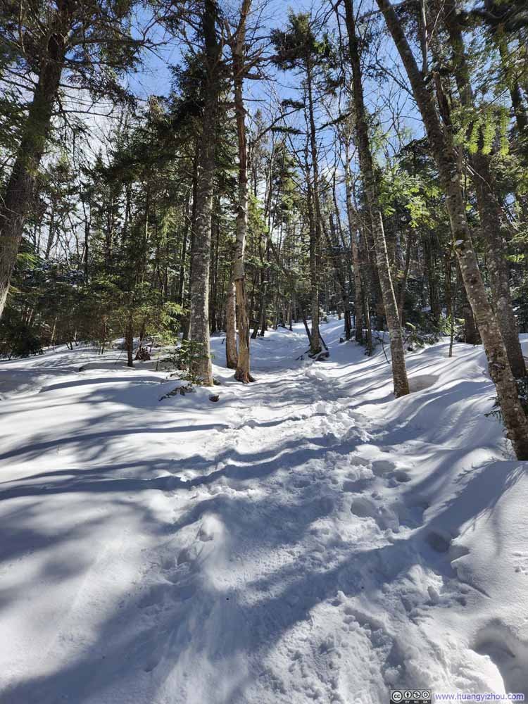 Steep Trail
 Trail in Woods
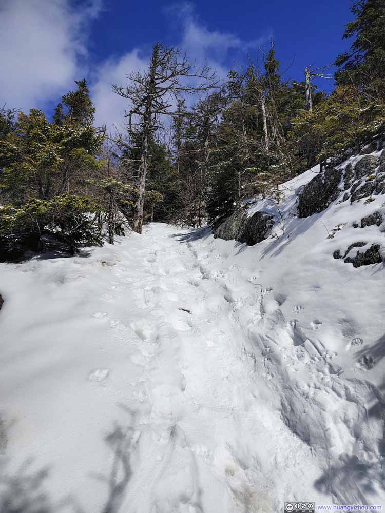 Steep Trail to Mount Avalon

Click here to display photos of the slideshow
Steep Trail
Steep Trail

Steep Trail
Trail in Woods

Steep Trail to Mount Avalon
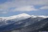
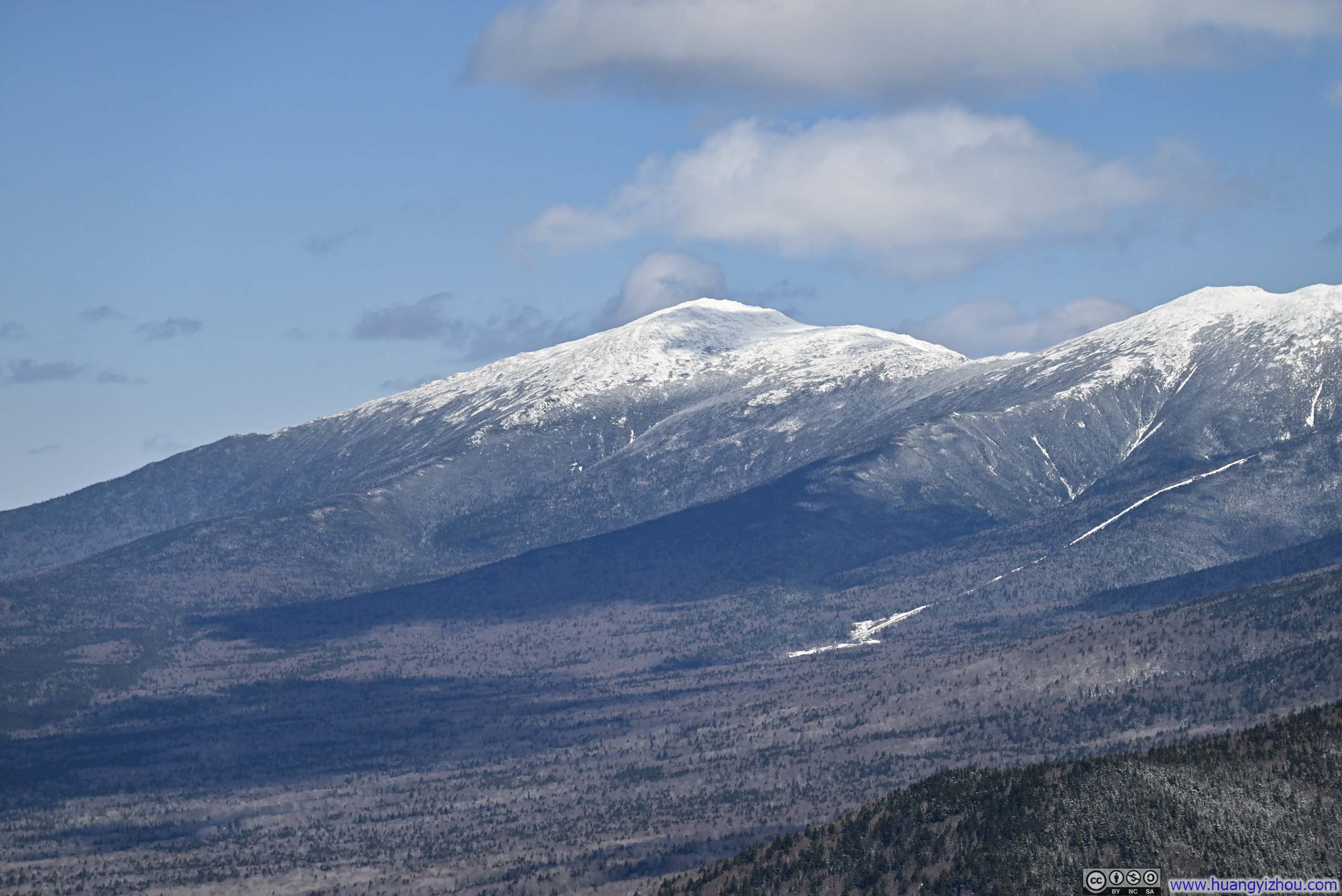
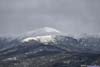
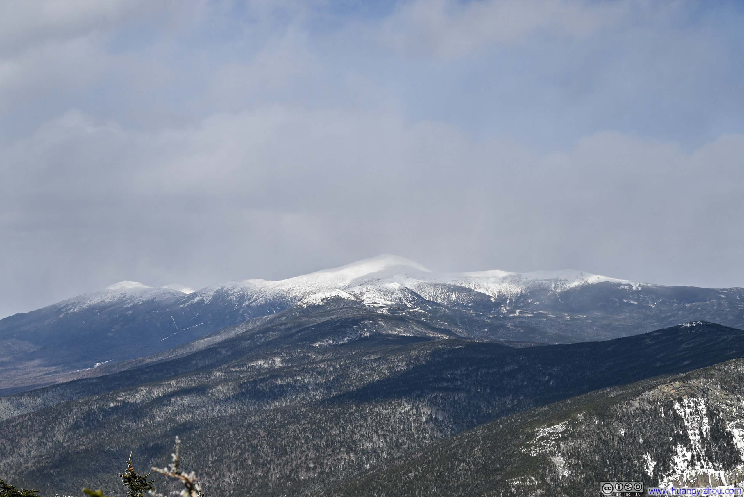
At 12:40pm, 70 minutes after leaving the trailhead, I reached Mount Avalon. The summit was partly wooded, but an opening to the east offered a front-row view of the Presidential Range. Through my previous outings from Crawford Notch, several of the peaks were already familiar to me; among them, snow-clad Mount Washington stood gorgeously at center stage.
 Presidential Range
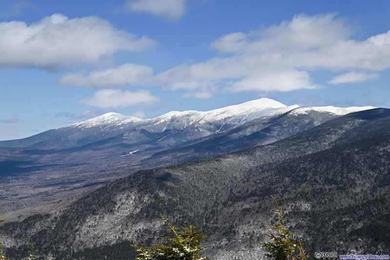 Northern Presidential Range
 Mt Washington
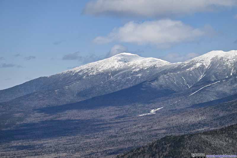 Mt Jefferson
 Mt Pierce and Mt Eisenhower
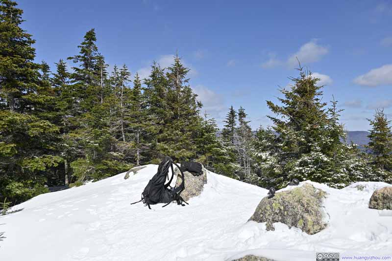 Summit Area of Mount Avalon
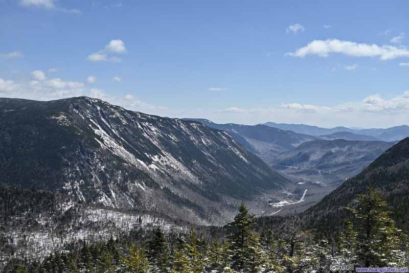 Cliffs of Mount Webster
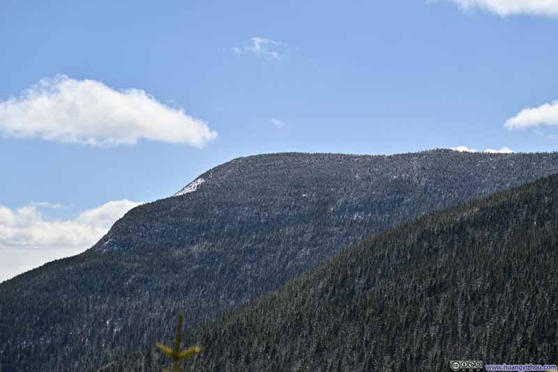 Mount Willey


Click here to display photos of the slideshow
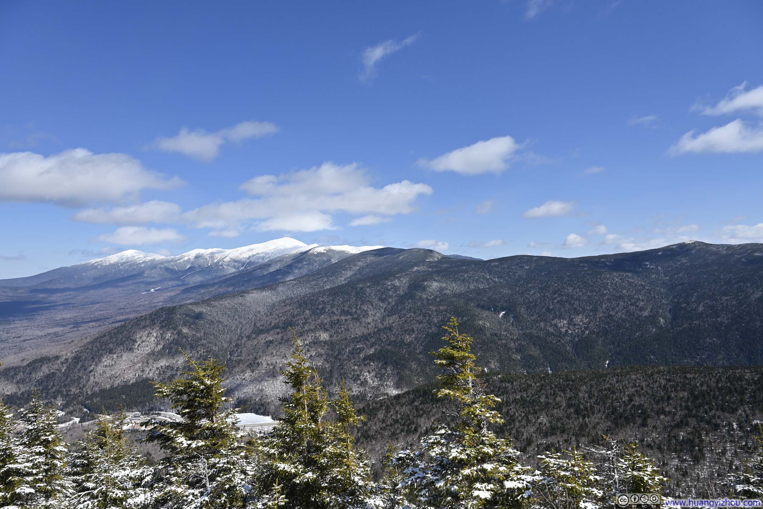
Presidential Range
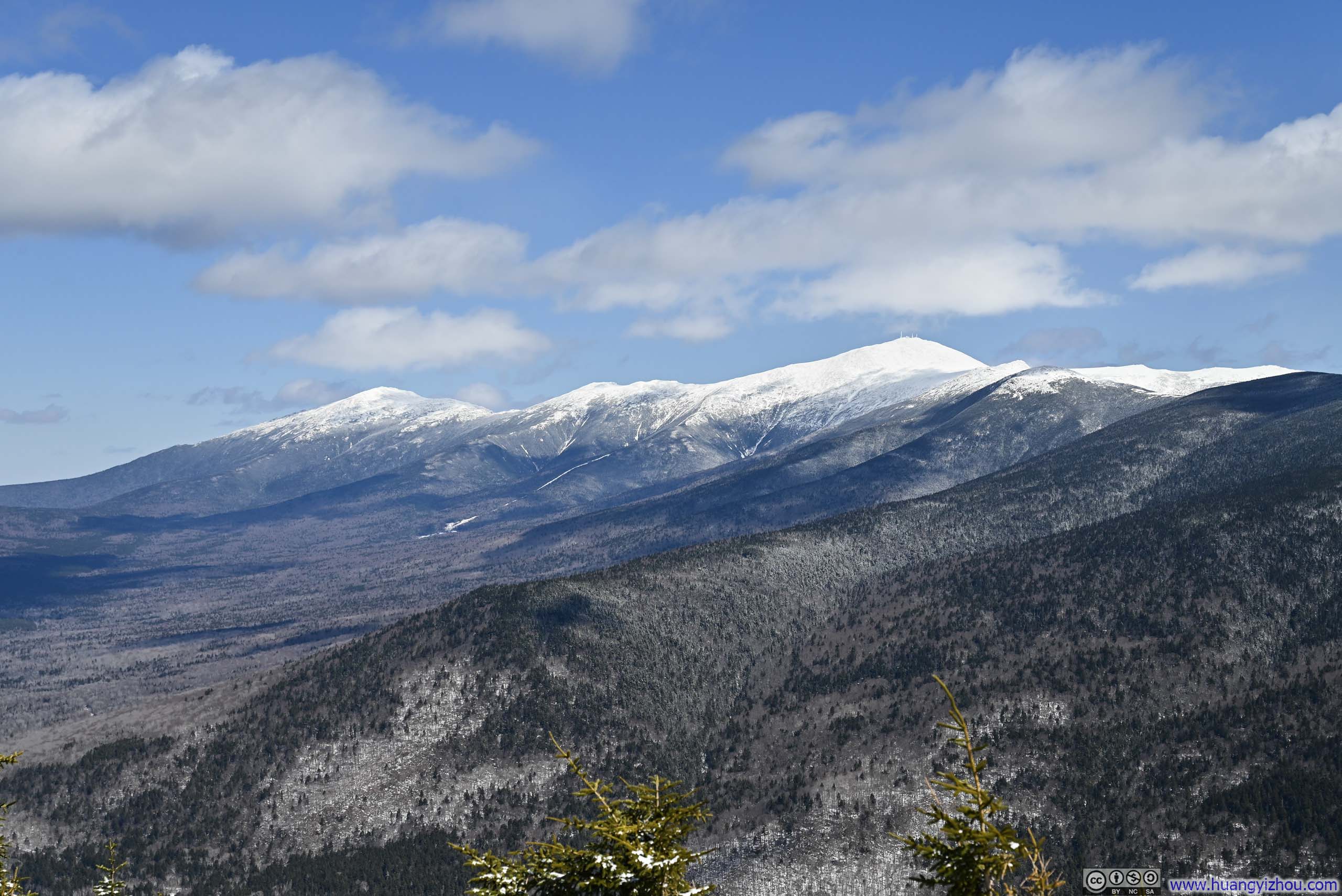
Northern Presidential Range
Mt Washington
Mt Jefferson
Mt Pierce and Mt Eisenhower

Summit Area of Mount Avalon
Cliffs of Mount Webster
Mount Willey
Beyond the eastern vista, a walk around Mount Avalon’s summit revealed glimpses in other directions, though most were partially screened by trees. I had some snacks at Mount Avalon, stayed about 20 minutes before continuing on toward Mount Field.
 Trail
Trail Trail
Trail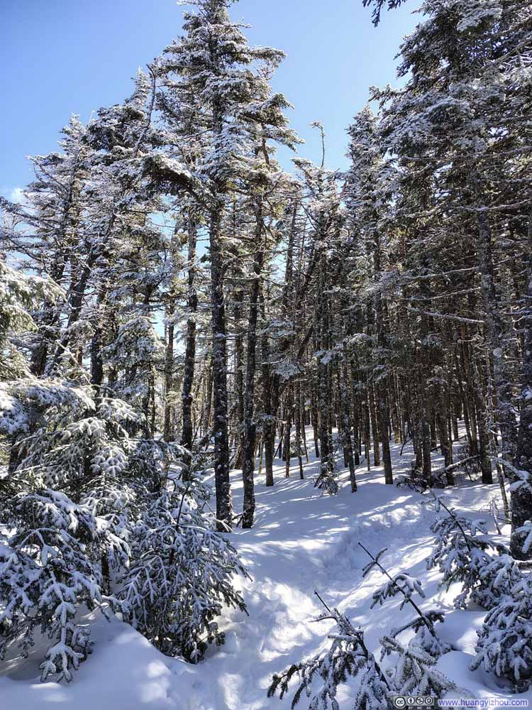 Trail
Trail Steep Trail to Mt Field
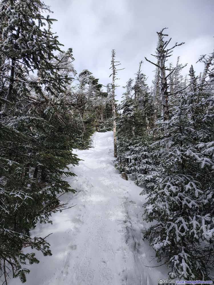 Steep Trail to Mt Field

Click here to display photos of the slideshow

Trail

Trail
Trail
Steep Trail to Mt Field
Steep Trail to Mt Field
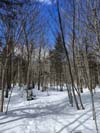
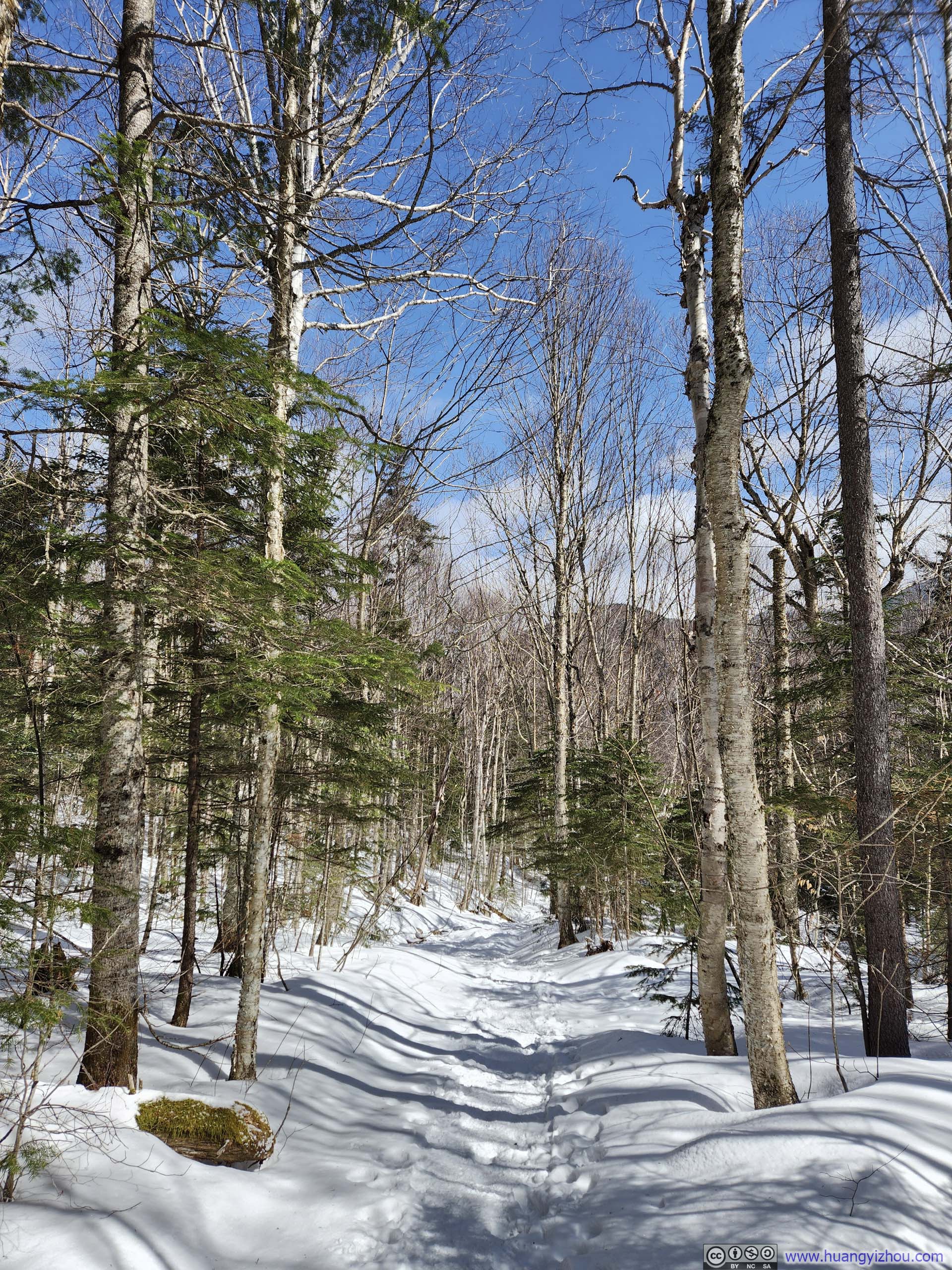
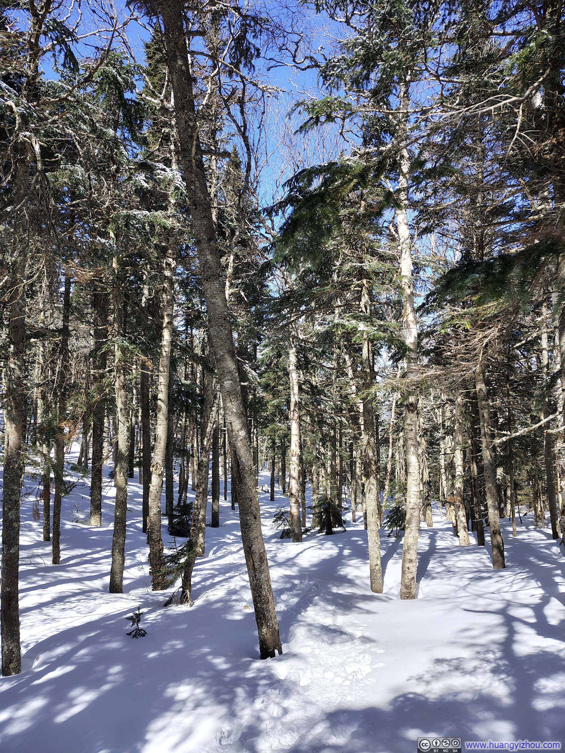
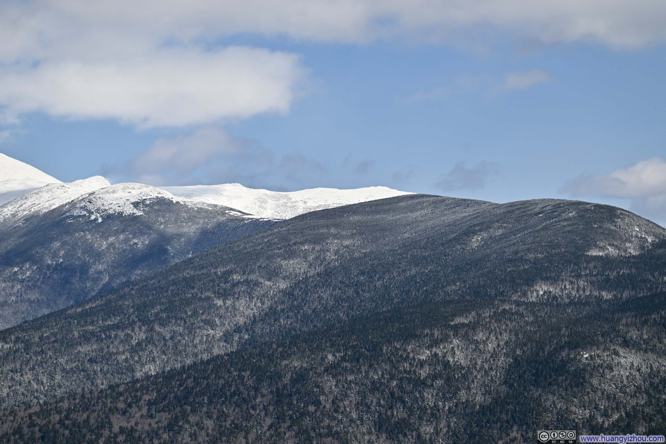
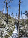
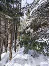
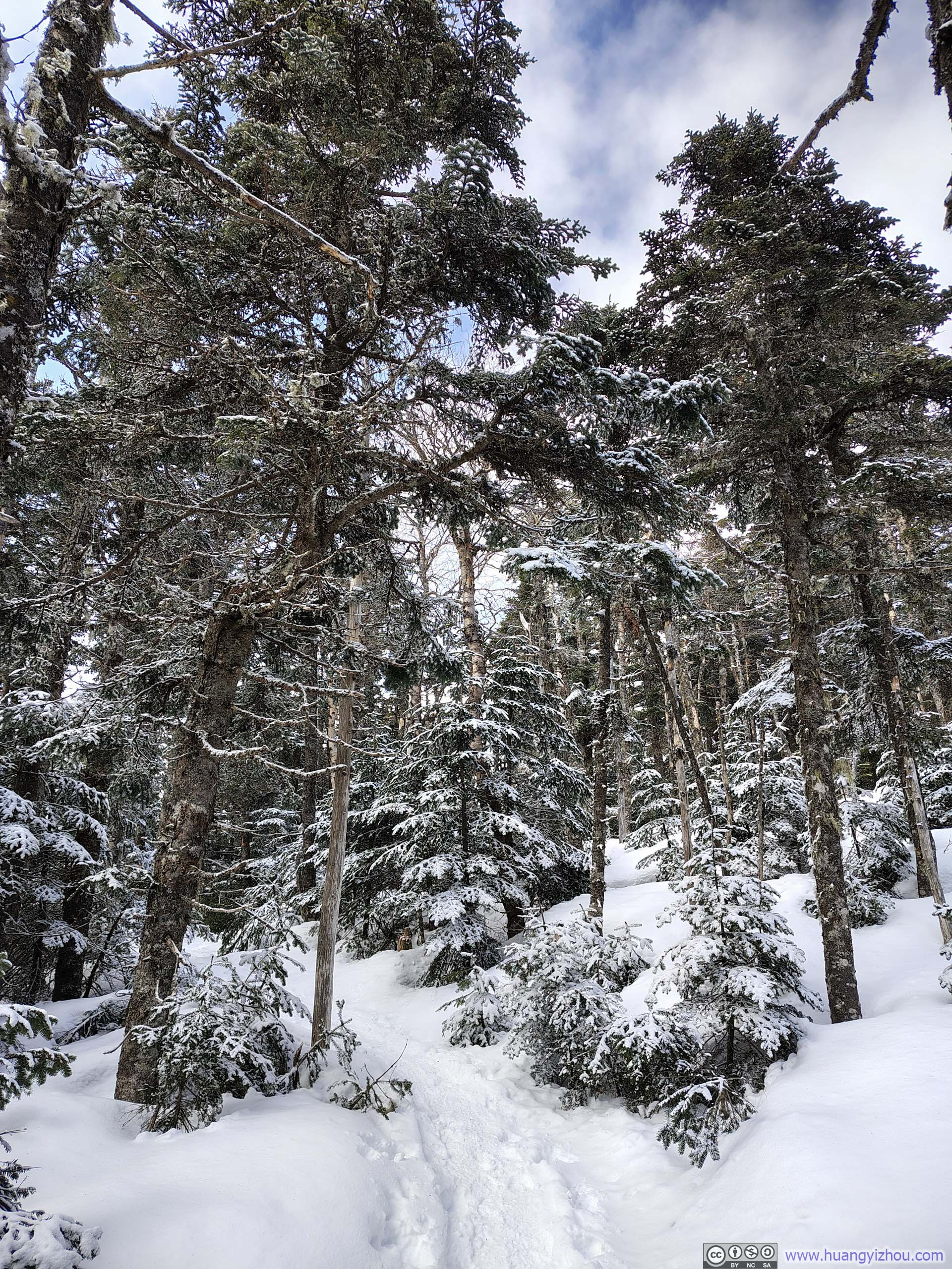
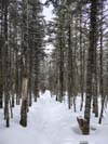
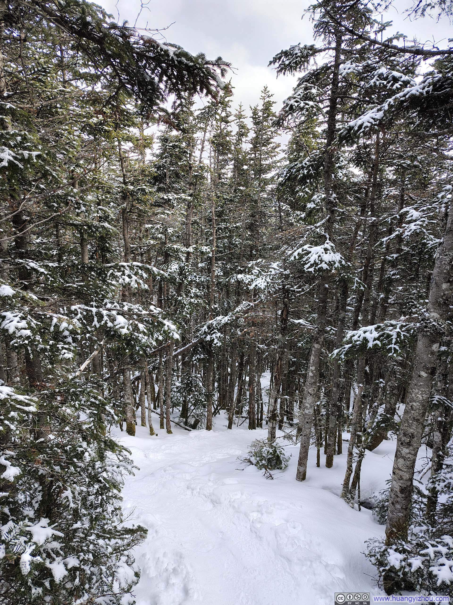
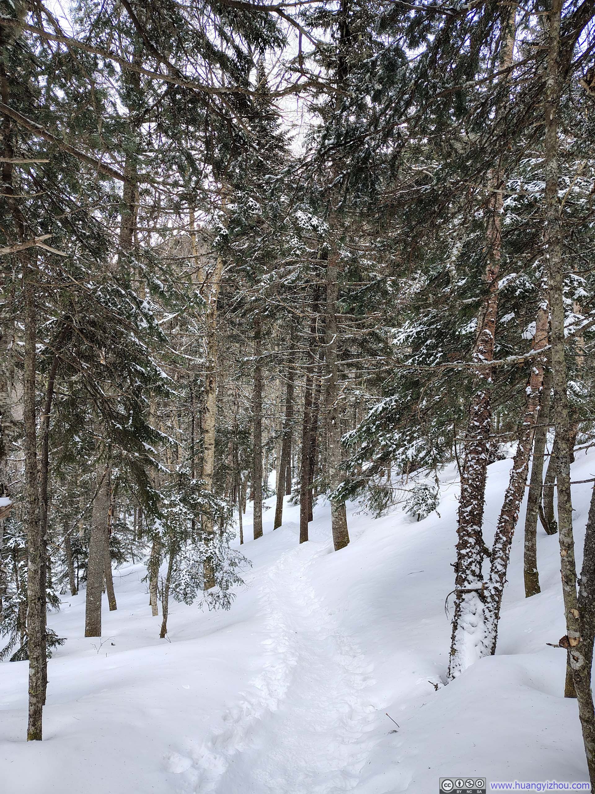
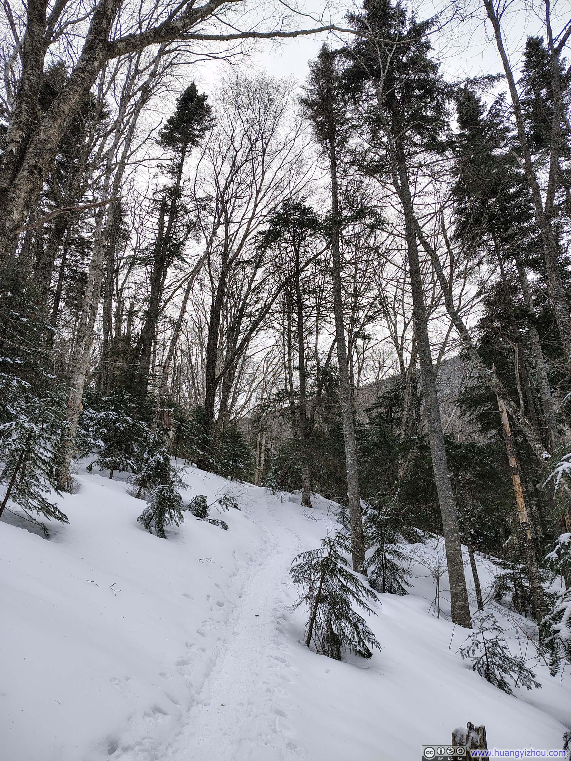
From Mount Avalon to Mount Field, the walk felt easy and unhurried, save for a short stretch beyond the junction with the Willey Range Trail, where the path grew somewhat steep.
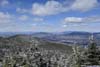
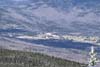
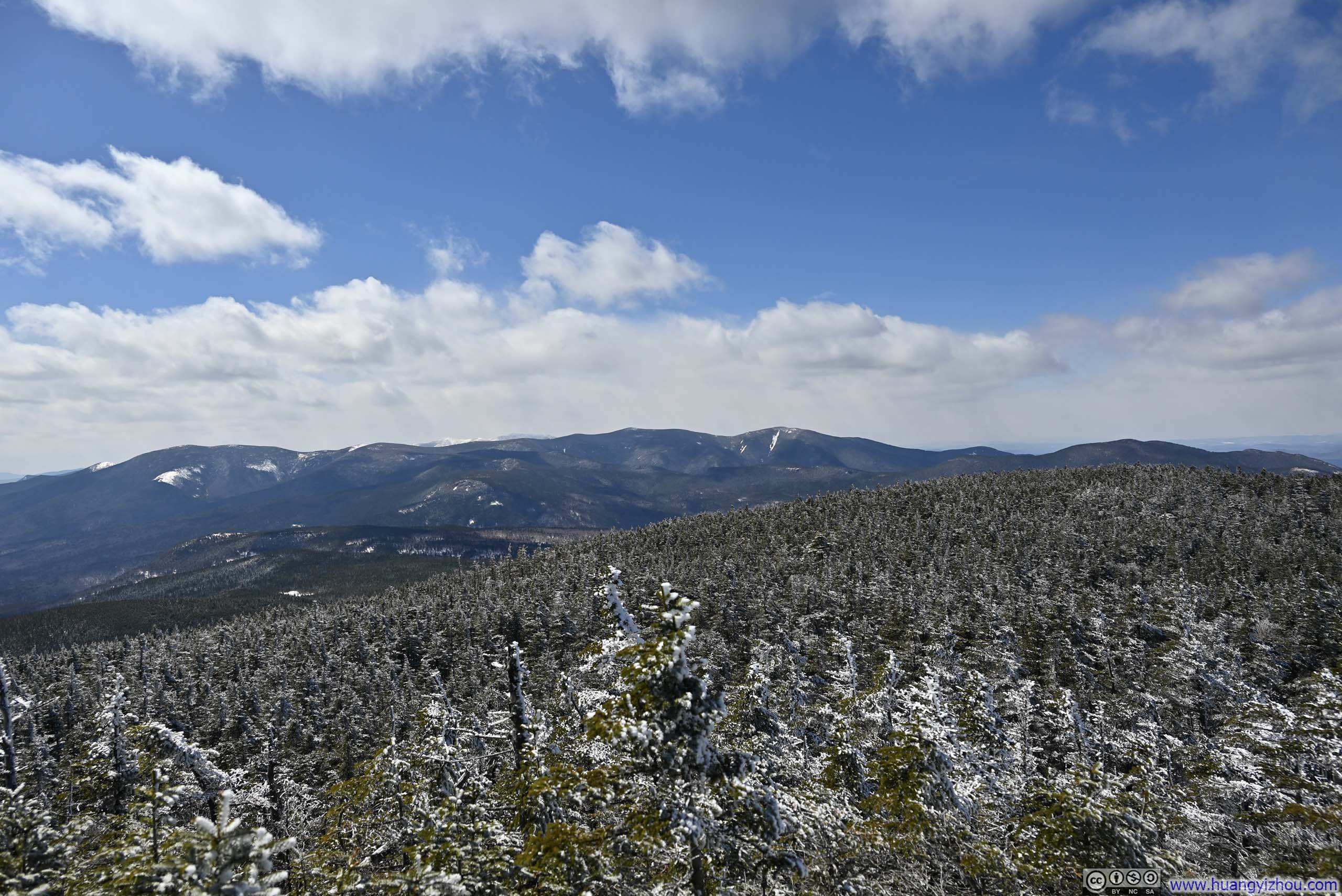
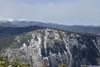
Compared with Mount Avalon, Mount Field’s summit was heavily wooded, with only two narrow openings affording views to the north and west, where the mountains were less striking. Rather than an open-air amphitheater, Mount Field’s summit felt like a tiny cabin, its two windows unfortunately facing the wrong way.
 Hills to the North
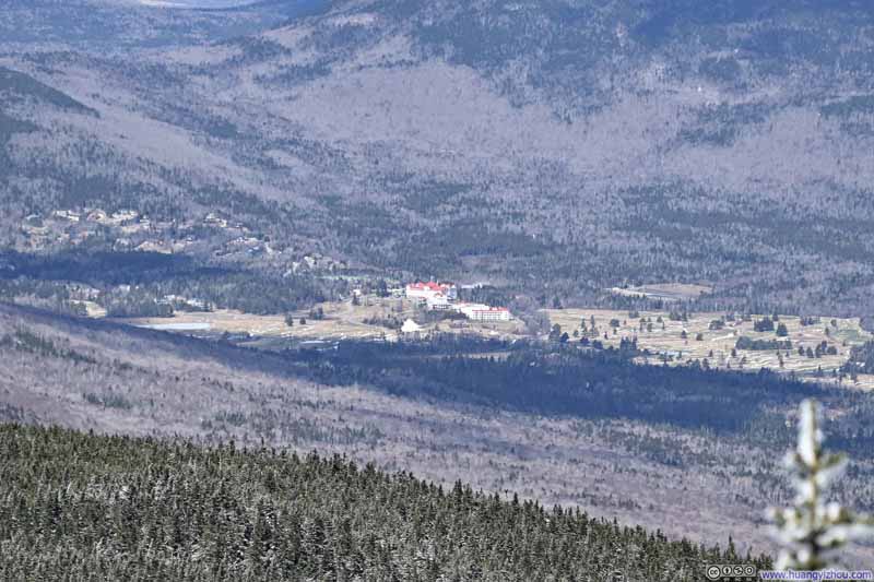 Mt Washington Hotel
 Twin Range Mountains
 Franconia Ridge in the Background
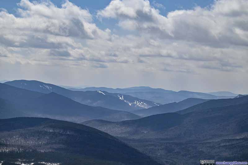 Distant Loon Mountain Resort
 Summit Area of Mount FieldVery inconspicuous.


Click here to display photos from the summit of Mount Field.

Hills to the North

Mt Washington Hotel
Twin Range Mountains
Franconia Ridge in the Background
Distant Loon Mountain Resort
Summit Area of Mount FieldVery inconspicuous.
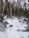
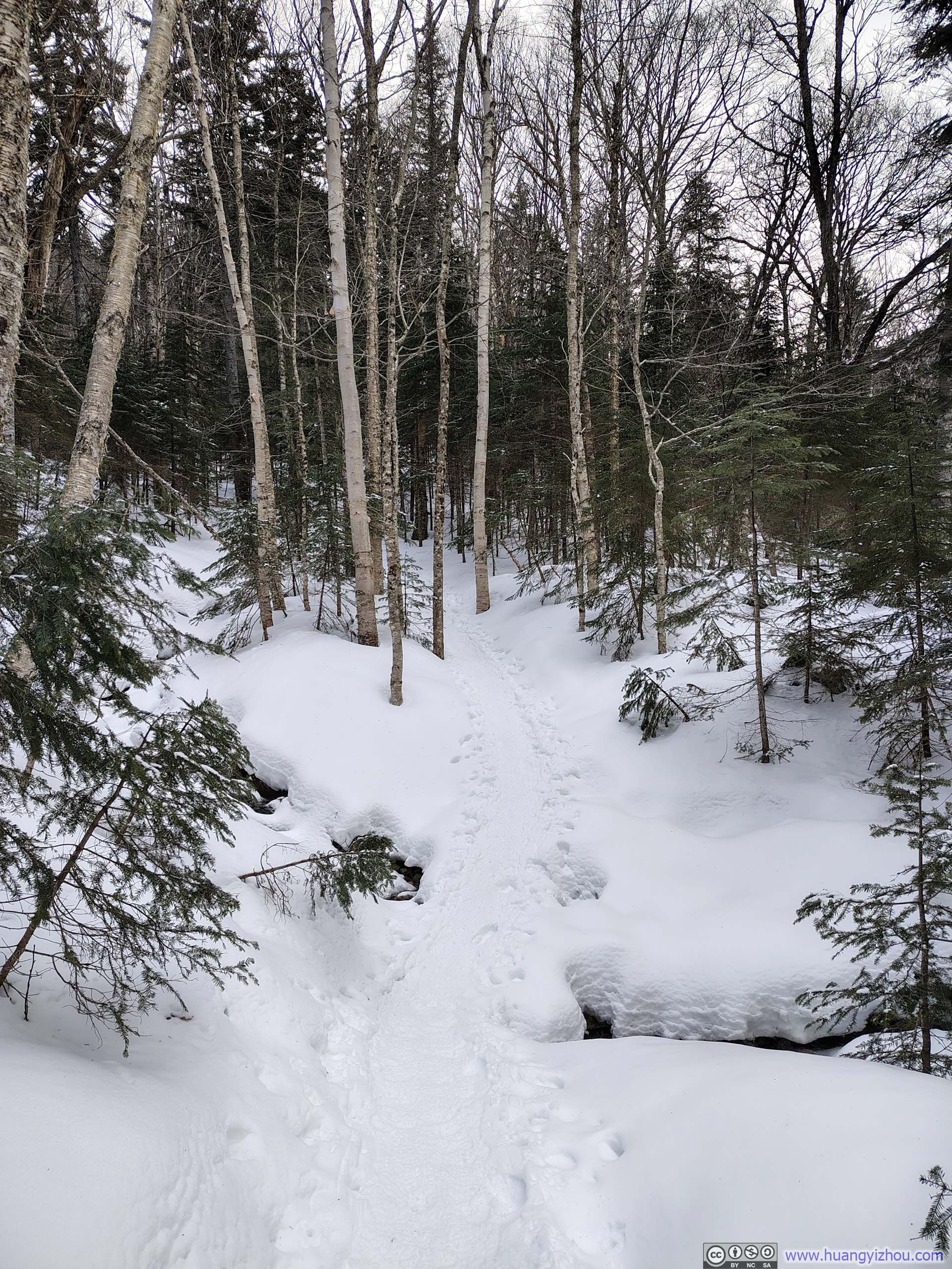
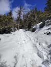
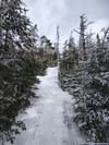
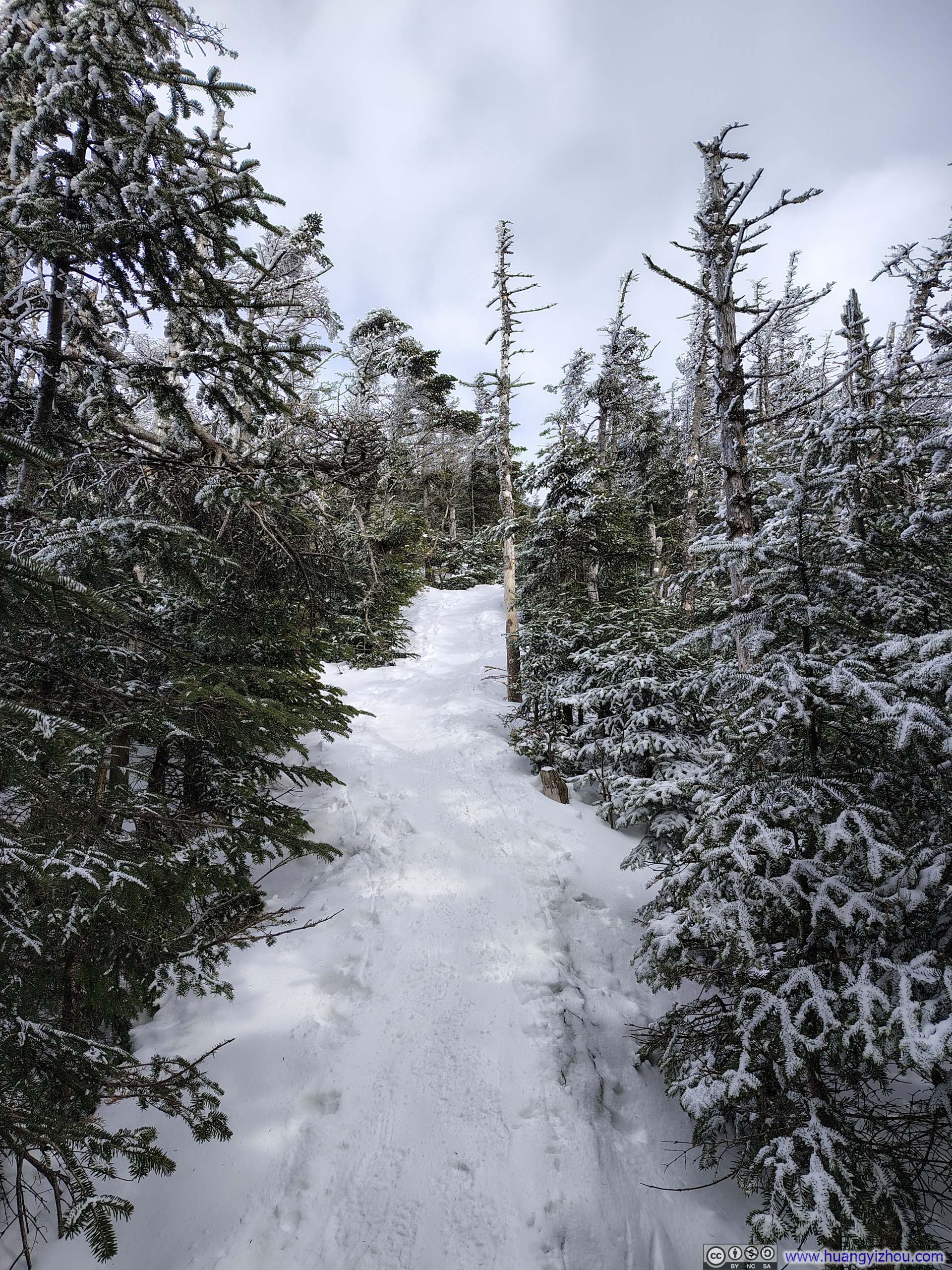
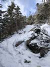
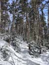
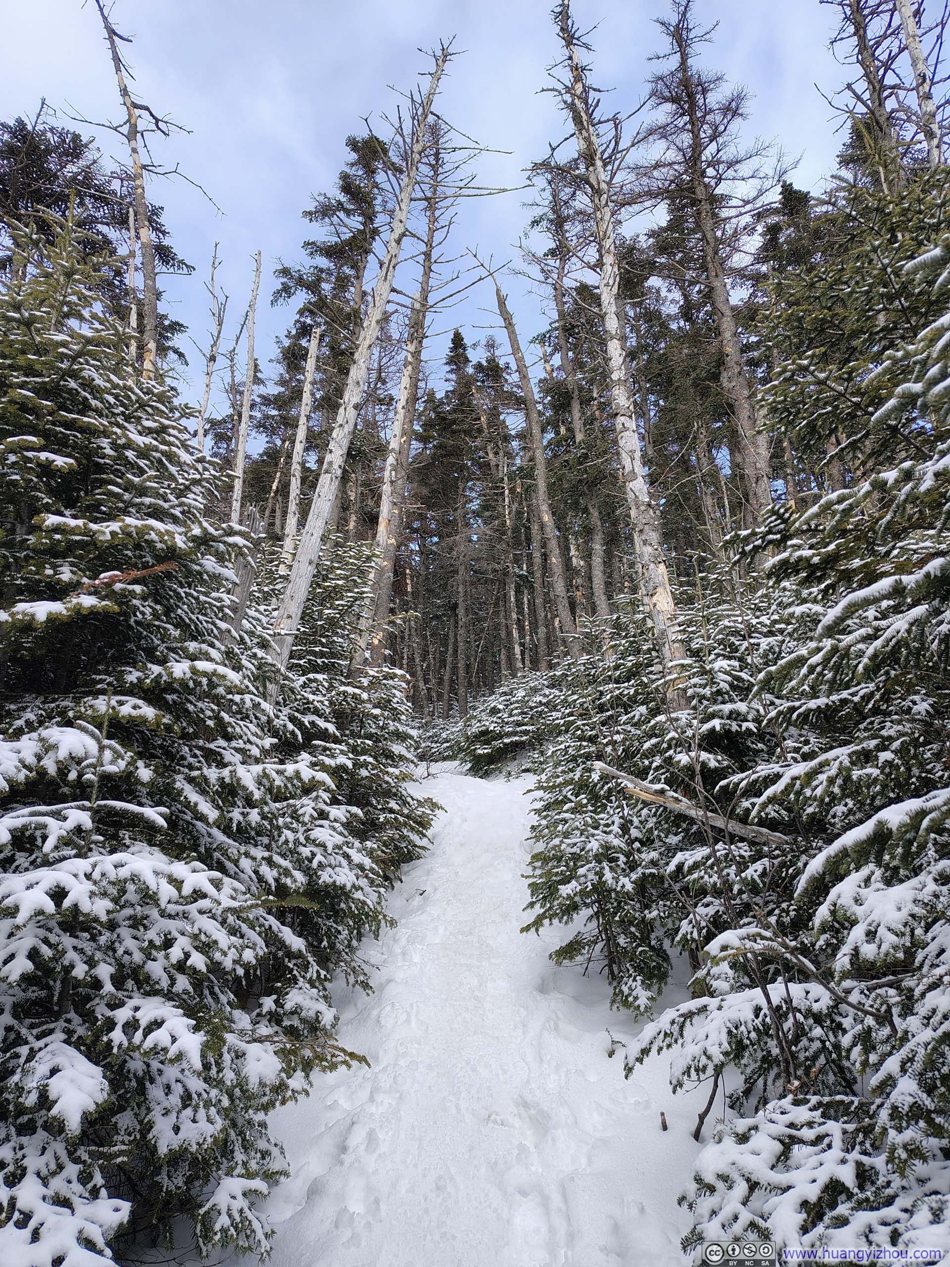
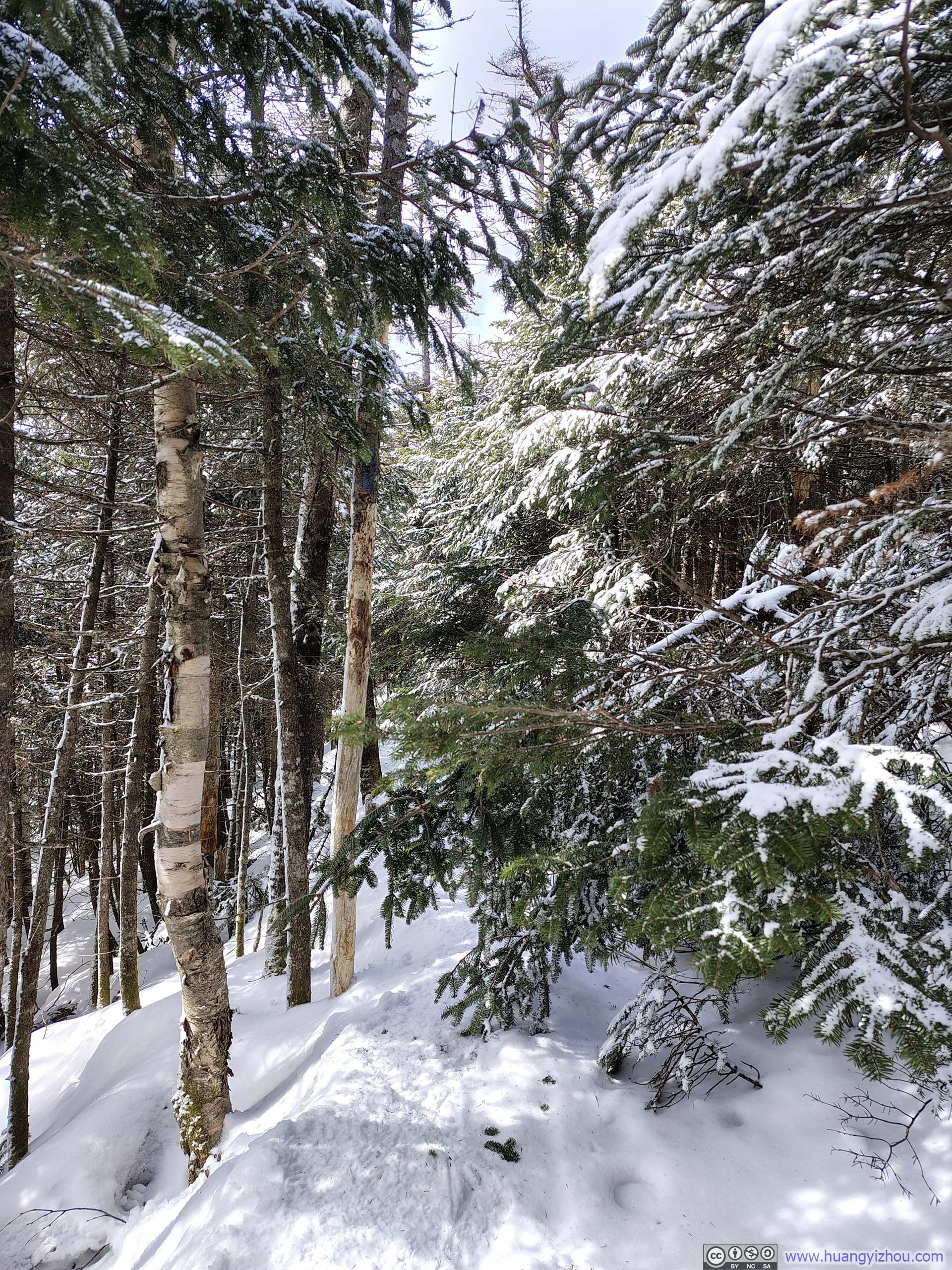
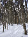
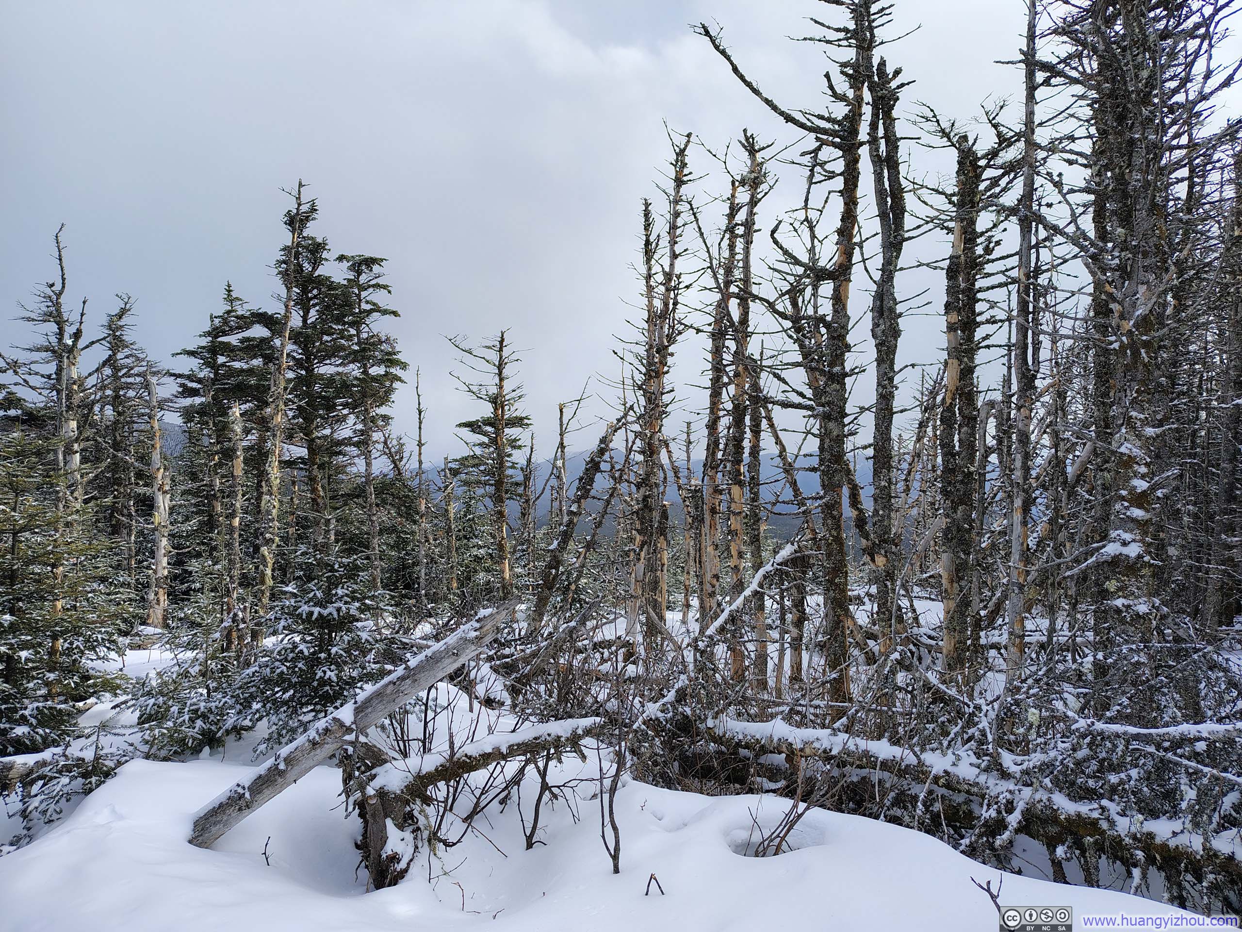
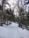
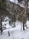
After a 10-minute snack break atop Mount Field, I continued on toward Mount Willey. From the moment I left Field, it was clear that the trail saw fewer travelers: in places it narrowed noticeably, and some sections had already begun to take on the familiar character of an early-season monorail. Fortunately, the snow remained well packed throughout.
 Trail
Trail Trail
Trail Narrow Trail
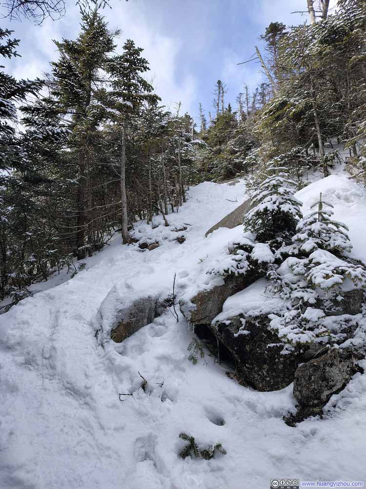 Steep Trail
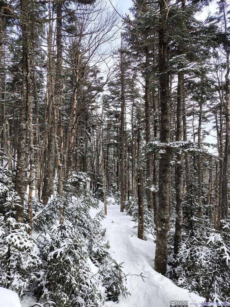 Trail
Trail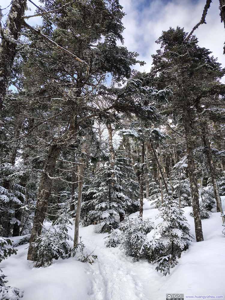 Trail
Trail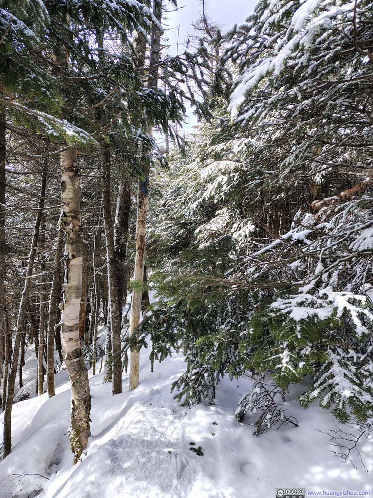 Obstacle along Trail
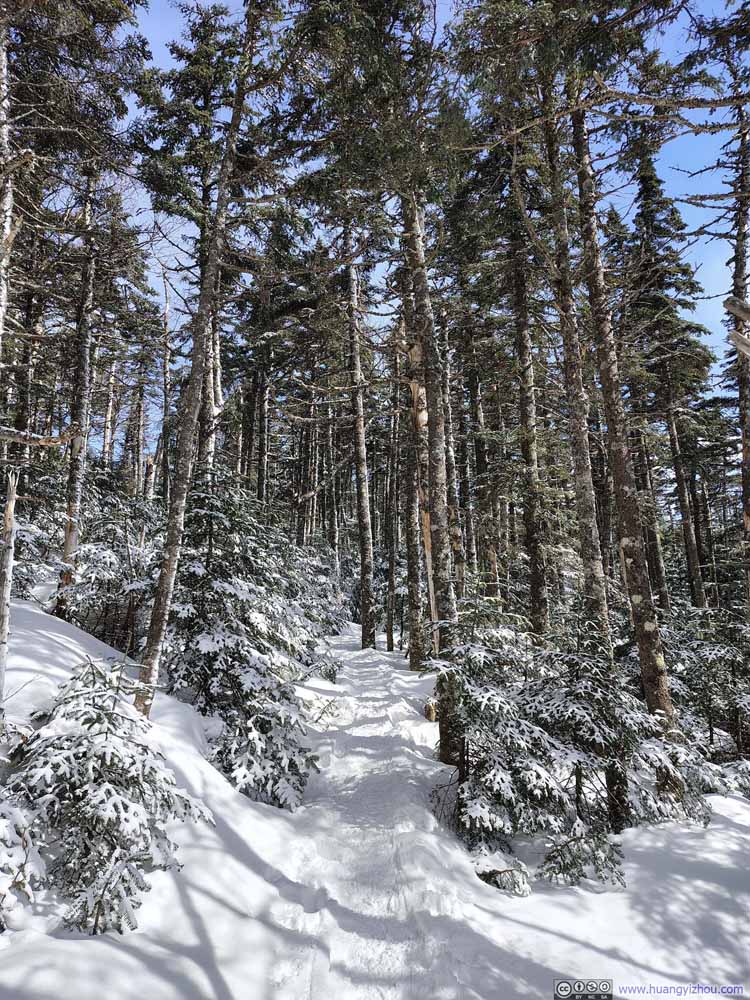 Trail
Trail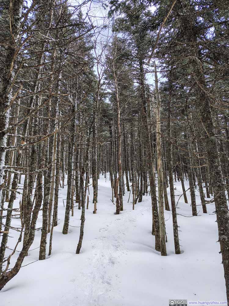 Trail
Trail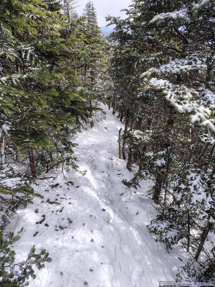 Narrow Packed Trail
Click here to display photos of the slideshow
Trail
Trail
Narrow Trail

Steep Trail

Trail
Trail
Obstacle along Trail

Trail
Trail
Narrow Packed Trail
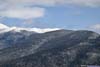
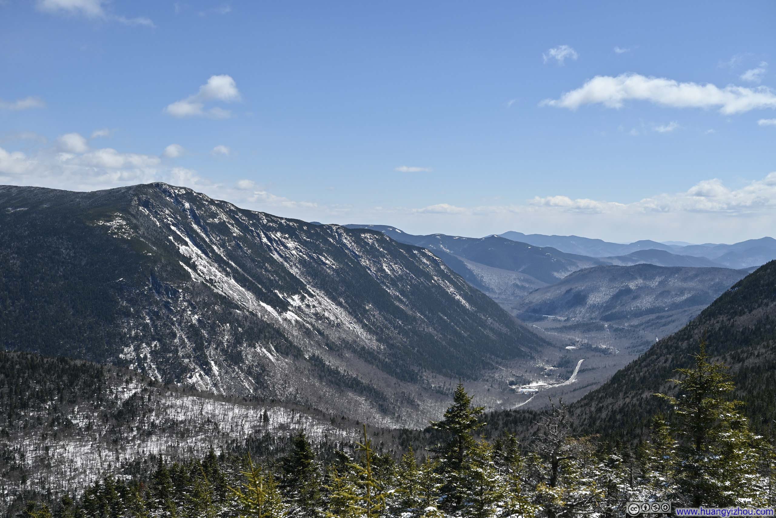
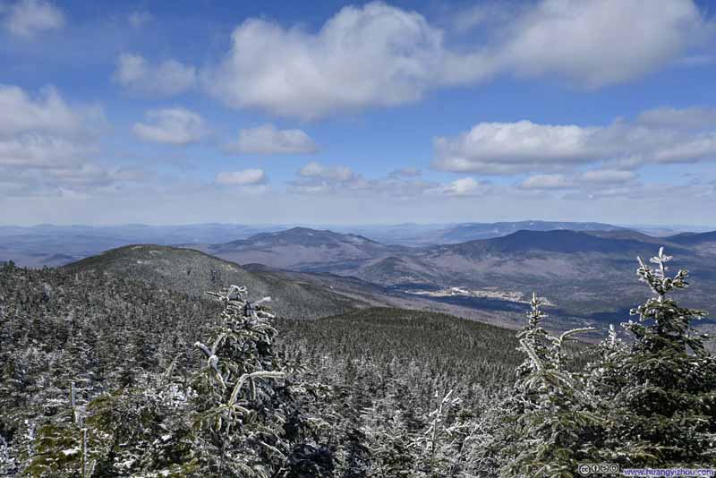
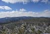
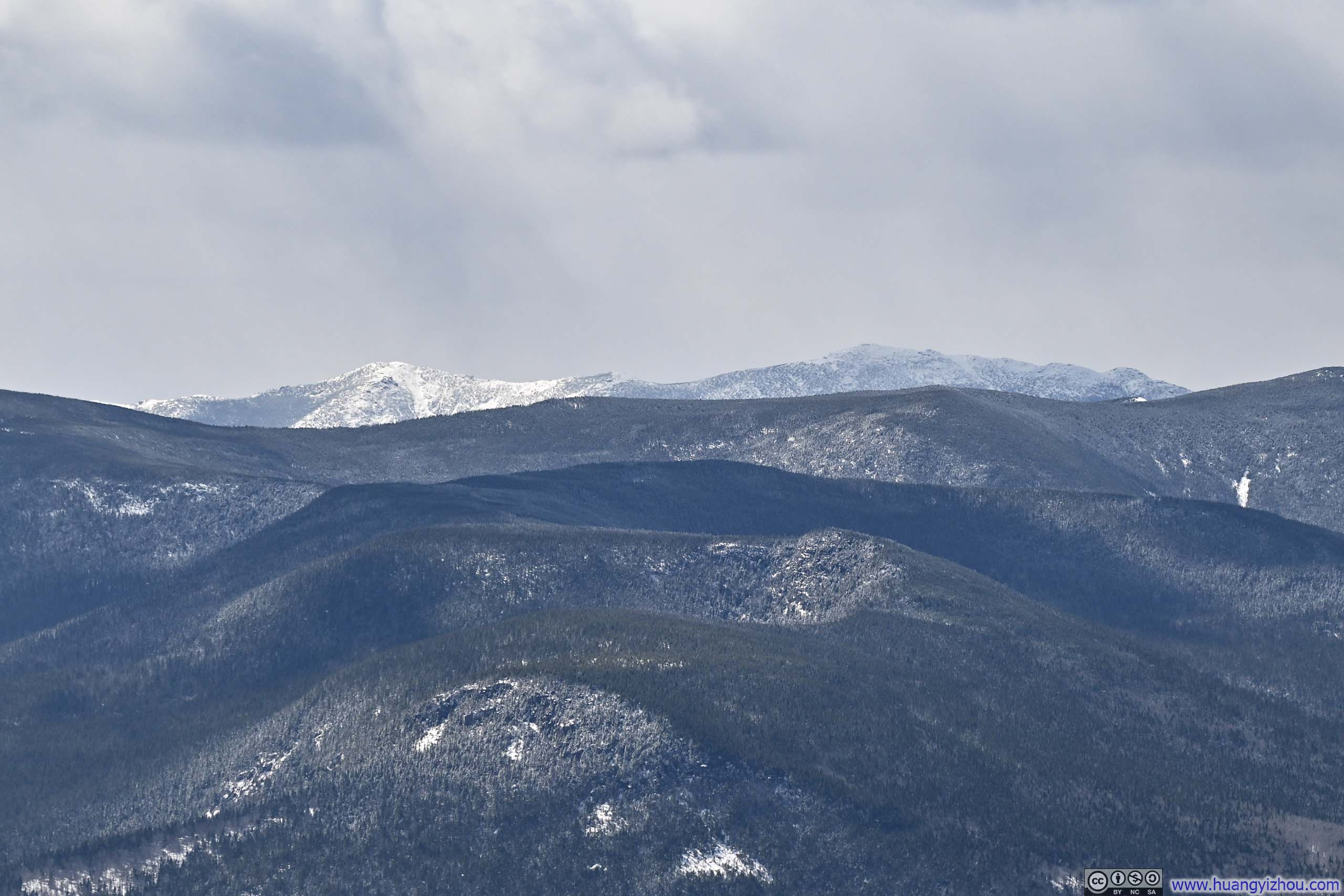
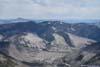
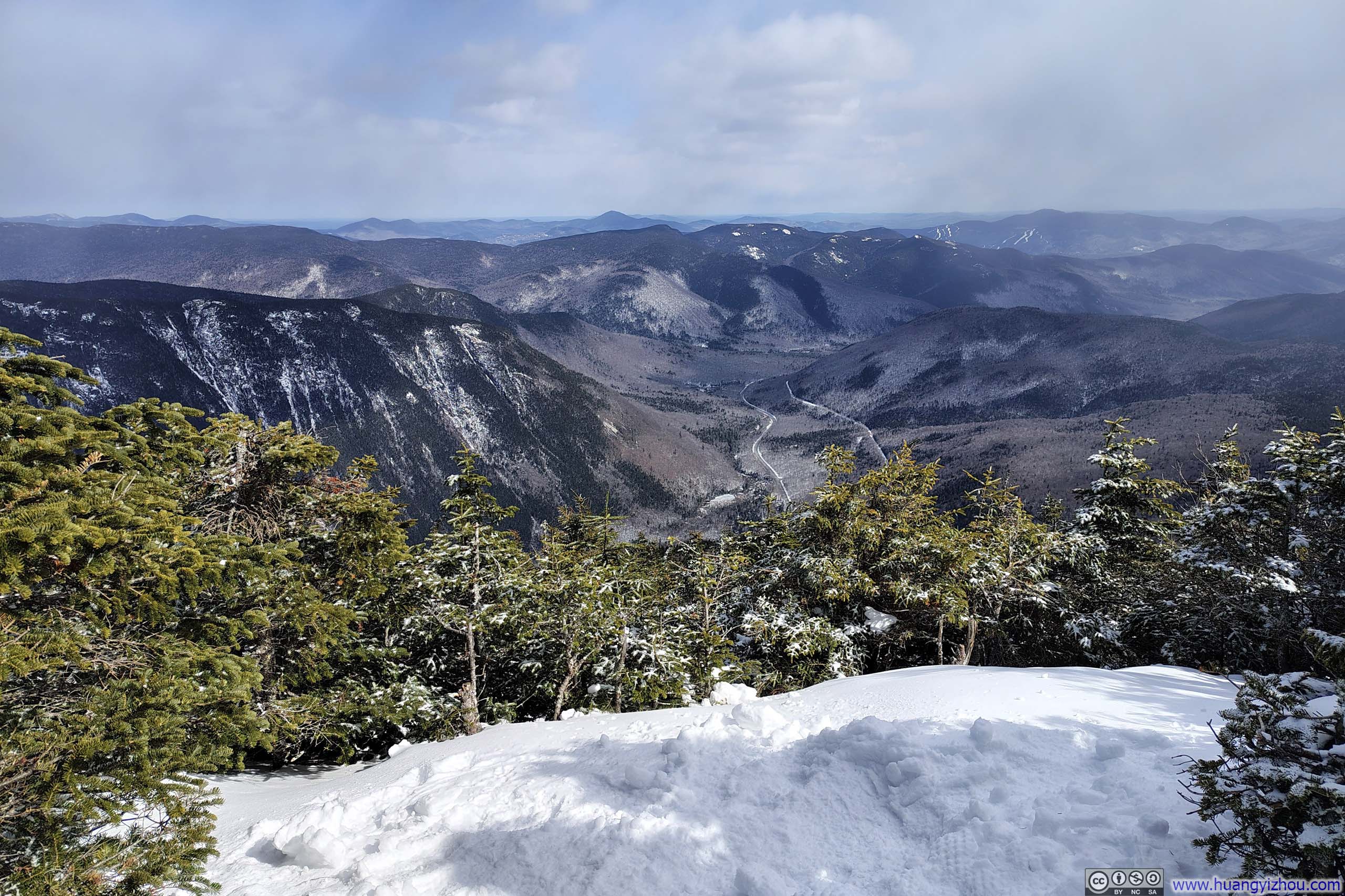
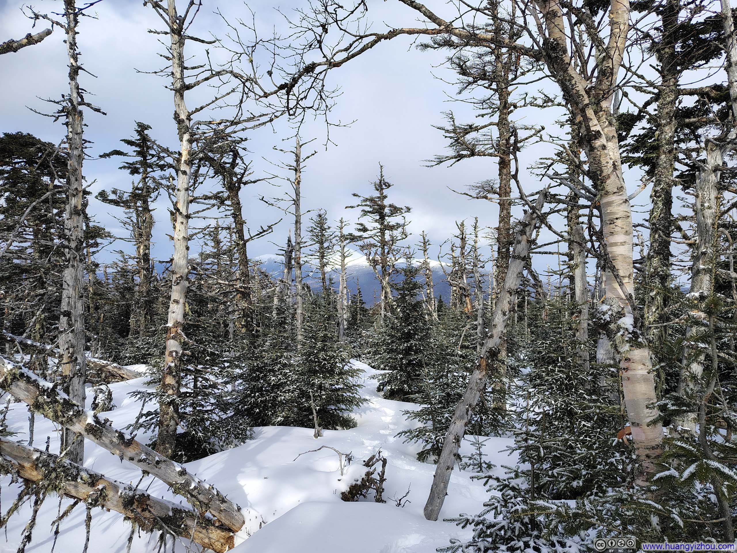
For Mount Willey, the viewpoint lay a short distance beyond the official summit, where a break in the trees opened southward onto the winding Saco River, carving its way through mountains and extending as far as the imagination could follow. Across Crawford Notch rose Mount Webster, its towering cliffs displayed directly ahead in full relief.
This inadvertently led me to compare the two cliffs that define two of the region’s notches: Webster Cliff above Crawford Notch and Cannon Cliff above Franconia Notch. Cannon Cliff consisted more of imposing granite, but from Mount Willey I felt that Webster Cliff was observed at closer range. If it lacked some measure of grandeur, it compensated in detail.
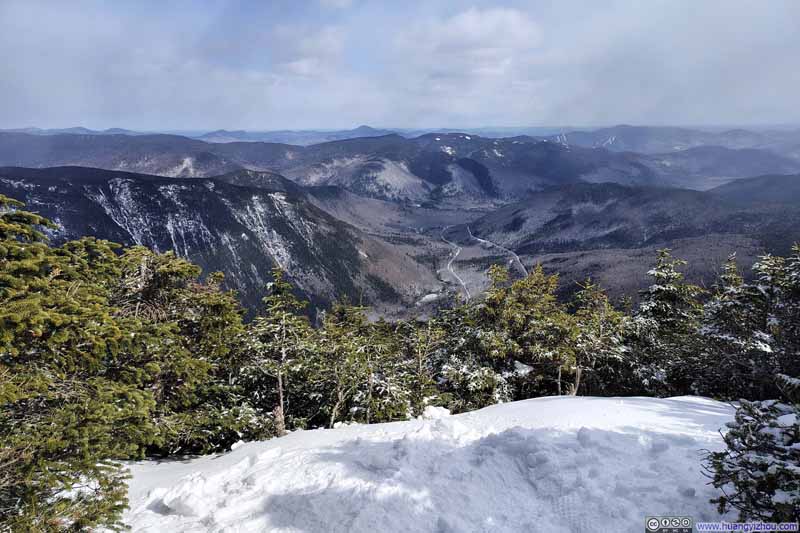 Summit Vista on Mount Willey
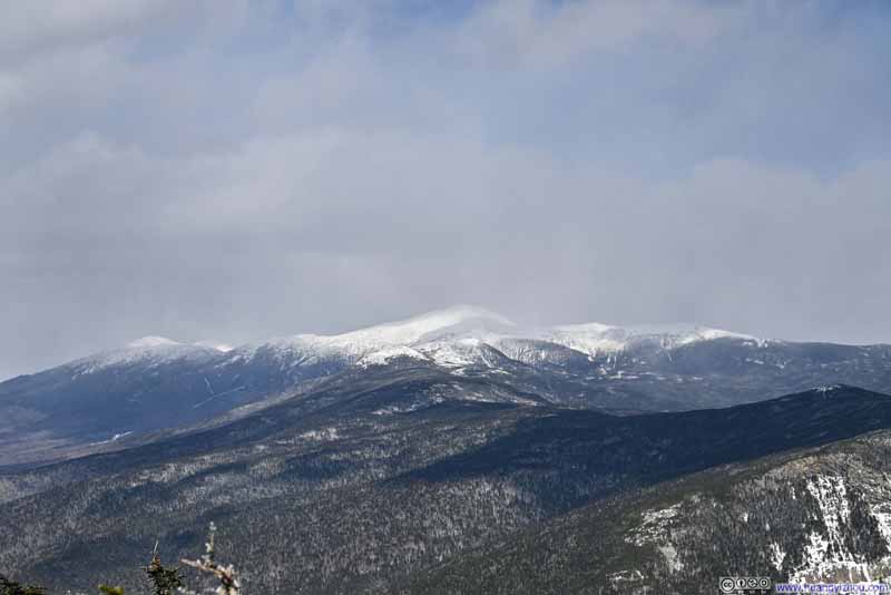 Presidential Range
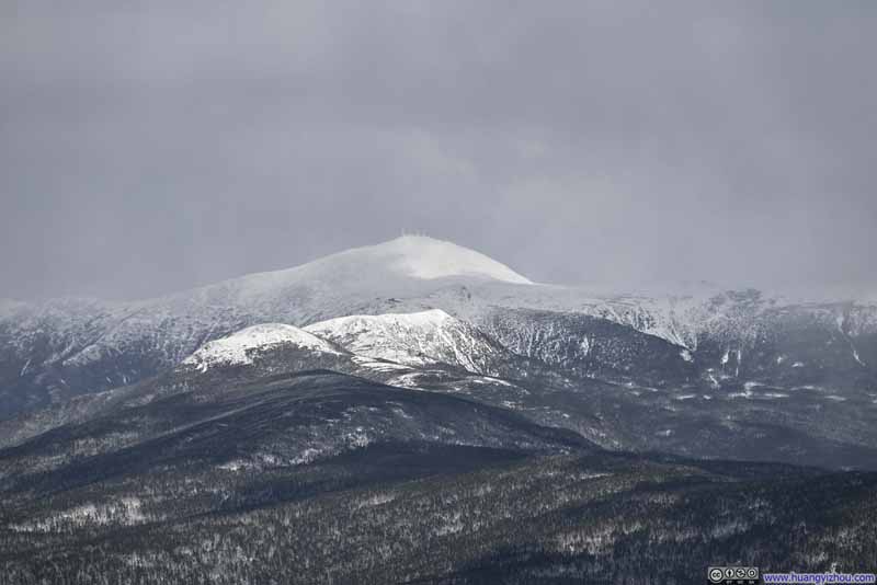 Mt Washington
 Cliffs of Mt Webster
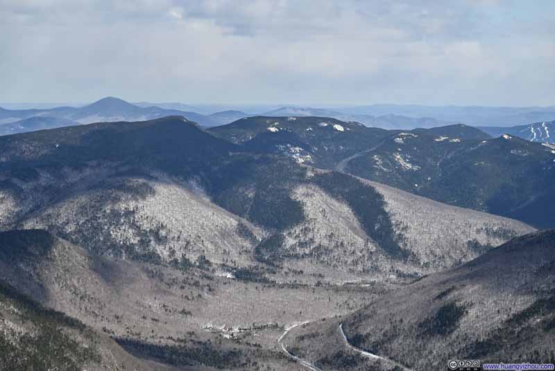 Mountains to the SouthStairs Mountain and Mount Resolution
 Distant Mount Chocorua
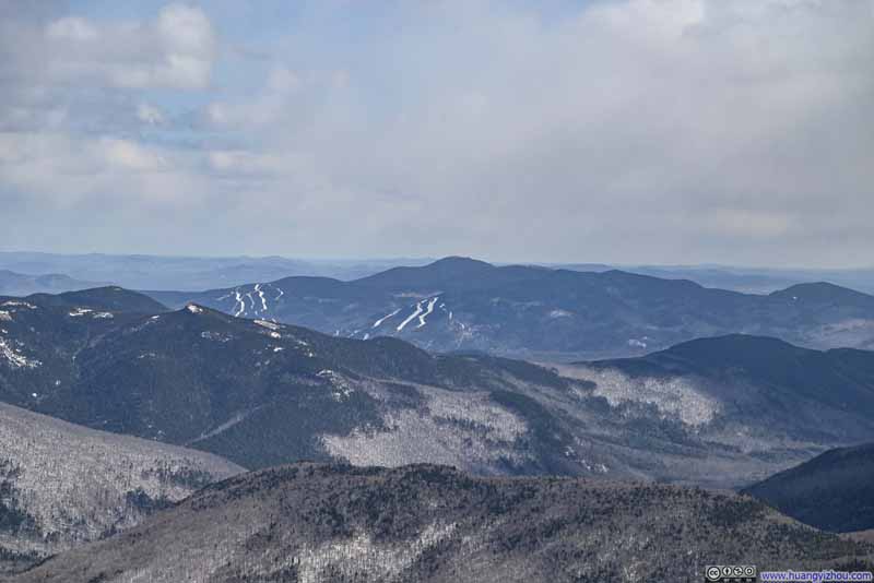 Attitash Mountain Resort
Click here to display photos from the summit of Mount Willey.
Summit Vista on Mount Willey
Presidential Range
Mt Washington
Cliffs of Mt Webster
Mountains to the SouthStairs Mountain and Mount Resolution

Distant Mount Chocorua
Attitash Mountain Resort
View of Mountains from Mount Willey
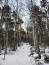
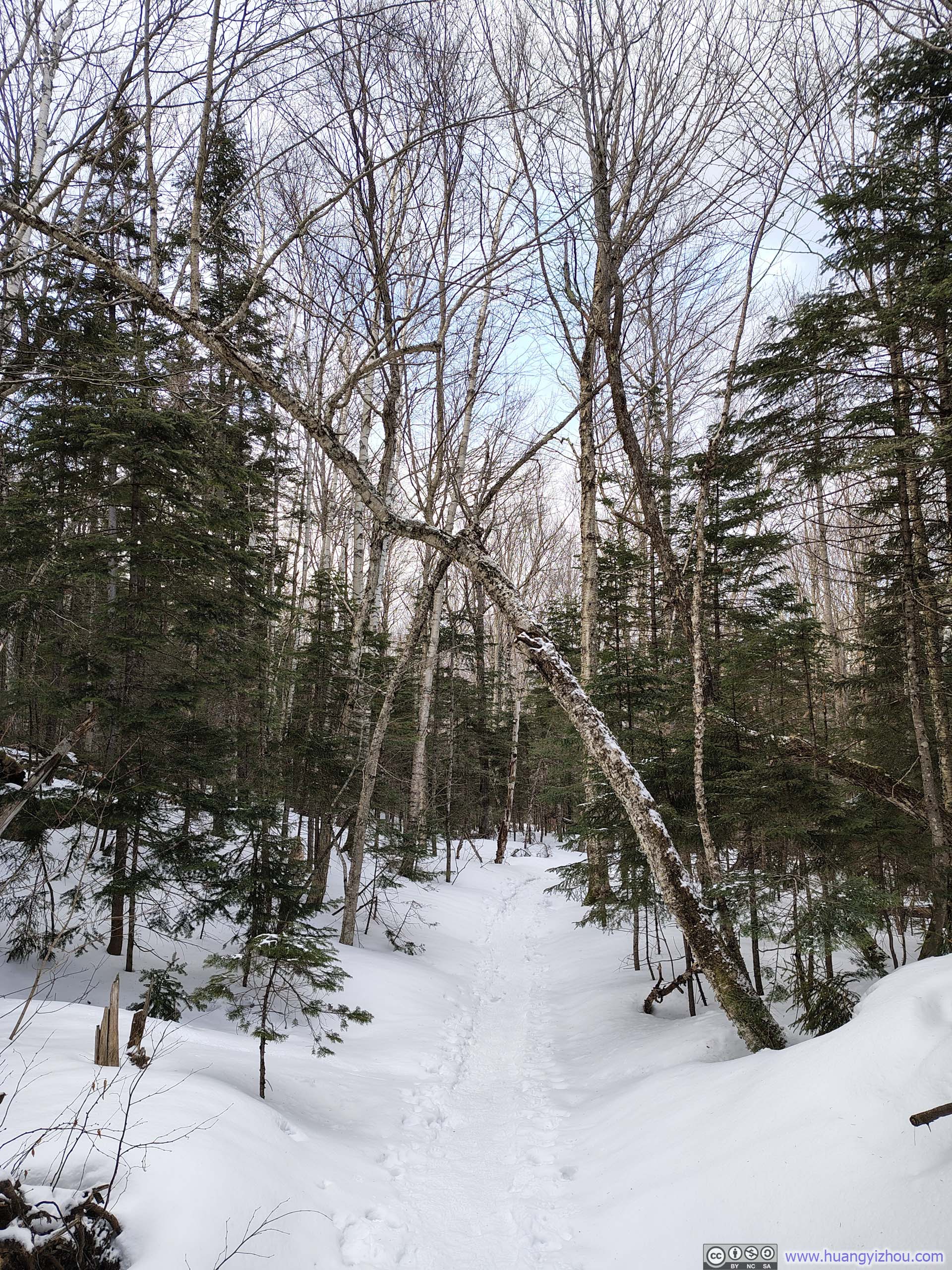
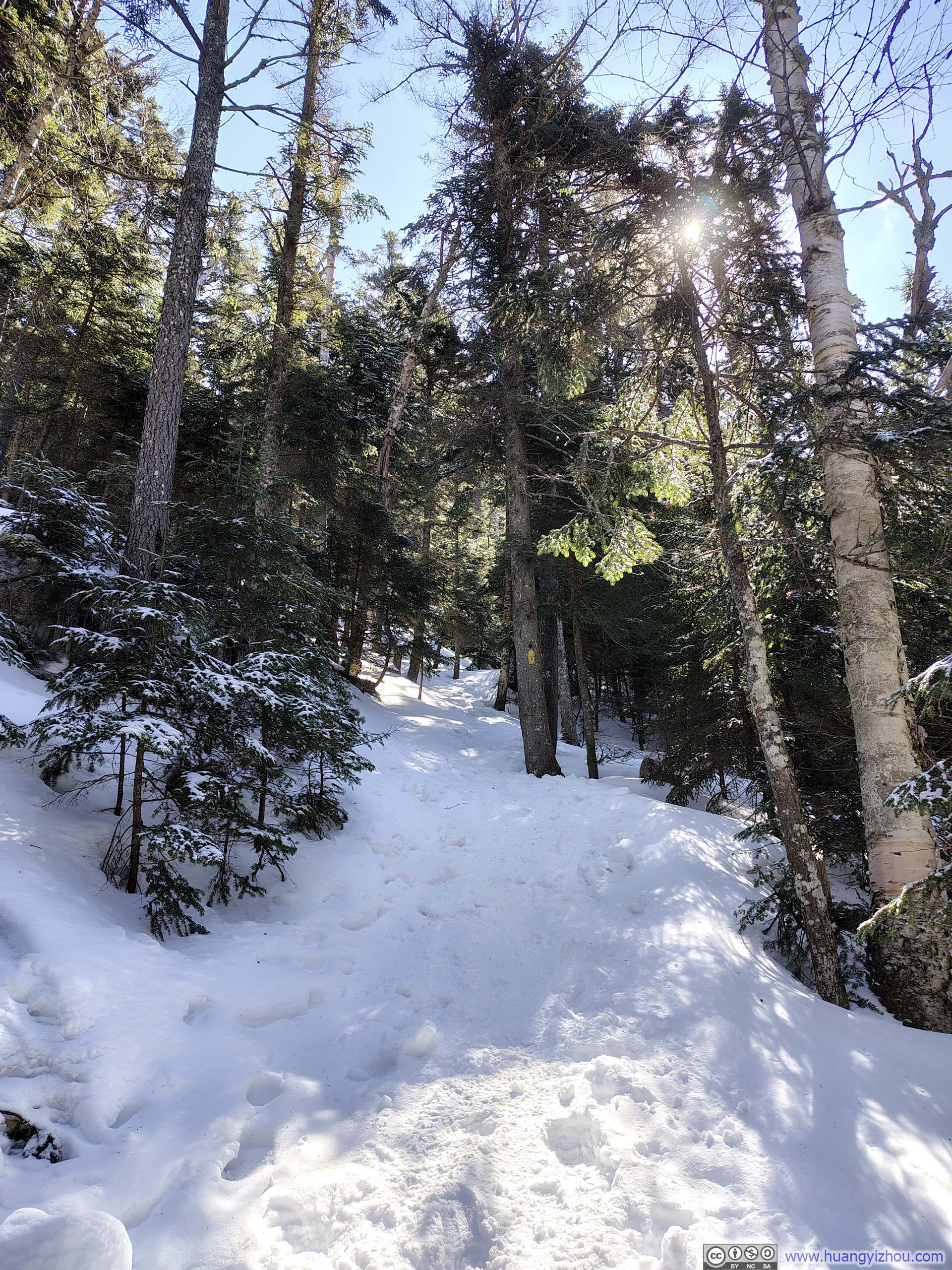
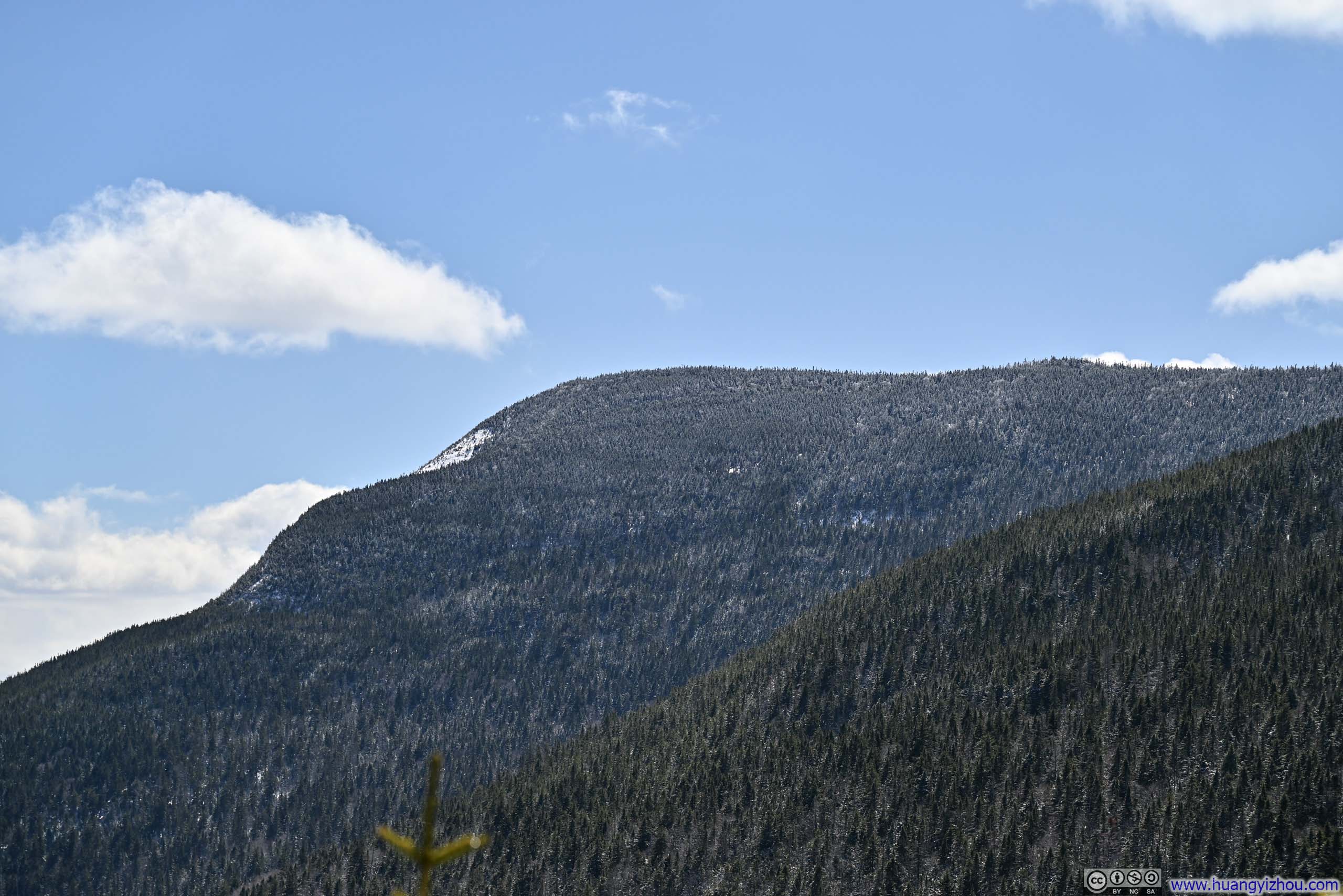
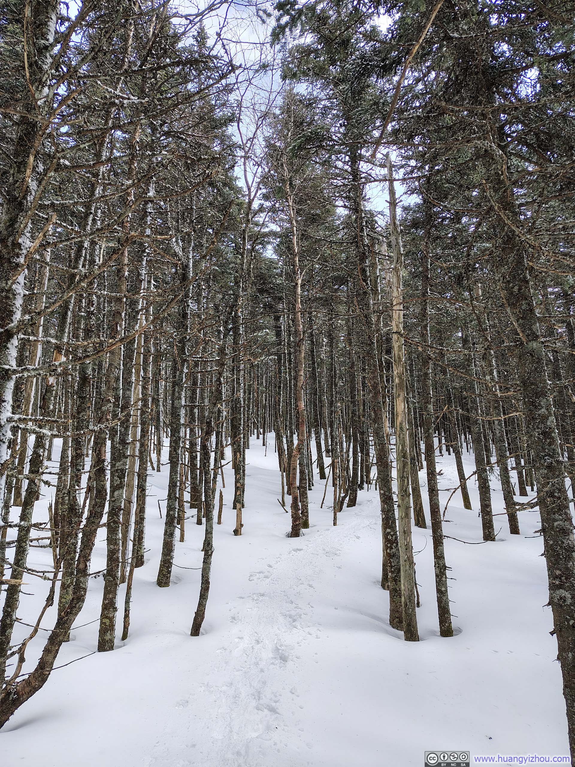
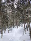
I spent about 30 minutes at Mount Willey before starting to head back at 3:15pm. After passing Mount Field, I turned left onto Willey Range Trail, a pleasant walk through the woods where the trail was in much better condition than the traverse between Mount Field and Mount Willey. Shortly after rejoining A-Z Trail, I turned again onto the spur trail to Mount Tom.
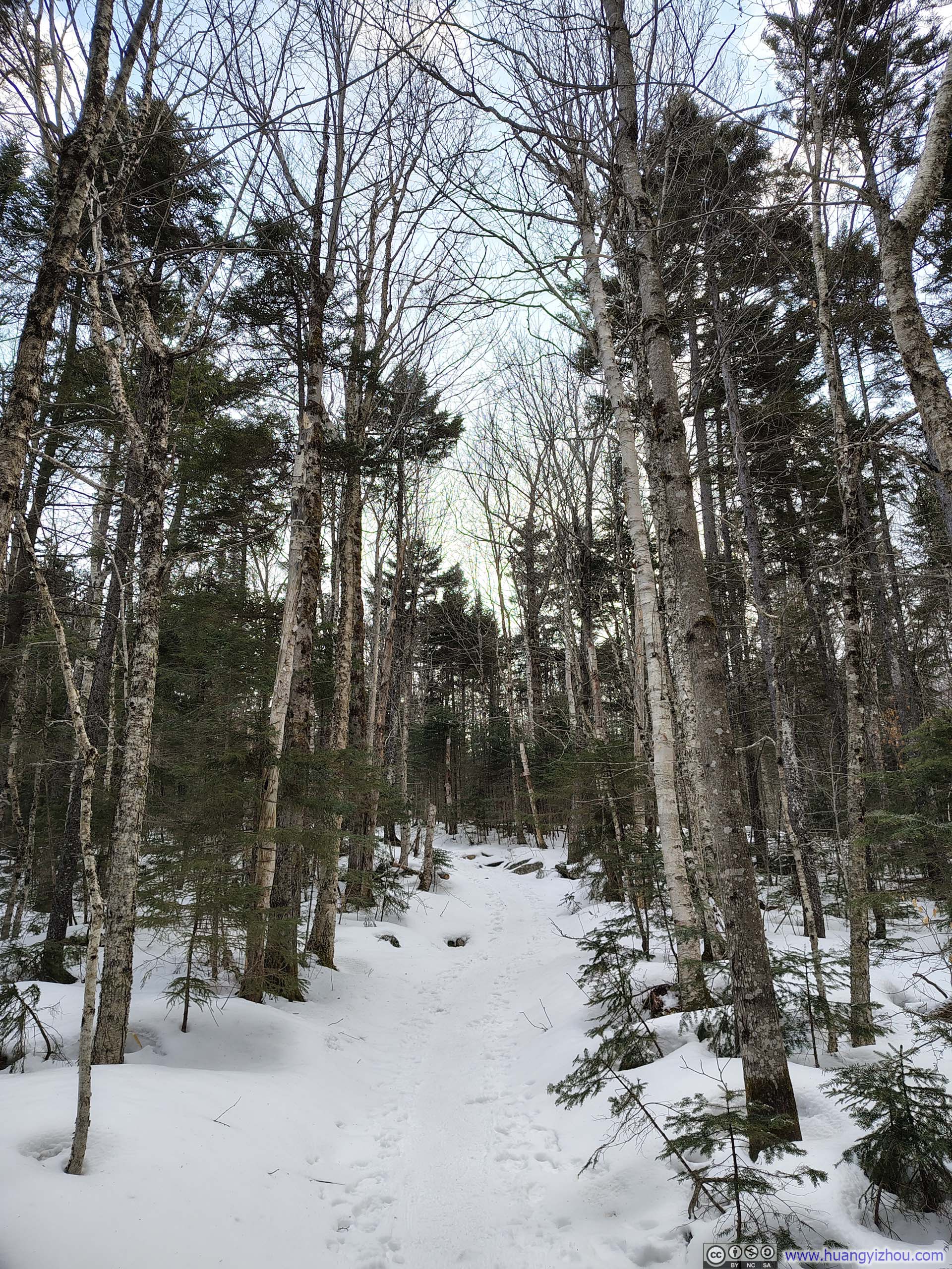
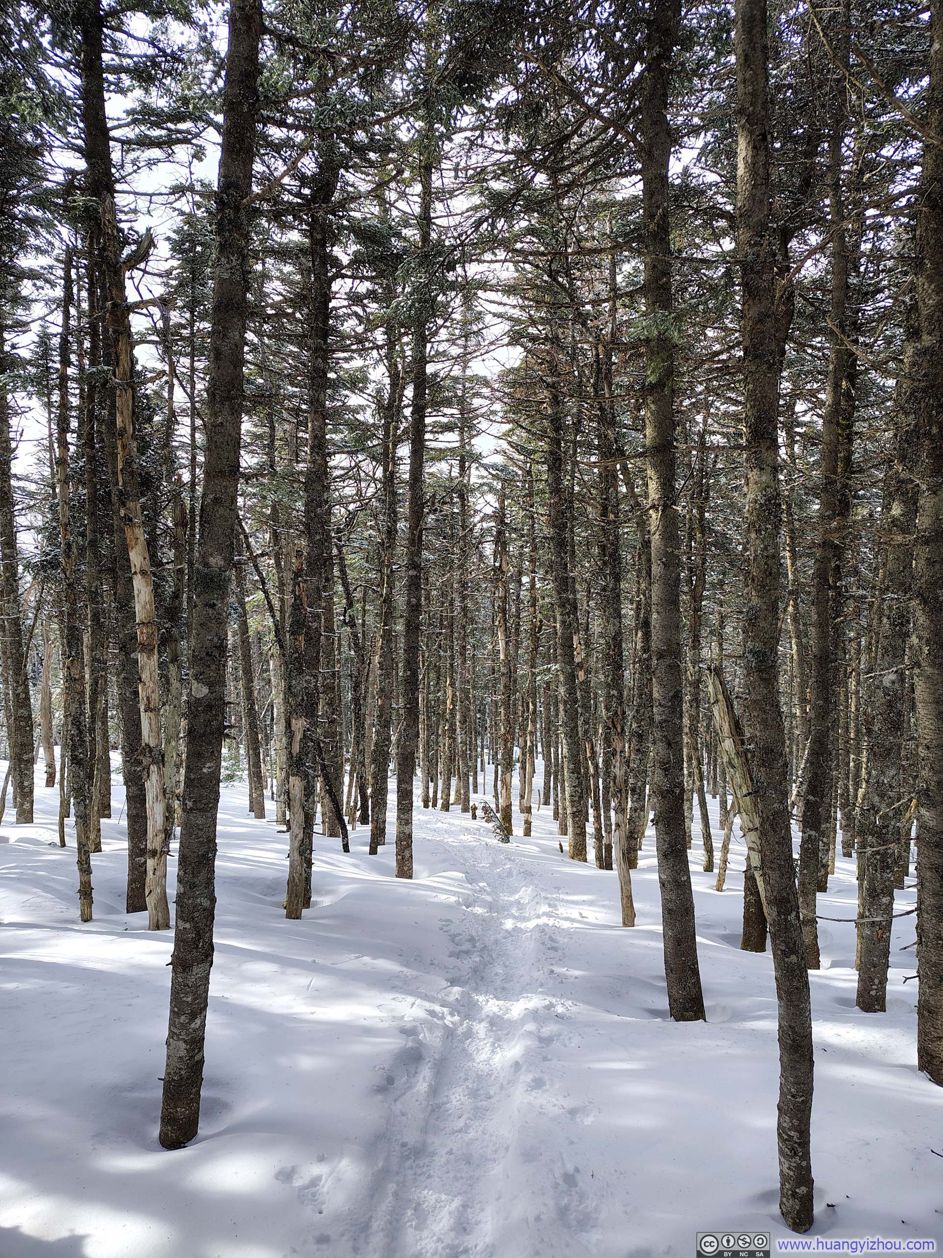
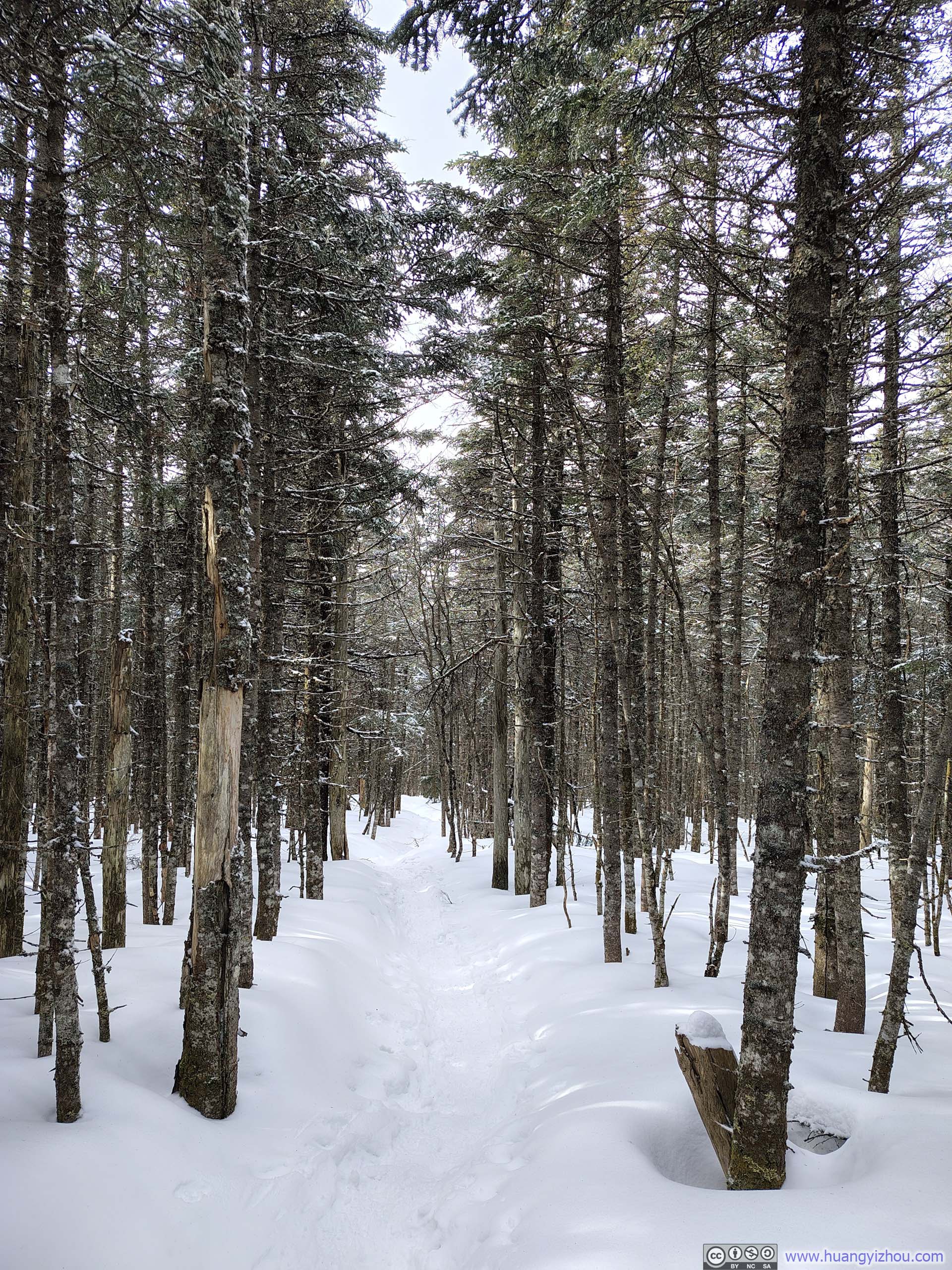
 Trail
Trail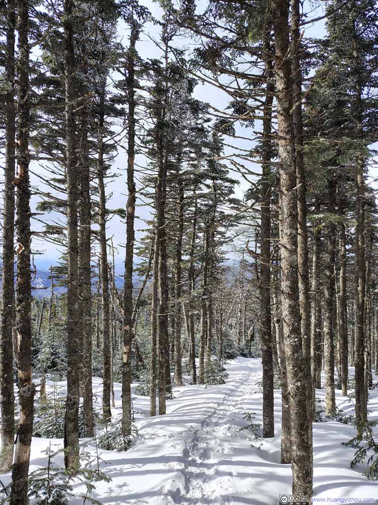 Trail
Trail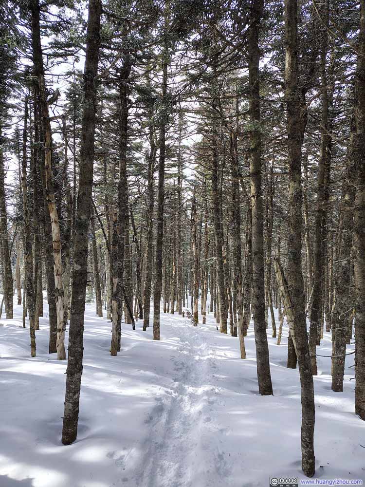 Trail
Trail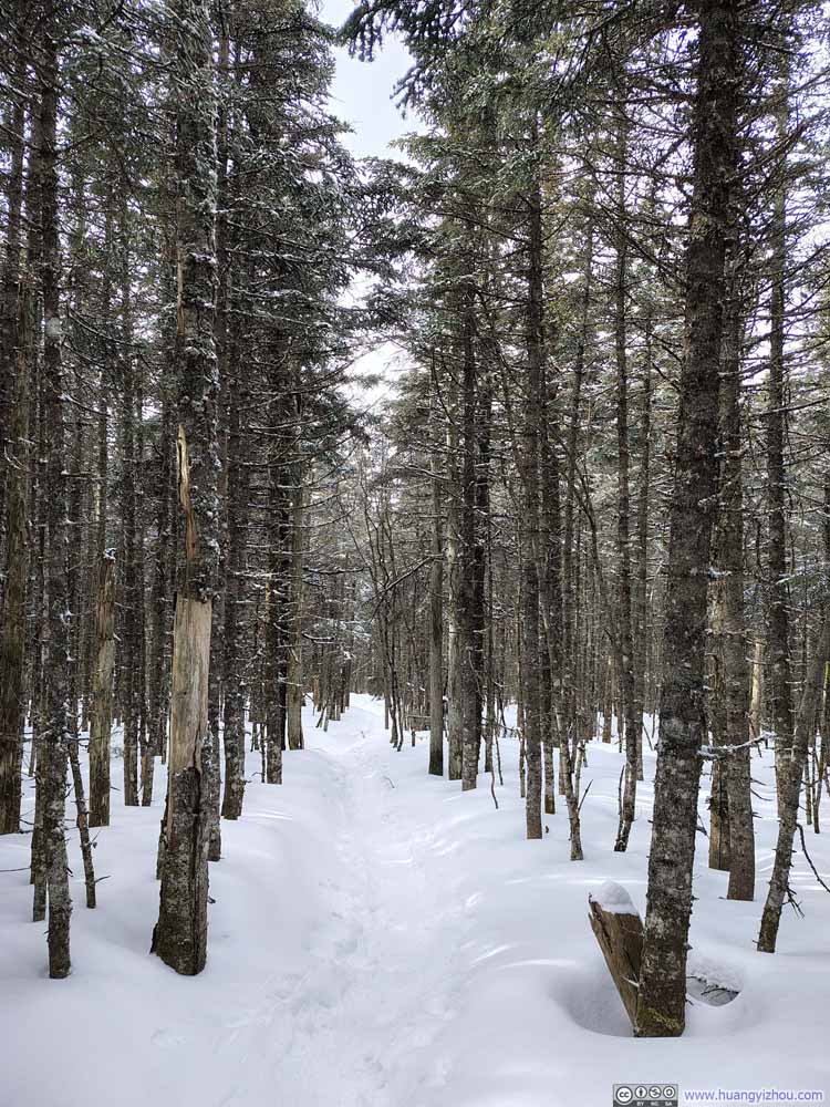 Trail
Trail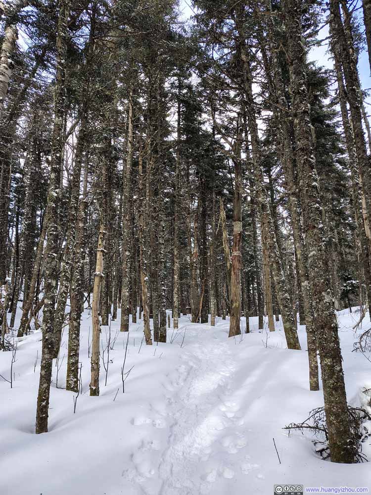 Trail
Trail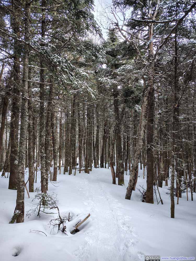 Trail
Trail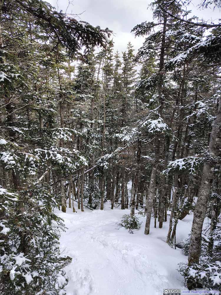 Trail
Trail

Click here to display photos of the slideshow
Trail

Trail
Trail
Trail

Trail
Trail
Trail
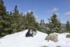
 Summit Area of Mount Tom
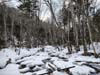
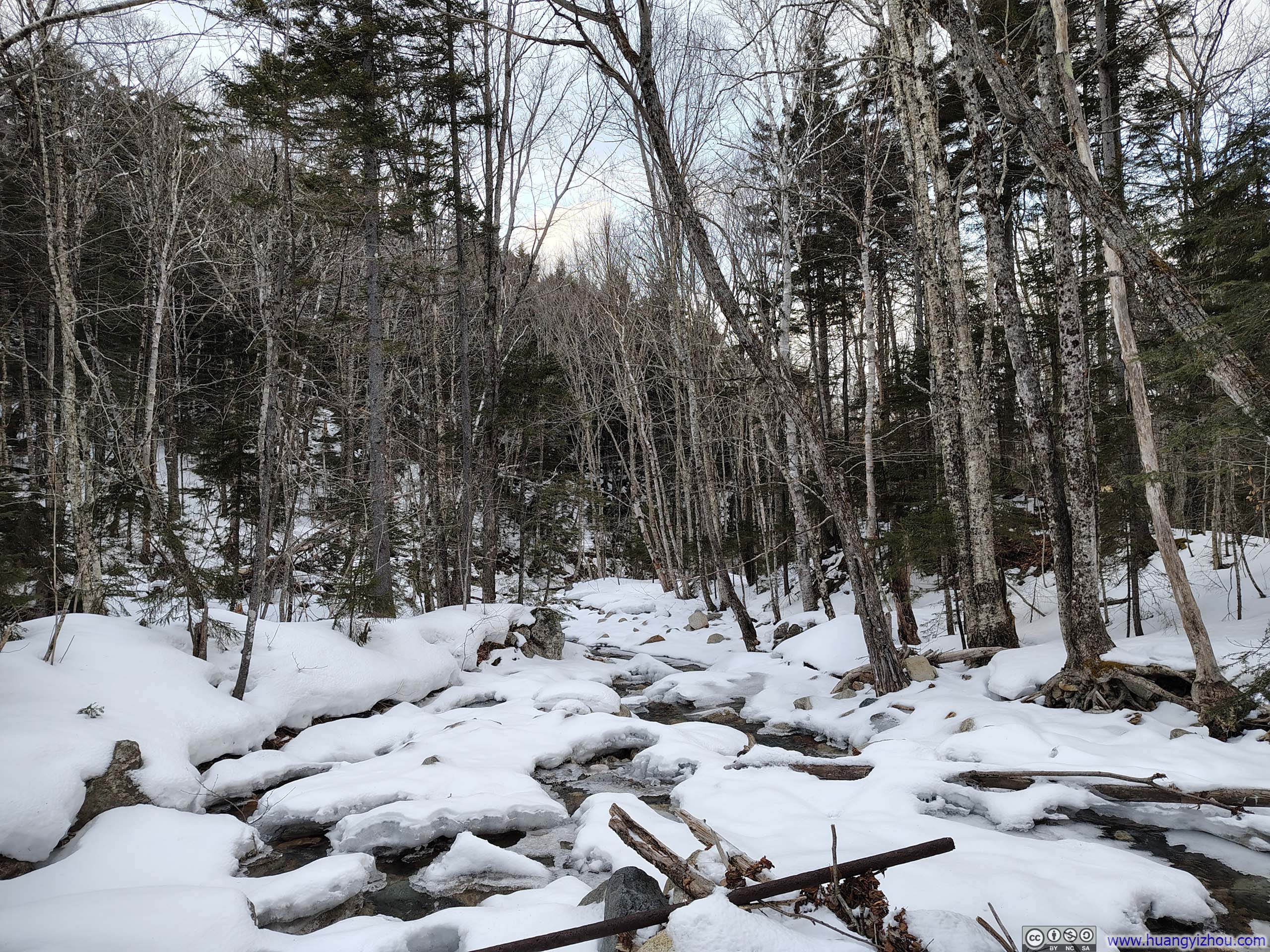
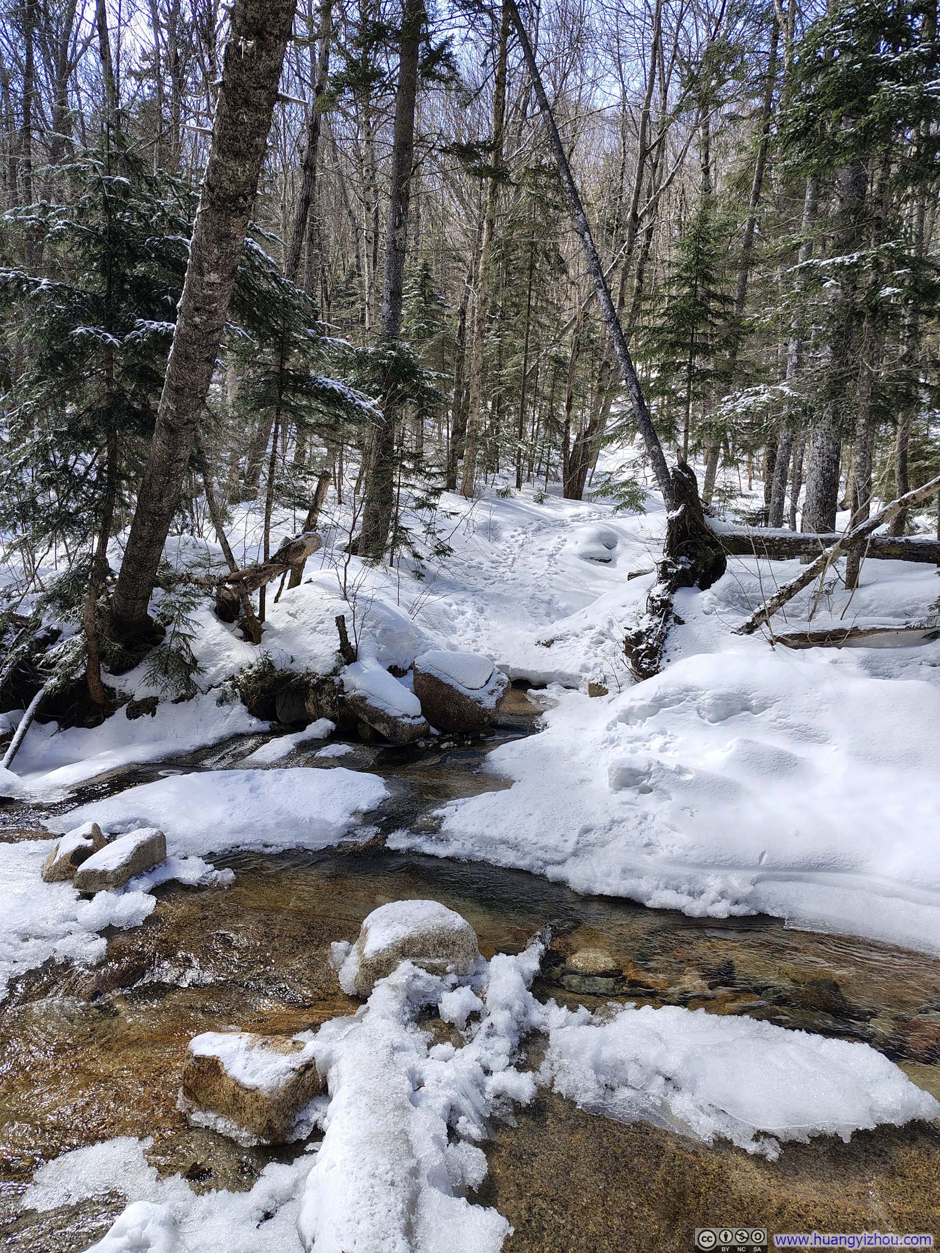
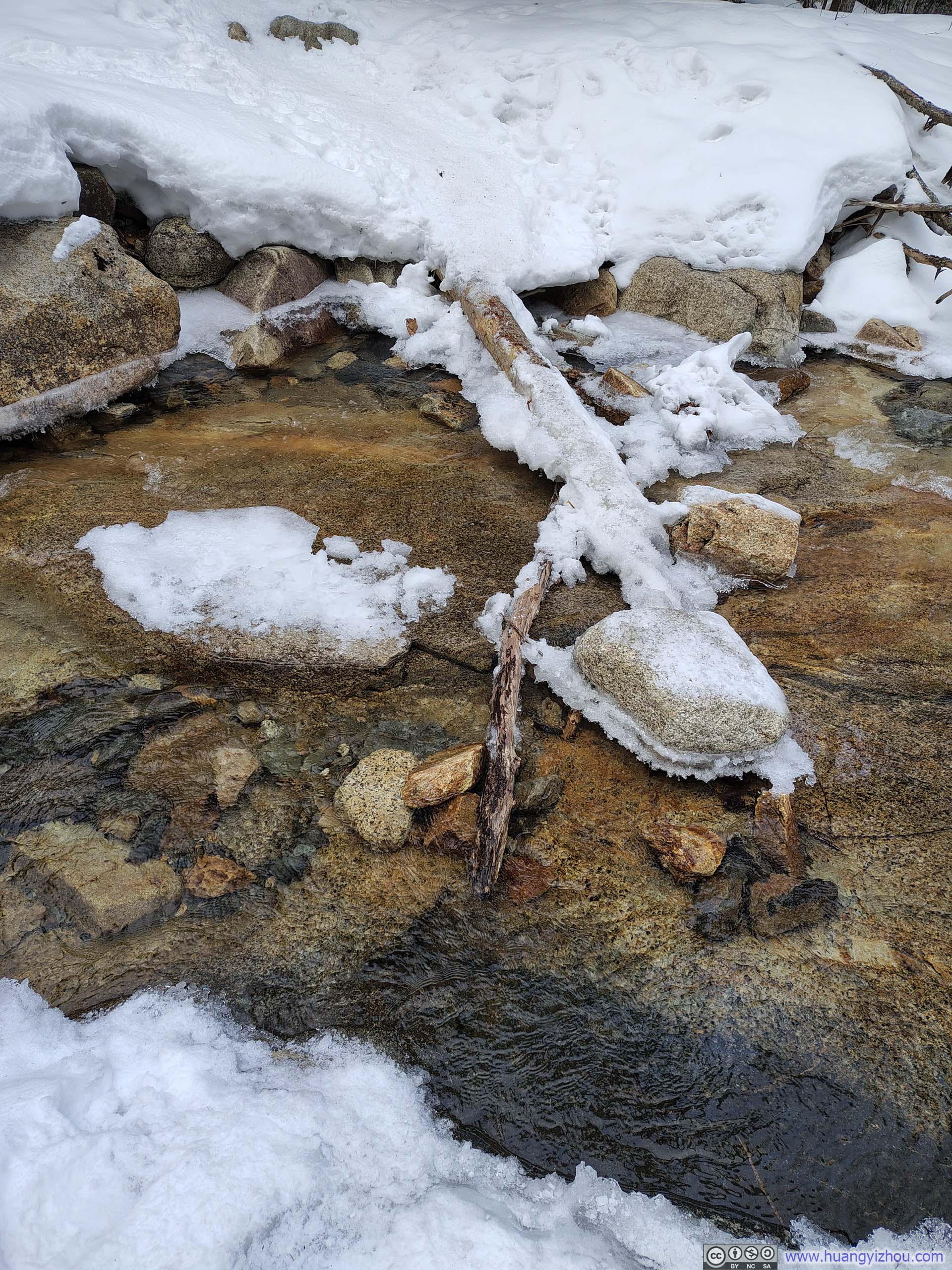
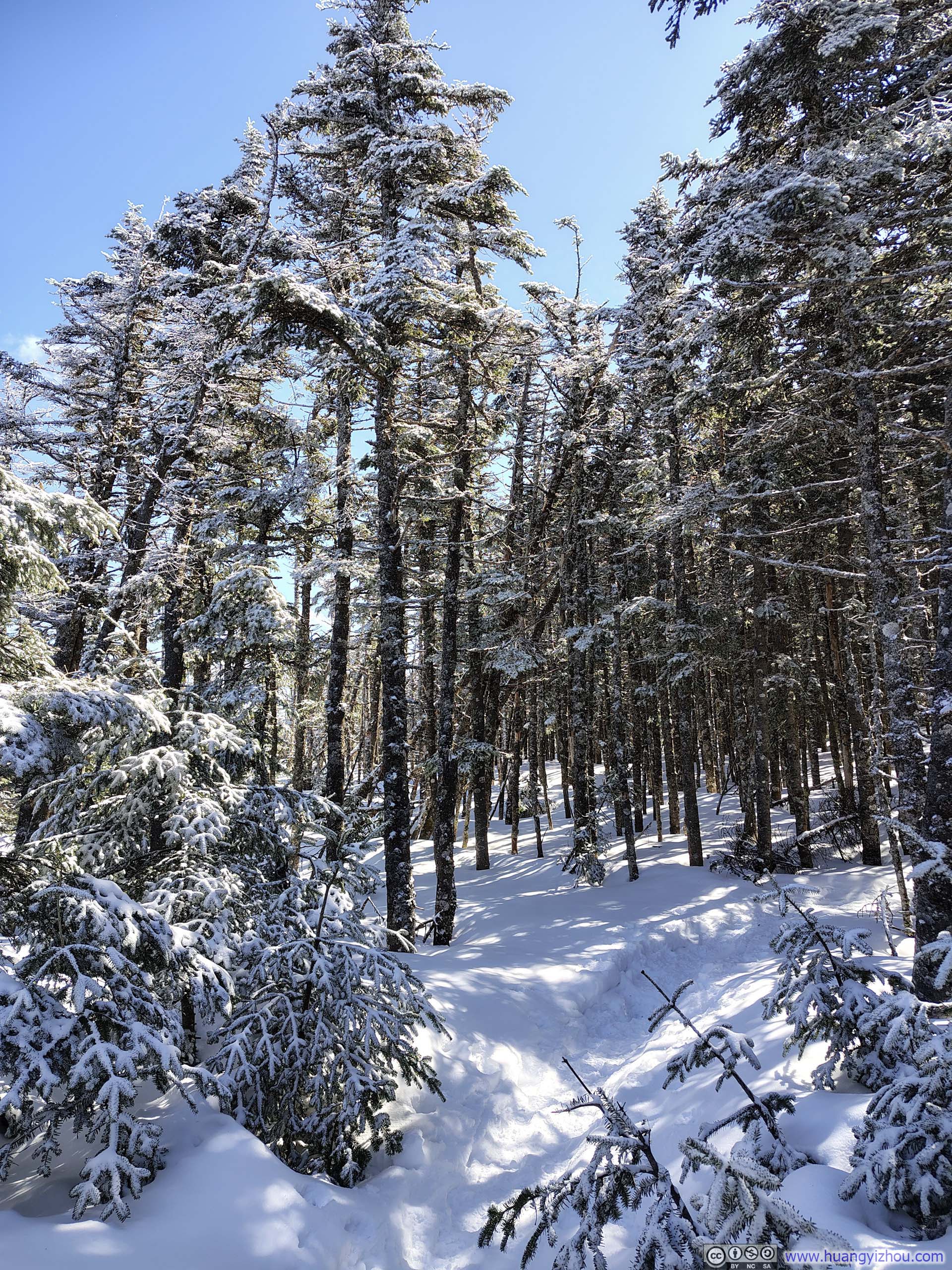
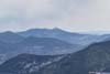
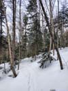
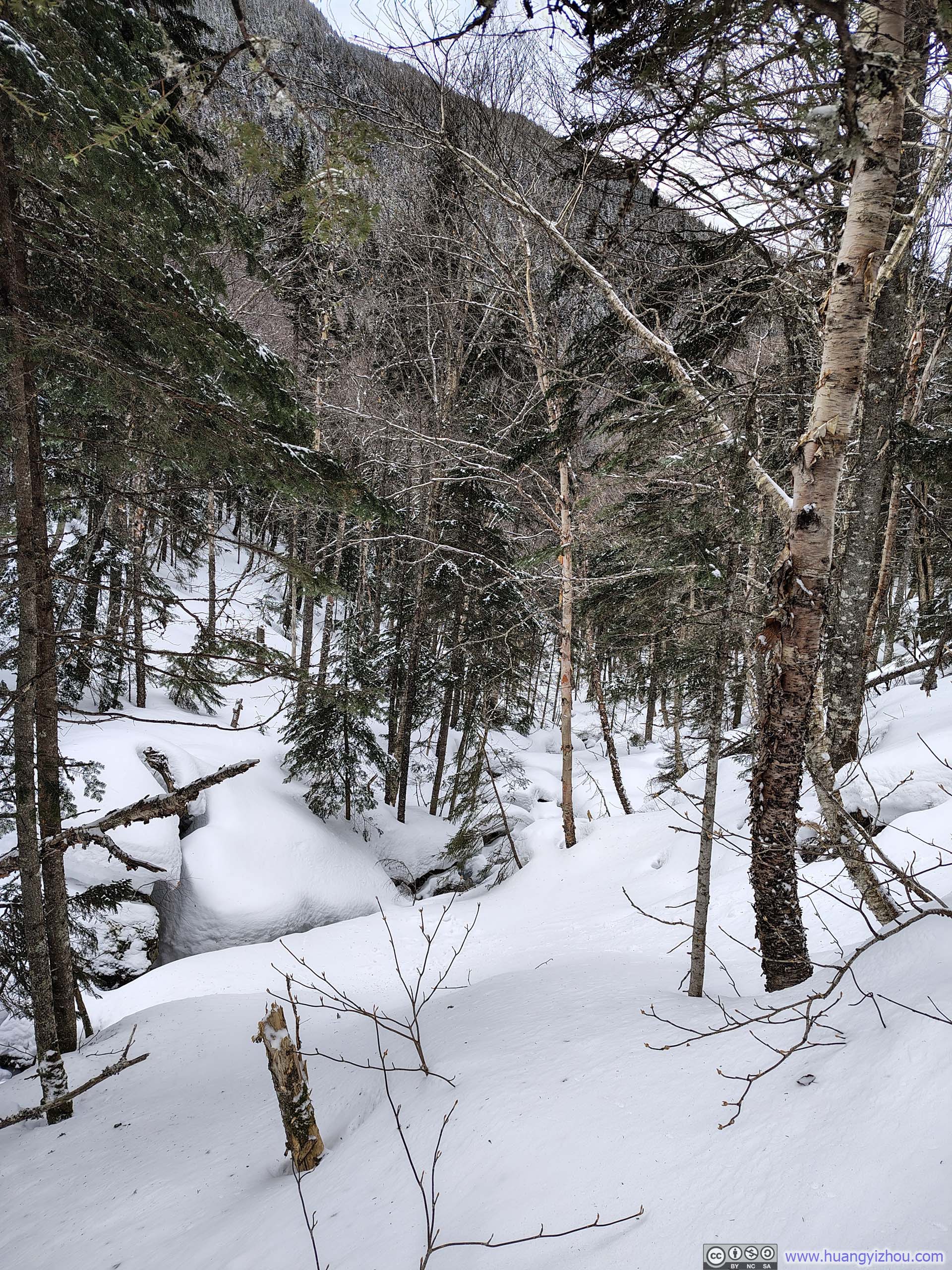
Leaving the spur to Mount Tom, there was a short steep section along A-Z Trail, amid an otherwise unremarkable walk in the woods that was occasionally interrupted by snow-covered creeks.
 Trail
Trail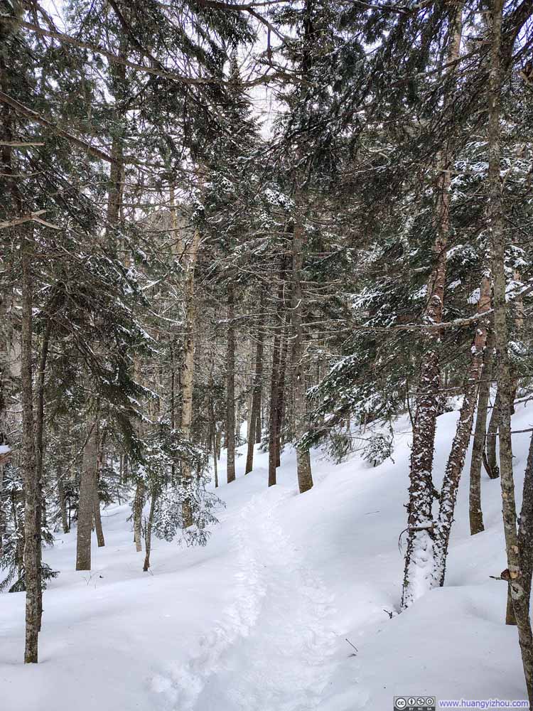 Trail
Trail Creek
Creek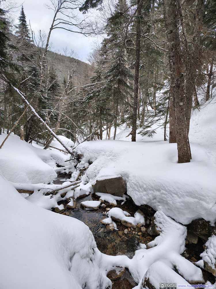 Creek
Creek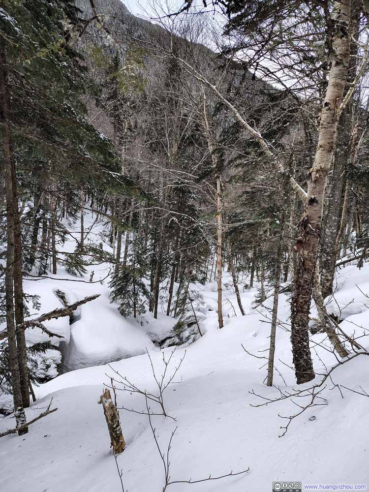 Snow-Covered Creek along Trail
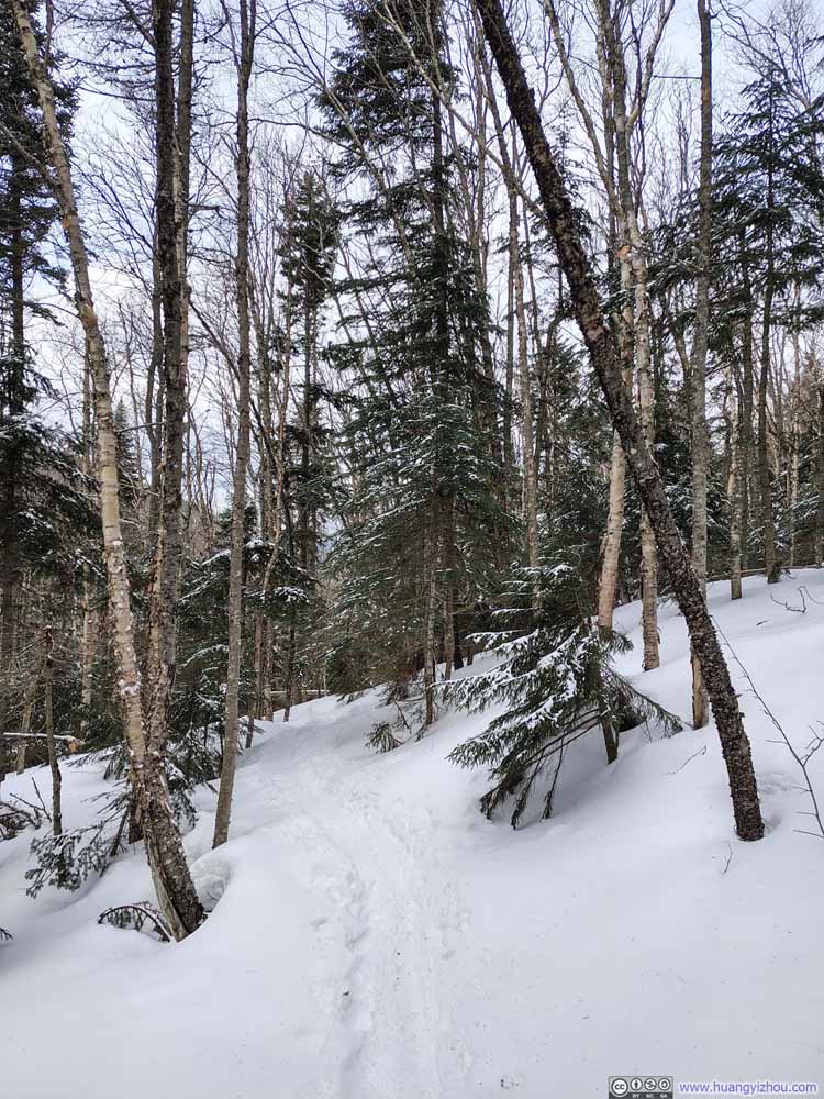 Trail
Trail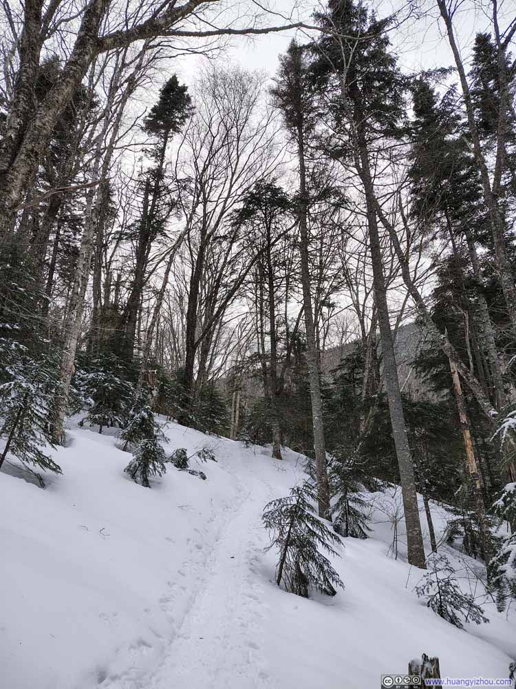 Trail
Trail

Click here to display photos of the slideshow
Trail
Trail

Creek
Creek
Snow-Covered Creek along Trail
Trail
Trail
In the end, I was back at the trailhead at 6:30pm, concluding this hike in 7 hours.
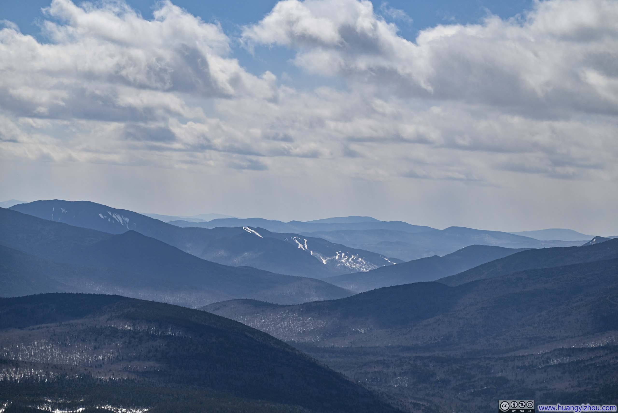
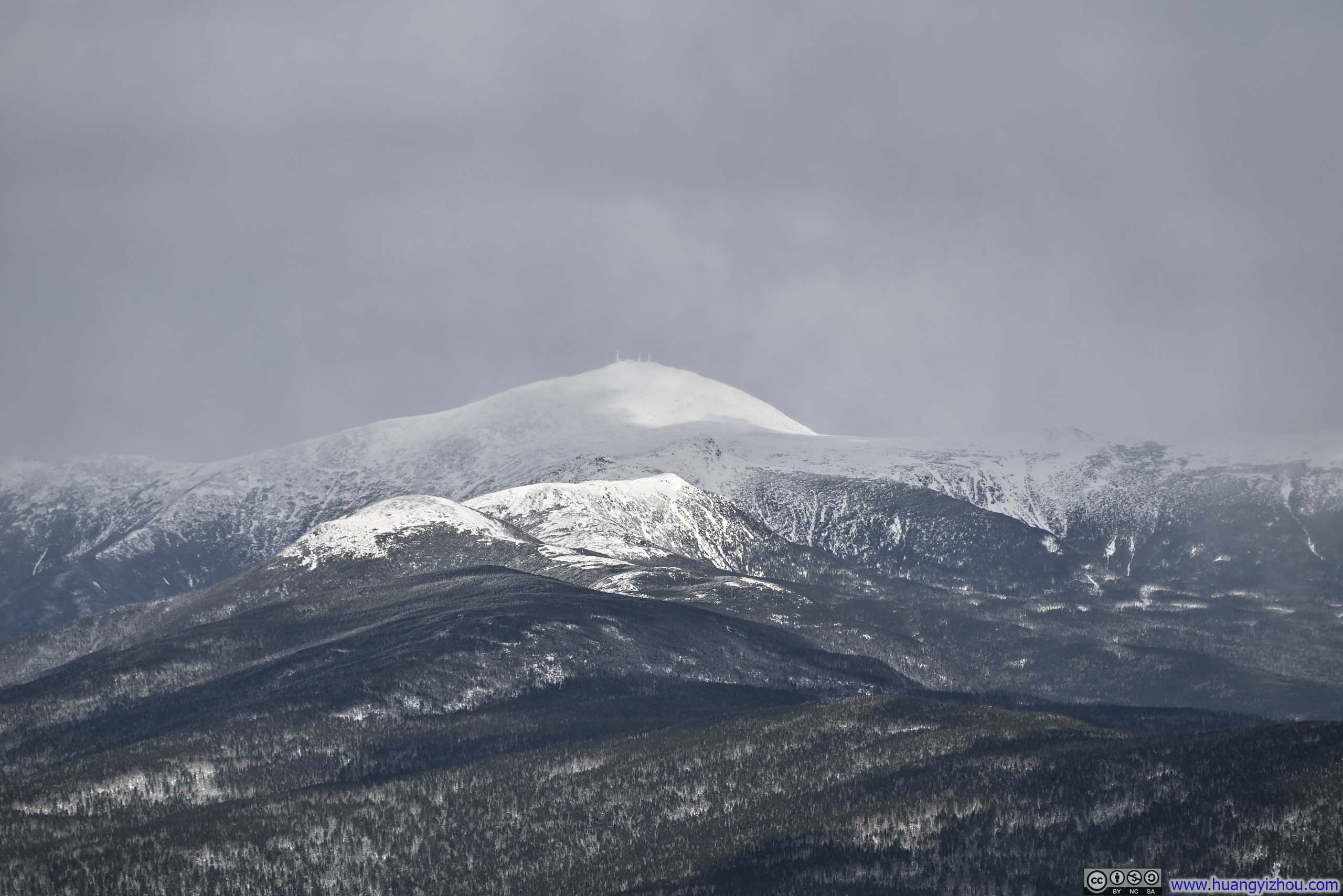
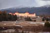
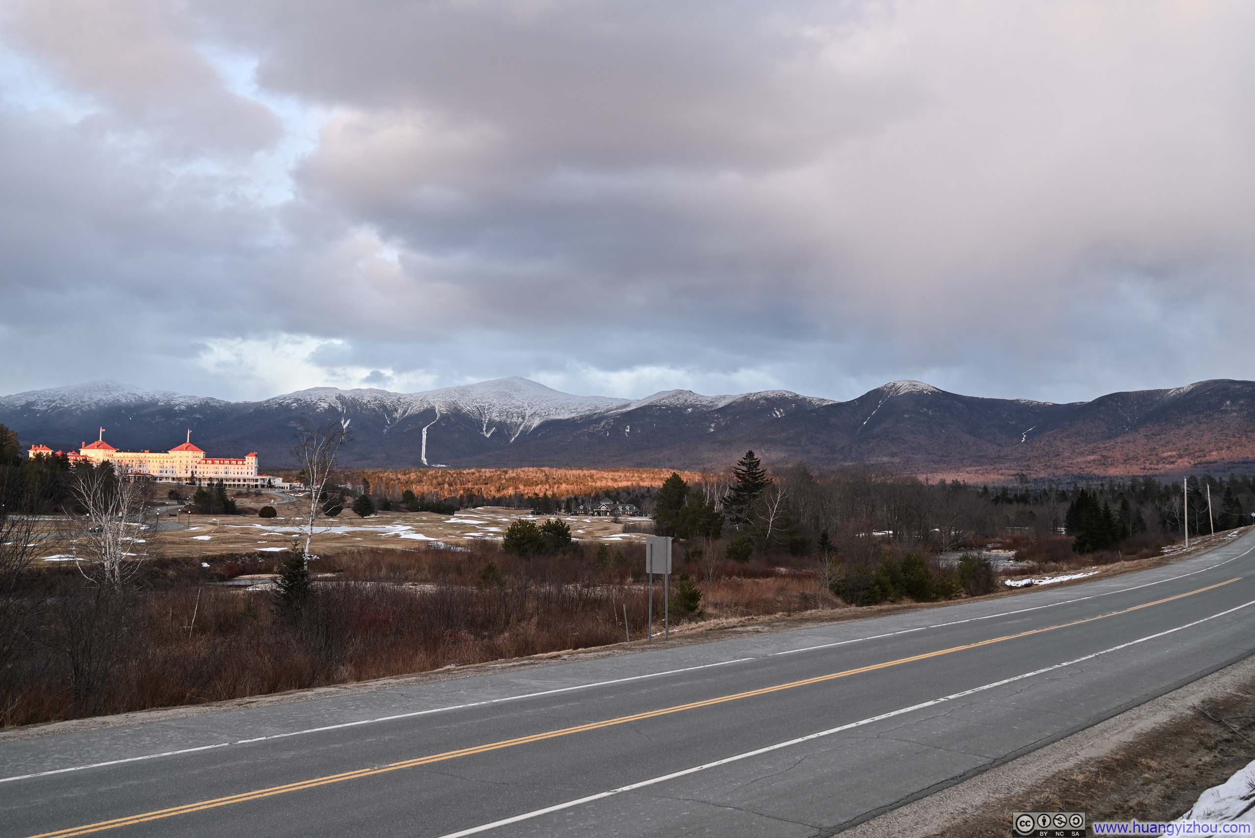
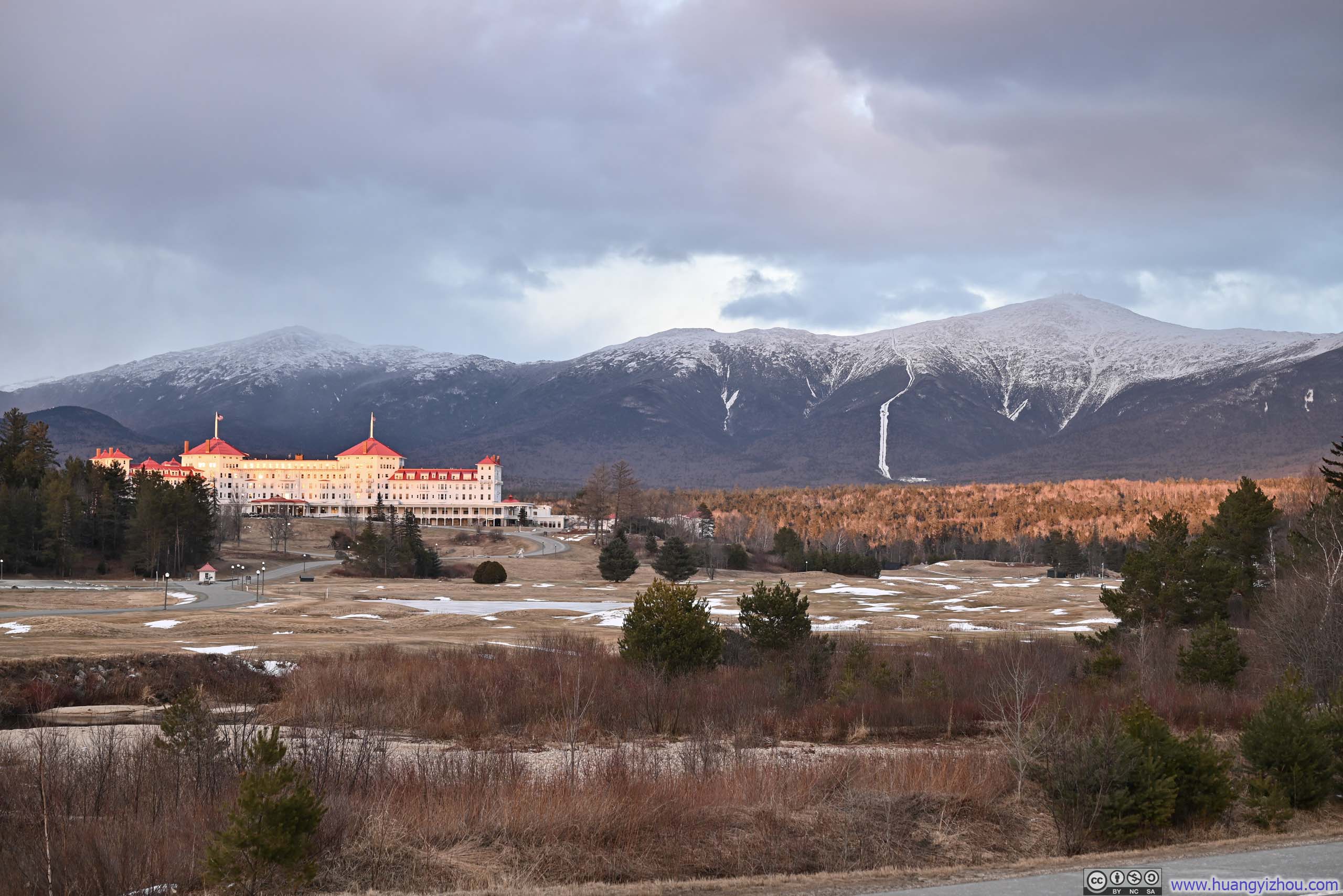
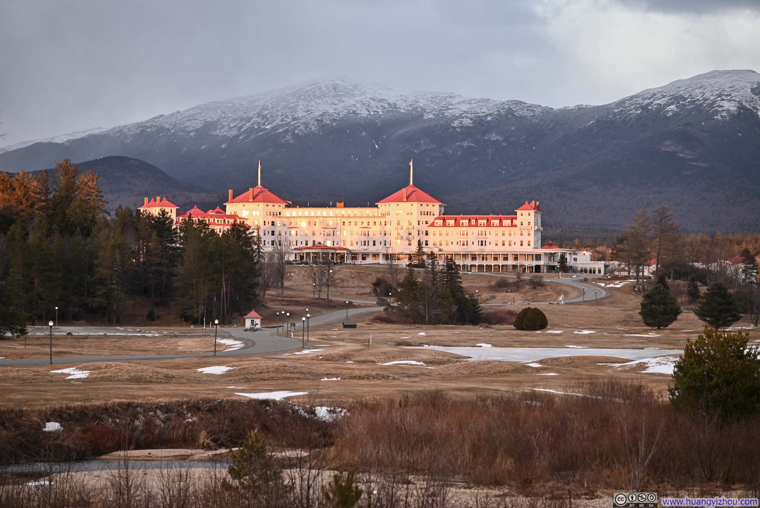
On my drive back to Boston, I stopped at the “Scenic View” across from the Mount Washington Hotel. On my previous two trips to Crawford Notch, it had either been too late, or I had been too mentally exhausted to stop. But this time, with the sun casting a golden light over the historic hotel and the snowy peaks of the Presidential Range rising behind it, I couldn’t have asked for a better conclusion to my 2025–26 winter outdoor season.
 Presidential Range
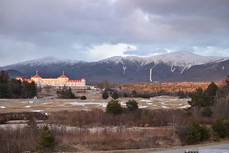 Presidential Range
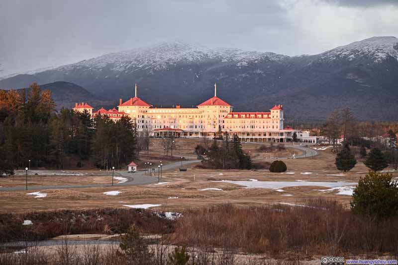 Mount Washington Hotel before Mt Jefferson
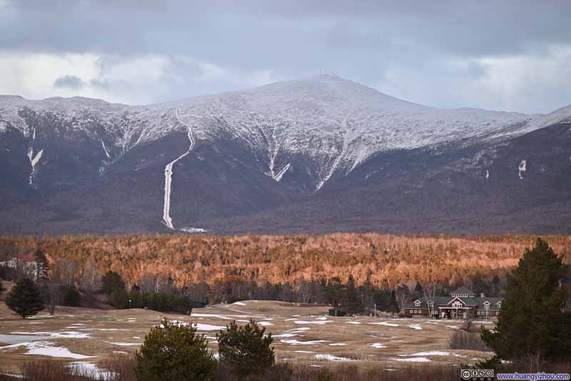 Mt Washington
 Mt Eisenhower

Click here to display photos of the slideshow
Presidential Range
Presidential Range
Mount Washington Hotel before Mt Jefferson
Mt Washington
Mt Eisenhower
END
![]() Hiking Mt Avalon, Mt Field, Mt Willey and Mt Tom by Huang's Site is licensed under a Creative Commons Attribution-NonCommercial-ShareAlike 4.0 International License.
Hiking Mt Avalon, Mt Field, Mt Willey and Mt Tom by Huang's Site is licensed under a Creative Commons Attribution-NonCommercial-ShareAlike 4.0 International License.