
Updated on May 21, 2026
Hiking Mount Pierce and Mount Eisenhower
A post about my hike to Mt Pierce and Mt Eisenhower in March 2026.
Presidential Range
Compared to my rather mediocre 2024-2025 winter outdoor season, I seemed to have cracked the secret for enjoyable winter adventures in New England: easy trailhead parking. In New Hampshire, Crawford Notch was probably at the top of the list in that regard, with a rich network of trails spreading out from it. Just like three months ago in December 2025, I returned to Crawford Notch, this time with Mt Pierce and Mt Eisenhower in mind.
For Mt Pierce, I chose to park at the lot off Mount Clinton Road, plowed and maintained by the National Forest Service, which required a parking fee (or annual pass). The lot was only about half full by the time I arrived just before 11am. (The other option, just as convenient but more expensive, was the AMC Highland Center lot across US 302.) After some warmup, I started my hike at 11:15am.
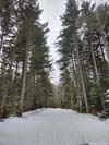
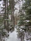
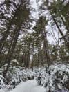
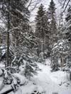
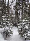
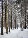
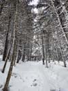
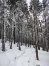
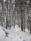
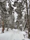
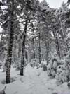
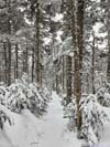
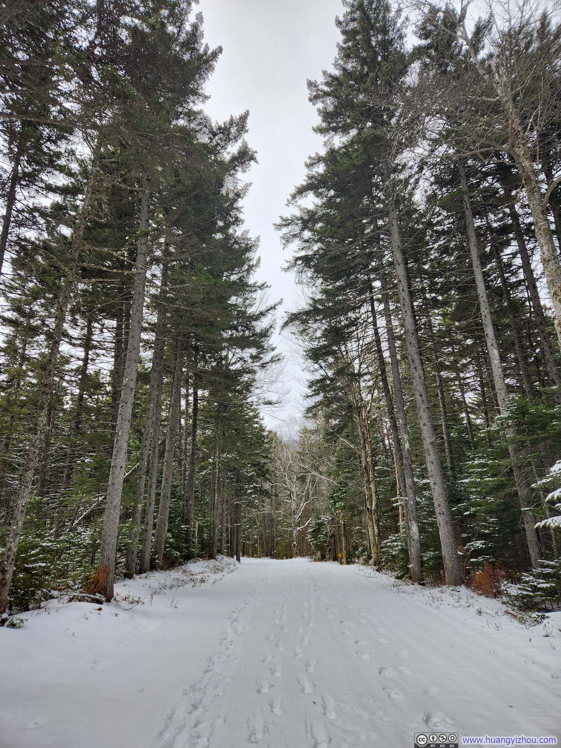
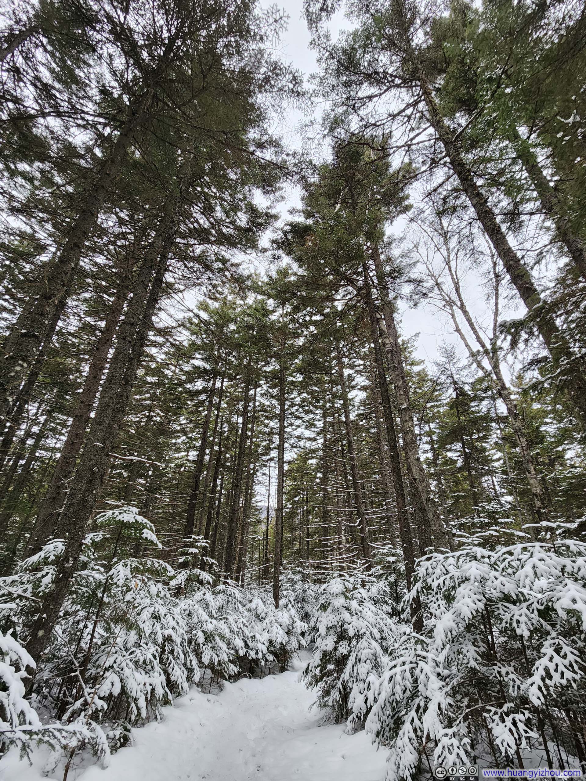
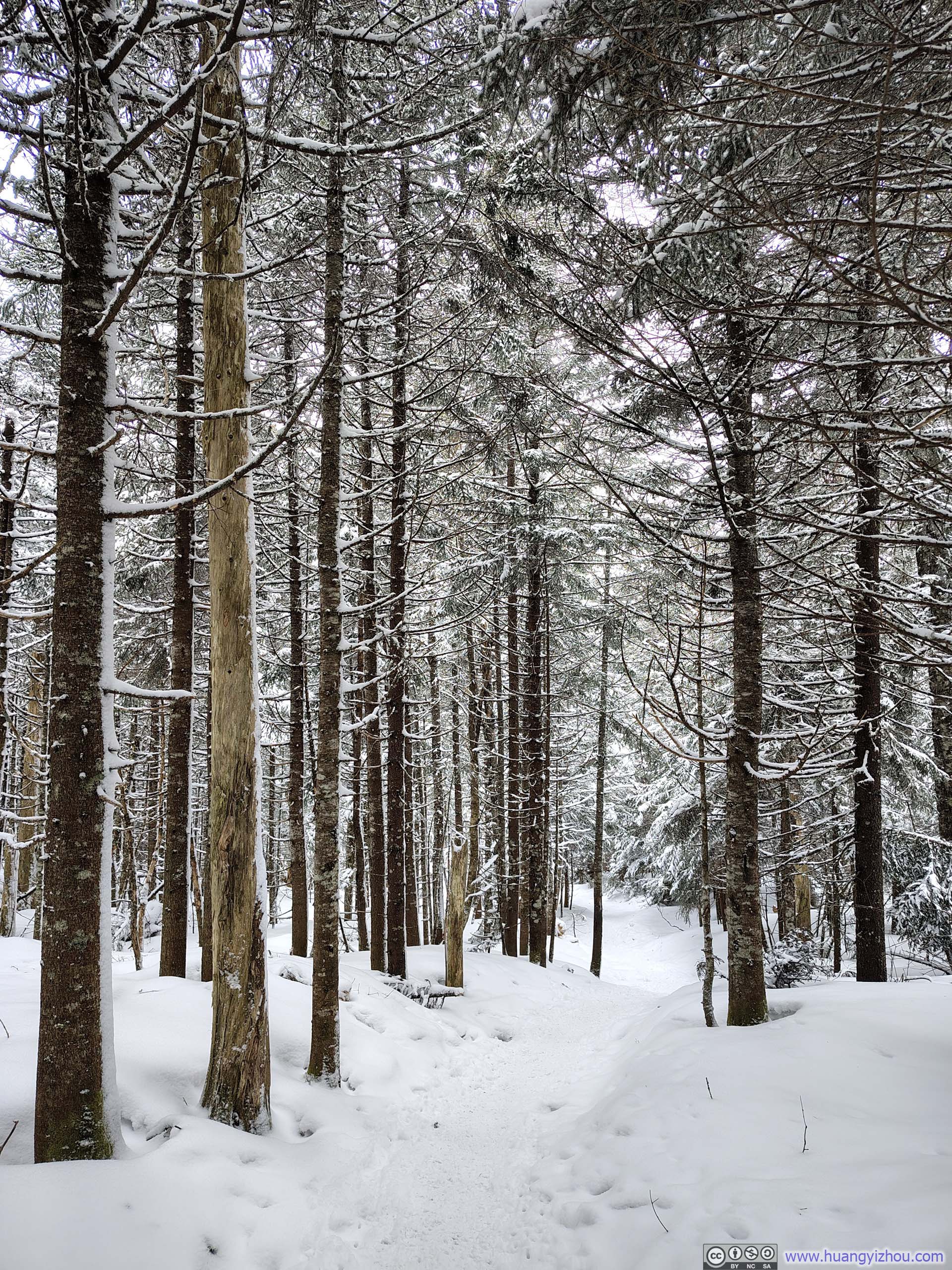
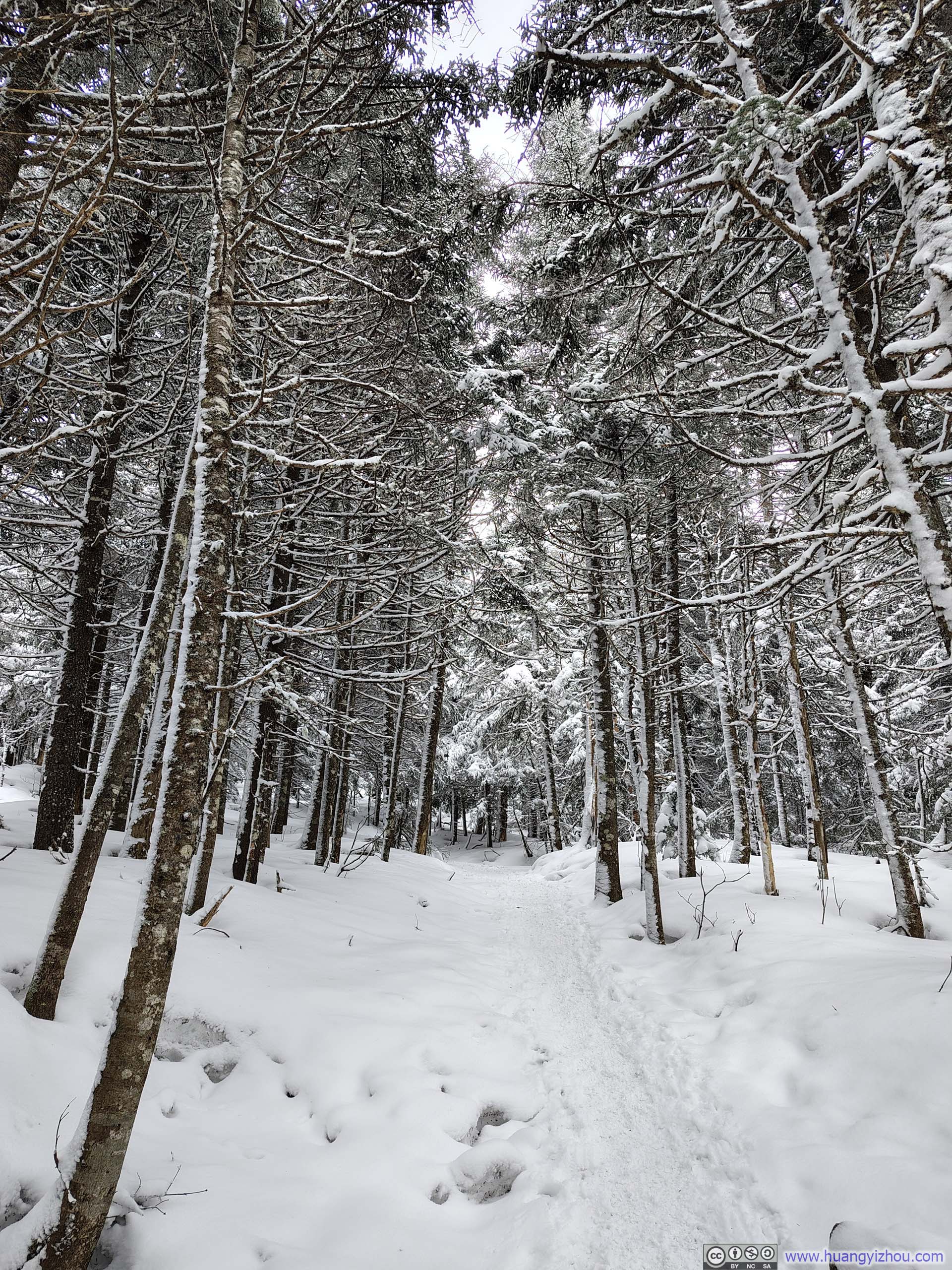
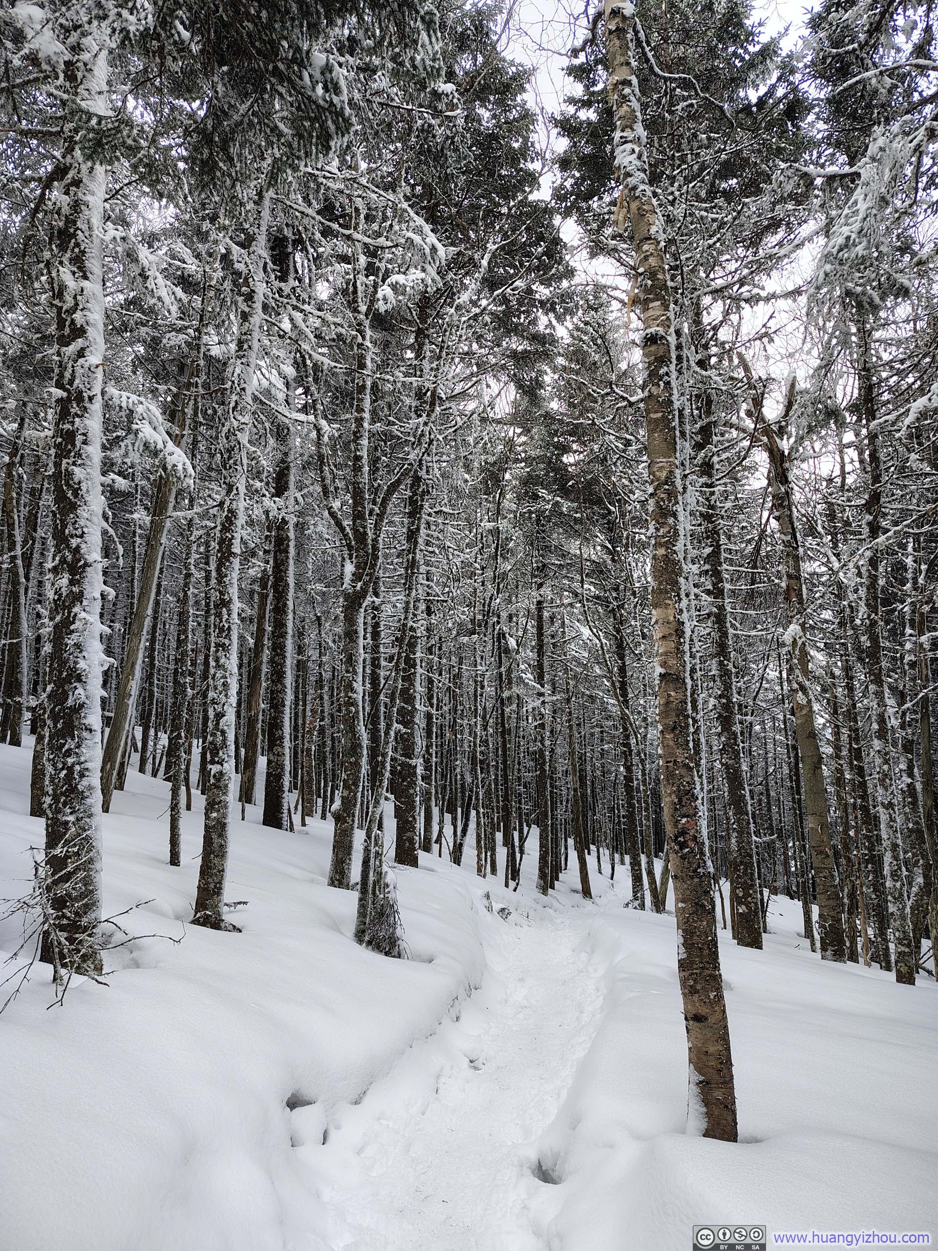
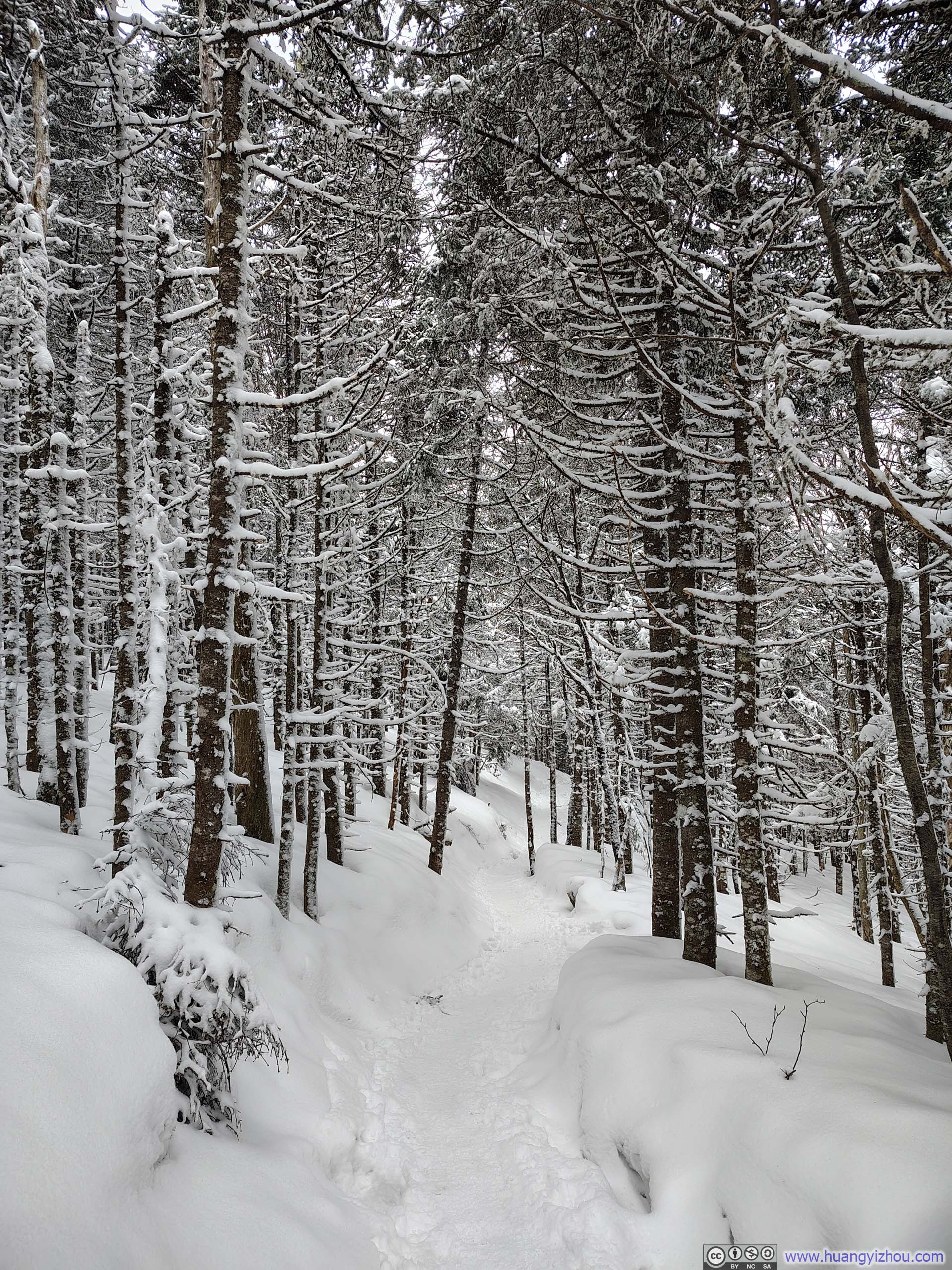
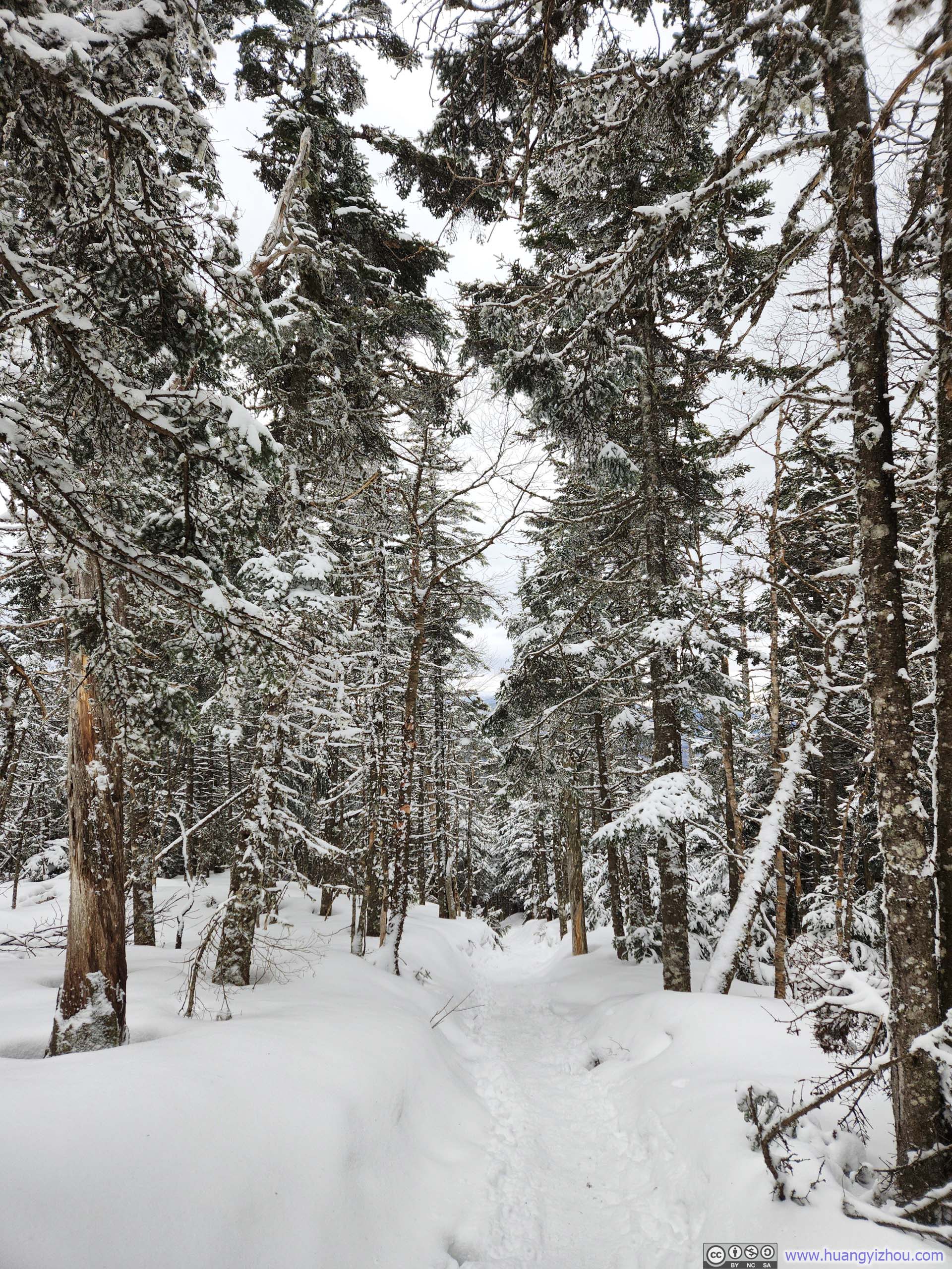
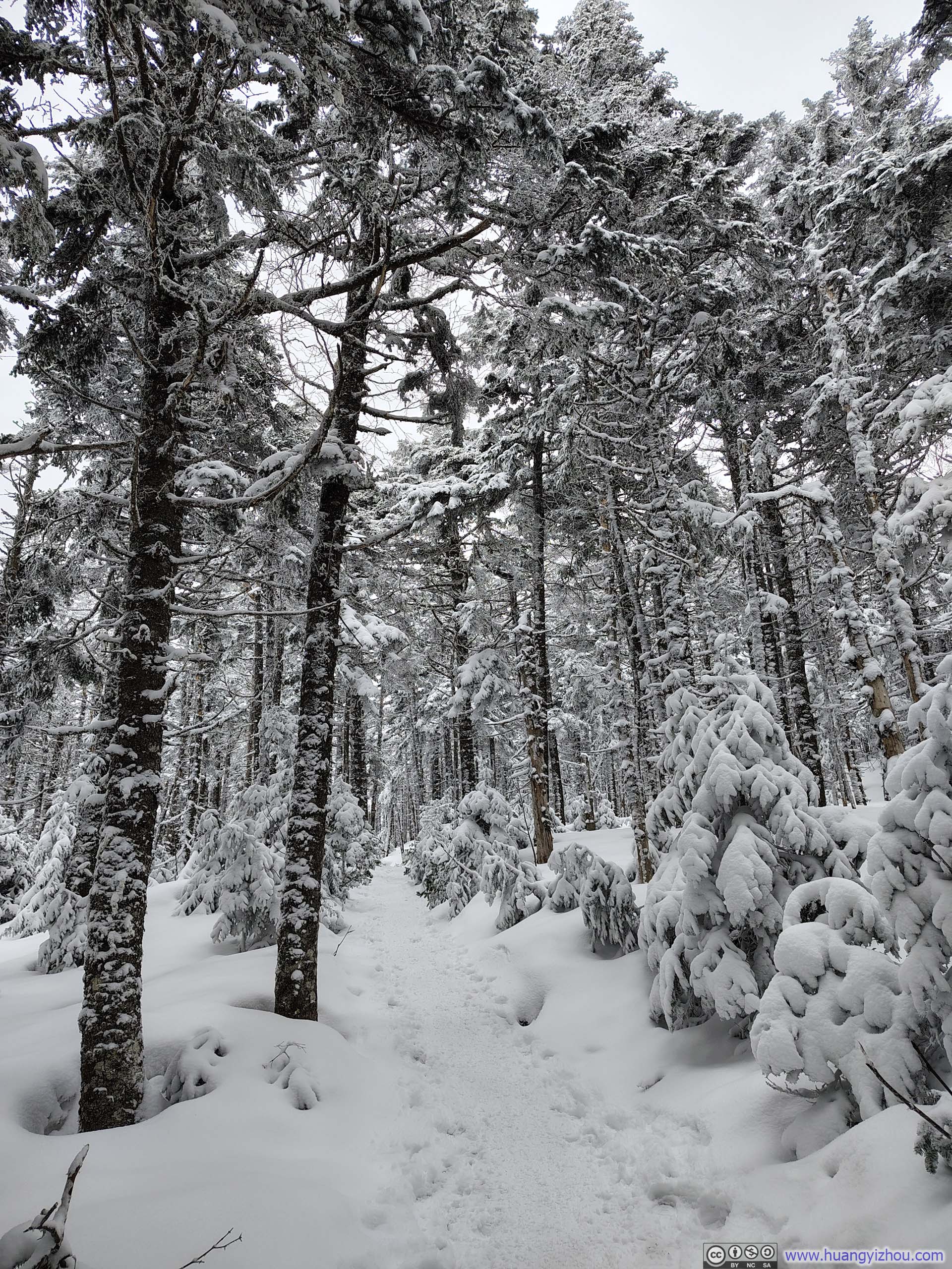
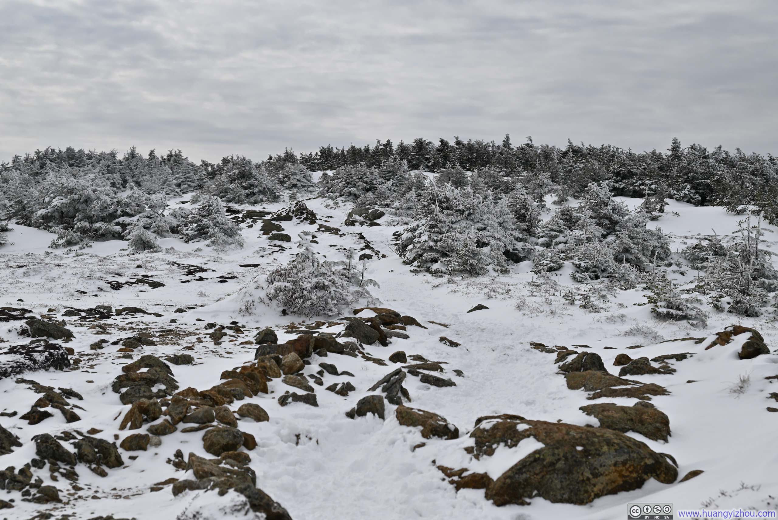
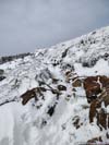
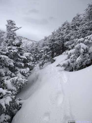
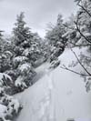
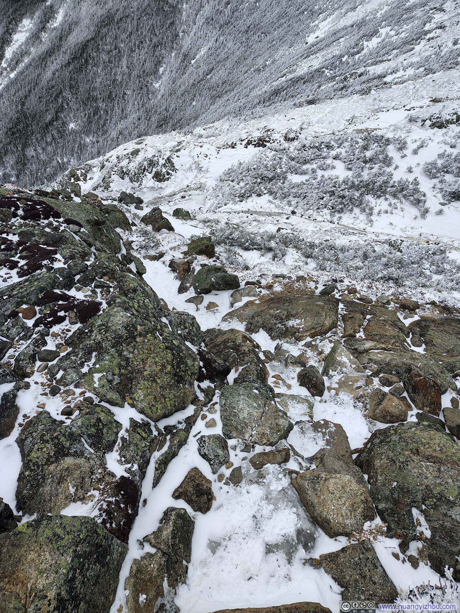
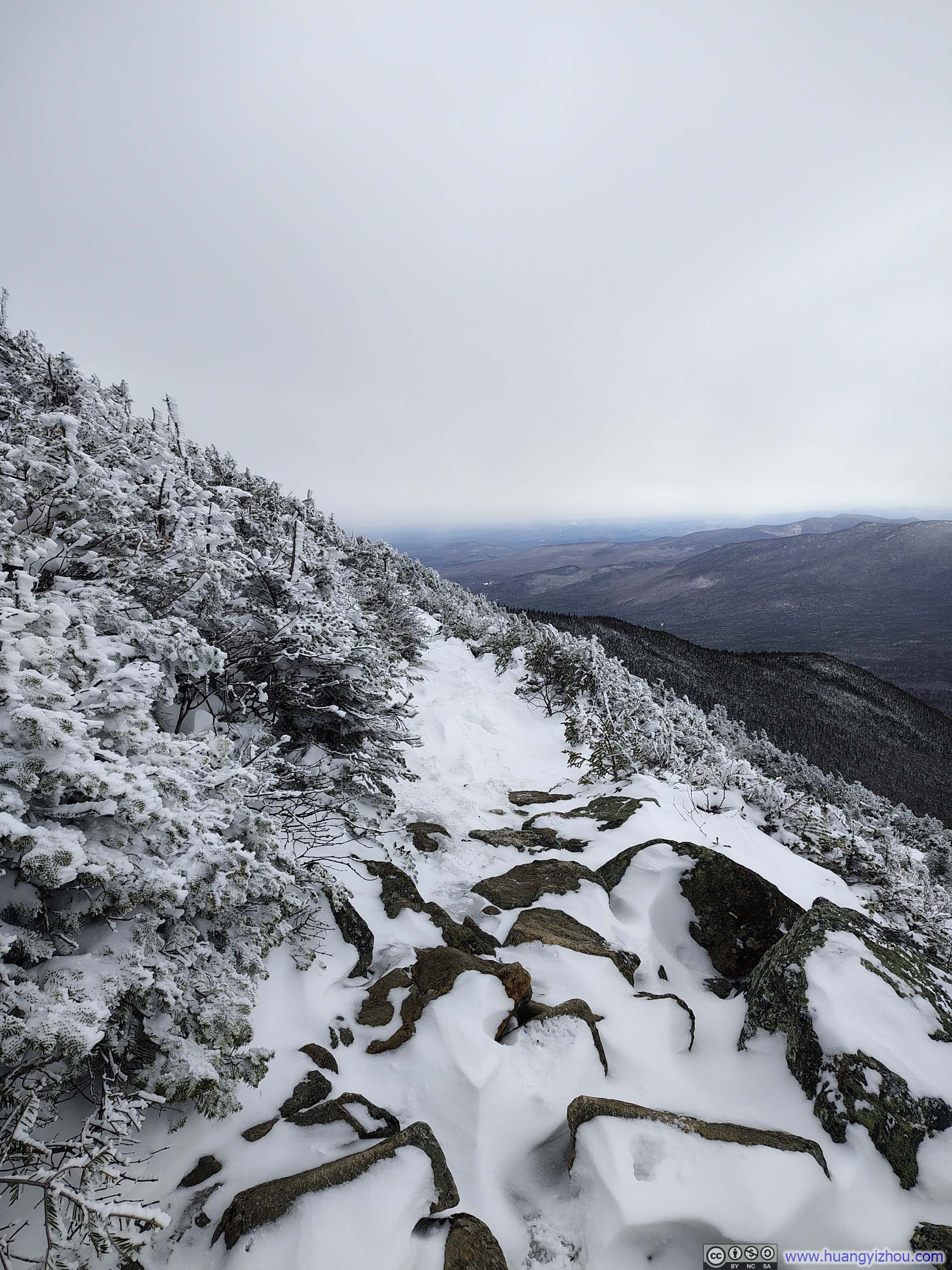
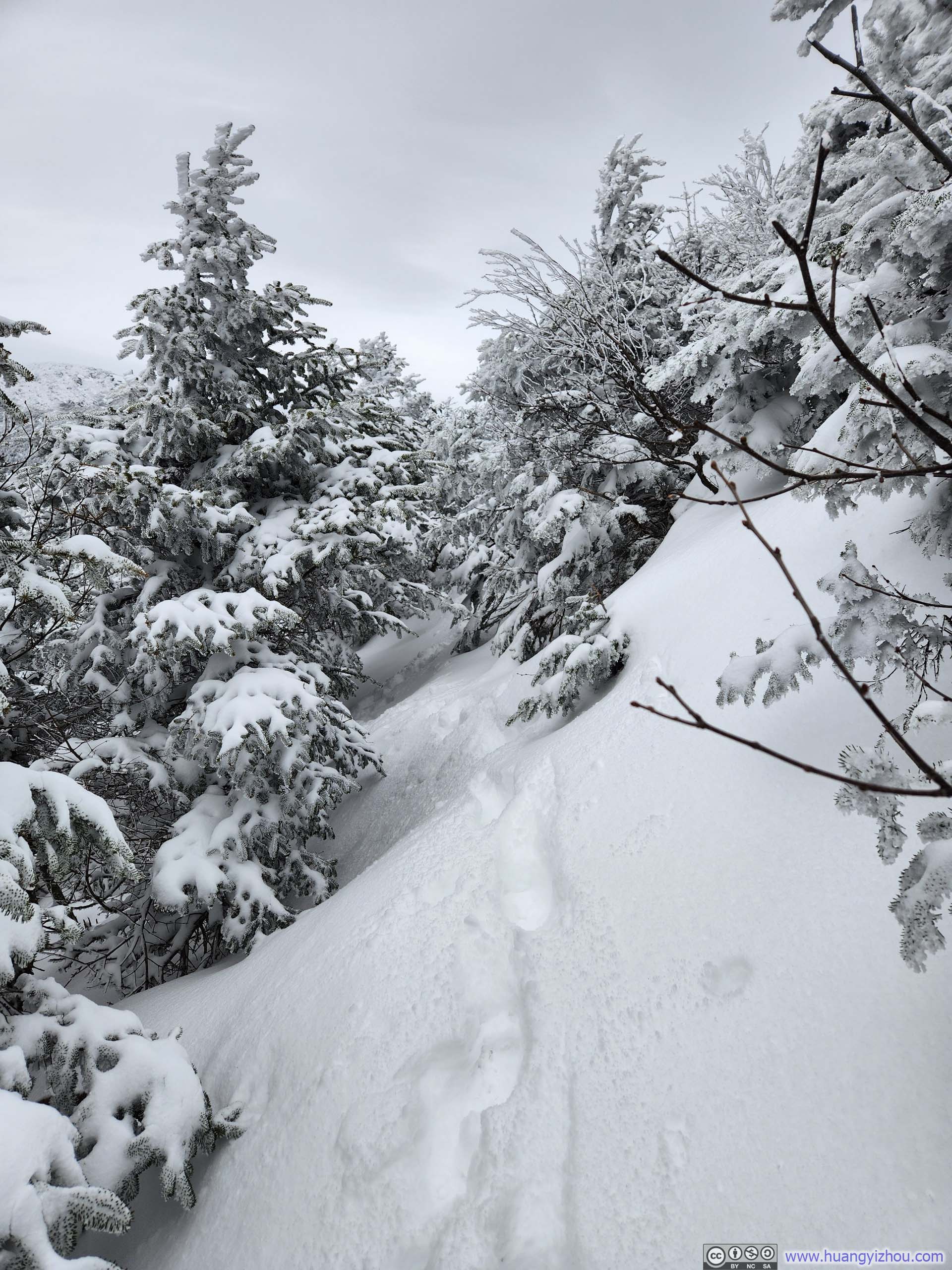
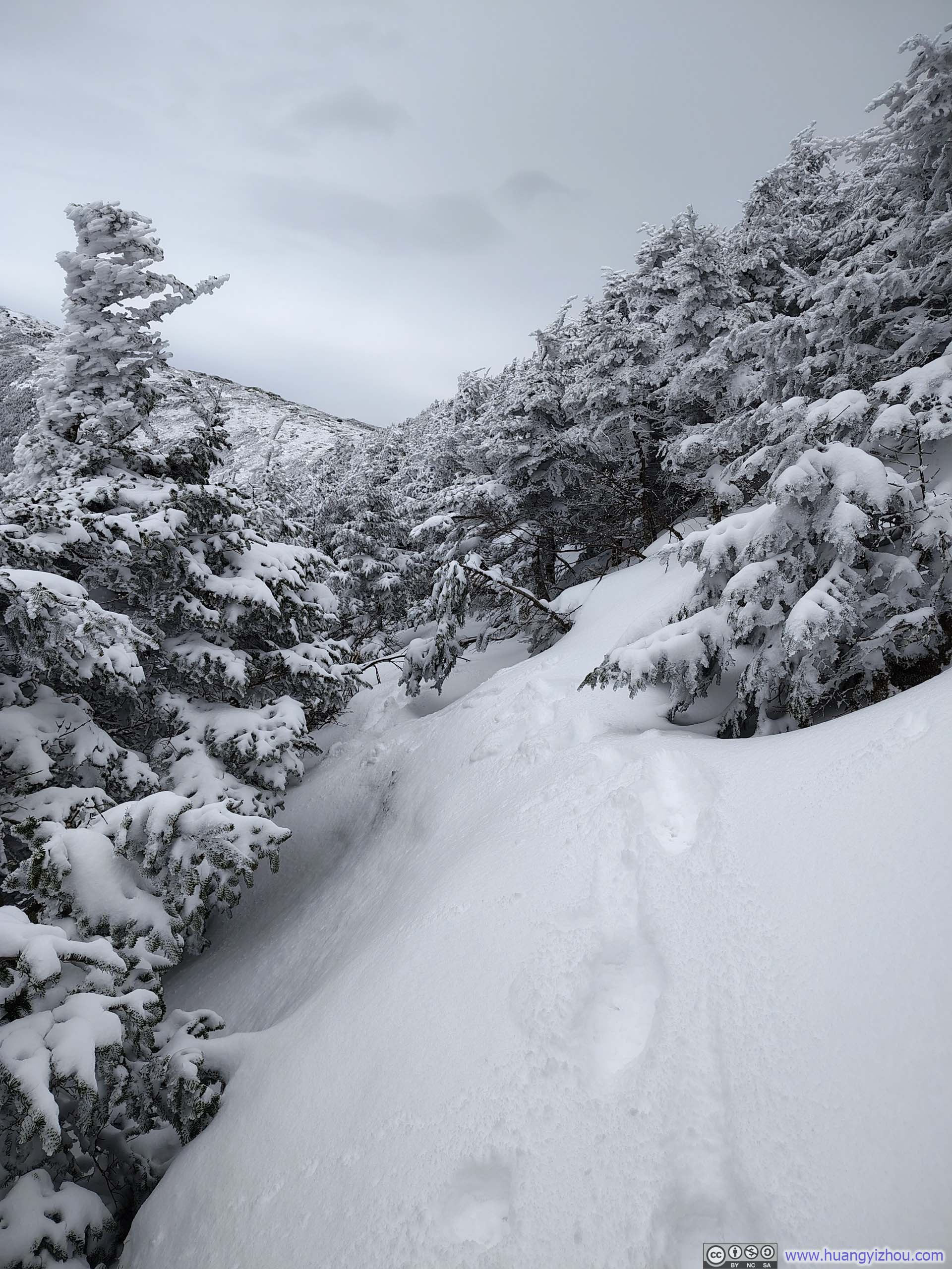
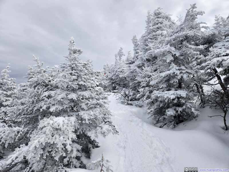
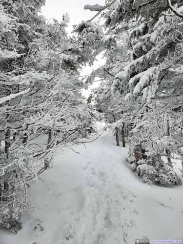
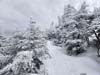
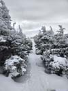
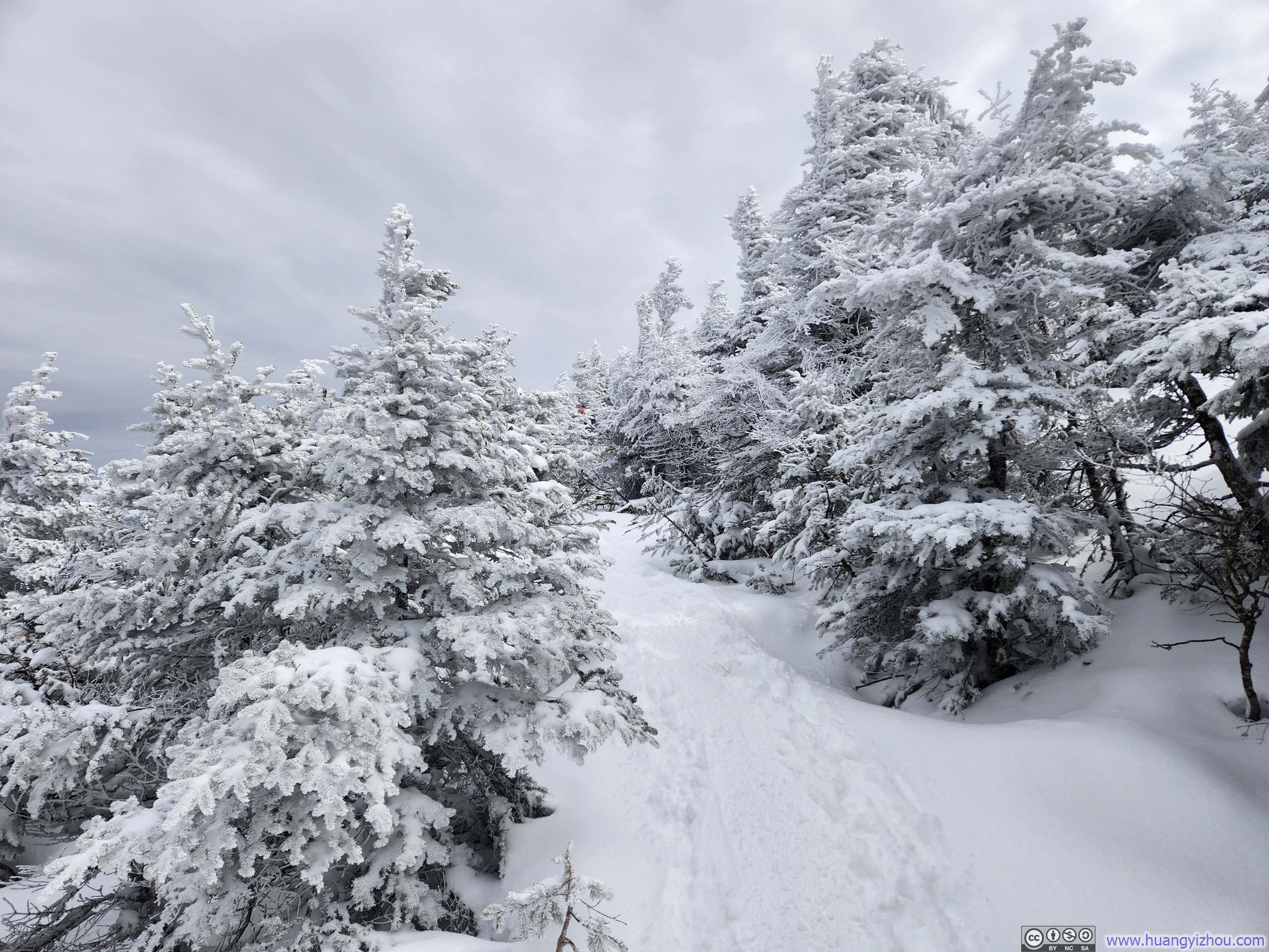
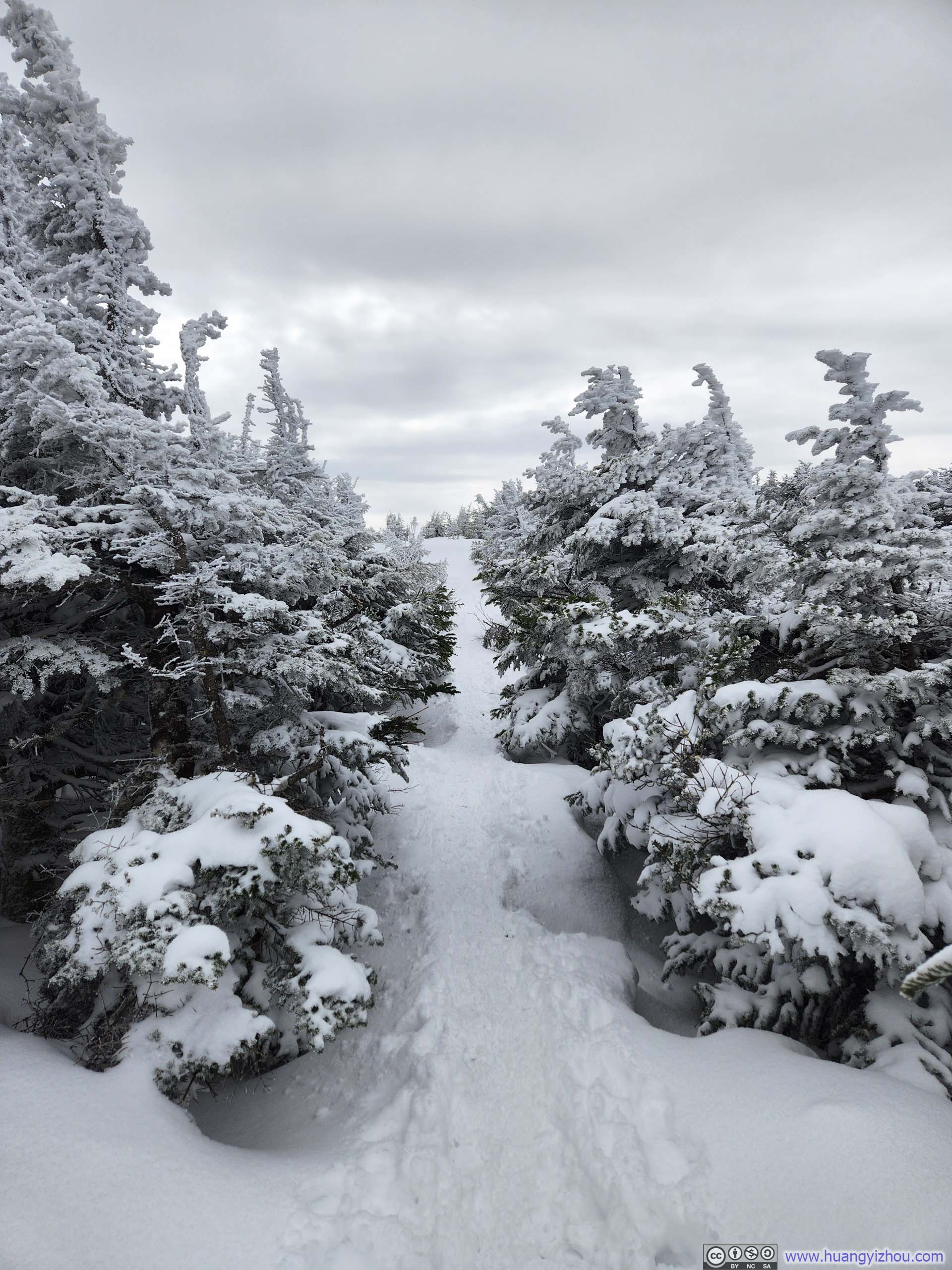
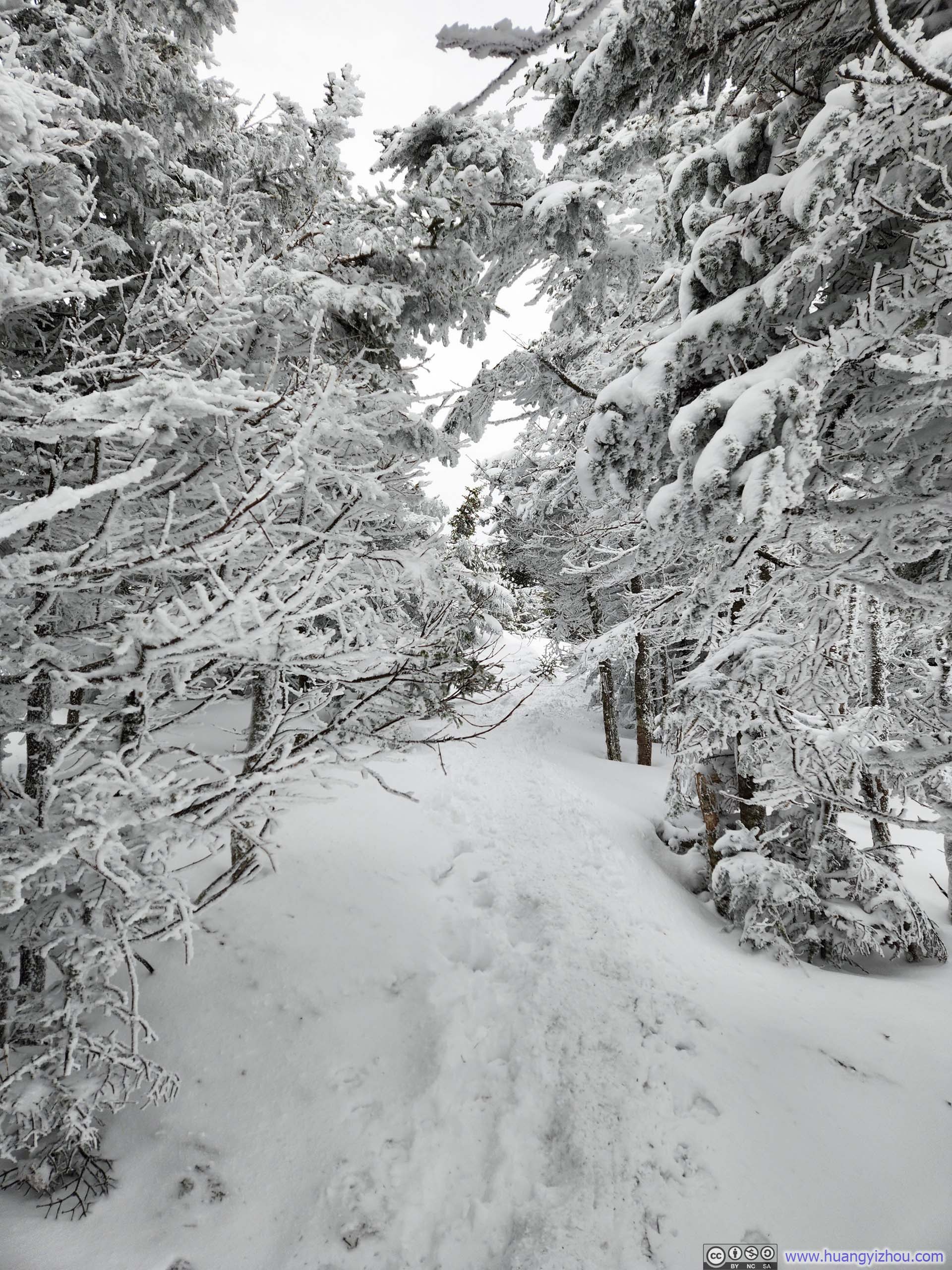
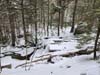
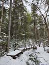
The trail condition on the way to Mt. Pierce was ideal: well-packed, textured snow provided a steady grade and excellent traction. I had brought microspikes, but the footing was so good that I never needed to put them on. The route remained entirely within the woods until just below the summit of Mt. Pierce, making the whole ascent feel like an intimate walk through a snowy winter wonderland.
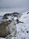
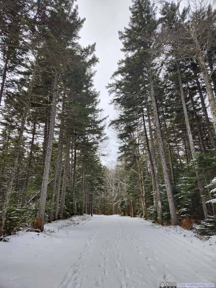 Mt Clinton Road
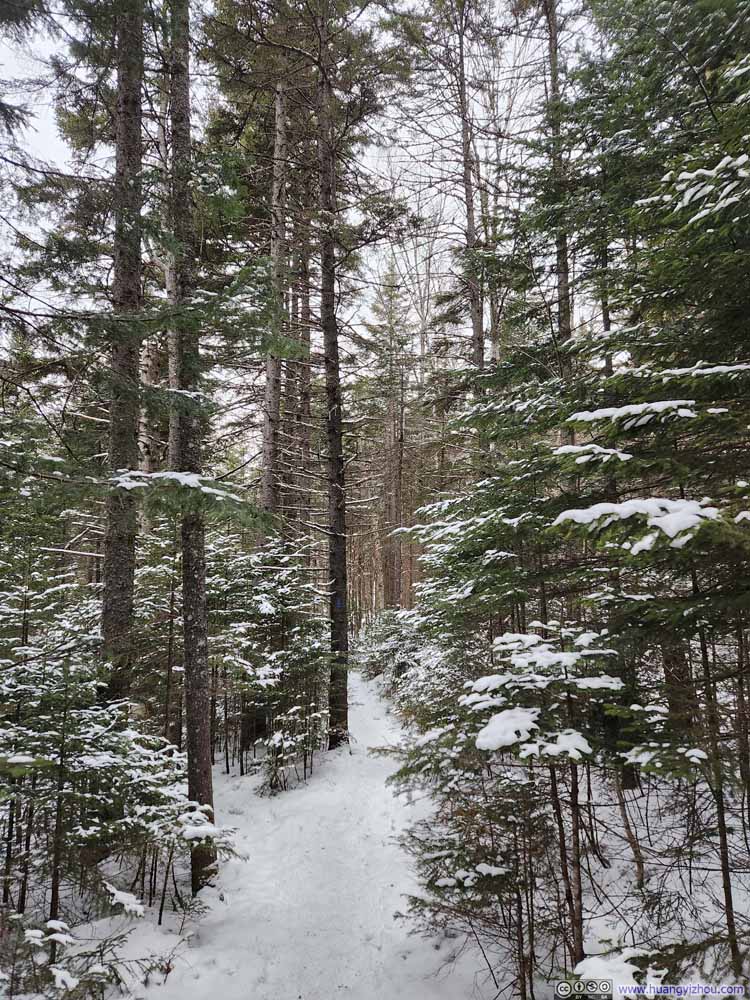 Trail
Trail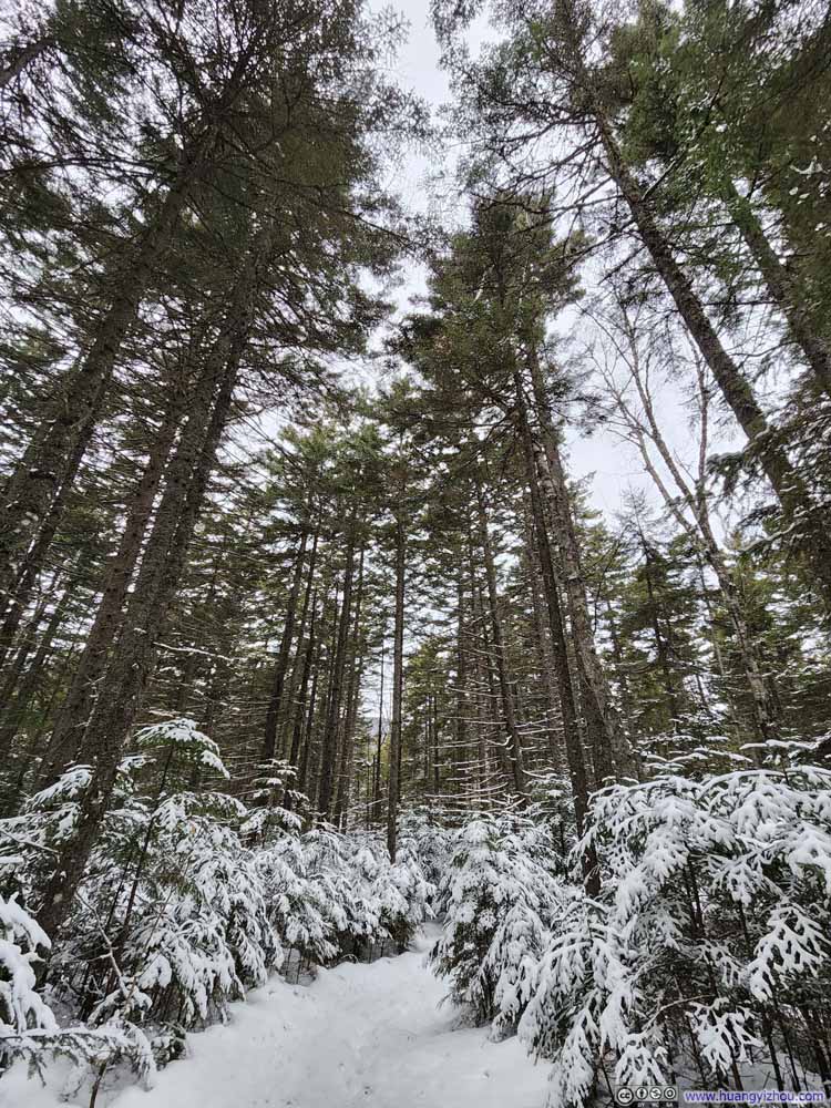 Trail
Trail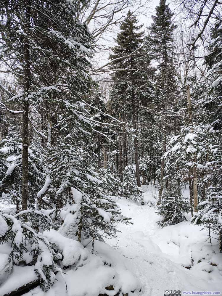 Trail
Trail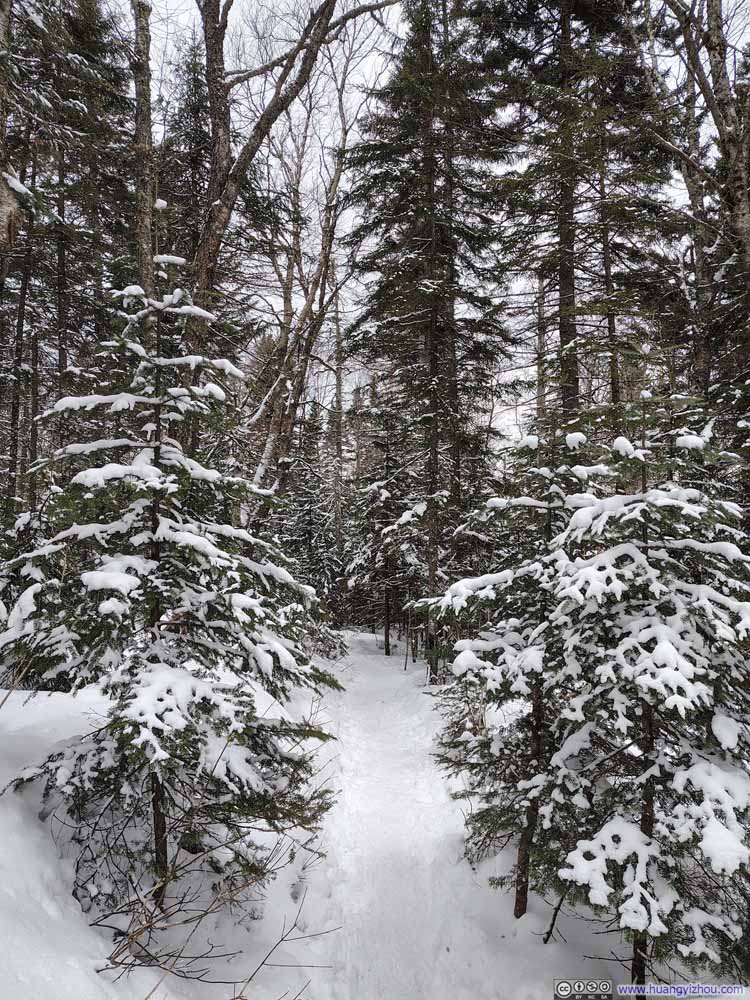 Trail
Trail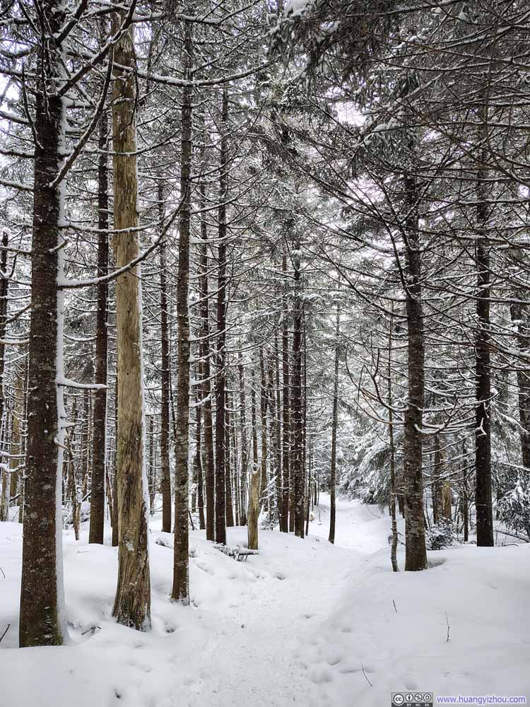 Trail
Trail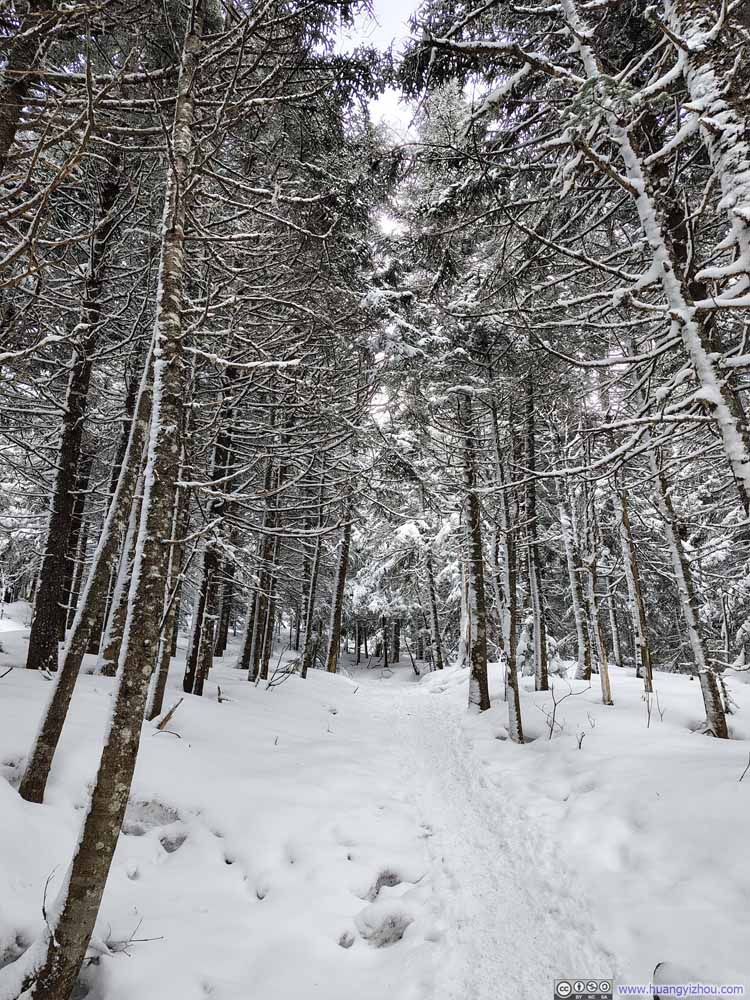 Trail
Trail Trail
Trail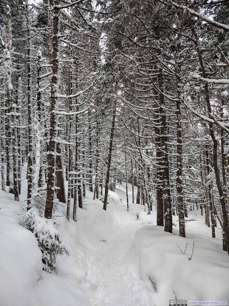 Trail
Trail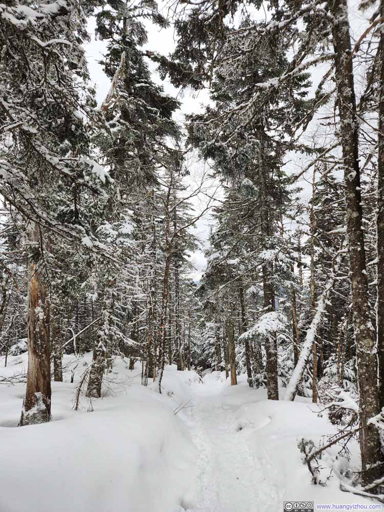 Trail
Trail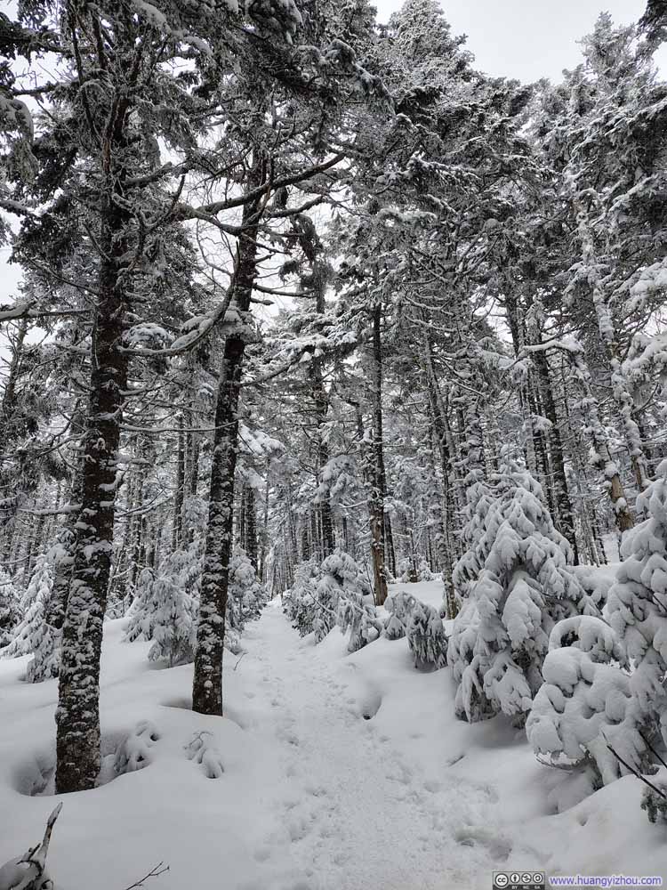 Trail
Trail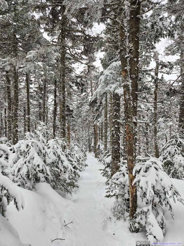 Trail
Trail
Click here to display photos of the trail.
Mt Clinton Road

Trail
Trail

Trail

Trail
Trail
Trail
Trail
Trail
Trail
Trail

Trail
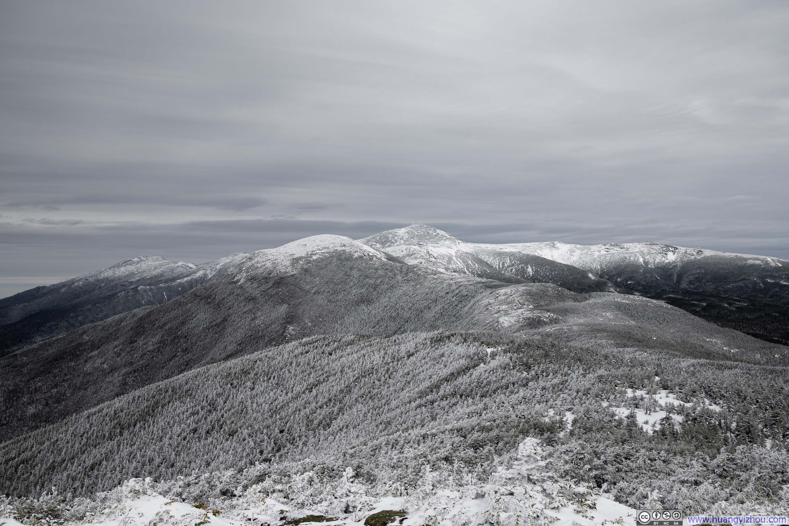
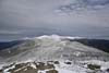
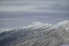
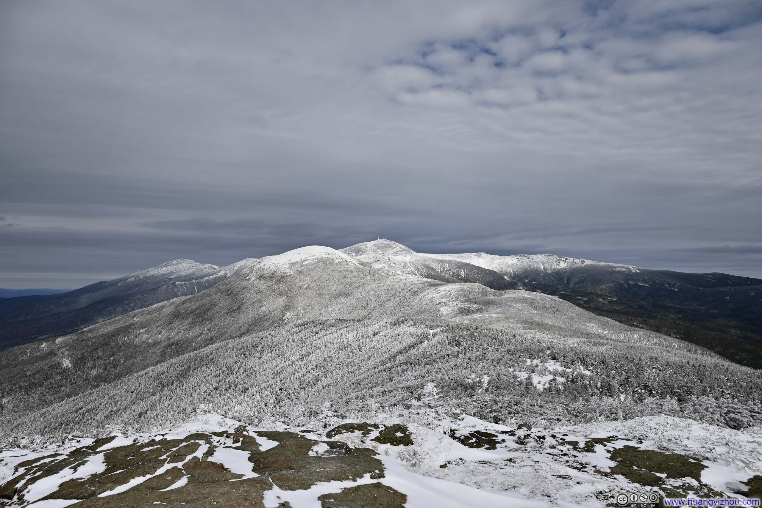
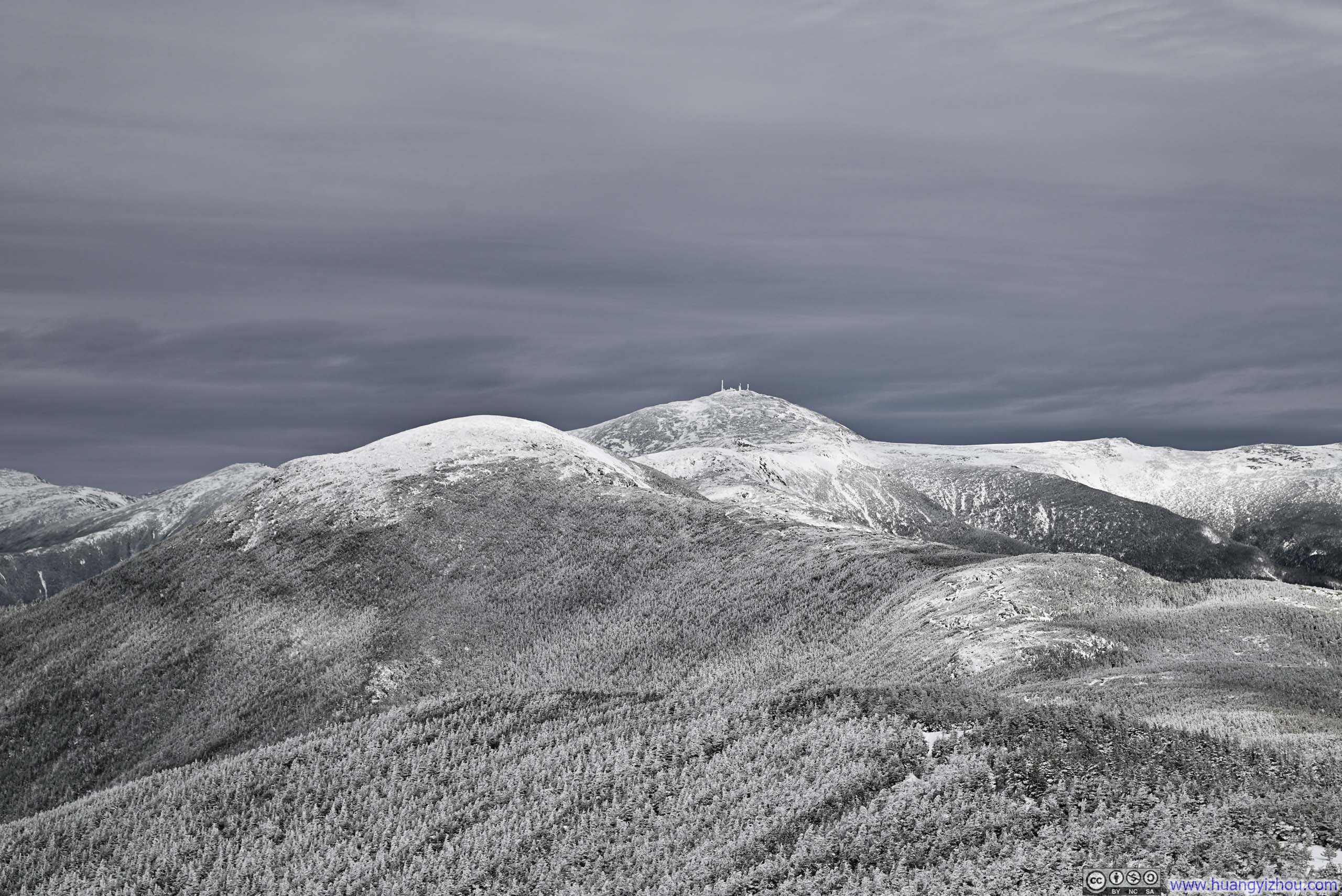
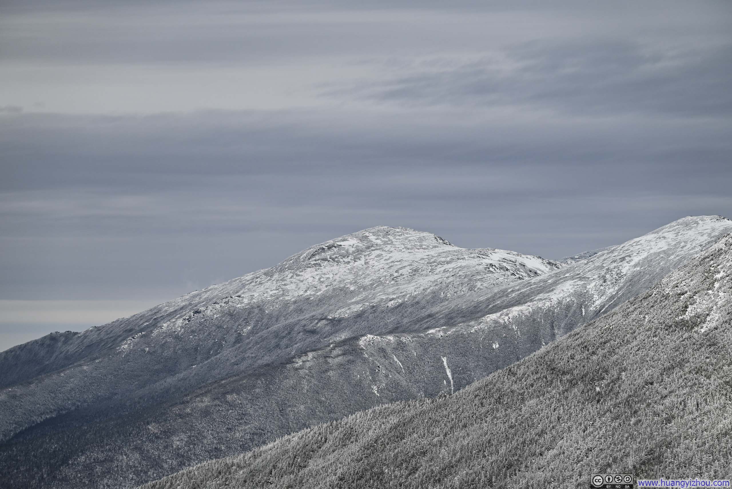
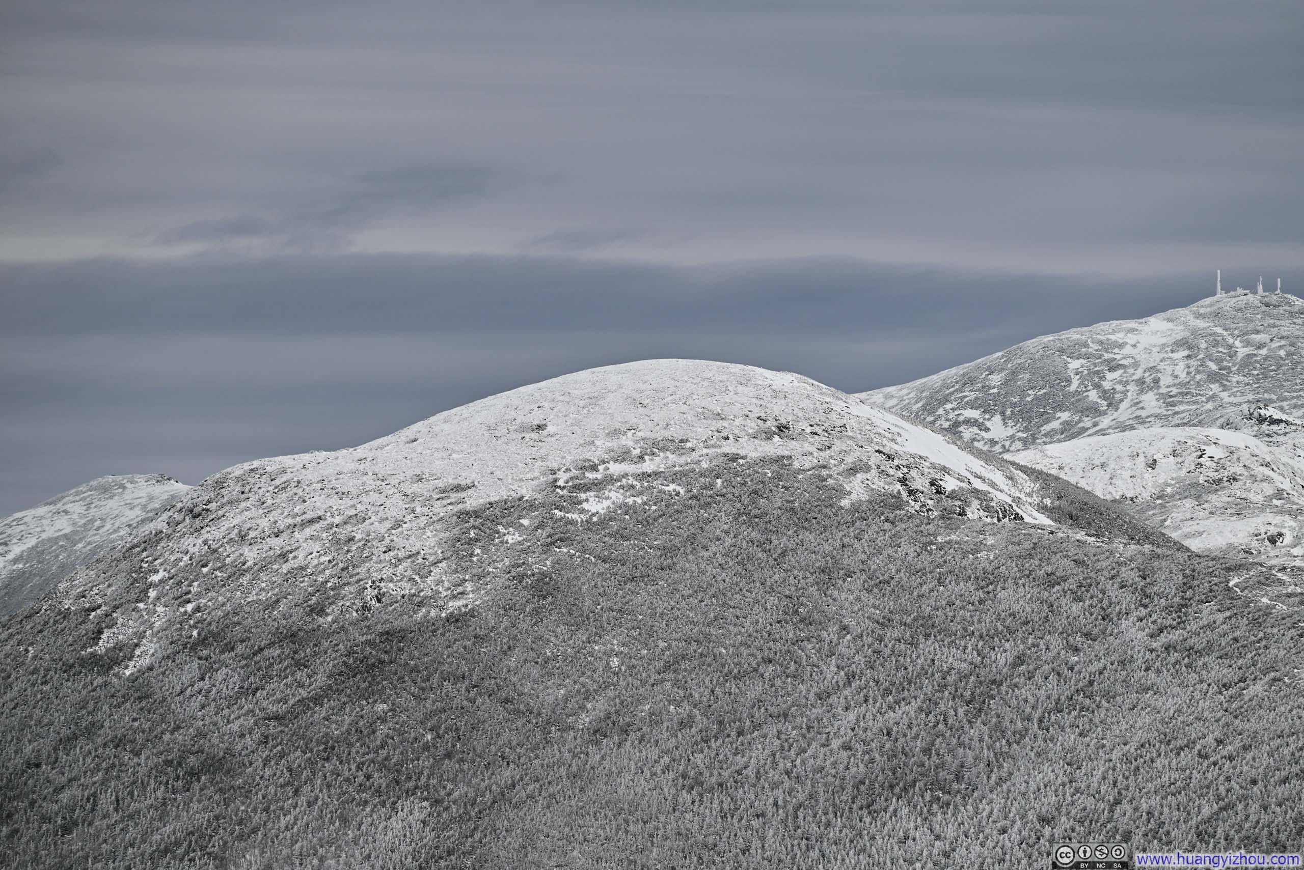
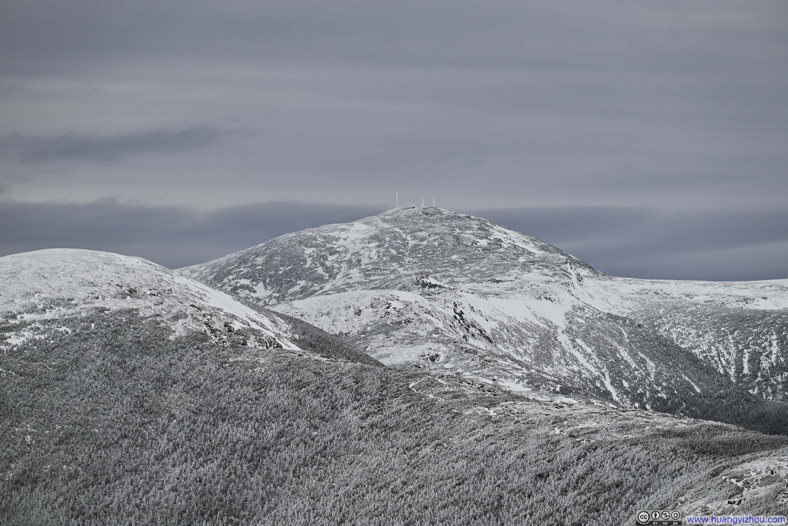
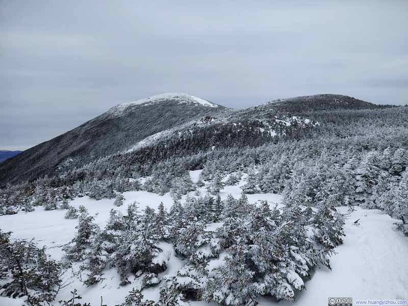
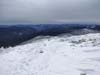
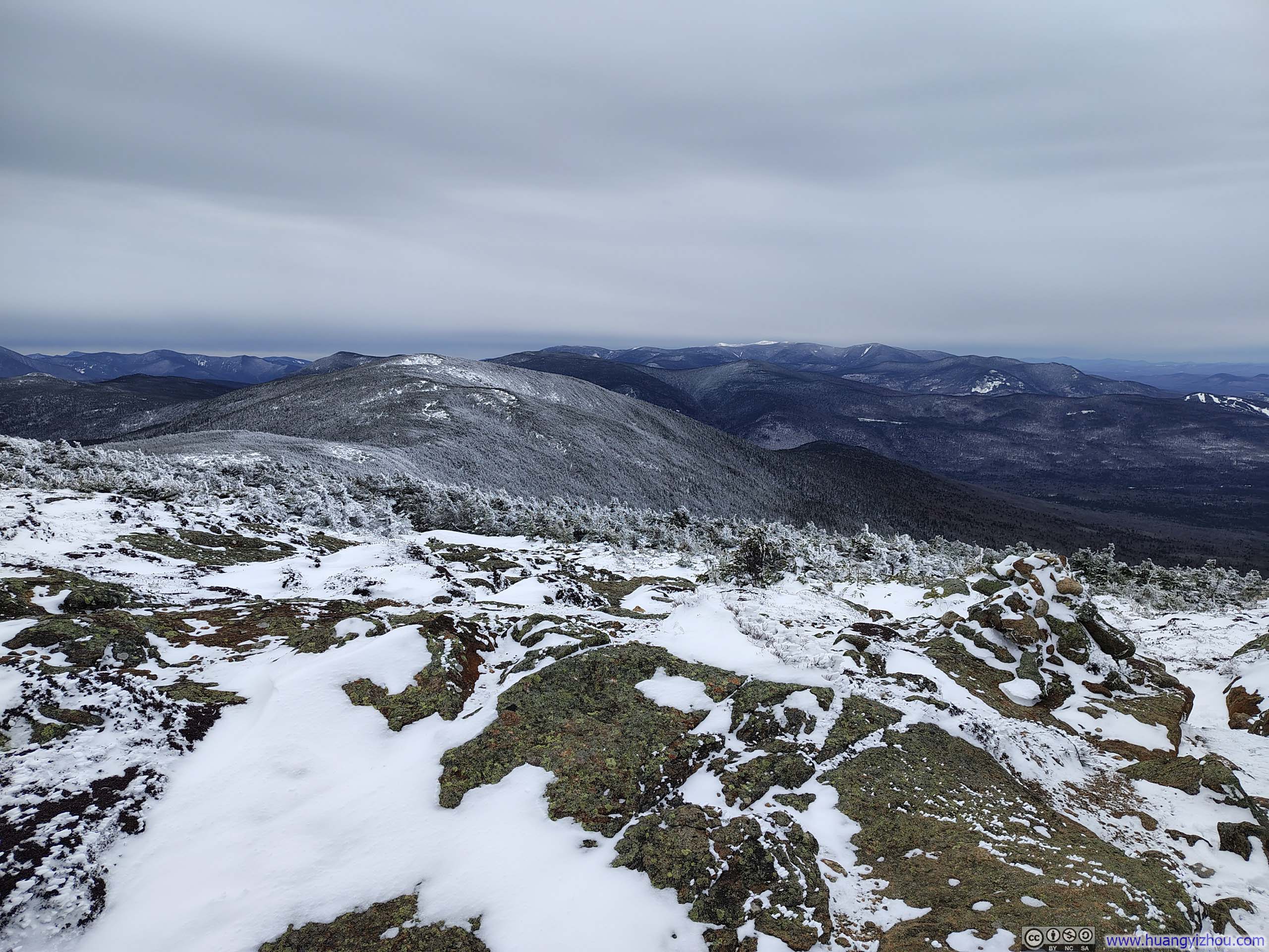
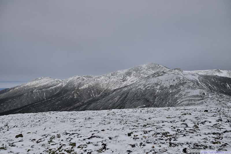
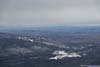
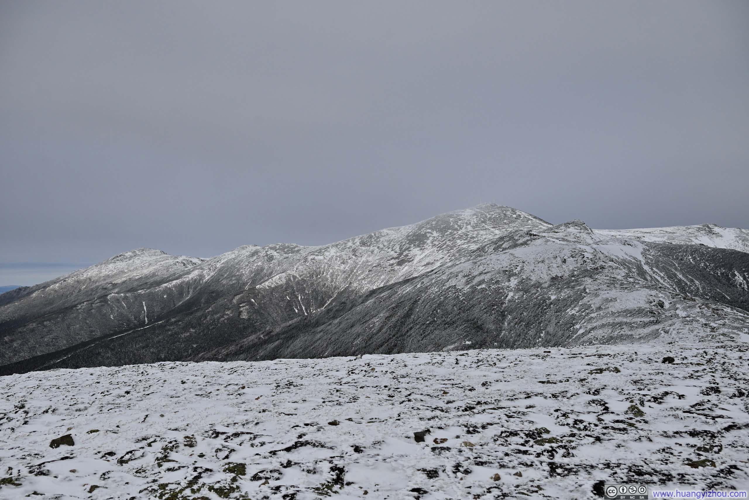
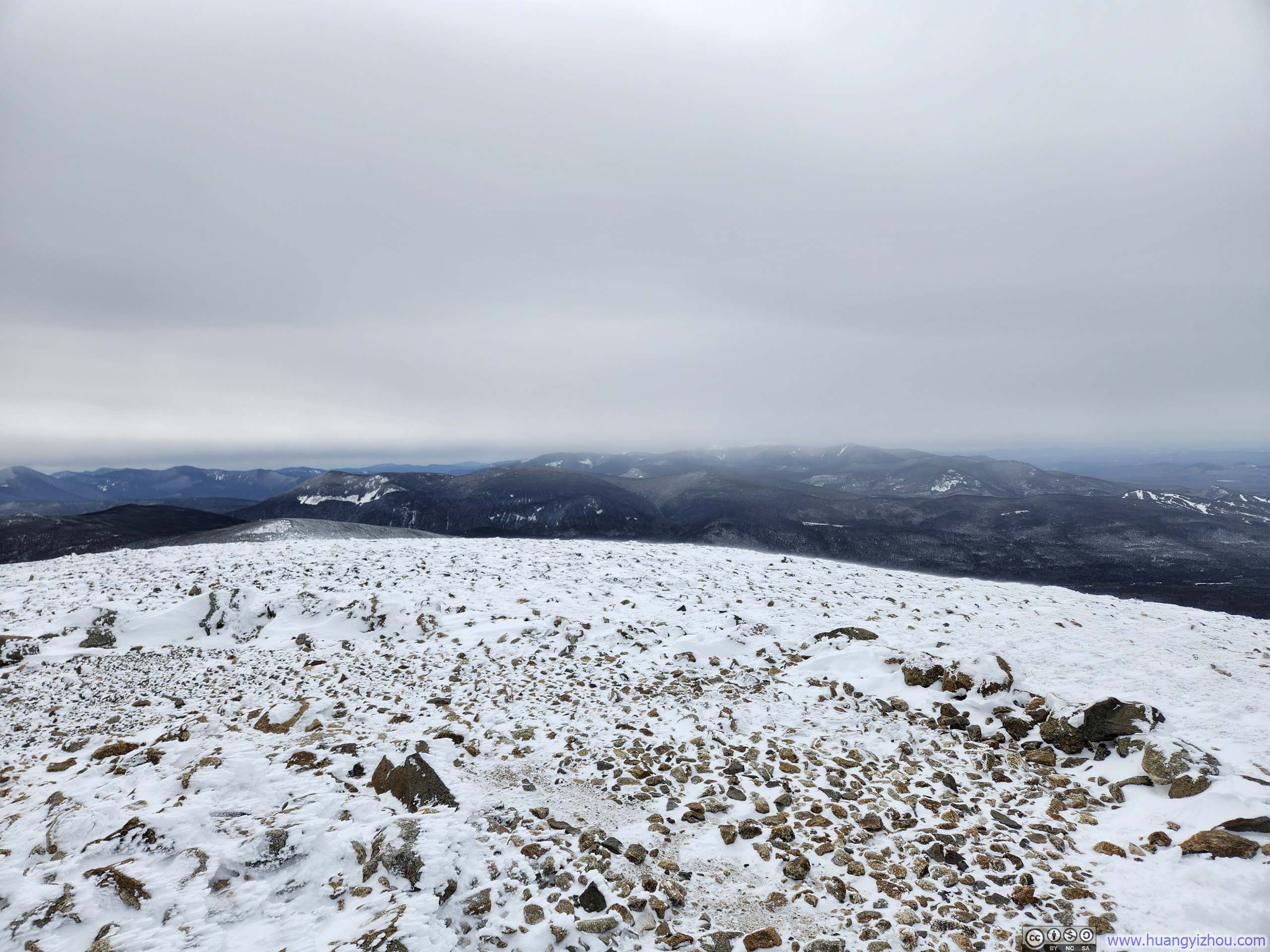
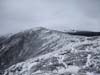
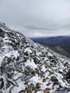
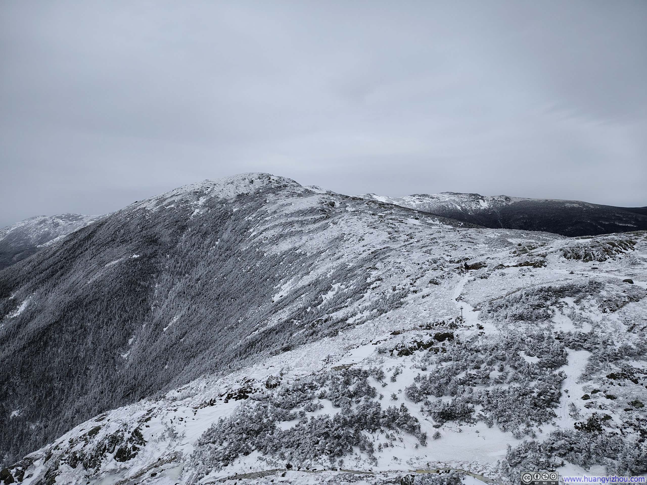
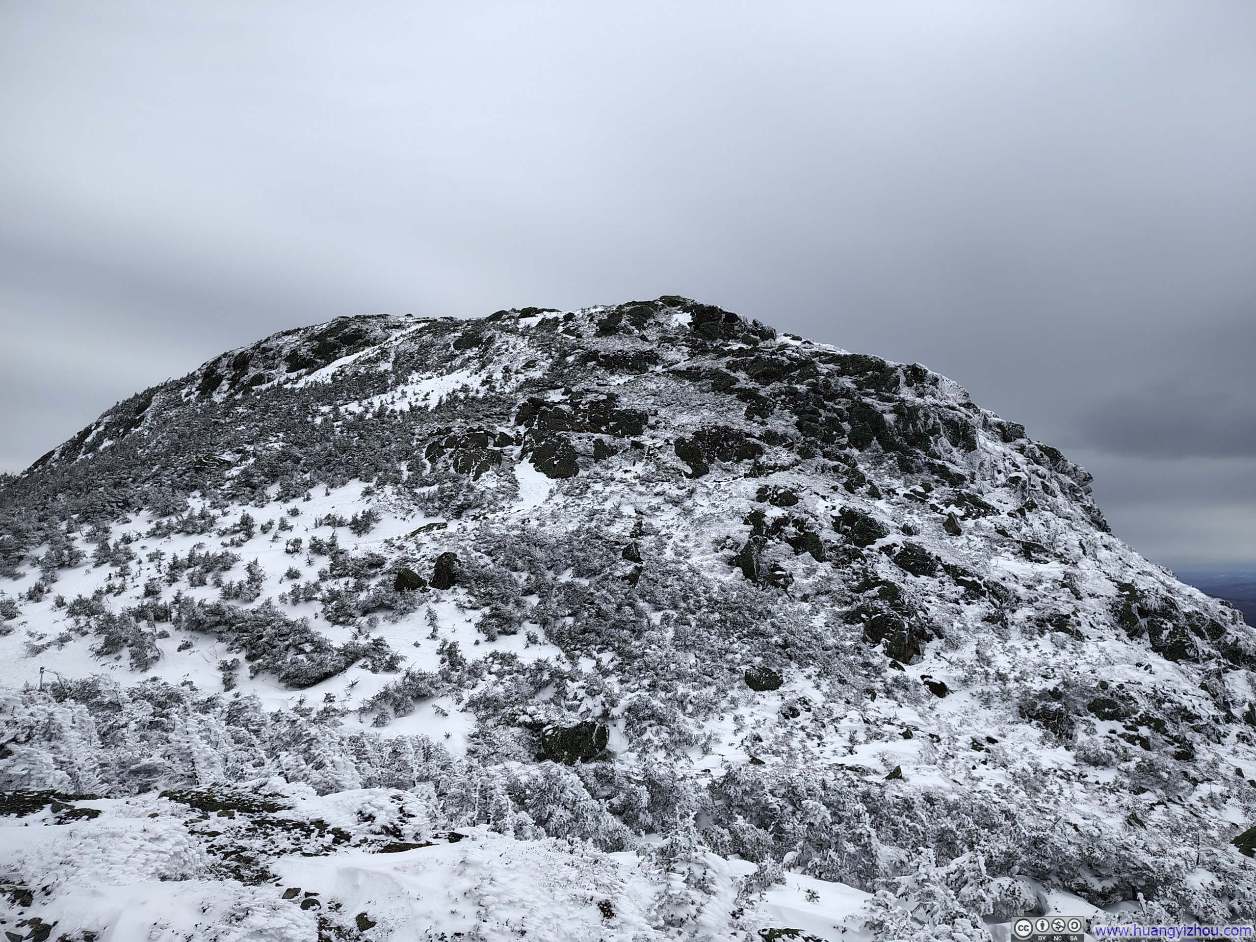
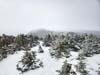
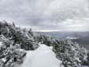
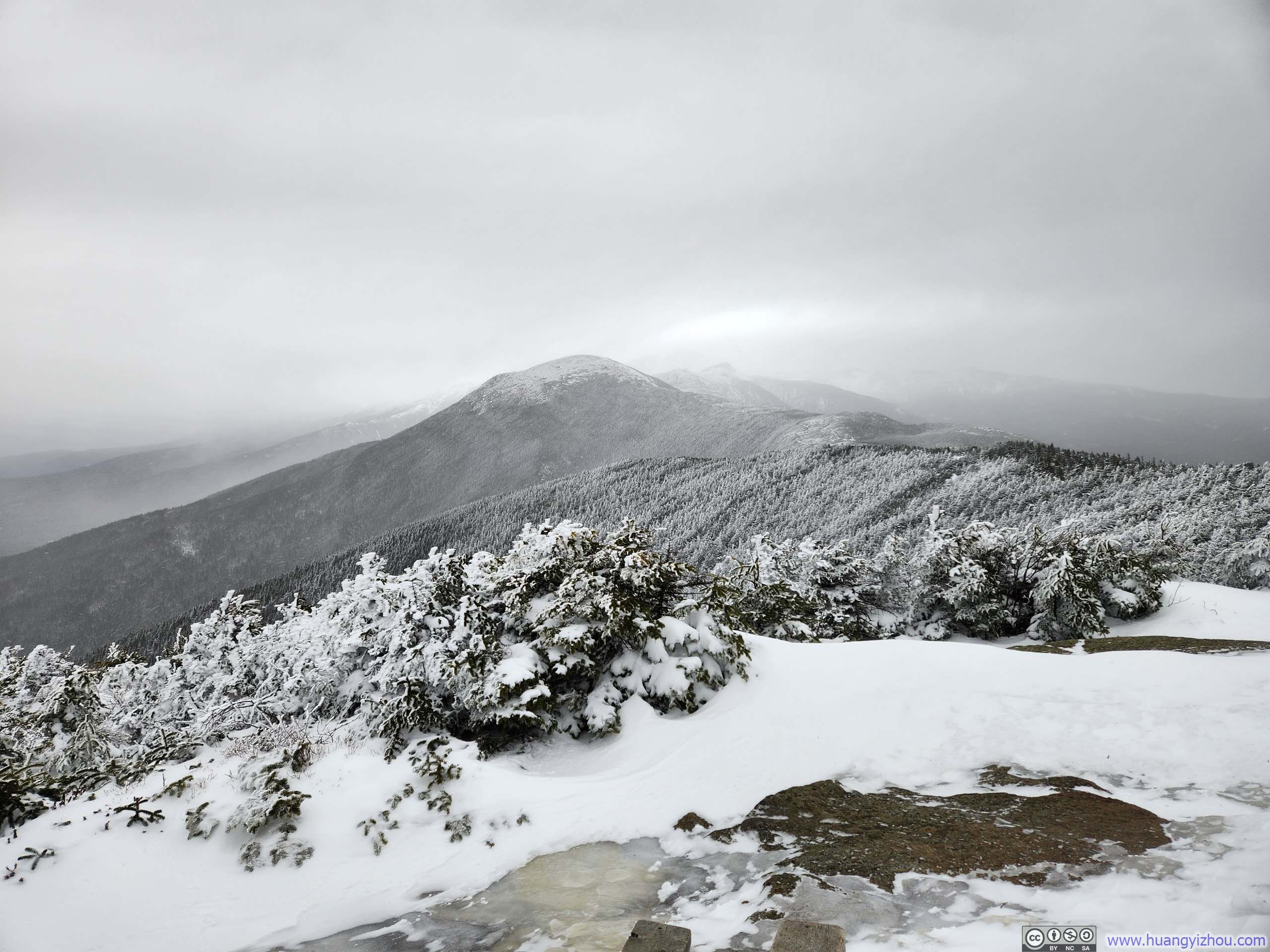
After about an hour and forty minutes on the trail, I reached the summit of Mt Pierce just before 1pm. The summit itself was not especially prominent, and much of the western view was screened by vegetation. But that hardly mattered, for the finest sight lay to the east: the snow-capped Presidential Range, with Mt. Washington taking center stage.
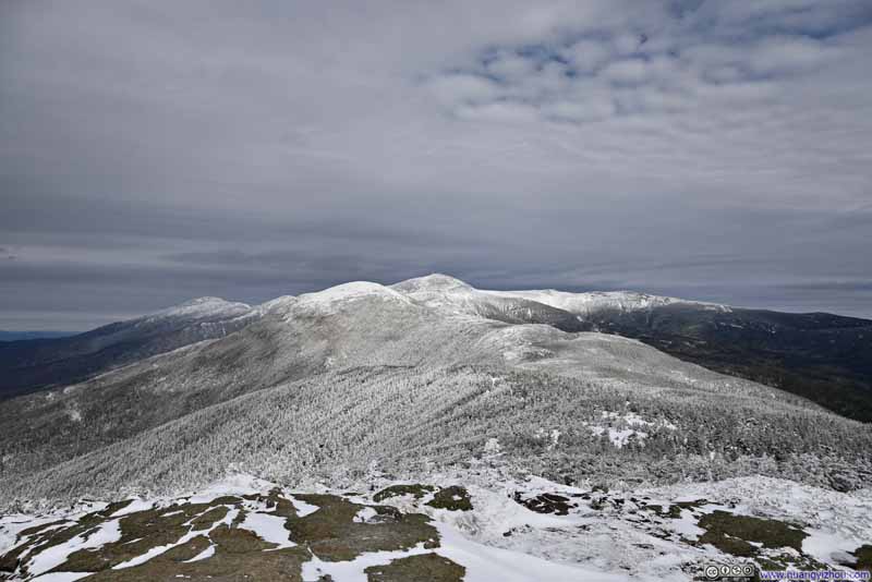 Presidential Range
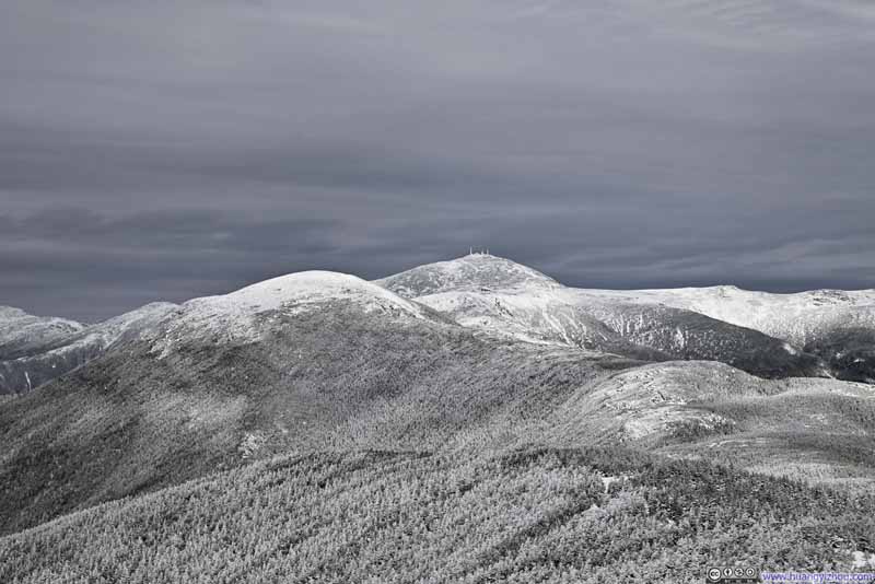 Presidential Range
 Mt Jefferson
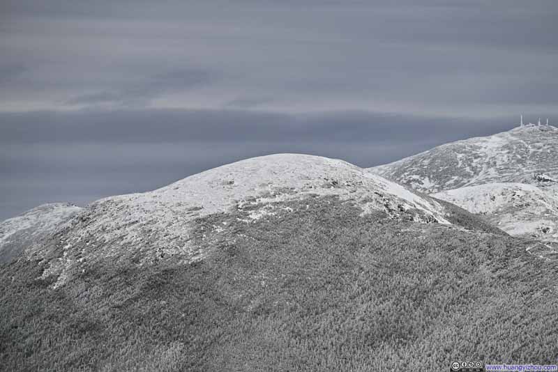 Mt Eisenhower
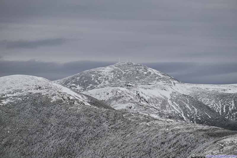 Mt Washington
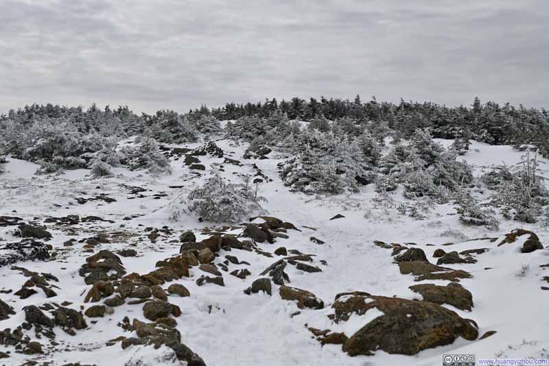 Path to Mt Pierce Summit
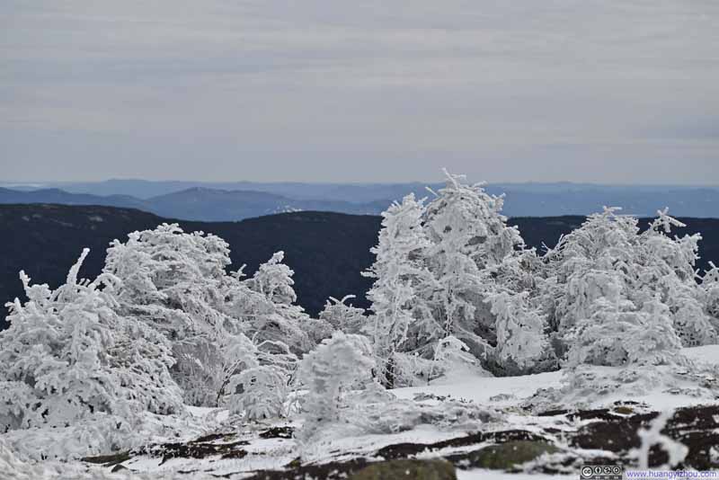 Ice-Covered Plants on Mt Pierce
Click here to display photos on Mt Pierce.
Presidential Range
Presidential Range
Mt Jefferson
Mt Eisenhower
Mt Washington
Path to Mt Pierce Summit
Ice-Covered Plants on Mt Pierce
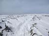
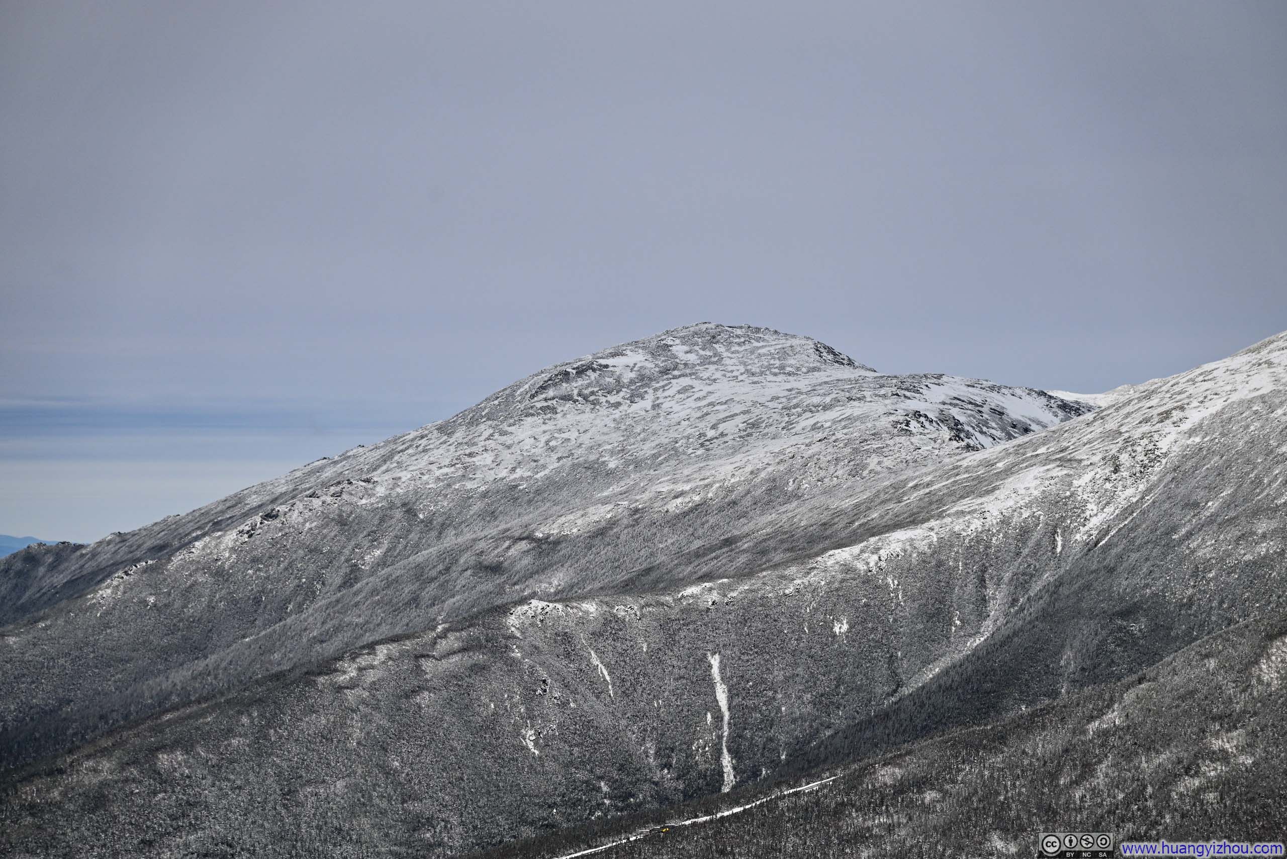
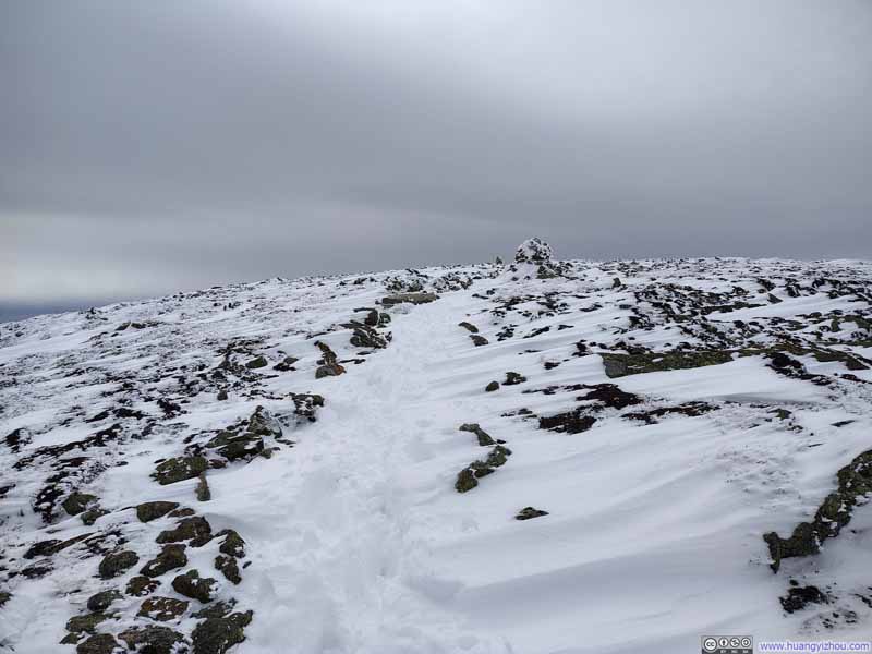
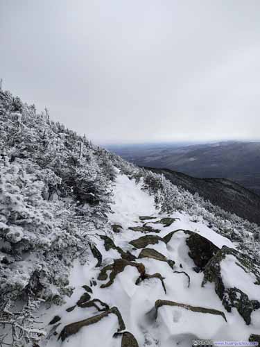
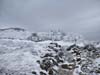
The hour was still early, with some 6 hours of daylight remaining, so after about twenty minutes atop Mt Pierce, I slipped on my microspikes and decided to continue along Crawford Path toward Mt Eisenhower. The stretch of trail between the two mountains held a few icy patches, making microspikes essential.
 Mt Eisenhower from Trail
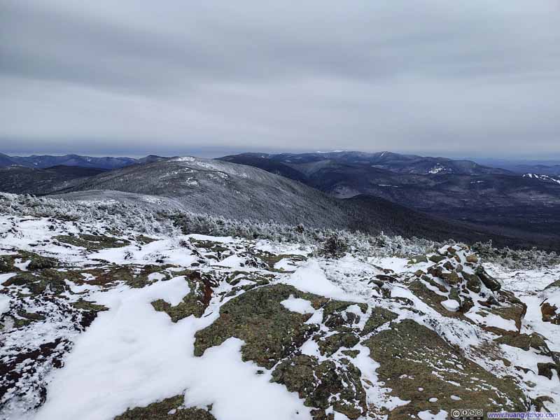 Trail from Mt Pierce
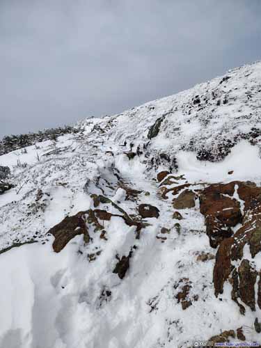
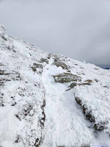 Trail to Mt Eisenhower
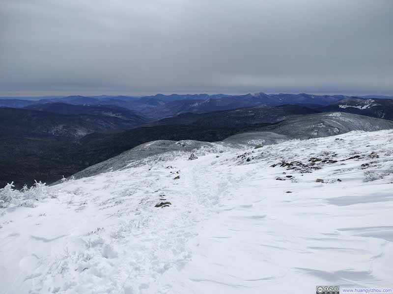 Trail near Mt Eisenhower
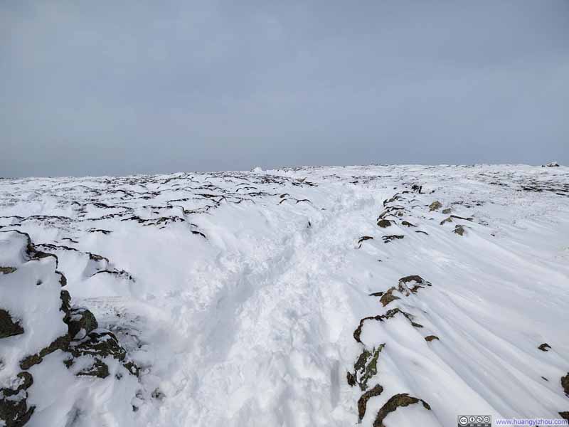 Trail near Mt Eisenhower
Click here to display photos of the slideshow
Mt Eisenhower from Trail
Trail from Mt Pierce
 Trail to Mt Eisenhower
Trail near Mt Eisenhower
Trail near Mt Eisenhower
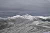
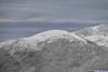
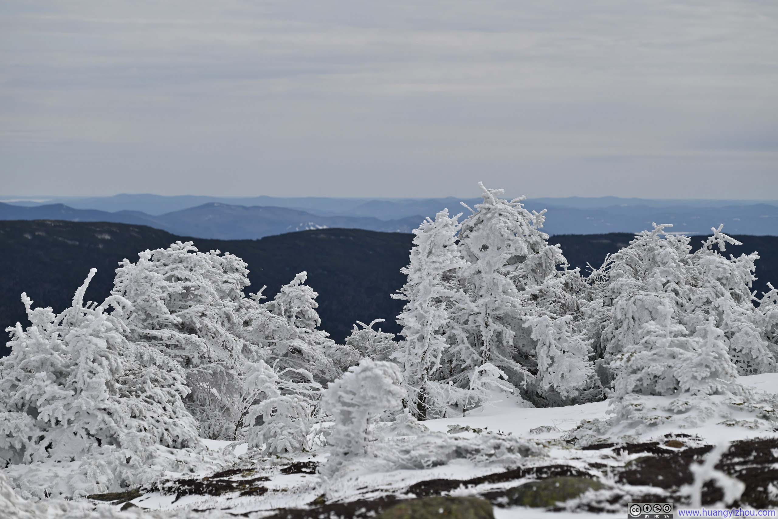
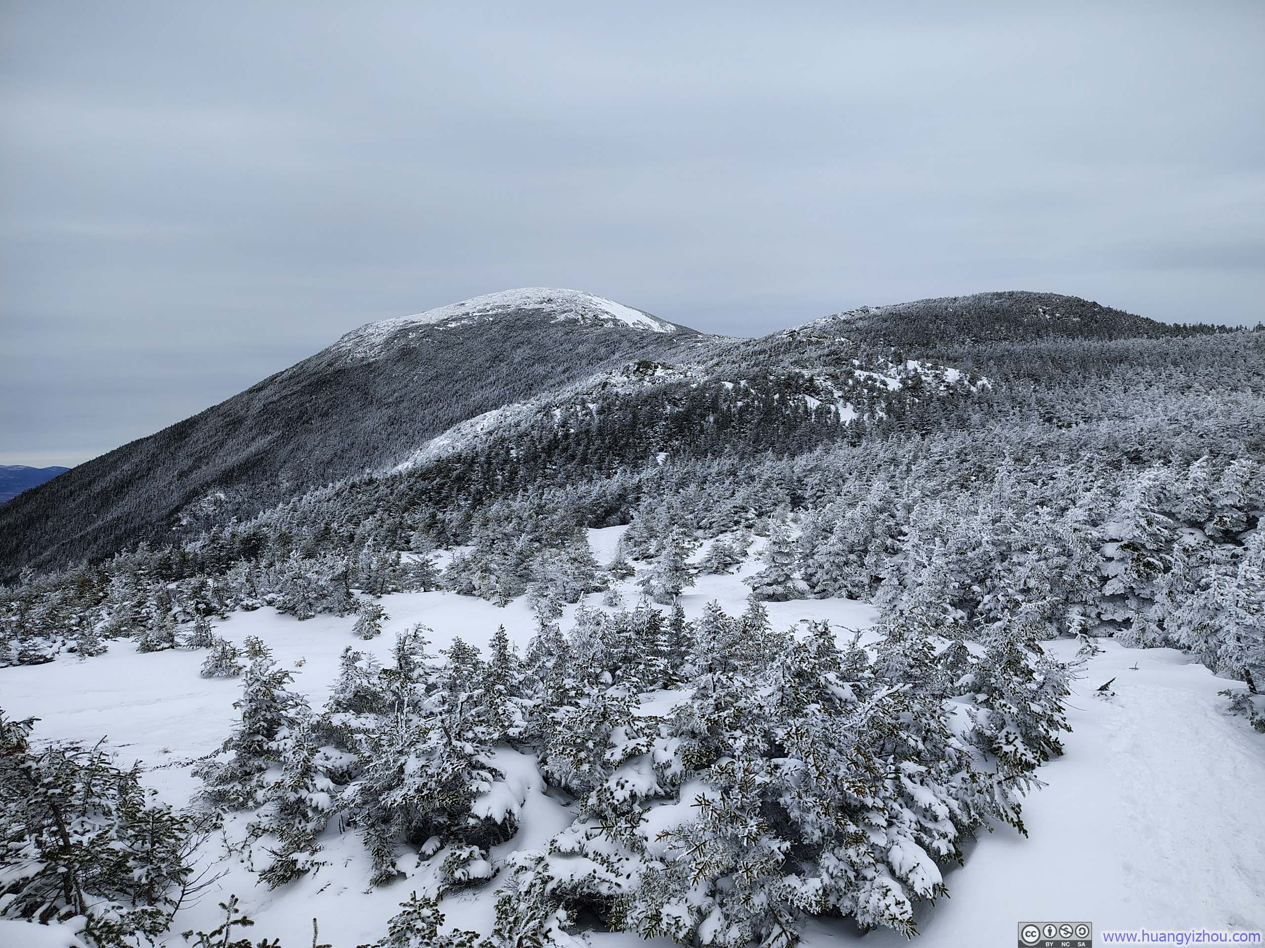
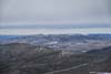
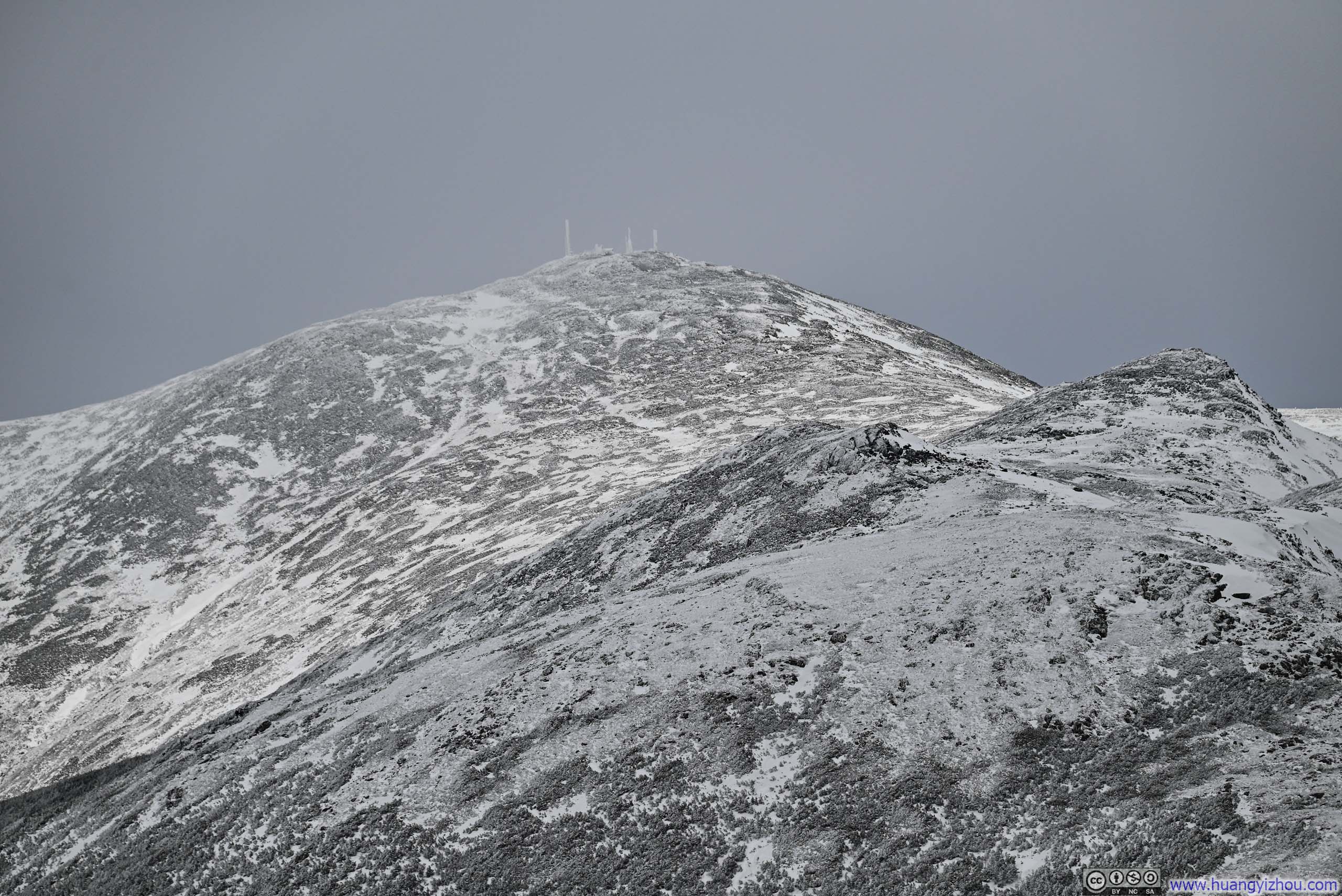
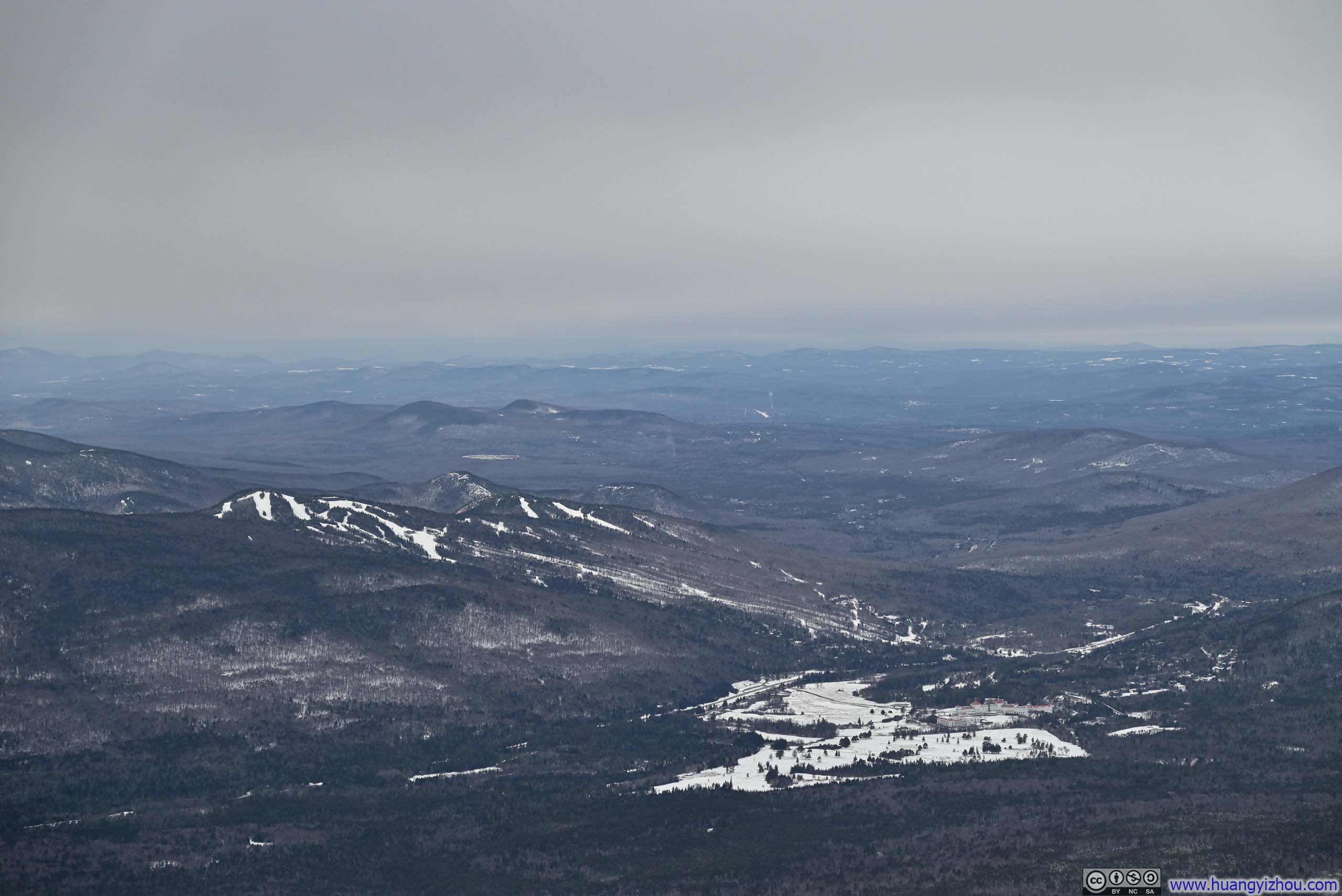
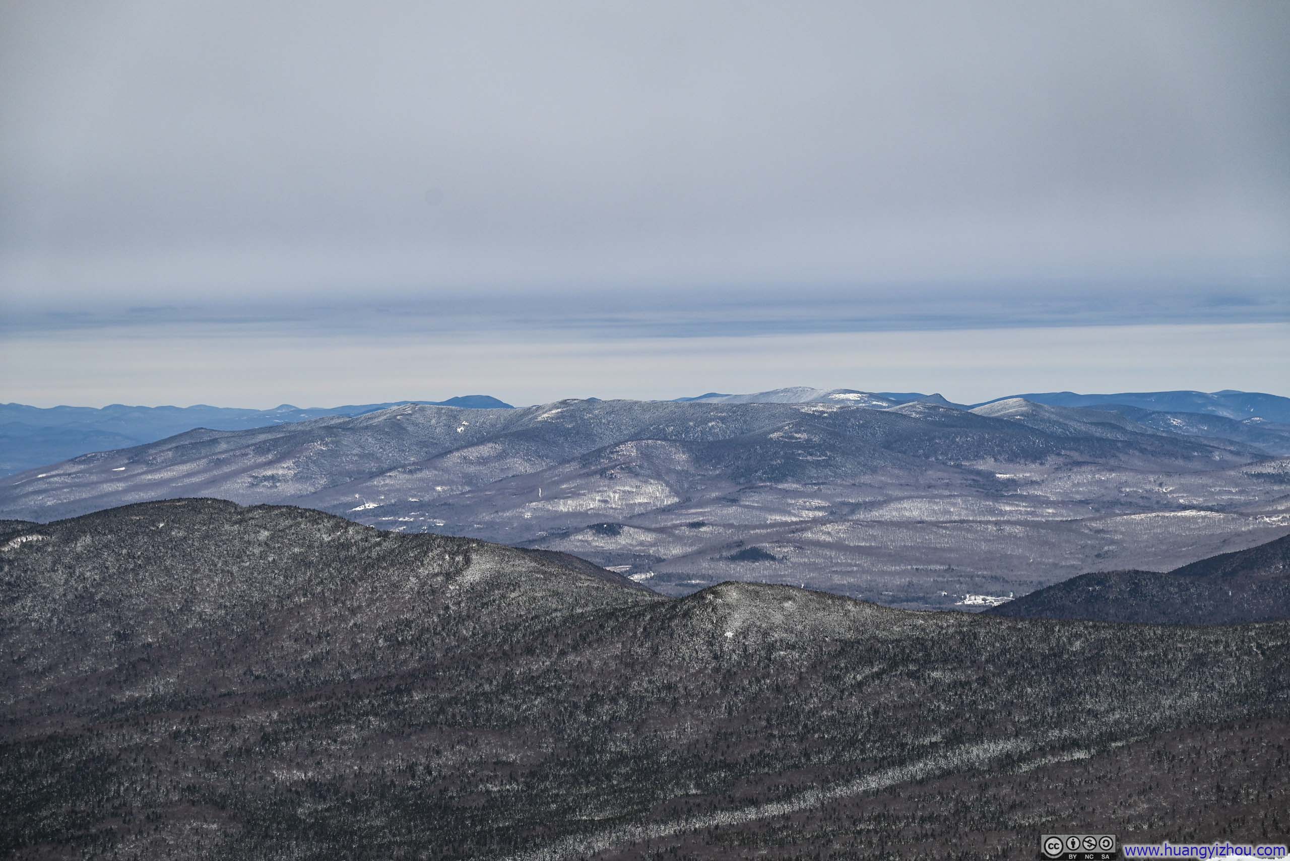
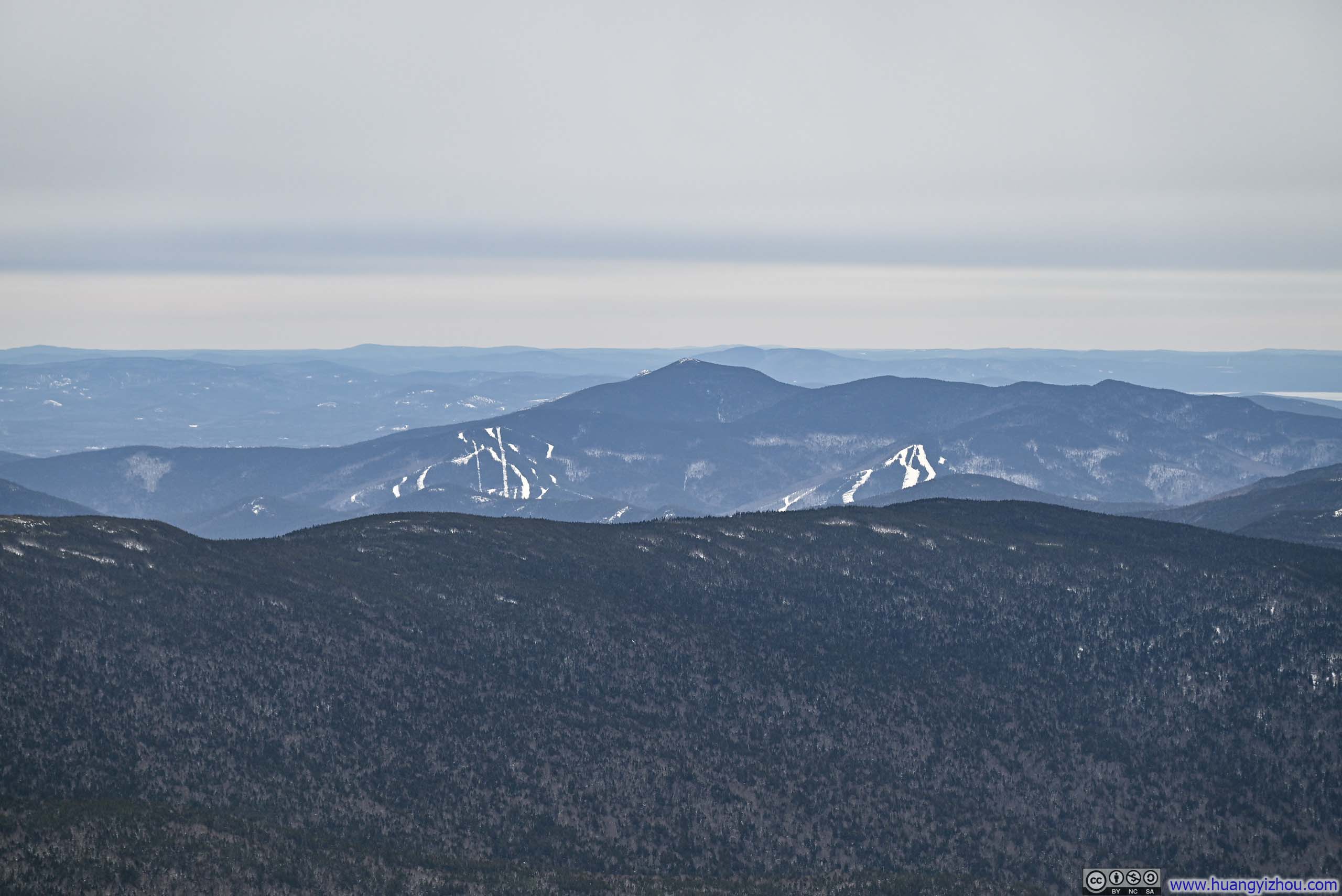
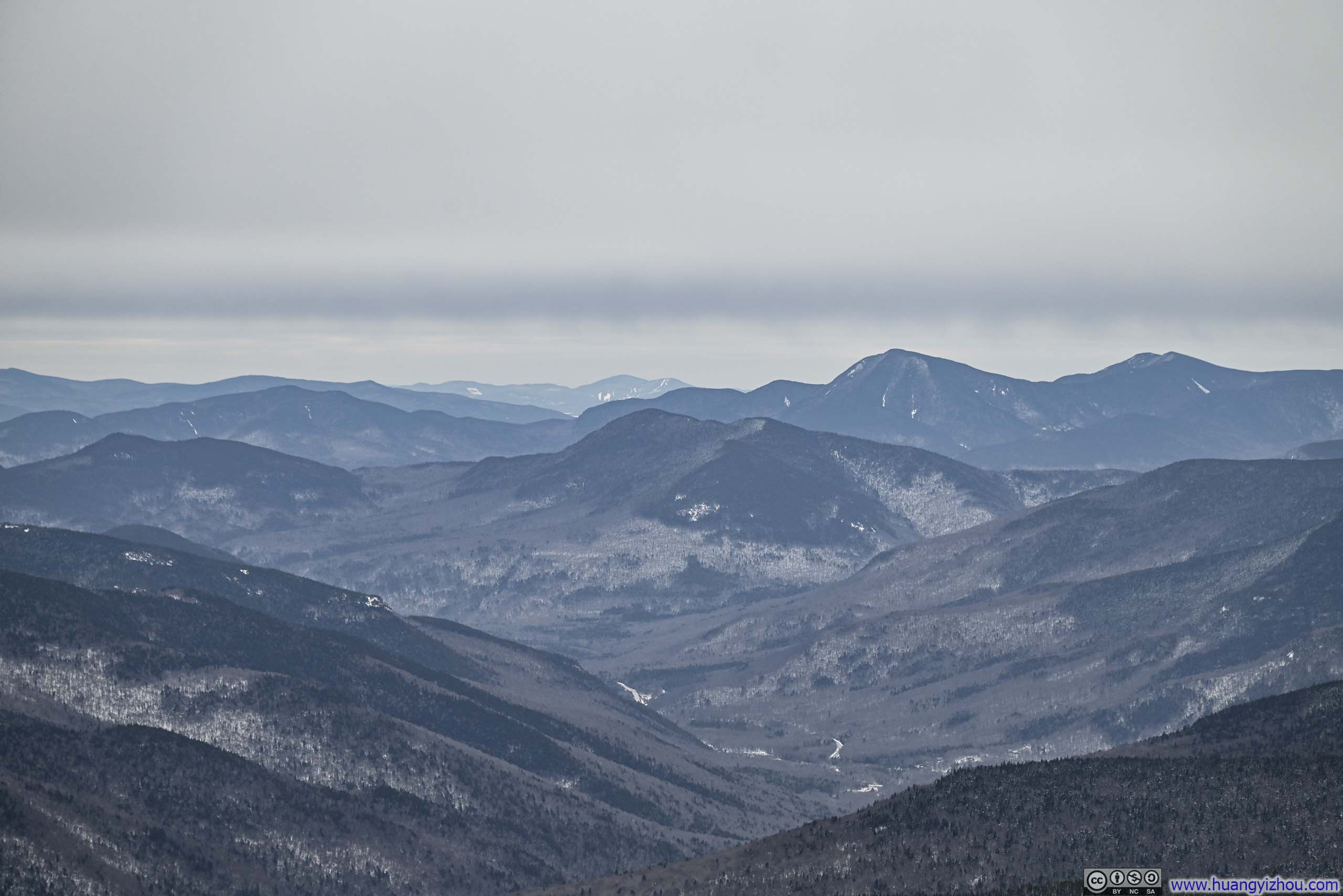
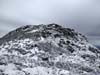
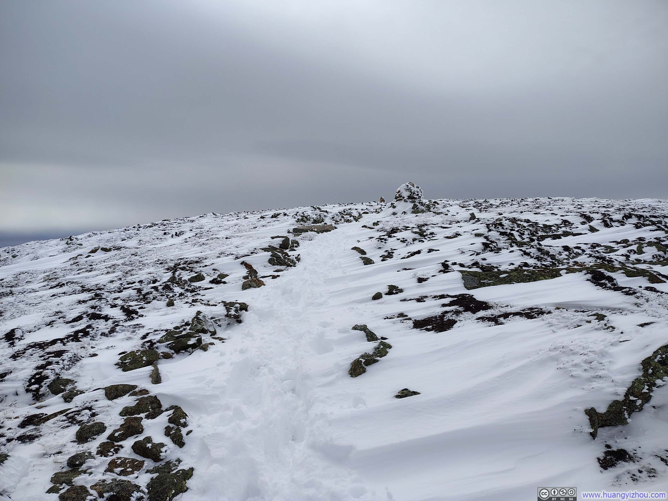
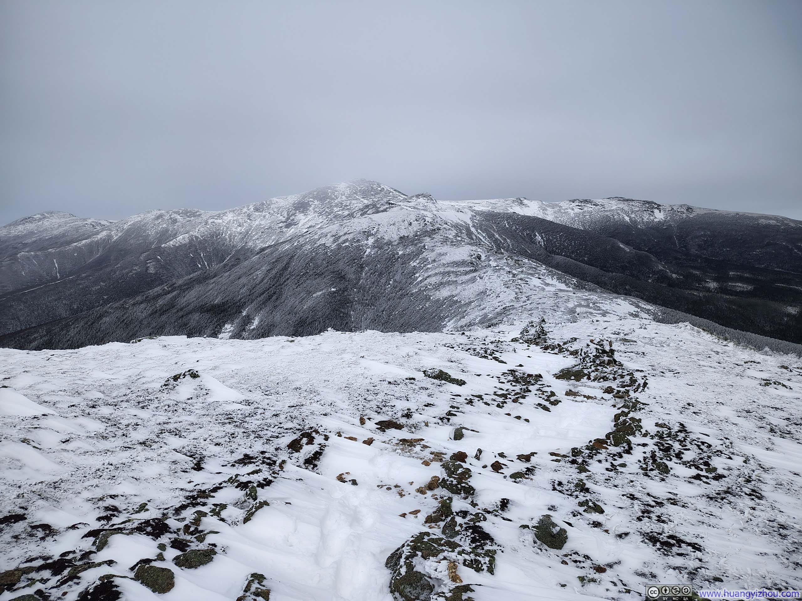
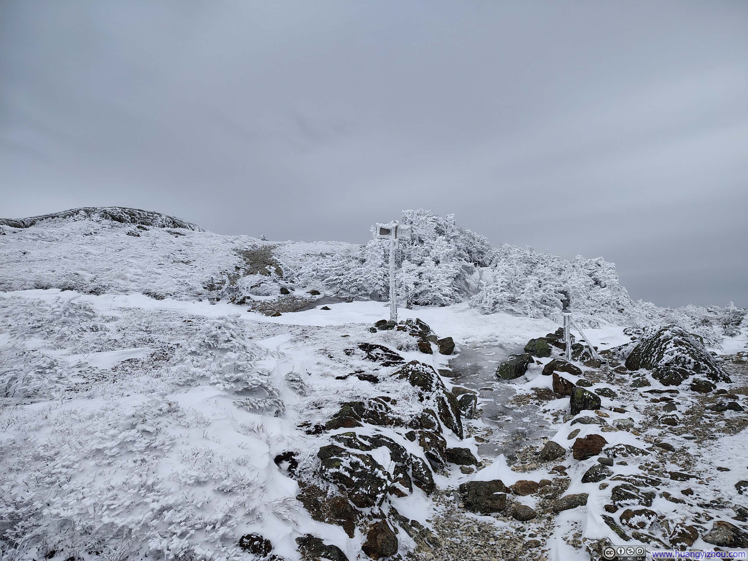
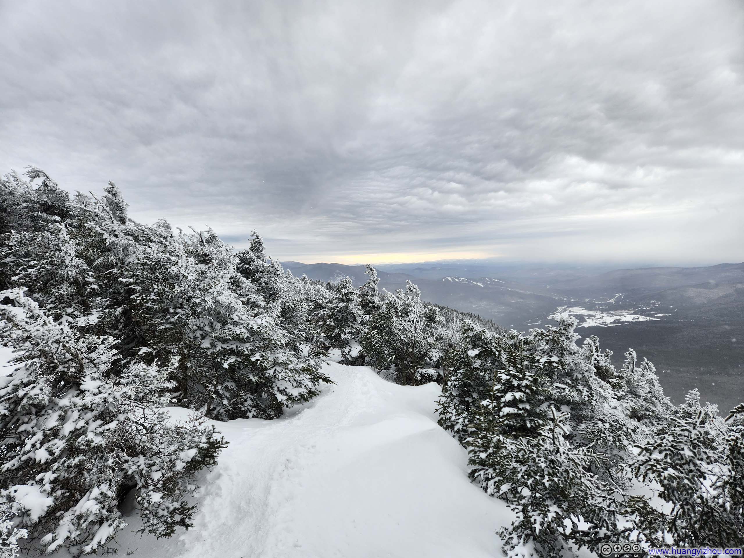
The traverse from Mt Pierce to Mt Eisenhower took me about an hour, and I reached the summit of Mt Eisenhower at 2:20pm. Higher than Mt Pierce and completely above the treeline, Mt Eisenhower commanded unobstructed 360-degree views, far more exhilarating than those from Mt Pierce.
 Northern Presidential Range from Mt Eisenhower
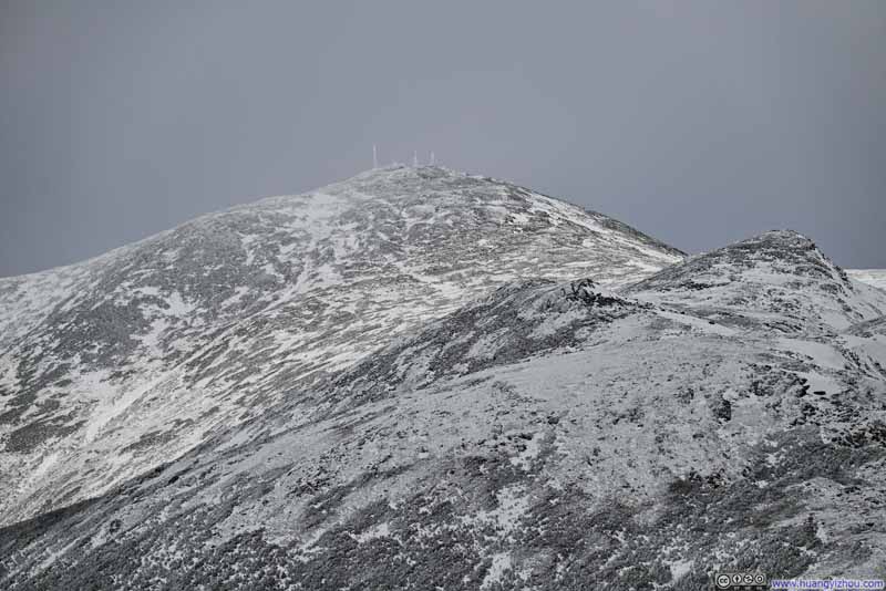 Mt Washington
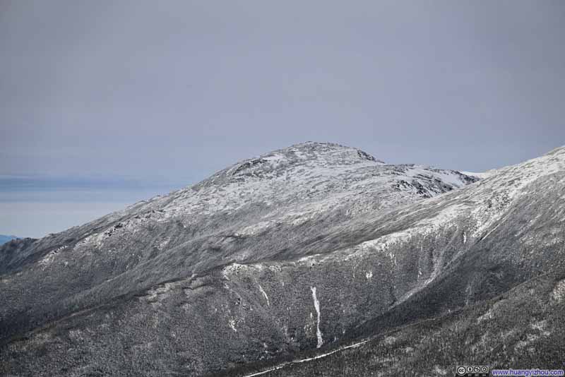 Mt Jefferson
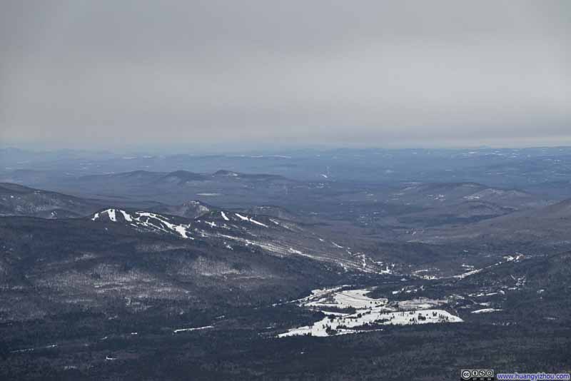 Bretton Woods Resort
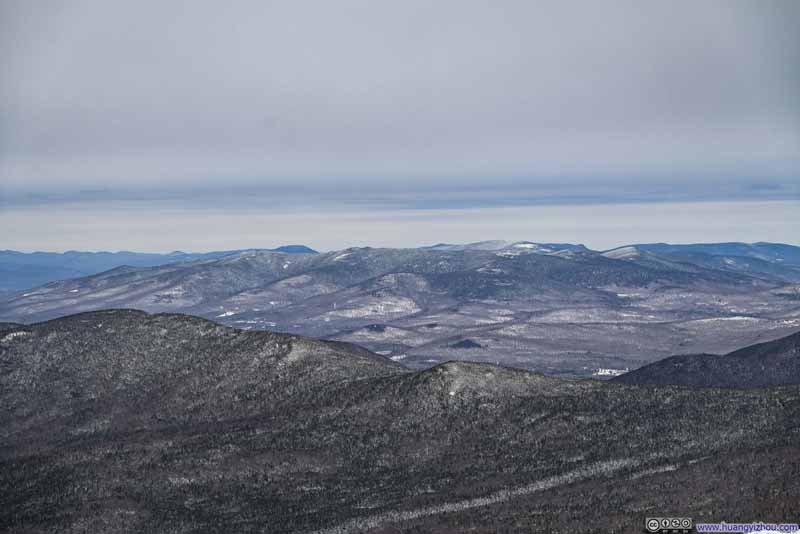 Mountains to the North
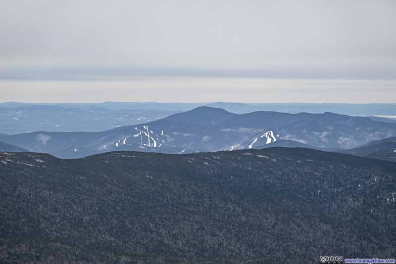 Mountains to the SouthNorth Moat Mountain, and Attitash Resort.
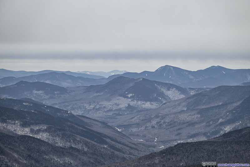 Mountains to the South
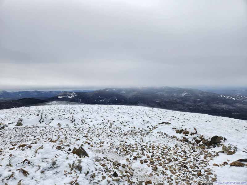 Summit Area of Mt Eisenhower
Click here to display photos from Mt Eisenhower.
Northern Presidential Range from Mt Eisenhower
Mt Washington
Mt Jefferson
Bretton Woods Resort
Mountains to the North
Mountains to the SouthNorth Moat Mountain, and Attitash Resort.
Mountains to the South
Summit Area of Mt Eisenhower
Here’s a video I took at the summit of Mt. Eisenhower:
15 seconds, 2160p30fps, H265 only, 16Mbps/33MB file size. Audio track features heavy wind noise.
Unfortunately, the wind at the summit was fierce, and the moment I stopped moving, the windchill quickly caught up with me. So I stayed on Mt. Eisenhower for only about 10 minutes before setting off again, hoping that walking would restore some warmth to my body.
I checked the weather forecast before leaving home that morning, and at the time it called for no precipitation until later in the evening. But while crossing from Mount Pierce to Mount Eisenhower, I passed several groups of returning hikers who warned of an “incoming storm”, a warning I mostly brushed aside. Still, the strong southeast wind along the traverse made me a bit uncomfortable and somewhat hesitant to commit to that route again.
That is, I had planned for the option to descend Mt Eisenhower via Edmands Path, then walk back to the trailhead via Mount Clinton Road, essentially turning this into a loop hike. By the time I left Mount Eisenhower, that option seemed increasingly appealing: it was the quickest way off the Presidential Range, and thus my fastest escape from the supposedly incoming storm.
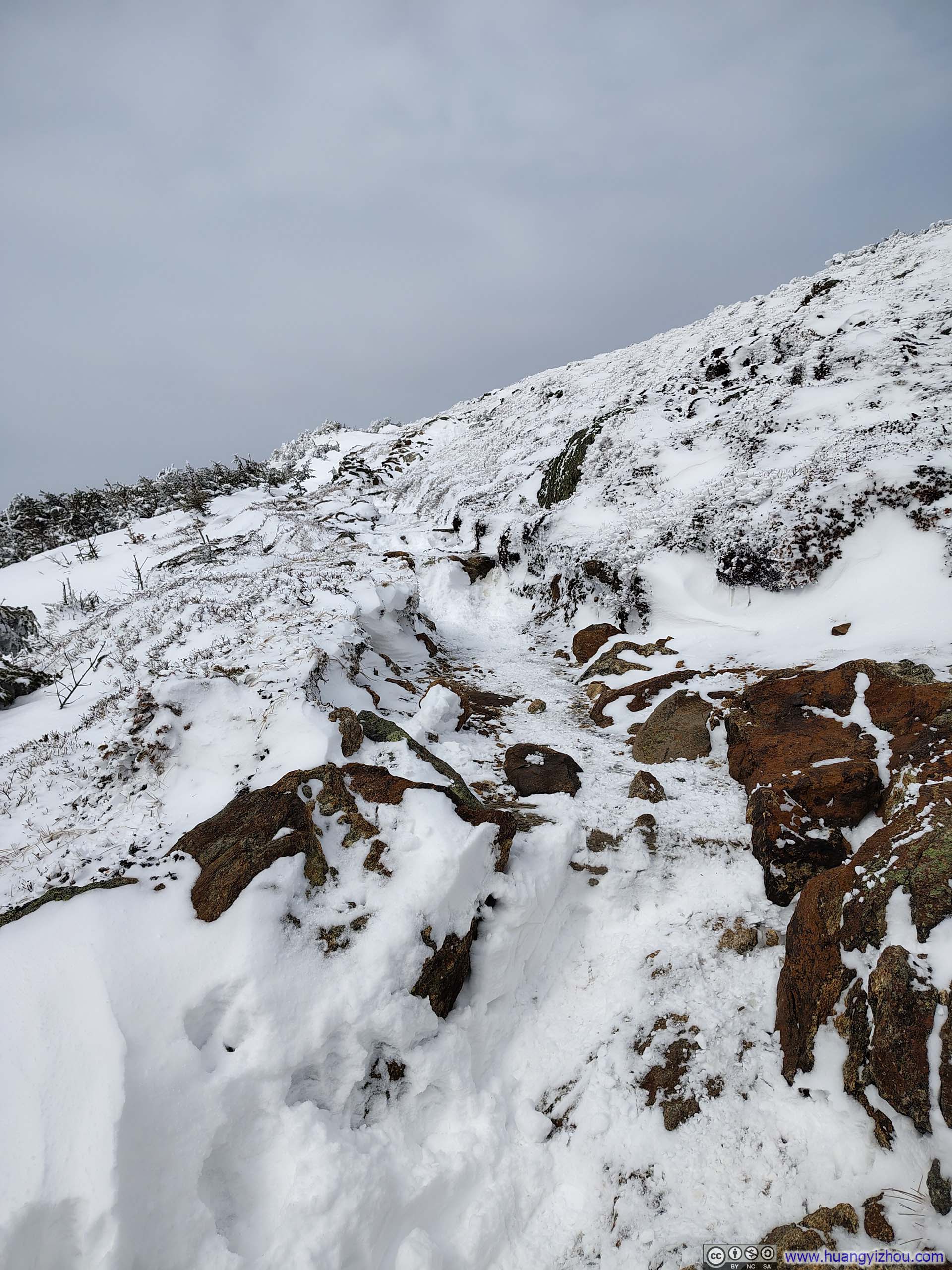
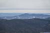
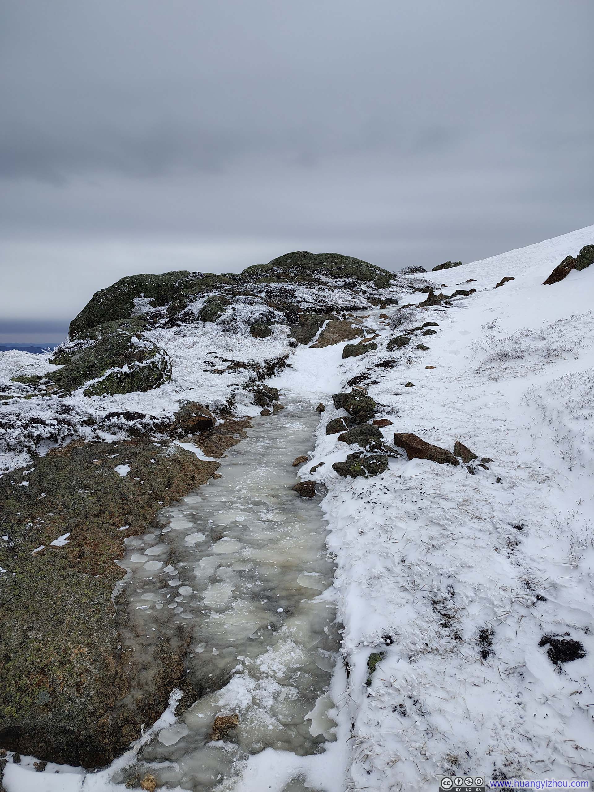
About 20 minutes later, I reached the junction of Edmands Path and Crawford Path (p4 below). Without much hesitation, I turned onto Edmands Path. It began with rocks laced with a shallow cover of snow (p7 below), but before long it gave way to a deep, unbroken expanse of white (p8 below). I hadn’t brought snowshoes on this trip, and I was postholing badly. More importantly, with no track broken ahead of me, I had no reliable sense of where the trail actually ran. I was reduced to scanning blindly for openings between the trees where a path might pass, guided only loosely by my offline GPS maps. This went on for another 20 minutes, until my path forward was seemingly completely blocked off by trees, when I realized that my pace was too slow, the experience too punishing, and with an approaching storm, the wiser choice was to cut my losses and retreat the way I had come, back down through Crawford Notch.
 Trail from Mt Eisenhower
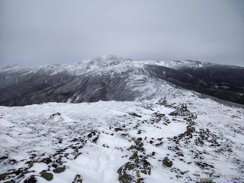 Trail from Mt Eisenhower
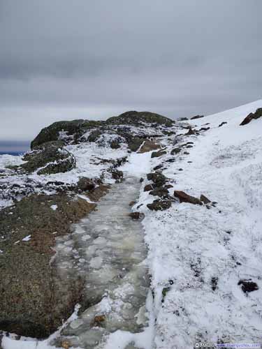
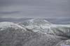
 Frozen Path down Mt Eisenhower
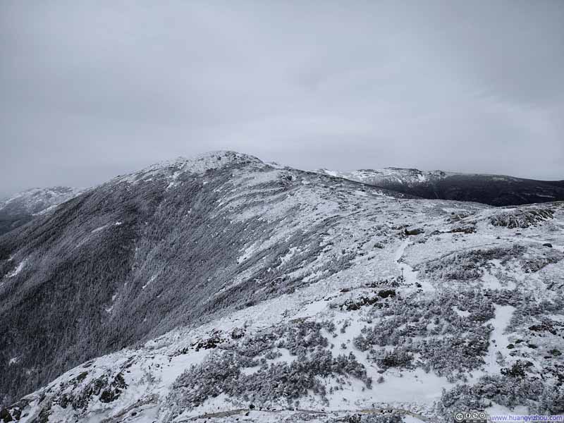 Mt Franklin
 Trail on Frozen Ice
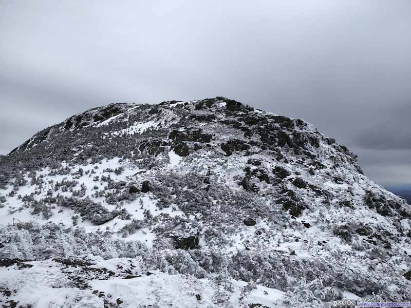 Mt Eisenhower
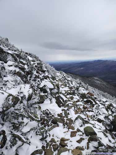
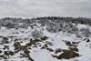
 Rocky Edmands Path
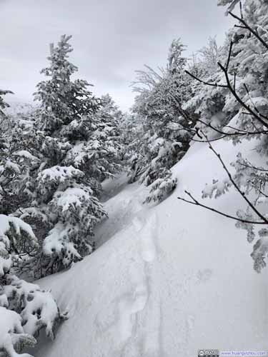
 Snow-Covered Edmands Path
Click here to display photos of the slideshow
Trail from Mt Eisenhower
Trail from Mt Eisenhower
 Frozen Path down Mt Eisenhower
Mt Franklin
Trail on Frozen Ice
Mt Eisenhower

 Rocky Edmands Path
 Snow-Covered Edmands Path
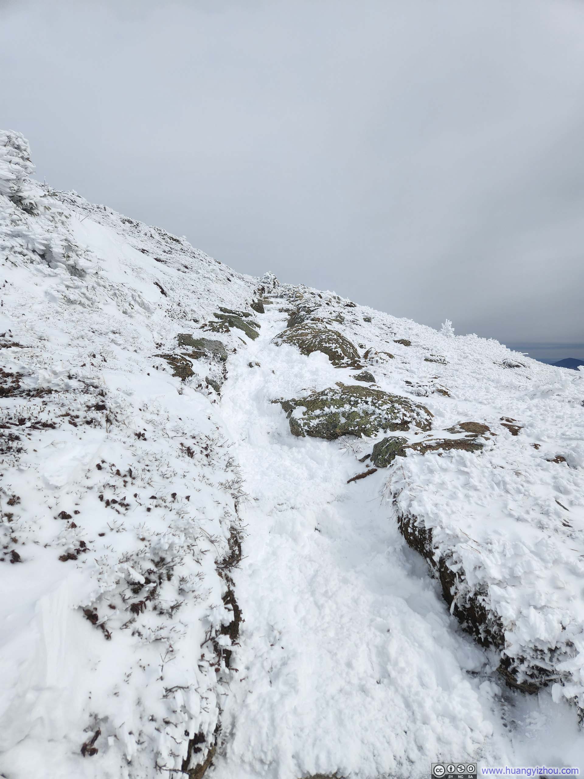
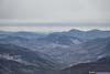
Back at the junction of Edmands Path and Crawford Path, after emptying the snow and ice that had worked their way into my shoes during the postholing on Edmands Path, I faced another decision: should I climb back up and over Mount Eisenhower the way I had come, or contour around it on Crawford Path? The latter was deeply tempting. It was shorter, involved little elevation change, and promised to spare me the fierce winds on Eisenhower’s summit, so I chose it.
All of those advantages were real, but there was one problem: this side-hilling stretch of Crawford Path was also unbroken, and it quickly became another miserable exercise in postholing. Unlike on Edmands Path, at least, the route itself was obvious. To make matters worse, snowflakes began to drift through the air, a sign that the incoming storm I had earlier shrugged off was at last beginning to materialize. I still trusted the forecast and assumed the snowfall would remain light. I was not cold, tired, thirsty, or hungry, and I had no doubt in my ability to make it back to the trailhead before dark. But after the ordeal on Edmands Path, and now with snow beginning to fall, I had somewhat of a mental meltdown: this was simply not what I had signed up for.
In the end, I got back to the main trail at 3:55pm, so this little detour to Edmands Path cost me about an hour and 15 minutes, and a great deal of cursing.
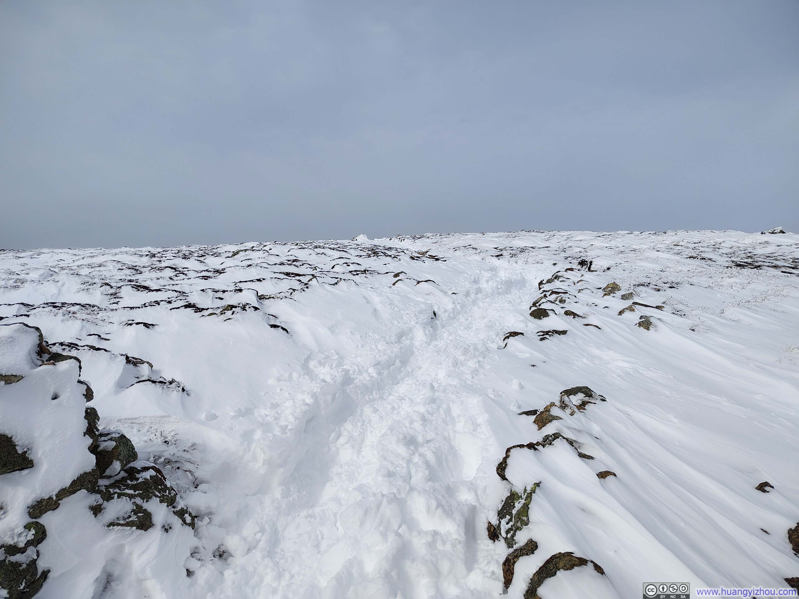
 Snowy Path to Mt Pierce
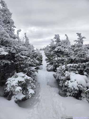
 Trail
Trail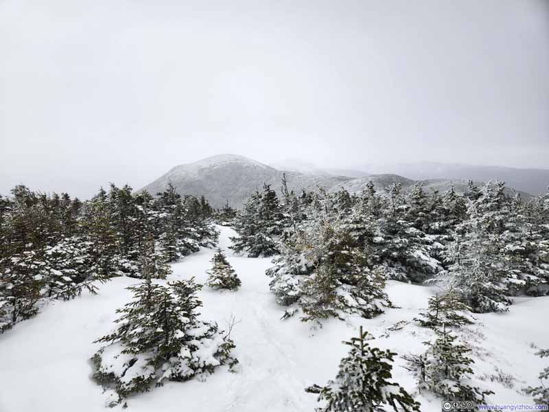 Trail
Trail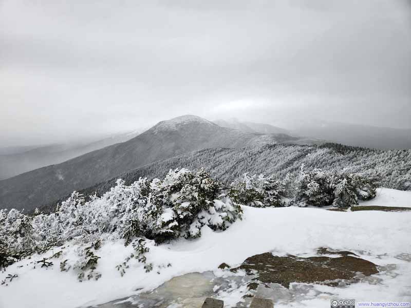 Mt Eisenhower under Pending Storm
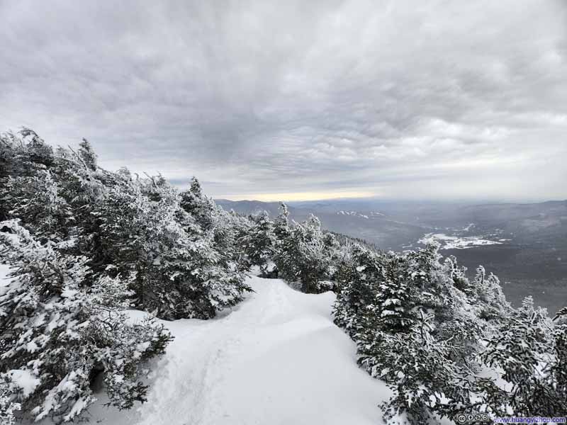 Snowy Path from Mt Pierce

Click here to display photos of the slideshow
Snowy Path to Mt Pierce
 Trail
Trail

Trail
Mt Eisenhower under Pending Storm
Snowy Path from Mt Pierce
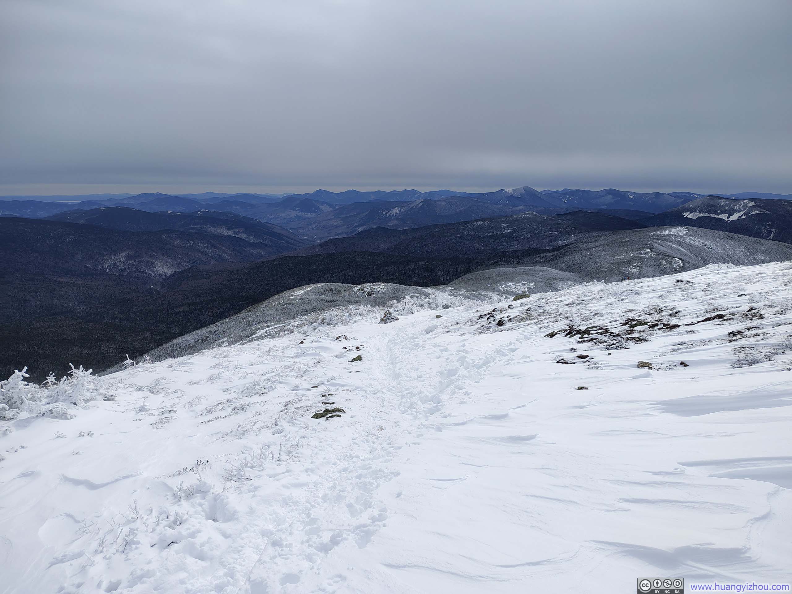
While descending Crawford Path, I could feel the wind beginning to rise, occasionally shaking snow from the trees. Even so, it was still for the most part, a pleasant walk (save for my freezing hands).
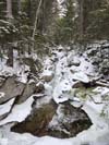
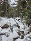
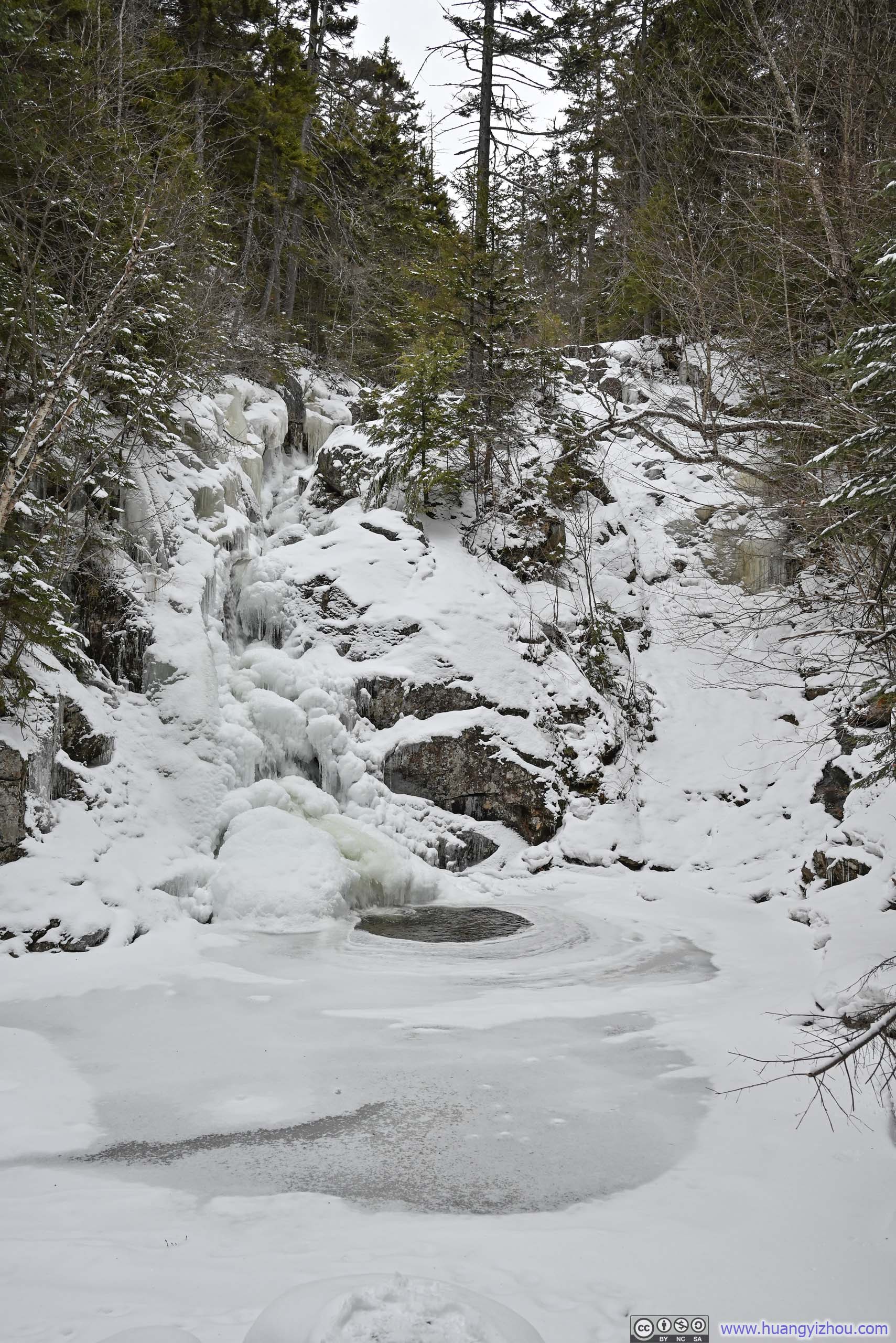
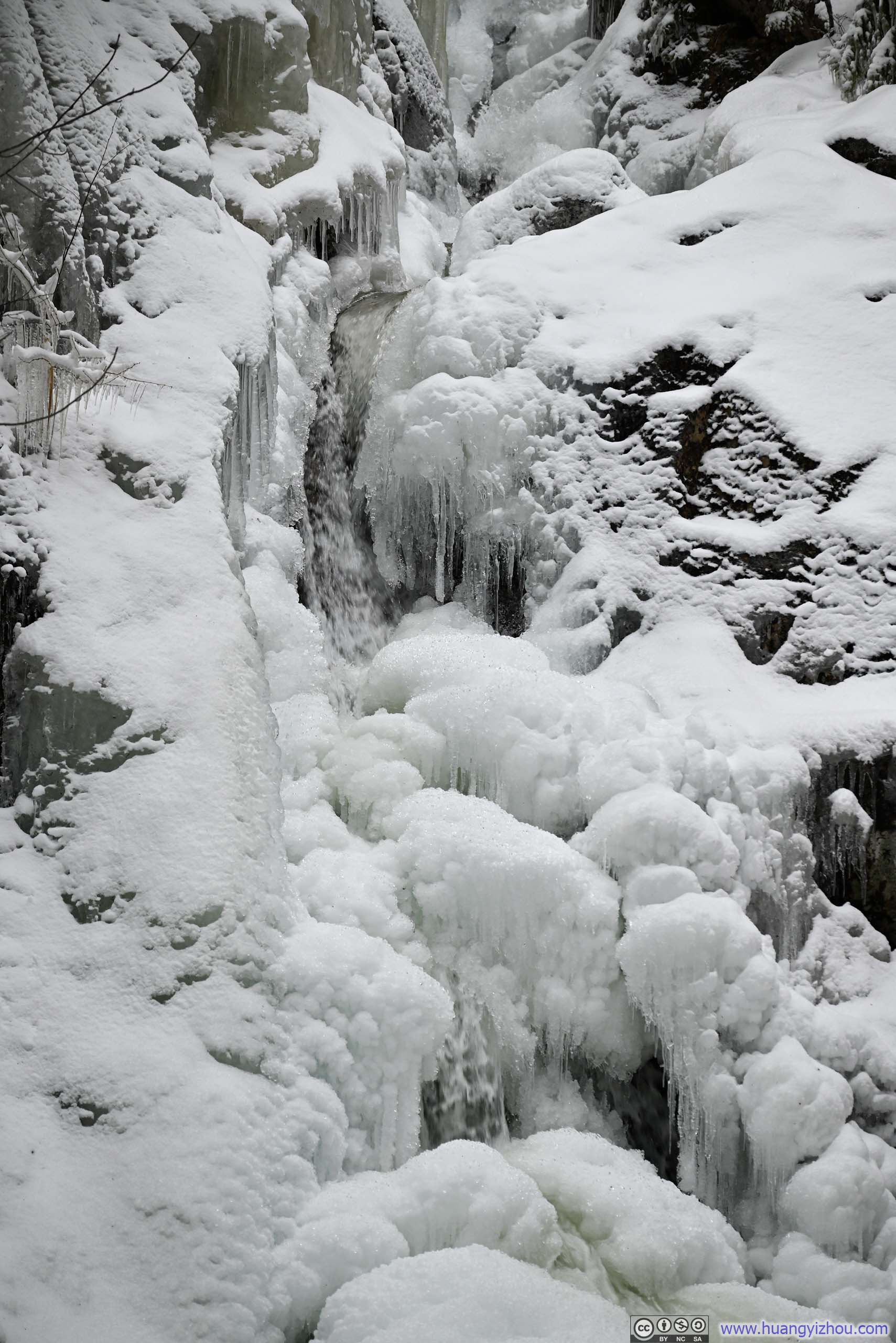
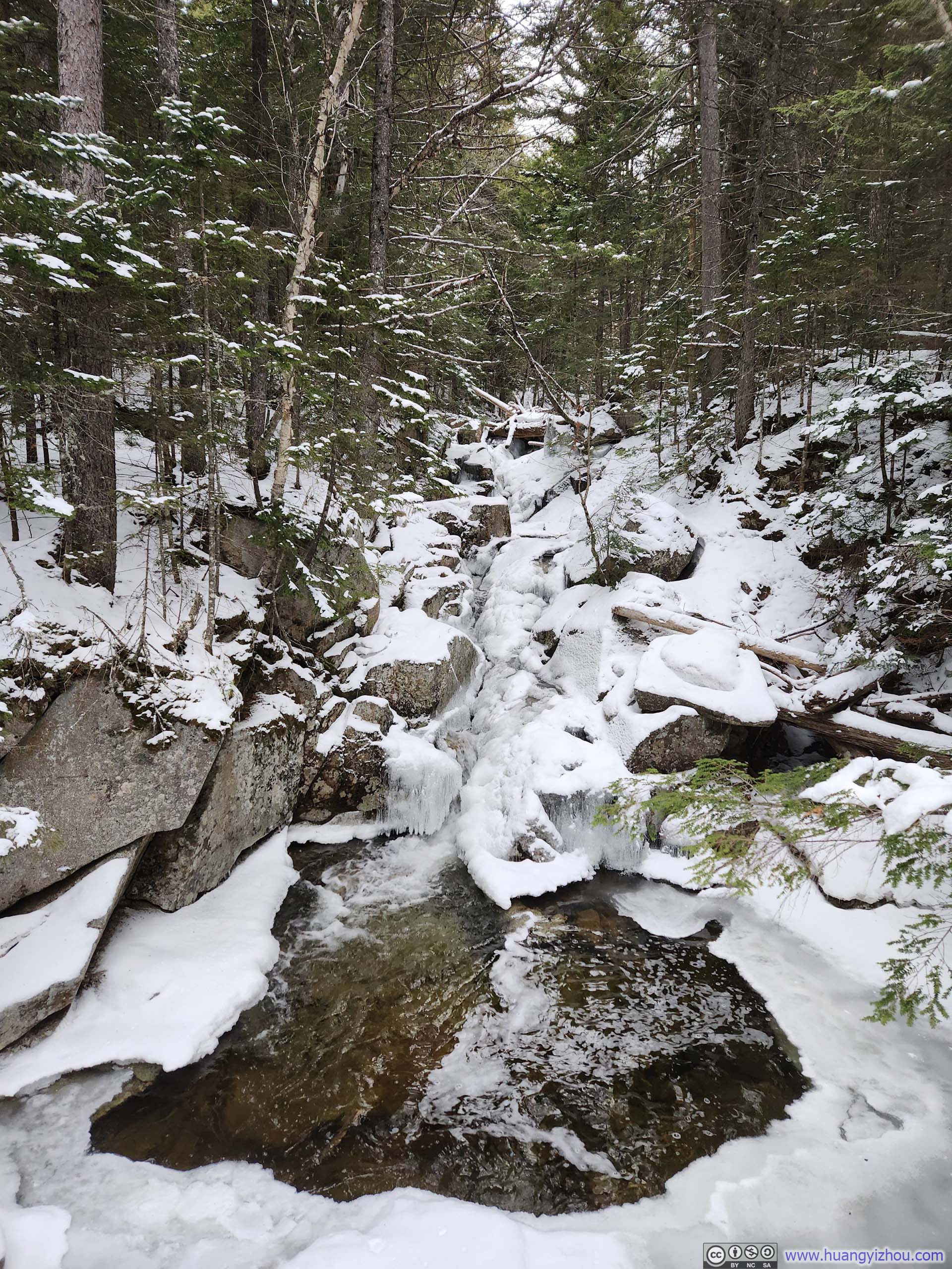
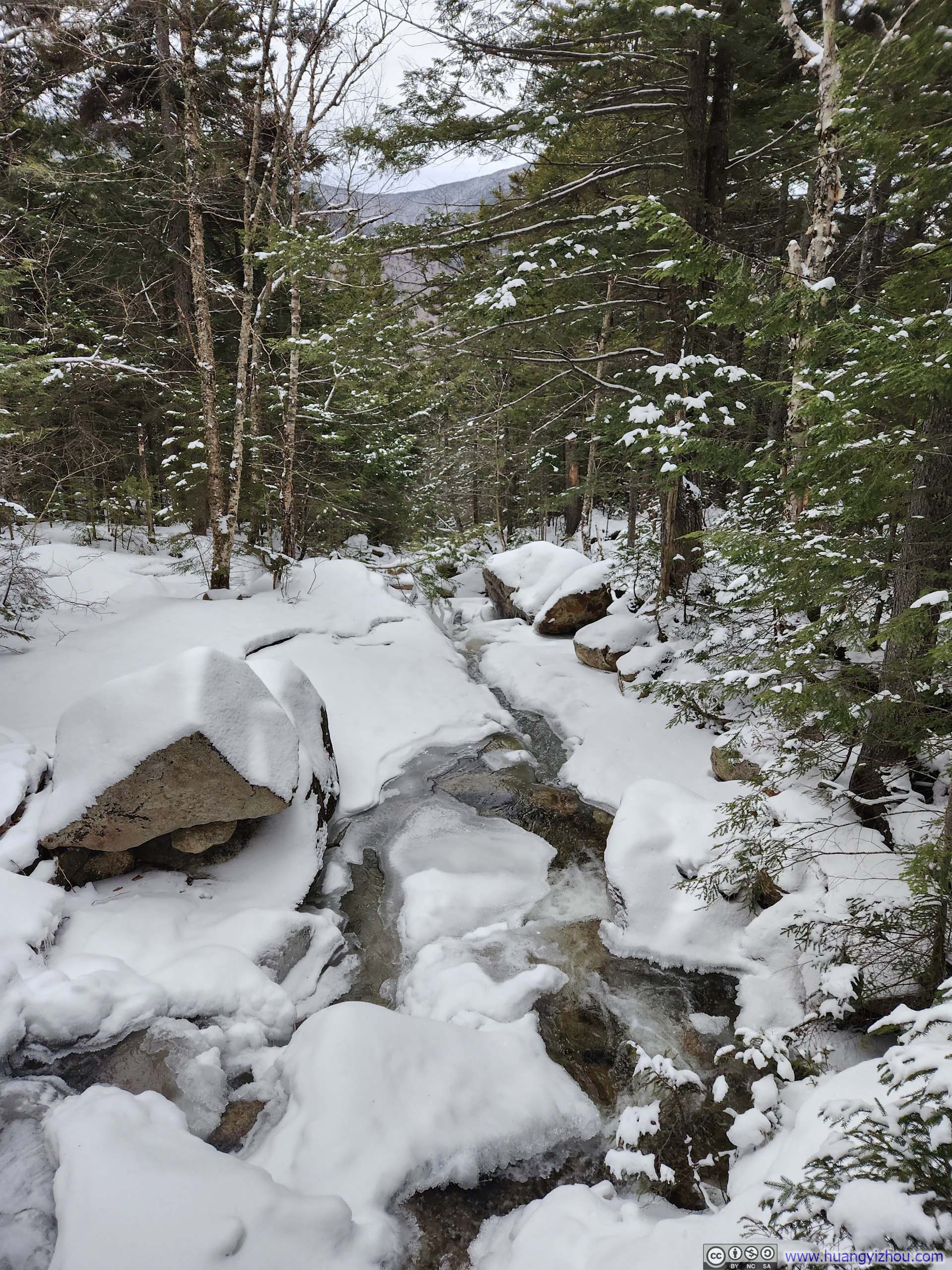
The lower stretches of Crawford Path ran alongside Gibbs Brook. On the way down, I took a brief detour to visit Gibbs Falls, which was largely frozen at this time of year. It would probably be far more impressive a few months later.
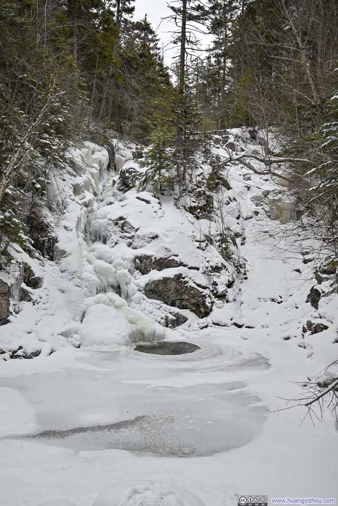 Gibbs Falls
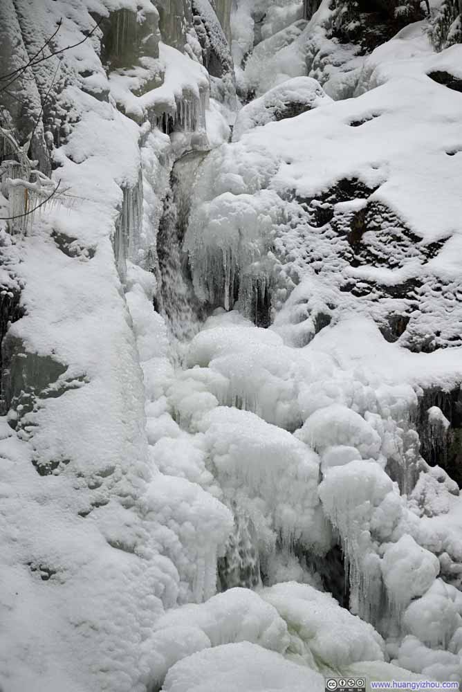 Gibbs Falls
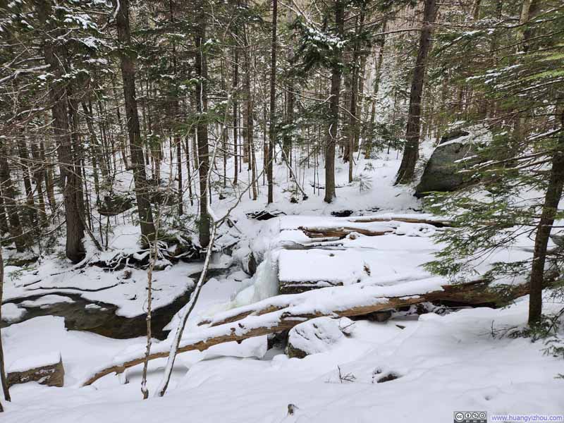
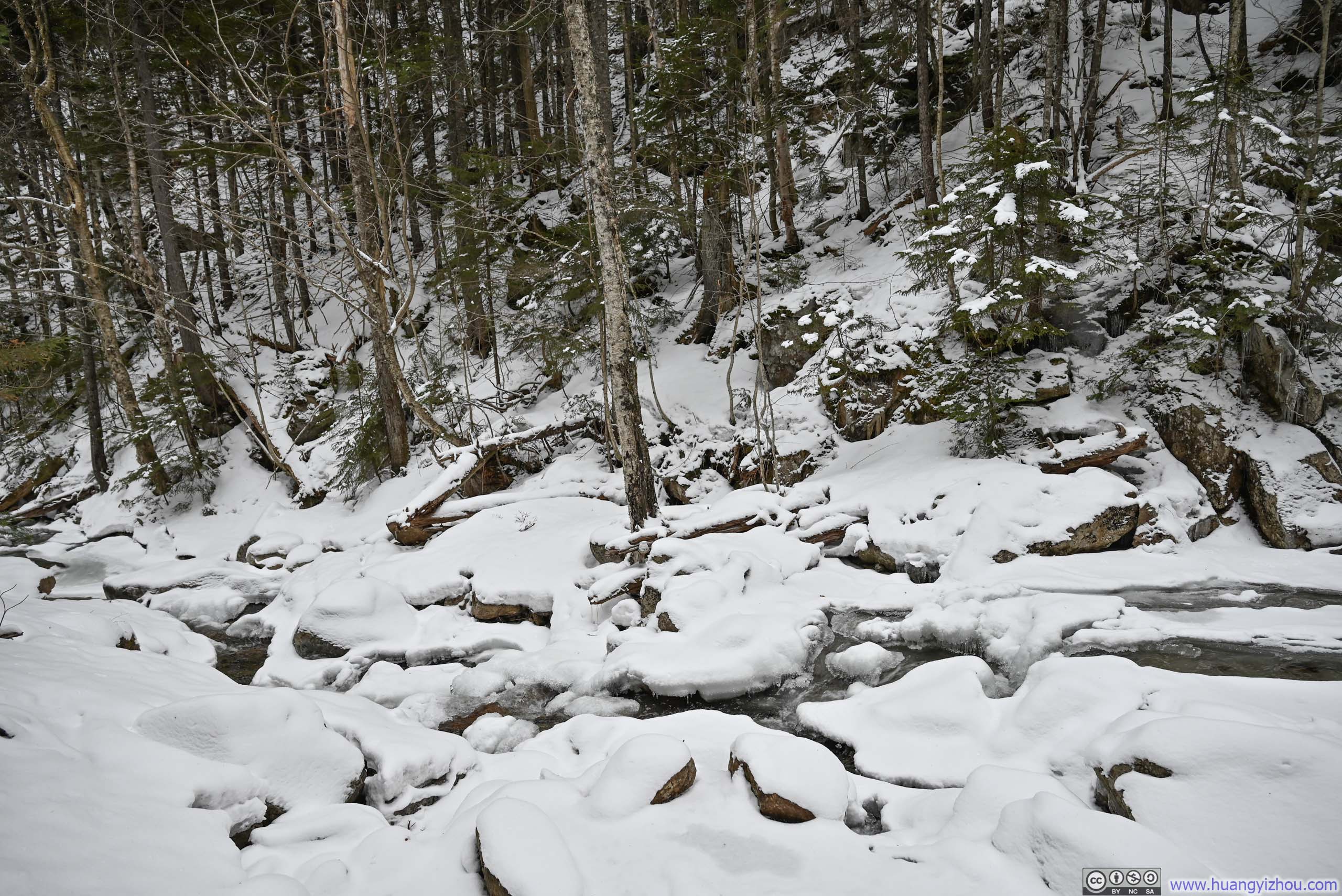
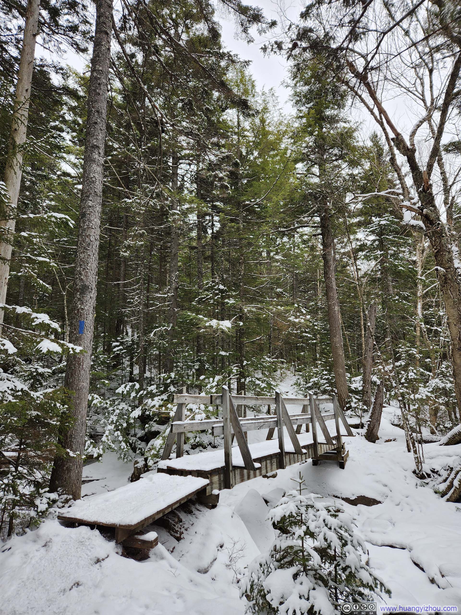
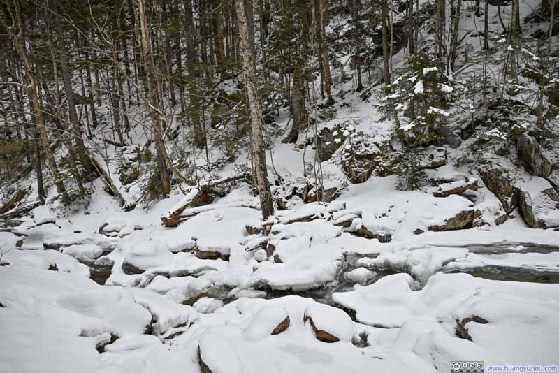 Gibbs Brook
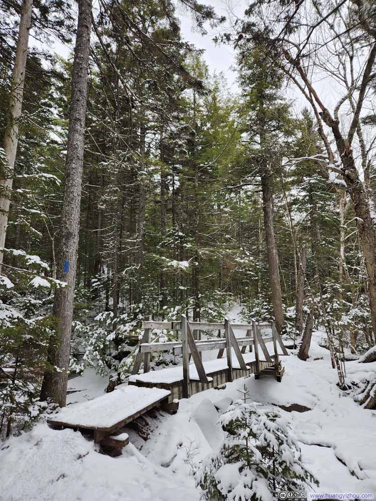 Footbridge across Gibbs Brook
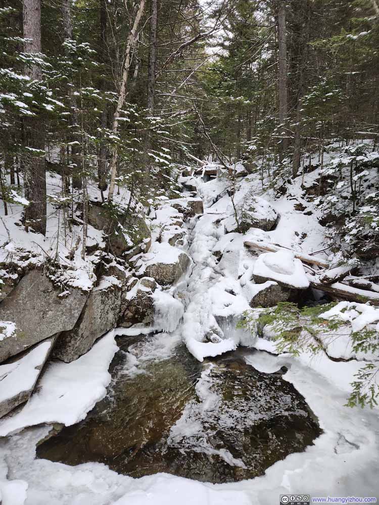 Waterfalls along Gibbs Brook
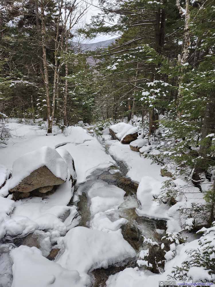 Gibbs Brook
Click here to display photos of the slideshow
Gibbs Falls
Gibbs Falls

 Gibbs Brook
Footbridge across Gibbs Brook
Waterfalls along Gibbs Brook
Gibbs Brook
Finally, I got back to the trailhead just before 6pm, about an hour before sunset. Fortunately, my drive back home was largely unaffected by this incoming storm, bringing the day to a close.
END
![]() Hiking Mount Pierce and Mount Eisenhower by Huang's Site is licensed under a Creative Commons Attribution-NonCommercial-ShareAlike 4.0 International License.
Hiking Mount Pierce and Mount Eisenhower by Huang's Site is licensed under a Creative Commons Attribution-NonCommercial-ShareAlike 4.0 International License.