
Updated on June 21, 2025
Day 7 of 2024 Thanksgiving Trip to Las Vegas, Fletcher Peak
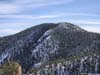
The seventh day of my 2024 Thanksgiving trip to Las Vegas. Today I hiked Fletcher Peak, a relatively short and easy hike, offering reprieve after yesterday’s grueling trip to Mt Wilson.
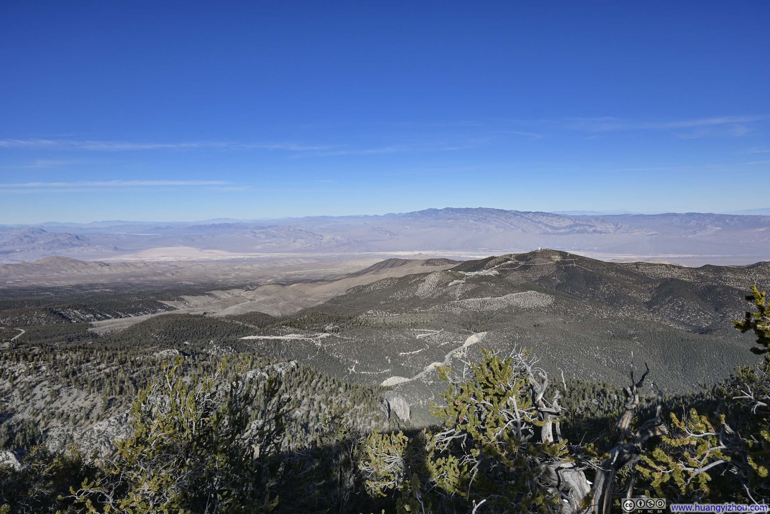
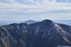
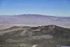
Angel Peak before Sheep Range Mountains
It turned out that I gravely underestimated the amount of scrambling needed to reach Mount Wilson the previous day. After an exhausting hike that extended past dusk, I sought some relief for today and decided on Fletcher Peak.
Fletcher Peak was arguably the most accessible peak within Mount Charleston Wilderness in the Spring Mountains range. At a length of 10.6km with 680m of elevation gain (6.6mi and 2200ft) and with a snow-capped summit at this time of the year, it offered a different experience to the previous hikes I embarked on this trip. (I have harbored aspirations for Mount Charleston, the wilderness’s namesake, if I was in shape. If not for yesterday’s grueling hike, the limited daylight hours and the greater distance would render Mount Charleston too ambitious an undertaking.)
Knowing Fletcher Peak wouldn’t be as demanding as Mount Wilson, I woke up relatively late this morning, and only made it to the trailhead (North Loop Trailhead) and started my hike at 10:45am. The trailhead had parking spaces for about 15-20 cars, there was no difficulty finding a spot on this Saturday after Thanksgiving.
Here’s GPS tracking:
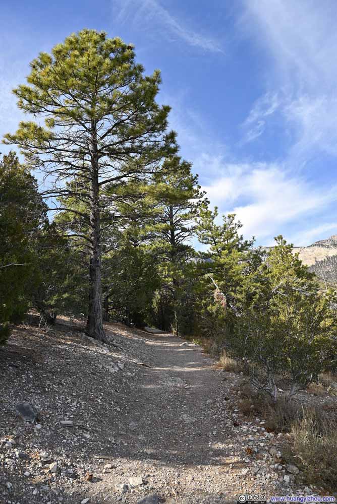
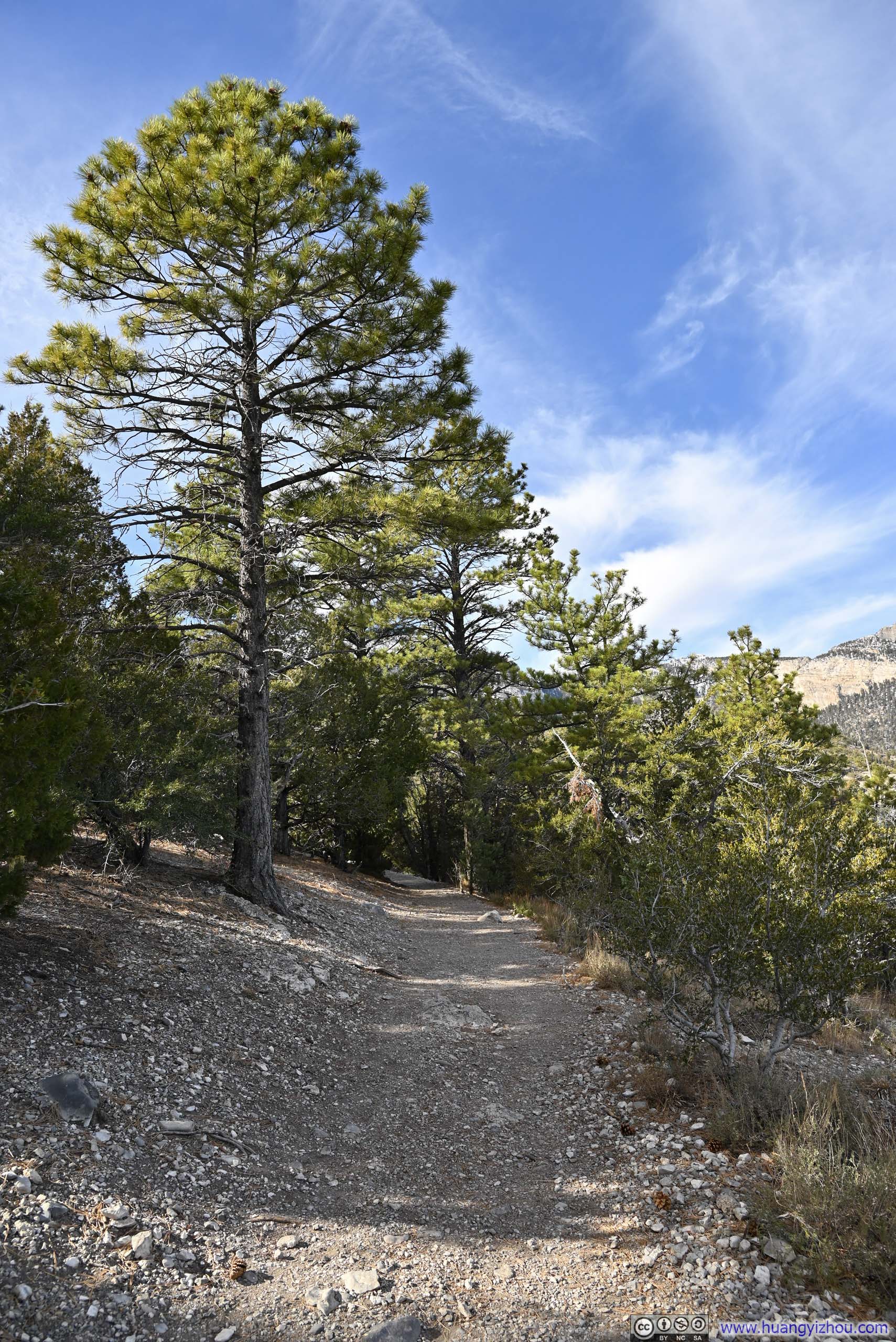
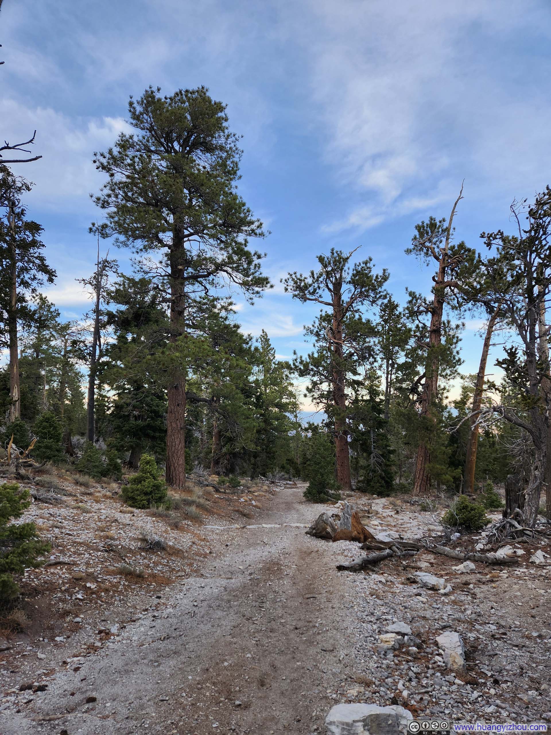
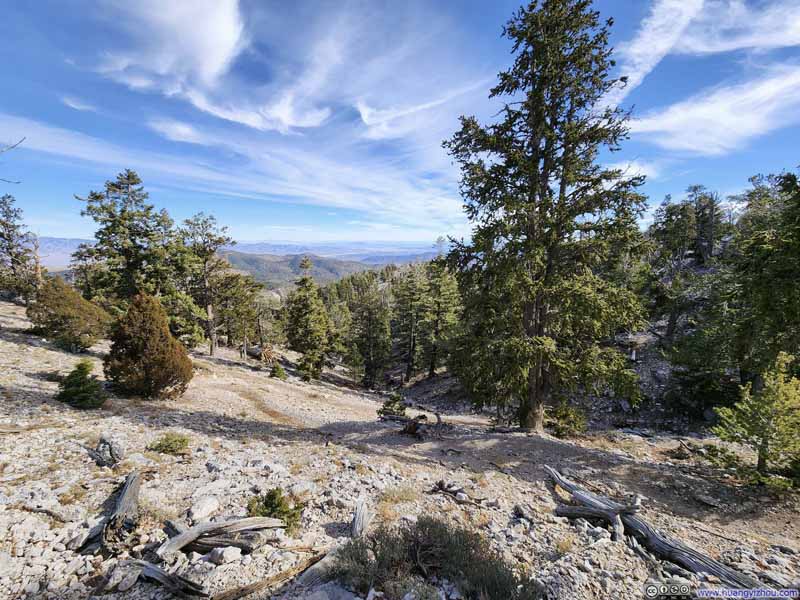
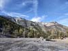
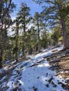
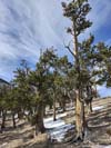
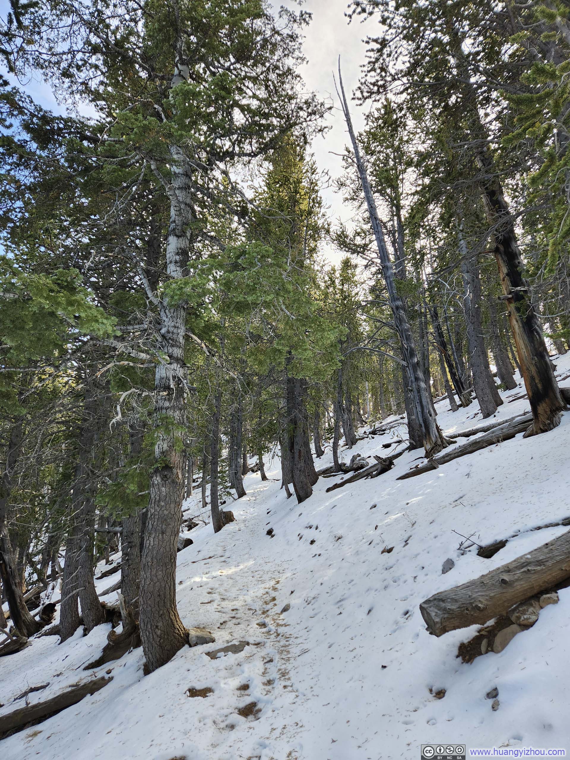
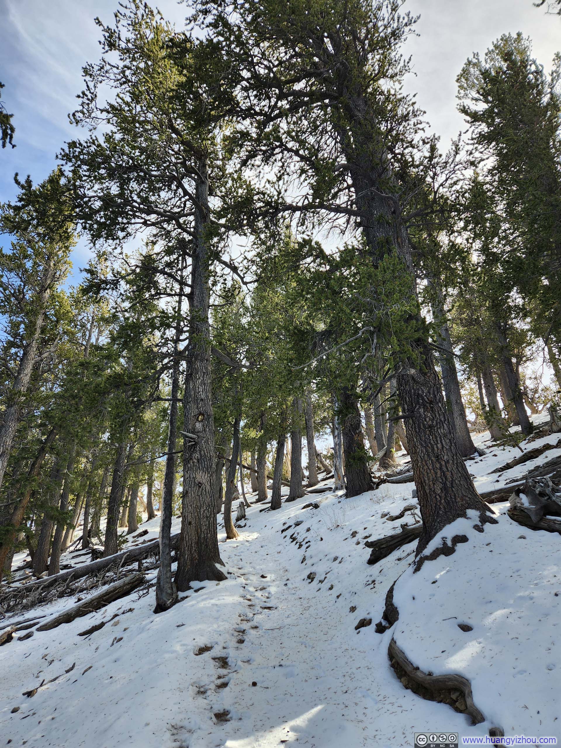
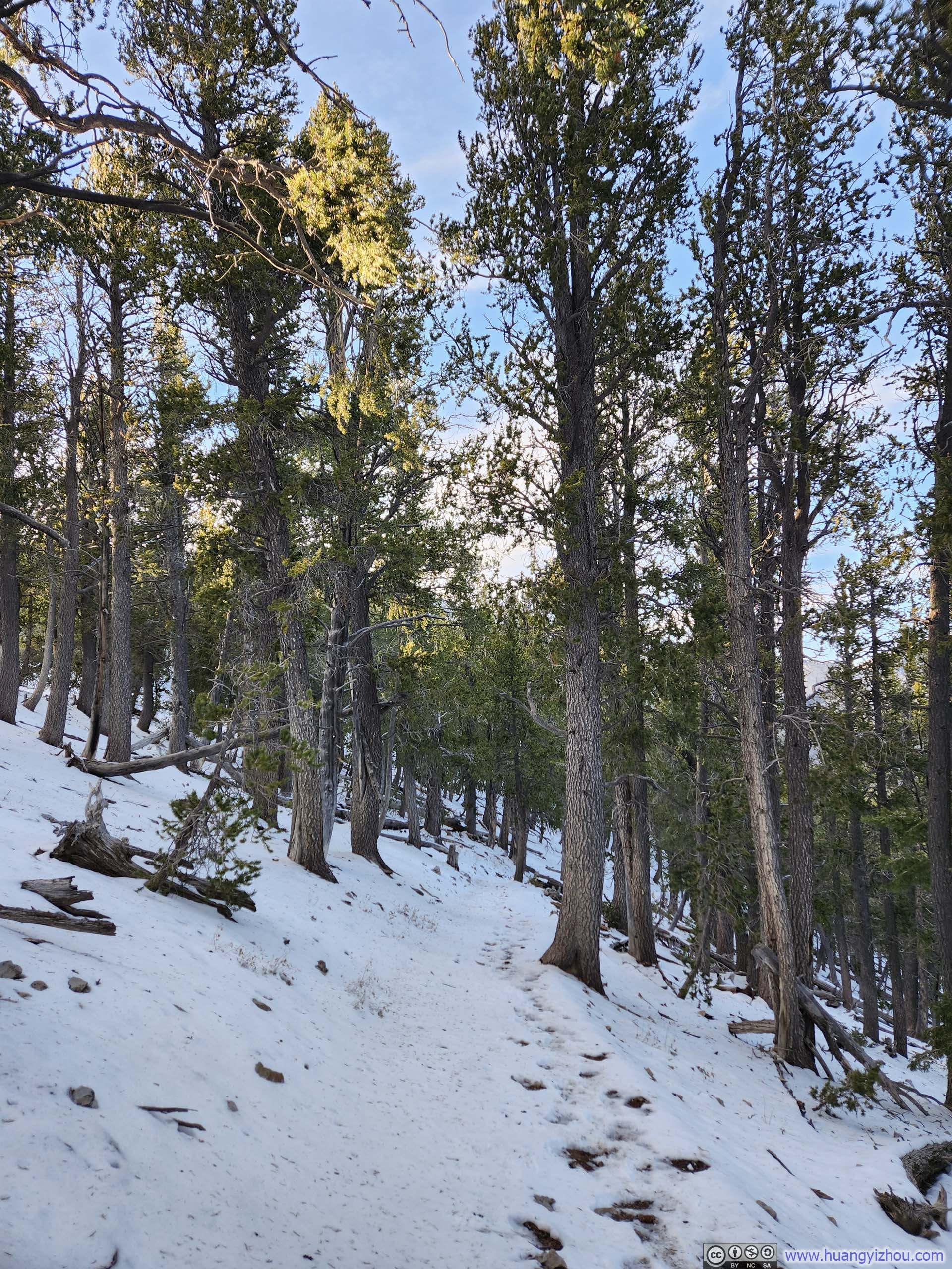
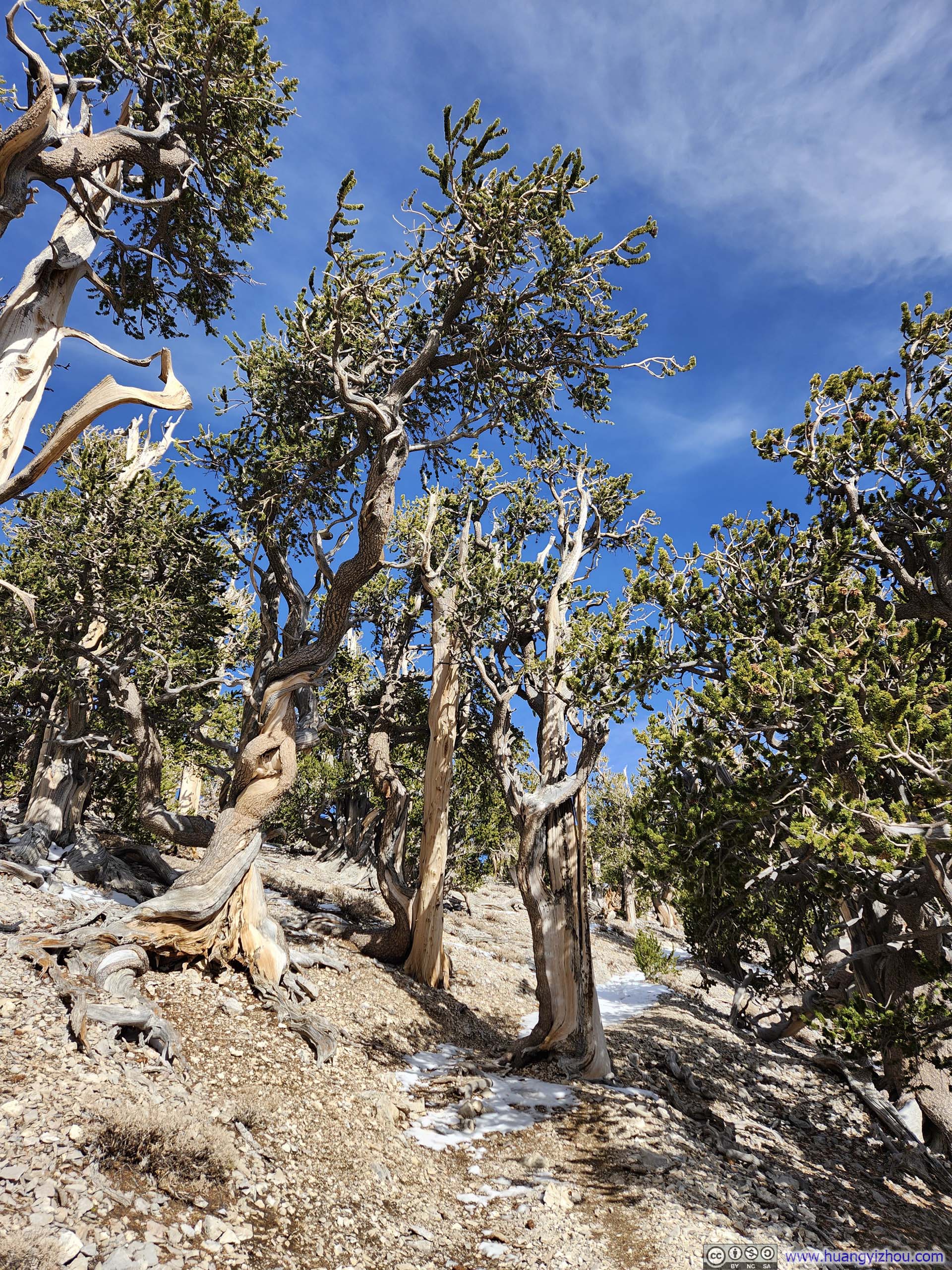
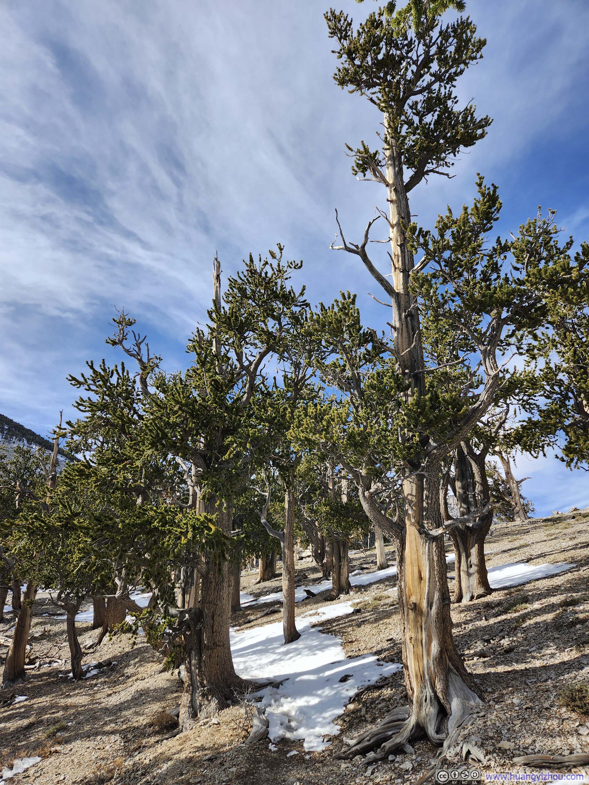
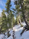
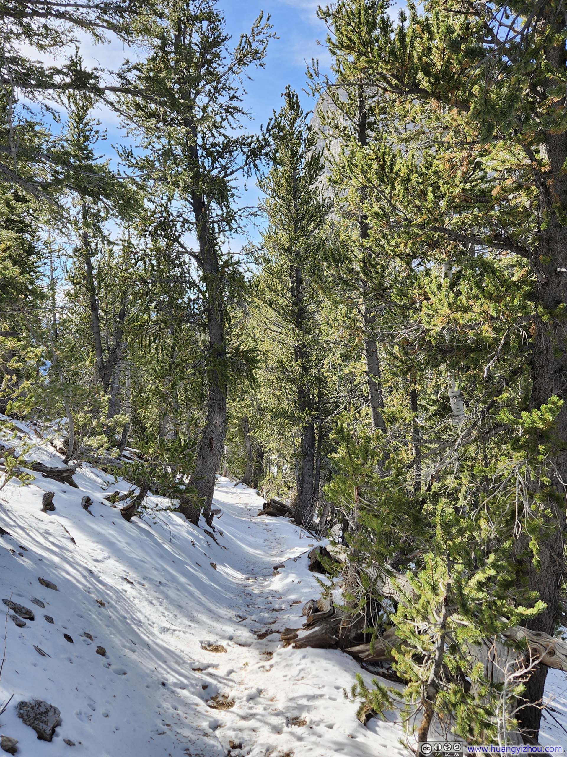
The trail started like many other trails in western US, a gravel trail in sparse woods. On the maps, there were a few trails running in parallel and crisscrossing each other, but in reality it’s not hard to follow the most obvious one.
 Trail
Trail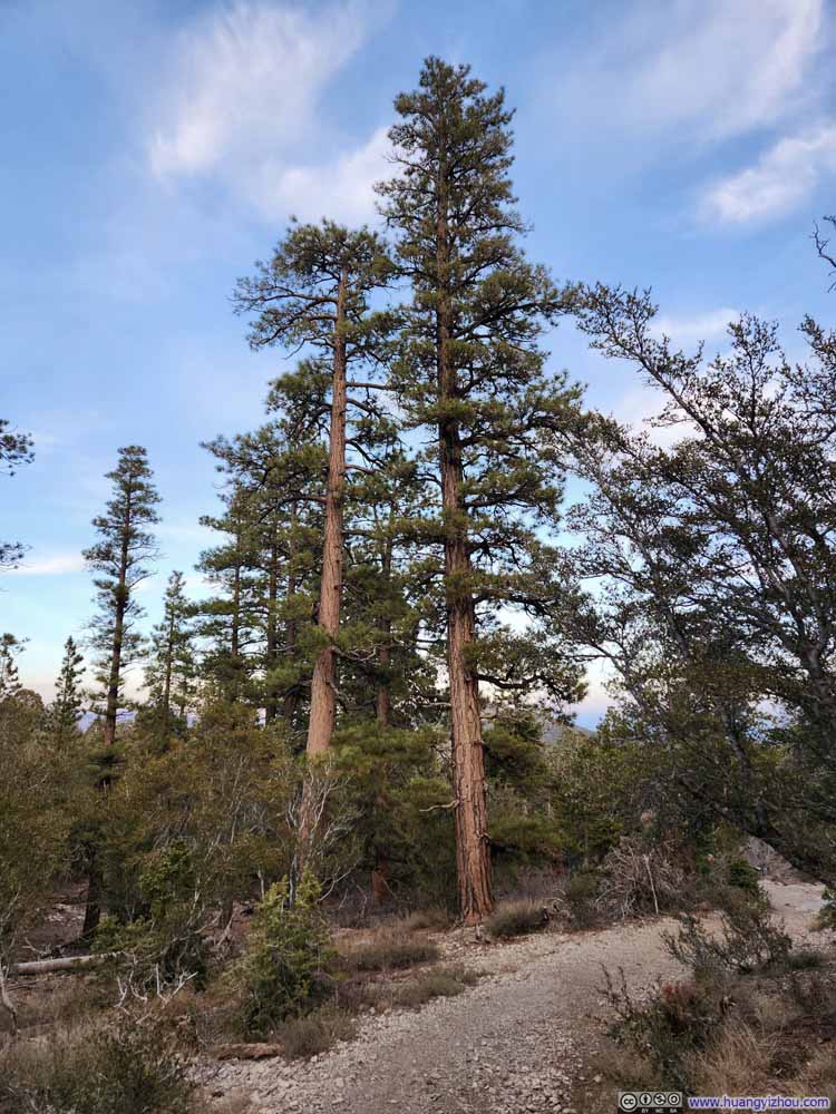 Trail
Trail Trail
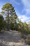
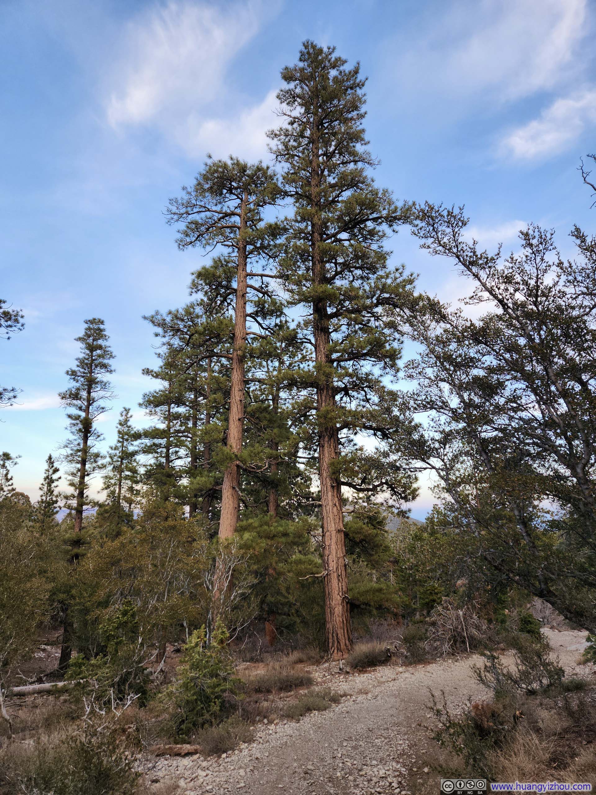
Trail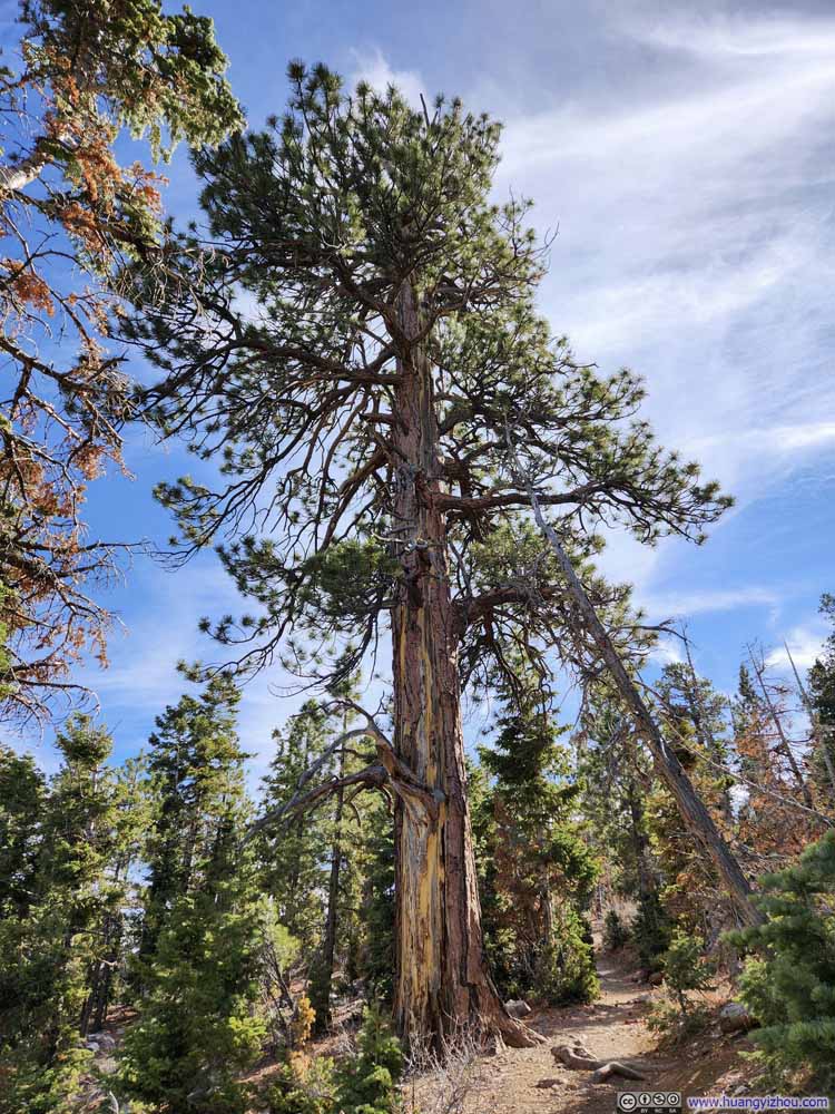 High Tree along Trail
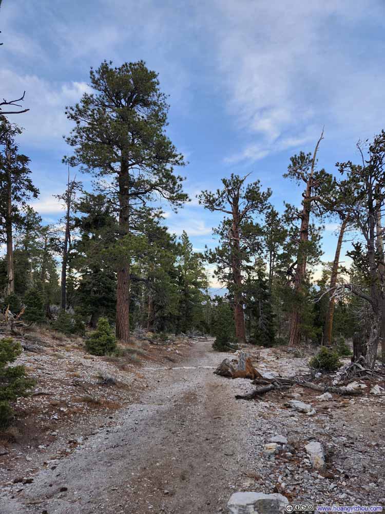 Trail
Trail Trail
Trail


Click here to display photos of the trail.
Trail
Trail
Trail

High Tree along Trail
Trail

Trail
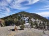
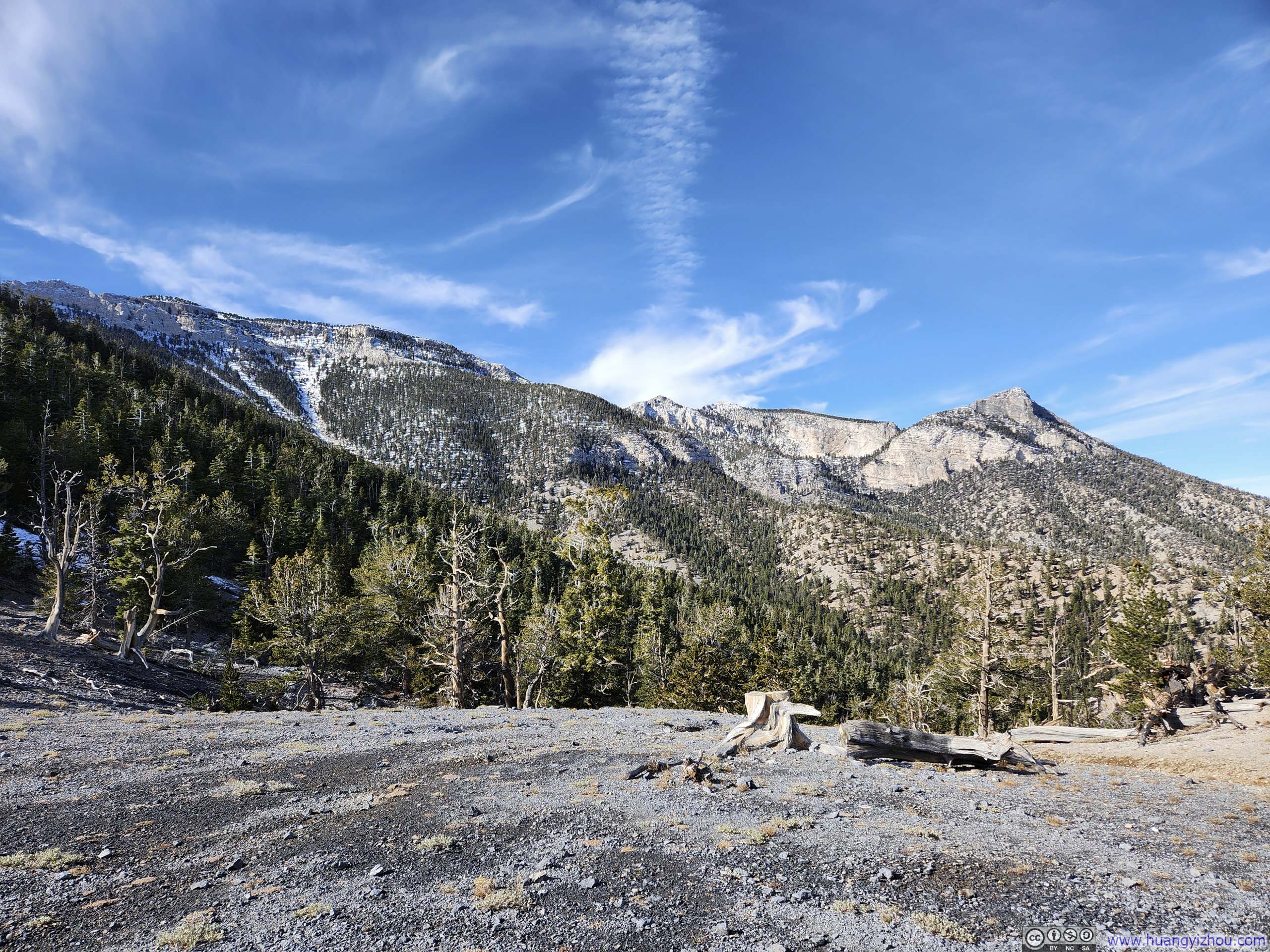
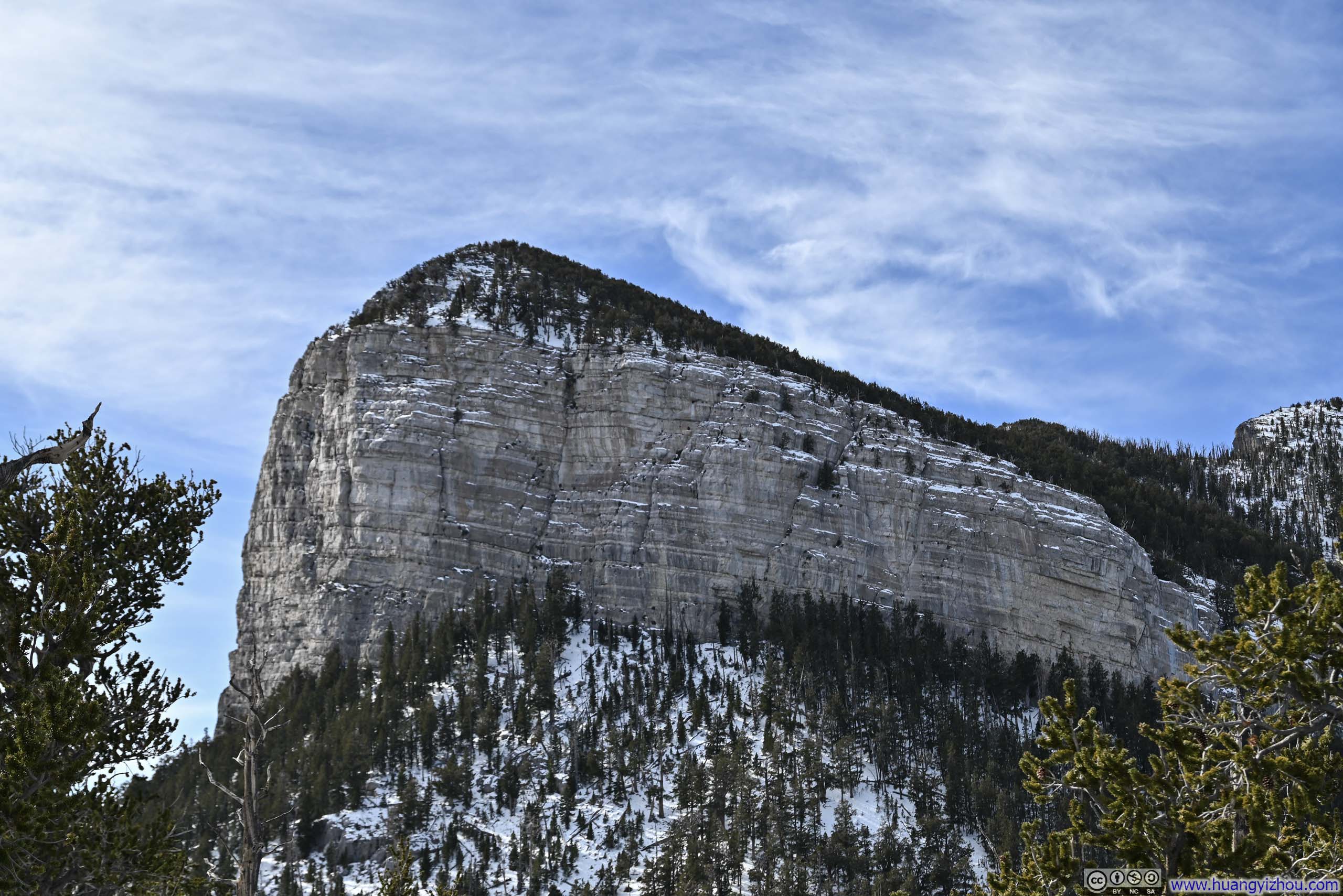
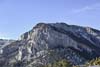
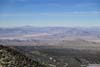
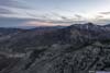
Shortly before the halfway point to Fletcher Peak, the trail reached an opening with some views (p3-5) below. After that, the trail entered a series of switchbacks, that’s also where I first encountered snow on the trail.
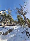
 Trail Switchbacks
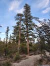
 TreePretty extensive, a very low aspect ratio.
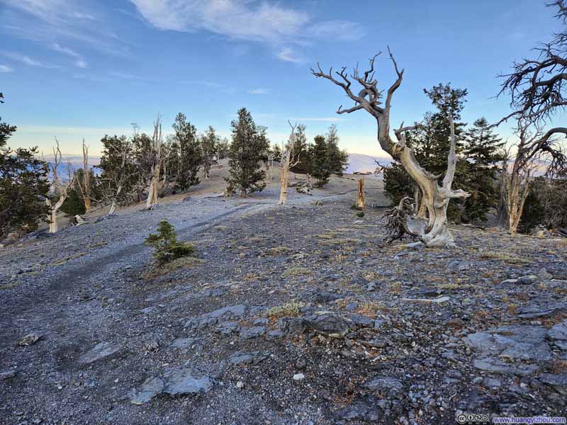 Trail
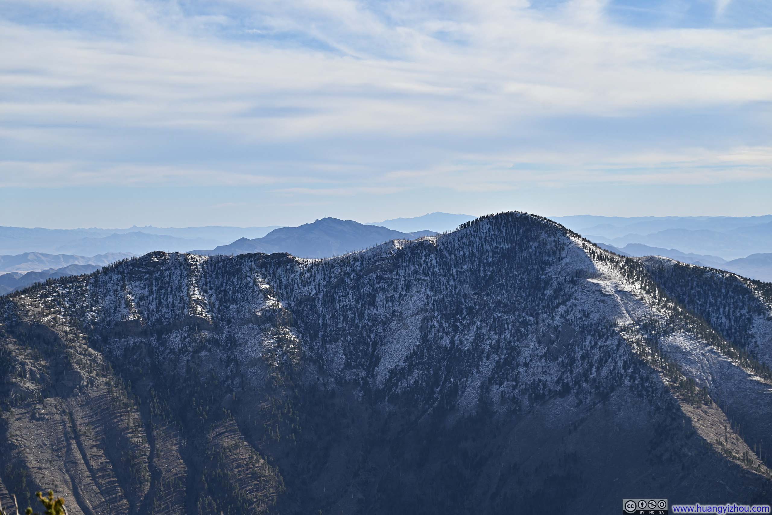
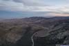
Trail Distant Las Vegas
 Mummy Mountain to the West
 Opening in ForestWhere I took a brief rest.
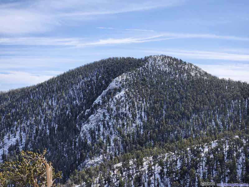 Fletcher Peak from Trail
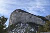
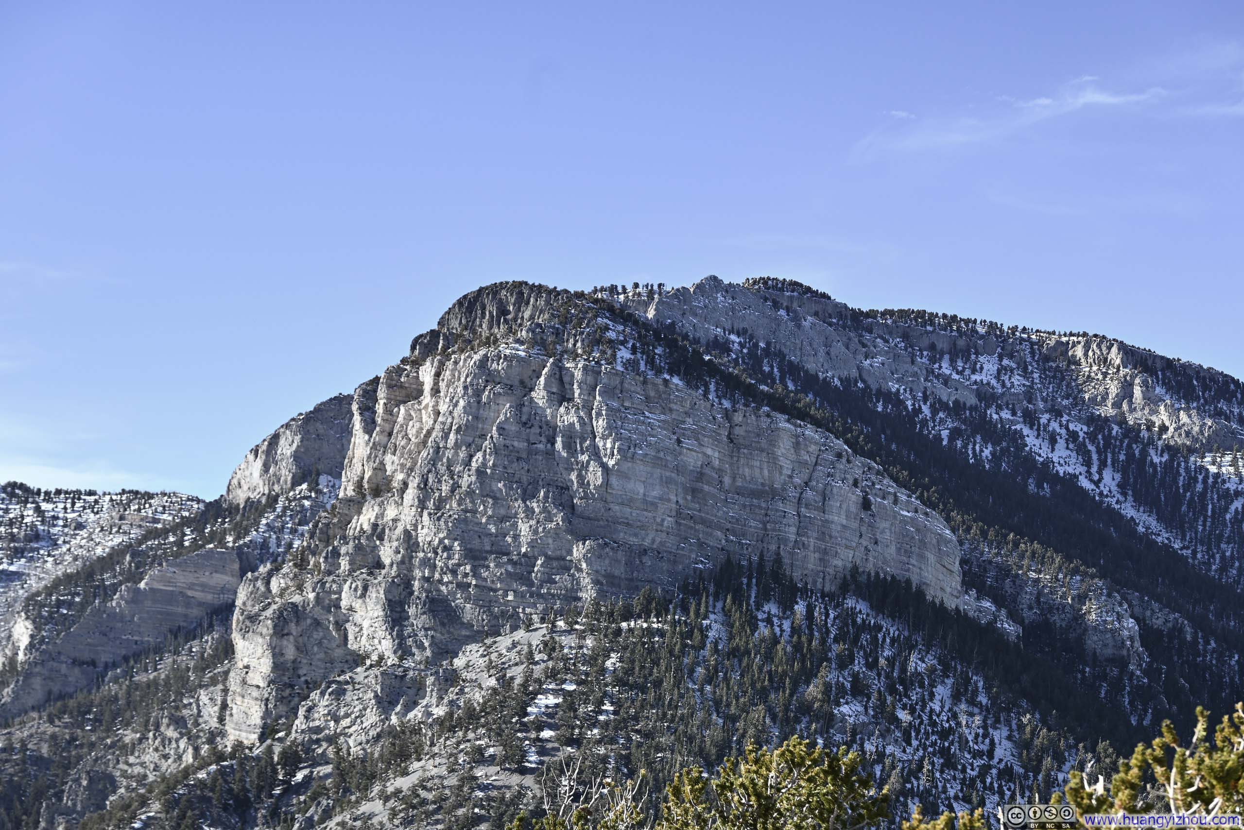
 Cliff near Mummy Mountain
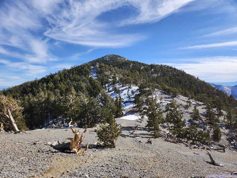 Trail to Fletcher Peak


Click here to display photos of the slideshow

Trail Switchbacks
TreePretty extensive, a very low aspect ratio.
Trail
Distant Las Vegas
Mummy Mountain to the West
Opening in ForestWhere I took a brief rest.
Fletcher Peak from Trail
Cliff near Mummy Mountain

Trail to Fletcher Peak
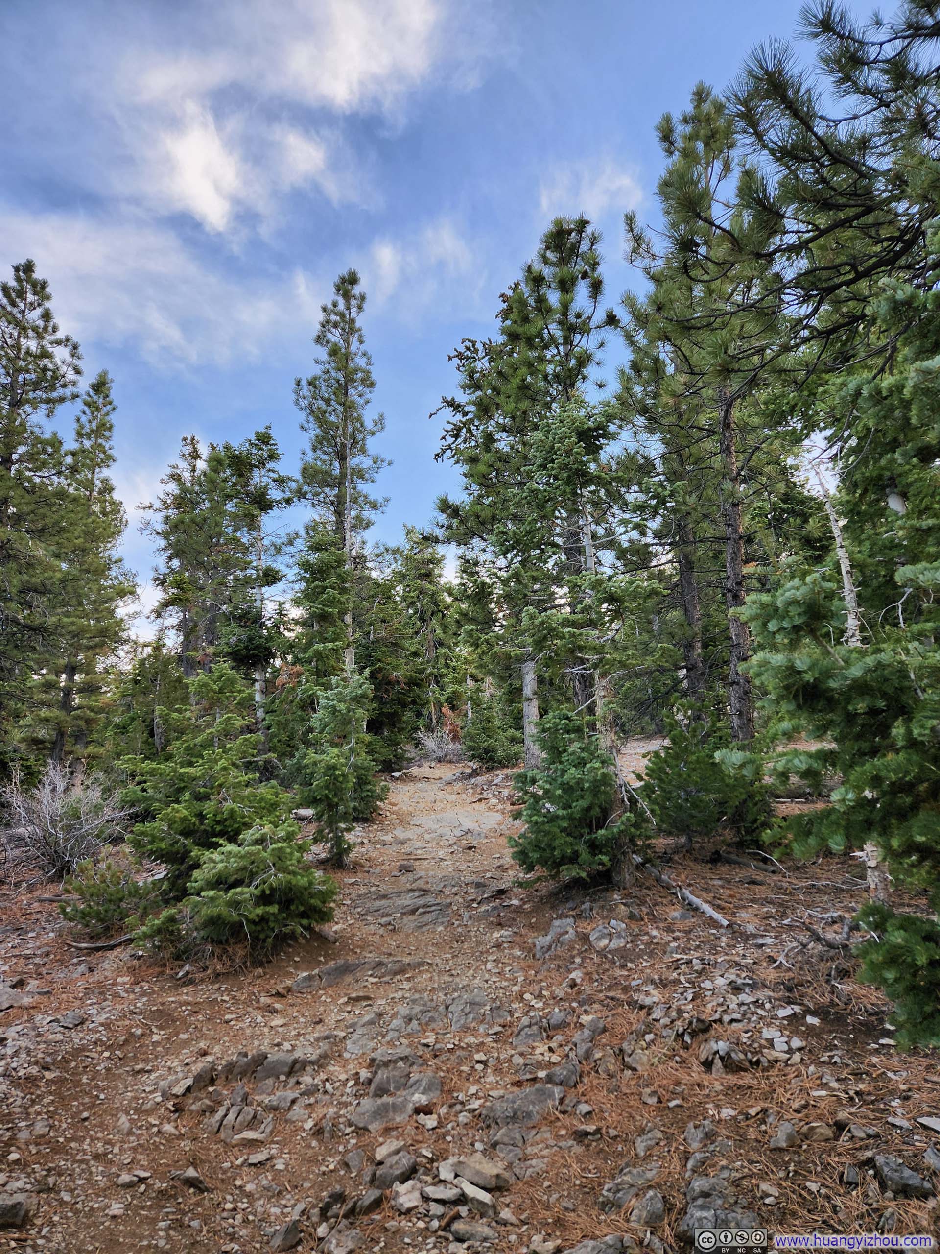
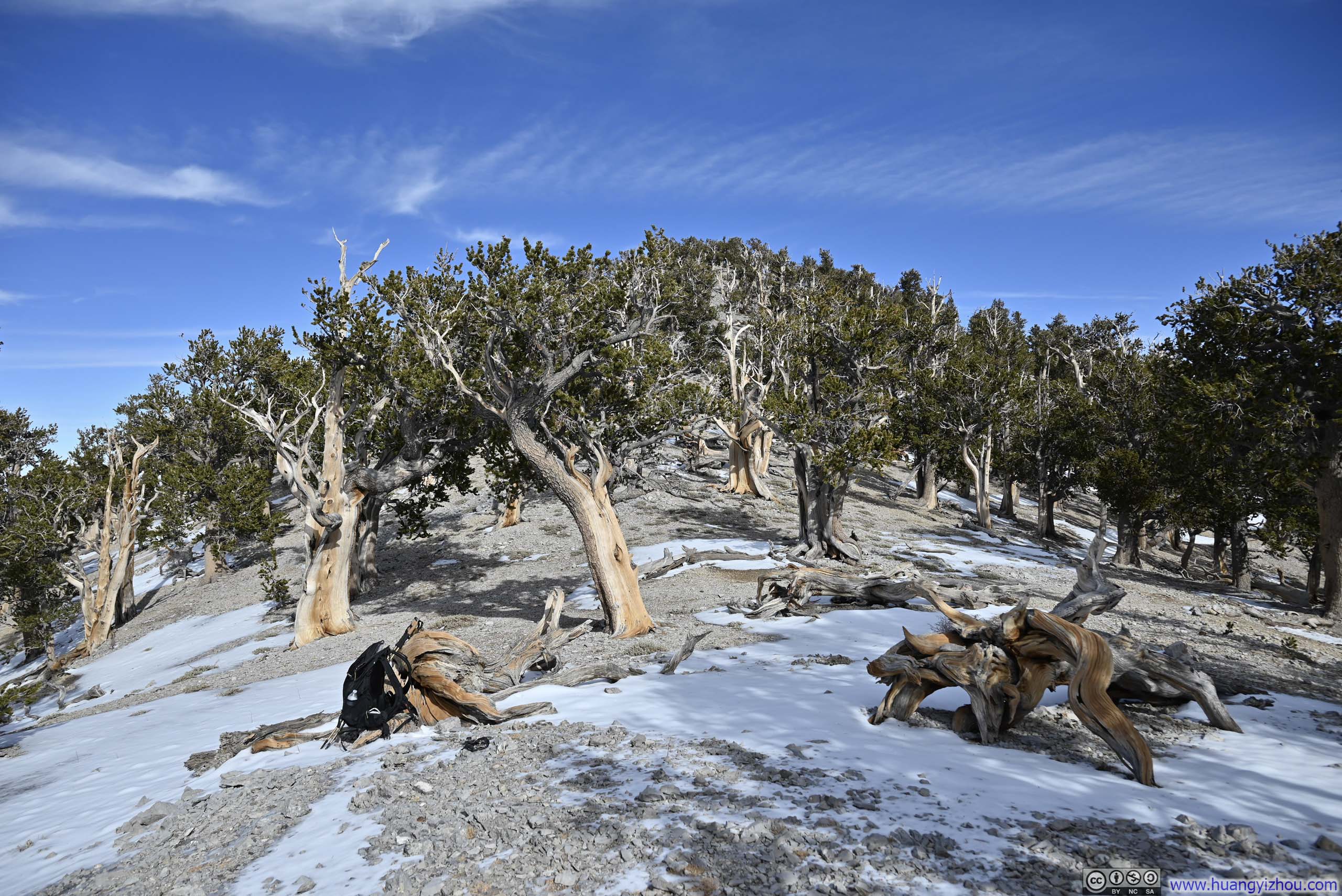
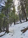
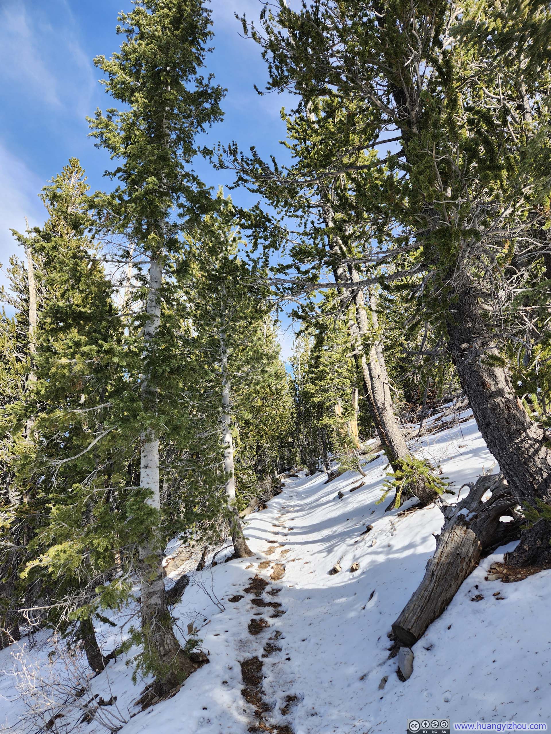
Anticipating the wintry trail condition, I brought and put on microspikes. It’s a bit of a dilemma as snow cover on trail didn’t extend all the way to the summit of Fletcher Peak. Instead sections of clear and snowy trails interleaved along the way. I didn’t like wearing microspikes when there’s no snow on the trail, so it’s quite a unpleasant experience putting them up and down.
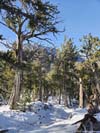
 Trail
Trail Trail
Trail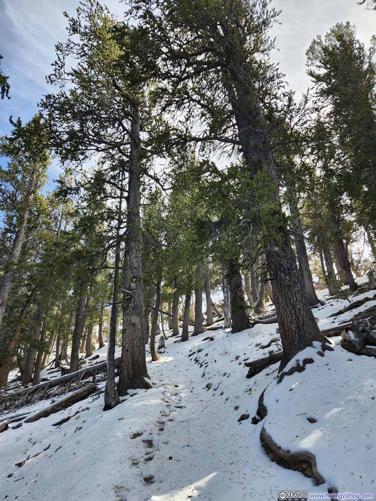 Trail
Trail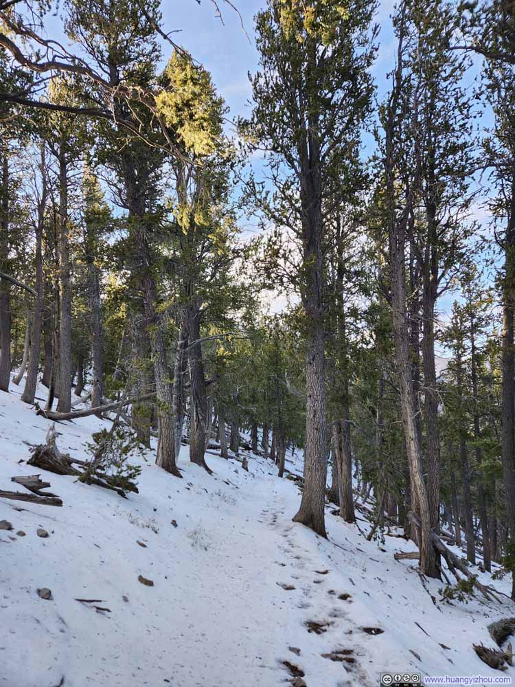 Trail
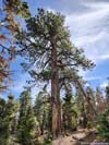
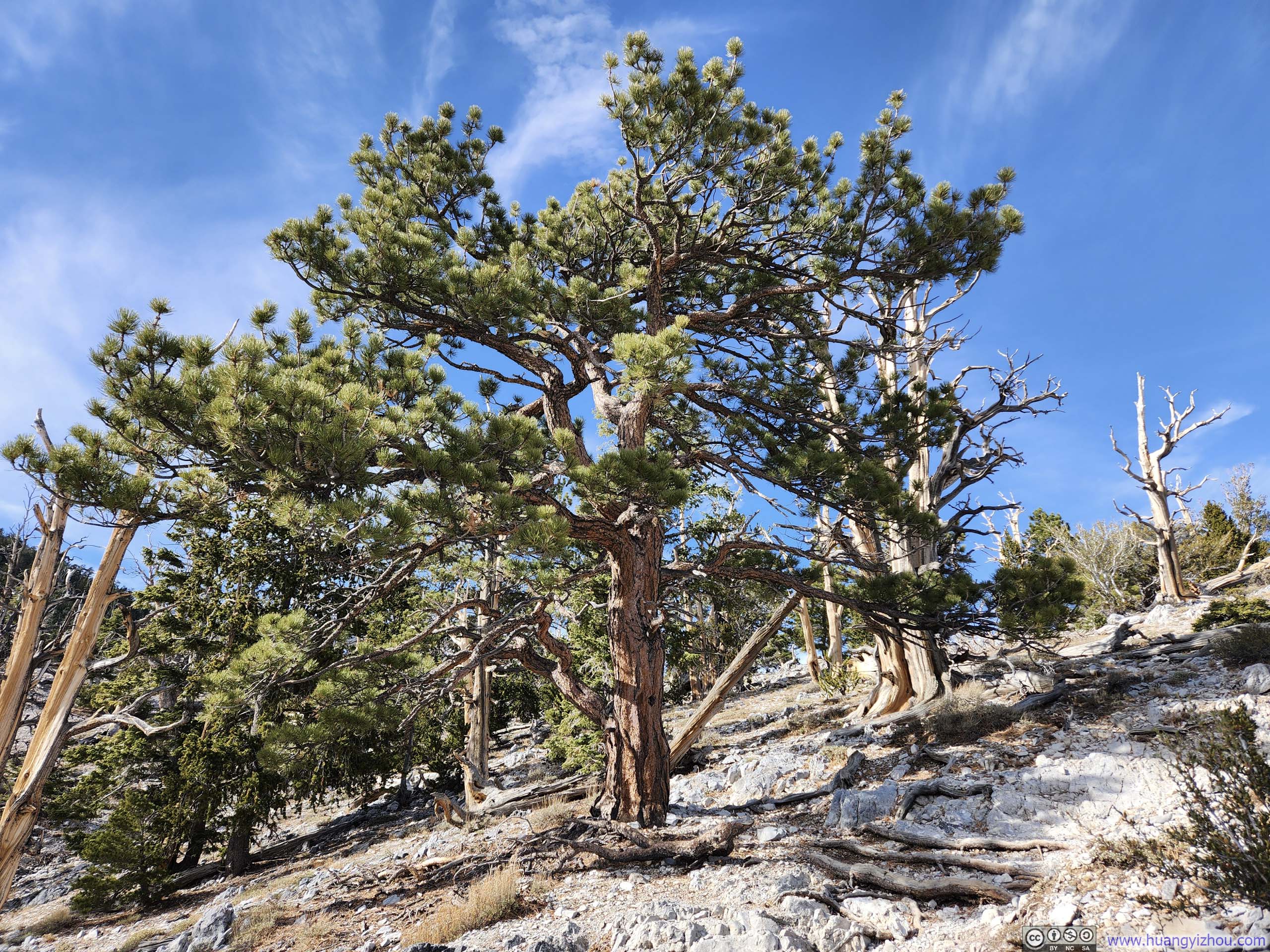
Trail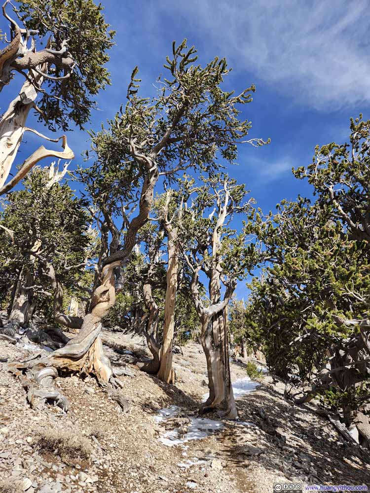 Twisted Trees
 Trail
Trail

Click here to display photos of the slideshow

Trail
Trail
Trail
Trail
Twisted Trees
Trail
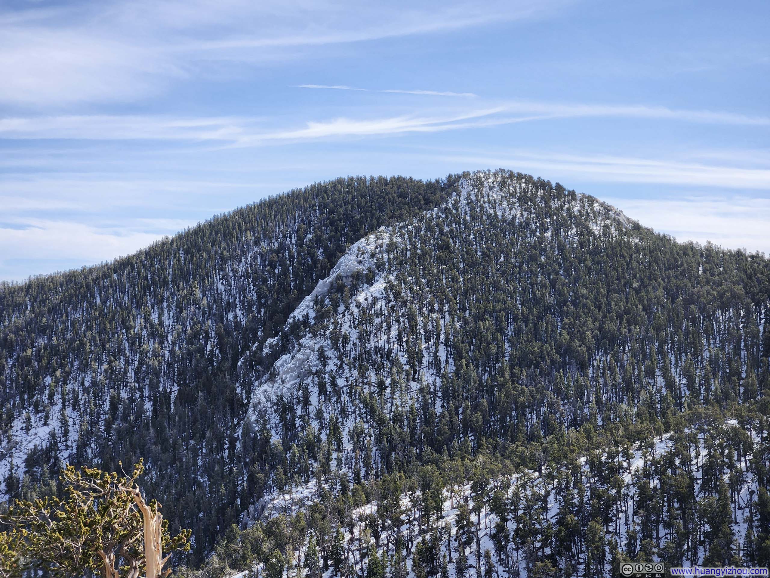
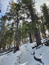
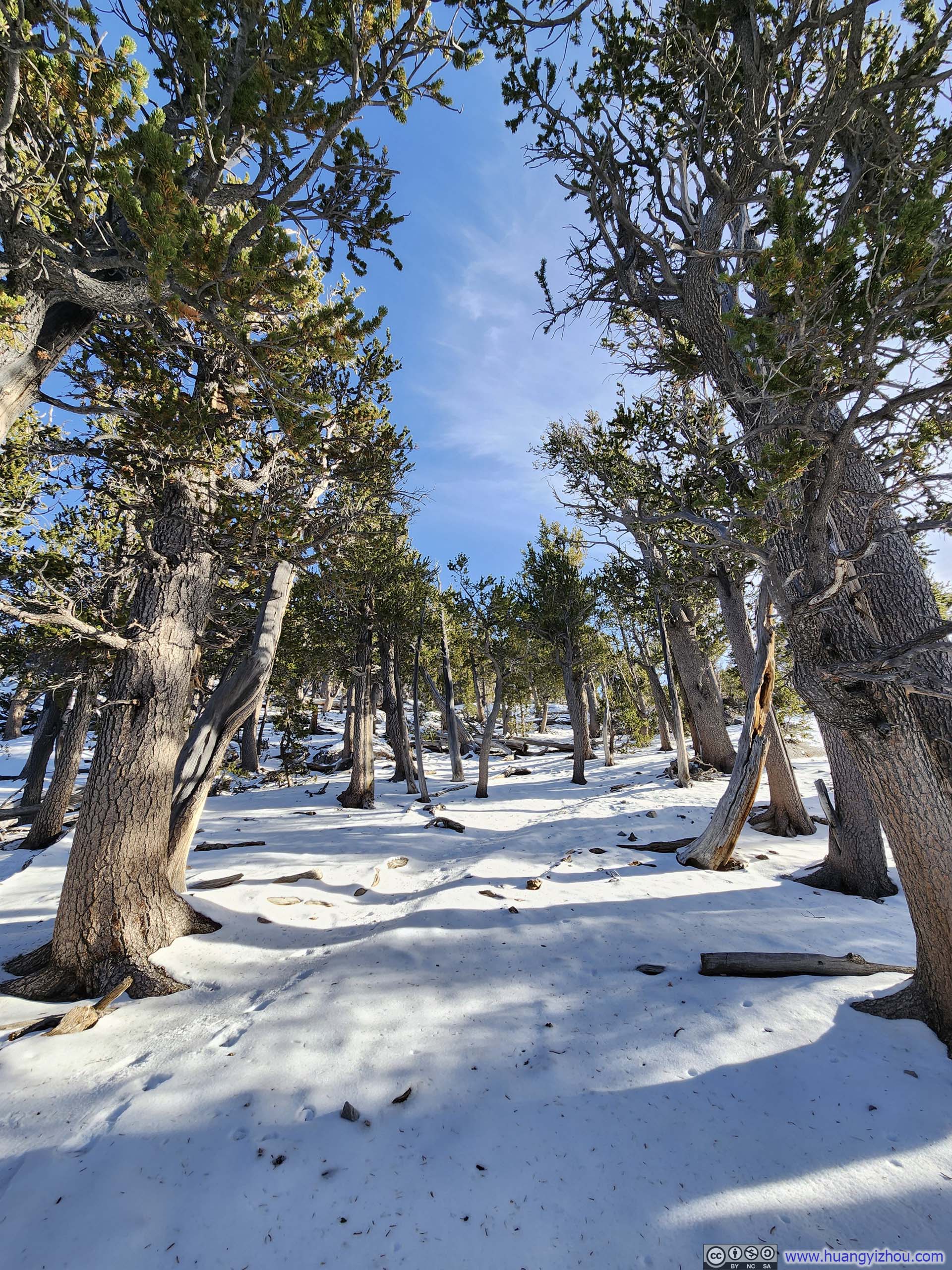
About three-quarters of the way to Fletcher Peak, the trail reached an inconspicuous intersection with the other branch leading to Charleston Peak. Somehow, I missed the intersection on both my way up and down.
Past that intersection, the final stretch before Fletcher Peak was the steepest with the most extensive snow cover. In my opinion, prior to this point the snow cover condition was on the cusp of microspikes usage, but for the homestretch microspikes were definitely useful. (That said, it was still manageable without, as I greeted some returning hikers without them.)
 Trail
Trail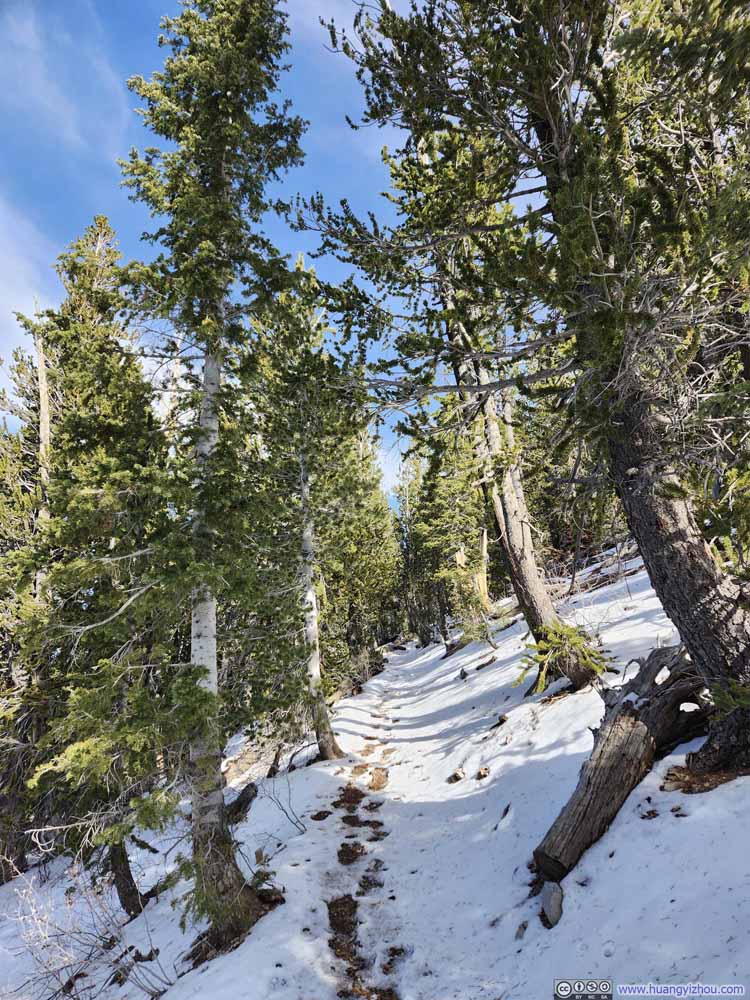 Trail
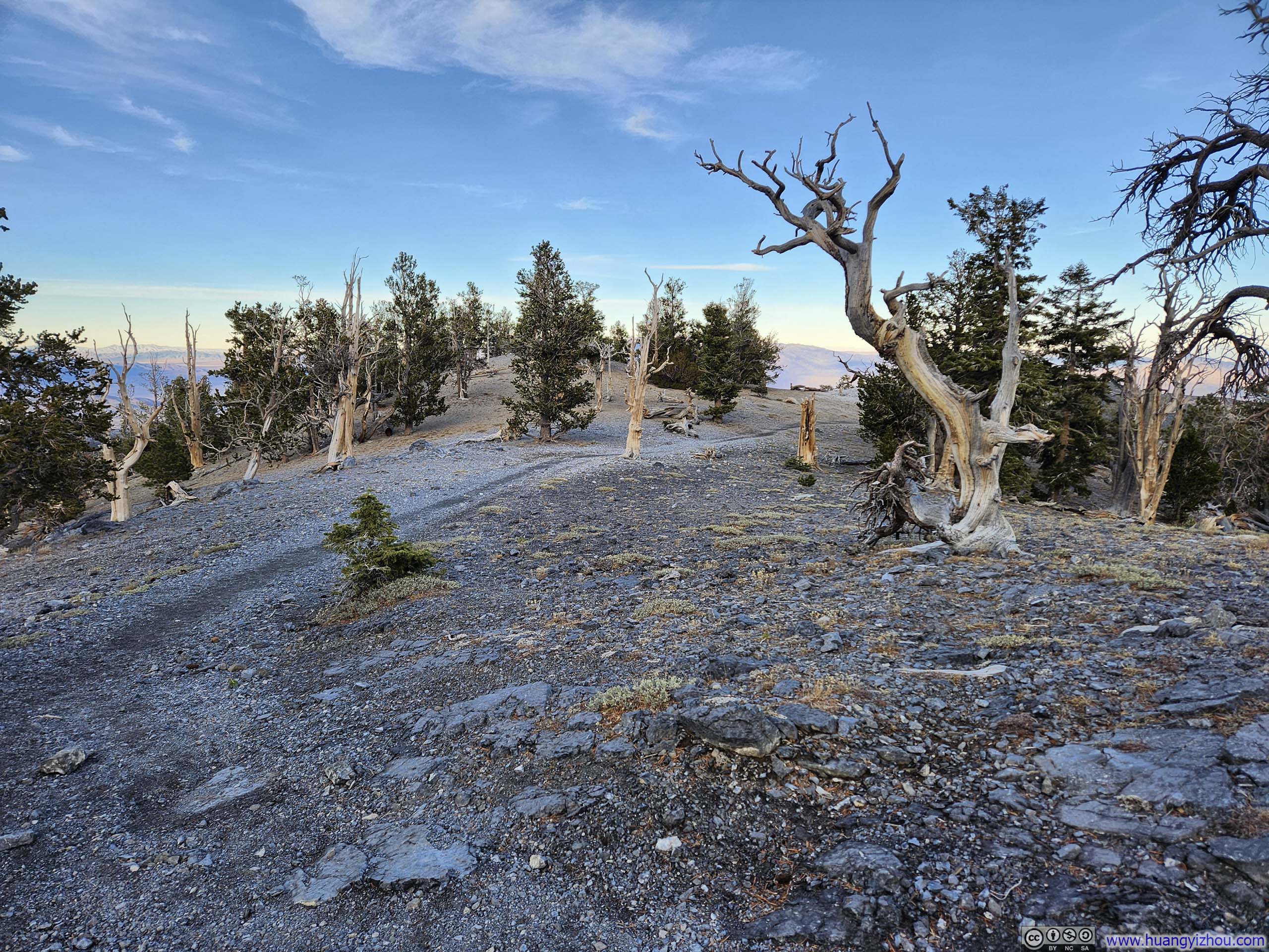
Trail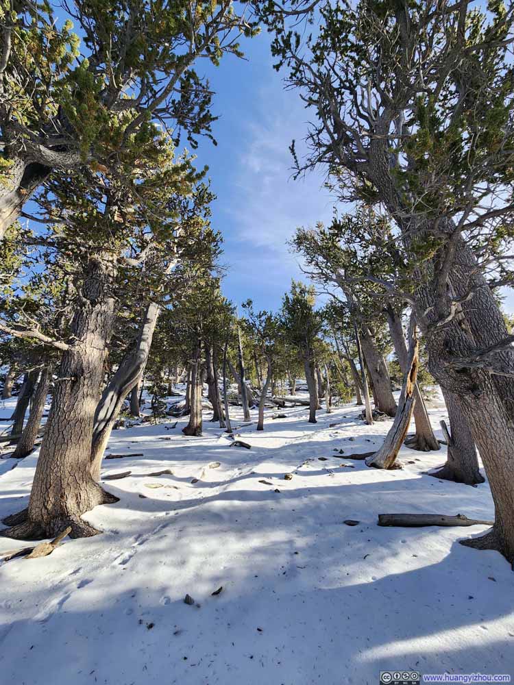 Homestretch before Fletcher PeakWhere the trail wasn’t obvious.
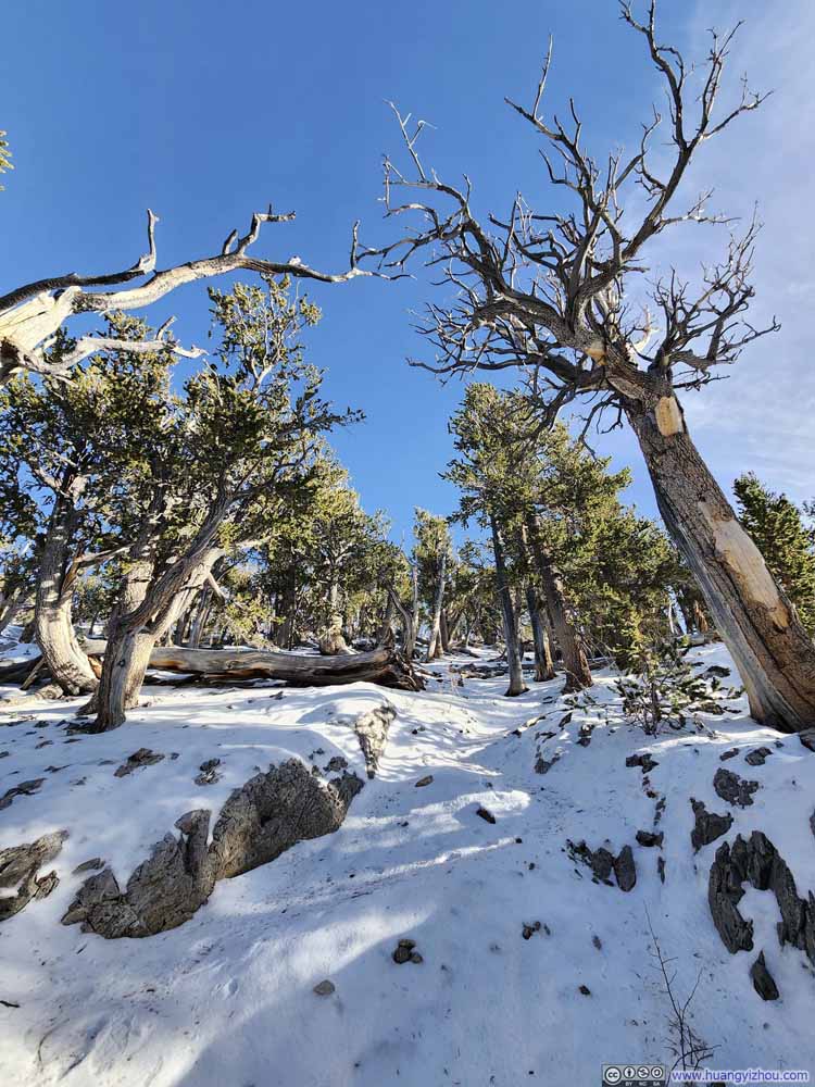 Homestretch before Fletcher PeakWhere the trail wasn’t obvious.
 Homestretch before Fletcher PeakWhere the trail wasn’t obvious.


Click here to display photos of the slideshow
Trail
Trail
Homestretch before Fletcher PeakWhere the trail wasn’t obvious.

Homestretch before Fletcher PeakWhere the trail wasn’t obvious.

Homestretch before Fletcher PeakWhere the trail wasn’t obvious.
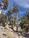
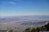
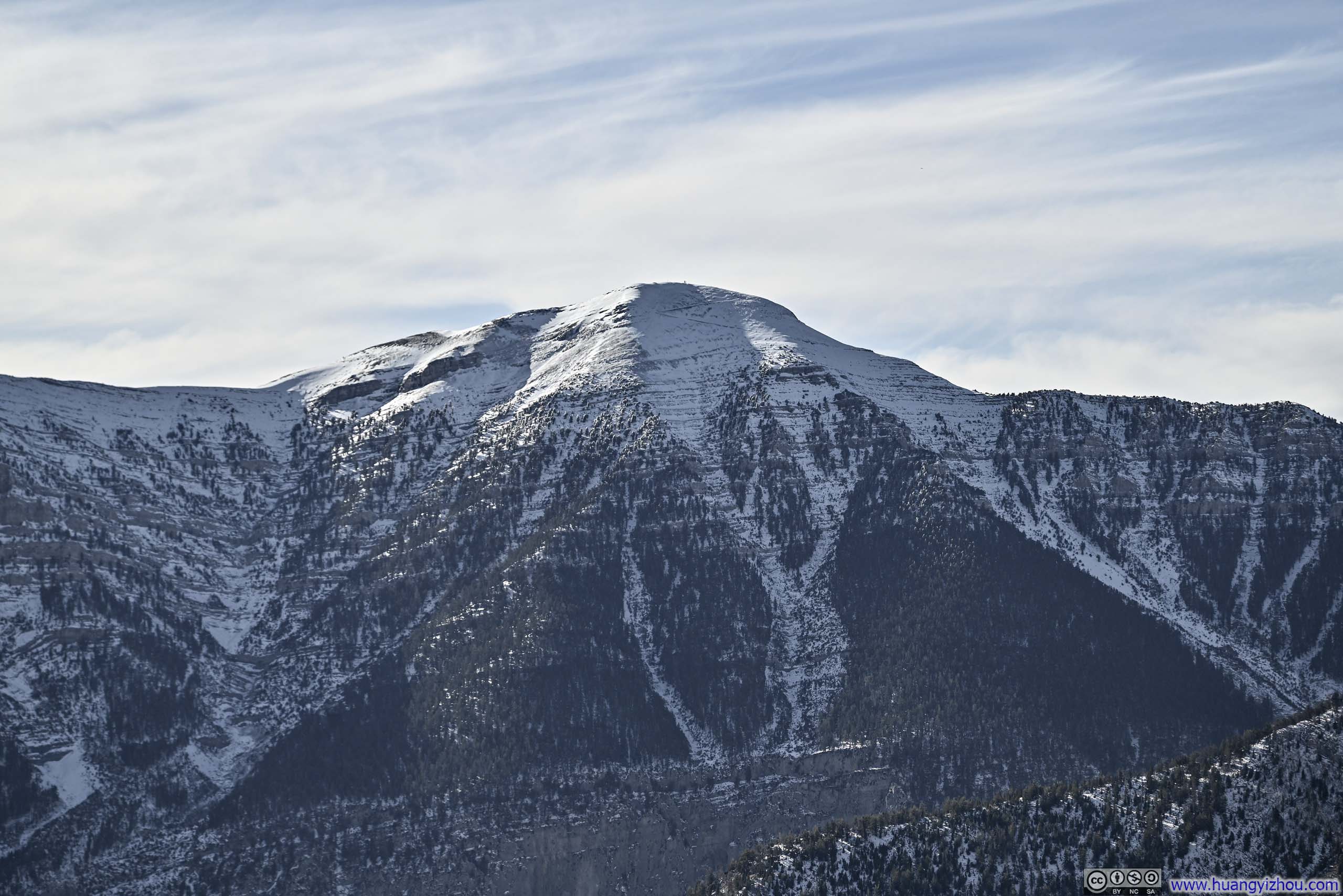
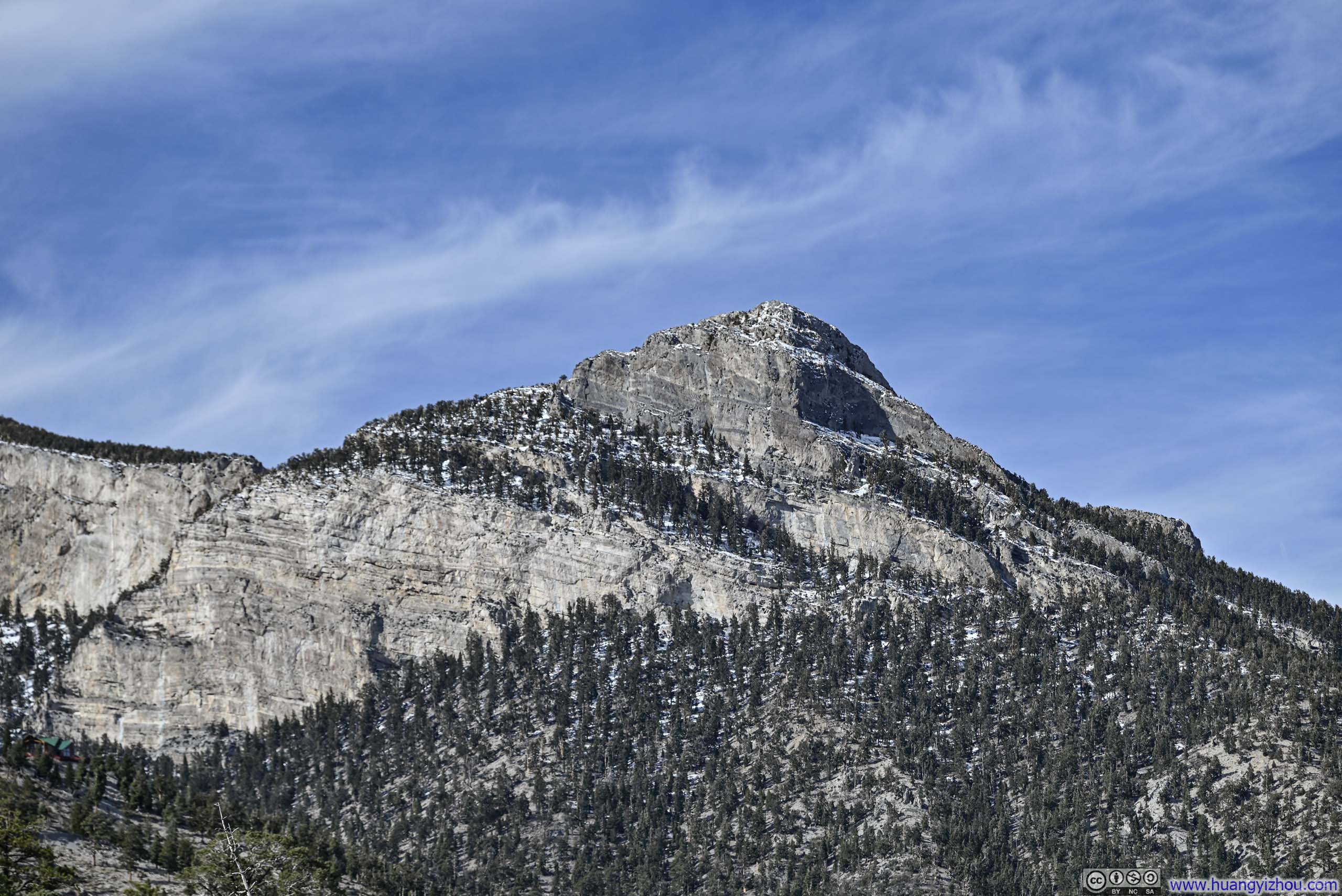
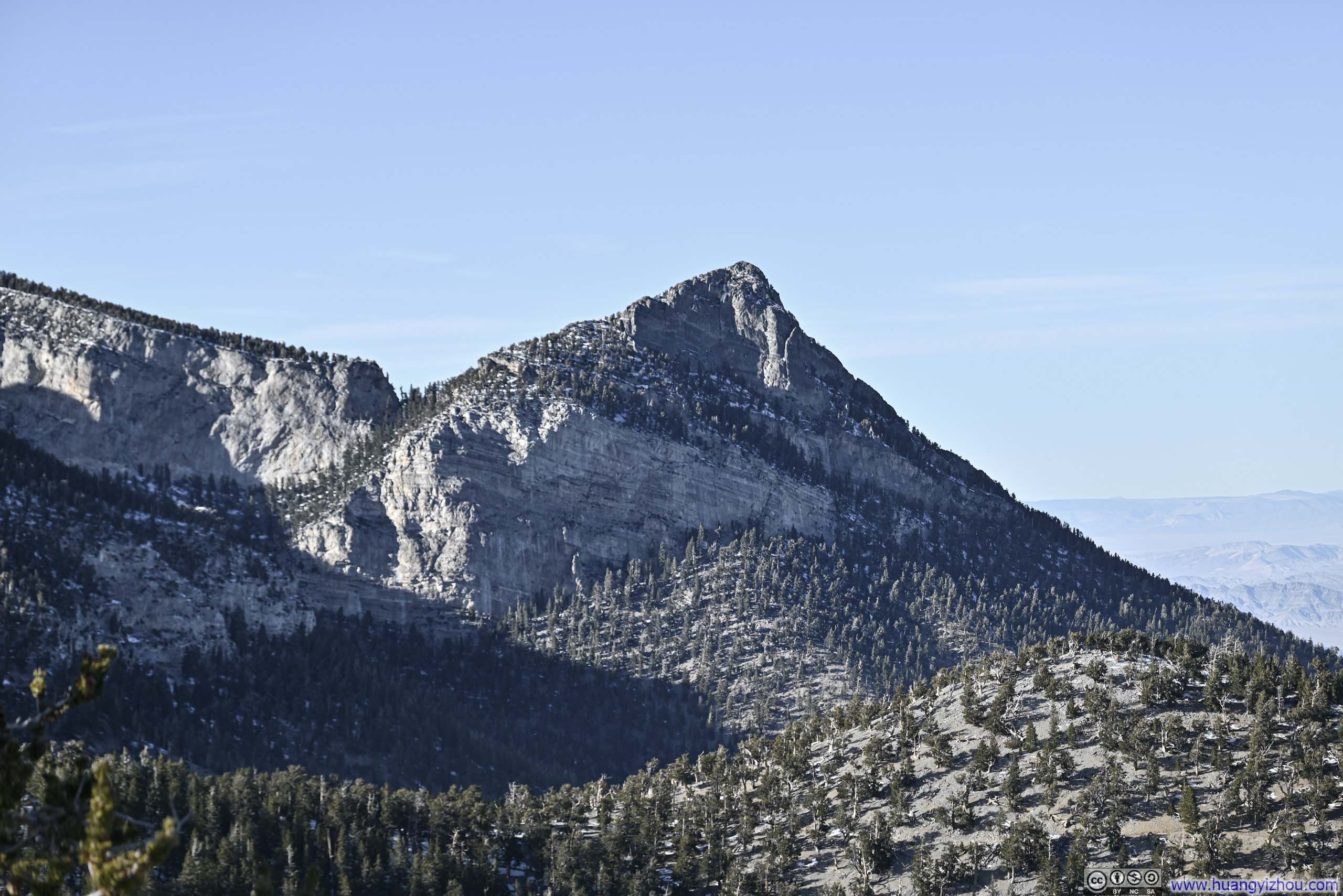
In the end, there was a slight confusion as to the actual summit of Fletcher Peak. The AllTrails map concluded at a vista about 180m (600ft) shy of where the summit was marked on the map. Long story short, the “actual” summit, which I regrettably visited afterwards, was wooded and offered no views. The vista, which was about the same height as the technical summit, offered a far more fitting terminus to my hike with rewarding views.
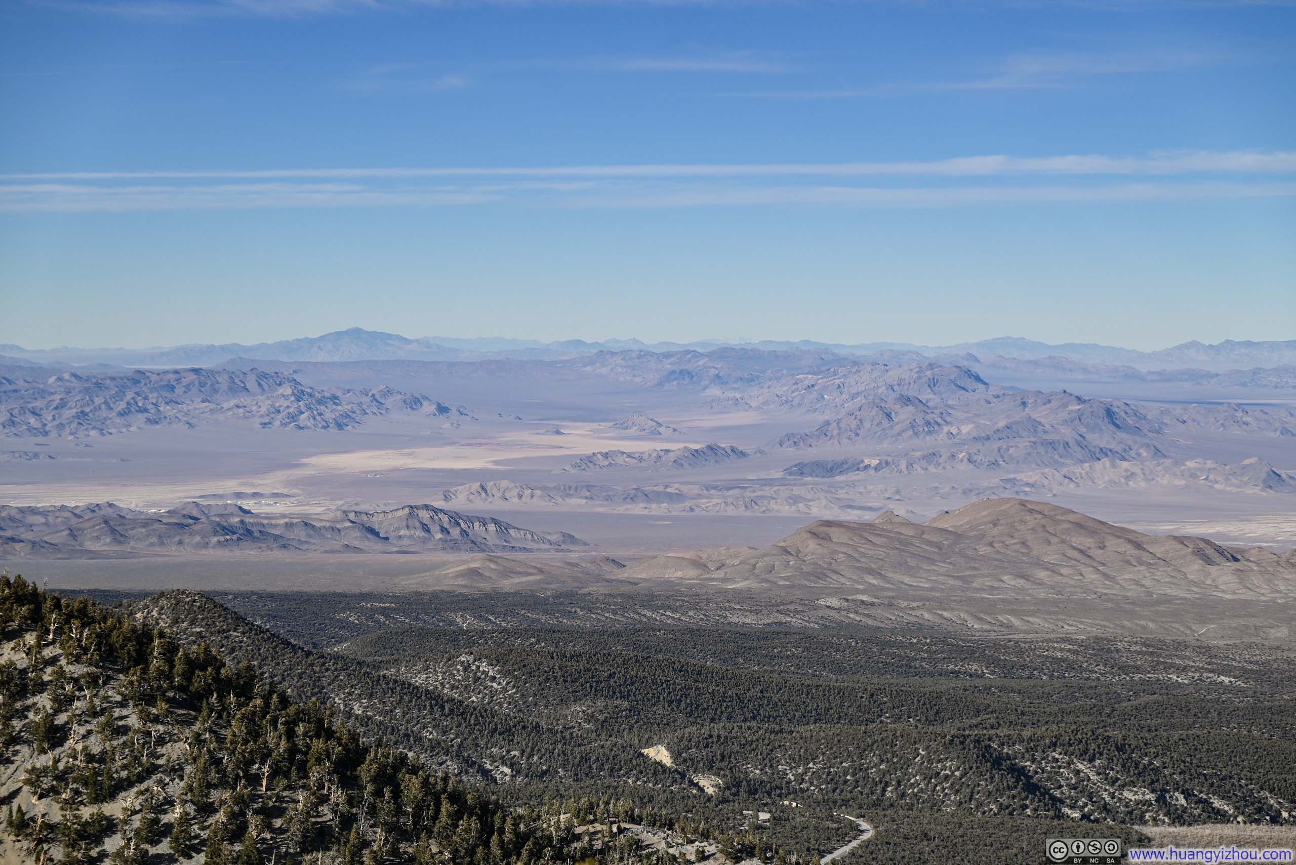
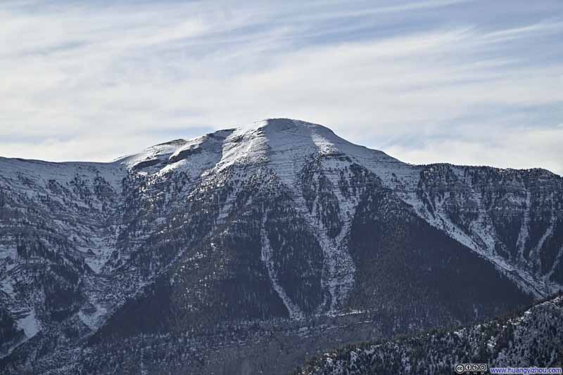 Charleston Peak
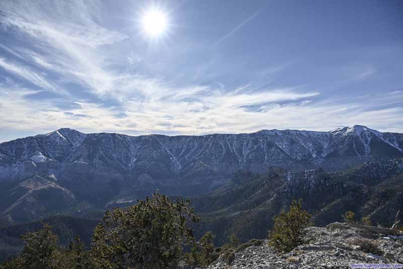 Mountains across Kyle Canyon
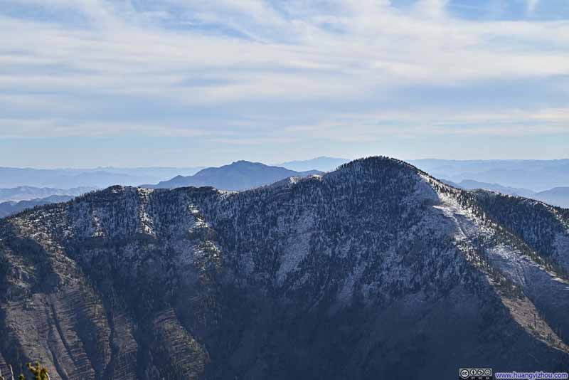 Harris Mountain
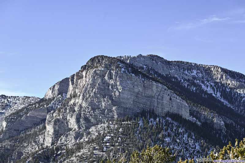 Mummy Mountain
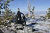
 My Backpack on Fletcher Peak Viewpoint
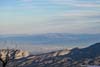
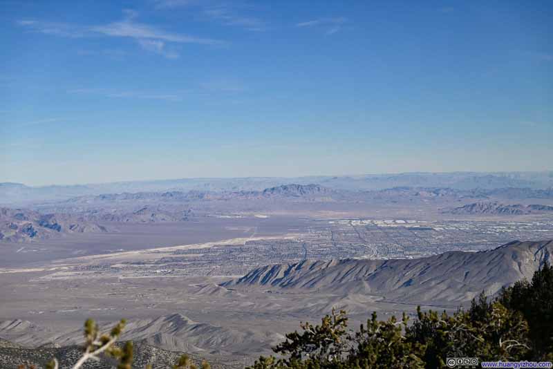 Northern Suburb of Las Vegas
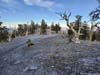
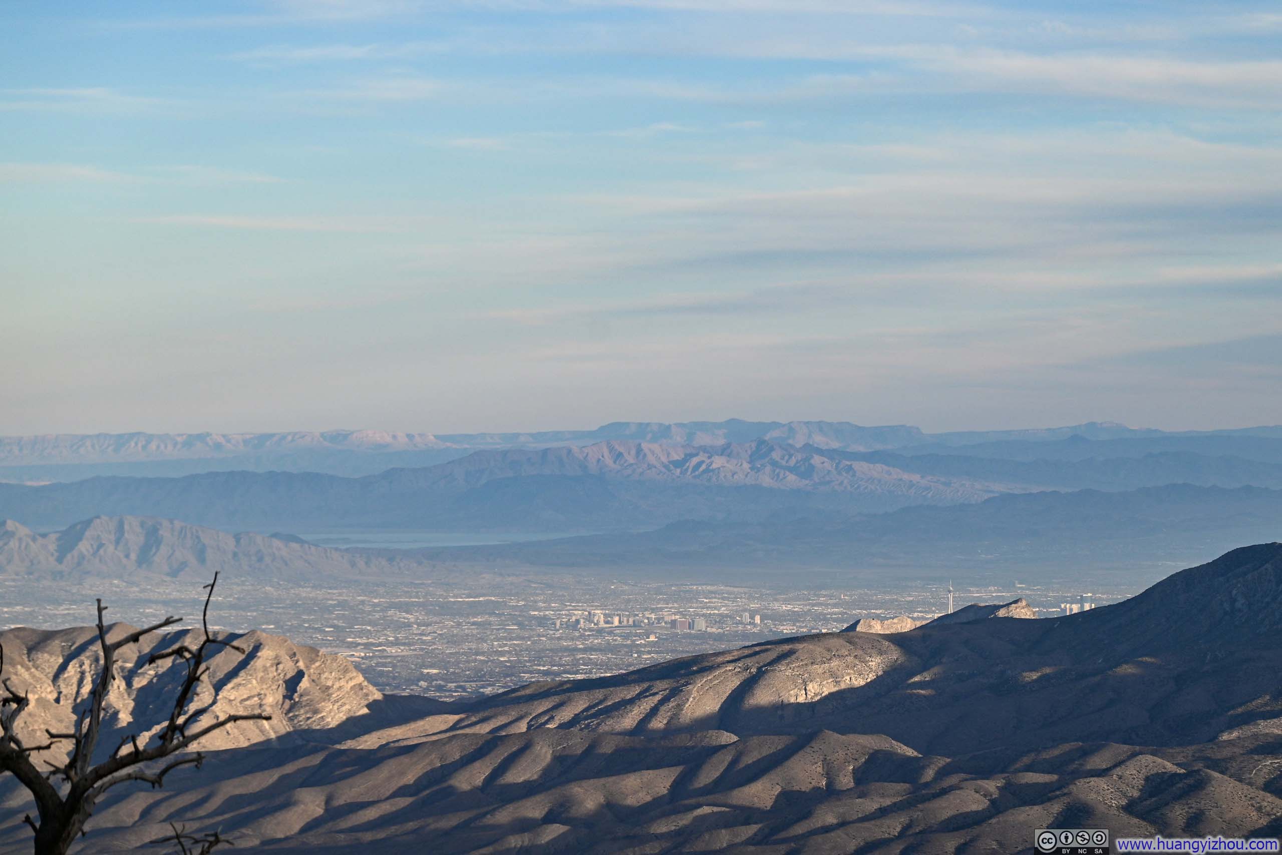
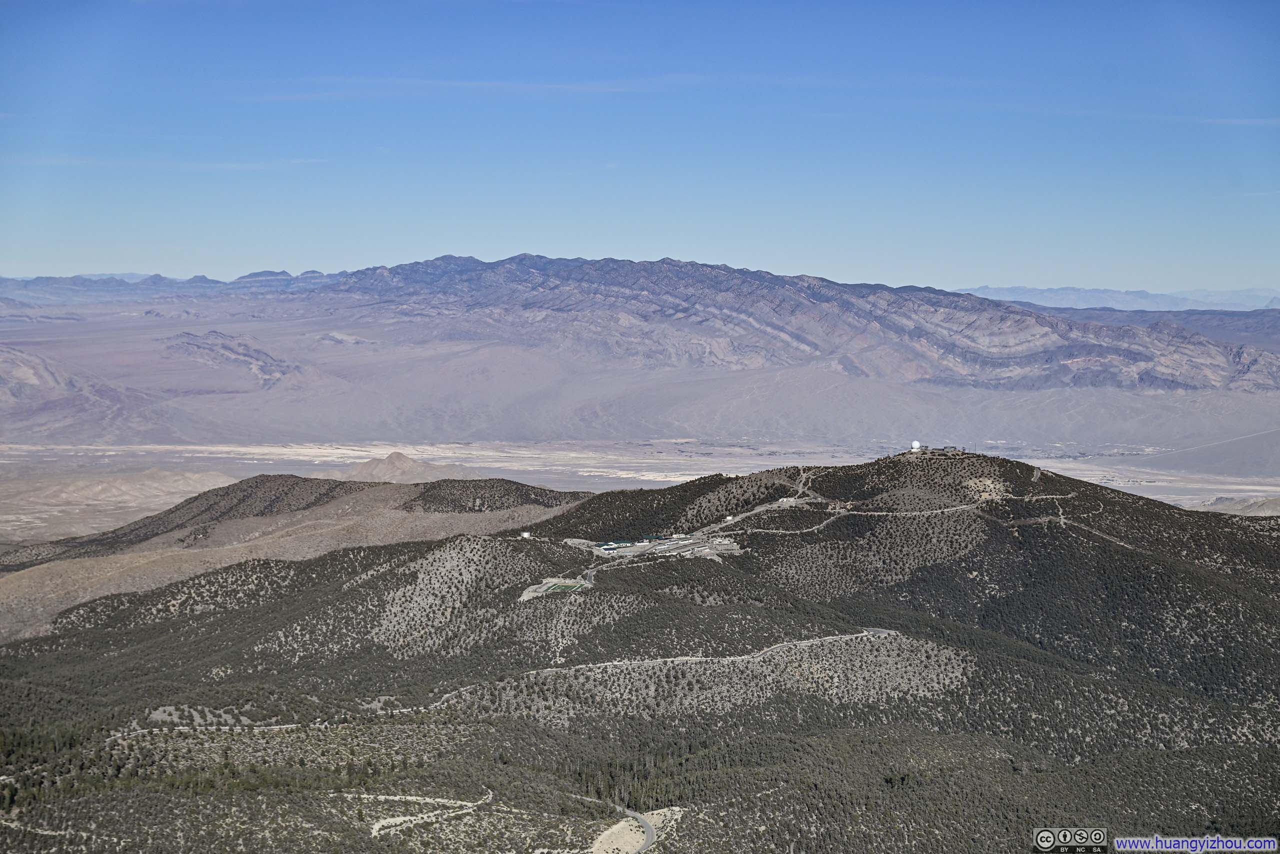
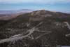
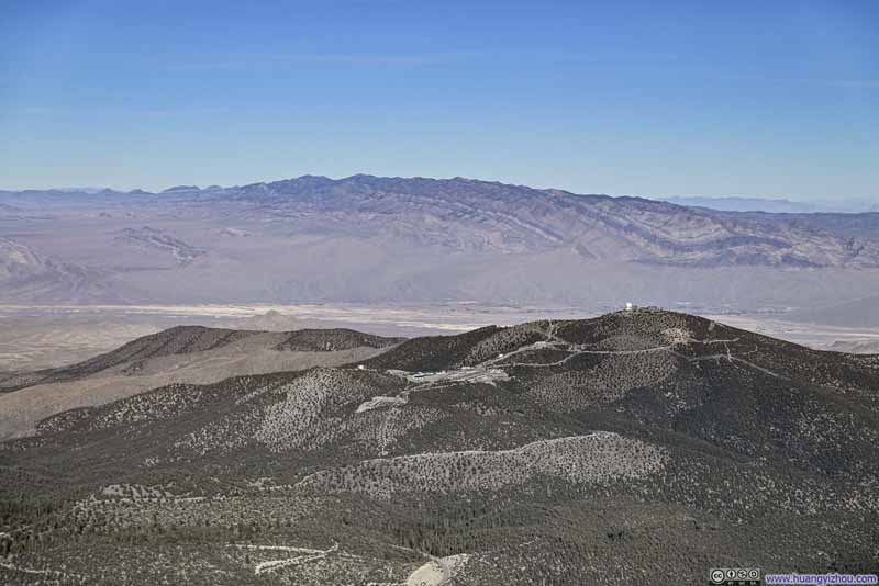 Angel Peak before Sheep Range MountainsThe FAA radar facility on top of Angel Peak, nearby was a juvenile detention center.
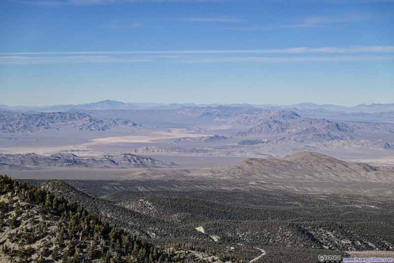 Indian Springs Valley
Click here to display photos from the summit of Fletcher Peak.
Charleston Peak
Mountains across Kyle Canyon
Harris Mountain
Mummy Mountain
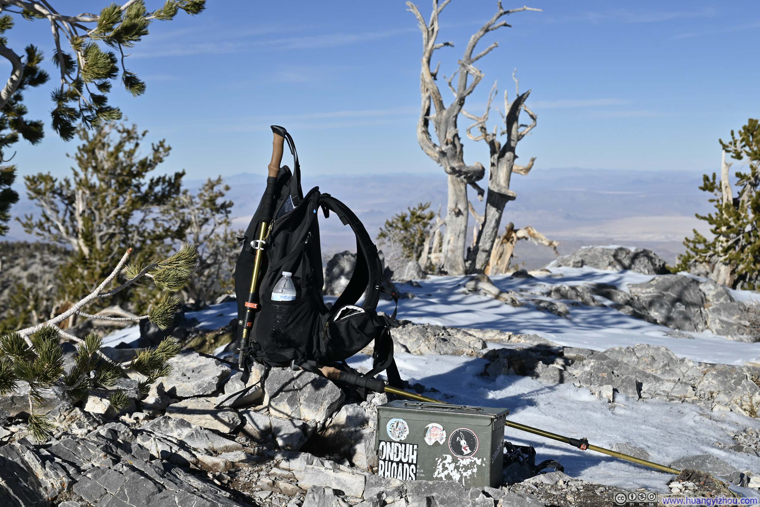
My Backpack on Fletcher Peak Viewpoint
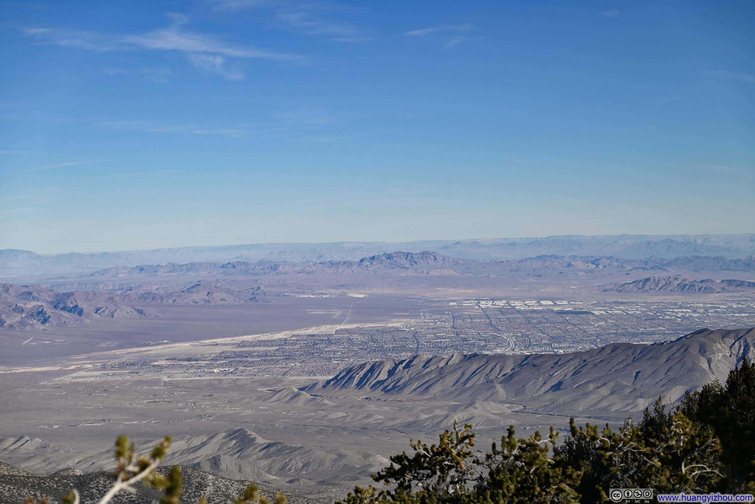
Northern Suburb of Las Vegas
Angel Peak before Sheep Range MountainsThe FAA radar facility on top of Angel Peak, nearby was a juvenile detention center.
Indian Springs Valley
In my opinion, the views from Fletcher Peak were decent, but not as breathtaking as the ones Mt Wilson greeted me with the previous day. The mountains, in their quiet wisdom, dispensed visual rewards with exquisite precision to match what hikers had earned, no more and no less.
 Hill
Hill
Partly because the trail presented no technical challenges, partly because I was somewhat recovering from yesterday’s grueling hike, I maintained a leisurely pace throughout the hike, almost deliberately timing my return to coincide with sunset.
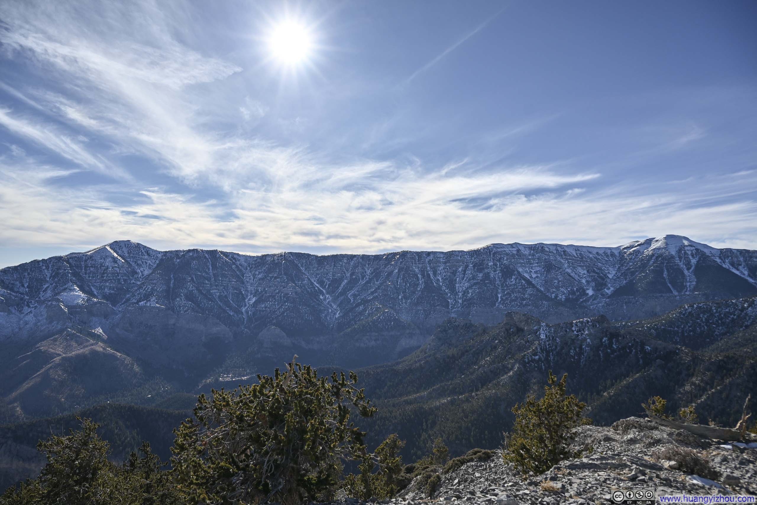
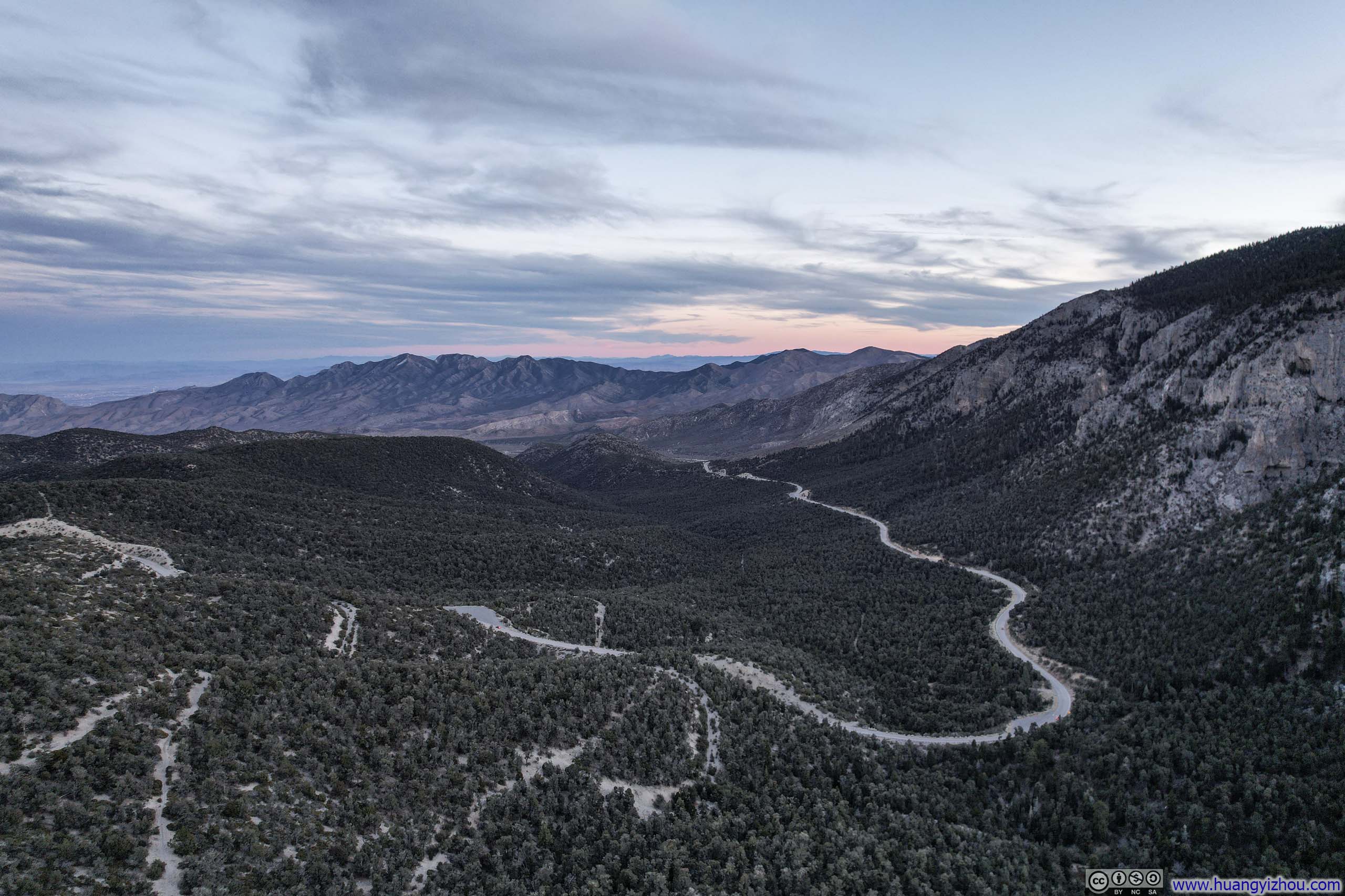
Upon reaching my car, I saw traces of twilight pink lighting up the horizon. The parking lot’s view of the sunset was obstructed by the mountains. So before I left the area, I launched my drone for an aerial tour, of how the mountains transformed in this golden hour, their features softened and reimagined by the day’s final light.
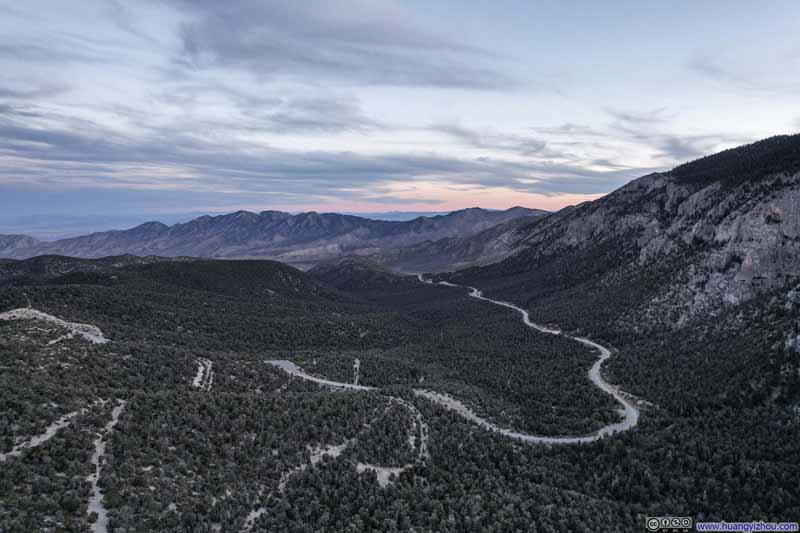 Mountain Road
 Spring Mountains
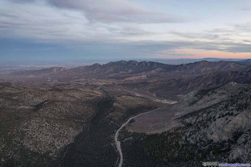 La Madre Mountains
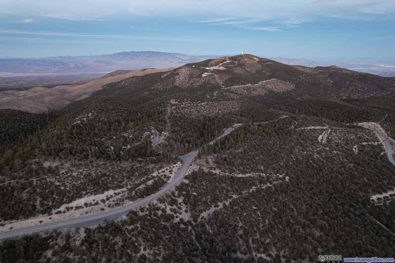 Angel Peak
Click here to display photos of the slideshow
Mountain Road

Spring Mountains
La Madre Mountains
Angel Peak
 Spring Mountains
And here’s a video:
1 minute and 11 seconds, 2160p60fps, H265 only, 15Mbps / 170MB.
After that, I made my way back to Las Vegas, concluding the day.
END
![]() Day 7 of 2024 Thanksgiving Trip to Las Vegas, Fletcher Peak by Huang's Site is licensed under a Creative Commons Attribution-NonCommercial-ShareAlike 4.0 International License.
Day 7 of 2024 Thanksgiving Trip to Las Vegas, Fletcher Peak by Huang's Site is licensed under a Creative Commons Attribution-NonCommercial-ShareAlike 4.0 International License.