
Updated on July 13, 2025
Hiking Kearsarge North in Winter
A brief post about my hike to a snow-covered Kearsarge North in January 2025.
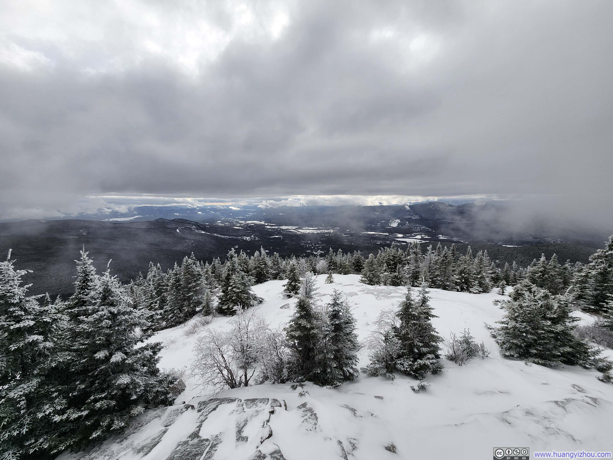
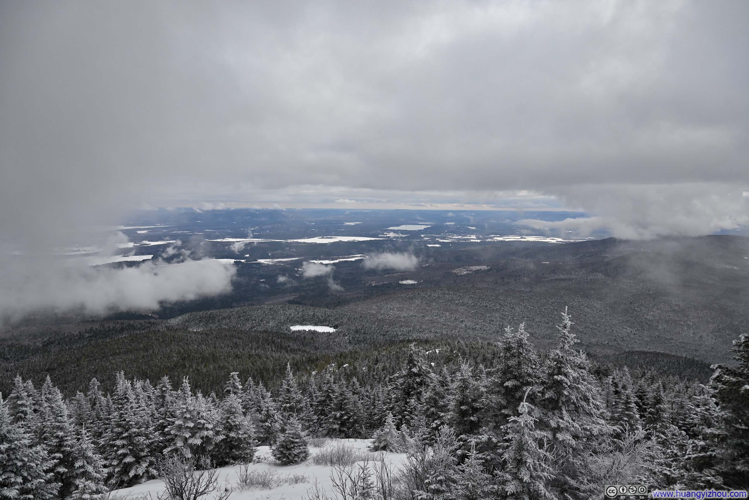
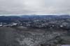
Town of Conway from North Kearsarge
In mid-January 2025, following a few weeks of hiatus from outdoor activities, I decided it was time to venture back into nature. This time I chose Kearsarge North, a hill outside the town of Conway, NH, with its modest height perfectly suited for the day’s low-hanging cloud cover. The trail was a manageable 9.2 kilometers out-and-back with 780 meters of elevation gain (or 5.7 miles with 2560 feet), quite fitting for the abbreviated daylight hours of the season. As fortune would have it, the trail was covered by mostly shallow snow, hence only requiring microspikes for traction.
Unfortunately, the trailhead offered very limited parking, which turned out to be an issue for my hike. Nonetheless, I started my hike just after 10am. Here’s GPS tracking:
 Trail
Trail Trail
Trail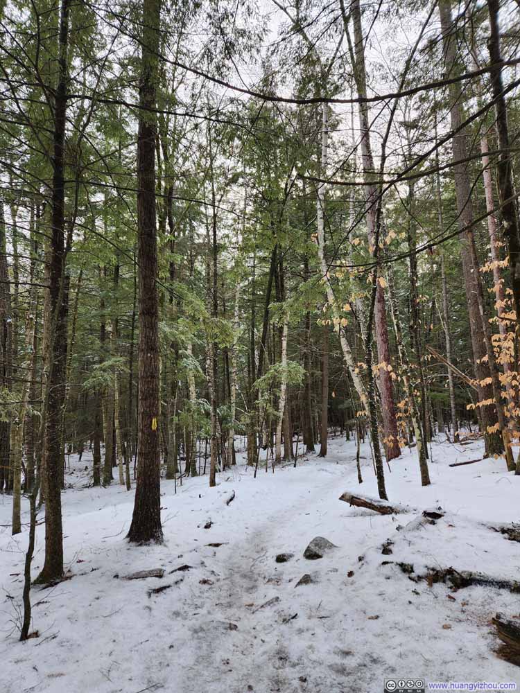 Trail
Trail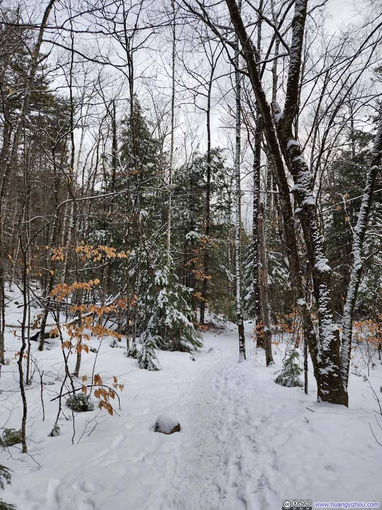 Trail
Trail Trail
Trail Trail
Trail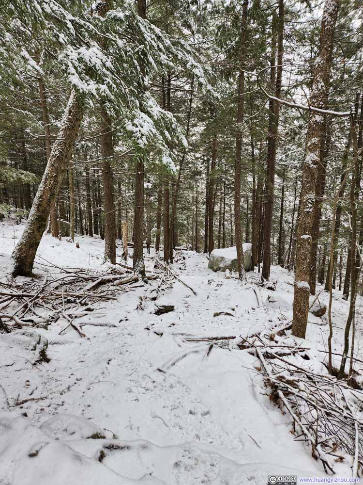 Trail
Trail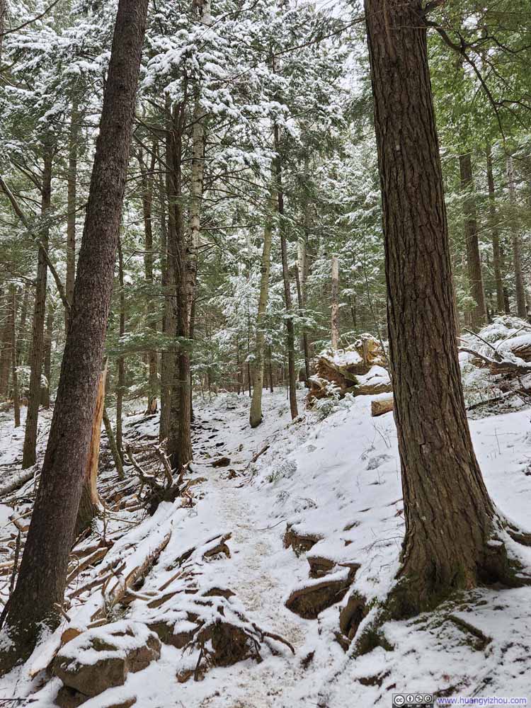 Trail
Trail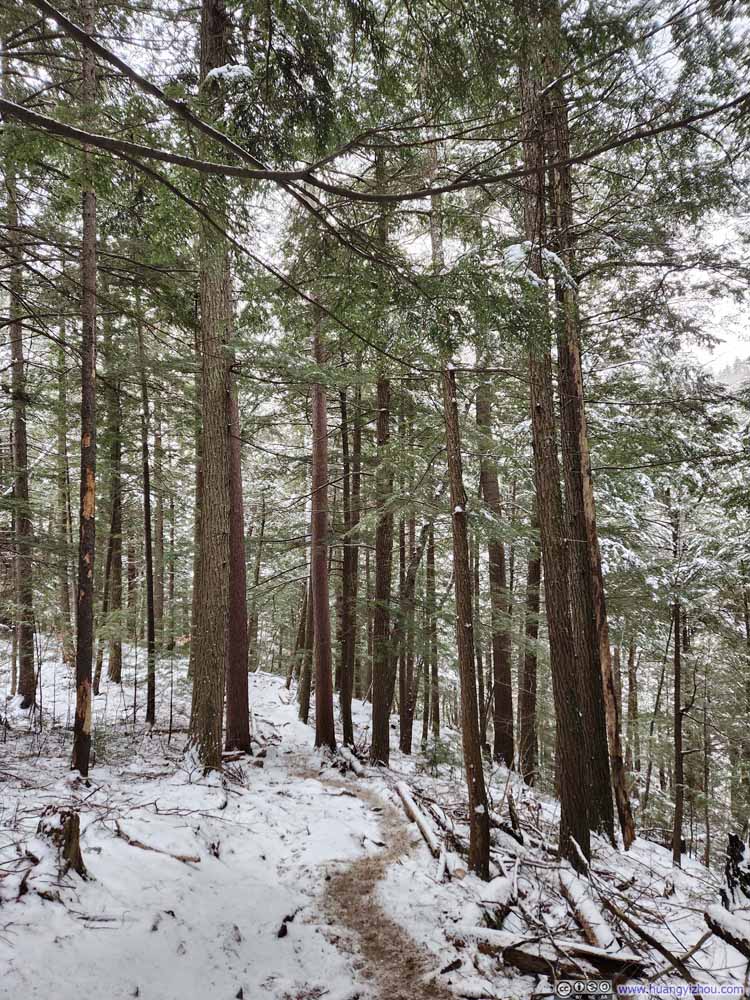 Trail
Trail Trail
Trail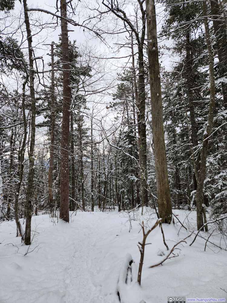 Trail
Trail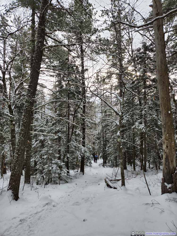 Trail
Trail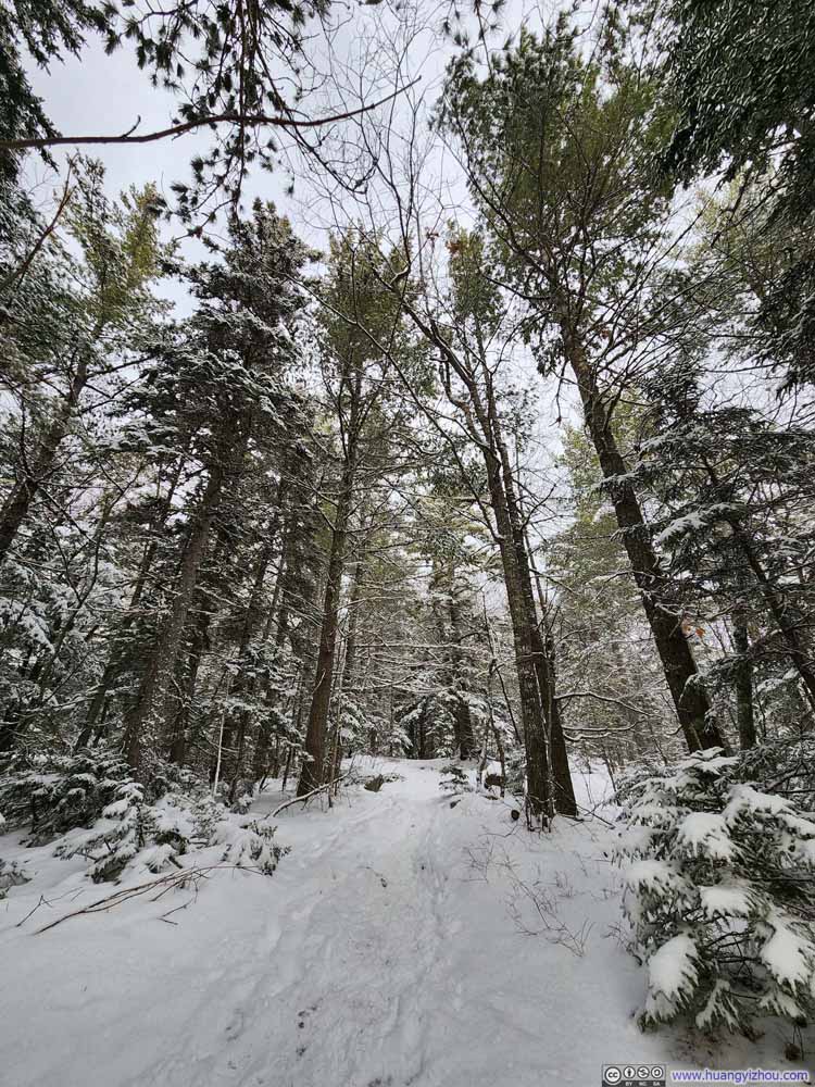 Trail
Trail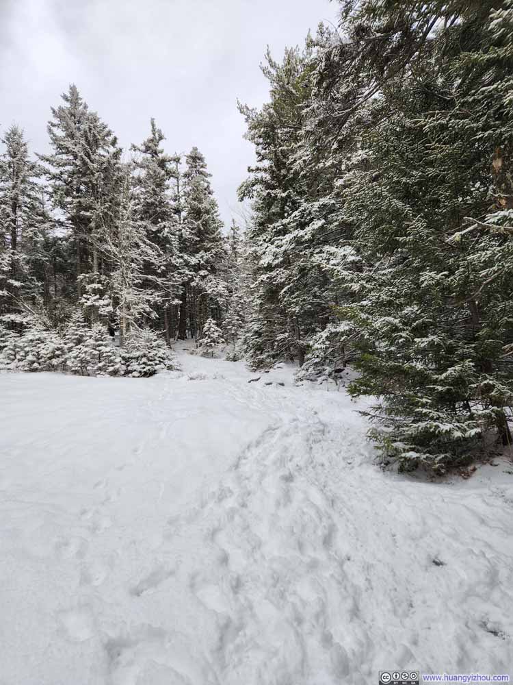 Trail
Trail
Click here to display photos of the trail.
Trail
Trail
Trail
Trail

Trail
Trail

Trail
Trail
Trail
Trail

Trail
Trail
Trail
Trail
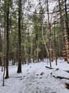
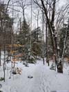
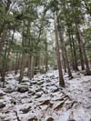
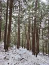
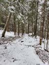
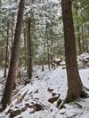
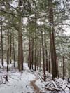
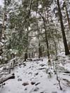
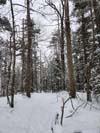
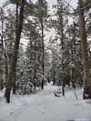
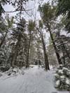
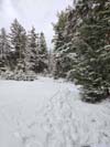
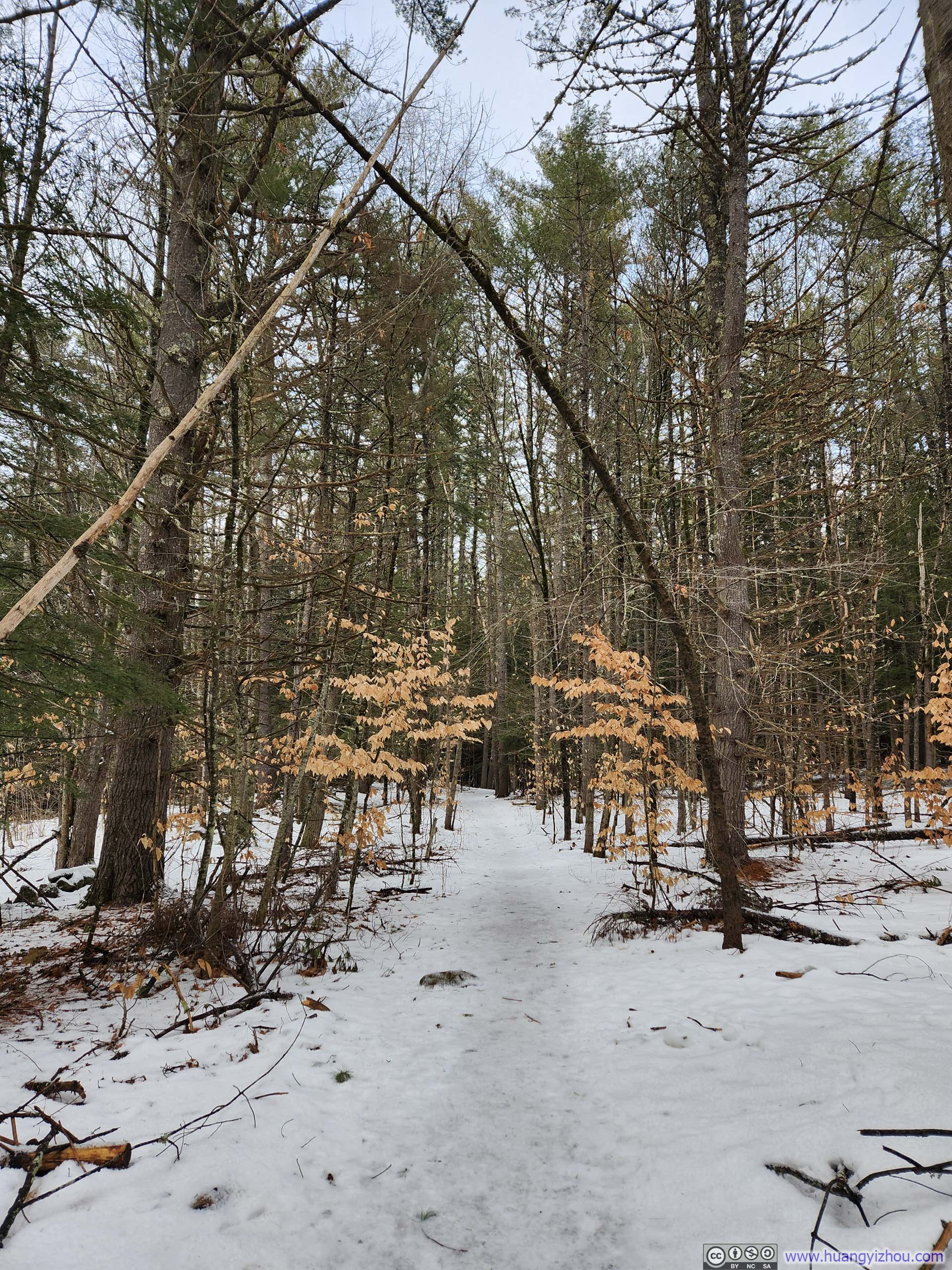
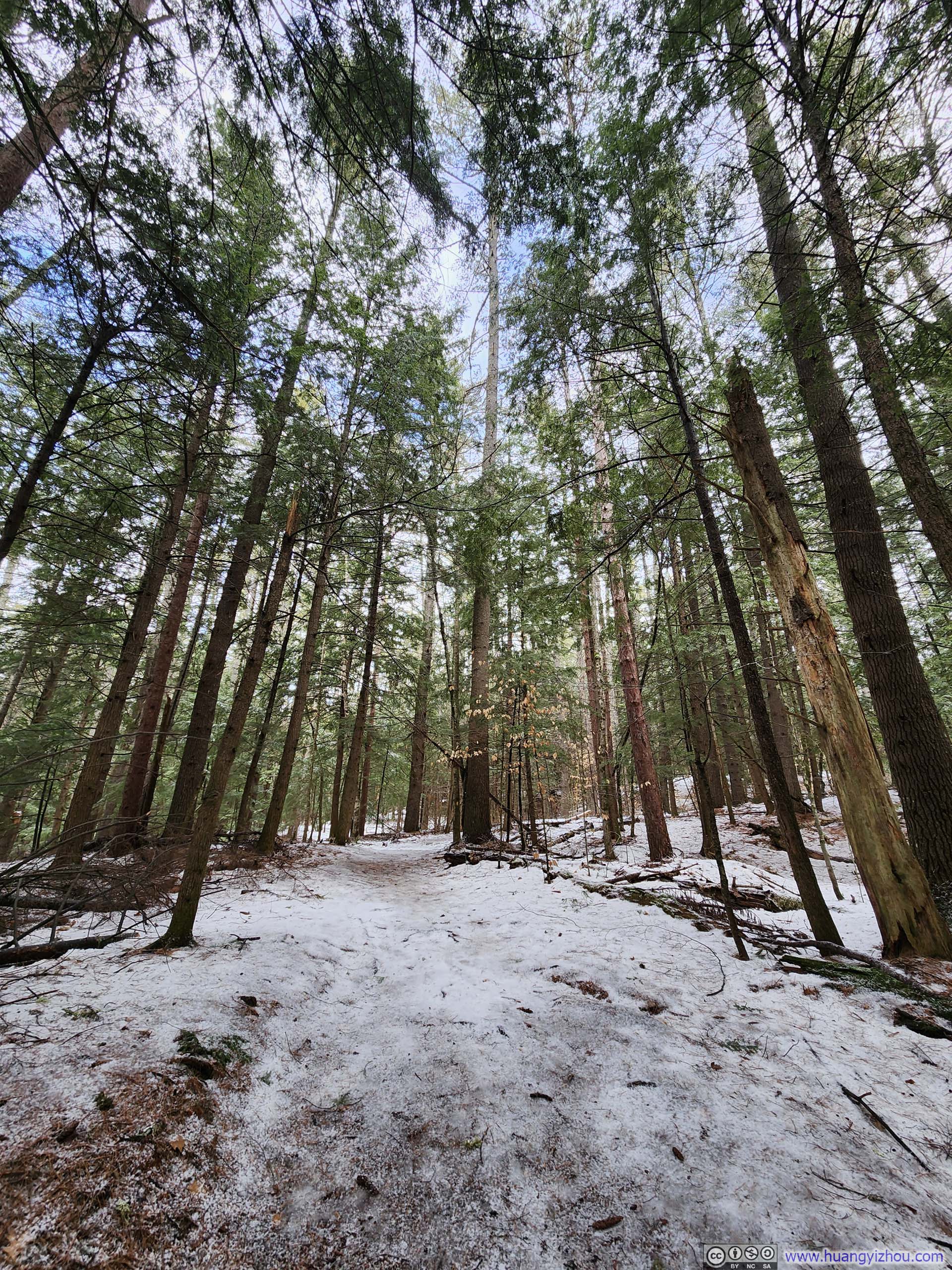
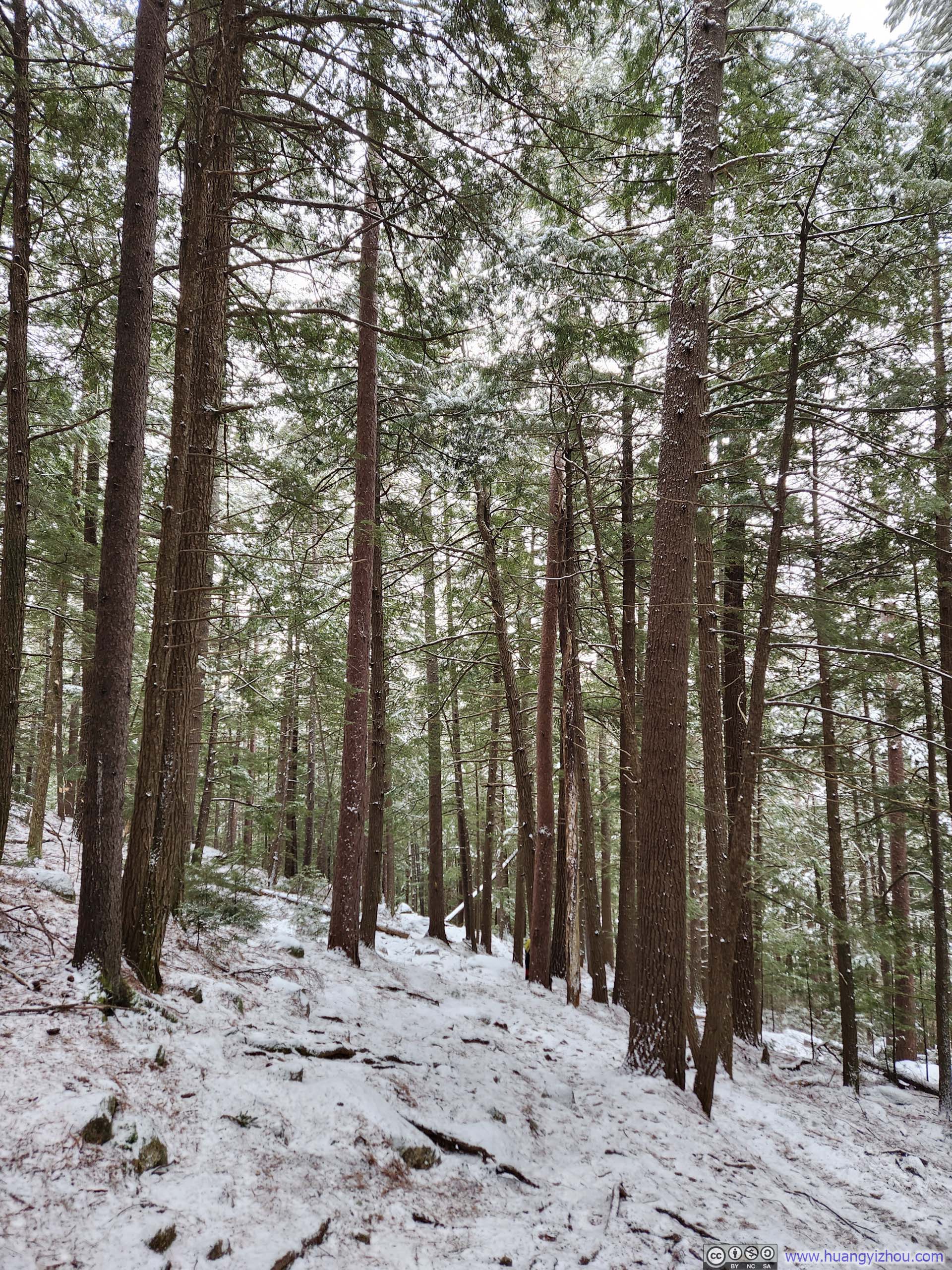
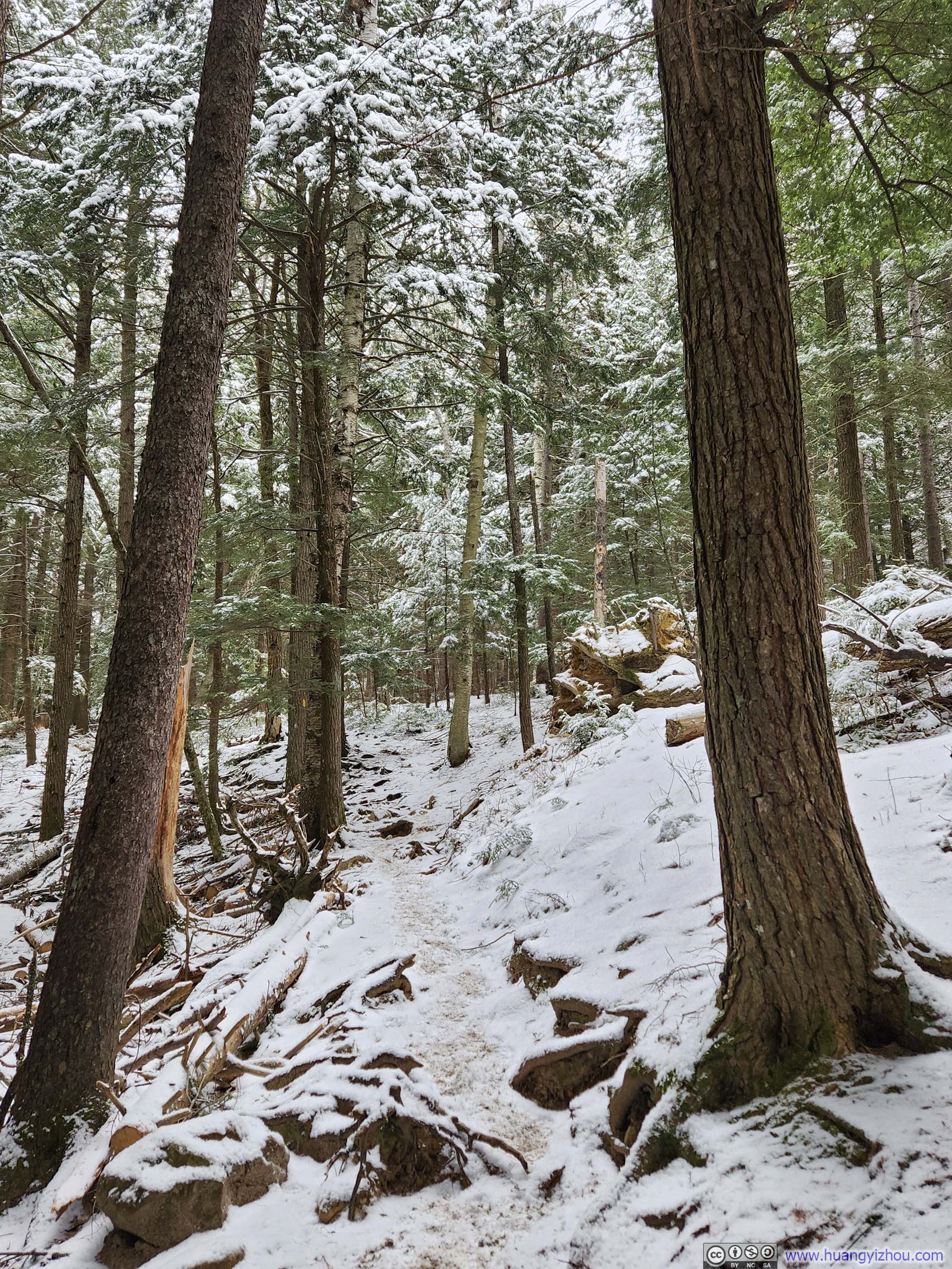
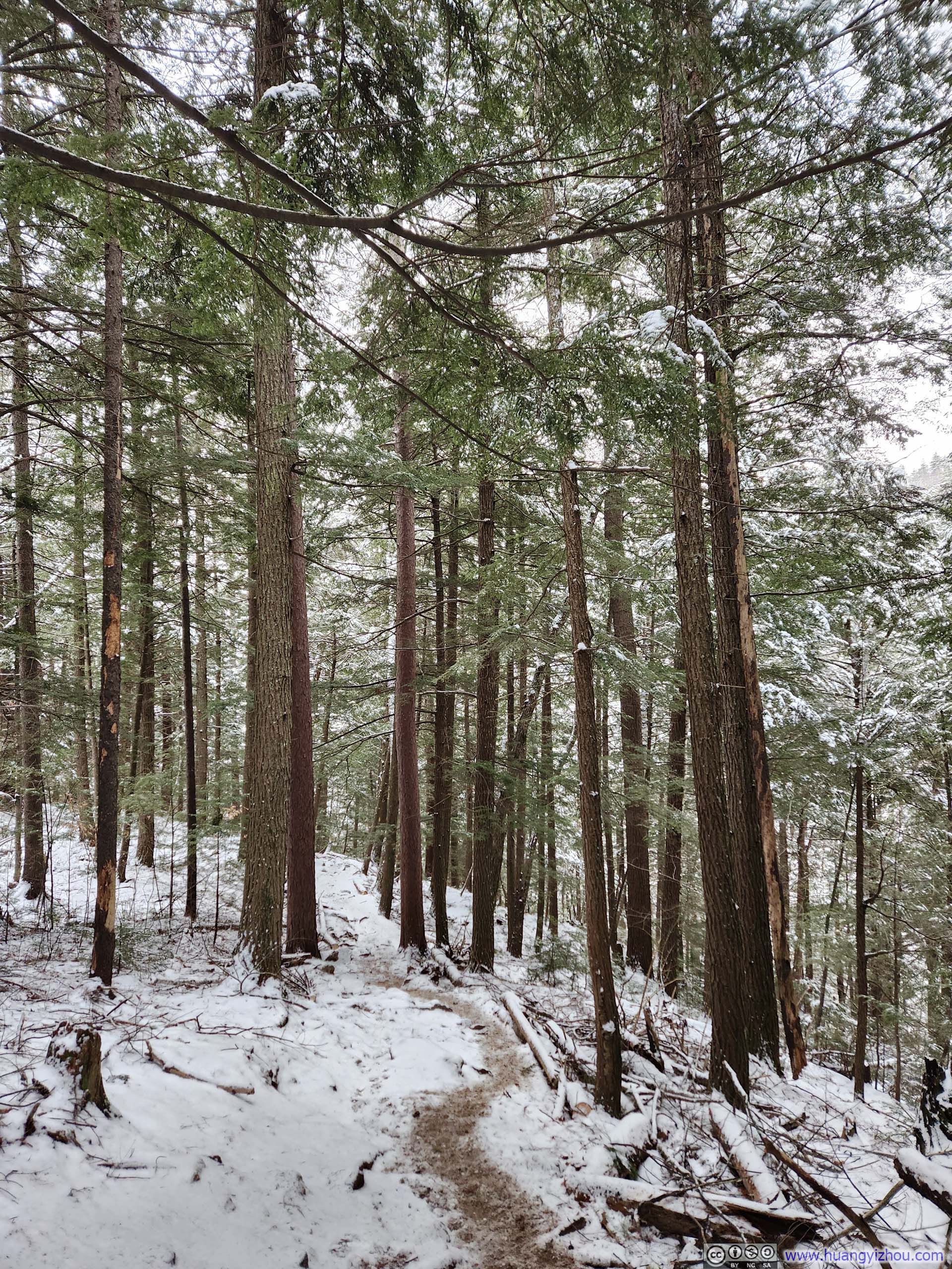
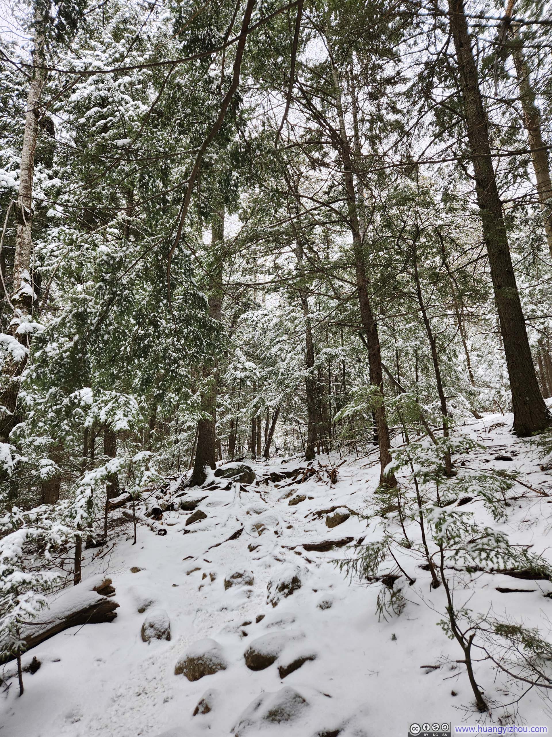
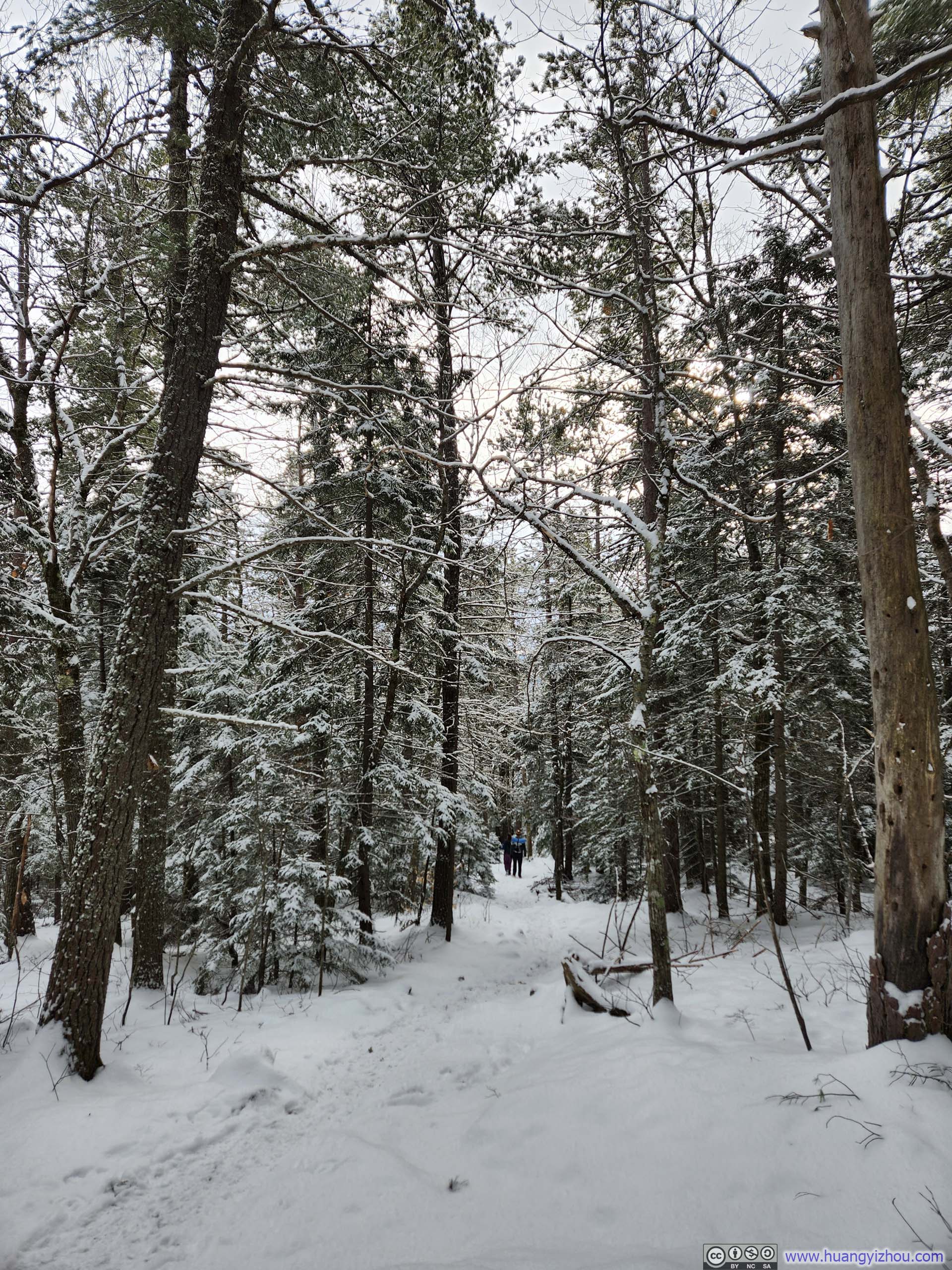
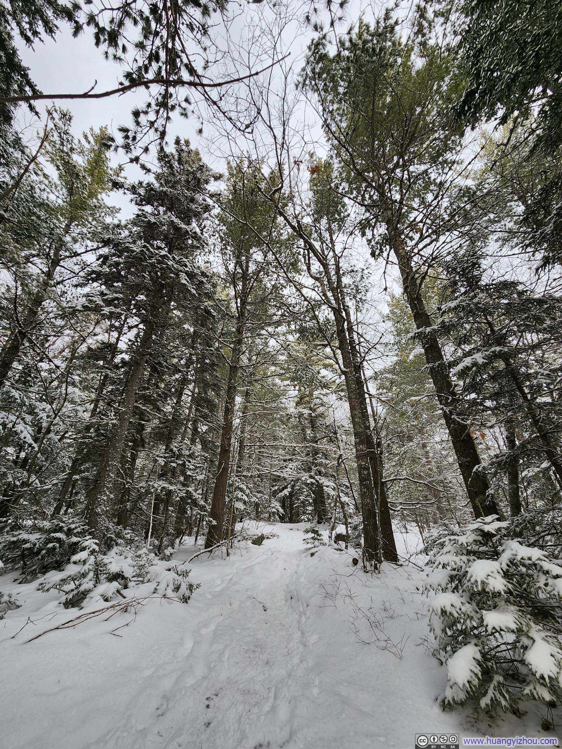
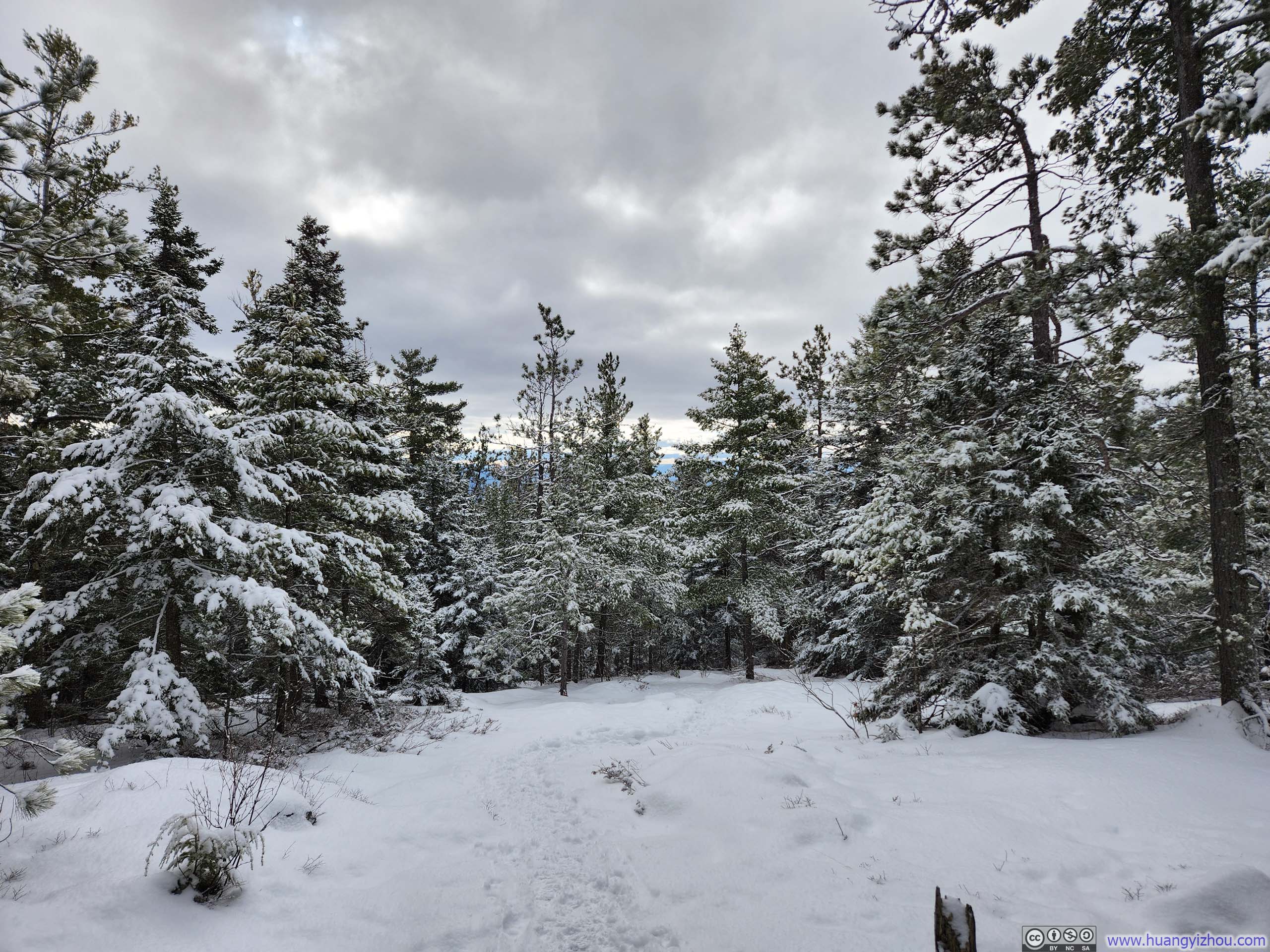
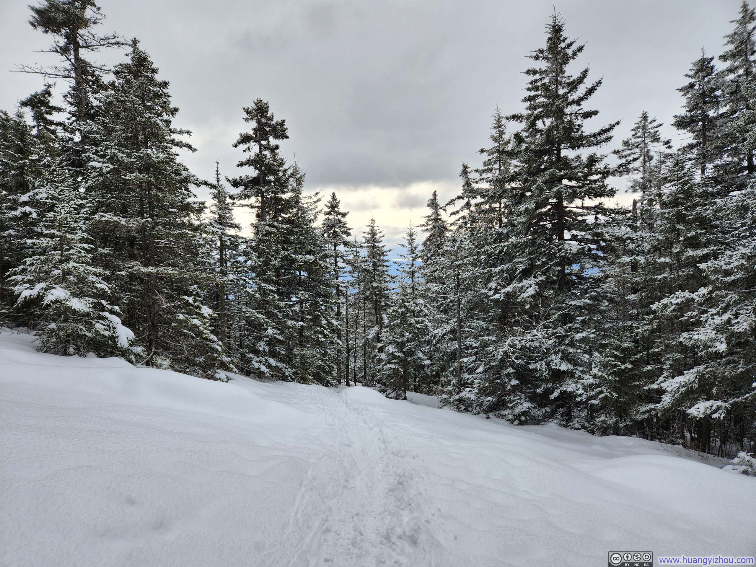
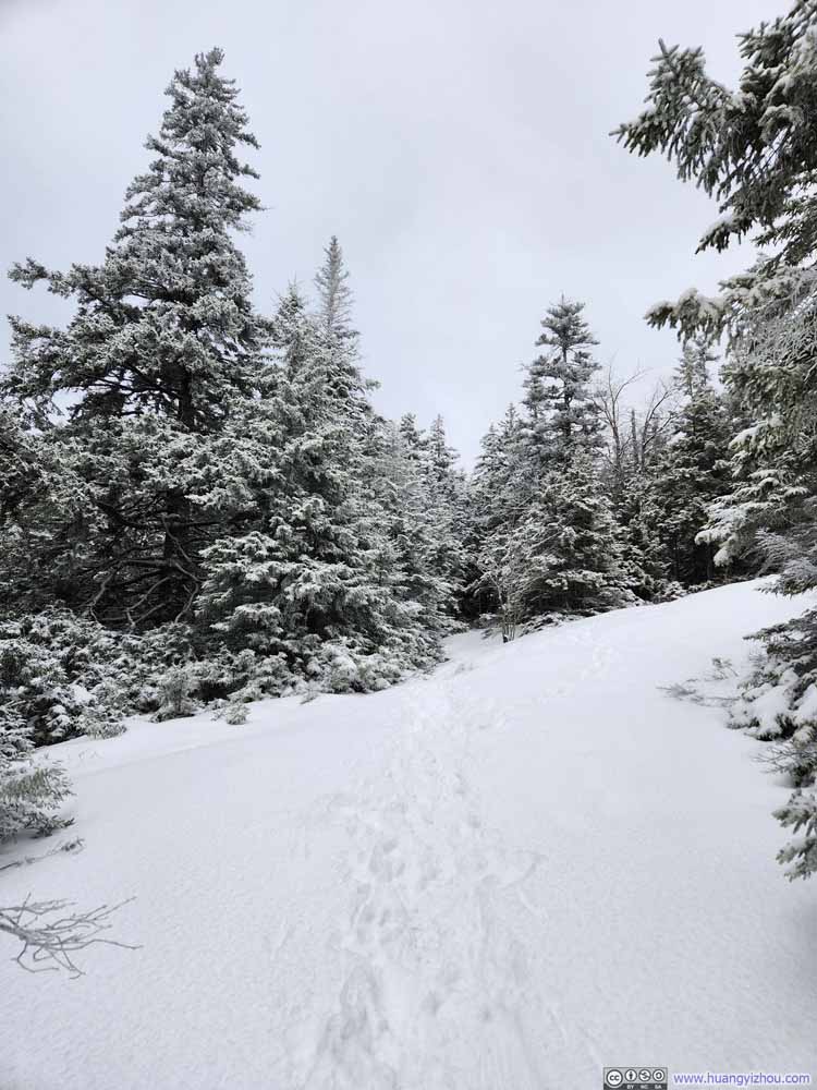
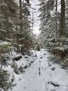
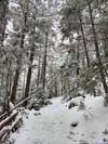
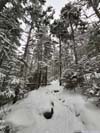
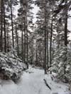
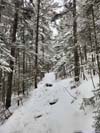
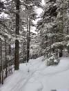
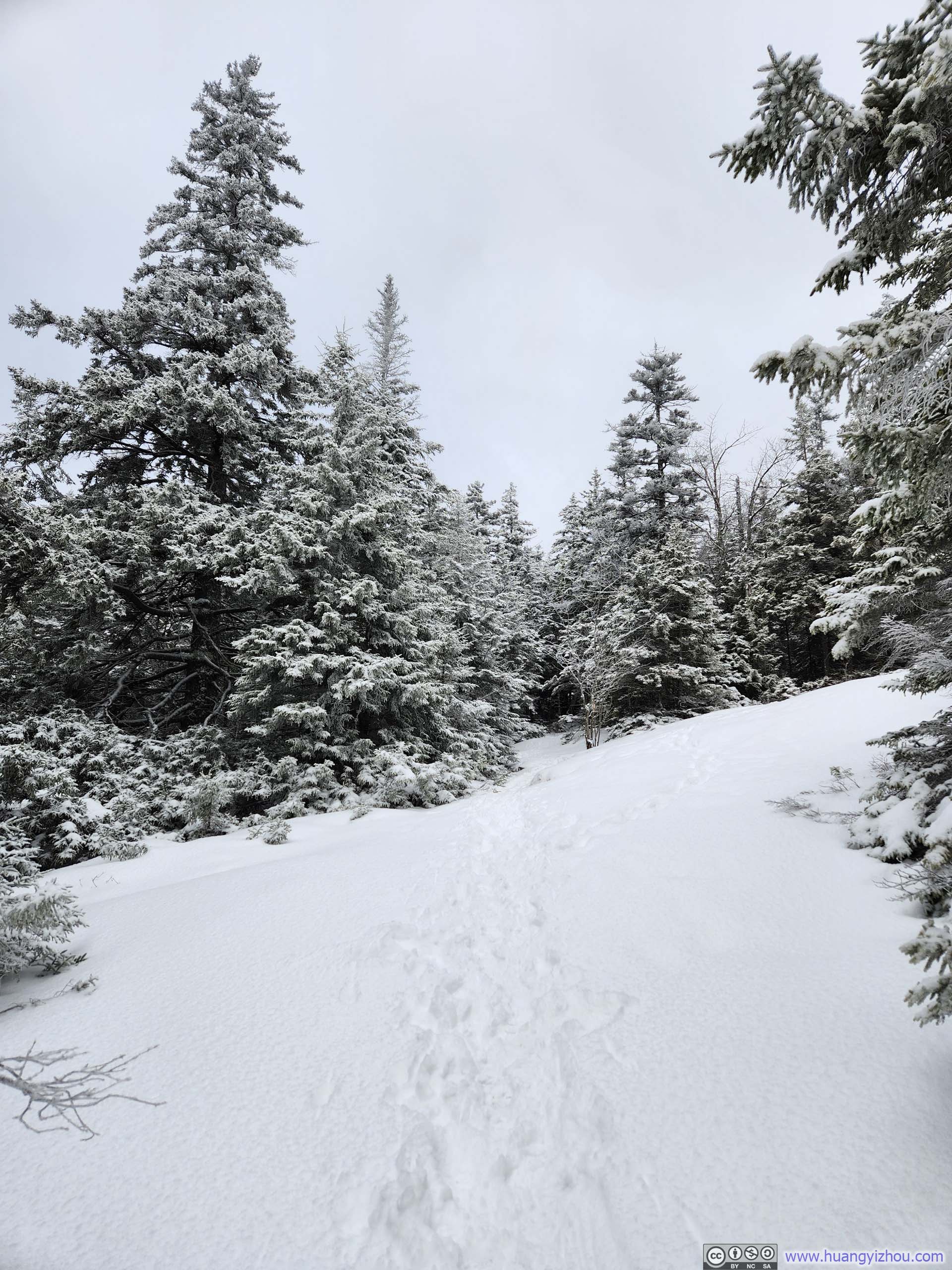
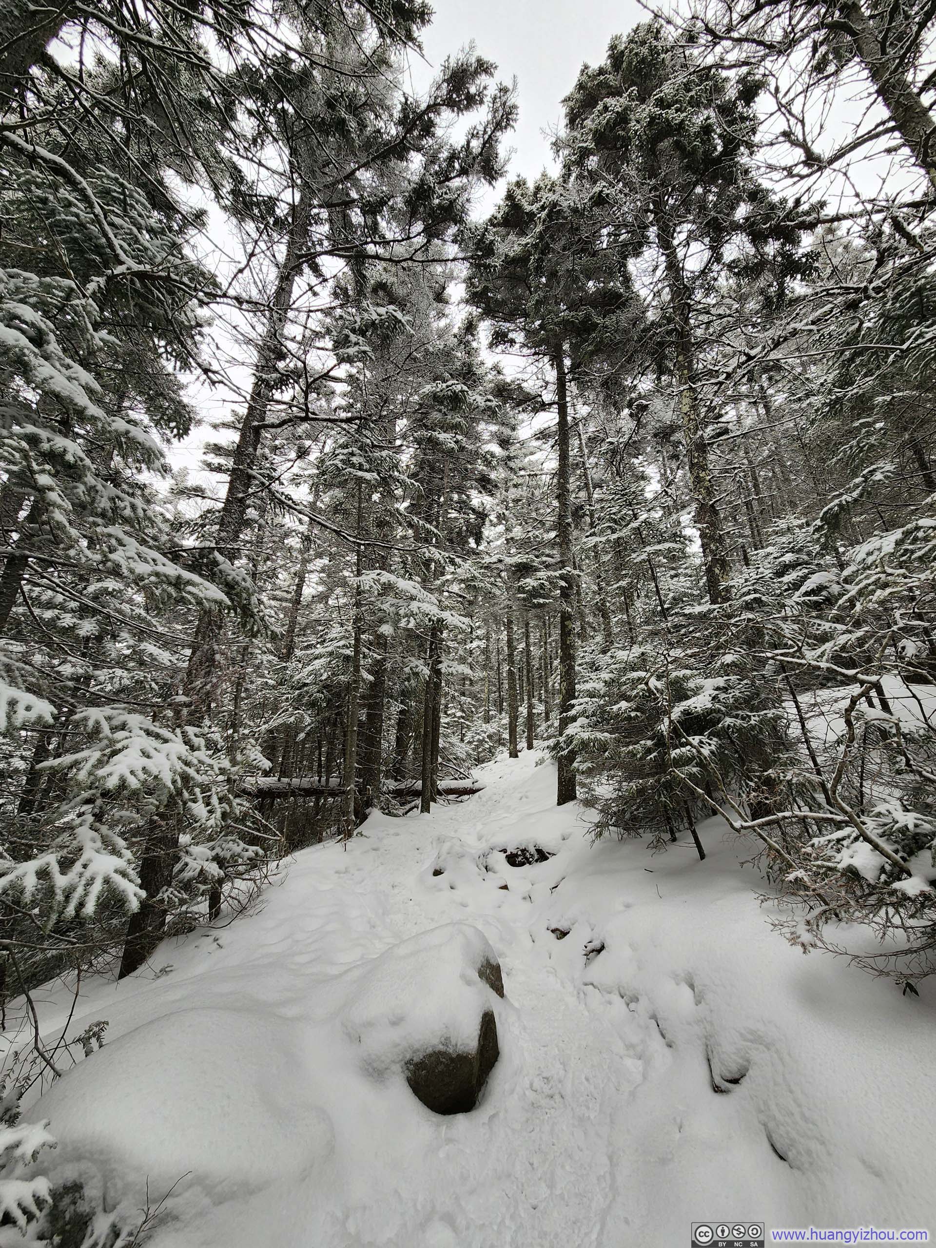
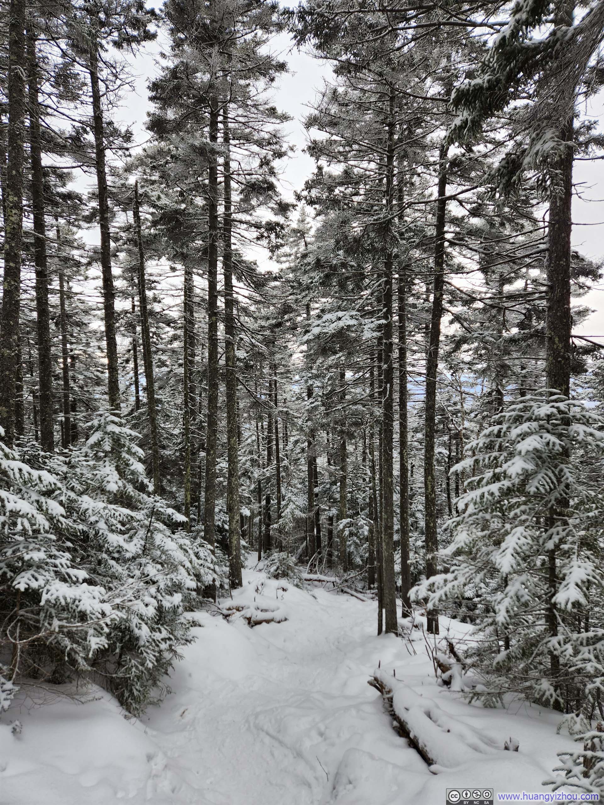
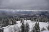
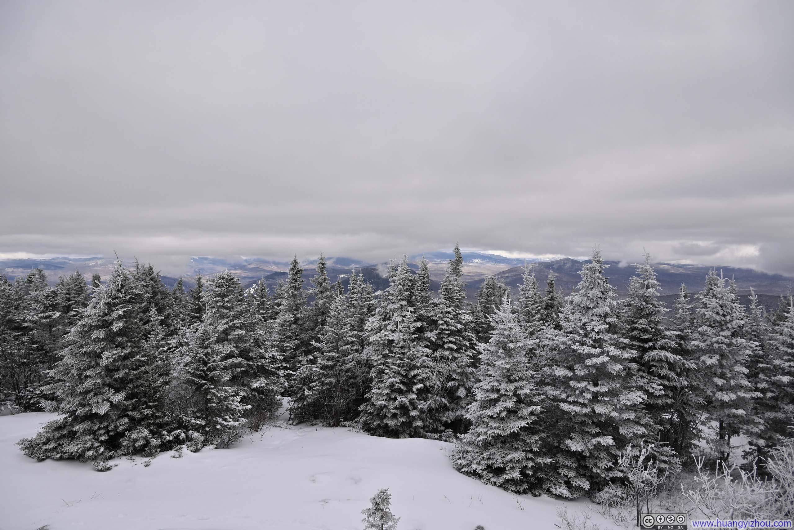
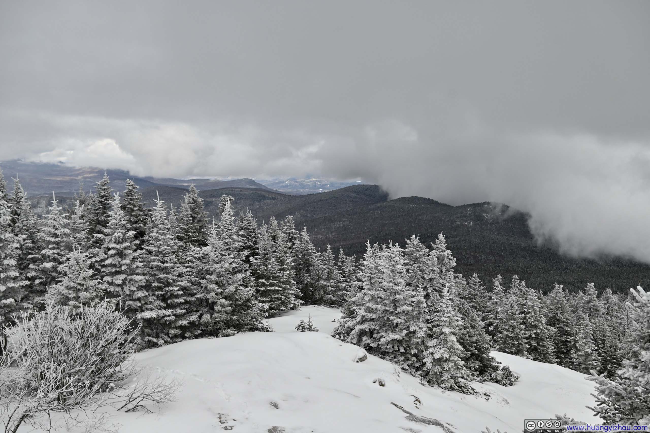
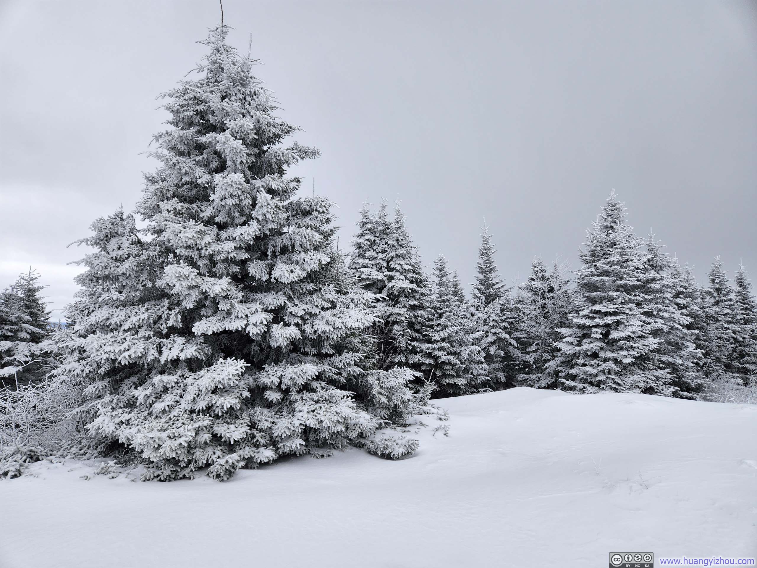
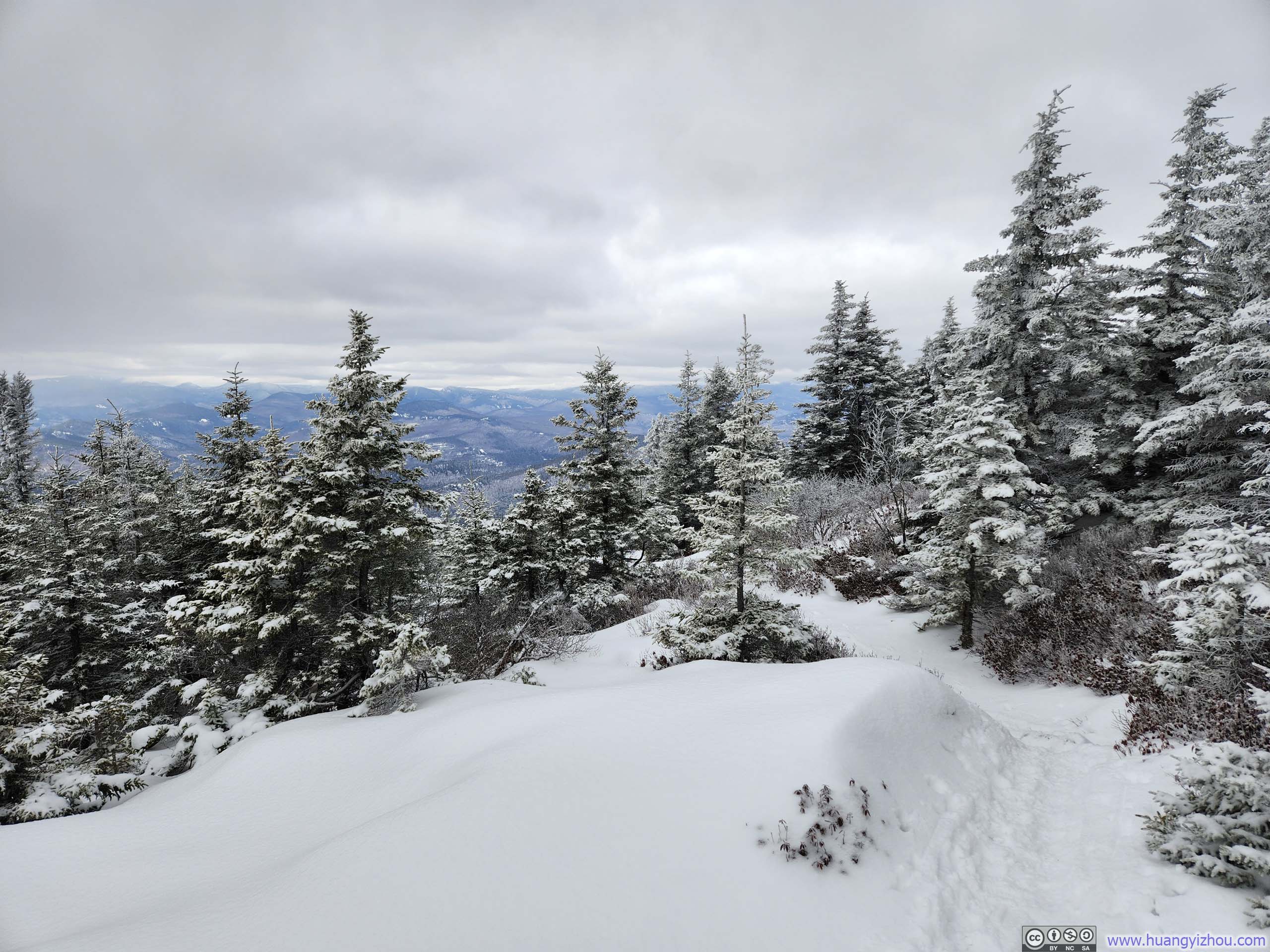
Though a blanket of snow covered nearly everything, the trail offered delightful subtle variations in scenery as I ascended. The pine trees gradually diminished in height with elevation gain, while the traces of pine needles and rocks, initially just thinly veiled by snow, became more deeply blanketed the higher I climbed. (Fortunately, consistent snow coverage throughout meant I didn’t need to worry about my microspikes collecting dirt or mud.) Except at the top, there were few views along the trail, but these gentle transitions in the landscape provided welcome diversions that kept the hike engaging throughout.
 Trail
Trail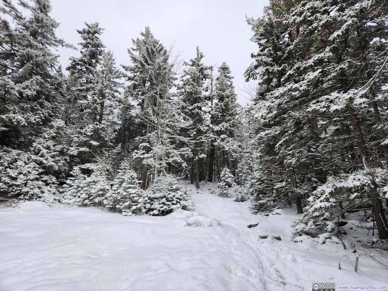 Trail
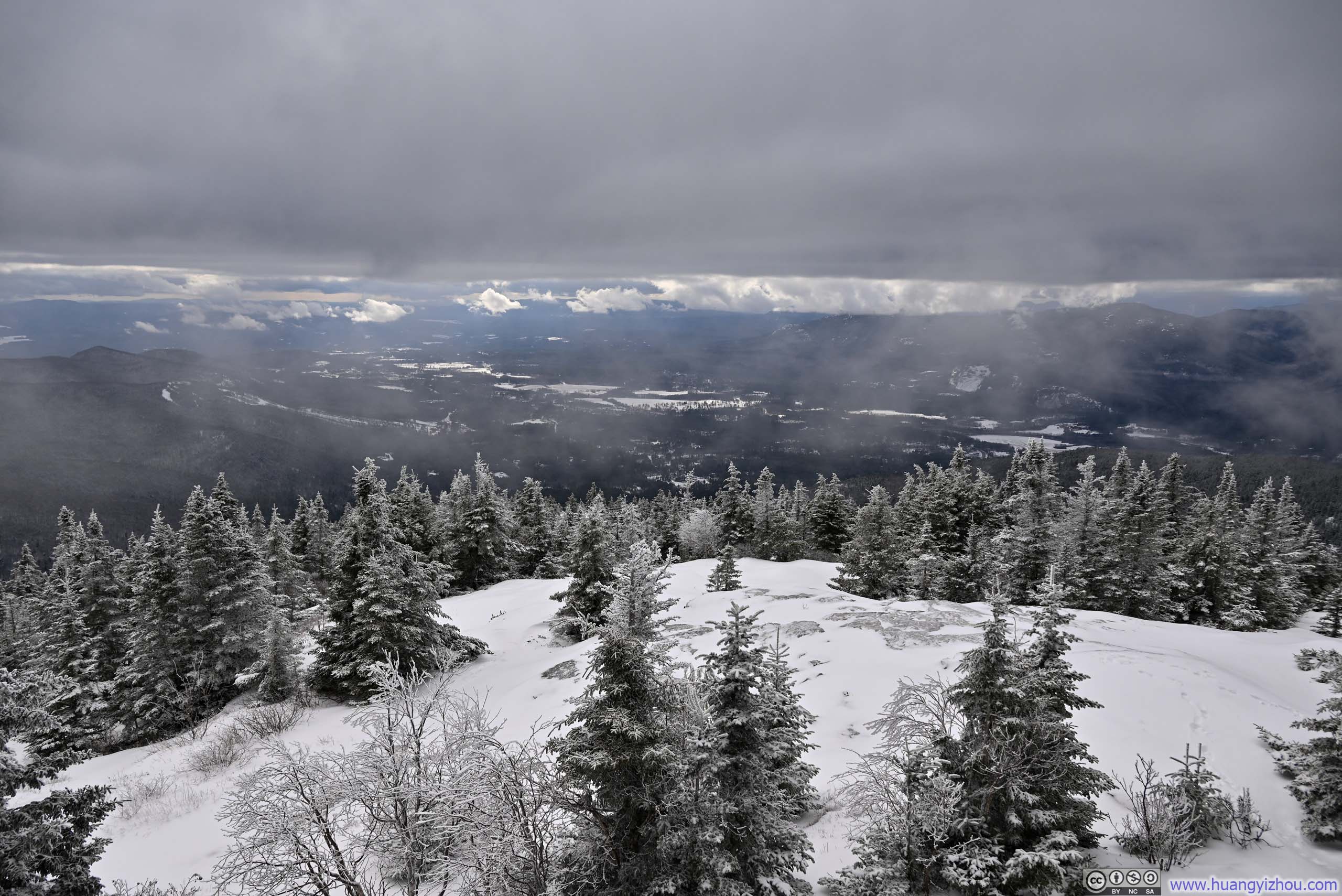
Trail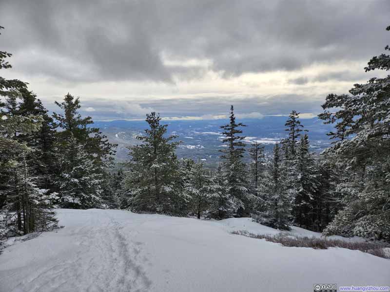 Trail with View of Conway
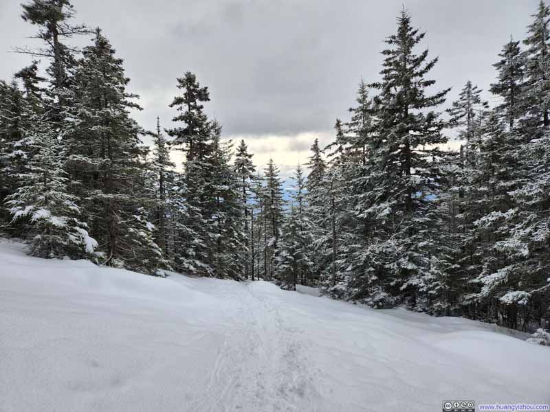 Trail
Trail

Click here to display photos of the slideshow
Trail
Trail
Trail with View of Conway
Trail
A small annoyance during my hike was the unseasonably mild temperature for a winter’s day in the White Mountains. While I could easily remove my sweater as needed, my snow pants unfortunately offered no such flexibility. The considerable physical effort required for the ascent resulted in me uncomfortably sweating a lot on my way up.
 Trail
Trail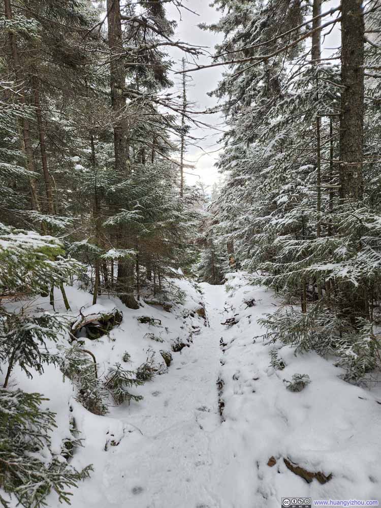 Trail
Trail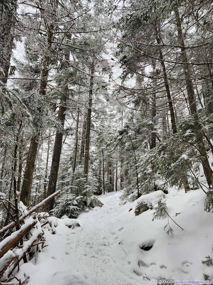 Trail
Trail Trail
Trail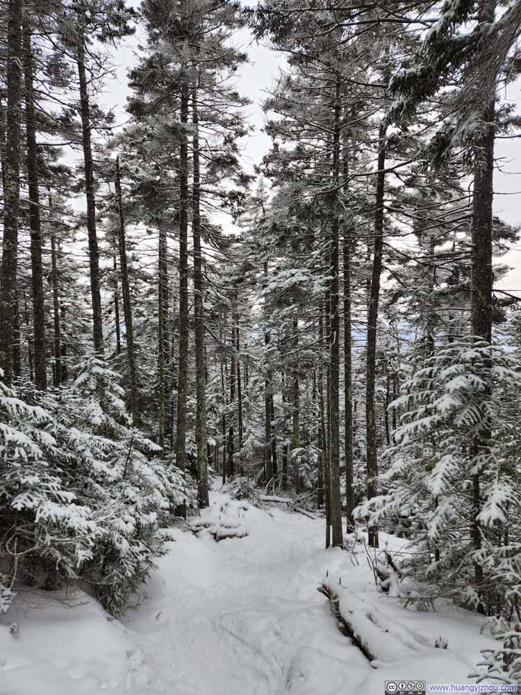 Trail
Trail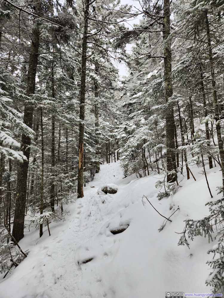 Trail
Trail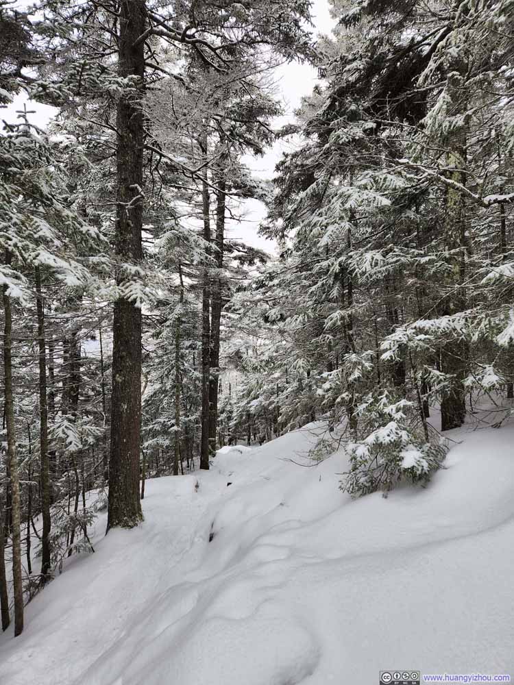 Trail
Trail
Click here to display photos of the trail.
Trail

Trail
Trail
Trail
Trail
Trail
Trail
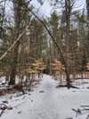
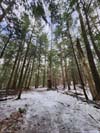
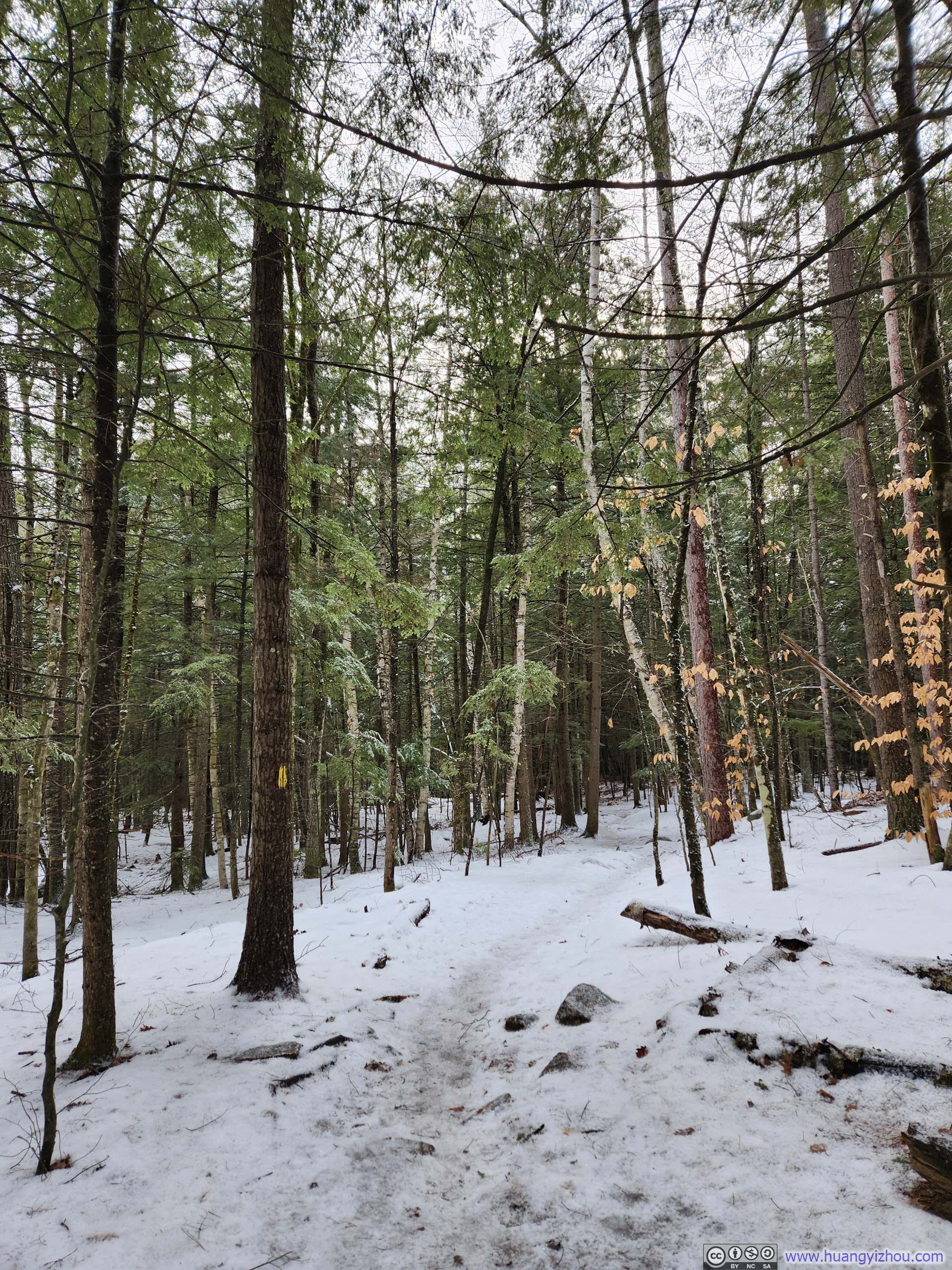
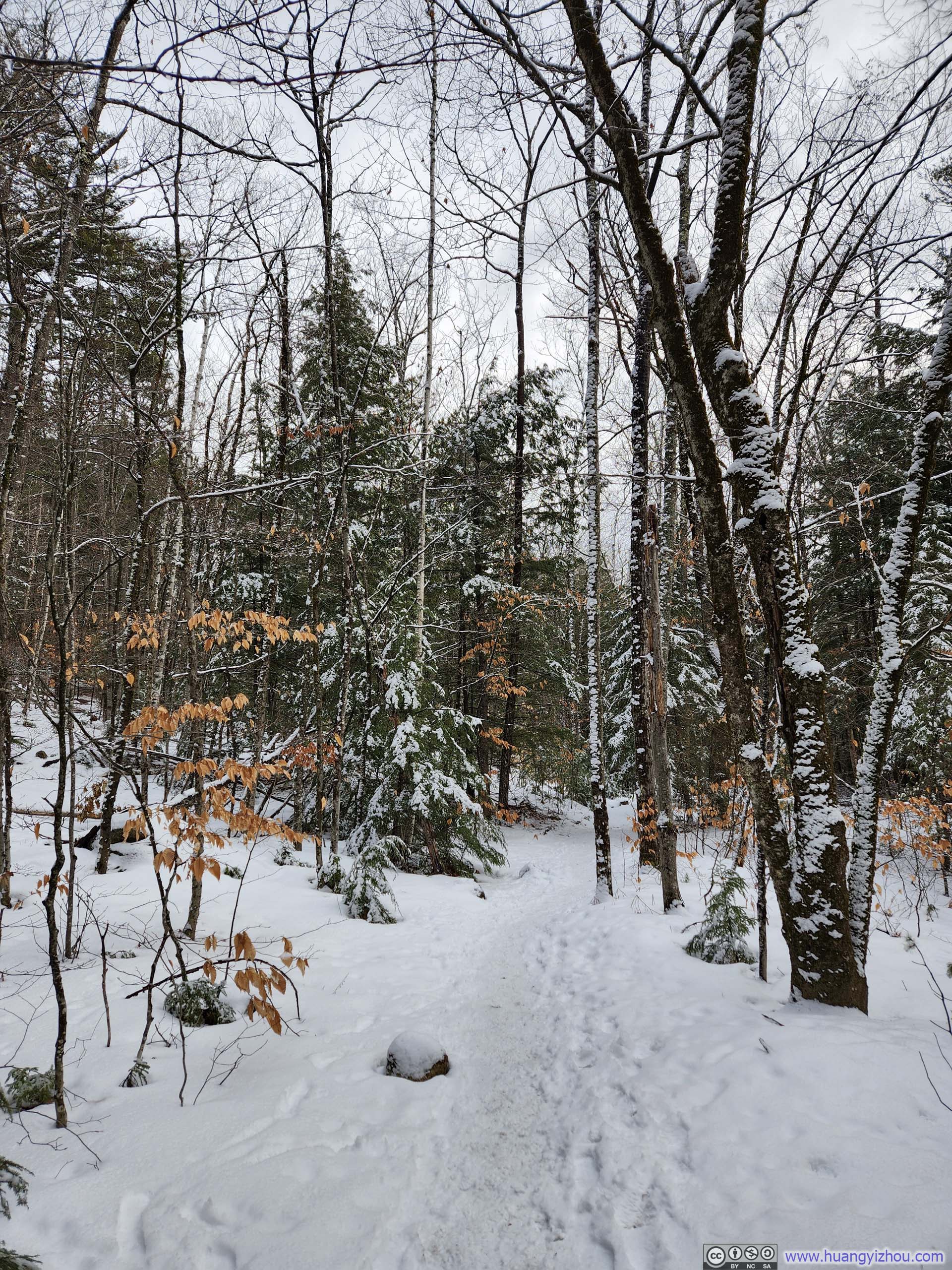
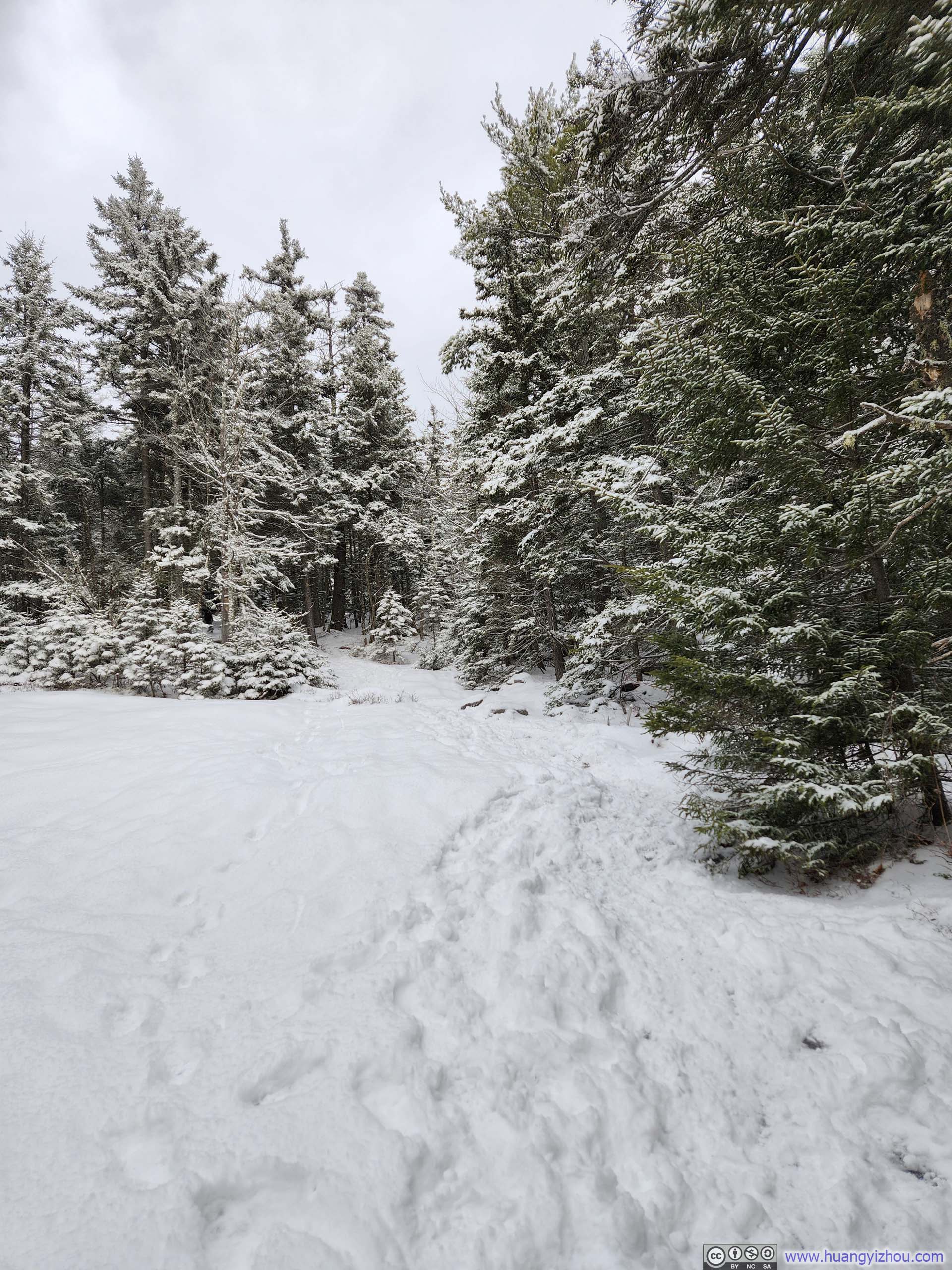
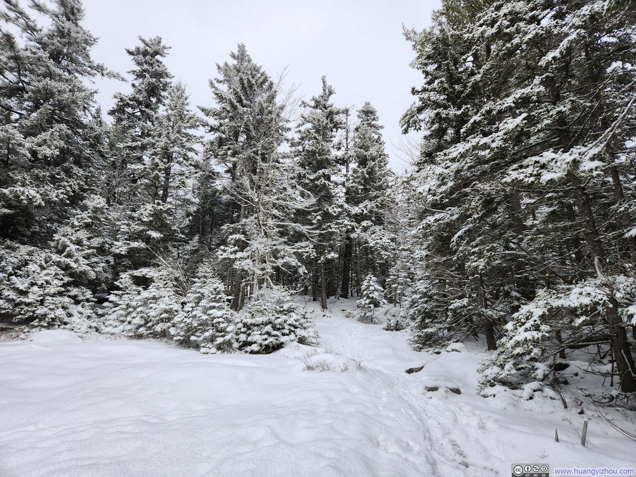
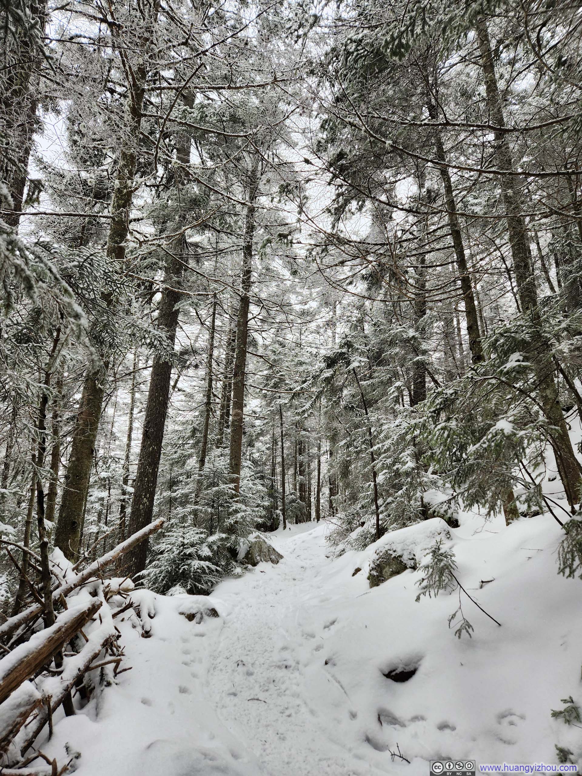
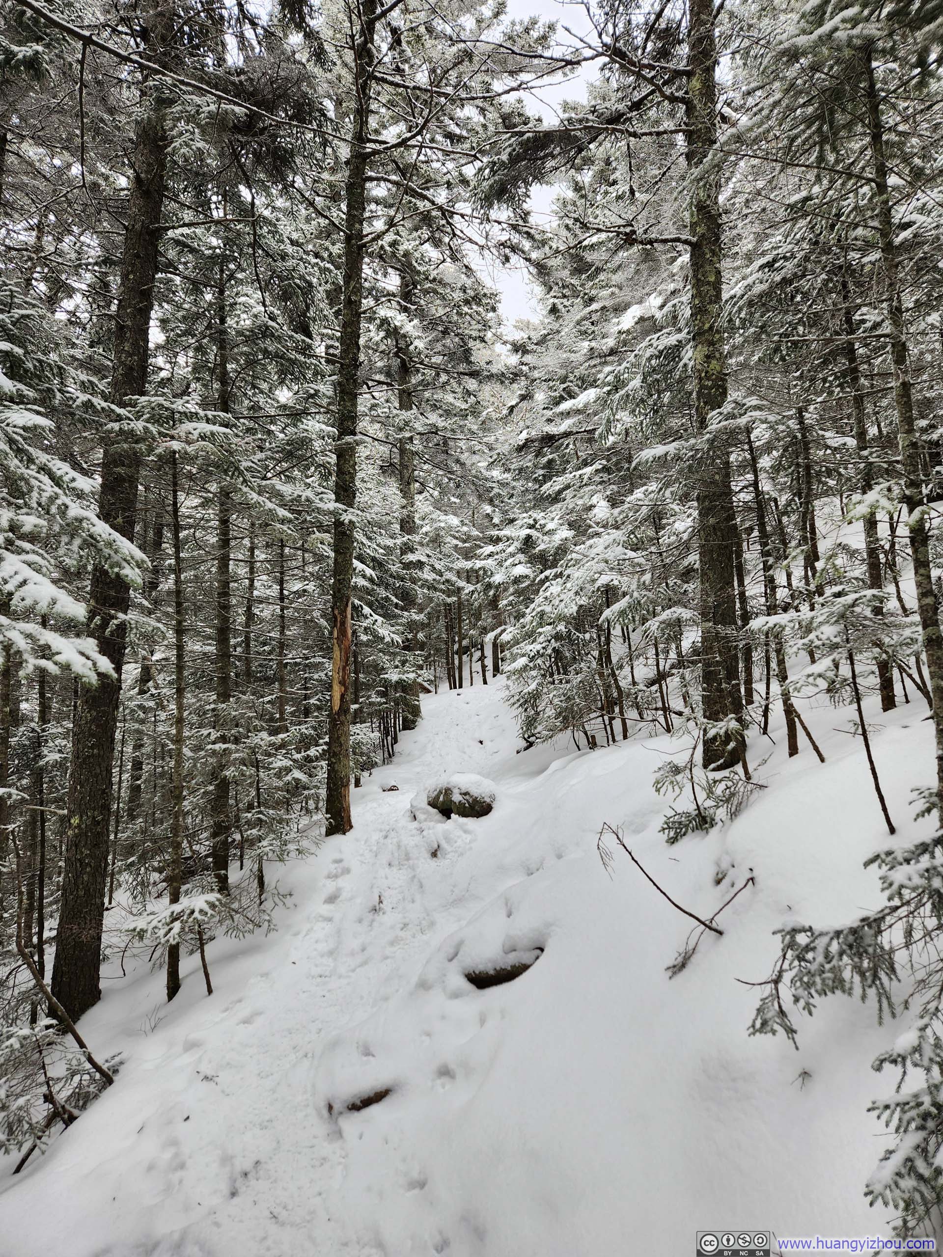
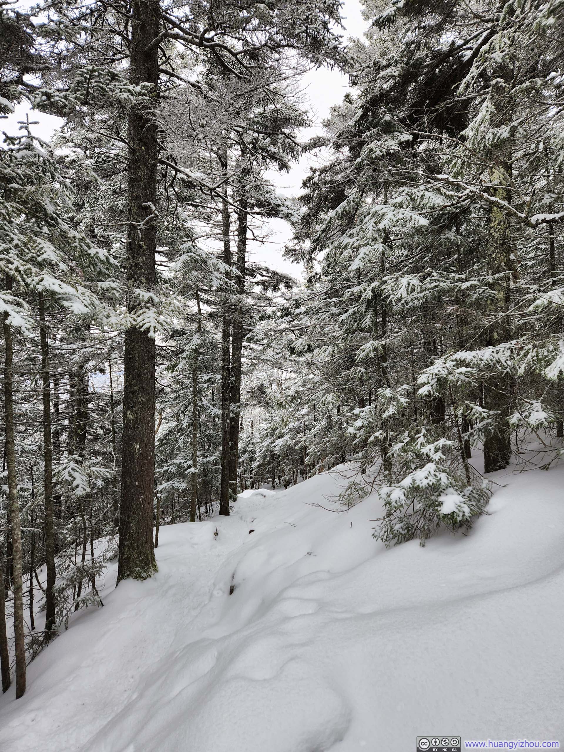
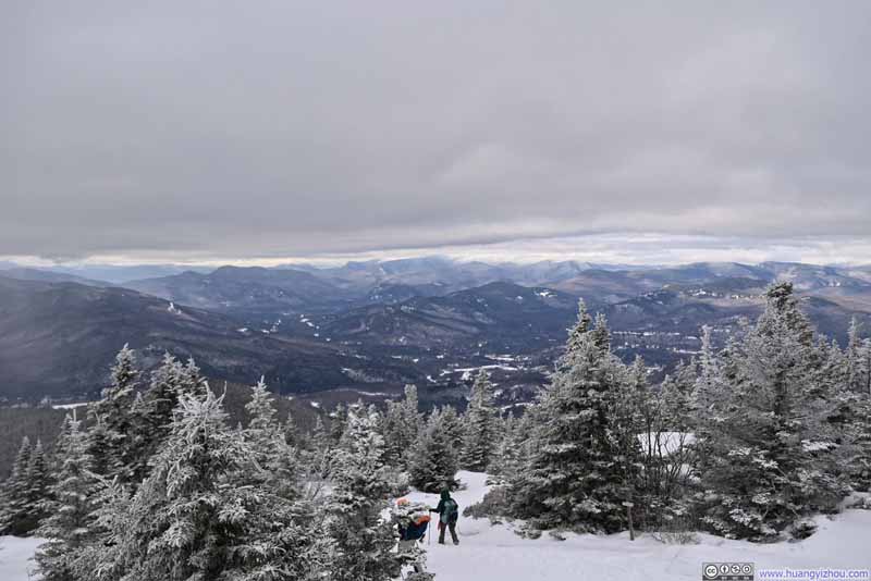
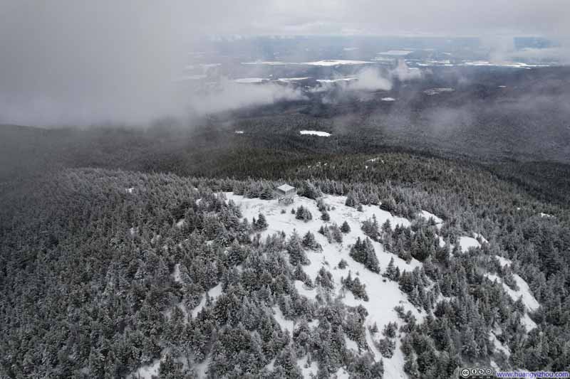
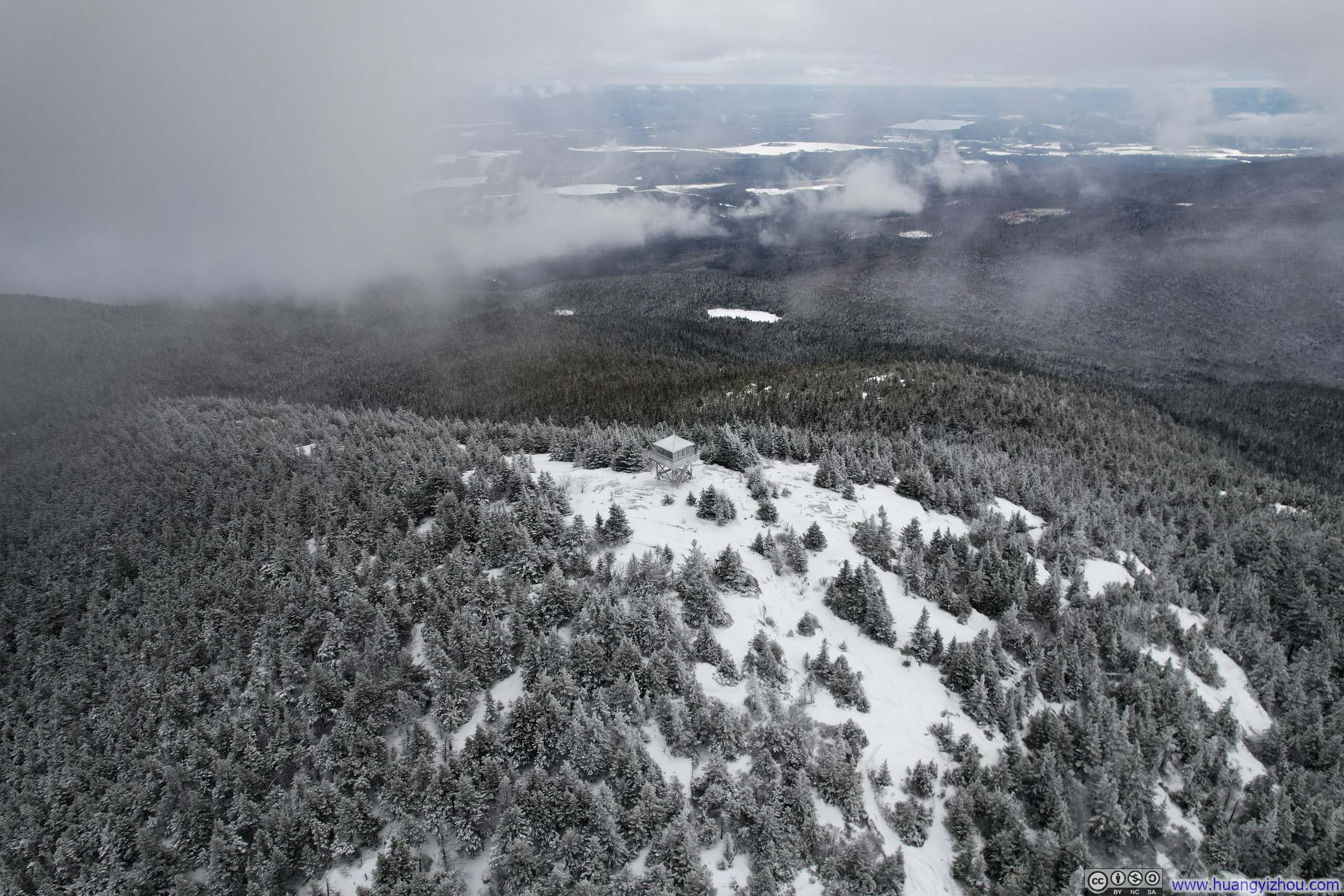
The trail traveled relatively dense woodland for most of the hike. Only as I approached the final stretch did the trees begin to thin appreciably, affording me the opportunity to deploy my drone. I had hoped it would automatically follow me and document my hike, but it turned out to record a mere 2-minute footage before I reached the summit of Kearsarge North, though it was still well worth the hassle of setting my drone up for it.
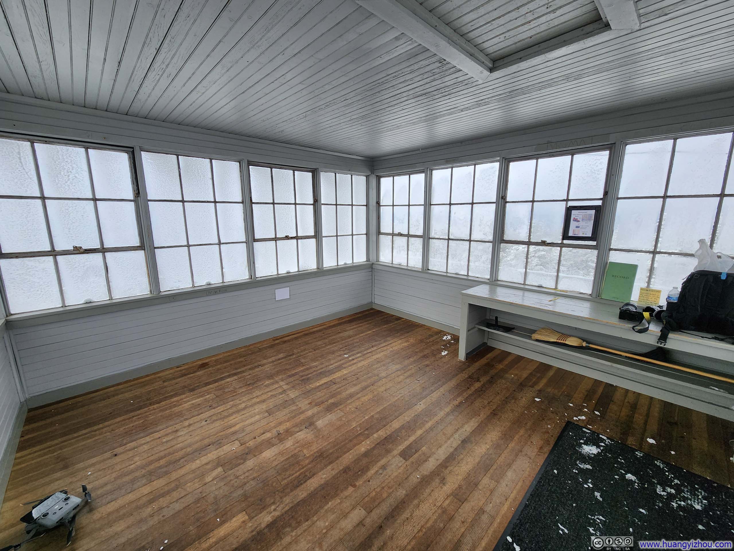
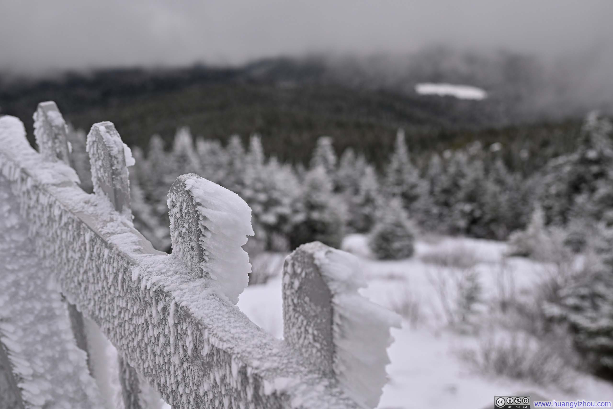
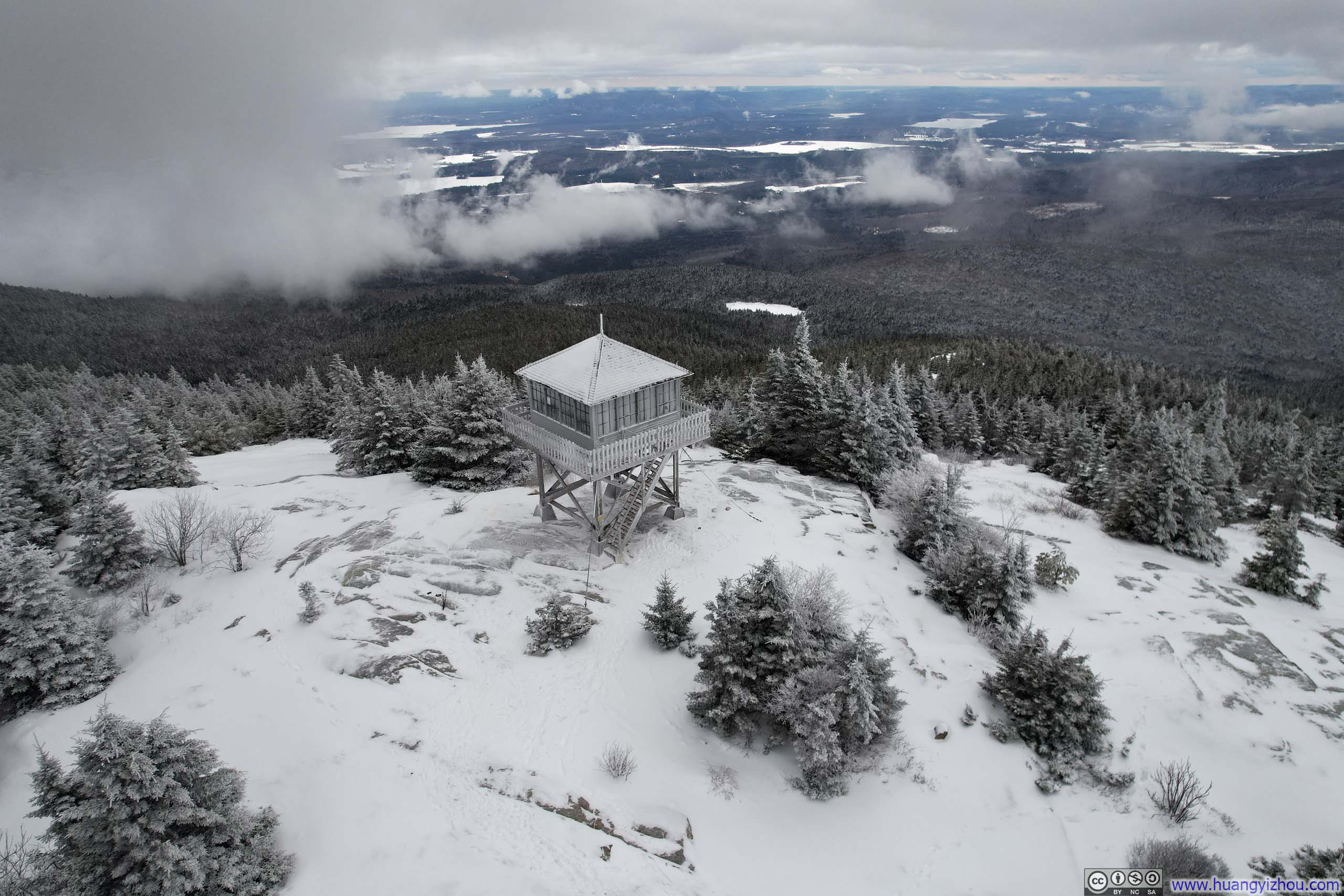
On top of Kearsarge North was a former fire tower turned hiker shelter, offering backpackers a place to spend the night and day hikers like me a sanctuary from the harsh elements outside. I found this accommodation especially helpful after operating my camera outside, as it allowed me to restore warmth in my hands.
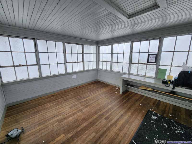 Fire Tower Interior
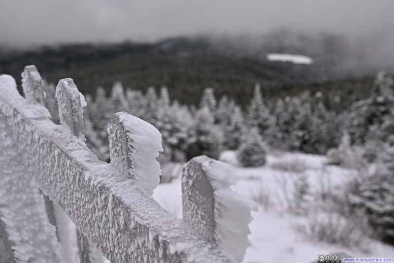 Ice on Fire Tower RailingsShaped by Wind

Click here to display photos of the slideshow
Fire Tower Interior
Ice on Fire Tower RailingsShaped by Wind
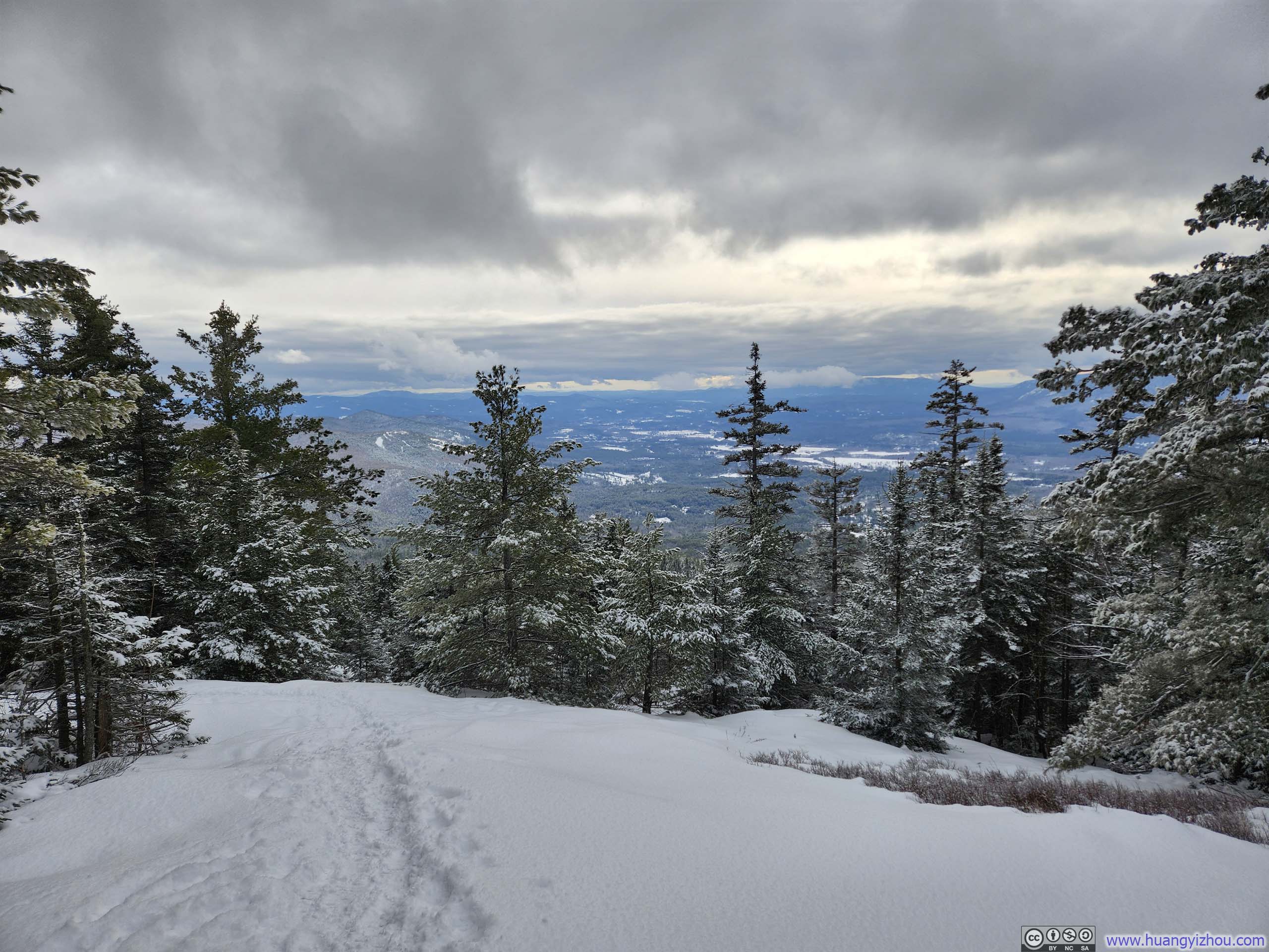
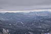
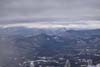
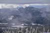
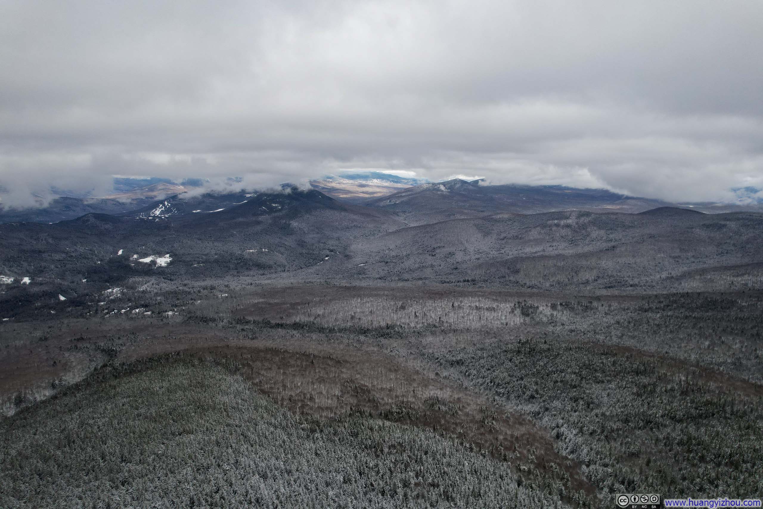
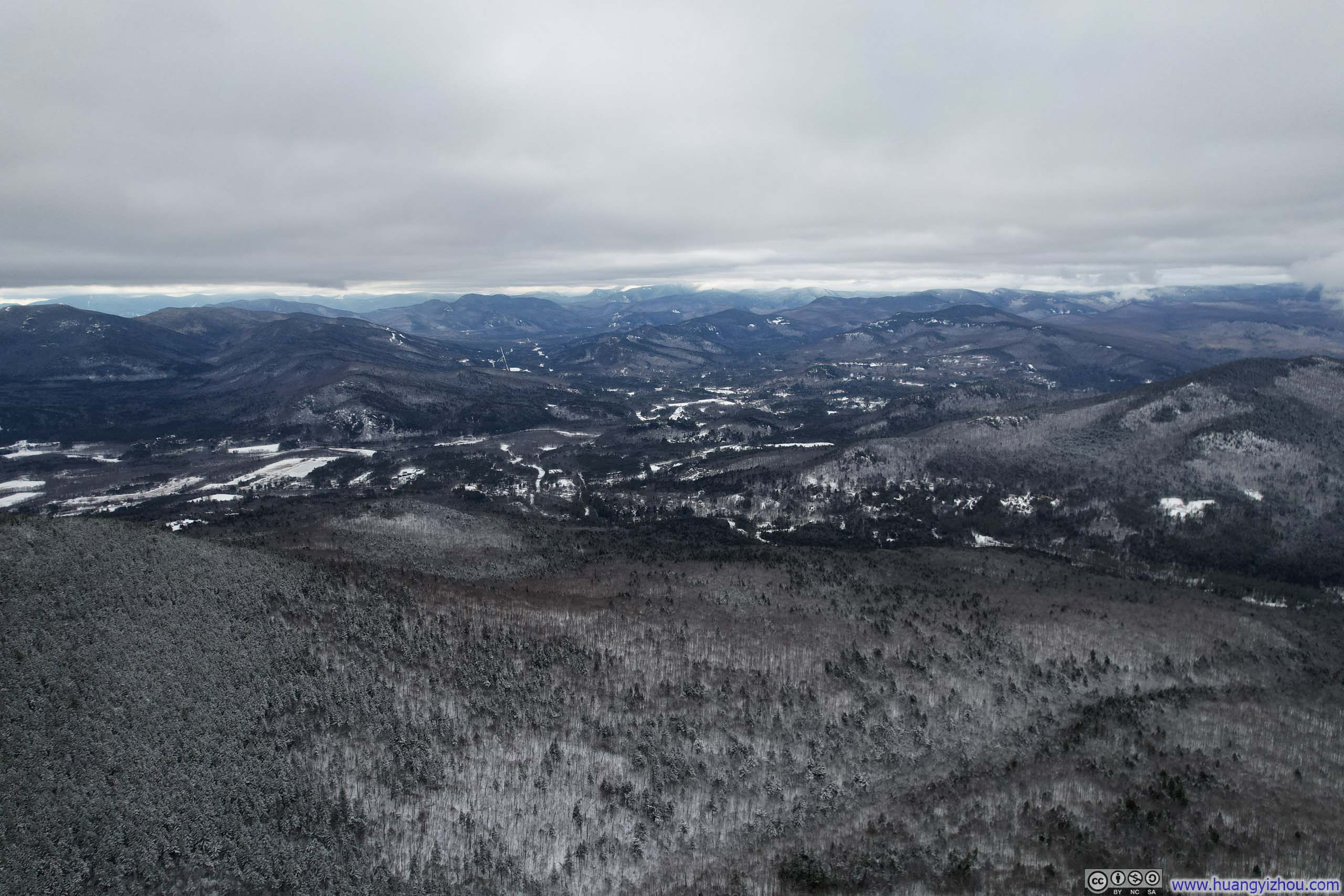
As for the views from Kearsarge North, the fire tower provided an elevated perspective, just high enough to clear the surrounding shrubs with (almost) panoramic views (regrettably the northern vista remained obscured by the shrubbery). That meant I could see the town of Conway and the core of White Mountains to the west, but not the Presidential Range to the northwest.
Weather forecast indicated a cloudy day, with a cloud ceiling just above the summit of Kearsarge North. Unfortunately, a few passing clouds occasionally veiled the landscape, necessitating some patience for their passage to appreciate the views.
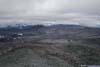
 Mountains to the West
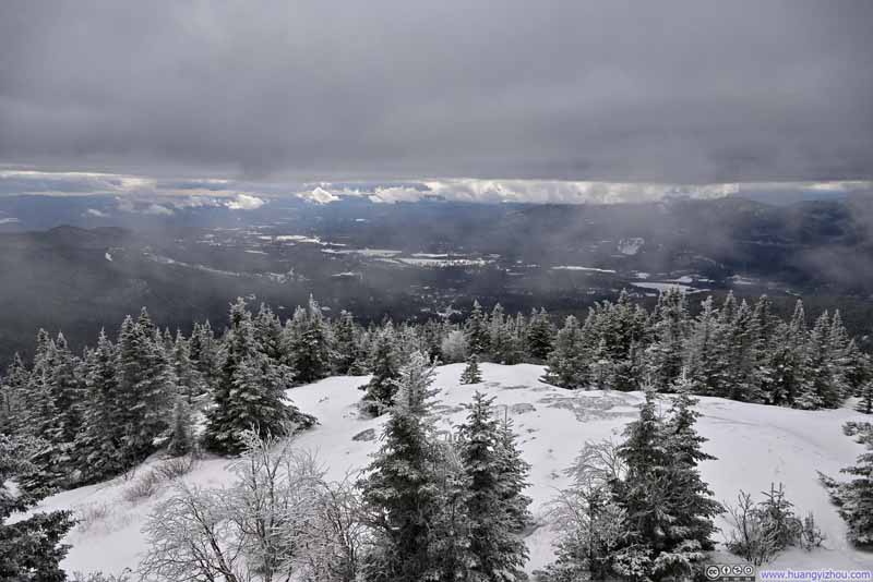 Town of Conway under Clouds
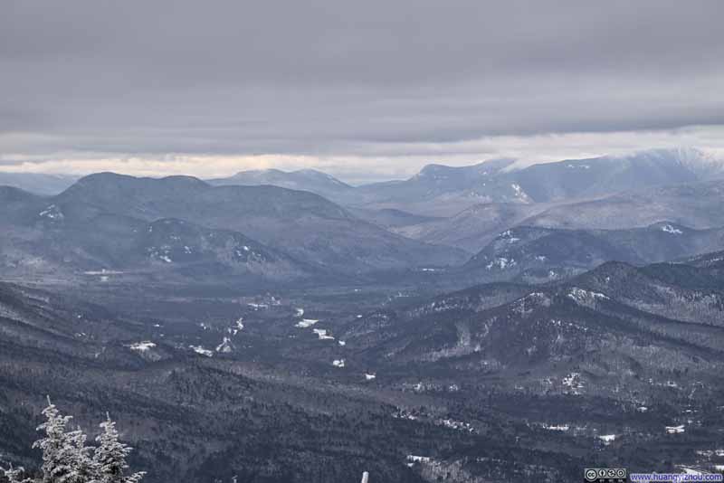 Mountains to the WestTowards the direction of Lincoln.
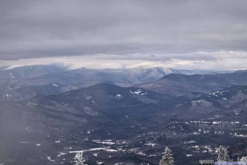 Mountains to the WestFranconia Ridge under clouds in the background right.
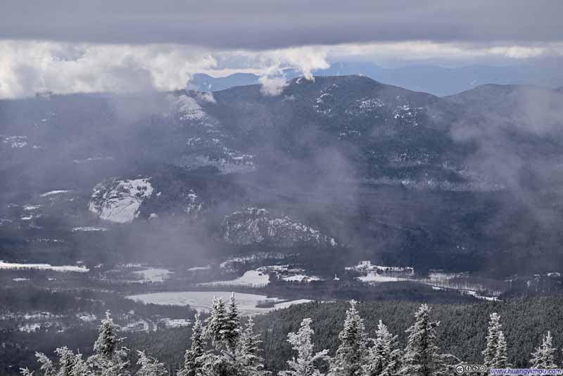 Cathedral Ledge and White Horse LedgeNorth Moat Mountain in the background.
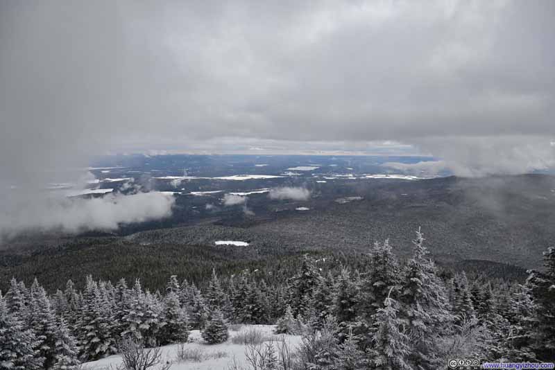 Fields in Maine
Click here to display photos of the slideshow

Mountains to the West
Town of Conway under Clouds
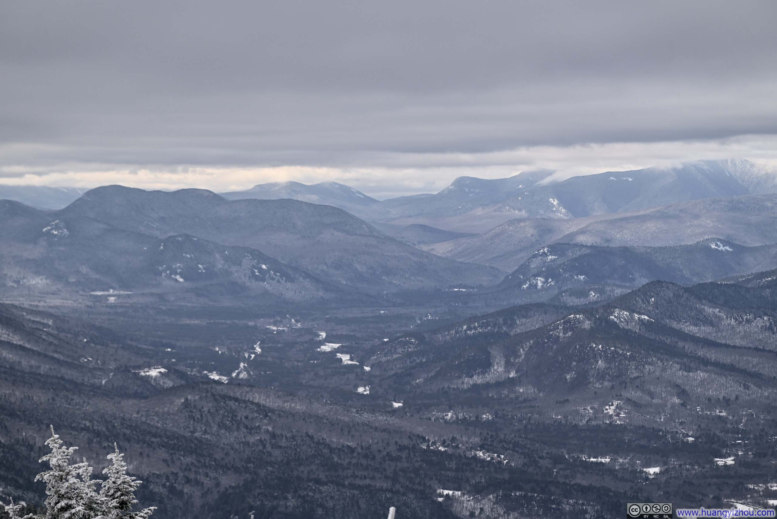
Mountains to the WestTowards the direction of Lincoln.

Mountains to the WestFranconia Ridge under clouds in the background right.
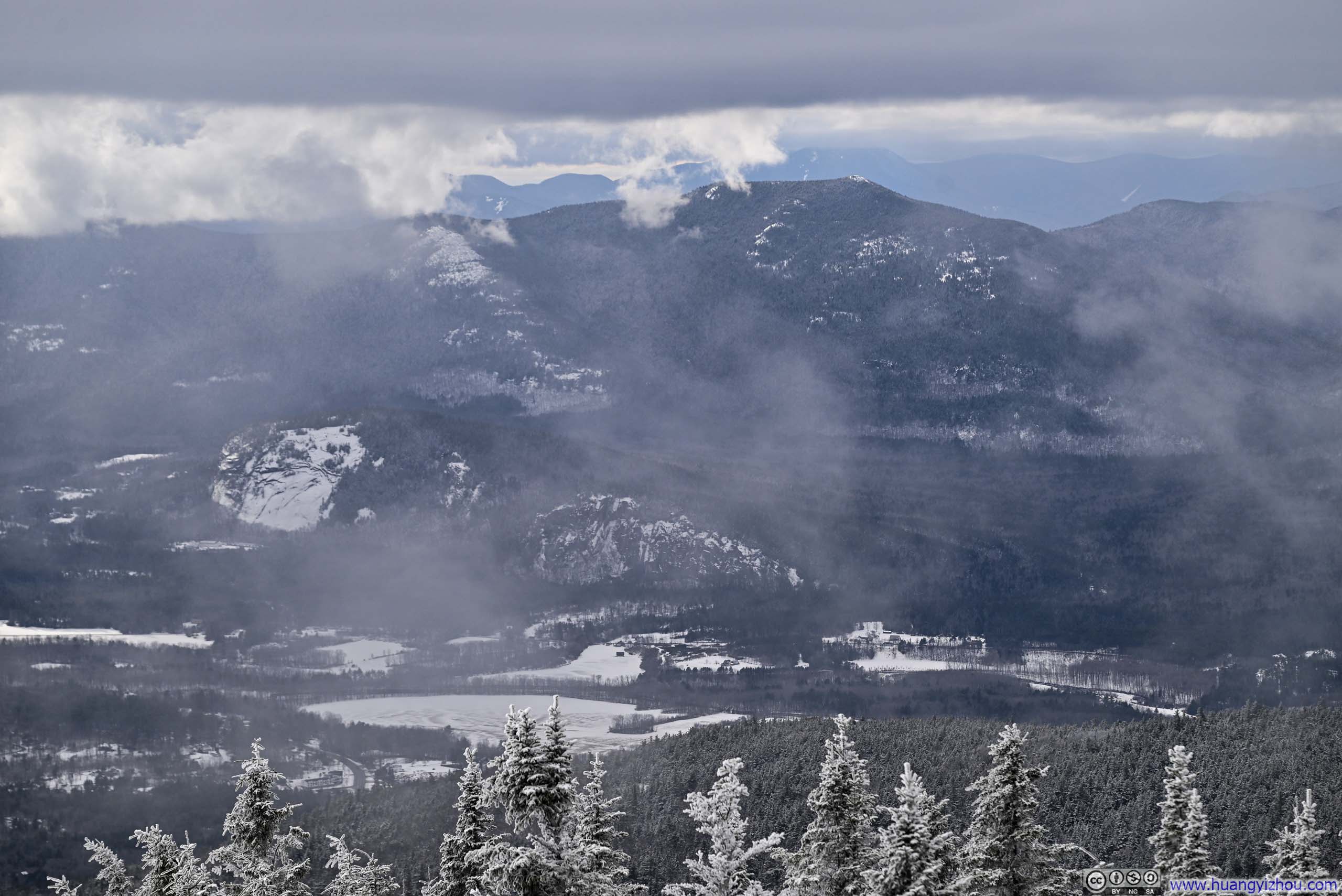
Cathedral Ledge and White Horse LedgeNorth Moat Mountain in the background.
Fields in Maine
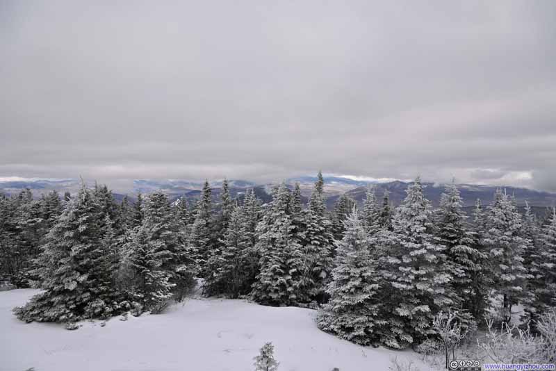 Trees Covered in Snow
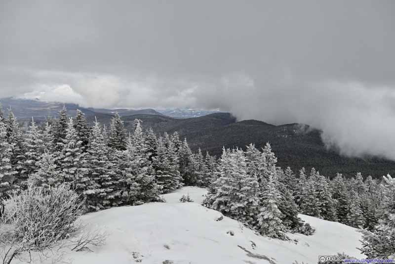 Trees Covered in Snow
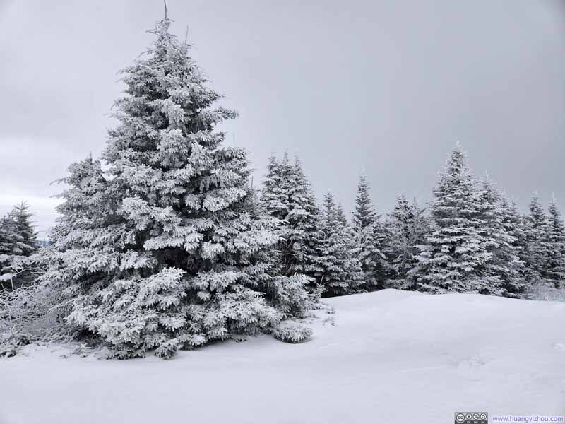 Trees Covered in Snow
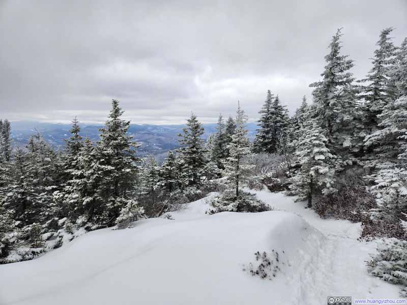 Trail
Trail
Click here to display photos of the slideshow
 Trees Covered in Snow
Trail
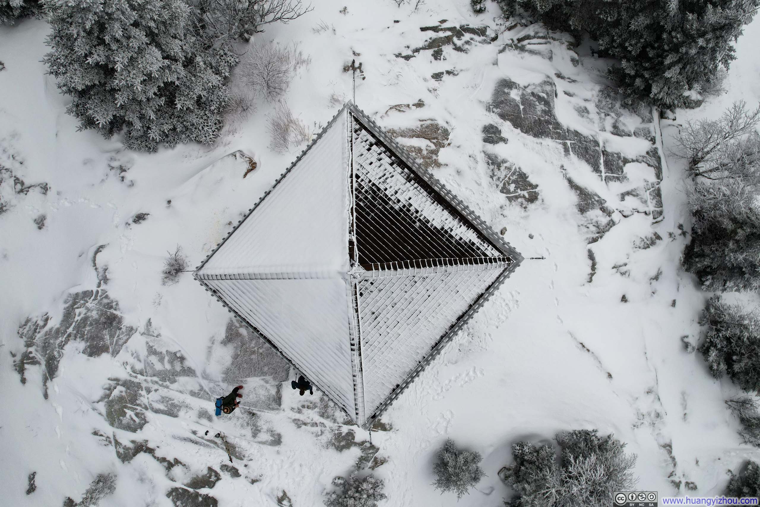
Additionally, I launched my drone for some aerial photos and videos.
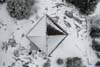
 Overlooking Fire Tower on Kearsarge North
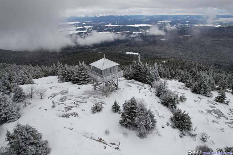 Overlooking Fire Tower on Kearsarge North
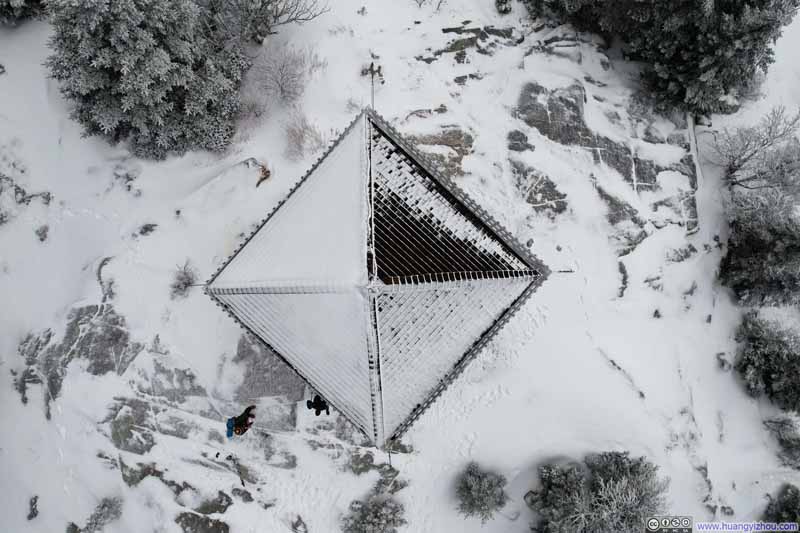 Roof of Kearsarge North Fire Tower
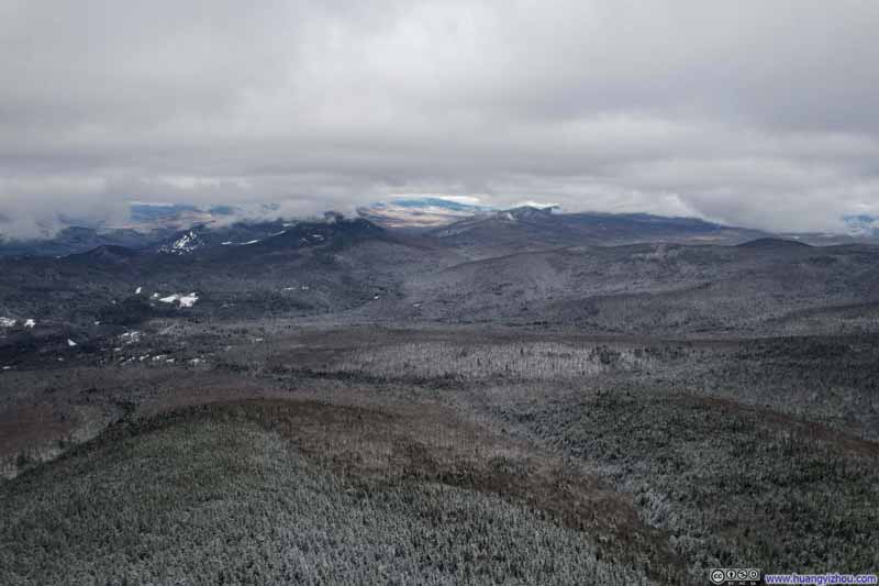 Mountains to the North
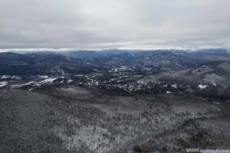 Mountains to the West
Click here to display photos of the slideshow
 Overlooking Fire Tower on Kearsarge North
Roof of Kearsarge North Fire Tower
Mountains to the North
Mountains to the West

 View of Snow Covered Fields and MountainsFrom top to bottom: to the north of, directly over, and to the south of Kearsarge North.
And here’s a video of my drone flying past Kearsarge North:
1 minute and 3 seconds, 2160p60fps, 15Mbps / 130MB for H265, 16Mbps / 126MB for H264.
Finally, I commemorated the moment with a helix video, with the fire tower taking the central stage:
27 seconds, 2x playback speed, 2160p60fps, 18Mbps / 63MB for H265, 20Mbps / 67MB for H264.
Between snacks, photos and drone, I spent just over an hour on the summit of Kearsarge North before starting my descent. The weather forecast had predicted a snowstorm for the region later that afternoon/evening, that’s probably why fellow hikers on Kearsarge North seemed rather eager to get off the mountain. (I, however, seemed to have more faith in the exact timing of the forecasted snowfall, which would be after sunset and hence not interfere with my hike.) Curiously, I encountered several hikers on their way up during my descent, who obviously planned to brave the storm and spend the night in the fire tower.
Despite the forecasted snowstorm, the clouds briefly broke off to let through traces of sunlight during my descent. In the end, I was back in my car at 3:25pm.
As for the snowstorm, it arrived earlier than forecasted so I drove through some light rain/snow on my way home, but I was back home before the brunt of the weather.
END
![]() Hiking Kearsarge North in Winter by Huang's Site is licensed under a Creative Commons Attribution-NonCommercial-ShareAlike 4.0 International License.
Hiking Kearsarge North in Winter by Huang's Site is licensed under a Creative Commons Attribution-NonCommercial-ShareAlike 4.0 International License.