
Updated on November 3, 2025
Day 1 of 2025 Independence Day Trip to Alaska, Flattop and Flaketop Loop
The first day of my 2025 Independence Day trip to Alaska. I chose a not-too-difficult hike of Flattop-Flaketop Loop to get myself conditioned for more thrilling trips to come.
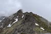
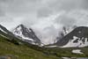
Ptarmigan Peak
In the days leading up to my flights to Anchorage, I kept a close eye on the local weather forecasts. To put it simply, the outlook was less than promising, hence I only decided on making the trip on the afternoon of Friday June 27 (I could cancel all reservations for free before then). The mountains around Anchorage rise to such elevation that they are easily shrouded in clouds. For my planned hikes, I hoped the cloud cover would remain above the peaks, preserving the sweeping views I longed for. Few conventional weather services offered the specific cloud coverage forecast I sought, which led me to discover resources like windy.com, where raw meteorological model outputs (GFS, ECMWF, ICON…) proved remarkably illuminating.
According to these weather models, dense, low-hanging clouds would blanket the heart of Chugach State Park today, gradually thinning as one approached Anchorage proper. This pattern guided my decision to attempt the loop trail encompassing Flattop Mountain (1070m) and Flaketop Peak (1368m)—modest elevations situated near the city, offering a reasonable hope of escaping the obscuring fog.
On the morning of June 29, I arrived at the “Flattop Sunnyside Trailhead” (as named on Google Maps) at approximately 10:10am. The last 1.2km (0.75mi) of road before the trailhead was poorly paved, with heavy washboarding and riddled with potholes. Unlike many comments suggested online, there were plenty of parking spaces left. After some warmup, I started my hike at 10:20am.
My chosen path largely adhered to this AllTrails route, though I opted for the longer and standard Flattop Sunnyside Trail with its switchbacks rather than the direct approach towards Flattop. Here’s GPS tracking:
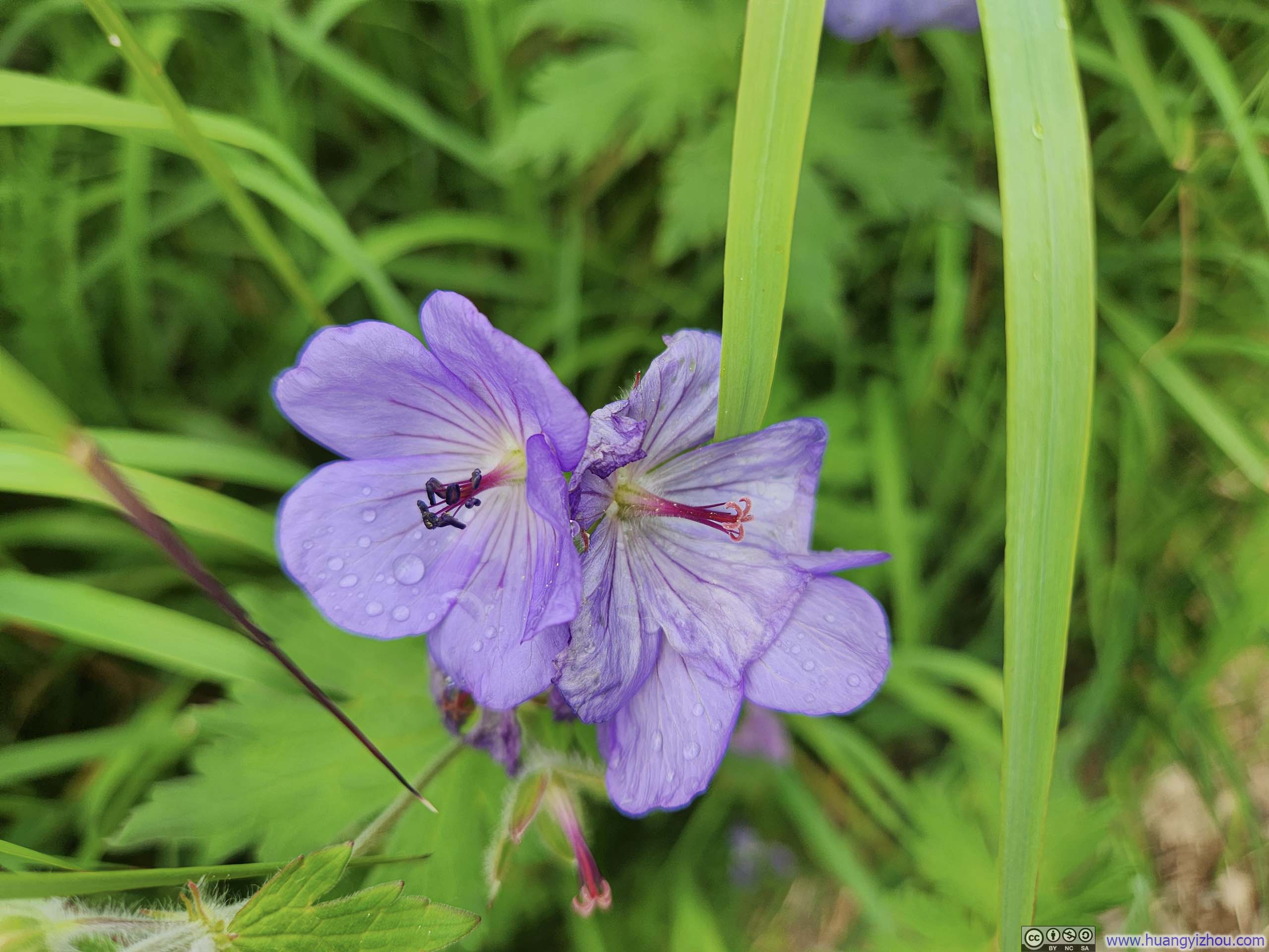
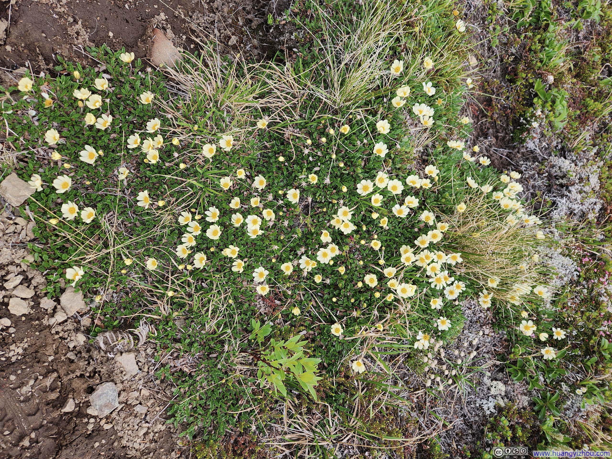
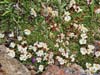
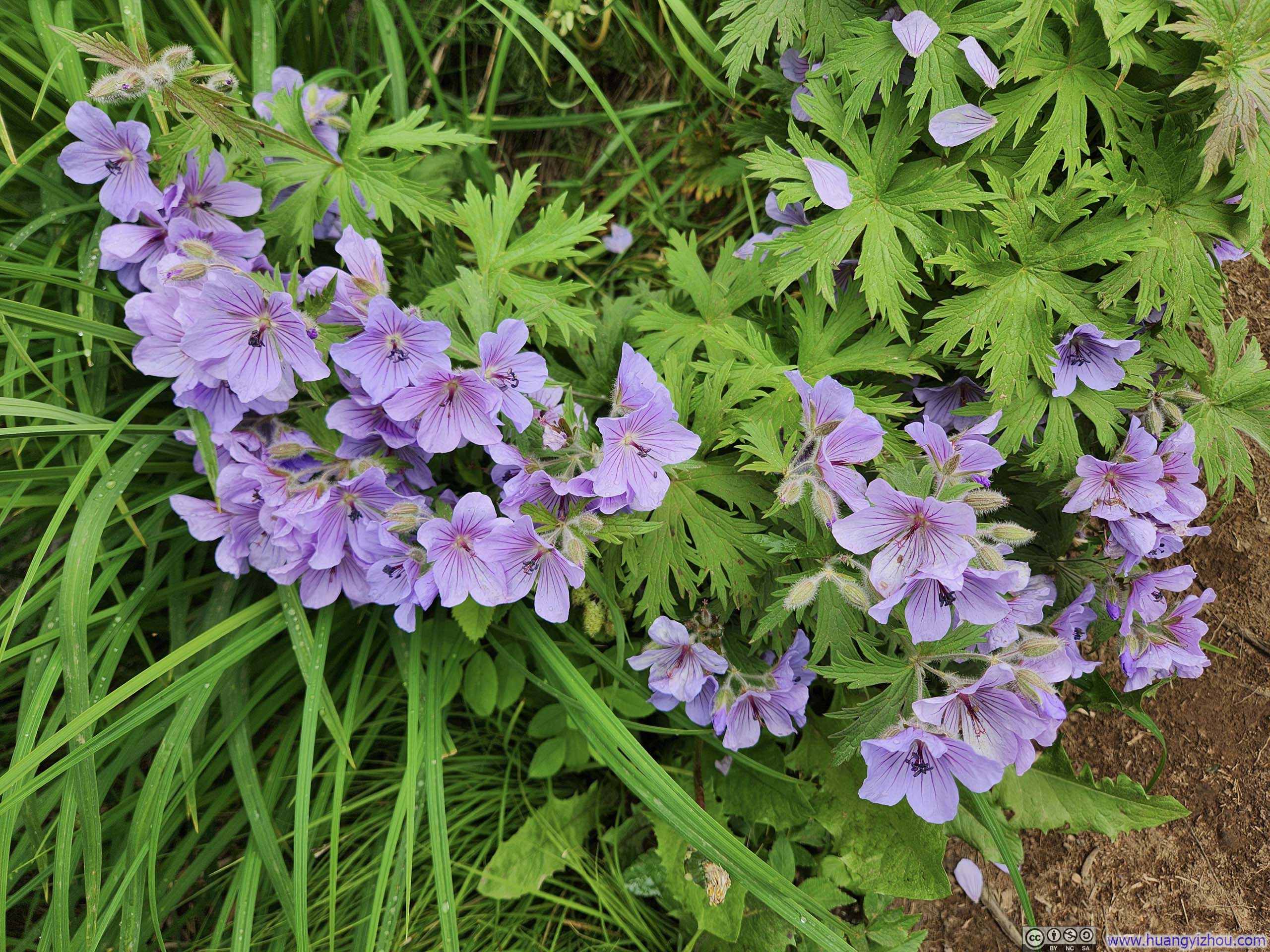 FlowersVarious flowers were blooming along the trail. Near the trailhead, it’s these violets.
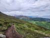
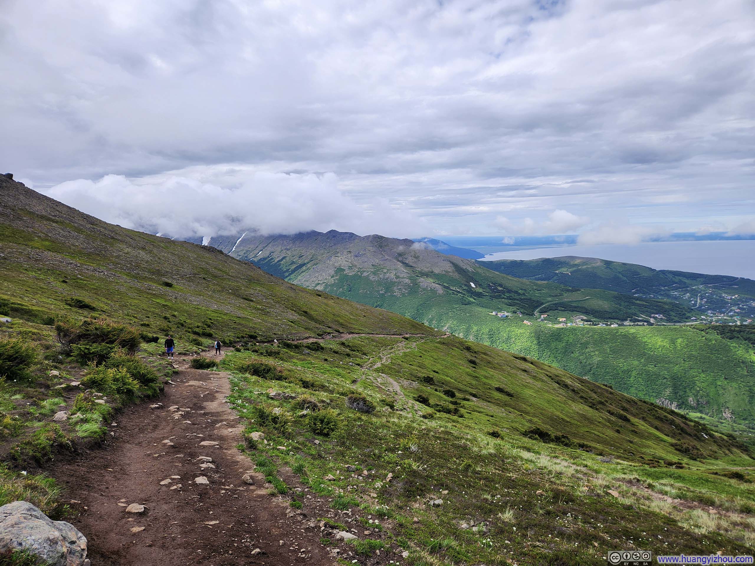
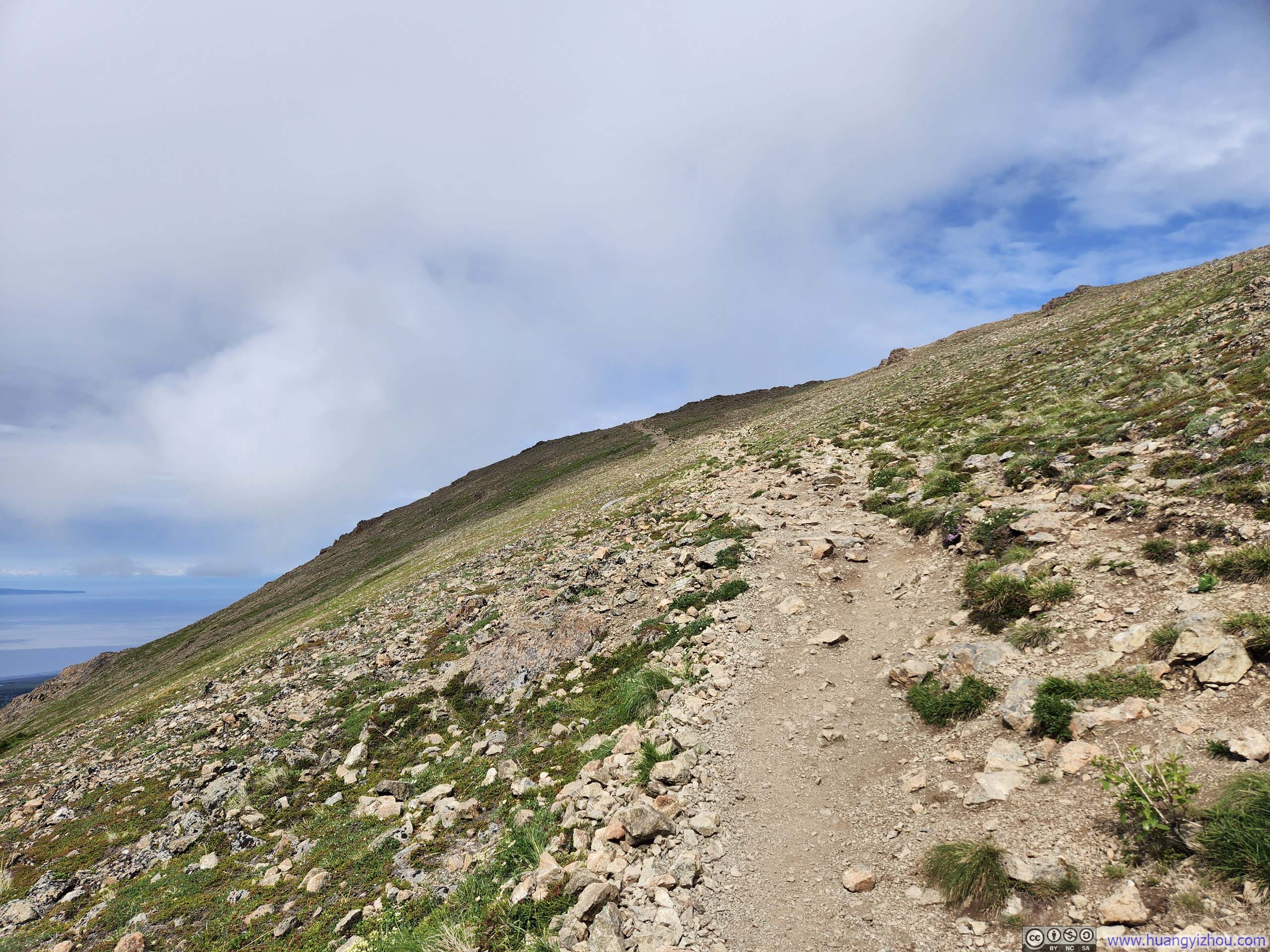
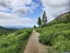
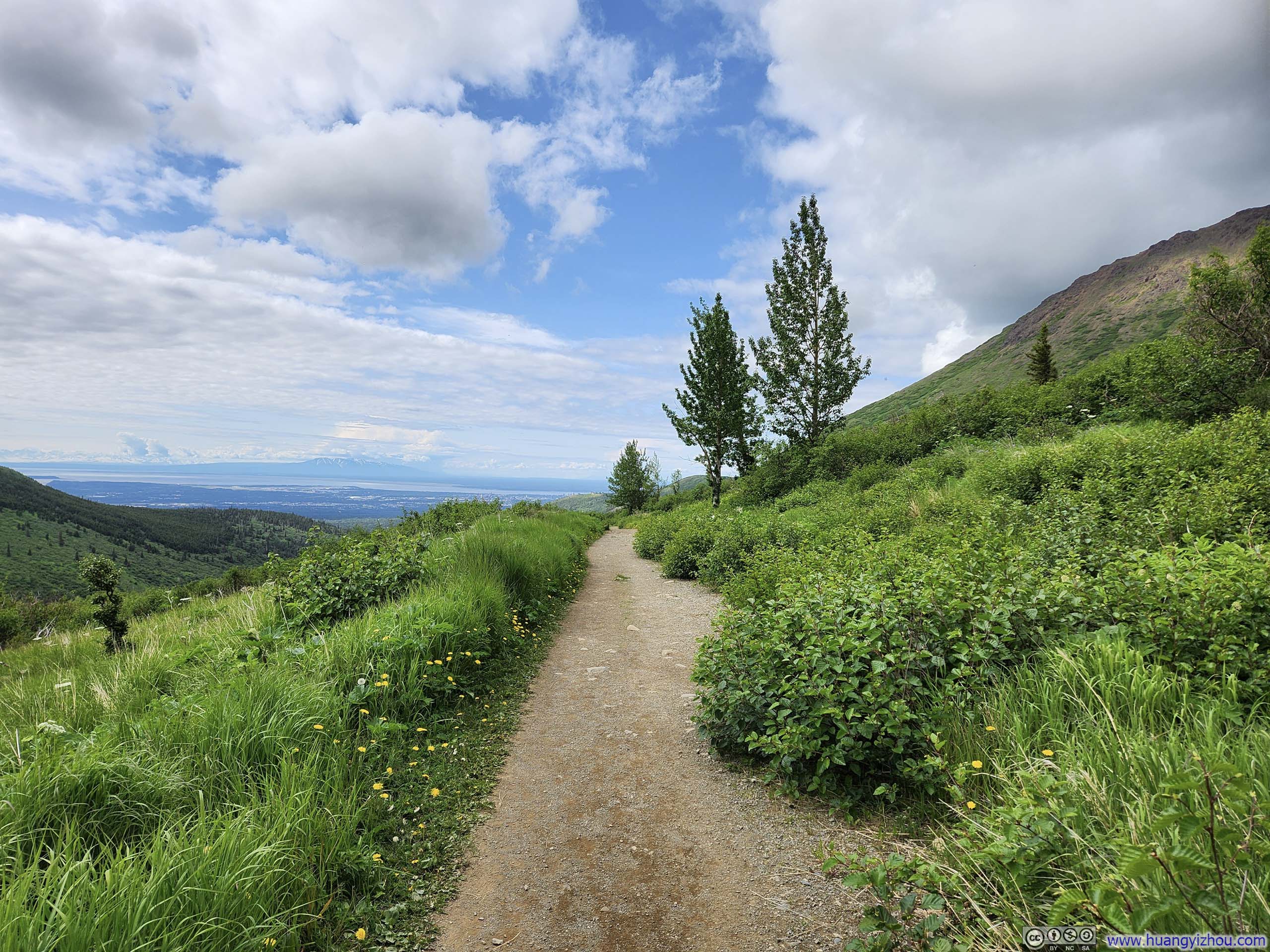
The Sunnyside Trail to Flattop Mountain was wide and well-maintained, despite some of the switchbacks seemed a bit redundant at certain places.
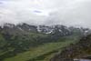
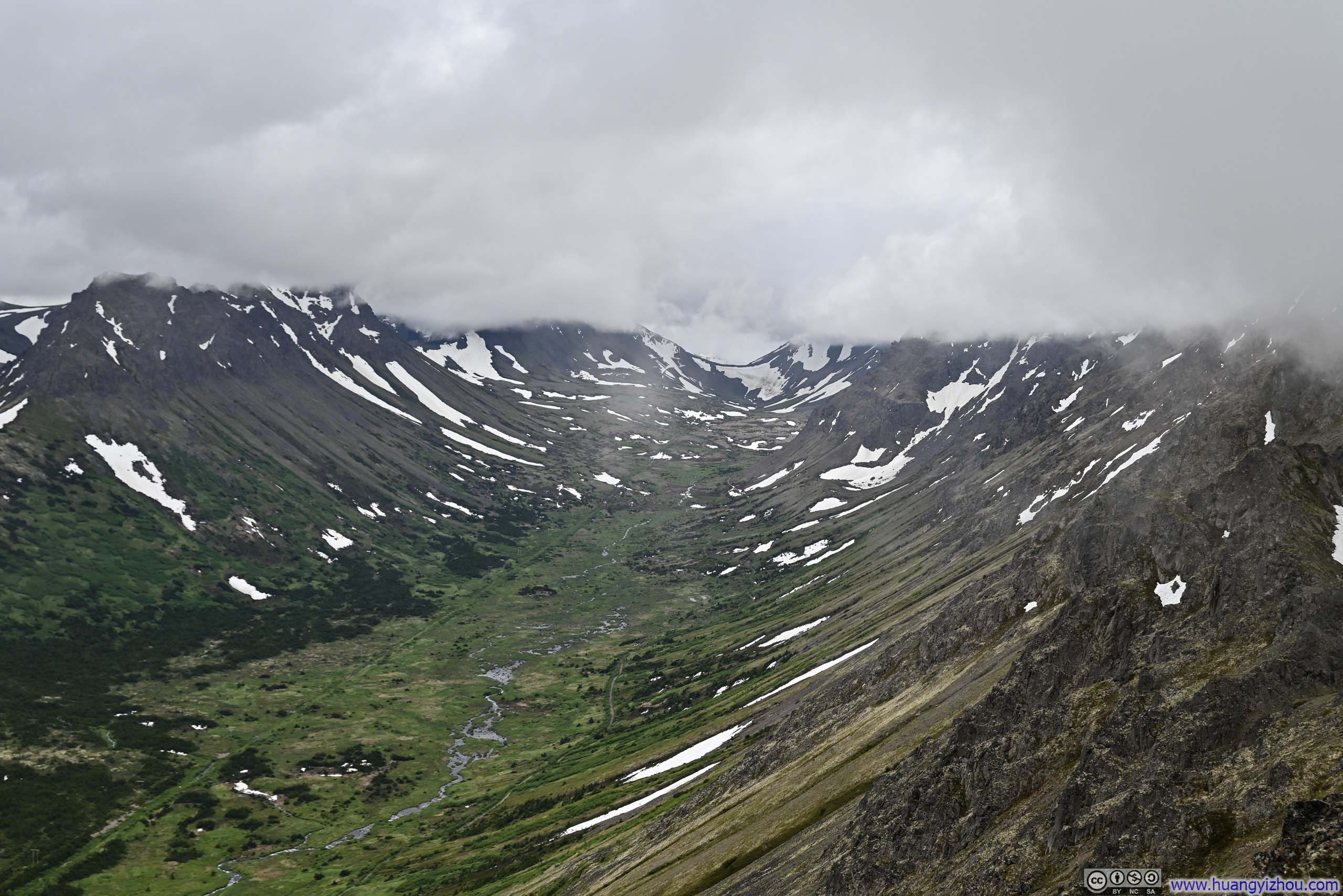
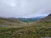
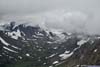
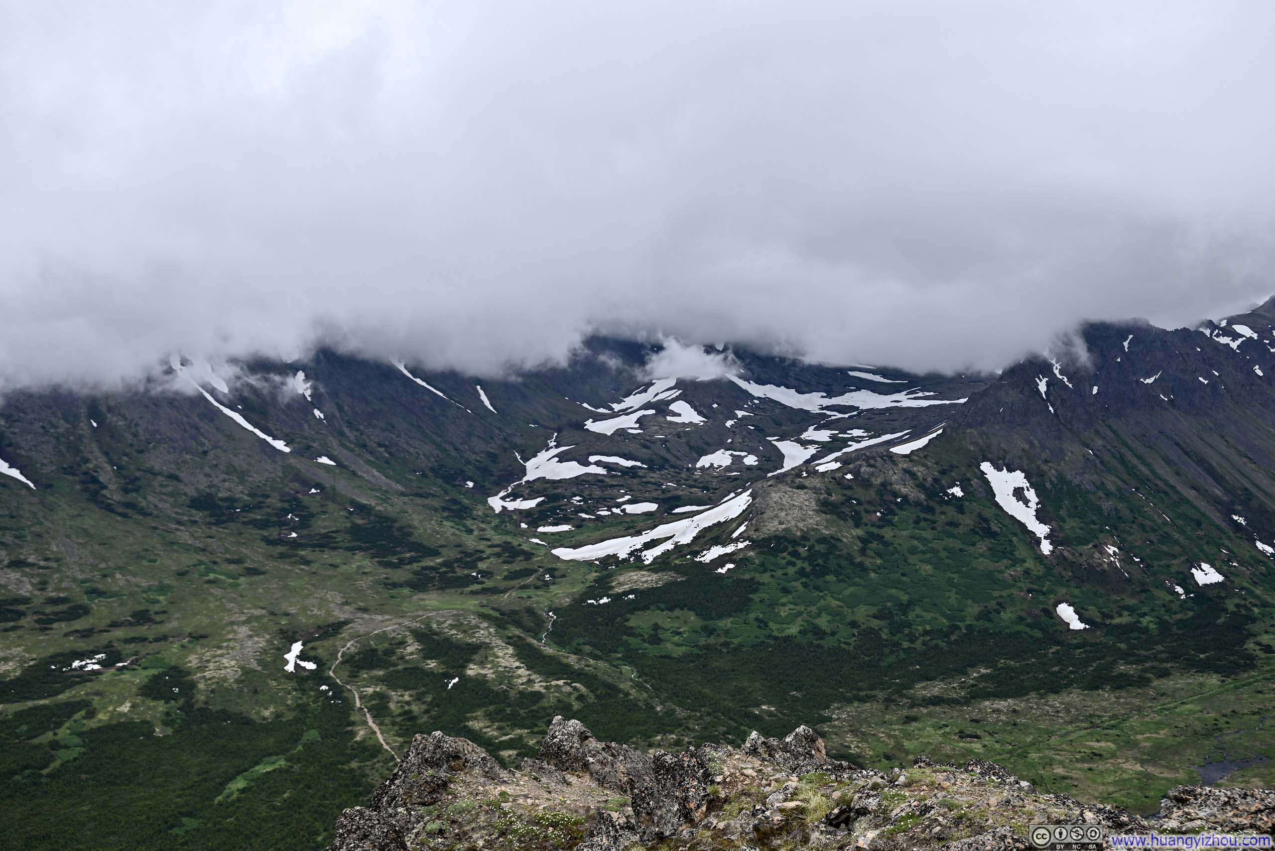
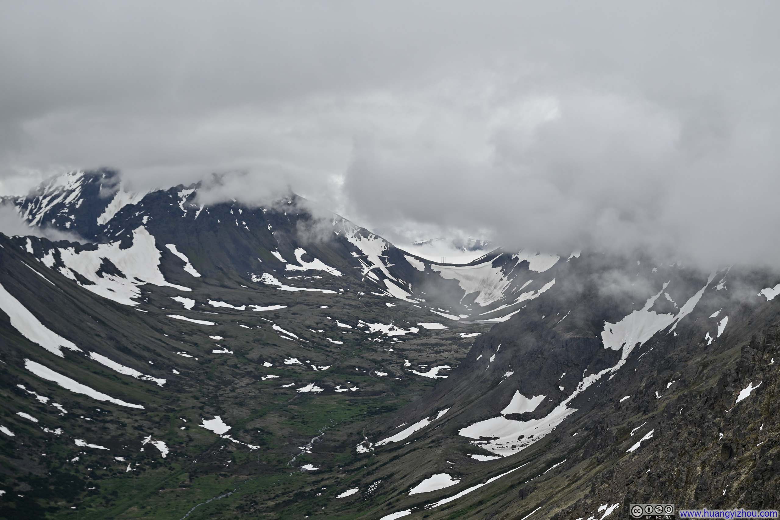
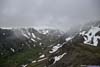
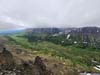
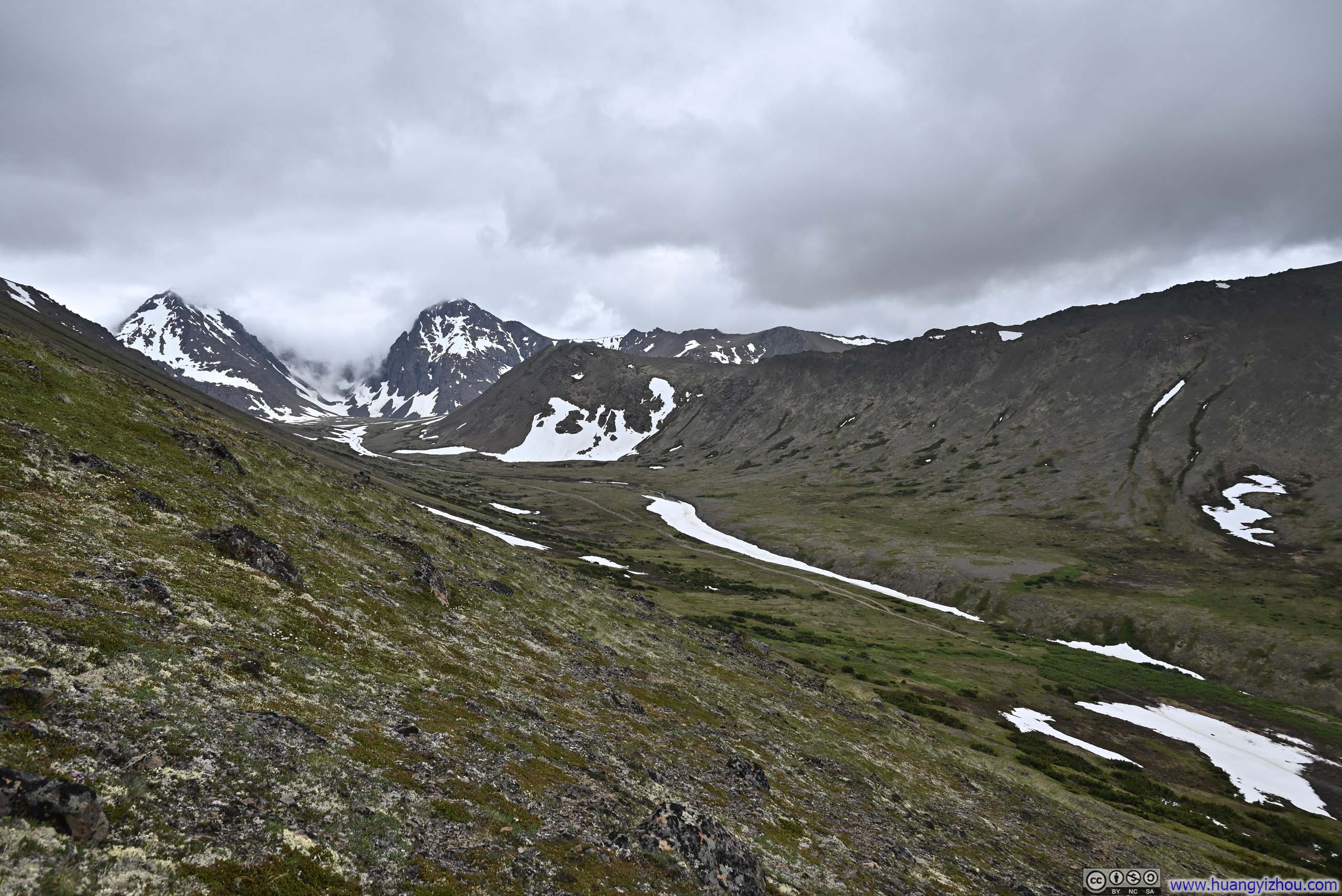
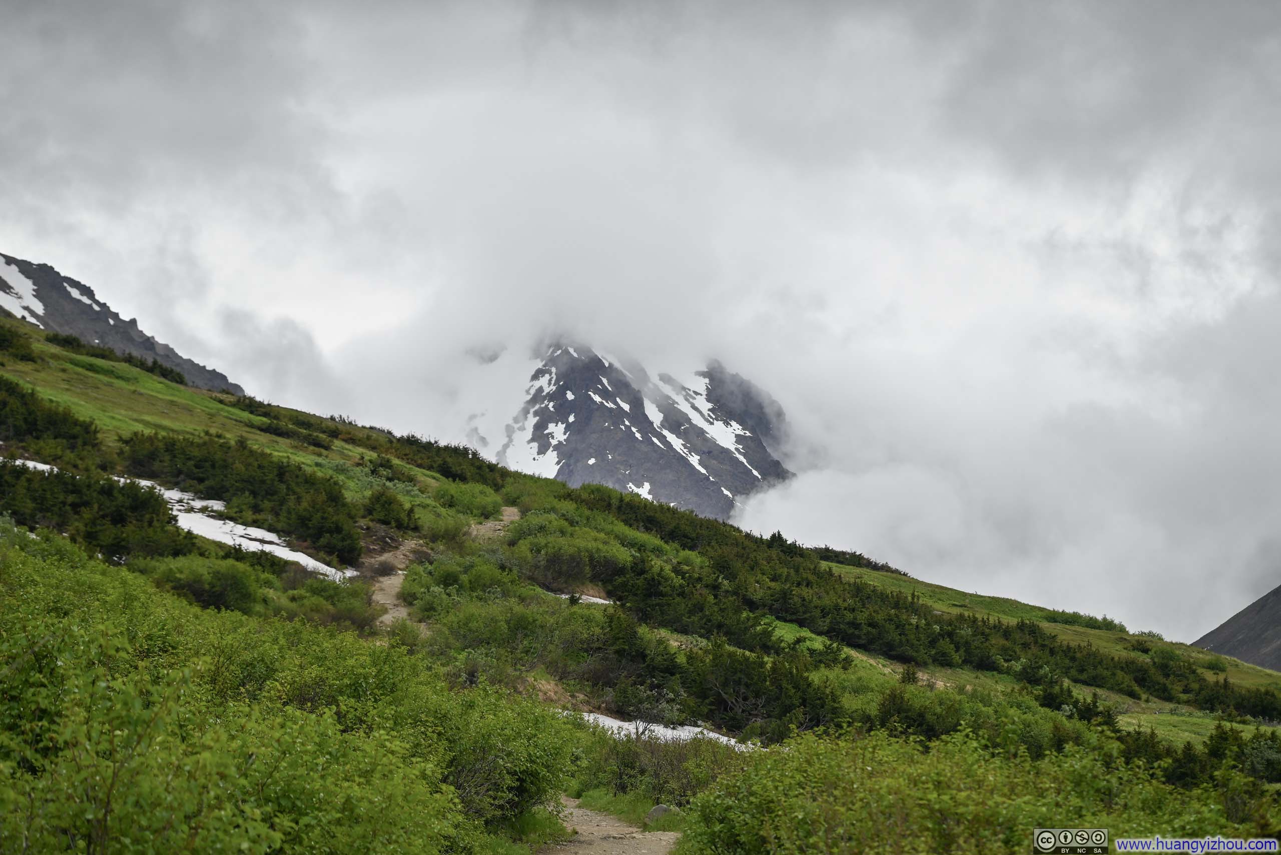
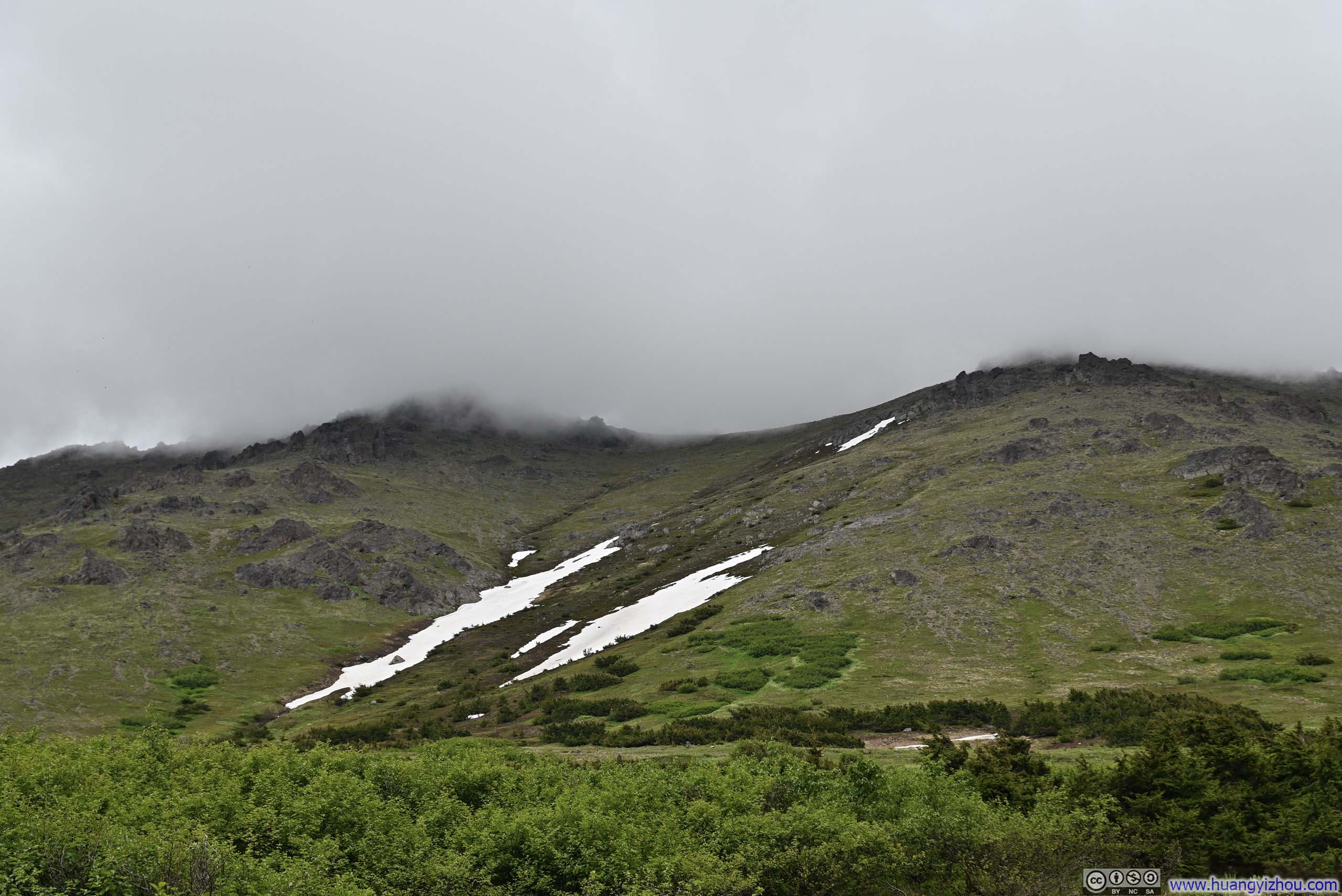
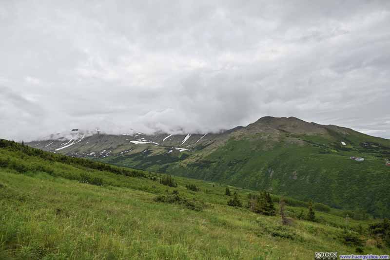 Mountains across Rabbit Valley in Clouds
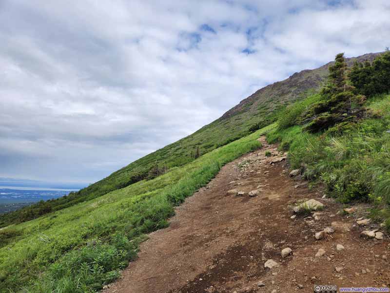 Trail
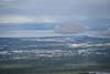
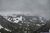
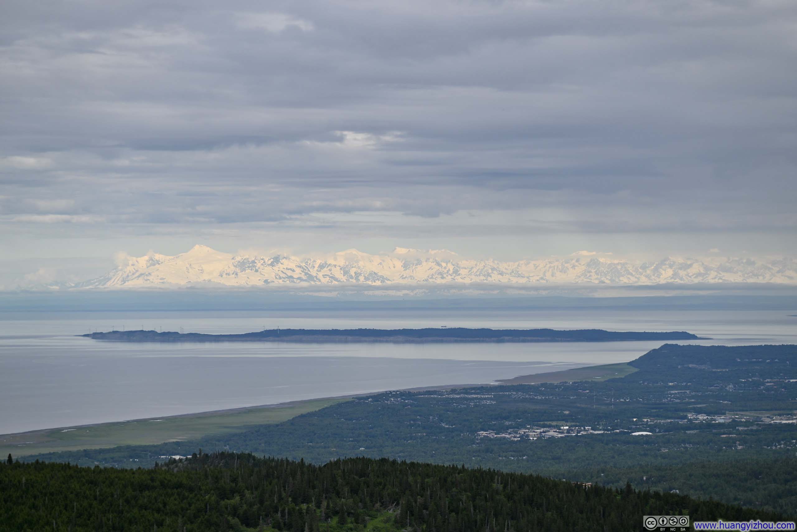
Trail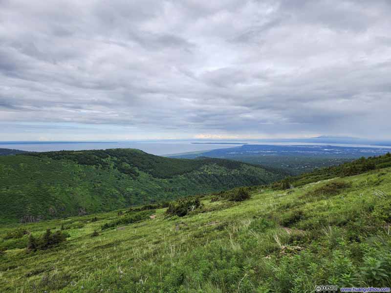 Cook Inlet and Distant Snowy Mountains
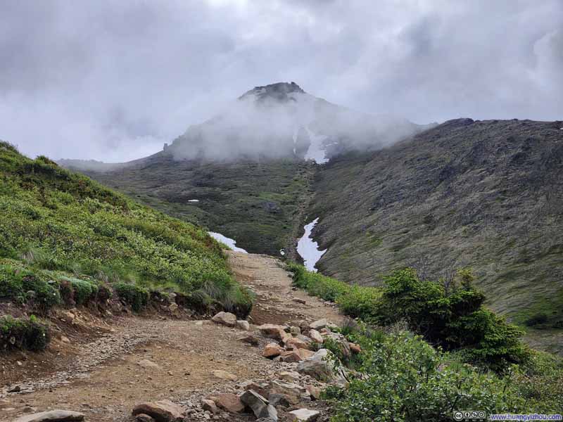 Peak 3 in Clouds
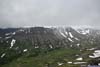
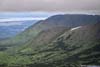
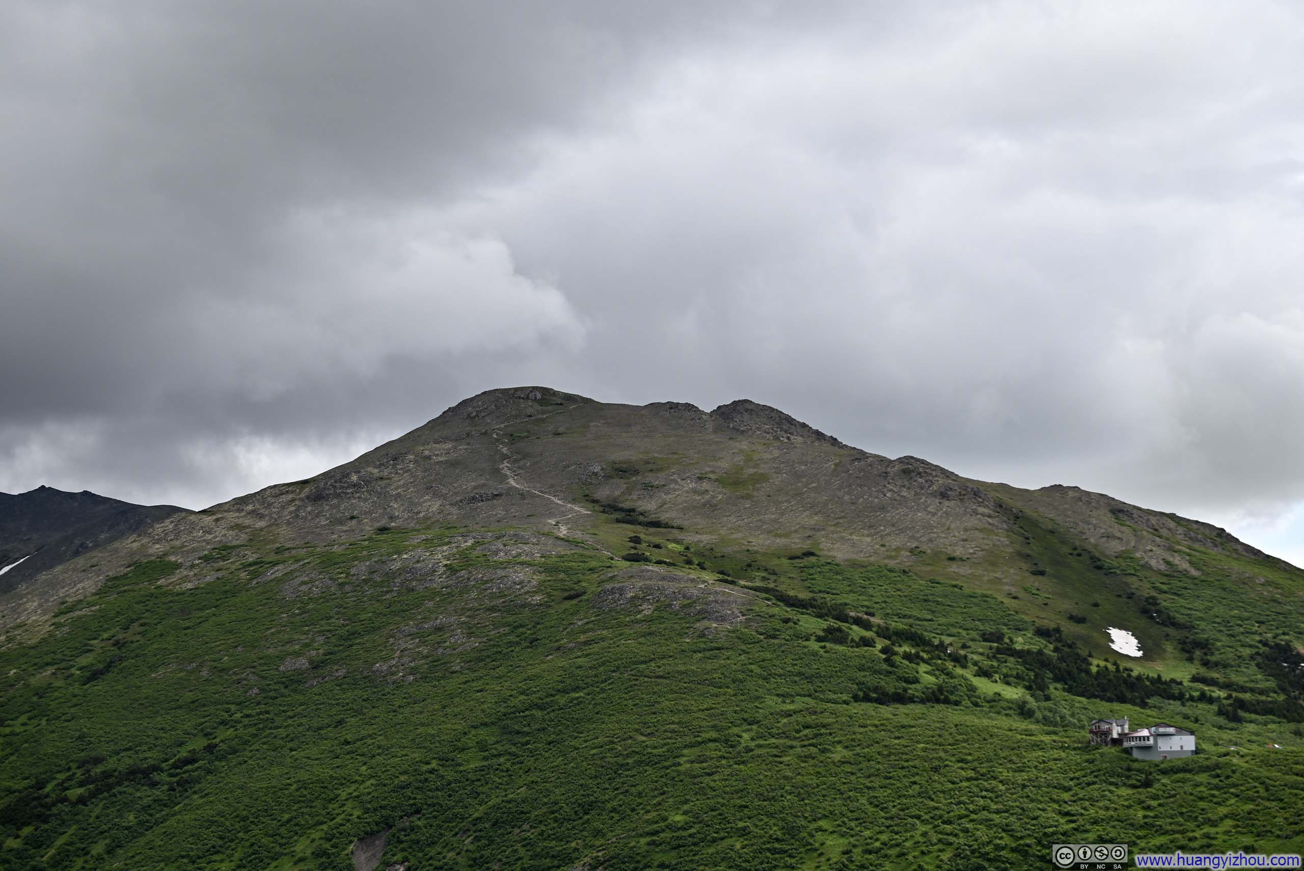
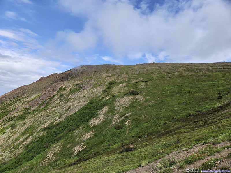 Flattop Mountain
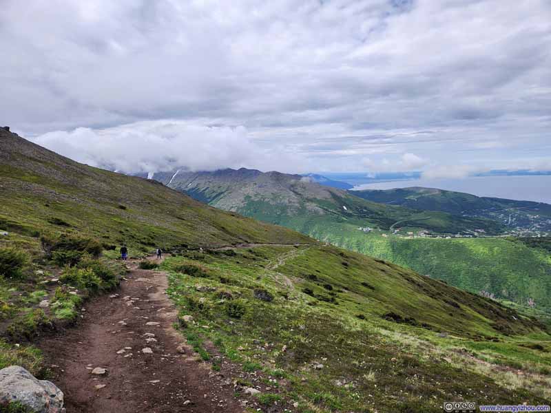 Trail from Rabbit Valley to Flattop Mountain


Click here to display photos of the slideshow
Mountains across Rabbit Valley in Clouds
Trail
Cook Inlet and Distant Snowy Mountains
Peak 3 in Clouds

Flattop Mountain
Trail from Rabbit Valley to Flattop Mountain
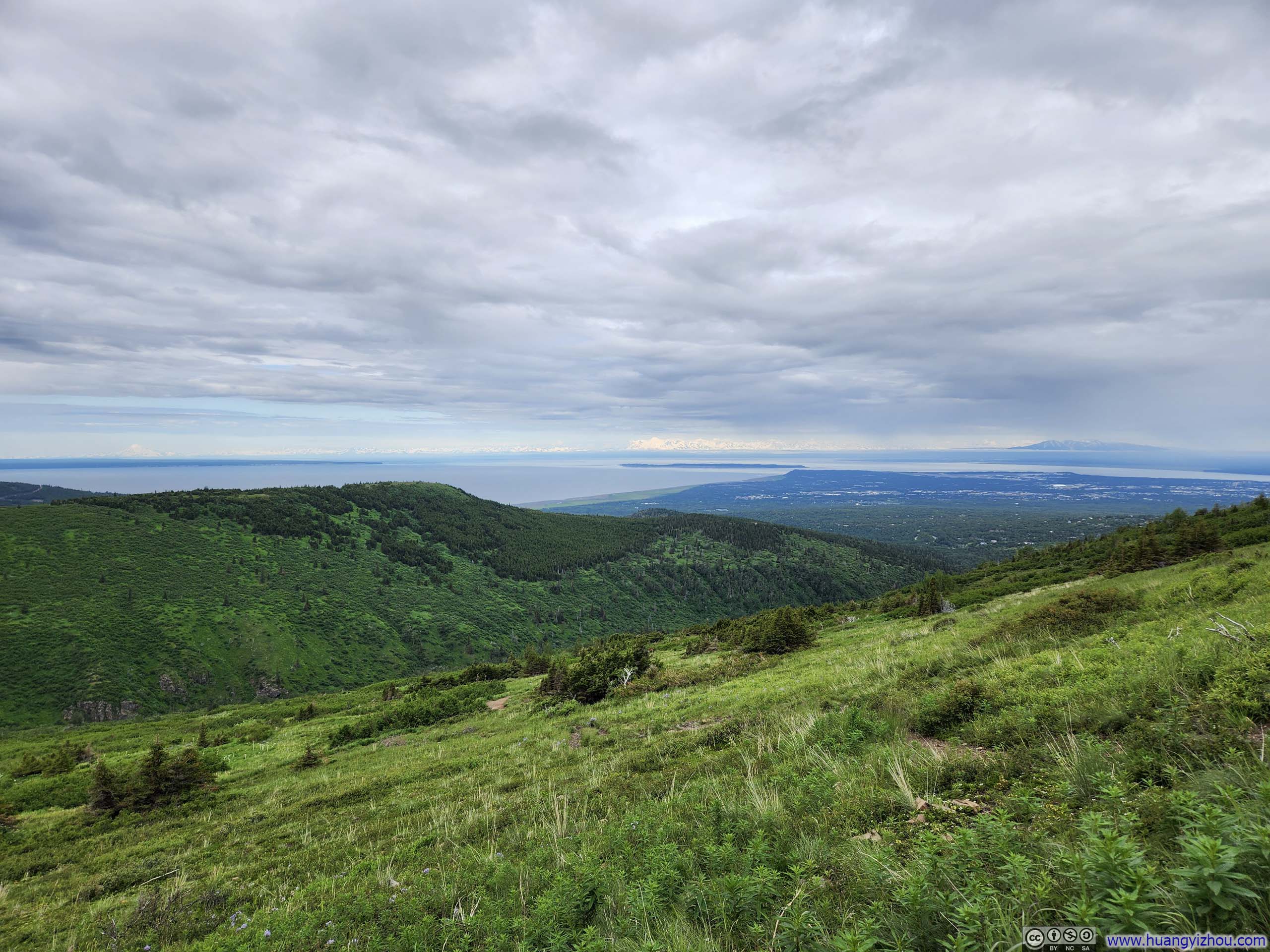
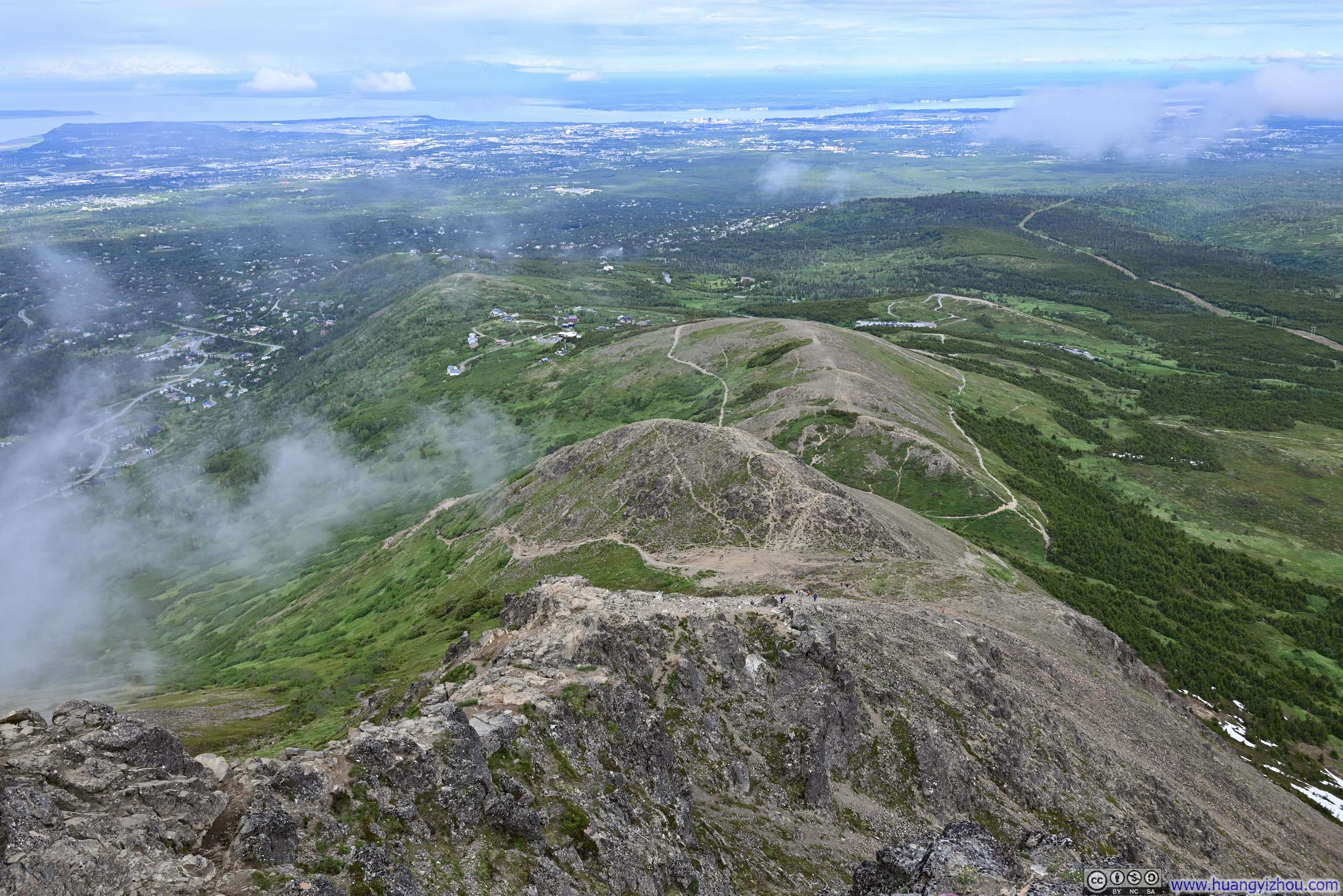
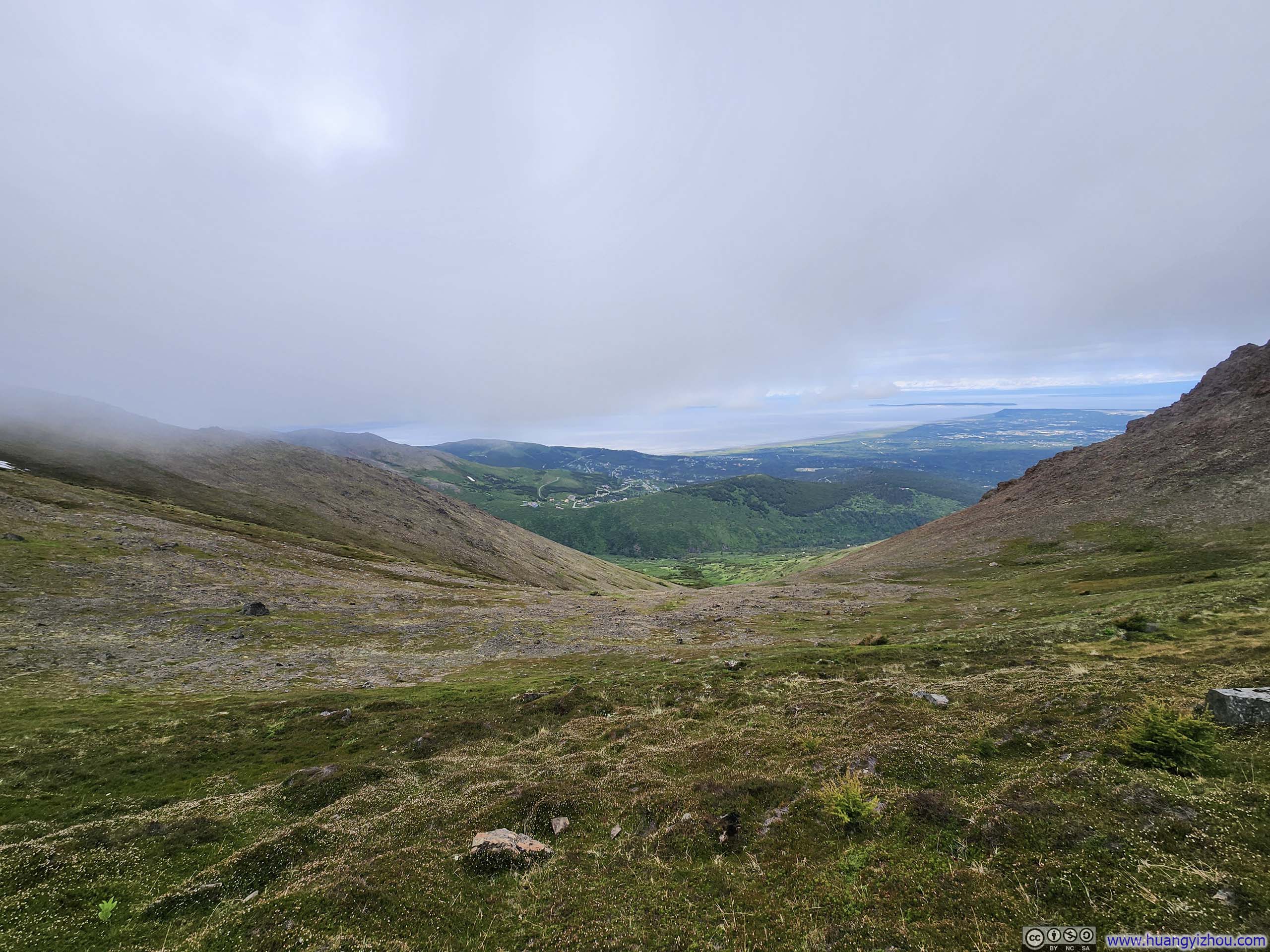
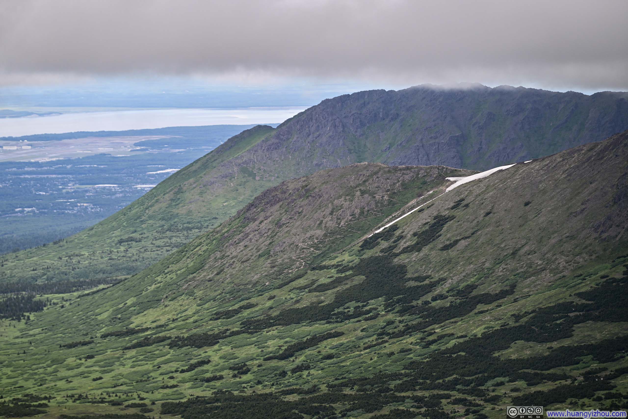
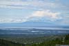
I ascended Flattop Mountain in just under an hour from the trailhead. The mountain appeared anything but flat from the trailhead, but it felt a lot flatter once I was up there (a perspective later confirmed when viewing it from Anchorage). Its plateau-like expanse required some roaming to appreciate all the views from various vantage points. The northwestern views toward Anchorage proved most spectacular, though I was slightly disappointed to find the eastern vista, where the heart of the Chugach Mountains was, veiled behind a curtain of clouds.
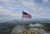
 Flag on Flattop MountainI found the peaks around Anchorage had a tradition of flying American Flags on their summits.
 Trail to Flattop Mountain from Glen AlpsDowntown Anchorage in the background.
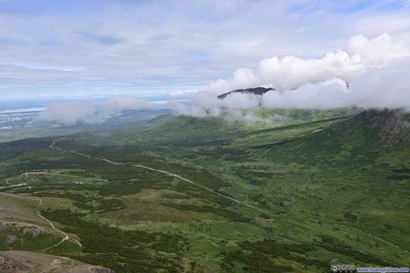 Fields
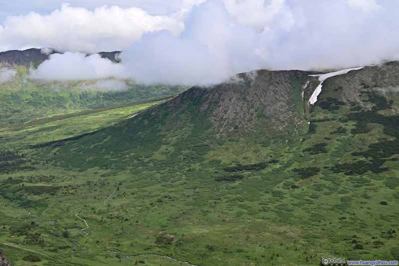 Trail to Little O’Malley Peak
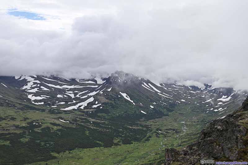 Valley
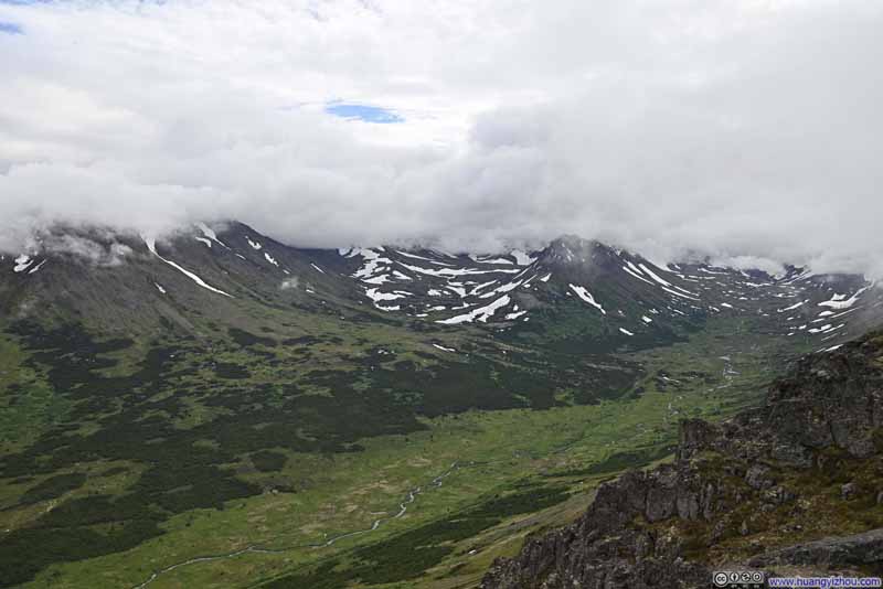 Valley
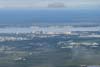
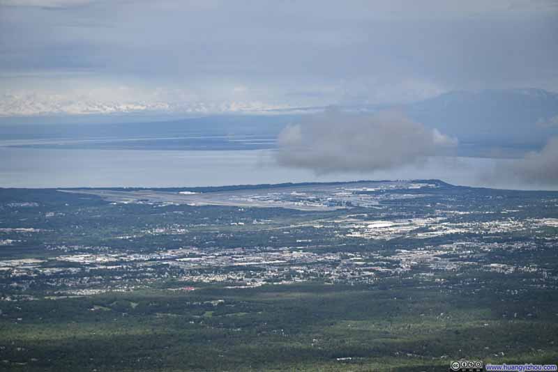 Distant Anchorage Airport
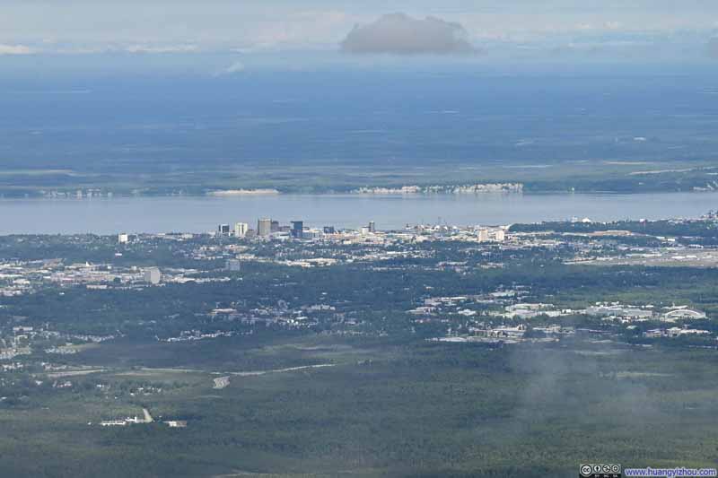 Distant Downtown Anchorage

Click here to display photos from the top of Flattop Mountain.
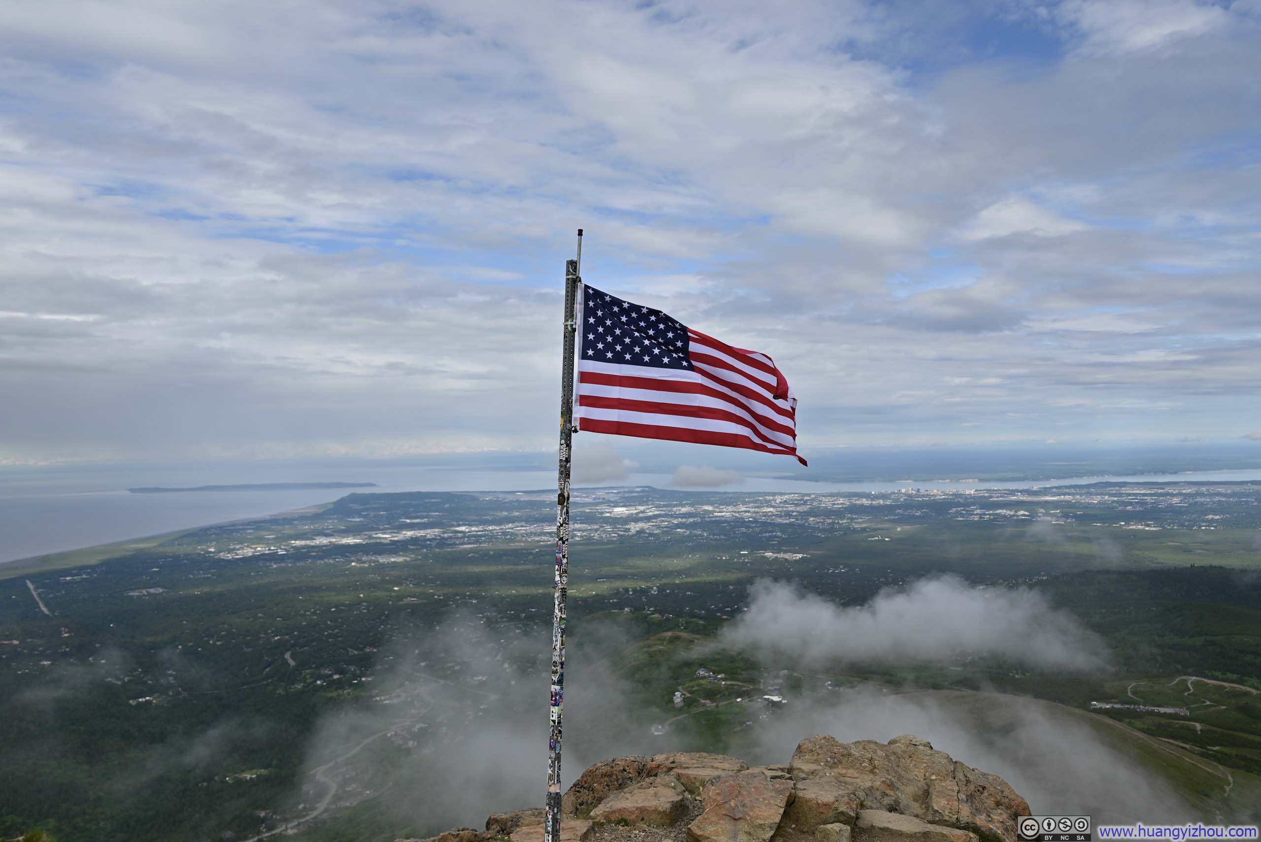
Flag on Flattop MountainI found the peaks around Anchorage had a tradition of flying American Flags on their summits.
Trail to Flattop Mountain from Glen AlpsDowntown Anchorage in the background.

Fields
Trail to Little O’Malley Peak
Valley
Valley
Distant Anchorage Airport
Distant Downtown Anchorage
View from Flattop Mountain
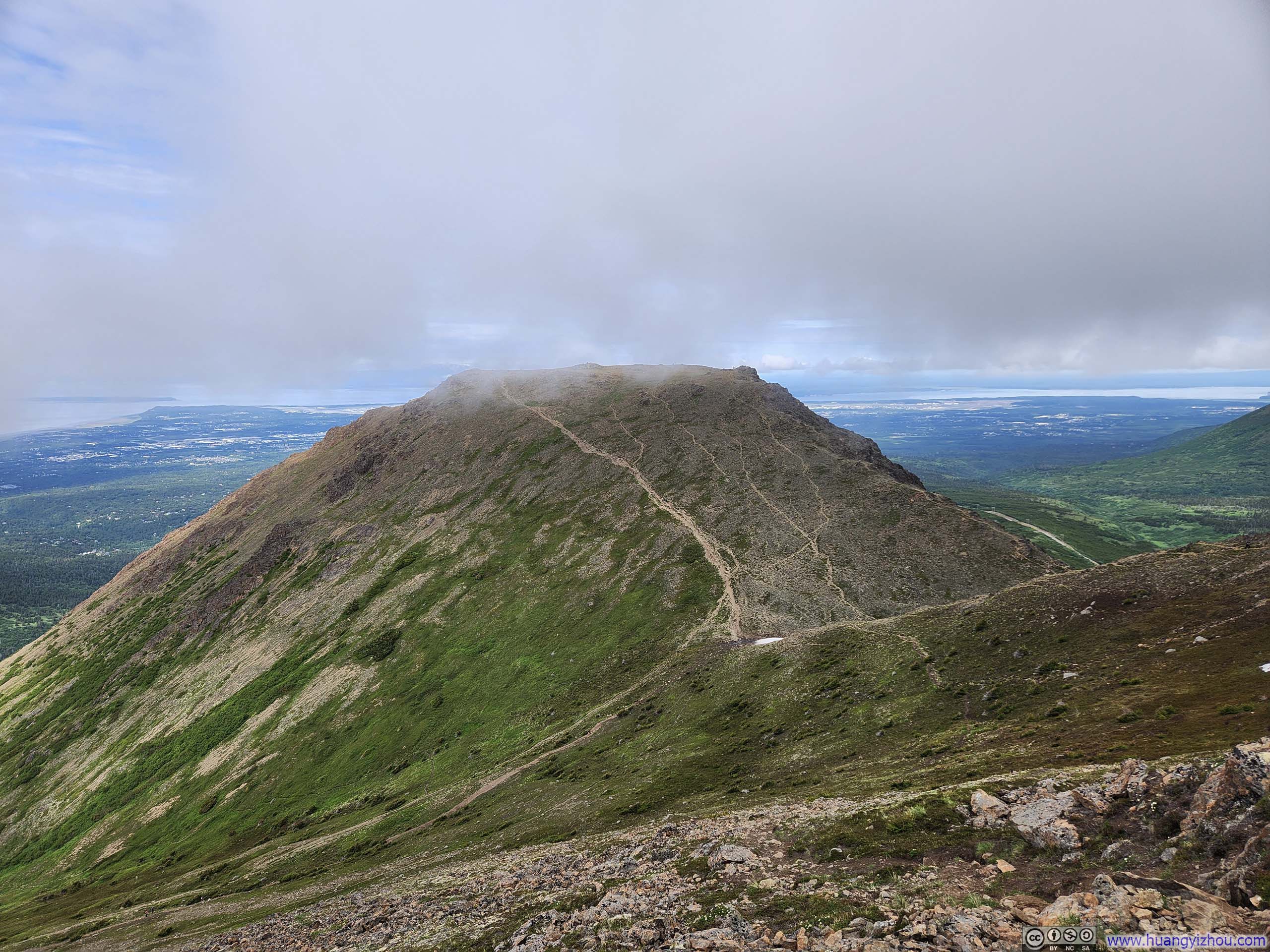
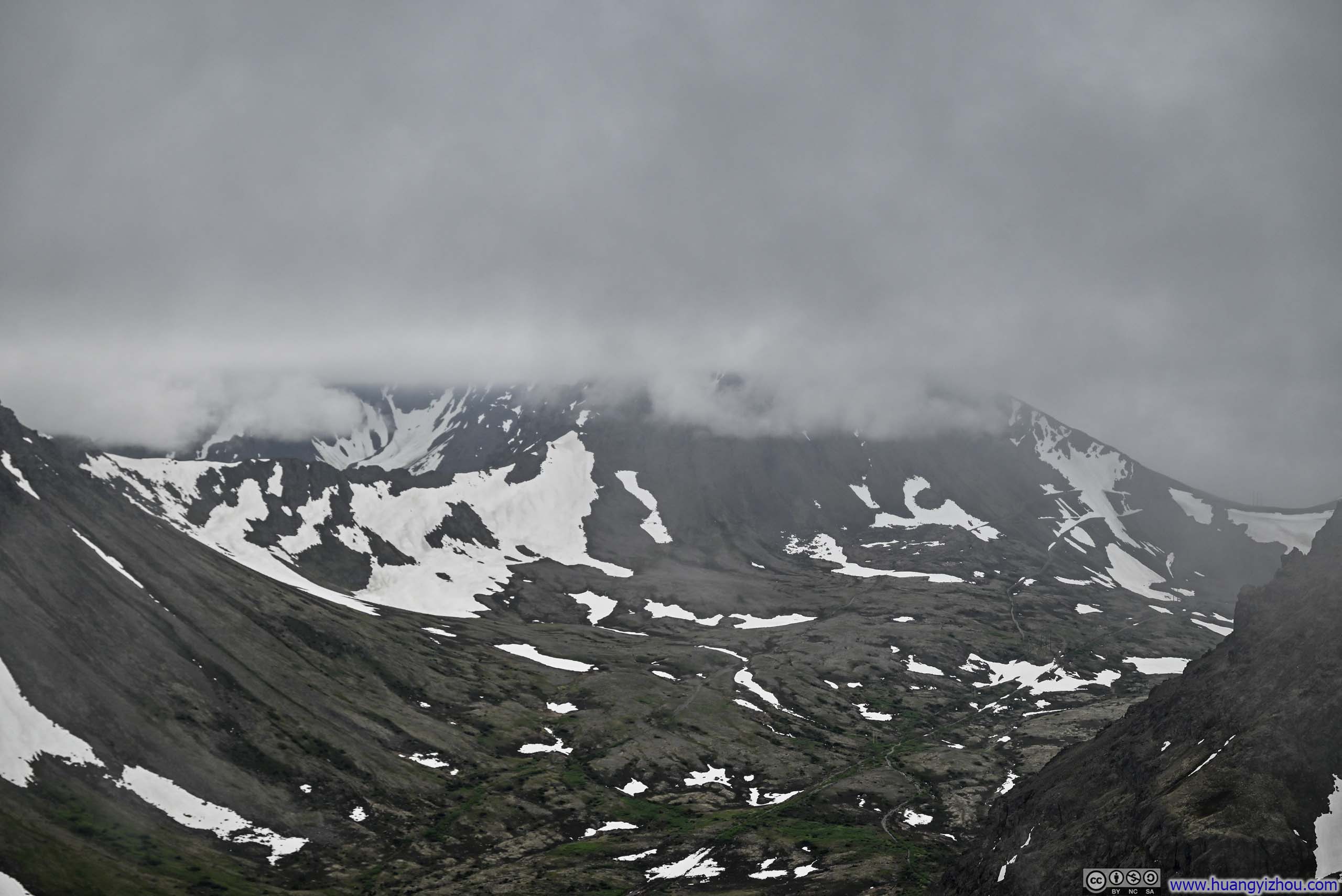
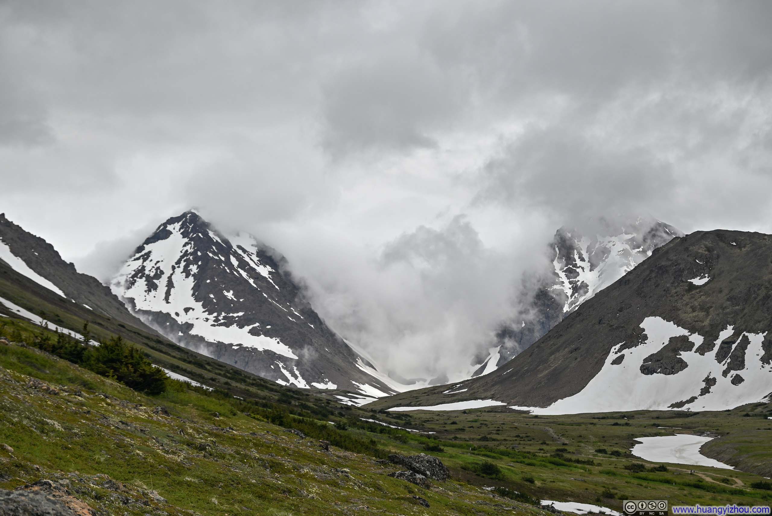
While I gazed across the landscape from Flattop Mountain, I noticed wisps of delicate clouds scattered along the hillside below. This sight had me worried since my intended destination, Flaketop Peak, was higher in elevation and seemingly deep in clouds. In between Flattop Mountain and Flaketop Peak lay two additional peaks, Peak 2 and Peak 3. On my way to Flattop Peak, I found them to be in clouds for about 50% of the time. Hence upon leaving Flattop Mountain, I harbored genuine uncertainty whether any views would reward my efforts.
 Peak 2
 Trail from Flattop Mountain
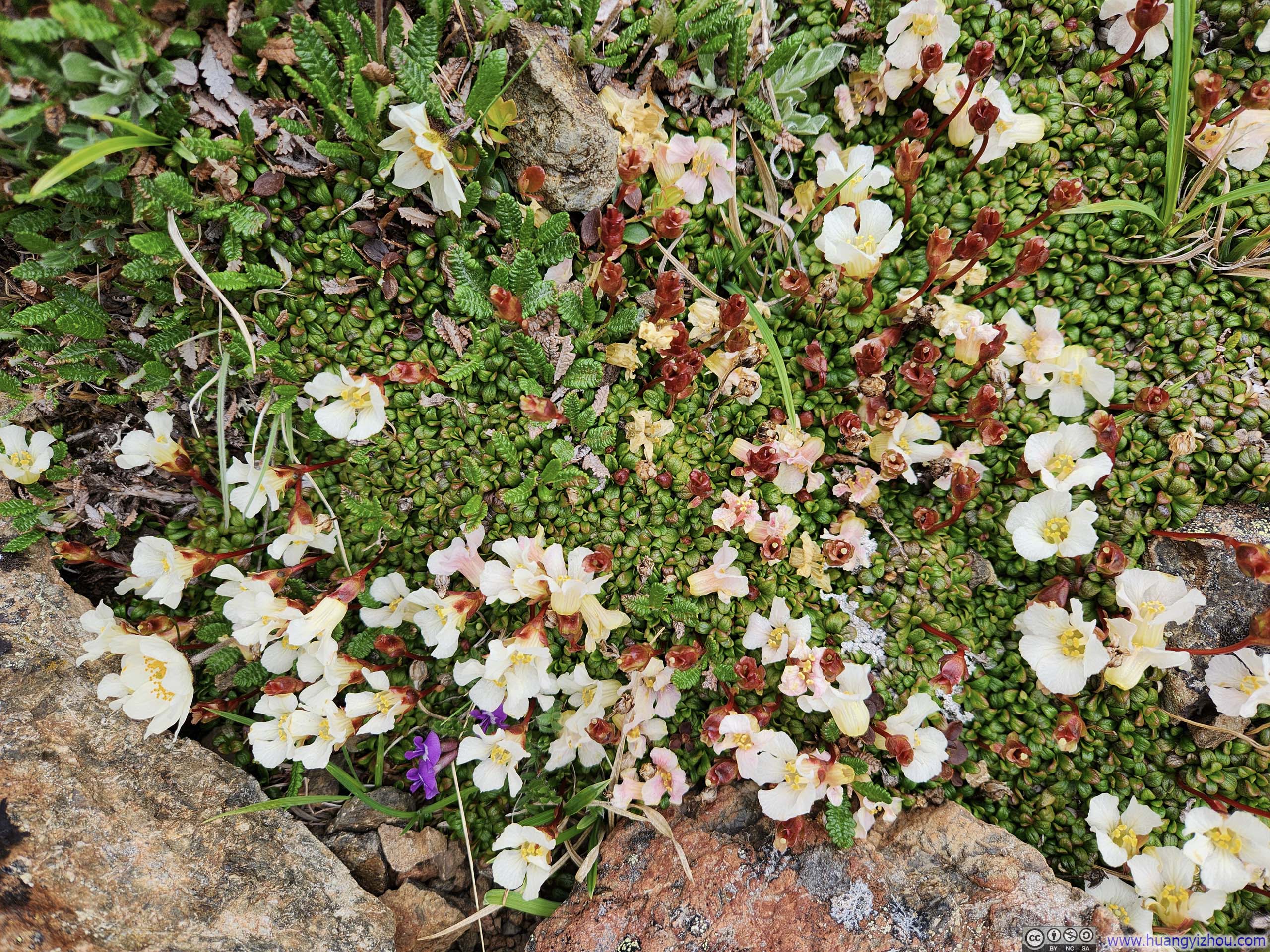
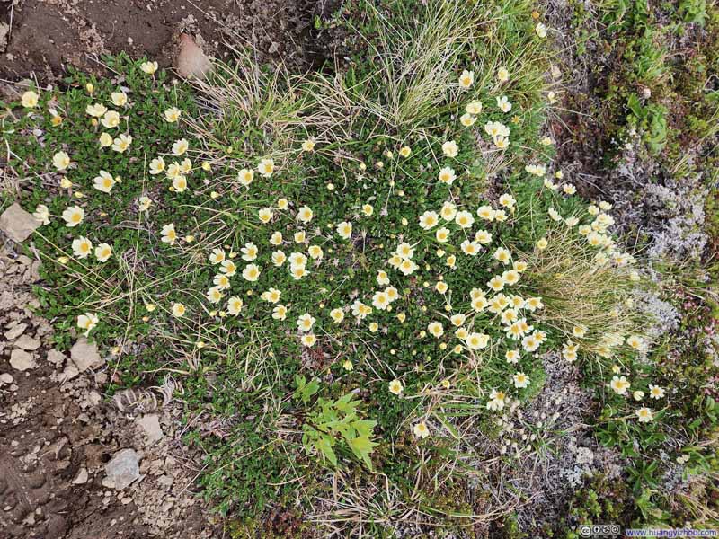 Flowers
 Looking Back at Flattop MountainOne of the few angles to appreciate its flatness.


Click here to display photos of the slideshow
Peak 2
Trail from Flattop Mountain
Flowers
Looking Back at Flattop MountainOne of the few angles to appreciate its flatness.
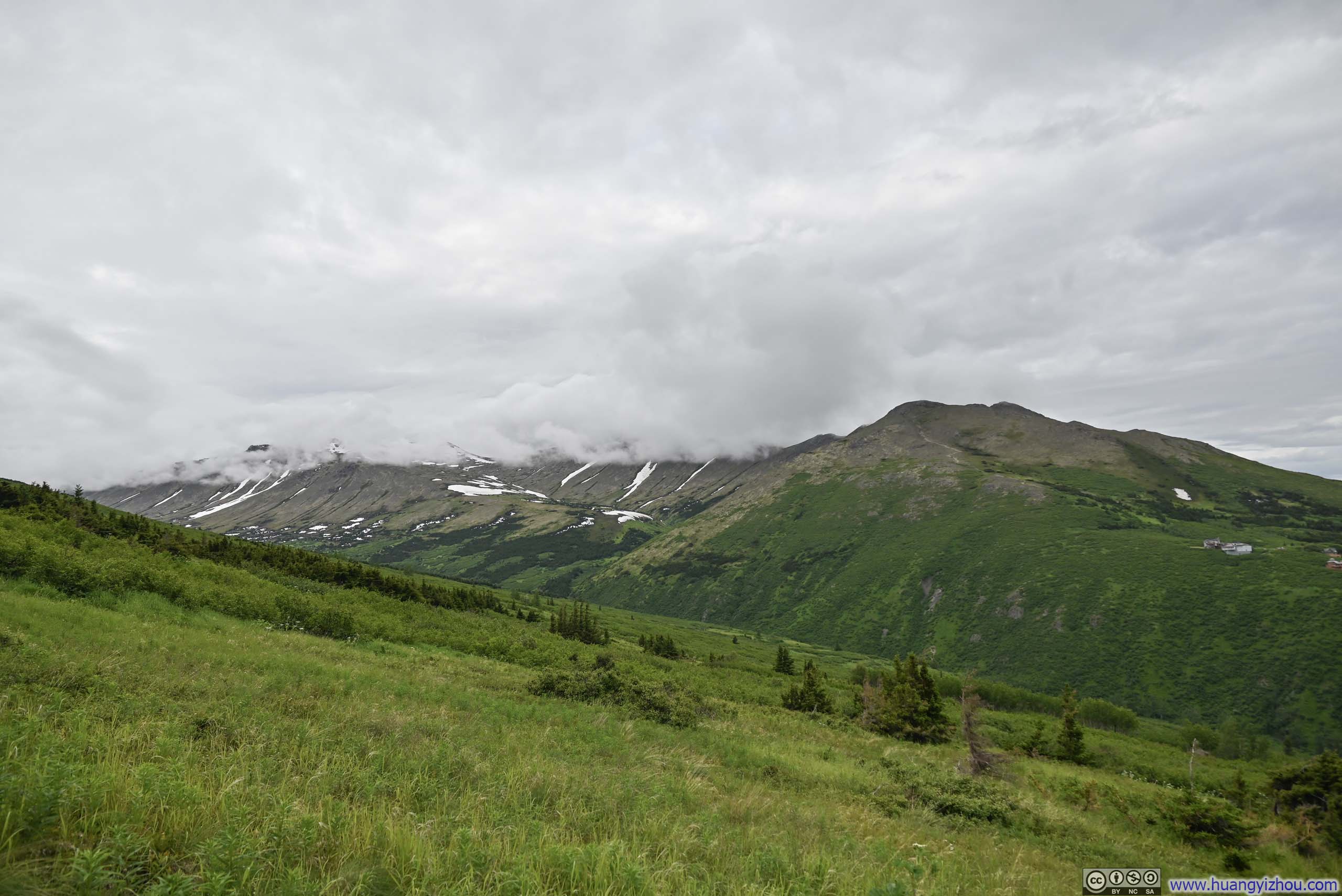
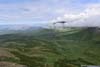
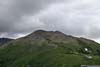
Departing the saddle point between Peak 2 and Flattop, the trail noticeably steepened. Luckily, it’s just a brisk 10-minute dash and I found myself on top of Peak 2, graciously clear of clouds.
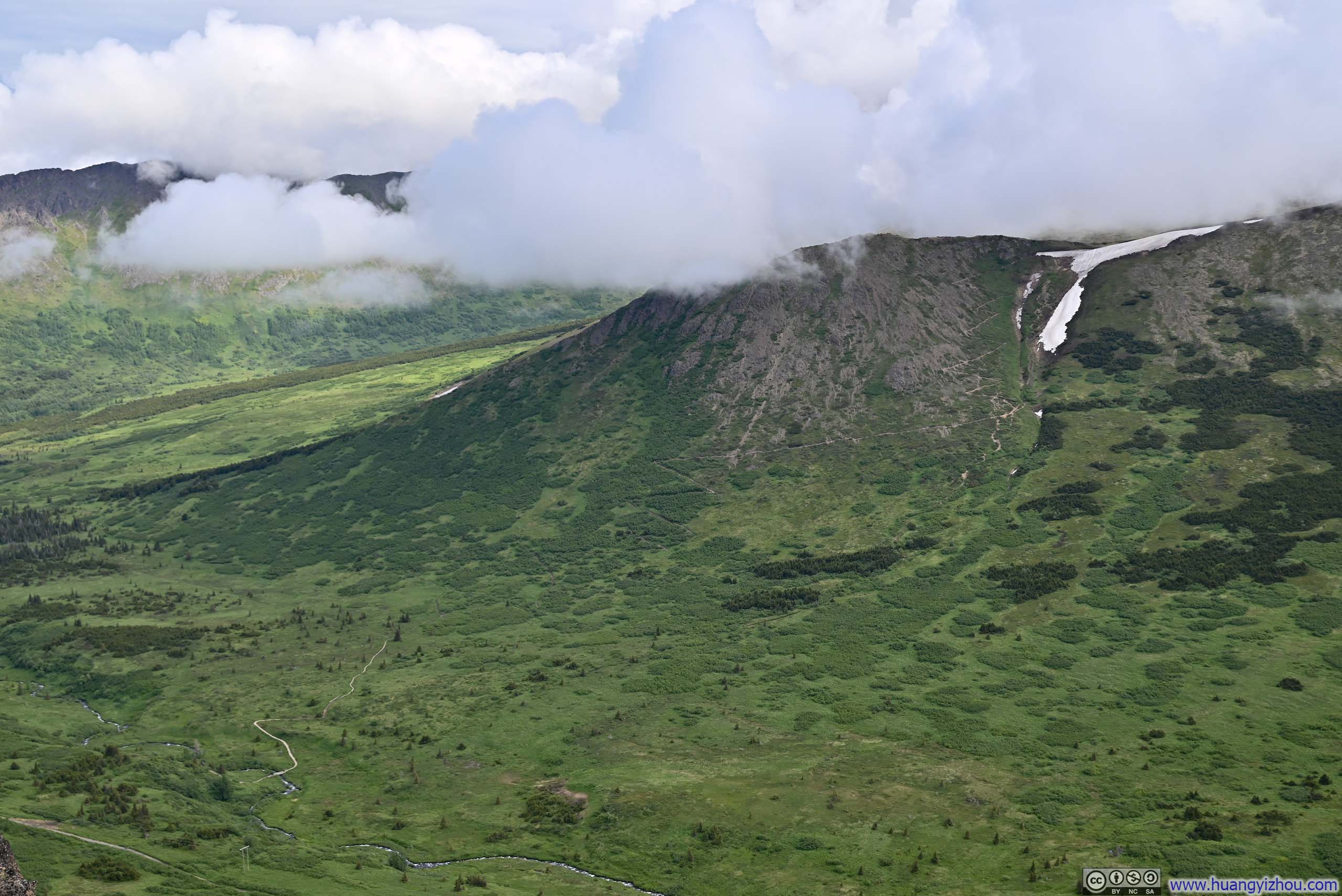
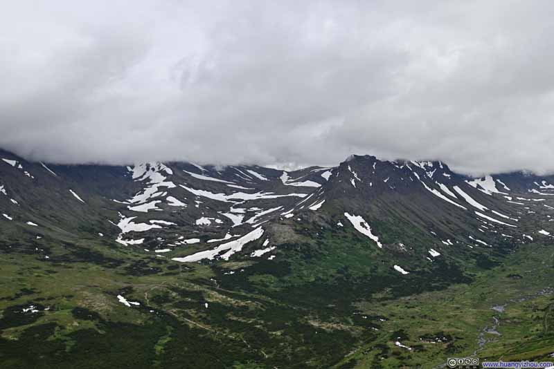
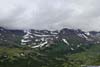
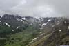
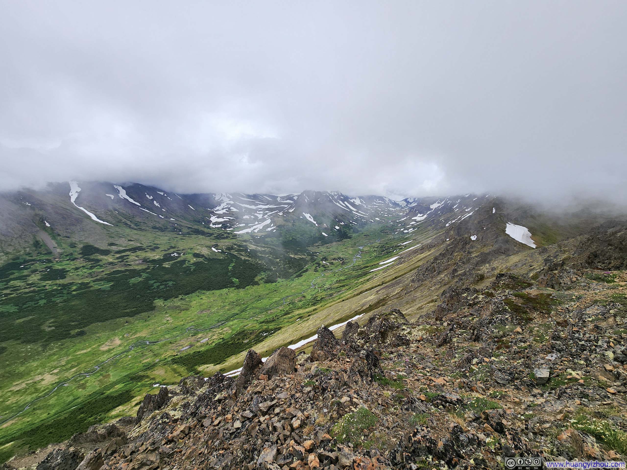
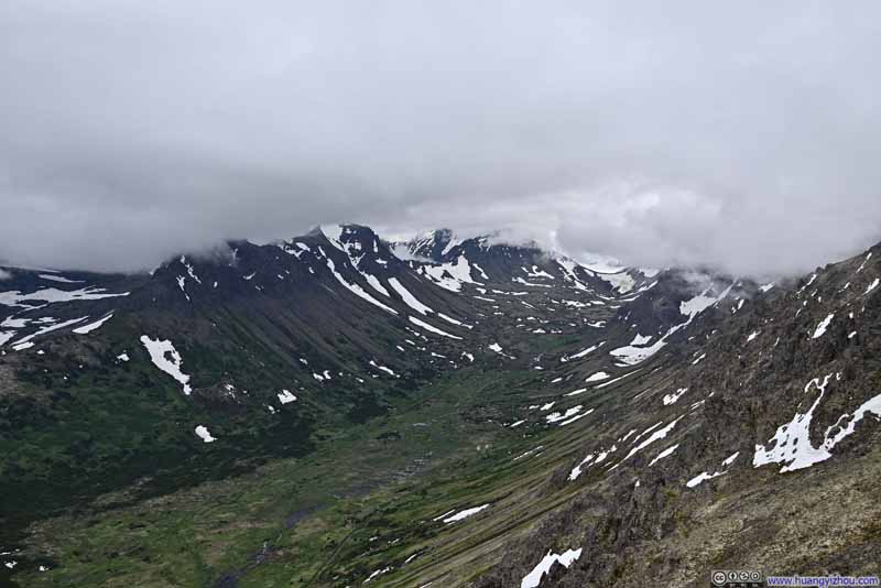
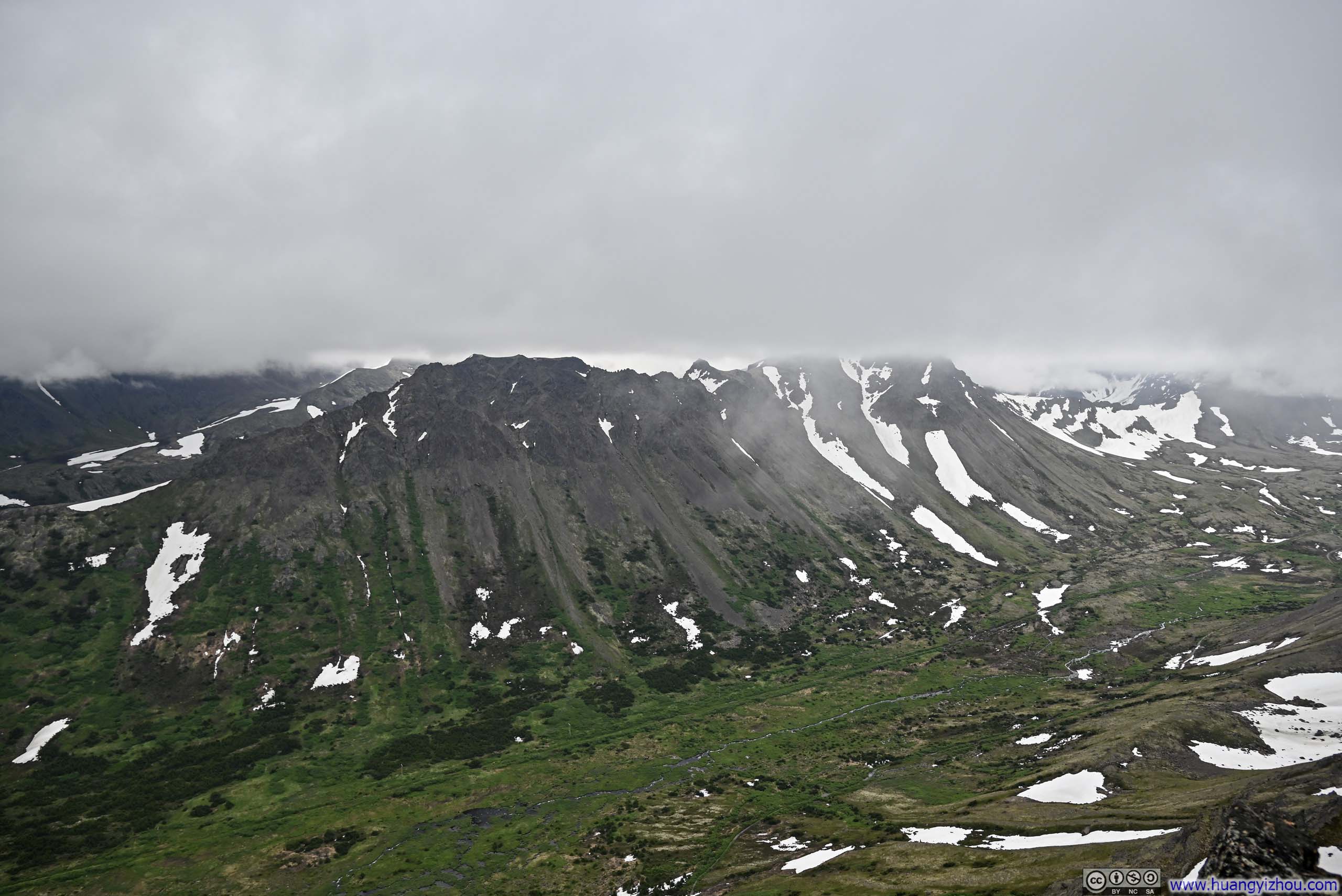
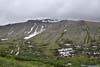
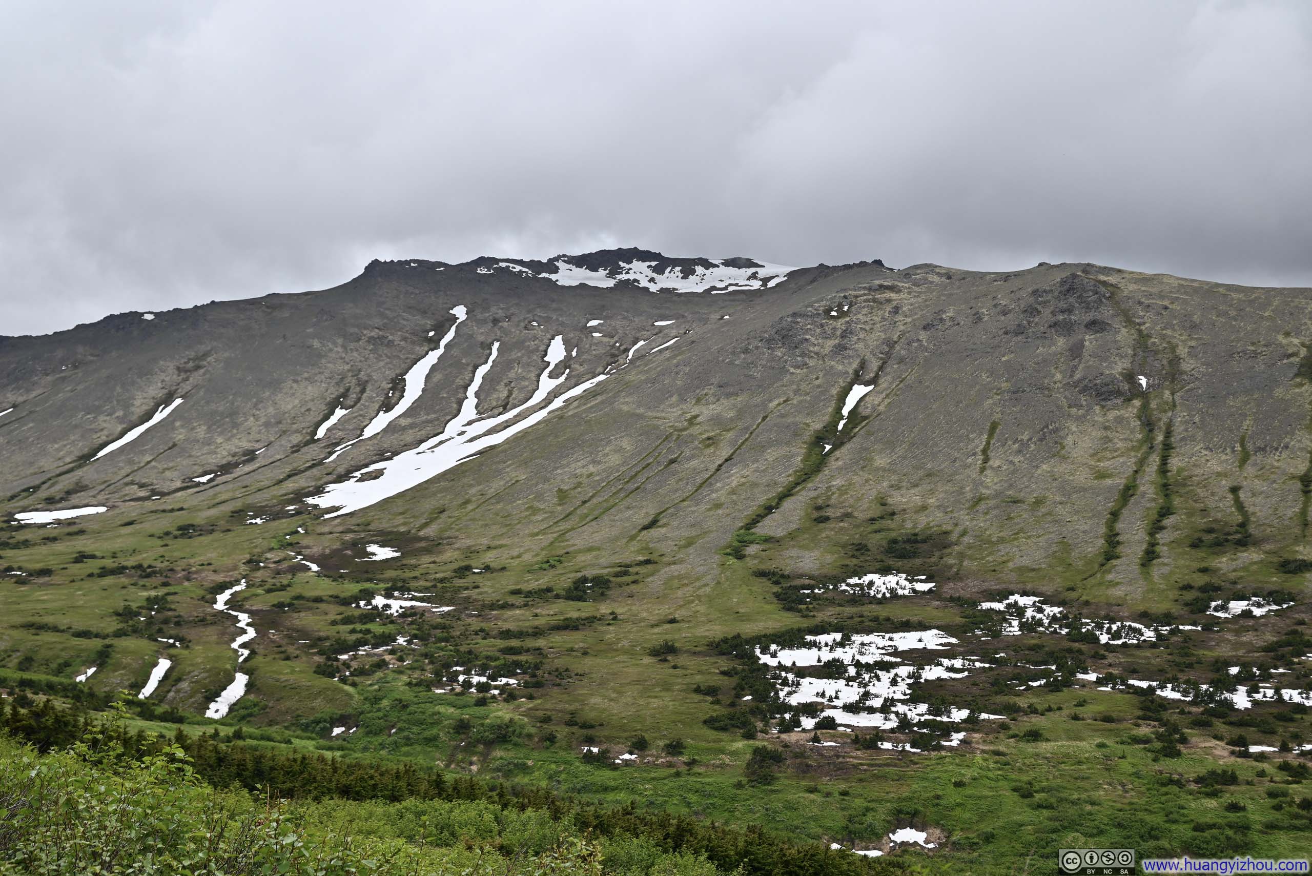
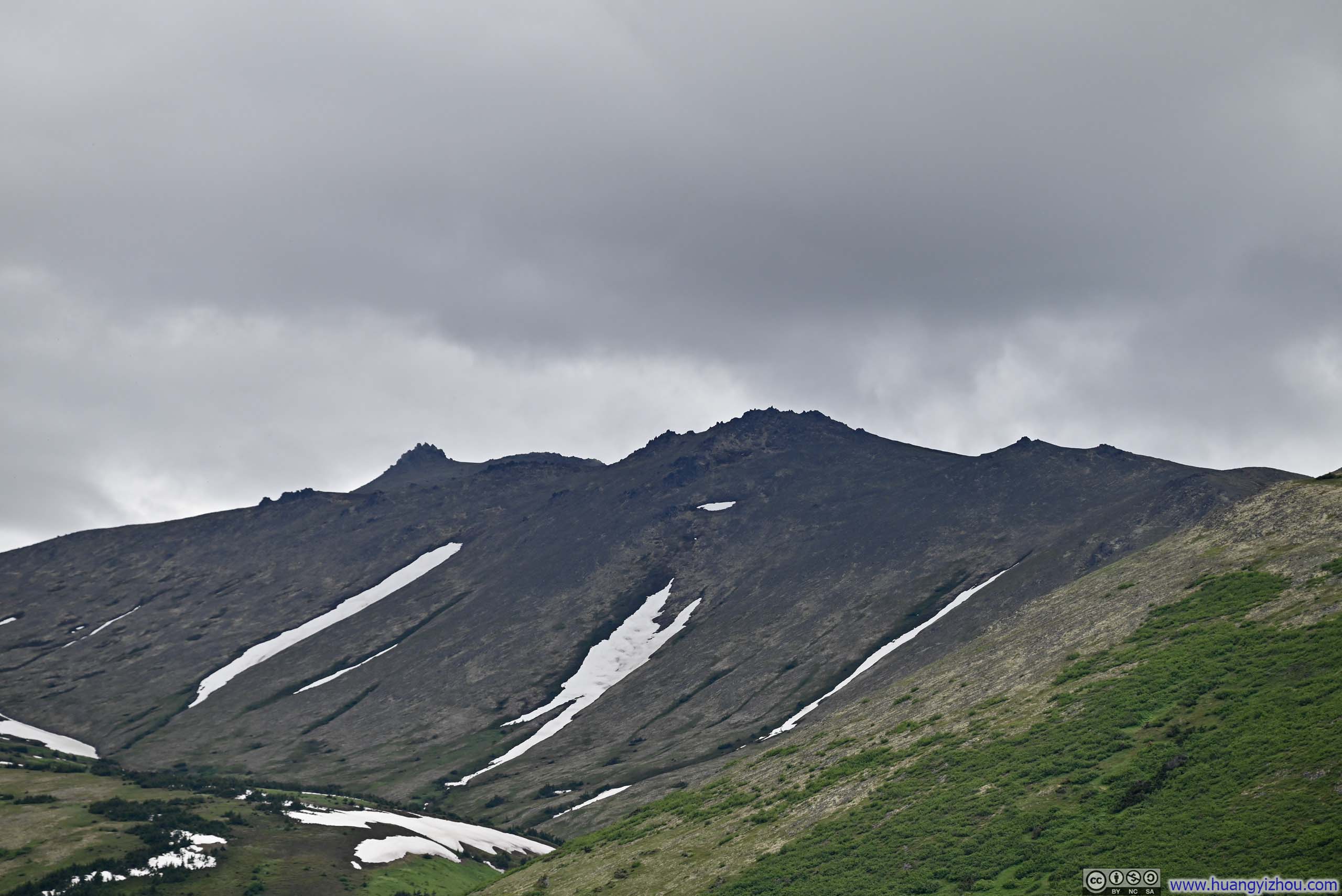
From Peak 2 and later Peak 3, probably the only view was the lush and elongated valley beneath them. Across this expanse, patches of snow adorned the slopes like scattered lace, before the hills surrendered to a canopy of overhanging clouds. The power lines connecting the town of Girdwood to downtown Anchorage traversed this valley, suggesting to me an unofficial name: “Powerline Valley”.
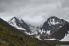
 Snowy Mountains
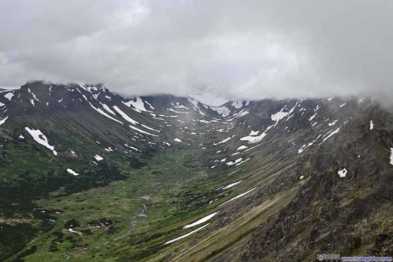 Valley
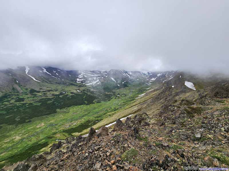 Valley
Click here to display photos from Peak 2.

Snowy Mountains
Valley
Valley
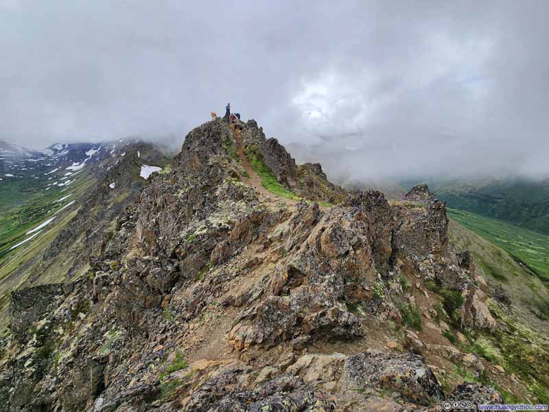
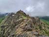
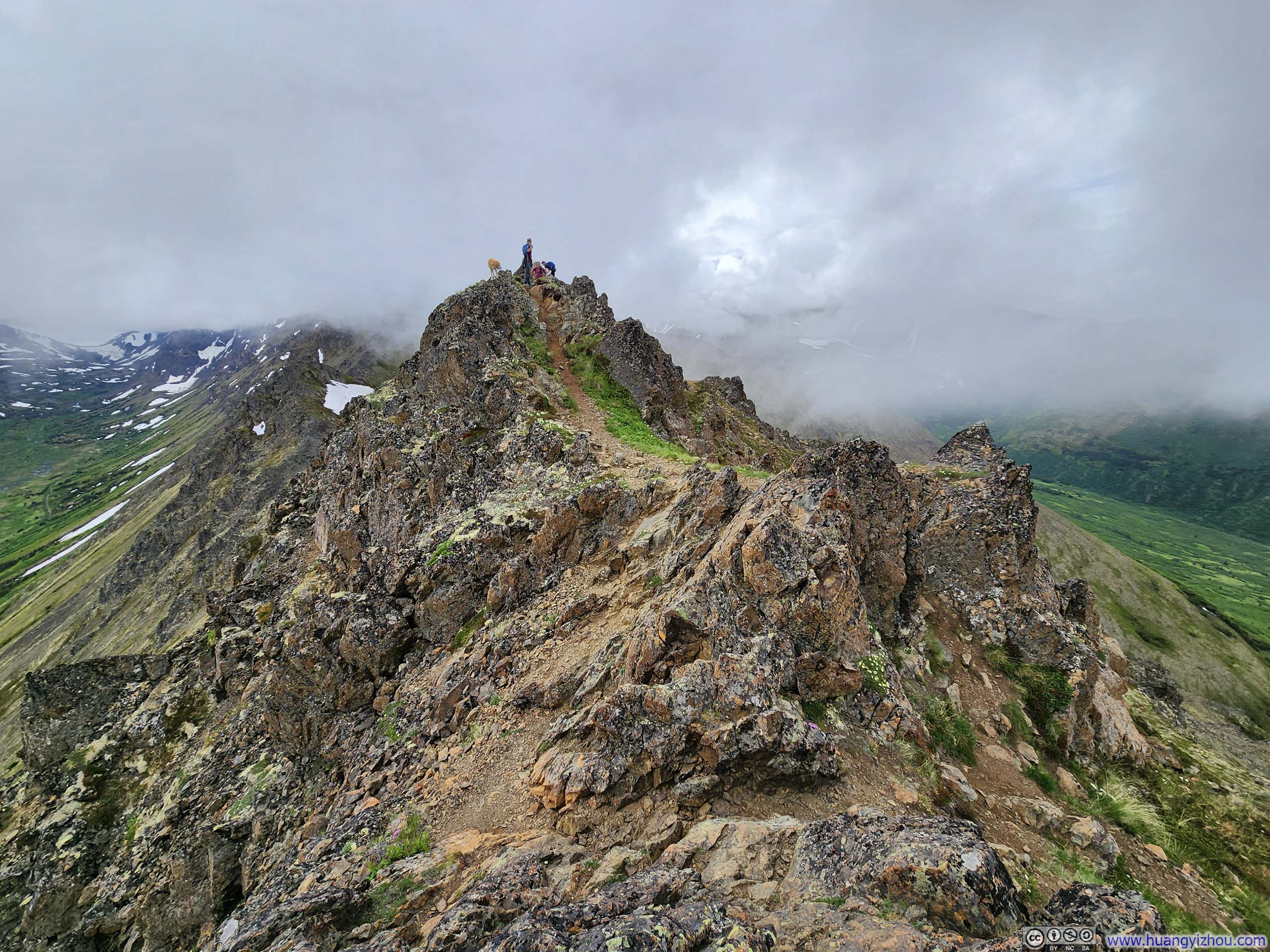
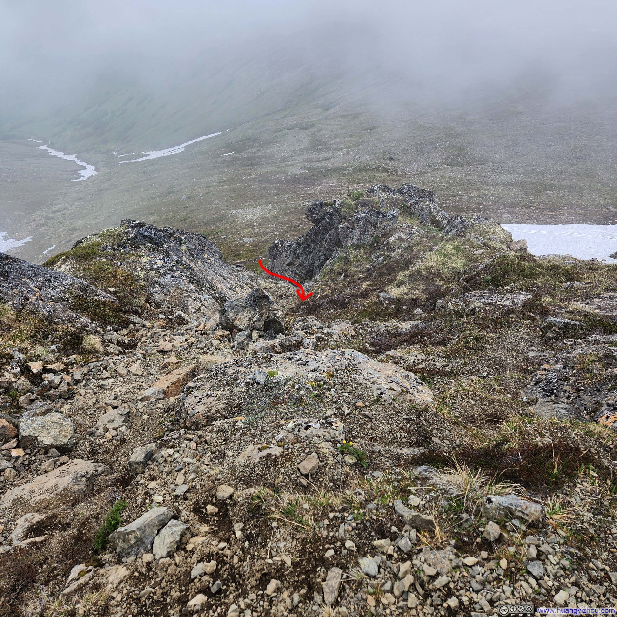
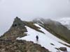
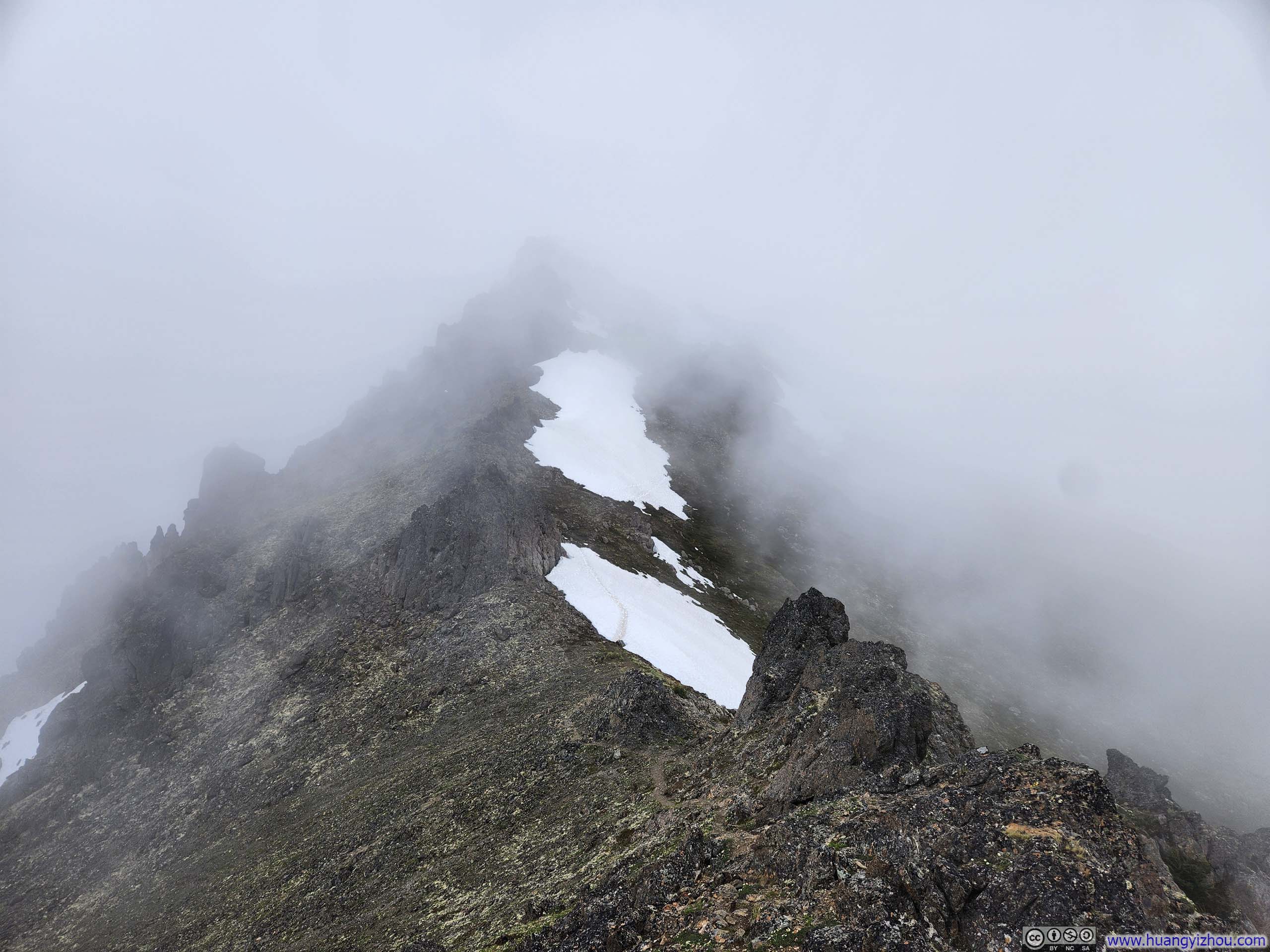
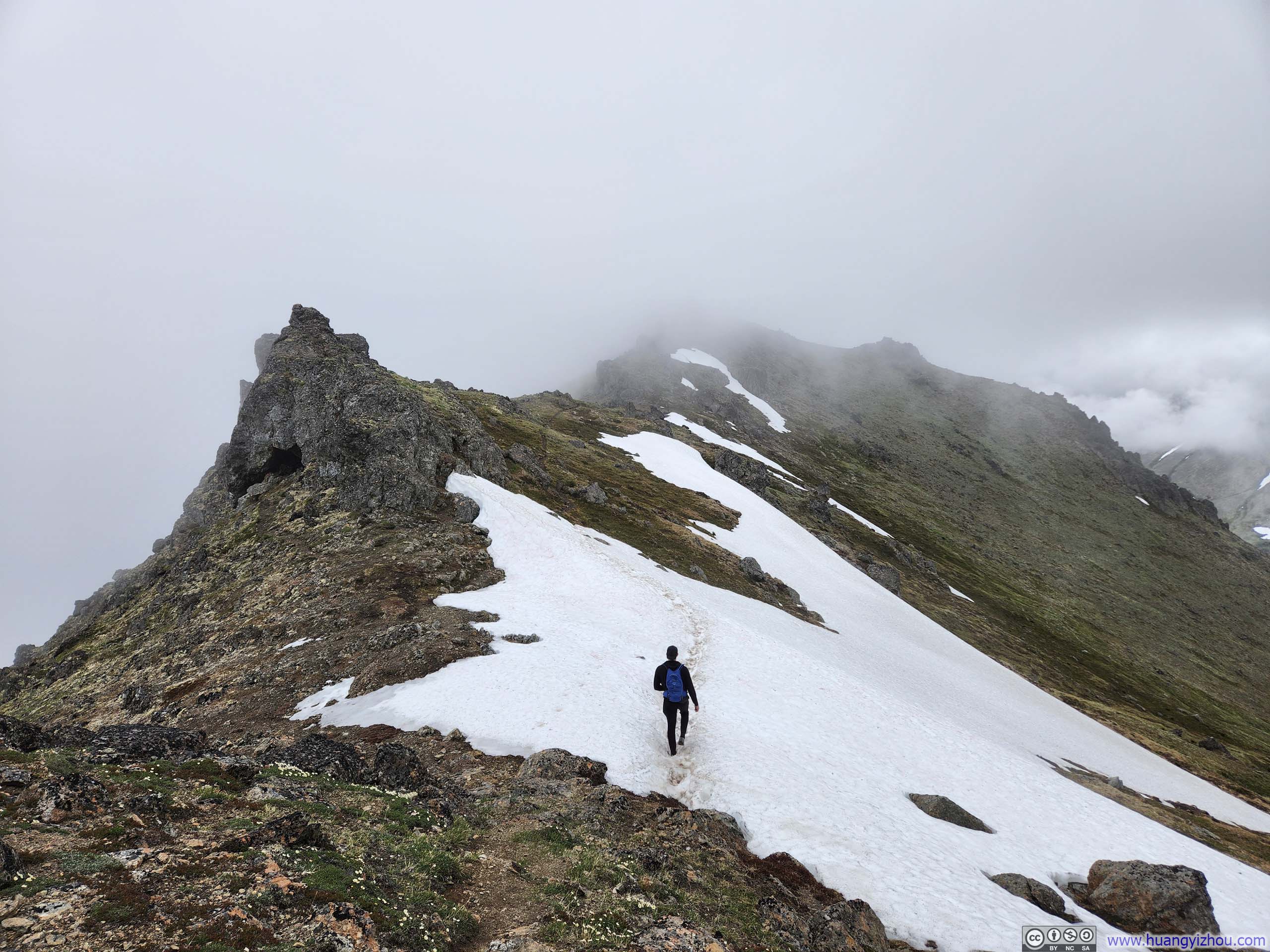
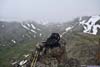
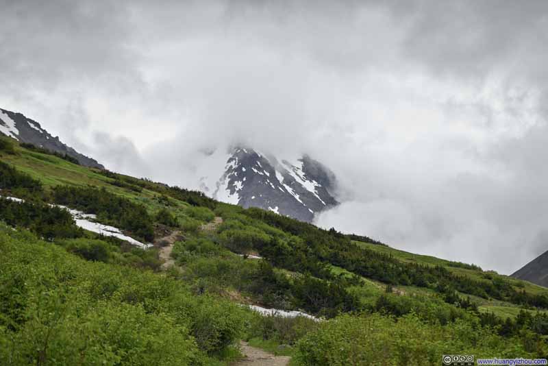
Departing Peak 2, the trail started to demand greater technical skill and occasional scrambling to navigate. Patches of snow further complicated route-finding efforts, forcing improvised detours in the absence of snow gear. It was then I encountered Robert, another hiker pursuing the same Flattop-Flaketop loop, whose company proved invaluable through the most technical section of our journey. (Two other groups that made it to Peak 2 opted to turn back rather than continue onward.)
 Trail along Ridge
 Trail through Snow PatchIt’s slippery so we ultimately decided to detour around it.
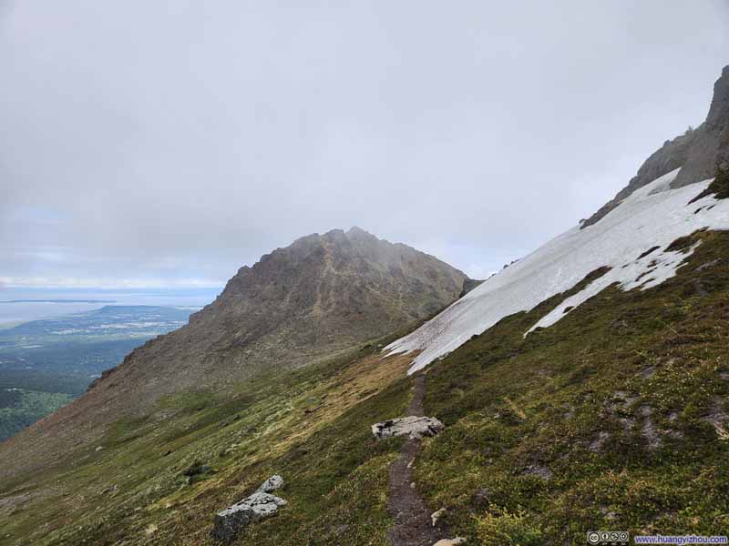 Trail from Peak 2
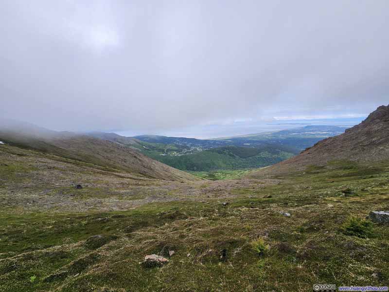 Hillside

Click here to display photos of the slideshow
Trail along Ridge
Trail through Snow PatchIt’s slippery so we ultimately decided to detour around it.
Trail from Peak 2
Hillside
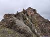
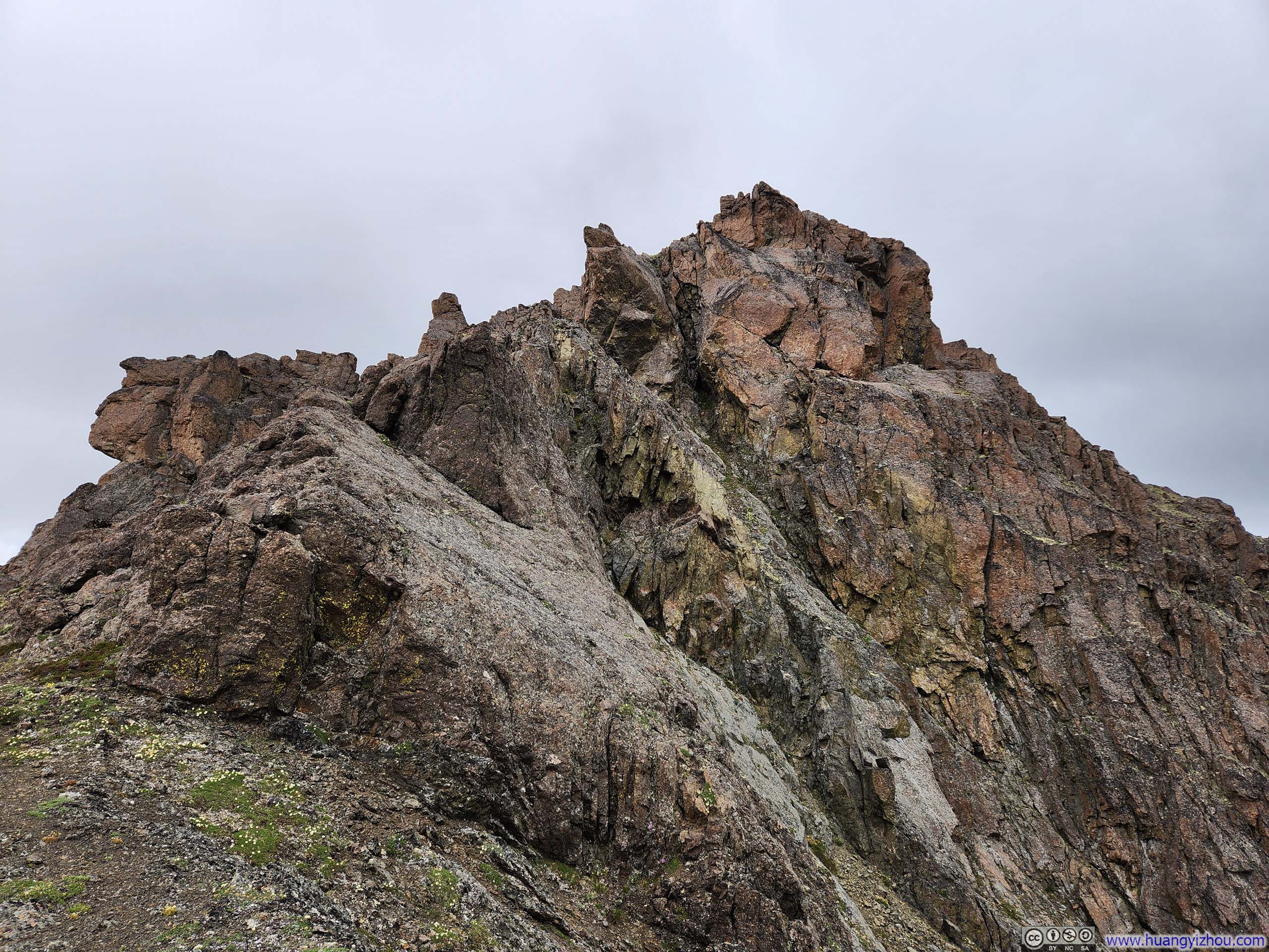
Technical Move before Peak 3
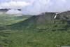
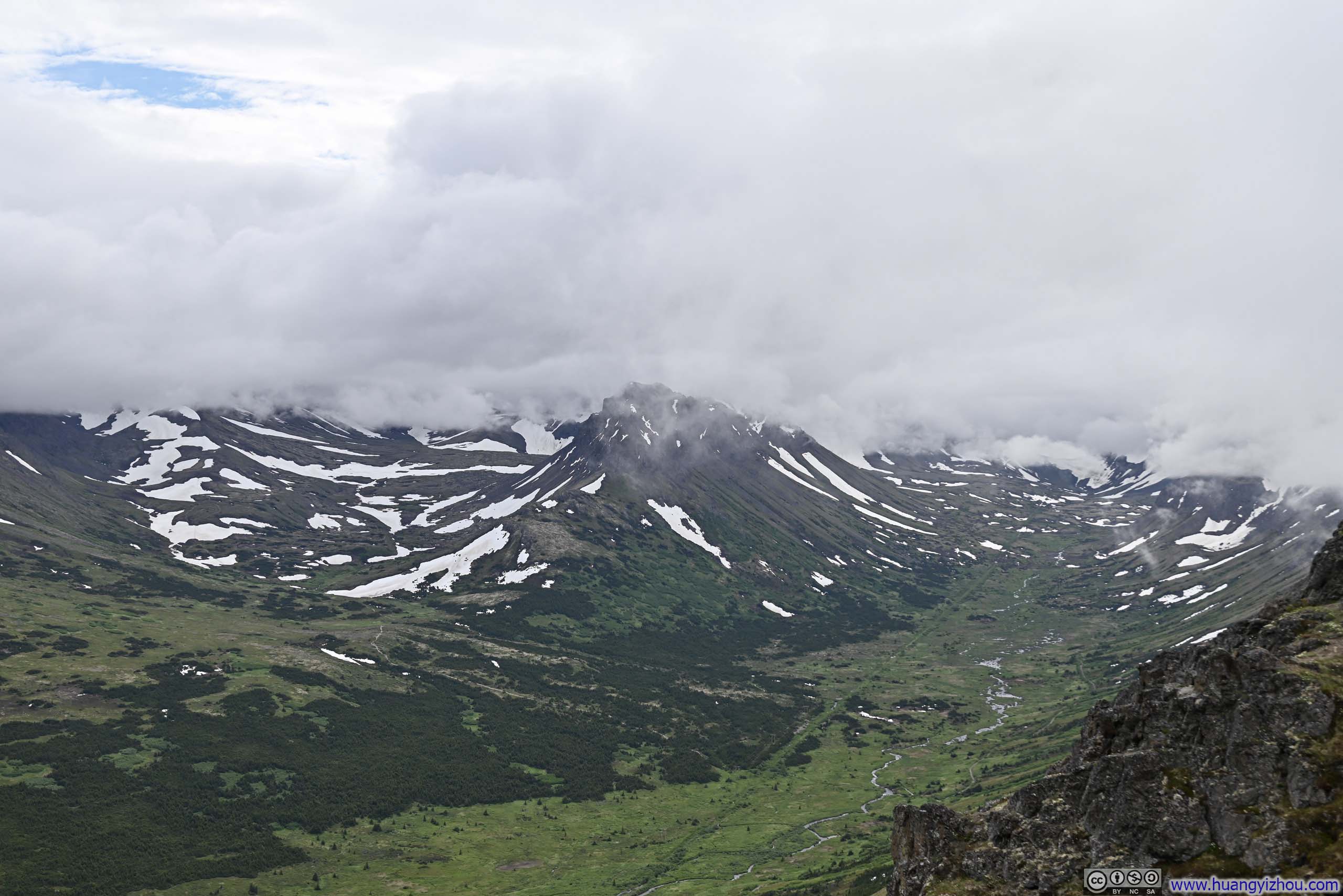
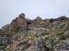
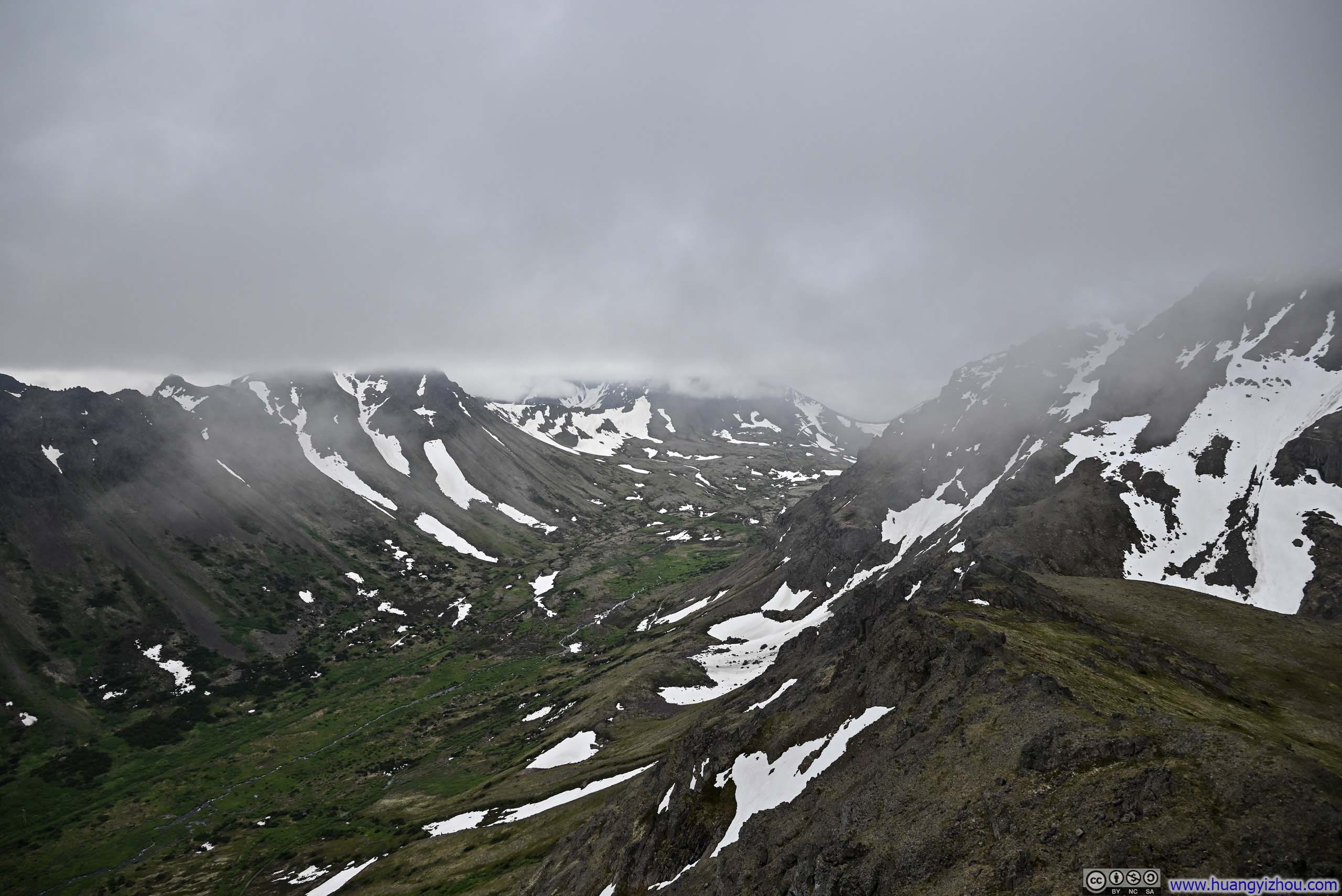
After some scrambling moves to circumvent a snow field, we found ourselves atop Peak 3. It came with a surge of satisfaction when I found the summit free of clouds, just like previously at Peak 2, with clear views of “Powerline Valley” below.
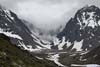
 Valley
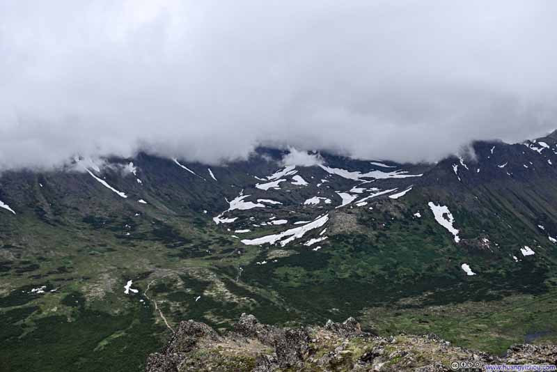 Hidden Lake Valley
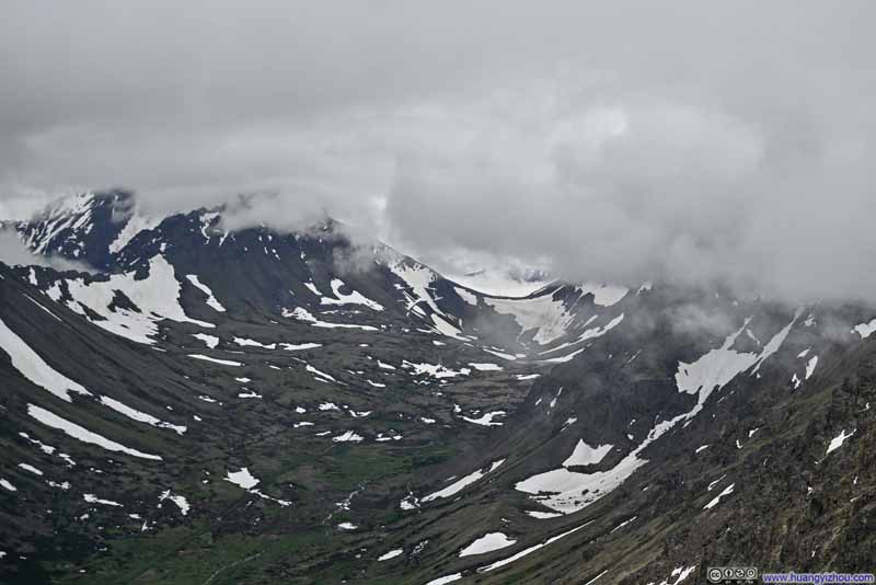 Distant Powerline Pass
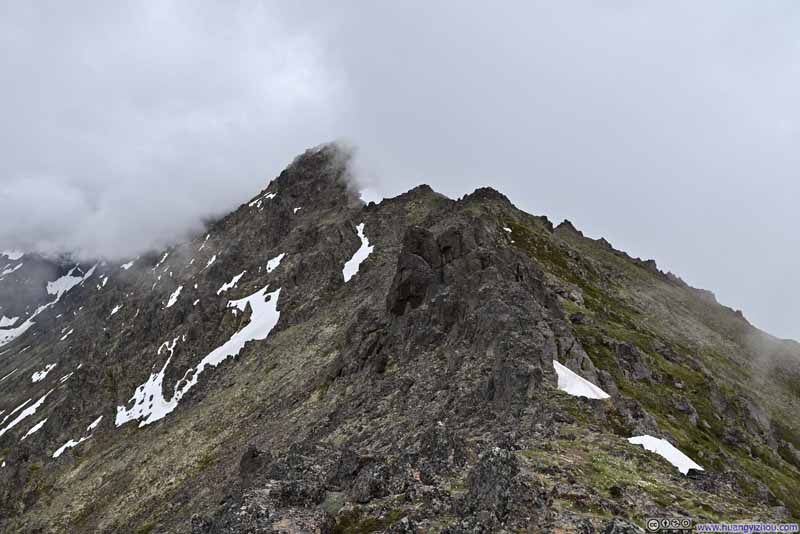 Ridge towards Flaketop Peak
Click here to display photos from Peak 3.

Valley
Hidden Lake Valley
Distant Powerline Pass
Ridge towards Flaketop Peak
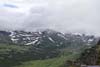
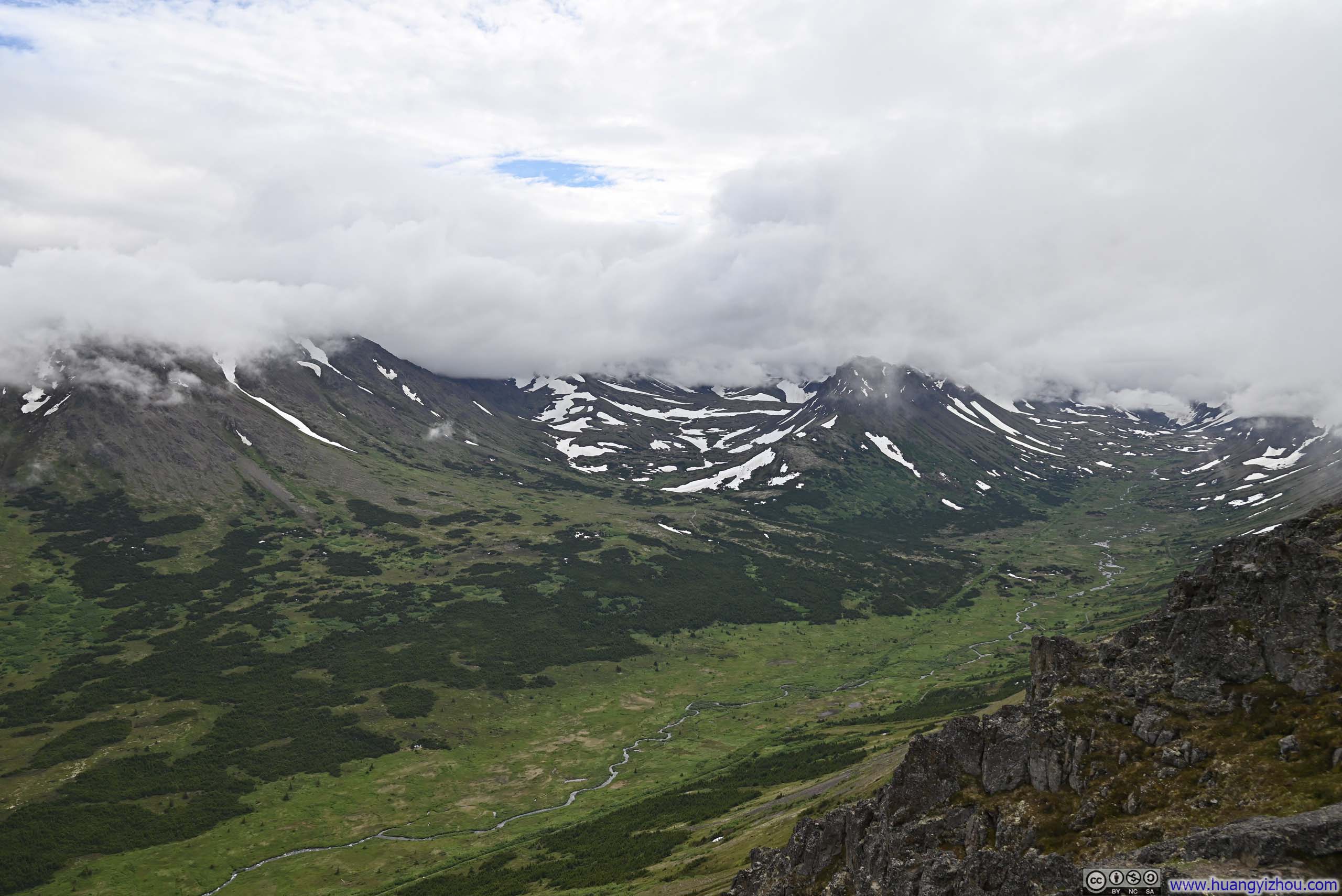
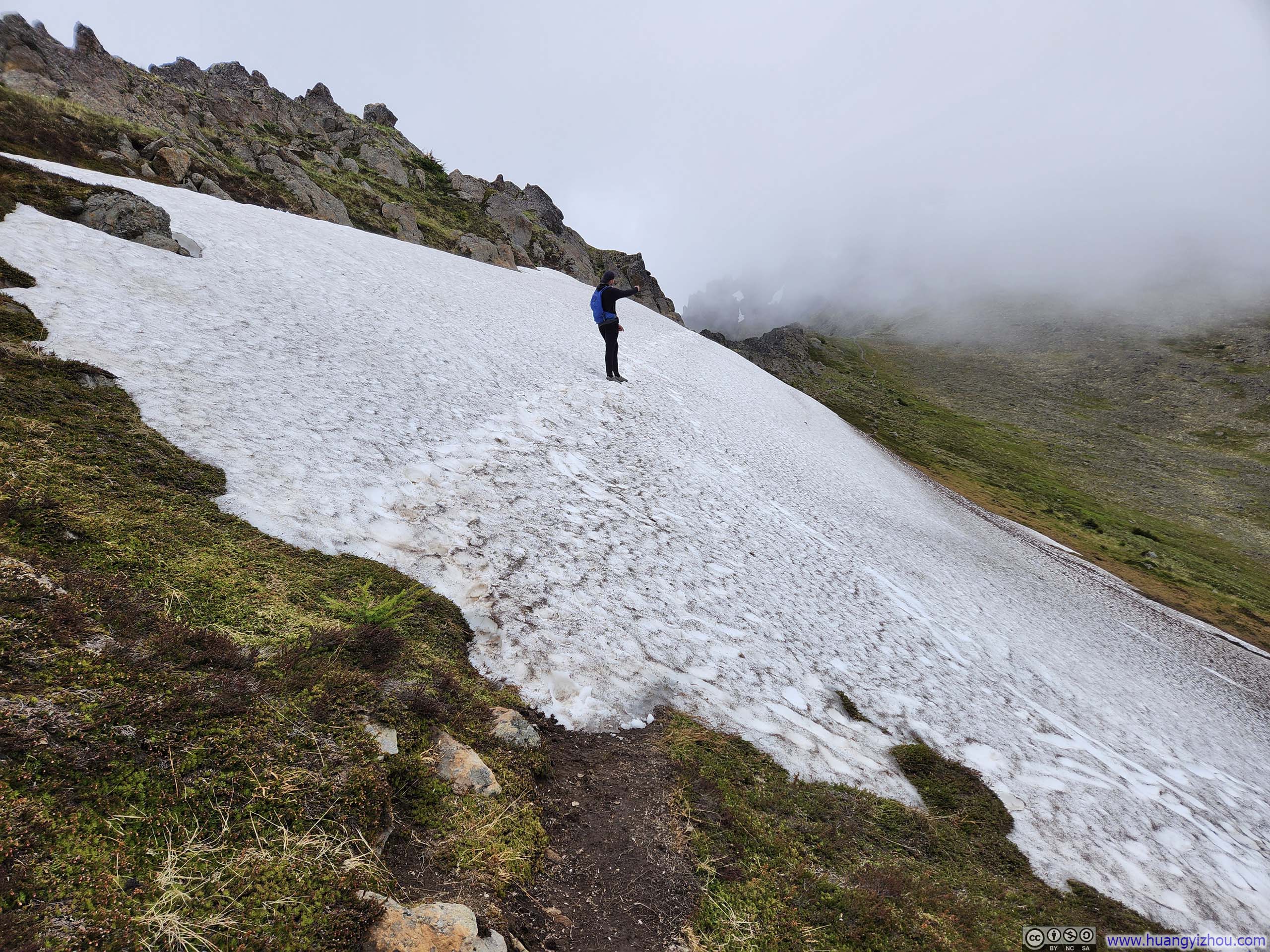
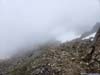
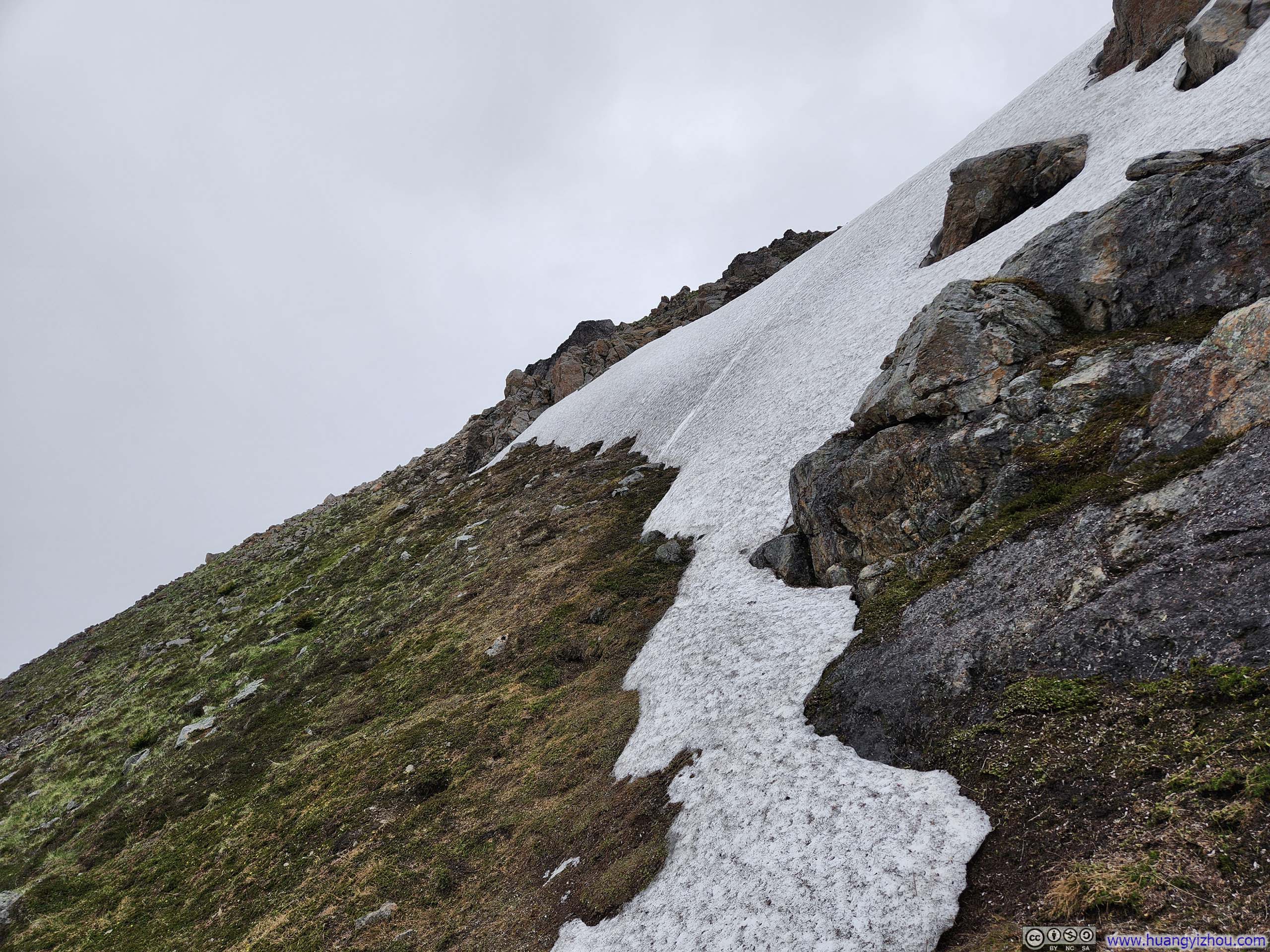
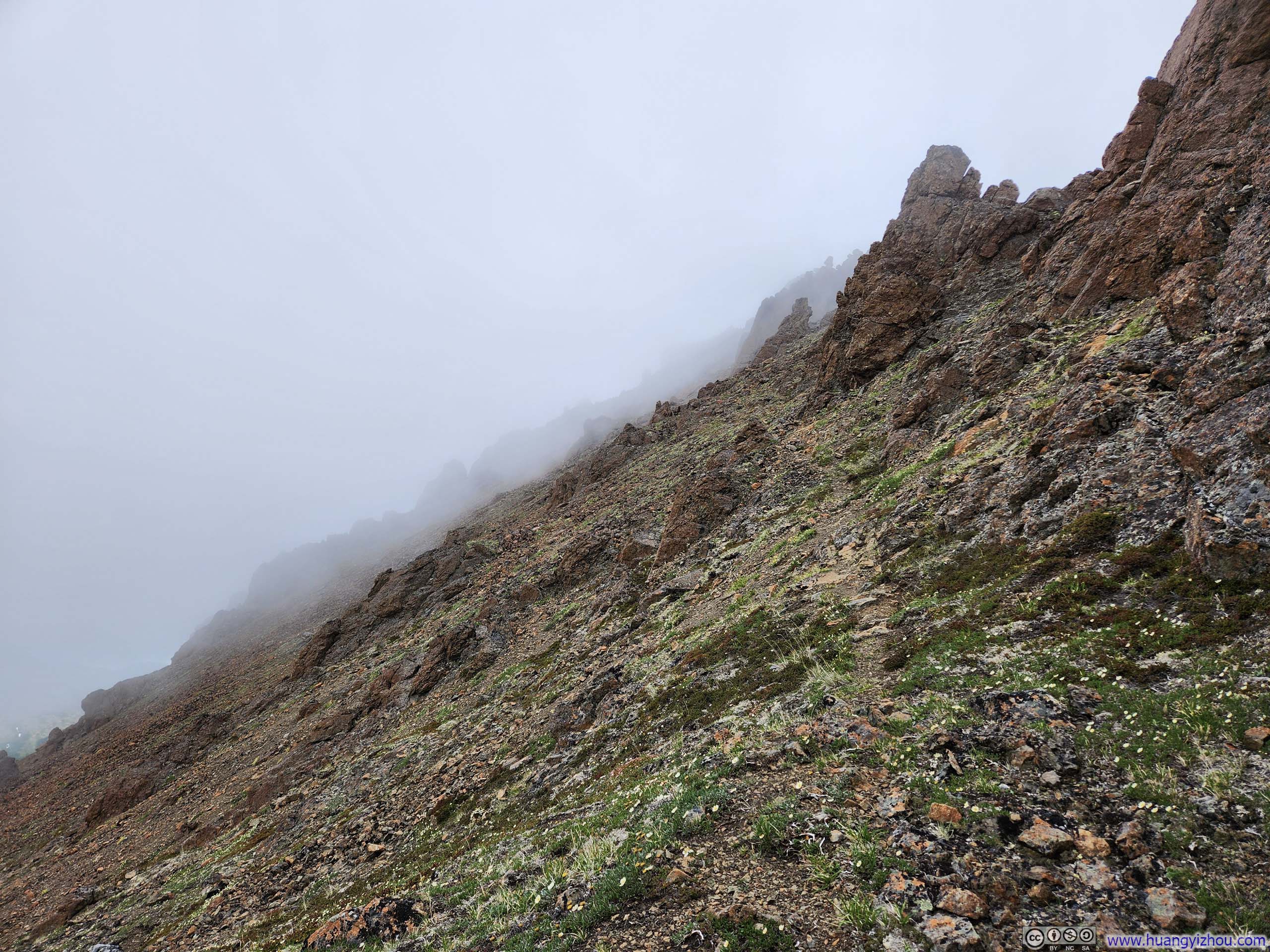
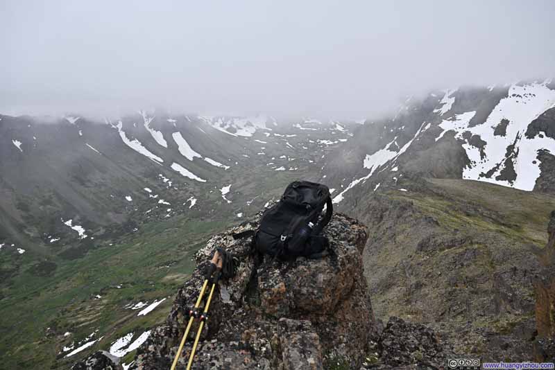
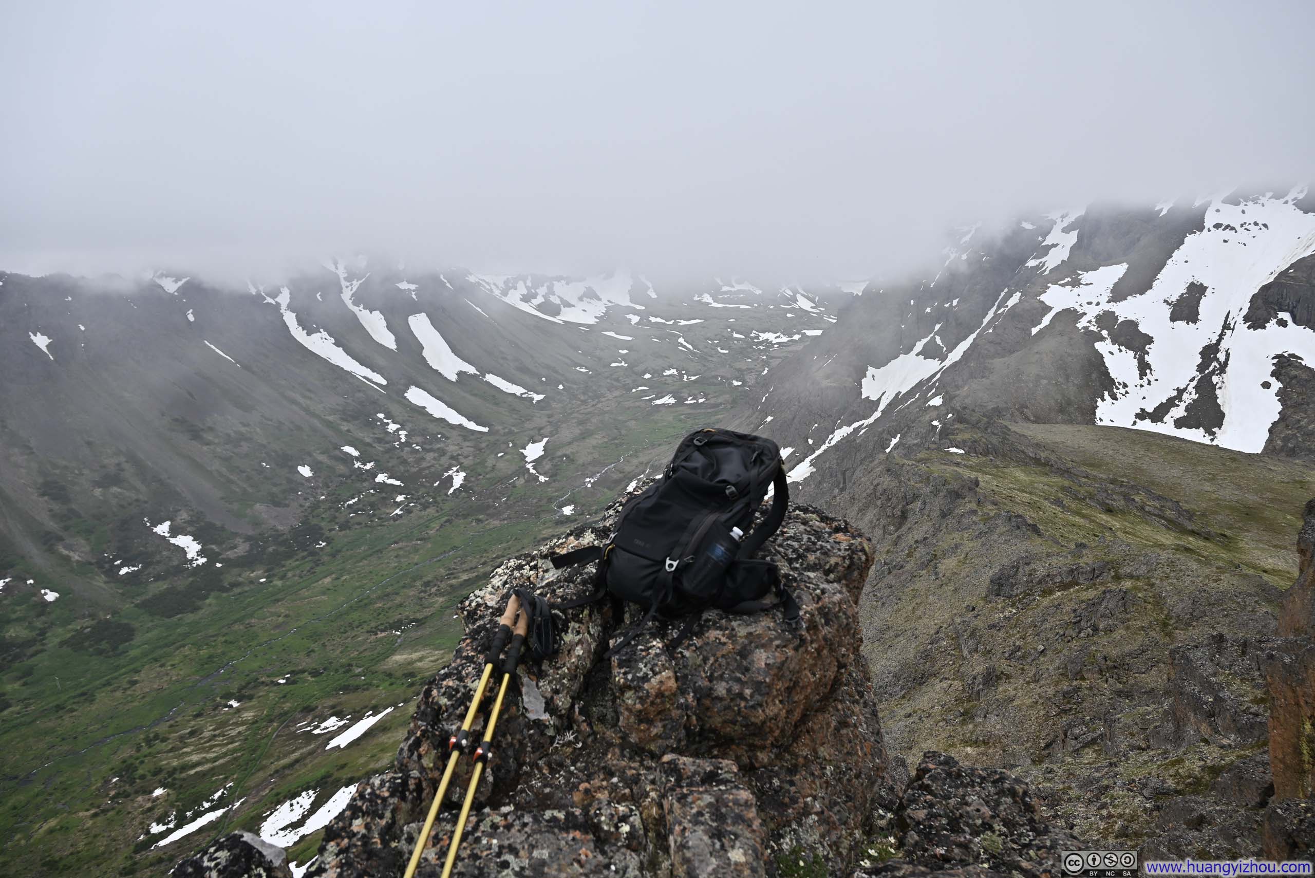
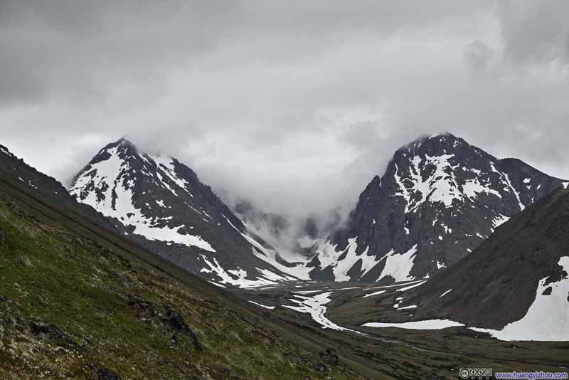
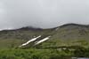
Having found the vistas from Peak 3 largely reminiscent of those we’d enjoyed at Peak 2, we didn’t linger there for long before pressing onward toward Flaketop Peak. Right after Peak 3, we encountered a snow patch that necessitated a detour; however, the subsequent snow fields proved mercifully level and could be safely walked on. Expectedly, we soon found ourselves enveloped in clouds. Overall, the ridge traversing from Peak 2 to Flaketop Peak presented a mixture of ascents and descents rather than a straightforward climb.
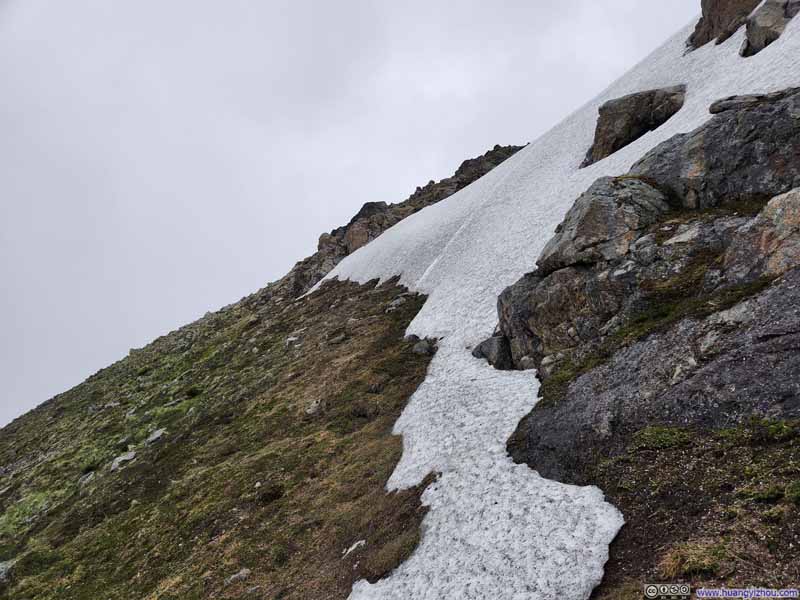 Snow PatchRight after Peak 3, this was another patch that we needed to detour around.
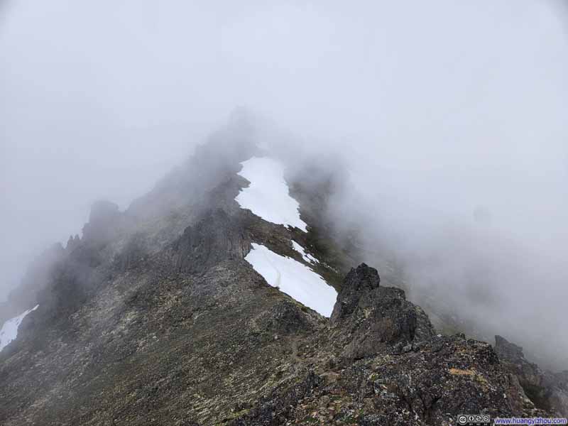 Trail to Flaketop PeakThese snow patches can be safely walked on.
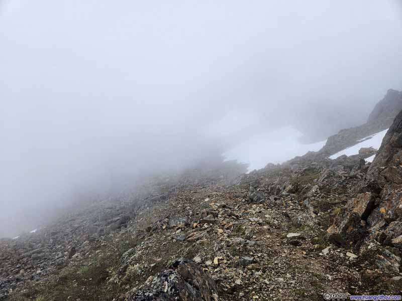 Trail
Trail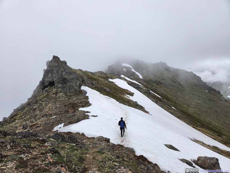 Trail to Flaketop PeakThese snow patches can be safely walked on.
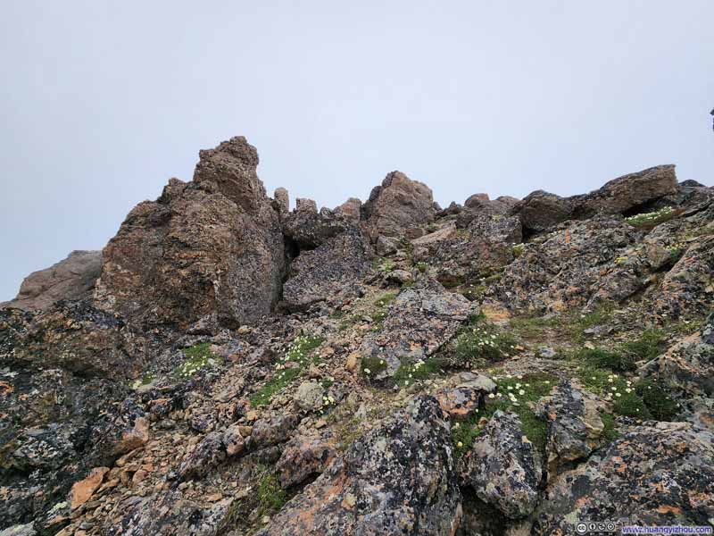 Trail to Flaketop PeakA steep but nontechnical section.
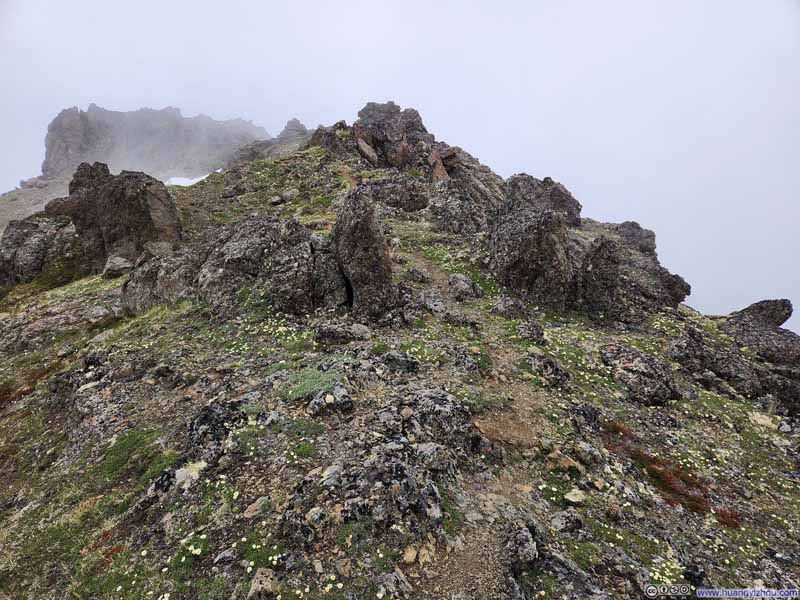 Trail
Trail
Click here to display photos of the slideshow
Snow PatchRight after Peak 3, this was another patch that we needed to detour around.
Trail to Flaketop PeakThese snow patches can be safely walked on.
Trail
Trail to Flaketop PeakThese snow patches can be safely walked on.
Trail to Flaketop PeakA steep but nontechnical section.

Trail
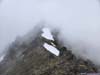
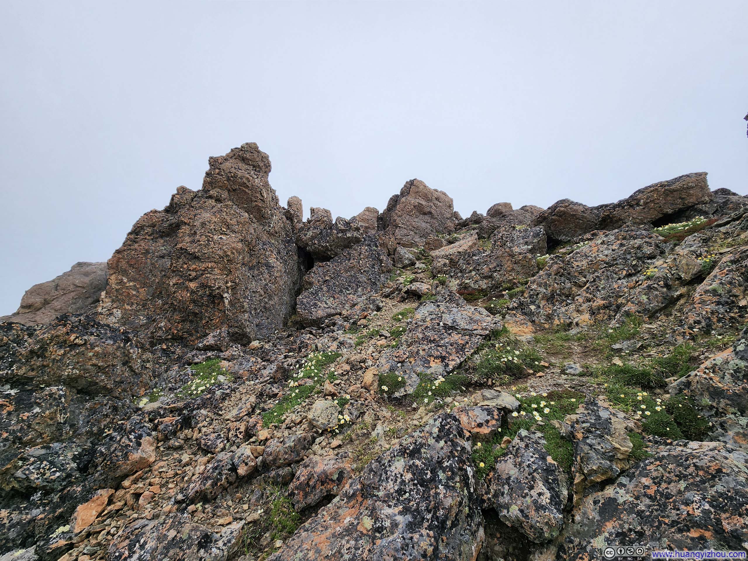
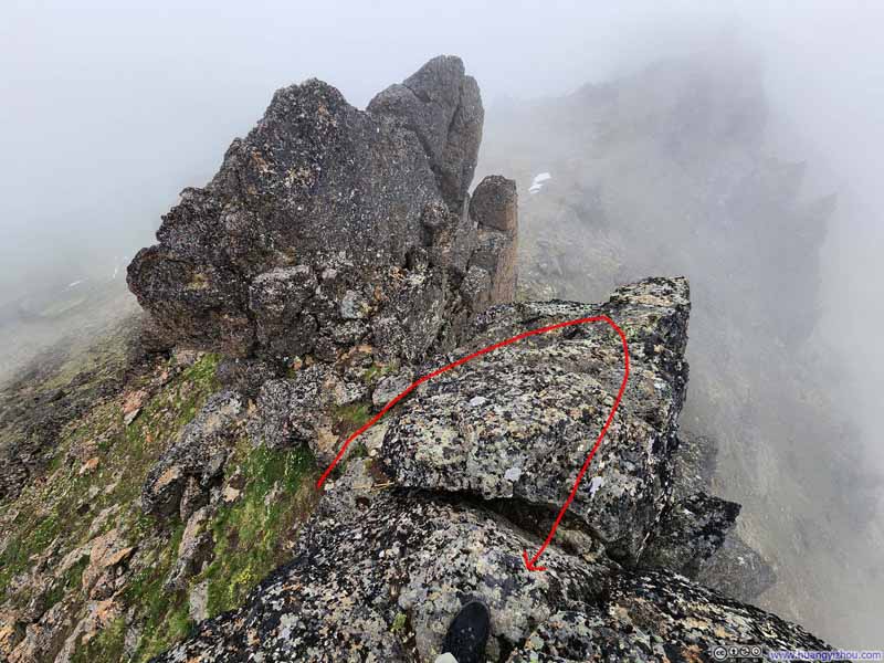
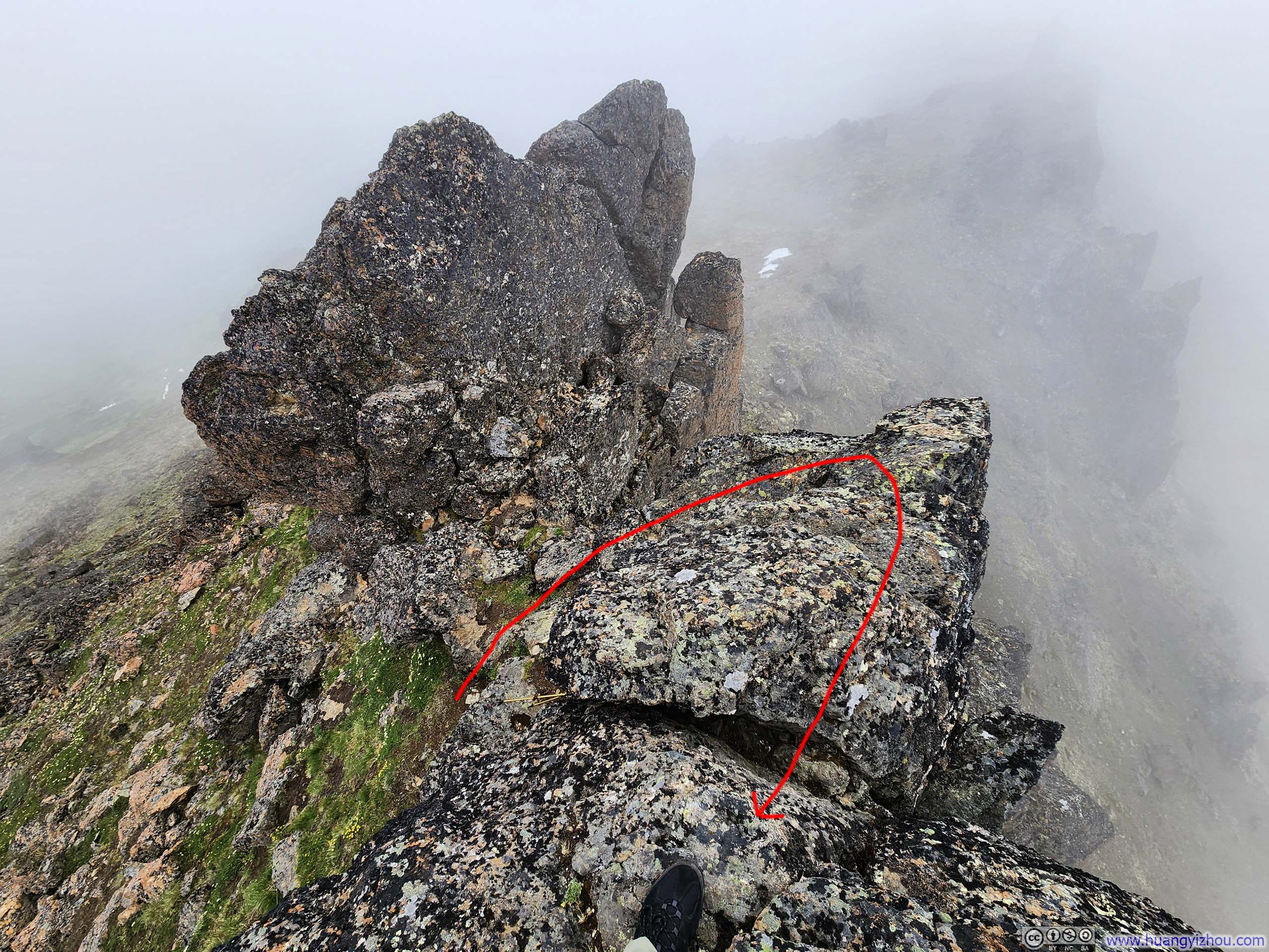
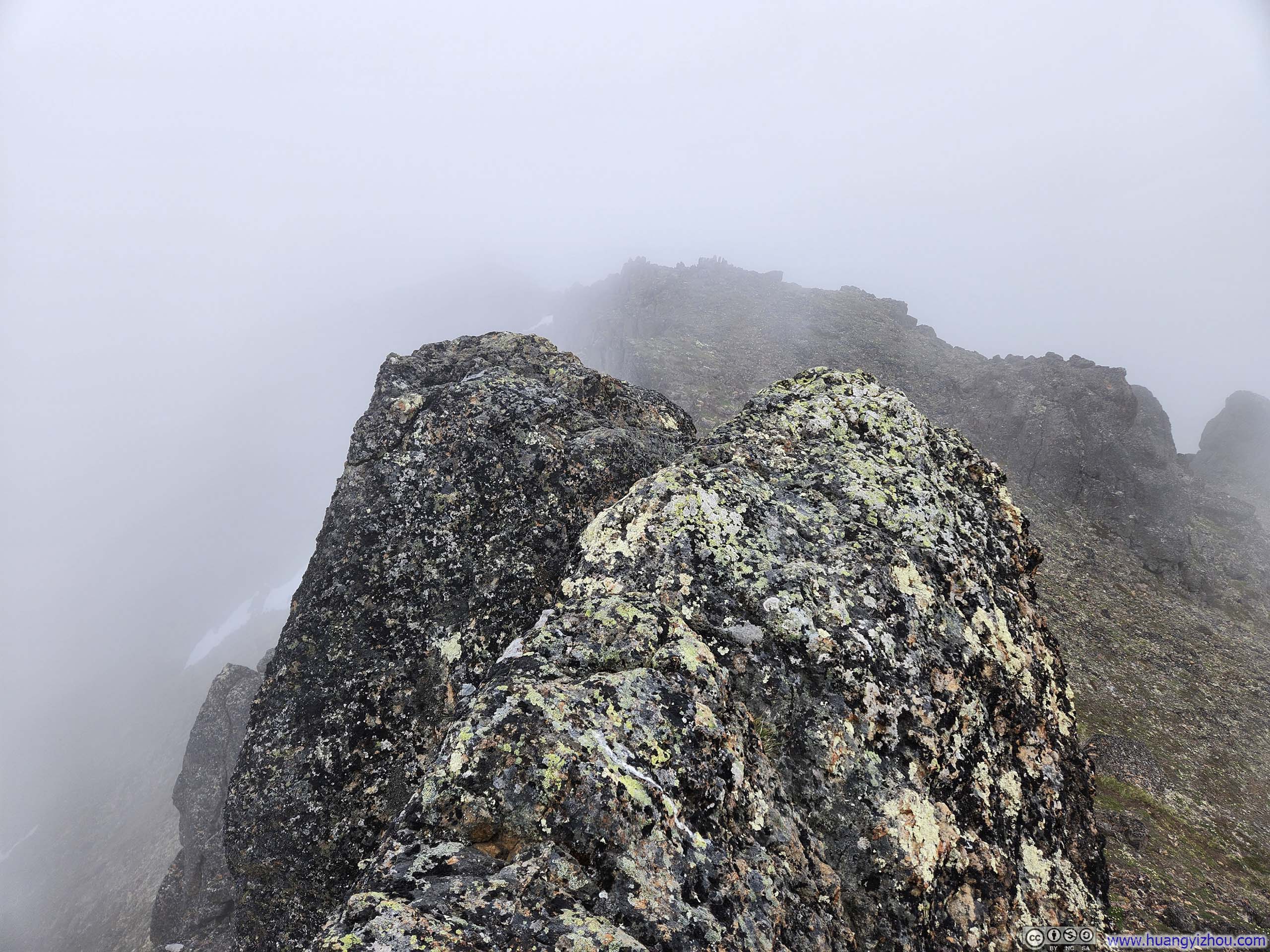
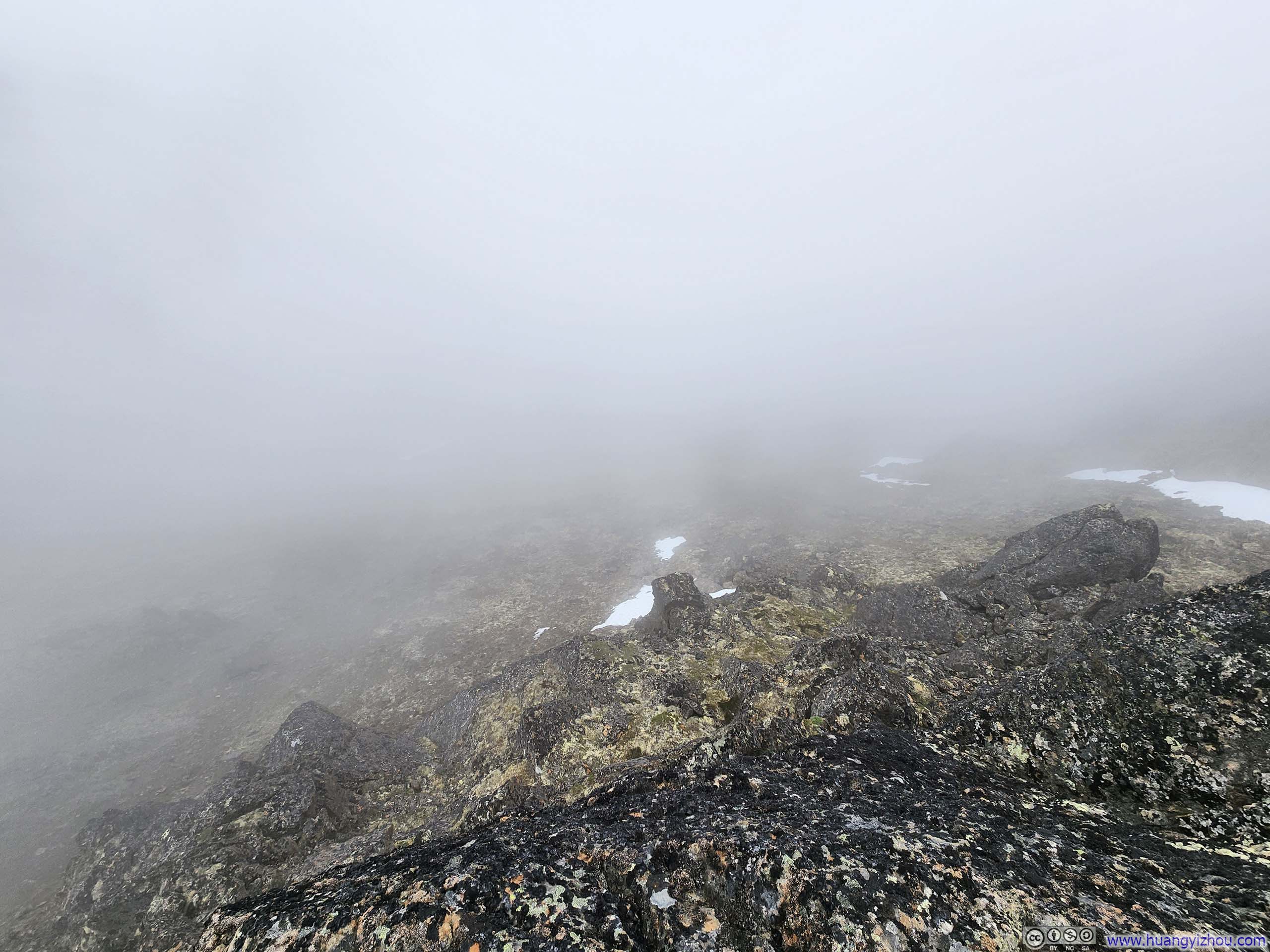
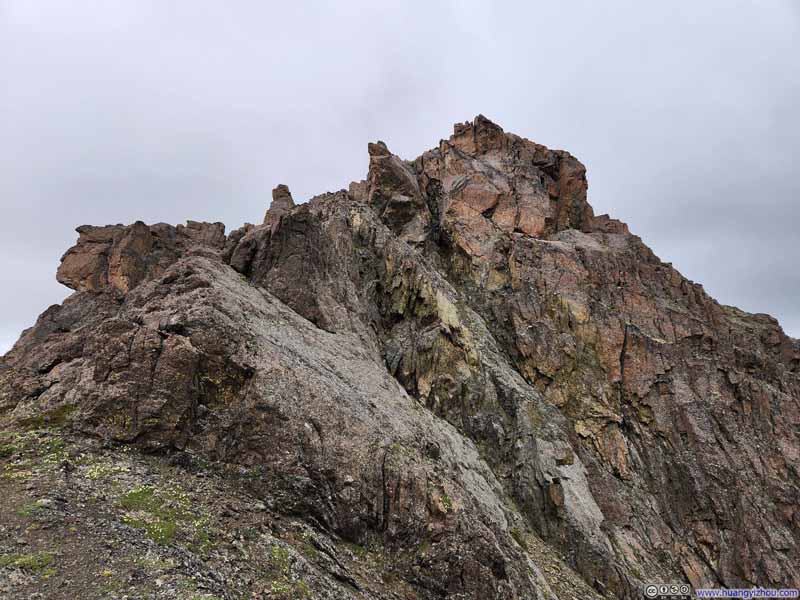
Near the summit of Flaketop, two scattered clusters of boulders presented themselves, prompting Robert and I into a cheerful debate over which marked the true apex (which settled in my favor). Unfortunately, during our visit the summit was completely shrouded in clouds. I took a slightly longer 15-minute snack break, hoping that the veiled landscape might reveal itself, but to no avail.
 Standing near Flaketop SummitA few scrambling moves to reach where I was.
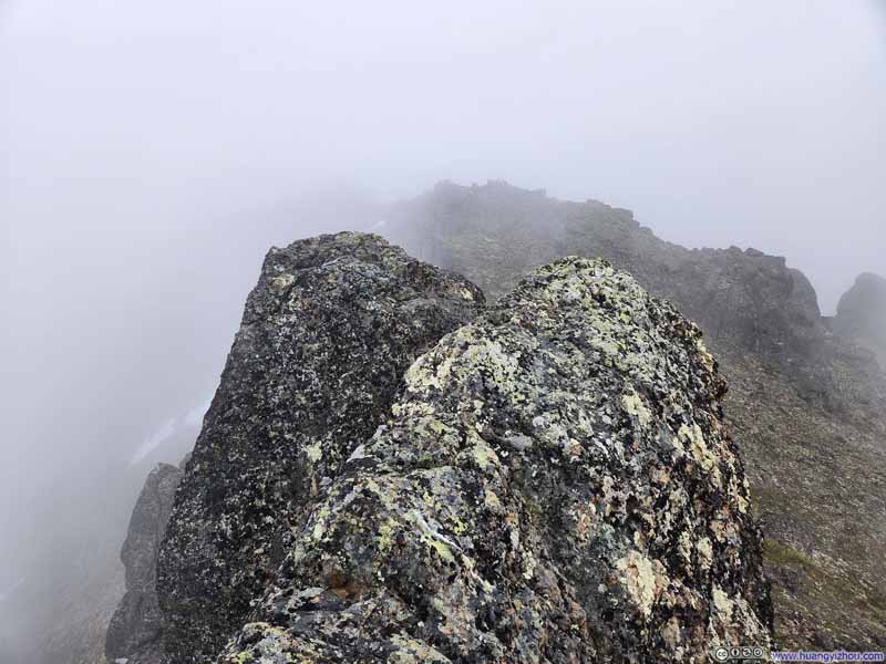 Summit of Flaketop PeakToo small for me to walk onto.
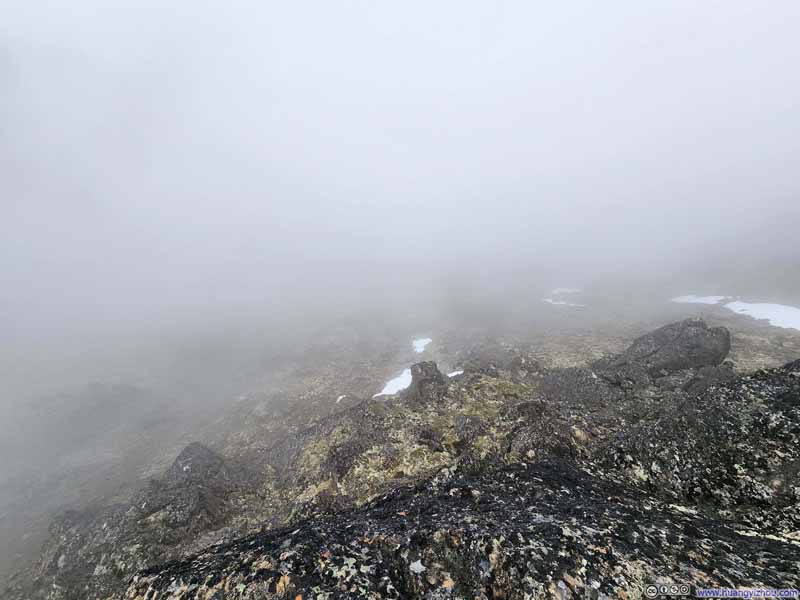 Cliff off Flaketop Summit
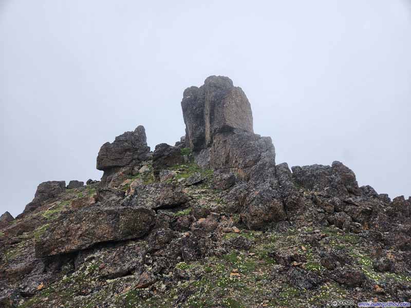 Looking Back at Flaketop Summit
Click here to display photos of the slideshow
Standing near Flaketop SummitA few scrambling moves to reach where I was.
Summit of Flaketop PeakToo small for me to walk onto.
Cliff off Flaketop Summit

Looking Back at Flaketop Summit
 Trail from Flaketop to Ptarmigan Pass
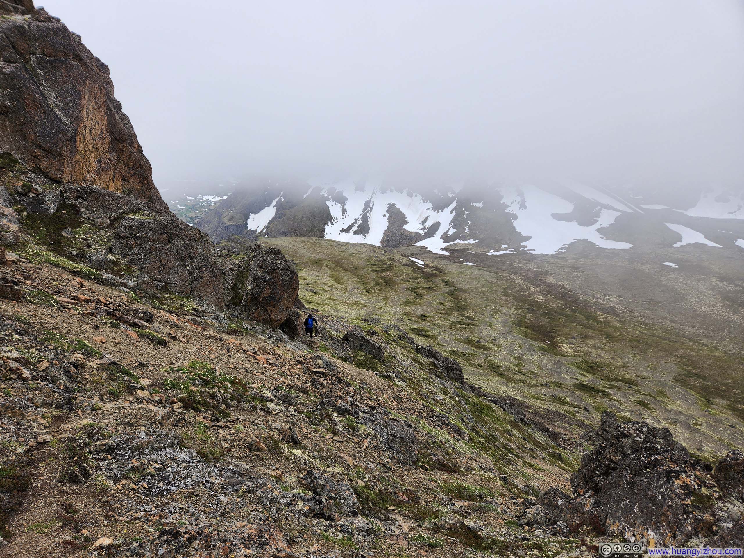
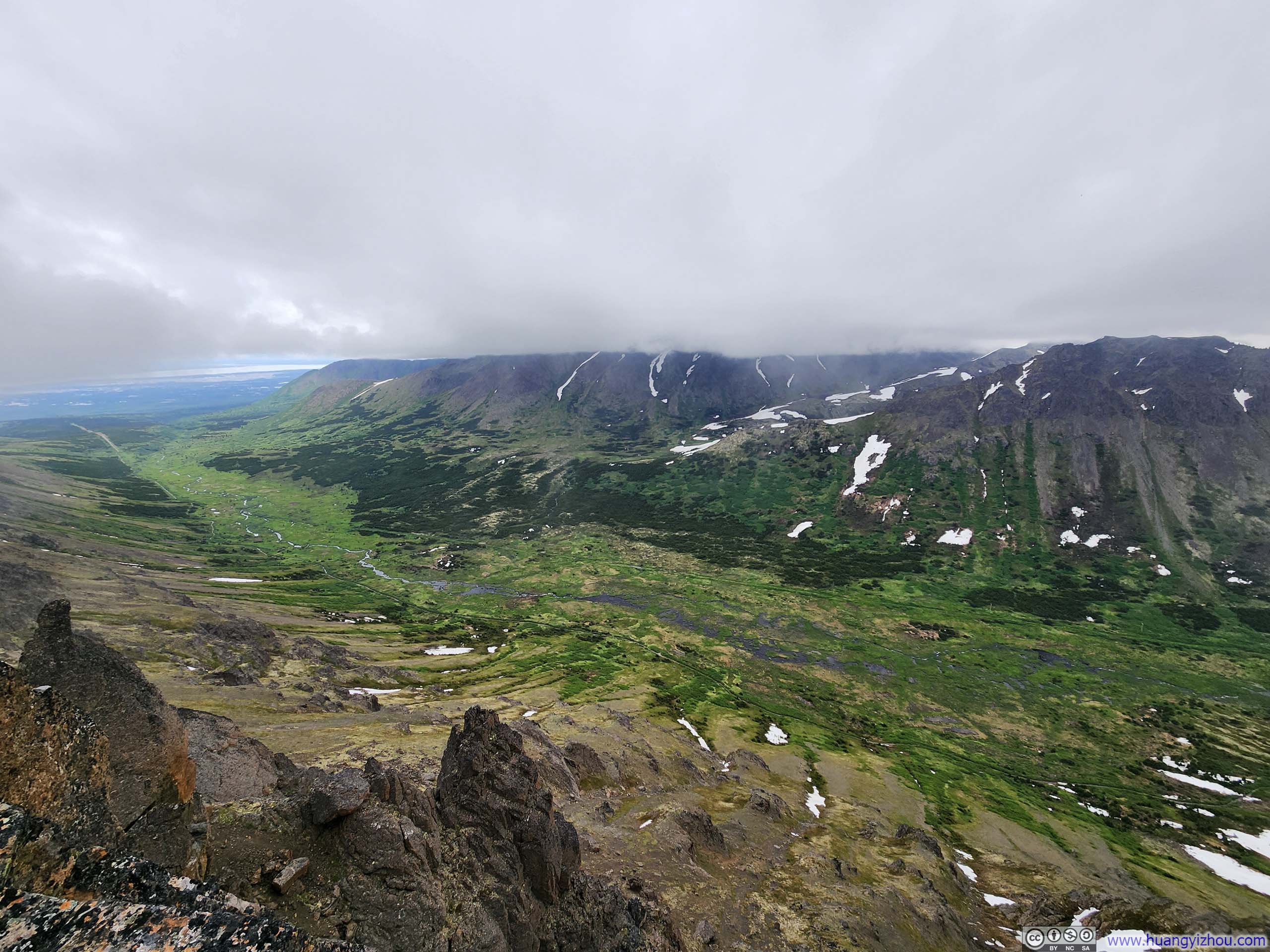
After departing Flaketop Peak, we continued along the trail toward Ptarmigan Pass. As my descent carried me beneath the cloud cover, I discovered an overlook just a few steps from the main trail. This vantage point offered an encore presentation of “Powerline Valley” stretching below—a sweeping panorama most impressive since I stood near the valley’s center and could fully appreciate its vast expanse.
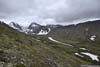
 Overlook
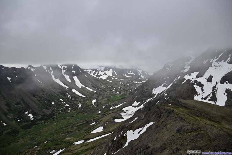 Valley
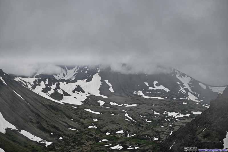 Avalanche Peak in Clouds
 Valley
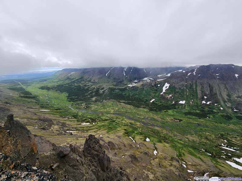 Valley
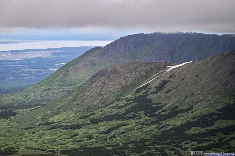 Rusty Point behind Little O’Malley Peak
Click here to display photos of the slideshow
Overlook
Valley
Avalanche Peak in Clouds
Valley
Valley
Rusty Point behind Little O’Malley Peak
Overlooking Valley
 McHugh Peak among Mountains in Clouds
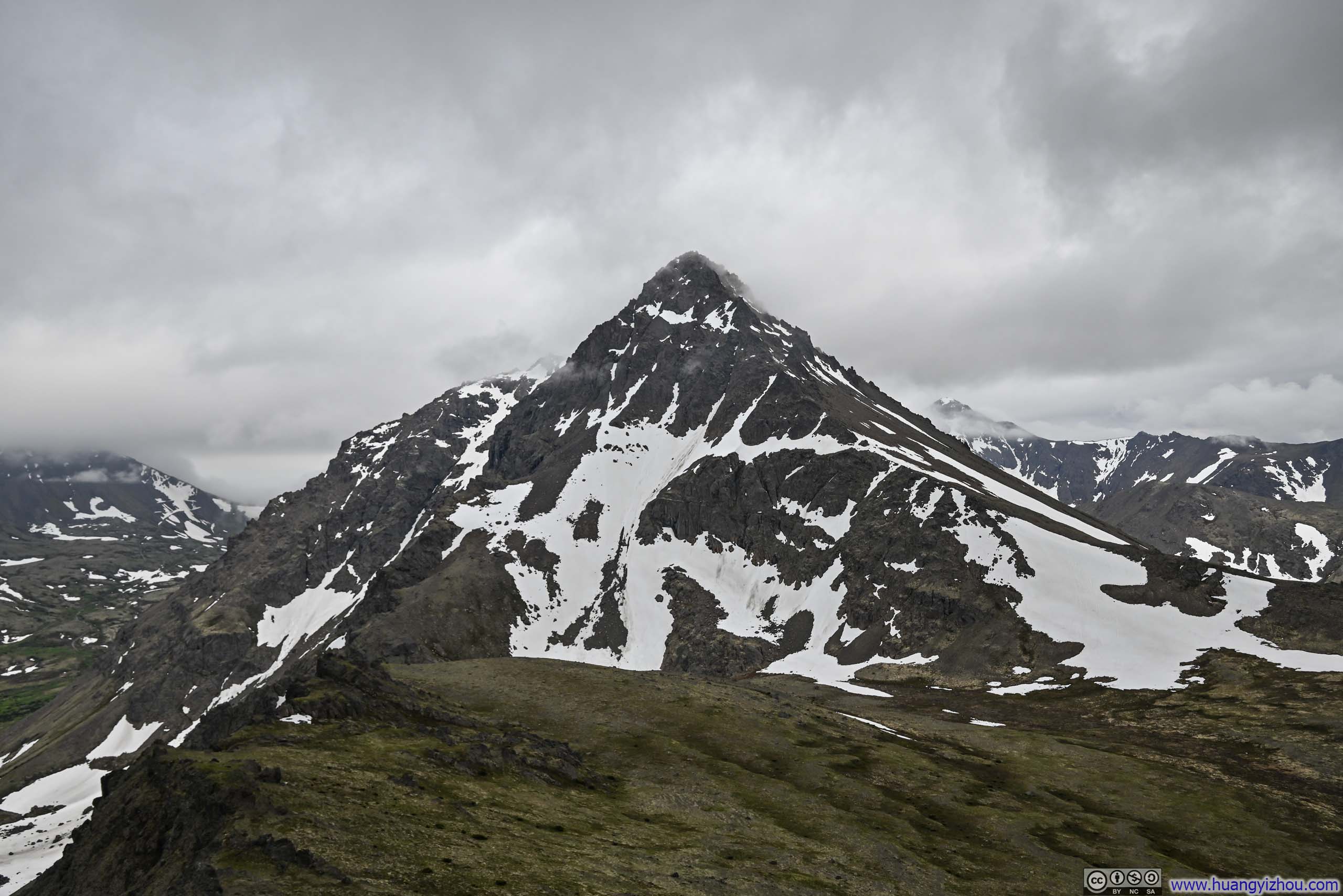
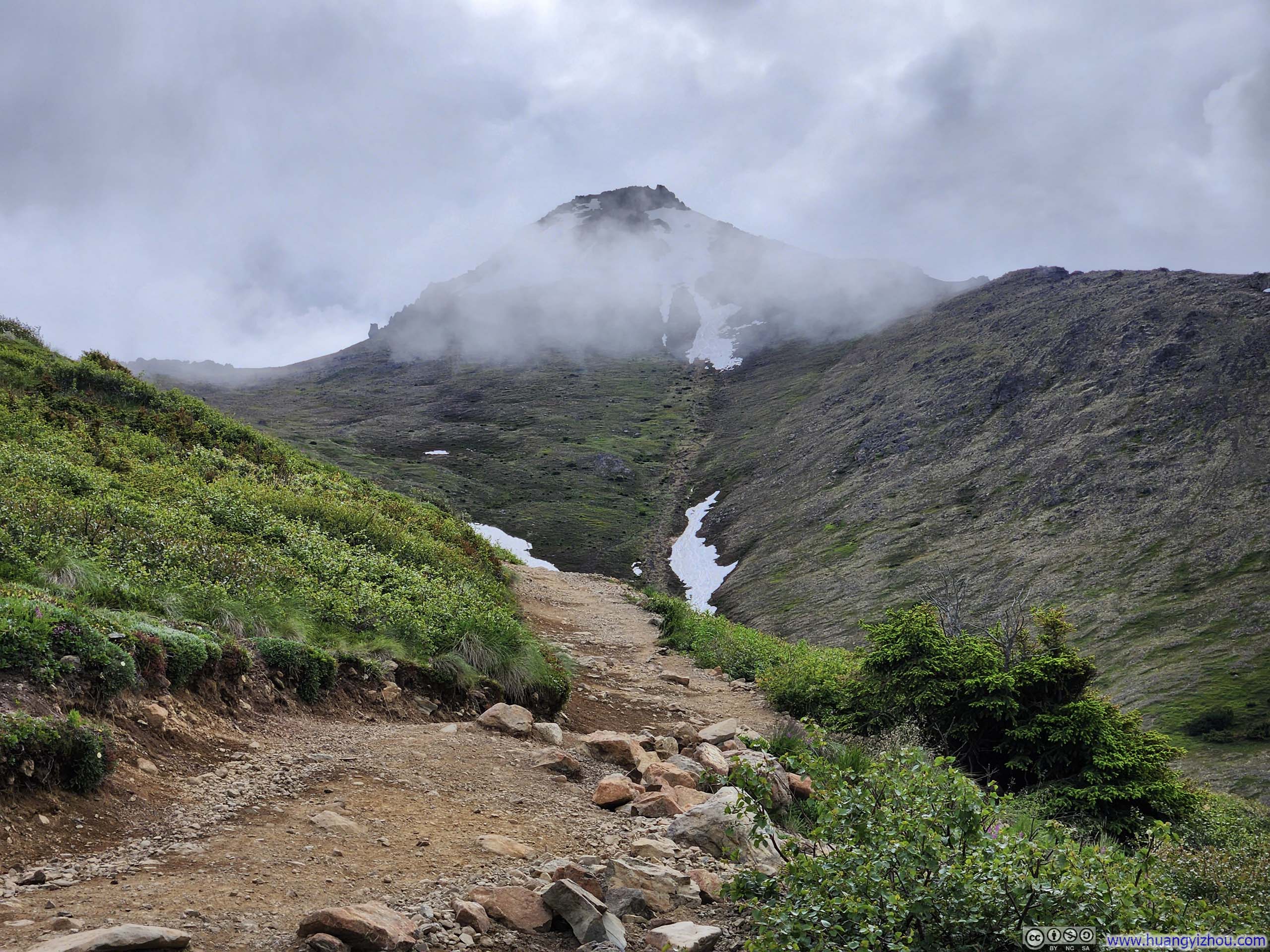
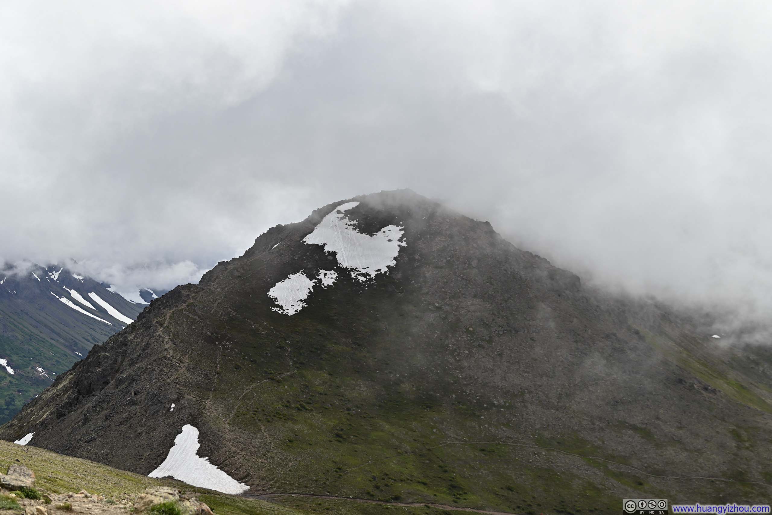
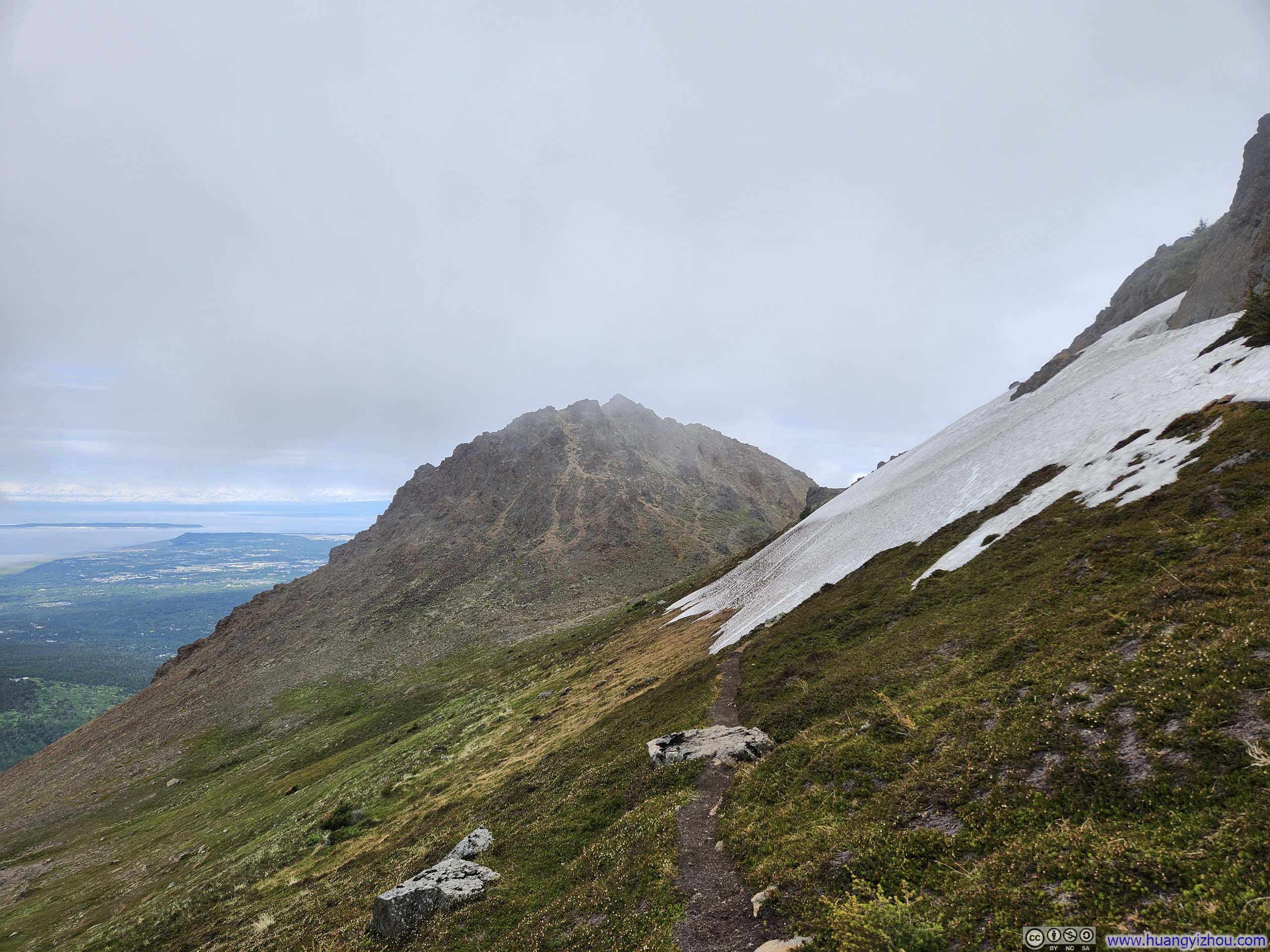
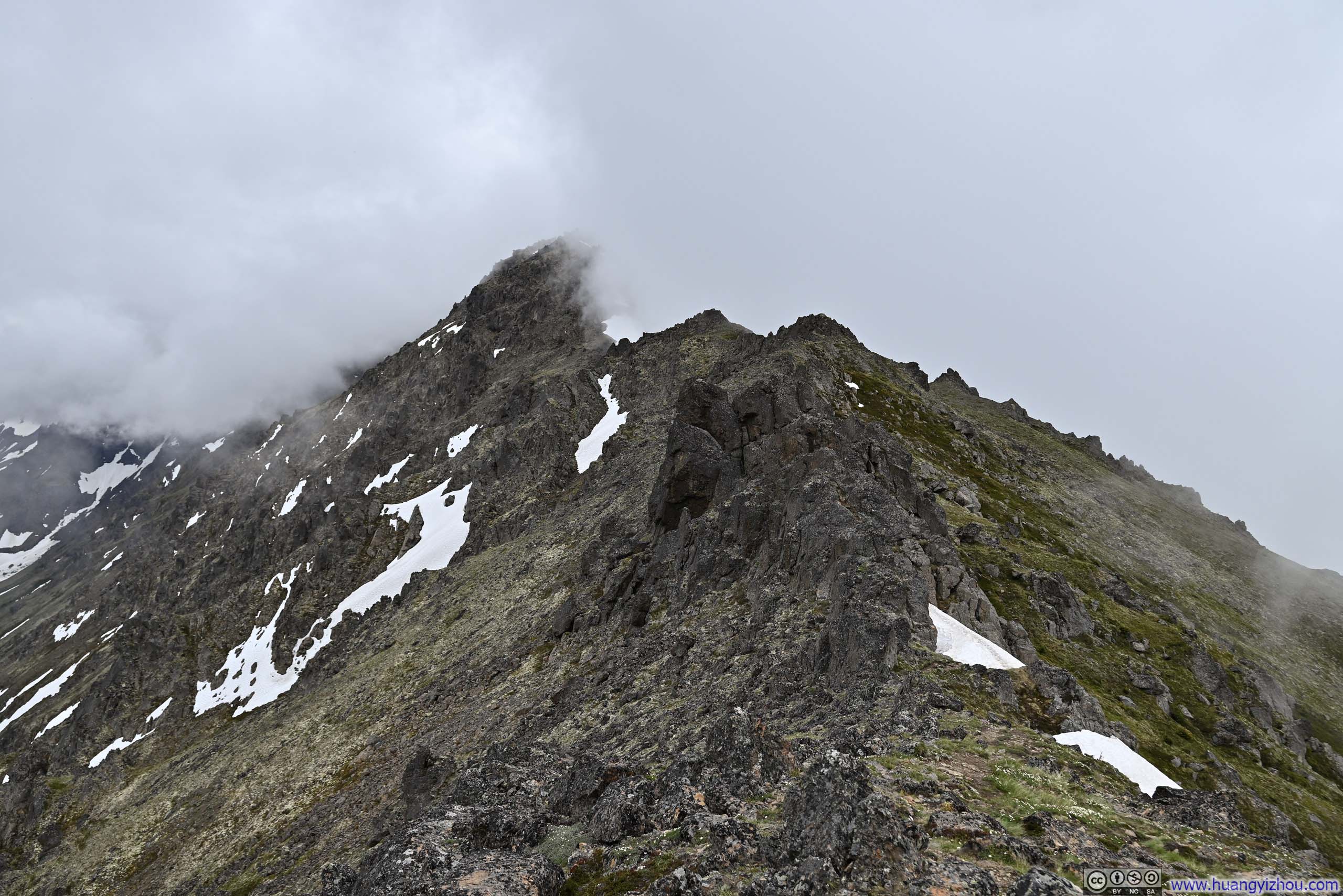
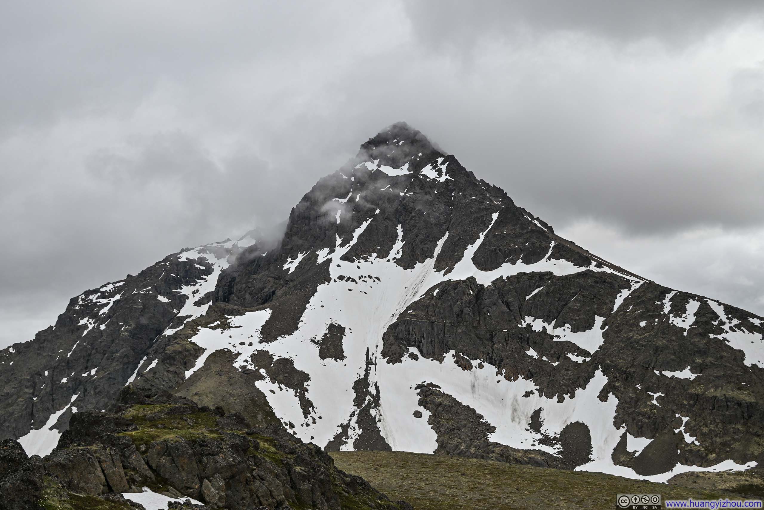
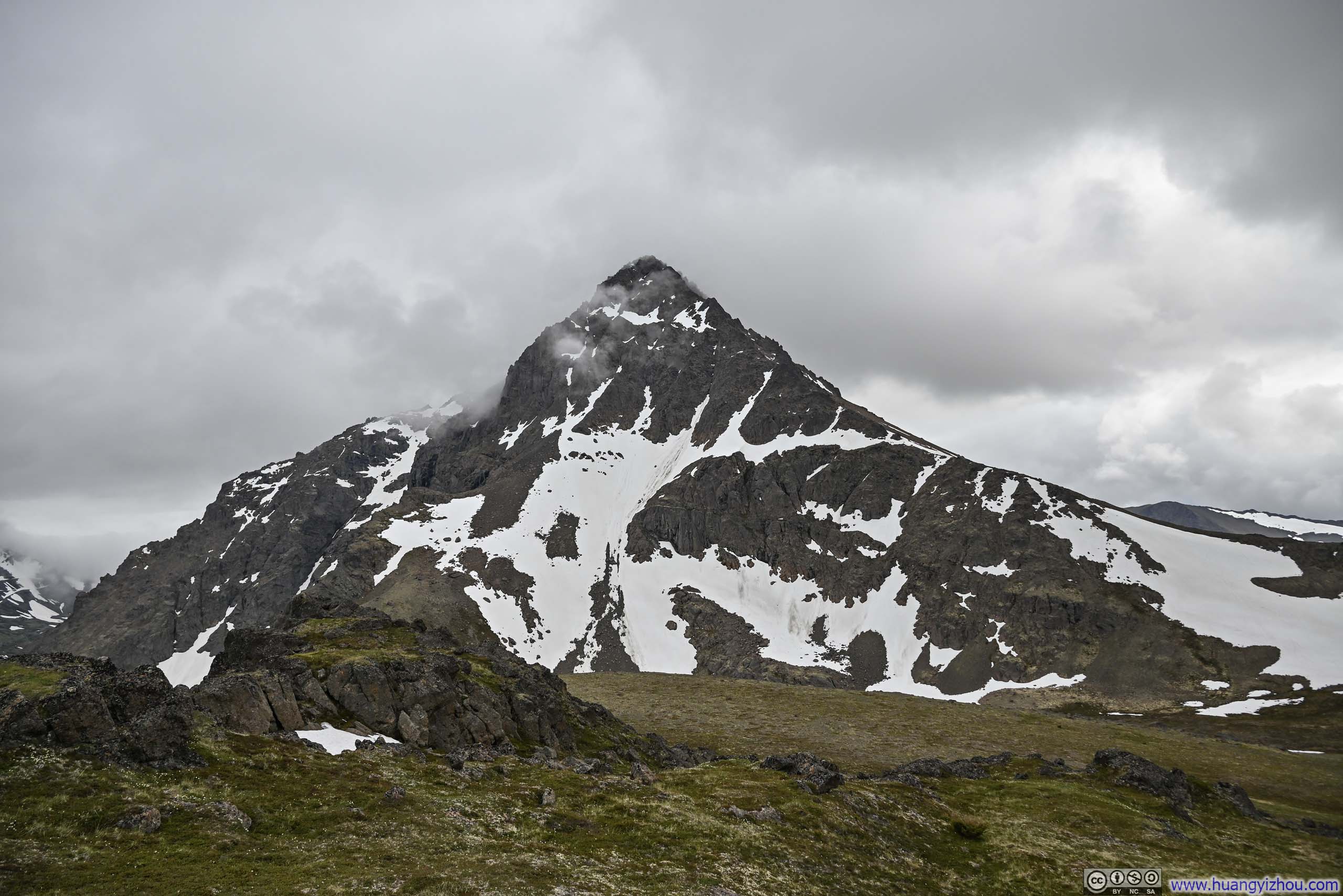
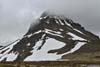
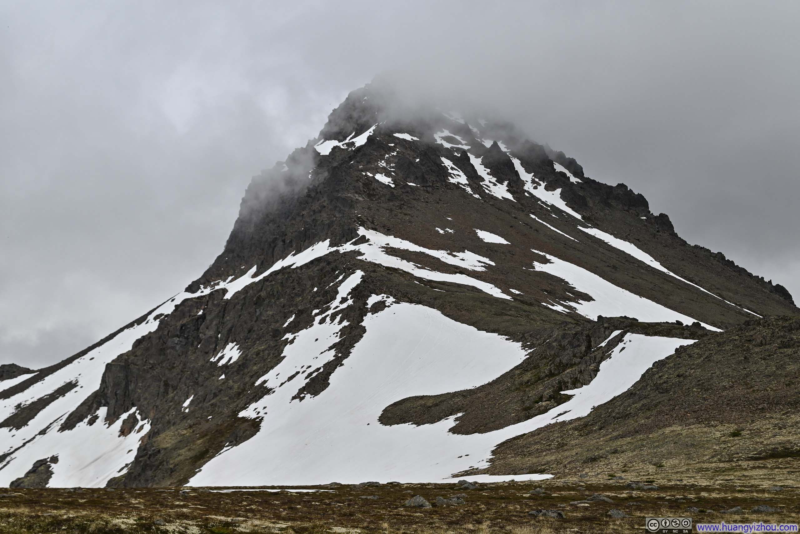
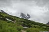
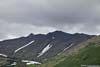
But the most awesome of the views lay between the two valleys: Ptarmigan Peak, with its straightforward contours and pyramid-like form, boldly dispersed fleeing clouds and unveiled its towering presence. From my vantage point, its northwestern face was a striking tapestry of rugged granite and lingering snowfields, as if mirroring the seasonal transformation of Alaska’s state bird, after which it is named. Its grandeur dwarfed the other hills I had climbed today, and this encounter felt all the more precious given such majesty had been concealed behind clouds until I stood at its very threshold.
 Ptarmigan Peak
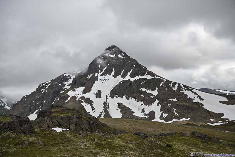 Ptarmigan Peak
Click here to display photos of Ptarmigan Peak.
Ptarmigan Peak
Ptarmigan Peak
Shortly before reaching this overlook, I waved Robert goodbye, who appeared more constrained by time than I was. I spent a total of 50 minutes here, watching the clouds lifted over Ptarmigan Peak for me to admire its splendor, while hoping in vain for the same unveiling of O’Malley Peak across the valley.
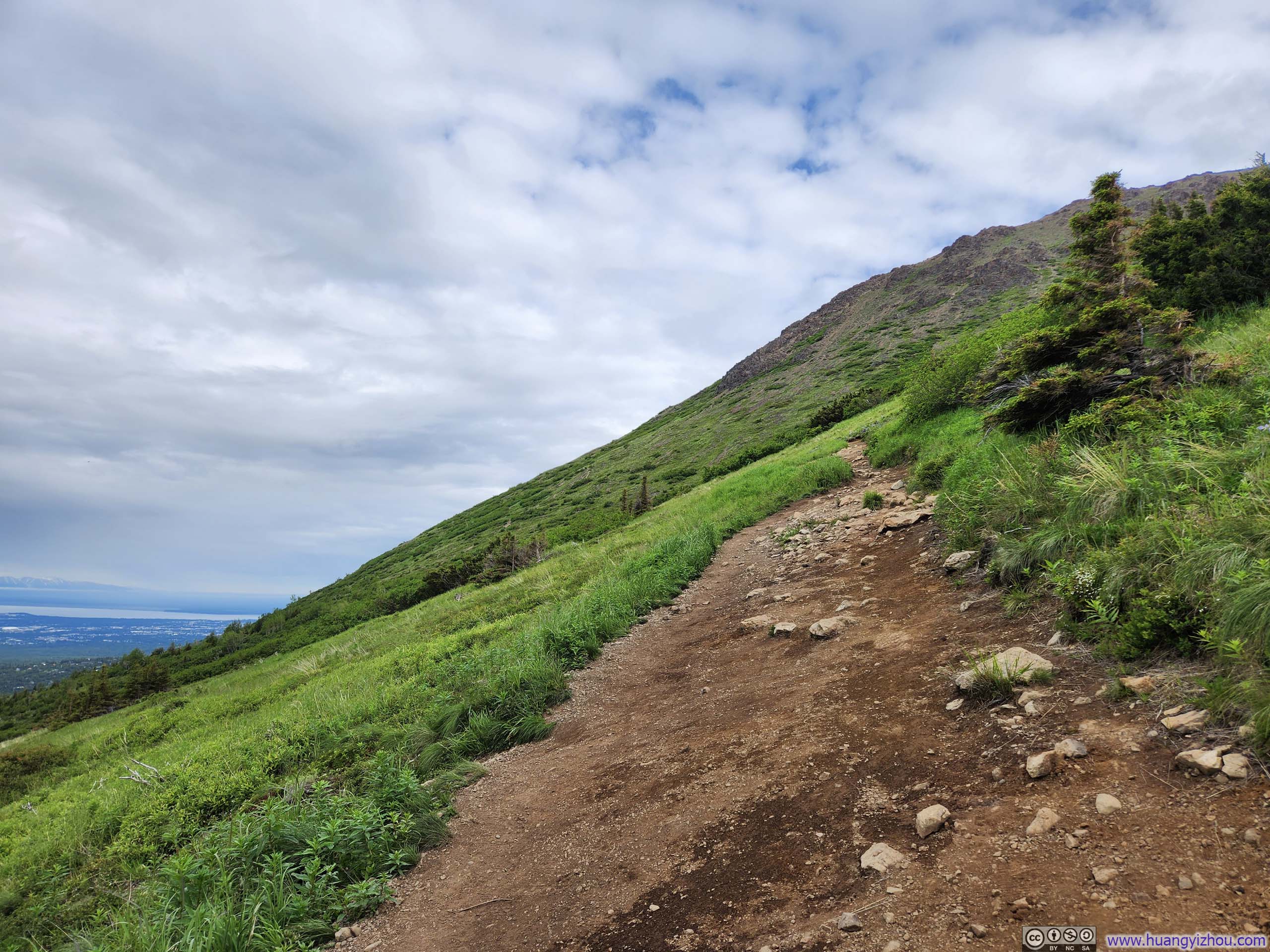
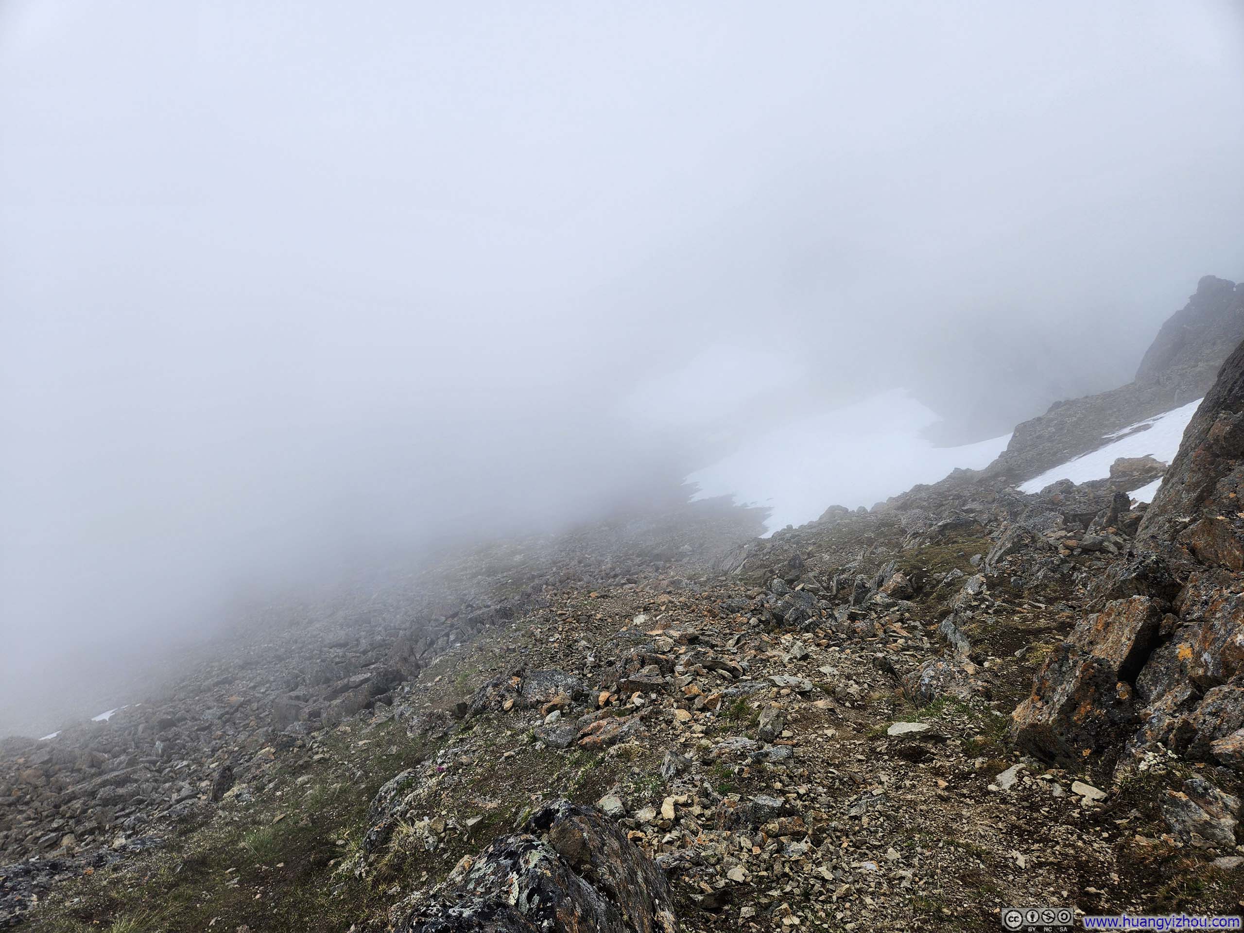
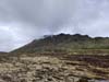
Moving onward, I set my course toward Ptarmigan Pass, a mountain pass between Rabbit Valley, where I was parked, and “Powerline Valley”, which provided the majority of the day’s vistas. Though maps indicated a trail, I discovered no such path among the sprawling tundra fields of the pass, leaving me to rely largely on GPS for navigation.
 BouldersNear the overlook where I took some rests.
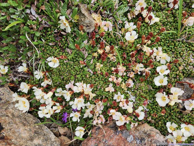 Flowers
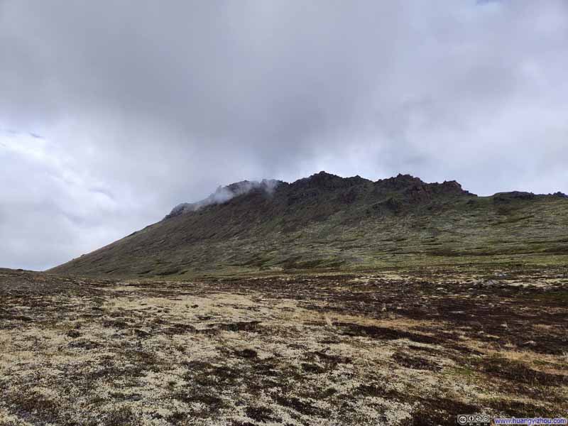 Looking Back at Flaketop Peak
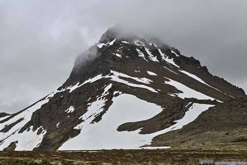 Ptarmigan Peak behind Clouds
Click here to display photos of the slideshow
BouldersNear the overlook where I took some rests.
Flowers
Looking Back at Flaketop Peak
Ptarmigan Peak behind Clouds
Leaving Ptarmigan Pass, it was a steep descent down to Rabbit Valley. Just like earlier, there was no discernible trail, so I found my own path through scattered rocks and sparse grasses. As I made the descent, the twin peaks of Yuyanq’ Ch’ex gradually emerged at Rabbit Valley’s terminus—their formidable silhouettes engaged in a silent struggle against billowing clouds that rolled between them. This majestic tableau, nature’s artistry in motion, provided a fitting crescendo to the majesty of Ptarmigan Peak that I witnessed earlier.
 Yuyanq’ Ch’ex Peaks
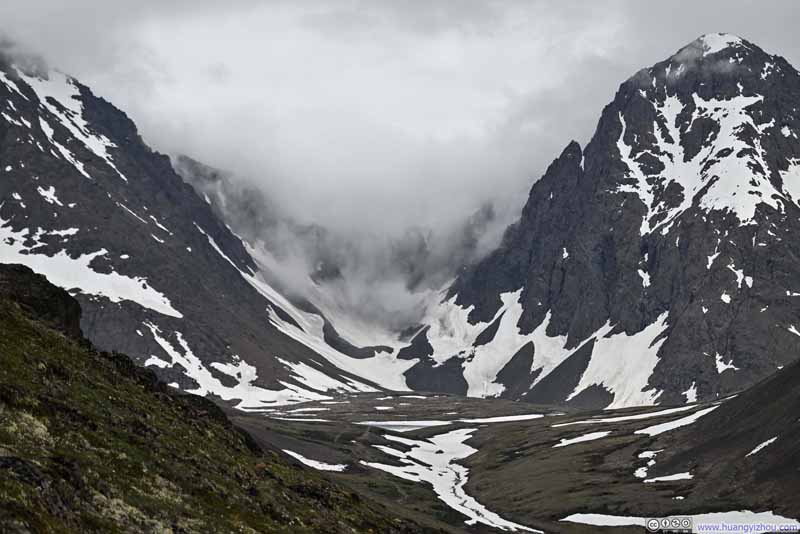 Clouds Rolling between Yuyanq’ Ch’ex Peaks
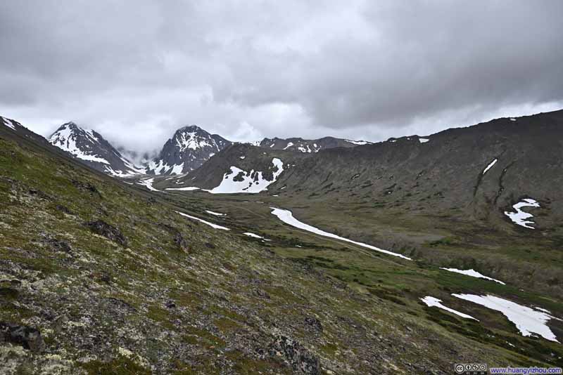 Rabbit Valley
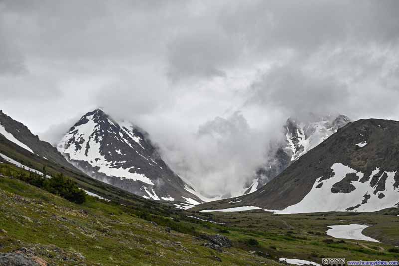 Yuyanq’ Ch’ex Peaks
Click here to display photos of the slideshow

Yuyanq’ Ch’ex Peaks

Clouds Rolling between Yuyanq’ Ch’ex Peaks
Rabbit Valley
Yuyanq’ Ch’ex Peaks
Back to Rabbit Valley, it was a comfortable walk back to the trailhead. This section was noticeably more populated, with people presumably visiting Rabbit Lake. Unfortunately, I had left my DEET repellent at the Airbnb, an oversight that became increasingly apparent as I ran into persistent swarms of bugs along the final stretch of trail.
 Trail against Cloudy North Yuyanq’ Ch’ex
 Trail
Trail (East) McHugh Peak
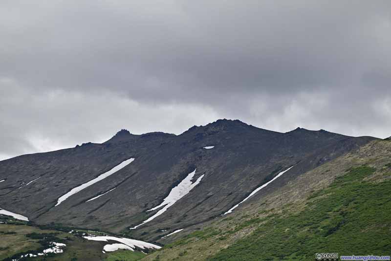 McHugh Peak
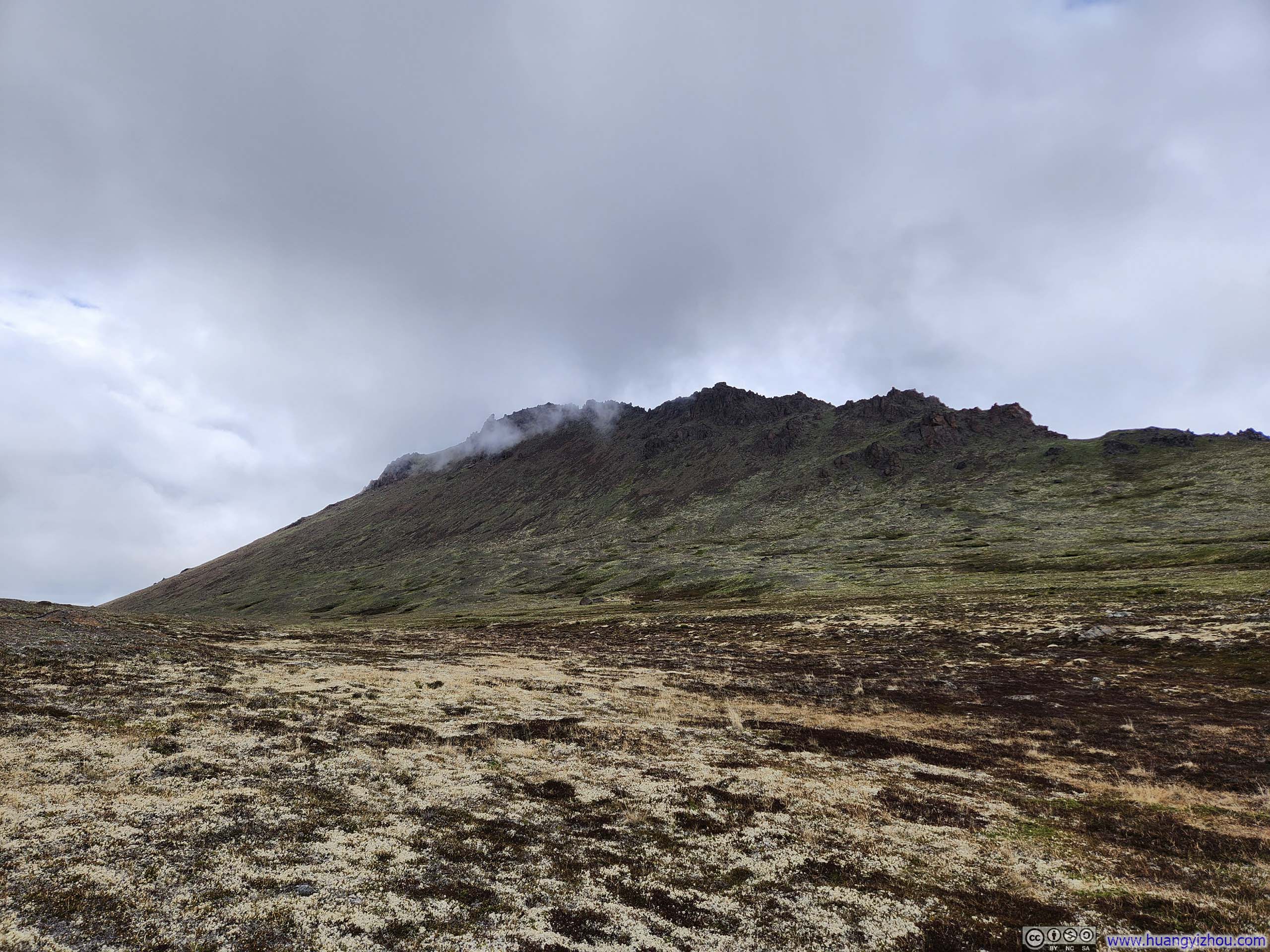
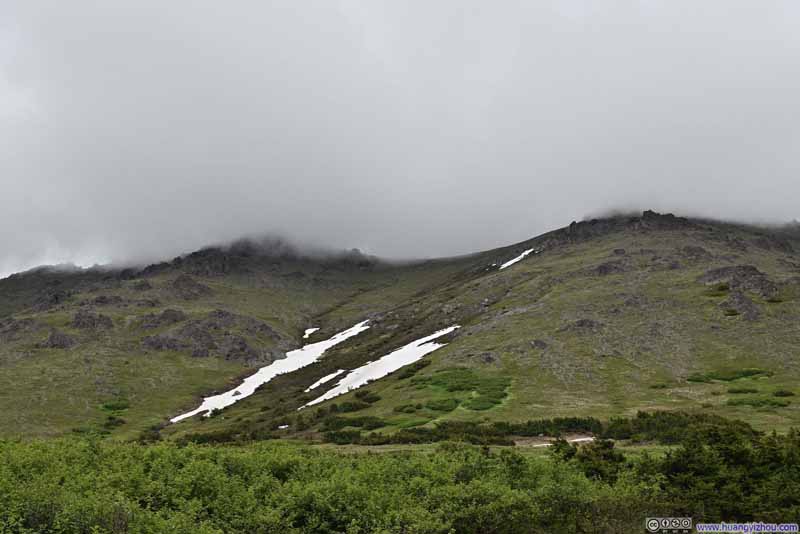 Flaketop Peak in Clouds
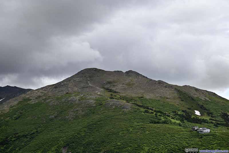 Trail to Grandview
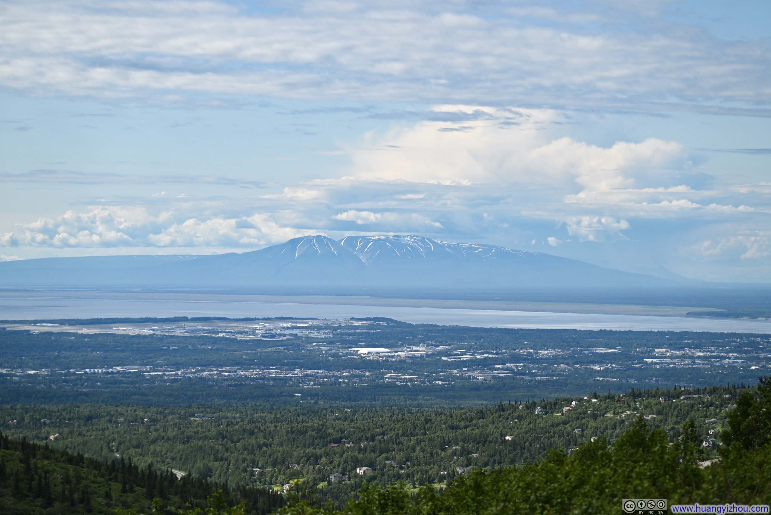
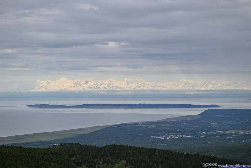 Distant Tordrillo Mountains across Cook Inlet
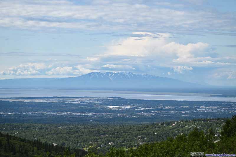 Distant Mt Susitna

Click here to display photos of the slideshow
Trail against Cloudy North Yuyanq’ Ch’ex
Trail
(East) McHugh Peak
McHugh Peak
Flaketop Peak in Clouds
Trail to Grandview
Distant Tordrillo Mountains across Cook Inlet
Distant Mt Susitna
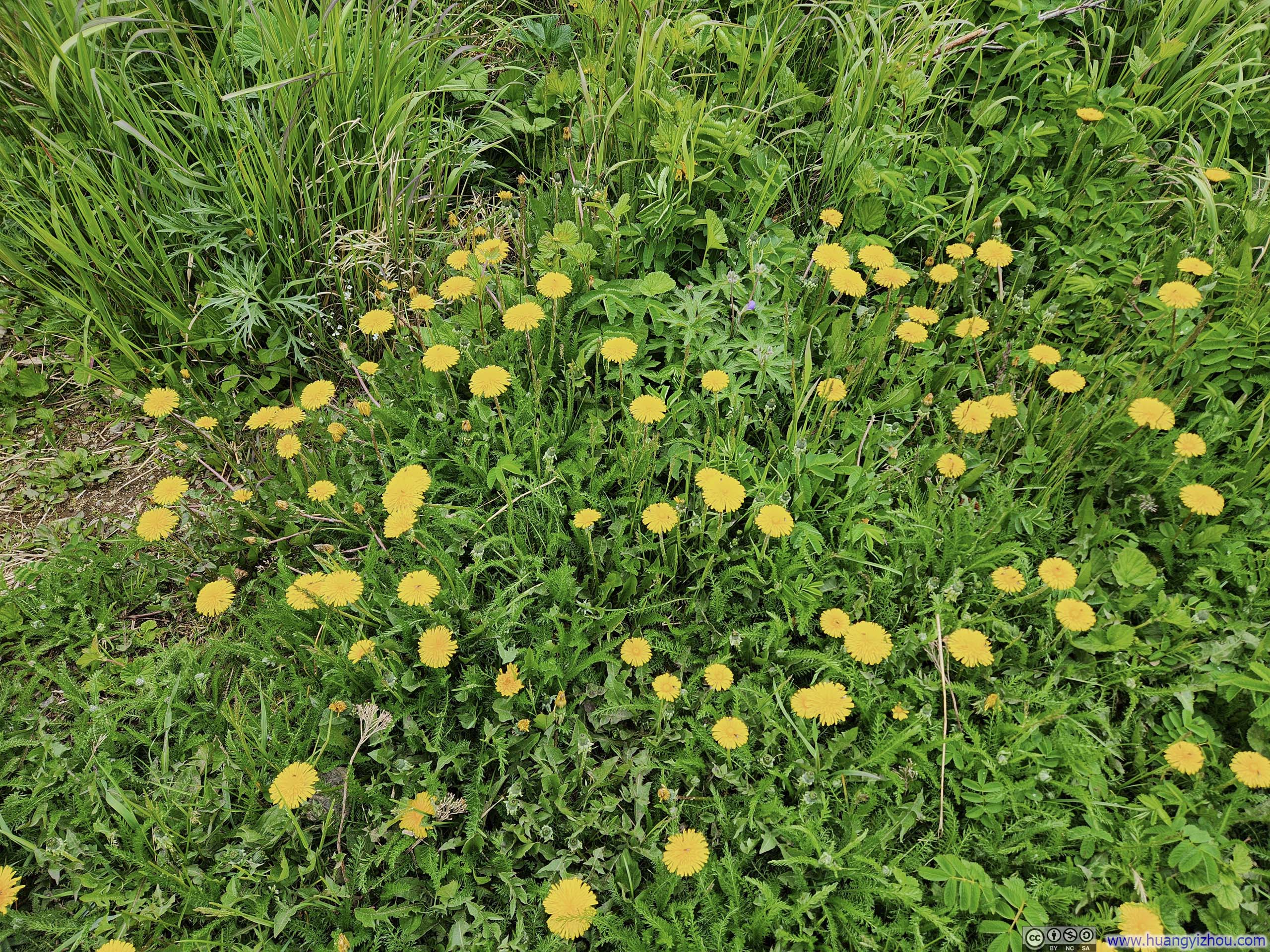
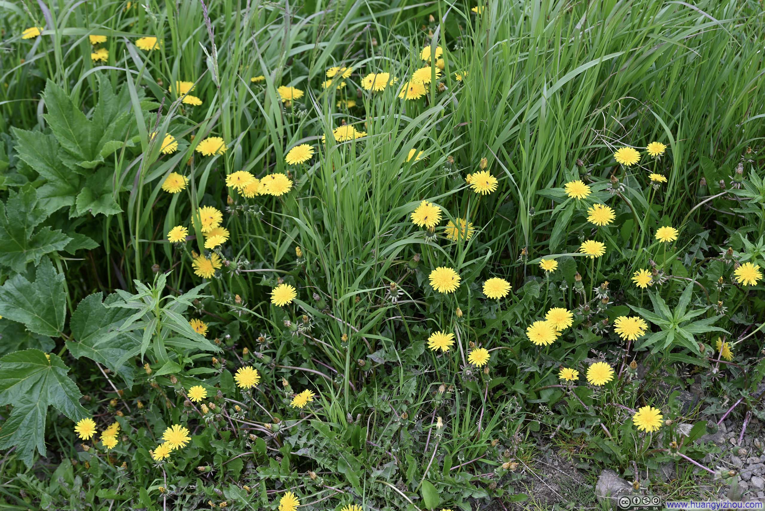 Flowers along TrailsVarious flowers were blooming along the trail. It’s these yellow daisies that dominated the final leg.
In the end, I was back at the trailhead after spending 6 hours and 40 minutes on the trail (including 1 hour and 40 minutes of rest). A minor disappointment awaited me: after heading downtown for dinner, I arrived to find the peaks I had just traversed now entirely free of clouds. It was hard not to think that, had I delayed my hike by just a few hours, the experience might have been even more rewarding.
END
![]() Day 1 of 2025 Independence Day Trip to Alaska, Flattop and Flaketop Loop by Huang's Site is licensed under a Creative Commons Attribution-NonCommercial-ShareAlike 4.0 International License.
Day 1 of 2025 Independence Day Trip to Alaska, Flattop and Flaketop Loop by Huang's Site is licensed under a Creative Commons Attribution-NonCommercial-ShareAlike 4.0 International License.