
Updated on April 23, 2022
Day 7 of 2019 Florida Spring Break, Everglades
Seventh day of my spring break Florida road trip. I would spend the majority of the day in Everglades National Park, among crocodiles and mangroves.

Crane and Crocodile
While I originally planned to visit Everglades the previous day and Miami beaches today, the puncture I suffered on Florida Keys meant I had to push all my plans a day back.
In addition, I needed a good night’s sleep to keep that frenetic encounter behind me. So it’s past 10am that I woke up today and left for Everglades.
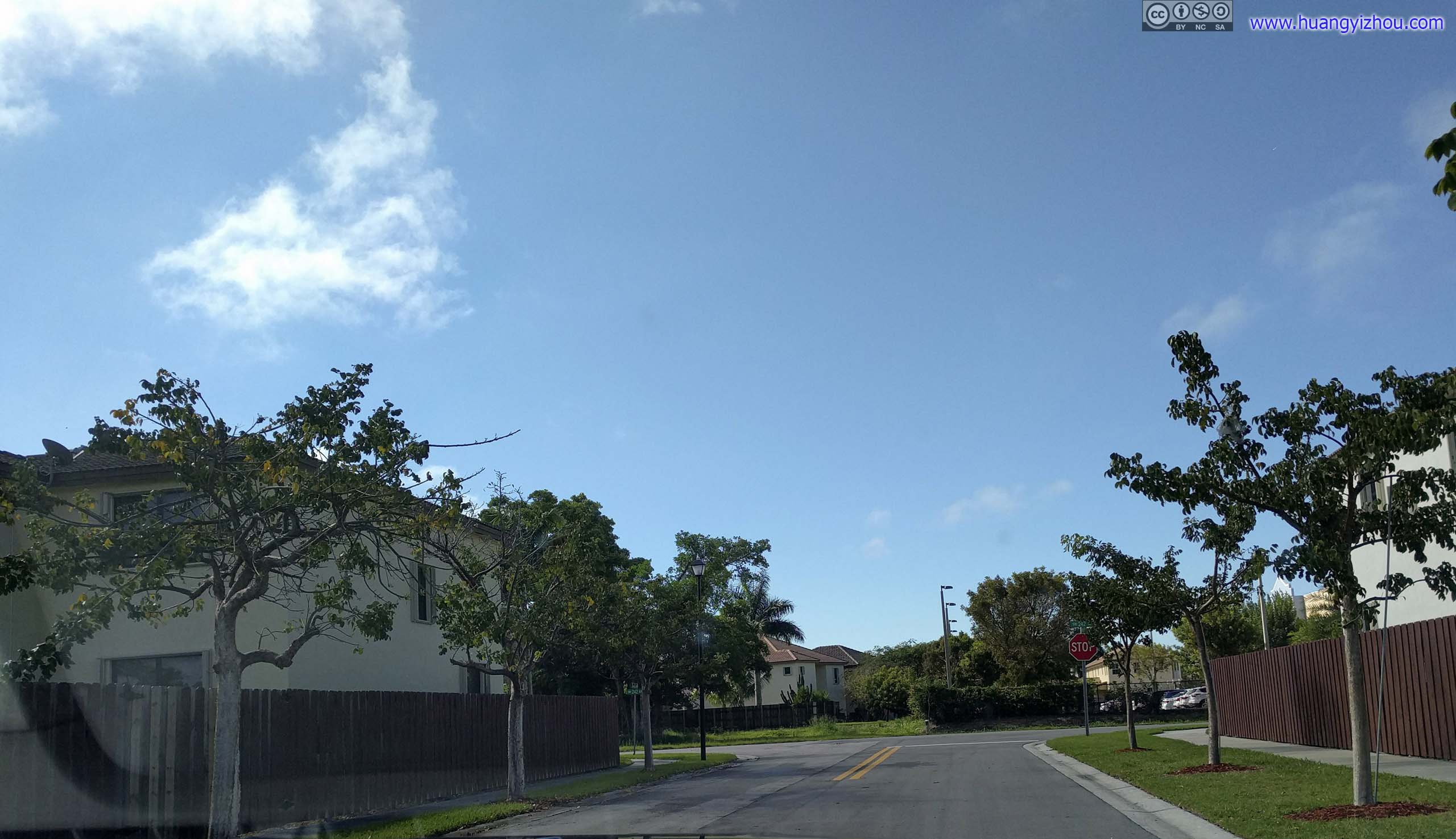
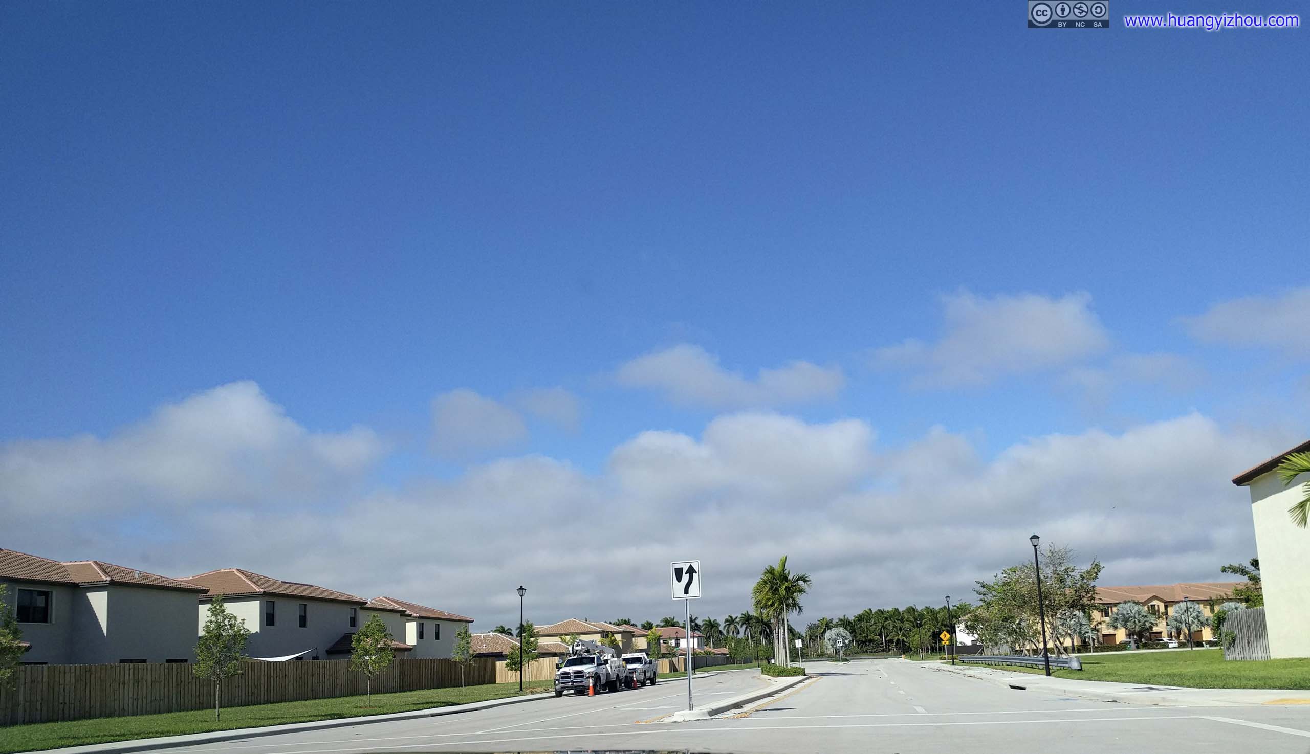
 Residential NeighborhoodThe Airbnb we rented was in this newly built residential community off Homestead. It’s interesting that my friends found out it’s owned by a MIT professor as a vacation home, and for a brief moment they thought of ransoming a five-star review for paper citation.


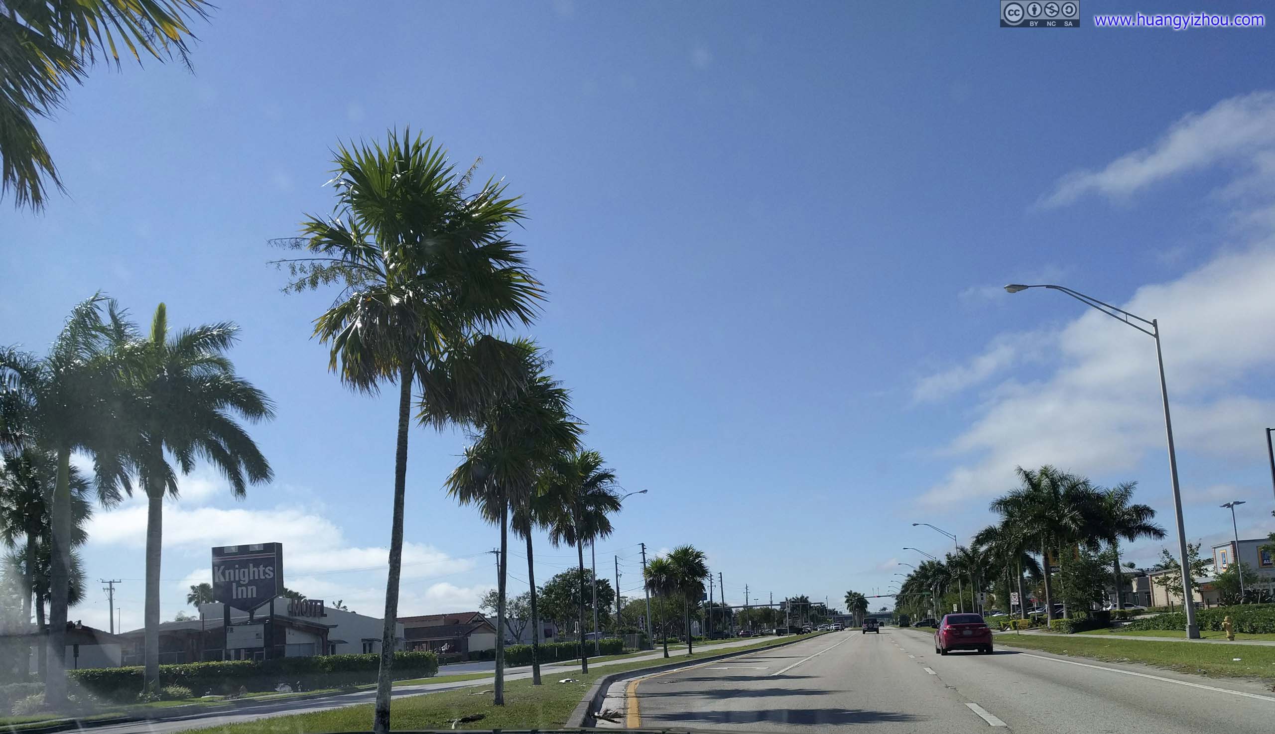
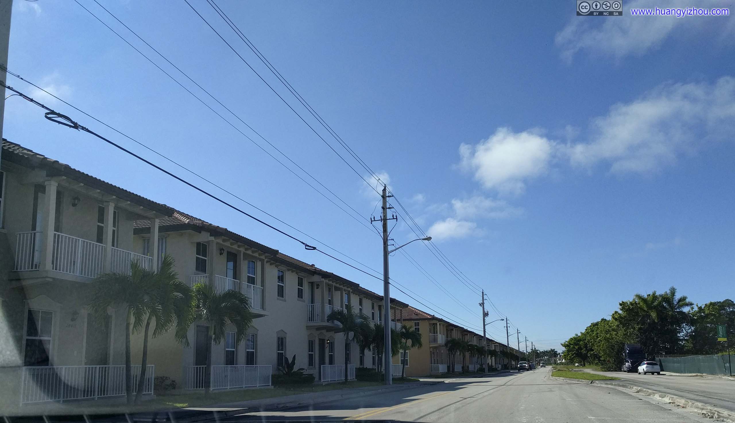
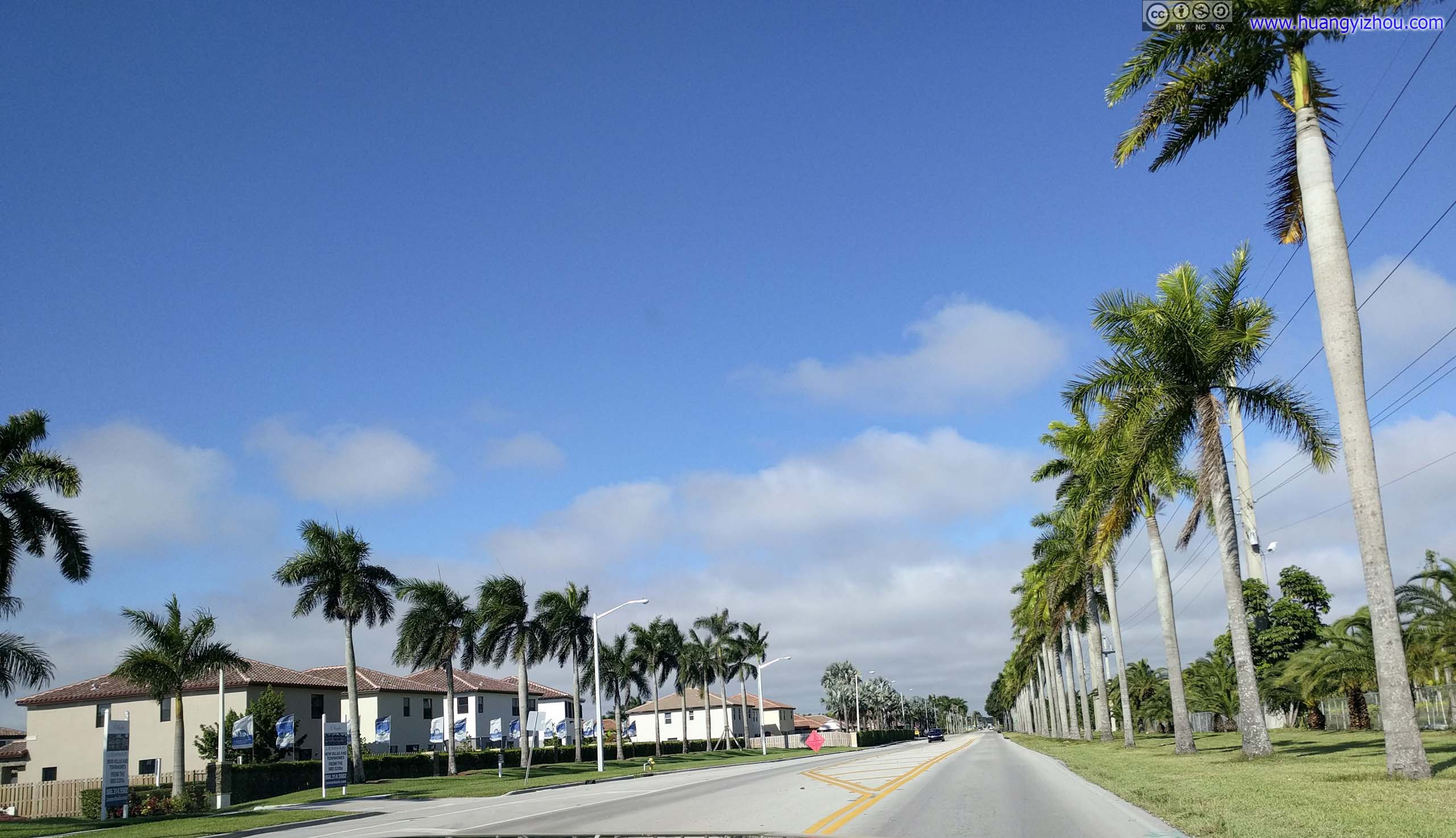
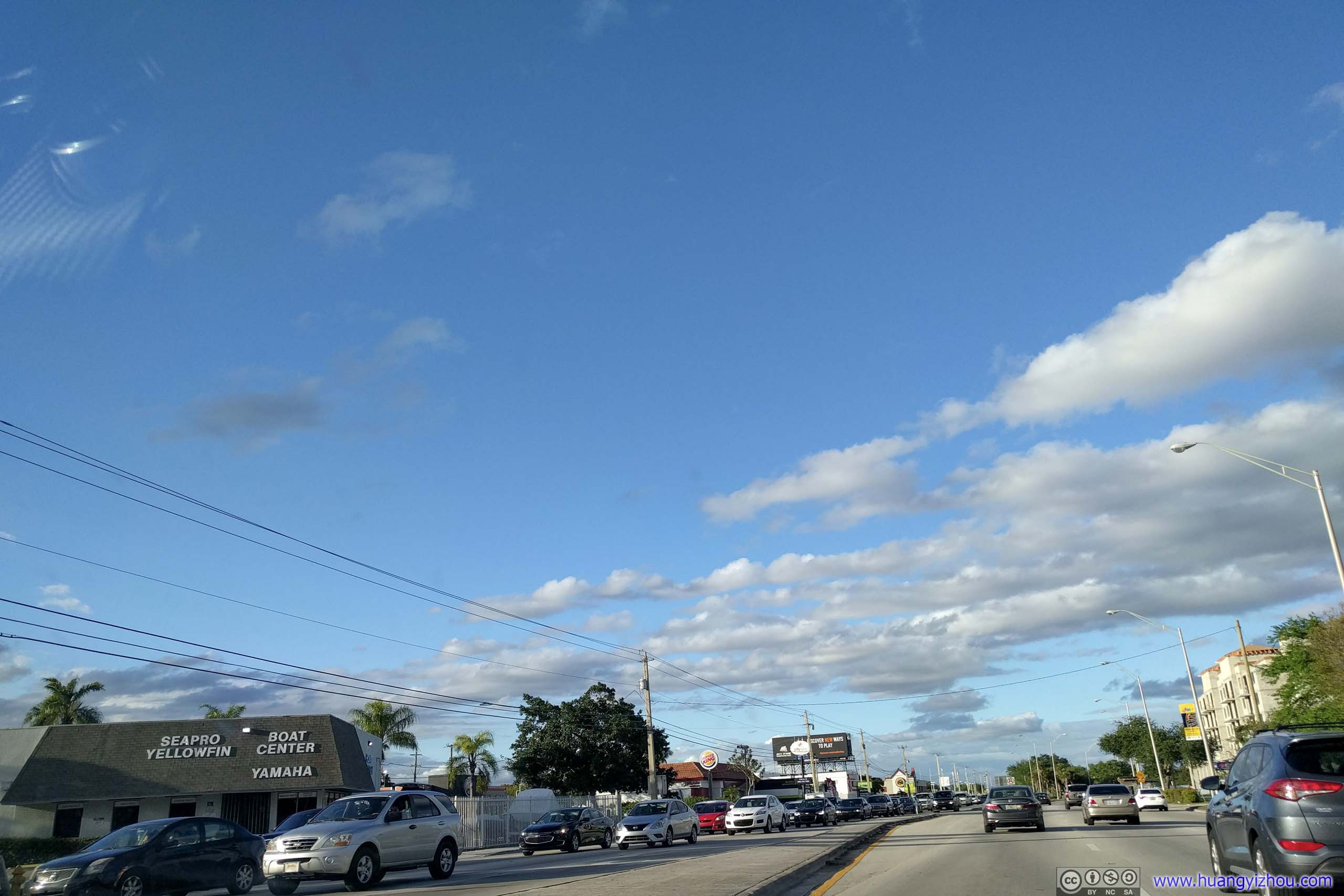
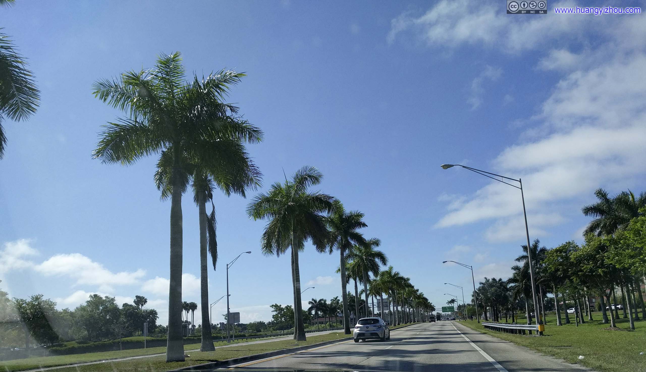 Route 1 in South FloridaTraffic was much lighter this morning. I was even appreciating the beauty of these palm trees.
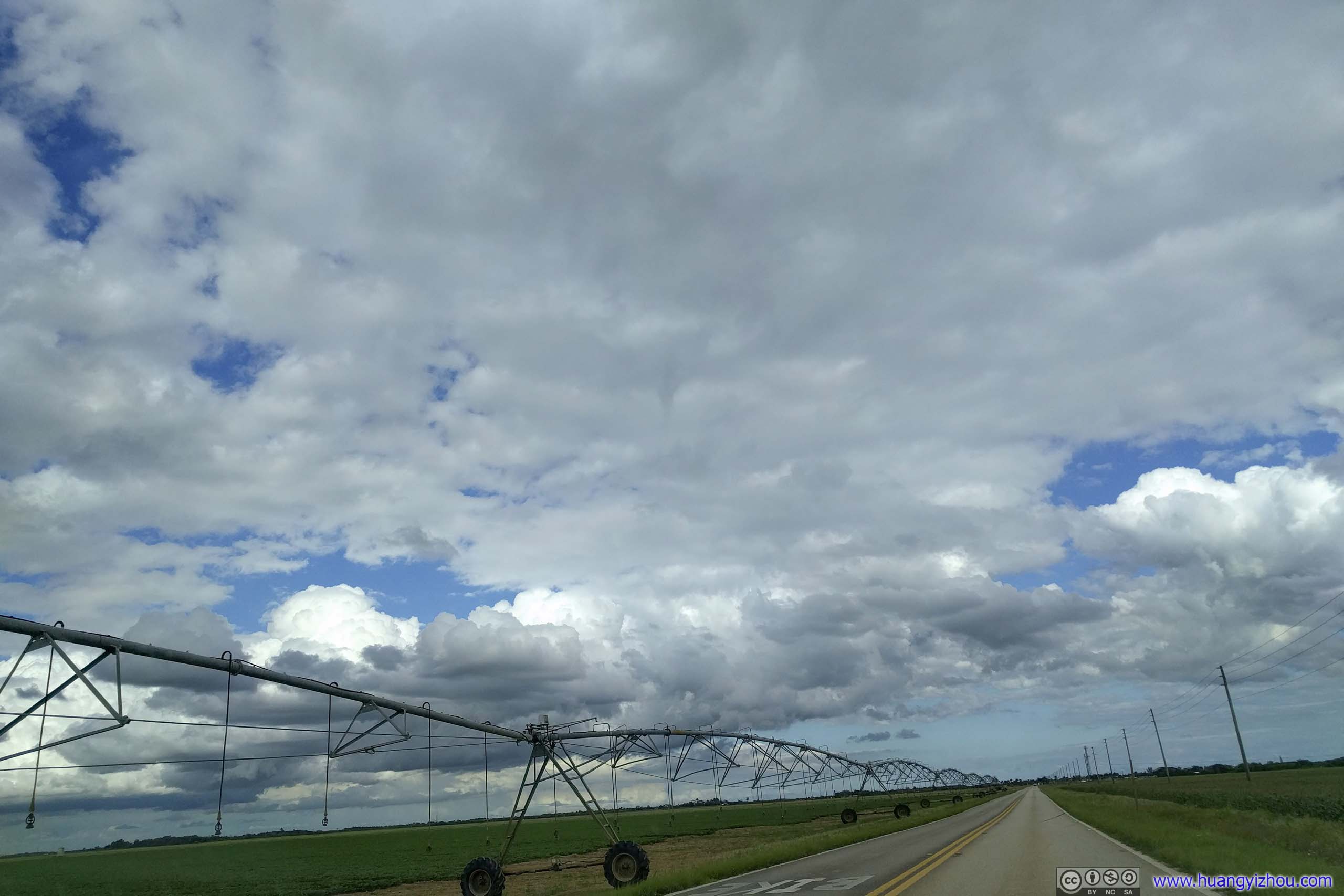
Not long after getting off the busy Route 1, I found myself driving among fields of farmland. I found out later in the day that water from Everglades National Park supplied most of lower Florida’s agriculture, and urban development had eroded significant portions of the Everglades.
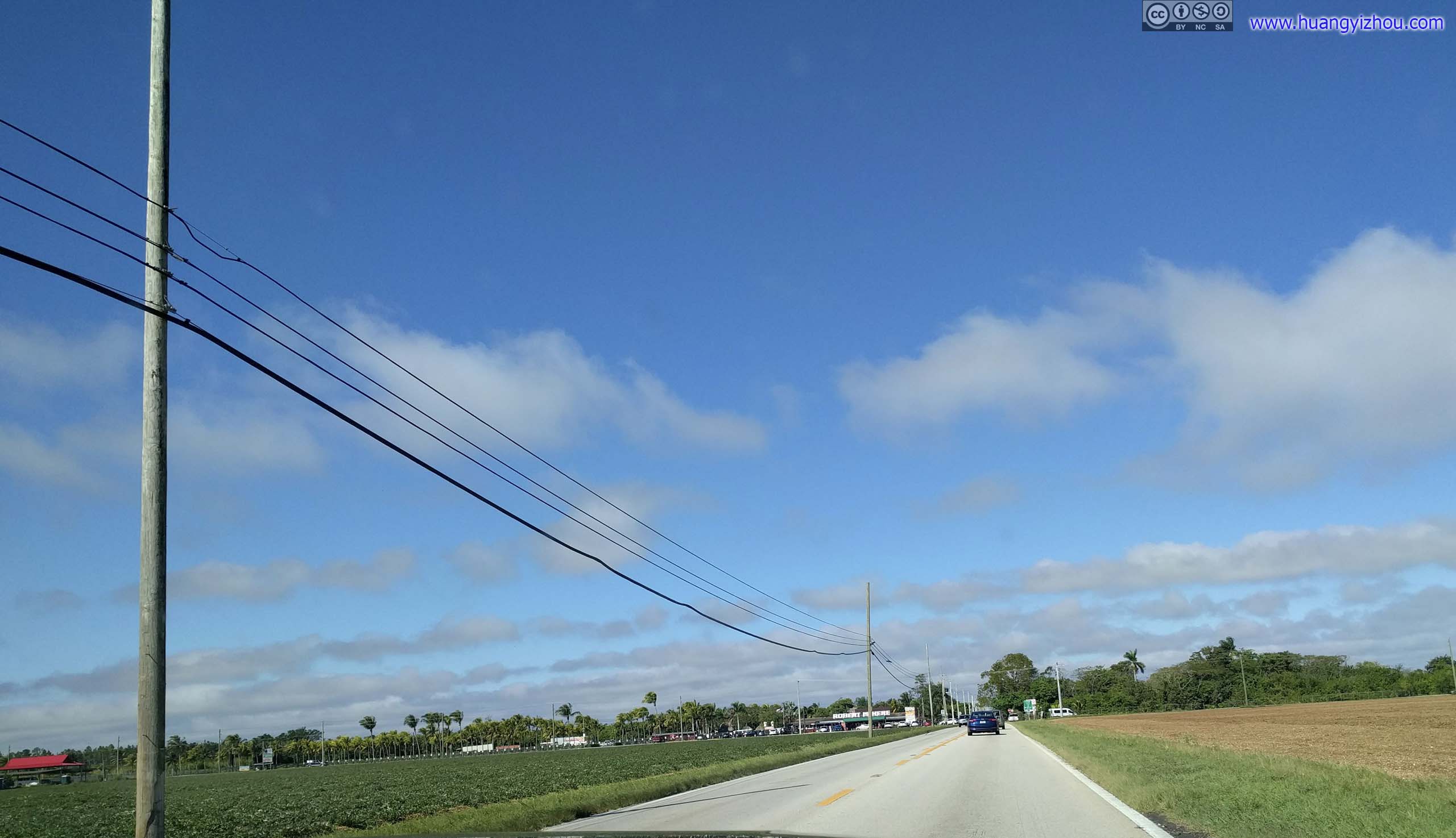
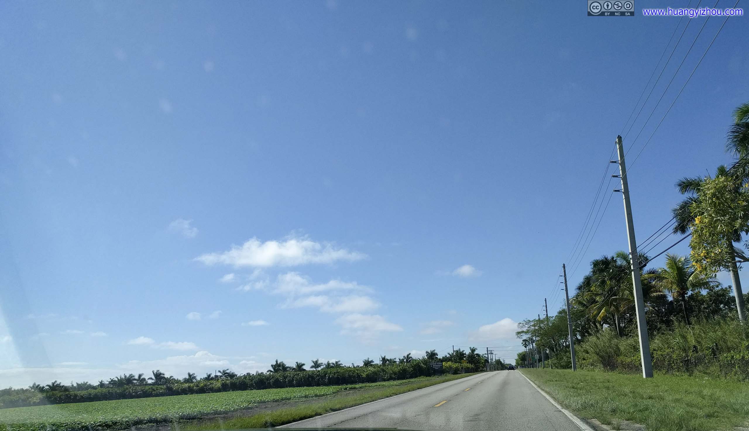
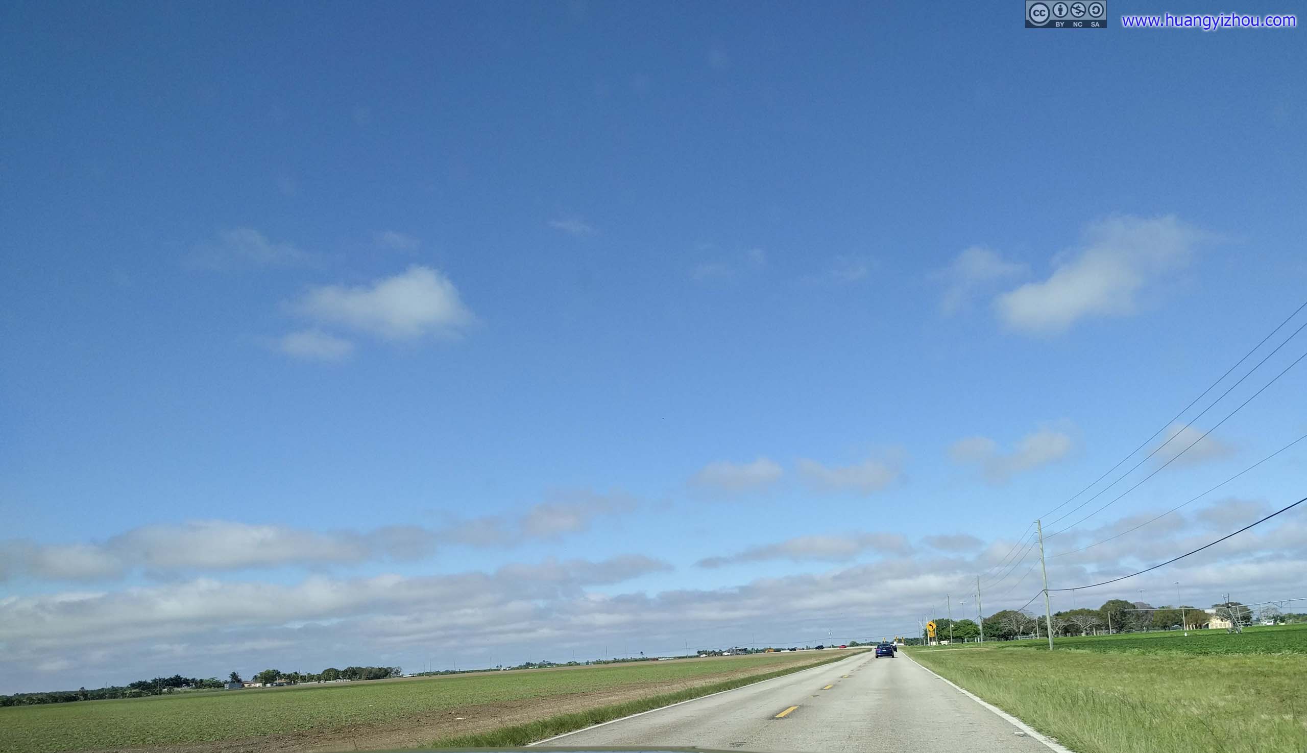
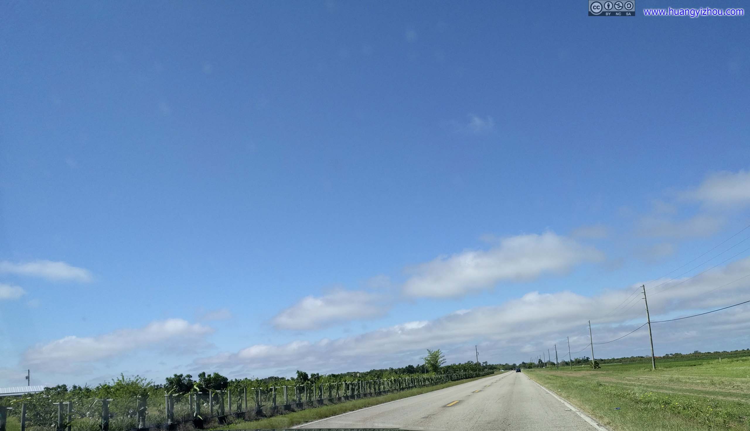
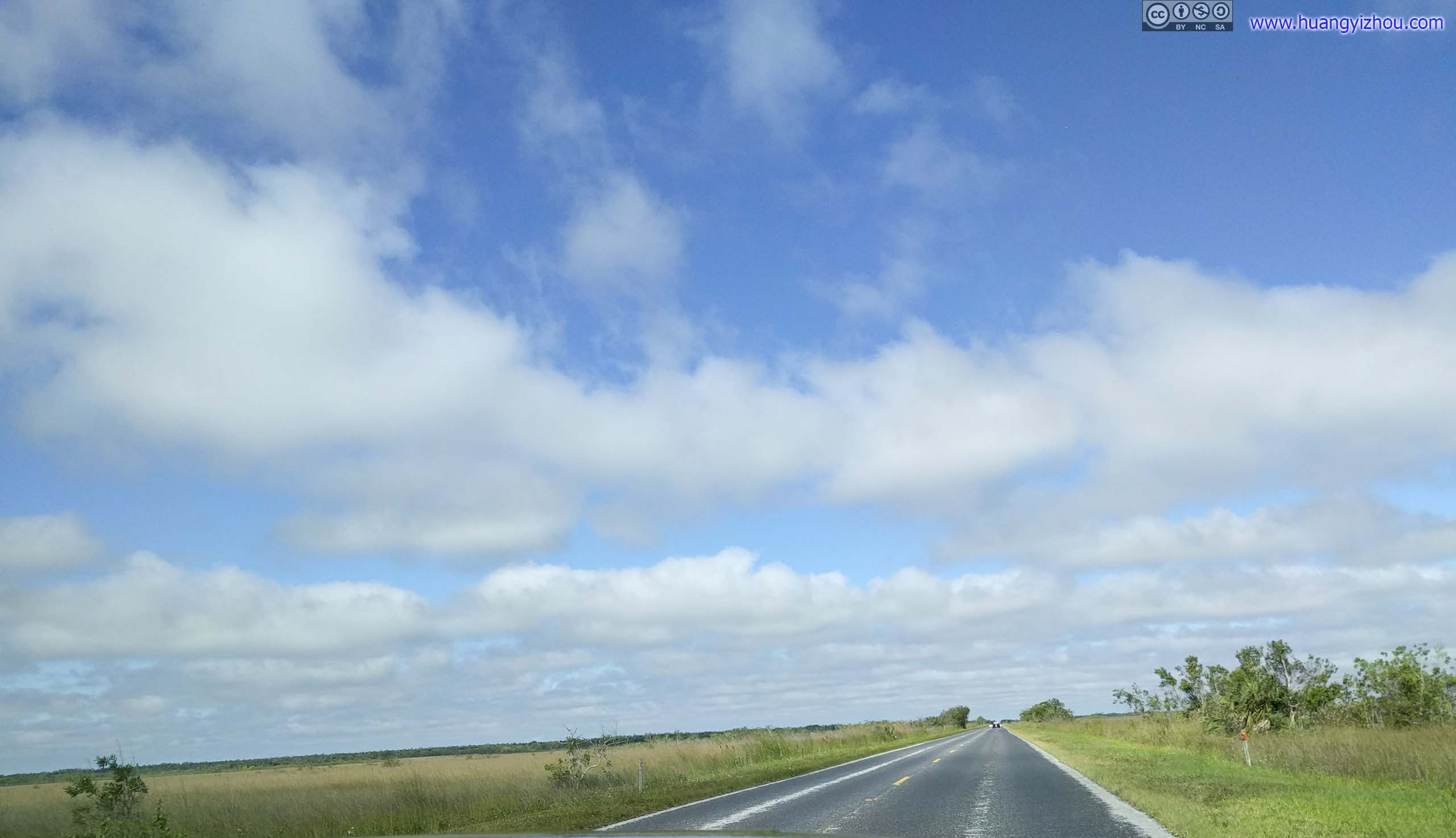
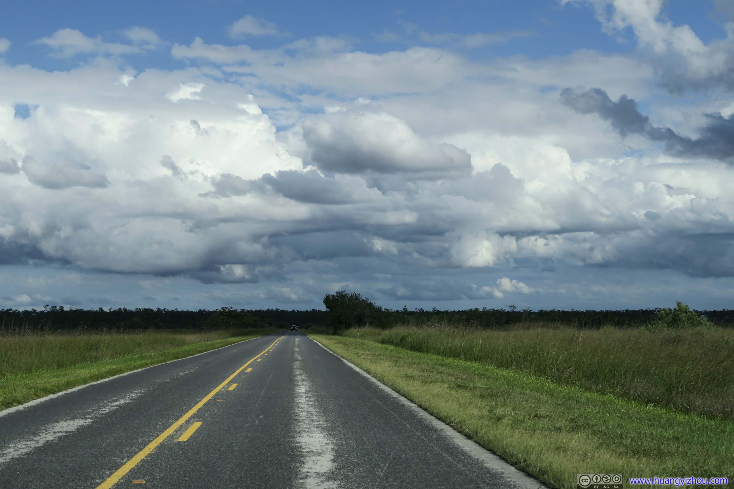
 Country RoadOff developed urban areas and lined with farmland on both sides.
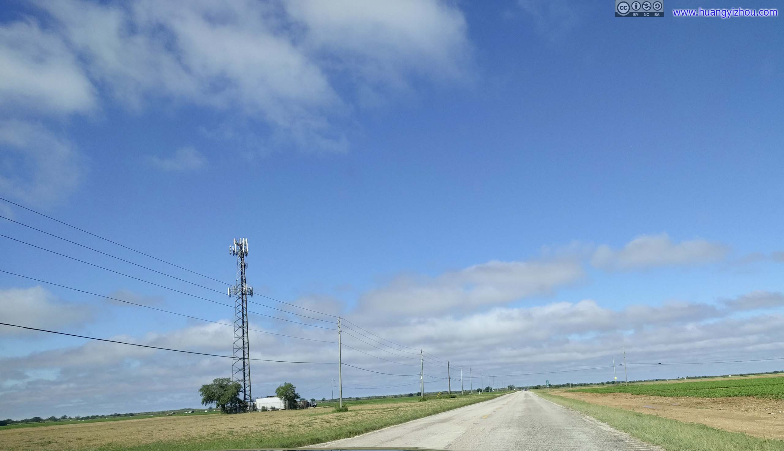
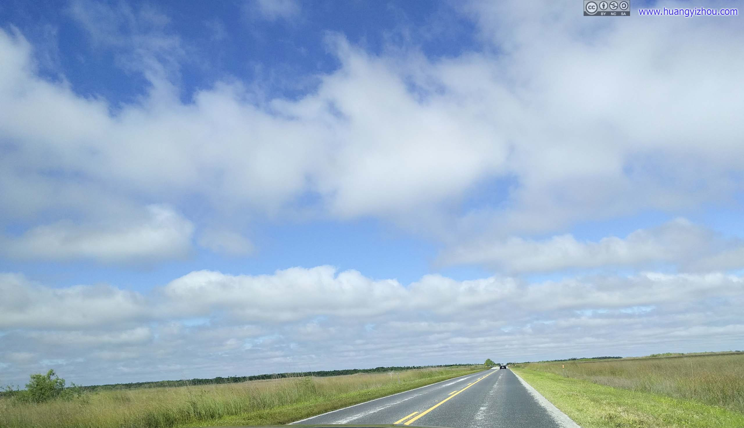
 Country Road
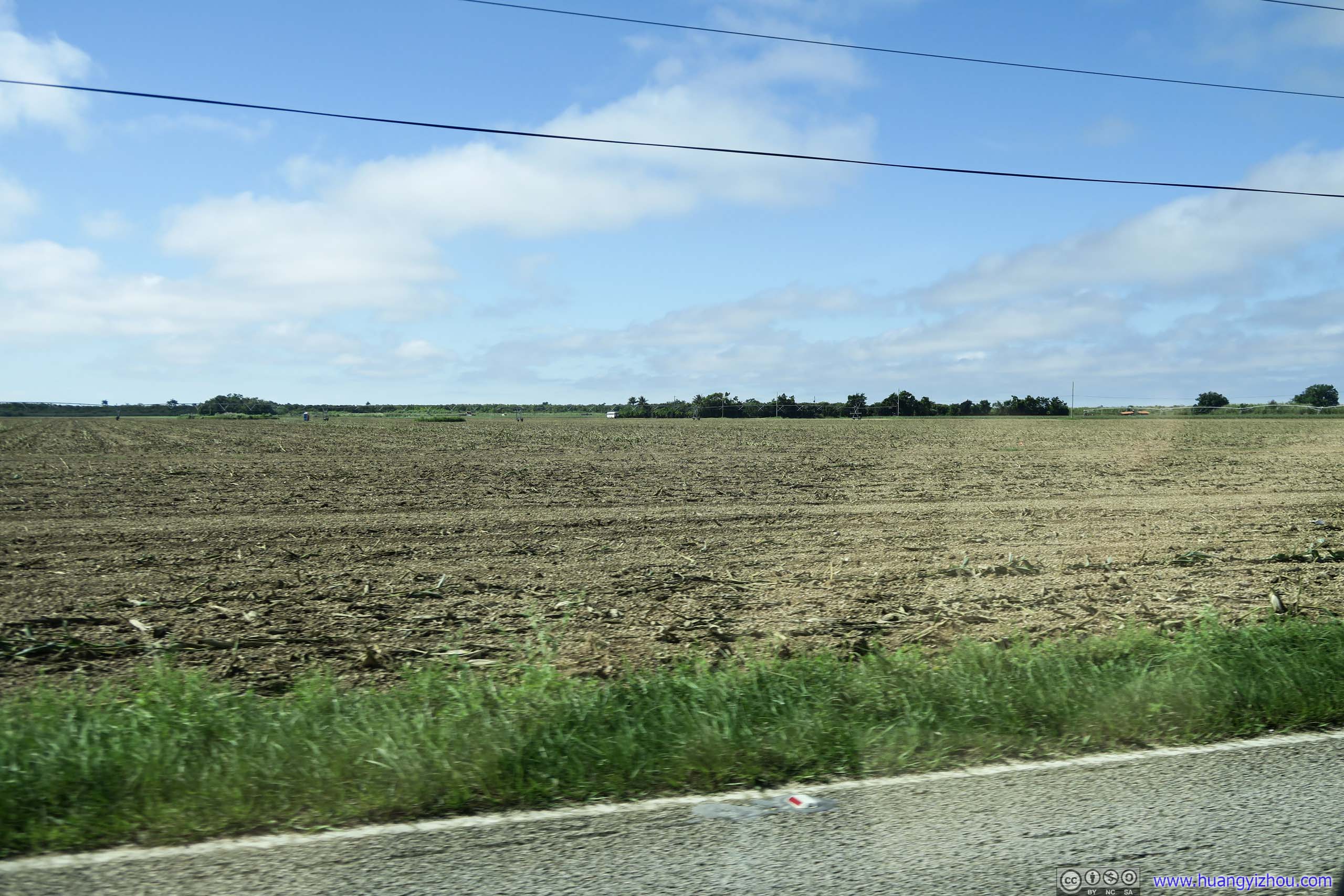
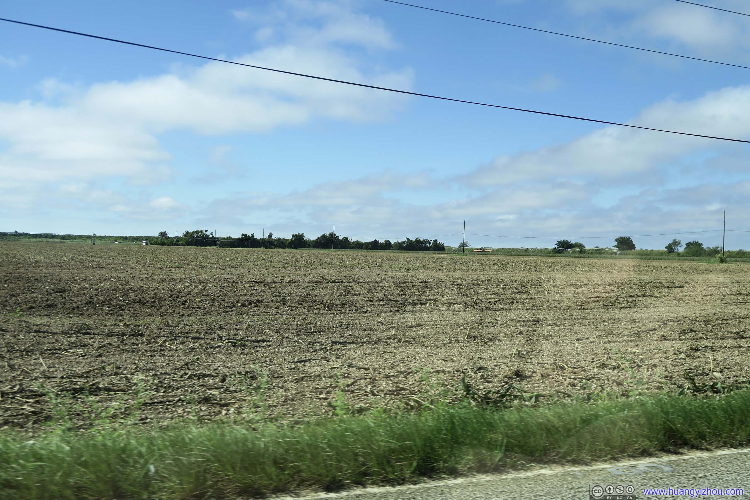 Farmland

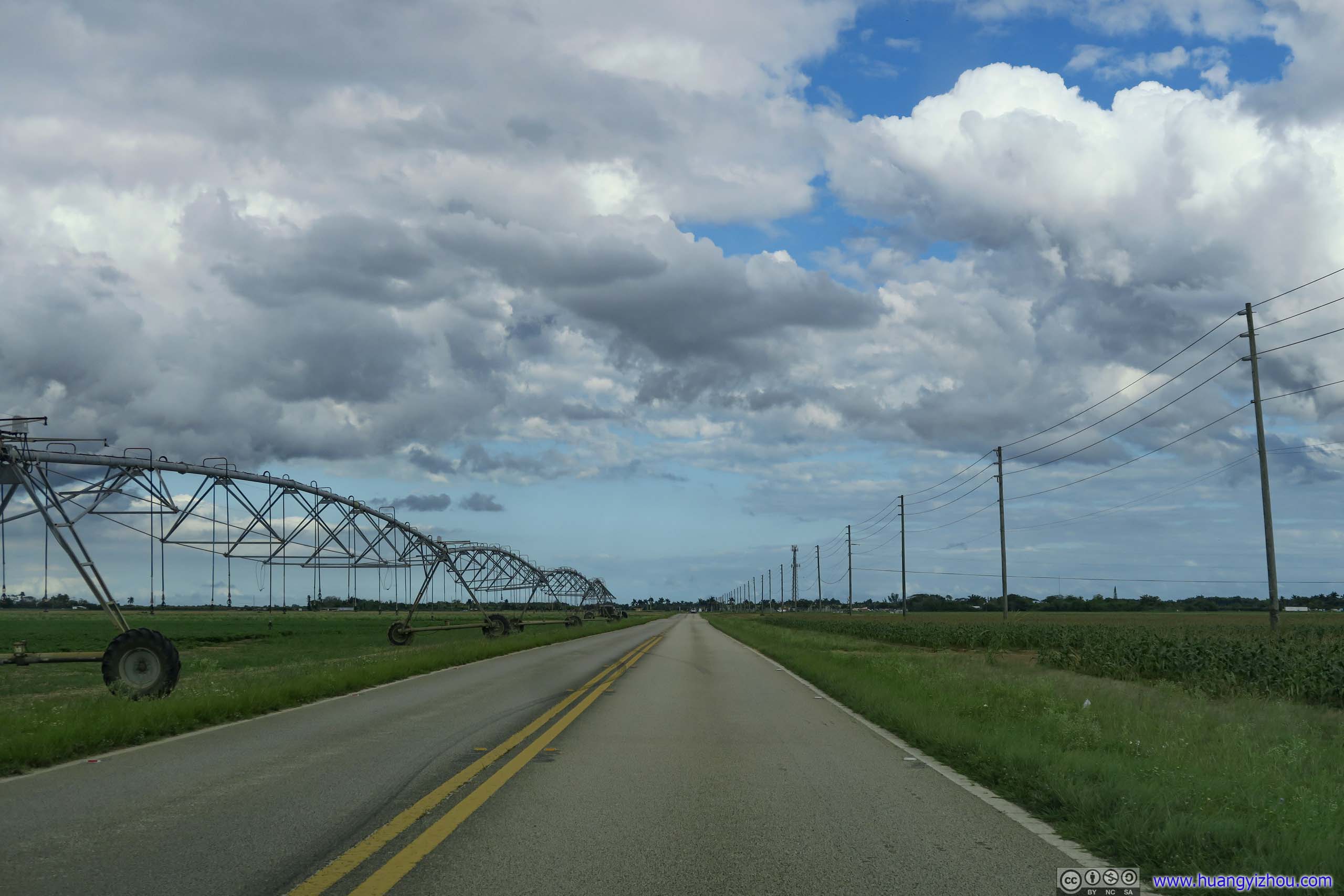 Irrigation Machine
Everglades National Park
This park was created to protect a fragile ecosystem of wetlands and forests fed by a slow-moving river (400m per day). It’s the largest tropical wilderness in the United States. Today I would be visiting its southern part, of a long road from Parachute Key to Flamingo. Some other famous parts of the park include Shark Valley with its tramway and crocodiles, and Everglades City with its airboat tours, both were too far from our lodge near Homestead.
There were a few hiking trails along the highway from Parachute Key to Flamingo, most of them were rather short in length. They each exhibited a different kind of eco system that existed in the park, which was pretty well-designed in my opinion.
I also liked the fact that I bumped into different wildlife in different parts of the park. In addition to crocodiles that made the park famous, I met lizard, snail, and countless breeds of birds.
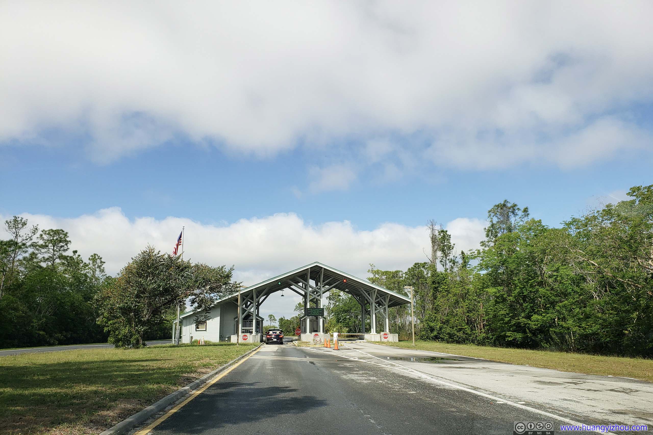
Park Entrance
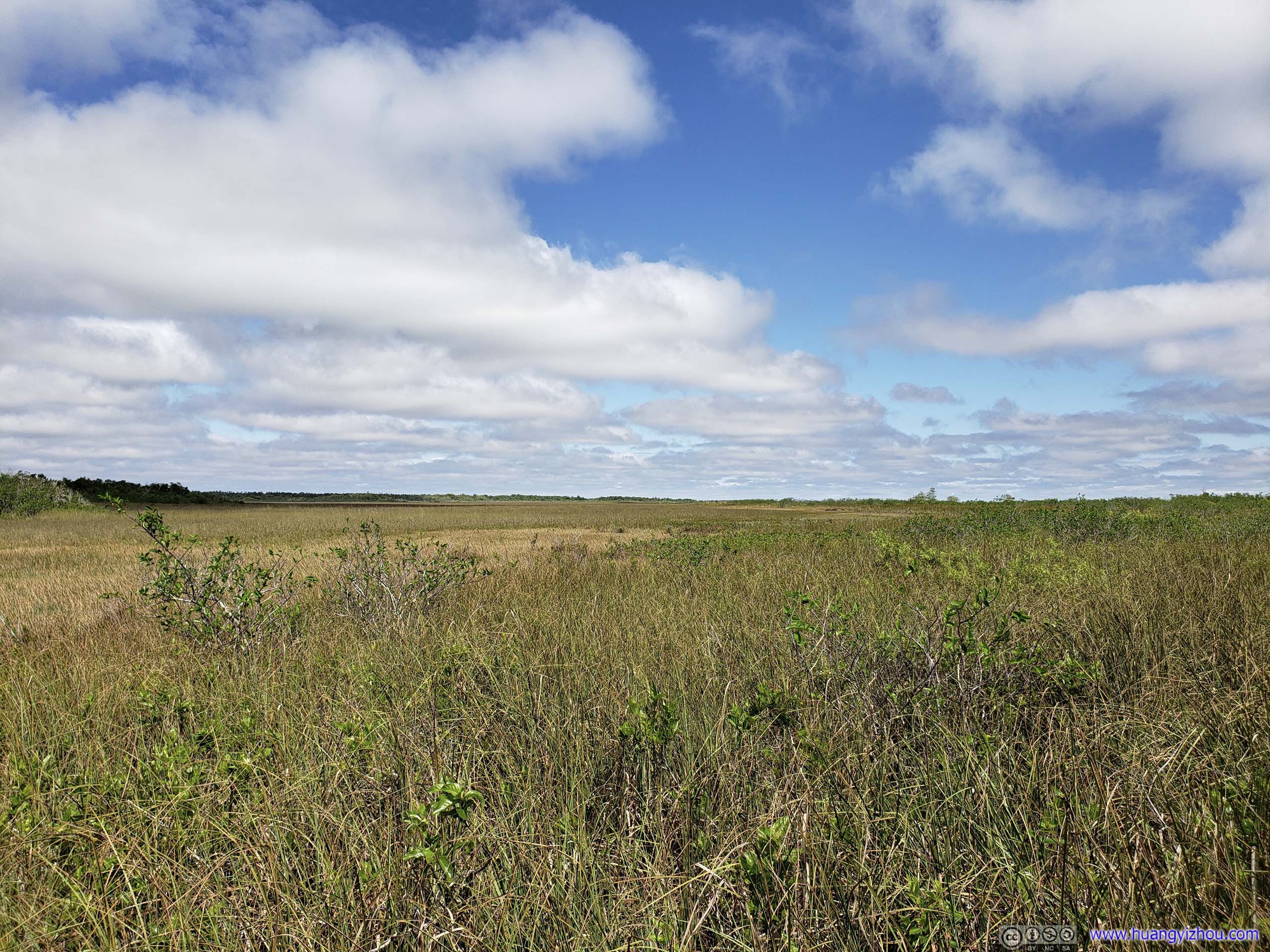
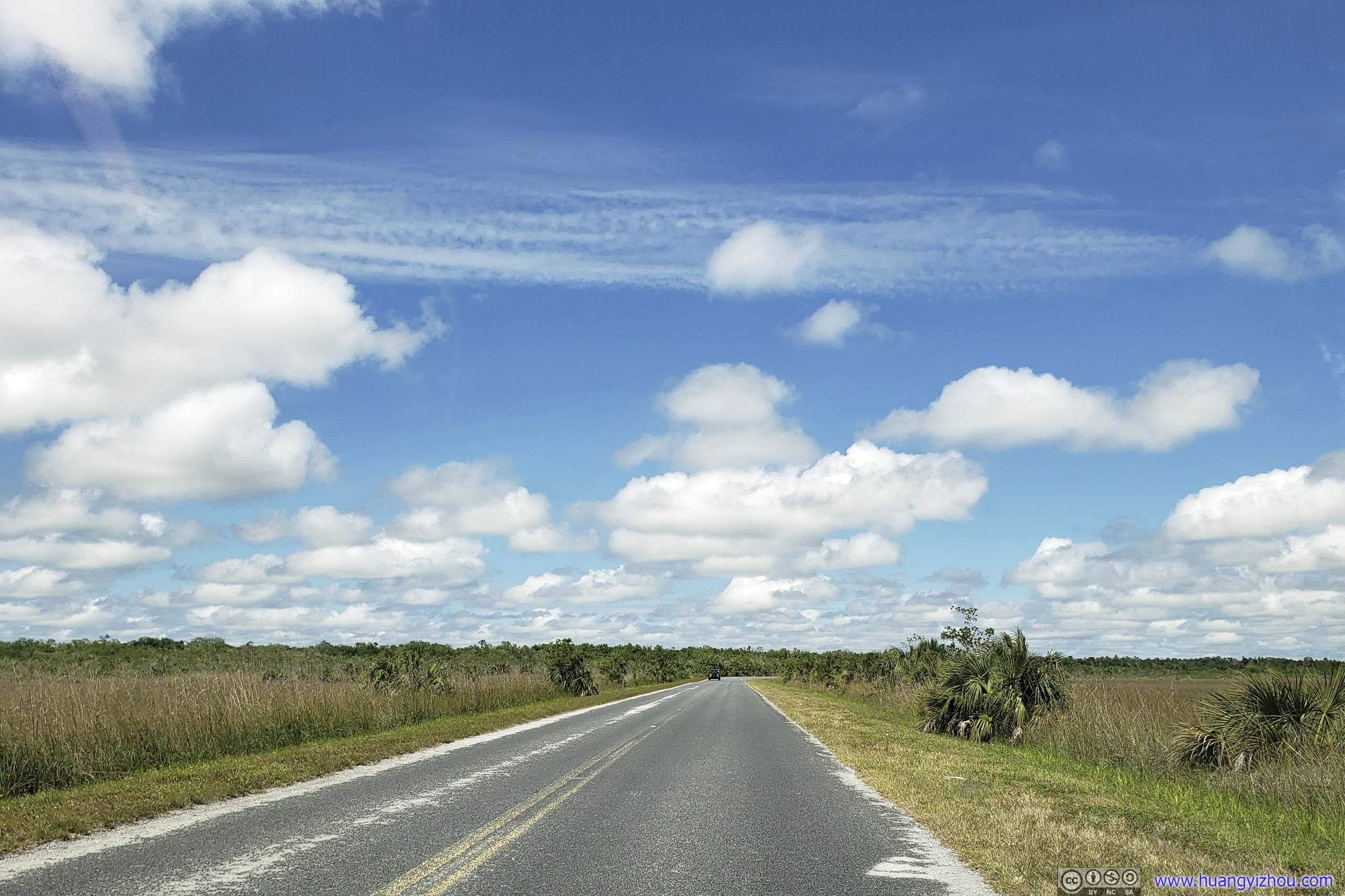
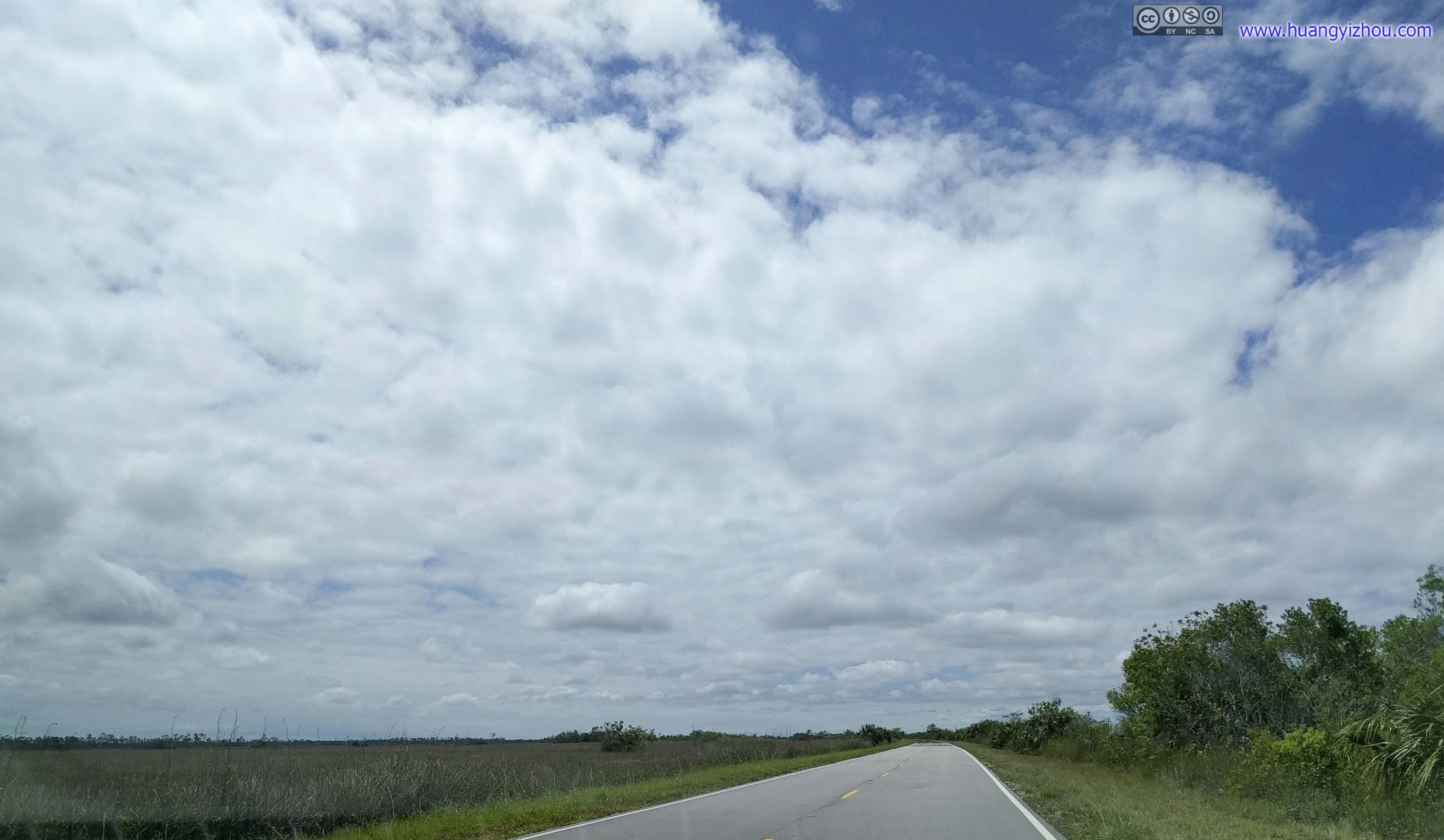
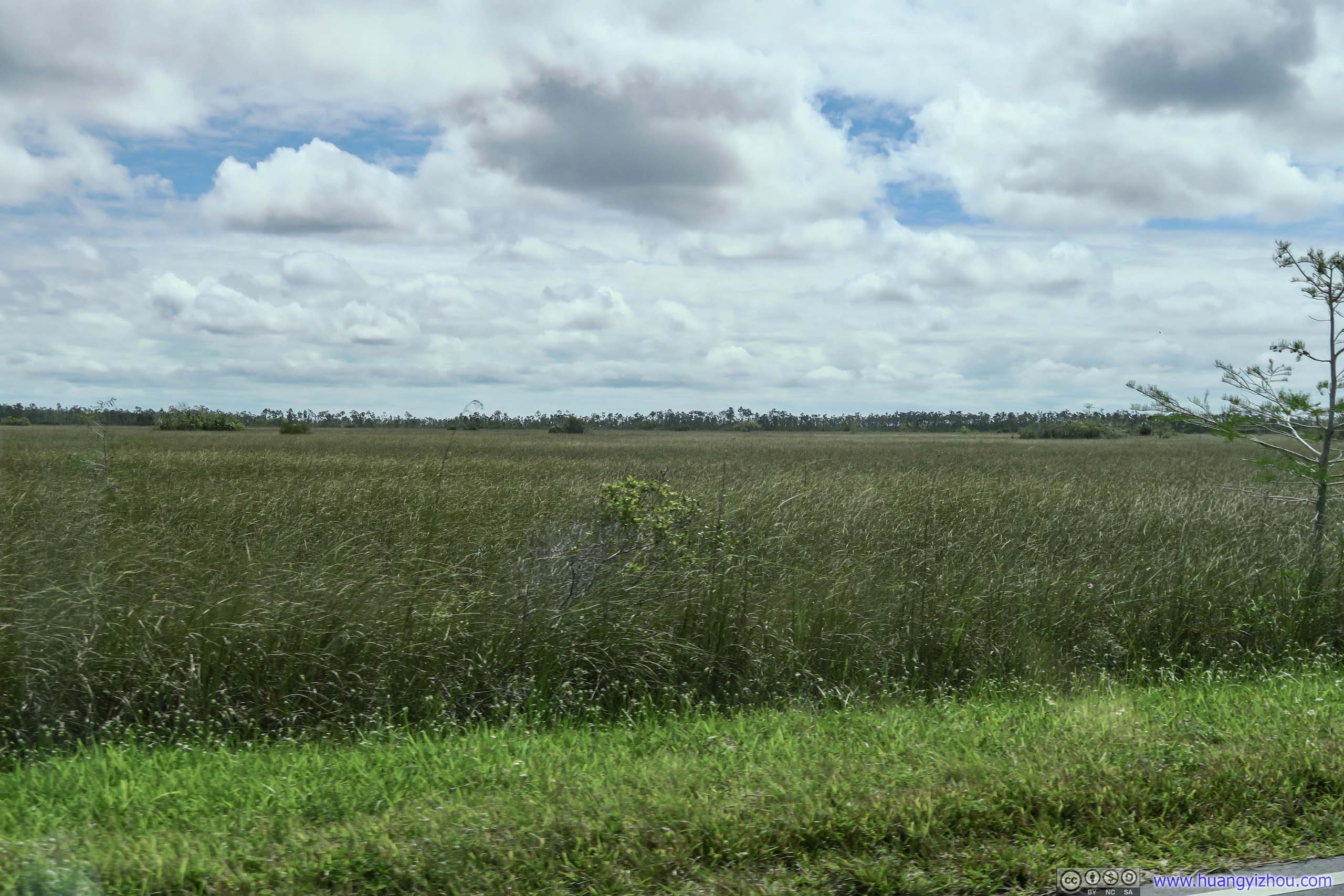
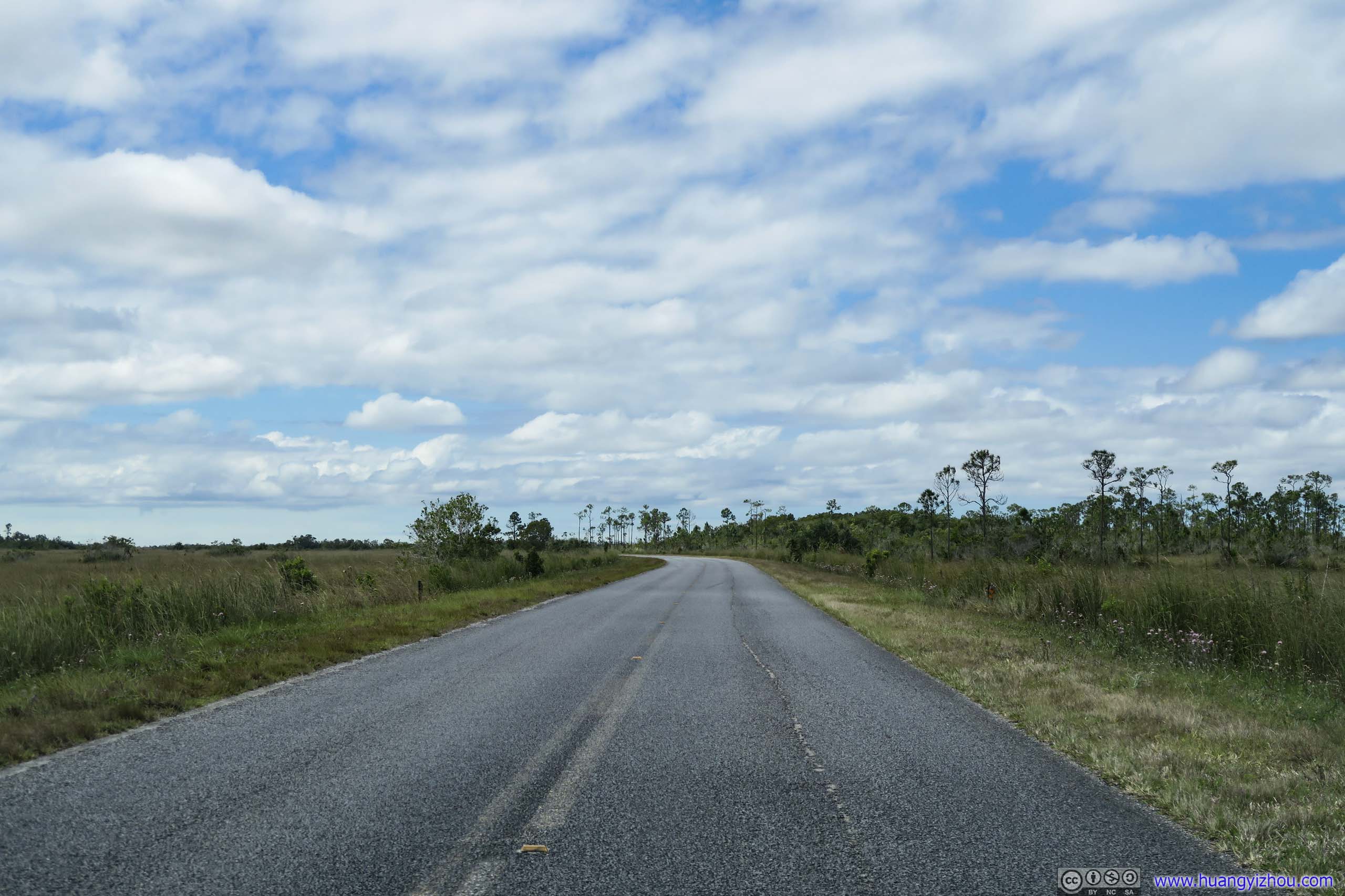
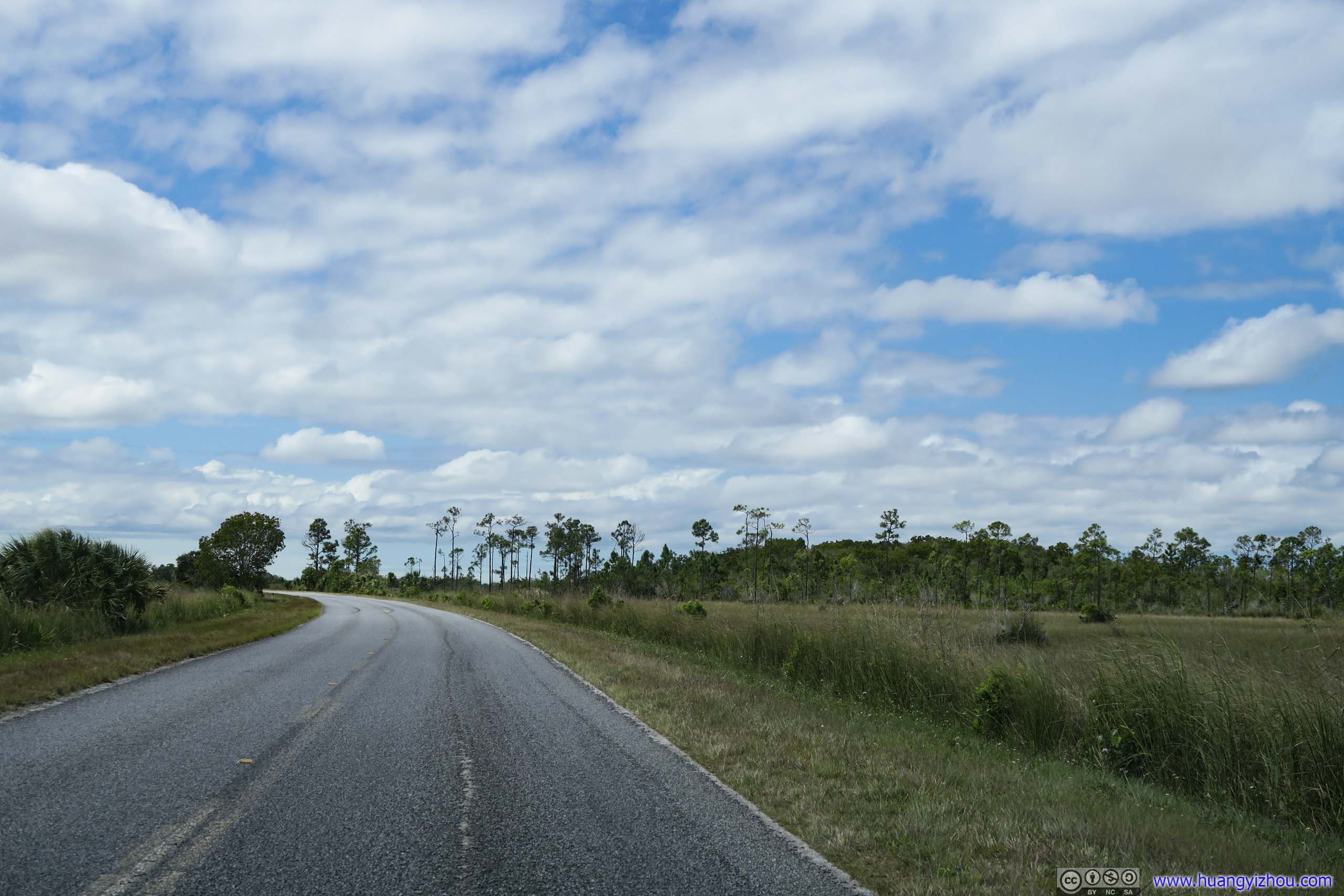
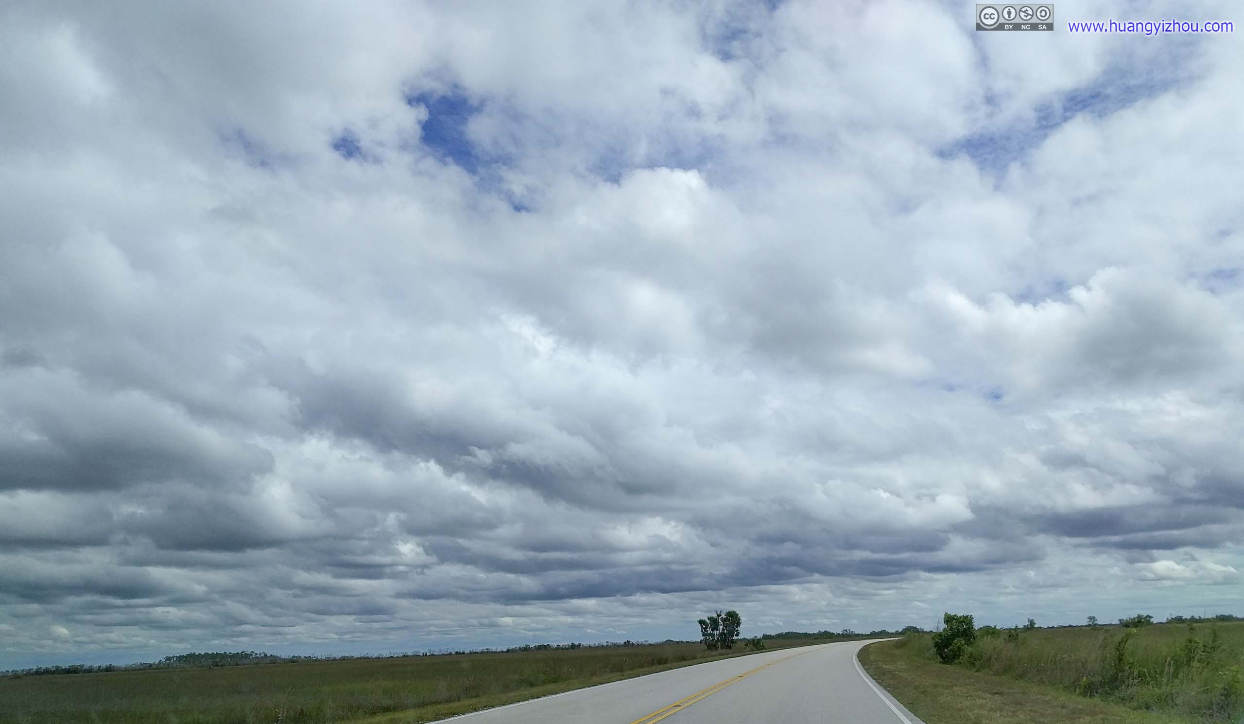
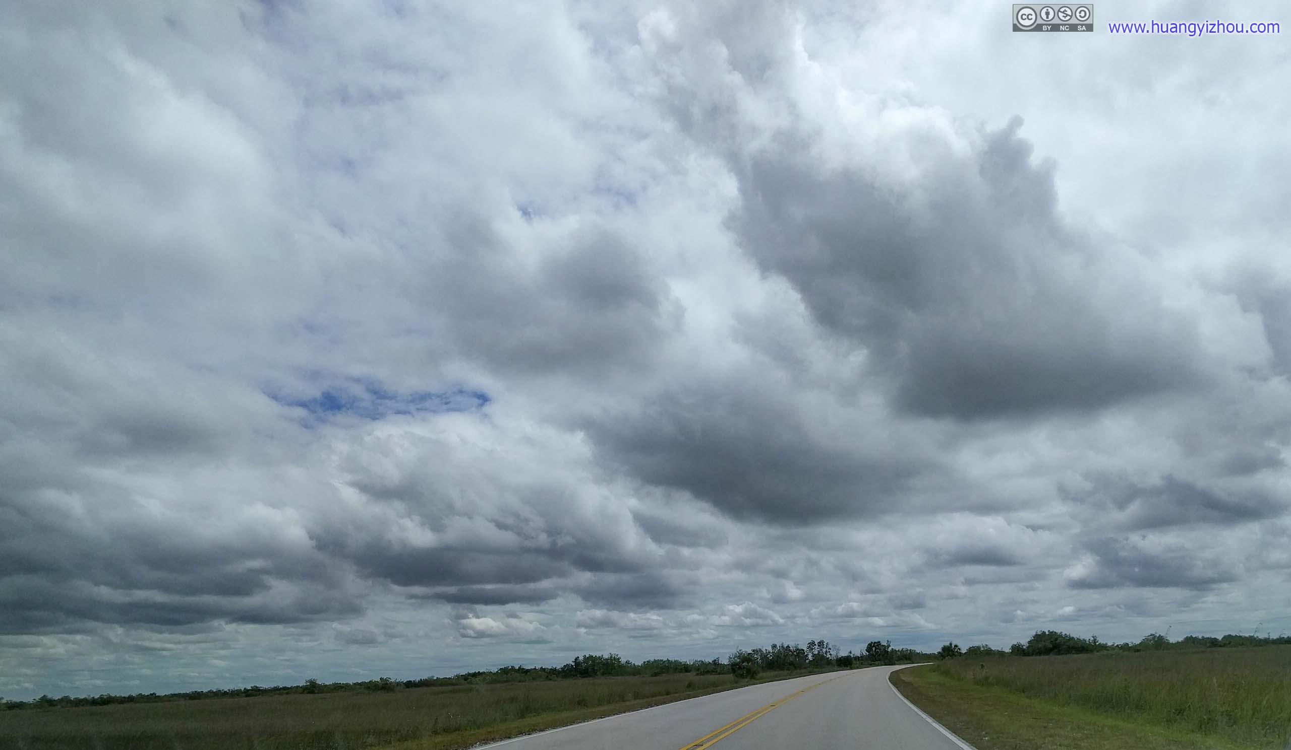
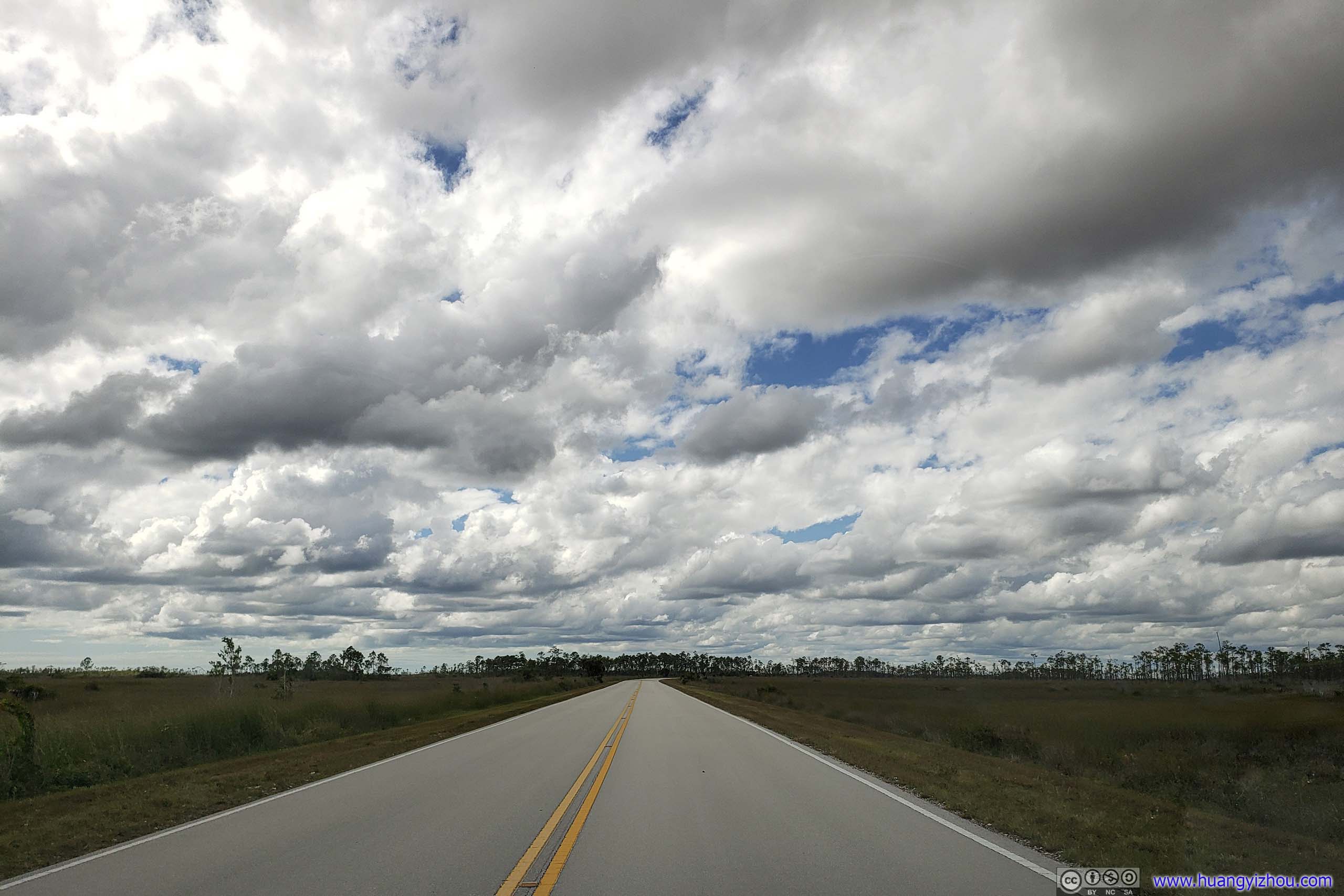
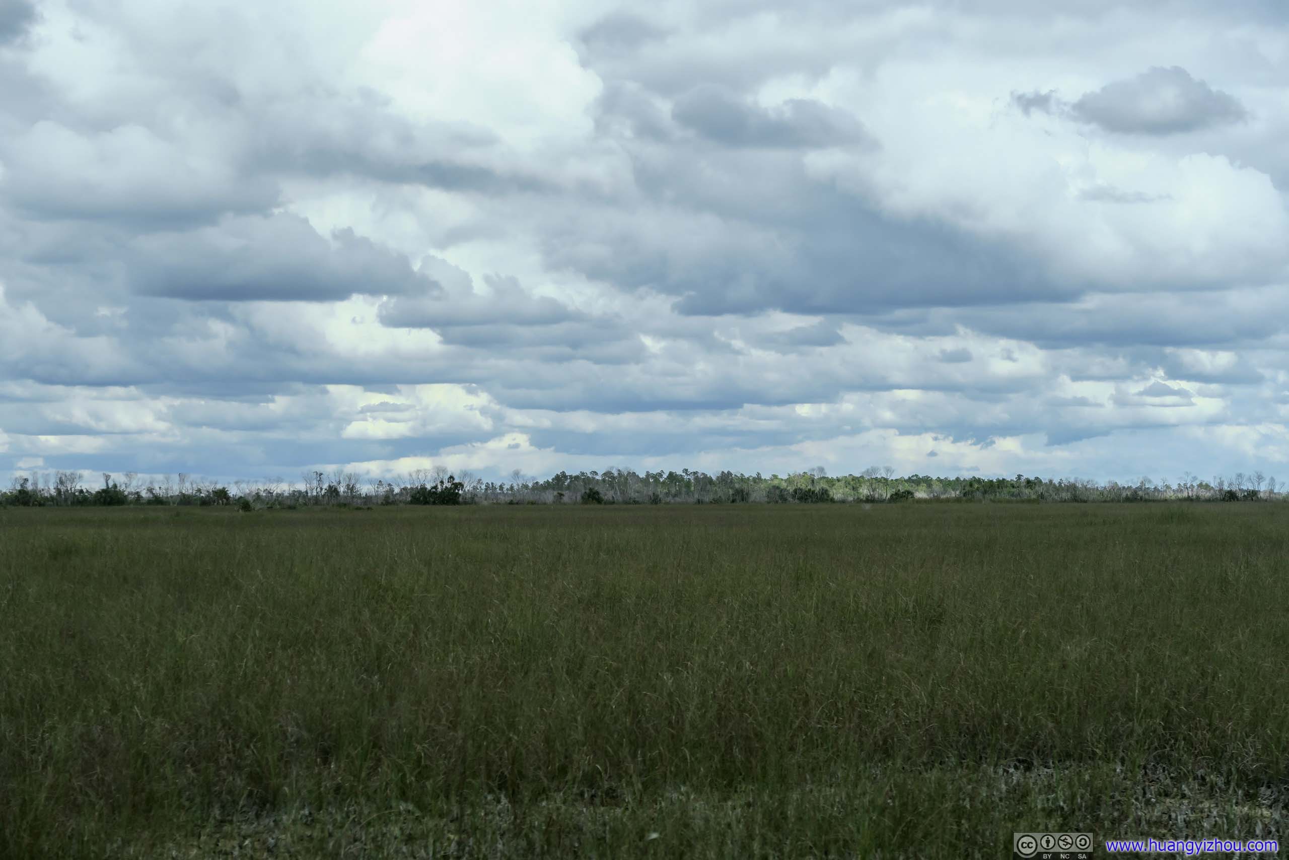
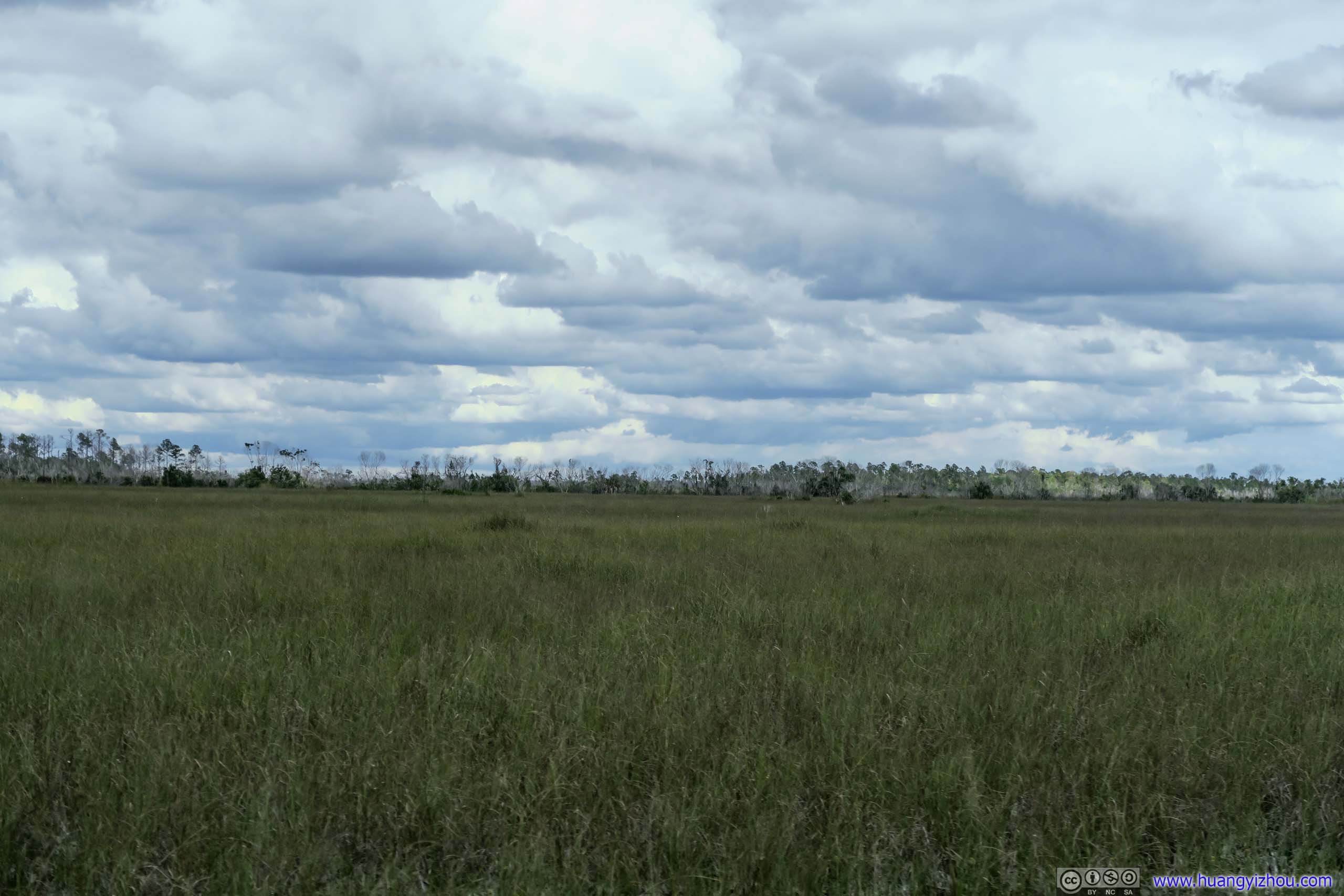
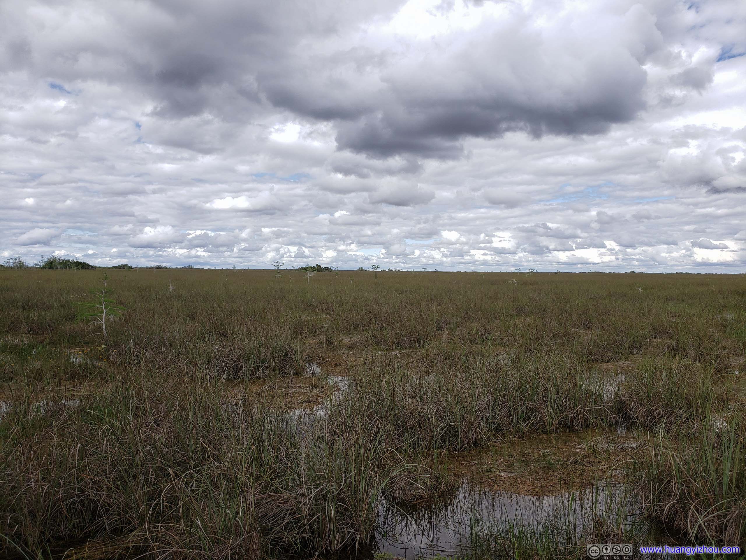
 Park RoadFirst part of the park was mostly grass fields like this.
Royal Palm
My first stop in the park was Royal Palm area. It’s the only place of the day that one could see crocodiles (and there were many).
Technically “crocodiles” and “alligators” were two different species, which I don’t know how to tell. I will address all the photos as “crocodiles”.
There were two short trails in the Royal Palm area, Anhinga Trail with its crocodiles were more popular than Gumbo Limbo Trail in the forest, that’s also where I went first.
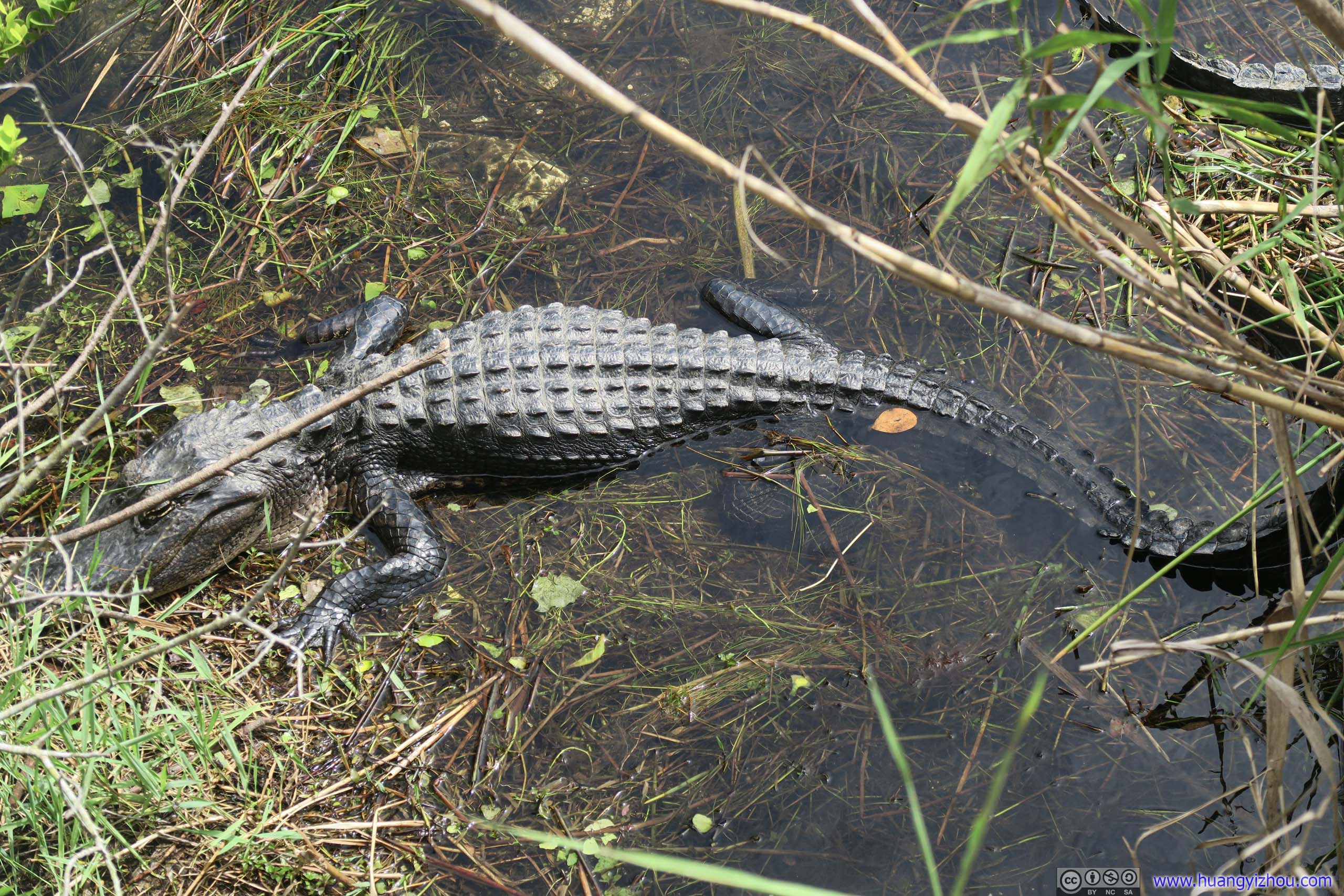
 Crocodile
Fish

 GrasslandThis area was first Royal Palm State Park, preceding the larger national park.
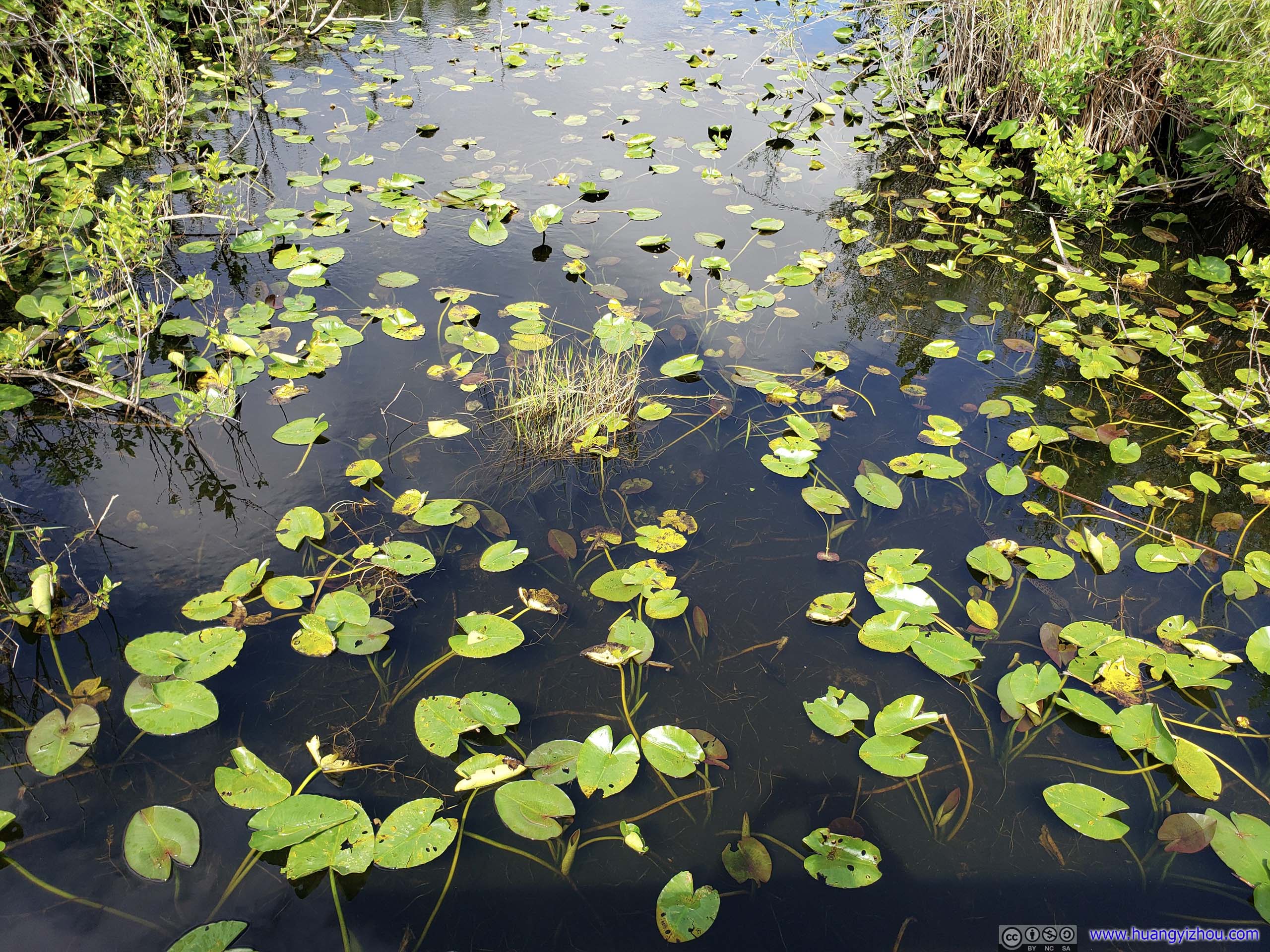
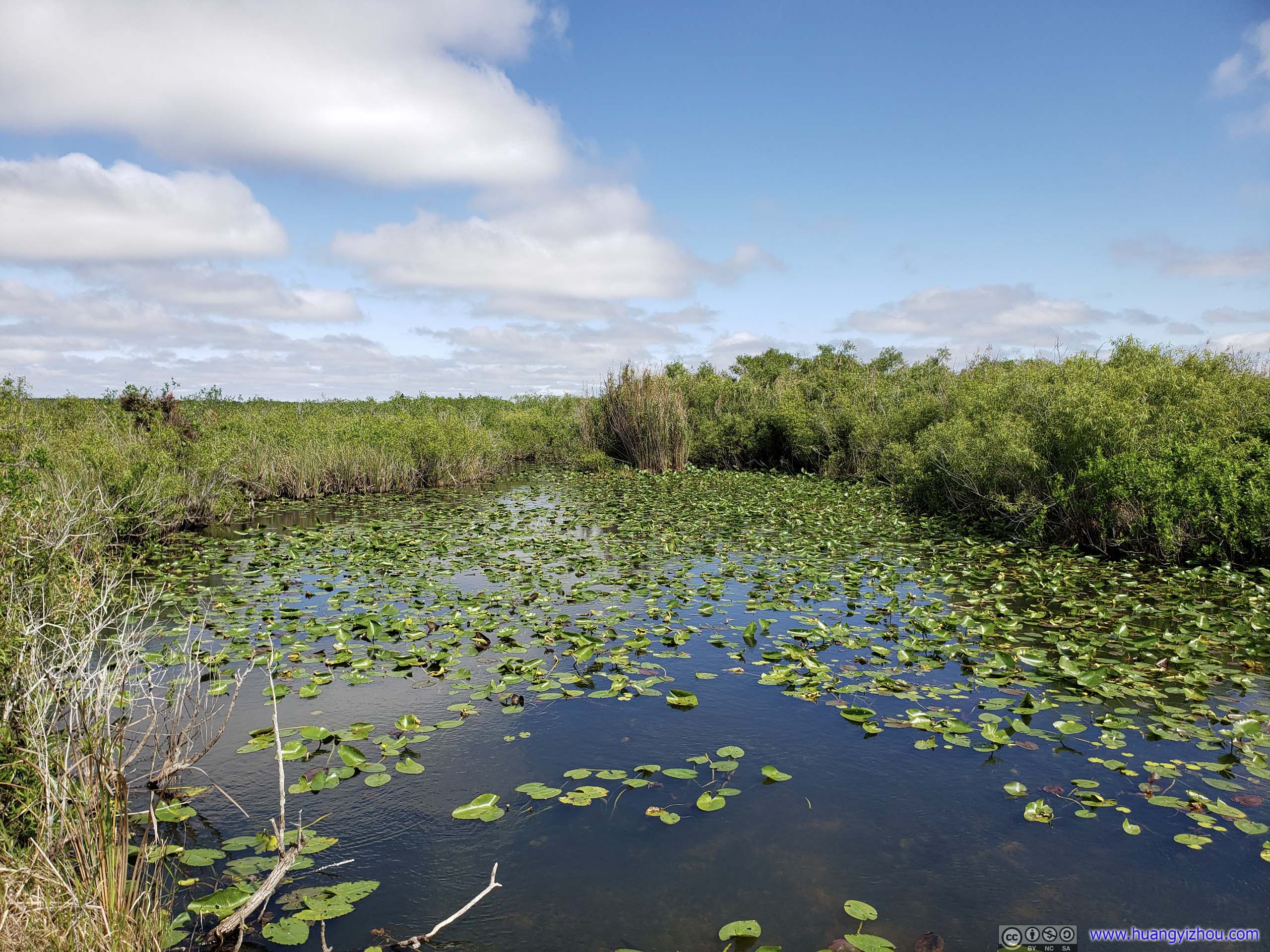
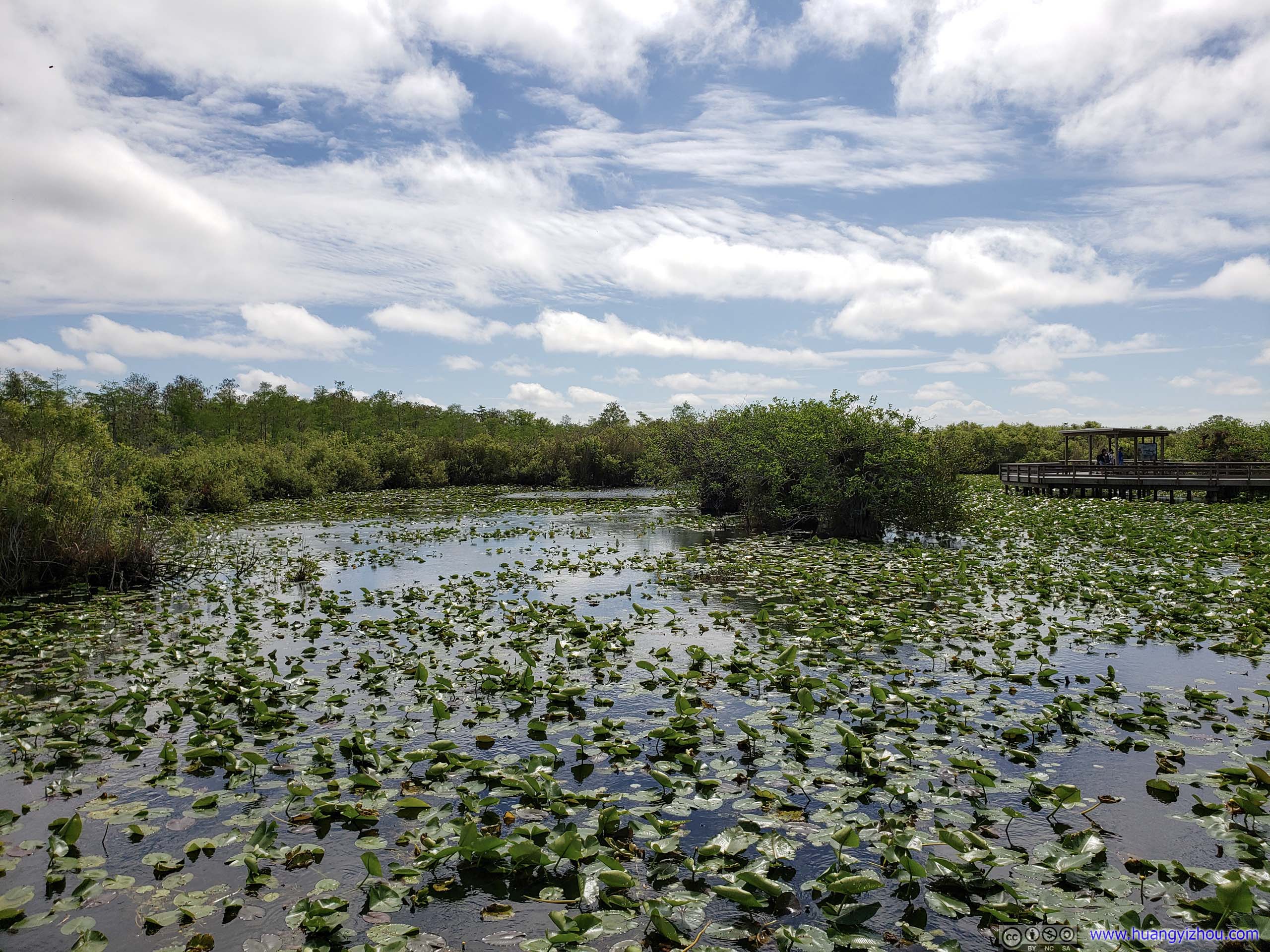
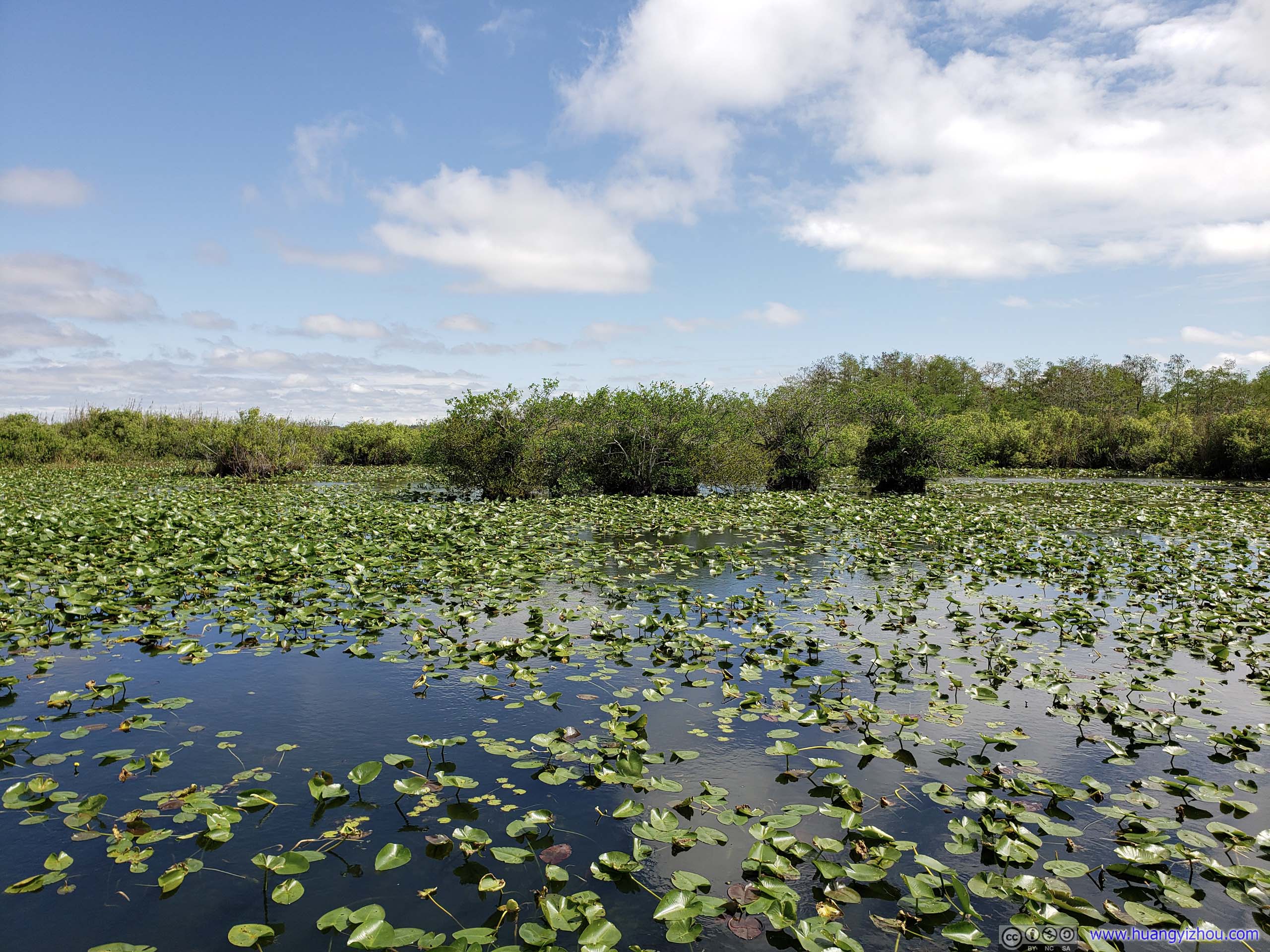 Pond
Pond
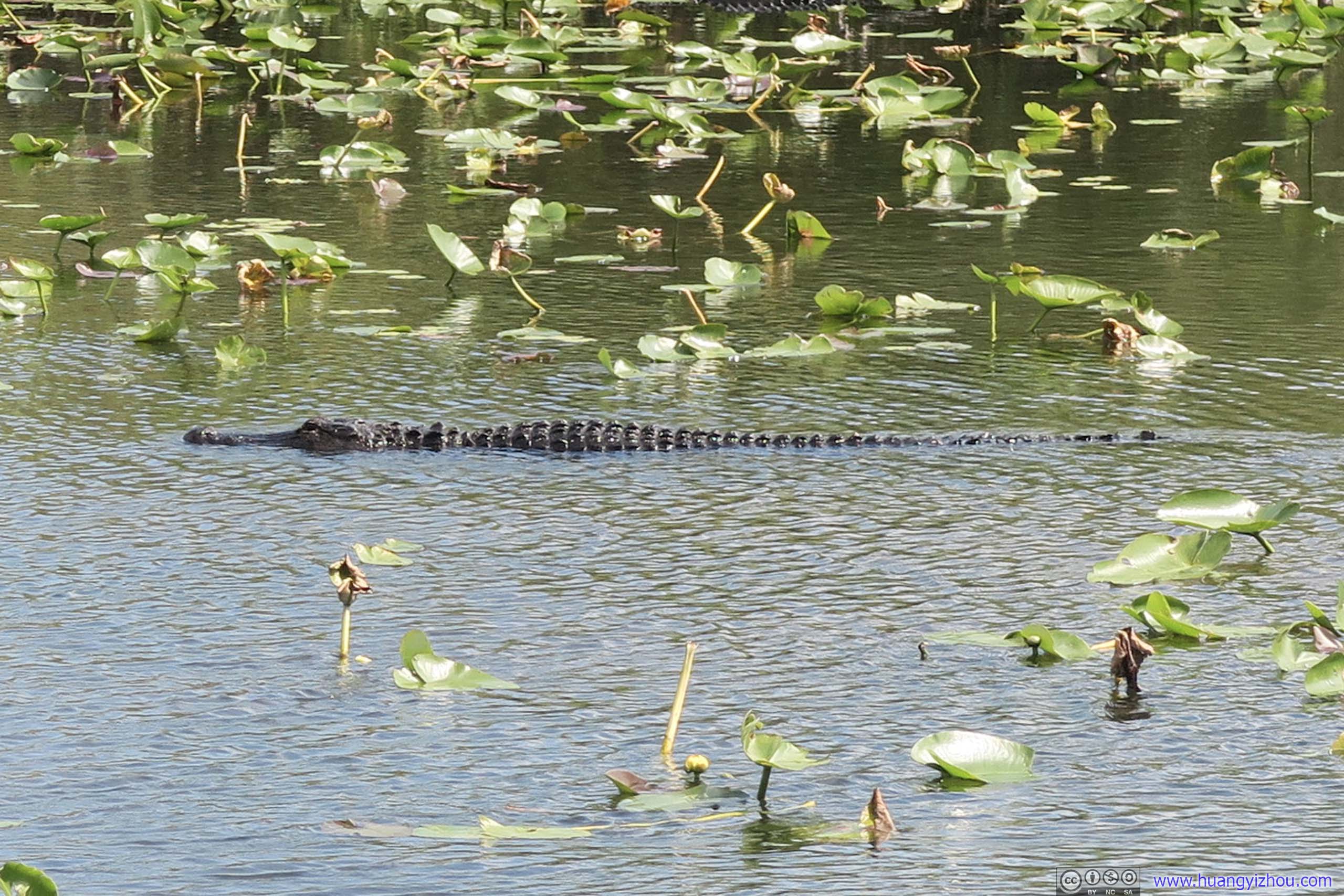
Crocodile in PondThese crocodiles should certainly be taught a lesson in stealth swimming by their peers in Yala, Sri Lanka, where I visited in 2017.
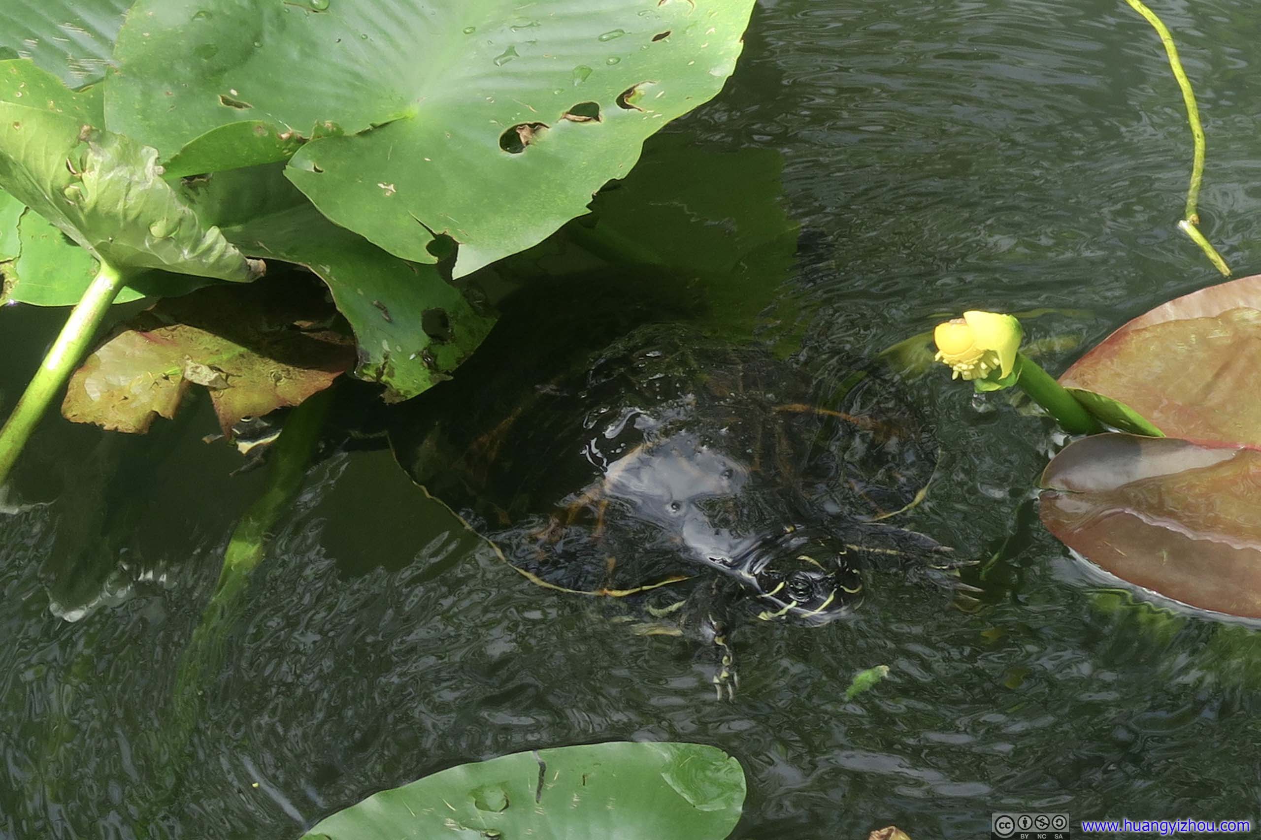
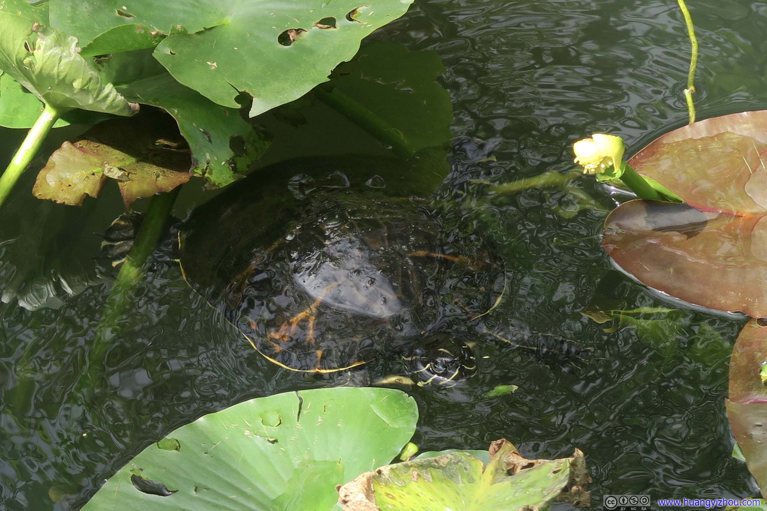
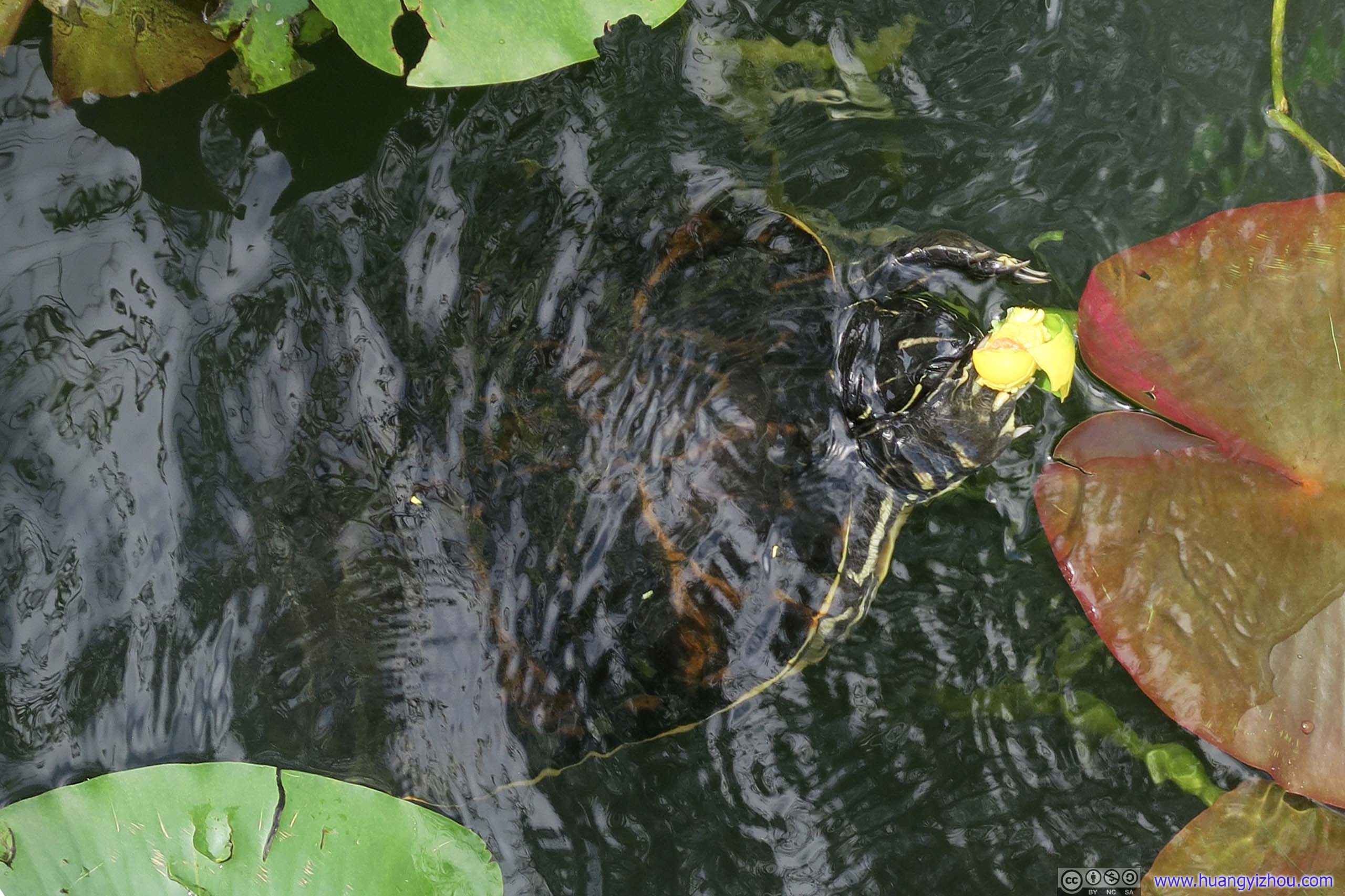
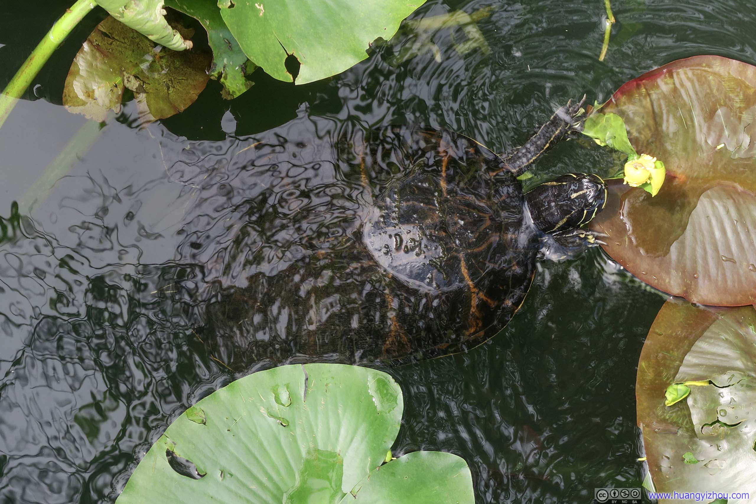 TurtleIt seemed like he was trying to feast on this flower.
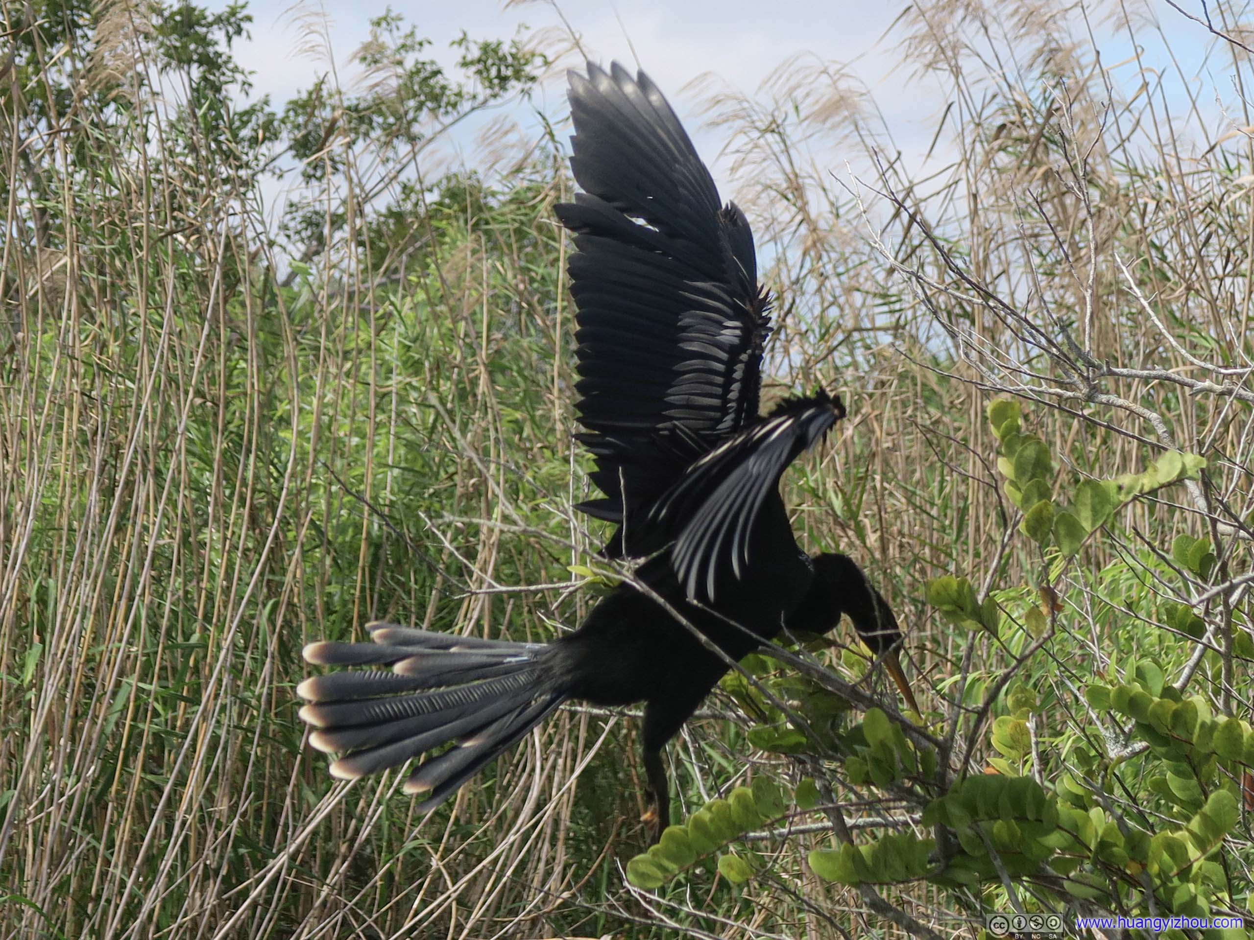
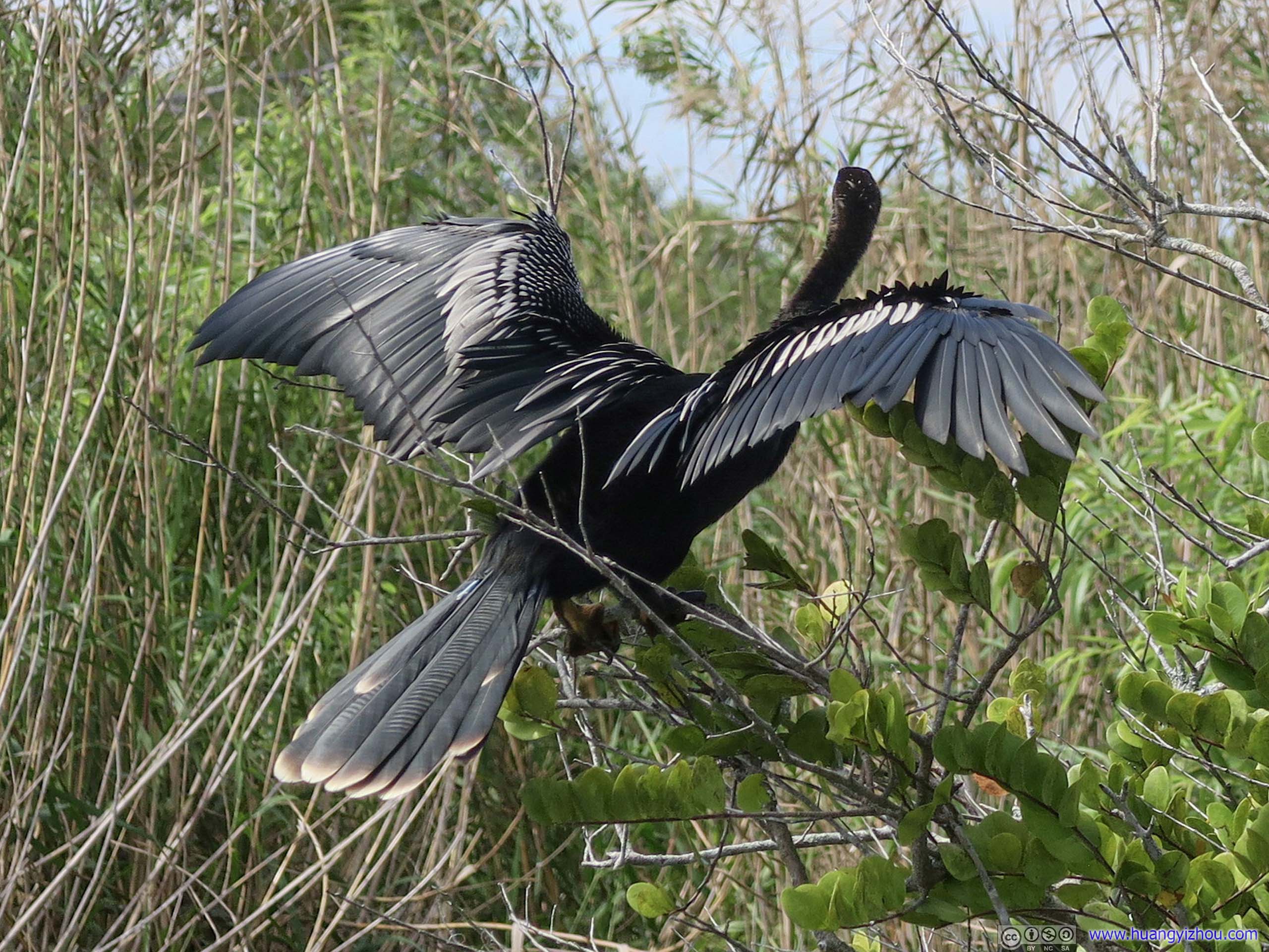
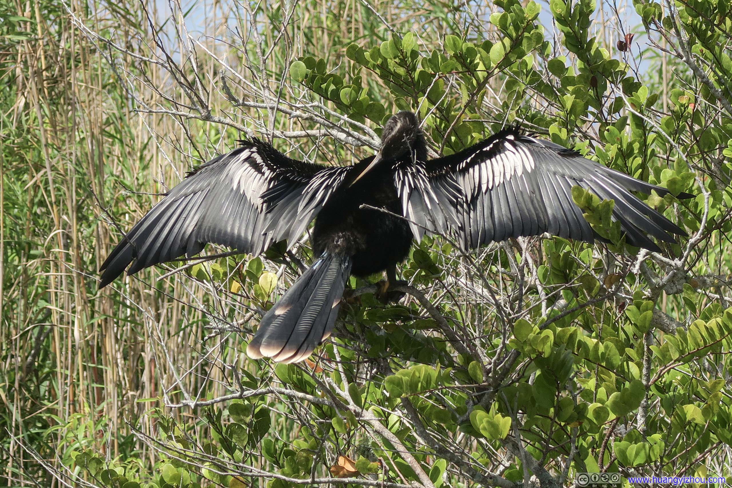
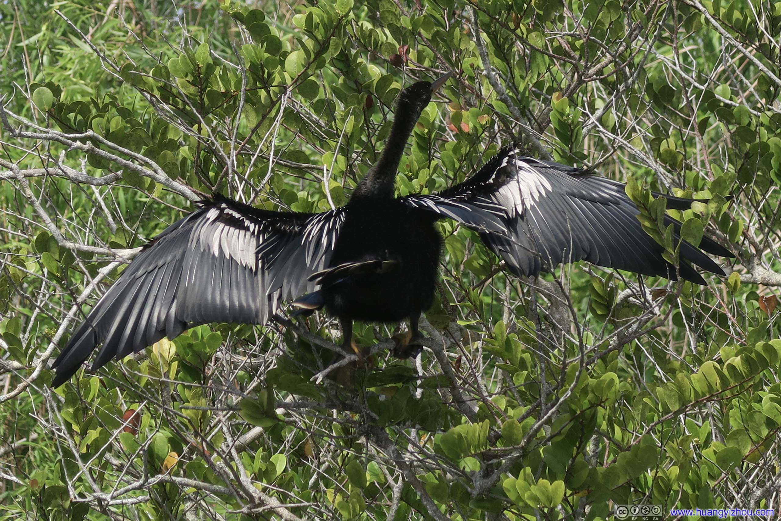 AnhingaNamesake of the trail.
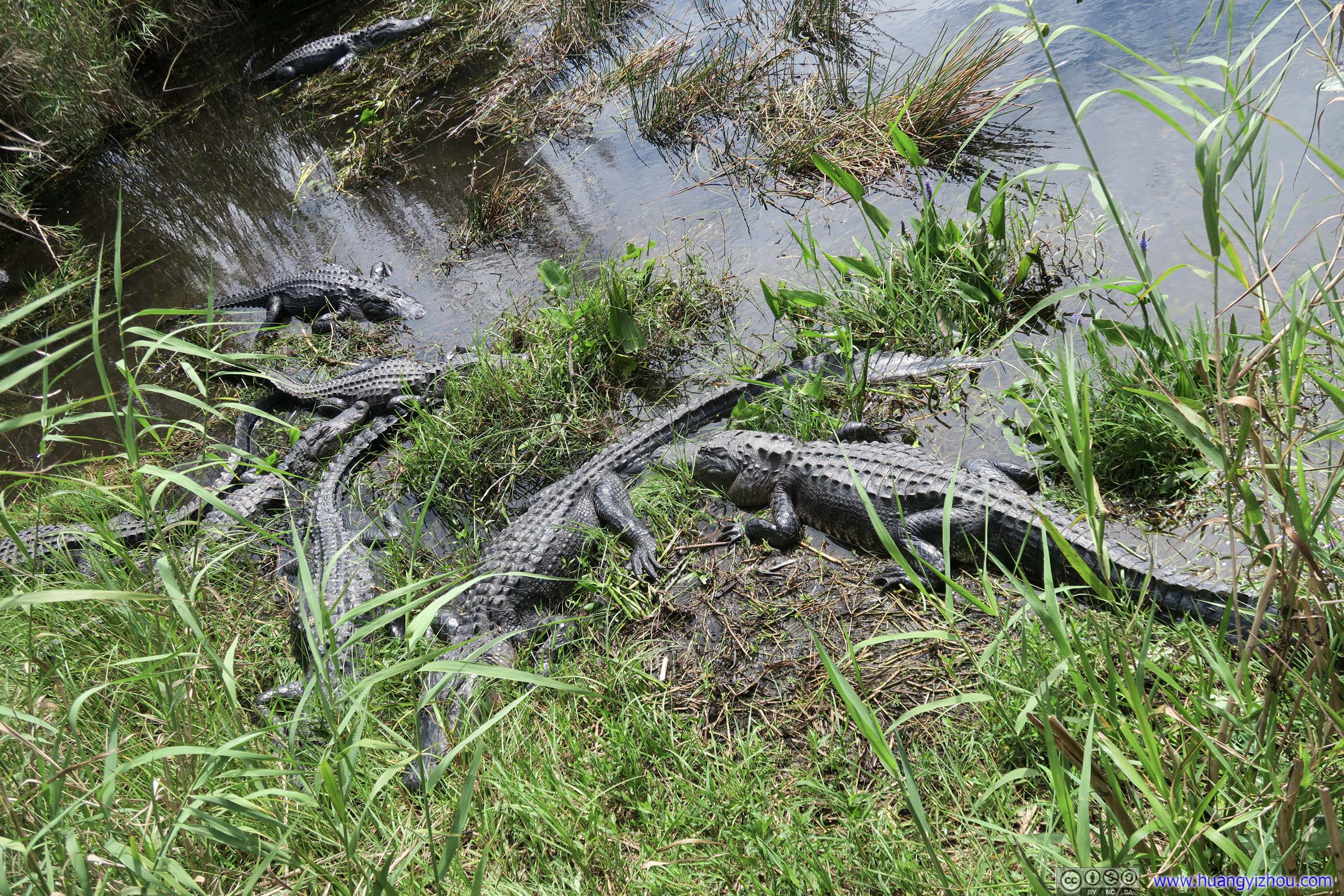
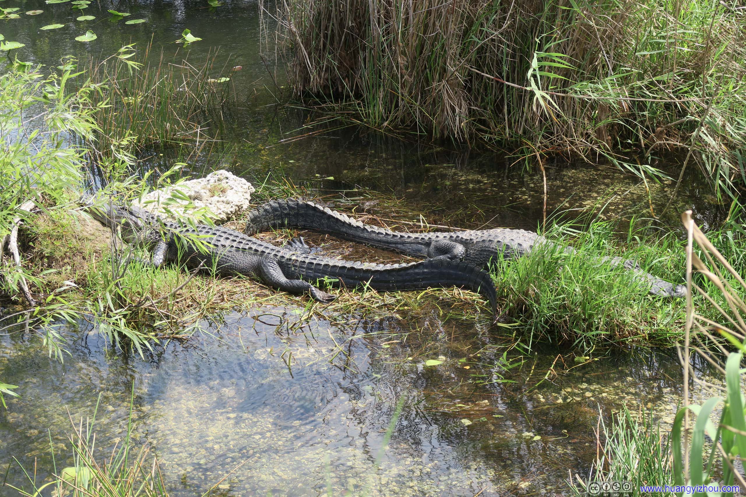
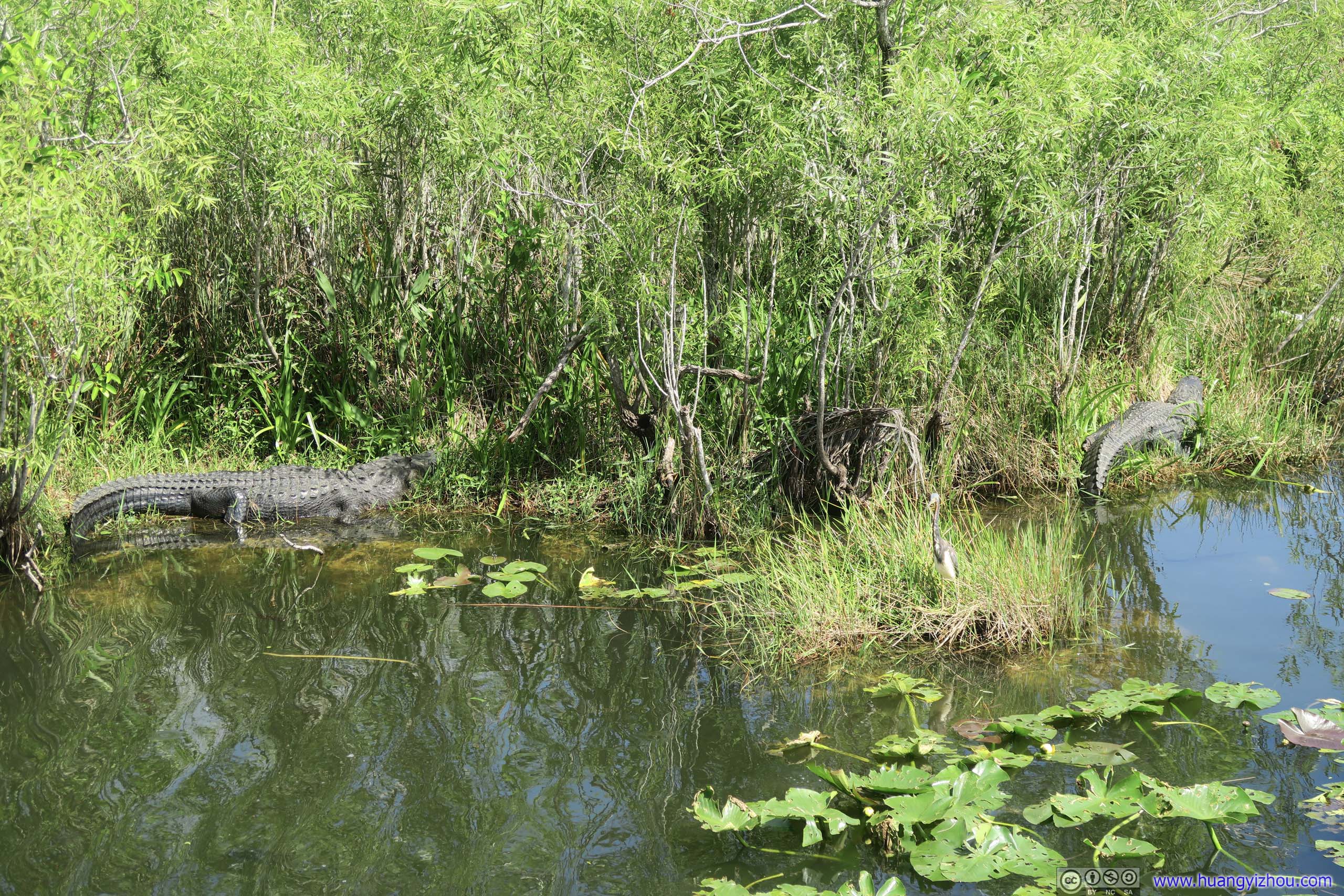
 Crocodiles
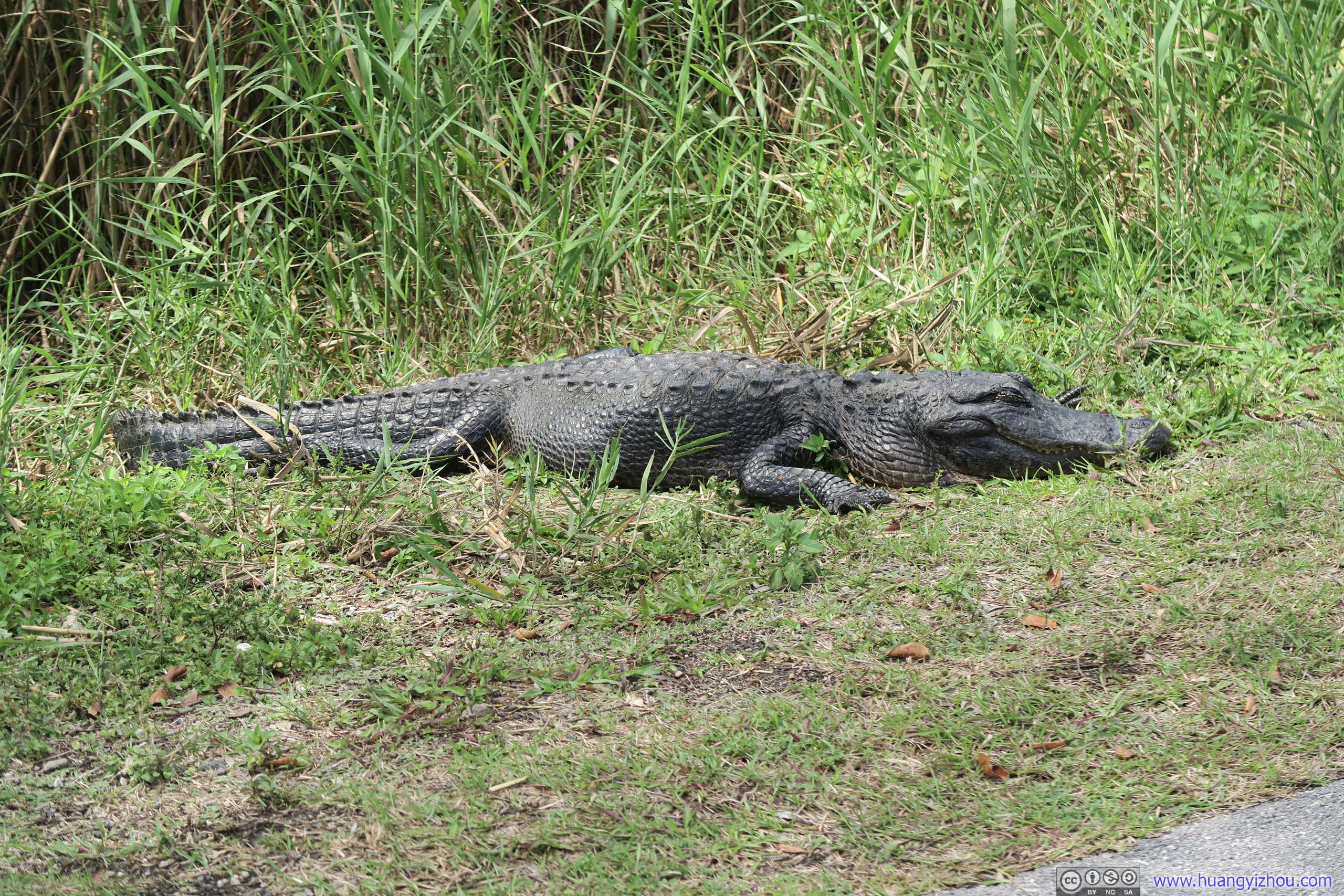
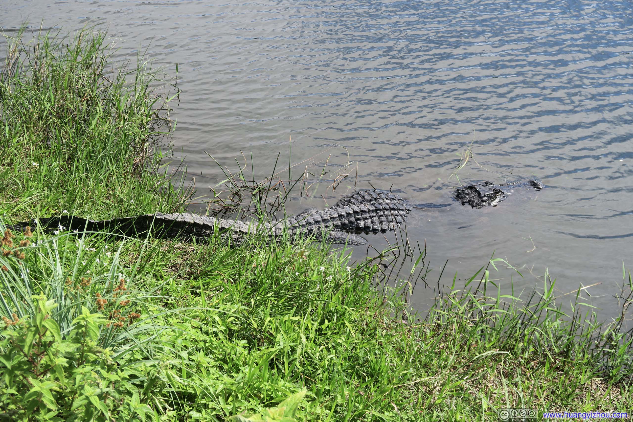
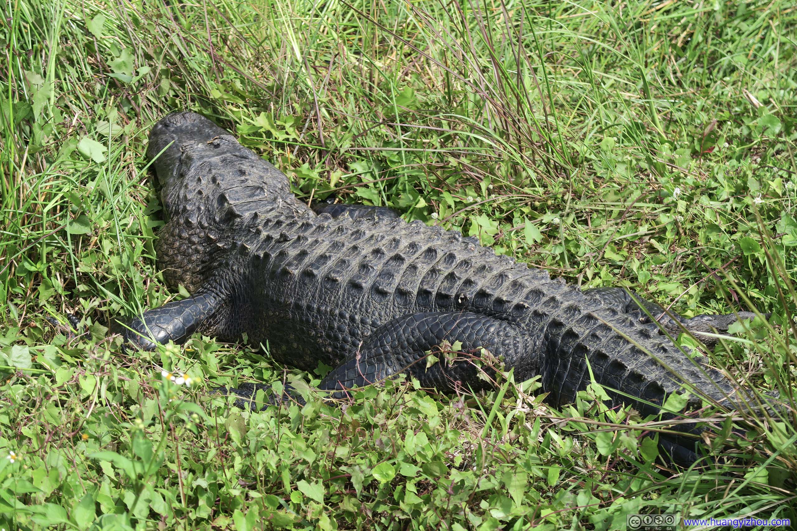
Roadside CrocodileThis one’s laying one meter from trail. Glad that he was enjoying his nap and not feeling hungry.
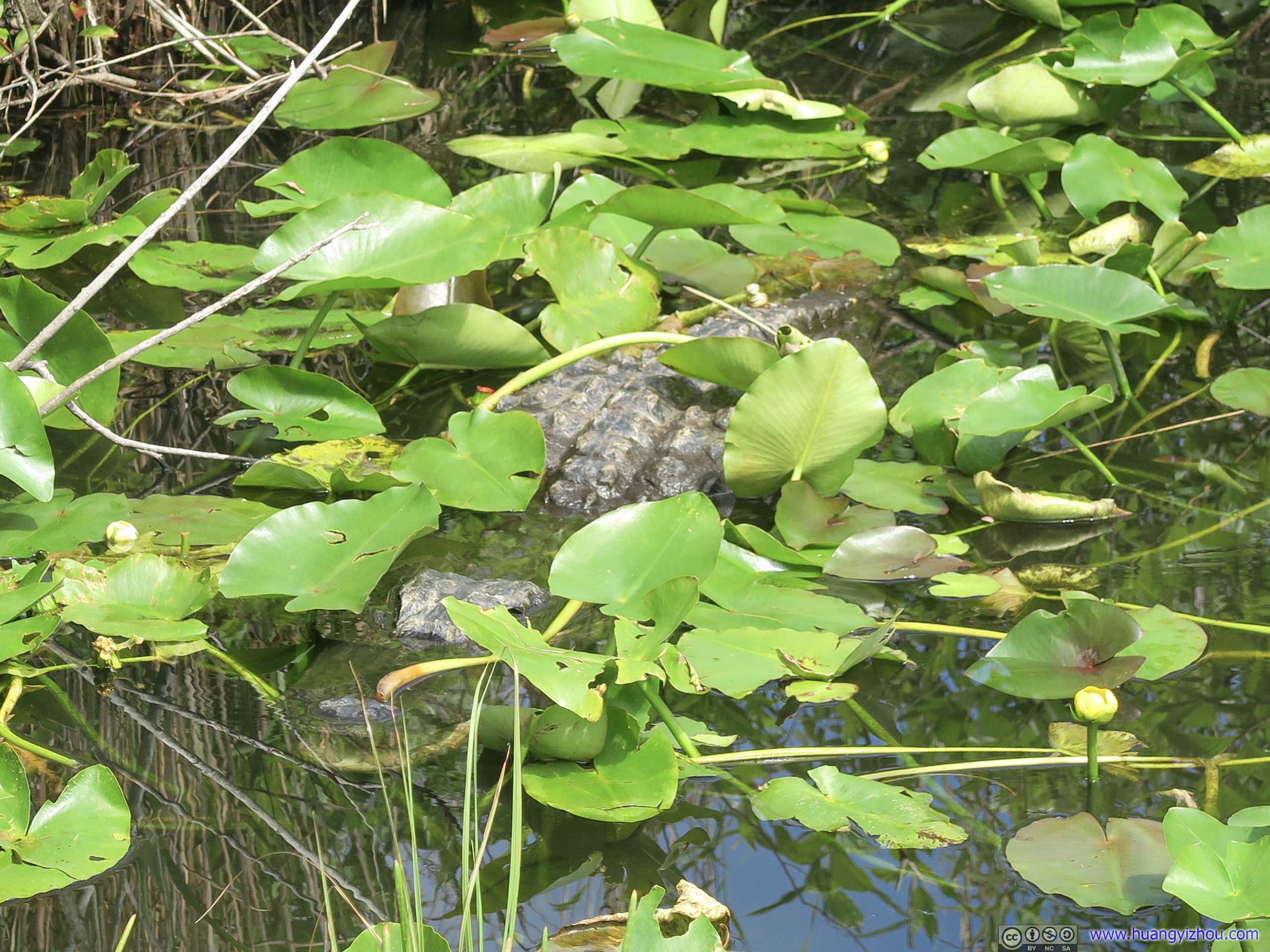
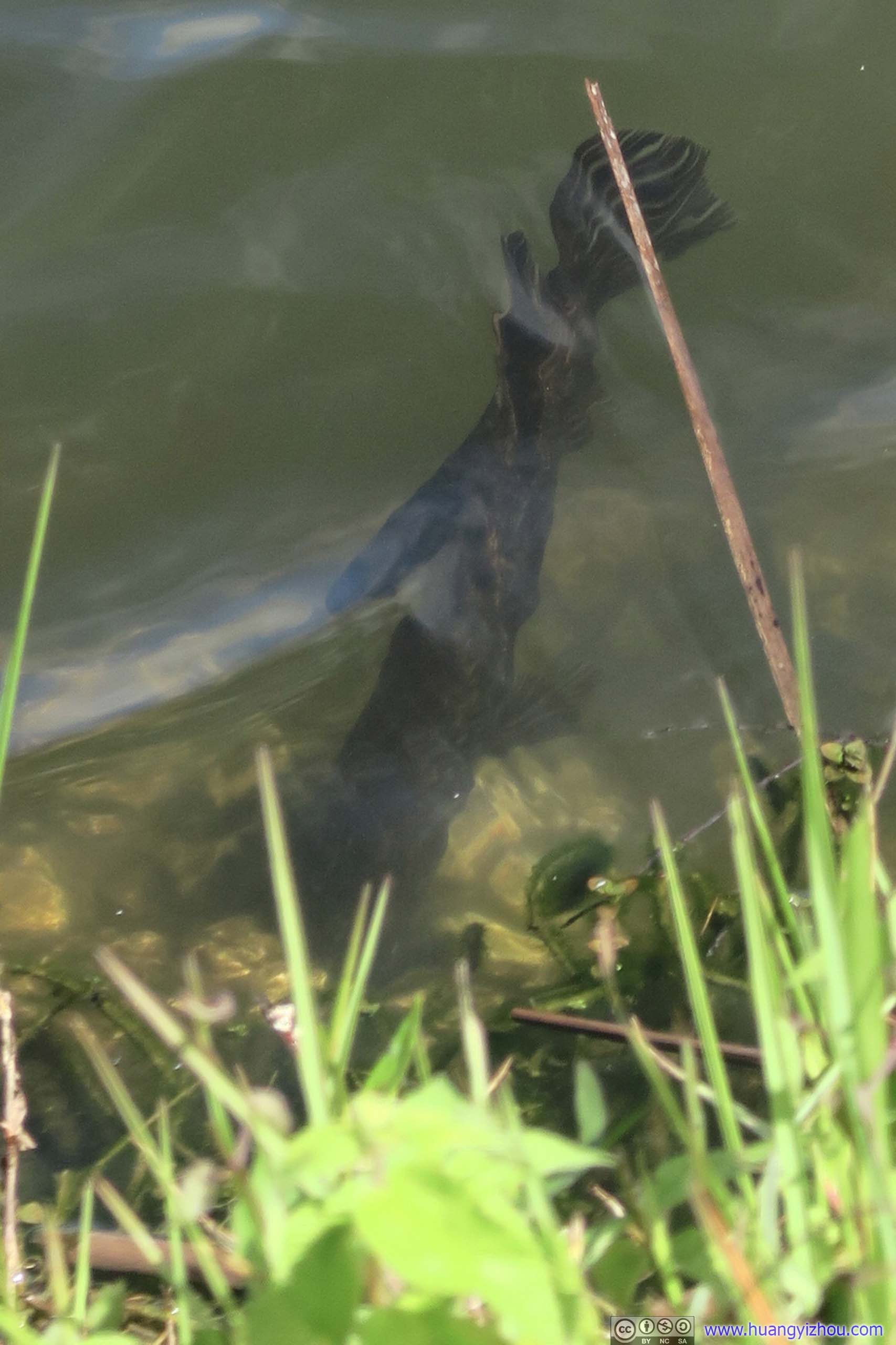
Crocodile in WaterMuch better hidden than its peers.
After that, I went onto Gumbo Limbo Trail, which wound his way through Paradise Key, an “island” of trees surrounded by the slow-moving river of Taylor Slough.
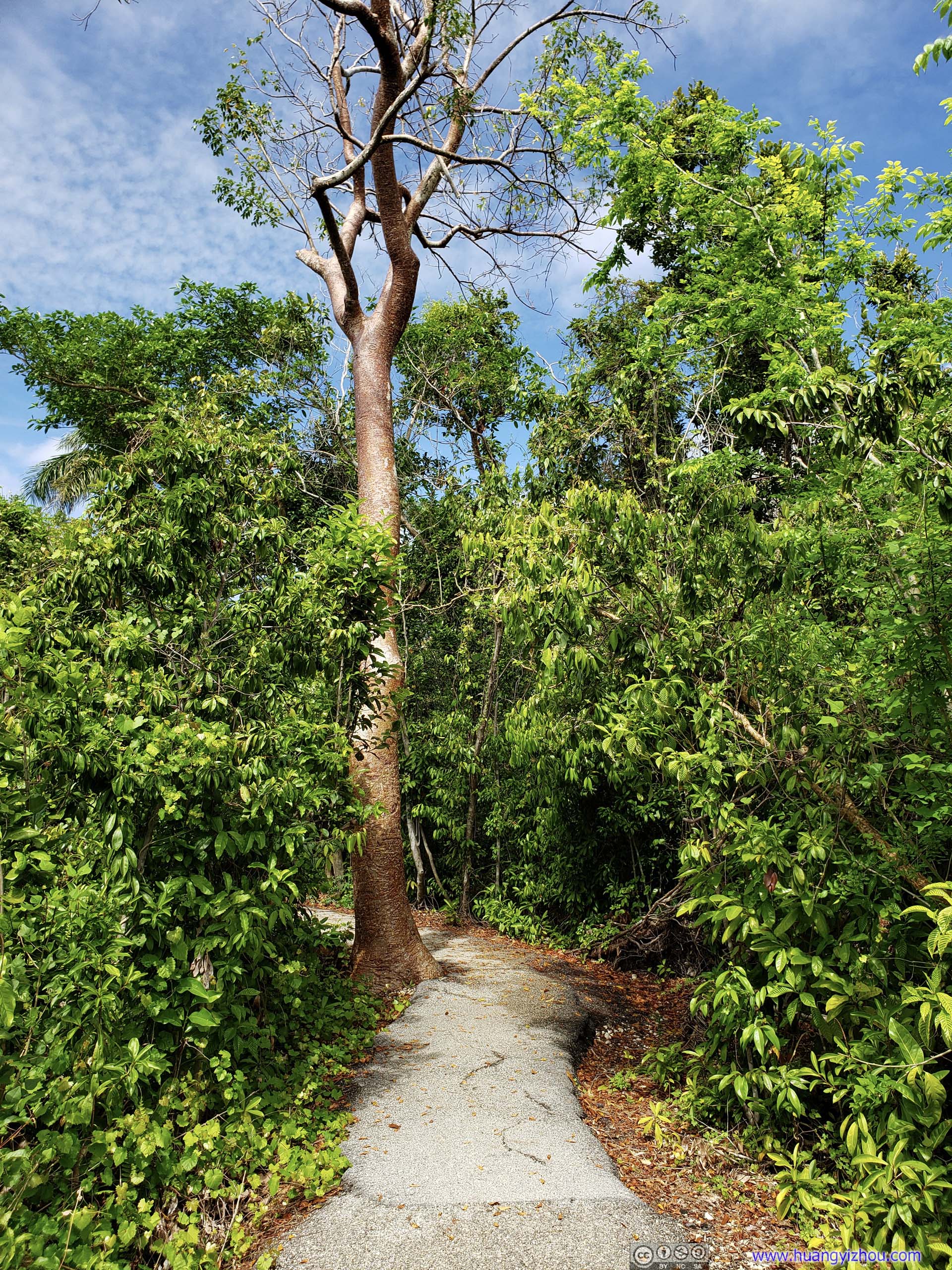
 Trail
Trail
Along the trail I came across some unexpected animals.
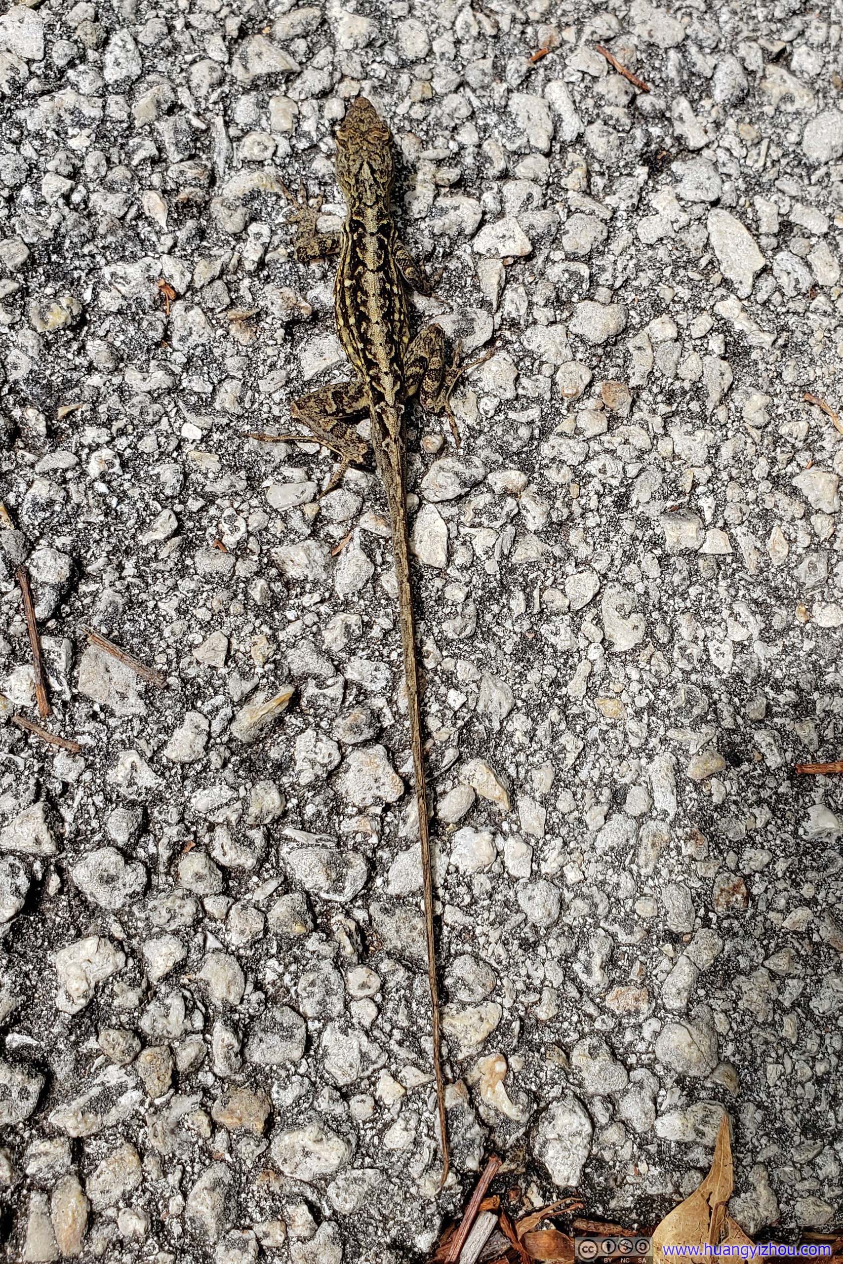
Reptile
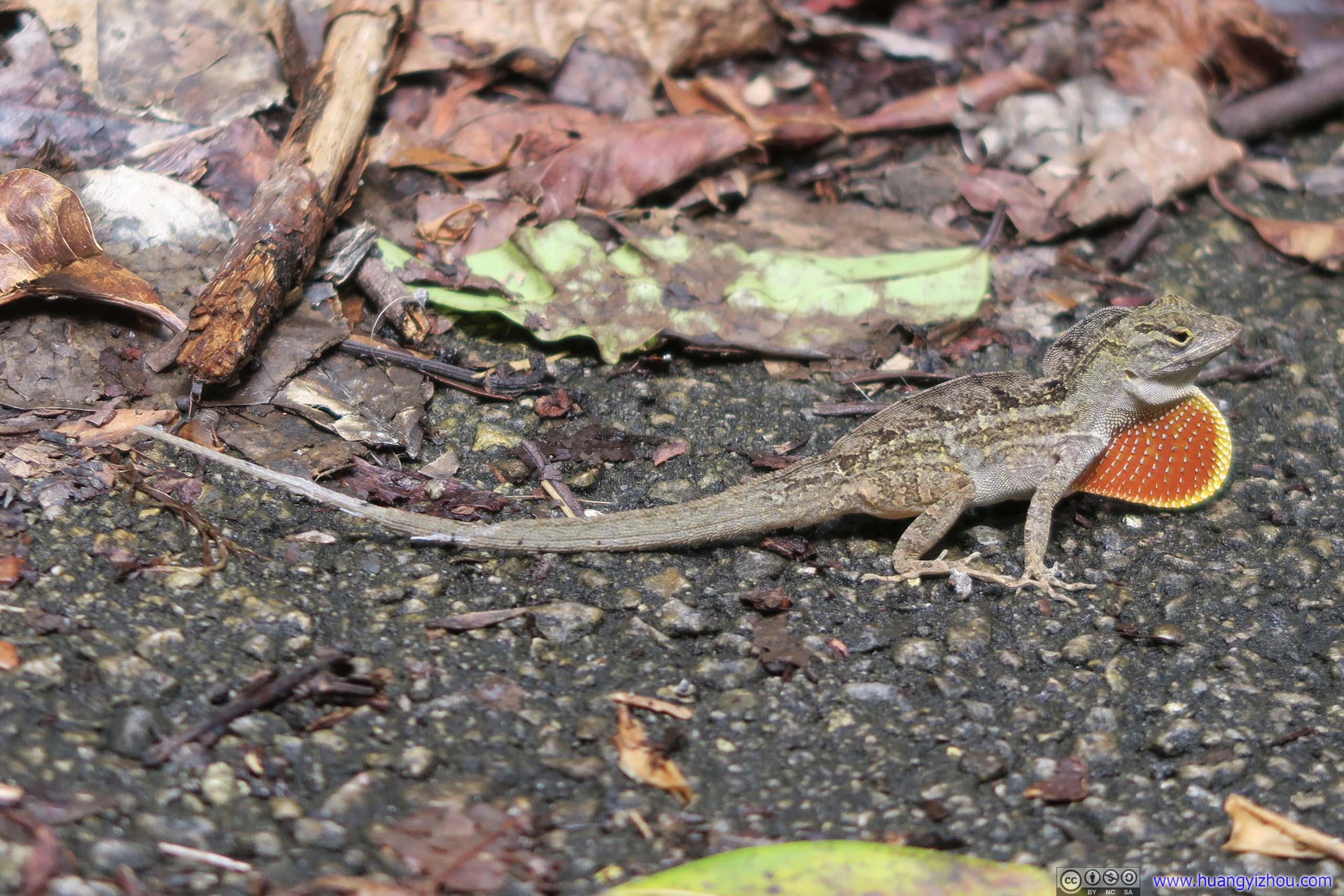
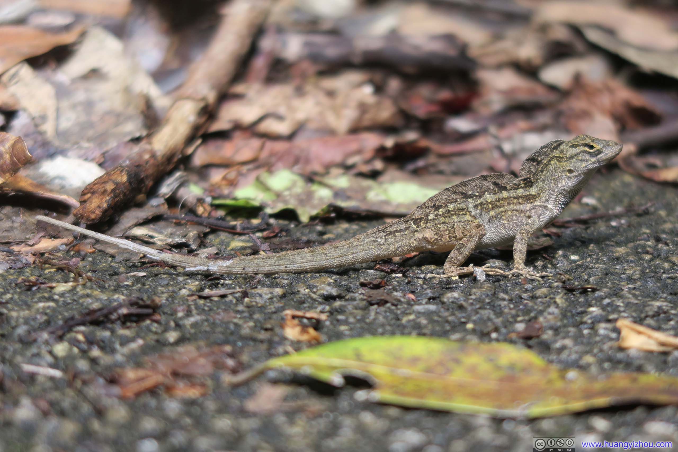 Lizard
And plants.
Fungus
Strangler FigCreated by fig seeds being lodged in crevices on branches on other trees. Descending fig roots entwined and chocked off the host. The fig came out as a more effective competitor and the host tree was dead.

Solution HoleMild organic acid from decaying plants and rainwater imperceptibly dissolved limestone to form this solution hole. During the dry season wildlife can find water to drink, and sometimes these holes may be taken over by an alligator. The level of water represents the ground water table of the whole area.
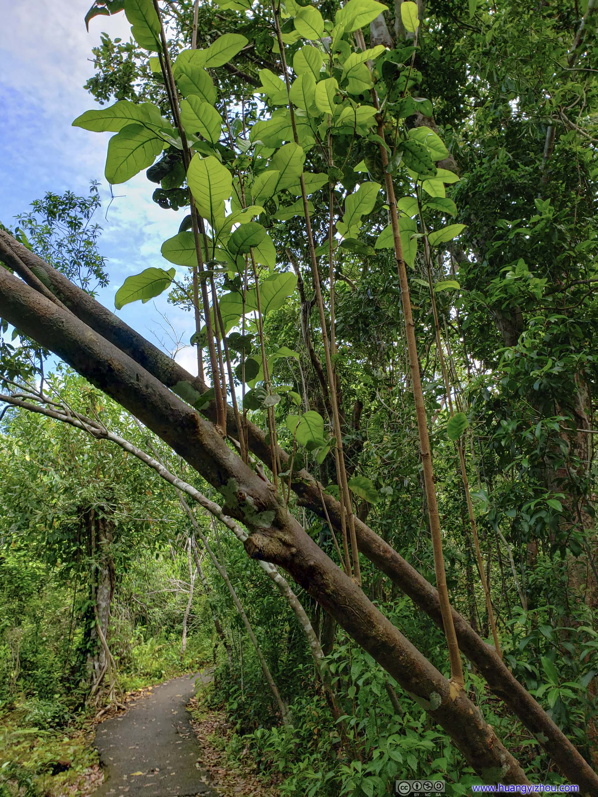
 Sprouting BranchesQuite an unusual sight as these branches could grow straight up from a listing trunk. Or maybe they were a different parasitic plant?

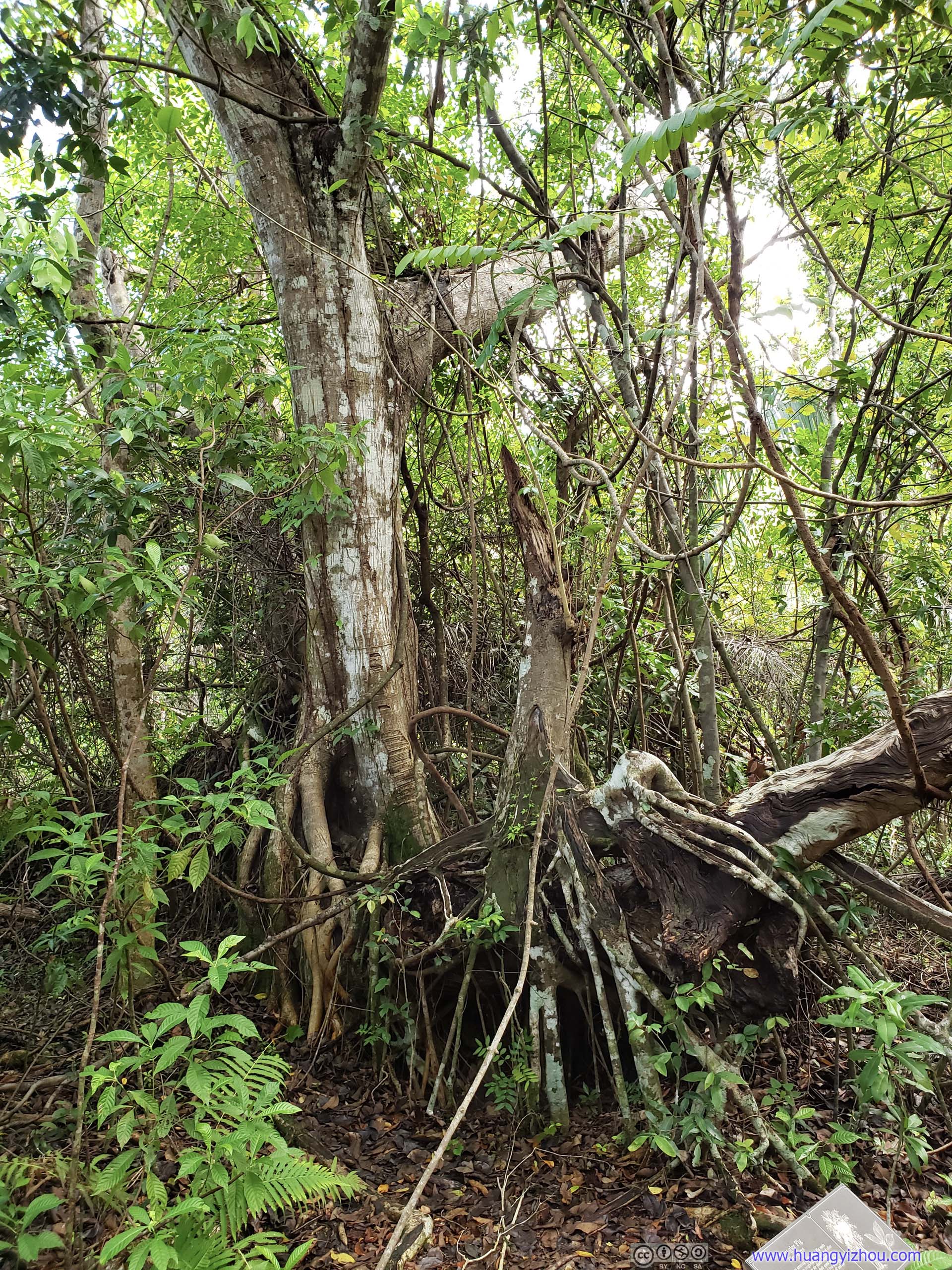
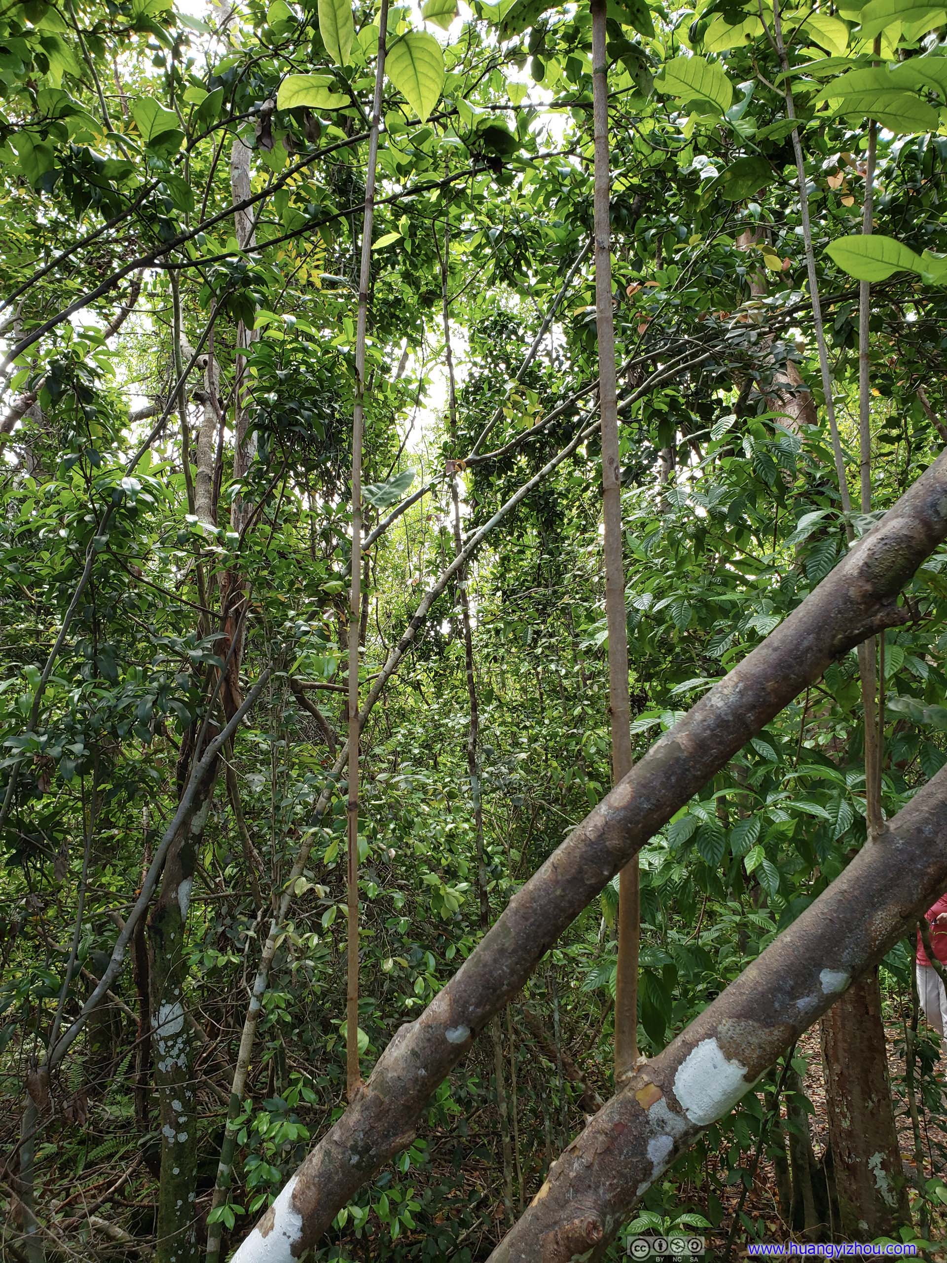
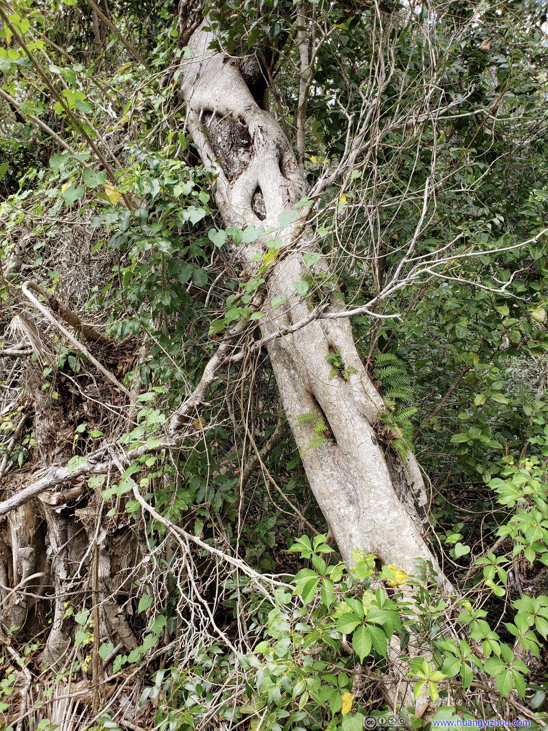
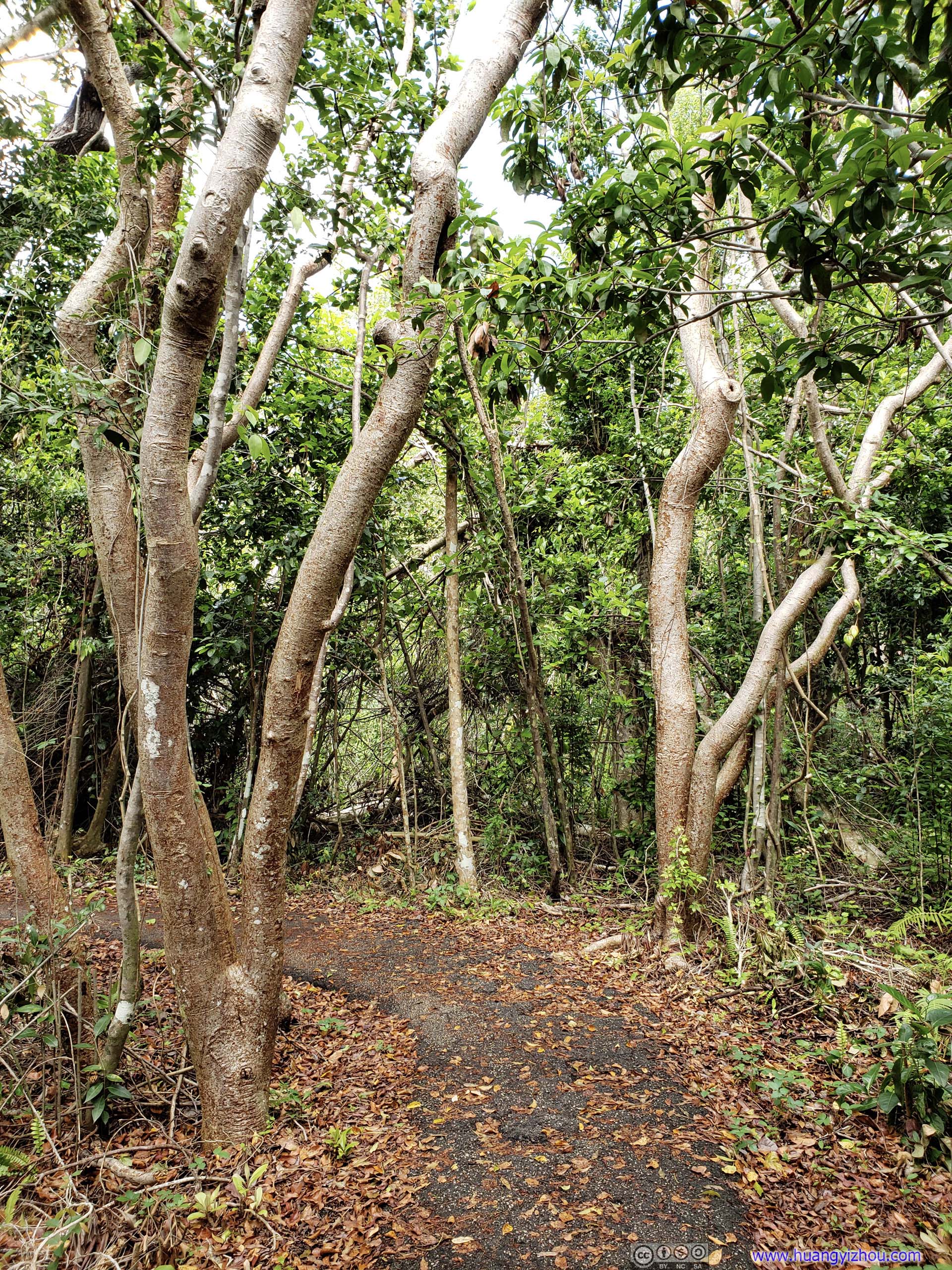 Trees by TrailI sort of didn’t understand why their trunks were so twisted.
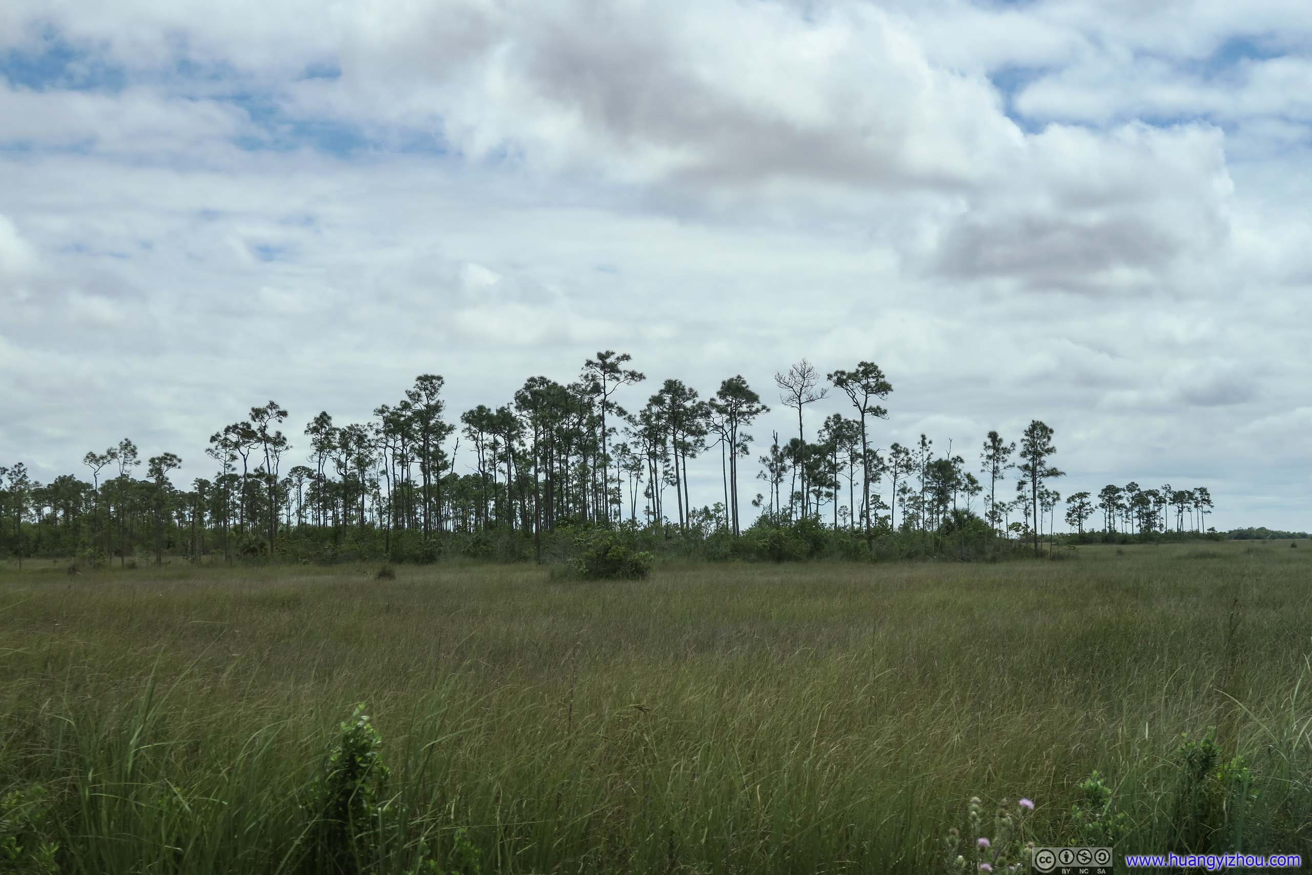
After that, I headed for Mahogany Hammock. This portion of the park road travelled through both forests and grasslands.
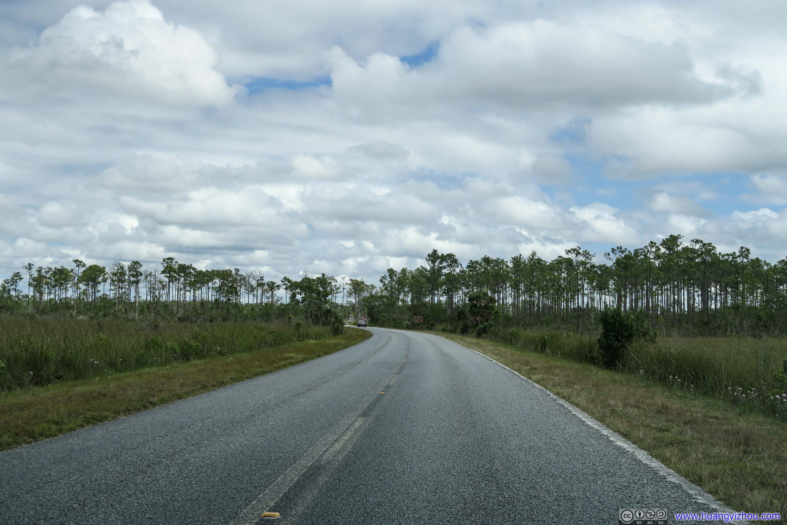
 Park Road

 Park Road
 Field
Field
 Park Road
Mahogany Hammock
Then I arrived at Mahogany Hammock, probably the best place to experience a hammock ecosystem in the park. It also came with a short 700-meter boardwalk trail.
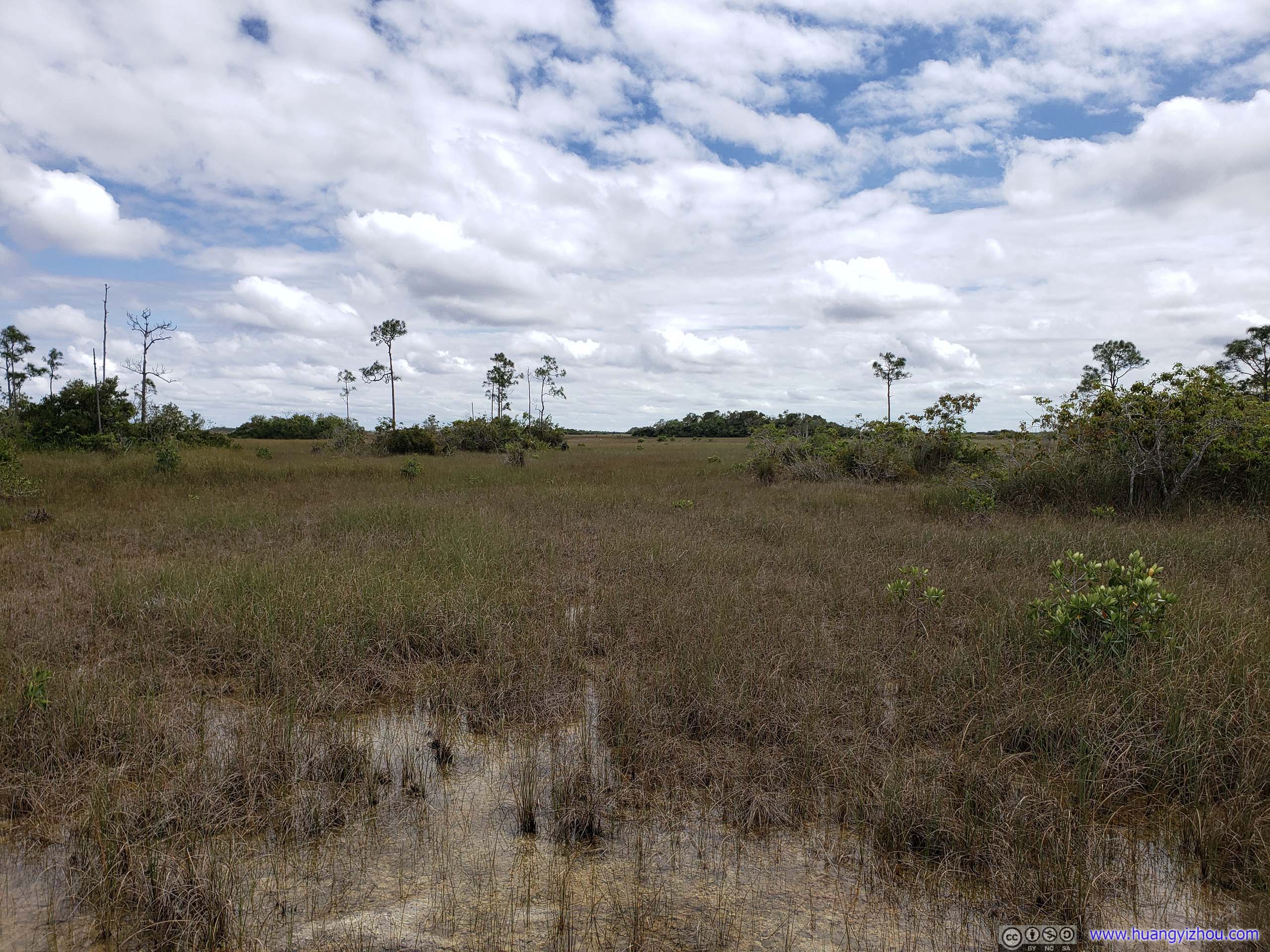
 Grassland
Hammock was an island of trees, often just a few inches high from surrounding wetlands. And in the case here, indeed it was an “island” among a slow-moving river (400m per day).

Hammock MoatA shallow moat encircles most tree islands. These watery depressions are formed when natural acids from decomposing hammock vegetation erode the surrounding limestone. They provide habitat for a variety of aquatic animals and protect hammock trees from approaching fires.
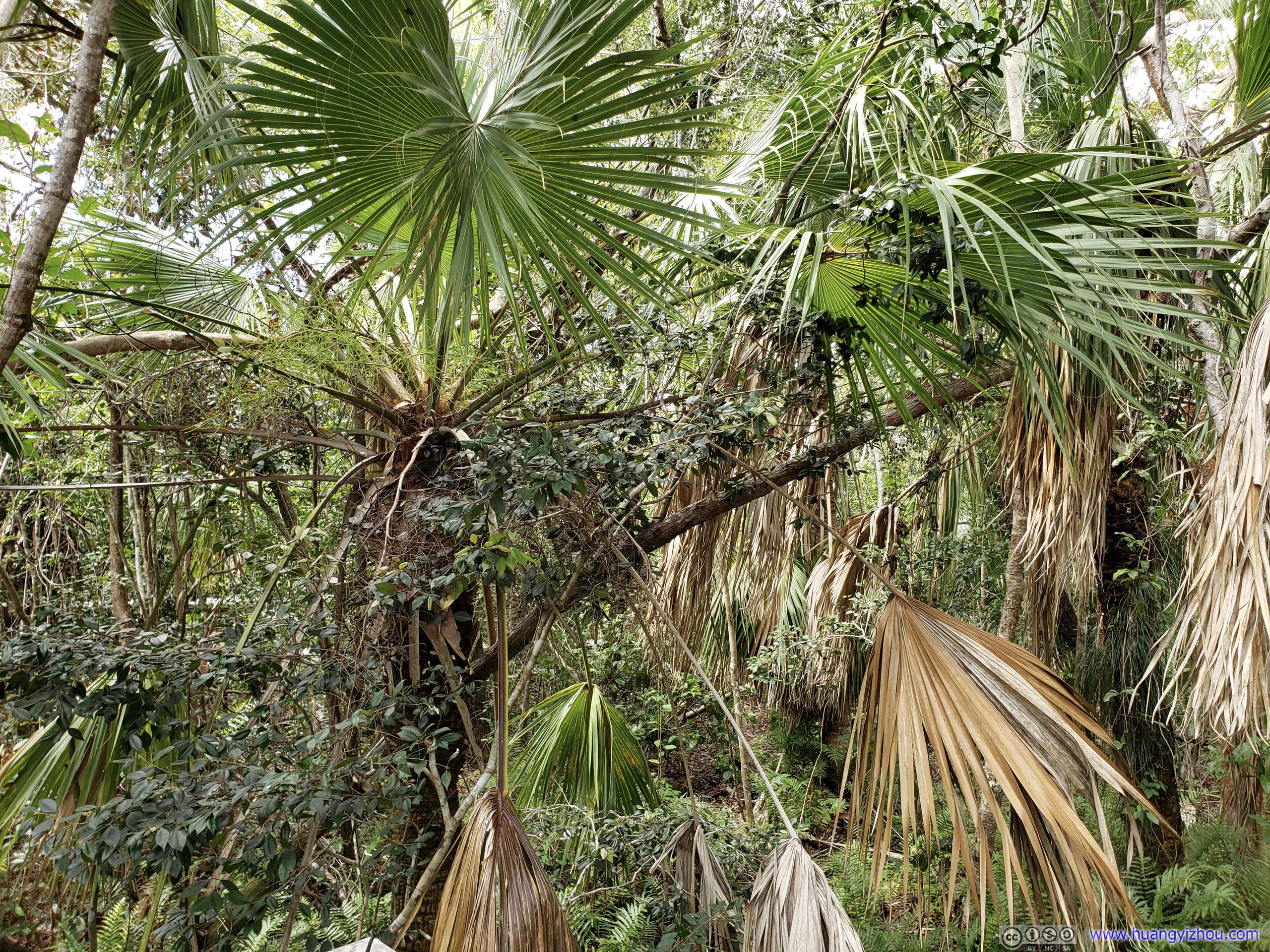
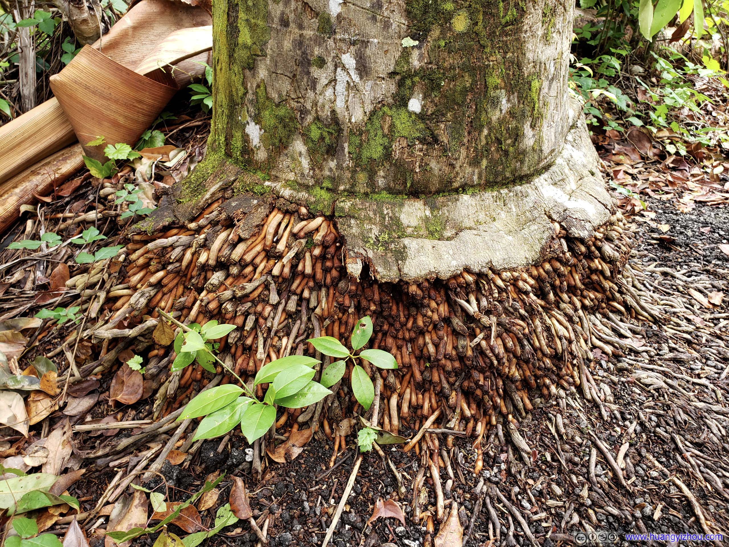
Sabal PalmsThe cabbage-like growing tip and abundant berries were an important food for Native Americans, while the umbrella-shaped palm fronds, draped in hanging threads, were used to roof their open-air homes or chickees.
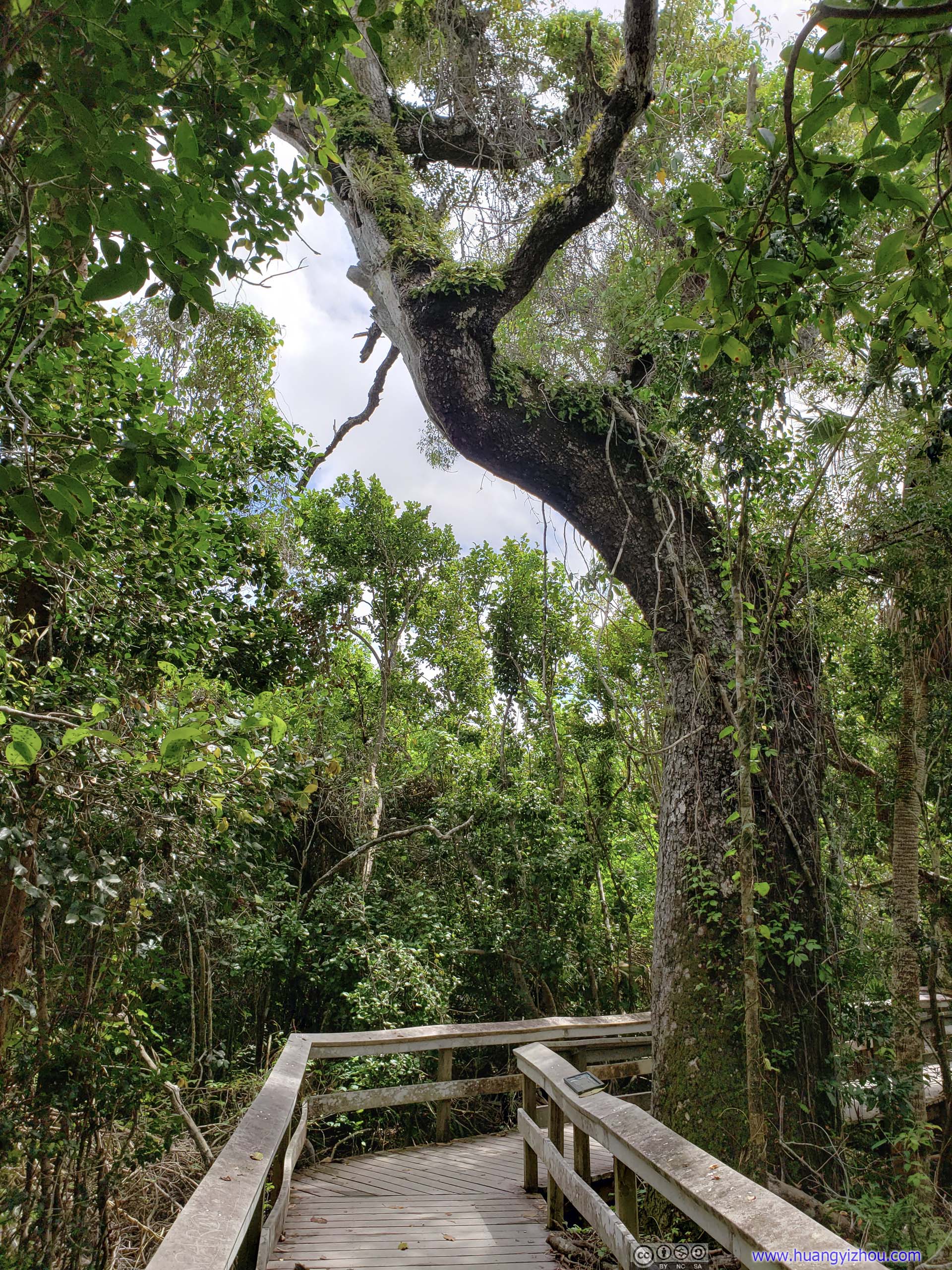
Mahogany Tree by BoardwalkThese trees play a central role of windbreaks and help prevent soil erosion in the forest community.
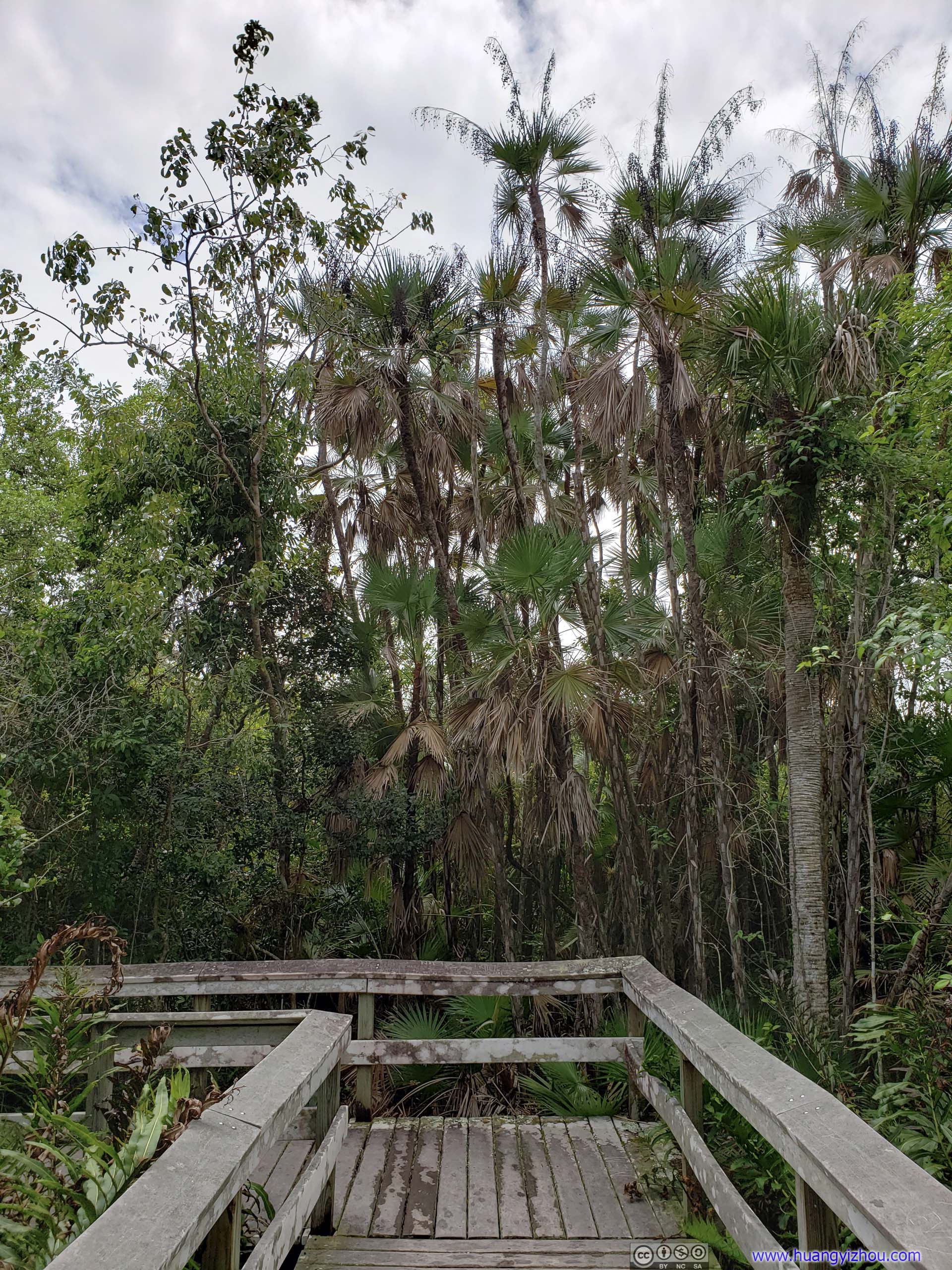
 Boardwalk
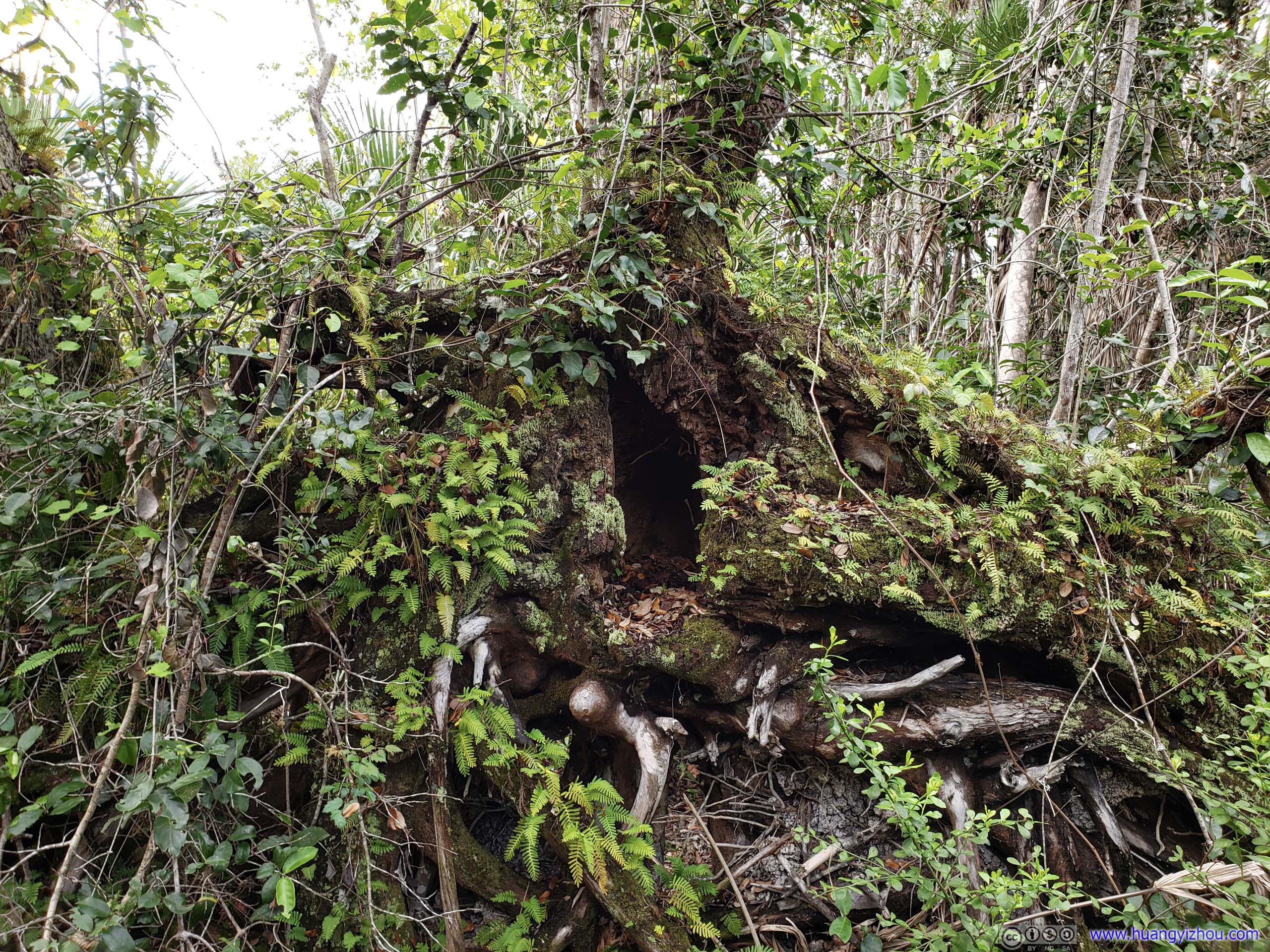
Moss and Fern Growing on Fallen Tree
Another Strangler Fig
After that, I headed off for West Lake.
 Park Road
West Lake
West Lake was in a place where fresh water met sea water, it’s also where sceneries changed from marl prairie to coastal mangrove.
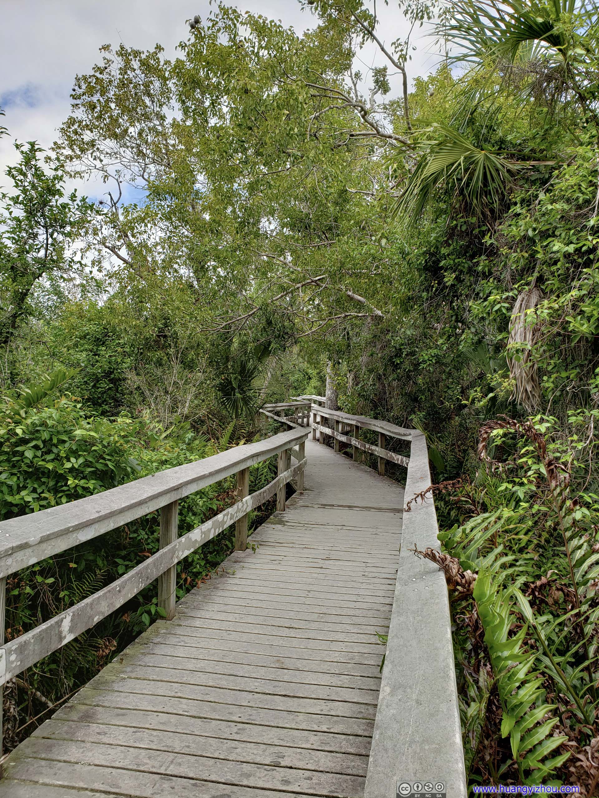
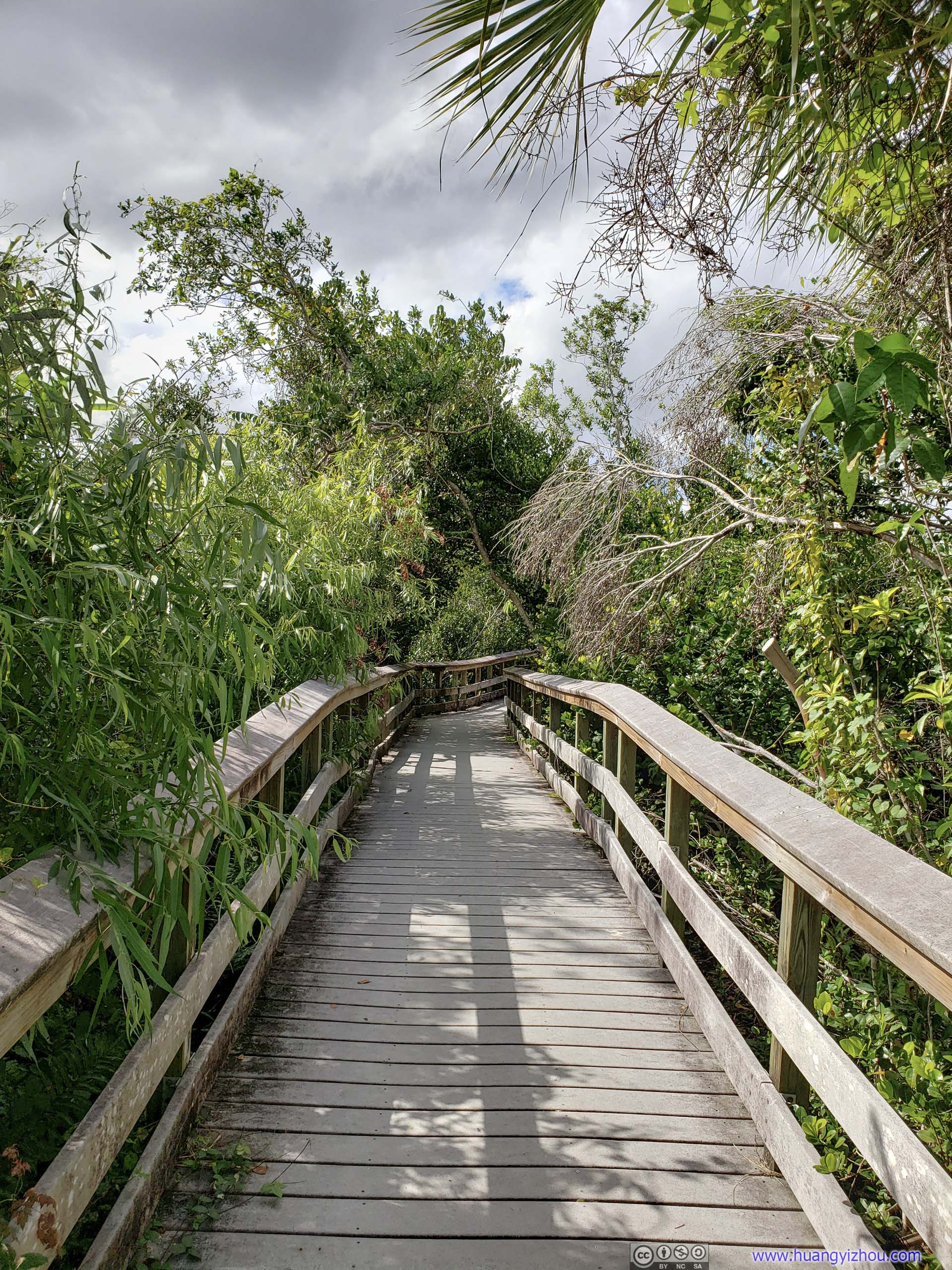
As usual, it came with a 600-meter boardwalk through twisted mangrove trees to the coast of West Lake.

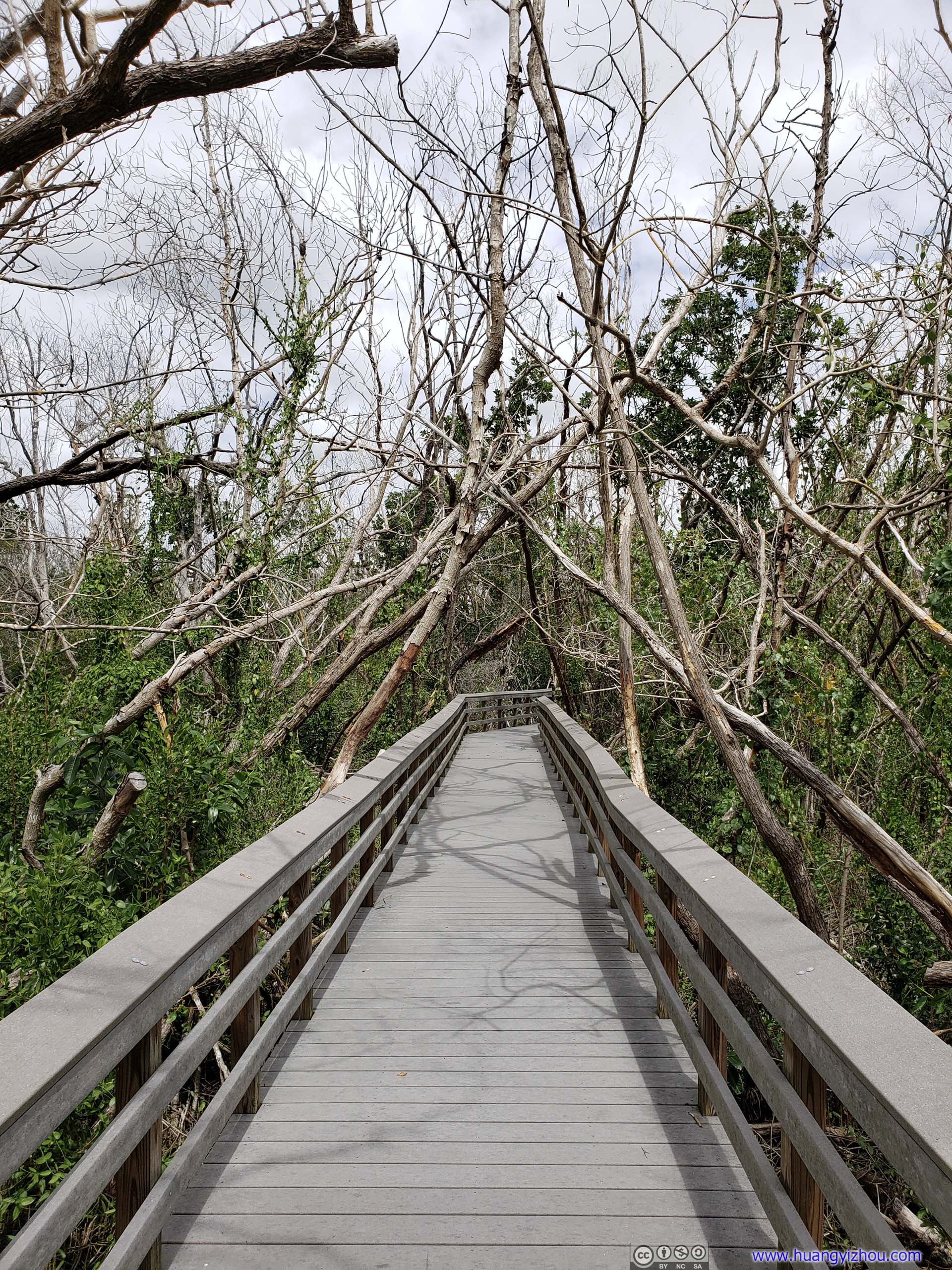 Boardwalk
Most animals supported by mangrove forest, like shrimp, fish or crabs, were hidden underwater, leaving me mostly to admire the variety of plants.
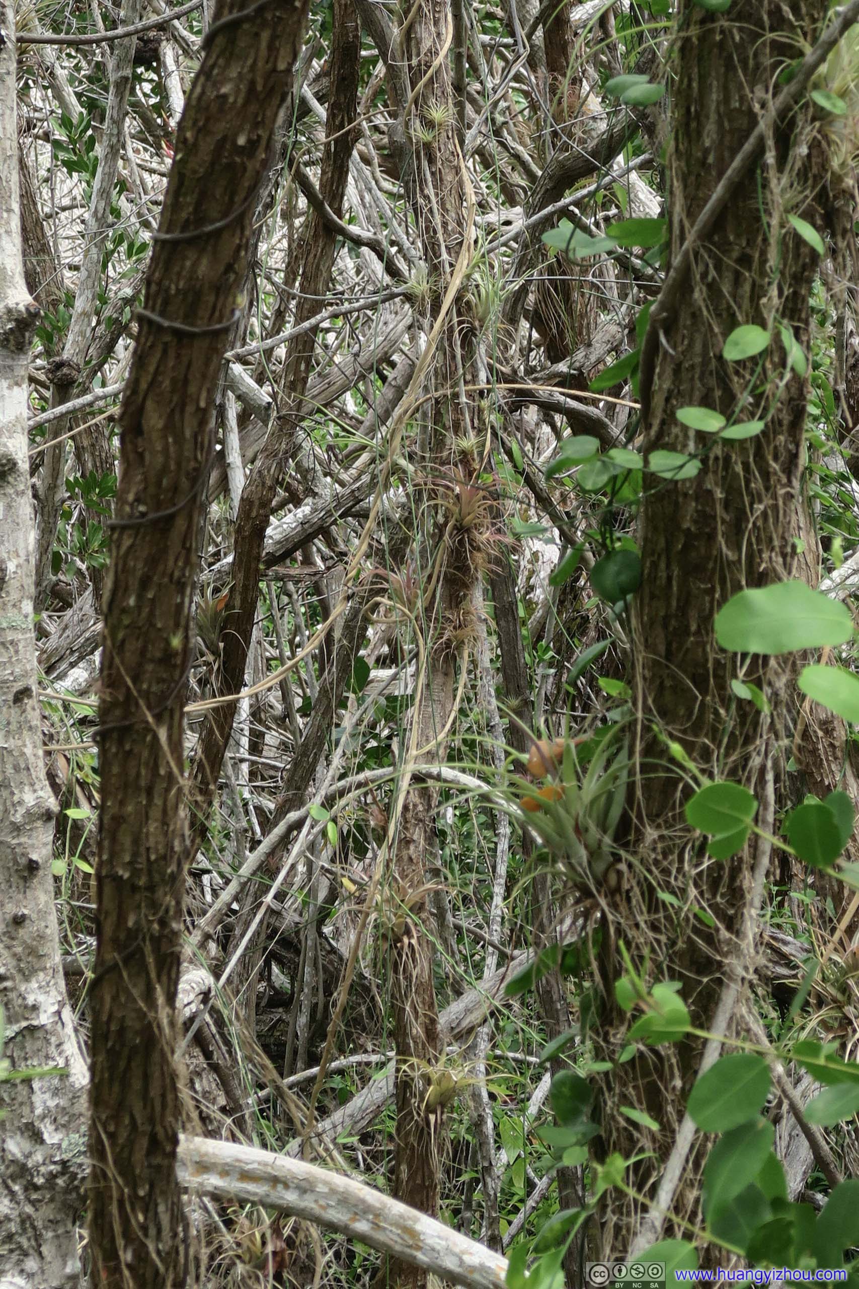
Air PlantsAlso known as bromeliads, growing on tree branches in the center of this photo. A small pool of rainwater collects at the base of air plants’ leaves. This pool provide habitat for other animals like mosquitos and snakes. Air plants don’t harm their host trees.
Sprouting Branches
Fruits of Buttonwood TreesIn the 1800s and early 1900s people here and in the Caribbean islands made charcoal from buttonwoods. Charcoal was the preferred fuel in south Florida before gas and electricity.
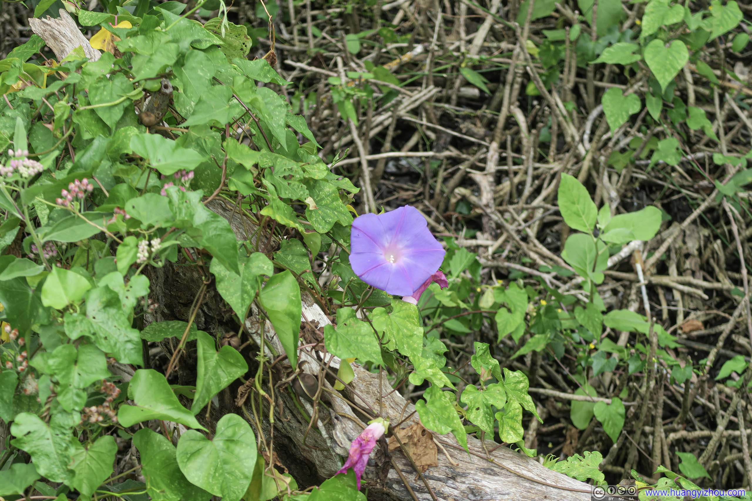
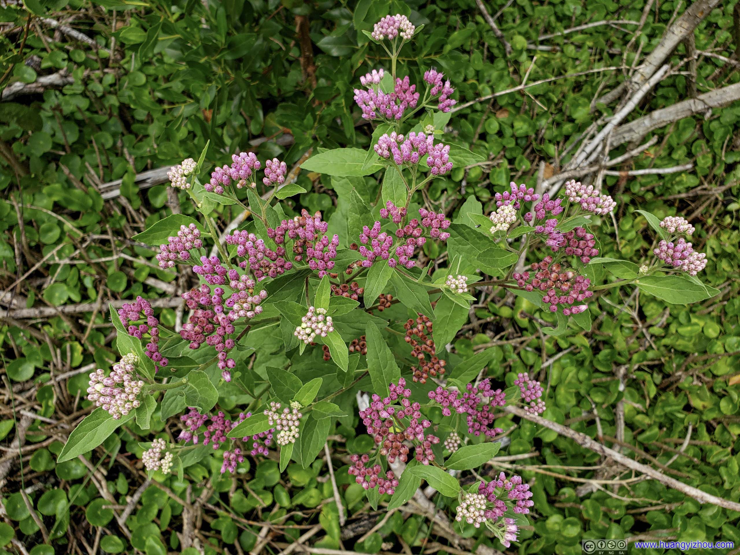
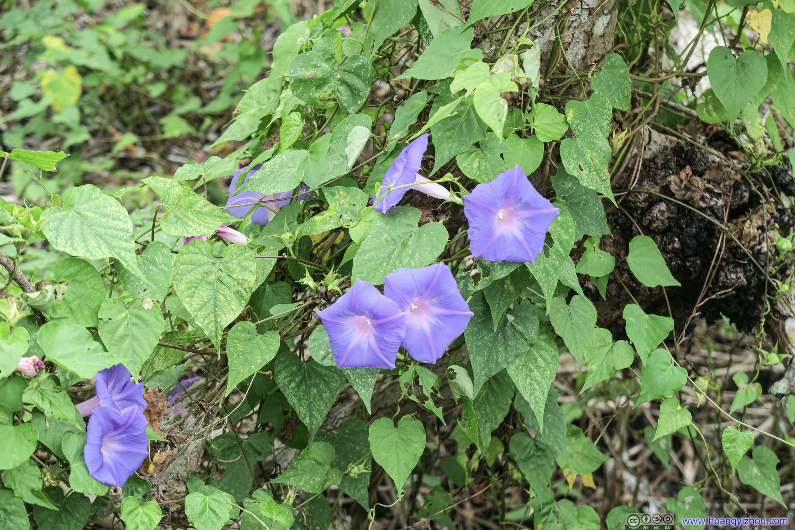 Flowers
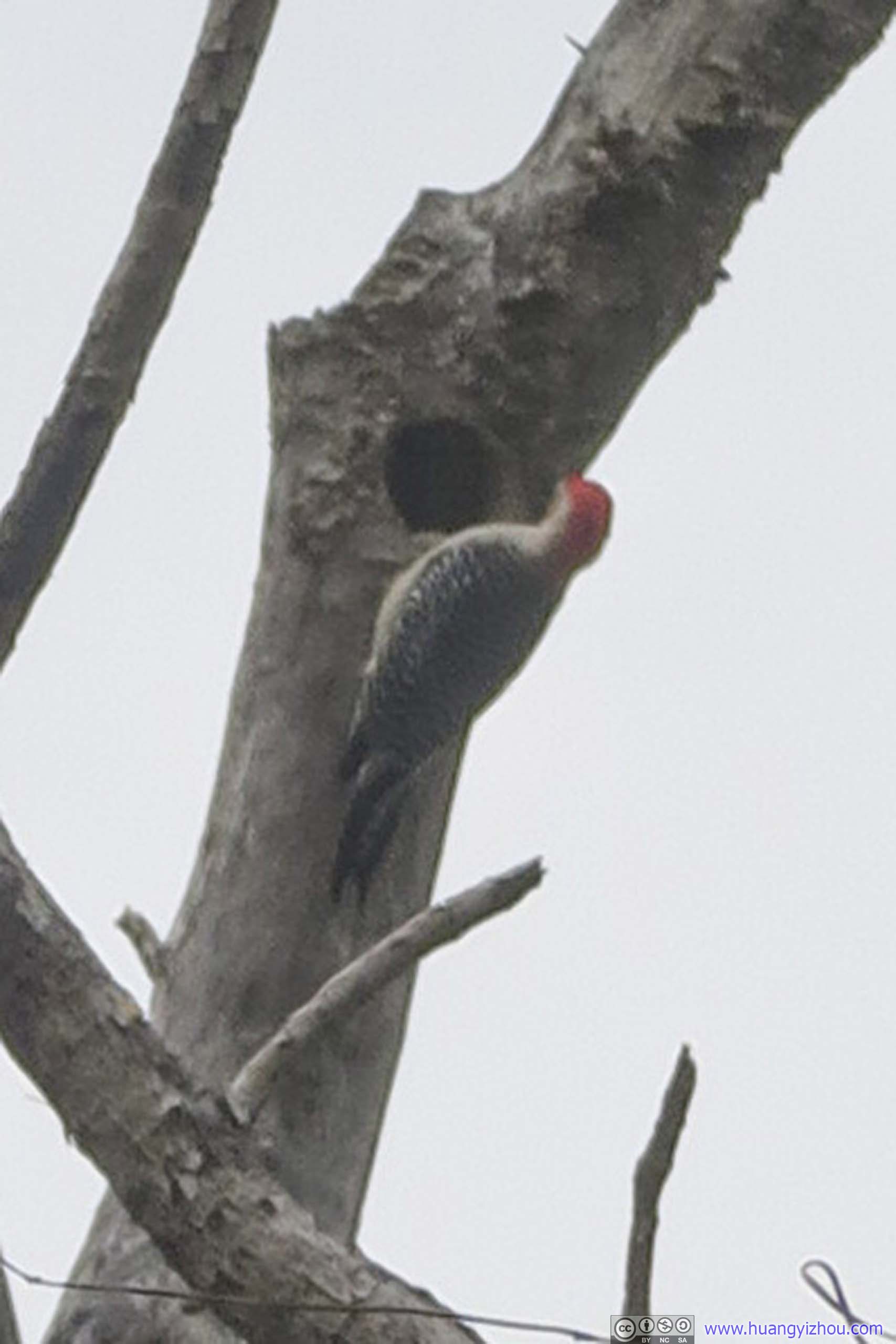
Woodpecker
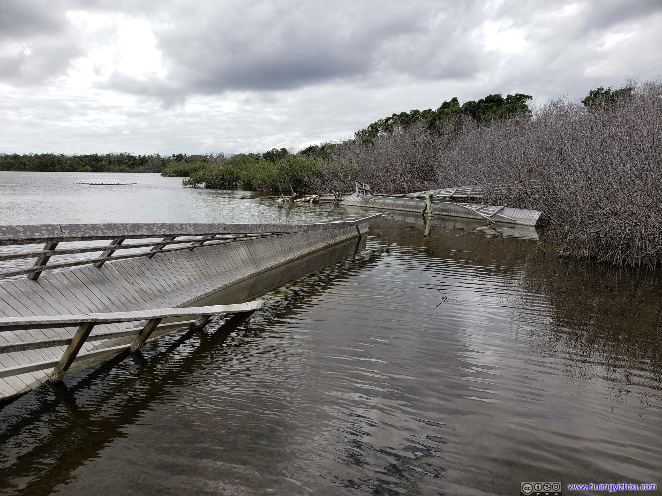
Damaged TrailThis would otherwise form a loop at the trail’s end.
West Lake was a large body of water, with a kayak one could visit the intricate waterways of coastal mangroves across many lakes. What I saw from the boardwalk was only a small portion of it.
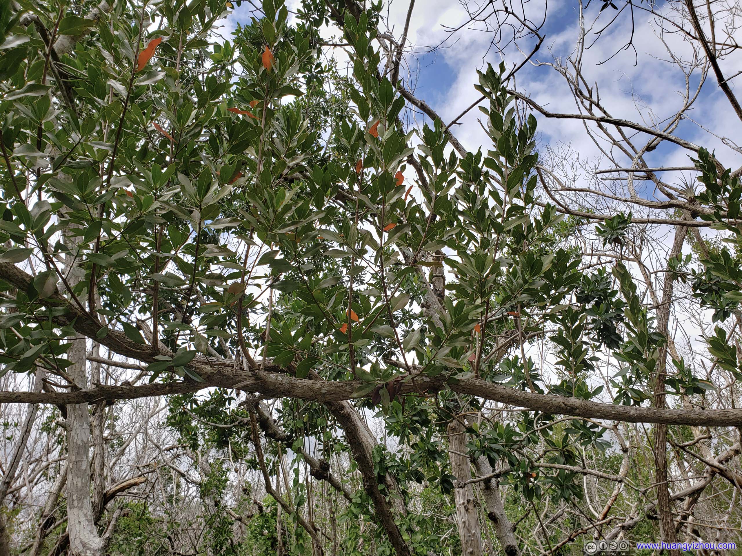
Shores of West LakeMade of various mangroves.
Flamingo
After that, I reached Flamingo, which was the southern end of the park road right next to sea.
Palm Tree
There was a visitor center, a large campground and a general store. There were a few boat launch sites for larger, motor-powered boats, and maybe a water tour of the mangroves.
Ocean
Shores of Flamingo
While the place would be heaven for either campers or boaters, I was neither. So after snapping a few photos of the ocean where road ends, I went on the return trip.
Mangrove Forest

 Mrazek PondA small roadside pond with tranquil reflections.

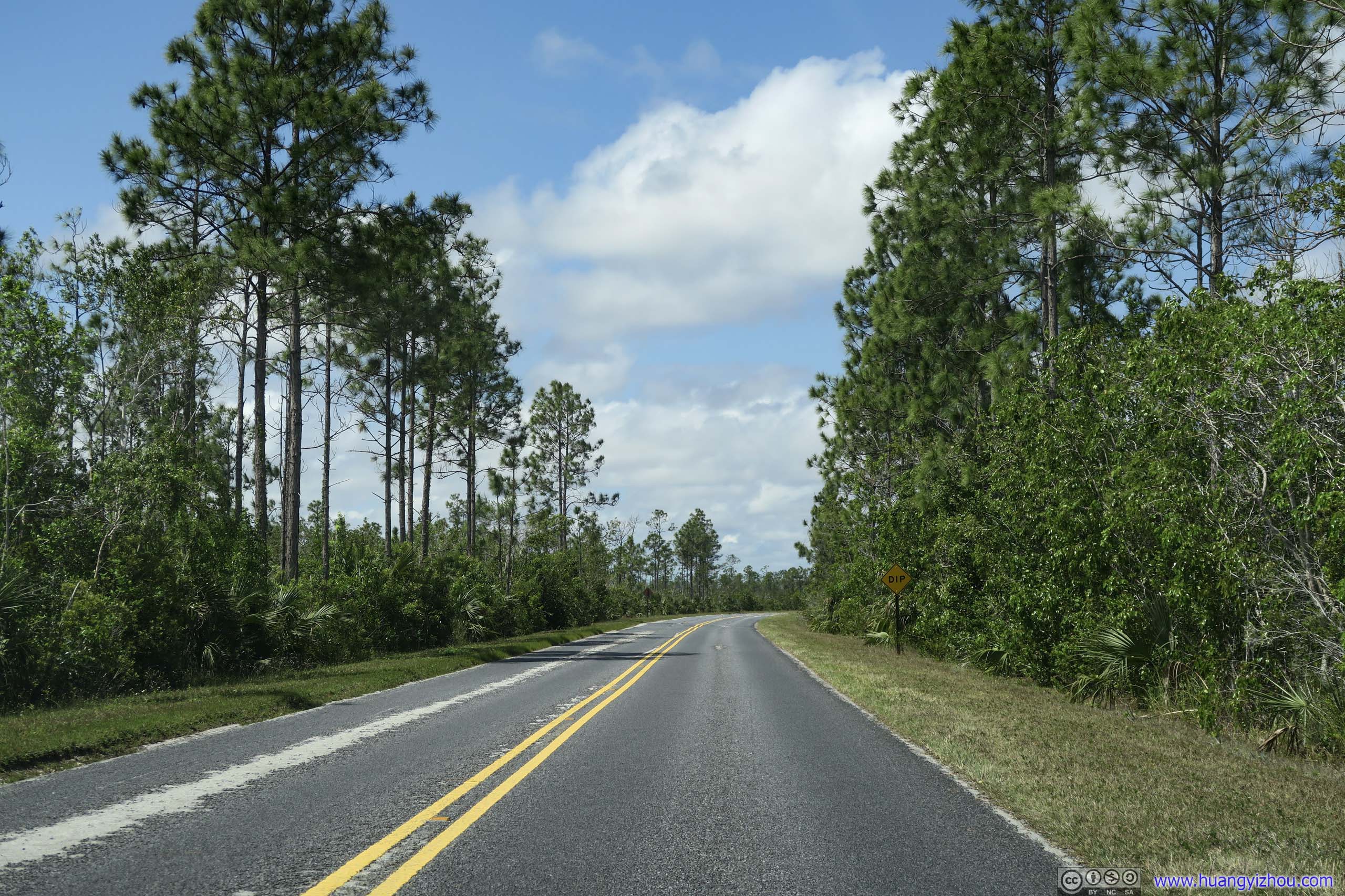
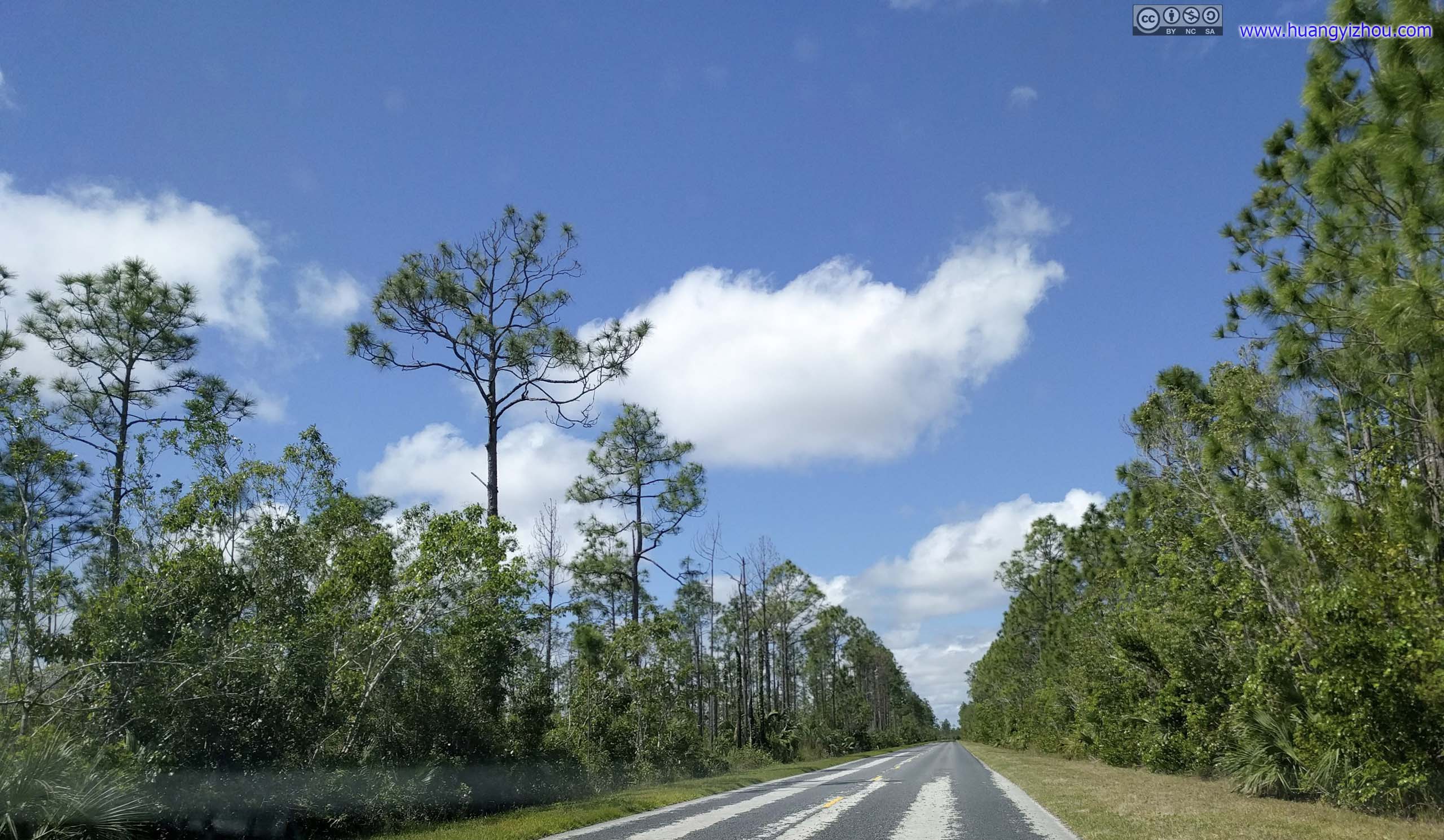
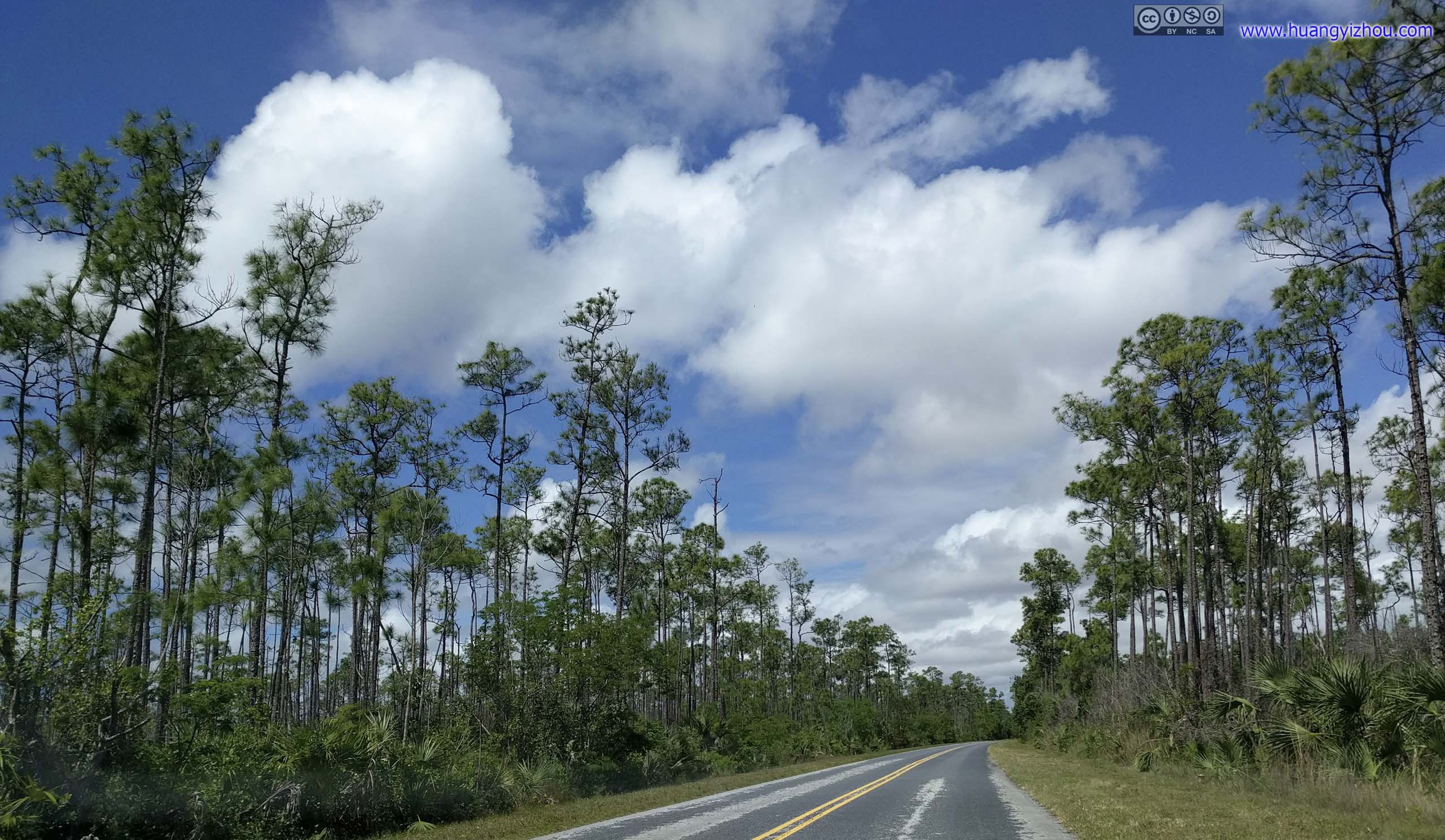
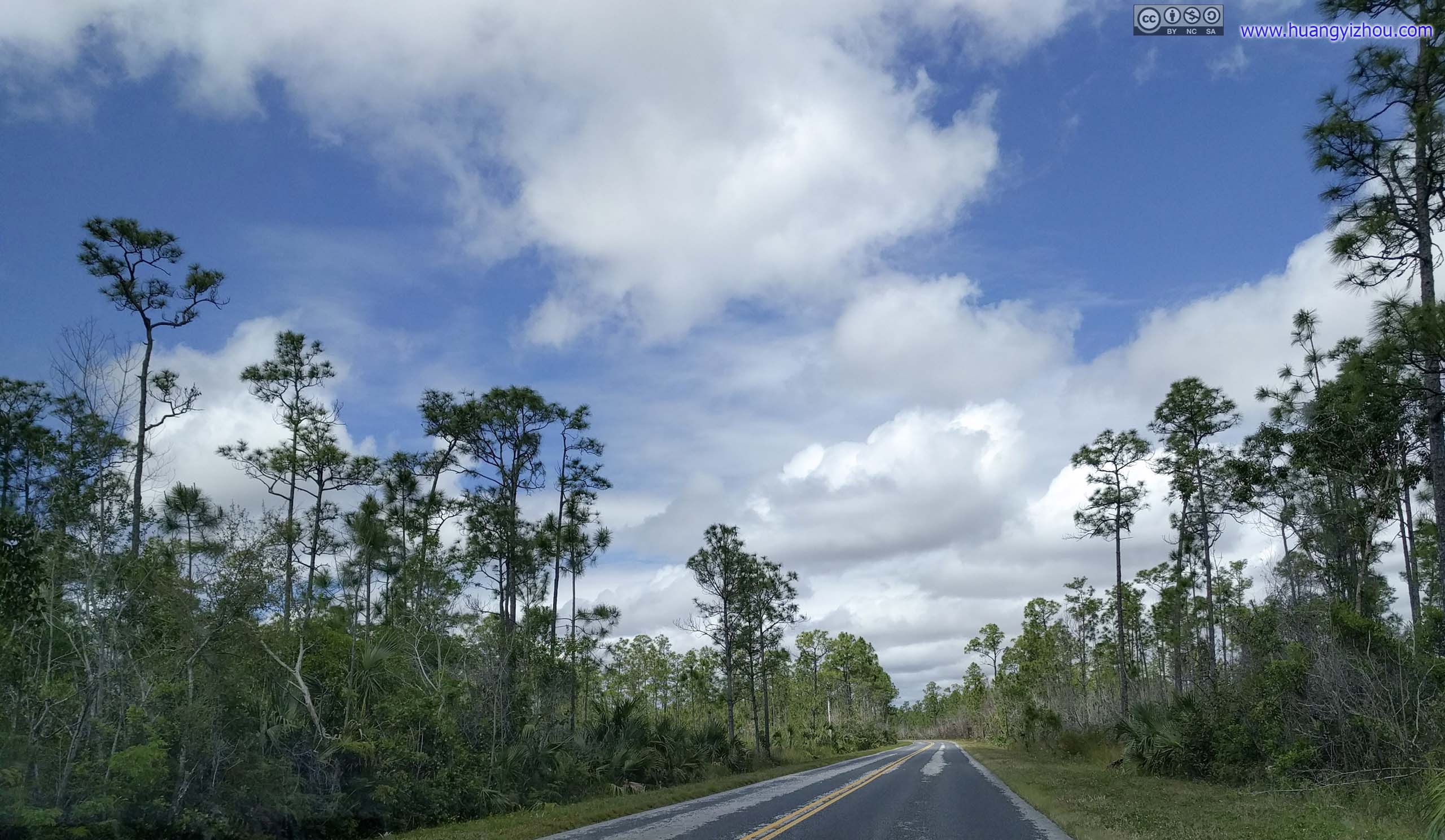
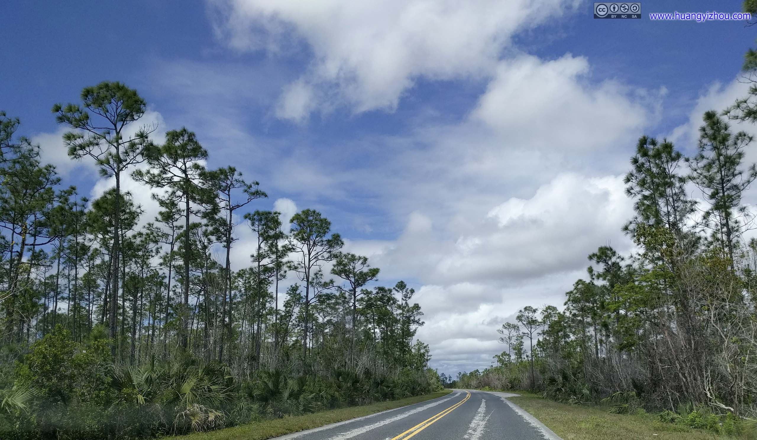
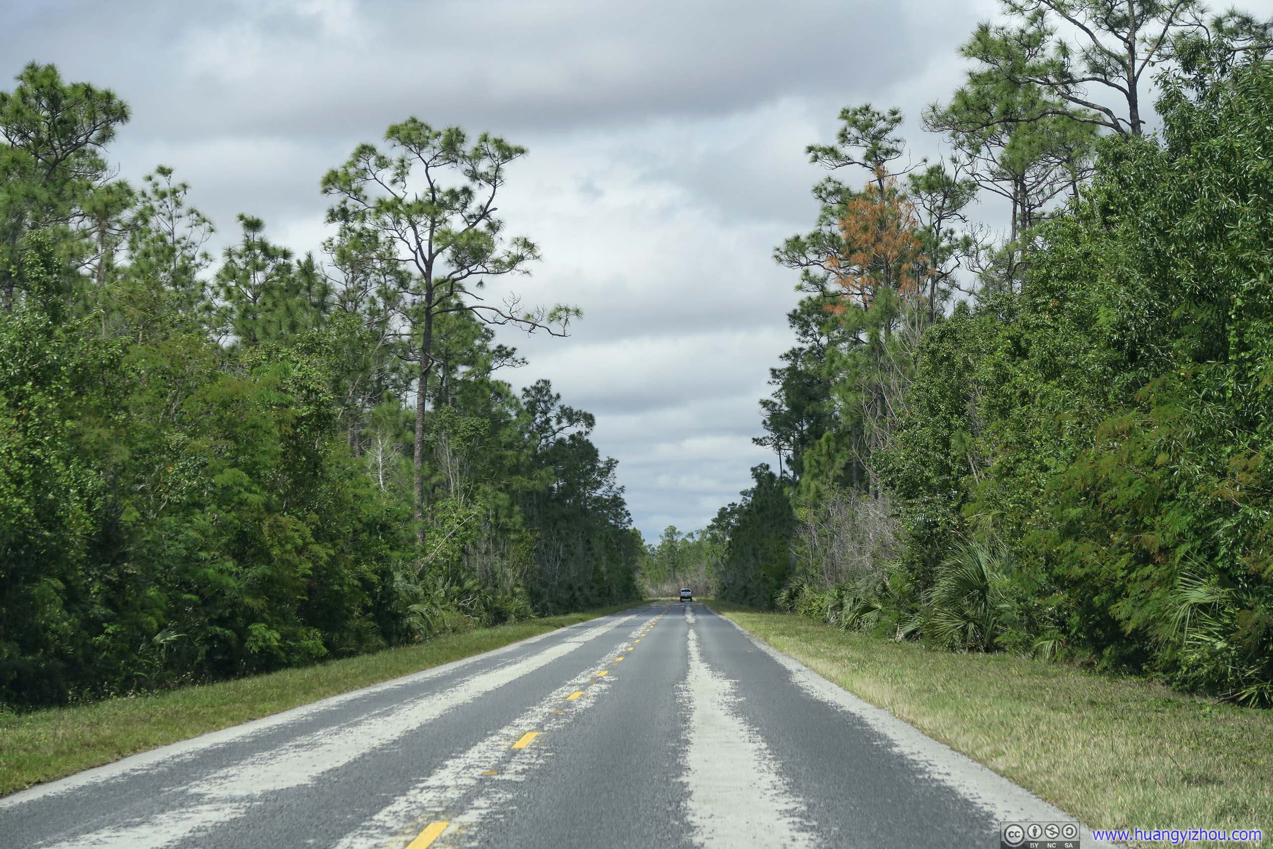
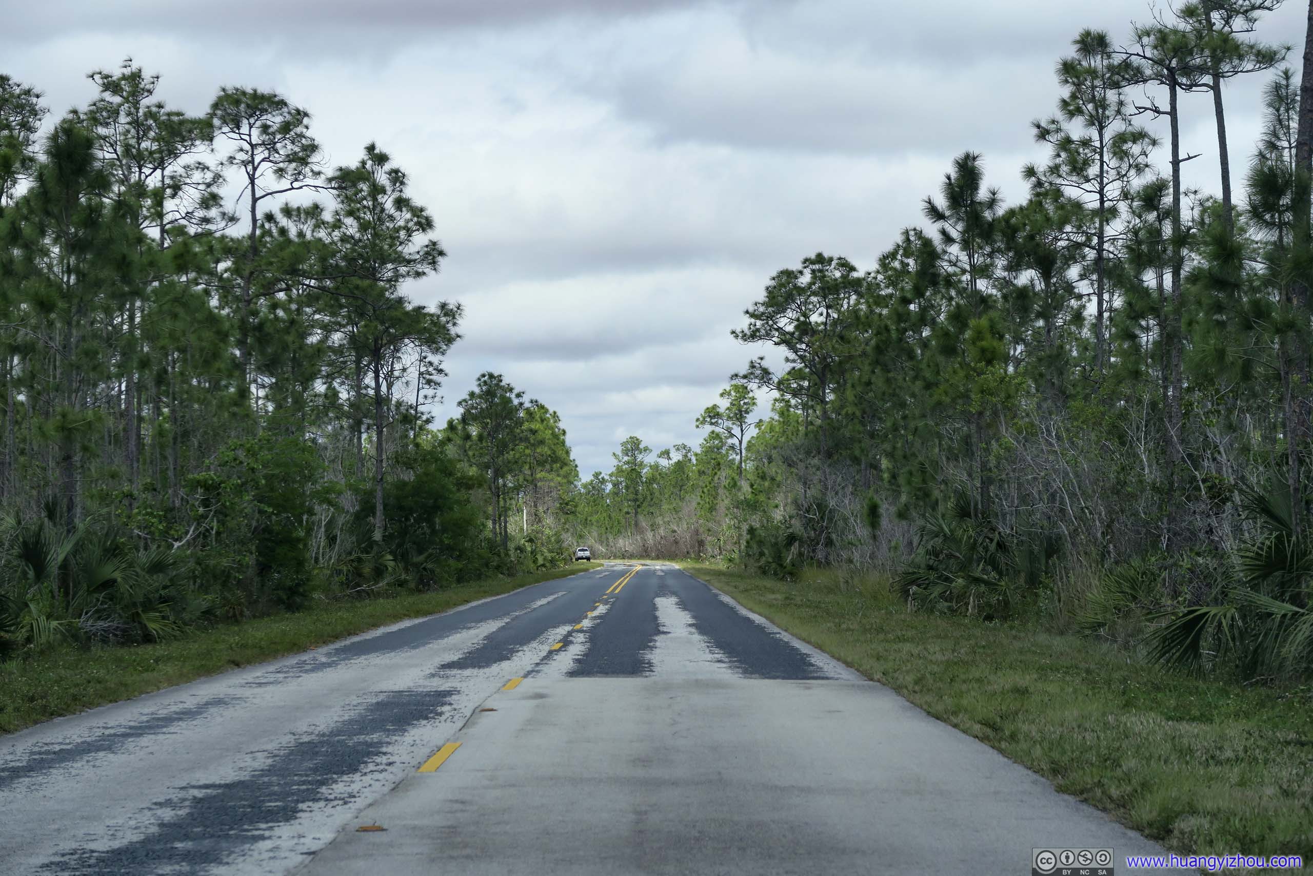
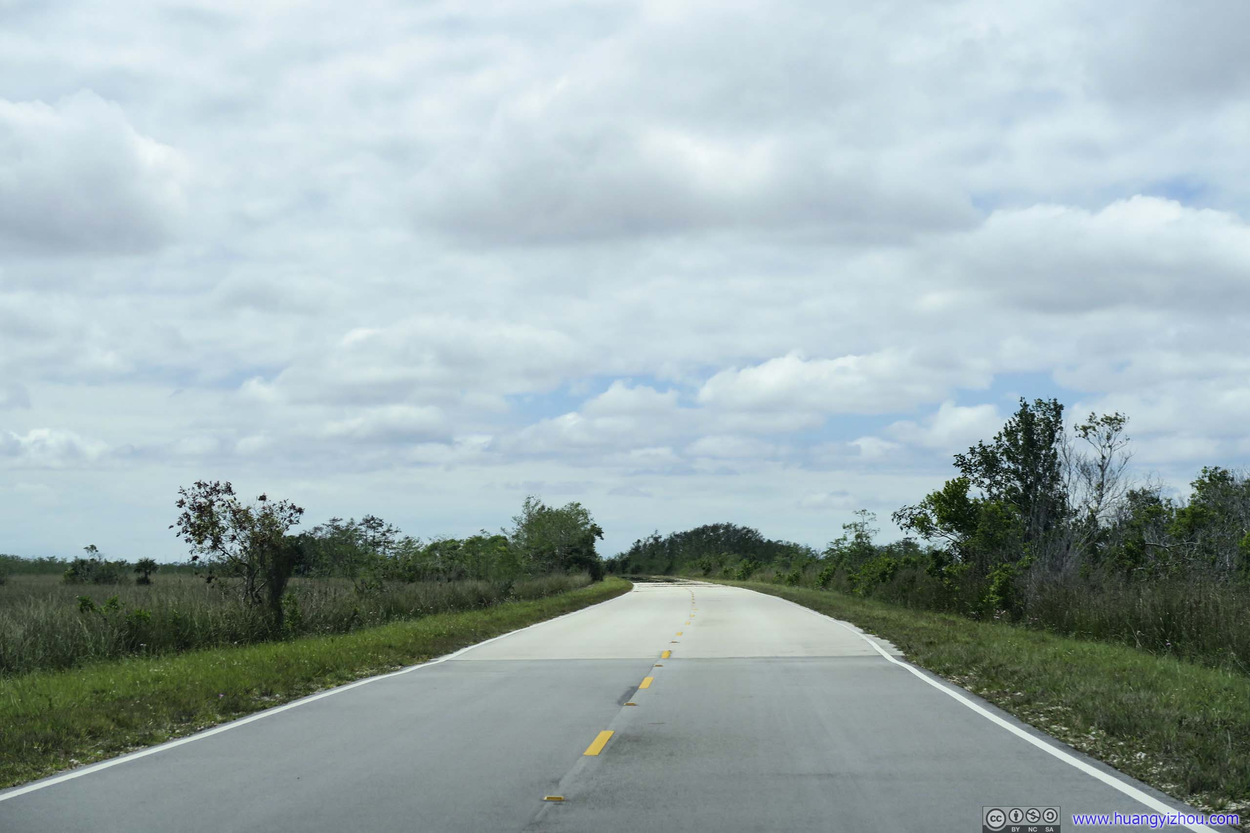
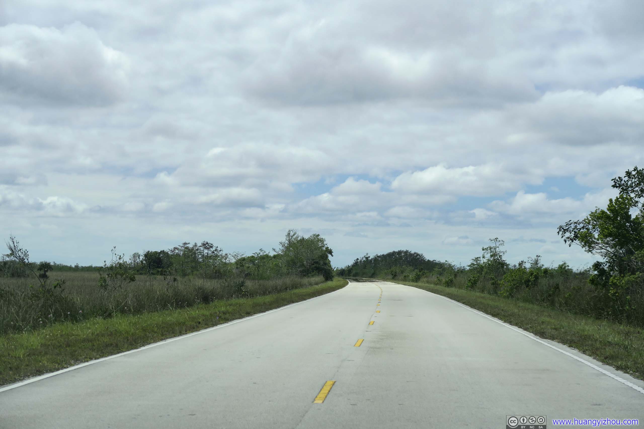
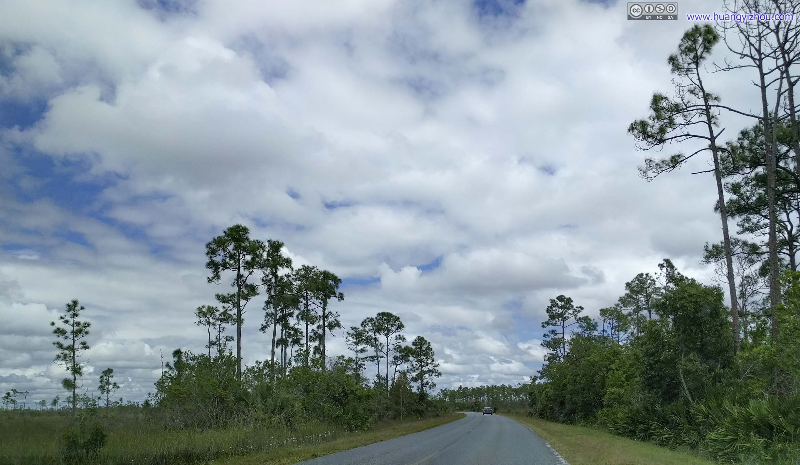
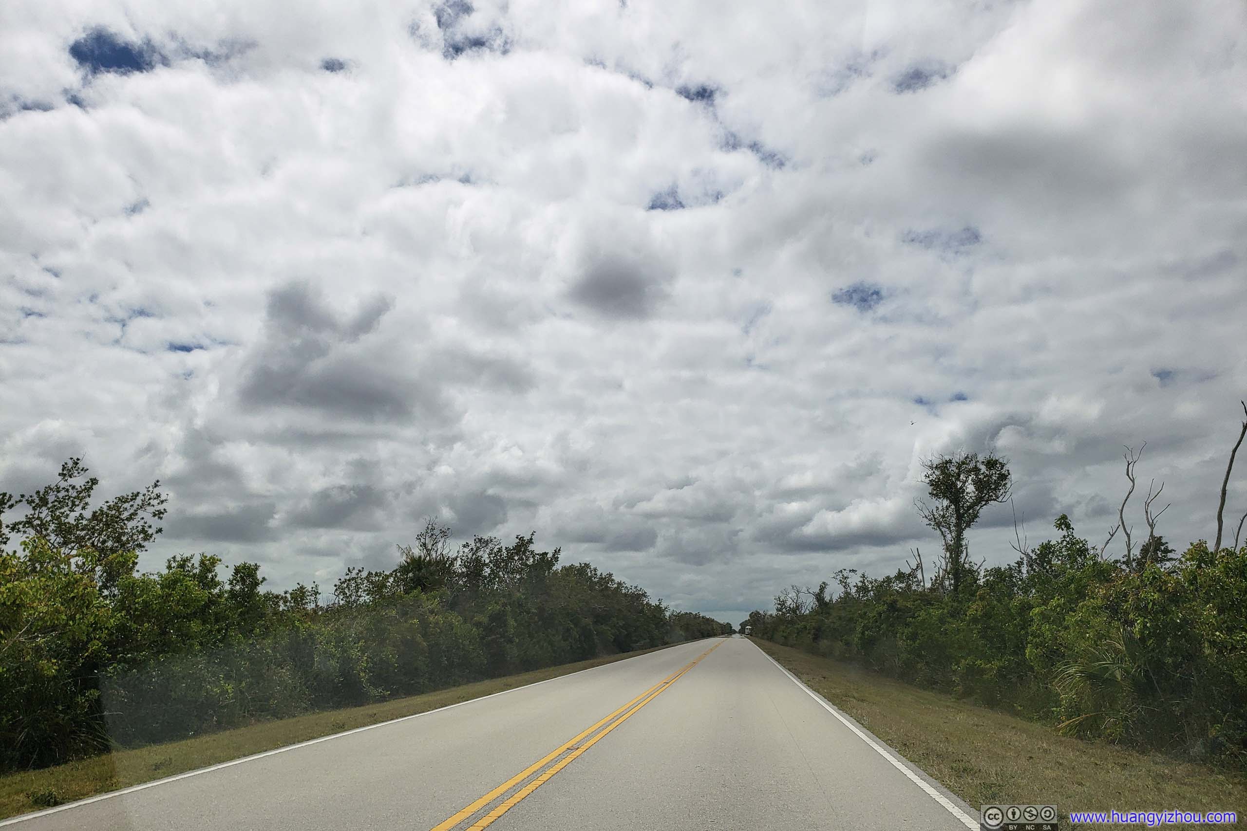
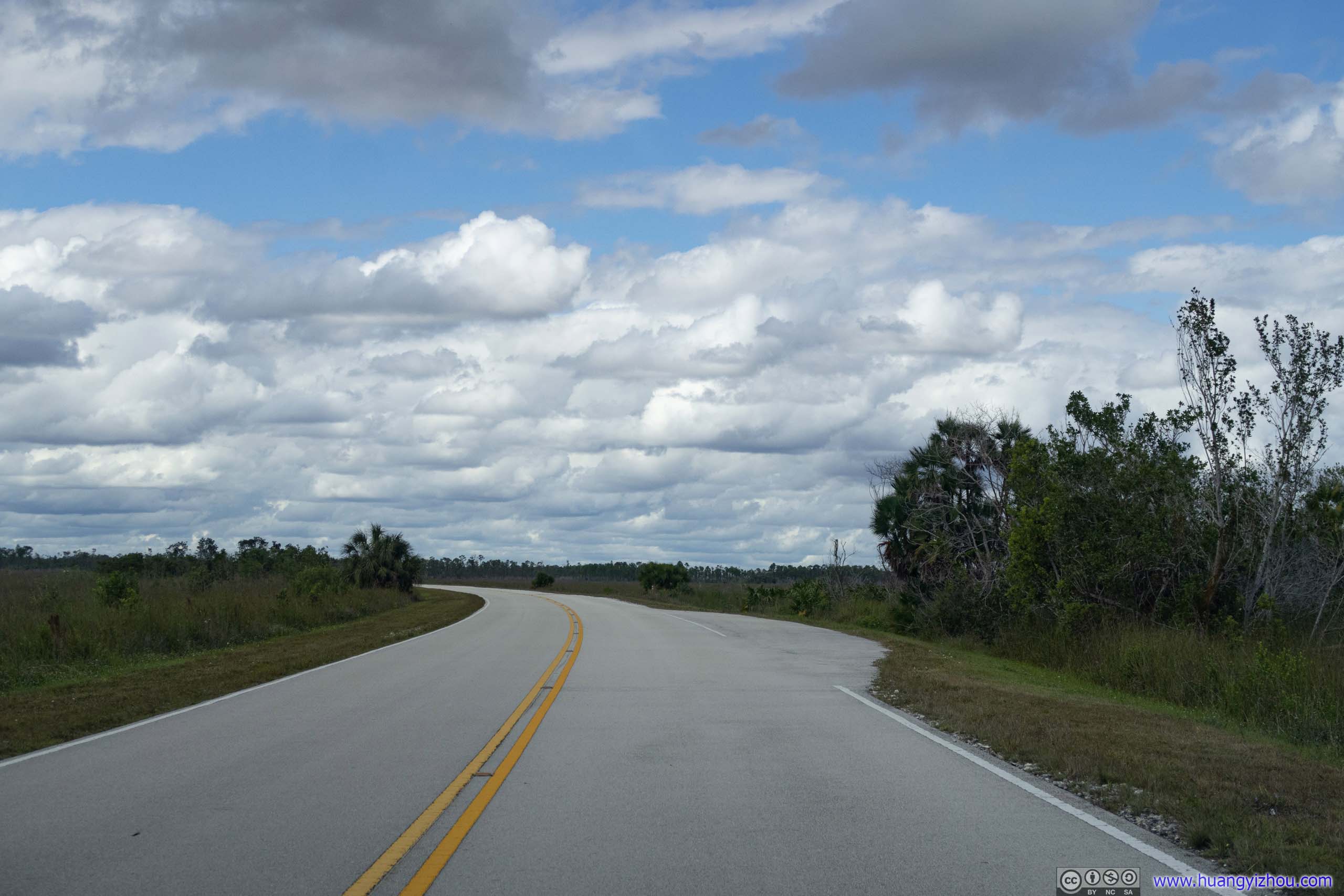
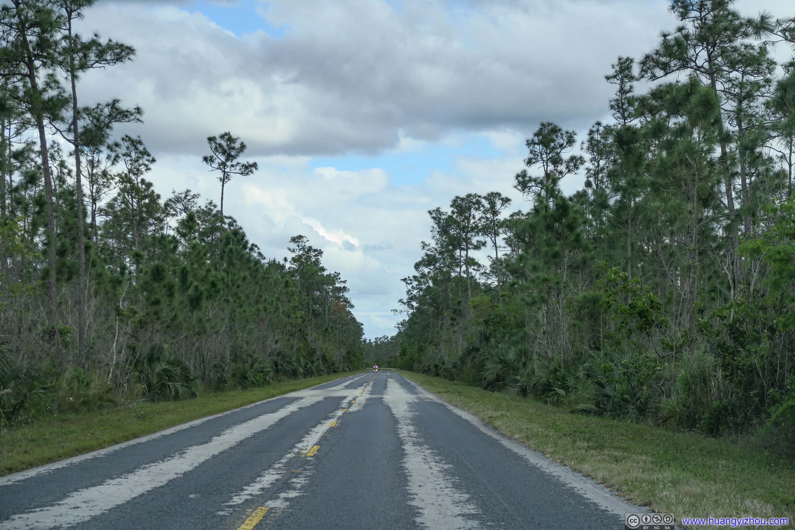
 Park RoadThe second half of park road was mostly like this, lined with trees and dense vegetation on both sides.
Snake Bight TrailOne of the longer trails in the park, which I skipped.
Roadside Boat LaunchThere were a few places like this where people could launch their own kayak and explore the mangrove forests.
On the way back, I made a brief stop at the bank of Nine Mile Pond, which was actually a very small pond. It’s name after the canoe trail exploring the mangroves that stretched for nine miles.
Nine Mile Pond

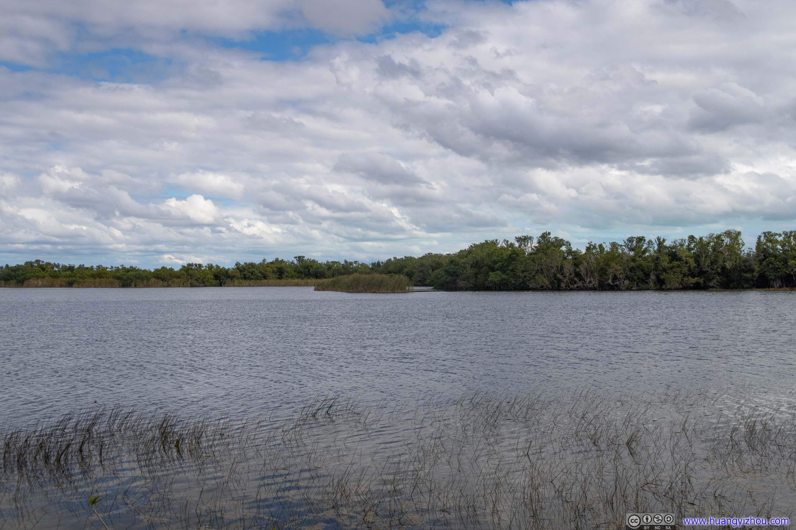 Nine Mile Pond
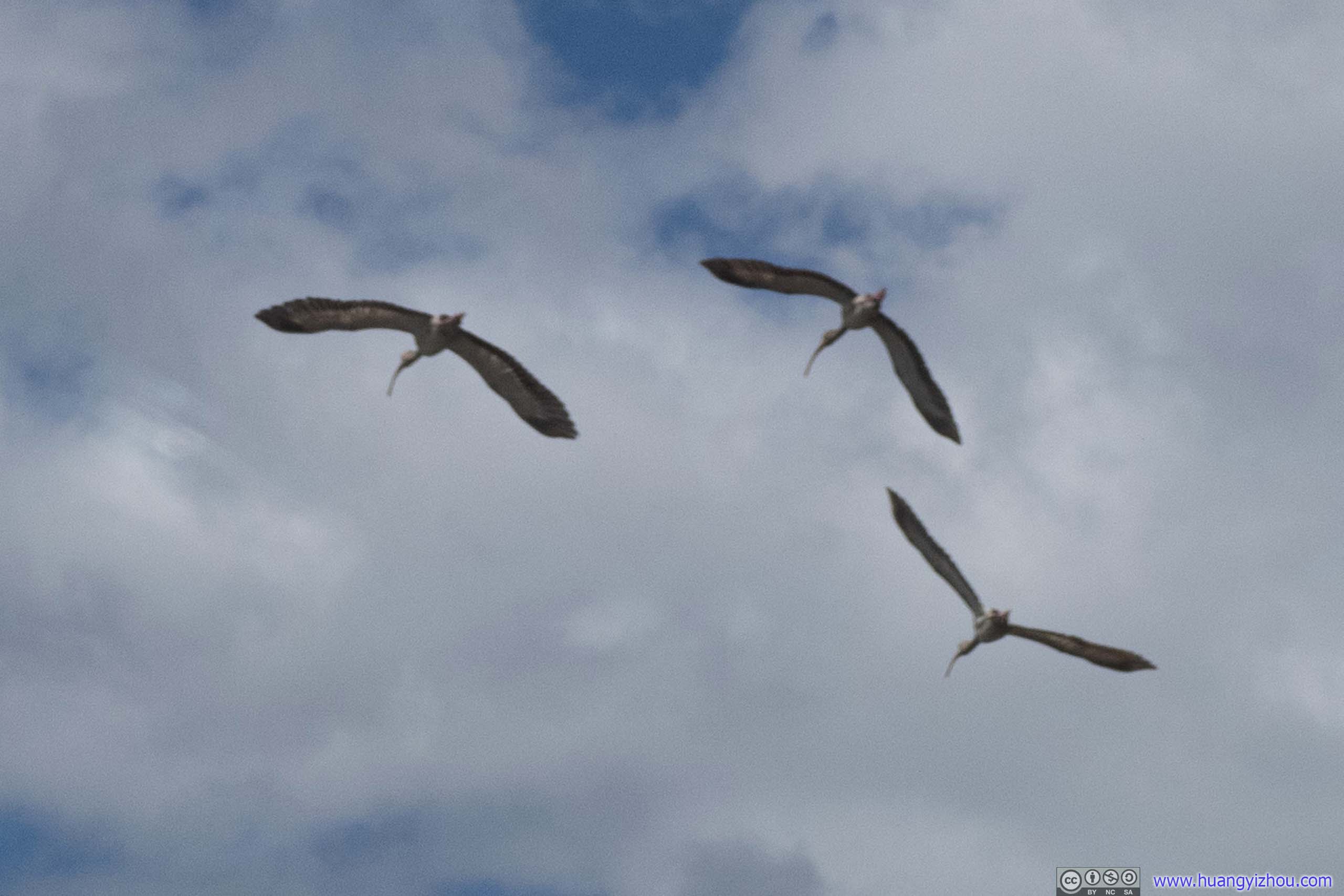
Birds
 Park Road
 FieldWith islands of trees, hammocks.
Pa-hay-okee Trail
The name of the trail meant “grassy water” in Seminole language. It’s a 250-meter boardwalk with an elevated observation platform.
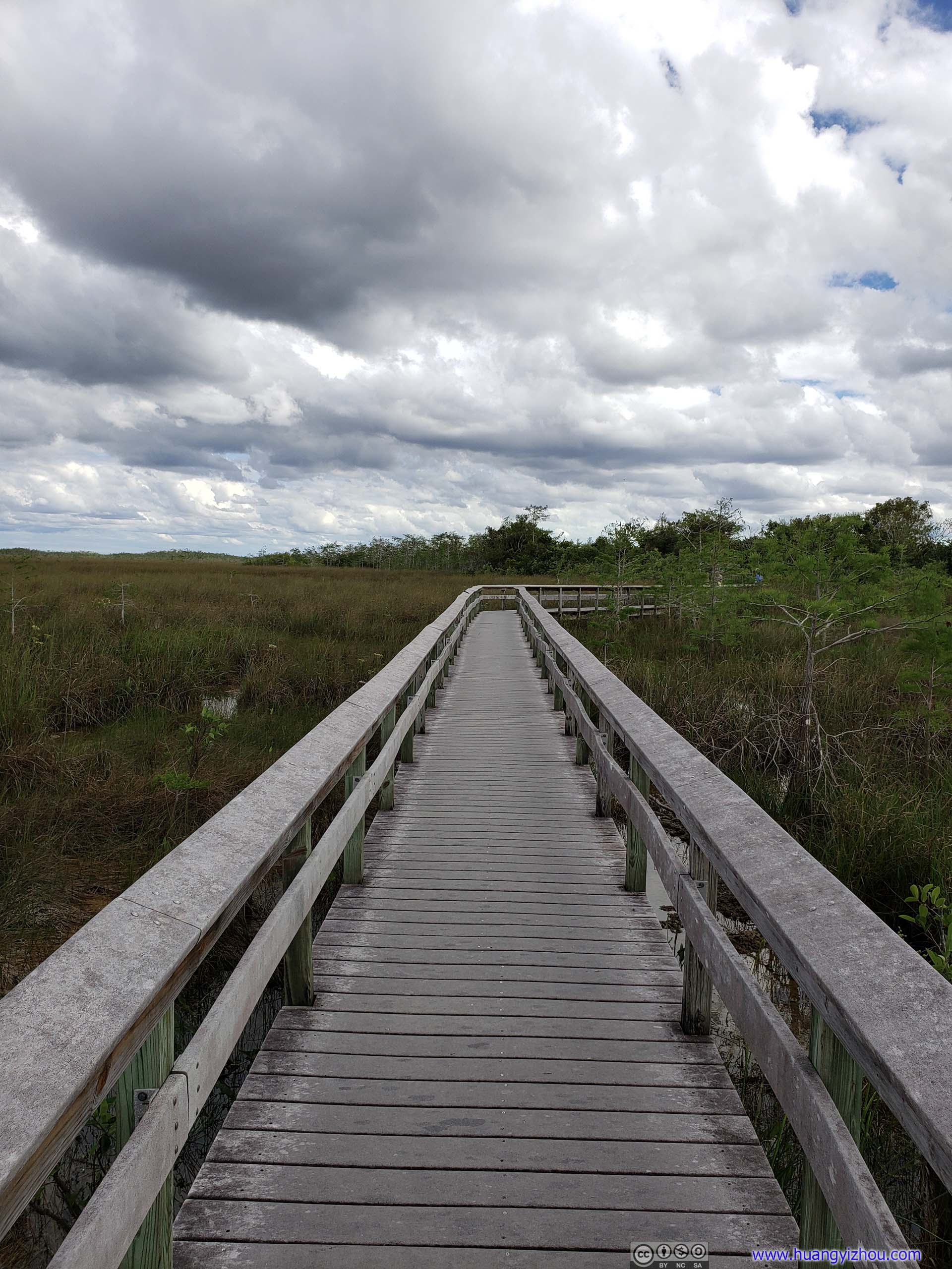 Boardwalk
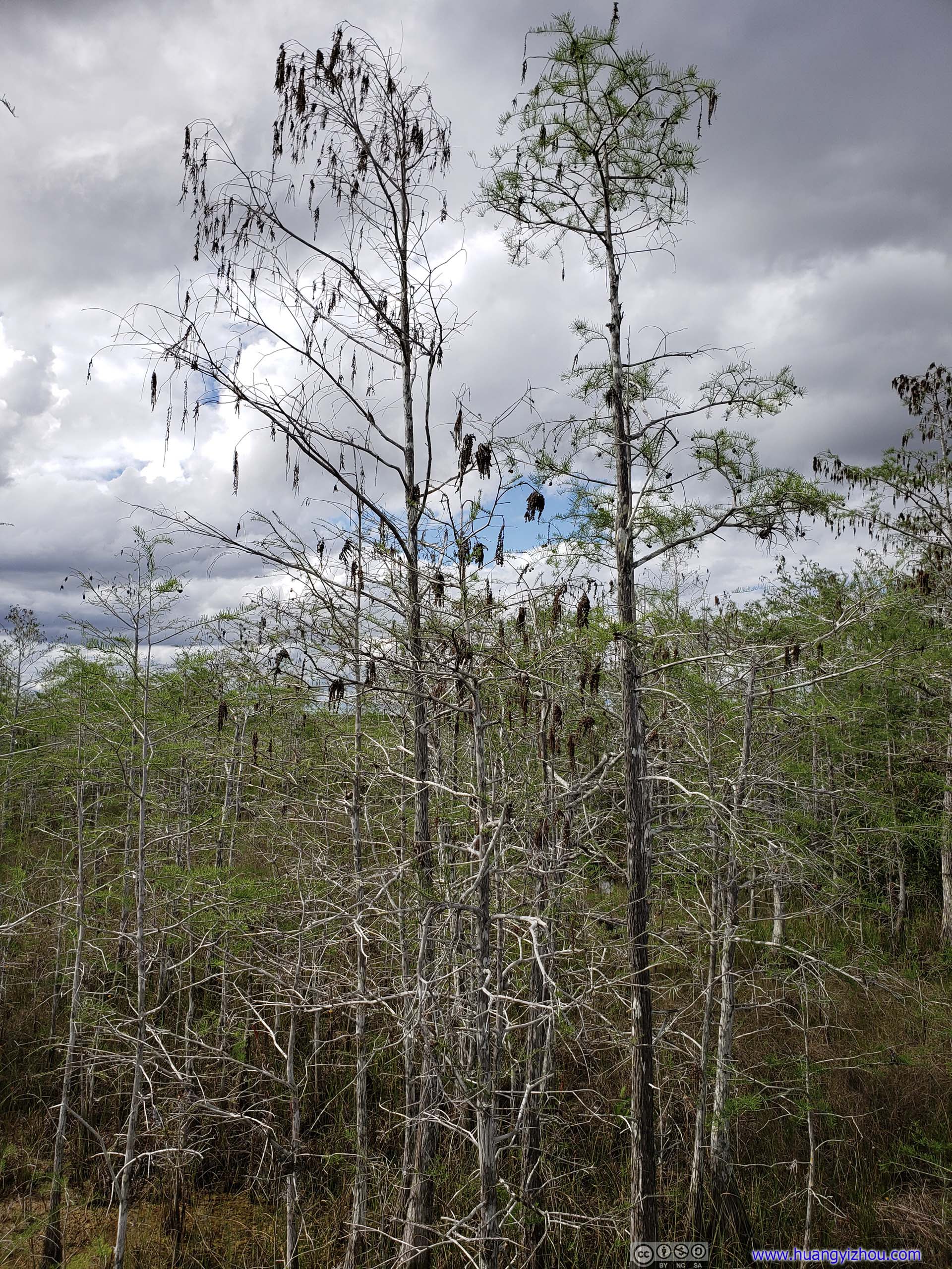
BaldcypressThese trees were dormant but not dead, they lose their needle-like leaves in winter to cope with drought, not freezing. Acid from their decaying leaves erodes limestone, improving the trees’ habitat by deepening the water they grow in.
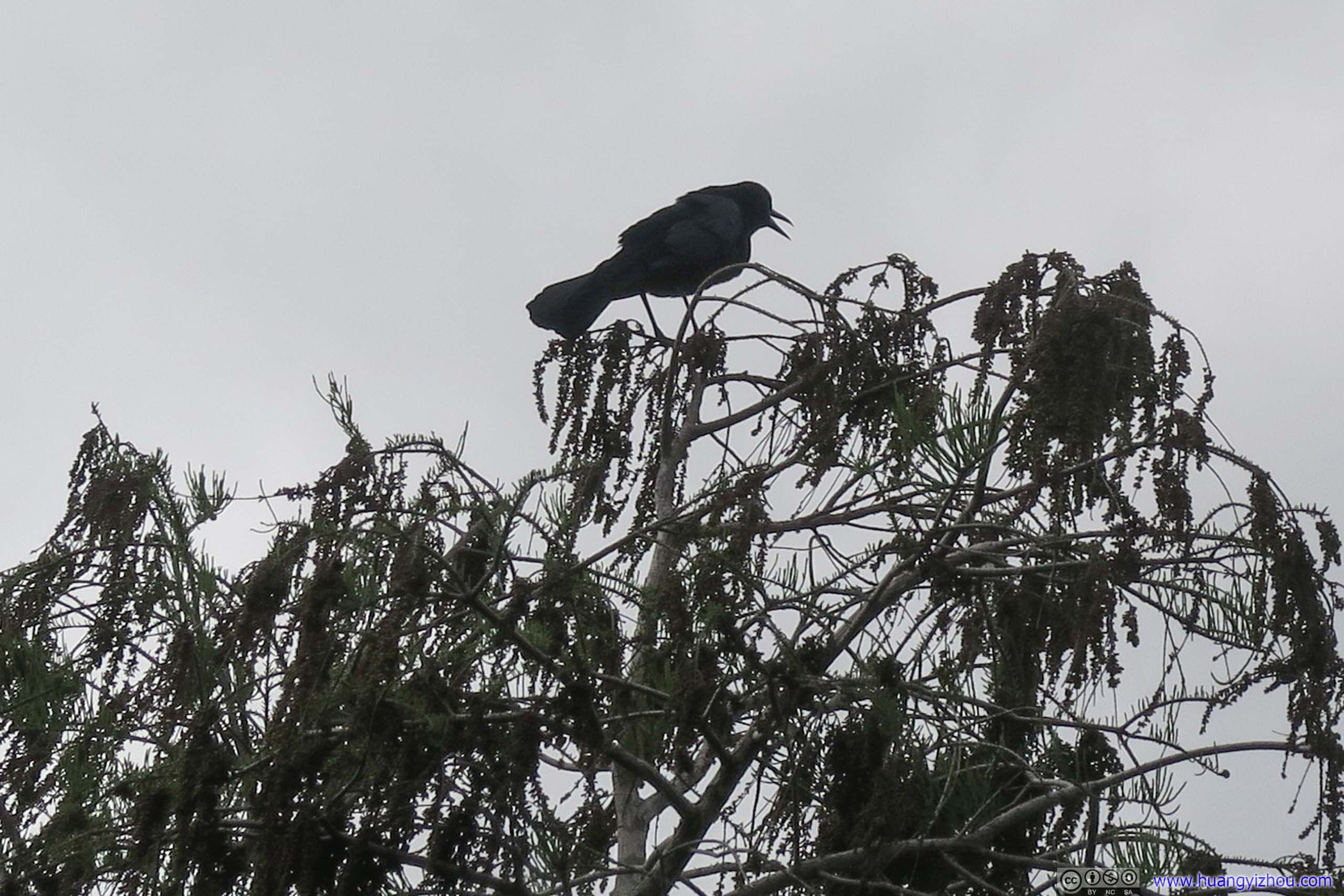
 Bird at Tree Top
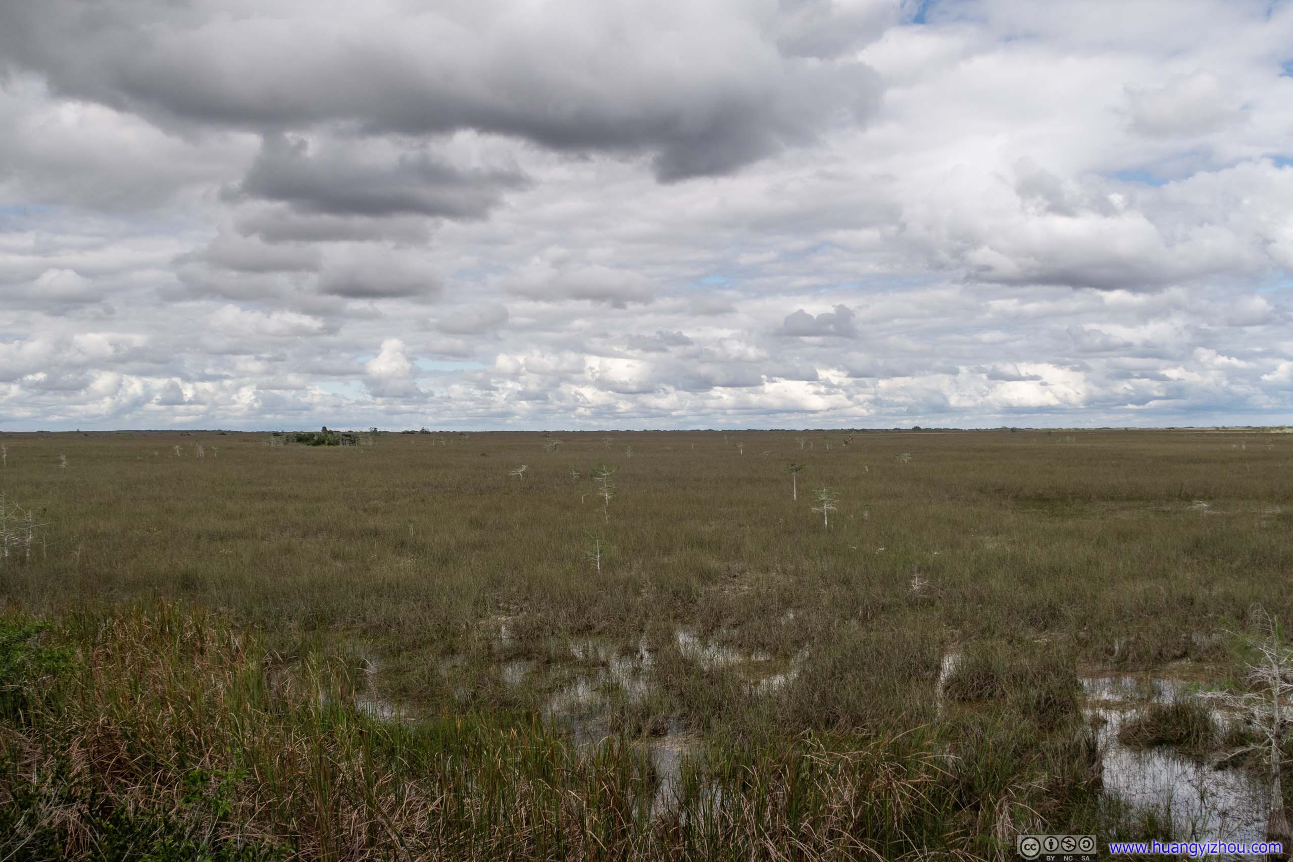
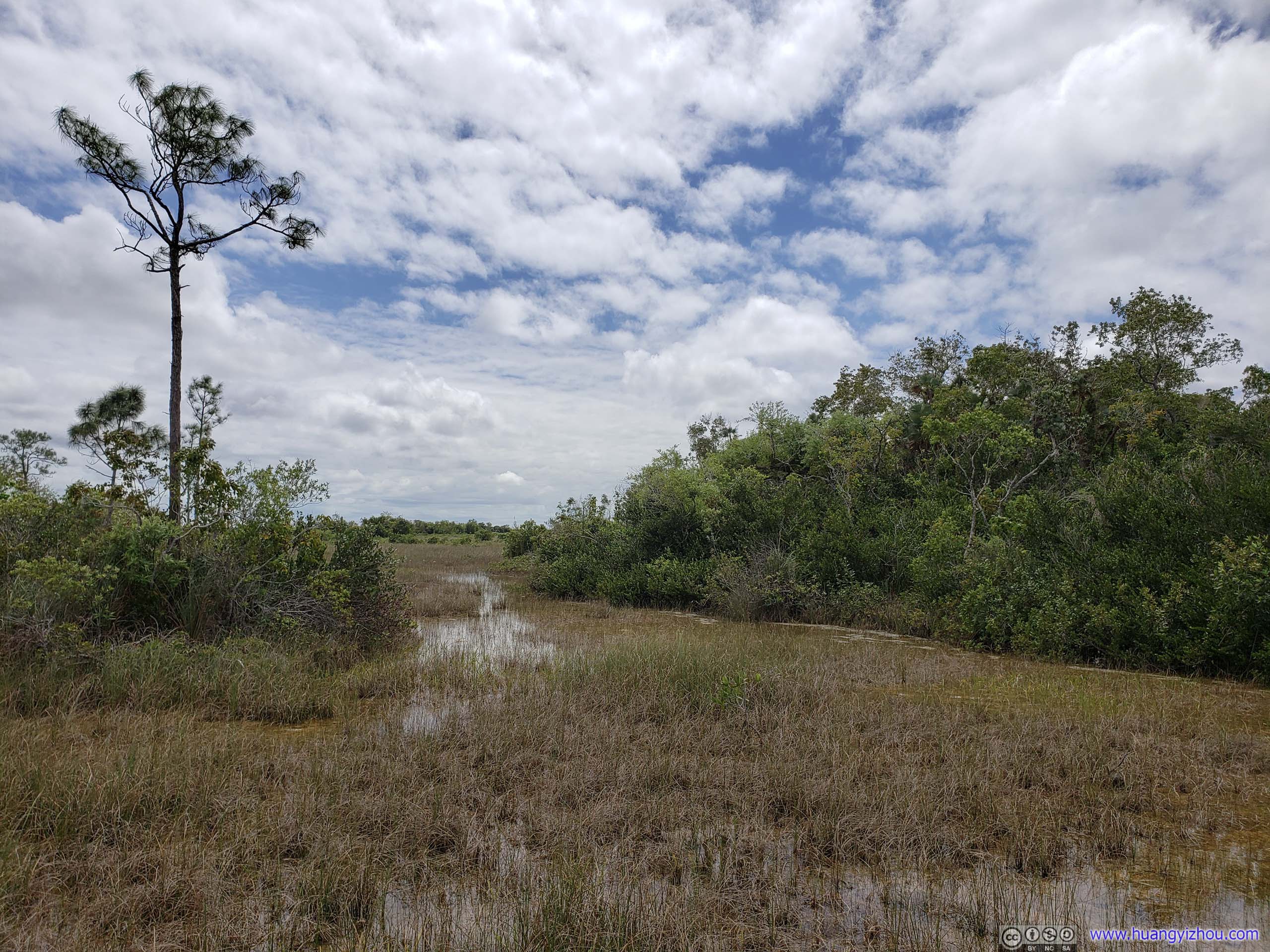
FieldOpen grassland of shallow water with islands of trees.
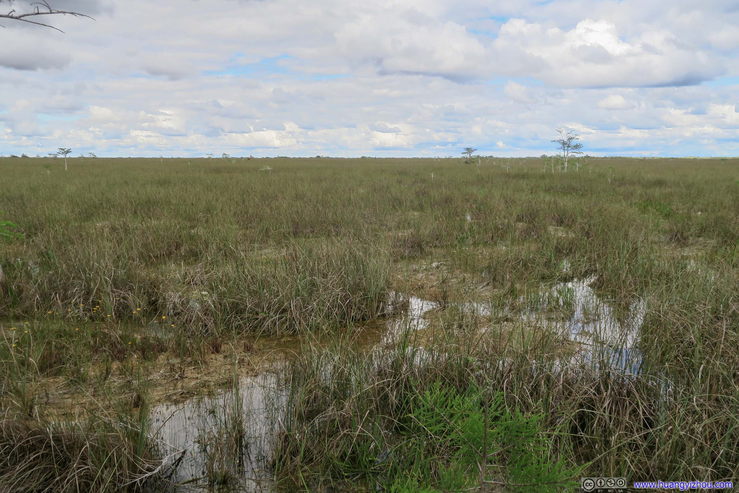
 Shallow Waters
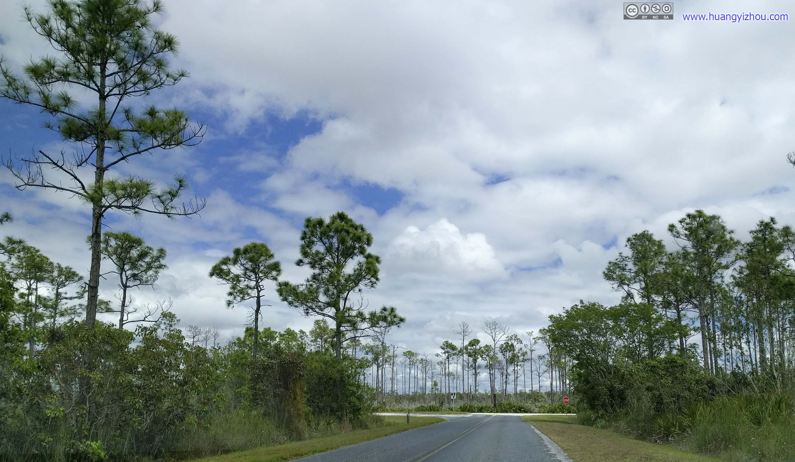
 Park Road
Pinelands Trail
It’s my final stop in the park. It’s a 625-meter paved trail at the boundary of pine forest and hardwood hammock.
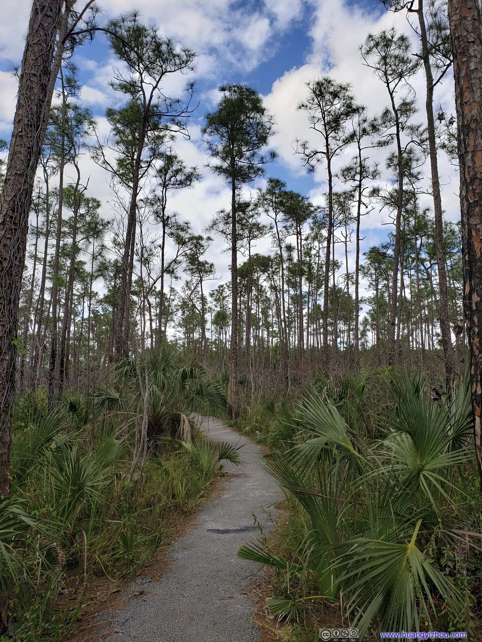
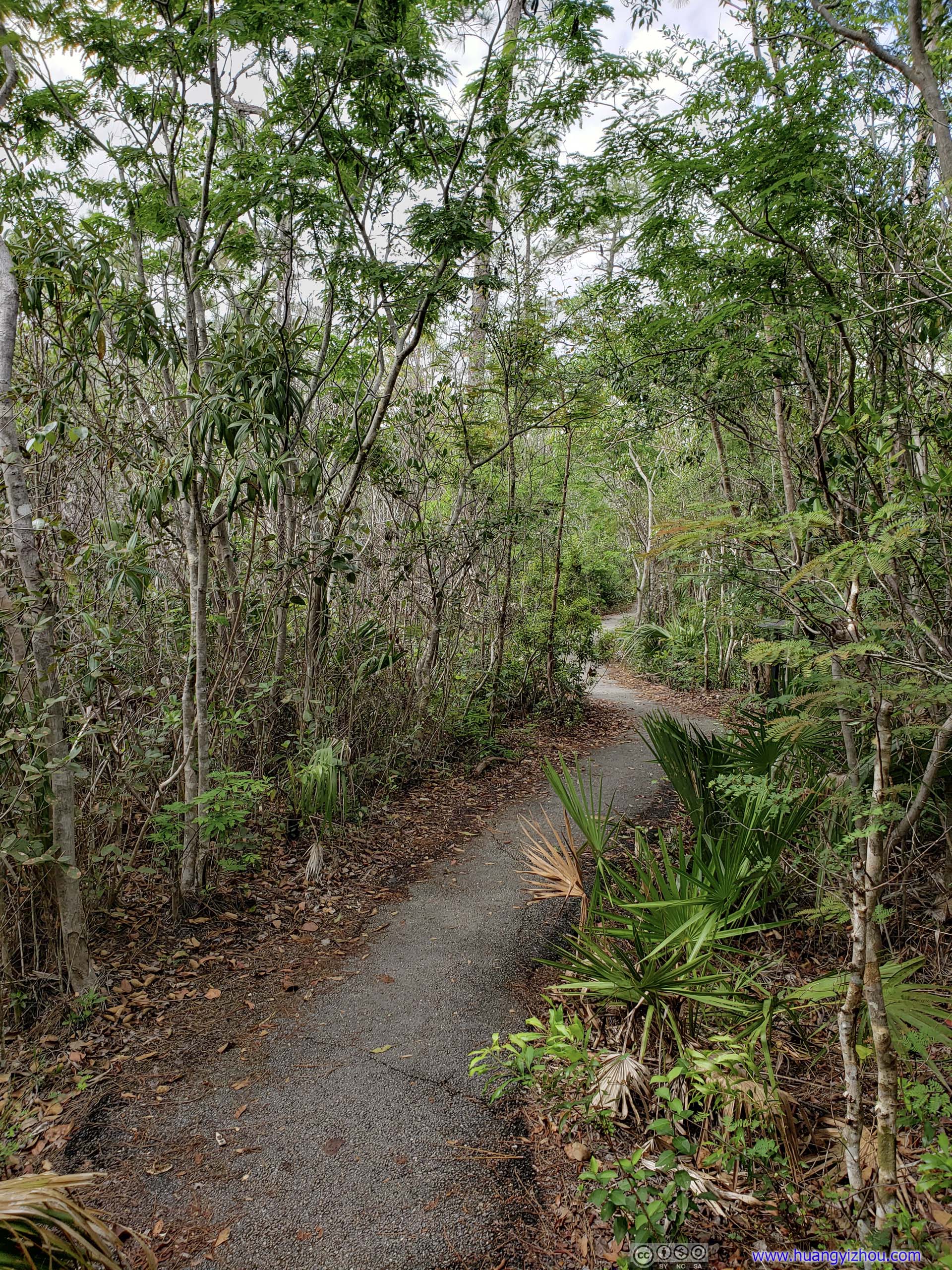 TrailIn pineland (left) and hardwood hammock (right).
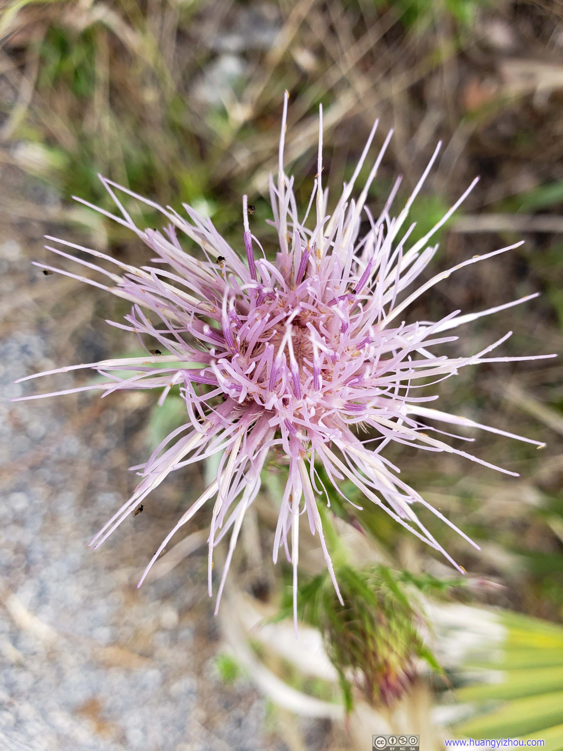
Flower
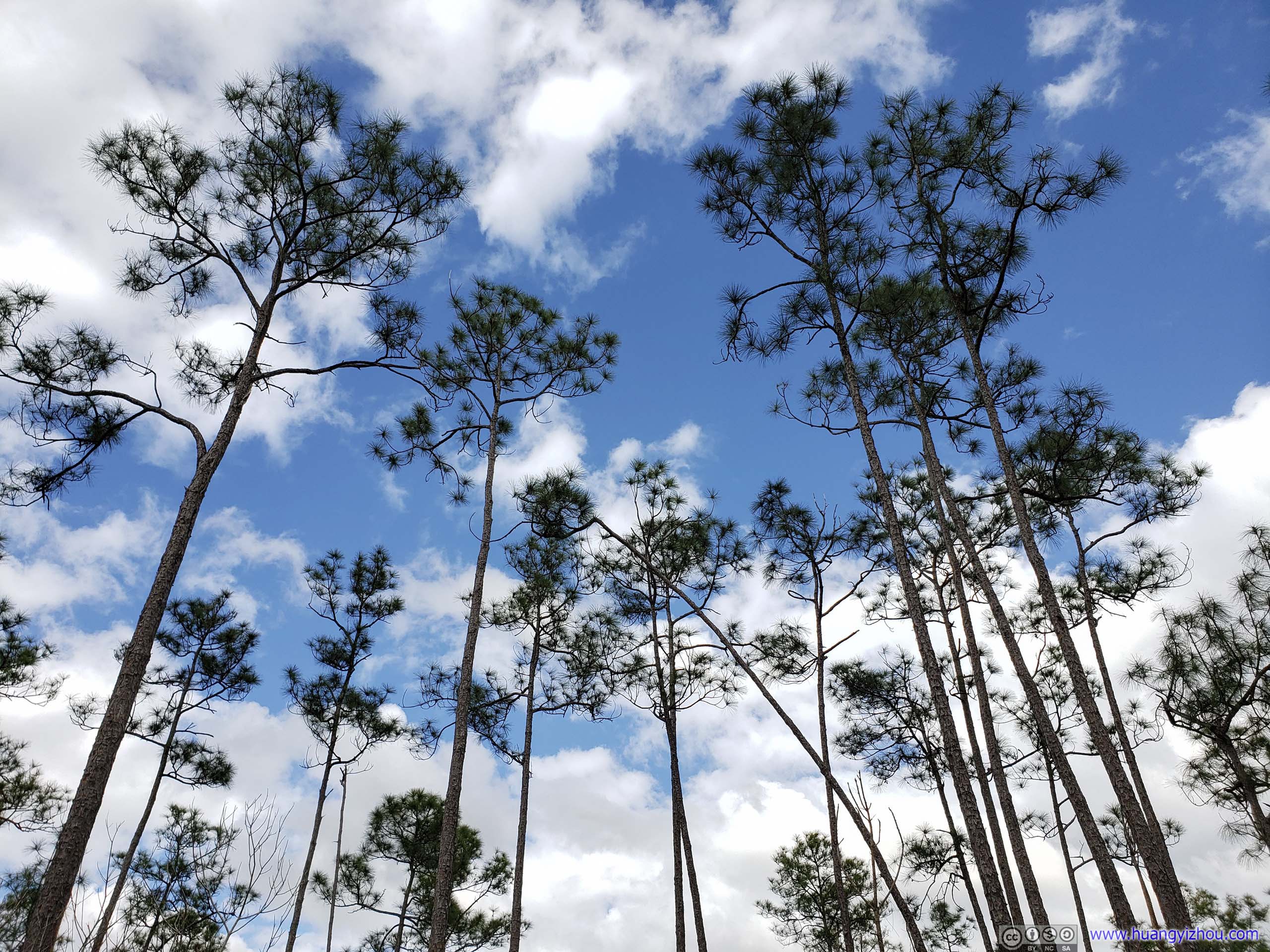
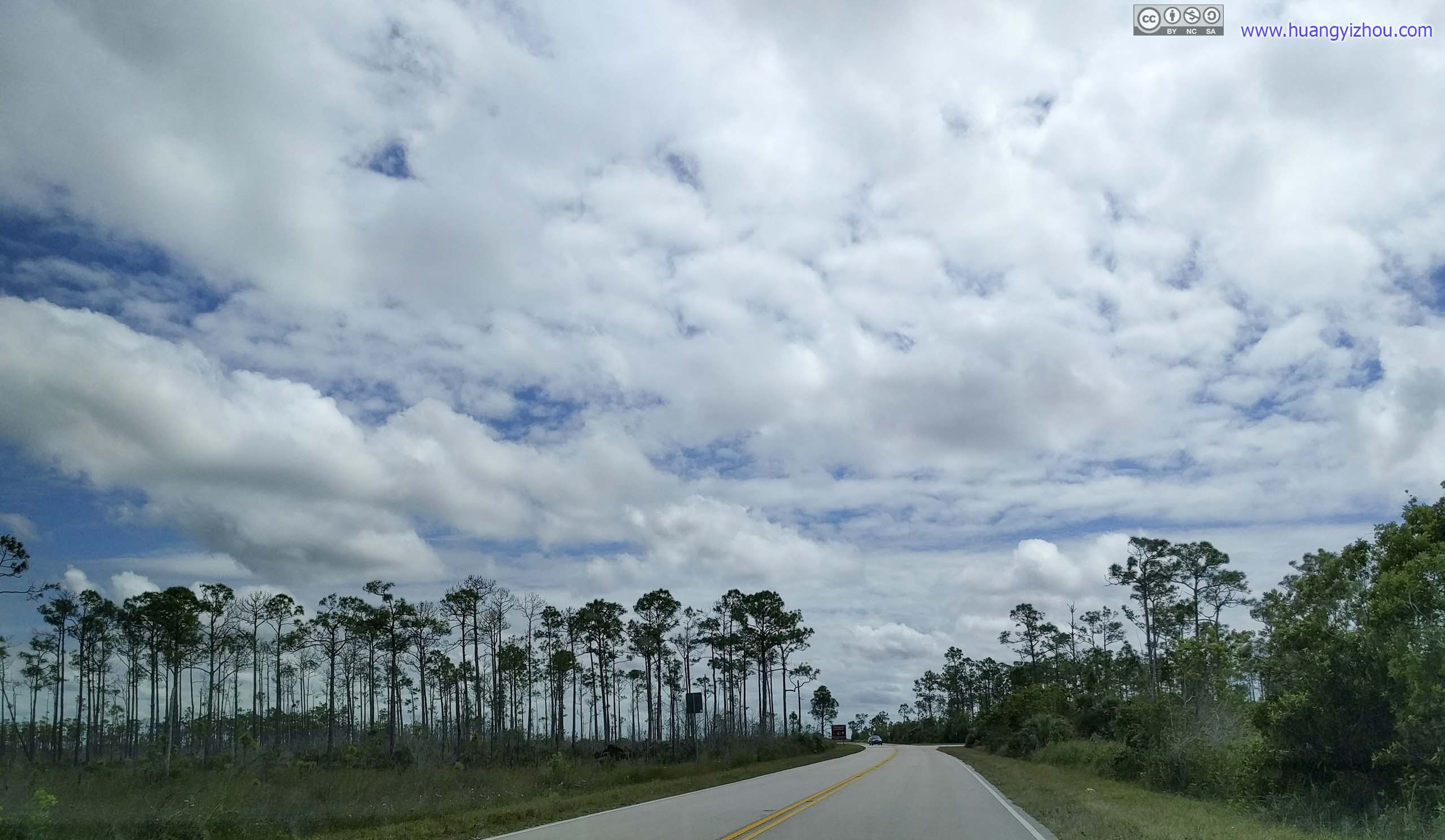
High TreesOf pineland.

Bushes with Prescribed BurningFire set by park rangers to duplicate the role of natural lightning-caused fires, which traditionally maintained the Everglades in a healthy state.
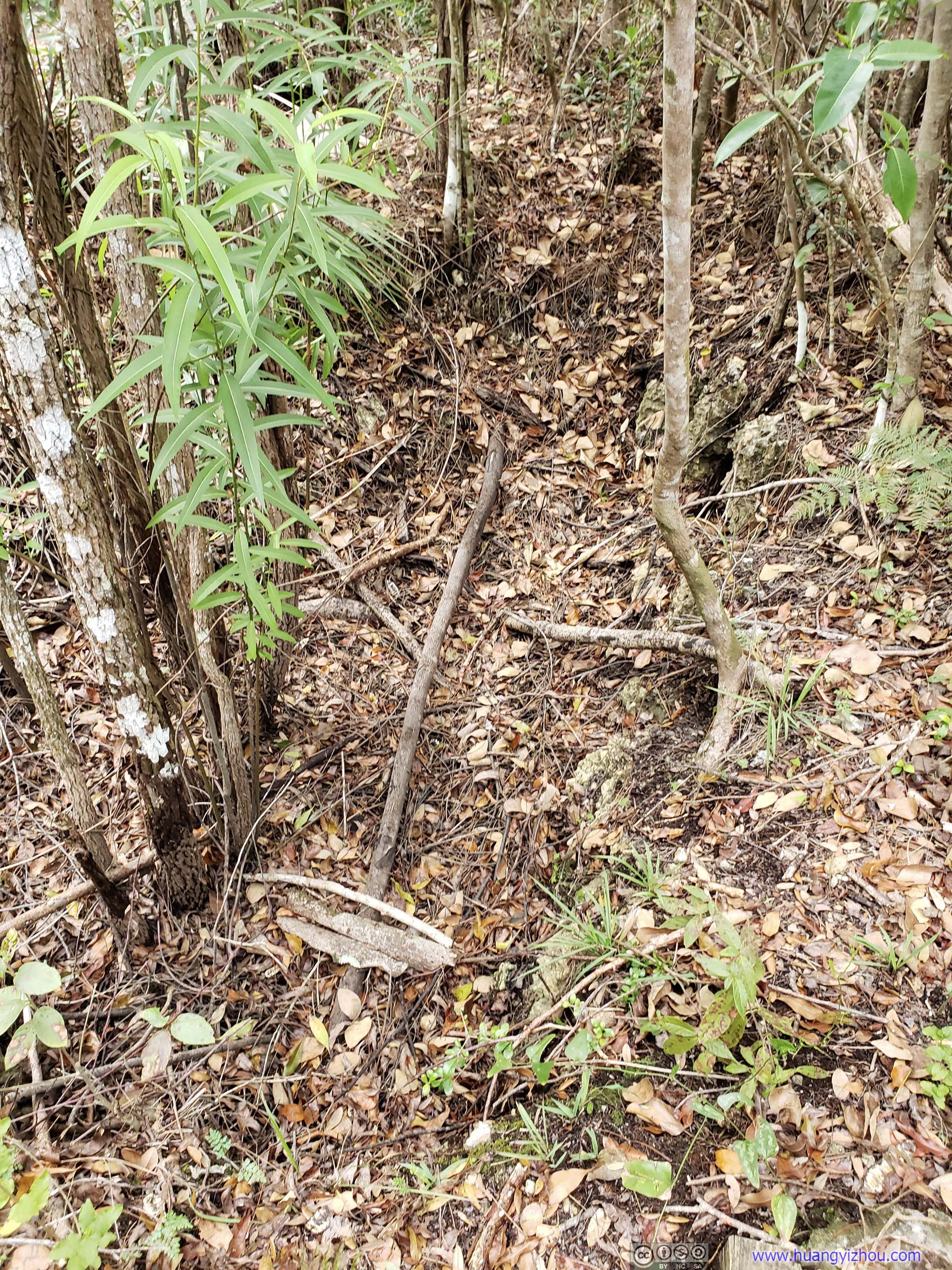
Solution HoleUnlike the one I saw this morning at Gumbo Limbo Trail, this one’s almost dry.
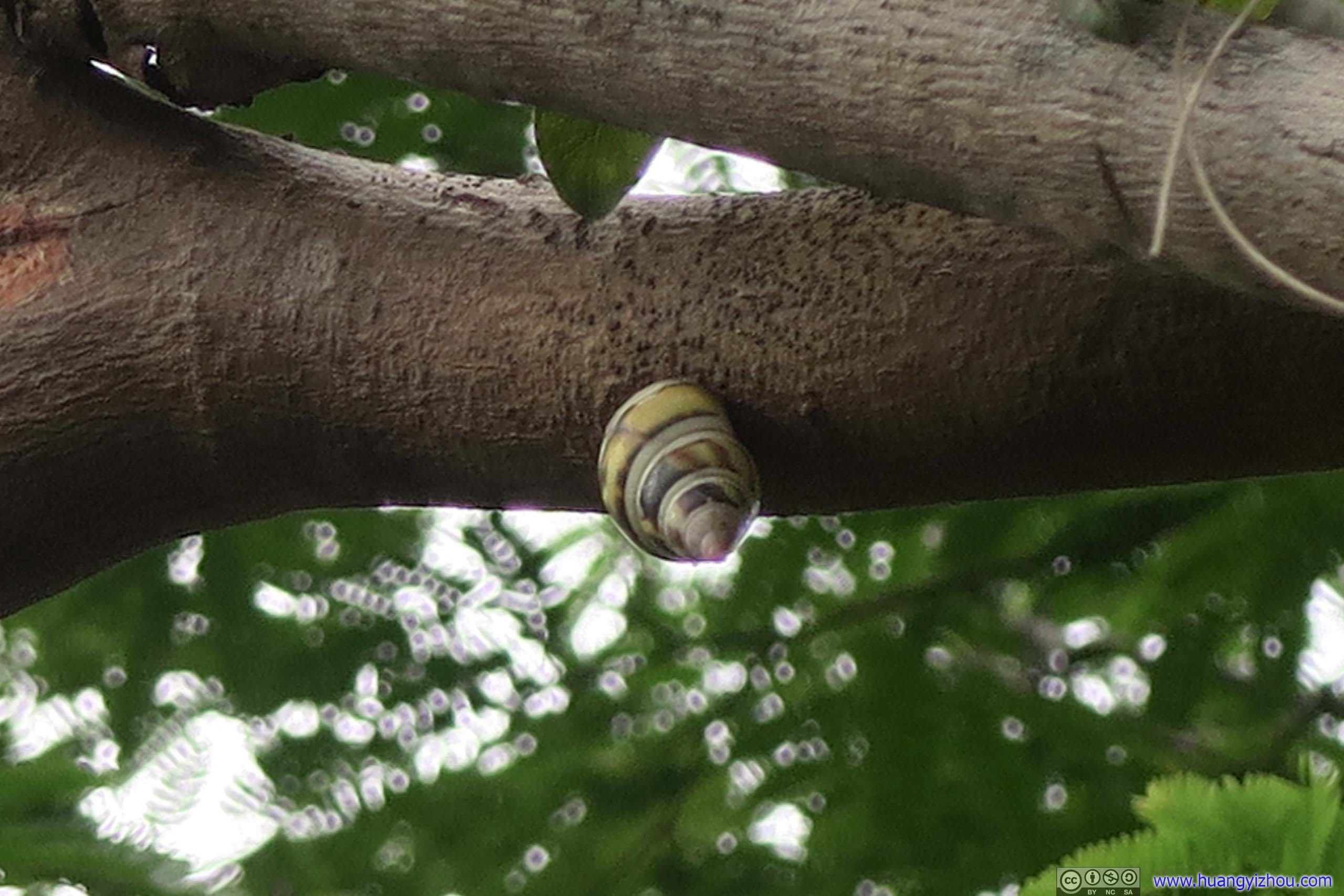
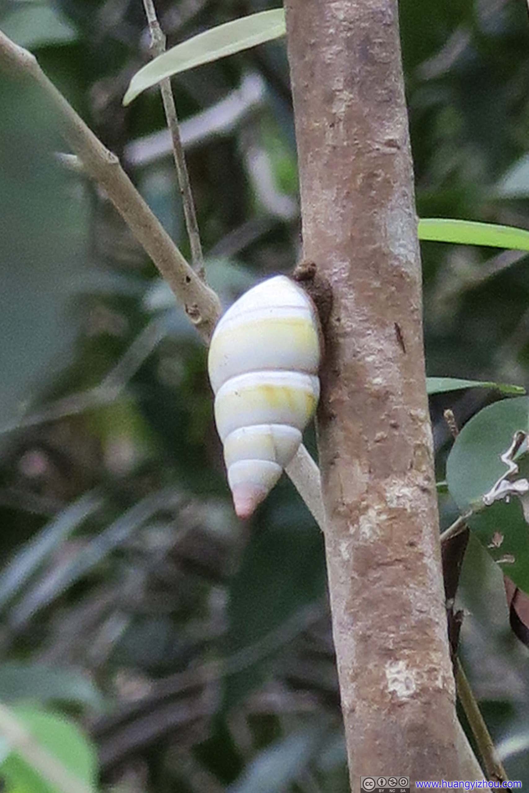 SnailIf not for another group of sharp-eyed visitors I wouldn’t find these creatures.

 Park Road
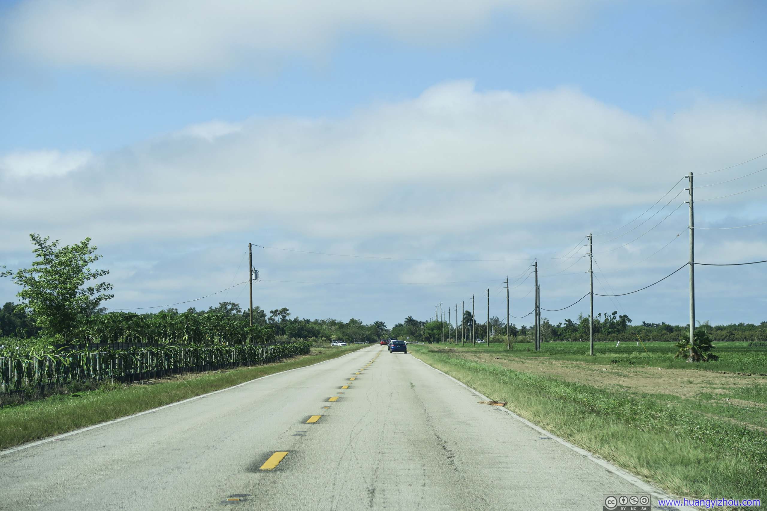
 Country RoadOff the developed urban areas and lined with farmland on both sides.
It was 5pm that I headed out of Everglades National Park back to Homestead. Feeling hungry from lack of lunch (only a few snacks) and being away from my food columnist friends, I had a quick lunch in Homestead. That’s when they messaged me that they had great fun on Miami Beach for the day, and invited me over.
Unfortunately, I was leaving at 6pm, which was certainly evening rush hour by local standards. So what Google Maps predicted a 60-minute drive in good traffic turned into a 100-minute misery.

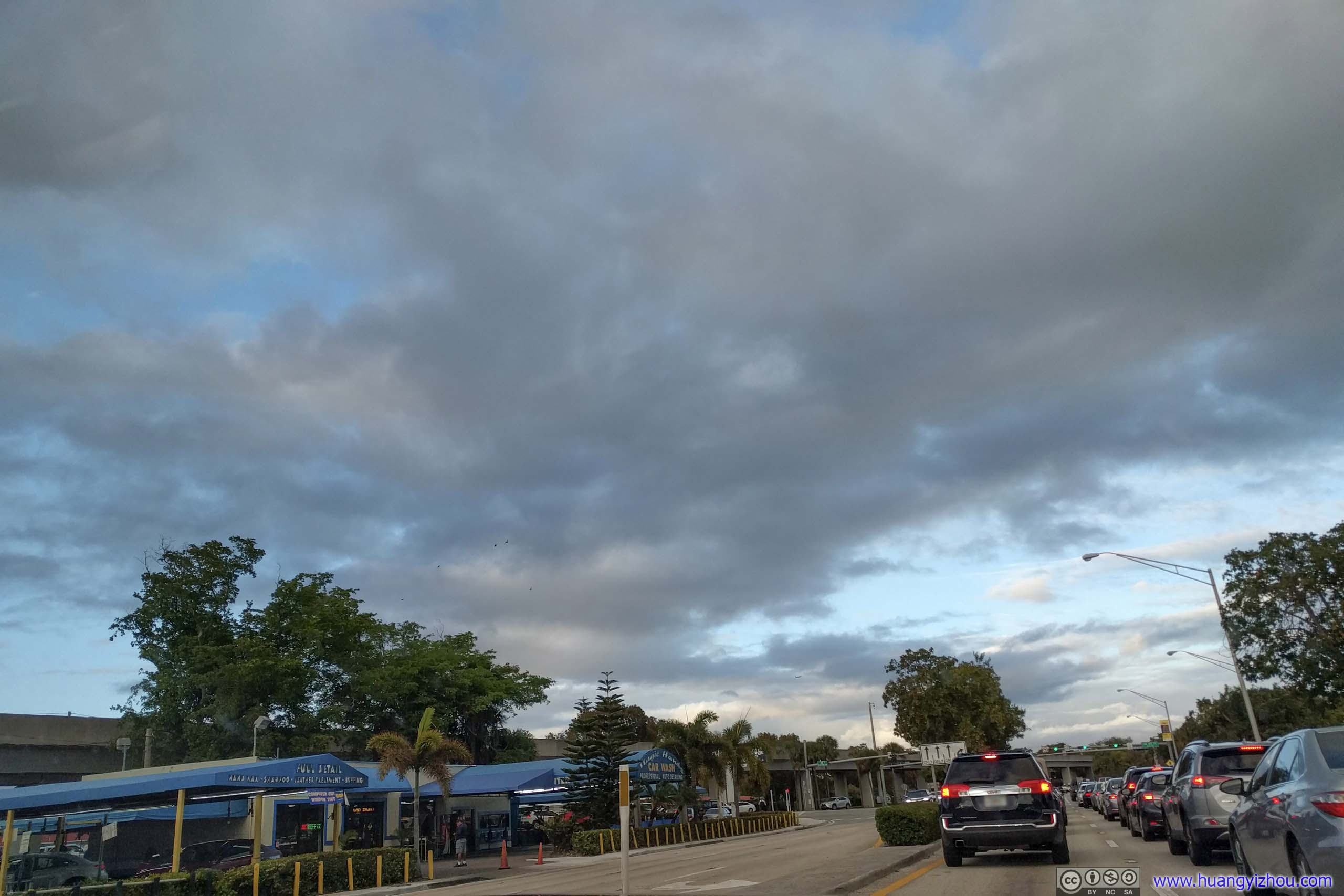
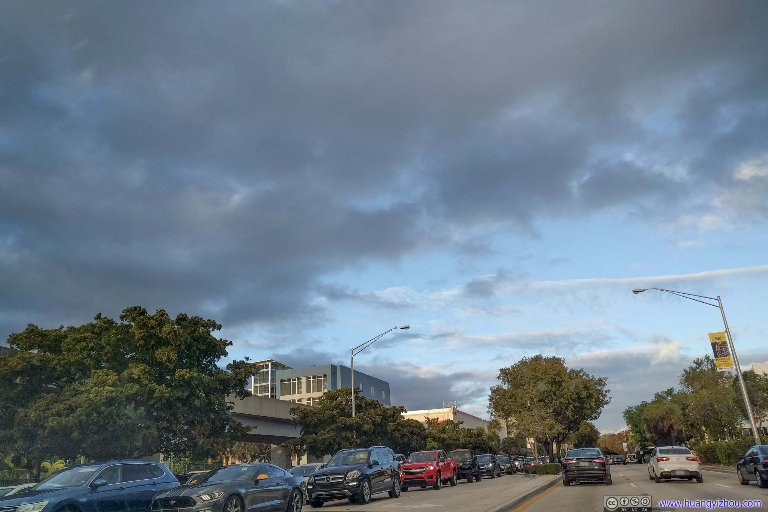 Evening Rush Traffic on Route 1
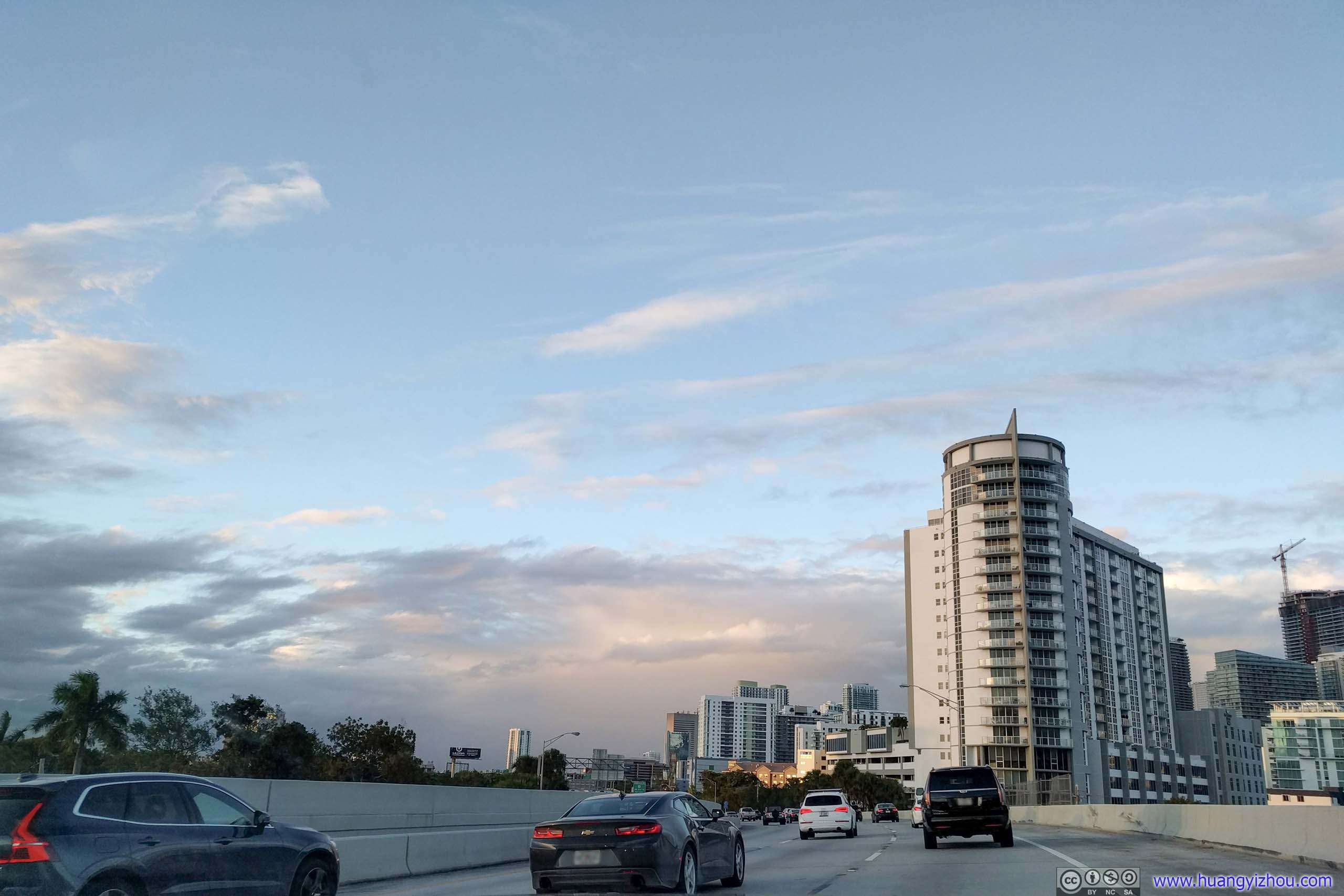
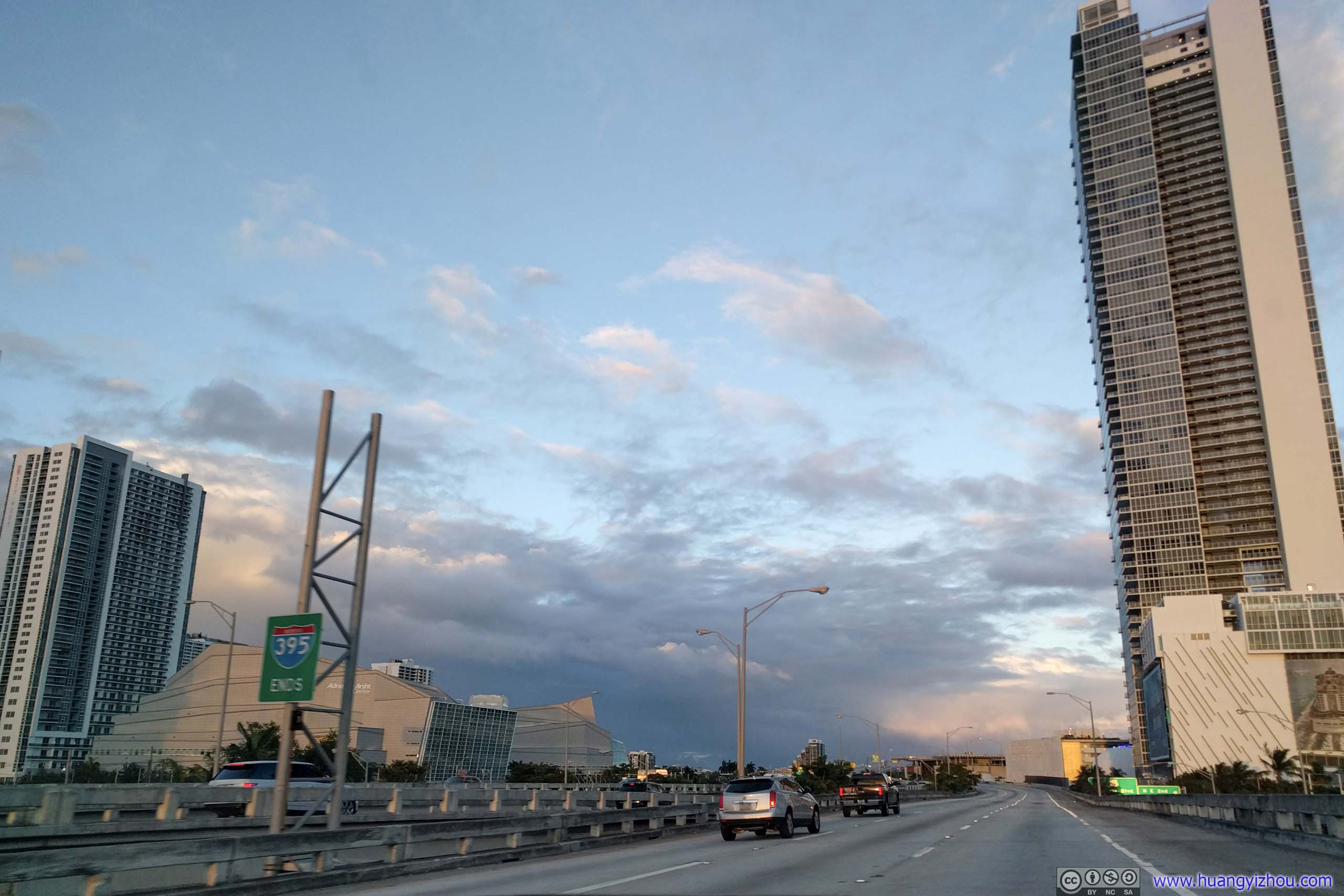
 HighwayThe only brief moment of comfort along the way, where I got off the congested Route 1 and onto Interstate 95/395. With sights of downtown Miami skyscrapers and fiery clouds from setting sun.
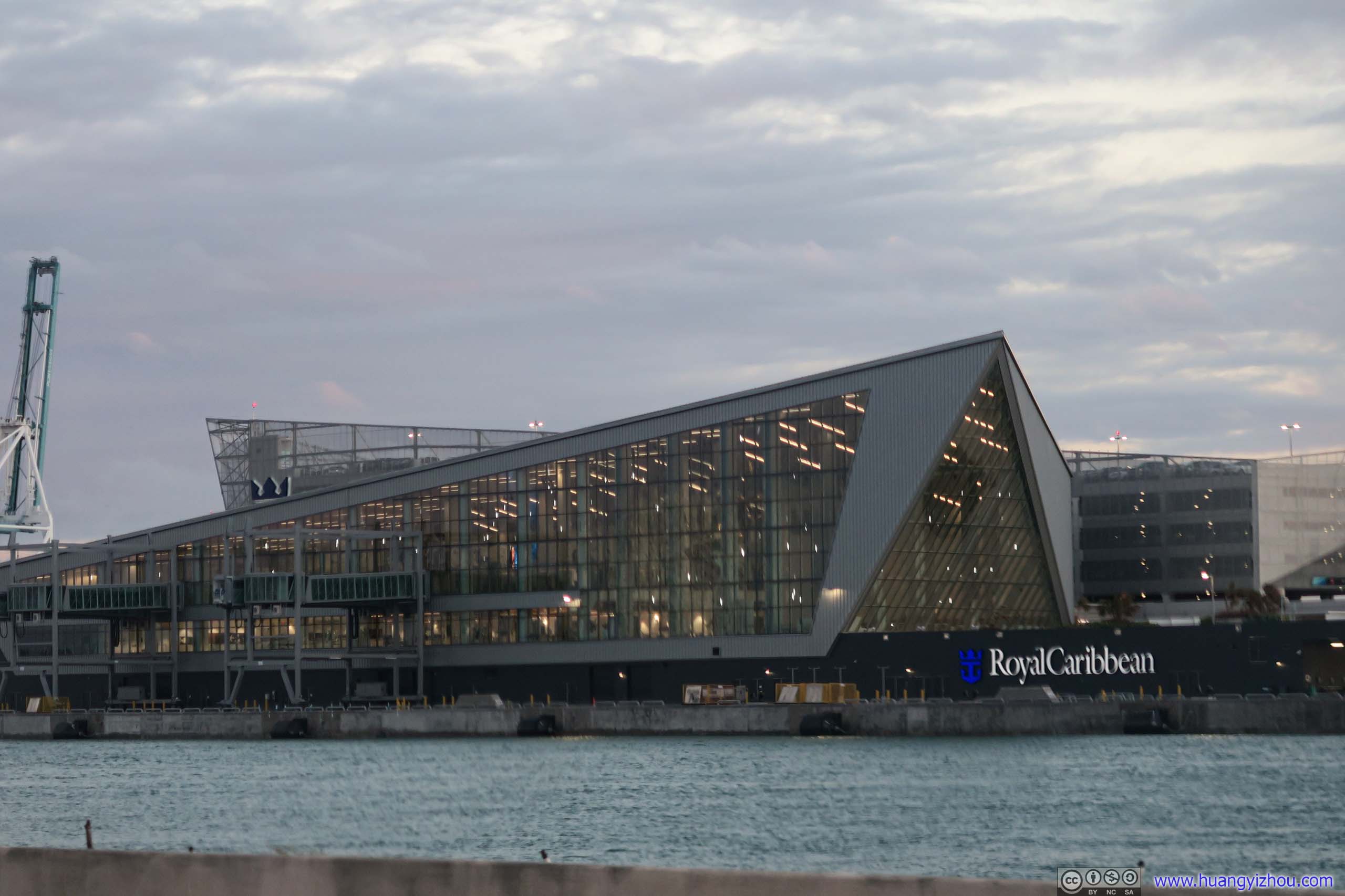
Royal Caribbean Cruise Terminal
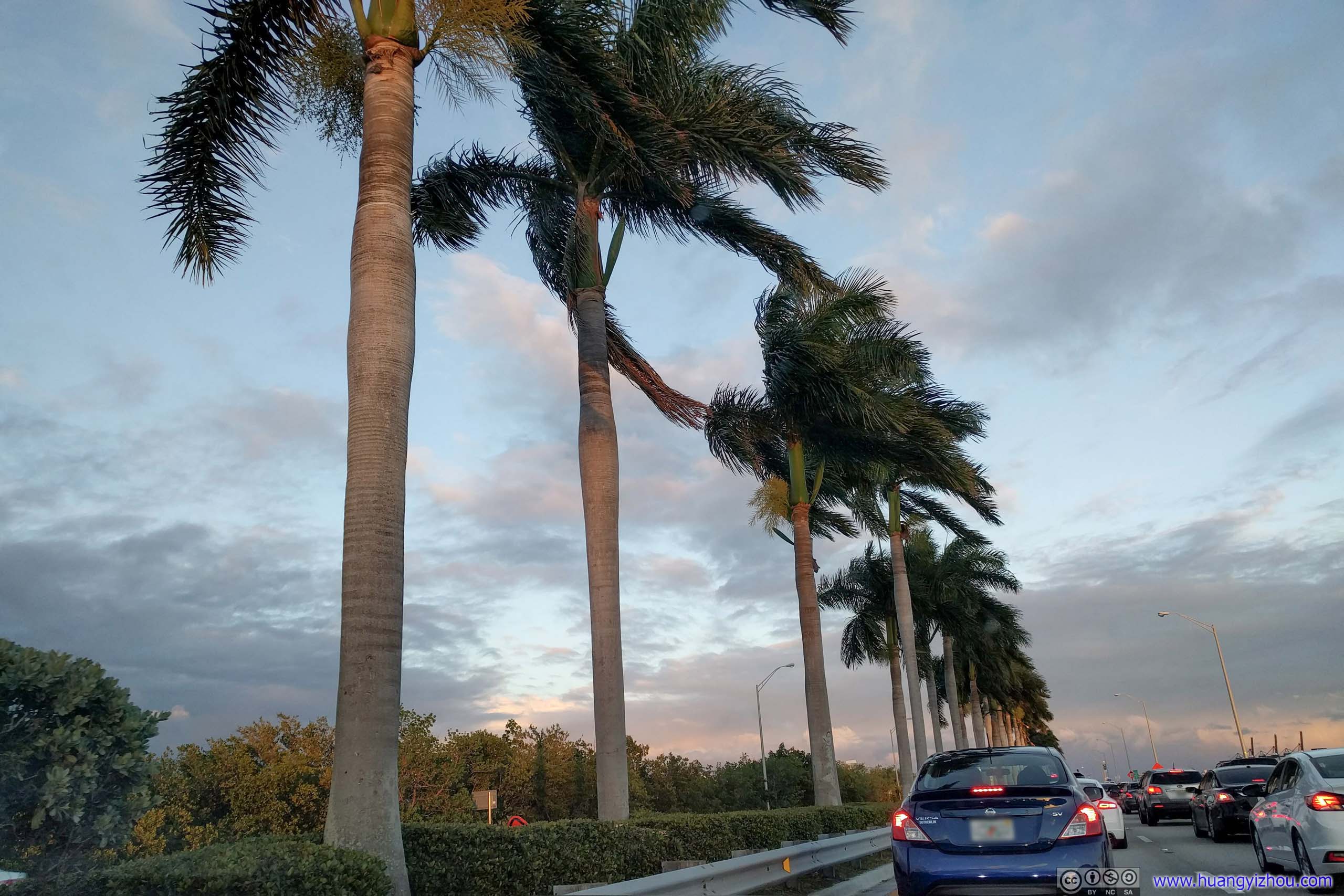
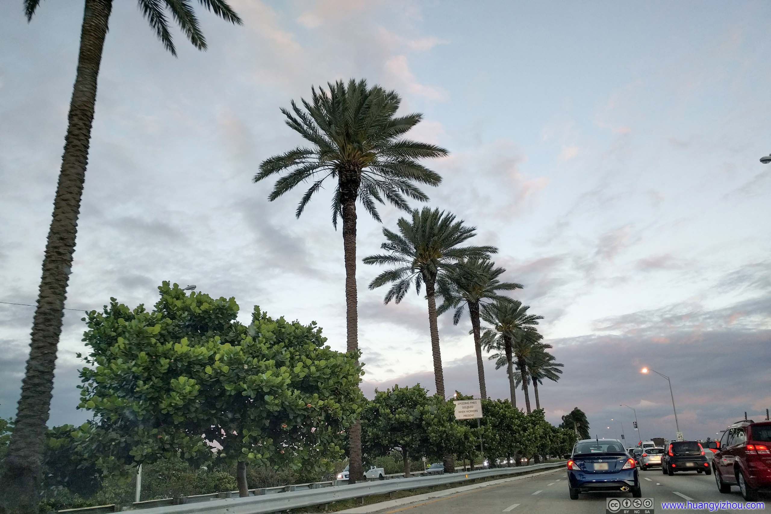
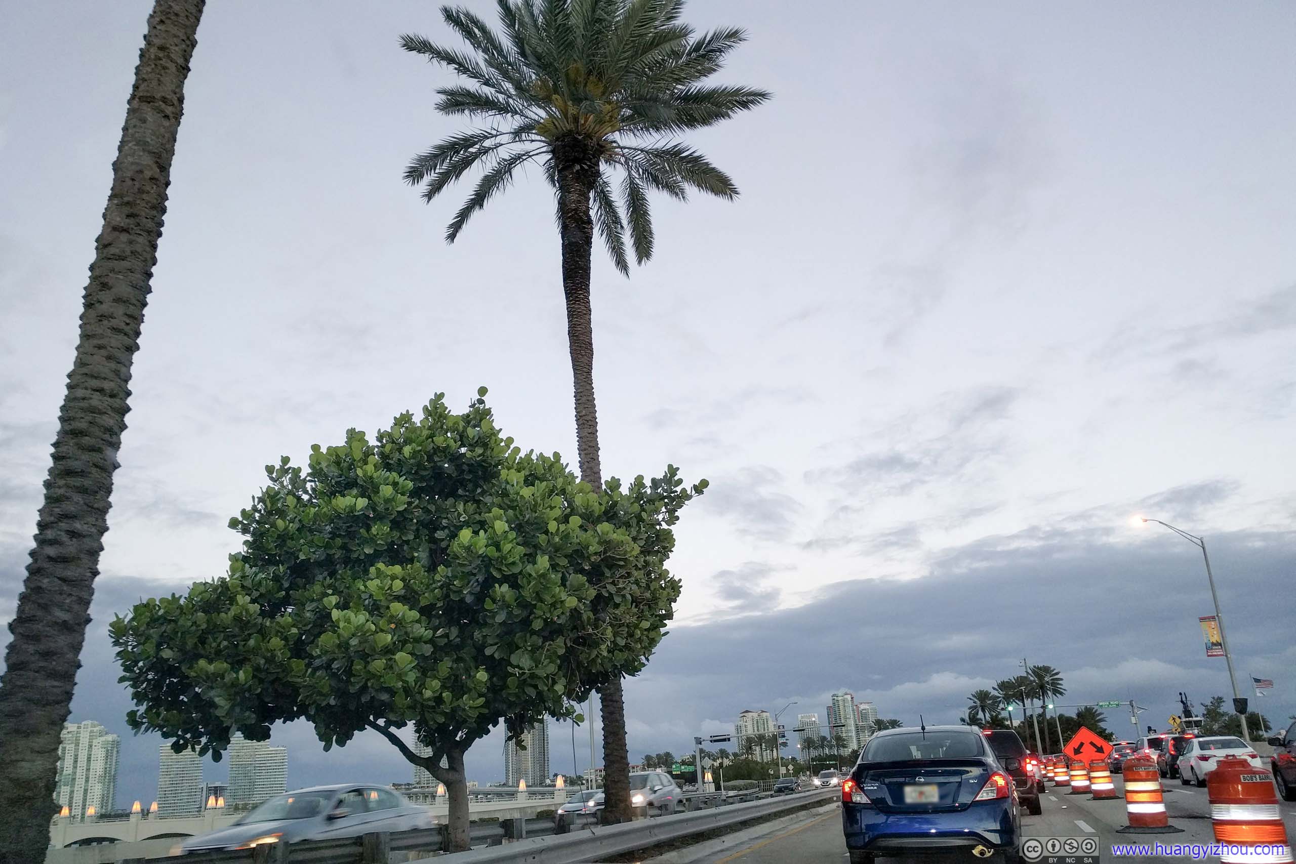
 Traffic on Highway onto Miami Beach IslandOnly to find there was more traffic and construction on MacArthur Causeway leading onto Miami Beach.

Onto Miami Beach Island
Unfortunately, it took me longer than expected to find parking on Miami Beach Island. So by the time I parked my car and joined my friends, it was already dark.
Miami Beach at Night
Nonetheless, since it’s our last night together, we still decided to give Miami Beach a quick walking tour before heading back.

Biscayne BayBetween Miami Beach and downtown.
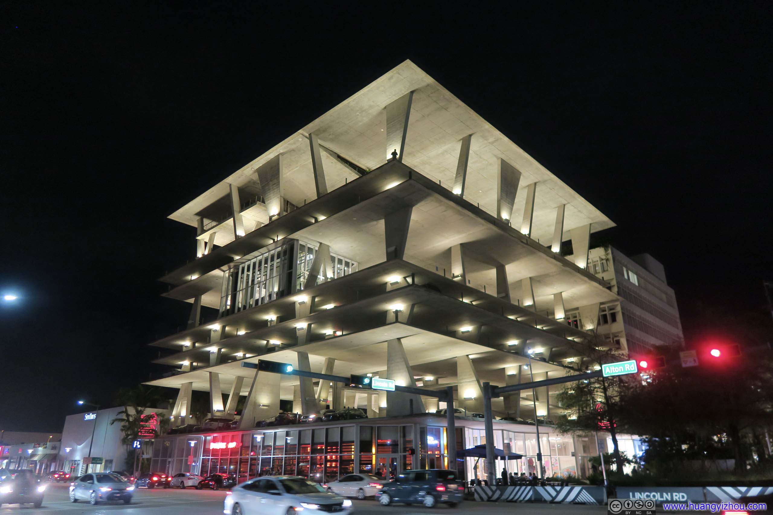
Parking GarageA rather modern design.
We walked along Lincoln Road, which was a pedestrian street lined with restaurants and shops. Had we been hungry we might give the restaurants a try.

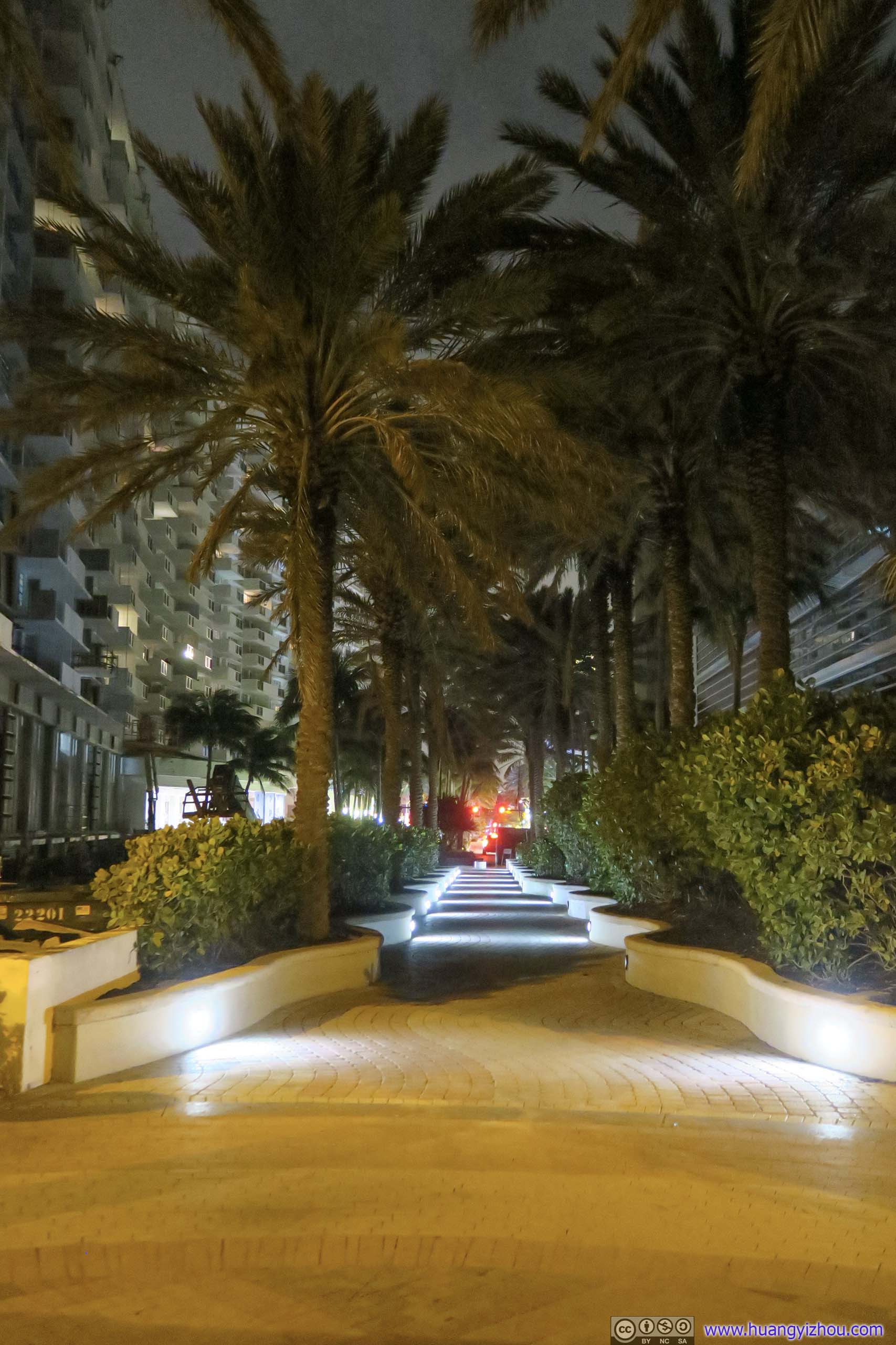 Palm Trees
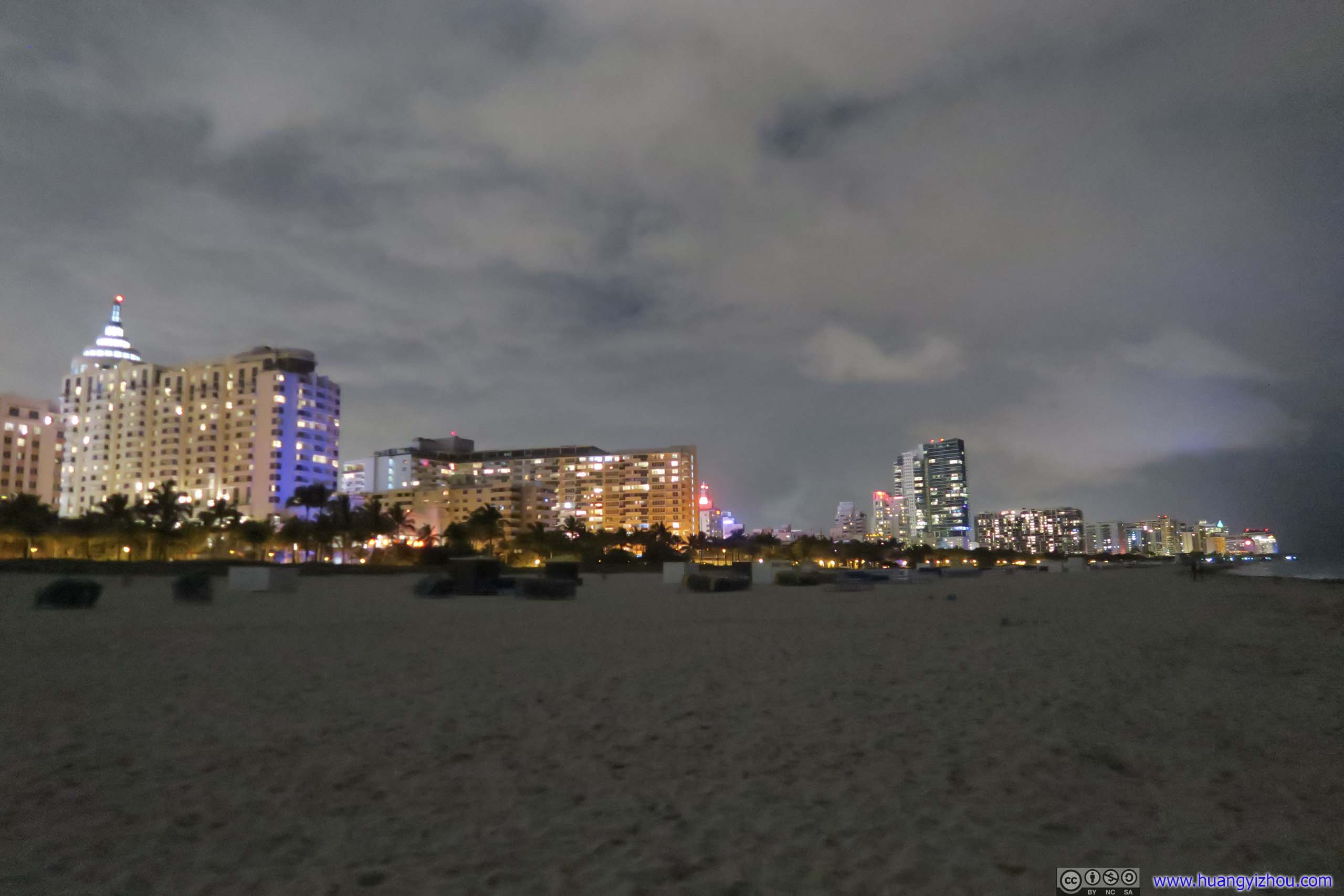
BeachSince the place’s called “Miami Beach”, my friends insisted me to set foot on the beach, which was quiet a night.
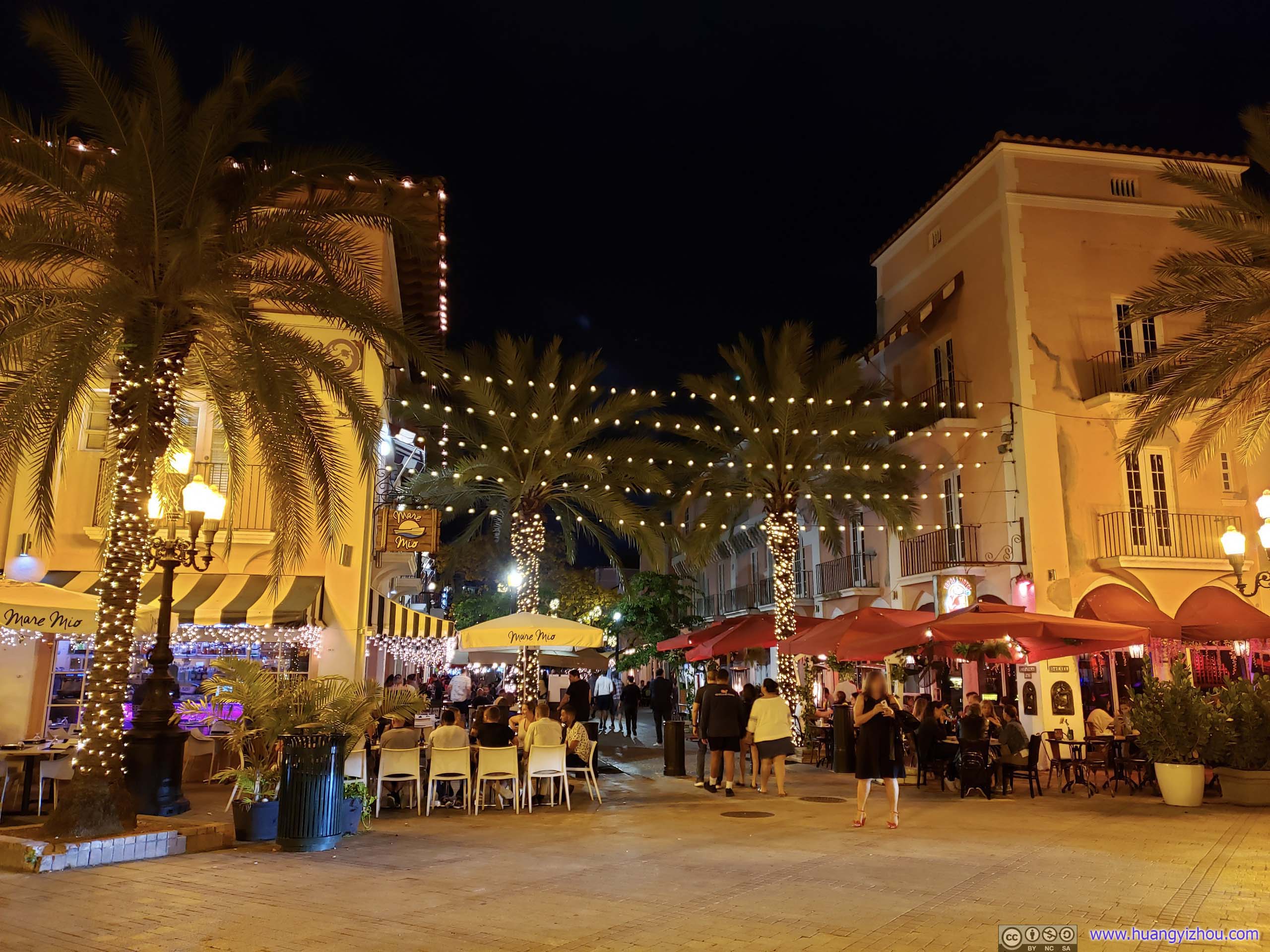
Restaurant Street
Then it was starting to drizzle, so we drove back to Homestead to our Airbnb house and called it a day.
END
![]() Day 7 of 2019 Florida Spring Break, Everglades by Huang's Site is licensed under a Creative Commons Attribution-NonCommercial-ShareAlike 4.0 International License.
Day 7 of 2019 Florida Spring Break, Everglades by Huang's Site is licensed under a Creative Commons Attribution-NonCommercial-ShareAlike 4.0 International License.