
Updated on May 15, 2019
Triple State Hike
Just after the start of Fall 2018 semester, some of my friends in UMD’s Terrapin Trails Club organized this hiking trip to visit the highest points of the states of Pennsylvania, Maryland and West Virginia, which would be my first trip with the club.
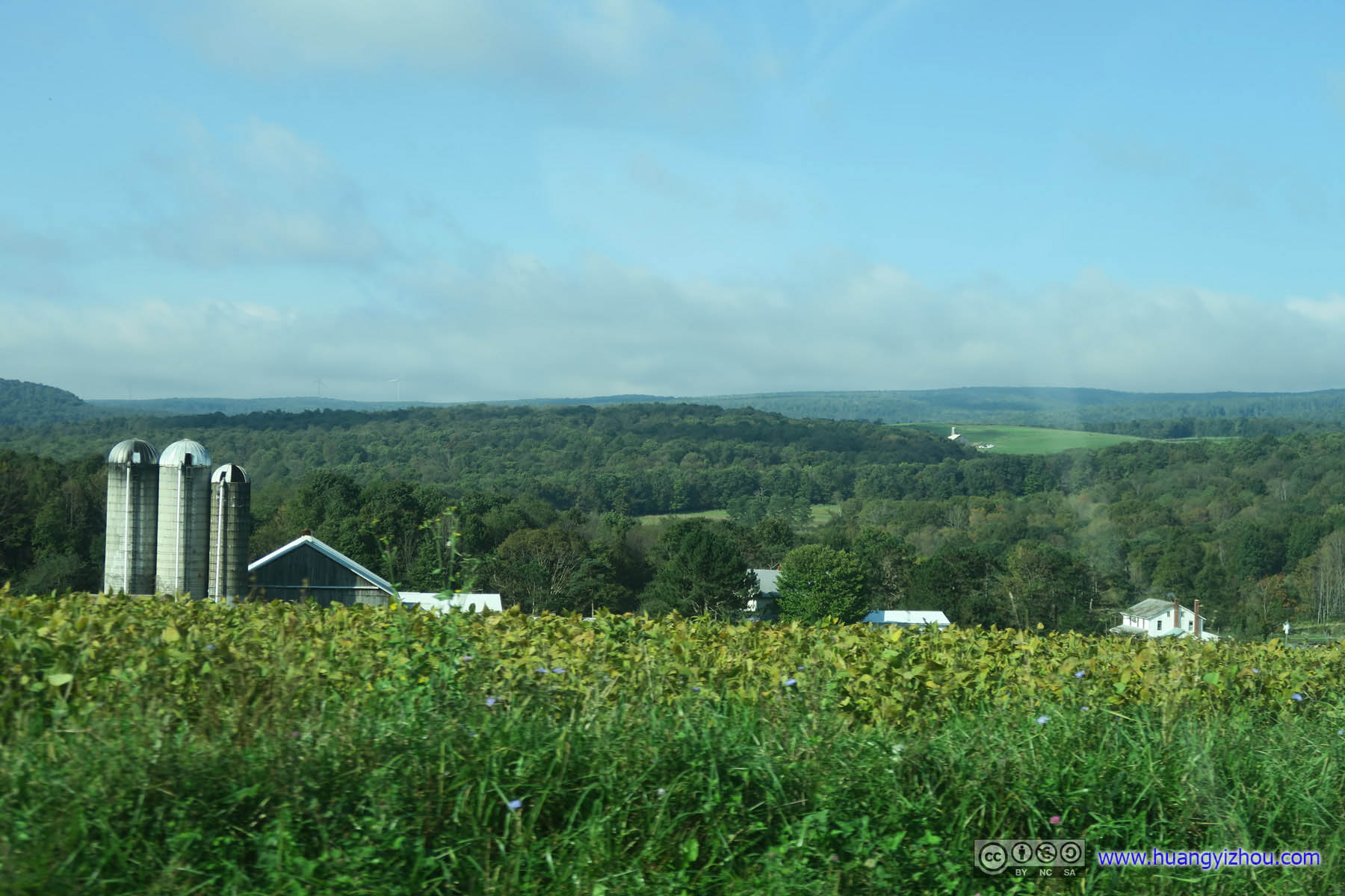
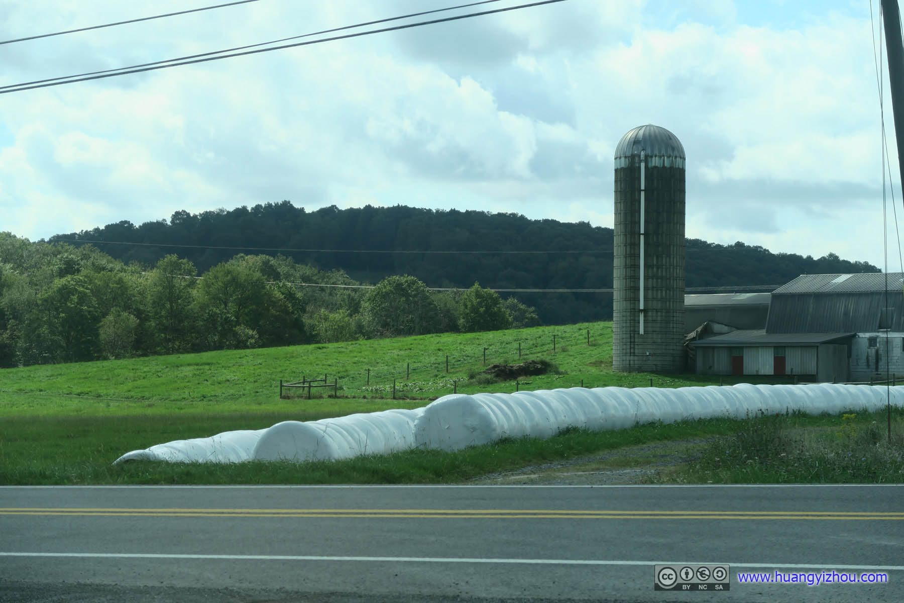
 Farmland
GPS recordings are here:
- Hoye-Crest
- Seneca Rocks
- Spruce Knob
www.endomondo.com/users/4702389/workouts/1295489550
www.endomondo.com/users/4702389/workouts/1295489621
The highest points of Pennsylvania, Maryland and West Virginia are Mount Davis, Hoye-Crest and Spruce Knob respectively. They were located fairly close to each other to accommodate a weekend trip, and in my friends’ opinion they were all easy hikes.
So Friday evening we headed out of DC into Western Maryland in typical end-of-week traffic. One of our drivers was from Frederick, Maryland, and with pride in his hometown, he invited us to dinner at his favorite local restaurant.
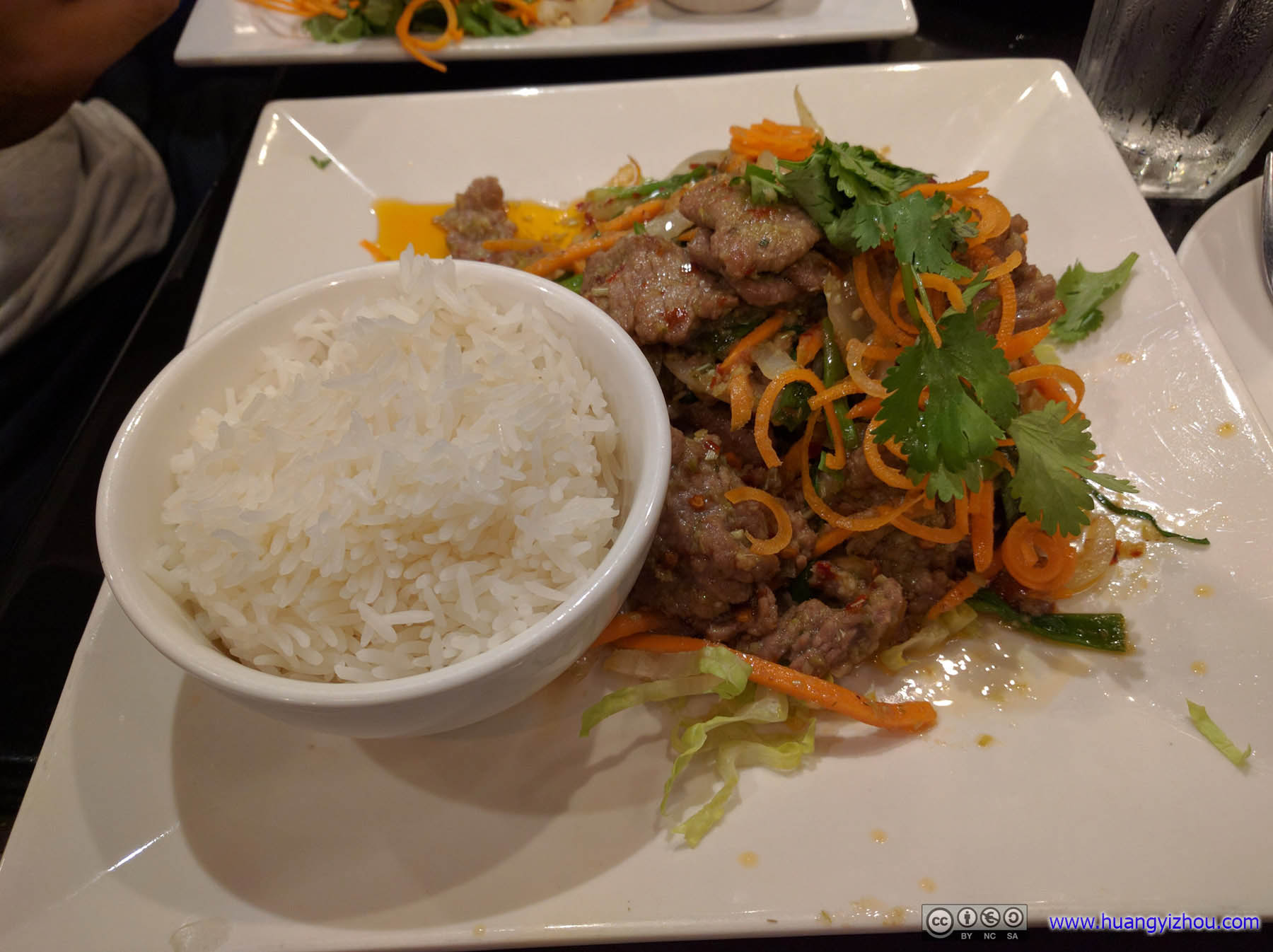
Dinner at Lucky Corner RestaurantThe right amount of spice to keep me awake for the following hour or two yet without the need to swallow loads of water to keep my throat from burning.
Unfortunately, I remembered more about conversations over this meal than the food itself, that the only guy in the trip from Vietnam, where I just visited over the winter, informed me that driver’s license wasn’t part of the necessary package to operate a motorcycle in Vietnam but lungs that can survive traffic pollution was. I used to take it as a thrilling experience to drive unlicensed, not any more with his words.
Unfortunately, sad news didn’t end there that night. Since we came out of Friday night traffic from DC, it’s not that much a surprise as we reached Rocky Gap State Park where we were booked to stay the night, it was already quiet hours. So, after some scrambling online search we ended up heading for what’s known as “Irons Mountain Campsite” on Google Maps, located on Chesapeake and Ohio Canal Towpath, which was also 400 feet from the nearest barely travelled country road. Since this started out as a car-camping trip and none of us wanted to carry our camping gear for that distance to a campground that’s a no more than a sign post, we decided to set up camp just along that country road and hopefully no policemen would come in the middle of the night herding us away.
Which they didn’t. So apart from mosquitos, we actually had a pretty good night’s sleep listening to the sounds of Potomac River just feet away.
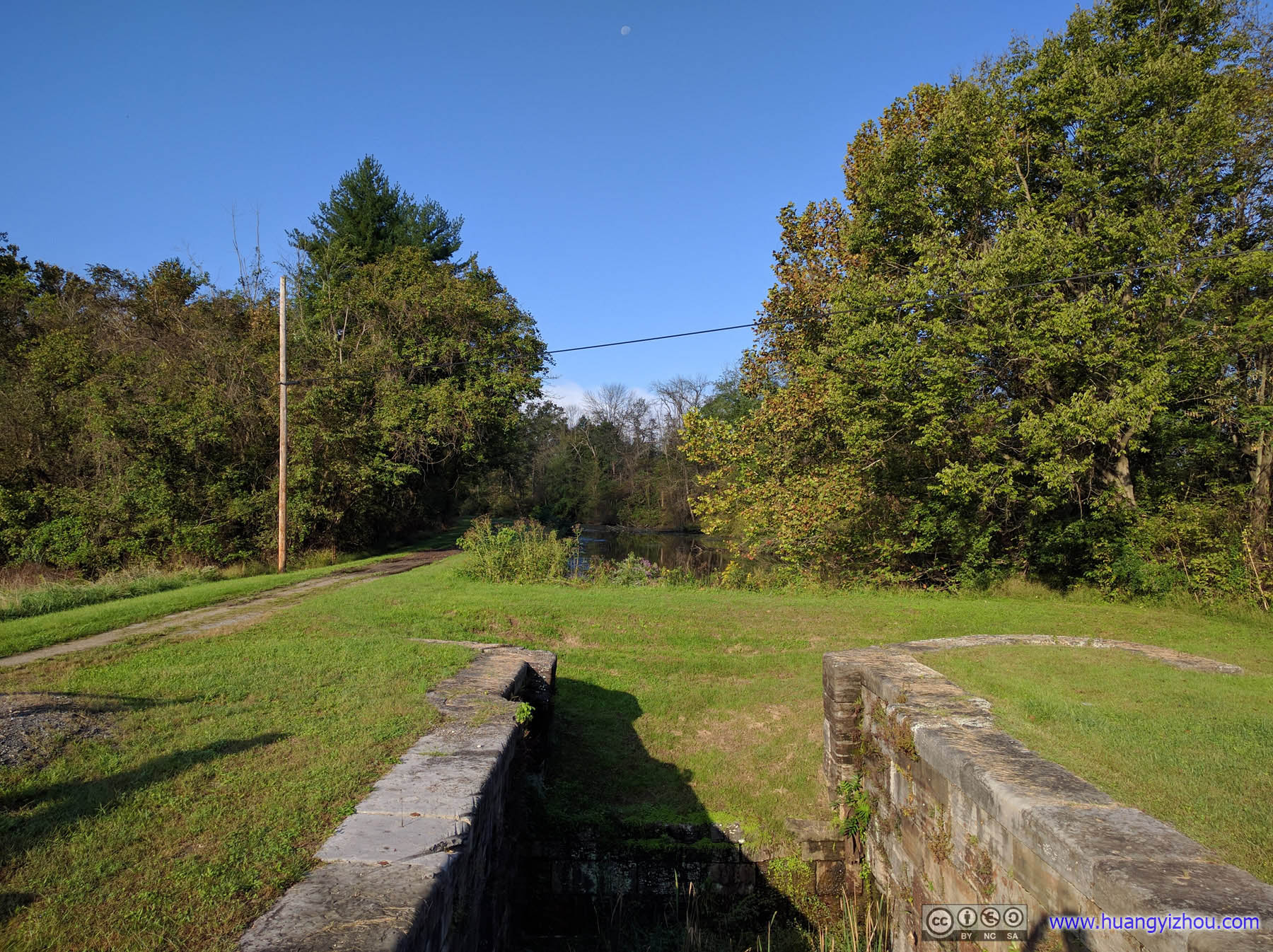
C&O Canal Lock 74Hardly any water visible.
After that, it’s an hour’s drive to Mount Davis, the highest point of Pennsylvania.
Mount Davis
There were some hiking trails near the parking lot of Mount Davis, but none of my seasoned friends from a professional trails club were interested. Instead, we climbed onto this observation tower, took a few photos, and left before winds blew us away.
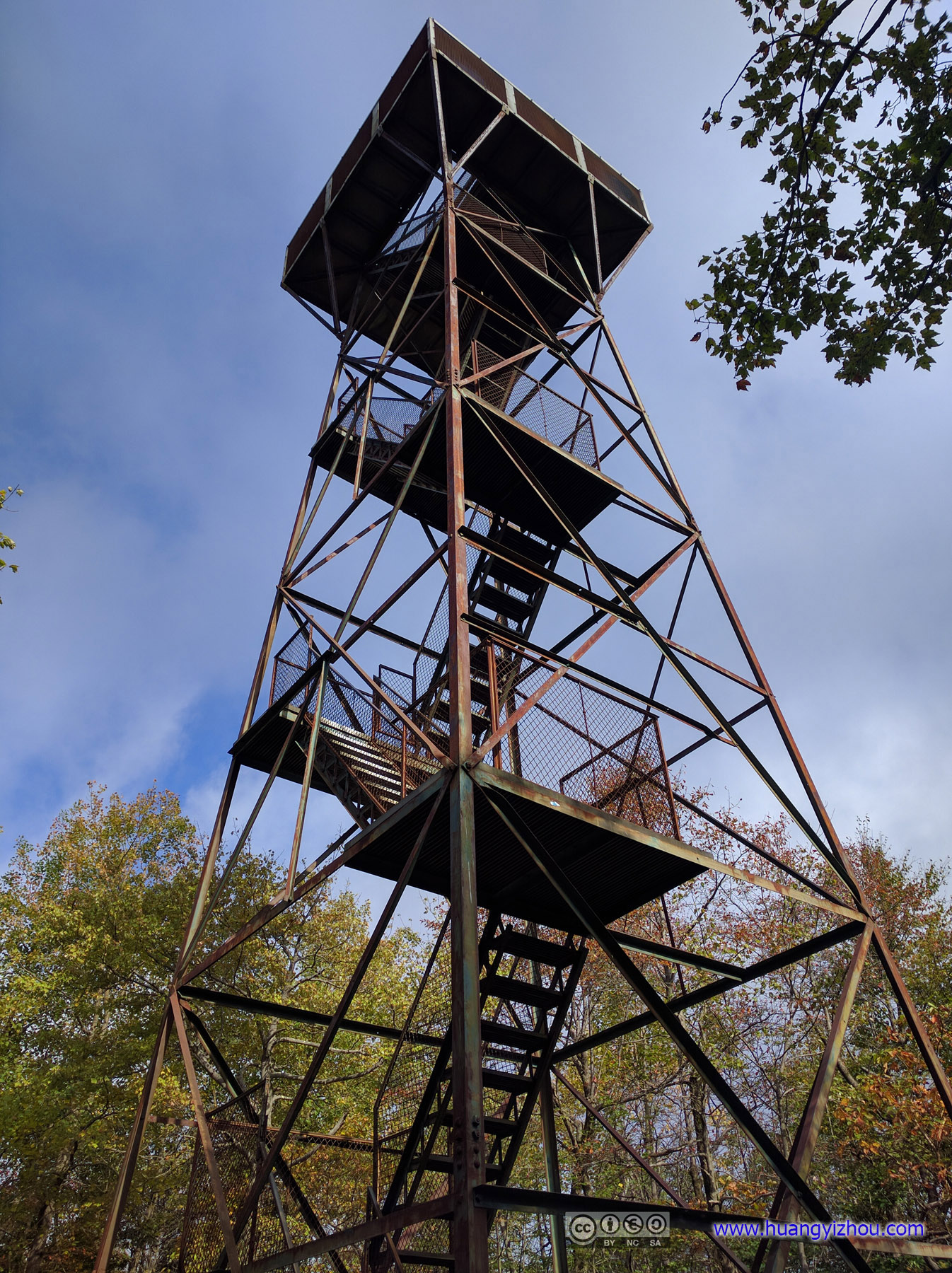
Mount Davis Observation TowerThe tower that made the highest point of Pennsylvania a couple meters higher.
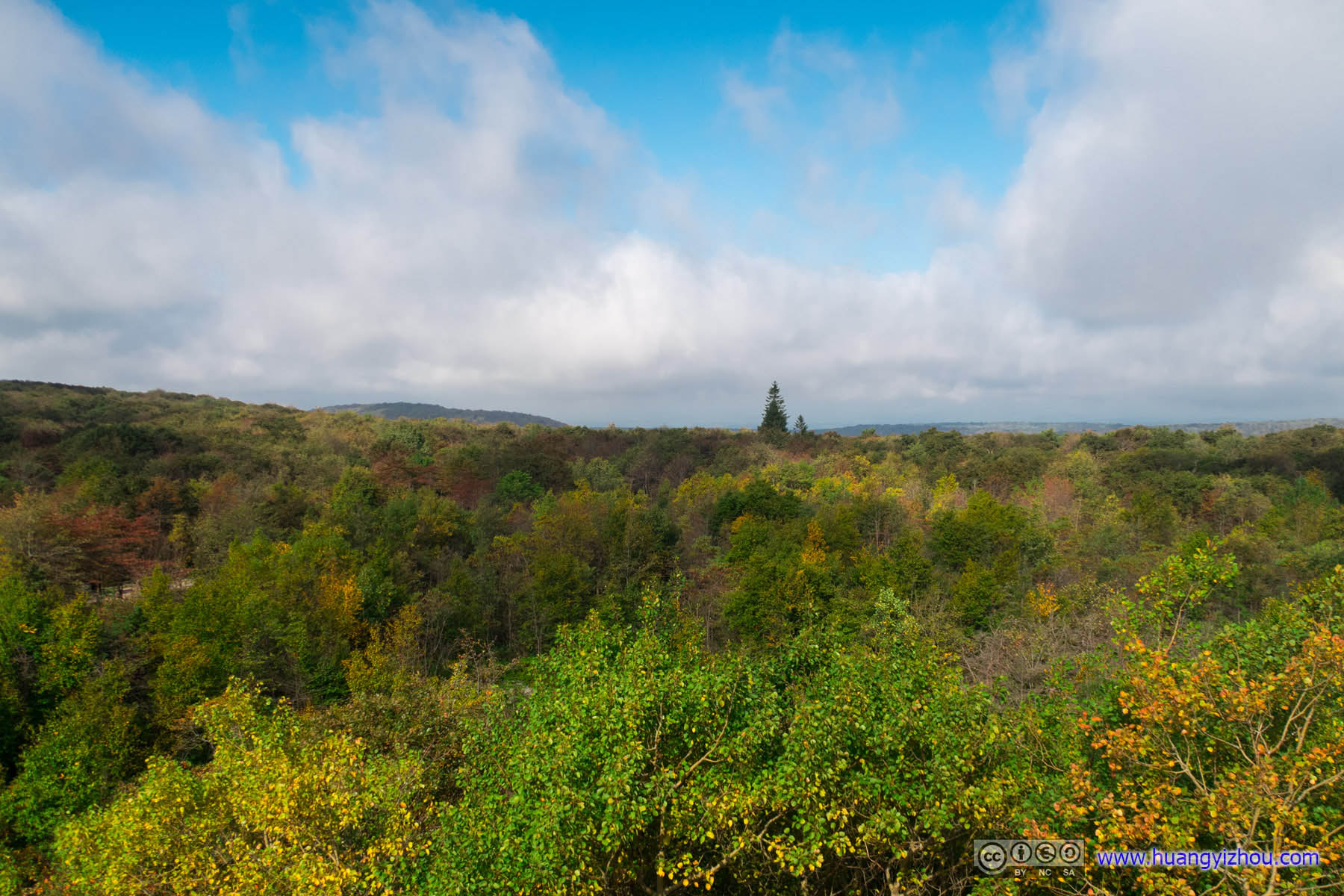

 View from Mount Davis
After that, it was another scenic drive to Hoye-Crest, highest point of Maryland.
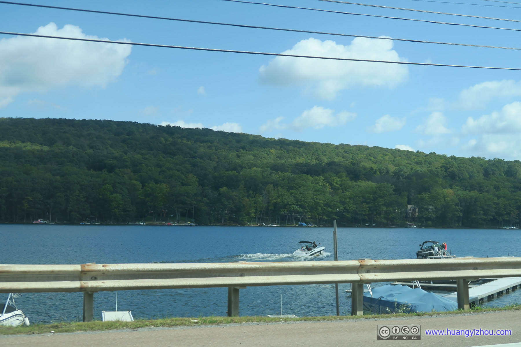
 Deep Creek Lake
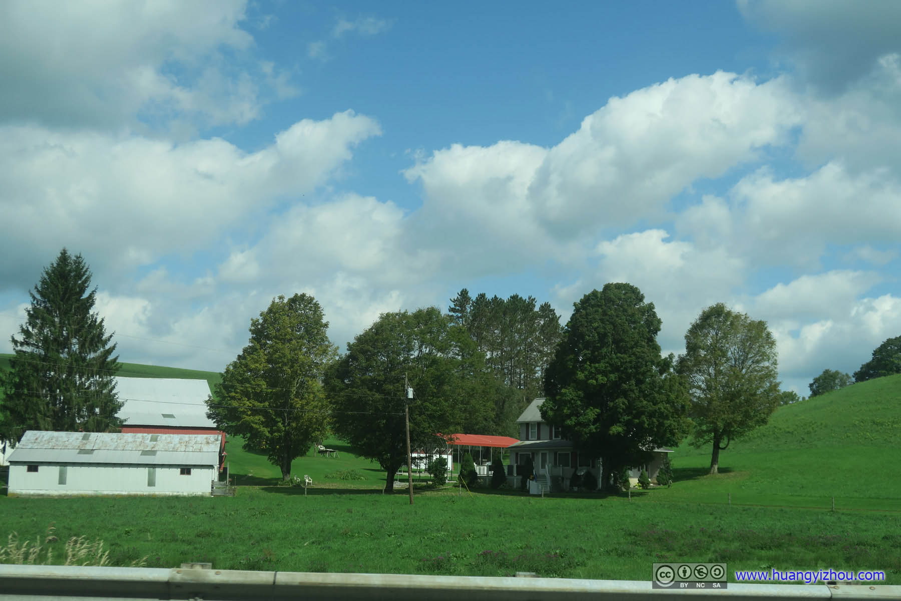 Farms
Farms
Our Lady of the Pines Church
But before that, we paid a visit to Our Lady of the Pines Church in Eglon, West Virginia, the smallest church in the lower 48 states.
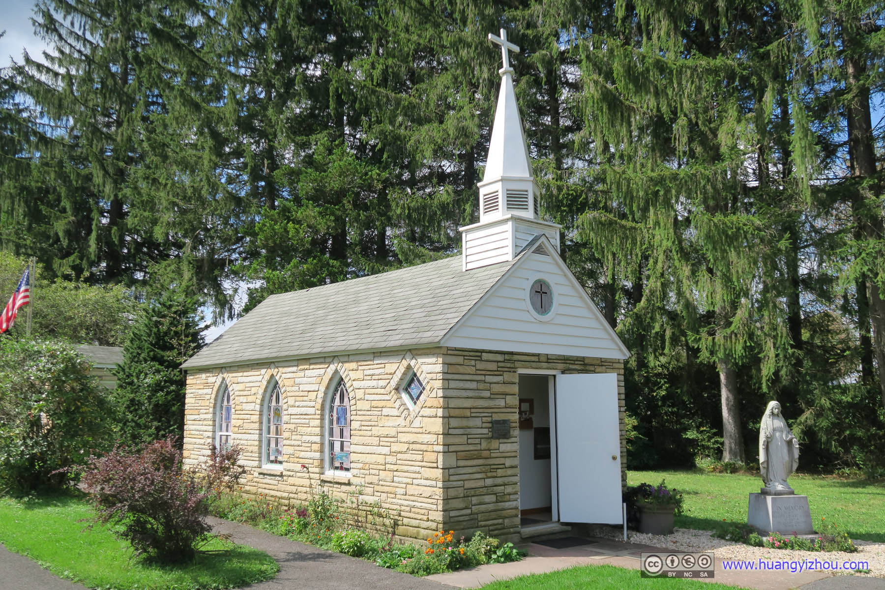
Our Lady of the Pines
Right next to the smallest church of the lower 48 is smallest mailing office that offered free post cards.
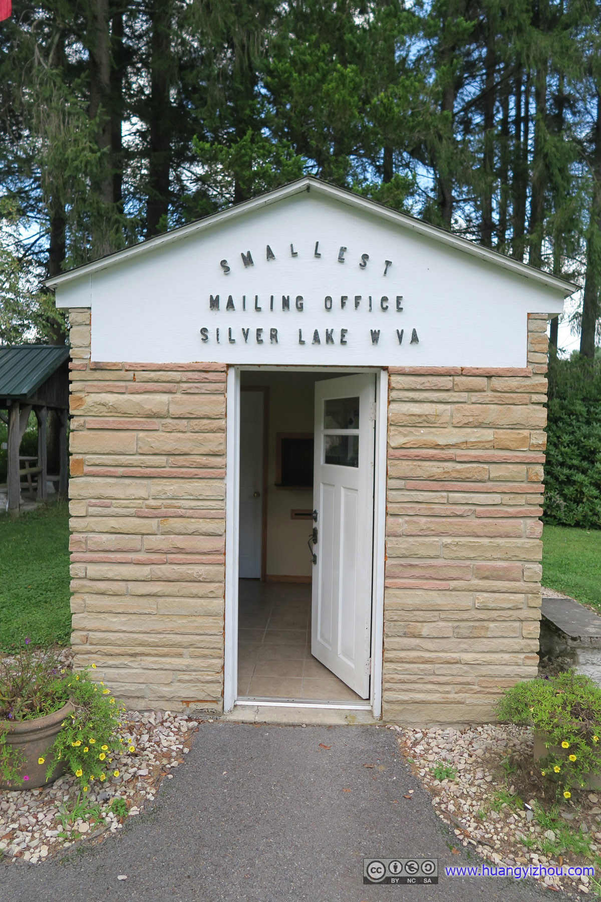
Silver Lake Mailing Office
Hoye-Crest
After that, it was time for the highest point of Maryland. Ironically, to go there we must park our cars in the state of West Virginia.
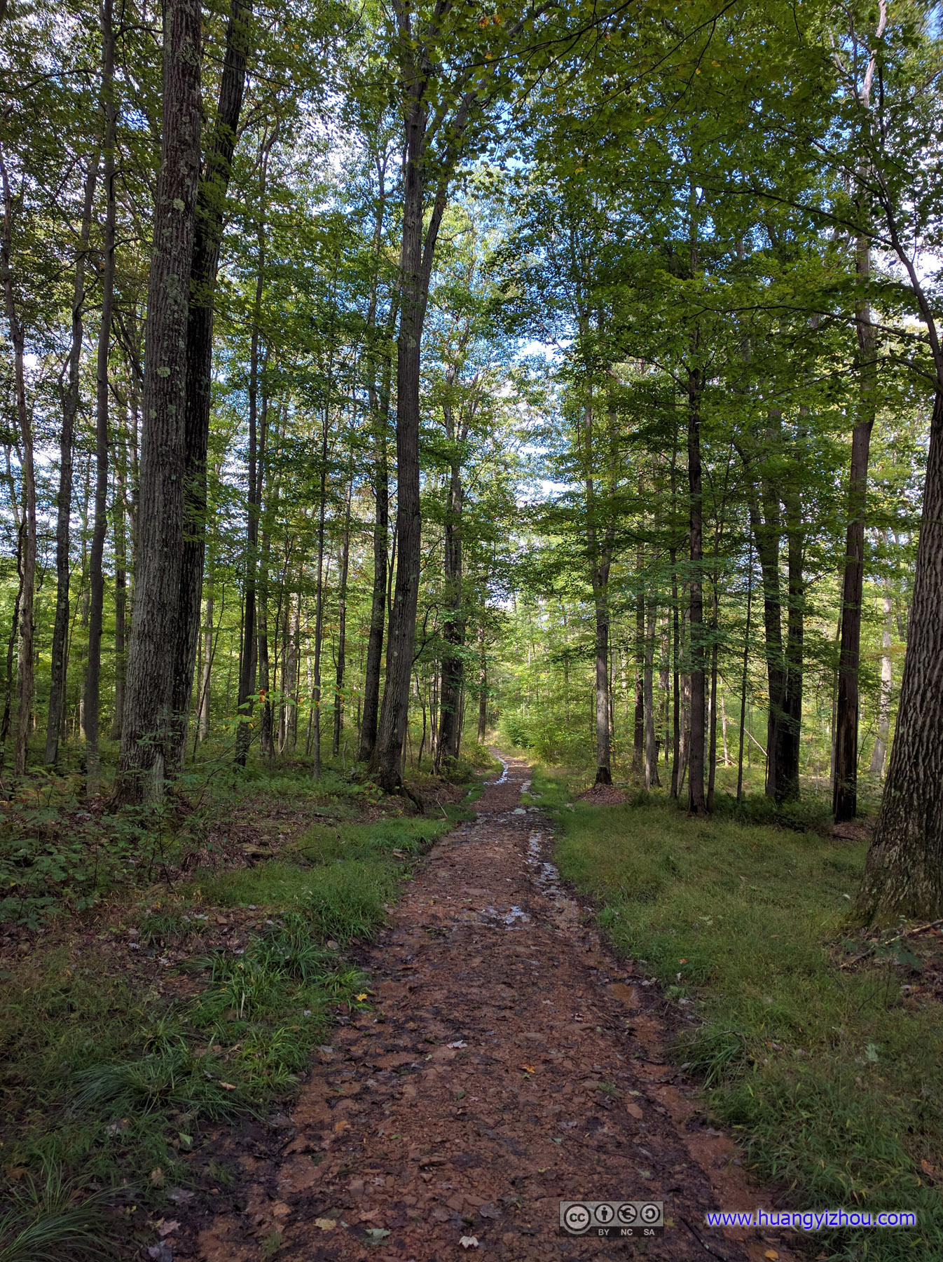
Maryland High Point Trail
As for the trail itself, it was 2 miles return trip with 200 meters elevation gain, which itself wasn’t too bad. Unfortunately, I was among a team of experienced hikers that weren’t appreciating scenery along the trail as much as I do, nor were they paying as much attention to a creek running along that more than occasionally made the trail wet and muddy and unpleasant.
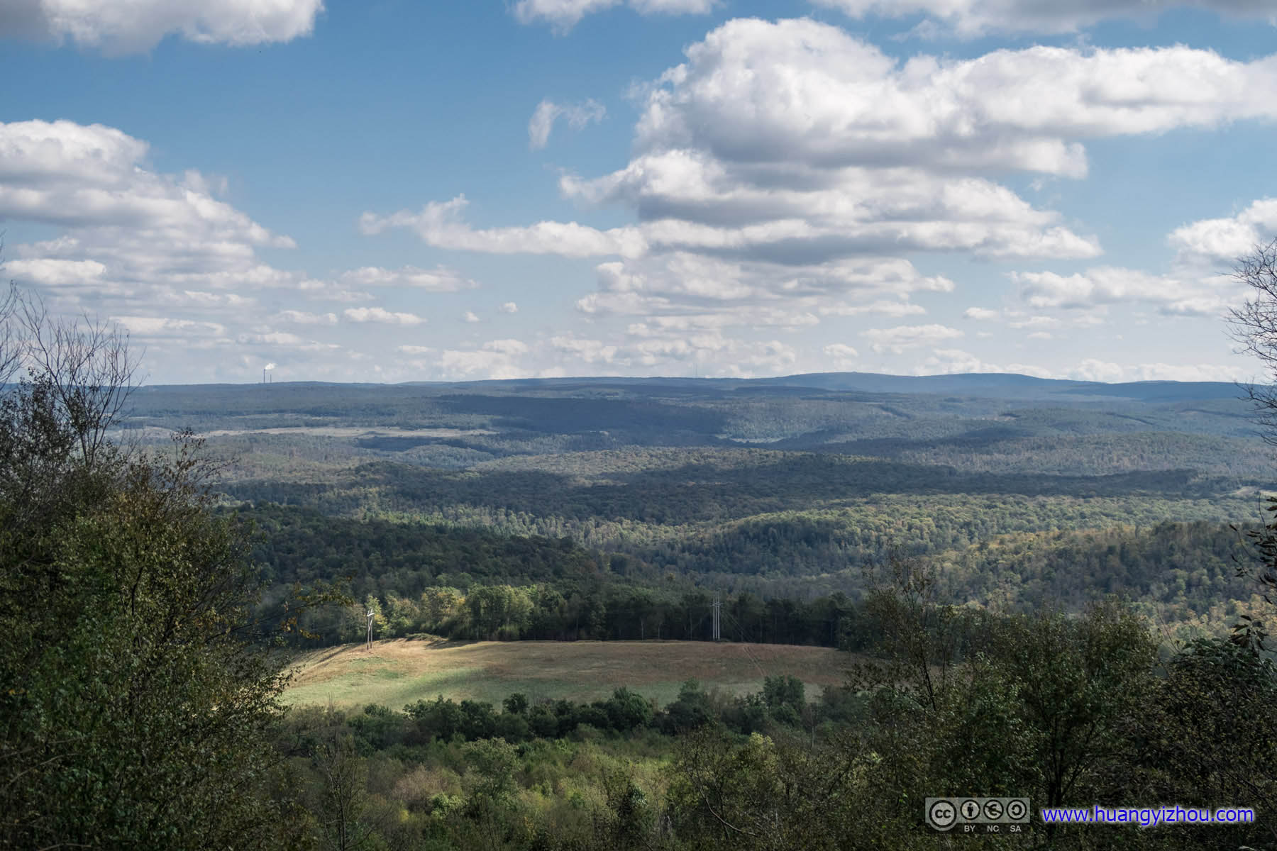
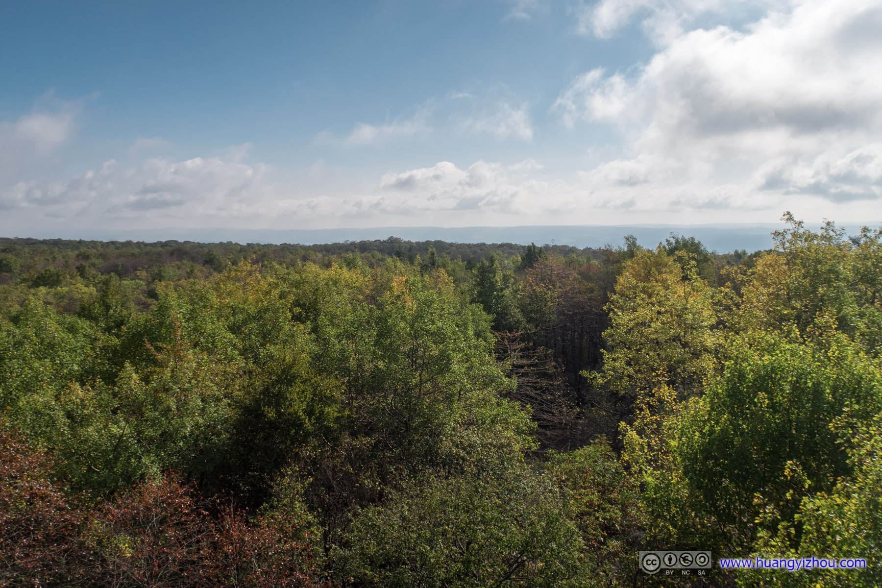
View from Maryland High Point
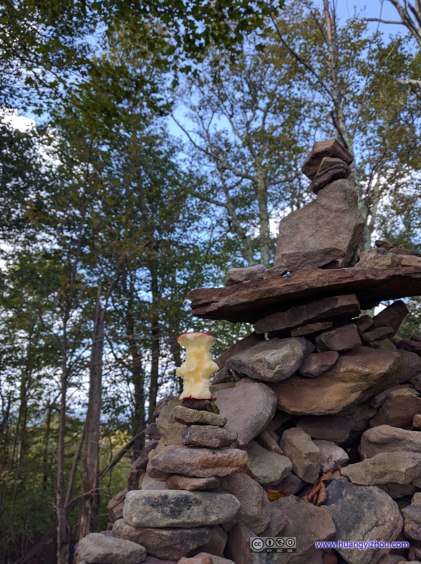
CairnI wasn’t tall/brave enough to add that consumed apple to the very top.
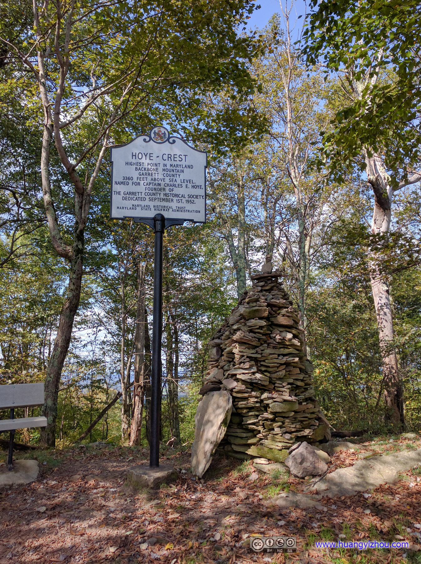
Cairn and Post
Town of Davis
After that, on our way to Seneca Rocks we visited the town of Davis, West Virginia and had (a rather late) lunch there. Festive air permeated the town as they celebrated Octoberfest, the only problem was that, it was September 29.

Davis Town Hall

HorsesWho would want horses in such cow colors?
To sum things up, there were parades of carriages drawn by these strangely-colored horses, there were rock concerts performed at detrimental volume, there were inflatable playgrounds for the underage, and finally, for mature, genteel guests with refined taste, there were flea markets where local craftsmen were exhibiting their handiwork.
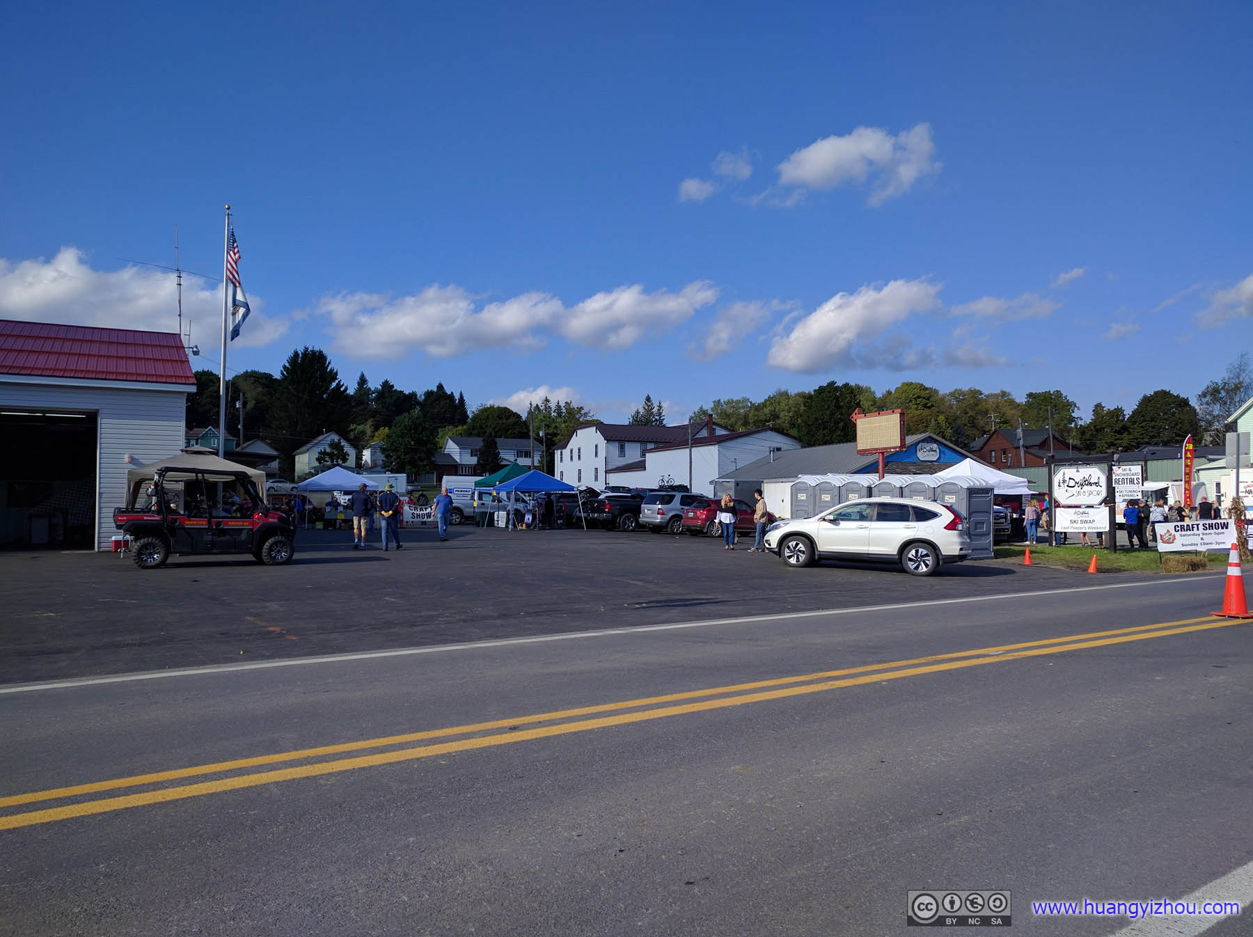
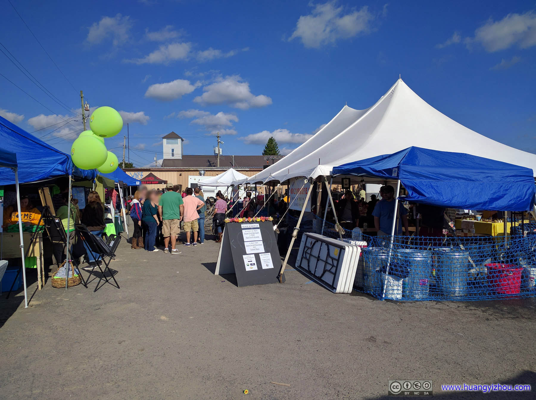 Festival
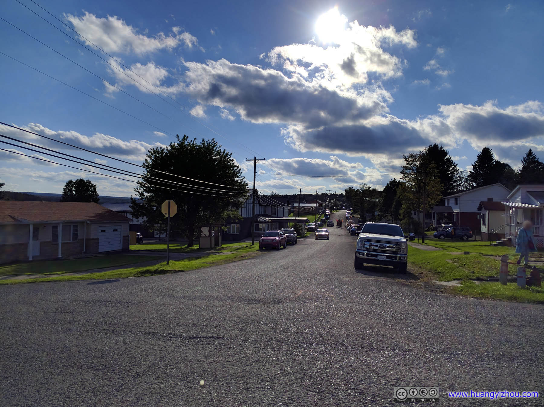
Town of DavisA quieter side.
Seneca Rocks
After leaving the town of Davis and its untimely festival, we reached Seneca Rocks an hour before sunset, which meant two miles later and 250 meters up, we were just in time for sunset.
And I shall say, this short hike up Seneca Rocks became my favorite part of the triple state trip.

Seneca Rocks

North Fork South Branch of Potomac RiverGlowing colors of setting sun on mountains.
Forest in Sunset

Sunset
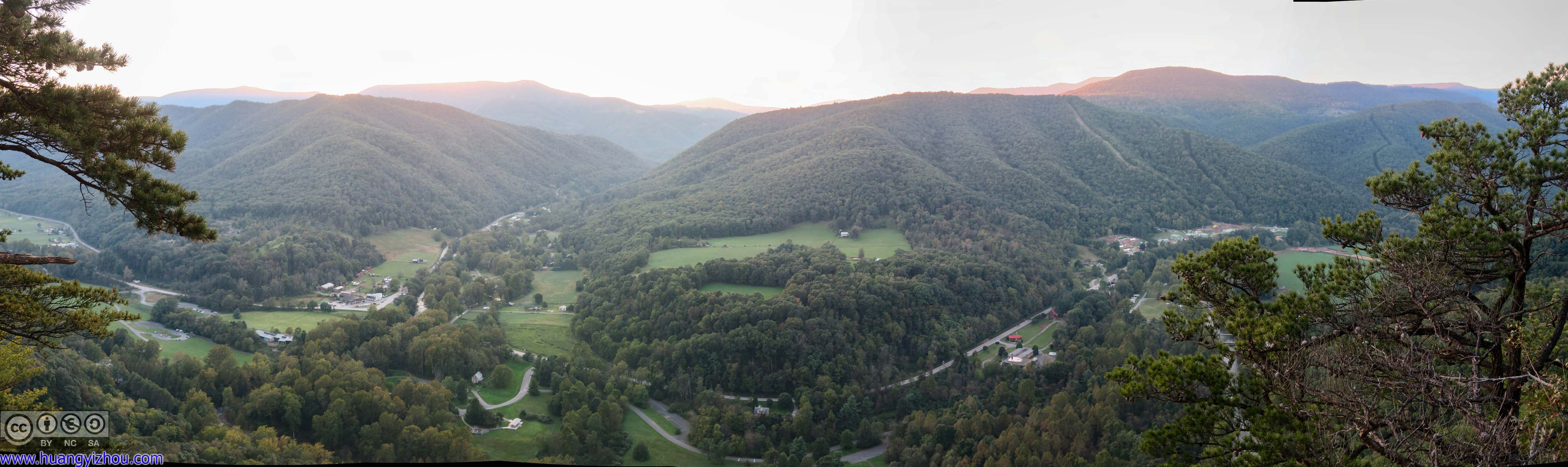
Village Below Seneca Rocks
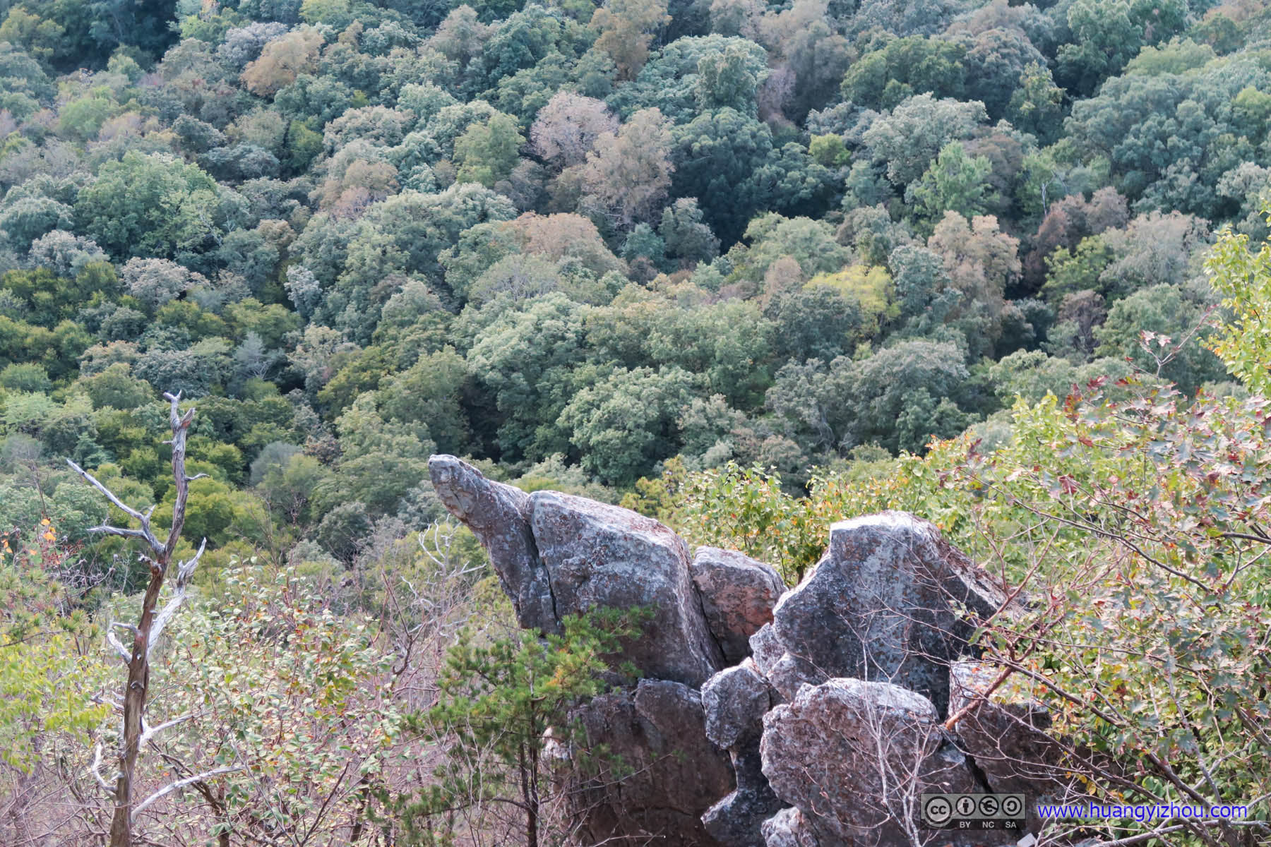
Rocks
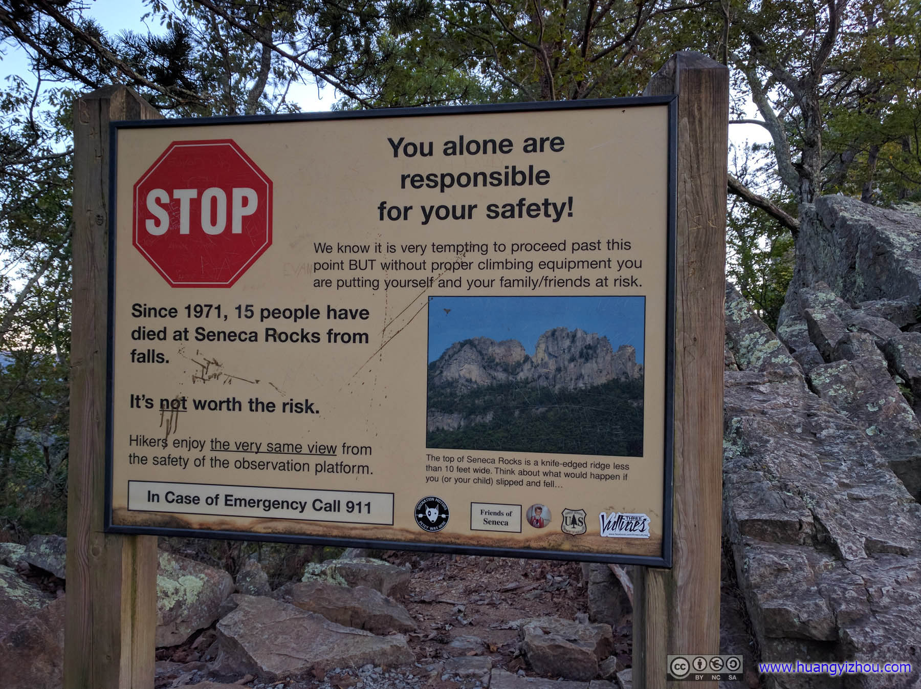
Warning SignSince it’s a stop sign, I came to a full stop, checked around, and continued.And, as an objective statement of fact, the view up ahead was much better than the observation platform.
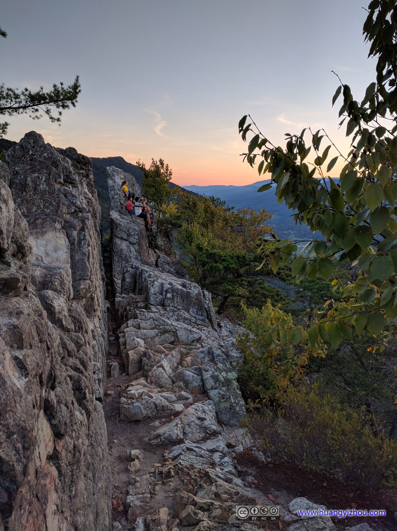
Seneca Rocks

Sunset Glow over Distant Mountains
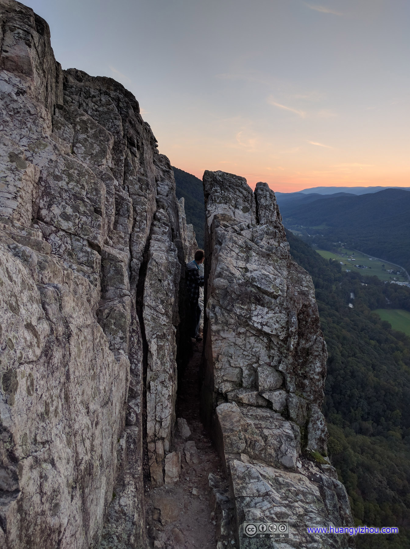
Narrow Passage

Pine Tree Grown out of Rocks
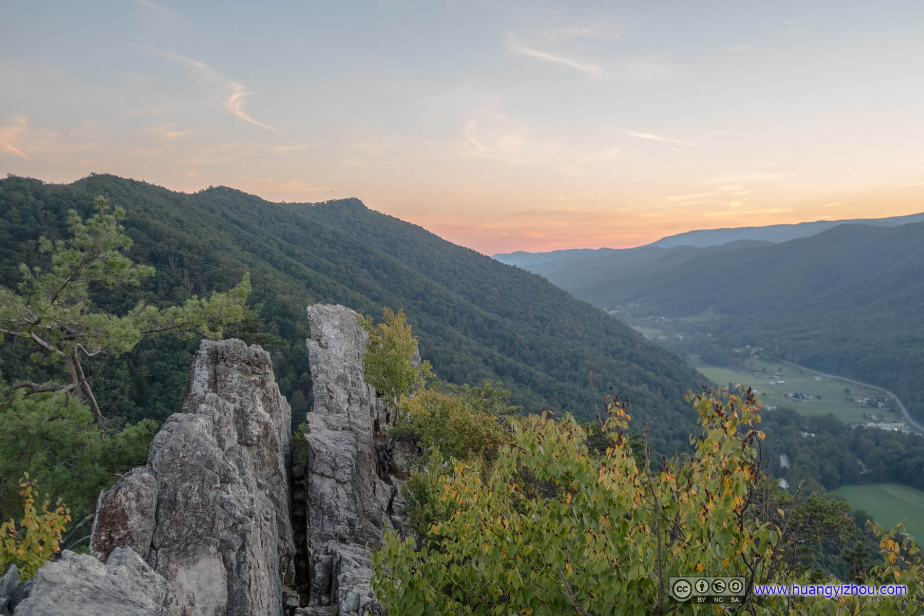

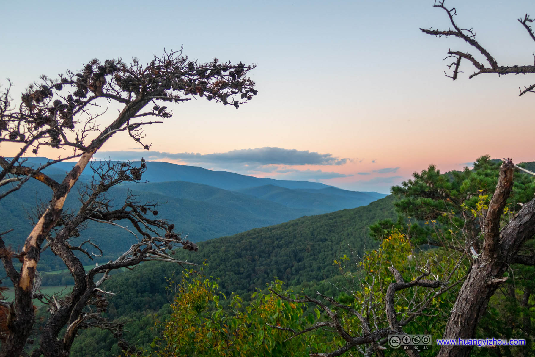 Distant Mountains
We spent that night near what’s known on Google Maps as “Seneca Campground”, the fact that the actual campground was 200 feet from its Google Maps location revealed how primitive it was. On the good side, it was free.
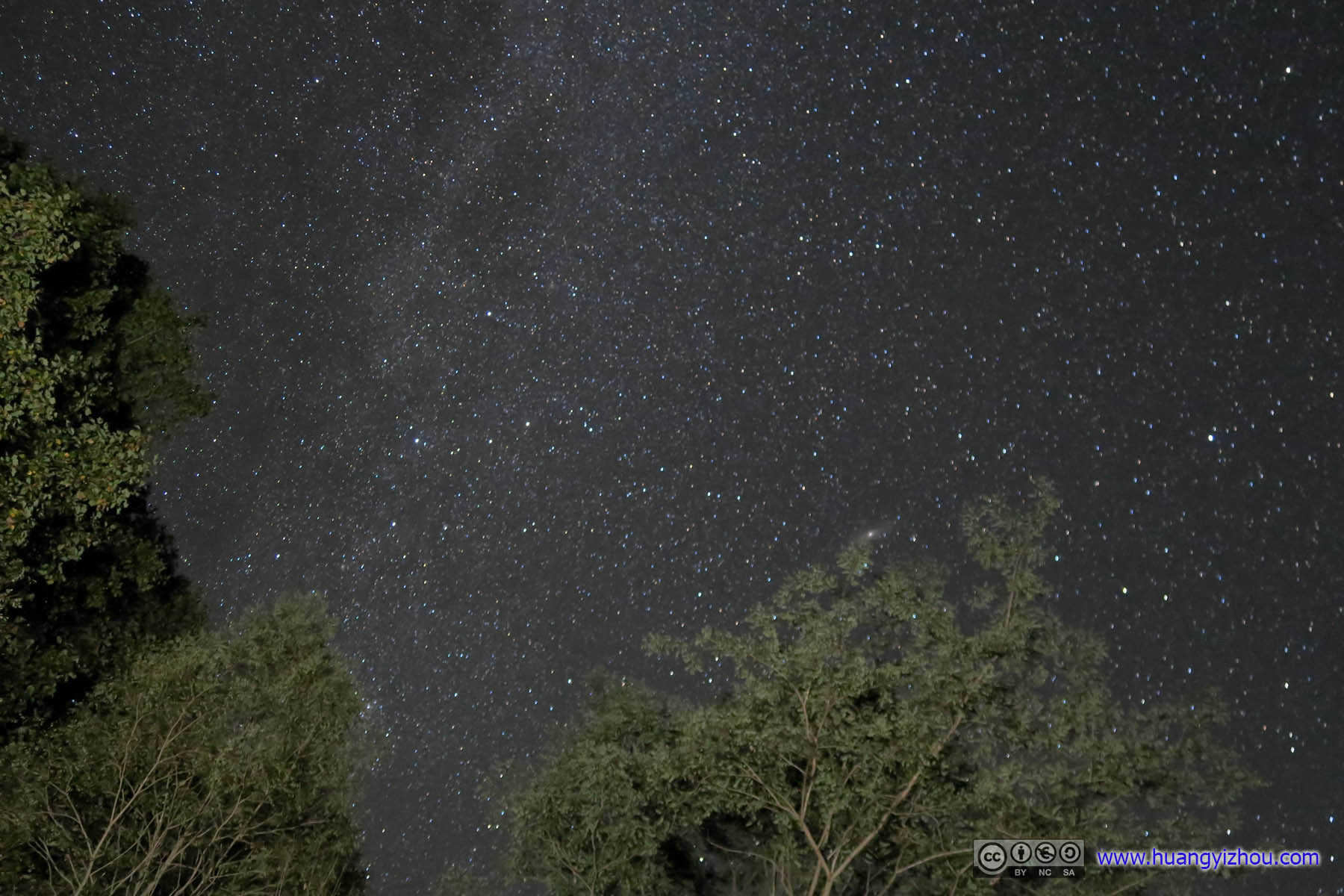
So, to entertain myself on another internet-less night, I went star-shooting.
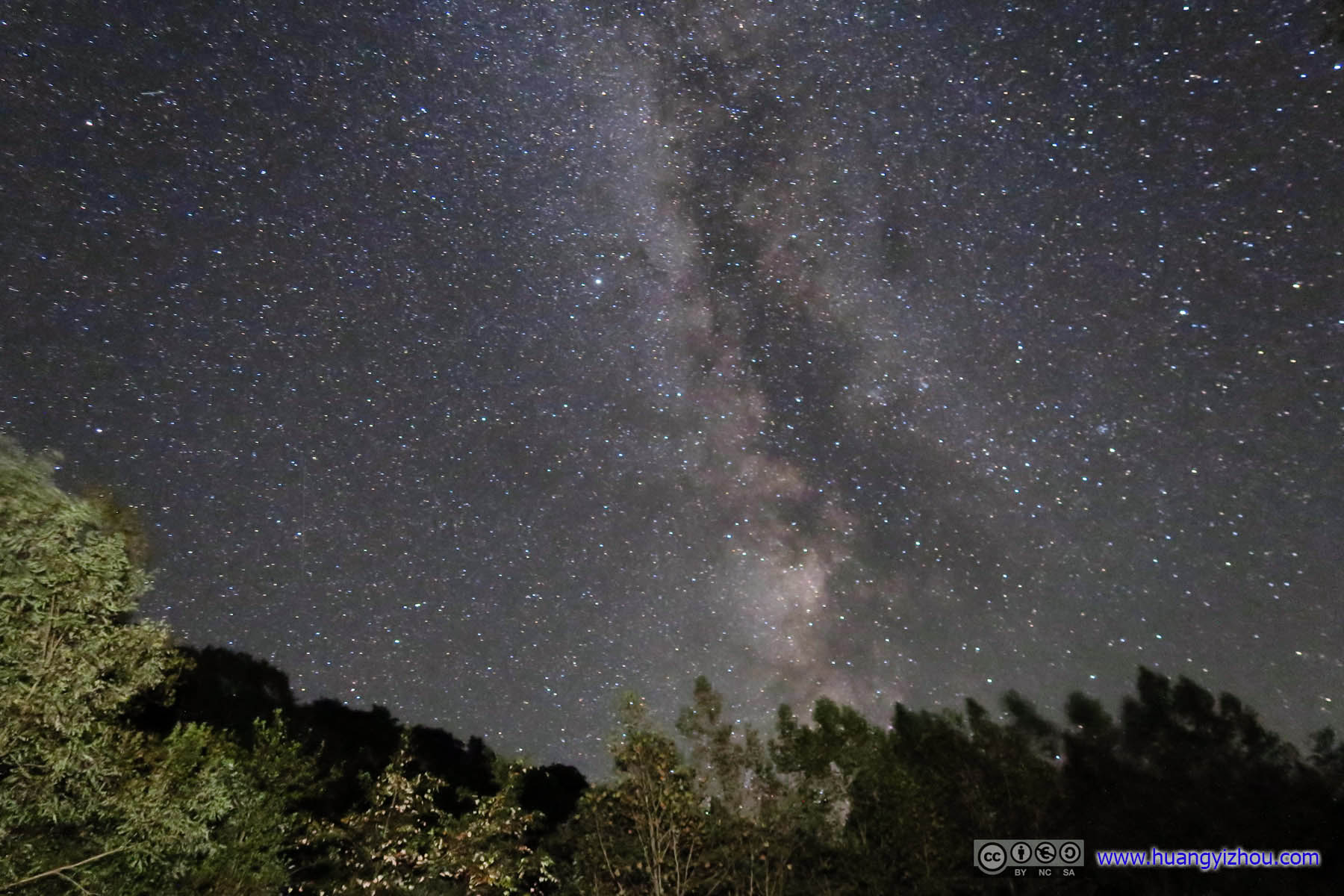
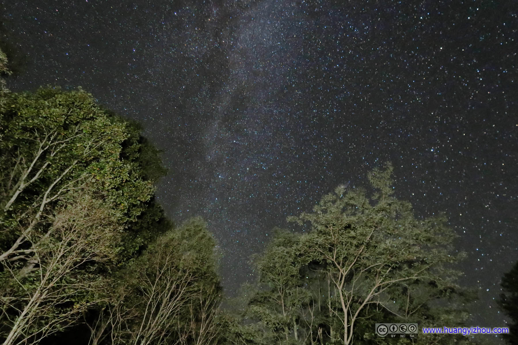
 Galaxy
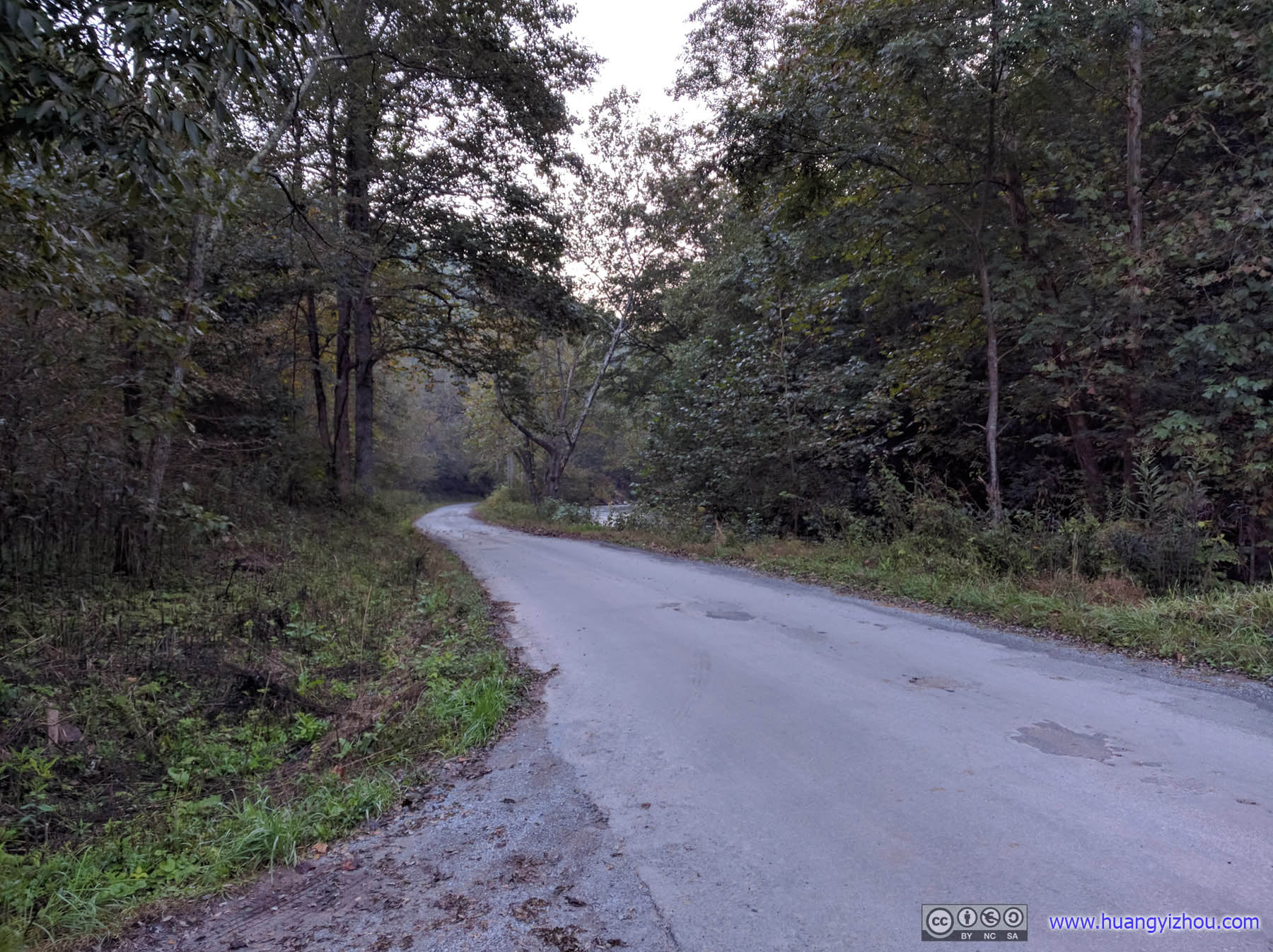
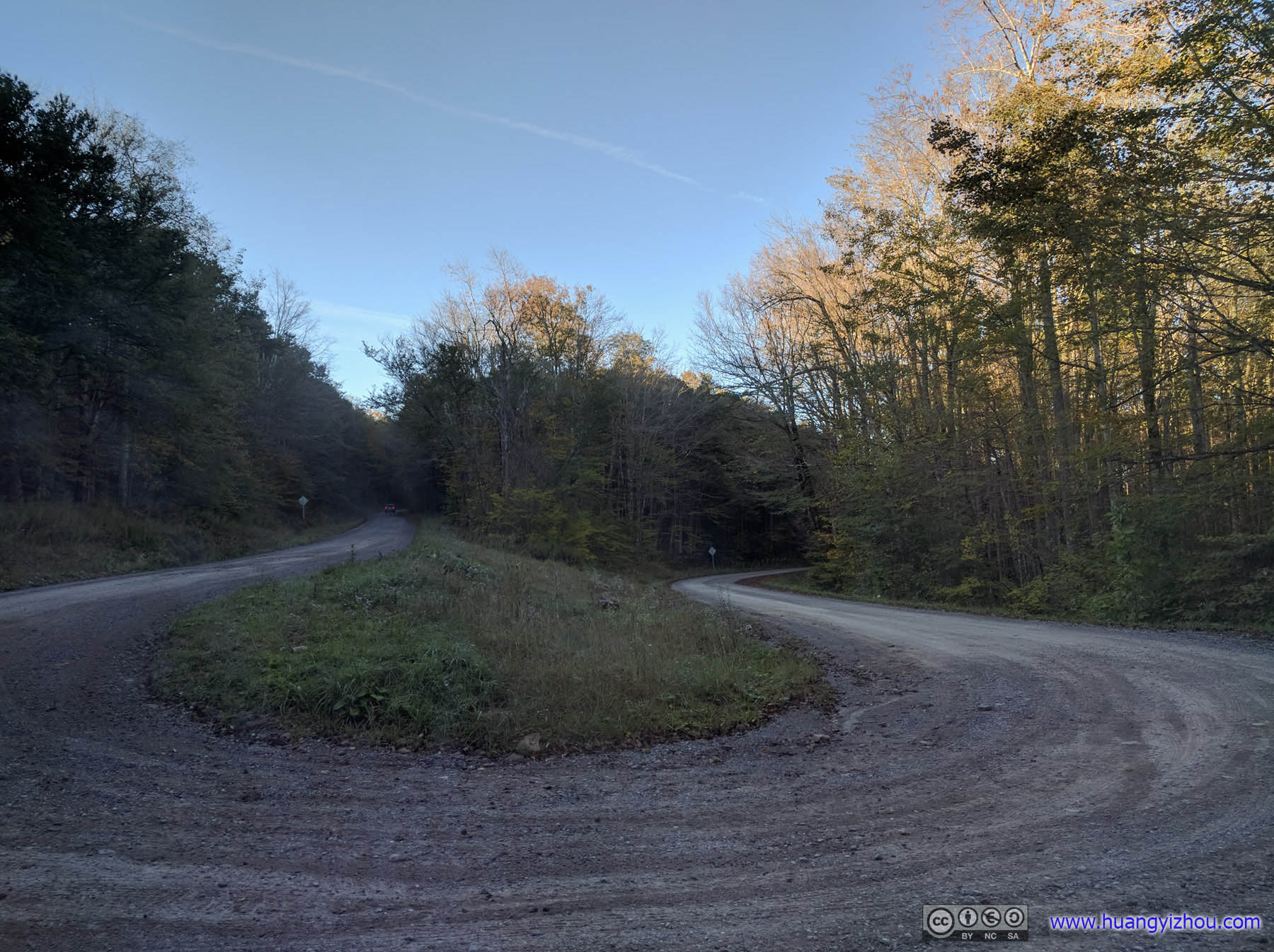
Country RoadWhere we spent the night.
Spruce Knob
The next morning, we set off for Spruce Knob, which is the highest point of West Virginia. The highest point should be an easy stroll from a nearby parking lot, but somehow our hiking expert leader decided instead we should do an eight-mile hike, which turned out to be a fun expedition for everyone on the team, except me.
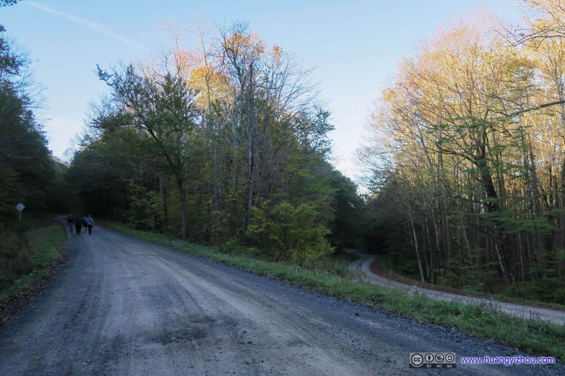
 Country RoadThis was (nowhere) near the start of Lumberjack trail.
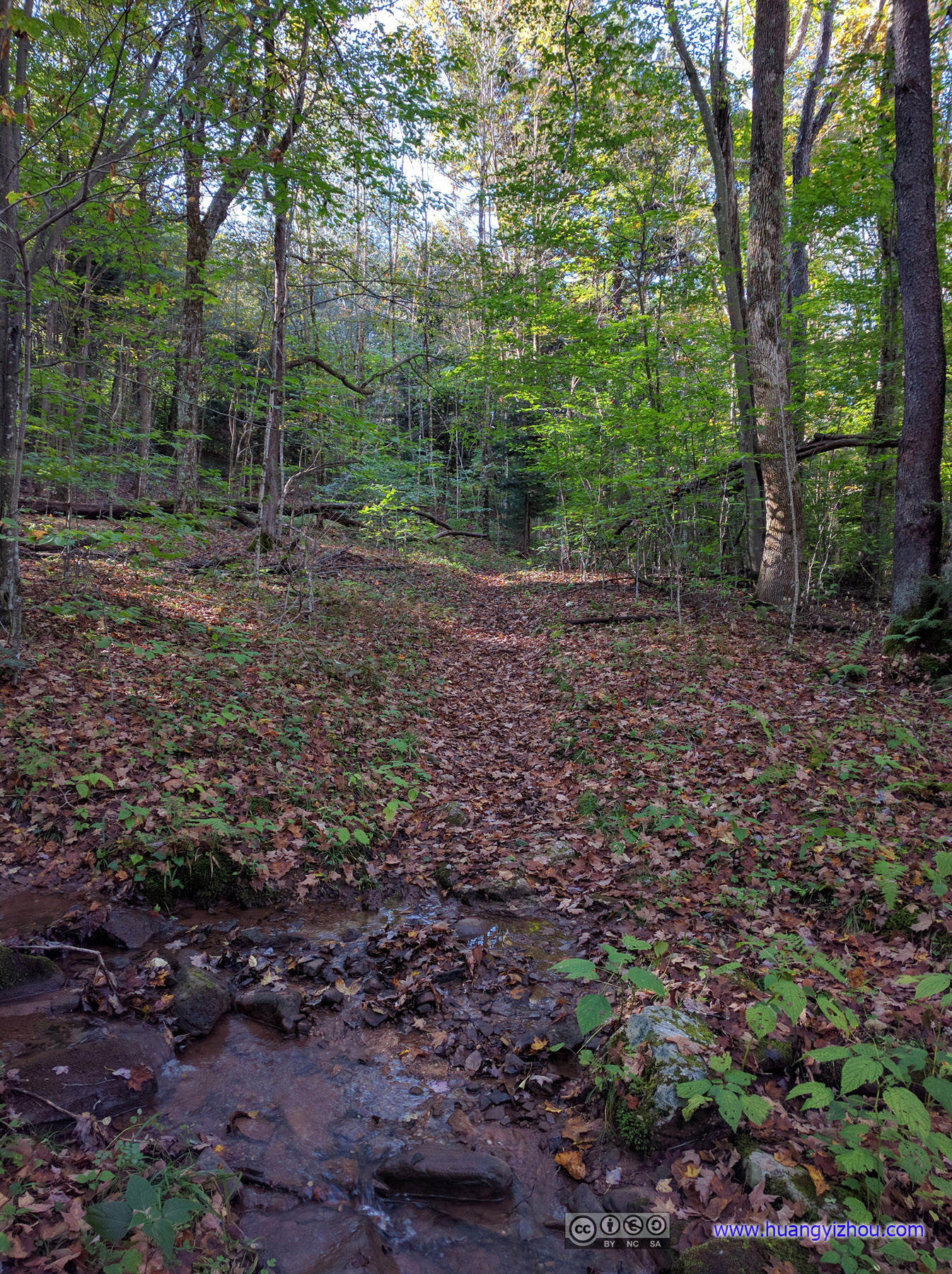
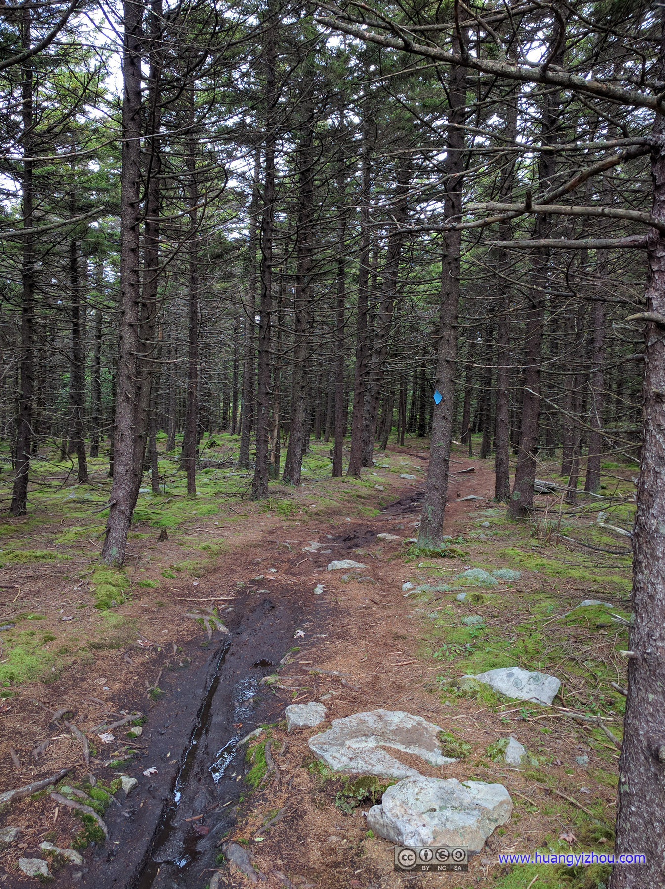
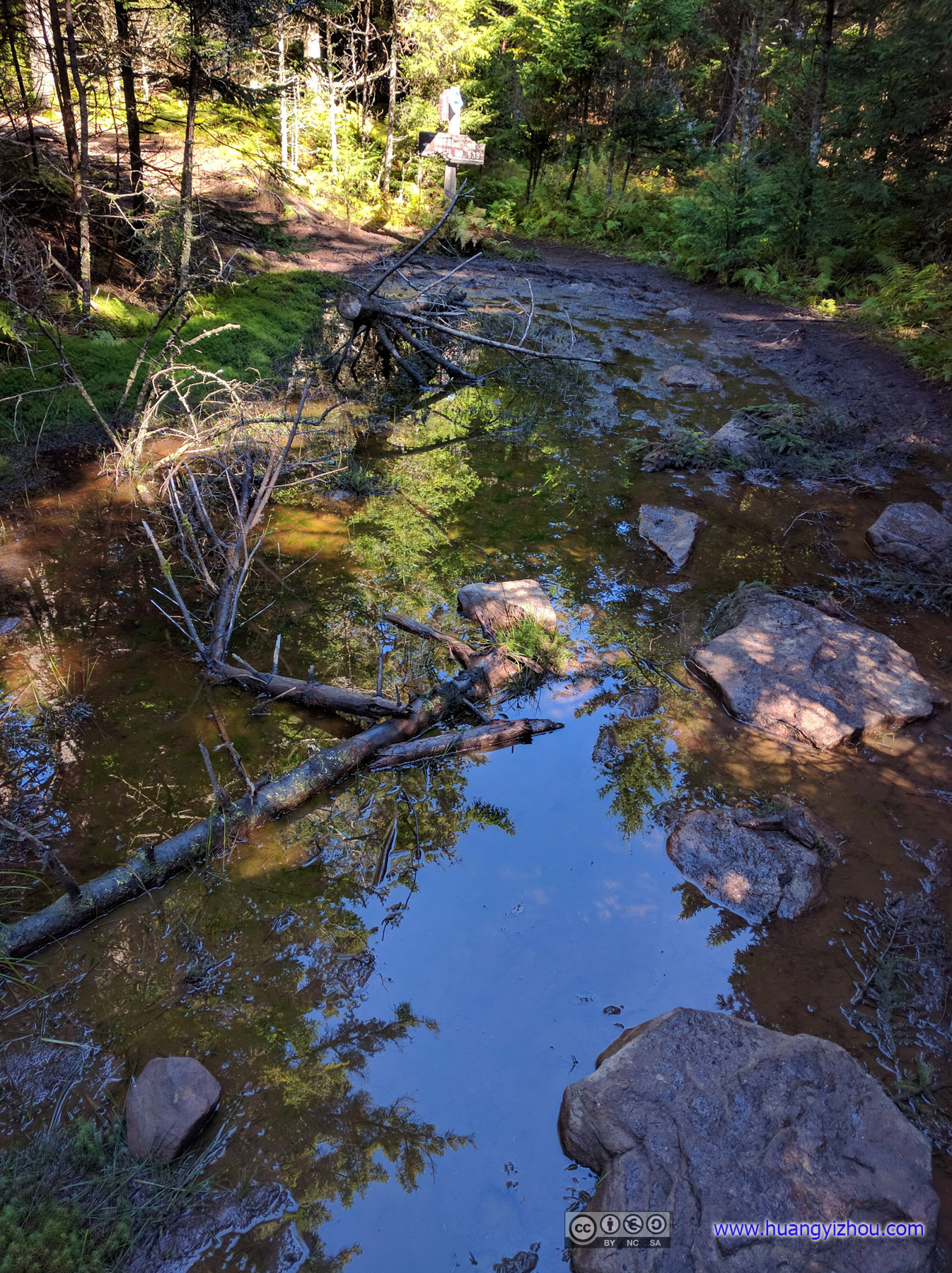
TrailTo begin, there was 3.5 miles of Lumberjack trail, which was overwhelmed with mud.
After all that mud totaled my sneakers and all my backup socks, there was an arduous ascent followed by more annoying mud. On the good side, the trail was clearly marked throughout so I didn’t have to resort to eating leaves for the next couple days. And once we got onto Huckleberry trail, there was finally some scenery.
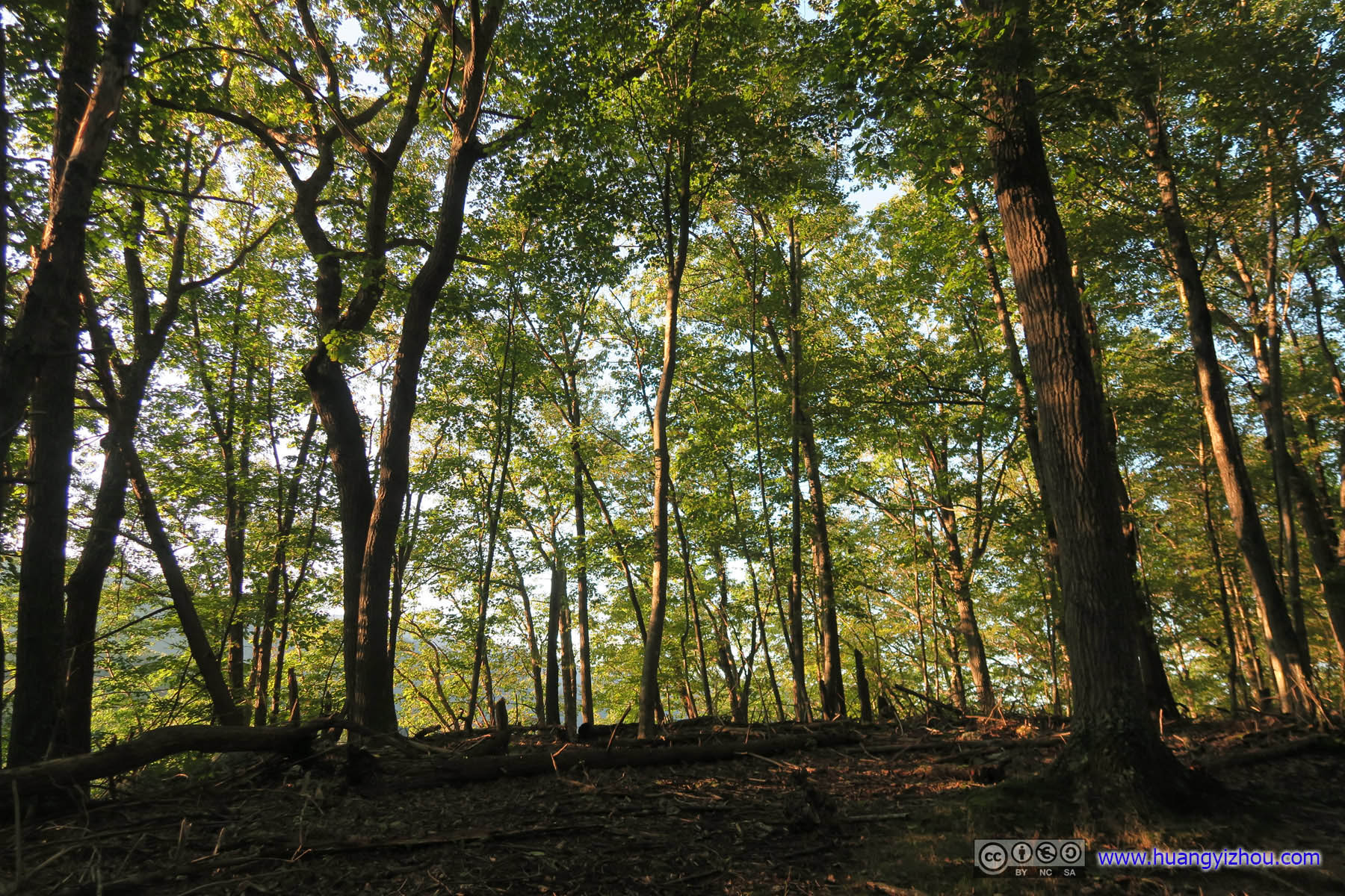
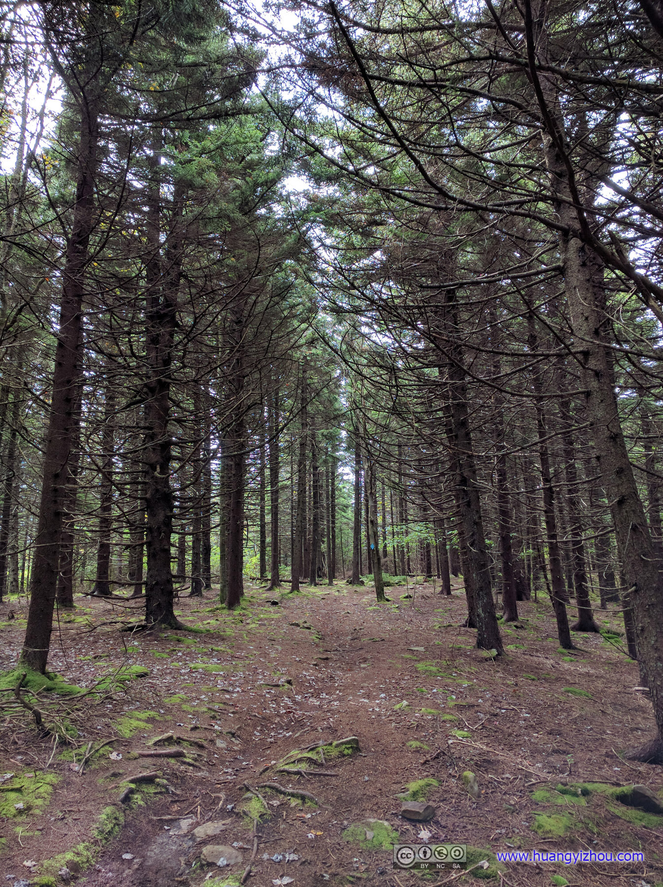
 Forest
 Huckleberry TrailOne of its few muddy spots.
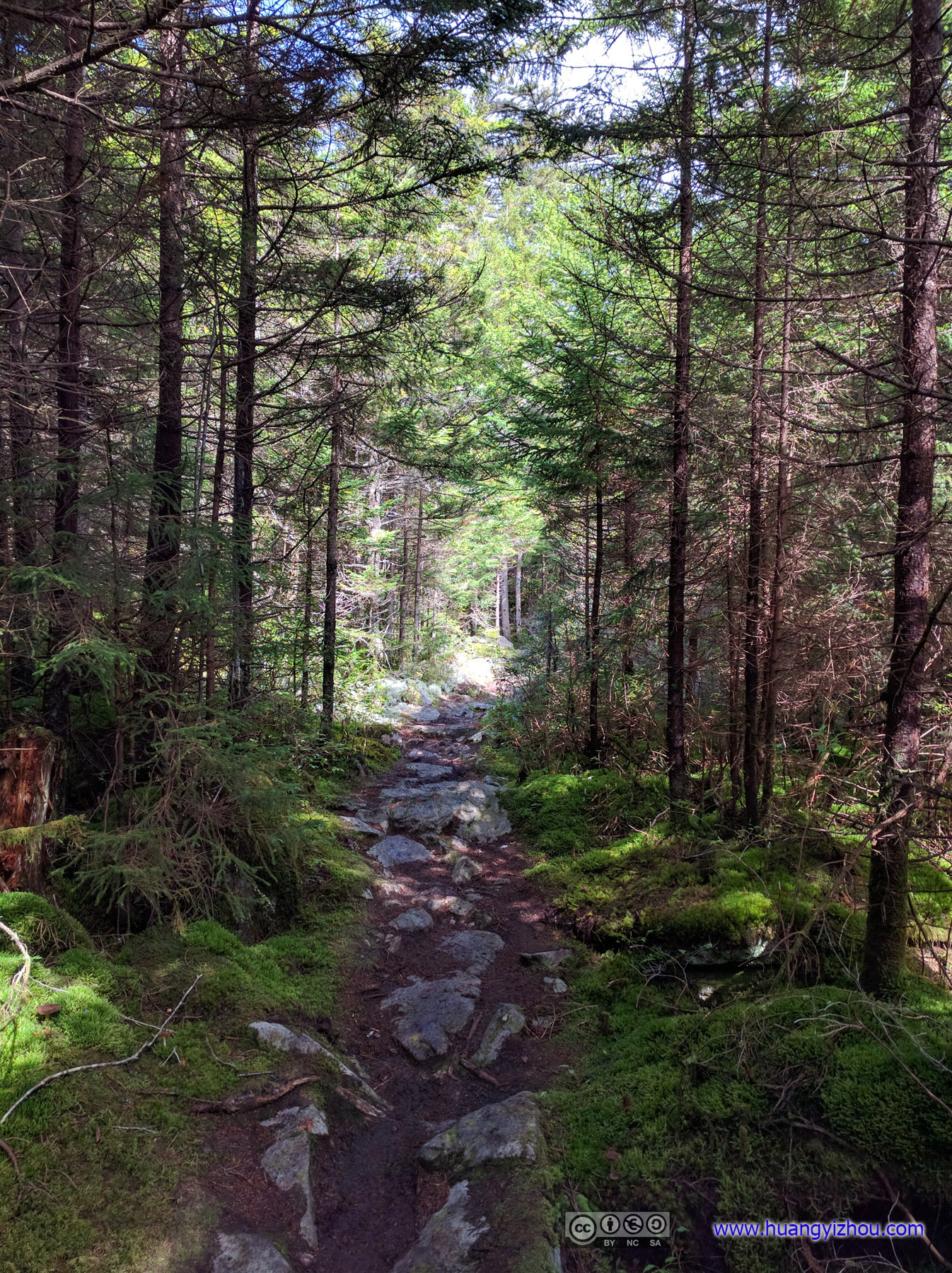
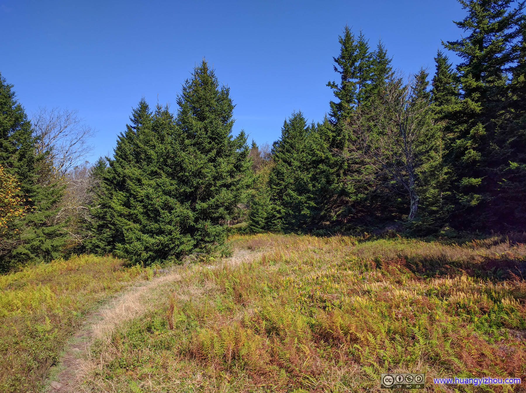
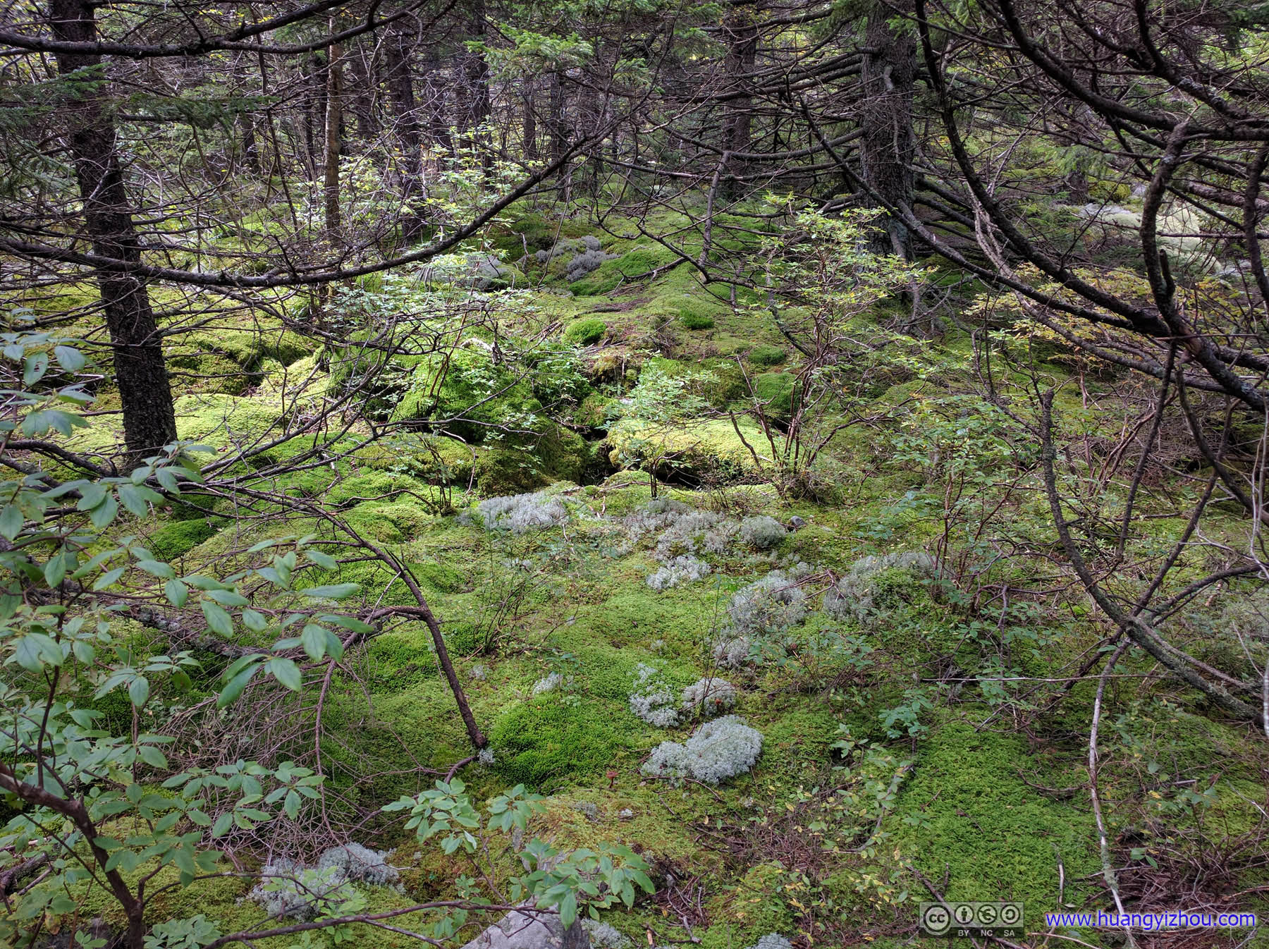
 Huckleberry Trail
Forest
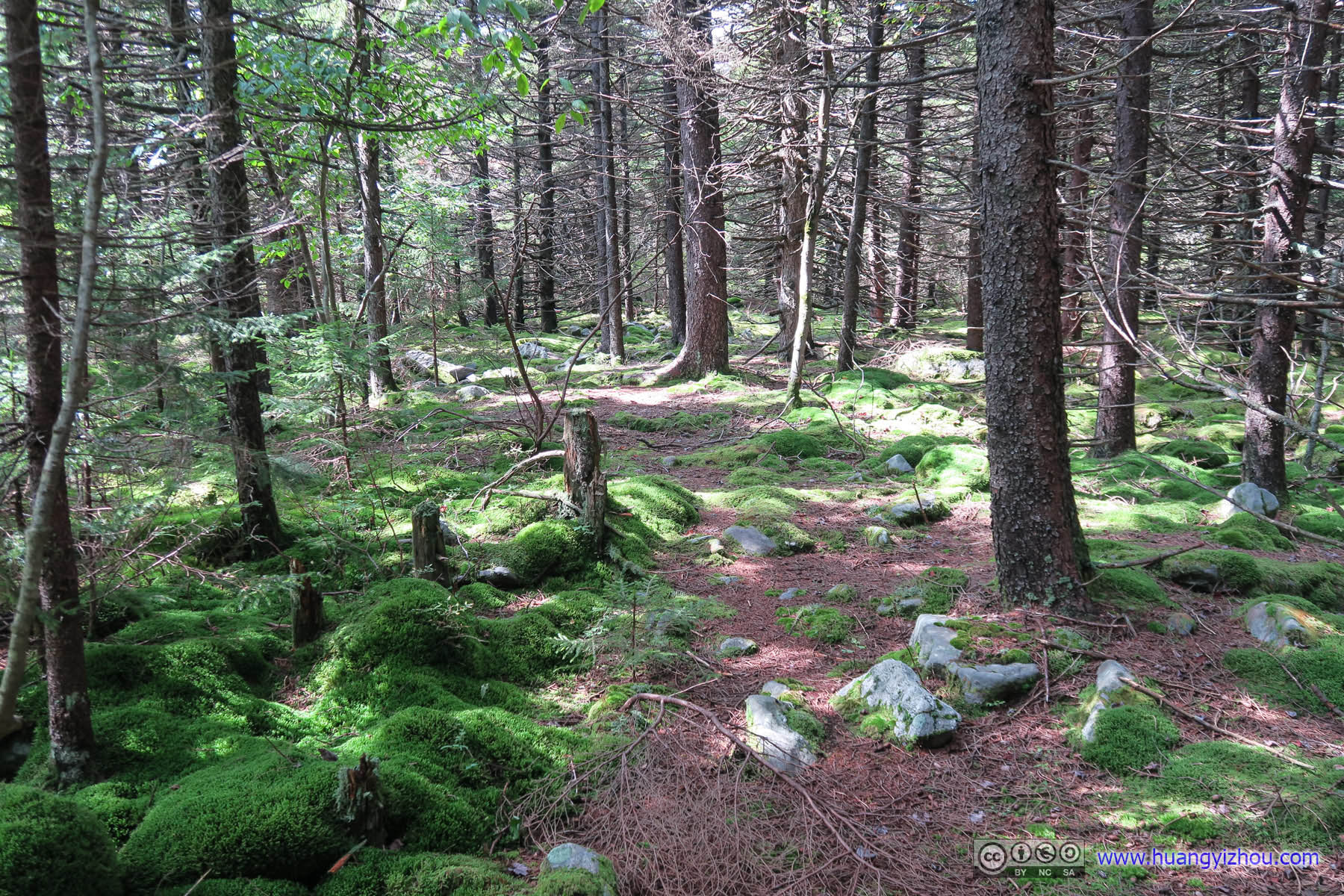
 ForestGrounds covered in moss.
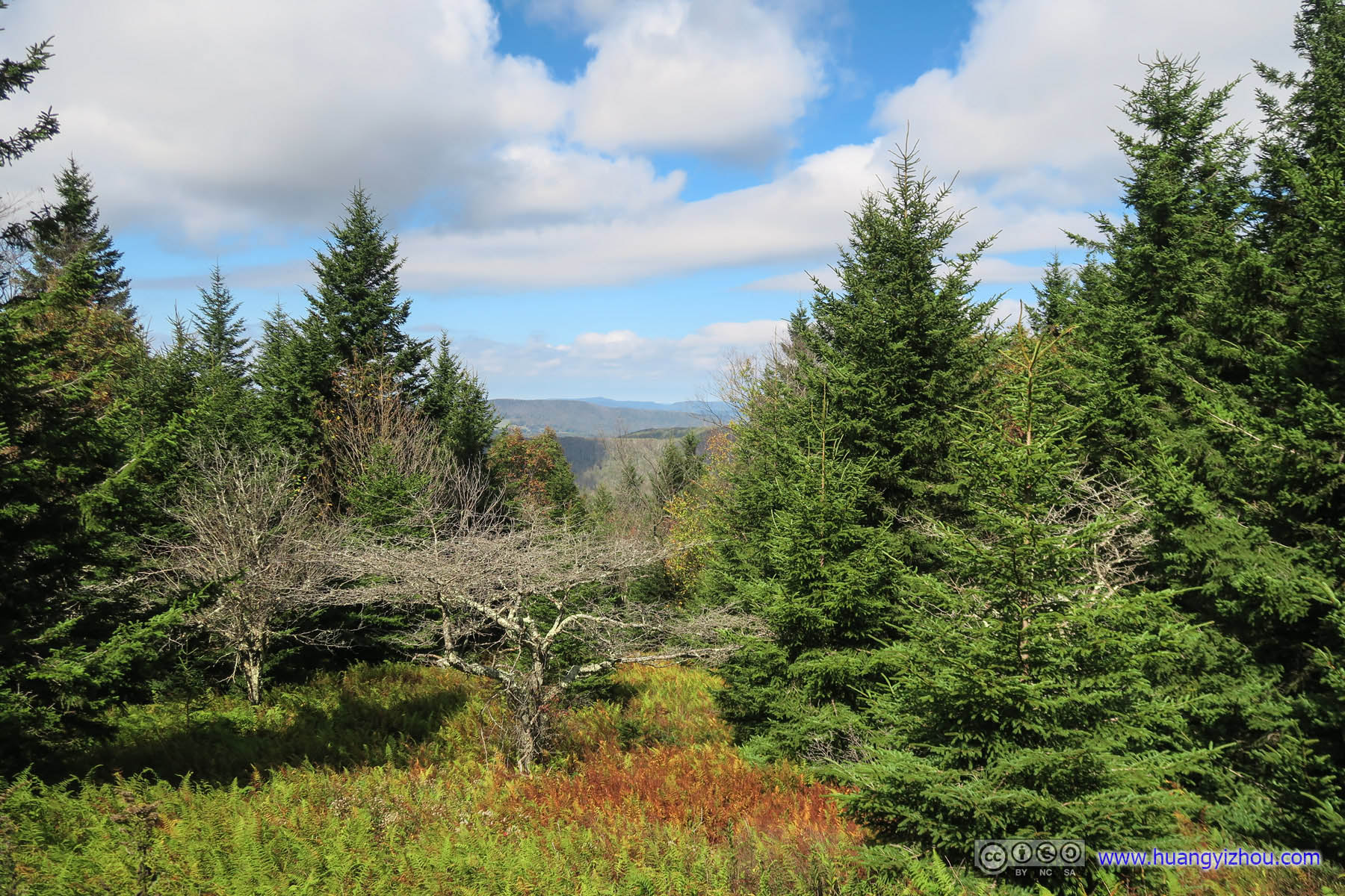
And finally, there was a viewing platform at the highest point of West Virginia.
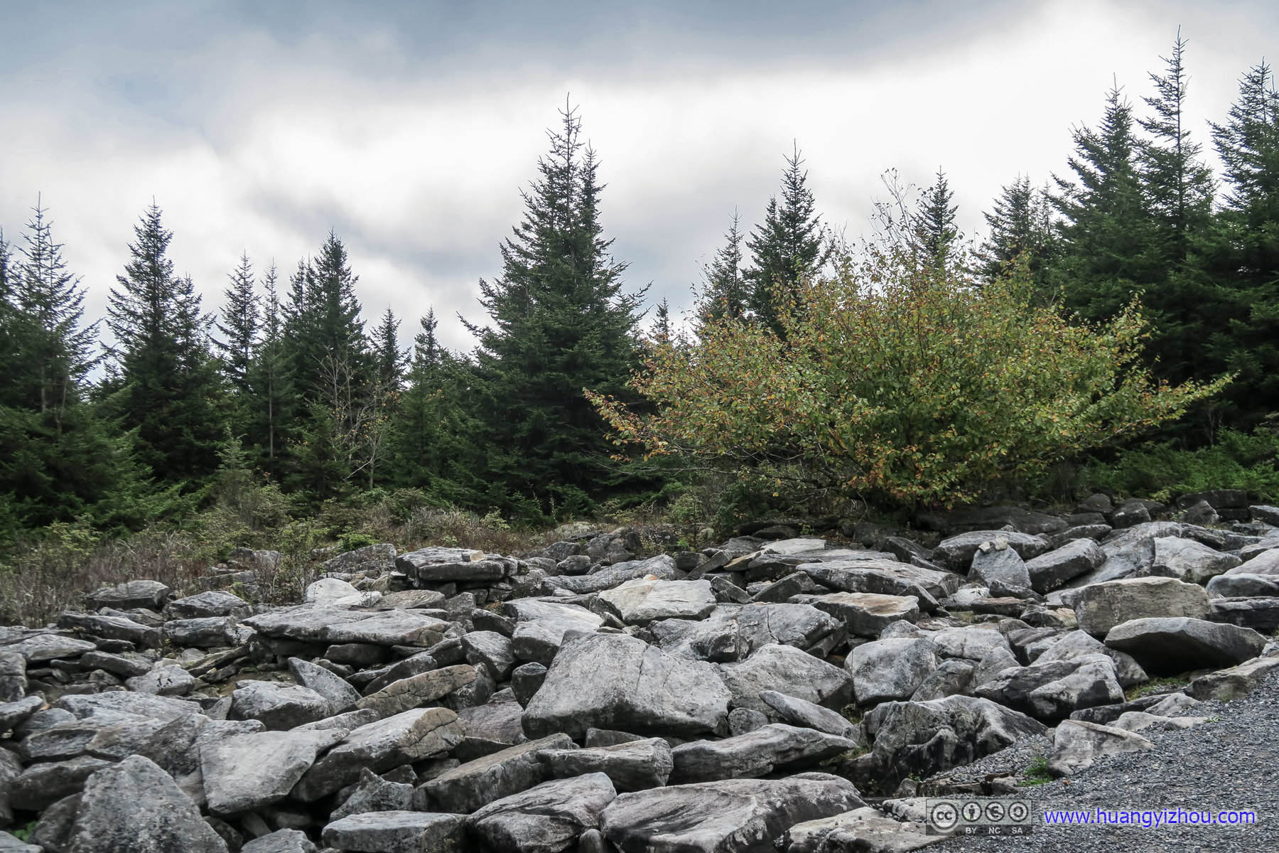
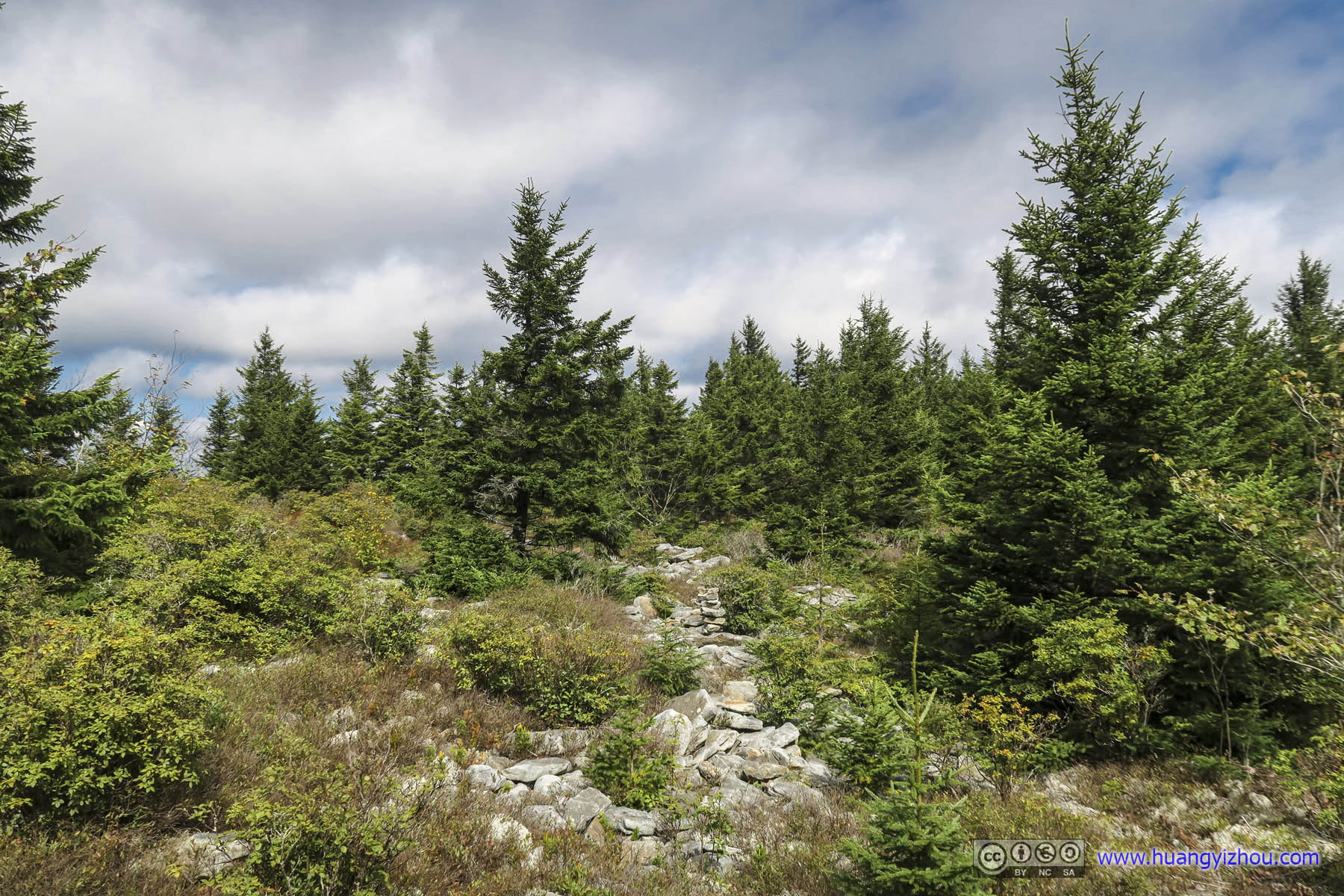
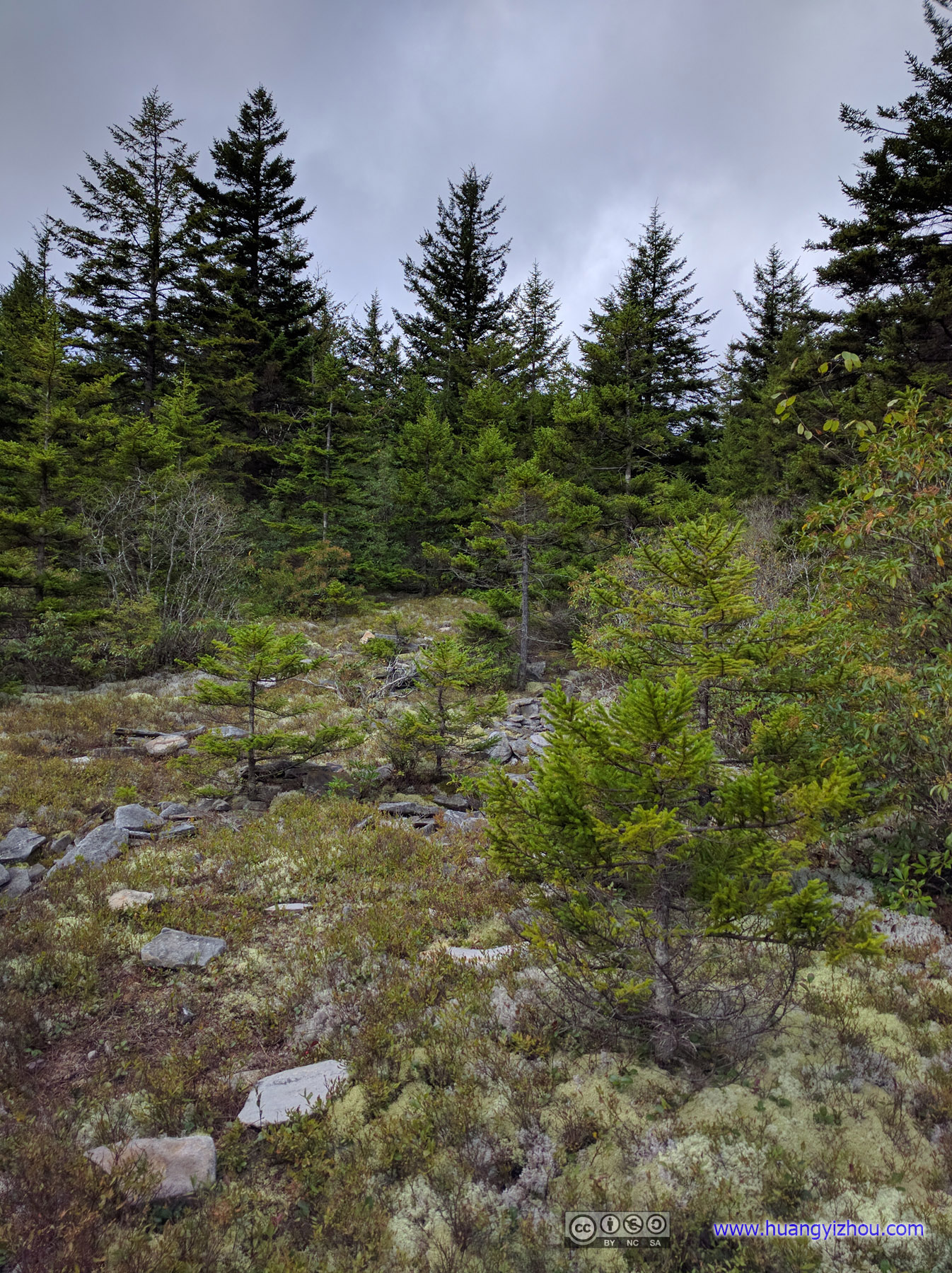
Boulders and Forest
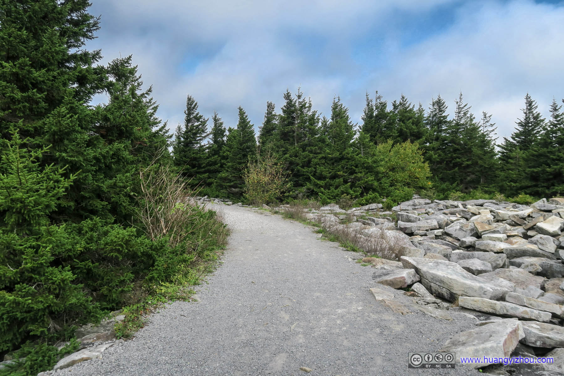
Trail to Viewing PlatformSuch a huge contrast as the trail after summit parking lot was well paved like this.
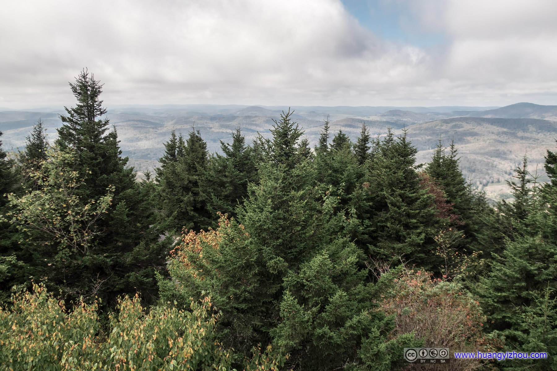
And at the end of day, scenery from the viewing platform wasn’t bad, especially when added with some Photoshopping.
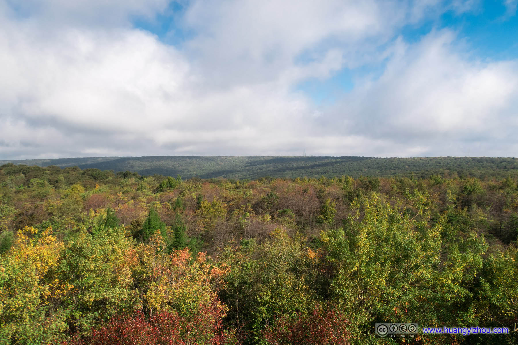
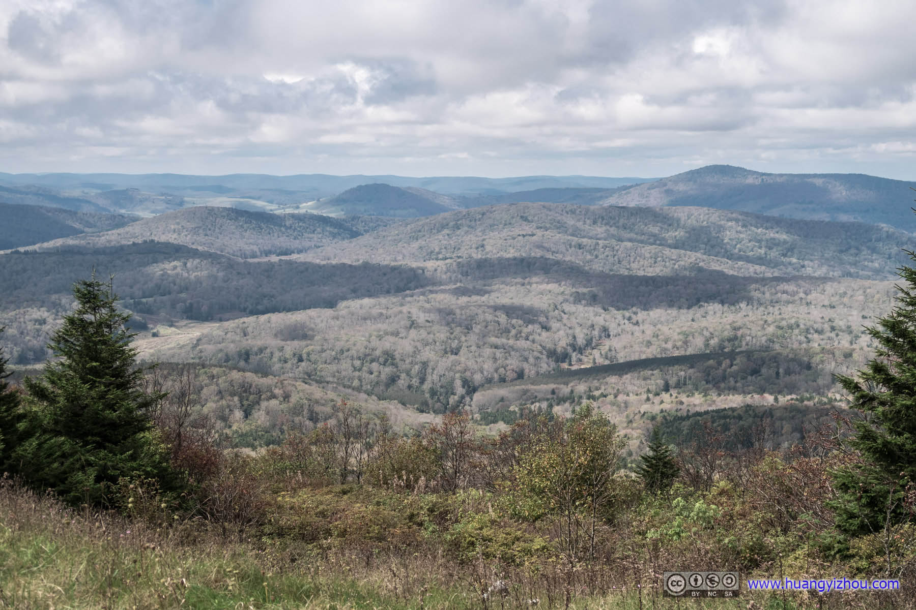 Distant Fields
After that, we headed back to Washington DC.
Countryside

Cattle
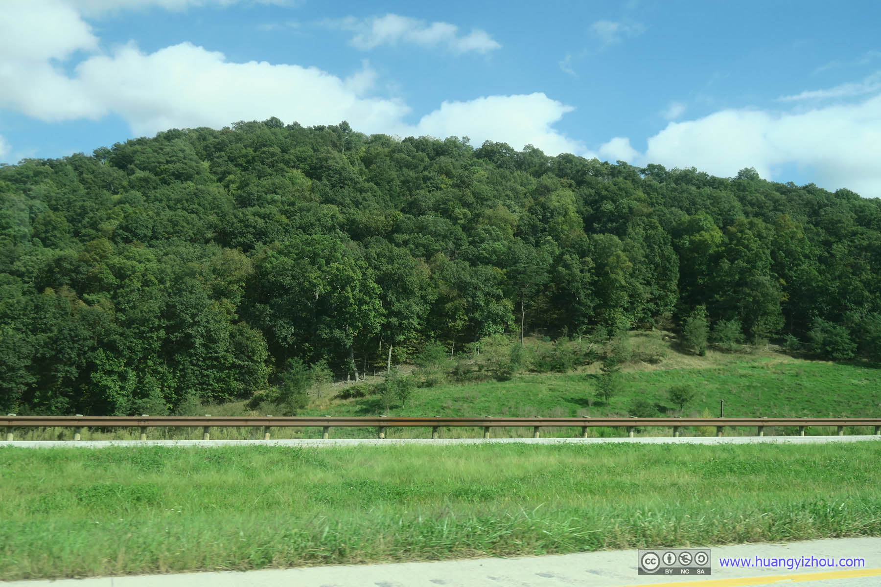
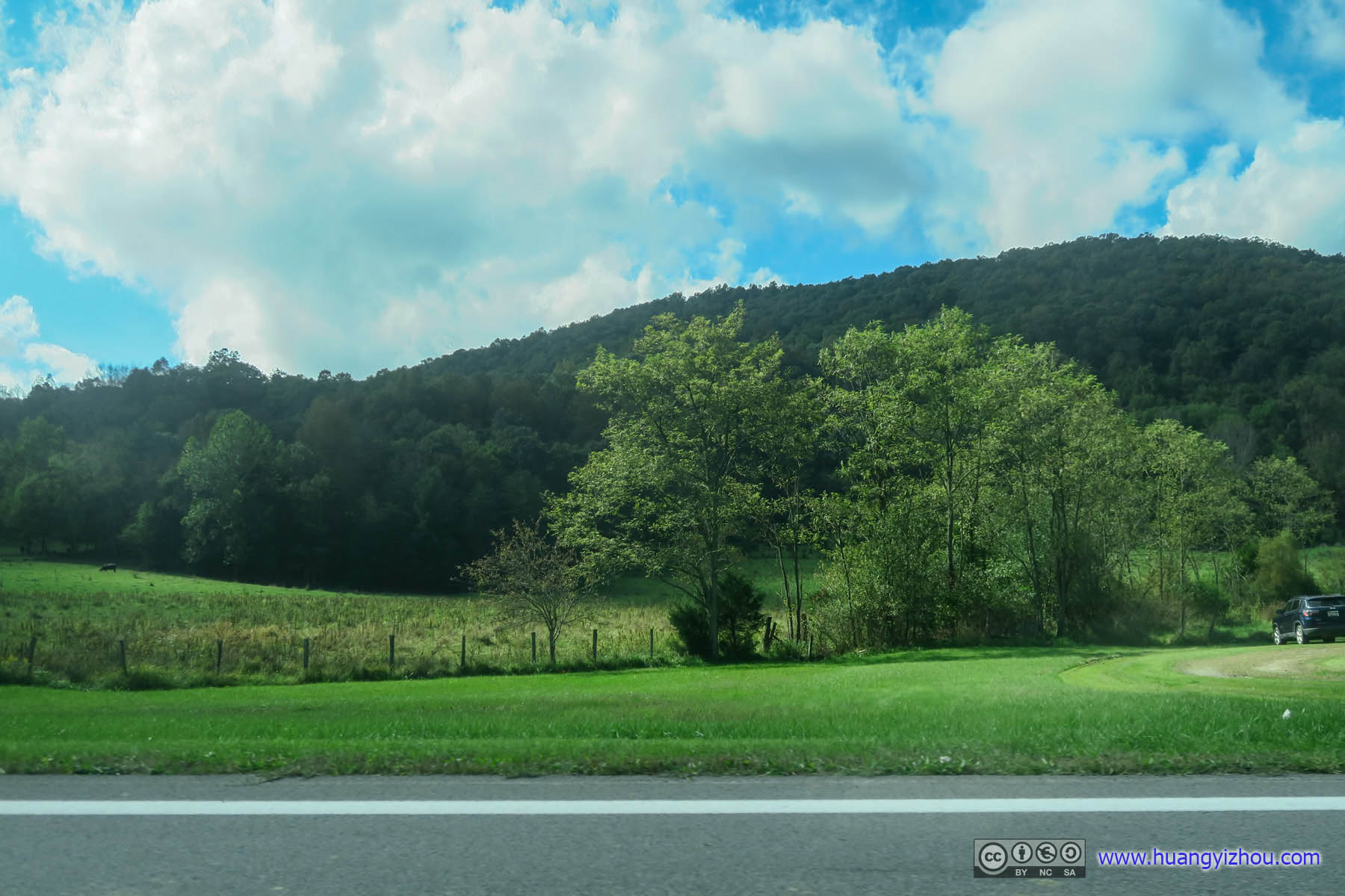
Forest by Highway
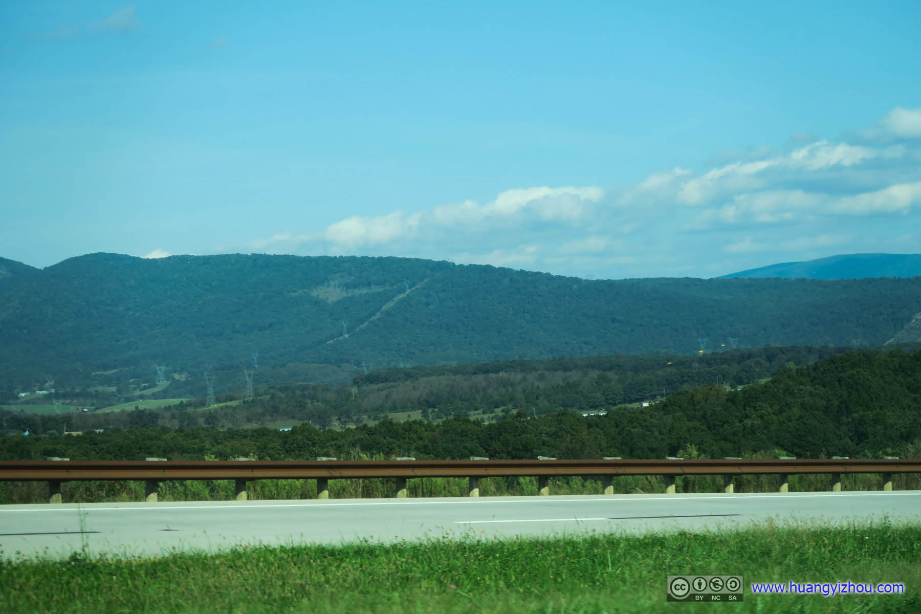
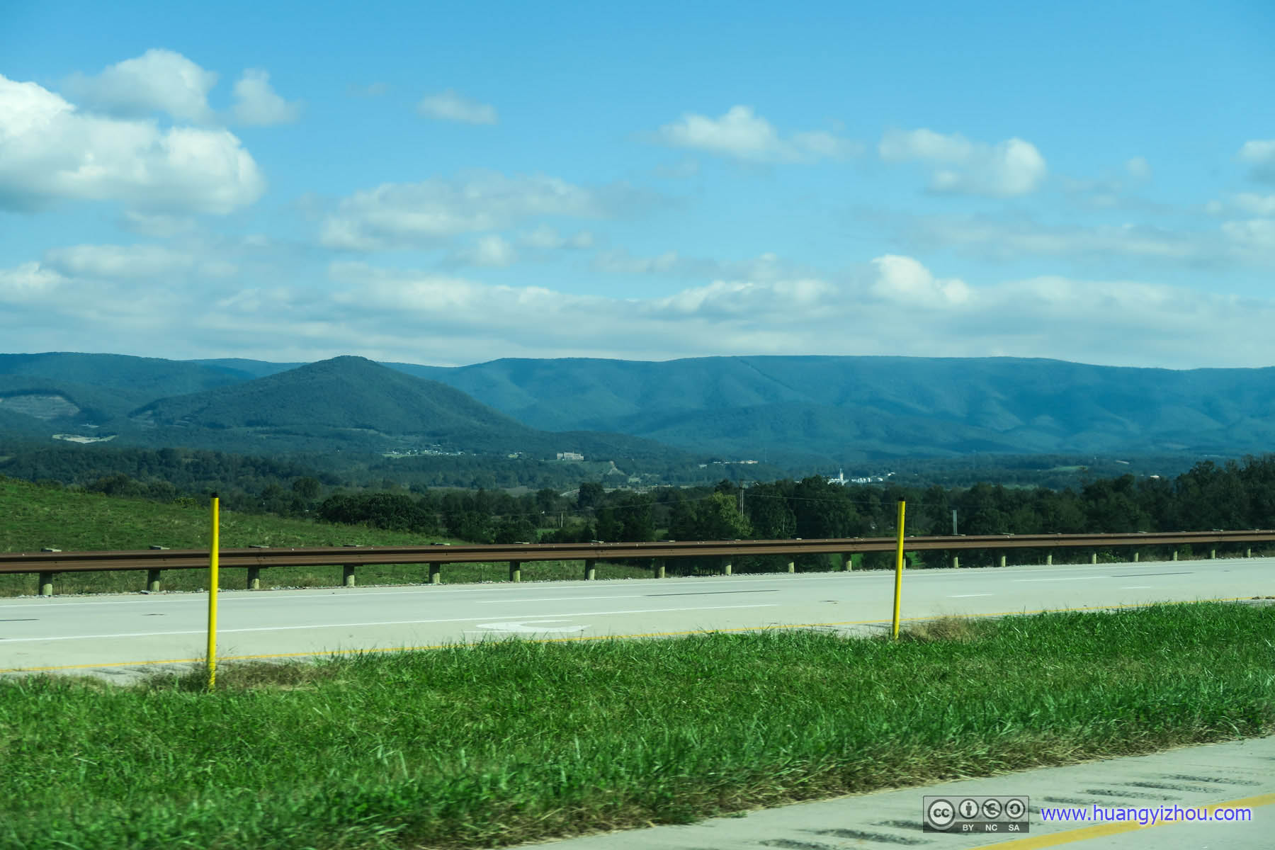 Mountain Ranges
Conclusions
With all the mud and the pair of sneakers that I had to write off, I don’t think I would have any affection for Spruce Knob any more.
By the way, the highest points of all these three states were all easily accessible by car, the American way. That’s why, I really enjoyed the hike up Seneca Rocks at sunset watching colorful skies gradually overcame by nightfall, and the rise of stars that I captured later that night.
END
![]() Triple State Hike by Huang's Site is licensed under a Creative Commons Attribution-NonCommercial-ShareAlike 4.0 International License.
Triple State Hike by Huang's Site is licensed under a Creative Commons Attribution-NonCommercial-ShareAlike 4.0 International License.