
Updated on May 12, 2019
Hiking in Sugarloaf Mountain, Maryland
A post about my weekend hiking trip to Sugarloaf Mountain in Dickerson, Maryland, which was the closest mountain molehill from Washington DC.
White Rocks
Having endured a long and bleak winter of boredom, the wilderness around Washington DC had finally sprung back to life with blossoming wildflowers and sprouting trees, so to me that meant the season of adventures were back. And on this particular late April weekend, to make my shopping trip to Gaithersburg less mundane, I decided to take a detour and visited Sugarloaf Mountain.
It was a bright sunny day, perhaps a bit too windy, which gladly I didn’t feel in my car. It was the right amount of spring warmth and sunshine to make it a cheerful drive leading to Sugarloaf Mountain.
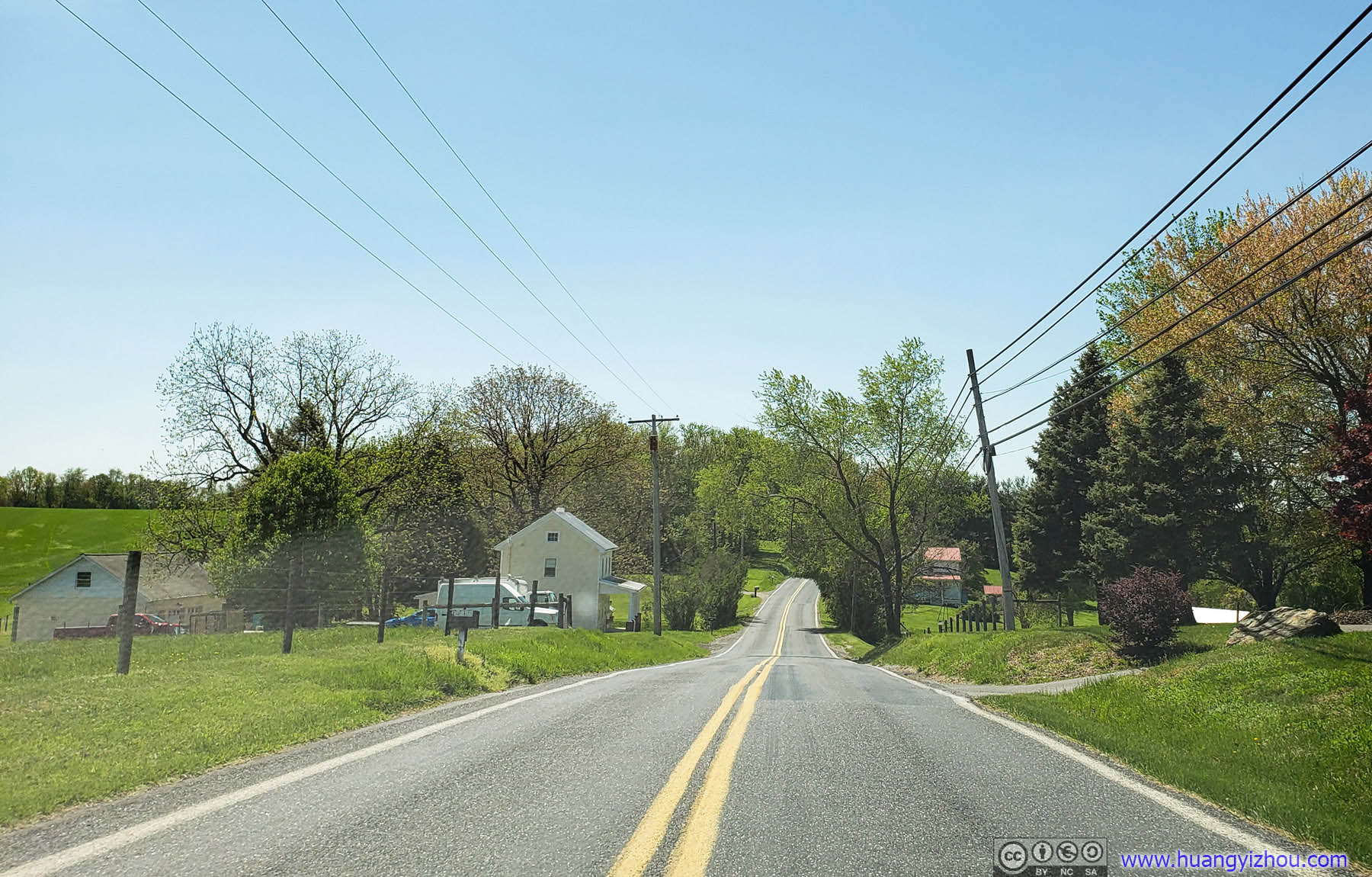


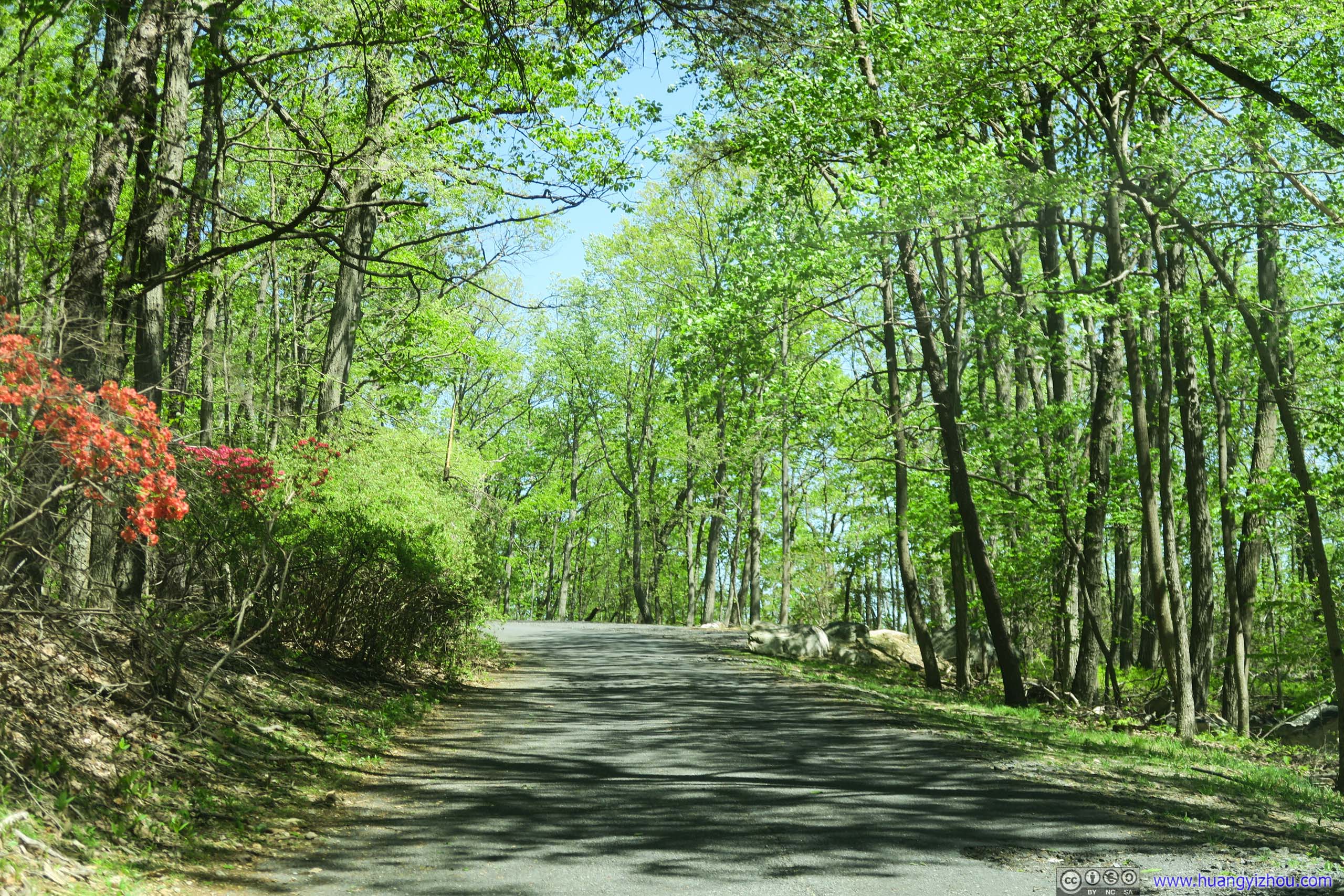
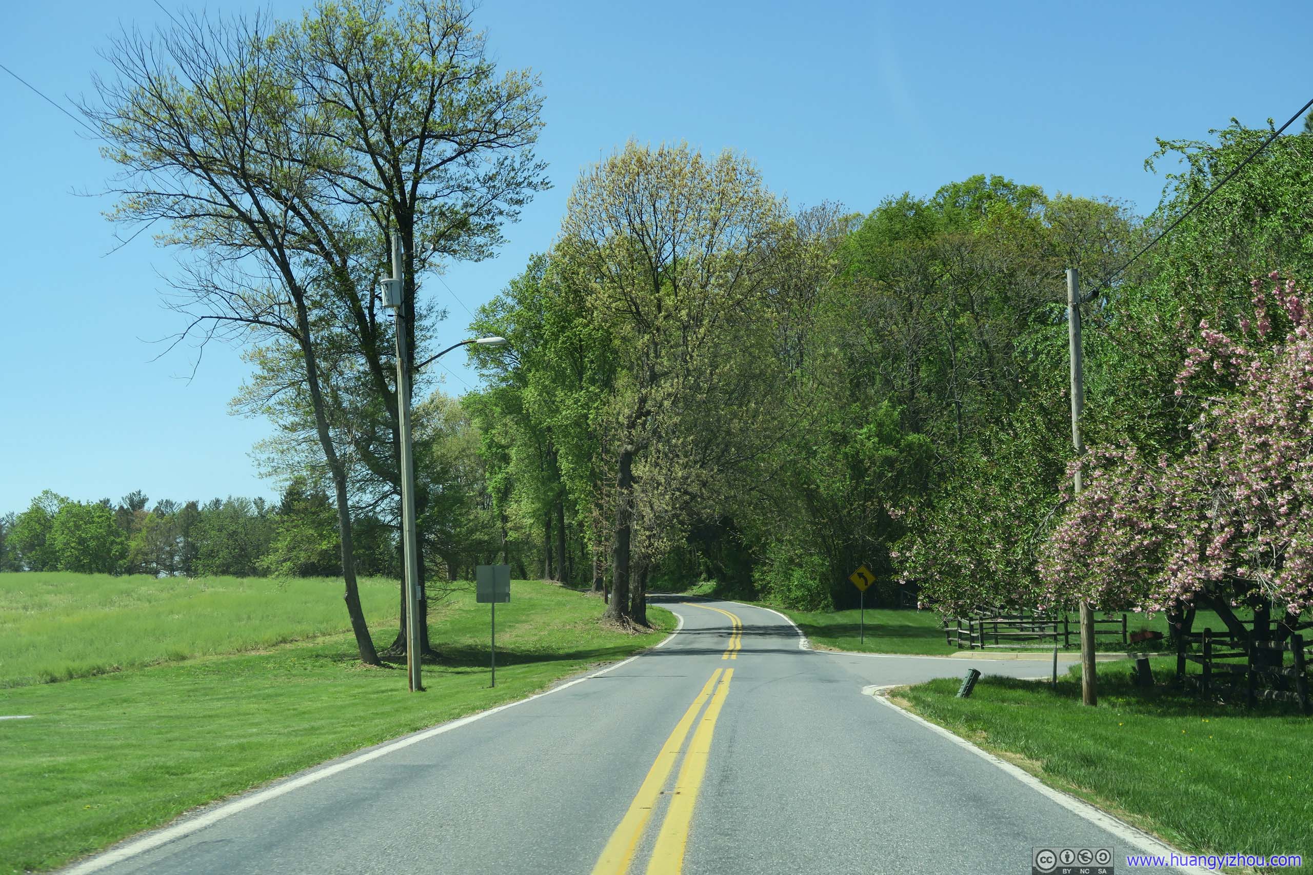 Country Road
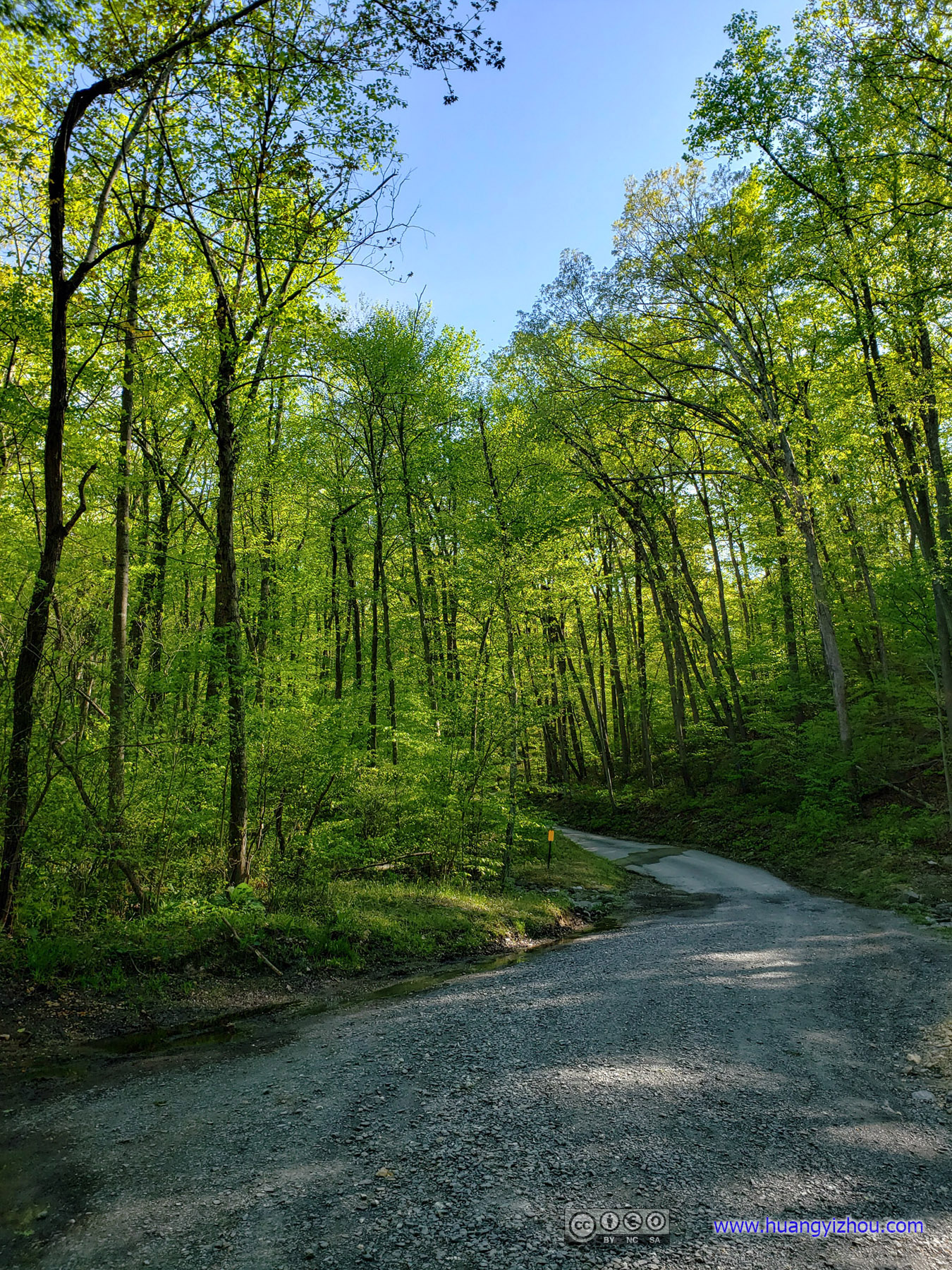
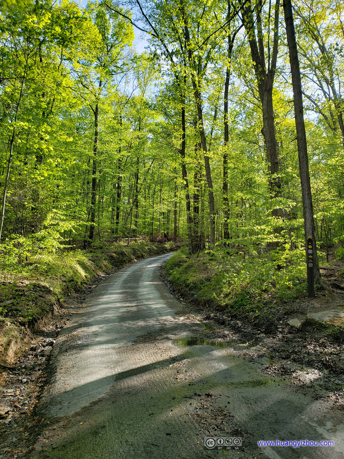
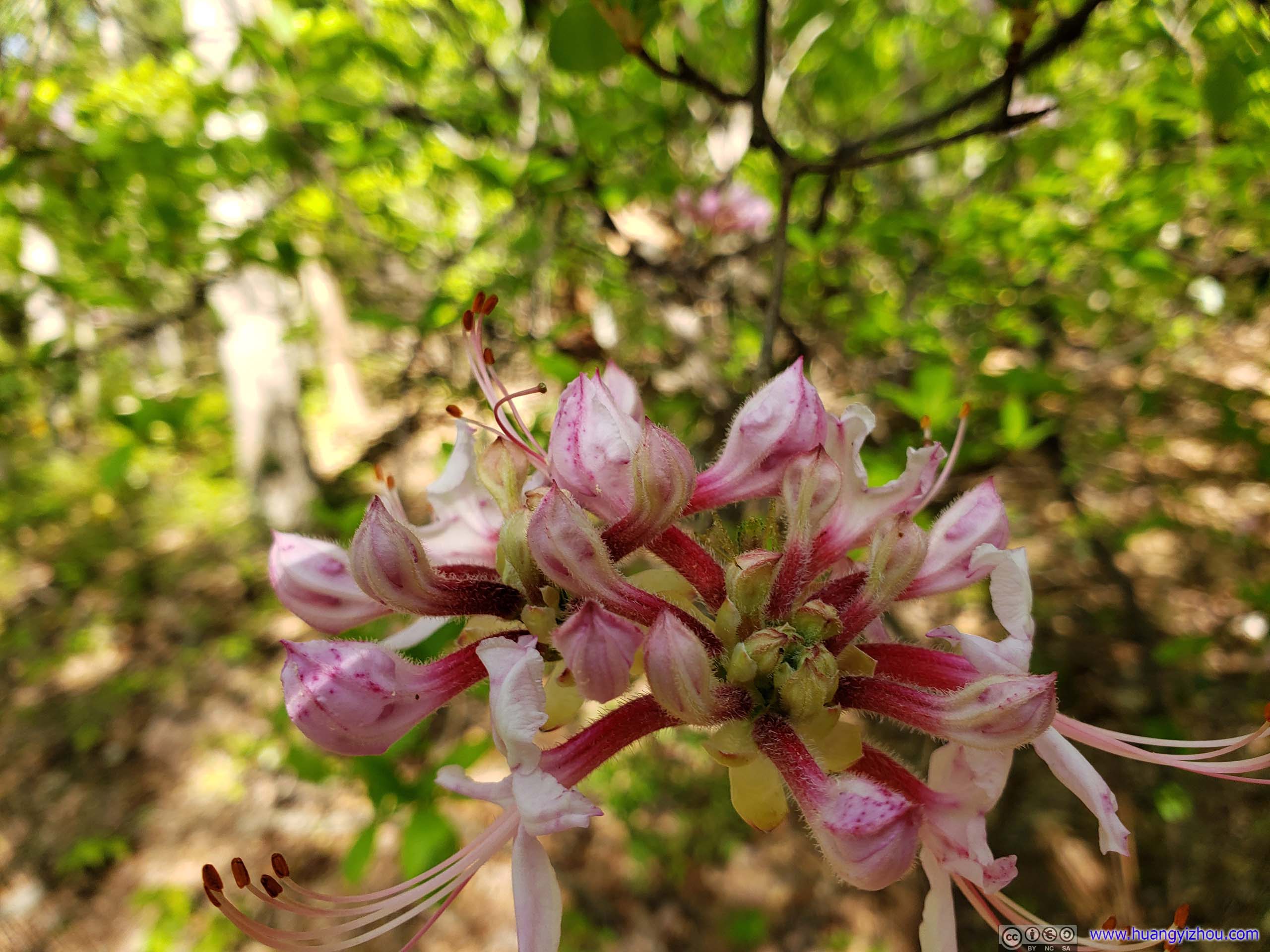
One thing I didn’t quite expect, that one can drive his car (more than) halfway up the mountain, making the final dash to summit short and cushy. How American is this! And the narrow one-lane road up Sugarloaf Mountain was lined with many wild flowers, which, on the disappointing side, were more than what I saw on the actual hiking trail for the rest of the day.
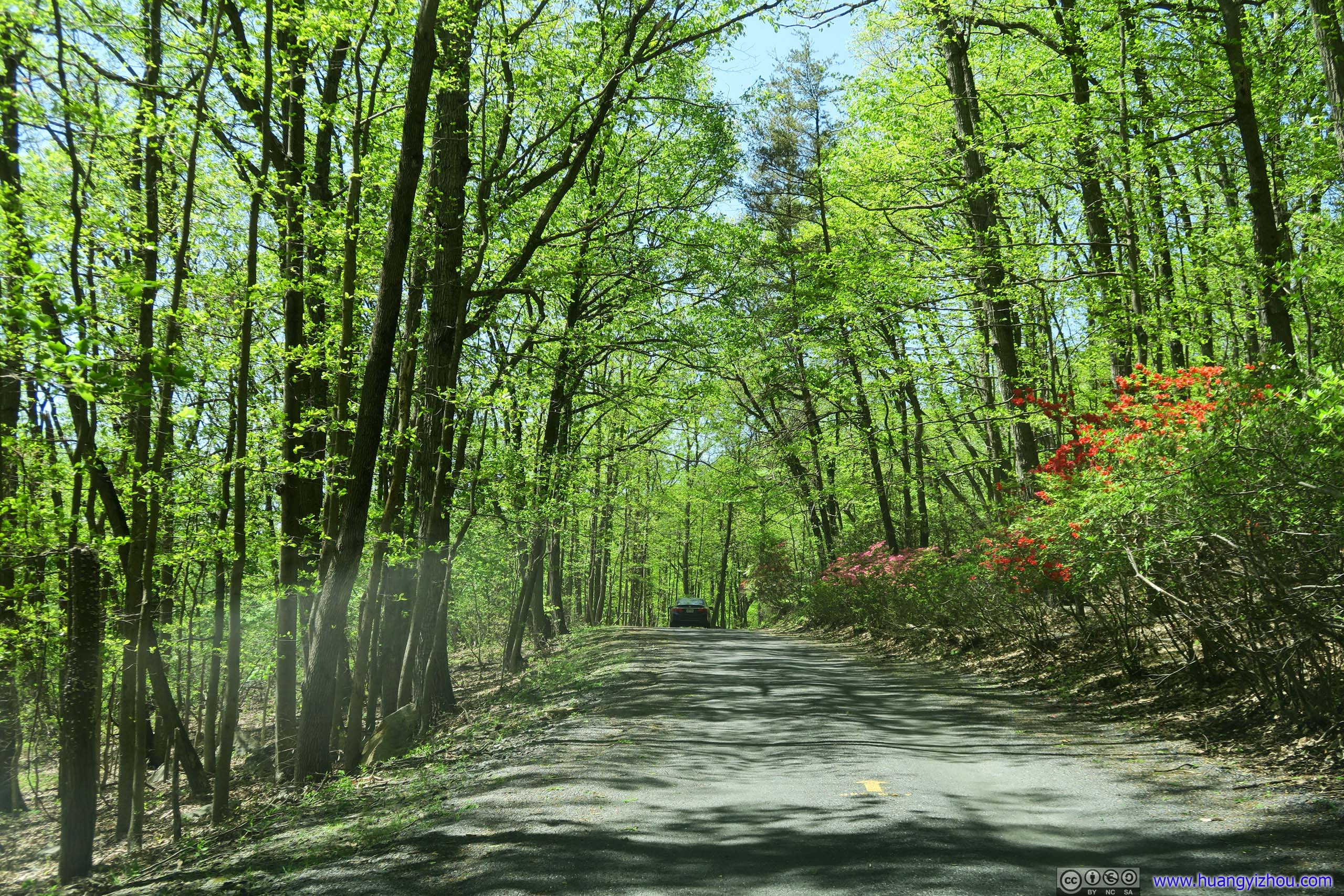
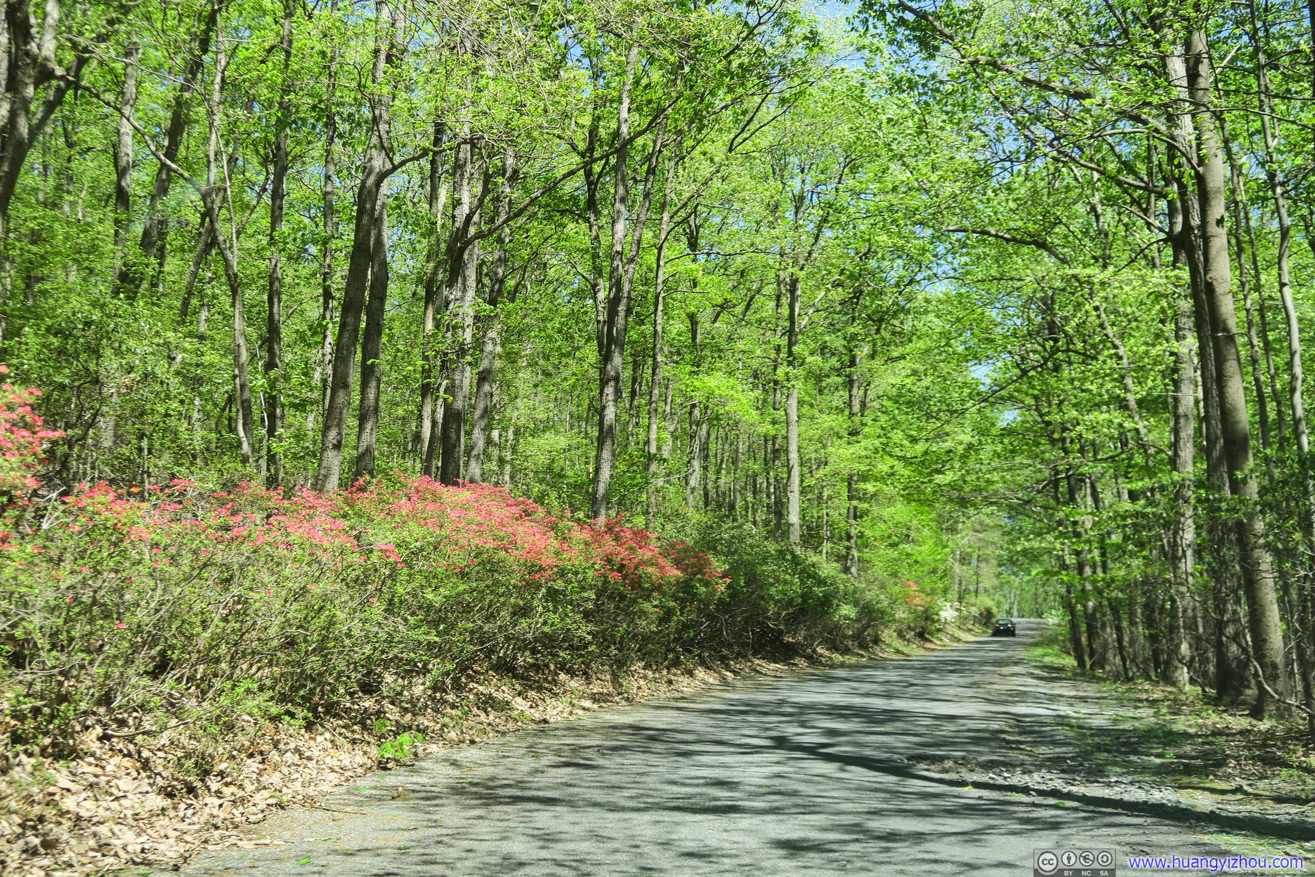
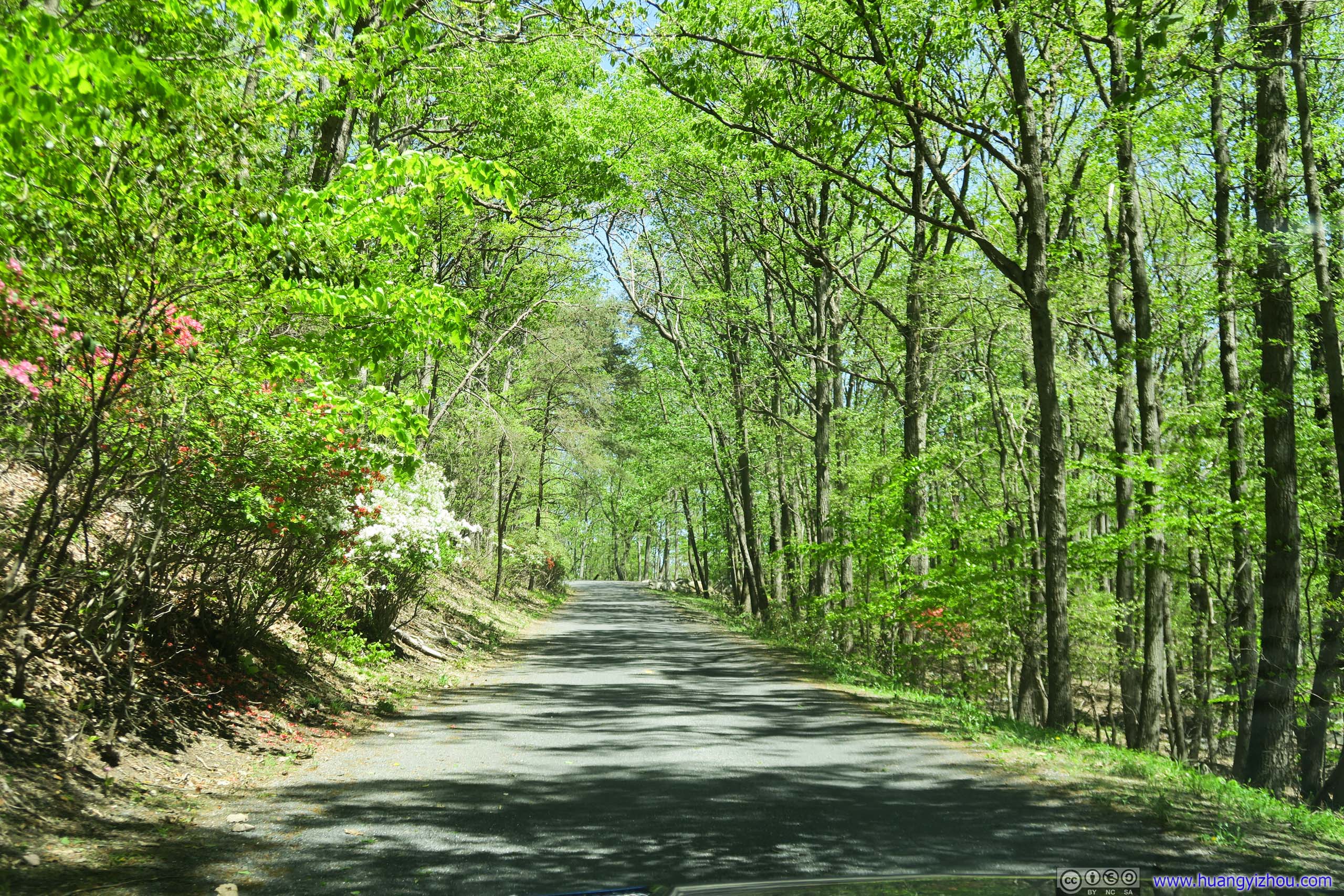
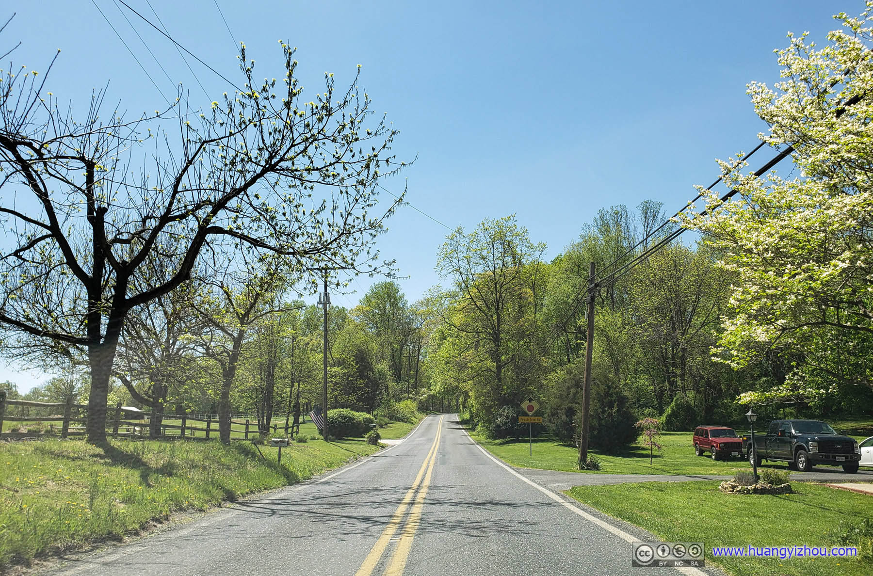
 Road up Sugarloaf Mountain
Potomac Overlook
Something interesting that I noticed, on OpenStreetMap, all the trails of Sugarloaf Mountain have names like “A.M. Thomas” or “The Monadnock”, but when it comes to information board, there were simply called “Yellow Trail” or “Blue Trail”. I guess that’s to appeal to the mountain’s unsophisticated average visitor on his car, while OpenStreetMap was something more hardcore?
Nonetheless, I started near West View with a short climb to the mountain’s summit along the “Green” trail.
 Boulders
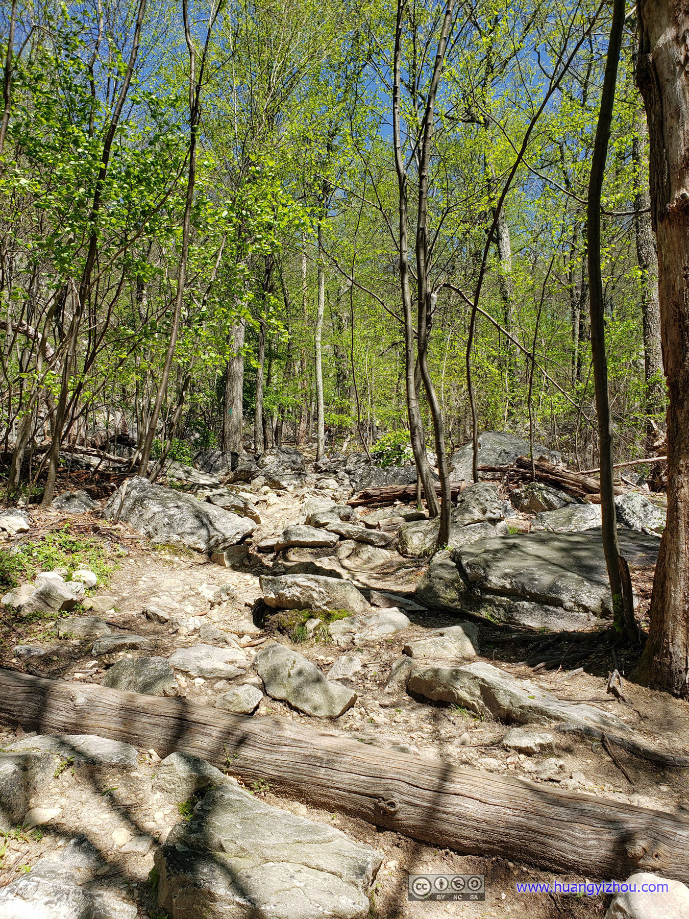
StairsThe green trail passes some rocky terrain and gains elevation quickly.
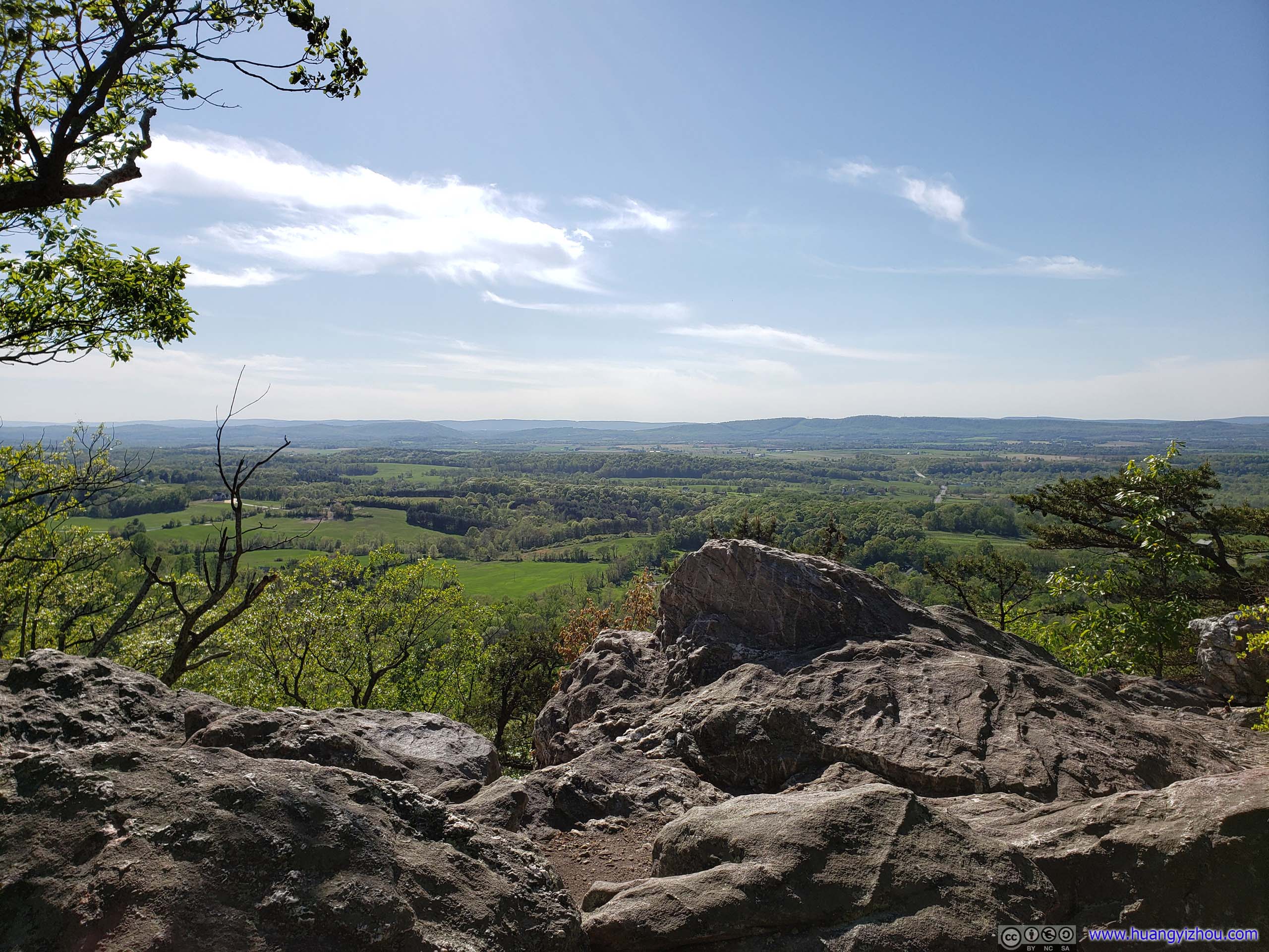
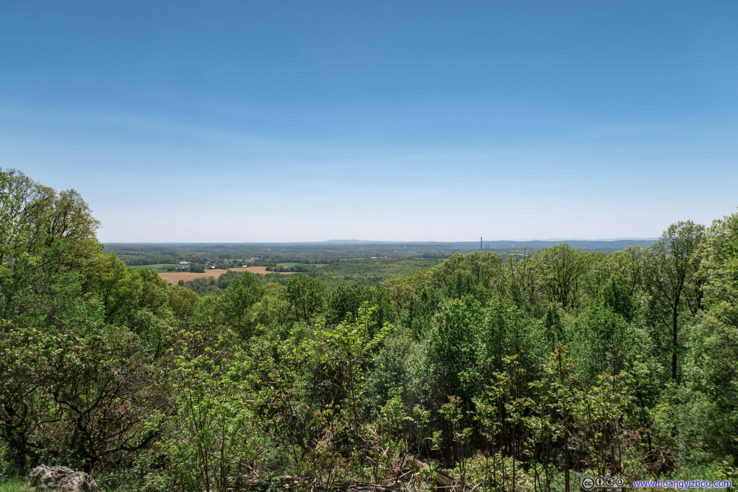
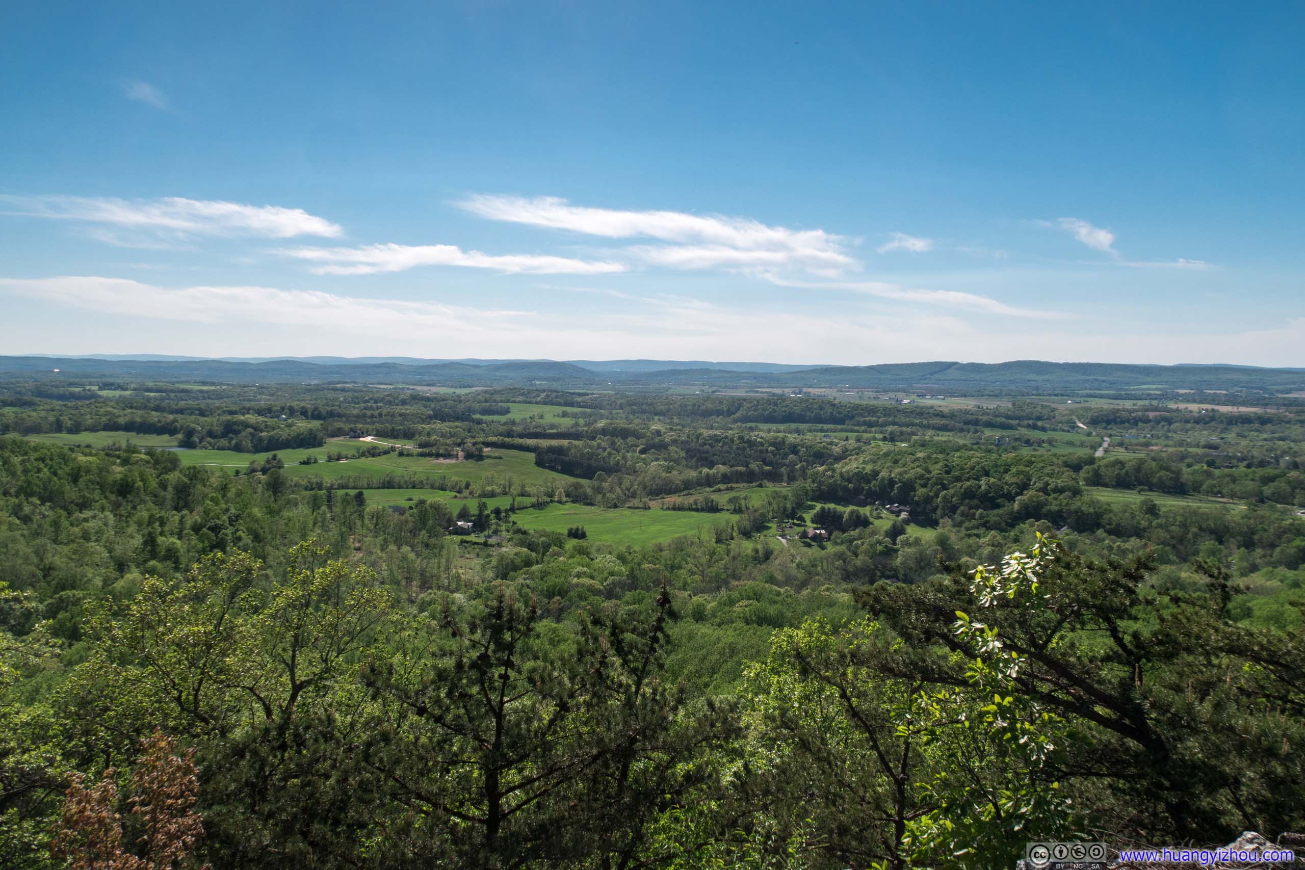
Not long after that I was at the summit, which offered great views of surrounding fields, including a segment of Potomac River and distant ranges of Appalachian Mountains to the West.


 Overlook

OverlookUnfortunately, the not-so-pleasant view of Dickerson Power Plant by Potomac River was also included.
OverlookRanges of Appalachian Mountains in the distance.
It was a rather windy day and much of Washington DC area was under high winds warning until moments ago, and I was still feeling the bitterness of gales with my summer wear. So not long after that, I continued onto the “Blue” trail looping Sugarloaf Mountain.
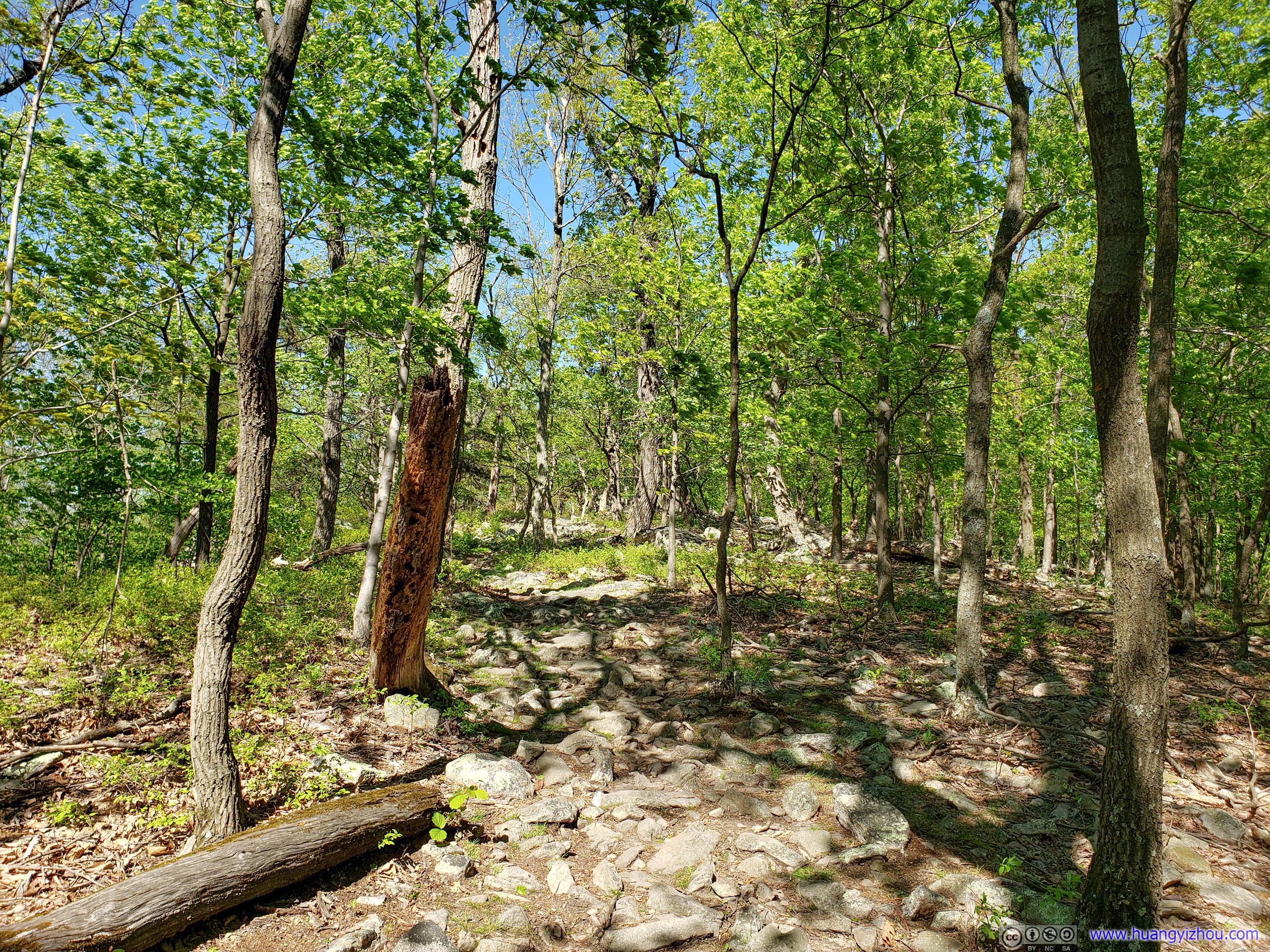
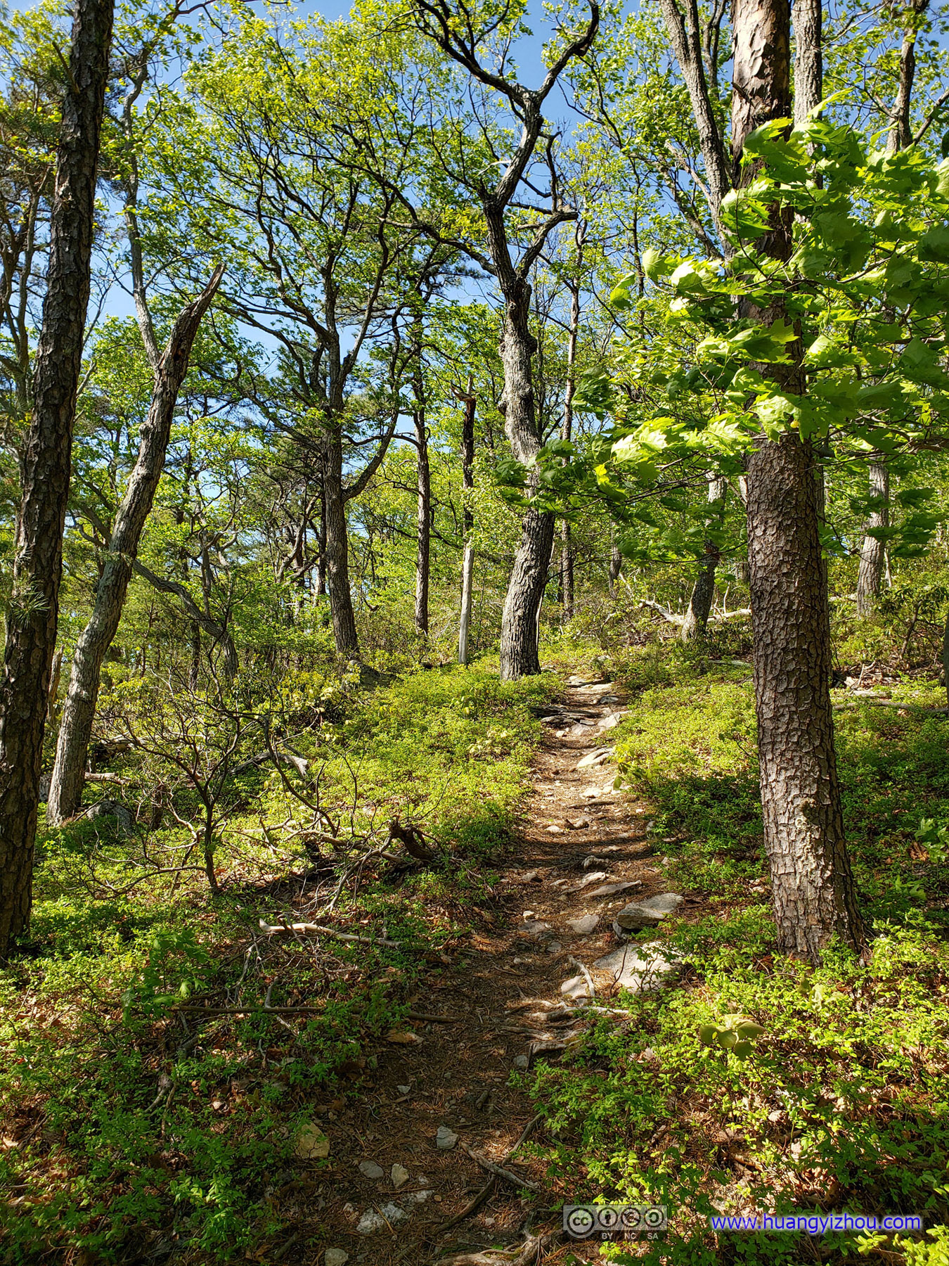
Forest
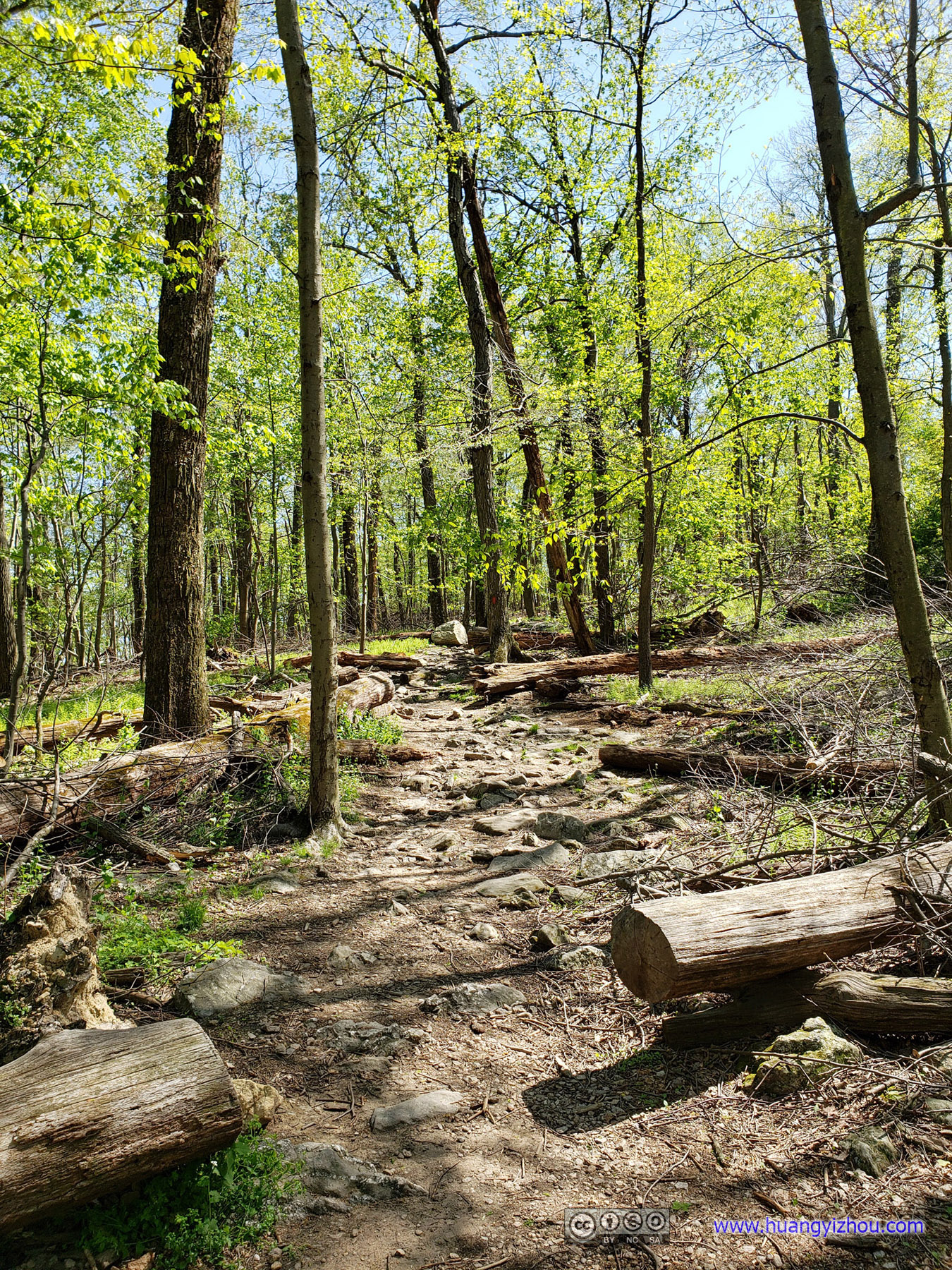
 Trail
Trail
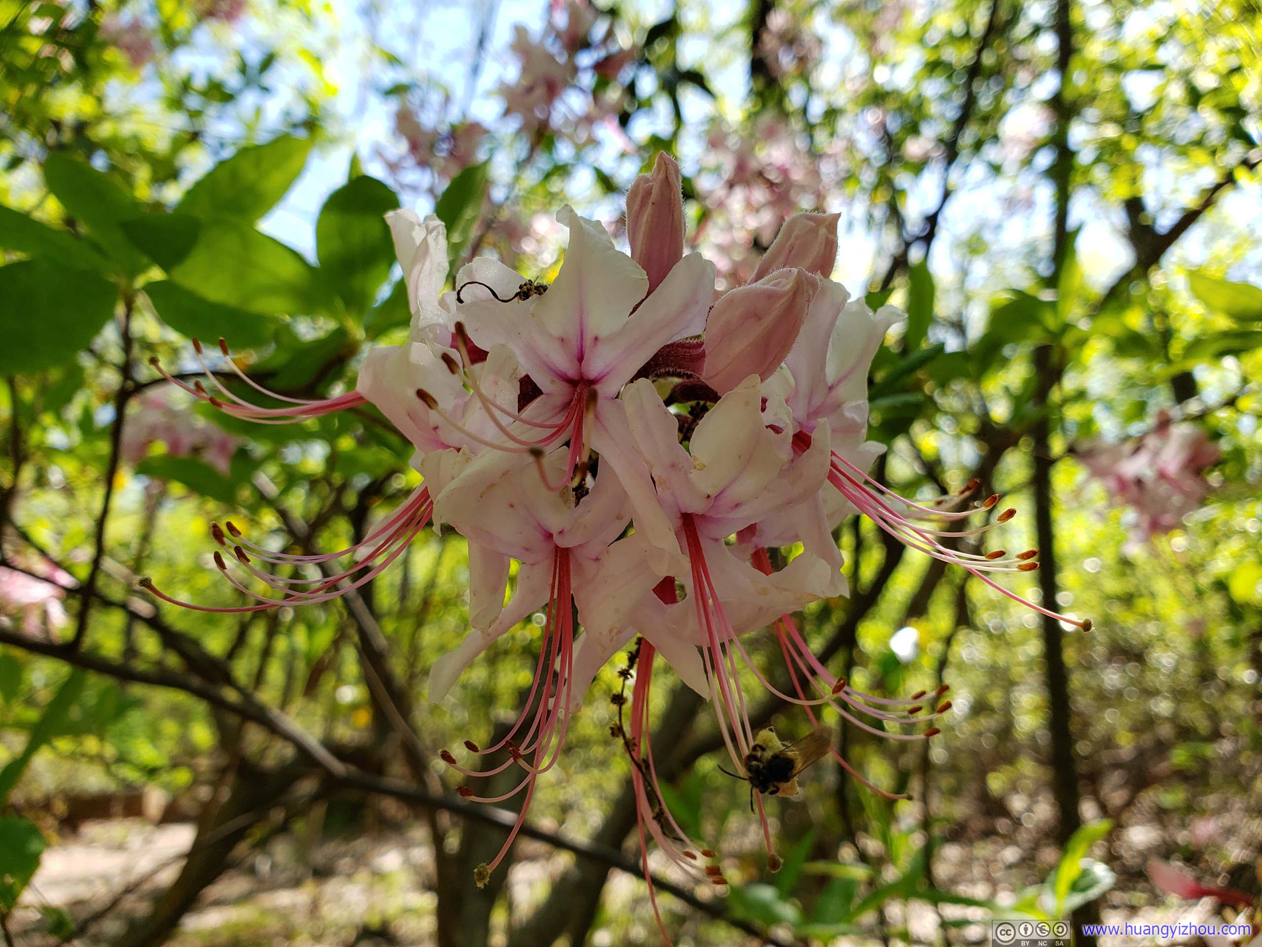
Flowers
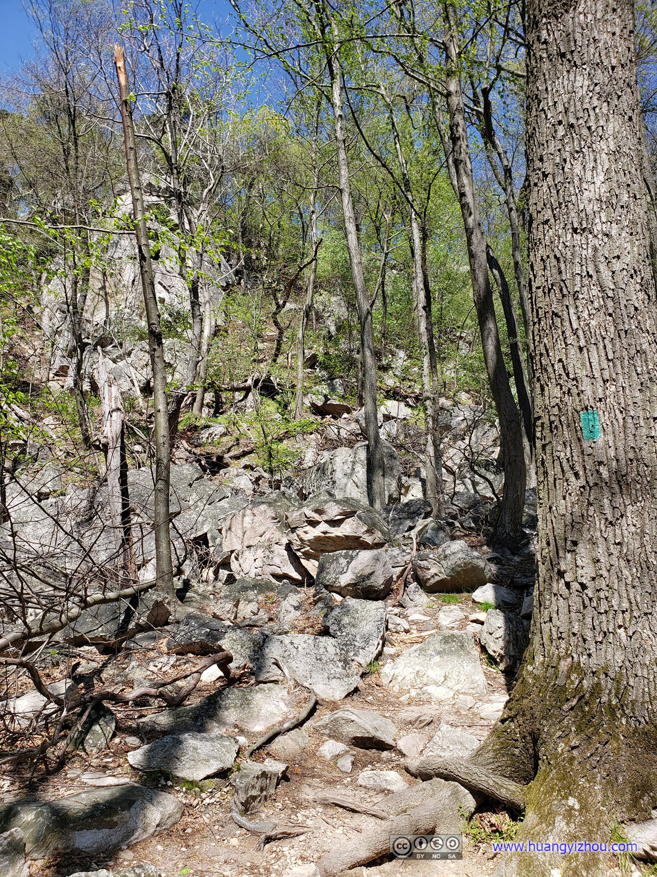
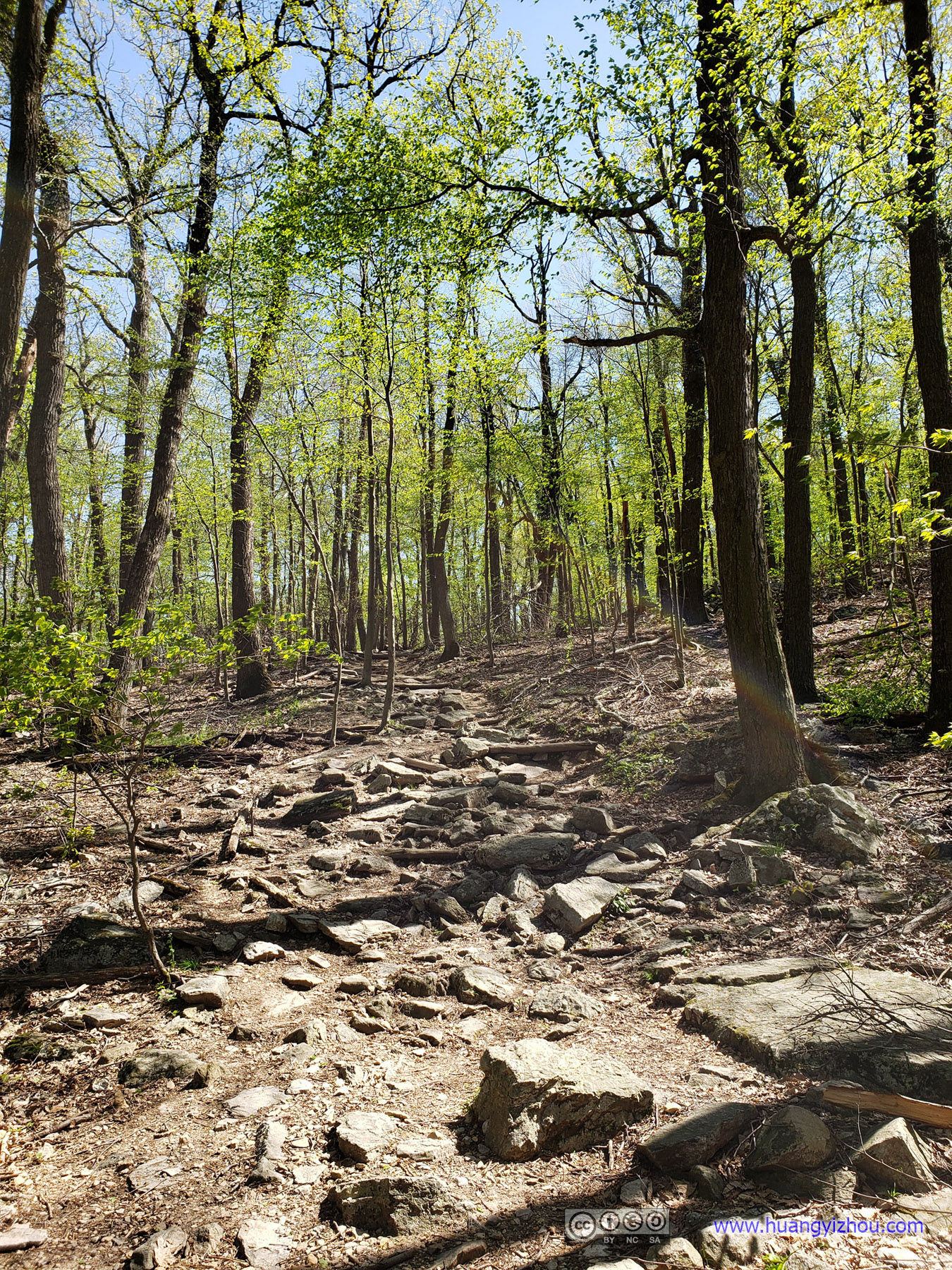
Unfortunately, the Eastern part of “Blue” trail wasn’t what I first expected. It was rocky, narrow, and above all, buggy. Well, at least nothing my insect repellent could do as I kept running into various kinds of bugs on my cloth, and I was no fan of them. While this was going on, I was sure no good hiking trail would involve “debugging clothes once every few hundred yards”.
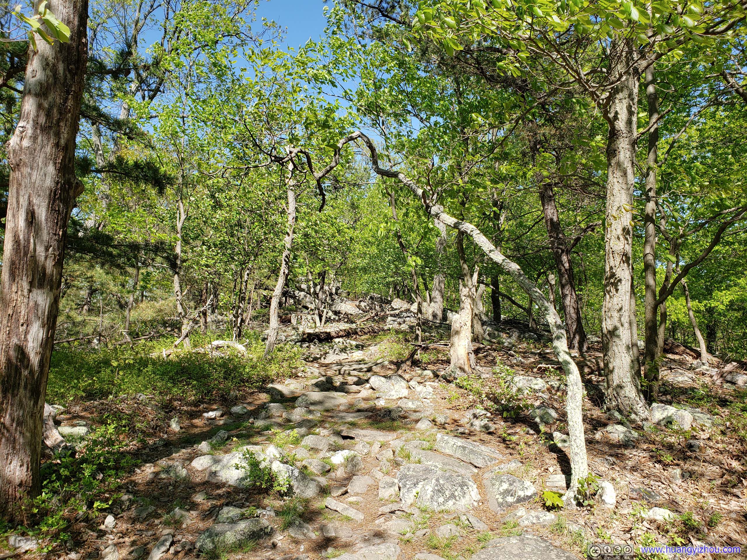 Trail
Trail
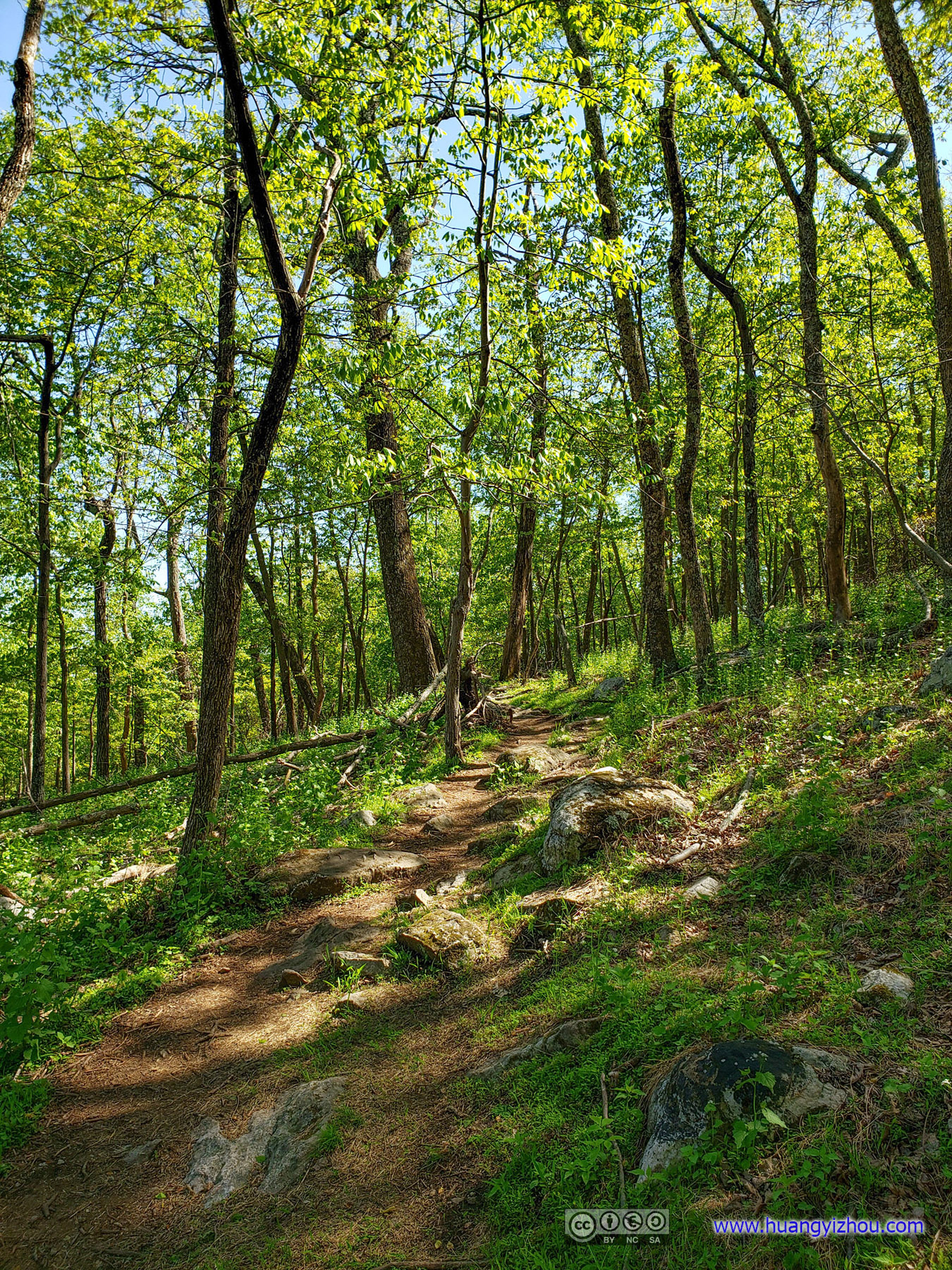
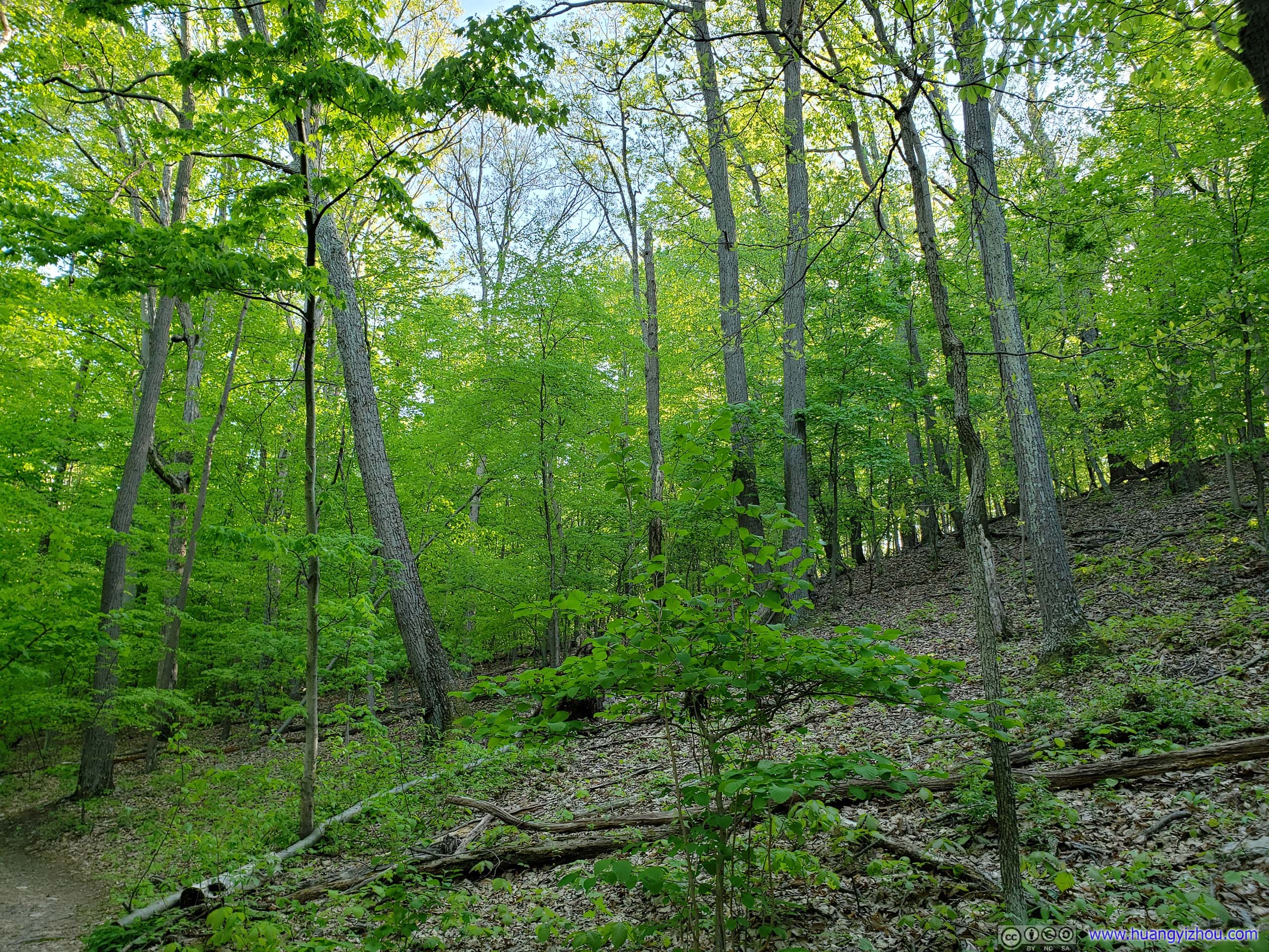
Well, the good news was that it’s getting better. The northern part of “Blue” trail wasn’t as covered in leaves as its previous segment, and bugs seemed not to be bothering me as much.
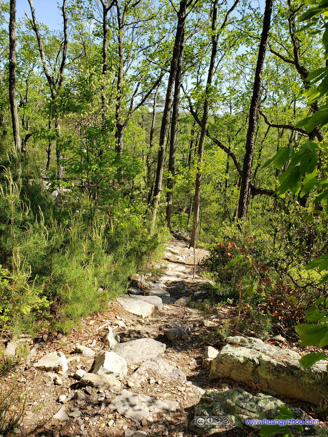
 Trail
Trail
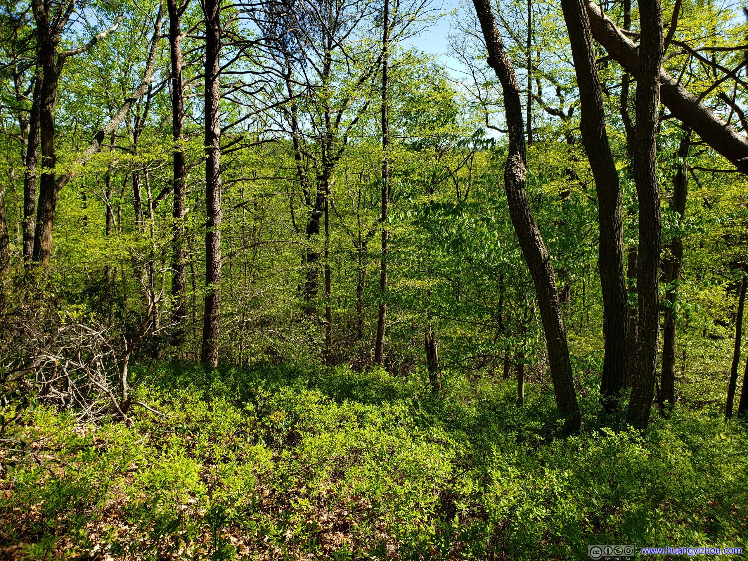
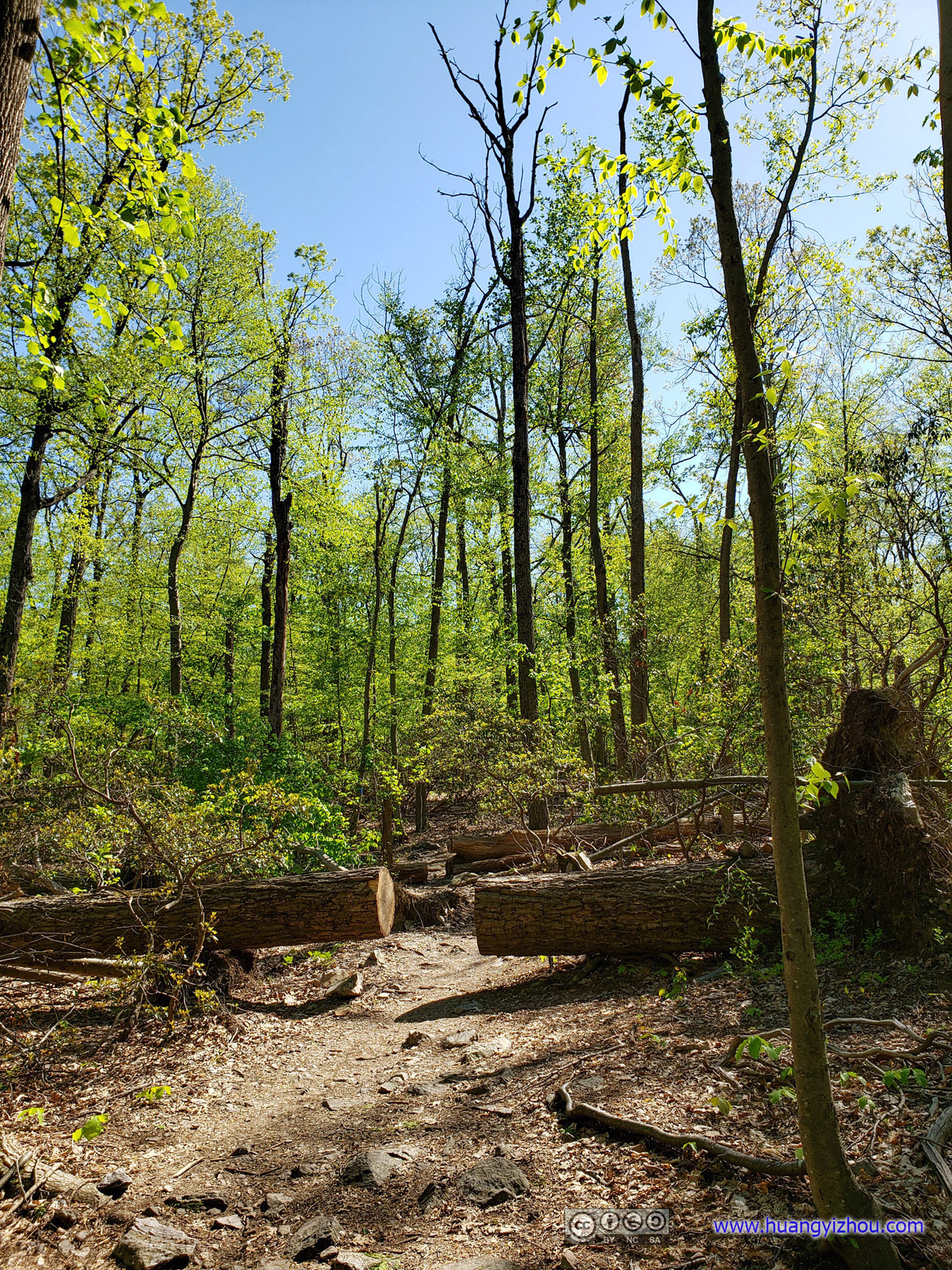
 Forest

Pile of Rocks
Not long after that I reached White Rocks, which is another overlook located on the North of the mountain. Since it wasn’t as high in elevation or as conveniently located next to parking lot as the summit, it wasn’t as crowded. But the views brought no less excitement. If not for the wind that just didn’t seem to be on the wane, I might stay there for longer meditating the blessings of life. After all, there was cellular coverage (and a nearby Pokeshop).
White Rocks
 White Rocks Overlook
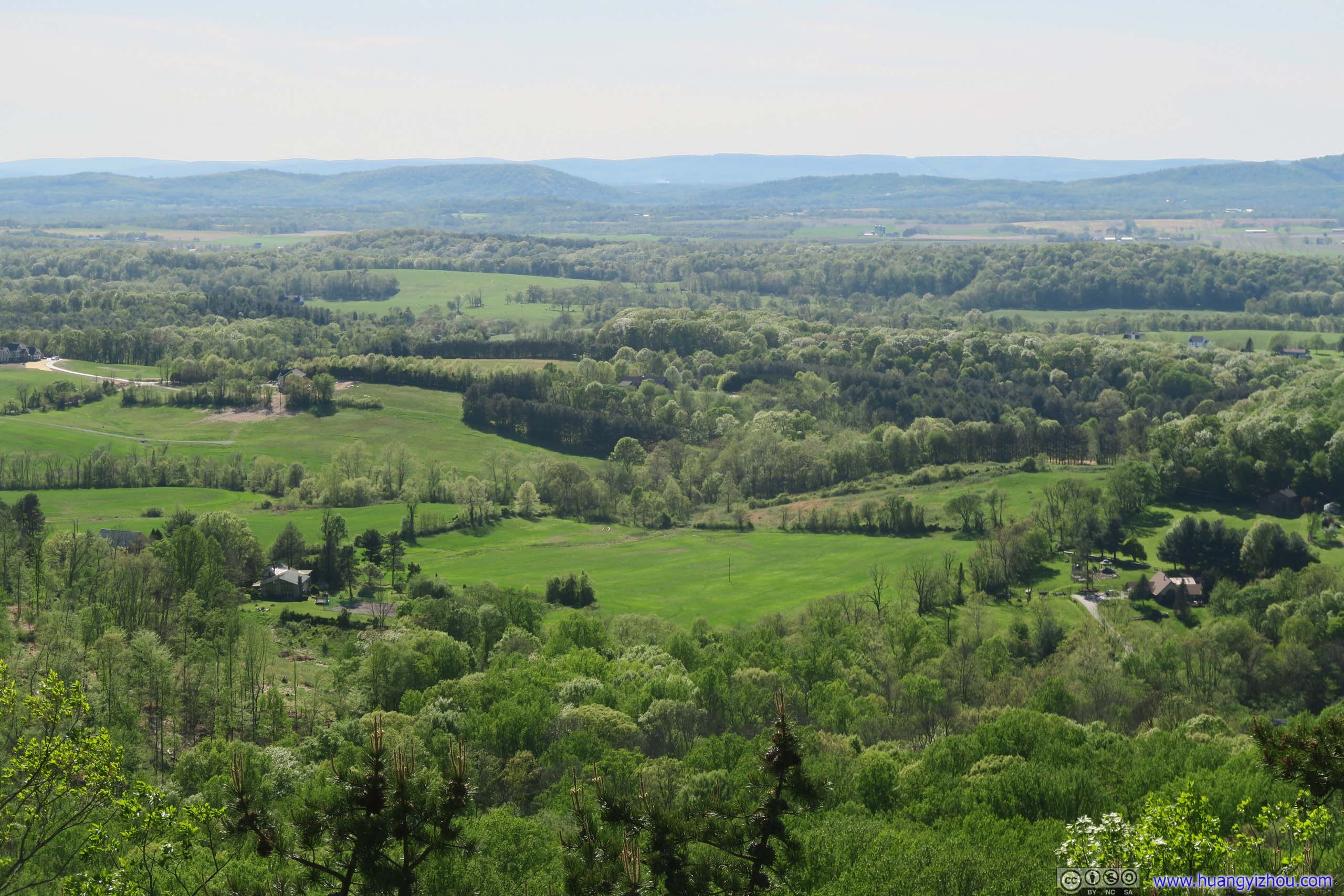
Farmland
It was almost 5pm by the time I left White Rocks, so I hastened my pace a bit.
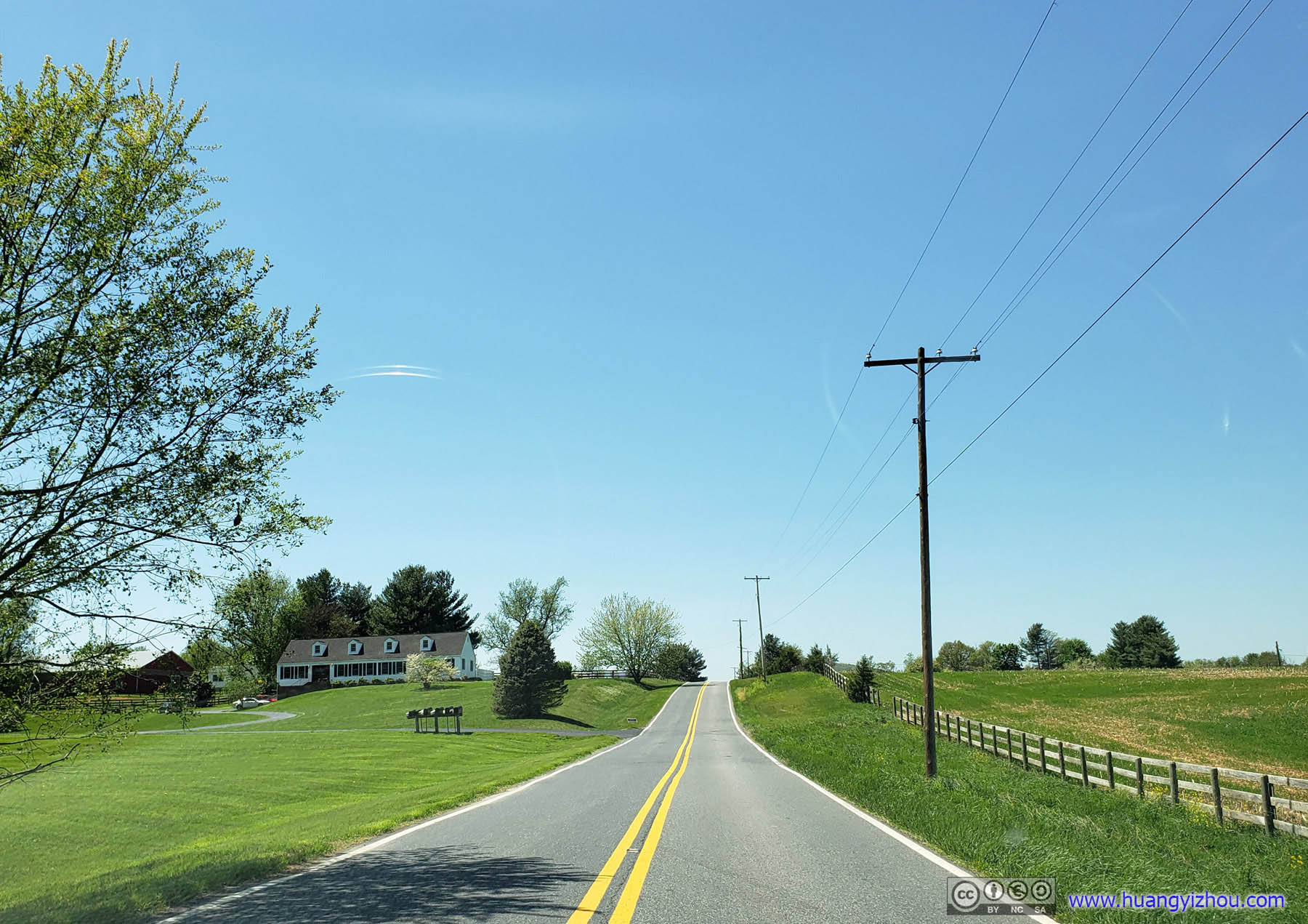
 Road
Road
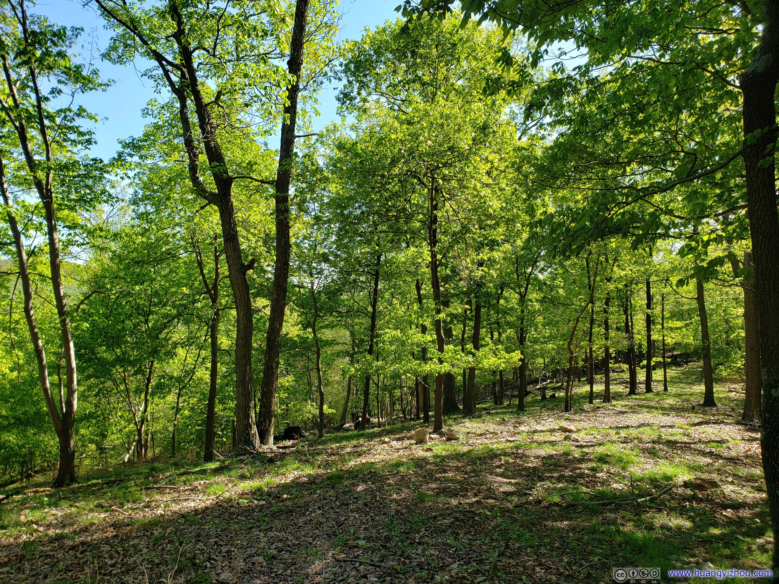
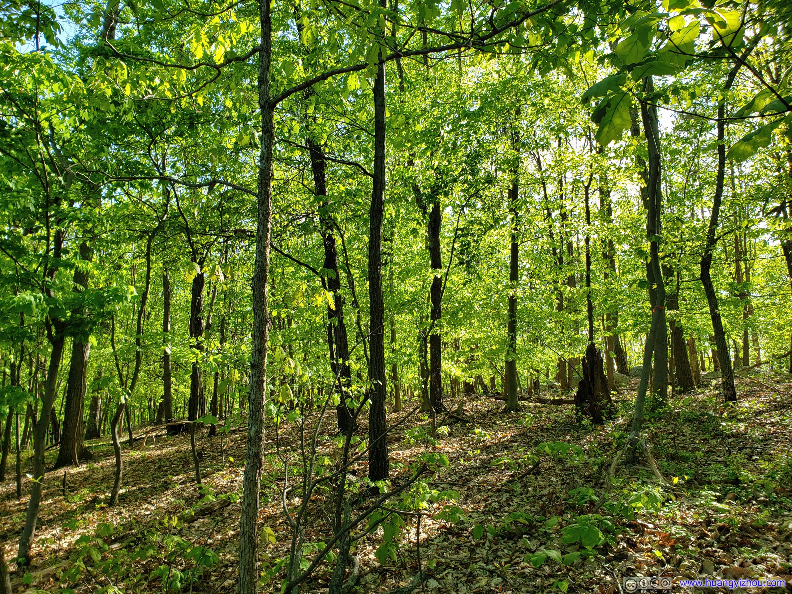
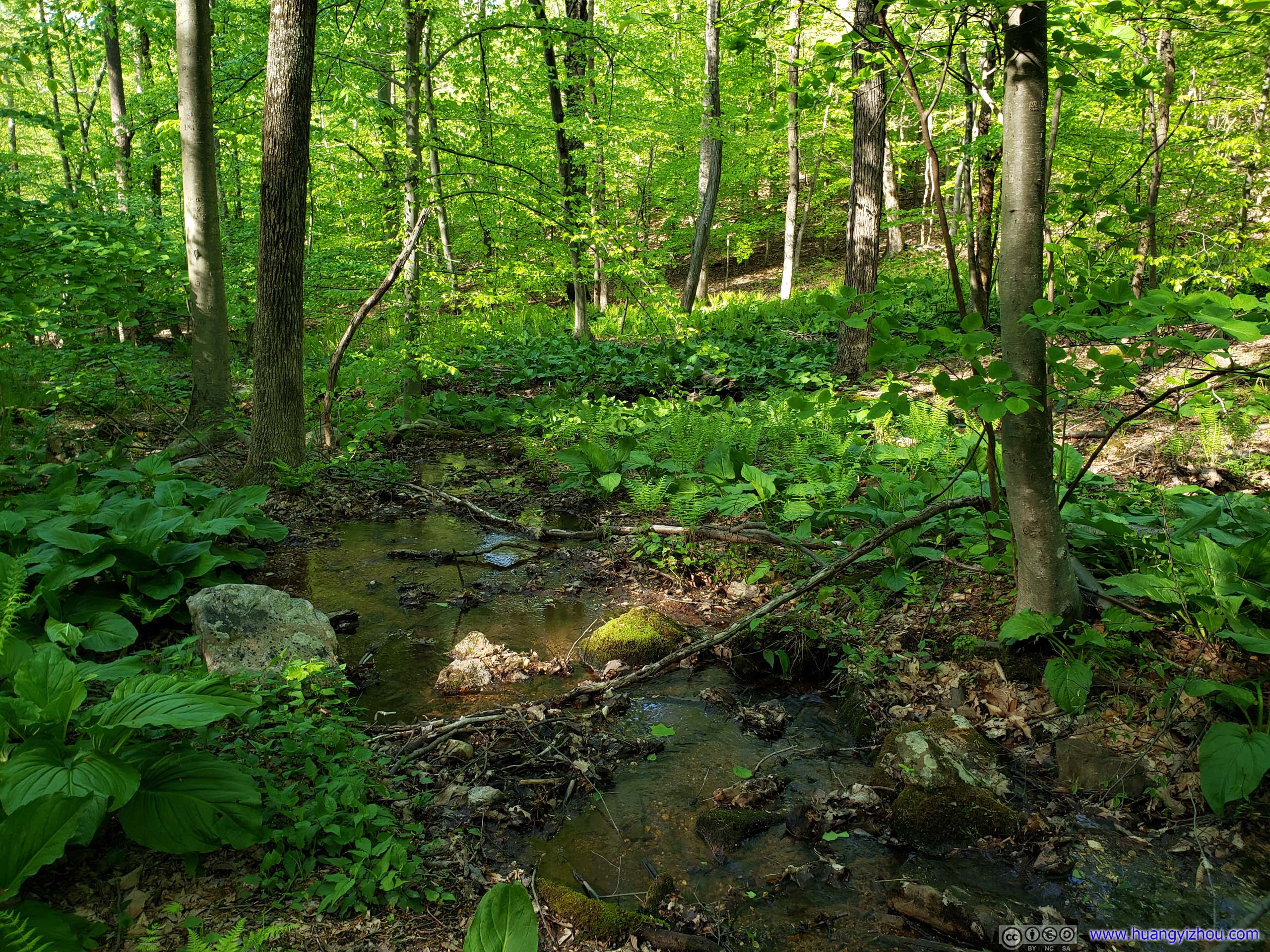
The Western part of “Blue” trail follows along a creek, the nourishment of which gave rise to a variety of vegetation. Thankfully, that didn’t include bugs.
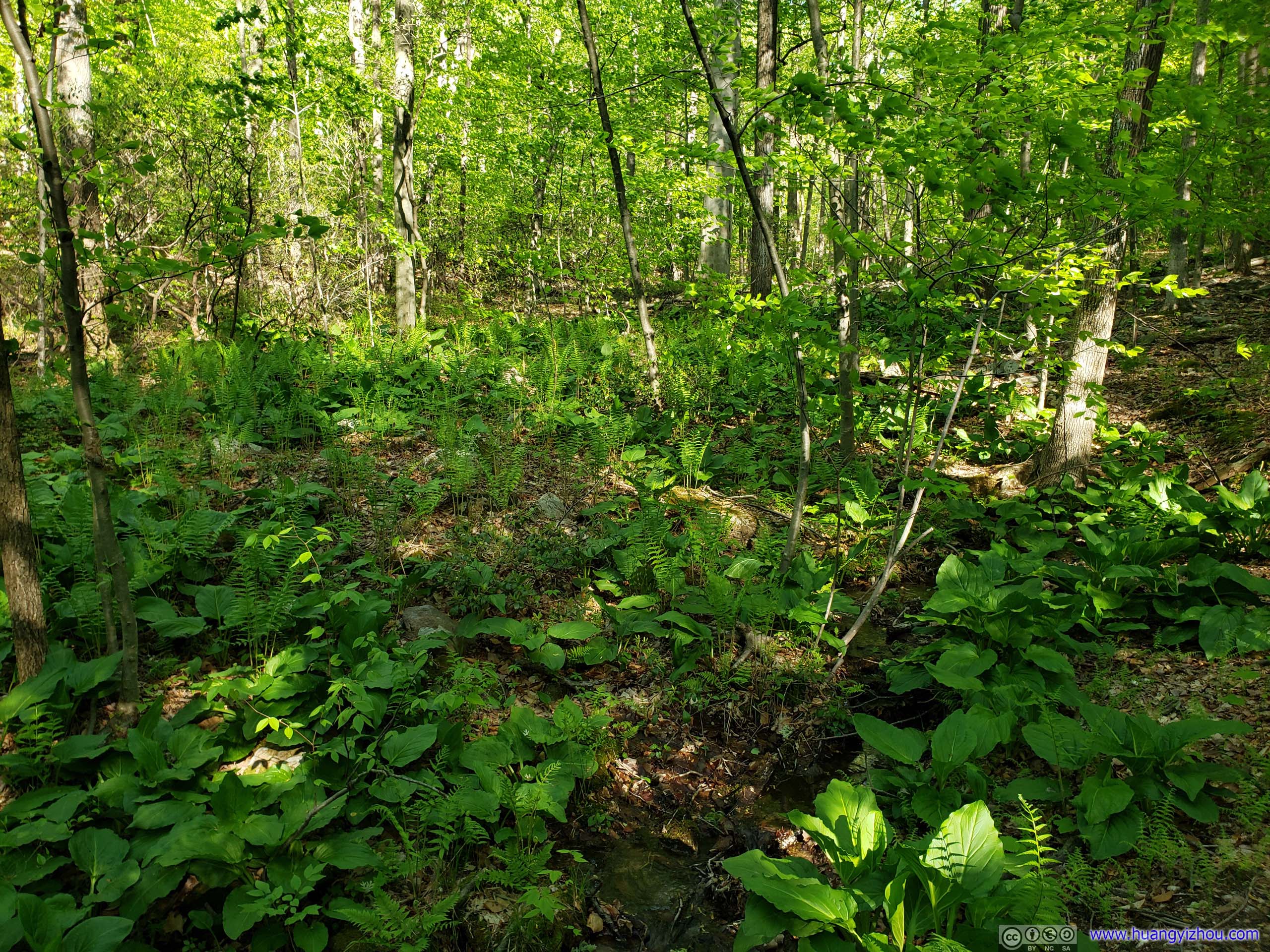
Vegetation

 Forest
Creek
Flowers
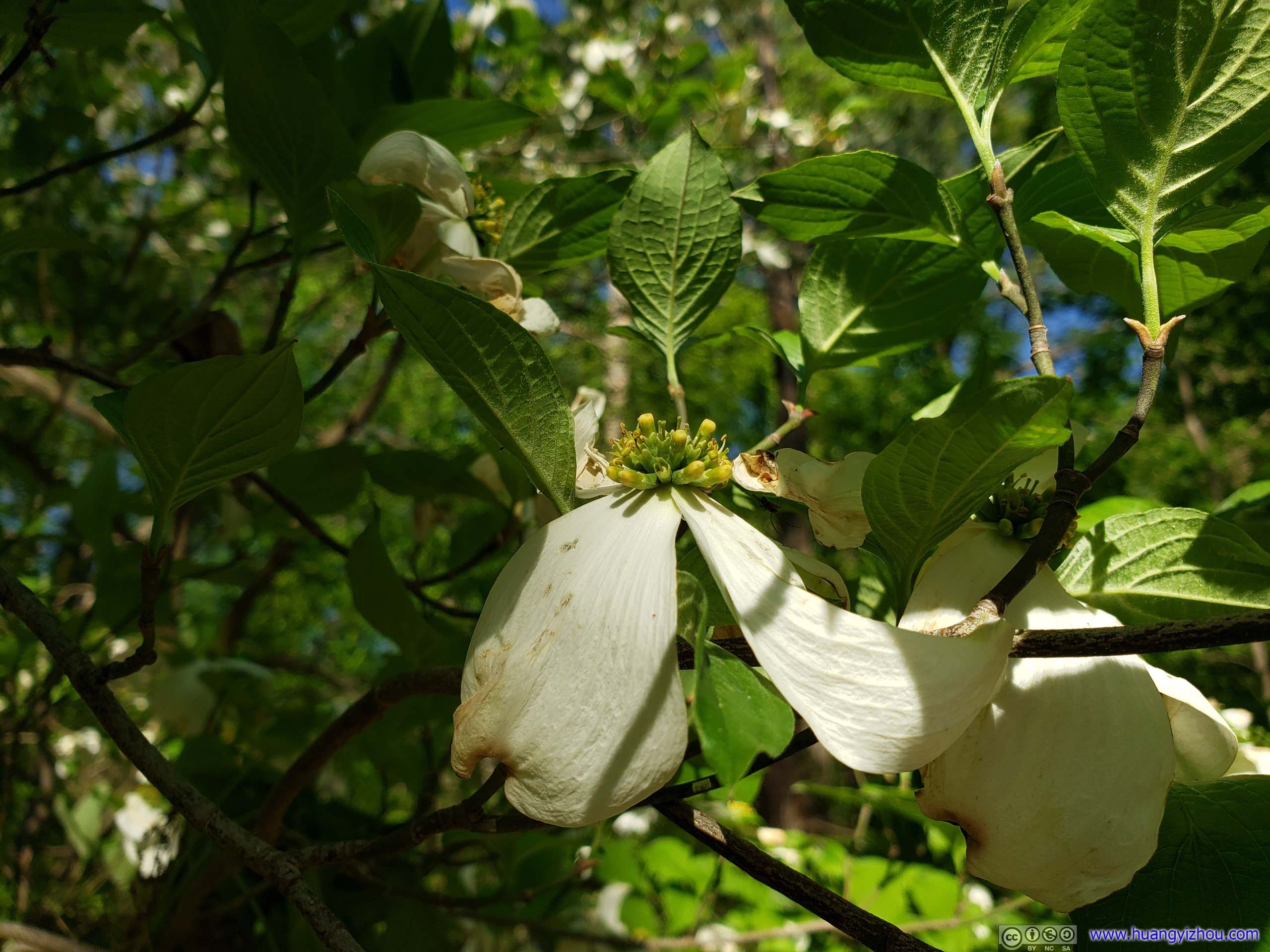
Flowers
Not long after that, I was back in the parking lot, concluding my tour of Sugarloaf Mountian.
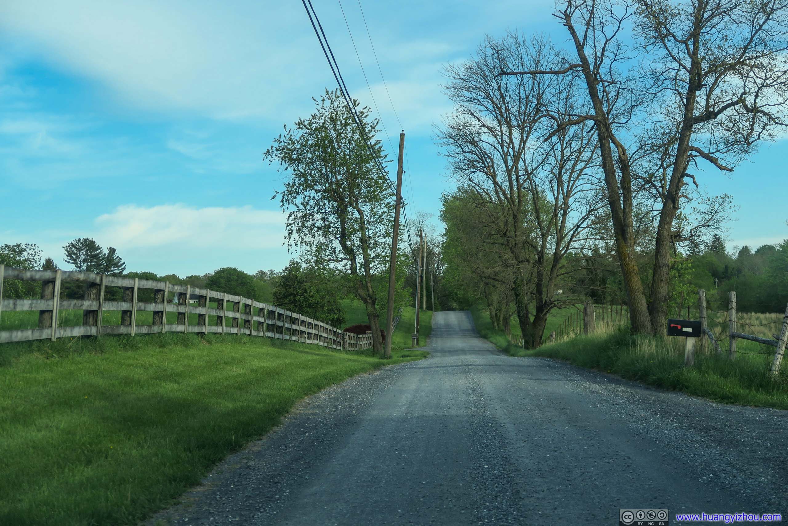
Country Road
Conclusions
With the help of meandering roads up its parking lot, the dash from a car’s comfort to Sugarloaf Mountain’s summit could be accomplished in five minutes. Thus, at a little bit over 10 km, the “Blue” trail loop provided the right amount of workout for the typical visitor to Sugarloaf Mountain that’s interested in something beyond a simple selfie at its summit. Besides the bug problem that I ran into on the first segment of Blue trail, which I guessed was partly due to eastern side of mountain not getting enough afternoon sun, it was an afternoon well-spent to me (if I ignored the fact that I saw more flowers in my car than on the trail).
On a different note, views from Sugarloaf Mountain weren’t the most spectacular, but amenities wise, its proximity to civilization sort of pushed it way beyond the average hiking trip. There was cellular signal, even for a T-Mobile user like me. All the trails were marked with posts at half-miles with integers, so one might have double the sense of accomplishment in his mind. Besides, many quarter-miles of trails were also marked, with slightly less significant posts, so getting lost shouldn’t be a worry at all.
So I guess, the next amenity to be added to Sugarloaf Mountain should be a proper bathroom building, instead of the demeaning and smelly mobile toilets serviced yearly?
END
![]() Hiking in Sugarloaf Mountain, Maryland by Huang's Site is licensed under a Creative Commons Attribution-NonCommercial-ShareAlike 4.0 International License.
Hiking in Sugarloaf Mountain, Maryland by Huang's Site is licensed under a Creative Commons Attribution-NonCommercial-ShareAlike 4.0 International License.