
Updated on June 21, 2019
Hiking in Rocks State Park, Maryland
A bright sunny weekend in the middle of May, as I decided to embrace nature again. This time, I picked Rocks State Park in Northern Maryland, which consists of many short hiking trails.
King and Queen Seat
Contrary to usual organizations of national and state parks in the US, Rocks State Park is made up of three (maybe more?) separate patches of land sprinkled around Northern Maryland. On Google Maps, “Rocks State Park” was somewhere Northeast of Jarrettsville, where King and Queen Seat and park offices were located. However, a complete list of locations can be found on Alltrails.
King and Queen Seat Loop
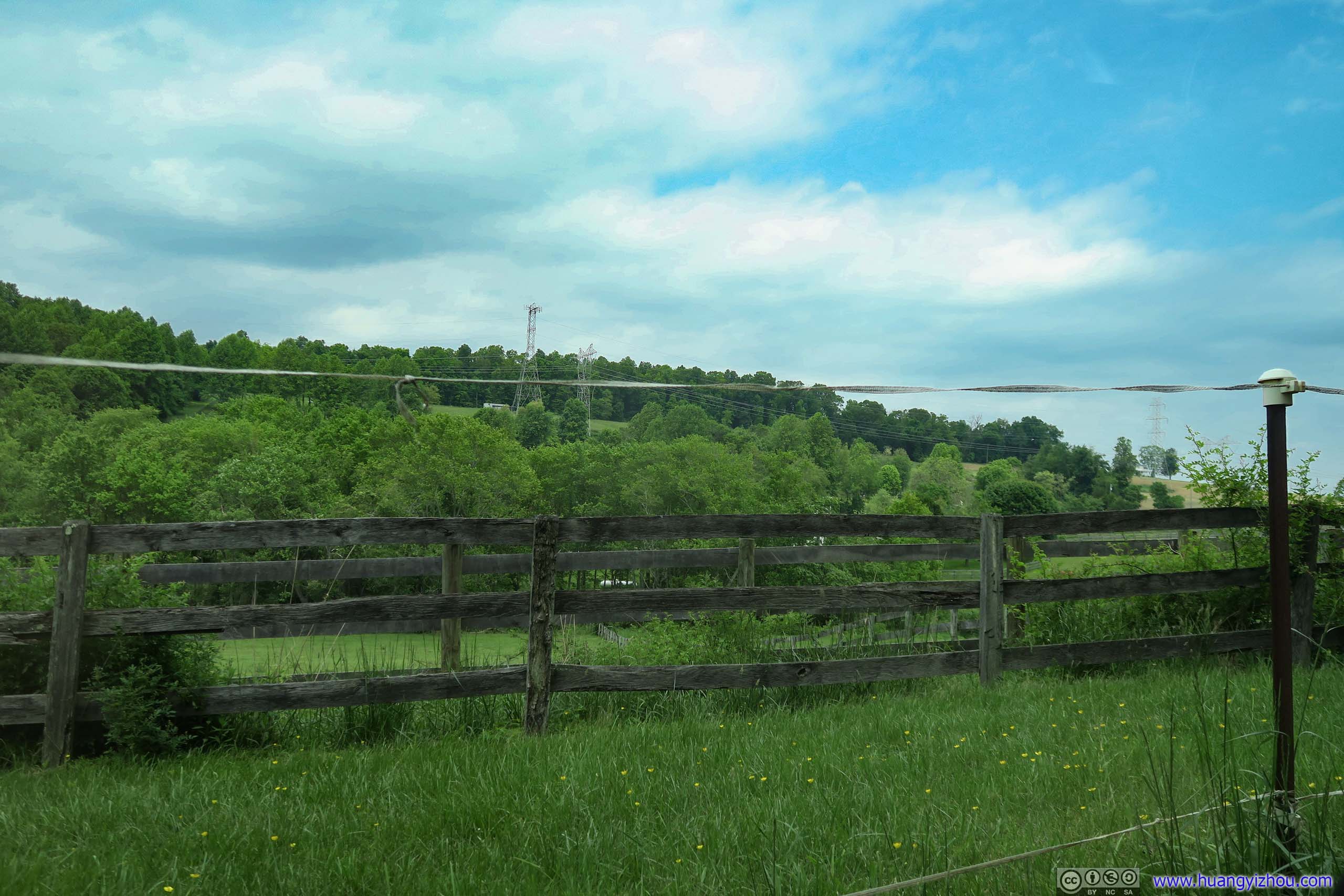
So in the morning of May 18, I reached King and Queen Seat Loop first thing in the day. The road leading from Baltimore to Rocks State Park passes through some beautiful countryside with rolling hills and lovely villas and ranches. I parked my car at the foot of the hill near park offices.
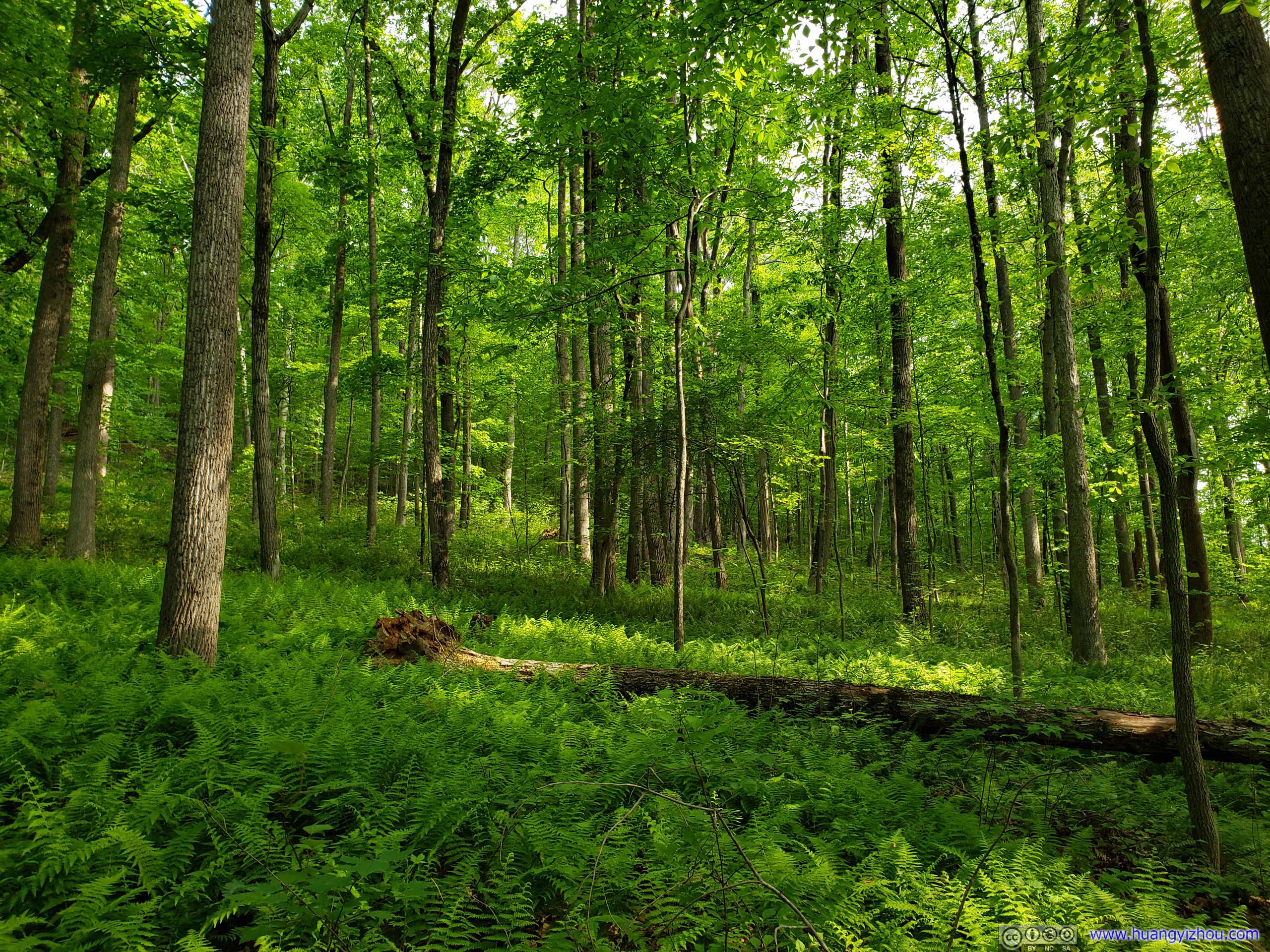
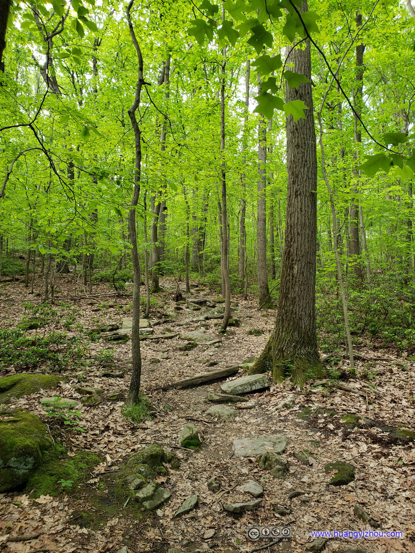
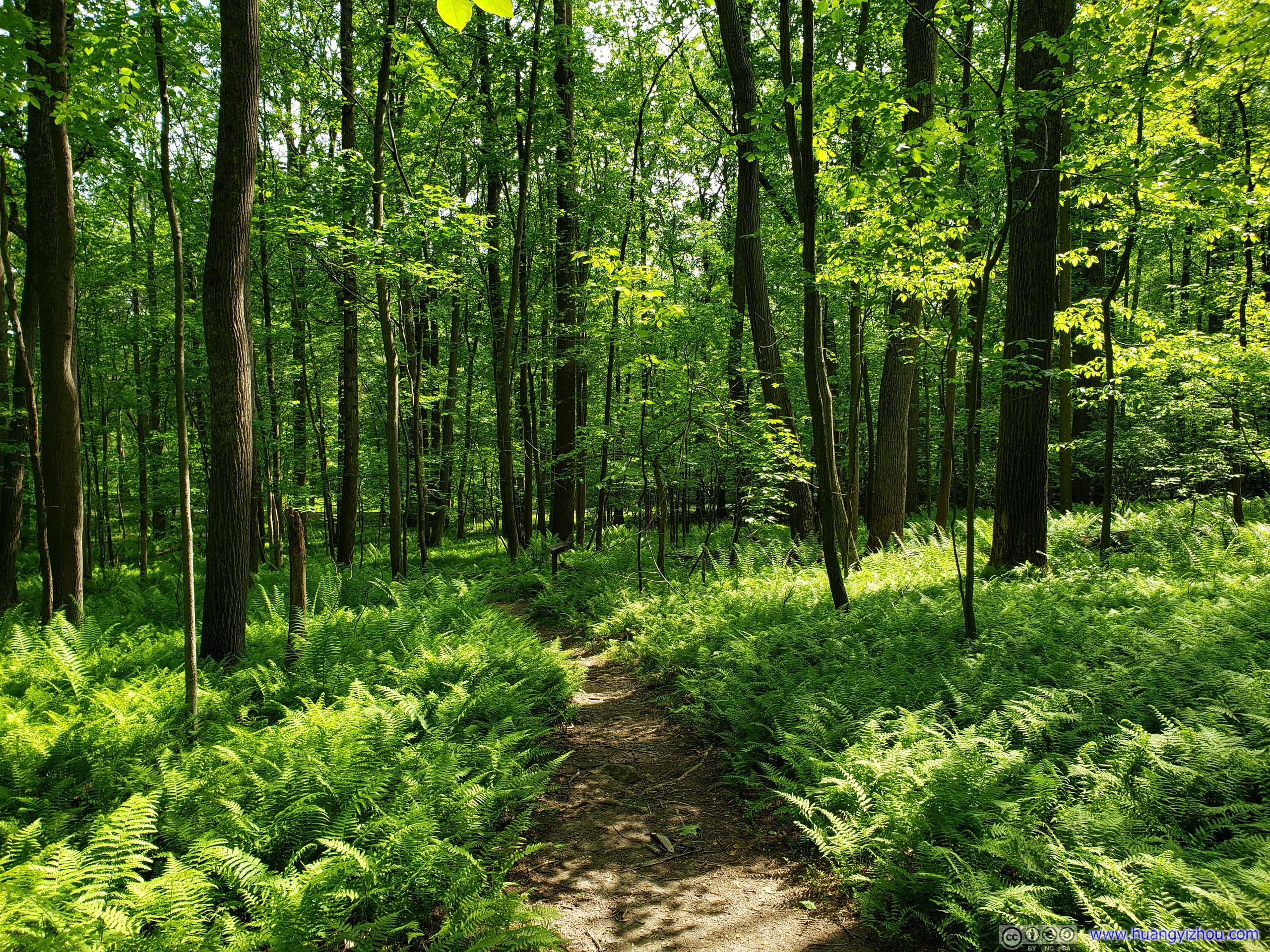
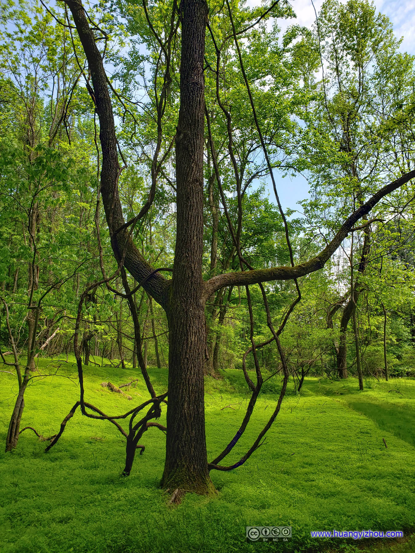
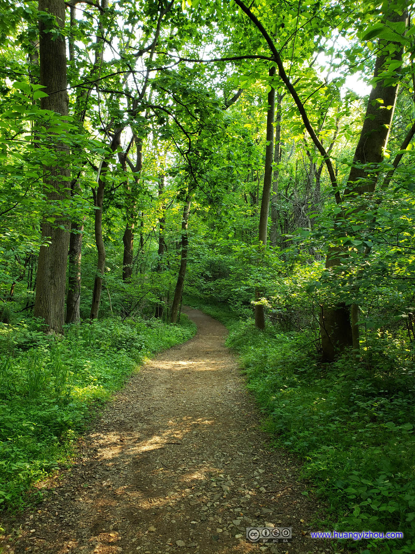
 Forest
The short ascent to King and Queen Seat took only a little bit more than 10 minutes. Unfortunately, it seemed that I was among the first of visitors that day, so I frequently bumped into irritating spider nets, which did take away some enjoyment from an early morning workout. Oh I should mention the trail was infested with a kind of annoying bugs that more than often found their way onto my shirt. Thank God they were not the blood-thirsty mosquitos.
On the plus side, I had the company of different sounds of birds throughout the entire hike, which was the better side of nature.
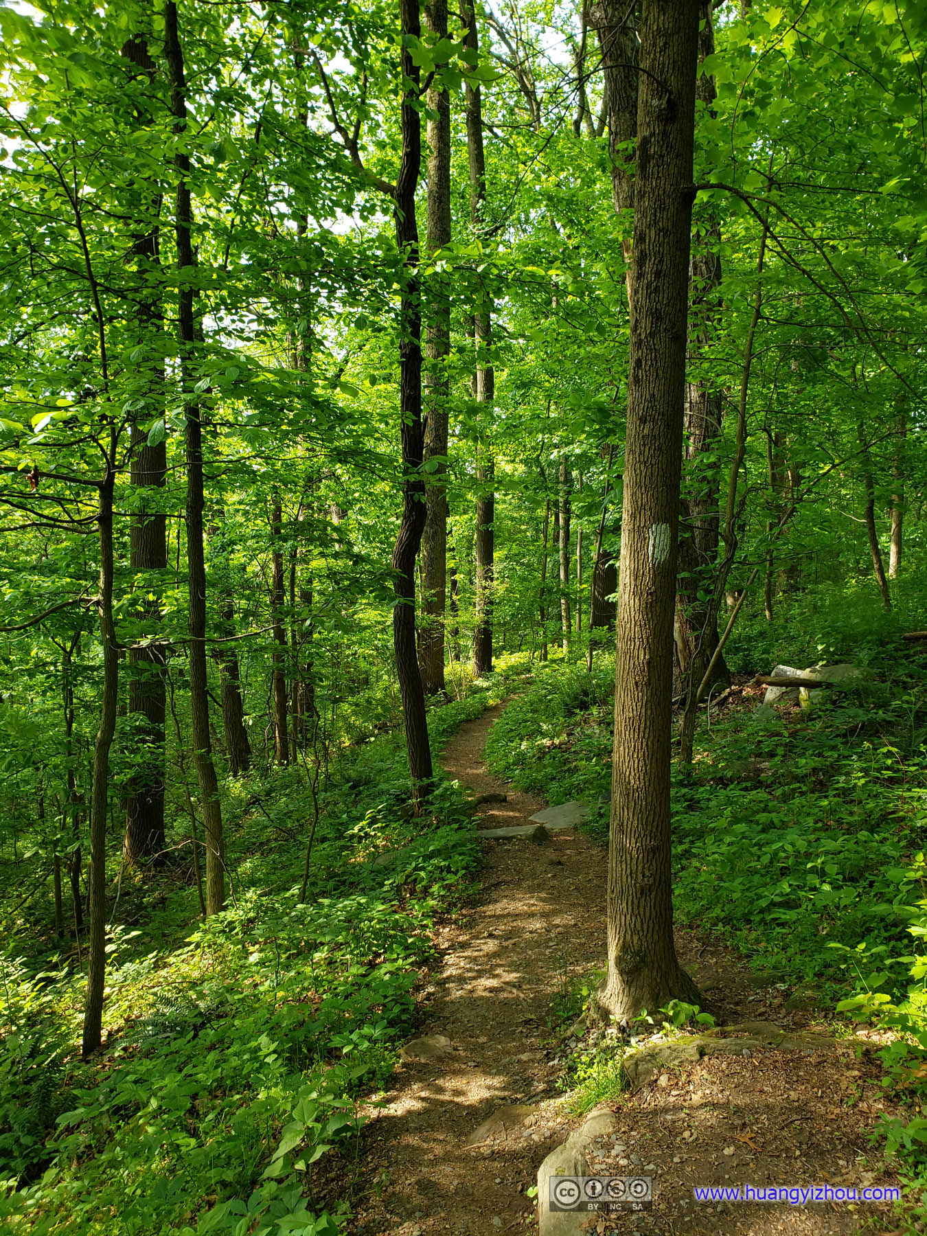
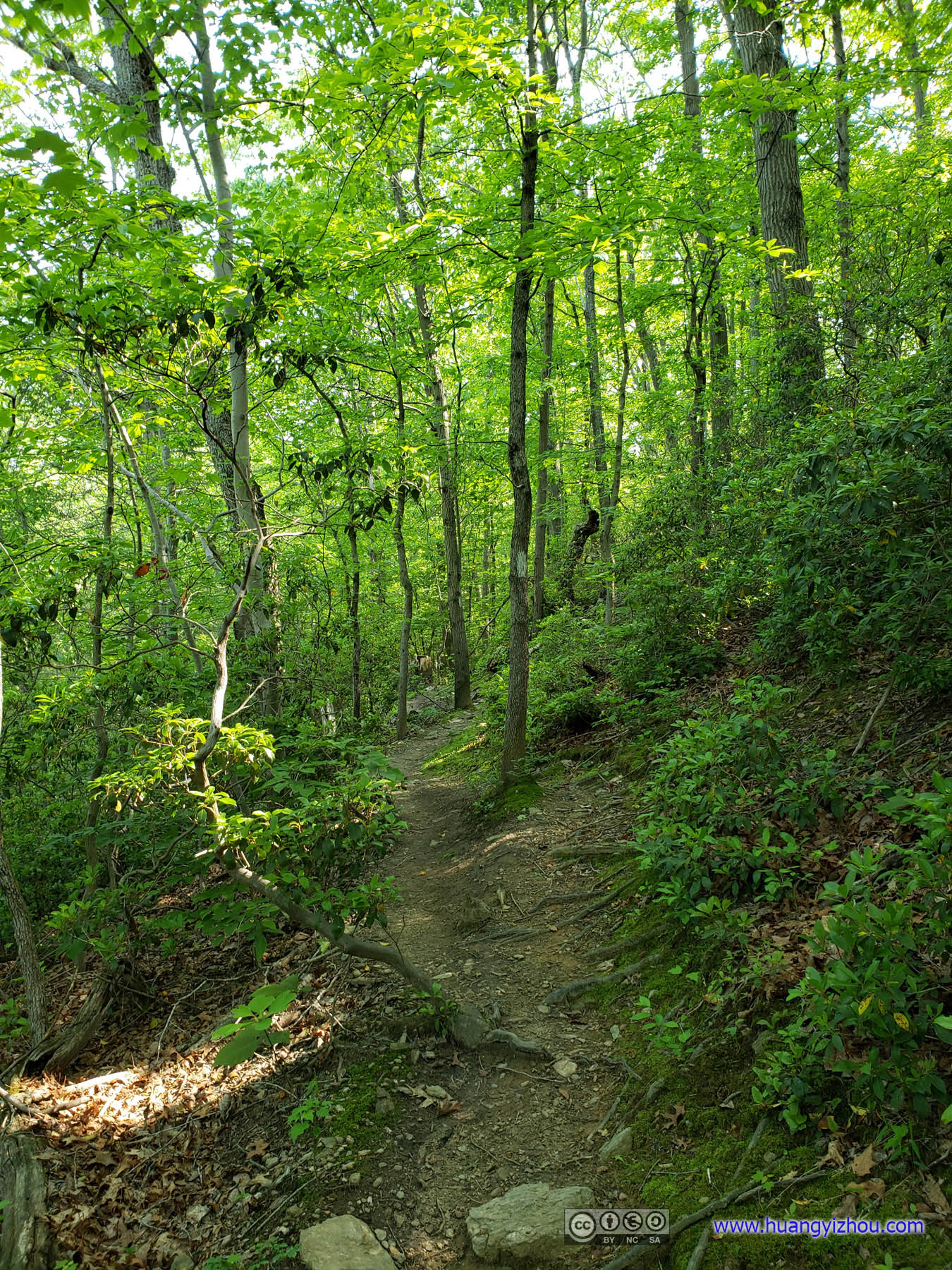
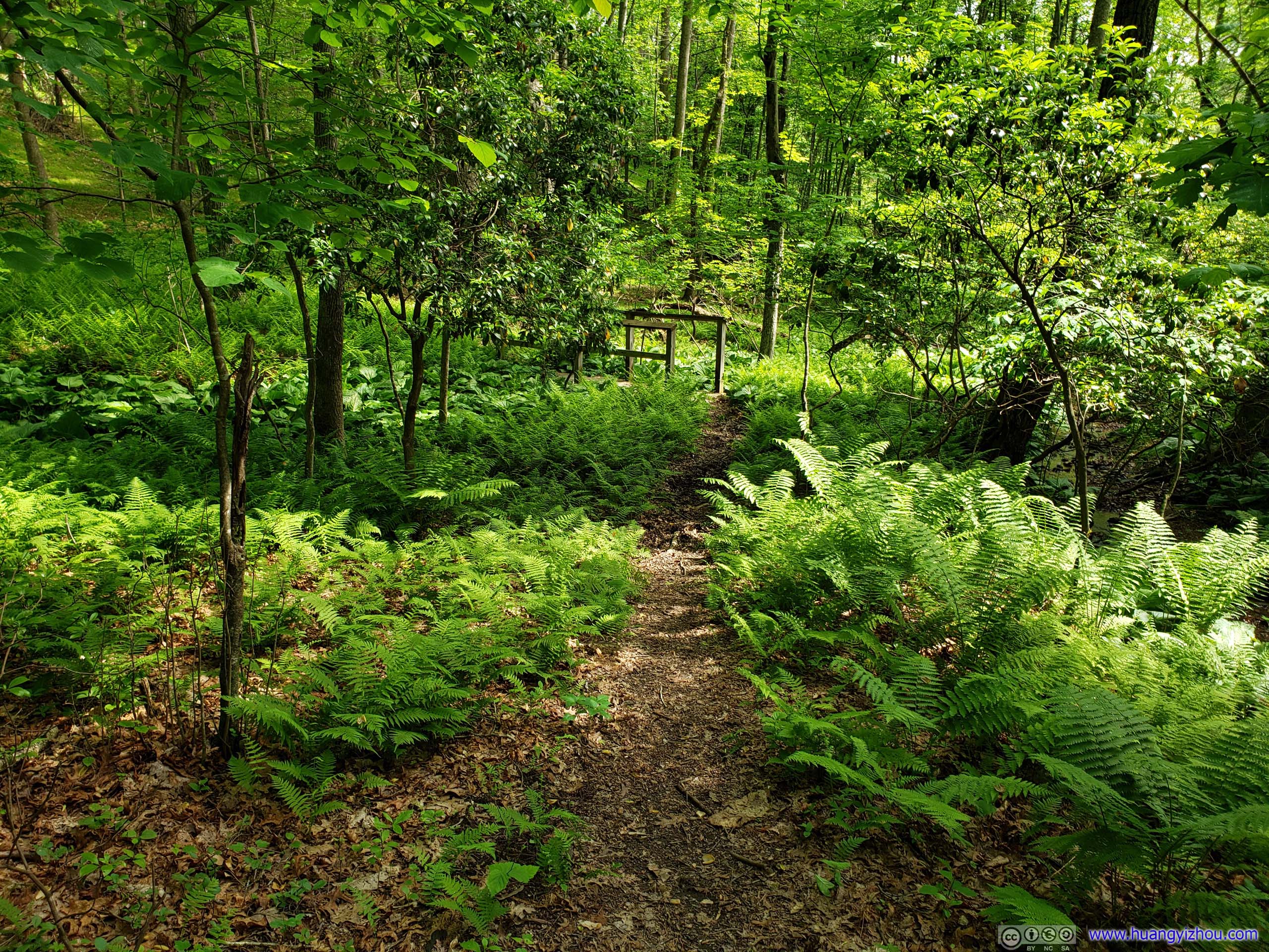
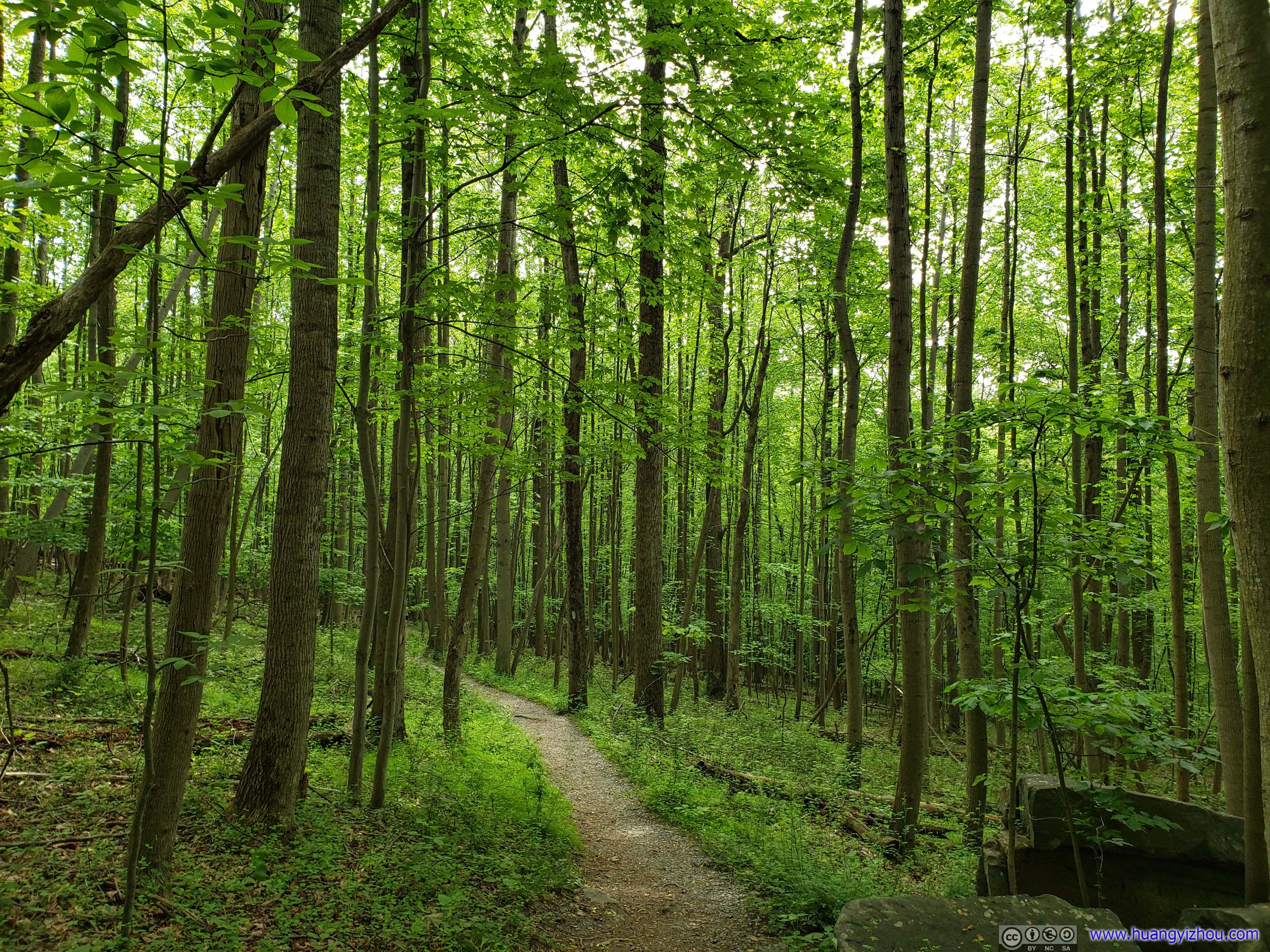
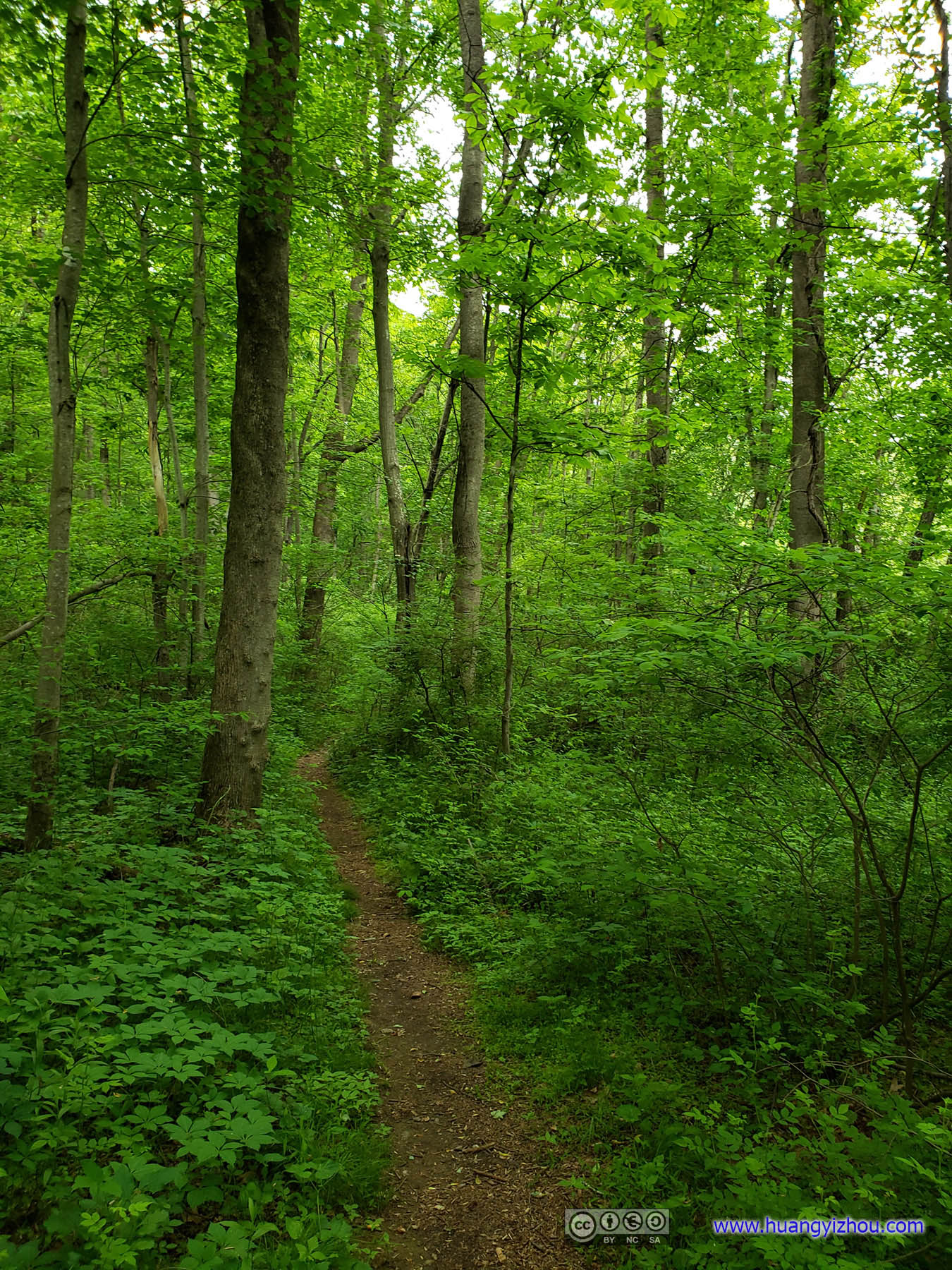
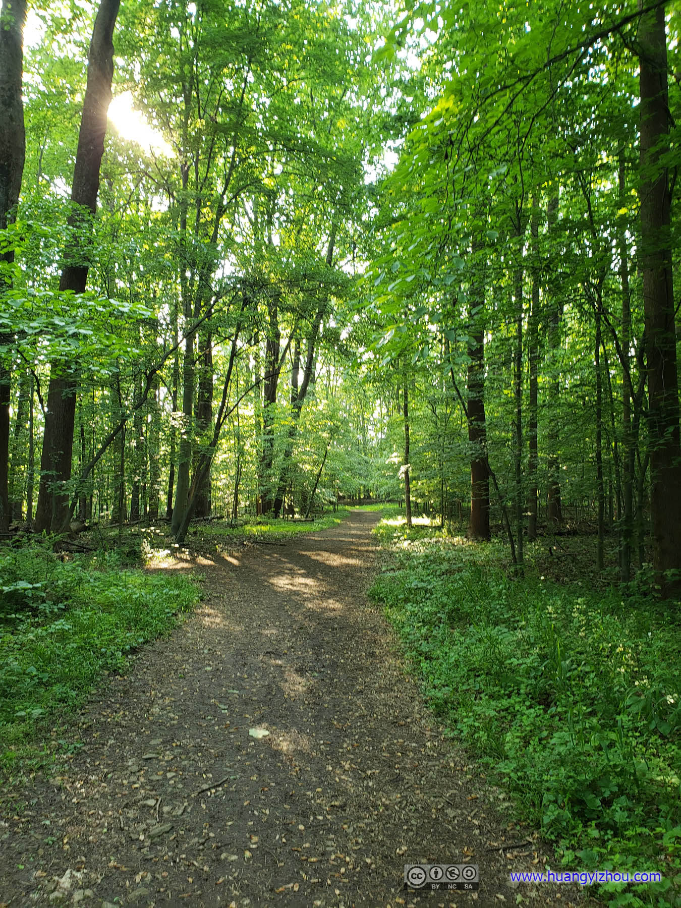
 Trail
Trail
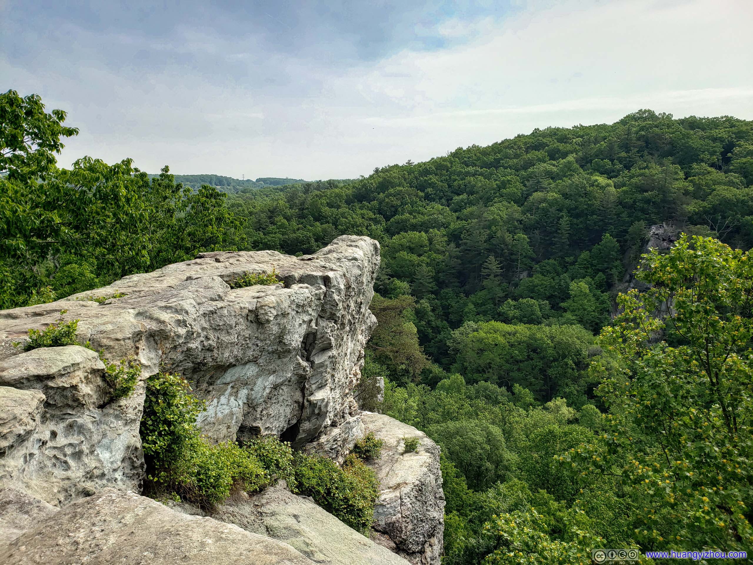
King and Queen Seat
Here’s what the information board says:
The King and Queen Seat to your right is a natural 190-foot rock outcrop that overlook Deer Creek Valley. This cliff affords a spectacular view of Harford County’s rolling hills and farmland.
Made of quartzite and a hard quartz pebble metaconglomerate, the King and Queen Seat was formed millions of years ago when quartz was subjected to intense heat and pressure. The surrounding ancient rocks eroded away, leaving a tall “tower” of rocks.
In 1879, Thomas Wysong published The Rocks of Deer Creek, where he confessed to “intermingling fact and fancy”. According to Wysong, during the 1680s, local Susquehannock Indians used the King and Queen Seat as a site for ceremonial gathering. Tribal Chief Bald Eagle and his wife sat upon the King and Queen Seat while braves gathered below to listen to orators. Wysong claimed that from this spot Bald Eagle and his wife witnessed their son, Bird-That-Flies-High, wed the Iroquois maiden, Fern-Shaken-By-The-Wind. No evidence has surfaced to support Wysong’s account.
For centuries, the “Rocks at Deer Creek” were a popular site-seeing and picnicking destination. To ensure the King and Queen Seat’s preservation, the State of Maryland purchased the site in 1949. Rocks State Park opened two years later.
Generally natural sites in North America weren’t associated much with culture, so this was indeed a fascinating legend not often seen around. Adding to the enchantment were the chief and his son’s straightforward but unsophisticated names which, in today’s standards, I found quite amusing.
And it turned out that King and Queen Seat were more popular with rock climbers than selfie loving tourists. With the latter group consisted of only me during my visit, but there were more than a dozen rock climbers that morning, the majority of which being firefighters doing some sort of vocational training.
King and Queen Seat
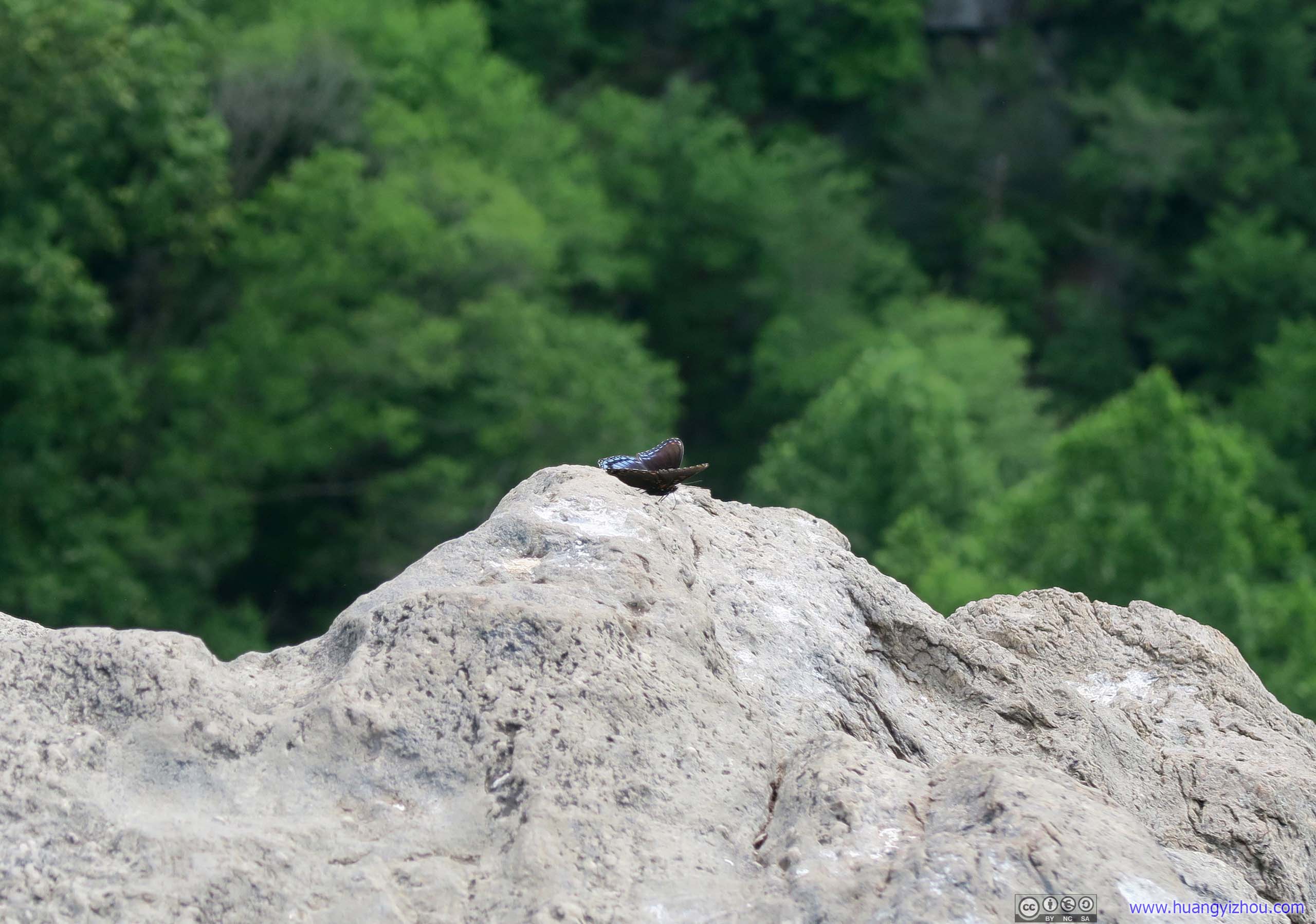
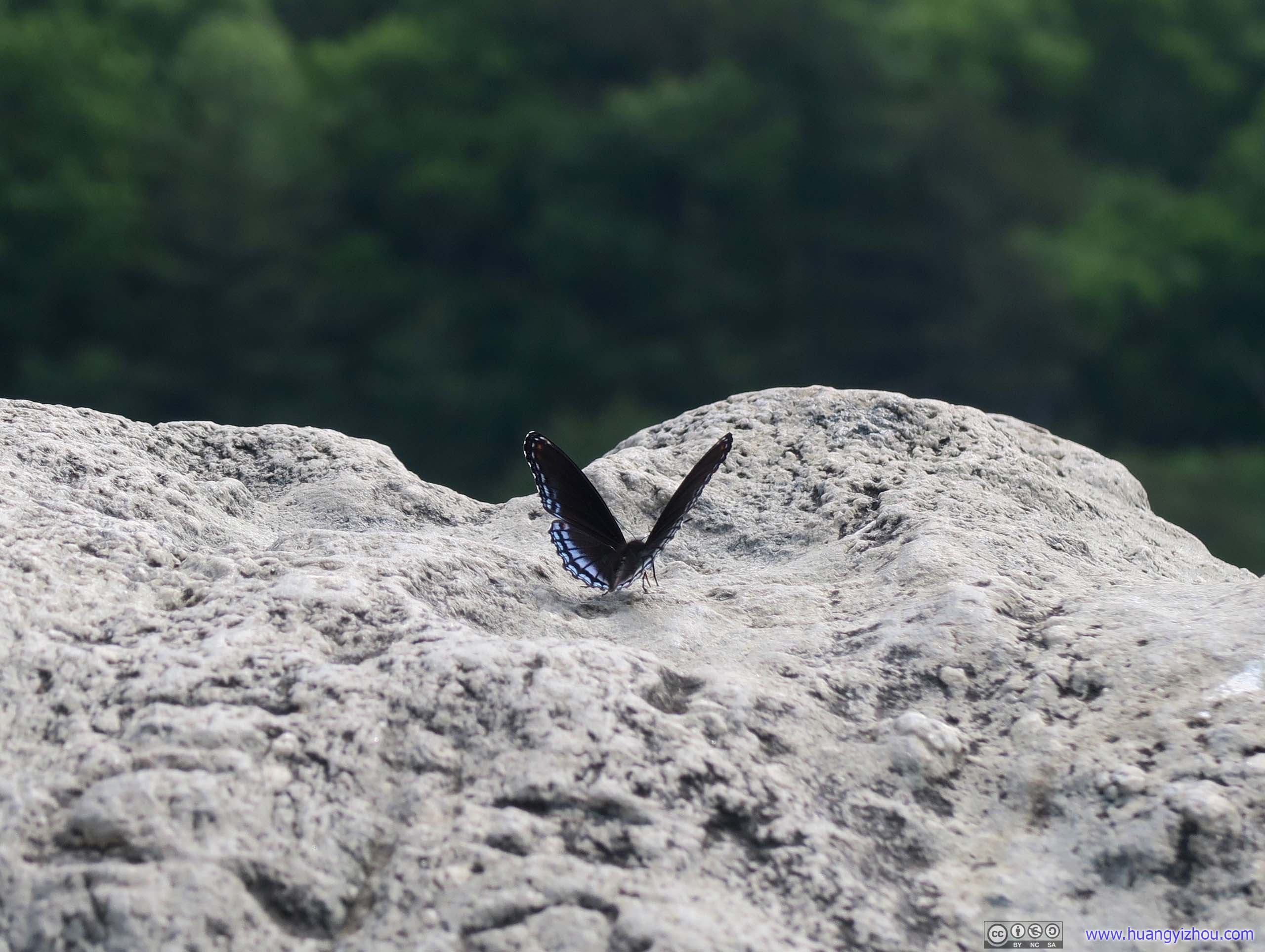
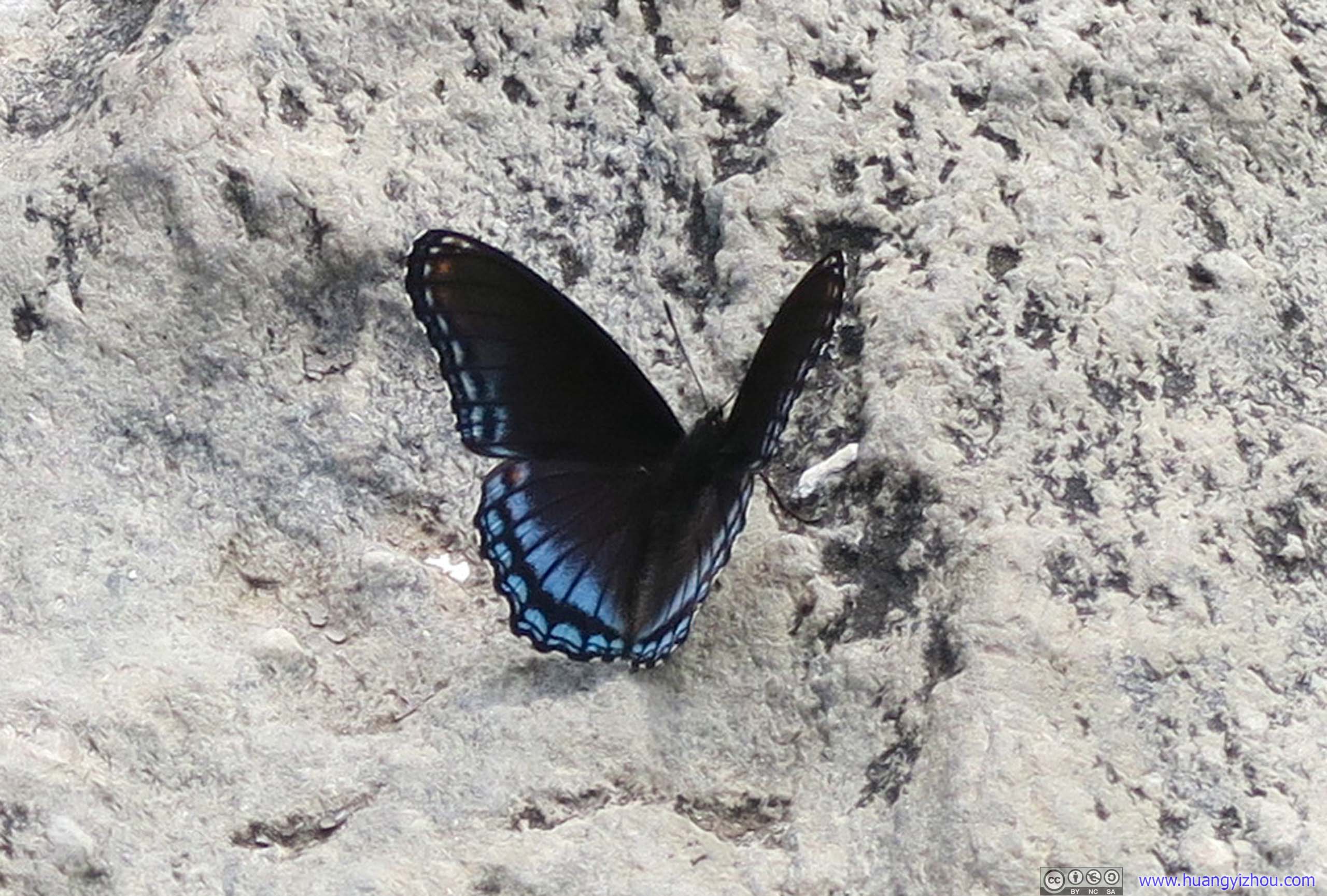
 Butterfly on Rocky EdgeThis might be too huge a throne for such a little creature.

 View from King and Queen Seat
King and Queen Seat
After that, I continued my hike of this hill and my fight with spider nets and unidentified bugs.
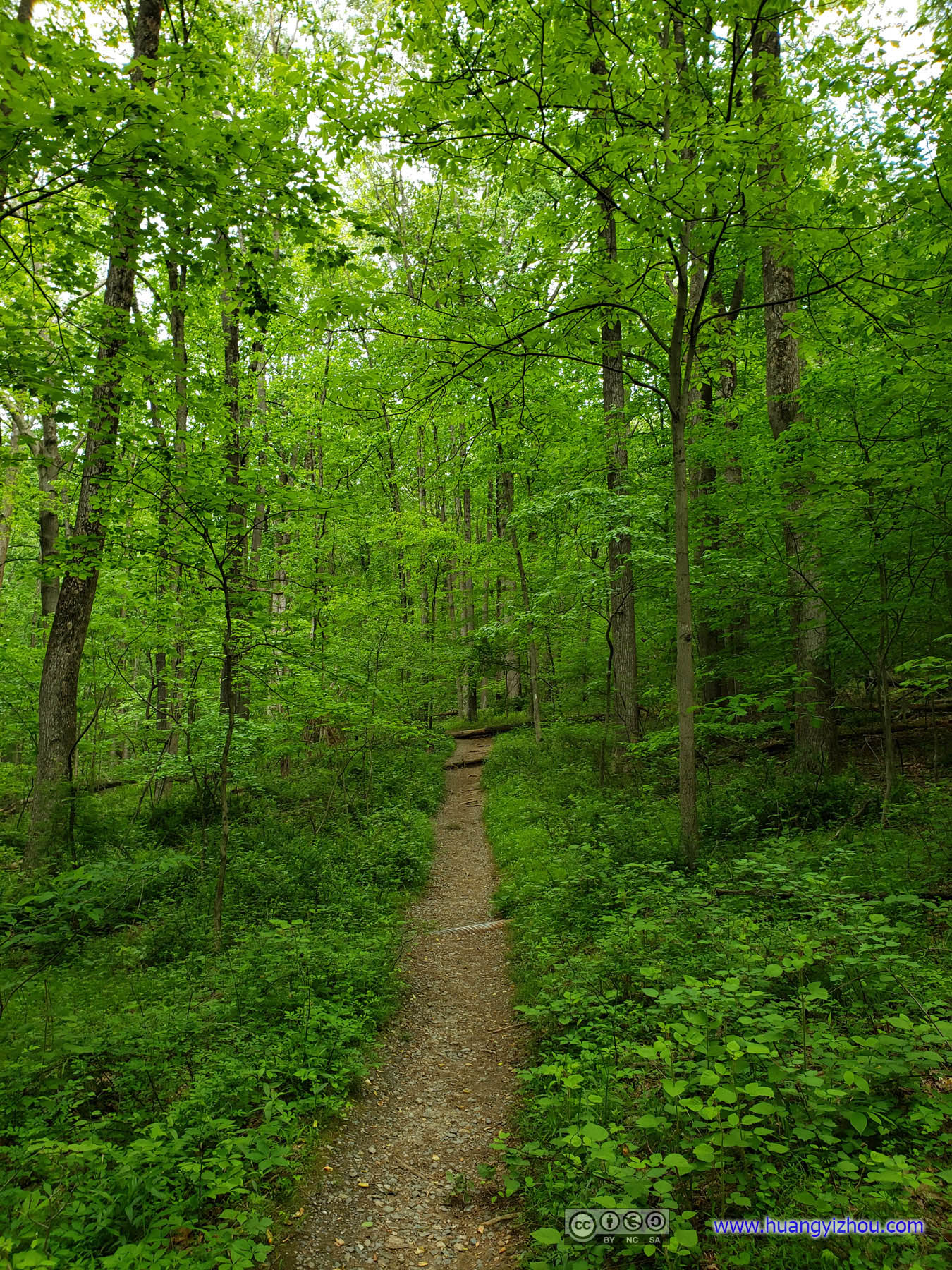
 Trail
Trail

FlowersNot much luck finding wildflowers this morning.
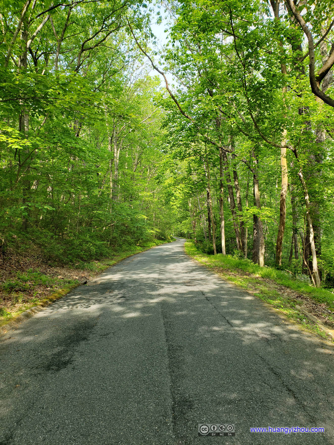
 Road
Road
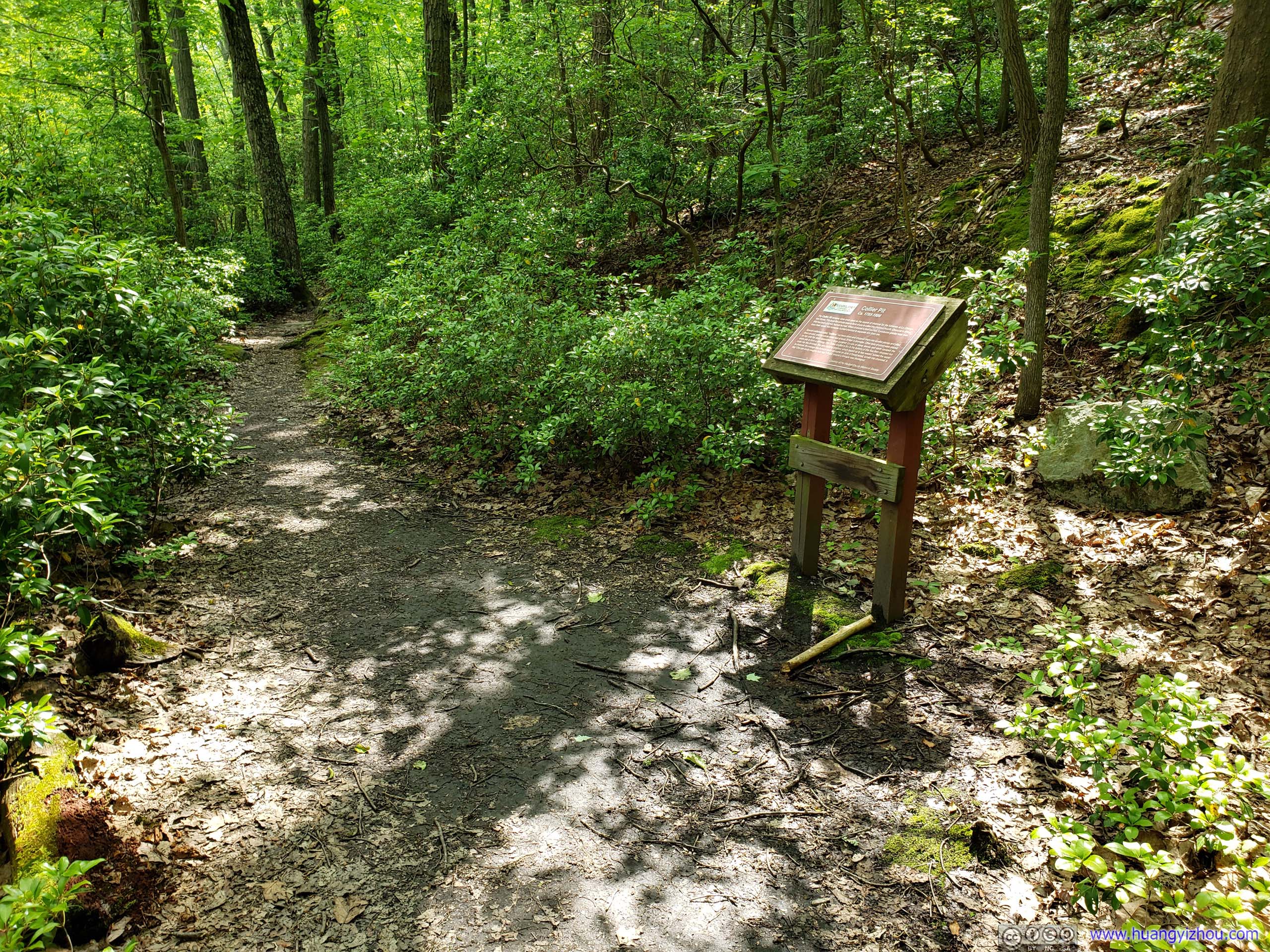
Collier Pit
The Collier Pit remains were once used as the source of charcoal for the furnaces at La Grange Ion Works. The large flat circular area in front of you is called the charcoal hearth. Charcoal is wood that has been charred, but not burned. When charcoal is itself burned, it produces greater heat than does fresh wood. Iron furnaces burned charcoal to separate iron from ore. Special craftsmen called “colliers” cut trees down and chopped them into smaller pieces and piled them on end, until the whole mass was at least 25 feet in diameter. Other tiers of wood were placed on top until the stack resembled a large pyramid. Layers of damp leaves and earth covered the entire pile to form a chimney. The Caller kindled a fire in the bottom of this flue then dropped hot coals into the chimney. The slow burning process, which lasted up to two weeks, turned the wood to charcoal. An average iron furnace could consume an acre of forest wood, turned into charcoal, a day! One can easily imagine how fast a forest around a furnace was destroyed.
Towards the Northwest of the loop, there’s a 1.1km there-and-back detour labeled as “Blue Trail”. It leads back to street/creek level elevation and loops around a scenic area of vast biological diversity. As a site of a former mill and with nourishment of a creek, it offered sights vastly different than the rest of the hill.
 Trail
Trail
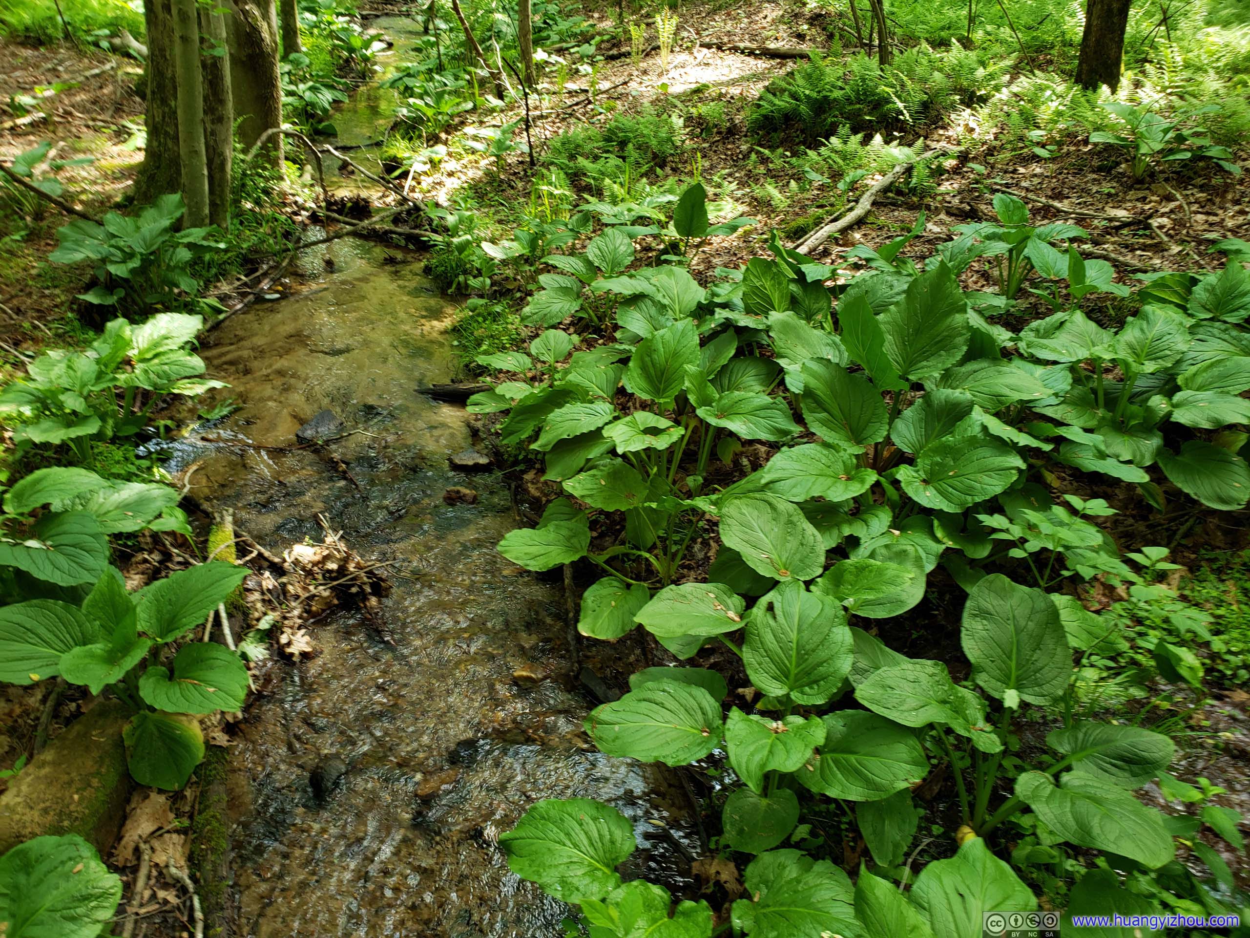
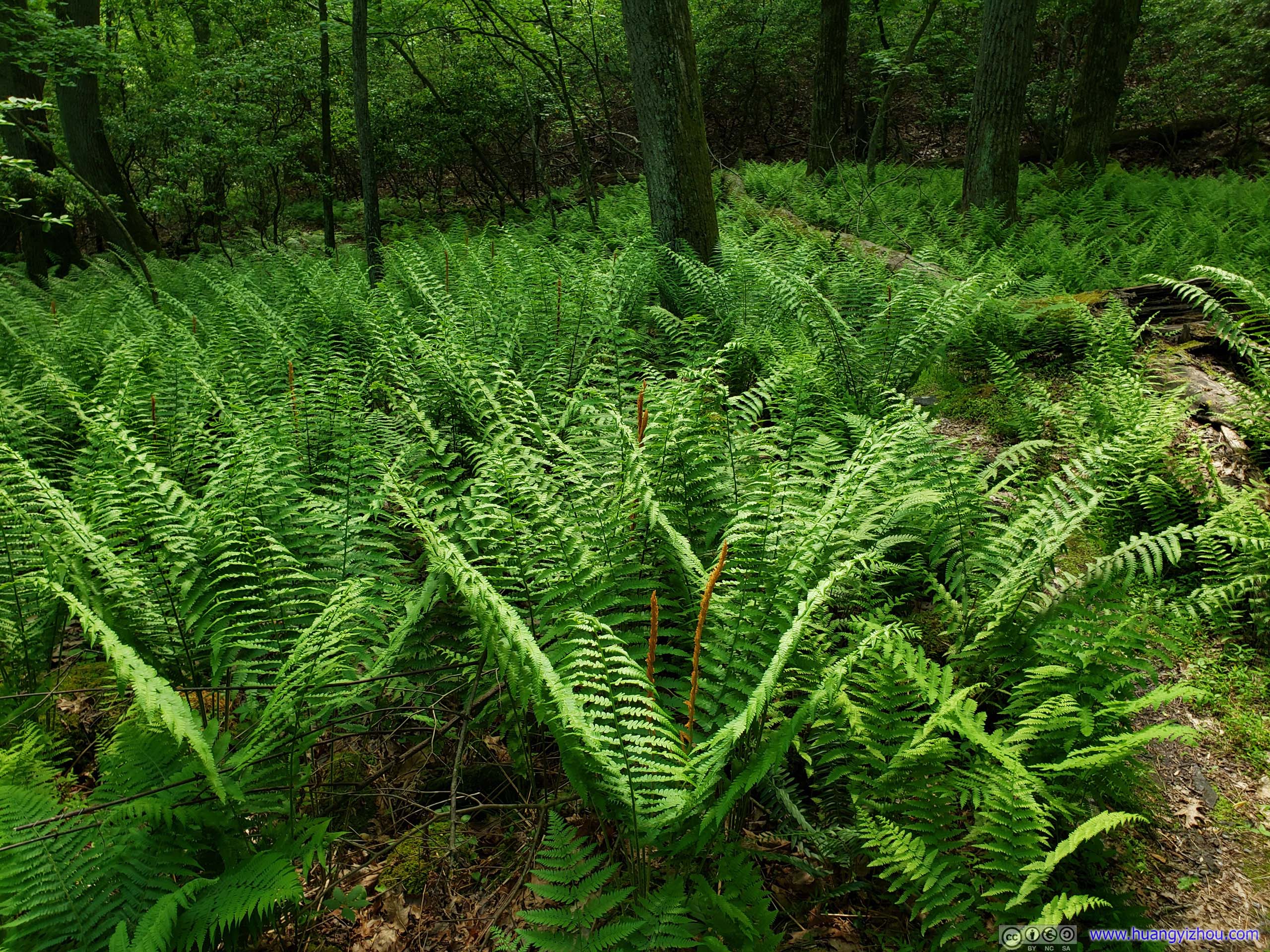
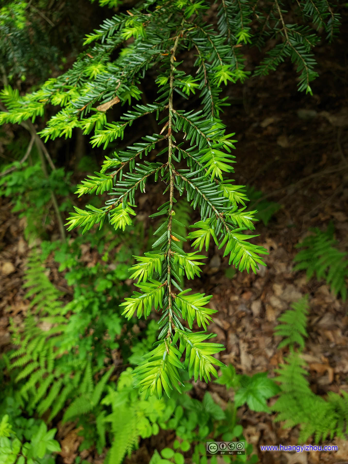
 Vegetation

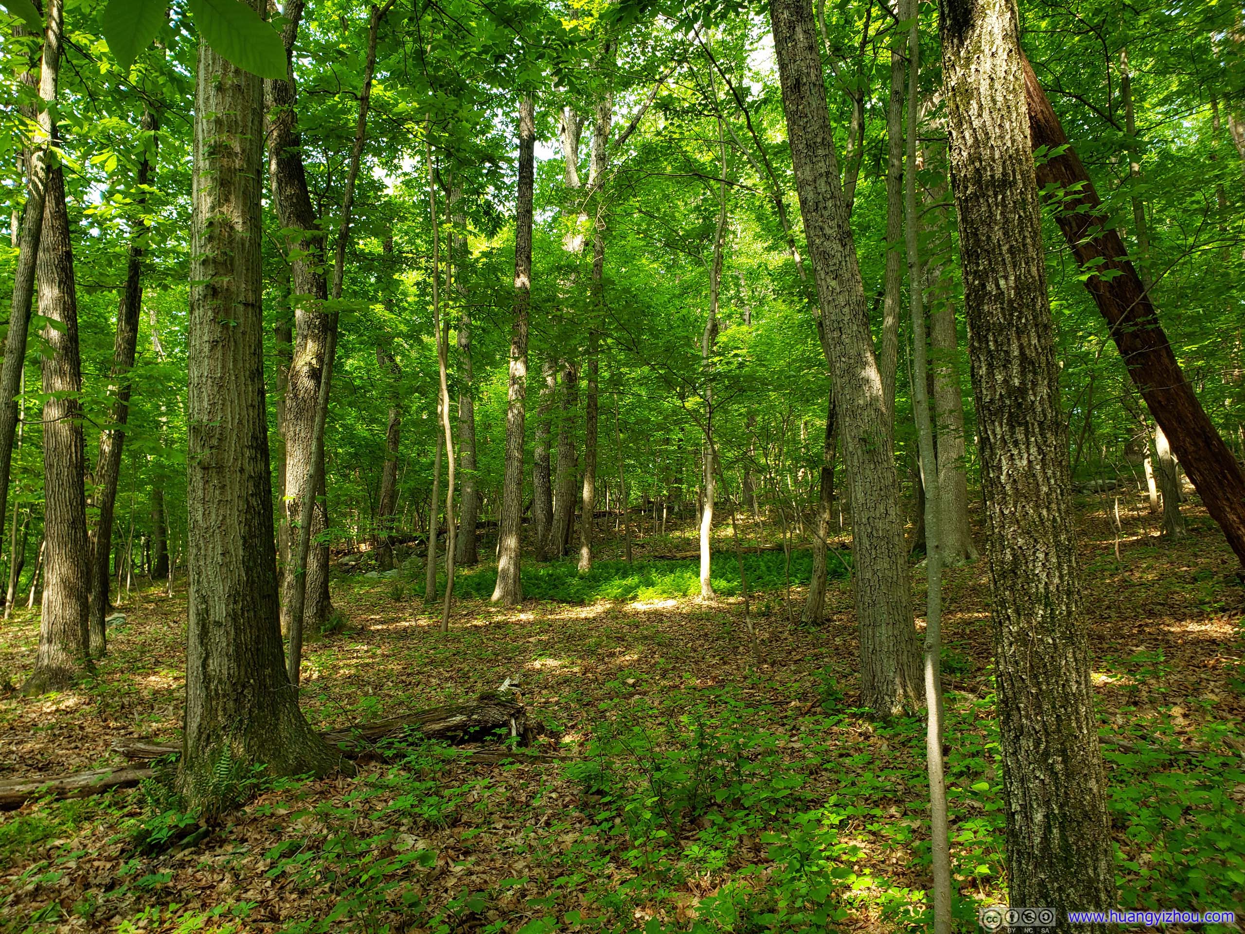
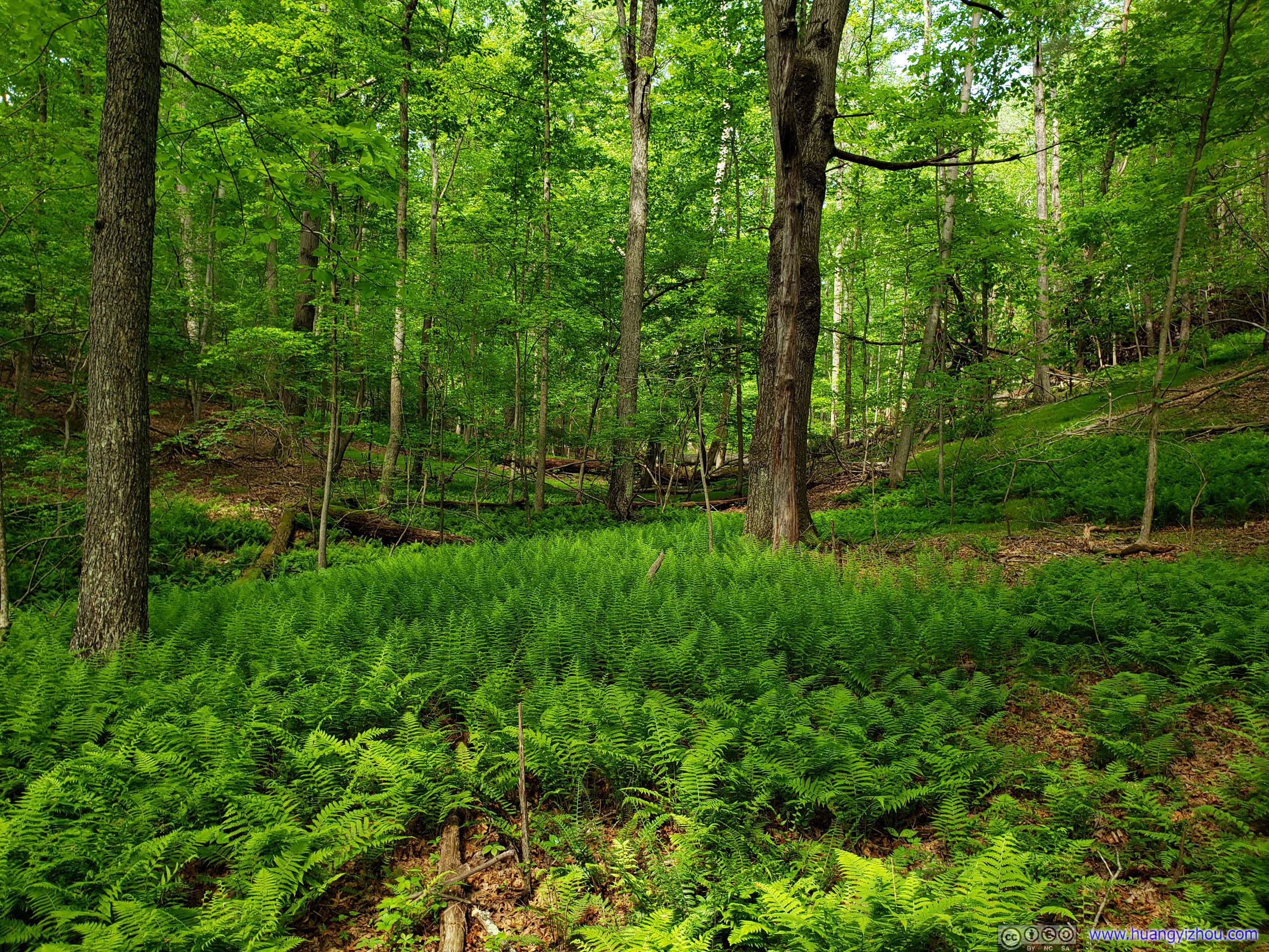 Forest
TreeShaped like a trident.
Vegetation
Going back to the main loop trail, and climbing over the hill and back down, I was back at the parking lot.


 Trail
Trail
I chose to park near the park offices towards the South of the hill. On top of the hill there was a larger parking lot, some picnic tables where I subsequently had my lunch, a modern public bathroom, and (what I believe) a rental party house ^_^, and a much short (and level) trail to King and Queen Seat. Oh, and there was a ticket booth not in operation. I guessed volume of the this park just doesn’t warrant the paycheck of an officer.
 Deer Creek
After that, I made my way to Kilgore Falls area of Rocks State Park.
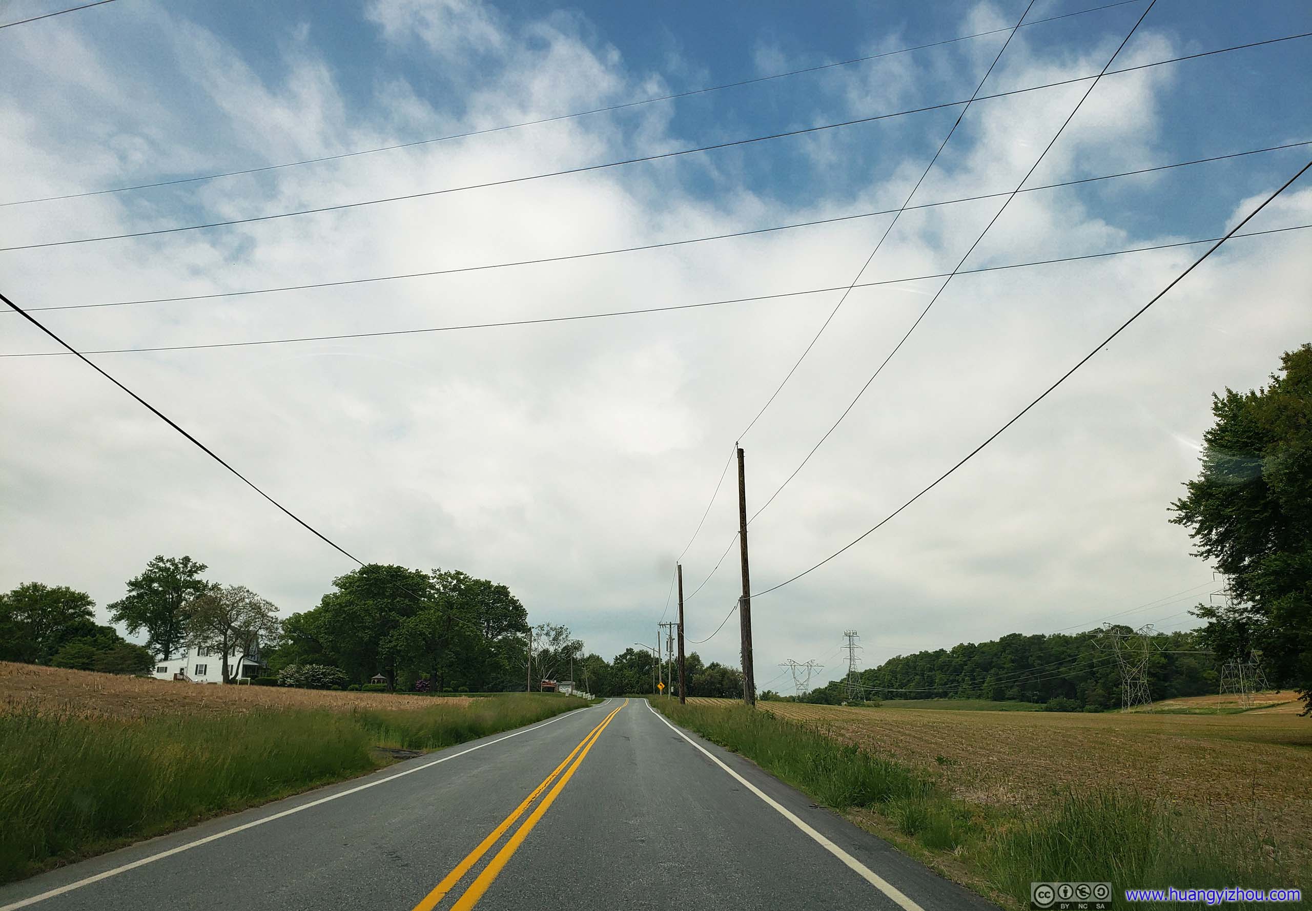
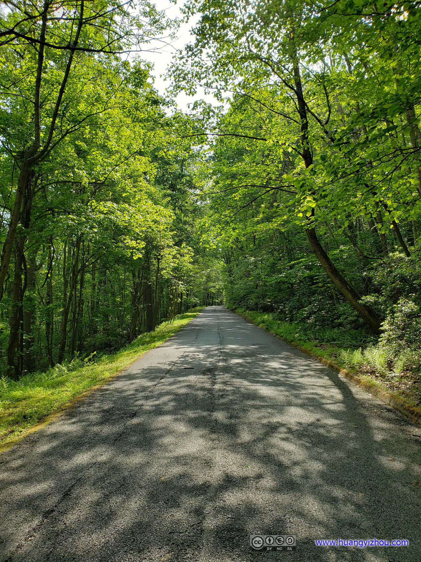
 Country Road
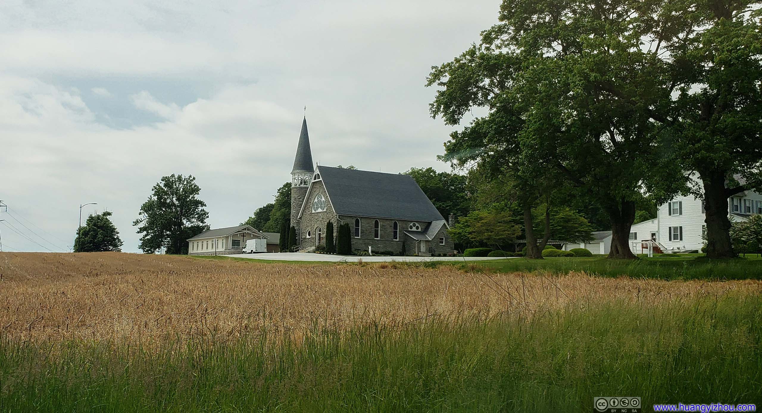
St Mary of the Assumption Church
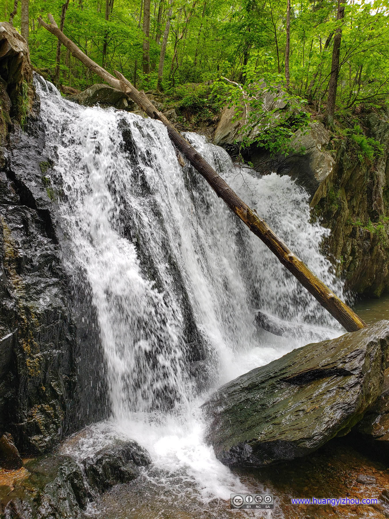
Kilgore Falls
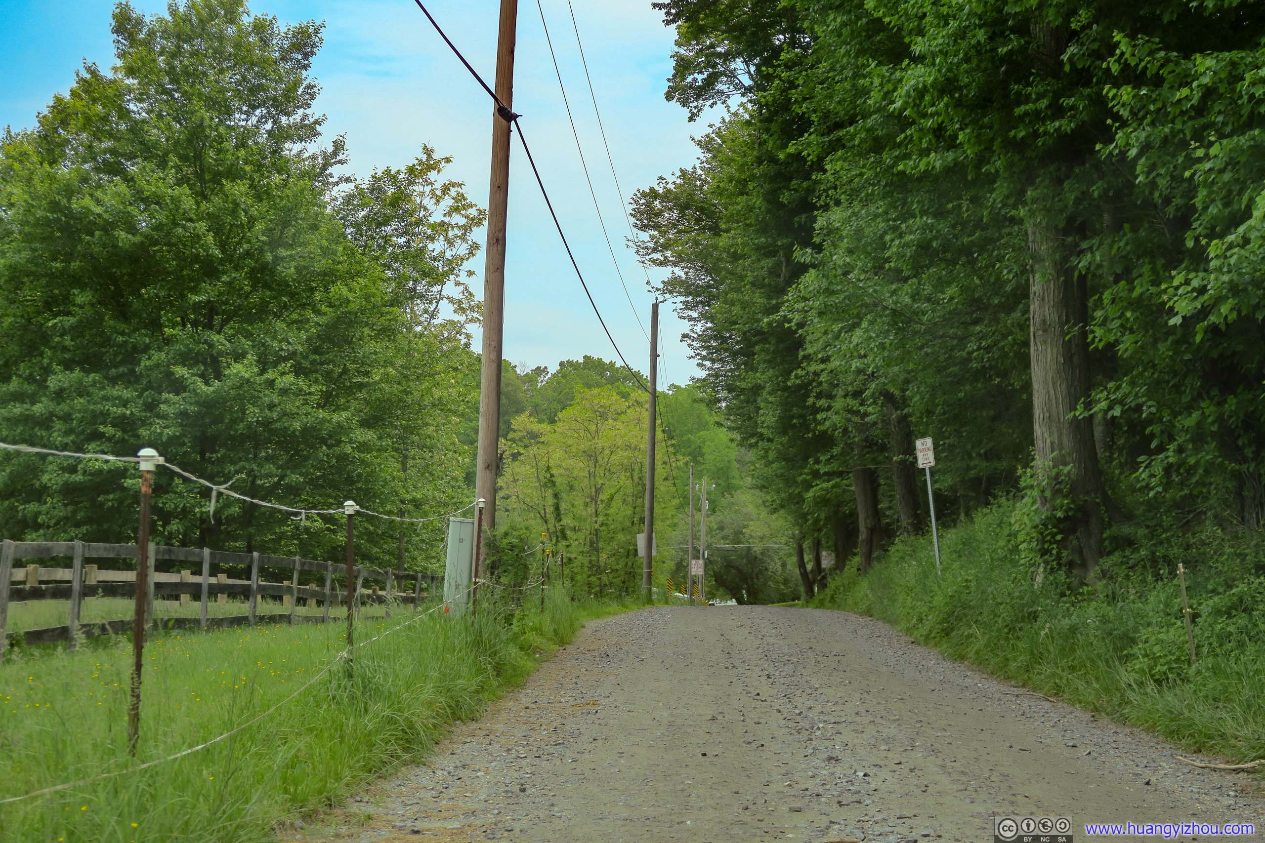
Country RoadThe last 200 meters to Kilgore Falls parking lot was unpaved roads like this.
After a short drive North I arrived at the parking lot of Kilgore Falls. It was a tiny unpaved parking lot, with signs indicating that starting 2019, visitors on weekends between Memorial Day and Labor Day have to obtain permits to visit Kilgore Falls due to limited parking space. From parking lot, it was a short 500 meter stroll to Kilgore Falls, Maryland’s second largest waterfall.
New LeavesLate signs of spring.
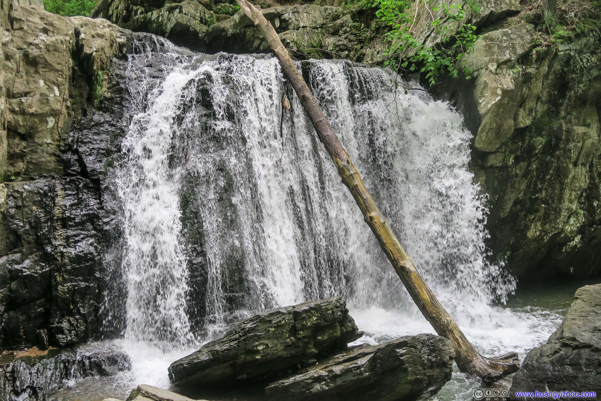
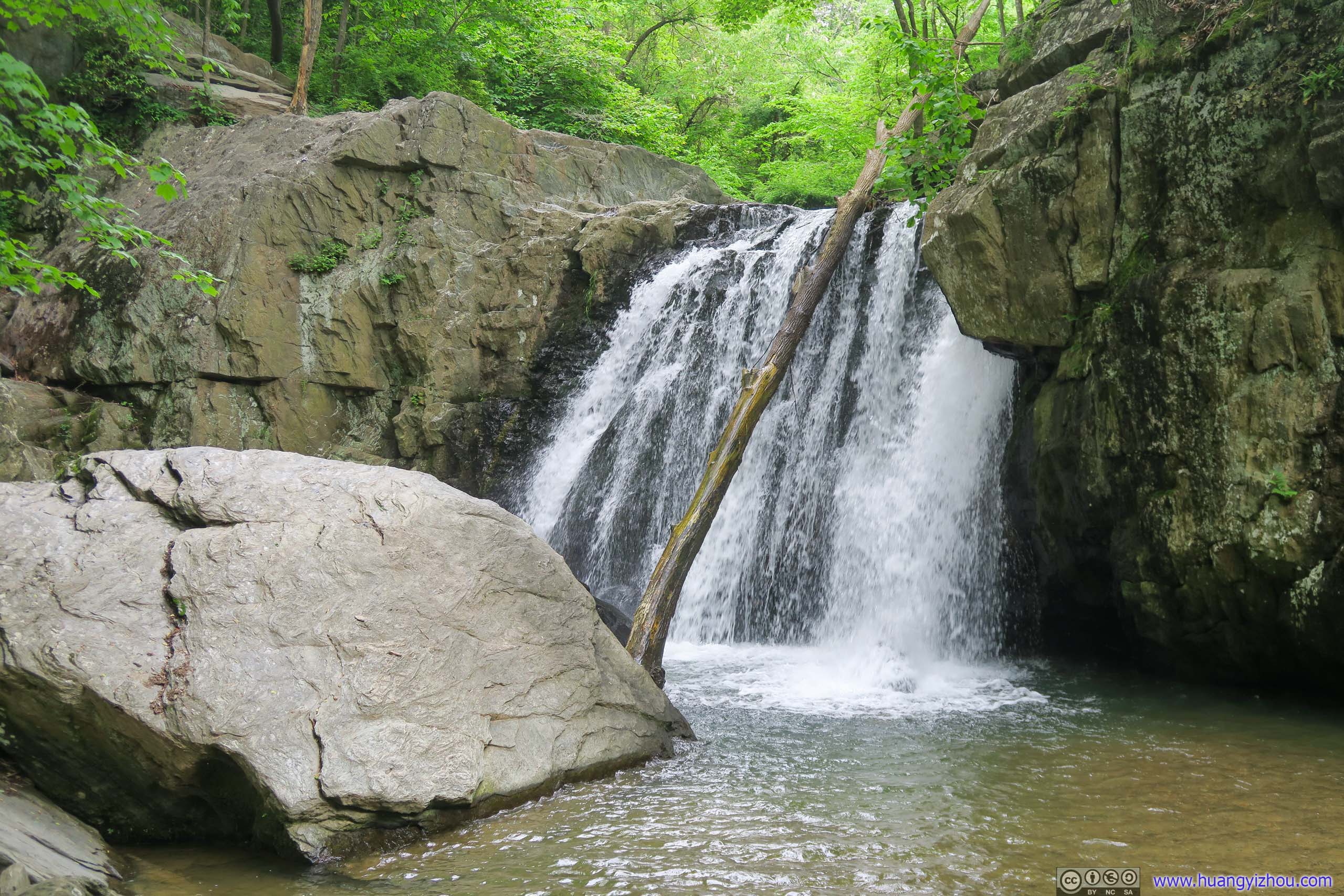 Kilgore Falls
One thing not so pleasant about Kilgore Falls was that, there was no easy way to cross Falling Branch (of which Kilgore Falls was a part). The many families that visited Kilgore Falls that day happily took off their shoes and enjoyed their time wading on pebbles. But since I still planned to hike some more trails later that day, I decided I should cross Falling Branch in a more civilized way, by balancing myself on the tip of emerged rocks.
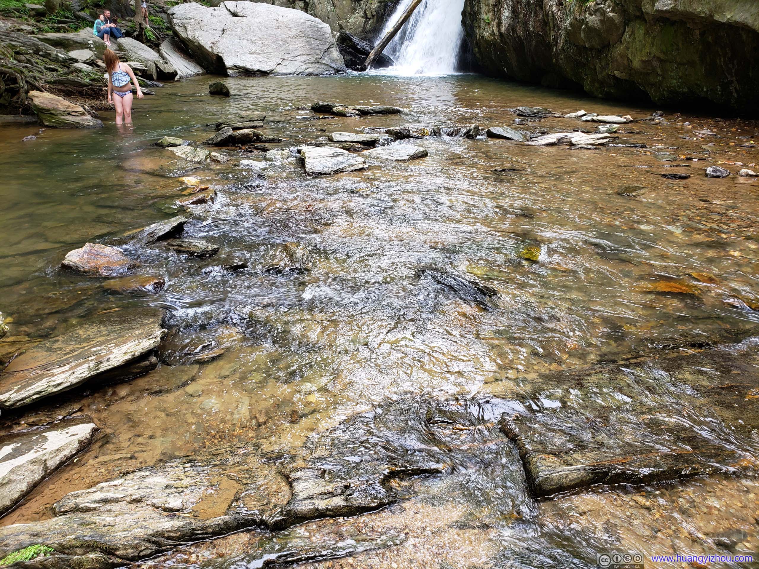
Rocky PathThe only path to cross Falls Branch dry was on top of these rocks.
And when there weren’t any rocks emerged, I dug them from under the water.
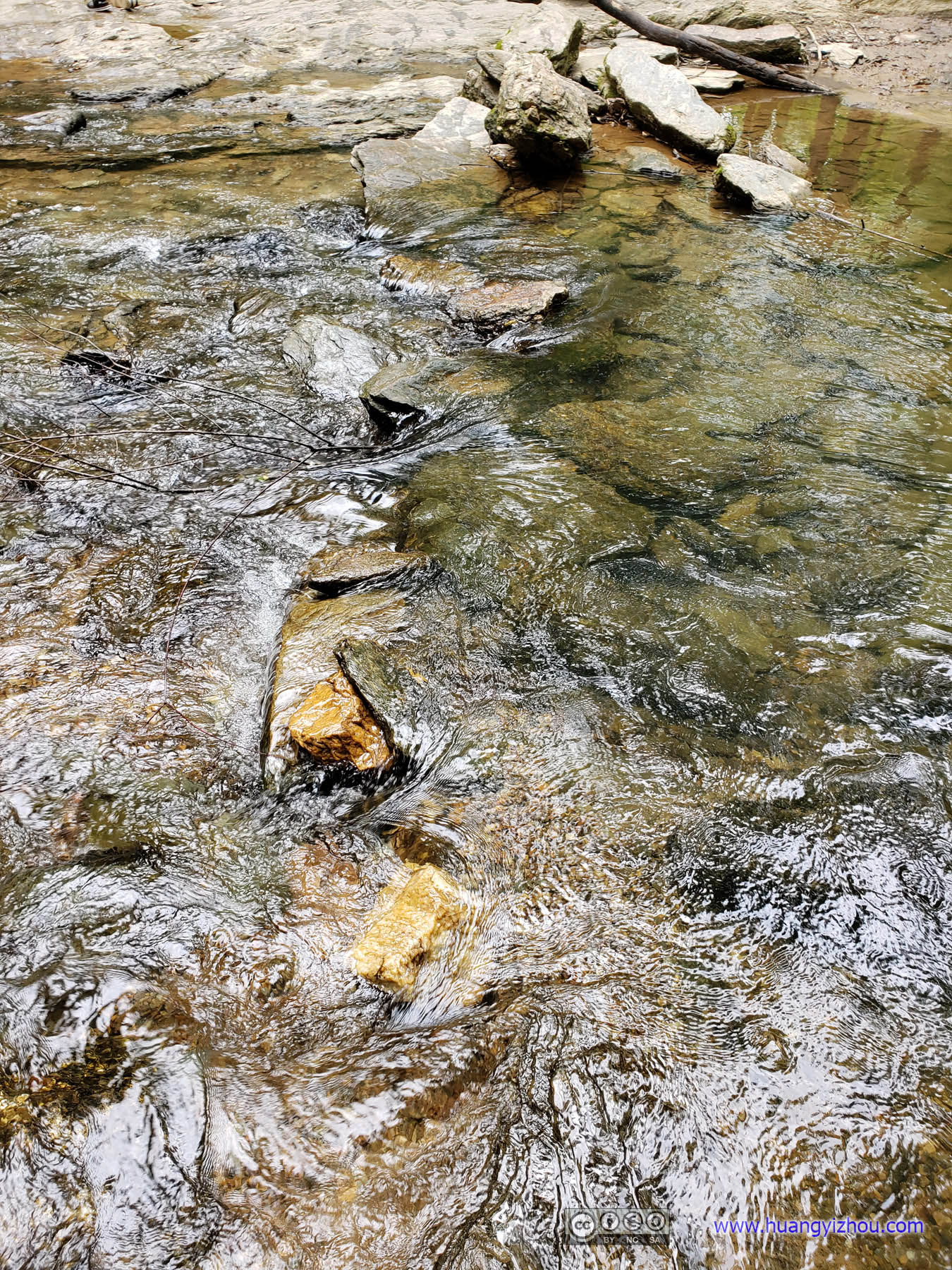
Rocky PathI dug two rocks from the water and placed them where they were in the lower half of the photo, so that I can cross the waterflow dry.
Unfortunately, I was neither a rock engineer nor a gymnast, so after accidental stumbles from my improvised stepping stones, I emerged across the river and back with my shoes 60% wet, while providing quite some entertainment for the families resting nearby.
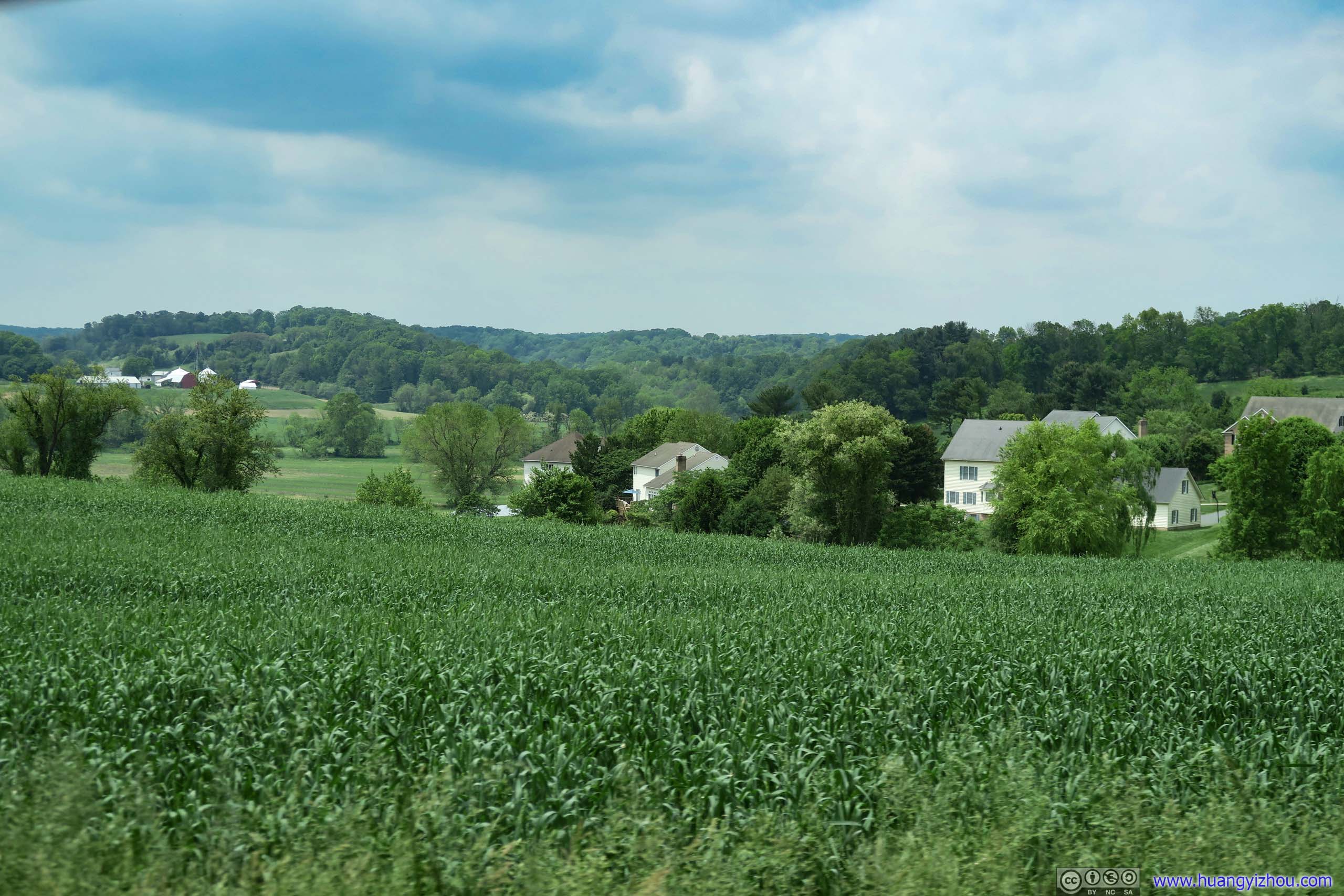
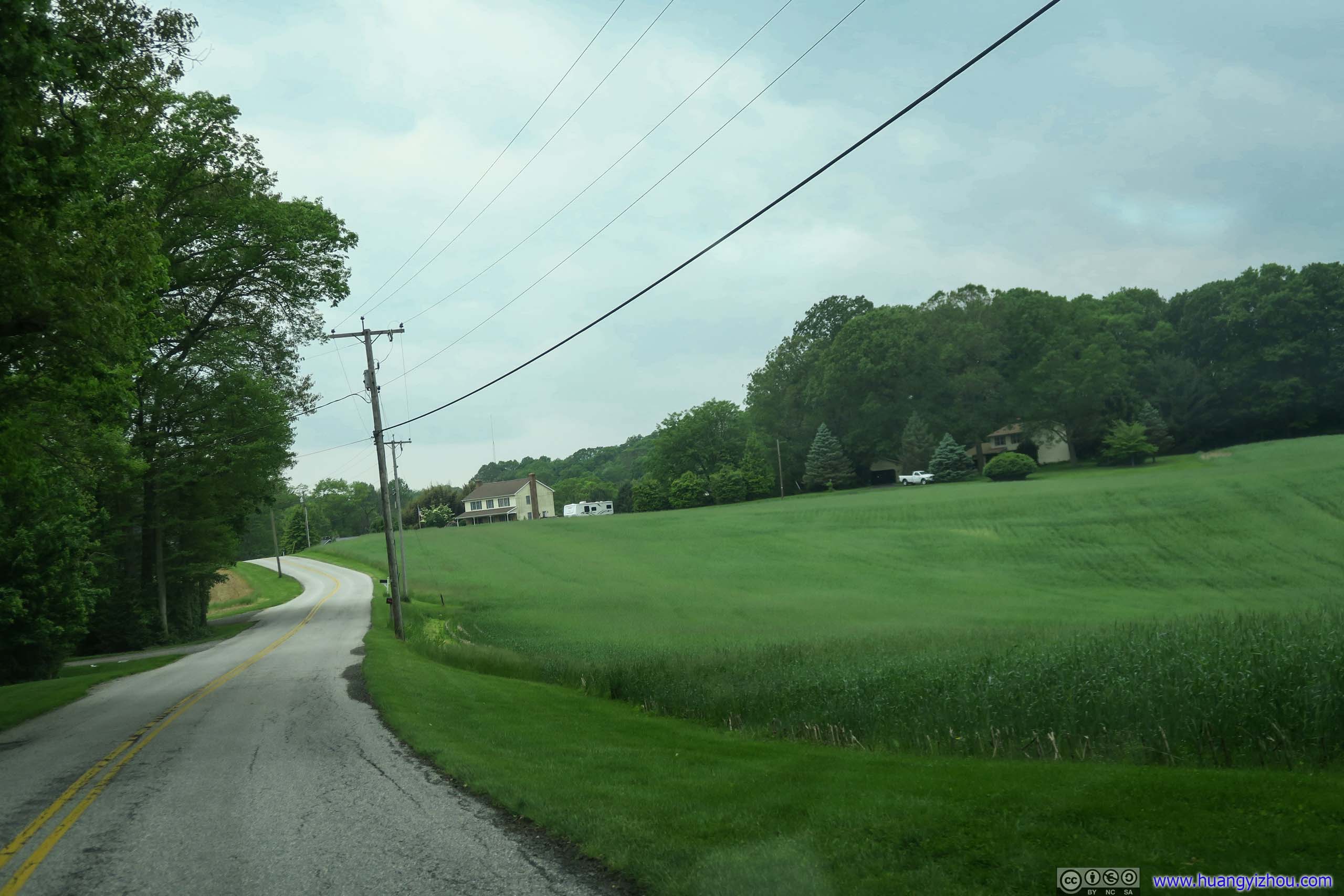
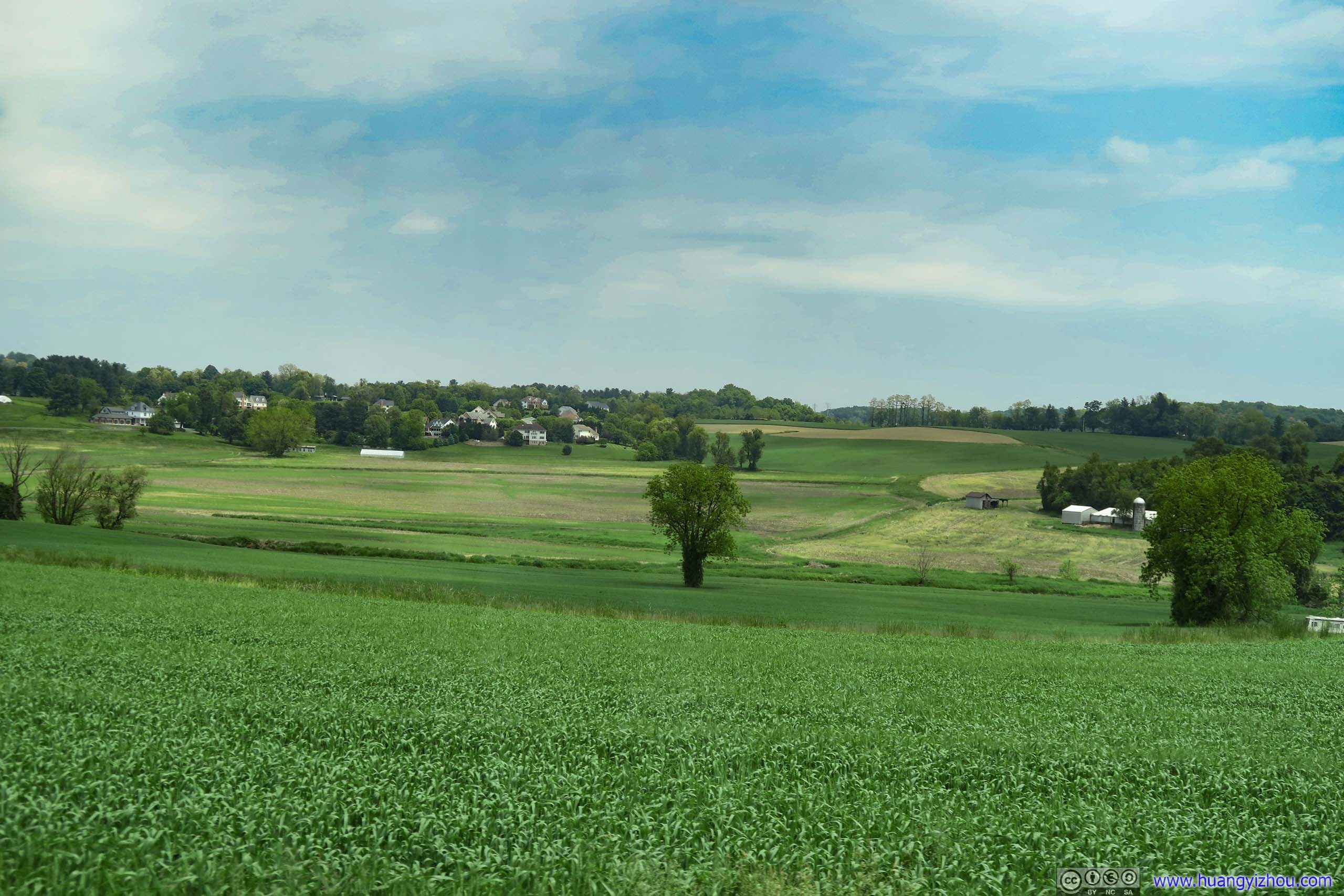 Farmland
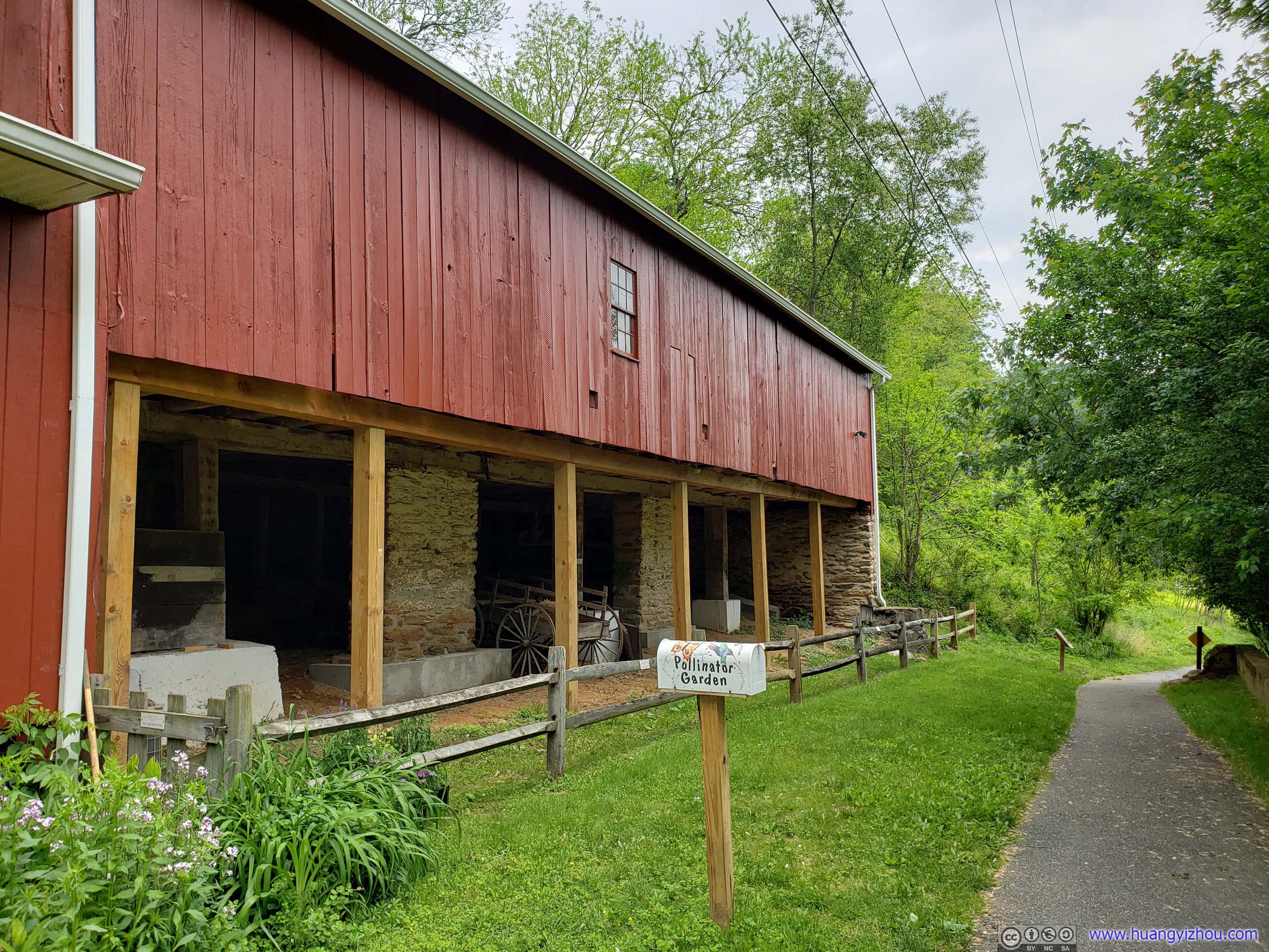
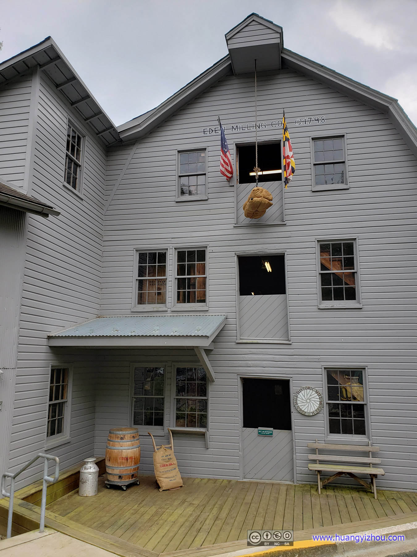
Eden Mill
It seemed to me that Eden Mill wasn’t part of the Rocks State Park system, but rather a well-maintained nature center converted from an old water mill with some nearby trails and waterways, that were more popular with kayakers than hikers. Alltrails included it in Rocks State Park probably due to its central location.
Bee House
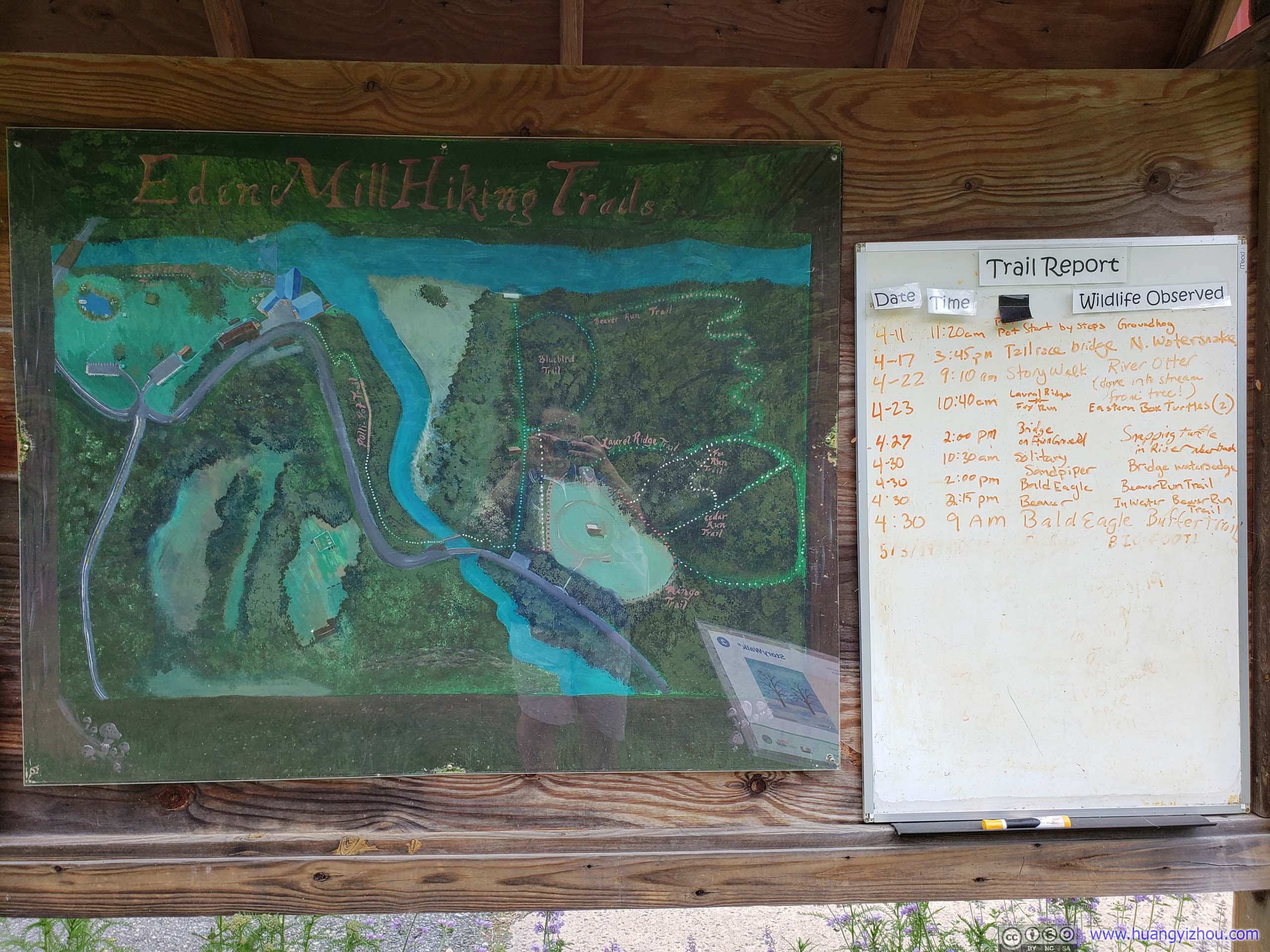
Trail MapJust a glimpse of Eden Mills as a lovely and characteristic site, and I was pretty fond of it. The hand-drawn trail map was not to scale, but captured all the essences of the area.
Eden Mill
The first floor of Eden Mill was some sort of nature center open to public with free admission (though they did appreciate one-dollar-water-sale donation, another lovely fact), I paid it a visit.
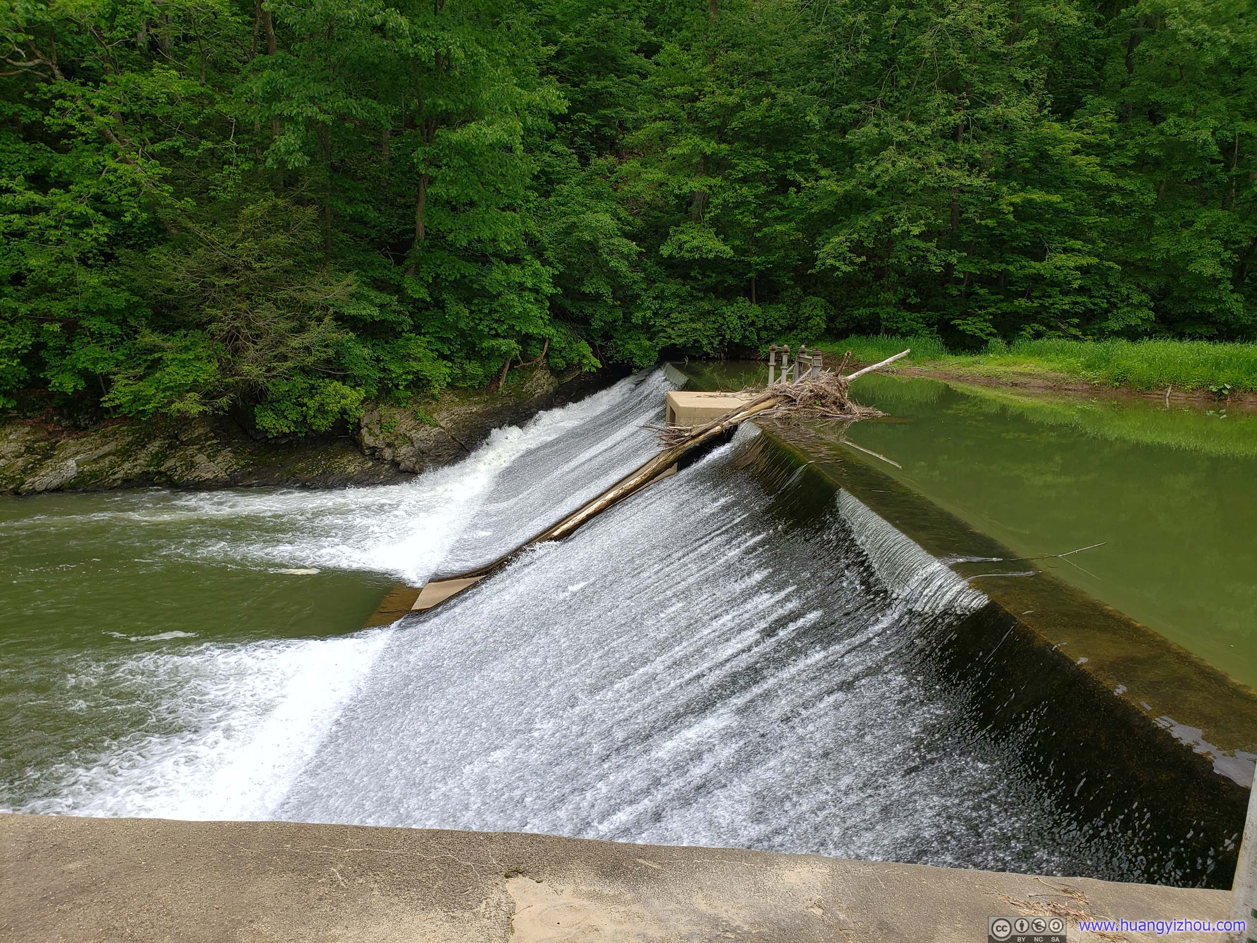
DamThe dam was pretty much destroyed in a 1993 incident and rebuilt.

Electric GeneratorThe generators that used to supply electricity to nearby towns in the 1920s.
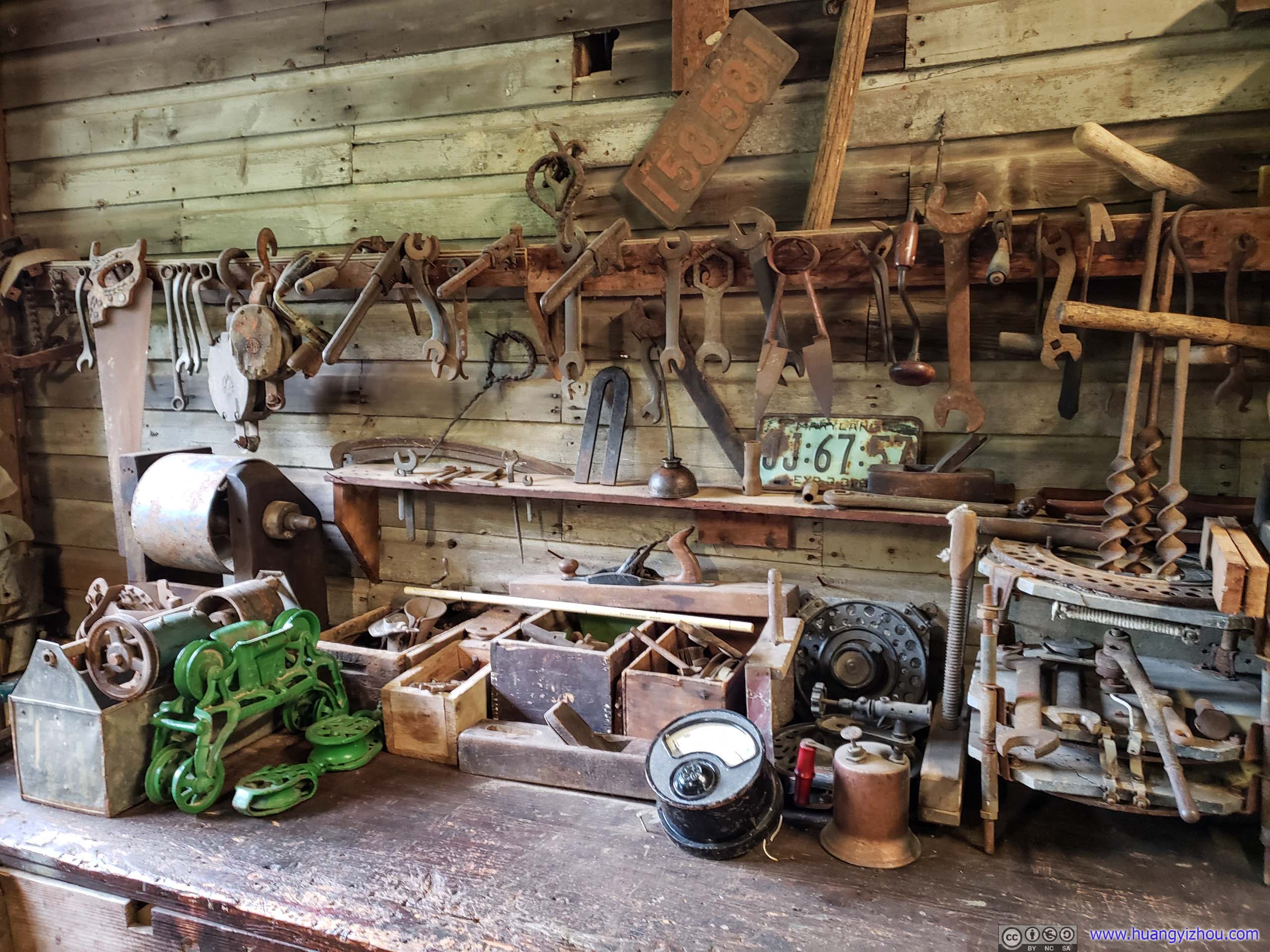
Tools
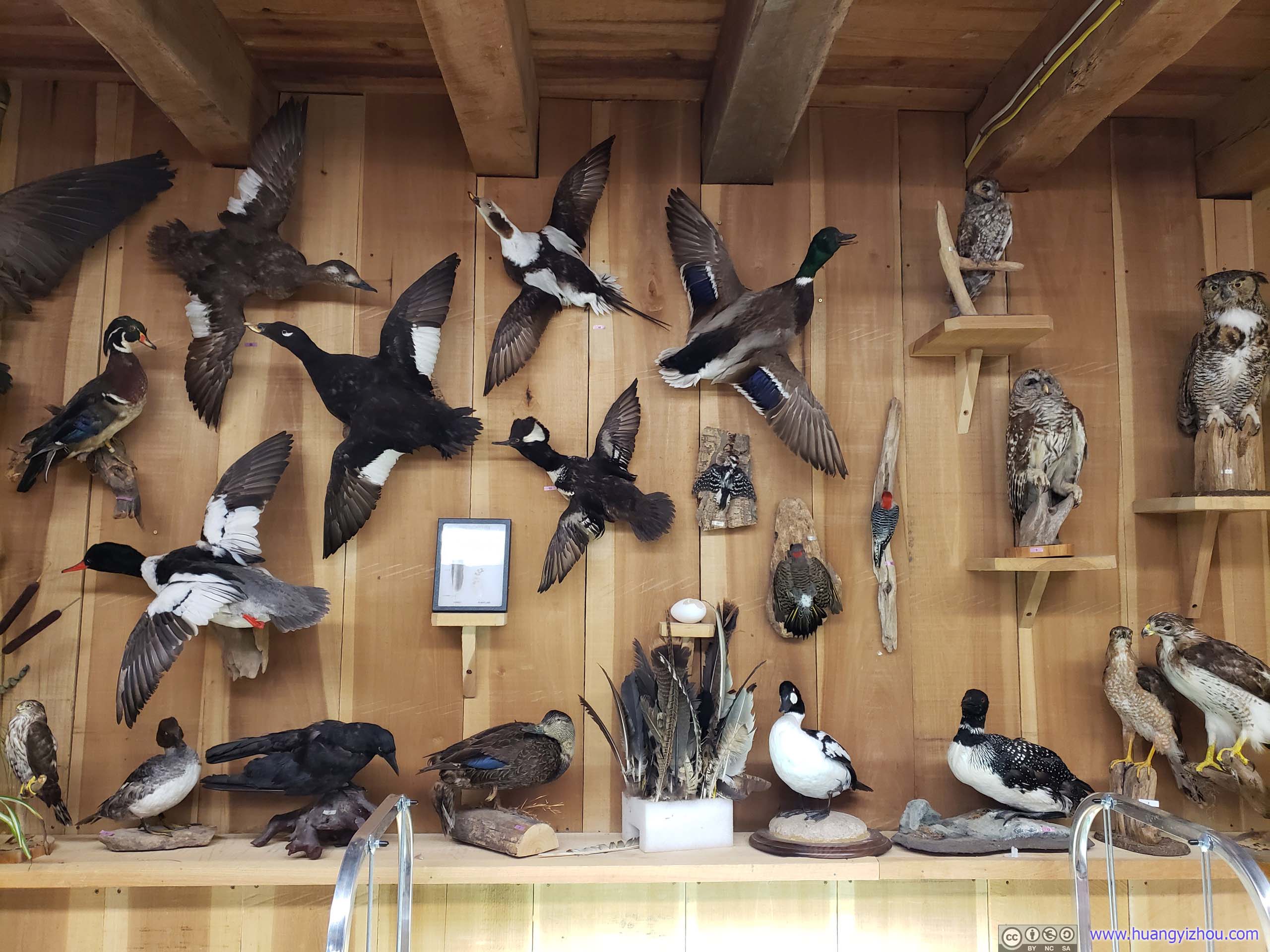
SpecimenOk, some traces of a “nature” center.
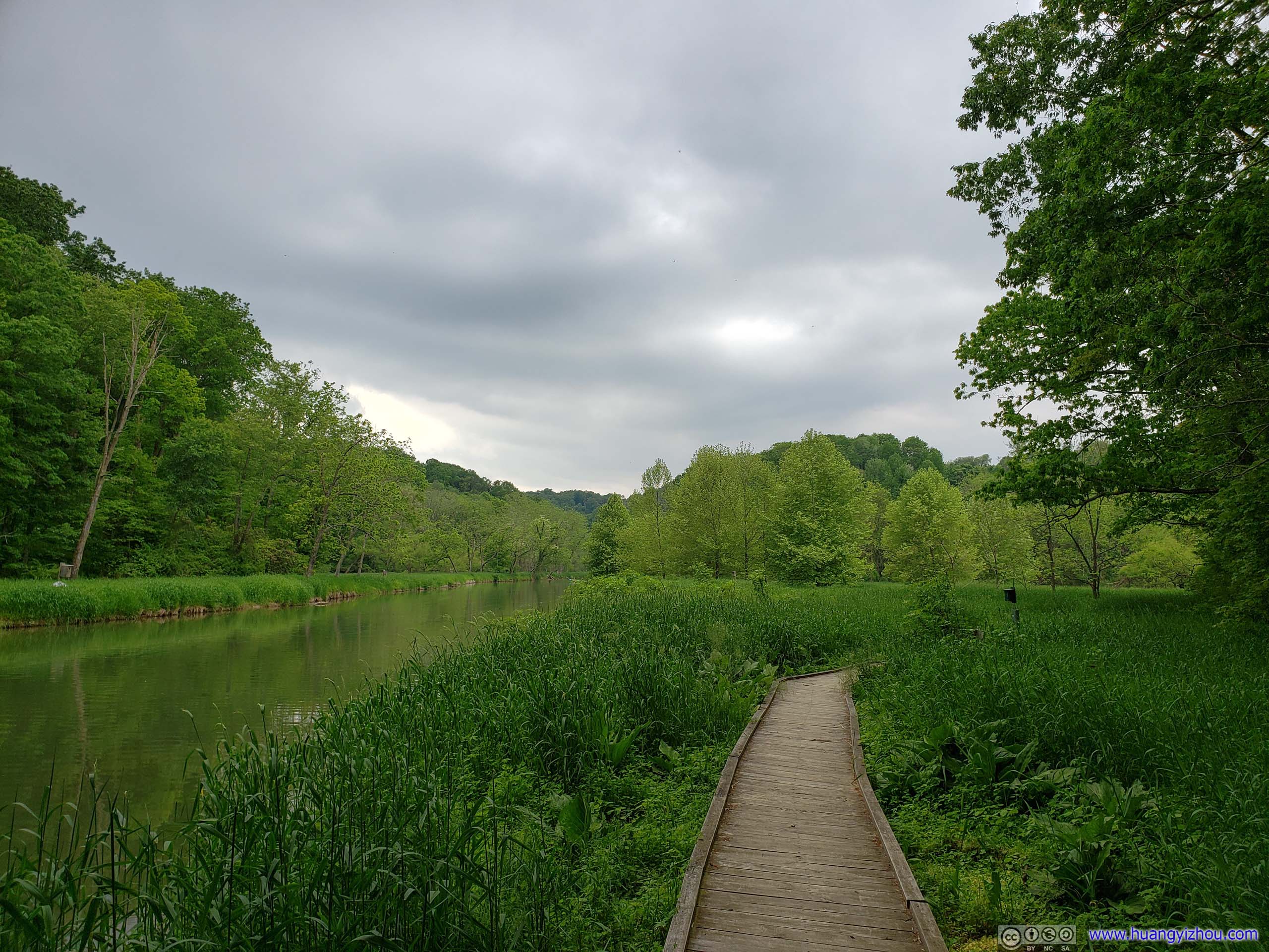
After that, I left the nature center and began my hike. Amazingly, the trail began with a section of boardwalk by the water. Frankly, I’m just not used to such well-maintained trails in the states.
Trail

Creek with Damaged BridgeThe interesting thing was that, the bridge was taken down a year ago with an expected downtime of two months, as a nearby sign indicated.
The boardwalk didn’t last after crossing a footbridge, but after that, portions of trail along Deer Creek was still wide and comfortable.
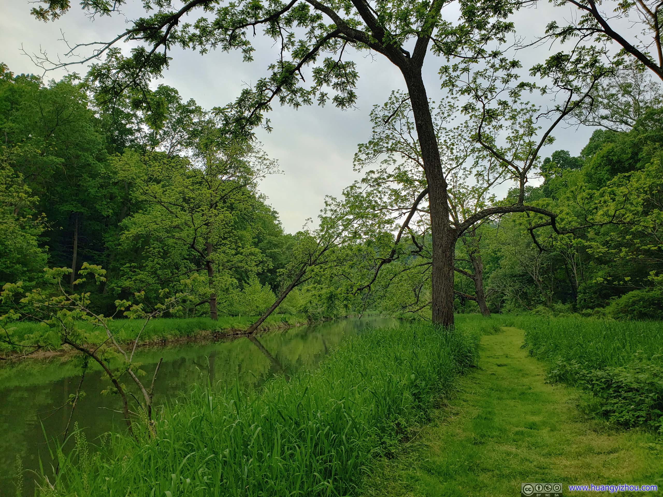
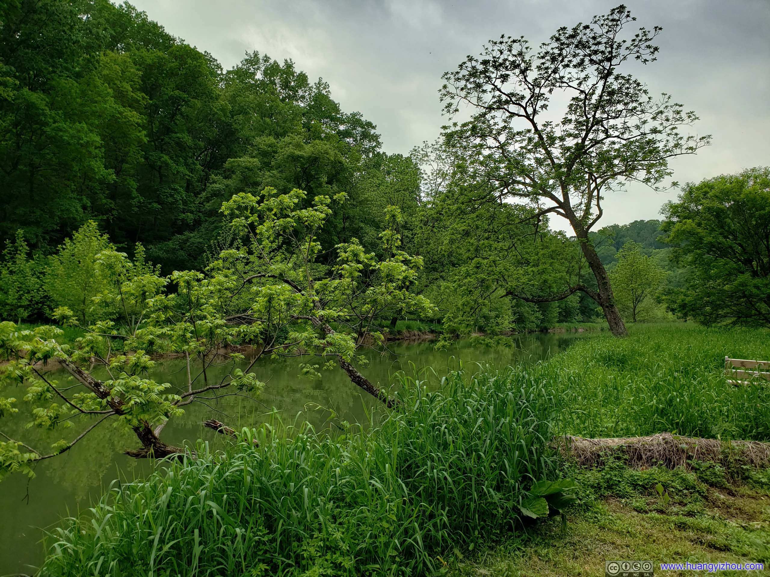 Trees along Deer Creek
Until I caught this sight.
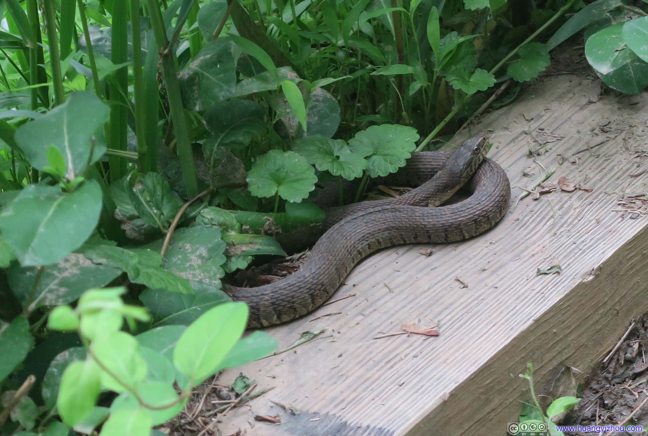
SnakeA scary encounter during my hike. Given how lovely the animals on the trail report “wildlife observed” list would otherwise be and how lazy I was, I decided not to report it.
Then there’s a section which is called “switchback” on the official trail map, where the trail narrows up significantly.
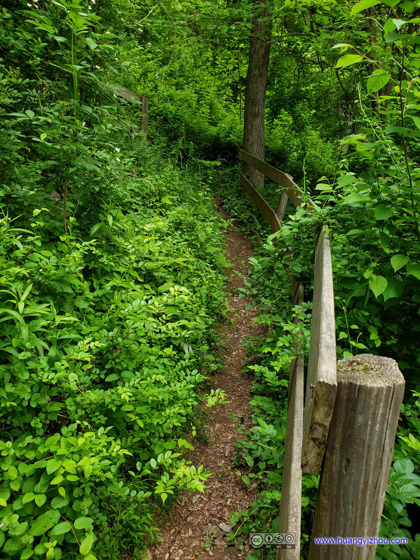
Narrow AscentOn a hindsight, maybe I should just turn back and avoid this part. Luckily, I didn’t bump into much annoying spider nets along these narrow trails.
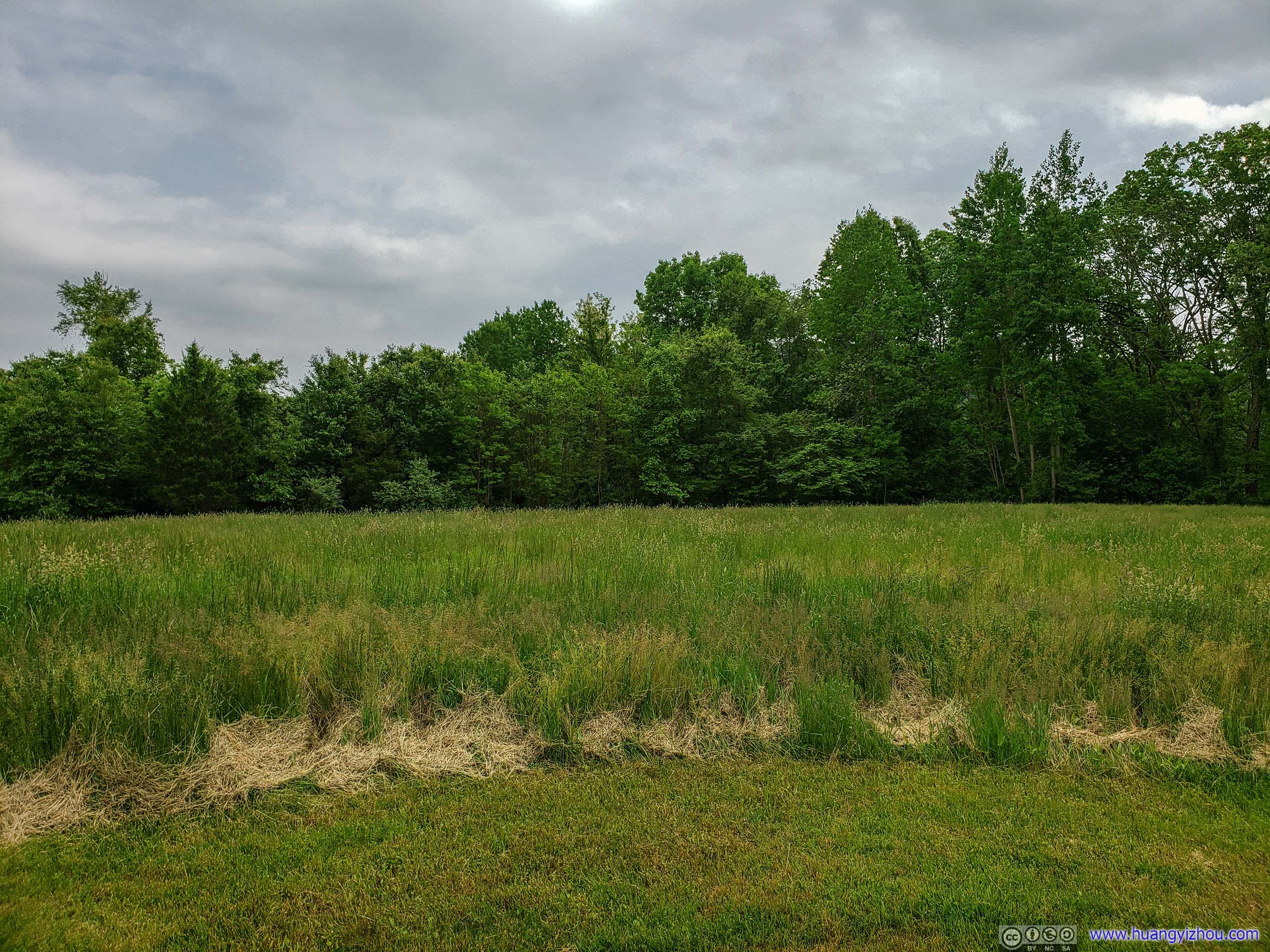
After that, the trail leads to what’s called “High Meadow”, with a pavilion in the middle. I always thought the “high” part in its name should refer to its relative elevation from Deer Creek, until I realized later it could also refer to the height of plants that buried the trail.
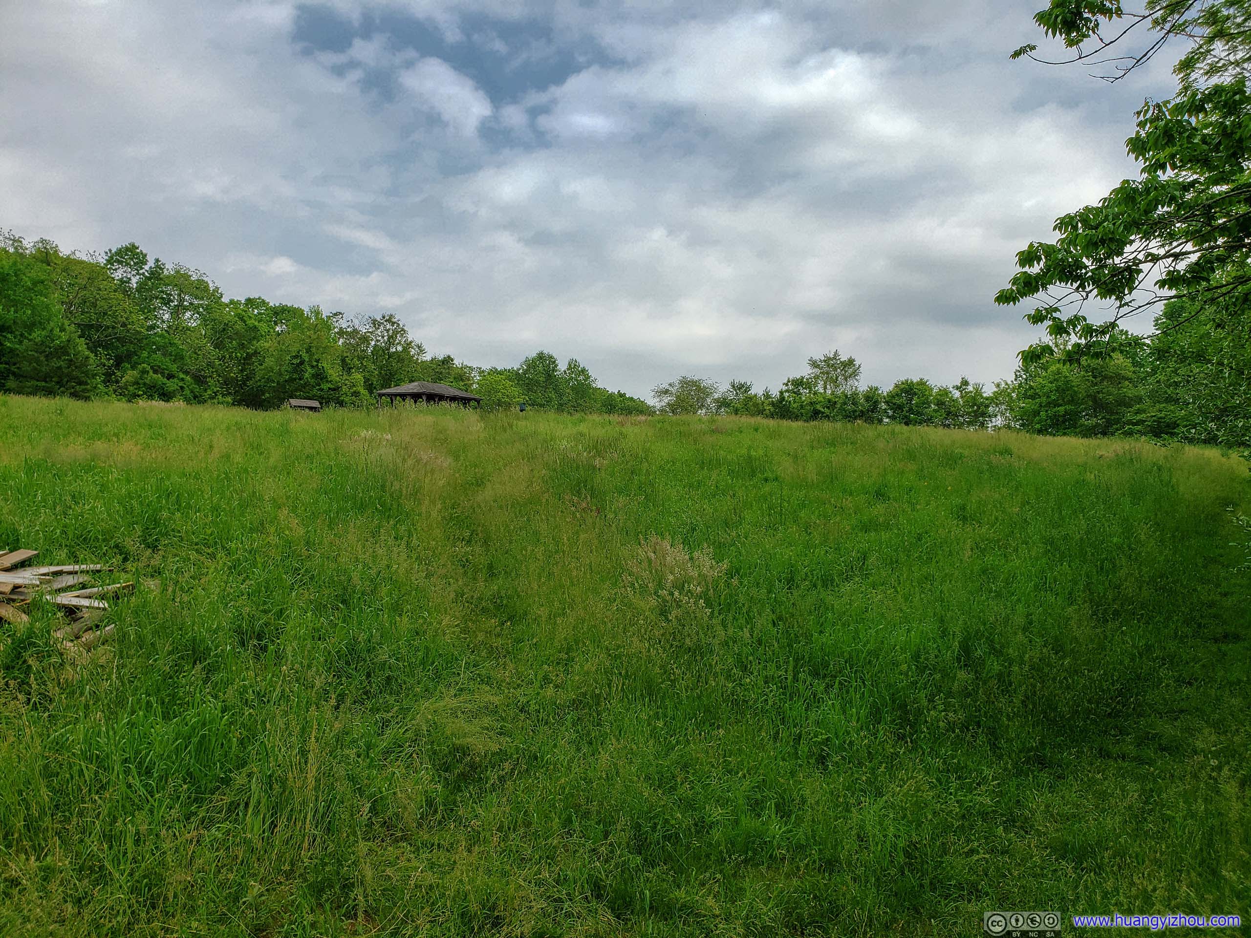
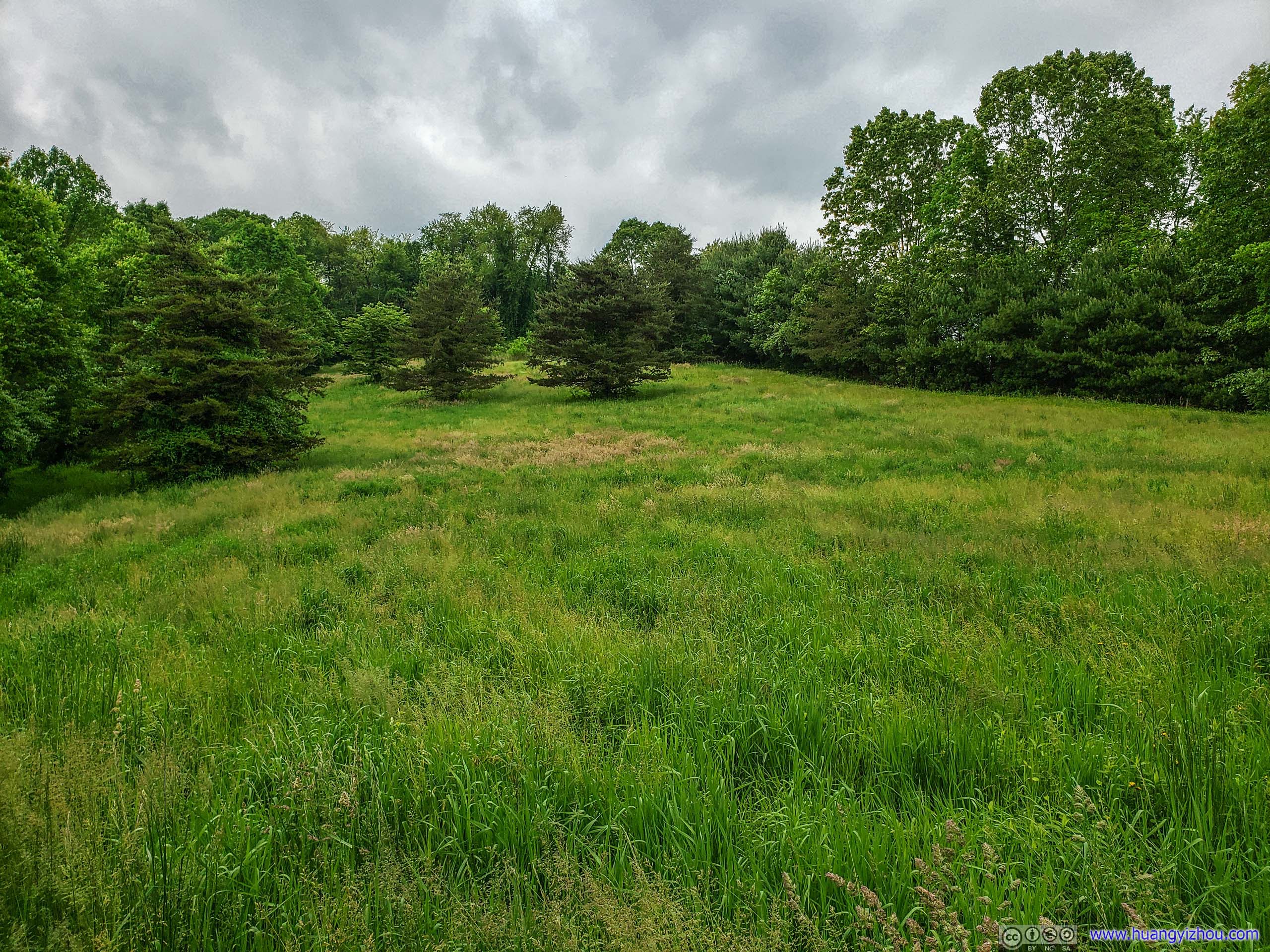 High Meadow

Wheat EarsI didn’t expect to see them in pink.

 High Meadow
That’s it about Eden Mills, these lands and buildings were definitely cared by people with heart, and I loved that. Unfortunately, it’s just remotely located and didn’t see much foot traffic compared with my previous two stops in Rocks State Park, so parts of it were just uncomfortably primitive.
After that, I made my way to Hidden Valley area.
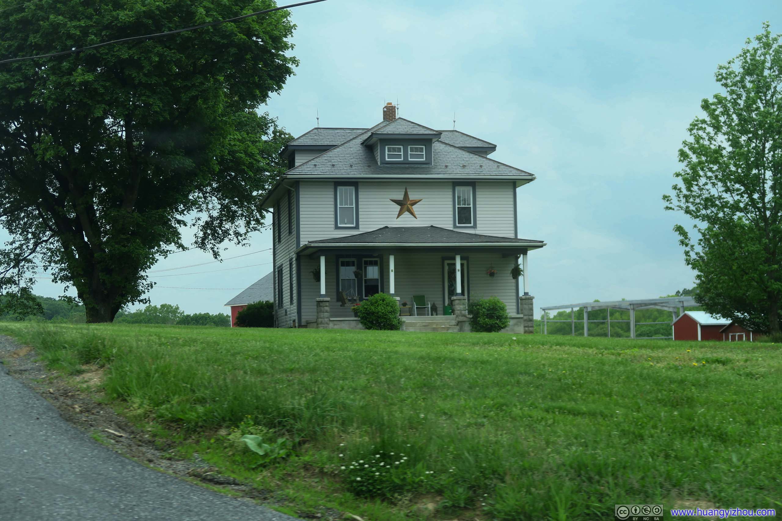
House with StarIt looked so Soviet to me.
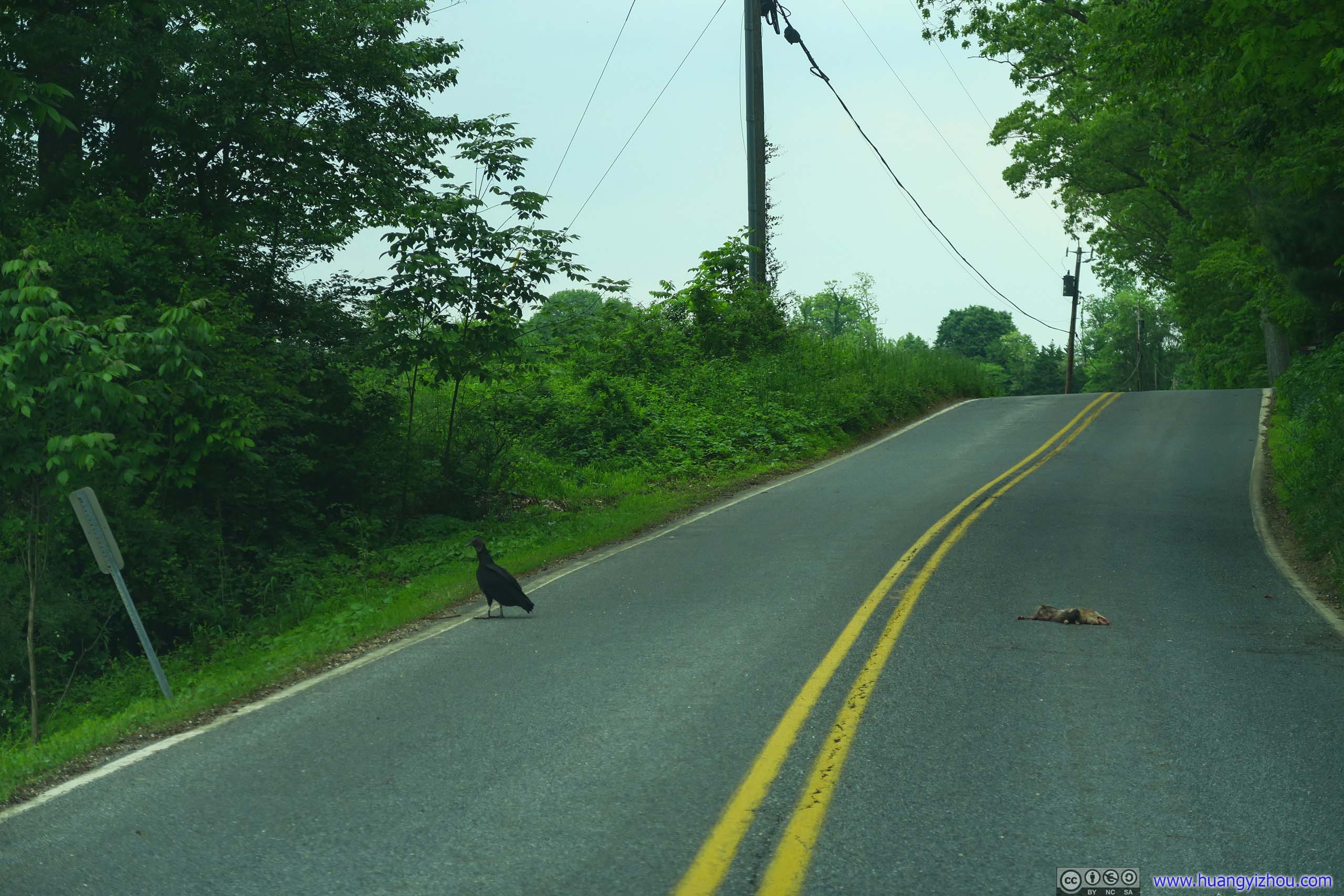
 Vulture and Roadkill
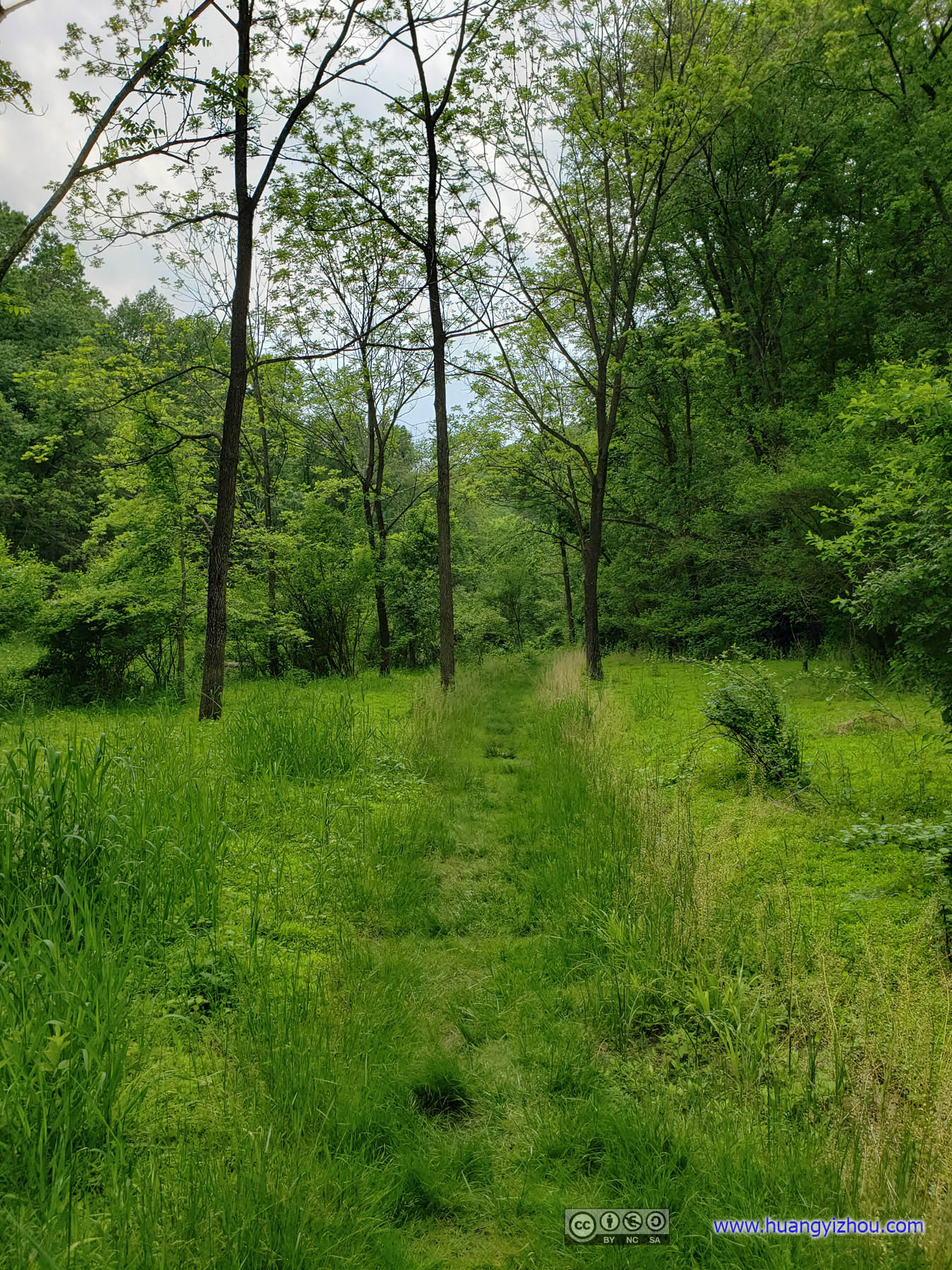
Hidden Valley
I don’t know why it’s called “Hidden Valley”, from the map I knew it’s a valley, from the fact that overgrown trees were obscuring sky it’s also hidden, and since it’s the hidden valley it didn’t have many visitors, there’s only another family car besides mine in the parking lot.
And to sum it up I didn’t quite like it. Spider nets and narrow trails and not too much to see besides the calmly flowing Deer Creek. I don’t understand this area had 10 times more reviews on Alltrails than Eden Mills, is it because one bridge to Eden Mills had been broken for a year?
 Trail
Trail
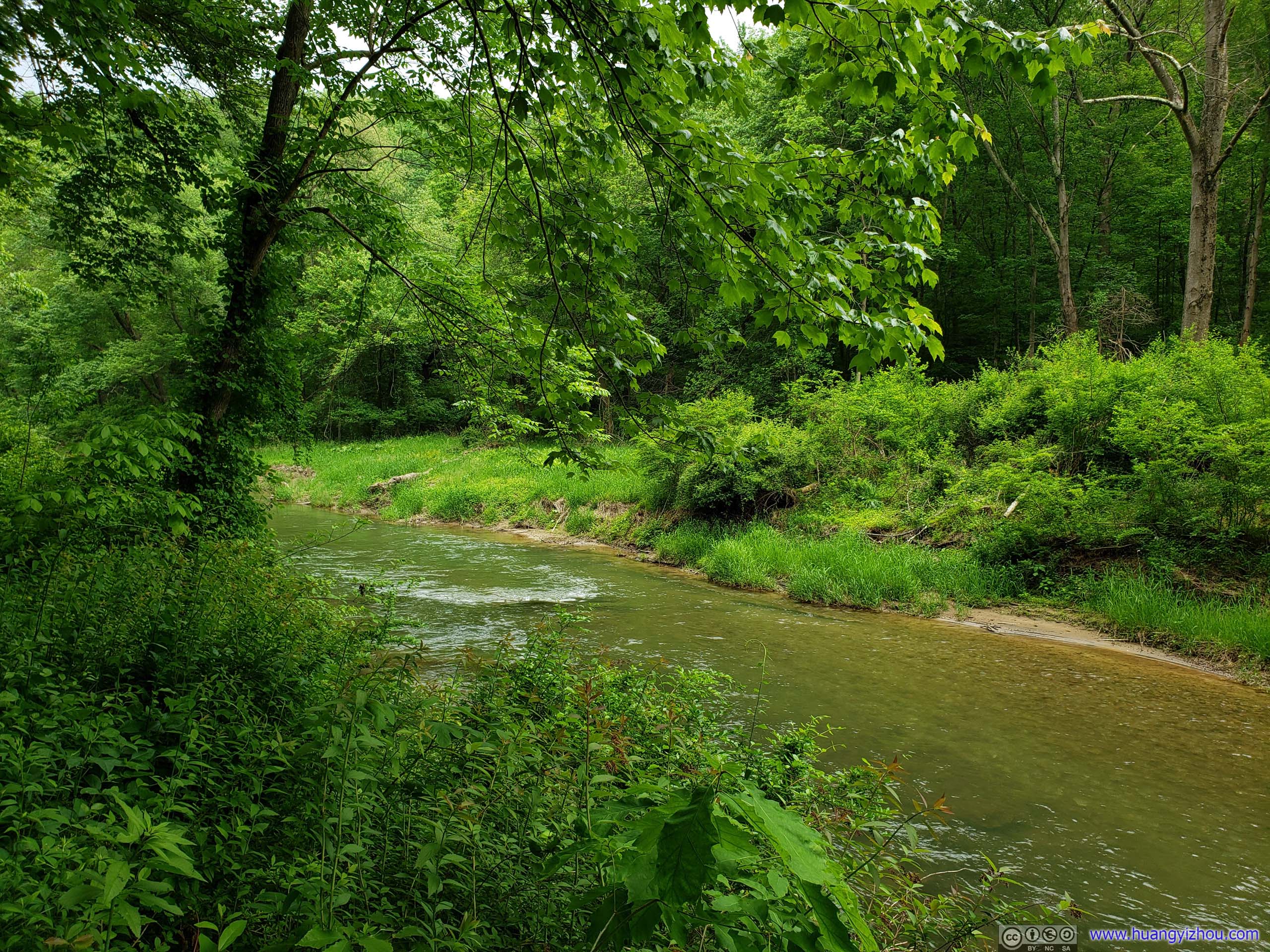
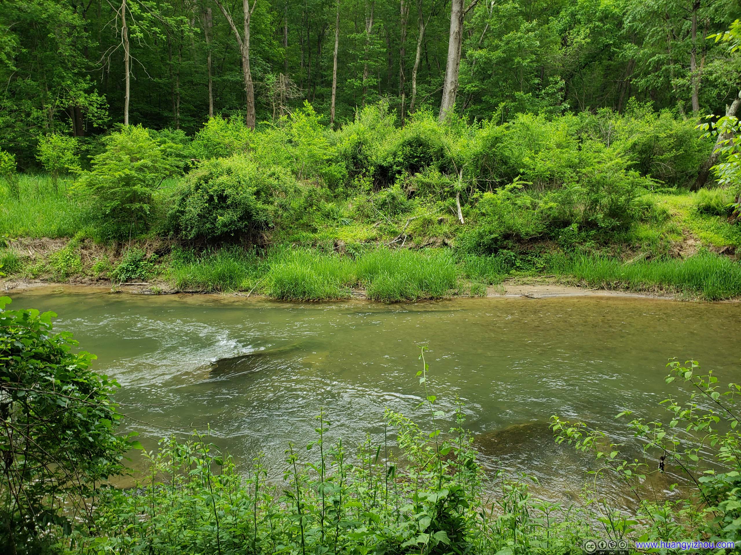
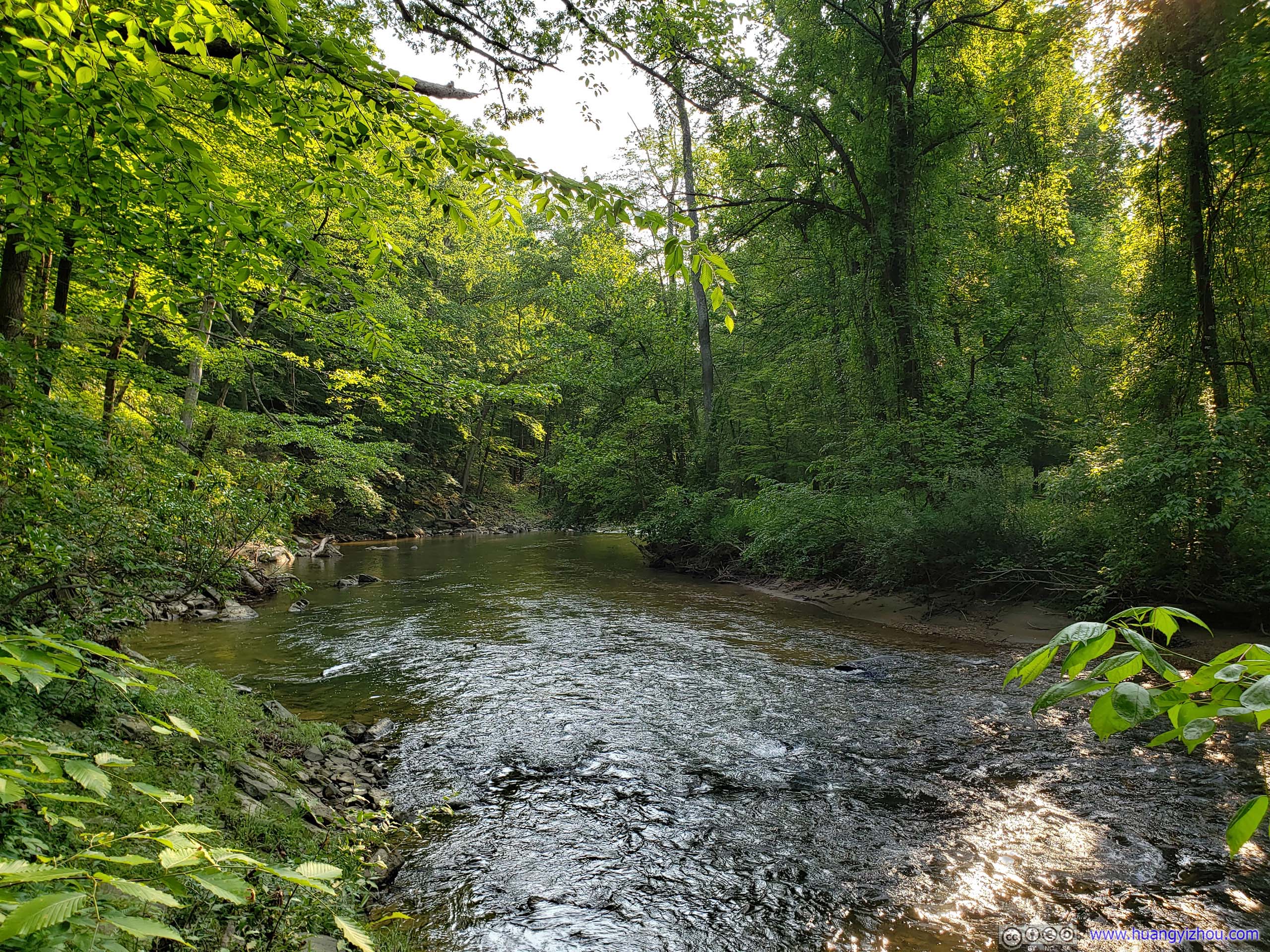
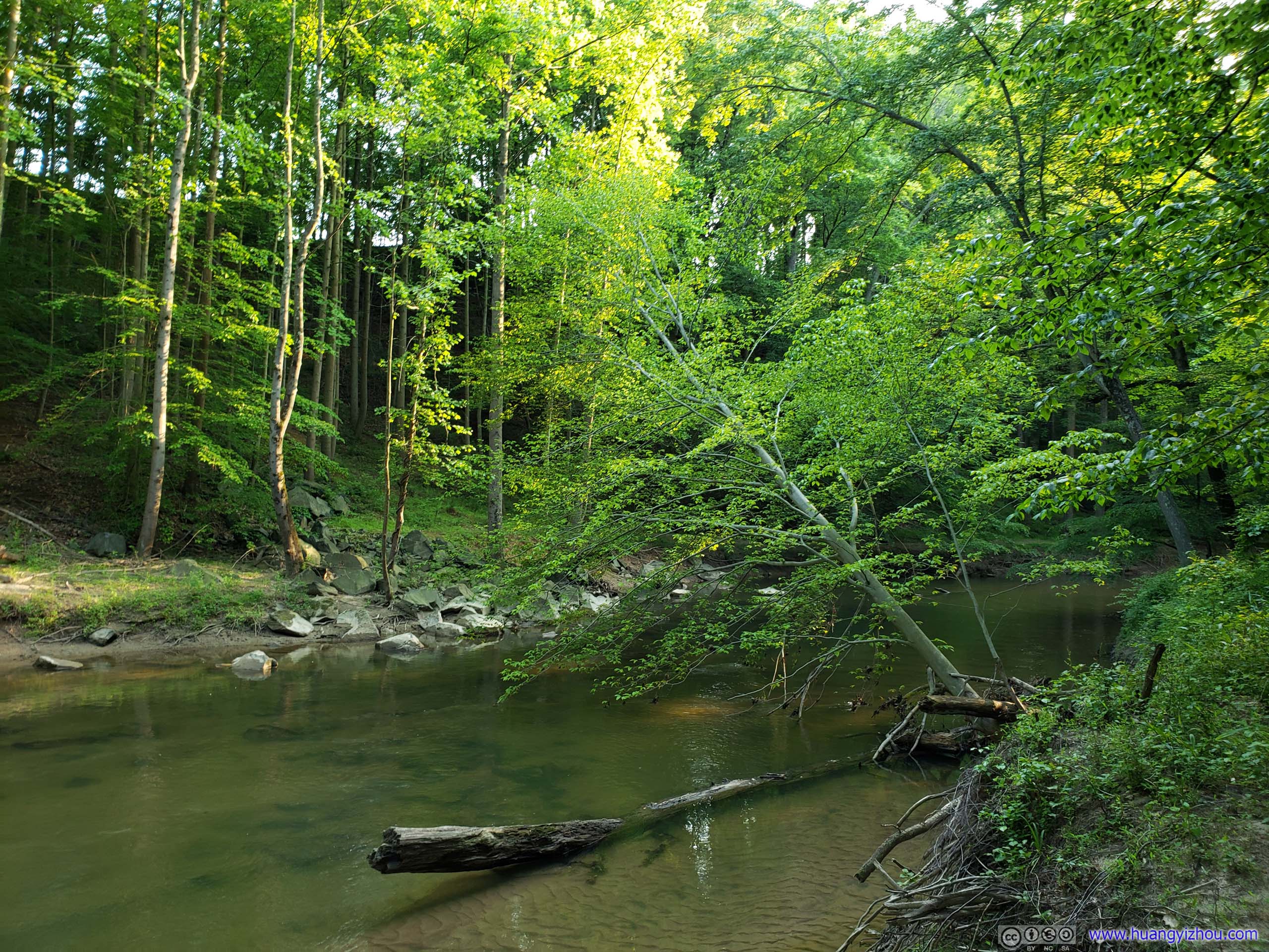
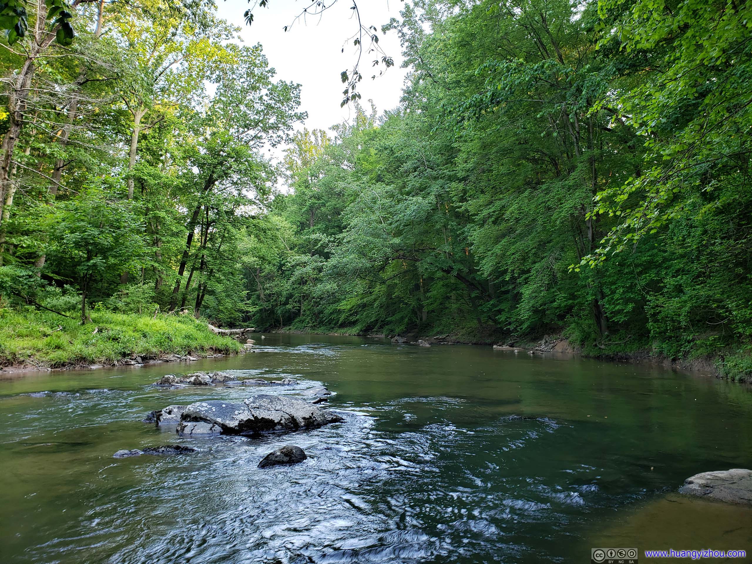
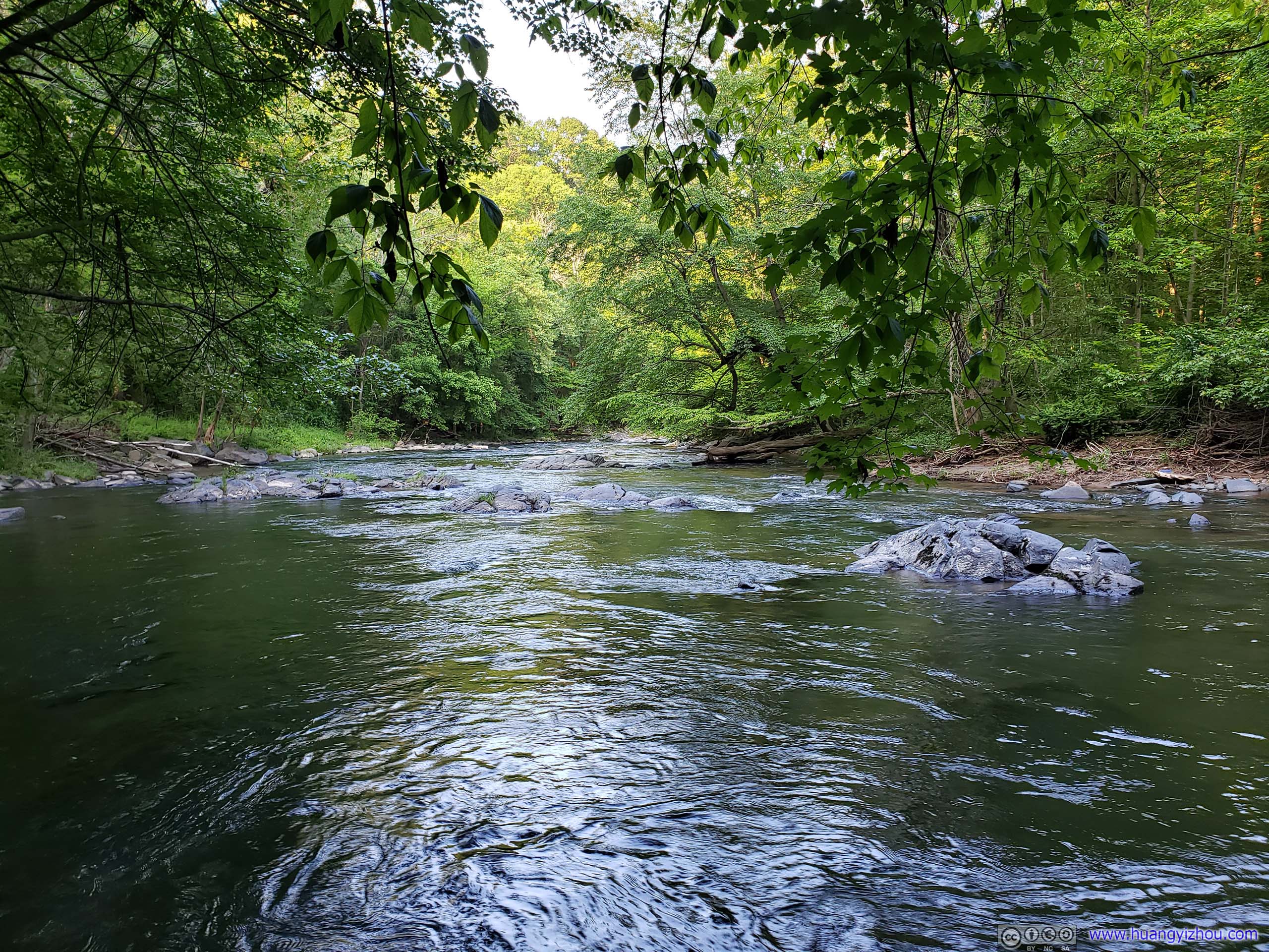
 Deer Creek
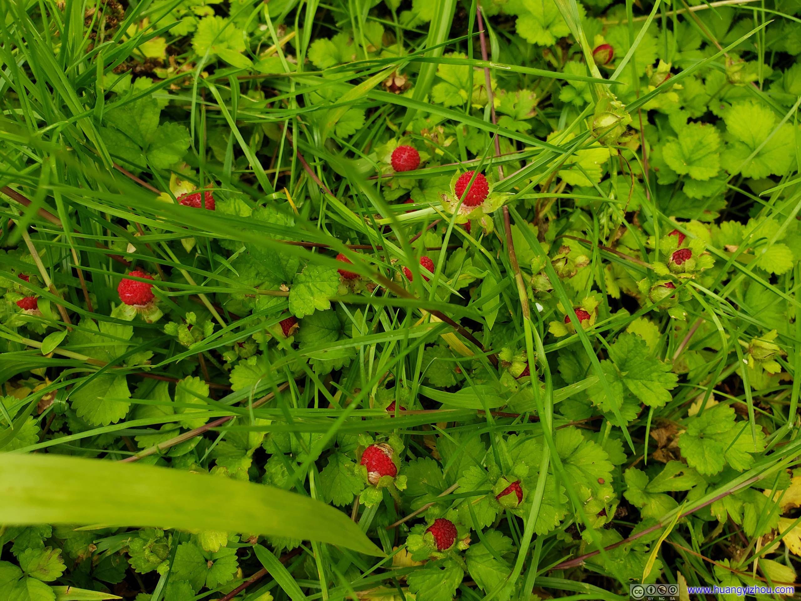
Wild Berries
Wincopin Trails
On my way home, I found on Alltrails app that I would be passing Wincopin Trails, which was some sort of nature area located in the densely populated suburbs between Washington DC and Baltimore. It was getting late, and I was getting tired after a day of hiking. Although setting sun looked beautiful on ripples of water or through holes of leaves, there wasn’t much to see, so I didn’t stay for very long there.
 Trail
Trail

FlowersThere were many of these flowers along Wincopin Trails.
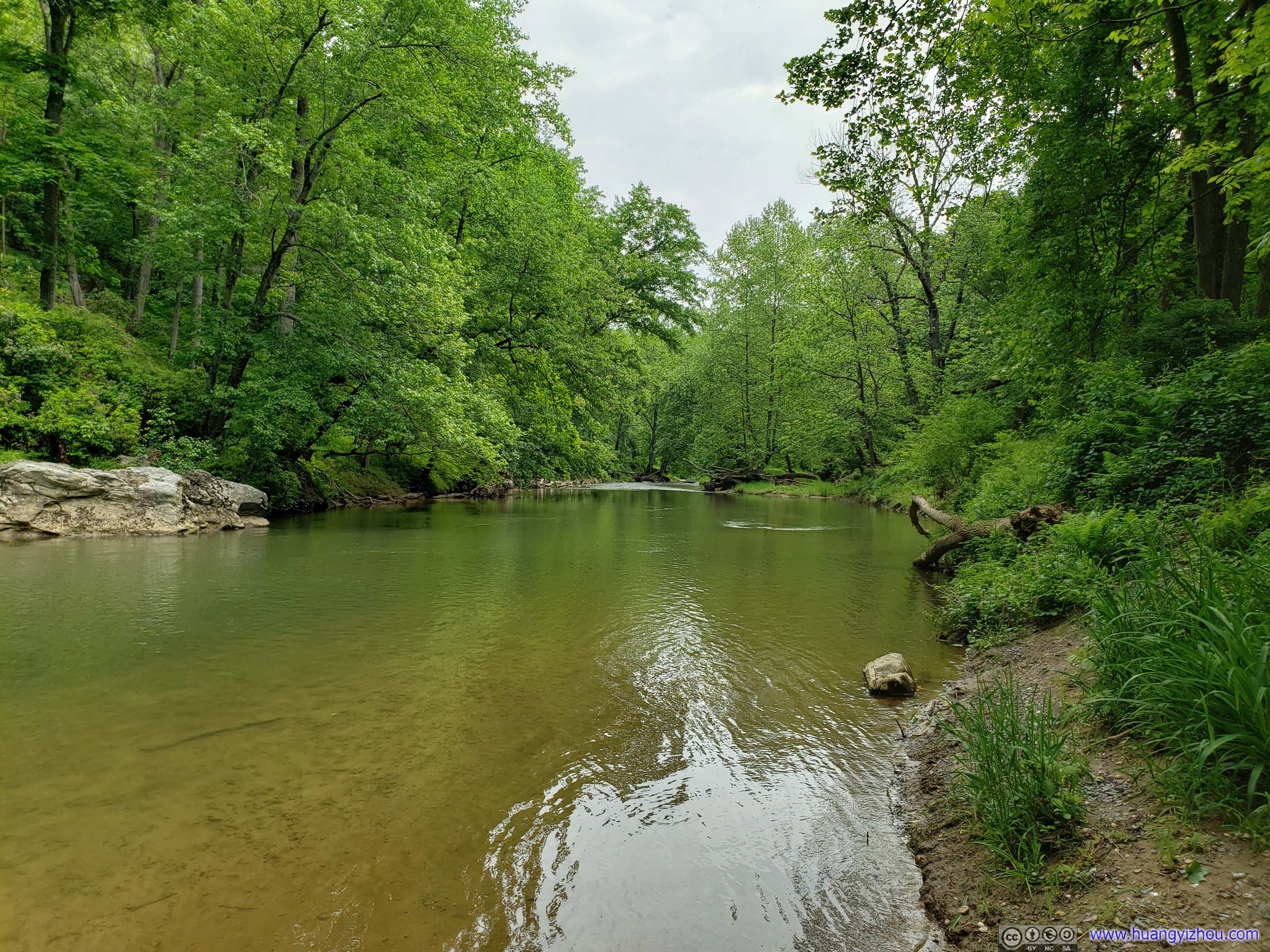
 Middle Patuxent River
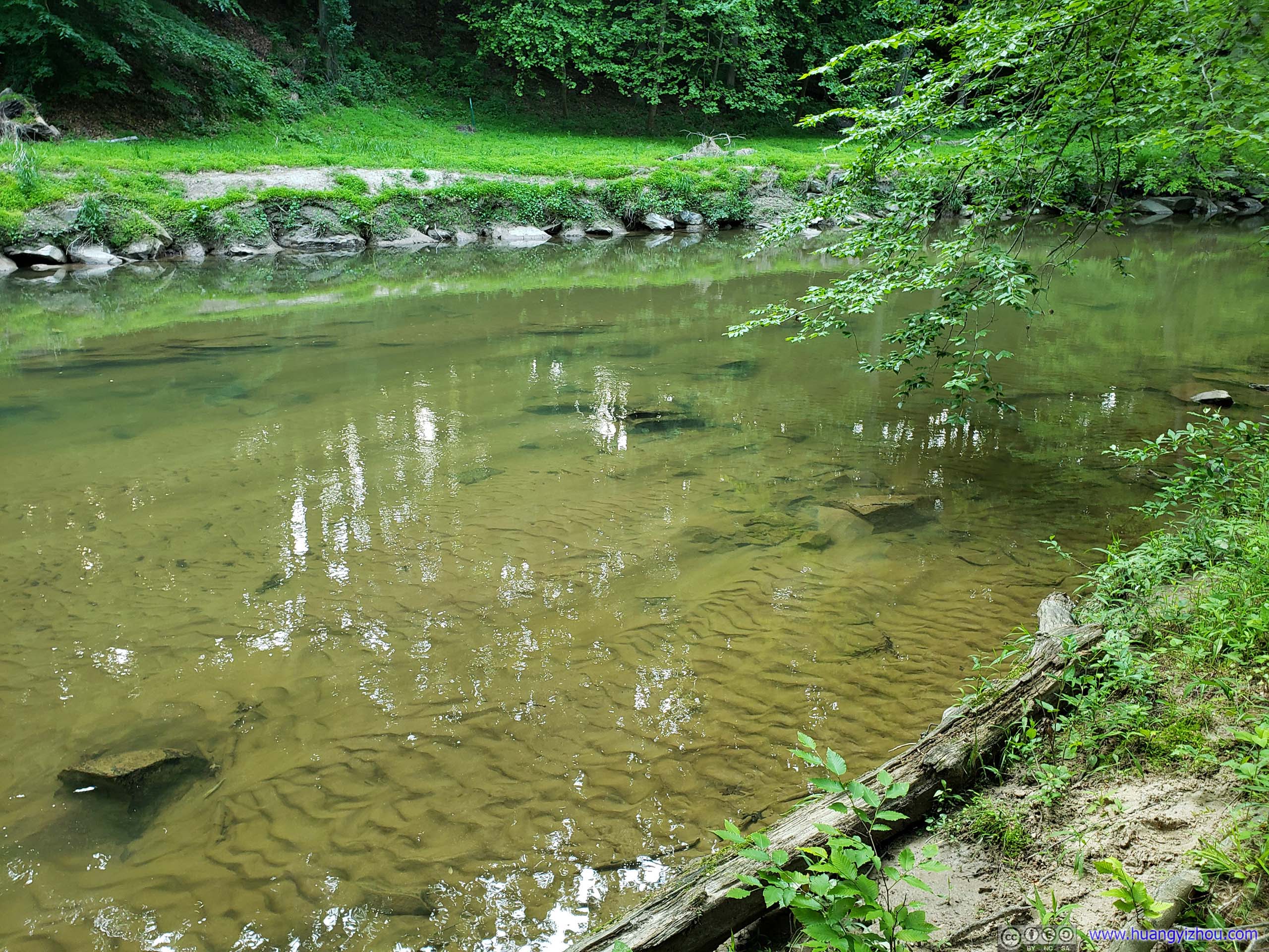
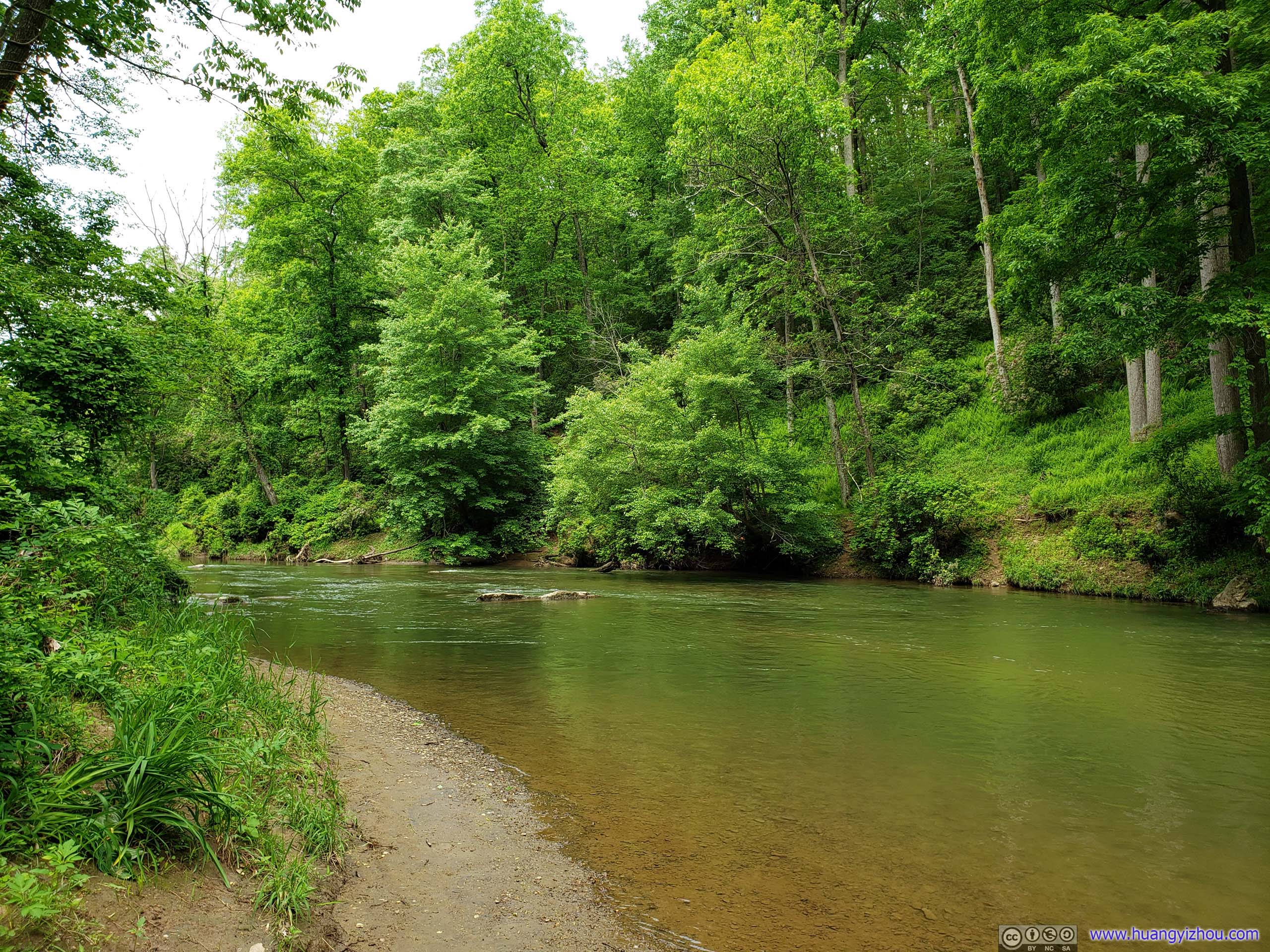
Middle Patuxent RiverWater was clear but river bottom was sandy, amazingly they didn’t seem to mix together.
 Middle Patuxent River
END
![]() Hiking in Rocks State Park, Maryland by Huang's Site is licensed under a Creative Commons Attribution-NonCommercial-ShareAlike 4.0 International License.
Hiking in Rocks State Park, Maryland by Huang's Site is licensed under a Creative Commons Attribution-NonCommercial-ShareAlike 4.0 International License.